
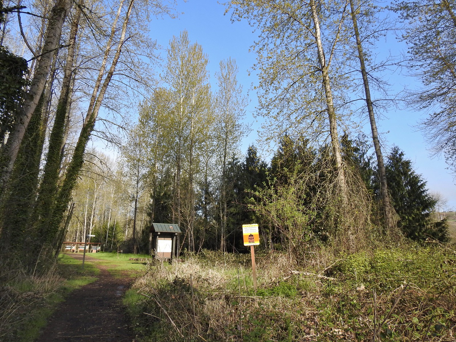
The delayed arrival of Spring weather has begun affecting the timing of the hikes that I’d planned for us this year. We had originally planned a wildflower hike for this weekend, but they are running at least two weeks behind so we turned to a pair of wildlife hikes instead. Our first stop was at the Snag Boat Bend unit of the William L. Finley National Wildlife Refuge.

This 341-acre unit is located a across the Willamette River to the East of the 5,325-acre refuge. The unit has several miles of trails although the amount accessible fluctuates due to flooding.
 Not sure how “official” the writing is on the map, but it wasn’t wrong about the Turtle Loop being “closed” (high water).
The Snag Boat Bend Loop Trail begins as a boardwalk that passes over the North Beaver Pond. Oddly there wasn’t much, if any, water in this pond despite other areas later being flooded.

After the short boardwalk section the trail became a combination of grass/mud as it followed a swollen Lake Creek toward the Willamtte River.

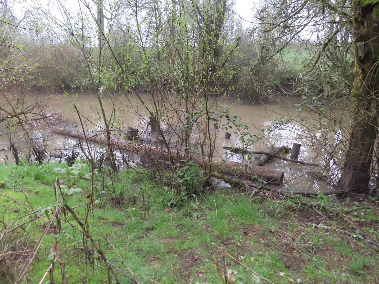 A swollen Lake Creek
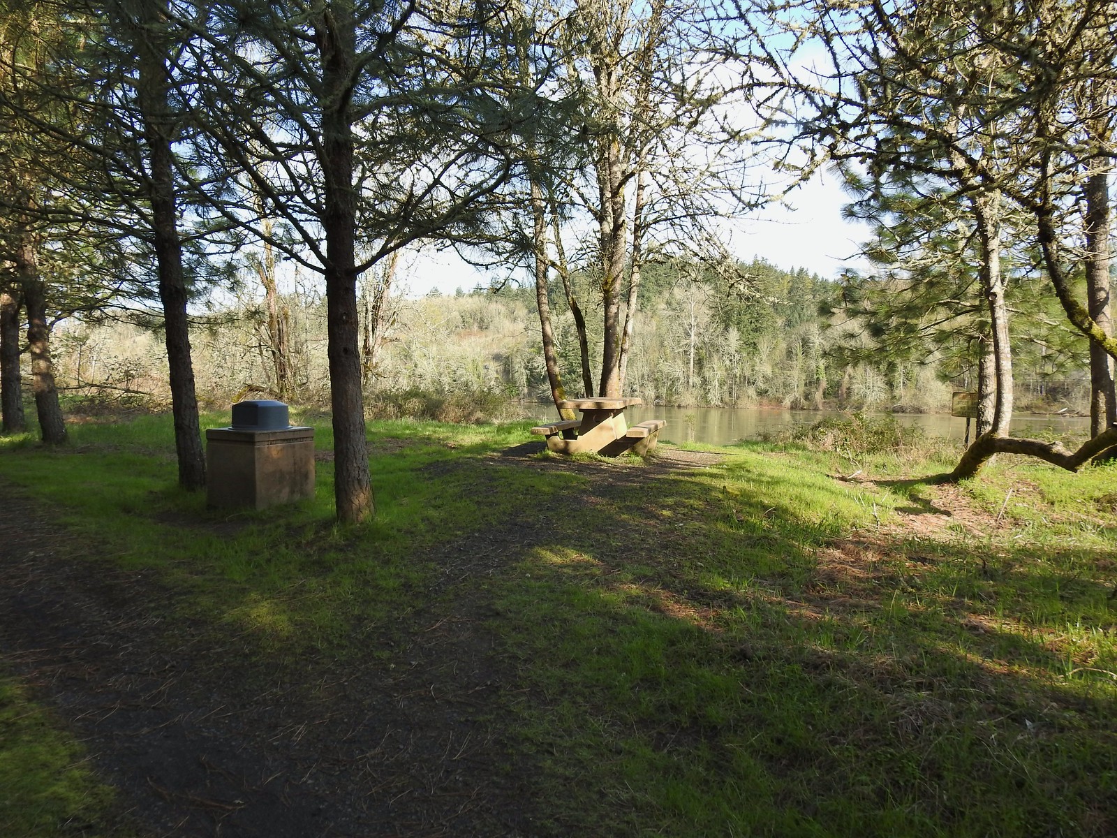
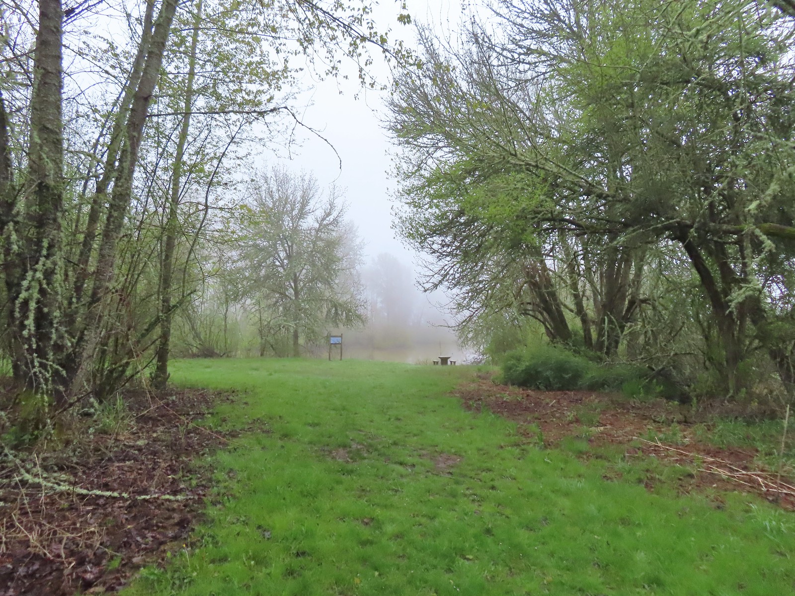 A third of a mile from the trailhead is a picnic table overlooking a former channel of the Willamette River that is now an oxbow lake filled by Lake Creek.
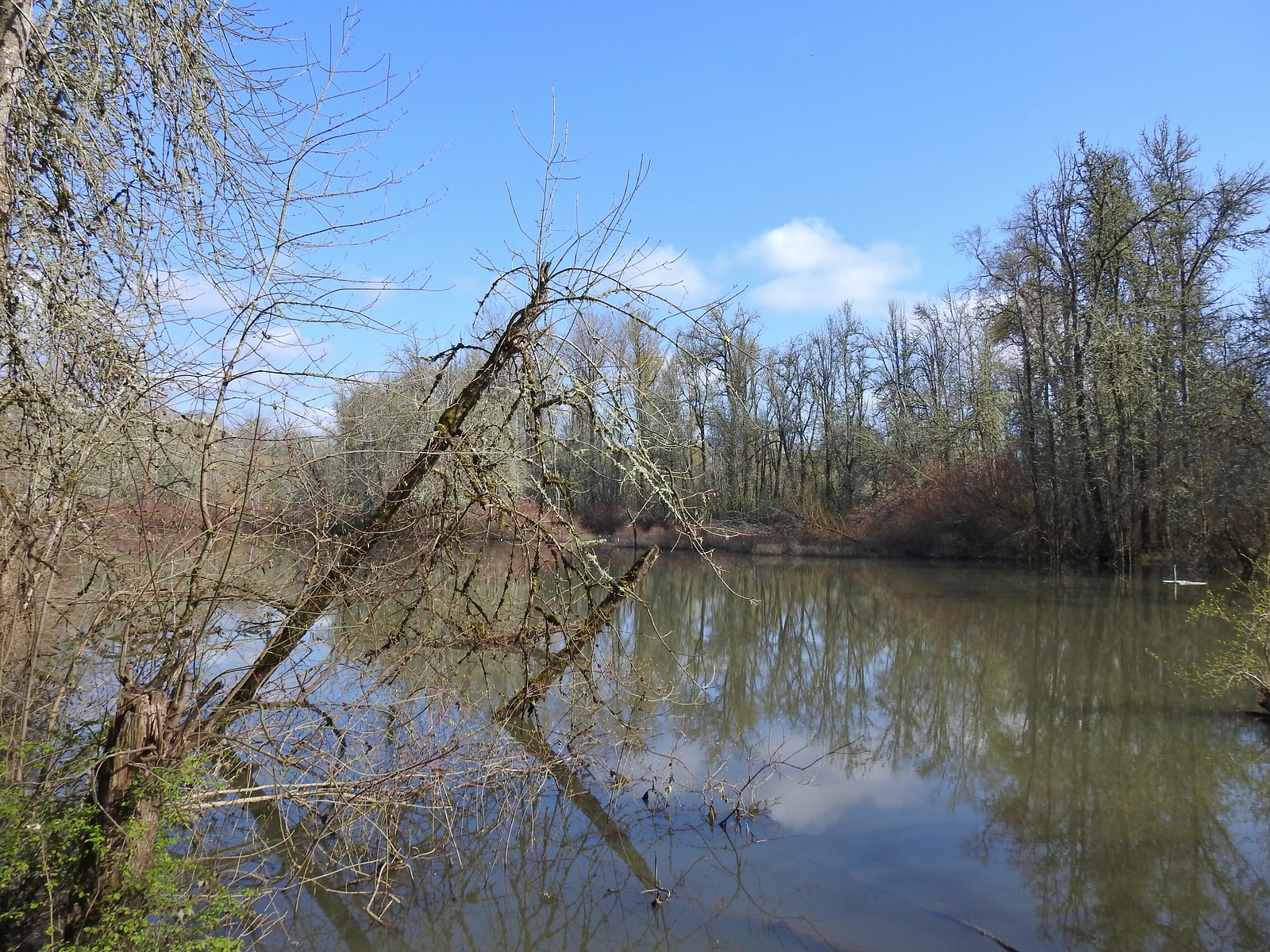
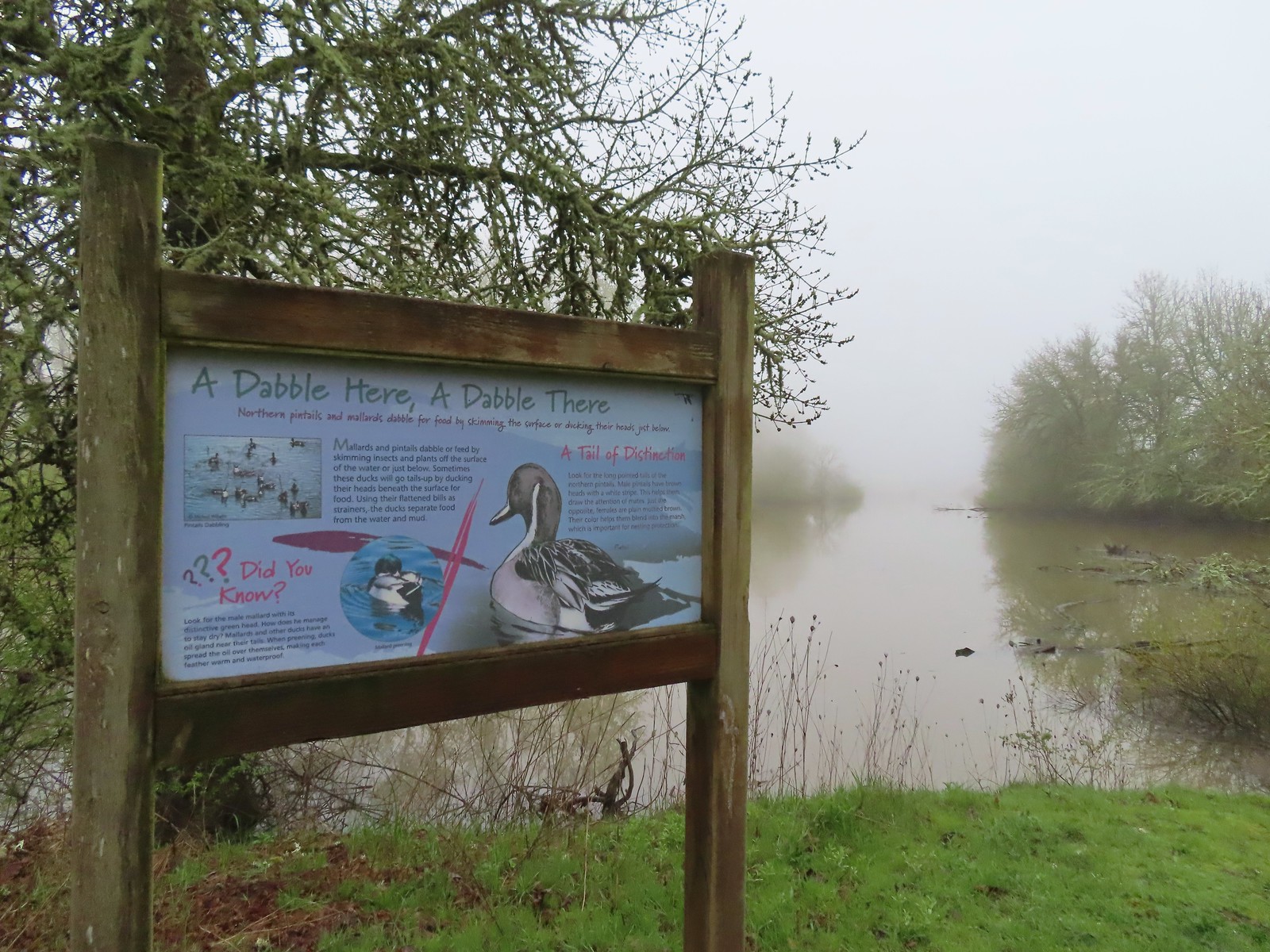 The oxbow lake.
The trail makes a hard left at the picnic table passing along the water.
 Lots of water in the lake.
 Woodpecker hiding in the trees.
Just under 0.2 miles from the picnic table, during low water, is said to be a path that makes it possible to connect the Snag Boat Band and Turtle Loop Trails.
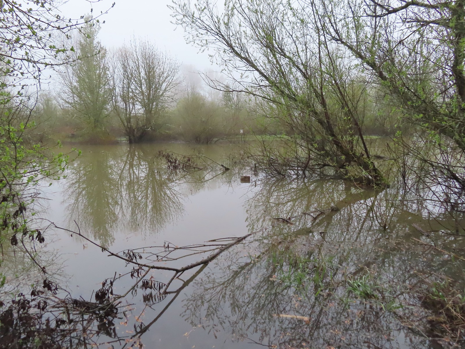 Note the sign on the far side vs the closer sign barely sticking up out of the water.
A quarter mile from the picnic table the Snag Boat Bend Loop turns left at a junction. We stayed straight and visited the Observation Blind before setting off on the Blue Heron Trail.
 Oregon grape
 Red flowering currant
 Slug
Slug
Signs at the junction.
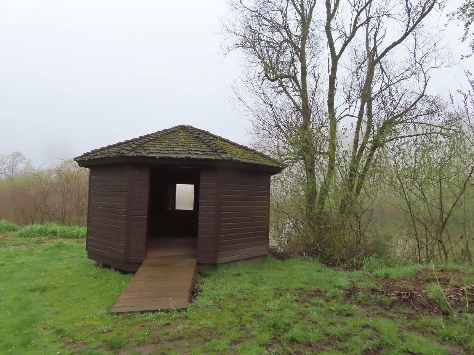 The observation blind.
There wasn’t a whole lot to observe from the blind since the morning fog limited visibility.

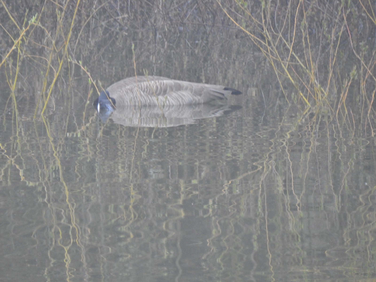 Goose
Goose
 Spotted towhee
 Mallard drake
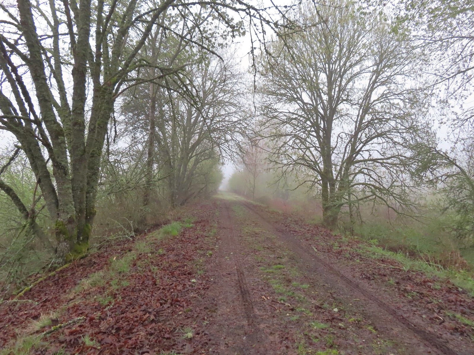
 The Blue Heron Trail followed the boarder of the refuge and some private farmland.
It was approximately another quarter mile from the blind to a 4-way junction. Here the Blue Heron Trail began and finished a theoretical loop using the left most forks and the Turtle Trail split off to the right along a dike.
 Blue Heron Trail to the left and Turtle Trail on the right.
We turned right onto the Turtle Trail and as we got onto the dike we could see that the area below, where a loop shown on the Oregonhikers page joined back up, was likely flooded. We followed the dike a quarter of a mile to another junction where the Turtle Trail made a hard right and descended from the dike into an open area where several rabbits were busy having their breakfast.

 American widgeon


We followed this grassy track for a third of a mile back to the swollen Lake Creek where, during low water, the Turtle Loop would turn right along the creek and loop back around.
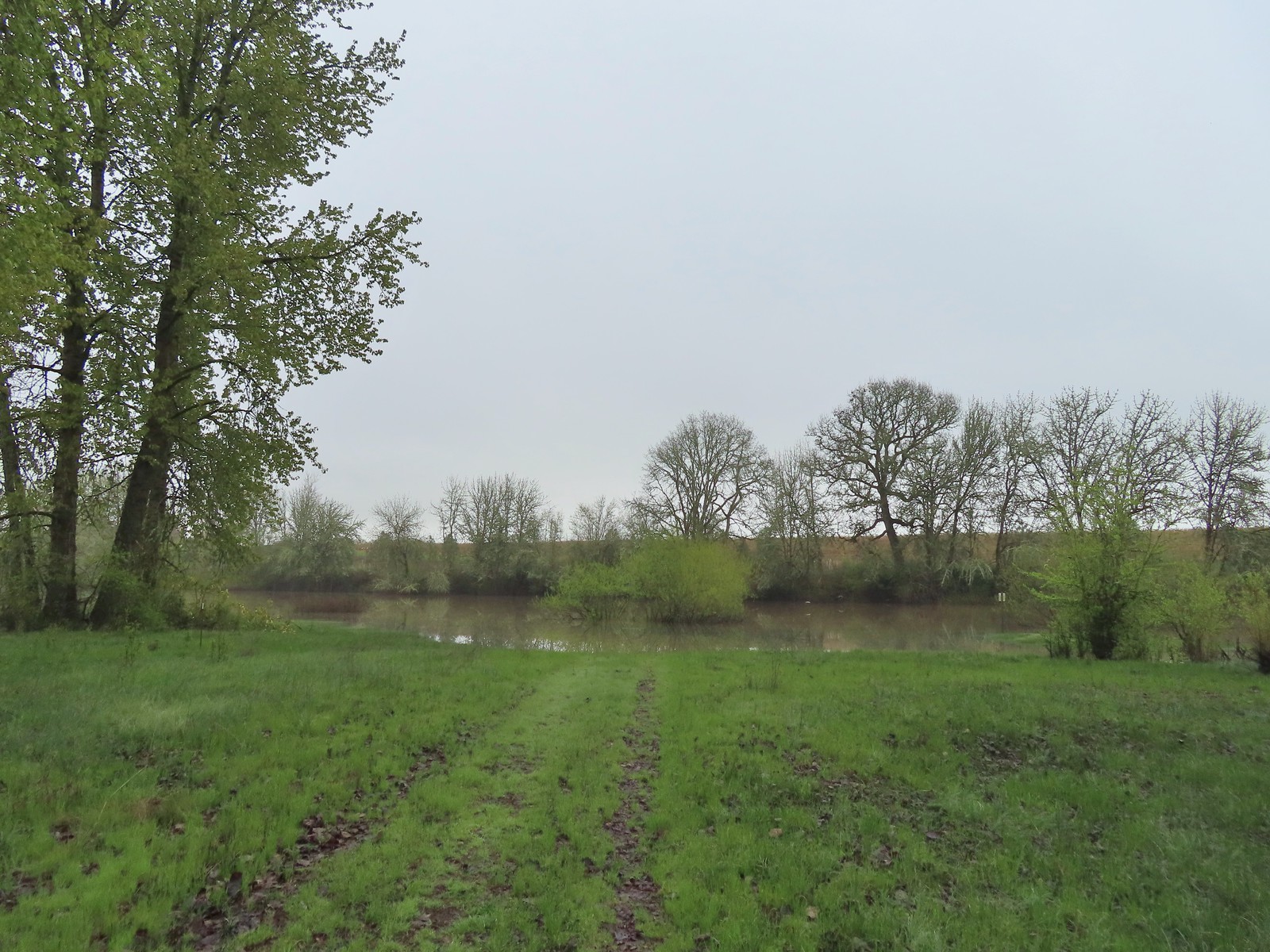
 Another sign out in the middle of the water.
We turned back and returned to the junction with the Blue Heron Trail.
 The start of a possible loop using the Blue Heron Trail. The fainter track on the right heading downhill was flooded just 100 feet or so away.
 The flooded area where the loop would end.
I had gone down to the flooded section to see if there was possibly a way across without having to wade but there wasn’t. The good news was that my heading down to this spot had caused a great horned owl to move trees which allowed both Heather (on the other section of the Blue Heron Trail) and myself to spot it.

Since we knew that we would be able to make the Blue Heron Trail into a loop we followed it a half mile from the junction, making a sharp right near the 0.4-mile mark and decided to turn around. The trail had gone from gravel to wet grass and our feet were getting pretty damp which helped make the decision to turn around.
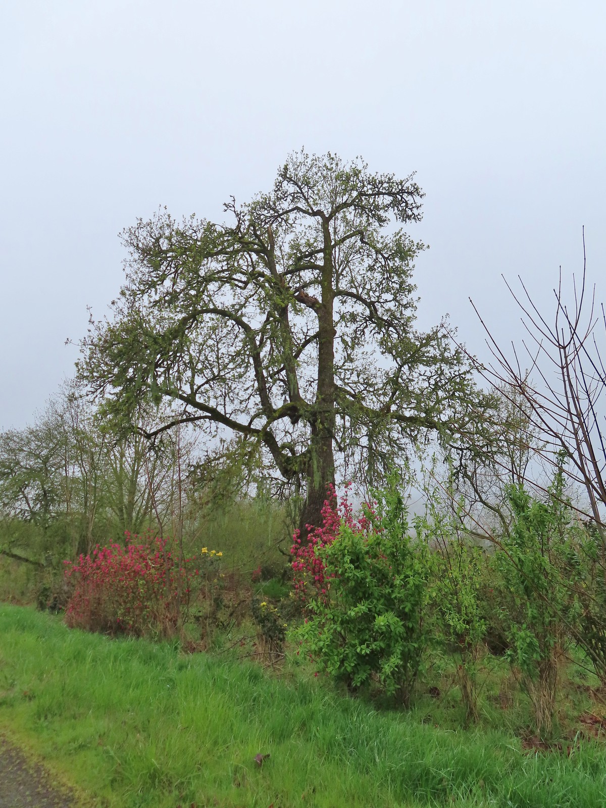 Cottonwood with red flowering currant, Oregon grape, and Indian plum blooming in front.
 We were able to keep our feet dry on the gravel surfaces.
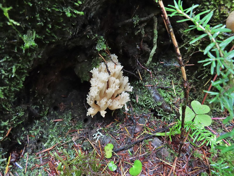
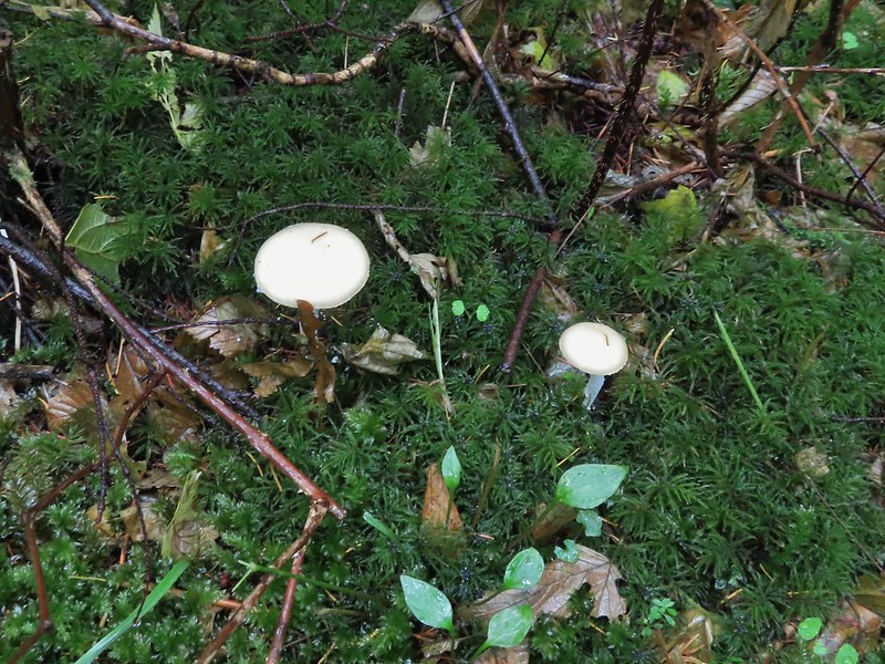
 Mushroom
 Rufous Hummingbird
 Hawk preparing for takeoff.
 We had started to go past the turn for the Blue Heron Trail so this photo is as we headed back toward the turn. We came from the right-hand side so the path straight ahead would have been the “sharp right”.
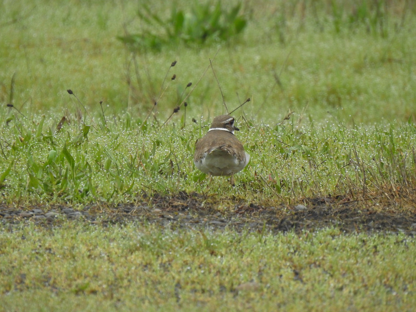 Killdeer
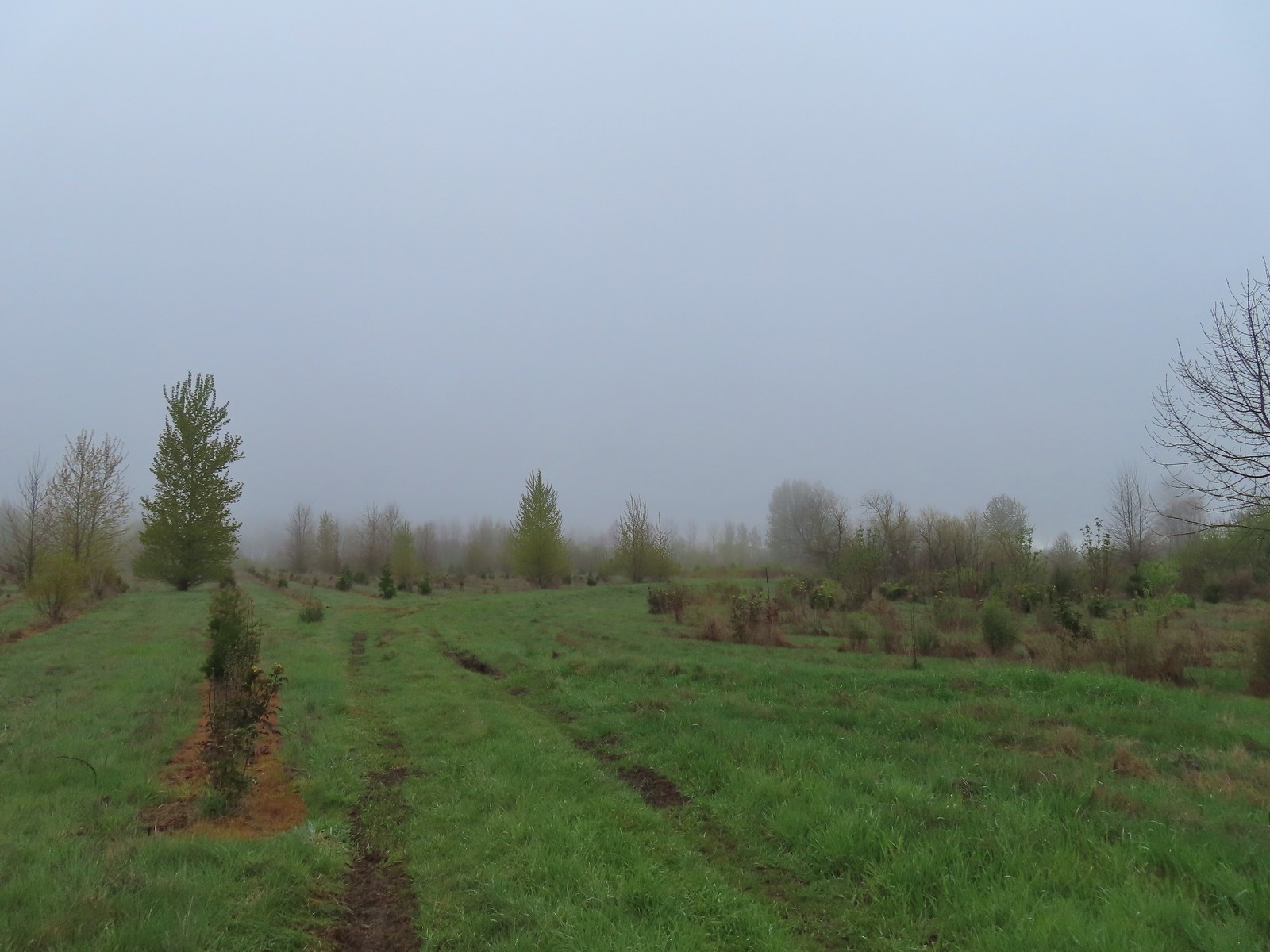 Our turn around spot. The trail was beginning to bend back to the East here.
We headed back along the Blue Heron Trail following it to the Snag Boat Bend Loop where we turned right in order to finish that loop.
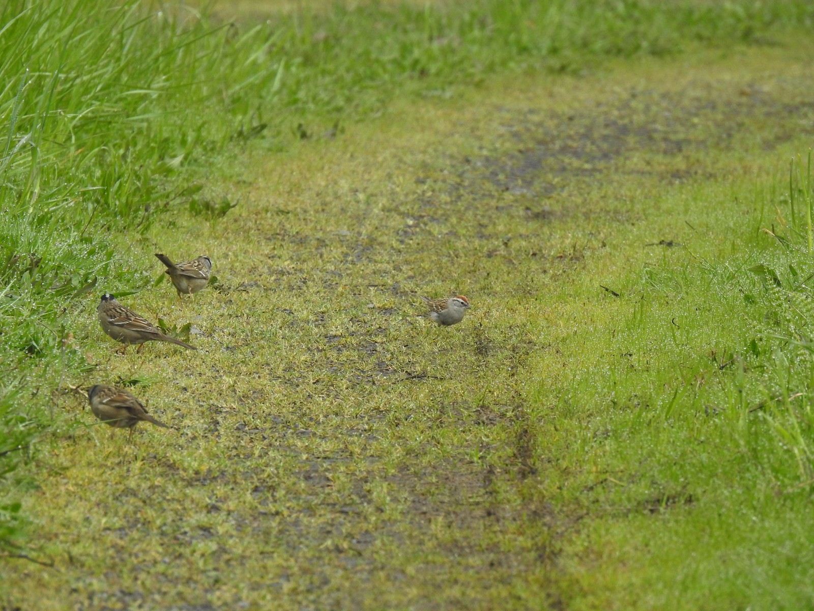 A chipping sparrow among the golden-crowned sparrows.
 On the Snag Boat Bend Loop
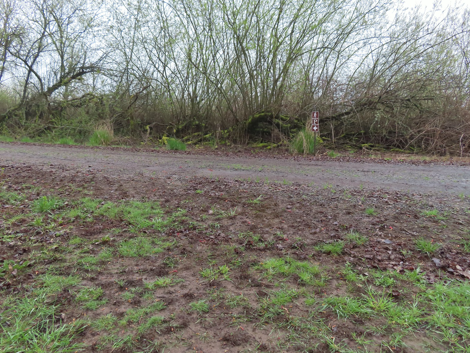 The trail turned left to follow this gravel roadbed for the final third of a mile.
 The gate in the distance is at the trailhead.
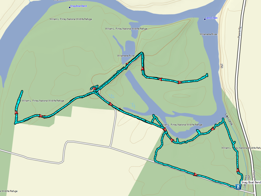
Our hike at Snag Boat Bend came in at 3.9 miles with maybe 50′ of elevation gain. Had some of the loops not been flooded it might have been a bit shorter.
It was a nice first visit though and we are now interested in returning in late Summer/early Fall when some of the flooded trails might be accessible. While the fog made it a bit hard to see we still managed to see a few ducks, a goose, several rabbits, the owl, a hawk, lots of smaller birds, and one bald eagle that flew overhead. From the trailhead we drove North to the city of Albany where we’d plan to visit a series of the city’s parks. The idea was to start at Monteith Riverpark and hike East along the Willamette River to Simpson Park and then continue along the river there past First and Second Lakes if the trail wasn’t flooded. If it was flooded, we could turn inland at Simpson Park and re-visit the Talking Water Gardens (post).
I had two reasons for putting this urban hike on our schedule. First it was close to home and secondly Monteith Riverfront Park sits at the confluence of the Calapooia and Willamette Rivers, and the Calapooia is one of Oregon’s rivers that we had yet to see on a hike. This 80-mile long tributary of the Willamette begins in the Willamette National Forest near Tidbits Mountain (post) and flows Northwest through Brownsville, OR before turning North to the East of Interstate 5. It was disappointing to arrive and find that the entire park was closed for a large waterfront project by the City of Albany. (Normally I would check the status of our destination prior to heading out, but I didn’t expect an entire city park to be closed, and after looking online when I got home, I’m not sure I would have found the information anyway.)
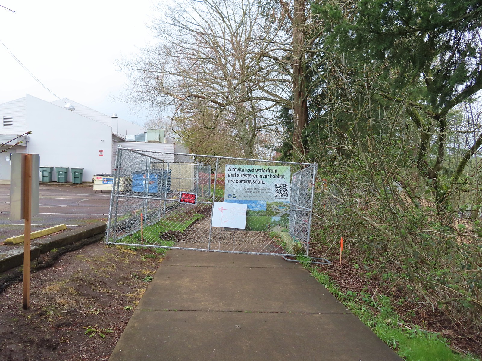 We wound up parking East of the Riverfront Community Center and hoping on the Dave Clark Trail there.
Less than 100 yards from where we’d parked we came to an observation platform that led out over the Willamette River. From this platform we could at least see the mouth of the Calapooia emptying into the Willamette.
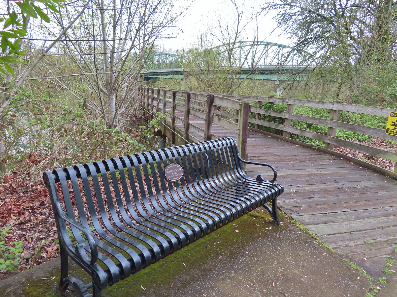
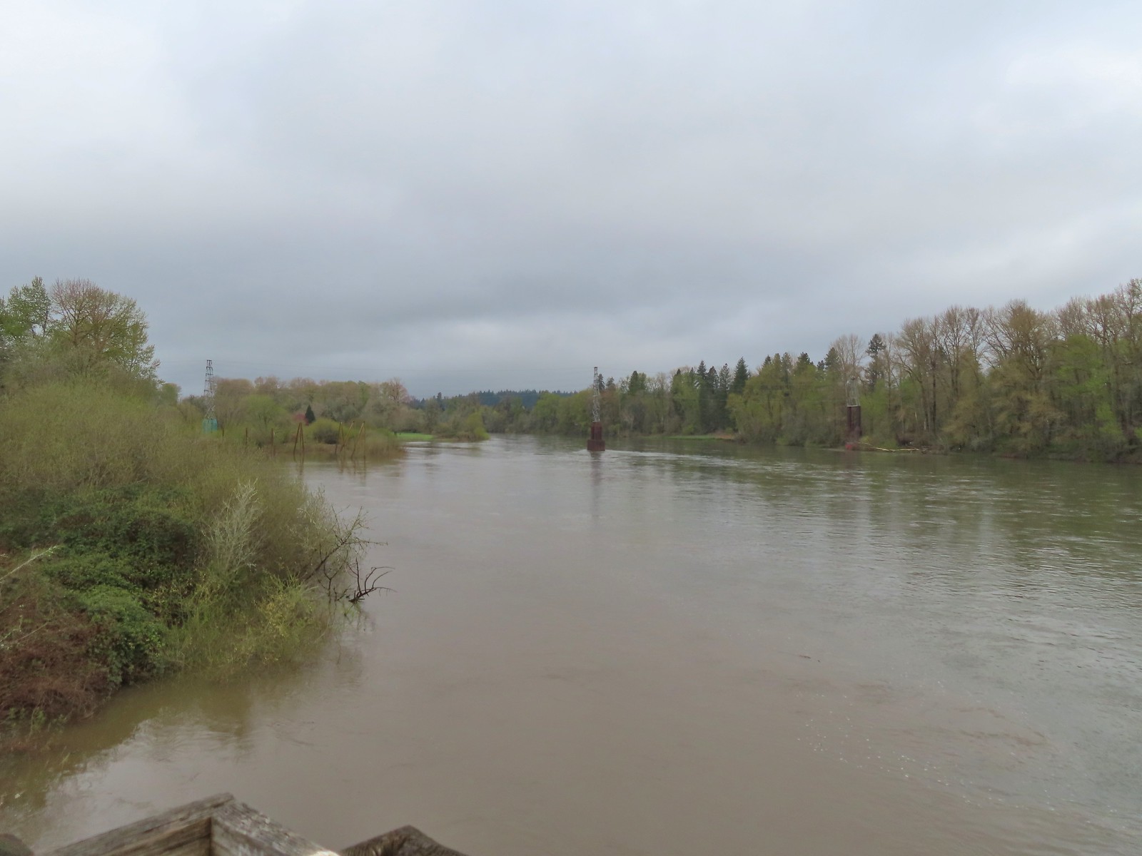 The confluence ahead to the left.
 Highway 20 passing over the Willamette to the left. Fun fact about U.S. Highway 20 – It runs from Newport, OR to Boston, MA and is the longest road in the USA according to the Federal Highway Administration. Click here for more information and an interesting write up of the drive from Boston to Newport by Boots on the Trail.
We followed the Dave Clark Trail East passing under both bridges of the highway and then later under the Union Pacific Railroad.
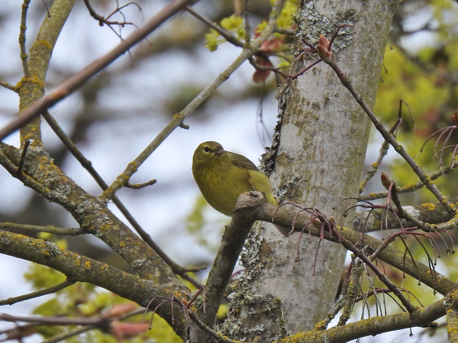
 Orange crowned warbler. One of many small birds we saw along this trail.
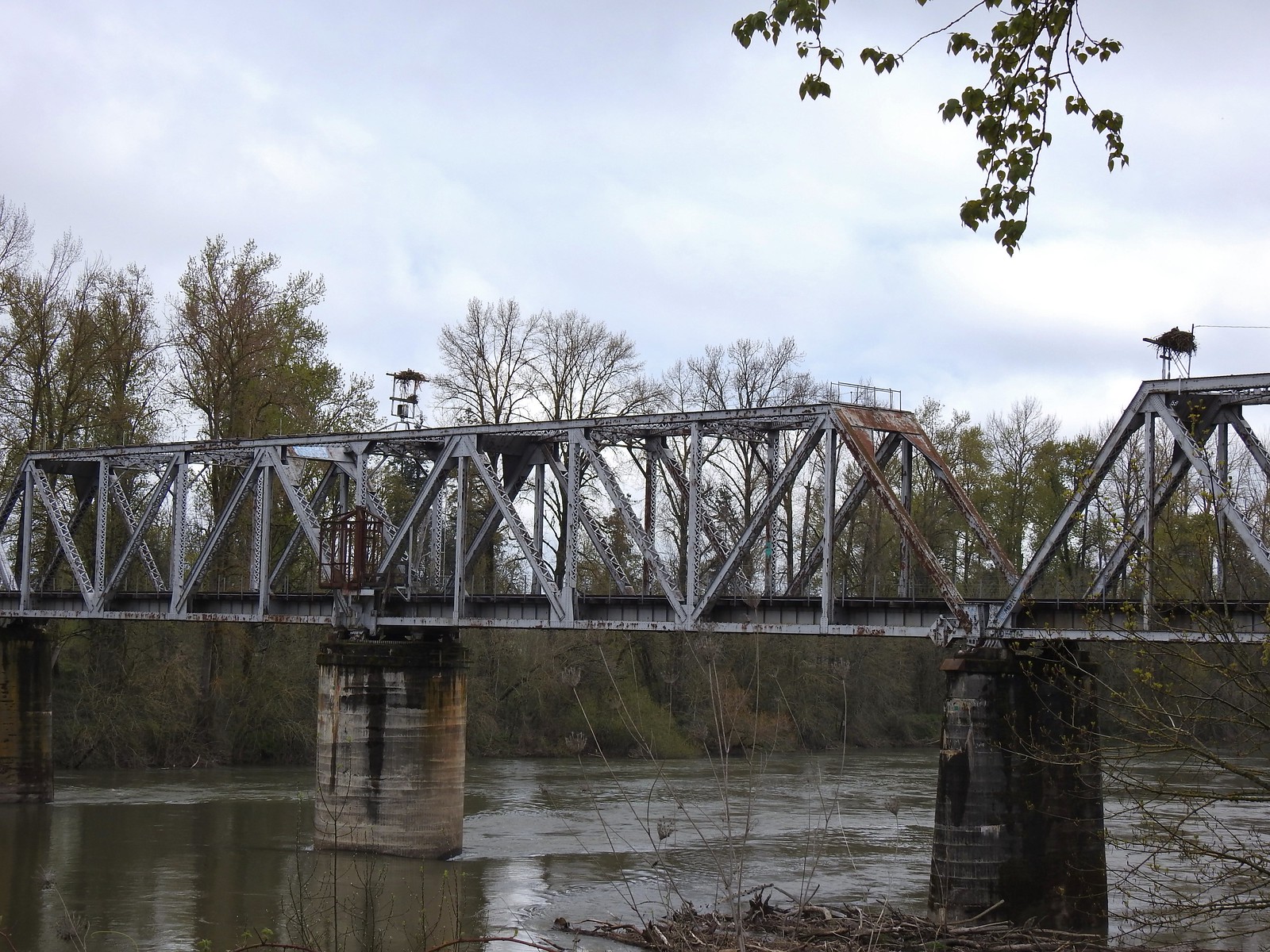 We thought it was a little odd to see two occupied nests atop the railroad so close together until we realized that the occupants weren’t both birds of prey.
 Canada geese were using one of the nests.
 Might be the mate looking acting as lookout from the bridge.
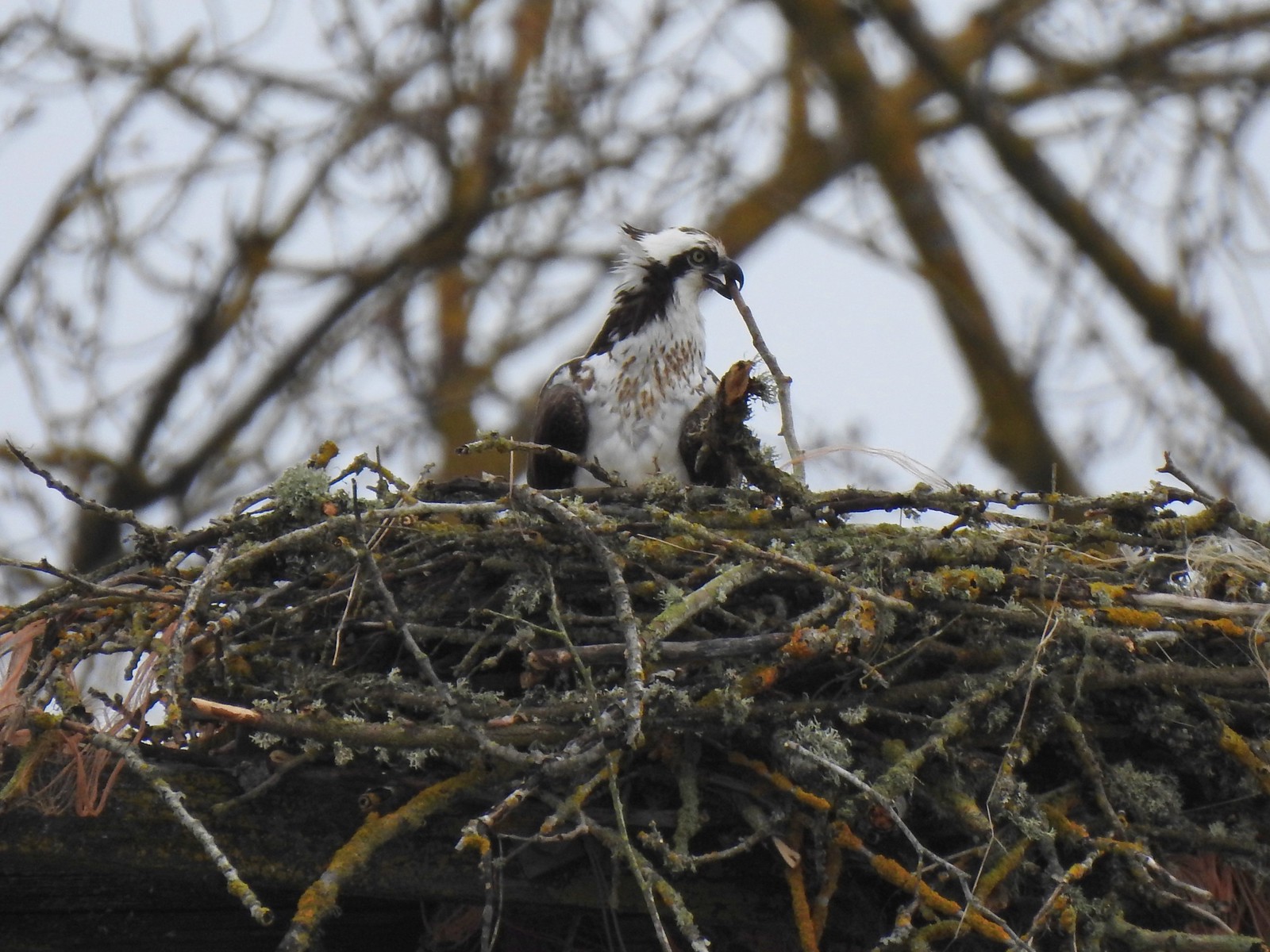 Osprey occupied the other and appeared to be in the process of renovations.
We also encountered a beautiful male Anna’s hummingbird but for the life of me I couldn’t get either one of the cameras I was carrying to focus on the little guy so the only picture we wound up with was a cropped shot from Heather’s phone.
 His bright pink head was more impressive in person.
After ducking under the railroad and passing some apartments the trail passed the Willamette Community Garden and climbed to NE Oak Street.
 The community garden (not pictured) was on our right.
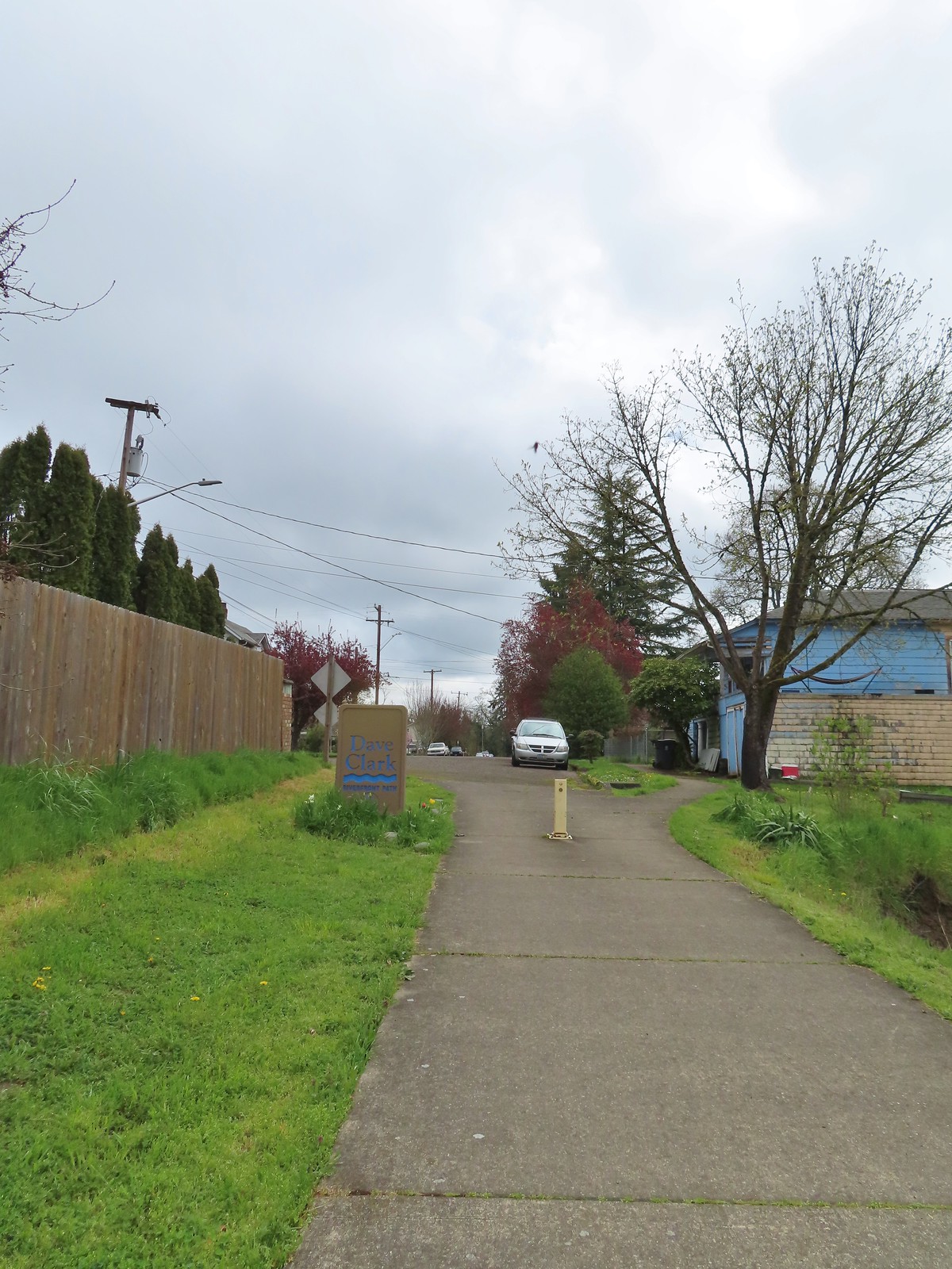
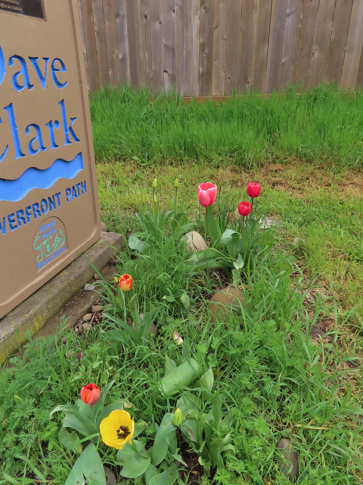 Pretty tulips at the sign.
Here the trail follows several blocks of sidewalk before reaching its end at Bowman Park. The official route of the trail turned right on Oak St for a block then left for 5 blocks NE Water Ave to Geary St where it turned left and descended 3 blocks to Bowman Park. We stayed straight on Front Ave NE though and followed it 3 blocks to Harrison St. NE where we turned right for a block to NE Water Ave to rejoin the Dave Clark Trail.
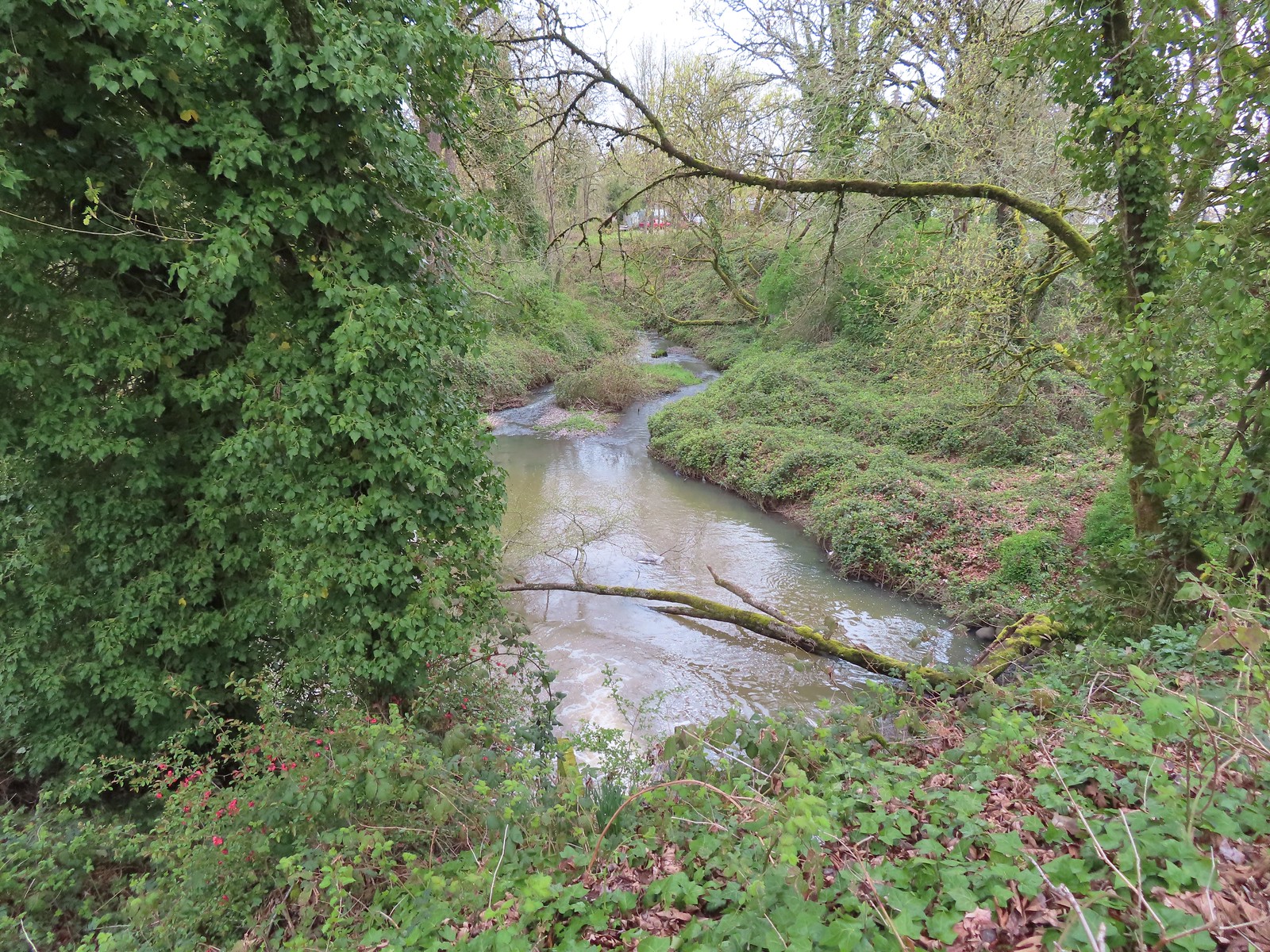 Not a lot to see in the residential neighborhoods but we did cross Pettyjohn Creek along the way.
 Sign for Bowman Park at Geary St.
 Bowman Park on the left and the paved path we took on the right.
A paved path led East from Bowman Park behind a new apartment complex where it turned to a wood chip surface.


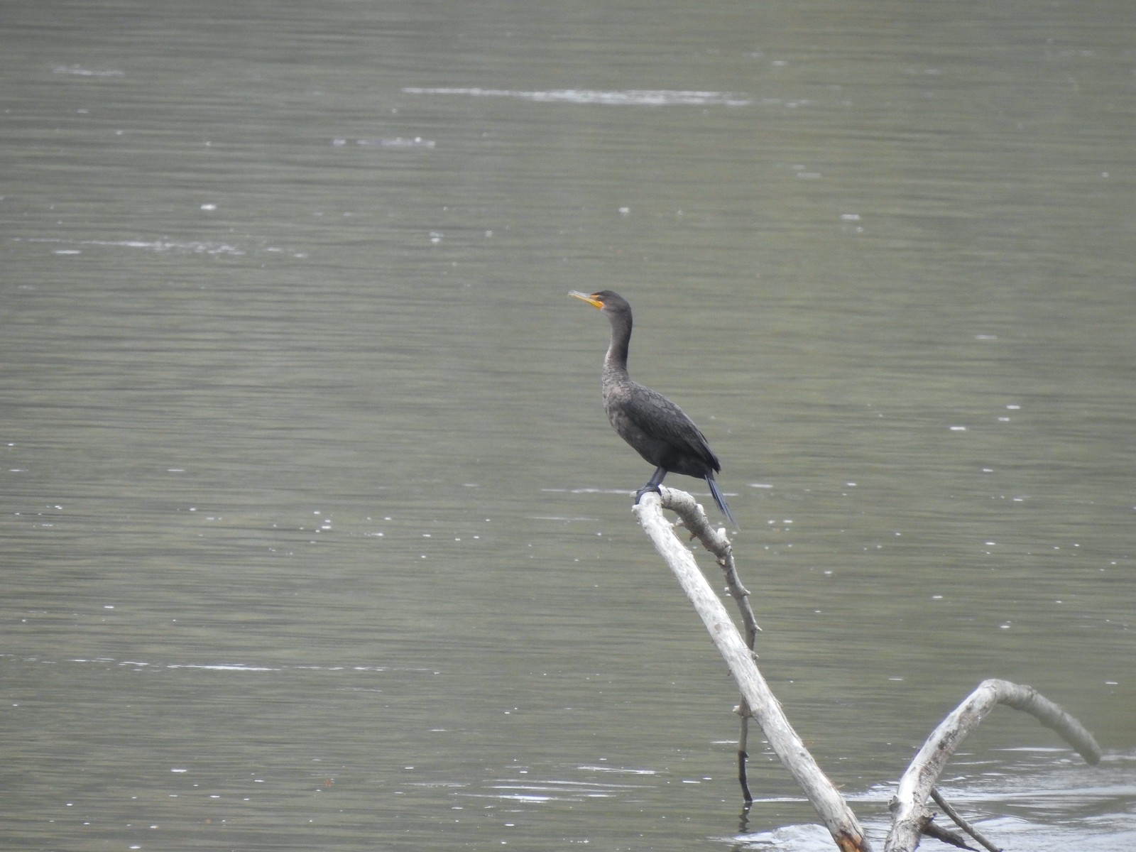 Cormant in the middle of the Willamette.
At the far end of the apartment complex the trail suddenly turned into a slick, muddy single track.

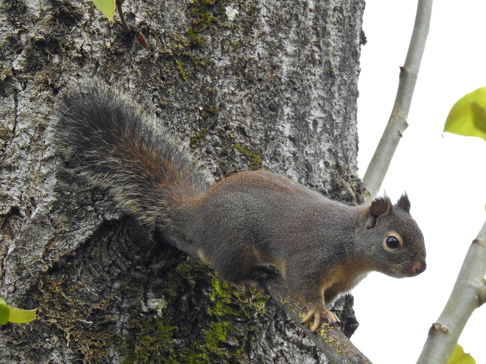 Squirrel
Things got started getting interesting here, and not in the good way. We quickly started passing vacant and/or abandoned homeless camps and the trail surface was just a mess. At this point we were only about a half mile from the Simpson Park Trailhead though so we pressed on.
 Seen near a homeless camp which sort of captures the situation. A combination of unaffordable house, drug abuse, and mental illness has created a crisis up and down the West Coast with no simple (or quick) answer.
 We initially mistook all the footprints and bike tracks as a sign that the trail saw good recreational use.
According to the Oregonhikers.org Field Guide entry for the Albany Riverfront Hike there is a concrete bridge over Cox Creek near Simpson Park. We never made it that far though as after a quarter mile we came to small pond over the trail. There was no foreseeable way around and we didn’t want to do to much searching for an alternate route for fear of stumbling upon an occupied camp so we turned around.
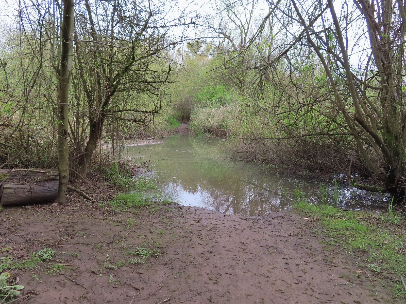
Prior to reaching the impassible puddle we had already decided to forgo trying to hike further along the Willamtte from Simpson Park and had planned instead of visit Talking Water Gardens and return via roads instead of the muddy trail. Now that we’d been stymied though we trudged back through the mud and past the homeless camps to the apartments where we turned left on a path that led a short distance uphill into Eads Park.


We turned left and passed through this small park then turned right onto Burkhart St NE and began our second stint of neighborhood hiking. After a block on Burkhart we made a left on Willamette Ave NE and followed it 0.2-miles to its end at the Albany/Millersburg Water Reclamation Facility where we turned right onto Davidson St. NE. A block on Davidson brought us back to Front AVE NE and a sign for the Talking Water Gardens.
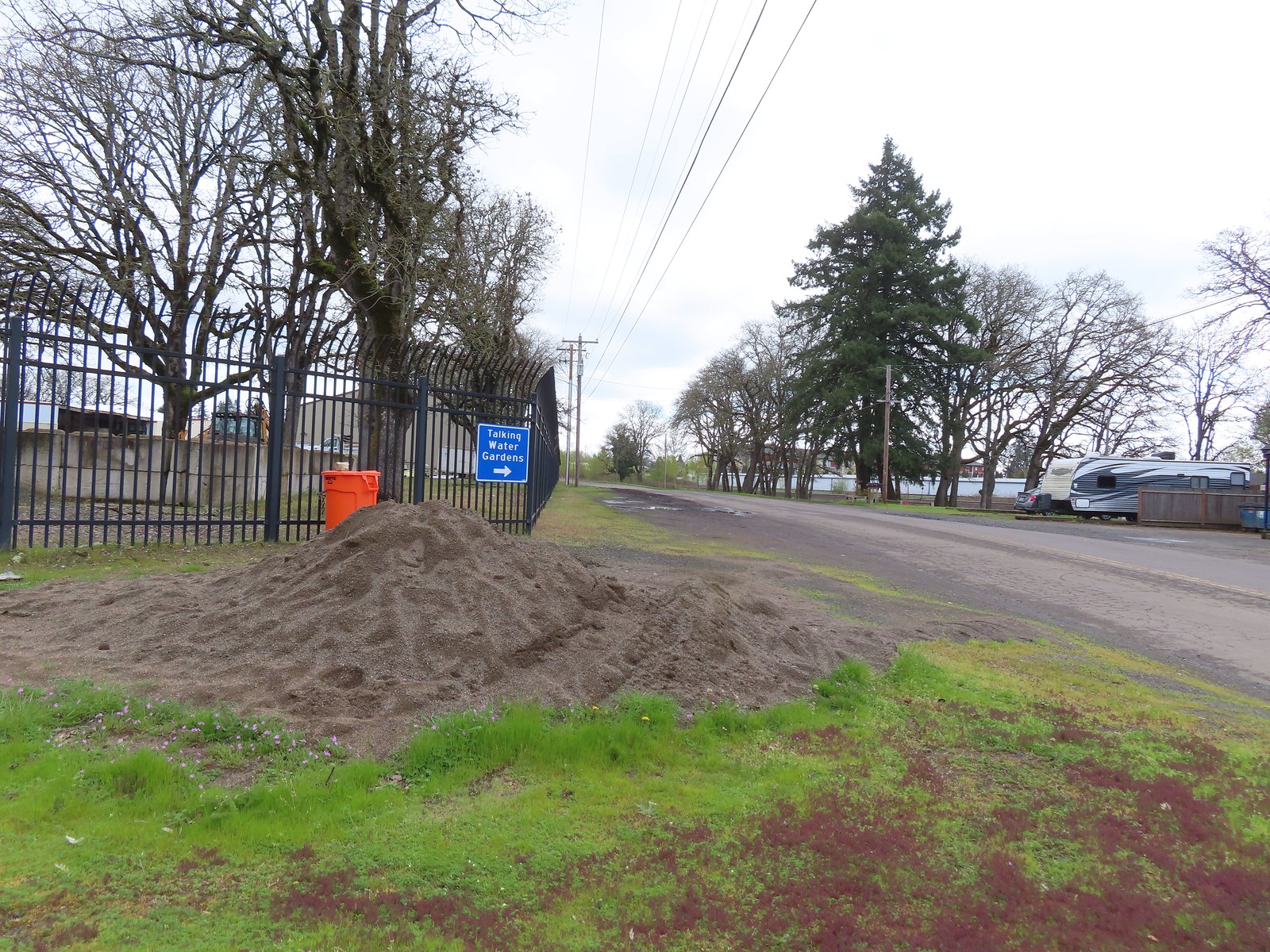
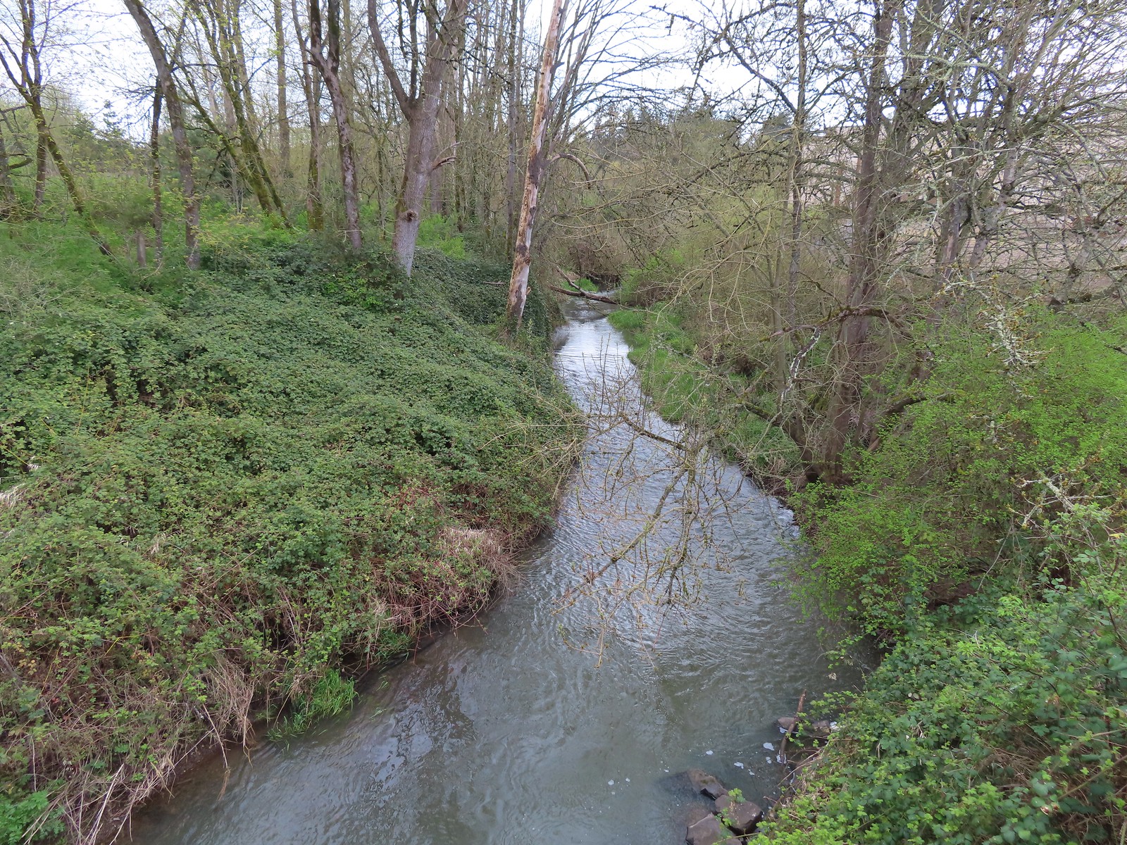
Front Ave became Waverly Dr NE and we followed it until we finally crossed Cox Creek three tenths of a mile later.
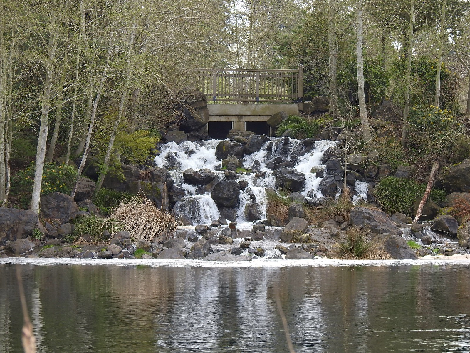
We made our way to the gated entrance to the Talking Water Gardens happy to see that the man-made waterfall in the Beaver Marsh was flowing this time.


 Buffleheads
We turned right and headed for the main sign board to get a picture of the map and decide on our route.
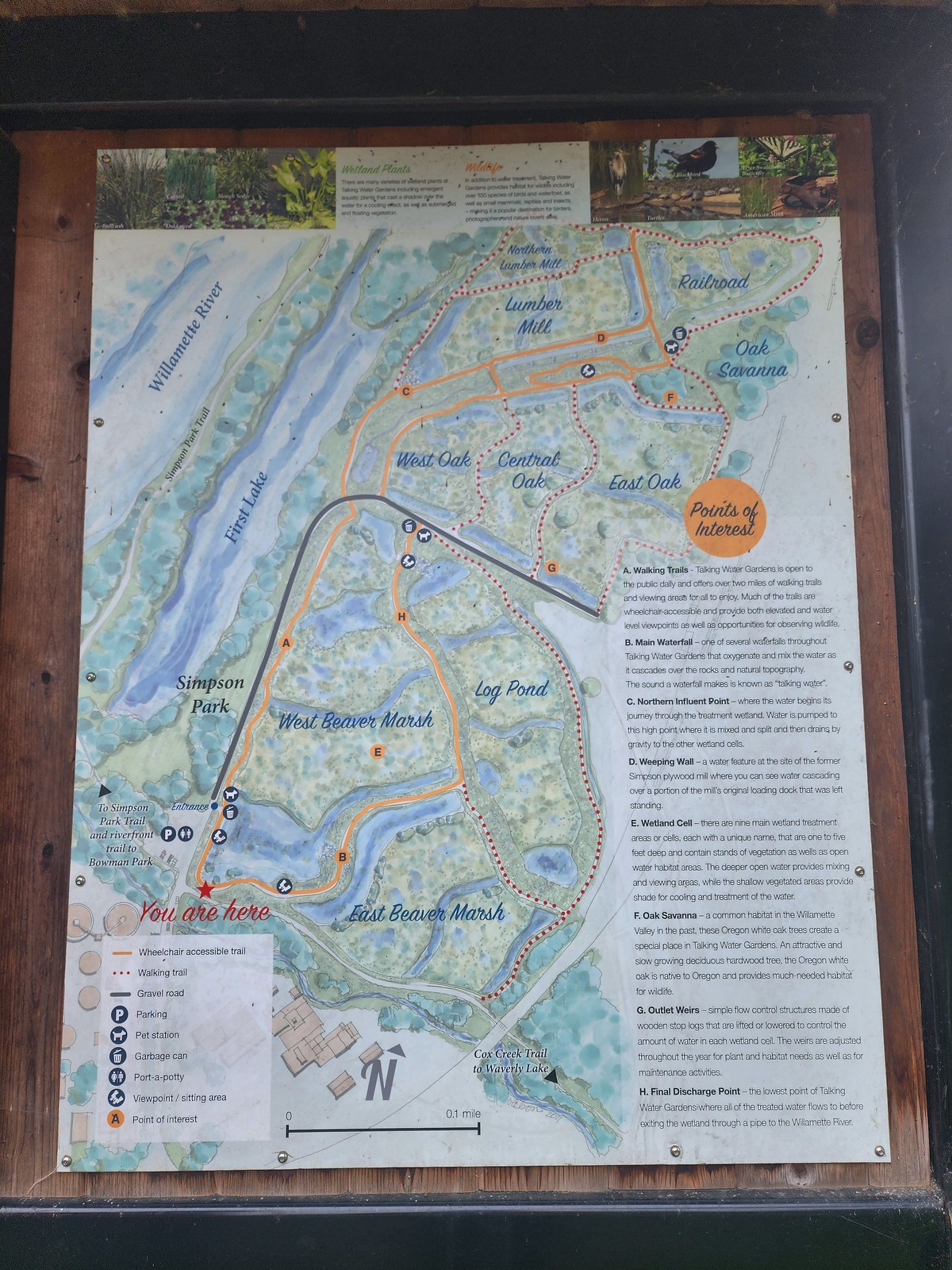 We decided to loop around the West Beaver Marsh and Central Oak areas before heading back.
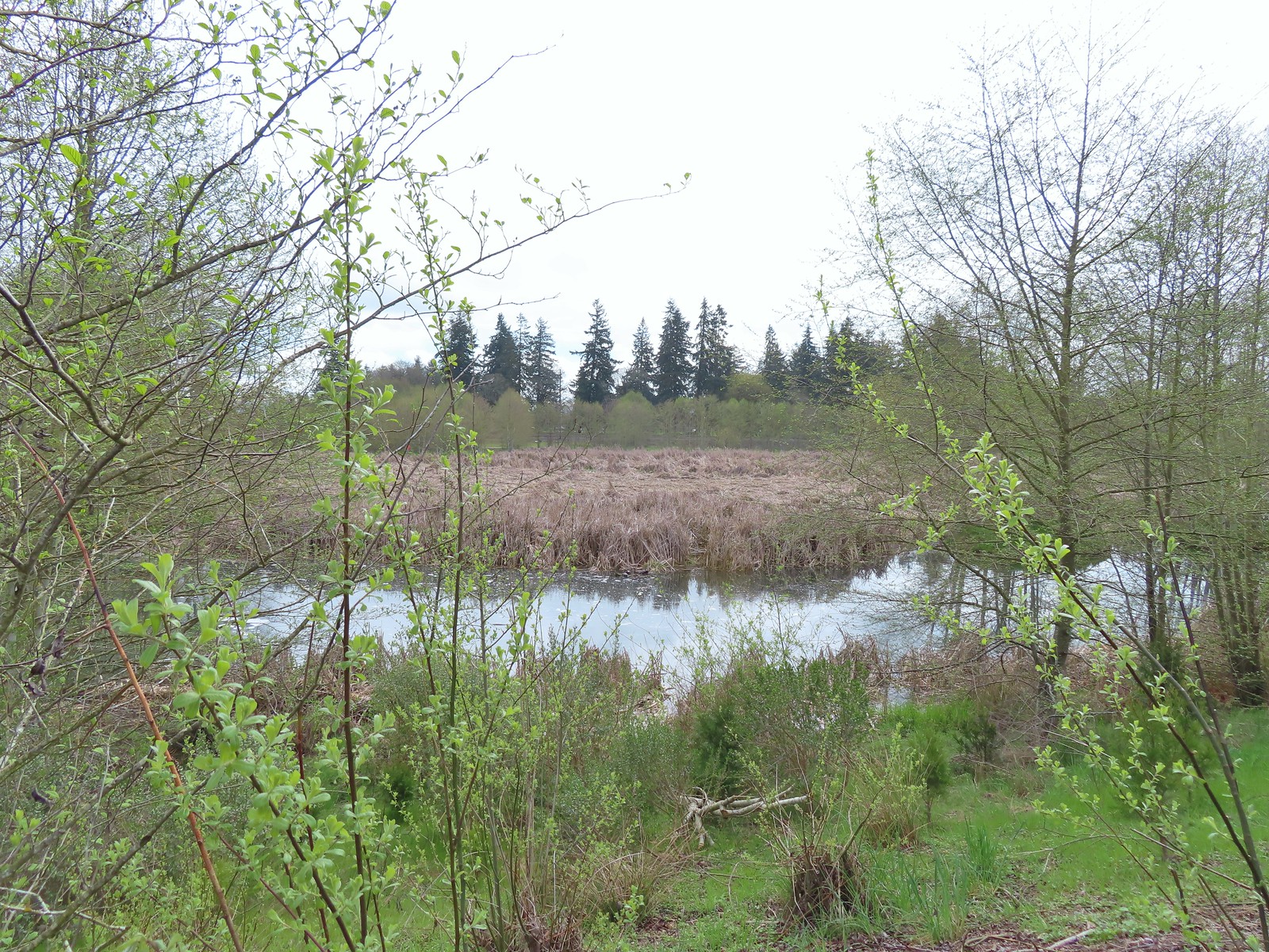
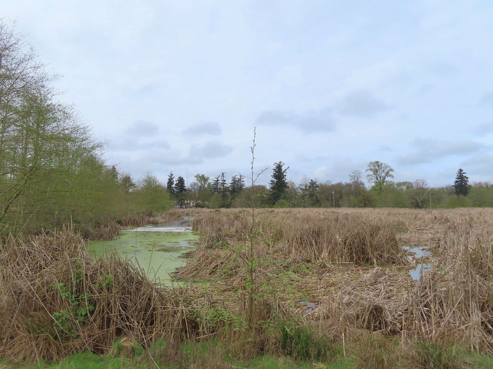
There was obviously a lot more water present now then there had been in November and while there were less ducks present there was a larger variety of birds and best of all a bunch of western pond turtles.
 View from above the waterfall.
 The first set of turtles we spotted.
 Western pond turtles.
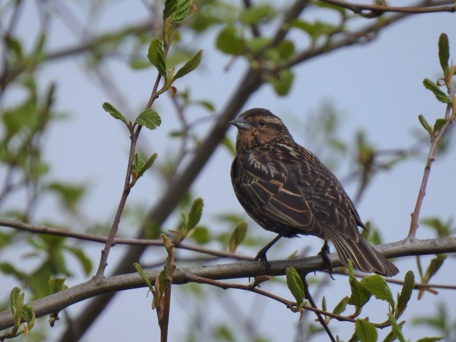 Female red-winged blackbird
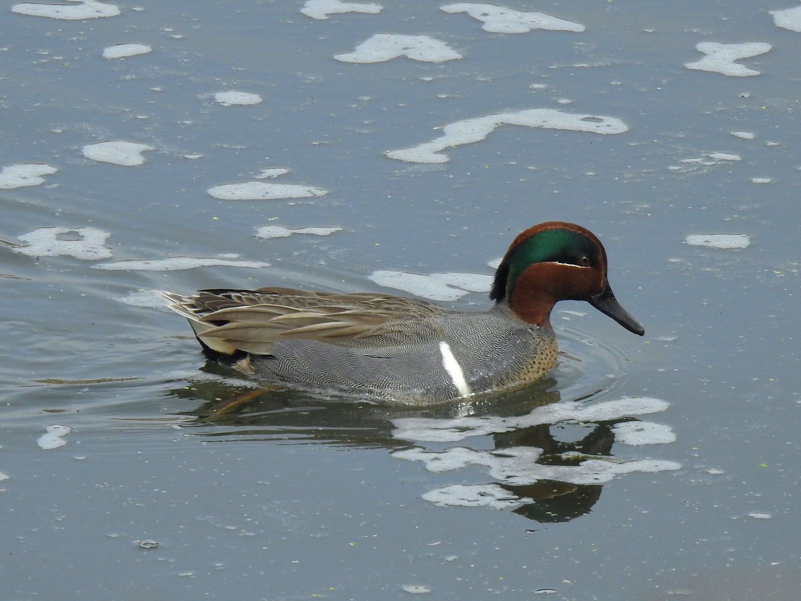 Green-winged teal
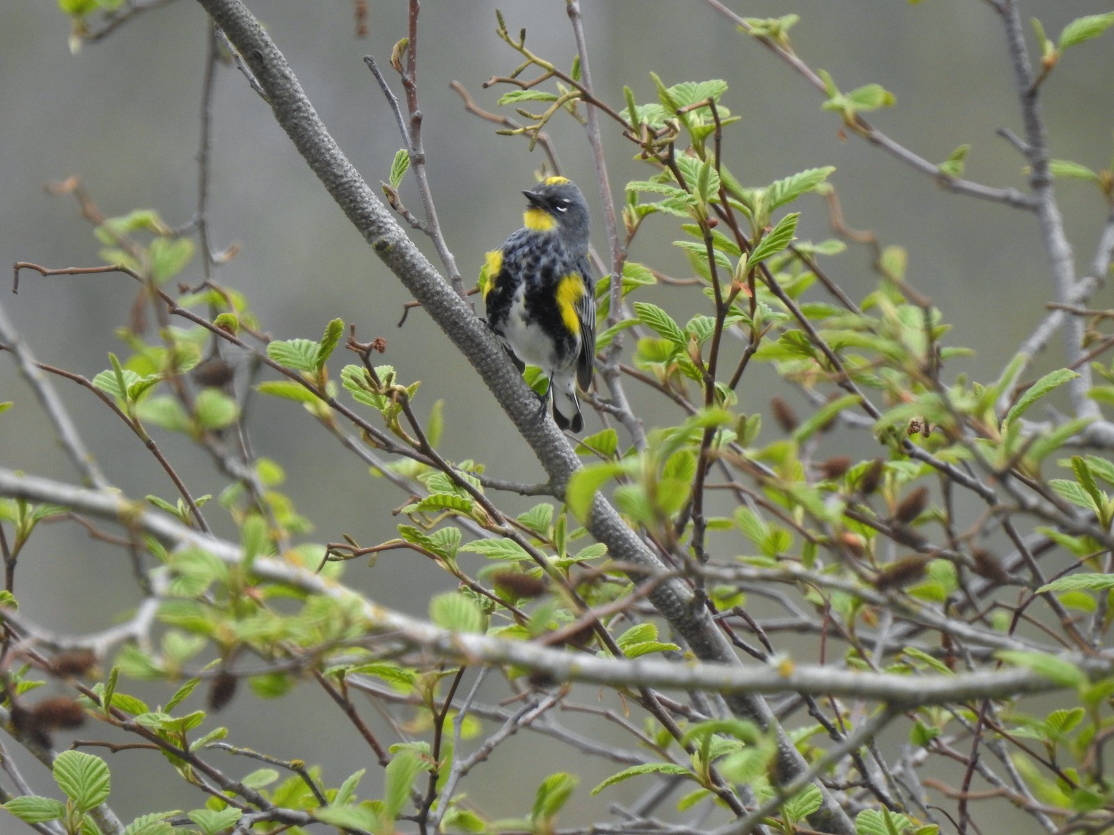 Yellow-rumped warbler (Audubon’s)
 More turtles
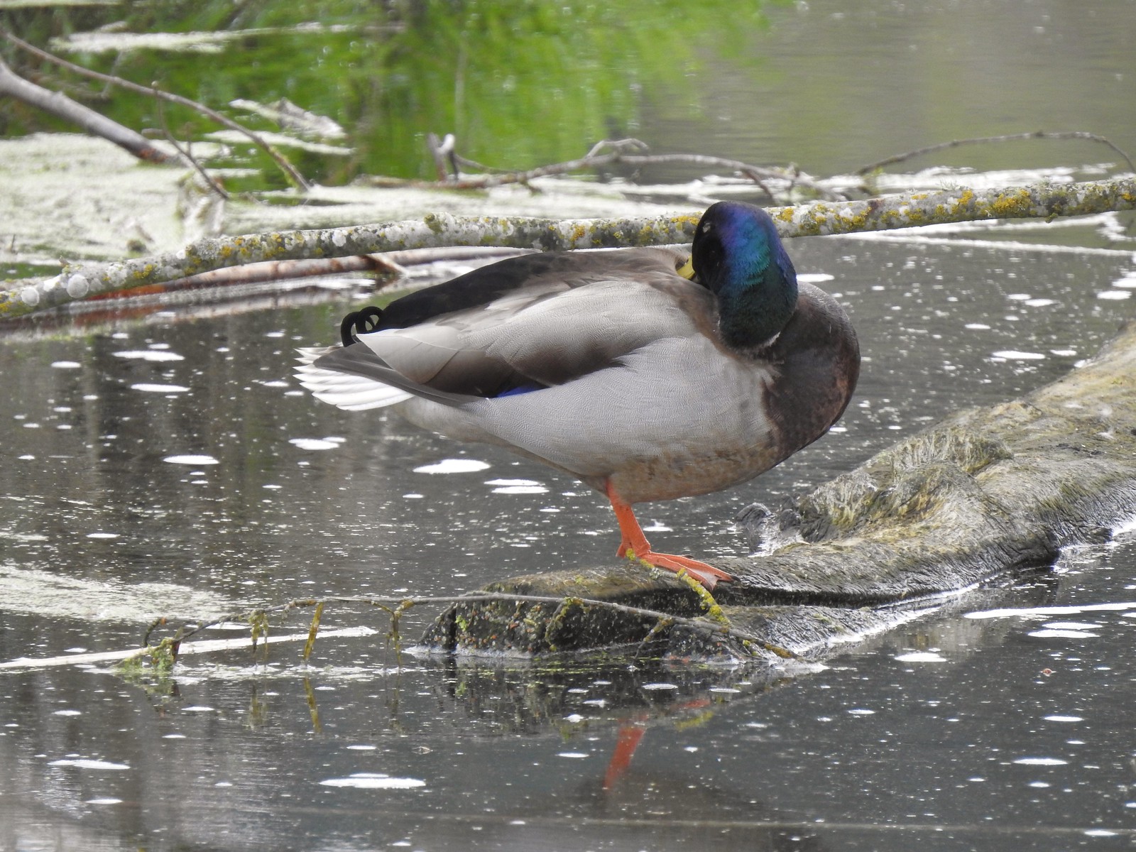 Mallard drake
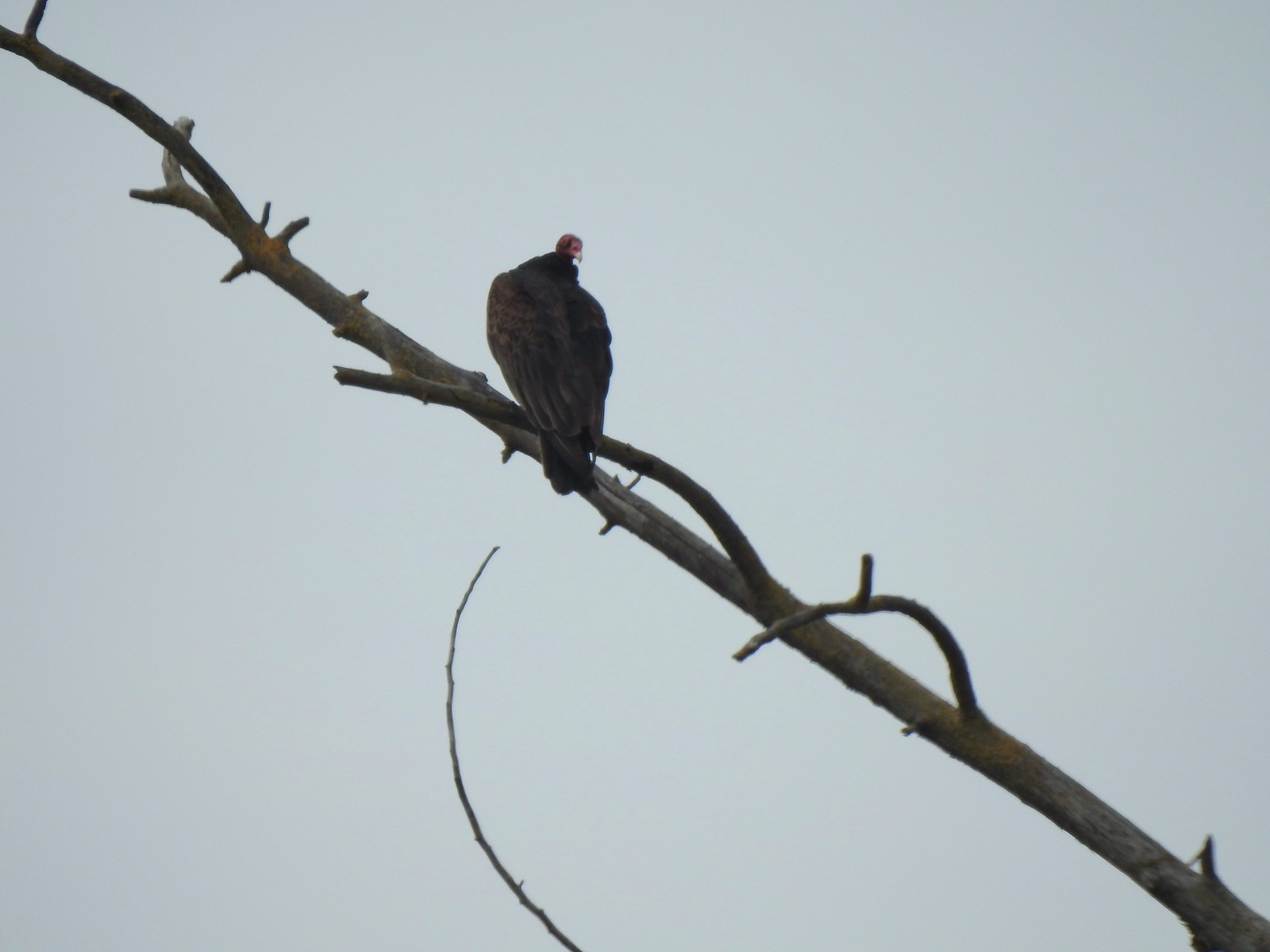 Turkey vulture
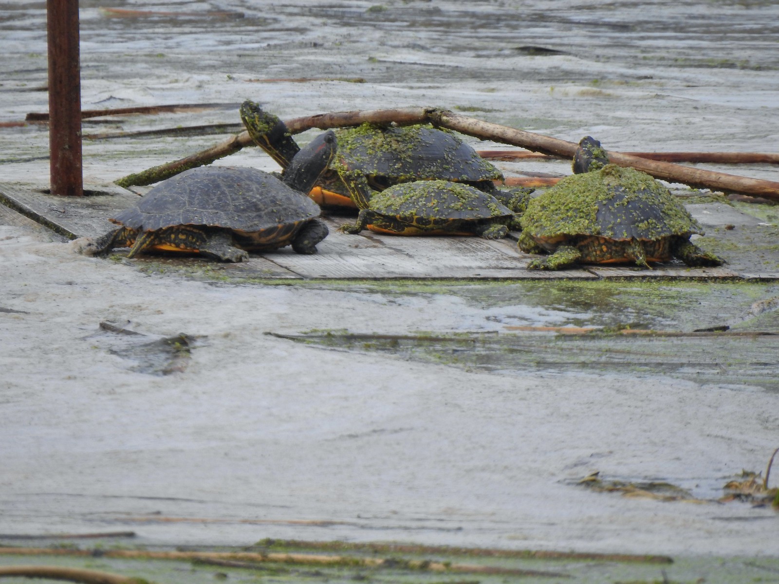 Another bale of turtles. (I had to look up “bale” because I had no idea what a group of turtles was called.)
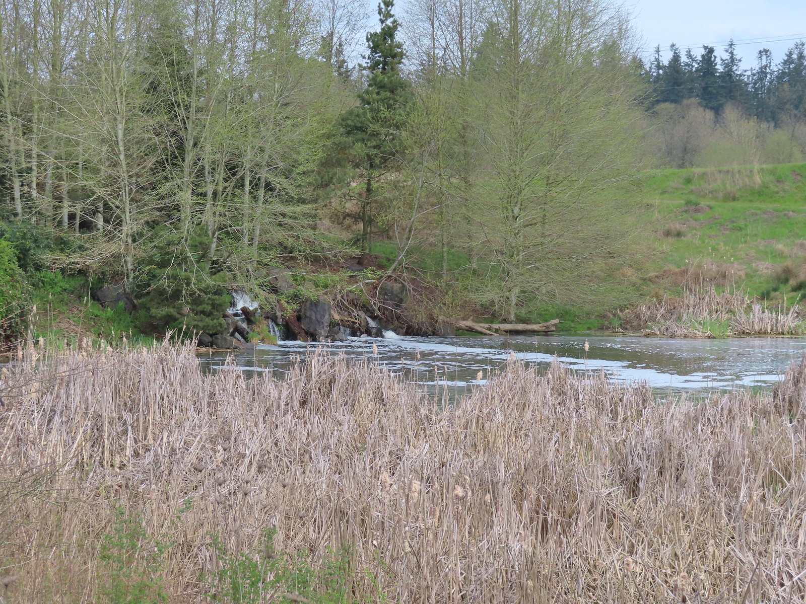 Another man-made waterfall.
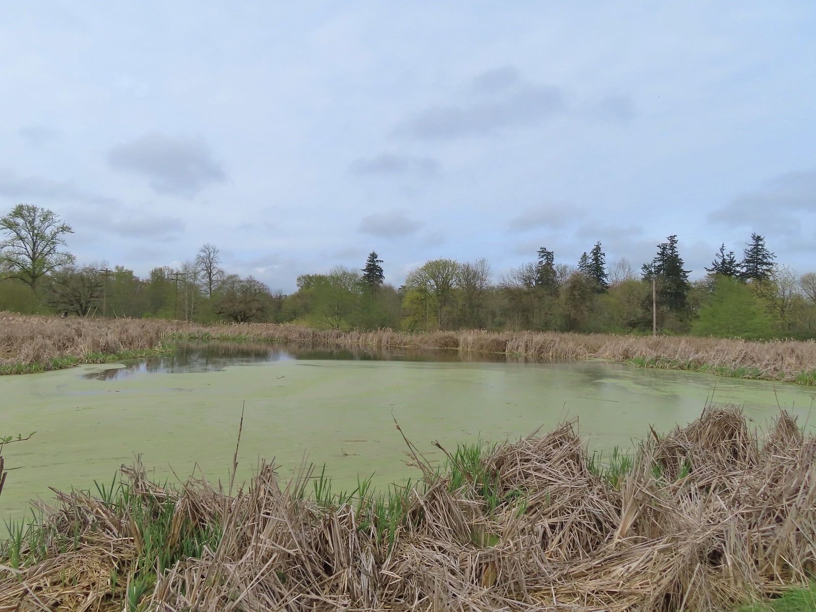 This had been full of ducks on our previous visit.
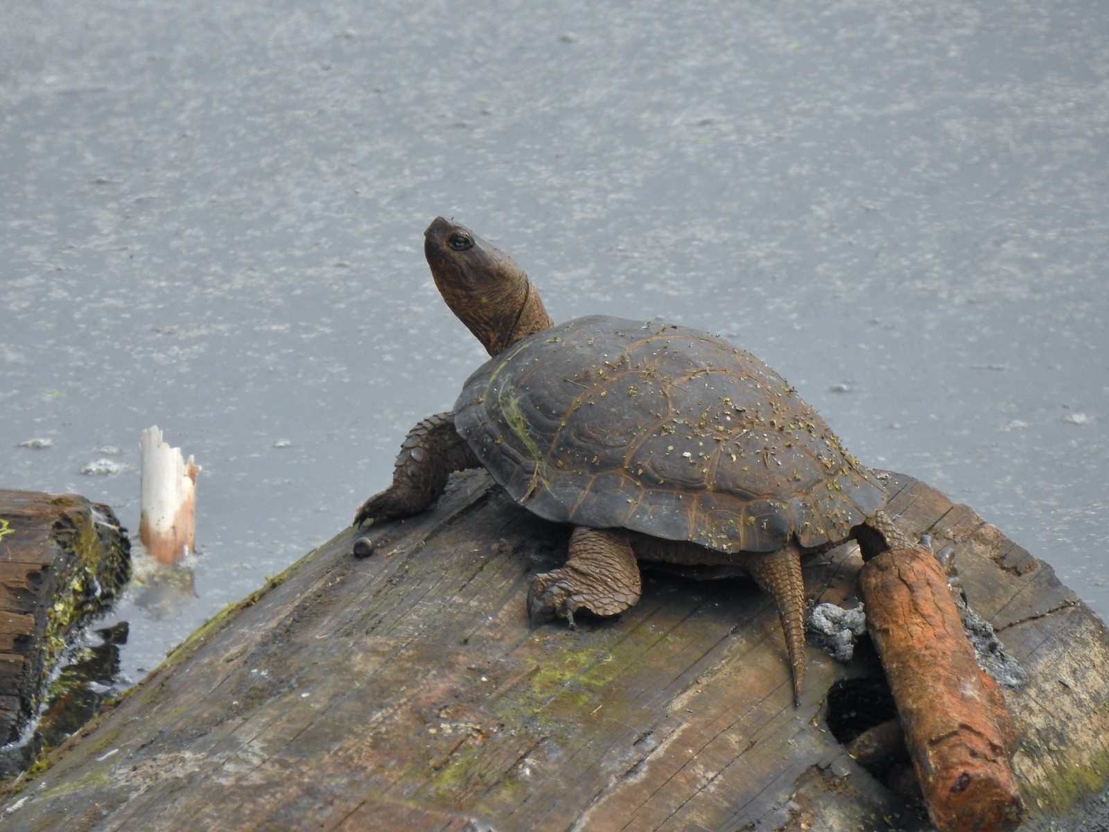 Yet another turtle.
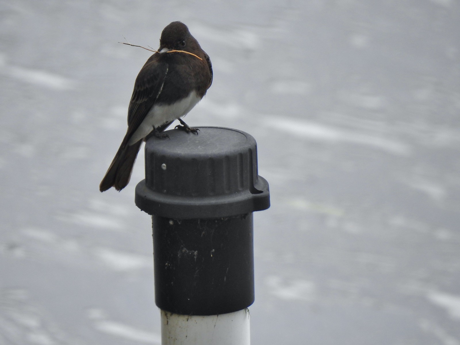 Black phoebe
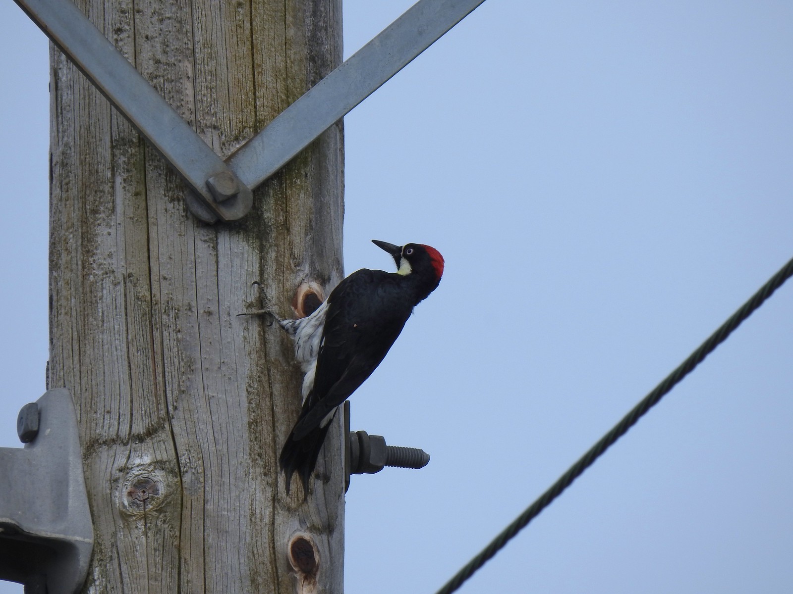 Acorn woodpecker
 Sparrow
 Northern shoveler
 Hummingbird
 Red-winged blackbird
 Bench along the Central Oak area.
 The first goslings we’ve spotted this year.
 Very zoomed in shot of a hawk seen in the distance.
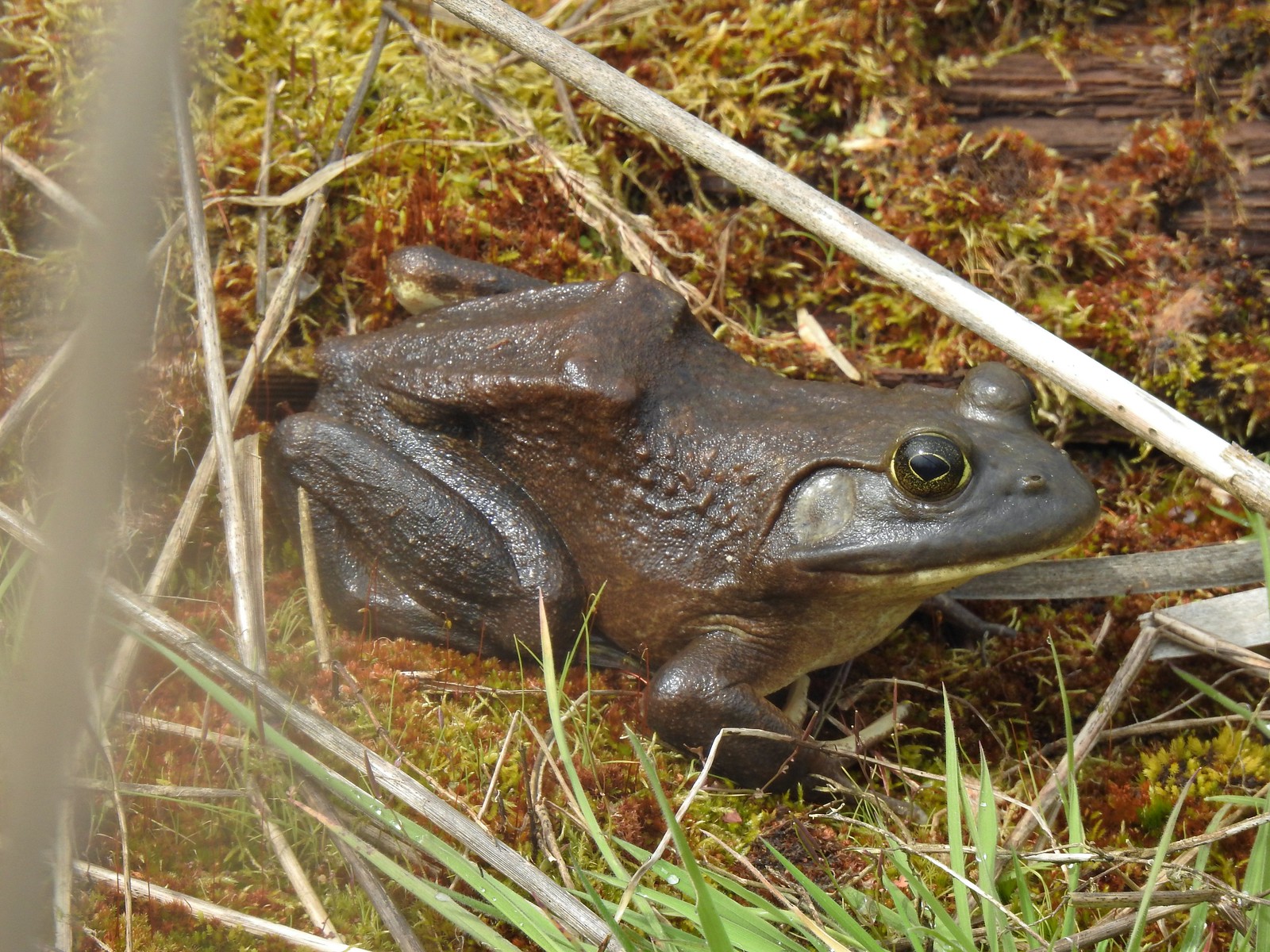 Bullfrog
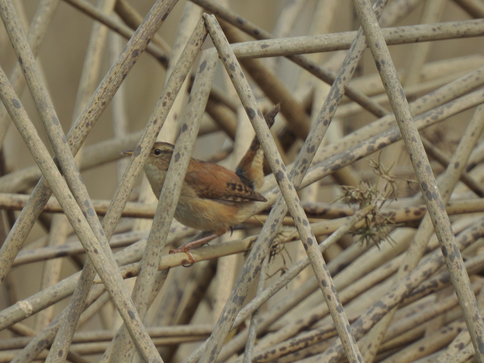 Marsh wren
 Final set of turtles.
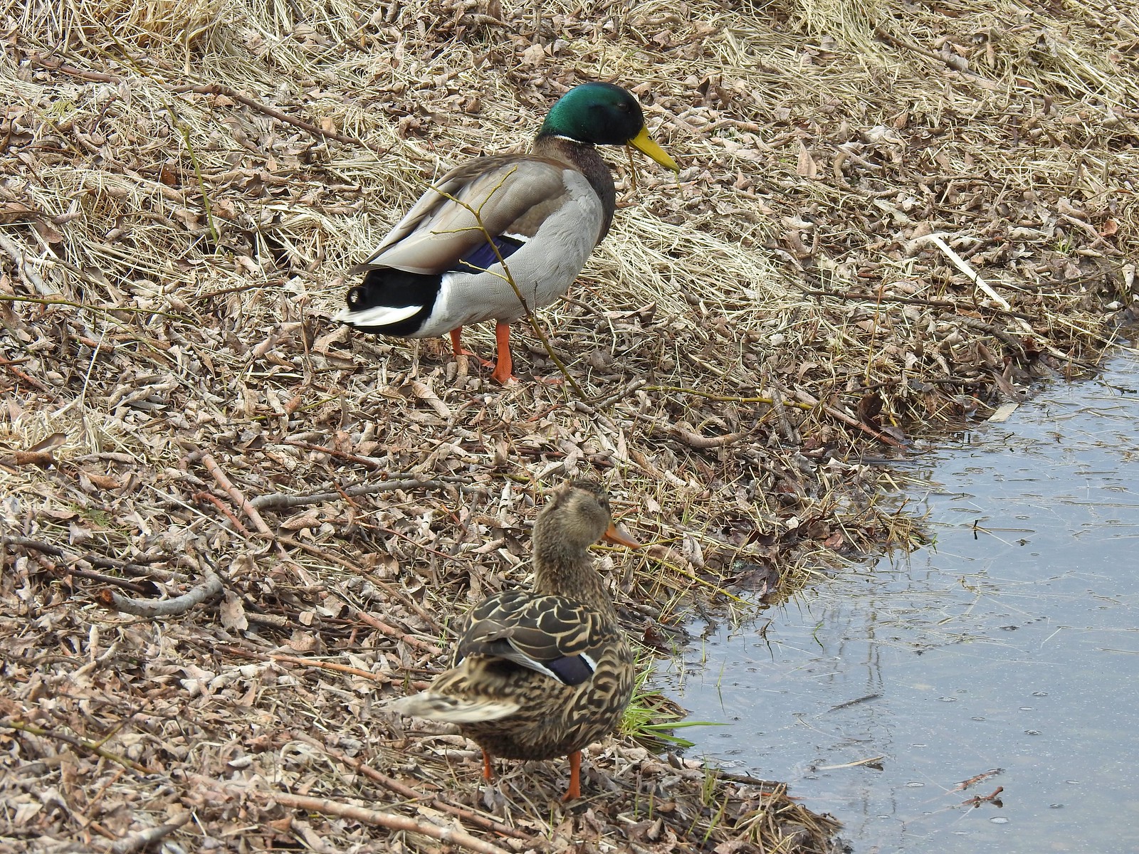 Mallard pair
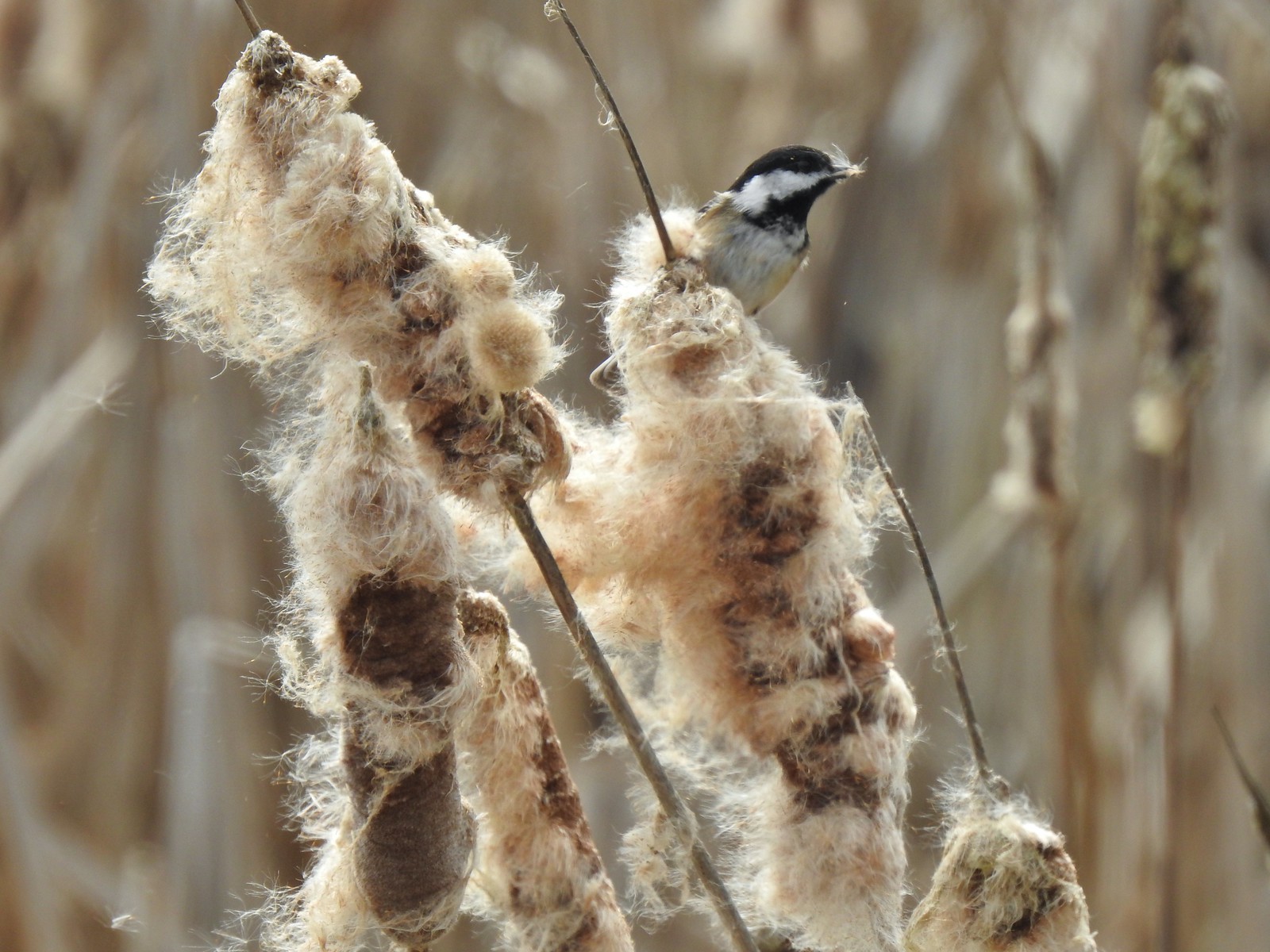 Chickadee
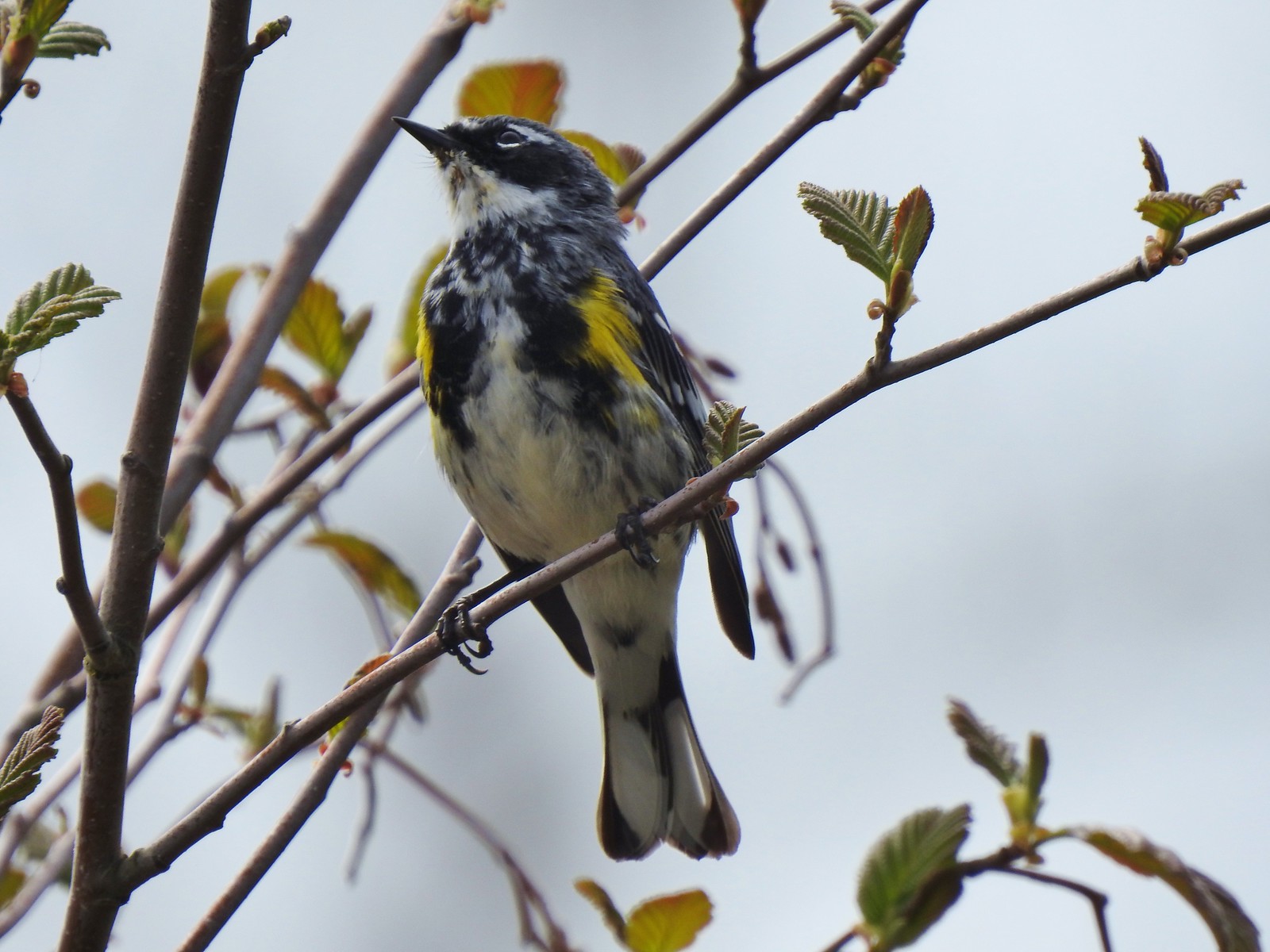 Yellow-rumped warbler (Myrtle)
We took about an hour to hike a little over 1.25-miles through the gardens. There was a lot of stopping to watch the wildlife and attempt to get photos. After exiting the gardens we made our way back to Front Ave via Waverly Drive and this time followed signs for the Dave Clark Trail back to it.
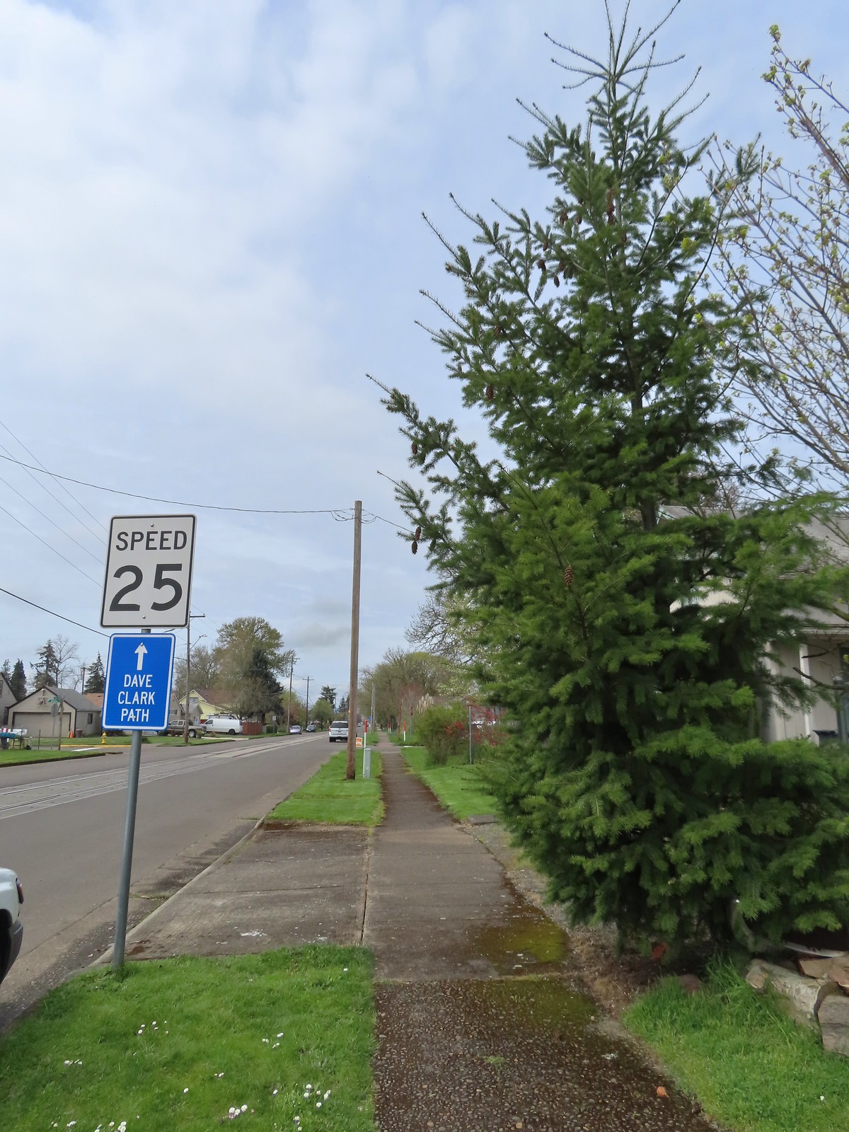

We followed the Dave Clark Trail back to our car, but not before spotting a bit more wildlife.
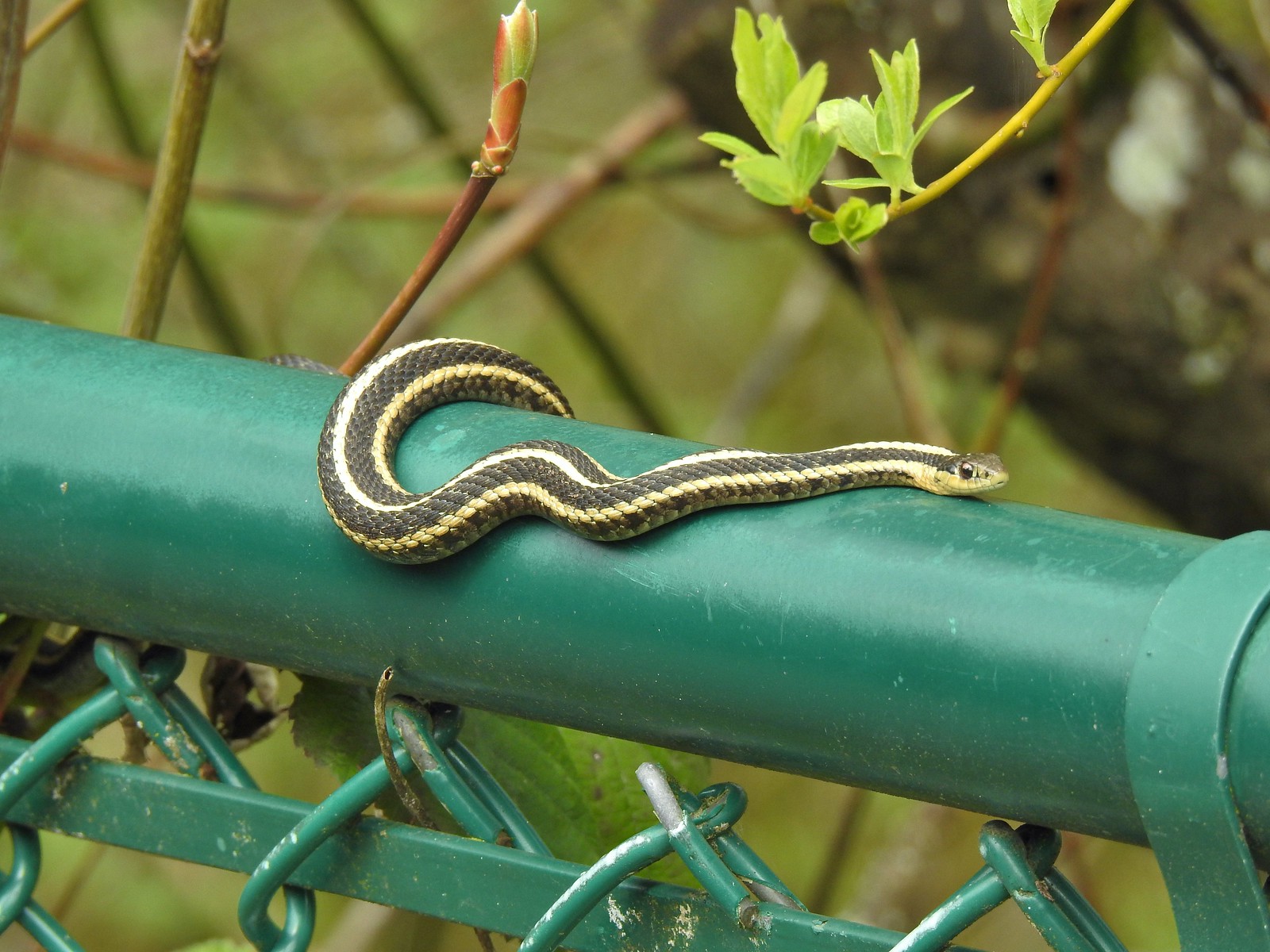 A couple ahead of us on the trail spotted this guy for us.
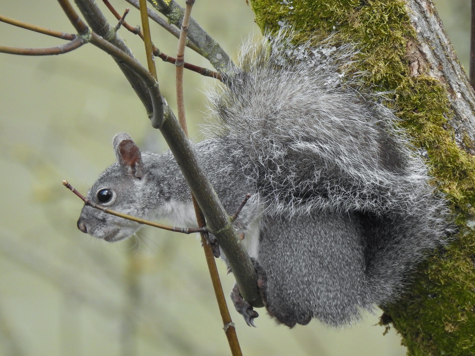 Squirrel
Our Albany Parks hike wound up being just 6.3 miles with under 100′ of elevation gain bringing our total for the day to 10.2 miles and maybe 100 total feet of elevation gain. All the hiking on paved surfaces in Albany combined with having wet shoes and socks made it feel like more though.

At the end of the day we were glad that we wound up in Talking Water Gardens given how much fun wildlife we spotted there but I probably would not do the rest of this hike over. The Dave Clark Trail along the Willamette was nice enough and if I was in Albany for another reason and had some time it would be a fine place for a stroll but necessary neighborhood walk to reach Simpson Park/Talking Water is not nearly as nice as either simply starting at the Simpson Park Trailhead or hiking along Cox Creek from Waverly Lake as we had done in November. Happy Trails!
Flickr: Snag Boat Bend and Albany Parks

 The amphitheater and bridge on 3/19 23.
 The amphitheater and bridge on 4/14/23.
 Wetland near the bridge on 4/8.
 The wetland on 4/14.
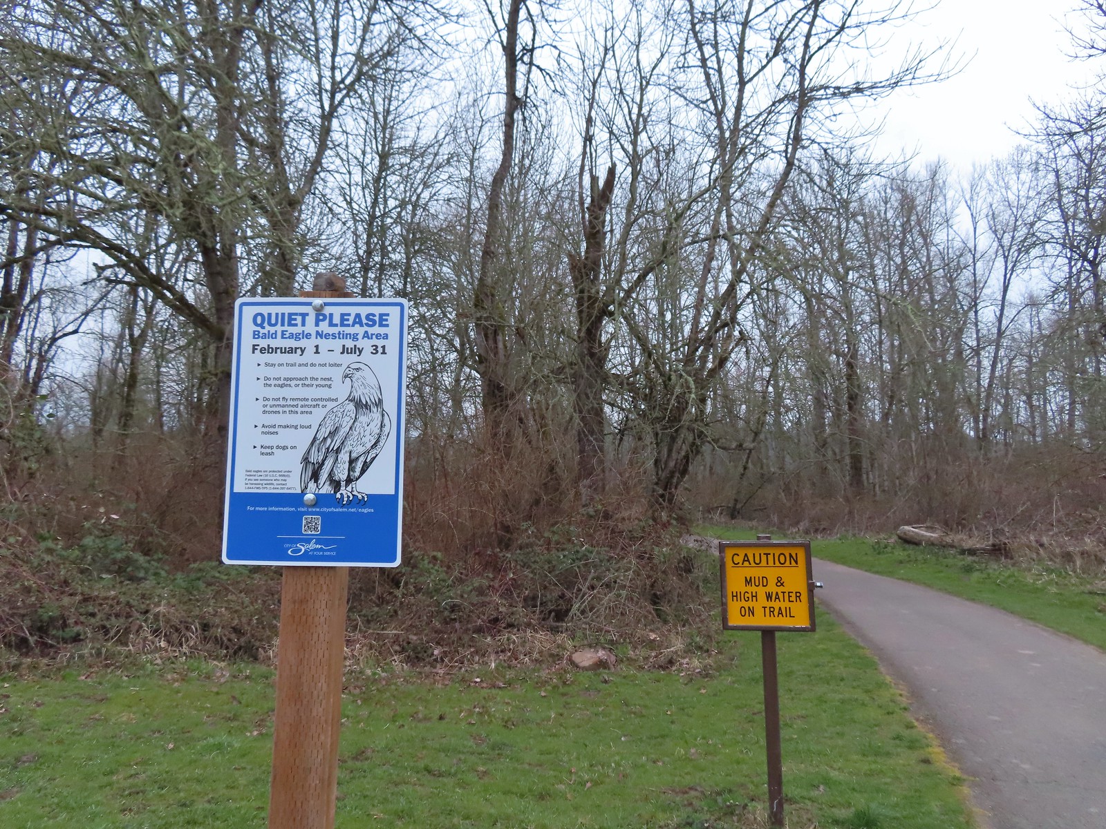 Signs at the 2nd junction – 3/19.
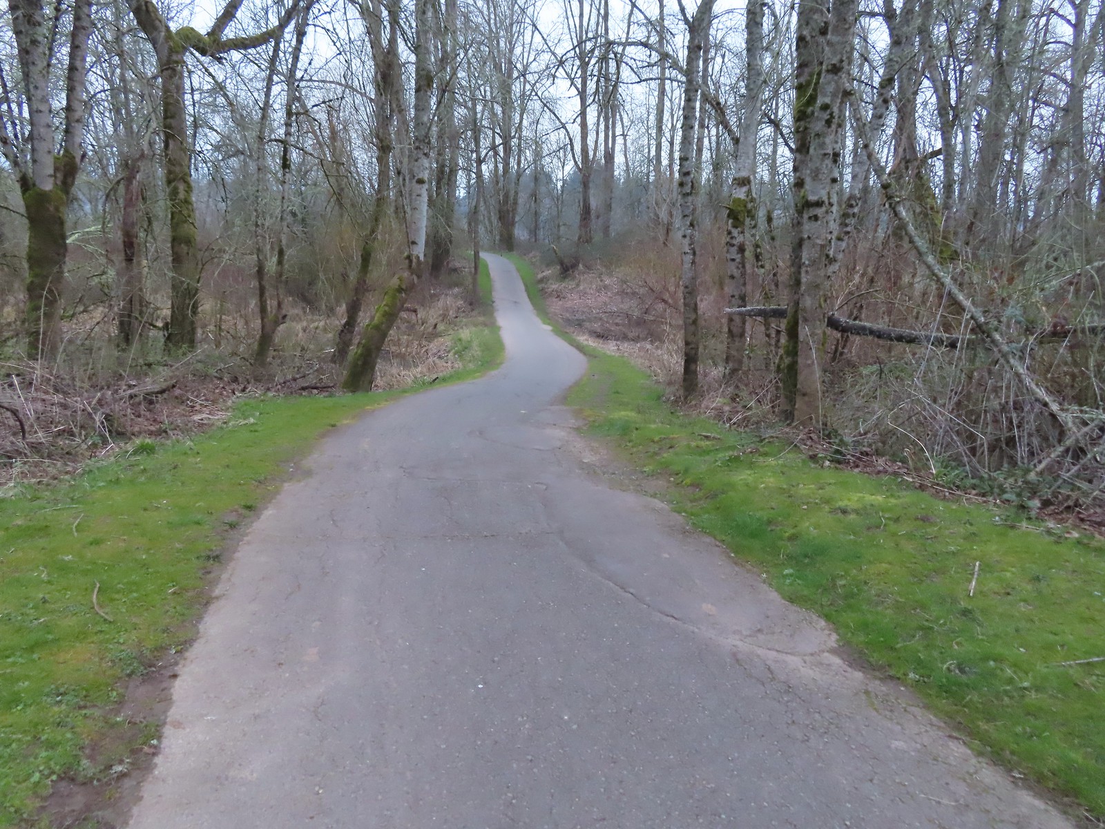 The path to the Willamette River on 3/19.
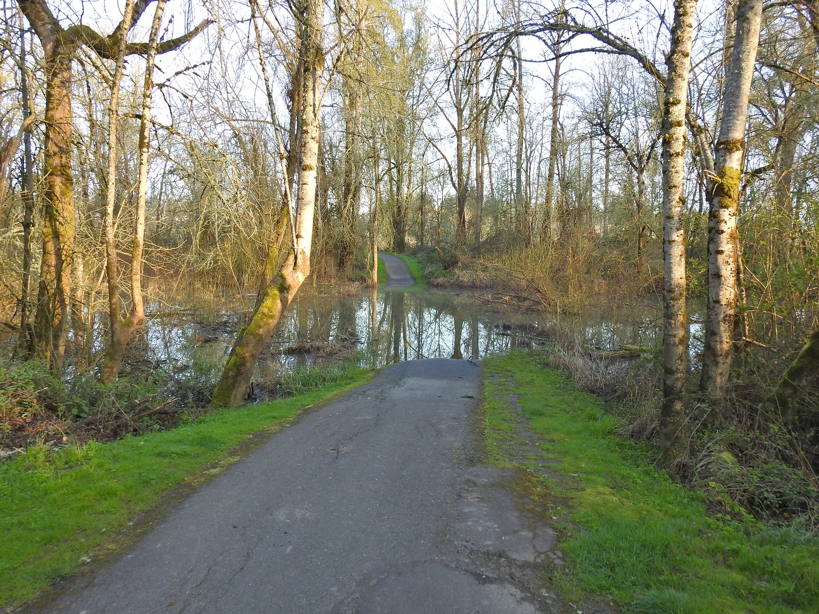 The path on 4/14.
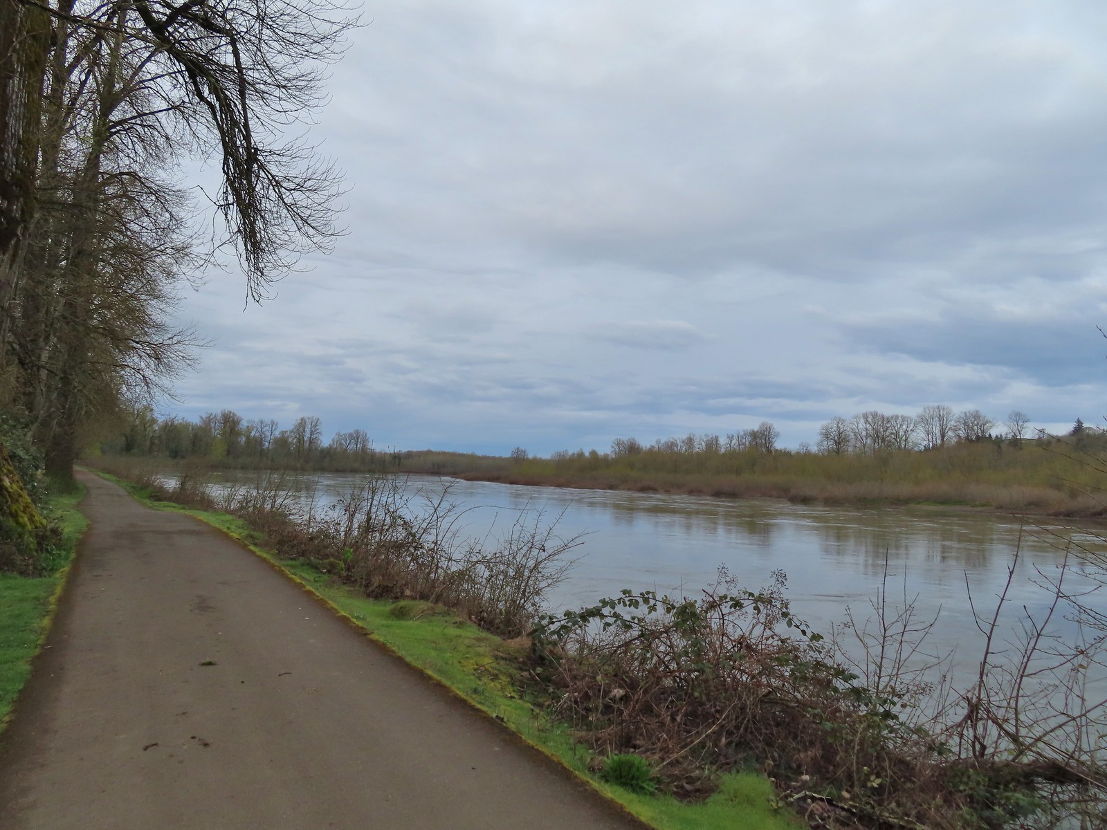 April 8th along the Willamette.
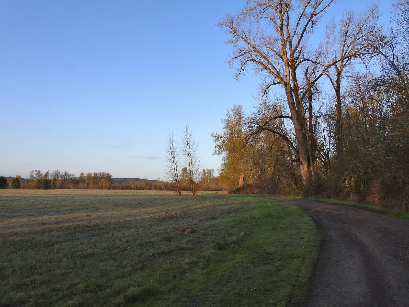 April 14th on the inland gravel path.
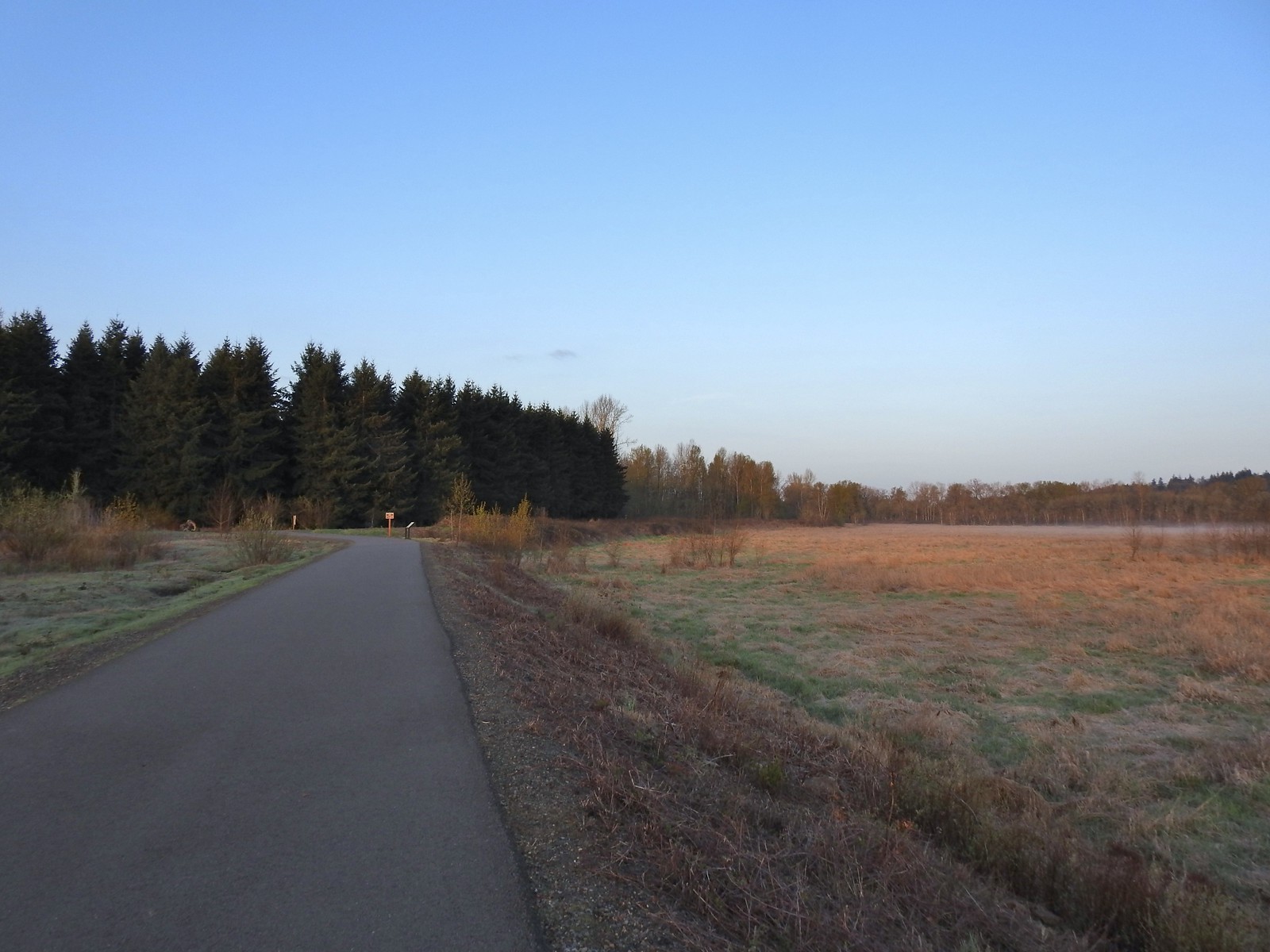 The Minto-Island Conservation Trail (Used during all four hikes.)
 Oxbow slough 3/19.
 April 14th
 Just South of Lot 3 the paved path is shared by the 10k, Purple Rabbit, Blue Heron, Green Deer, Yellow Duck and Brown Squirrel Loops.
 The footbridge over Oxbow Slough is part of the 10k, Blue Heron, and Purple Rabbit Loops.
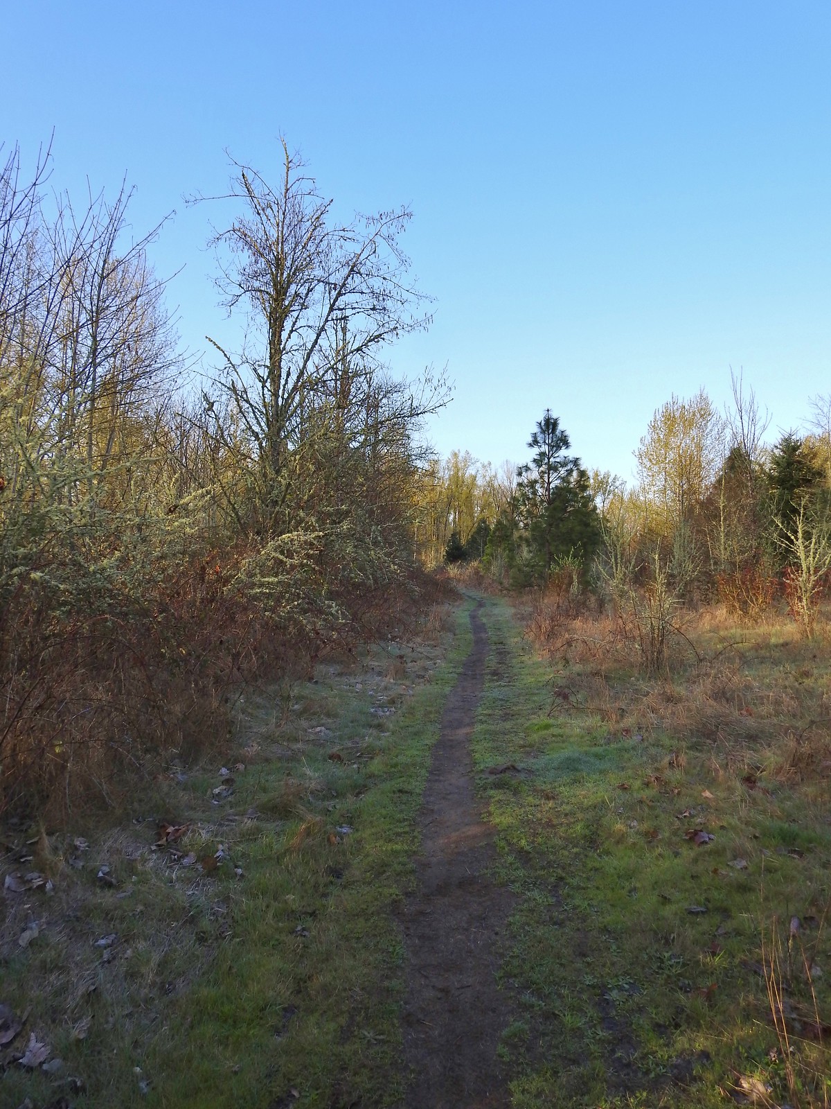 Blue Heron Loop running parallel to the 10k/Purple Rabbit Loops.
 Field along the Blue Heron Loop
 The “T” junction where the 10k/Purple Rabbit Loops turn left from the Blue Heron Loop.
 Most of the junctions are well signed with maps which helped keep me on track.
 Willamette River from the Orange Turtle Loop.
 Orange Turtle Loop
 The boarder between Minto-Brown Island Park and Eola Bend County Park.
 A bit of the history of Eola Bend County Park.
 Nice map of the Willamette River watershed.
 Eola Bend County Park
 I took advantage of this picnic table to take a short break.
 The landfill behind the map.
 Arriving at the road.
 The 10k/Purple Rabbit Loop on the left.
 The Green Deer Loop junction.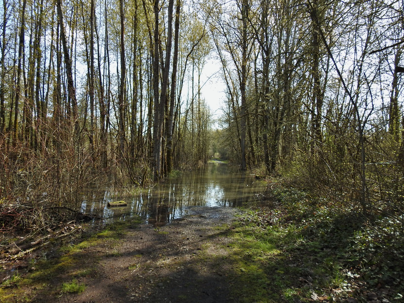
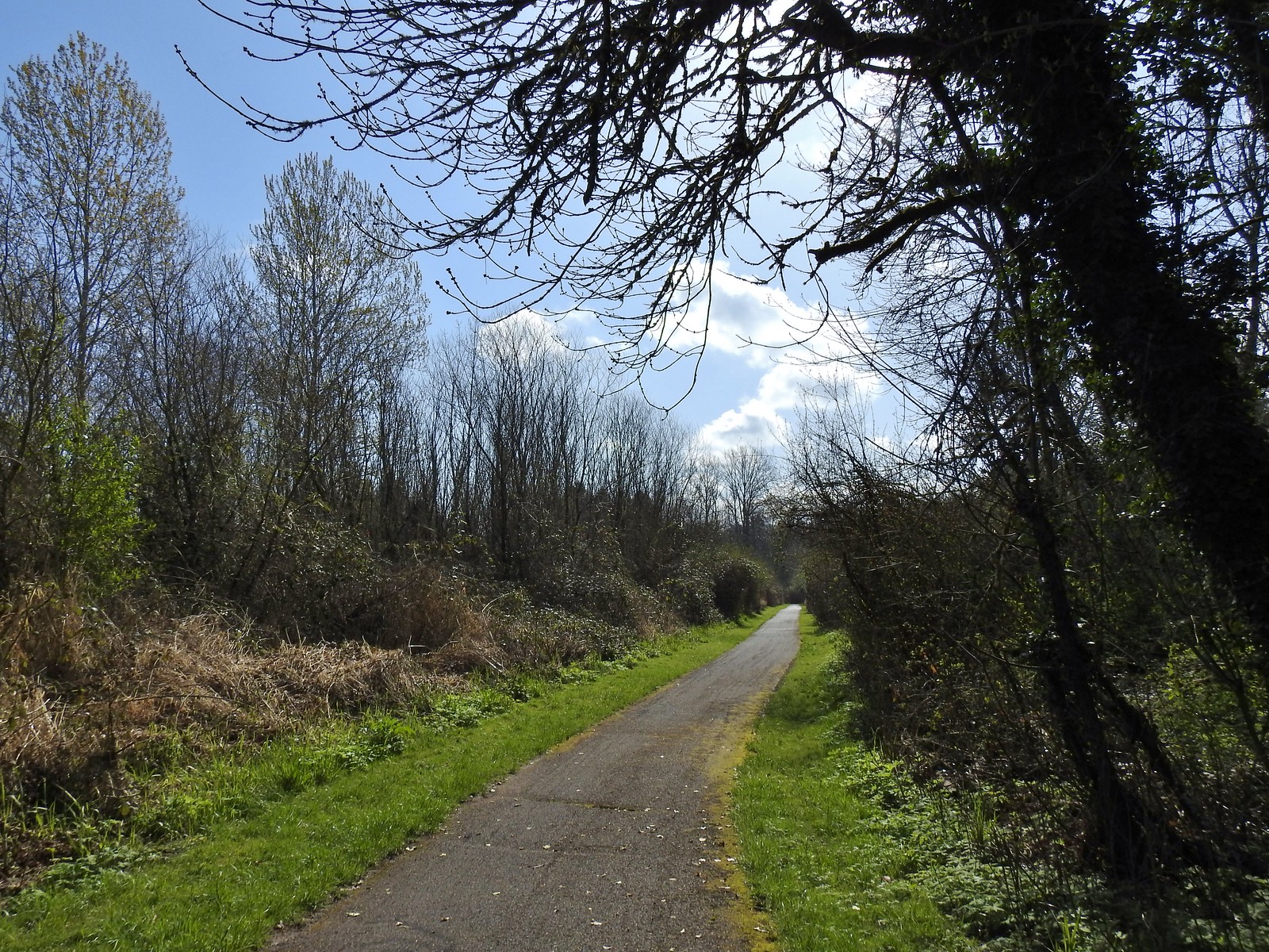 The paved 10k/Yellow Duck/Brown Squirrel Loop.
 The rougher dirt path.
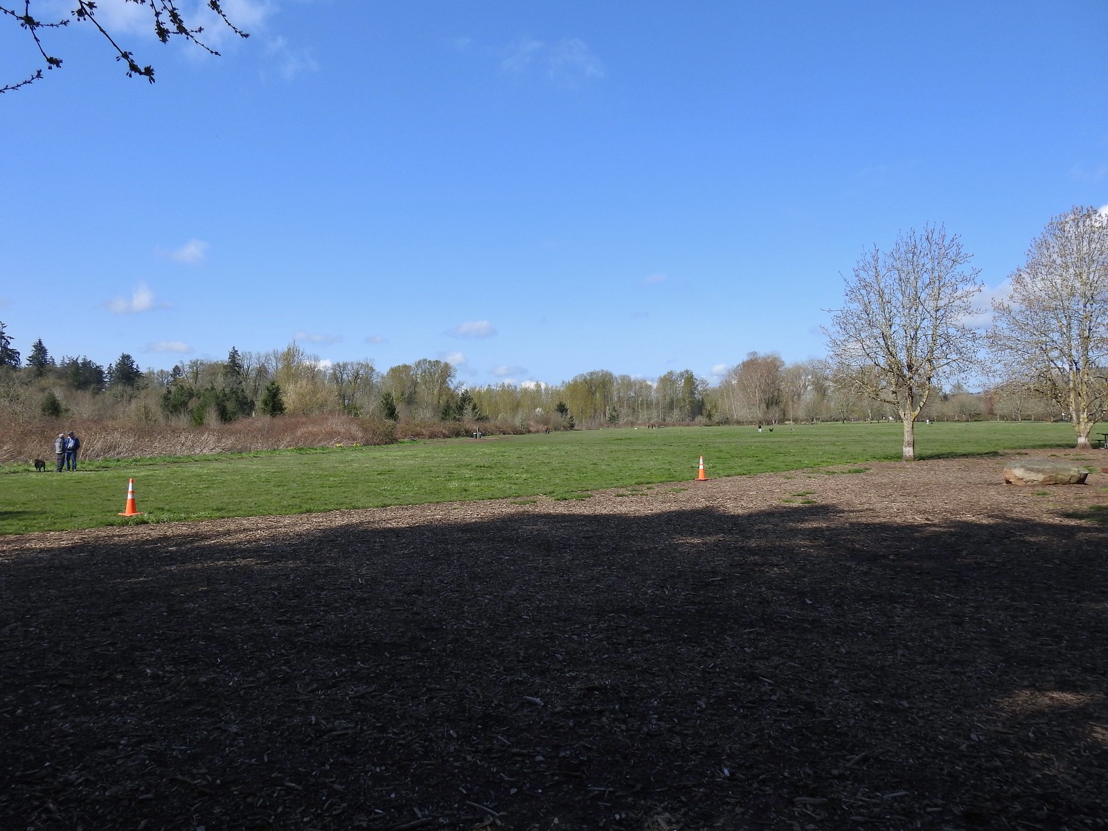 The dog park (possibly the happiest place in Salem, at least for dogs).
 The 10k Loop on the opposite side of the entrance road from Lot 2.
 From our 3/19 hike on the 10k Loop. The path running from left to right is the Red Osprey Loop. On this last trip I took the path on the left down to the sign below at the junction and continued straight.
 At the sign heading toward the old cherry orchard.
 The old cherry orchard.
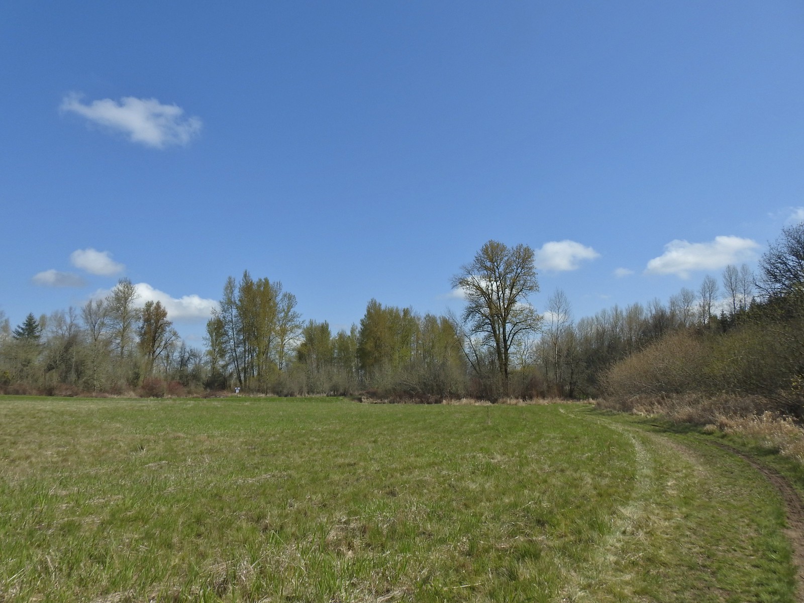 Sign in the distance along the paved path where I turned right.
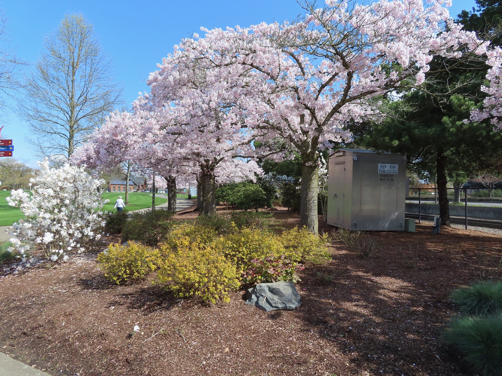 Cherry blossoms.
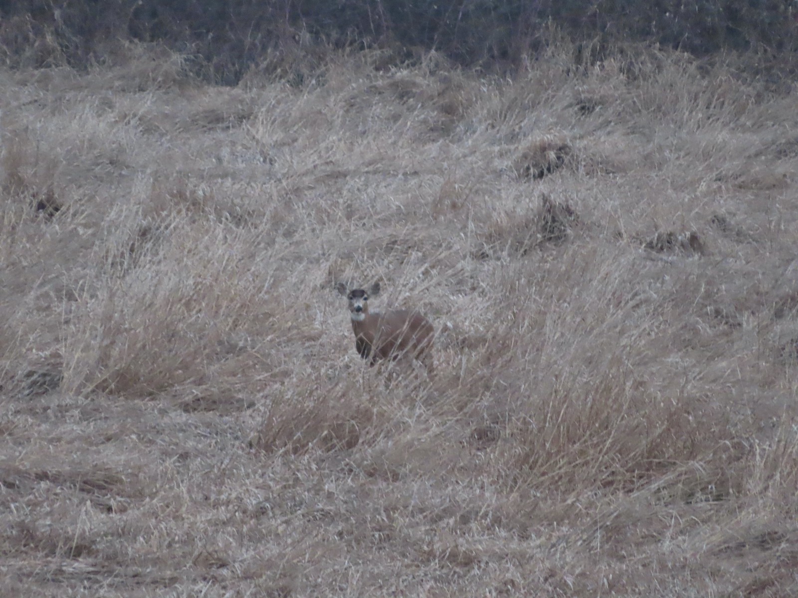 Deer – 3/19
 Bald eagle – 3/19
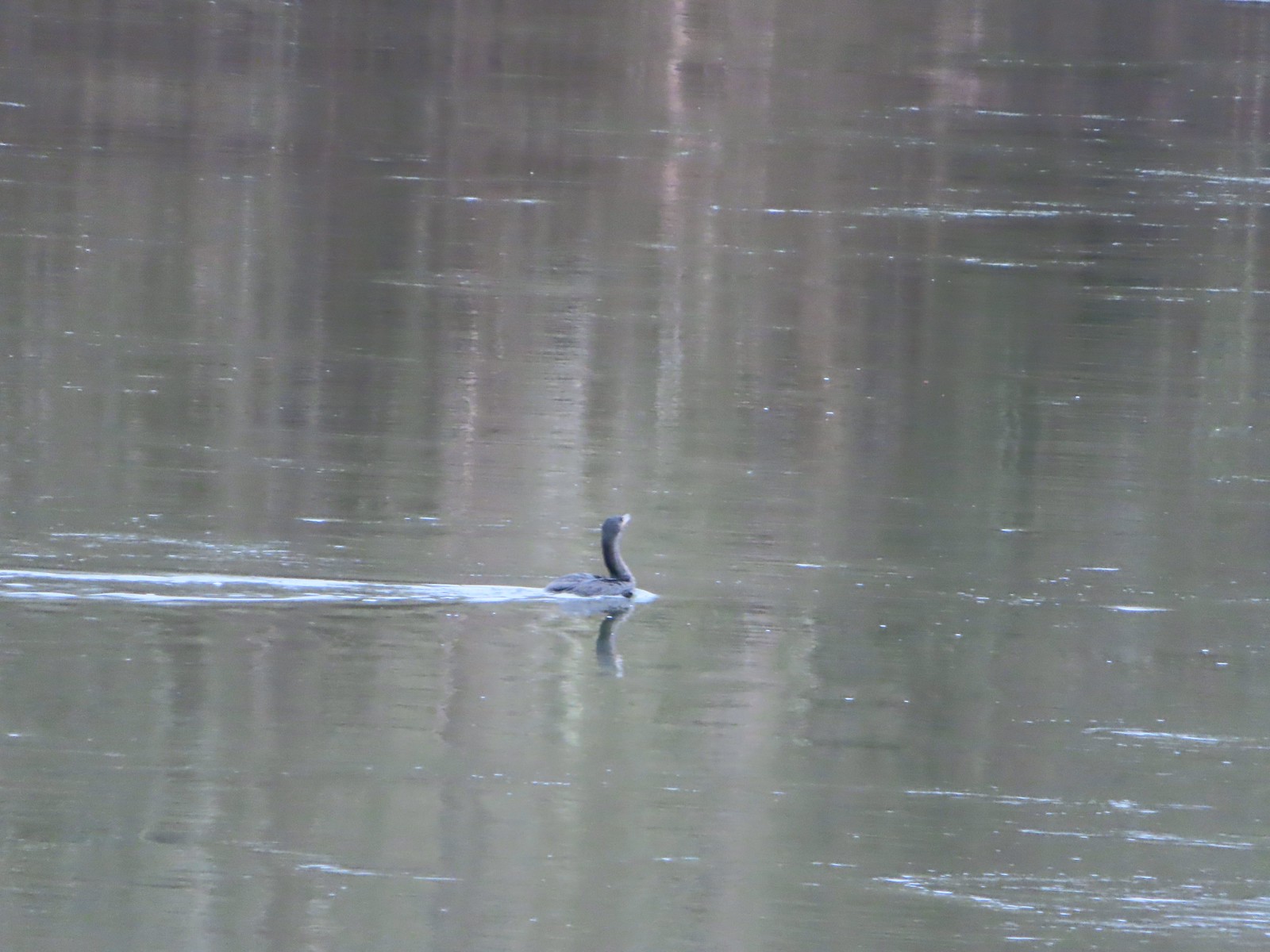 Cormorant on the Willamette – 3/25
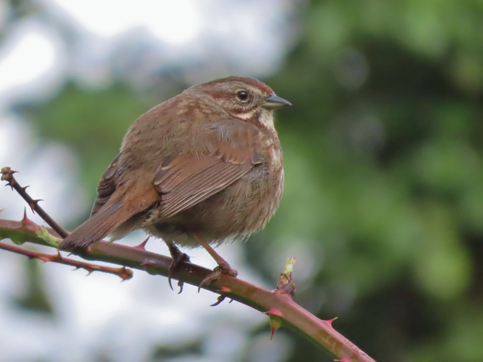 Sparrow – 3/25
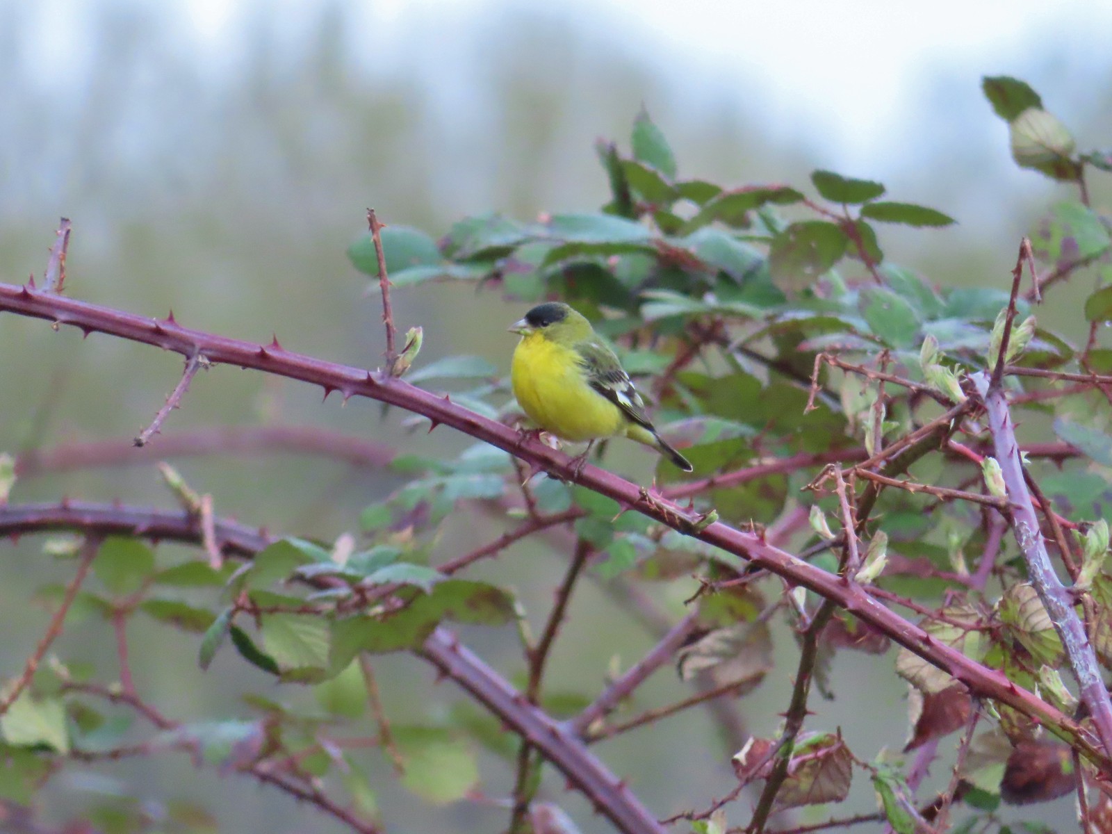 Lesser goldfinch – 4/8
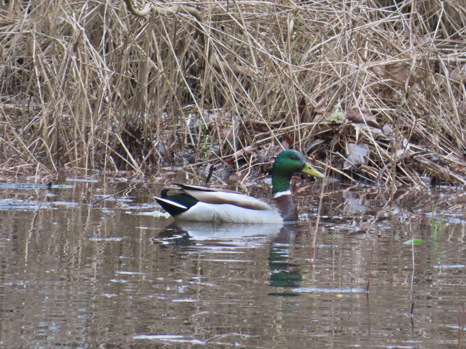 Mallard – 4/8
 Wood ducks up in a tree – 4/8
 Osprey – 4/8
 Green-winged teal – 4/14
 Mallard – 4/14
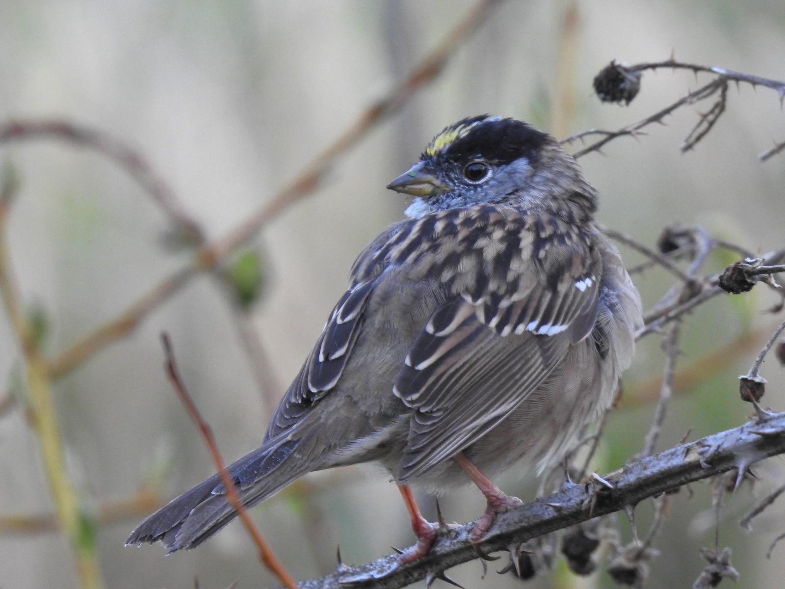 Golden-crowned sparrow – 4/14
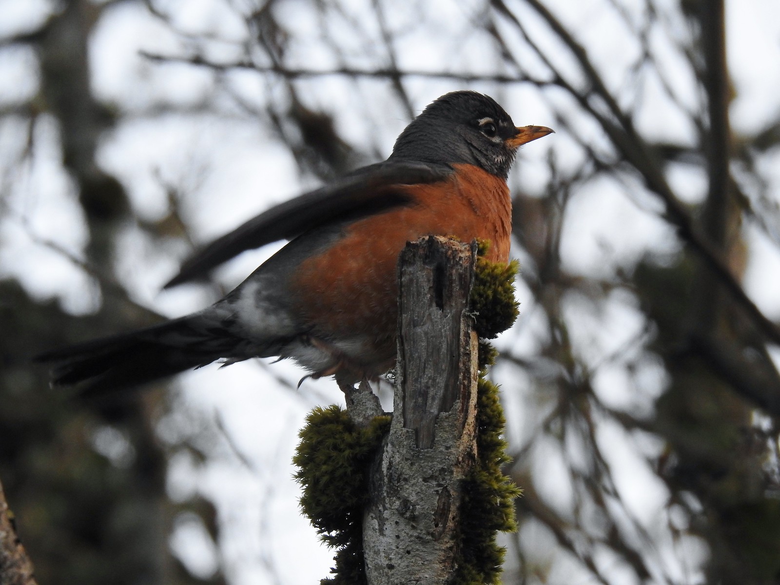 Robin – 4/14
 White-crowned sparrow – 4/14
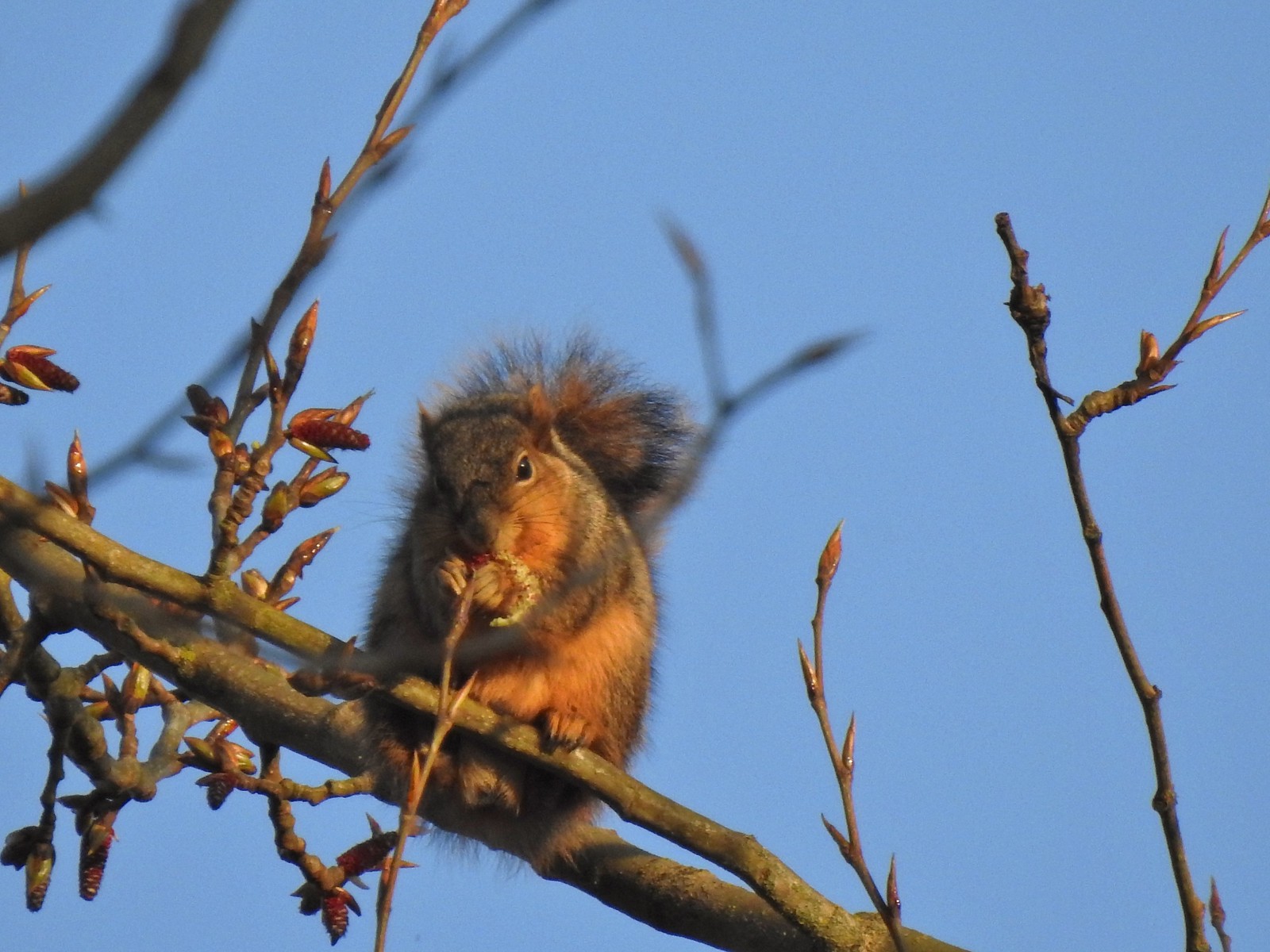 Squirrel – 4/14
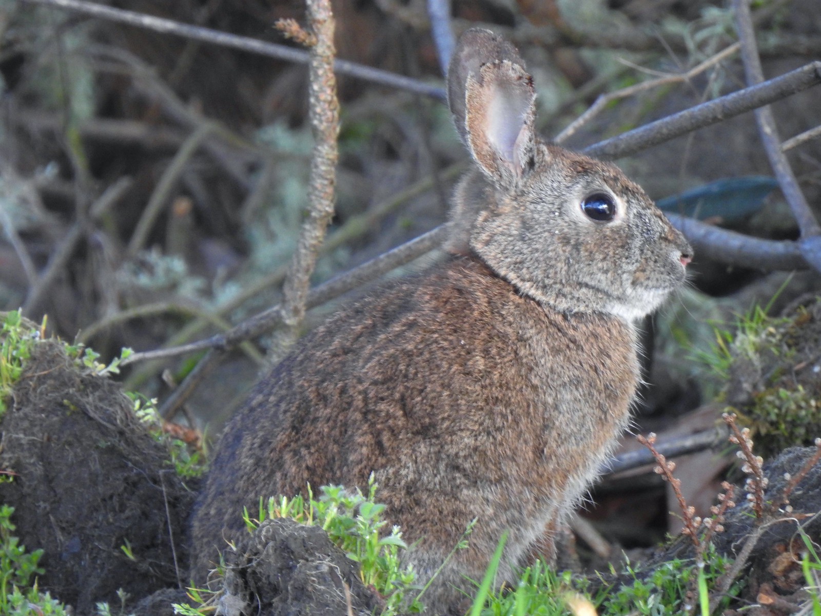 Rabbit – 4/14 (This was one of several dozen bunnies that I encountered on this day.)
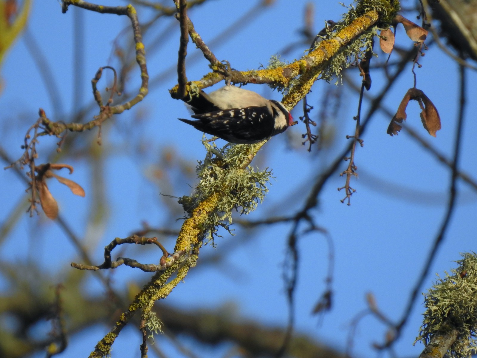 Woodpecker – 4/14
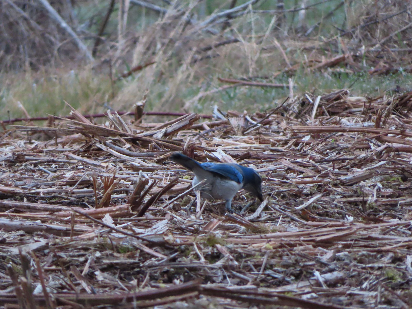 Scrub jay – 3/19
 Dove – 4/8
 Killdeer – 4/14
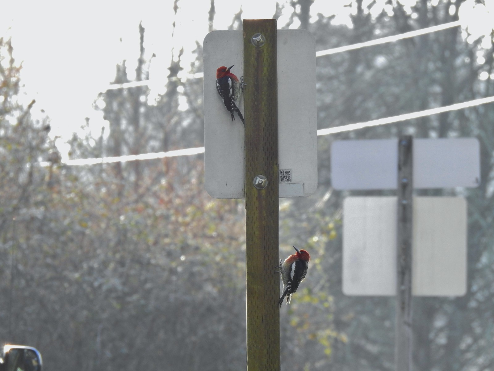 Red breasted sapsuckers – 4/14 (Males peck the sign to make noise to either attract mates or establish territory.)
 Pied billed grebe in Oxbow Slough – 3/19
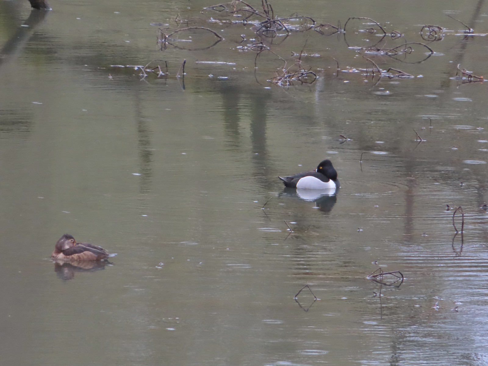 Ring-necked ducks from the bridge over Oxbow Slough – 3/25
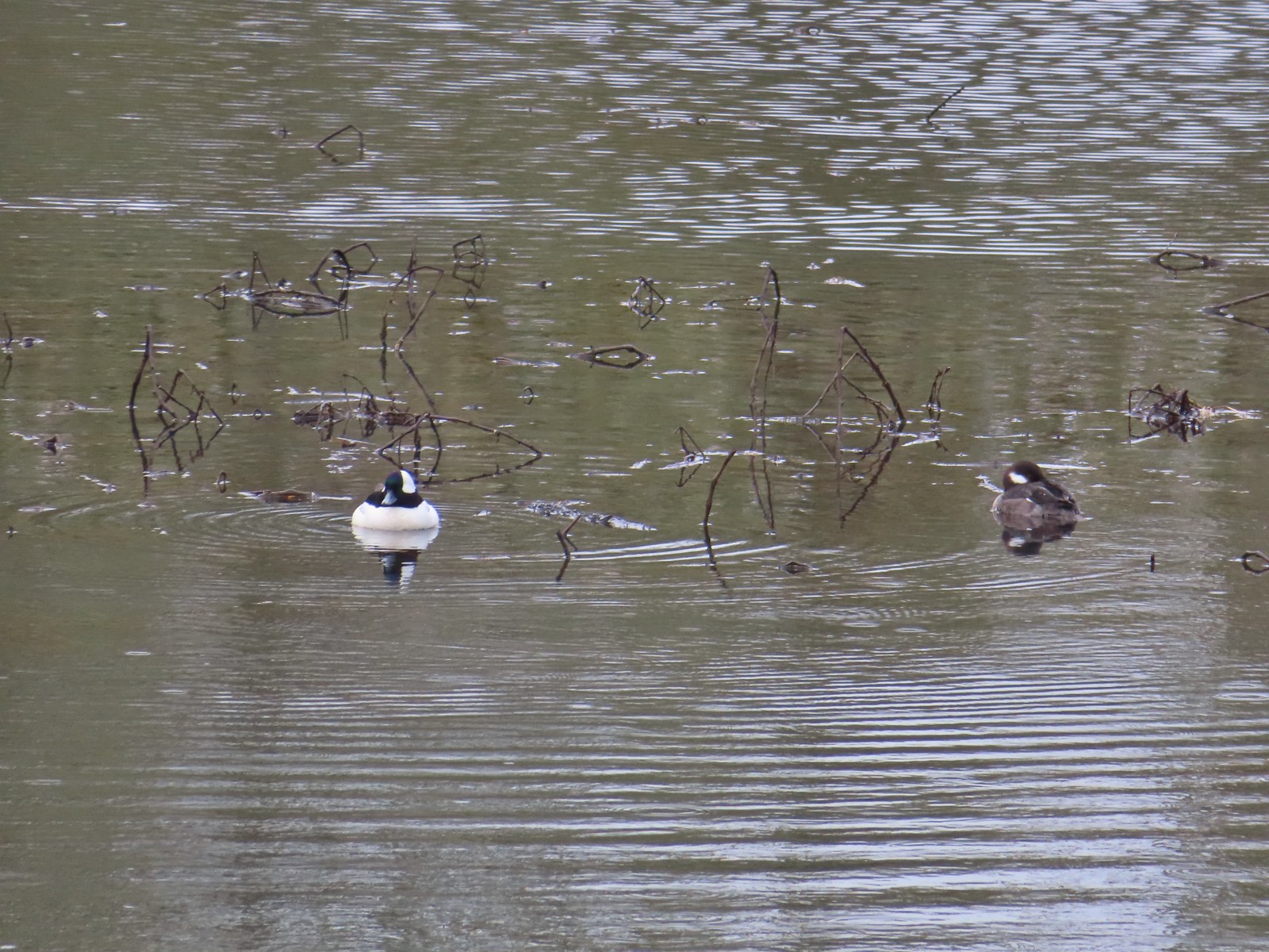 Buffleheads from the bridge over Oxbow Slough – 3/25
 Geese from the bridge over Oxbow Slough – 3/25
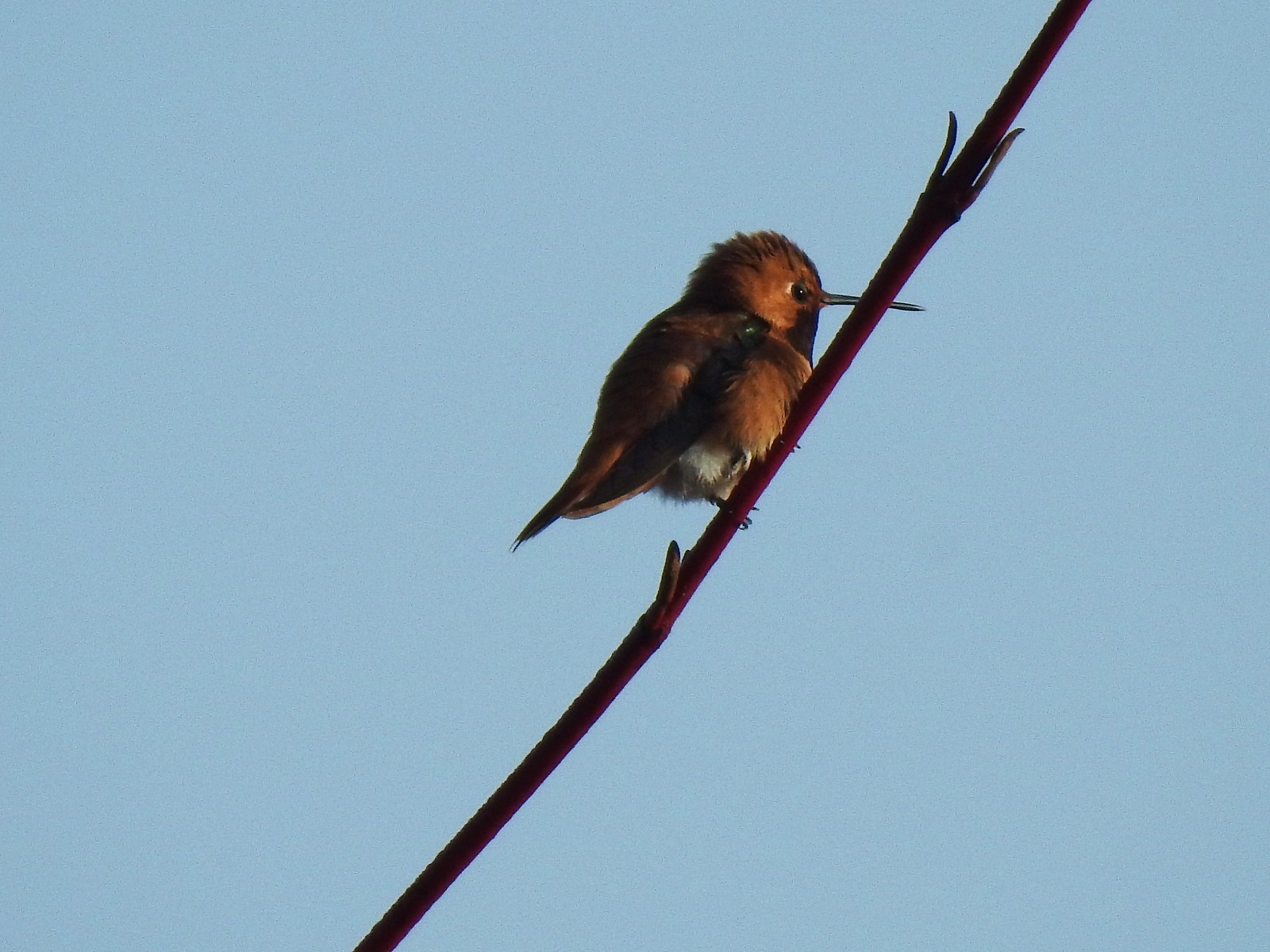 Hummingbird along the Blue Heron Trail – 4/14
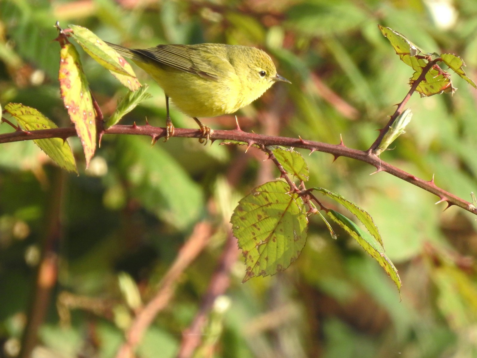 Orange-crowned warbler along the Blue Heron Trail – 4/14
 Dark-eyed junco at Eola Bend County Park – 4/14
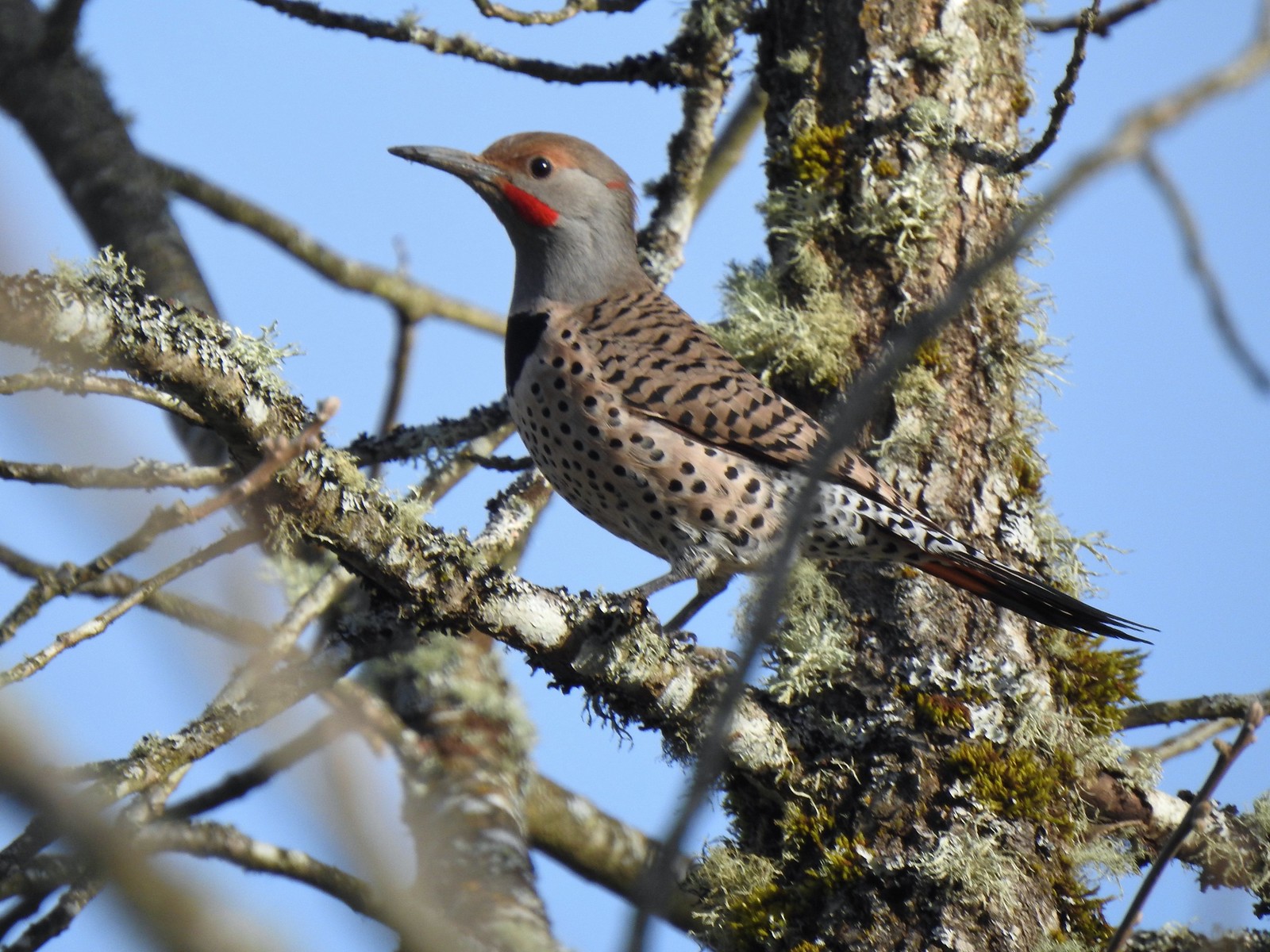 Northern flicker at Eola Bend County Park – 4/14
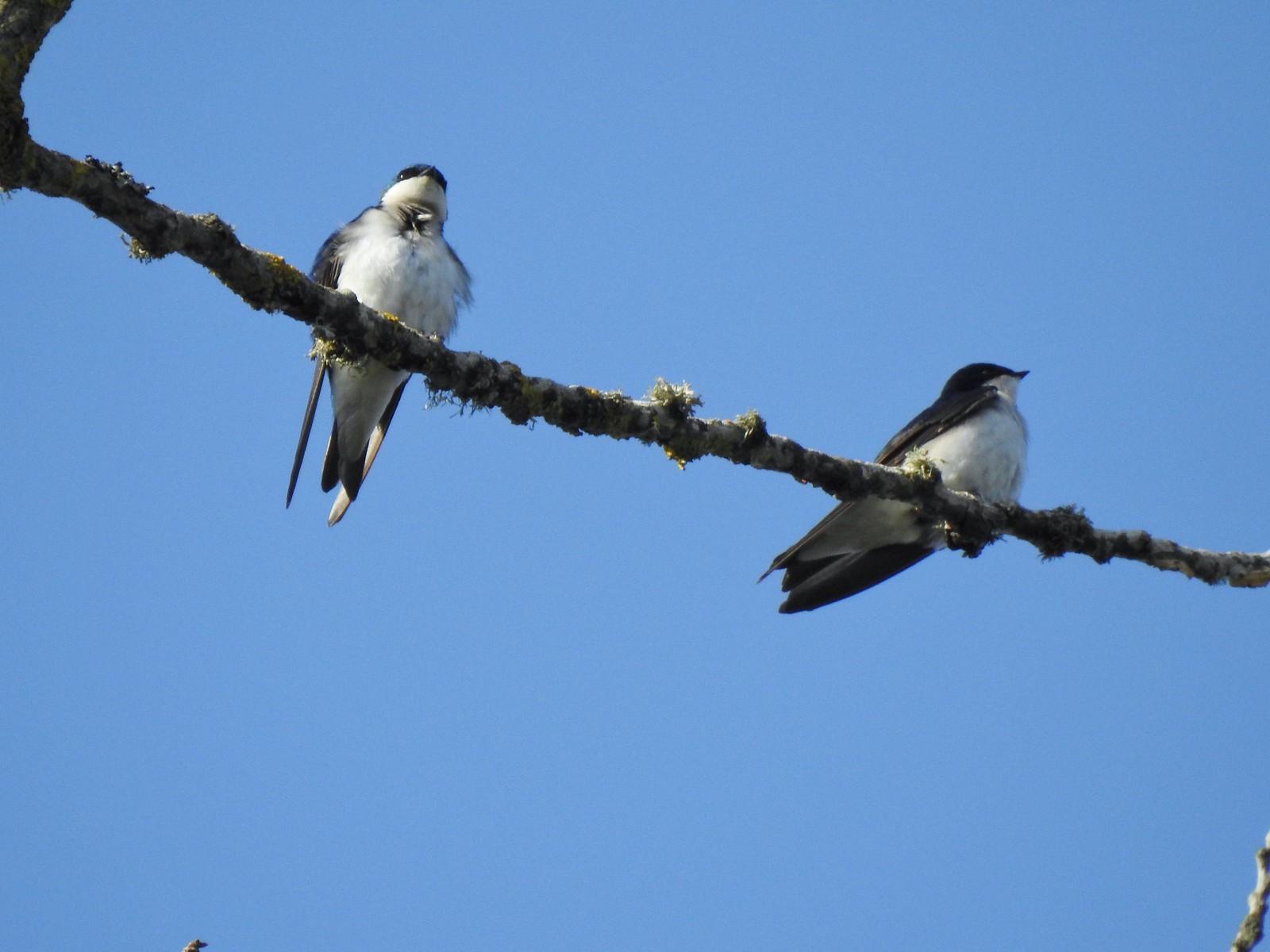 Swallows at Eola Bend County Park – 4/14
 Red-tailed hawk near the landfill – 4/14
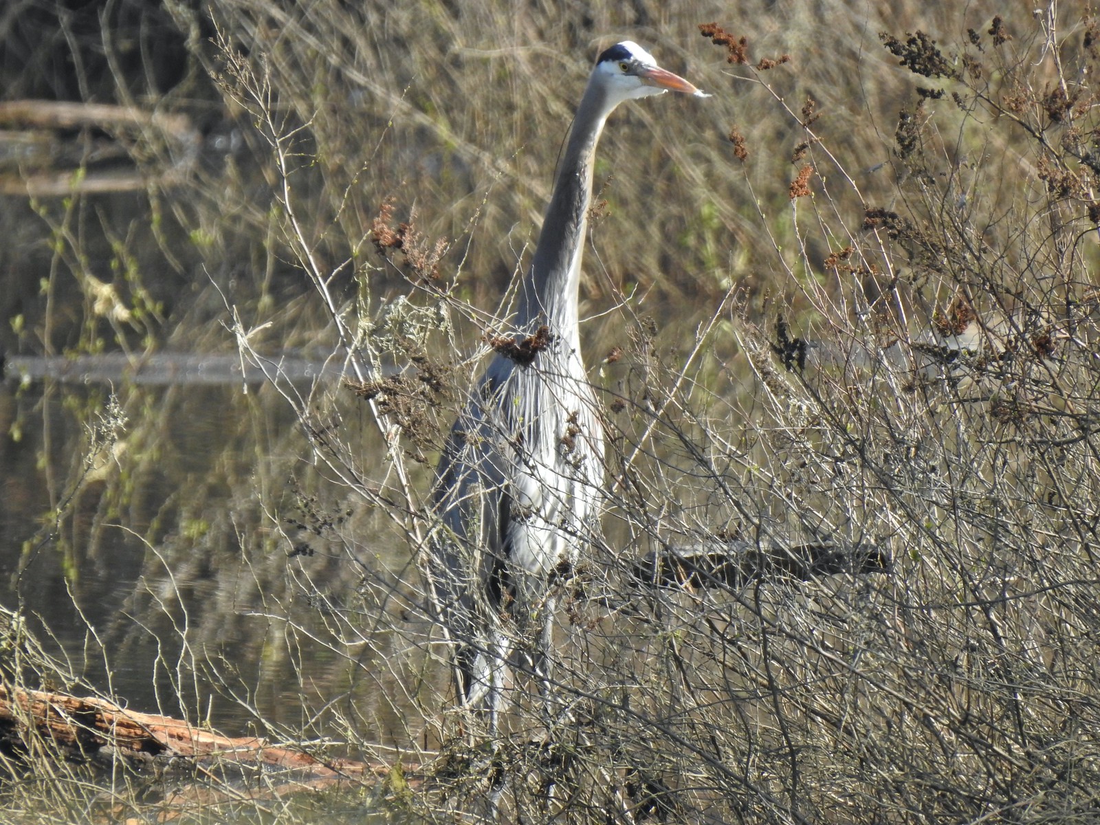 Great blue heron at Oxbow Slough across from the bench viewpoint near Lot 4 (Homestead Road) – 4/14
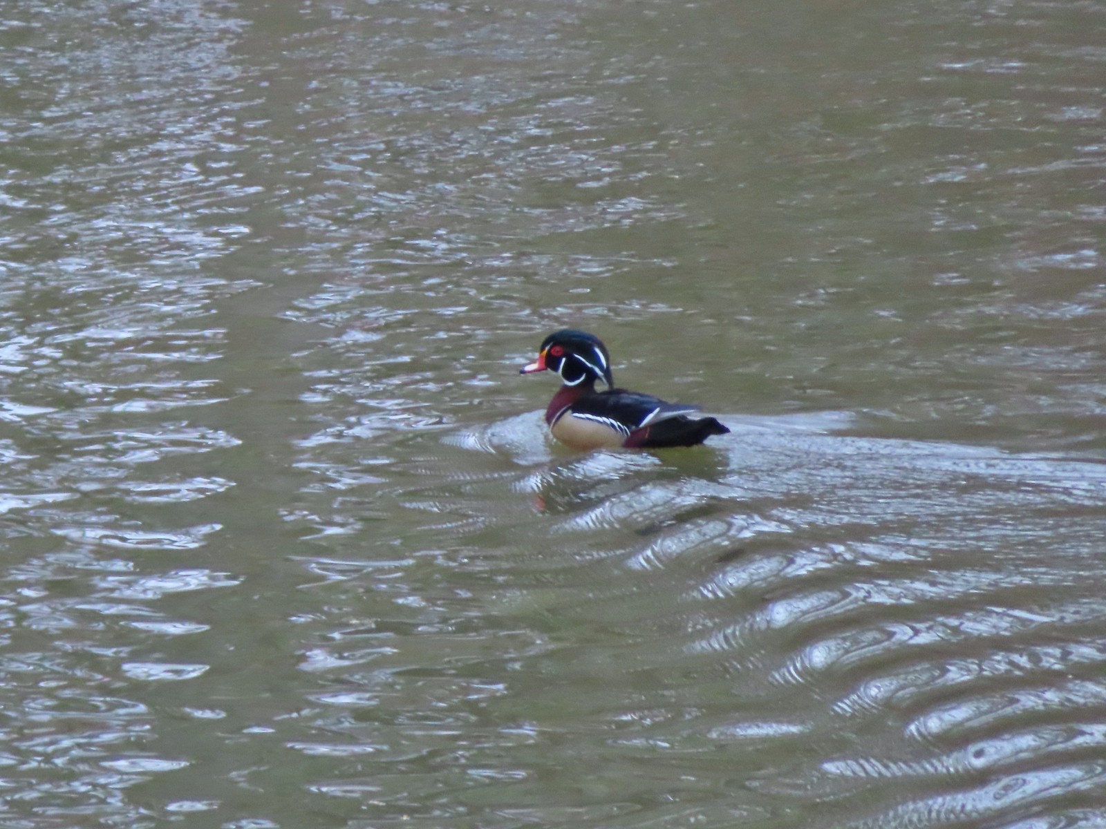 Wood duck drake in Oxbow Slough – 4/8
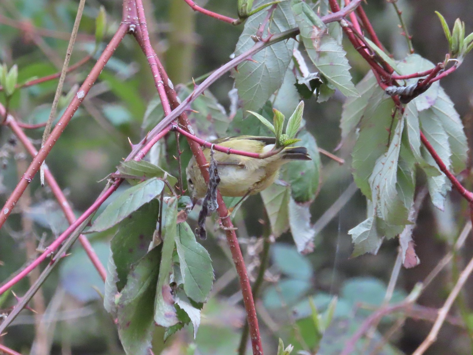 Ruby-crowned kinglet – 4/8
 Rabbit – 4/8
 Egret between the Red Osprey and 10k Loops – 4/8
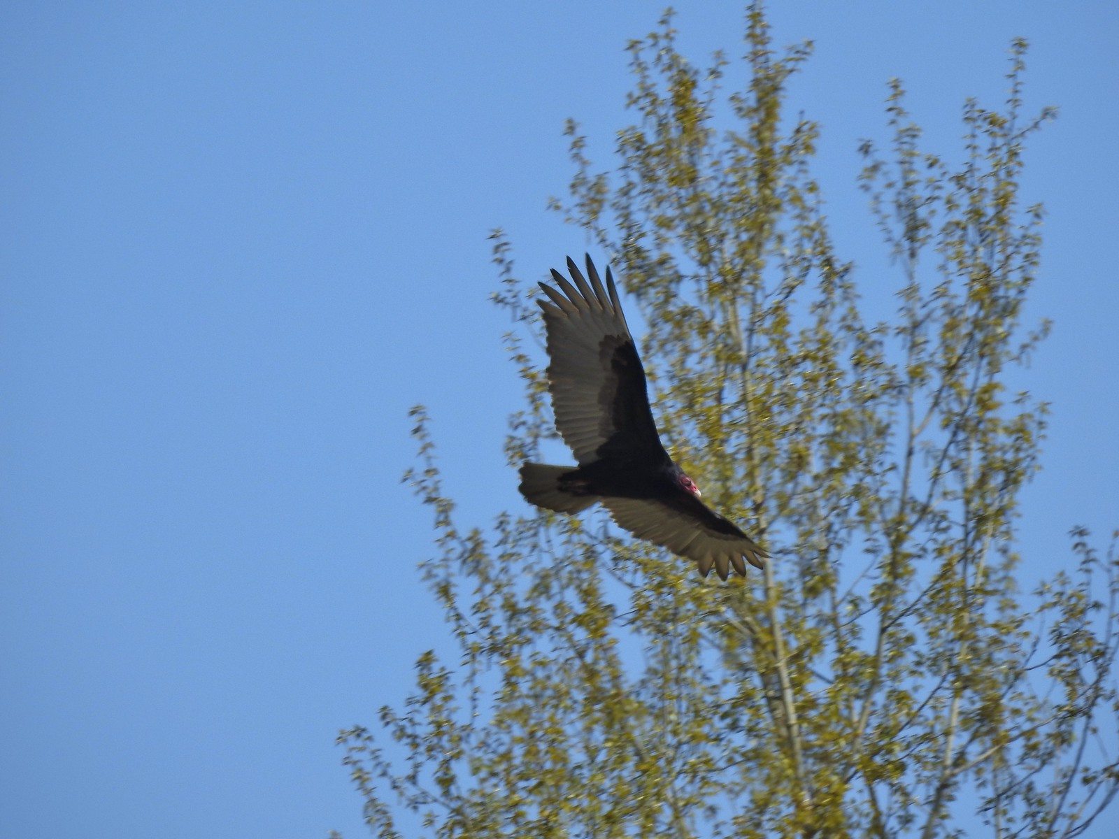 Turkey vulture near the old cherry orchard – 4/14
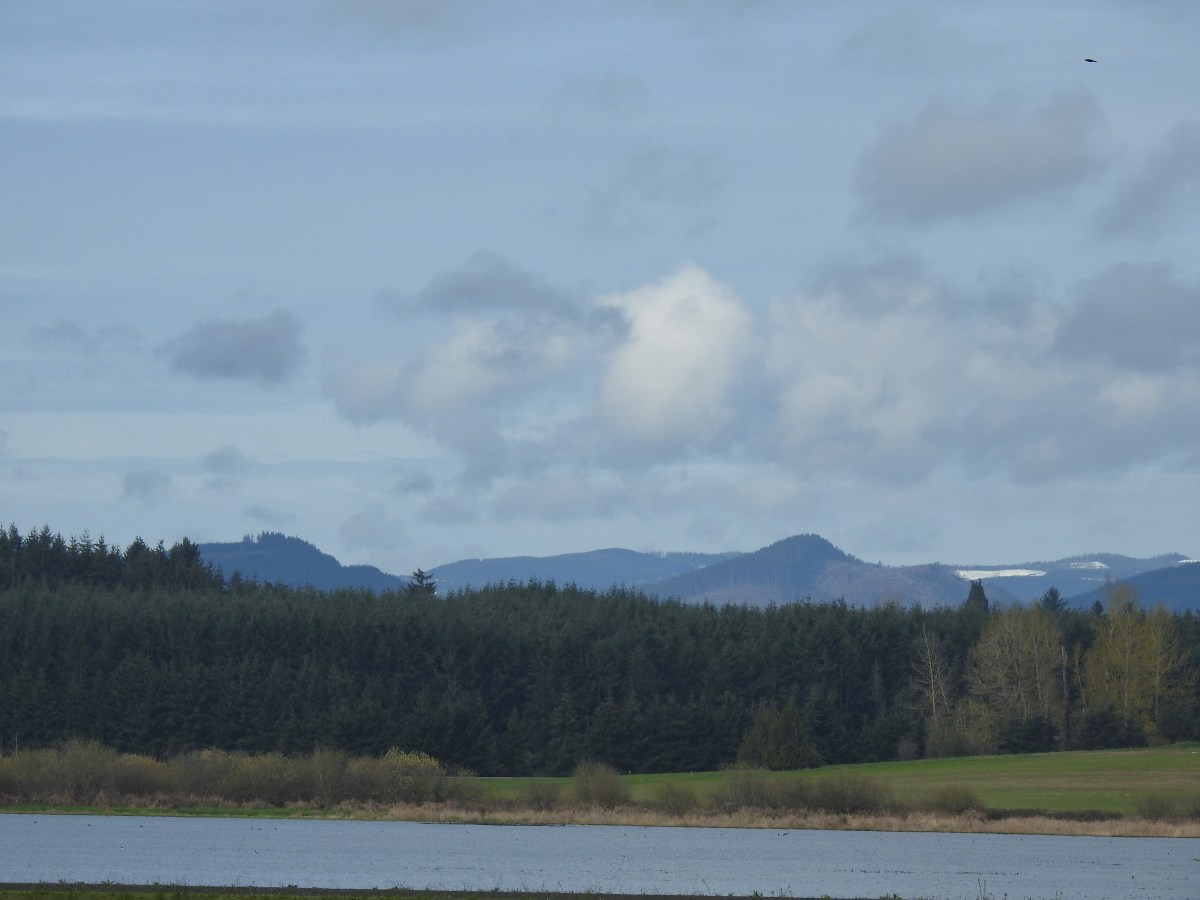
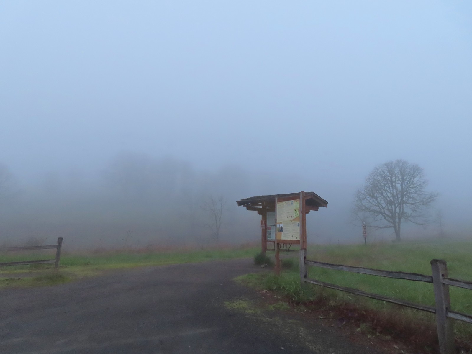

 There were a few buttercups blooming in the grass and not much else along this side of the Memorial Trail.
 A lone strawberry blossom.
 The Inter-Tie Trail was a wet and muddy affair. I could hear a lot of birds in the surrounding trees but couldn’t make any of them out unless they flew right in front of me.
 I went left here which got me out of the slick mud but onto even wetter grass.
 Coming up on the marsh which is just on the other side of the dip in the road.
 Two rabbits trying to decide if they were going to keep eating grass or race off into the blackberry bushes.

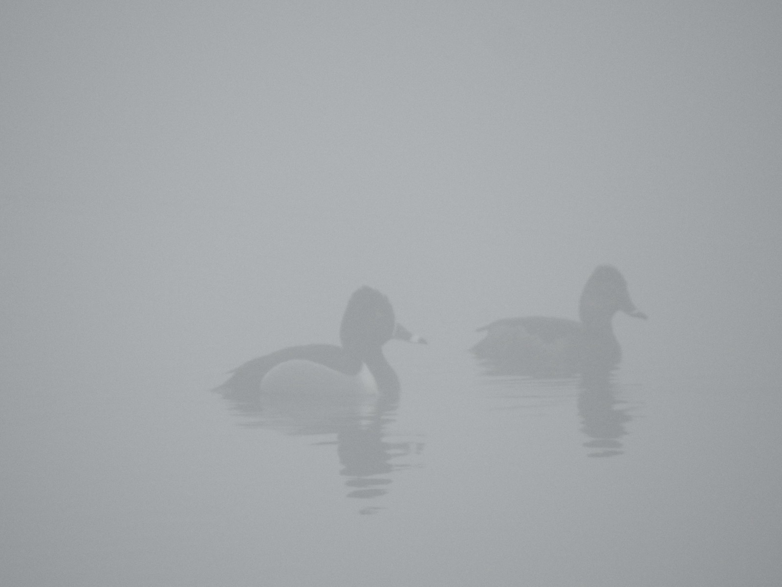 Ring-necked ducks
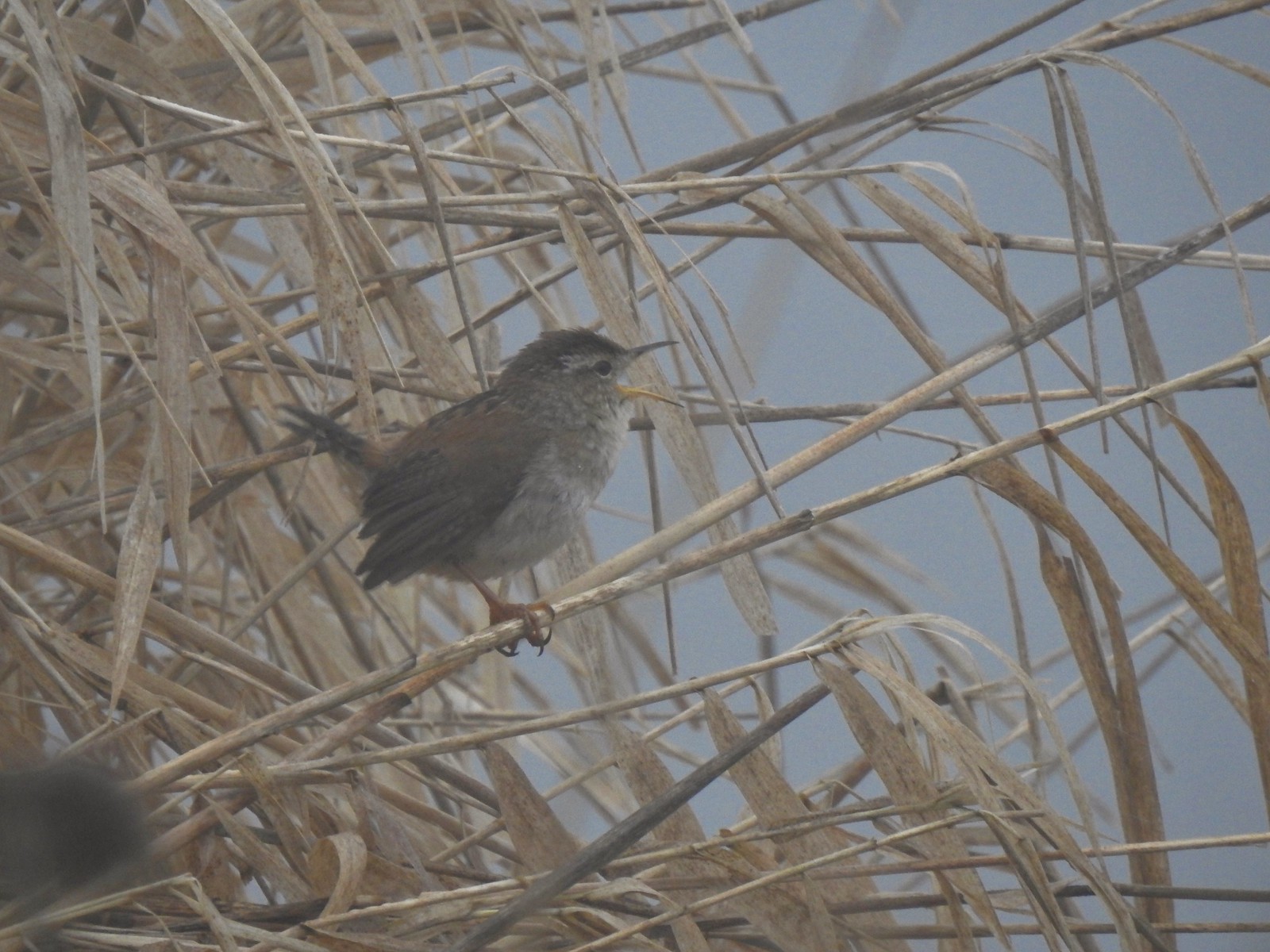 I think this is a marsh wren.

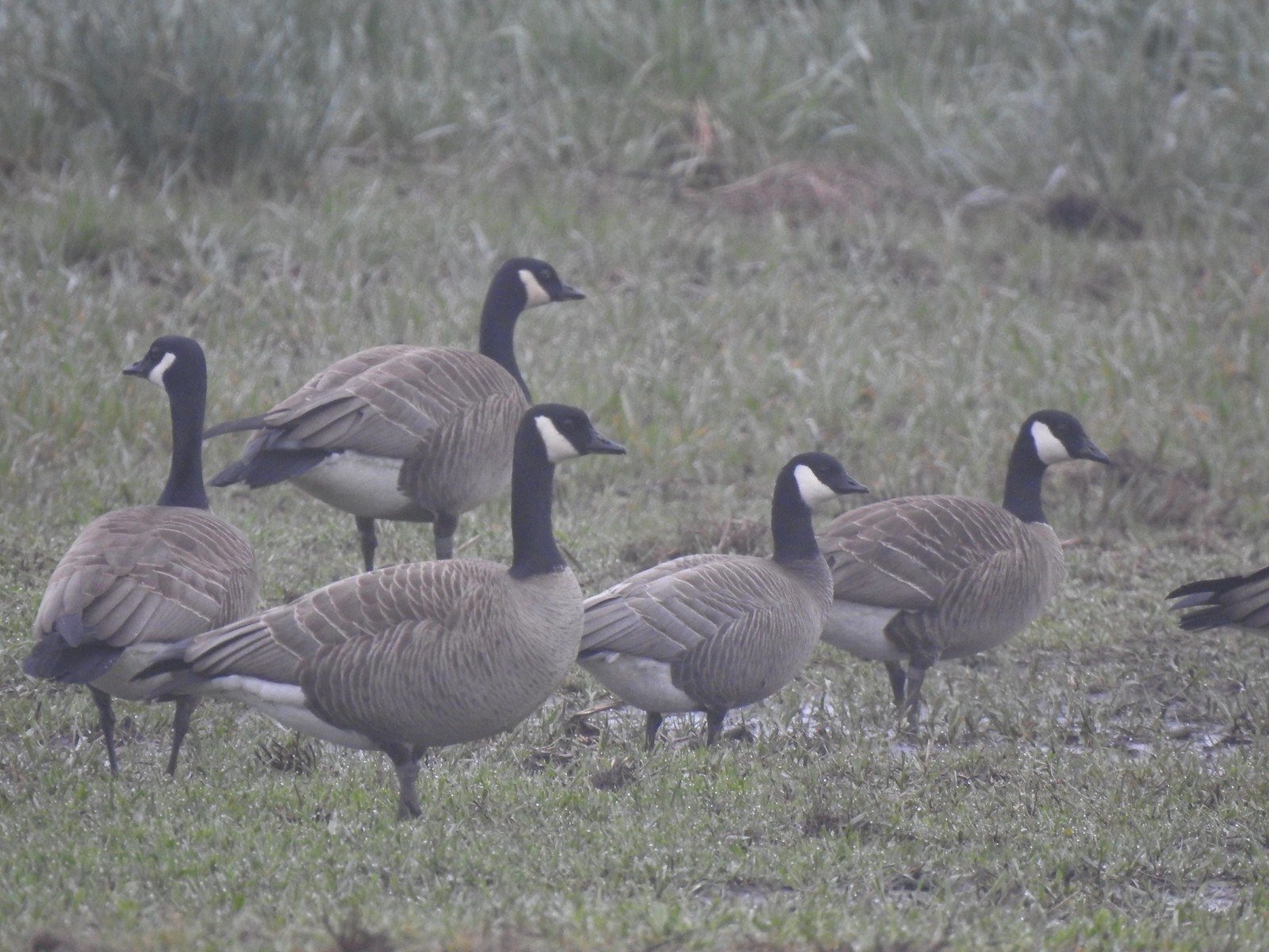 I think the 2nd goose in from the right is a cackling goose while the others are Canada geese. It’s a bit smaller and the white patch is shaped differently.
 Swallows
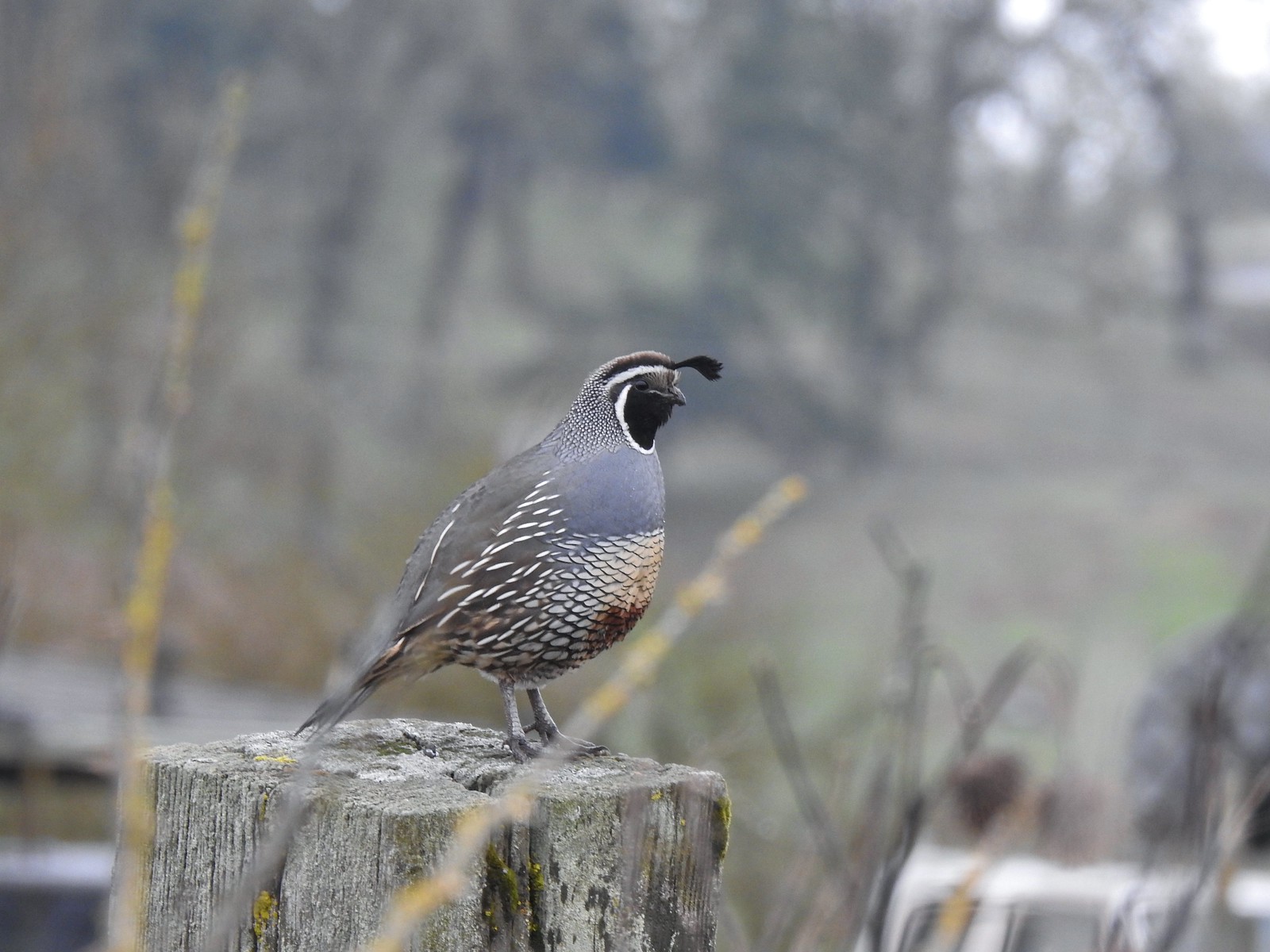 California quail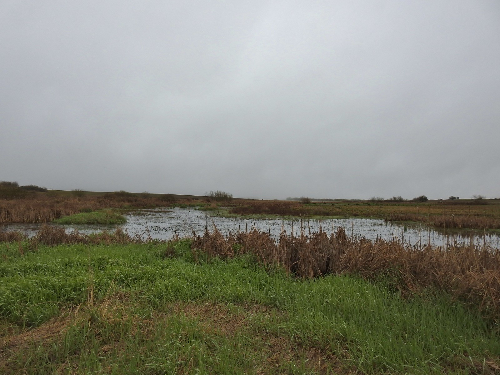
 Cinnamon teals
 Northern shoveler drake
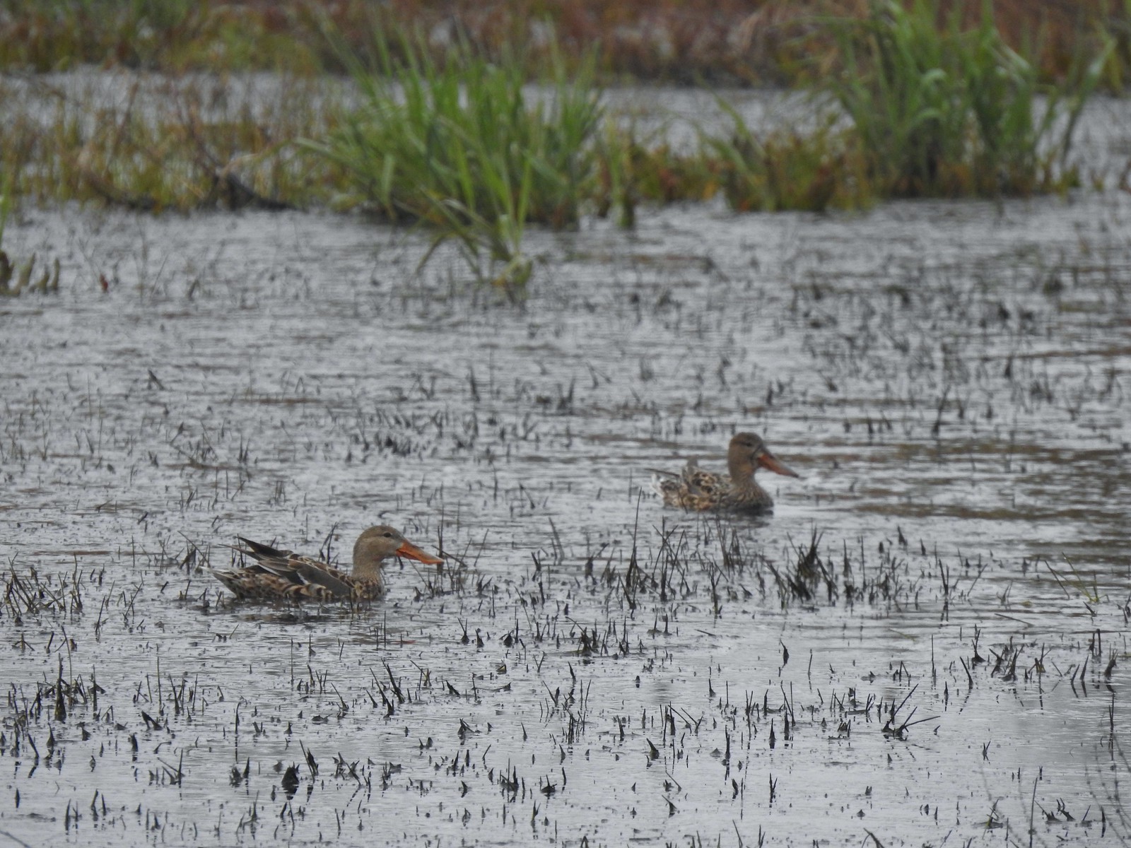 Northern shoveler females
 Signs at the Smithfield Road Trailhead.
 Buffleheads
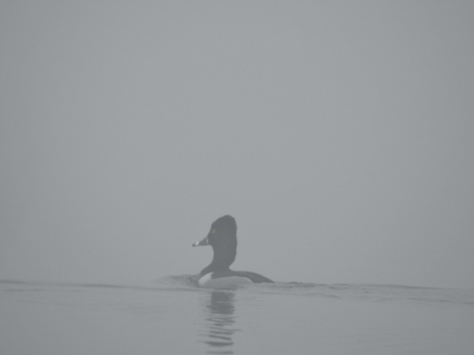 Ring-necked duck
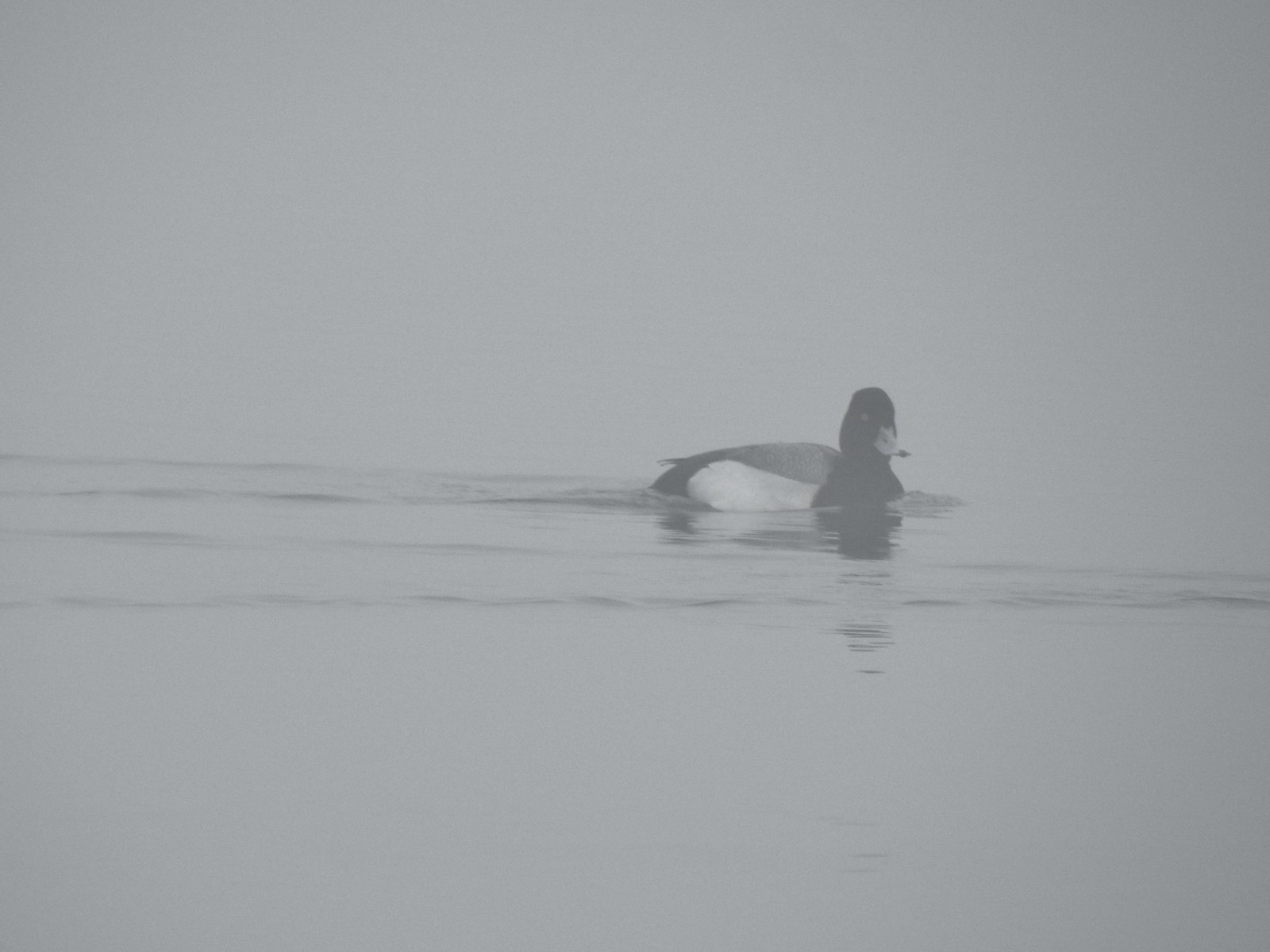 Possibly a lesser scaup.
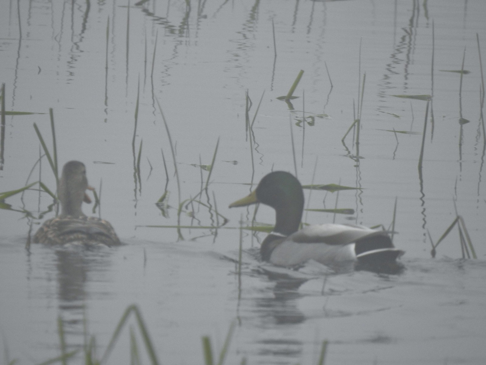 Mallards


 The only bull I could pick out.

 Robin
Robin Bench overlooking Morgan Lake
 Morgan Lake from the bench.
 Spotted towhees
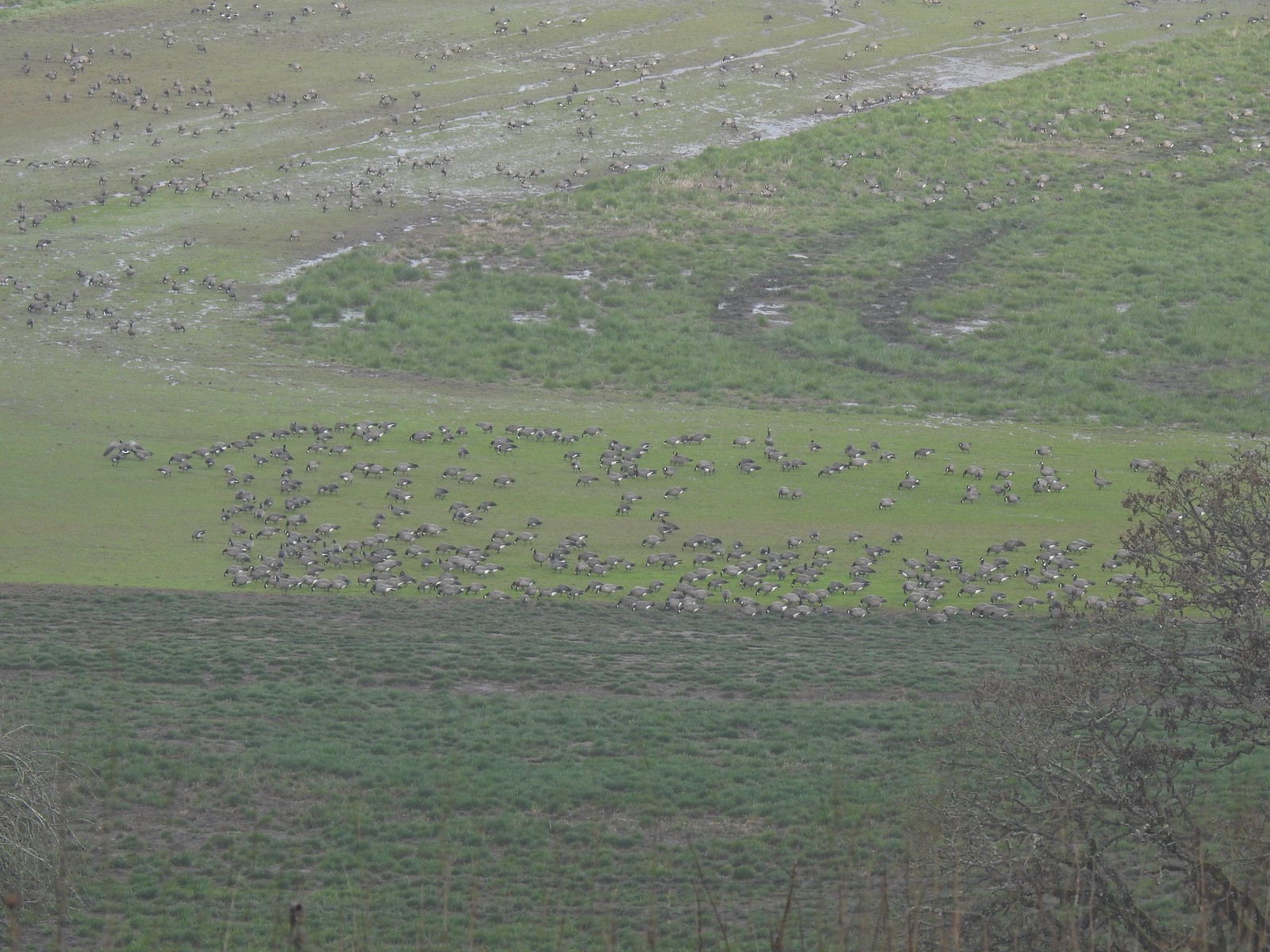 A lot of geese way below the trail.
 I started seeing a lot of toothwort on this side of the loop.
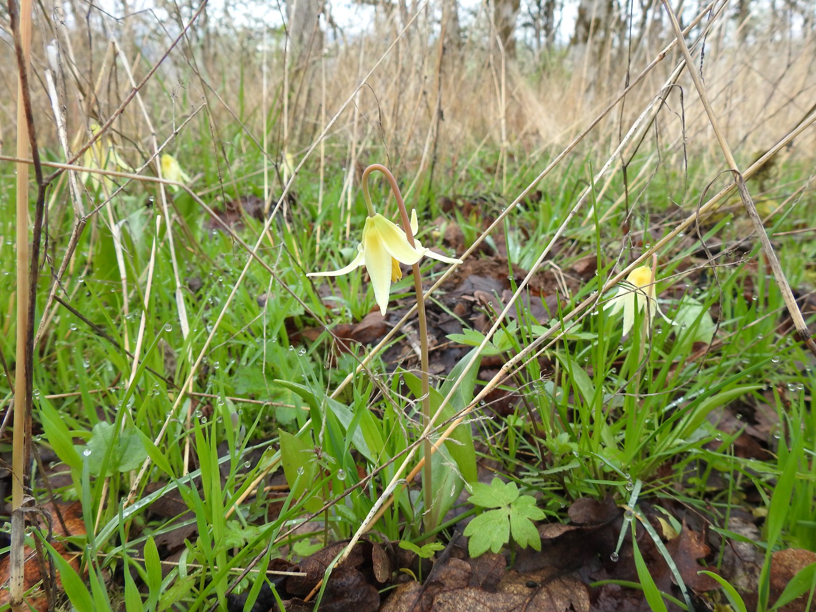 More fawn lilies too.
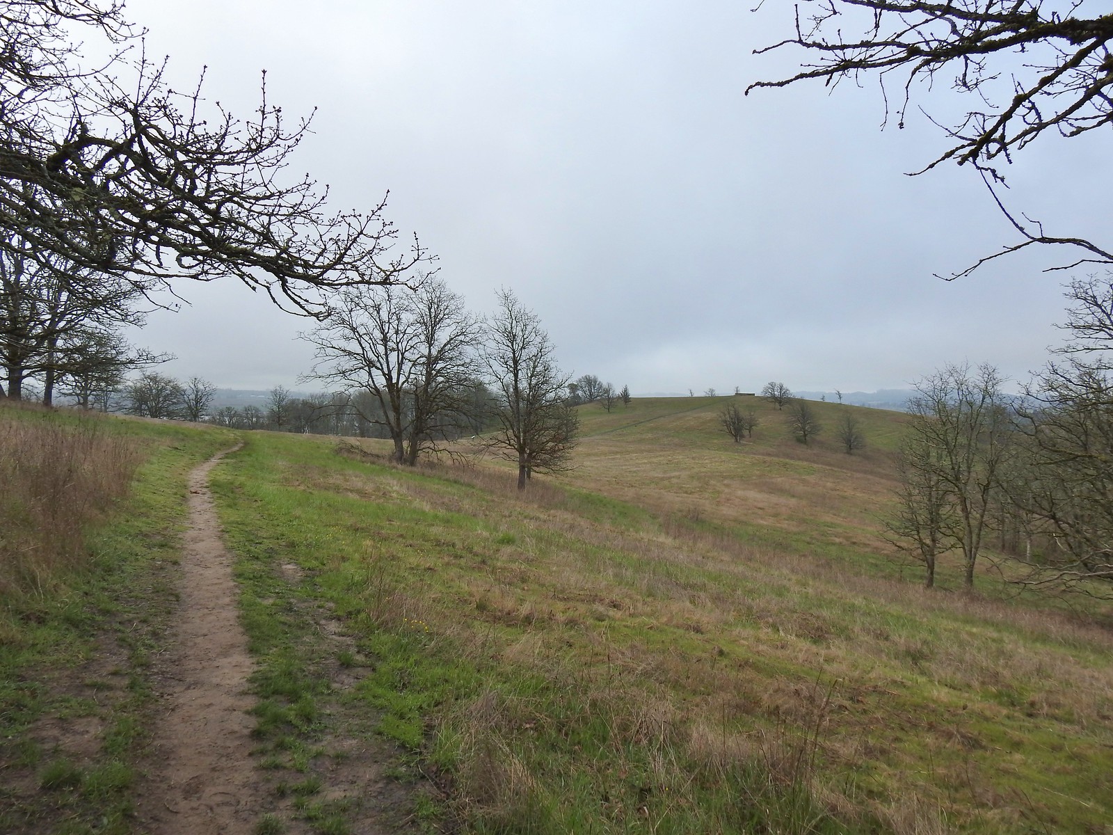 The viewing platform on Baskett Butte to the right.
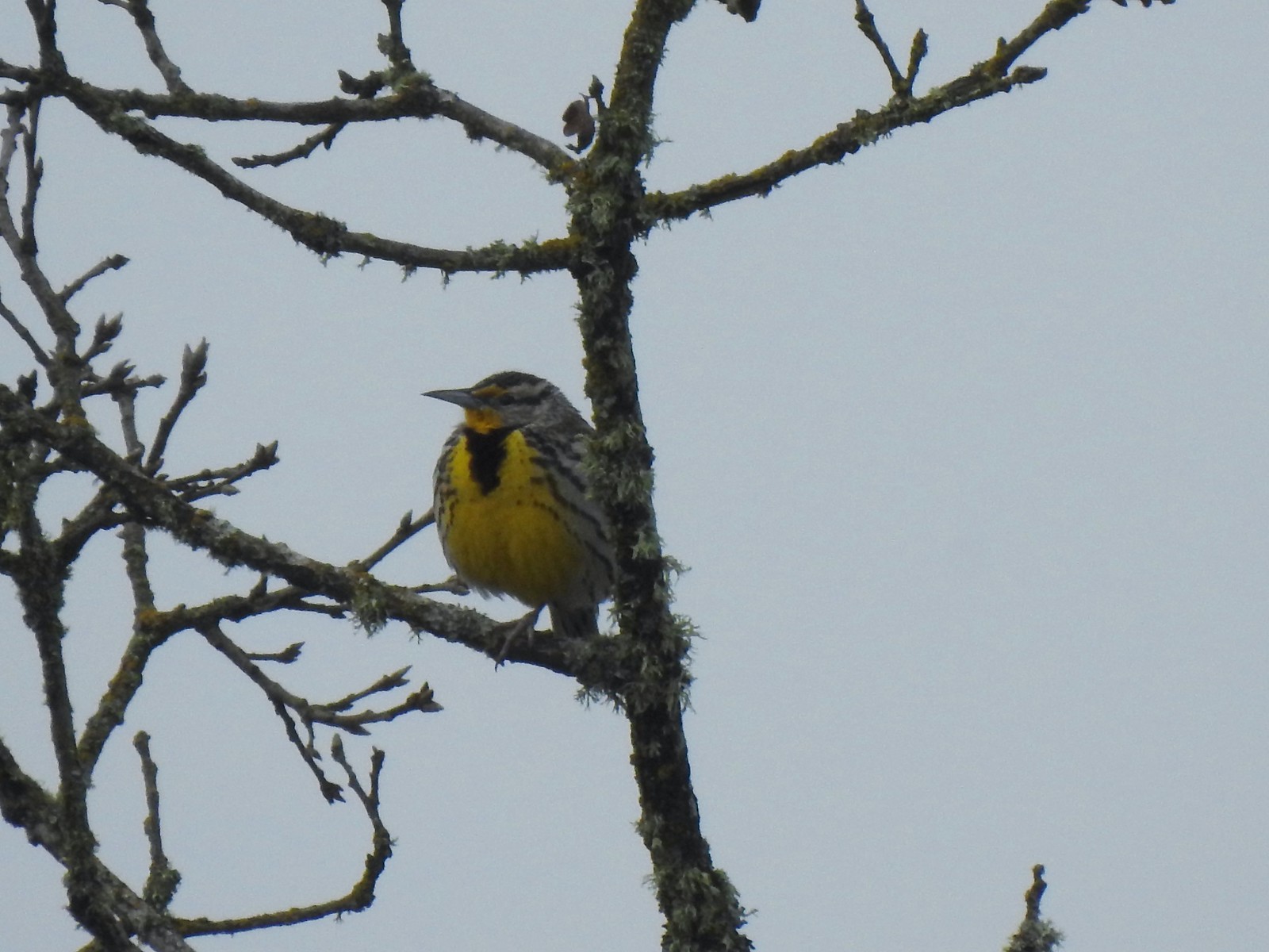 One of several western meadowlarks (Oregon’s state bird) on the butte.
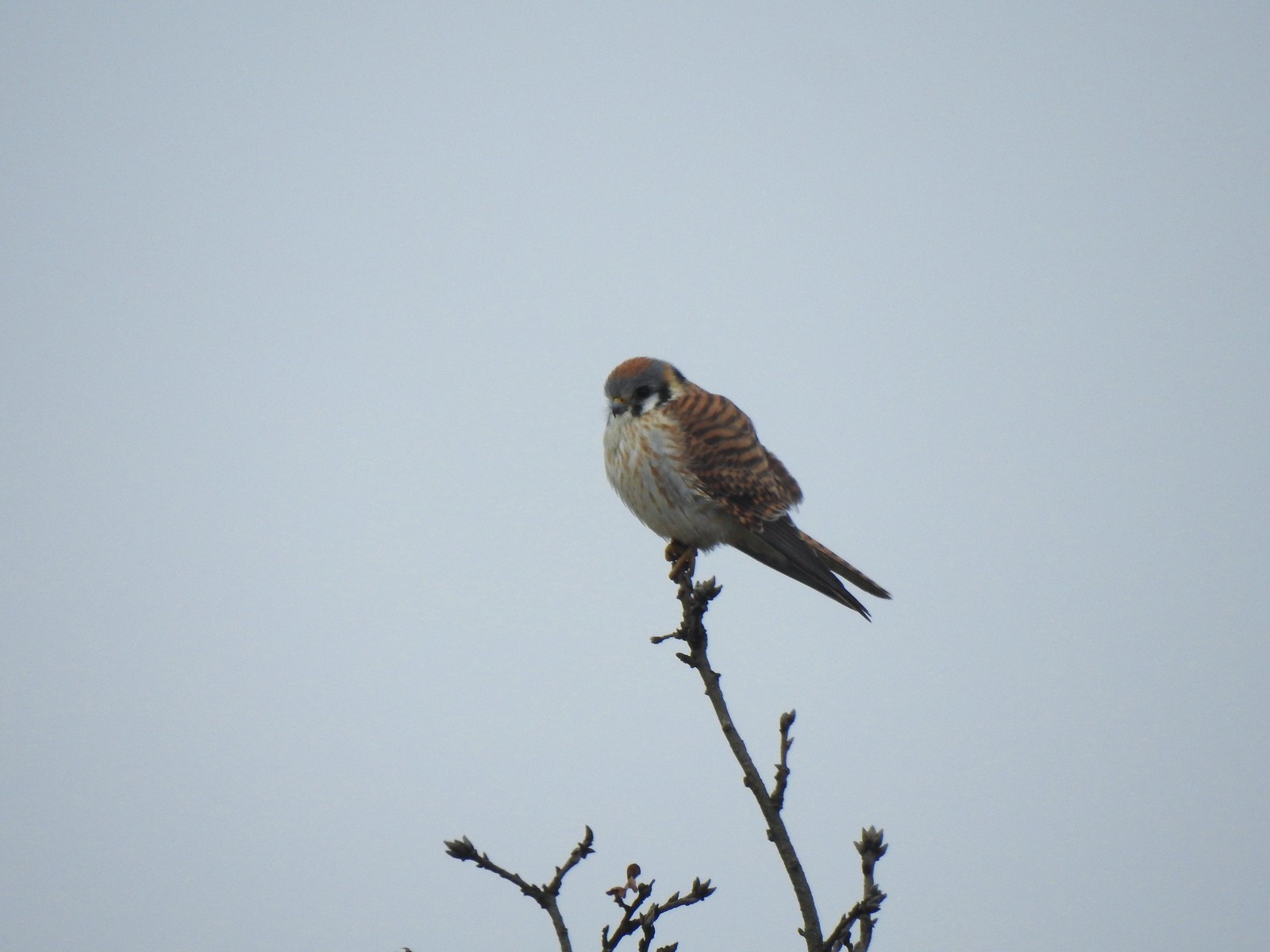 American kestral
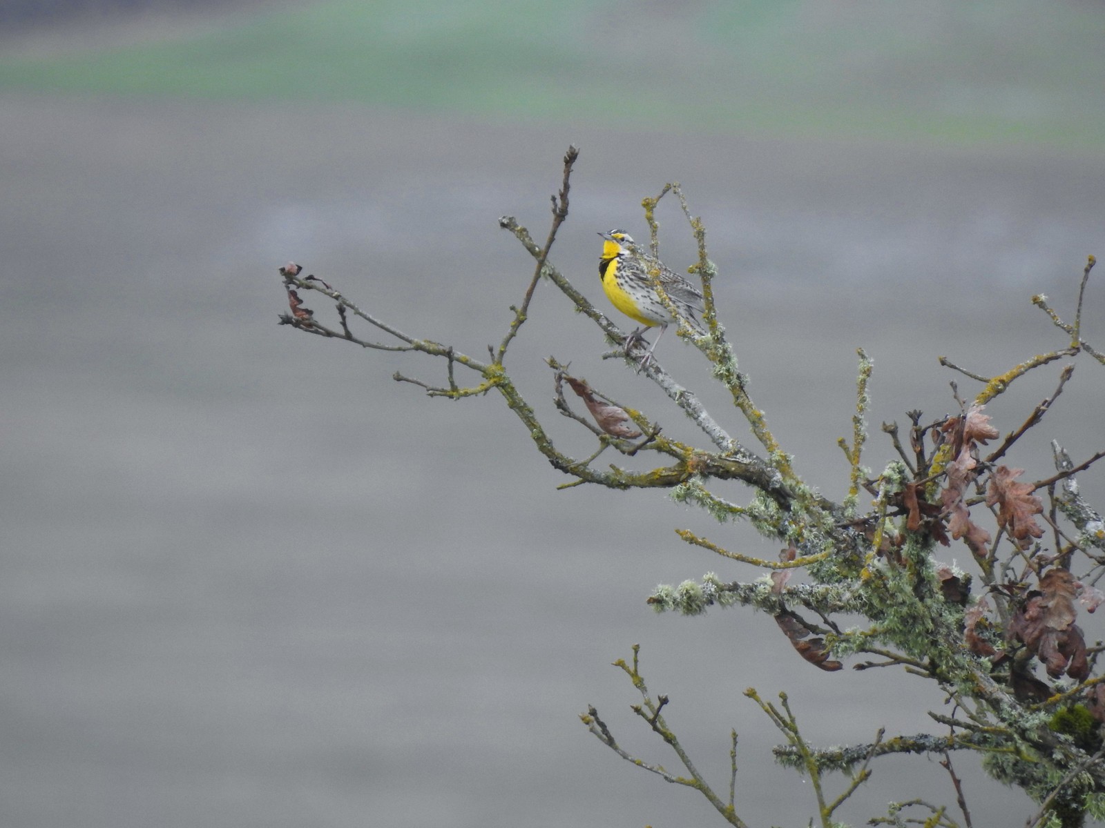 A better look at the yellow on the meadowlarks.
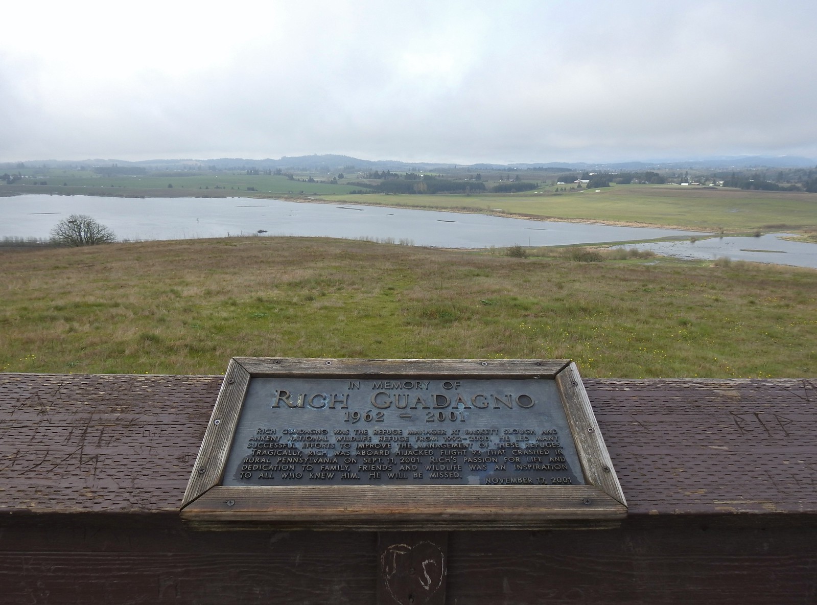 View from the platform.
 Sign along the path.
 More fawn lilies.
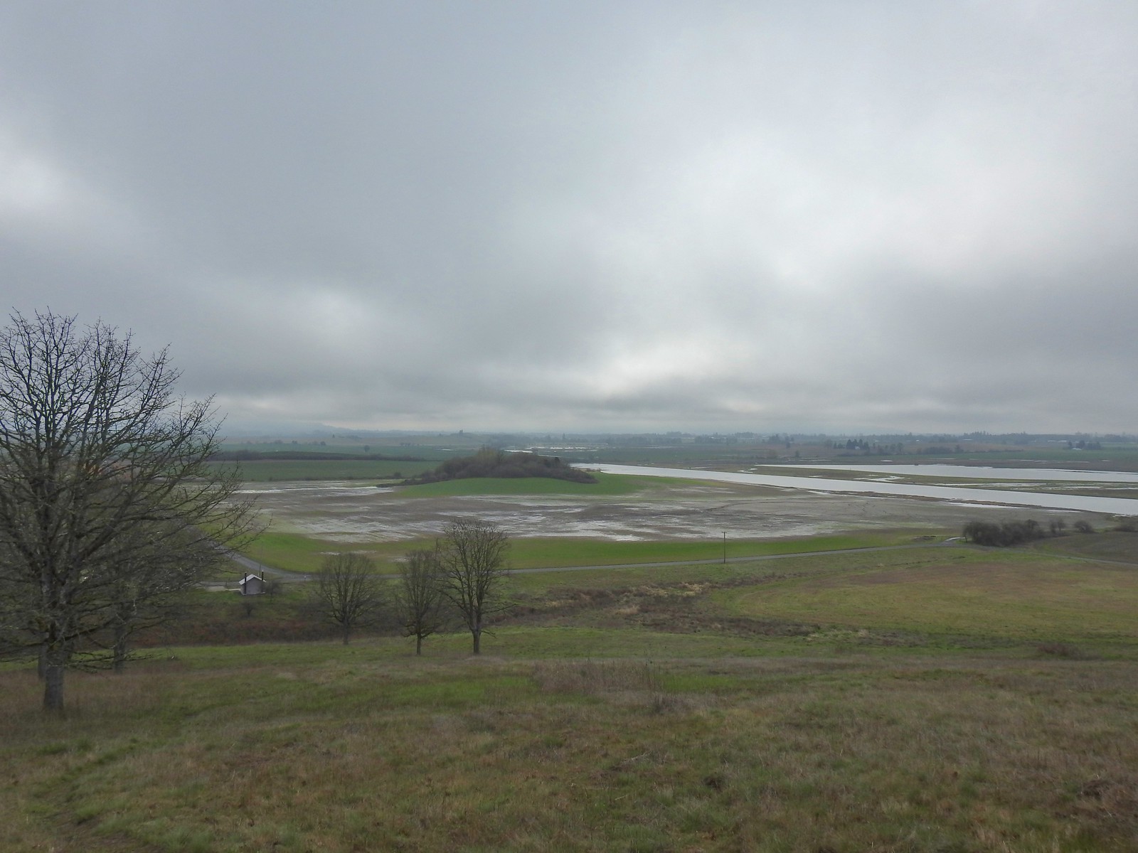 The path leading down toward Coville Road. The outhouse at the Baskett Butte Trailhead is on the left below.
 Baskett Butte from below.
 The trail is simply a dike road that leads to the refuge HQs.
 The headquarters is to the left of the road on the far side of South Slough.
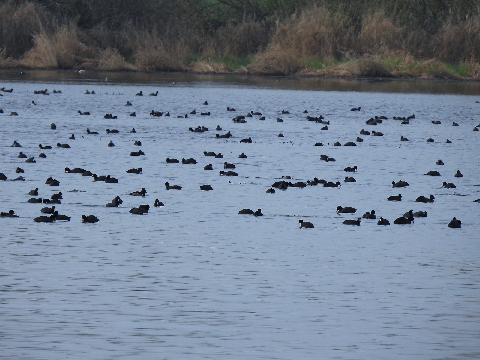 Also a bunch of American coots.
 Northern shovelers
 Buffleheads
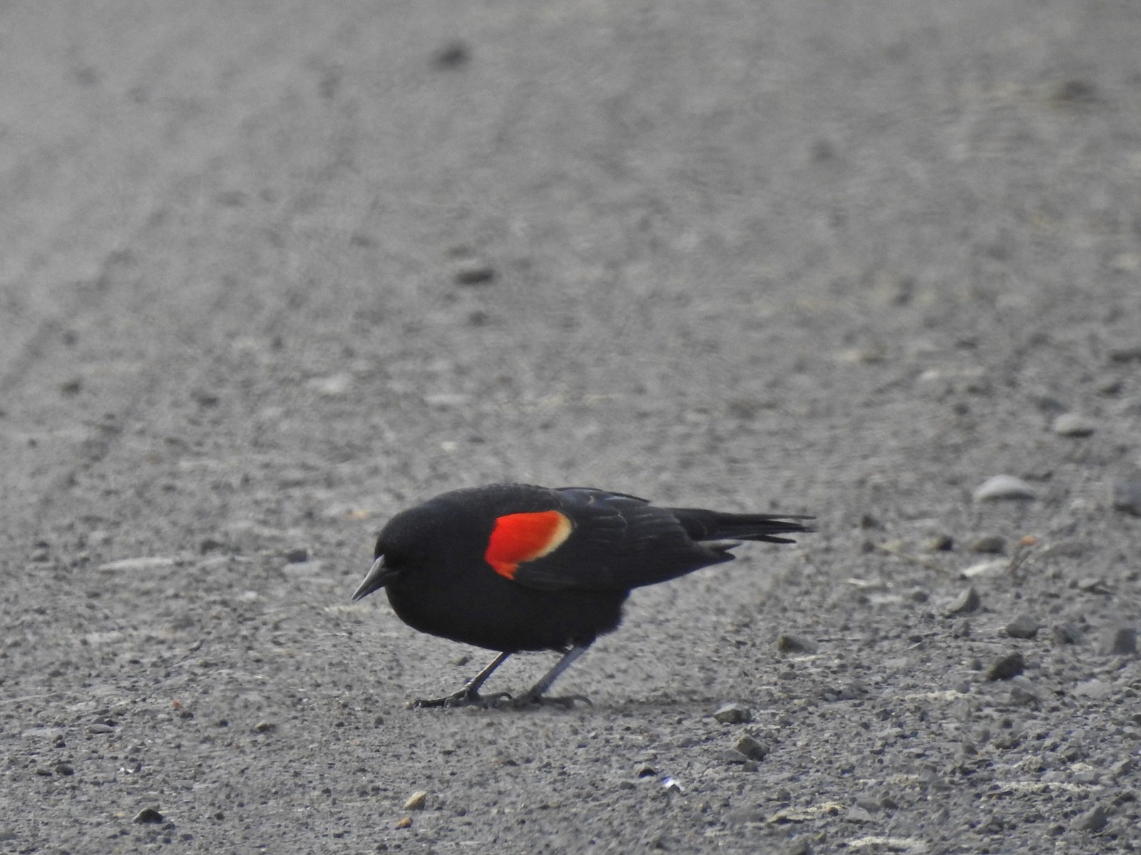 Red-winged blackbird
 Yellowlegs (probably lesser)
 Baskett Butte (left) from my turn around point.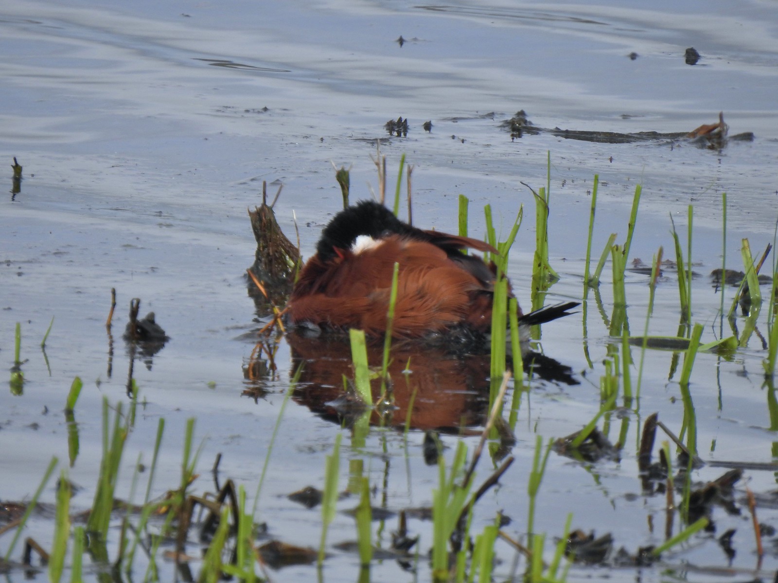
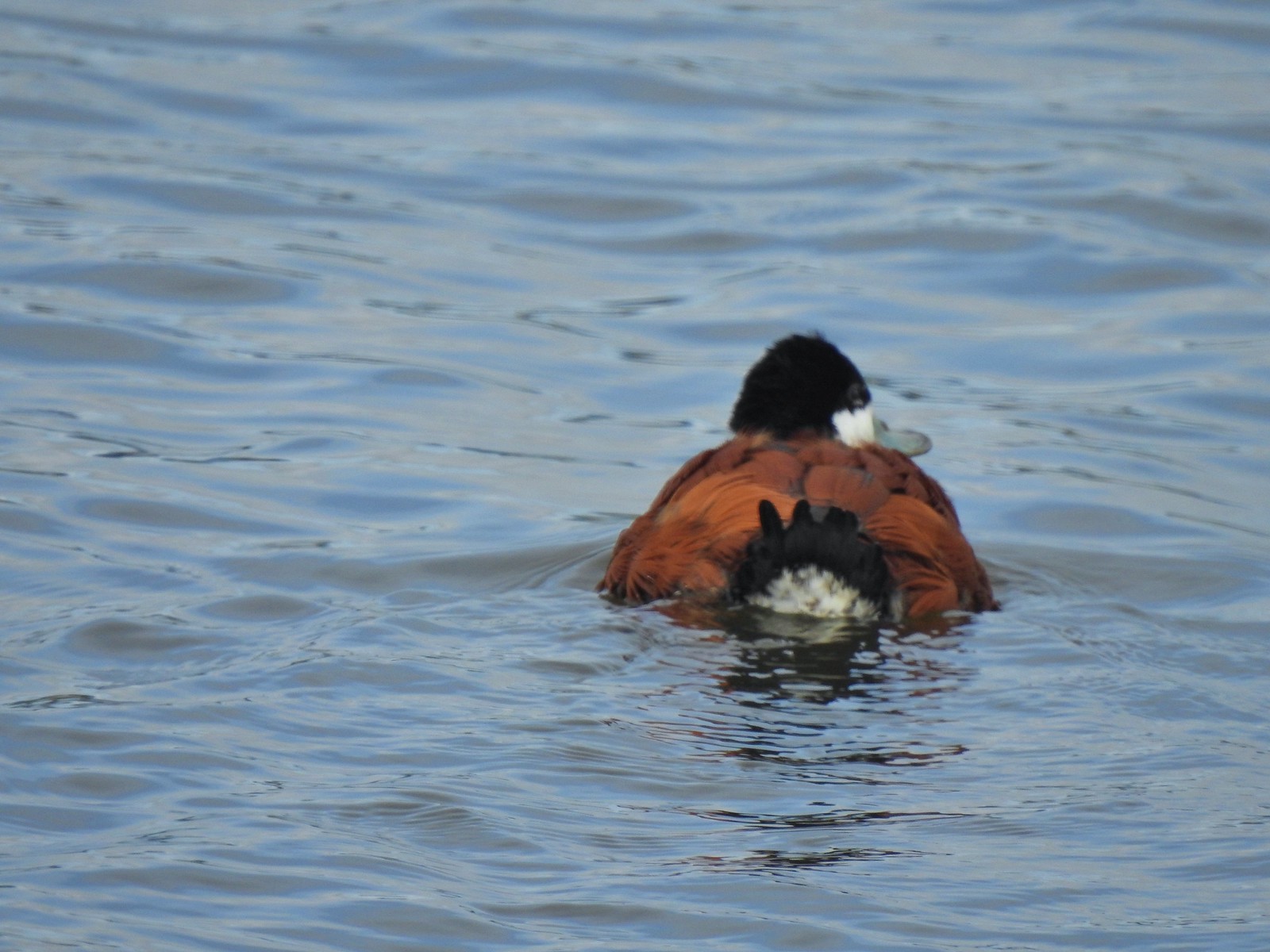 The ruddy duck woke up after all the American coots headed off.
 Savannah sparrow
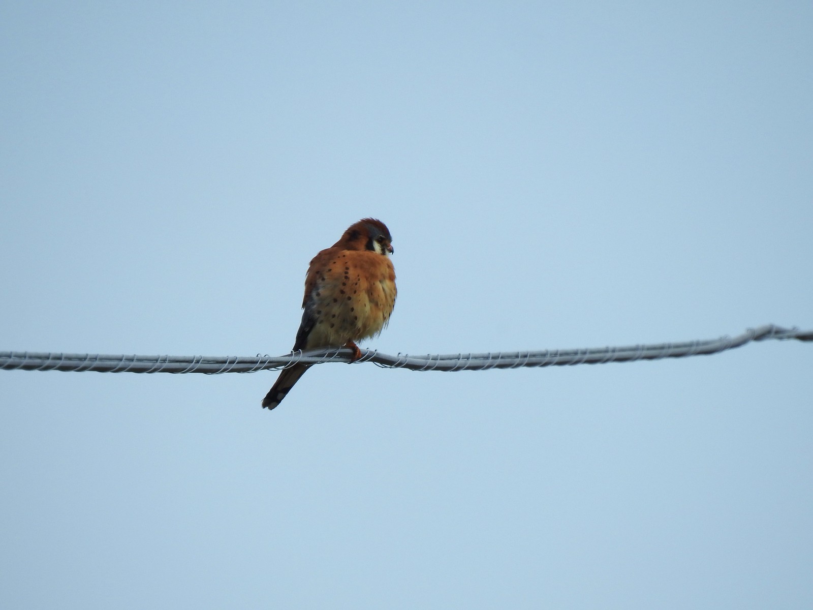 One more American kestral


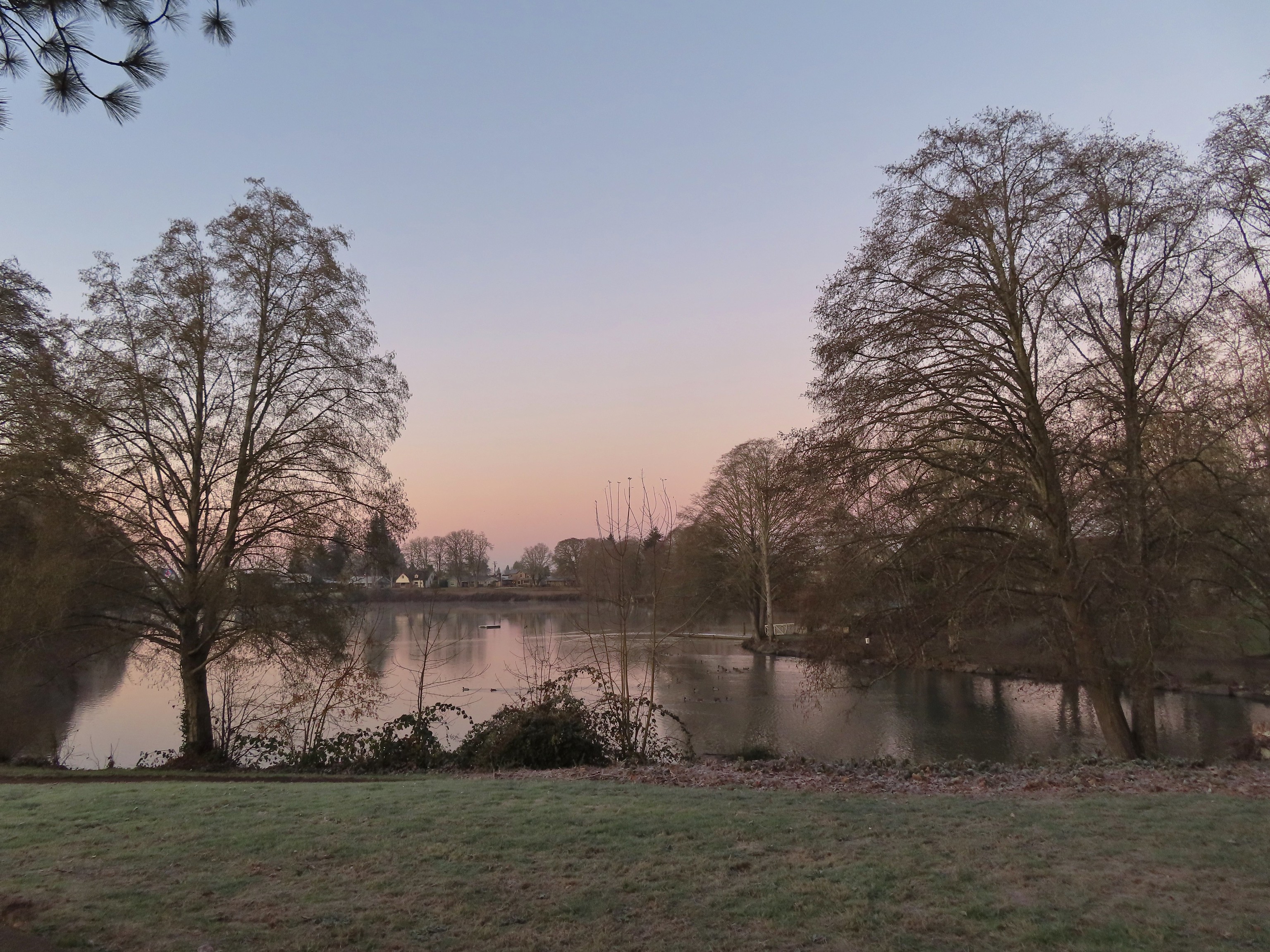 Waverly Lake at sunrise.
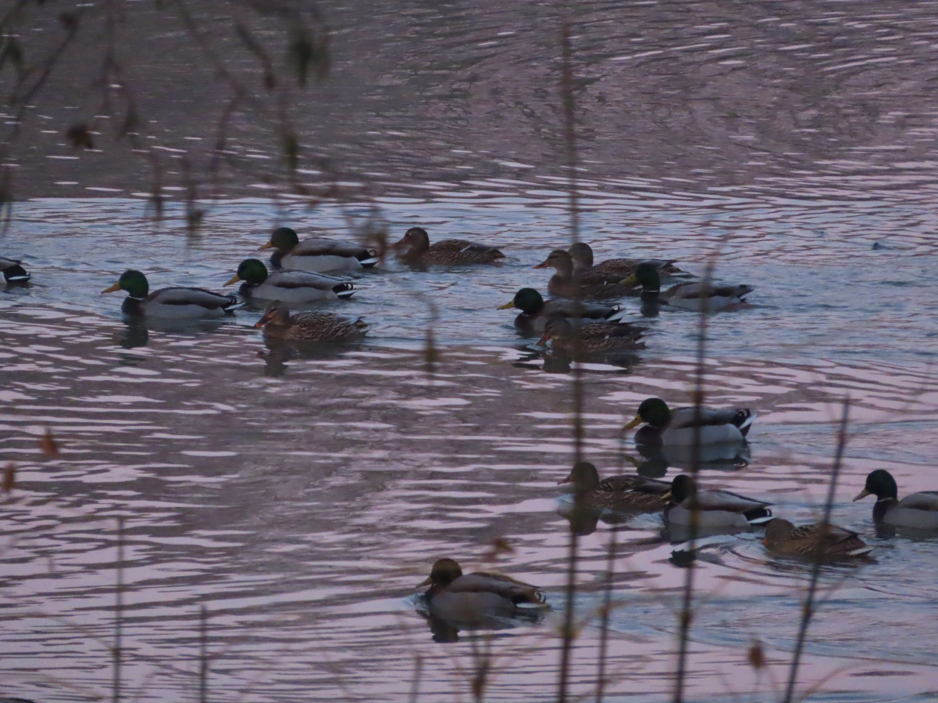 Mallards
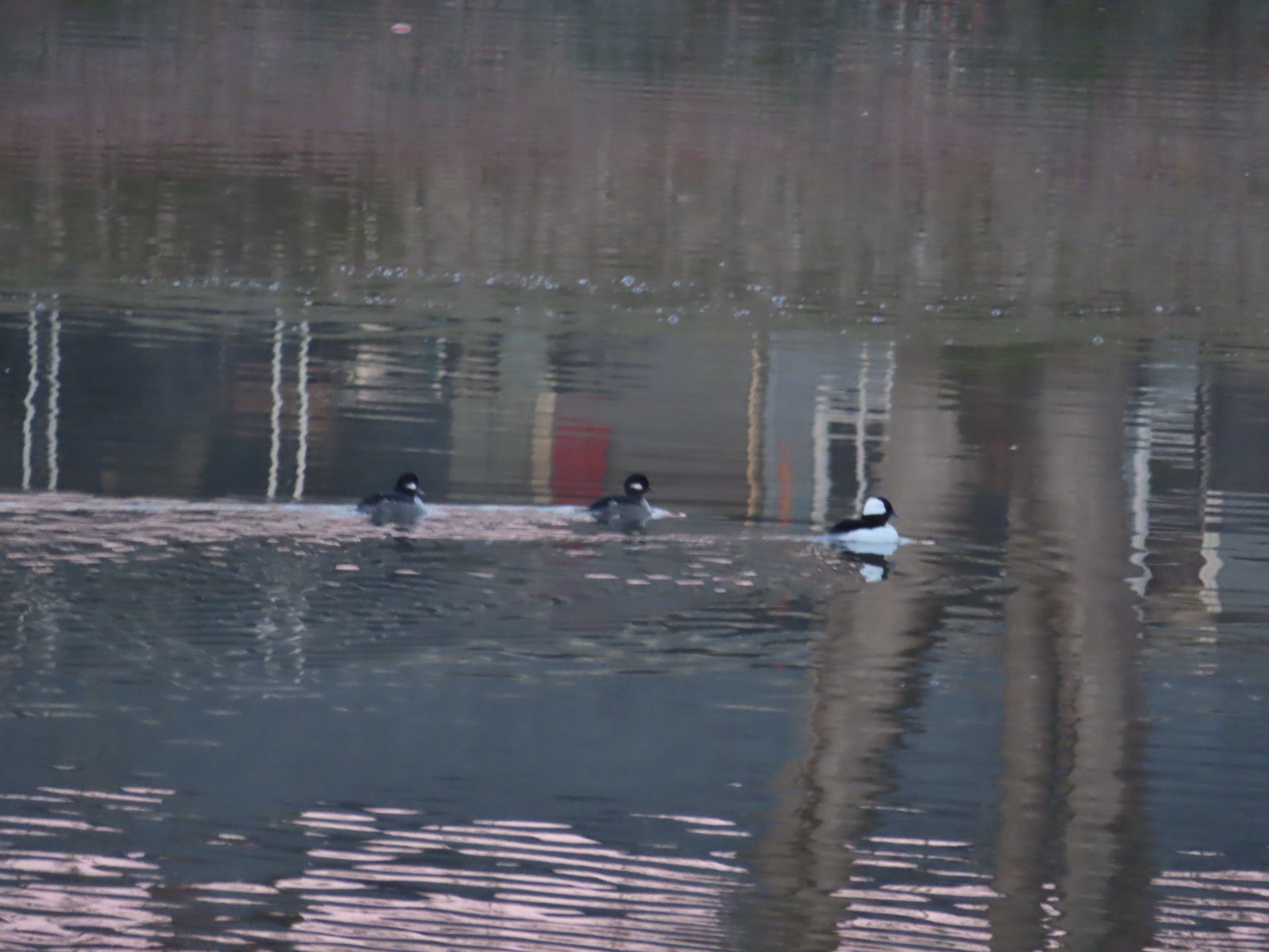 Buffleheads
 I think this is a ruddy duck.
 American coots
 Guessing these are some sort of domestic/mallard? crossbreeds. Very interesting looking.
 More mallards near Cox Creek
 Cox Creek flowing toward Waverly Lake.
 Nearing the outlet of Cox Creek.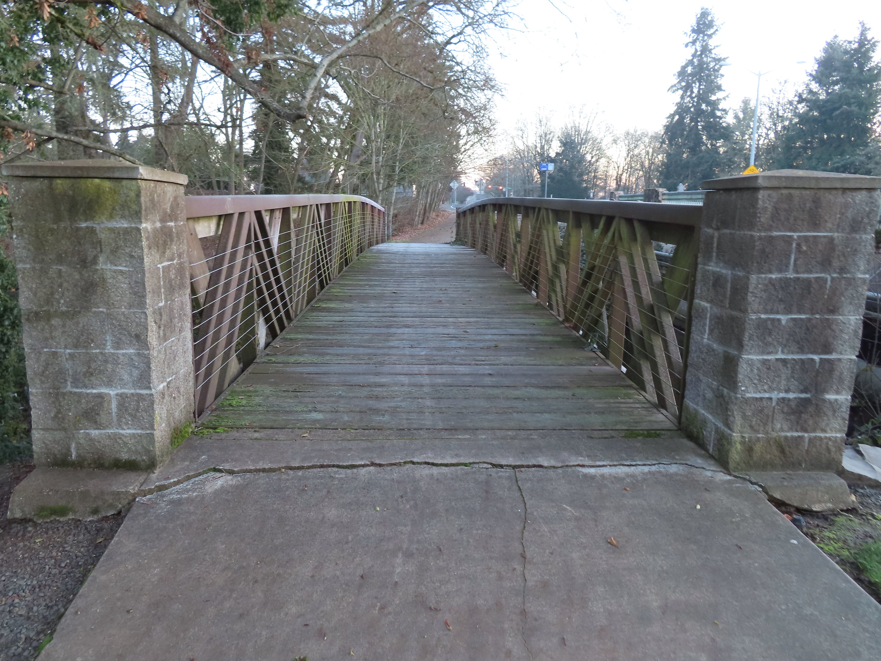
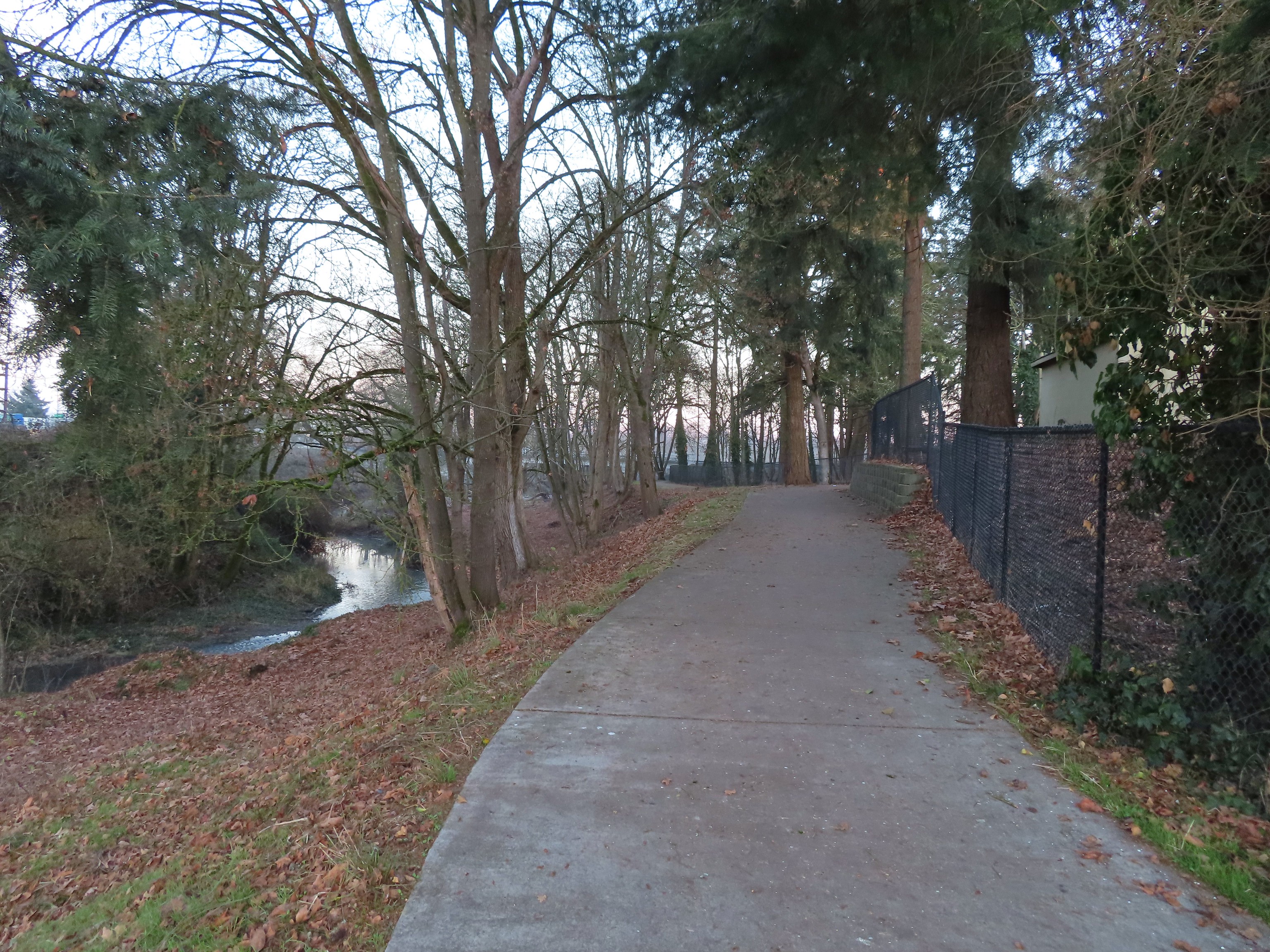
 We almost got off-track here. This path on the right (just after passing under some railroad tracks) does lead into the wetlands but it wasn’t part of the Oregon Hikers described hike.
 One of several interpretive signs along the trails.
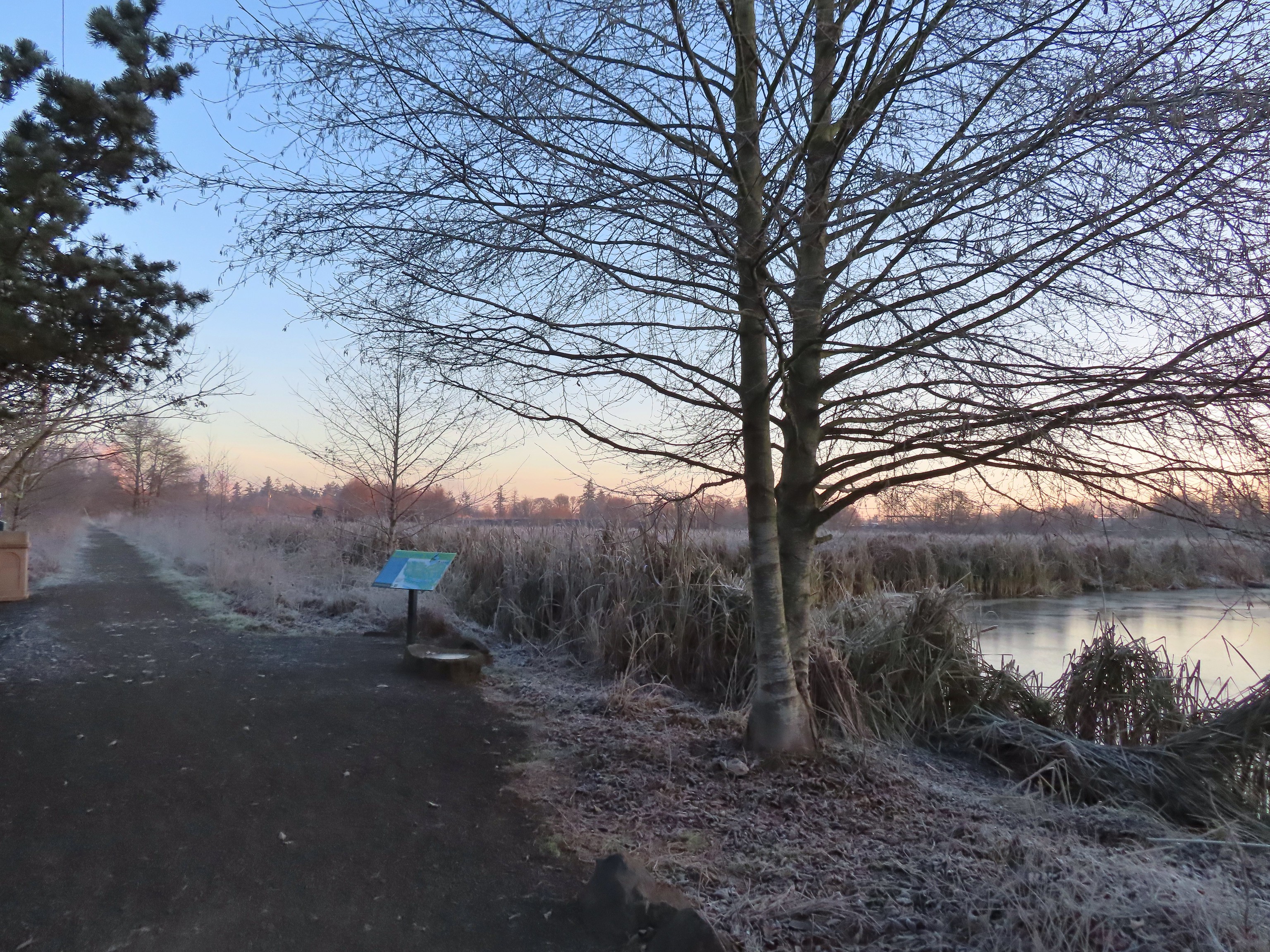
 Frosty leaves, it had been a chilly 28 degrees when we started out.
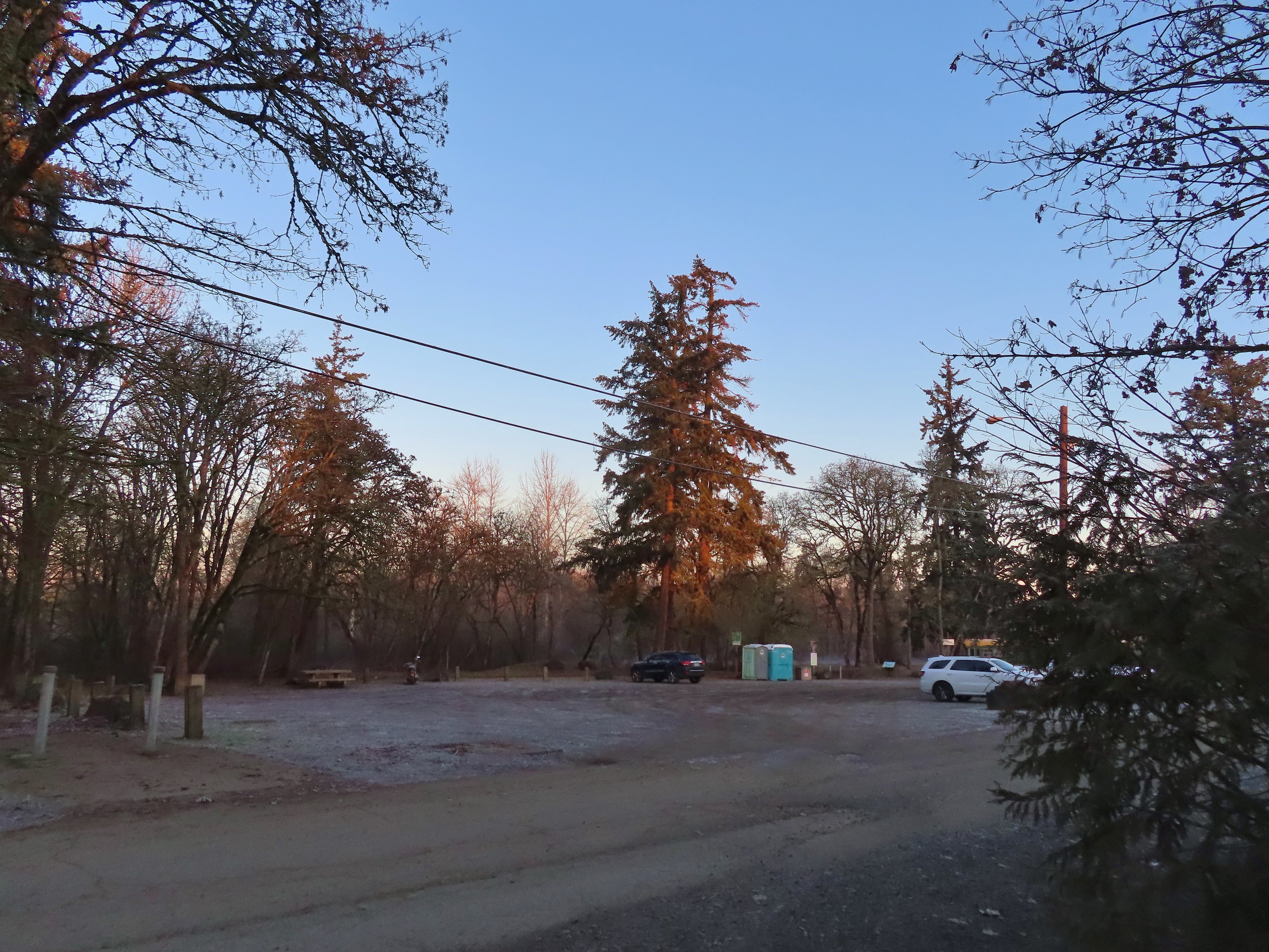 Simpson Park
 The Simpson Park Trail is a 1 mile out and back along the Willamette River. It also offers access to the Riverfront Trail which one could follow SW almost 3.5 miles to Monteith Riverpark at the mouth of the Calapooia River. With Heather being limited to shorter hikes for now that wasn’t an option today but will be something we look forward to trying in the future.
 Map on a welcome sign.
 Frozen leaves


 American wigeons
 Bald eagle fly over
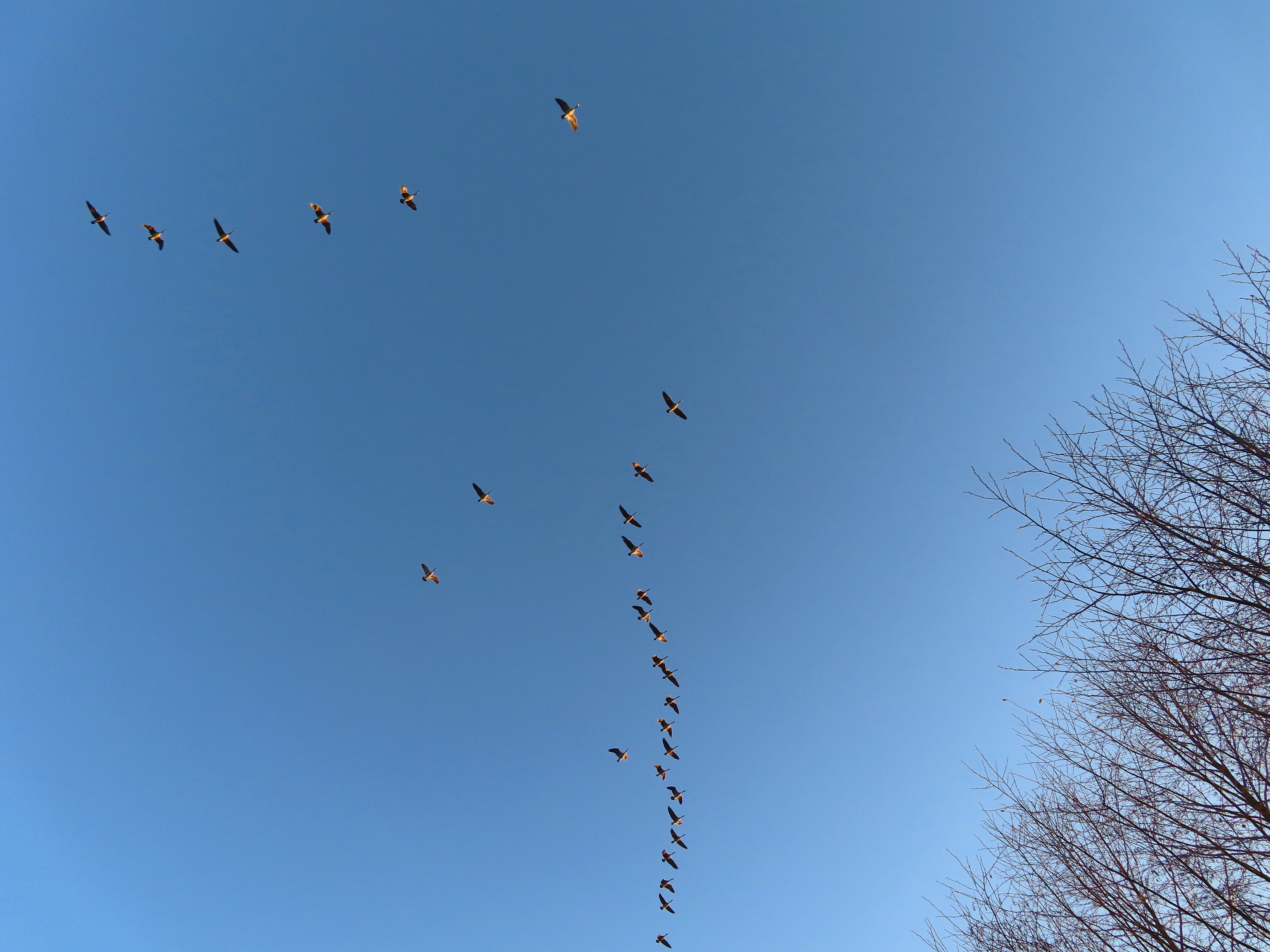 Flock of geese flying over
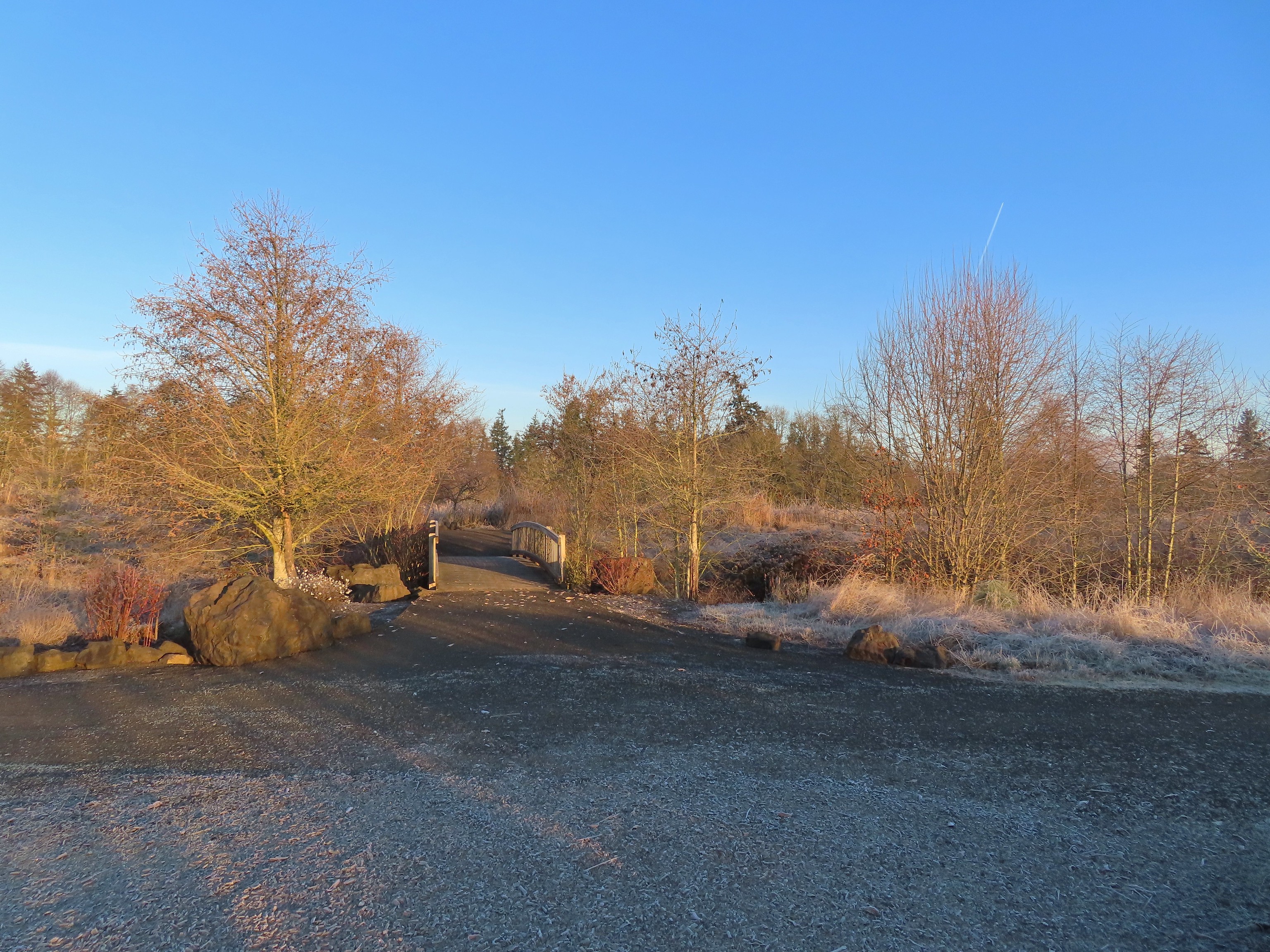 One of many unsigned intersections.
 Robin
Robin One of two memorials in the gardens.


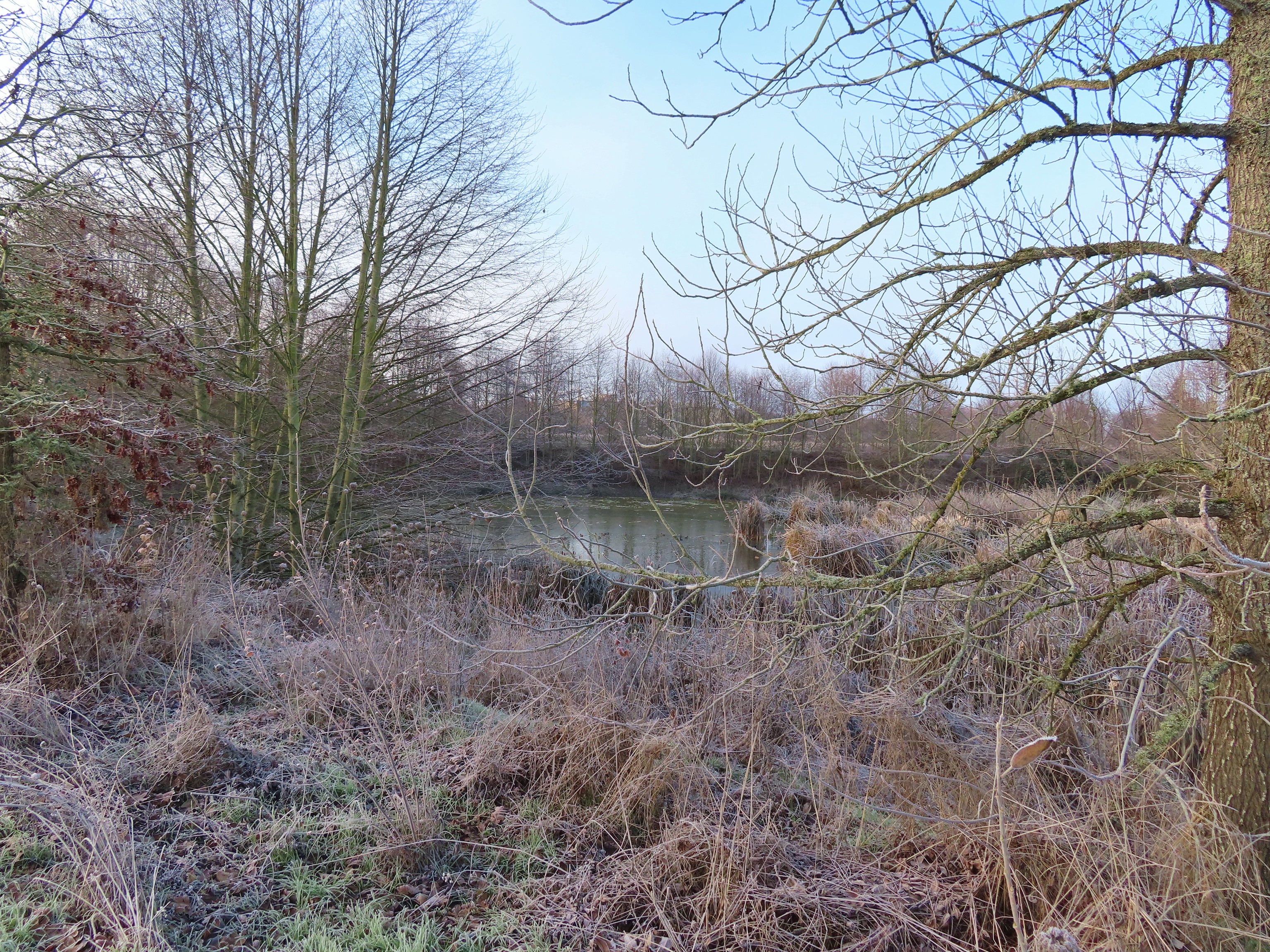
 Bufflehead
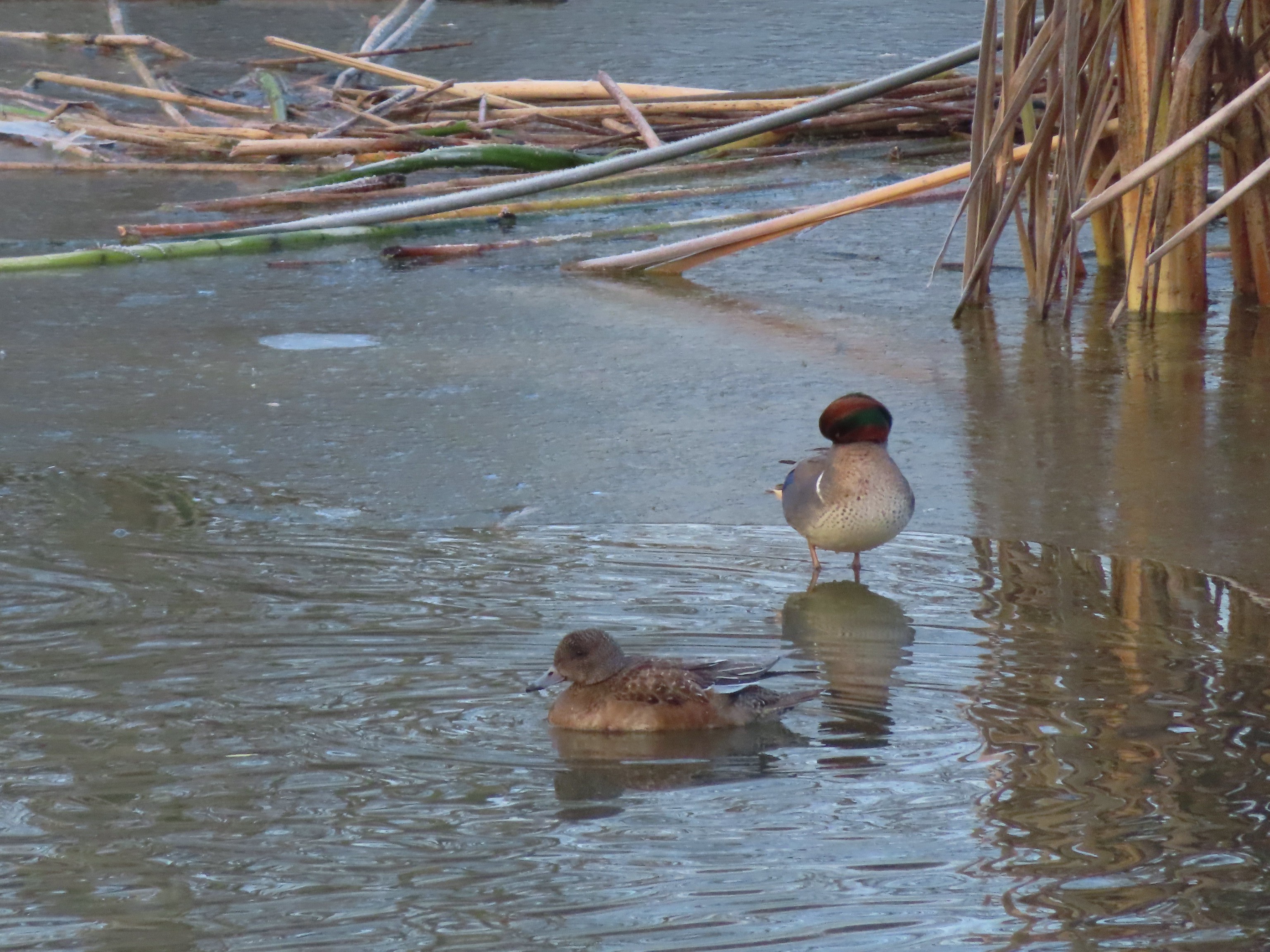 Green winged teal
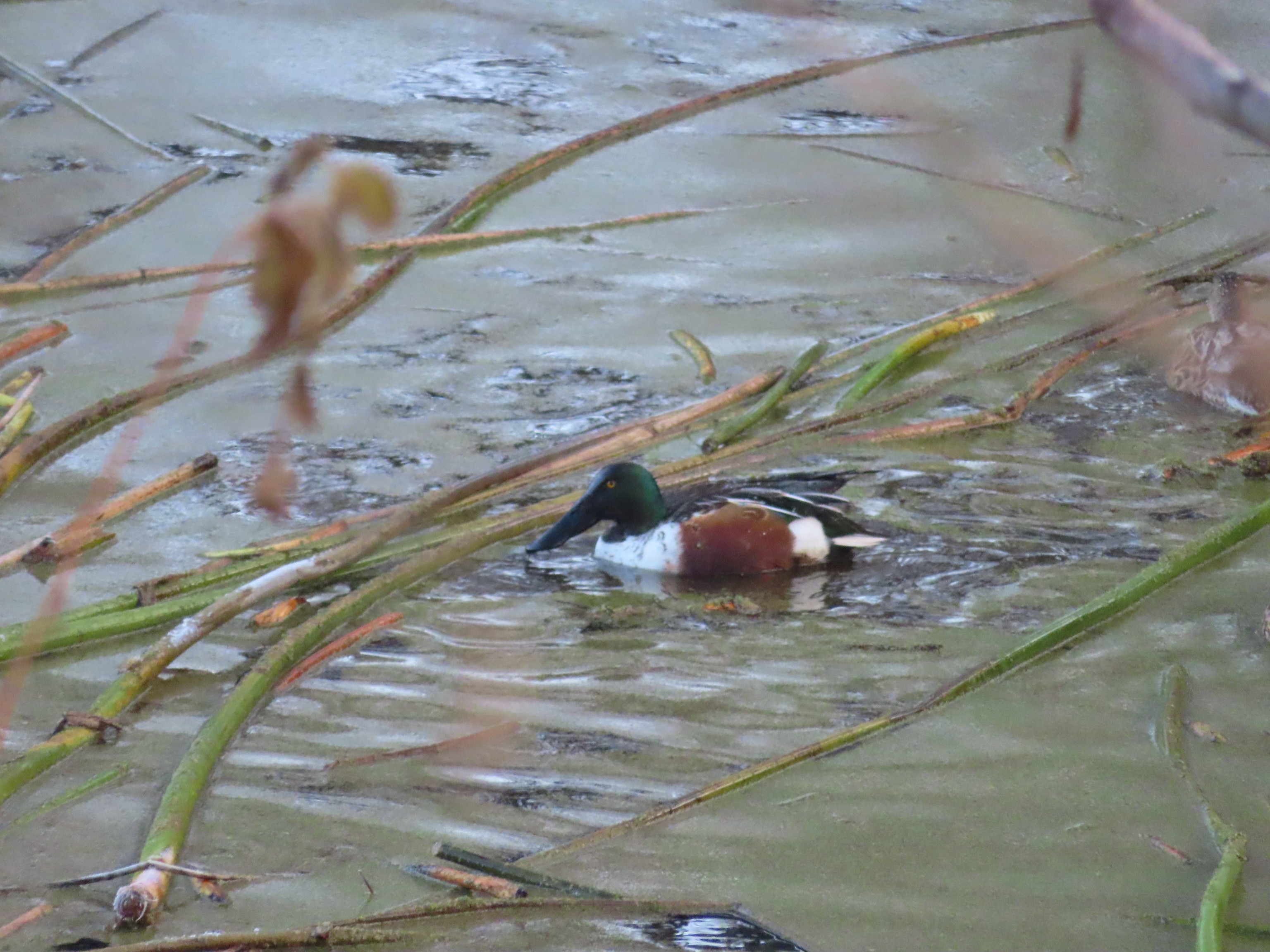 Northern shoveler
 Frost
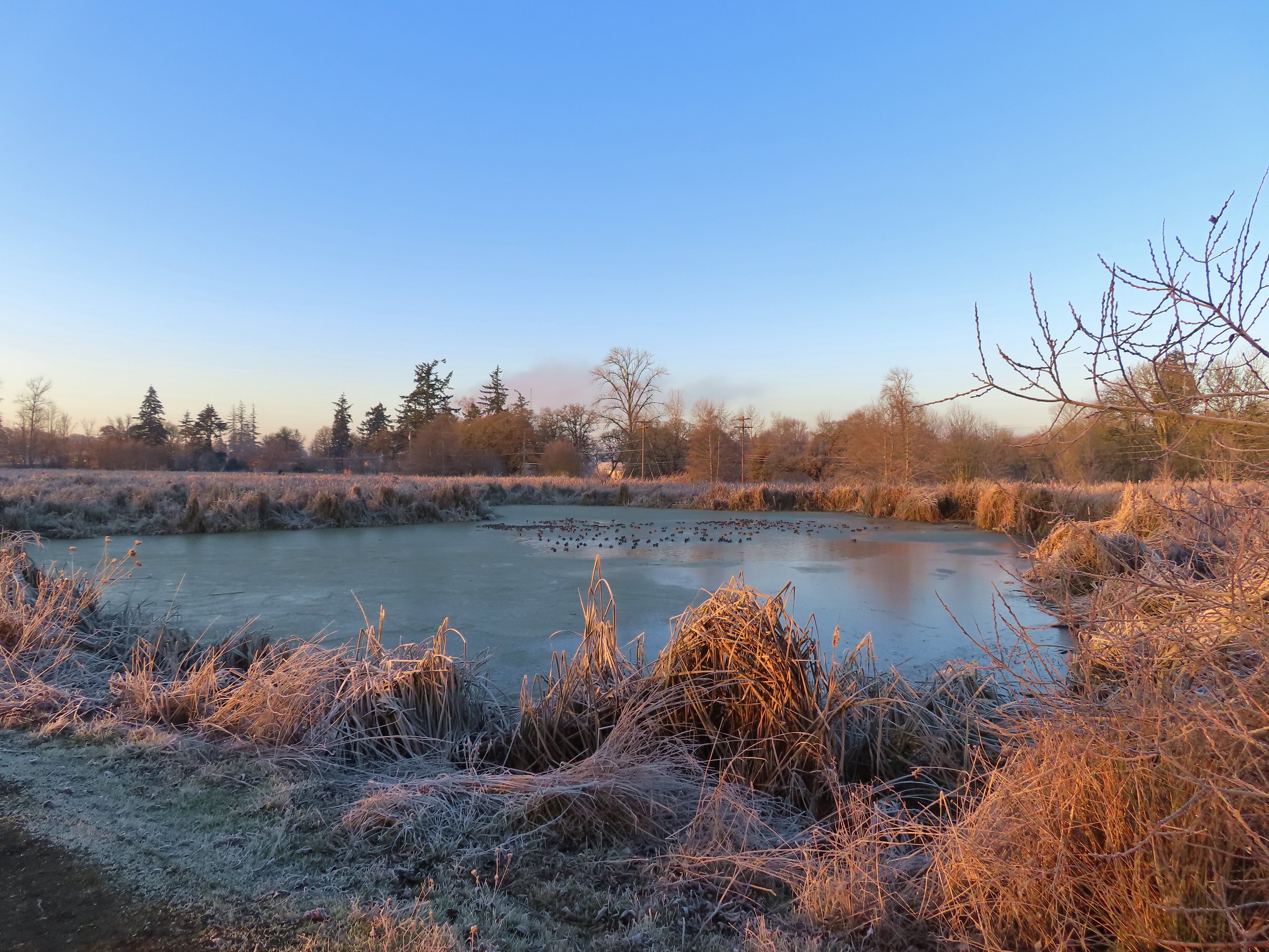
Frost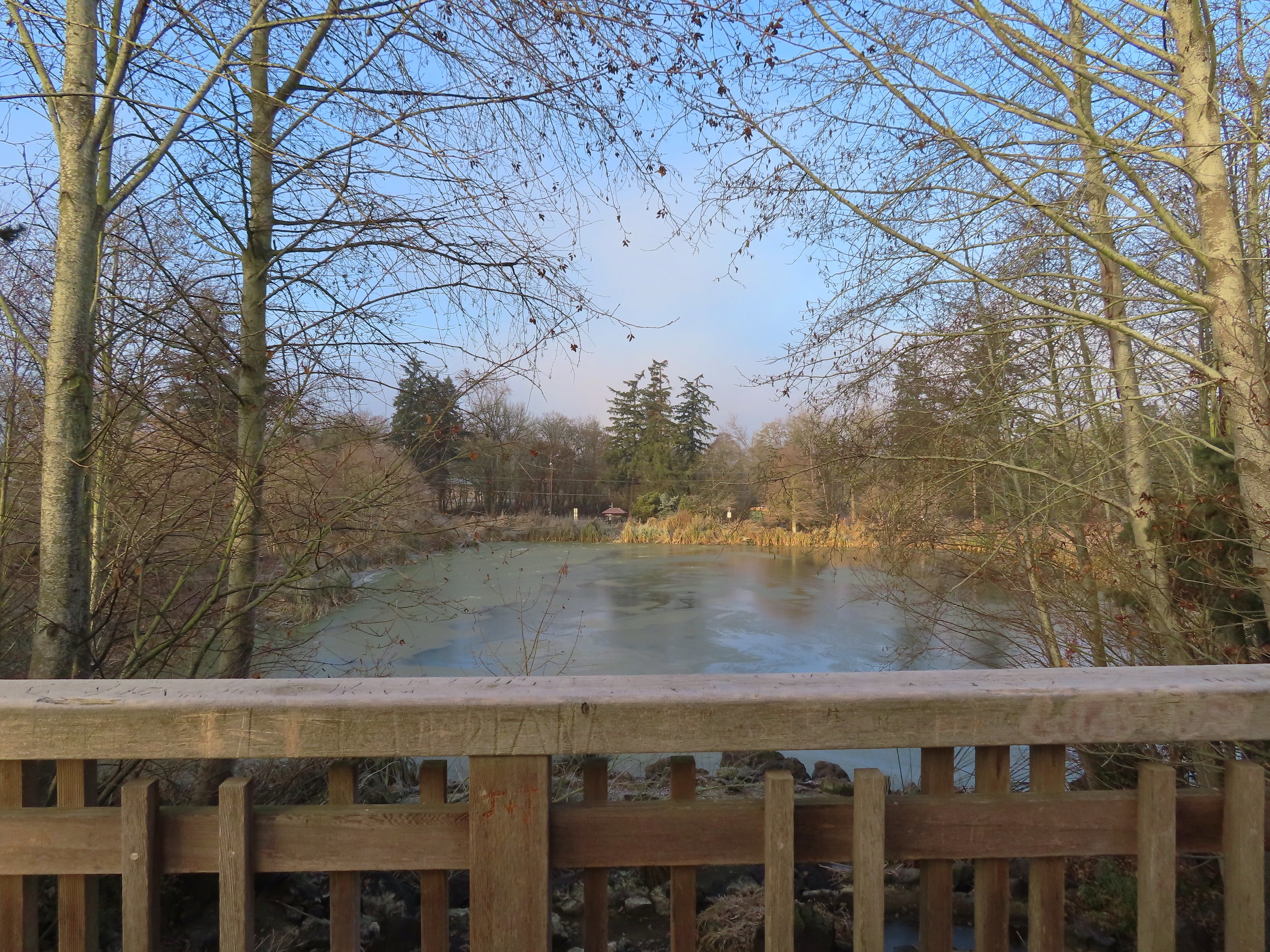 Simpson Park across a pond.
 Fishermen heading into the fog at Waverly Lake.
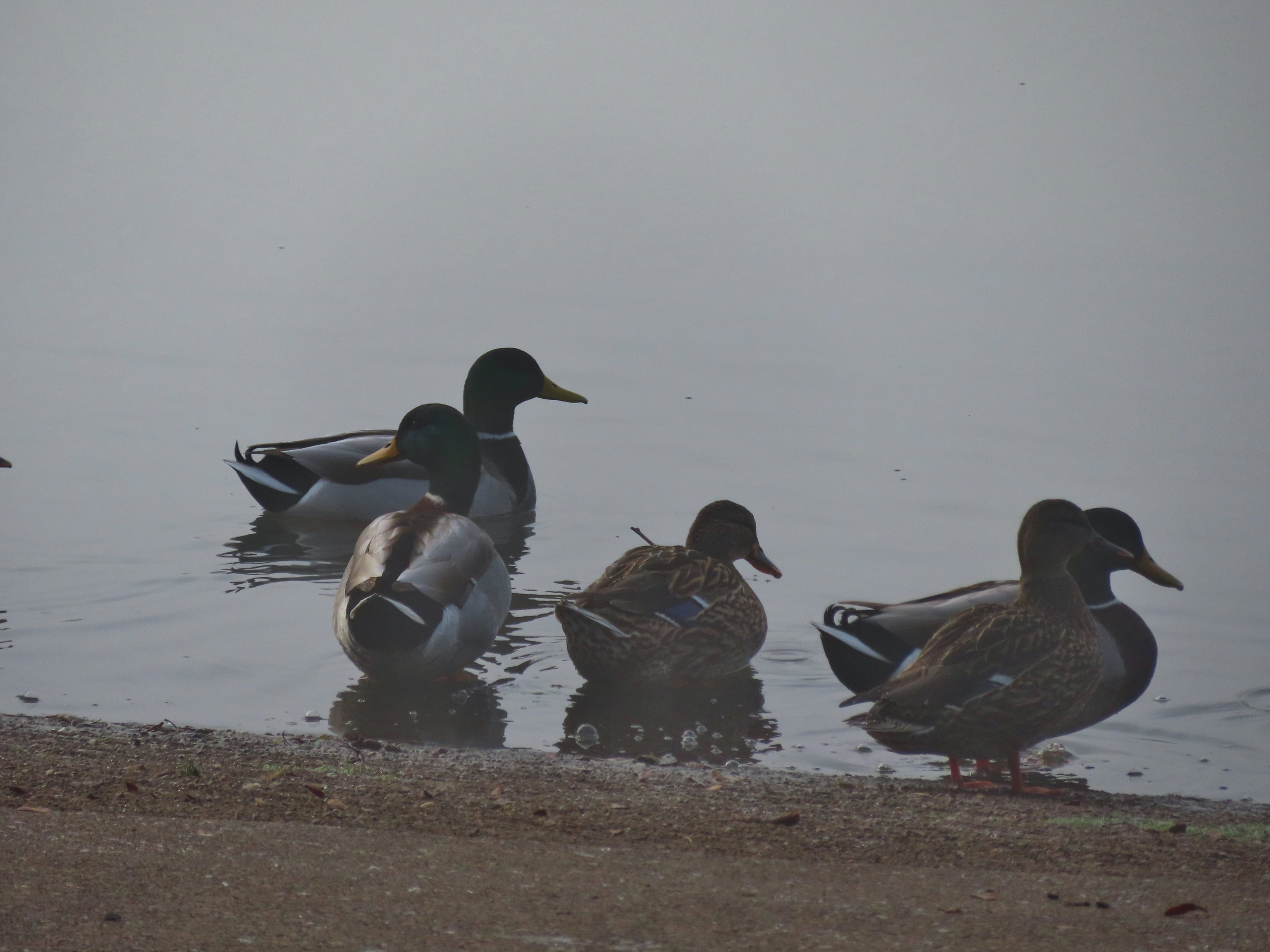 Mallards hanging out in the fog.
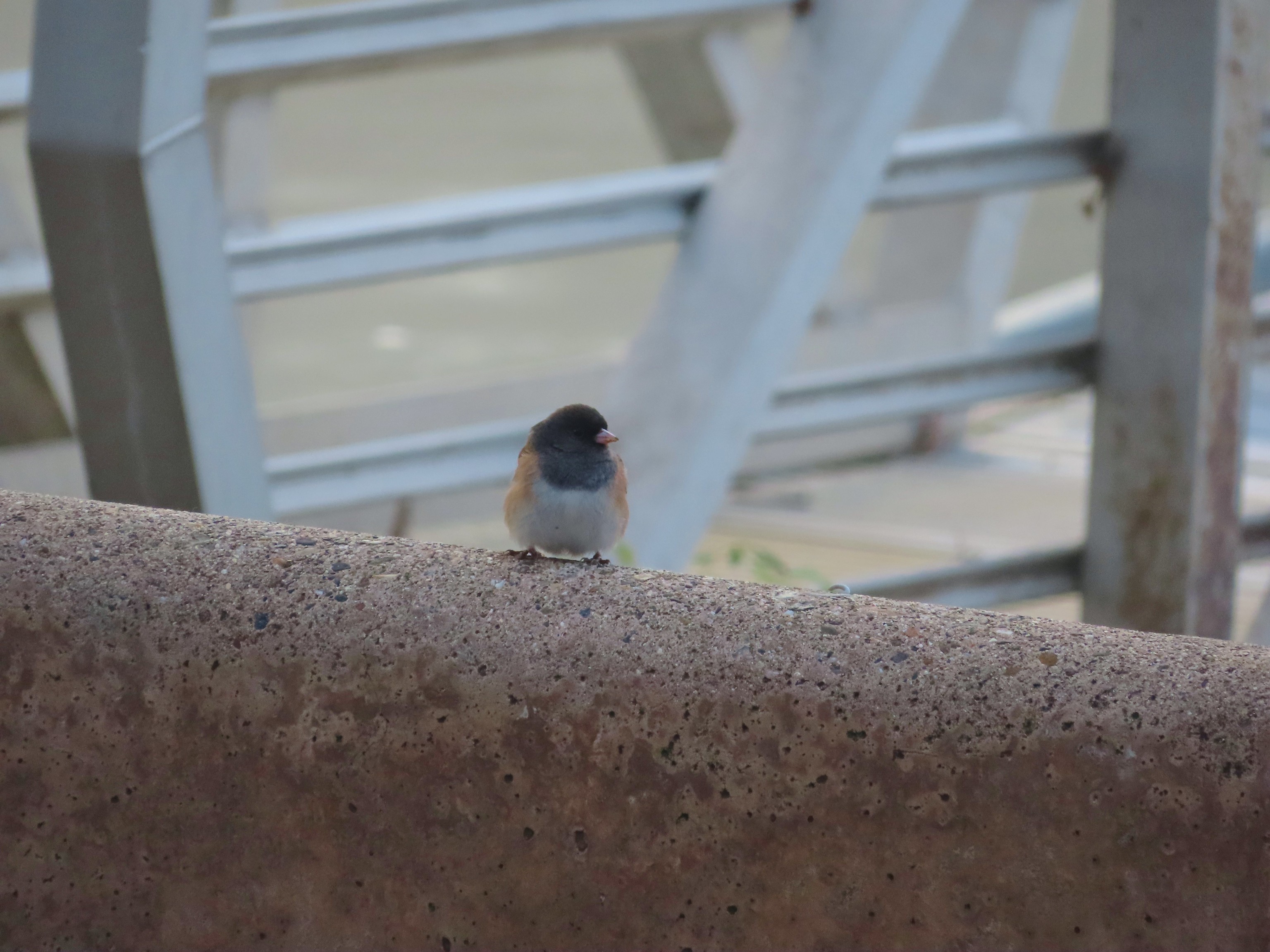 Dark eyed junco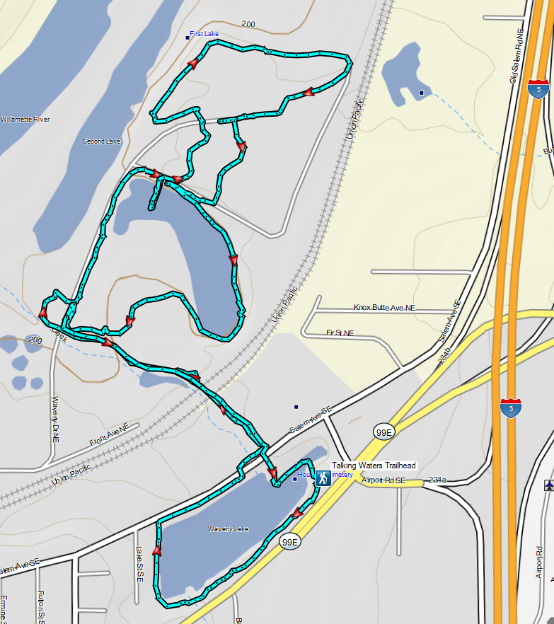

 A lot more blue in the sky than I had expected to see.
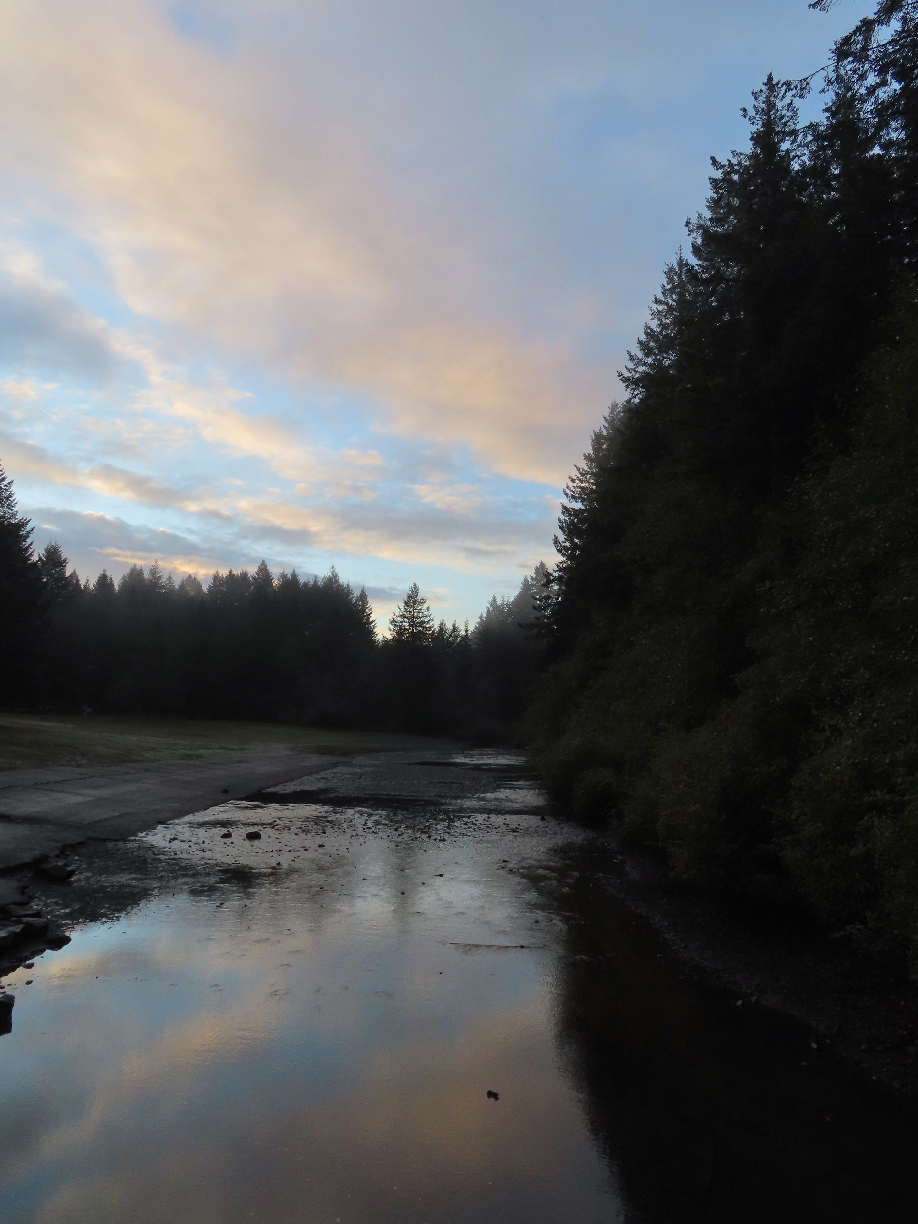

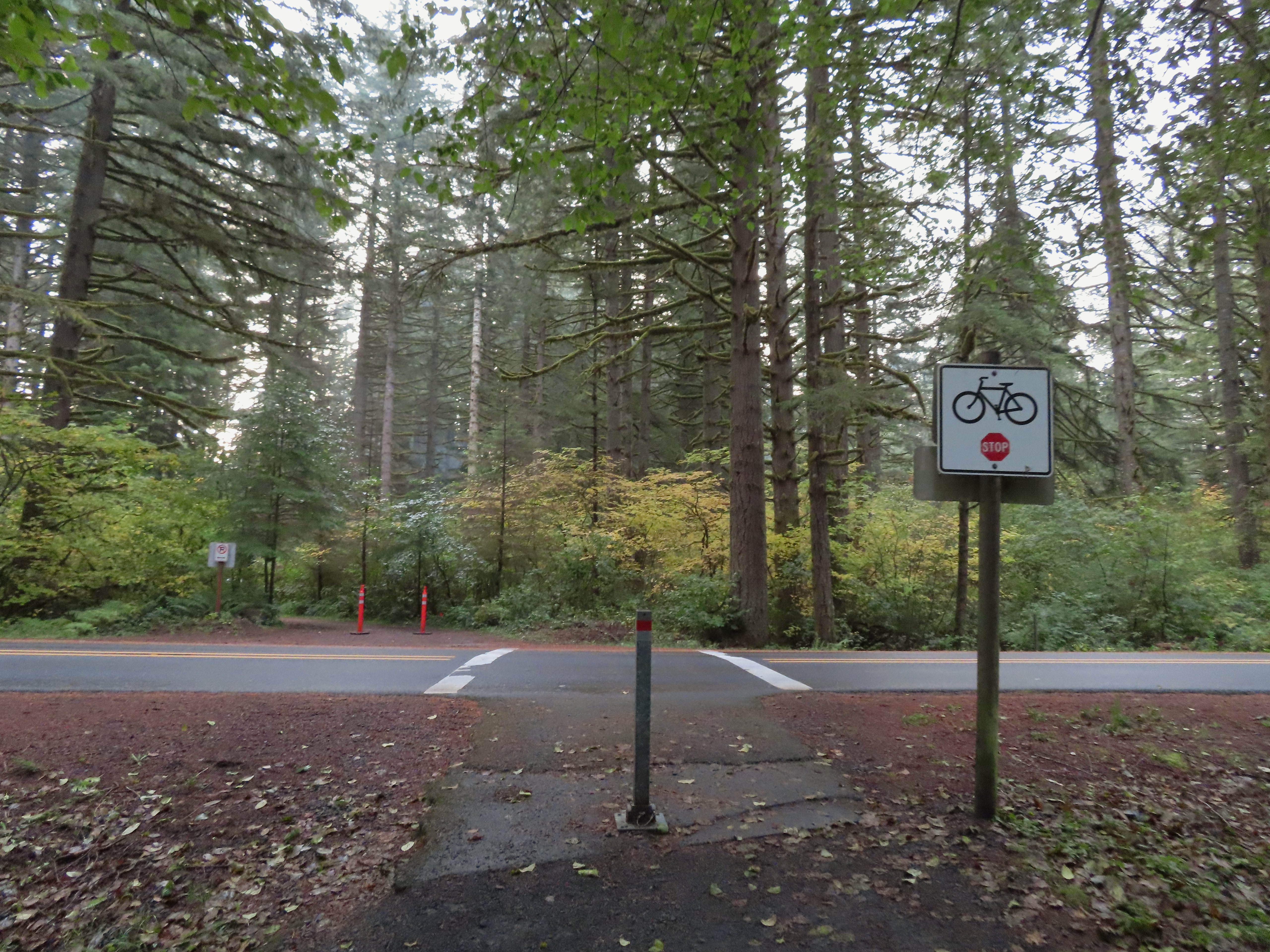 Crossing Highway 214 to the campground.
 I detoured left to check out this bridge over Howard Creek.
 Howard Creek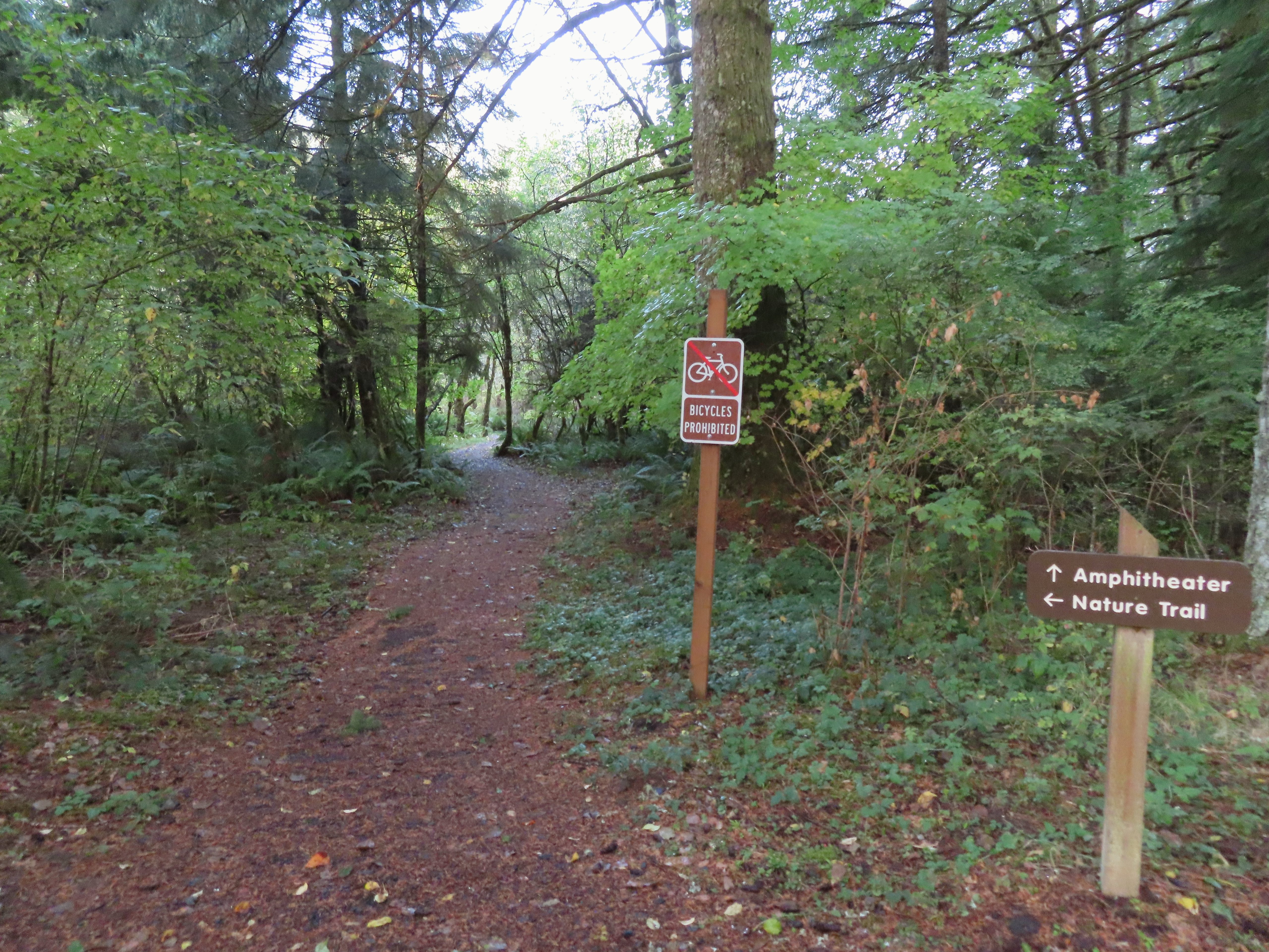

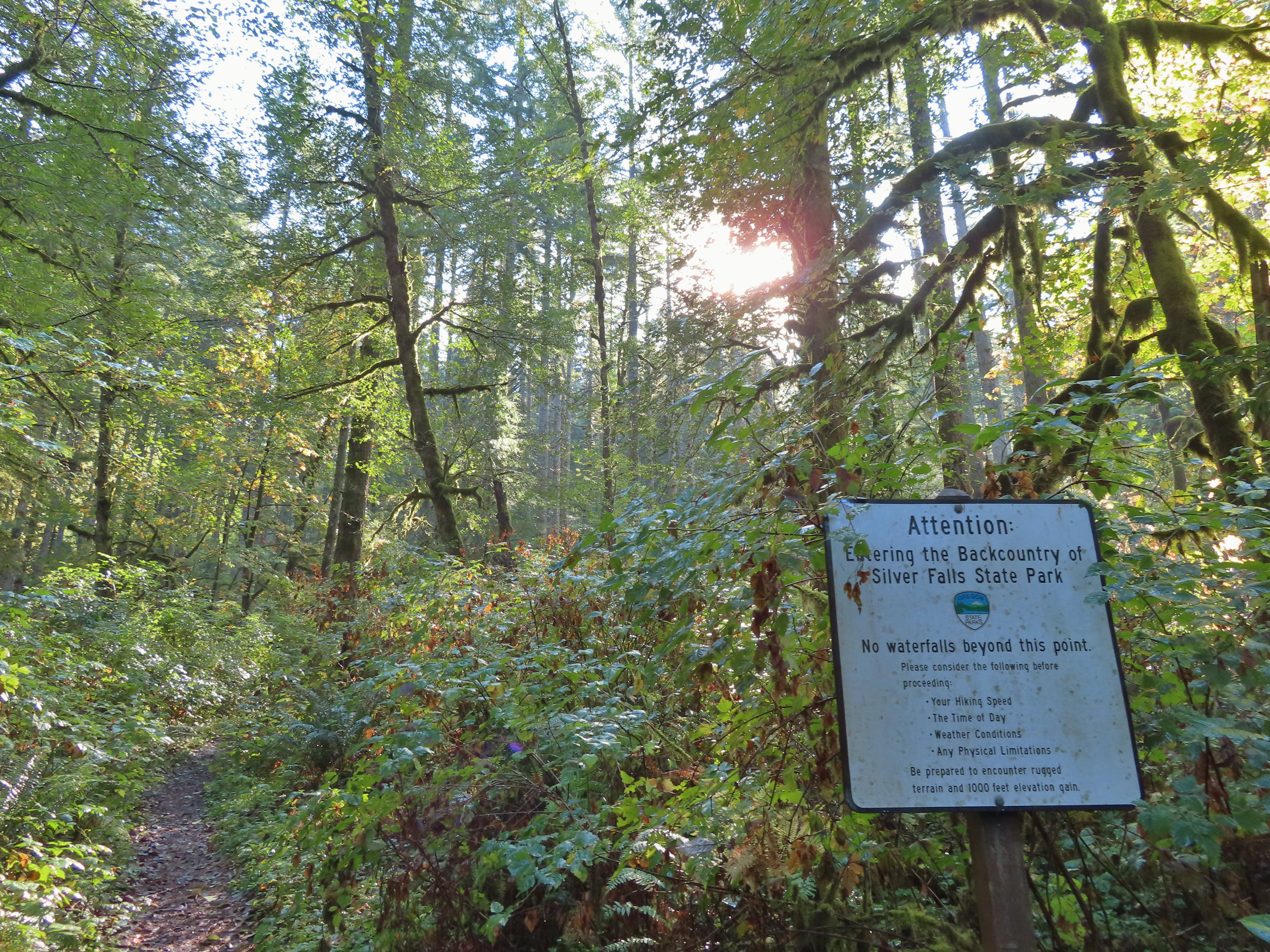
 Sign at the 214 Trail junction to let people know that there are no waterfalls in the backcountry.
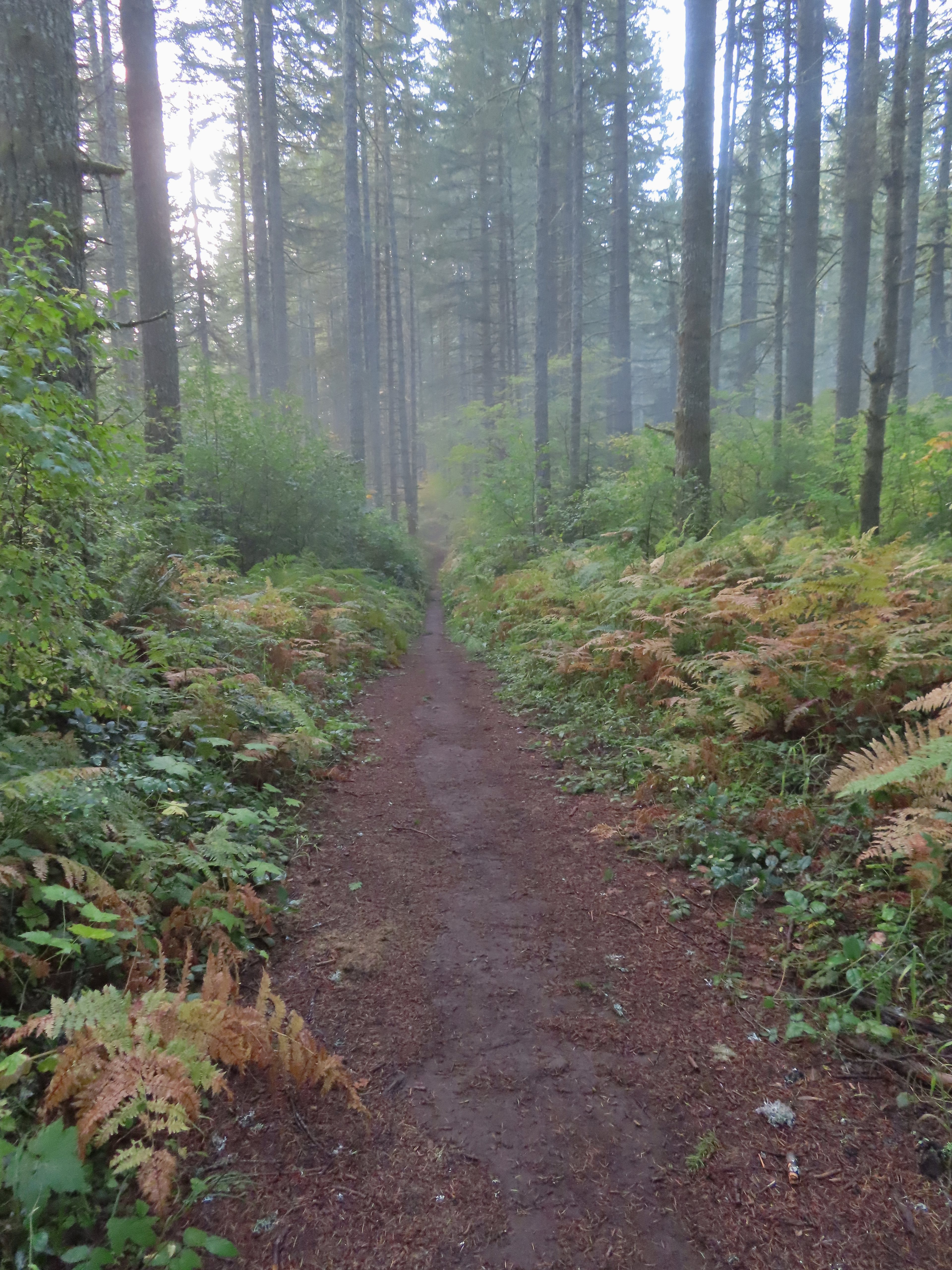 Just a little fog but no rain.
 Passing the Smith Creek Trail (left) after 0.6 miles on the 214 Trail.
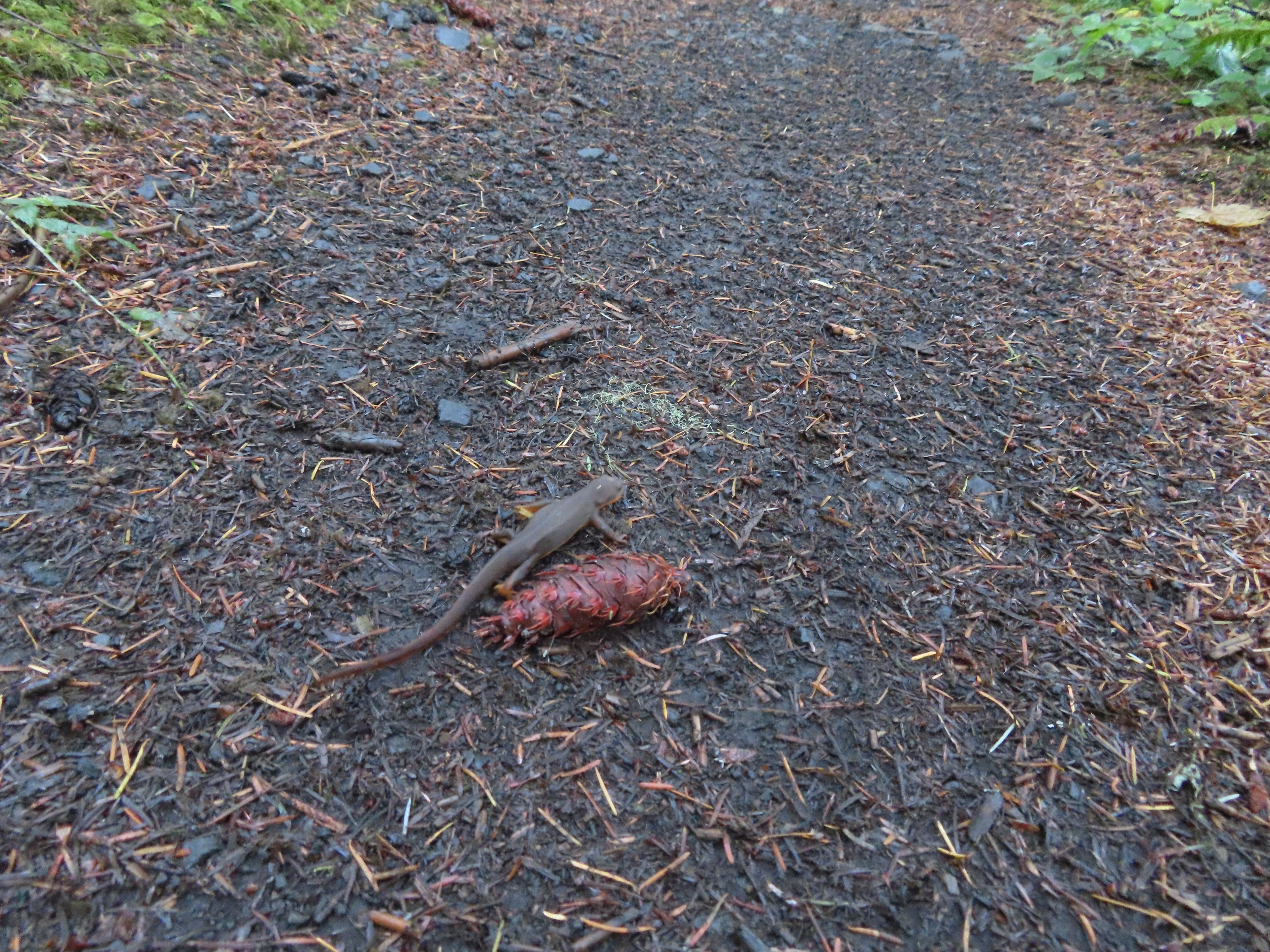 Rough skinned newt on the 214 Trail. (Probably headed for the Newt Loop too.)
 Big nursery tree along the 214 Trail.
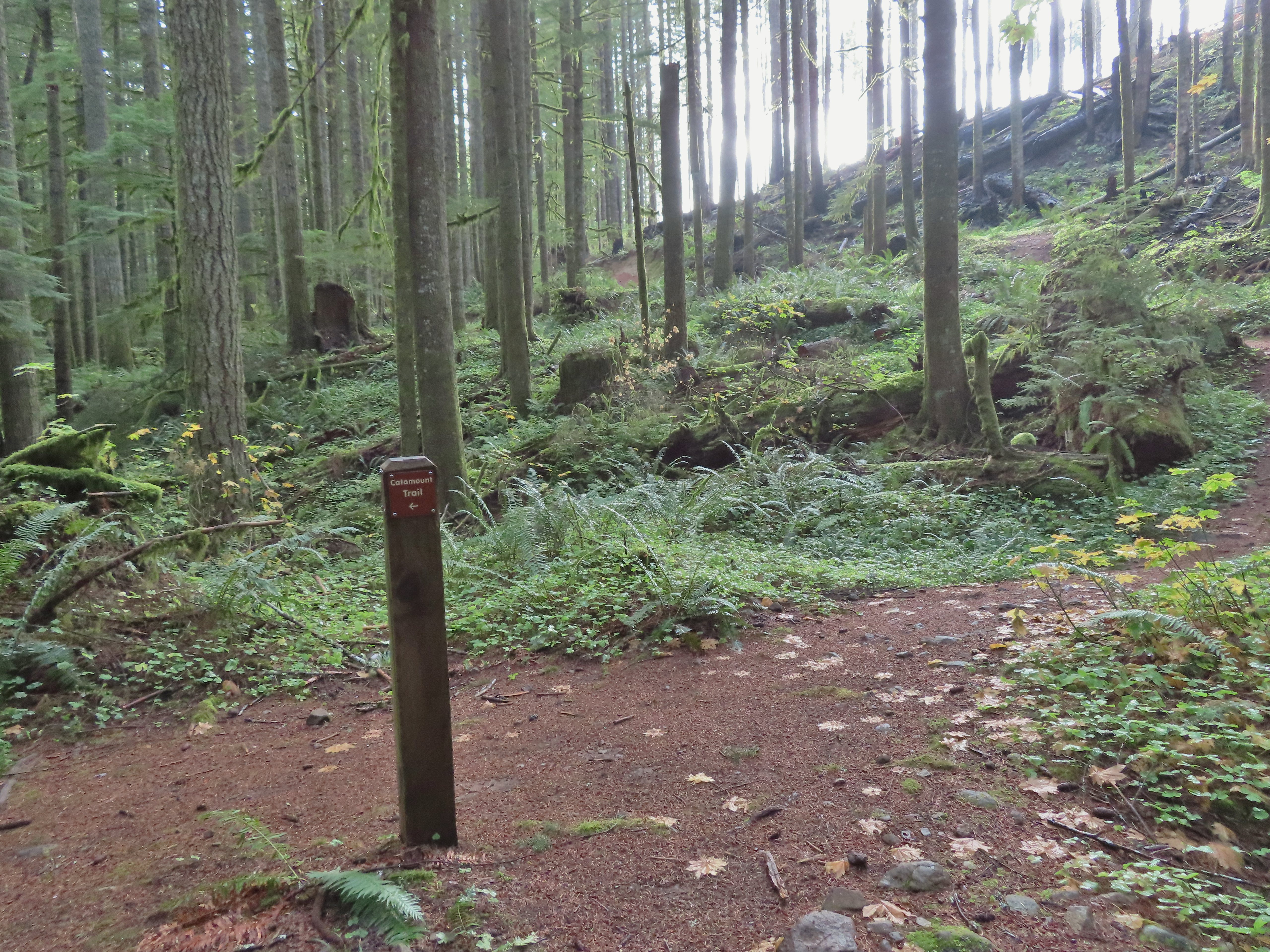
 The trail post at the junction shows the Catamount Trail instead of the Newt Loop but the map at the junction labels it the Newt Loop.
 Map check.
 This second post included the Newt Loop along with a pointer for the Catamount Trail.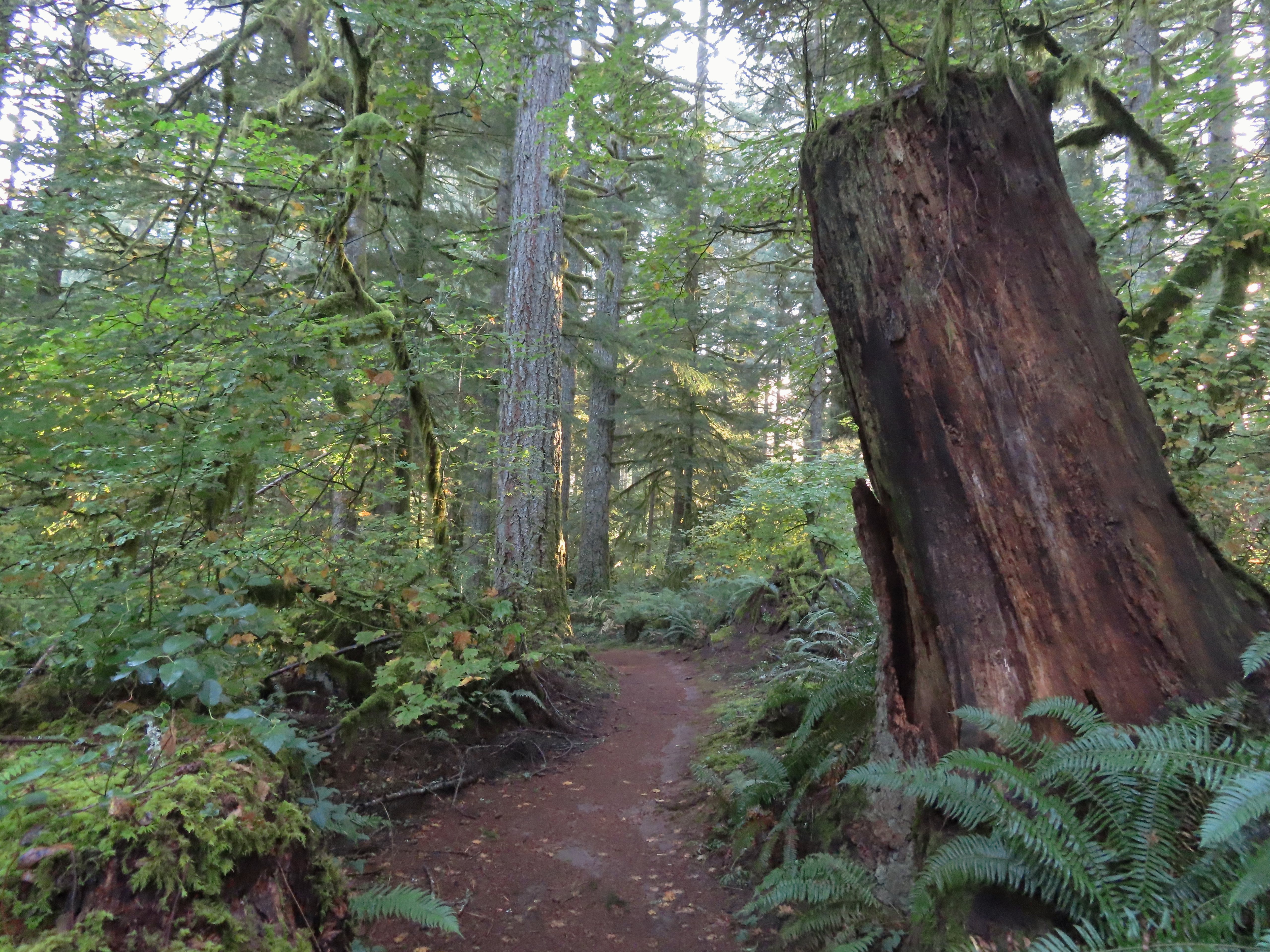
 Crossing a CAT road along the Newt Loop.
 Turning onto the Catamount Trail.
 Lots of nursery stumps along the trail.
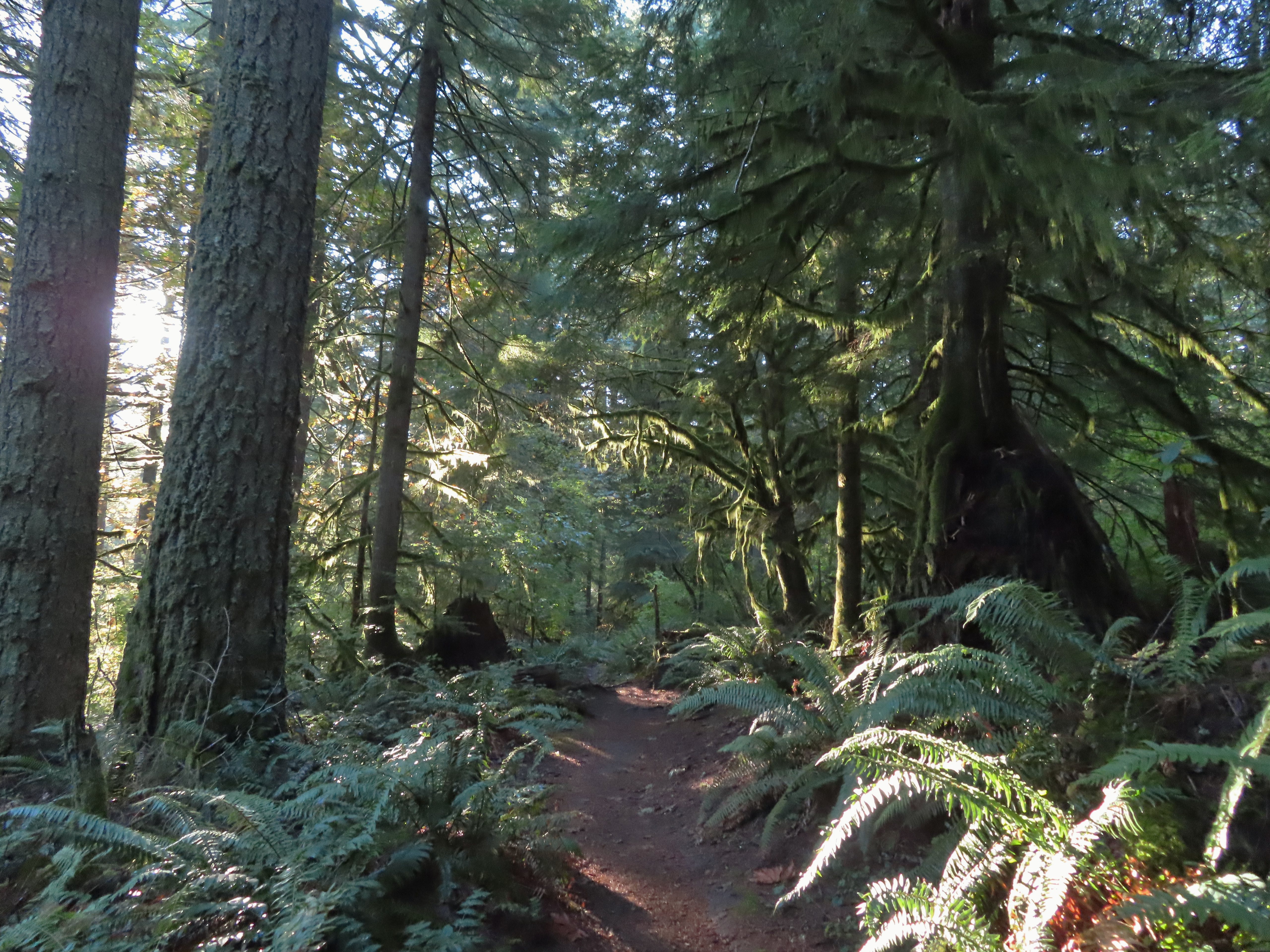 Another nursery stump.
 Side trails were well marked.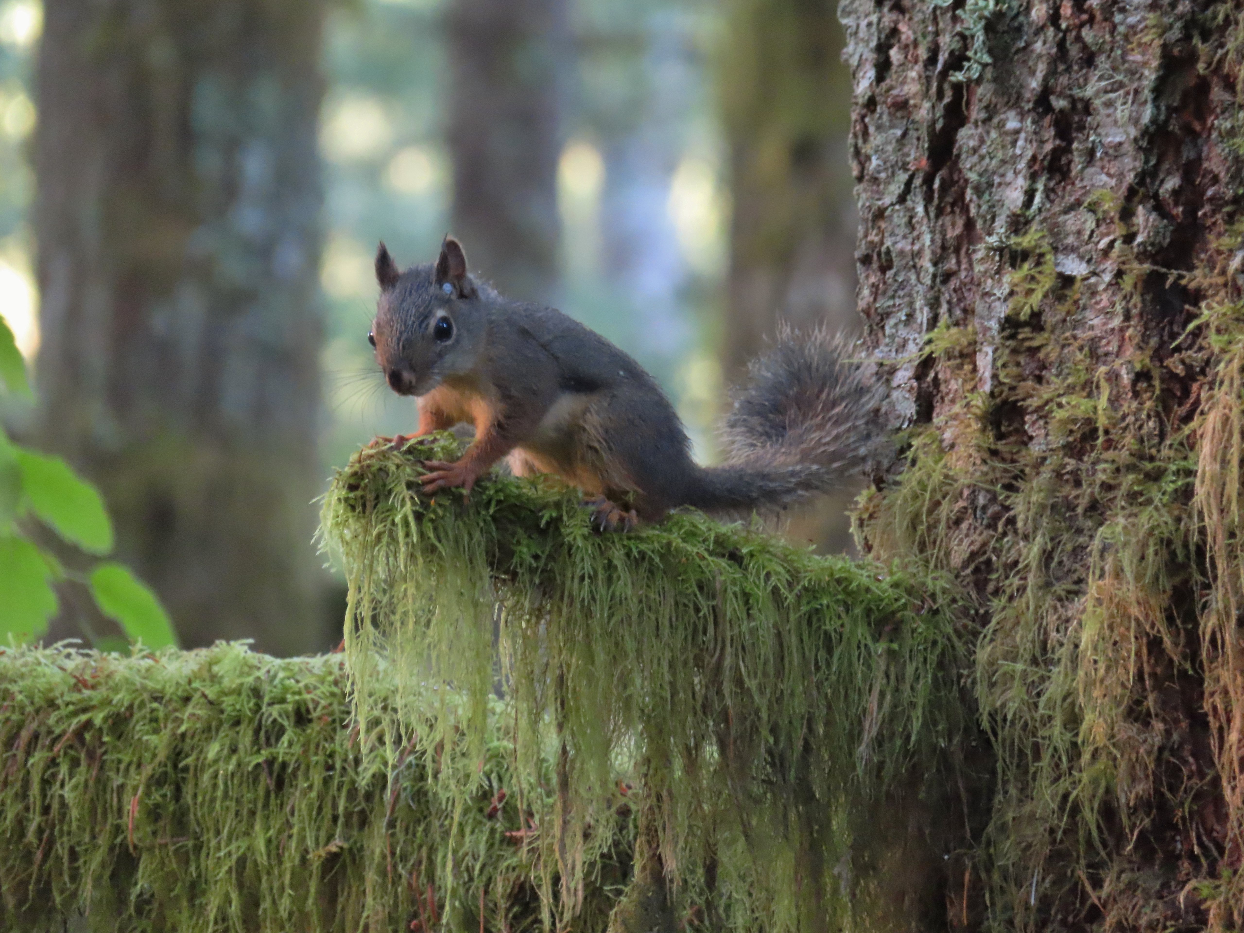
 Did not expect to see that overhead today.


 I believe this short section of fire scar was from the 2020 Beachie Fire.

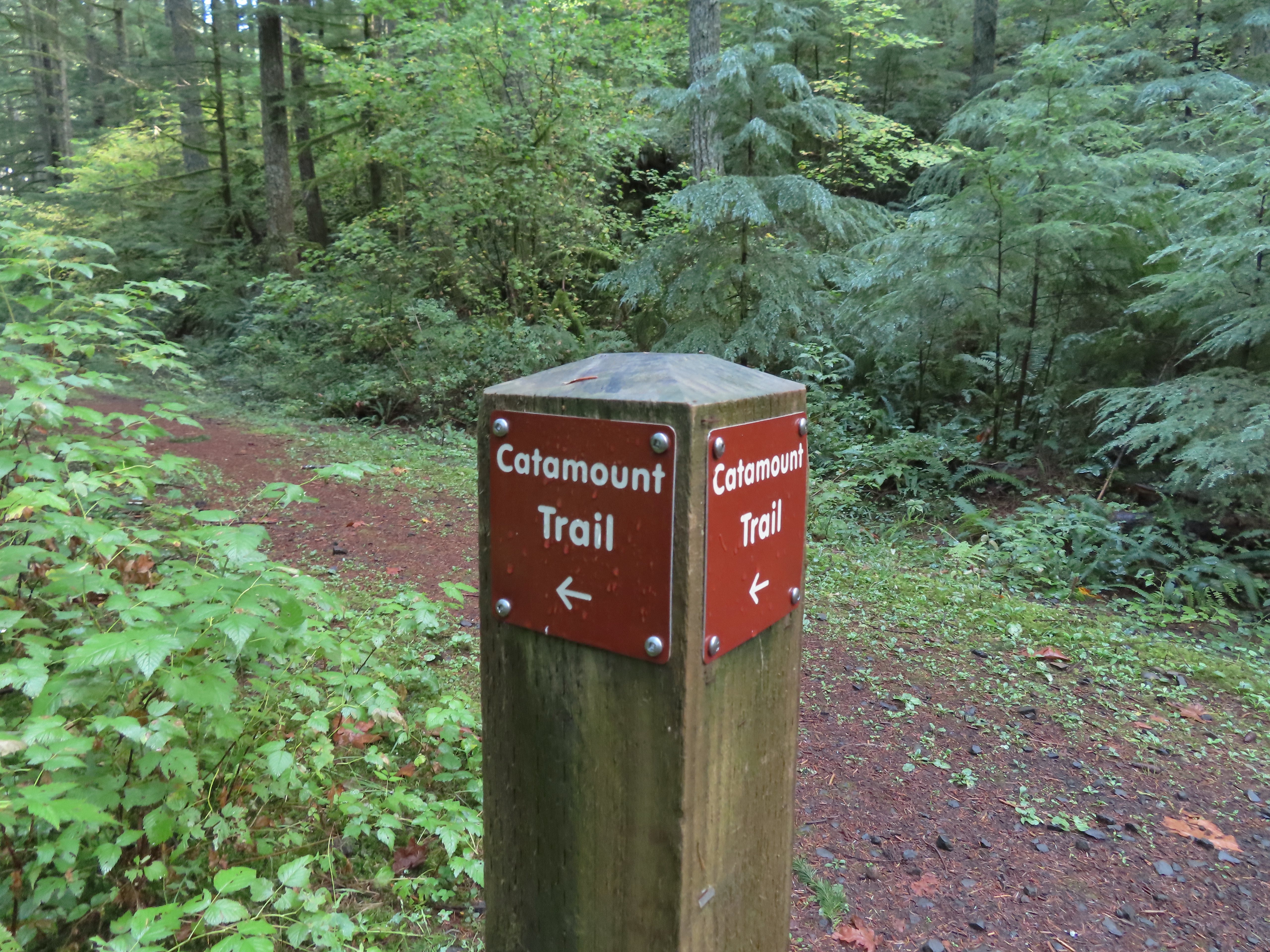 Turning onto the road.
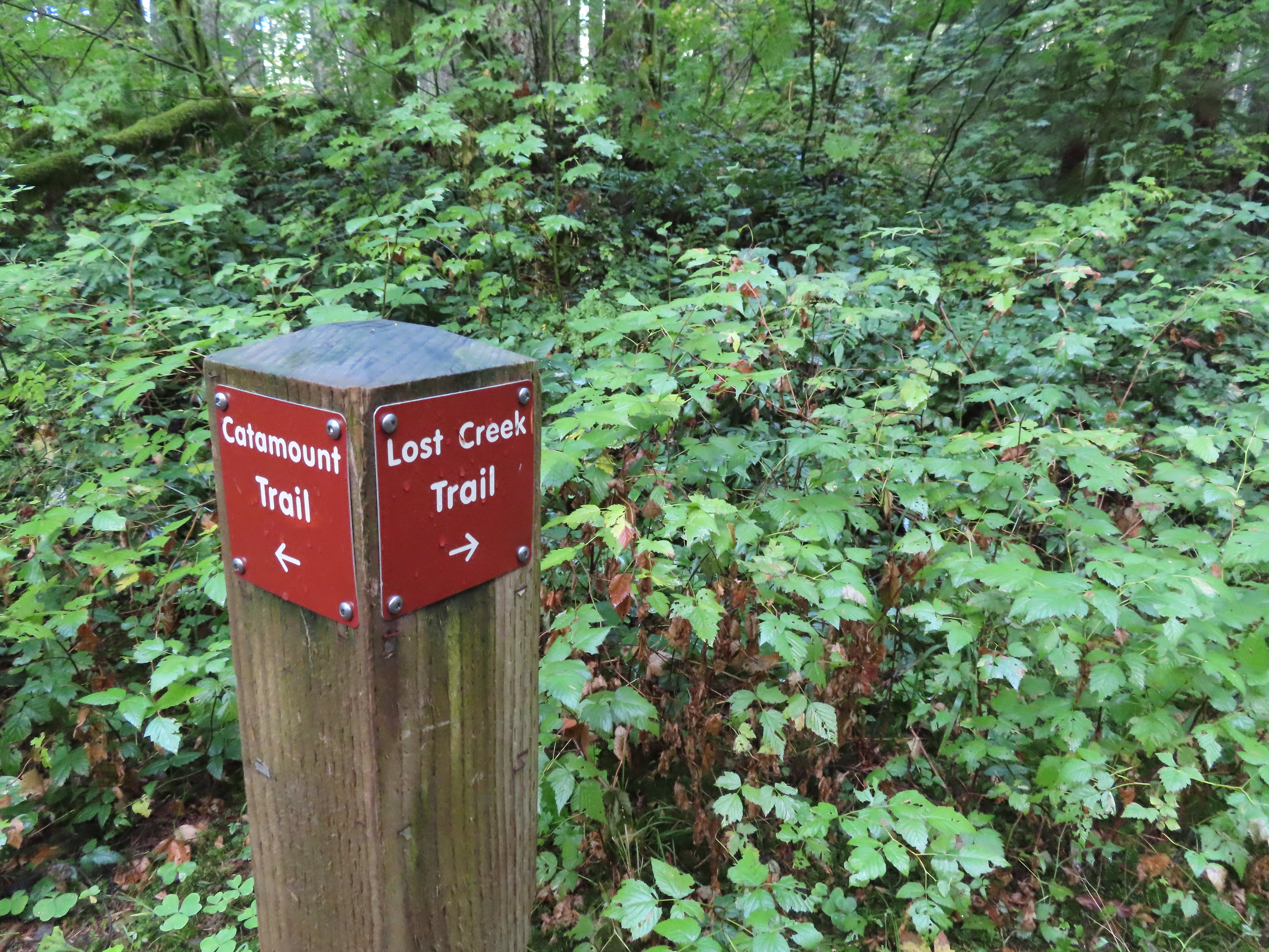 The opposite side of the post had a pointer for the Lost Creek Trail.
 I veered uphill to the right here.
 The Lost Creek/Buck Mountain junction.
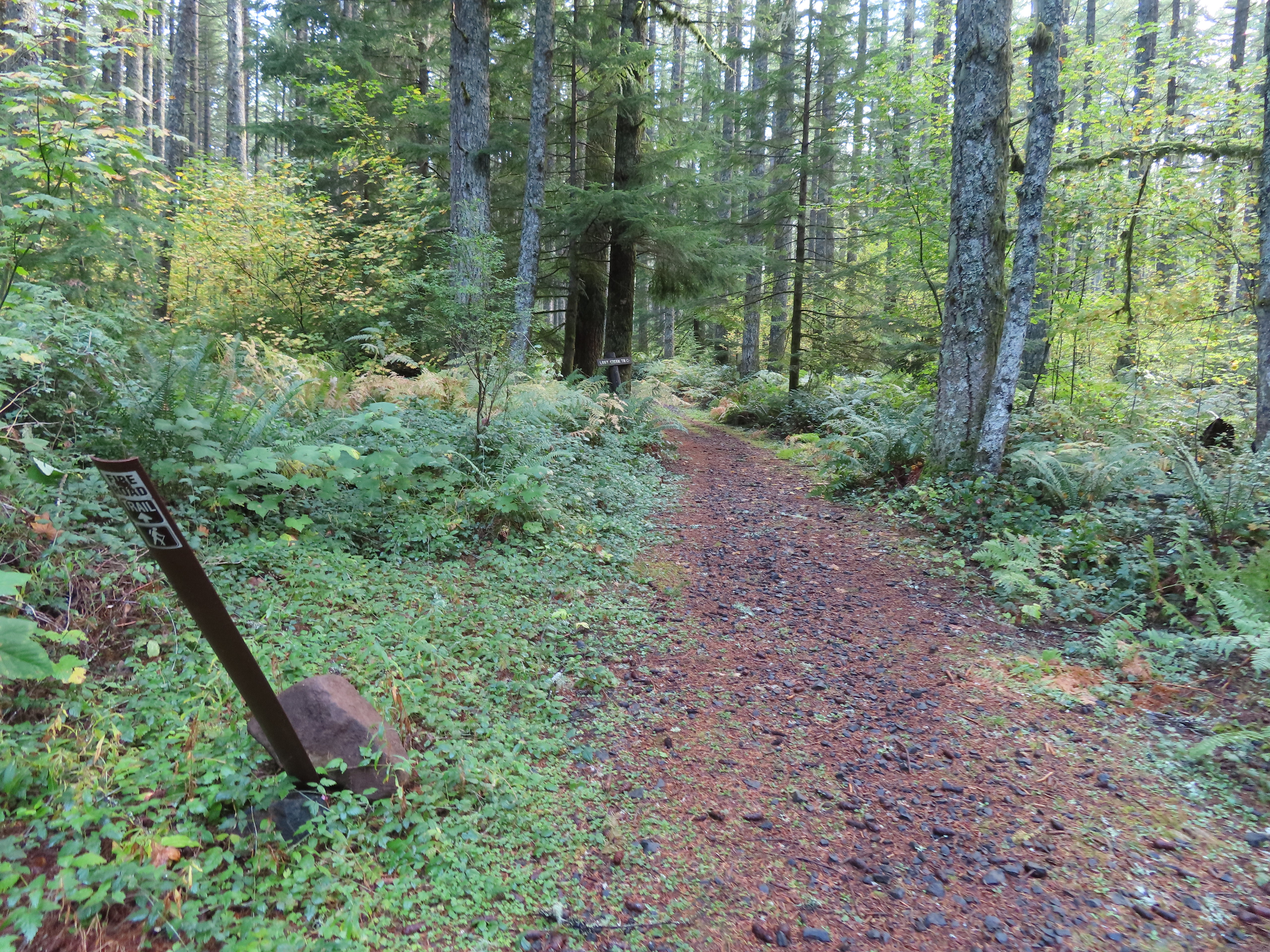 The Lost Creek Trail doubles as a fire road.
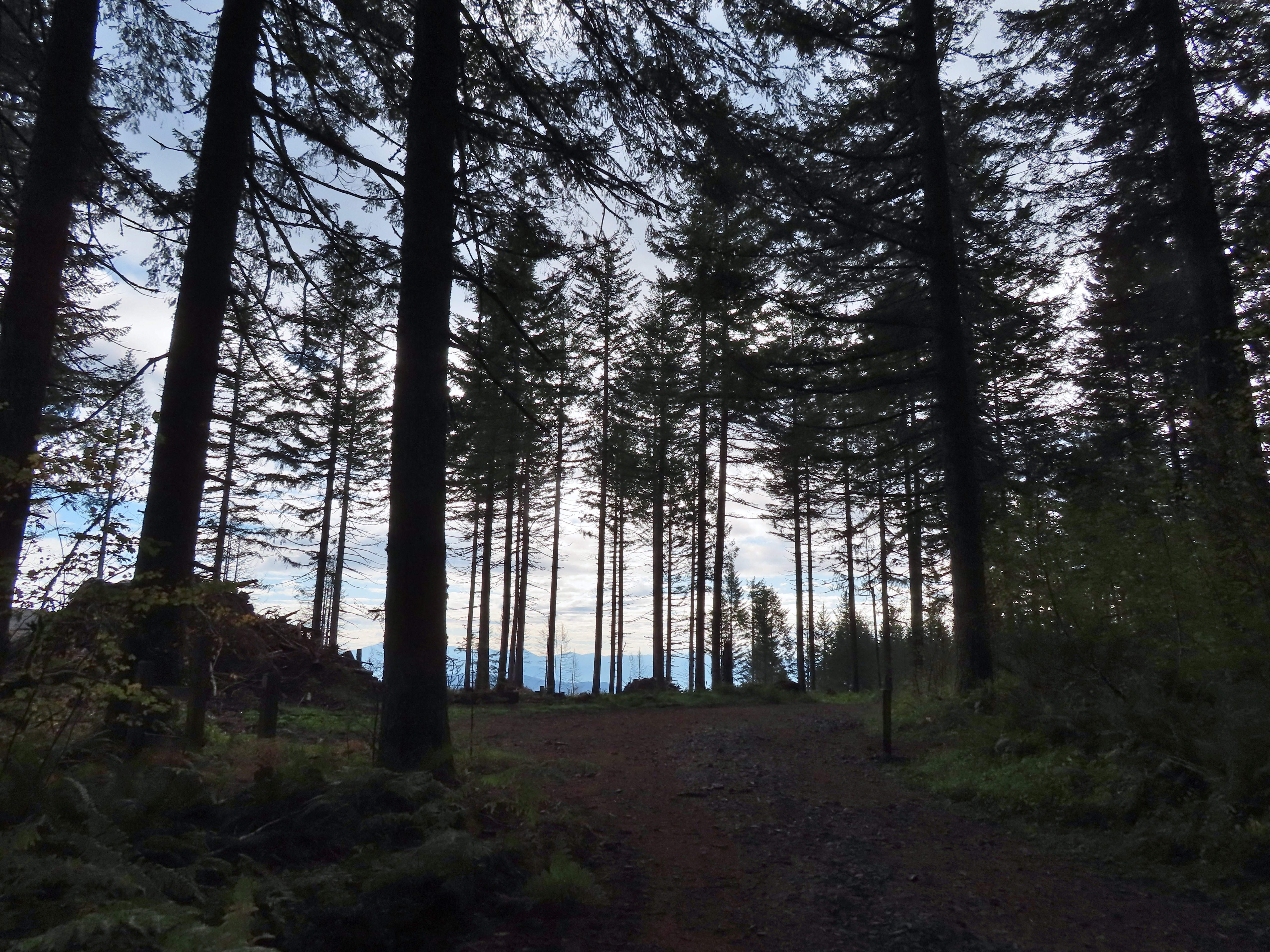
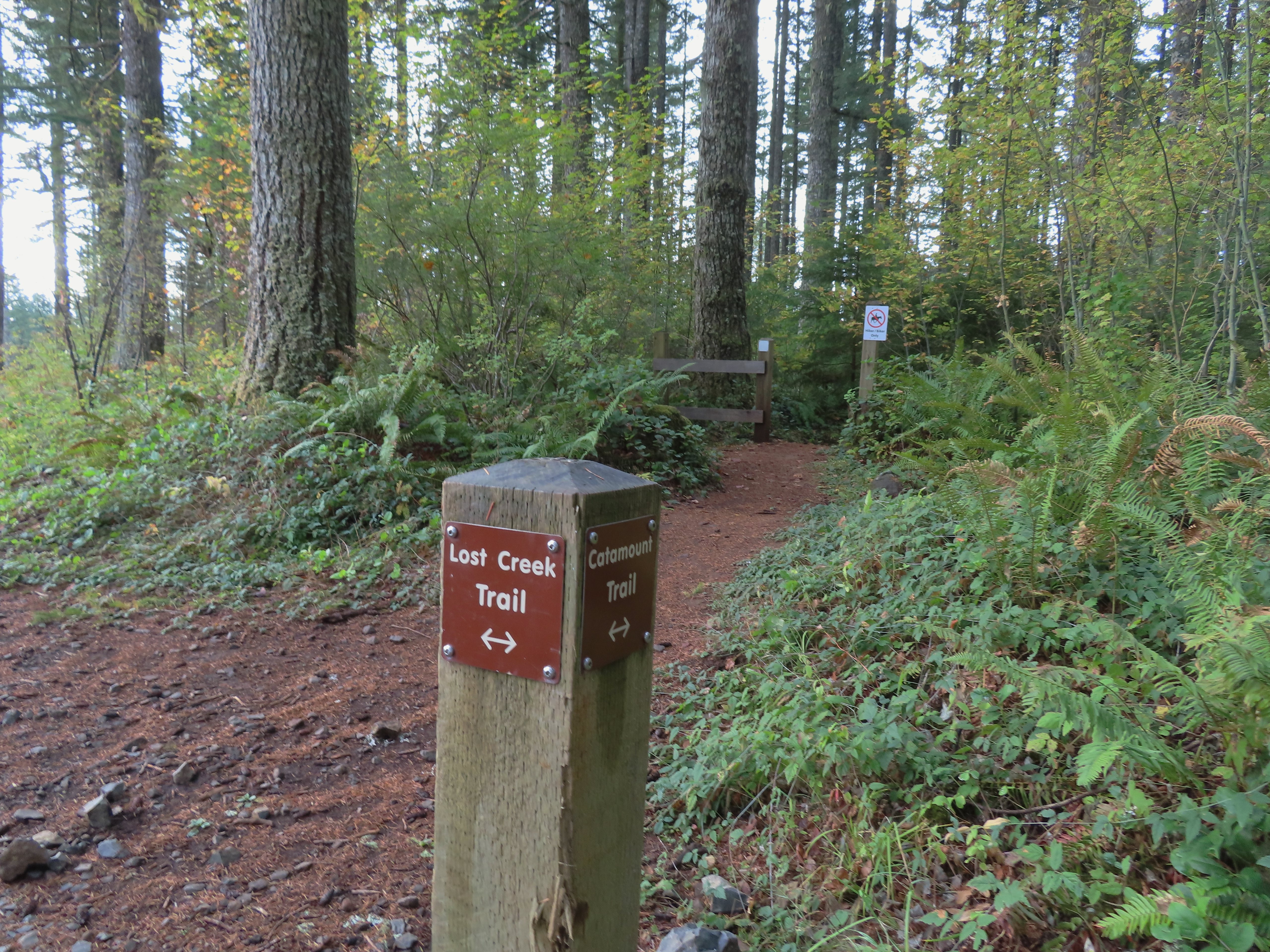 Here is where I would have come up had the Catamount Trail did not have the on-way section. (Note that on some mountain biking maps the one-way section is labeled “Upper Catamount Trail.)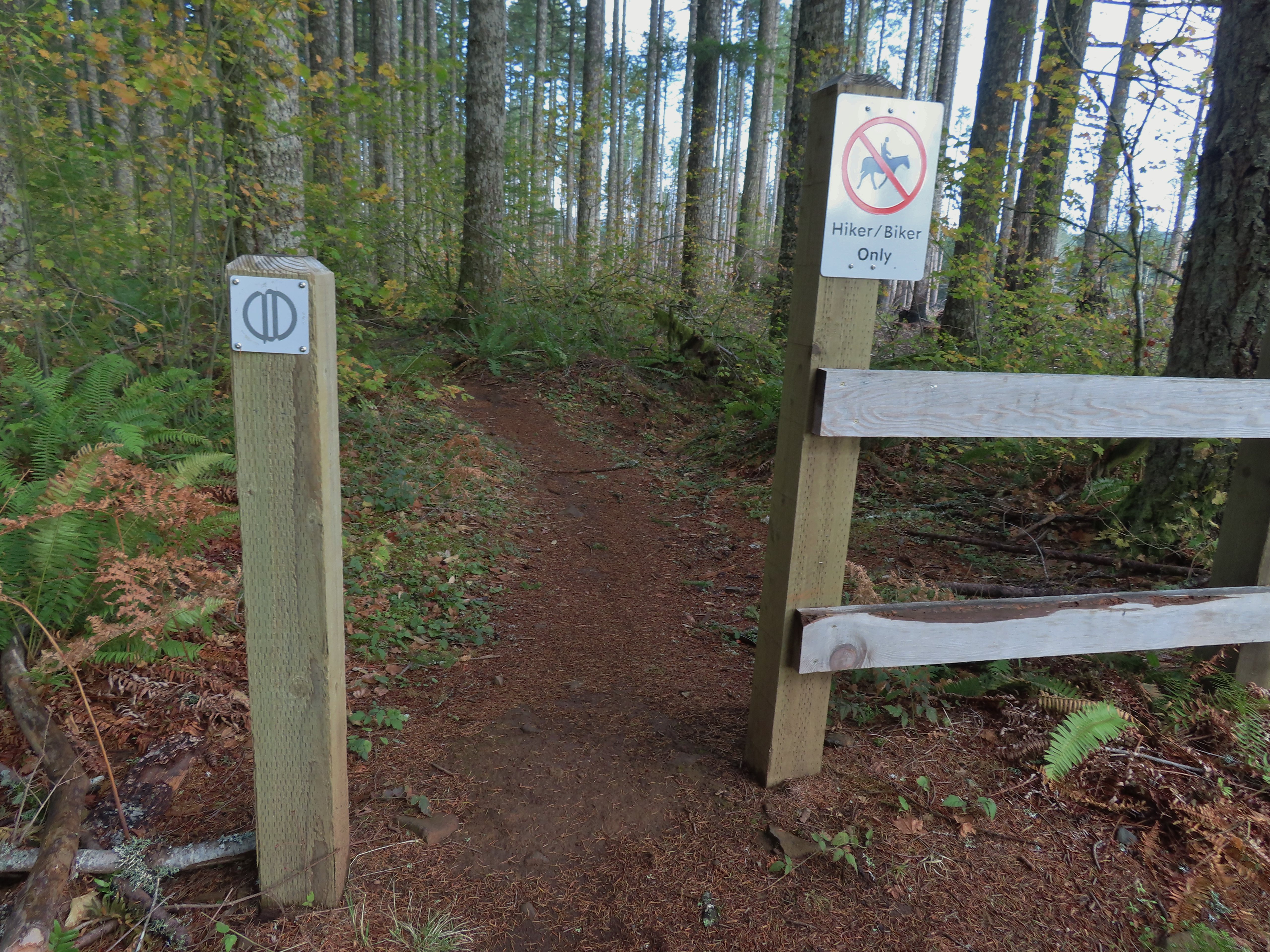
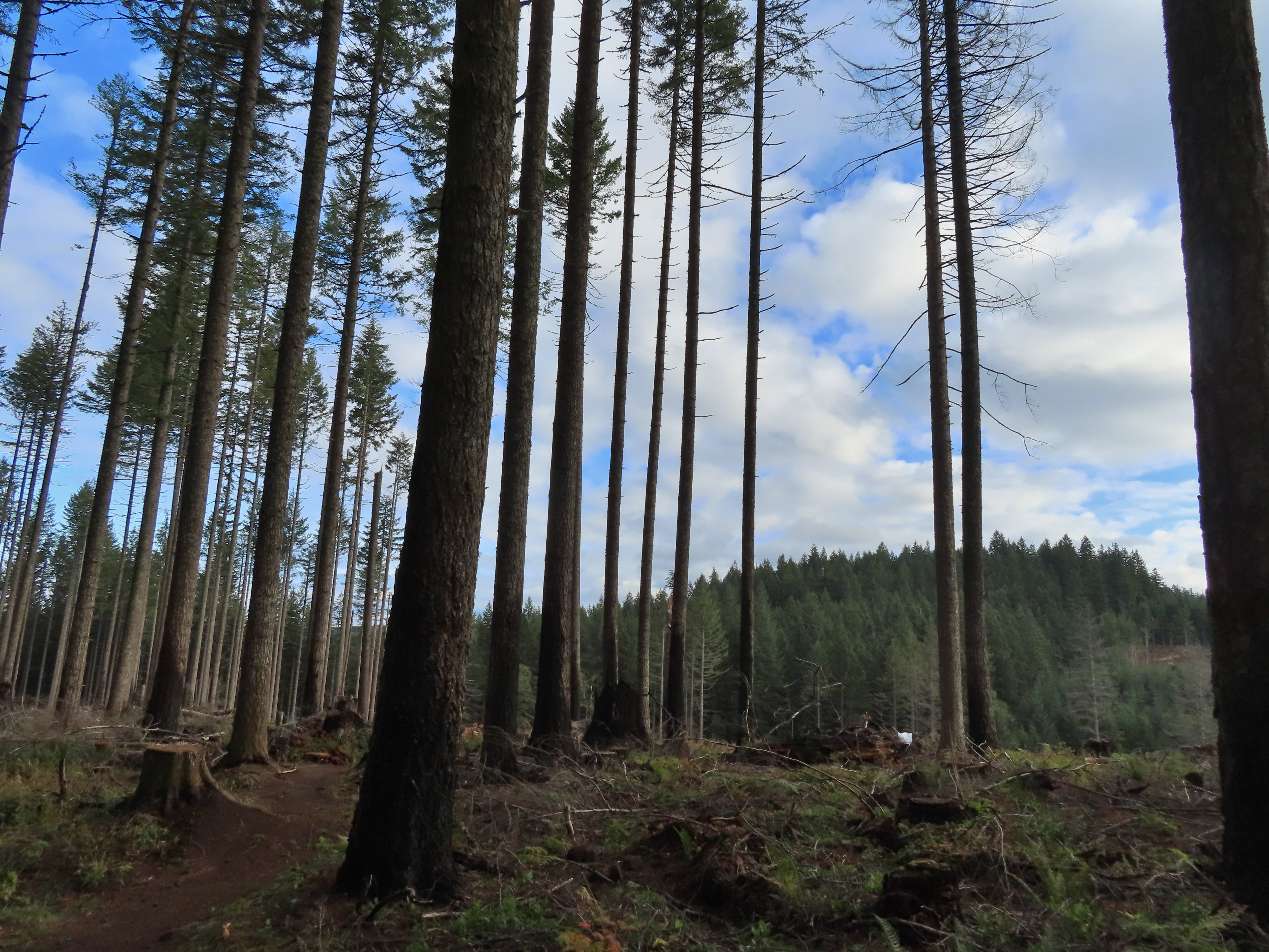 The treeless section wasn’t long. It appeared to have been an area impacted by the 2020 Beachie Fire.
 Still some bleeding heart blooming.
 There wasn’t a lot of bright Fall colors in the backcountry, but this maple stood out.
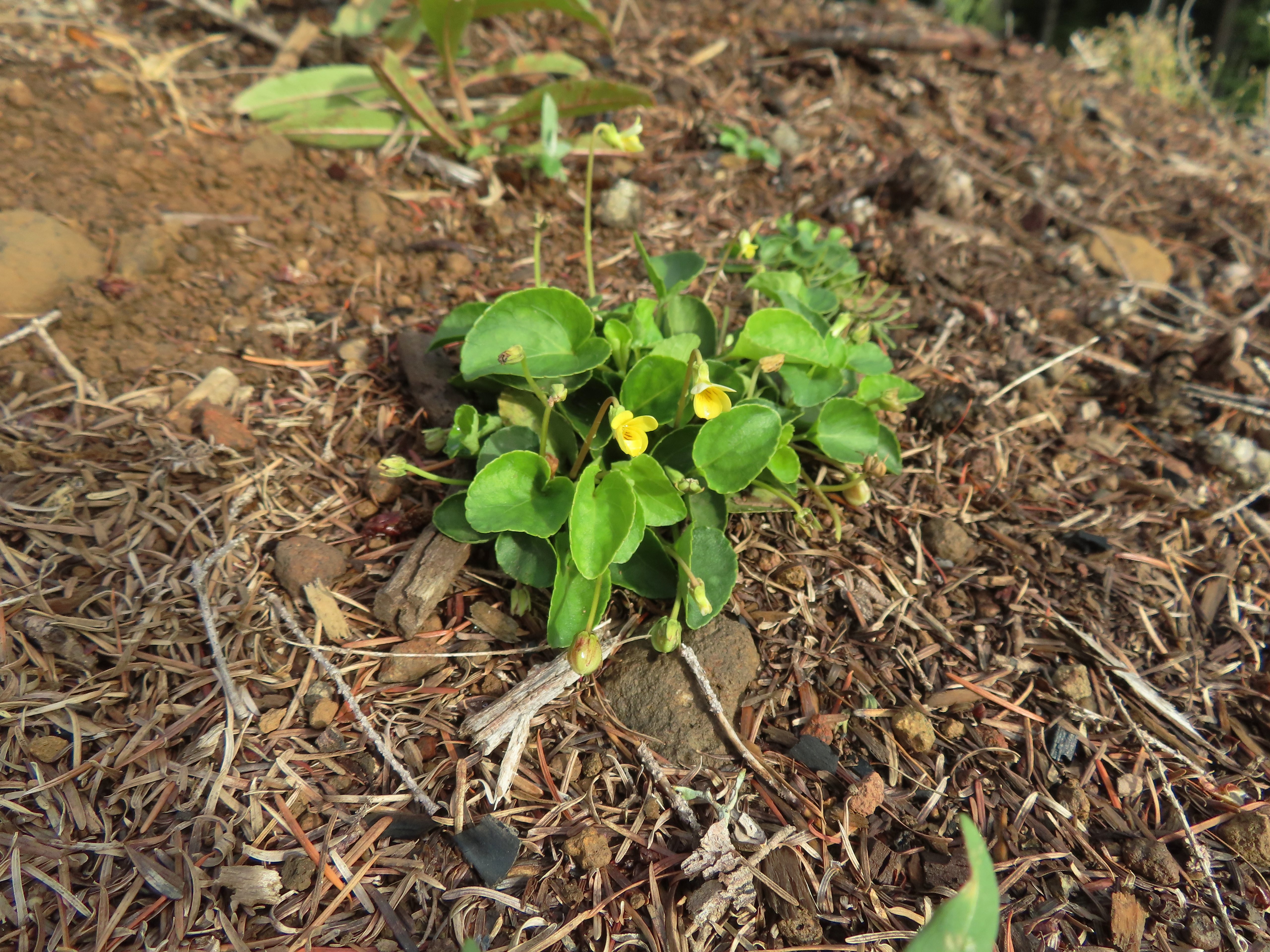 Was a bit surprised to see a few violets along this section.
 Nearing the end of the logged area.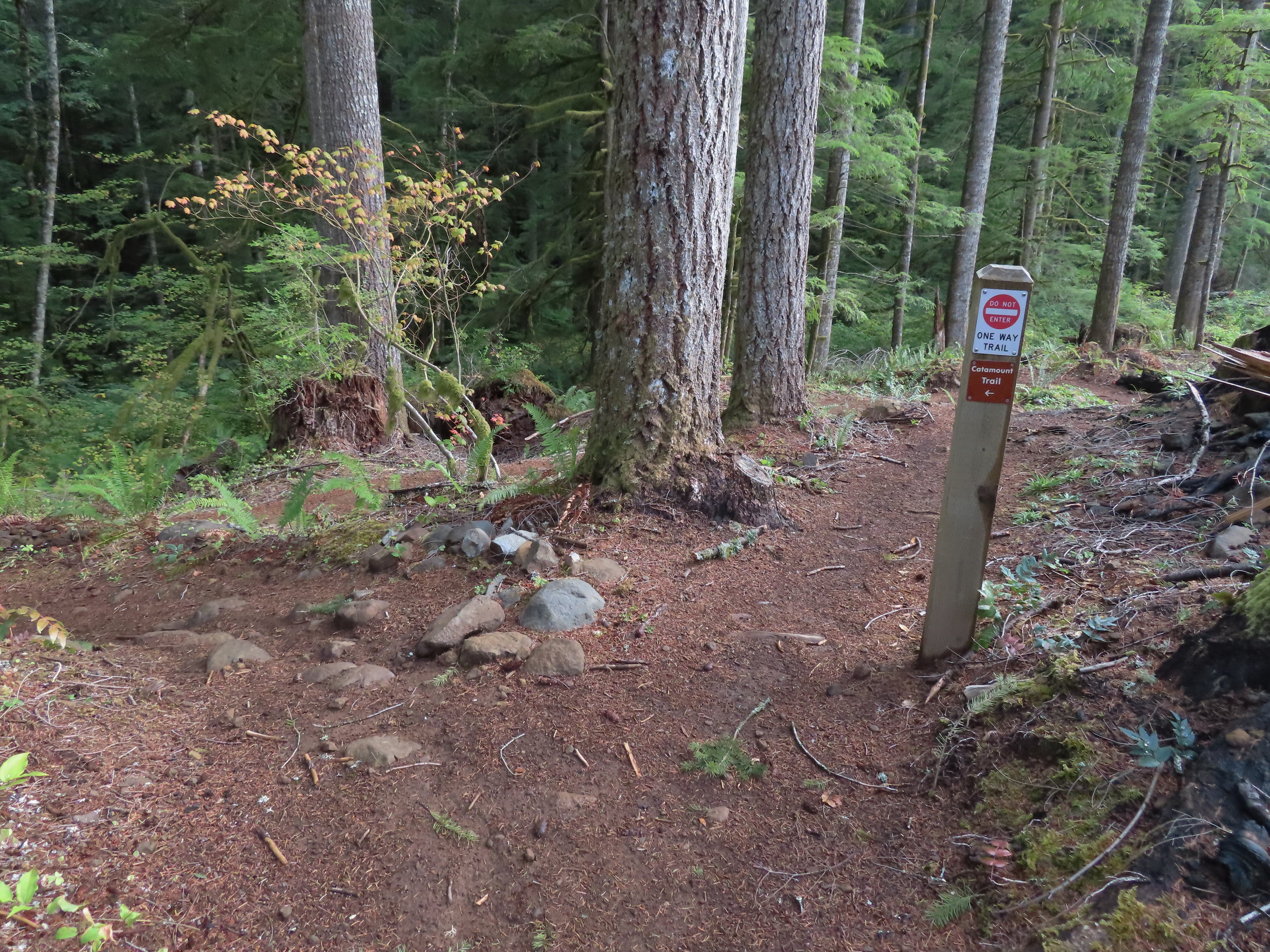
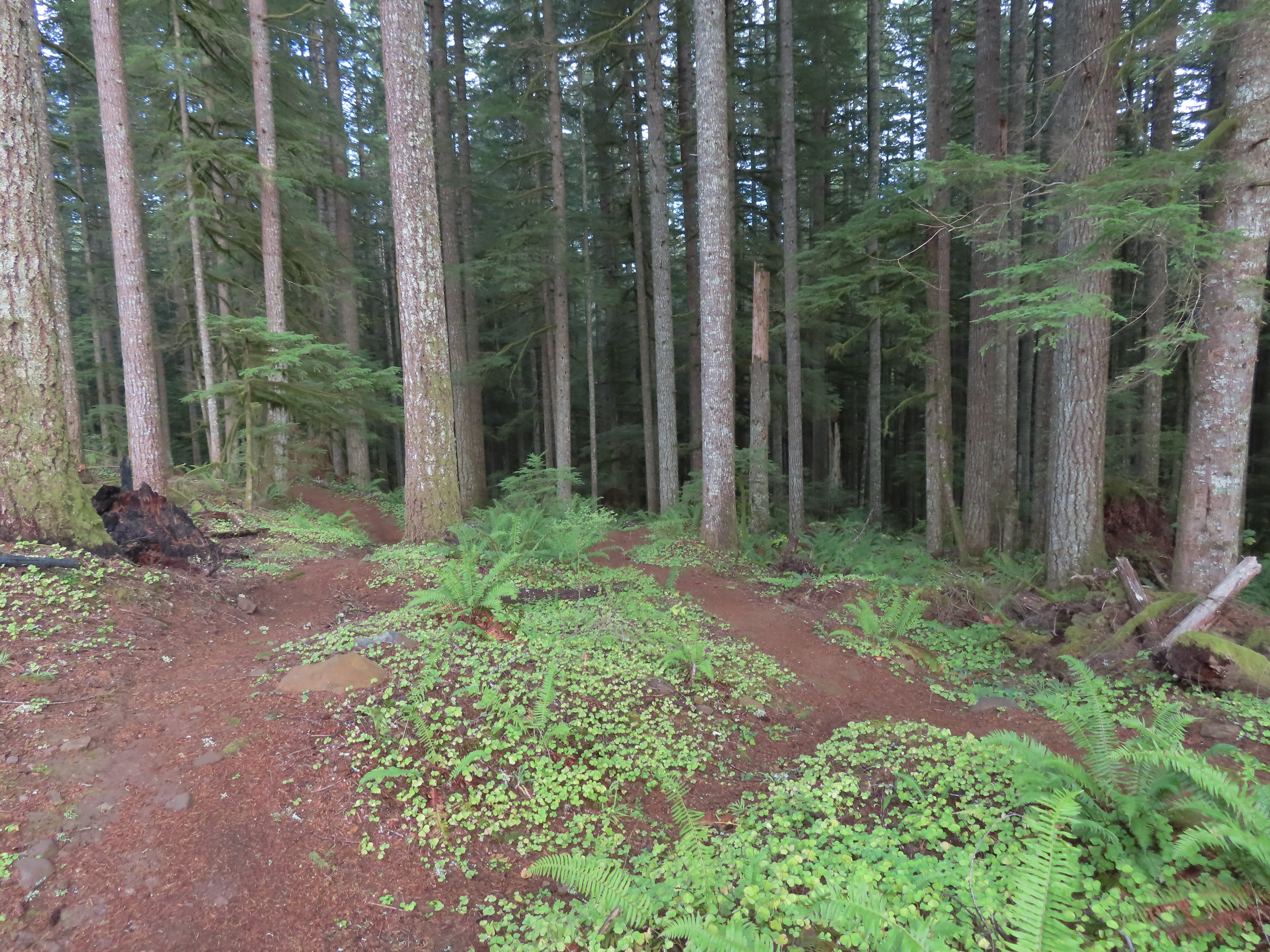
 The rejoining of the trails.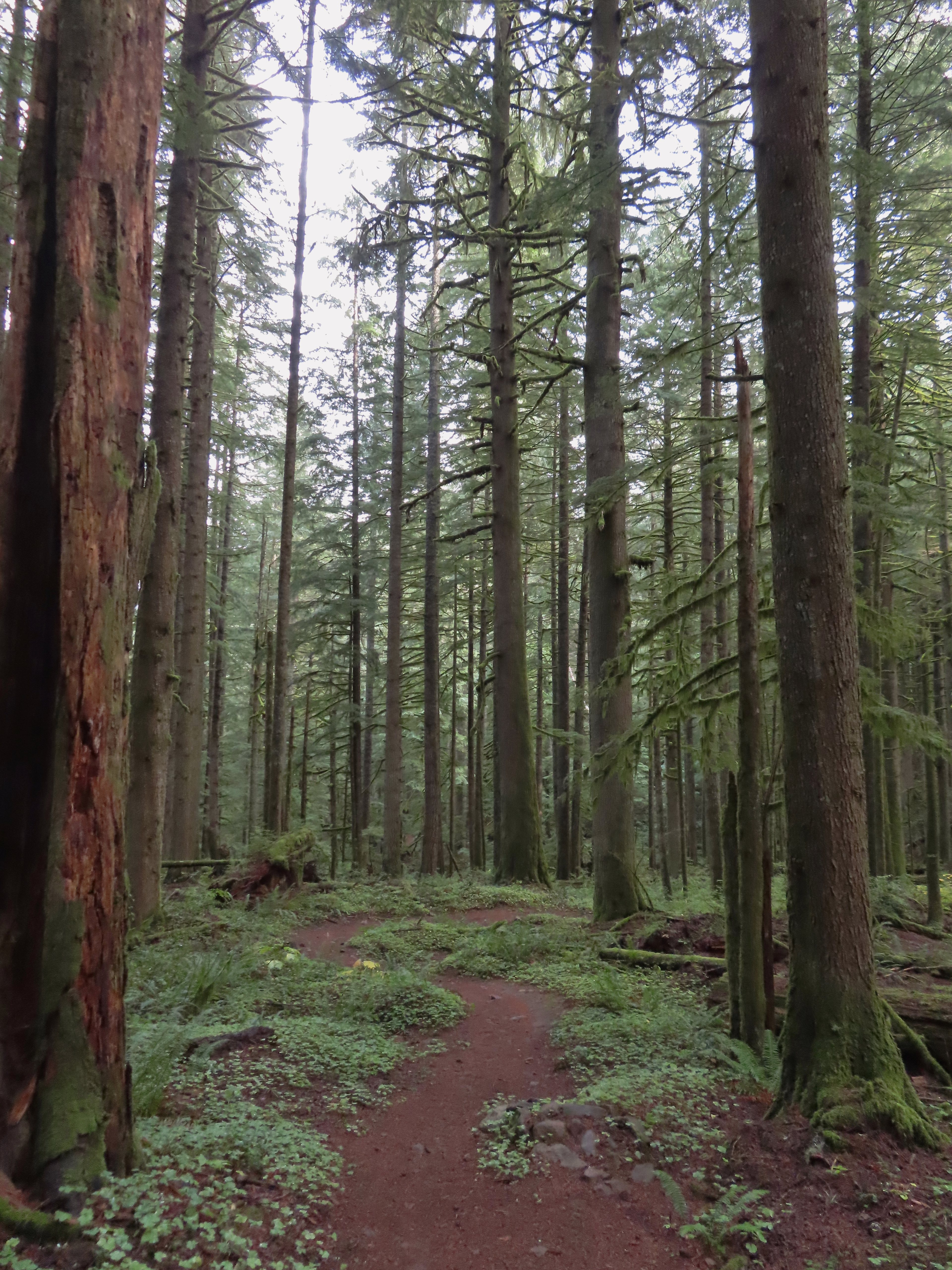
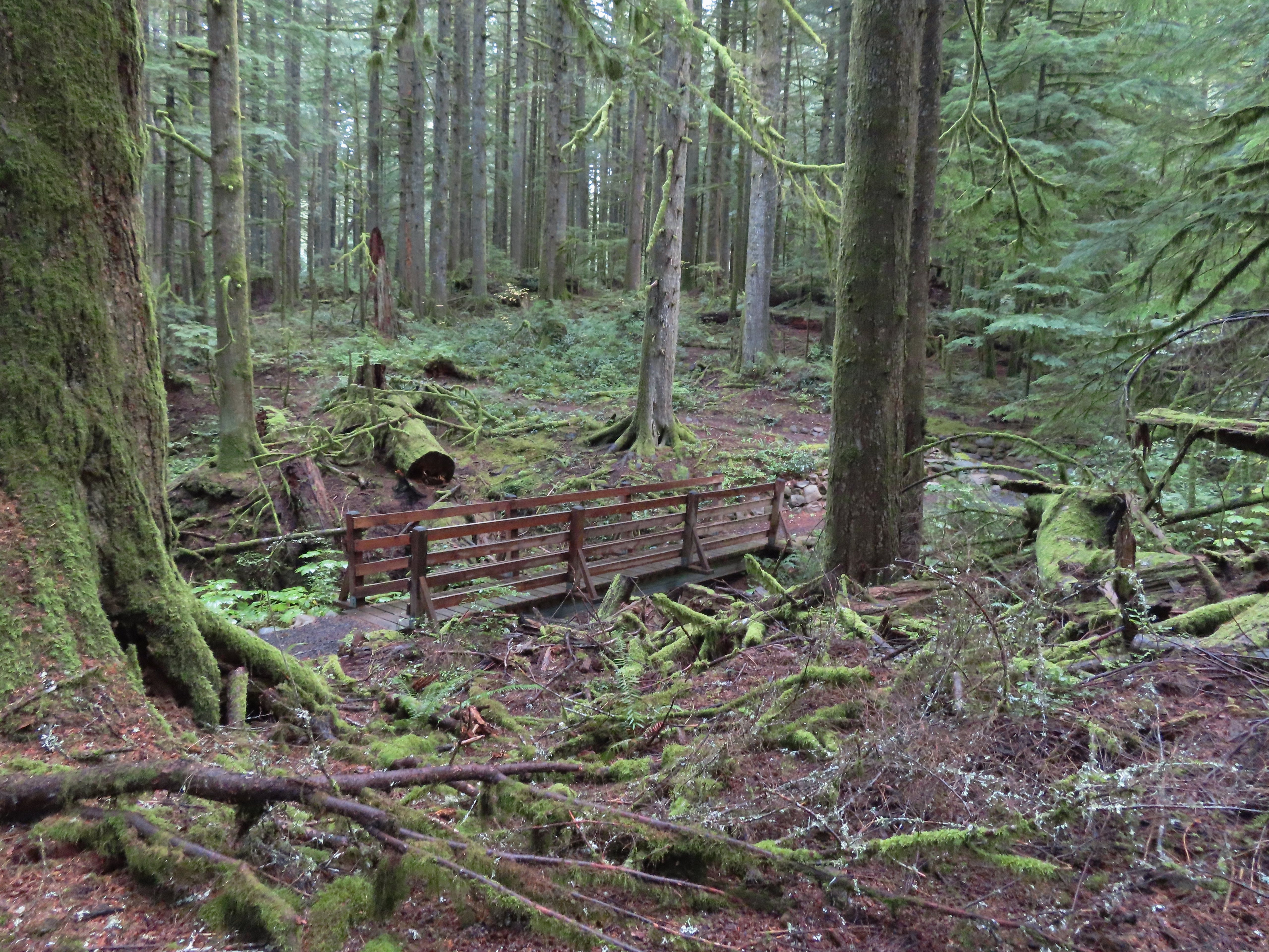 There were several bridges along this section of the trail. I also ran into the only mountain bikers that I would encounter all day in this area, a group of five.
 The Buck Mountain Loop junction.
 Bridge over Howard Creek.
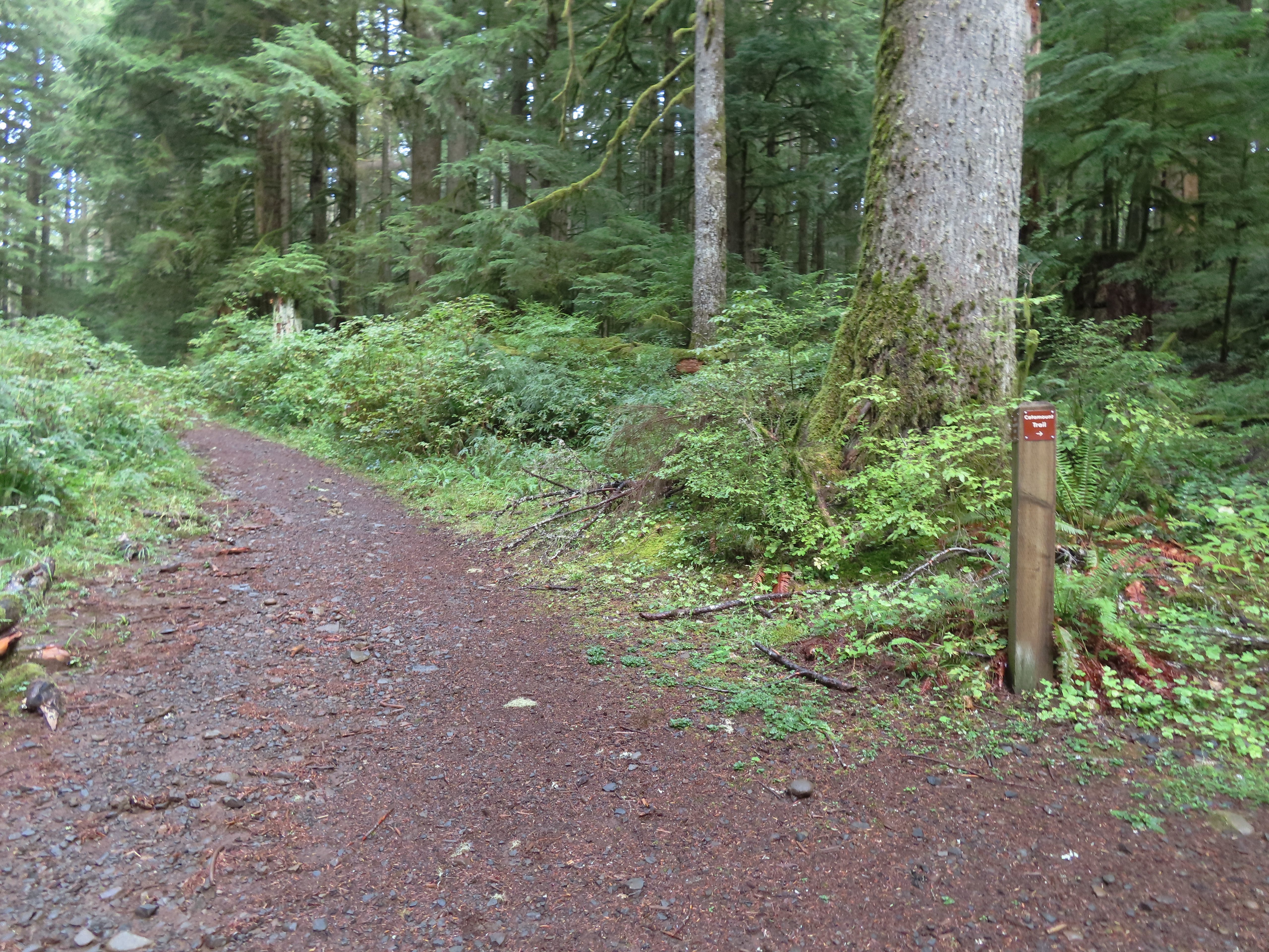 The continuation of the Catamount Trail on the right.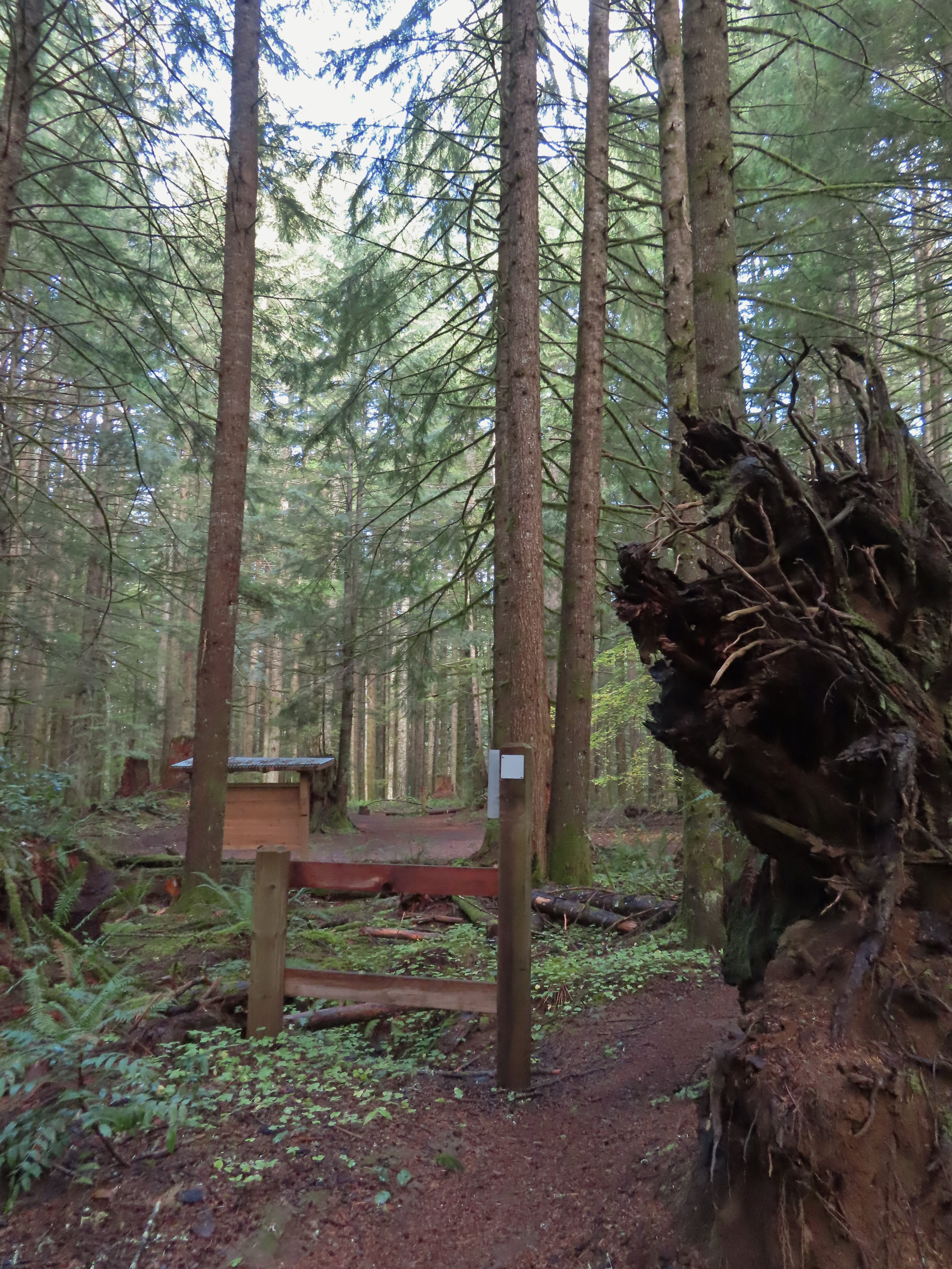
 The map showed the section I had just done as 0.9 miles, but my track was a bit more twisty than the map.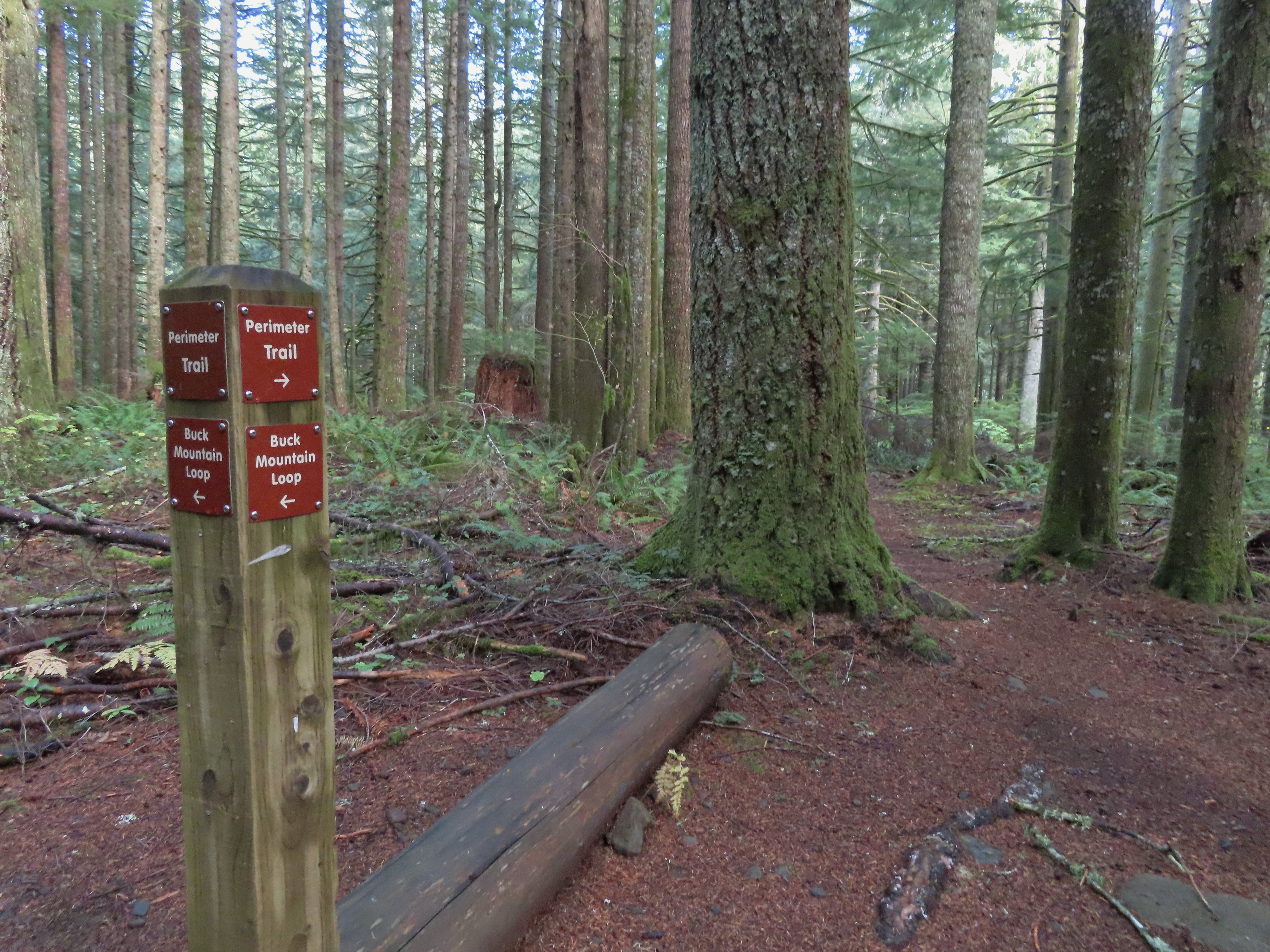
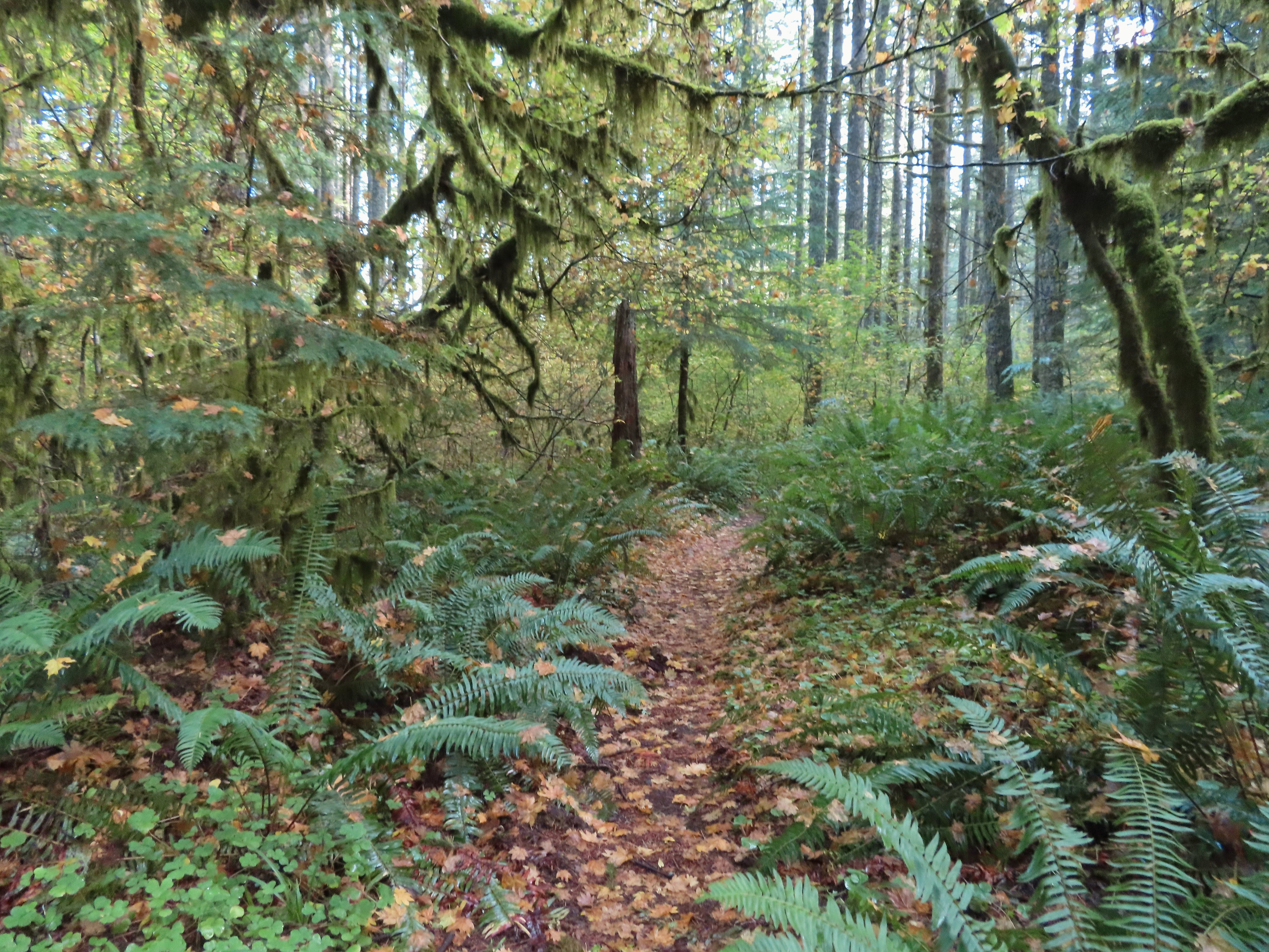
 A small opening on the way down.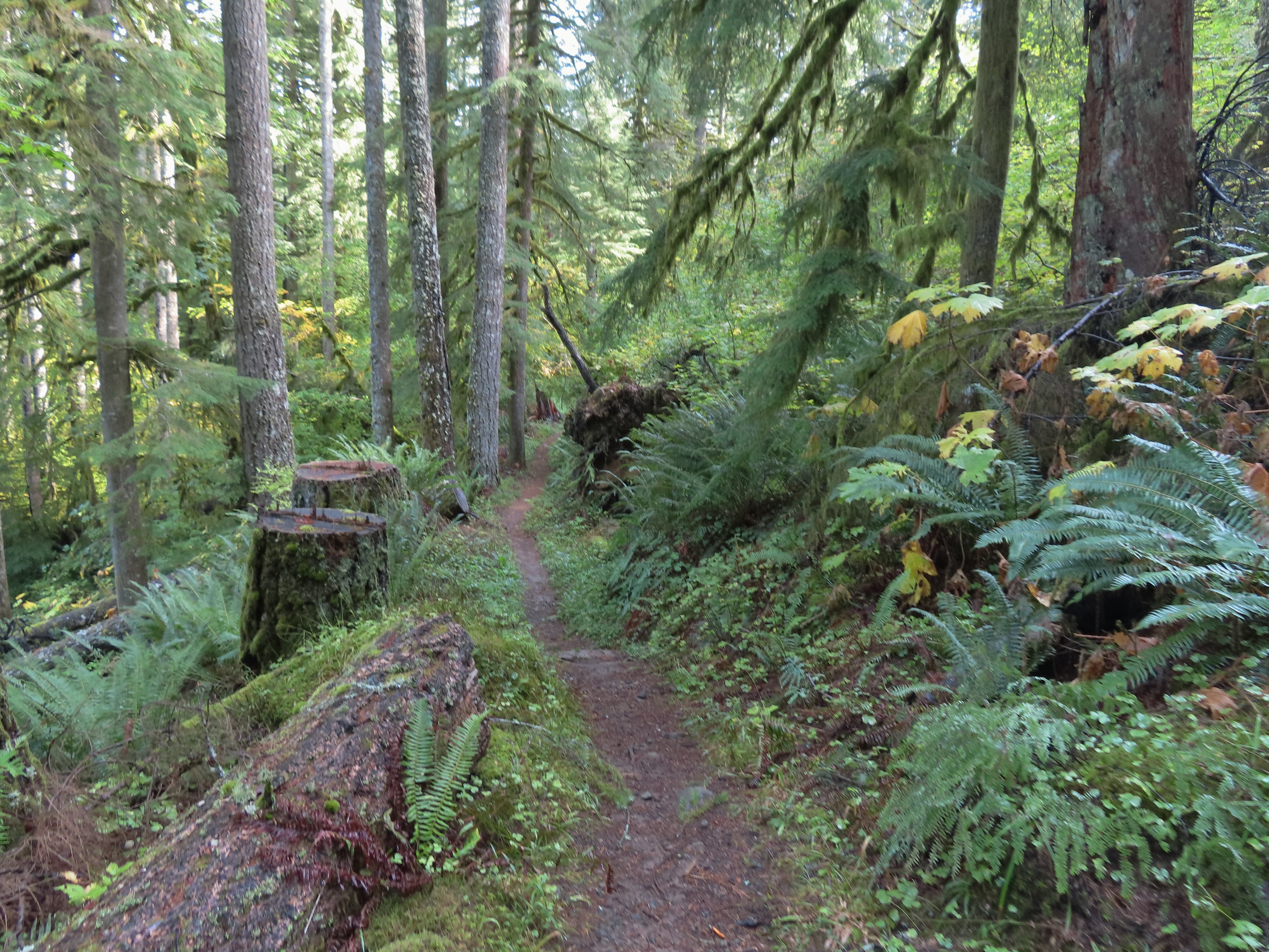

 Footbridge over South Fork Silver Creek.
 South Fork Silver Creek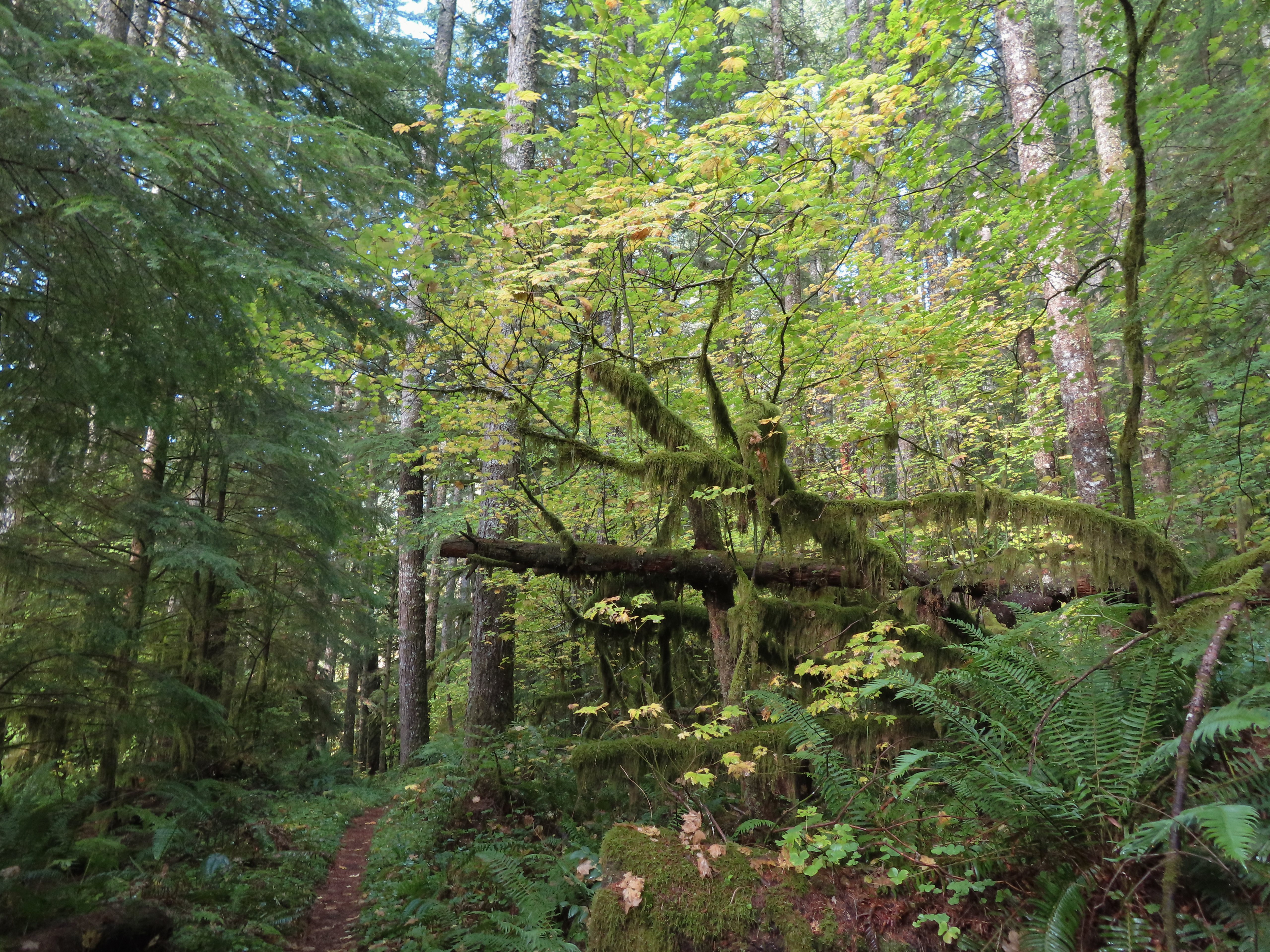


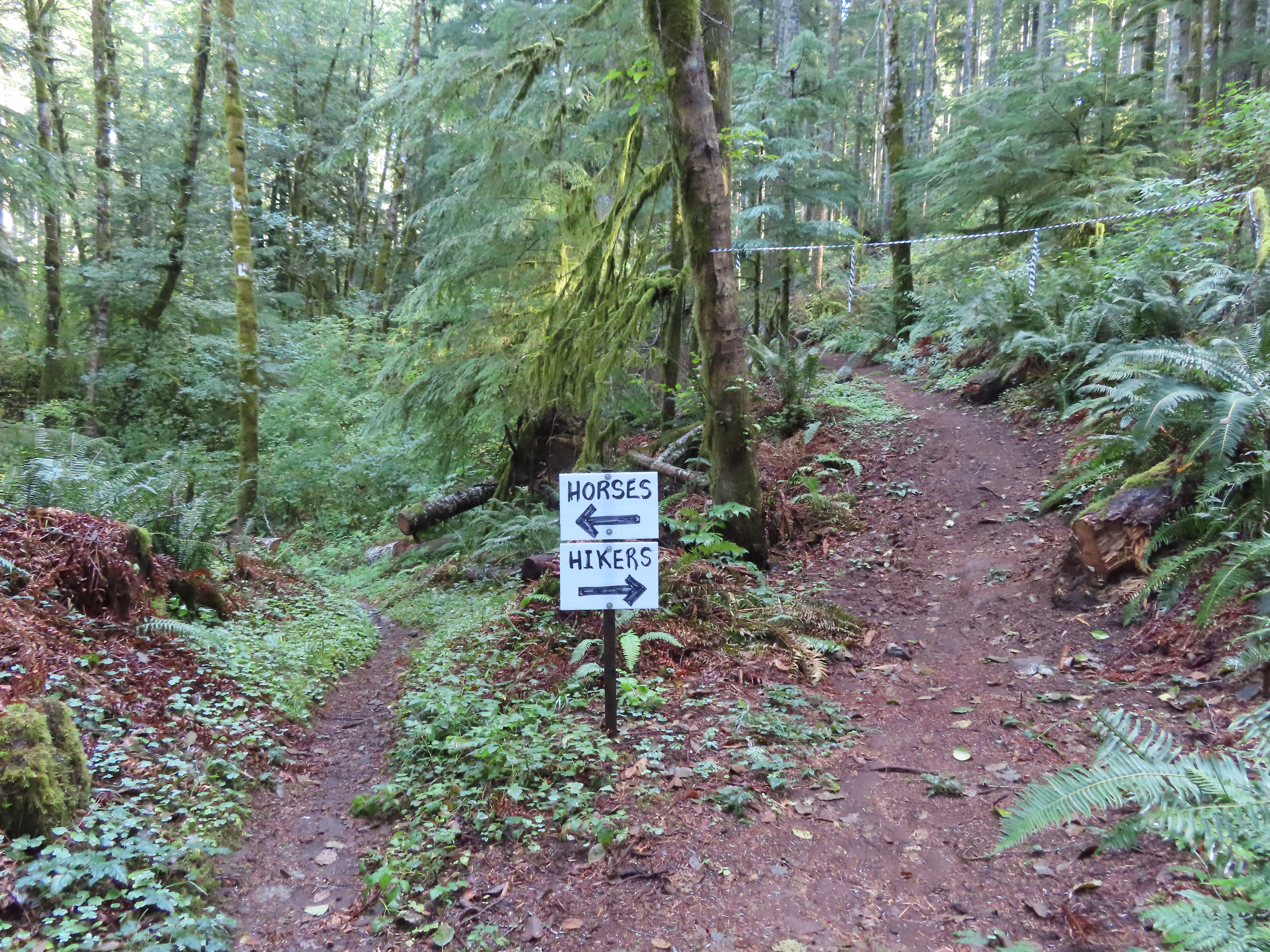 I’m a hiker so I went right here.
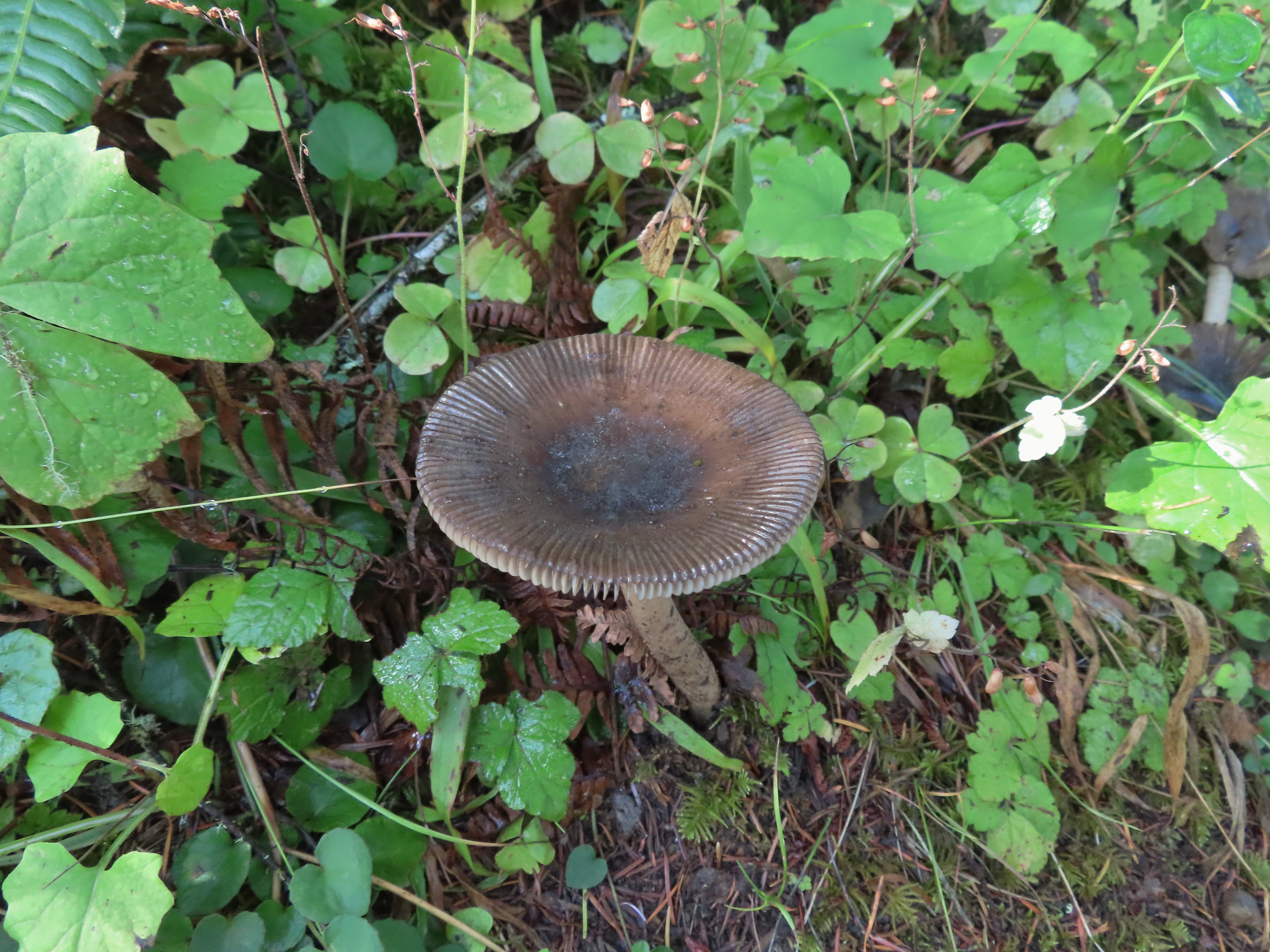
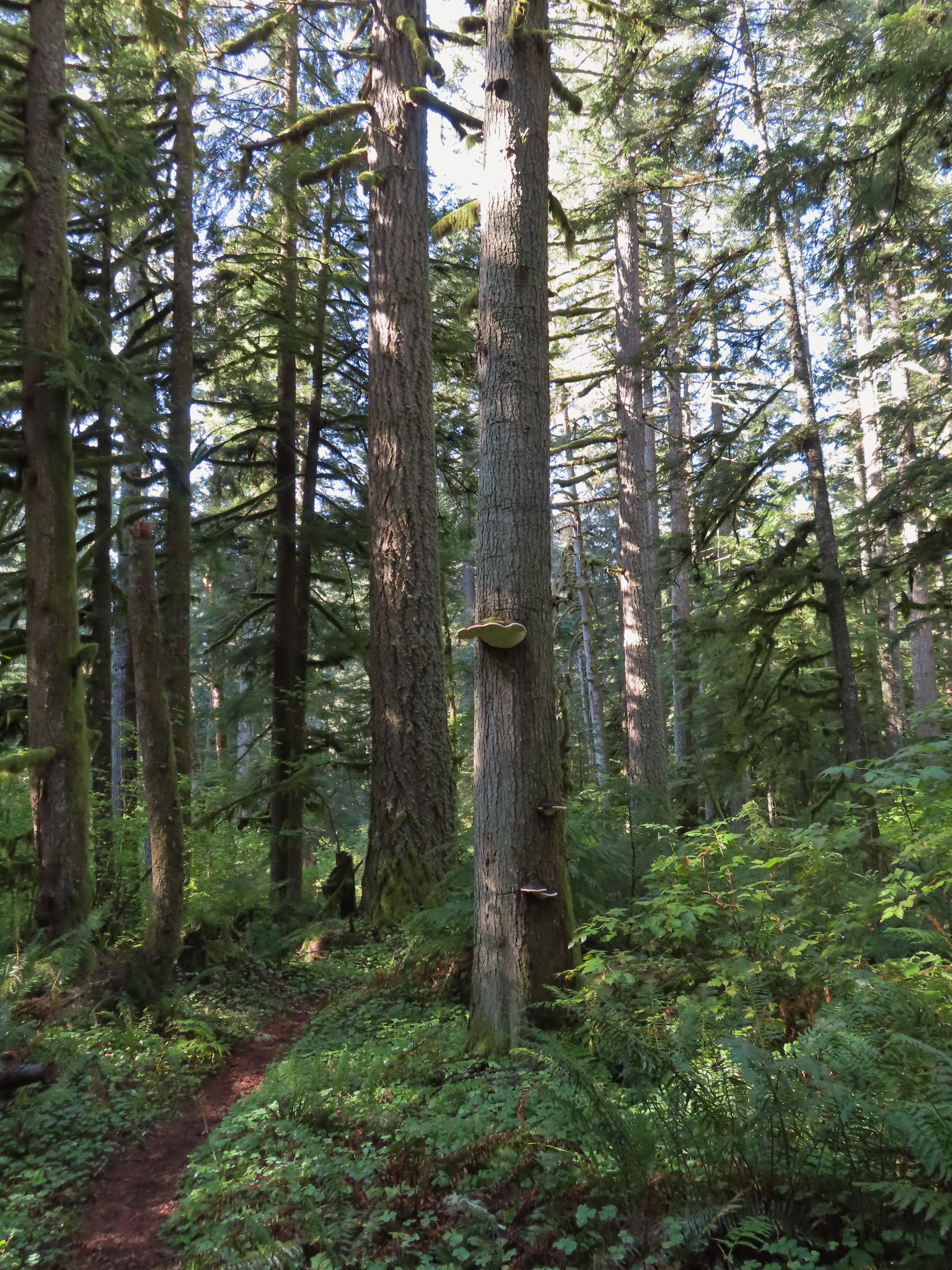 Big fungus on the tree ahead.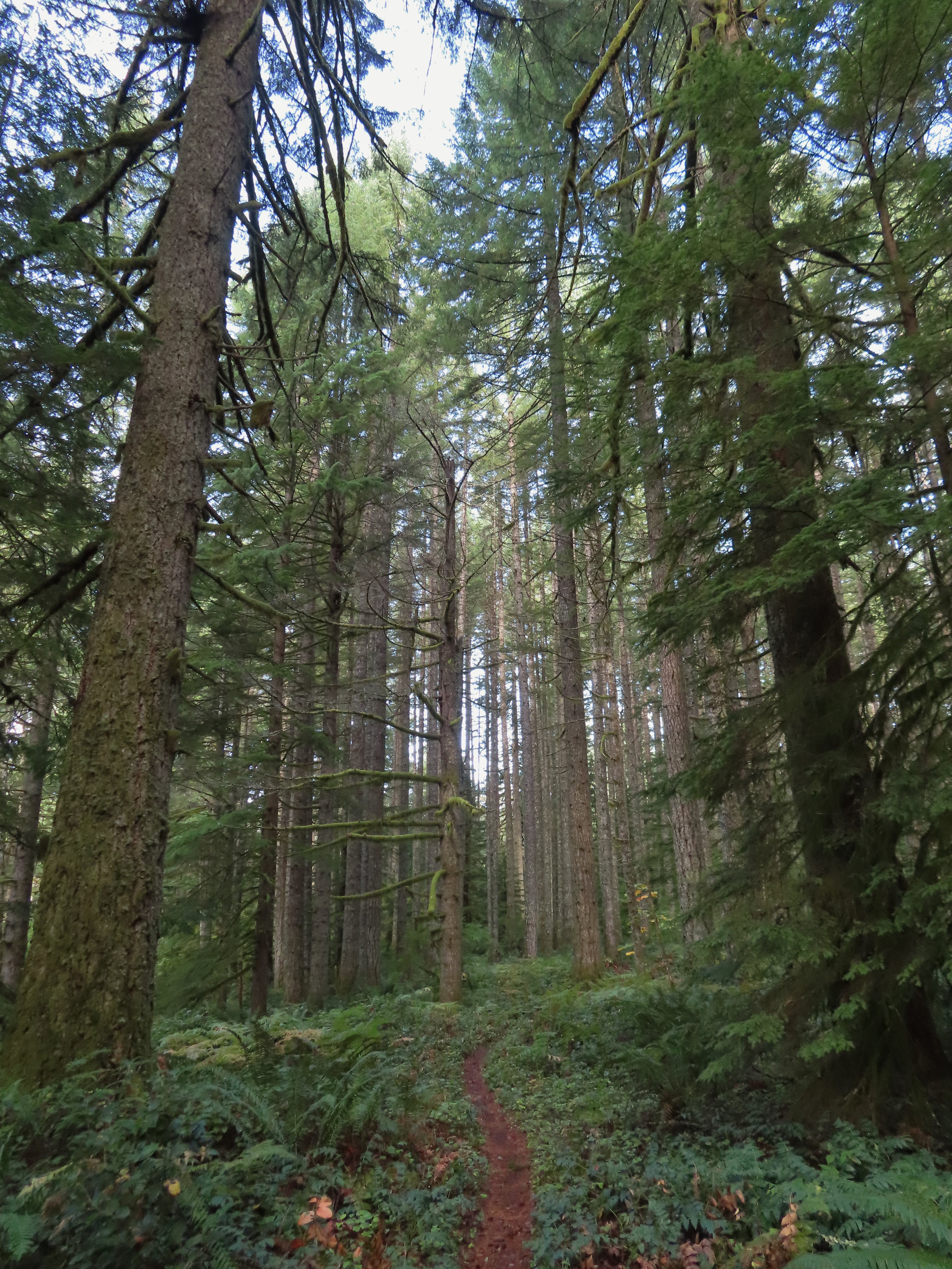

 Map at the Rackett Ridge junction.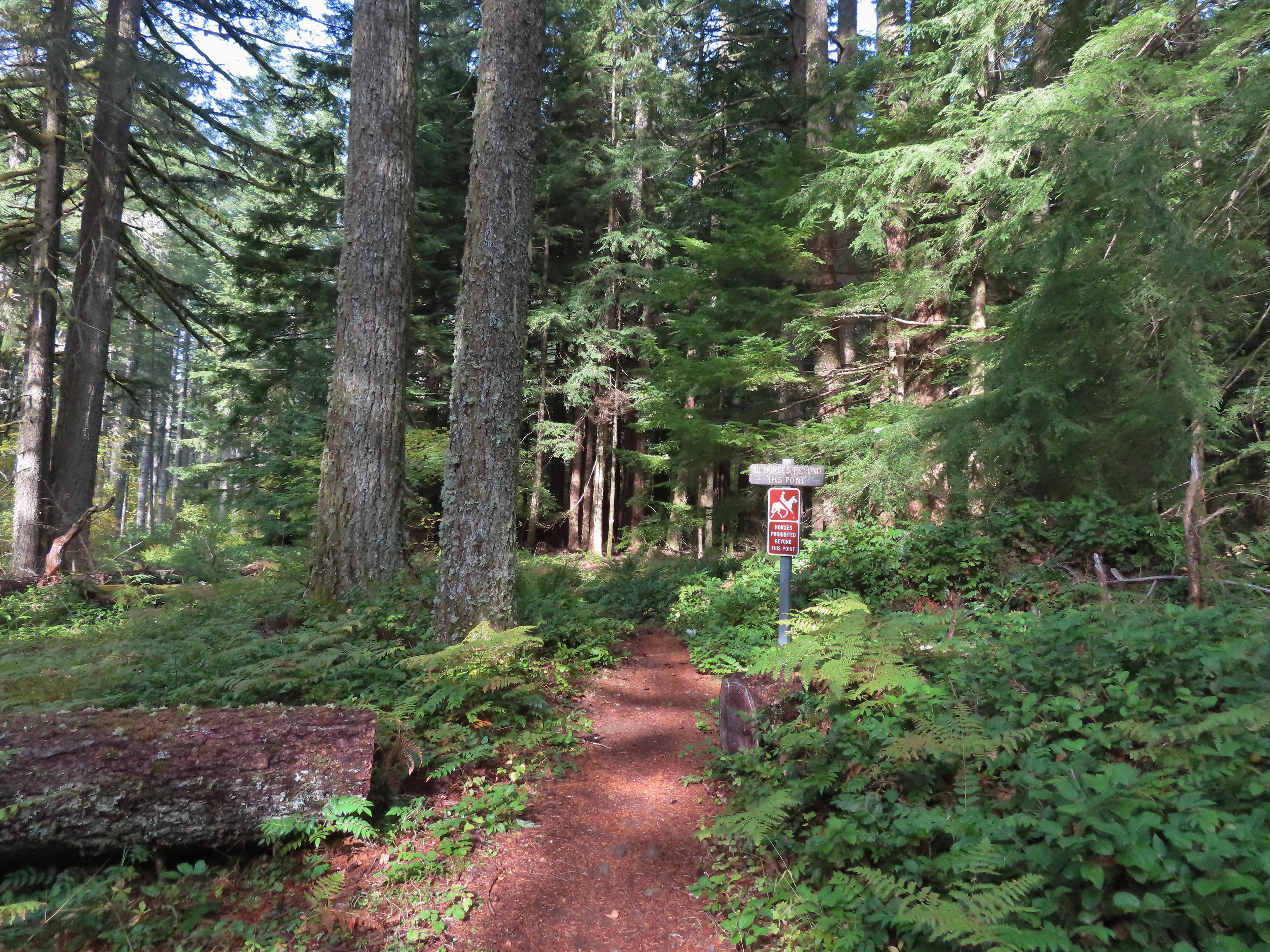
 Another impressive nursery log.
 I stopped in this area to change out of my sweaty socks and into one of the extra pairs I’d brought expecting rain.
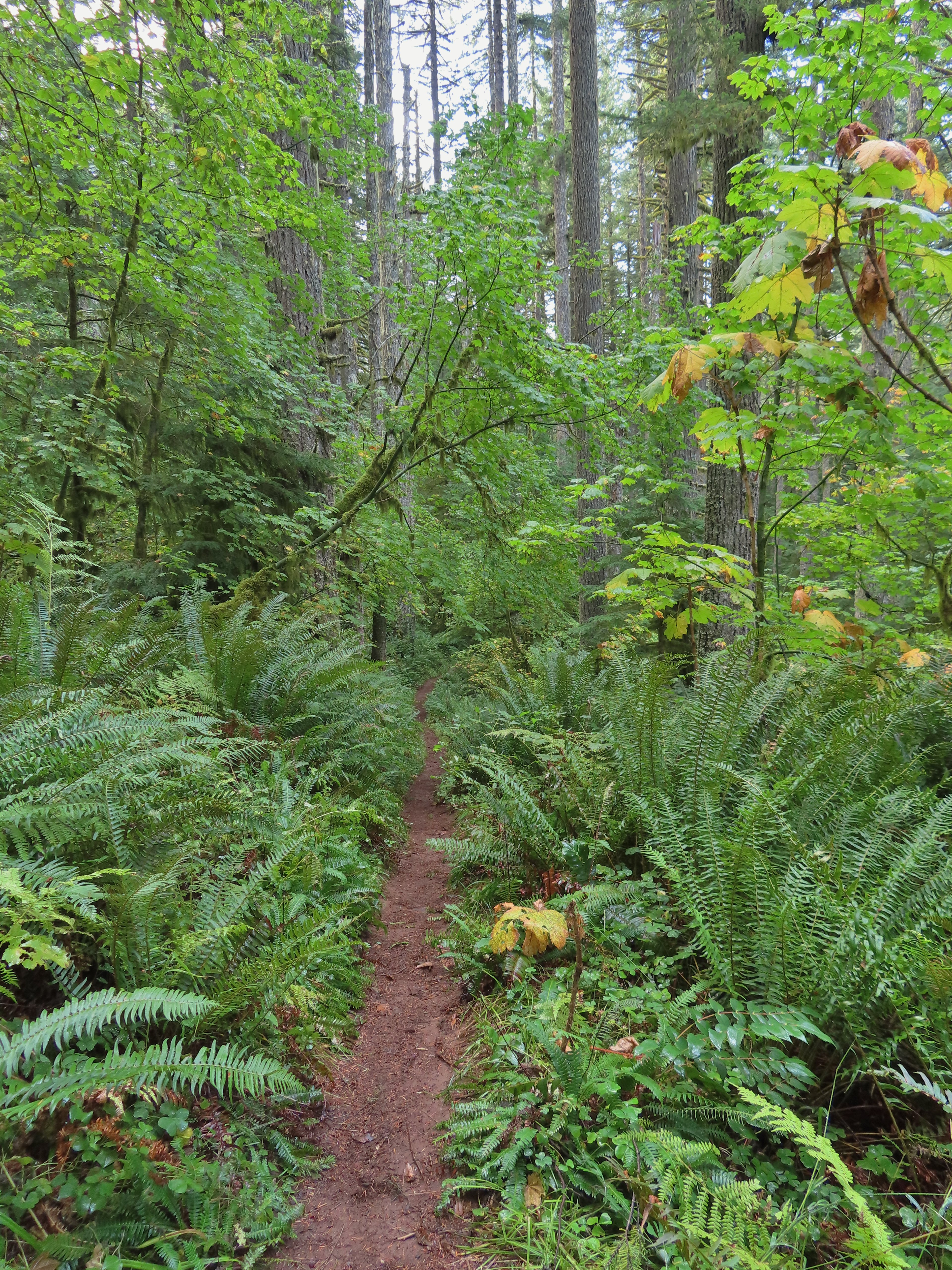 The vegetation went through several changes as the trail lost elevation.
 This was a big tree in the midst of much smaller ones.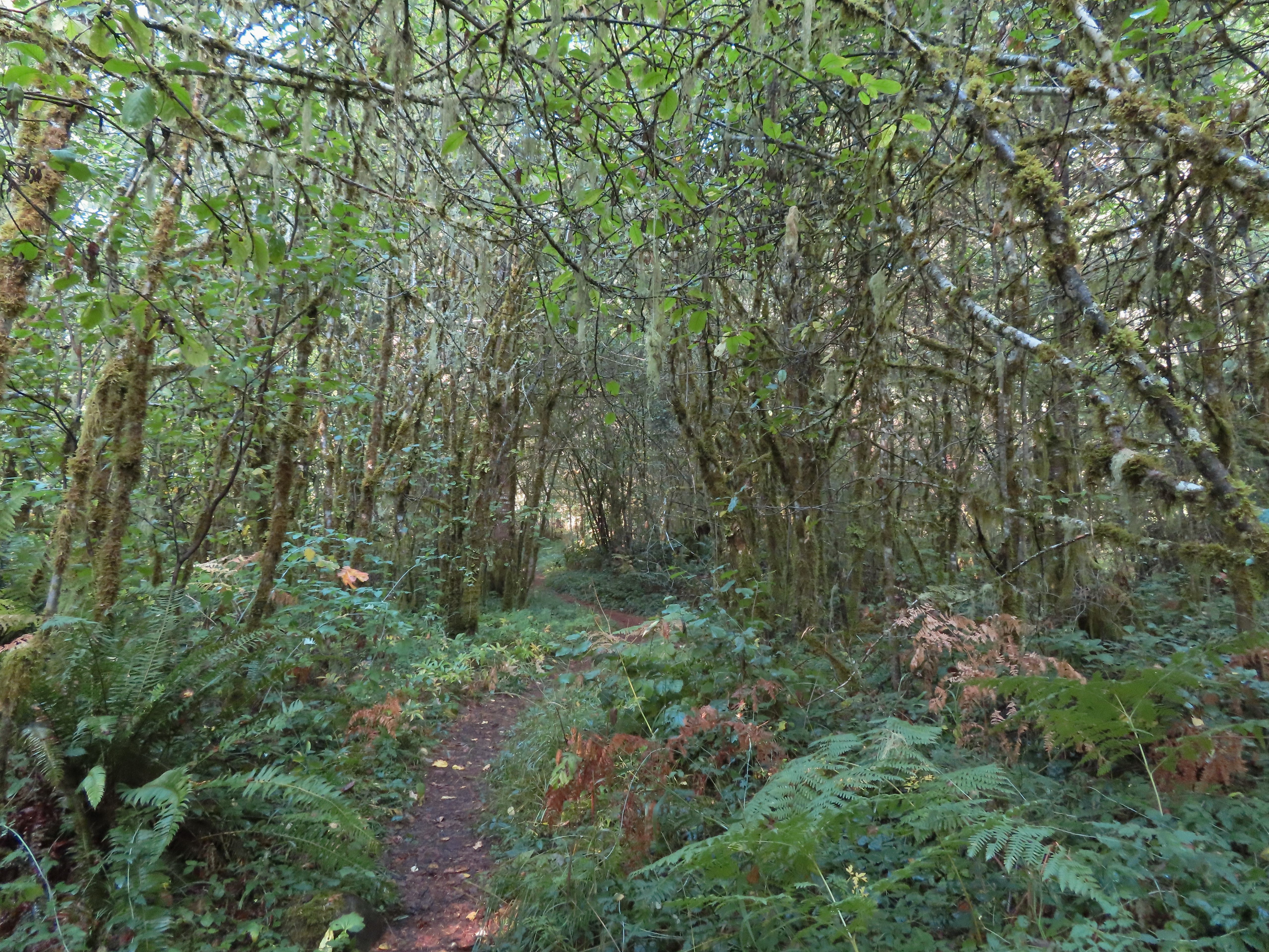
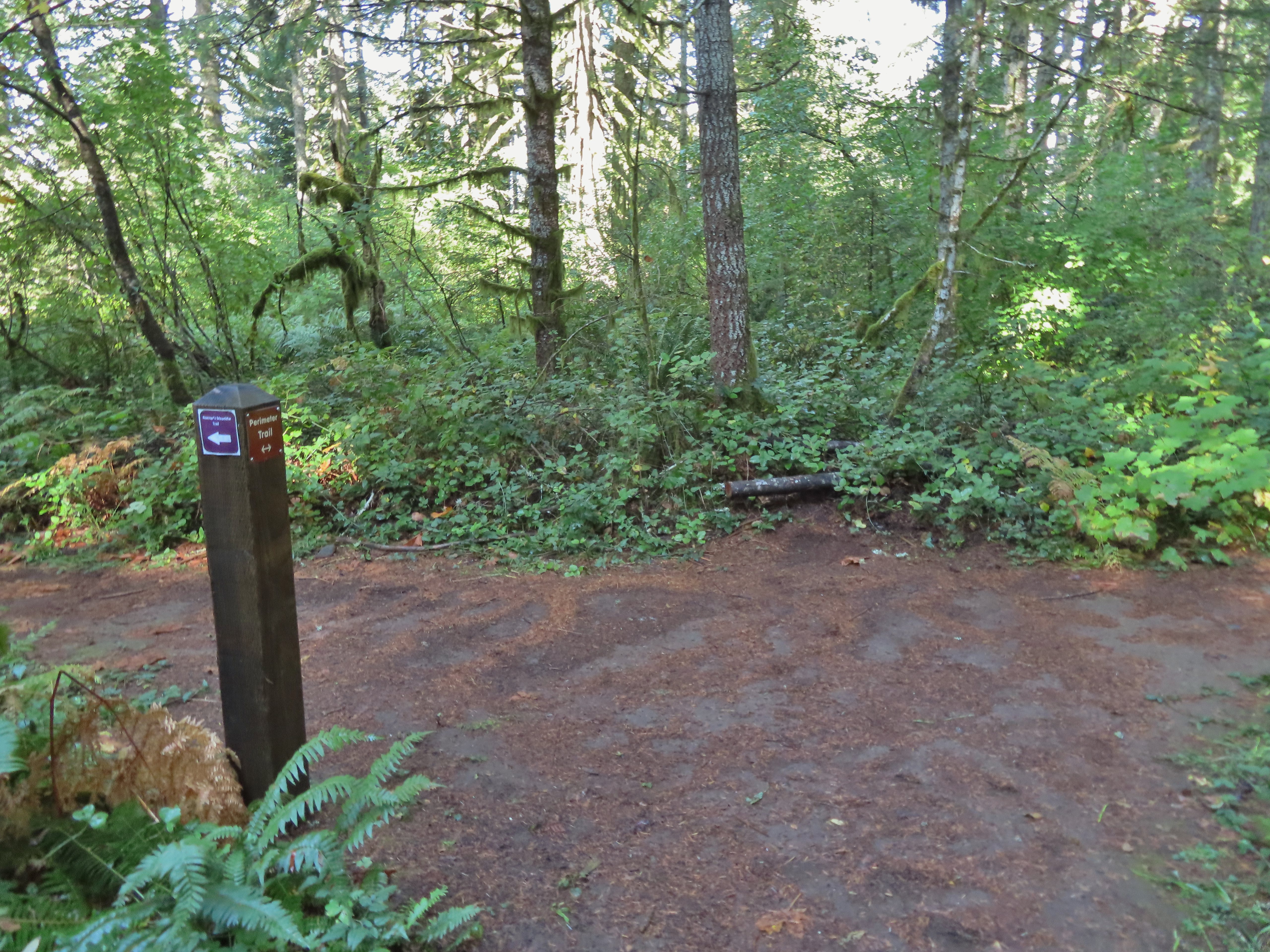 Roemer’s Meadow Trail (left) isn’t shown on the park maps yet, but it was completed in 2021 with help from the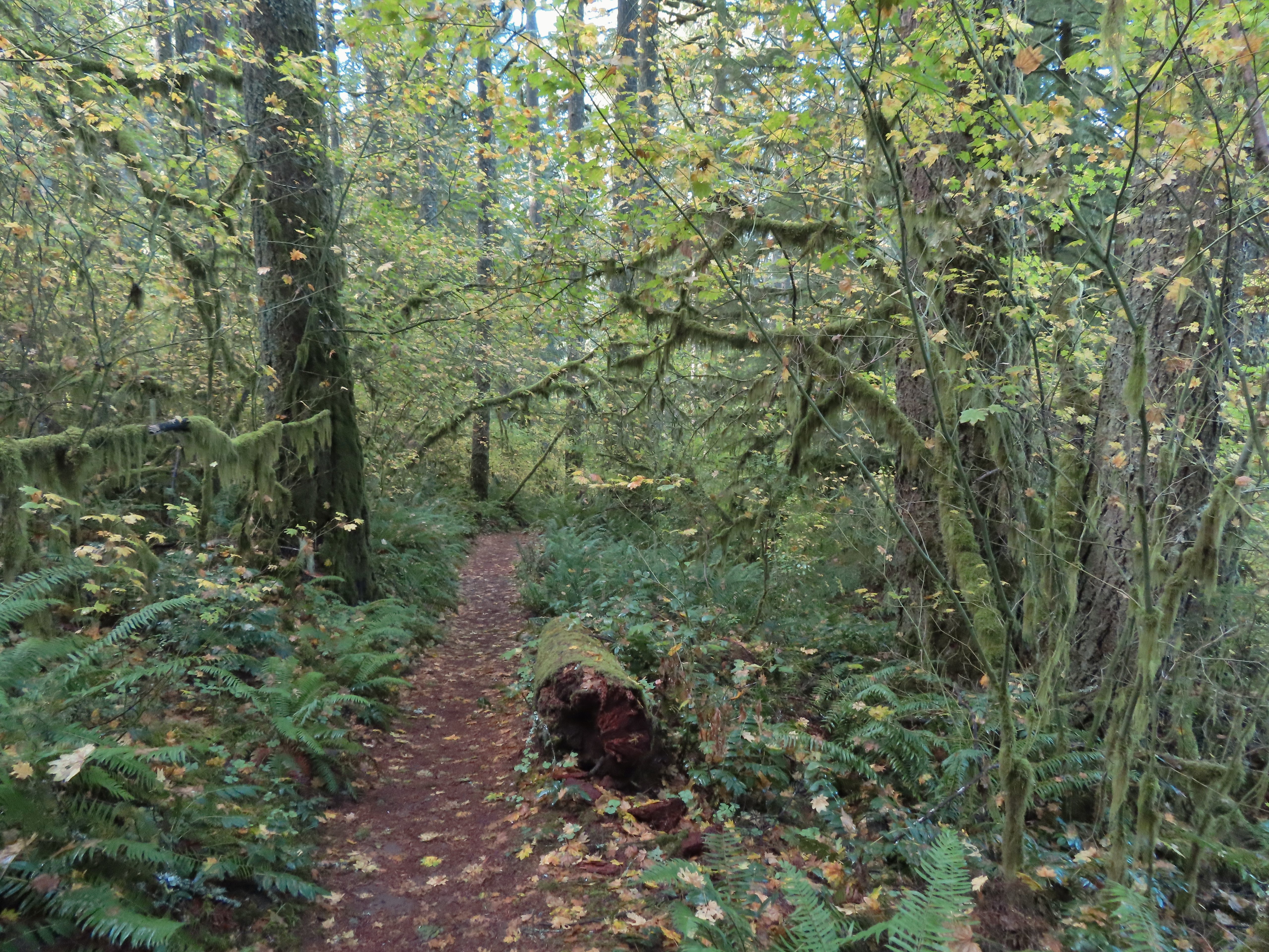
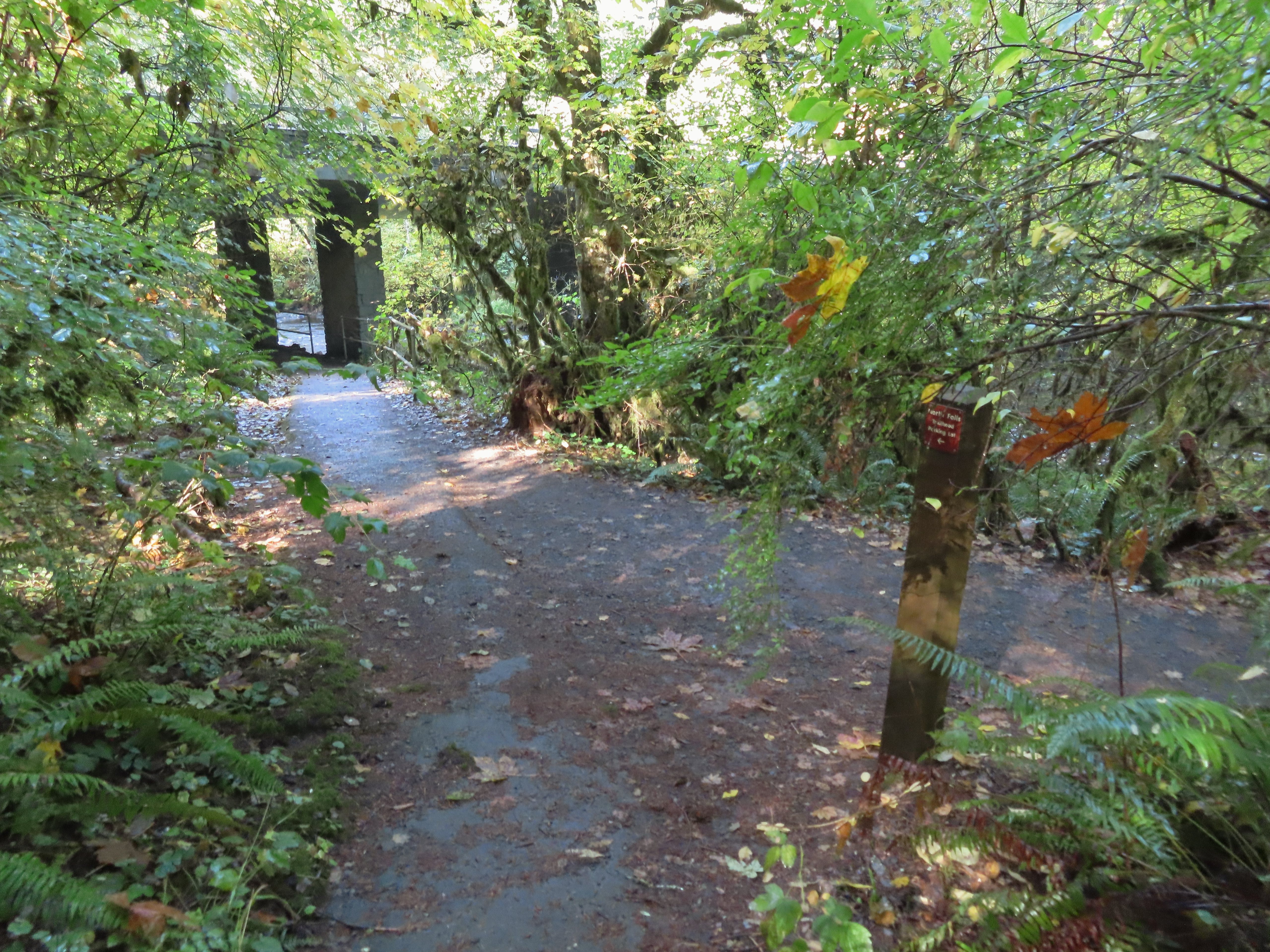 The Trail of Ten Falls junction near Highway 214.
 Looking back up the Perimeter Trail.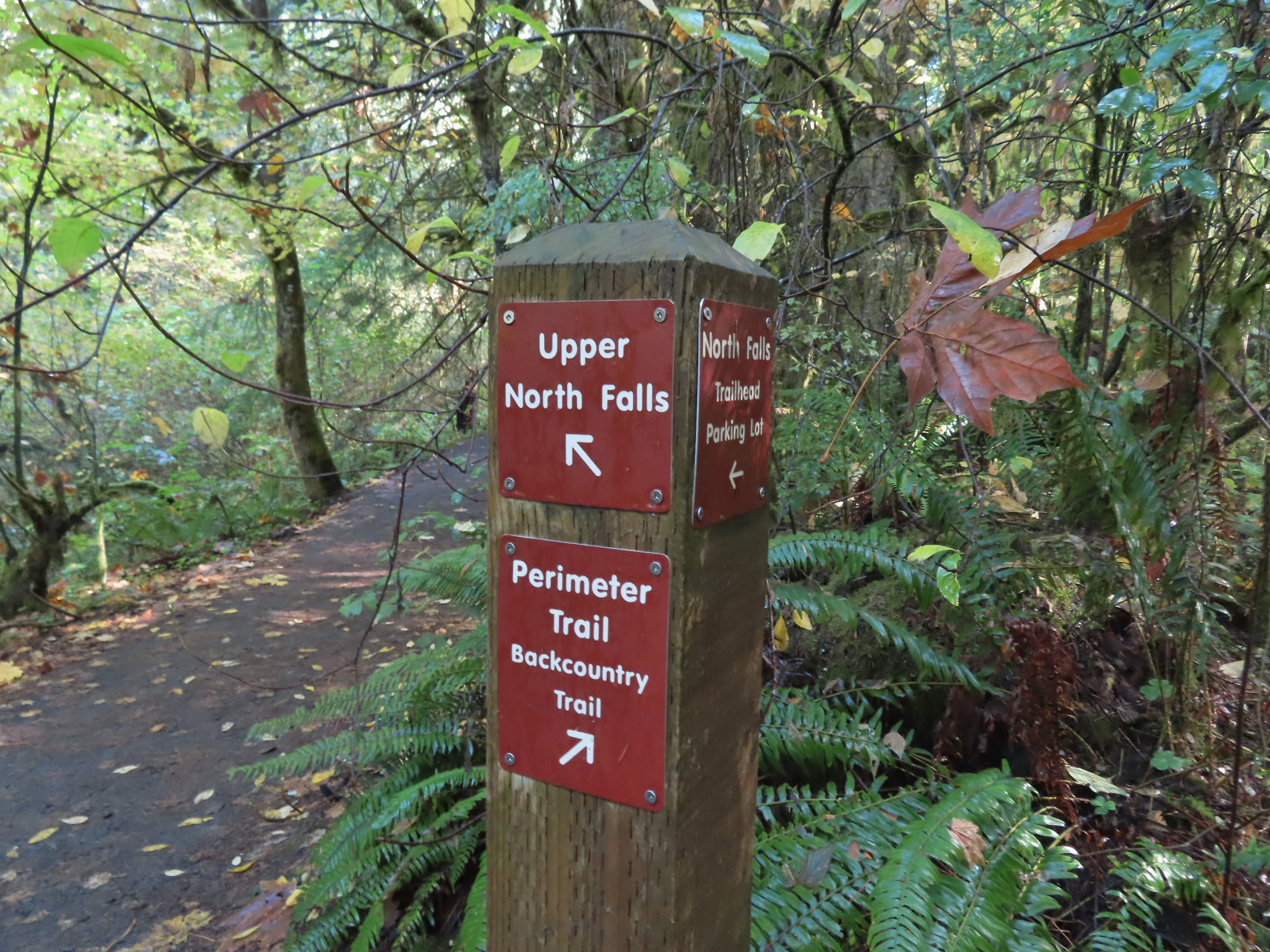
 Upper North Falls
 A left would have taken me to the North Falls Trailhead.
 The Rim Trail to the left and Canyon Trail to the right, both part of the Trail of Ten Falls.

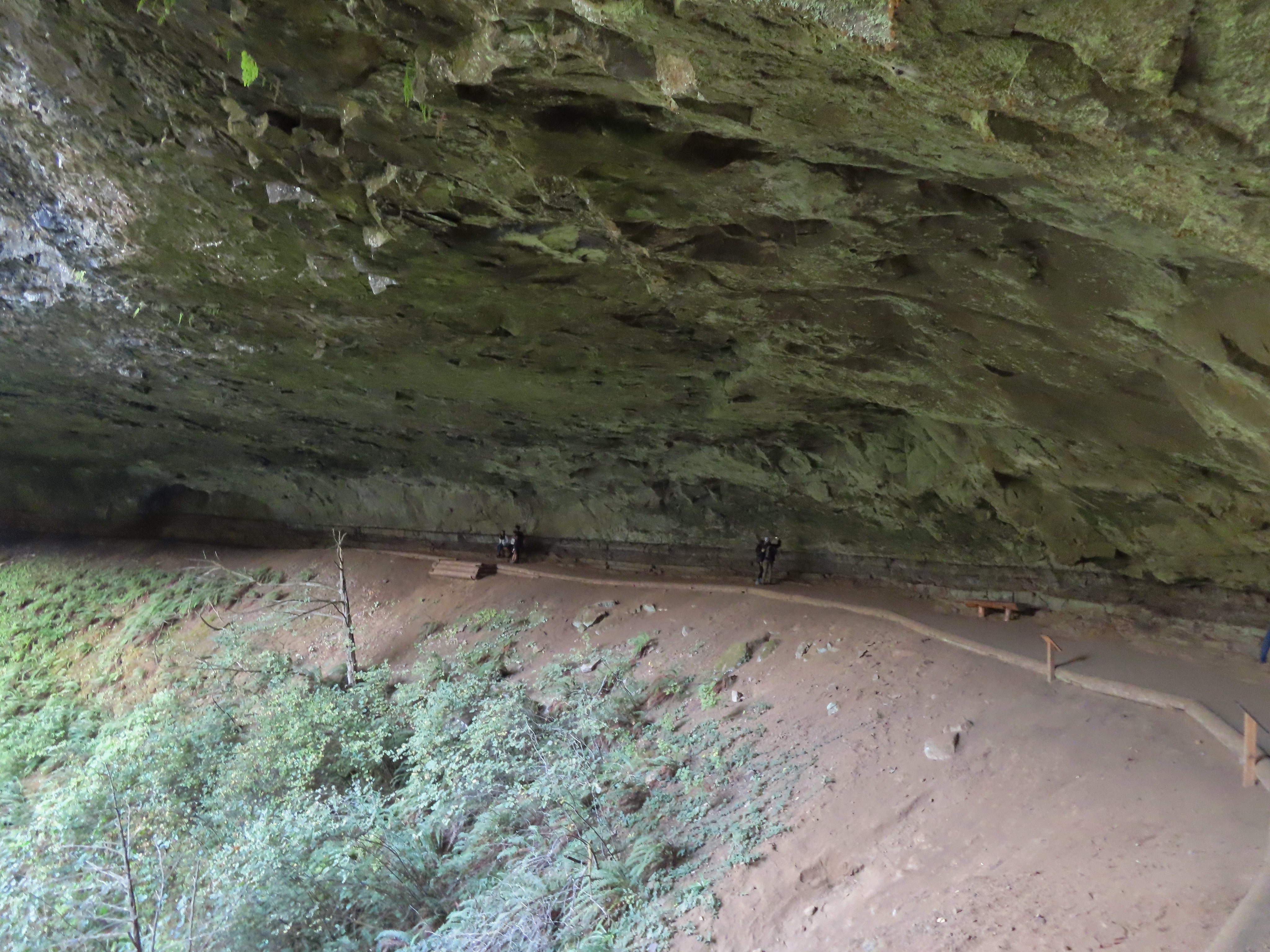
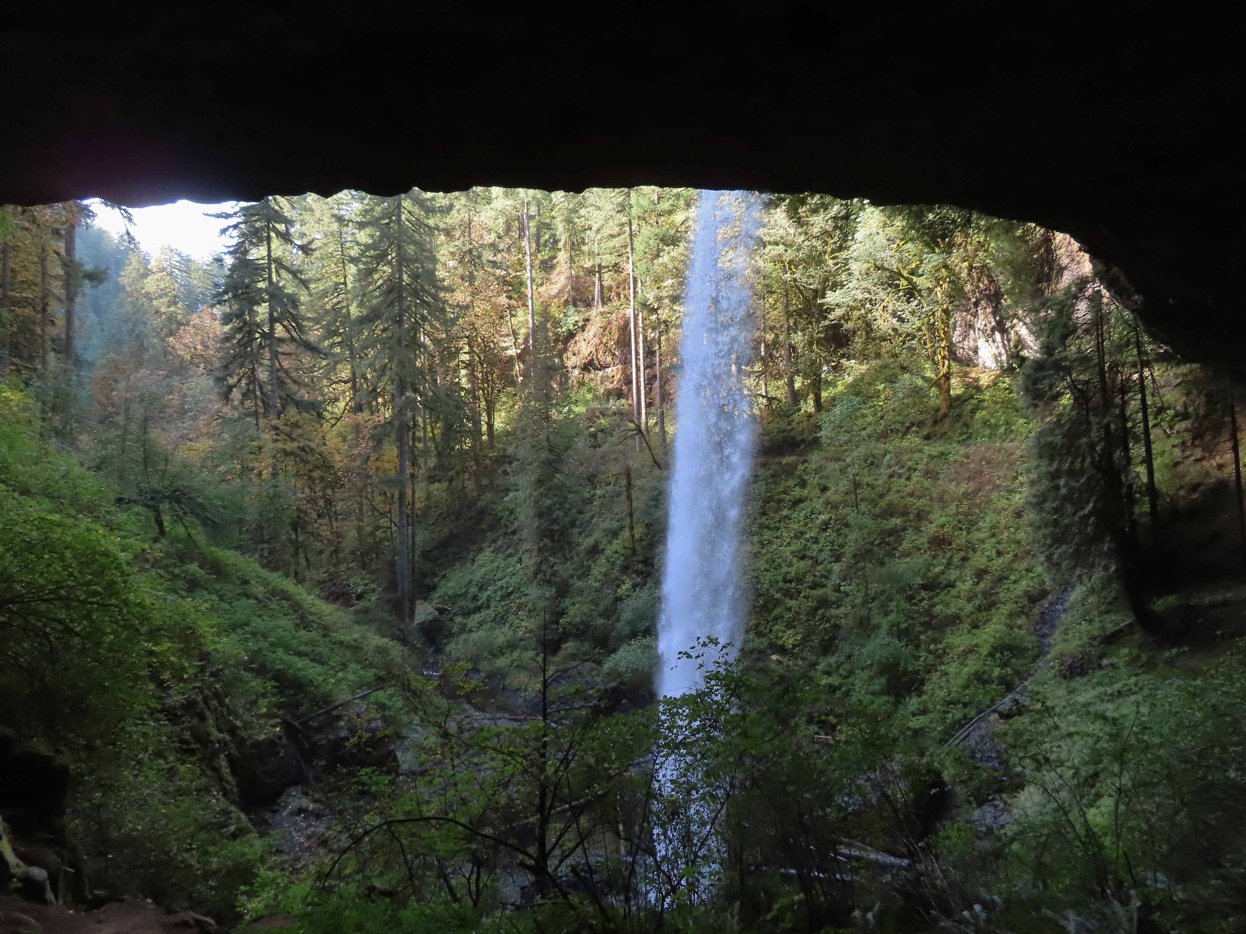
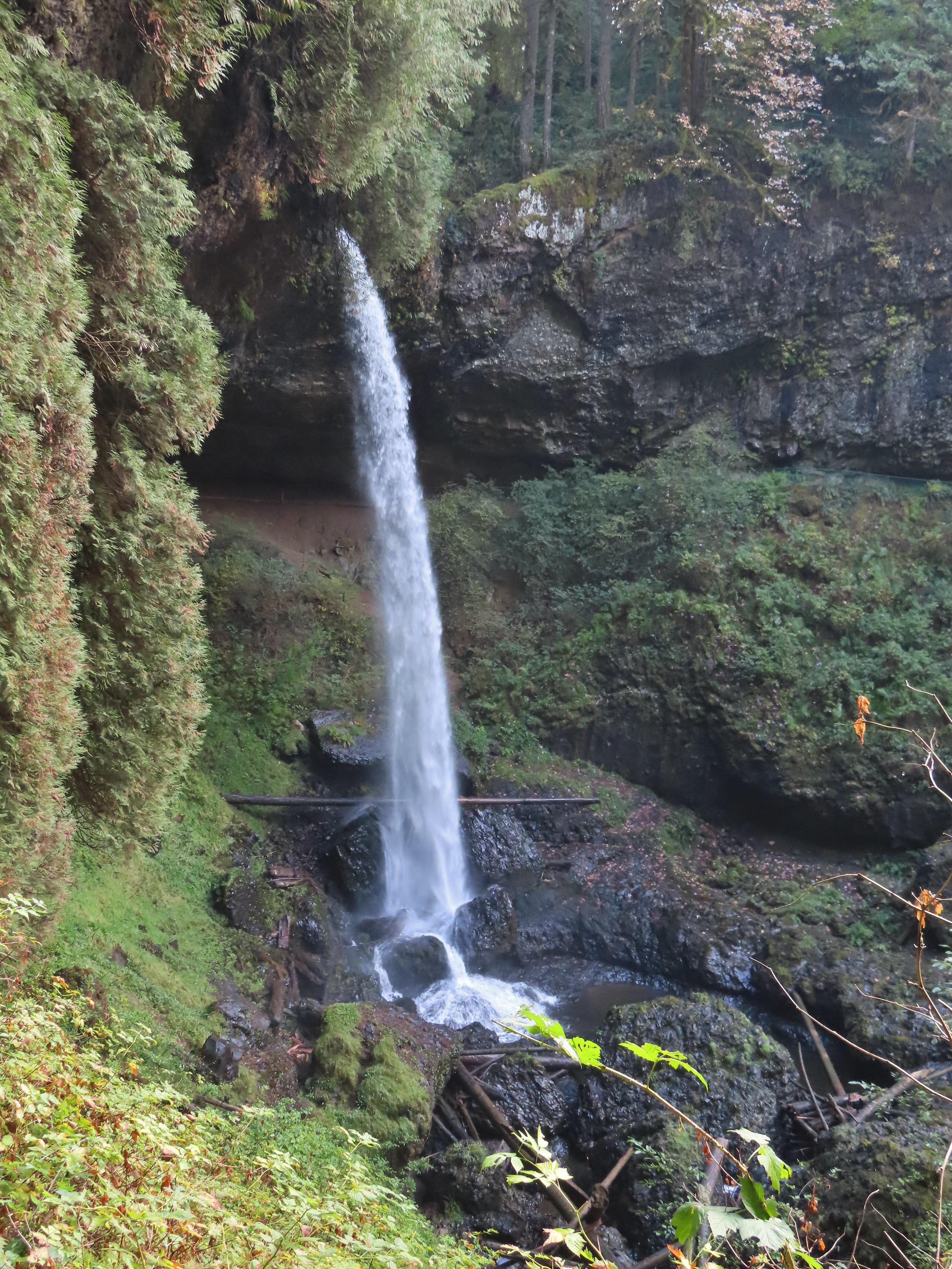

 I’m always impressed by the size of this rock in the creek.
 Not Twin Falls, but a nice little cascade nonetheless.
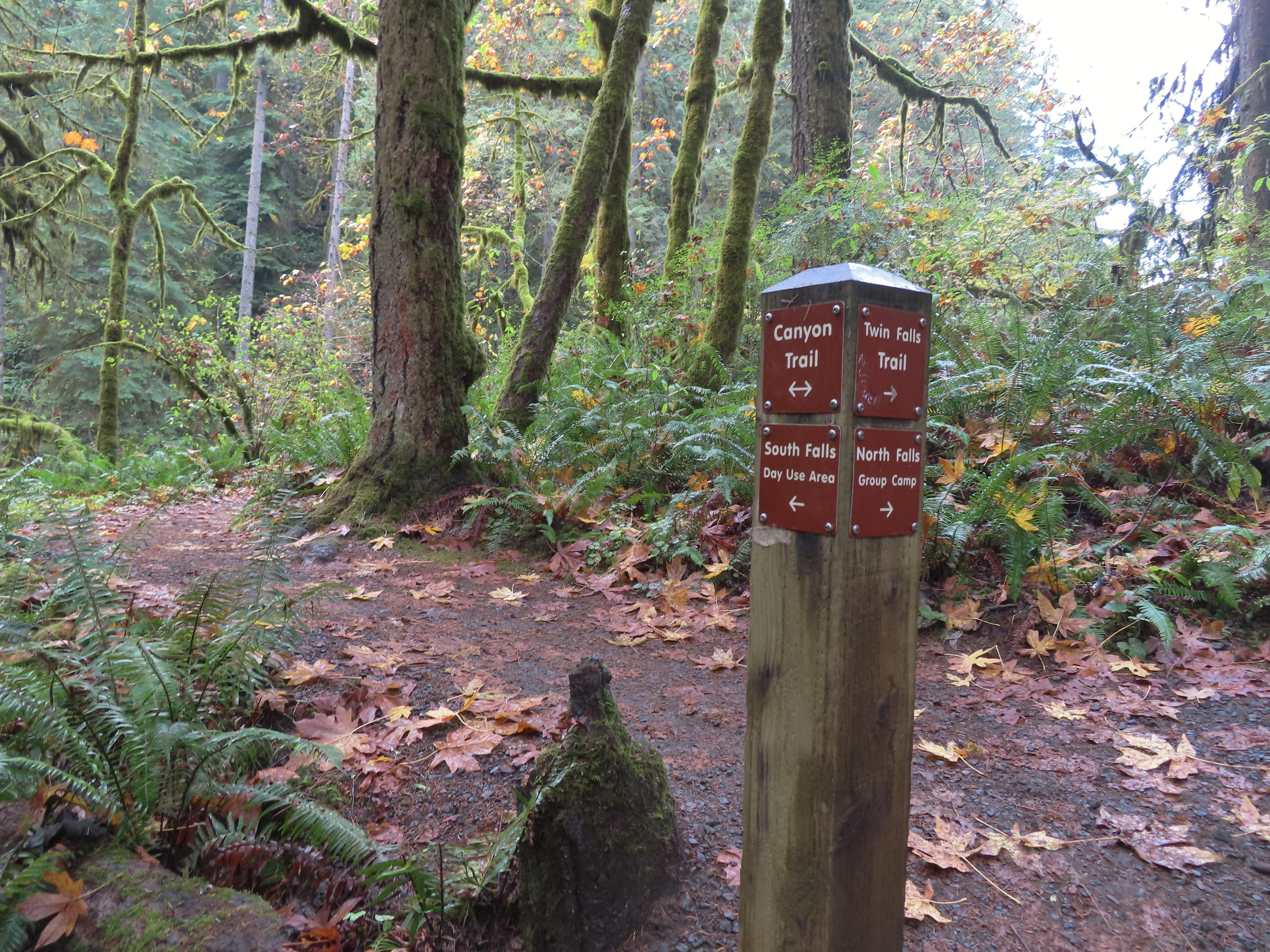 This post could be a little confusing without a map. The Twin Falls Trail climbs uphill to a group camp and does not lead to Twin Falls. The falls are the opposite side along a very short spur trail that connects at either end to the Canyon Trail.
 Twin Falls isn’t very easy to see from the spur trail either even though you’re right next to it.
 Twin Falls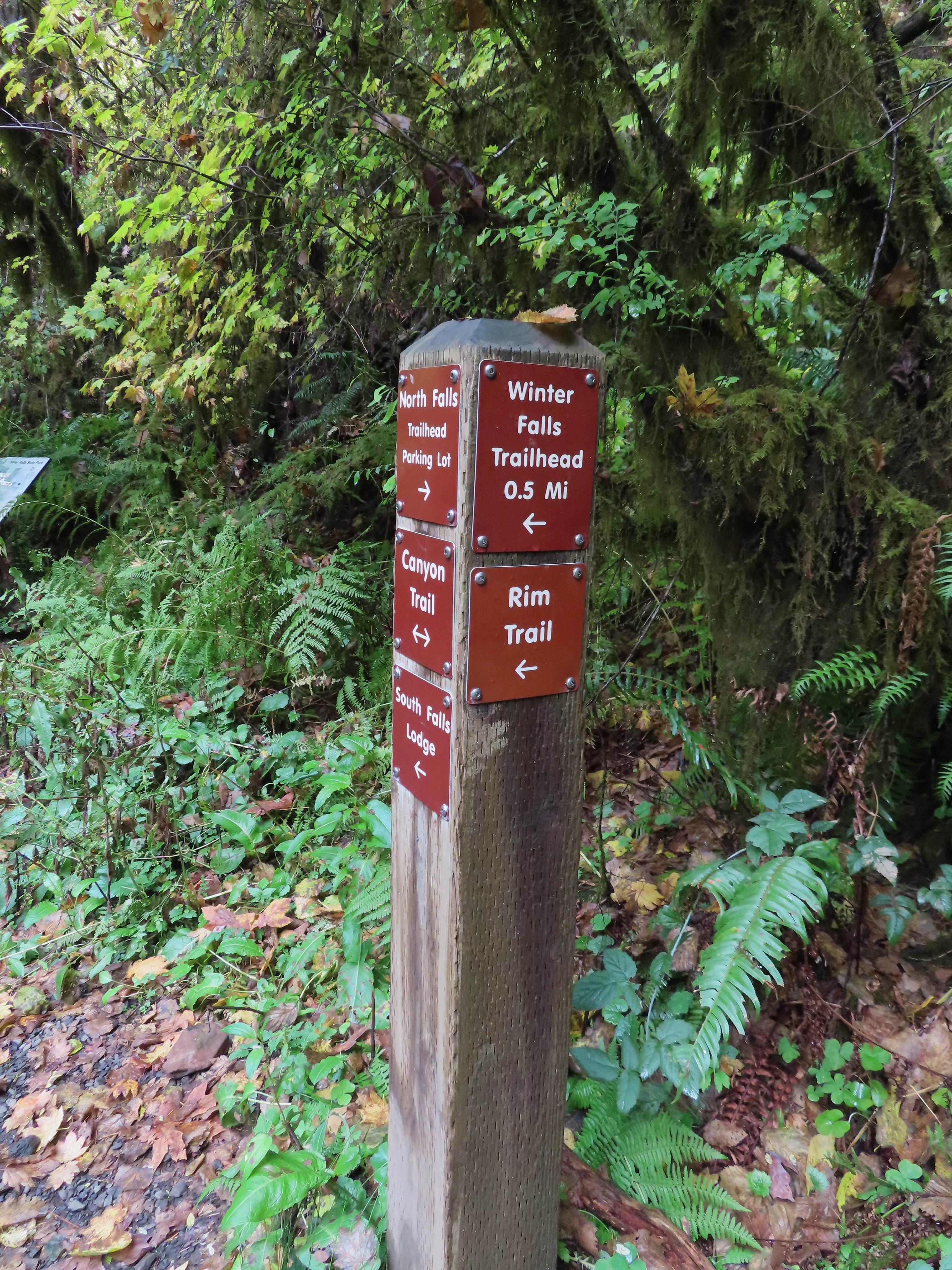

 North Fork Silver Creek
 Winter Falls, as the name suggests it’s not much of a waterfall outside of Winter when rain and snowmelt provide more water.
 With the dry Summer it isn’t a great Fall color year but there was a decent display along this trail.
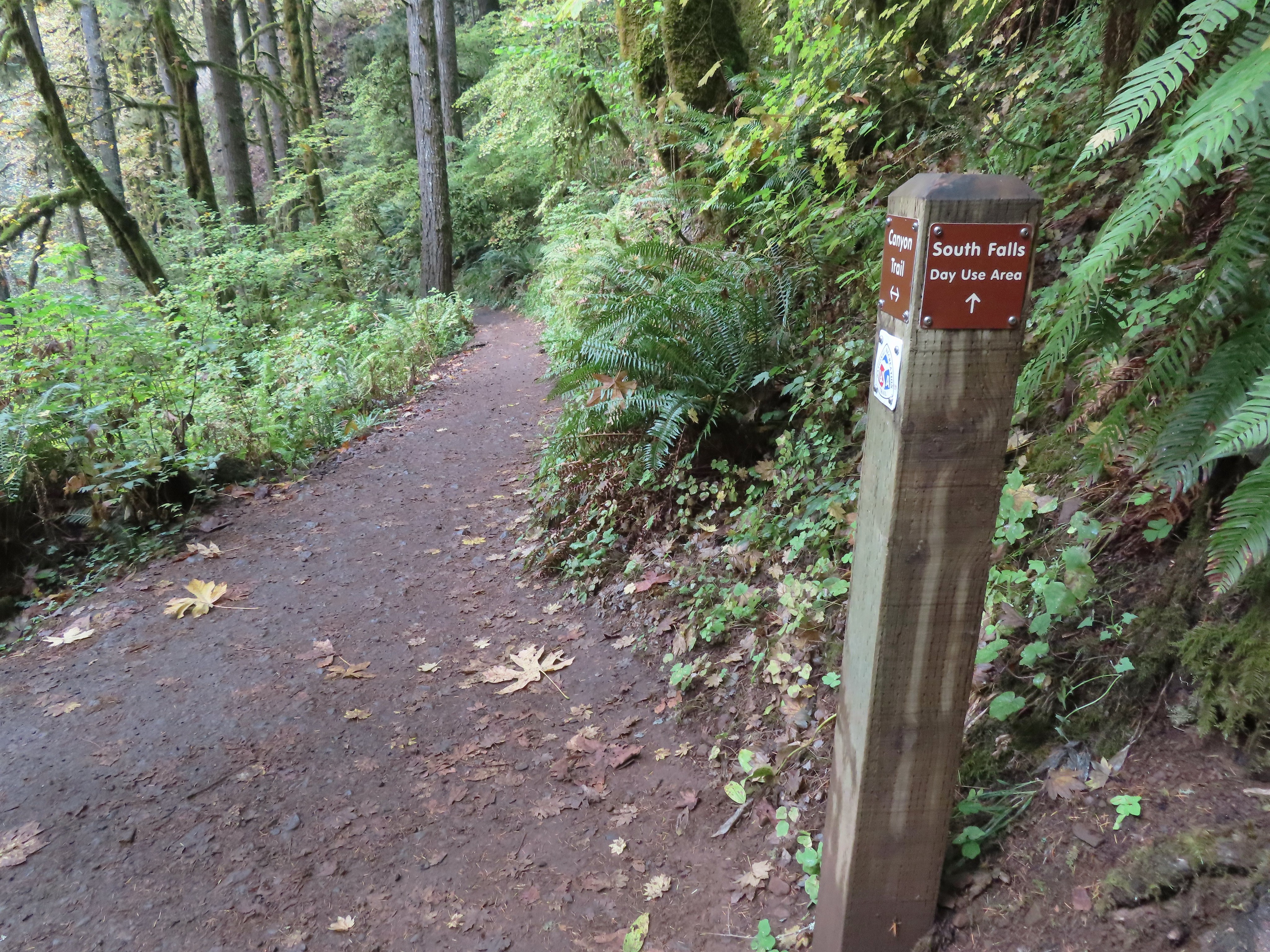 I turned left here on the spur trail behind Middle North Falls.


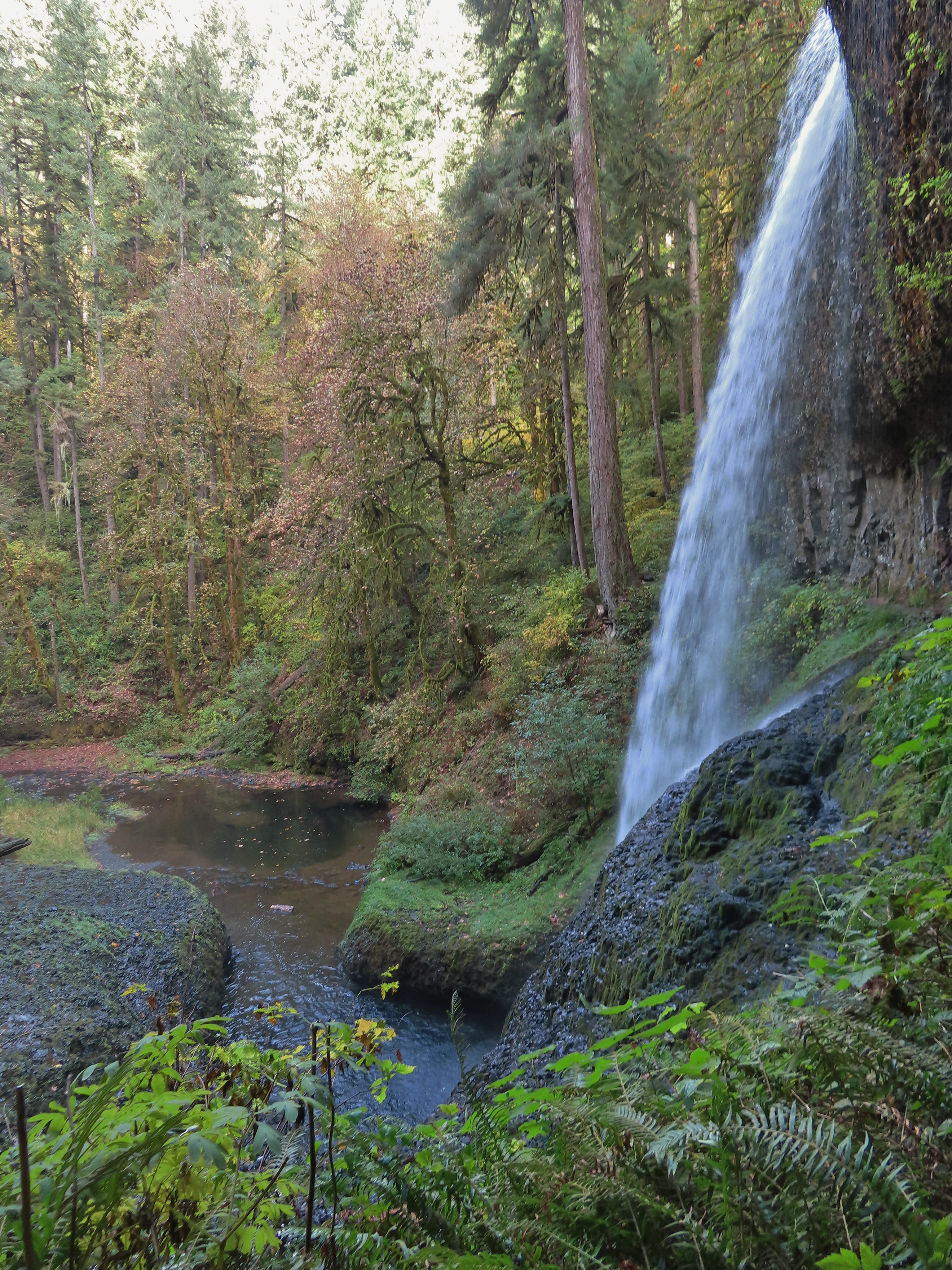
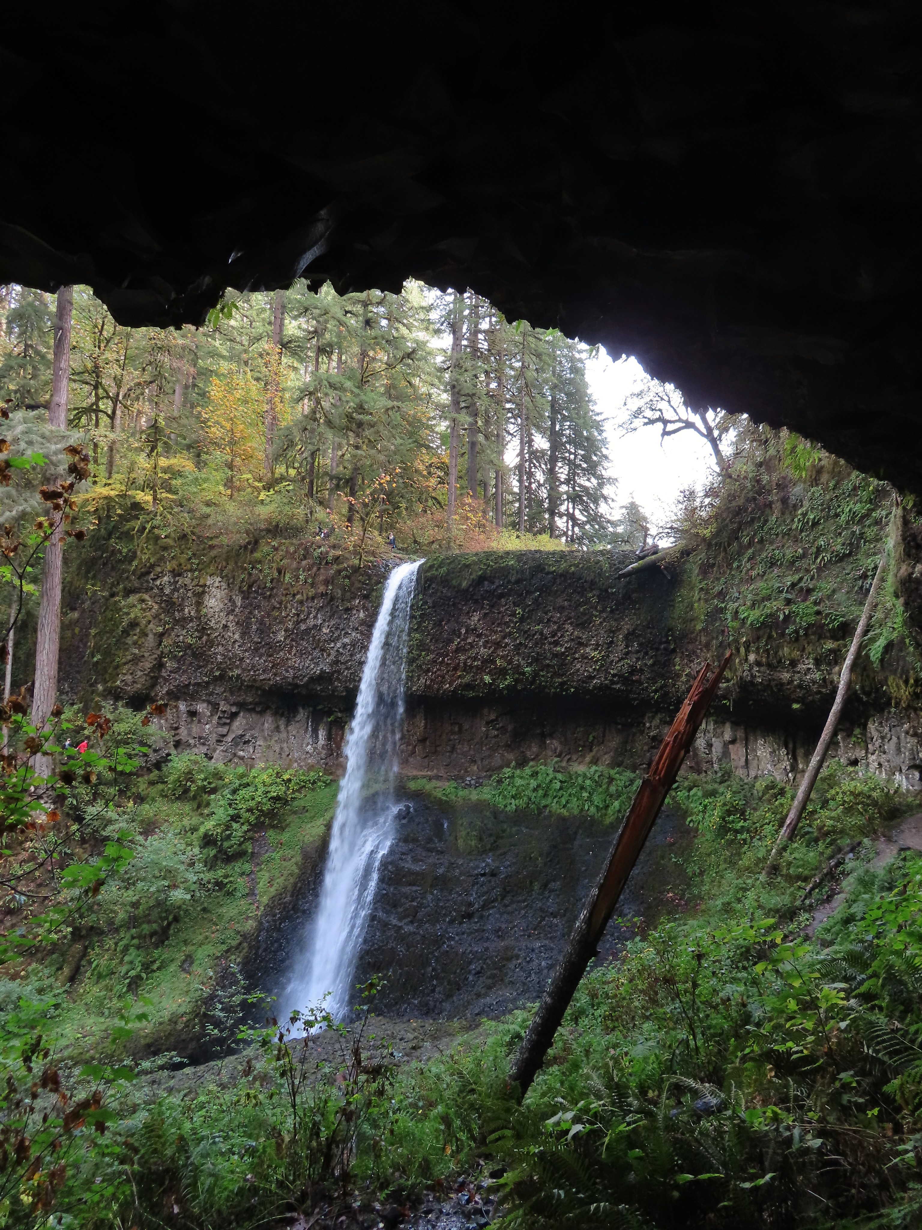
 Middle North Falls from the Canyon Trail.
 The 27′ Drake Falls.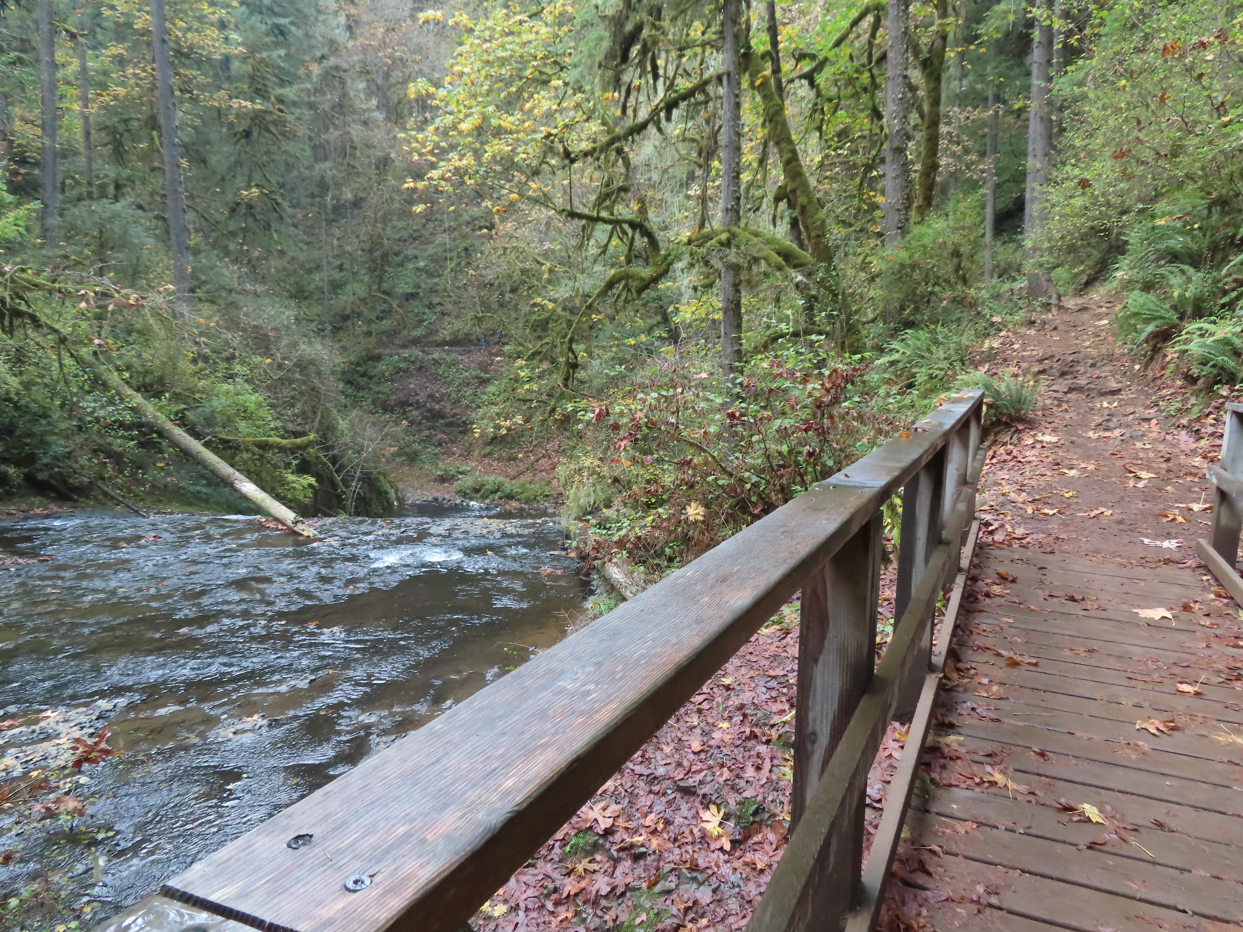

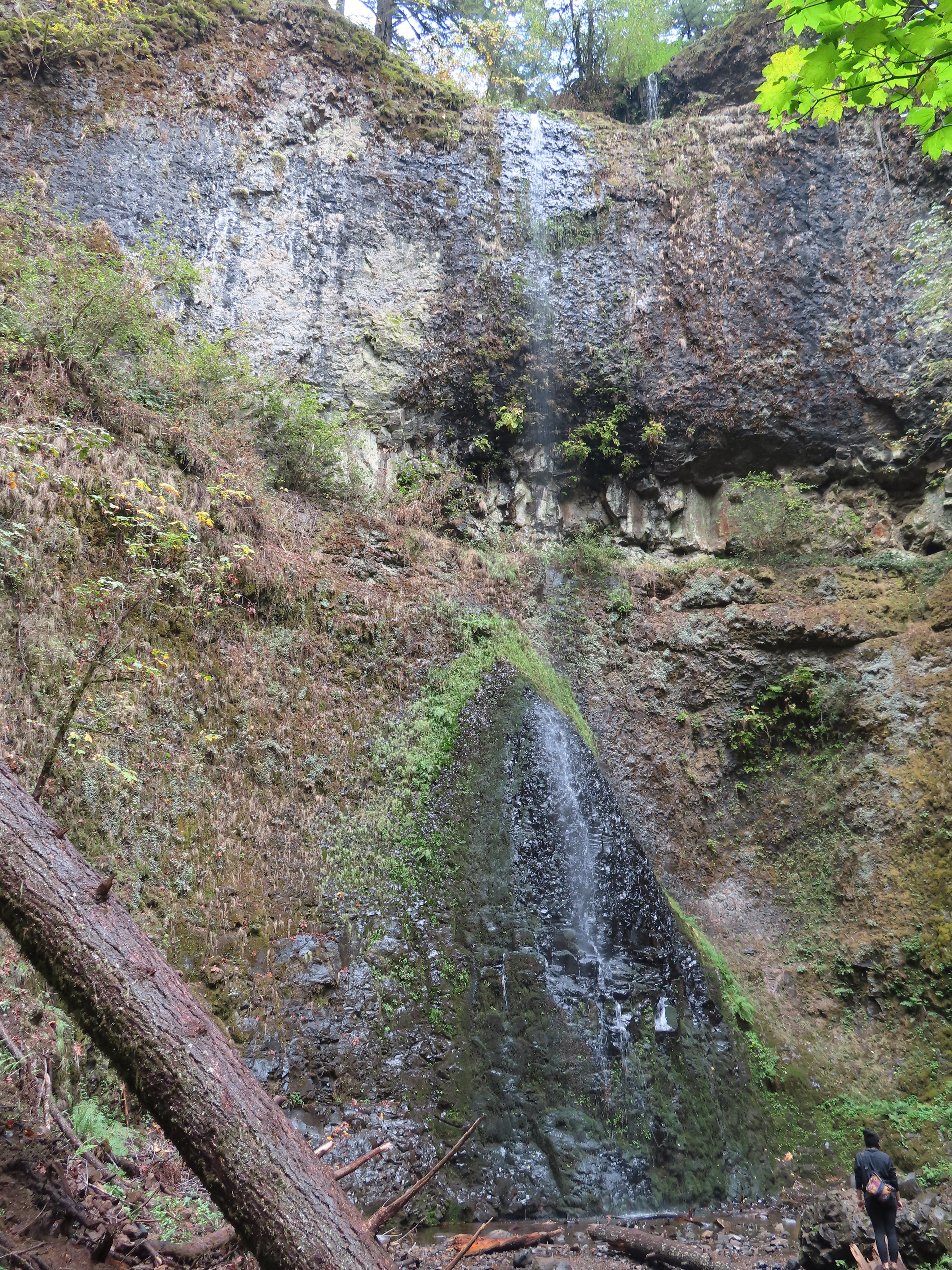 The hiker at the base gives a good idea of the fall’s height, you just have to use your imagination to add water.

 The Canyon Trail crosses the creek just downstream from Lower North Falls then makes a short climb to get above the canyon cliffs.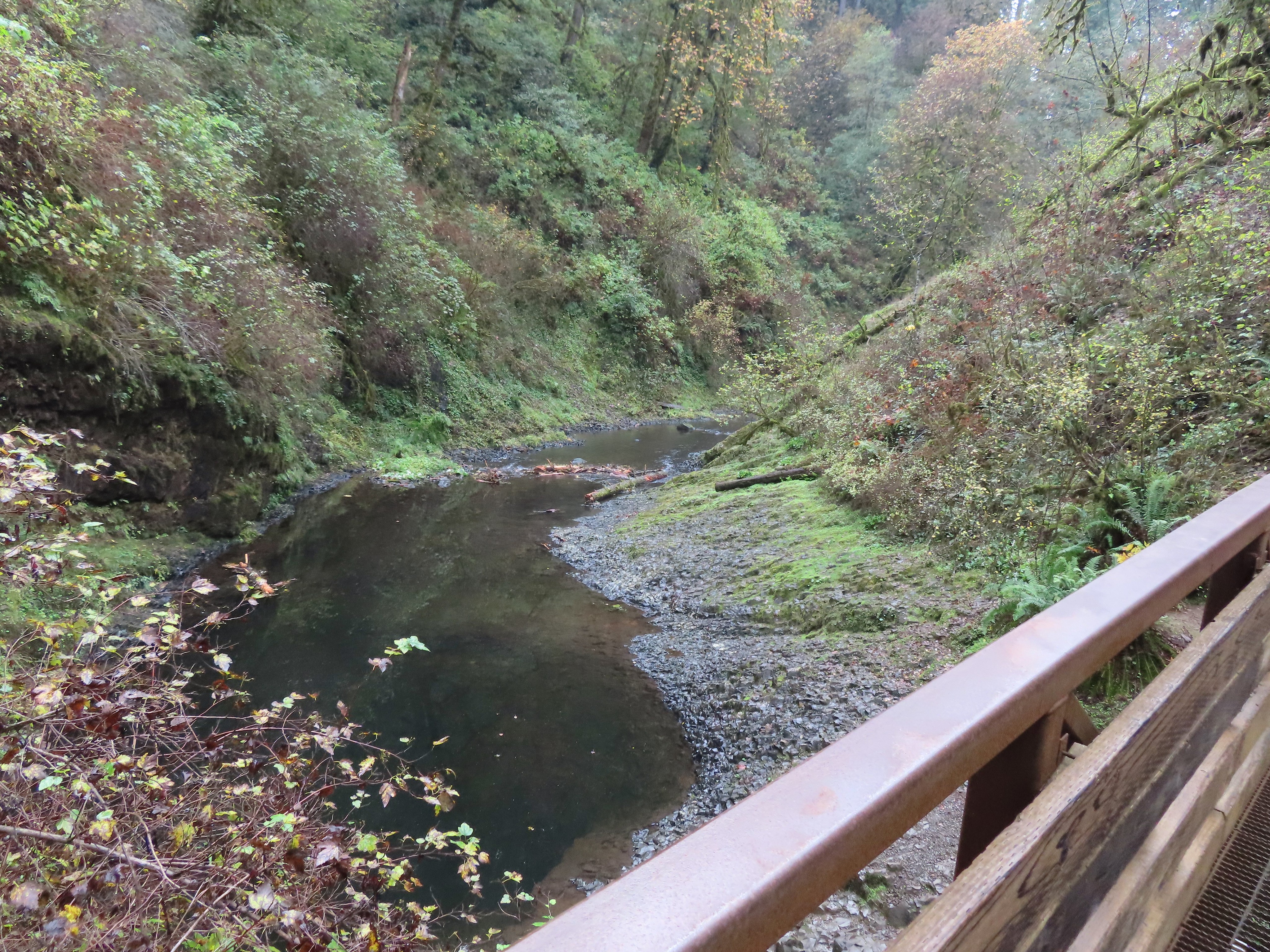
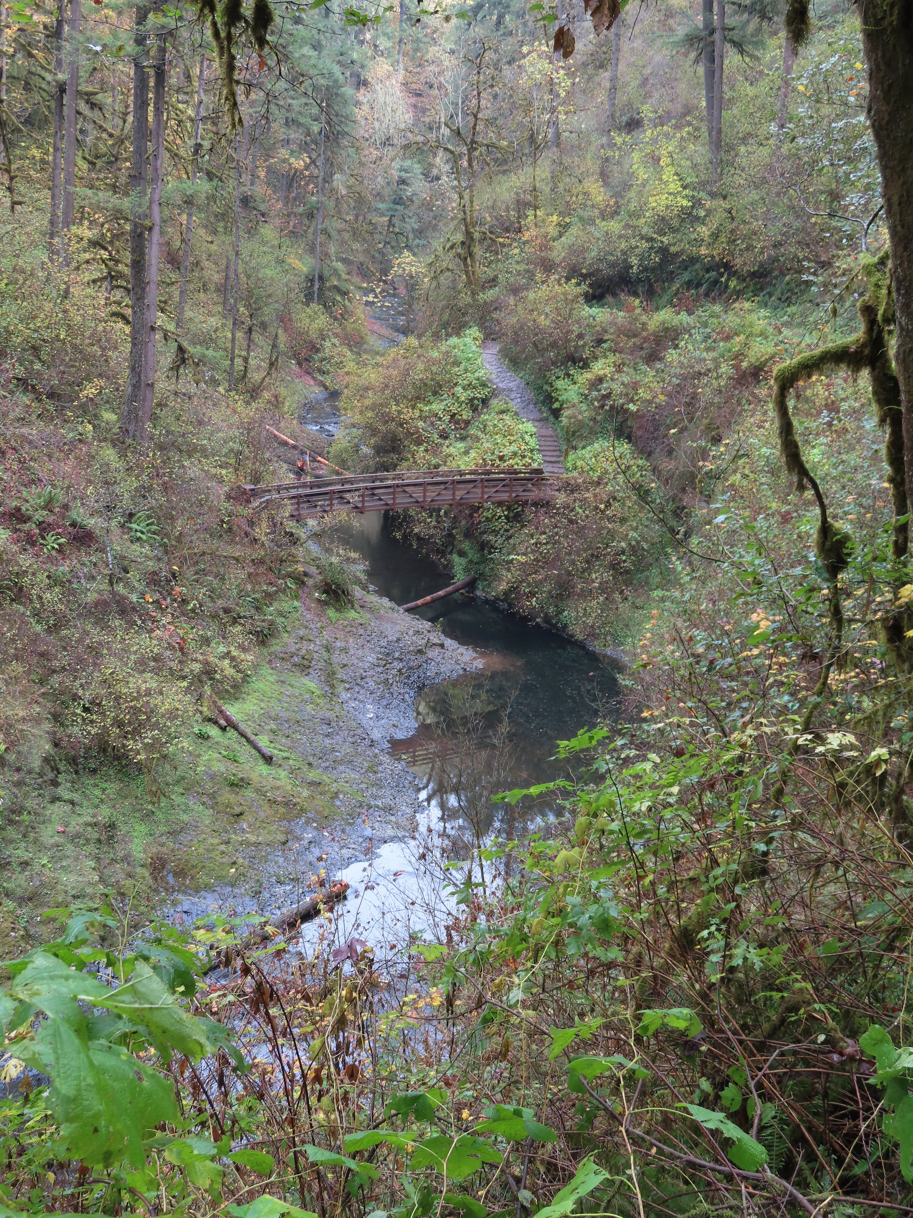
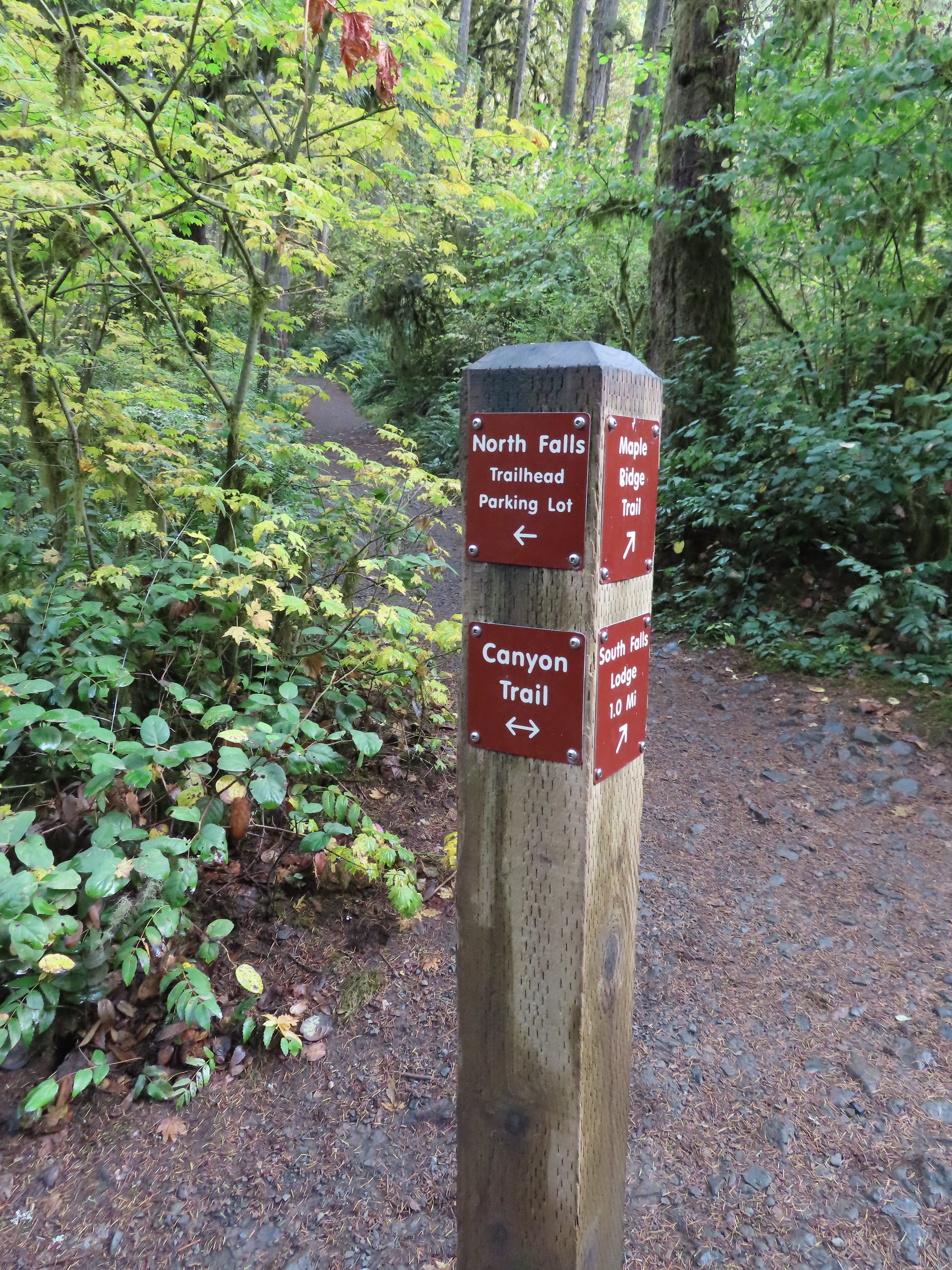
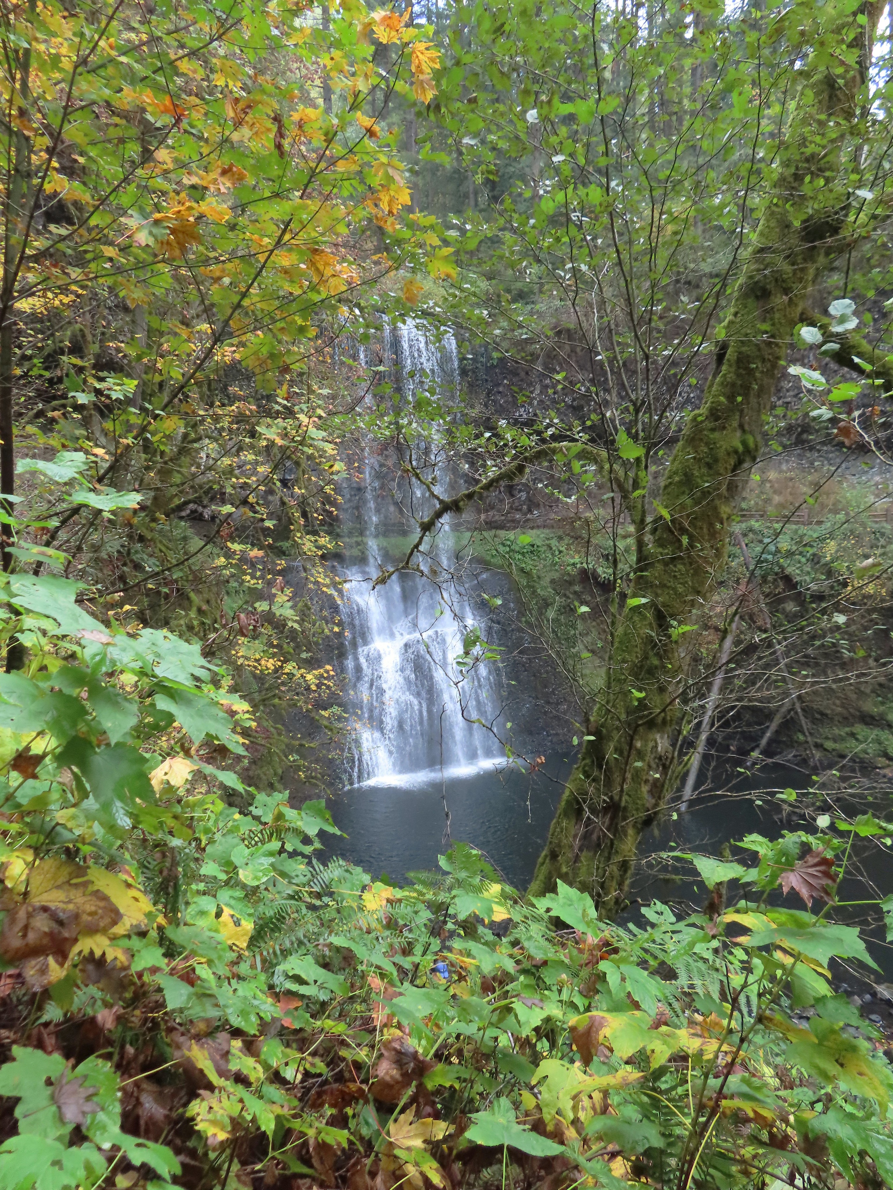
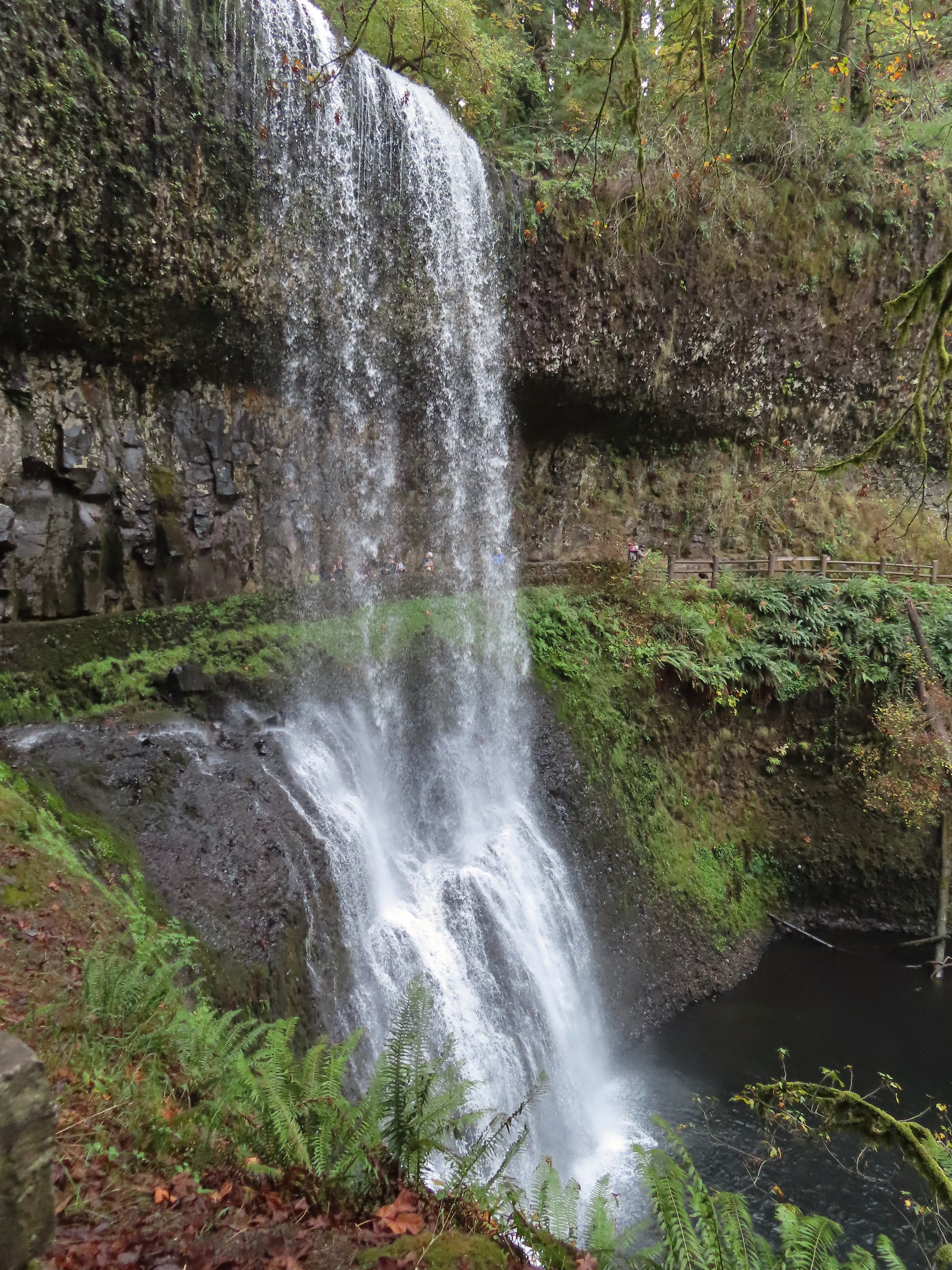


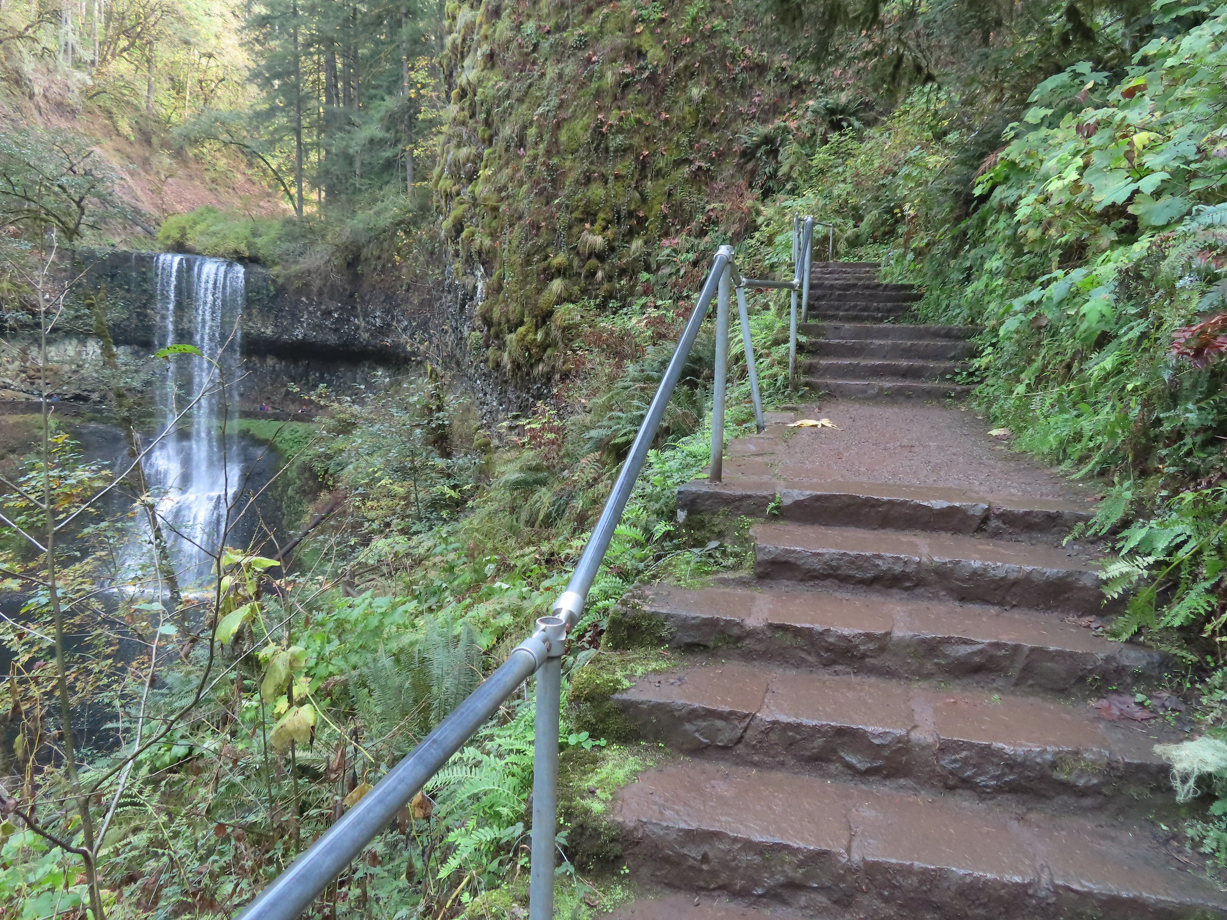


 I walked out onto the bridge for the view then returned to the junction to take the right hand fork and go behind this fall as well.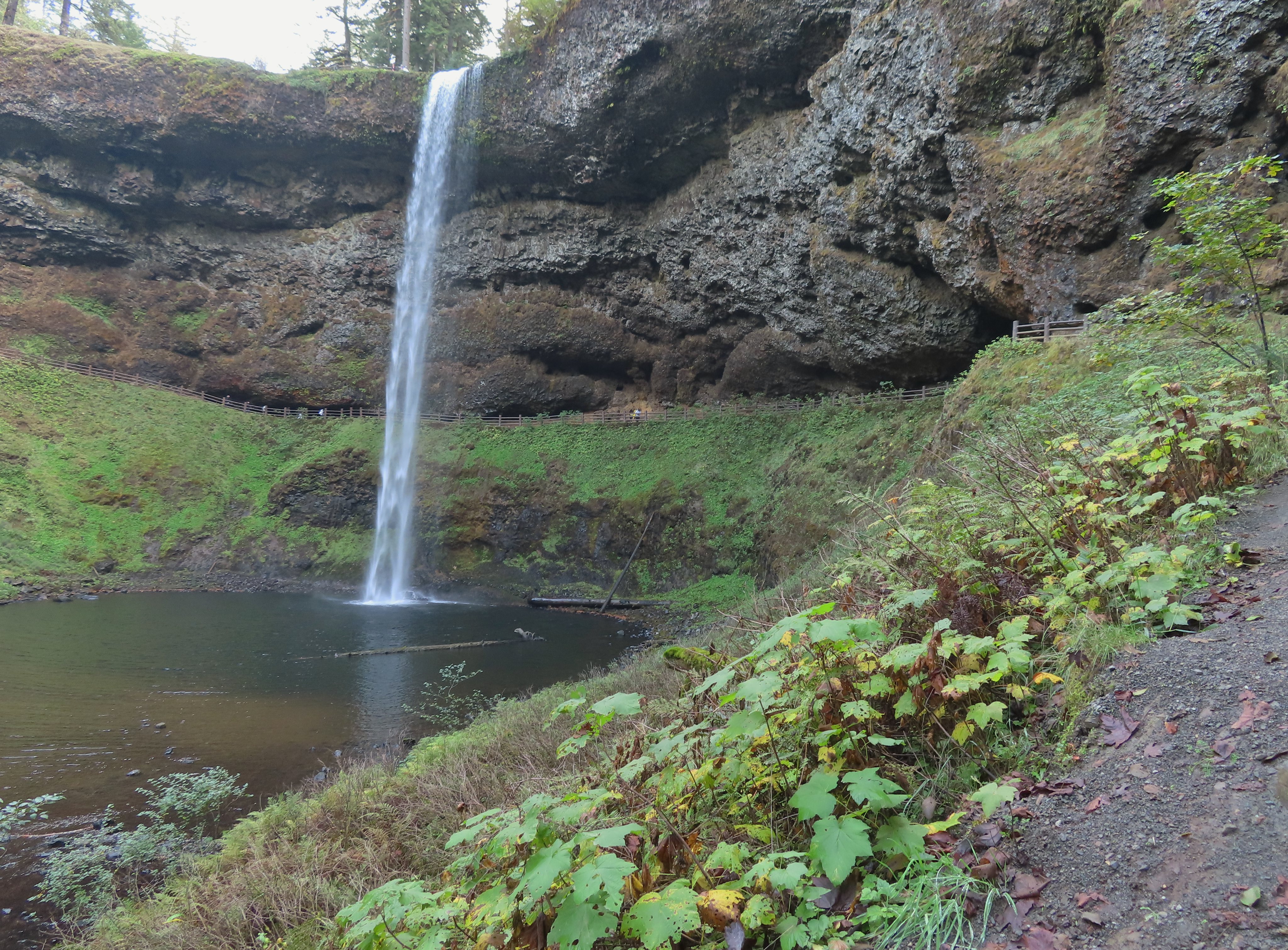
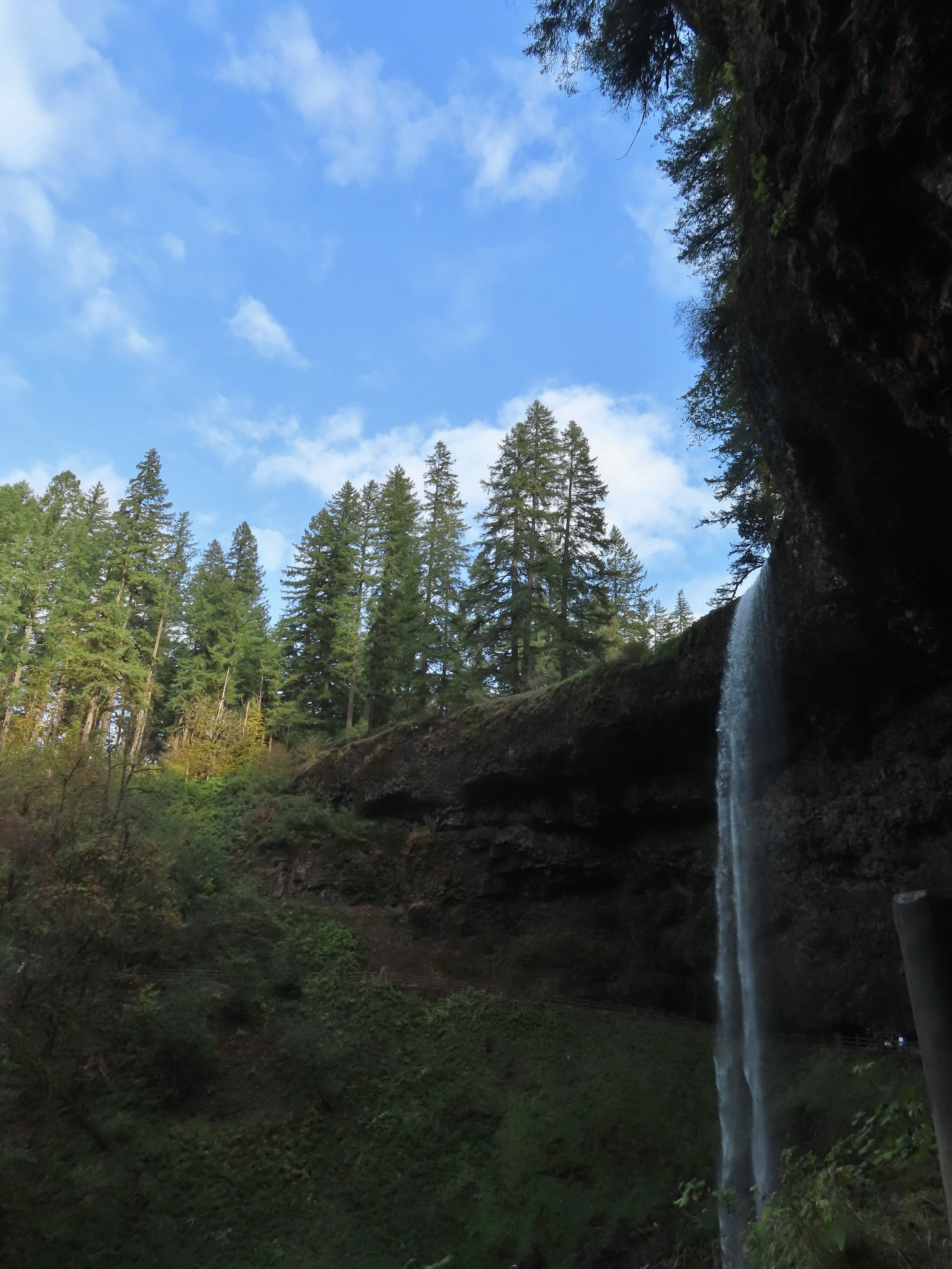




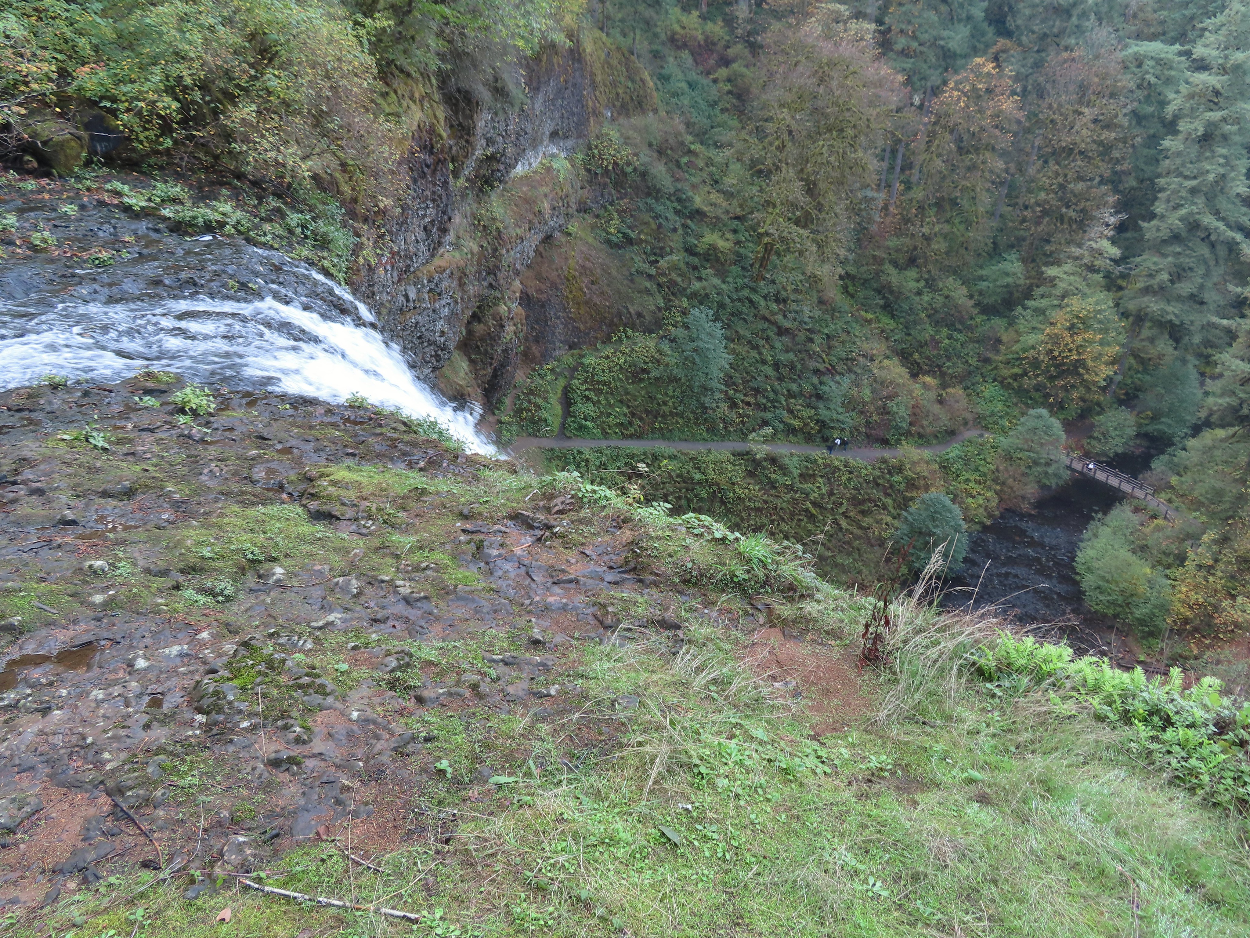
 View toward South Falls from the footbridge.
 Not sure what this old building was, possibly restrooms by the doors.
 One of several picnic shelters in the park.
 Approaching the Bike Path where I recrossed the creek.
 I can see the car!


 The combination of low light and orange hue made for some poor photography conditions.
 Approaching the entrance road. The gate is for the road which is only open during daylight hours.
 The Generator Trail.


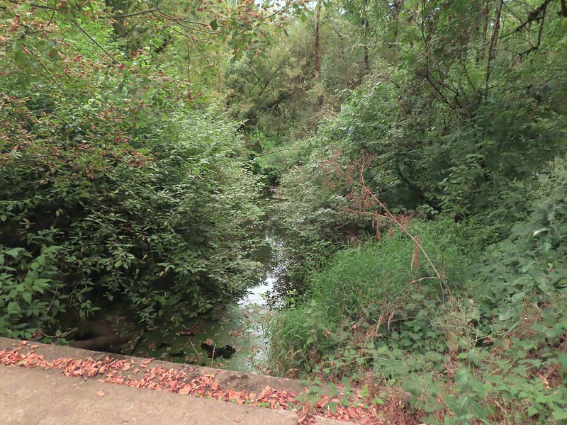 Spring Valley Creek passing under the entrance road.
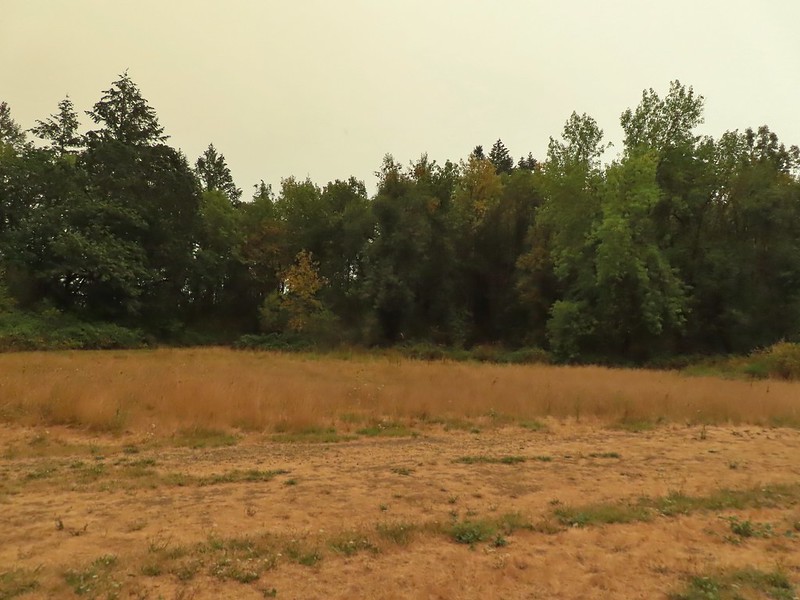 The mowed field.
 Upper Spring Valley Creek Trail.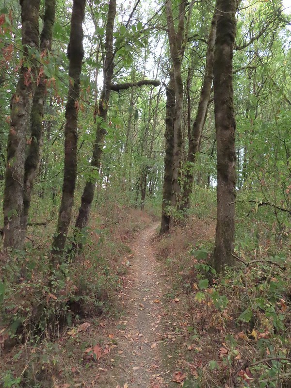
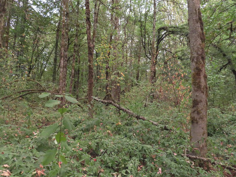 A few Autumn colors starting to show, now we just need some Fall rain.
 Brief glimpse of the Willamette River.
 The tailgate was up on the pickup, a good sign for us.
 Some of the various non-native wildflowers in the area.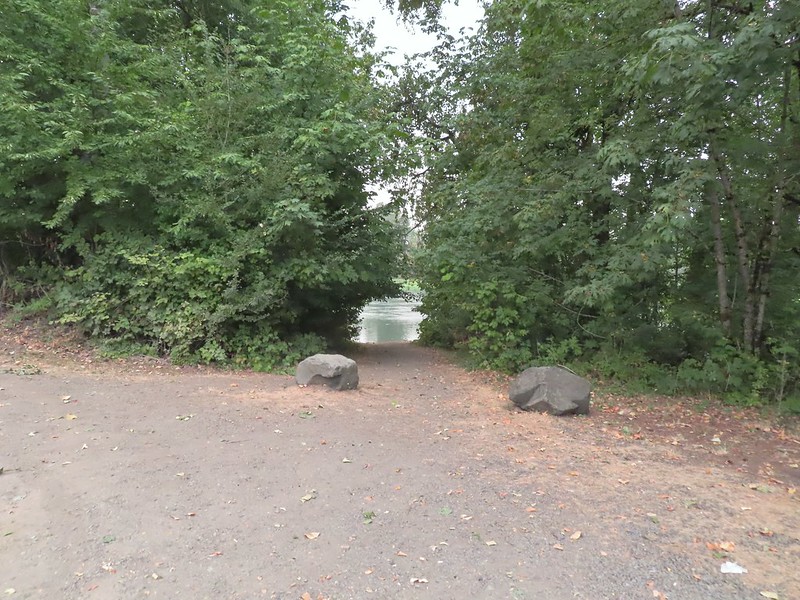
 Mile 74.2 of the
  The Perimeter Trail begins to the right of the gate.
 Invasive common tansy but the beetle was cool looking.
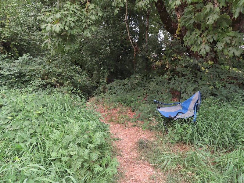 We were initially fooled by this side-trail at the 0.1 mile mark which was not the TCC Trail, but did provide access to the Willamette.
 Willamette Mission State Park (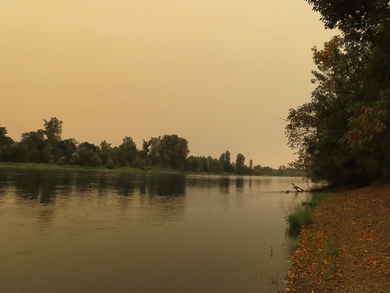
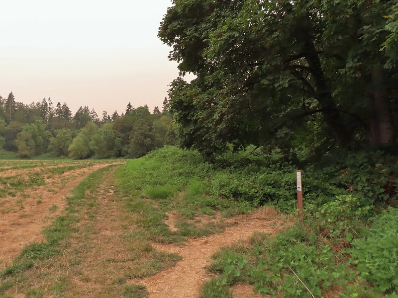 There’s the TCC Trail.

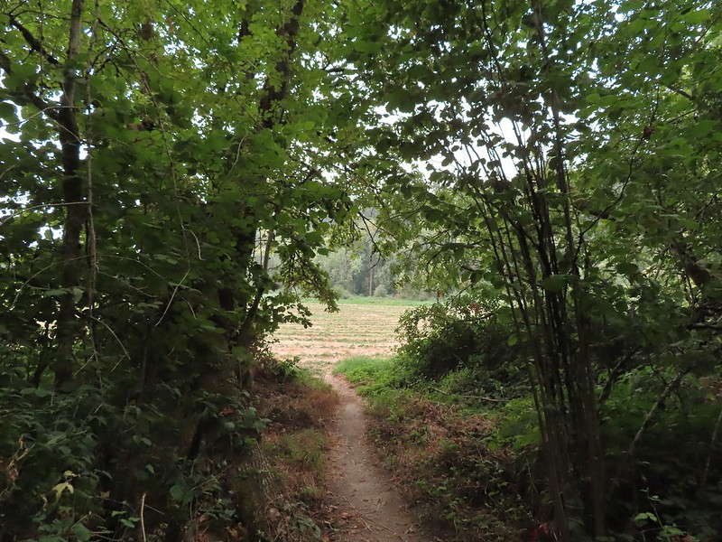 Back to the field after half a mile.
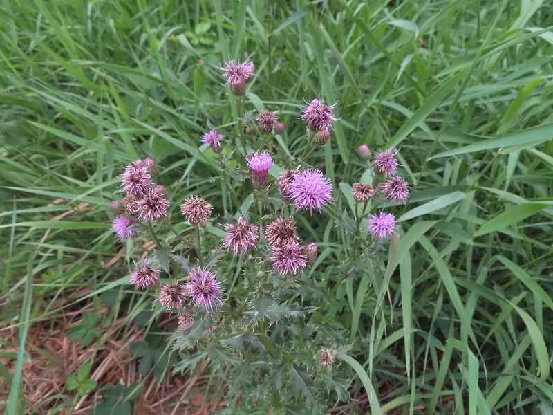 Invasive Canadad thistle.
 Common toadflax – non-native.
 Moth mullein – you guessed it, non-native.
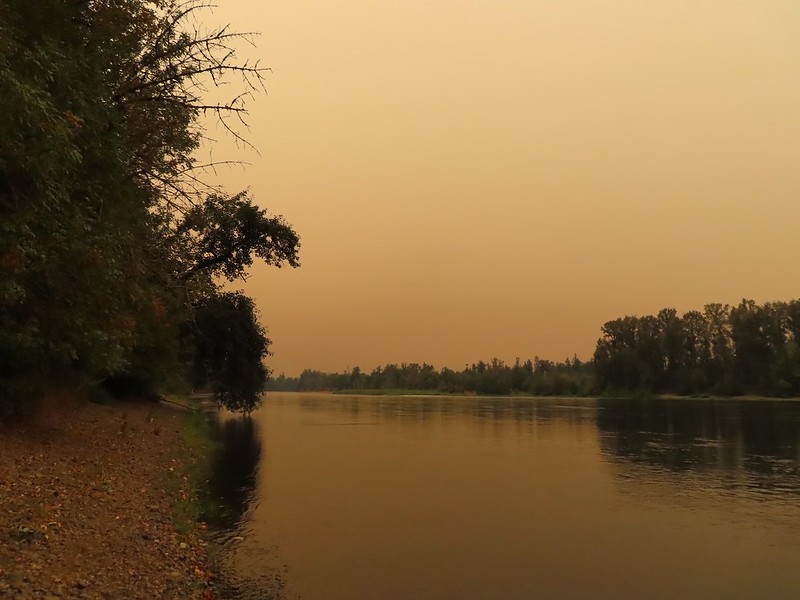
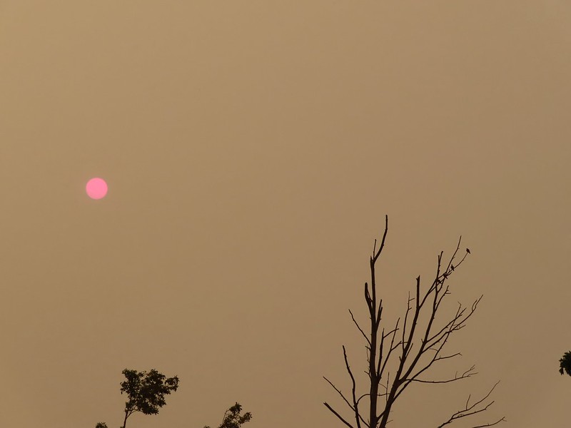
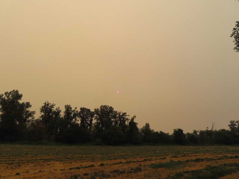 The Sun behind a layer of smoke.
 Pigeons (or doves) in a snag.


 Camas
Camas Black phoebe in the fog. It’s the only one seen all day so despite the poor quality I kept the photo.
 Wet spider webs are the best.
 There was a brief respite in the fog before it rolled in again.
 The fog bank waiting to move back in.
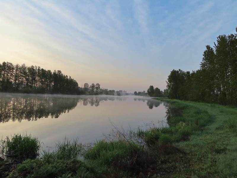 Teal Marsh
 Northern flicker
 A very grumpy looking spotted towhee
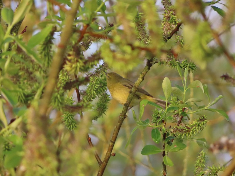 I have a hard time identifying some of these little birds. This one may be an orange-crowned warbler.
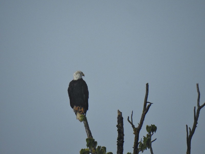 A bald eagle that was across Willow Marsh.
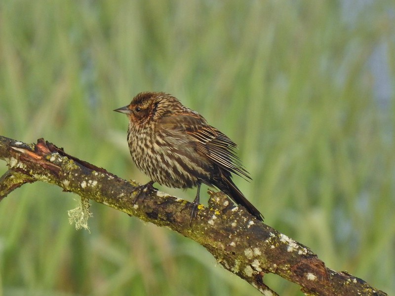 Female red-winged blackbird
 Buffleheads
 A less grumpy looking spotted towhee
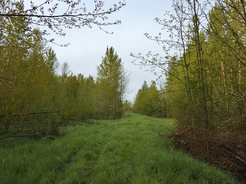 Here comes the fog again.
 Black capped chickadee
 Yellow-rumped warbler (Audubon’s)
 Red-winged blackbird
 Wrens can be tricky too, I think this is a marsh wren.
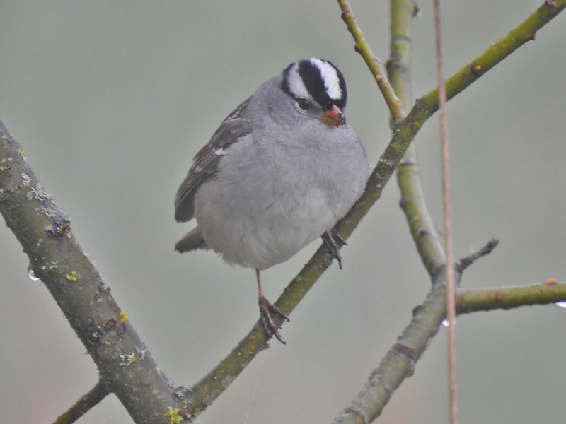 White-crowned sparrow
 Song sparrow
 Eagle Marsh, still can’t see much.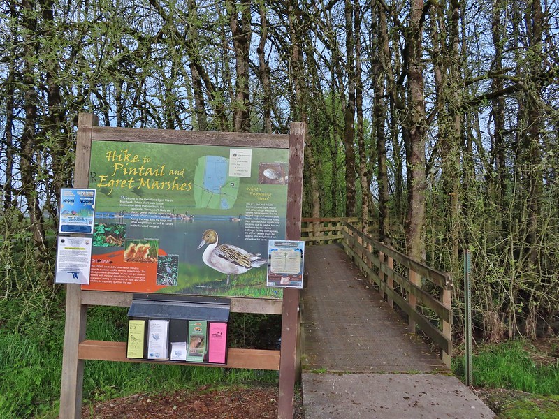
 Bashaw Creek
 Egret Marsh from the blind.


 Lots of fringecup along the trail.
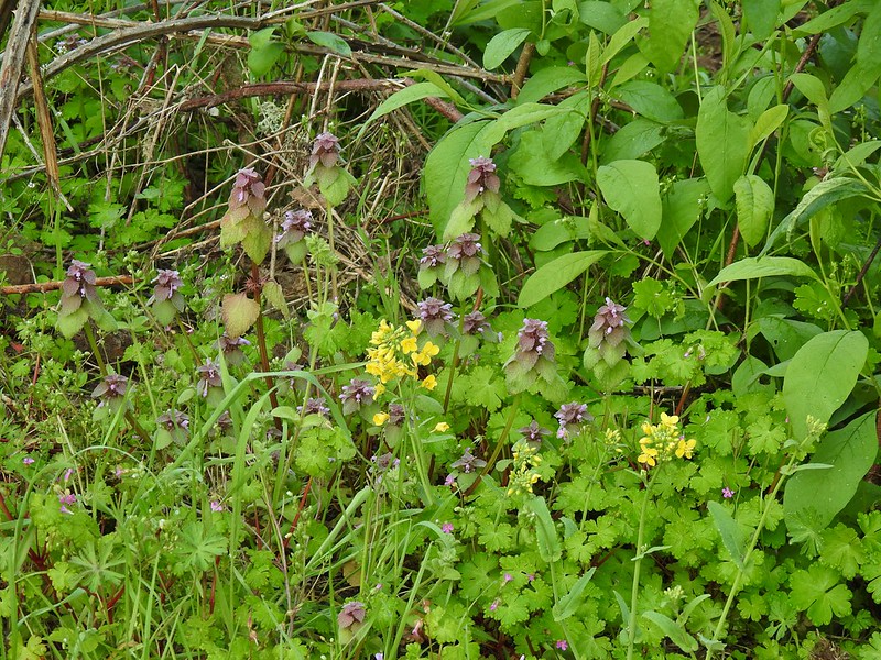 Purple deadnettle and field mustard
 Common yellow-throat
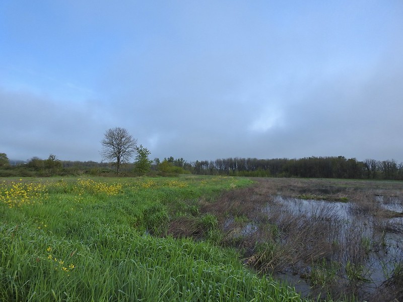 Looking back along the eastern side of the marsh. There was a lot less water this year.
 Water level on 4/13/21.
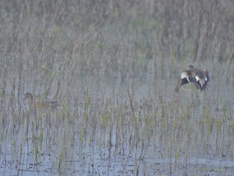 Seeing them was a lot easier than getting photos.
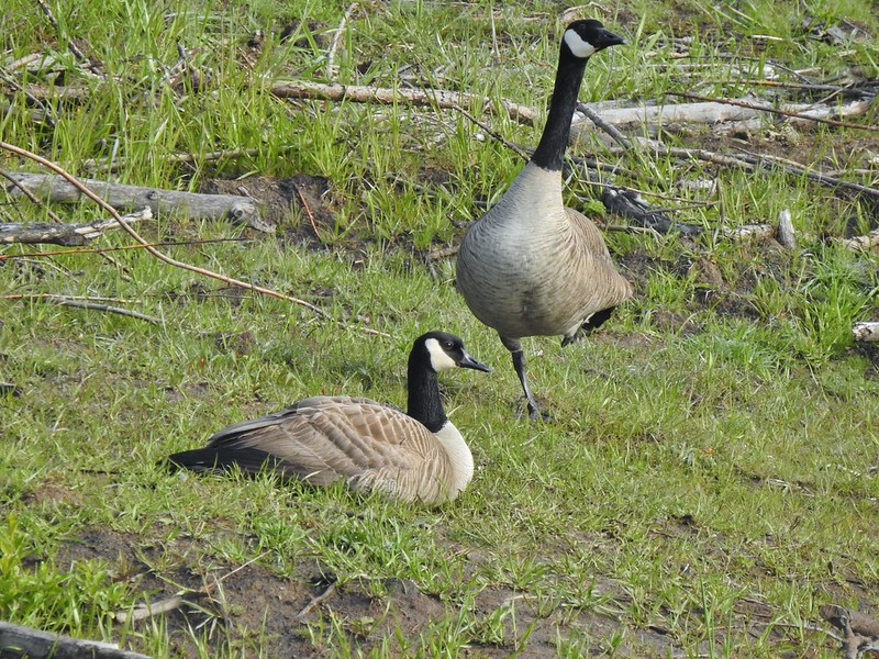 Canada flamingo?
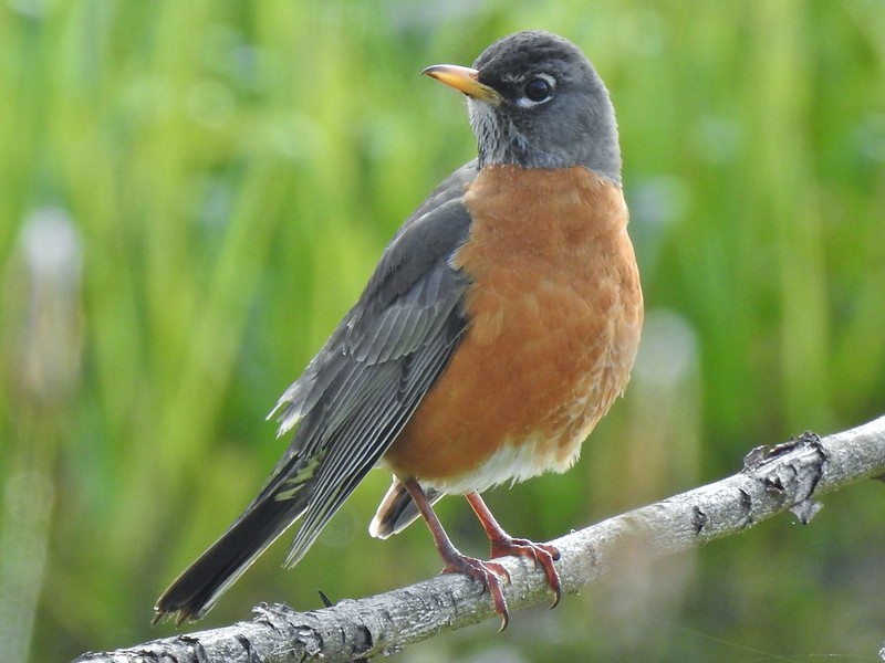 American robin
 Dunlin Pond from the boardwalk.

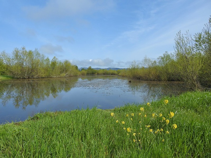 Egret Marsh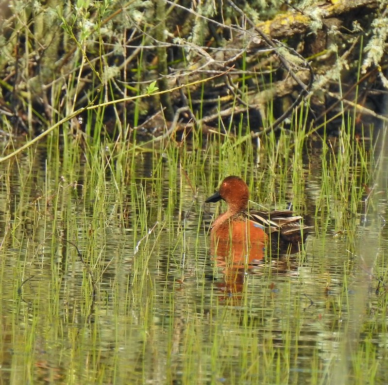
 Ring-necked ducks.
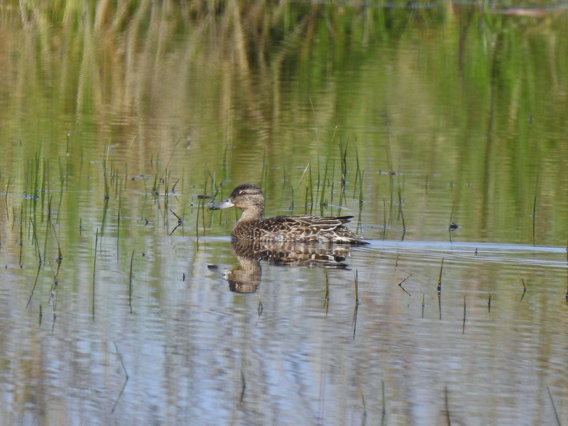 Anyone know if this is a female cinnamon or blue-winged teal?
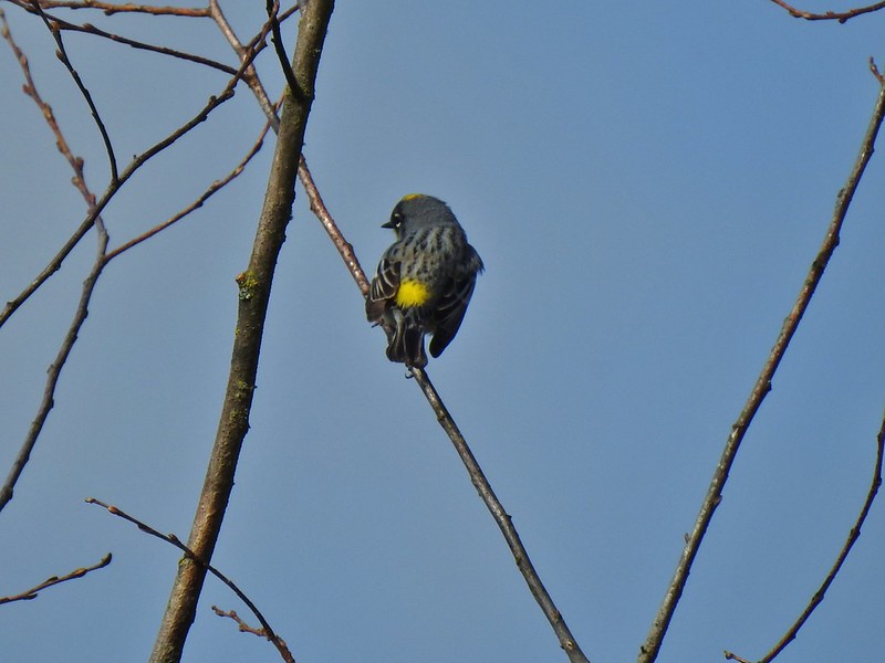 Another yellow-rumped warbler (Audubon’s) showing off its yellow rump.
 Egret Marsh
 The trail around Egret Marsh.
 I think these might be long-billed dowichters. Please correct me if I’m wrong.
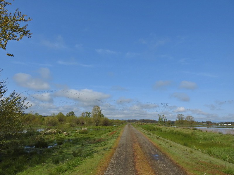 Heading to the right turn. Egret Marsh is on the left and Mallard Marsh on the right. A huge flock of geese had just taken to the sky.
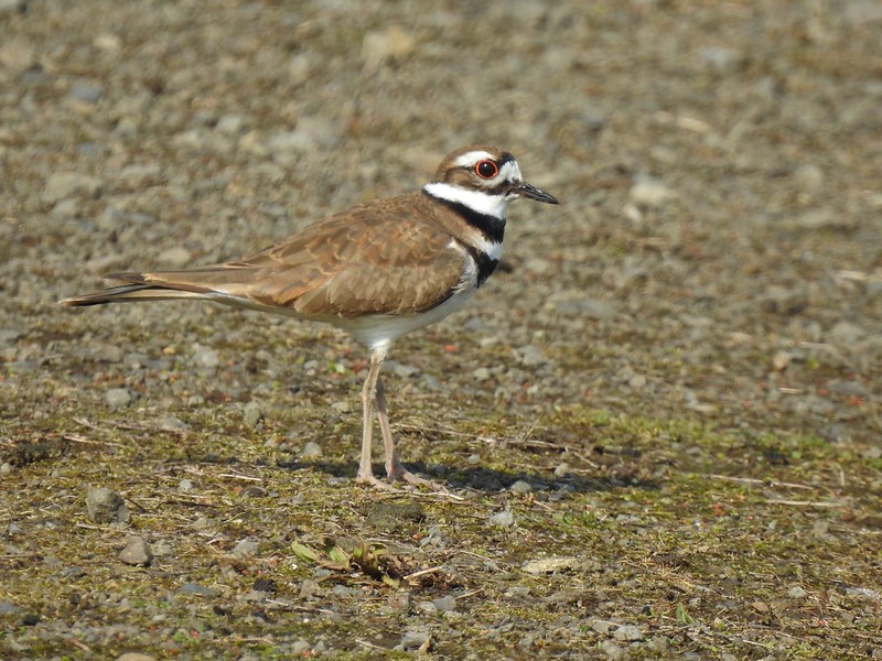 Killdeer
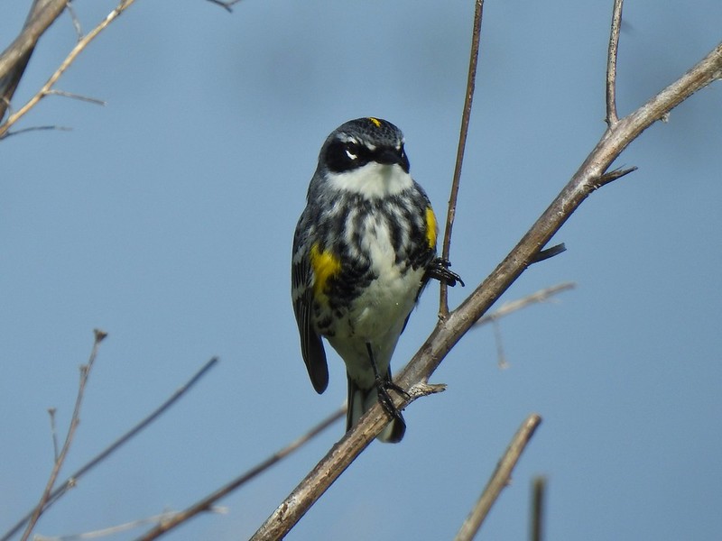 Today I realized that there are two yellow-rumped warblers, this one is a Myrtle, note the white throat compared to the yellow throat of the Audubon’s above.
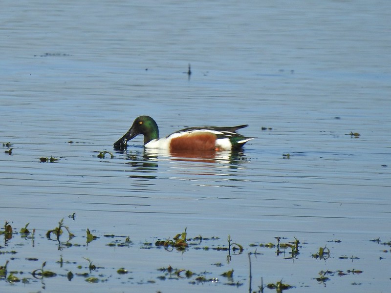 Northern shoveler
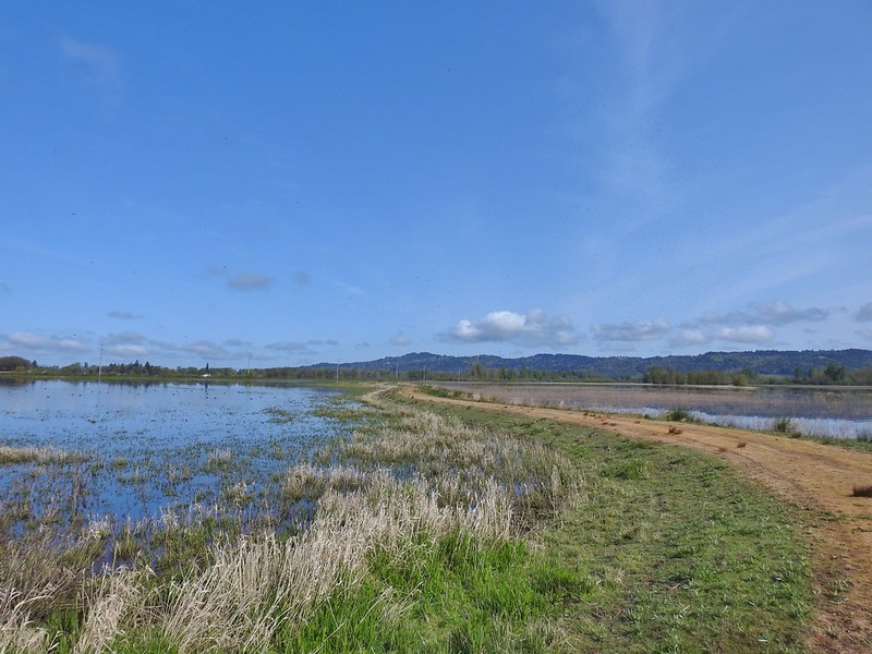 Mohoff Pond and Mallard Marsh
 Canada goose with various ducks in the background. At least one of the ducks is a ruddy duck which is one I hadn’t seen yet (that I know of). They were too far to get clear photos of though.
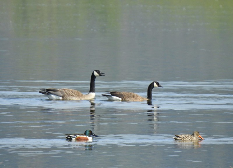 Canada geese and northern shovelers giving a good size comparison.
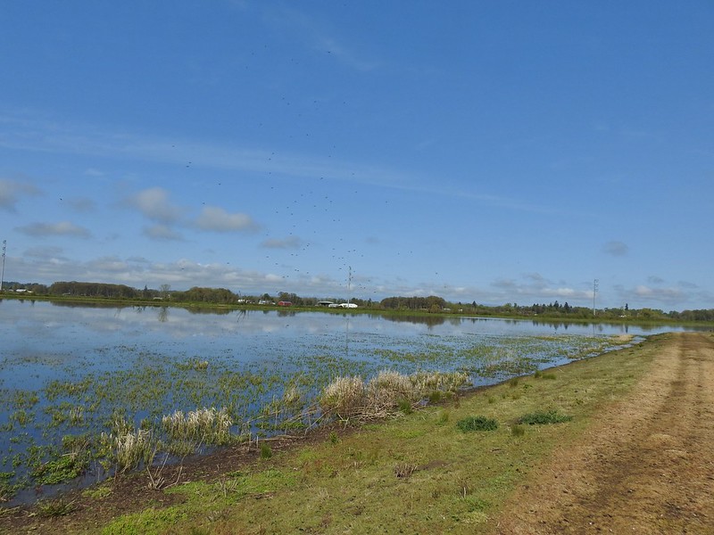 The black dots in the sky here aren’t geese, they are little insects that followed me along the dike.
 Not Canada geese flying over.
 Immature bald eagle.
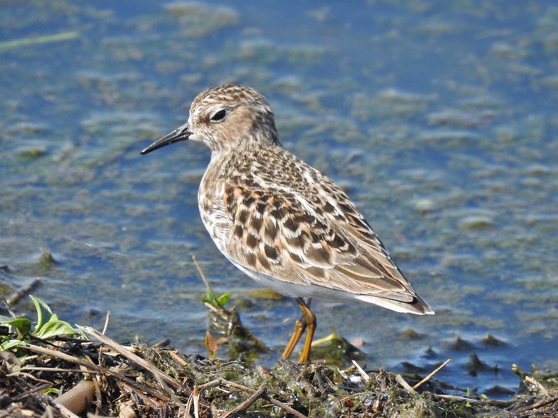 Sandpiper
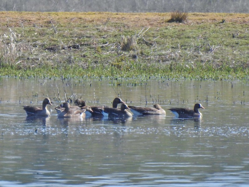 Greater white-fronted geese, another first.
 Bushtit. Several flew in here but I couldn’t make them out once inside so I took a few pictures hoping to get lucky.
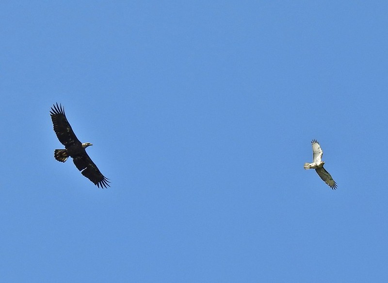 Can anyone ID the hawk? Another thing that I find difficult.
 Swimming lessons, Canada goose style.


 Buttercups
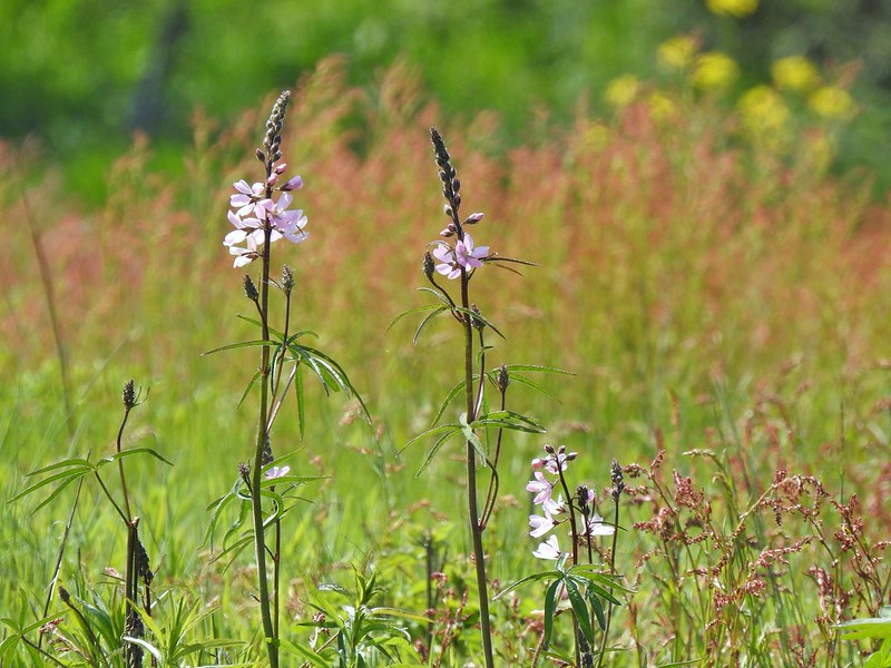 Meadow checker-mallow
 Columbine
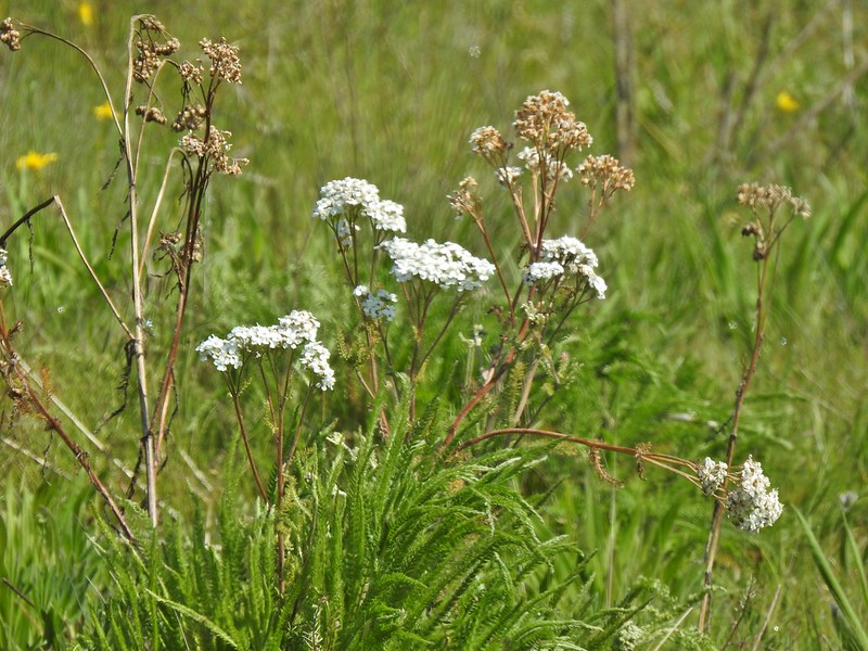 Yarrow
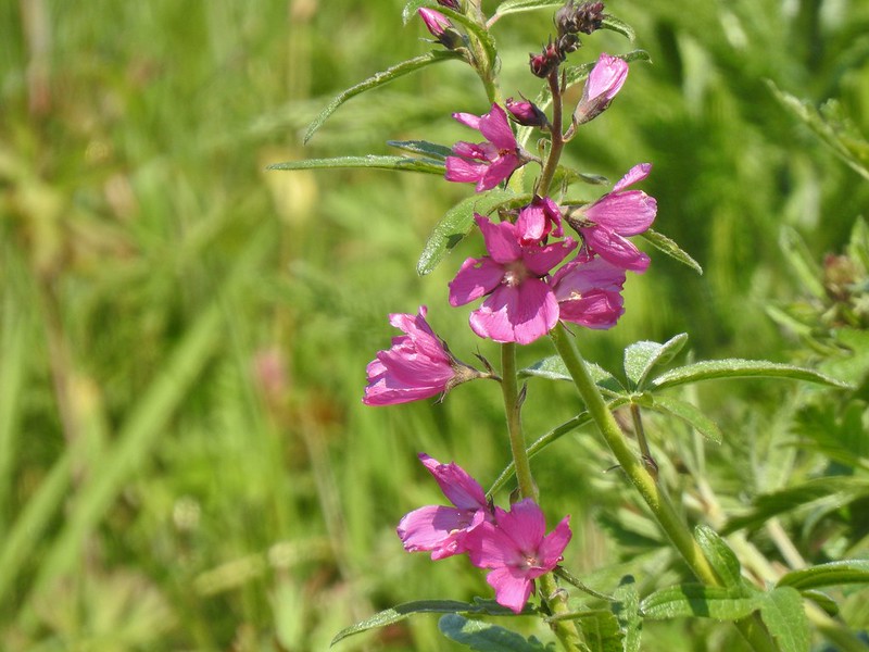 Possibly Nelson’s checker-mallow
 Lupine that will be blooming soon.

 Iris
Iris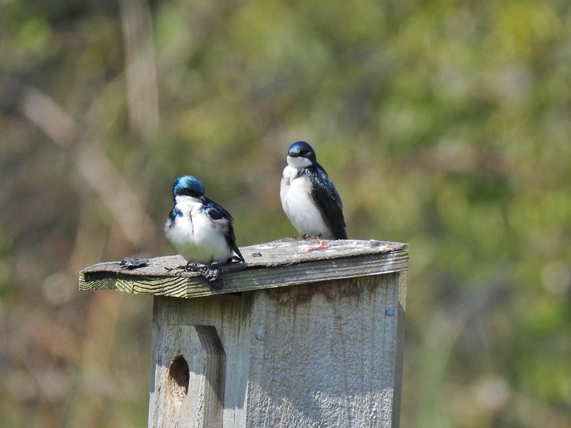 Swallows
 Mary’s Peak (

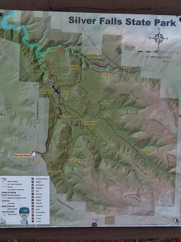 Park map at the viewpoint.
 Willamette Valley
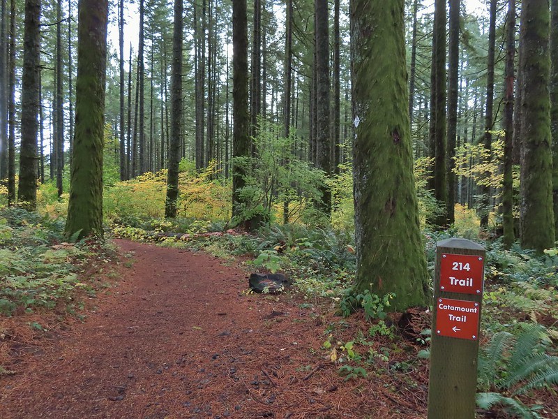

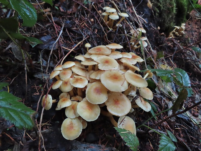
 Sign post for the Newt Loop and mountain biking skills station.
 As much blue sky as we were going to get on this day.
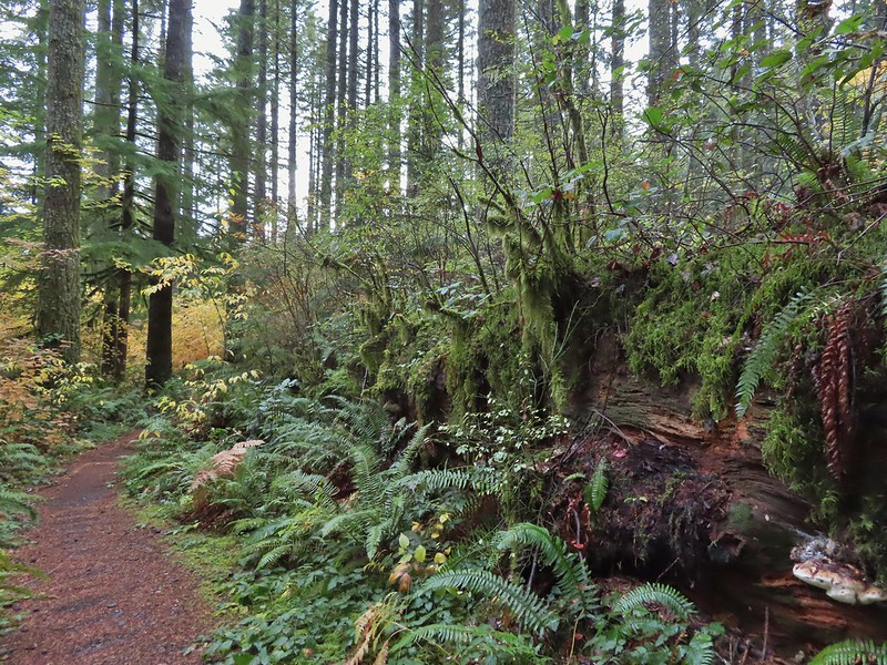 A massive old growth nursery log. The tree stood for hundreds of years and will spend hundreds more slowly decaying and providing nutrients for younger trees.
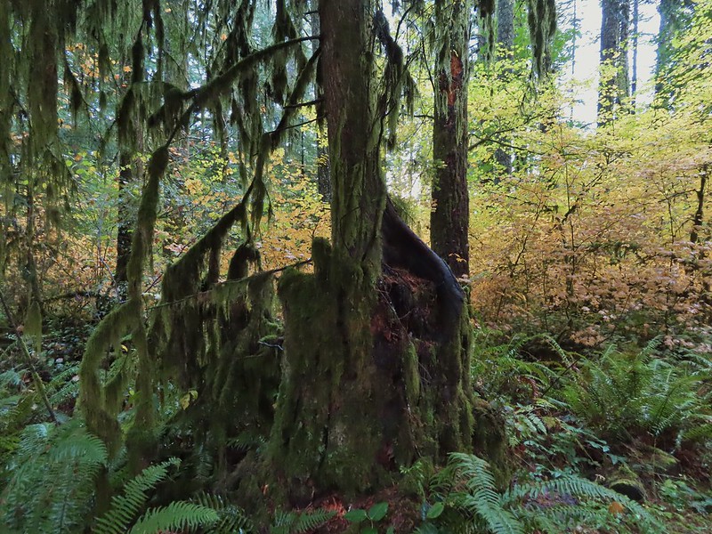 Nursery stump. While some old growth exists in the park it was also logged heavily which was the primary reason it was passed over for National Park status.
 The Smith Creek Trail junction.
 Does anyone know their salamanders? Not sure what type this one was.
 The Nature Trail junction.



 From the spot that we entered the campground you could just see a hiker sign at the far end of the paved campground road.

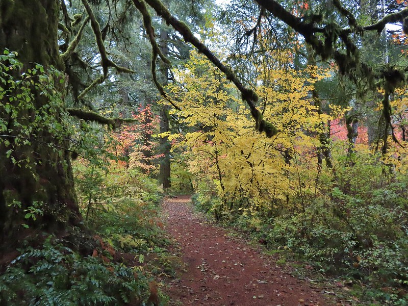

 No wildlife to view today.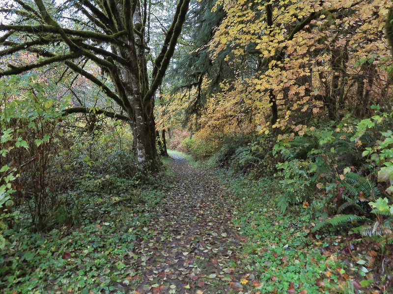

 The Howard Creek Loop Trail.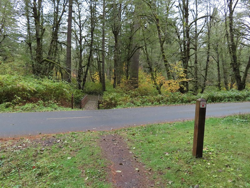
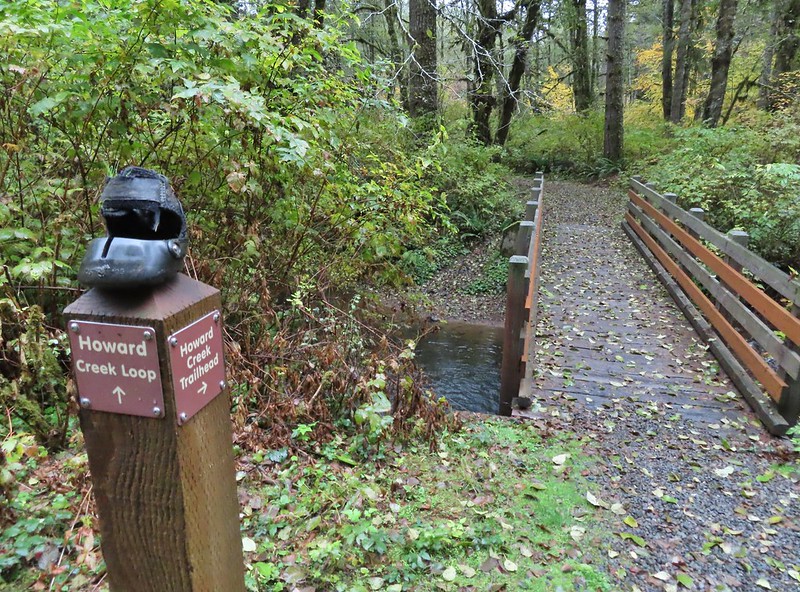
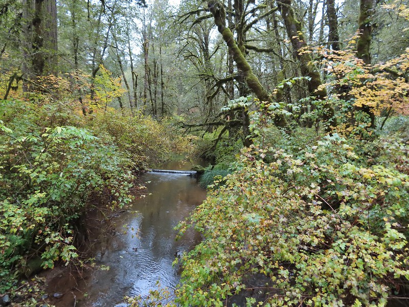 Howard Creek
 Sign for the trailhead.


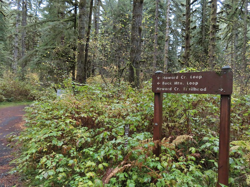
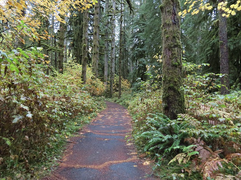

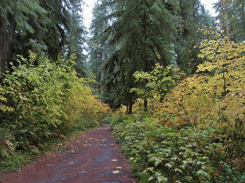
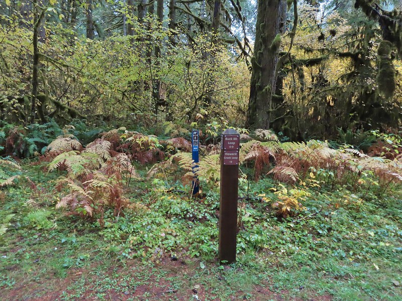


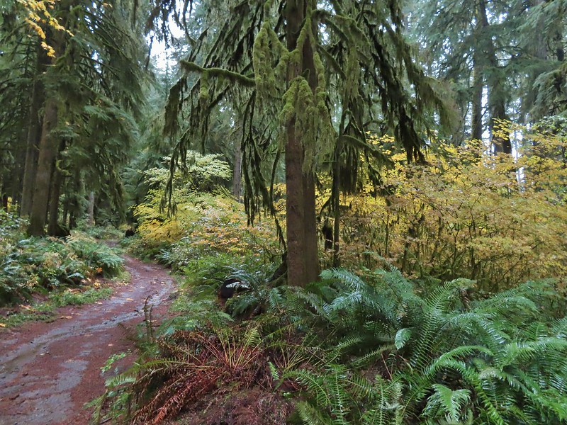

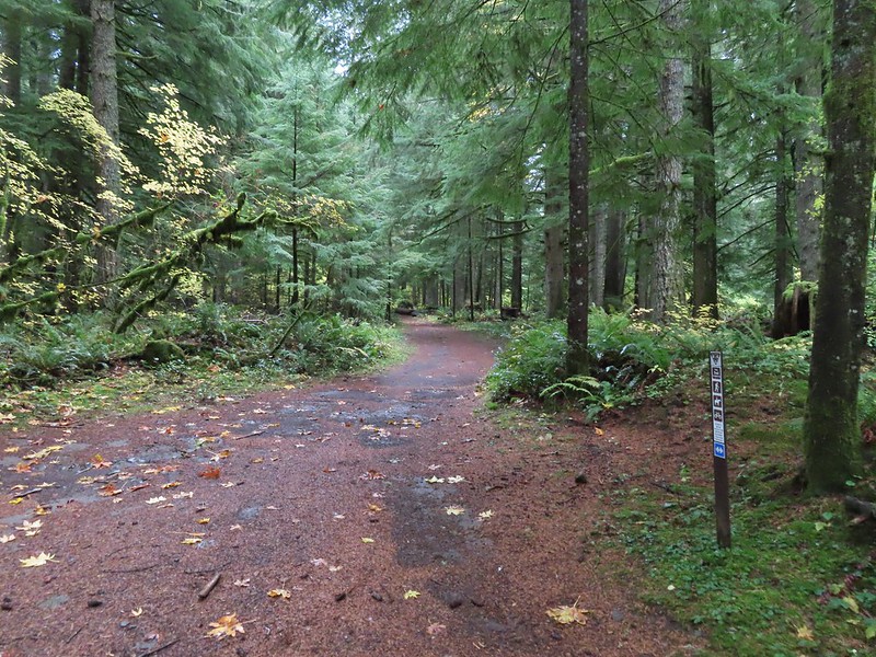
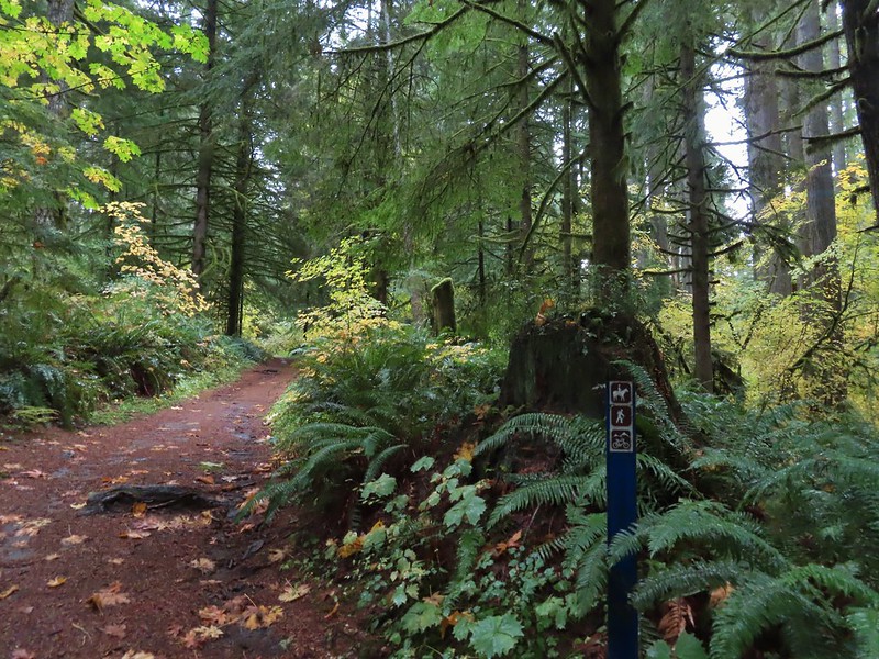 Blue appeared to mean Buck Mountain Loop (the posts along the Howard Creek Loop had been red and later the Smith Creek Trail posts were yellow.)

 The mix of tree trunks here caught our eye.
 Approaching the trail junction.

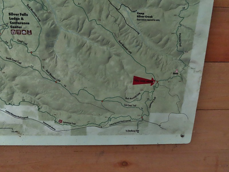
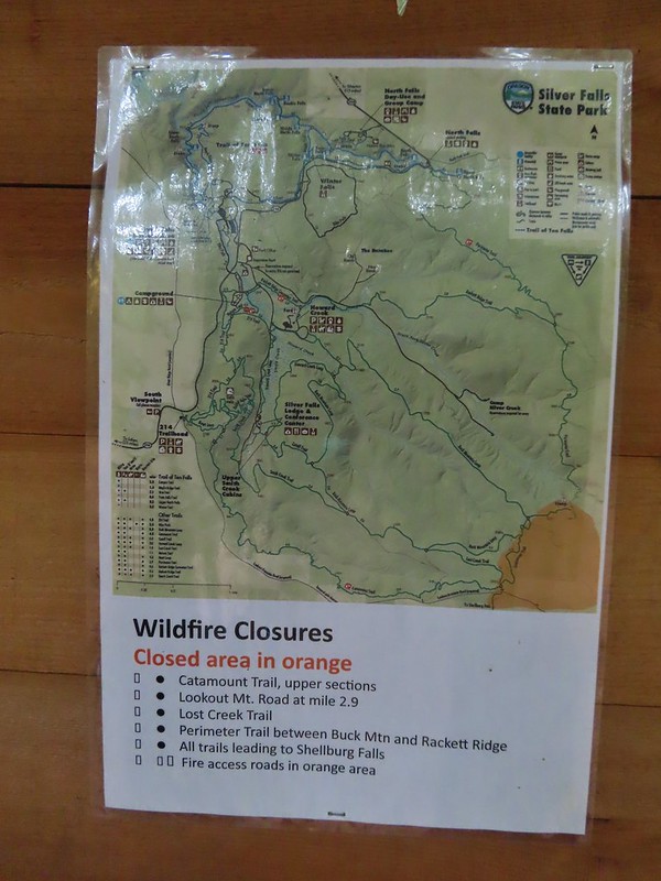 The 2020 Beachie Creek Fire threatened the Park and did in fact burn over nearby Shellburg Falls (
 Orange fence marking the closure of the Catamount Trail.
 The first footbridge which spans Howard Creek. The creek was obscured by brush.
 The second footbridge over a tributary not shown on the topo map.
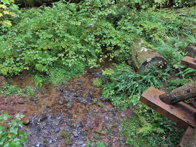 This stream was a little easier to see.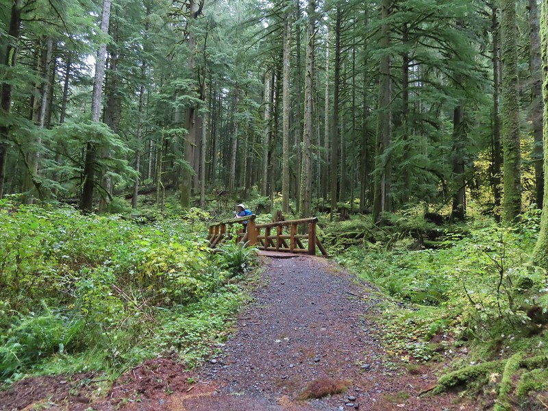
 A reminder of how close the Beachie Creek Fire was.
 The 4-way junction.

 Approaching the Smith Creek Trail junction.




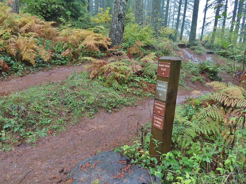 Ramps in the background at the skills station.
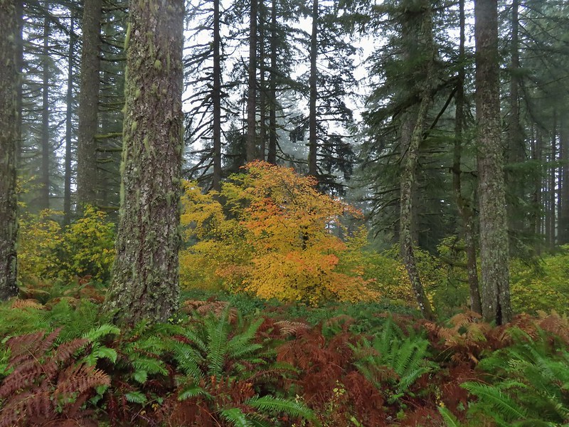
 The Catamount Trail arriving on the left.
 The 214 Trail from the Newt Loop.
 Private farm along the entrance road from the pullout we parked at.
 Osprey nest above the corn field.
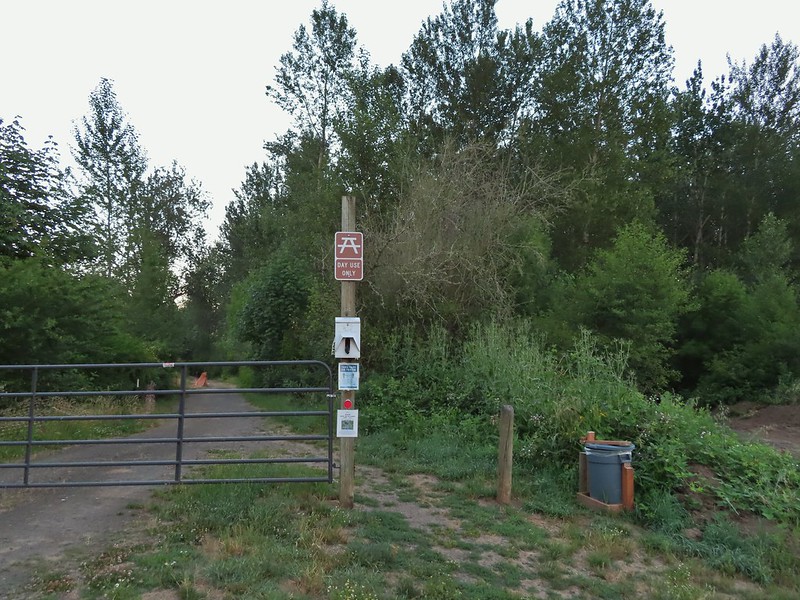 Gated road at the trailhead. There was a second gravel road to the right that was blocked with a log. The gravel road appeared to be fairly new and possibly a reroute of the gated road.

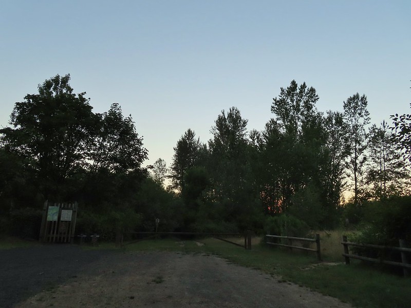 Old trailhead?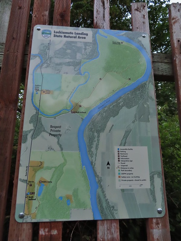

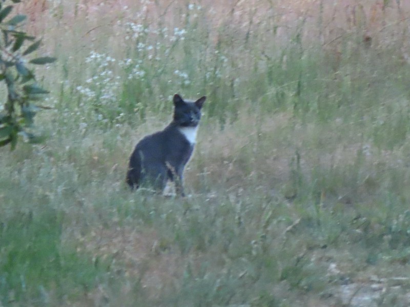 Extreme zoom on the kitty.


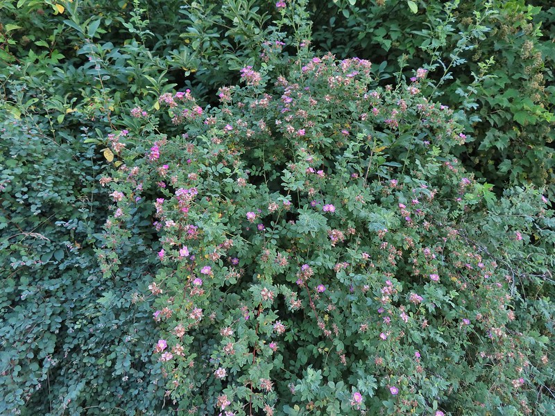 Wild rose
 Vetch
Vetch Oregon grape
 Thimbleberry


 We both initially thought that this was the start of an out and back to campsites along the Willamette River and that the loop continued around the field to the right. In fact there was a blue awning set up at the edge of the field in that direction and at least 3 vehicles (not sure why they were there or how they got through the gate). This was not the case and fortunately for us we were planning on doing the out and back which meant we didn’t make the mistake of turning here. The continuation of the loop was actually 0.2 miles further along the road in the forest.
 The correct right turn for the loop.
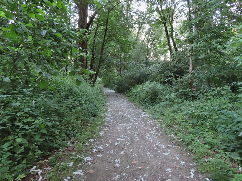 Cottonwood on the road.
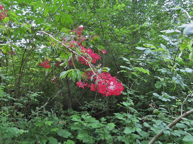 Red elderberry, a favorite of the birds.
 This wren was taking a dirt bath, perhaps an attempt to stay cool?
 A lot of invasive daisies in an opening.
 Native elegant brodiaea
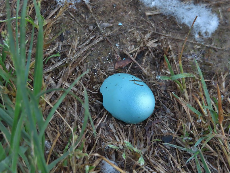 Egg shell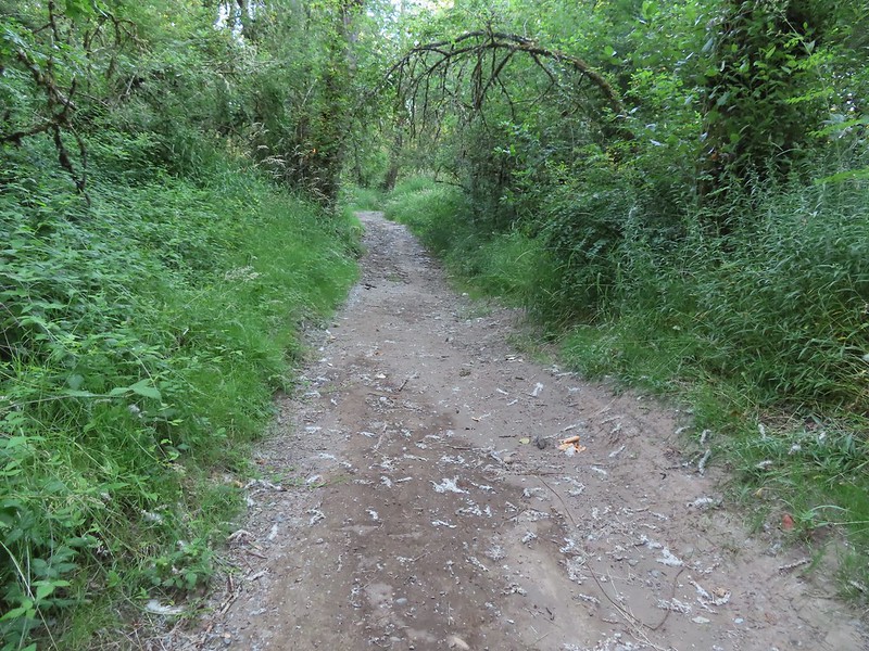
 More ripe berries.
 Poppies
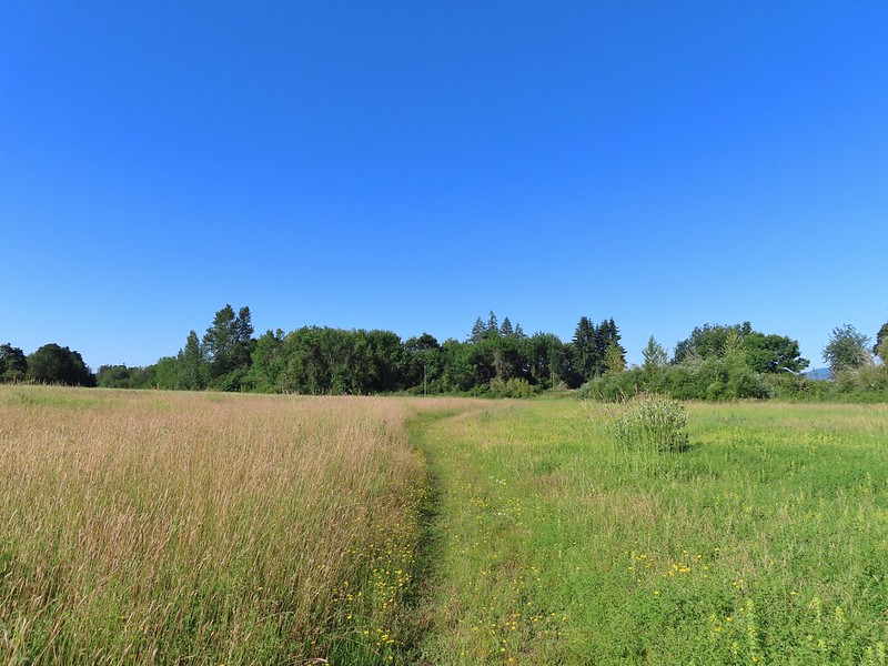
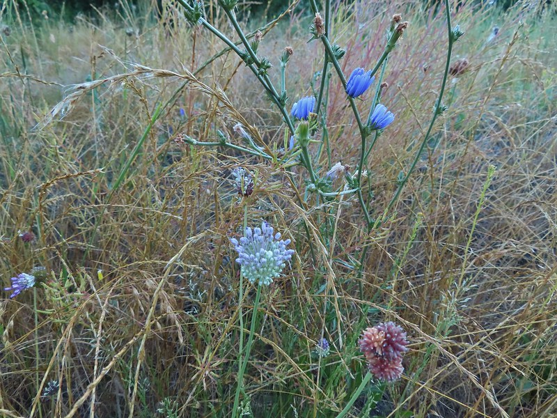 Mostly non-natives – chicory and clovers.
 More non-natives – Moth mullein and cultivated radish
 Slug
Slug Douglas spirea (native)
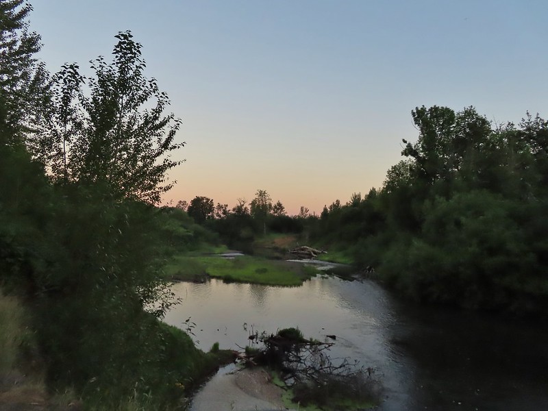
 The mouth of the Luckiamute on the left was hidden by trees.



 Willamette River at the landing.
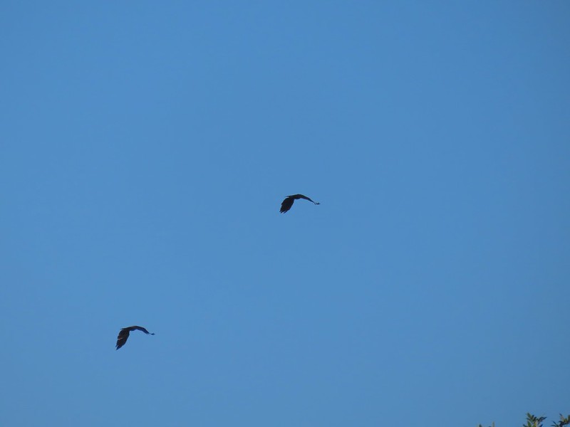 Not sure what type of birds these were.
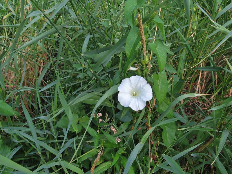 Bindweed at the landing.
 Bunny and a bird (not pictured is the chipmunk that raced across the road here).
 Slug also “racing” across the road. Speed is relative.
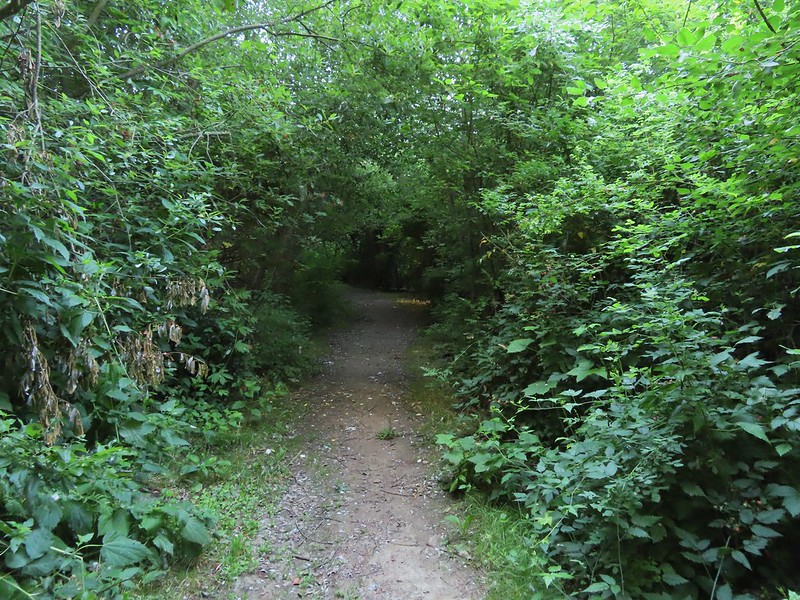 Back on the loop.


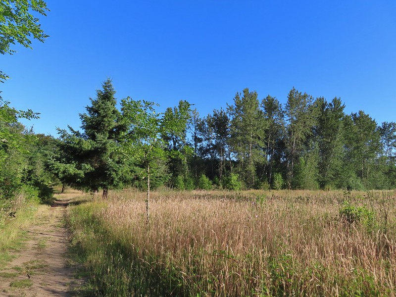 Near the end of the loop the trail passed back along the field.
 White crowned sparrow
 Possibly nelson’s checkermallow.
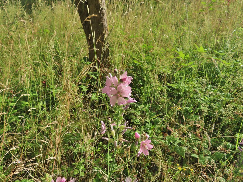 Meadow checkermallow
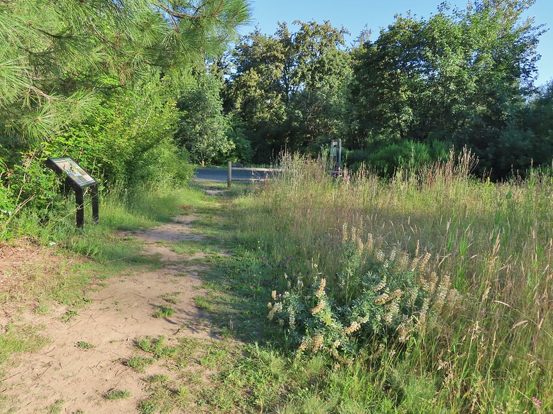 Completing the loop.
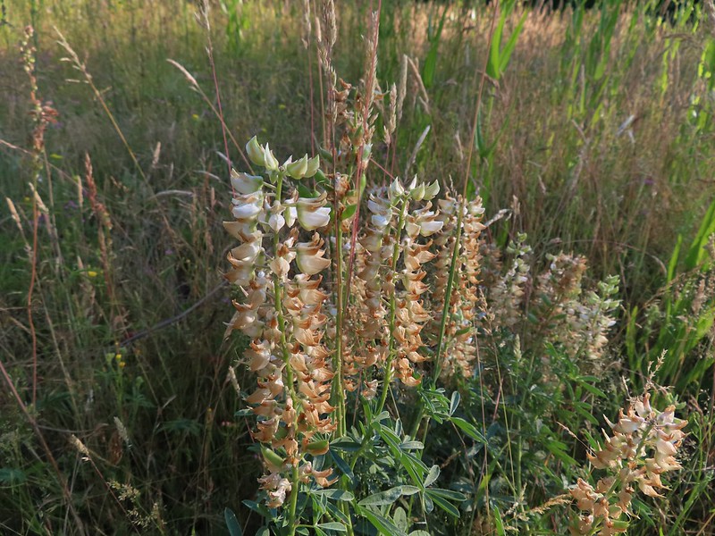 Lupine that is just about finished.
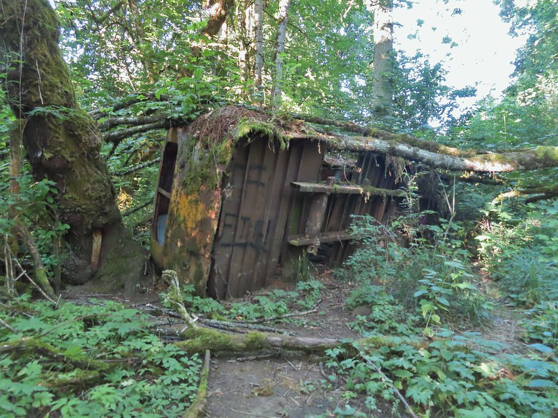 Old bus
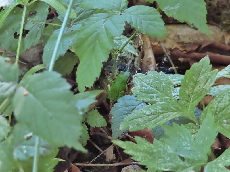 Tree frog
 Luckiamute River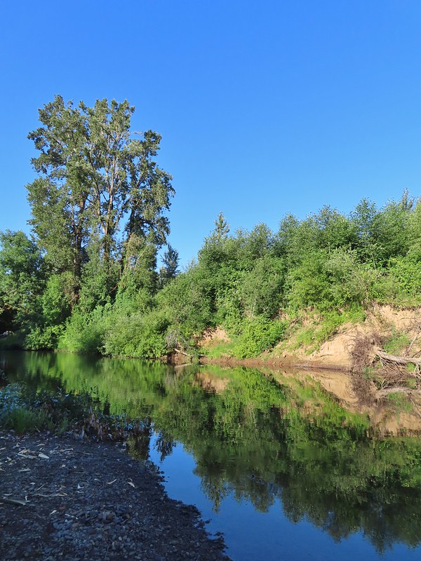
 Waiting for food.

 Old farm equipment with poison oak in the background.
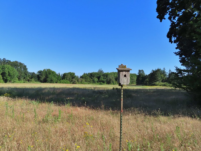 One of several birdhouses along the road.
 North end of the pond.

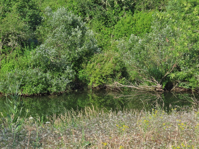 We are both pretty sure a turtle swam off from this area when we came into view.
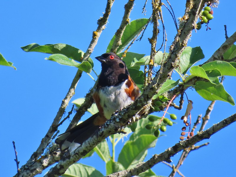 Spotted towhee
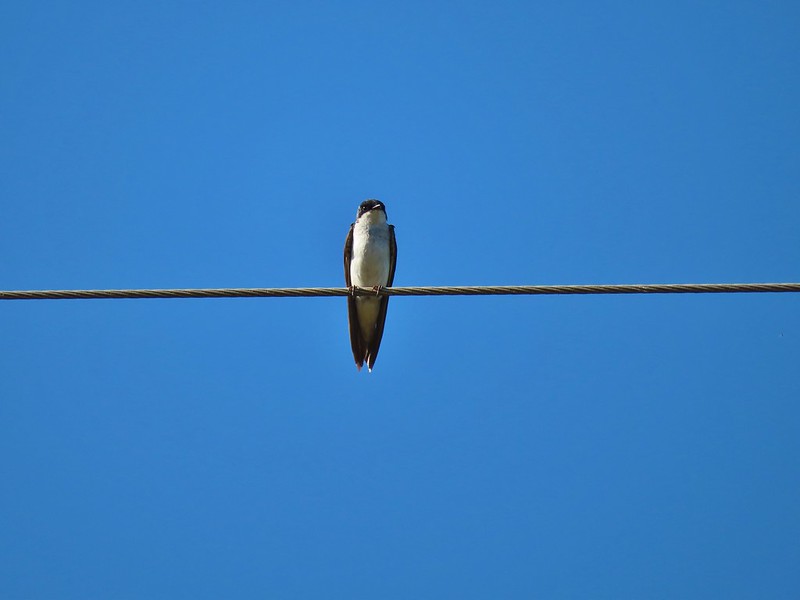 Swallow
 European centaury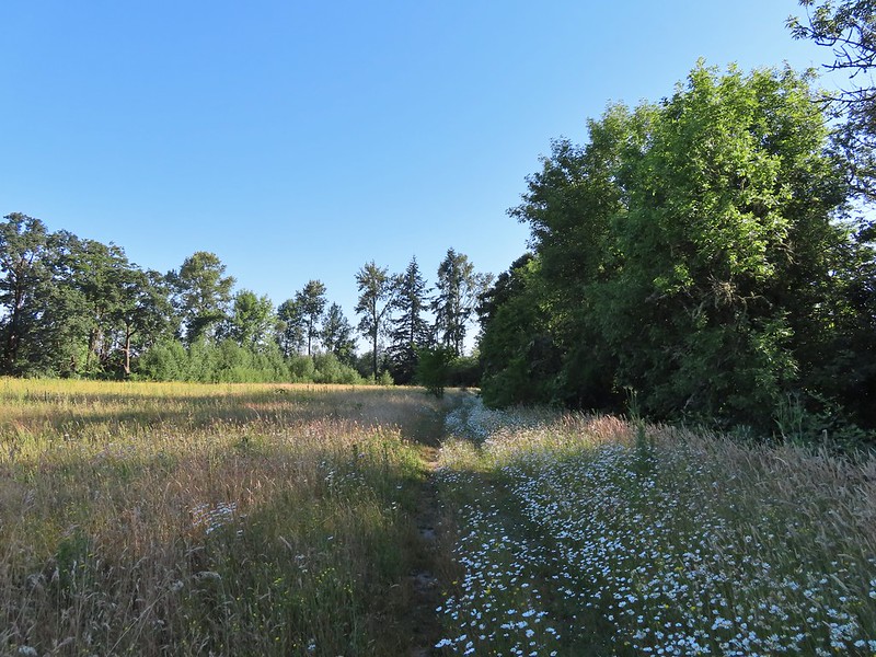

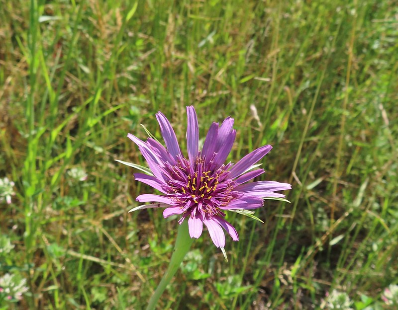 Oyster plant
 Creeping jenny
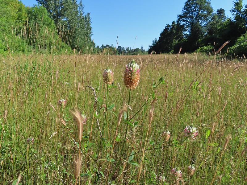 Arrowleaf clover
 Scrub jay
 Corn Chamomile
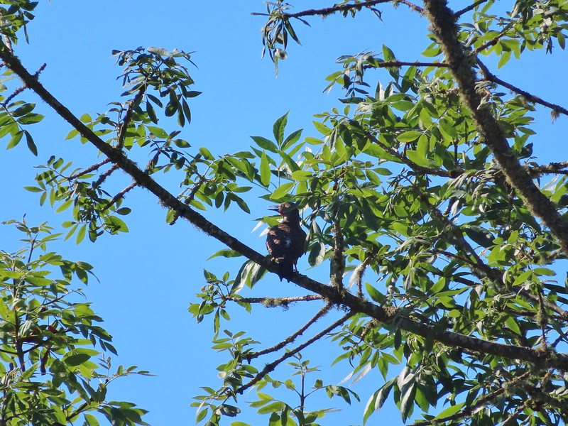 Northern flicker
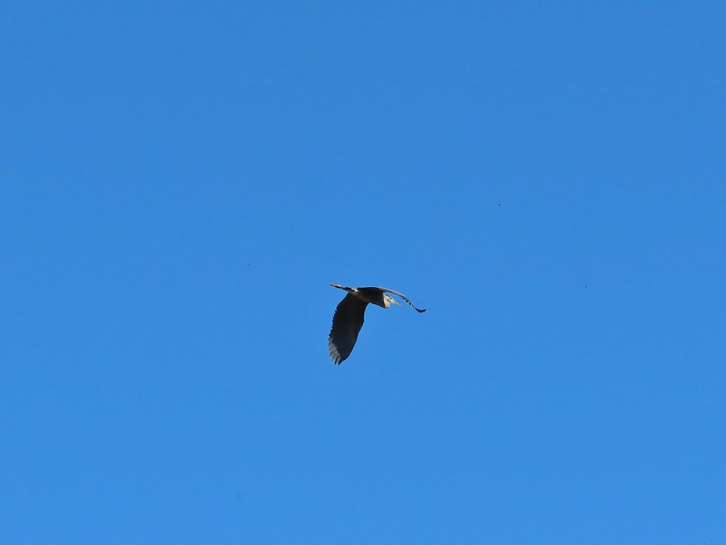 Great blue heron
 American kestral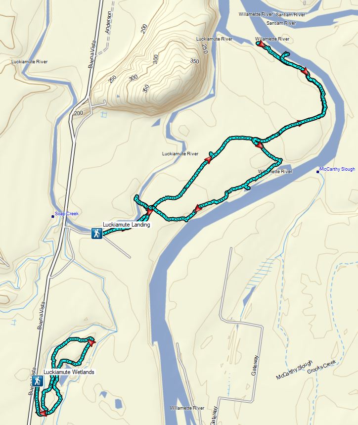
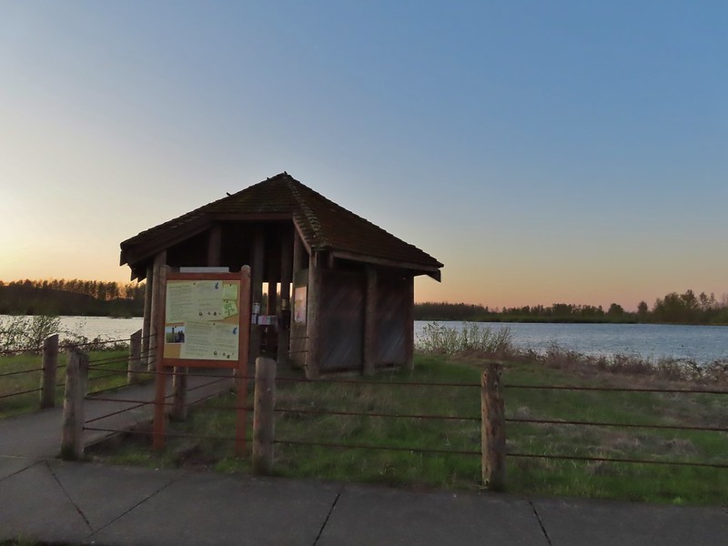


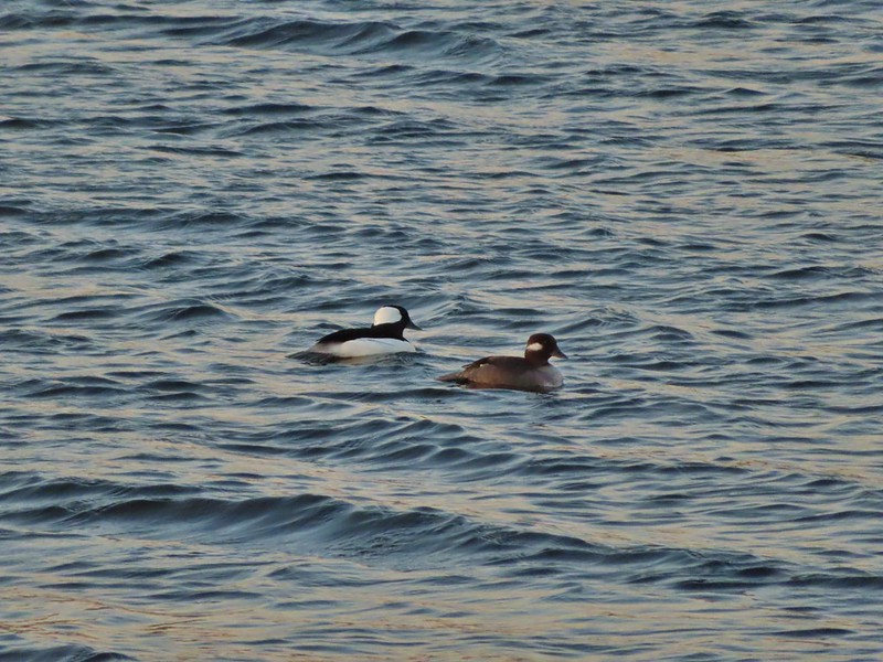 Buffleheads
 Canada goose and mallards
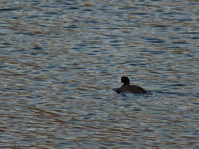 American coot
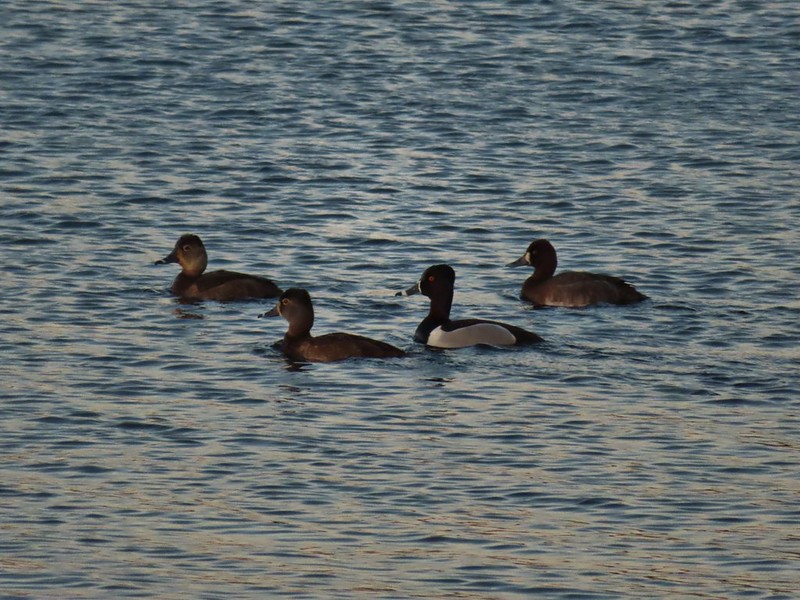 Ring-necked ducks (I’m not sure all the females are the same.)
 Geese flying over Eagle Marsh as the Sun rises.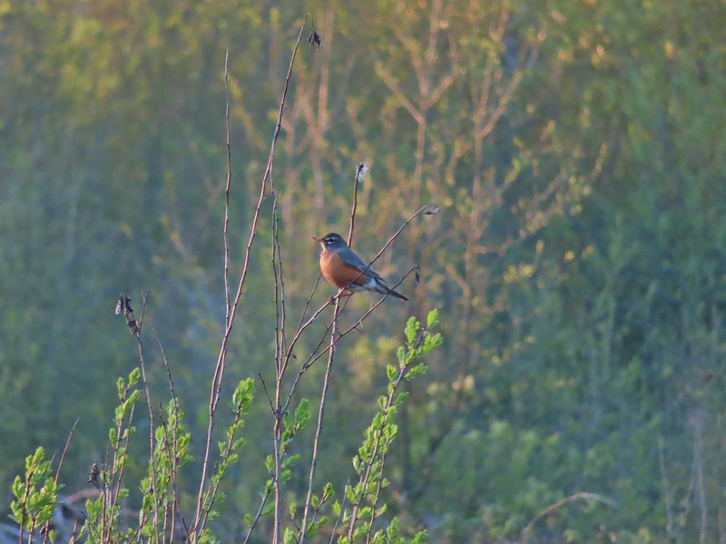

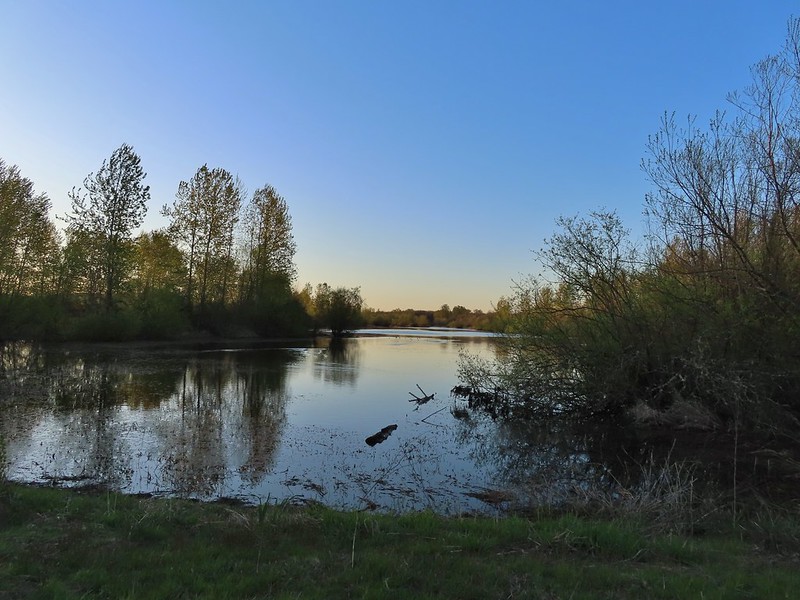 Willow Marsh
 A bufflehead and mallards
 Mallards and ring-necked ducks
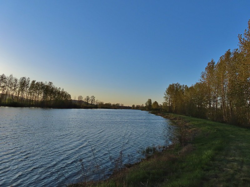 Teal Marsh to the left of the dike.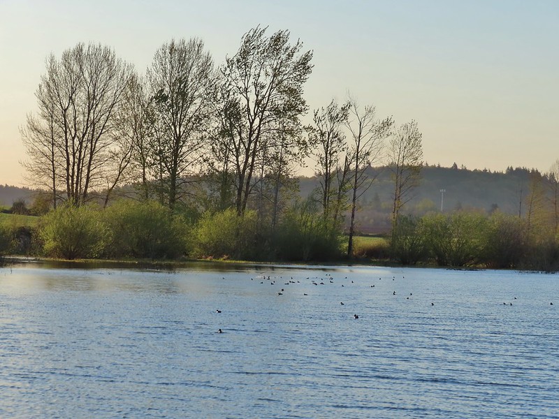
 Mallards an northern shovelers
 Buffleheads
 Spotted towhee
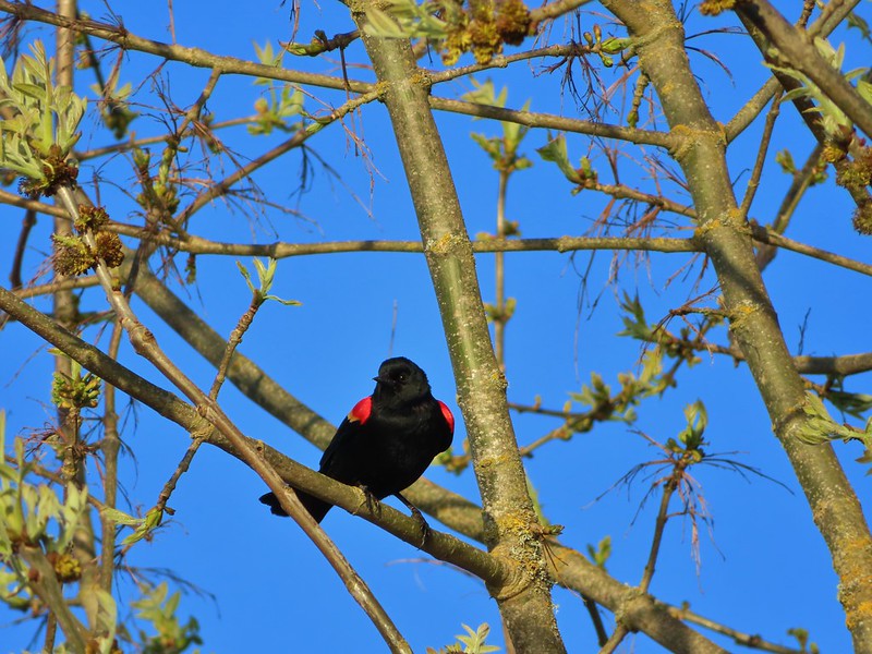 Red-winged blackbird
 Female red-winged blackbird
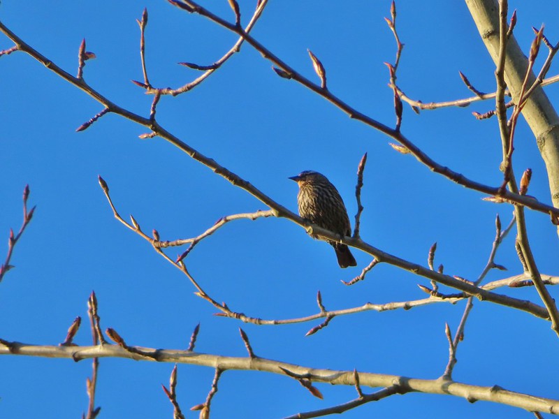 Sparrow
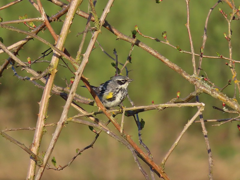 Yellow-rumped warbler
 Geese coming in for a landing on Teal Marsh
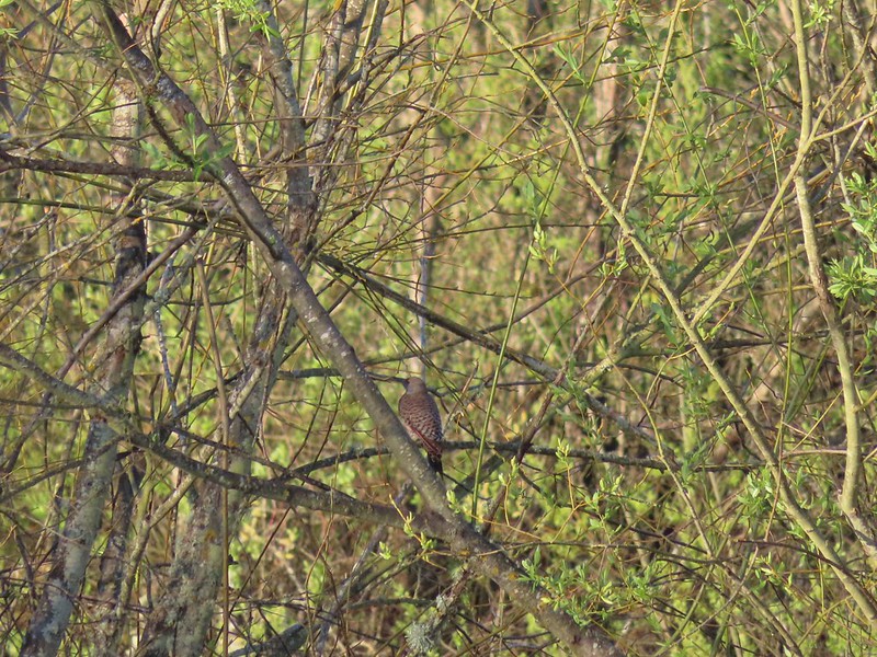 Northern flicker
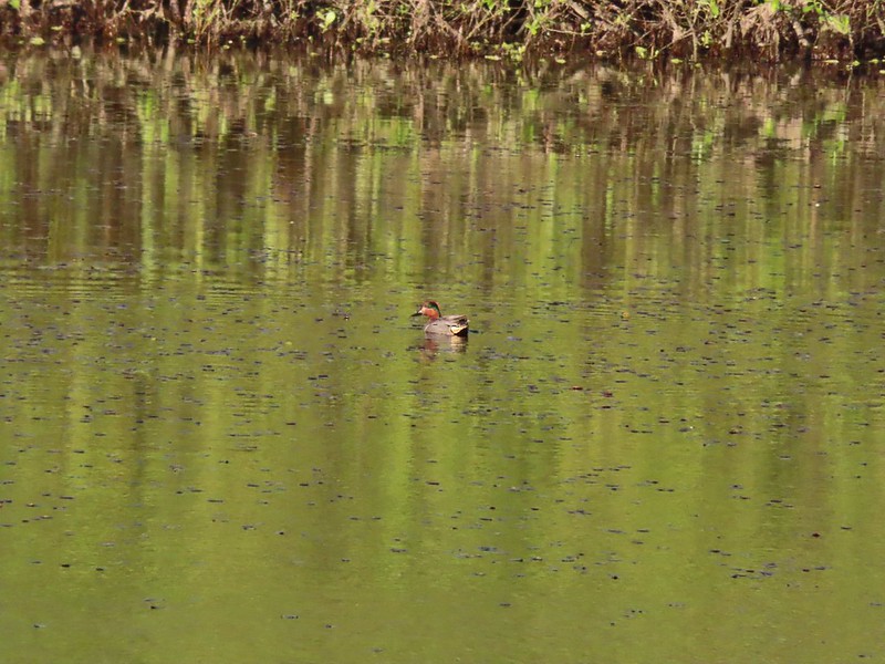 Green-winged teal
 Ring-necked ducks and a bufflehead pair
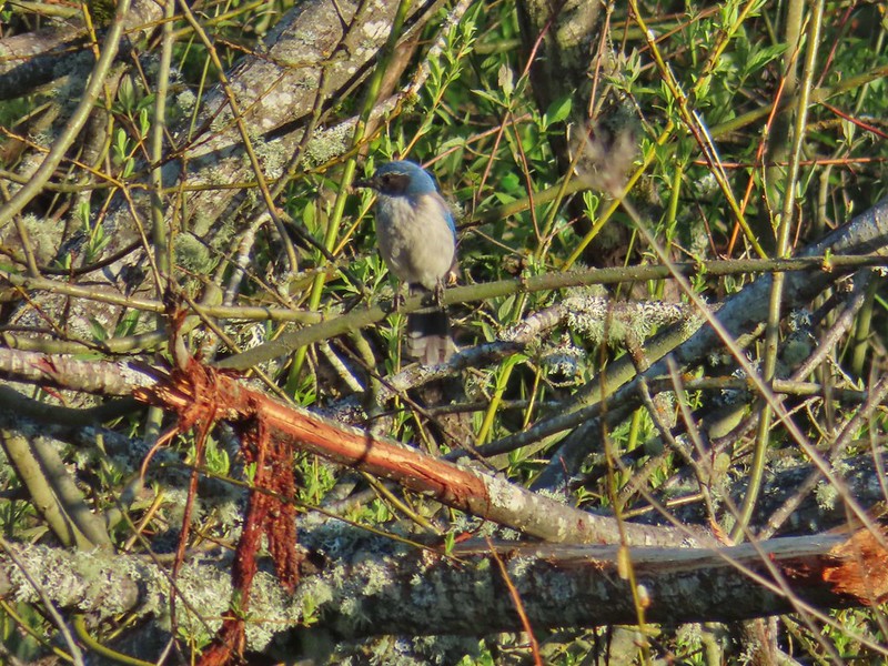 Scrub jay
 Pie billed grebe at Eagle Marsh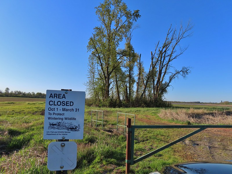
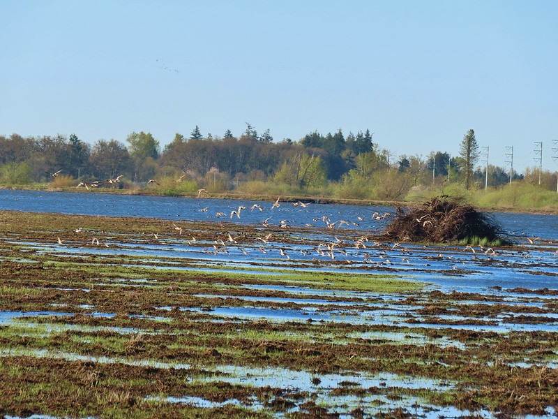


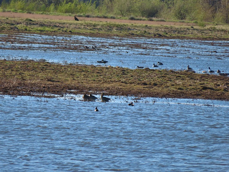 I didn’t see it when I took the picture but it appears there is an eagle on the ground in the distance here.
 One of the egrets taking off.
 Brewer’s blackbird on a tree along the railroad tracks.
 Pintail Marsh ahead on the left.
 The dike between Mohoff Pond and Pintail Marsh.
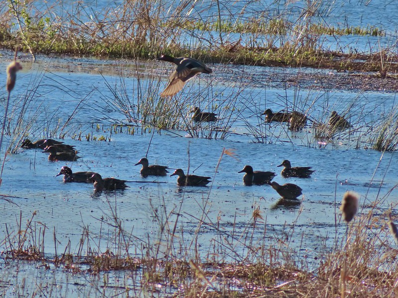 Ducks at Pintail Marsh
 Pintail Marsh
 Looking back at the gate and Wintel Road
 Yellow legs
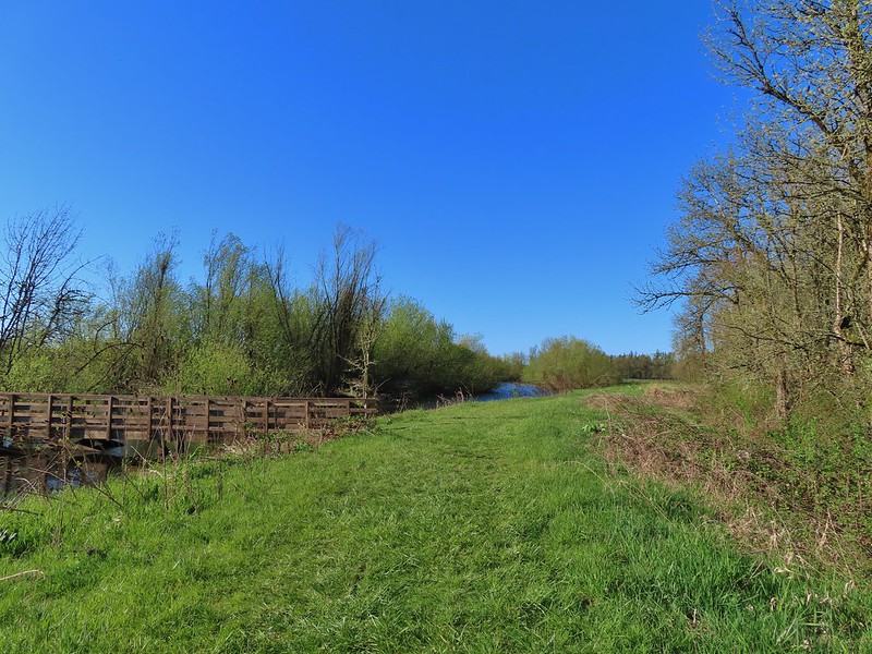
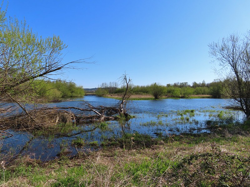 The boardwalk across Dunlin Pond from the dike.
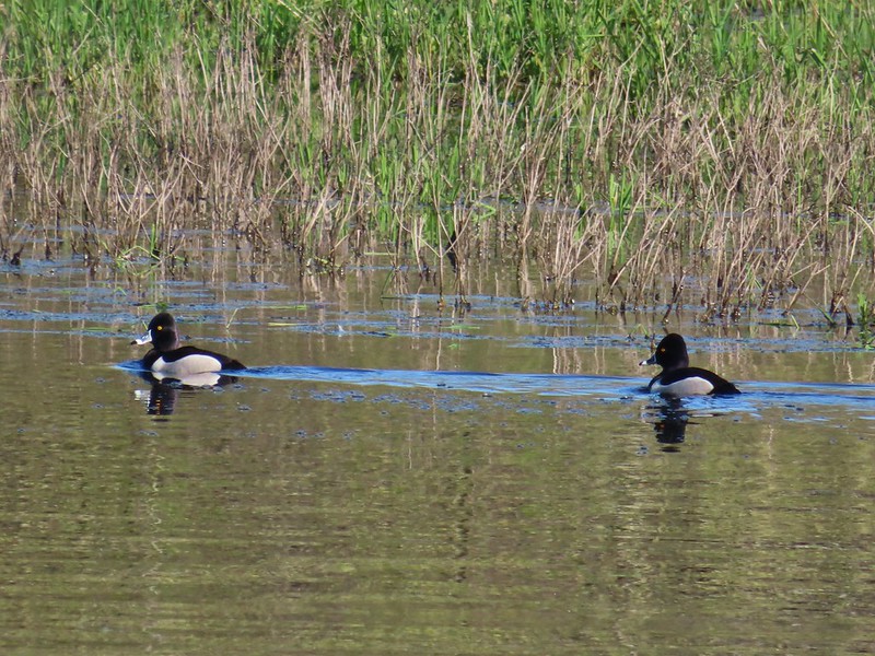 Ring-necked ducks
 Ring-necked ducks taking off.
 Sparrow
 Common yellowthroat
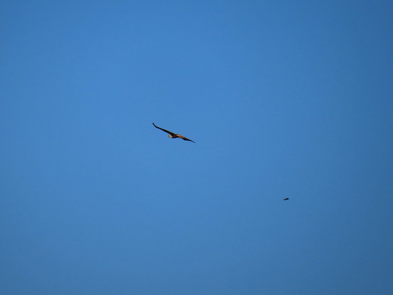 Hawk and a sparrow
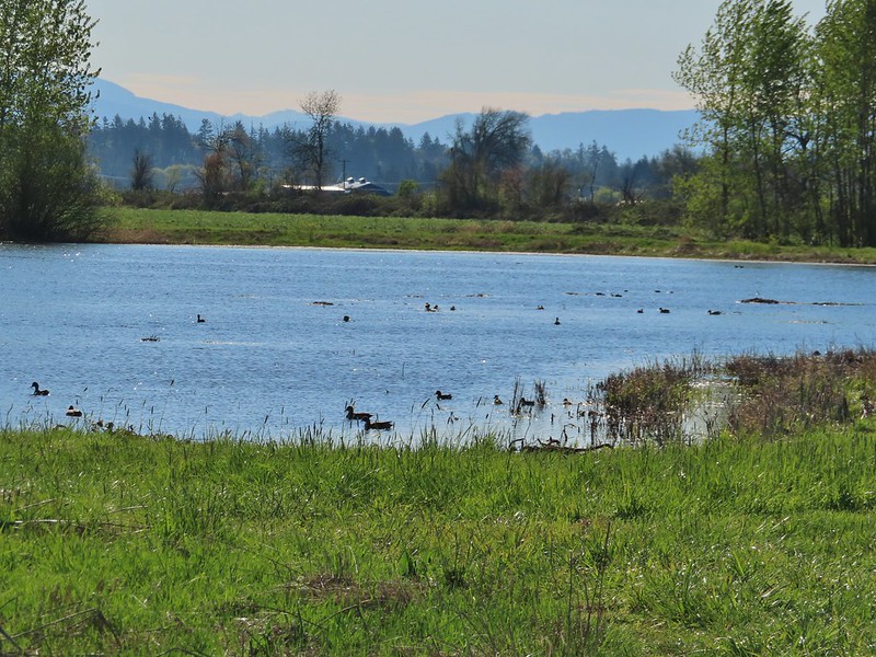 Killdeer Marsh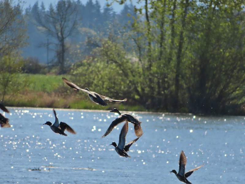
 Another yellow legs?
 A killdeer amid ducks at Killdeer Marsh
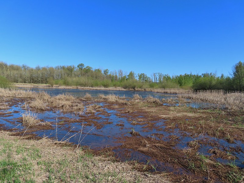 South Pond
 Cinnamon Teal in South Pond
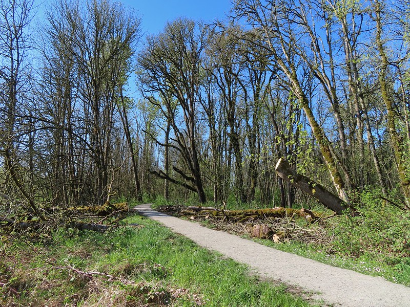 Damaged trees from the ice storm earlier this year.
 Turkey vulture
 Candyflower
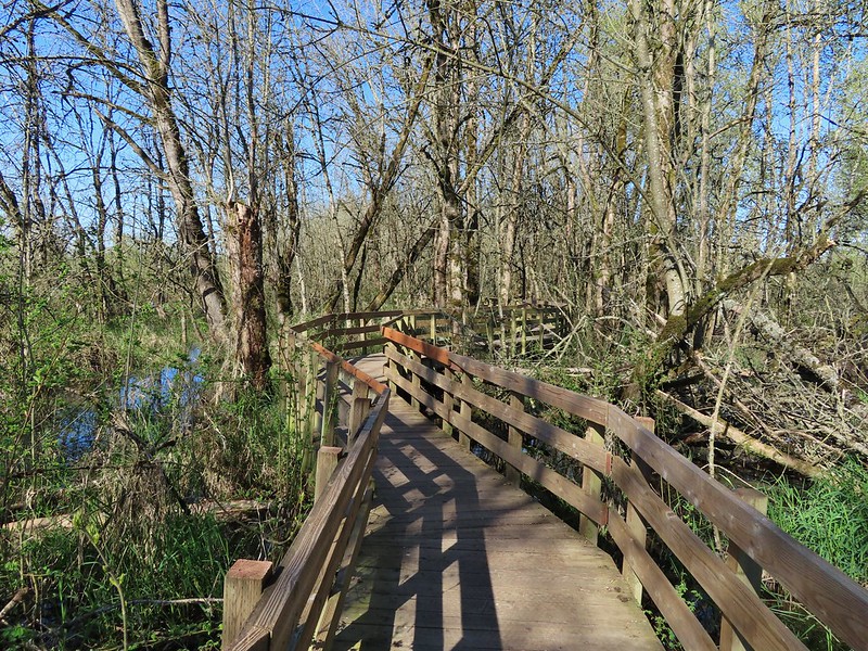

 American coots
 I think this is a ring-necked duck and a lesser scaup.
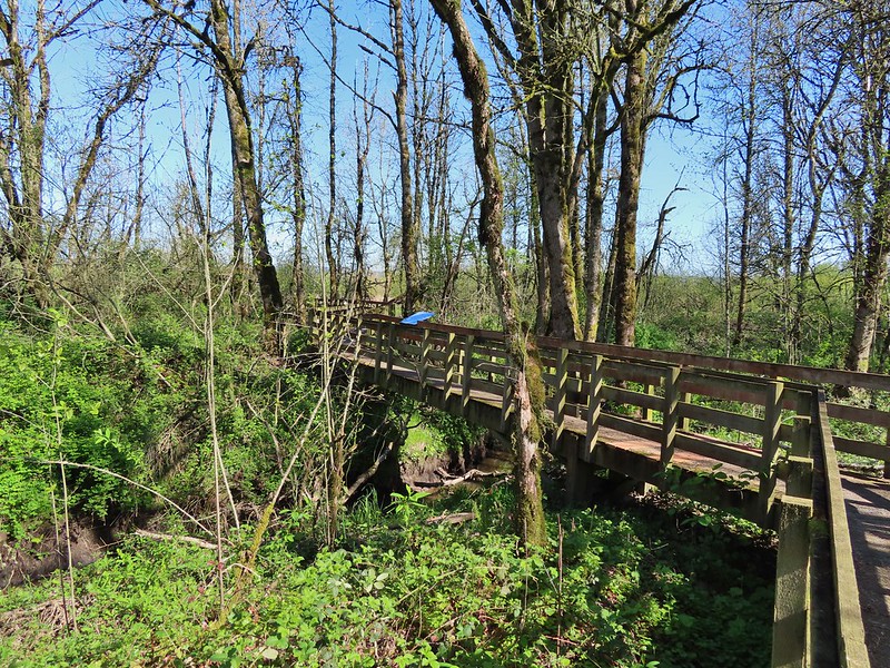
 The dike from the blind.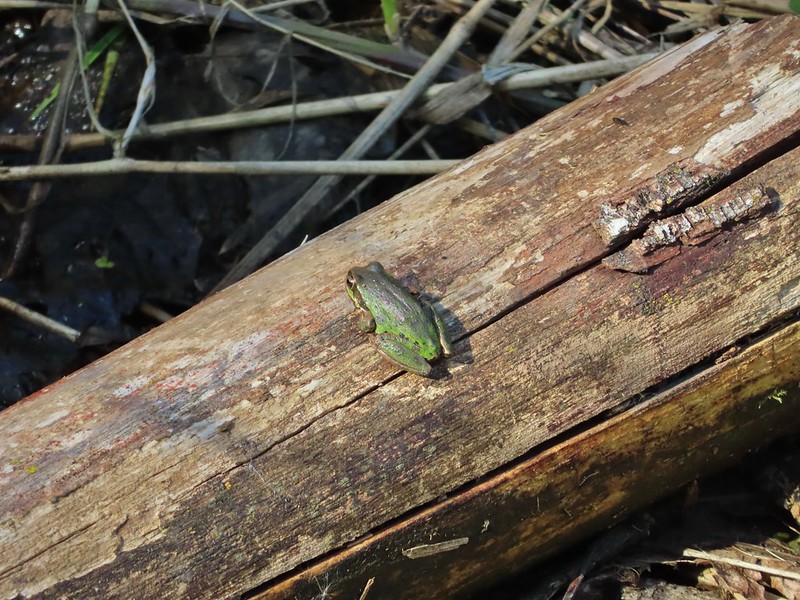


 Killdeer on the dike.
 A whole lot of geese in the air ahead.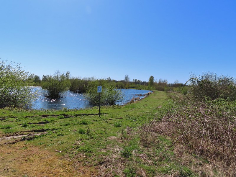

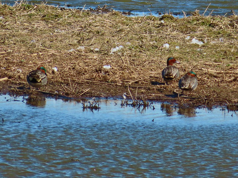 Green-winged teals
 Northern shovelers
 Canada geese
 Another green-winged teal
 Various ducks
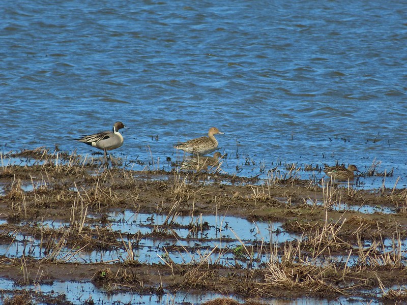 Northern pintails
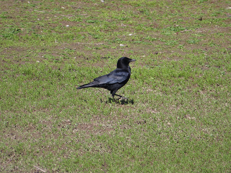 Crow
Crow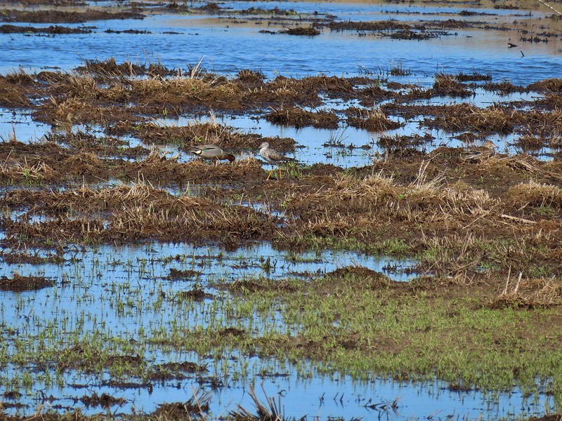 A green-winged teal and a yellow legs


