Categories
Hiking Oregon Salem/Albany Trip report Willamette Valley

Silver Falls State Park

It’s been a while since we’ve had a recent trip report to post but we finally took our March hike on Heather’s birthday. We are in the midst of training for the Corvallis Half-Marathon so we were looking for something on the shorter end and without too much elevation gain. After our first plan was scrapped due to our most recent snowfall we turned to – Silver Falls State Park.  We had done this hike a couple of times in the past before starting the blog. In fact our first visit to the park happened on a hot day in August, before we had started hiking, and resulted in us thinking we might die of heat stroke causing us to be unable to visit all the waterfalls. We returned slightly more prepared in July of 2006 and completed the hike which we consider our first true hike.  We went back once again on 7/30/2010 when Dominique chose this hike as his pick during our vacation that year.

It turns out we were there a little early. The posted hours for the day use areas were 8am to 8pm which hadn’t been clear on the park website and the entrance to the South Falls day use area was still gated so we began our hike at the North Falls Trailhead.
North Falls Trailhead

There is a $5 day use fee which we attempted to pay but the envelope box had been removed, presumably for the night, so after filling out an envelope we left the stub on our dash along with a note that the box was not in place so we would drop our payment off on the way out. With that taken care of we took a footbridge over North Fork Silver Creek and followed a pointer for Upper North Falls.
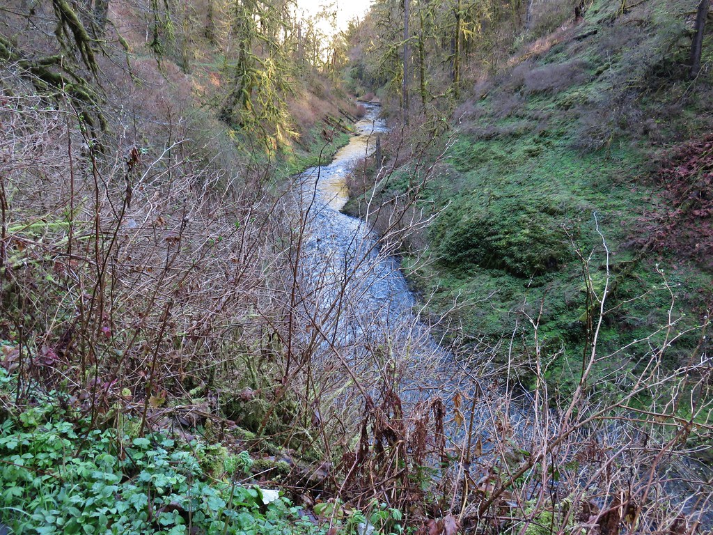
North Fork Silver Creek

Sign for Upper North Falls

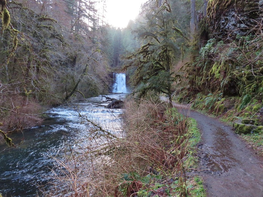
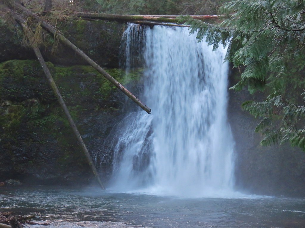
The trail immediately passed under Highway 214 then in a quarter mile brought us to the 65′ Upper North Falls.
Upper North Falls

Upper North Falls

Upper North Falls

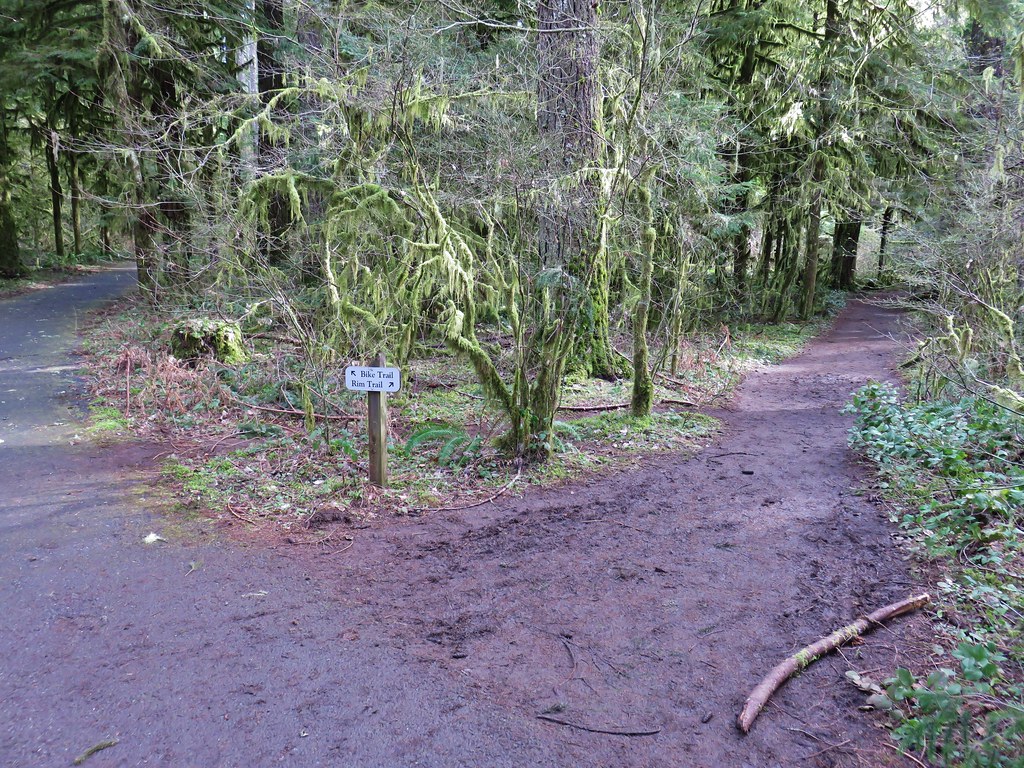
After admiring the fall we returned the way we’d come and after passing back under the highway faced a choice at a junction. To the left the Rim Trail headed uphill and would follow the highway along the canyon rim to the South Falls Day Use area while the right hand fork would lead us on a longer trek through the canyon and the other waterfalls.
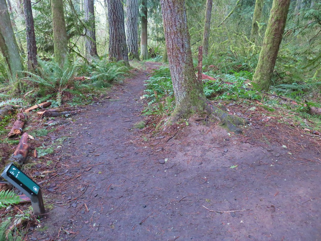
Trail junction in Silver Falls State Park

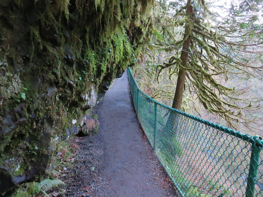
The question was did we want to end with the more scenic trail through the canyon or start with the canyon figuring that there would be fewer people on the trails earlier in the morning. The prospect of fewer people won out and we took the Canyon Trail along the creek (please note dogs are banned on the Canyon Trail). Not far from the junction the trail descends past a sign for North Falls and passes under basalt overhangs.
Sign for North Falls

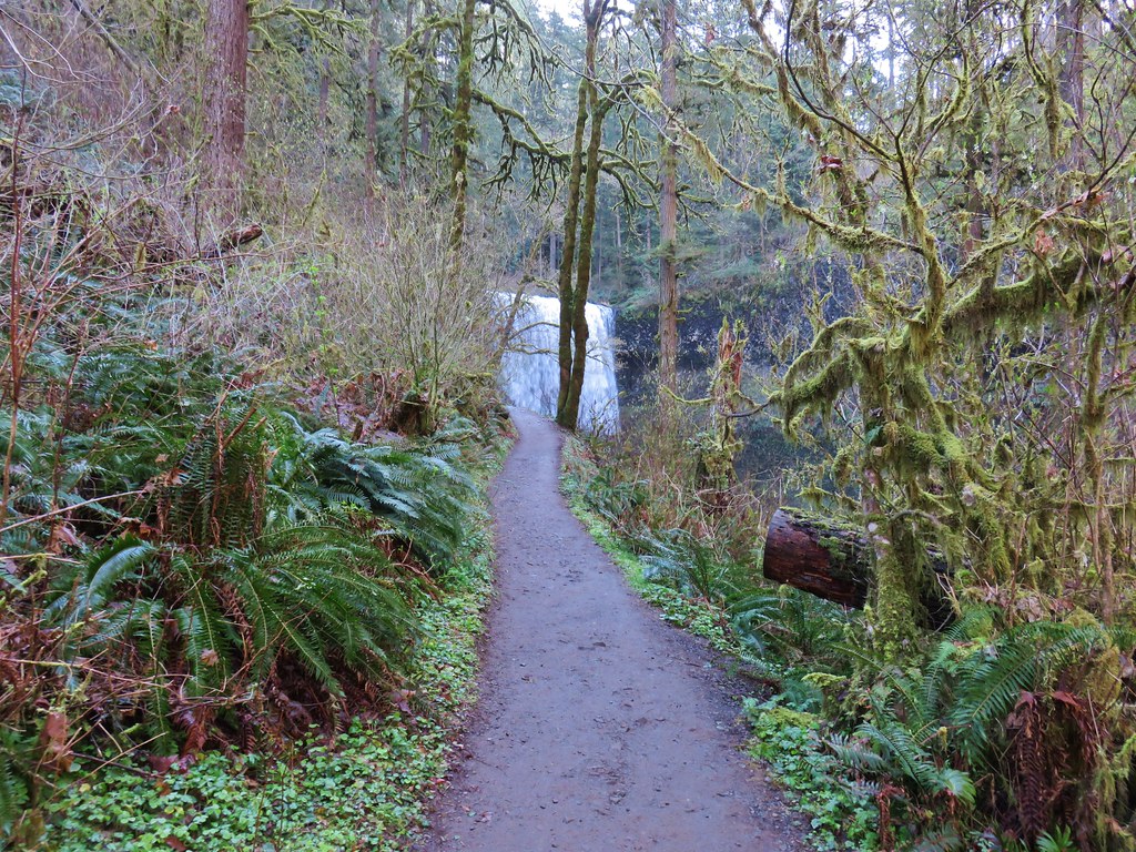
Trail to North Falls

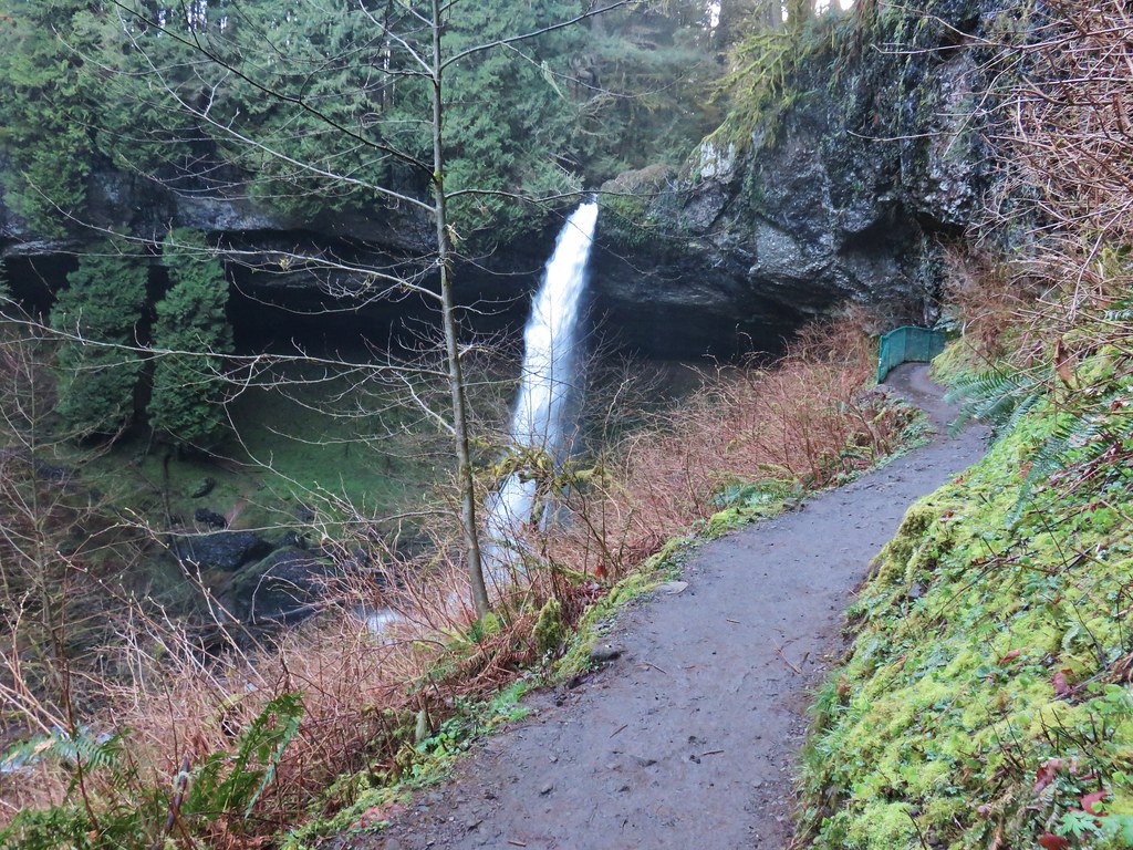
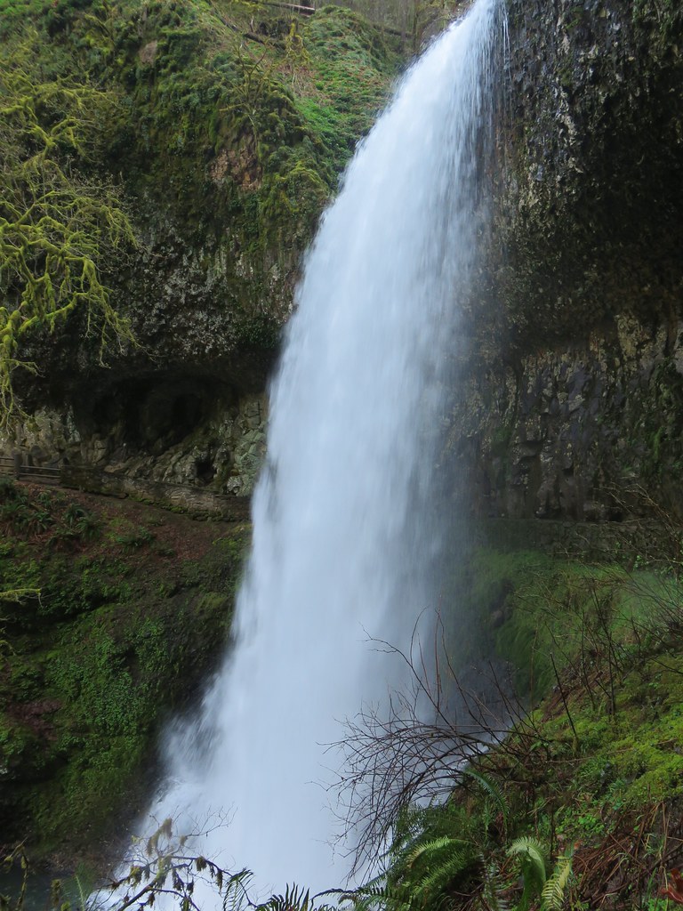
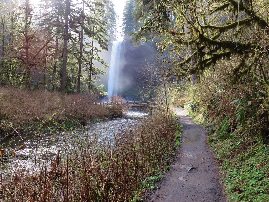
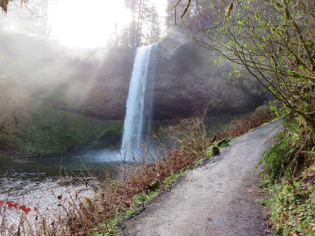
North Falls came into view as we descended some stairs before turning back towards the falls and ultimately passing them.
North Falls

North Falls

North Falls

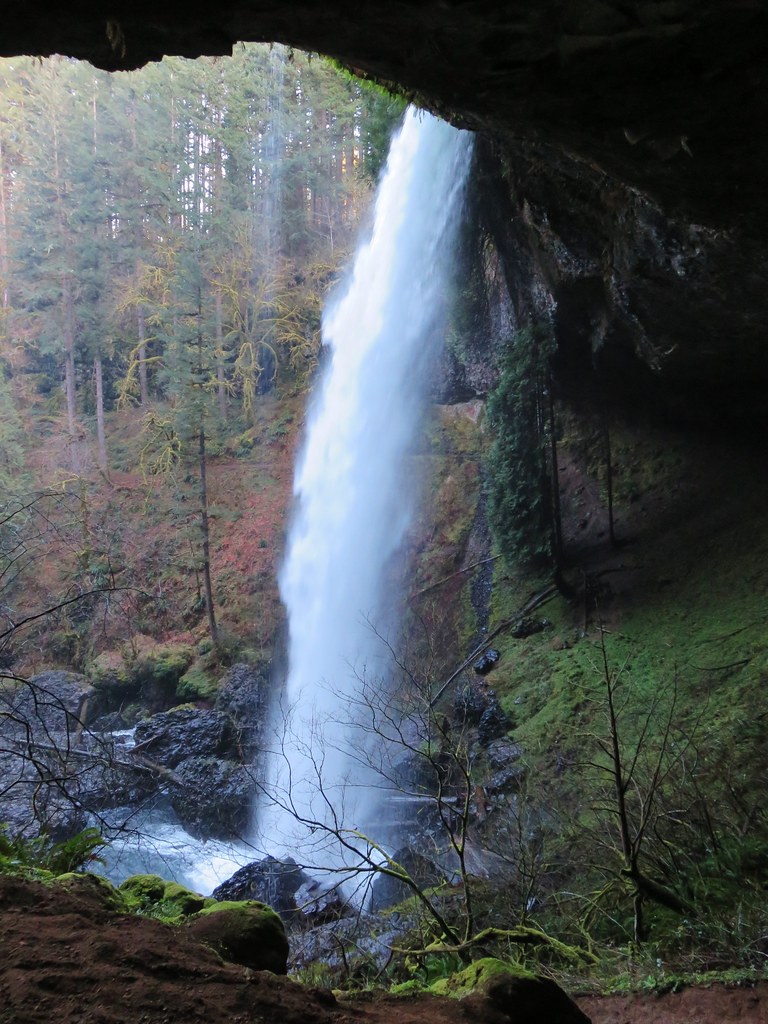
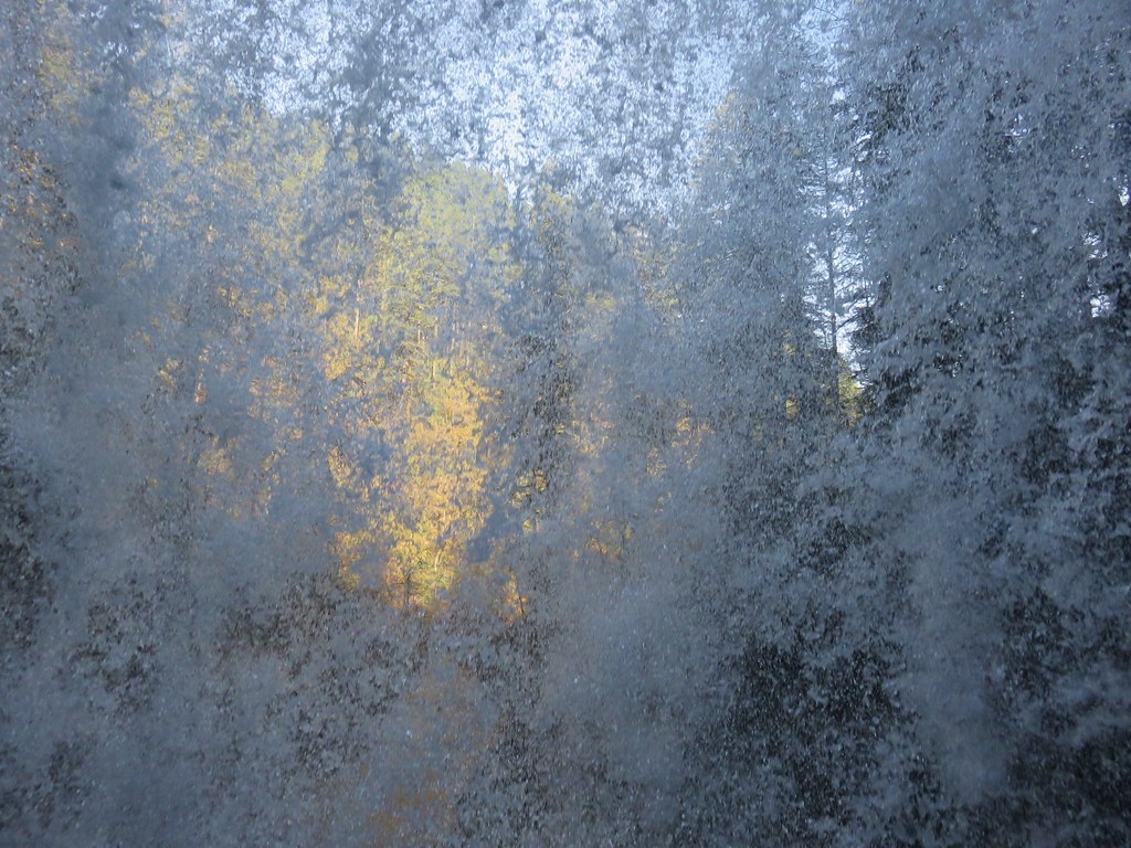
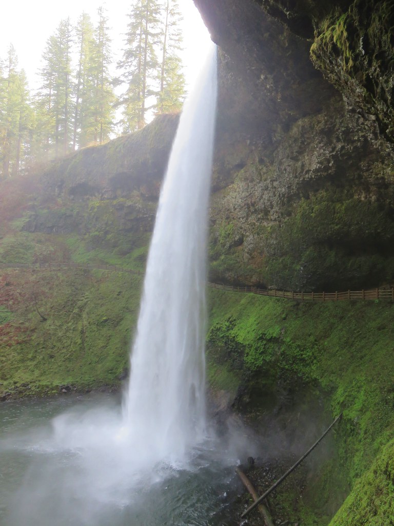
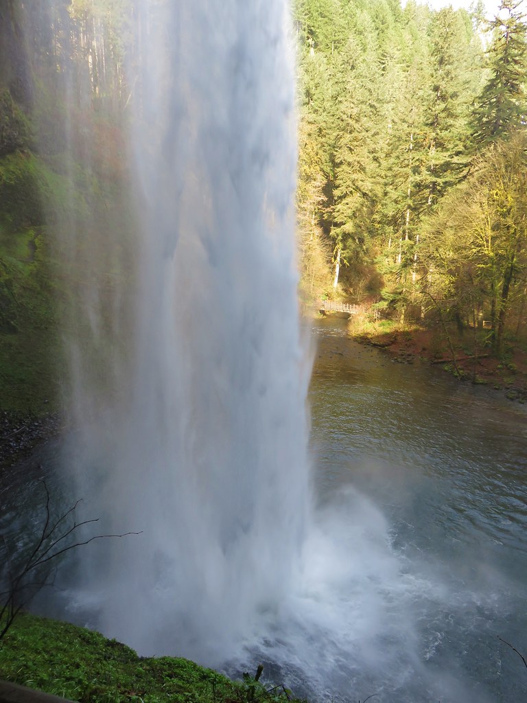
View from behind North Falls

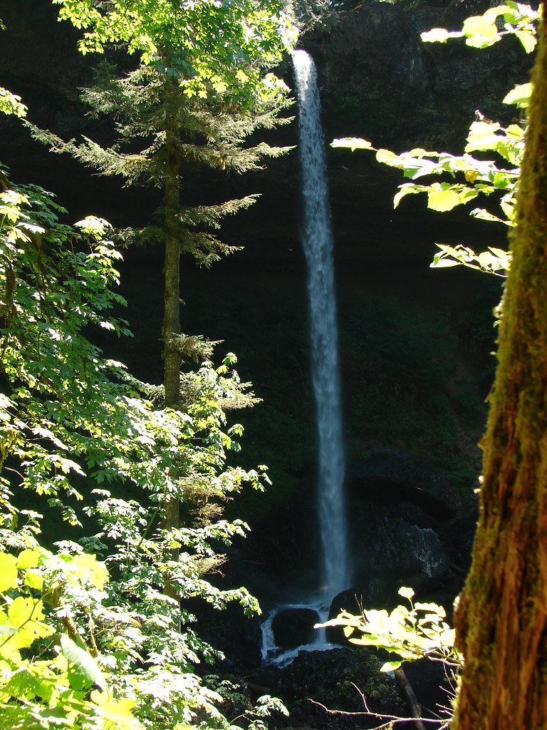
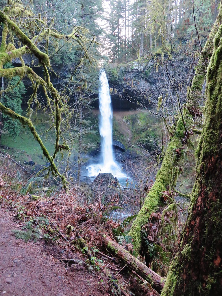
The water was roaring as it crashed down into the splash pool. It was a stark difference from our July 2010 visit.
North Falls
July 30, 2010

North FallsMarch 29, 2018
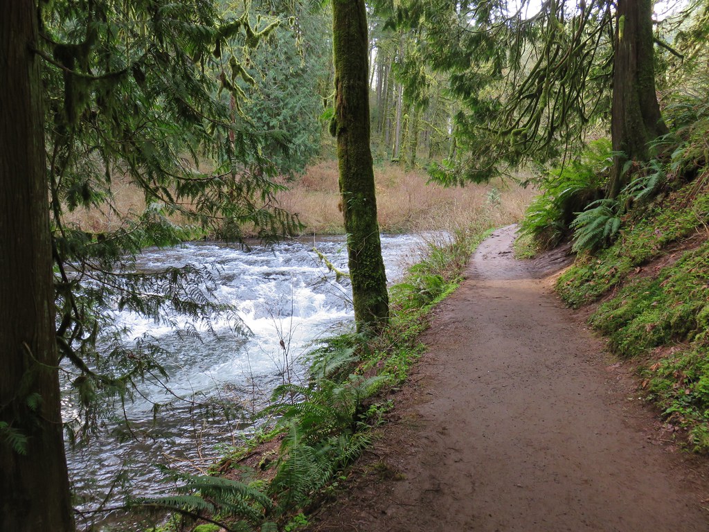
The trail was now on the north side of the creek and remained fairly level for over a mile as it passed through the canyon. We spotted quite a few flowers starting to bloom along this stretch.
North Fork Silver Creek

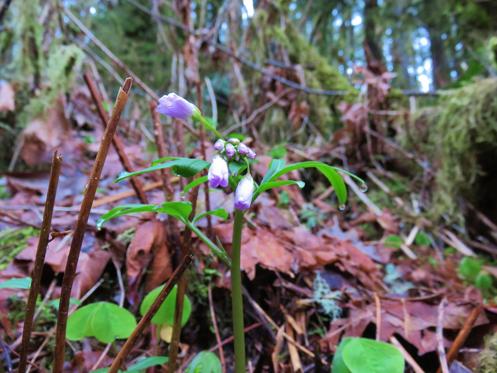
ToothwortToothwort

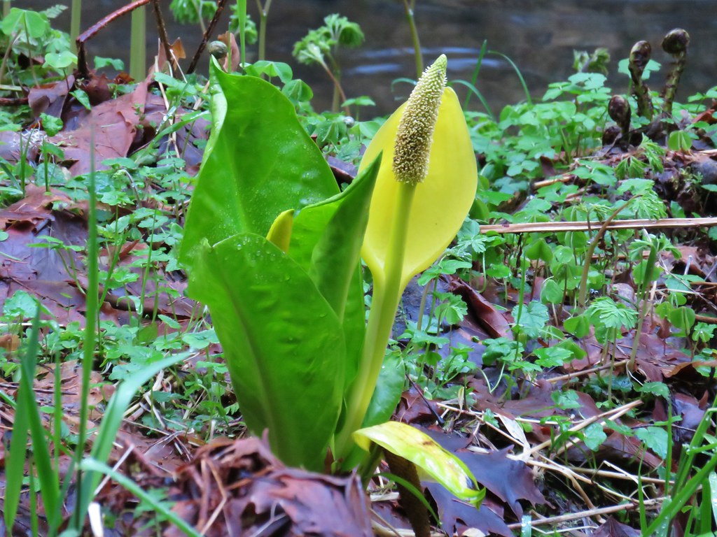
Skunk CabbageSkunk cabbage

Salmonberry blossomsSalmonberry

Blossoms along North Fork Silver CreekIndian plum

The next waterfall up on the Trail of Ten Falls was 31′ Twin Falls.
Sign for Twin Falls

Twin Falls

A short distance from Twin Falls (and about 1.5 miles from the North Falls Trailhead) we came to a junction with the Winter Falls Trail.
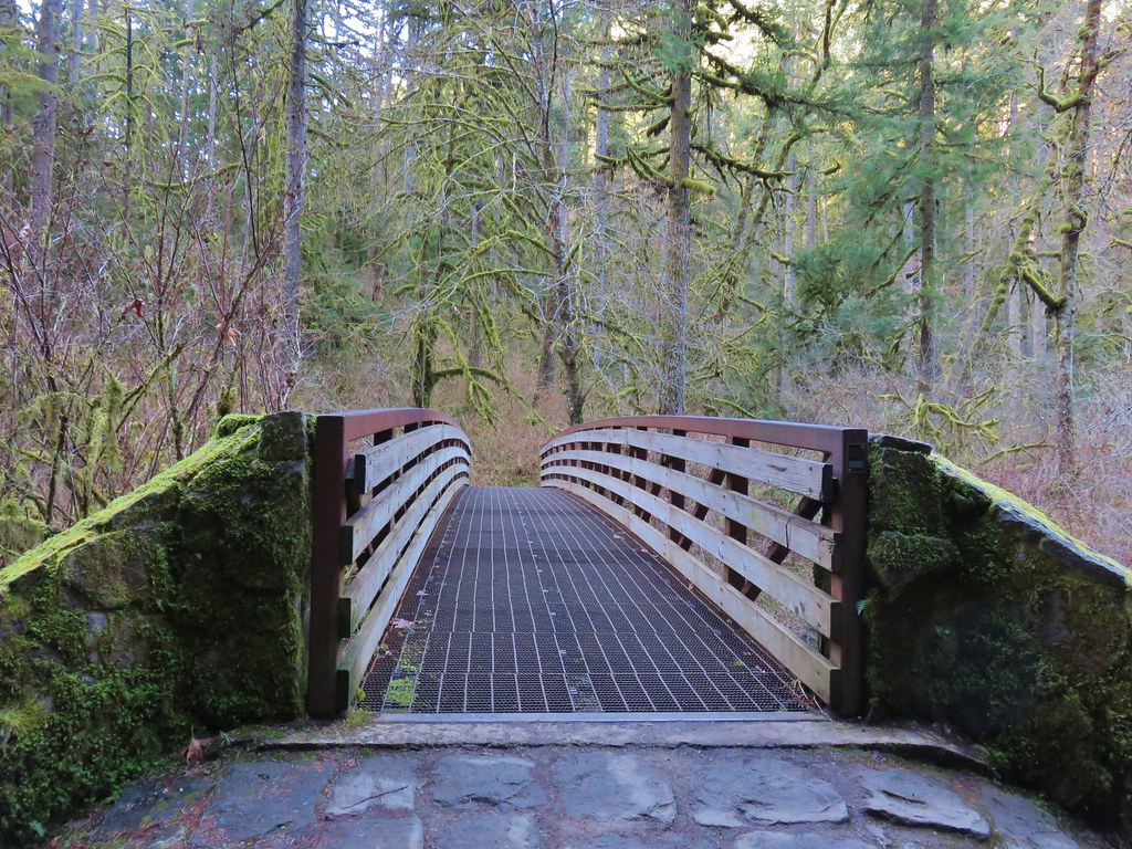
Footbridge over North Fork Silver Creek

The half mile Winter Falls Trail starts at the Winter Falls Trailhead along Highway 214 passing Winter Falls and ending at the Canyon Trail. We turned left onto a footbridge crossing North Fork Silver Creek and headed for Winter Falls.
Footbridge over North Fork Silver Creek

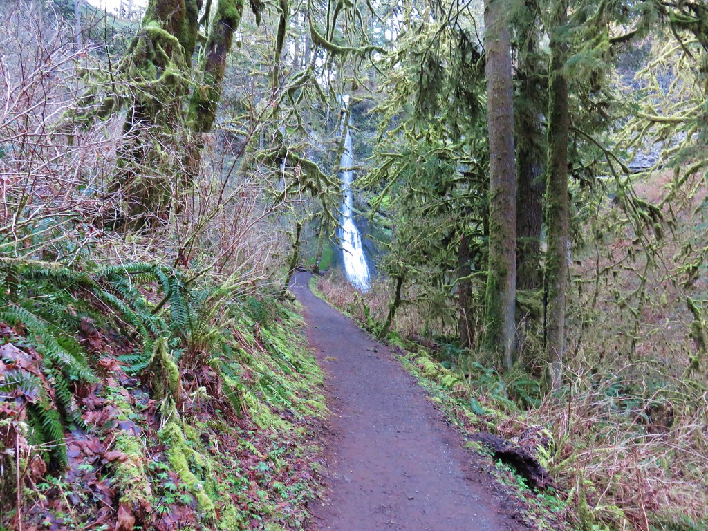
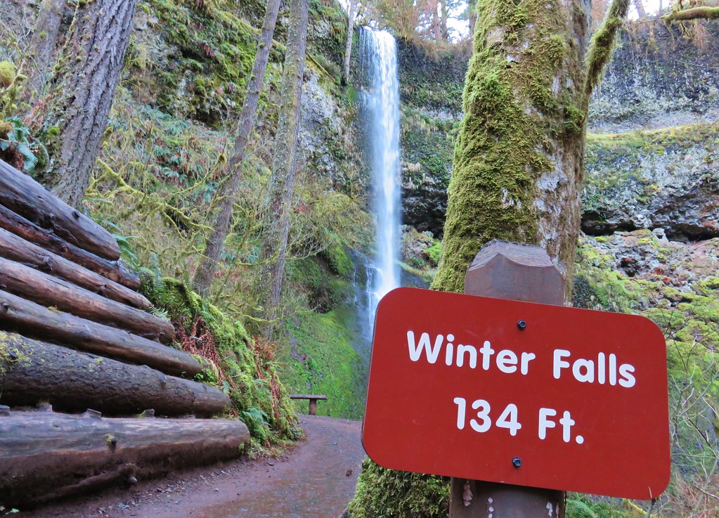
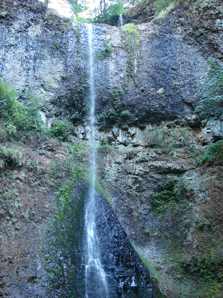
The trail was fairly level as it led to the 134′ waterfall.
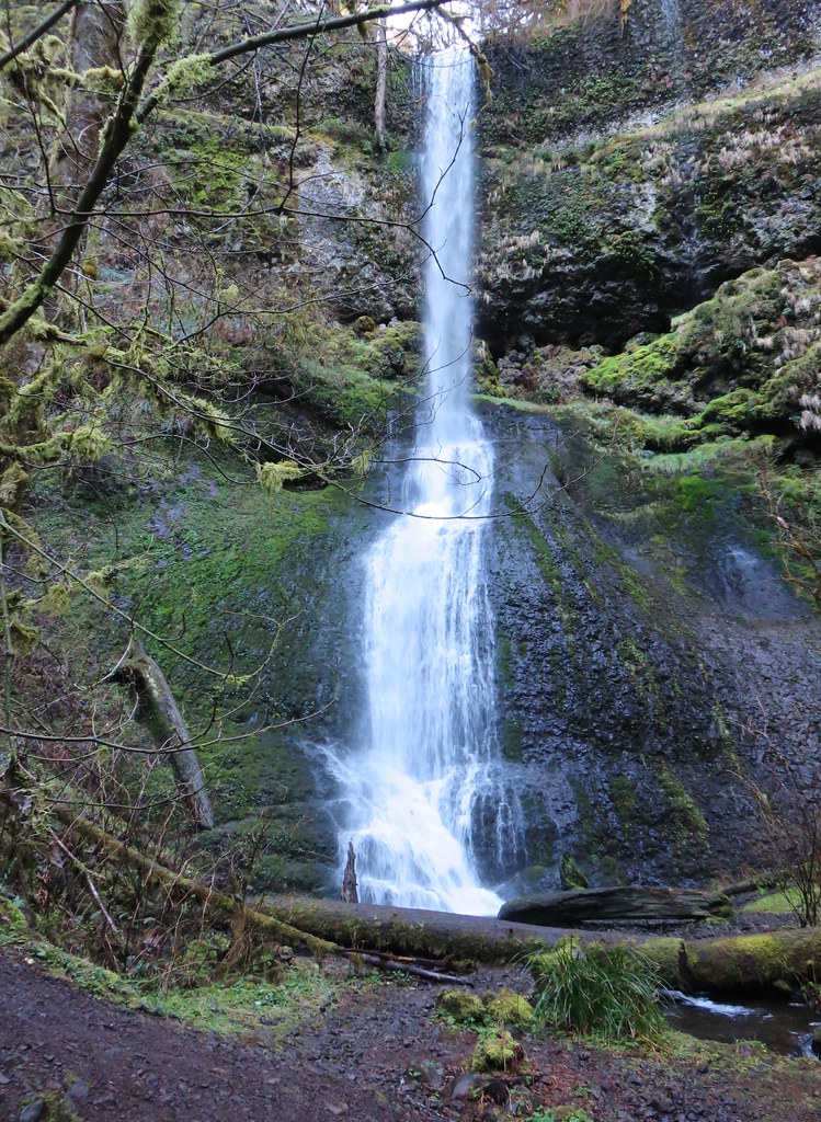
Winter Falls

Winter Falls

Later in the year Winter Falls all but dries up so this was the first time we’d gotten to see this waterfall.
Winter Falls

After checking this fall off our list we returned to the Canyon Trail and continued downstream toward Middle North Falls.
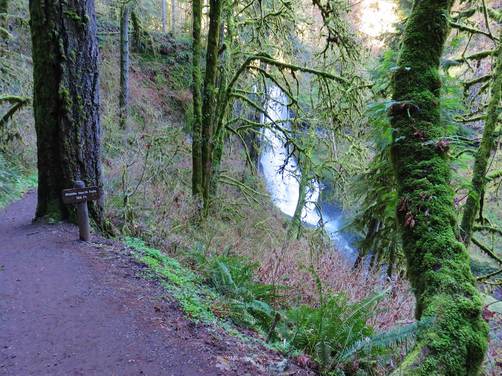
Sign for Middle North Falls

In just .2 miles we came to the side trail down to Middle North Falls.
Middle North Falls

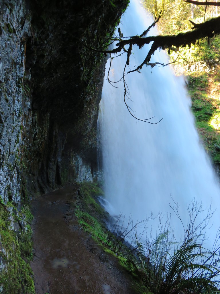
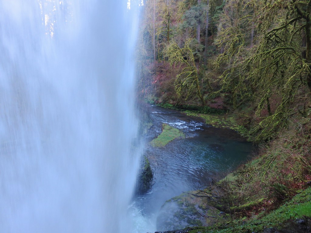
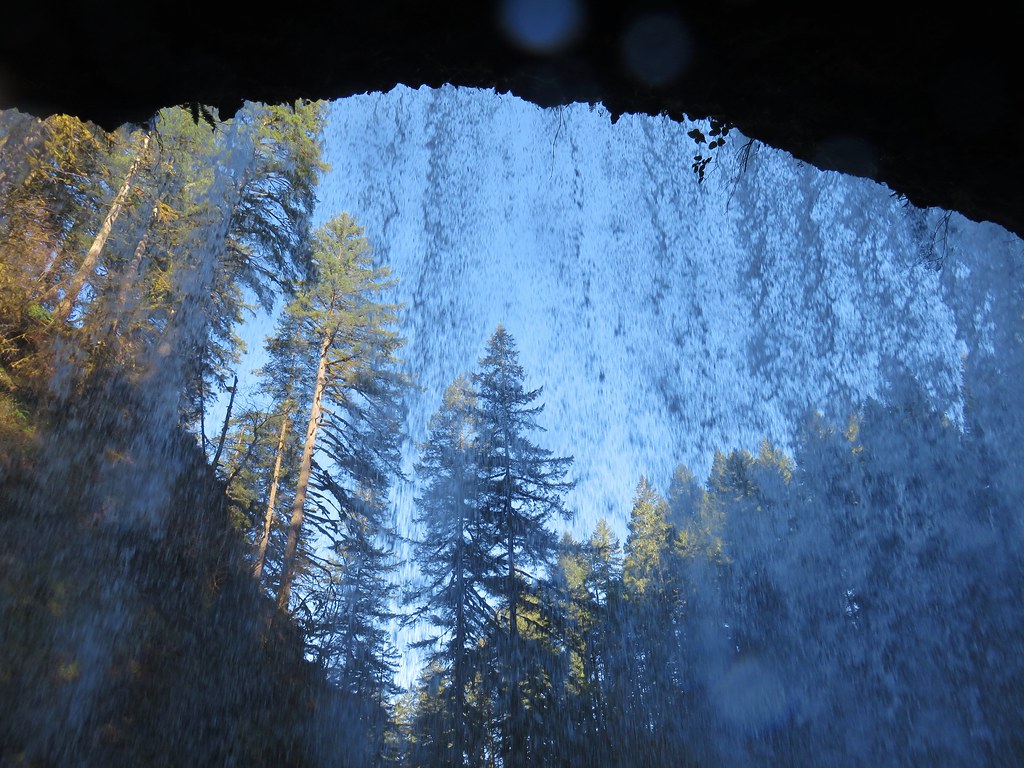
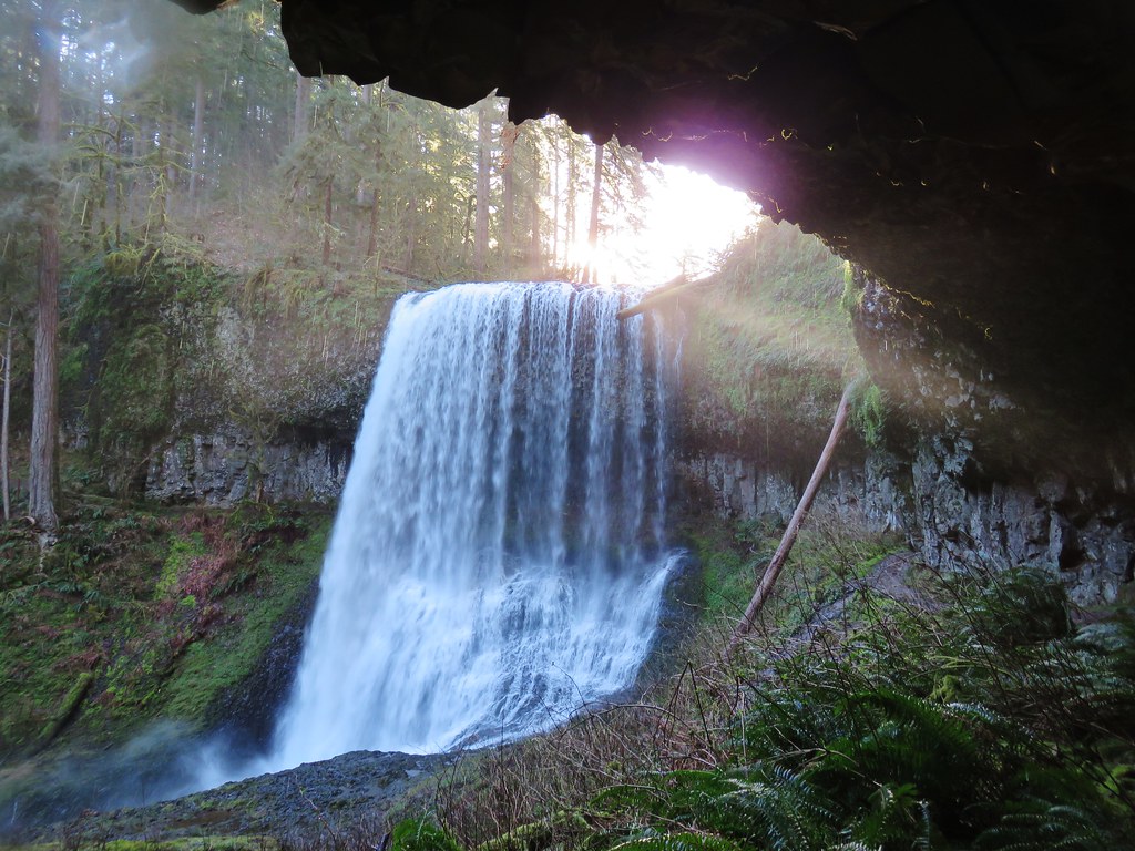
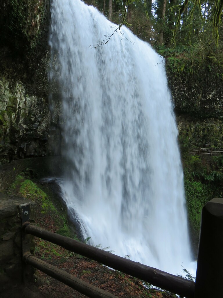
Here there was another opportunity to go behind the waterfall.
Middle North Falls

Trail behind Middle North Falls

View from behind Middle North Falls

View from behind Middle North Falls

The side trail continued on the far side of the fall wrapping around the canyon to a great view of the cascade.
Middle North Falls

Middle North Falls

After oohing and ahhing at this waterfall we returned to the Canyon Trail which also had several nice views of this fall. Of all the waterfalls on this hike this one was probably the most visibly different from our previous visits.
Middle North FallsJuly 7, 2006

Middle North FallsJuly 30, 2010

Middle North FallsMarch 29, 2018
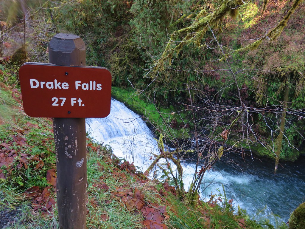
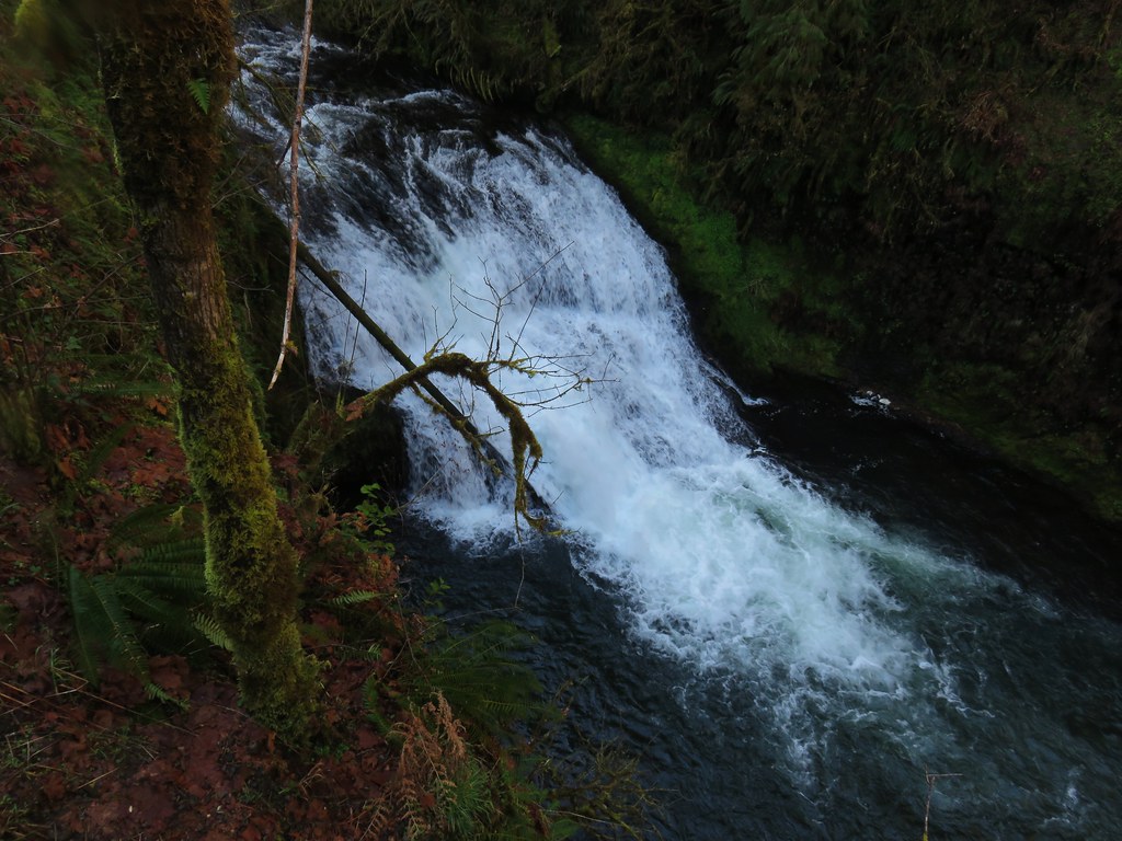
A little downstream from Middle North Falls we came to a viewing platform above little Drake Falls.
Drake Falls

Drake Falls

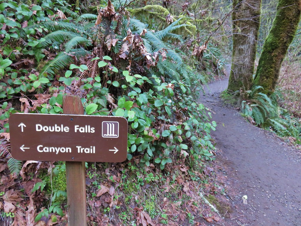
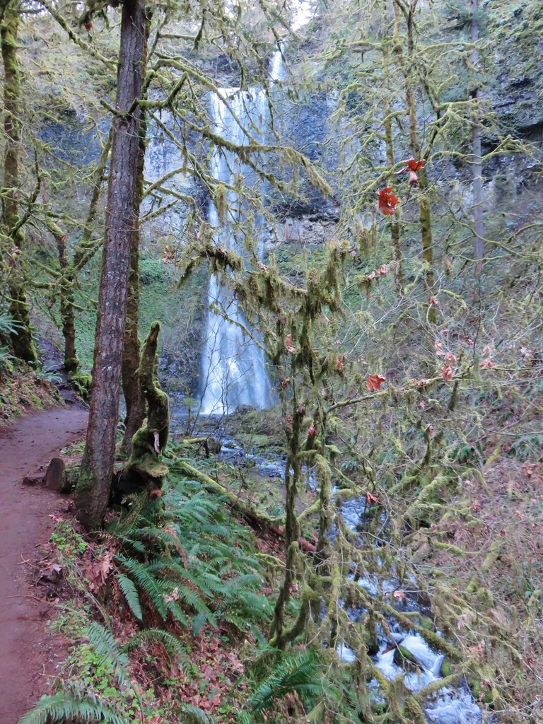
Less than a half mile from the Winter Falls Trail junction we arrived at another junction. This time with a very short spur trail to Double Falls.
Sign for Double Falls

Here again the difference in water volume was very apparent.
Double Falls

Double FallsJuly 7, 2006

Double FallsJuly 30, 2010

Double FallsMarch 29, 2018
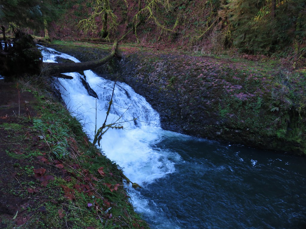
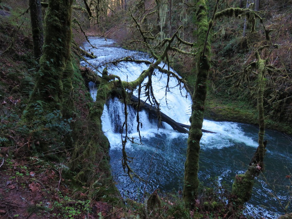
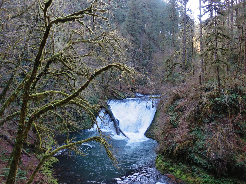
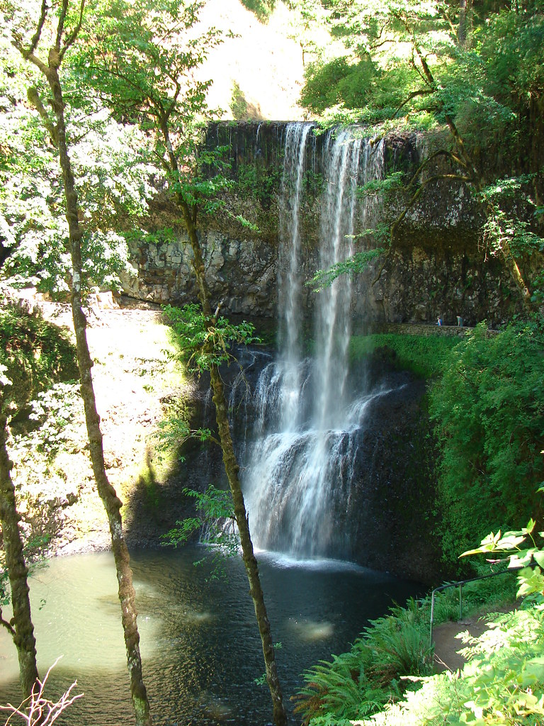
Just beyond the spur trail to Double Falls the Canyon Trail passed 30′ Lower North Falls.
Lower North Falls

Lower North Falls

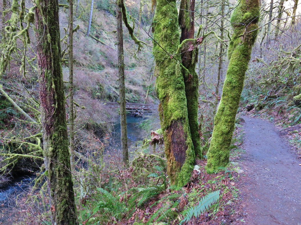
After the flurry of waterfalls in the three quarters of a mile between Twin Falls and Lower North Falls things settled down. The trail continued on the north side of the creek for about a quarter of a mile before crossing over on a footbridge.
Footbridge over North Fork Silver Creek

The trail then stayed on the south side of the creek passing an unnamed seasonal waterfall.
North Fork Silver Creek

Unnamed waterfall in Silver Falls State Park

The trail soon veered away from North Fork Silver Creek and a mile from the spur trail to Double Falls we arrived at a junction with the Maple Ridge Trail.
Maple Ridge Trail junction

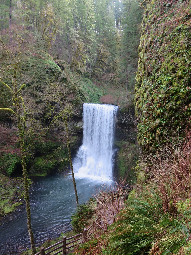
The Maple Ridge Trail allows for a shorter loop option if you start at the South Falls Day Use Area but that loop only passes three waterfalls. It was however our escape route on our first visit when the heat of August and our lack of carrying water forced us to abandon our attempt at the full loop. The Canyon Trail here rejoined a creek but not the North Fork Silver Creek. This was now the South Fork Silver Creek. A short distance upstream we came to Lower South Falls.
Lower South Falls

Lower South Falls

Lower South Falls is another that the trail passes behind but before we headed behind the water a varied thrush landed on a branch just a few feet from us. I’ve mentioned before that these birds are my nemesis as I can rarely get a decent photo of one. This guy was no exception, despite his sitting on the branch for a good 15 seconds or more I could not get the camera to focus on him.
Varied Thrush at Lower South Falls

Having failed to get a clear picture of the bird we headed behind the waterfall and out the other side.
Lower South Falls

View from behind Lower South Falls

Lower South Falls

Again the difference in the appearance from our previous visits to this waterfall was obvious.
Lower South FallsJuly 7, 2006

Lower South FallsJuly 30, 2010

Lower South FallsMarch 29, 2018
Another series of stairs climbed up above Lower South Falls which was probably the most strenuous part of the hike. The trail then leveled out again for about a mile before arriving at South Falls.
South Fork Silver Creek

South Falls

A footbridge over the creek below the falls allows for a short loop from the day use area. We passed by the footbridge opting to pass behind this waterfall as well.
South Falls

South Falls

View from behind South Falls

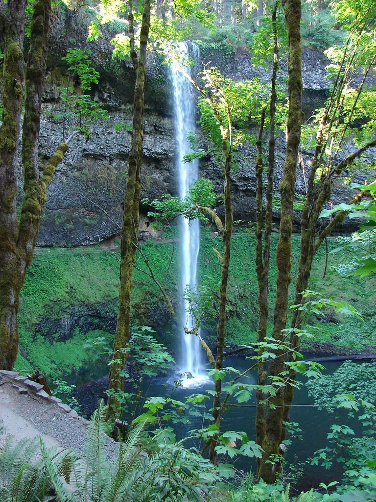
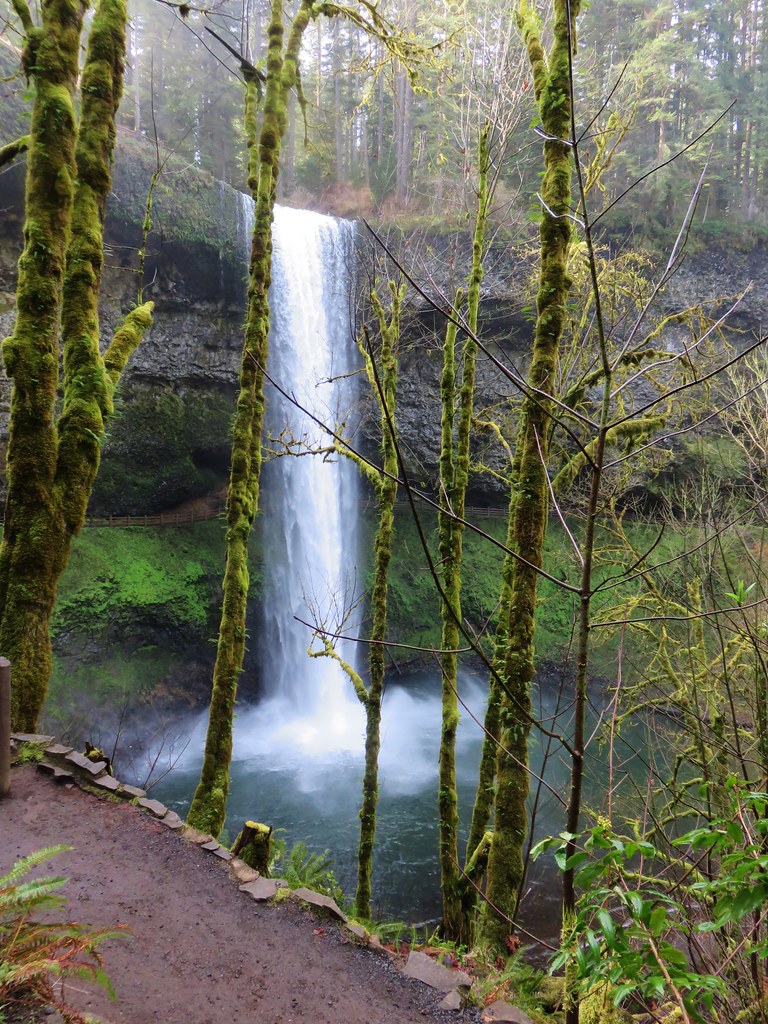
A comparison of our visits shows the difference that the timing of a visit makes.
South FallsJuly 30, 2010

South FallsMarch 29, 2018
Doing the loop in the direction we’d chosen made South Falls the 10th of the 10 waterfalls along the Trail of Ten Falls but that didn’t mean it was the last waterfall we’d visit on the hike. That honor went to Frenchie Falls. A sign part way up the trail from South Falls pointed toward this little fall.
Sign for Frenchie Falls

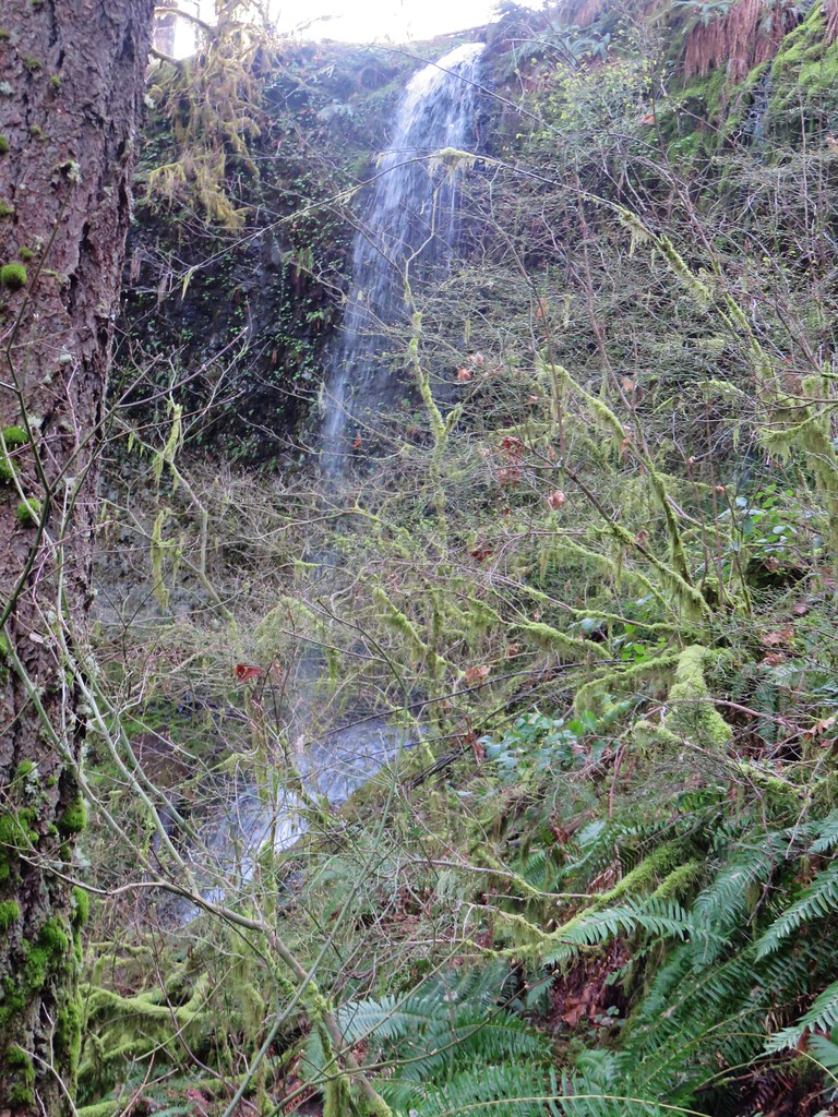
Even at this time of the year it wasn’t much more than a wisp of water and it lacks a good vantage point but it’s a named fall none the less.
Frenchie Falls

After checking out Frenchie Falls we completed the climb out of the canyon to a viewpoint above South Falls.
Plaque above South Falls

Looking down from the top of South Falls

We then looped around a picnic area and into the South Falls Historic District.
South Falls Historic District at Silver Falls State Park

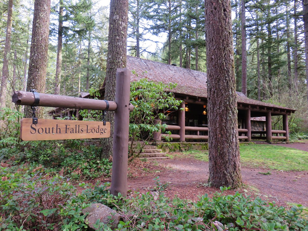
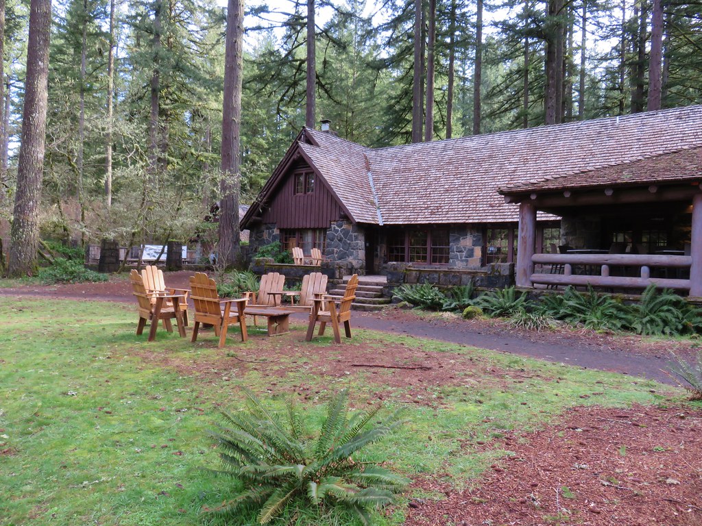
South Falls Lodge

South Falls Lodge

Nature Store

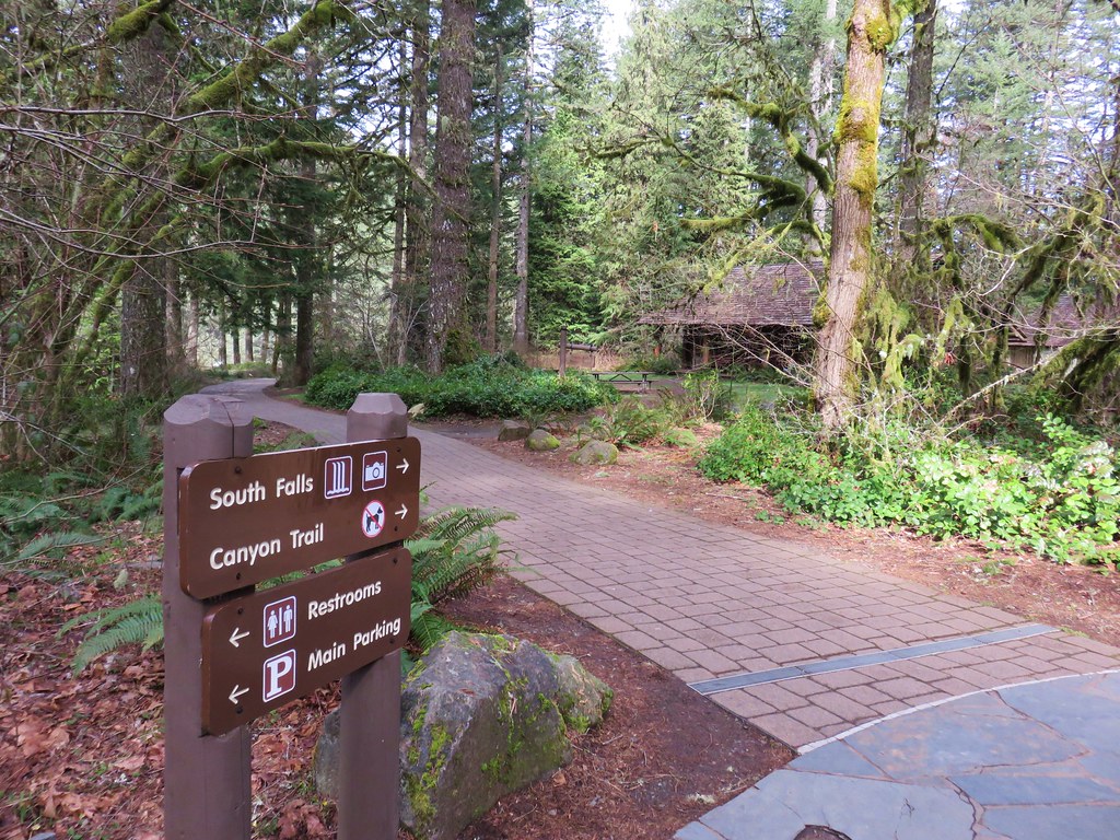
Here we passed the cafe, store and theater before arriving at a junction with the start of the Maple Ridge and Rim Trails.
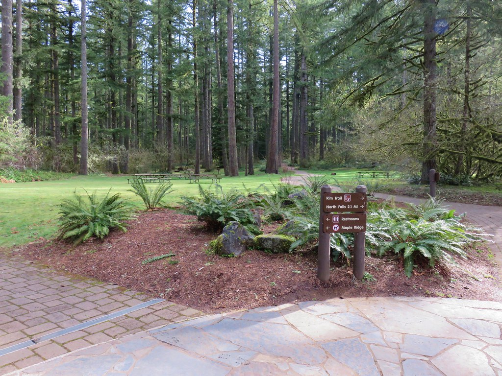
Rim and Maple Ridge Trails

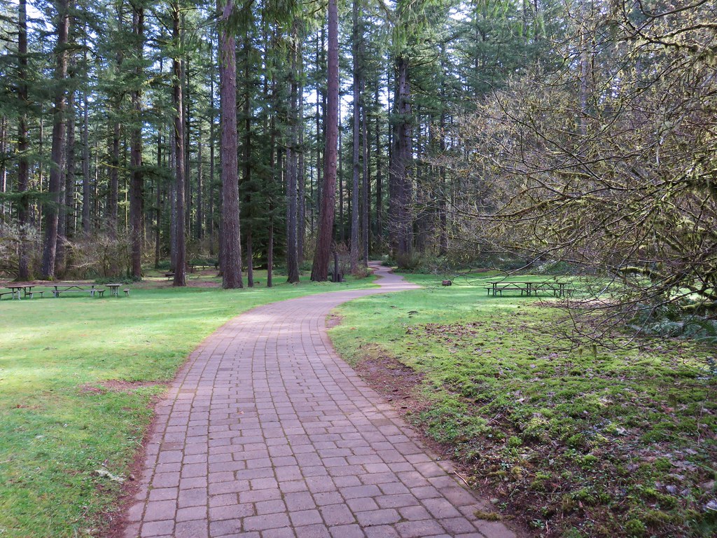
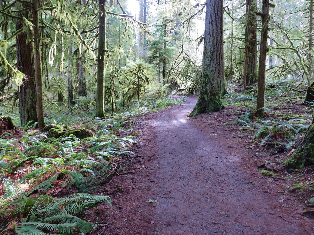
We followed the Rim Trail through a picnic area and into the forest.
Rim Trail

Rim Trail

Rim Trail

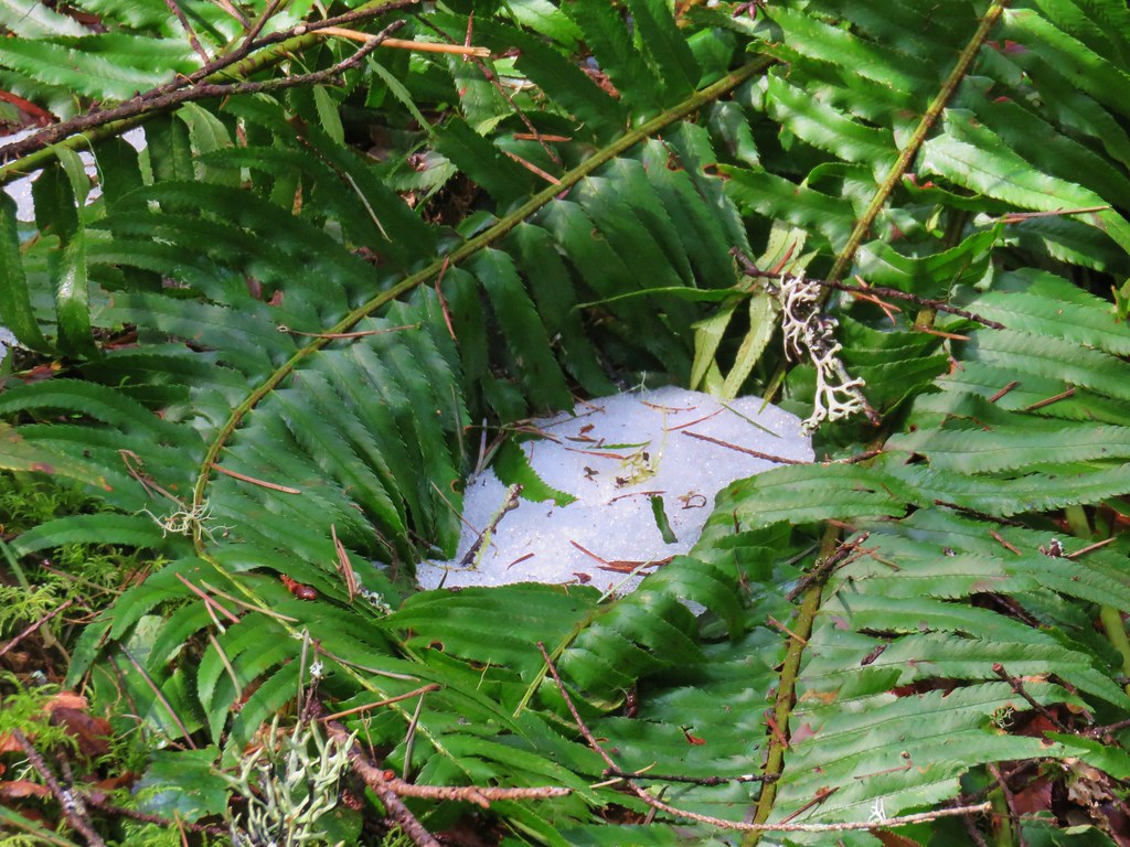
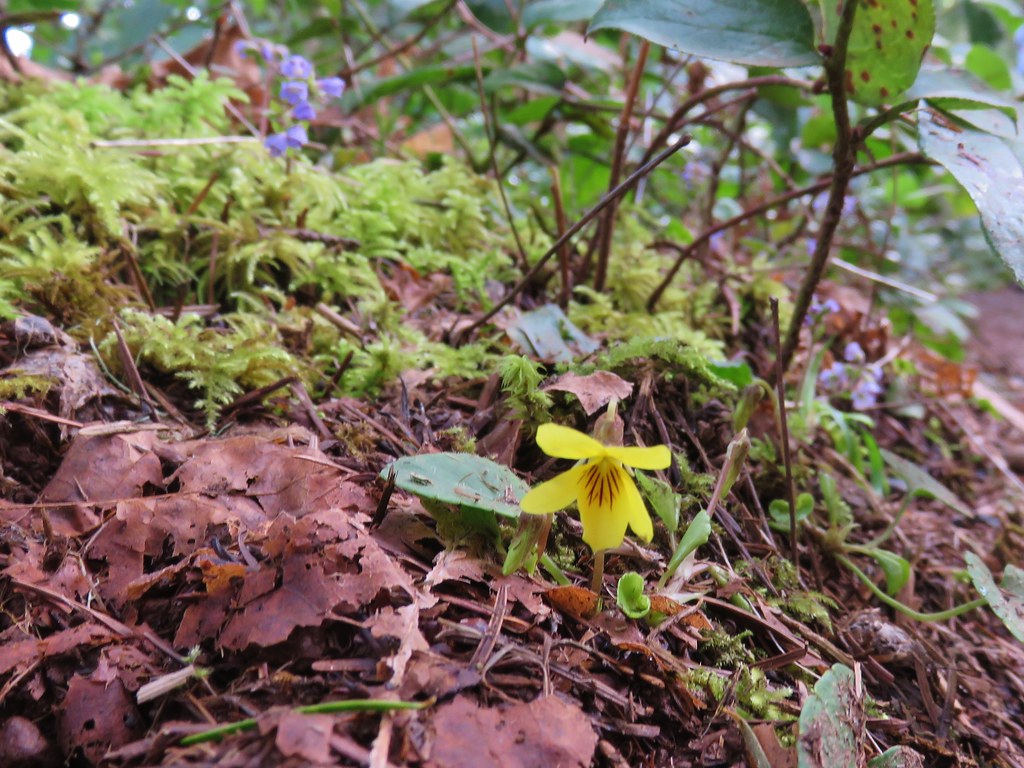
The last of the winter snow was melting as the first of the spring flowers were coming to life.
Snow along the Rim Trail

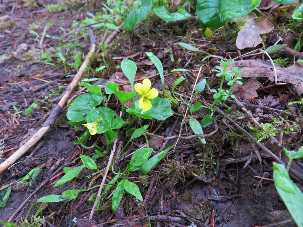
Violet

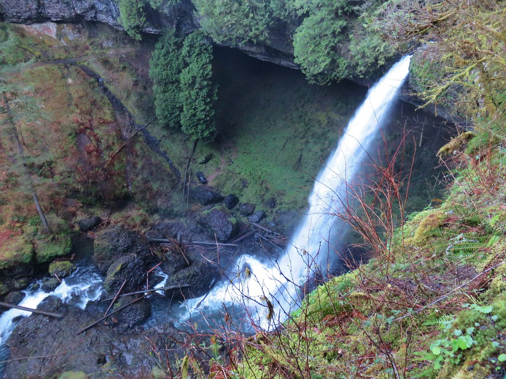
The Rim Trail passed through the Winter Falls Trailhead parking but offered no views of the waterfall. The only real view of any of the falls came near the end of the 2.1 mile trail when North Falls was visible down in the canyon below.
North Falls from the Rim Trail

The pay box was in place at the trailhead (which was now full of cars) so we dropped off our $5 before driving back home.  With all of our previous visits having come during the summer months it was great to visit when the water levels were higher. A few more weeks will bring out the flowers adding to the beauty of this hike. Happy Trails!

Flickr: 2018
2010
2006

Categories
Hiking Oregon Salem/Albany Throwback Thursday Trip report Willamette Valley

Throwback Thursday -Shellburg Falls

**Note the 2020 Beachie Creek Fire burned the area covered in this hike.**

This weeks Throwback Thursday hike features the some lesser known and visited waterfalls near Salem, OR not far from the more famous falls of Silver Falls State Park.

On 5/22/2011 we headed out for a short hike to a pair of waterfalls on Shellburg Creek.  Two trailheads offer access to the falls. The Shellburg Falls Trailhead is open year around while an upper trailhead located at the Shellburg Falls Campground is only open from May 20th through October.  We started at the upper trailhead. To reach the campground from Highway 22 turn north on Wagner Road, which is just east of Mehama, OR, and follow signs for 8 miles to the campground.
Shellburg Falls Trailhead

From there a .8 mile trail crossed Shellburg Creek twice on it’s way to Shellburg Falls and then Lower Shellburg Falls. From the looks of the creek we didn’t expect much from the falls but as is often the case looks can be deceiving.
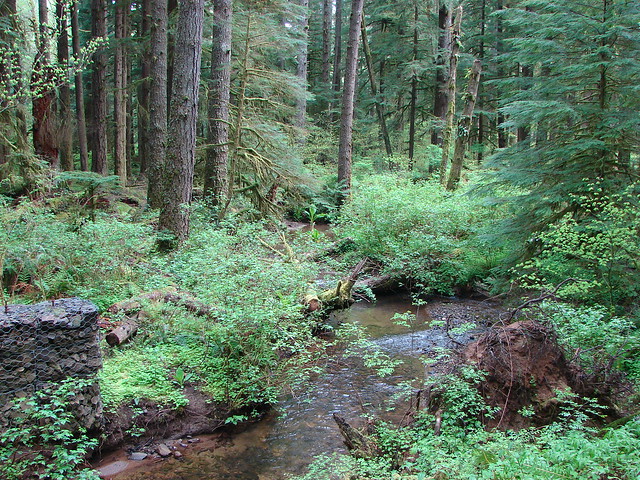
Shellburg Creek

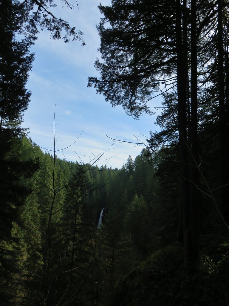
Shellburg Falls

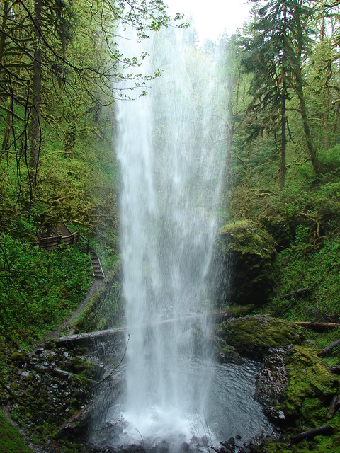
The trail dropped down and passed behind the falls before continuing downhill to a short side trail to the bottom of the falls.
Shellburg Falls

Shellburg Falls

Shellburg Falls

Less than a quarter mile later we arrived at a closed road (the route up from the lower trailhead)which crossed Shellburg Creek via a concrete bridge. Lower Shellburg Falls lay just on the other side of this bridge.
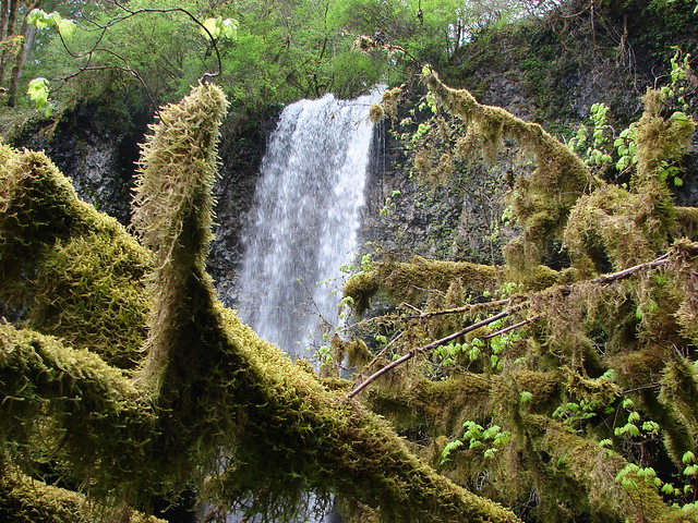
Lower Shellberg Falls

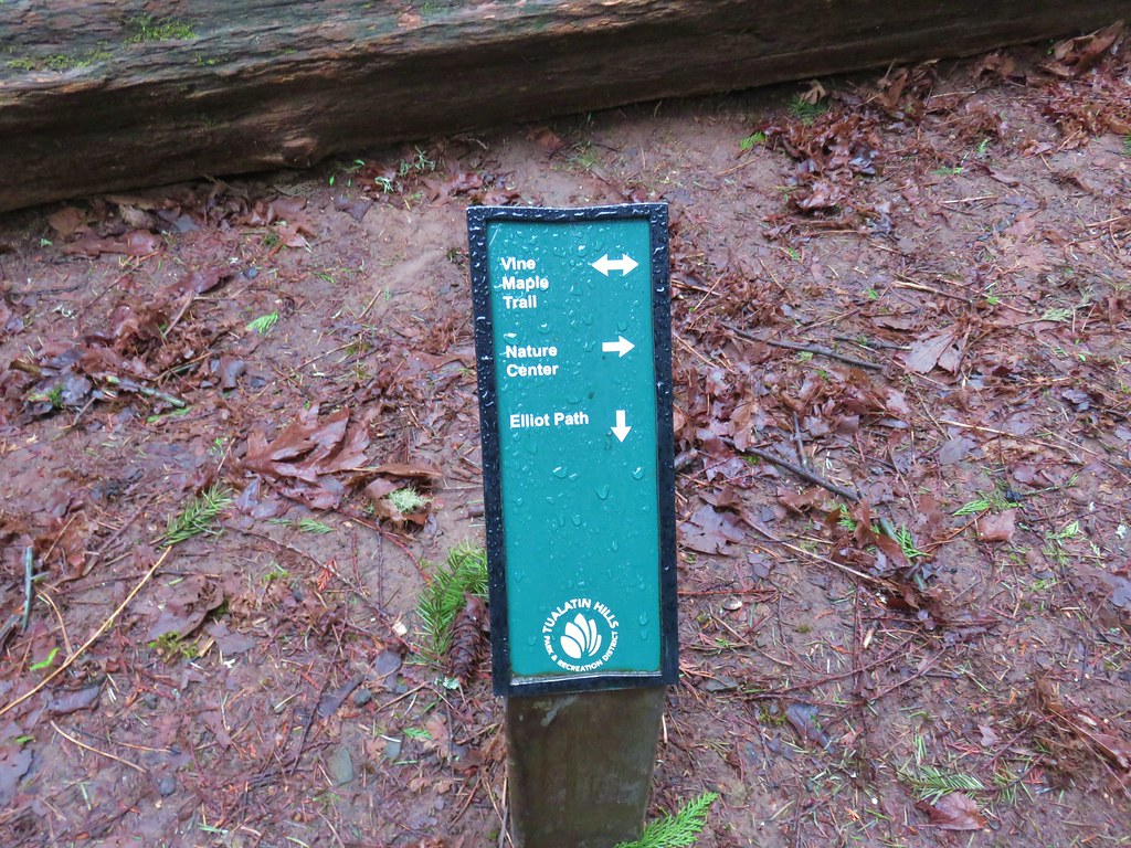
We turned left (east) on the road and followed it for .3 miles to the August Mountain Trail. The August Mountain Tail climbed just over a mile to junction with the half mile Vine Maple Trail which led us back to the upper trailhead.
Shellburg Creek Trail sign

Much of these trails crossed logging roads and passed through thinned forests.
View from the Shellburg Creek Trail

From the upper trailhead the loop was right around 3 miles while starting from the lower trailhead would have added about 2.6 miles to the days total. While Silver Falls State Park sees plenty of crowds Shellburg Falls sees far fewer. If you’re in the area and love waterfalls it’s definitely worth the visit. Happy Trails!

Flickr: Shellburg Falls

Categories
Hiking Oregon Salem/Albany Trip report Willamette Valley

Salem Parks – Wallace Marine to Minto-Brown Island

With an influx of visitors expected in Oregon for the eclipse we decided to do something a little different for our most recent hike.  Heeding warnings of possible traffic issues (which never seemed to have materialized) we stayed close to home opting for a urban hike through three city parks in Salem.

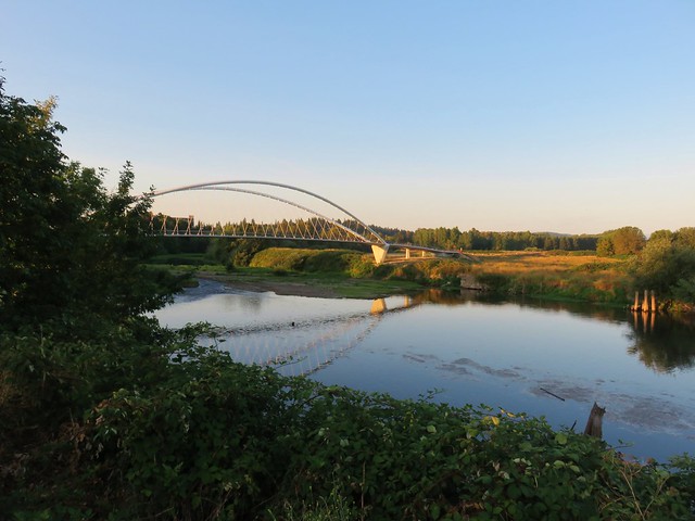
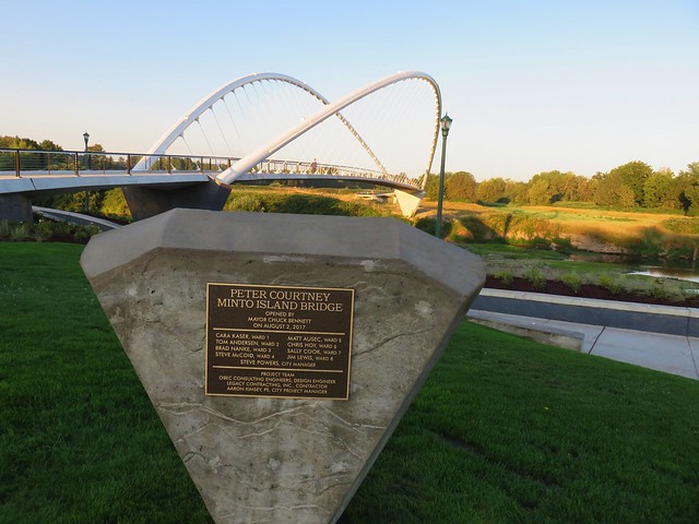
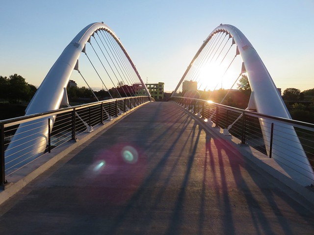
We had gotten the idea for this urban hike when the opening of the Peter Courtney Minto Island Bicycle and Pedestrian Brdige on June 5th, 2017 made it possible to walk or bike through Wallace Marine, Riverfront, and Minto-Brown Island Parks without having to use any streets. Given the unknowns associated with the eclipse this seemed like the perfect time to try it out.

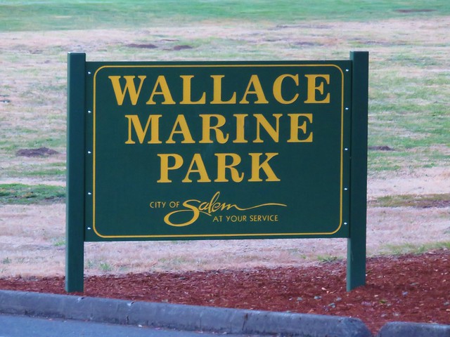
We began our hike at West Salem’s Wallace Marine Park.
IMG_7099

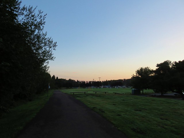
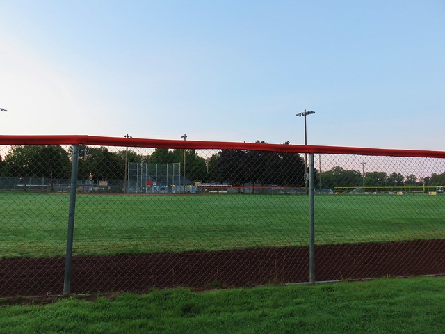
After entering the 114 acre park we turned left (north) and headed for the softball complex which consists of 5 fields that host several tournaments each year.
IMG_7100

IMG_7101

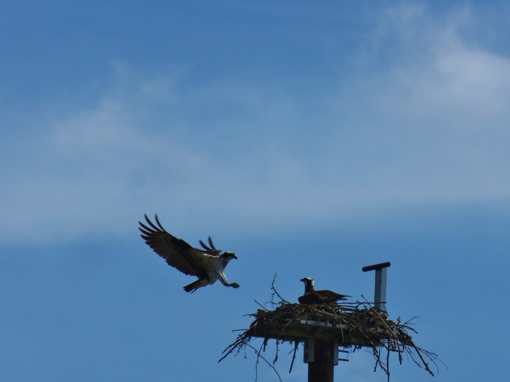
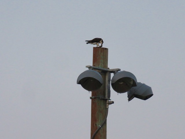
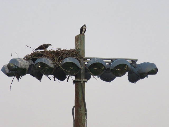
We looped around the fields which were empty this early it morning. No games meant no crowds but that didn’t mean there was a lack of noise. Osprey use the light poles for nests and they were making their presence known from their high perches.
IMG_7102

IMG_7111

After looping around the fields we headed south past the parks entrance road and several soccer fields.
IMG_7116

IMG_7117

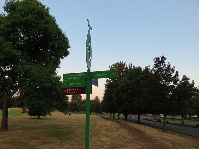
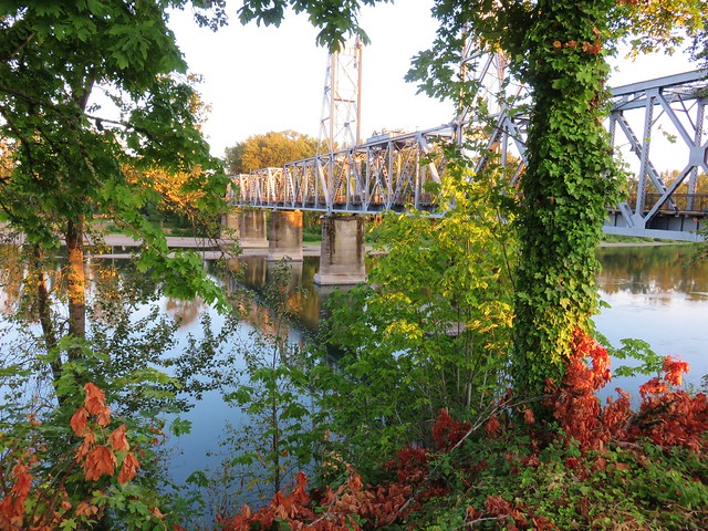
Shortly before reaching the Union Street Railroad Pedestrian Bridge we turned left down a paved path to the Willamette River.
IMG_7118
IMG_7119

IMG_7124

IMG_7125

After visiting the river we headed for the pedestrian bridge.
IMG_7130

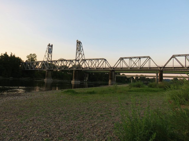
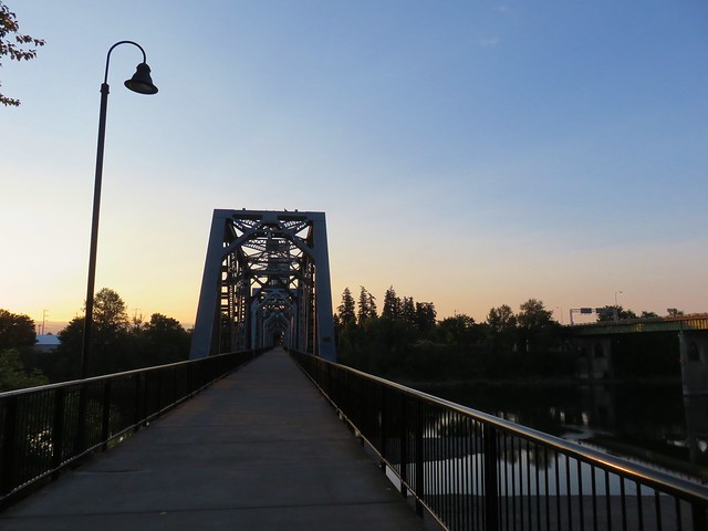
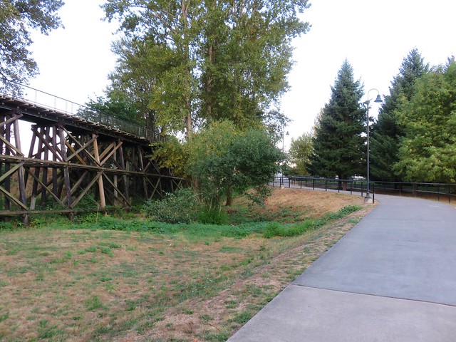
Originally constructed in 1912-13 for the Pacific Union Railroad the half mile bridge was purchased for $1 by the city in 2004. In April, 2009 the bridge was reopened to pedestrians and bicyclists connecting Wallace Marine Park to Salem’s Riverfront Park.
IMG_7136

IMG_7137

After crossing the river we turned right and headed into Riverfront Park. The section of sidewalk just after the bridge was one of the least scenic portions of the route as it followed the parks entrance road past an electrical station and under the Center and Marion Street Bridges.
IMG_7143

IMG_7144

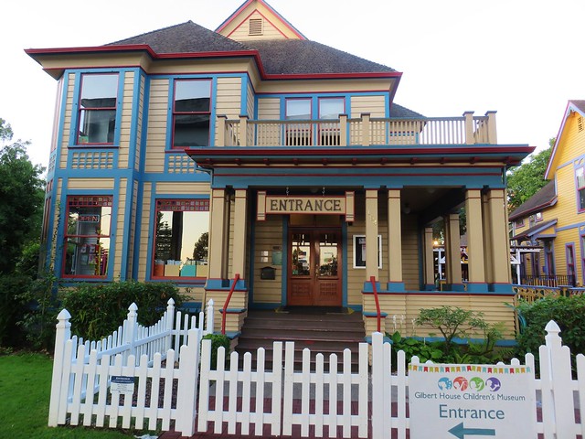
Between the Marion Street and Center Street Bridges is the Gilbert House Children’s Museum.

This science and art museum is a great place for kids and fun for their parents.
IMG_7145

IMG_7147

We chose to go around the museum on the left which took us between the museum and some still operational railroad tracks. If you’re looking for scenery skip this section and stay to the west of the museum which keeps the river in view.

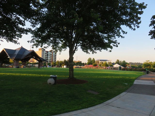
After passing a parking lot we came to the open green grass of Riverfront Park.
IMG_7152

A music event was being set up in the center of the 23 acre park.
IMG_7153

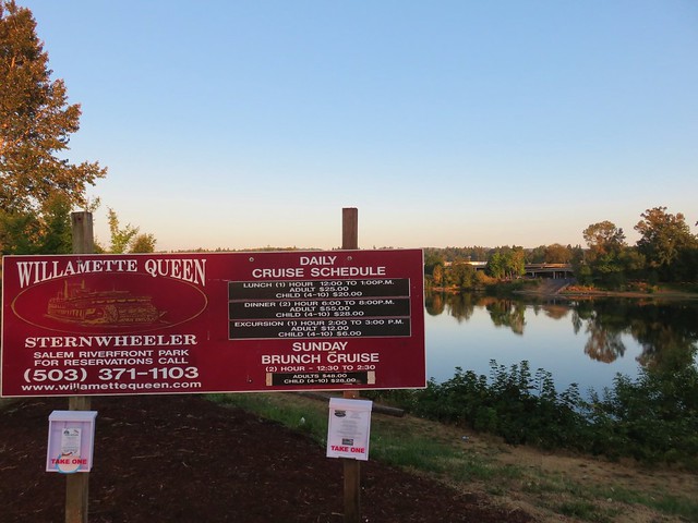
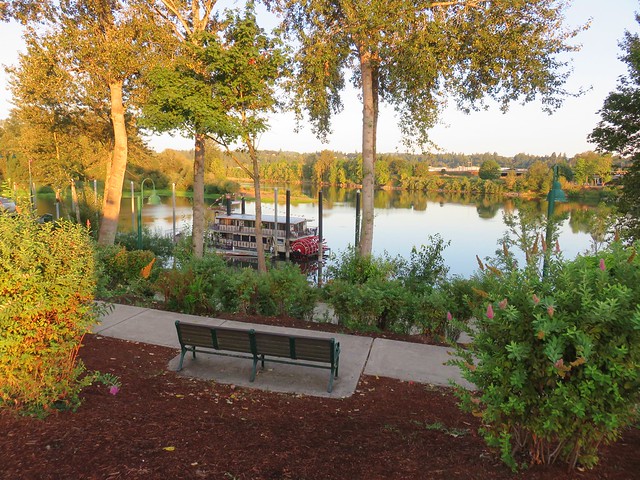
The park is also home to the Willamette Queen Sternwheeler
IMG_7151

IMG_7155

IMG_7156

Riverfront Park was the location of the field sessions when Heather and I took the Route-Finding Class offered by the Chemeketans.

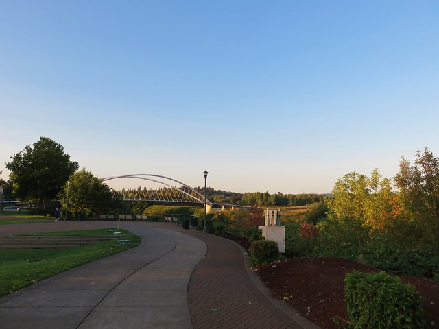
We passed the small open air amphitheater, which is slated for an upgrade in 2020, and continued south toward the Peter Courtney Minto Island Bicycle and Pedestrian Bridge.
IMG_7159

IMG_7162

IMG_7164

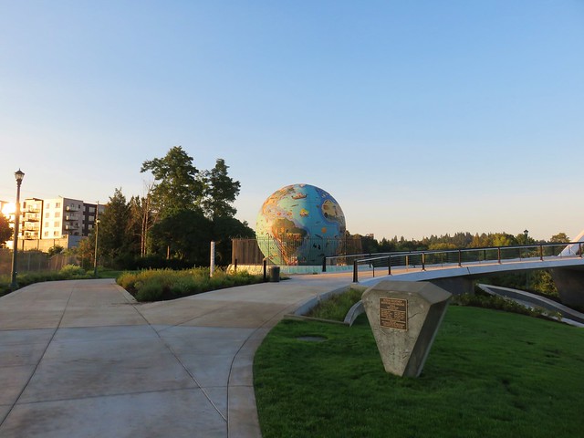
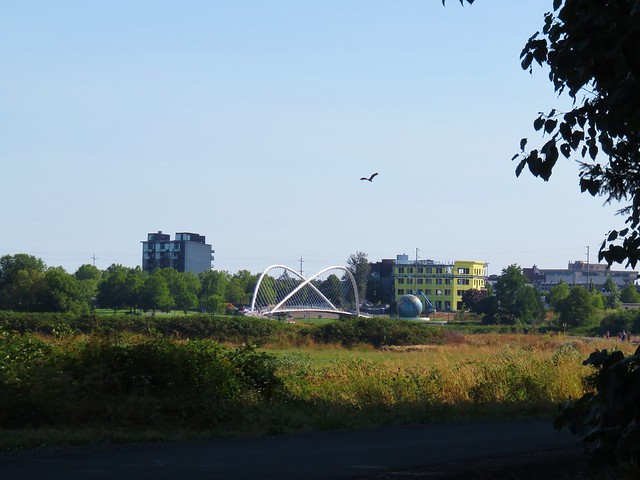
Another park feature, the Eco-Earth Globe, sits near the bridge and is an interesting bit of art.
IMG_7165

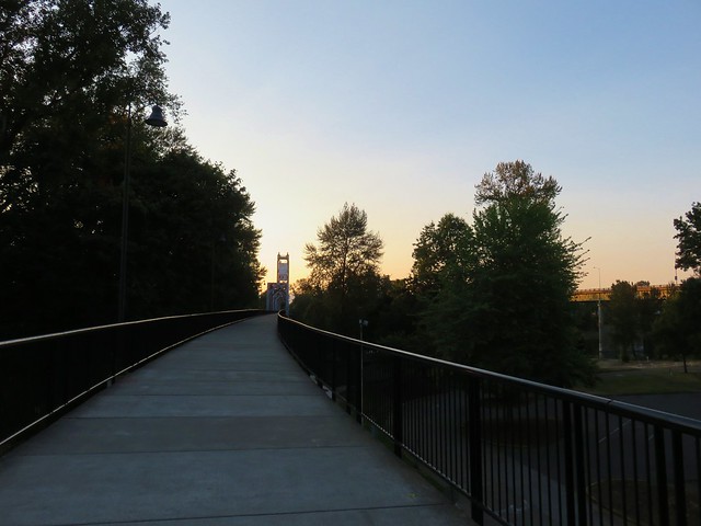
We headed across the bridge and into Minto-Brown Island Park.
IMG_7166

IMG_7168

IMG_7169

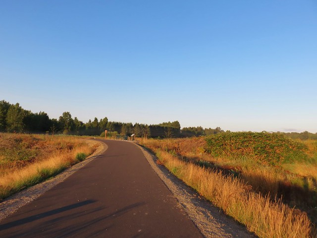
Interpretive signs line the new section of trail linking the bridge to the older trail system in the park after approximately 3/4 of a mile.
IMG_7176

IMG_7175

IMG_7186

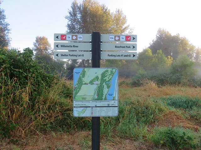
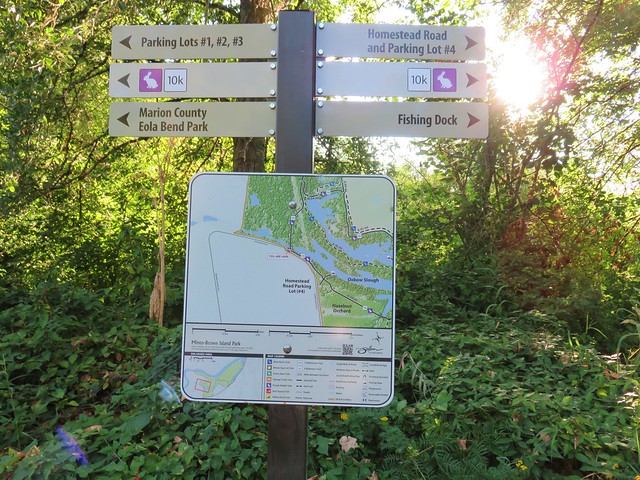
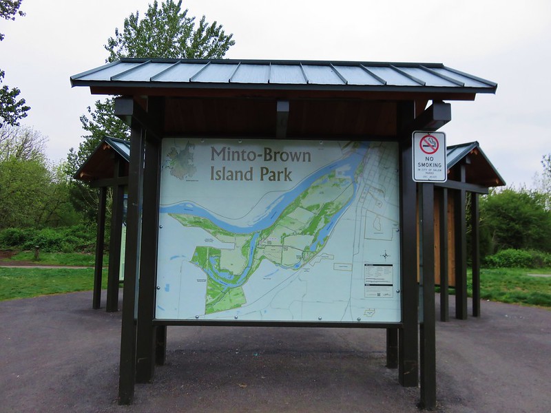
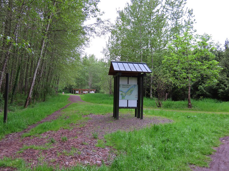
At the junction with the older trail is a large signboard and map.
IMG_7193

By far the largest of the three parks, at 1,200 acres, numerous trails and loop options were available to us. We had done a short loop hike here in April of 2016 but this time planned on covering a bit more ground.

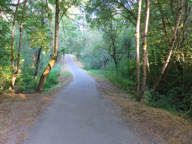
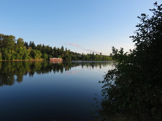
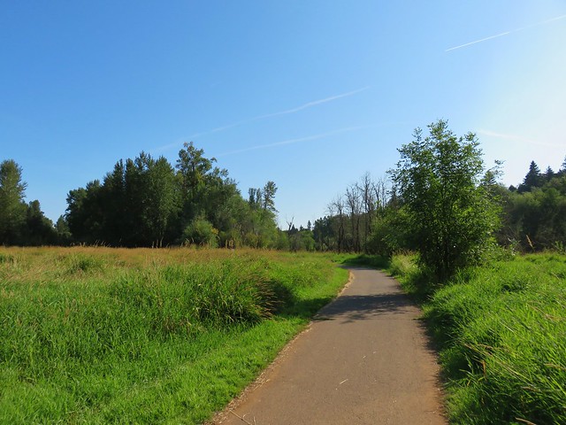
We turned right at the map and followed paved paths to the bank of the Willamette River.
IMG_7195

IMG_7198

IMG_7201

IMG_7203

IMG_7204

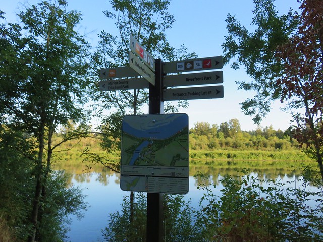
Signage along the trails is excellent and makes it fairly easy to get around even if you aren’t familiar with the park. We were headed for the Shelter Parking Lot, where we had started our 2016 visit.
IMG_7212

IMG_7211

We had been passed by several familiar faces running with groups from Gallagher Fitness Resources but when we arrived at their watering hold near the gazebo at the Shelter Parking lot there were none to be seen in the area.
IMG_7215

IMG_7214

We continued on from the gazebo following our route from our previous visit by forking right across at footbridge after a tenth of a mile.
IMG_7218
IMG_7217

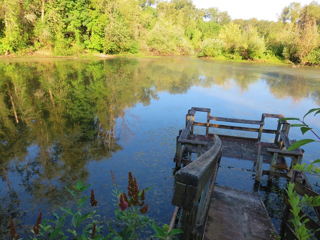
After another .4 miles we detoured to the left to visit a collapsing fishing dock.
IMG_7220

We continued on passing an open field before turning off the paved path on a wide dirt path to the left which led us to Faragate Ave.
IMG_7221

IMG_7223

IMG_7226

At Faragate Ave we turned left on a paved path which paralleled the road for a short distance before bending back into the park.
IMG_7227

IMG_7229

After crossing another footbridge we turned right on a narrow dirt path.
IMG_7230

IMG_7231

IMG_7232

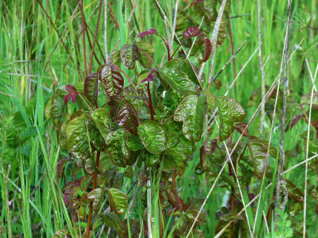
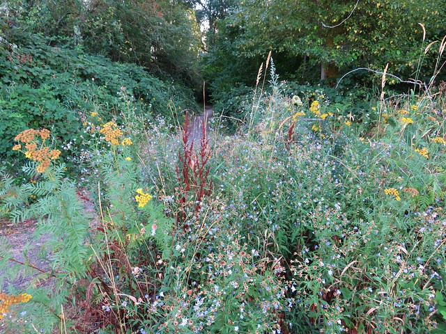
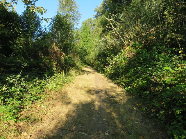
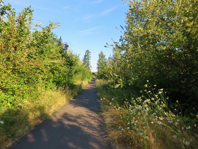
This path led about a quarter mile to another paved path where we initially turned right hoping to make a wide loop on another dirt path. We took a left on a little path after a tenth of a mile but it was rather brushy with blackberry vines and some poison oak so we quickly scrapped that idea and returned to the paved path which runs between the east end of Homestead Road and the Shelter Parking Lot #3. This section of trail is a bit drier and more open which allows for a few more flowers as well as little more poison oak.
IMG_7243

IMG_7234

IMG_7241

IMG_7245

IMG_7247

IMG_7248

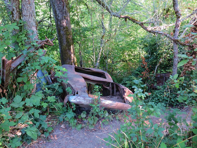
There is also an old car along the way.
IMG_7249

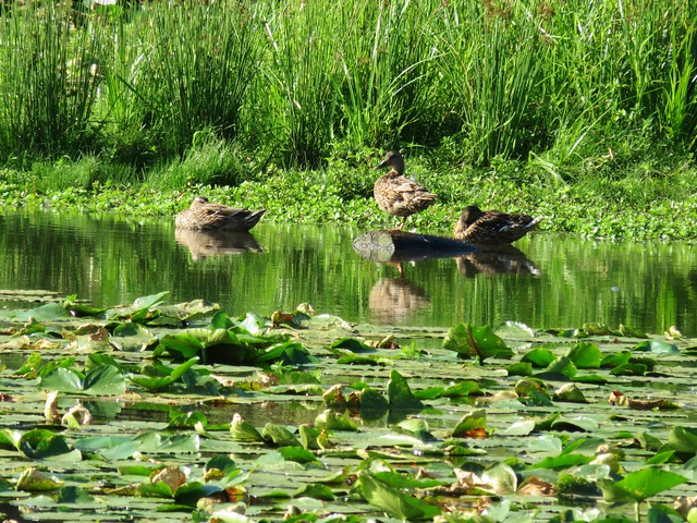
We were on our way back, but before reaching the gazebo we turned right on the Duck Loop which would swing us out and around some duck ponds.
IMG_7252

IMG_7256

IMG_7257

IMG_7259

IMG_7260

We crossed the park’s entrance road after .9 miles and turned right along it to the Entrance Parking Lot which we found to be super busy. We followed a paved path from the far end of the lot across the Willamette Slough and turned right on another paved path.
IMG_7261

We completed our loop through Minto and headed back toward Riverfront Park.
IMG_7264

IMG_7265

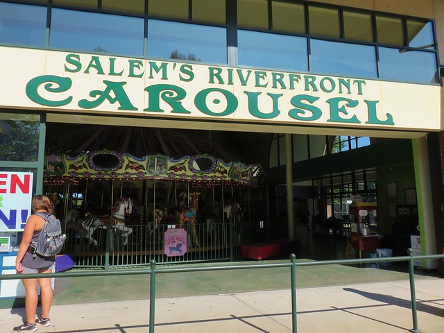
We took a different route back through Riverfront Park in order to go by Salem’s Riverfront Carousel, another great attraction for kids.
IMG_7266

According to our GPS we managed to get 12.4 miles in for the day and there were still trails in Minto that we didn’t get to. Even though urban hikes are a lot different than our normal outings this was a nice hike and gives us a nearby go-to option when we just can’t get away. Happy Trails!

Flickr: Wallace to Minto Parks

Categories
Coastal Range Hiking Oregon Salem/Albany Trip report Willamette Valley

Minto-Brown Island Park and the Banks-Vernonia State Trail

We didn’t have any hikes planned for awhile after our visit to Tamanawas Falls due to Heather having a half-marathon to run on April 10th. Her half-marathon wound up being an opportunity for a pair of short hikes on race weekend though.

On the day before the race we made the short trip to Salem’s Minto-Brown Island Park for a short walk to help make sure Heather stayed loose. We’ve spent quite a bit of time in the park, sometimes walking and other times passing through on runs. This was the first time I’d brought the camera along to get some photos though.

The area used to be islands in the Willamette River but flooding changed the course of the river so that the former islands are connected to the rest of Salem. At more than 1200 acres, the park contains 19 miles of trails, a playground, a 30 acre off-leash dog area, and fishing opportunities.

The paths are a mix of paved and soft surface trails making the park a popular place to run, walk, or bike. High water does close some of the trails at times but there is almost always a few that remain passable. Later this year a footbridge connecting this park to Salem’s Riverfront Park will make it possible to visit both of these parks as well as Wallace Marine Park without setting foot on a road.

We parked at the Shelter Parking Lot at the end of Minto Island Road SW and set off toward the shelter following signs for the Blue Heron Loop. The park has plenty of signboard maps as well as trail pointers throughout.
Signboards at the parking lot near the gazeebo.

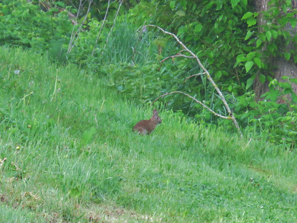
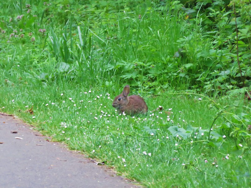
Rabbits are plentiful and often spotted in the strips of grass along the paths.
Lots of little rabbits in the park

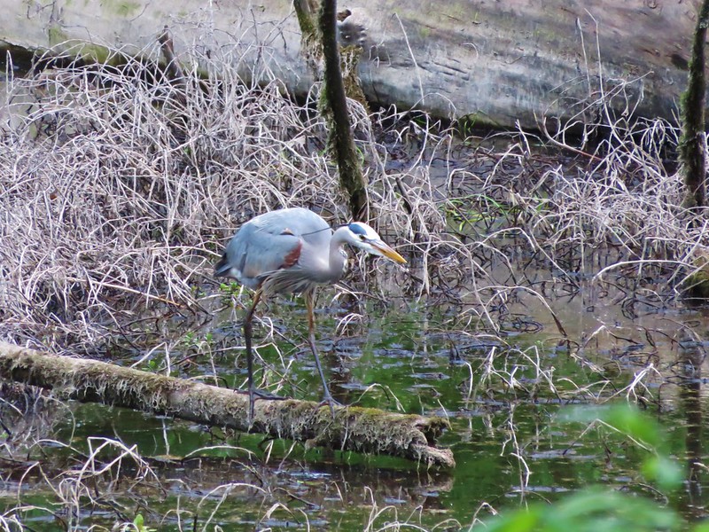
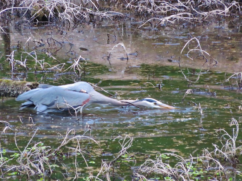
The Blue Heron Loop leads across a footbridge between a pair of sloughs where we spotted a Great Blue Heron searching for snacks.
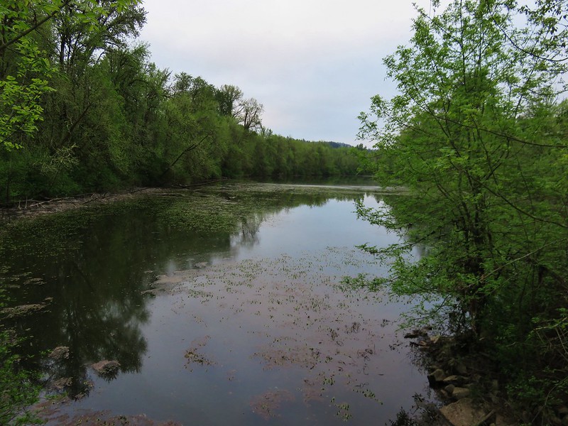
Slough in Minto-Brown Island Park

Great Blue Heron

Great Blue Heron going after a treat

Shortly after crossing the bridge a sign for the Blue Heron Loop led us off the paved path and onto one of the parks soft surface trails.
Trail in Minto-Brown Island Park

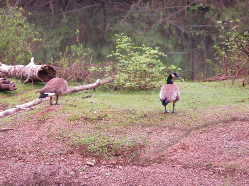
This portion of trail passed another slough on the right where we spotted Canadian Geese, a pair of wood ducks (not pictured due to fast swimming), and an Osprey sitting in its nest.
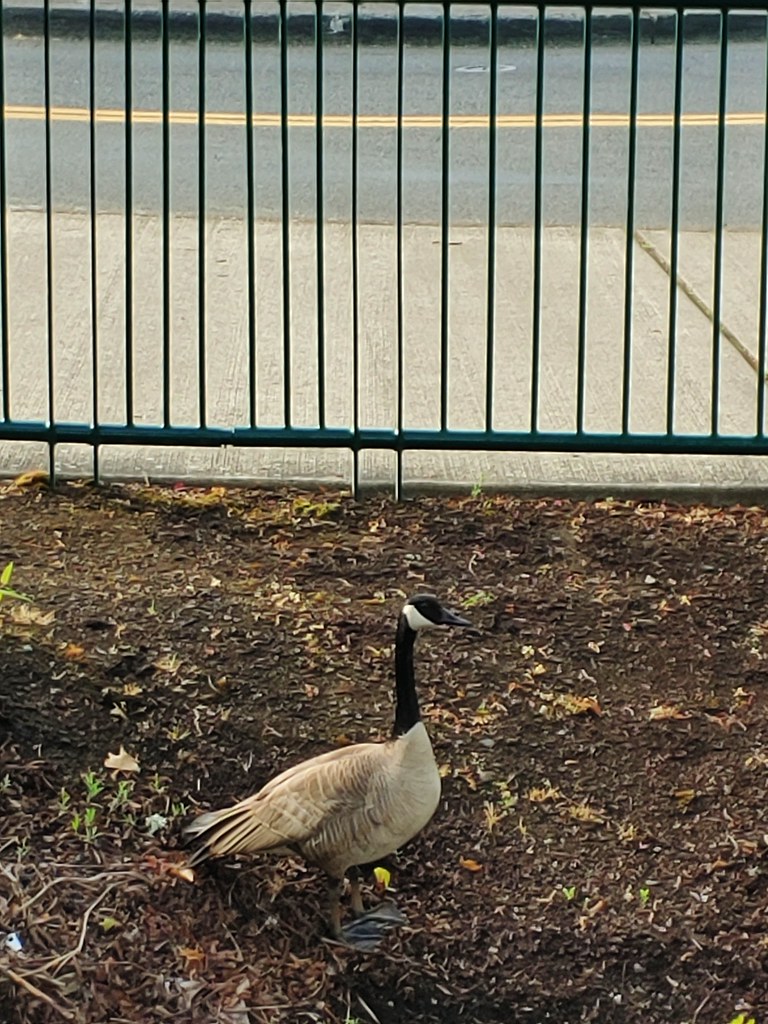
Canada Geese

Osprey in its nest

We left the wooded path and came to a trail sign at a junction near one of the many fields in the park.
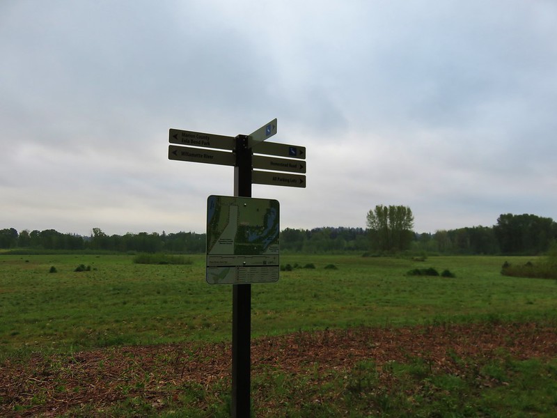
Trail signs in Minto-Brown Island Park

We left the Blue Heron Loop here and headed for the Brown Island Landfill (the park has a little of everything it would seem). We skirted around it to pick up the Turtle Loop running along the north side of the landfill.
There are several connector trails running between the Turtle Loop trails making several different distances possible. We took one of these through the field to rejoin the Turtle Loop along the Willamette River. Here we found some recent beaver work.
Minto Brown Island Park

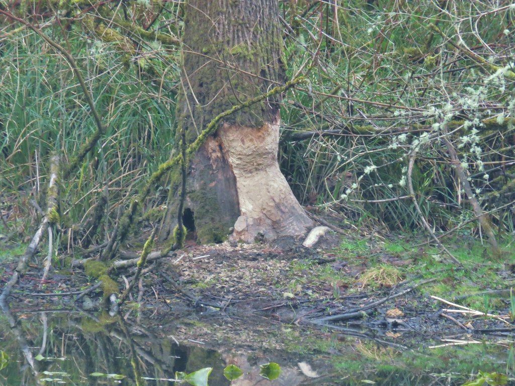
Recent beaver work

We followed the Turtle Loop back along the river to the shelter parking lot and our car. Even though the park is in Salem its size and the variety of trails makes it a nice spot to “get away” and you are almost certain to see some wildlife along the way.

On race day we headed to the Banks Middle School in Banks, OR where Heather’s race would finish and she would catch a bus up to the starting line at L.L. Stub Stewart State Park. The race would follow the Banks-Vernonia State Trail which is a converted rail bed, Oregon’s first rail-to-trail. Heather hopped on a bus at 7am and I had a couple of hours to kill before the race would start at 9am. So I took the opportunity to hike a section of the trail. I had decided to be at the Buxton Trailhead, one of several possible traileheads to access the trail, which was near the 6 mile mark of the half-marathon.

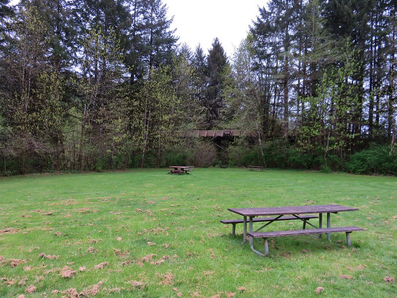
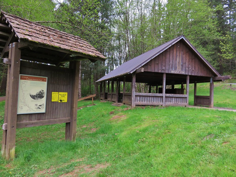
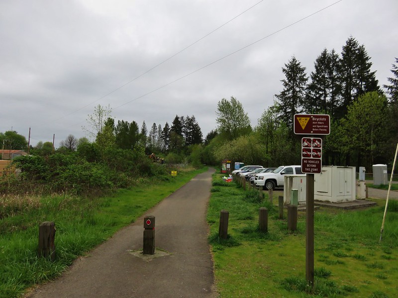
The trailhead had a large parking area with picnic tables, and a shelter.
Buxton Trailhead

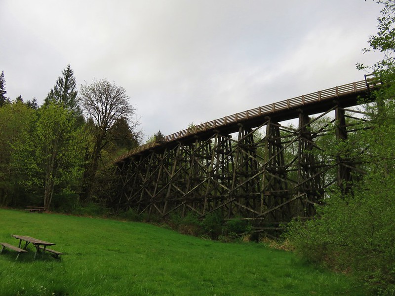
Buxton Tressel from the trailhead

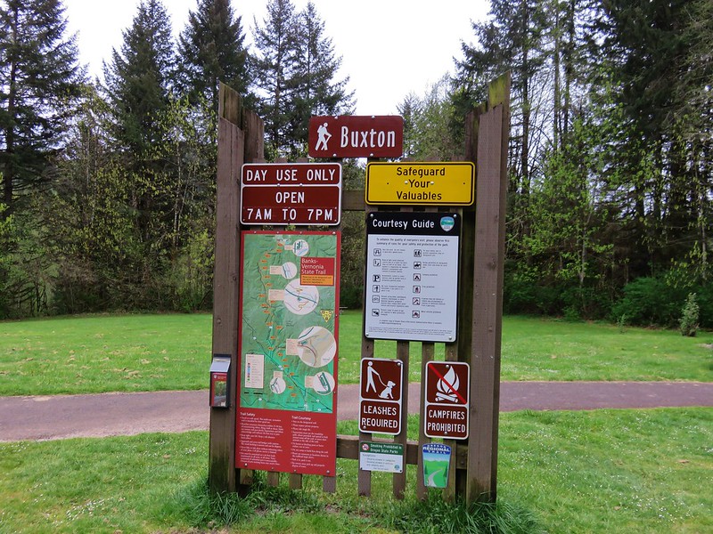
Building and sign at the Buxton Trailhead

I had calculated that Heather would be passing by that spot a little before 10am so I had about 2 1/2 hours available to hike. I took a path to the left of the parking lot down to a creek crossing below the Buxton Trestle.
Footbridge over Mendenhall Creek

Mendenhall Creek

Buxton Trestle

The path then led uphill joining the Banks-Vernonia State Trail just beyond the trestle.
Trail heading up to the Buxton Trestle

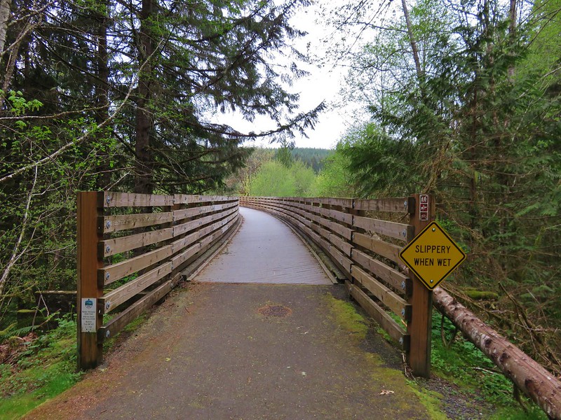
My plan was to head east toward the Banks end of the trail for an hour and then head back to the trestle to wait for Heather, but before I headed down the trail I wandered out onto the trestle.
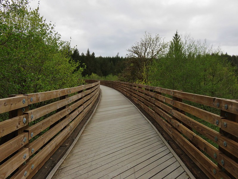
Buxton Trestle
Buxton Trestle

View from the Buxton Trestle

The entire 21 miles of the trail are paved which makes it popular with bicyclists, runners, walkers, and it also sees some equestrian traffic. It was still pretty early though so for the first 45 minutes I saw more wildlife than people.
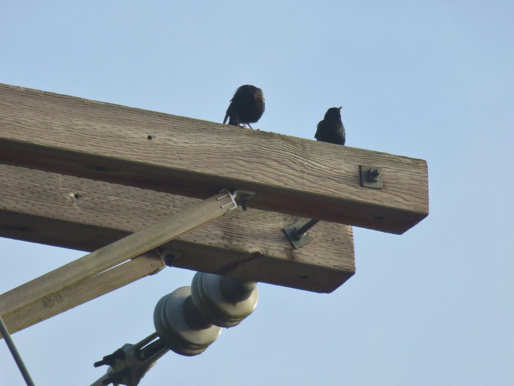
Starling

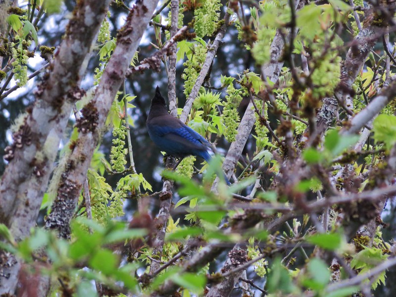
Stellars Jay

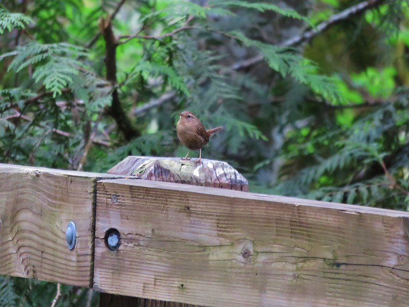
Wren

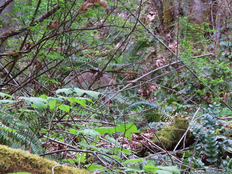
The highlight happened as I passed a draw to my left and noticed something moving up the hillside through the brush. It was a decent size but it had its head down making it hard to tell what I was seeing. When it finally raised its head I could see it was a coyote. It blended really well with the brush and wouldn’t stop moving making it extremely difficult to get a decent picture. I finally made a little noise to get its attention hoping it would pause long enough for a photo, but it was quicker than I was and darted off as soon as we made eye contact.
Coyote

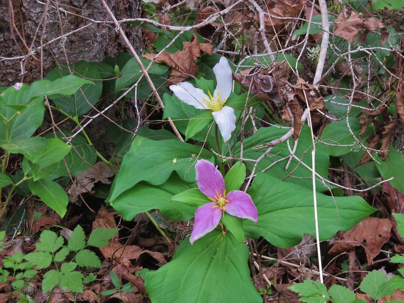
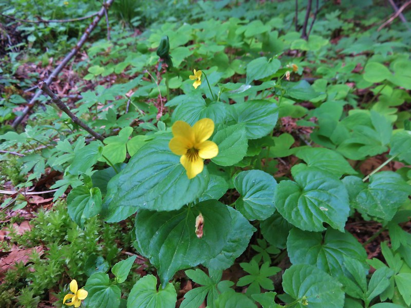
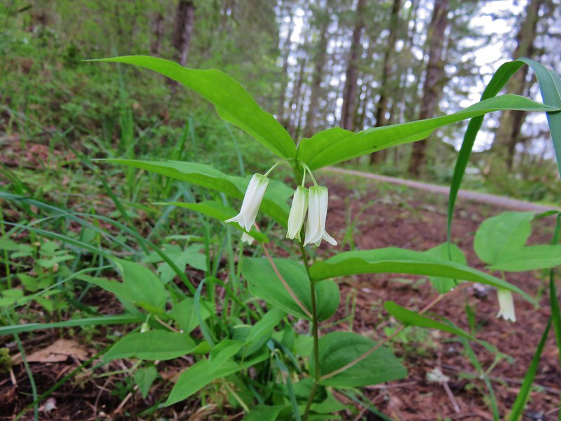
In addition to the wildlife there were plenty of Spring wildflowers along the trail. The forested hillside was dotted with trillium, bleeding heart, pioneer violets, and a few fairy bells.
Trilliuims

Bleeding heart

Violet

Fairybells

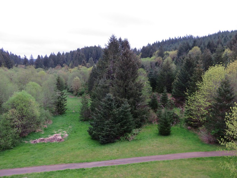
From the trestle the trail had gradually descended to a gravel road crossing where it left the trees and leveled out as it began to pass between pastures.
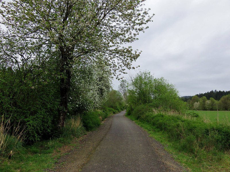
Banks-Vernonia State Trail

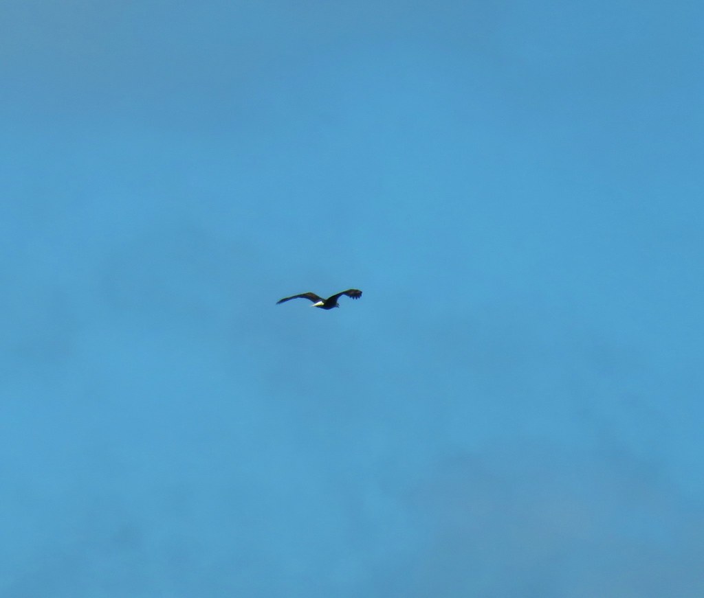
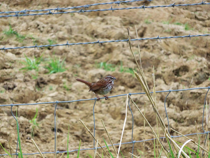
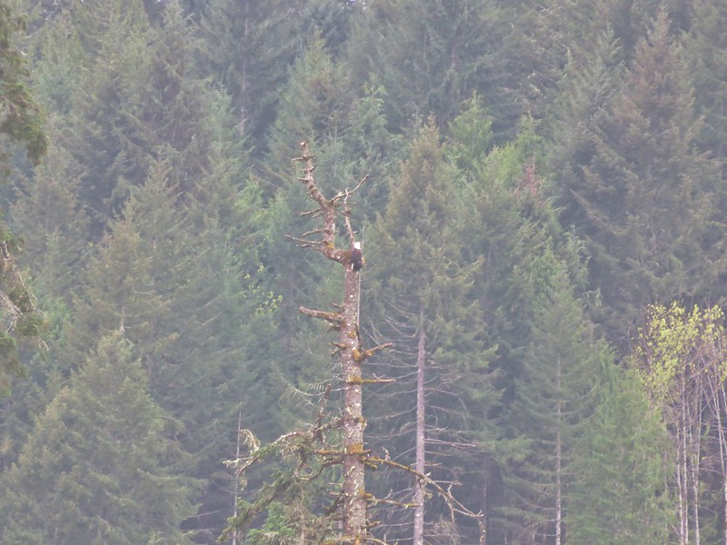
Birds were abundant, mostly sparrows, swallows, and robins but across one of the fields I spotted a bald eagle flying between trees.
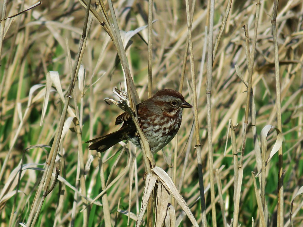
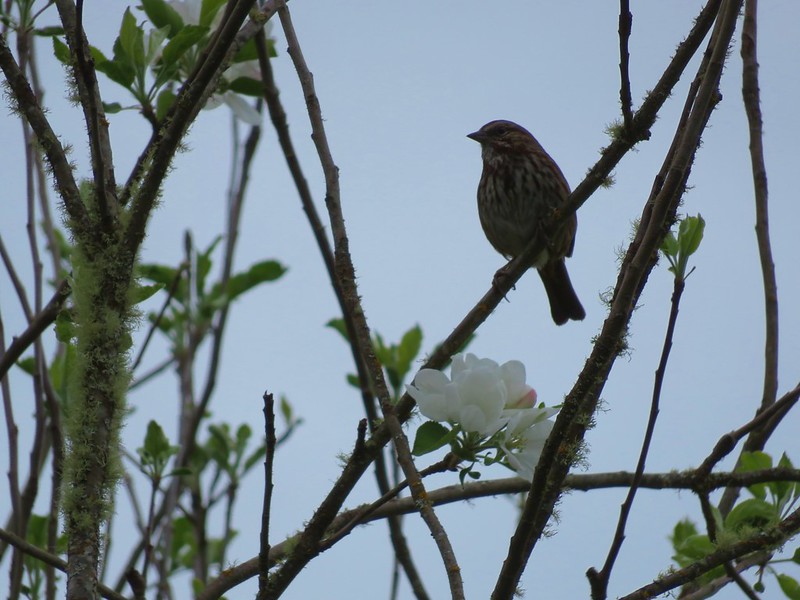
Sparrow

Sparrow

Bald Eagle

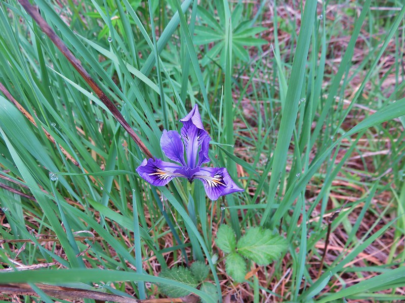
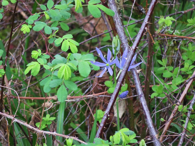
I also spotted a single tough leafed iris and a couple of camas blossoms.
Wild iris

Camas

By 8:30am the trail had become quite a bit busier, especially as I neared the Manning Trailhead which I reached just as it was time to turn around and head back.
Manning Trailhead

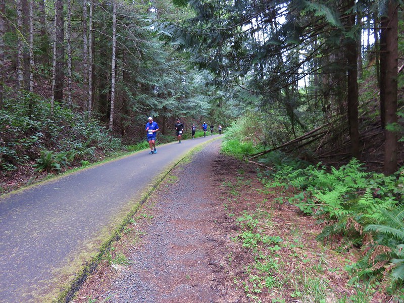
I had just crossed the Buxton Trestle when the first runners passed by on their way to Banks. These were the sub 6 minute milers so I figured I had about 15 to 20 minutes before Heather would be passing by. I grabbed a snack and waited along the trail for her to pass by which she did right on schedule.
IMG_4015

After cheering her on I hopped back in the car and headed for the finish line to meet her. Her goal for this racing season was to break 2hrs in a half-marathon which she managed to do finishing in 1:52:42. With the race completed and her goal accomplished our attention now turns to our hiking season which will last for the next 6+ months. Happy Trails!

Flickr: Minto-Brown- https://www.flickr.com/photos/9319235@N02/sets/72157666808908512

Banks-Vernonia – https://www.flickr.com/photos/9319235@N02/albums/72157666857451492

Categories
Hiking Oregon Salem/Albany Trip report Willamette Valley

Champoeg Heritage Area

Since 2010 we have been closing out the year by taking our final hike along the coast or in the coastal mountain range, but this year that streak came to an end. Recent storms and heavy rains that damaged roads and left creeks and rivers swollen caused us to rethink our original plan to visit Fort Clatsop near Astoria Oregon. Instead we decided to put our fallback hike into play and visit Champoeg State Park.

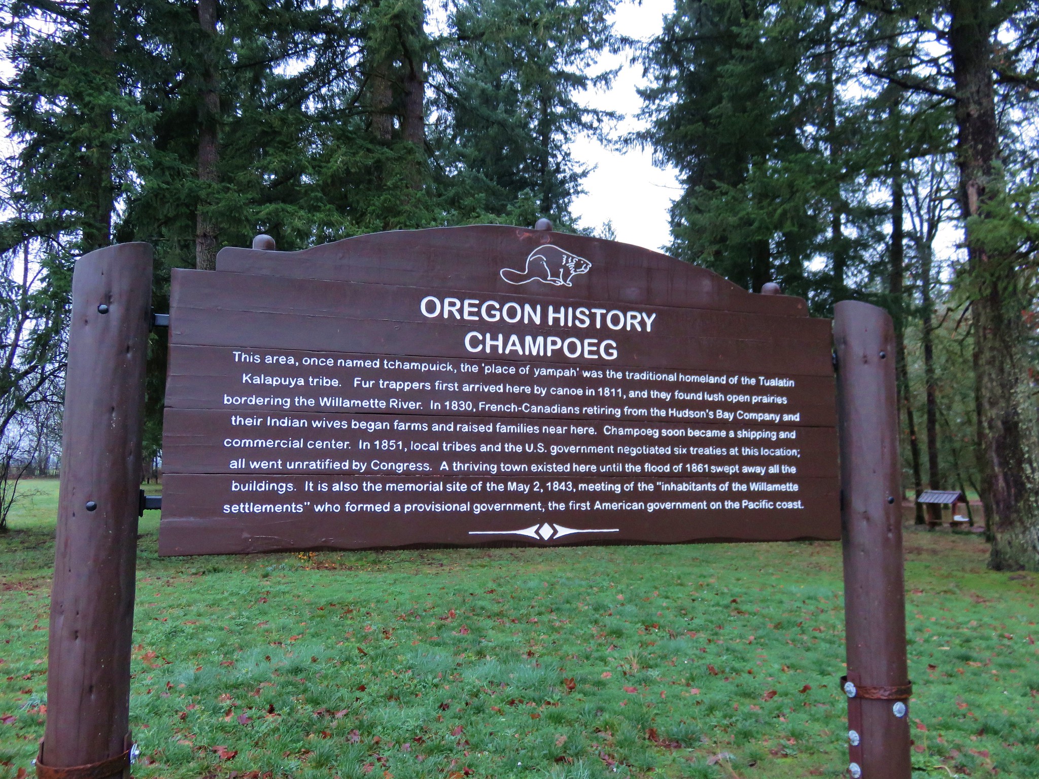
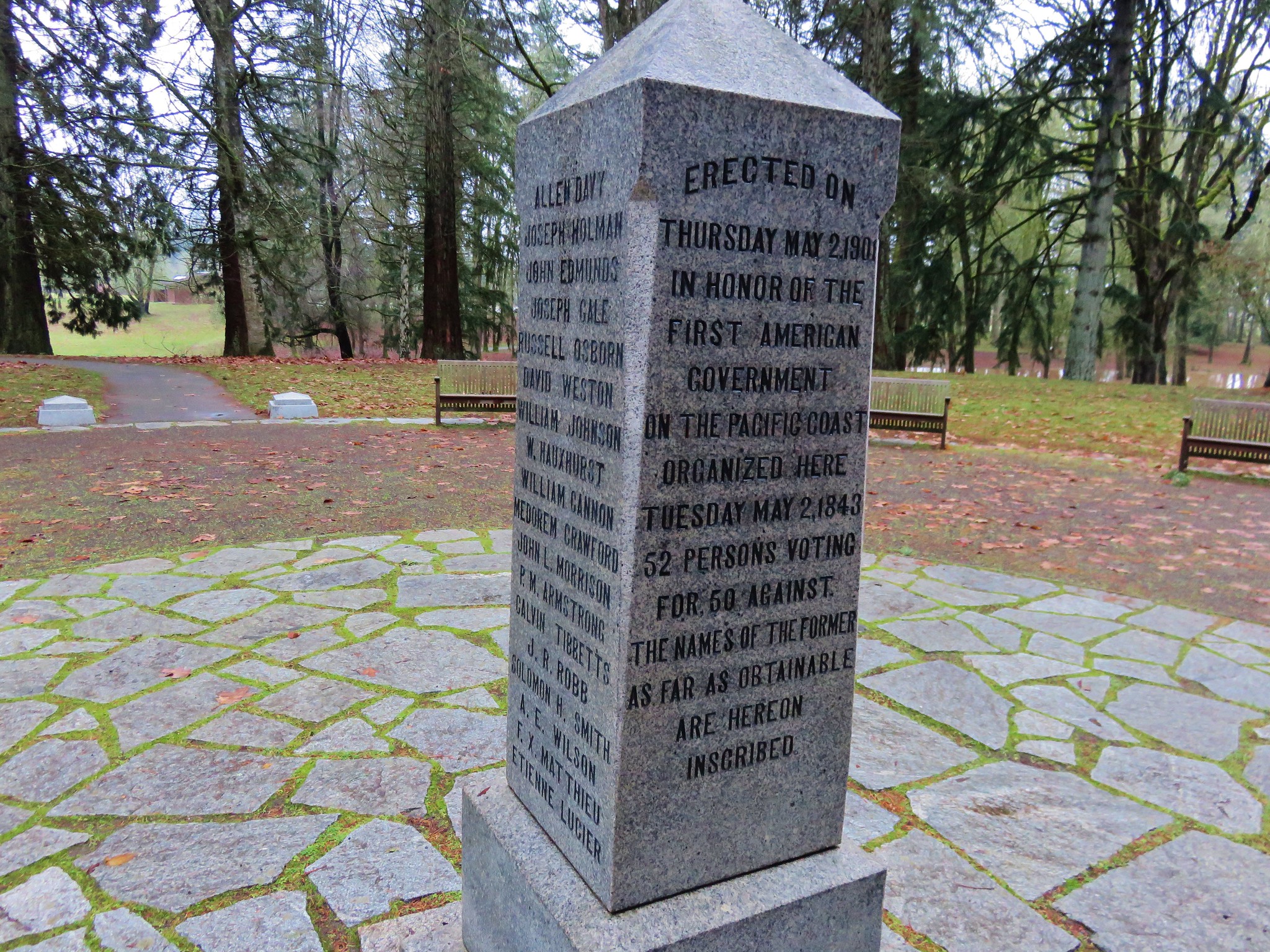
Champoeg State Park is located along the Willamette River less than a ten minute drive from Interstate 5 at the Donald exit between Portland and Salem. The 622 acre park is at the site where Oregon’s first provisional government was formed by vote in 1843. On May 2nd of that year 100 men arrived at the Hudson’s Bay store to decide if they would form an American style government or stay aligned with Britain. The group consisted of Americans, Britons, and French-Canadians. The vote was initially tied 50/50, but two undecided French-Canadians eventually chose to vote with the Americans breaking the tie.

By 1860 Champoeg consisted of 200 buildings but in December of 1861 the river flooded when it rose by 55 feet and effectively wiped out the townsite. No lives were lost in the flood but it marked the end of the bustling town.

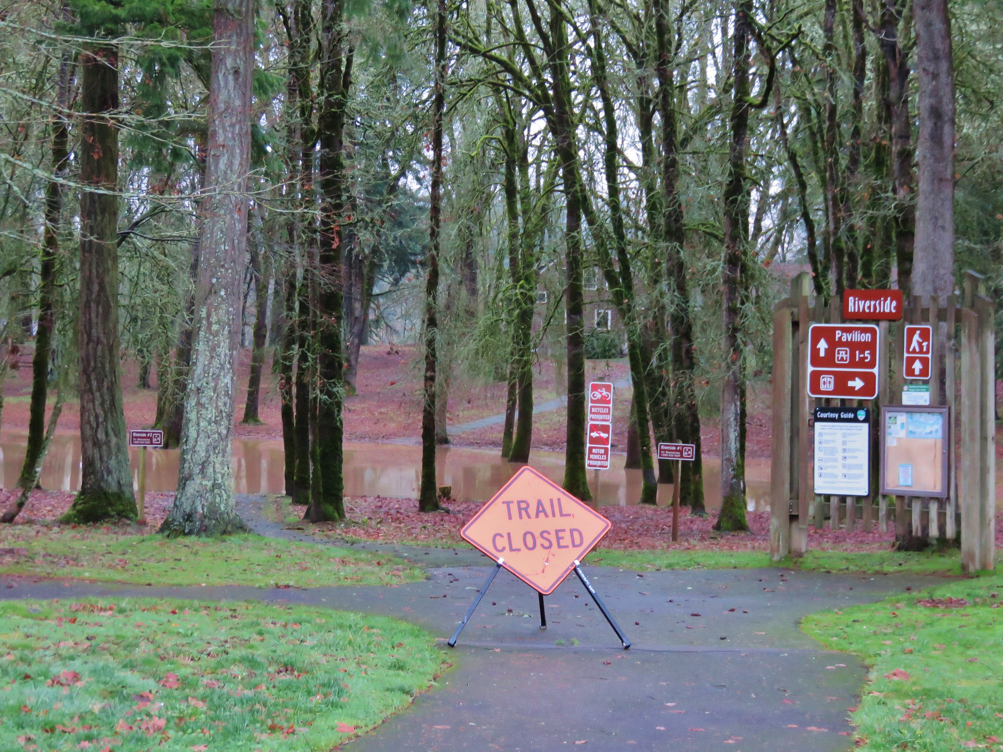
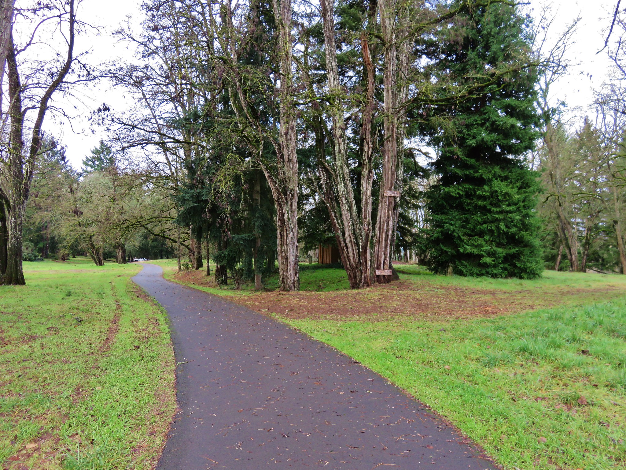
We parked in the Riverside Parking area located at the northeast end of the park planning on starting our hike on the .5 mile riverside loop.
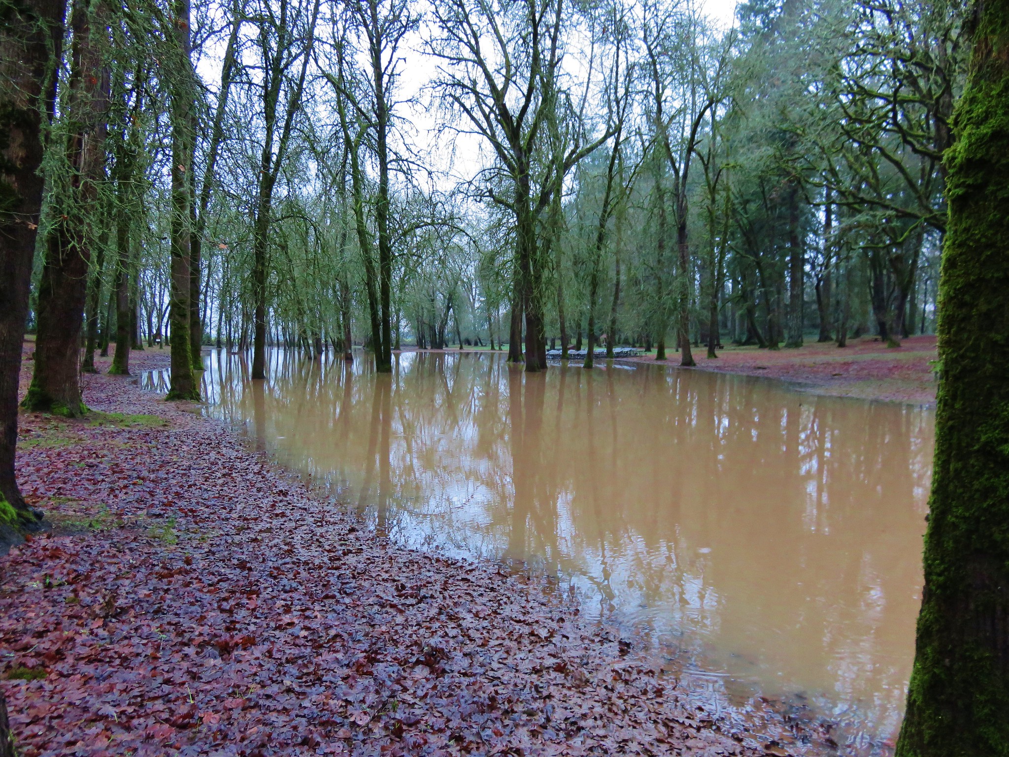
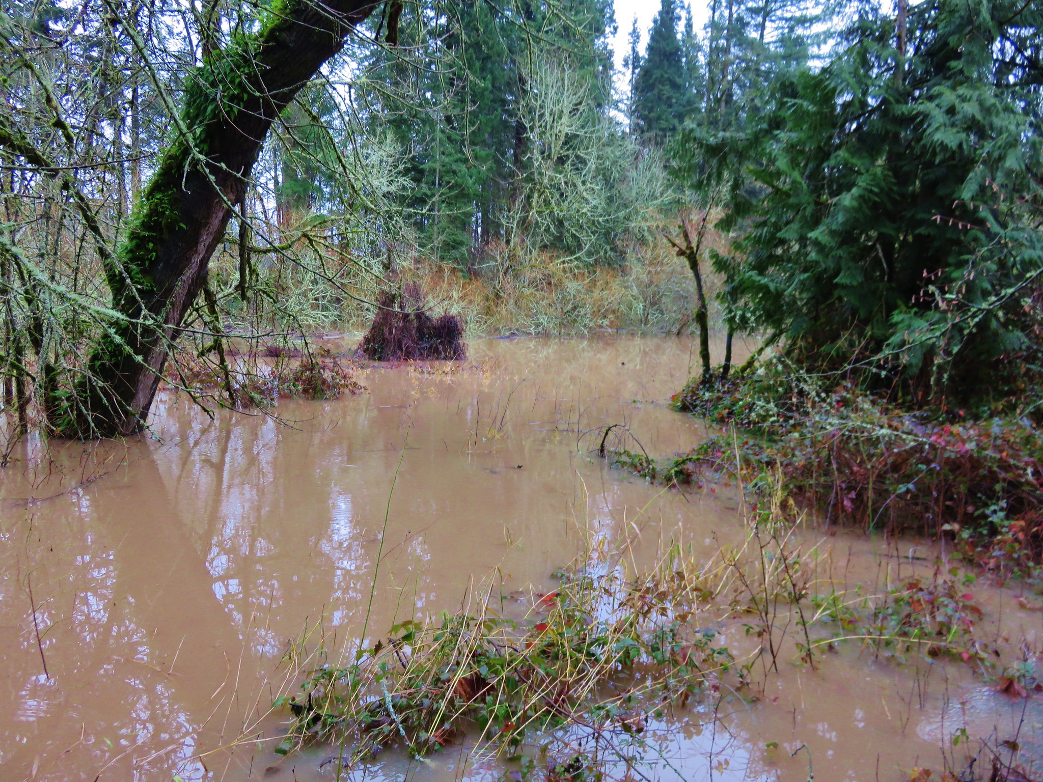
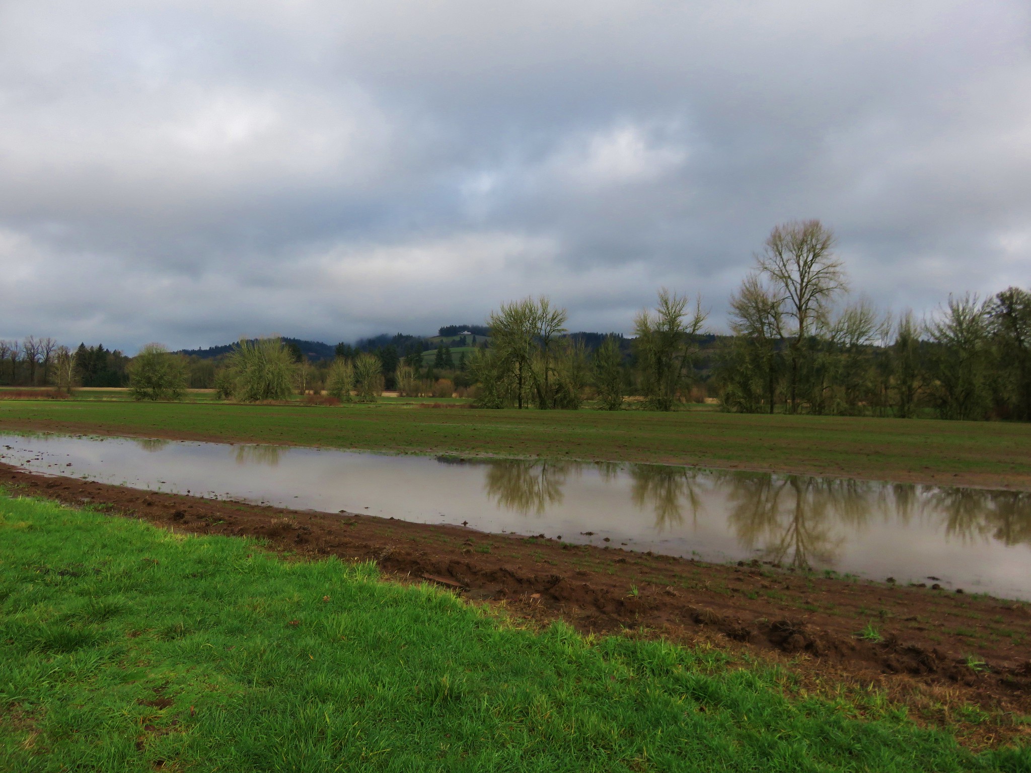
Champoeg Heritage Area Trailhead The recent rains had left the park a bit waterlogged and we found portions of the trail underwater. IMG_2733

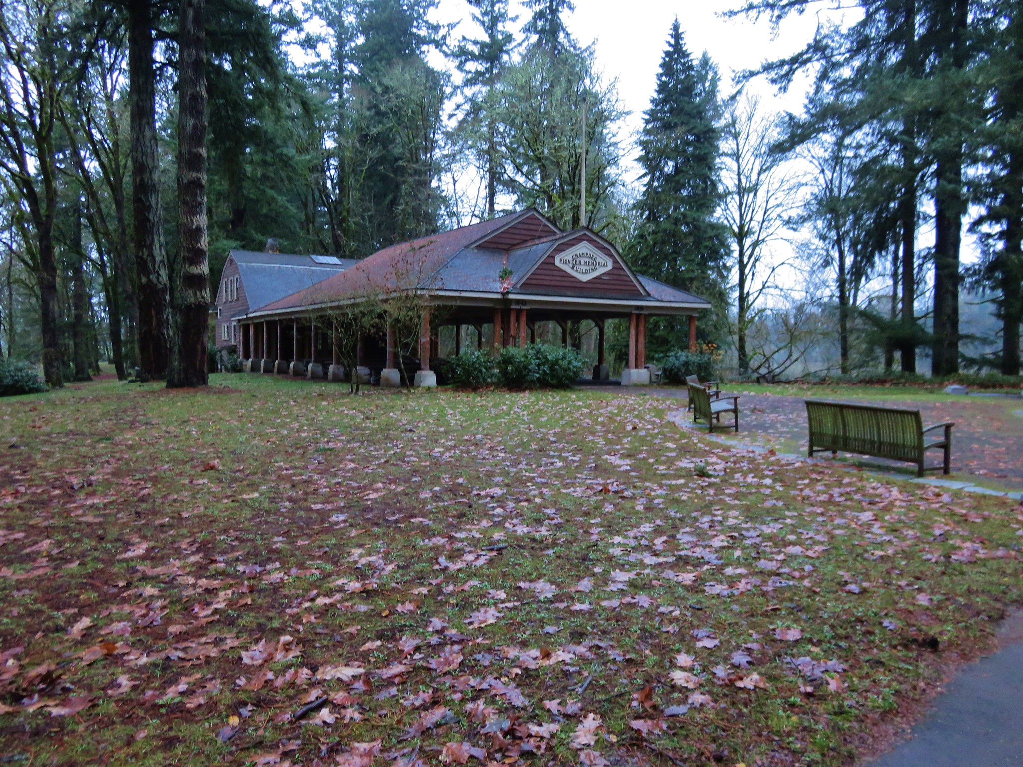
IMG_2734 We made our way around this first obstacle and climbed a small hill to the Pioneer Memorial Building. Champoeg Pioneer Memorial Building

A 1901 memorial commemorating the 1843 vote sits in front of the building.
IMG_2738 We set off on the Riverside Loop next to a muddy and swollen Willamette River. IMG_2745

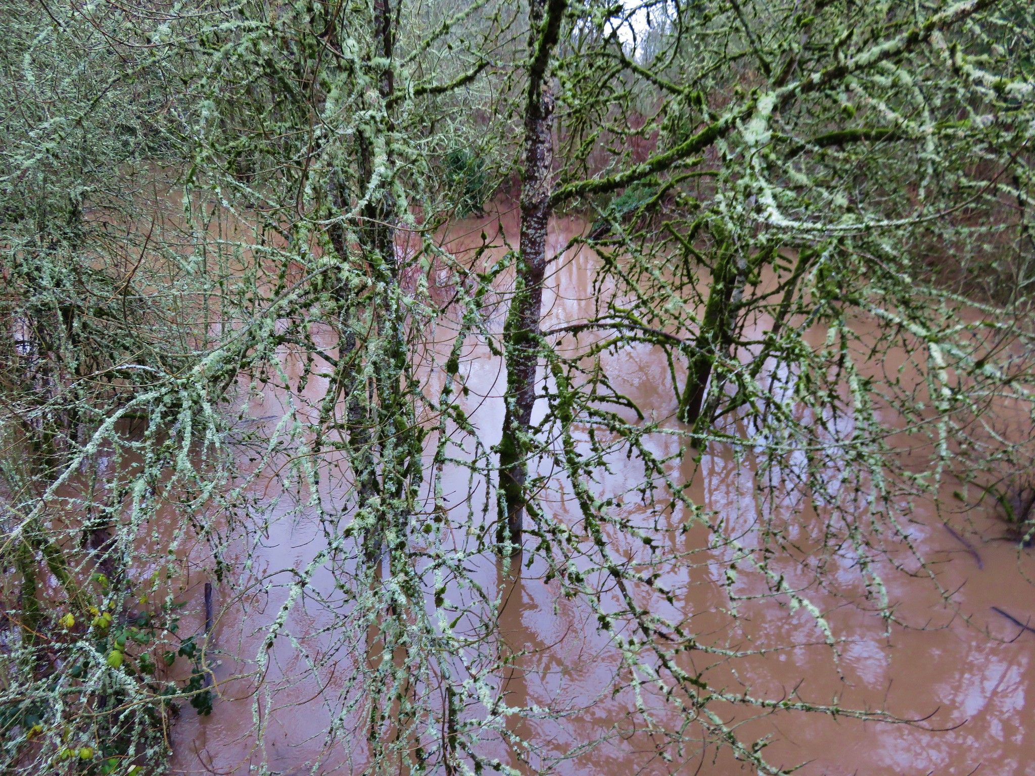
IMG_2743 The loop wasn’t possible on this day due to several flood portions, but we walked the portions that were accessible. Flooded trail in Champoeg State Park

We returned to the memorial and headed west on the Townsite Trail, a 1.5 mile barkdust path that led to the Park’s campground.
IMG_2754 IMG_2756

Townsite Trail We followed the path to a backed up Champoeg Creek and crossed on the road bridge leading to the campground. IMG_2763

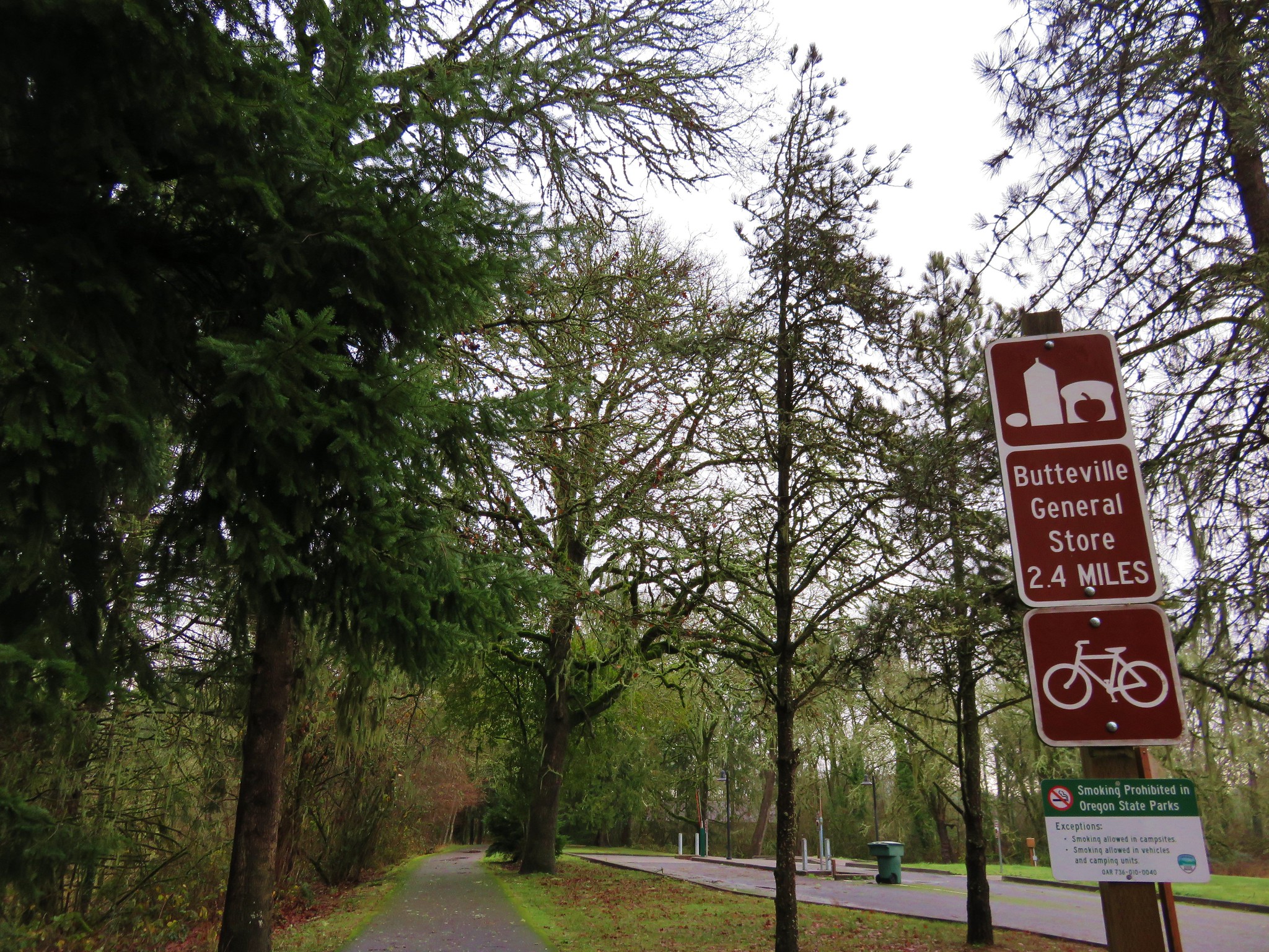
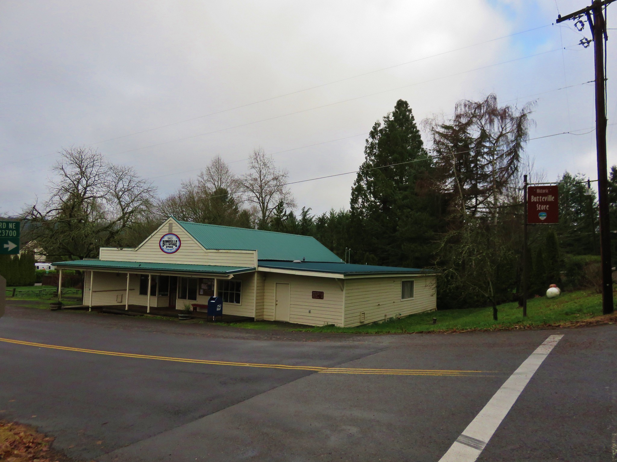
IMG_2765 From the campground a paved bike path leads 2.4 miles to the Historic Butteville Store. Established in 1863 it the oldest operating store in the State although it closes in the winter. IMG_2766

Two short hiker only side trails split from the bike path near the far end of the campground.
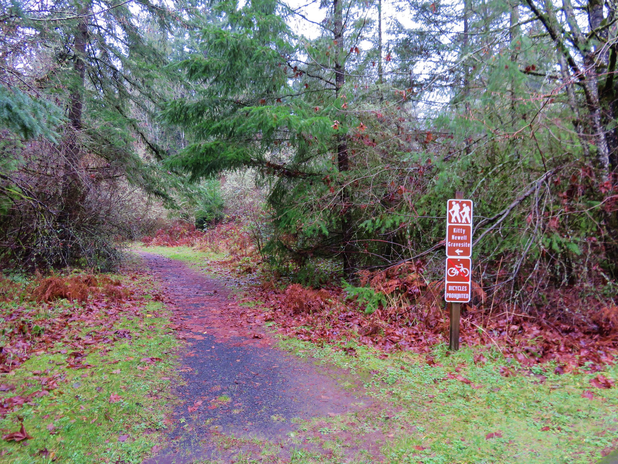
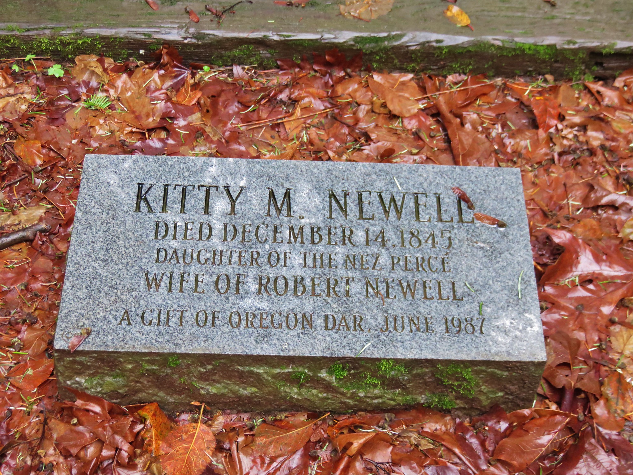
IMG_2769 The first led to the grave site of Kitty Newell while the other was the short .4 mile Nature Trail Loop. IMG_2771

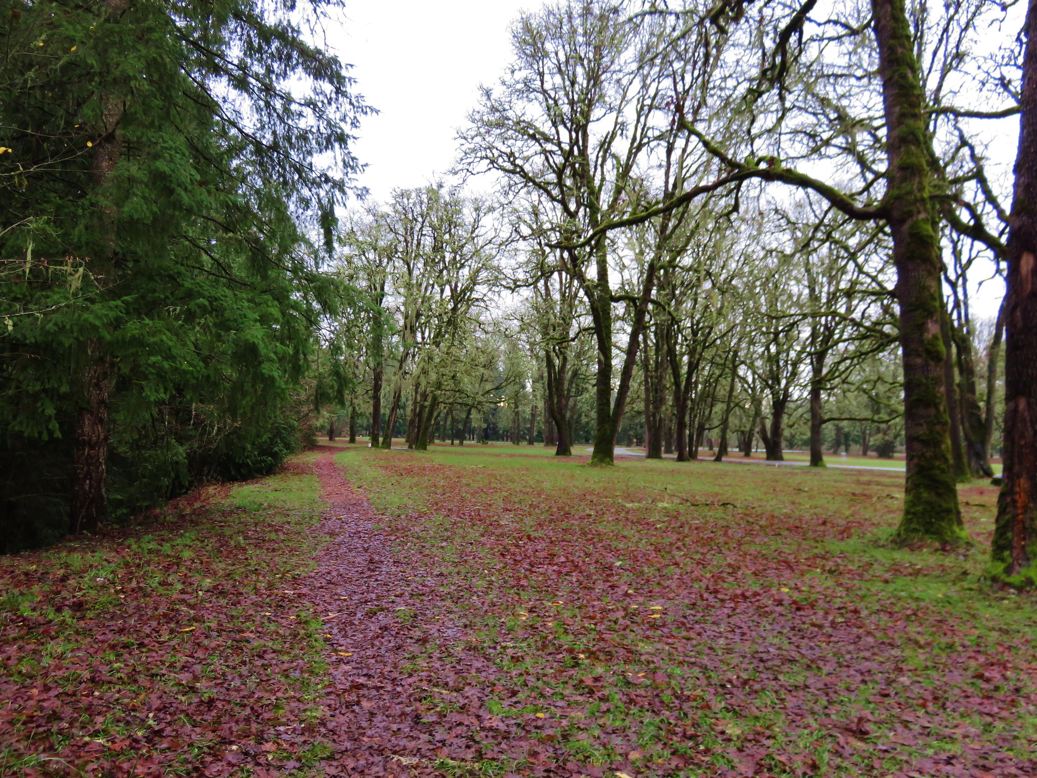
The bike path was clear of water and we followed it along the Willamette. Houses lined the far side of the river, but on our side was a mossy forest.
IMG_2778 IMG_2781

The final .6 miles to the store require some road walking, first along narrow Schuler Rd then downhill on what was a busy Butteville Rd.
IMG_2782 On our way back we remained on the paved bike path after recrossing Champoeg Creek. This route would bring us back on a loop around open farmland and the park’s Frisbee golf course. IMG_2797

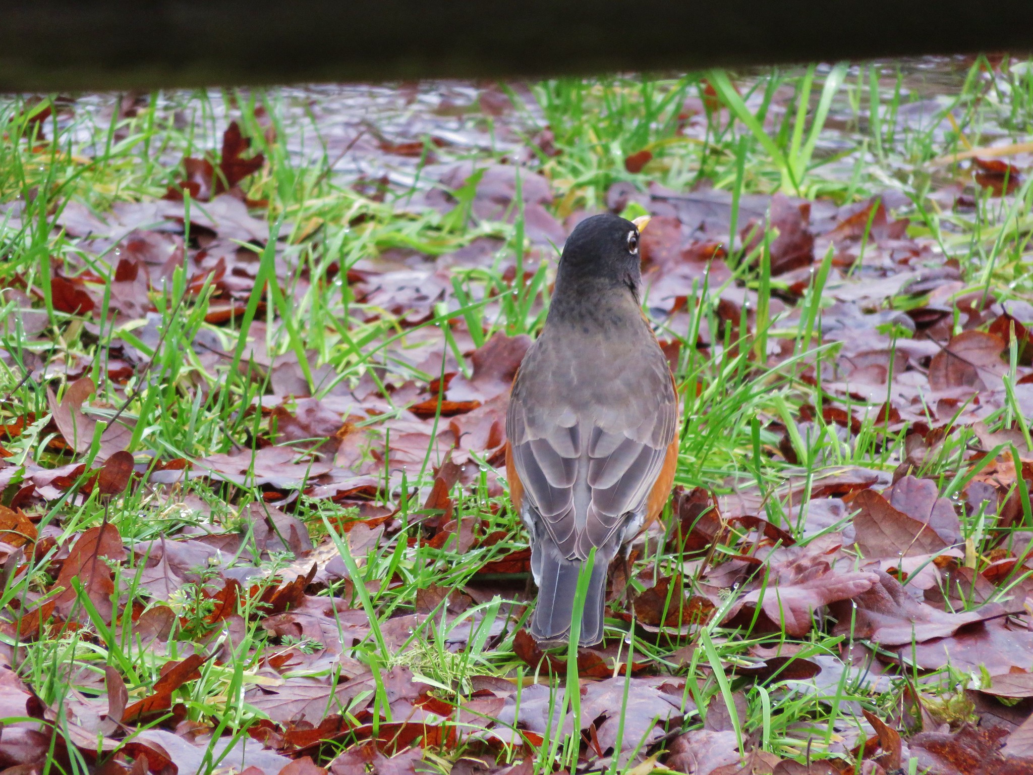
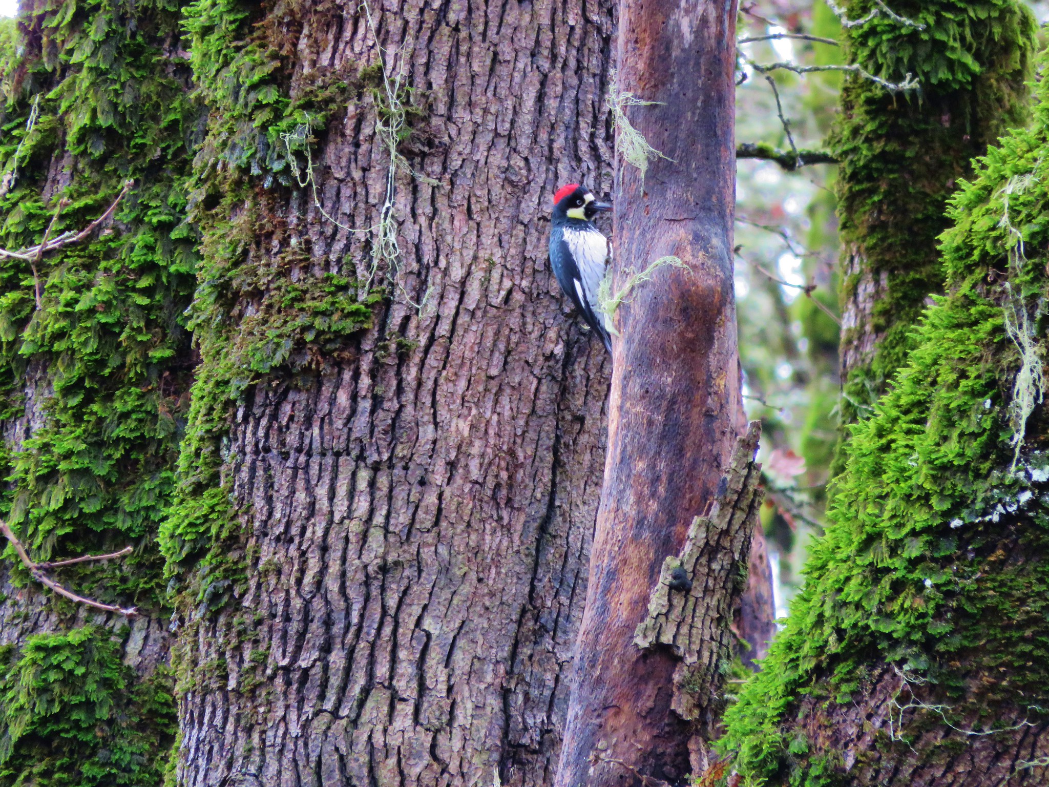
We spotted a number of birds along this portion including an Acorn Woodpecker.
IMG_2788 Acorn Woodpecker

IMG_2803 Near the end of the loop we spotted a tree with markers showing the water levels during the 1861 flood and the more recent 1996 flood. IMG_2804

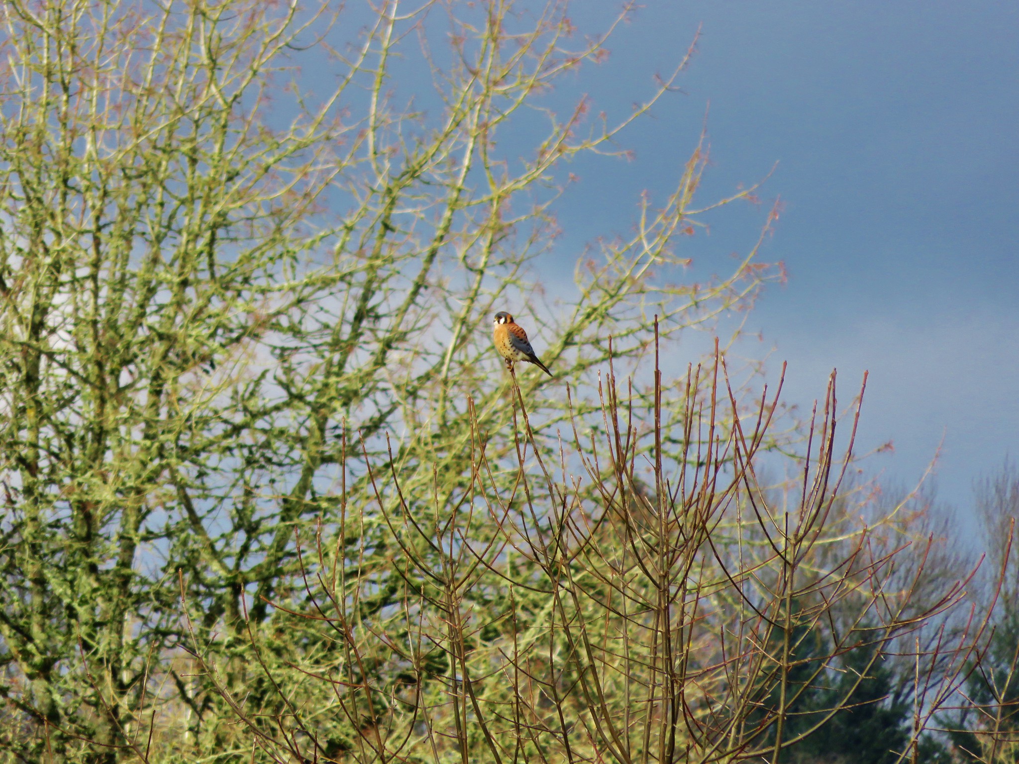
Highwater makers for the 1861 & 1996 floods. We lived in Monmouth, OR in 1996 so we remembered the 1996 event. It was hard to fathom how much more water there would have needed to be to reach that 1861 mark. We finished up our hike and began to drive back out of the park, but as we were sitting at a stop sign I looked out the passenger window to see an American Kestrel sitting in a tree only 10 feet away. I reached back for the camera only to realize I had put it in the back of the car. As a rule I keep it in the back seat because of the amount of wildlife we seem to wind up seeing from the car instead of on the hikes, but I hadn’t this time. The kestrel flew off and landed in another tree a little further away, so I hopped out and got the camera out of the back in hopes of getting a picture. It changed trees one more time before I was able to jog over to the bike path (which just happened to pass near the road here) and get a semi decent photo. Americn Kestrel

This wasn’t one of our typical hikes, but knowing the history of the area made it an interesting hike. If you’re interested in more information on this area or for other historical Oregon hikes check out Hiking Oregon’s History by William L. Sullivan.

Happy Trails and Merry Christmas!
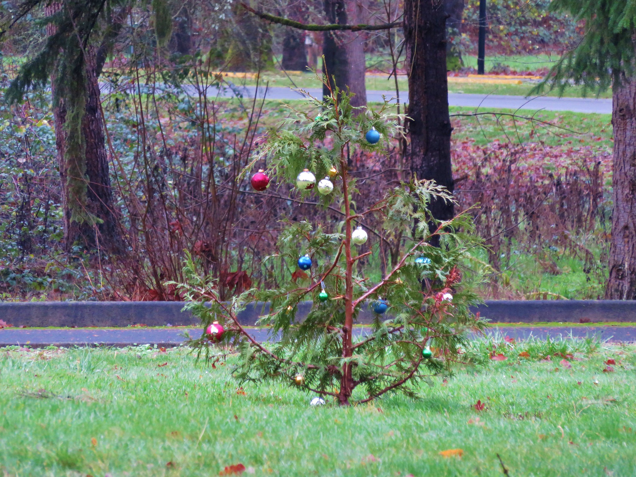
Little Christmas Tree in Champoeg State Park

Flickr: https://www.flickr.com/photos/9319235@N02/albums/72157660242747654


Categories
Hiking Oregon Salem/Albany Trip report Willamette Valley

Ankeny Wildlife Refuge

Greetings! I know we weren’t supposed to be hiking again until after our marathon this coming weekend, but we managed to sneak a quick one in. We took advantage of a scheduled cross-training day to head out to the Ankeny Wildlife Refuge just south of Salem. This is the first hike listed in William Sullivan’s 100 Hikes in the Central Cascades book and according to the description April is one of the peak migratory months for the various birds that can be spotted there. A flat 2 mile loop along the Rail Trail worked perfectly for our cross-training needs so it seemed like the ideal time to finally go check out the refuge.

We parked at the Rail Trail parking area and set off on a gravel path heading to the start of the loop.
Ankeny Wildlife Refuge

Trail in Ankeny Wildlife Refuge

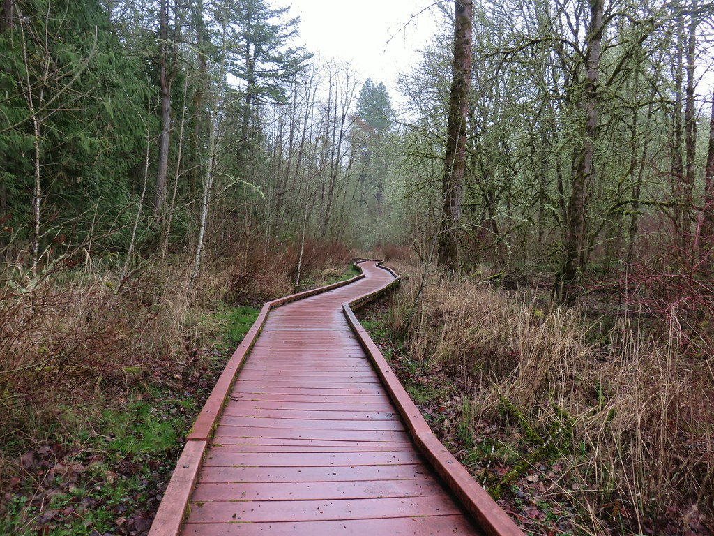
After a couple of hundred yards we reached the start of the loops where we took a right onto the Rail Trails raised boardwalk.
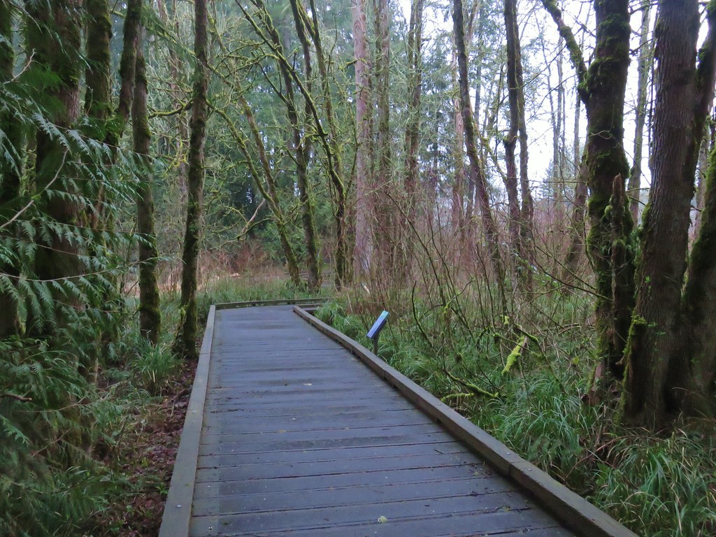
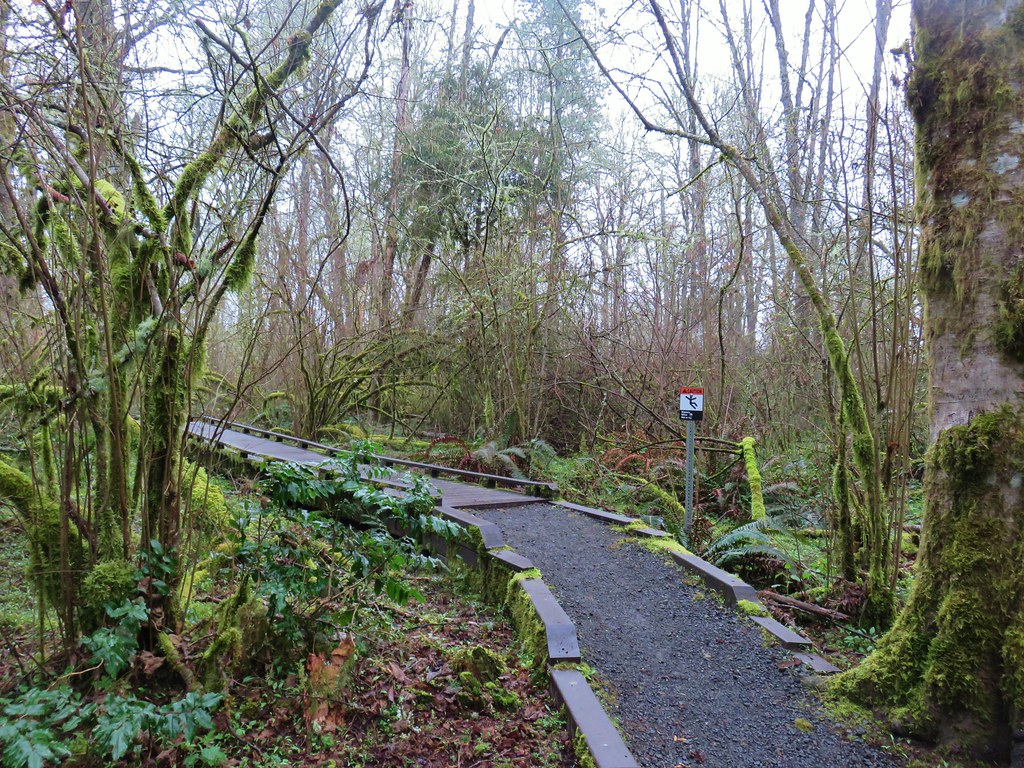
Boardwalk Trail

The boardwalk is necessary as the trail passes through a wetlands that is either under water or too muddy for passage.
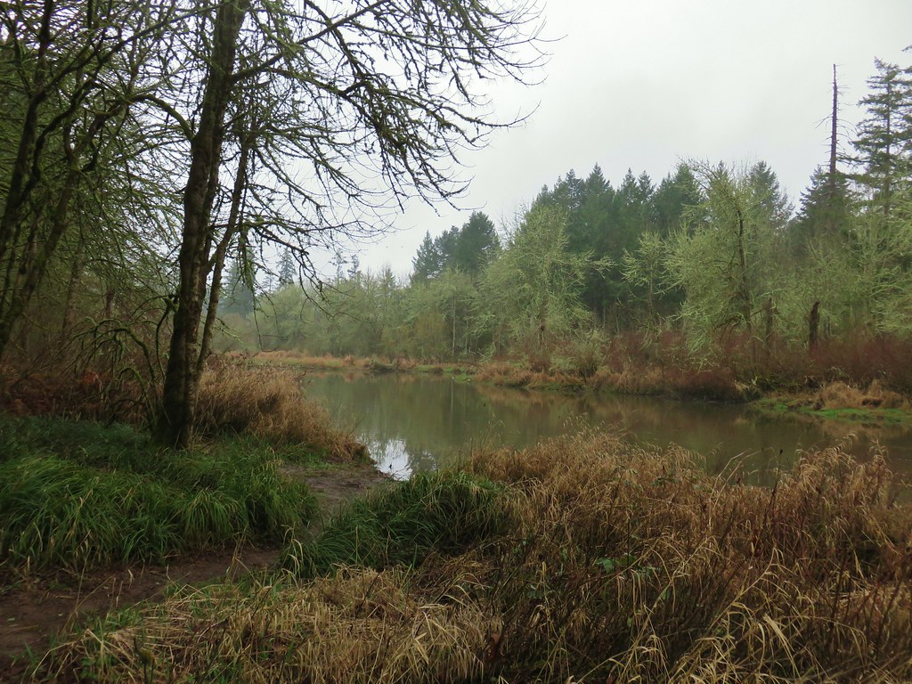
Pond in Ankeny Wildlife Refuge

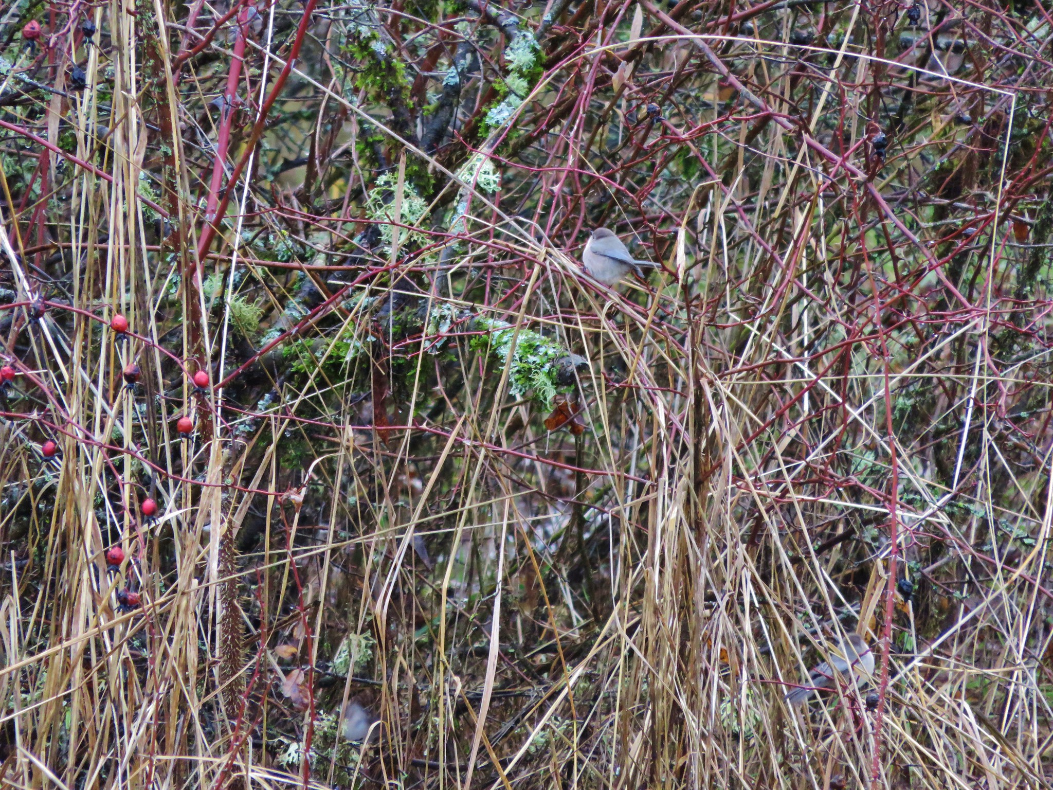
There were many small birds present as we approached the bird blind located just over half a mile along the boardwalk. Most of them wouldn’t sit still long enough for a picture but a curious Bewick’s Wren paused long enough for a shot.
Wren

We didn’t stay long at the bird blind due to the fact that we were supposed to be cross-training but the blind overlooked a marshy pond where ducks and red-winged blackbirds moved about.
Bird blind in Ankeny Wildlife Refuge
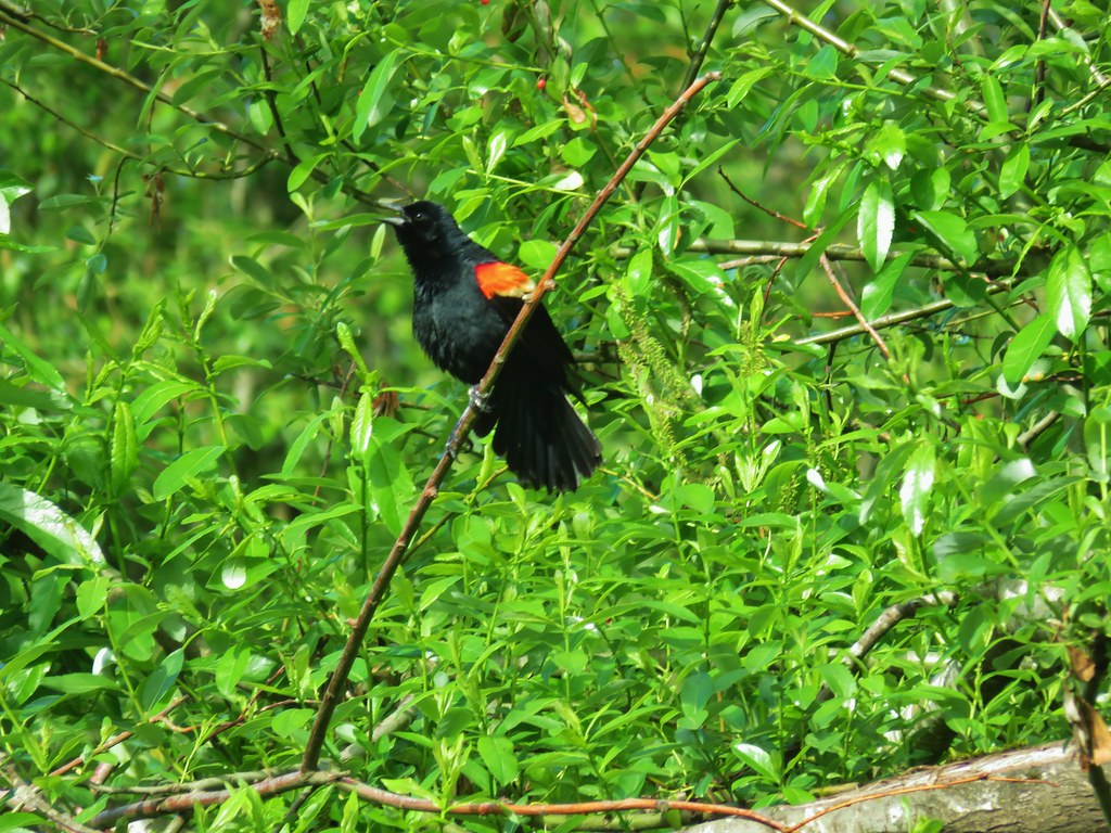
Red-winged blackbird

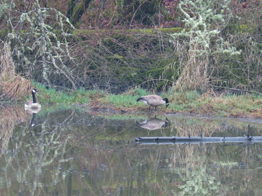
Shortly after leaving the blind a pair of noisy geese expressed their displeasure with our presence.
Canada Geese

We discovered the reason for their annoyance was the nest they had built near the trail.
Goose nest

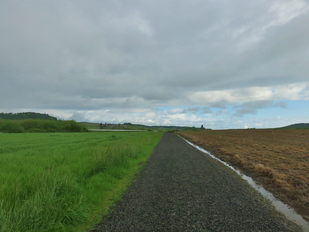
The boardwalk ends at an old dike road where the loop turns left and follows the dike back around to the parking area. Being as early as it was in the year (the dike is only open from April 1st – September 30th) the dike was covered in damp vegetation.
Ankeny Wildlife Refuge

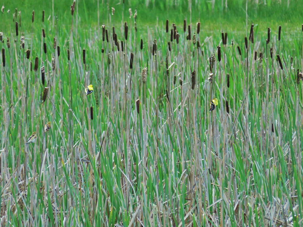
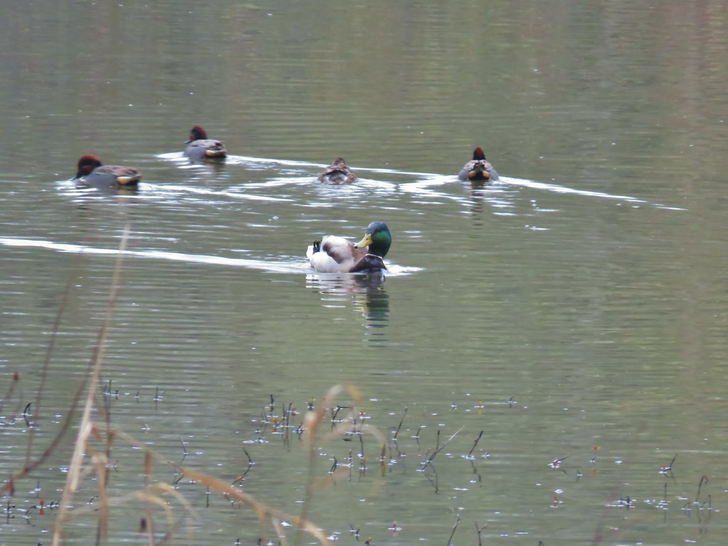
We encountered numerous red-winged blackbirds as we travelled along the dike and we also spotted a good variety of ducks in the many ponds.
Red-winged Blackbird
Ring-necked ducks (at least most of them were)
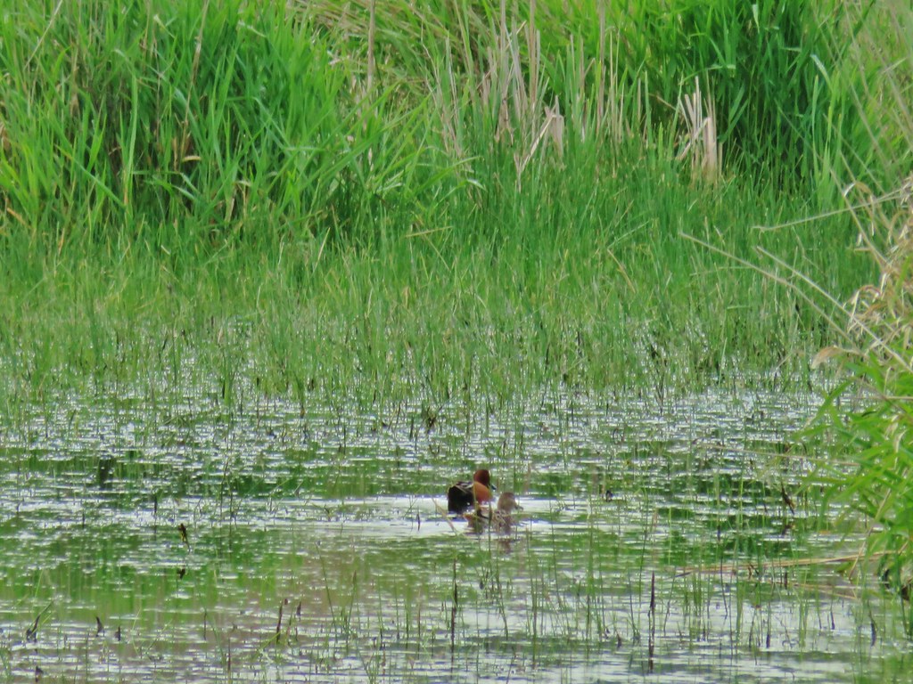
Cinnamon Teal
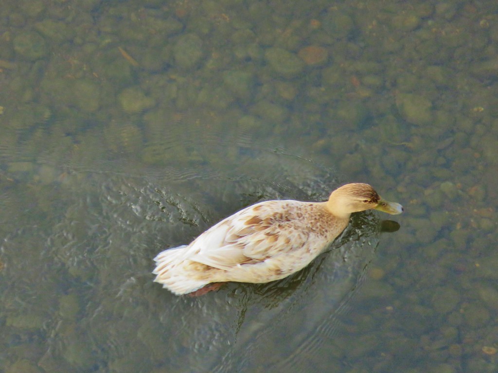
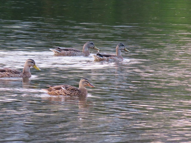
Mallard

Other than our feet getting a lot wetter than we had planned due to the wet grass along the dike it was a peaceful trail. We had a bit of trouble locating the correct place to turn back toward the parking area and had to pass through about 10 feet of saturated ground to get back but that just helped make it feel more like a hike :). Ankeny Wildlife Refuge would be a great place to go if you’re interested in bird watching. Someday we’ll have to go back and spend more time standing still and waiting for the birds to come to us. Until next time – Happy Trails!

flickr photos: https://www.flickr.com/photos/9319235@N02/sets/72157643529661063/
Facebook: https://www.facebook.com/media/set/?set=a.10203706476249600.1073741870.1448521051&type=3