After double checking the weather forecast for our final two days in Grants Pass we’d decided that making an attempt at doing both of our remaining featured hikes on Monday provided us the best chance at semi-decent weather. Both trailheads were less than 40-miles from our room, but Grayback Mountain was to the SE while Babyfoot Lake was to the SW. A minor inconvenience but the extra driving in between might allow for some better weather in the afternoon at Babyfoot Lake. We’d already decided to stick to the shorter options for both hikes, partly due to the forecasted cloudy conditions and partly because Heather hadn’t been feeling well all weekend and I was feeling pretty spent after the previous two days of hiking. We began our morning under surprisingly dry skies as we left Grants Pass but soon found the rain as we neared the O’Brien Creek Lower Trailhead.
For his featured hikes Sullivan uses the O’Brien Creek Upper Trailhead but mentions a section of sharp rocks that can cause flat tires on the way to that trailhead. Starting at the lower trailhead would add 2-miles round trip but we felt it was worth not risking a flat. What we didn’t count on was how steeply sections of the 1-mile stretch would be as it climbed nearly 650′ to the upper trailhead. O’Brien Creek near the trailhead.
It seemed like all of the climbs this weekend had been steep.
After two warm sunny days this hike finally felt like Fall.
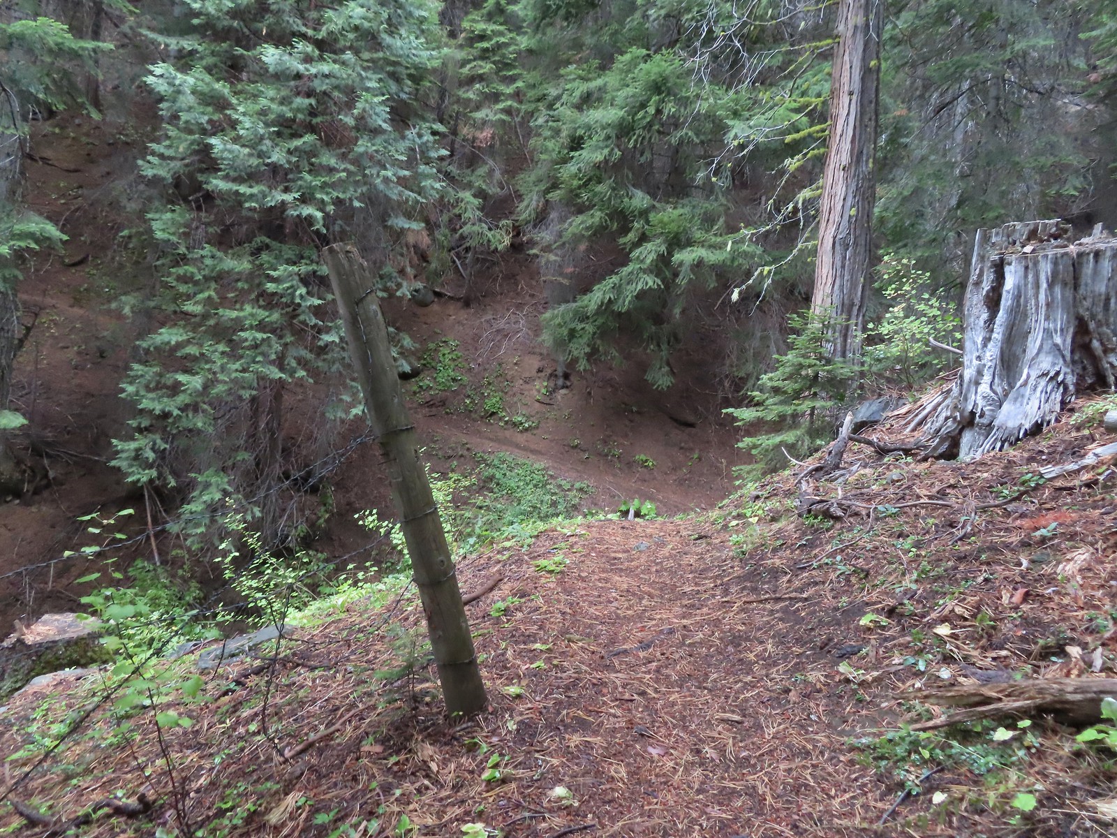
As I approached this footbridge I noticed a yellow jacket fly into the big hole along the right side of the trail. A quick peak in revealed a busy nest so we wound up bushwacking uphill and around it hopping onto the bridge at the edge of the marsh ahead.
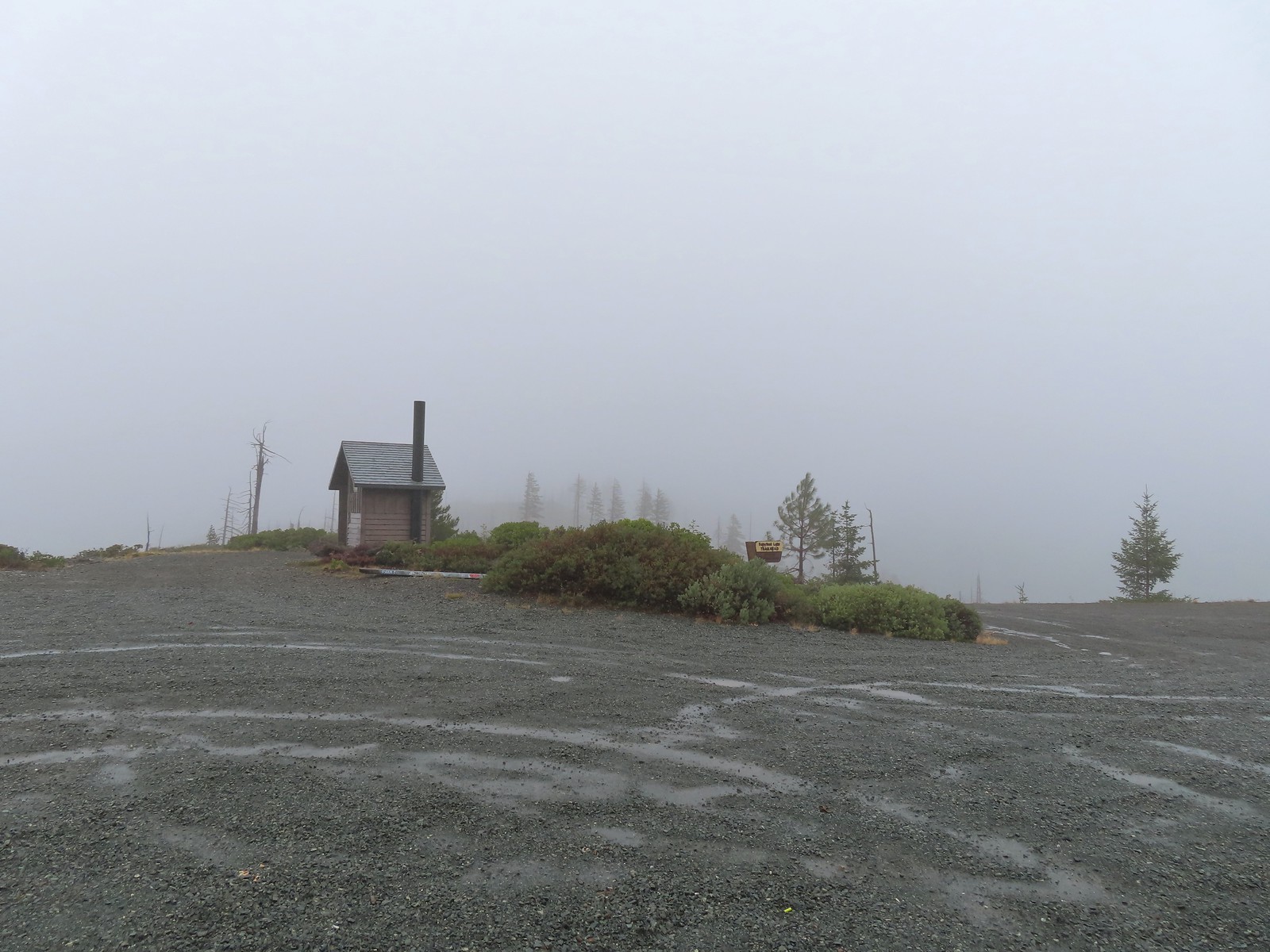
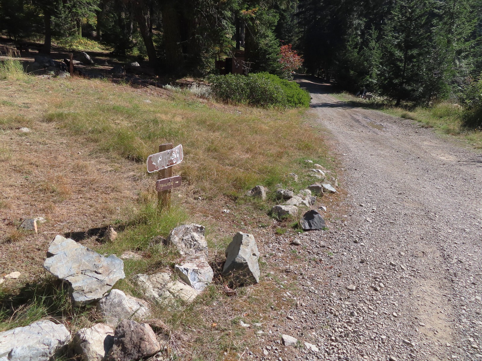
A nice newer looking sign at the upper trailhead.
At the upper trailhead we gave up on our rain gear. A light mist is all that was falling and our sweat from the climbing was making us wetter than the mist would. From the upper trailhead the trail followed an old roadbed for 0.2-miles.
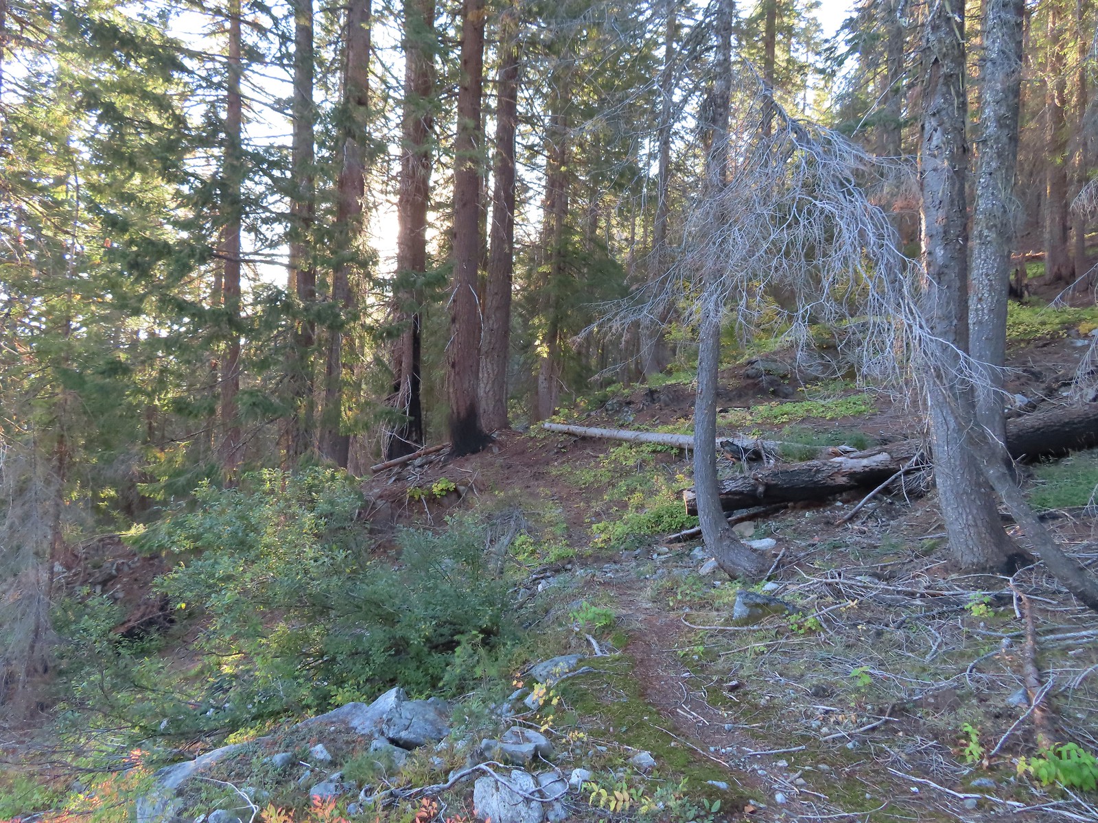
At the end of the old roadbed this trail too decided to steepen greatly gaining approximately 900′ in nearly a mile to a junction with a spur trail to the Grayback Snow Shelter.
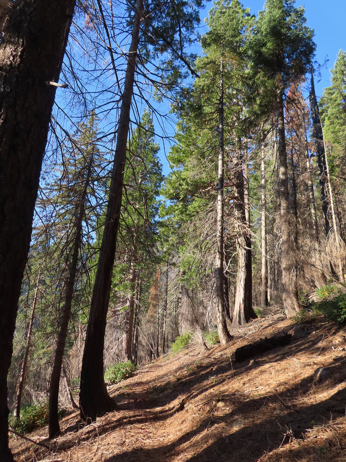
There were a few really big trees in the forest along the trail.
Grayback Mountain from the trail.
The trail crossing O’Brien Creek.
The junction with the spur trail to the snow shelter. It took me far too long to realize that the sign was upside down. I couldn’t figure out why it thought the Boundary Trail was to the left, after looking at it a few more times it dawned on me that the words were upside down.
Ah ha! It wouldn’t stay this way but it sure made more sense.
For the longer option to the summit of Grayback Mountain we would have taken the right-hand fork and gained another 1600′ to 1700′ over the 1.8-miles to the summit. Instead we forked left losing a little elevation over the 0.2-miles to the shelter.
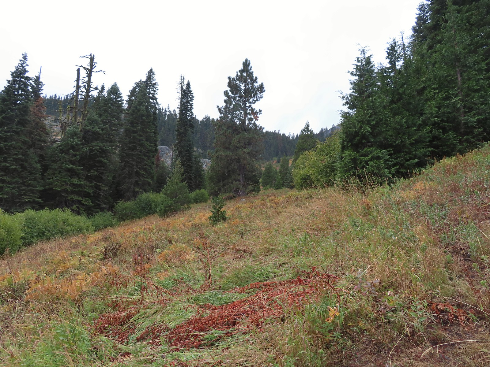
There had been another car at the lower trailhead and we thought that the owner might be staying in the shelter but when we hiked past the shelter into Grayback Meadows we could hear voices in the trees.
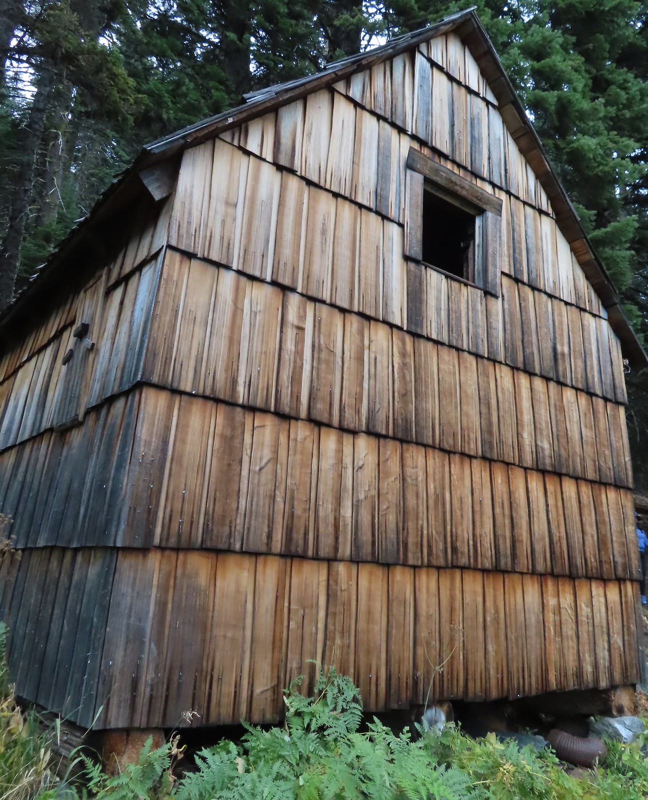
There used to be a cabin out in the meadows and now there is a snow gauge and a campsite which may be where the voices were coming from.
We took a quick peak inside the shelter where some of the backpacker’s stuff was.
After checking out the shelter and meadows we returned the way we’d come. It was steep going down too.
Trail pointer near the upper trailhead marking the continuation of the O’Brien Creek Trail to the lower trailhead.
We always enjoy seeing madrones on our hikes in Southern Oregon.
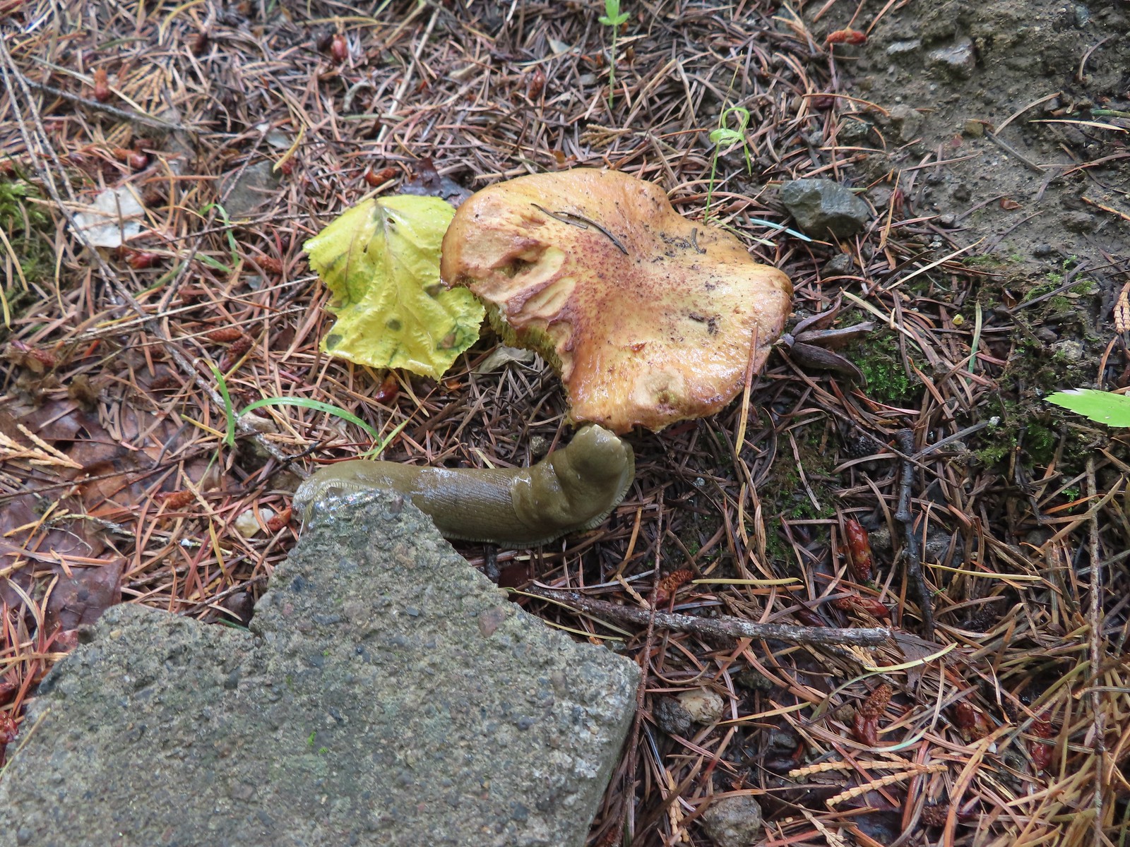
Slug on a shroom.
Bug on a shroom.
One more steep drop to the lower trailhead.
Our hike here came to 4.8-miles and upwards of 1750′ of elevation gain.
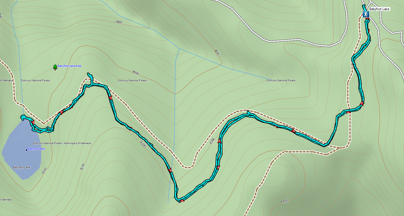
From the trailhead we drove North to Murphy then cut over to Highway 199 and headed back South to the Babyfoot Lake Trailhead. While the amount of precipitation during our hike to Grayback Meadows had been far less than we’d expected (we even spotted a small window of blue sky) it was raining steadily as we started up the gravel roads to the Babyfoot Lake Trailhead. Not only that but we quickly found ourselves in the cloud limiting visibility so it was a tedious 12-miles of bumpy roads.
Wind and rain met us at the trailhead and our rain jackets made a second appearance. The trail began at a signboard and traversed a hillside below Hungry Hill for 0.3-miles to a fork.
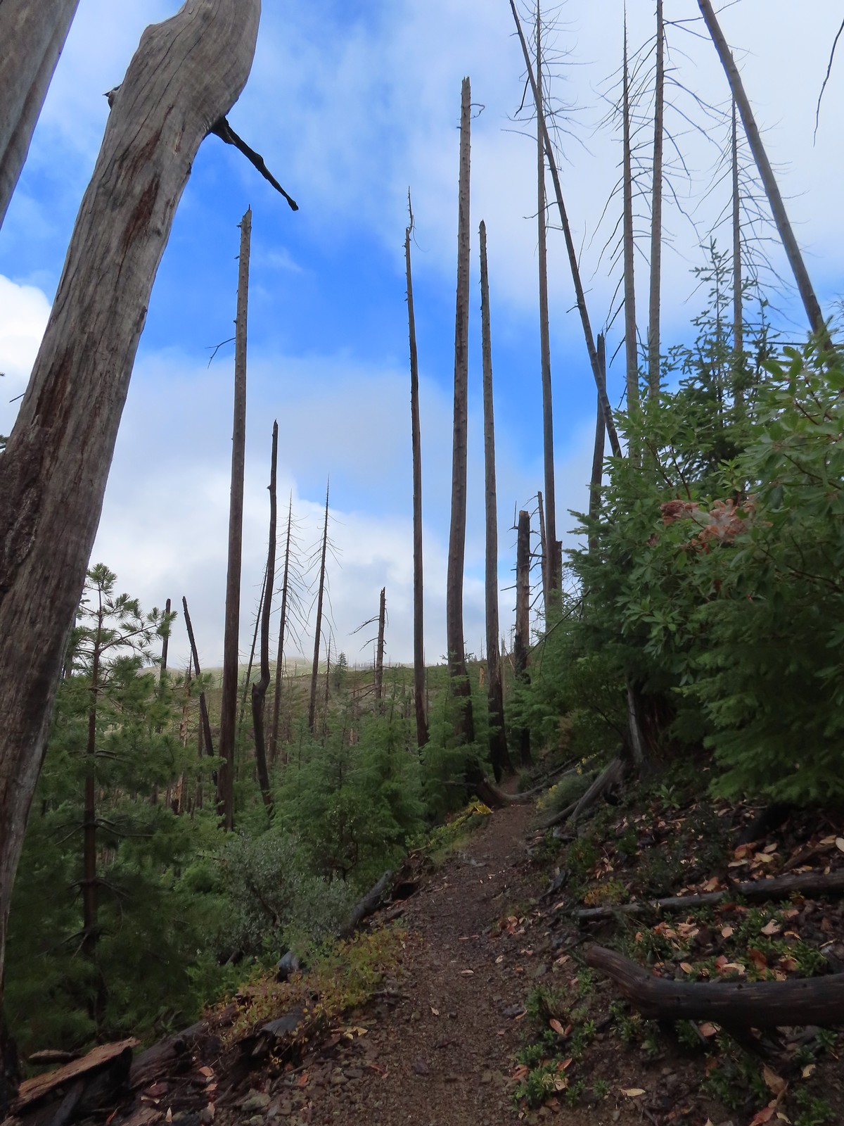
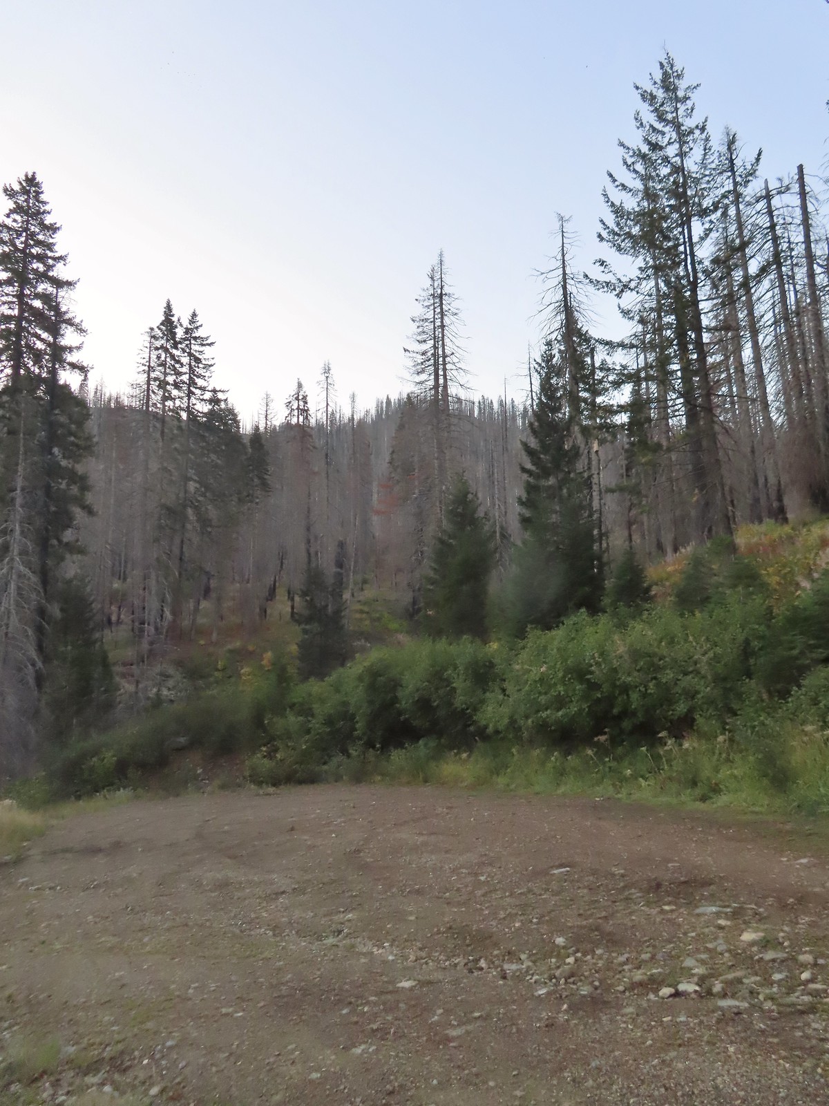
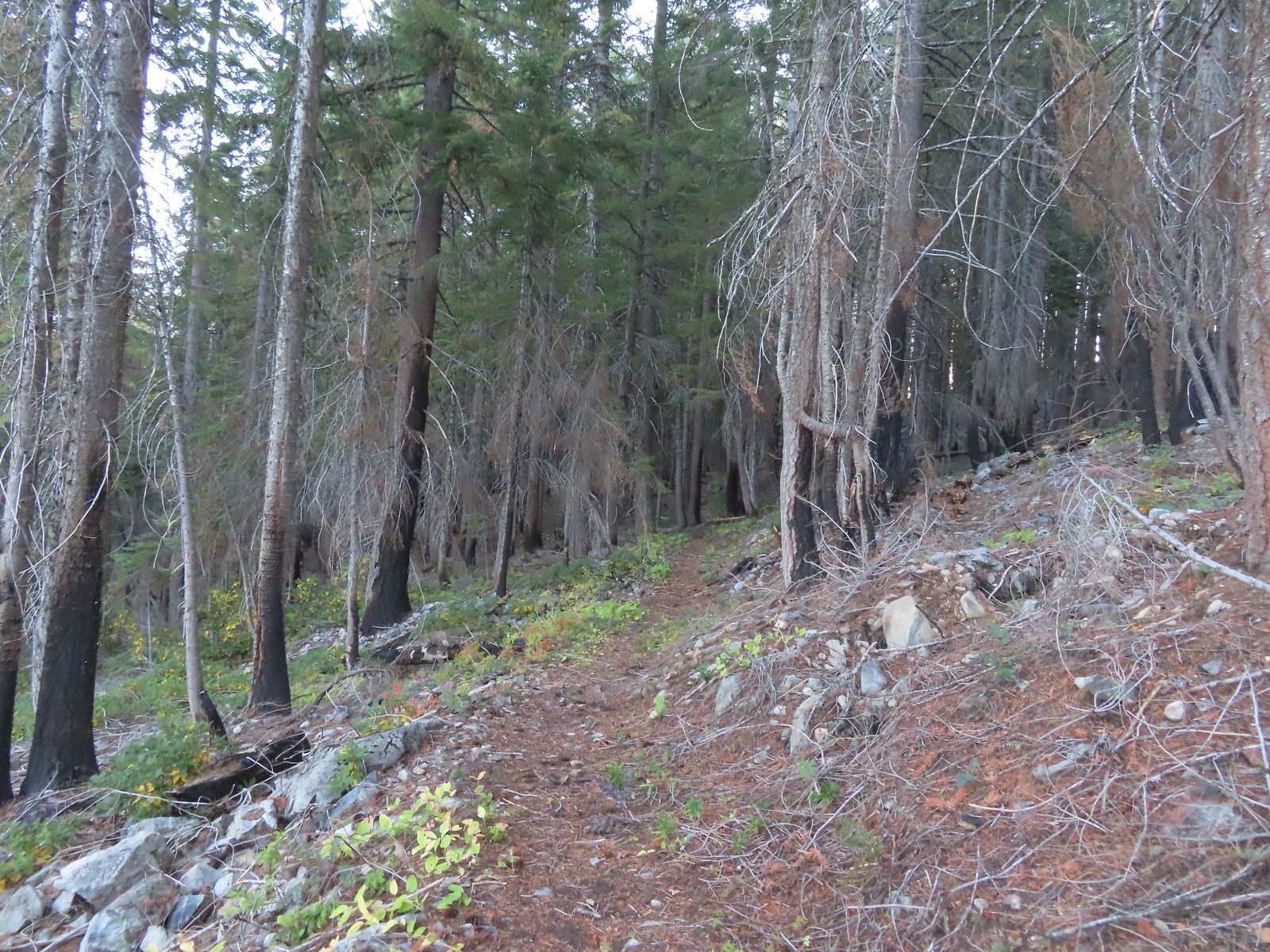
The forest is recovering from the 2002 Biscuit Fire.
To the left was the Babyfoot Lake Rim Trail. Sullivan’s longer option here include following this trail 0.9-miles to a viewpoint above the lake. Given the fog that seemed pointless, and it also looked like that trail was in need of some maintenance.
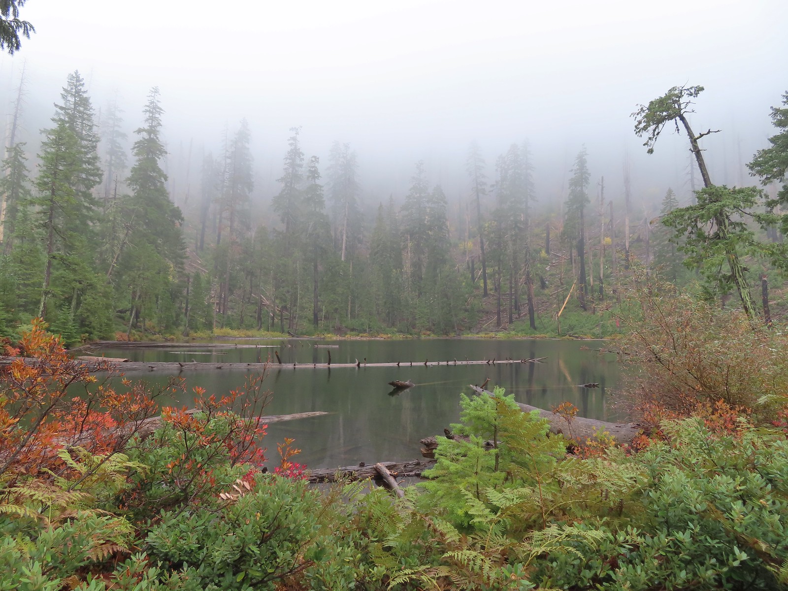
We forked right and continued to descend through the fog for nearly a mile to the lake.
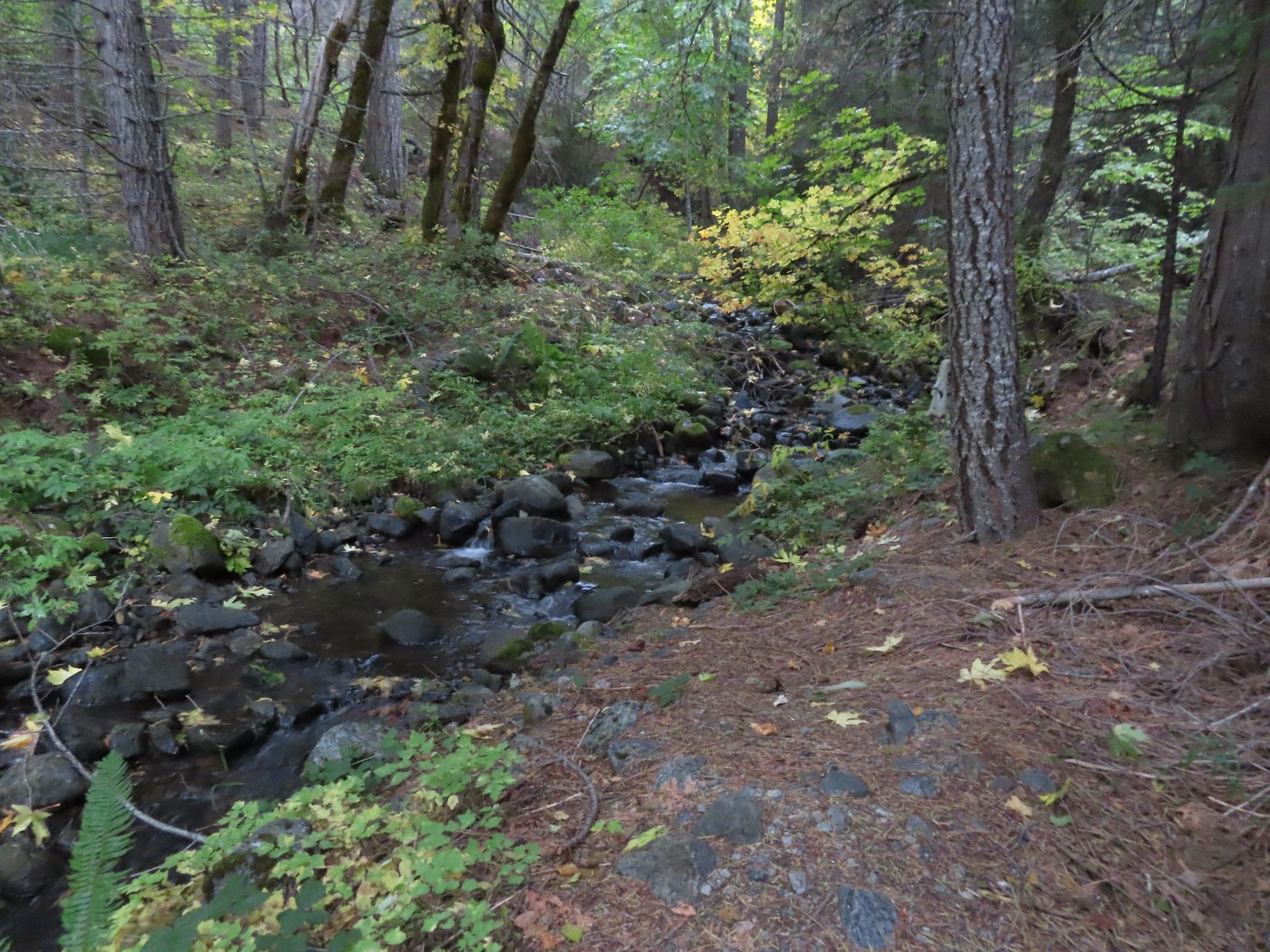
A small stream with crystal clear water along the trail.
My nemesis, the varied thrush.
Near the lake the trail passes this rock outcrop which is a viewpoint without the fog.
Some of the trees around the lake survived the 2002 fire.
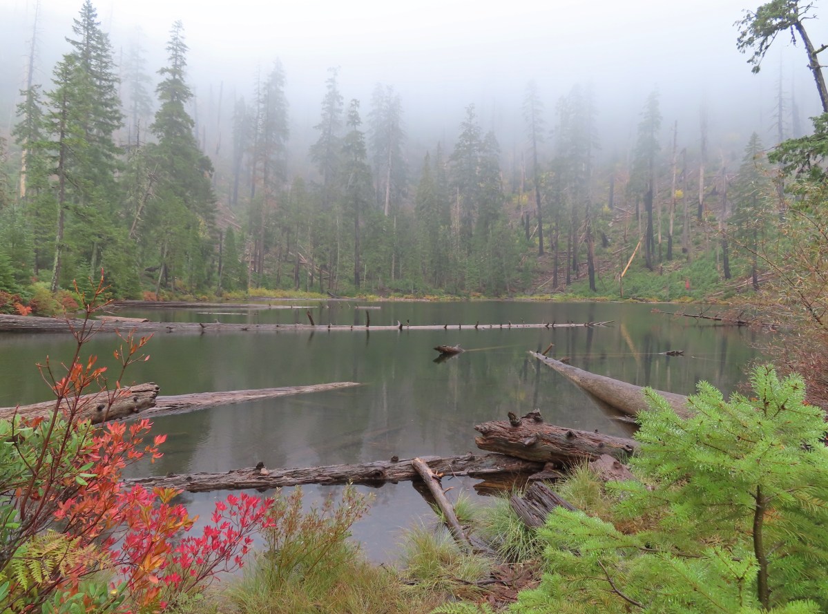
Babyfoot Lake lies just within the Kalmiopsis Wilderness boundary, marking just the second time (post) we’d visited this nearly 180,000-acre wilderness.
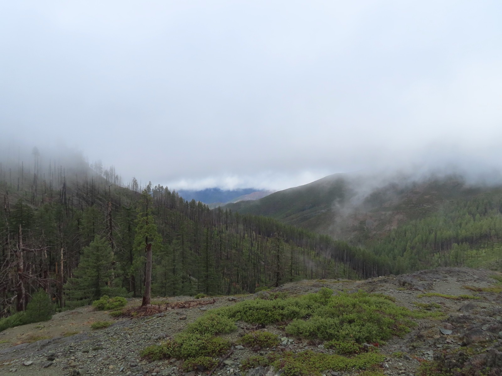
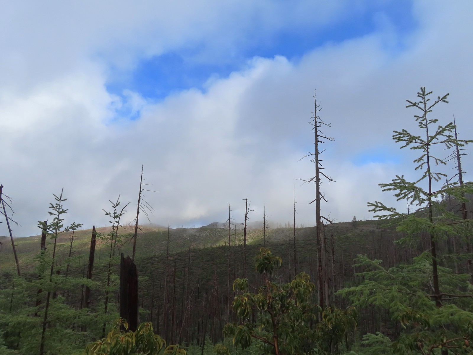
After visiting the lake we headed back up toward the car. Before we’d even made it past the rocky viewpoint the clouds began to break up revealing some patches of sunlight and blue sky.
I of course had to head out onto the viewpoint given the rapidly changing conditions.
Conditions continued to improve as we climbed back to the trailhead revealing more of the wilderness and surrounding terrain.
The patterns on this snag caught my eye.
The trailhead on the ridge ahead.
This short hike came to just 2.6-miles and 360′ of elevation gain and marked the completion of our quest to hike at least part of all 100 featured hikes in William L. Sullivan’s “100 Hikes/Travel Guide Southern Oregon & Northern California” edition 4.2 (post).
After checking off two of Sullivan’s featured hikes on Saturday (post) we had another pair lined up for Sunday. Another day of clear skies and low 60-degree temperatures lay ahead as we drove from Grants Pass to our first stop at the Tanner Lakes Trailhead (note the Forest Service refers to this and the lakes as “Tannen” but Tanner is the official name used by the U.S. Board on Geographic Names (the Board corrected the error in 2002 which had erroneously changed the names from Tanner to Tannen). The area here burned, like so many others in Oregon, in September 2020. For a look at the area before the Slater Fire here is a report by Just Peachy from July 2020. There is a large turnaround/parking area at the end of Forest Road 041 which serves as the trailhead. The final 500 meters of the road are rough so high clearance vehicles are recommended.
A pink flag marked the start of the trail just up the road from the turnaround.
Heather still wasn’t feeling well so she decided that she would just do the 2.6-mile out-and-back to the Tanner Lakes which was the shorter of two options Sullivan listed for this featured hike. The longer option was either a 9.2-mile out-and-back to the summit of Tanner Mountain, or a slightly shorter loop ending with a 2.8-mile road walk. I was going to give the loop a go, but I was unsure of the trail conditions beyond the lake, so I was prepared to turn back at any point. It was just 0.4-miles from the trailhead to Tanner Lake where the Fall colors were reflecting nicely in the water. The trailhead from the Tanner Lakes Trail.
A few trees survived the fire around the lakes.
Tanner Lake in the morning.
The trail crossed Tanner Creek and climbed gradually over a ridge to East Tanner Lake just under a mile from the larger lake.
Penstemon
Wallflower
Recent trail maintenance.
East Tanner Lake
Fireweed
One of the world’s largest incense cedars, Titan, is located to the West of East Tanner Lake but I failed to look for it to see if it survived the fire. Instead I continued on the Tanner Lake Trail climbing gradually for 0.6-miles to a former junction with a tie trail that has not been maintained since the fire.
The eastern side of the ridge fared better in the fire than the forest closer to the lakes.
Signs at the junction with the tie trail.
The tie trail used to be here.
I continued on the Tanner Lake Trail which gently contoured around the hillside for 1.5-miles to a junction with the Fehley Gulch Trail.
Second breakfast
The trail briefly left the fire scar altogether near the Fehley Gulch junction.
Looking back down at the Fehley Gulch Trail as it joins the Tanner Lake Trail.
Tanner Mountain from the trail near the junction.
A very short distance later I arrived at the Boundary Trail where I turned right. Sign at the Boundary Trail junction.
I was now back in the fire scar and about to begin a steep 1100′ climb over the next mile to a ridge below Tanner Mountain.
Dark-eyed junco
Tanner Mountain again.
Scarlet gilia
One of two checker-mallow blossoms I spotted. The other was much nicer looking but it was downhill and I was too lazy to go down to get a good photo.
This trail was really steep at times.
Almost to the ridge.
The trail became pretty faint on the ridge.
Once I’d gained the ridge I set off cross-country toward Tanner Mountain eventually picking up a use trail which led to the 6305′ summit.
More steep climbing.
Looking back down over the use trail.
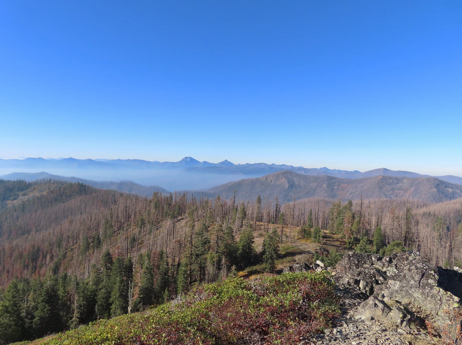
From right to left – Grayback Mountain, Lake Mountain, and Mount Elijah (with lots of other peaks).
The double humps of Red Buttes behind and left of Pyramid Peak with the outline of Mt. Shasta to the right of Pyramid Peak.
Preston Peak and El Capitan in the Siskiyou Wilderness (post).
Preston Peak and El Capitan
Bolan Mountain, our other stop for the day.
Bolan Mountain
East Tanner Lake in the shadow of Tanner Mountain.
A faint Mt. McLoughlin (post) in the distance on the right.
After a brief rest to enjoy the view I headed down to Thompson Ridge and located the Boundary Trail in the vegetation, after initially crossing right over it without noticing, and followed it downhill a half mile to Road 570. The Boundary Trail dropping off Thompson Ridge.
This is/was the Boundary Trailhead but there isn’t much left post fire.
I turned right onto Road 570 and followed it 1.4-miles to Kings Saddle where I took another right onto Road 041. I spent a fair amount of time tossing rocks off of this road for the next 1.4-miles before arriving at the car.
Bolan Mountain from Road 570.
Pussy paws
Road 041 at Kings Saddle.
Pearly everlasting along Road 041.
Where things started getting ugly on Road 041.
It’s in the shadow but the runoff channel cut across the road here creating a decent sized divot.
Another rocky section of the road.
California sister at the trailhead.
My loop here came to 8.6-miles with 1700′ of elevation gain but the vast majority of it was all in the 1.3-miles from the Boundary Trail junction to the summit of Tanner Mountain.
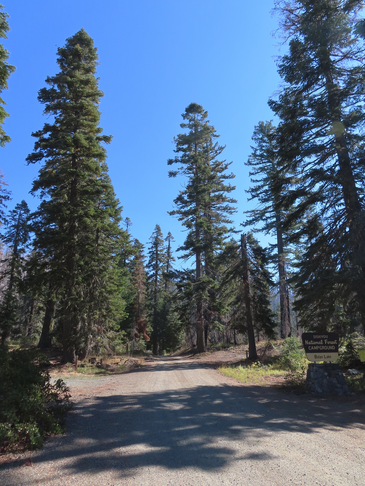
It was a good thing Heather hadn’t tried to tough it out as she had gotten a bit worse while I was gone, and this was a tough one. We carefully drove back up to Kings Saddle then continued another 3.2-miles to Road 40 where we turned sharply downhill continuing 1.8-miles to the Bolan Lake Campground. This area was also part of the 2020 Slater Fire but unlike the Tanner Lake Trail I quickly discovered that the Bolan Lake Trail had not received any recent maintenance.
Heather again decided (smartly) to play it safe and stick to Sullivan’s shorter option here and do the 0.7-mile loop around Bolan Lake. I was going to attempt the 3.6-mile out-and-back to the former lookout site atop Bolan Mountain. The lookout was lost in the fire and “might” be rebuilt in the future. Our adventure began before we even got out of the car here though as the “trailhead” that was supposedly located near the end of the second campground loop was nowhere to be seen. The second loop was an eroded mess and we weren’t sure we were going to make it around. Fortunately we did and decided to drive back to the entrance of the campground and park along the shoulder.
The pointer is a trap!
We walked down the road to the second loop and I began looking for the Bolan Lake Trail which Sullivan said began on the North (uphill) side at the highest point of the loop. I walked up and down the road a couple of times looking for anything that looked like a trail but only saw a single rock atop a large downed tree that might have been intended to be a cairn. The map on the GPS unit showed the trail starting near the start of the loop by an outhouse but there was also no sign of a trail there. I finally decided to set off uphill cross-country hoping to pick up the tread along the hillside. This looked like as clear a spot as any.
After only 100′ or so I came to trail tread. Looking up the Bolan Lake Trail.
My guess is the rock on the log was where the trail used to begin but the log had been a bit too large to climb over.
It was just over a mile to a junction on a ridge crest where the trail turned right for half a mile to the service road up Bolan Mountain. This trail was everything I feared the loop around Tanner Mountain might be. The tread was faint, blowdown covered the trail, and at one point the tread was eroded to the point that side hilling for several feet above the former tread was necessary. Faint tread was all that was left in most places.
The Bolan Lake Trail to the left.
Sometimes the tread just disappeared.
Lake Mountain, Grayback Mountain, Craggy Mountain, and Swan Mountain.
Momentary tread.
Just about 500′ below the ridge there was a large downed tree which required some side-hilling to drop below and then climb steeply back up to the trail.
I got back to the trail to find more debris covering it.
Final pitch to the ridge.
Bolan Mountain from the ridge.
The trail descended slightly on the far side of the ridge to the junction.
I assume the downed post and small pile of rocks marked the junction with the mile long Kings Saddle Trail.
The Bolan Lake Trail (I think) at the junction.
For the next half mile the tread would come and go so I relied on the GPS to stick as close to the trail as I could. The only issue was that the GPS labeled a rocky high point as Bolan Mountain so I briefly, and needlessly turned even more steeply uphill toward it before realizing there was no road here so it couldn’t be right. I might be on trail.
I was sure I was on the trail here.
Mountain bluebird wondering what I was thinking.
Now I was just going uphill.
No idea where I was supposed to be at this point.
The rocky point that the GPS labeled as Bolan Mountain.
I got this far before realizing I was heading to the wrong spot.
At least from here I could see the road heading up to the former lookout site through the burned trees.
I headed cross-country to the road and followed it 0.2-miles to the foundation of the former lookout. Not sure if the outhouse (above to the left) survived the fire or is new.
Stone steps to the former lookout site.
Preston Peak and El Capitan from the lookout site.
Bolan Lake from Bolan Mountain.
Tanner Mountain in the foreground.
Grayback Mountain from Bolan Mountain.
Red Buttes to the far left and Mt. Shasta through the haze.
As I was resting at the lookout site I considered my next course of action. I wasn’t overly excited about returning on the Bolan Lake Trail so I checked Sullivan’s map to see what other options I might have. He showed the access road traveling 1.3-miles down to Road 040 and from there it was 0.6-miles to Bolan Creek where he showed a short connector trail to the loop around Bolan Lake. That was only a tenth of a mile longer than returning the way I’d come so I decided on another road walk.
Bolan Lake from the service road.
Looking back toward Bolan Mountain.
Hoary comma
Gate along the service road.
Road 40 from the service road.
Road 40.
Mushrooms along Road 40.
The connector trail along Bolan Creek.
The trail around Bolan Lake.
The connector joined the trail at a footbridge over Bolan Creek which I crossed and continued around the lake counterclockwise.
>Thick vegetation along the lake shore.
Trail sign at the end of the second campground loop for the trail around the lake.
Pretty deep channel at the end of the loop.
I followed the road back to the first campground loop where I spotted Heather’s backpack and poles on a picnic table.
Bolan Mountain from Bolan Lake
My hike here came to 4.8 miles with a little over 850′ of elevation gain.
We returned to Grants Pass where we had a nice dinner at the Taprock Northwest Grill. Later, after checking in on the weather forecast for the next two days we decided to try doing both of our remaining featured hikes on Monday. With clouds and rain being called for it didn’t seem like a good time to summit Grayback Mountain so we would be doing Sullivan’s shorter option to the O’Brien Creek Shelter and that should give us plenty of time to make the drive to Babyfoot Lake and do the 2.4-mile option to the lake and back. If that didn’t work out we still had Tuesday morning to fit Babyfoot Lake in and finish our 100 featured hike goal (post). Happy Trails!
For our final trip of 2023 we headed to Grants Pass to hopefully finish our quest to hike at least part of all 100 featured hikes in William L. Sullivan’s “100 Hikes/Travel Guide Southern Oregon & Northern California” edition 4.2 (post). We were down to six hikes which we were planning on doing over four days. The order of the hikes was a bit up in the air due to a forecasted shift in the weather in the middle of the four days from sunny and warm to rain.
Two of our planned hikes were located south of Applegate, OR off of Thompson Creek Road including the hike we had decided to begin the trip with to Grayback Mountain. The other hike, a combination of Sullivan’s Sturgis Fork and Mount Elijah hikes, we were planning on doing Monday in the rain. As we neared the turn to the O’Brien Lower Trailhead for Grayback Mountain we changed our minds and decided to swap the hikes. While both hikes involved viewpoints the hike from Sturgis Fork was longer, visited two peaks, and included a lake. So when we reached the end of pavement along Thompson Creek Road instead of taking sharp right onto Road 1005 we veered slightly right onto Road 1020 and followed it 7.5 miles to a fork with Road 600.
The Sturgis Trailhead is located 0.6-miles up Road 600 which was said to be a rough, rocky road suited more for 4wd vehicles. We opted to park at the fork and walk-up Road 600 instead of testing our luck. Road 600 heading uphill.
We followed Road 600 uphill to the Sturgis Trailhead on the left just before crossing Sturgis Fork.
Crab spider on a fleabane.
The Sturgis Trailhead on the left.
The Sturgis Fork Trail begins at the trailhead and leads uphill 0.7-miles to the Boundary Trail #1207.
Trail map of the area.
For the hike Sullivan describes for Sturgis Fork we would turn right on the Boundary Trail and follow it approximately 1.7-miles to a viewpoint for a 4.8-mile (from the trailhead) out-and-back. He also mentions the possibility of combining the hike with several of his other featured hikes including Mount Elijah which was another featured hike we had yet to do. This combination would be somewhere between 12 and 13 miles with approximately 2500′ of cumulative elevation gain. We followed the Sturgis Fork Trail uphill through the forest to the Boundary Trail.
Nettle-leaf giant hyssop
The viewpoint we were headed to.
All that was left for signage at the Boundary Trail junction.
The Boundary Trail to the South toward Sucker Creek Gap (post).
We turned right onto the Boundary Trail which climbed gradually for 0.3-miles to another junction in a small meadow.
Coming from this direction all we noticed were a couple of signs on a tree and some pink flagging.
Trail signs for the Boundary Trail and Lake Mountain Trail #1206 to the Oregon Caves (post).
As long as the hike went as planned, we would be rejoining the Boundary Trail at this junction after having visited Mount Elijah. For now though we stuck to the Boundary Trail which soon entered a much larger meadow.
The trail became faint in the meadow, but the tread was clear enough that we were able to stick to it. The trail can be seen in the lower right-hand corner.
Again the trail is in the lower right corner.
There was still a small amount of paintbrush in the meadow.
A clump of fireweed ahead that had gone to seed.
A small section of trees was located along this gully.
A little brushy here.
Ferns at the northern end of the meadows.
The double humps of the Red Buttes in the distance to the SE.
Preston Peak in the Siskiyou Wilderness (post) to the SW.
A little under a mile from the junction with Lake Mountain Trail we came to another junction at a pass. Arriving at the pass.
This was the only signage that was visible at the junction.
The Boundary Trail continued NE along the ridge while somewhere (it wasn’t easily visible) the Elk Creek Trail dropped down from the ridge to a forest road on the northern side of the saddle and the Sparlin Tie Trail headed East on a traverse below Lake Mountain. We could see tread heading East into the trees which was the Sparlin Tie Trail. The Elk Creek Trail wasn’t as obvious, but it dropped down to the right just a little way up the tread seen here.
Our plan was to take the Sparlin Tie Trail after visiting the viewpoint along the Boundary Trail so we continued climbing up the ridge.
Lake Mountain from the Boundary Trail.
Approximately 0.6-miles from the junction a short spur trail led to the rocky viewpoint.
There was a small geocache located at the viewpoint. Smoke from the still smoldering wildfires impacted the views a bit, Mt. Shasta is out there toward the right-hand side.
The outline of Mt. Shasta to the left of Red Buttes.
Grayback Mountain to the North. Mt. McLoughlin (post) is out there too but the haze made it really hard to see.
Mt. McLoughlin
After taking in the view we headed back to the saddle and continued straight onto the Sparlin Tie Trail. The remains of a trail sign near the saddle.
The Sparlin Tie Trail straight ahead and the Elk Creek Trail heading off to the right.
Homemade? trail sign a short distance up the tie trail. (note Bigelow Lakes is spelled “Biglow”)
The advantage to taking the tie trail was two-fold. It both shortened the hike by 0.8-miles and it passed through the meadows above the Boundary Trail eliminating the need to make the 500′ climb that the Lake Mountain Trail would require. In Sullivan’s guidebook (edition 4.2) this trail is labeled as “unmaintained” but we found that it had indeed been maintained at some point in the not too distant past.
The tread was faint through the meadows but not any more difficult to follow than the Boundary Trail had been.
Cinquefoil
Coneflower and fireweed
Random sign along the trail.
Crossing through the final meadow.
Orange Sulphur butterfly
Just under a mile from the saddle we arrived at the Lake Mountain/Bigelow Lakes Trail #1214. Arriving at the 1214 Trail.
We were now in the Oregon Caves National Monument and Preserve. We turned right onto this trail which provided views down to Bigelow Lakes as it descended to the meadows around the lakes. There was actually more blowdown along this trail than there had been along the tie trail, but it was easily navigated.
Bigelow Lakes from the trail.
The trail eventually skirted the edge of the meadows where a use trail led 0.2-miles to the larger of the Bigelow Lakes.
The use trail to the lake.
Heather wasn’t feeling the best, so she skipped the use trail while I visited the lake shore.
While I was at the lake Heather was making friends with this tree frog.
After visiting the lake I returned to the 1214 Trail and continued downhill just over half a mile to a junction with an old roadbed where Heather was waiting for me. (We encountered the only other hikers we’d see all trip on the trails near the junction with the use trail.) The old roadbed.
Trail sign at the roadbed.
We turned left on the roadbed and followed it nearly a mile to the Lake Mountain Trail.
This bunch of blowdown was just before the junction.
There were several of these stands along the Lake Mountain Trail, all of which were blank.
We turned left on the Lake Mountain Trail and began a 1.3-mile climb along a ridge to Mount Elijah.
The lower portion of the trail passed through a nice forest.
The trail passed below the 6294′ Mount Elijah (for some reason both peaks along the ridge are named Mount Elijah on some maps) before gaining the ridge crest and climbing to the higher Mount Elijah summit at 6381′.
The taller Mount Elijah.
Lake Mountain from Mount Elijah.
Preston Peak and a cloud from Mount Elijah. Wildfire smoke was a little more of an issue now.
Red Buttes in the distance.
The other Mount Elijah from Mount Elijah.
Phlox
We shared the summit with this little frog.
The trail passed directly over the summit then descended 0.3-miles to a junction with the Lake Mountain/Bigelow Lakes Trail #1214 where we turned right sticking to the Lake Mountain Trail #1206 and descending nearly a mile via switchbacks to the Boundary Trail.
The junction with the 1214 Trail. Another with missing signage.
This tree required a detour downhill to get around.
Looking down at the Lake Mountain Trail as it switchbacked downhill.
The trail was a bit brushy in spots.
Bigelow’s sneezeweed
Pink flagging in the little meadow where the trail met the Boundary Trail.
The Lake Mountain Trail junction with the Boundary Trail.
We turned right onto the Boundary Trail following it back 0.3-miles to the Sturgis Fork Trail then followed it back to the trailhead and made the road walk down to our car. We packed out yet another mylar balloon (GRRRR).
Junction with the Sturgis Fork Trail on the left.
Hoary comma
We were parked just to the right along the road below the hill.
My GPS showed 12.5-miles with approximately 2500′ of cumulative elevation gain.
It was a beautiful day but also a tough day physically, especially with Heather not feeling well. We were glad however that we’d decided to do this hike on the clearer day. We drove back to Grants Pass and checked into our room for the next three nights. Two of the six remaining hikes were done with two more slated for the following day. We were getting real close to finishing but Heather’s health was a bit of a concern. Happy Trails!
On May 14, 2023 a washout along Washington’s SR504 below the Johnston Ridge Observatory closed vehicle access for the foreseeable future. We’d visited the observatory in August 2013 (post) and had planned on revisiting this July. While the washout made driving to the observatory impossible the trails in the area were not impacted. The shortest route was to start at the Hummocks Trailhead and take the Boundary Trail from its intersection with the Hummocks Trail to the observatory. We actually had this hike on our 2024 schedule for July so we swapped those (hoping that the road is repaired before then).
This would also be our second visit to The Hummocks having hiked the 2.5-mile loop in May of 2014 (post) before hiking a longer loop around Coldwater Lake. From the trailhead we set off on the left most trail (next to the large signboards).
While the loop did come in at 2.5-miles it was a little over 3/4 of a mile to the Boundary Trail.
There were a lot more flowers (and green vegetation) along the trail than there had been during our May hike. Lupine
One of several ponds along the trail.
Interpretive signs, trail guide markers, and “Student Stops” are located throughout the loop. A “Student Stop” marker surrounded by dwarf lupine. We aren’t sure what the these meant or what program they are related to.
An interpretive sign along the trail facing some of the hummocks.
Penstemon
Mt. St. Helens as we neared the Boundary Trail junction.
Trail guide marker #3 and an interpretive sign at the junction.
We turned left onto the Boundary Trail which began as a level path passing by more hummocks. The lower left map shows the current closure area and open trails. In a nutshell, all the trails are open but everything off-trail to the side facing SR504 is currently closed.
The views of Mt. St. Helens were great.
The trail began to climb as it squeezed between a gap in the hillsides ahead.
View back to the hummocks from the gap.
Trees in the gap.
After exiting the gap we got another good view of the mountain before the trail veered left turning away from the mountain.
After another short level stretch the trail began to climb in earnest. While the climb never felt very steep the trail netted 1400′ of elevation gain over the next 3 miles to reach the parking lot at Johnston Ridge. Heading away from Mt. St. Helens to start the climb.
Dwarf lupine was profuse below the ridge.
Scouler’s bluebell
Thimbleberry blossoms
Castle Peak above Castle Lake with Spud Mountain to the right and the North Fork Toutle River below.
Horned lark
Tiger lily
Savannah sparrow
Heading back toward Mt. St. Helens.
The North Fork Toutle River flowing between Spud Mountain (left) and Elk Rock (right).
Castle Peak and Castle Lake
Elk Rock on the left and Coldwater Lake on the right.
Coldwater Lake
Mountain bluebird.
At one point quite a bit of dust? kicked up from the South Fork Toutle River canyon.
The trail contoured along the hillside, occasionally entering a stand of trees or losing sight of the mountain behind a ridge.
Cardwell’s penstemon
A little over 2 3/4-miles from the Hummocks-Boundary Trail junction we came to a viewpoint at a ridge end where we could see Coldwater Peak and the top of Mt. Adams. Coldwater Peak with Mt. Adams to the far right of the photo. The hiker ahead to the left of Coldwater Peak was from Belgium. He was here on work but using the weekends to explore the area. We would see him two more times, once from the observatory as he continued on the Boundary Trail and then as we were exiting the trailhead. He had done a loop using the Coldwater Trail (post) which by our calculations would have been at least 16-miles and that is assuming he didn’t detour to Coldwater Peak.
Mt. Adams from the viewpoint on our way back. The angle of the Sun earlier caused the mountain to look pretty washed out.
Mt. St. Helens from the viewpoint.
Variable-leaf collomia
The Loowit Viewpoint on the ridge ahead.
Paintbrush covered hillside.
The Loowit Viewpoint is located along SR504. The Boundary Trail passes by the viewpoint 3/4 of a mile from the Johnston Ridge Observatory. Mt. St. Helens from the Loowit Viewpoint.
Mt. St. Helens crater.
As we continued on from the viewpoint we were under the watchful eye of some nosey locals.
Golden mantled-ground squirrel. These brazen con-artists often convince visitors they would starve without humans help. While this is definitely not the case and wildlife really shouldn’t be fed it happens all too frequently. (They are awfully cute though.)
The closer we came to the observatory the more paintbrush we began seeing. A single plant.
A lot of paintbrush.
Daisies and paintbrush
Penstemon, yarrow, and Scouler’s woolyweed along with the paintbrush.
Paintbrush and penstemon along the trail.
The Boundary Trail turns to a paved path across from the parking lot for the observatory following the parking entrance road for approximately 450′.
Passing by the Johnston Ridge Observatory.
Before and after photos of the 1980 eruption.
We followed the Eruption Trail uphill to a mountain identifier then down the other side to rejoin the Boundary Trail.
Mt. Adams peaking over the ridges with Spirit Lake also visible (center).
Spirit Lake
The mountain identifier ahead on the left.
We could see where the repair work was happening on SR504 from this trail.
The rounded peak to the right is Goat Mountain (post).
Goat Mountain with a few patches of snow still showing up.
Rock Arch near Coldwater Peak.
Memorial for the lives lost in the 1980 eruption.
Junction with the Boundary Trail.
The views and flowers were so nice that we decided to continue on the Boundary Trail for a bit. The trail had been slowly losing elevation and after a little over a half mile neared a saddle where more elevation would have been lost. We decided to turn around there since shortly after climbing up from the saddle on the far side the trail would lose sight of Mt. St. Helens as it passed behind the ridge for a bit.
Pussypaws
Another view of the washout.
Our turn around spot. You can see the trail on far side of the saddle veering left behind the ridge.
Coldwater Peak from our turnaround spot.
We headed back to the Hummocks Trail, sticking to the Boundary Trail the entire way. The Johnston Ridge Observatory from the trail. We hadn’t realized how much elevation we’d lost until we turned around.
Castle Peak and Spud Mountain on the left and the observatory above some colorful cliffs.
Penstemon
White crowned sparrow
Boundary Trail leaving the Loowit Viewpoint.
Snowberry checkerspot on penstemon.
Another checkerspot, this time on lupine.
Cedar waxwings
When we arrived back at the Hummocks Trail we turned left to finish that loop.
Mt. St. Helens and the North Fork Toutle River.
Between it having been 9 years since we’d hiked this trail and the difference in the time of year the scenery was very different.
The same view in May 2014.
Same spot, different angle 2014.
Monkeyflower
Maybe a yellow-rumped warbler.
Caterpillar
Dragonfly
Pearly everlasting
Arriving back at the Hummocks Trailhead.
The hike came in at 12.5 miles with just under 2000′ of cumulative elevation gain.
This turned out to be the perfect day for this hike. The weather was pleasant, the views and flowers great, and the road closure provided solitude at the observatory. In addition to the Belgian hiker we passed a couple near the small viewpoint on the way to the observatory. We passed a few more people on the way back but nearly half of those were volunteers with the Mt. St. Helens Institute. The only thing that the hike lacked was any larger wildlife. It was one of the only hikes we could recall at the mountain where we didn’t see at least one deer, elk or mountain goat. Maybe next time. Until then Happy Trails!
After spending the night in our tent at Badger Lake (post) Heather’s foot was feeling better enough to give the Norway Pass hike a go. We were up nice and early thanks in part to an owl who visited the lake just before 4am. After a breakfast of Mountain House’s Spicy Southwest Skillet (our current favorite) we packed up and started our hike back to Elk Pass. The view from the trees surrounding our campsite as we prepared to leave.
We had decided not to follow the Boundary Trail all the way back to Elk Pass opting to cut over to a forest road after the first two miles near the Mosquito Meadows Trail junction. Sullivan mentions doing this stating that it is “slightly quicker, but a bit tedious”. Our hope was there would be less elevation gain because we’d done a fair amount of up and down on the trail the day before.
Mt. St. Helens catching some morning light.
Mt. Rainier without a whole bunch of smoke.
There were a couple of paths near the trail junction where people had cut over to the old forest service road which was only about 10 yards away (but hidden by trees from the trail). We turned left at the first of the paths and quickly popped out onto the road.
We turned right on the roadbed and followed it downhill just under half a mile to FR 2551 which is still in use.
We snagged a few black caps along the road to as a post breakfast snack.
FR 2551
We turned right onto FR 2551 and were pleasantly surprised to find that there was very little elevation change (just a slight gain) over the 1.7 miles back to FR 25. The very top of Mt. St. Helens from FR 2551.
Sullivan had labeled this stretch with the word slide which had caused a little apprehension in deciding to try this return route but despite the obvious slide(s) that had occurred here the road was in decent shape.
Not sure what kinds of birds were in this tree but there were a lot of them.
FR 25 at the end of a long straight away.
We turned right again at FR 25 walking along the shoulder for 150 yards to the Boundary Trailhead.
The Boundary Trail crosses FR 25 near the road sign ahead. The picture was taken from FR 2551 at FR 25.
We pulled our day packs out, refilled our water with some extra we had left in the car and drove north on FR 25 to FR 99 where we turned left heading for the Norway Pass Trailhead. A short connector from the trailhead leads to the Boundary Trail.
We turned left at the Boundary Trail and climbed for just over a mile to a signed junction with the Independence Ridge Trail. A couple was taking a break at the junction and another hiker, from the Mt. St. Helens Institute, coming down hill stopped to ask them if they were debating on which way to go. They weren’t and she said good because the Independence Ridge Trail is “dicey”.
Paintbrush
Buckwheat
We could hear a waterfall in the valley below.
The top of the waterfall.
Penstemon and pearly everlasting.
Looking back over our shoulders to Meta Lake.
Mt. Adams also from over our shoulders.
Aster
Switchback at the Independence Ridge Trail junction.
The Boundary Trail climbed less steeply beyond the junction with the exception of an up and down to cross a dry stream bed.
Heading down to the stream bed.
Penstemon
Monkeyflower
As the trail made it’s final climb to Norway Pass Mt. Rainier was visible beyond the ridges to the north.
Norway Pass (the low saddle to the right) from the trail.
Orange agoseris
Approaching the pass.
To get a good view of Mt. St. Helens we had to descend on the trail a short distance beyond the pass.
After admiring the view we headed back stopping along the way to debate what these flowers were and whether or not they were non-natives (we believe they probably are).
With much of the 2.2 mile return hike being downhill we made good time back to the trailhead where we changed and then started the long drive home. Mt. Adams and Meta Lake from the trail.
This hike was just 4.4 miles but gained nearly 900′ of elevation making it a good workout with great views.
The hike out of Badger Lake had been 4.2 miles so combined it was an 8.6 mile day. Knowing that we had now hiked at least portions of all 100 featured hikes in another of Sullivan’s books was the icing on the cake of a fun but tiring visit to Mt. St. Helens. Happy Trails!
After having spent a week in SE Oregon checking off a few of Sullivan’s featured hikes in that region we turned our focus back to the Northwest Oregon/Southwest Washington guidebook where just 3 featured hikes remained. All three hikes were located on the NW side of Mt. St. Helens, a three and a half hour drive from Salem. These last three hikes were a good example of some of the things we’ve had to work out on what counts toward being able to check off a hike. Due to their distance day hikes were out and a limited number of nearby rooms meant we needed to get creative. Our plan was to do portions of all three hikes on Saturday starting at Mt. St. Helens and ending with us backpacking in to Badger Lake and the finishing up on Sunday by driving back to Mt. St. Helens to complete one of the three options Sullivan has for his Spirit Lake hike (4th edition hike #29).
One of the quirks with Sullivan is that while he has the 100 featured hikes he often gives multiple options. Typically the second option is an extension of the shorter option but sometimes the options go in different directions or are even completely different hikes starting at different trailheads. Two of these last three hikes had three options. For Spirit Lake the shortest option, Harmony Falls, started at the Harmony Trailhead while the other two, Norway Pass and Mt. Margaret, began at the Norway Pass Trailhead. We had hiked up Mt. Margaret on a previous trip coming from the other direction (post) so we didn’t feel we needed to do that option but the other two options would be new to us so we planned on doing them both starting with Harmony Falls and saving Norway Pass for Sunday.
From the Harmony Viewpoint a 1.2 mile trail leads 700′ downhill to Spirit Lake.
Mt. St. Helens from the viewpoint.
As has been the case this Summer there was a good deal of haze surrounding us but we had blue(ish) sky overhead. There were also a fair amount of wildflowers blooming, at least compared to what we had seen in SE the previous week.
Pearly everlasting
Penstemon
Paintbrush
Mt. St. Helens
Prior to the 1980 eruption of the mountain Harmony Falls was a 50′ waterfall but most of the falls were buried as was the lodge that sat near the base of the falls. Now there is only a small cascade along the trail.
Mt. St. Helens and Spirit Lake from the end of the trail.
As we were making our way back we were doing our best to try and identify the various rock formations and peaks across the lake. Coldwater Peak (post) is easy with the white equipment on top.
The Dome
Mt. Margaret
Mount Teragram
After finishing this 2.4 mile hike we continued driving toward Mt. St. Helens on FR 99 and parked at the Windy Ridge Interpretive Site where the road is gated and only open to research vehicles.
We were now working on featured hike #28 – Windy Ridge. Again Sullivan had three options, this time all starting from this parking lot. The shortest option was a .2 mile round trip up a steep set of stairs to the Windy Ridge Viewpoint at the northern end of the parking lot (see photo above). We set off across the lot to tackle this one first.
<img src="https://live.staticflickr.com/65535/51413600517_e0b437d3fb_c.jpg" width="800" height="600" alt="IMG_3847">The interpretive site and Spirit Lake.
Mt. St. Helens.
Aside from a little section near the top the stairs were nicely spaced making the climb better than it looked from the bottom.
In addition to Mt. St. Helens both Mt. Adams and Mt. Rainier were visible from the viewpoint although on this day the haze was an issue. Mt. Adams
Mt. Rainier
The interpretive signs at the viewpoint did a good job of identifying different features that were visible which we appreciated.
The Johnston Ridge Observatory was visible across Spirit Lake on a far hillside.
It’s often hard to tell if you’re seeing dust from rockfall or steam from one of the vents.
After reading the signs and taking in the views we headed down the stairs and to the other end of the parking area where we walked past the gate and followed FR 99 for 1.8 miles to a sign for the Abraham Trail, the return route for the longer option.
Butterfly on ragwort
Butterfly on pearly everlasting
Lupine in the pearly everlasting
Golden-mantled ground squirrel
Might be Oregon sunshine
Penstemon
The longer option would add approximately 2.2 miles and 500′ to our hike and visit the Plains of Abraham. As with Mt. Margaret we had visited the Plains of Abraham (post) previously so we were going to stick to the shorter option. Beyond the junction with the Abraham Trail FR 99 dropped to a small parking area for research vehicles where two trails began.
To the left was the Windy Trail and to the right was the Truman Trail. Our plan was to take the Windy Trail and hike a clockwise loop returning on the Truman Trail.
We followed the Windy Trail just over a mile to the Loowit Trail where we turned right.
Paintbrush and dwarf lupine
Pearly everlasting
The Loowit Trail junction.
The Loowit Trail immediately dropped into a gully to cross a small stream. Spirit Lake from the junction.
In the gully.
We continued another 0.4 miles before arriving at Big Spring which was a big surprise.
Another gully to cross.
Big Spring is in the willow thicket.
We knew that there was a spring but more often than not the springs wind up being small trickles or big mud puddles but not Big Spring. This was a good sized stream beginning almost right next to the Loowit Trail.
The stream flowing over the Loowit Trail.
A pink monkeyflower at the spring.
Looking back at the willows and Big Spring.
Another half mile of big views and a couple of gully crossings followed Big Spring. We were excited to spot mountain goats lounging on a ridge between the mountain and the trail along this stretch. Coldwater Peak to the right.
The Sugar Bowl lava dome.
Spirit Lake from the trail.
The first goats we spotted are on this ridge above the lone tree.
The Loowit Trail crossing two gullies in a short stretch, one red one black.
Dropping into the second gully.
From the second gully we could see quite a few more goats on the ridge.
A half mile from Big Spring we arrived at another trail junction. Approaching the junction with the side trail to Loowit Falls.
Sign for Loowit Falls.
We stayed straight here following the pointer for Loowit Falls for another half mile. Loowit Falls (right side of the photo) was visible for much of the half mile.
Looking back at Coldwater Peak and Spirit Lake. (The top of Mt. Rainier is barely visible peaking over the top of the ridges.)
As we neared the falls we noticed another small herd of mountain goats on the hillside.
We could also see the hummocks (post) off in the distance to the NE, pieces of the mountain that slid off during the 1980 eruption and settled in the debris flow creating odd mounds.
Loowit Falls looked bigger than I had expected. We took a good break at the viewpoint with a couple of other hikers and a pair of young Forest Service workers.
Spirit Lake from the viewpoint.
After our break we returned to the Loowit Trail to continue the loop.
Paintbrush
Dwarf lupine
Just under three quarters of a mile from the Loowit Falls Trail junction we arrived at the Willow Springs Trail junction.
Here we left the Loowit Trail by turning right on the 0.8 mile long Willow Springs Trail.
Mt. St. Helens from the Willow Springs Trail.
Heading toward Spirit Lake.
The Willow Springs Trail ended at the Truman Trail where we again turned right.
We followed the Truman Trail for a mile and a half back to the research vehicle parking area, re-crossing the gullies and streams we had crossed on the Loowit Trail.
The Dome above Spirit Lake
Vehicles ahead in the research parking area.
From the parking area we followed FR 99 (mostly uphill until the very end) 1.8 miles back to the Windy Ridge Interpretive Site. The haze was improving as the day wore on and we could now at least make out some snow on Mt. Adams.
Mt. Adams to the left.
Mt. Adams
Look out for snakes, not the poisonous kind just don’t want to step on them.
Some sort of sulphur butterfly on pearly everalsting.
Our 10.7 mile track from the Windy Ridge Interpretive Site
The 53.7 mile long Boundary Trail’s western end is near Norway Pass where we planned on hiking the next day while the eastern end is located at Council Lake near Mt. Adams. The section of the trail that we planned on hiking was a 4.3 mile segment from Elk Pass to Badger Lake. From the signboard at the trailhead a short spur led away from FR 25 into the trees before joining the Boundary Trail.
We turned left on the Boundary Trail and promptly arrived at FR 25 which we then crossed.
This trail is open to both mountain bikes and motorcycles which probably explains why it was only briefly one of Sullivan’s featured hikes (#30 in his 4th edition). The forest was pretty and quiet (no motorcycles during our visit) but the trail showed a lot of wear from tires.
One plus was a good variety of berries along the way and there were a few flowers as well. Salmonberries
Blueberries
Huckleberries
Mushrooms (the flowers of Fall)
I was really surprised to still be able to make out the remains of the petals on these trillium.
These bunchberries with a few petals left were near the trillium above.
Candyflower
At the 2.3 mile mark we passed the Mosquito Meadows Trail on the left.
At this junction Heather told me to go on ahead and find a campsite then hike up Badger Peak without her if I wanted. Her plantar fasciitis had flared up on the way back from Loowit Falls and was struggling a bit. We had planned on hiking up to the summit after setting up camp and I didn’t want to wait for morning because the rising Sun would have been directly behind Mt. Adams. (Sullivan’s short option for this hike was to the lake and back while the longer option was to the summit.)
The trail gained a little over 600′ over the next two miles which doesn’t sound like a lot but nearly all the elevation was packed into two short sections of the leg.
These thimbleberries weren’t ripe but a short distance further were a lot of ripe ones. I thought I might have to hike back and retrieve Heather from them.
A brief glimpse of Mt. Rainier from the ridge the trail was following, it looked like a lot of the smoke had blown away.
Two miles from the Mosquito Meadows Trail I arrived at a junction with the Badger Peak Trail.
Before I headed up that trail though I needed to hike on to Badger Lake to find a campsite (and get rid of my full backpack). Beyond this junction the trail passed through a meadow crossing Elk Creek and arriving at the lake on the far side.
Aster
Elk Creek
Pink monkeyflower along Elk Creek
Lupine
The trail near Badger Lake was particularly torn up and there were several signs posted admonishing motorcyclists to stop driving off trail.
Torn up hillside near the lake, it only takes one or two idiots to cause a lot of damage (the same goes for hikers/mountain bikers).
The little puddle in the foreground is not the lake, it is further back.
I found a tent site back in the trees near the meadow and dropped my pack off and hung my hunter orange shirt so Heather couldn’t miss it. Then I grabbed my day pack and hiked back to the Badger Peak Trail and headed uphill.
This mushrooms was at least as wide as a salad plate.
It was 0.8 miles to the summit with 700′ of elevation to gain which meant the trail was pretty steep. In addition the motorcycles had gouged a deep trough in the center of much of the trail which was uncomfortably narrow to walk in. It turned out to be for the best that Heather had decided to skip the summit.
A columbine
The view was nice though and the sky around Mt. Adams had also cleared up greatly from earlier in the day.
A hiker from Boise was at the summit when I arrived. She said she had been planning on staying up there until sunset but was having second thoughts due to the chilly breeze and not wanting to have to hike down the trail in the dark. I helped her identify the different mountains as this was her first time to the area. She was on a driving expedition as was thinking of heading to the Olympic Mountains next. Mt. St. Helens was hard to make out with the combination of haze and Sun position.
Looking south toward Mt. Hood (I could make it out with the naked eye.)
Mt. Hood in the haze.
Mt. Rainier
Mt. Rainier
Mt. Adams
The Goat Rocks were also hard to make out due to the smoke.
Western pasque flowers, aka hippies on a stick, below the summit.
I headed down after a short break and found Heather finishing setting up our tent.
We took our dinner over near Badger Lake and then turned in for the night. It had been a long day with a lot of hiking. For me it was a 19.4 mile day with approximately 3800′ of elevation gain and Heather was in the 18 mile range with over 3000′, no wonder her plantar acted up.
The last of the sunlight hitting Badger Peak.
We hoped her foot would be feel better in the morning so the hike out wasn’t too miserable and so she might be able to do the Norway Pass hike. For now though we just needed to get our sore bodies to let us fall asleep. Happy Trails!
The only backpacking trip that we had planned for this year which required a permit was an overnight stay in the Mount Margaret Backcountry near Mt. St. Helens. The area is part of the Mount St. Helens National Volcanic Monument, displaying the effects of the 1980 eruption. The lateral blast from the eruption shattered trees toppling thousands of acres of forest.
Camping is limited to designated sites at eight backcountry camps where the maximum group size for camping is four. Pets and pack stock are prohibited in the Mount Margaret Backcountry and fires are not allowed. We made our reservation for Obscurity Camp on March 19th, the day the permits became available.
One drawback of a permit system is not having any idea what the weather is going to be like on the days you reserve. We were looking at the chance of showers and maybe even a thunderstorm as we were hiking out, but we liked our odds and we had spent a whole $6.00 on the permit so we decided to give it a go. It was a wet drive to the South Coldwater Trailhead which is located along the Spirit Lake Highway (SR 504).
Starting at Norway Pass would have made it a shorter hike but where is the fun in that? It also would have been a longer drive. Our plan was a lollipop route using the South Coldwater Trail 230A, Coldwater Trail 230, Boundary Trail 1, and Lakes Trail 211. We had been on some of the trails in 2013 during a May hike around Coldwater Lake, but that hike had been early enough in the season that there had been very little vegetation and almost no flowers. It was evident from the flowers at the trailhead that we’d be seeing different sights this time around.
We were under the clouds as we set off on the trail which passed through a short section of woods before emerging into wildflower filled meadows.
Although the clouds limited the view we were able to see back down to the South Coldwater Creek Valley where we spotted several elk.
The trail then crossed over the ridge we were climbing providing views of Coldwater Lake.
The wildflowers were thick along the trail, but we were starting to enter the cloud bank and quickly losing our visibility.
The trail continued to climb along the ridge passing a couple of pieces of old machinery that is left over from the 1980 eruption of Mt. St. Helens.
We were now in the midst (or mist) of the clouds. At least it wasn’t raining and despite the low visibility there were still plenty of flowers along the trail to see and there were a couple of snowshoe hares out having breakfast.
The hares weren’t the only ones enjoying some snacks. A variety of ripe berries offered us a nice selection of treats.
After 3.2 miles we arrived at Tractor Junction. Named for another piece of nearby equipment, this junction marks the end of the South Coldwater Trail at it’s intersection with the Coldwater Trail.
We turned right at the junction and headed toward the Boundary Trail which was just over 2 miles away. After .2 miles we passed Ridge Camp, one of the designated camps in the area.
The wildflowers were once again impressive along this trail, but the visibility was even worse. We focused on finding as many different flowers as we could.
Tiger lilies
Lupine, paintbrush and yellow wildflowers
Large patch of paintbrush
Arnica
Bugbane
Corydalis
Columbine
Scouler’s bluebell
An aster or fleabane
Pussypaws
Mock orange
Bistort
Another type of aster or fleabane
Violets
Orange agoseris
Spirea
Cat’s ear lily
Avalanche lily
We were pleasantly surprised when we arrived at the junction with the Boundary Trail overlooking St. Helens Lake. We had suddenly found a little blue sky and some better visibility.
Coldwater Peak was to our left and seemed to be acting as a cloud break.
While we were watching the clouds swirl around the back side of Coldwater Peak we noticed a mountain goat on the cliffs below the summit.
We took a nice long break at the junction watching the mountain goat and the ever changing clouds. When we finally set off again we passed by Coldwater Peak in sunlight.
We had some great views of St. Helens Lake below us as we passed the spur trail to Coldwater Peak after .4 miles.
The trail the continued around the lake with views opening up to Spirit Lake below St. Helens Lake.
For the next 3 plus miles the clouds came and went as the drifted over the ridge down toward Spirit Lake.
There was more snow along this section of trail and we started seeing more flowers that bloom soon after snow melt.
Cinquefoil
Cusick’s speedwell
White heather
Avalanche lilies
Cat’s ear lily
We crossed our first snowfield near The Dome, which was mostly hidden by the clouds.
It was a bit of a shame that we couldn’t see more of the surrounding area because the peaks and cliffs we could see where really neat.
The view downhill was a little better and we got a decent look at the outlet of St. Helens Lake, a log jam on Spirit Lake, and some elk in the valley.
We had skipped the .6 mile trail up to the summit of Coldwater Peak not wanting to make that climb with our full packs on a day when the visibility wasn’t great, but when we reached the shorter spur trail to the summit of Mt. Margaret we decided to head up. Unlike Coldwater Peak we had not been up this trail before so even if we didn’t have a view we couldn’t pass it up. The view from Mt. Margaret turned out to not be too bad. We could see Spirit Lake fairly well and the Boundary Trail below the peak. Other nearby peaks occasionally emerged from the clouds.
We could see some spots where mountain goats had been on a nearby ledge but no goats, just a swallowtail butterfly.
We took a nice long break and had some lunch on Mt. Margaret. As we were preparing to start hiking again we could hear people coming up the Boundary Trail, lots of people. Heather counted nearly 30 folks emerging from the trees below. We made it back to the junction with the Boundary Trail just as the first of these other hikers were arriving. The majority of them turned out to be members of the Mazamas, a nonprofit Mountaineering Education Organization based in Portland, Oregon.
After passing through the Mazamas we crossed another nice snowfield and reached a junction with the Whittier Ridge Trail.
The Whittier Ridge Trail was not on our to-do list on this hike. The trail is narrow and in places along exposed cliffs where the rocks had to be blasted to create a trail at all. Recent reports from members of the Oregon Hikers forum reported some snow still along the trail as well and with little visibility it wasn’t even tempting. We continued on the Boundary Trail getting our first view of some the lakes in the Mt. Margaret Backcountry.
Boot and Obscurity Lakes
We had been gradually descending since Mt. Margaret and the visibility was getting better the lower we got.
Along the way we spotted another mountain goat not far above the trail.
As we got closer it crossed the trail and disappeared over the hillside leaving us with just it’s smell. (And boy did it smell)
We had been working our way around Spirit Lake and were now just to the NE of it. Mt. St. Helens lay directly behind the lake but only the lowest portions were visible. What we could see was Windy Ridge on the Mountain’s flank.
Two miles from the Whittier Ridge Trail we arrived at the junction with the Lakes Trail at Bear Pass.
The Lakes Trail descended from Bear Pass toward Grizzly Lake.
A trail crew from the Washington Trails Association was busy brushing out the trail and restoring the tread along this section. They were doing some impressive work and we thanked them as we passed by.
Between Grizzly Lake and our final destination at Obscurity Lake were more wildflowers including a few we hadn’t seen yet that day.
Partridge foot and paintbrush
Penstemon and candyflower
Pink monkeyflower
Blue-bells of Scotland
Fireweed
Bleeding heart
As we approached Obscurity Lake a waterfall was visible along the outlet creek of the lake.
We finally arrived at Obscurity Lake after almost 16 miles of hiking.
We thought the hard part was over but then we went in search of the designated camp site. We found one tent pad already occupied and began looking for a second one. When I had made the reservation on the Recreation.gov website there had been 2 available permits for up to 4 people. There were several areas where tents had obviously been placed in the past but we couldn’t find any other tent pad or post marking another designated site. The hikers from the other tent said they had not been able to find a second one either so we picked what seemed like the most likely spot where there was no vegetation to trample and set up the tent.
We hoped that we had picked the right spot and figured if we hadn’t and a ranger came along we’d just ask them where the other designated site was and move there if we had chosen poorly. Oddly enough a third tent had appeared when we awoke the next morning. I don’t know if they were possibly with the Forest Service, but if they weren’t someone was not where they should have been.
Regardless of the confusion over the camp sites the day had been pretty spectacular. The showers had never materialized and between the wildflowers, wildlife, and scattered views we did get we’d been totally entertained. The clouds just made us more eager to come back again someday in the future so we could see what we missed this time around. Happy Trails!
This trail began climbing gradually through beargrass meadows in a forest that had been impacted by the 2012 Fort Complex Fire. //embedr.flickr.com/assets/client-code.js
After almost a mile and a half we took a side trail to the right to visit Lonesome Lake where we had originally planned on staying the night before. As it turned out much of the area around the lake had been burned by the same fire and there didn’t seem to be many places to set up a tent. //embedr.flickr.com/assets/client-code.js
From Lonesome Lake the trail continued to climb up to the Siskiyou Crest where views extended ahead to the Red Buttes. To Echo Lake, our goal for the day, we would need to make it around the back side of the buttes where we would pick up the Horse Camp Trail and descend a half mile to the lake. //embedr.flickr.com/assets/client-code.js
While looking back at the hillsides above Lonesome Lake I spotted something that looked brown and thought that maybe it was a deer. //embedr.flickr.com/assets/client-code.js
As I was busying zooming in on a rock Heather spotted a bear moving across the rocky slope to the right of were I was looking. She lost it in this clump of trees but I took a picture anyway. There is a suspicious black thing in front of the trees but we couldn’t tell if it was in fact the bear or if it is a piece of burnt wood. //embedr.flickr.com/assets/client-code.js
After crossing over the crest we were now on the Boundary Trail which followed the crest east joining the Pacific Crest Trail on the shoulder of Kangaroo Mountain. The Fort Complex Fire over-swept the entire section of the trail between Lonesome Lake and the PCT as well as a portion of the PCT. This left a lot of burnt trees and some sections of thick brush that has since grown up along the trail. //embedr.flickr.com/assets/client-code.js
The brush was the thickest in the first quarter of a mile or so and then it thinned out some. The trail here was a little tricky to follow so we had to make sure we were paying close attention to it’s location both ahead on the hillside and directly in front of us. //embedr.flickr.com/assets/client-code.js
The views along the trail were great. With very few trees left we could see unobstructed in every direction. It was a cloudy day but they were high enough in the sky to reveal many of NW California’s peaks, most of which we were unfamiliar with. //embedr.flickr.com/assets/client-code.js
Often we could see the trail further ahead easier than it was to pick out directly in front of us. A good example of this was the trail leading up and around Desolation Peak. //embedr.flickr.com/assets/client-code.js
The trail climbed in a series of switchbacks on the side of Desolation Peak where we were surprised to find some scarlet gilia still in bloom. //embedr.flickr.com/assets/client-code.js
We had passed around Goff Butte, Rattlesnake Mountain, and Desolation Peak and up next was Kangaroo Mountain where we would find the PCT. //embedr.flickr.com/assets/client-code.js
While the Boundary Trail has seen little to no maintenance since the 2012 fire the PCT has been. While we were sitting on a log having a snack we saw our first other humans of the trip. Three members of the Forest Service out on a tree survey were hiking up the PCT and heading back to their vehicle. After a brief conversation they went on and we soon followed heading toward Red Buttes. //embedr.flickr.com/assets/client-code.js
Kangaroo Mountain was by far the widest peak that we’d gone around that day and the backside was an interesting mix of rocks with marble outcrops dotting the red peridotite. //embedr.flickr.com/assets/client-code.js
We arrived at Kangaroo Spring to find the springs dry although there did appear to be some water further offtrail on the downhill side of the PCT. //embedr.flickr.com/assets/client-code.js
A half mile after crossing an old road we arrived at the junction with the Horse Camp Trail and a unique pointer for Echo Lake. //embedr.flickr.com/assets/client-code.js
We set up out tent and rainfly as the forecast when left had been for a chance of showers Tuesday night and rain on Wednesday. //embedr.flickr.com/assets/client-code.js
No sooner had we gotten settled into the tent when it began to rain. The wind blew and the rain fell all night long. We got what sleep we could wondering what Wednesday would be like and just how wet we were going to get. Happy Trails!


 O’Brien Creek near the trailhead.
 It seemed like all of the climbs this weekend had been steep.
 After two warm sunny days this hike finally felt like Fall.
 As I approached this footbridge I noticed a yellow jacket fly into the big hole along the right side of the trail. A quick peak in revealed a busy nest so we wound up bushwacking uphill and around it hopping onto the bridge at the edge of the marsh ahead.
 A nice newer looking sign at the upper trailhead.
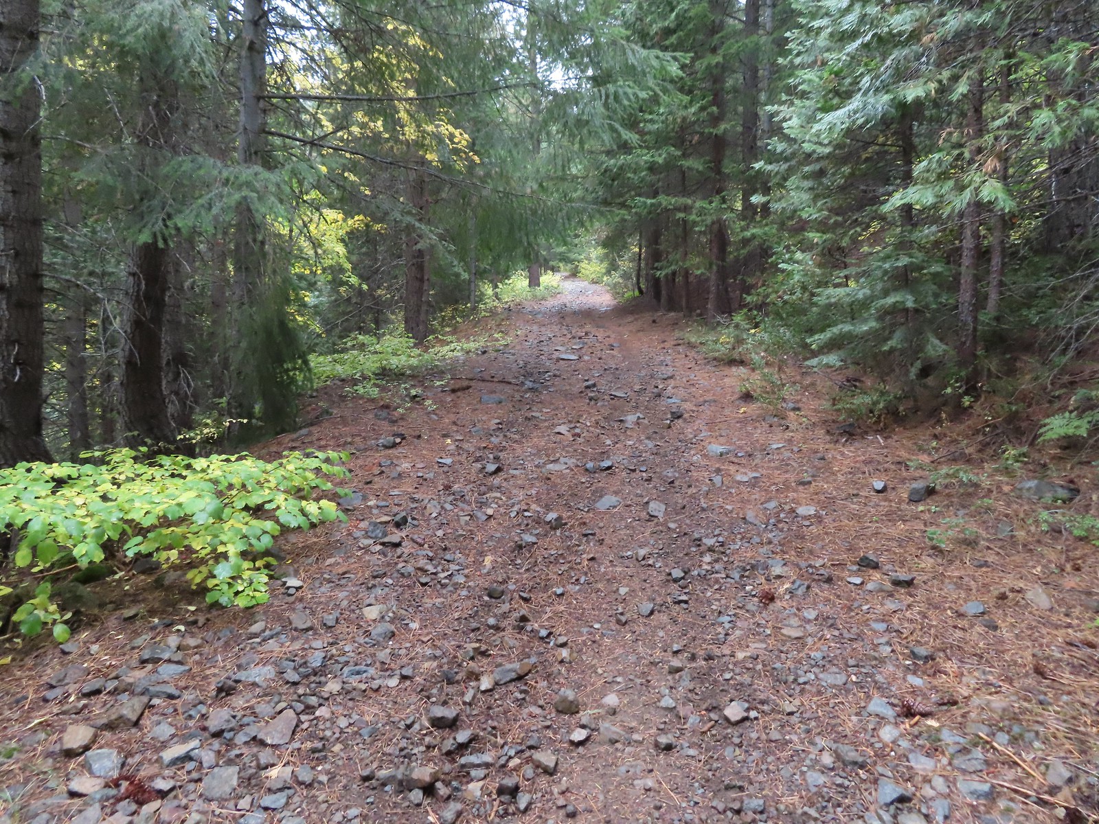


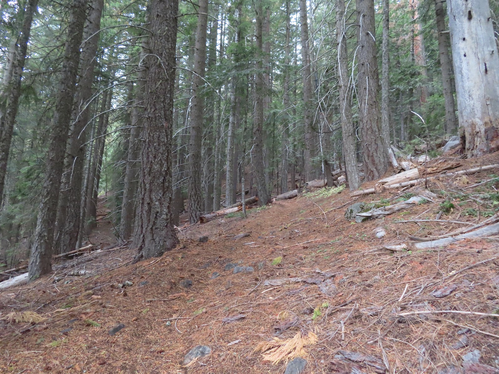
 There were a few really big trees in the forest along the trail.
 Grayback Mountain from the trail.
 The trail crossing O’Brien Creek.
 The junction with the spur trail to the snow shelter. It took me far too long to realize that the sign was upside down. I couldn’t figure out why it thought the Boundary Trail was to the left, after looking at it a few more times it dawned on me that the words were upside down.
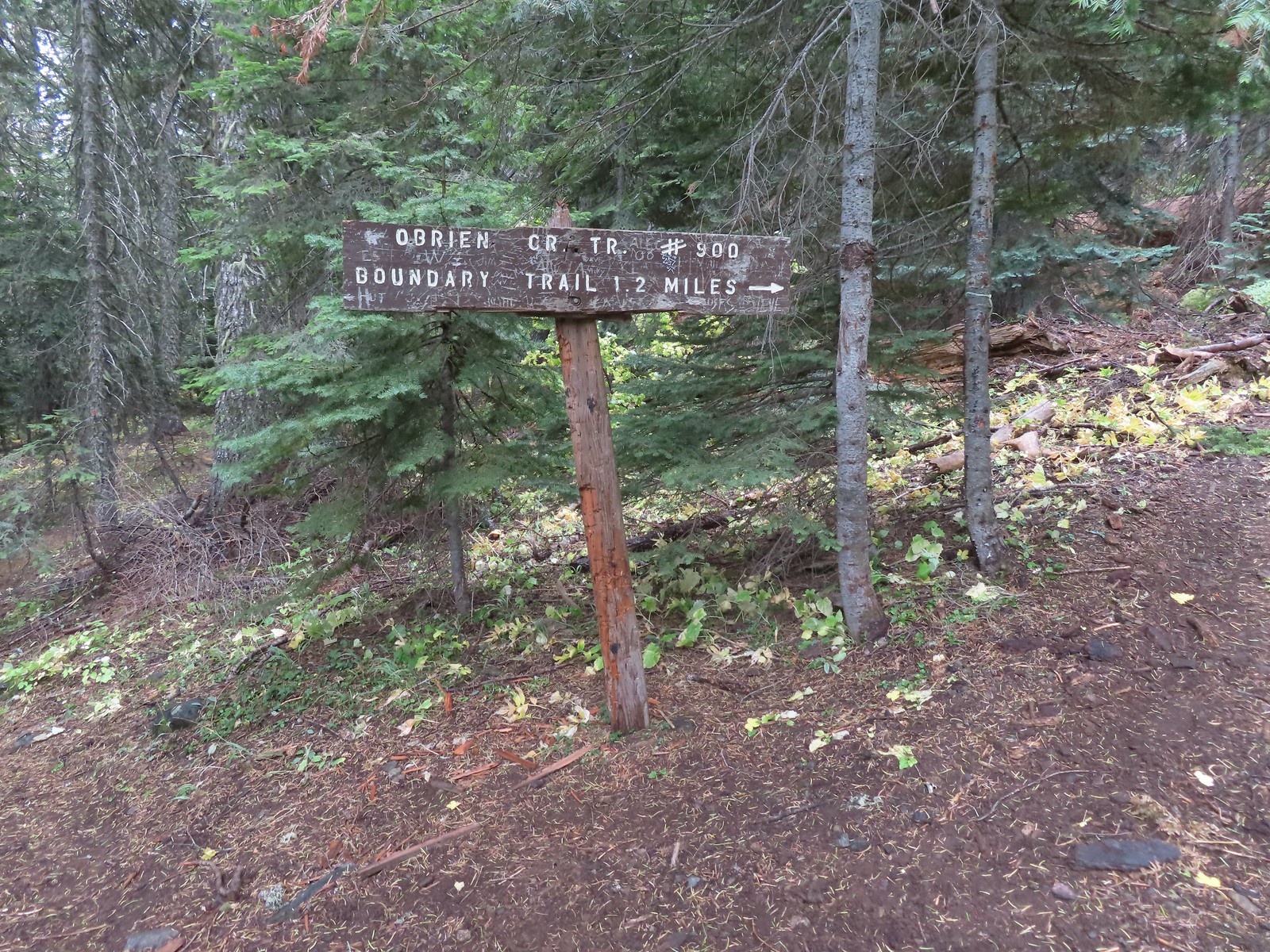 Ah ha! It wouldn’t stay this way but it sure made more sense.
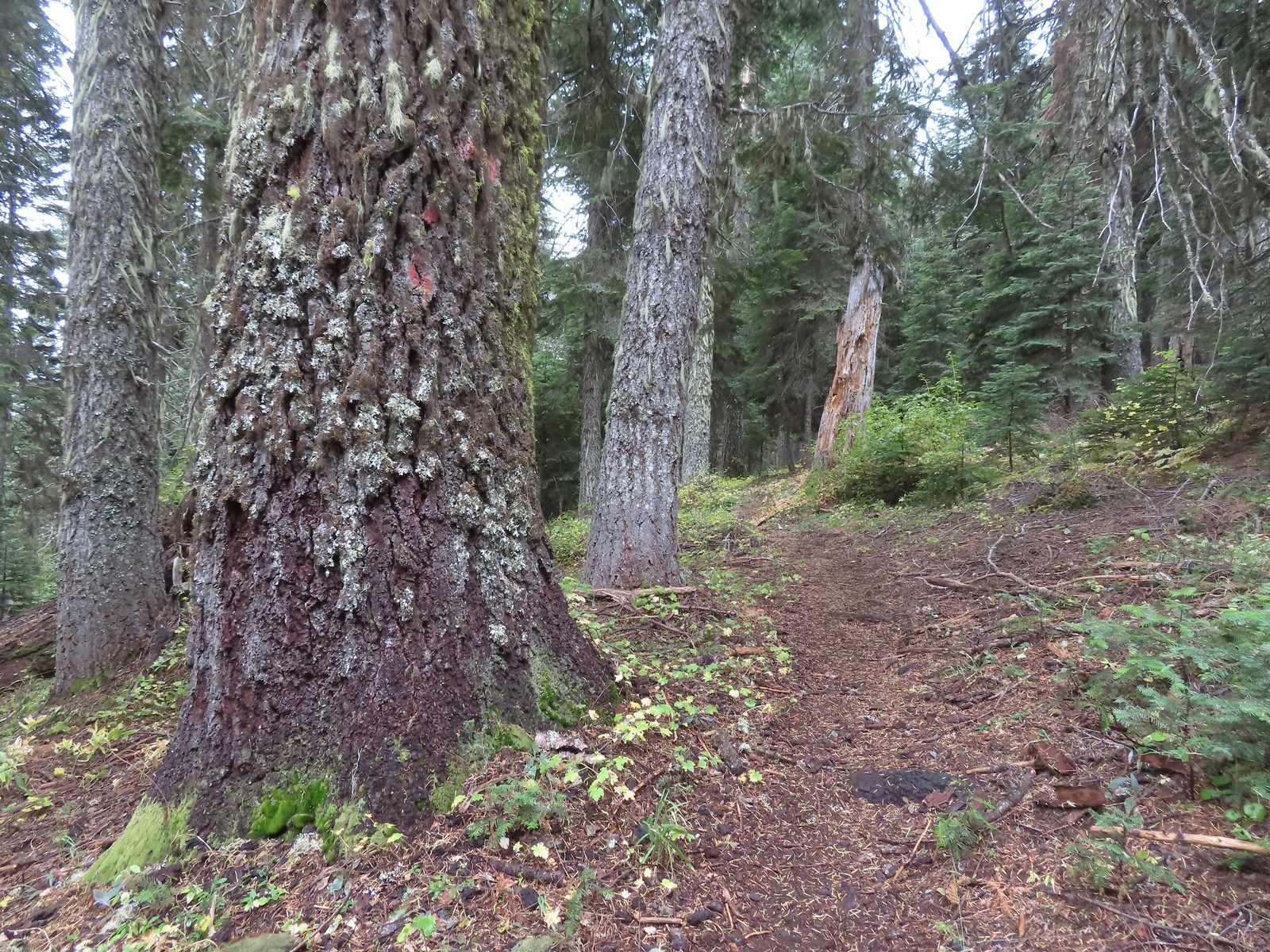


 There used to be a cabin out in the meadows and now there is a snow gauge and a campsite which may be where the voices were coming from.
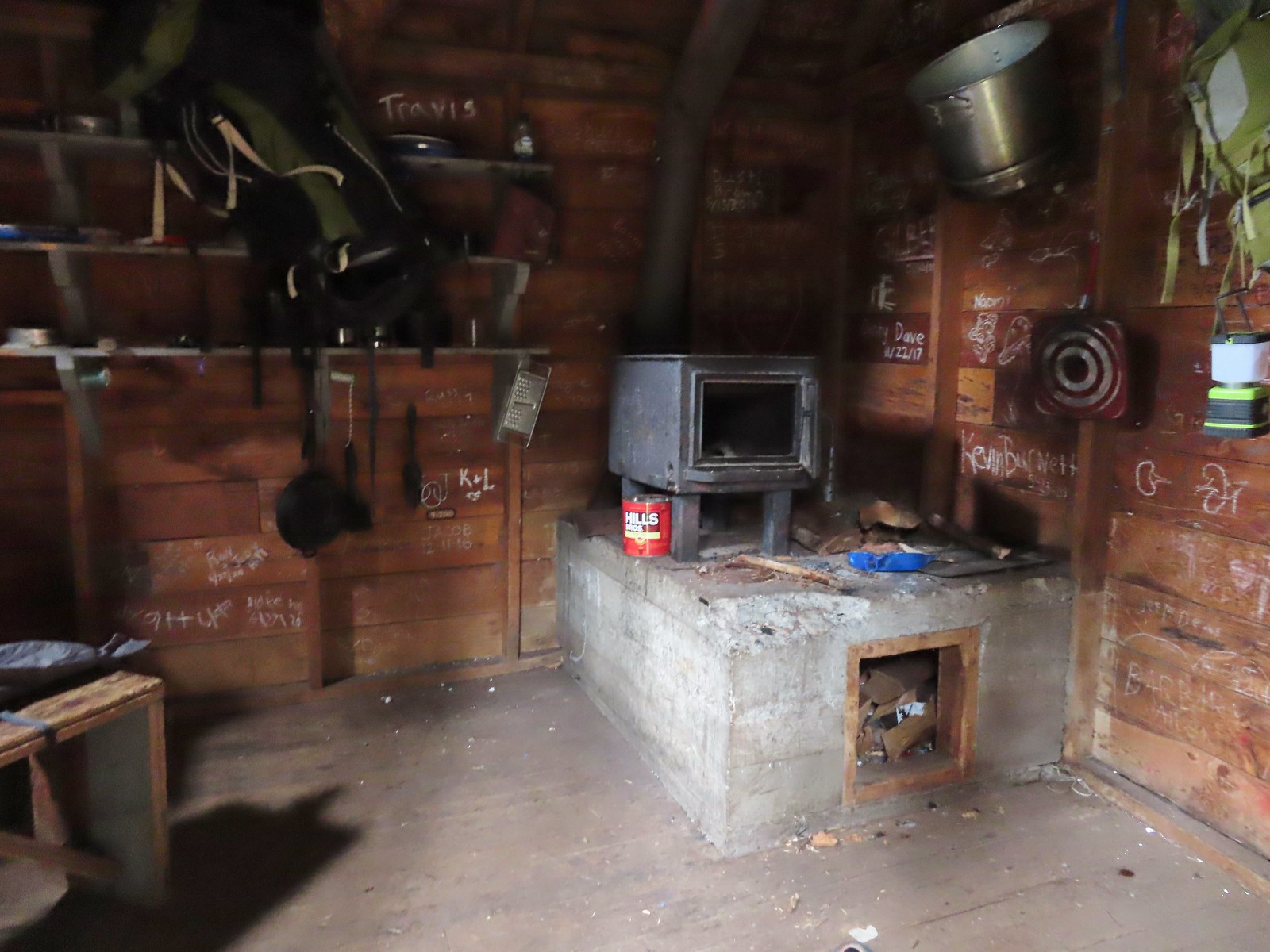 We took a quick peak inside the shelter where some of the backpacker’s stuff was.
 It was steep going down too.
 Trail pointer near the upper trailhead marking the continuation of the O’Brien Creek Trail to the lower trailhead.
 We always enjoy seeing madrones on our hikes in Southern Oregon.
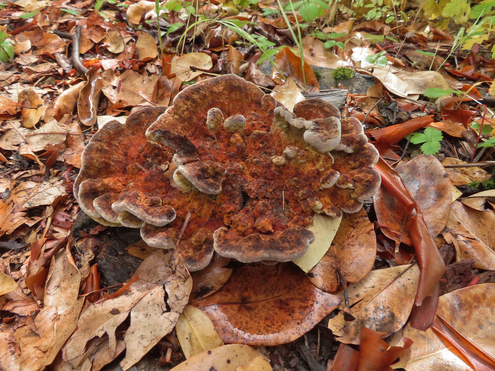

 Slug on a shroom.
 Bug on a shroom.
 One more steep drop to the lower trailhead.
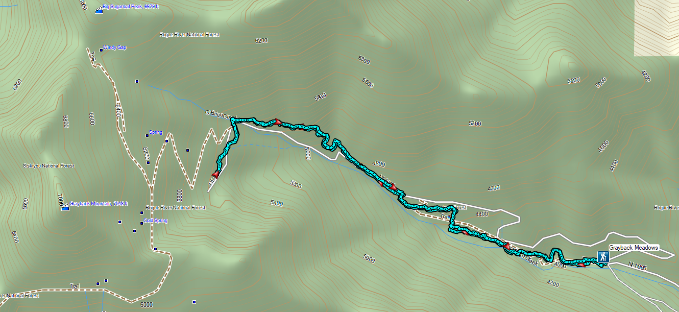

 The forest is recovering from the 2002 Biscuit Fire.
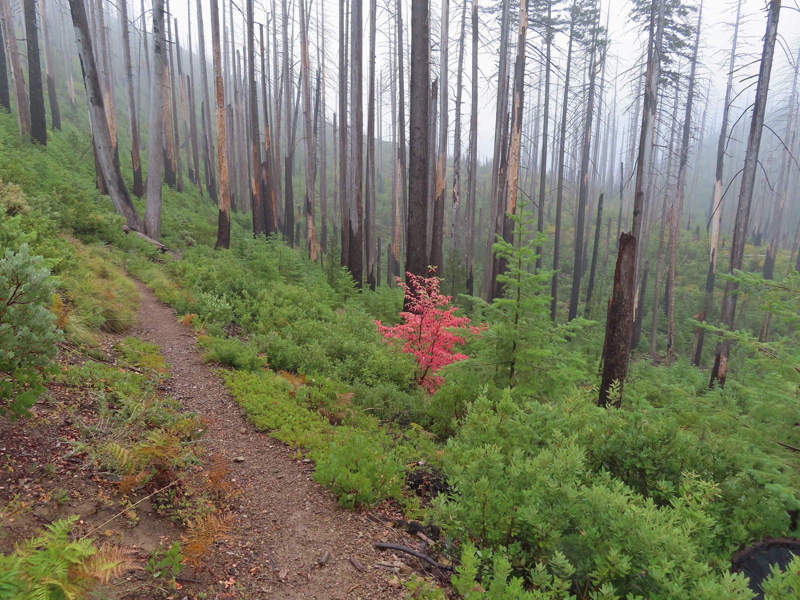
 To the left was the Babyfoot Lake Rim Trail. Sullivan’s longer option here include following this trail 0.9-miles to a viewpoint above the lake. Given the fog that seemed pointless, and it also looked like that trail was in need of some maintenance.
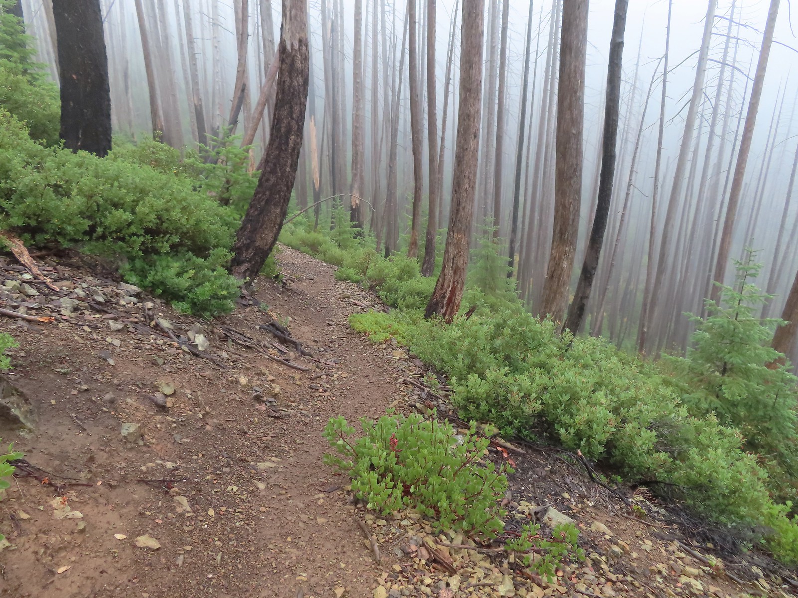
 A small stream with crystal clear water along the trail.
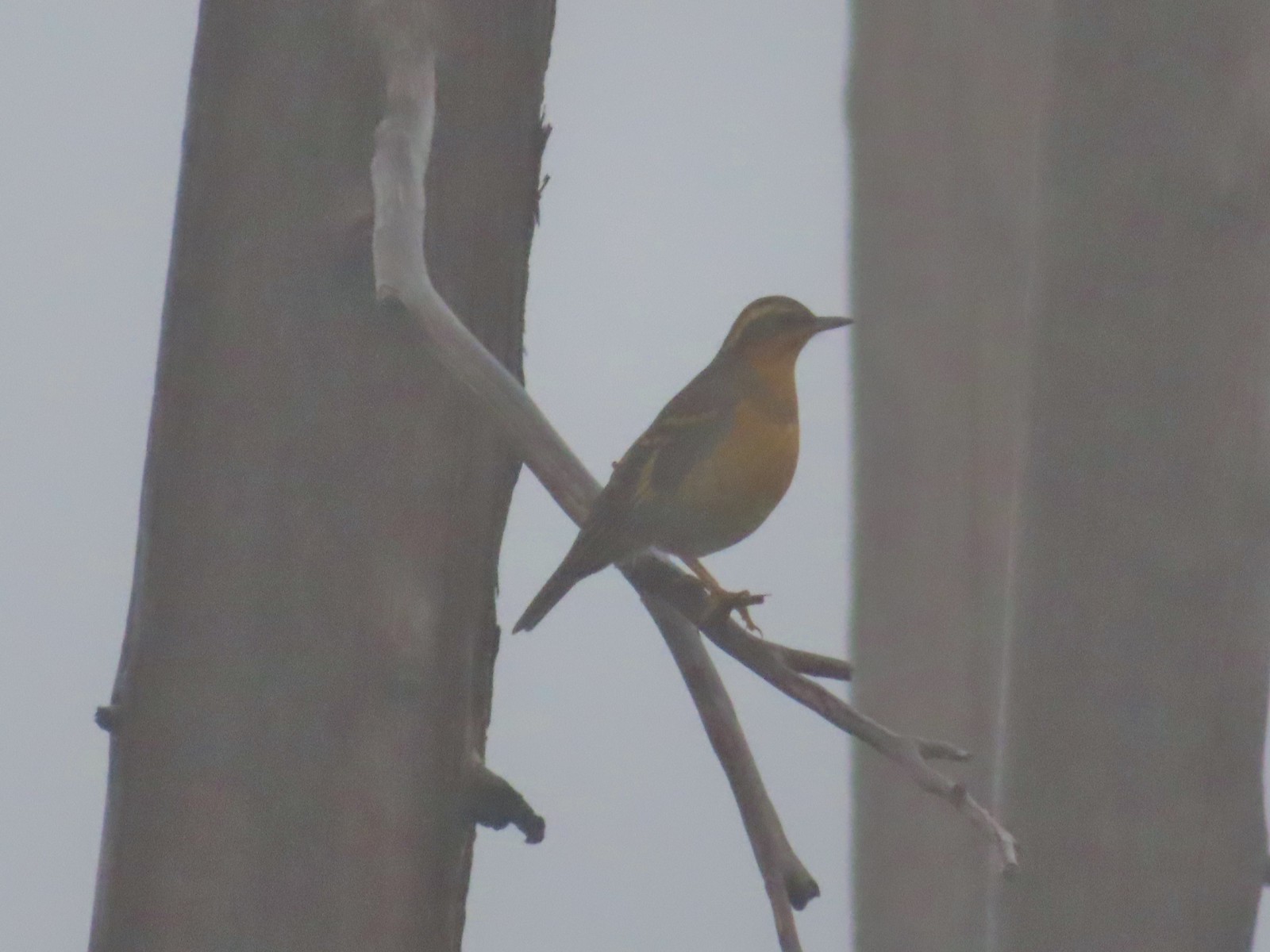 My nemesis, the varied thrush.
 Near the lake the trail passes this rock outcrop which is a viewpoint without the fog.
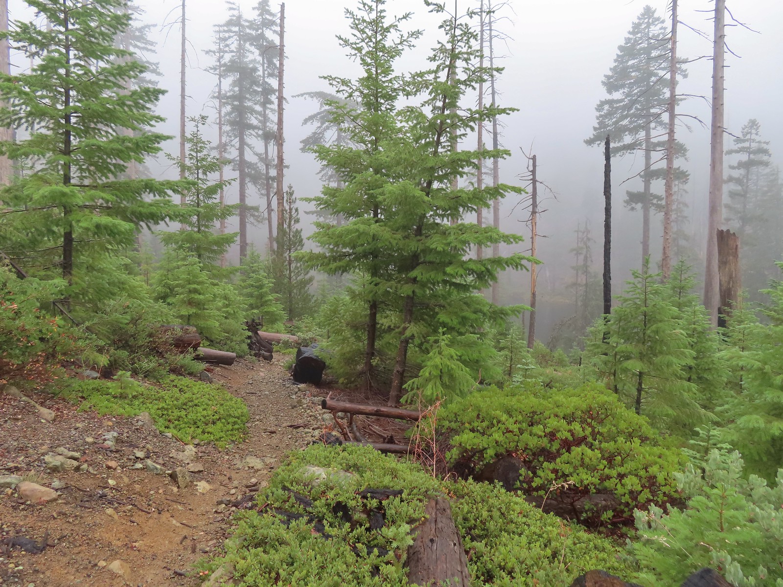 Some of the trees around the lake survived the 2002 fire.
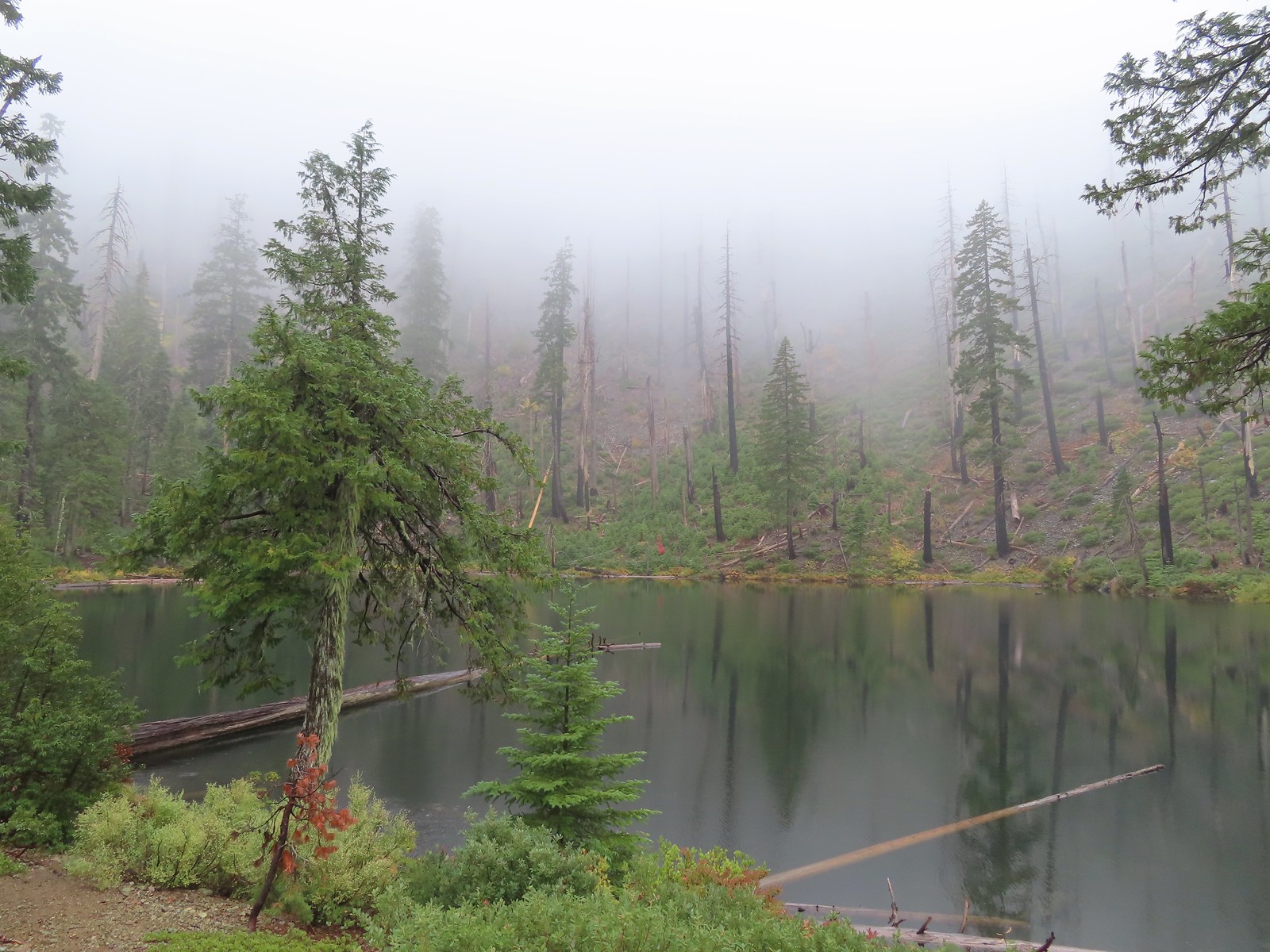

 I of course had to head out onto the viewpoint given the rapidly changing conditions.
 The patterns on this snag caught my eye.
 The trailhead on the ridge ahead.
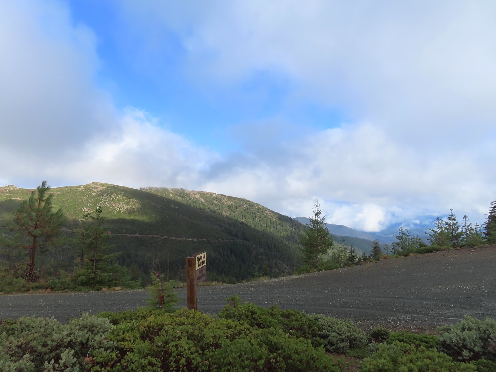

 There is a large turnaround/parking area at the end of Forest Road 041 which serves as the trailhead. The final 500 meters of the road are rough so high clearance vehicles are recommended.
 A pink flag marked the start of the trail just up the road from the turnaround.
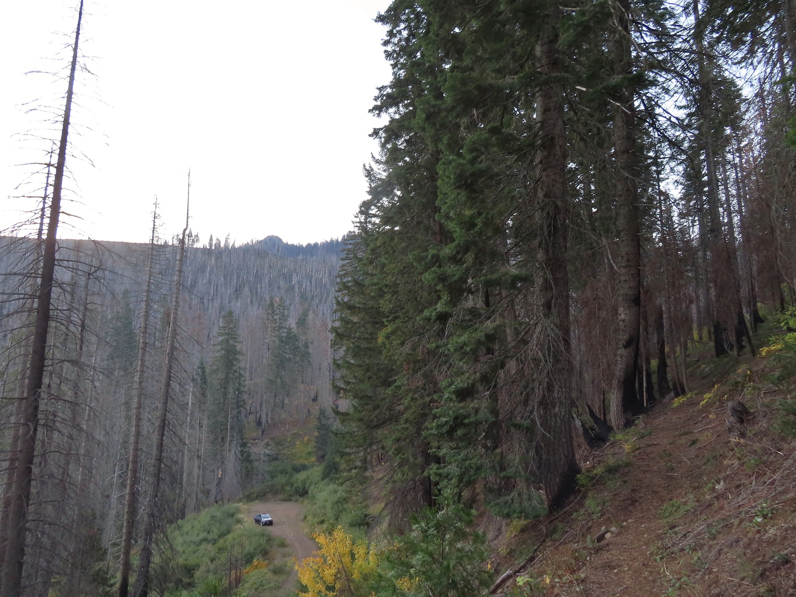 The trailhead from the Tanner Lakes Trail.
 A few trees survived the fire around the lakes.
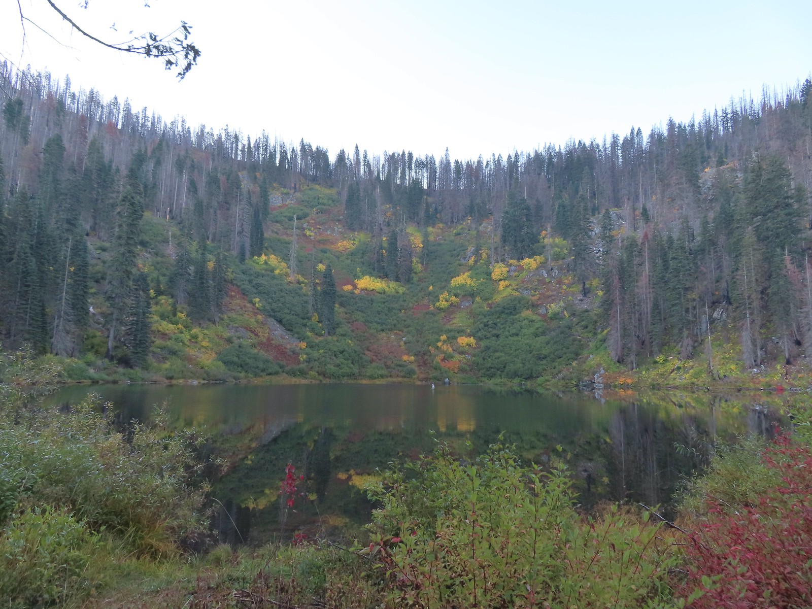 Tanner Lake in the morning.

 Penstemon
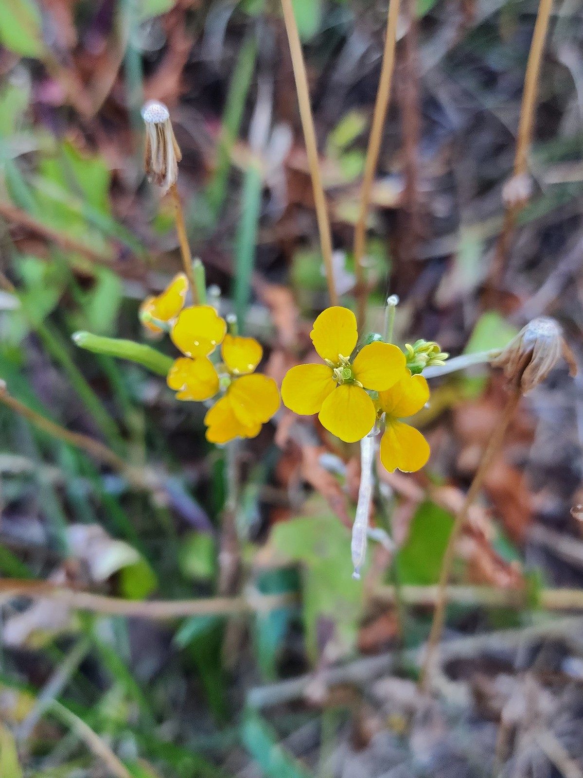 Wallflower
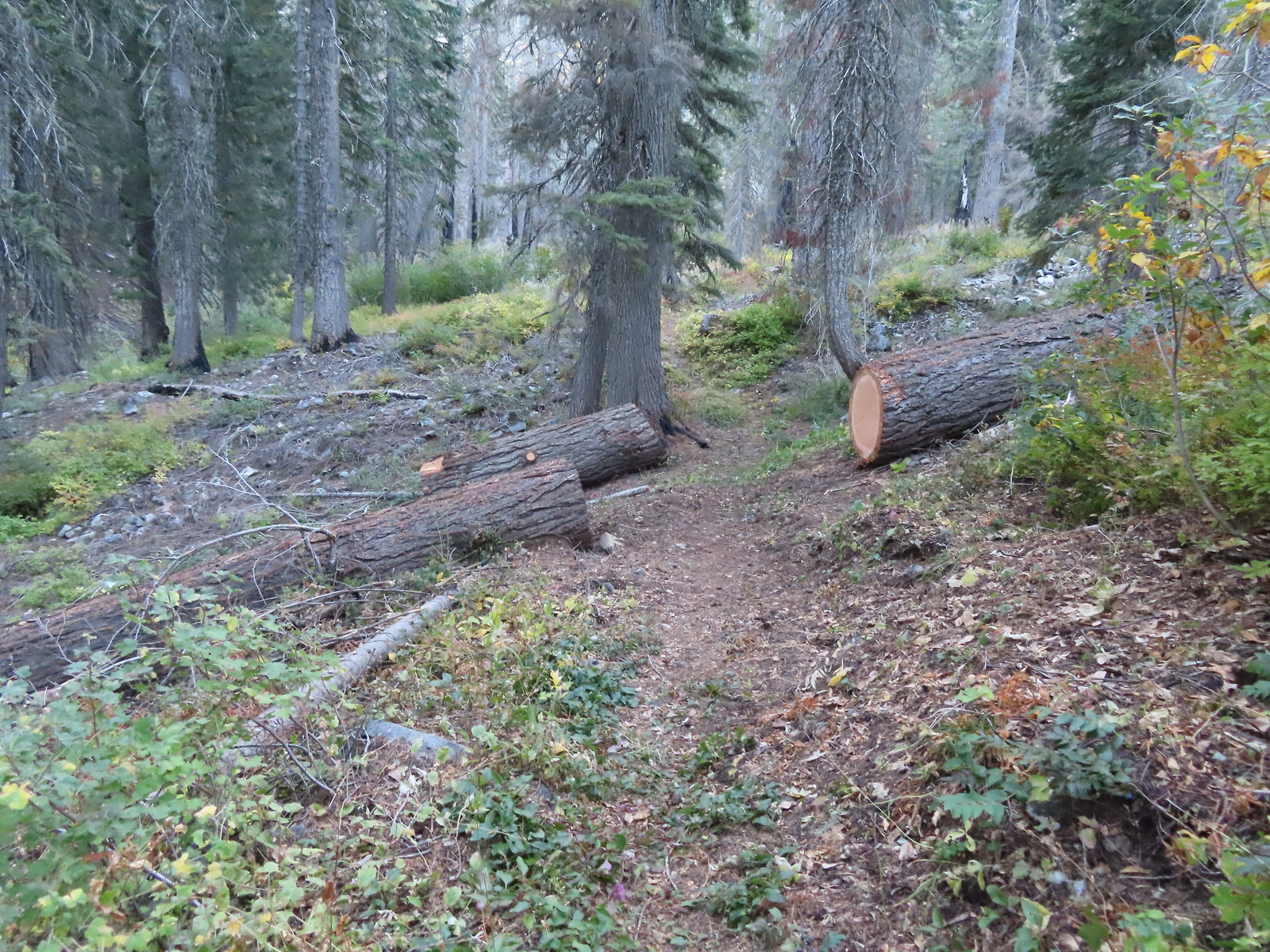 Recent trail maintenance.
 East Tanner Lake
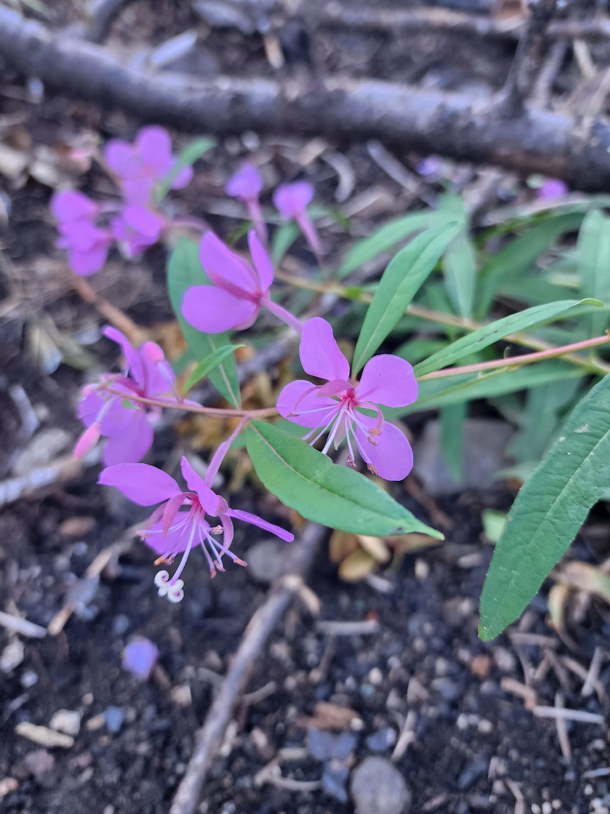 Fireweed
 The eastern side of the ridge fared better in the fire than the forest closer to the lakes.
 Signs at the junction with the tie trail.
 The tie trail used to be here.

 Second breakfast
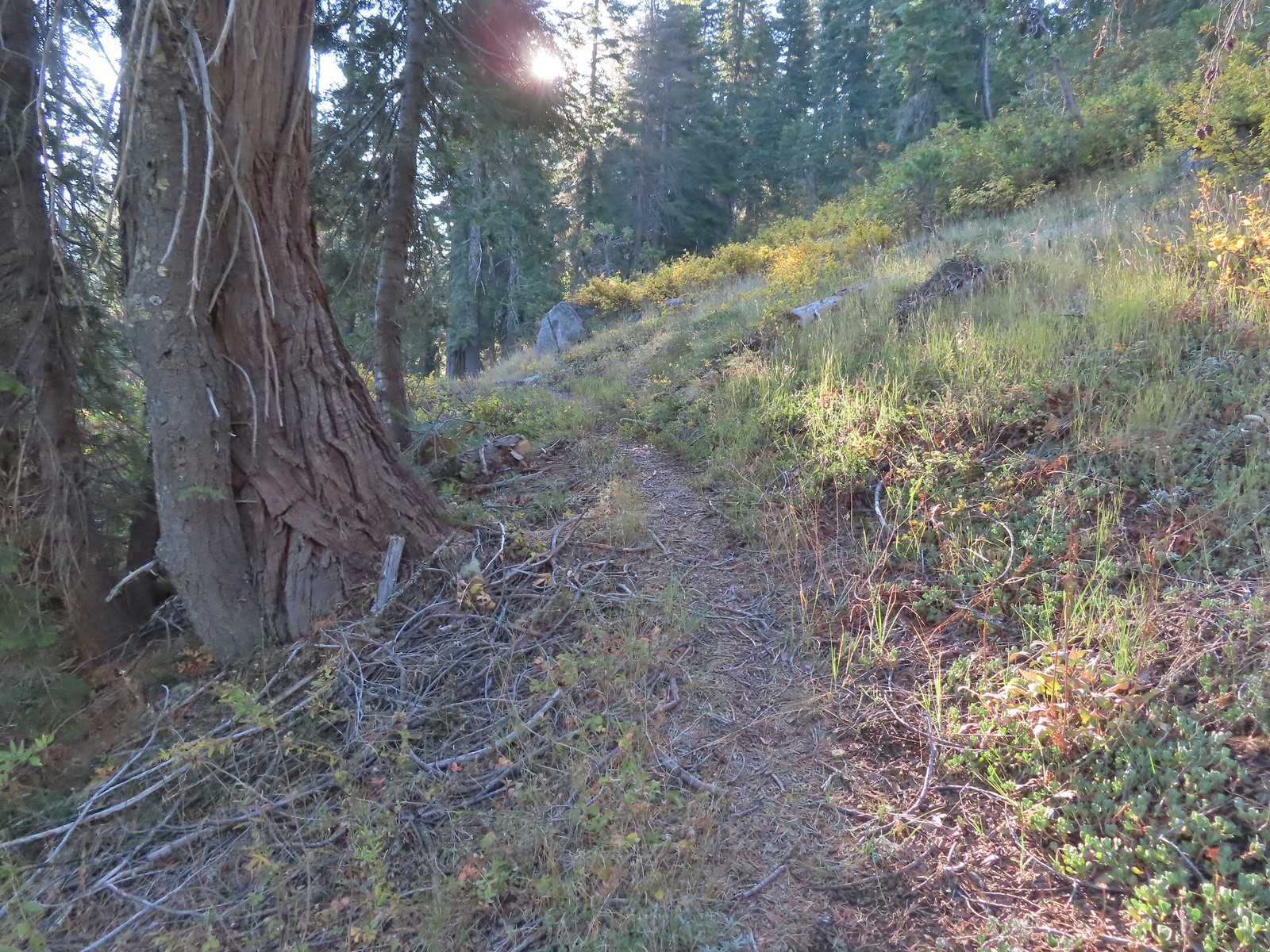 The trail briefly left the fire scar altogether near the Fehley Gulch junction.
 Looking back down at the Fehley Gulch Trail as it joins the Tanner Lake Trail.
 Tanner Mountain from the trail near the junction.
 Sign at the Boundary Trail junction.
 Dark-eyed junco
 Tanner Mountain again.
 Scarlet gilia
 One of two checker-mallow blossoms I spotted. The other was much nicer looking but it was downhill and I was too lazy to go down to get a good photo.
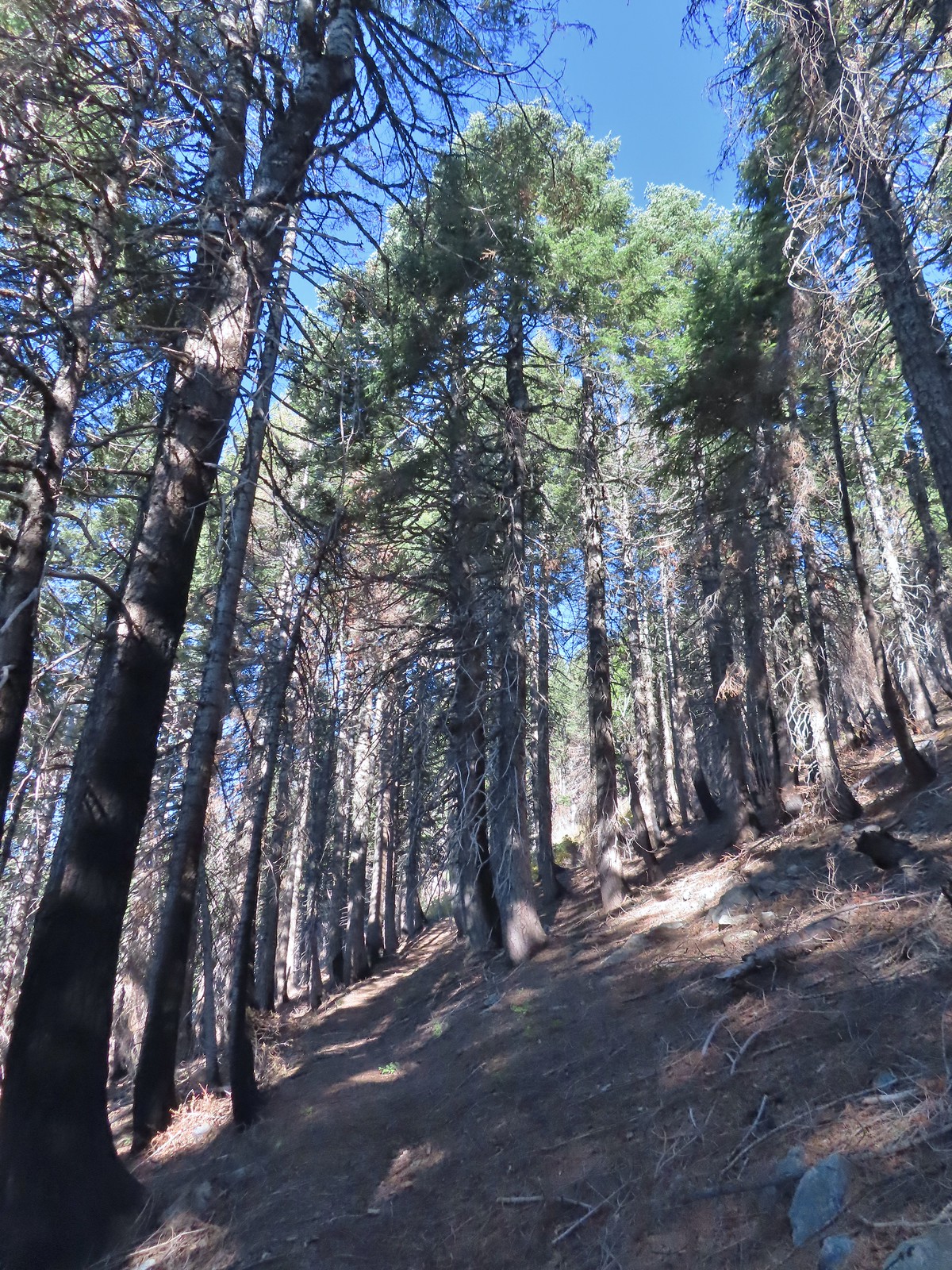 This trail was really steep at times.
 Almost to the ridge.
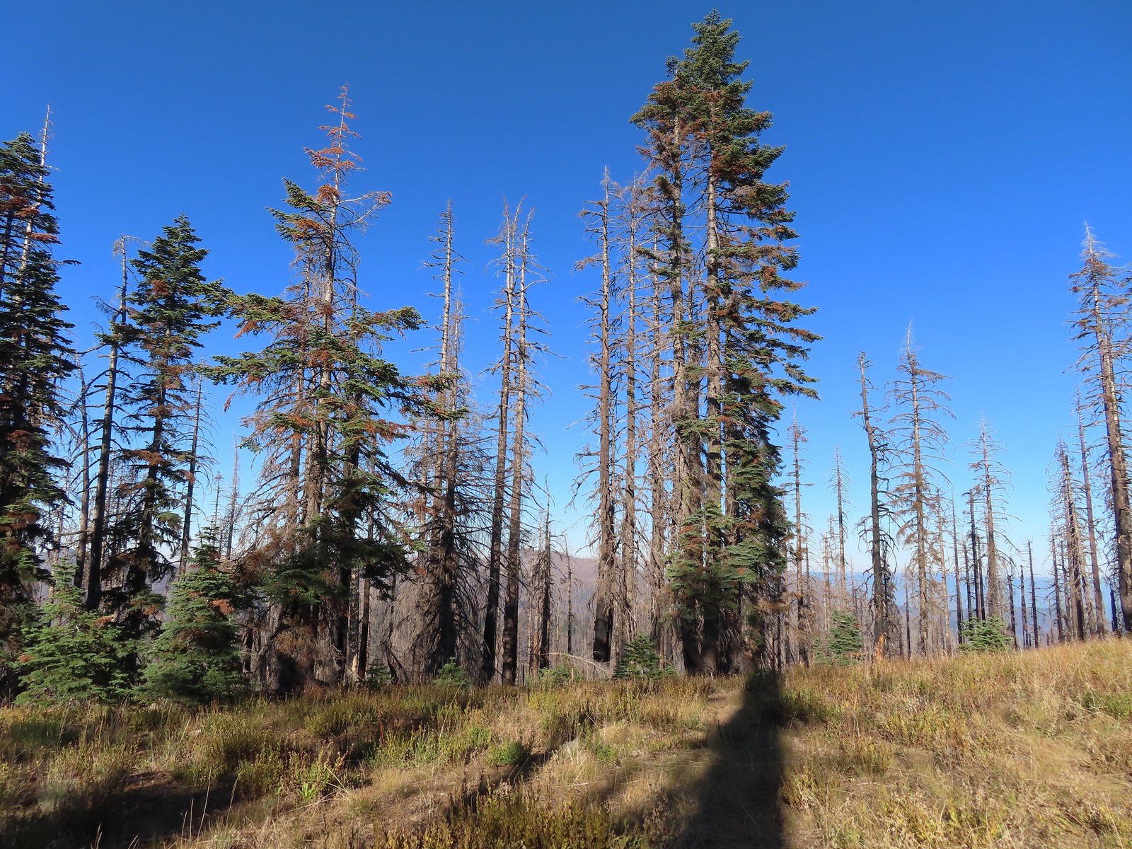 The trail became pretty faint on the ridge.
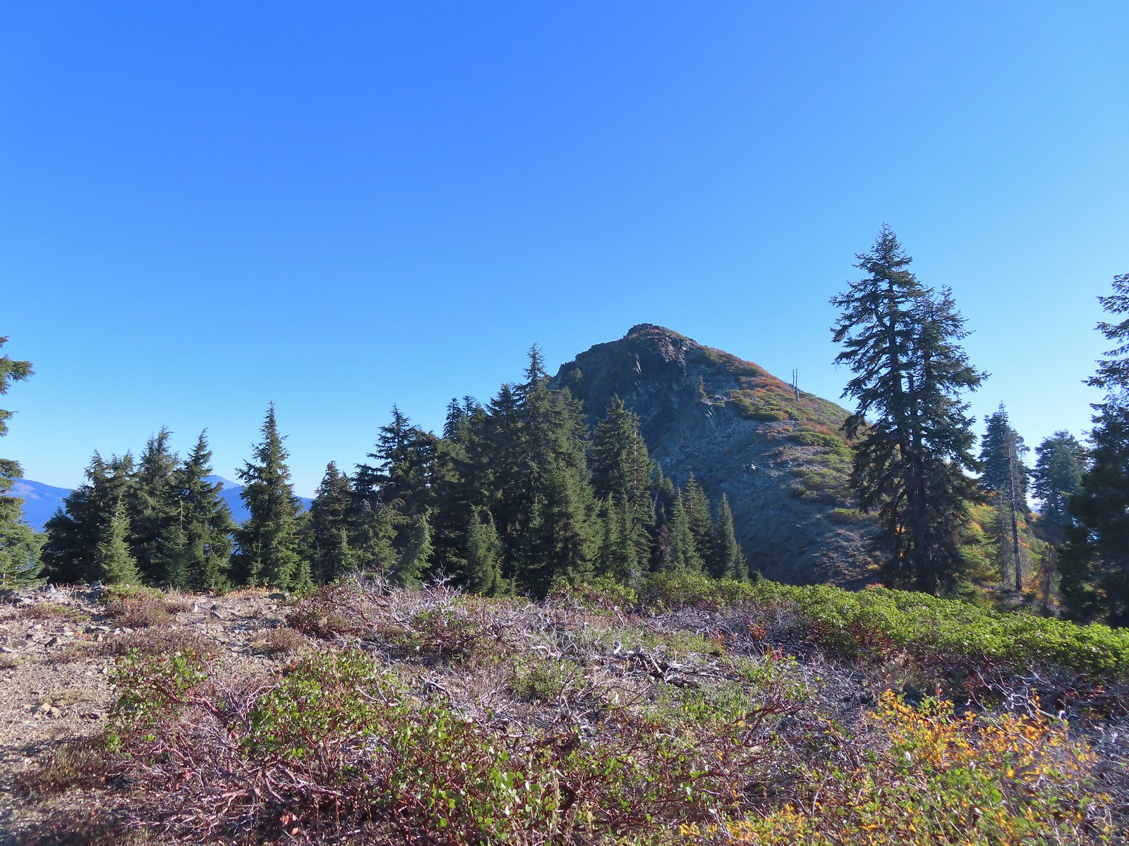
 More steep climbing.
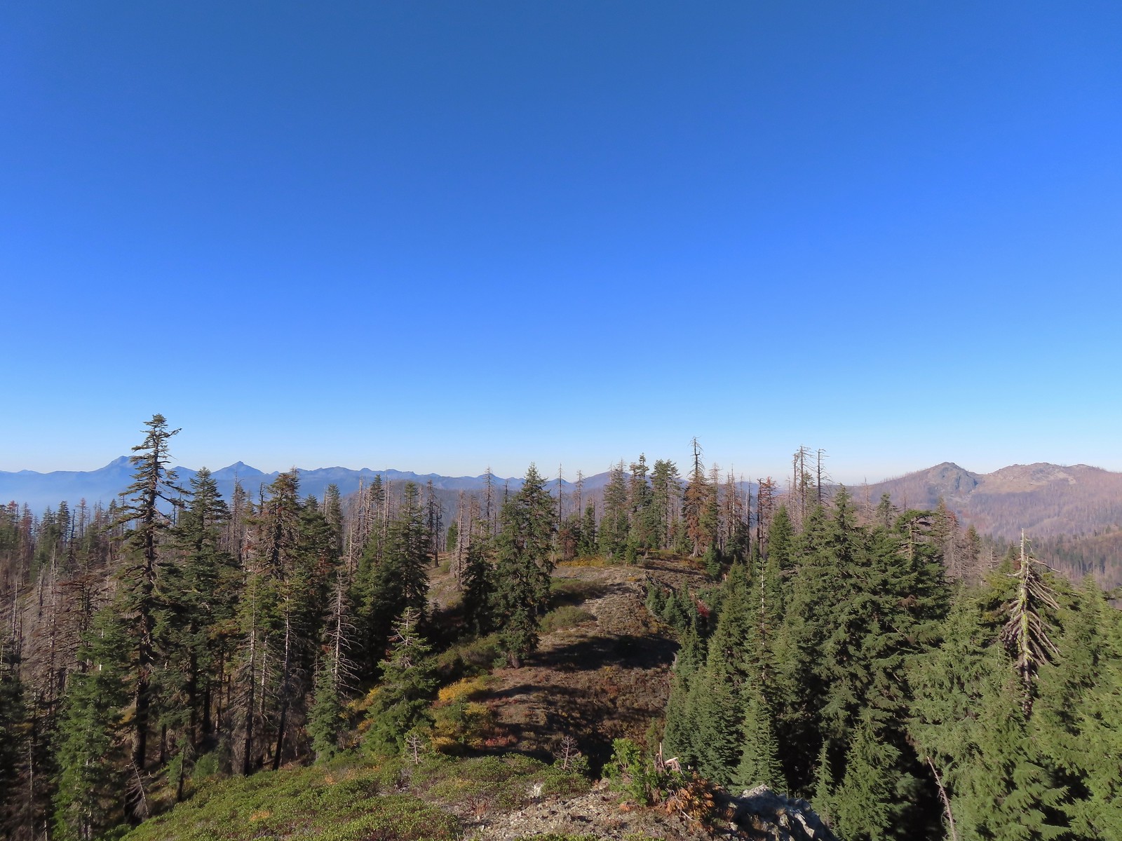 Looking back down over the use trail.
 From right to left – Grayback Mountain, Lake Mountain, and Mount Elijah (with lots of other peaks).
 The double humps of Red Buttes behind and left of Pyramid Peak with the outline of Mt. Shasta to the right of Pyramid Peak.
 Preston Peak and El Capitan in the Siskiyou Wilderness (
 Preston Peak and El Capitan
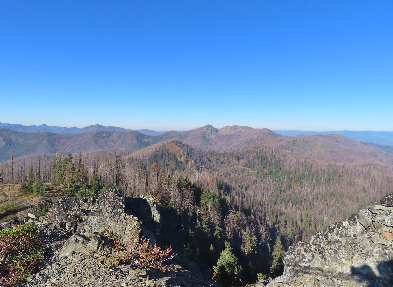 Bolan Mountain, our other stop for the day.
 Bolan Mountain
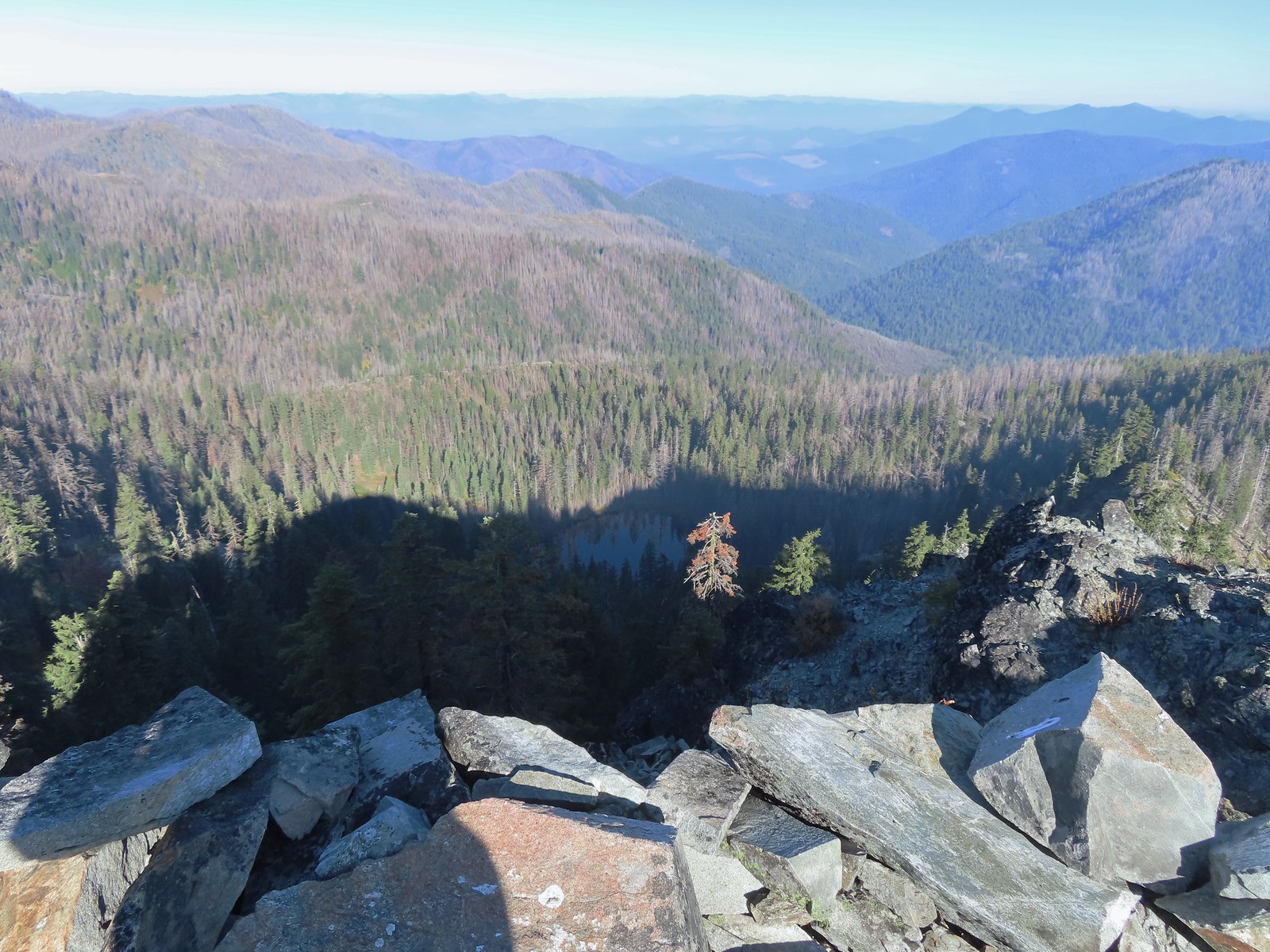 East Tanner Lake in the shadow of Tanner Mountain.
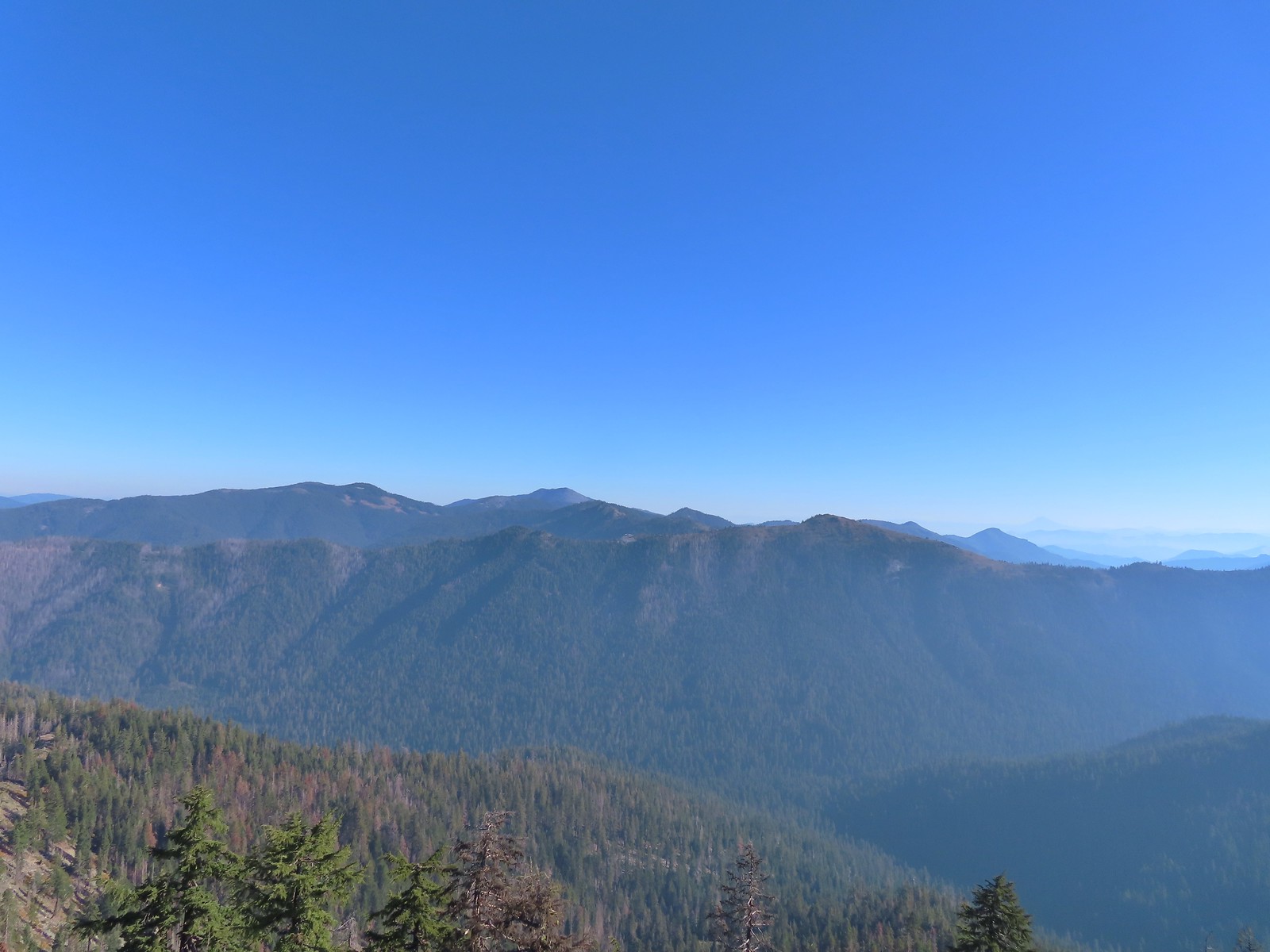 A faint Mt. McLoughlin (
 The Boundary Trail dropping off Thompson Ridge.
 Ferns along the Boundary Trail.
 More signs of recent maintenance.
 Old campsite near Road 570 and the boundary of the
  This is/was the Boundary Trailhead but there isn’t much left post fire.
 Bolan Mountain from Road 570.
 Pussy paws
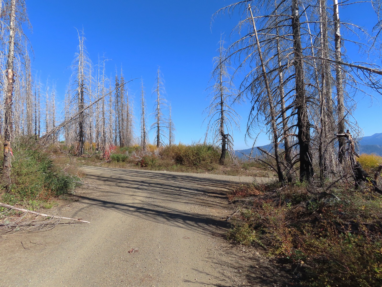 Road 041 at Kings Saddle.
 Pearly everlasting along Road 041.
 Where things started getting ugly on Road 041.
 It’s in the shadow but the runoff channel cut across the road here creating a decent sized divot.
 Another rocky section of the road.
 California sister at the trailhead.
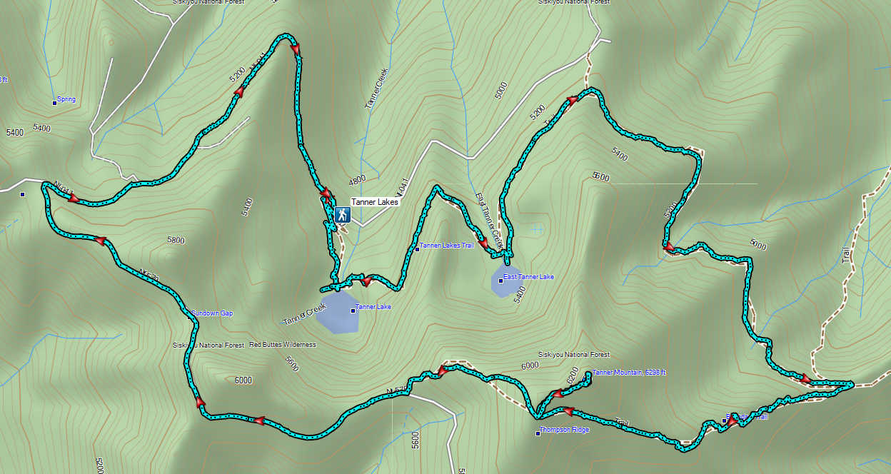
 The pointer is a trap!
 This looked like as clear a spot as any.
 Looking up the Bolan Lake Trail.
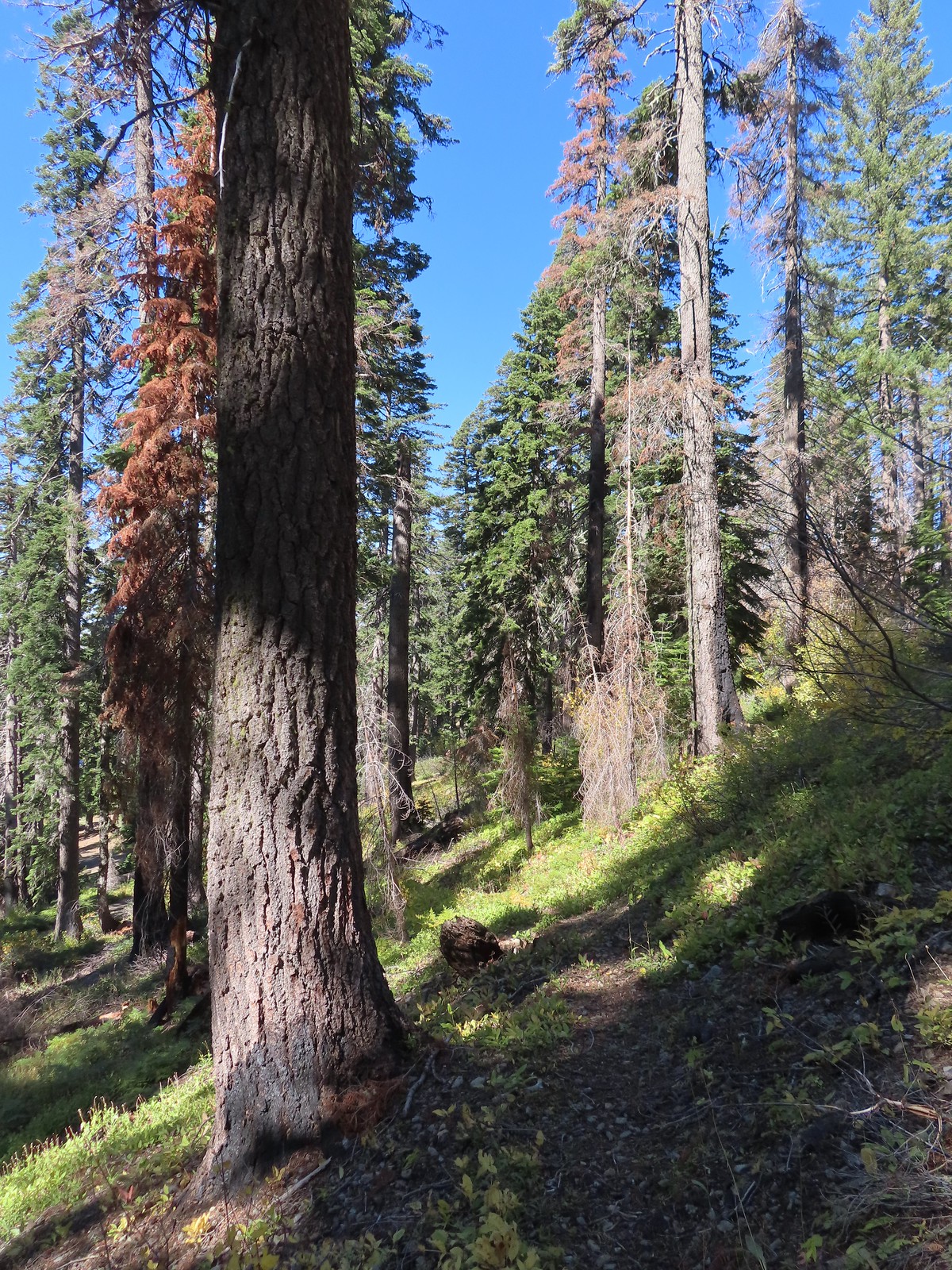 My guess is the rock on the log was where the trail used to begin but the log had been a bit too large to climb over.
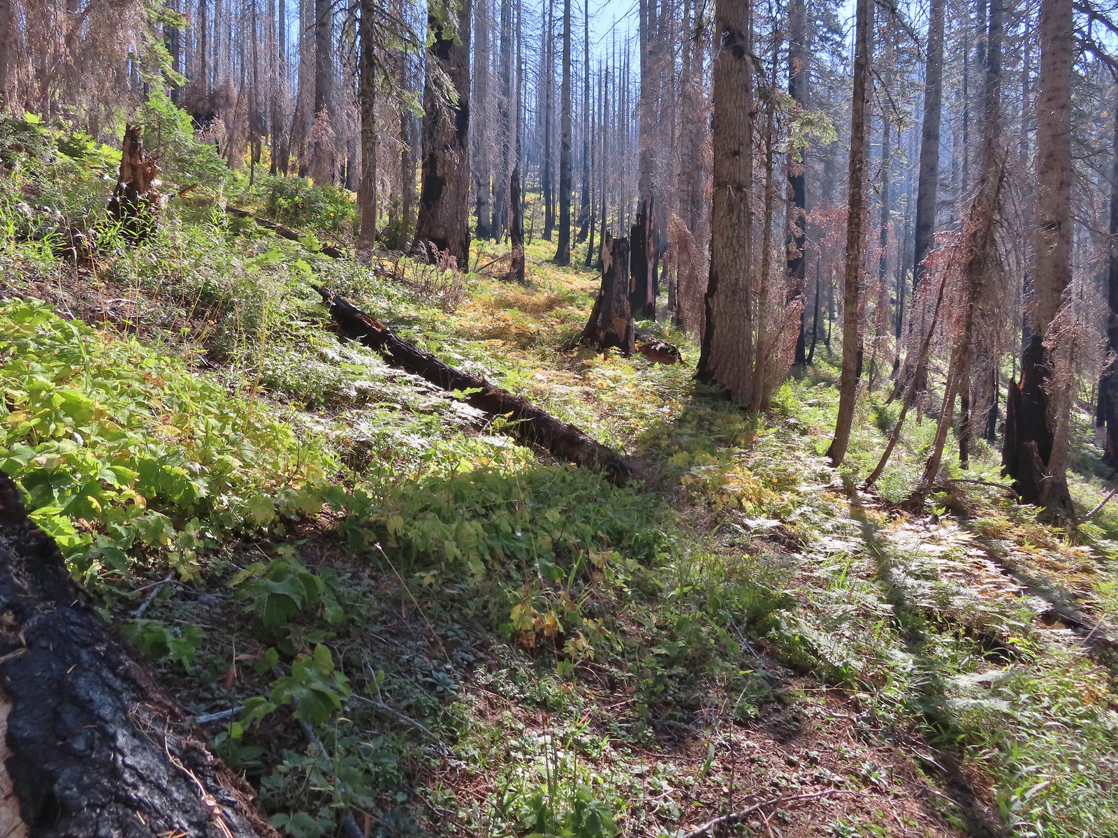 Faint tread was all that was left in most places.
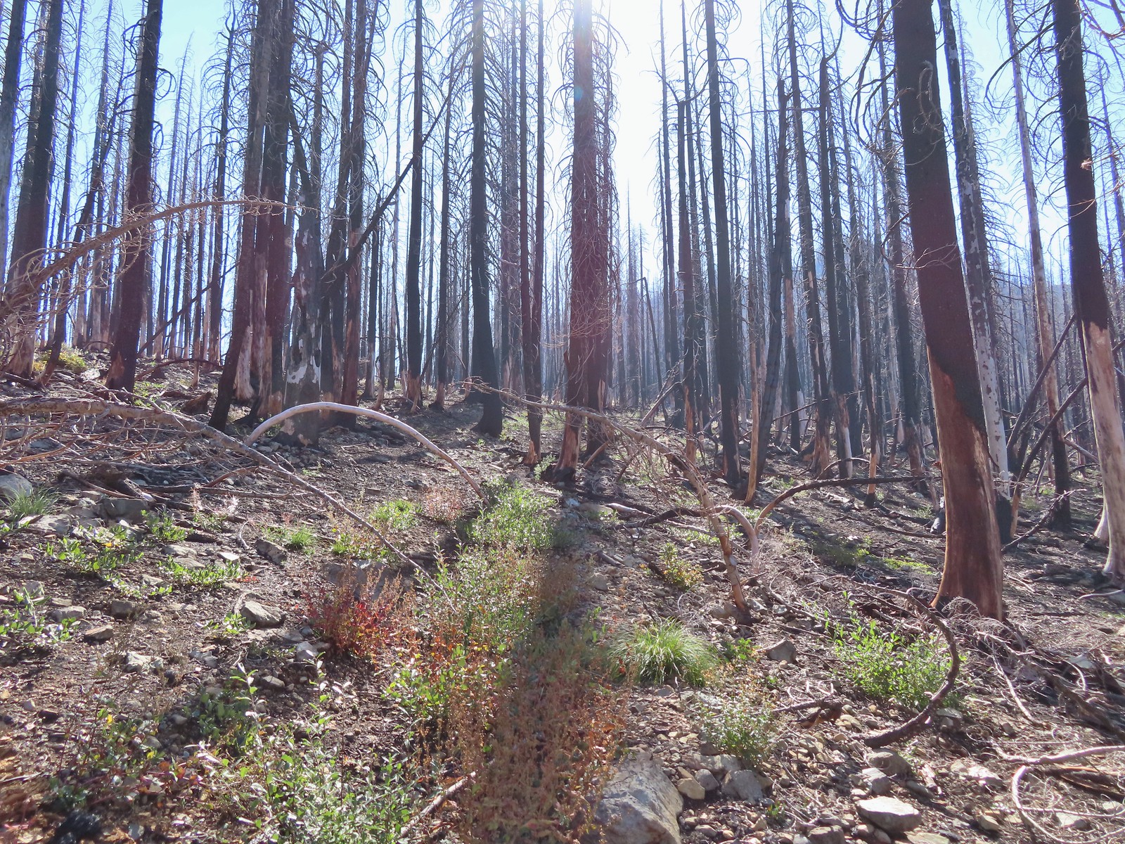 The Bolan Lake Trail to the left.
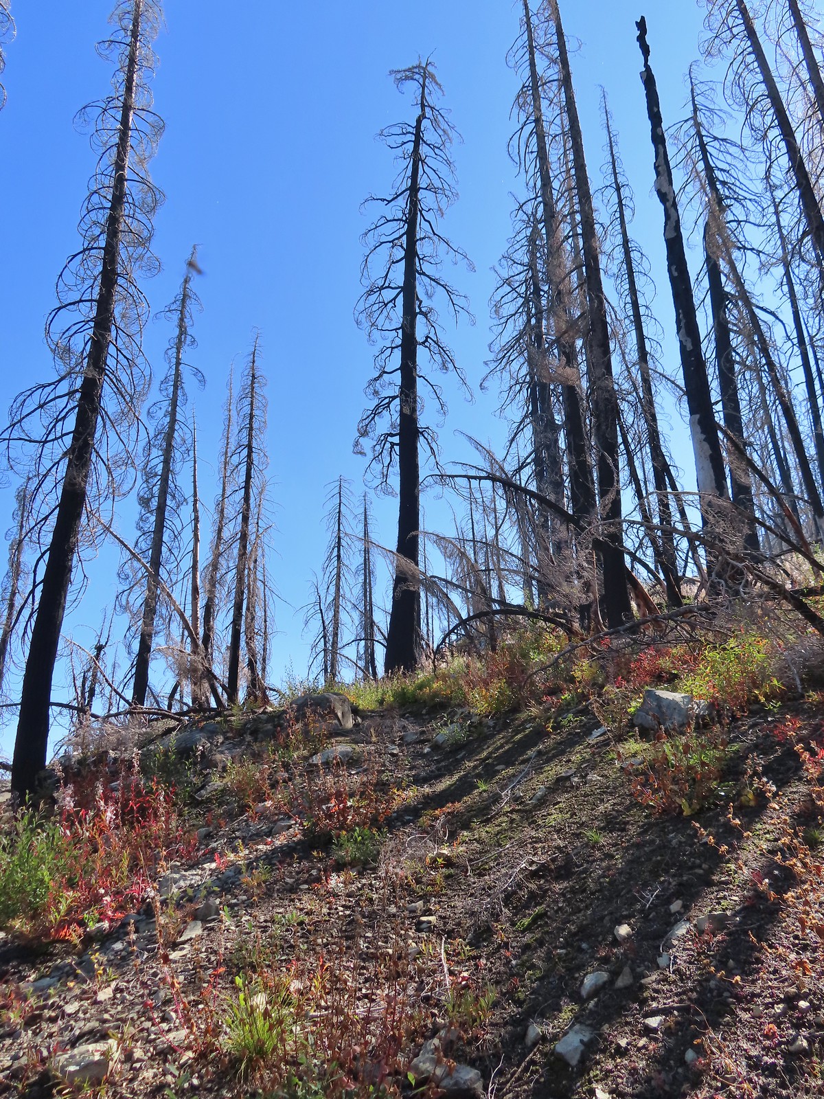
 Sometimes the tread just disappeared.
 Lake Mountain, Grayback Mountain, Craggy Mountain, and Swan Mountain.
 Momentary tread.
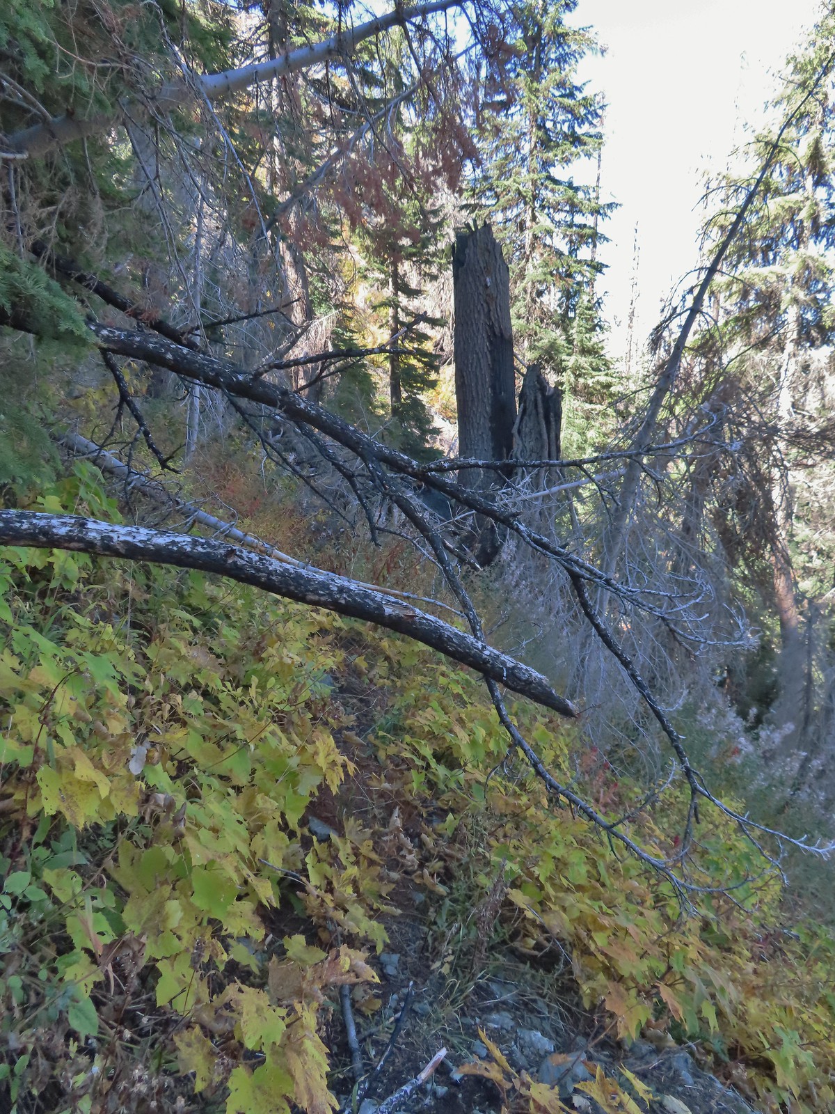 Just about 500′ below the ridge there was a large downed tree which required some side-hilling to drop below and then climb steeply back up to the trail.
 I got back to the trail to find more debris covering it.
 Final pitch to the ridge.
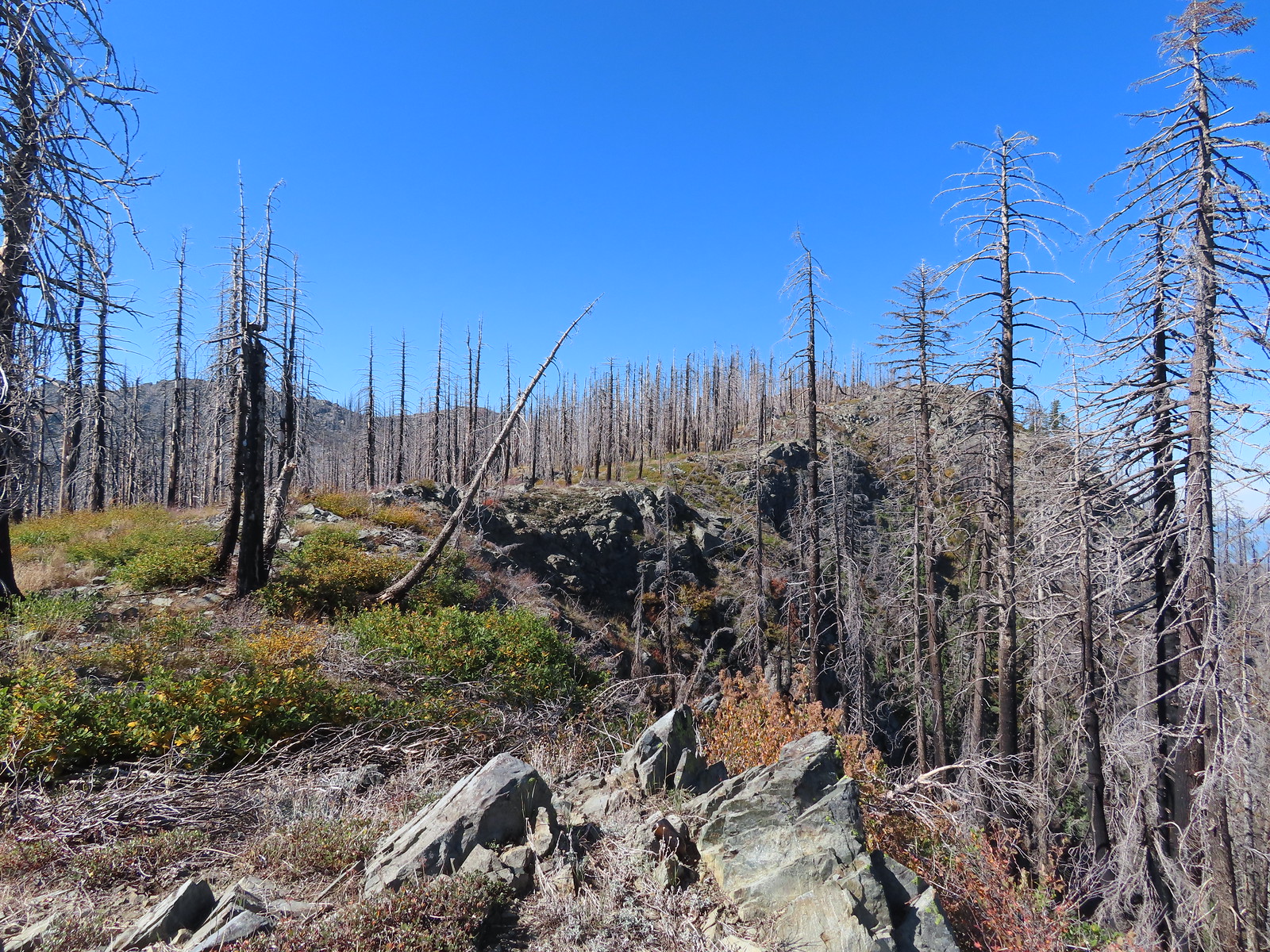 Bolan Mountain from the ridge.
 The trail descended slightly on the far side of the ridge to the junction.
 I assume the downed post and small pile of rocks marked the junction with the mile long Kings Saddle Trail.
 The Bolan Lake Trail (I think) at the junction.
 I might be on trail.
 I was sure I was on the trail here.
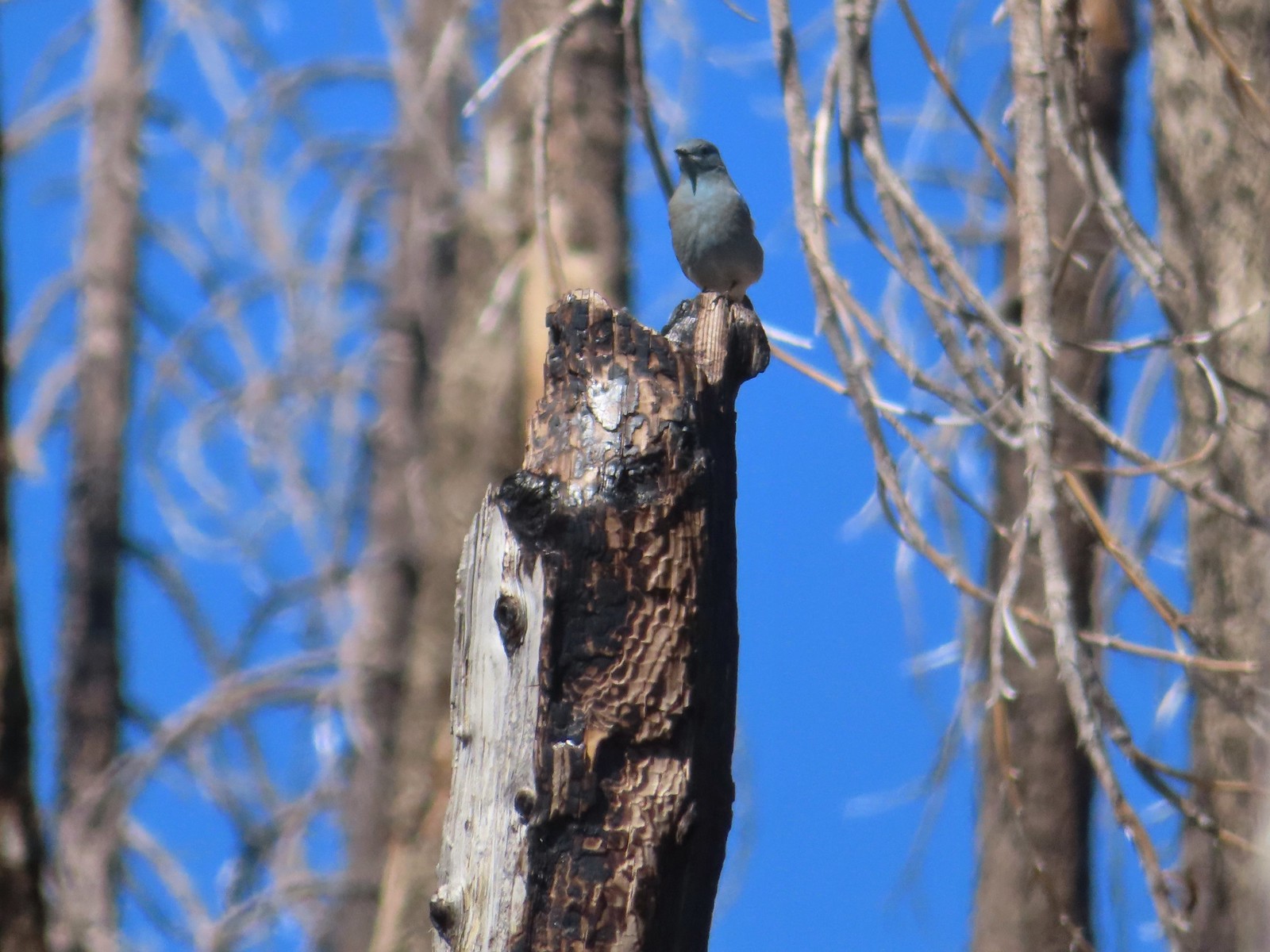 Mountain bluebird wondering what I was thinking.
 Now I was just going uphill.
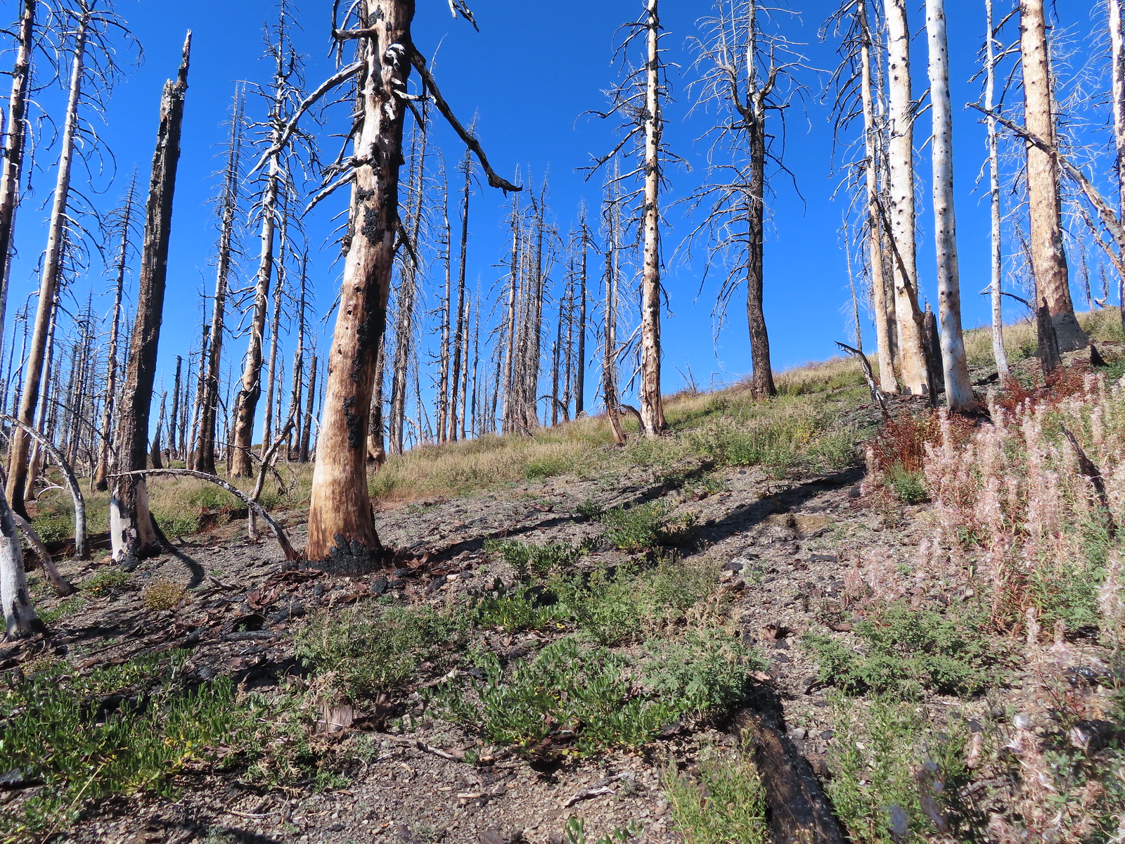 No idea where I was supposed to be at this point.
 The rocky point that the GPS labeled as Bolan Mountain.
 I got this far before realizing I was heading to the wrong spot.
 At least from here I could see the road heading up to the former lookout site through the burned trees.
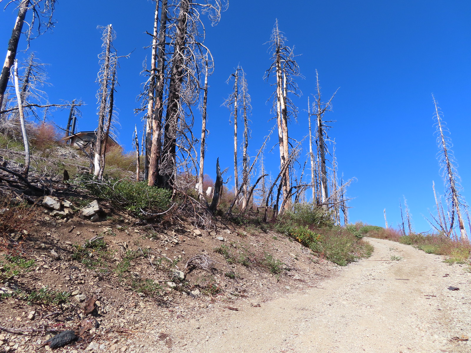 Not sure if the outhouse (above to the left) survived the fire or is new.
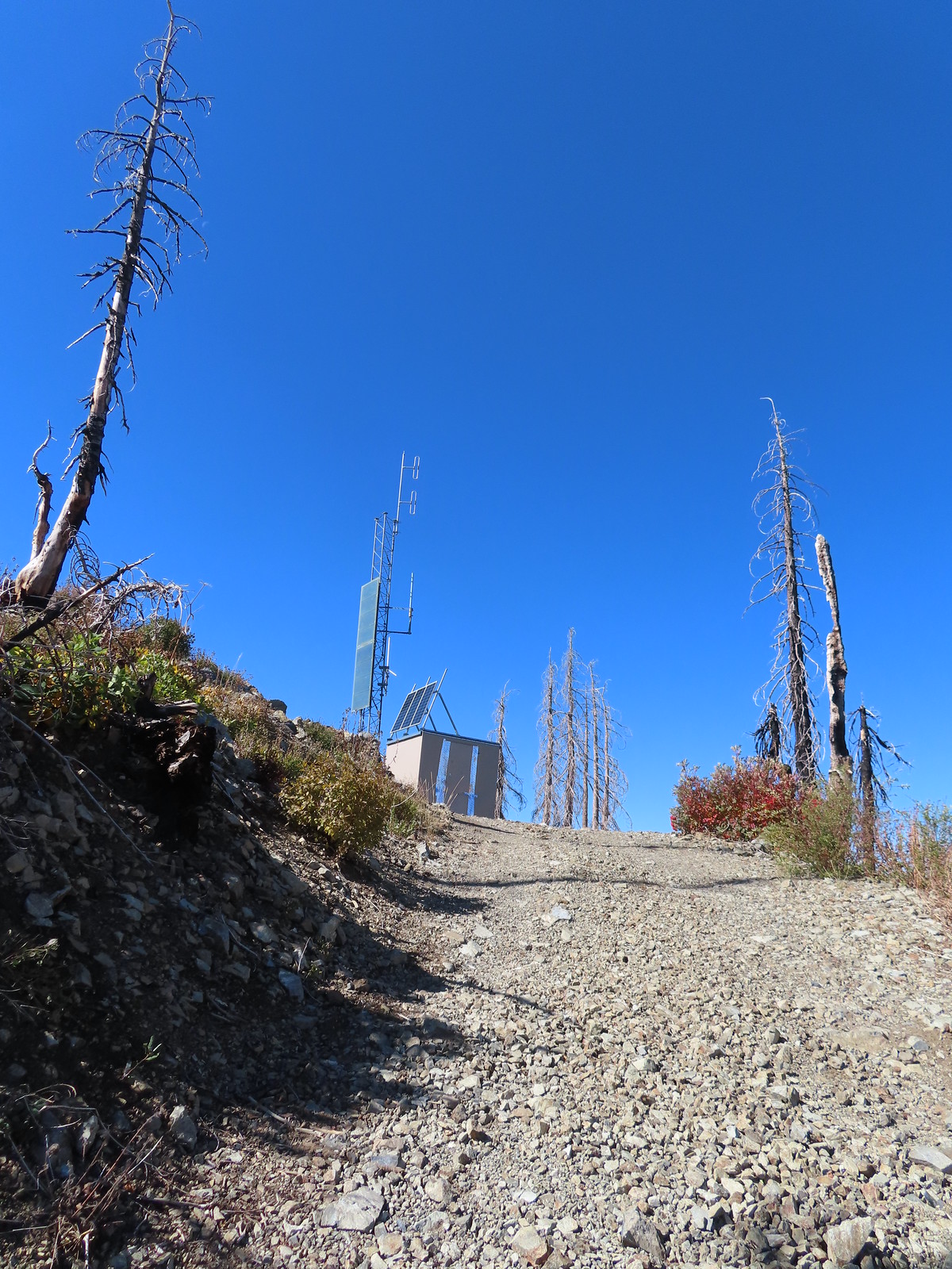
 Stone steps to the former lookout site.
 Preston Peak and El Capitan from the lookout site.
 Bolan Lake from Bolan Mountain.
 Tanner Mountain in the foreground.
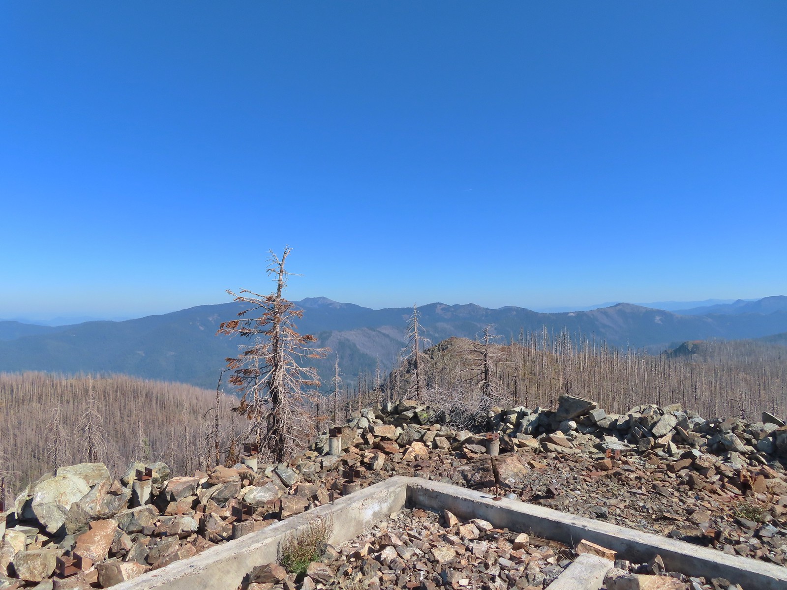 Grayback Mountain from Bolan Mountain.
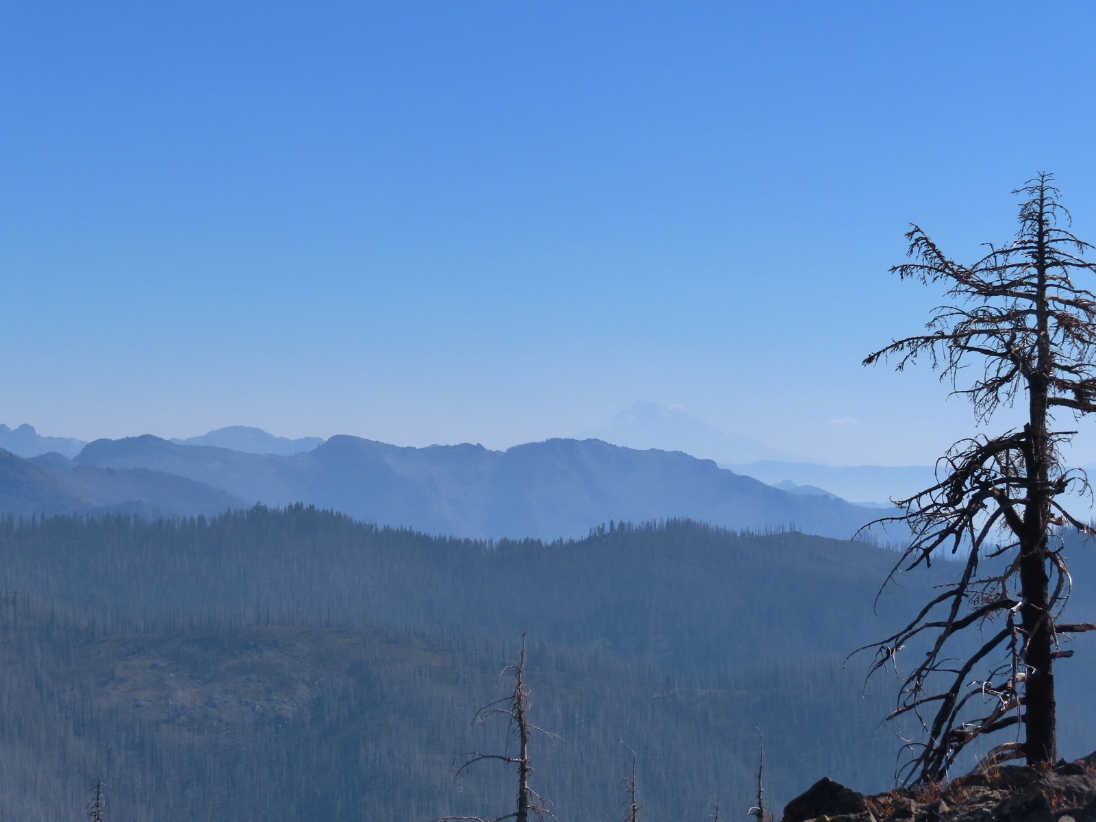 Red Buttes to the far left and Mt. Shasta through the haze.
 Bolan Lake from the service road.
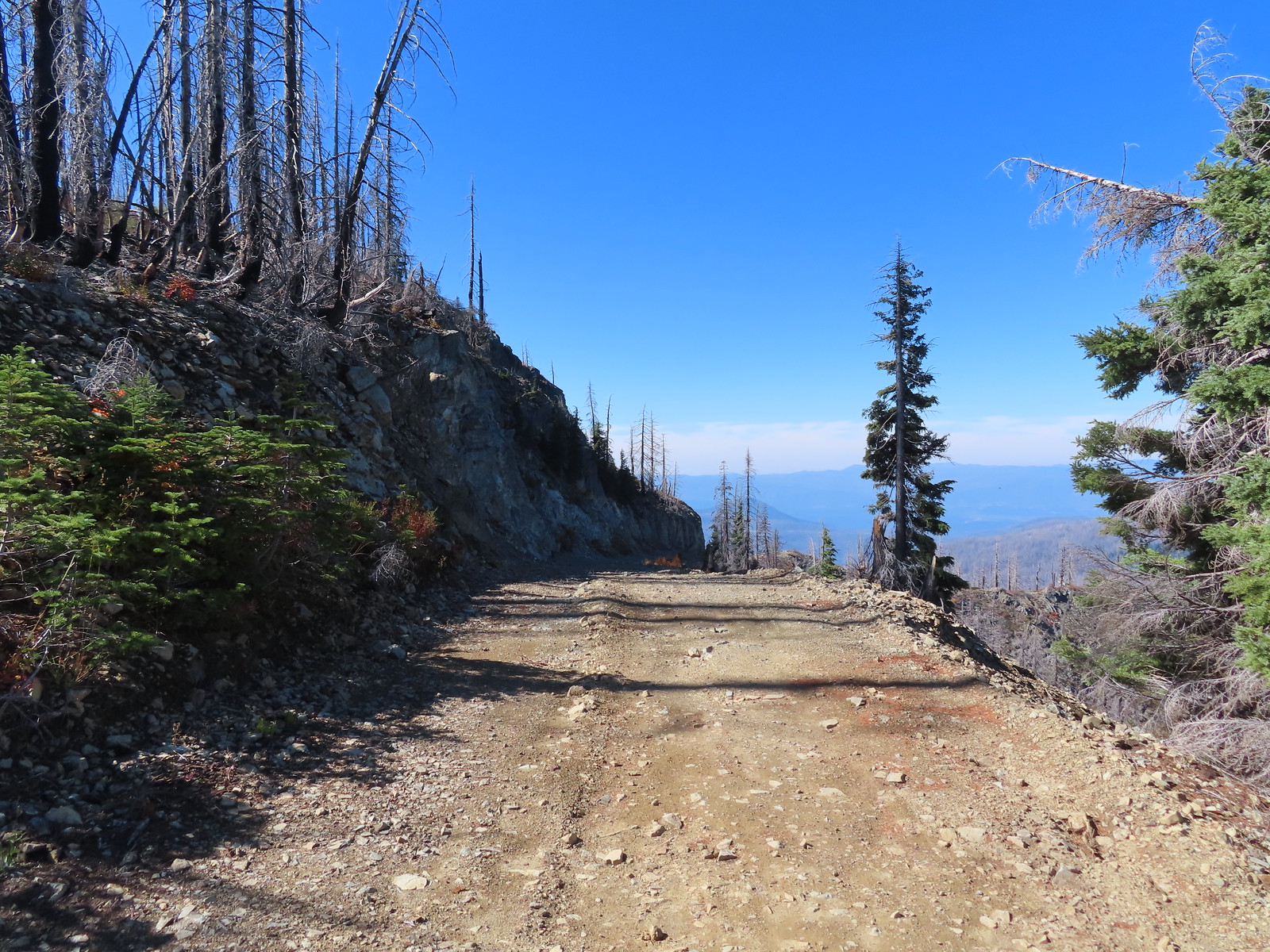
 Looking back toward Bolan Mountain.
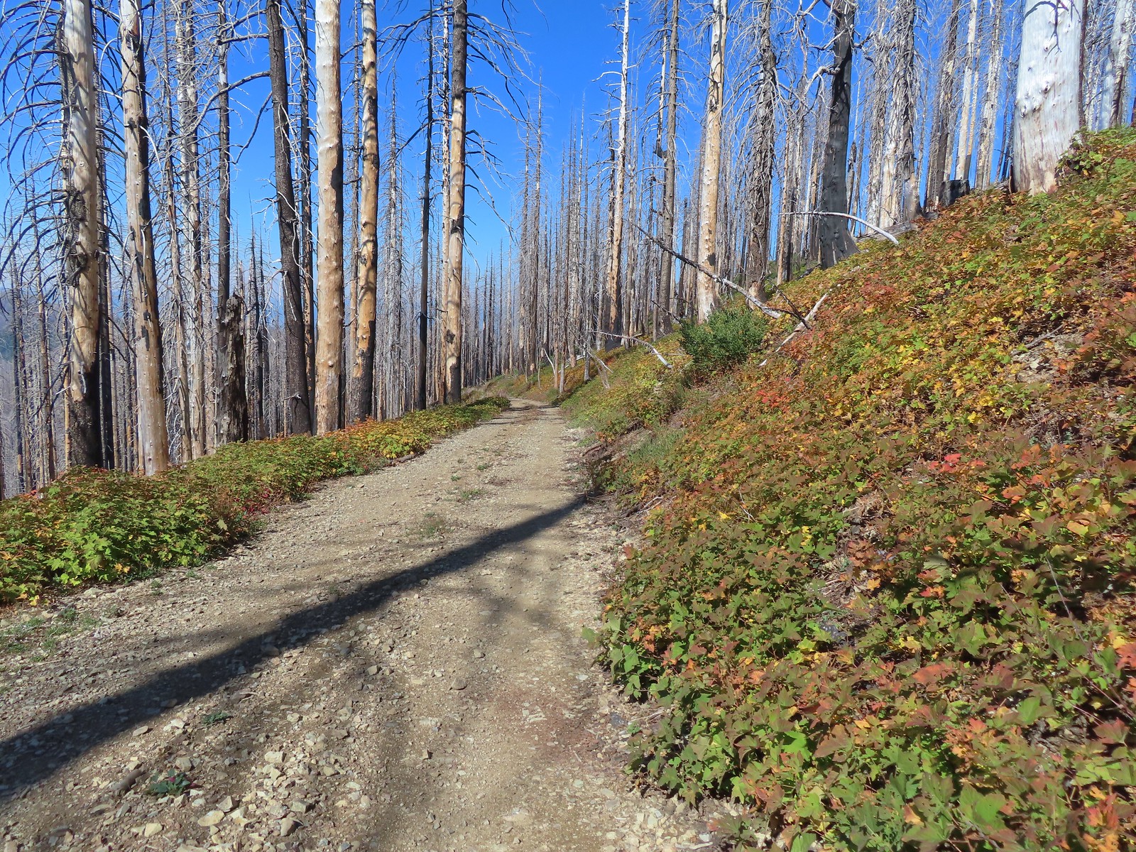
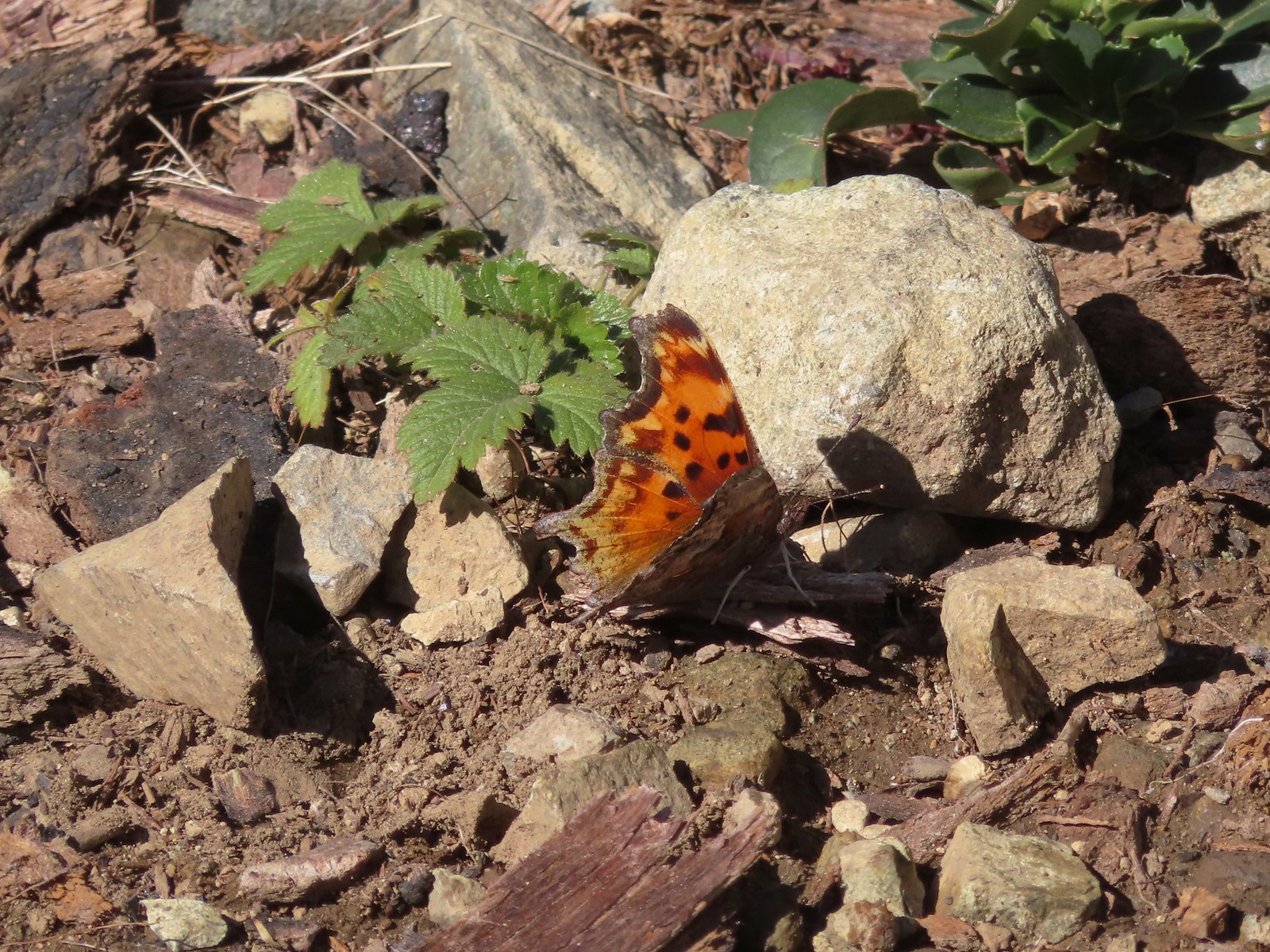 Hoary comma
 Gate along the service road.
 Road 40 from the service road.
 Road 40.
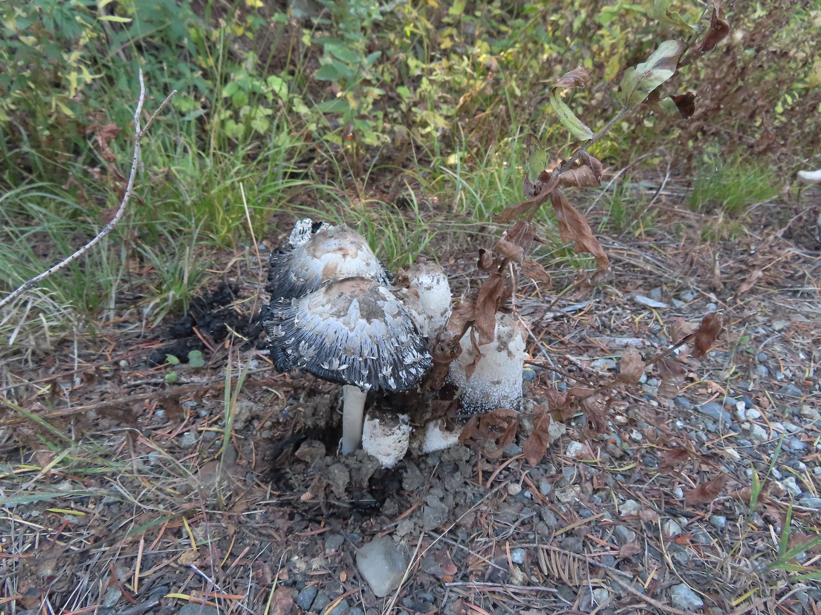 Mushrooms along Road 40.
 The connector trail along Bolan Creek.
 The trail around Bolan Lake.
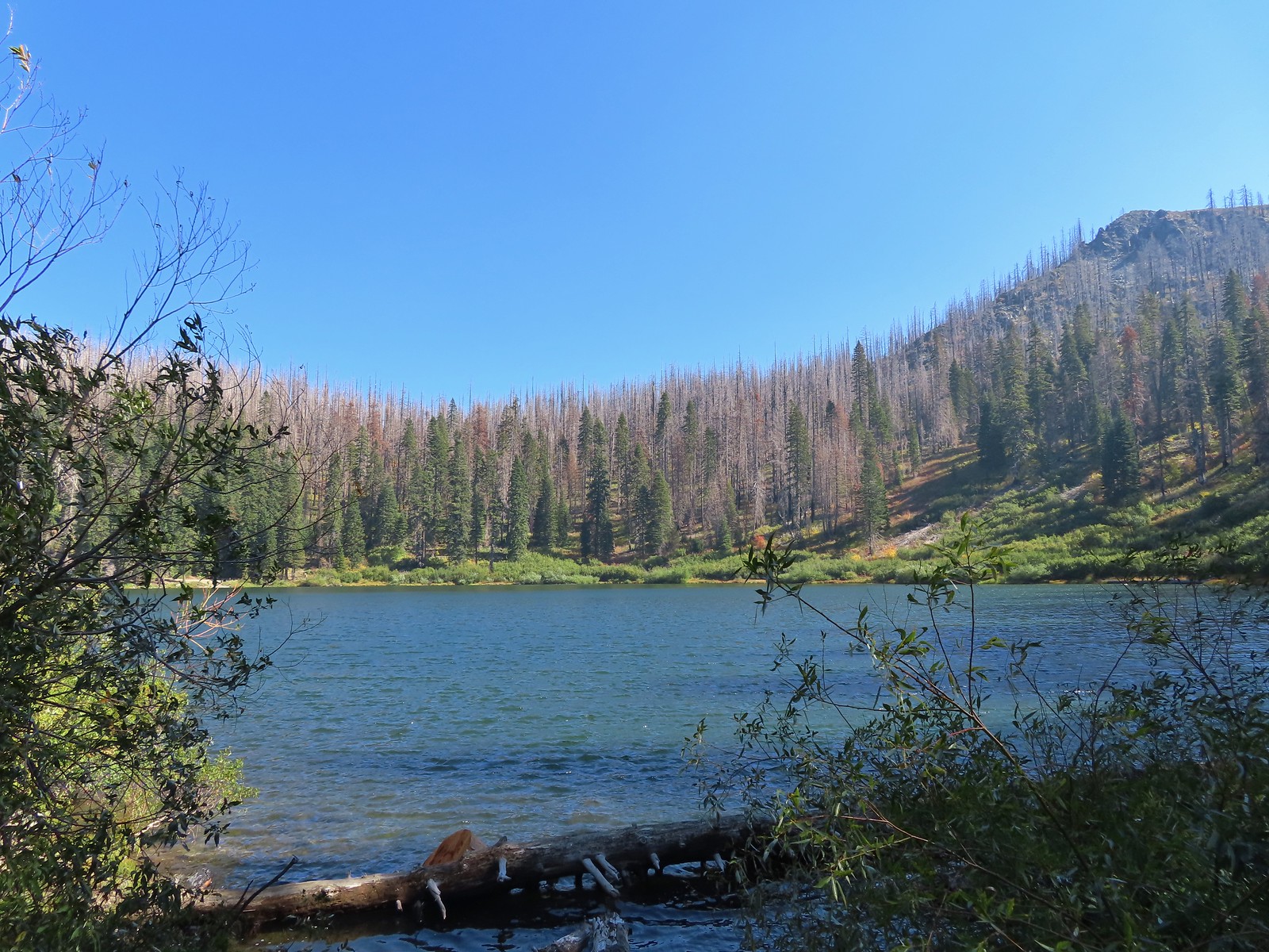

 Thick vegetation along the lake shore.
 Trail sign at the end of the second campground loop for the trail around the lake.
 Pretty deep channel at the end of the loop.


 Bolan Mountain from Bolan Lake
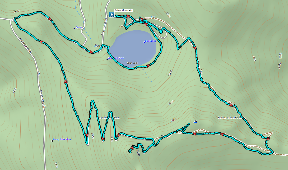

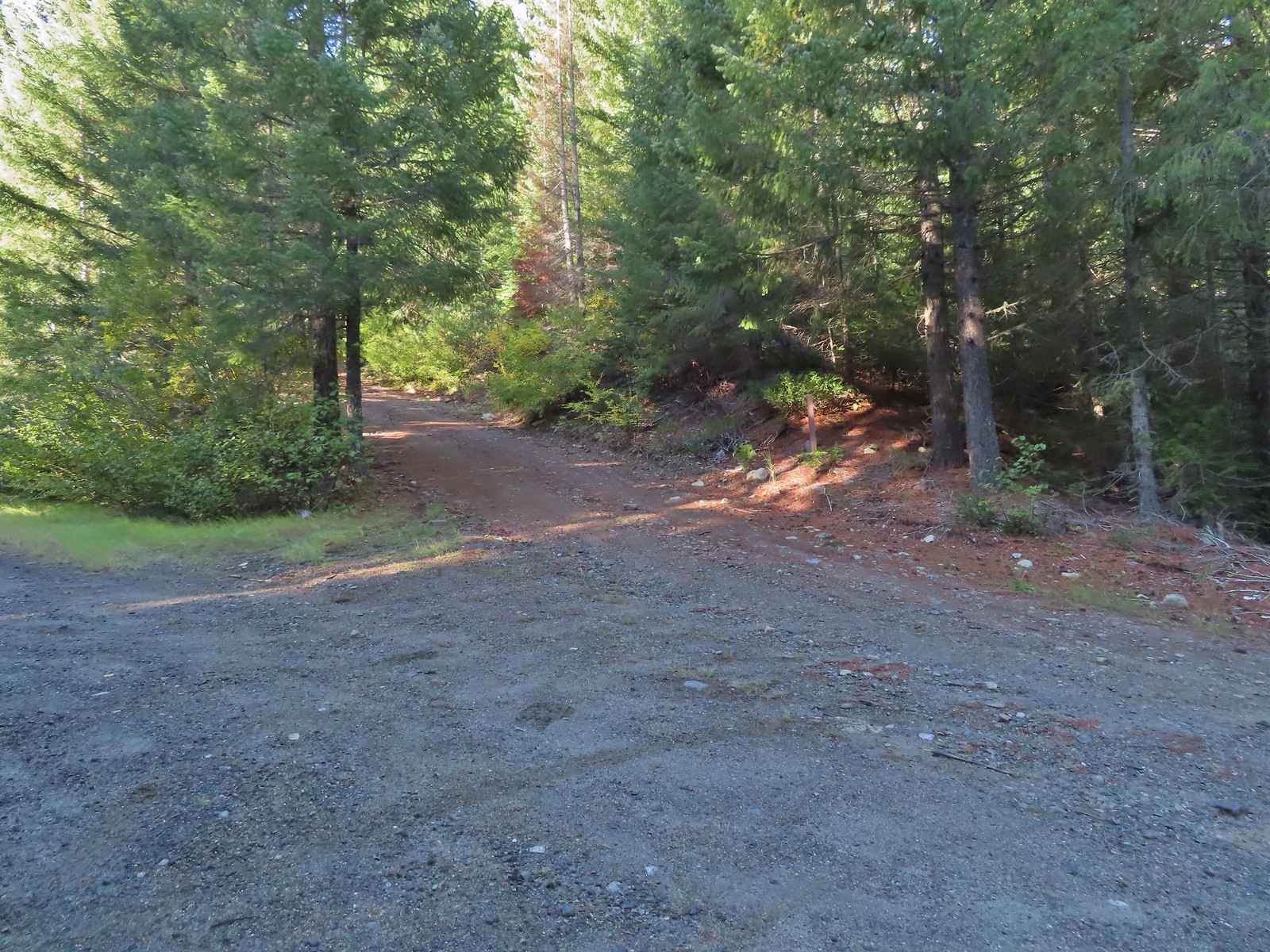 Road 600 heading uphill.
 Crab spider on a fleabane.
 The Sturgis Trailhead on the left.
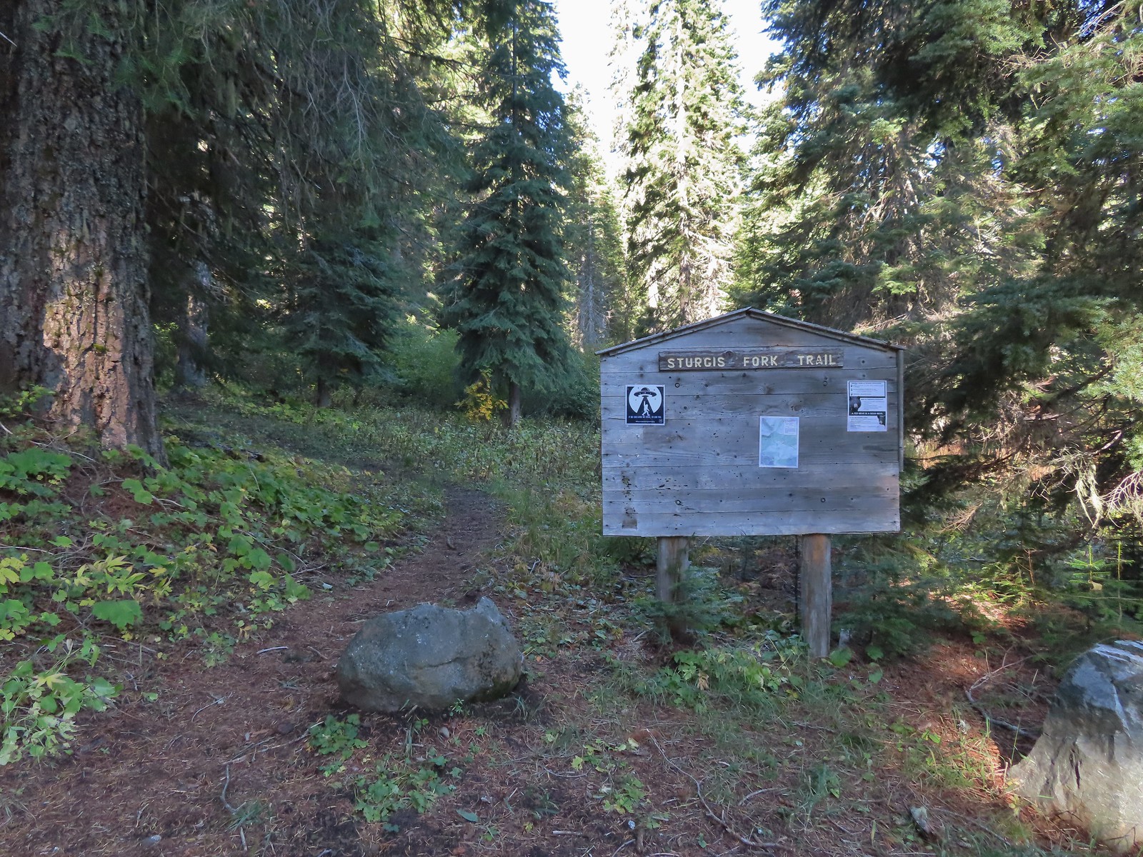
 Trail map of the area.
 Nettle-leaf giant hyssop
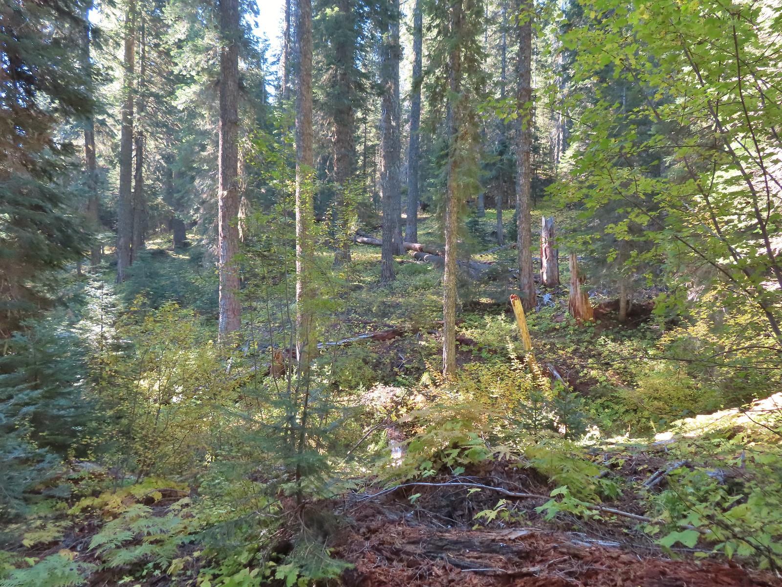
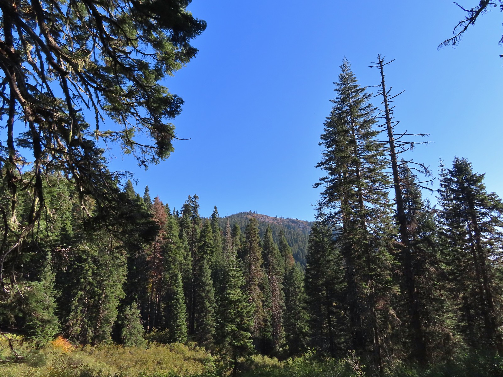 The viewpoint we were headed to.
 All that was left for signage at the Boundary Trail junction.
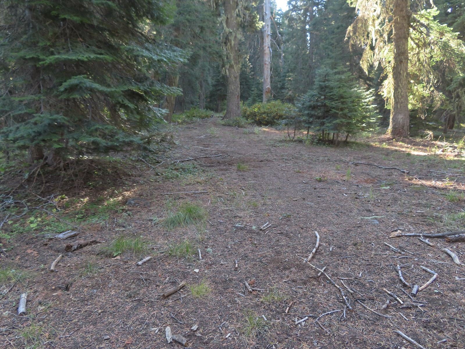 The Boundary Trail to the South toward Sucker Creek Gap (
 Coming from this direction all we noticed were a couple of signs on a tree and some pink flagging.
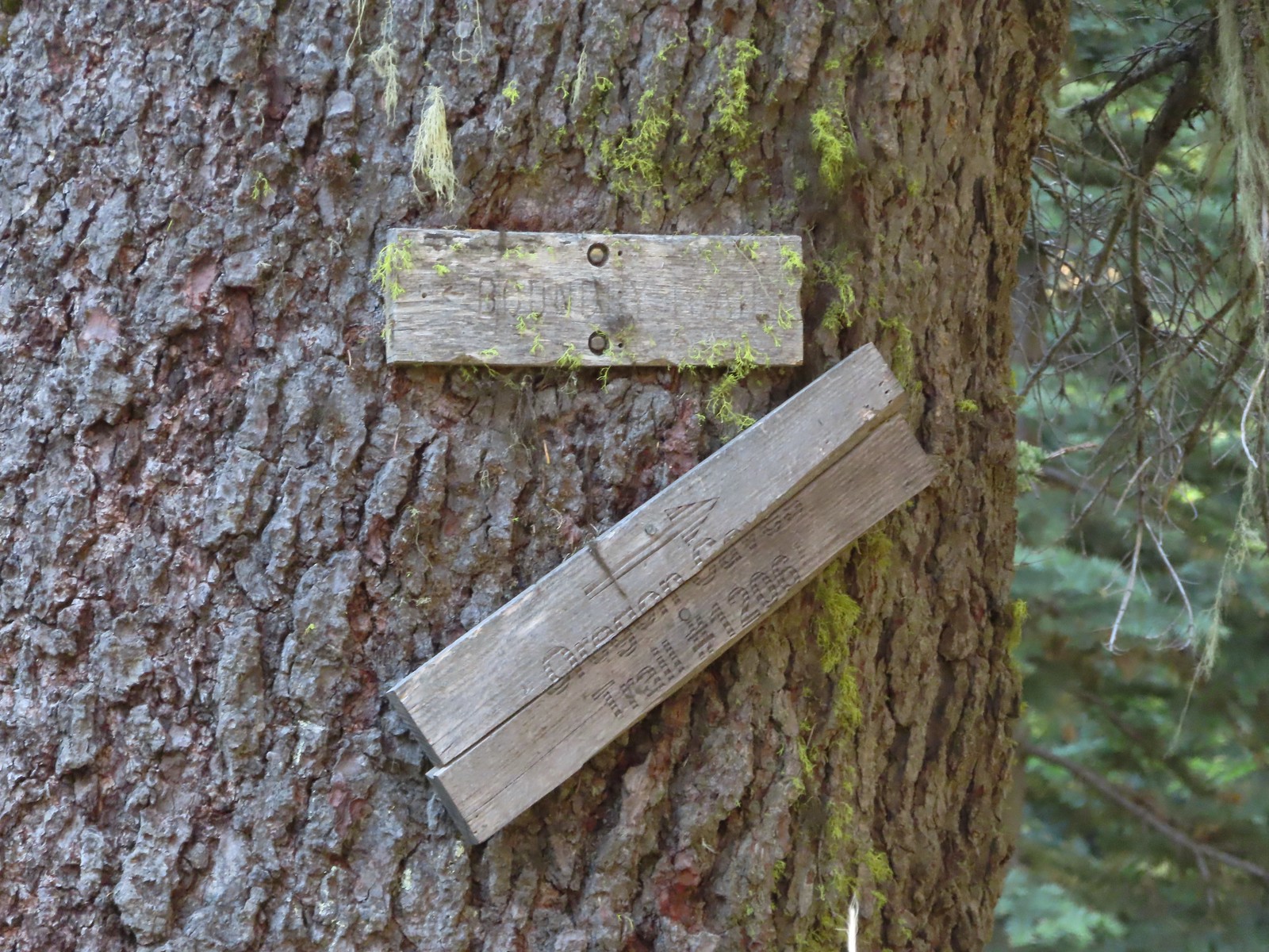 Trail signs for the Boundary Trail and Lake Mountain Trail #1206 to the Oregon Caves (
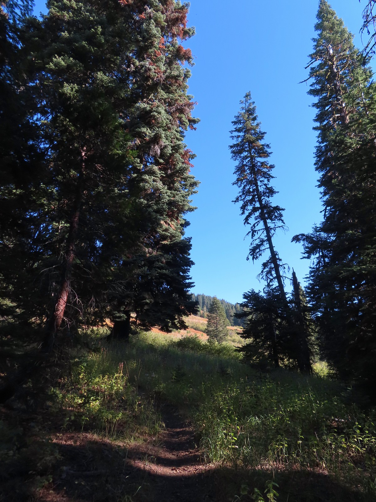
 The trail can be seen in the lower right-hand corner.
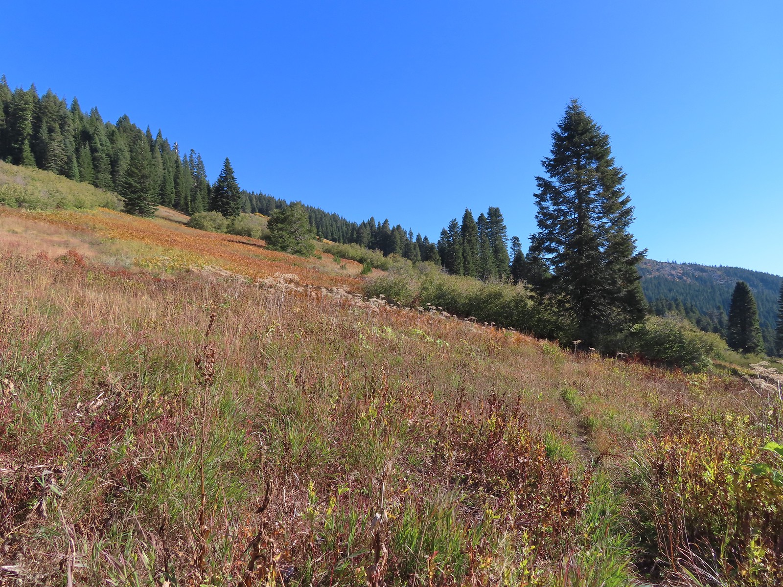 Again the trail is in the lower right corner.
 There was still a small amount of paintbrush in the meadow.
 A clump of fireweed ahead that had gone to seed.
 A small section of trees was located along this gully.
 A little brushy here.
 Ferns at the northern end of the meadows.
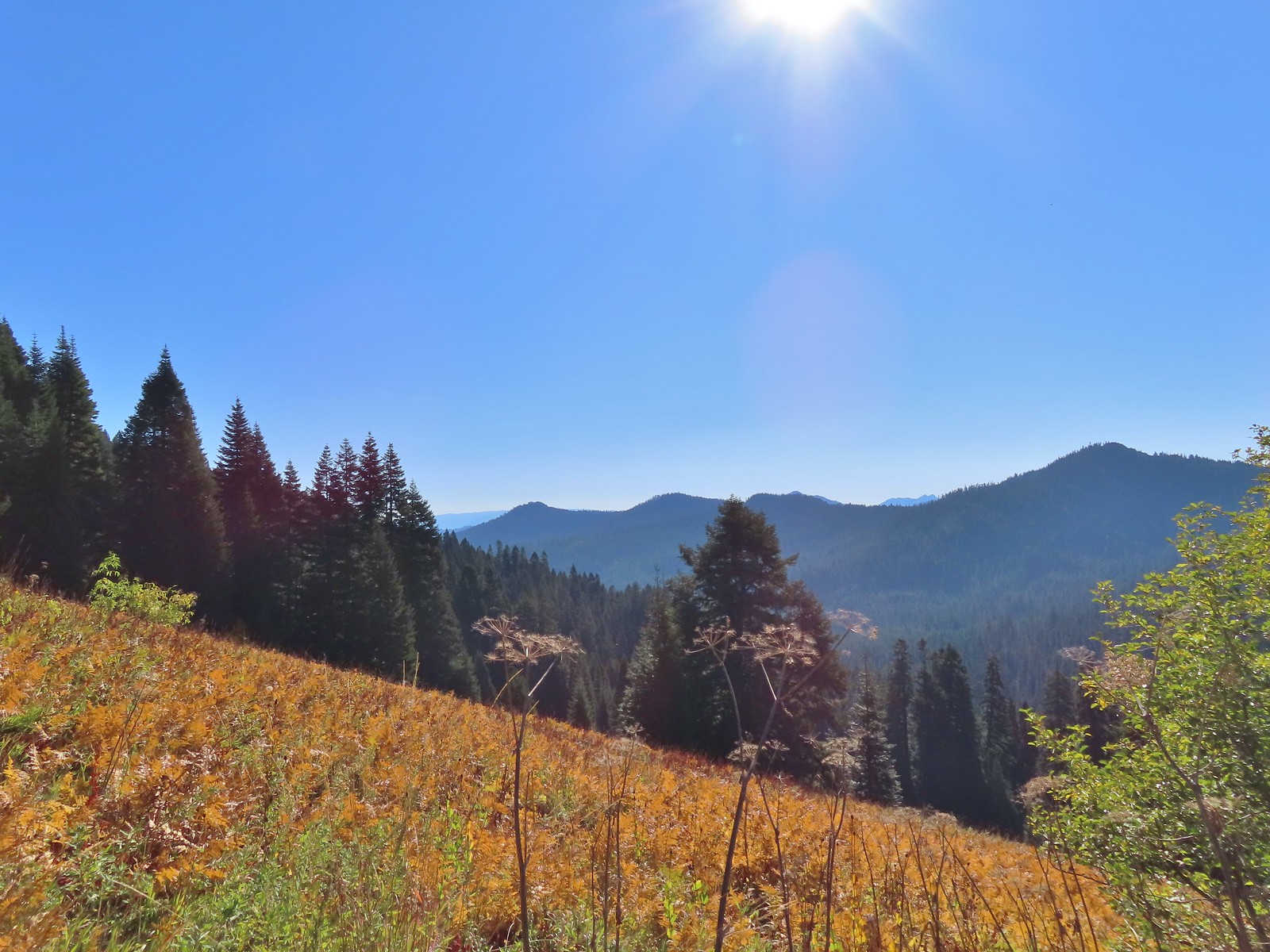 The double humps of the Red Buttes in the distance to the SE.
 Preston Peak in the Siskiyou Wilderness (
 Arriving at the pass.
 This was the only signage that was visible at the junction.
 We could see tread heading East into the trees which was the Sparlin Tie Trail. The Elk Creek Trail wasn’t as obvious, but it dropped down to the right just a little way up the tread seen here.
 Lake Mountain from the Boundary Trail.

 There was a small geocache located at the viewpoint. Smoke from the still smoldering wildfires impacted the views a bit, Mt. Shasta is out there toward the right-hand side.
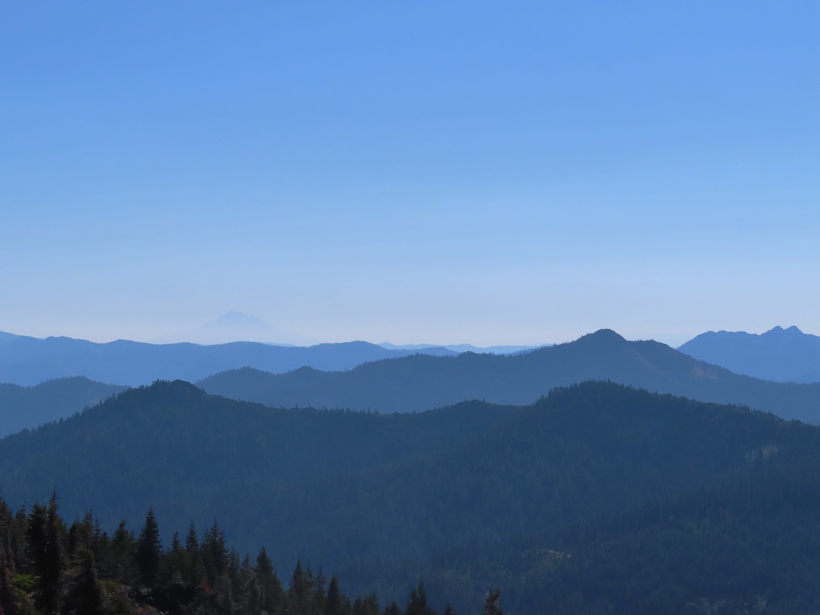 The outline of Mt. Shasta to the left of Red Buttes.
 Preston Peak and other peaks in the
  Closer look at the Siskiyou Wilderness peaks.
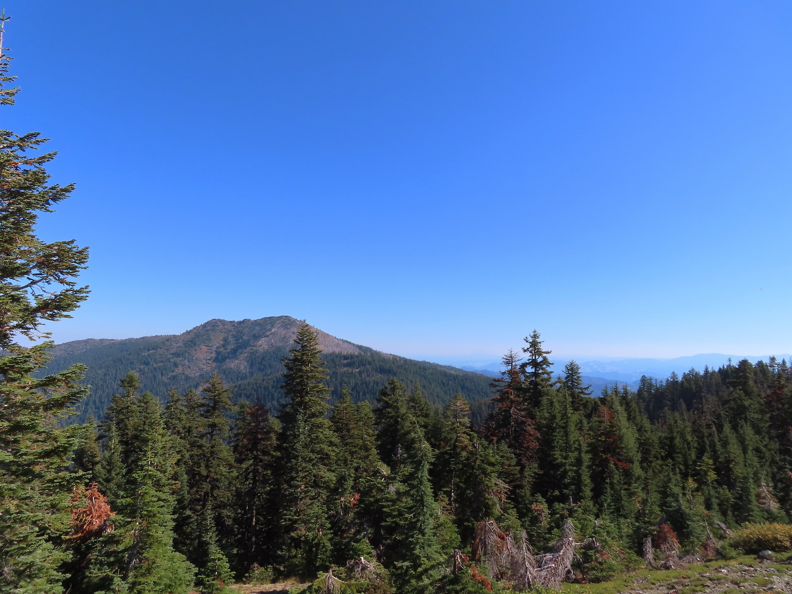 Grayback Mountain to the North. Mt. McLoughlin (
 Mt. McLoughlin
 The remains of a trail sign near the saddle.
 The Sparlin Tie Trail straight ahead and the Elk Creek Trail heading off to the right.
 Homemade? trail sign a short distance up the tie trail. (note Bigelow Lakes is spelled “Biglow”)

 The tread was faint through the meadows but not any more difficult to follow than the Boundary Trail had been.
 Cinquefoil
 Coneflower and fireweed
 Random sign along the trail.
 Crossing through the final meadow.
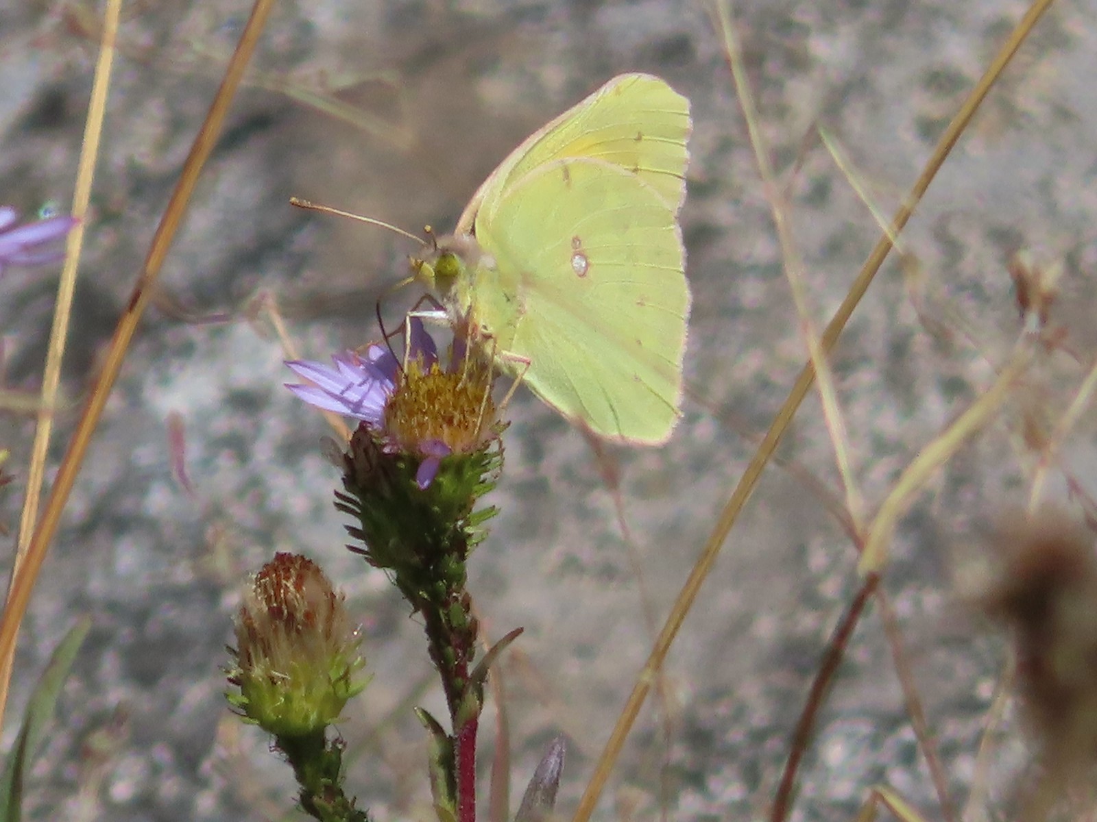 Orange Sulphur butterfly
 Arriving at the 1214 Trail.
 There was actually more blowdown along this trail than there had been along the tie trail, but it was easily navigated.

 Bigelow Lakes from the trail.

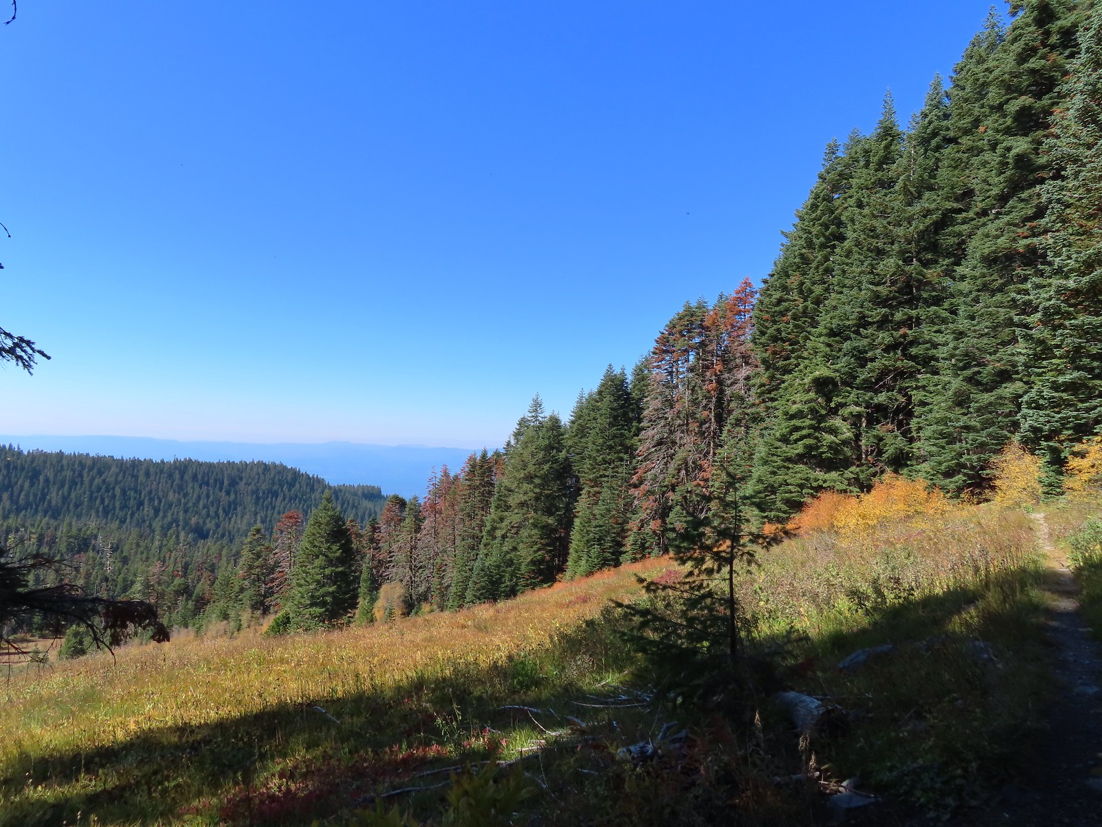
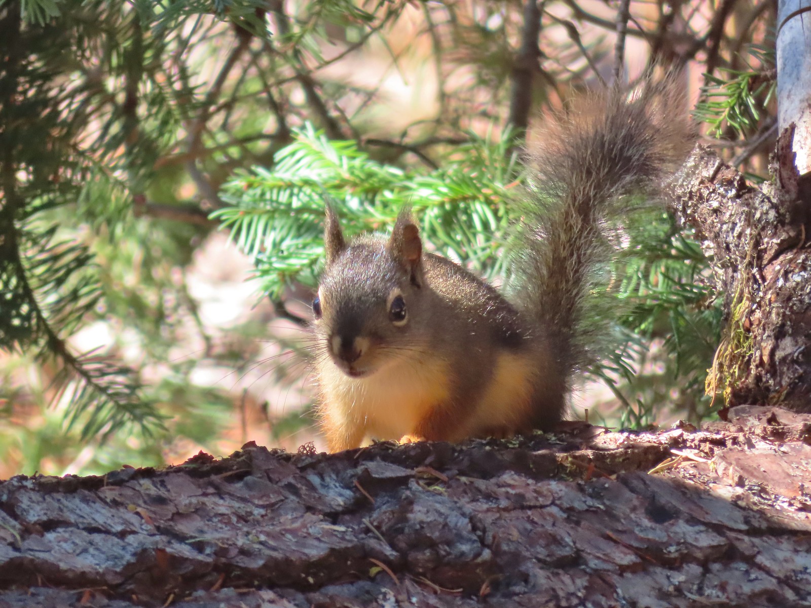
 The use trail to the lake.

 While I was at the lake Heather was making friends with this tree frog.
 The old roadbed.
 Trail sign at the roadbed.

 This bunch of blowdown was just before the junction.
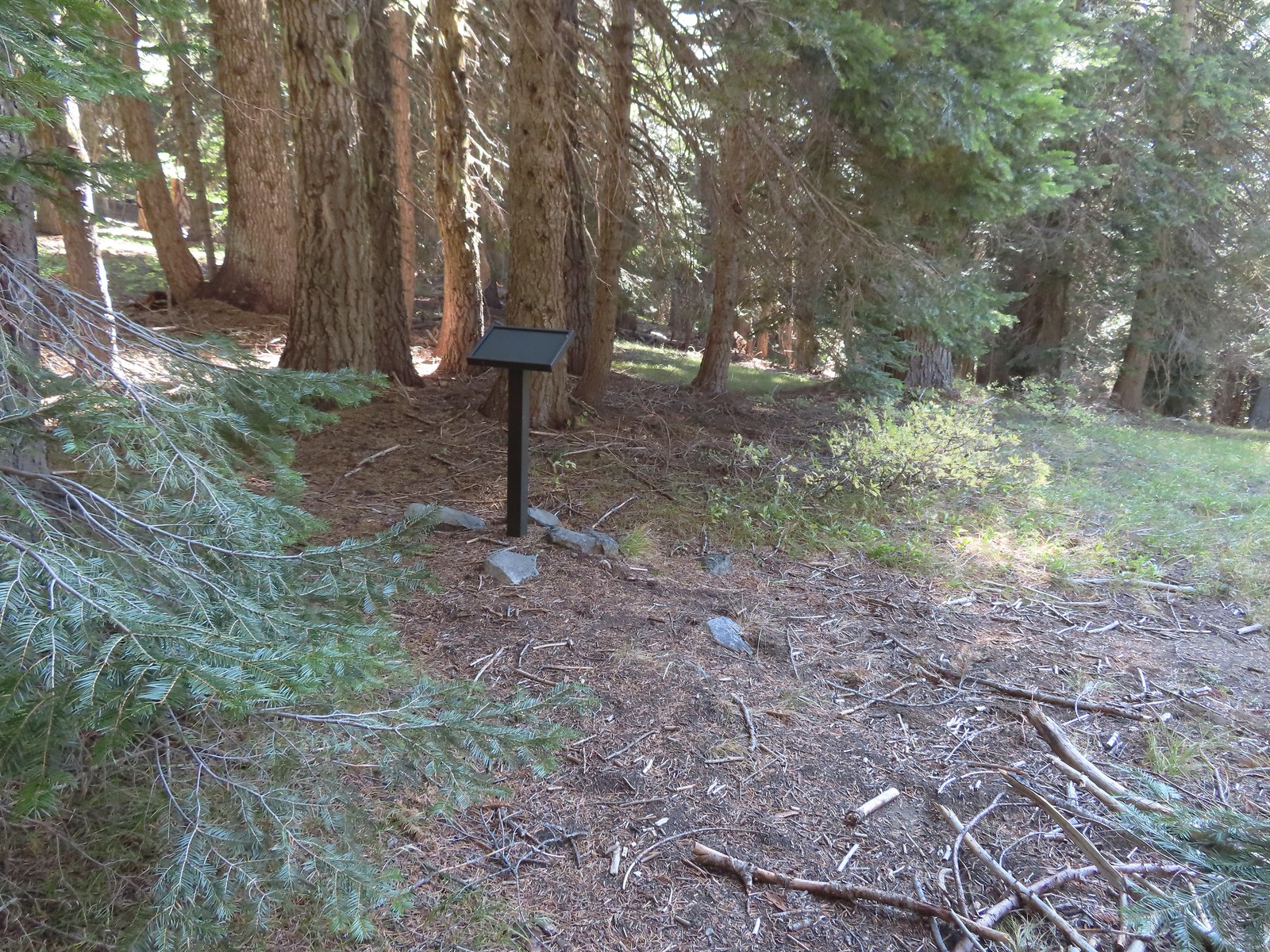 There were several of these stands along the Lake Mountain Trail, all of which were blank.
 The lower portion of the trail passed through a nice forest.
 The trail passed below the 6294′ Mount Elijah (for some reason both peaks along the ridge are named Mount Elijah on some maps) before gaining the ridge crest and climbing to the higher Mount Elijah summit at 6381′.

 The taller Mount Elijah.
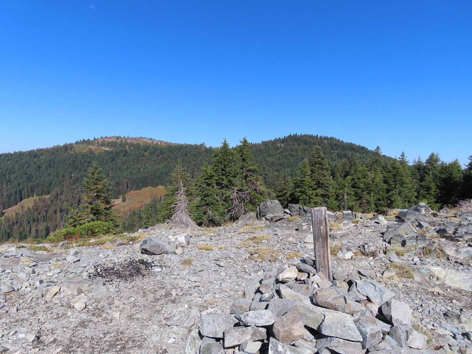 Lake Mountain from Mount Elijah.
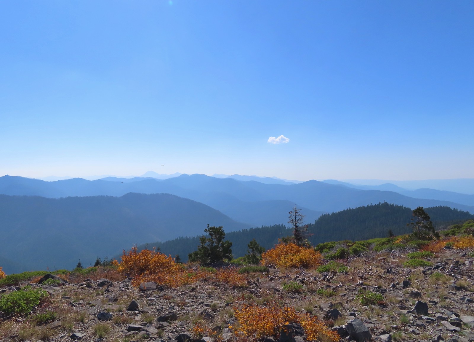 Preston Peak and a cloud from Mount Elijah. Wildfire smoke was a little more of an issue now.
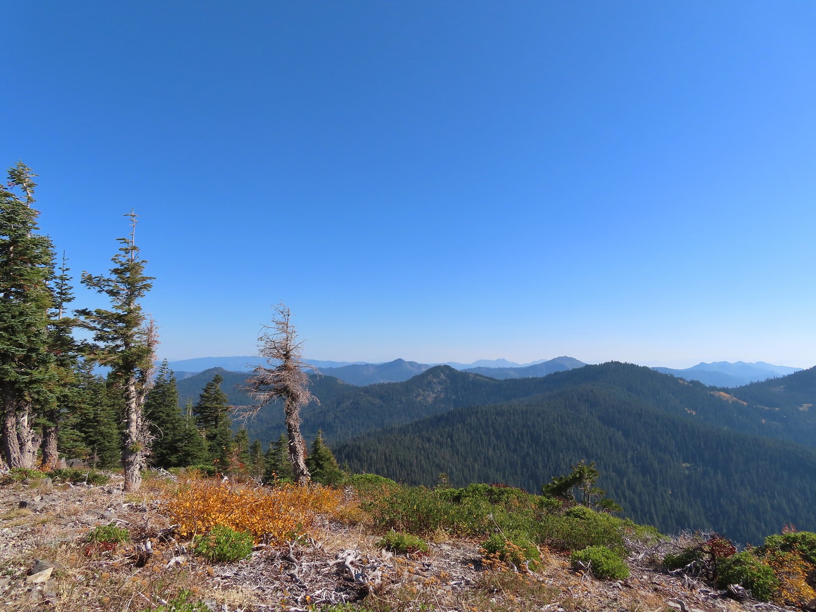 Red Buttes in the distance.
 The other Mount Elijah from Mount Elijah.
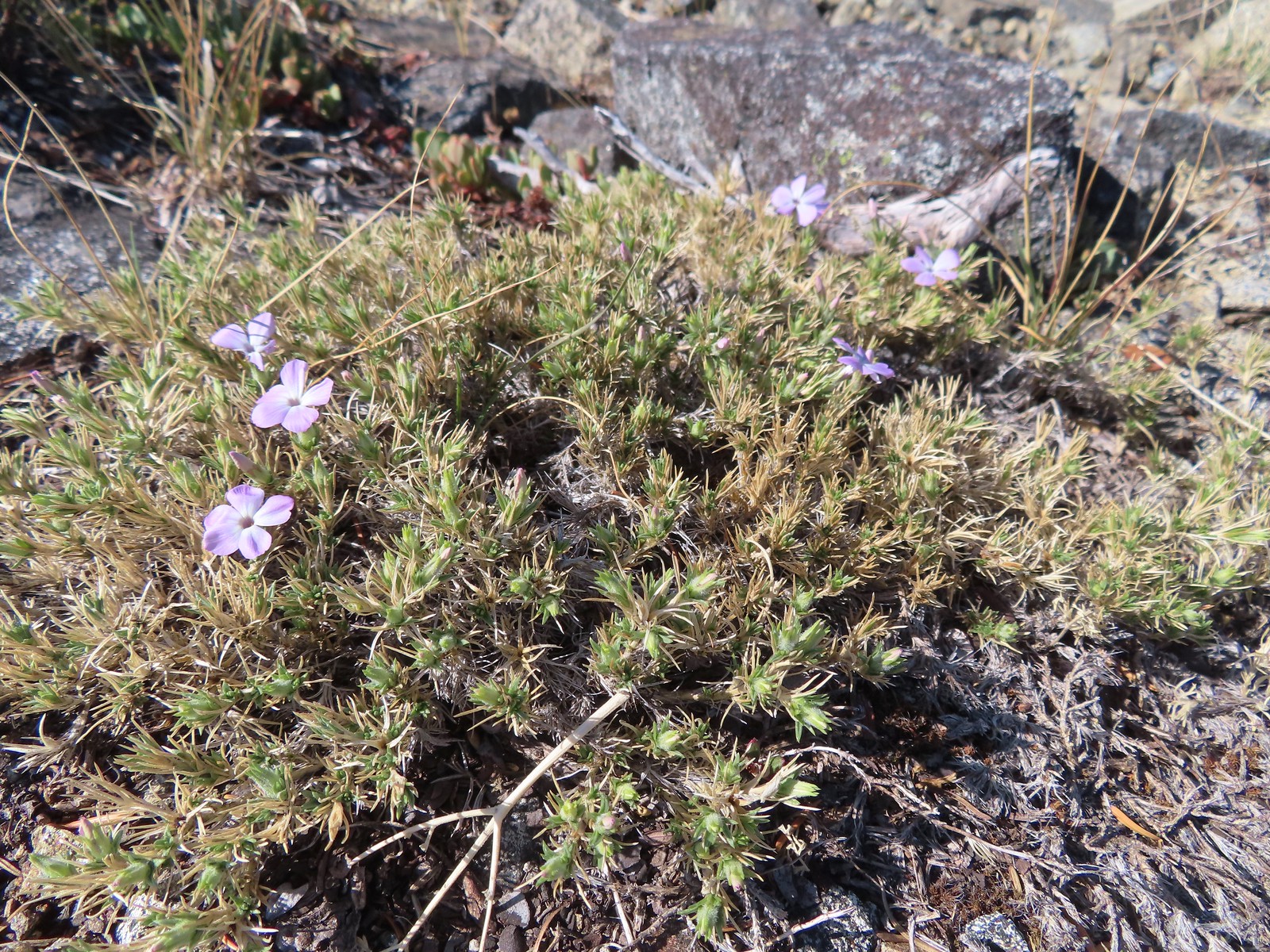 Phlox
Phlox We shared the summit with this little frog.
 The junction with the 1214 Trail. Another with missing signage.
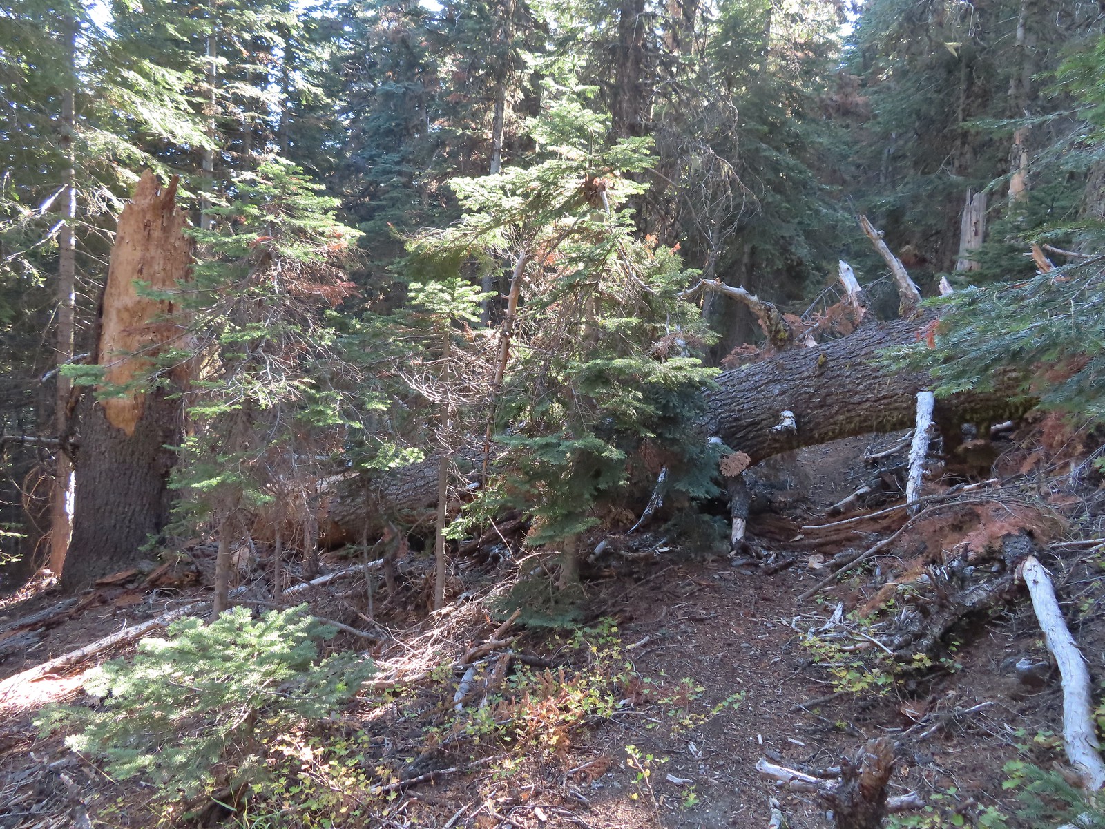 This tree required a detour downhill to get around.
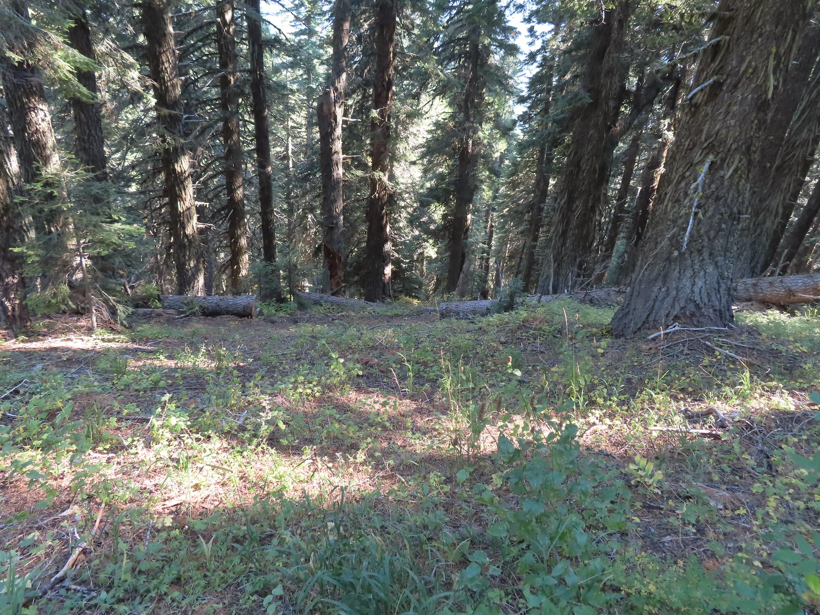 Looking down at the Lake Mountain Trail as it switchbacked downhill.
 The trail was a bit brushy in spots.
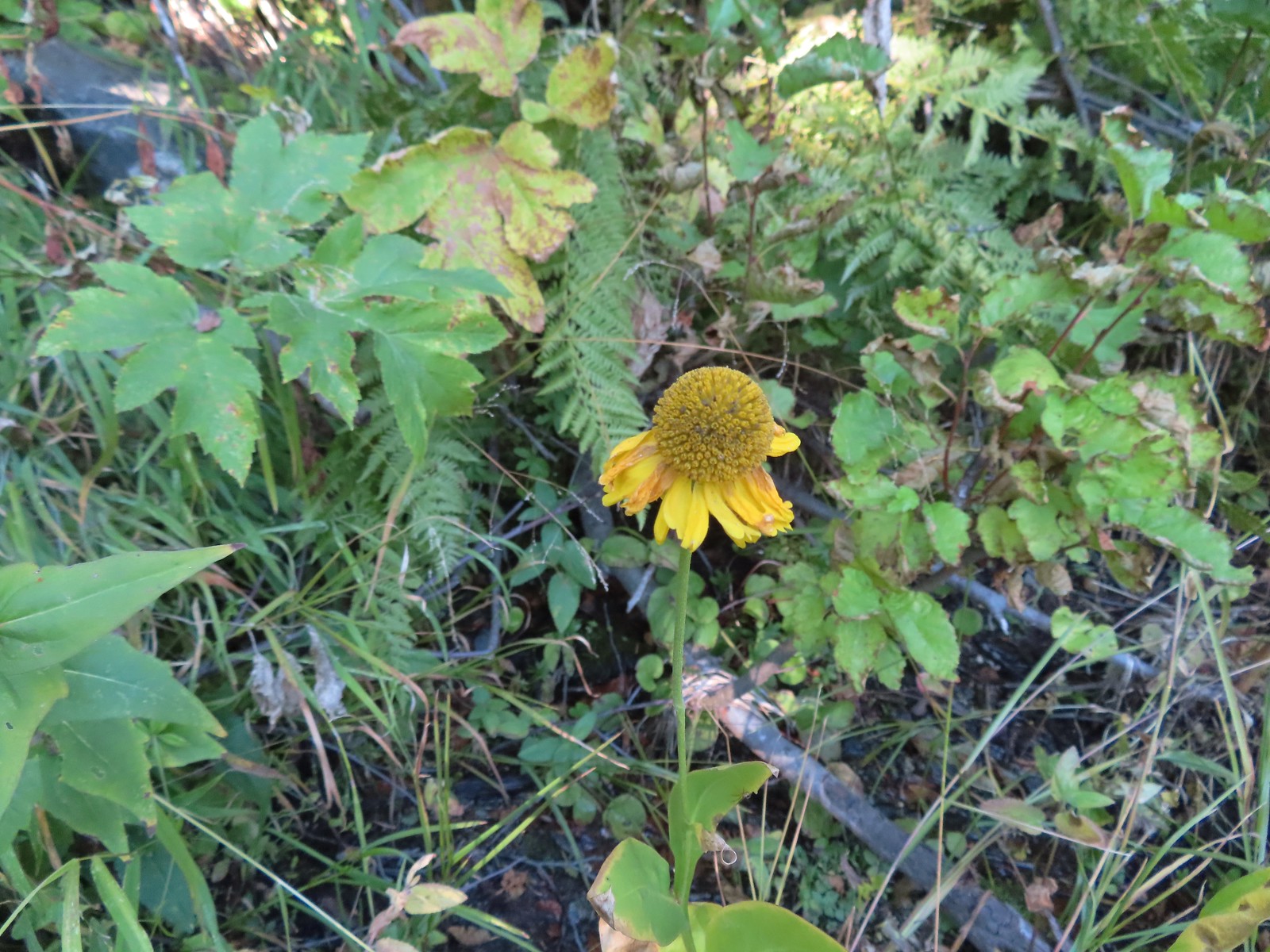 Bigelow’s sneezeweed
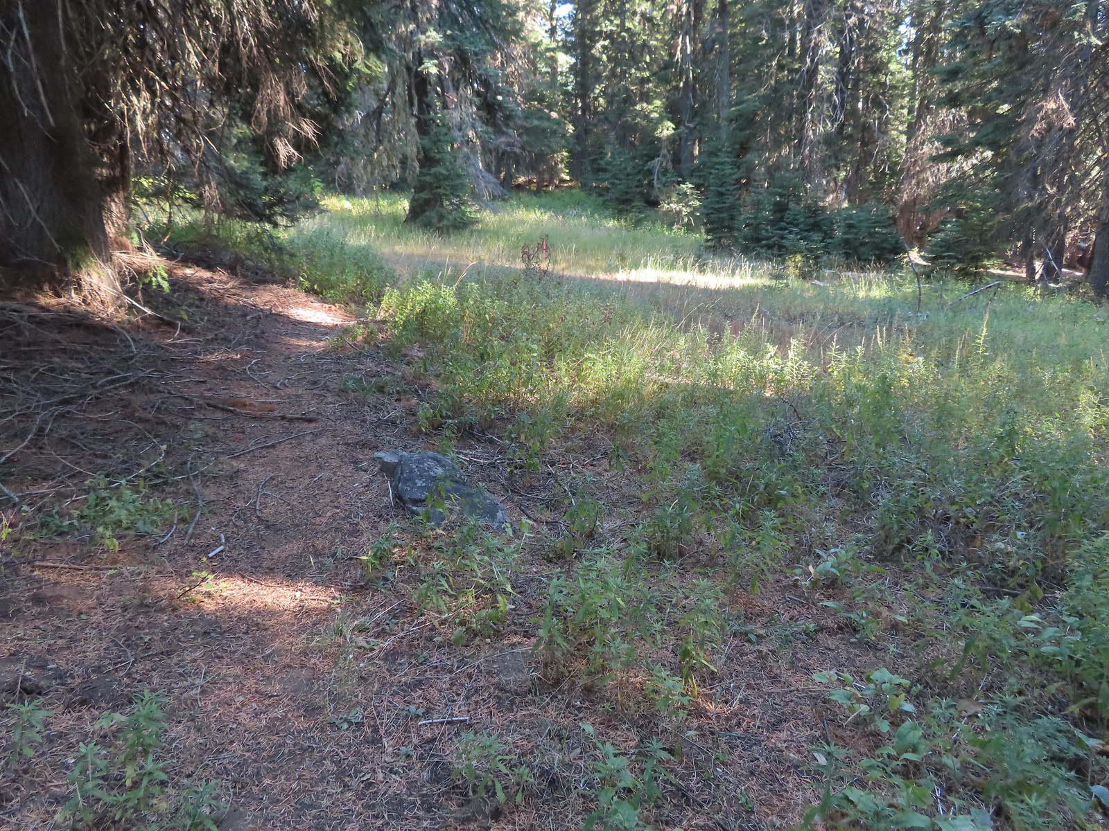 Pink flagging in the little meadow where the trail met the Boundary Trail.
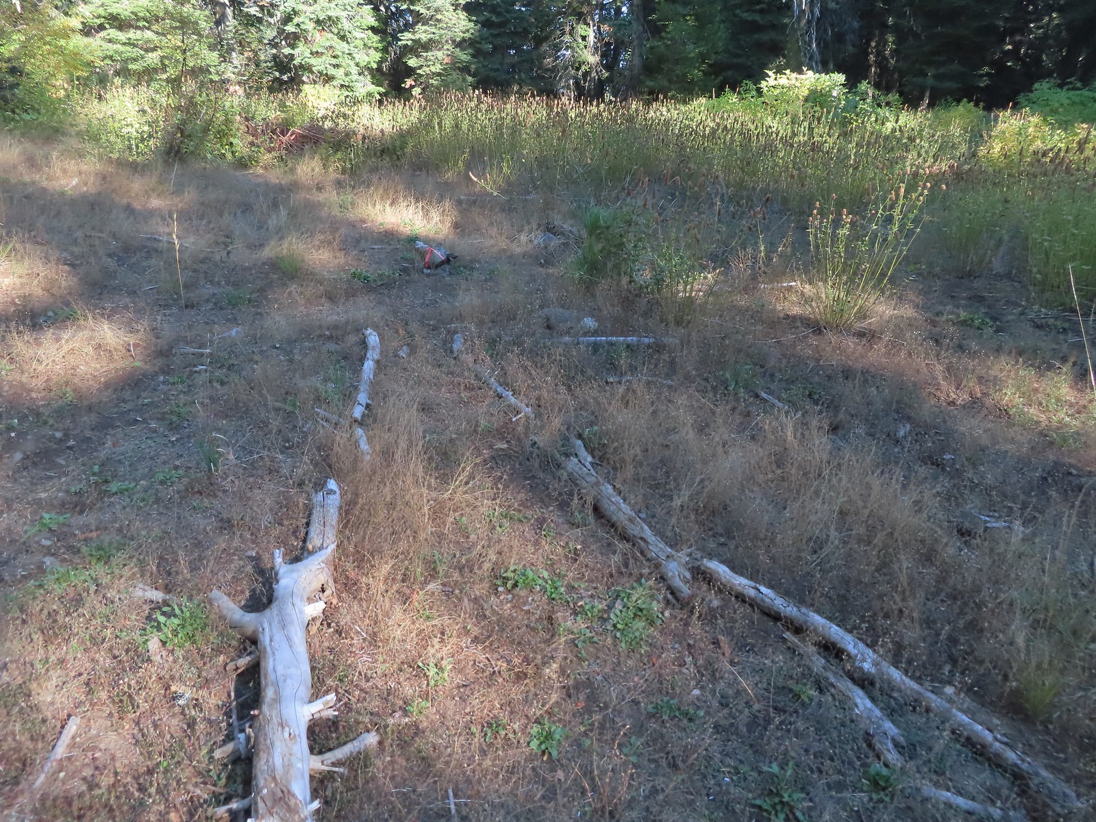 The Lake Mountain Trail junction with the Boundary Trail.
 We packed out yet another mylar balloon (GRRRR).
 Junction with the Sturgis Fork Trail on the left.
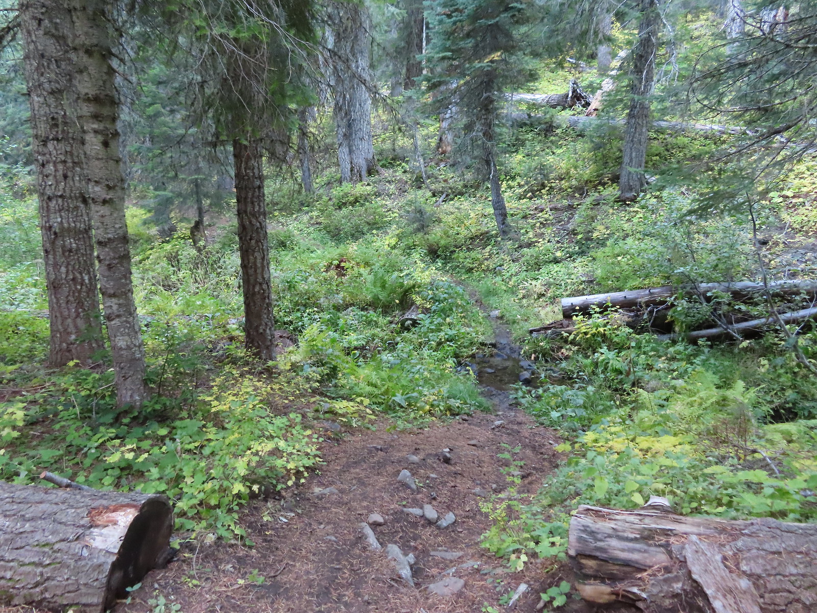
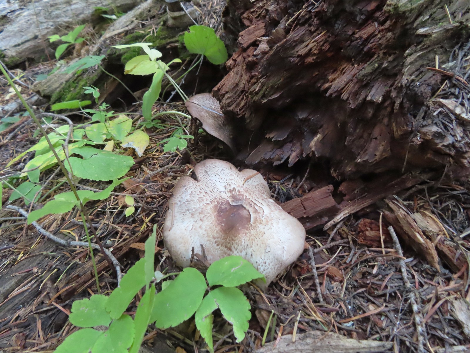

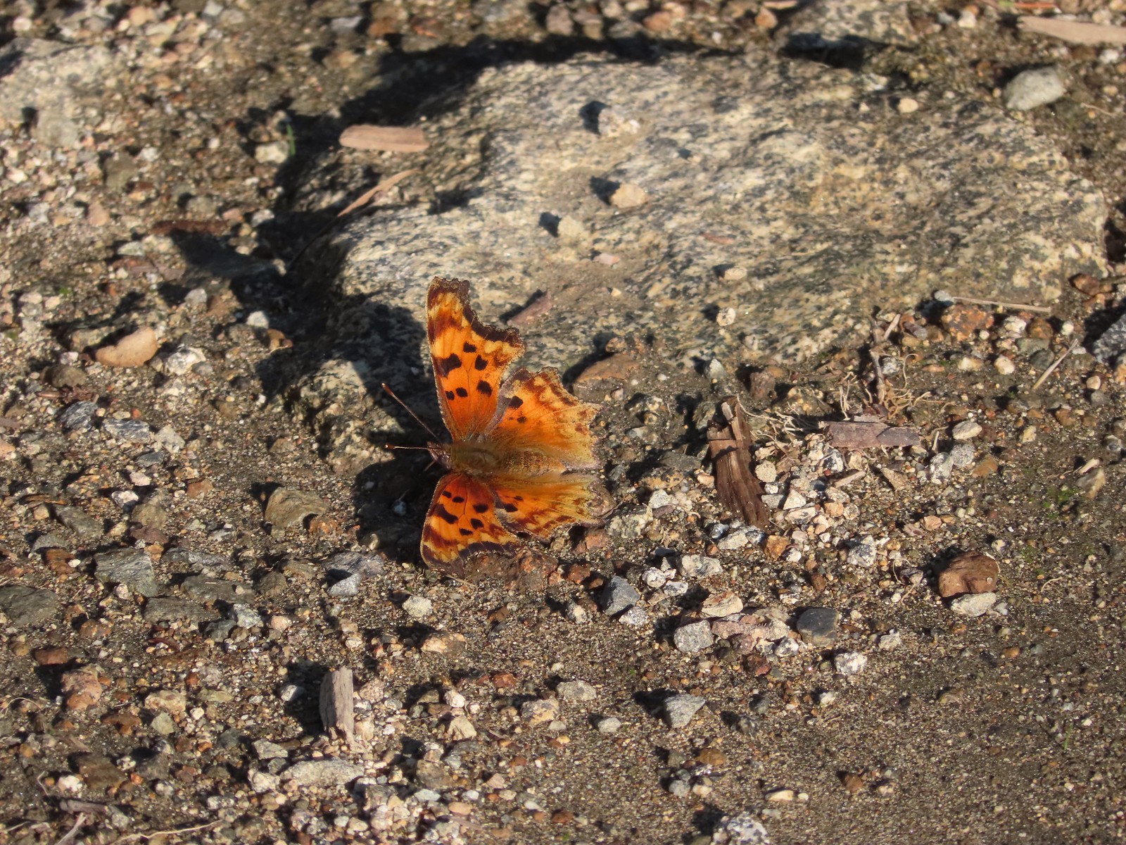 Hoary comma
 We were parked just to the right along the road below the hill.


 While the loop did come in at 2.5-miles it was a little over 3/4 of a mile to the Boundary Trail.
 Lupine
 One of several ponds along the trail.
 A “Student Stop” marker surrounded by dwarf lupine. We aren’t sure what the these meant or what program they are related to.
 An interpretive sign along the trail facing some of the hummocks.
 Penstemon
 Mt. St. Helens as we neared the Boundary Trail junction.
 Trail guide marker #3 and an interpretive sign at the junction.
 The lower left map shows the current closure area and open trails. In a nutshell, all the trails are open but everything off-trail to the side facing SR504 is currently closed.
 The views of Mt. St. Helens were great.
 The trail began to climb as it squeezed between a gap in the hillsides ahead.
 View back to the hummocks from the gap.
 Trees in the gap.
 After exiting the gap we got another good view of the mountain before the trail veered left turning away from the mountain.
 Heading away from Mt. St. Helens to start the climb.
 Dwarf lupine was profuse below the ridge.
 Scouler’s bluebell
 Thimbleberry blossoms
 Castle Peak above Castle Lake with Spud Mountain to the right and the North Fork Toutle River below.
 Horned lark
 Tiger lily
 Savannah sparrow
 Heading back toward Mt. St. Helens.
 The North Fork Toutle River flowing between Spud Mountain (left) and Elk Rock (right).
 Castle Peak and Castle Lake
 Elk Rock on the left and Coldwater Lake on the right.
 Coldwater Lake
 Mountain bluebird.
 At one point quite a bit of dust? kicked up from the South Fork Toutle River canyon.
 Cardwell’s penstemon

 Coldwater Peak with Mt. Adams to the far right of the photo. The hiker ahead to the left of Coldwater Peak was from Belgium. He was here on work but using the weekends to explore the area. We would see him two more times, once from the observatory as he continued on the Boundary Trail and then as we were exiting the trailhead. He had done a loop using the Coldwater Trail (
 Mt. Adams from the viewpoint on our way back. The angle of the Sun earlier caused the mountain to look pretty washed out.
 Mt. St. Helens from the viewpoint.
 Variable-leaf collomia
 The Loowit Viewpoint on the ridge ahead.
 Paintbrush covered hillside.
 Mt. St. Helens from the Loowit Viewpoint.
 Mt. St. Helens crater.
 Golden mantled-ground squirrel. These brazen con-artists often convince visitors they would starve without humans help. While this is definitely not the case and
  A single plant.
 A lot of paintbrush.

 Daisies and paintbrush
 Penstemon, yarrow, and Scouler’s woolyweed along with the paintbrush.
 Paintbrush and penstemon along the trail.

 Passing by the Johnston Ridge Observatory.
 Before and after photos of the 1980 eruption.
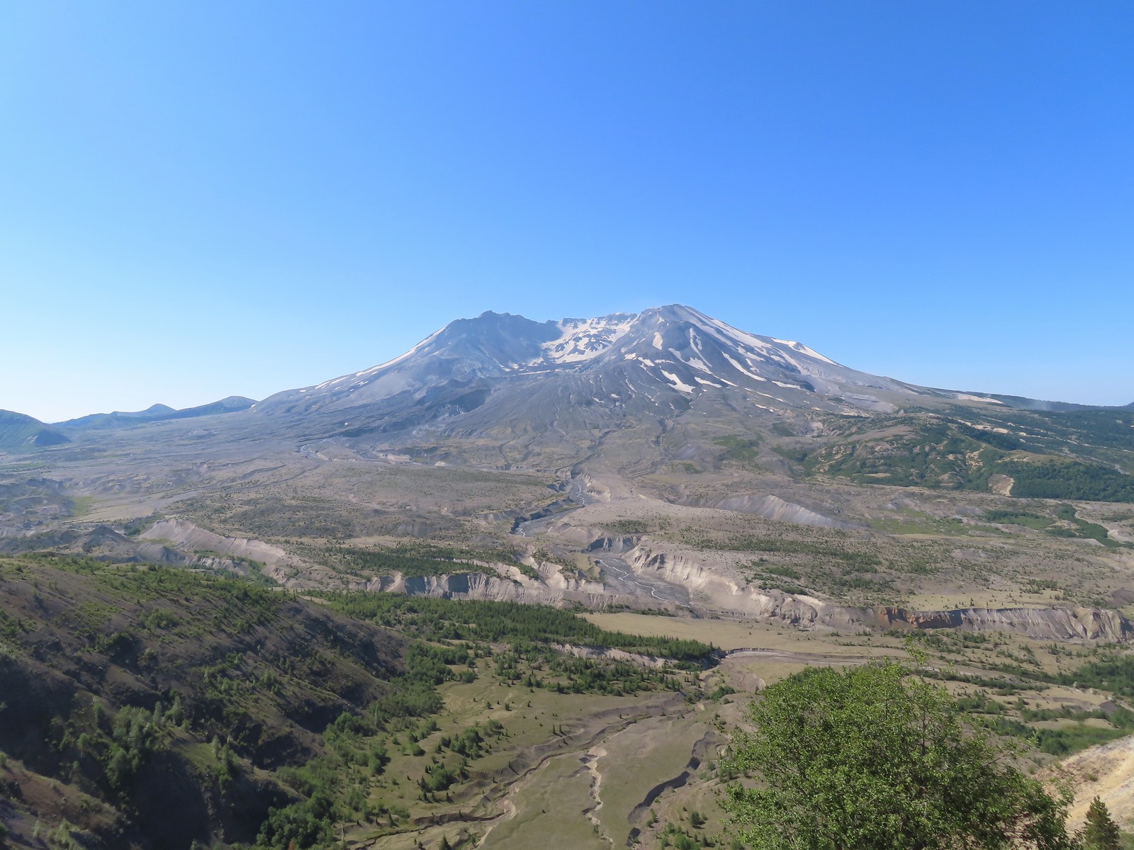

 Mt. Adams peaking over the ridges with Spirit Lake also visible (center).
 Spirit Lake
 The mountain identifier ahead on the left.
 We could see where the repair work was happening on SR504 from this trail.
 The rounded peak to the right is Goat Mountain (
 Goat Mountain with a few patches of snow still showing up.
 Rock Arch near Coldwater Peak.
 Memorial for the lives lost in the 1980 eruption.
 Junction with the Boundary Trail.
 Pussypaws


 Another view of the washout.

 Our turn around spot. You can see the trail on far side of the saddle veering left behind the ridge.
 Coldwater Peak from our turnaround spot.
 The Johnston Ridge Observatory from the trail. We hadn’t realized how much elevation we’d lost until we turned around.
 Castle Peak and Spud Mountain on the left and the observatory above some colorful cliffs.
 Penstemon
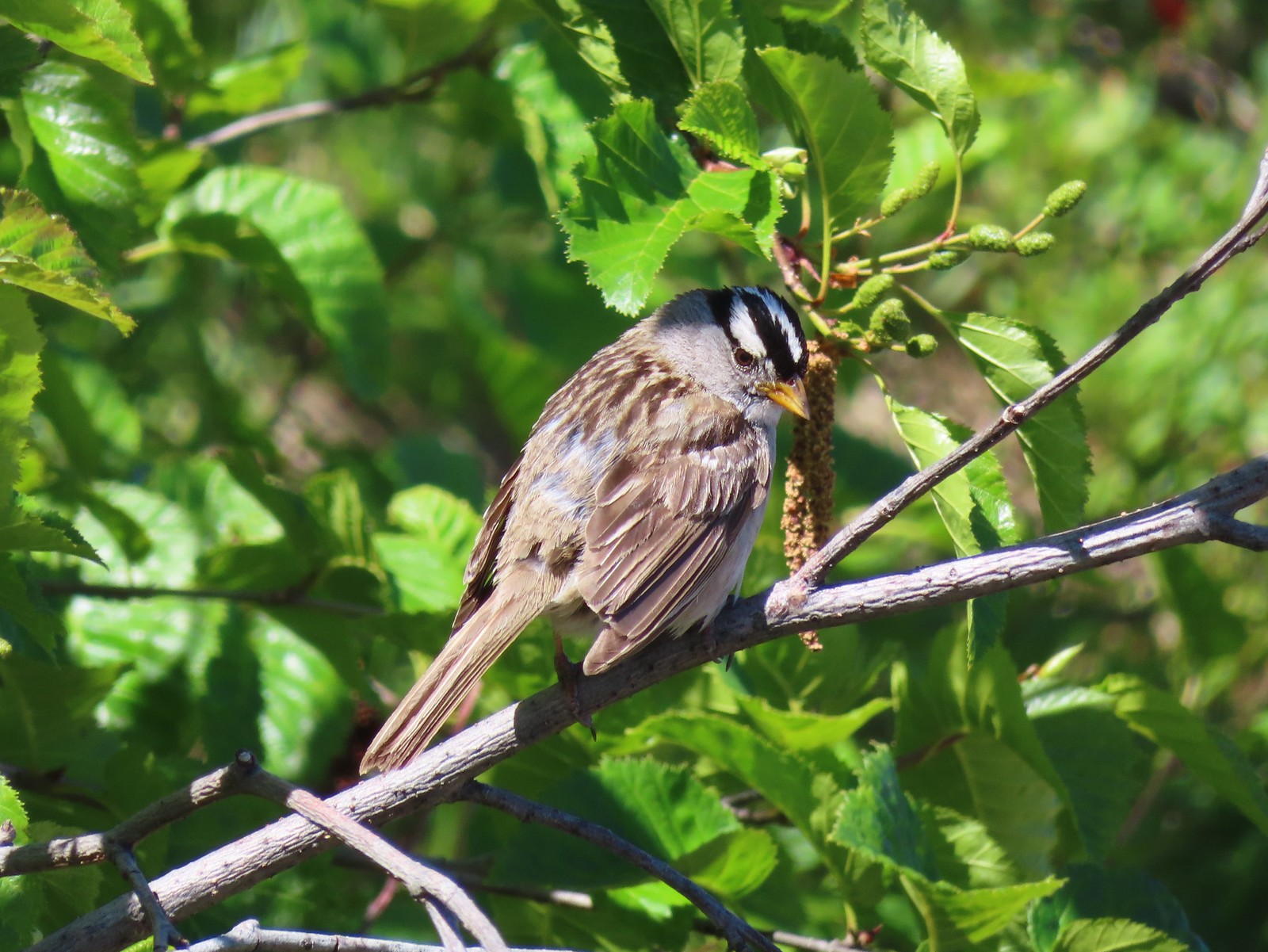 White crowned sparrow
 Boundary Trail leaving the Loowit Viewpoint.
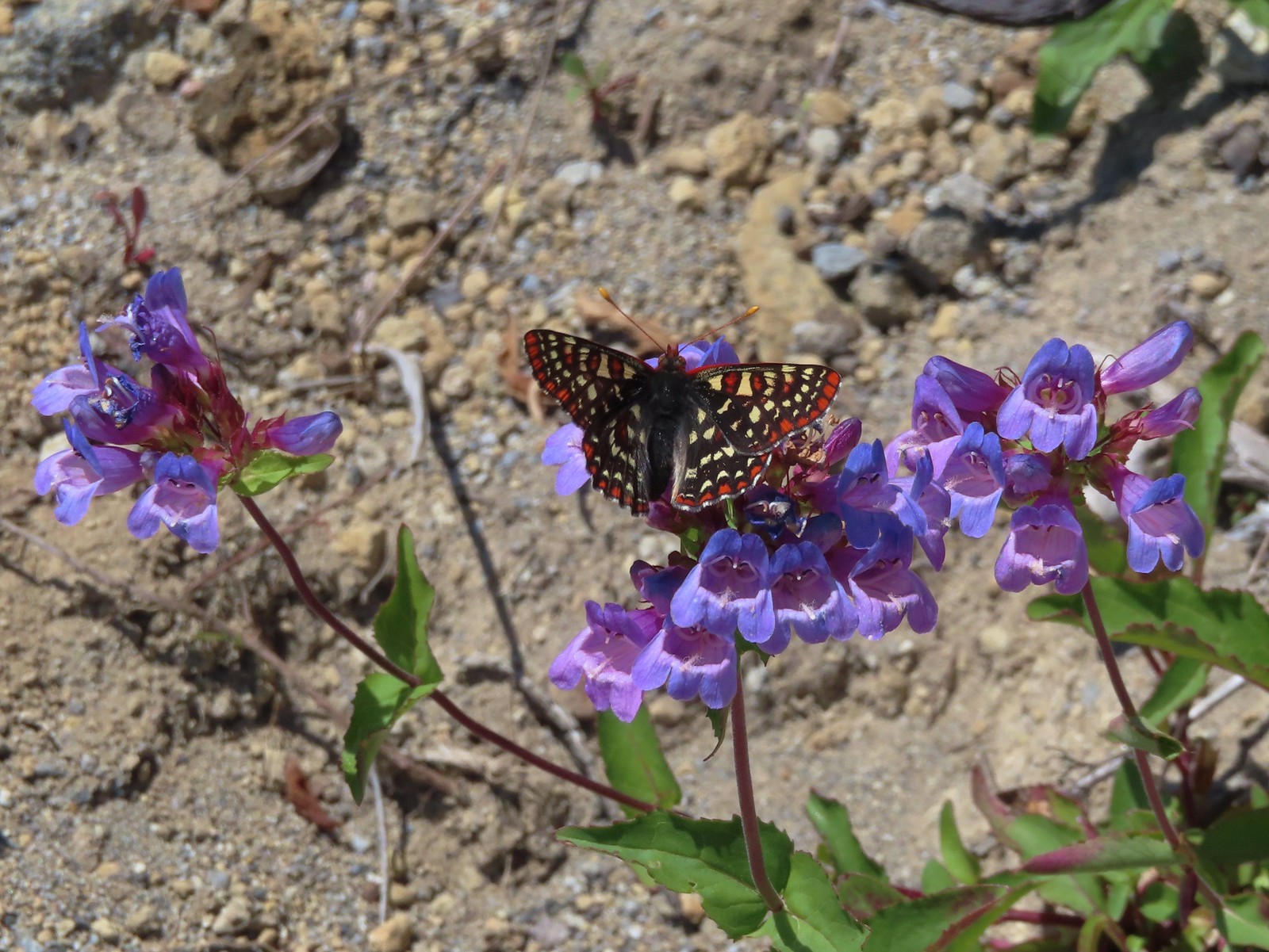 Snowberry checkerspot on penstemon.
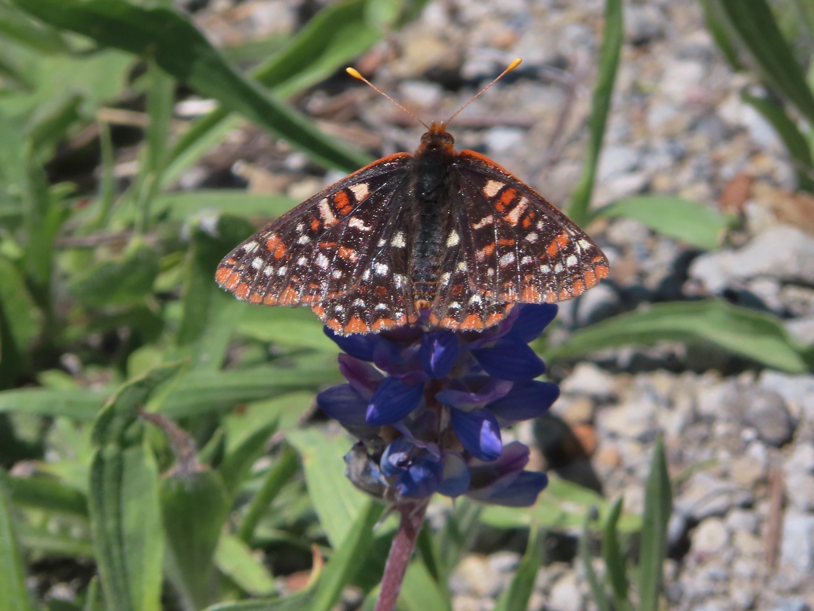 Another checkerspot, this time on lupine.
 Cedar waxwings


 Mt. St. Helens and the North Fork Toutle River.
 The same view in May 2014.
 Same spot, different angle 2014.
 Monkeyflower
 Maybe a yellow-rumped warbler.
 Caterpillar
 Dragonfly
 Pearly everlasting
 Arriving back at the Hummocks Trailhead.
 The view from the trees surrounding our campsite as we prepared to leave.
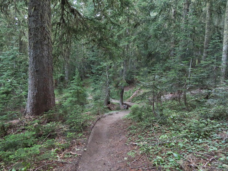
 Mt. St. Helens catching some morning light.
 Mt. Rainier without a whole bunch of smoke.
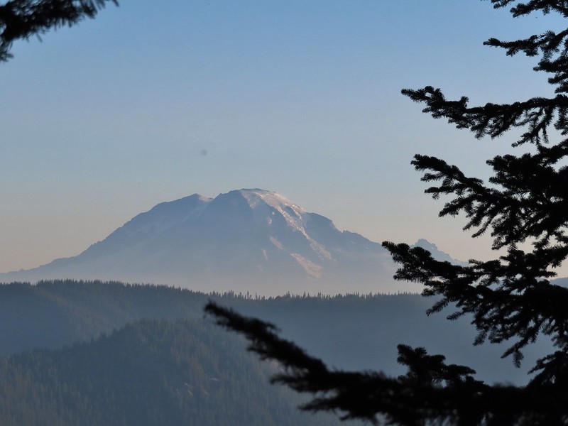
 We snagged a few black caps along the road to as a post breakfast snack.
 FR 2551
 The very top of Mt. St. Helens from FR 2551.
 Sullivan had labeled this stretch with the word slide which had caused a little apprehension in deciding to try this return route but despite the obvious slide(s) that had occurred here the road was in decent shape.
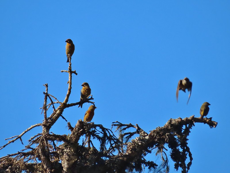 Not sure what kinds of birds were in this tree but there were a lot of them.
 FR 25 at the end of a long straight away.
 The Boundary Trail crosses FR 25 near the road sign ahead. The picture was taken from FR 2551 at FR 25.
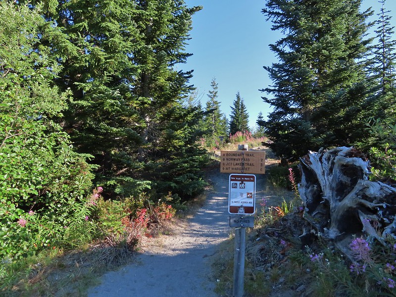
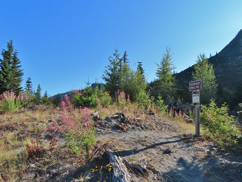
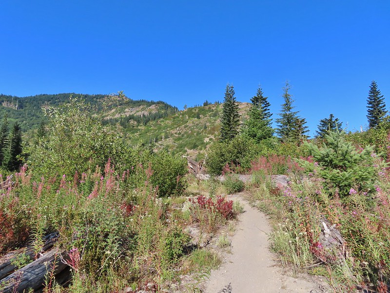

 Paintbrush
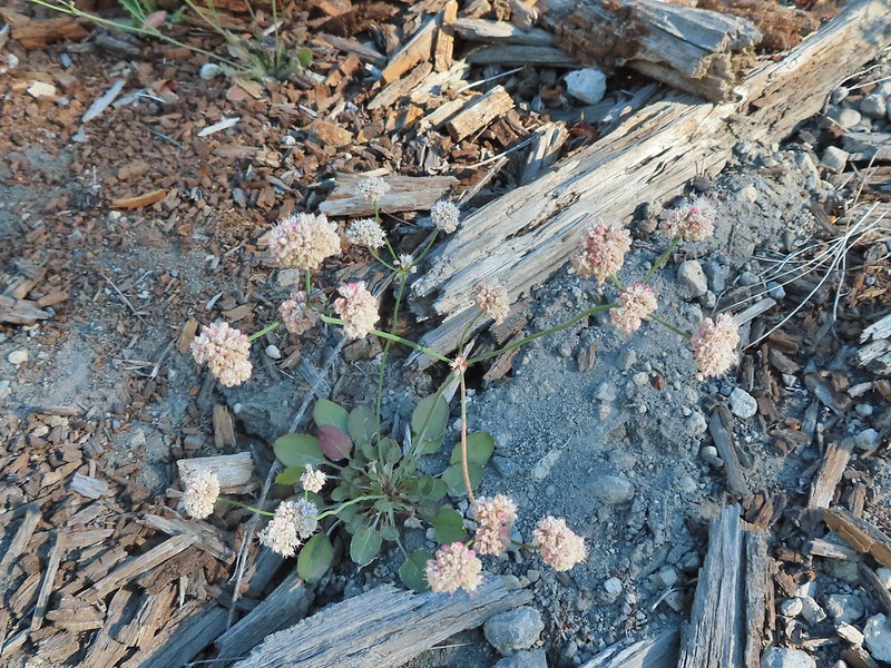 Buckwheat
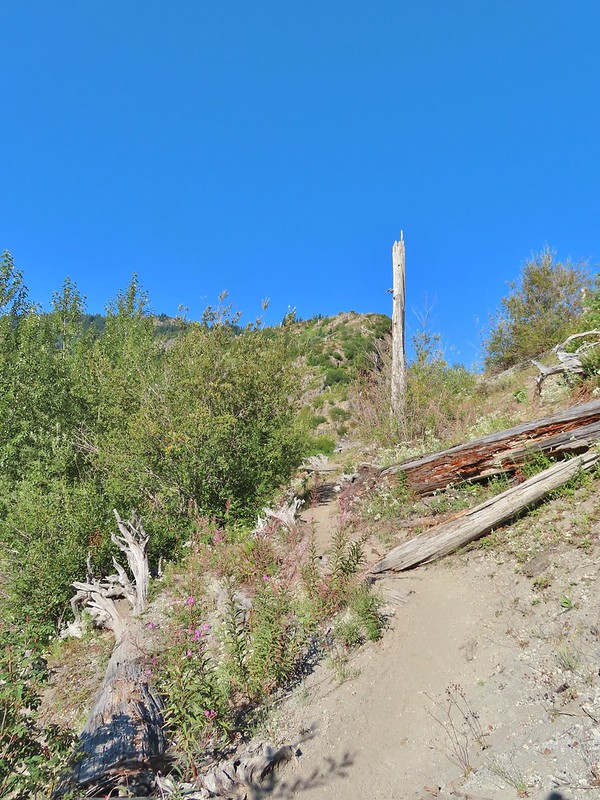

 We could hear a waterfall in the valley below.
 The top of the waterfall.
 Penstemon and pearly everlasting.
 Looking back over our shoulders to Meta Lake.
 Mt. Adams also from over our shoulders.
 Aster
Aster
 Switchback at the Independence Ridge Trail junction.
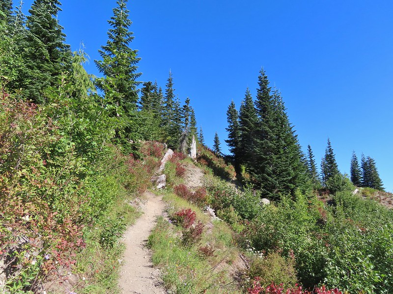
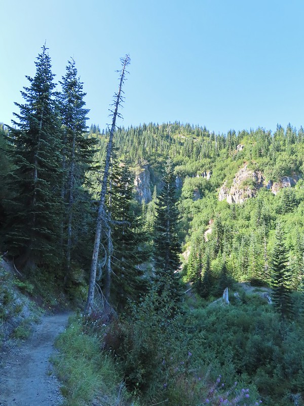 Heading down to the stream bed.
 Penstemon
 Monkeyflower

 Norway Pass (the low saddle to the right) from the trail.
 Orange agoseris
 Approaching the pass.


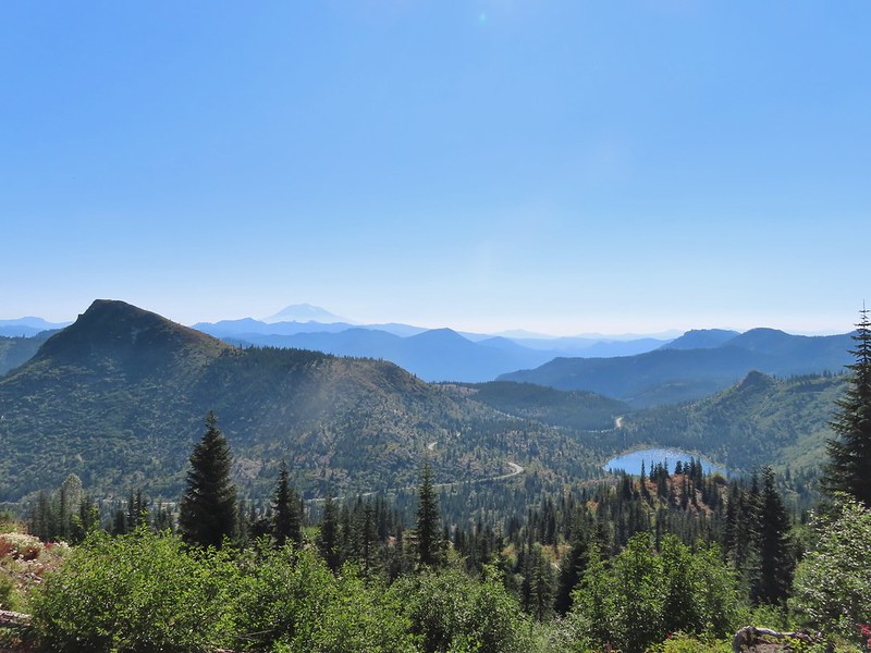 Mt. Adams and Meta Lake from the trail.

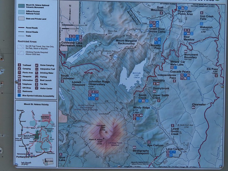

 Mt. St. Helens from the viewpoint.
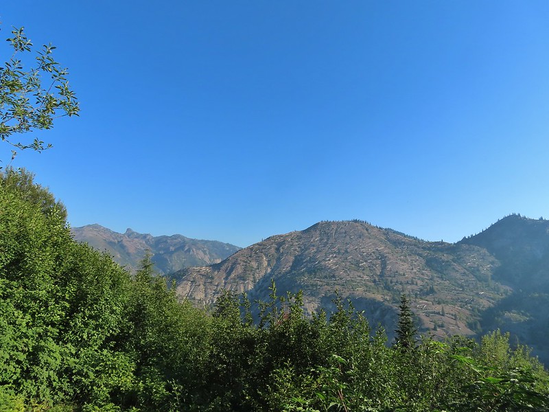

 Pearly everlasting
 Penstemon
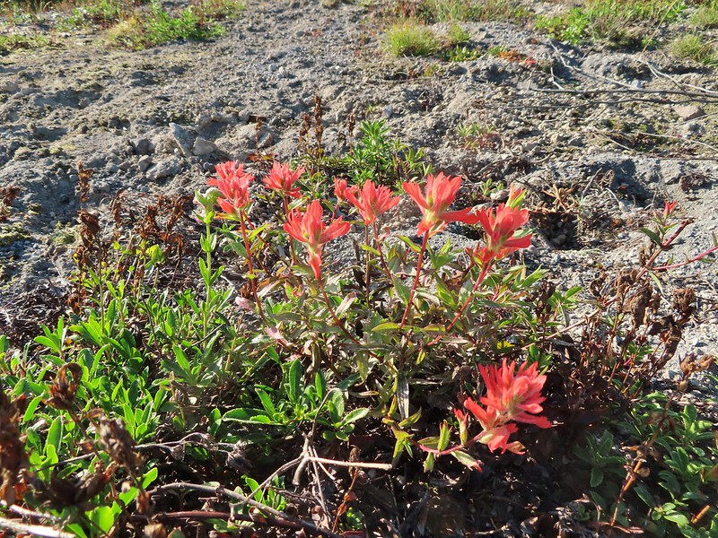 Paintbrush
 Mt. St. Helens
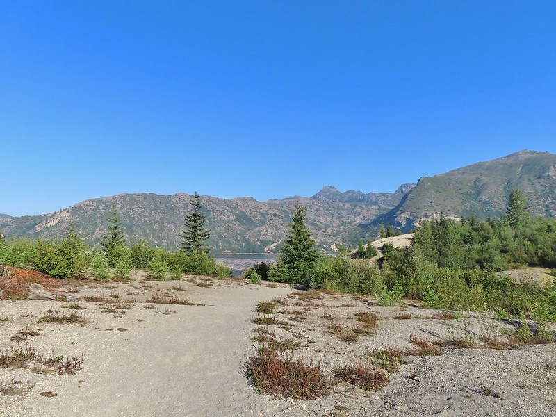


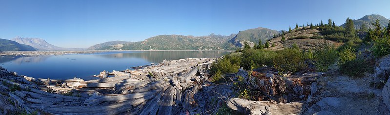 Mt. St. Helens and Spirit Lake from the end of the trail.
 Coldwater Peak (
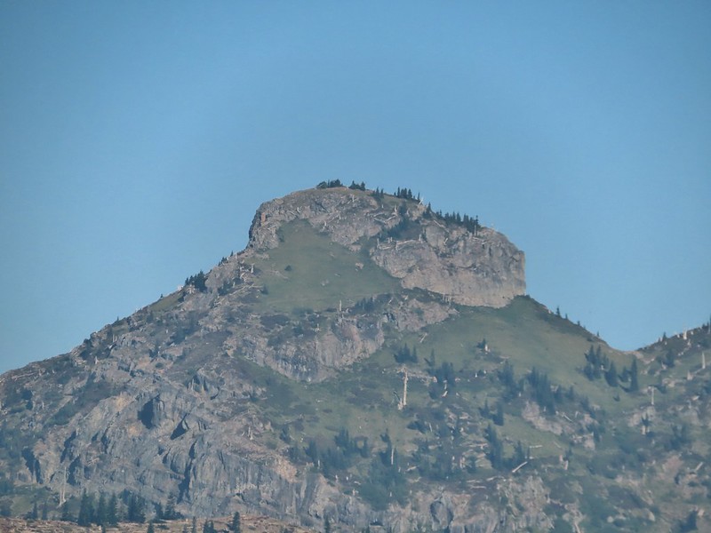 The Dome
 Mt. Margaret
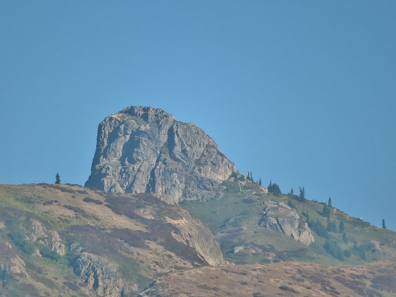 Mount Teragram
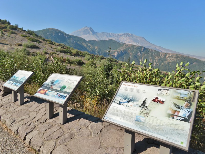 Mt. St. Helens.

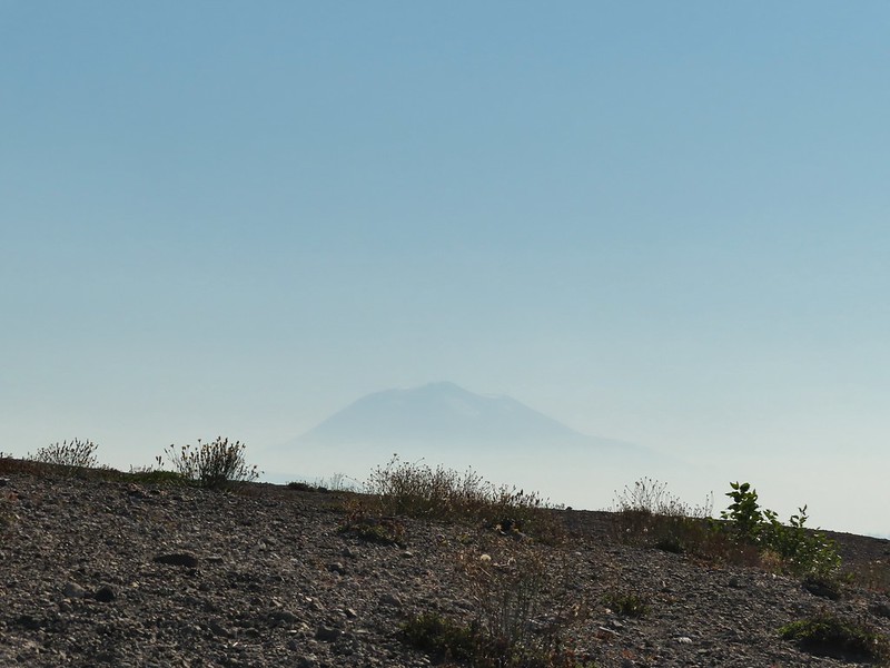 Mt. Adams
 Mt. Rainier

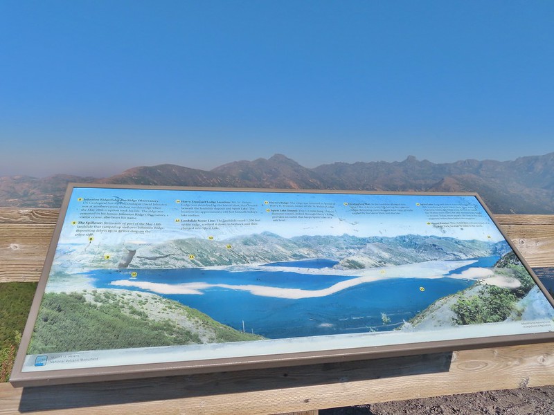
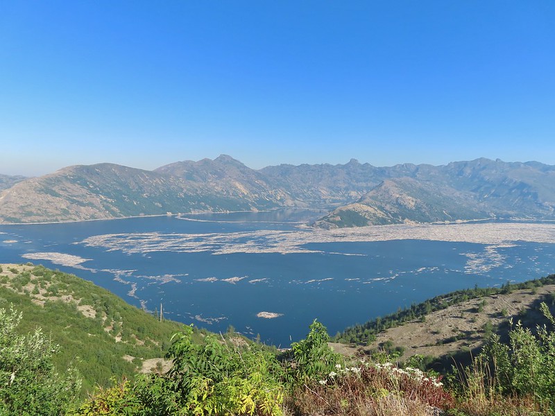
 The Johnston Ridge Observatory was visible across Spirit Lake on a far hillside.
 It’s often hard to tell if you’re seeing dust from rockfall or steam from one of the vents.

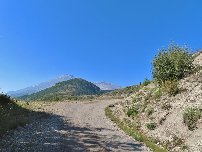
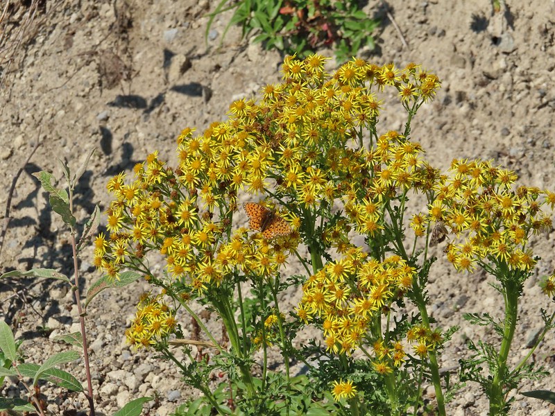 Butterfly on ragwort
 Butterfly on pearly everlasting
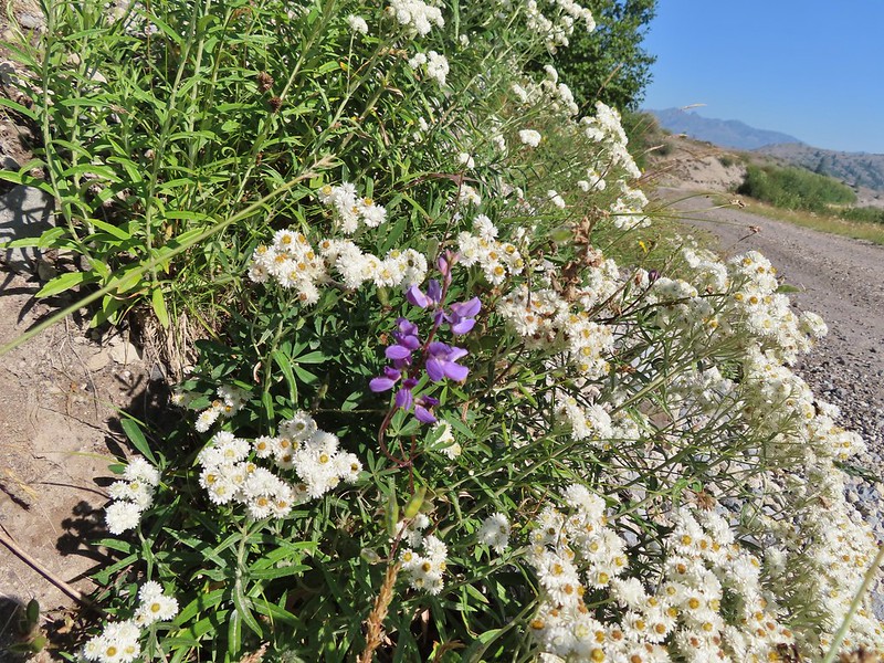 Lupine in the pearly everlasting
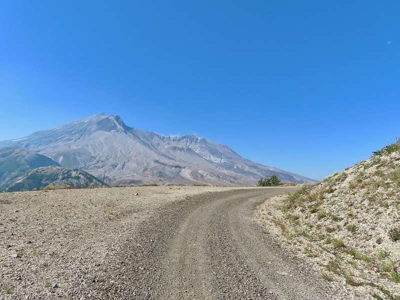
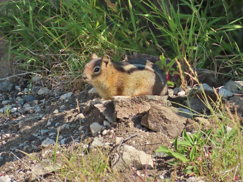 Golden-mantled ground squirrel
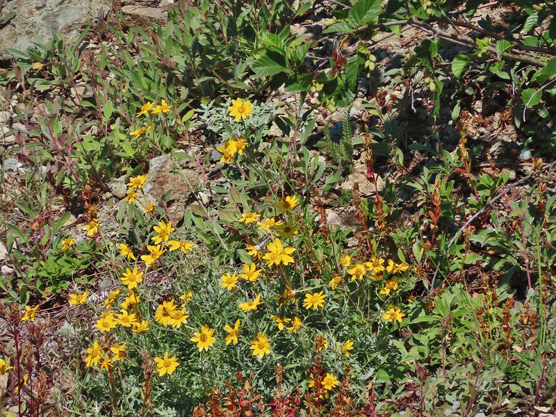 Might be Oregon sunshine
 Penstemon
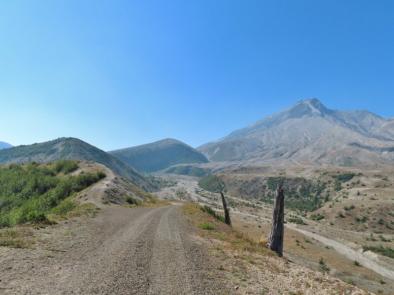
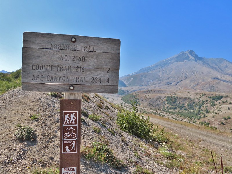


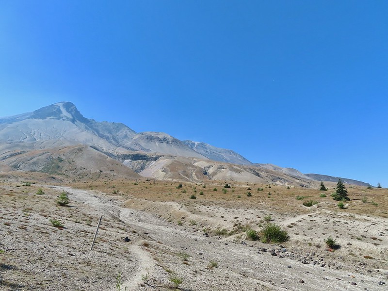
 Paintbrush and dwarf lupine
 Pearly everlasting
 The Loowit Trail junction.
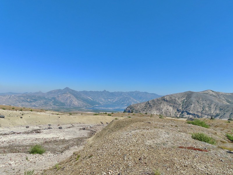 Spirit Lake from the junction.
 In the gully.
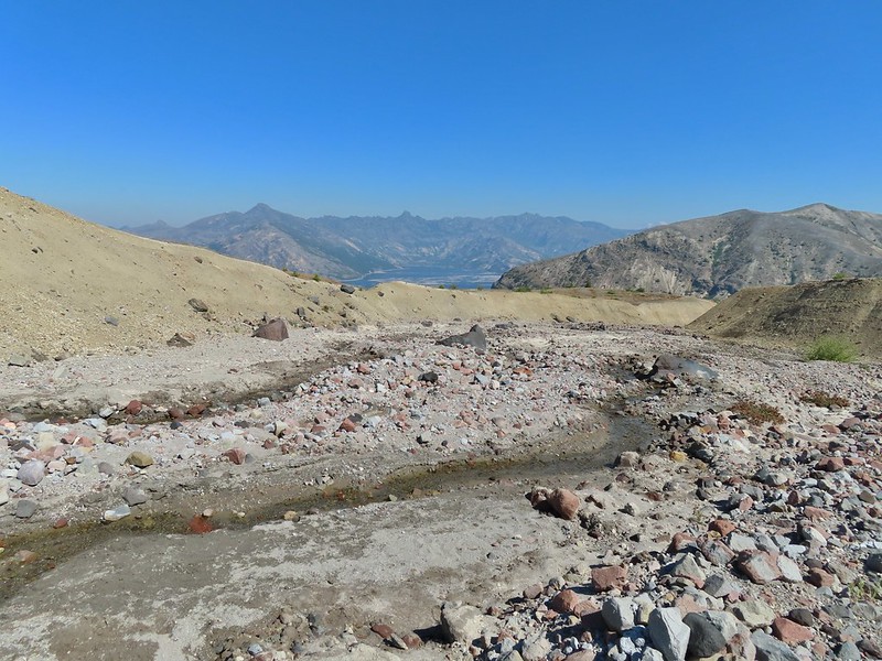
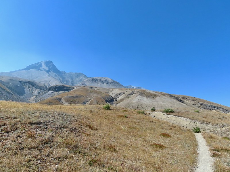
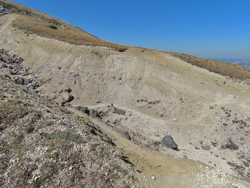 Another gully to cross.
 Big Spring is in the willow thicket.
 The stream flowing over the Loowit Trail.
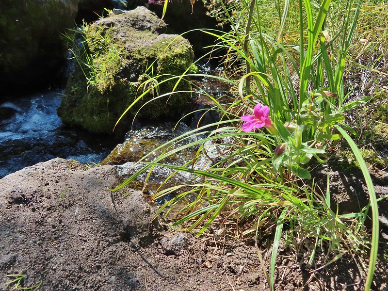 A pink monkeyflower at the spring.
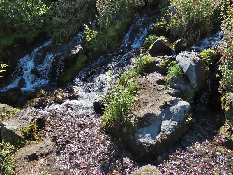
 Looking back at the willows and Big Spring.
 Coldwater Peak to the right.
 The Sugar Bowl lava dome.
 Spirit Lake from the trail.
 The first goats we spotted are on this ridge above the lone tree.
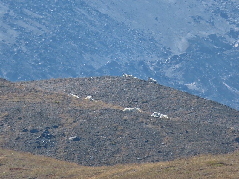
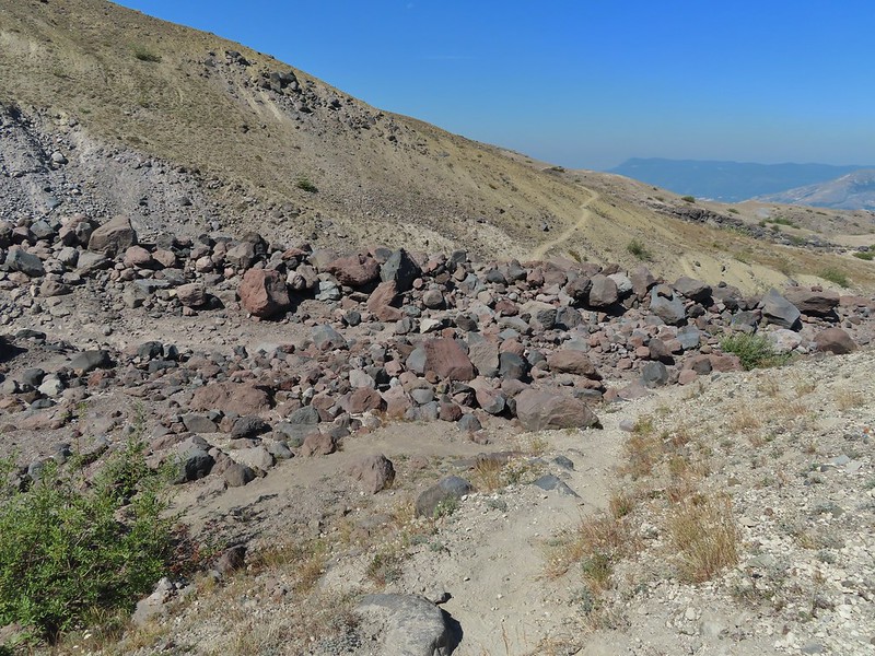 The Loowit Trail crossing two gullies in a short stretch, one red one black.
 Dropping into the second gully.
 From the second gully we could see quite a few more goats on the ridge.
 Approaching the junction with the side trail to Loowit Falls.
 Sign for Loowit Falls.
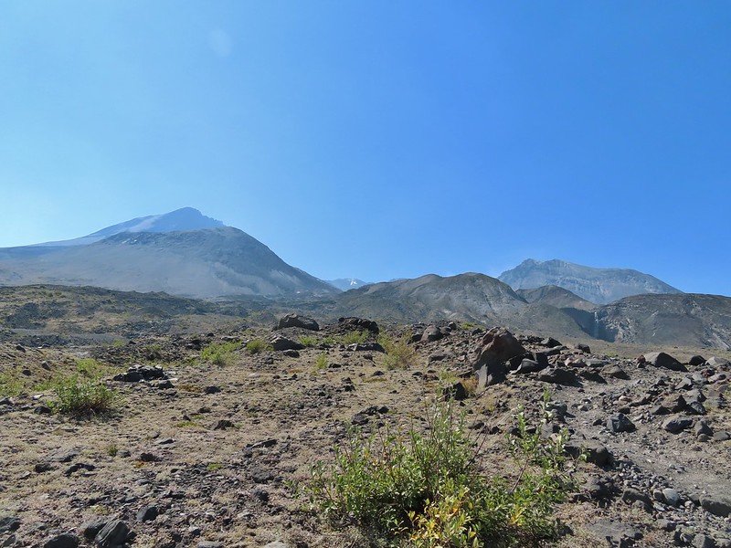 Loowit Falls (right side of the photo) was visible for much of the half mile.
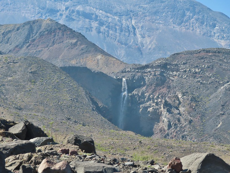
 Looking back at Coldwater Peak and Spirit Lake. (The top of Mt. Rainier is barely visible peaking over the top of the ridges.)

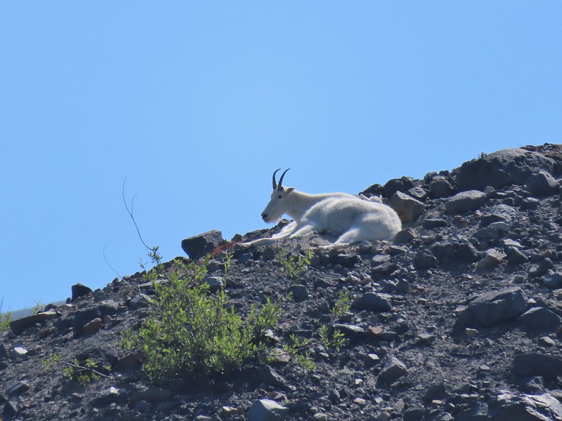

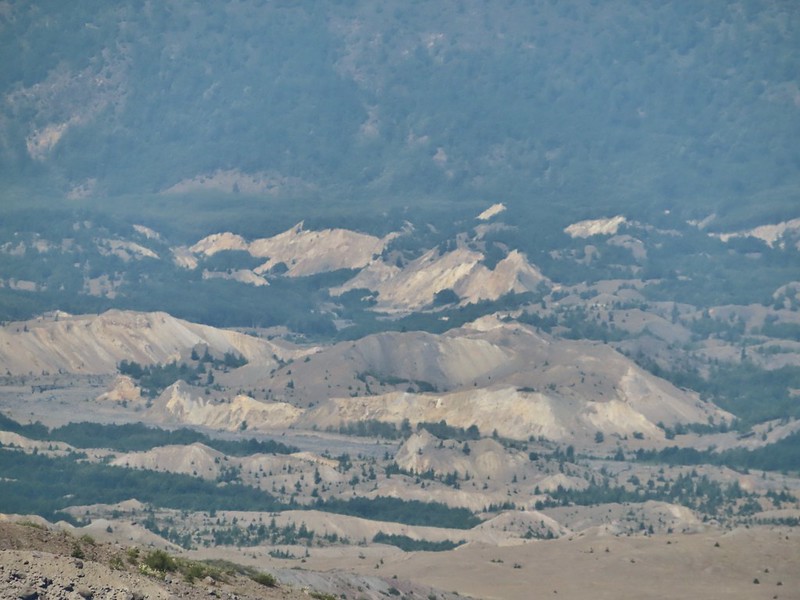


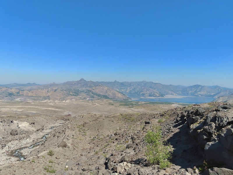 Spirit Lake from the viewpoint.
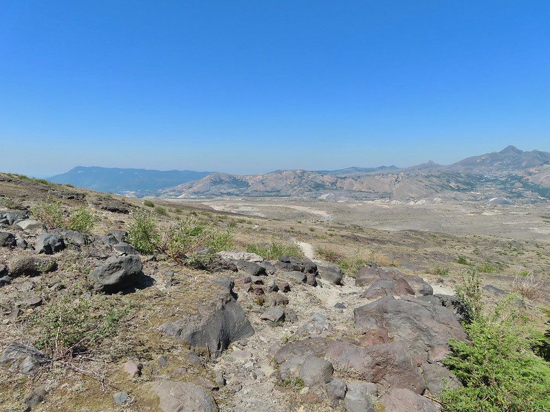

 Paintbrush
 Dwarf lupine
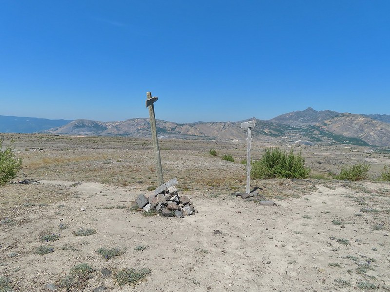
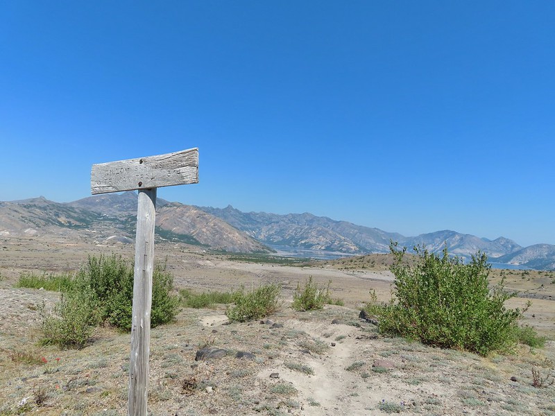
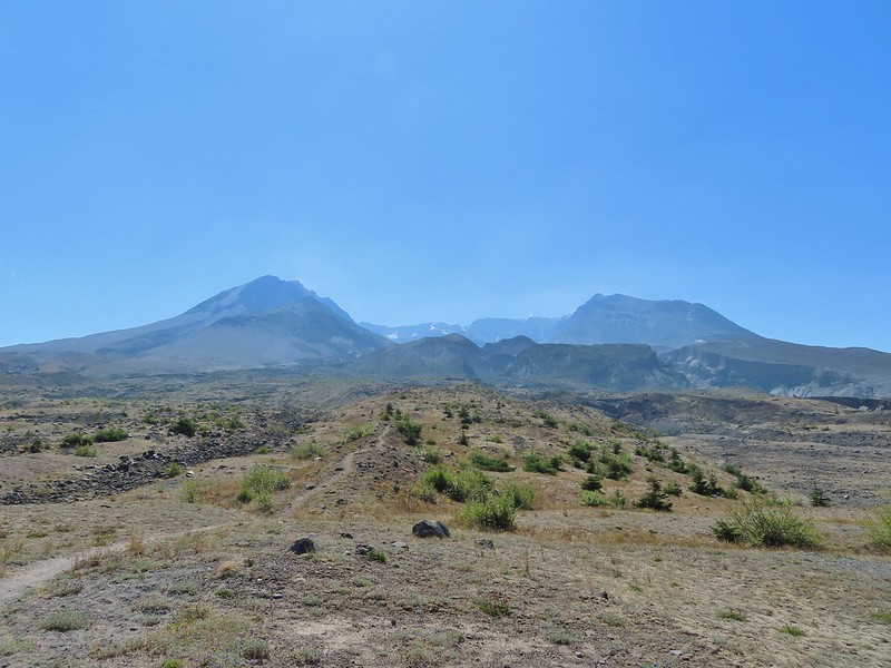 Mt. St. Helens from the Willow Springs Trail.
 Heading toward Spirit Lake.
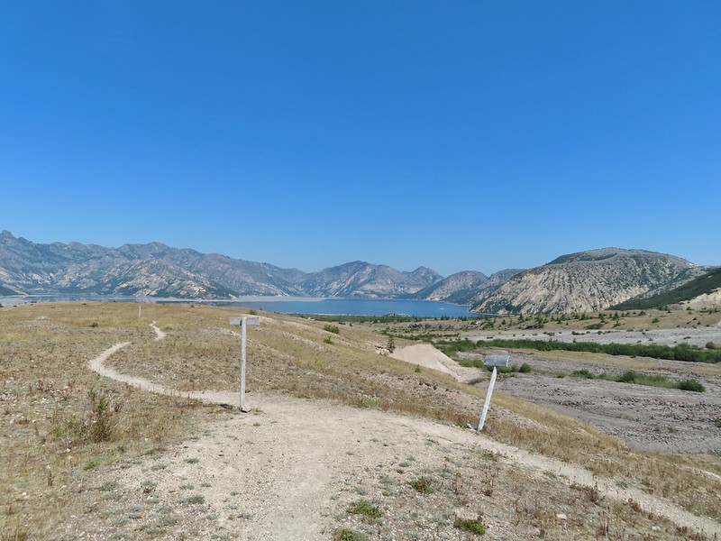

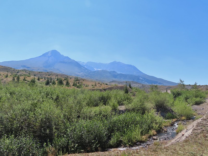
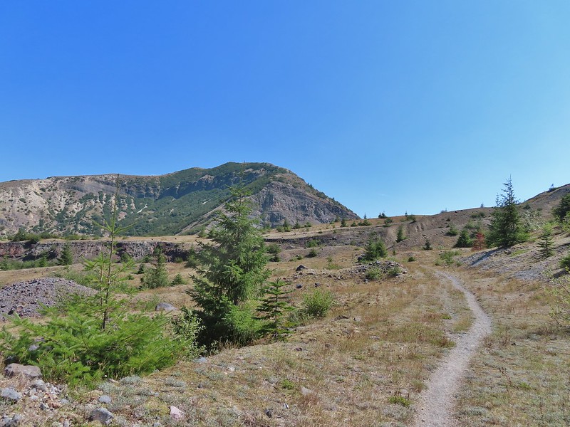

 The Dome above Spirit Lake

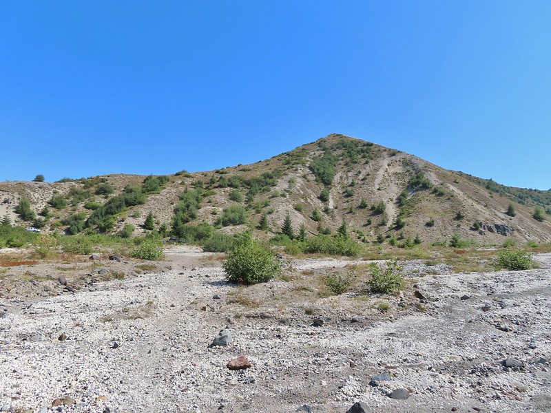 Vehicles ahead in the research parking area.
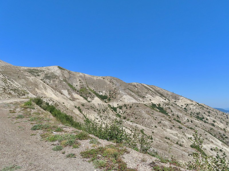
 Mt. Adams to the left.
 Mt. Adams
 Look out for snakes, not the poisonous kind just don’t want to step on them.
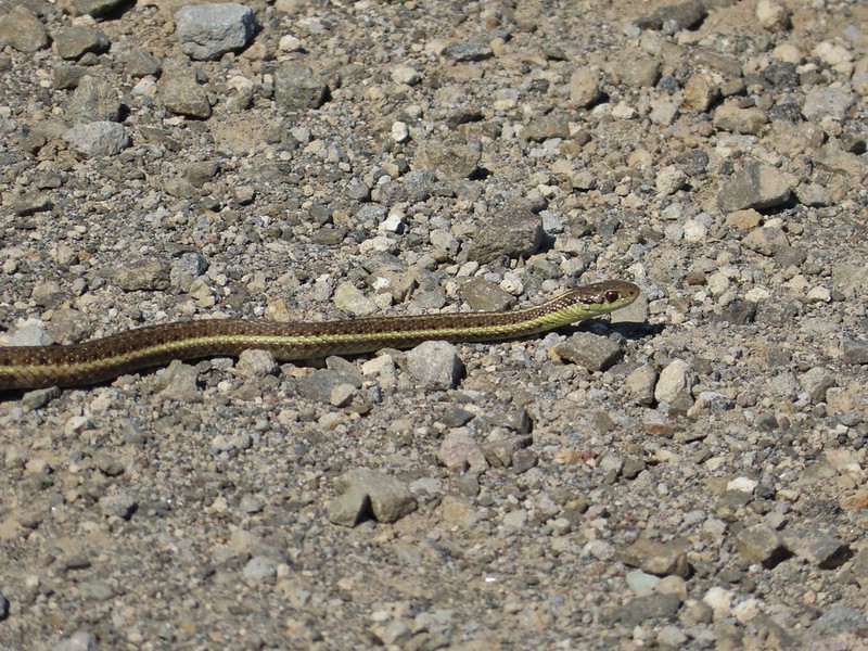
 Some sort of sulphur butterfly on pearly everalsting.
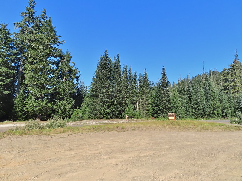
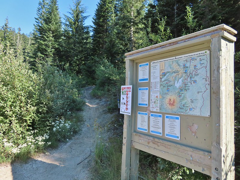


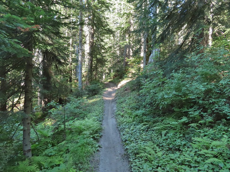

 Salmonberries
 Blueberries
 Huckleberries
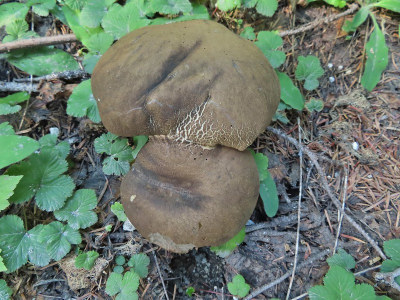 Mushrooms (the flowers of Fall)
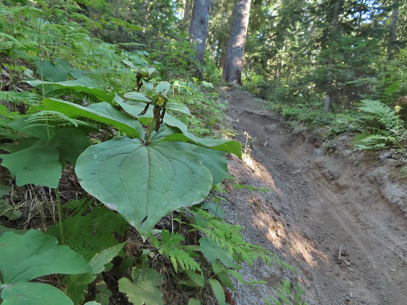 I was really surprised to still be able to make out the remains of the petals on these trillium.
 These bunchberries with a few petals left were near the trillium above.
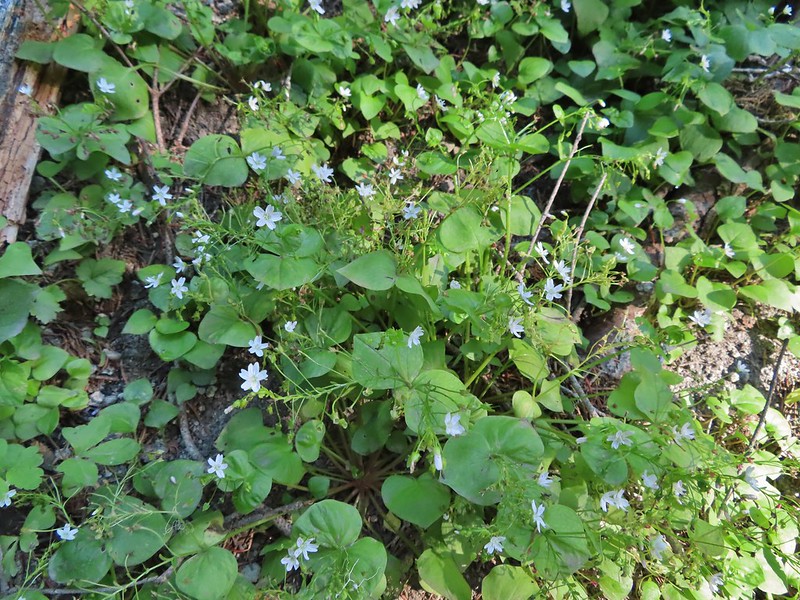 Candyflower

 These thimbleberries weren’t ripe but a short distance further were a lot of ripe ones. I thought I might have to hike back and retrieve Heather from them.
 A brief glimpse of Mt. Rainier from the ridge the trail was following, it looked like a lot of the smoke had blown away.
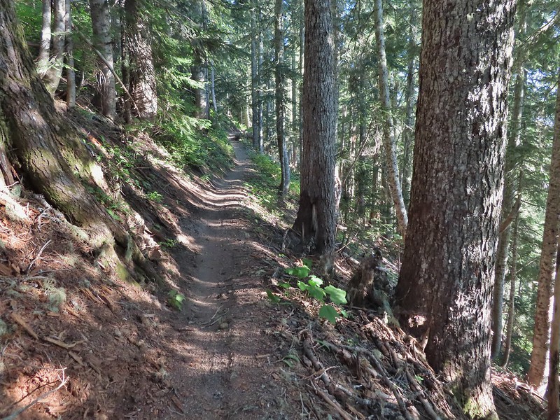

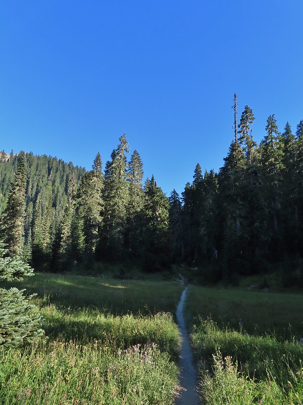
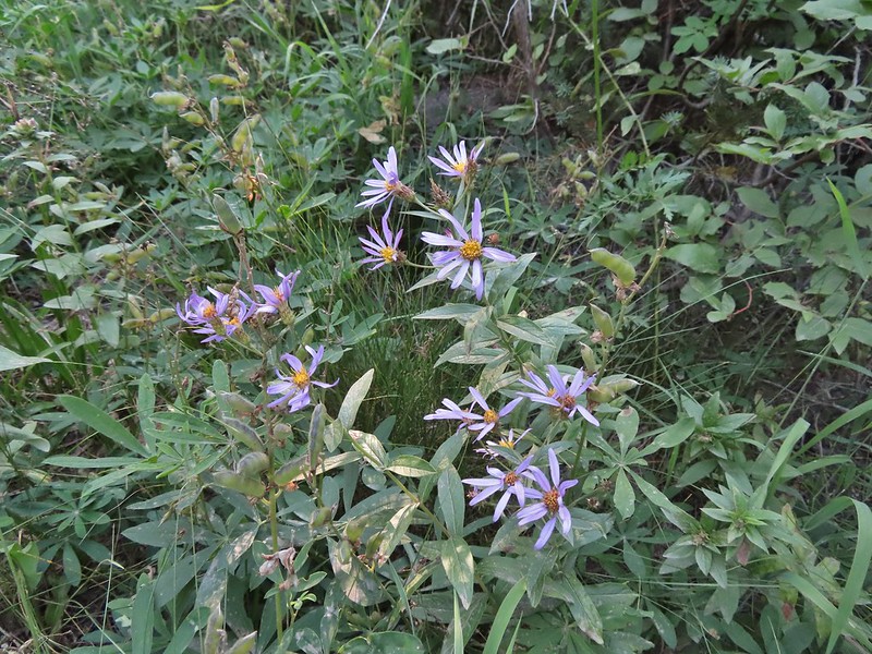 Aster
Aster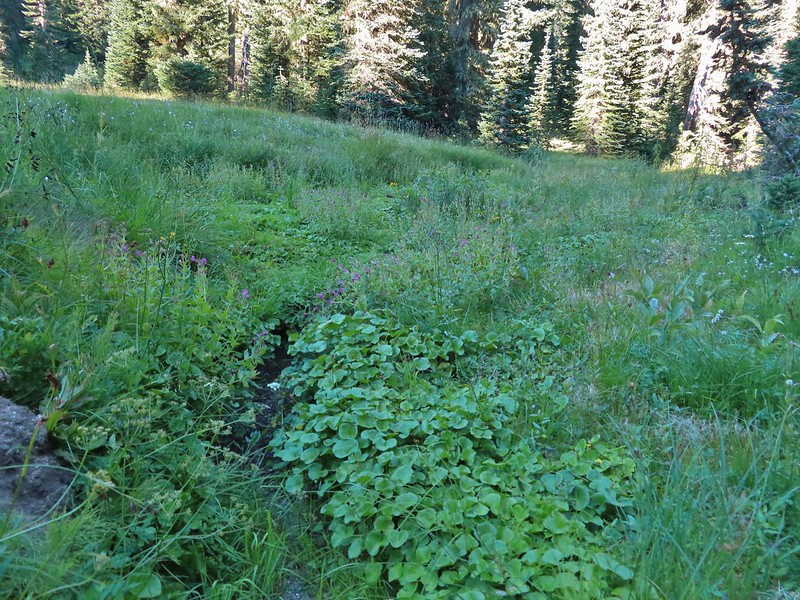 Elk Creek
 Pink monkeyflower along Elk Creek
 Lupine
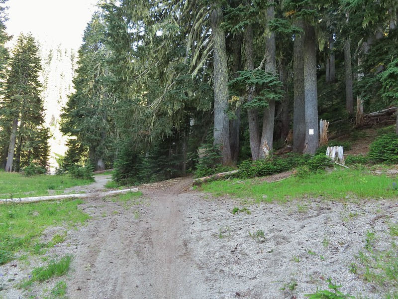 The trail near Badger Lake was particularly torn up and there were several signs posted admonishing motorcyclists to stop driving off trail.
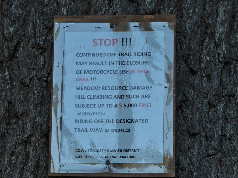
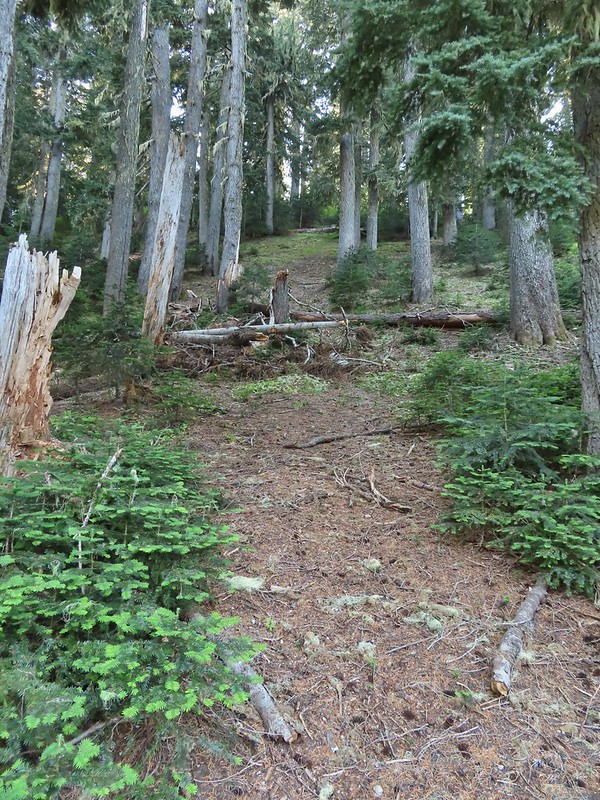 Torn up hillside near the lake, it only takes one or two idiots to cause a lot of damage (the same goes for hikers/mountain bikers).
 The little puddle in the foreground is not the lake, it is further back.
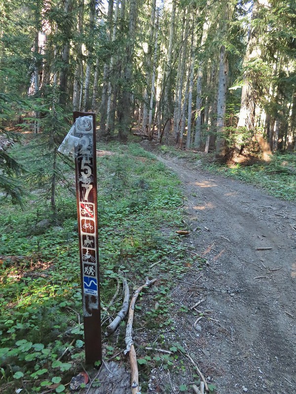
 This mushrooms was at least as wide as a salad plate.


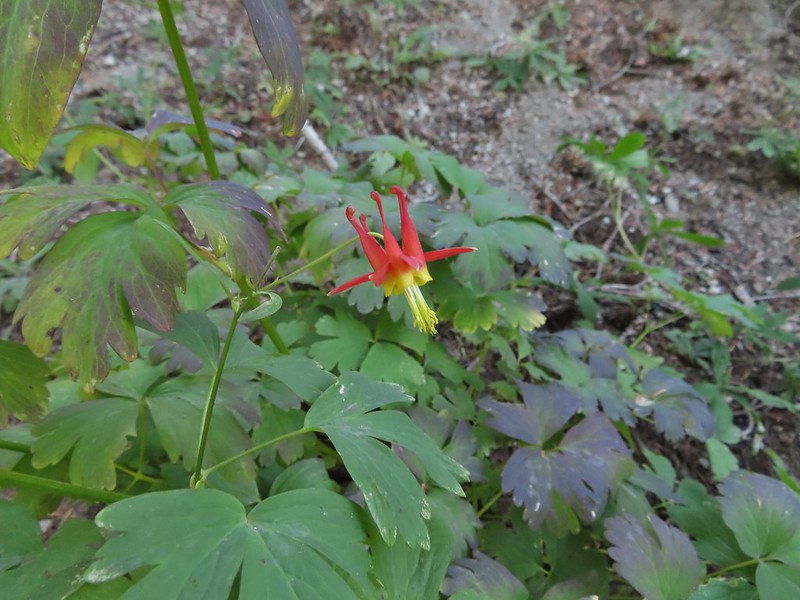 A columbine
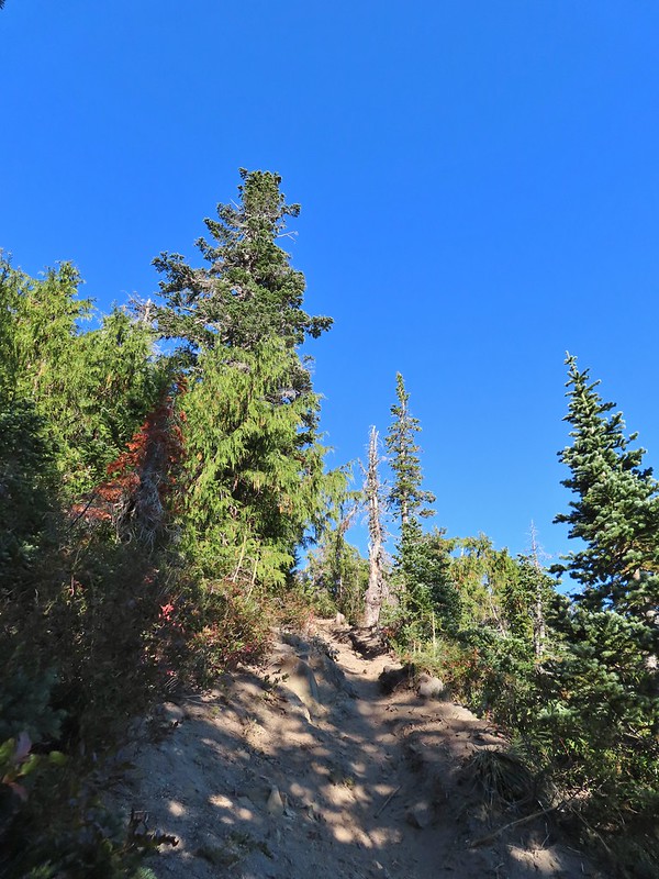
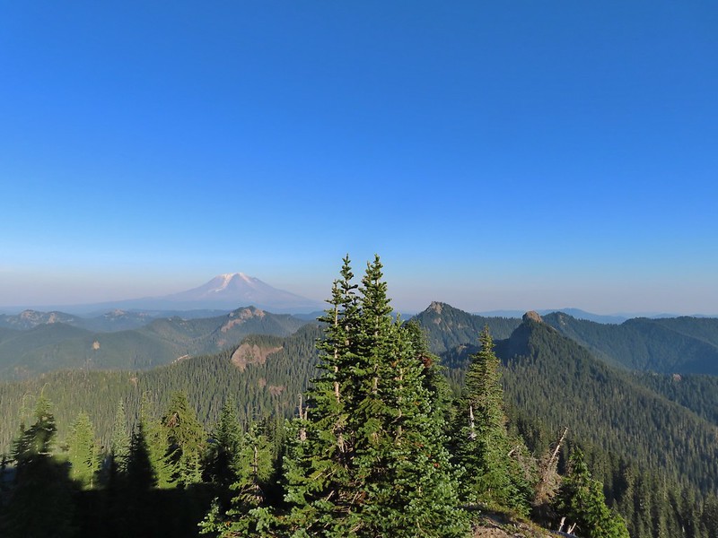
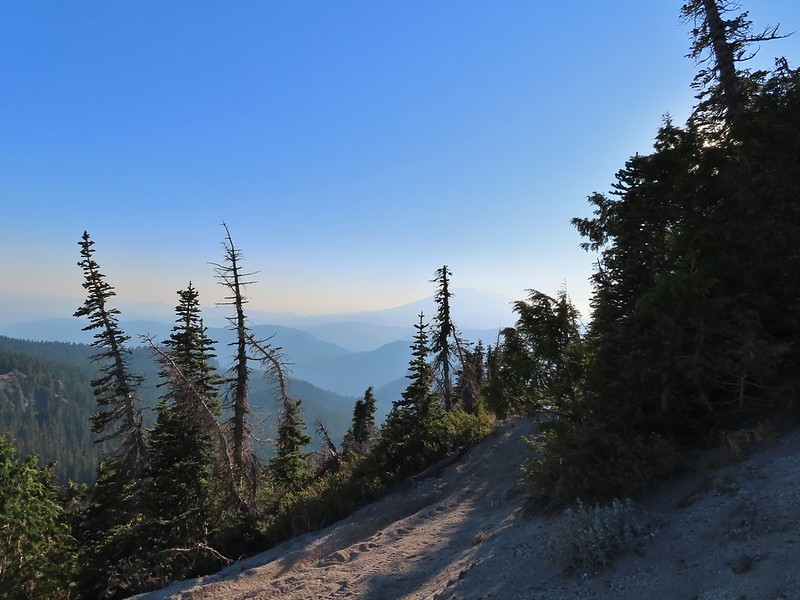 Mt. St. Helens was hard to make out with the combination of haze and Sun position.
 Looking south toward Mt. Hood (I could make it out with the naked eye.)
 Mt. Hood in the haze.
 Mt. Rainier
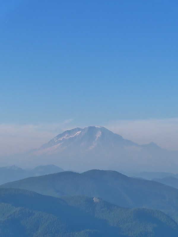 Mt. Rainier
 Mt. Adams
 The Goat Rocks were also hard to make out due to the smoke.
 Western pasque flowers, aka hippies on a stick, below the summit.


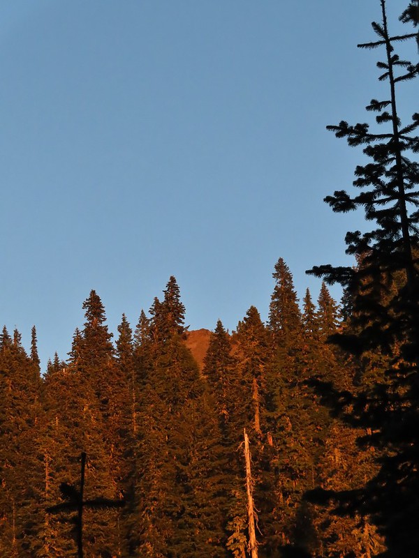 The last of the sunlight hitting Badger Peak.
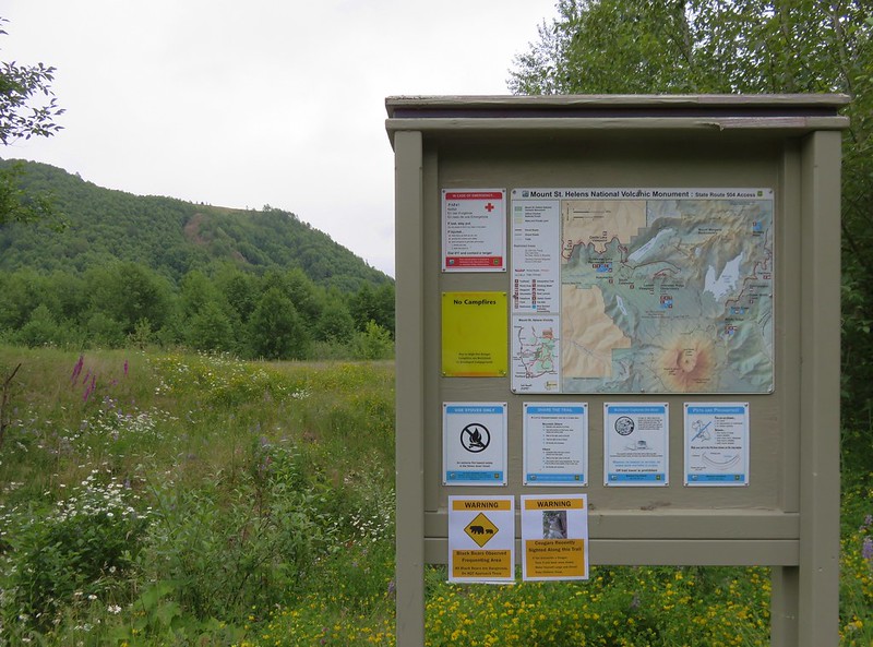

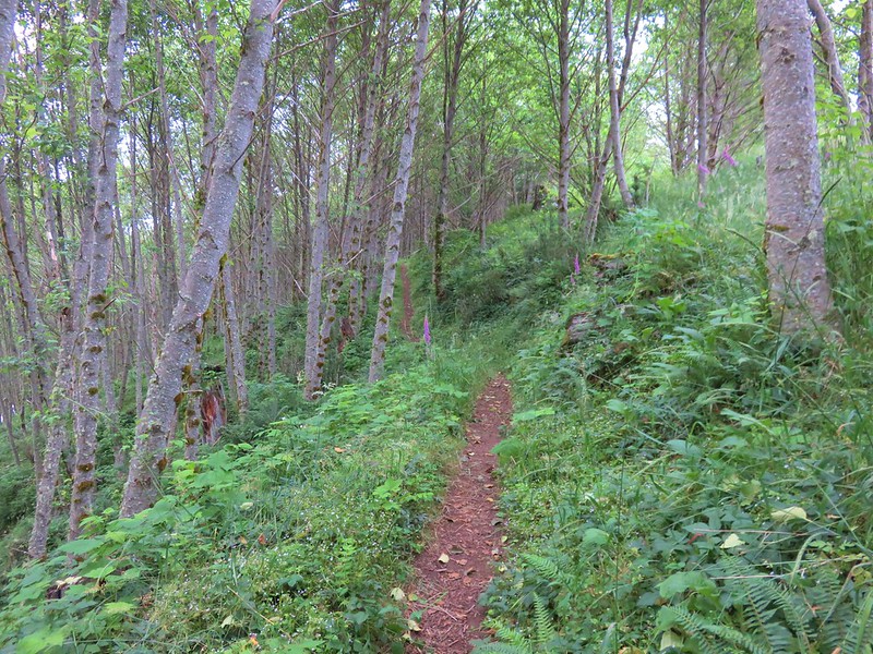


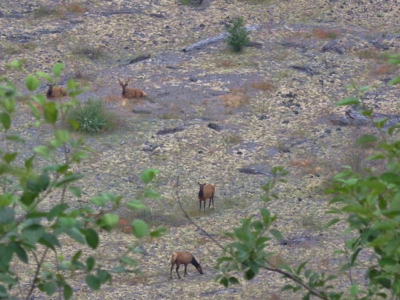
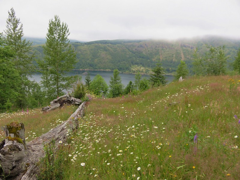
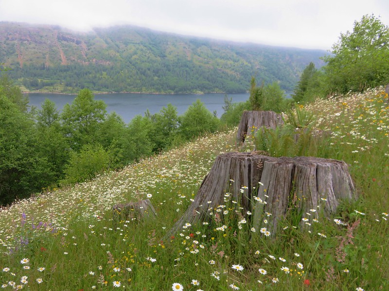
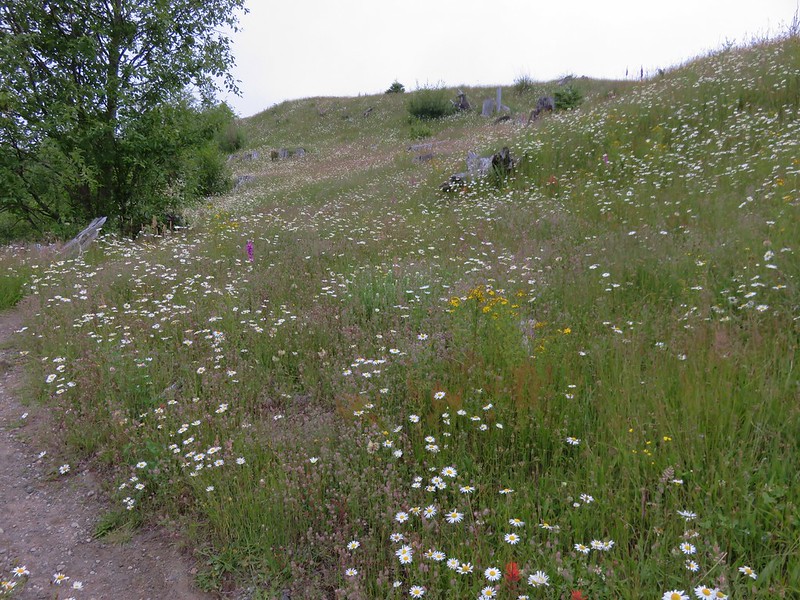
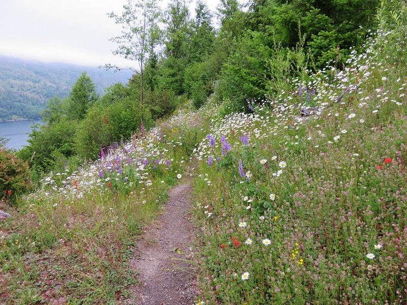

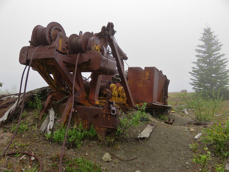
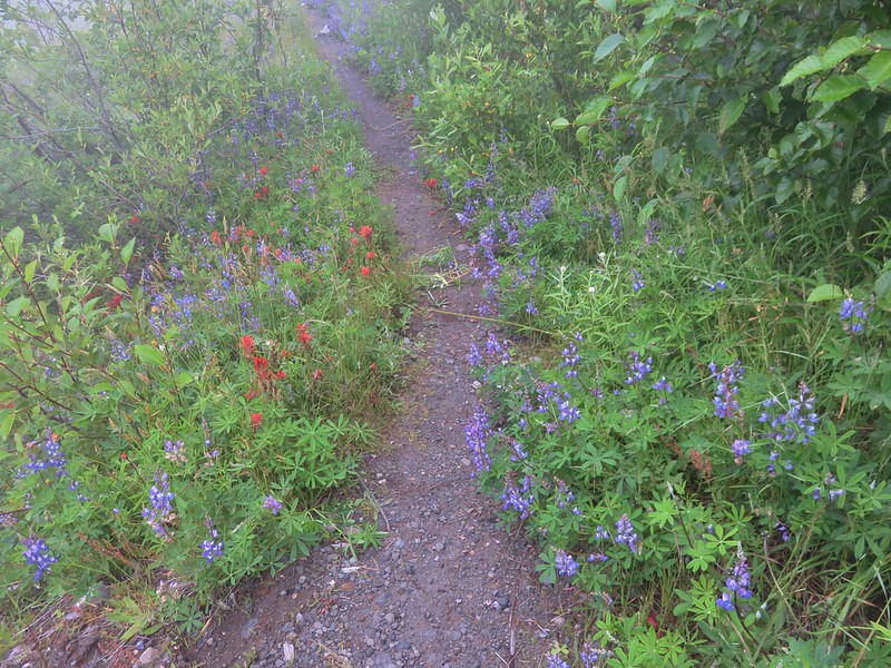
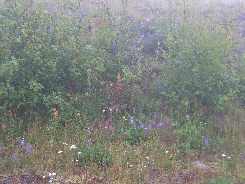
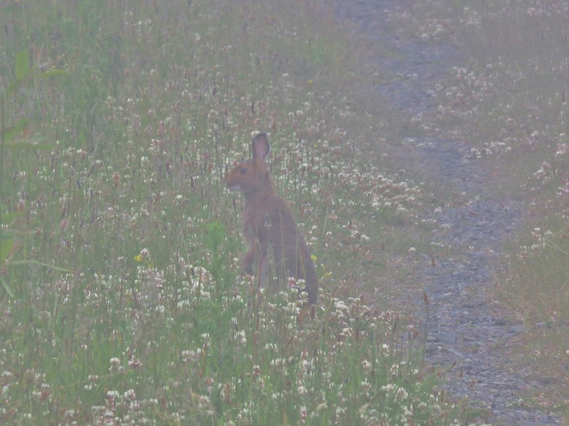
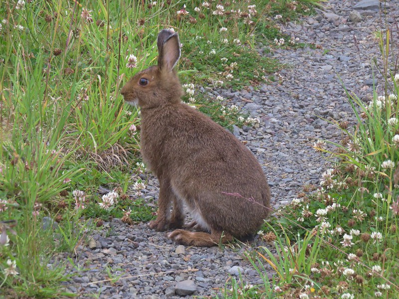
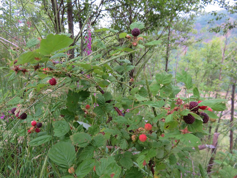
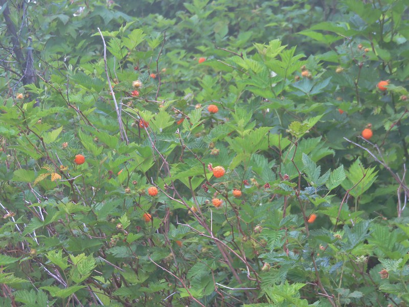
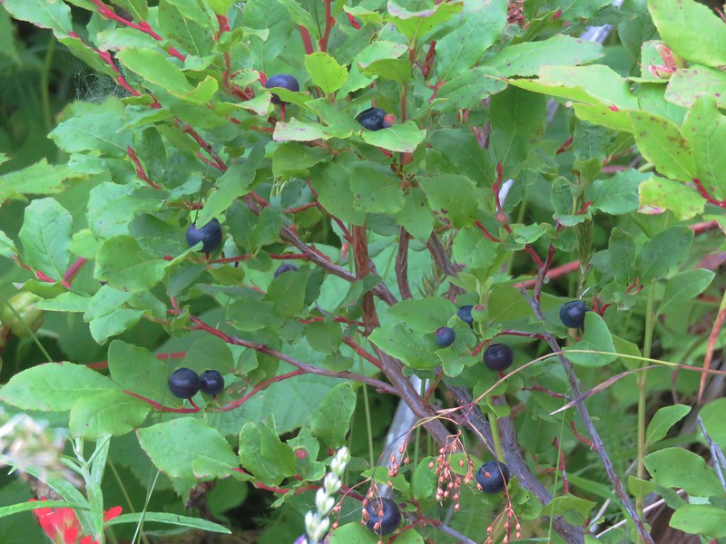


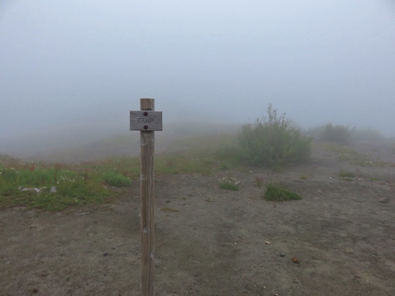
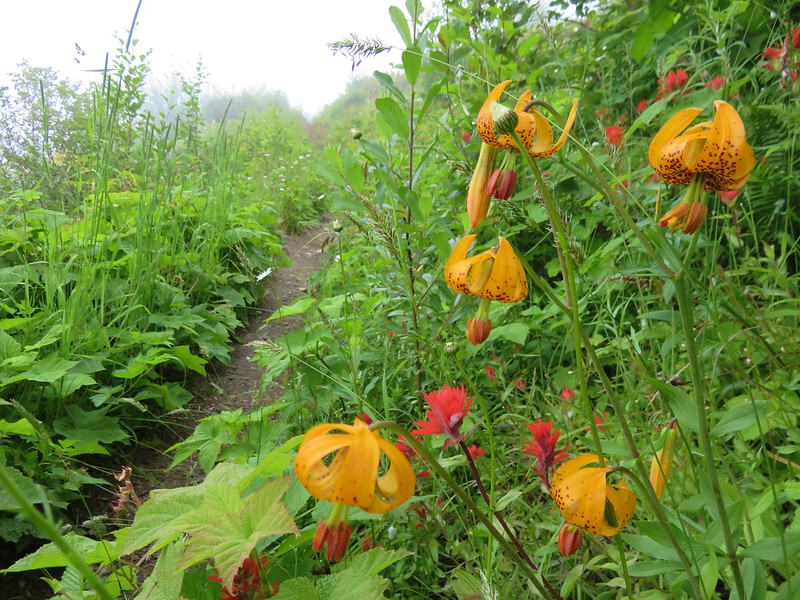
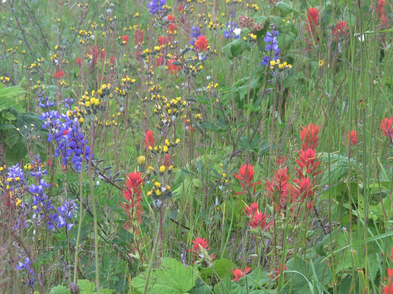
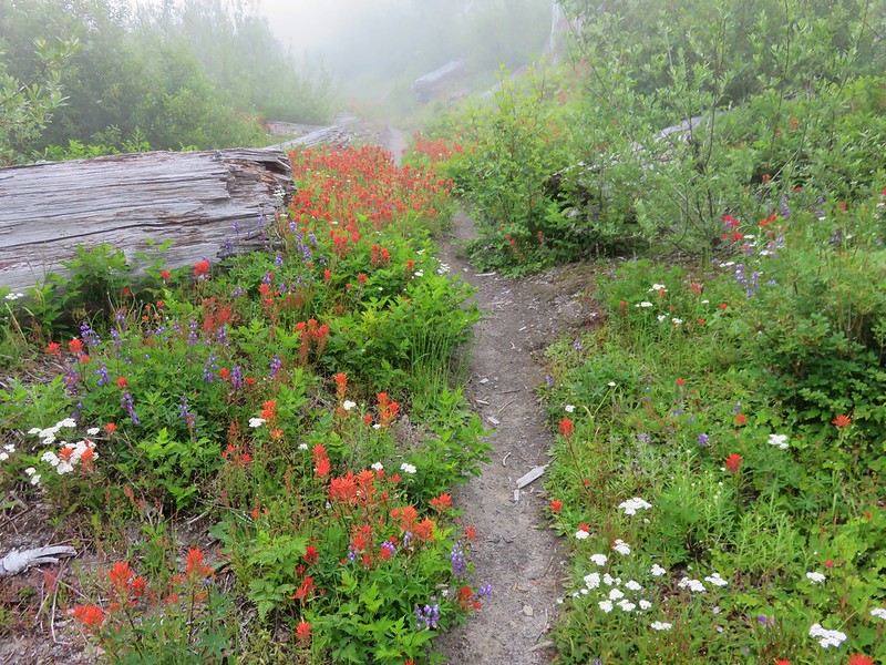
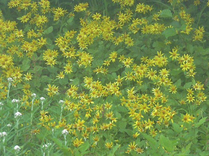

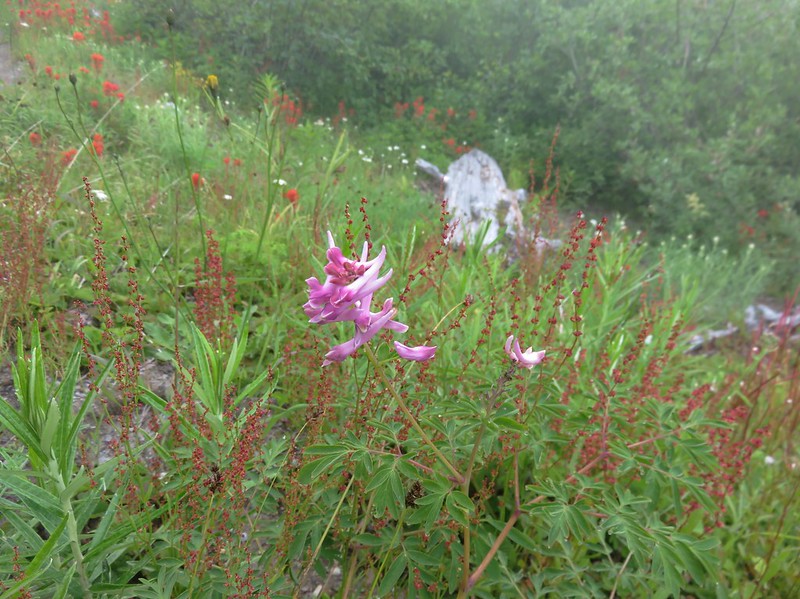
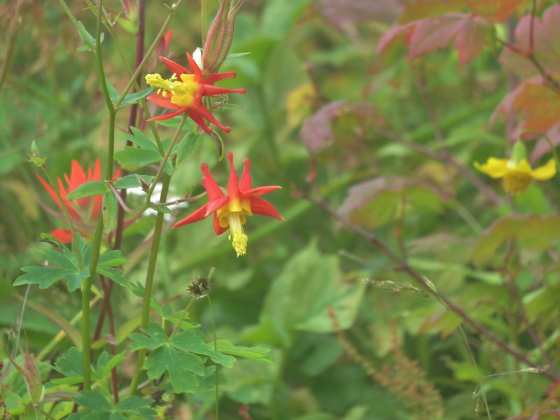

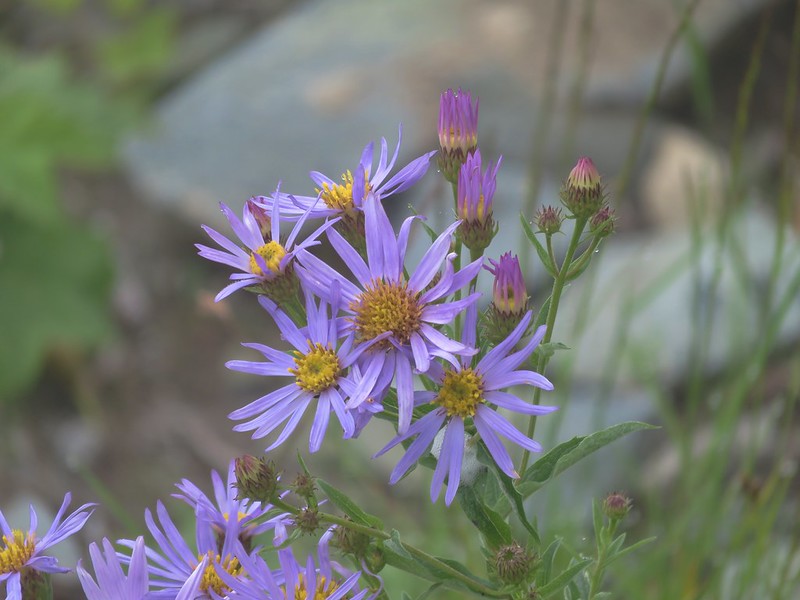

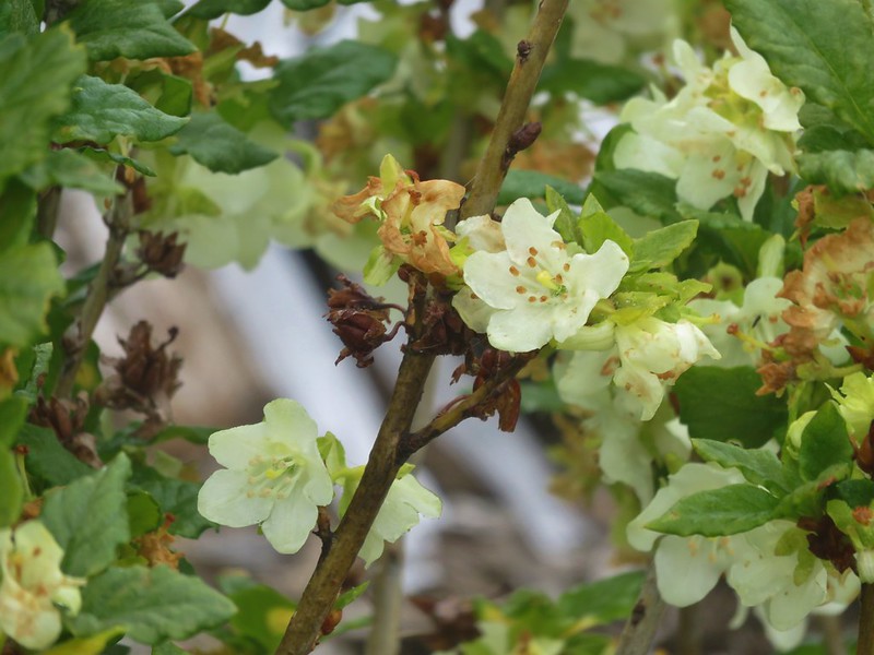
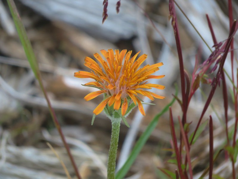
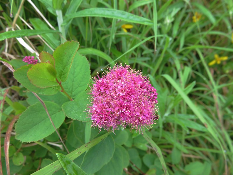
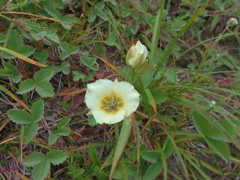
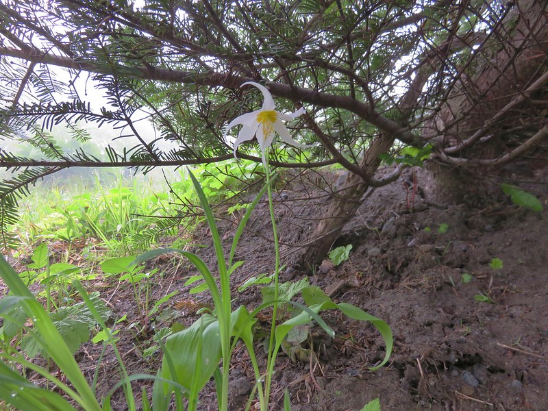
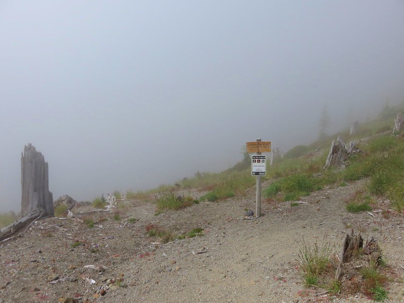
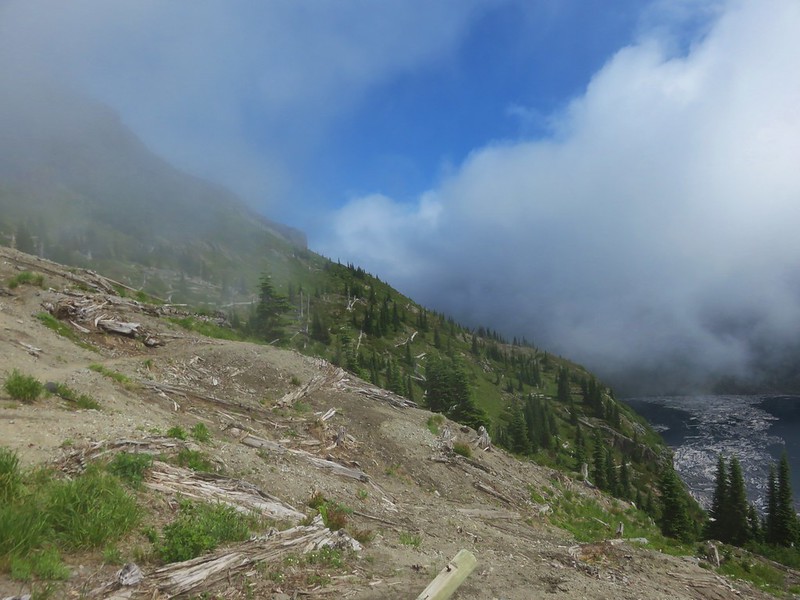

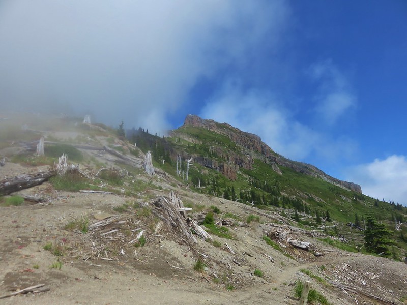
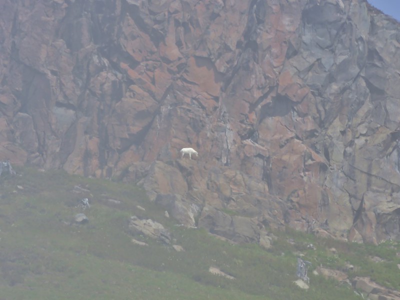


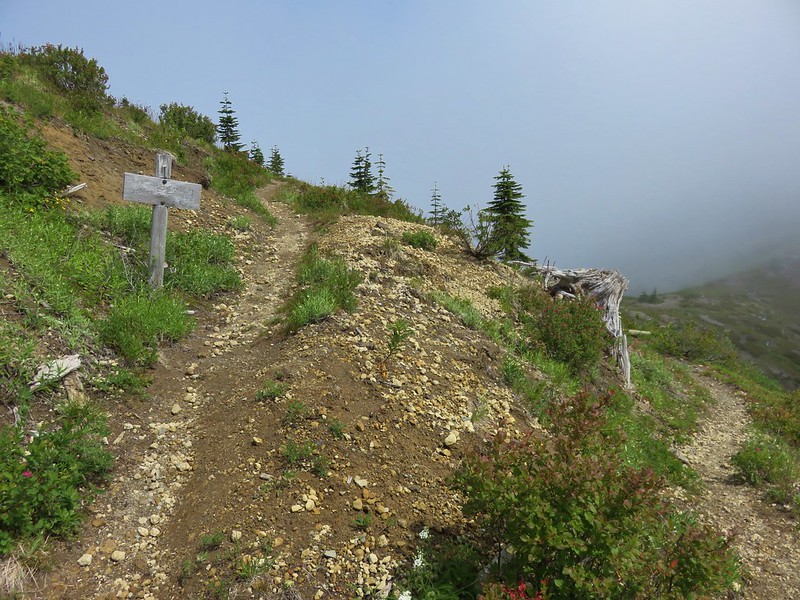


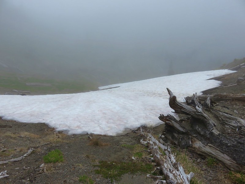
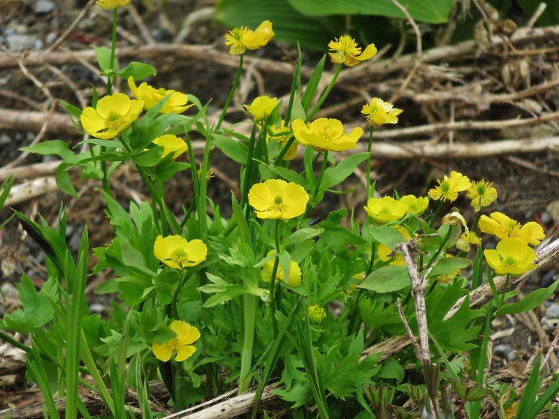
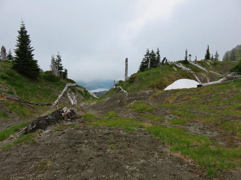

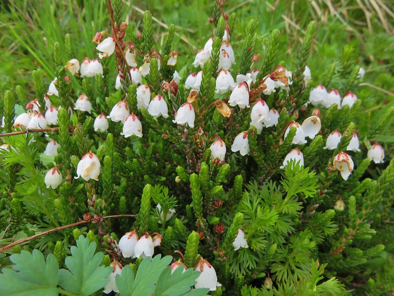

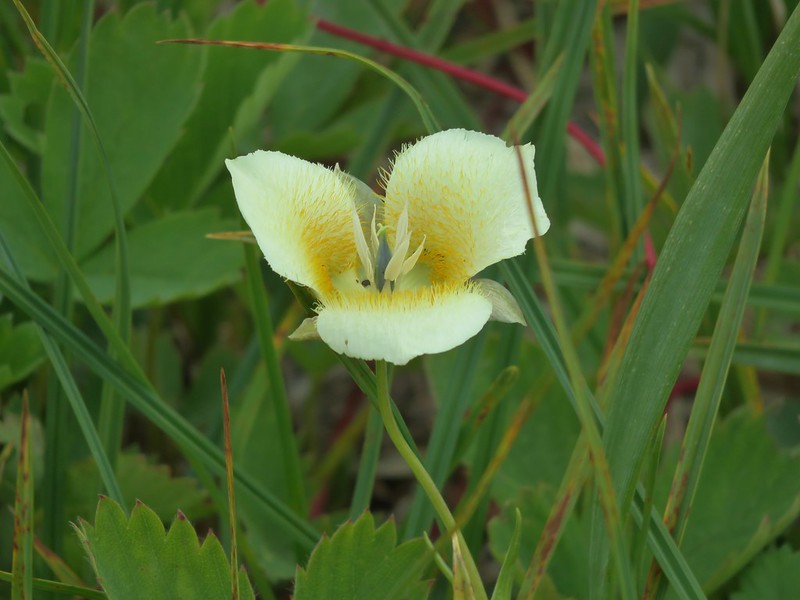
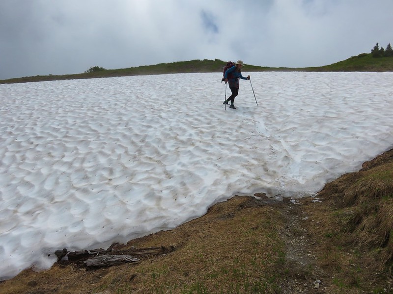
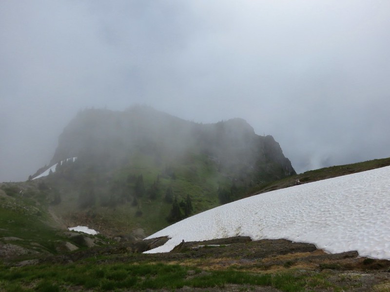
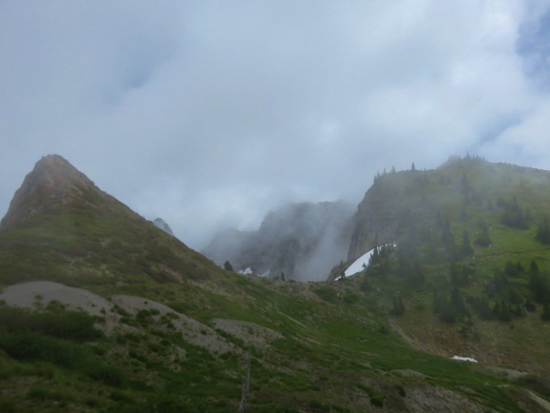
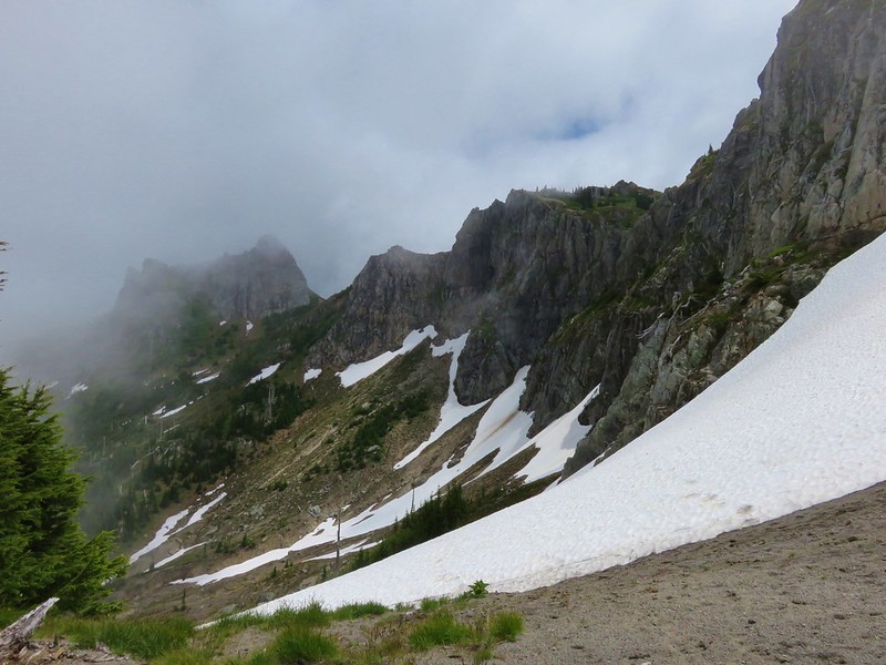
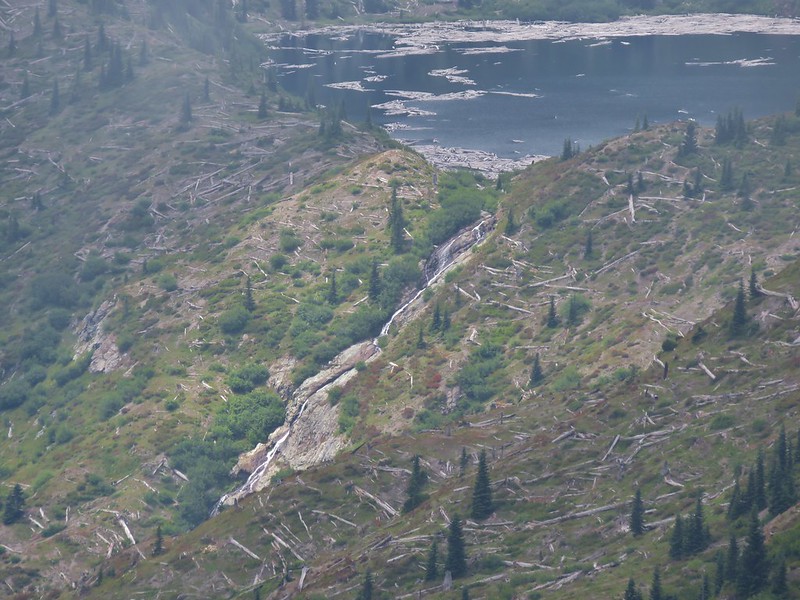
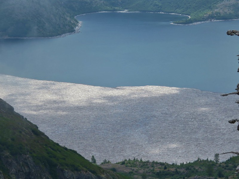
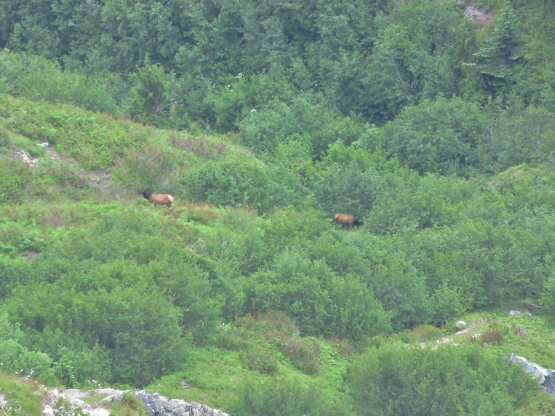
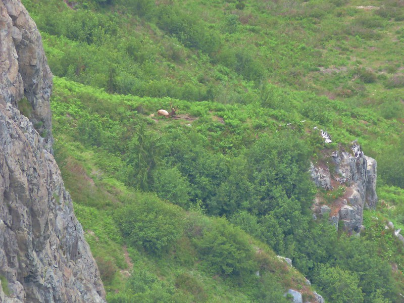
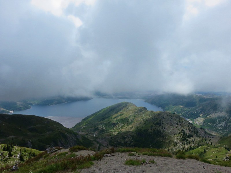
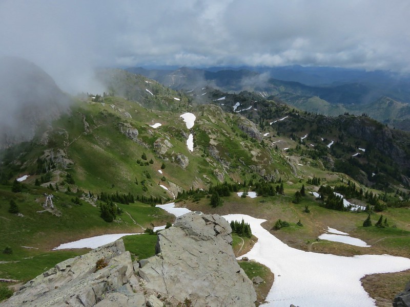

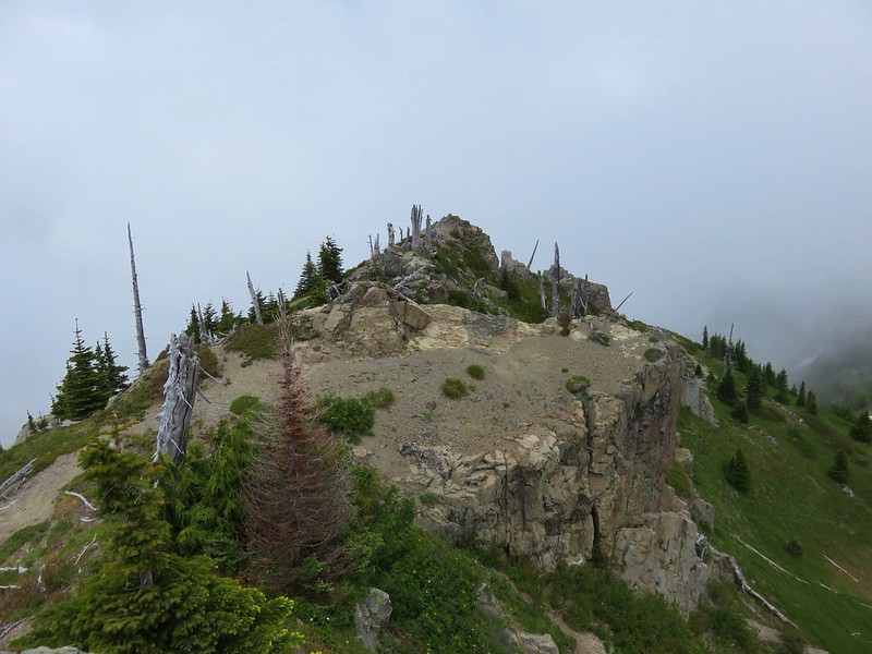


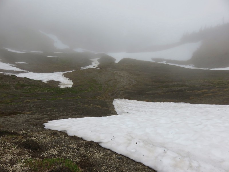
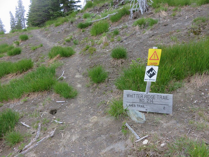
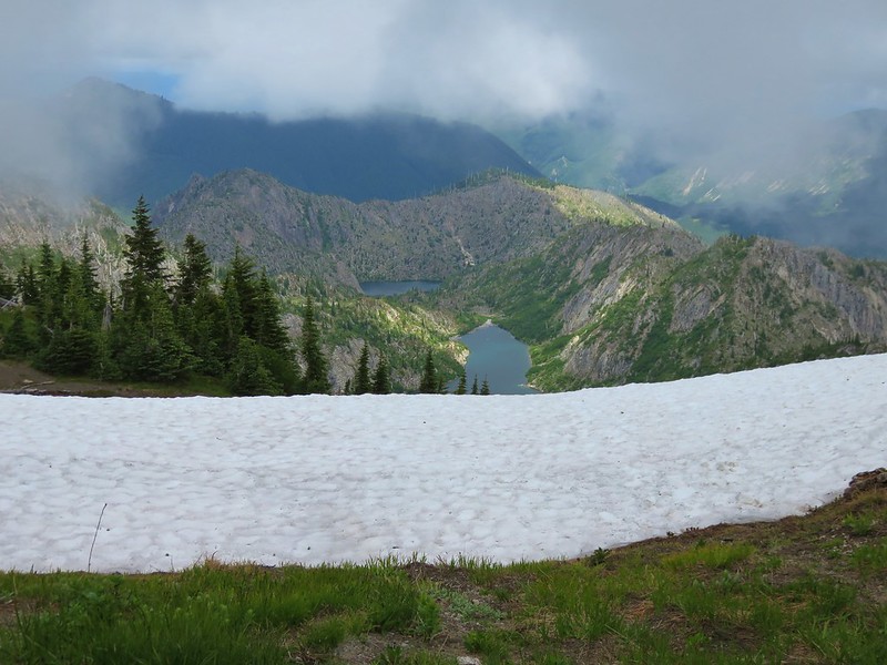
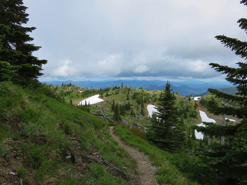
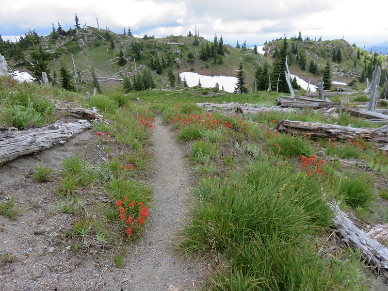
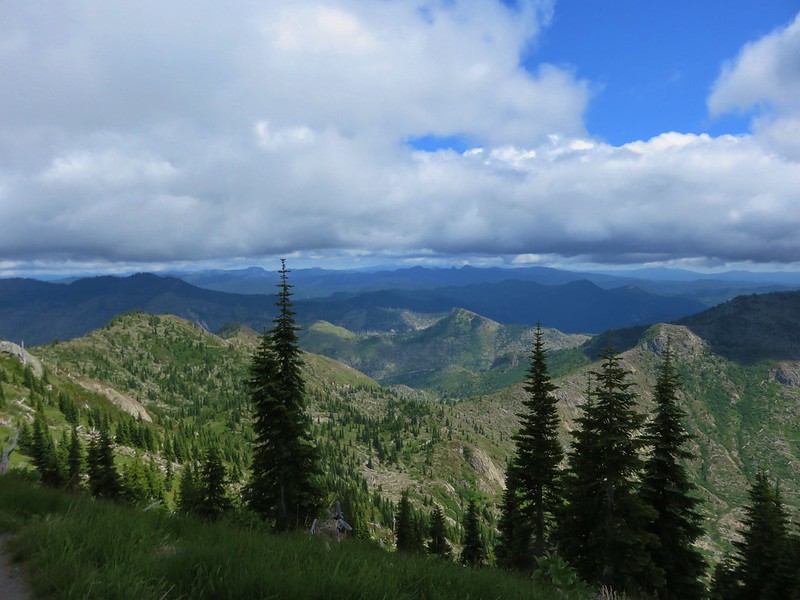


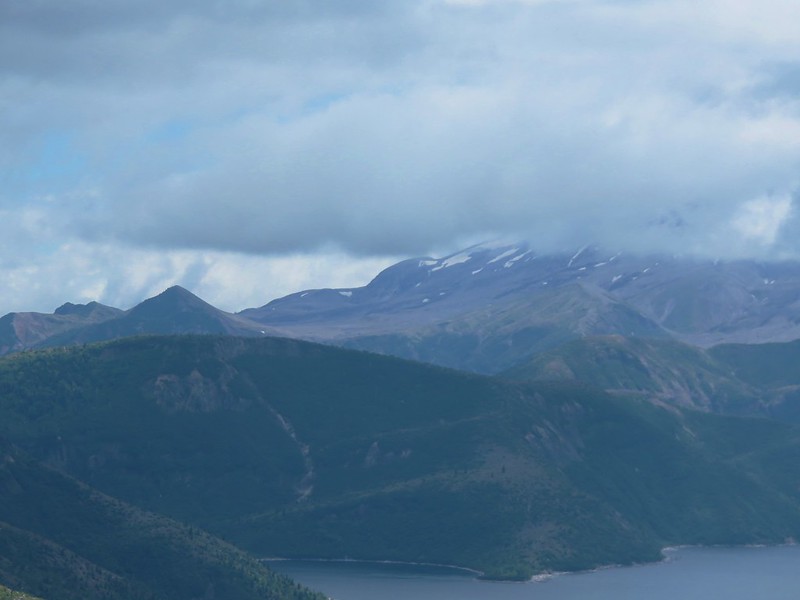
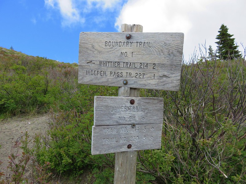
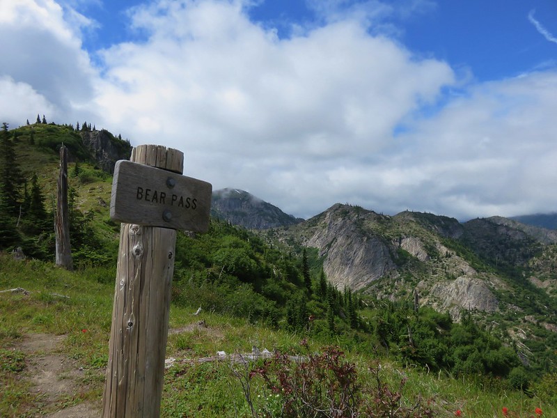
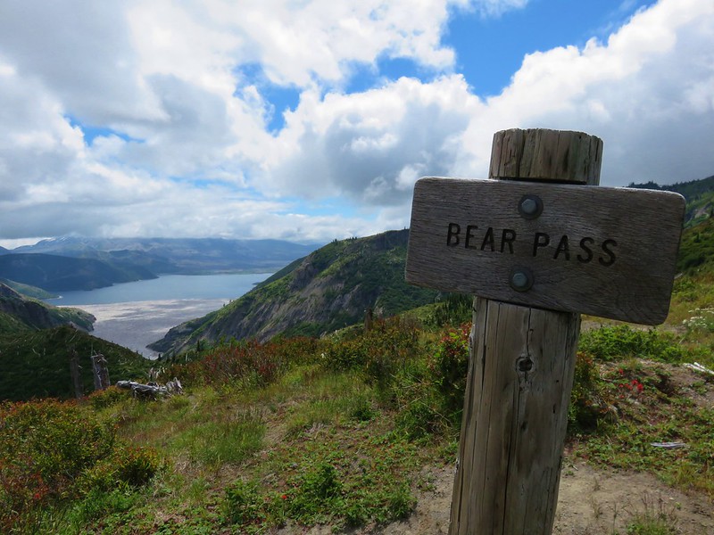


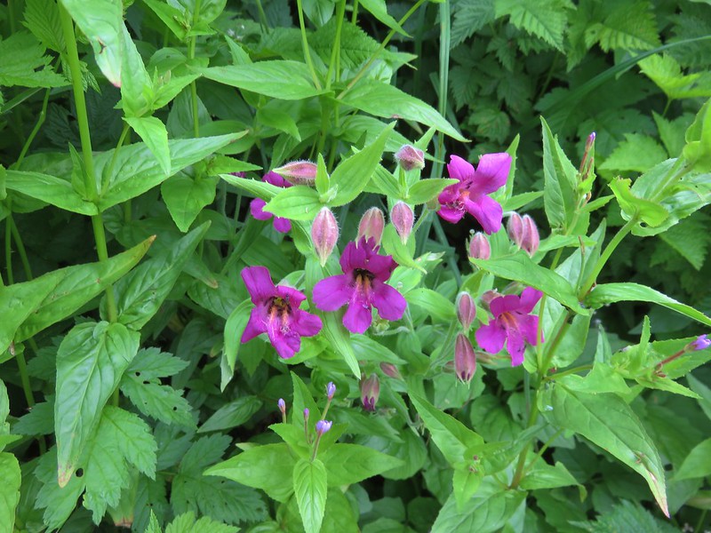
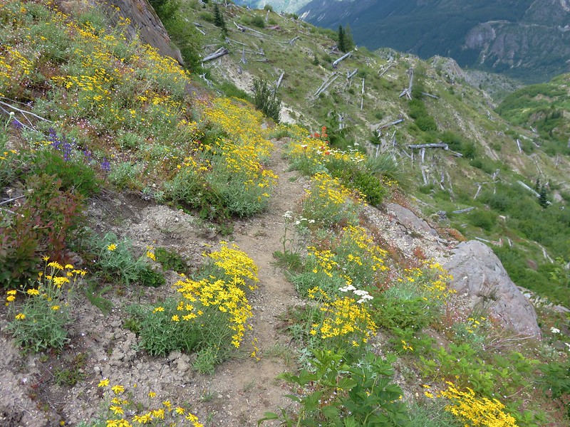
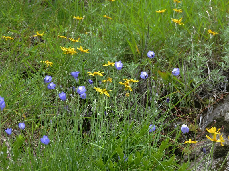
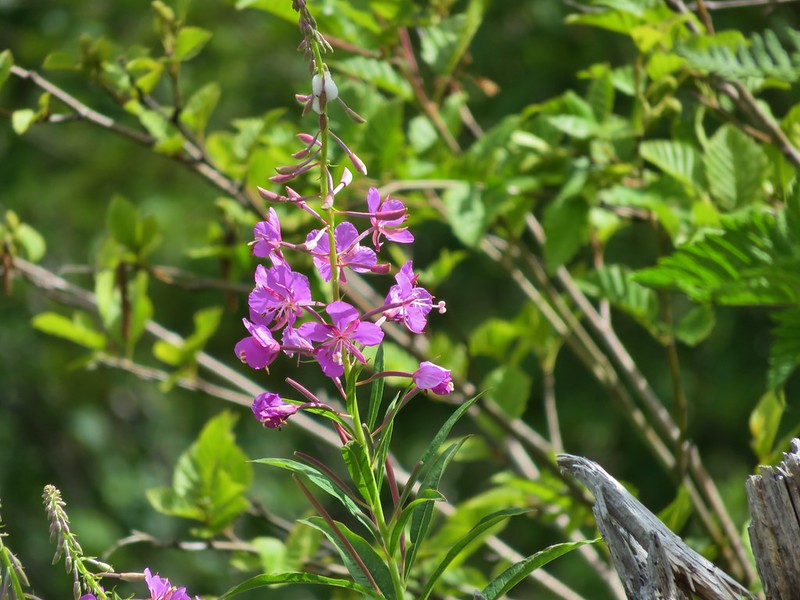
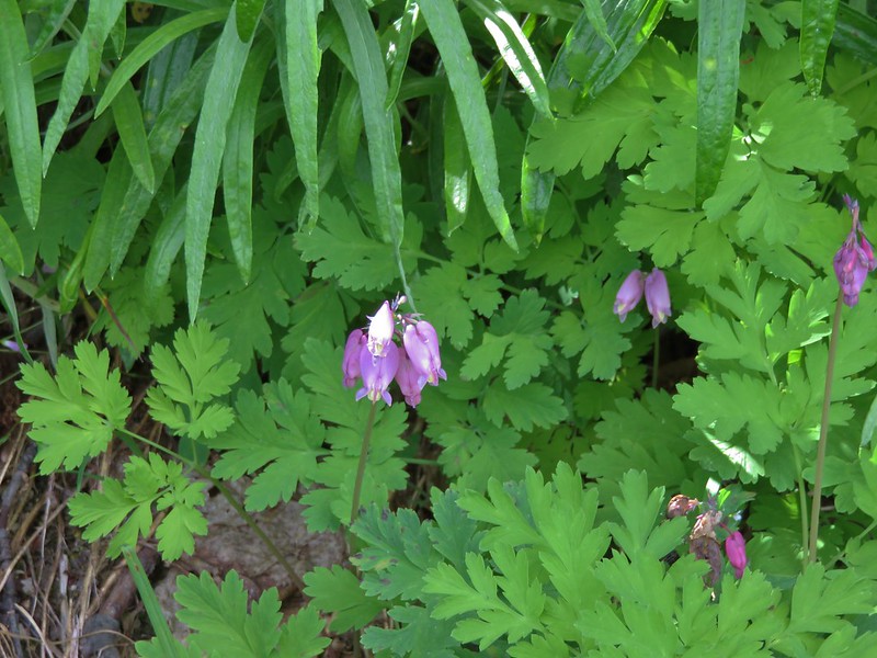
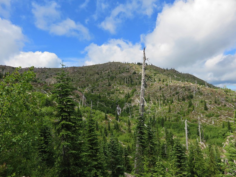
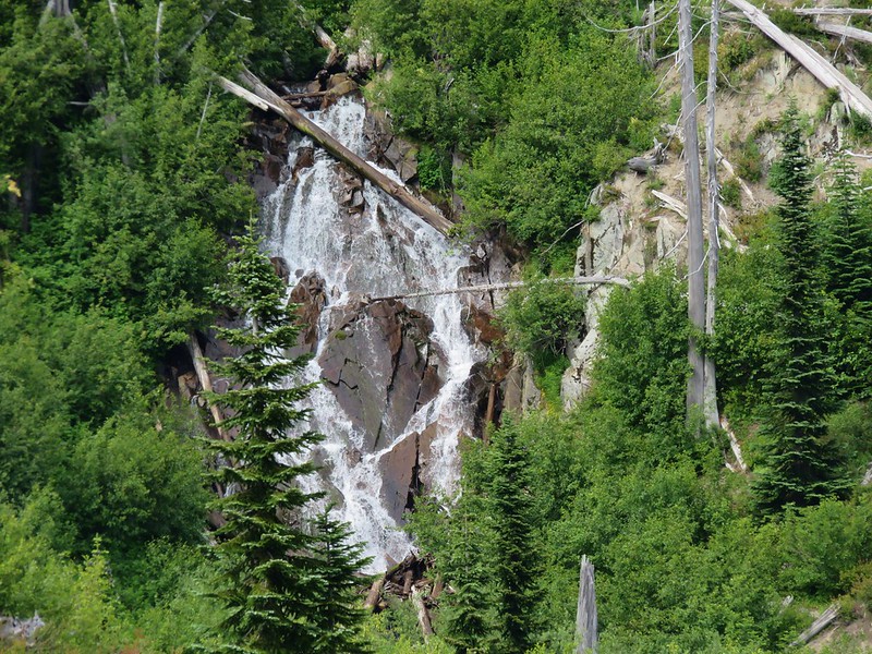

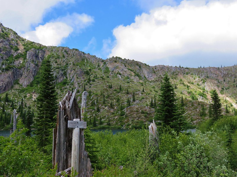
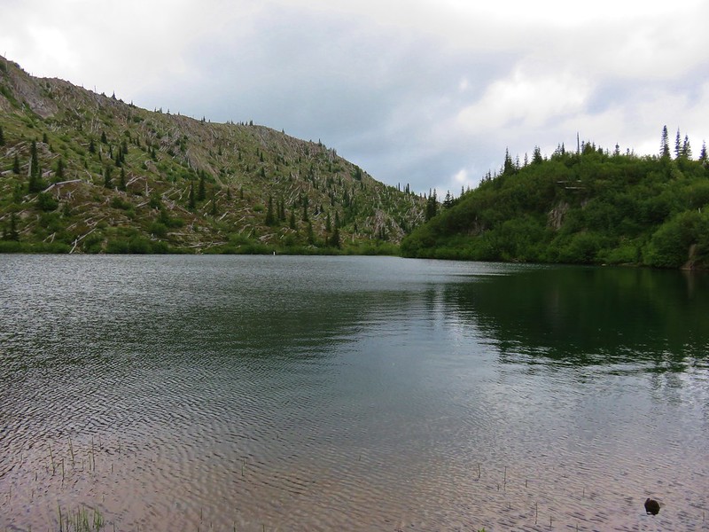
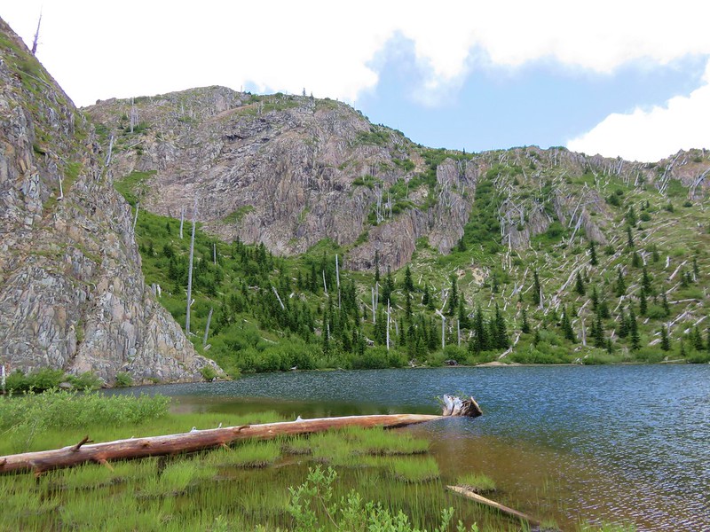

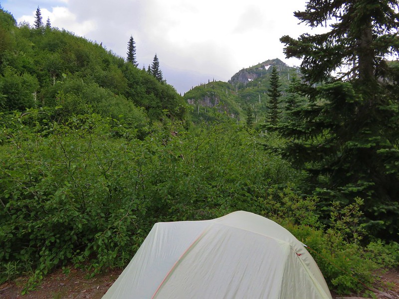
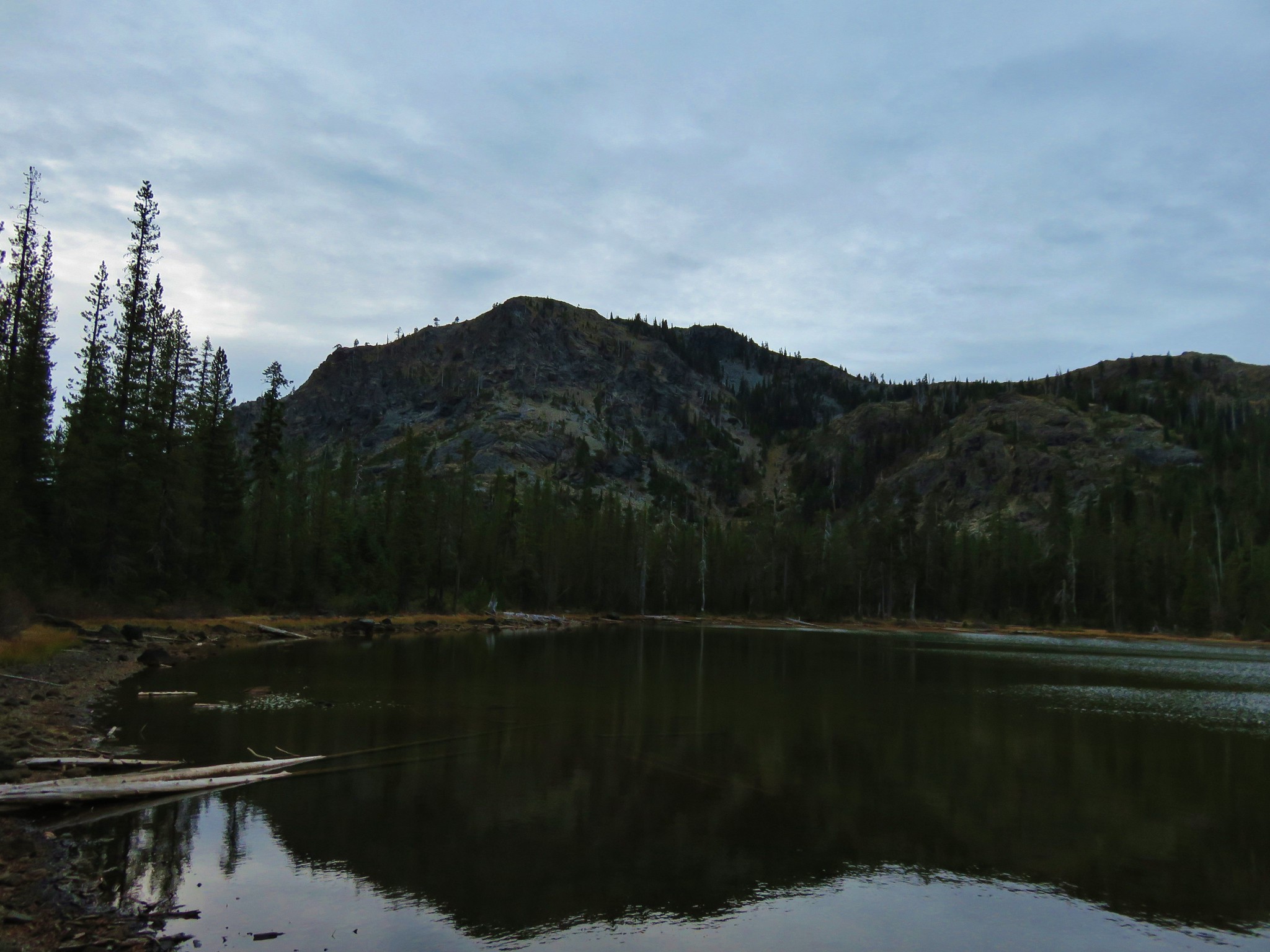
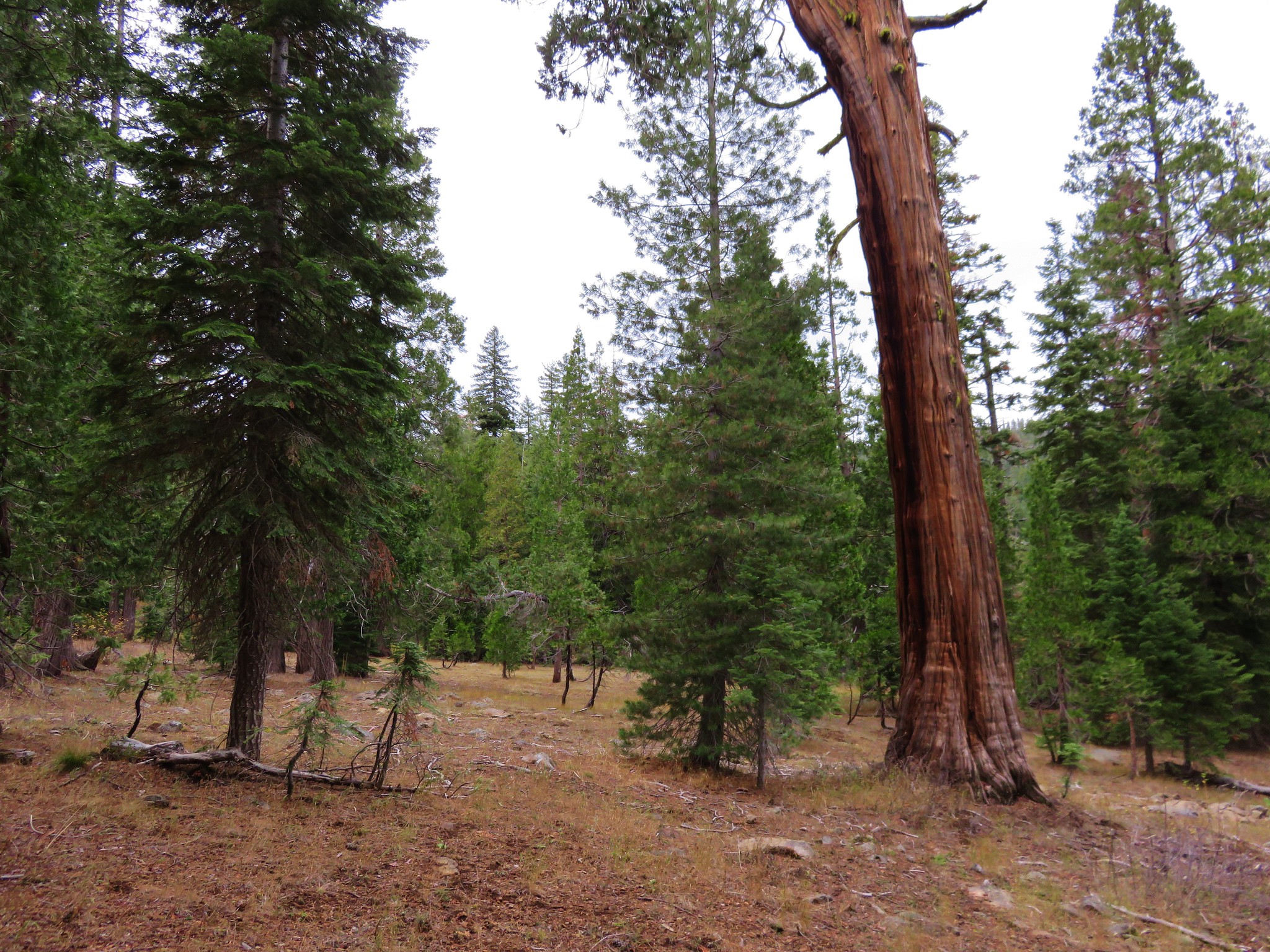
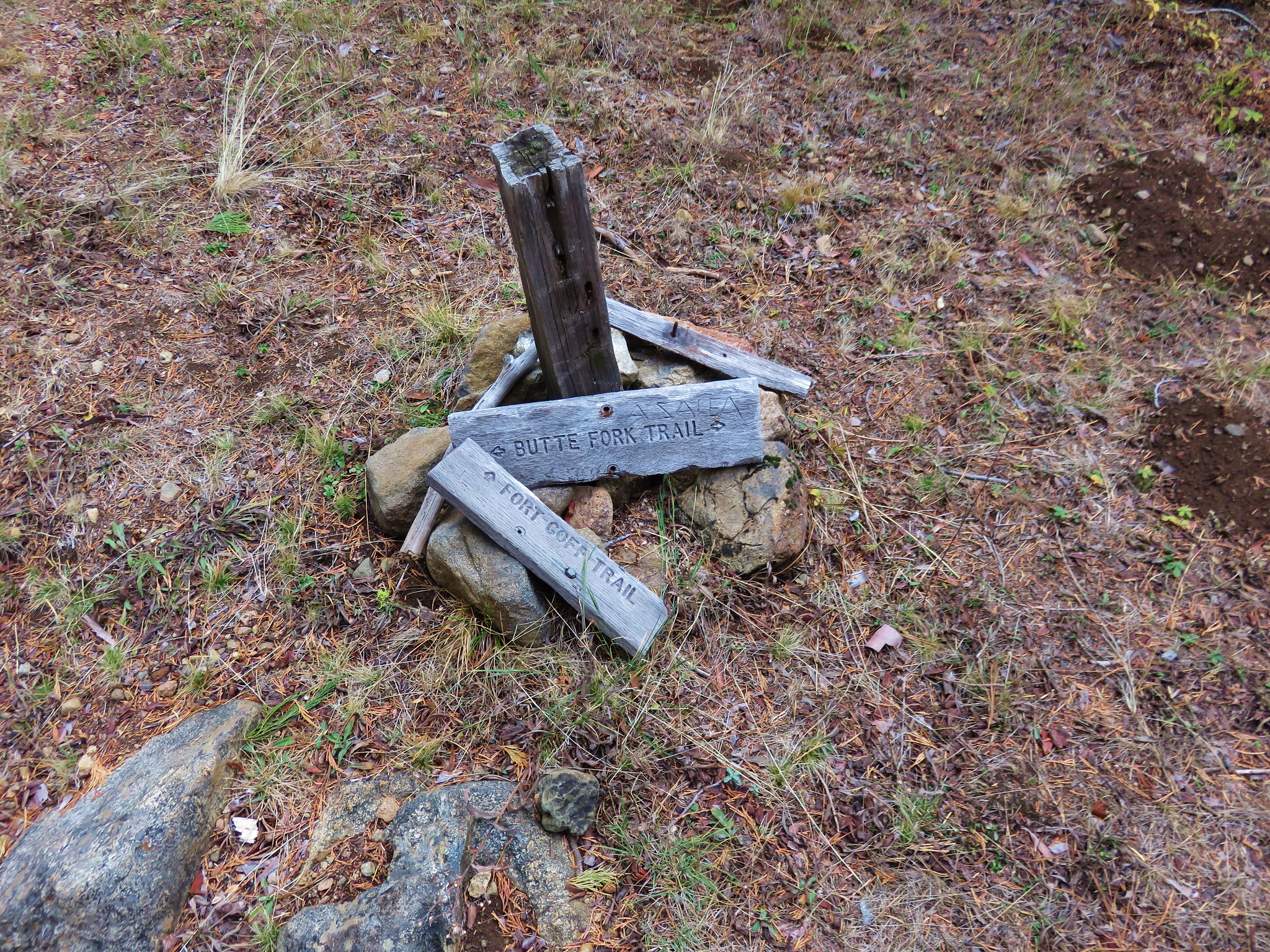
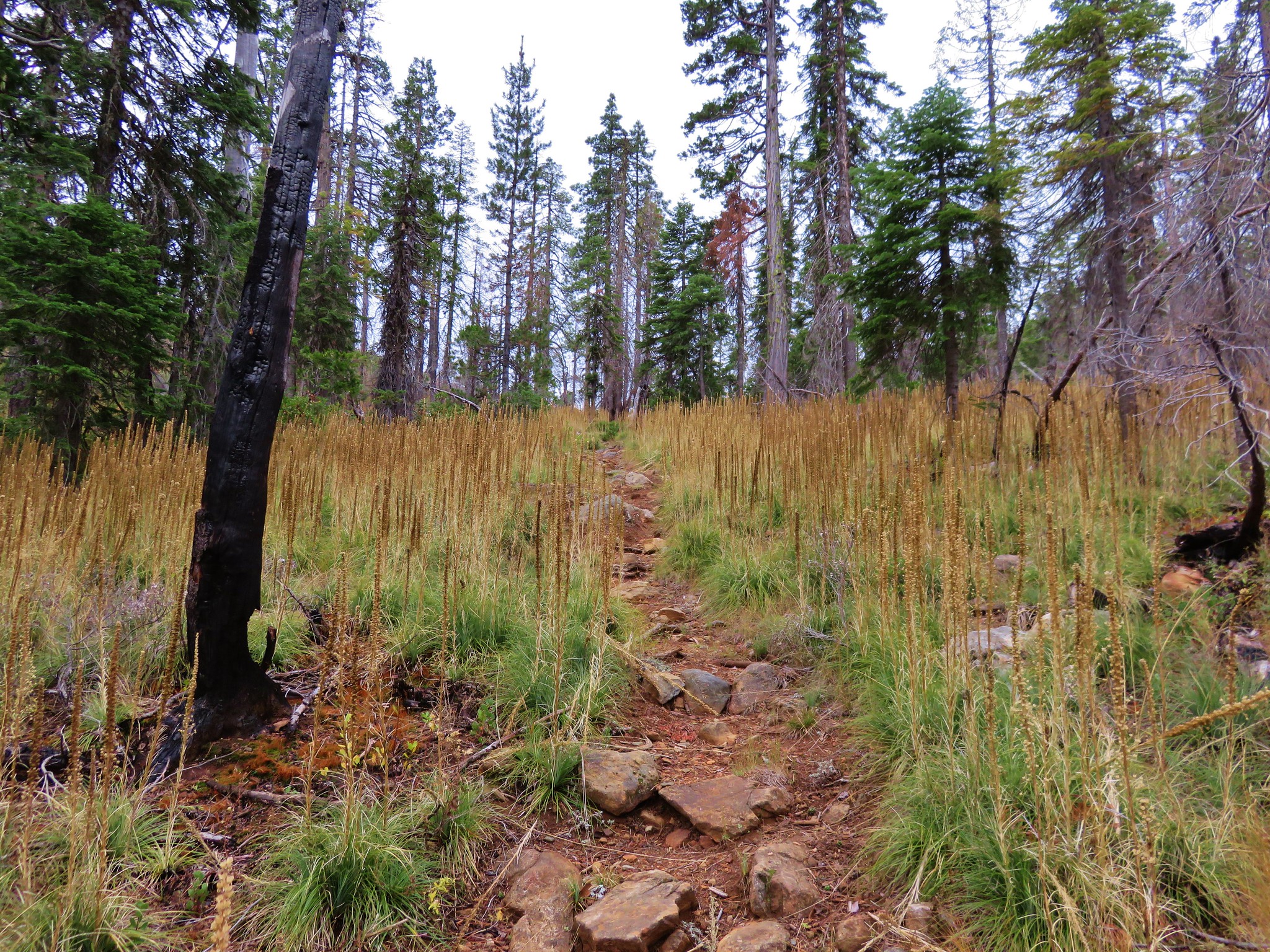
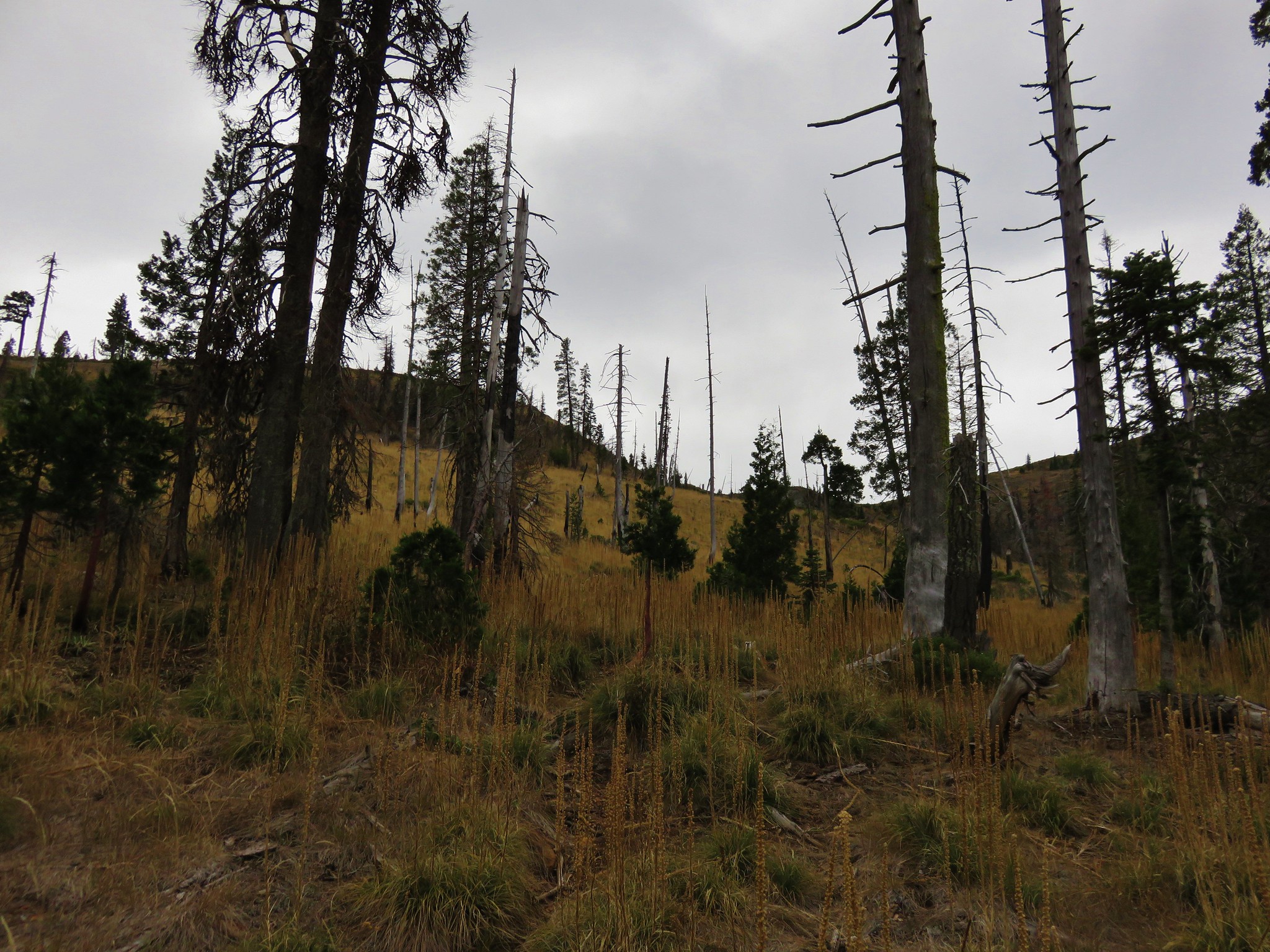
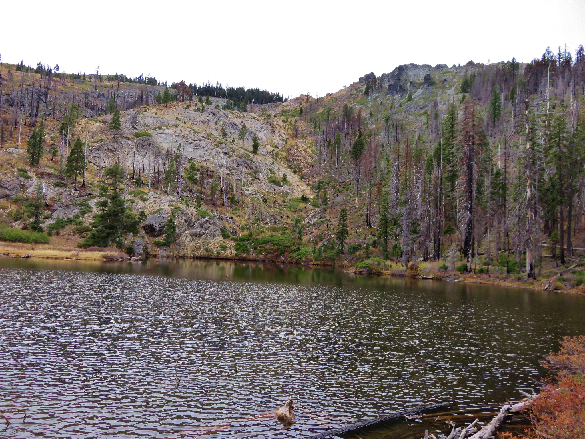
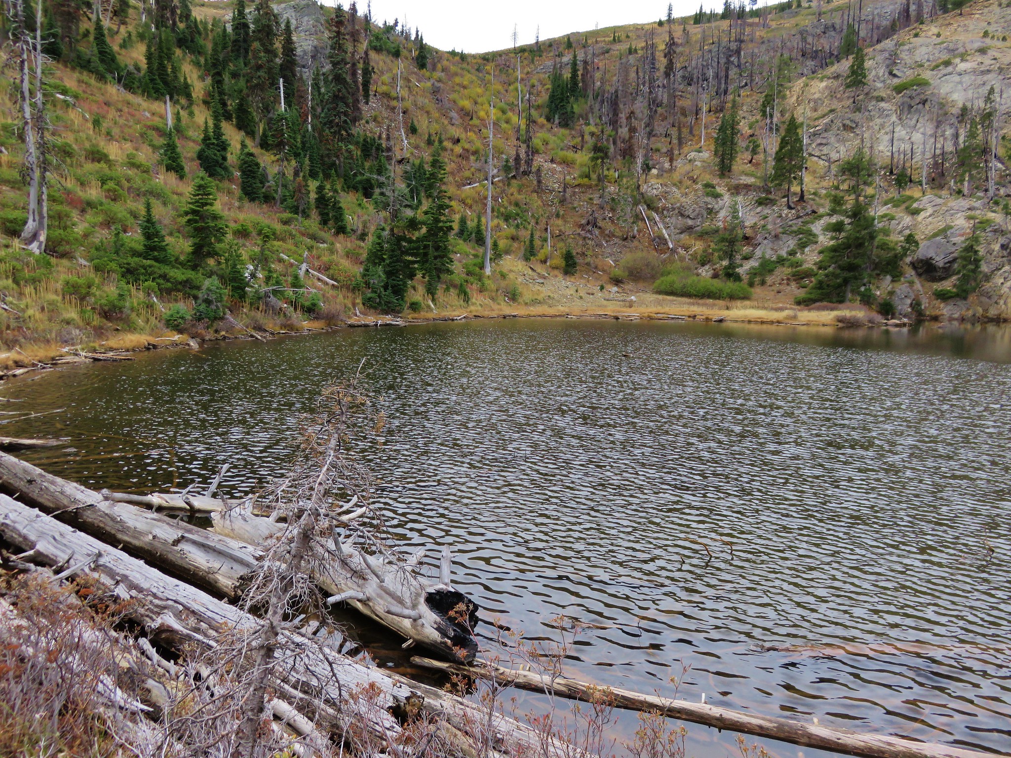
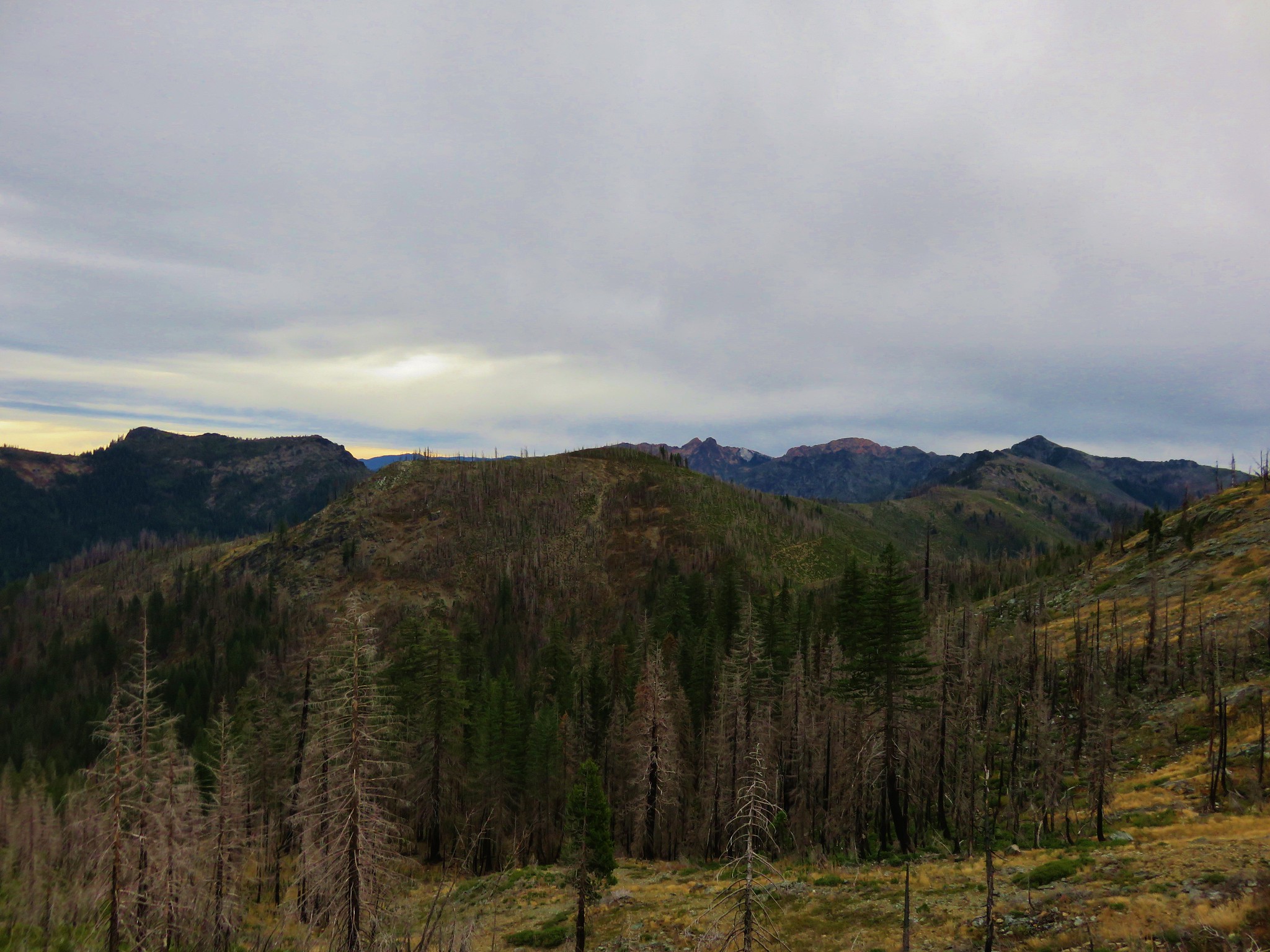
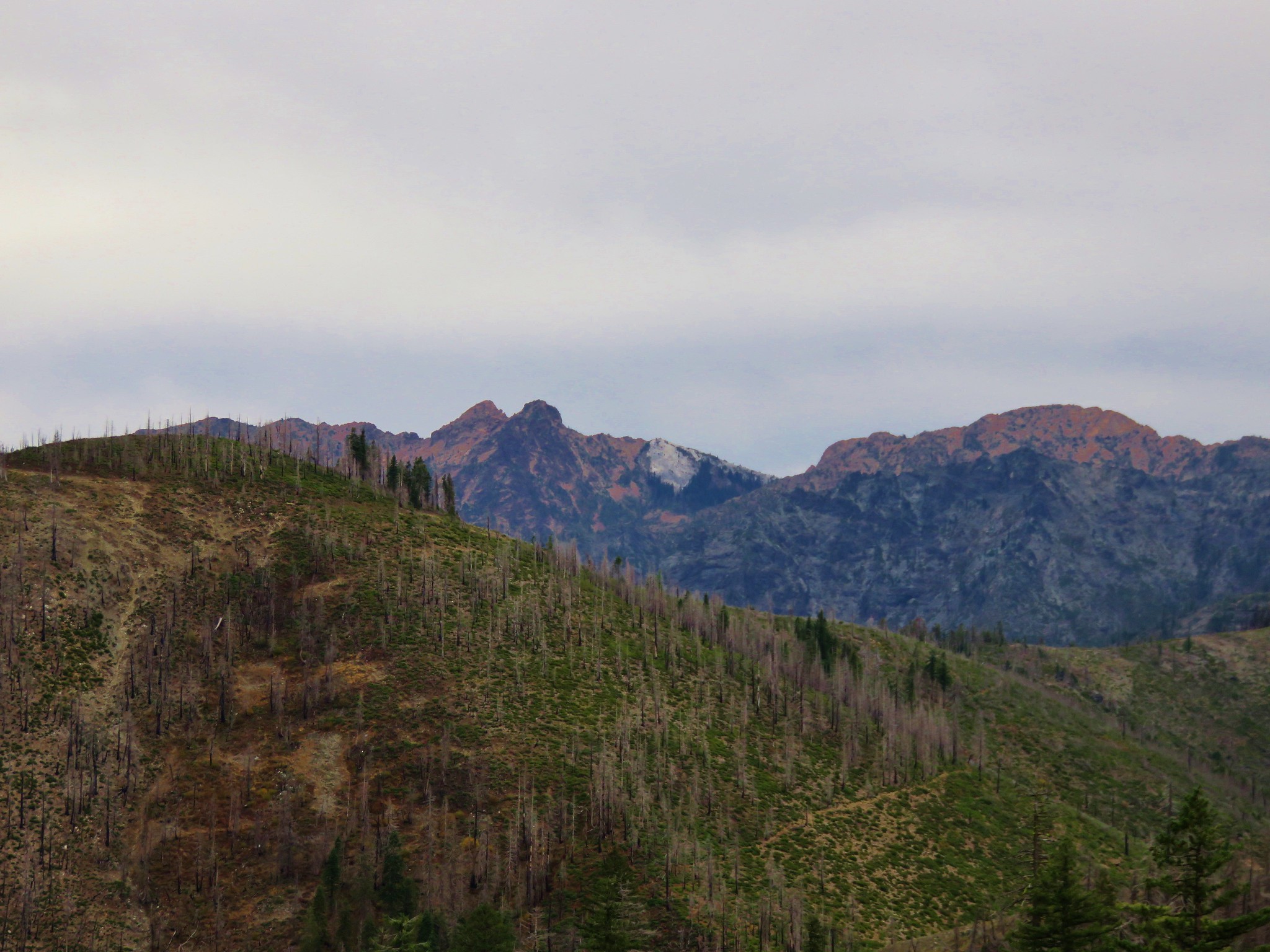
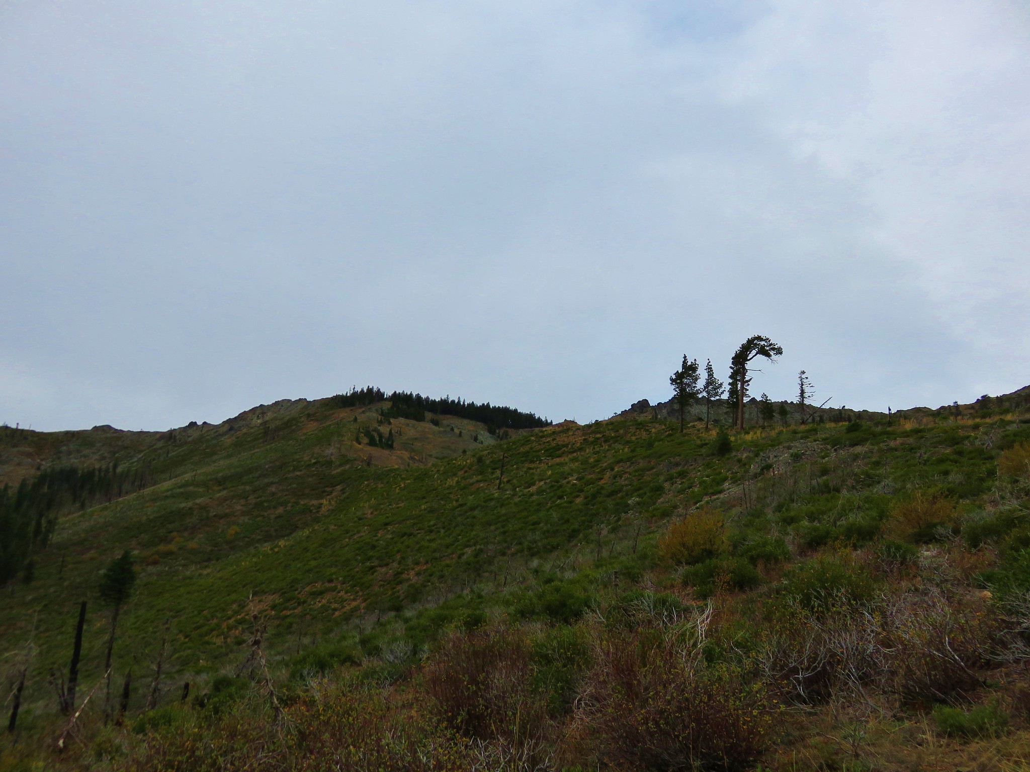
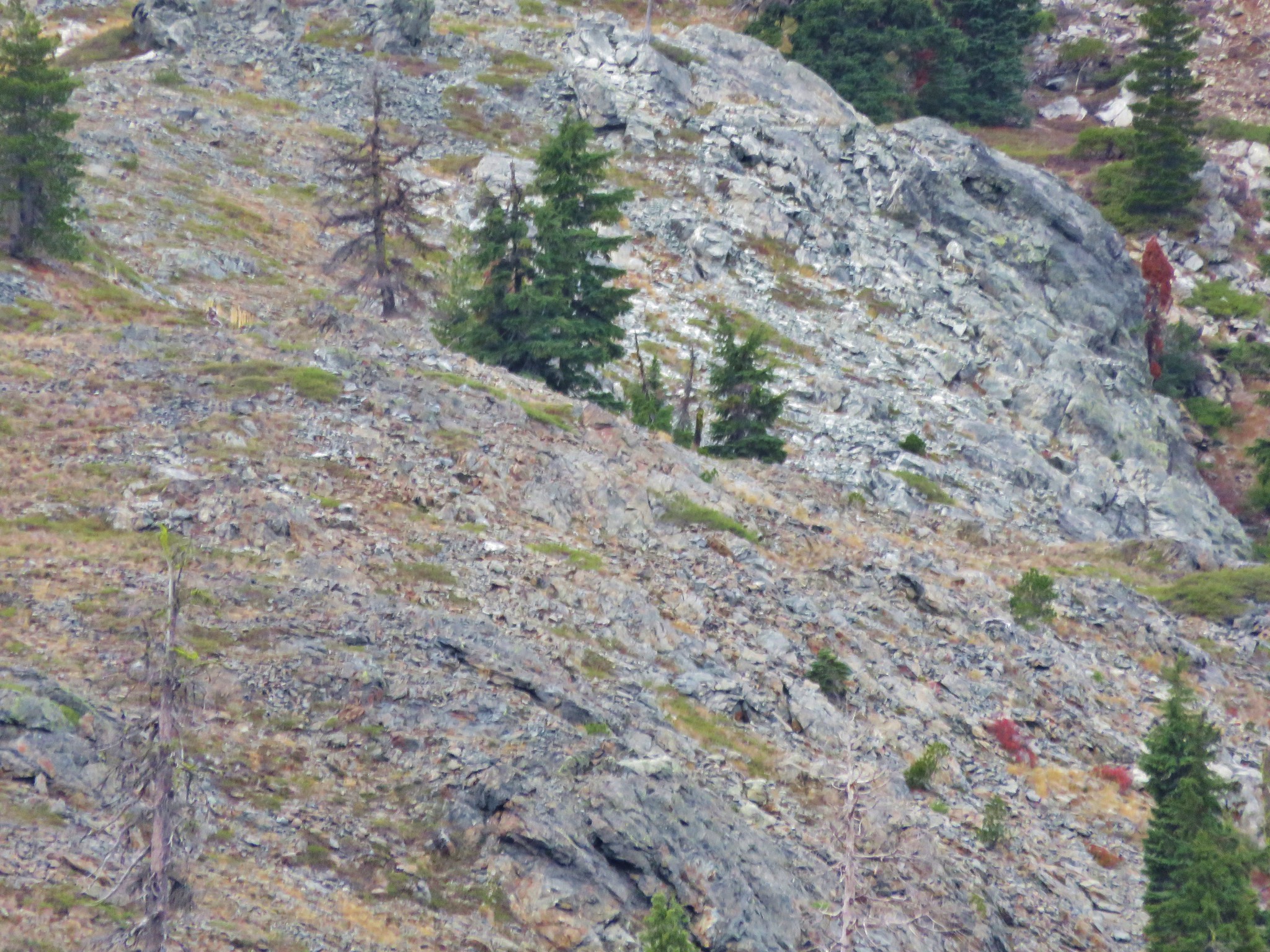
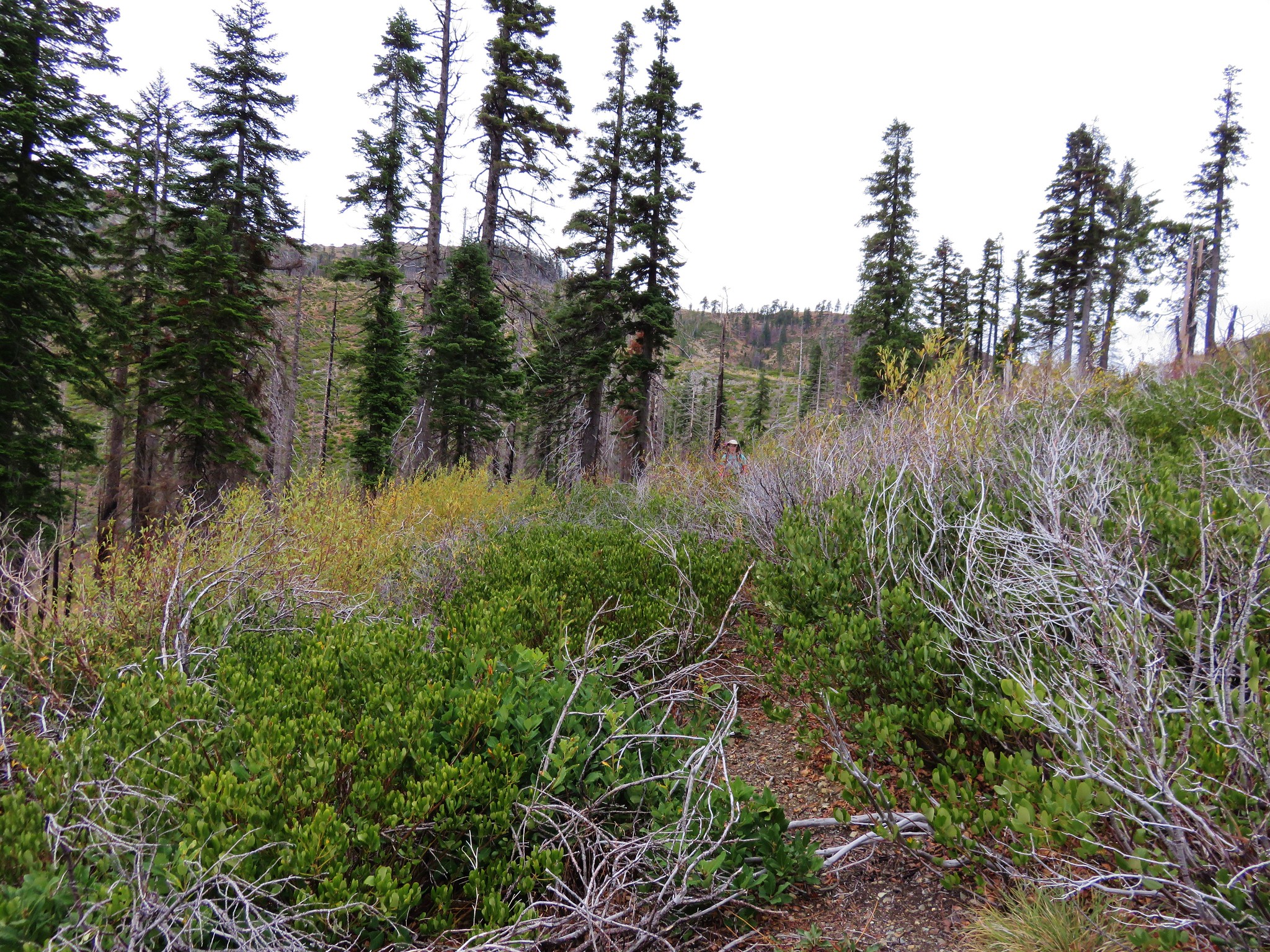
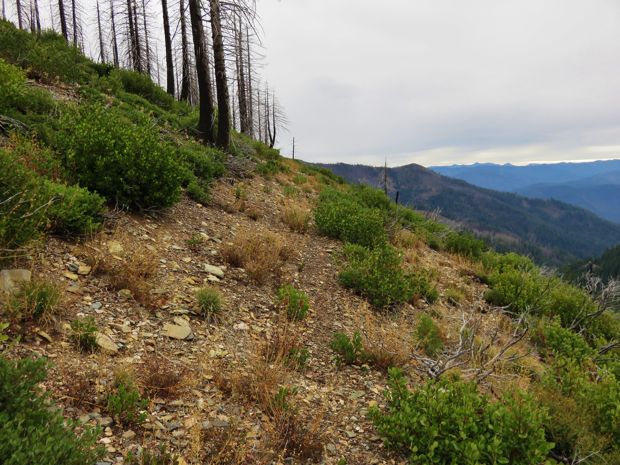

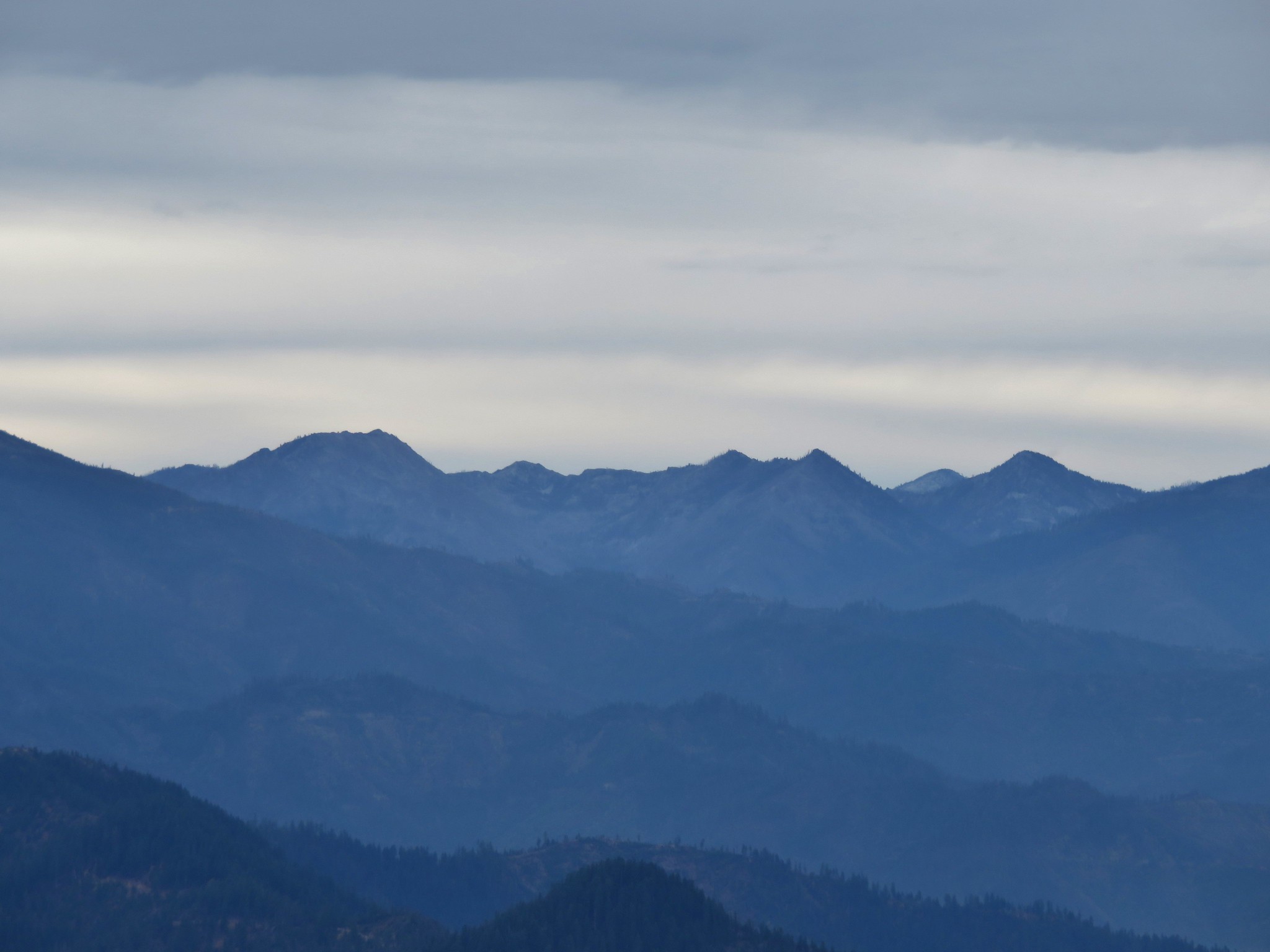
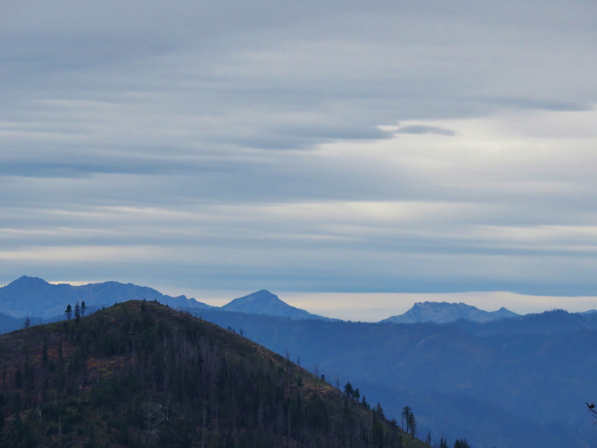
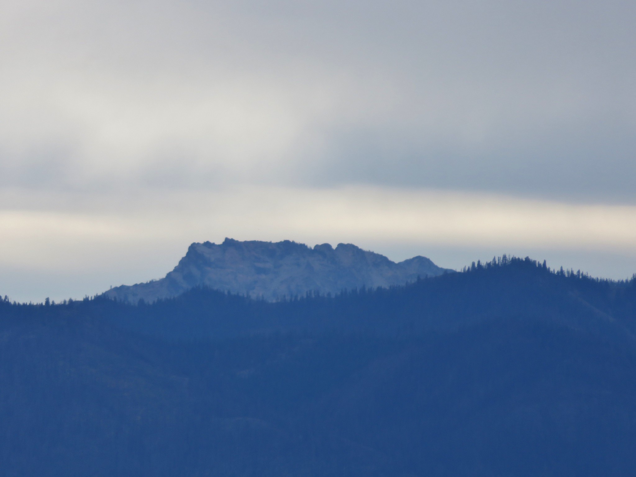
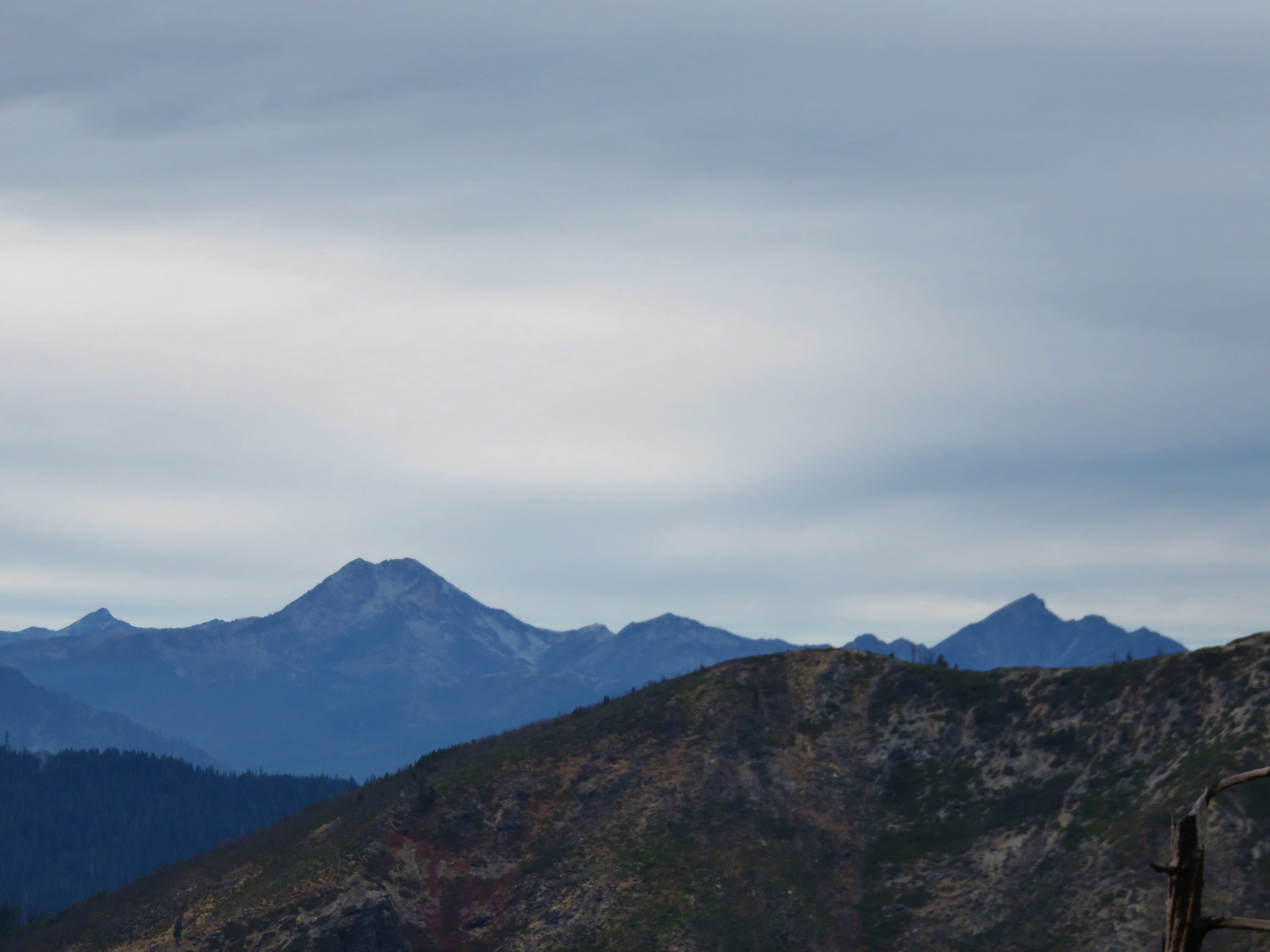
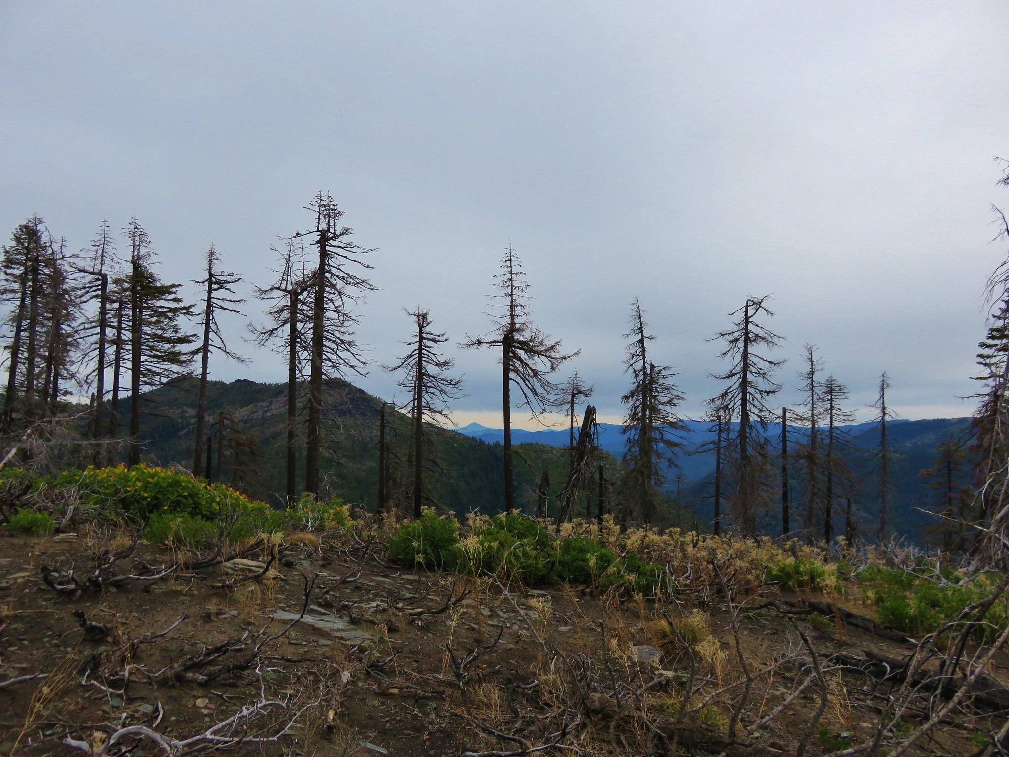
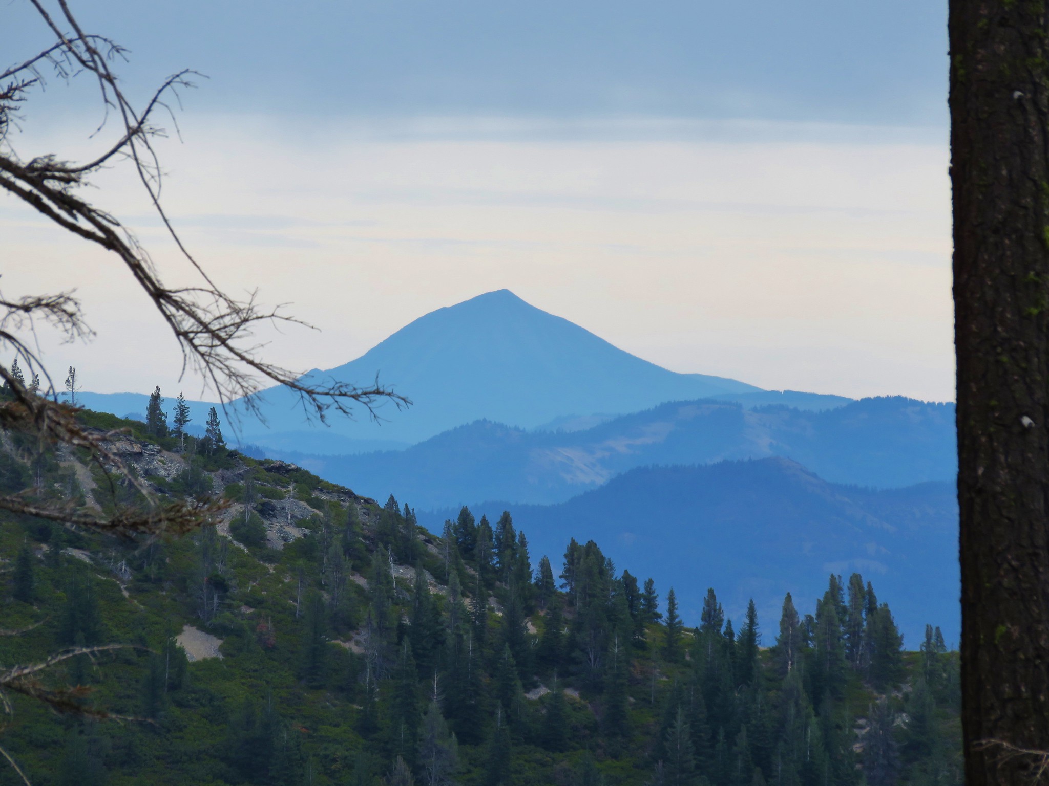
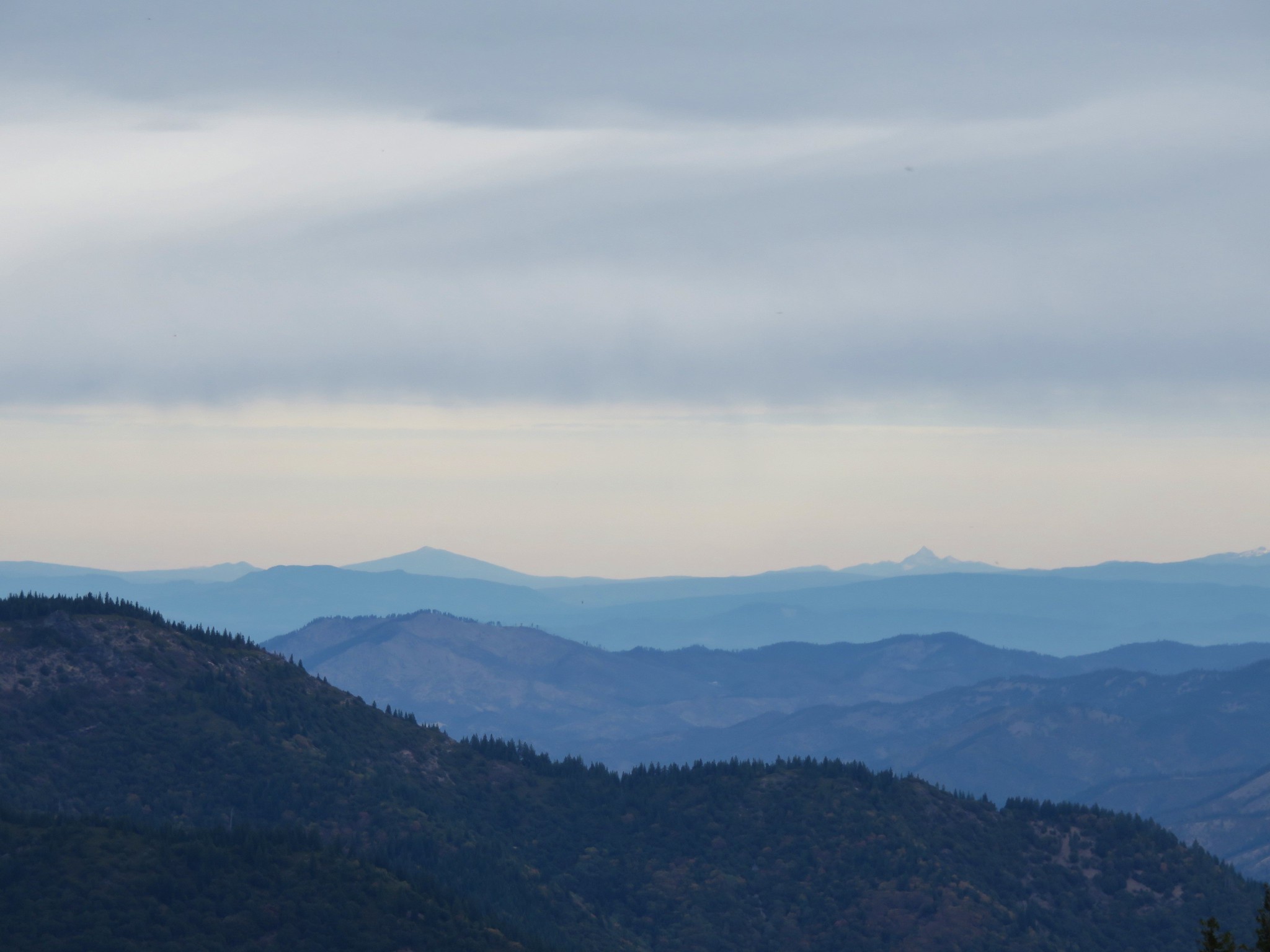
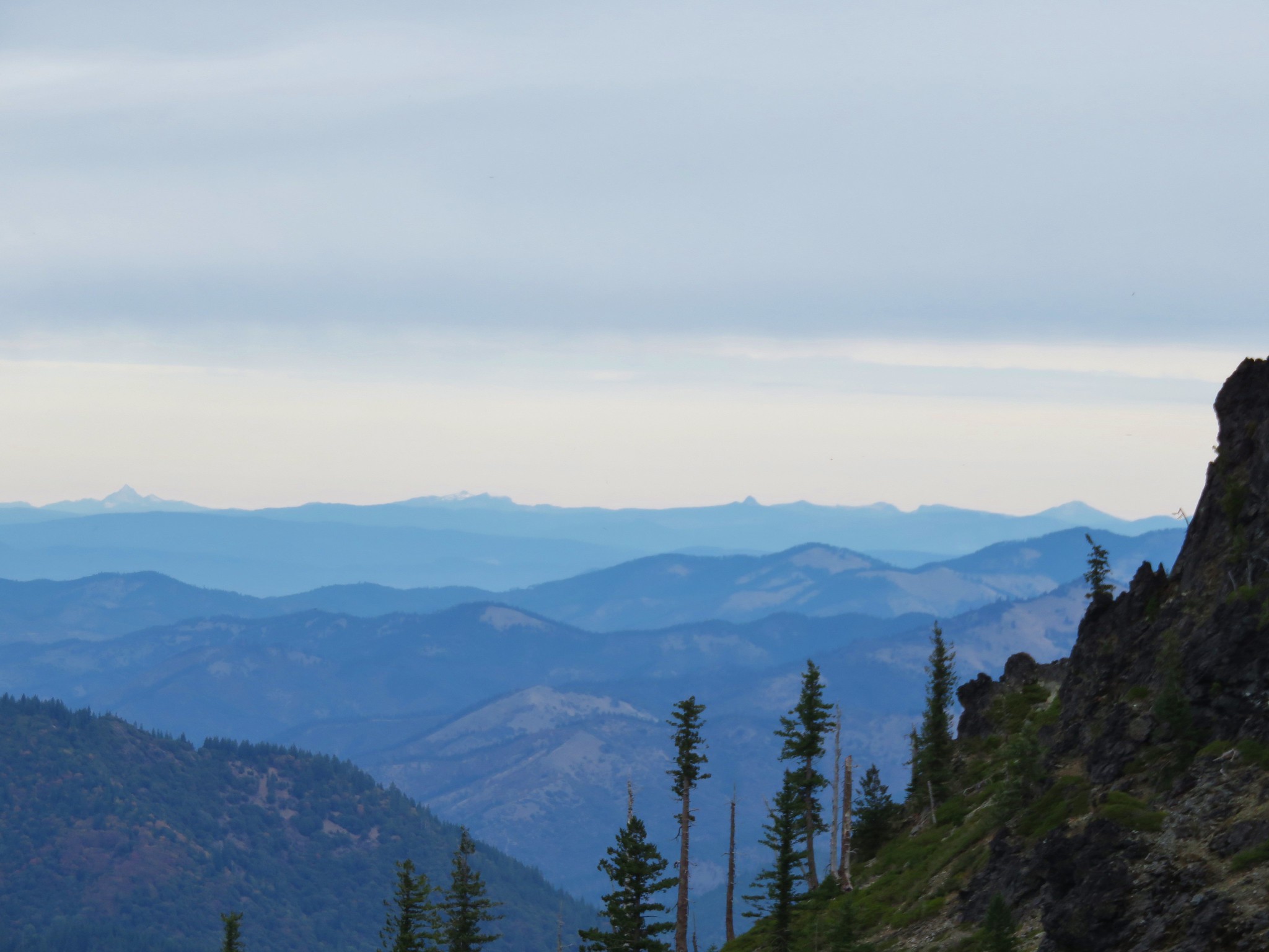
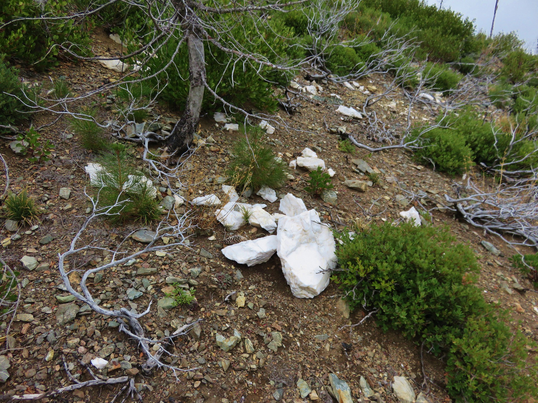
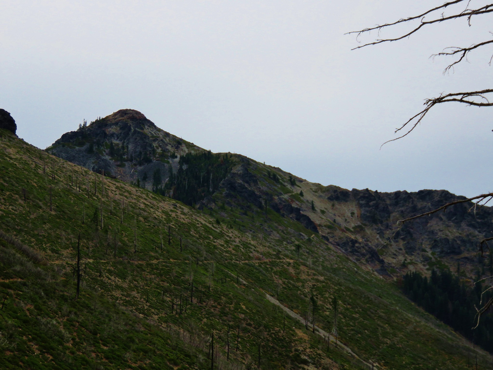
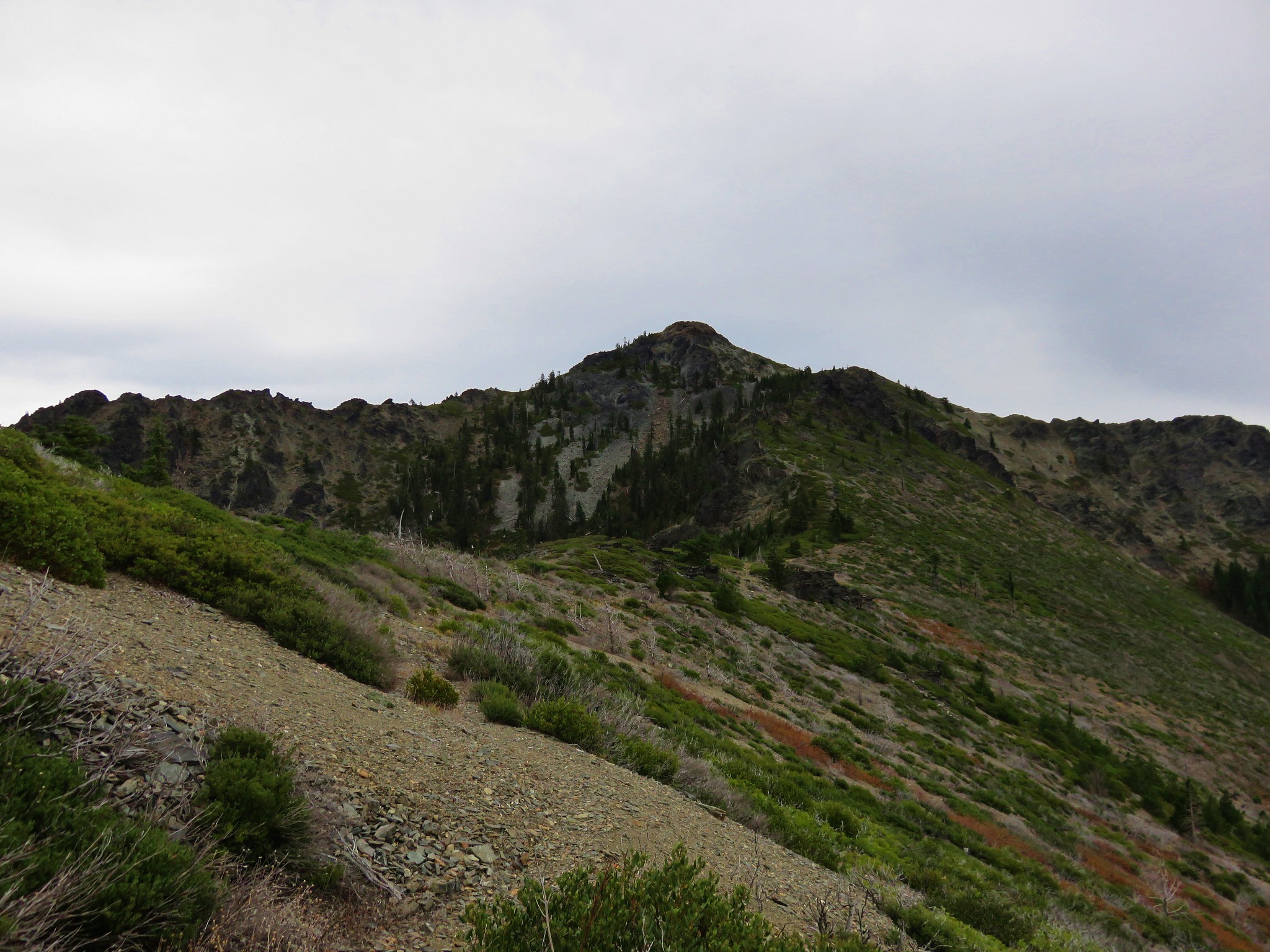
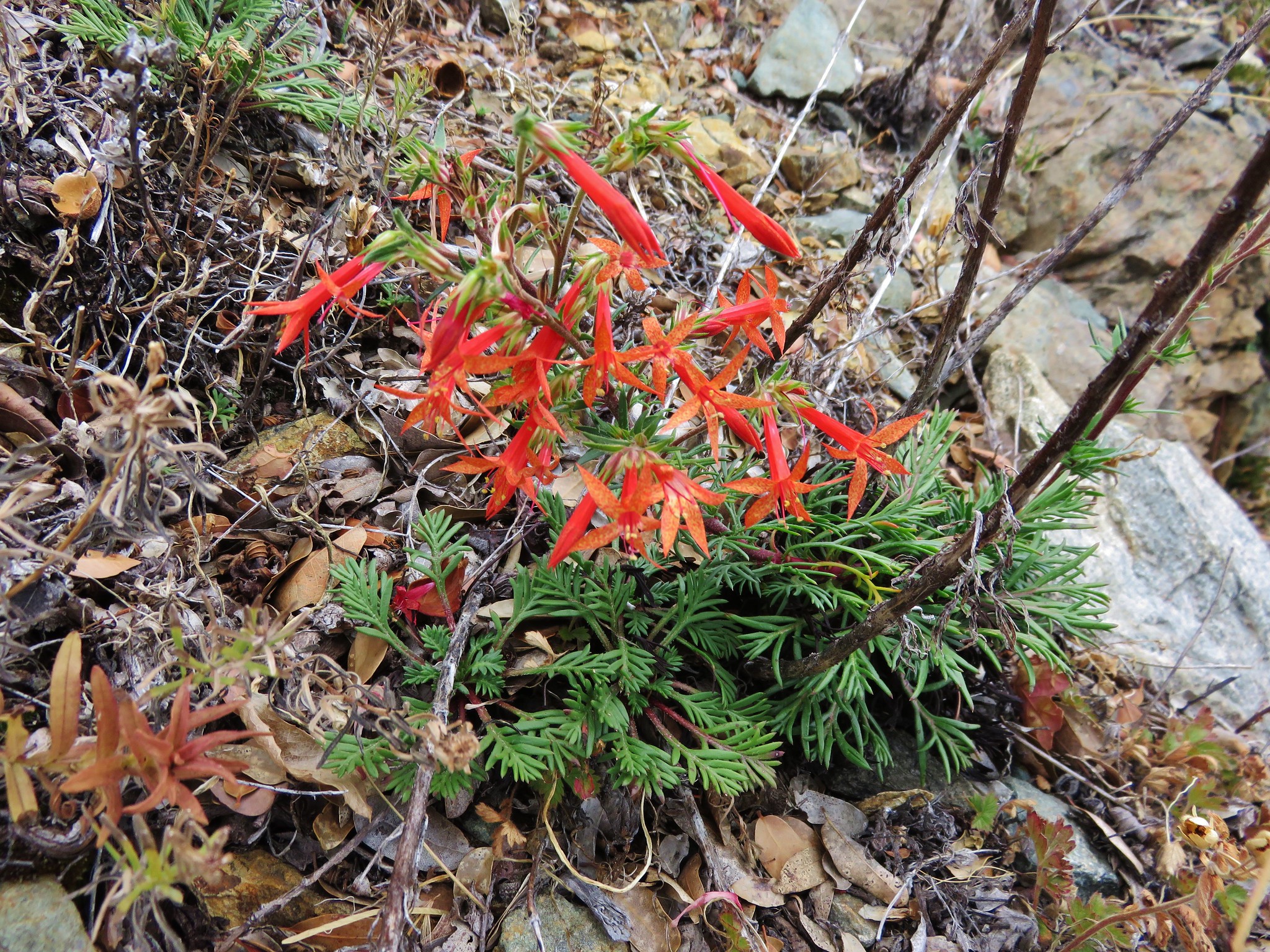
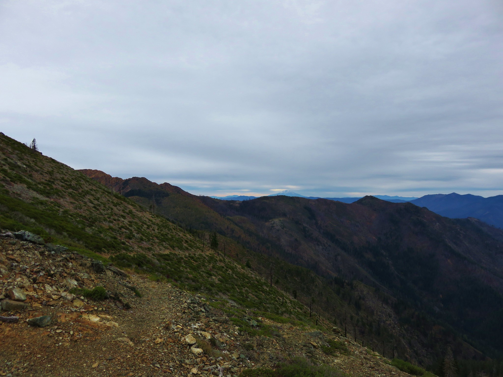
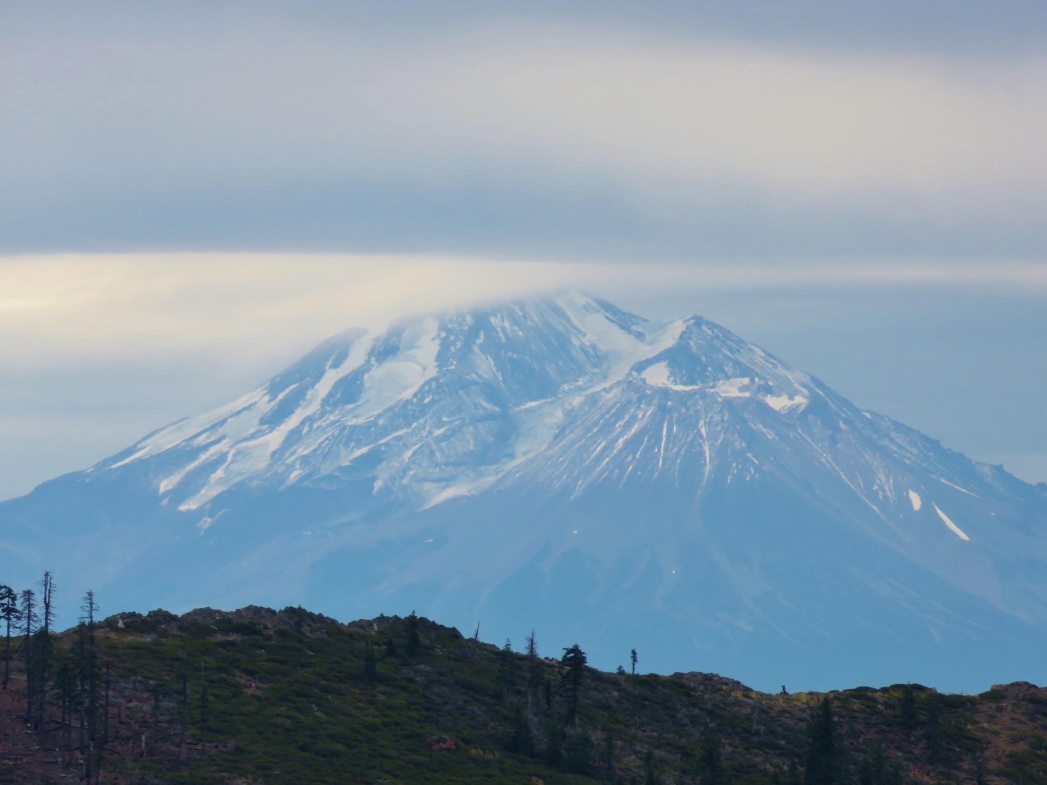
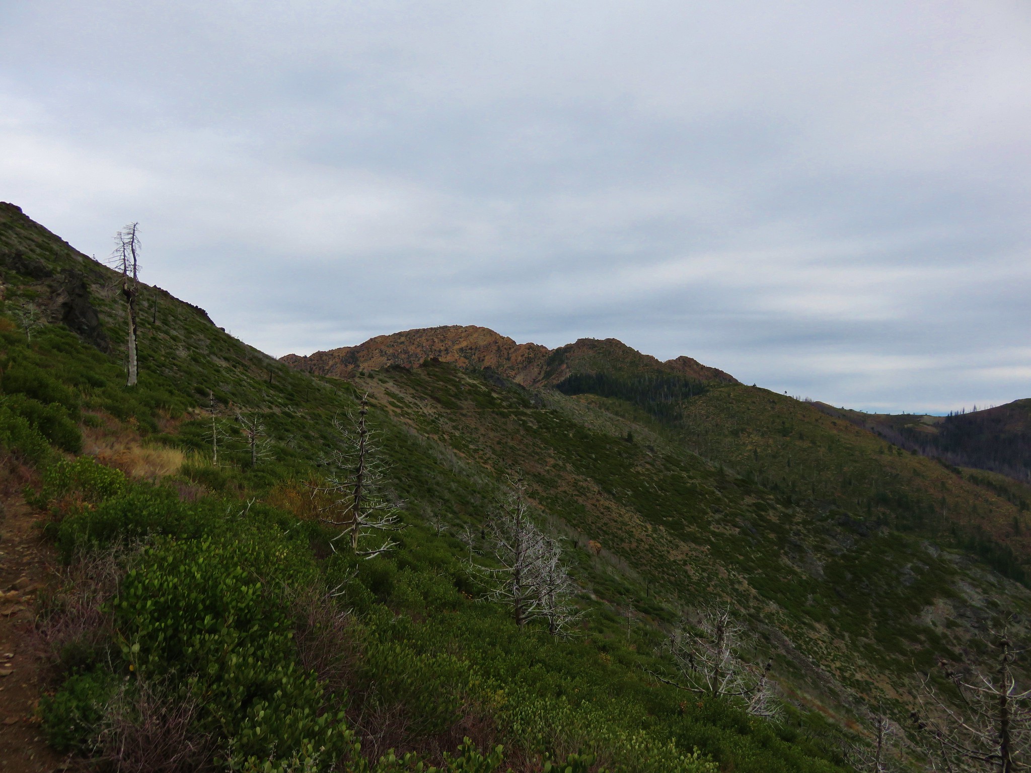
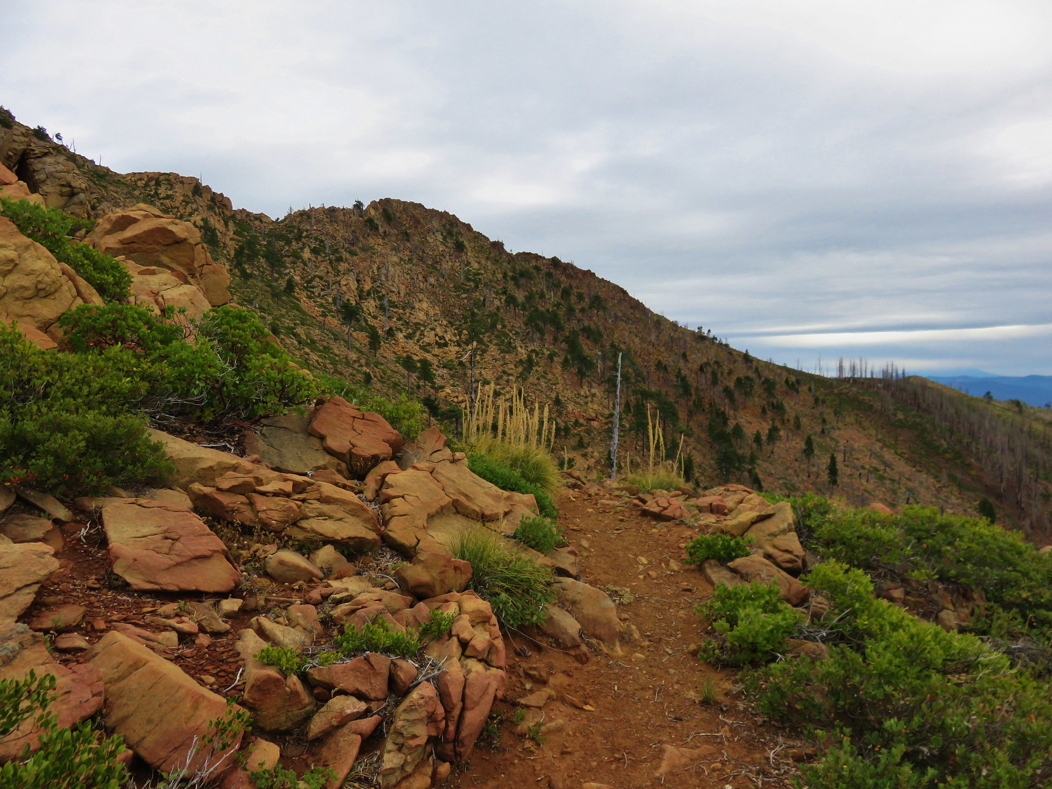
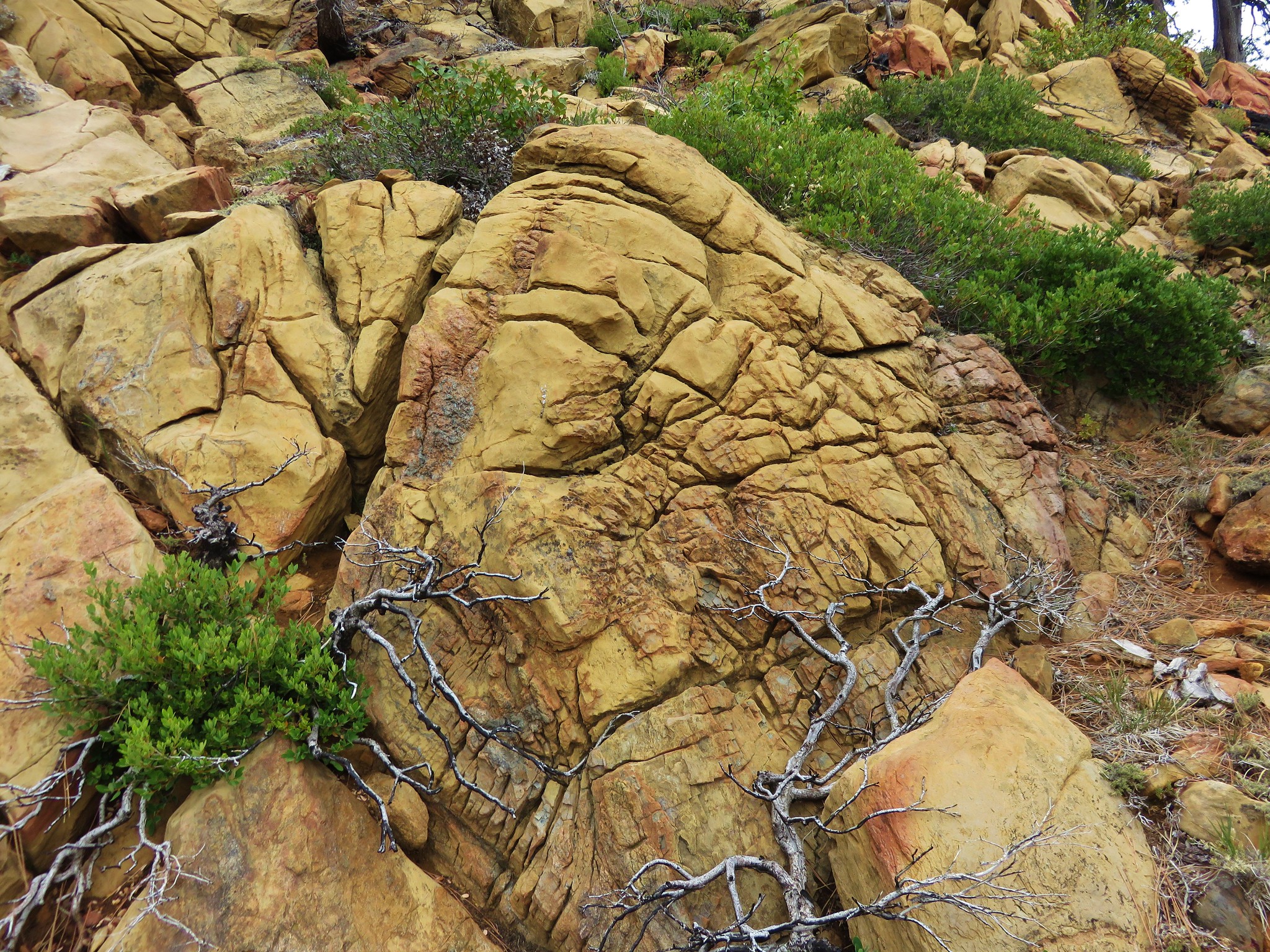
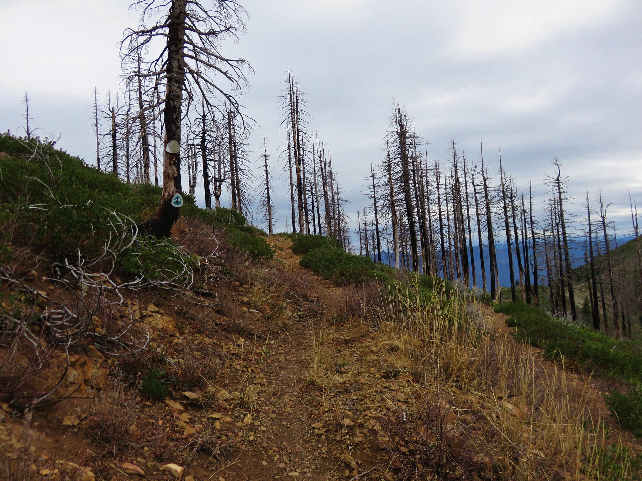
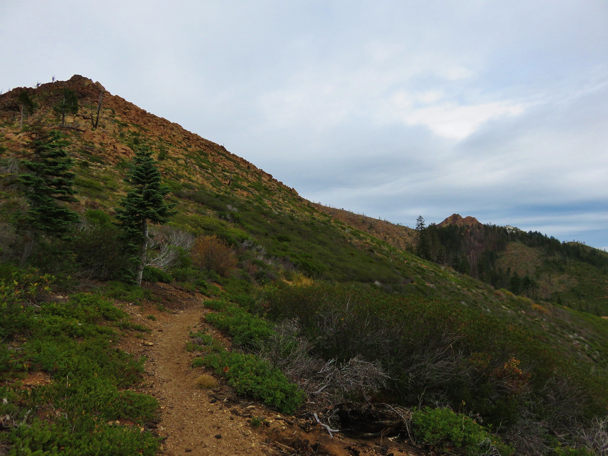
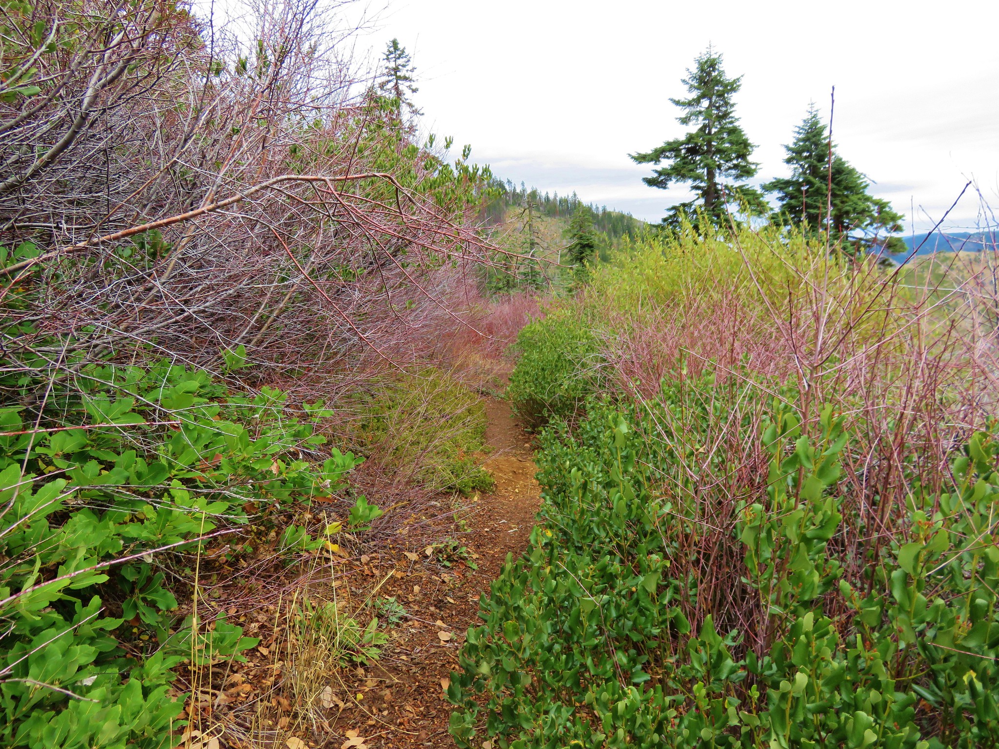
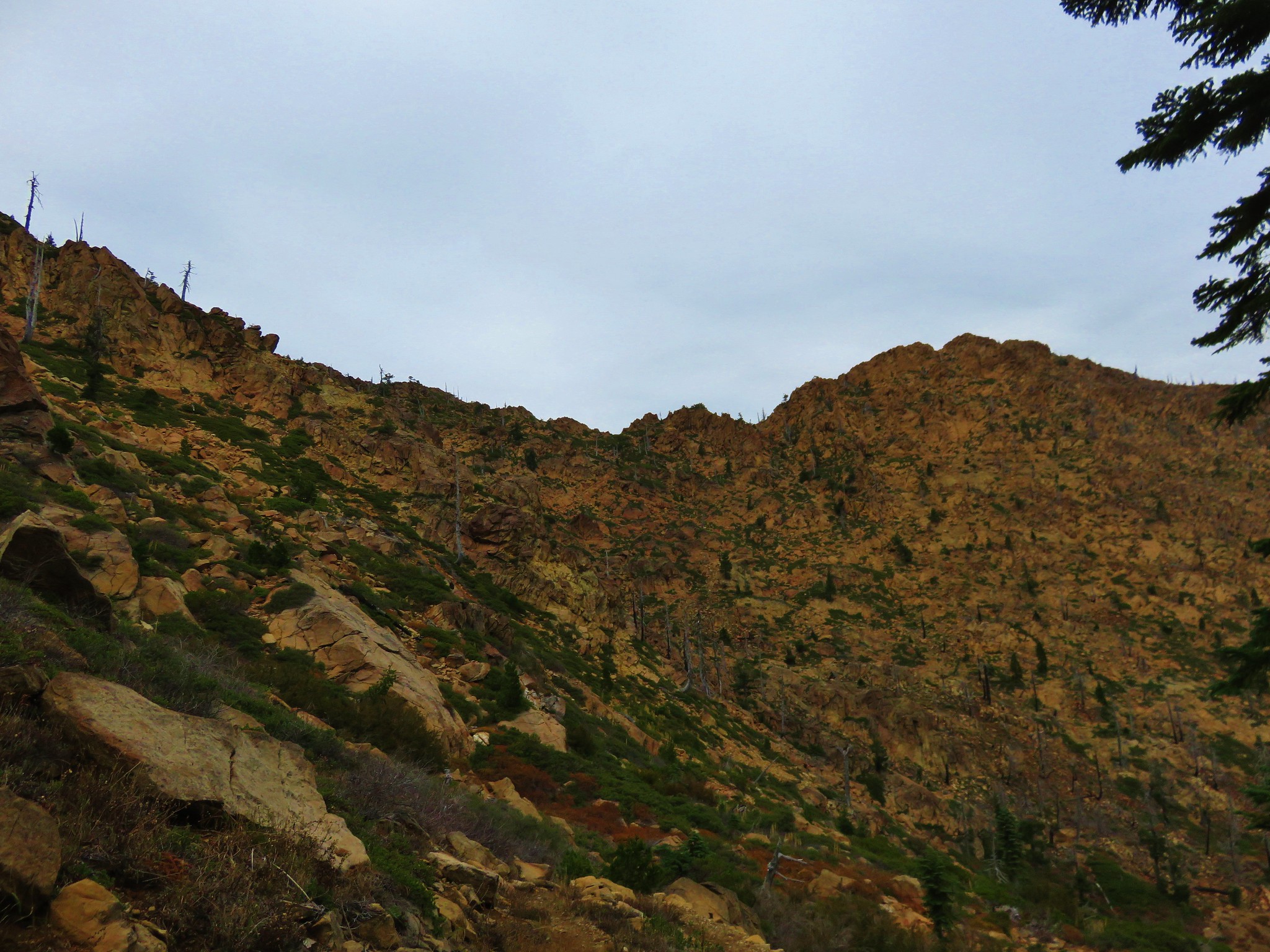
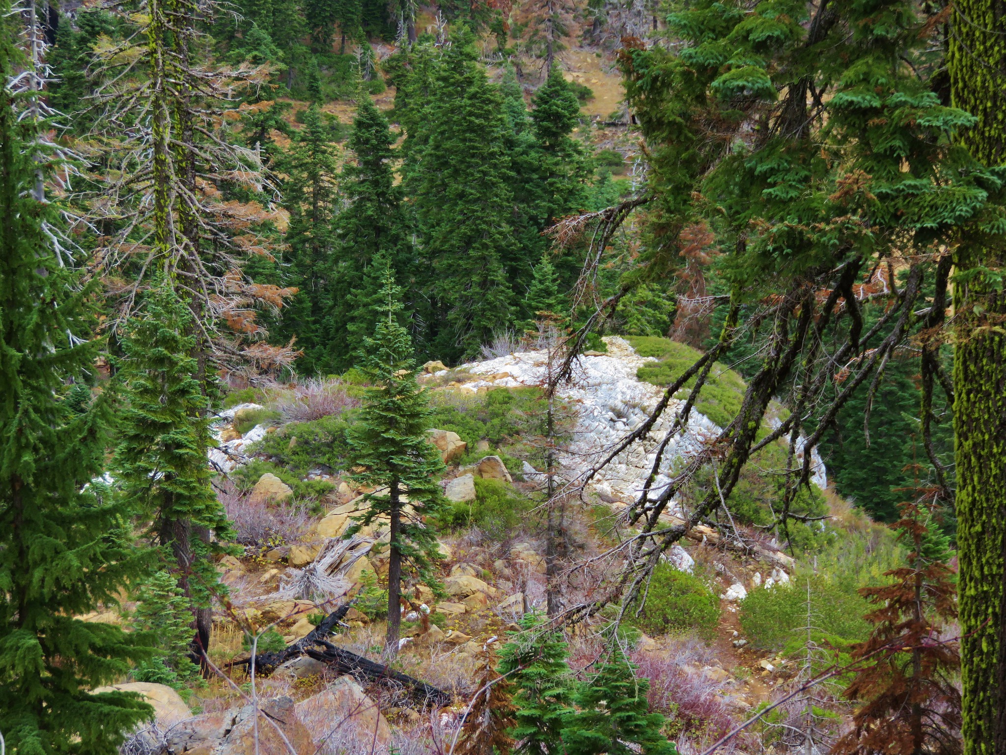
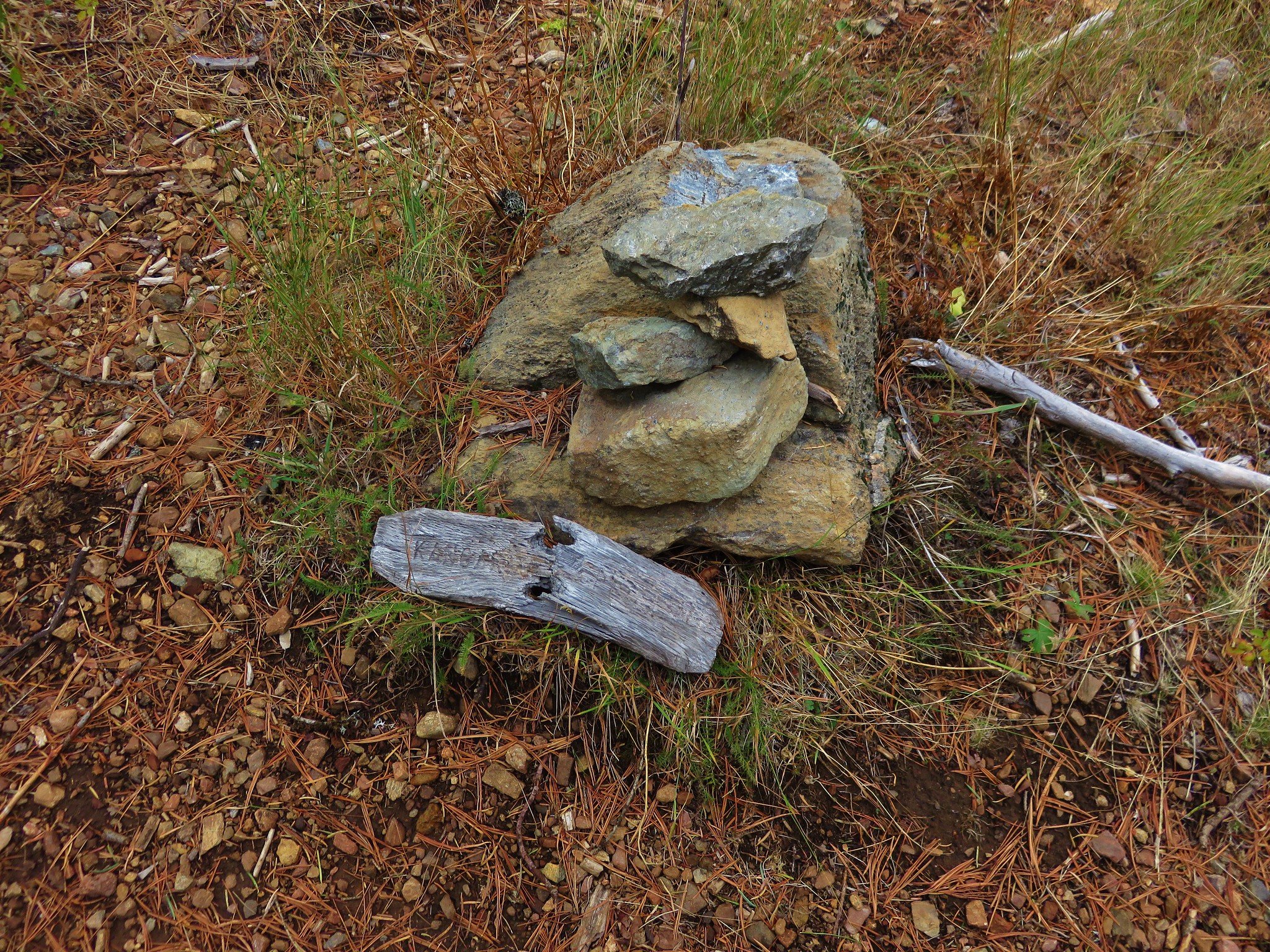
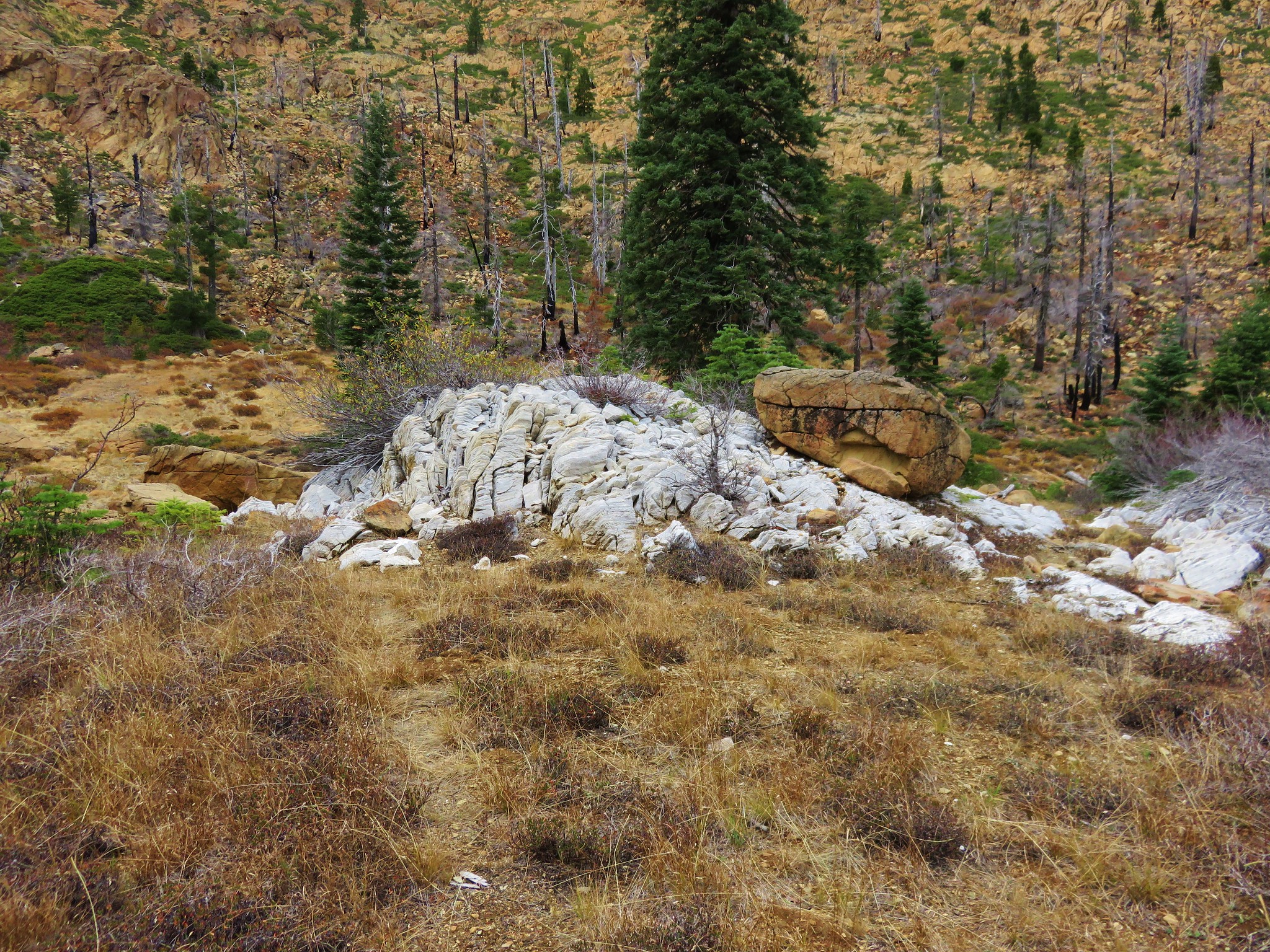
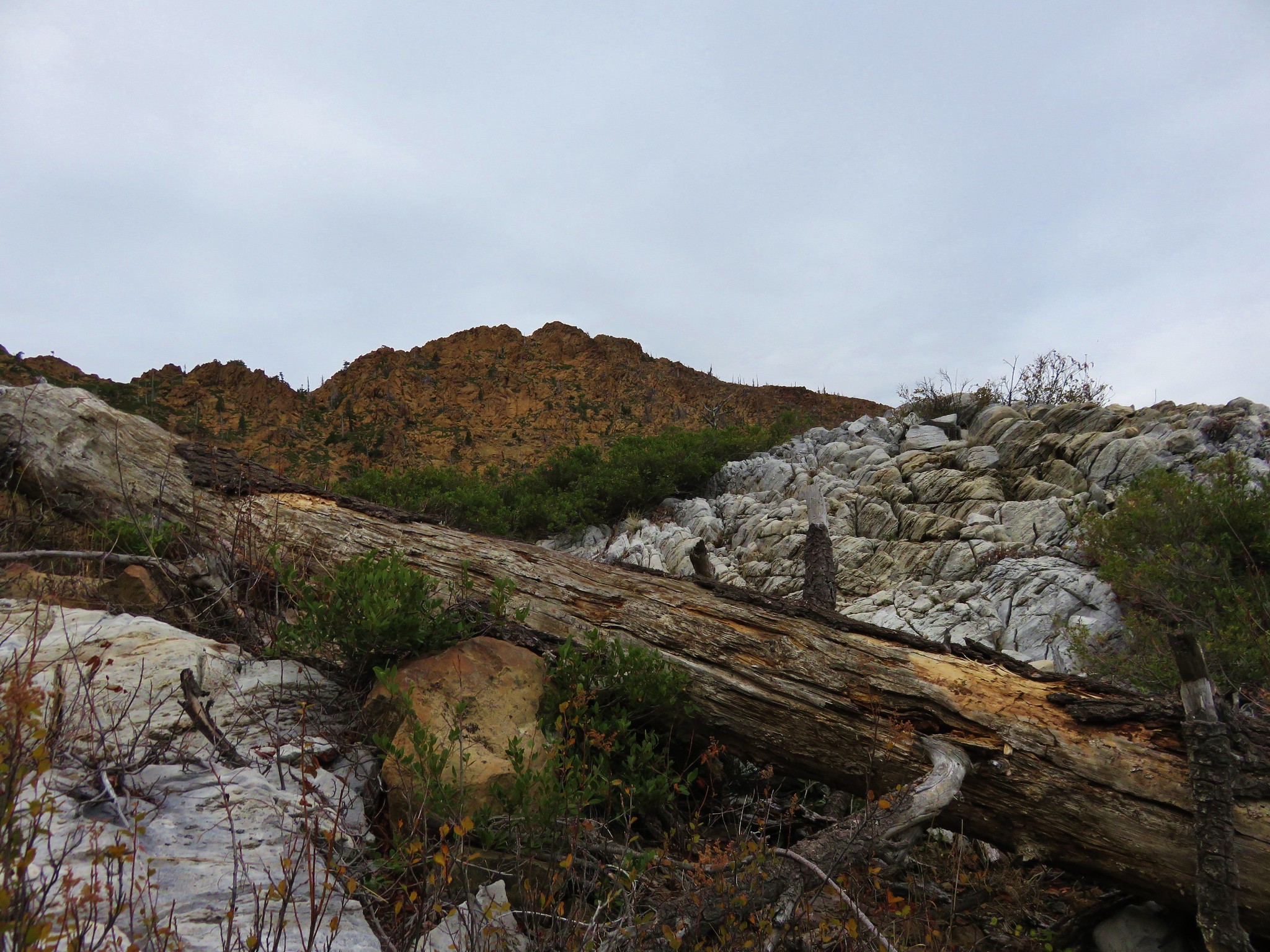
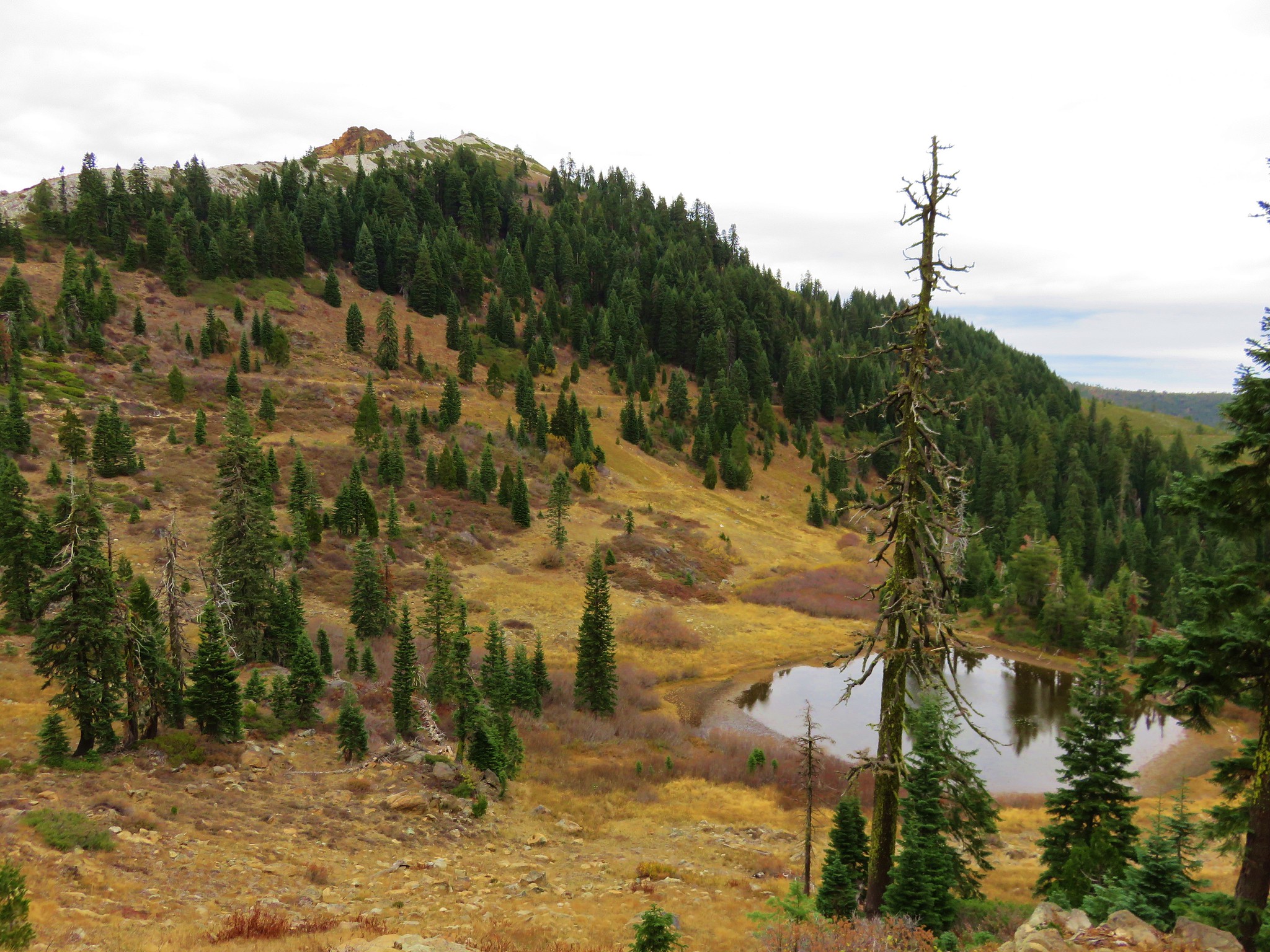
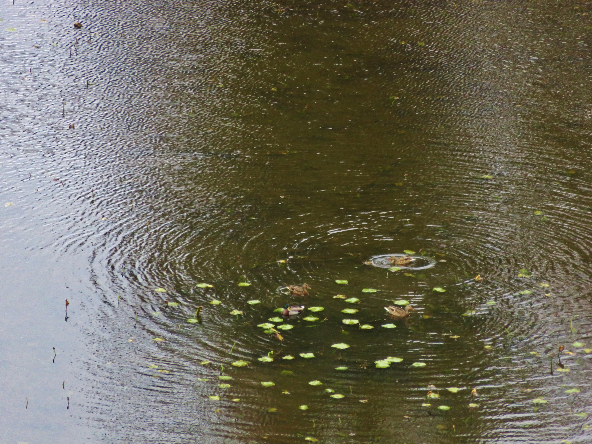
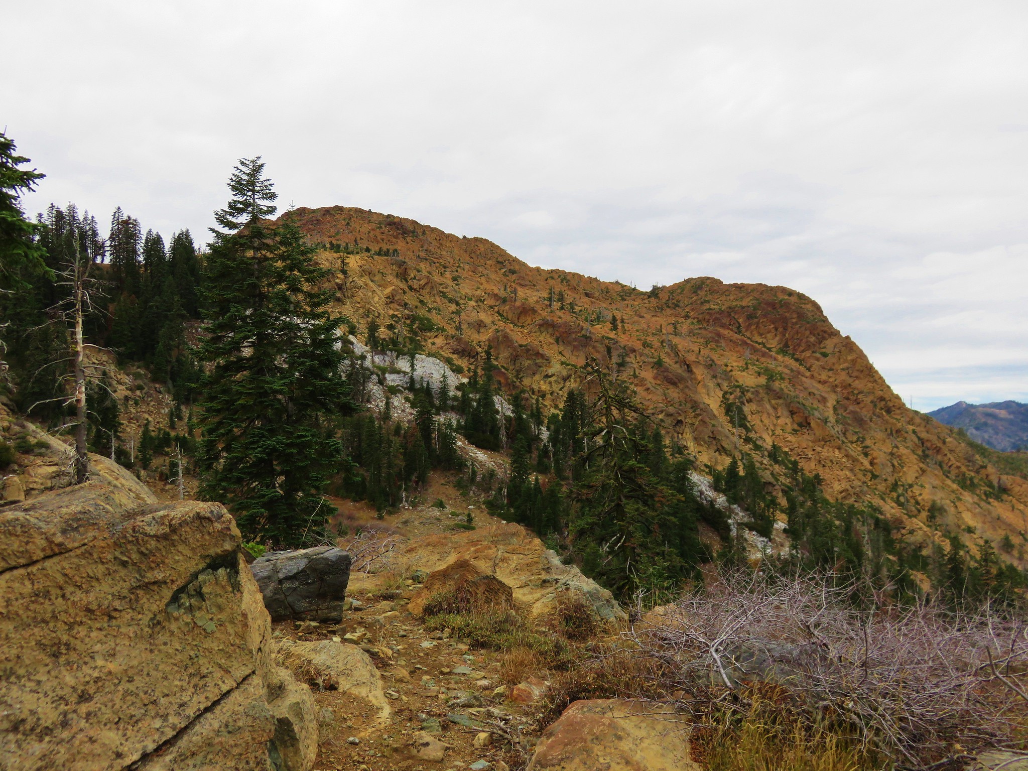
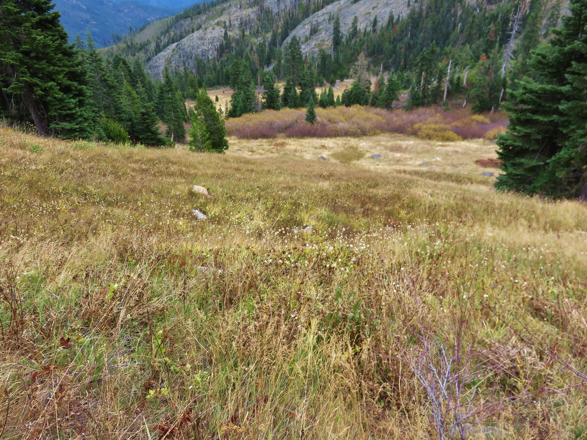
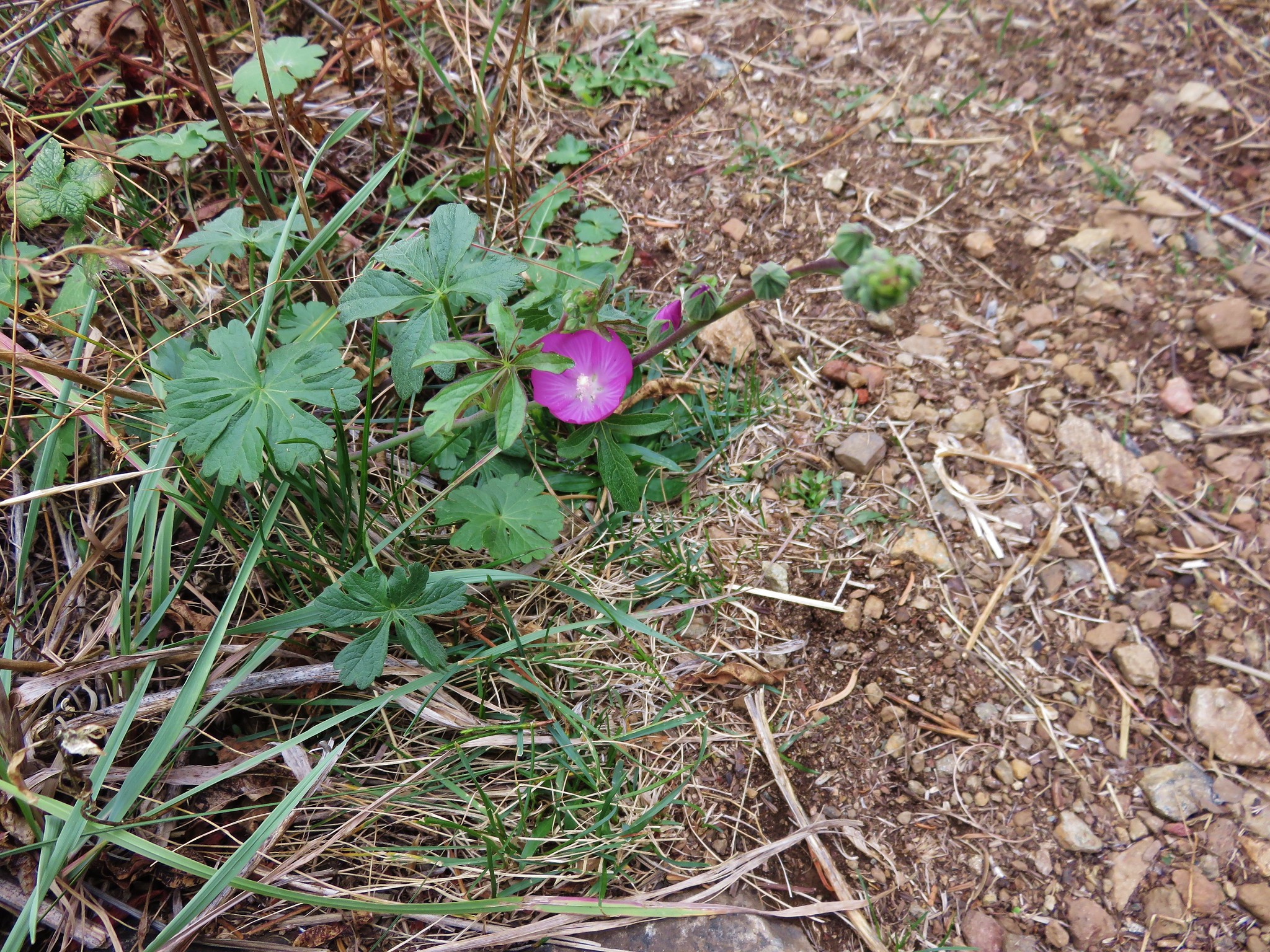
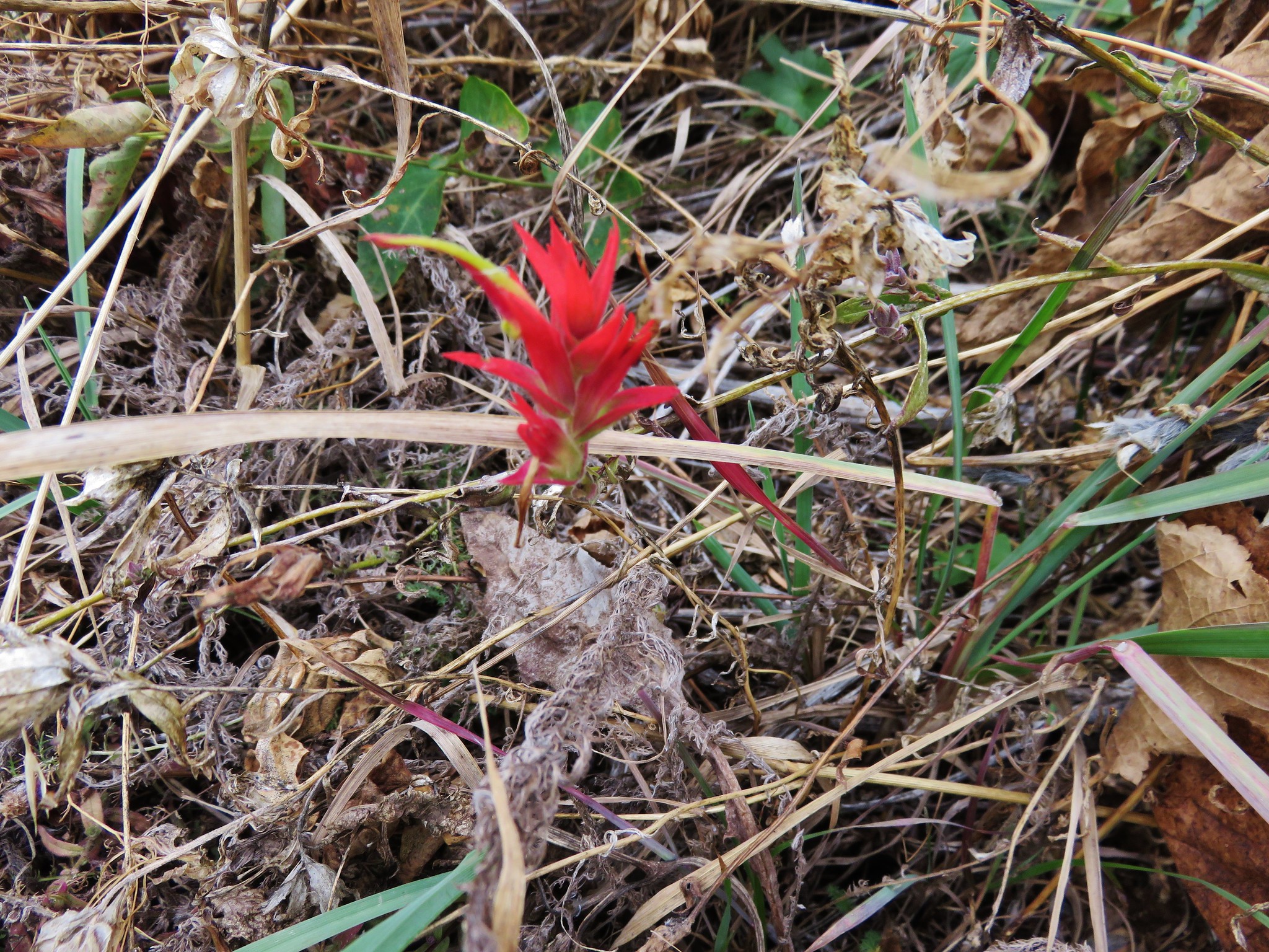
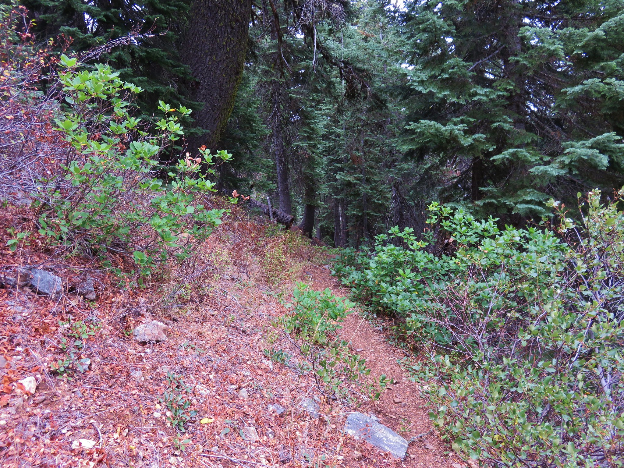
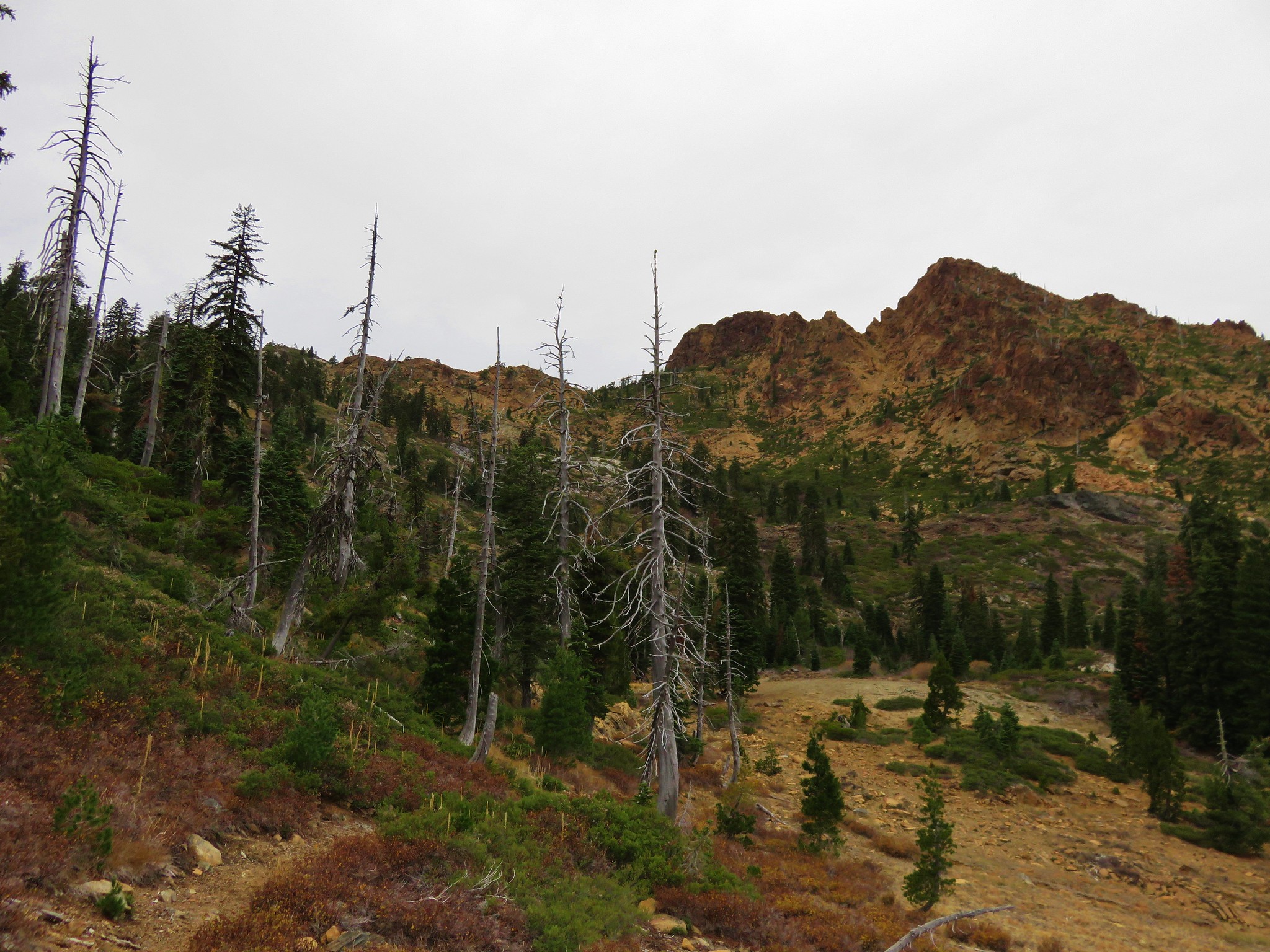
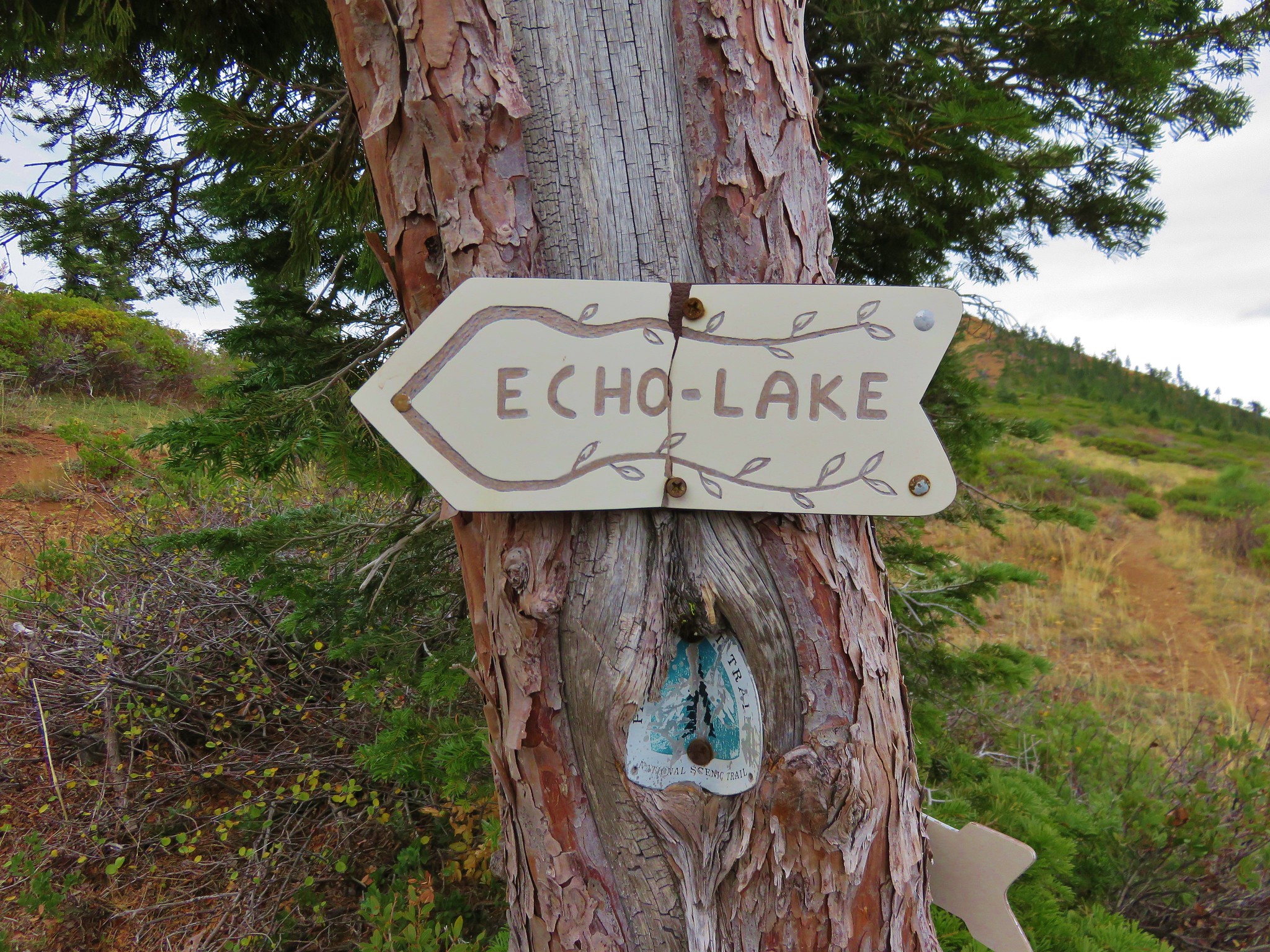
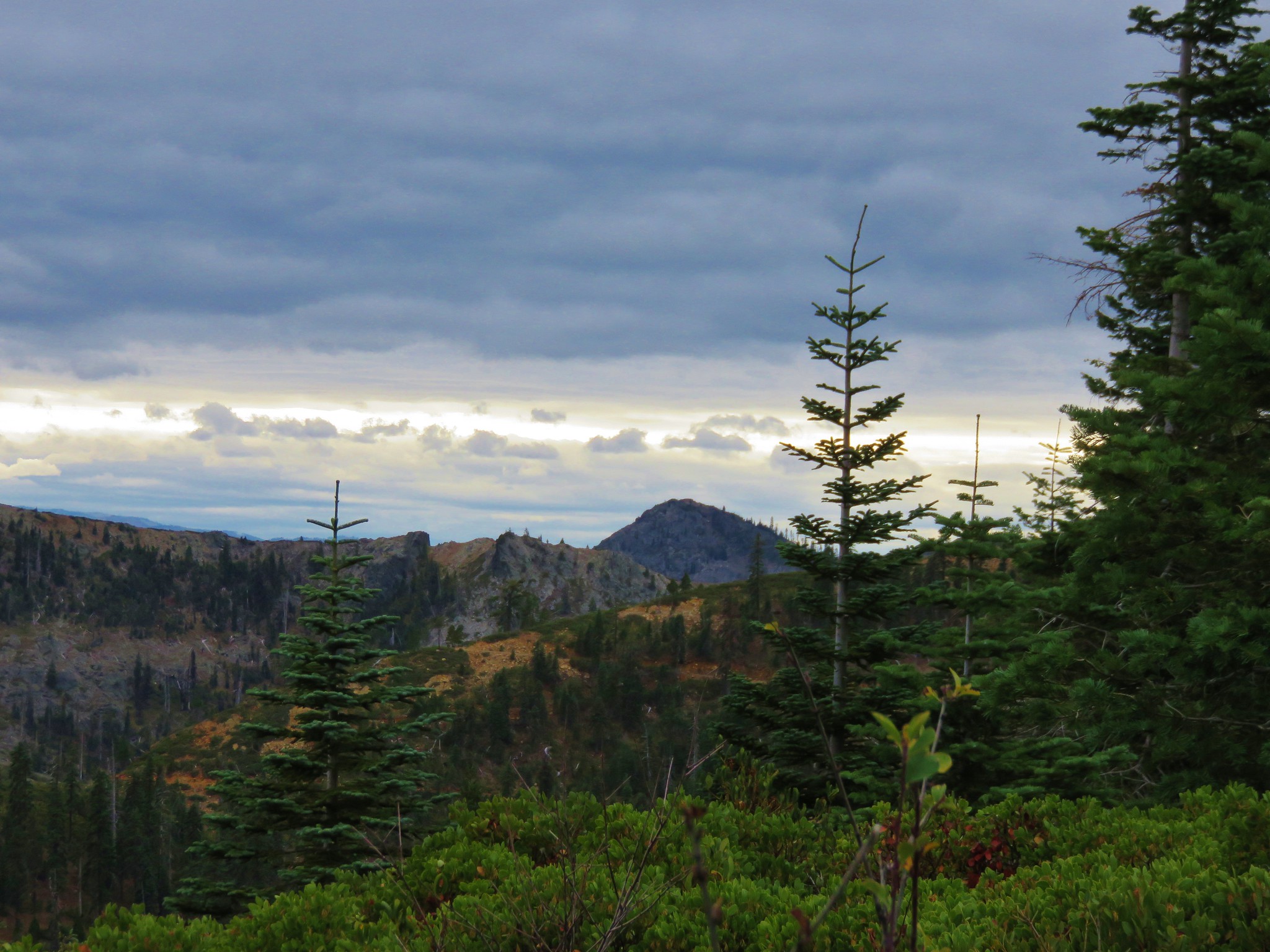
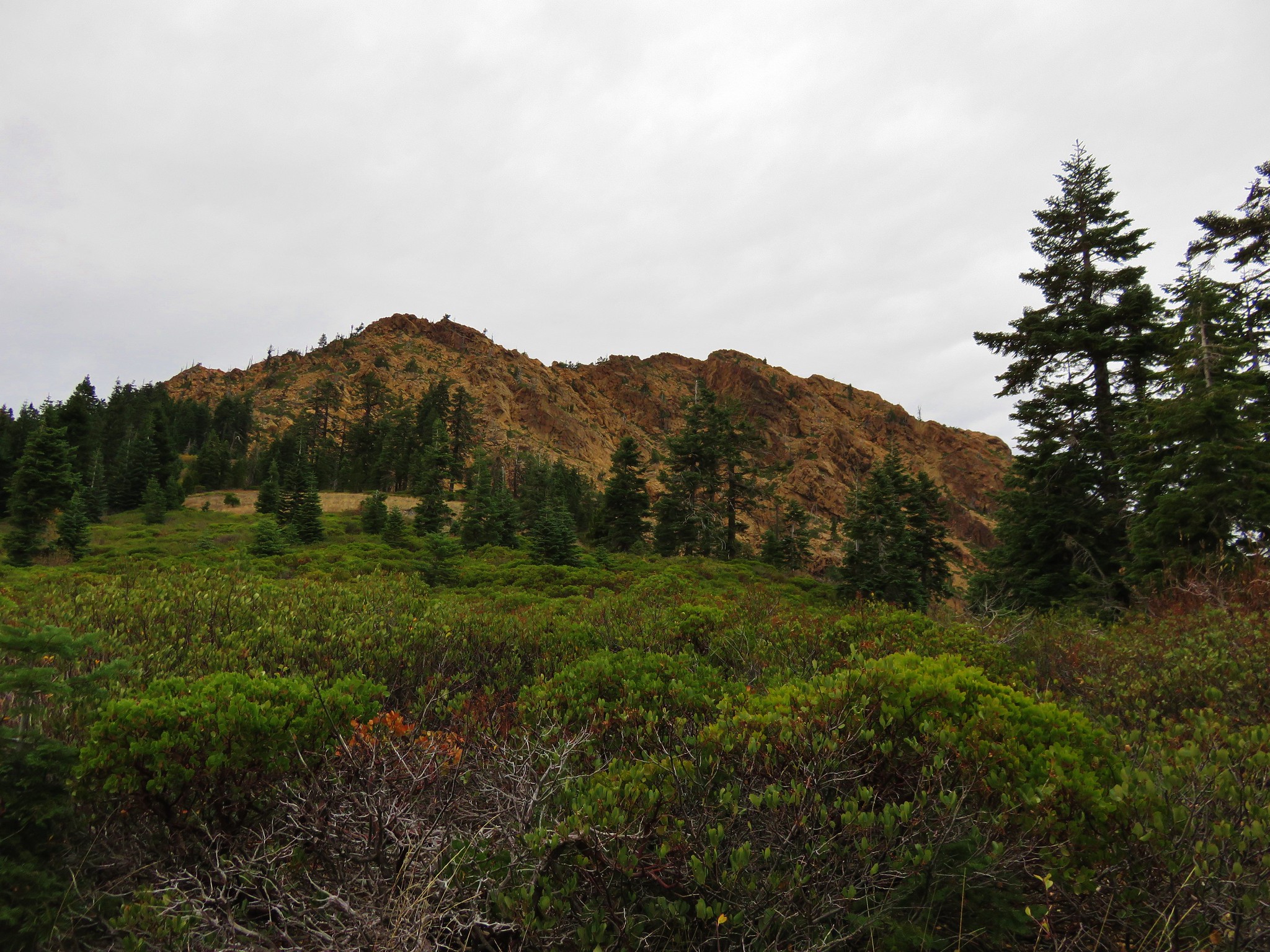
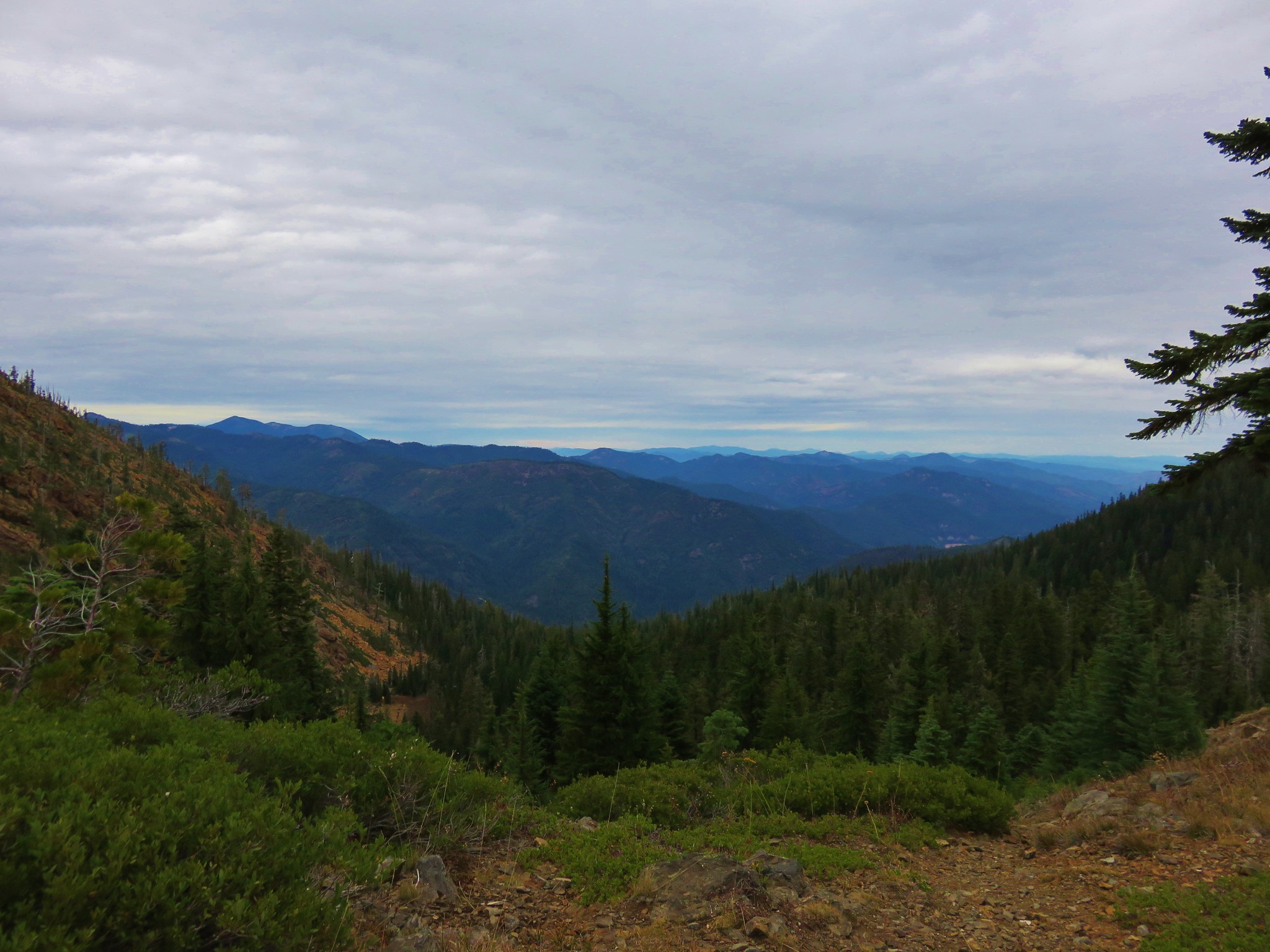
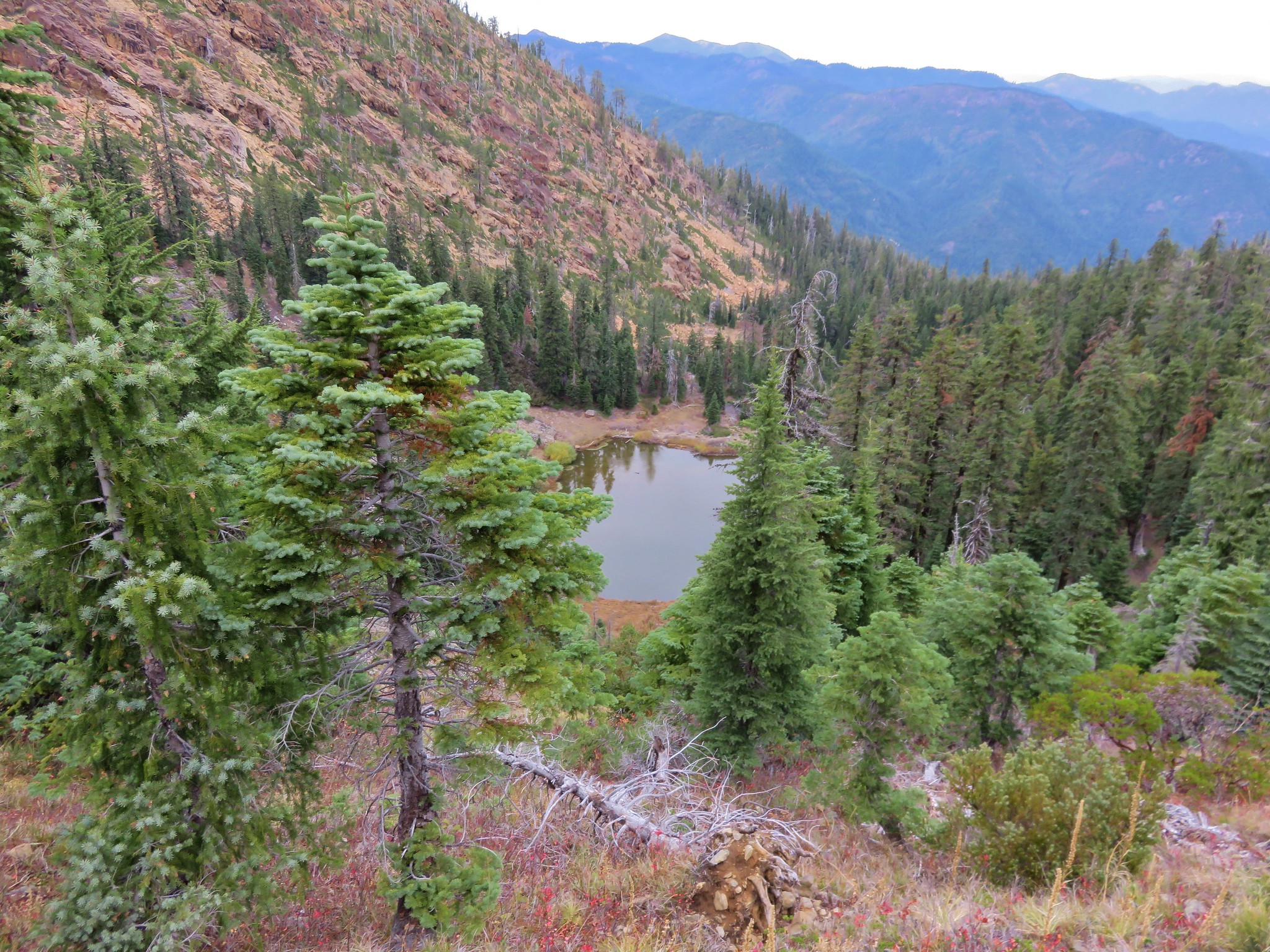
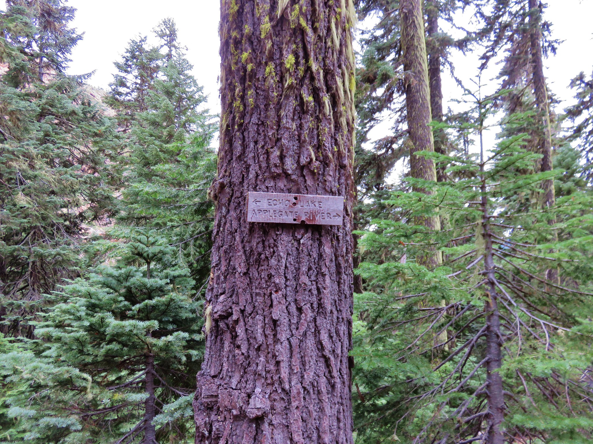
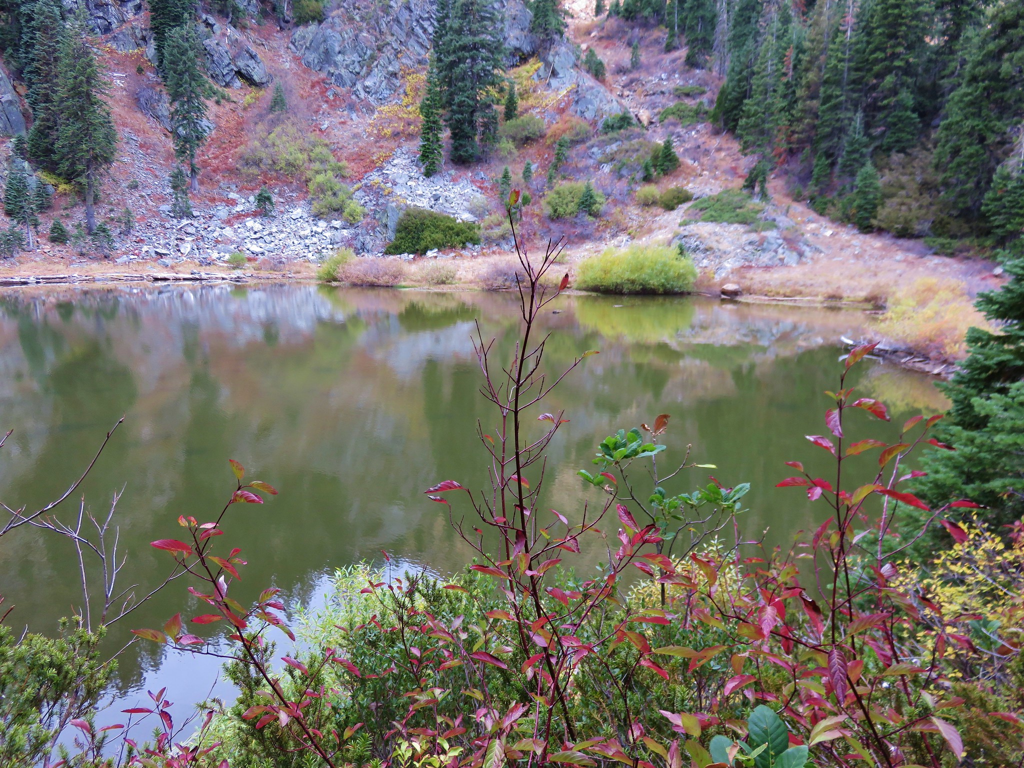
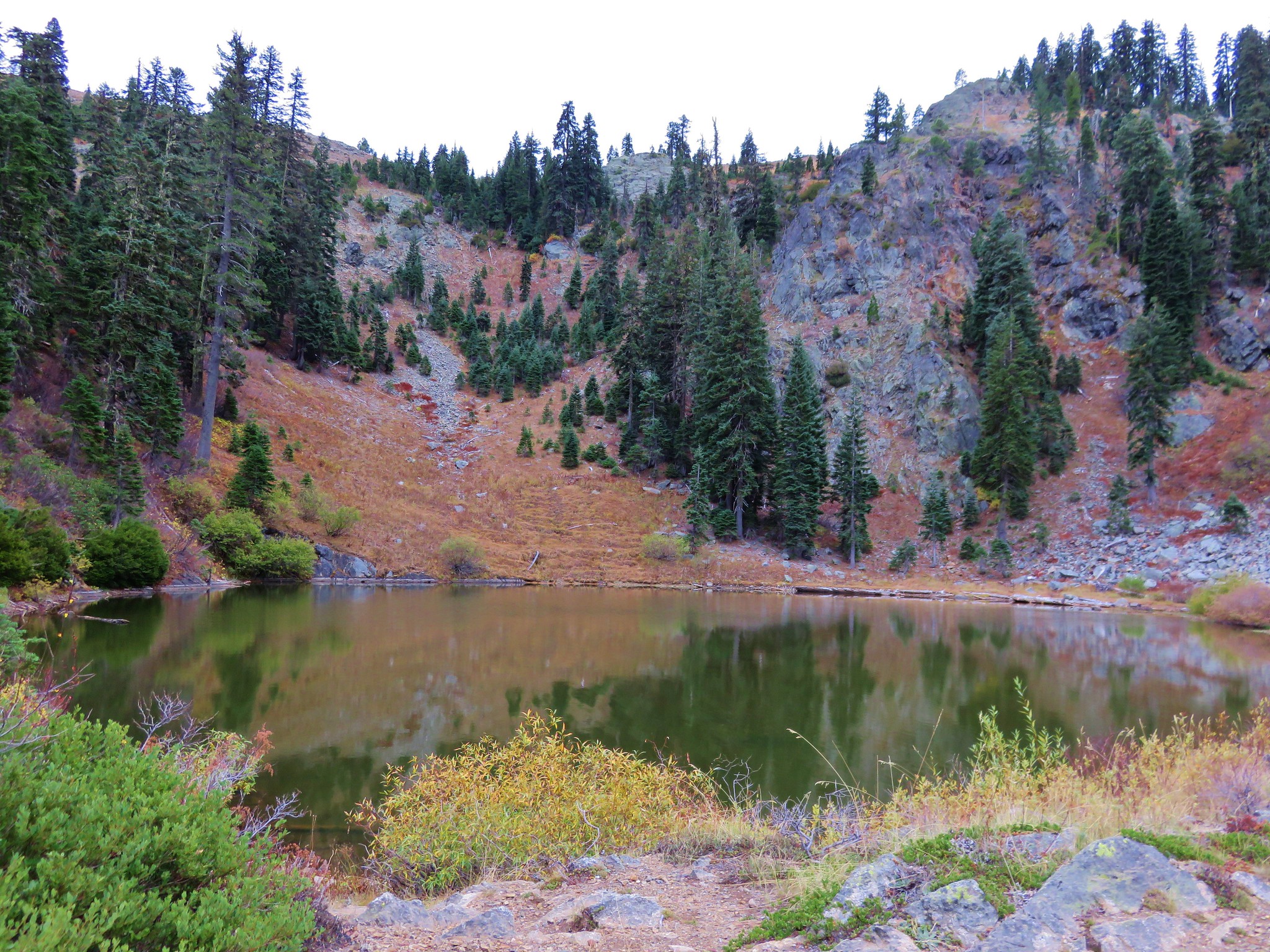
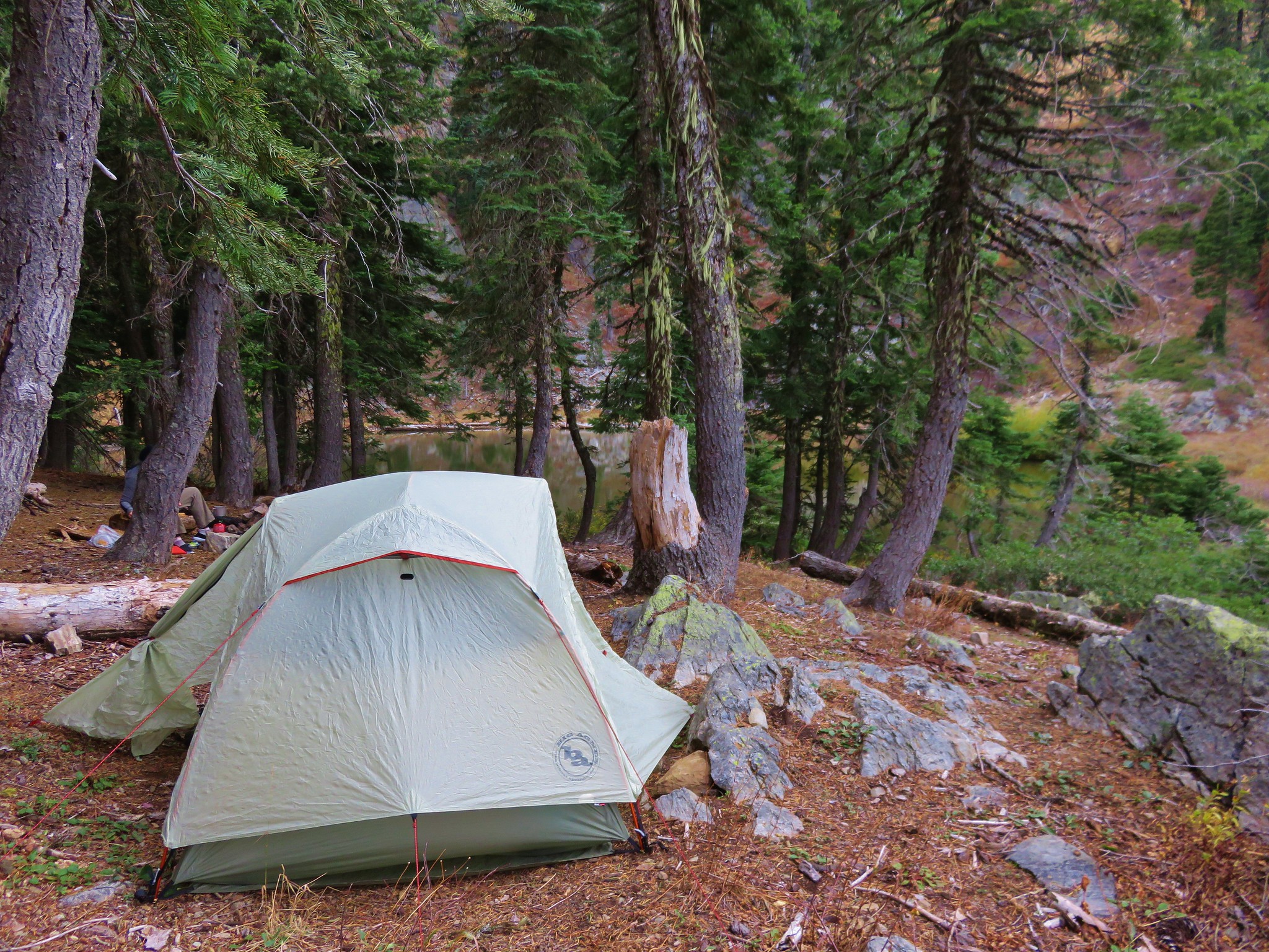
