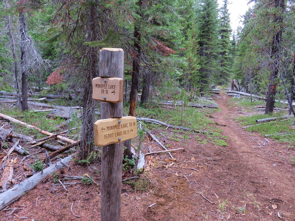
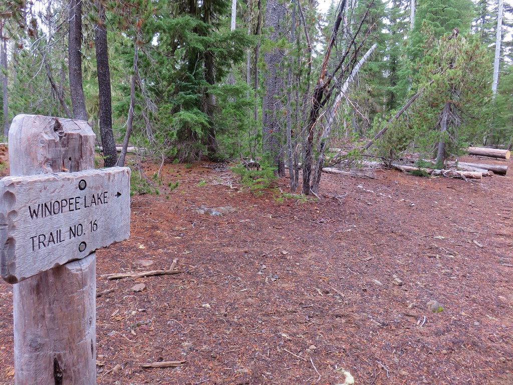
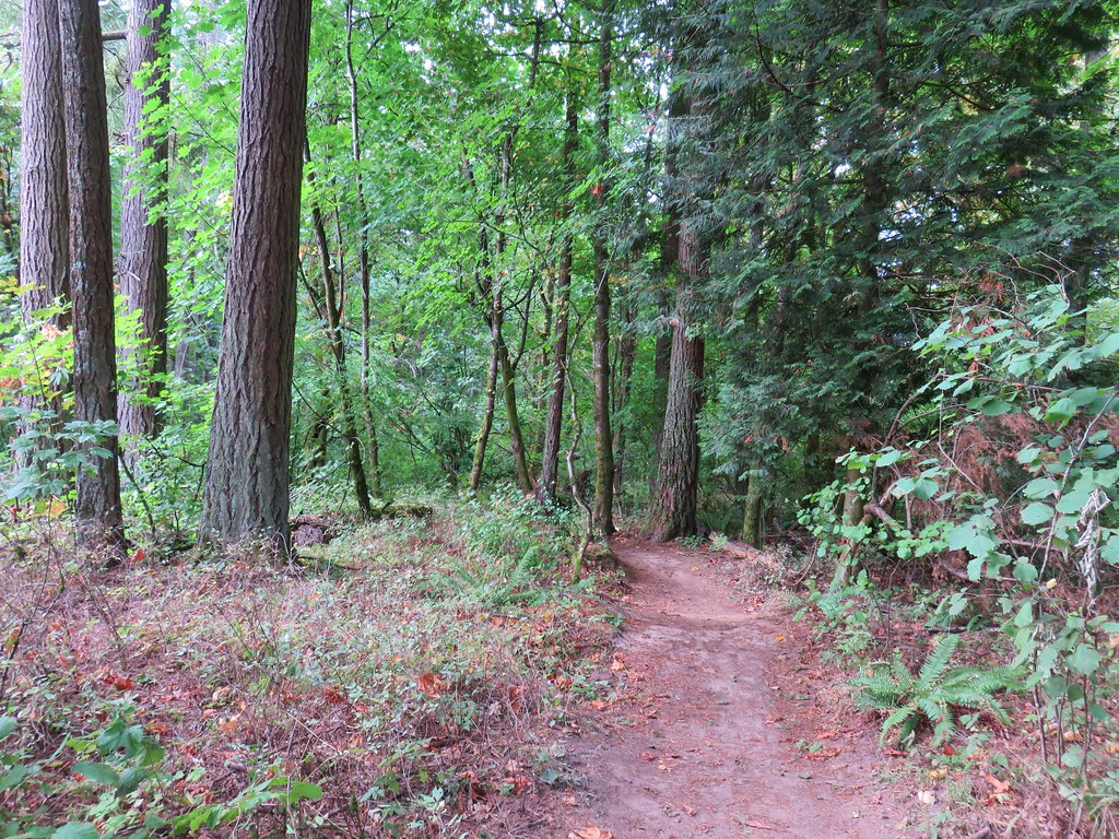
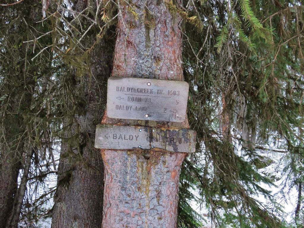
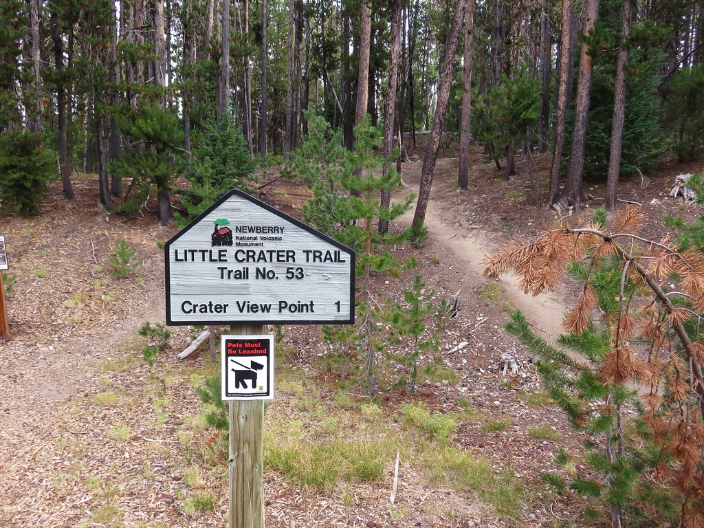
The day after a long but enjoyable hike on the Winopee Lake Trail we returned to the Cascade Lakes Highway for another lake hike. Our plan was to follow the Senoj Lake Trail past Lucky Lake and to Senoj Lake. We had made a short detour to Senoj Lake in 2014 during a hike to Cliff Lake along the Six Lakes Trail (post). This time we would be arriving at Senoj Lake from the other direction completing the Senoj Lake Trail.
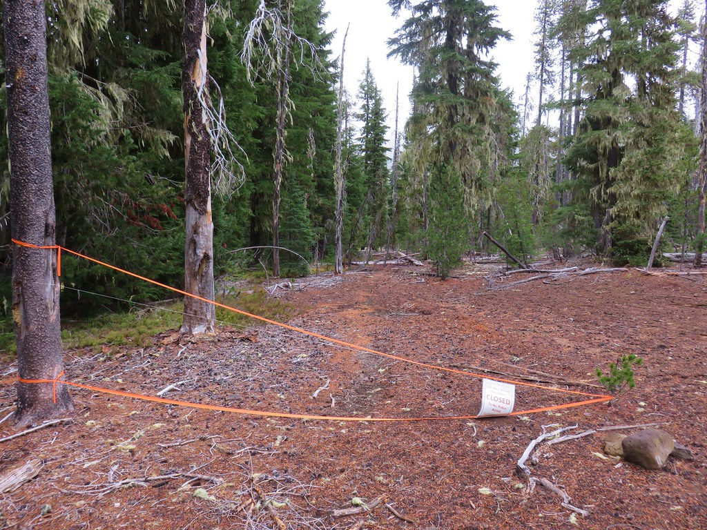
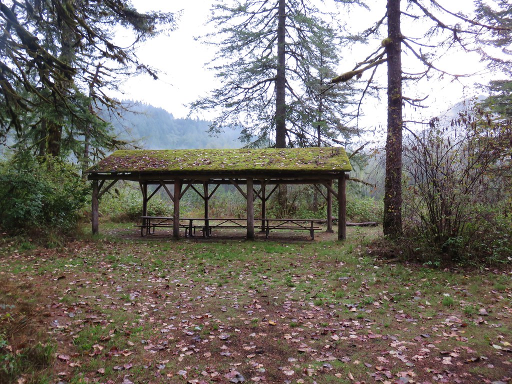
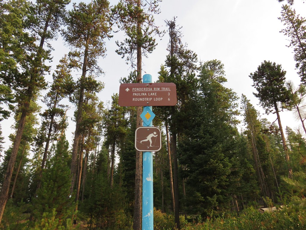
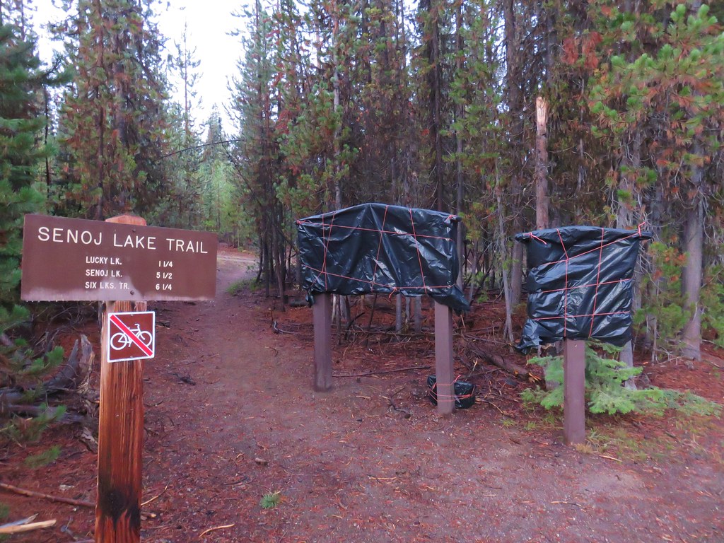
We left Bend around 6:15am and headed south on Highway 97 to exit 153 where we headed west on South Century Drive. After 21.5 miles, at a stop sign we turned right onto the Cascade Lakes Scenic Byway for 5.9 miles to the signed Lucky Lake Trailhead on the left. We would discover later that the hiker trailhead is along a short paved spur to the right after turning into the trailhead area. We stayed left and wound up at the equestrian trailhead which was already wrapped up for the winter.
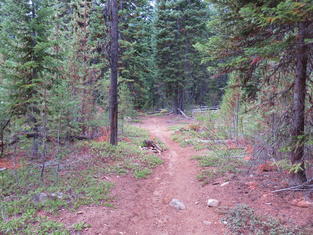
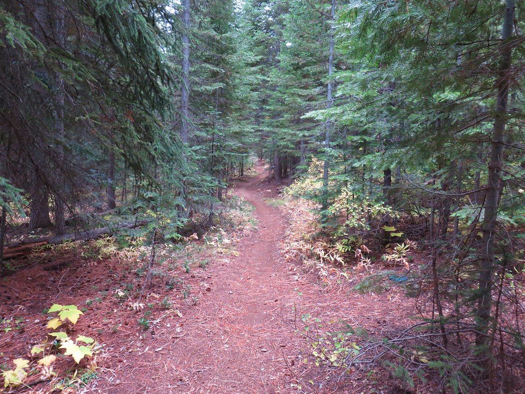
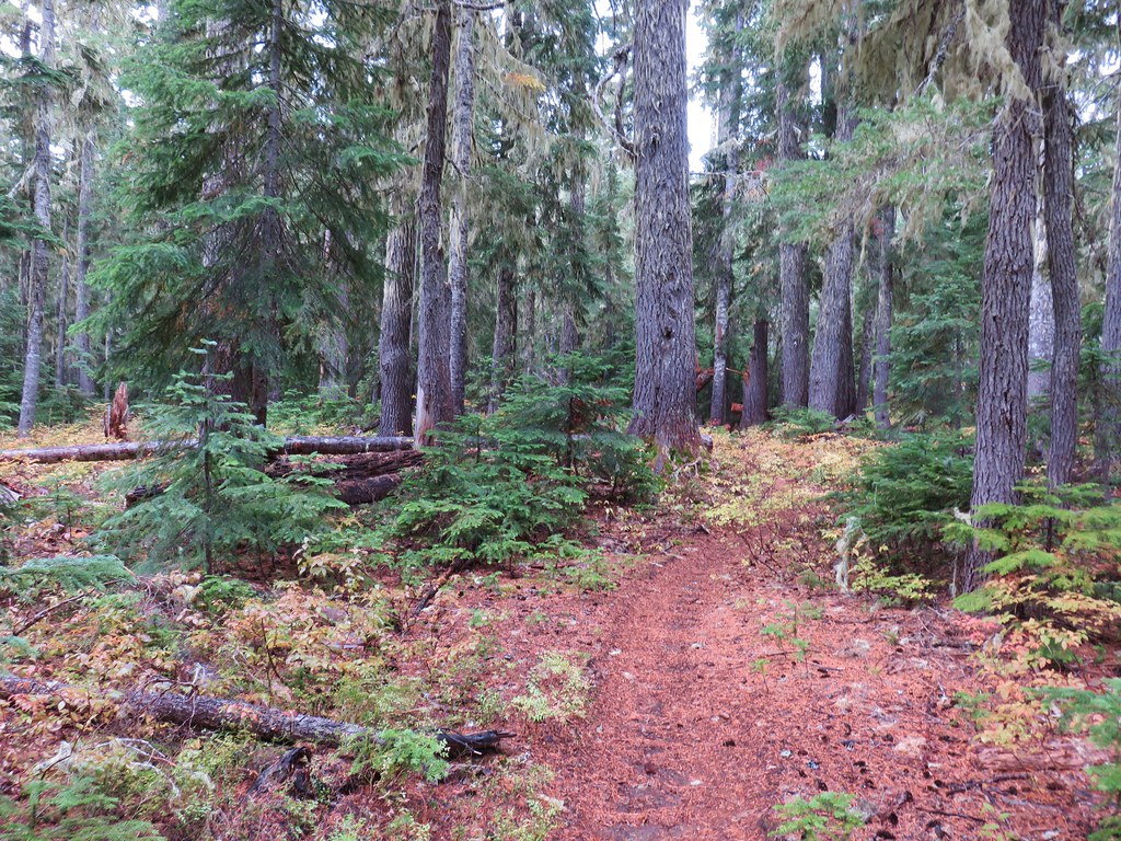
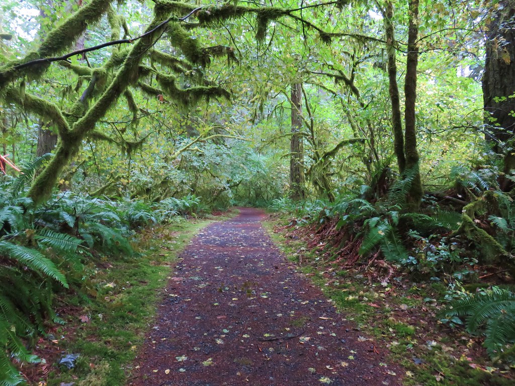
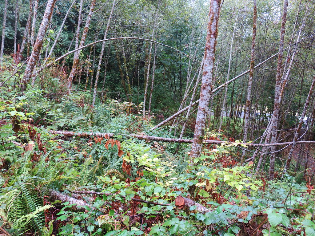
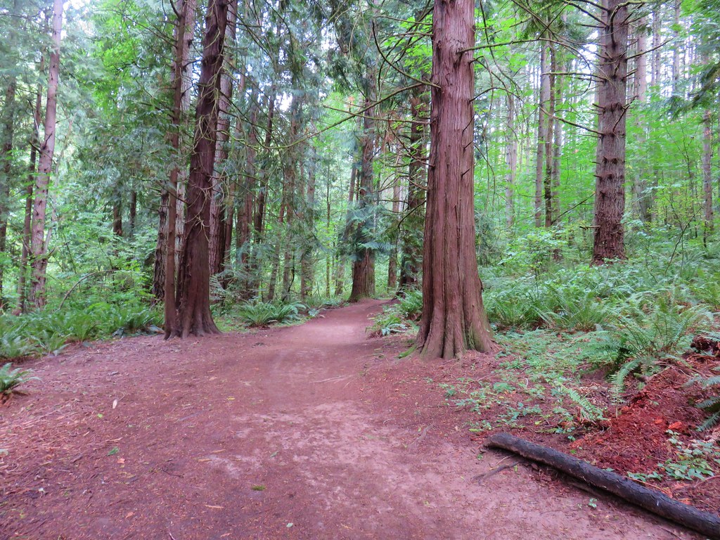
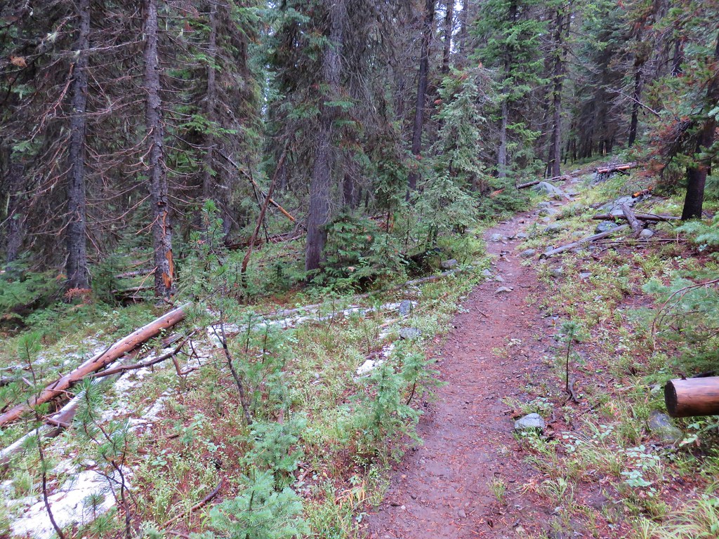
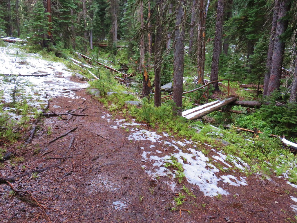
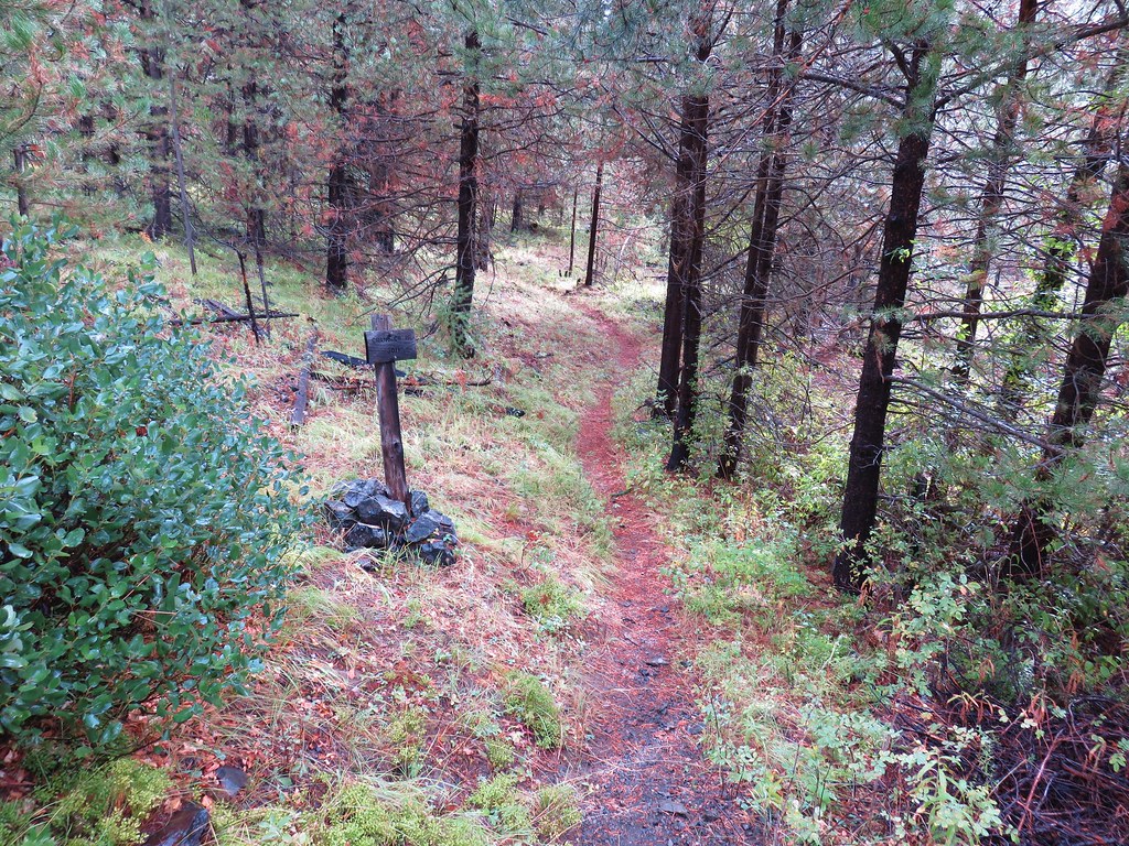
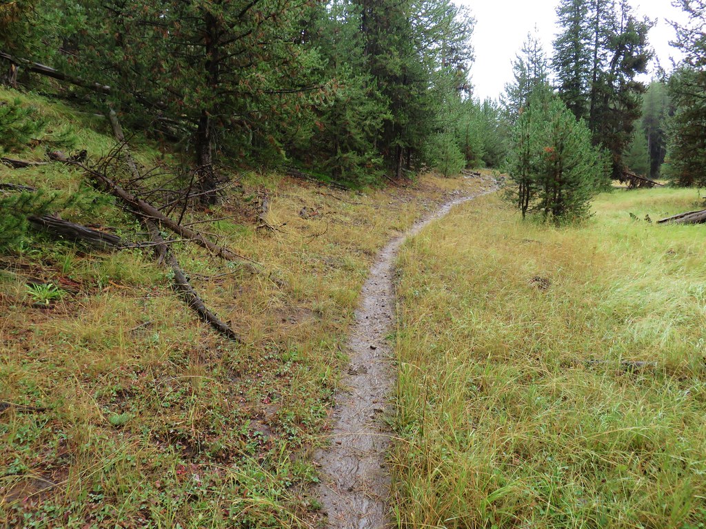
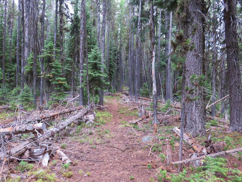
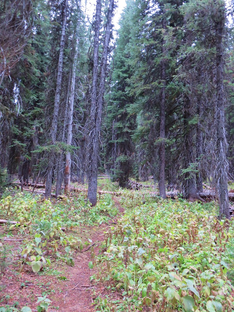
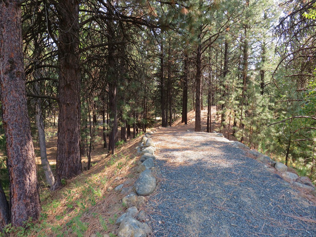
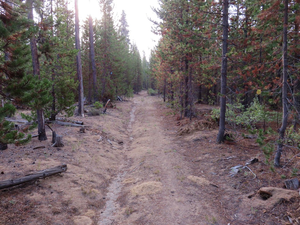
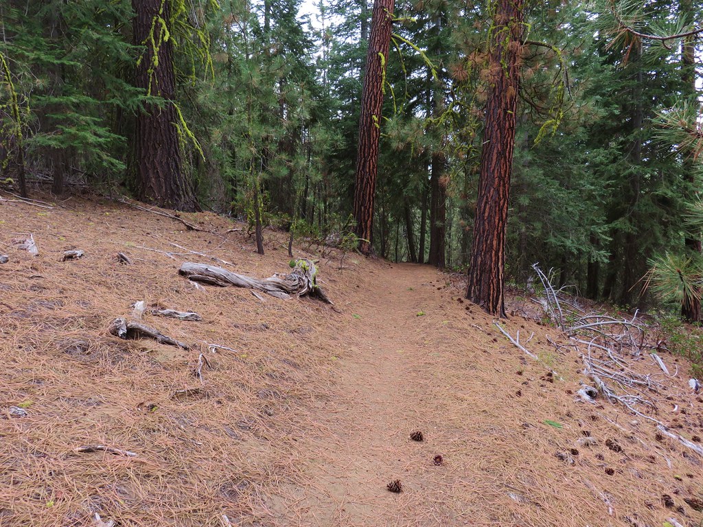
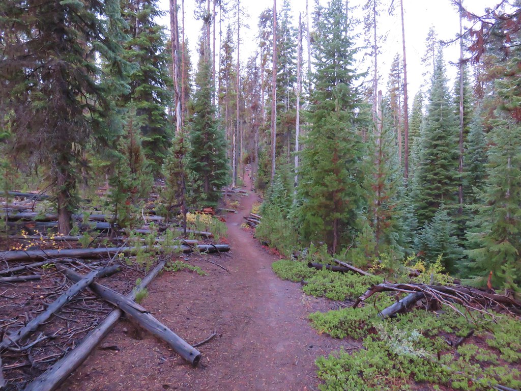
We had passed through a brief snow flurry on the drive to the trailhead but it was just a little damp as we set off into the forest.
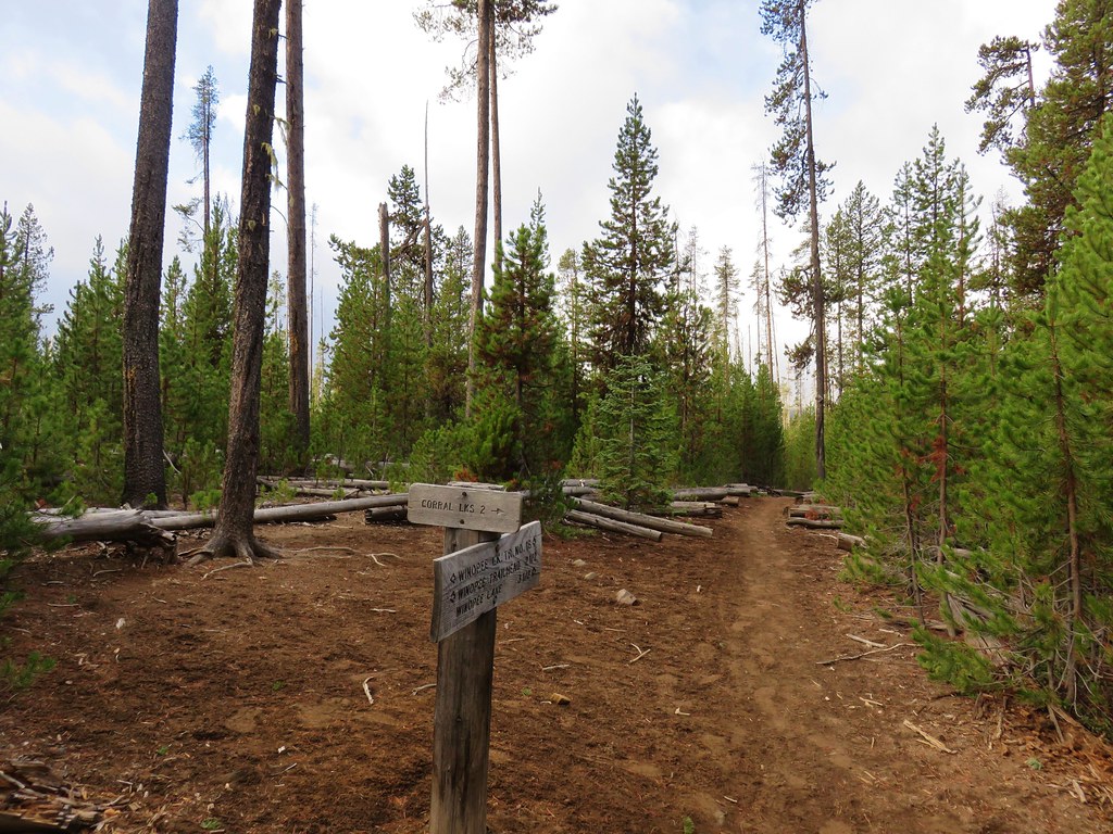
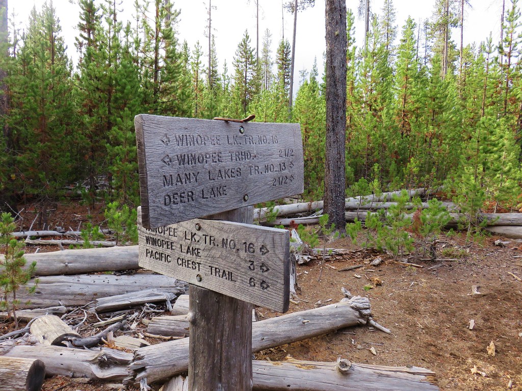
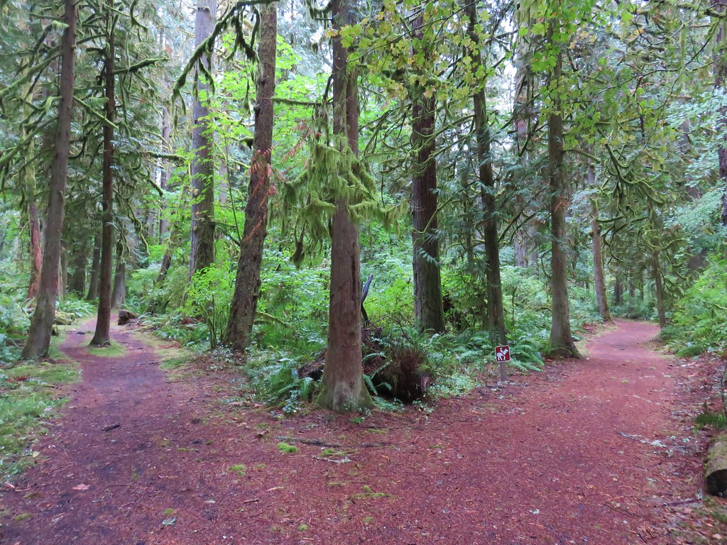
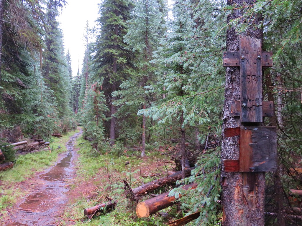
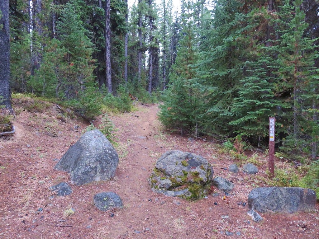
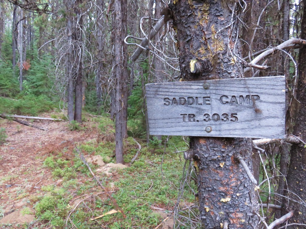
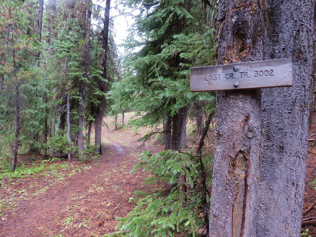
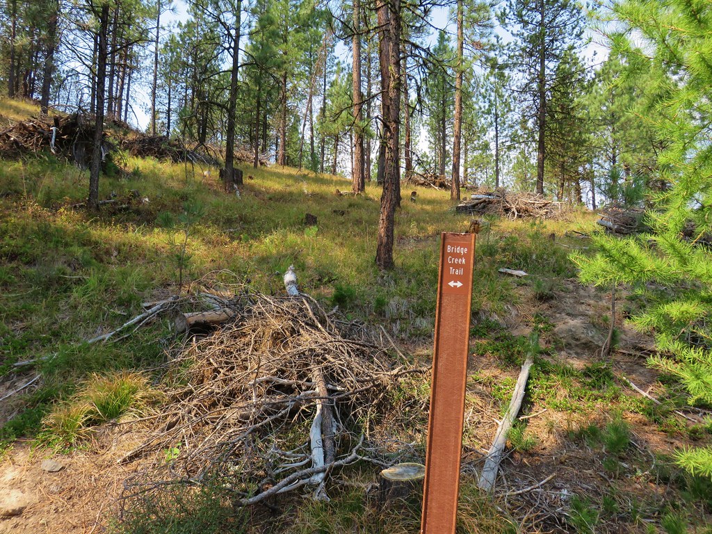
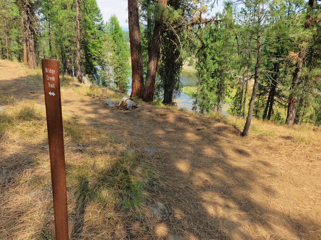
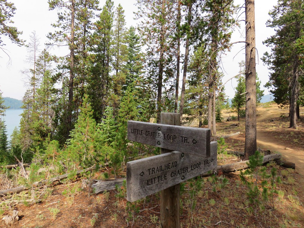
It was about a tenth of a mile into the hike when we came to a hikers/horses sign at a junction that we discovered that there was more than one trailhead and we’d parked at the equestrian trailhead.
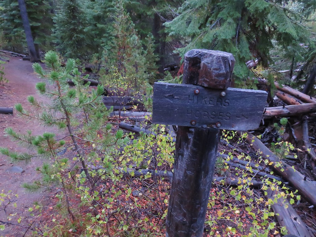
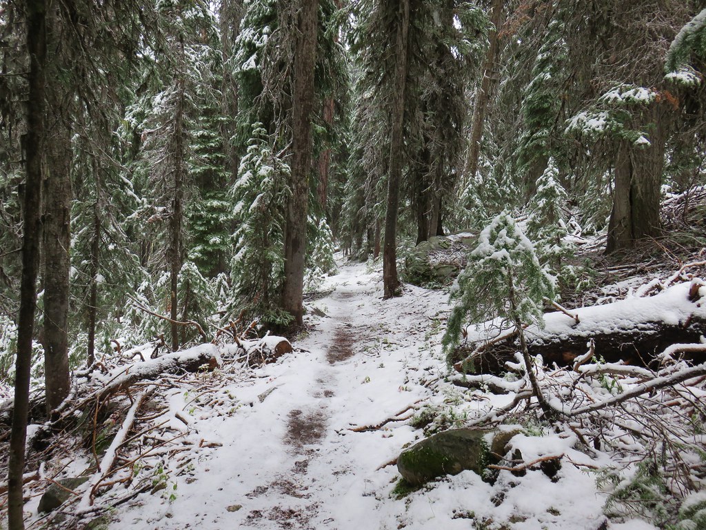
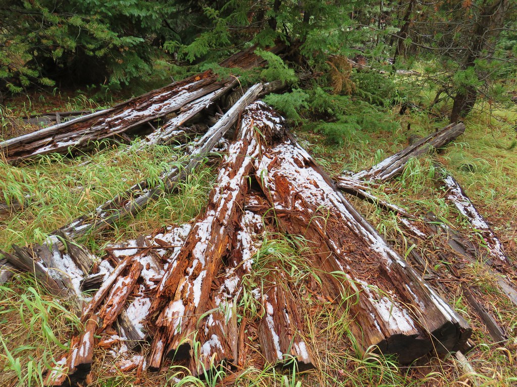
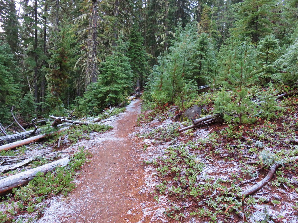
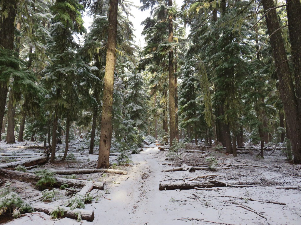
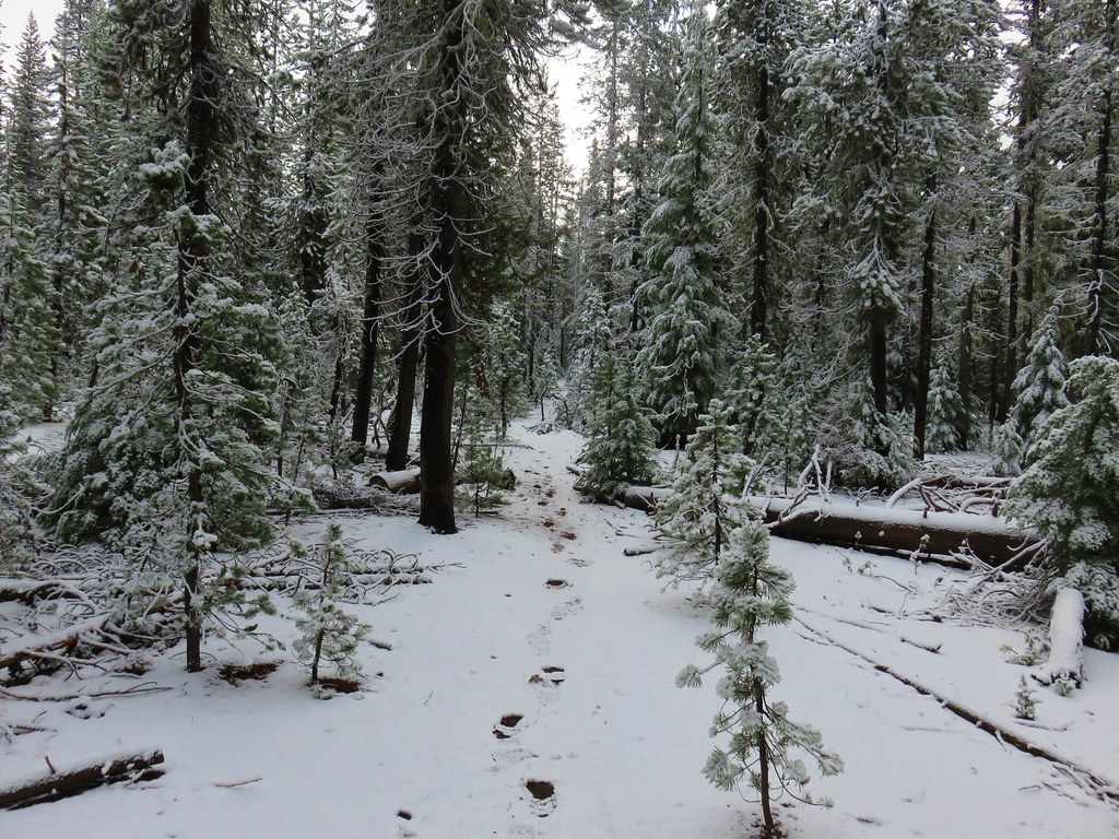
We decided that on the way back we’d take the hiker trail just to see where we’d gone wrong. For now though we continued on. It wasn’t long before we began seeing a little snow here and there along the trail.
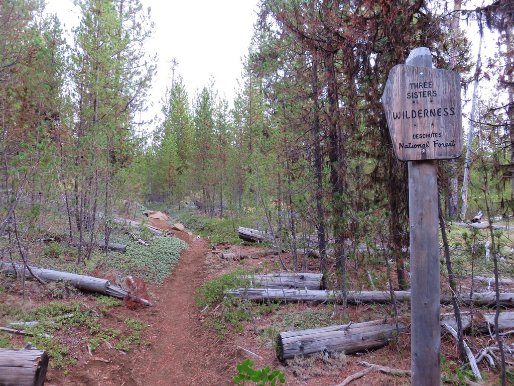
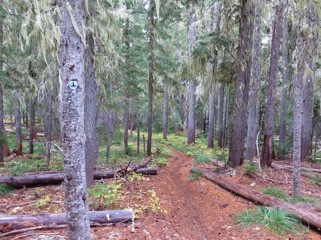
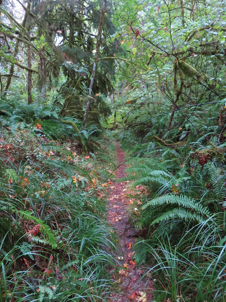
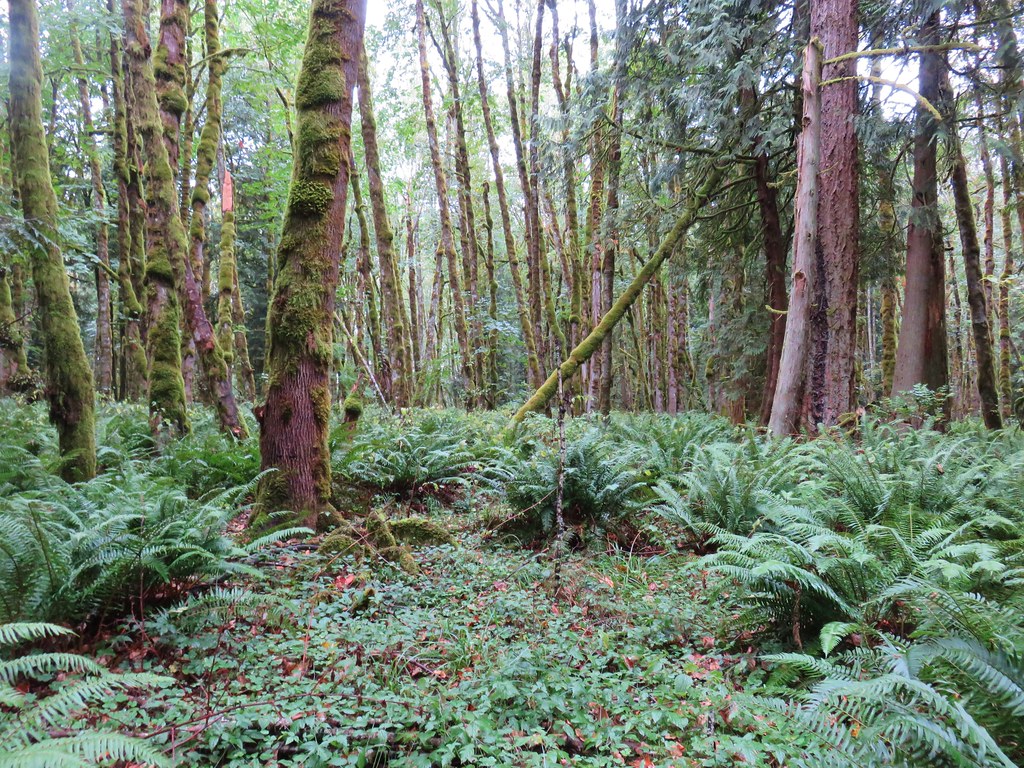
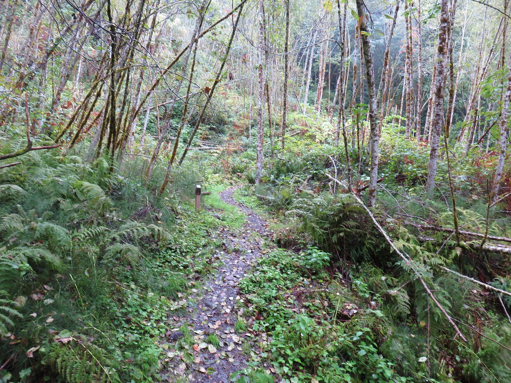
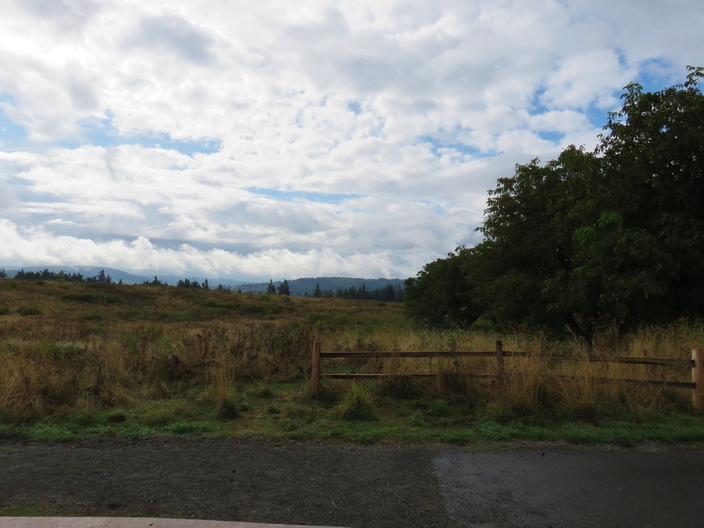
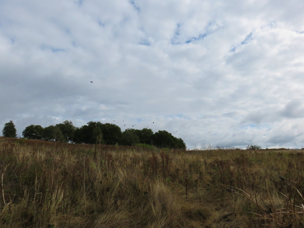
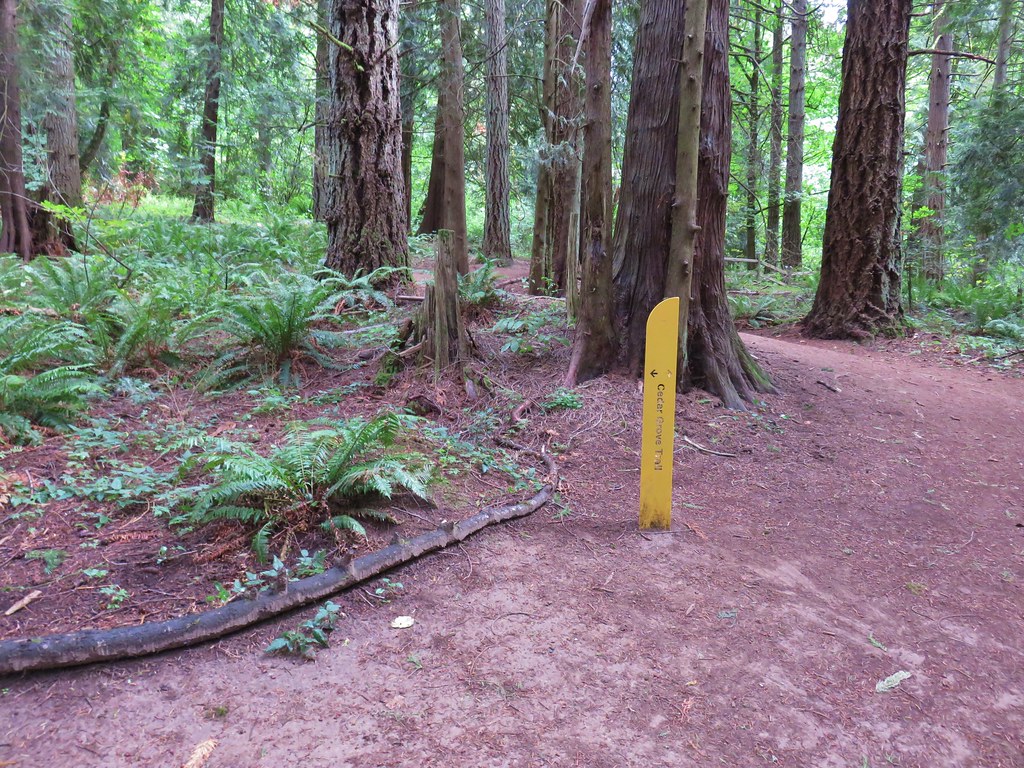
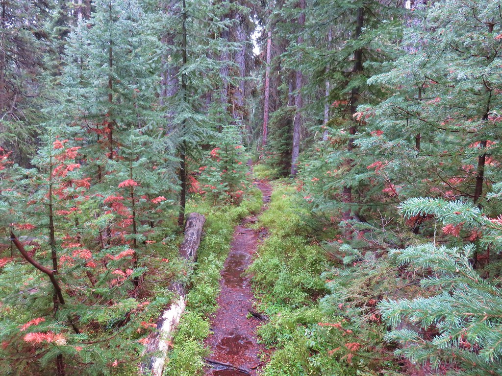
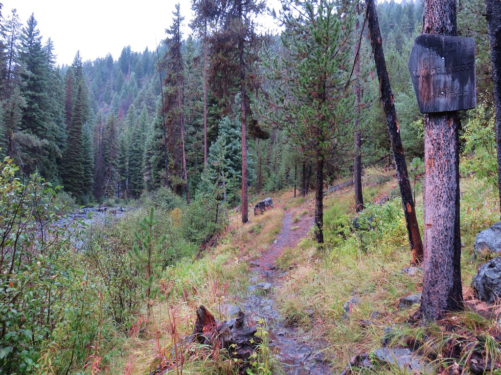
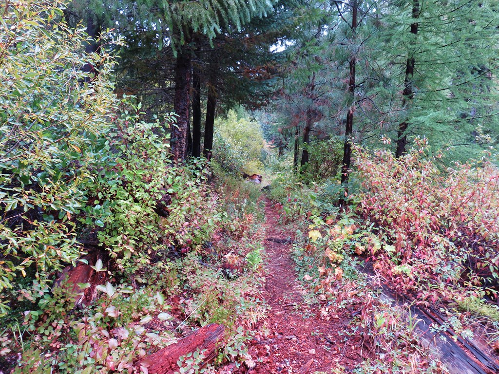
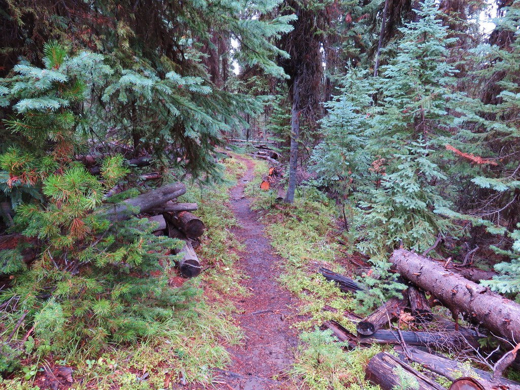
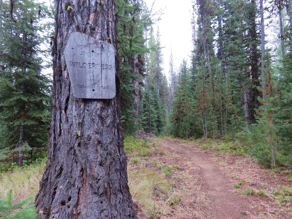
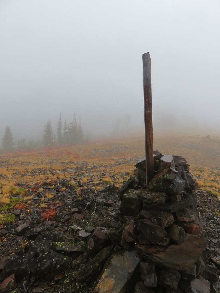
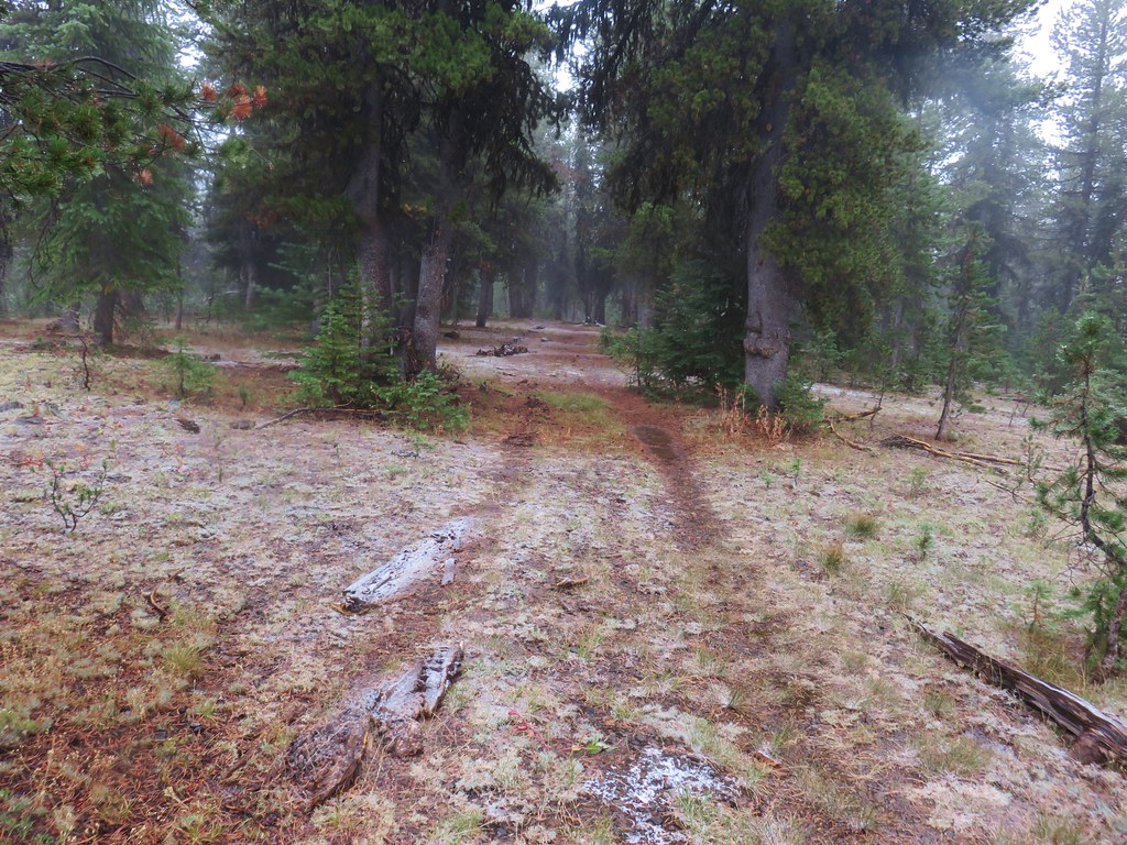
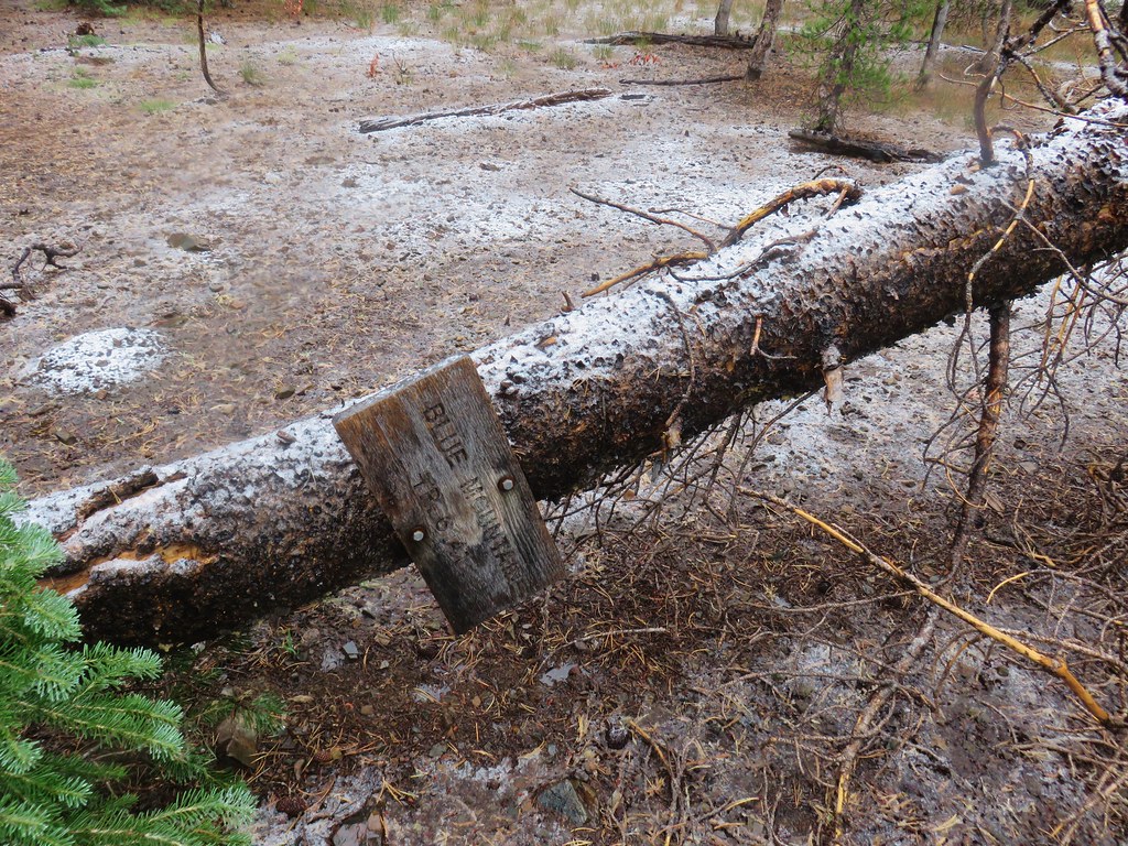
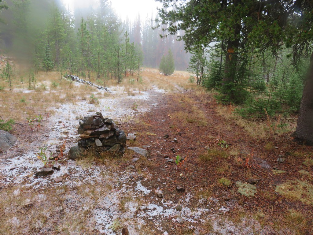
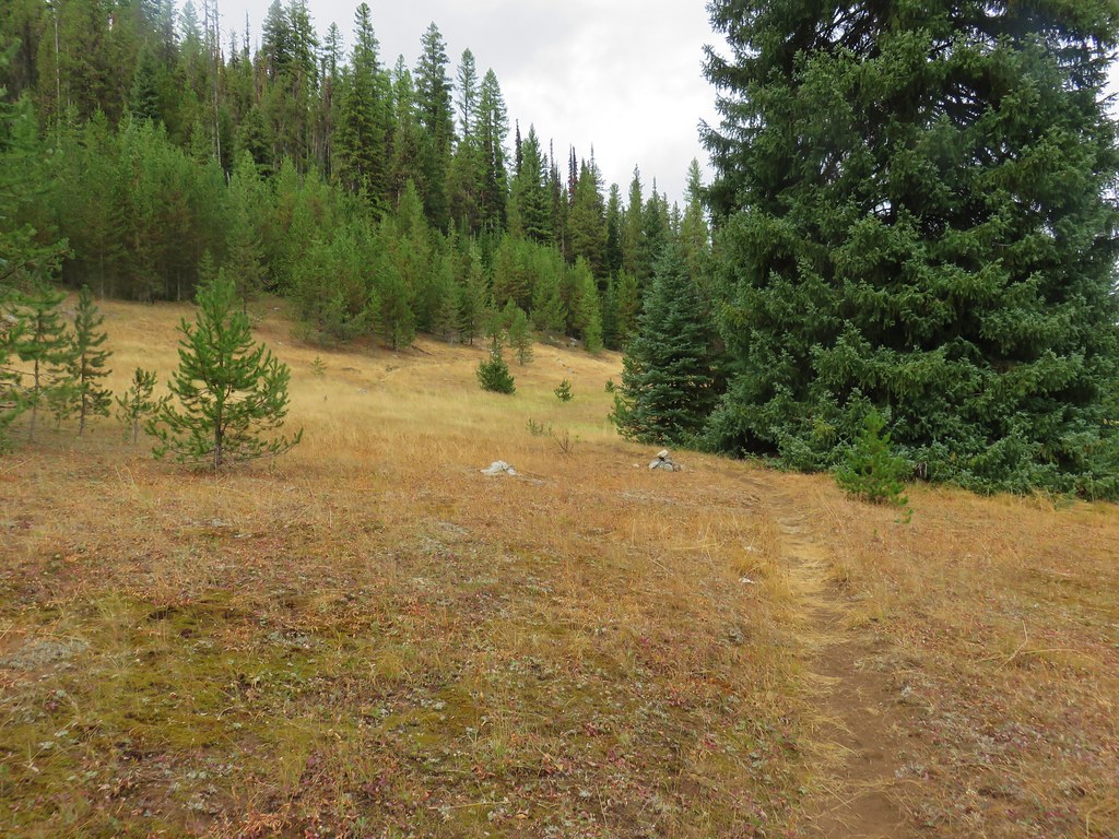
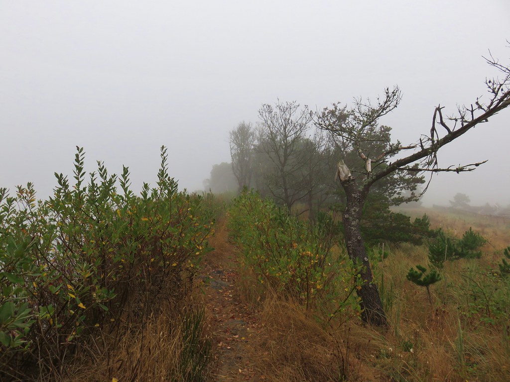
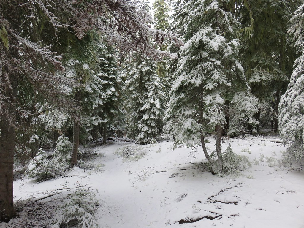
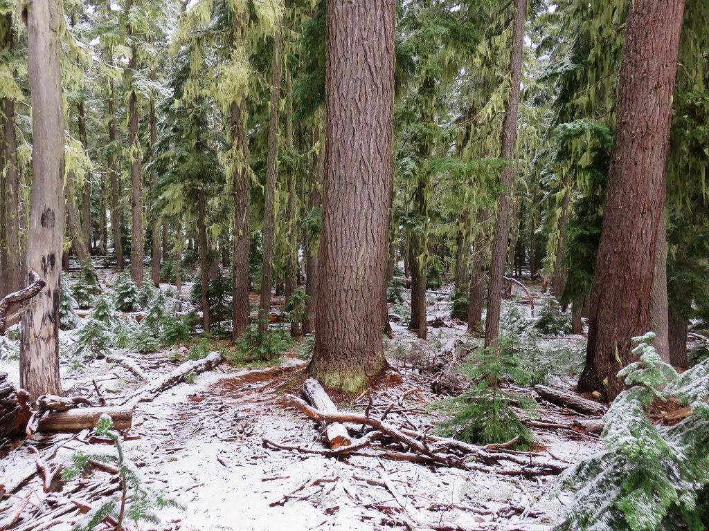
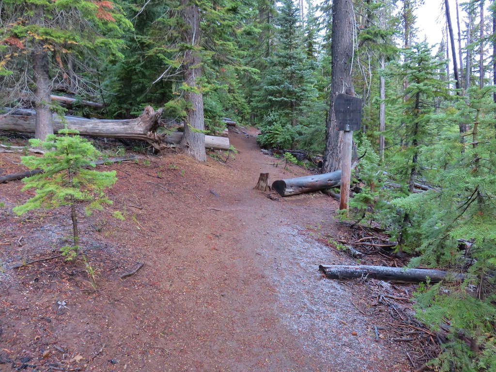 Entering the Three Sisters Wilderness
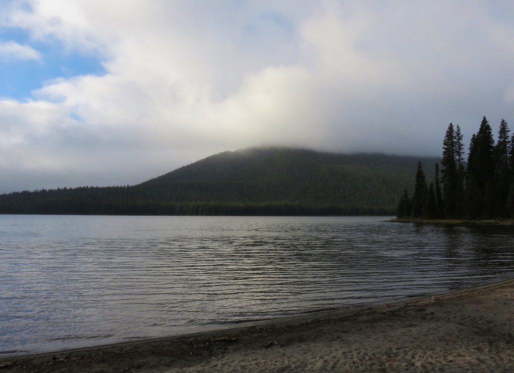
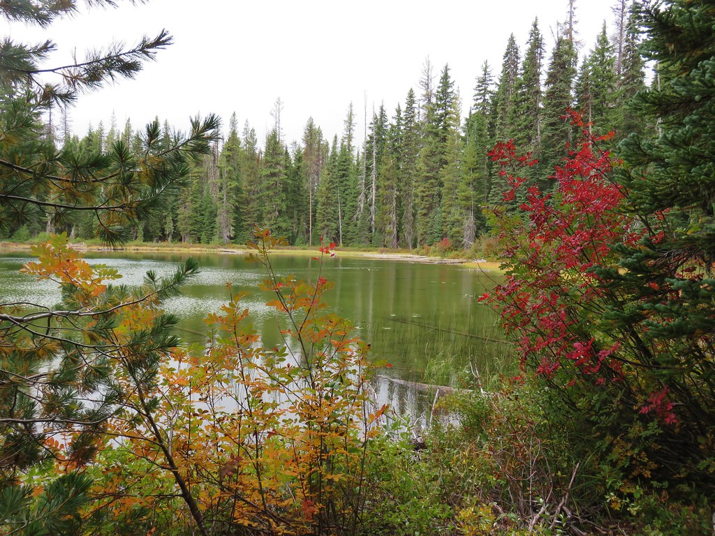
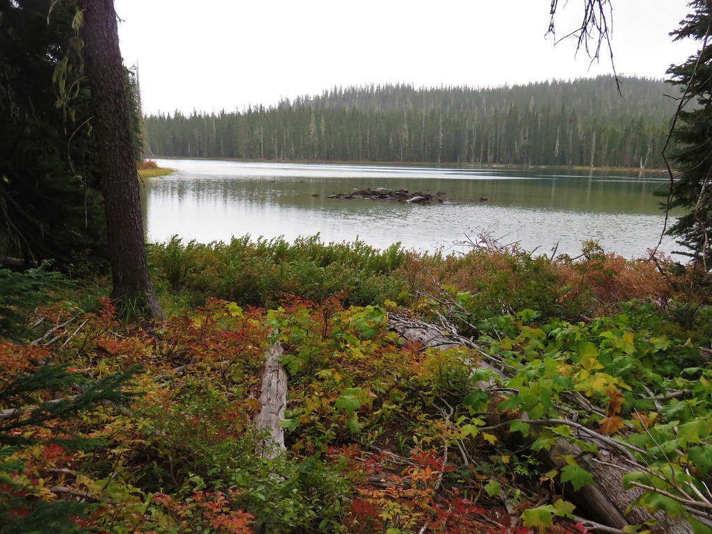
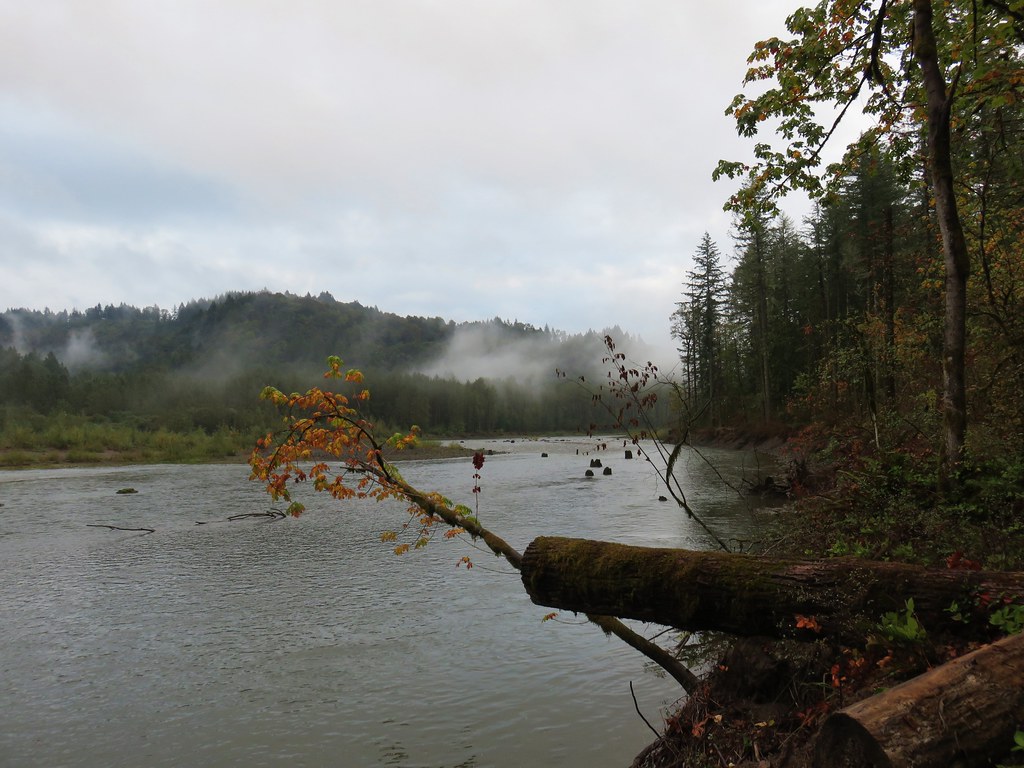
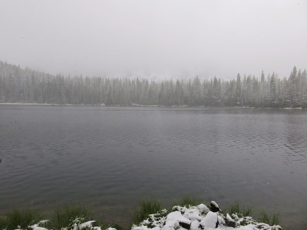
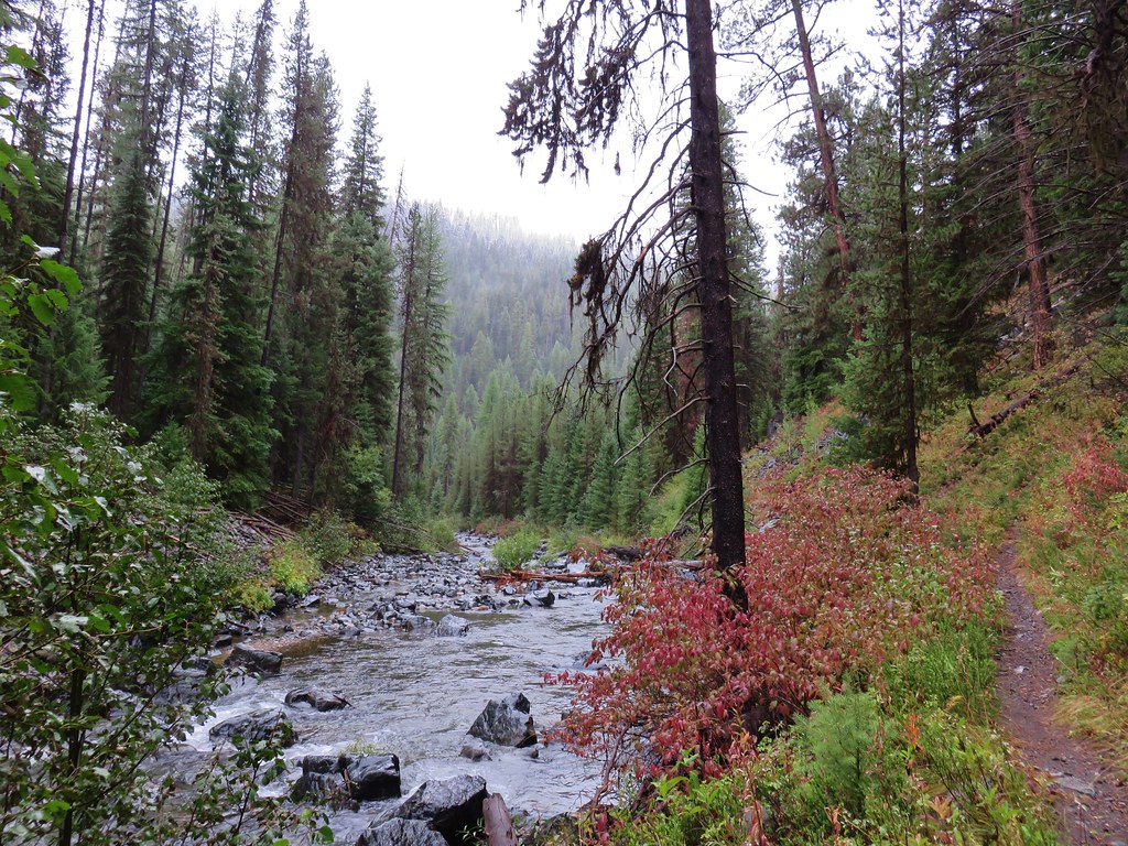
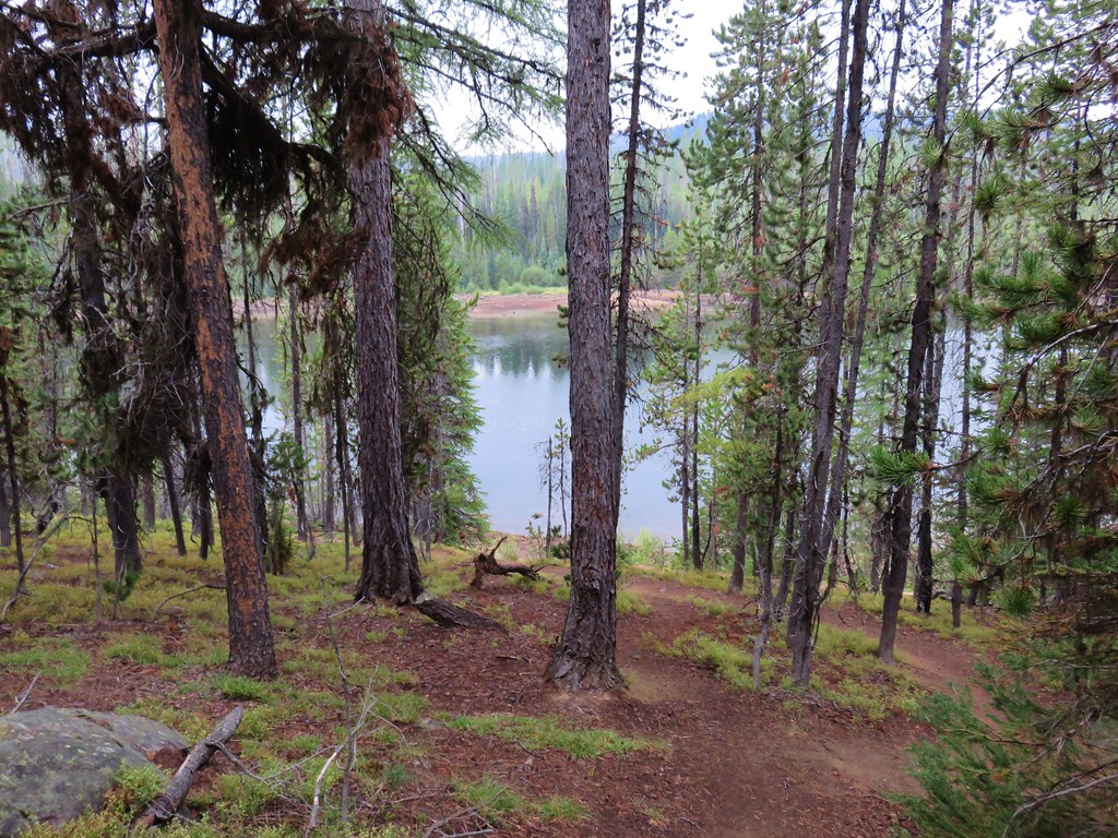
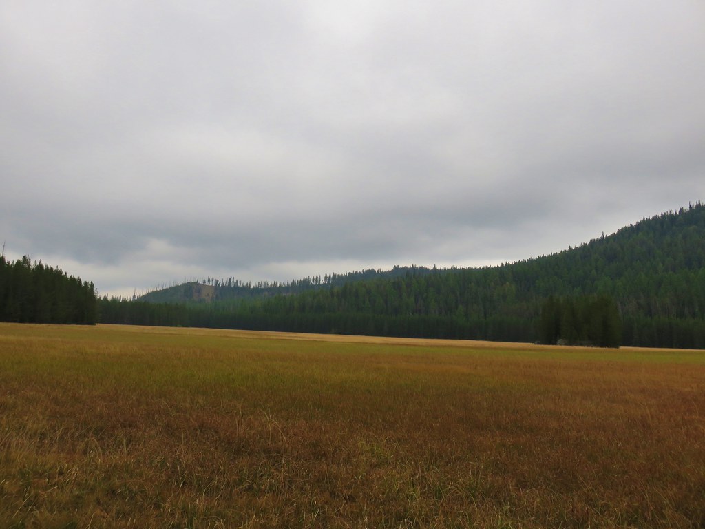
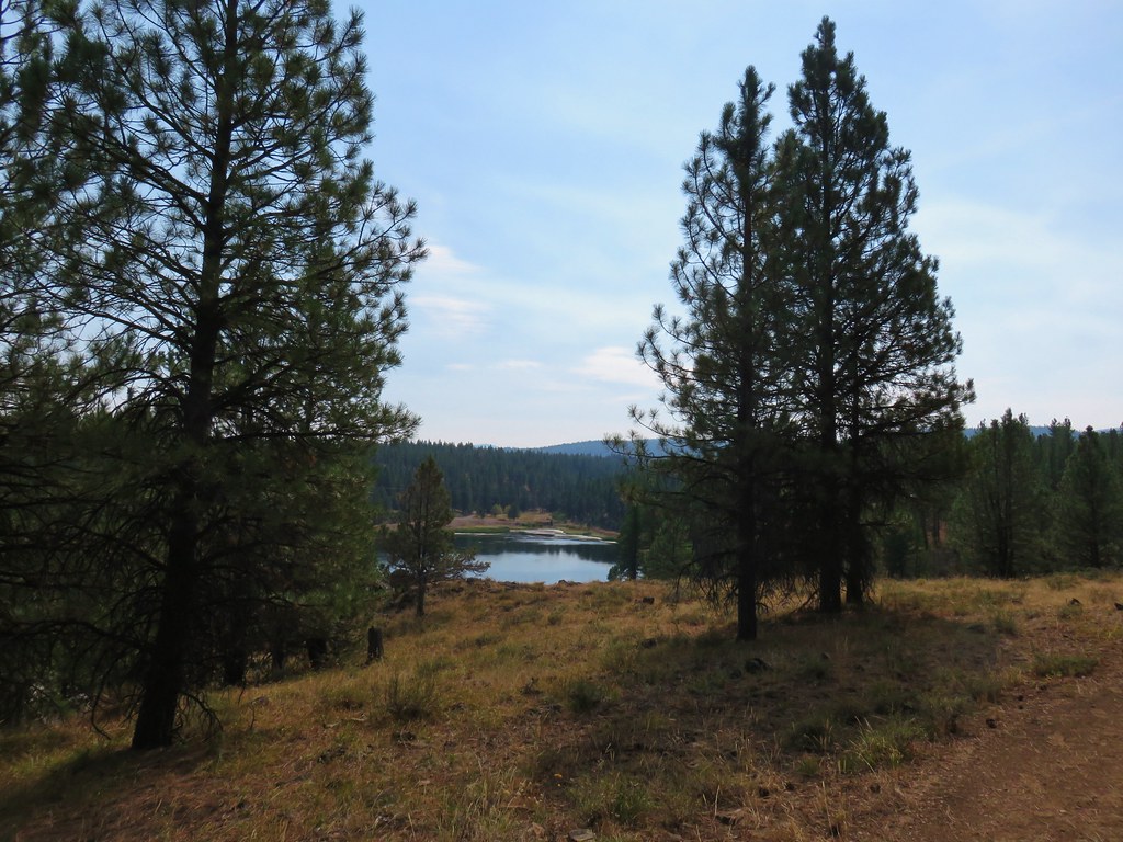
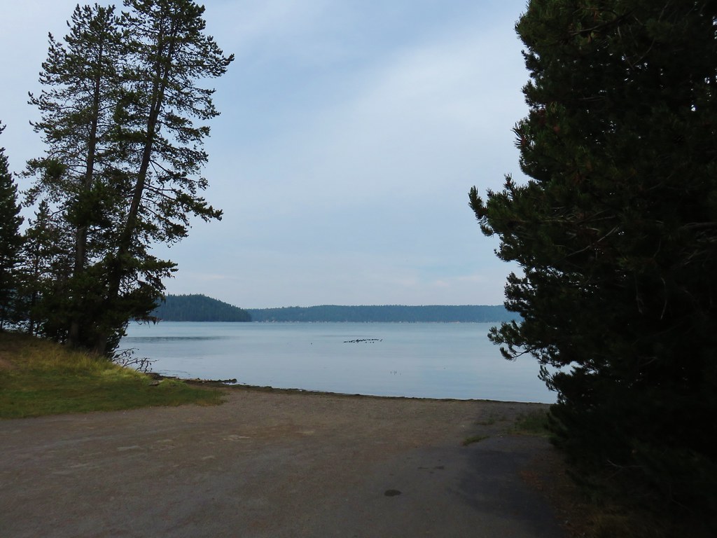
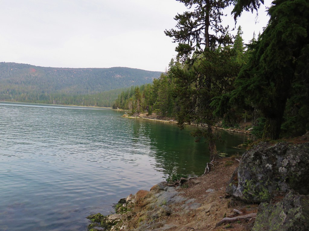
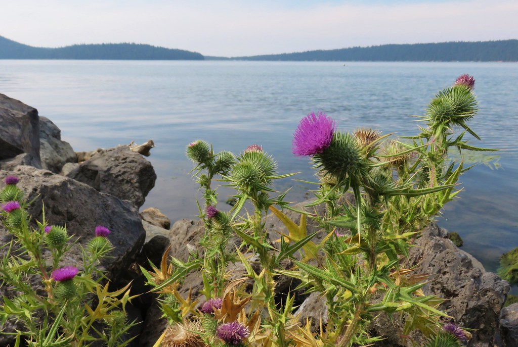
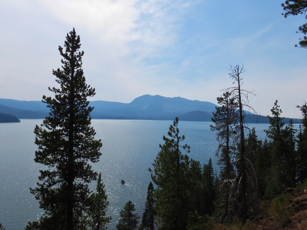
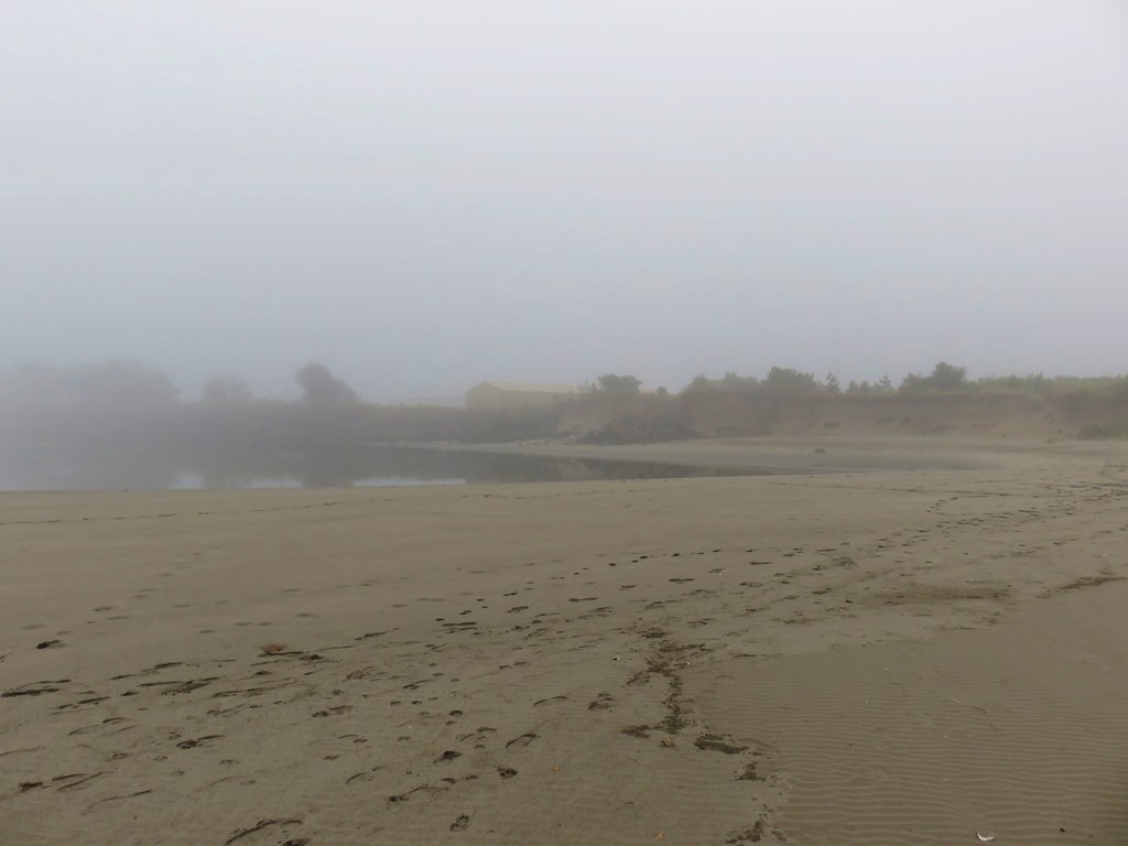
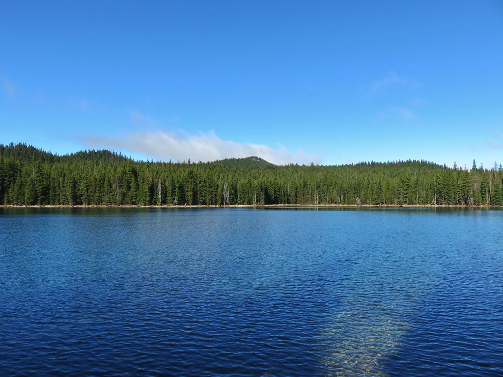
We arrived at Lucky Lake after 1.4 miles.
We could see that there was quite a bit more snow in the forest on the other side of the lake.
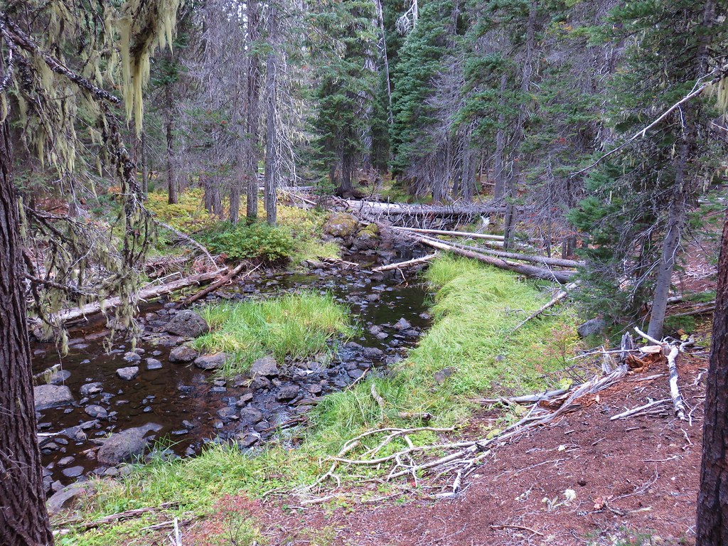
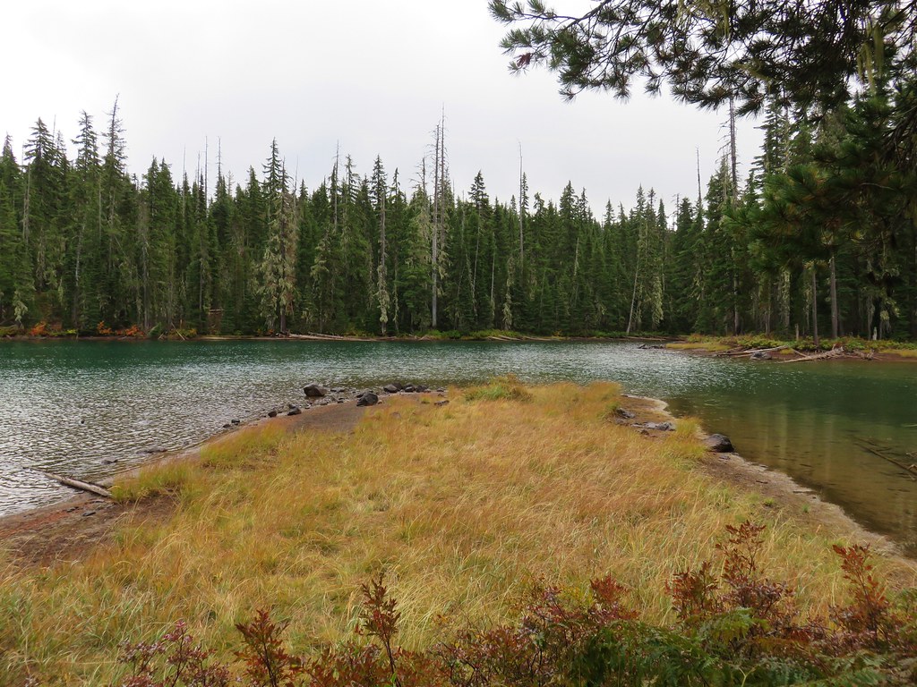
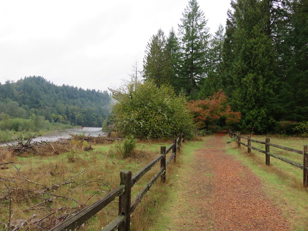
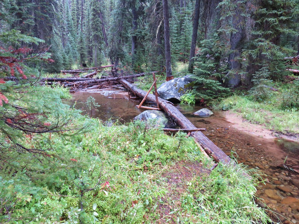
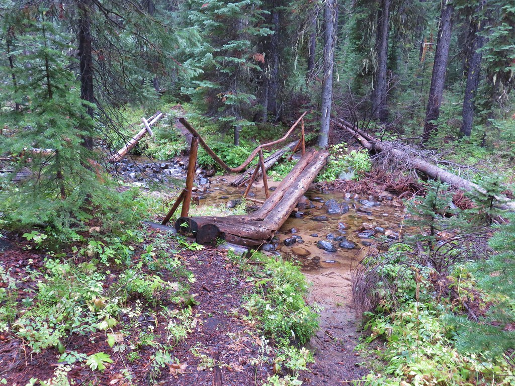
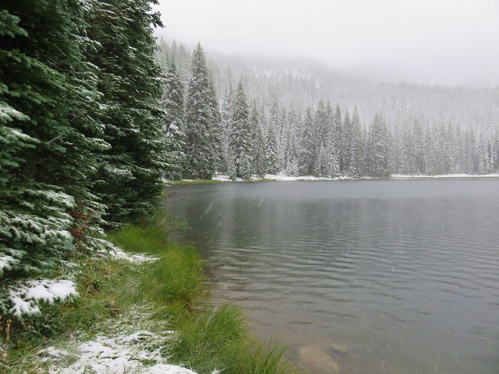
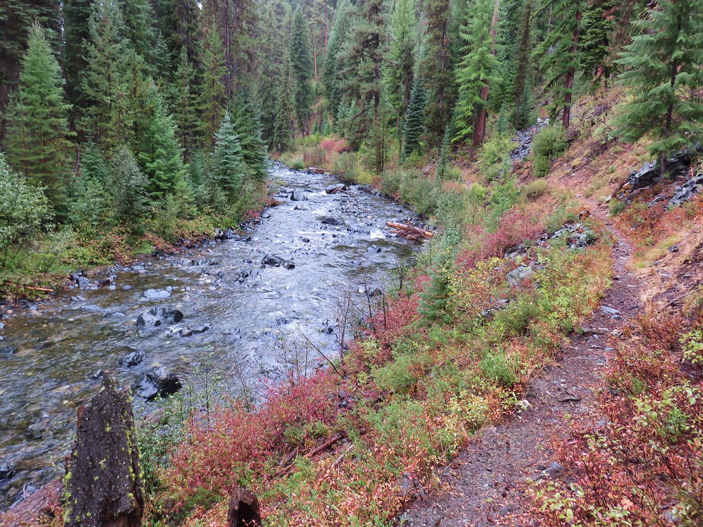
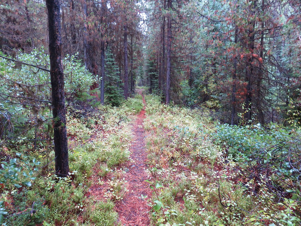
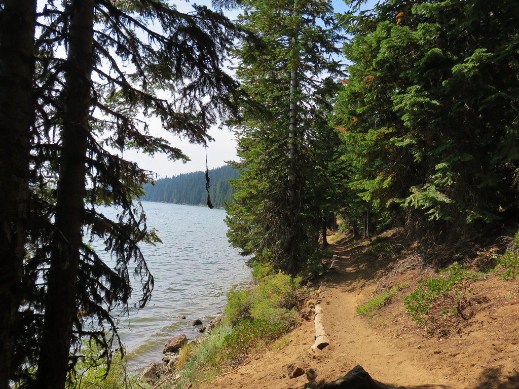
We followed the Senoj Lake Trail along the western side of Lucky Lake for almost half a mile to the far end.

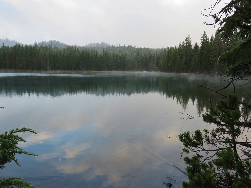
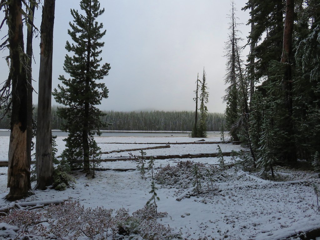
There was indeed more snow on the northern end of the lake.

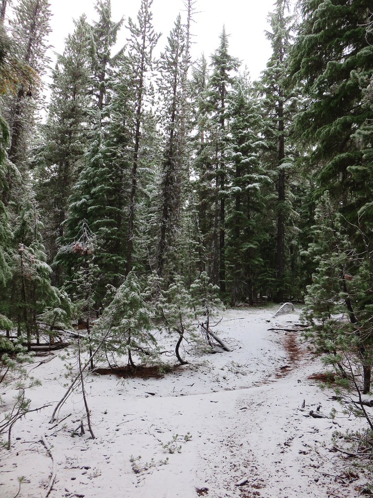
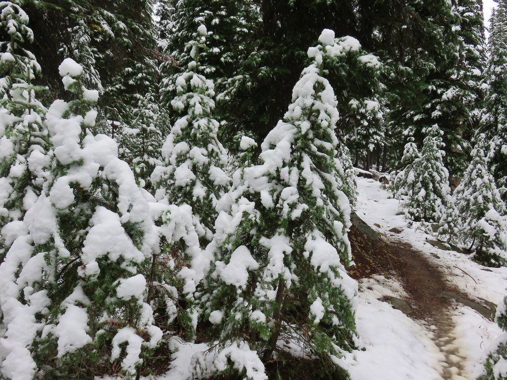
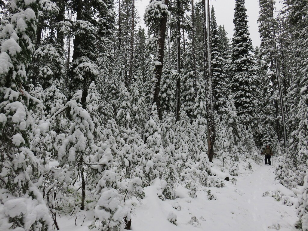
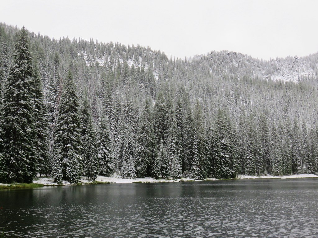
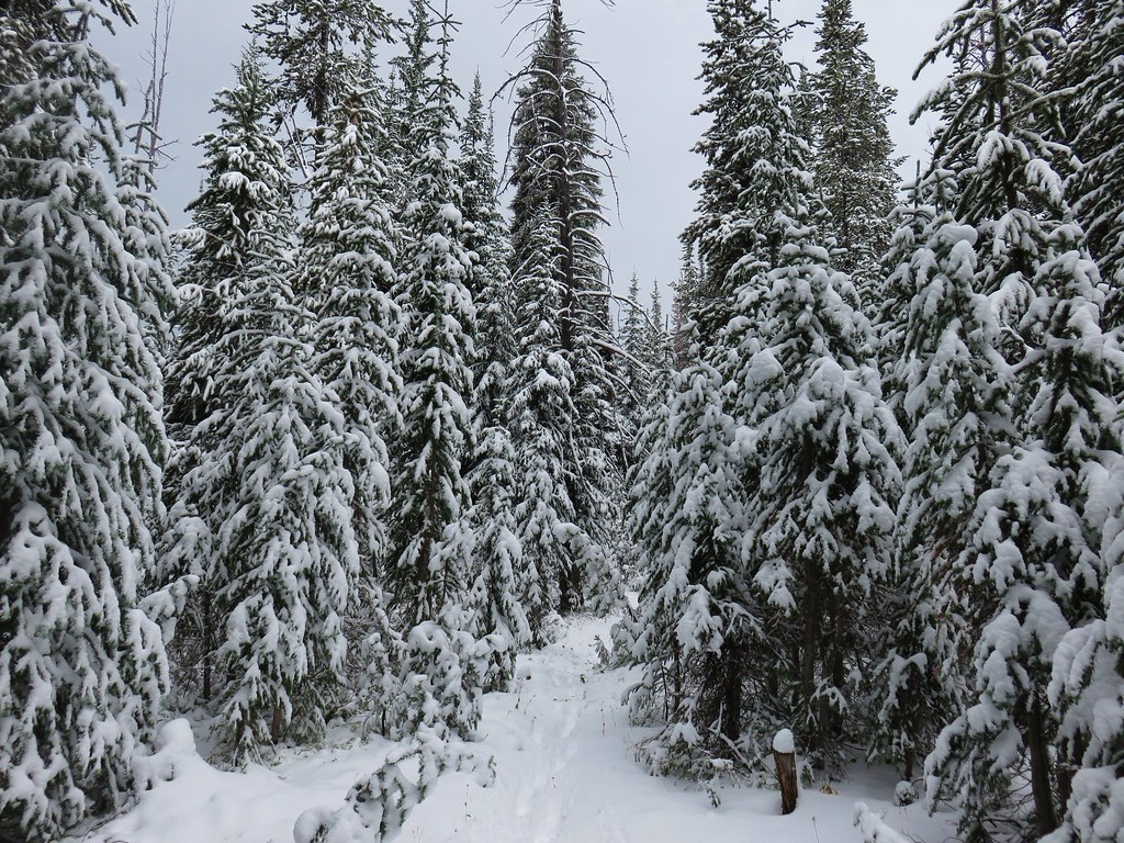
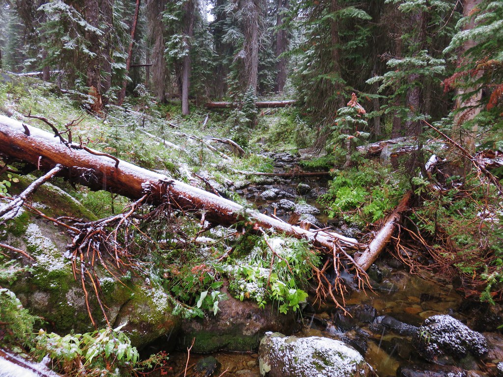
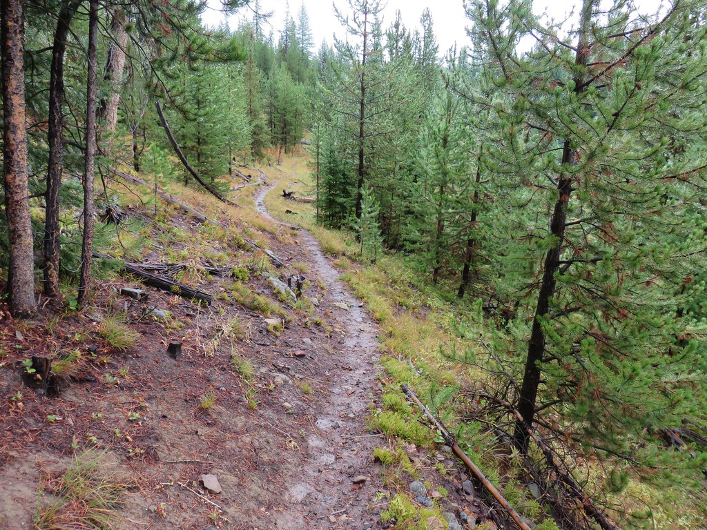
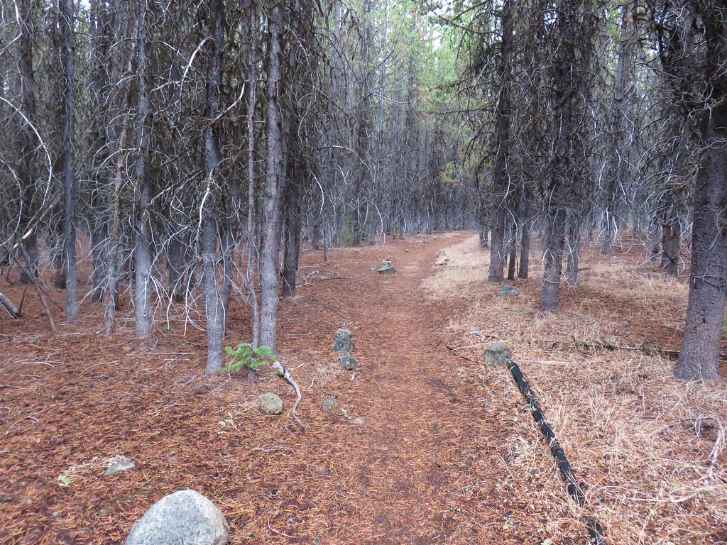
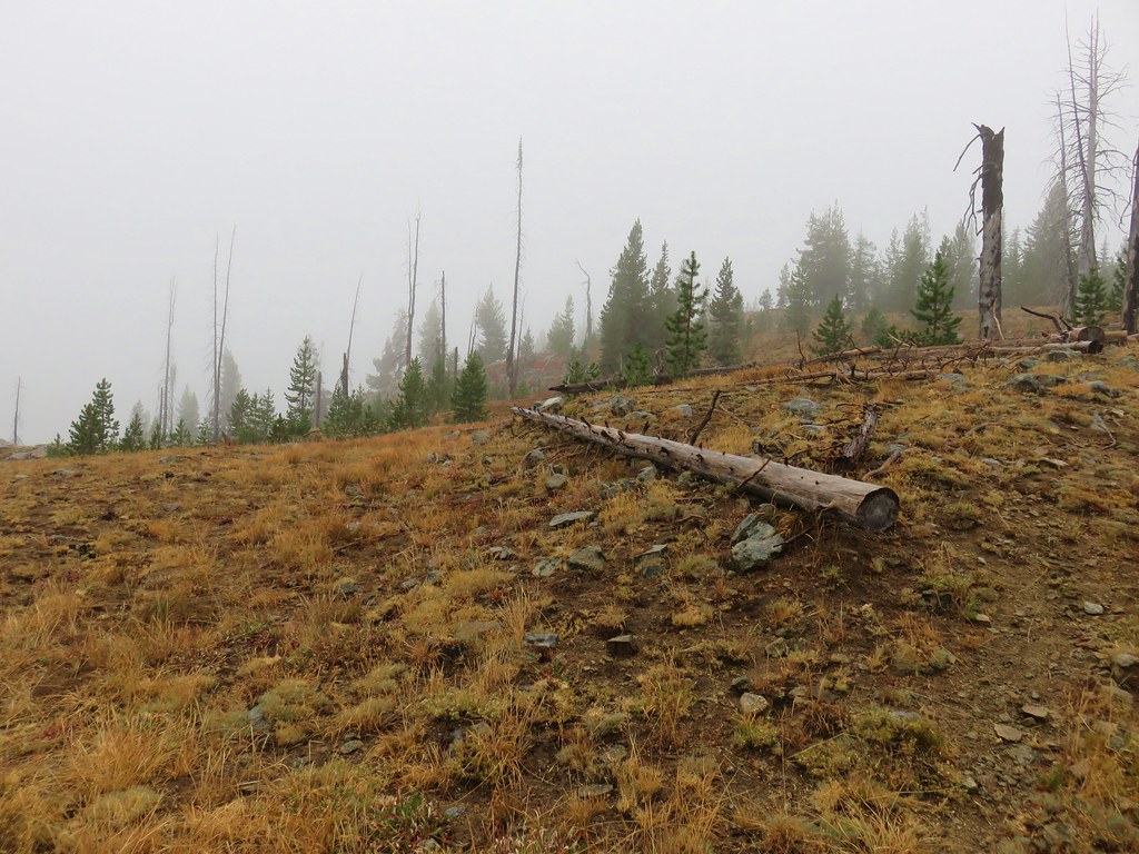
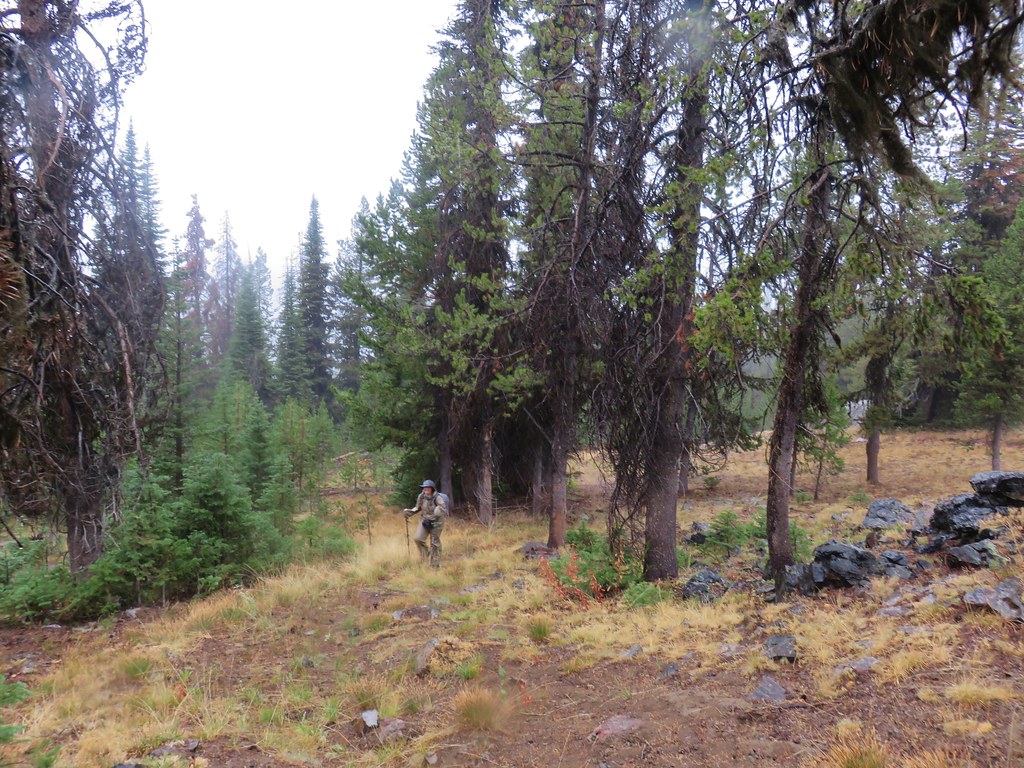
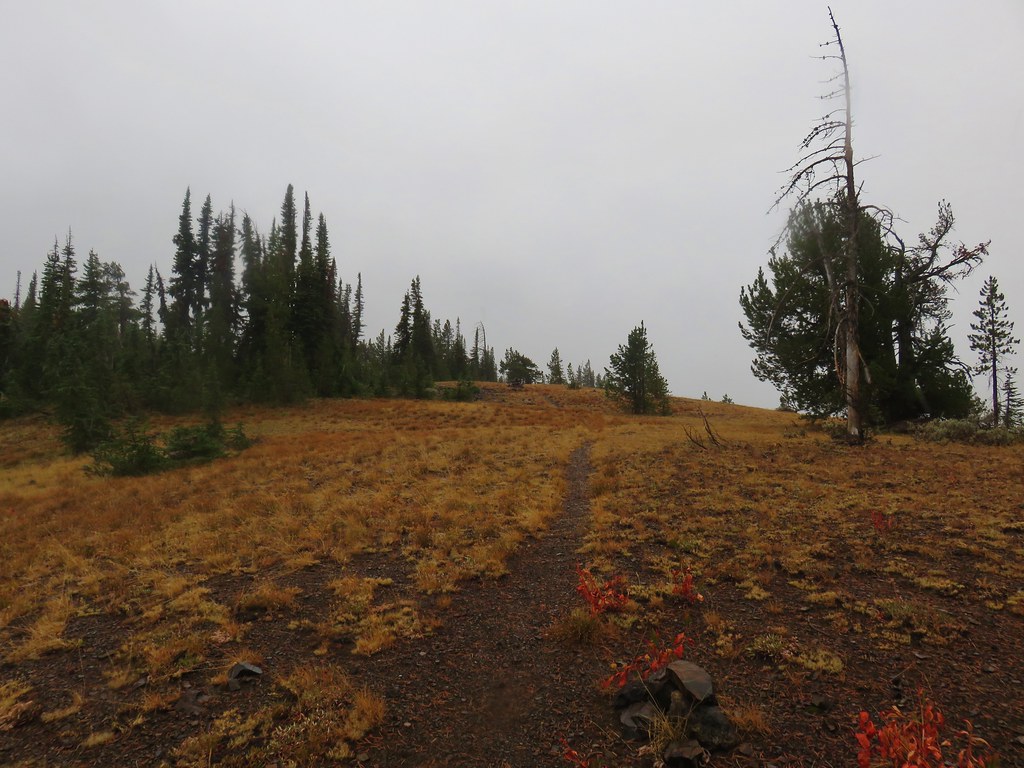
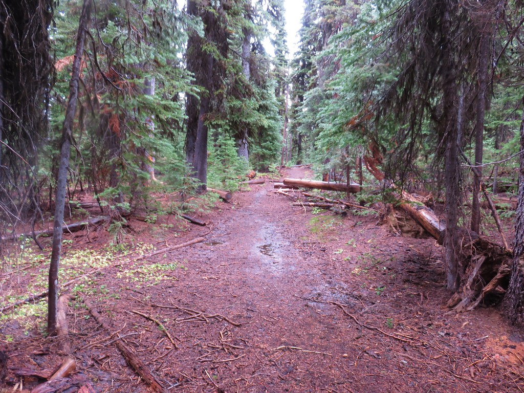
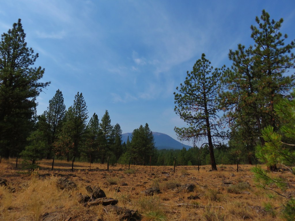
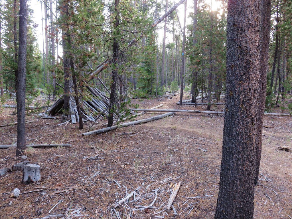
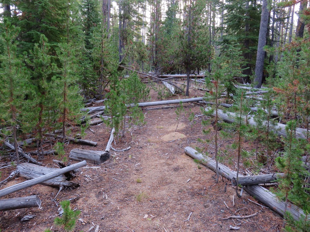
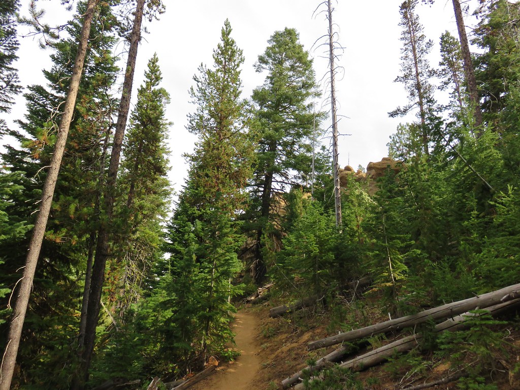
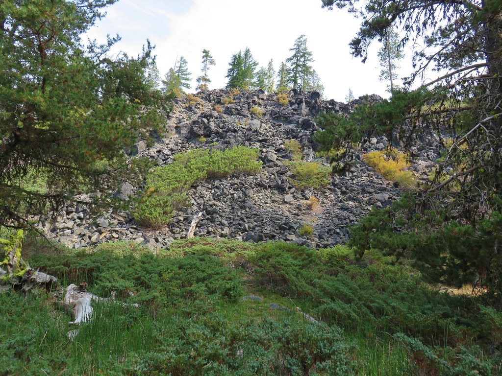
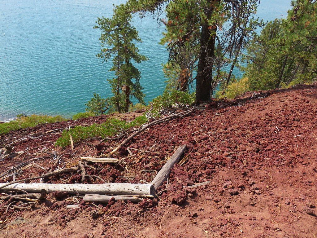
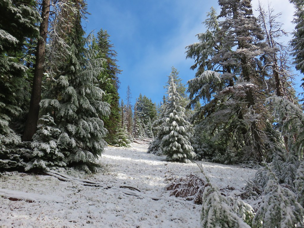
Beyond Lucky Lake the Senoj Lake Trail climbed nearly 750 feet in the next 1.5 miles as it passed over the eastern side of 6304′ Williamson Mountain. The trail itself topped out just over 6000′ in elevation. The extra elevation led to increased amounts of snow which maxed out at about an inch in the deepest spots.

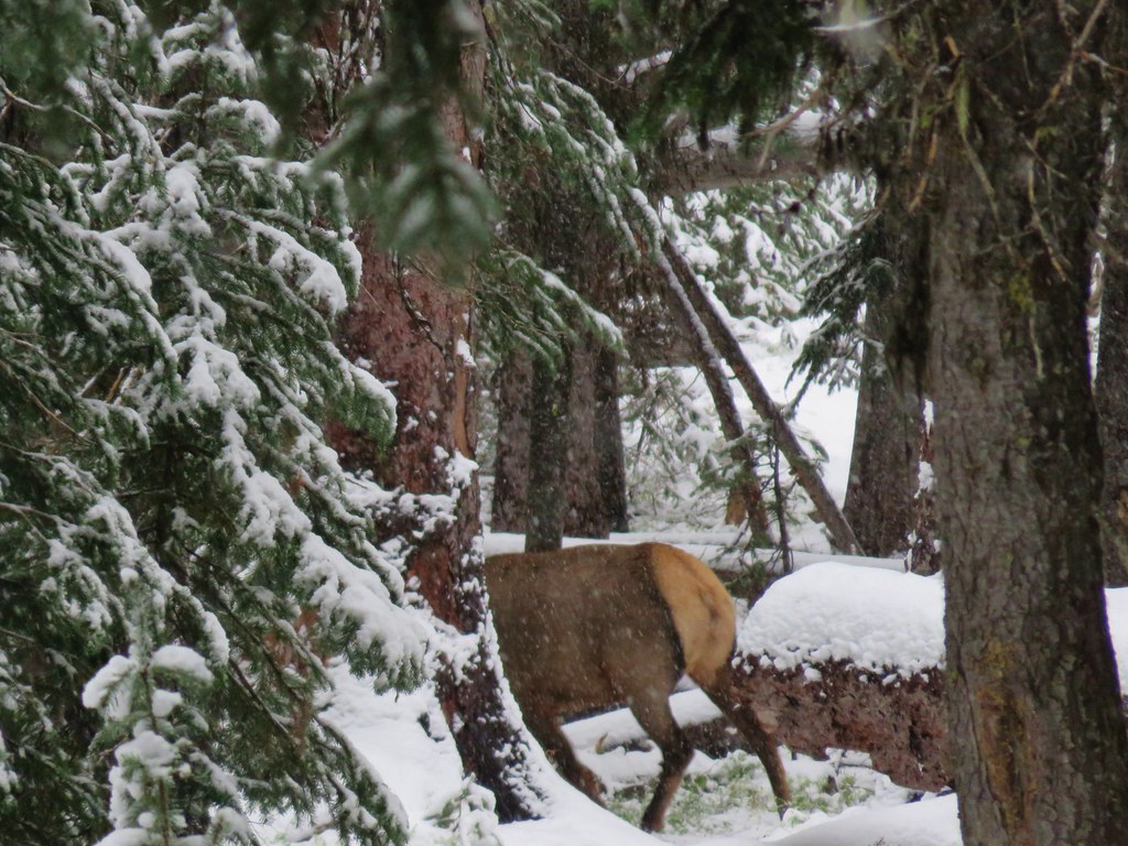
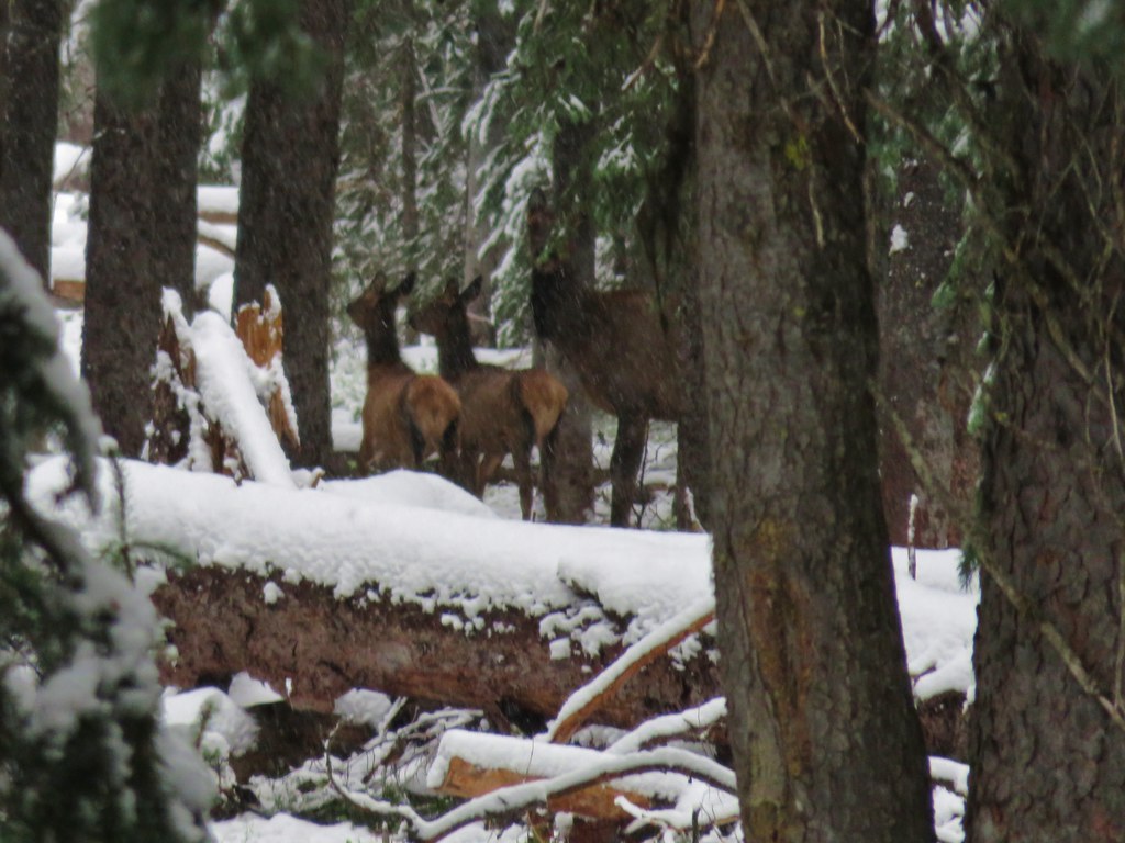
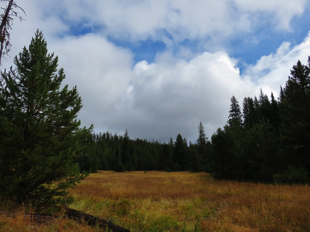
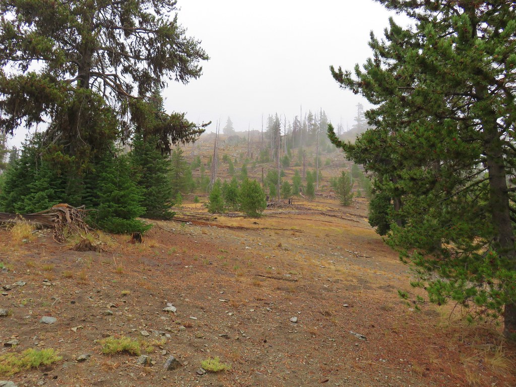
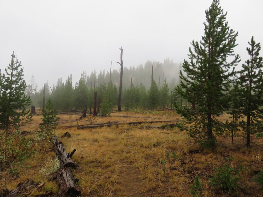
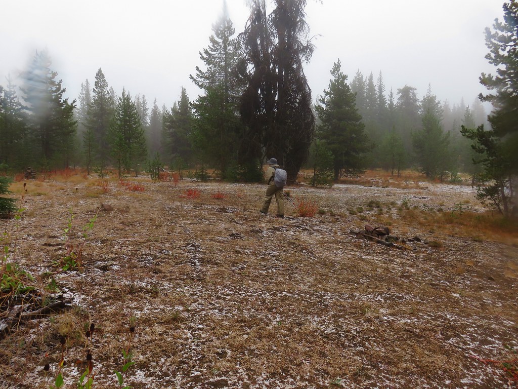
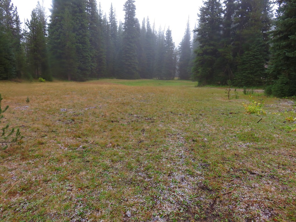
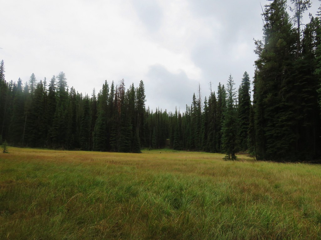
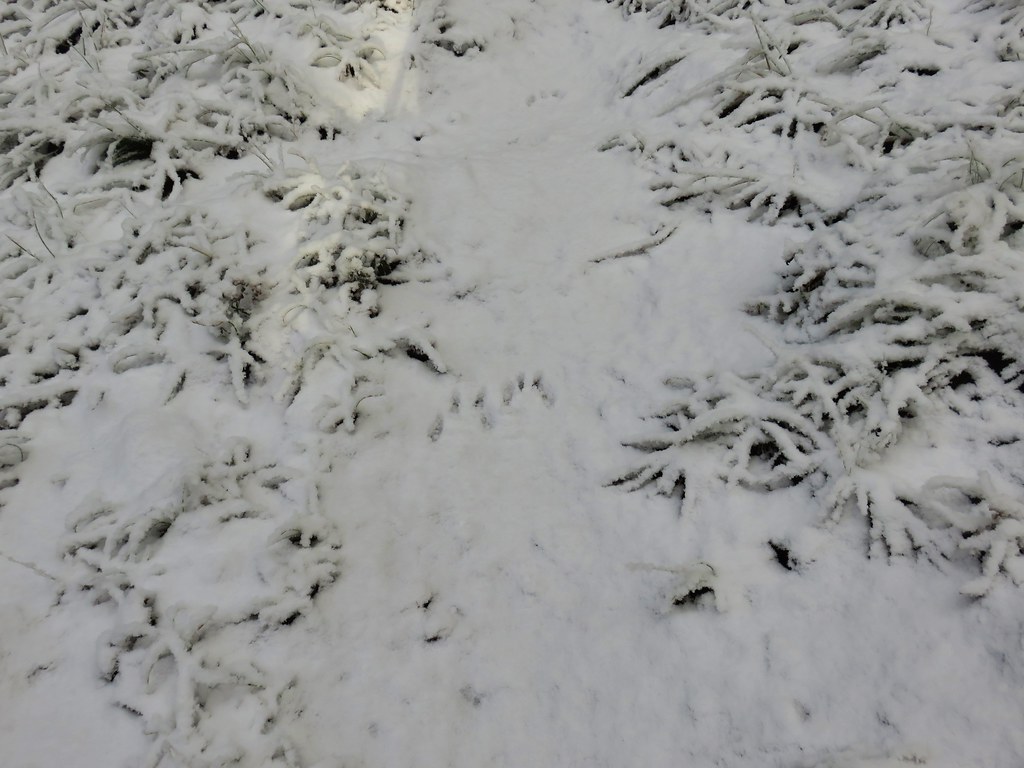
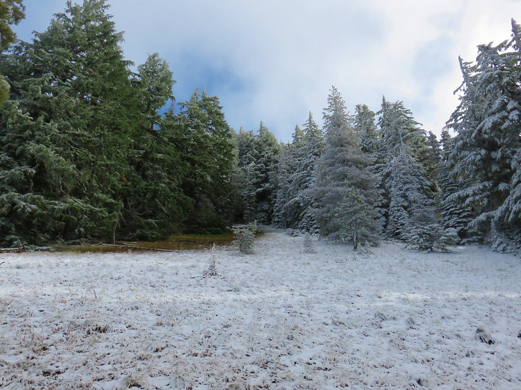
A series of small meadows dotted Williamson Mountain and seemed to be popular with various animals based on the number and variety of prints in the snow.
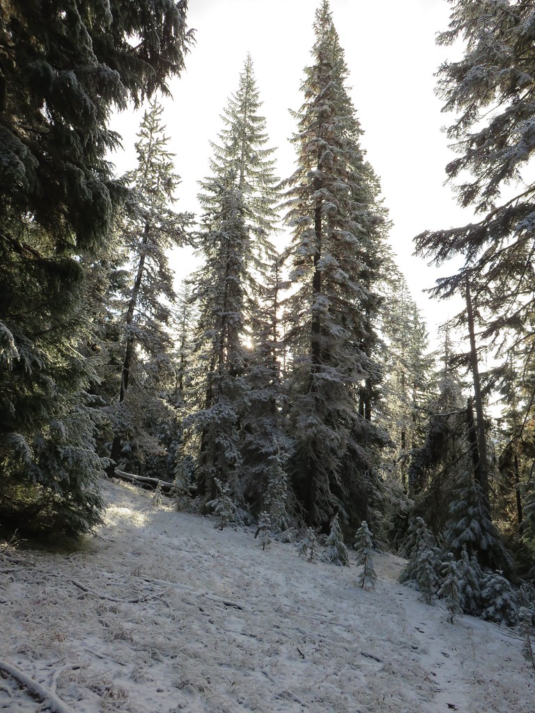


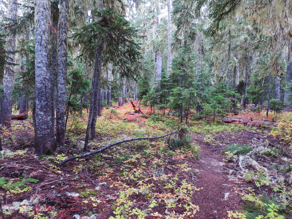
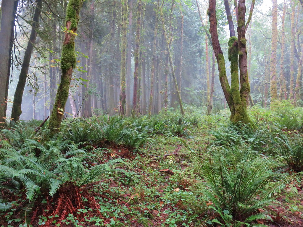
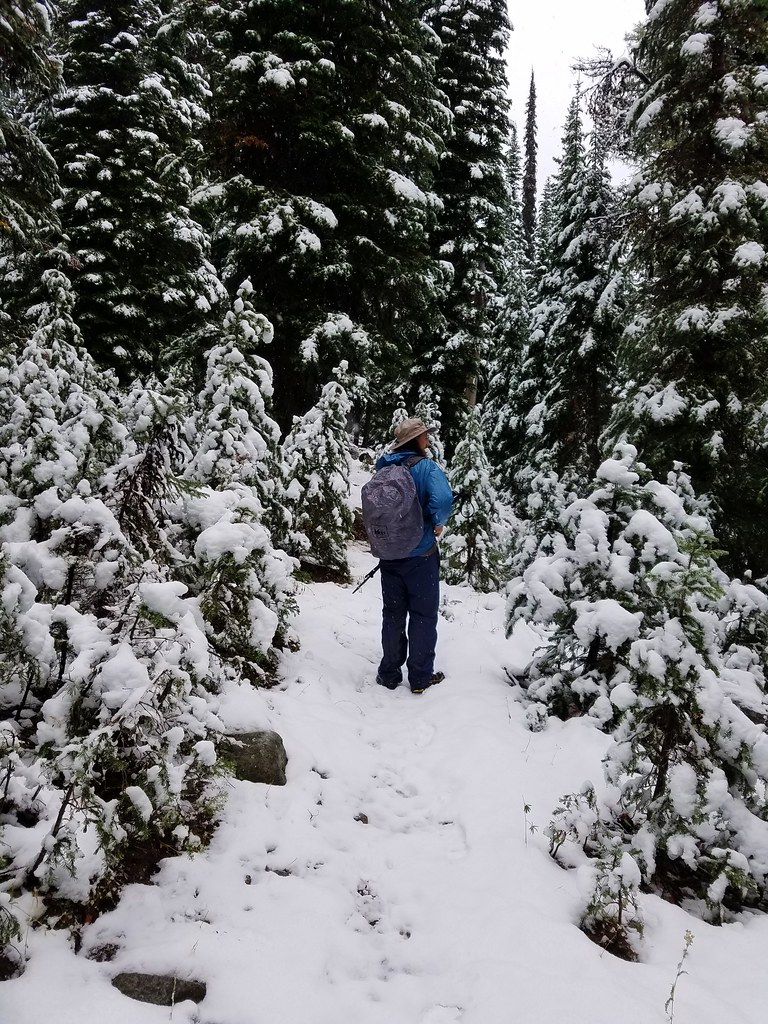
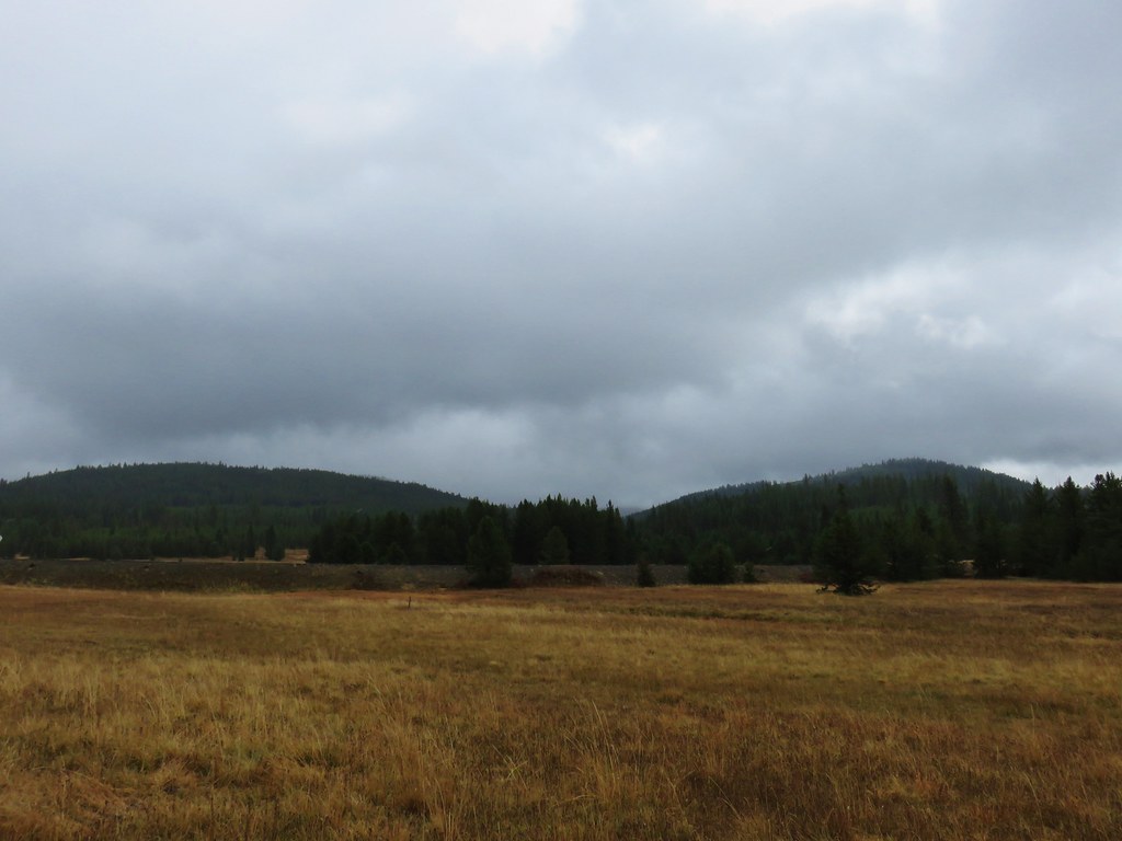
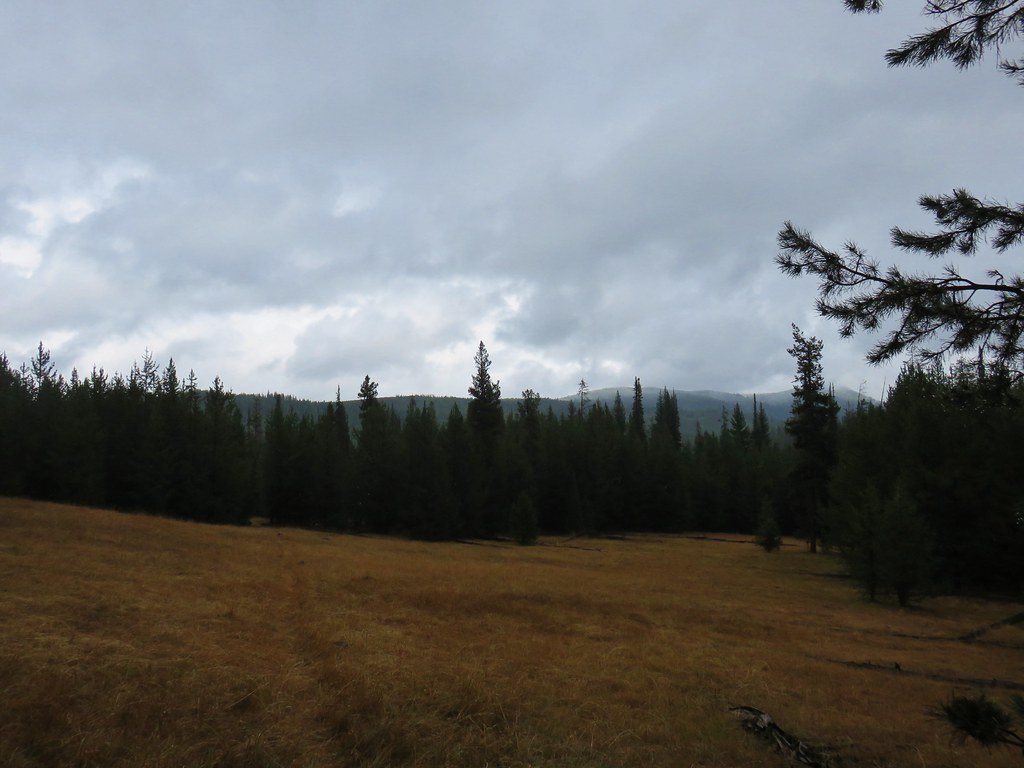
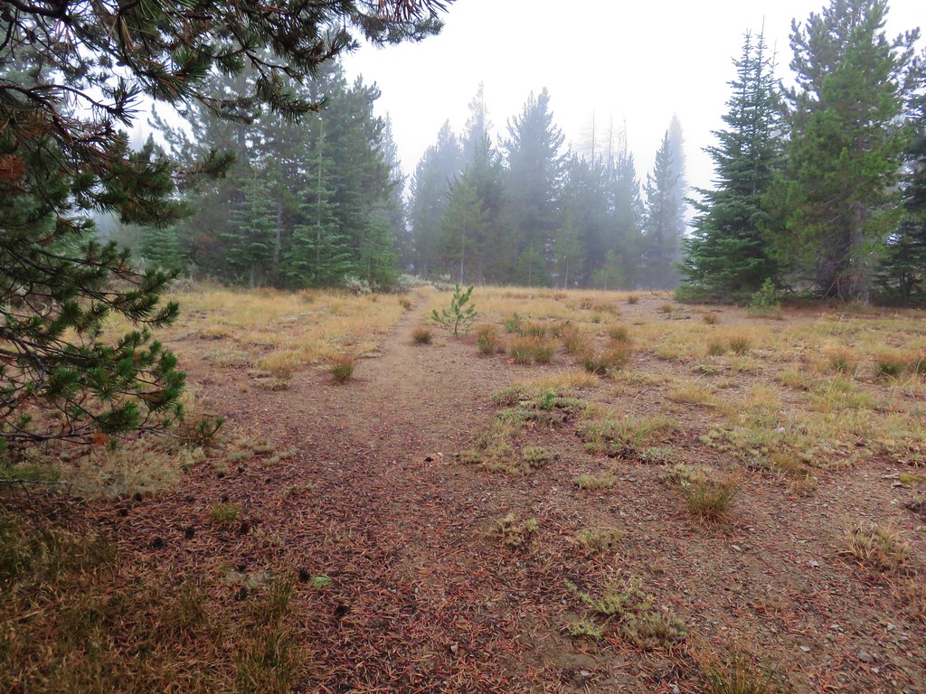
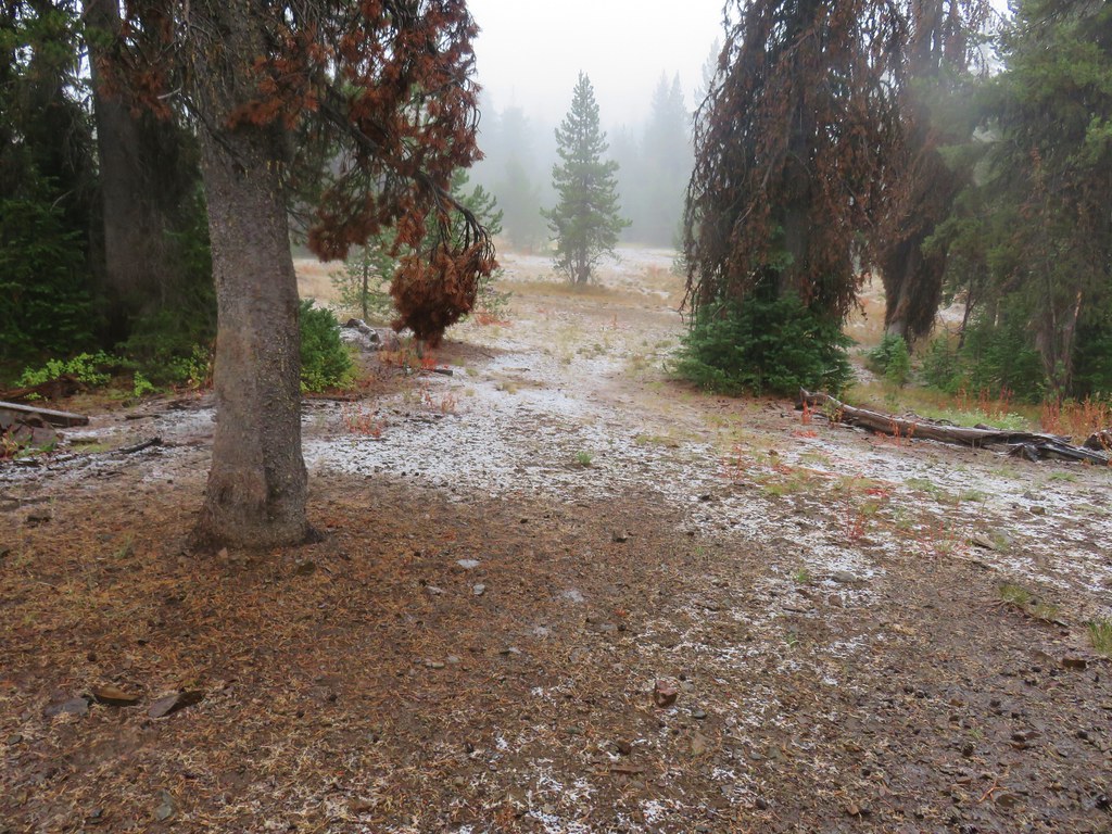
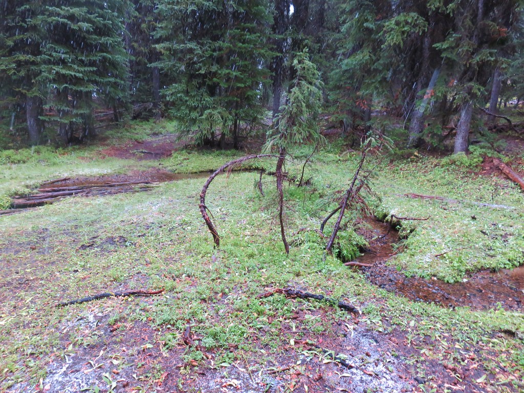
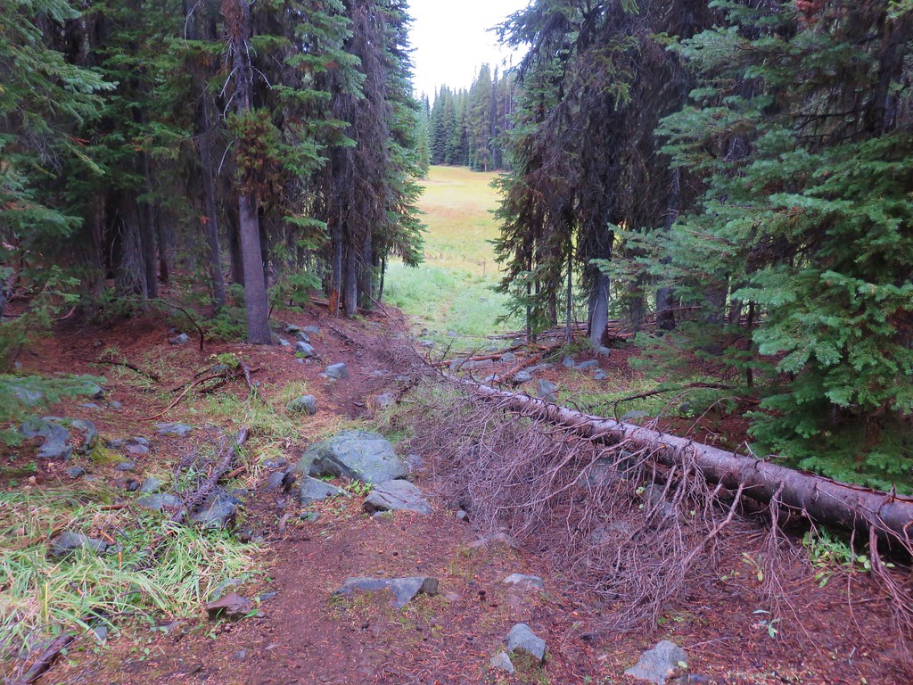
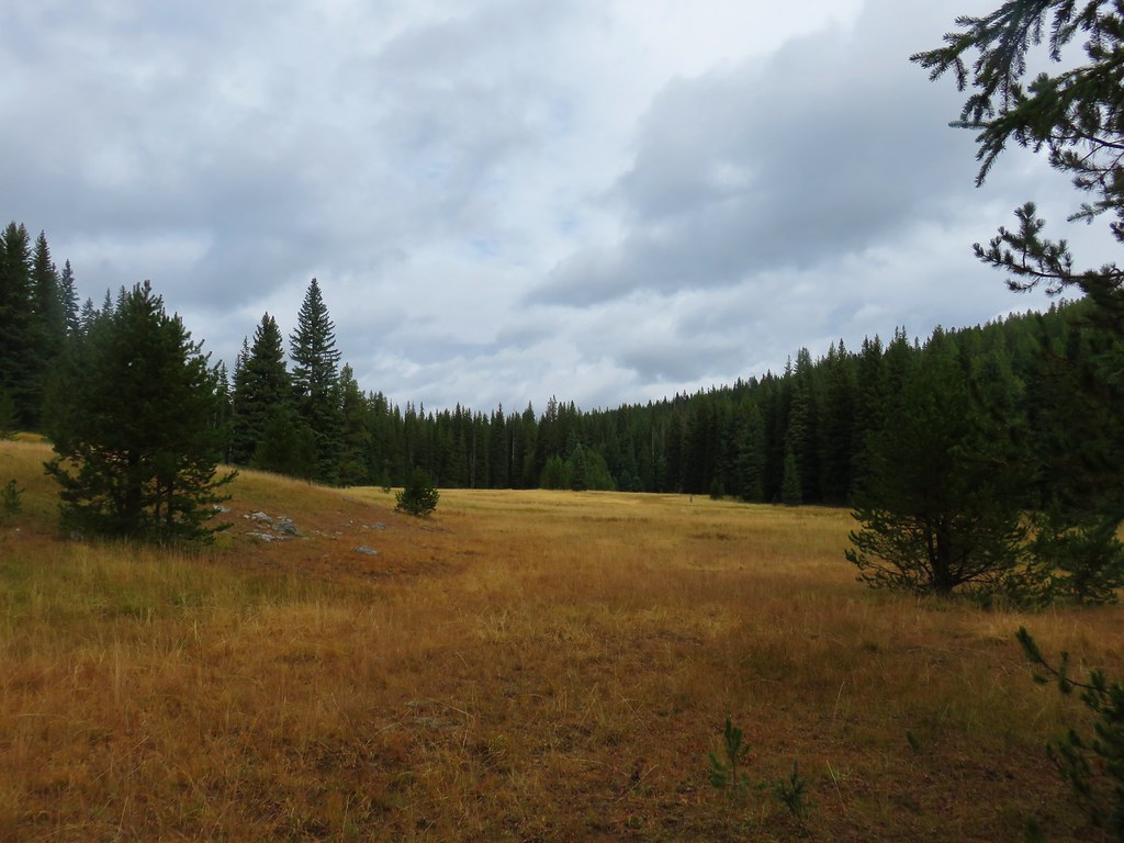
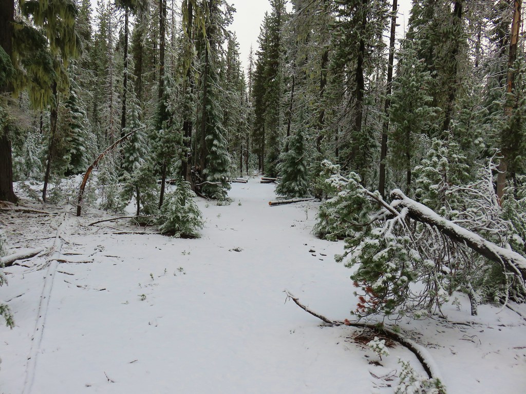
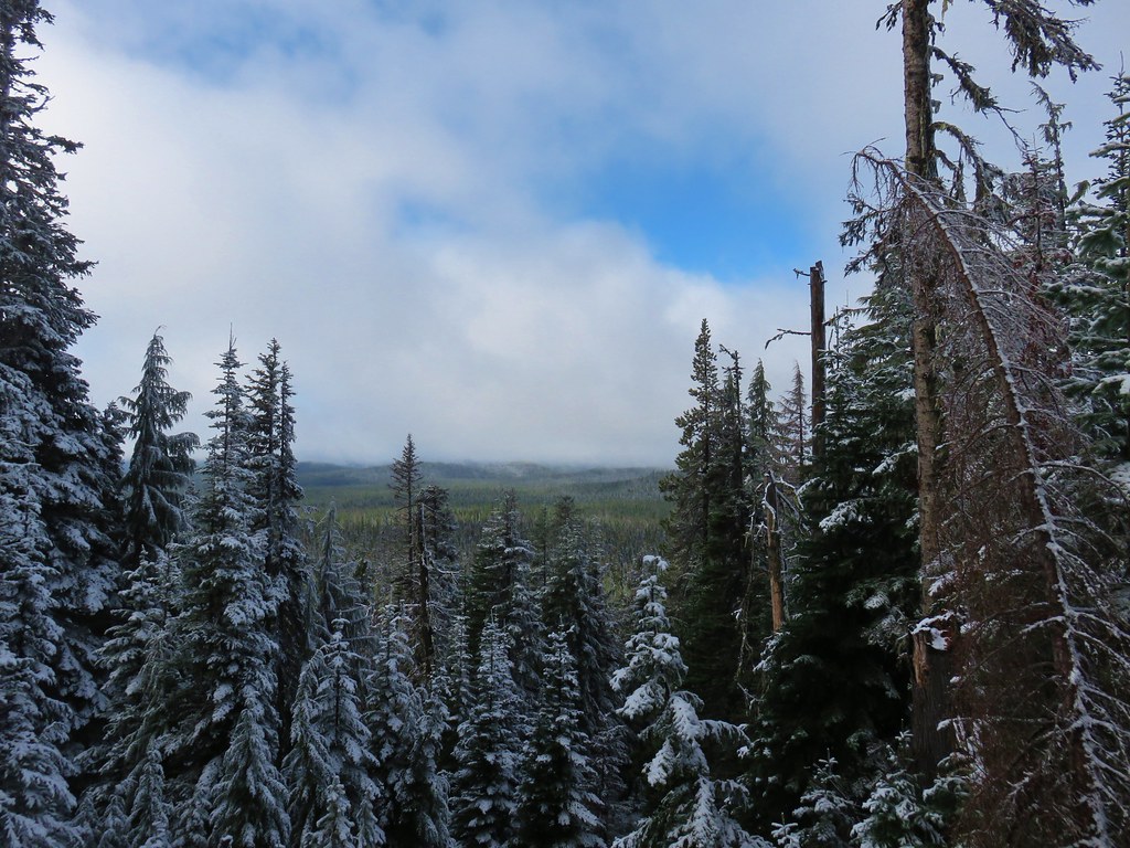
After reaching the high point the trail dropped down off the mountain into a basin where the snow lessened only a bit.
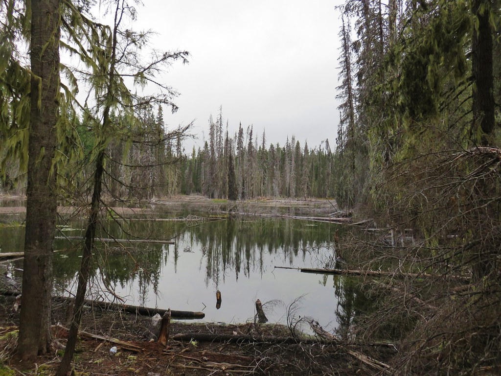
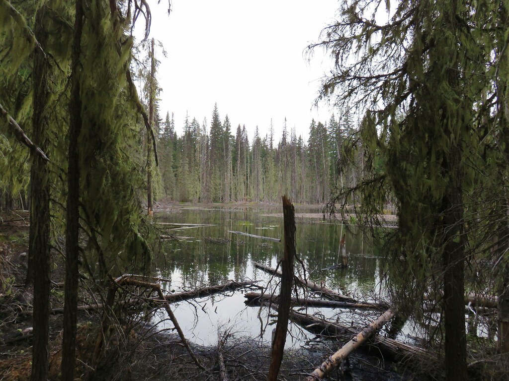
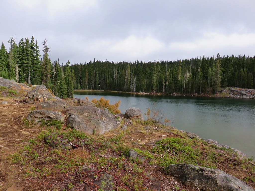
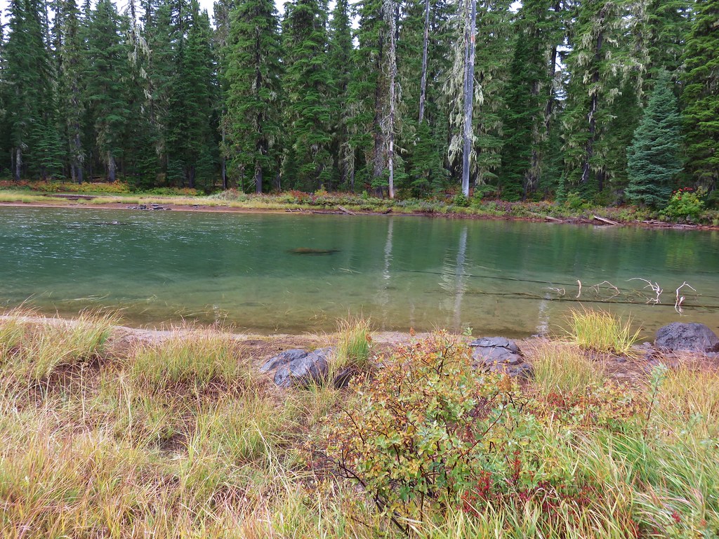
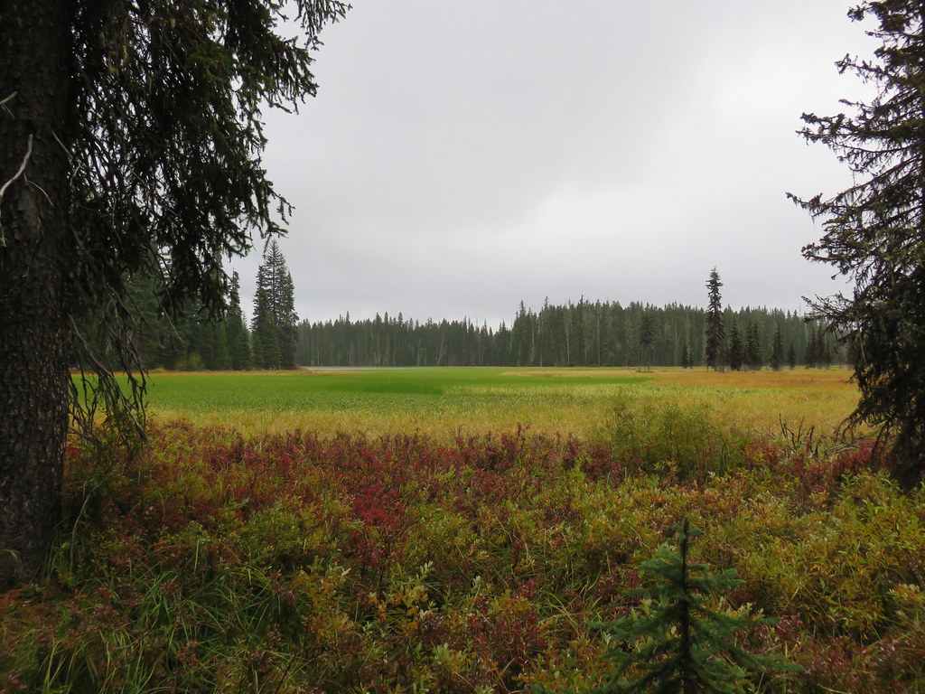
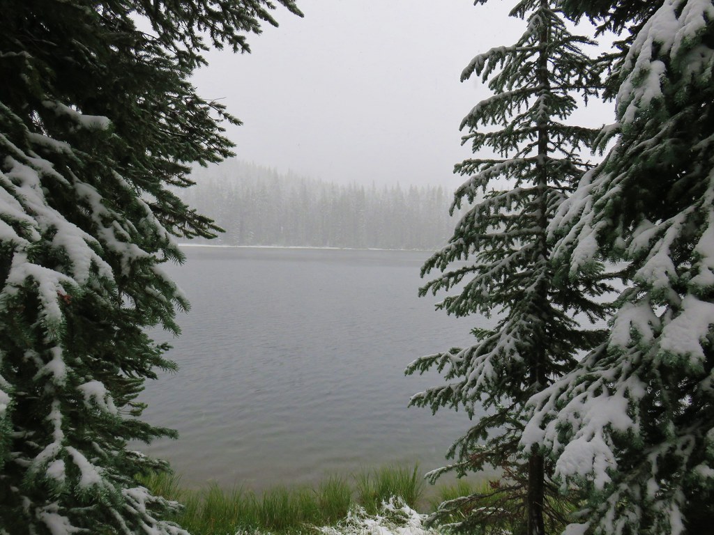
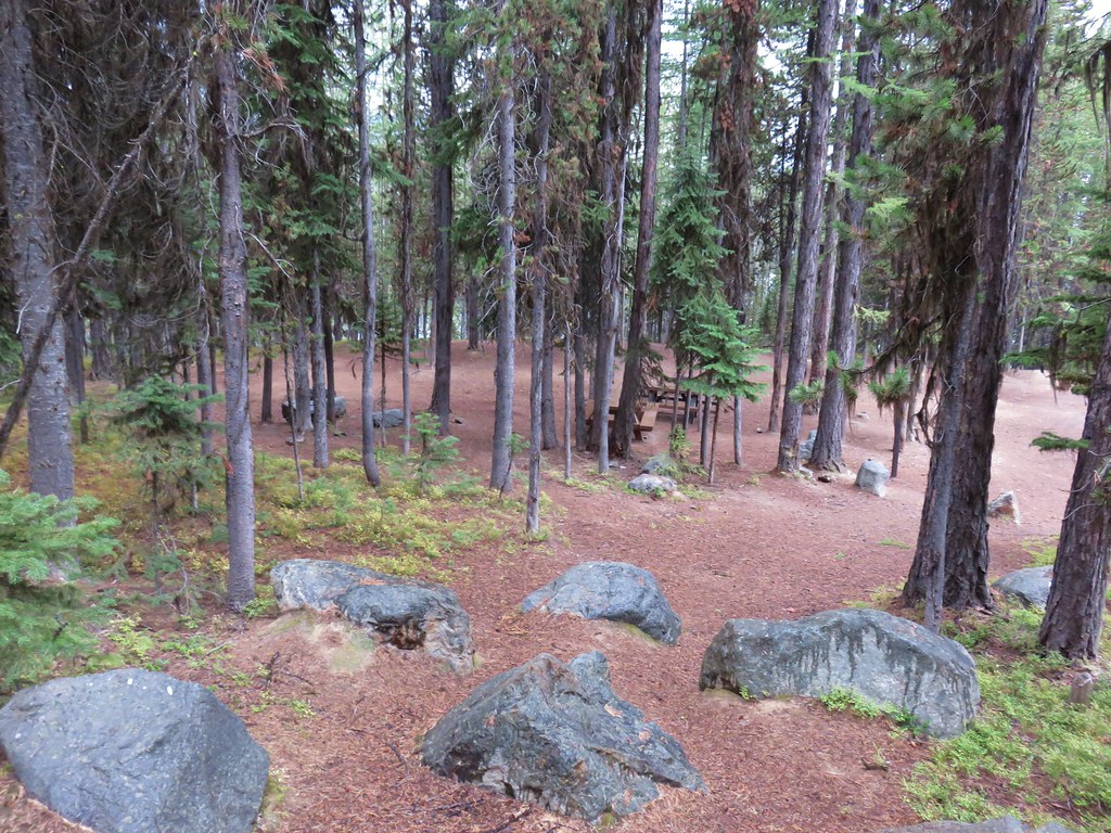
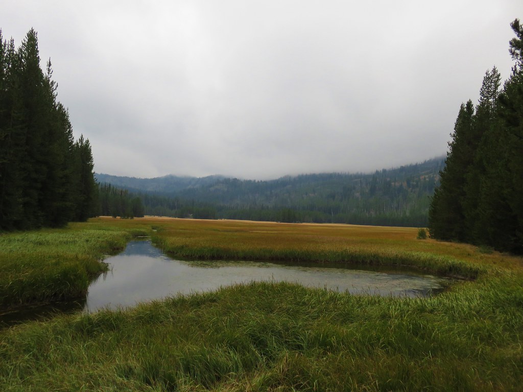
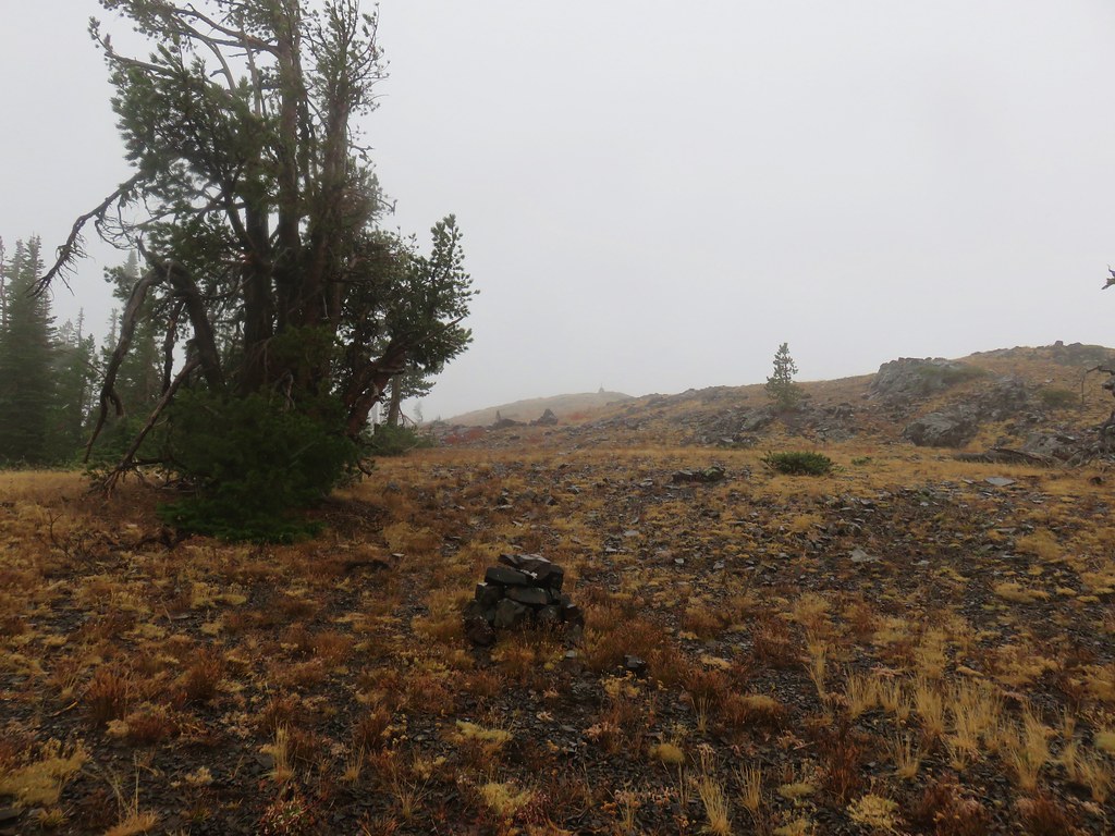
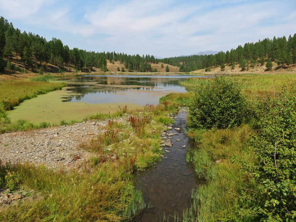
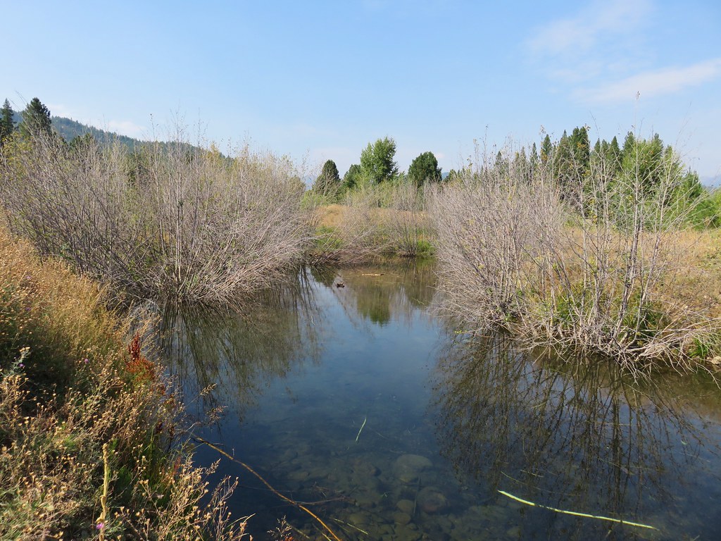
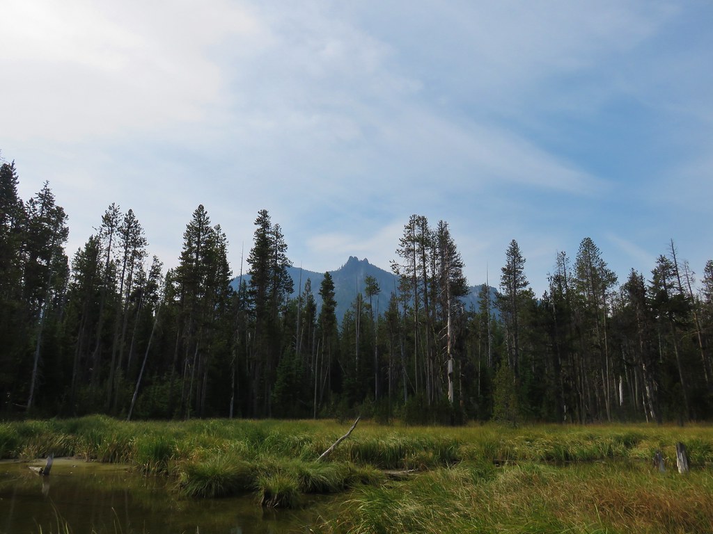
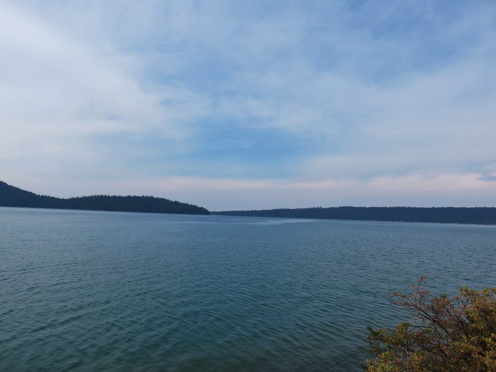
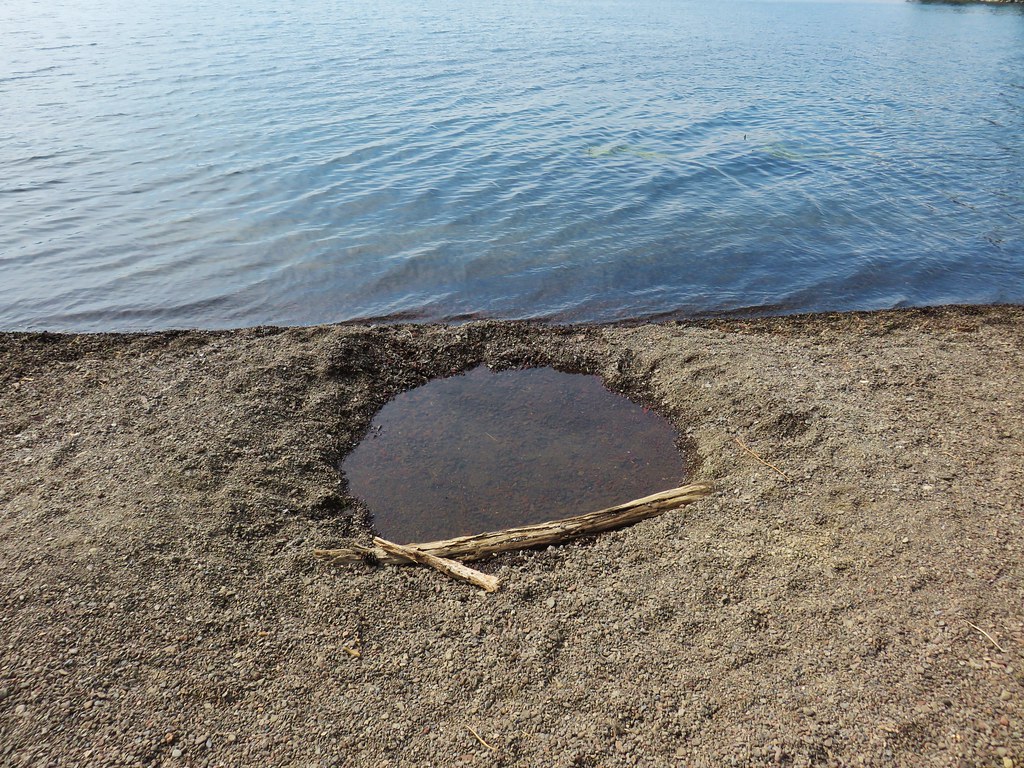
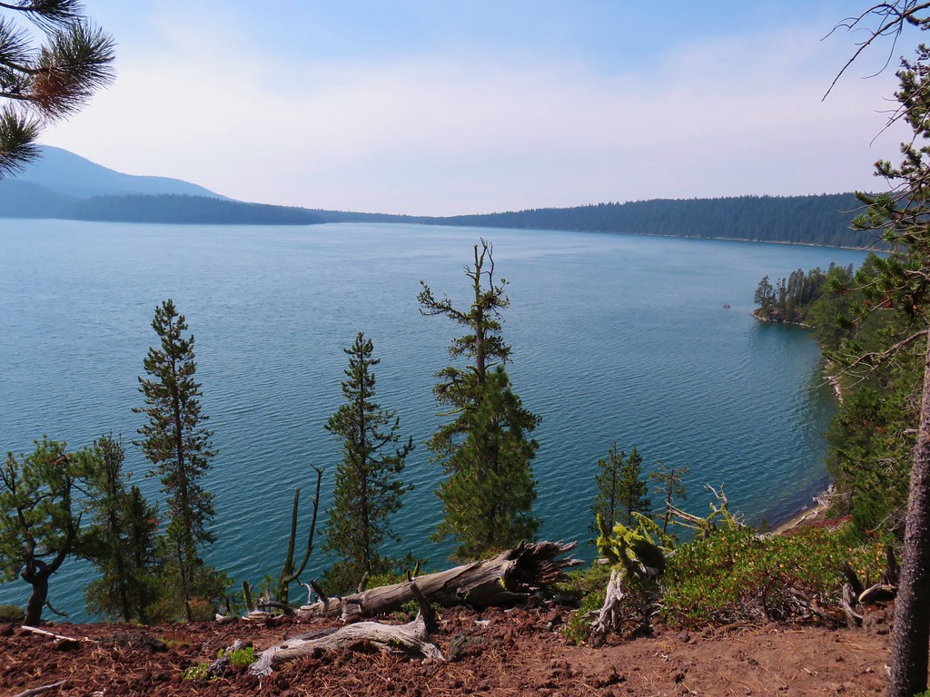
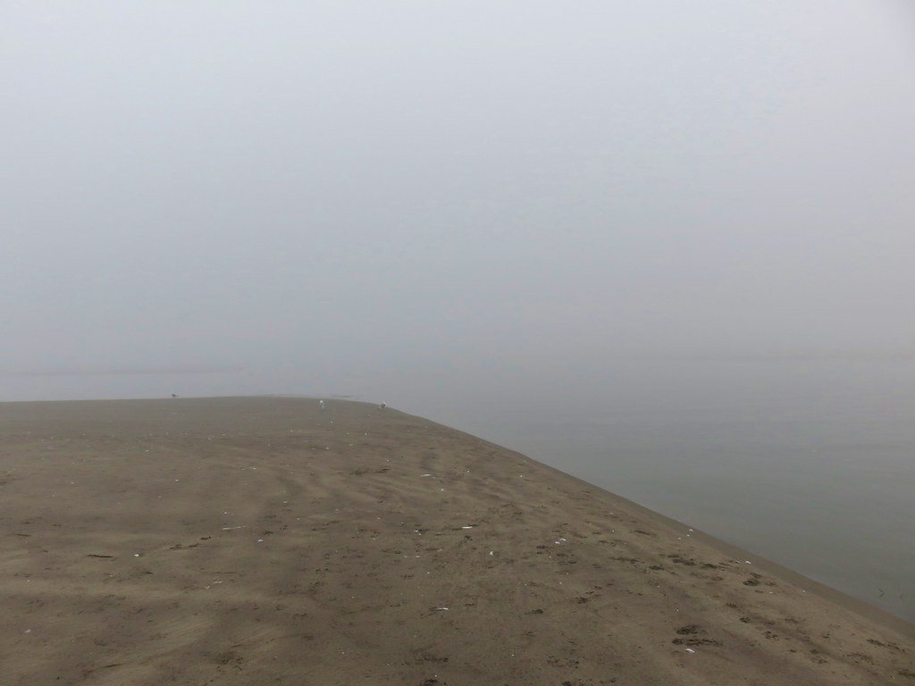
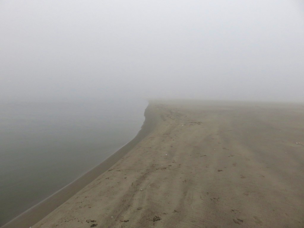
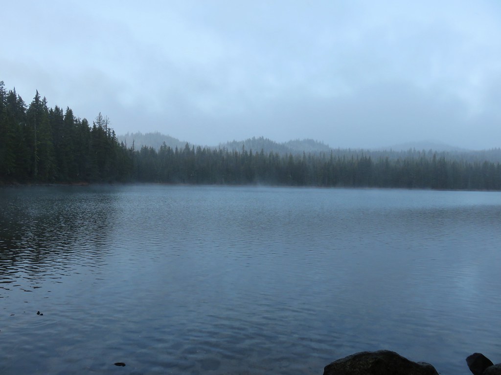
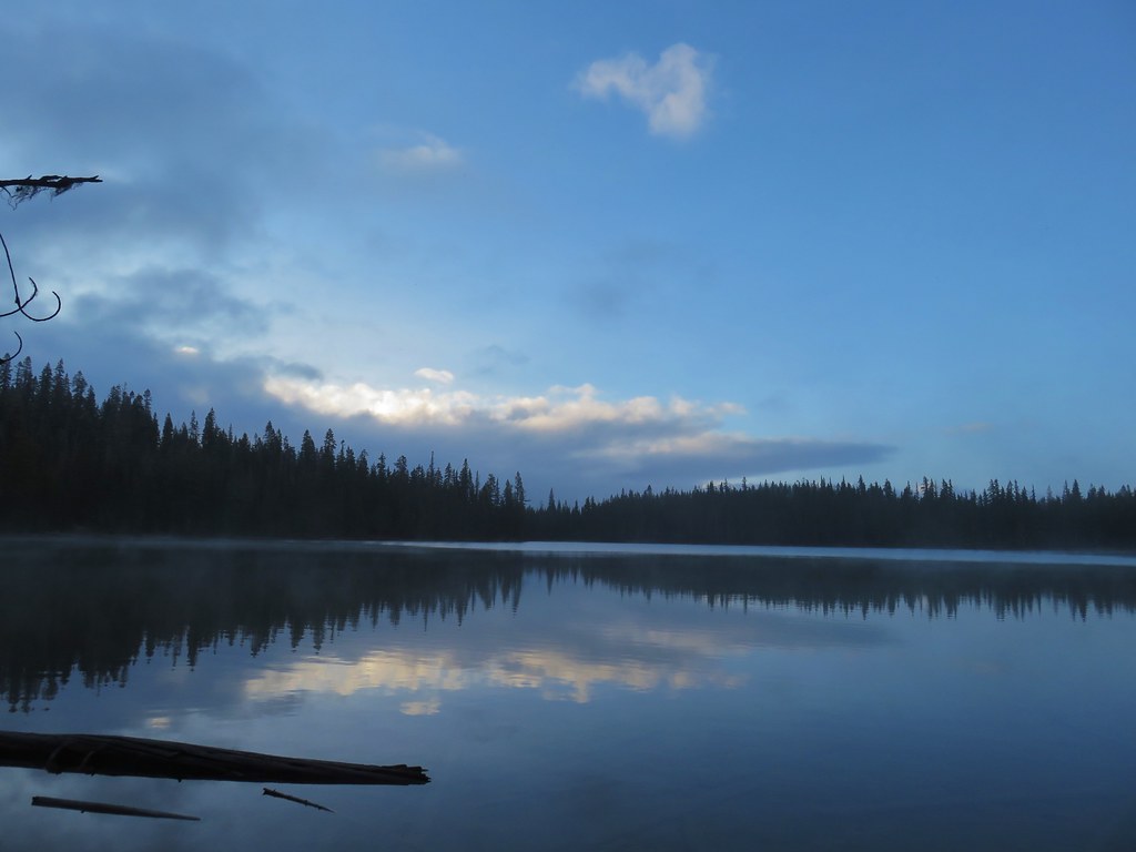
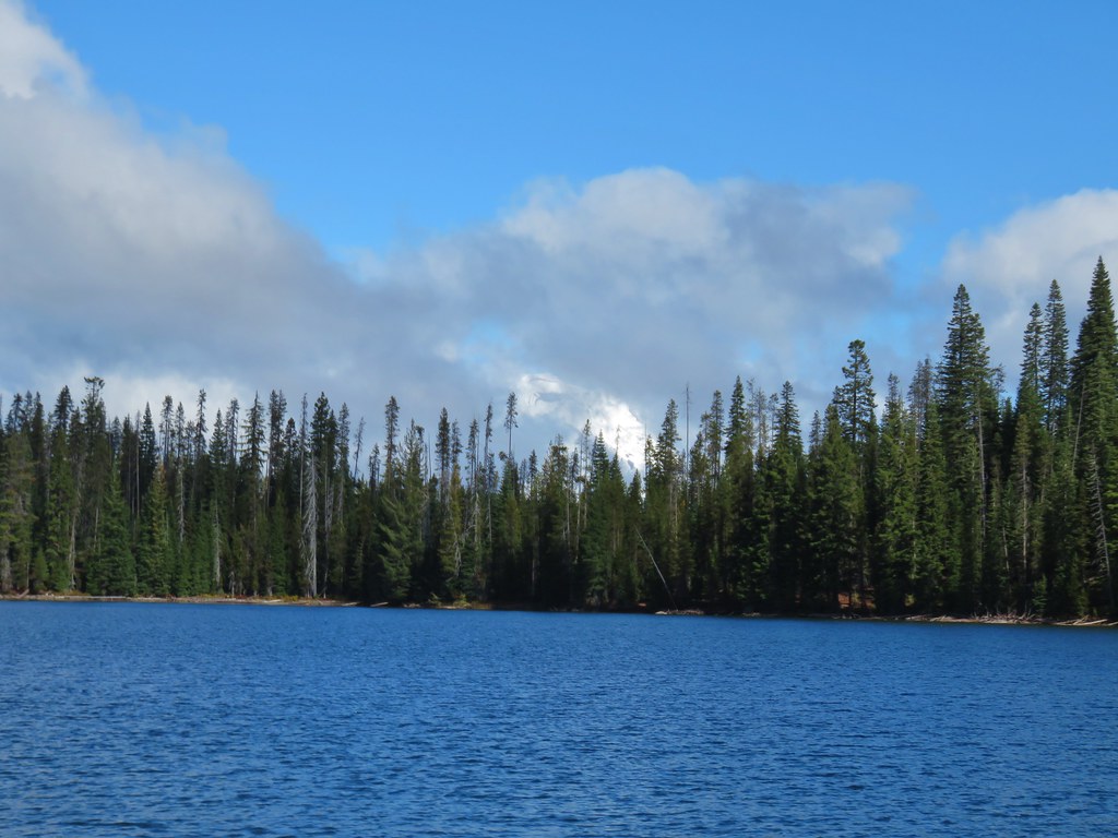
Three and a half miles from the high point the trail dropped to Senoj Lake.
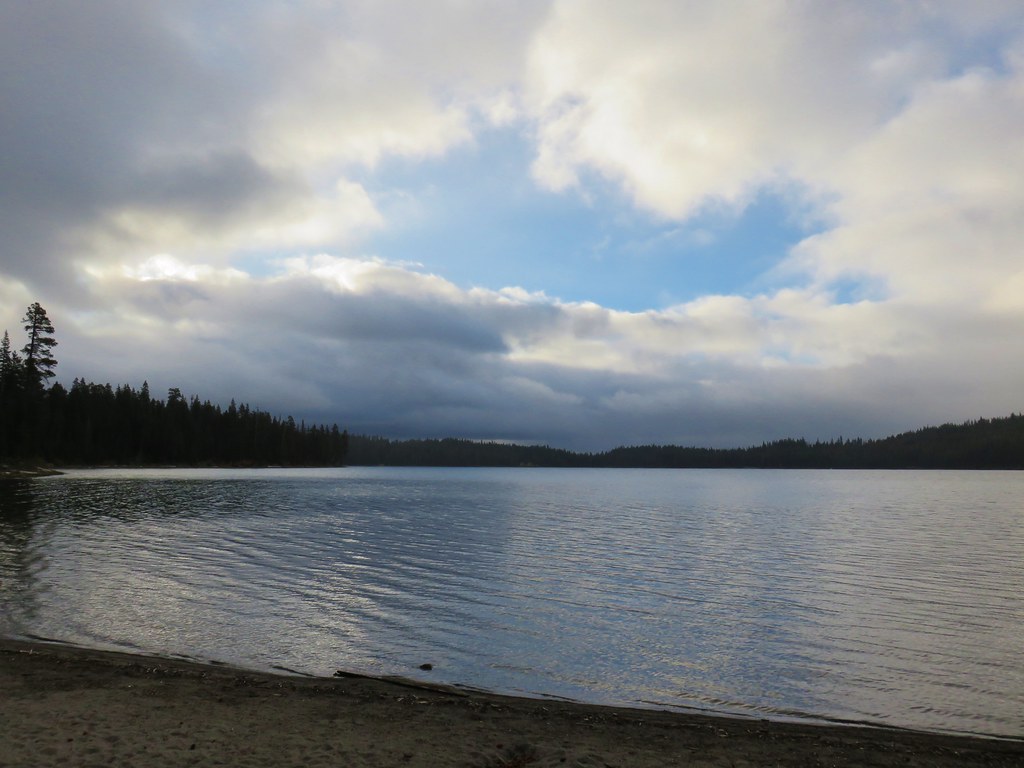
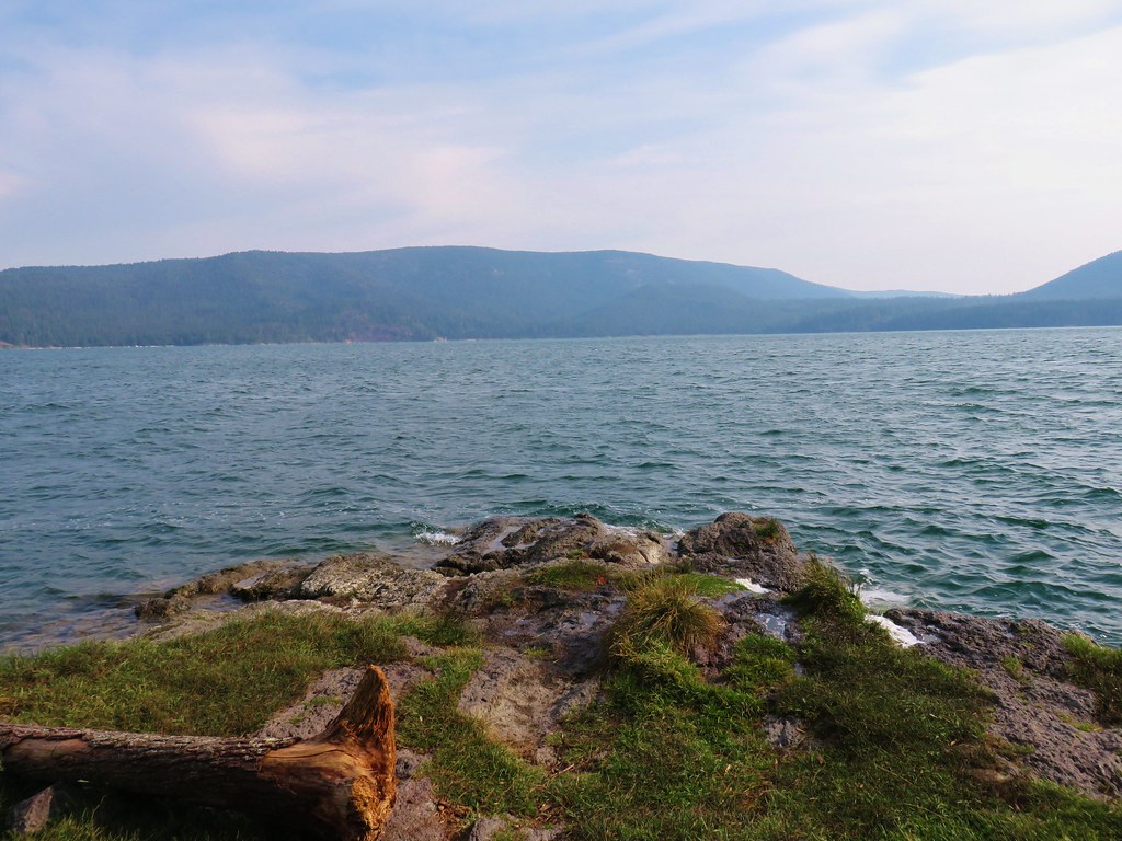
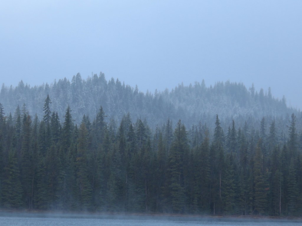
The lake looked a little different than it had in 2014 with the snow.
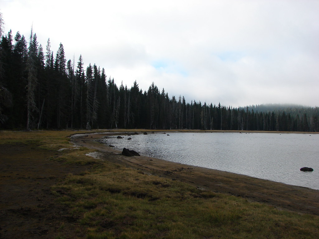
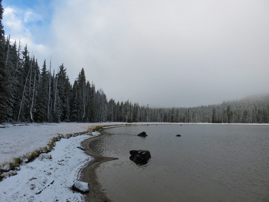
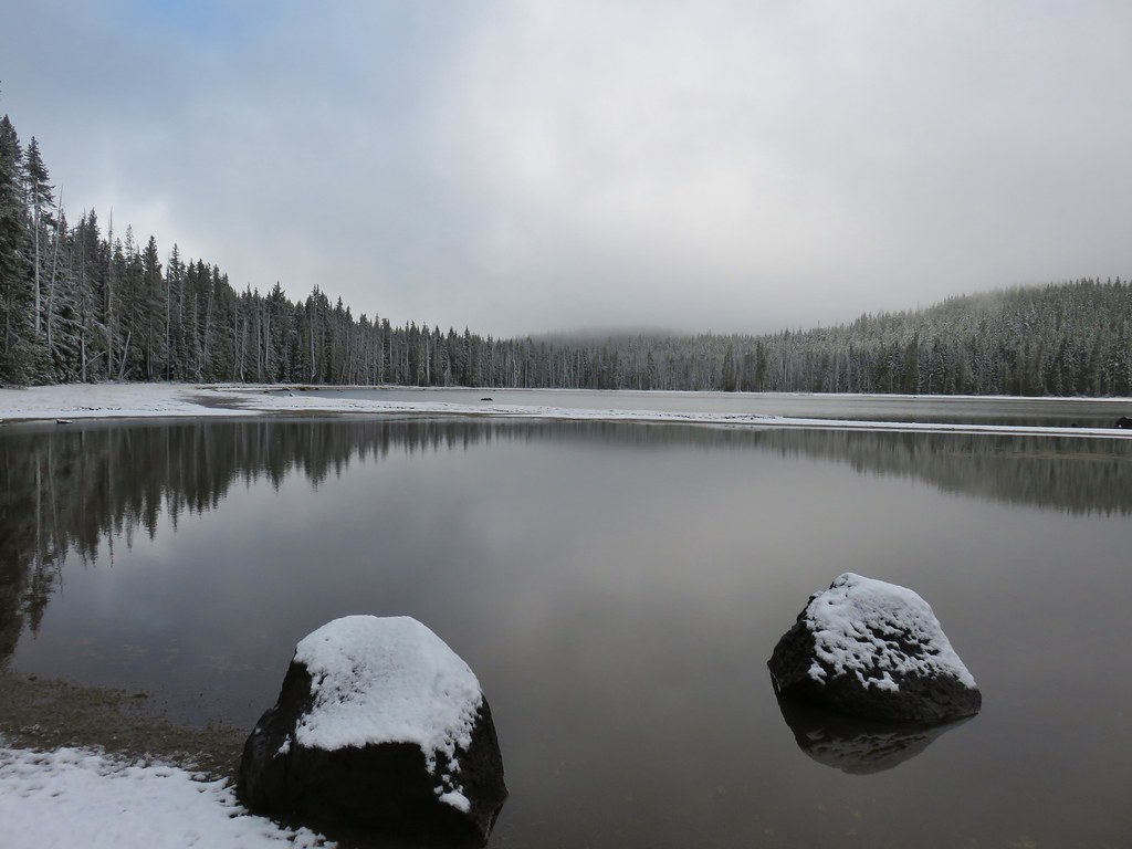

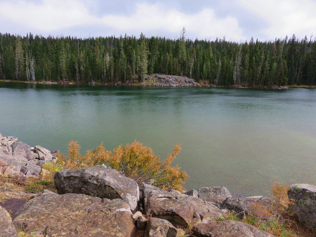
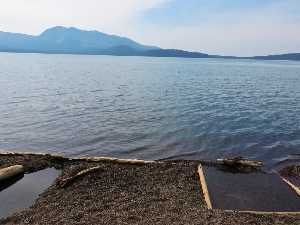
While not the most exciting lake in the forest there is something to be said for the lakes simplicity. On both visits it has just felt peaceful there. It was also cold. A crisp breeze was blowing off the lake so it was a quick visit and we were soon heading back.
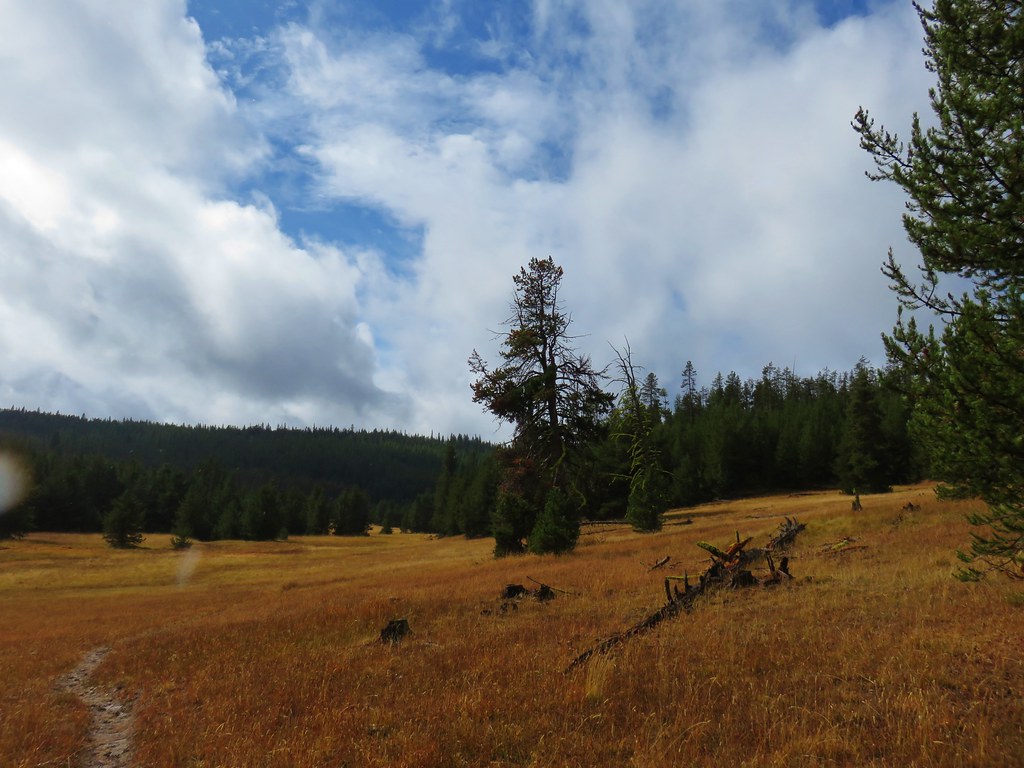
It was around 10:30 when we were passing back over Williamson Mountain and could already see the change in the amount of snow. More and more blue sky and sunlight had been making it through the clouds.
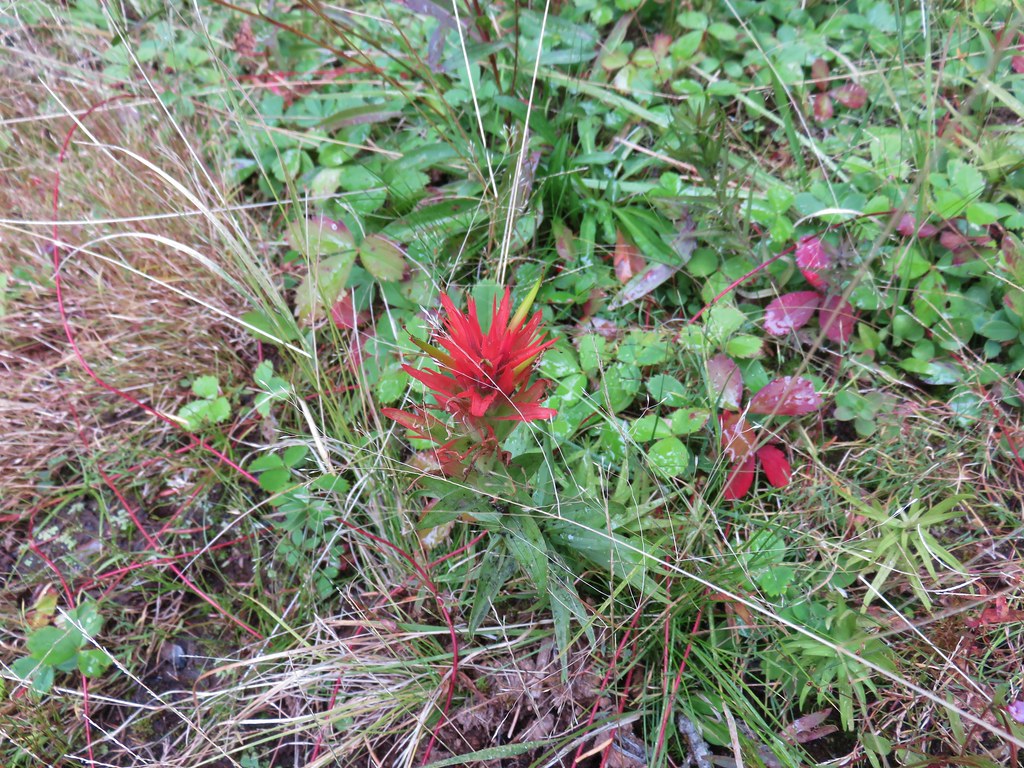
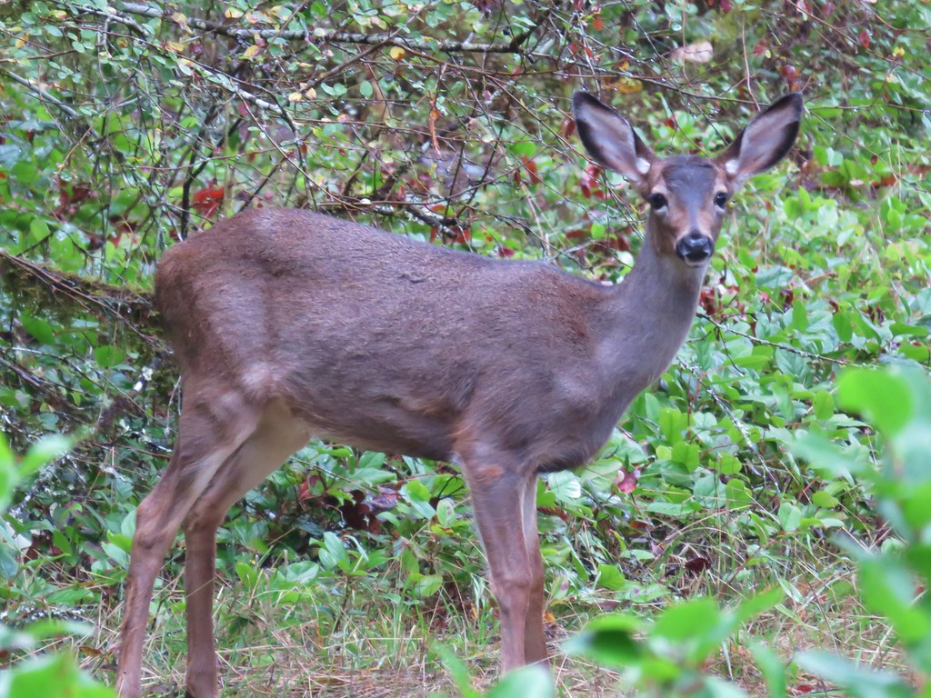
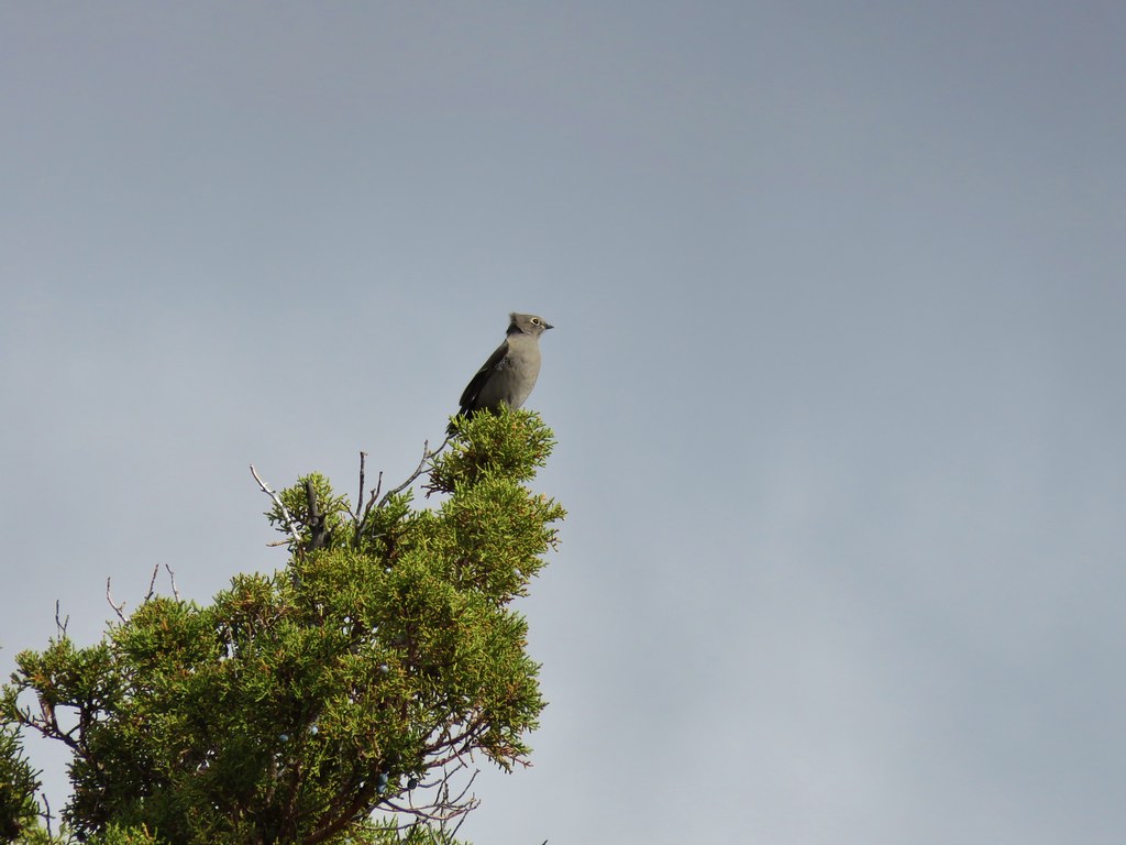
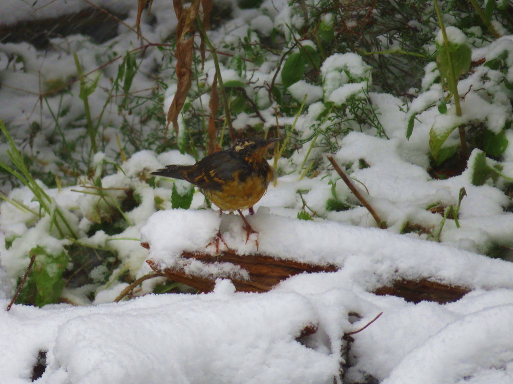
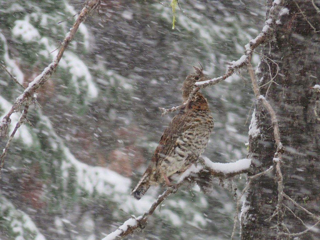
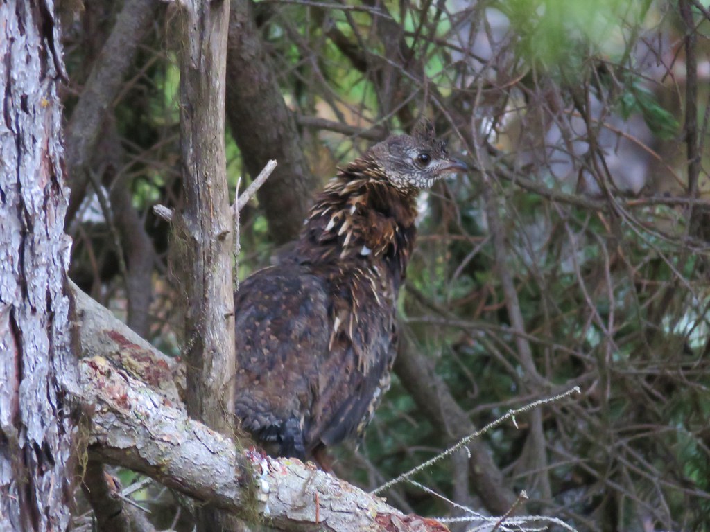
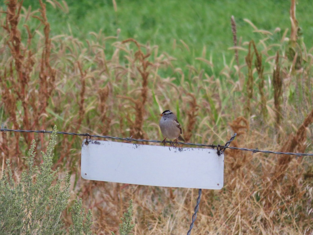
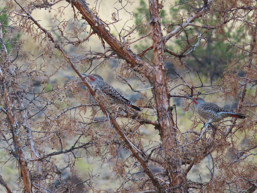
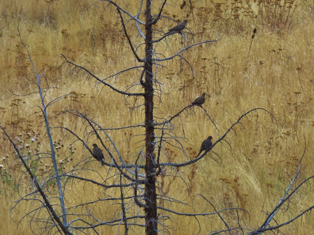
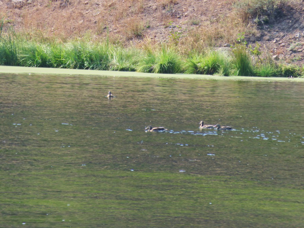
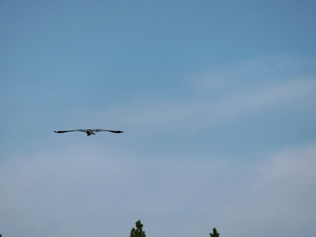
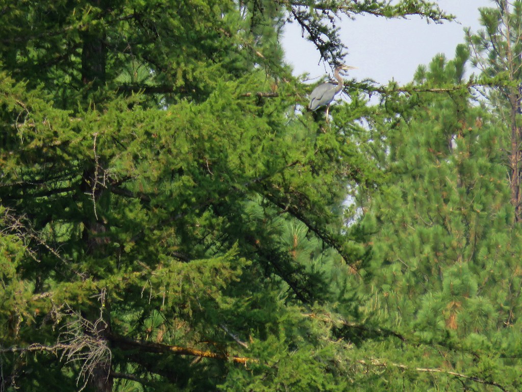
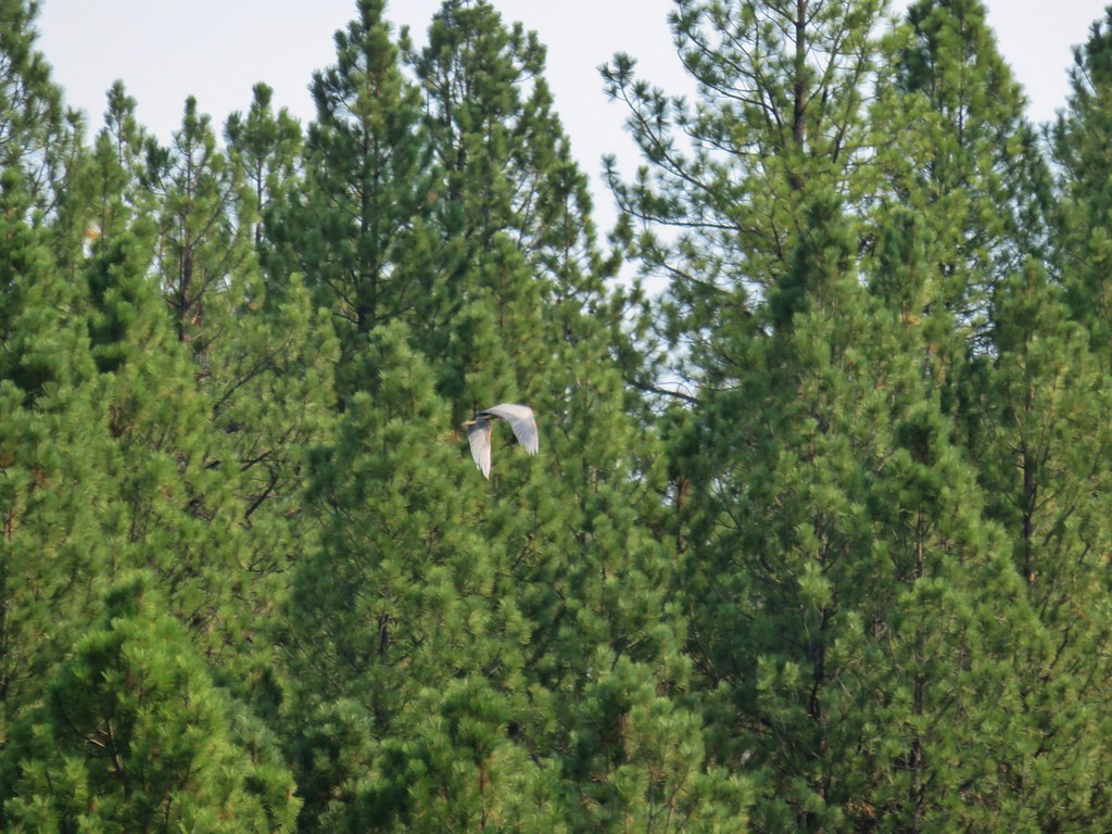
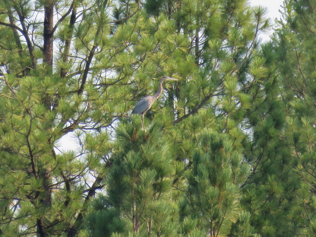
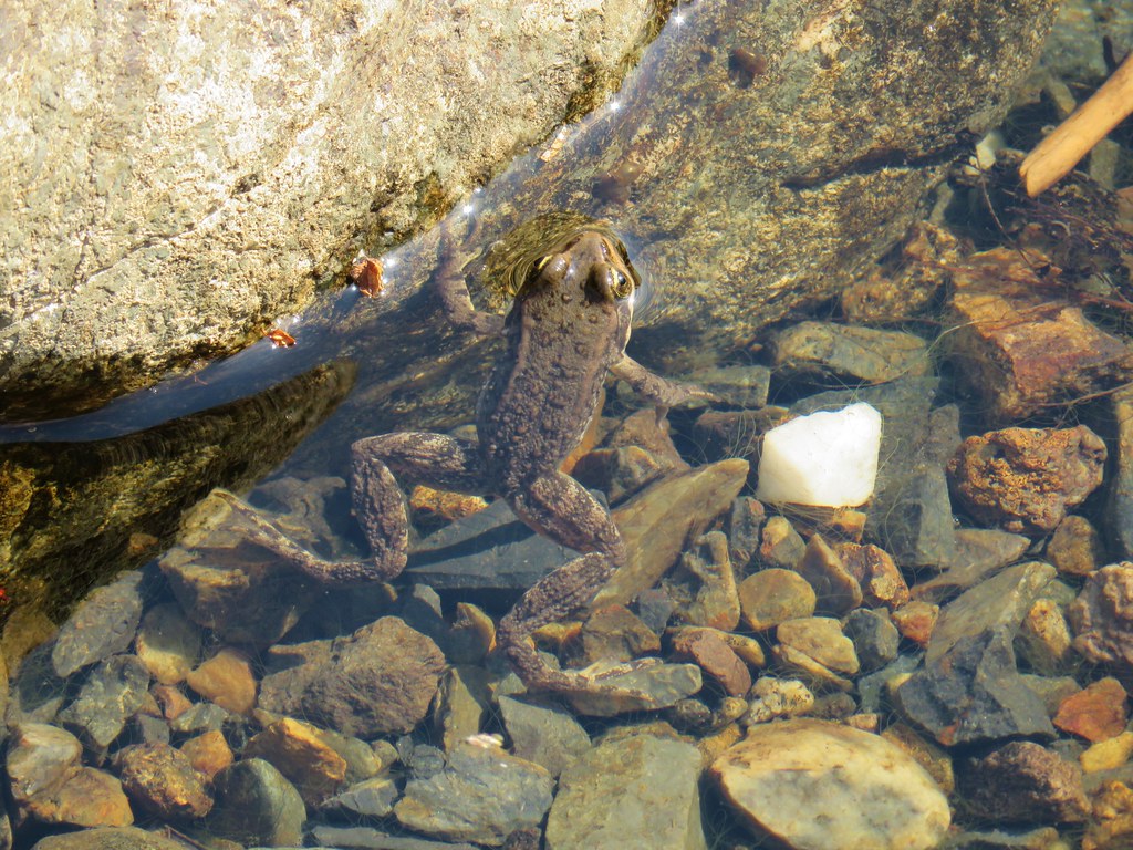
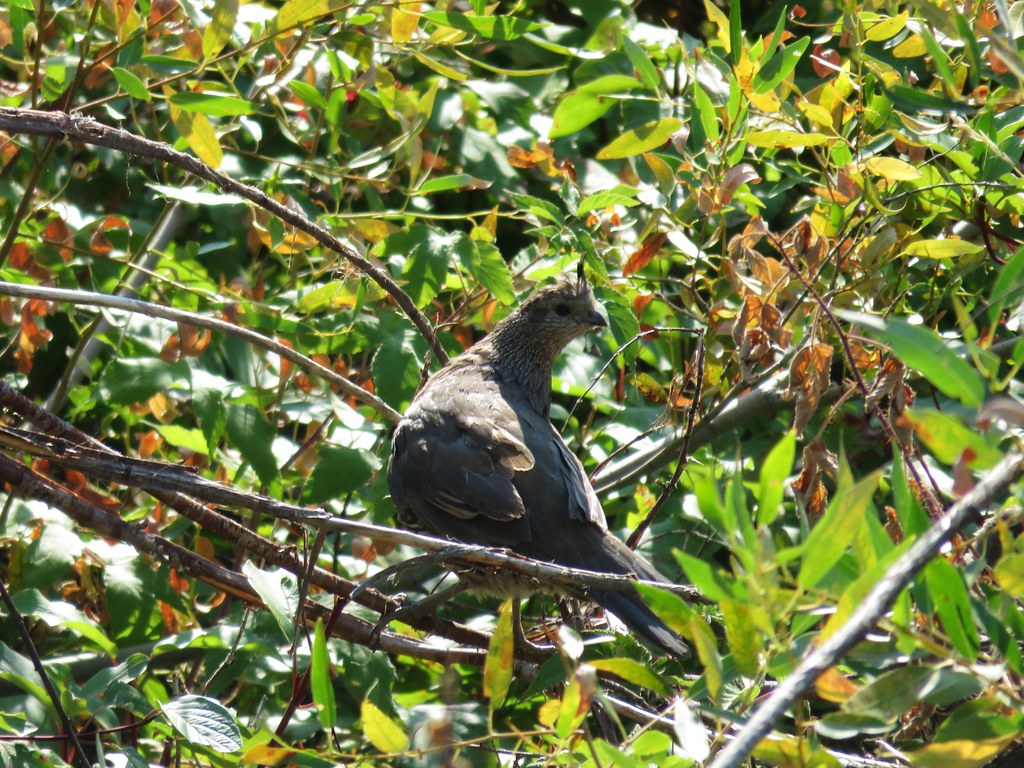
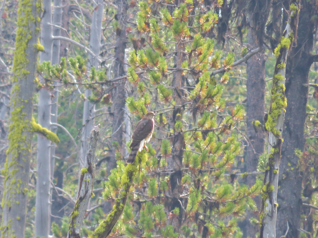
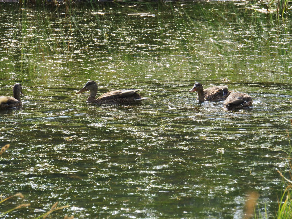
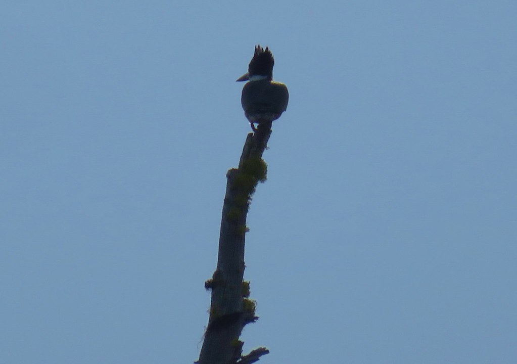
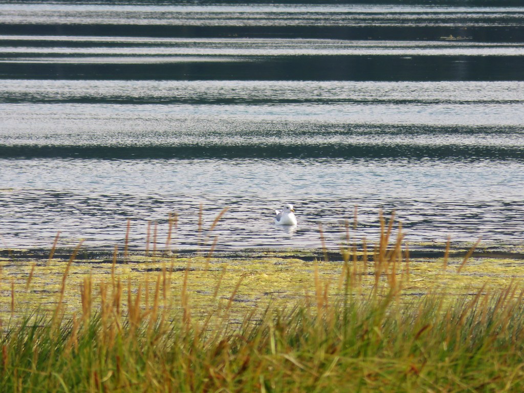
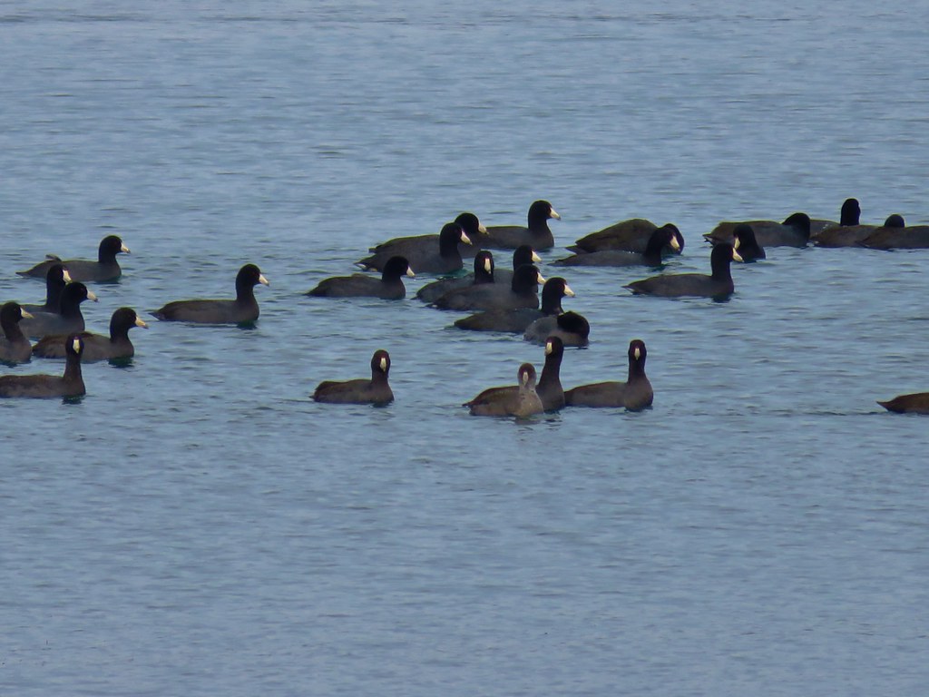
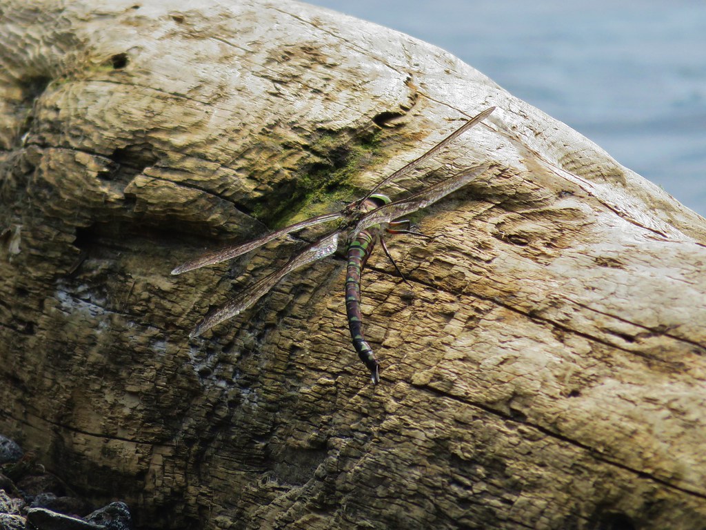
Although we never saw any of the critters that had left the prints in the snow we did see quite a few birds along the way.

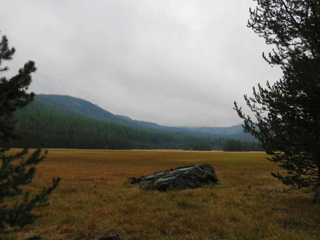
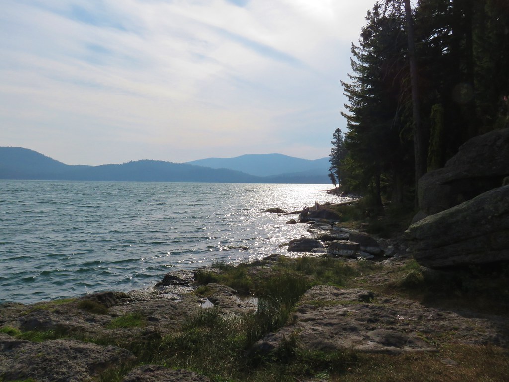
By the time we’d arrived back at Lucky Lake it almost felt like it could have been a Summer day.
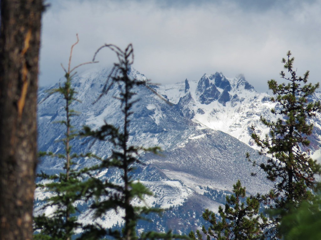
We ran into a few other hikers at the southern end of the lake where we followed a pointer for Corral Lakes around the lake a bit hoping for a view of the South Sister. There were some pesky clouds lingering between the lake and the mountain but there was just enough of an opening to see the mountains summit.


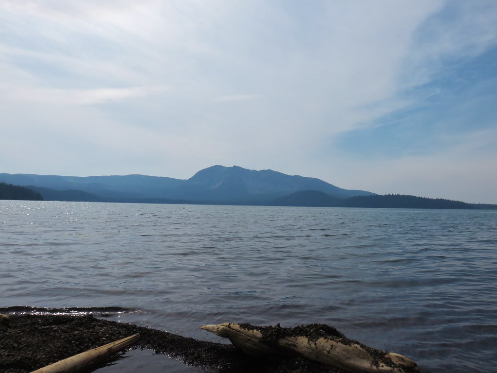
We sat for a bit on the lake shore before heading back. On the way down to the car I managed to find one semi unobstructed view of Broken Top.
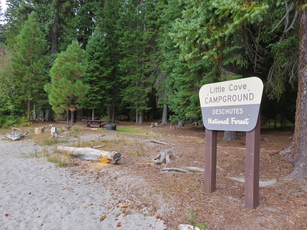
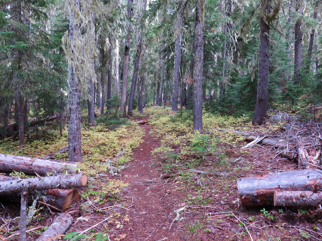
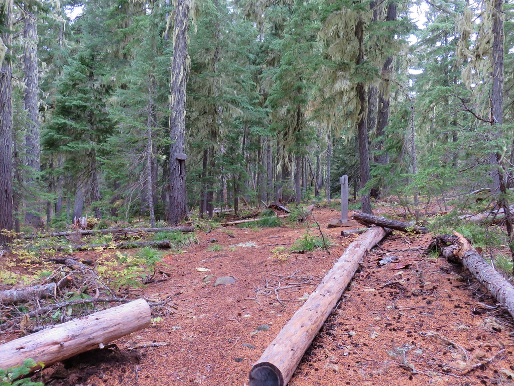
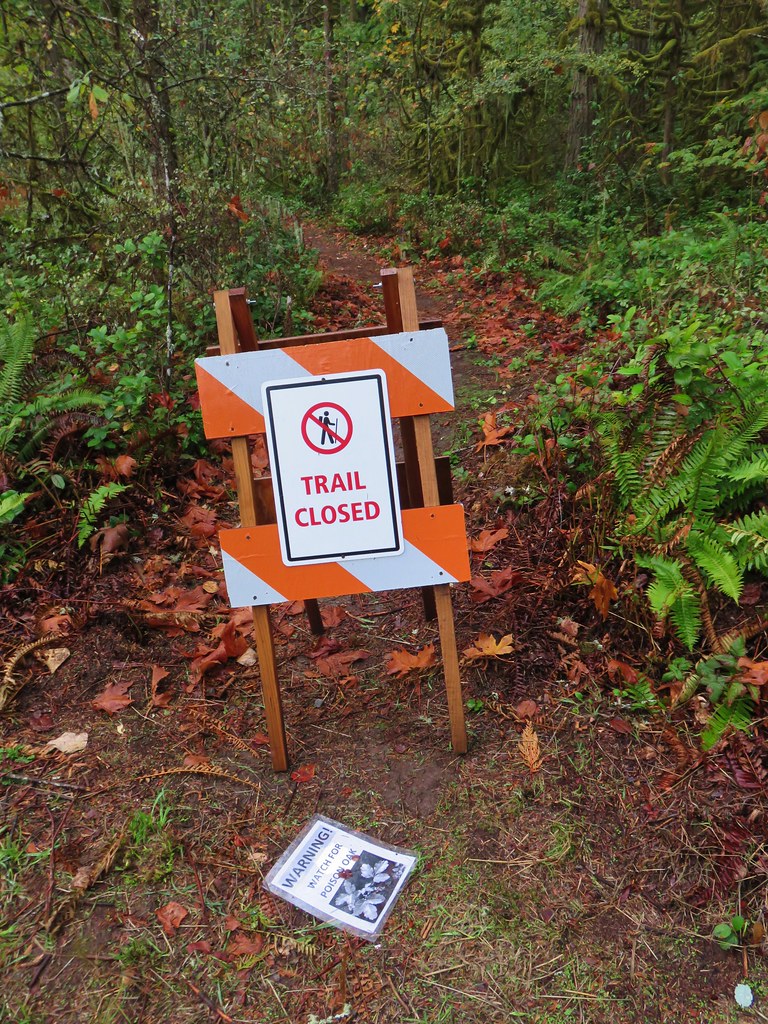
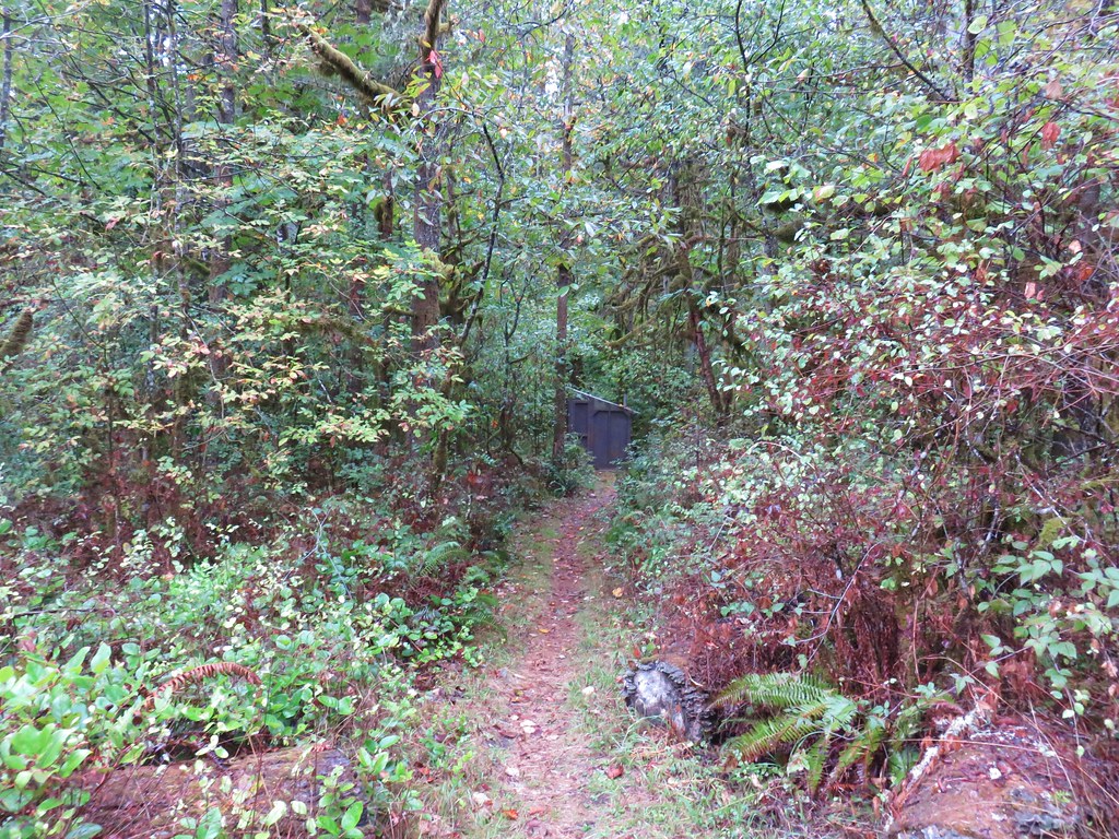
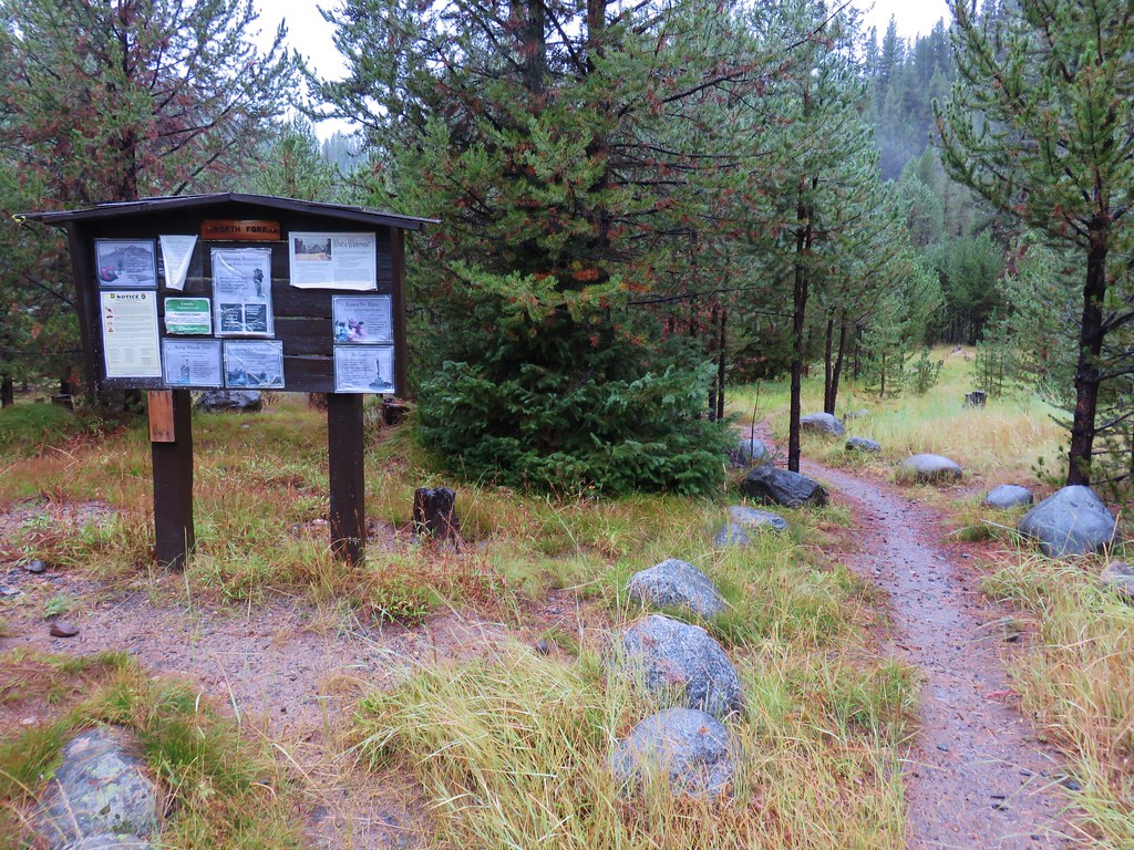
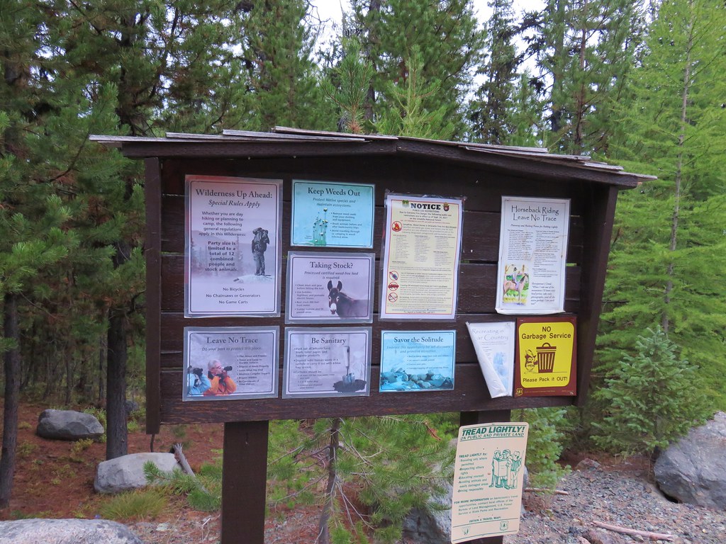
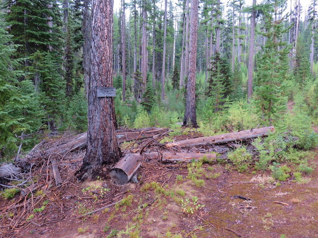
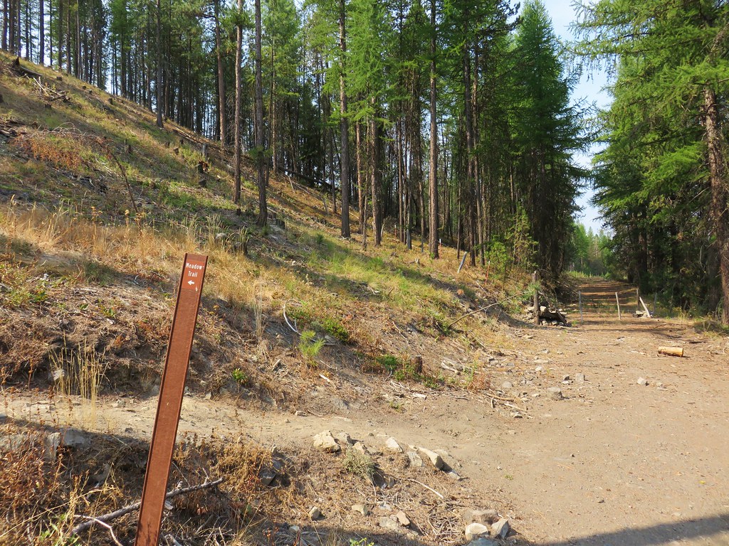
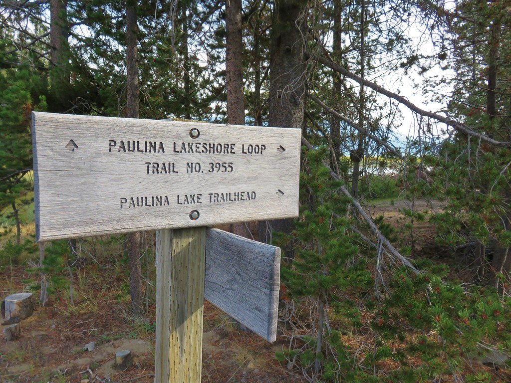
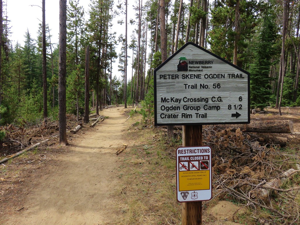
We took the hiker trail down to the parking area and discovered that the signboards there had not been wrapped for the winter yet.

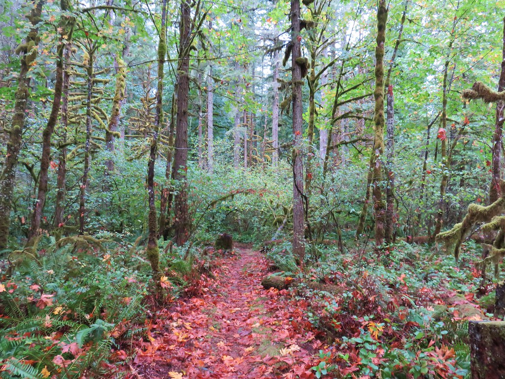
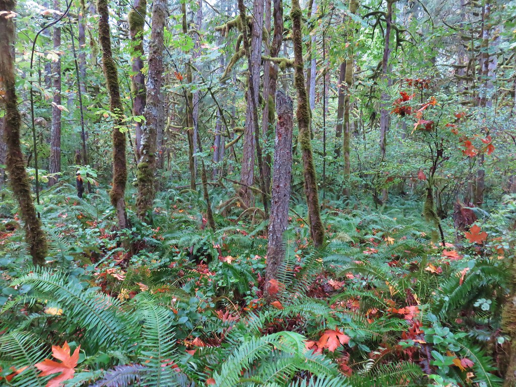
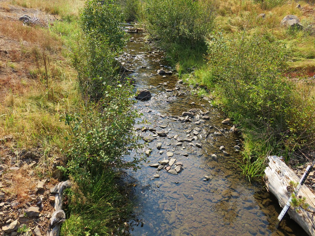
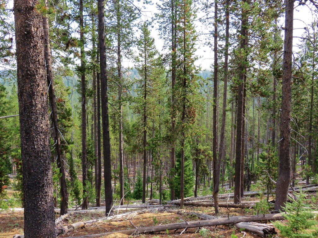
The hike wound up being 12 miles round trip with approximately 1750′ of cumulative elevation gain. The hike to Lucky Lake was short and easy enough for most kids. The trail to Senoj Lake might not have had a lot of wow factor but it was in good shape, never too steep, and passed through a nice peaceful forest. The snow only added to the peaceful feeling making this a really enjoyable hike for us.
Afterwards we drove back to Bend completing a loop by driving past Mt. Bachelor where there was still a little slush on the road in places. We were glad we’d chosen to drive to the trailhead the way we had since we figured there had probably been a fair amount of it on the road that morning and as much as we enjoyed hiking in the white stuff we’re not ready to drive it yet this year. Happy Trails!
Flickr: Senoj Lake Trail