Categories
Hiking Northern Coast Oregon Oregon Coast Trip report

Fort-To-Sea Trail – Fort Clatsop

We have officially started our 2016 hikes. As we have done for the past several years we headed to the Oregon Coast for our first hike of the year. Our goal this time was to hike the Fort-To-Sea Trail following a route initially blazed by Lewis and Clark in 1805 from Fort Clatsop to the ocean. Fort Clatsop was built near what is now the Lewis and Clark River and the Fort-To-Sea Trail was used by the expedition to gather salt by boiling saltwater. The area is now part of the Lewis and Clark National Historic Park complete with a replica of the original fort.

We decided to start our hike at the Sunset Beach Recreation Site near the ocean north of Gearhart, OR. From there we would take the trail to Fort Clatsop and back. Things got off to a rocky start at the trailhead when we found the restrooms devoid of toilet paper and discovered that I had not yet switched our toiletry supplies from my backpack to my daypack. After a quick trip back to Gearhart for supplies we were back at the trailhead and ready to begin.
IMG_2837

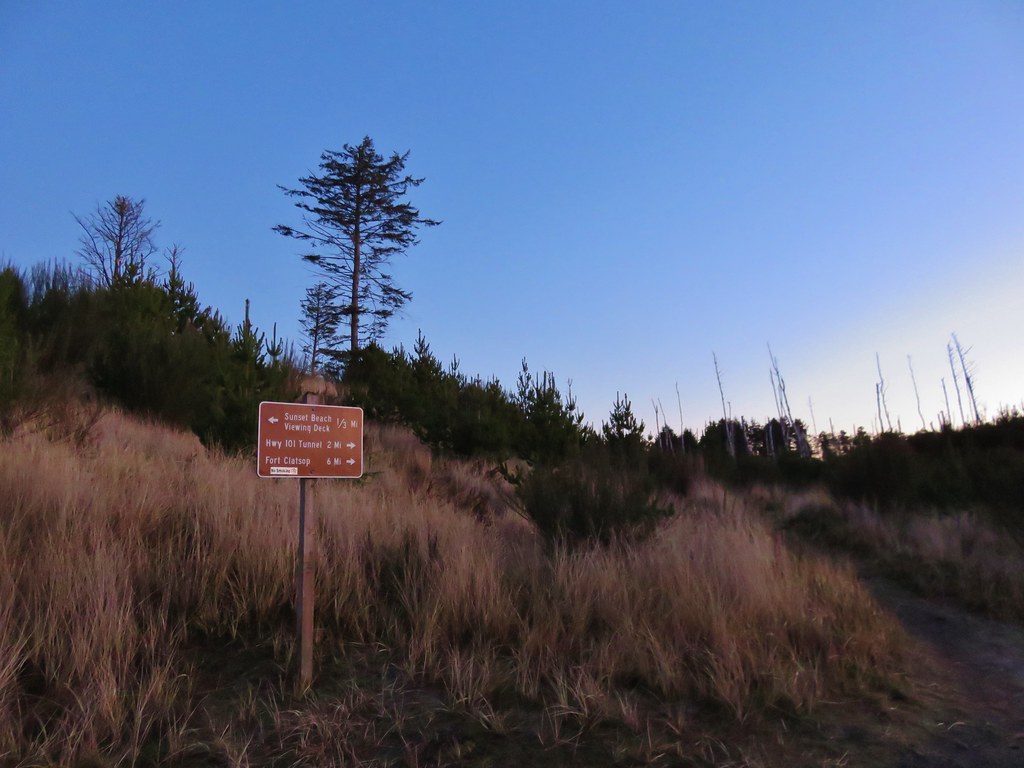
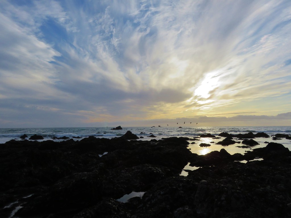
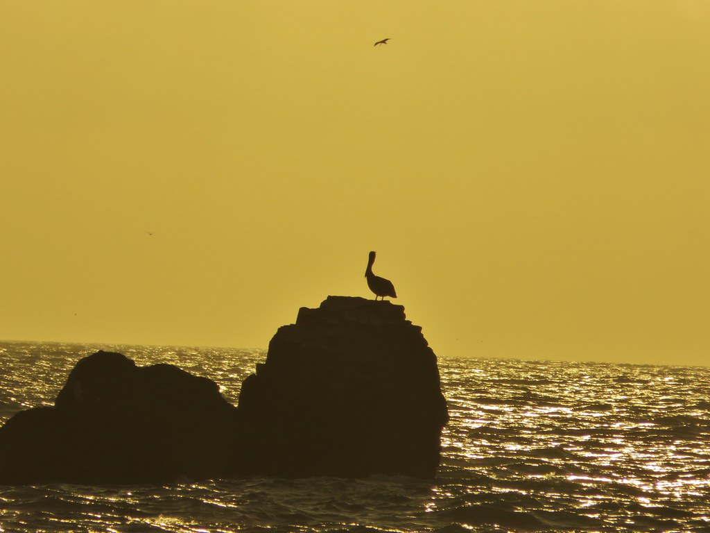
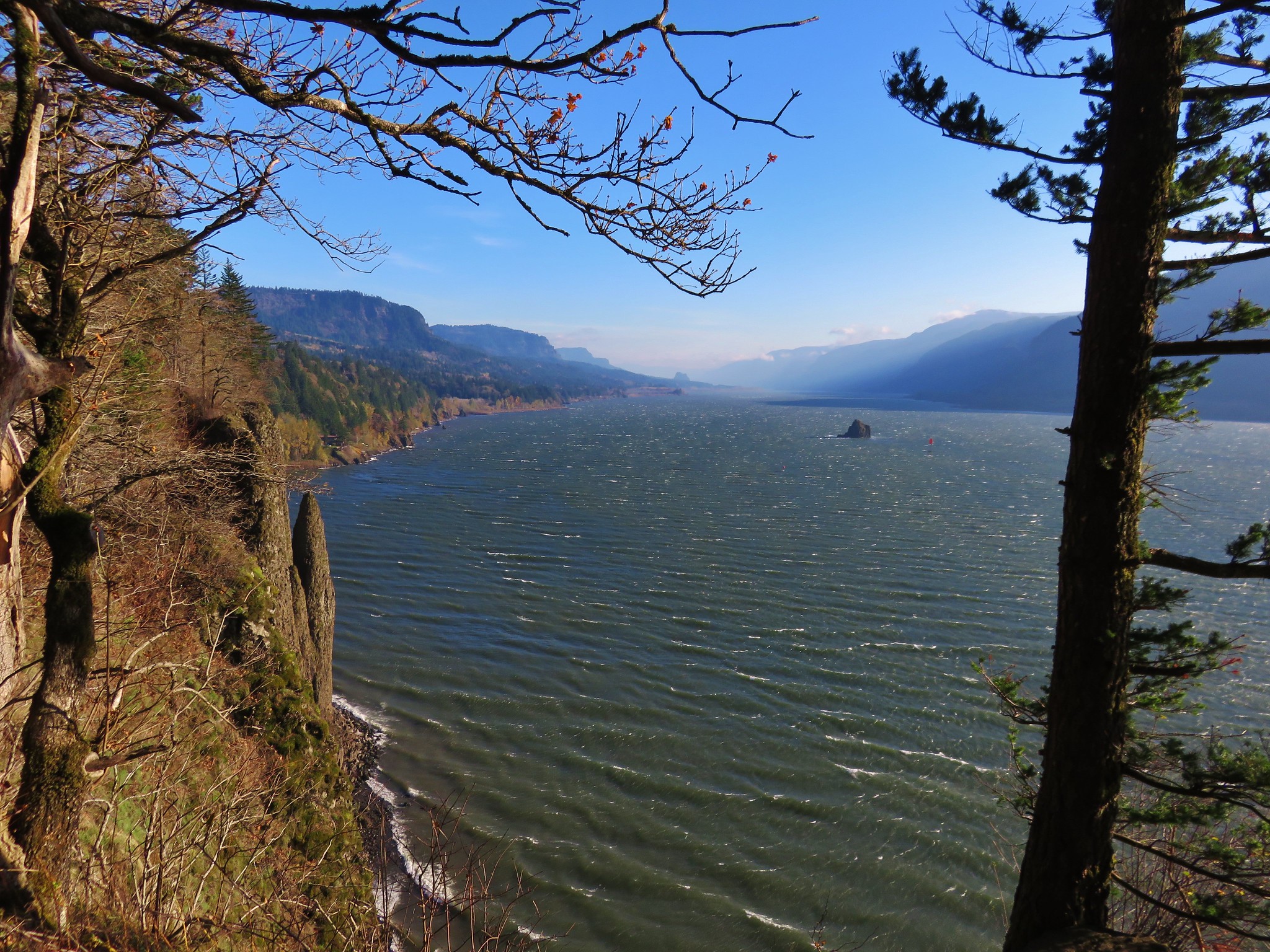
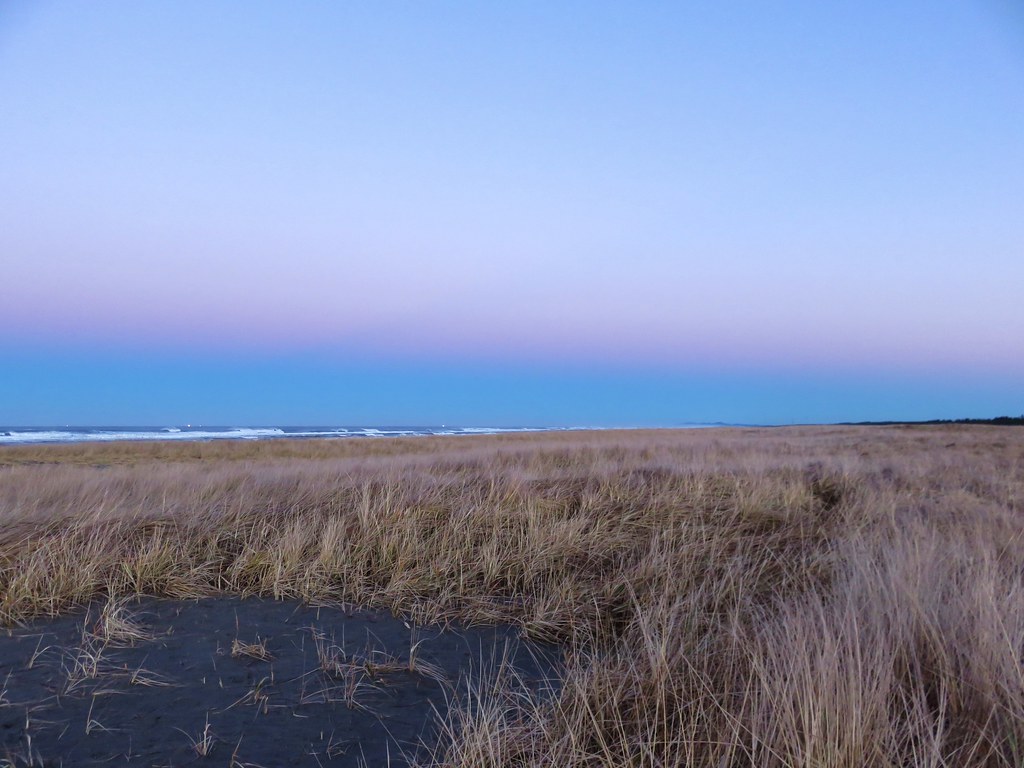
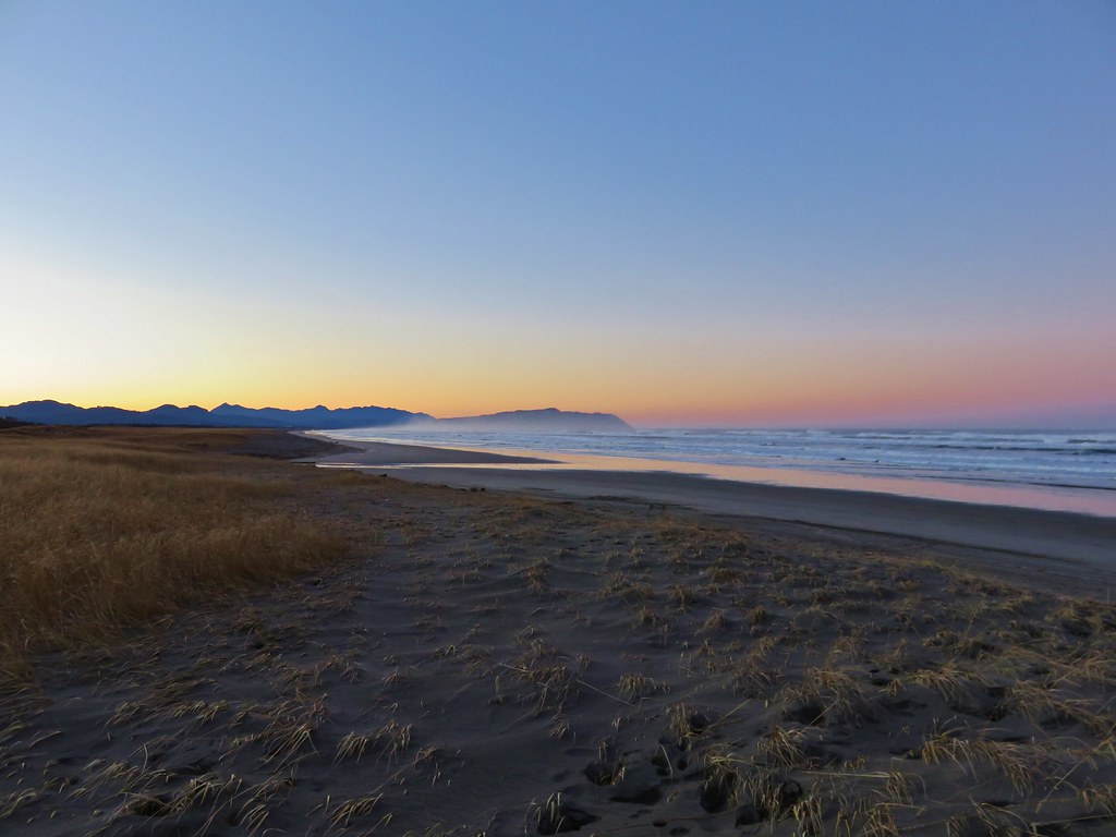
Before heading to Fort Clatsop we headed toward the ocean on the Fort-To-Sea Trail. There used to be a viewing deck overlooking the ocean 1/3 of a mile from the parking area but it has been removed leaving a sandy circle on the grassy dune.
IMG_2842

IMG_2846

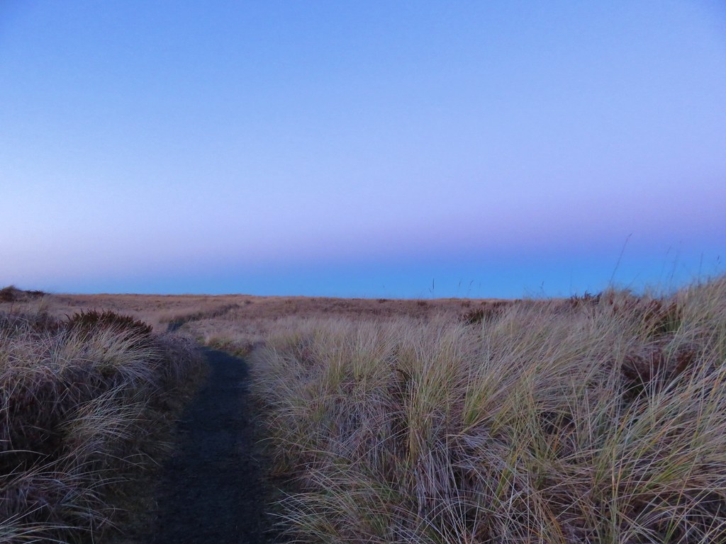
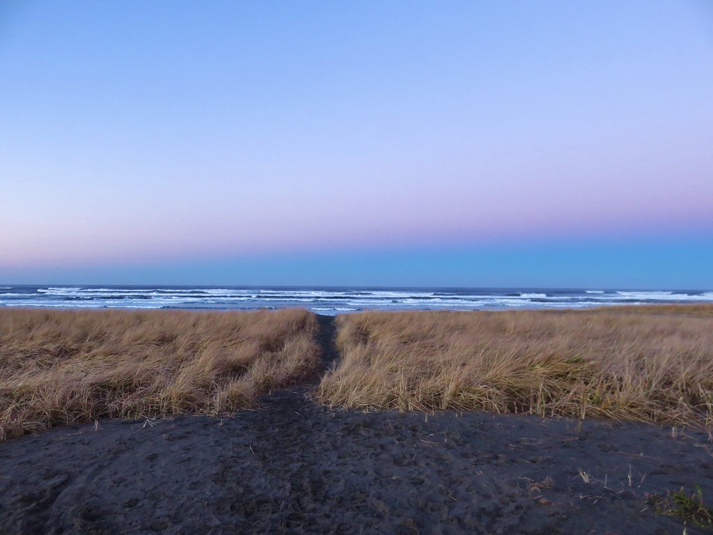
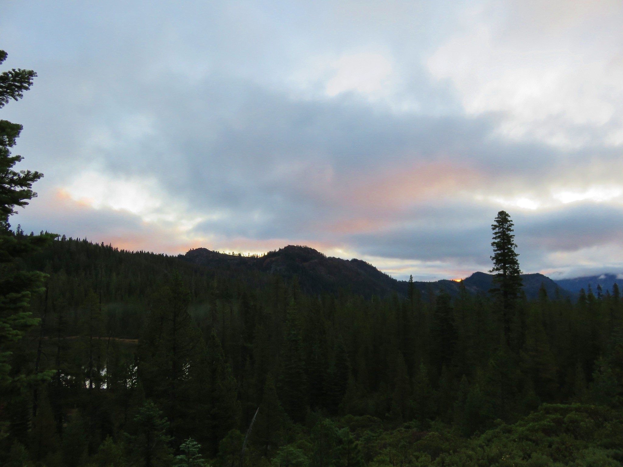
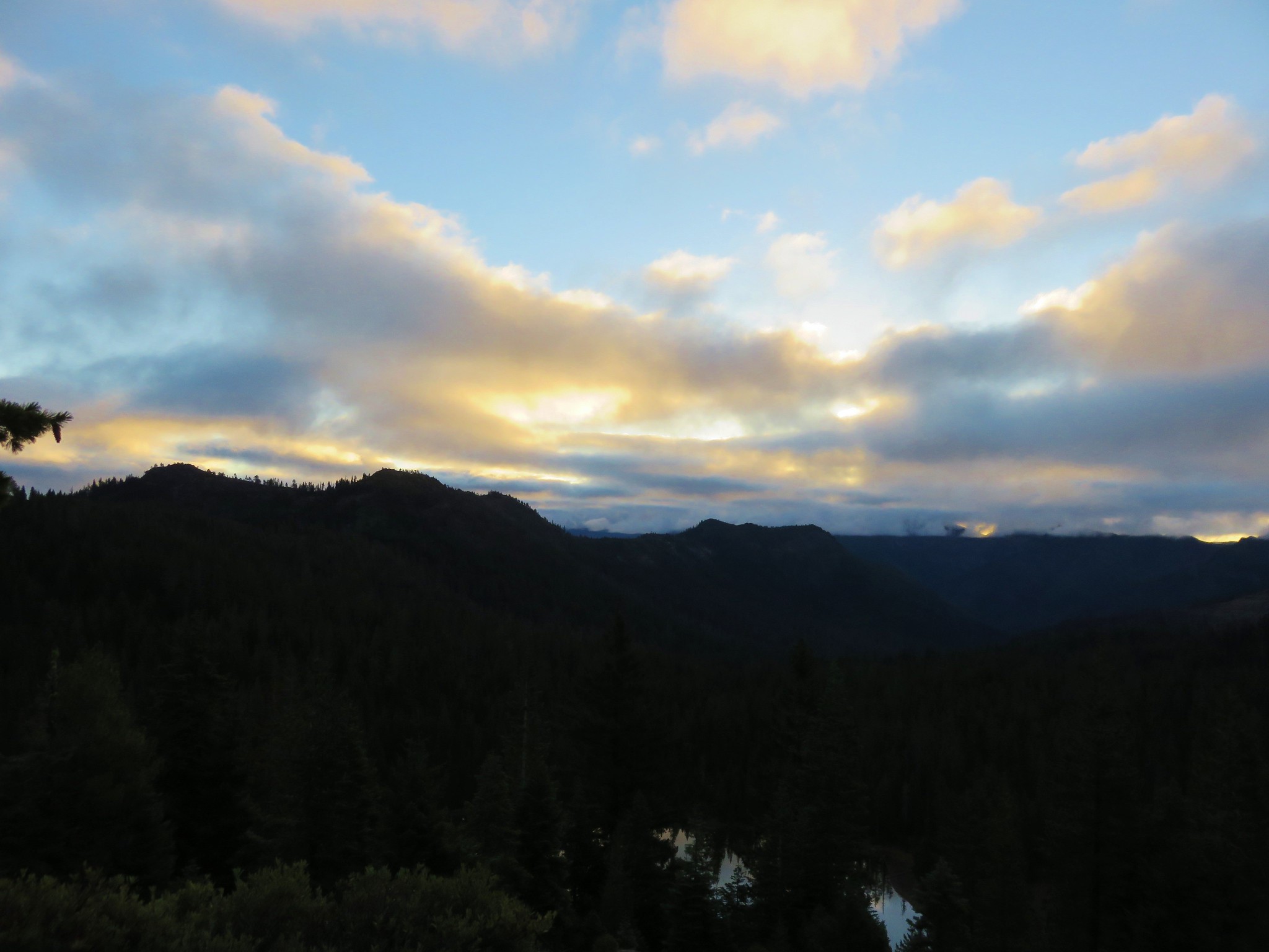
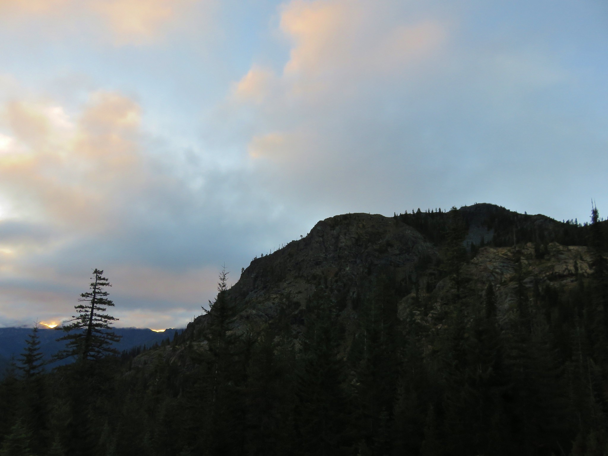
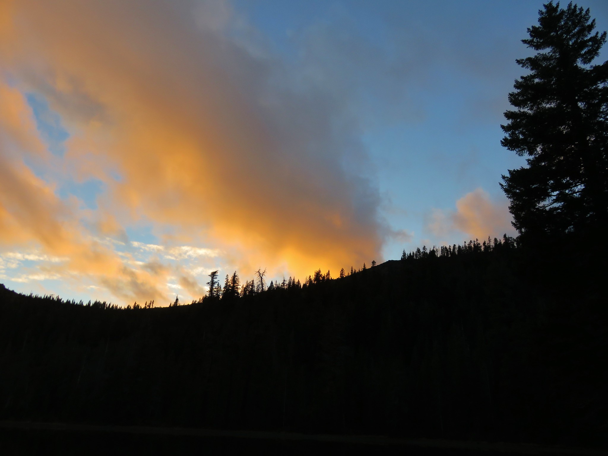
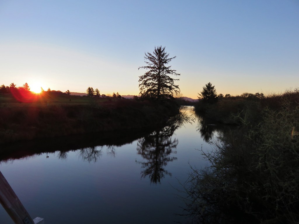
The Sun was still rising behind us creating some nice colors on the western horizon.
IMG_2847

IMG_2851

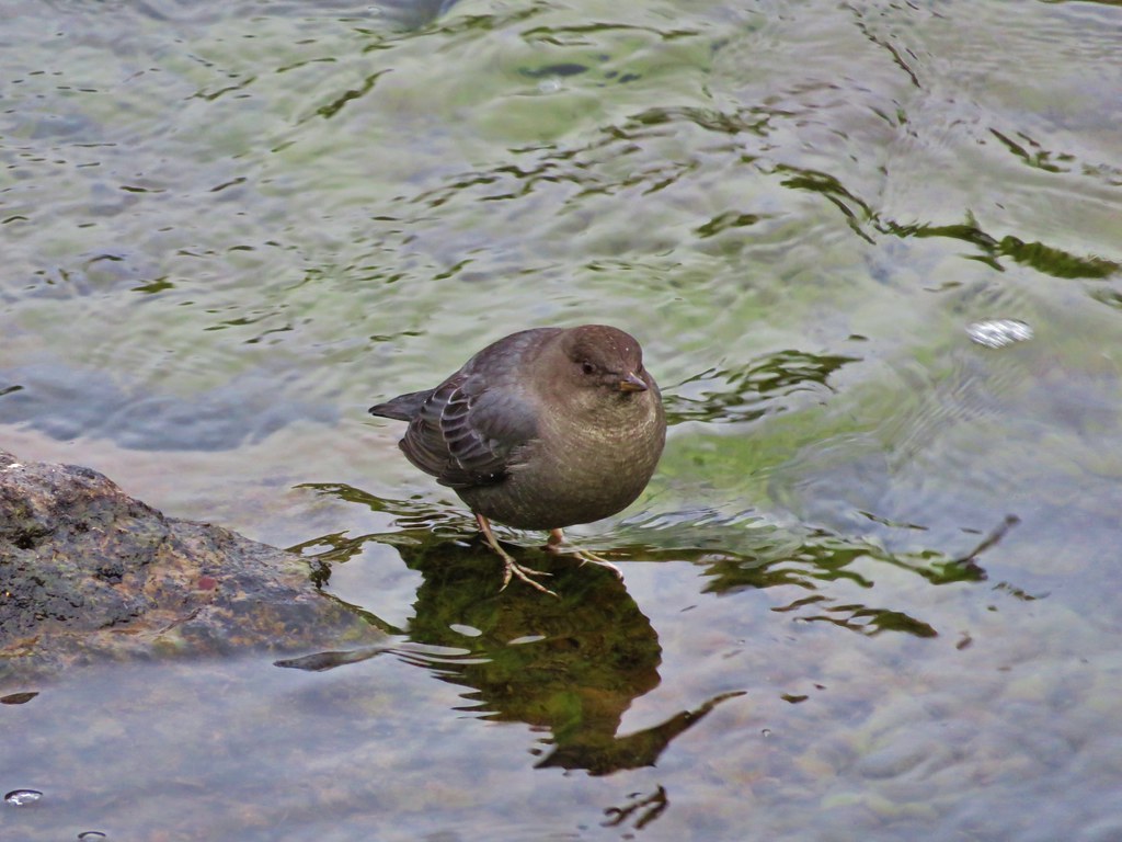
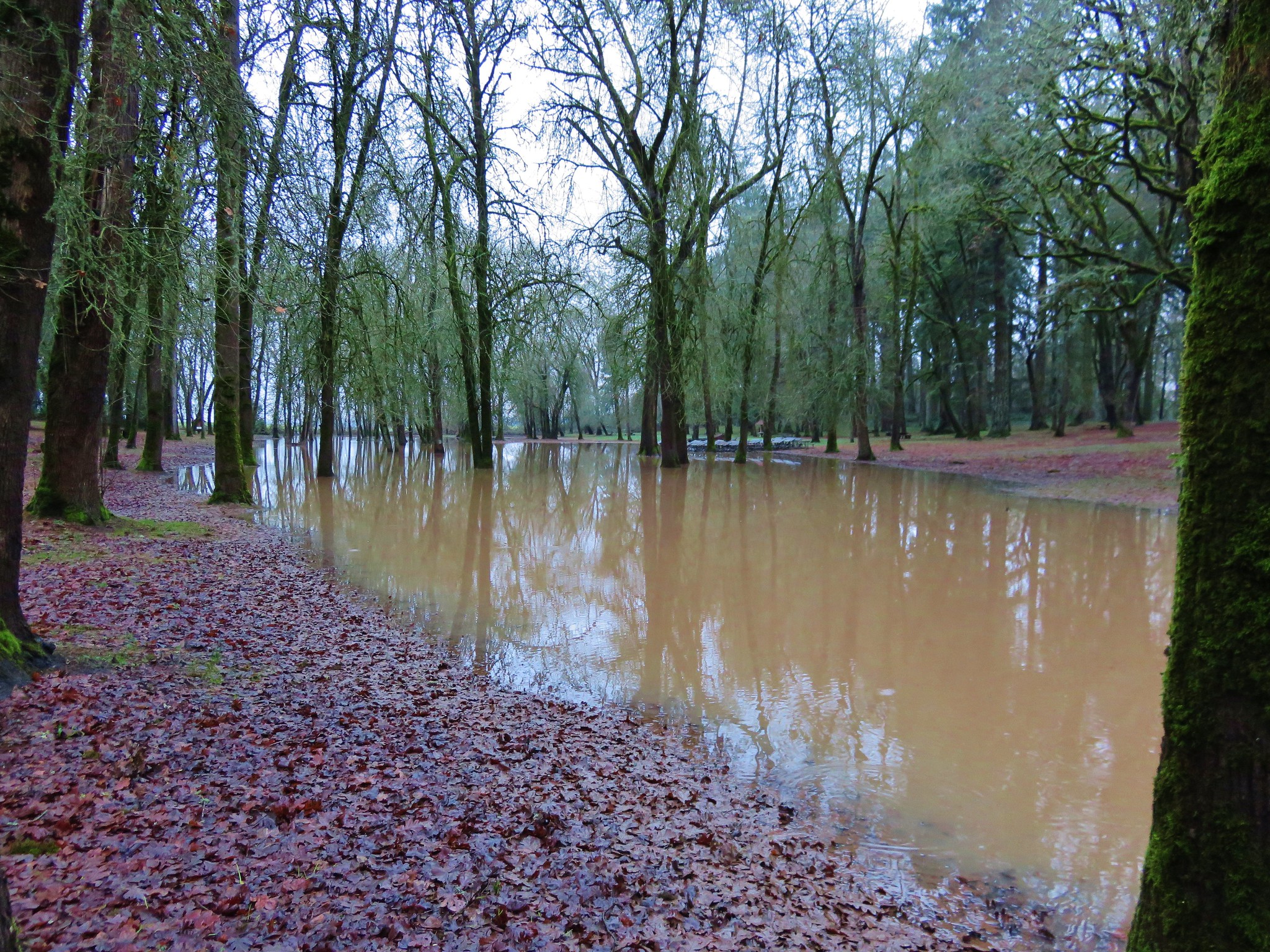
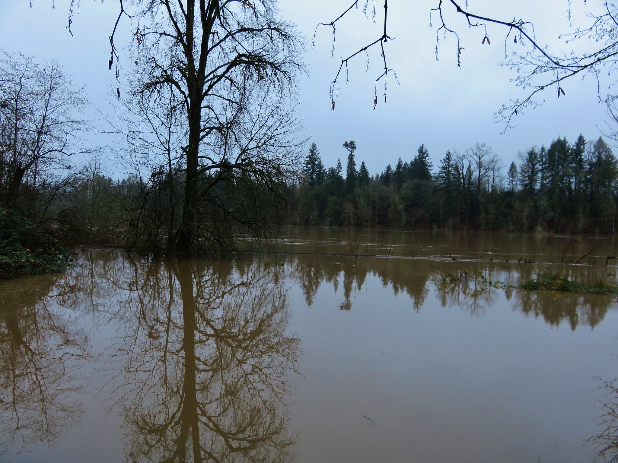
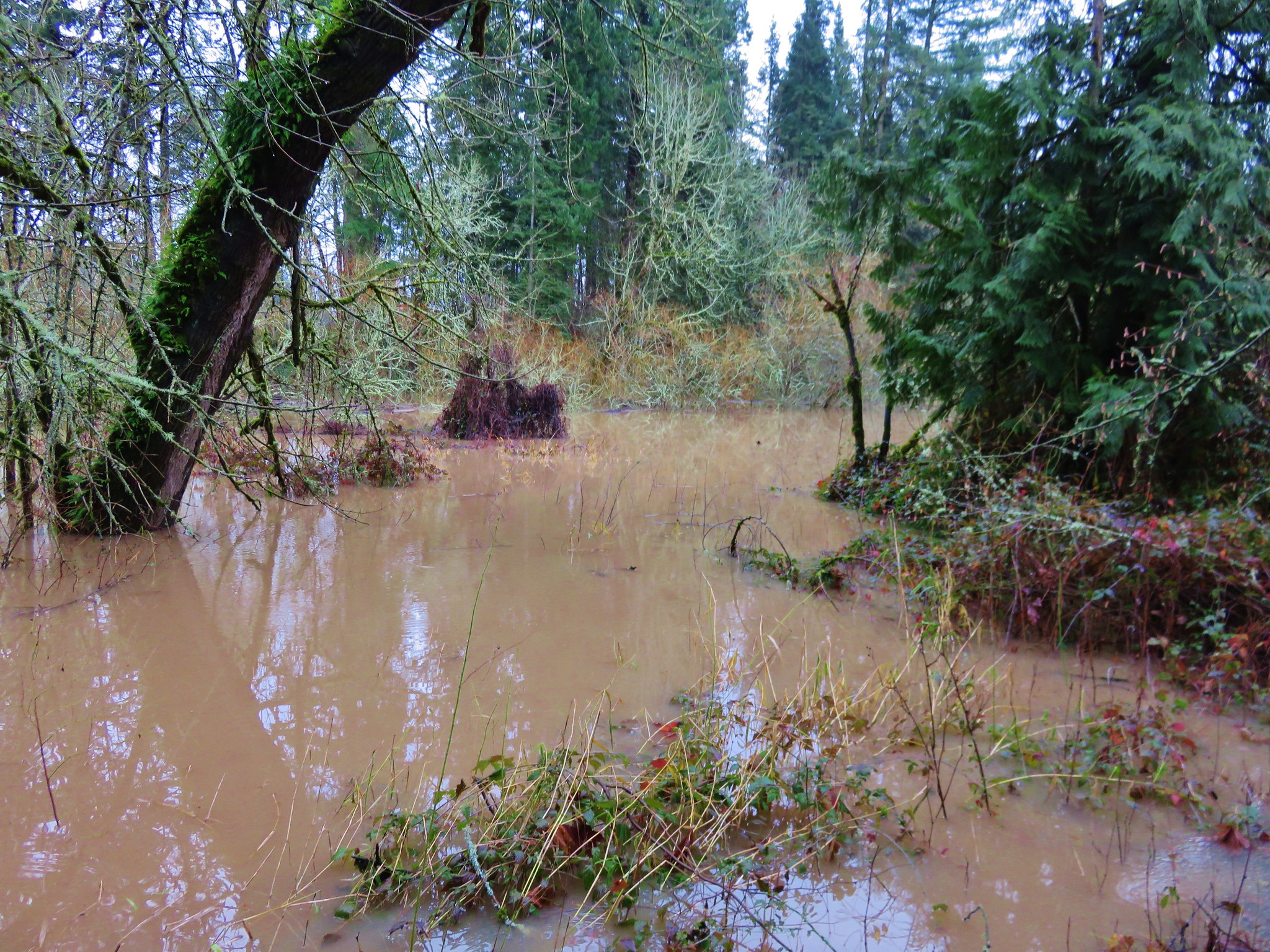
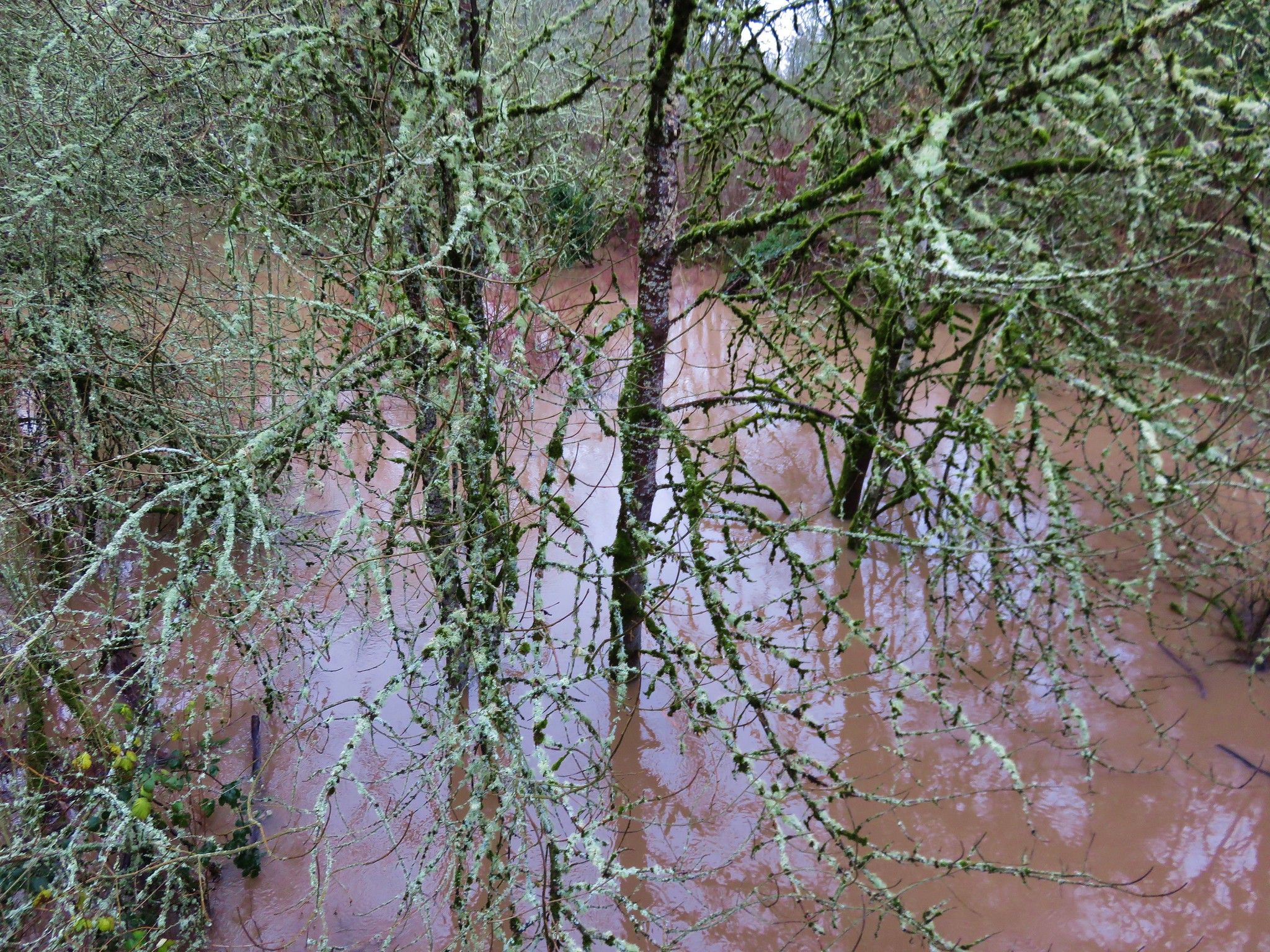
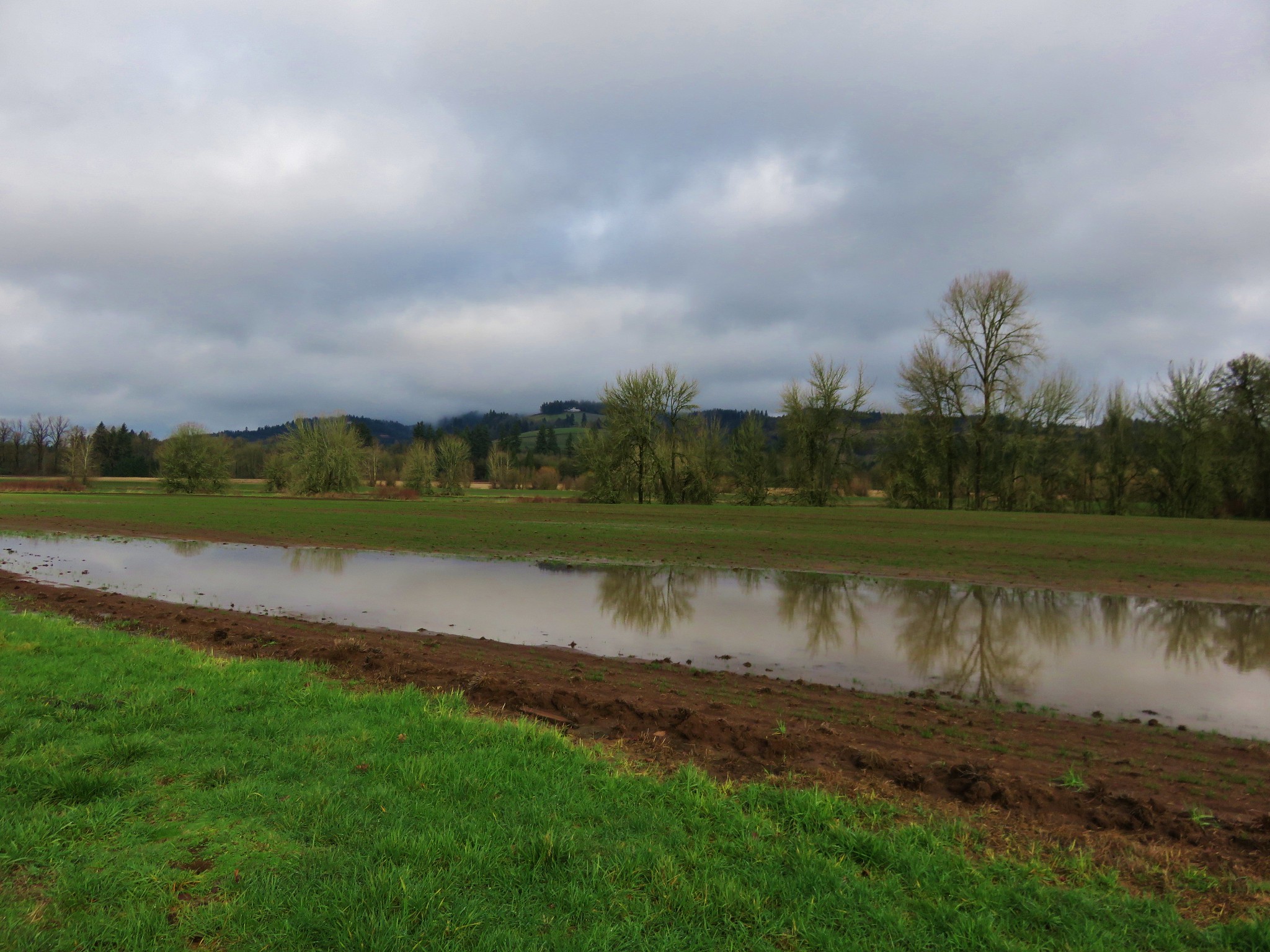
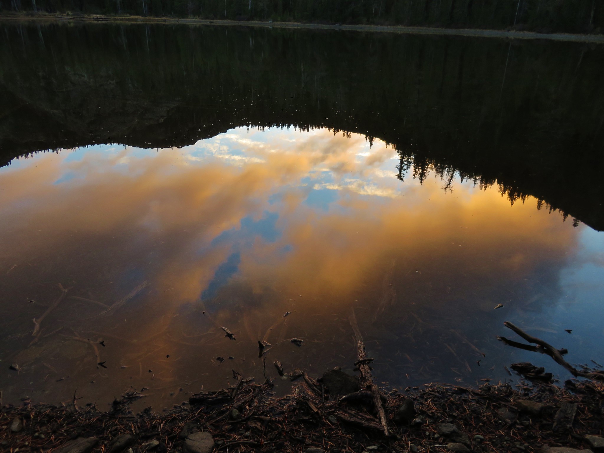
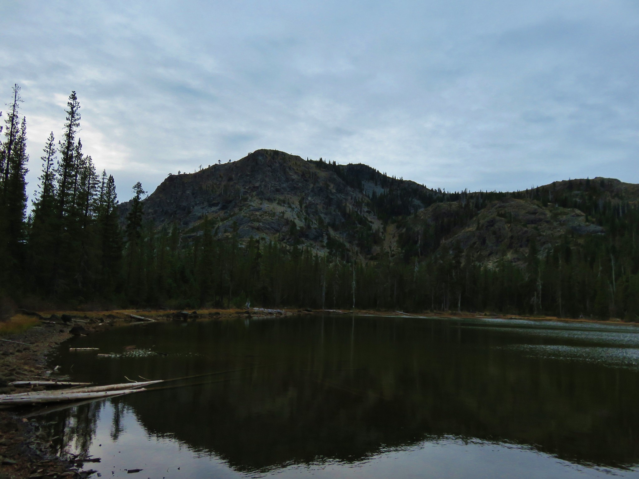
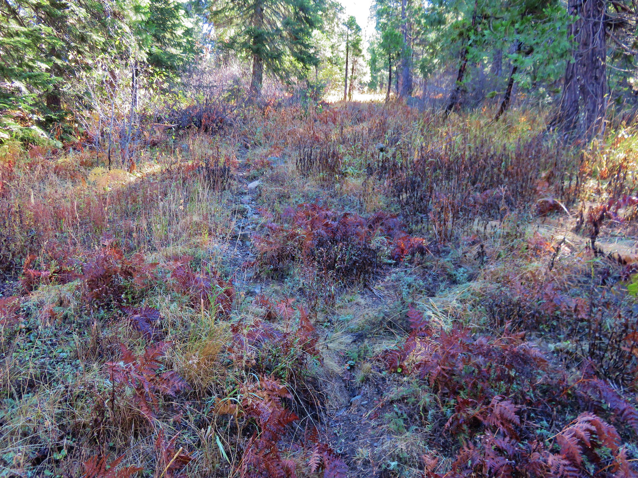
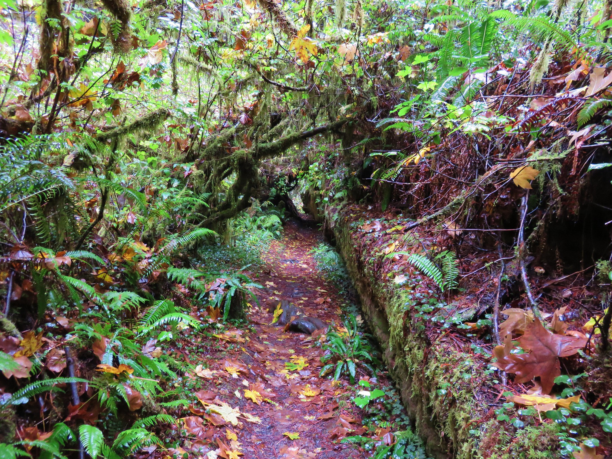
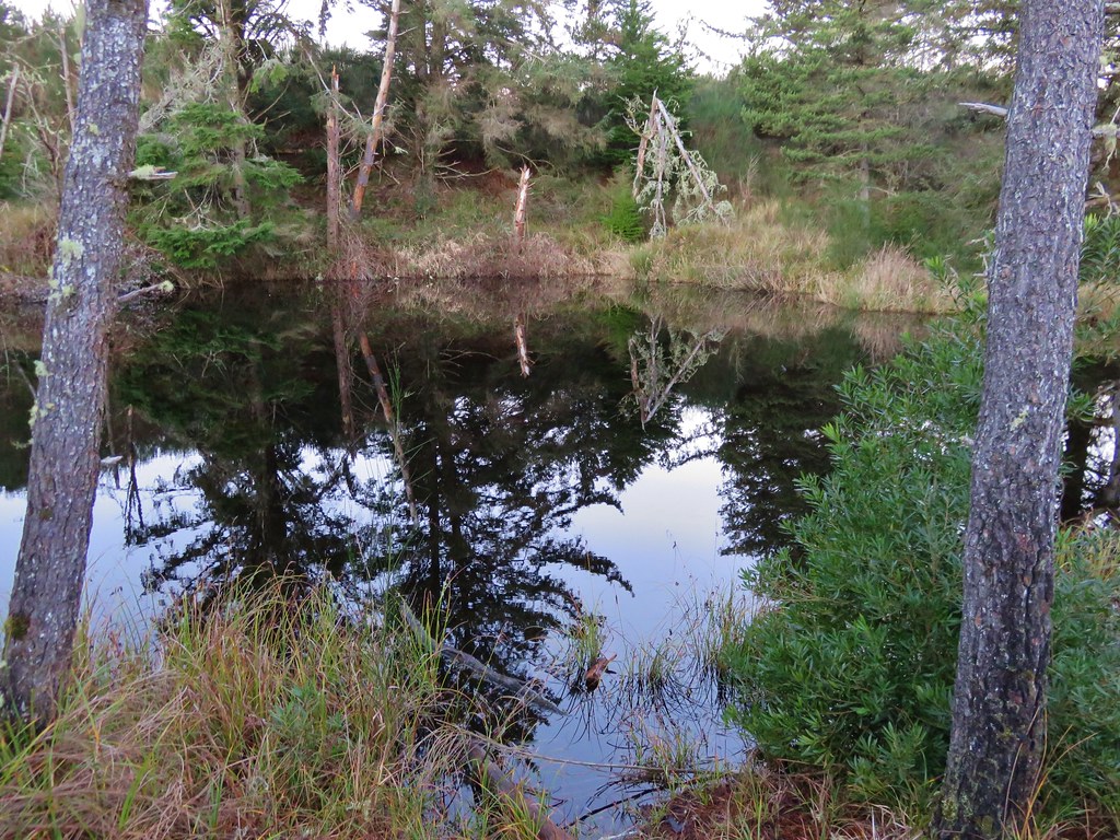
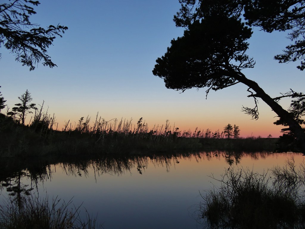
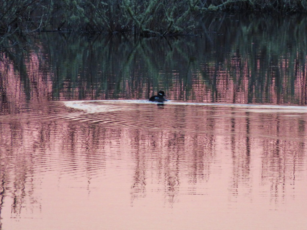
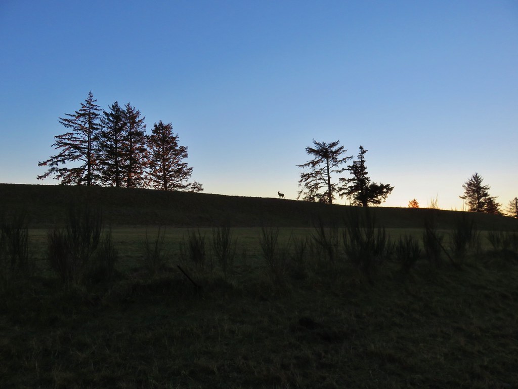
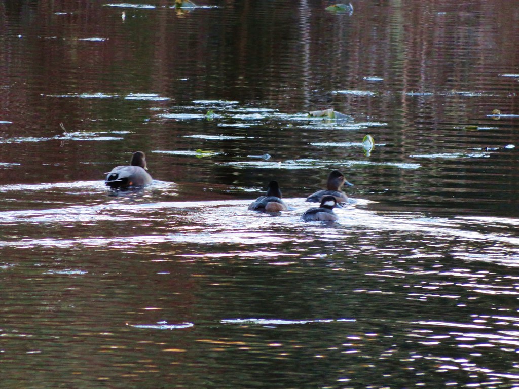
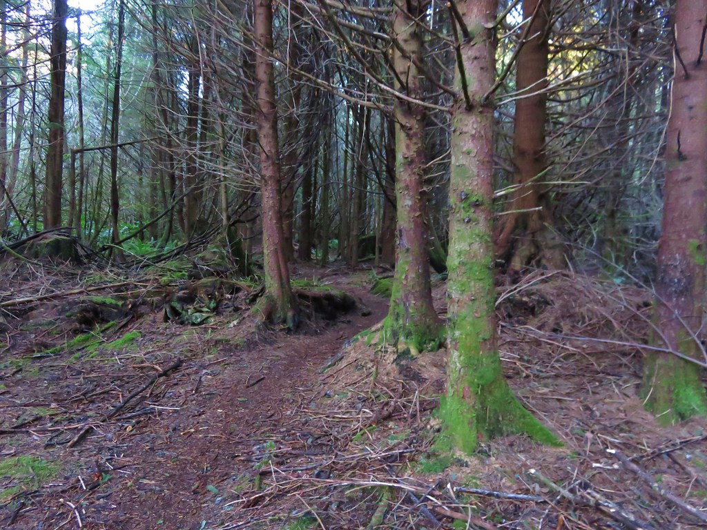
After returning to the trailhead we headed inland toward Fort Clatsop which was 6.2 miles away. The first portion of the trail passed through storm damaged trees skirting several bodies of water. Ducks paddled about on the water as it reflected the colors of the sunrise.
IMG_2861

IMG_2865

IMG_2864

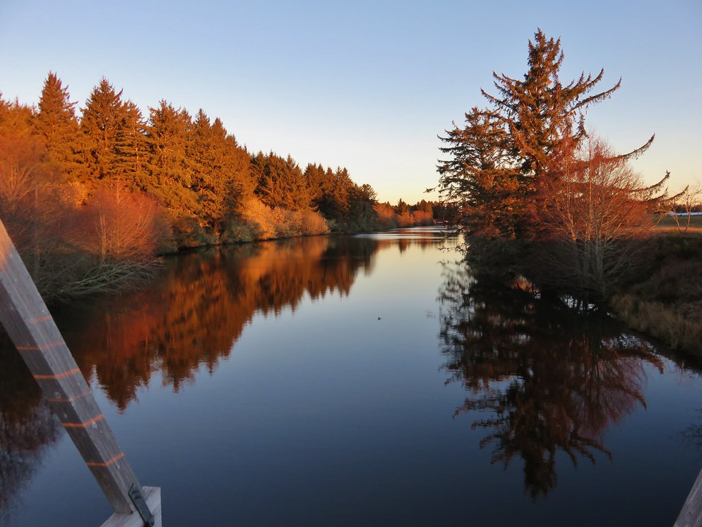
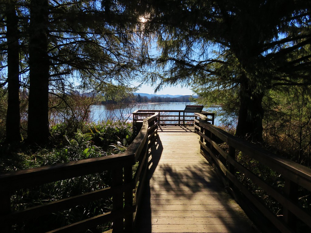
The path then led up and over a small sandy hill and down to an arched bridge over Neacoxie Lake.
IMG_2870

IMG_2876

IMG_2877

IMG_2874

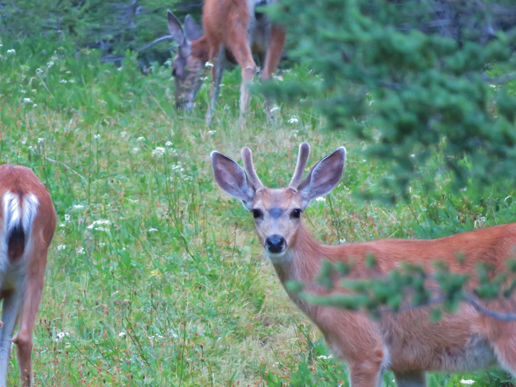
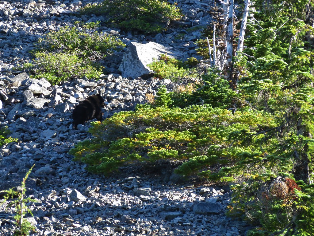
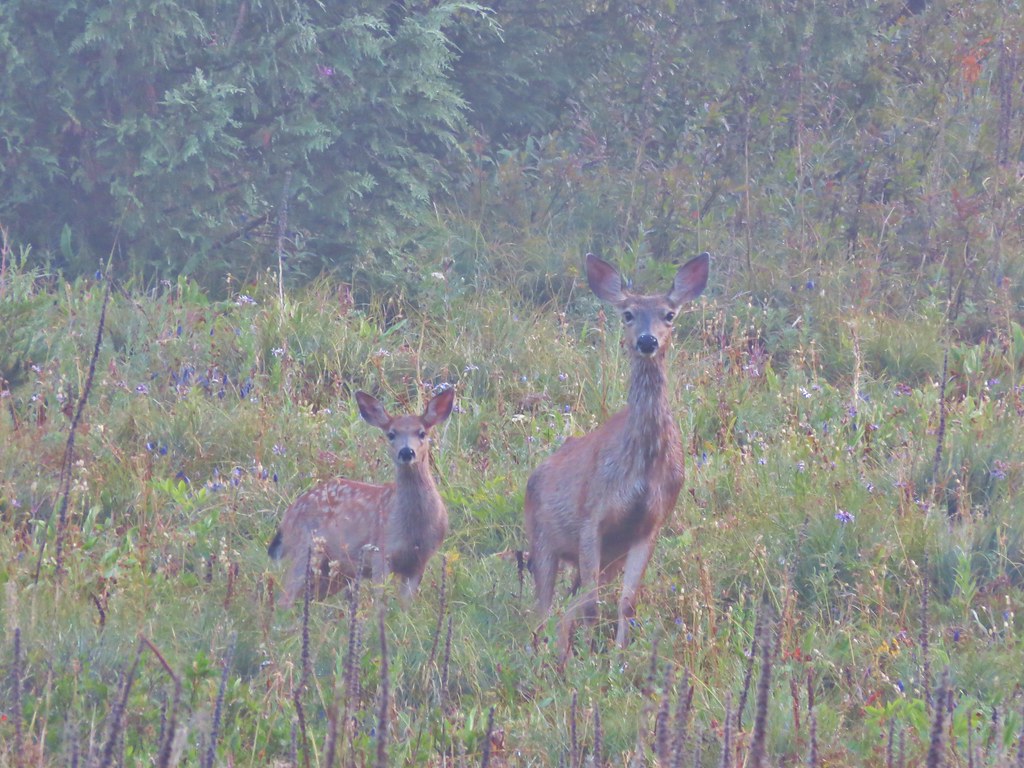
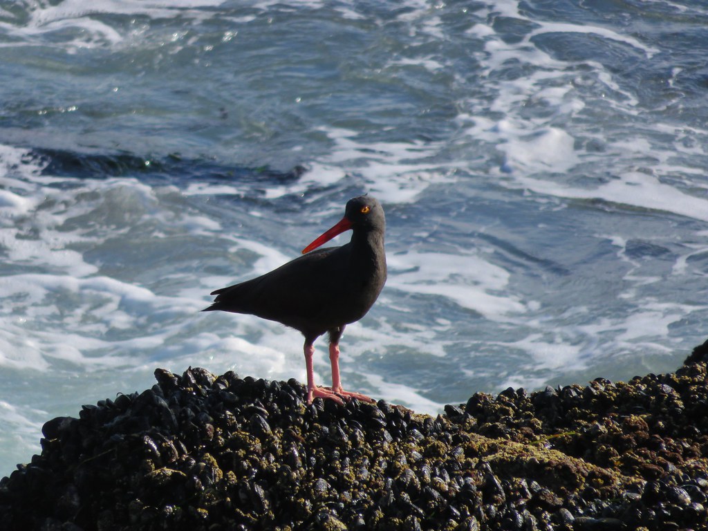
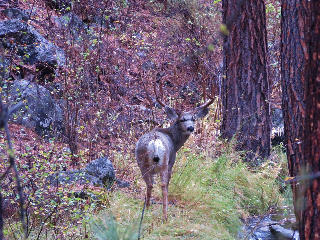
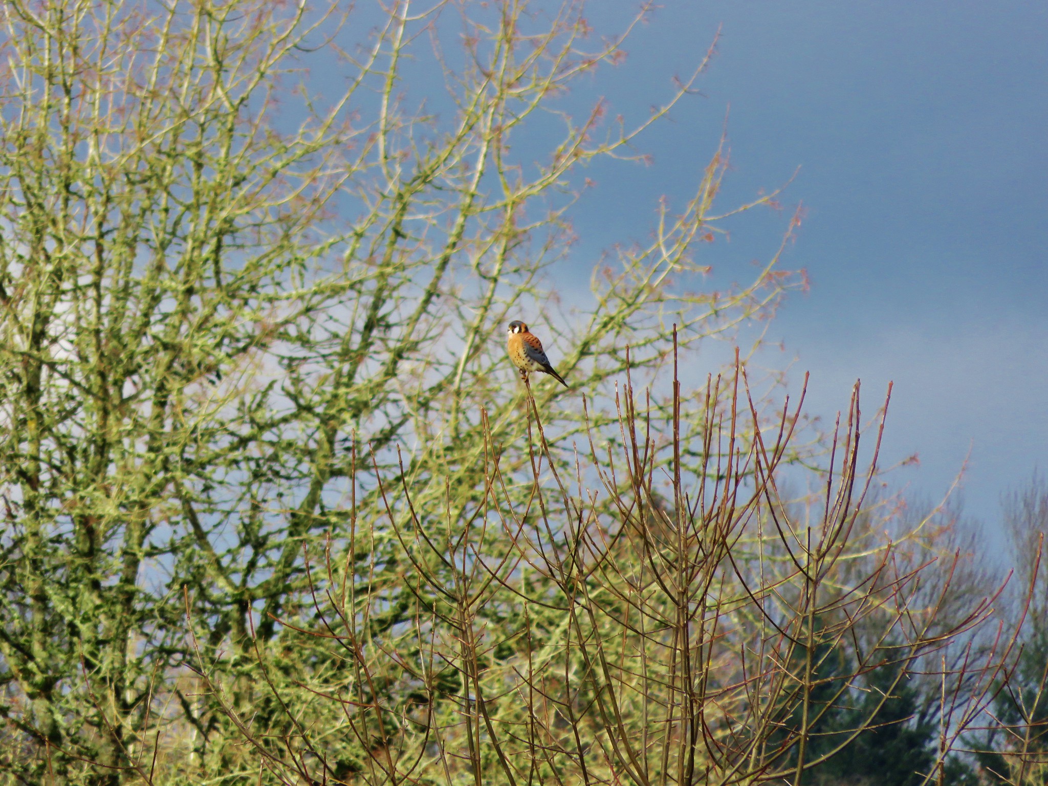
To the SE of the lake was the Astoria Country Club’s golf course, a popular morning stop for elk. We hadn’t seen any elk during our hikes in 2015, but on the far side of the course on a small hill were three.
IMG_2869

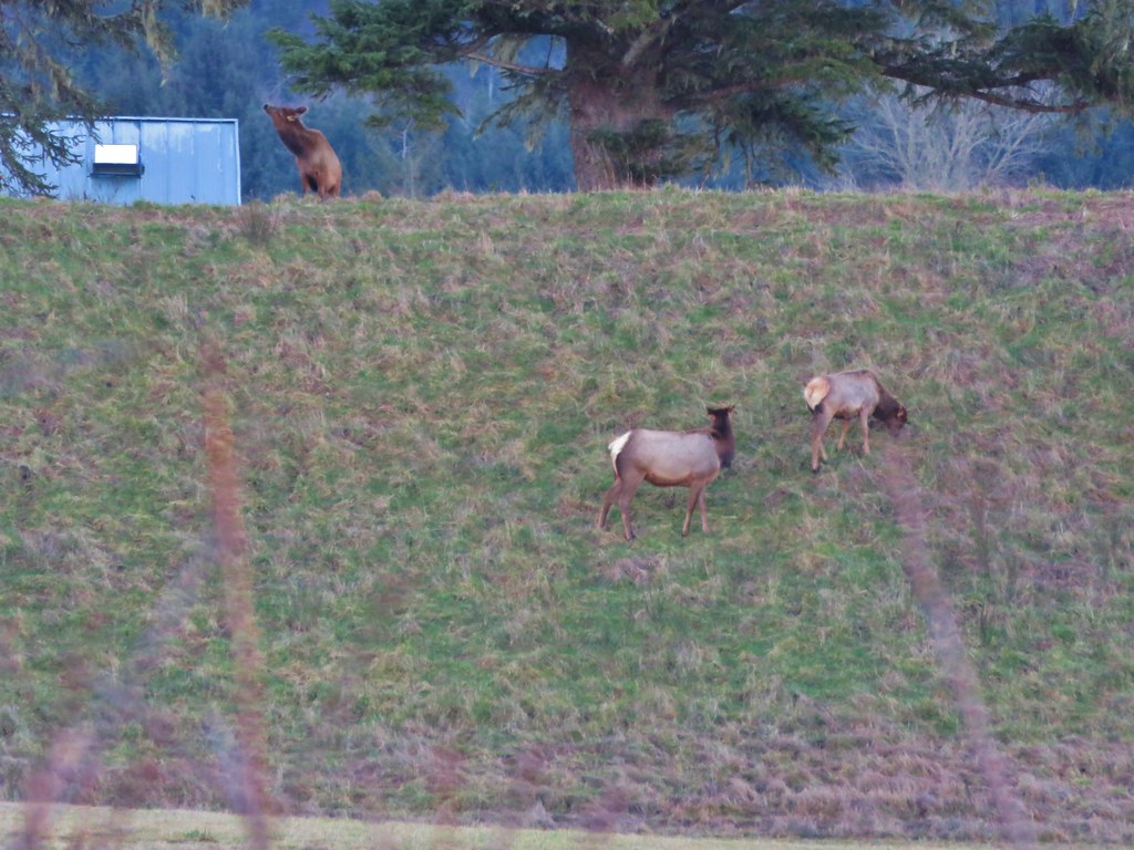
We watched them for a bit from the bridge as they made their way along the hillside.
IMG_2885

IMG_2887

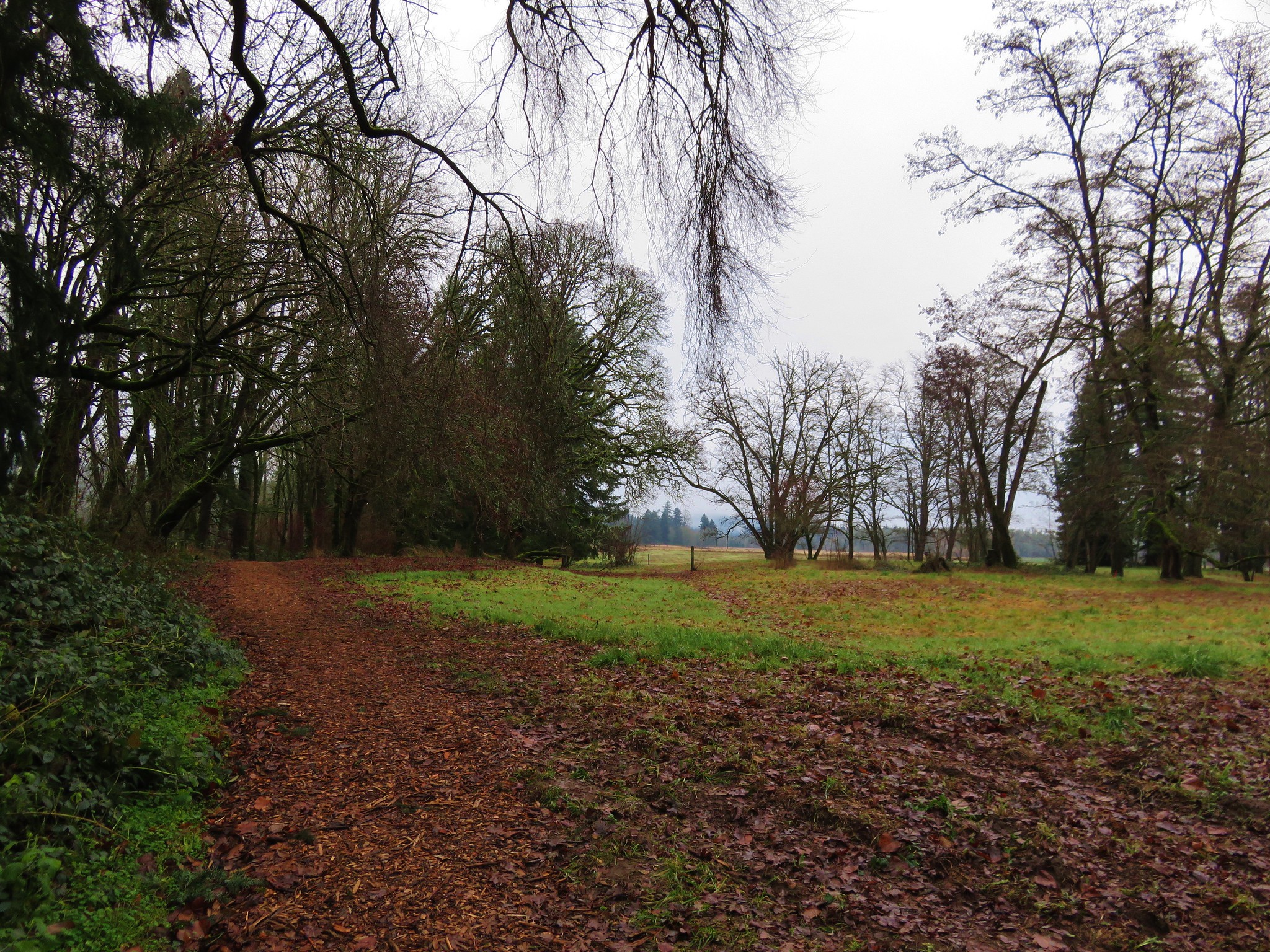
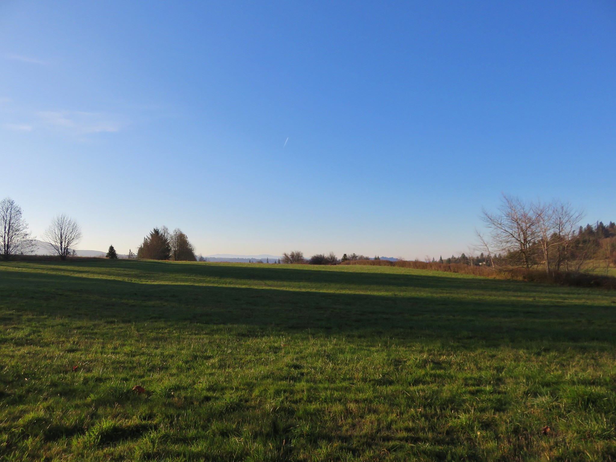
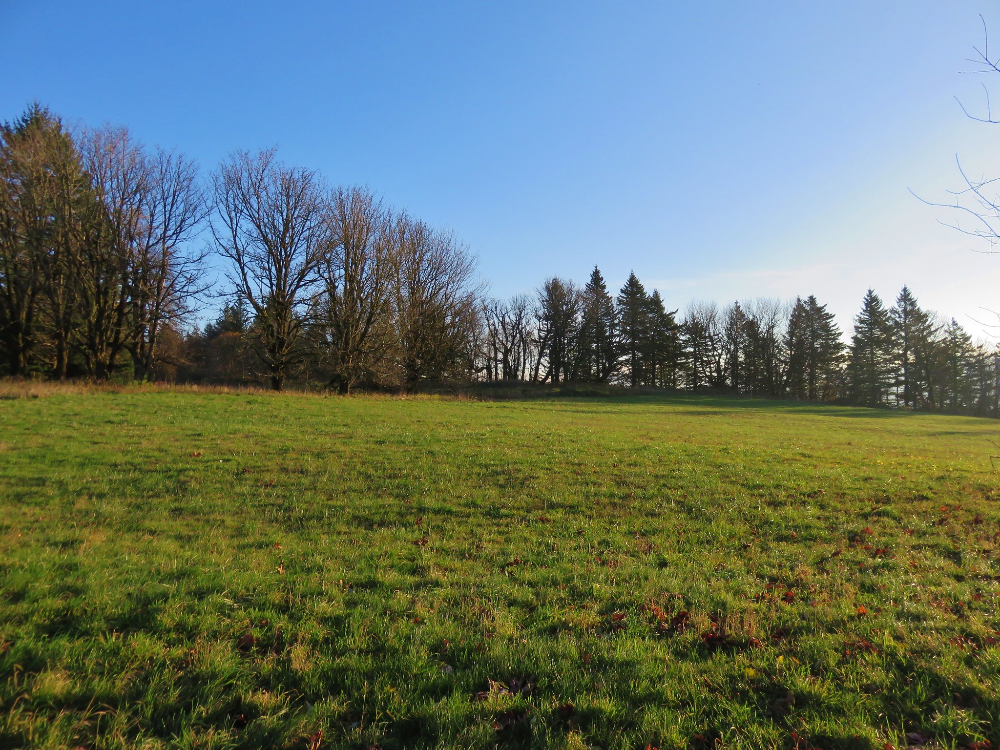
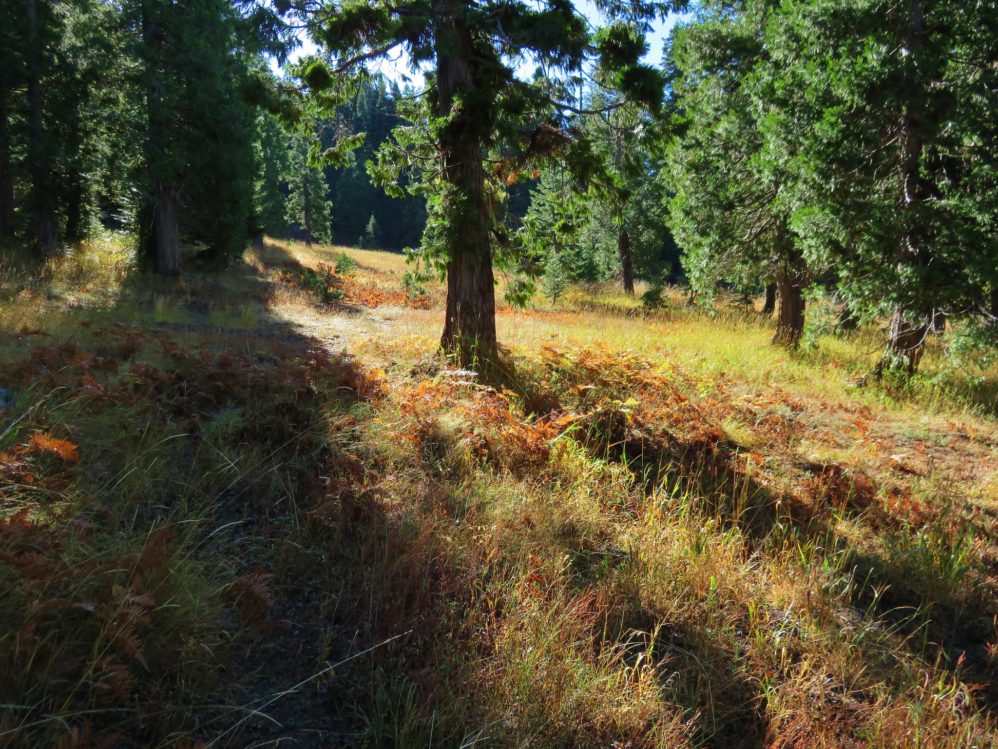
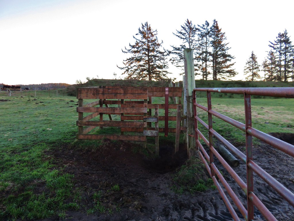
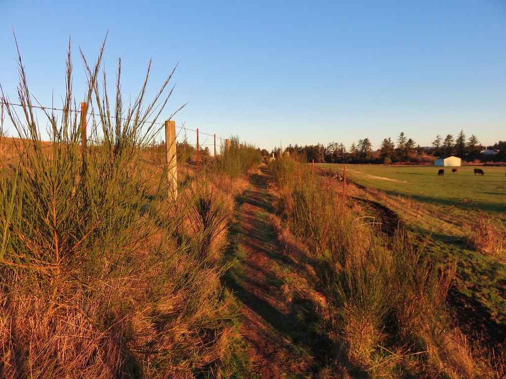
Beyond the bridge the trail passed through a mile and a half of pastures. The fenced route was well marked as the trail led to East Neacoxie Lake.
IMG_2890

IMG_2897

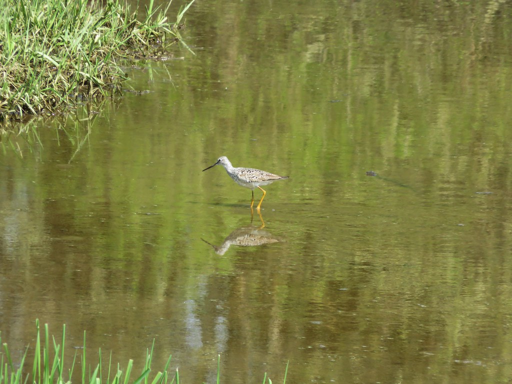
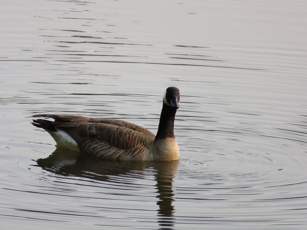
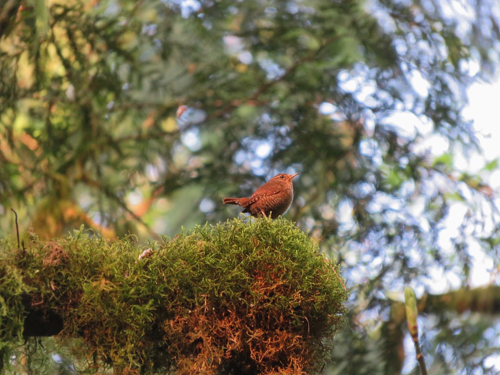
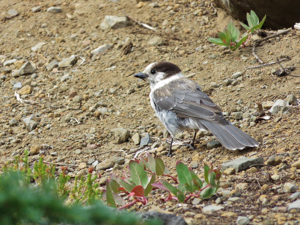
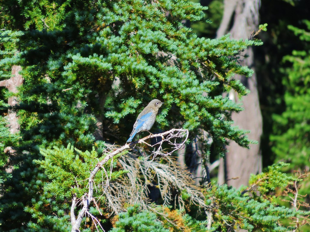
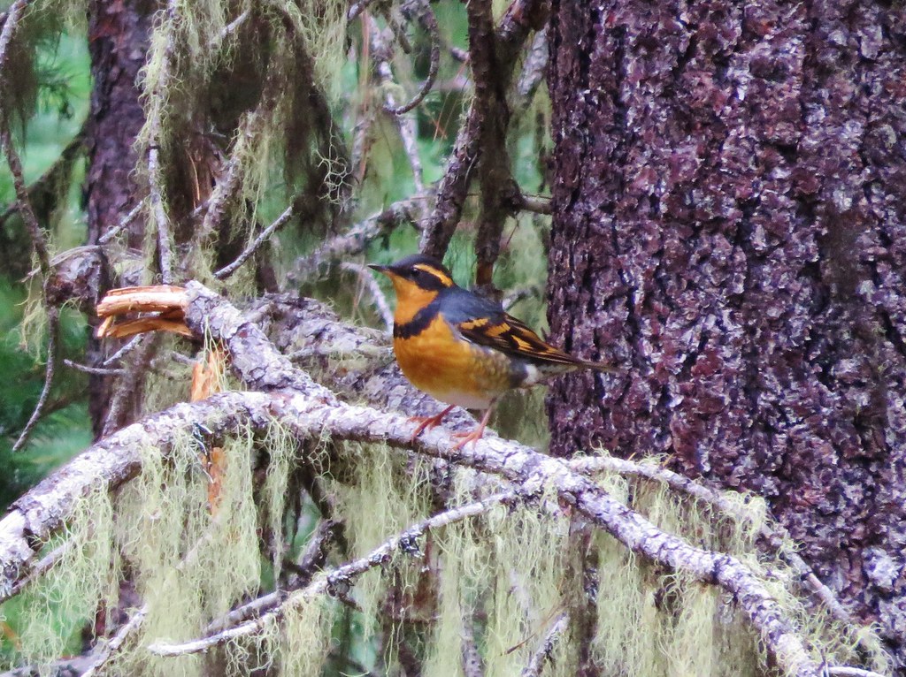
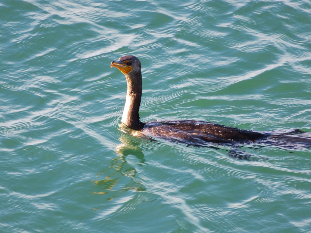
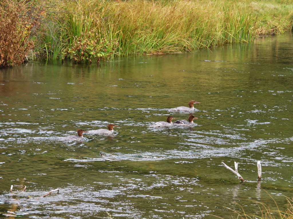
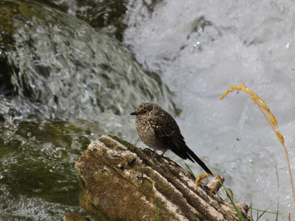
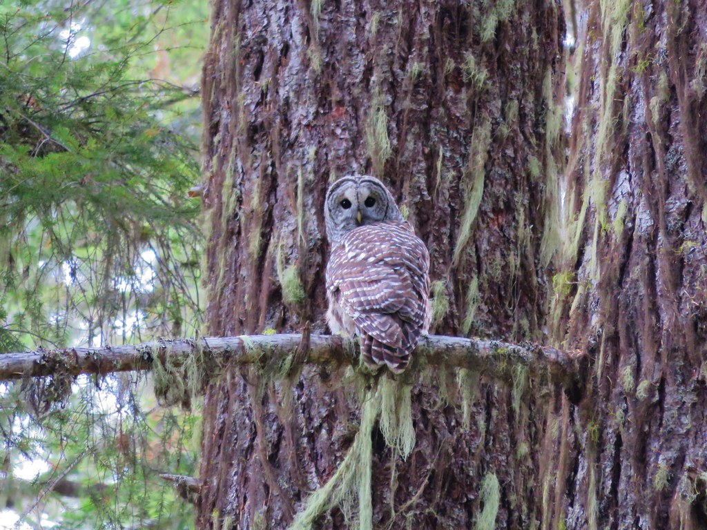
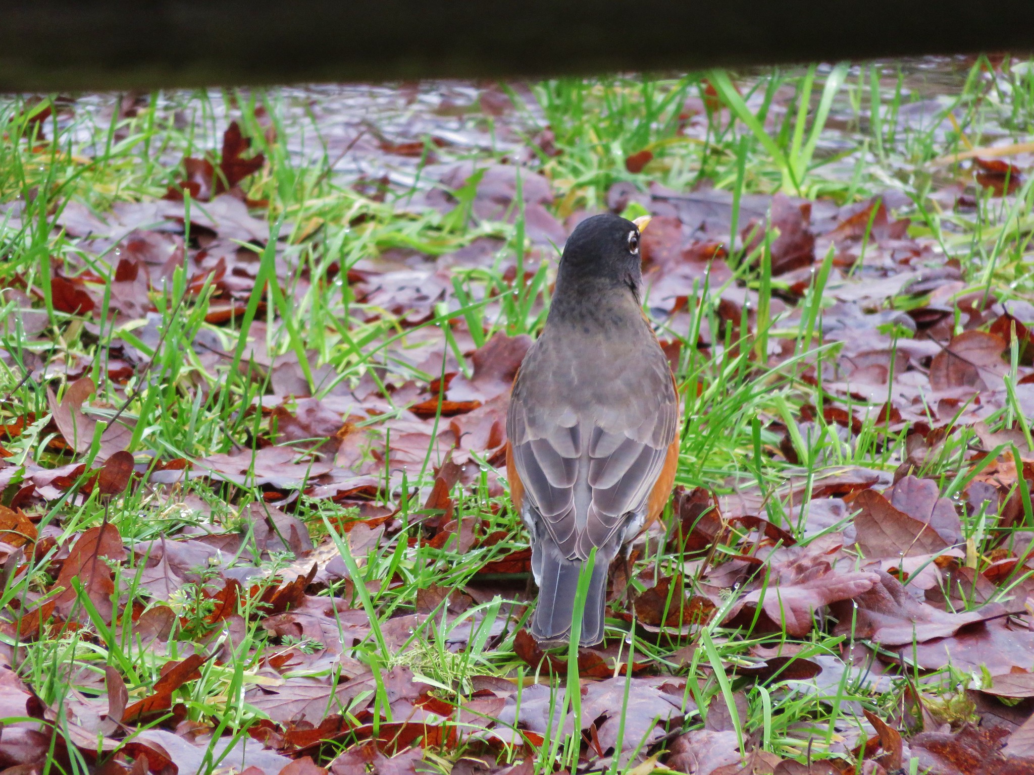
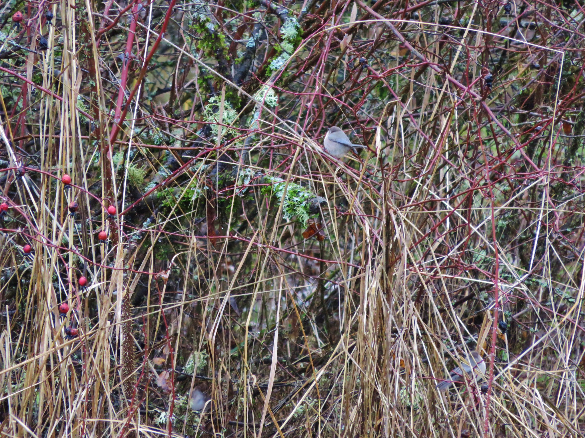
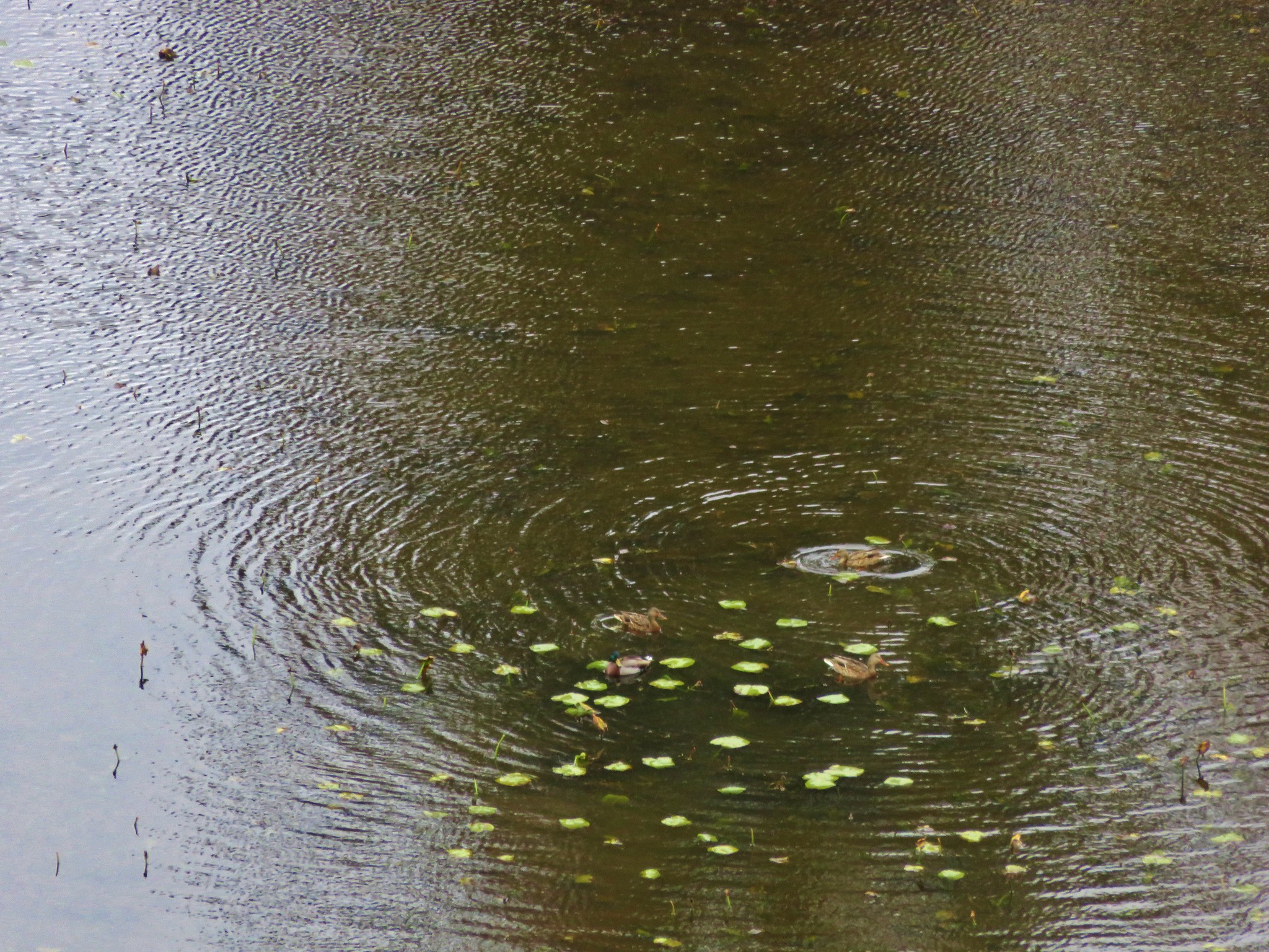
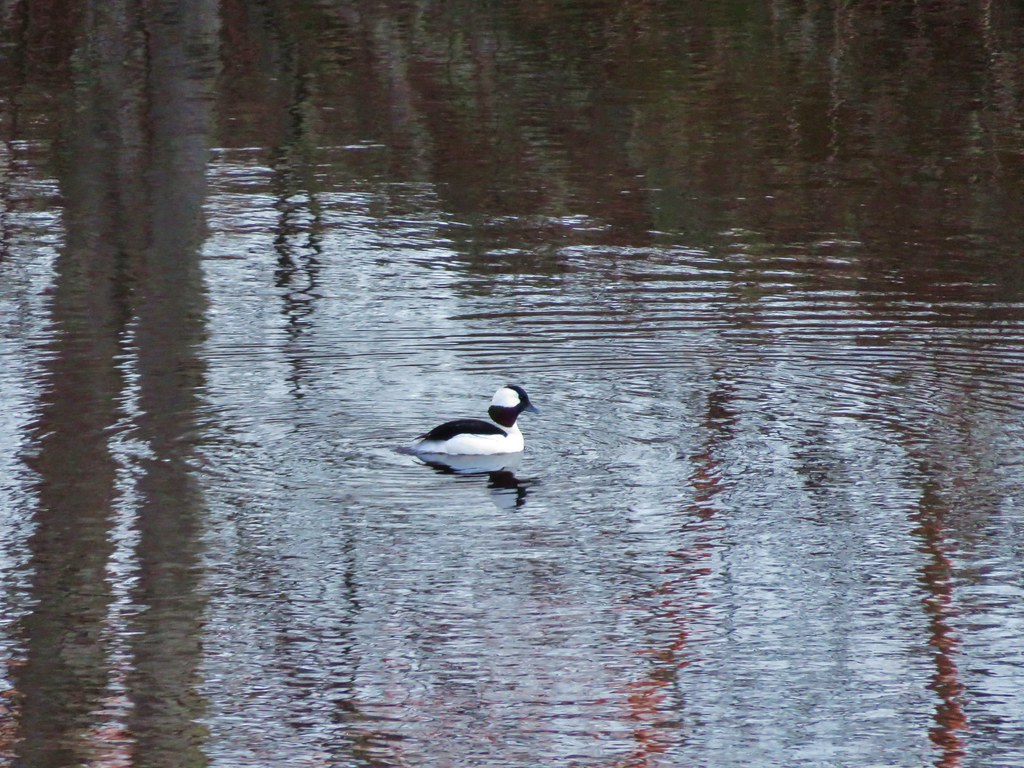
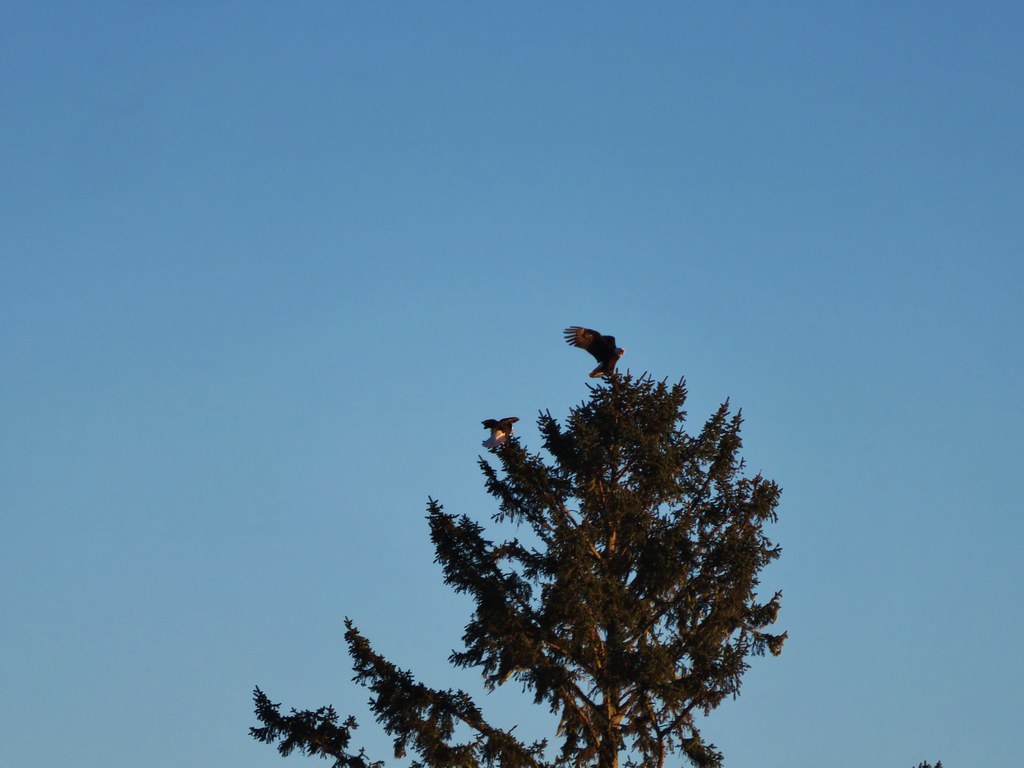
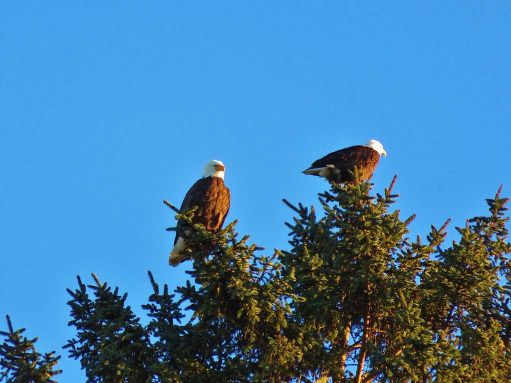
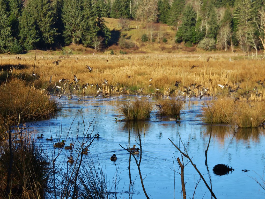
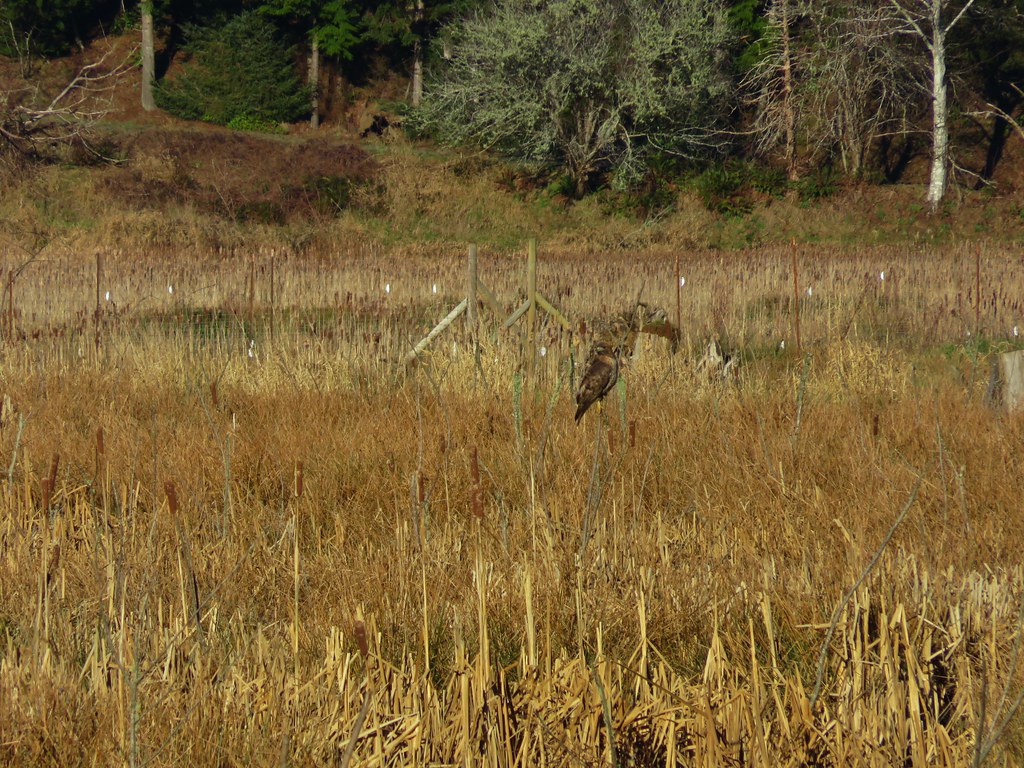
Smaller than Neacoxie Lake, East Neacoxie Lake was full of wildlife. A pair of Bald Eagles watched over the many ducks and small birds enjoying the lake.
IMG_2898

IMG_2906

IMG_2918

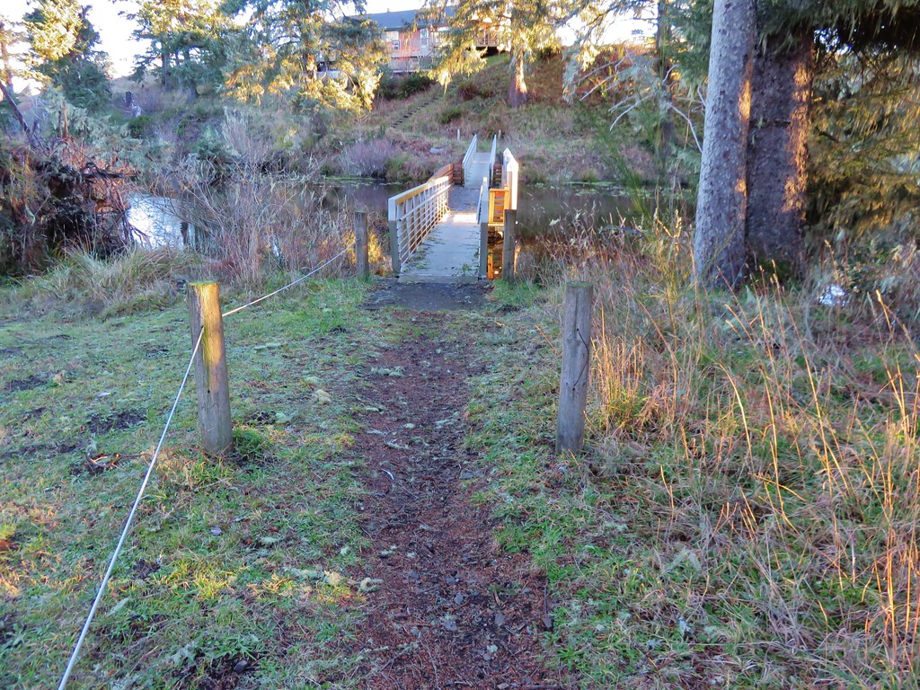
The trail crossed this lake on a floating bridge.
IMG_2917

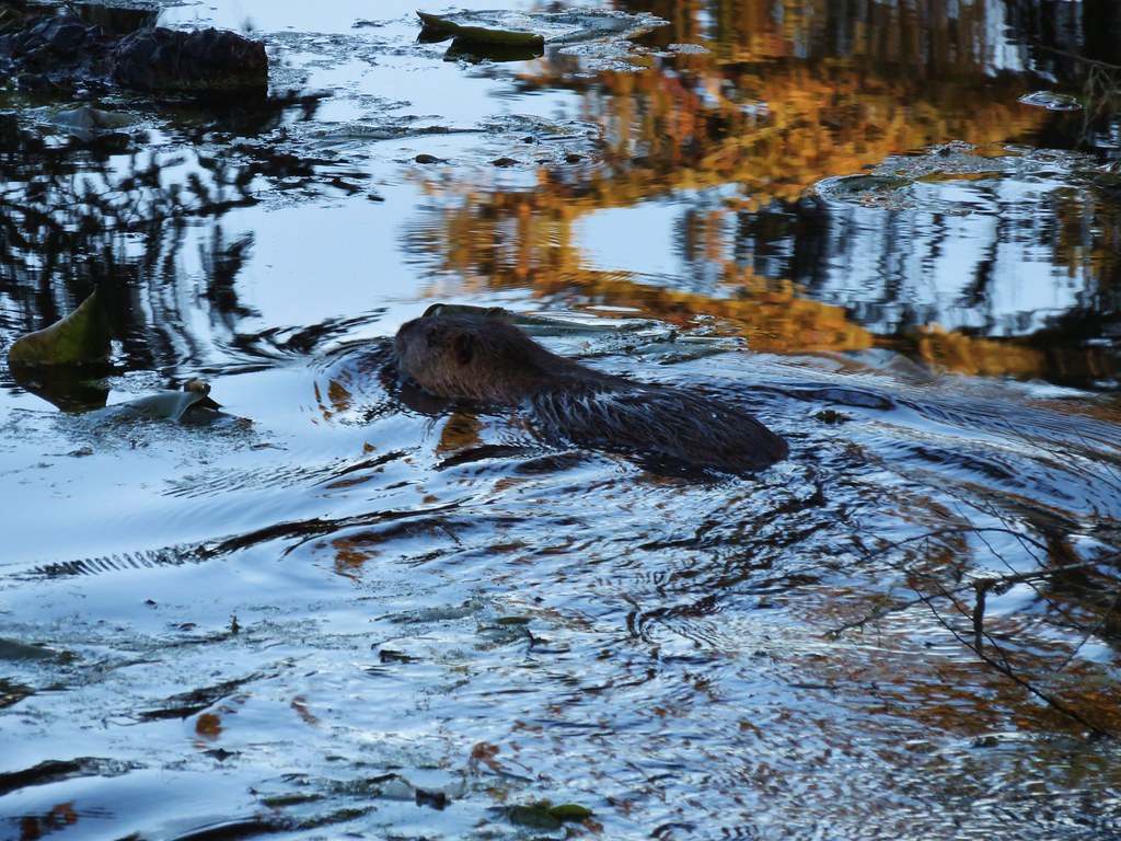
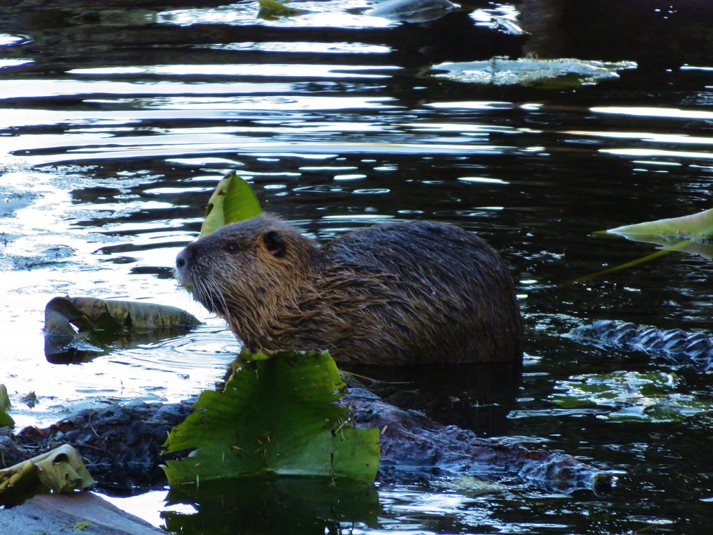
As we were making our way across something swam out from under the bank near the far end of the bridge. Our minds immediately went to otter or beaver, neither of which we have spotted yet during a hike. Instead it turned out to be a nutria, a large rat-like semiaquatic rodent considered an invasive species by the ODFW.
IMG_2921

IMG_2925

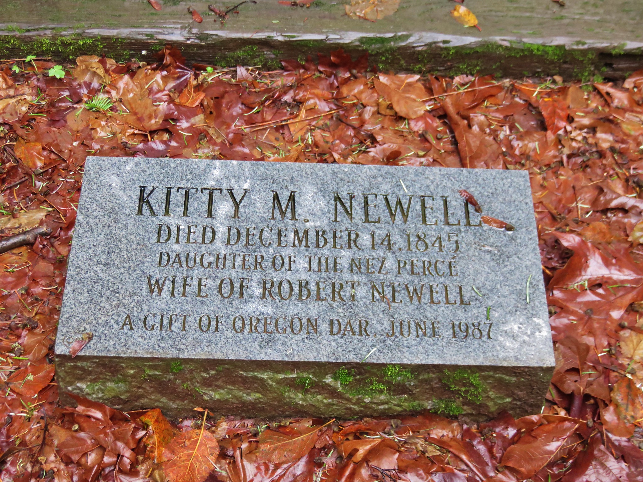
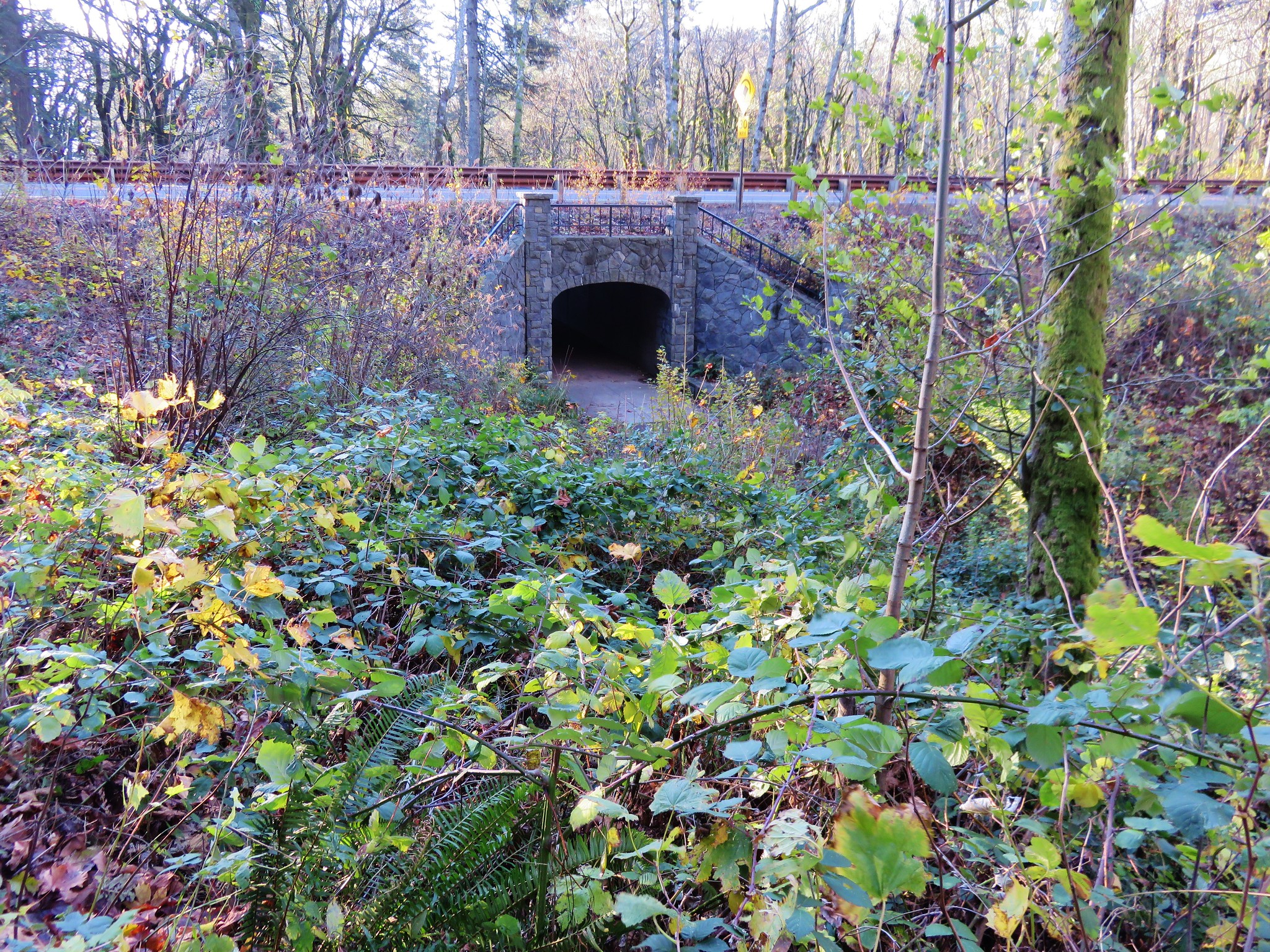
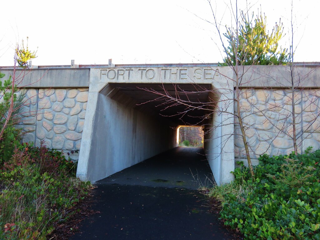
The trail then led past a pioneer church and cemetery to an underpass of Highway 101.
IMG_2928

IMG_2929

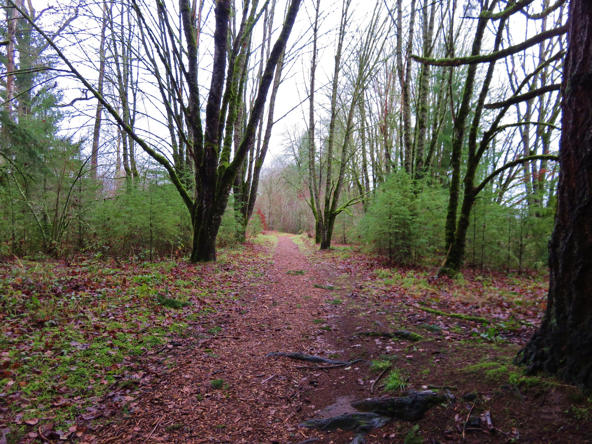
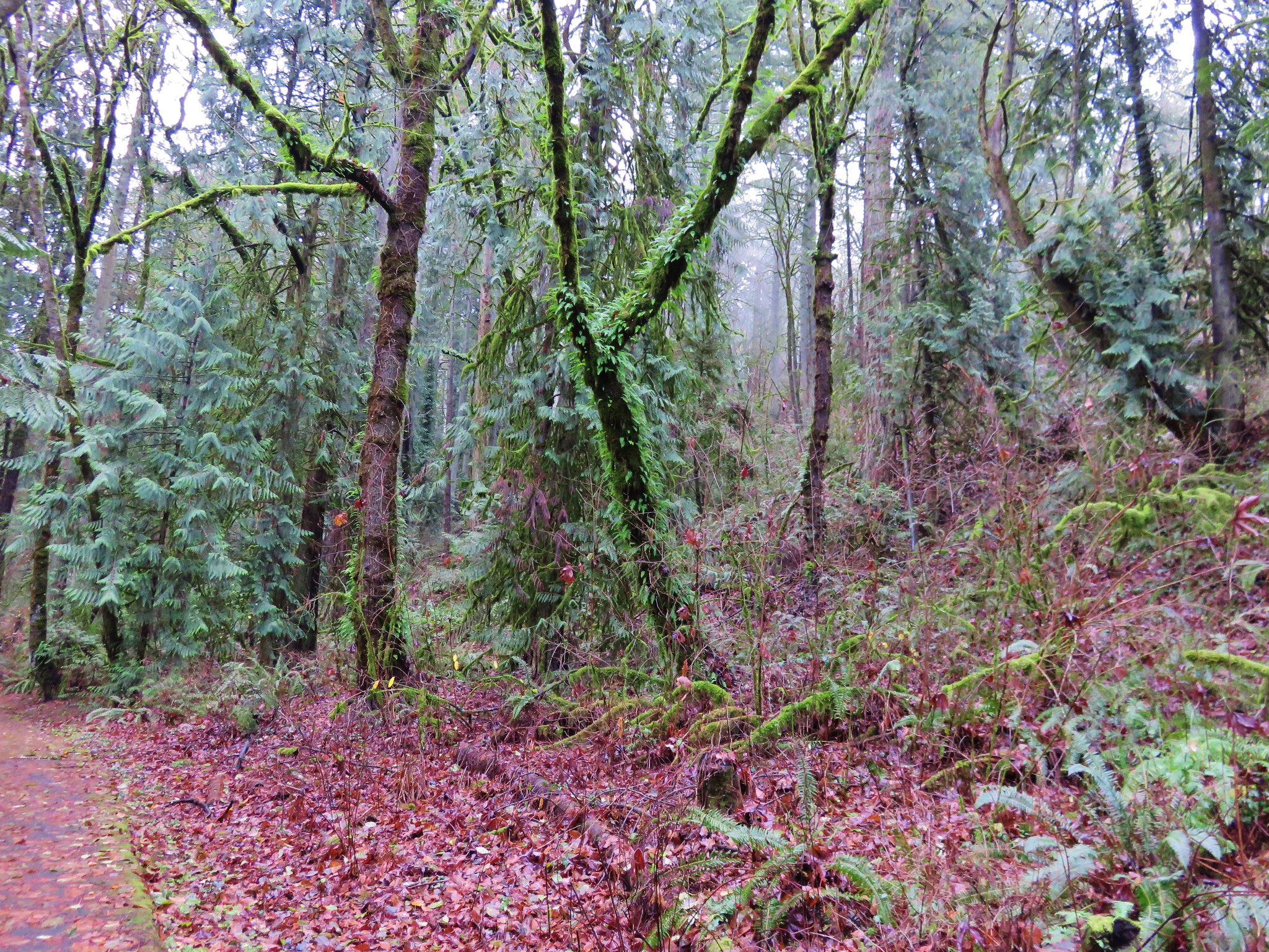
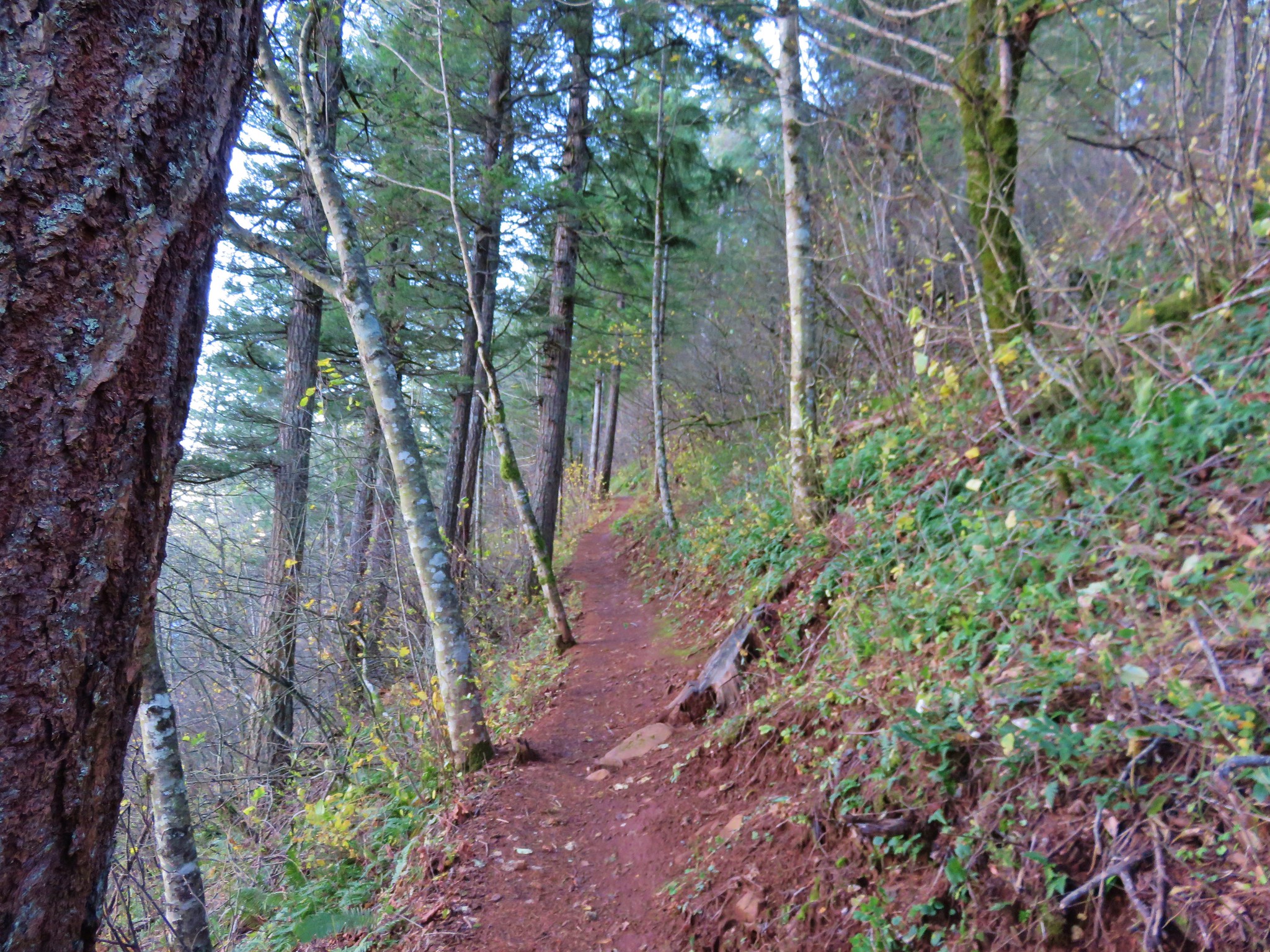
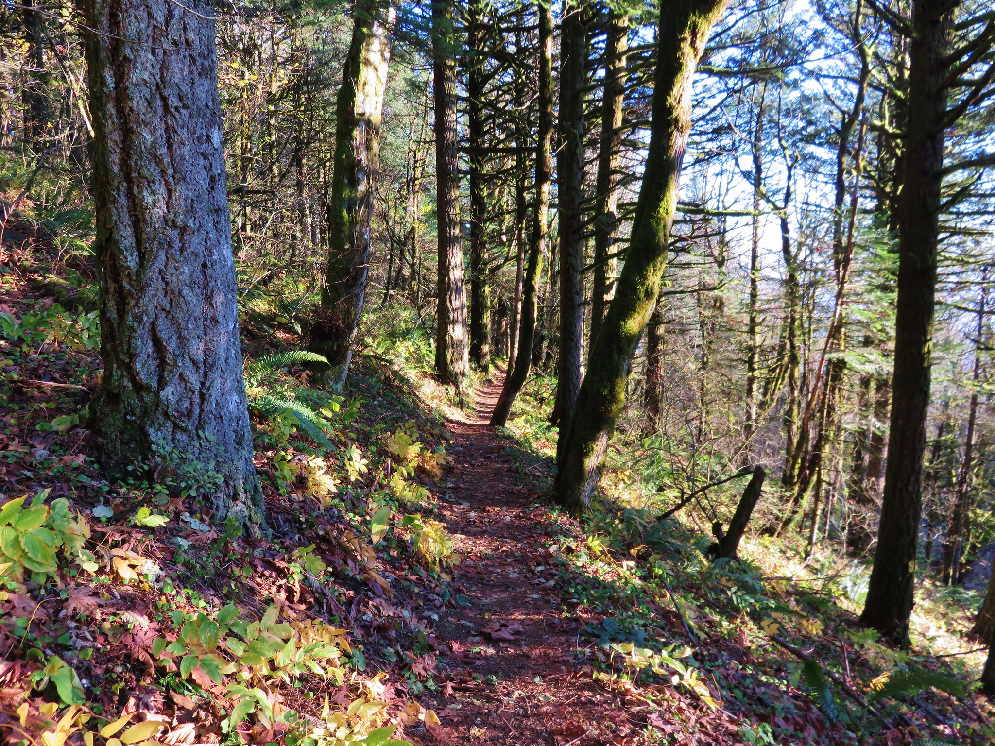
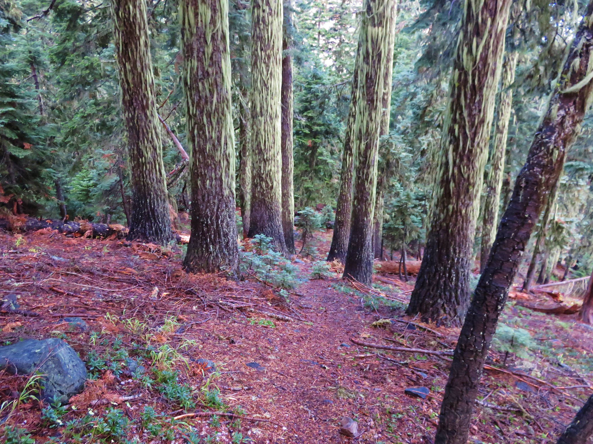
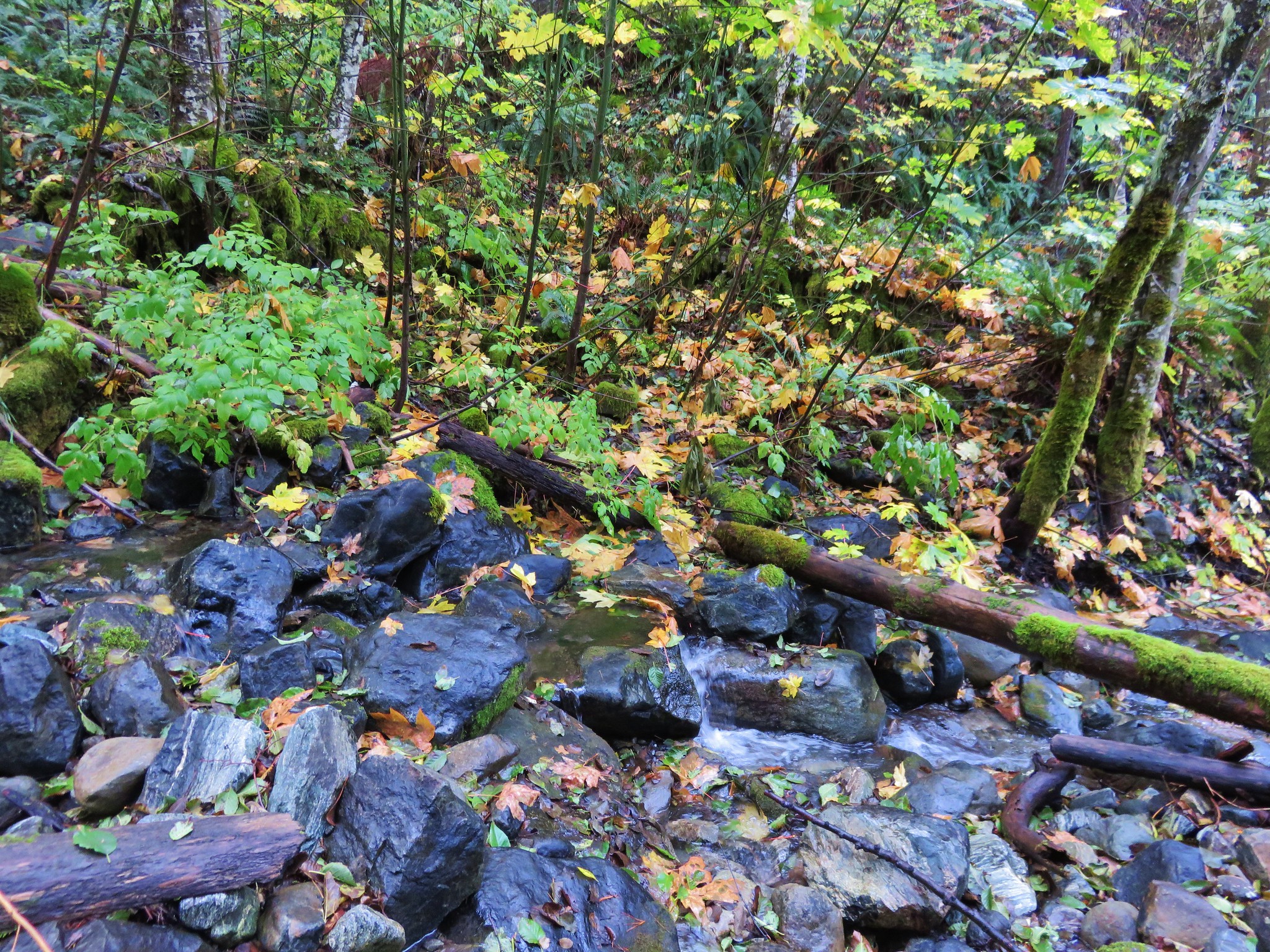
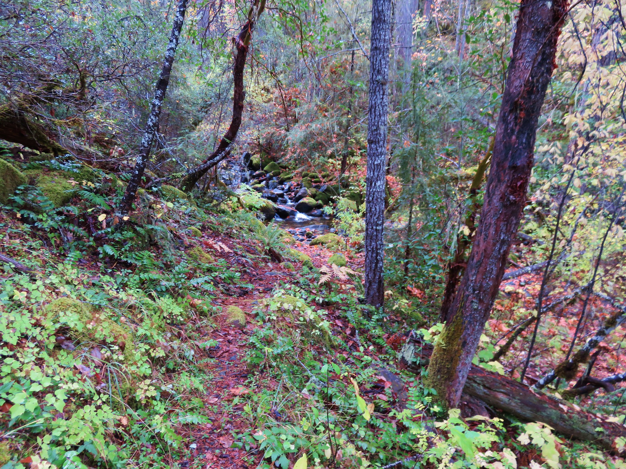
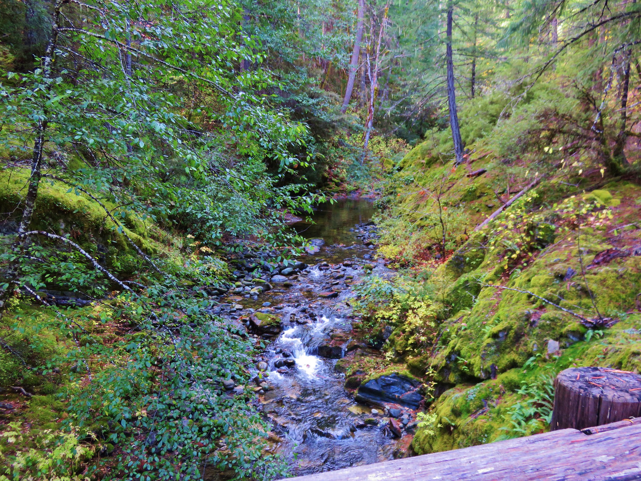
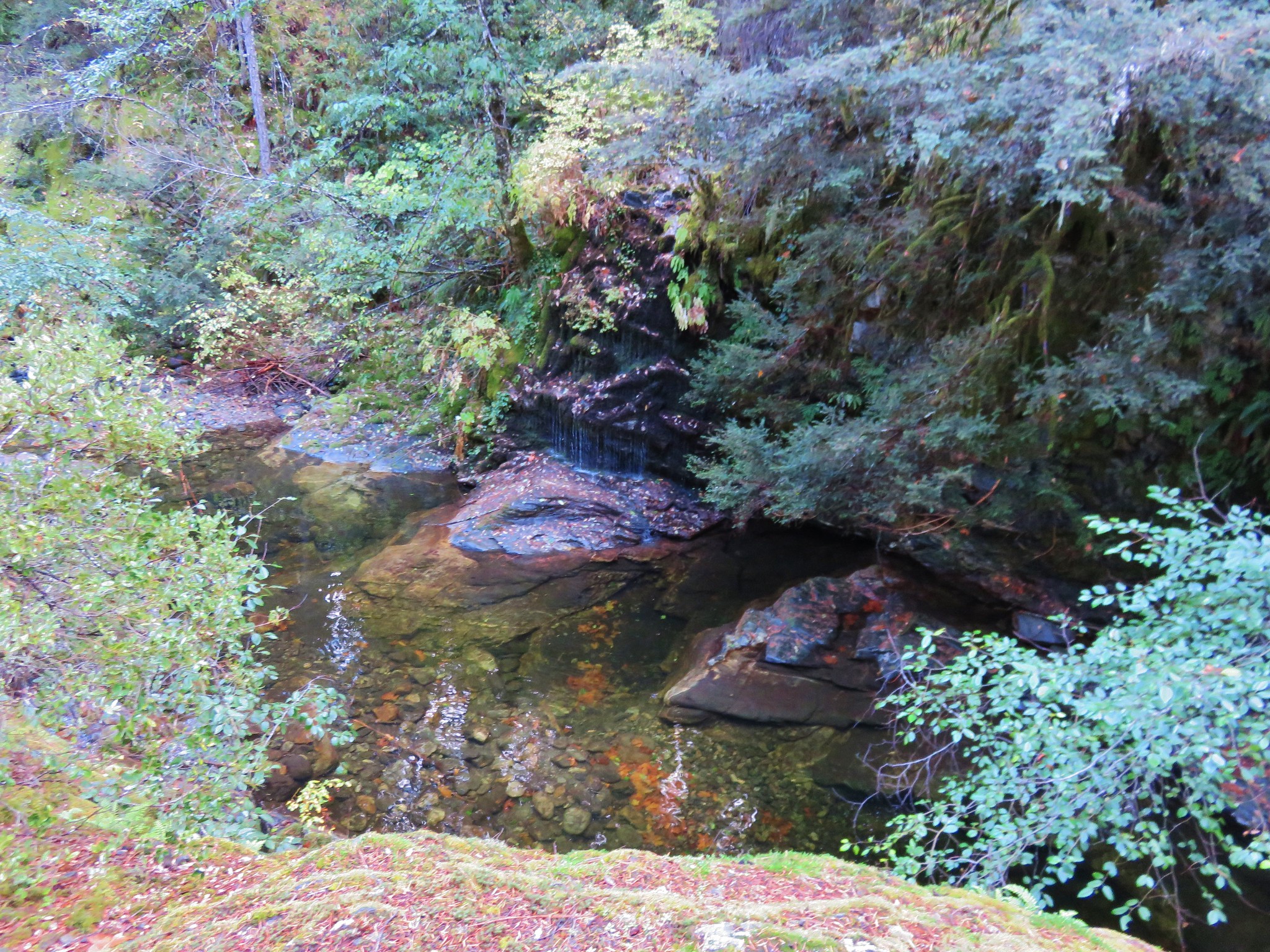
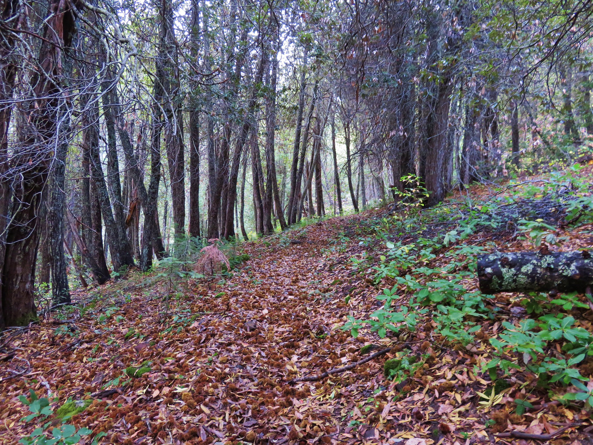
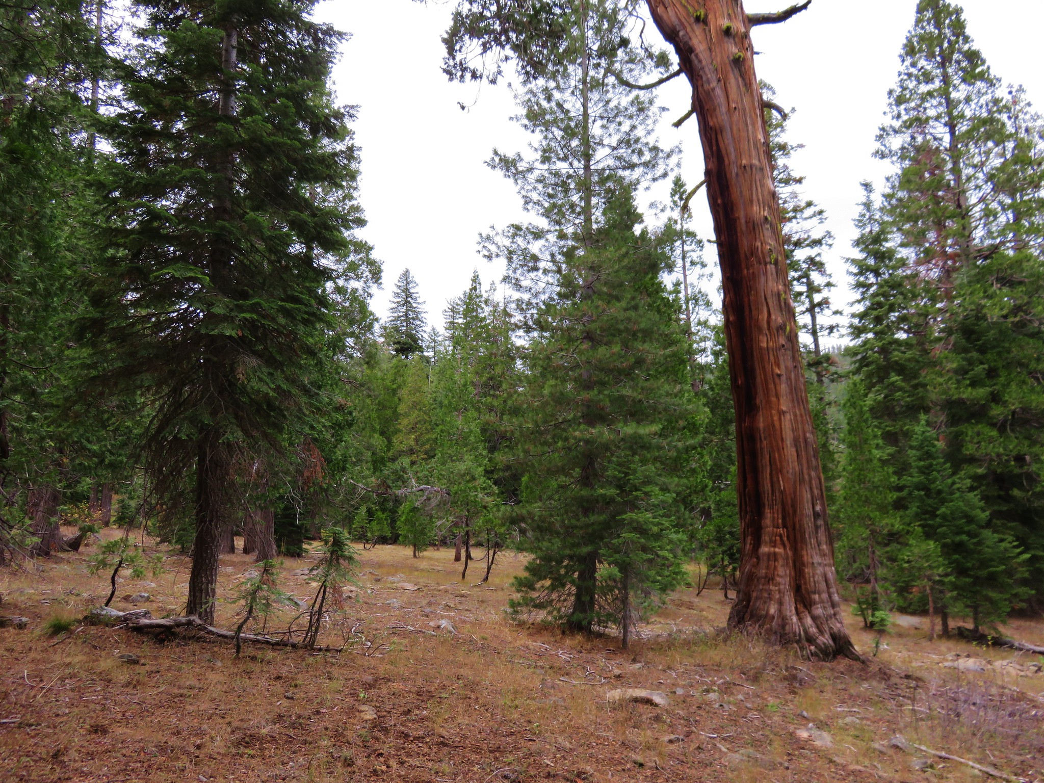
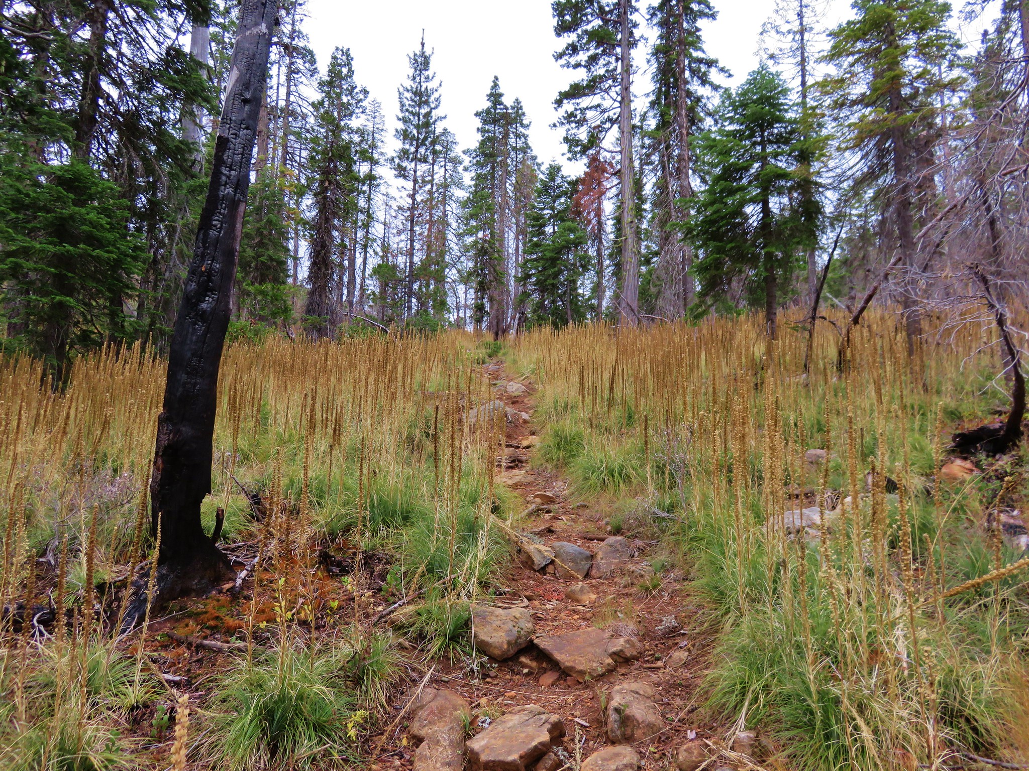
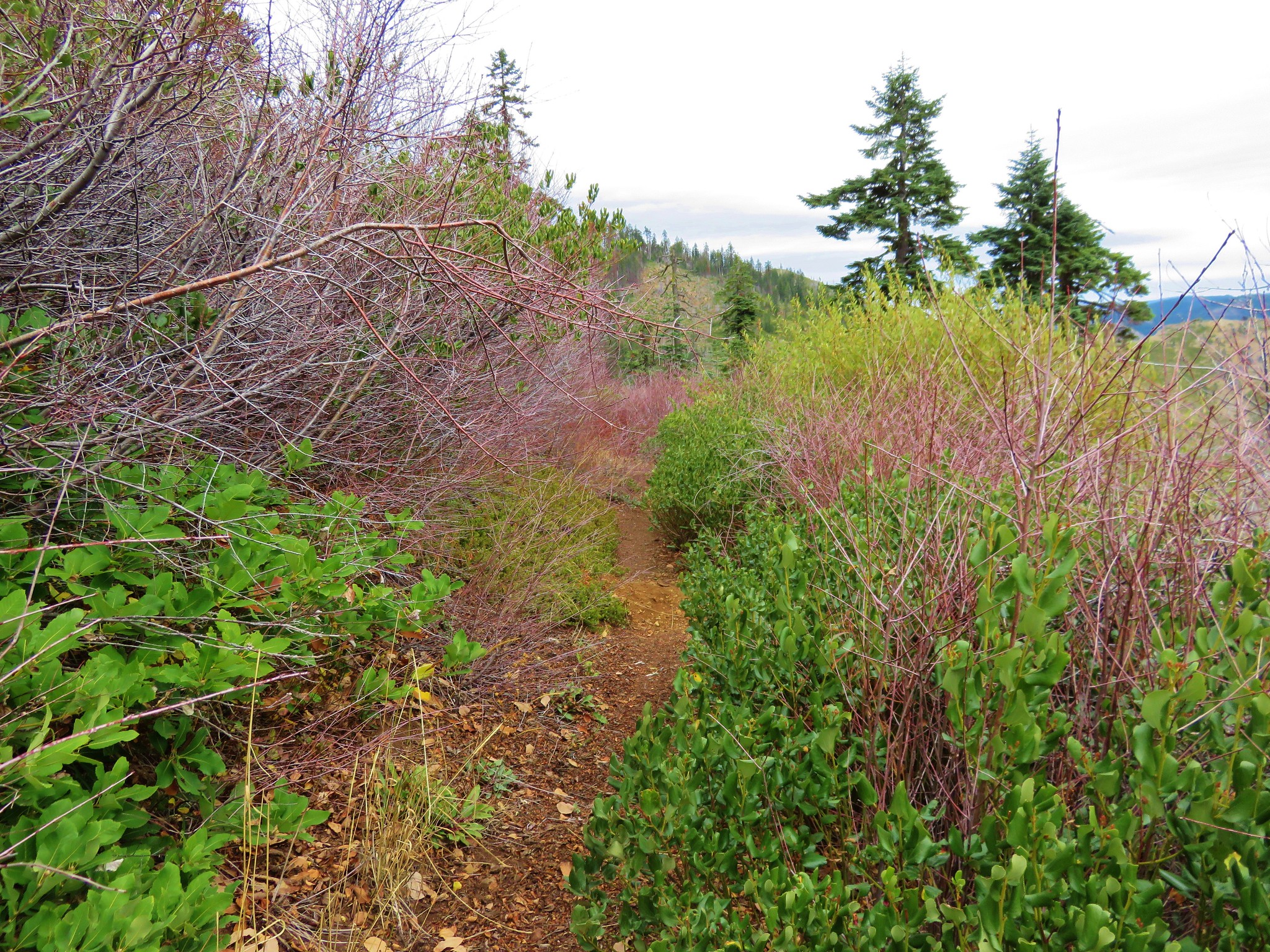
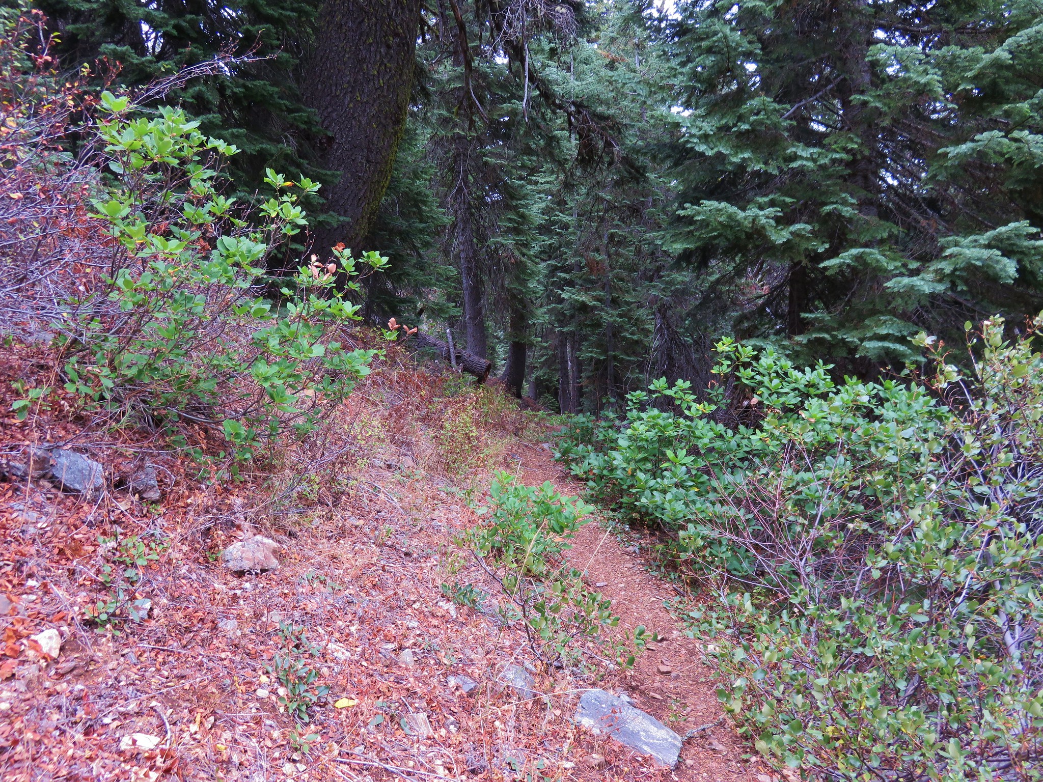
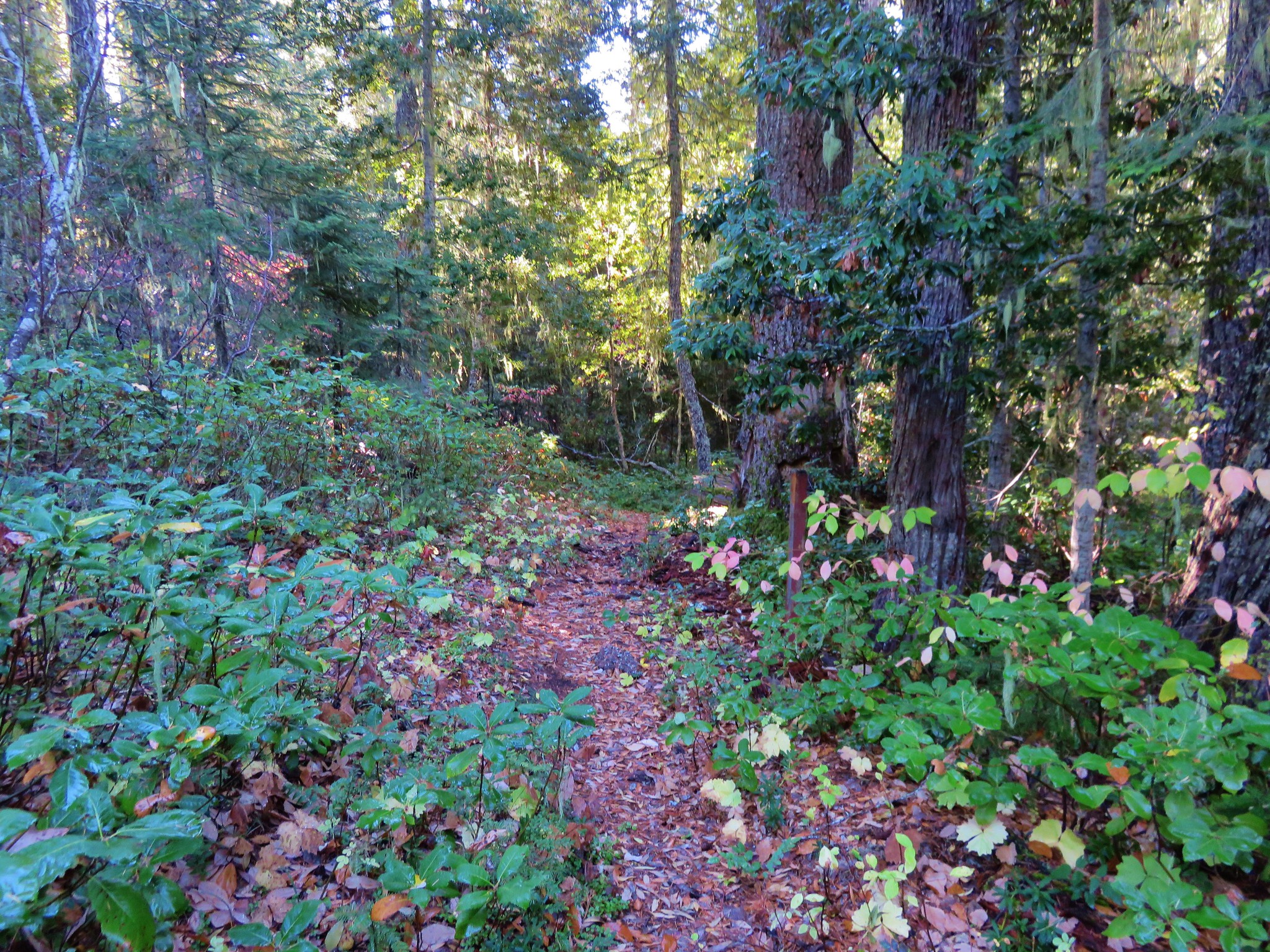
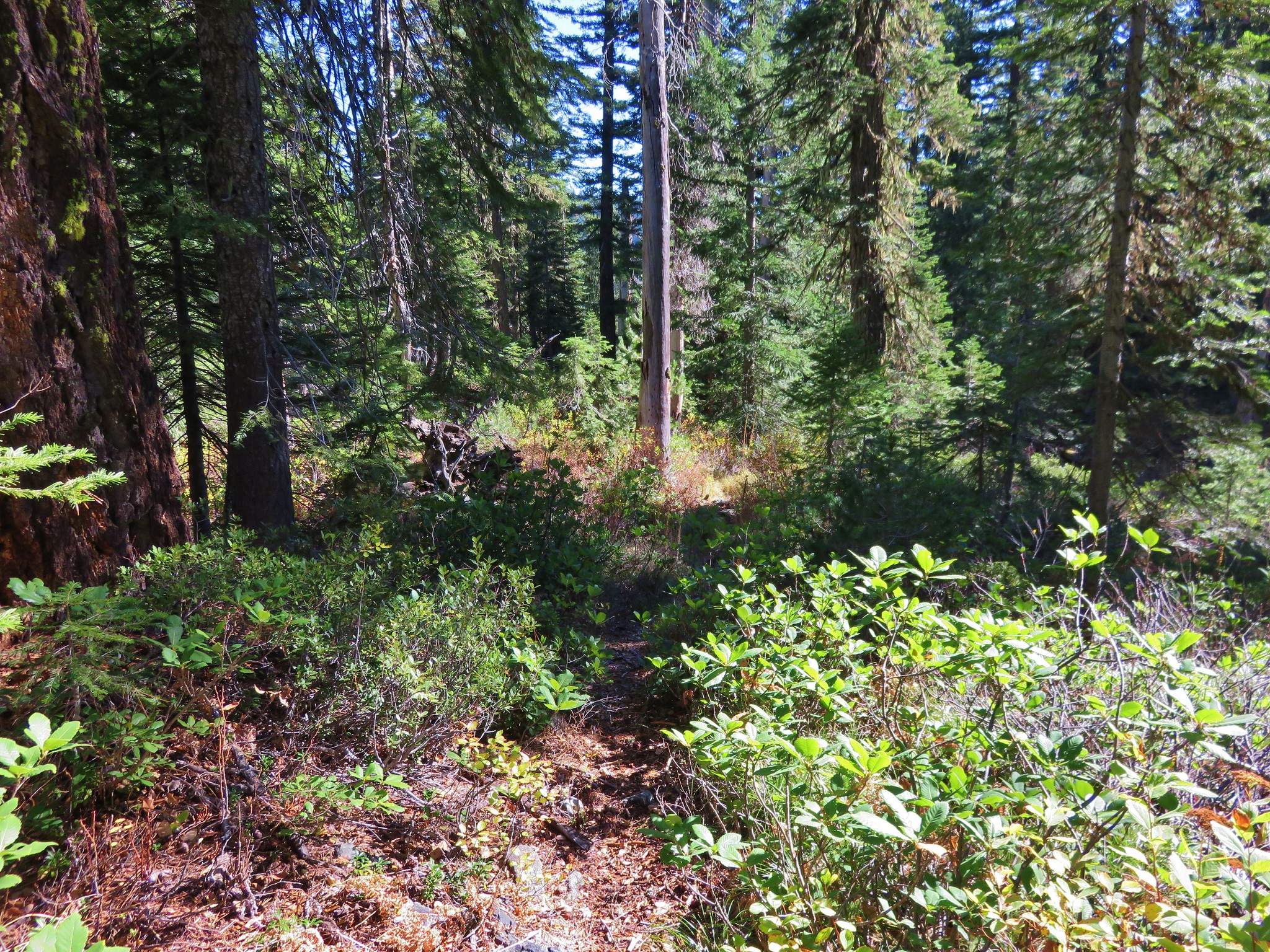
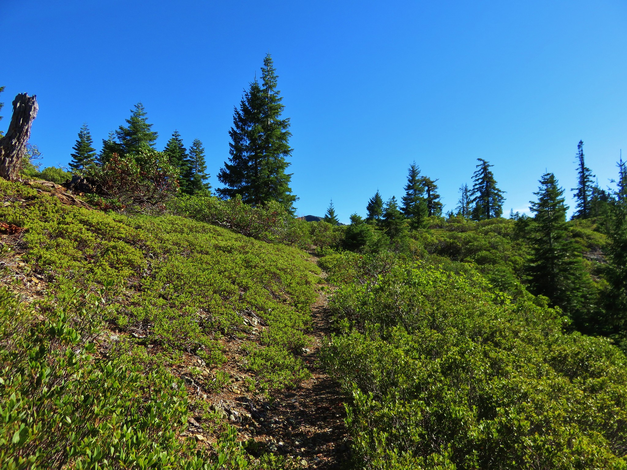
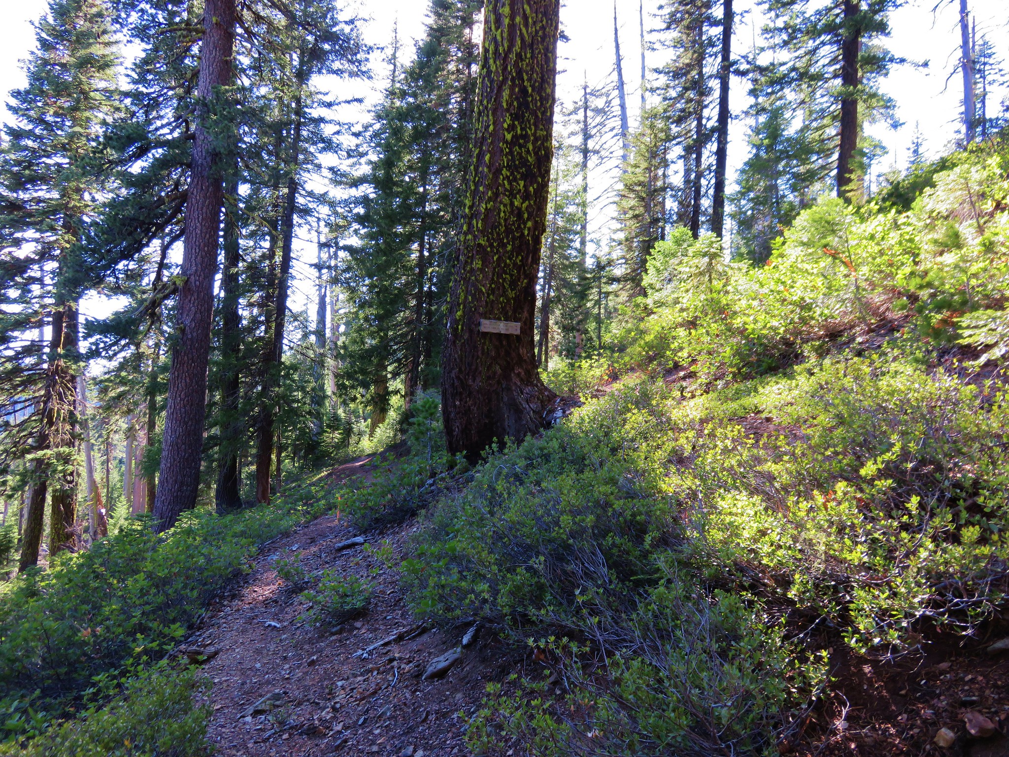
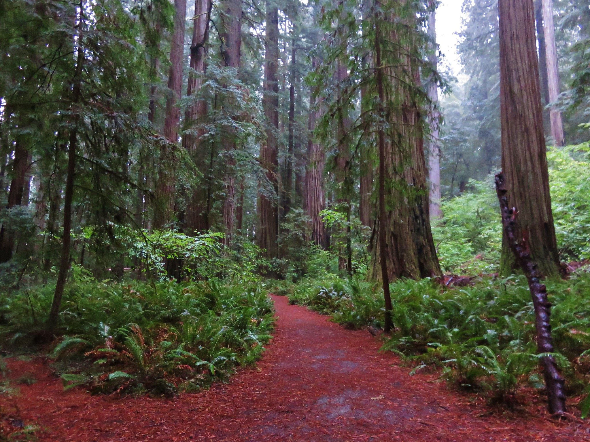
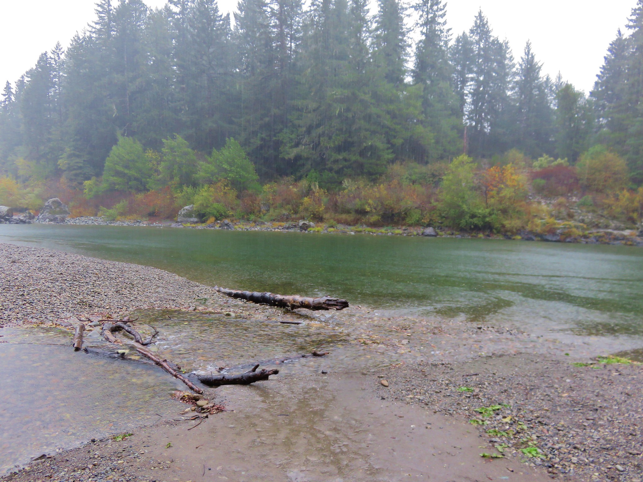
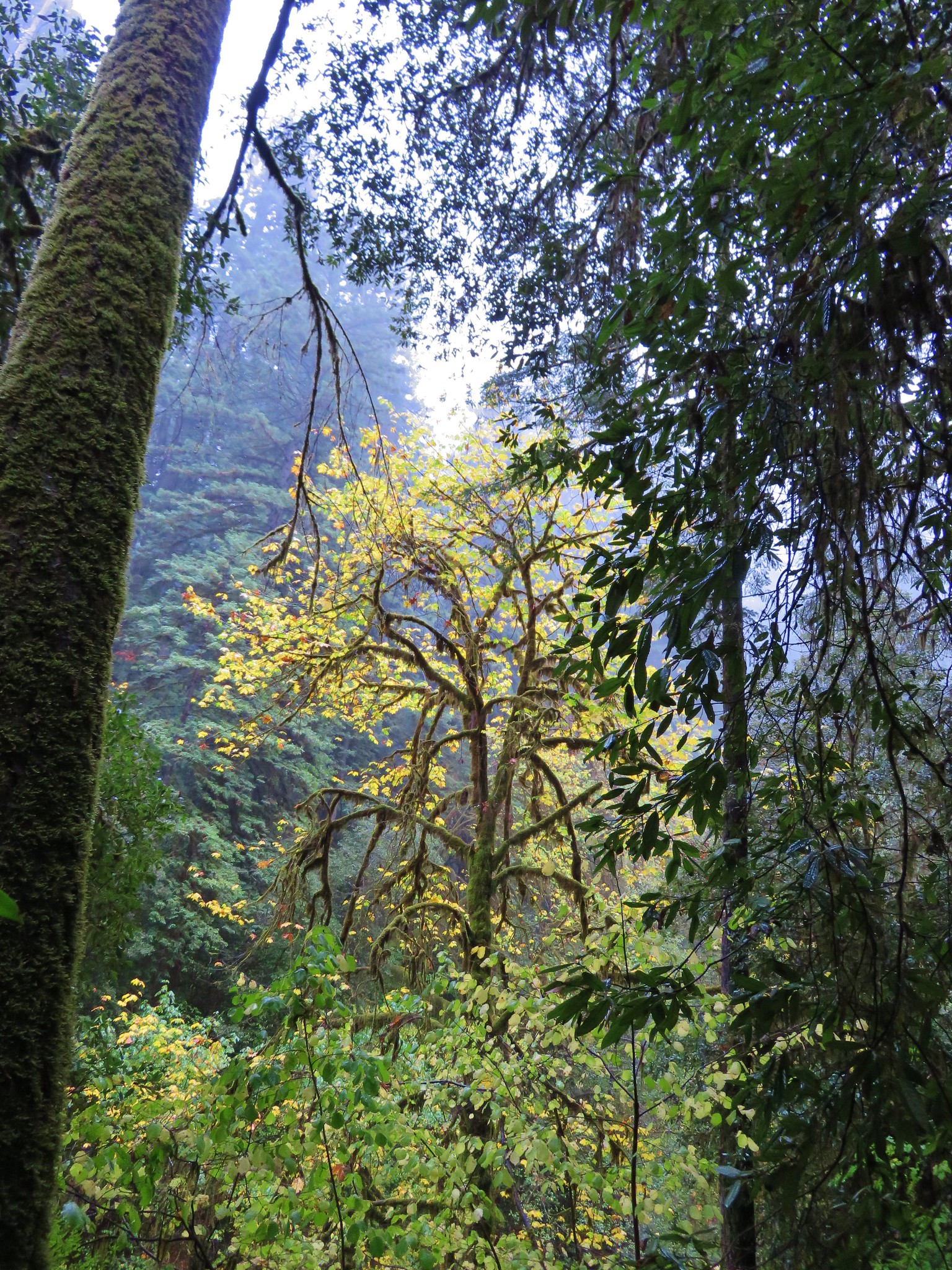
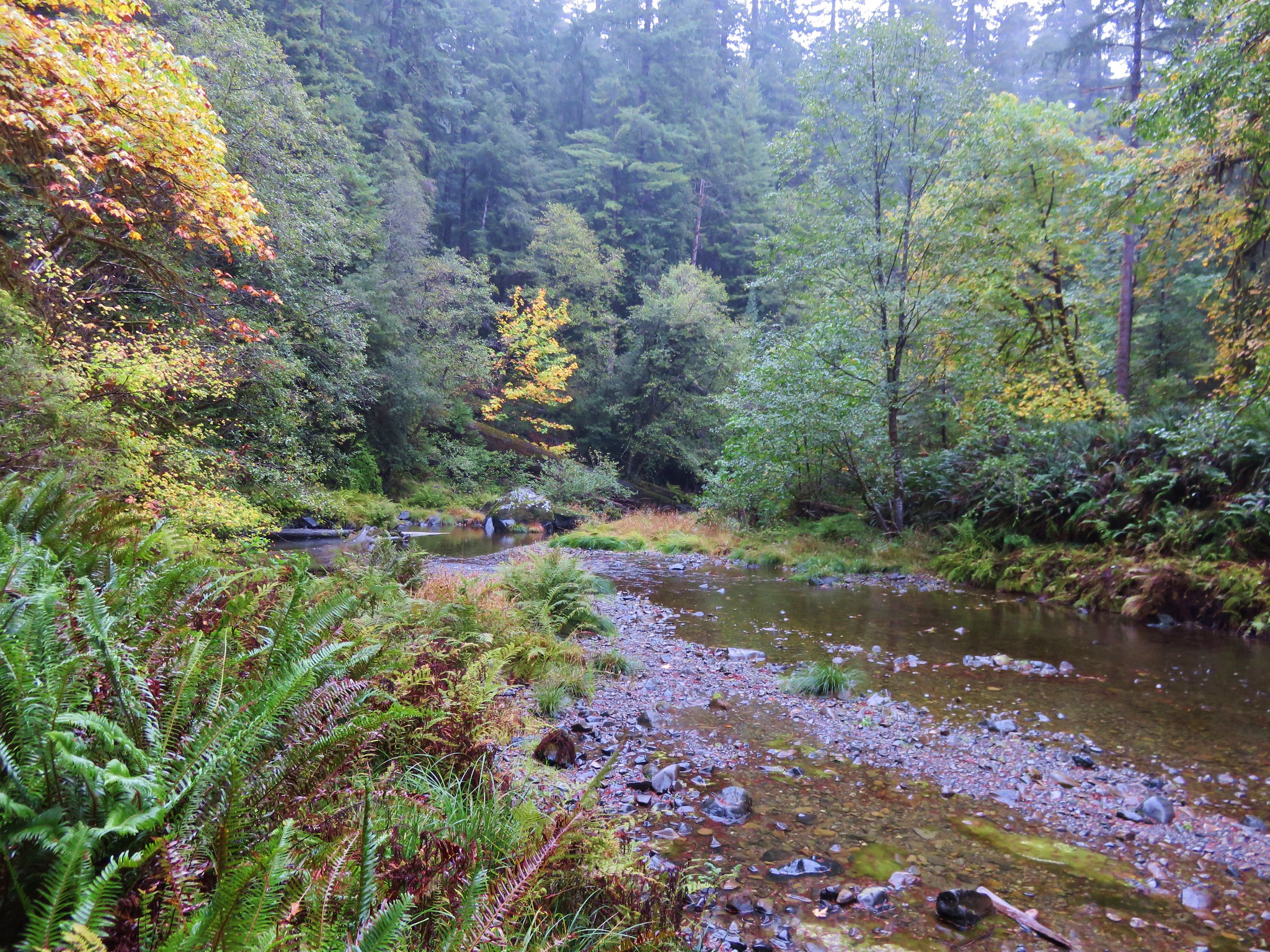
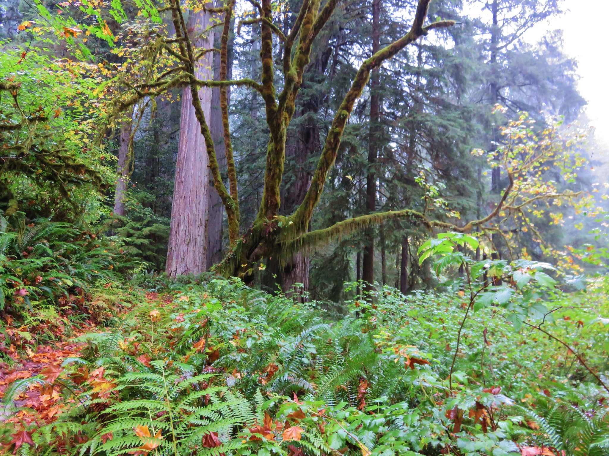
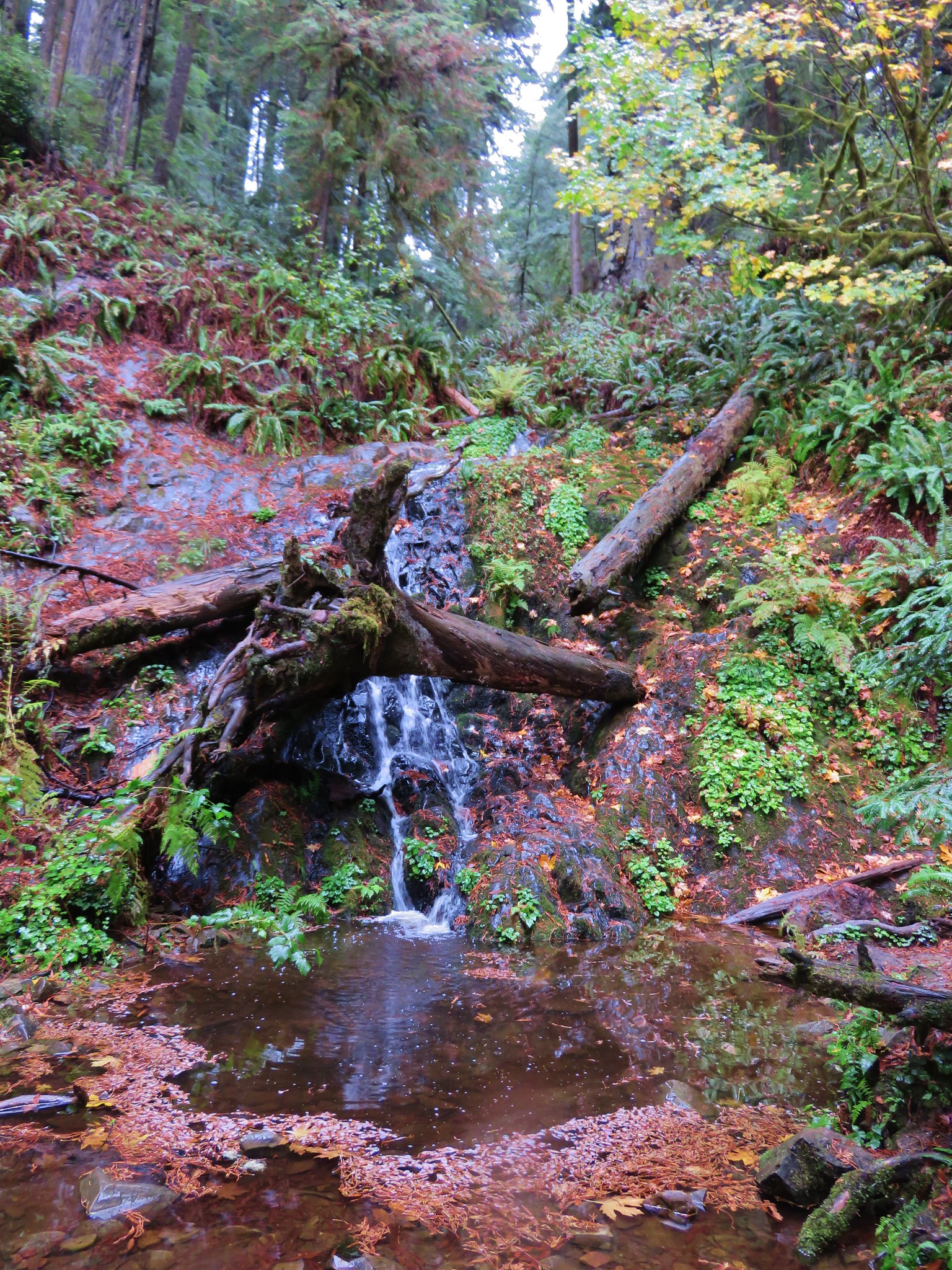
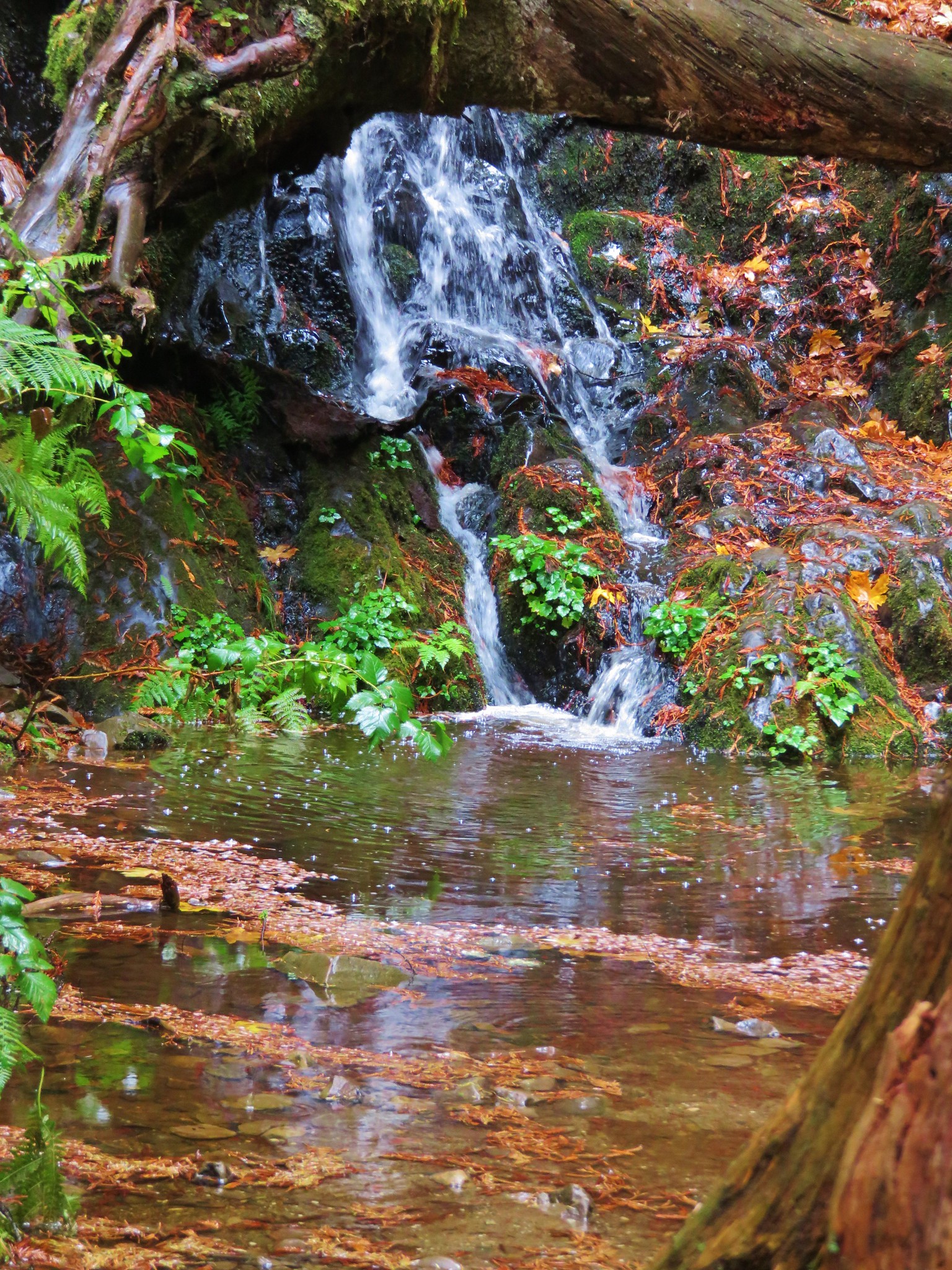
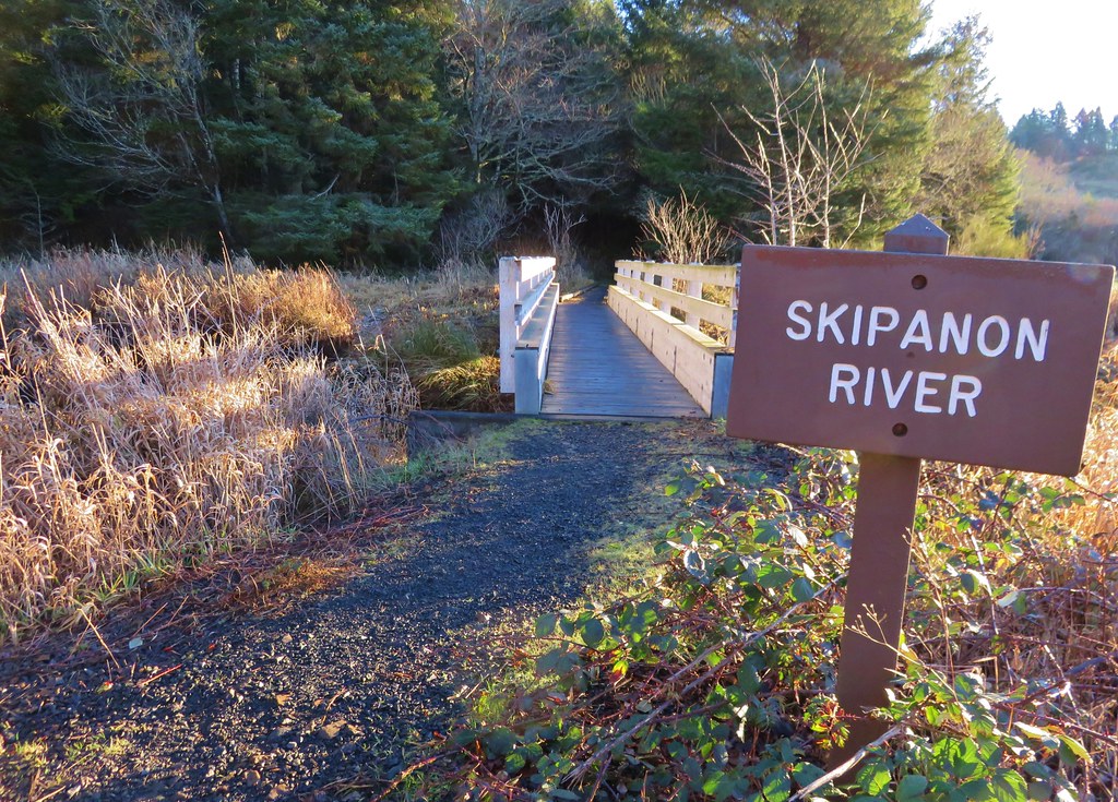
After passing under the highway and skirting another field we crossed the Skipanon River before heading into a forest.
IMG_2932

IMG_2933

IMG_2935

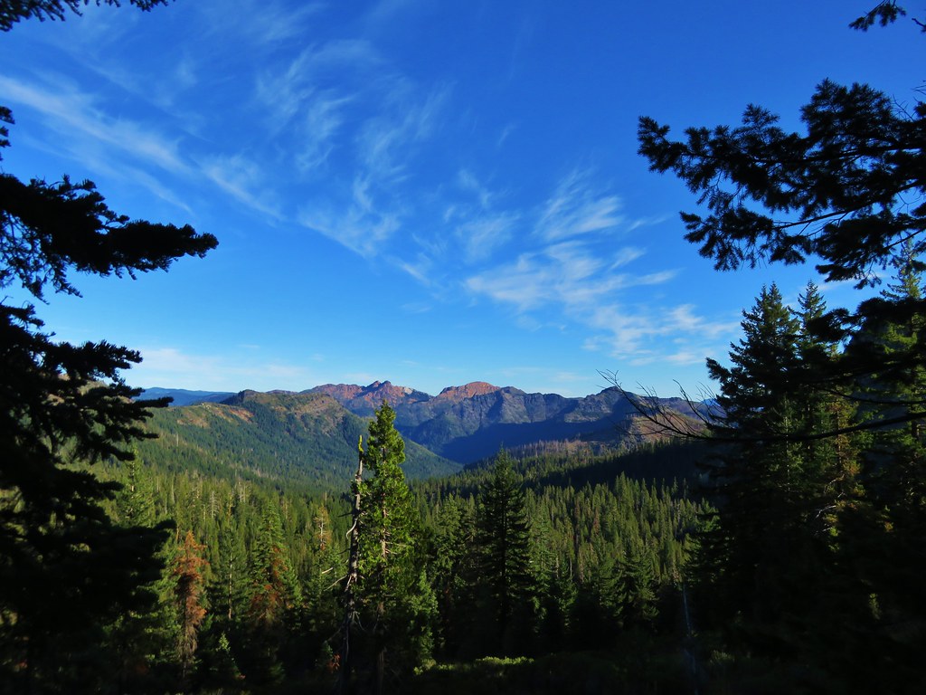
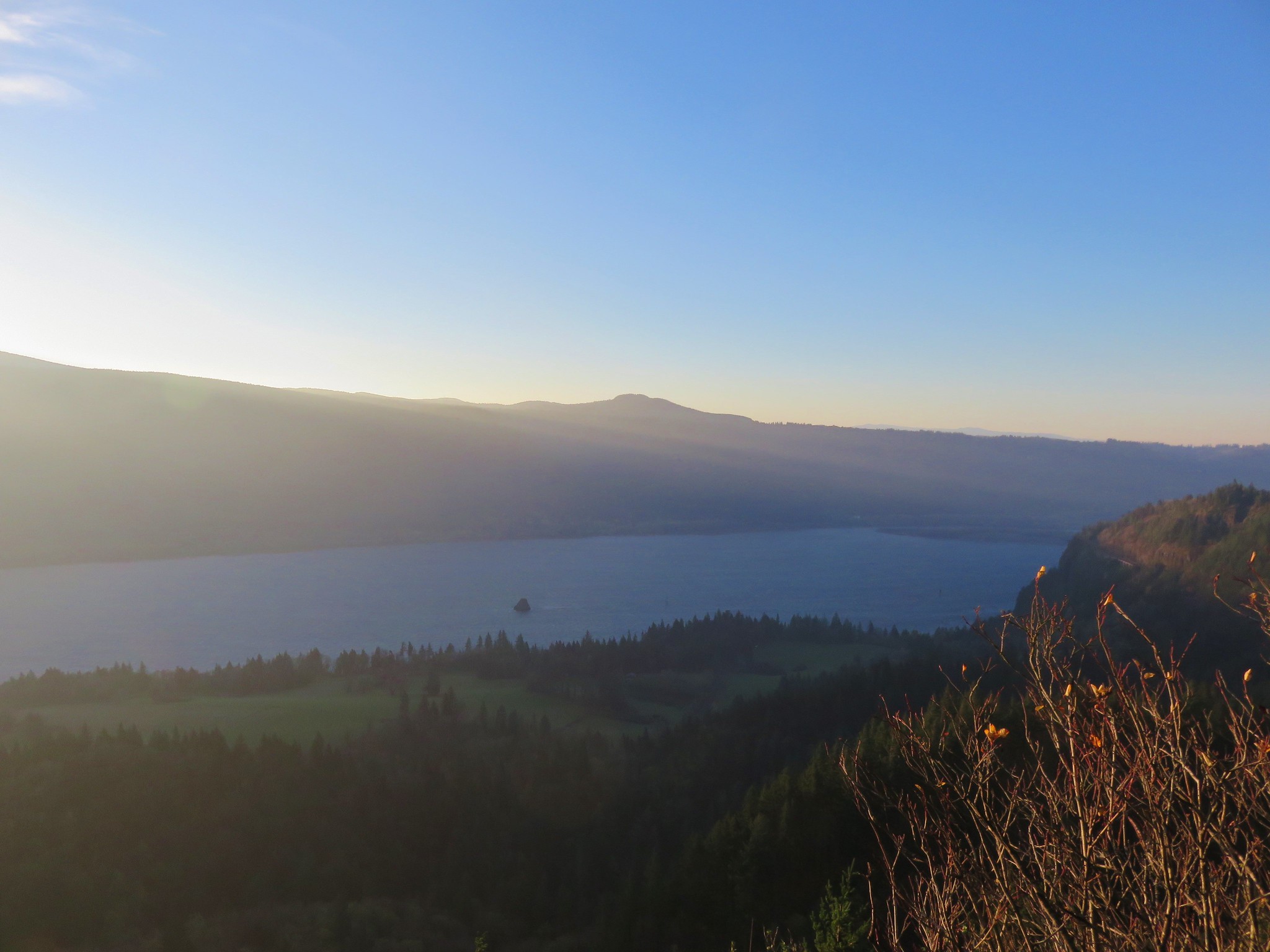
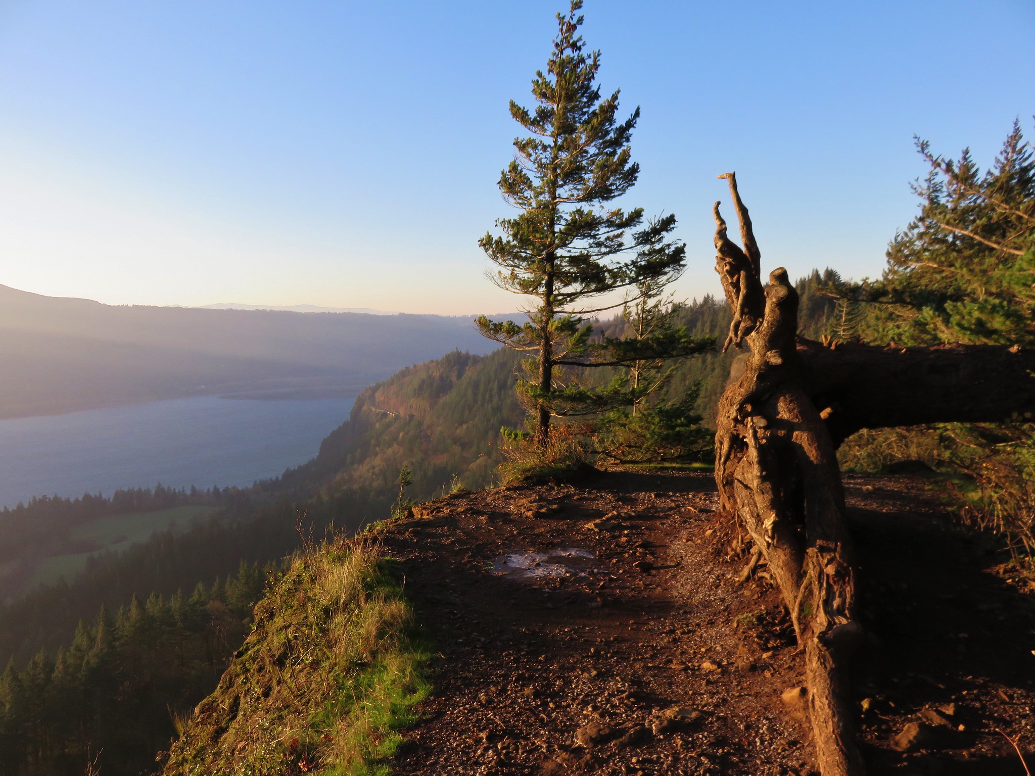
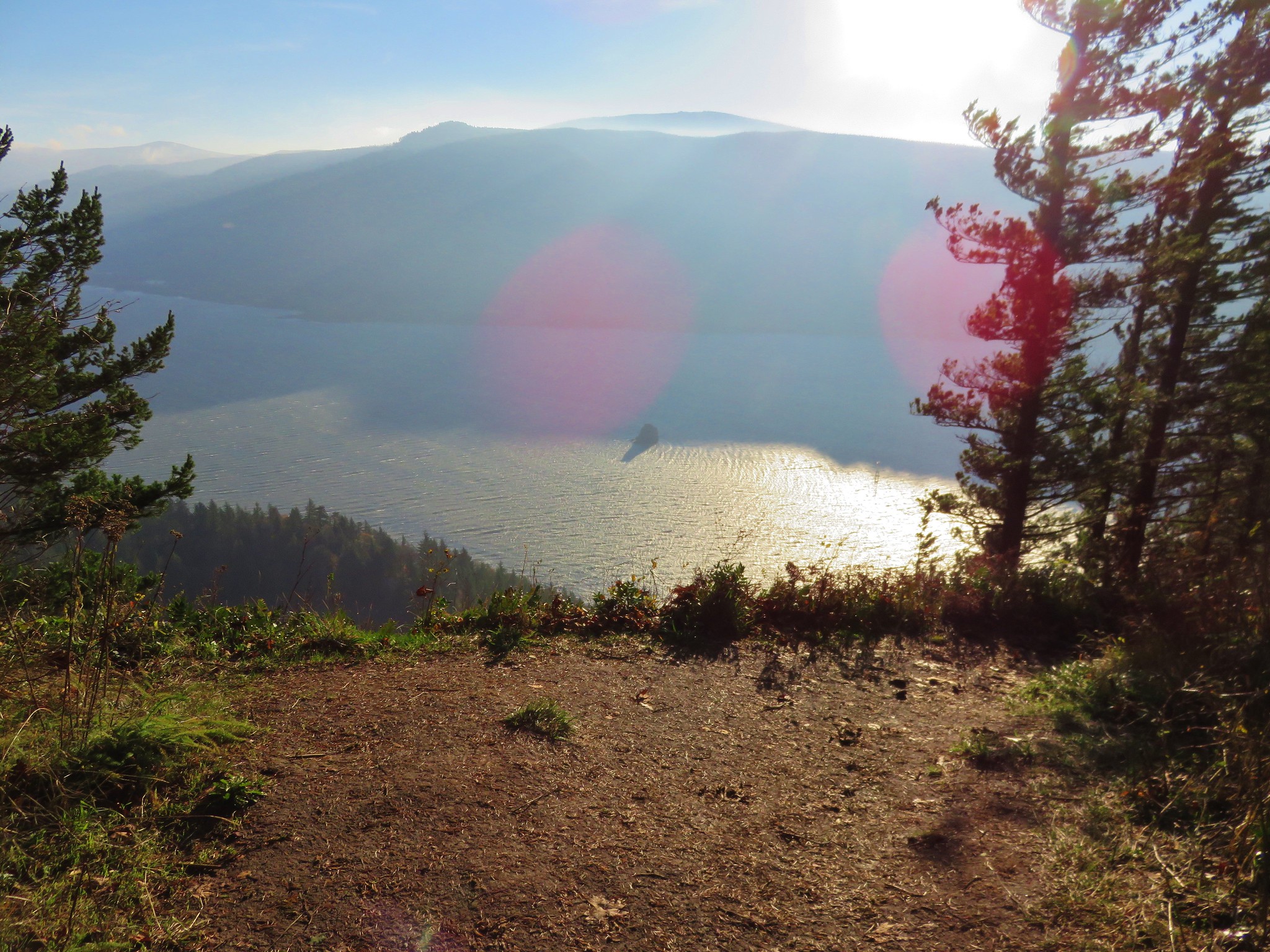
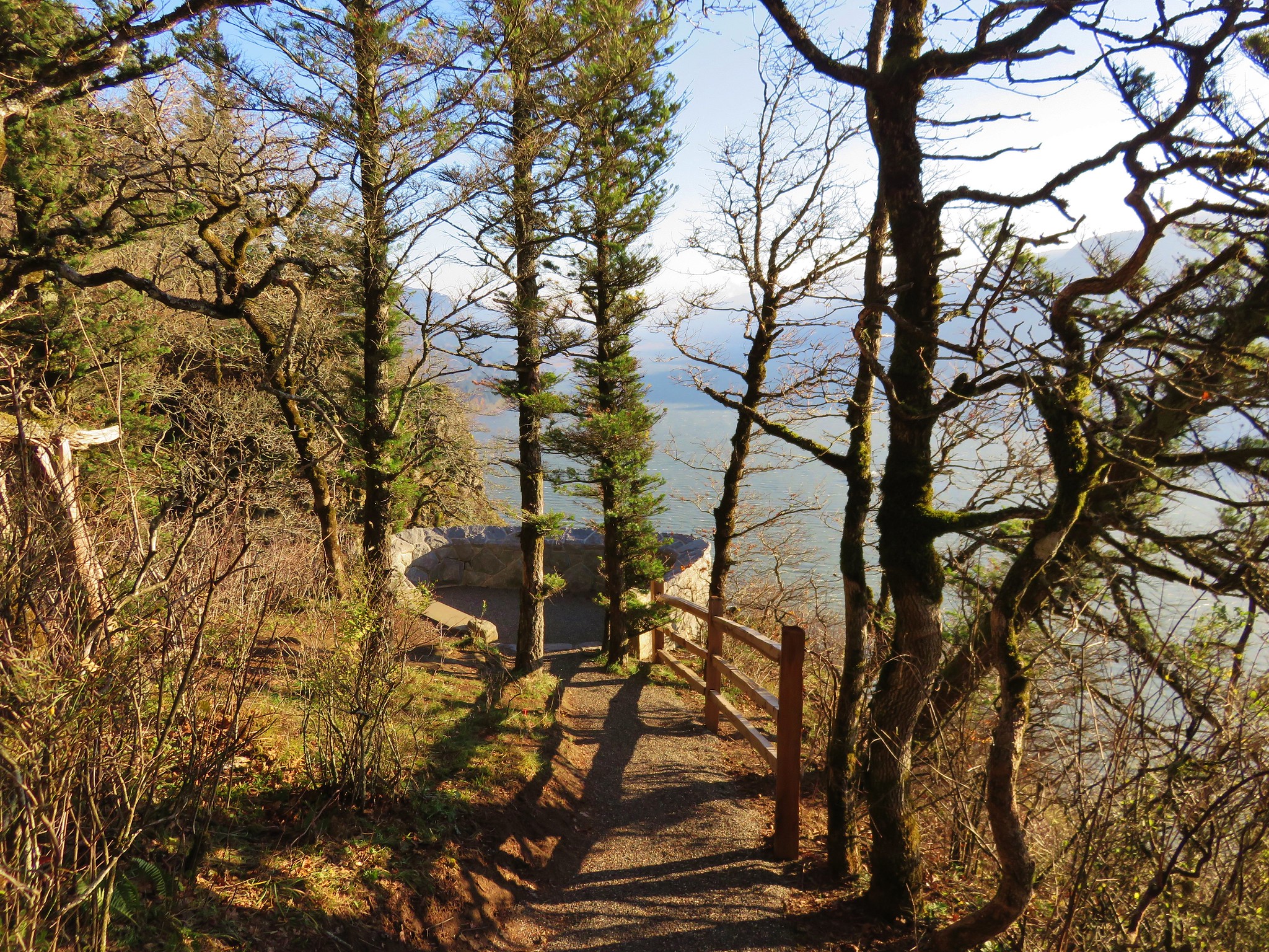
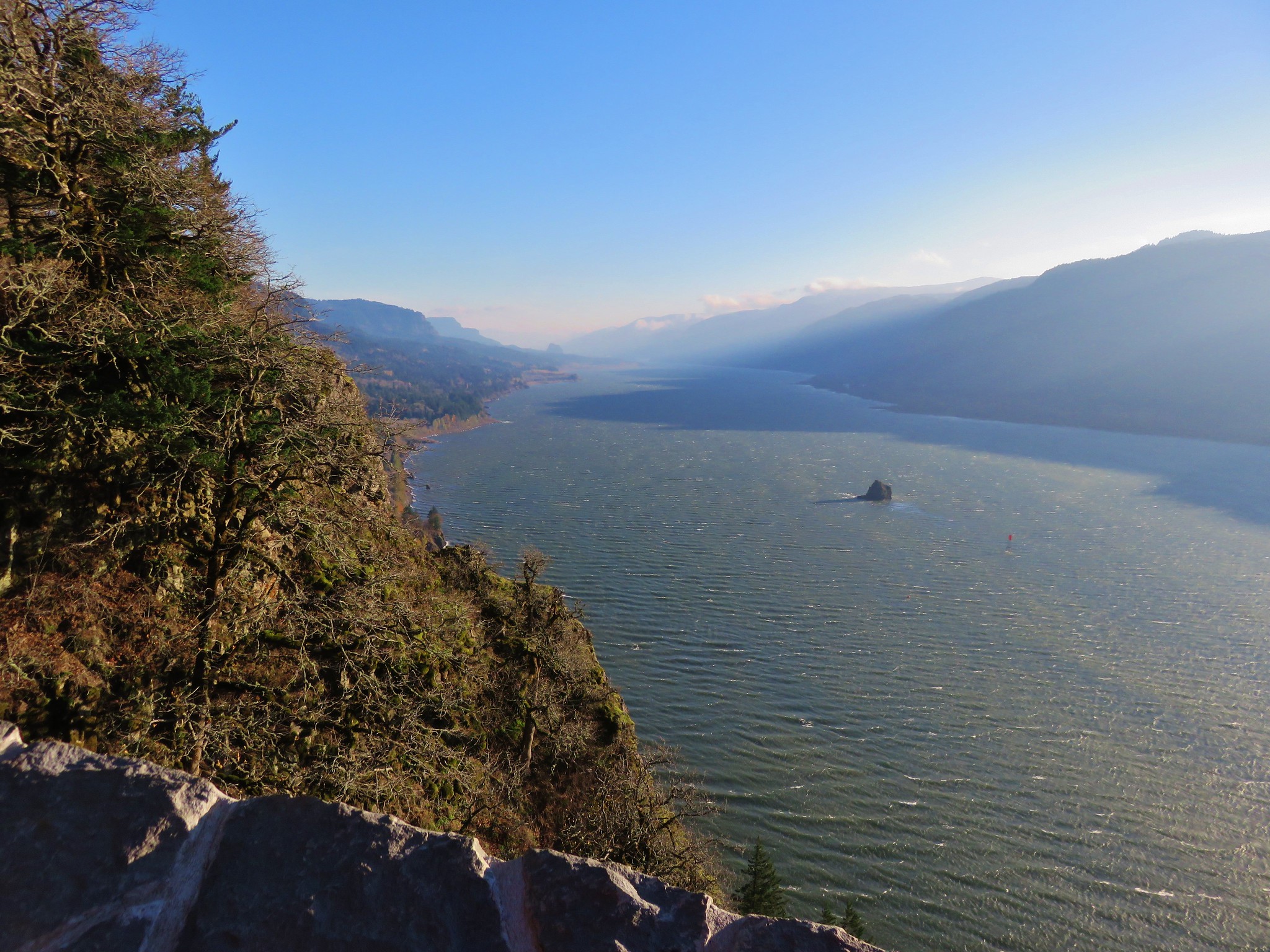
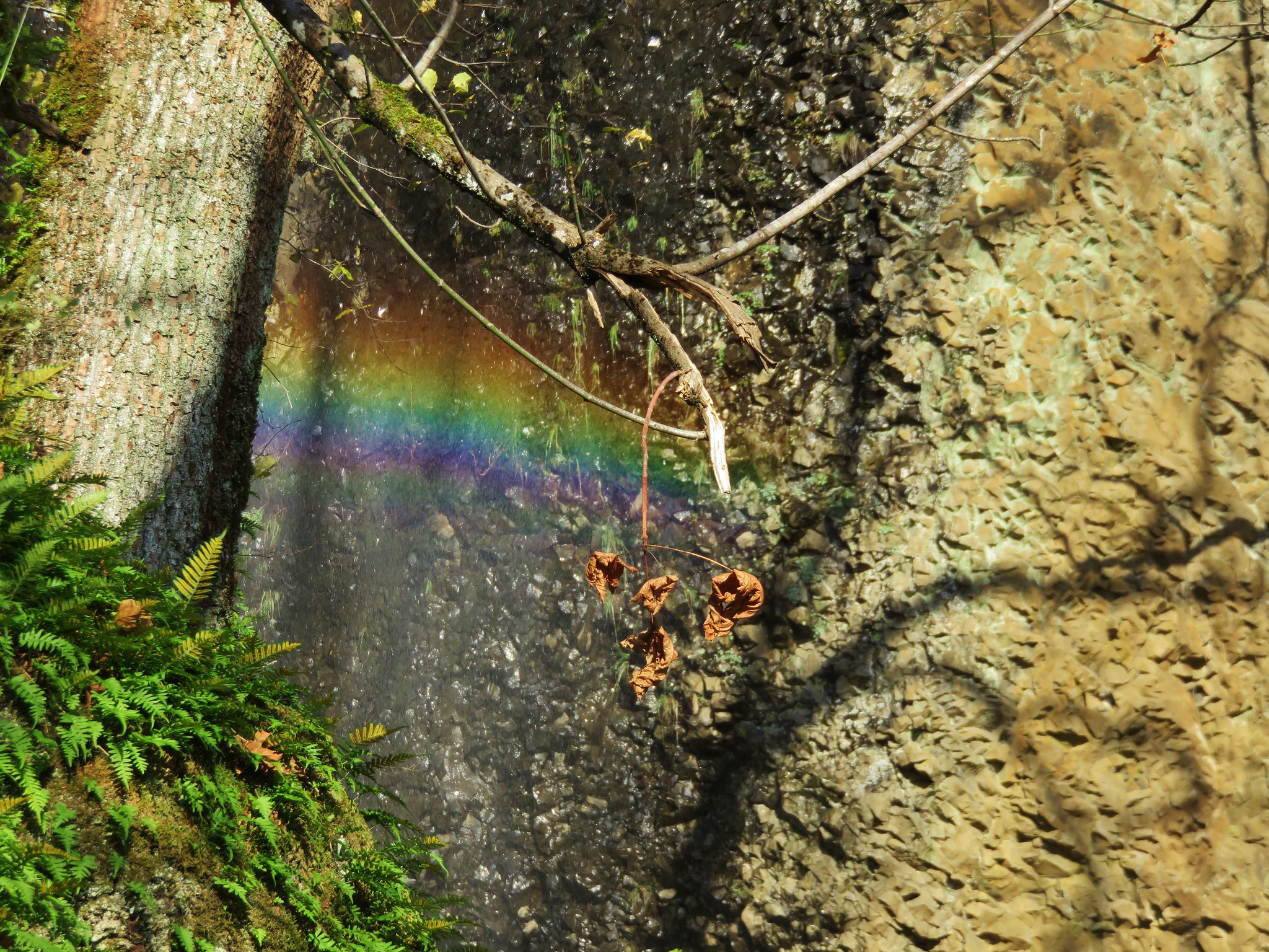
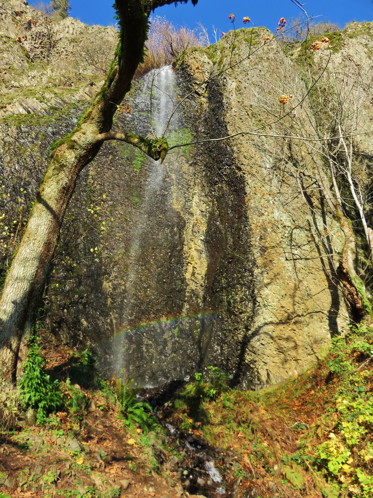
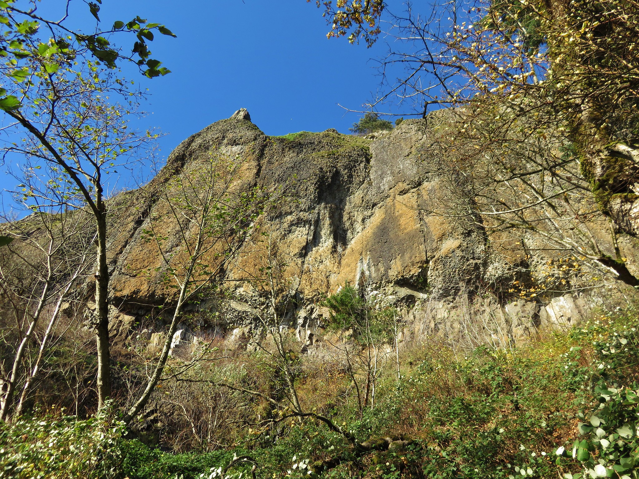
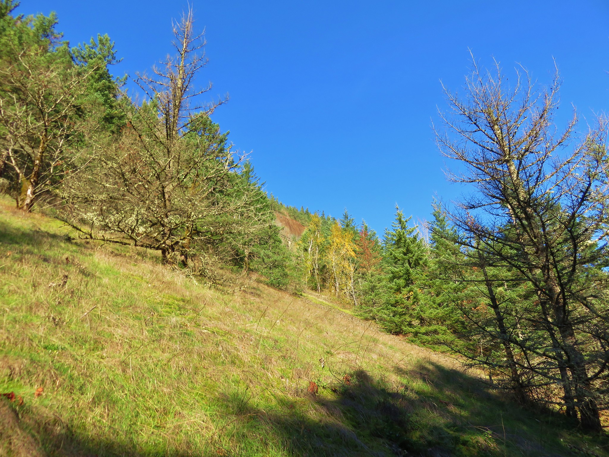
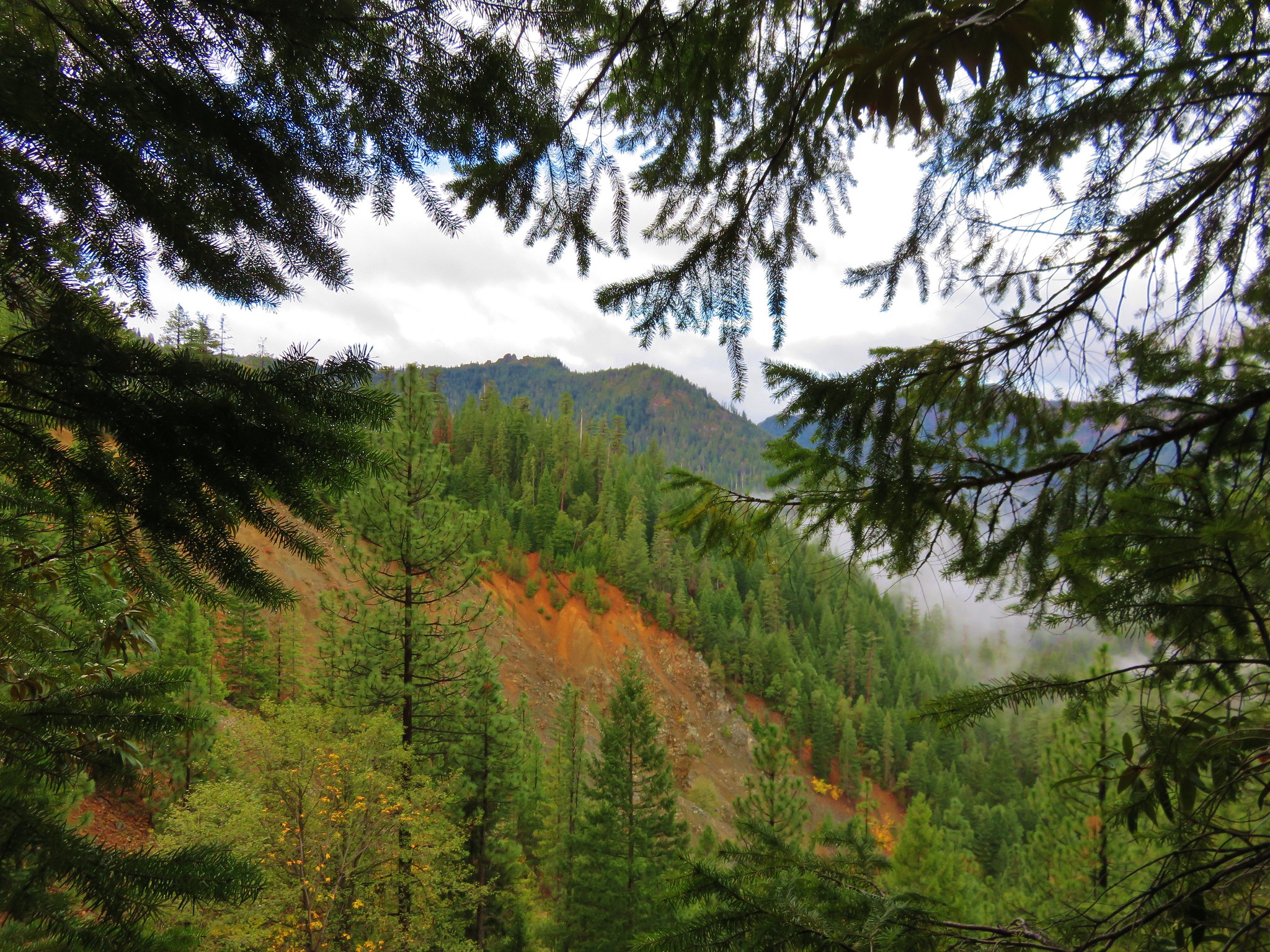
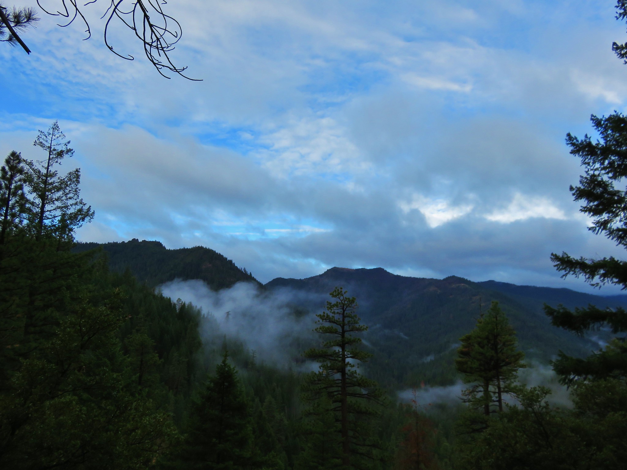
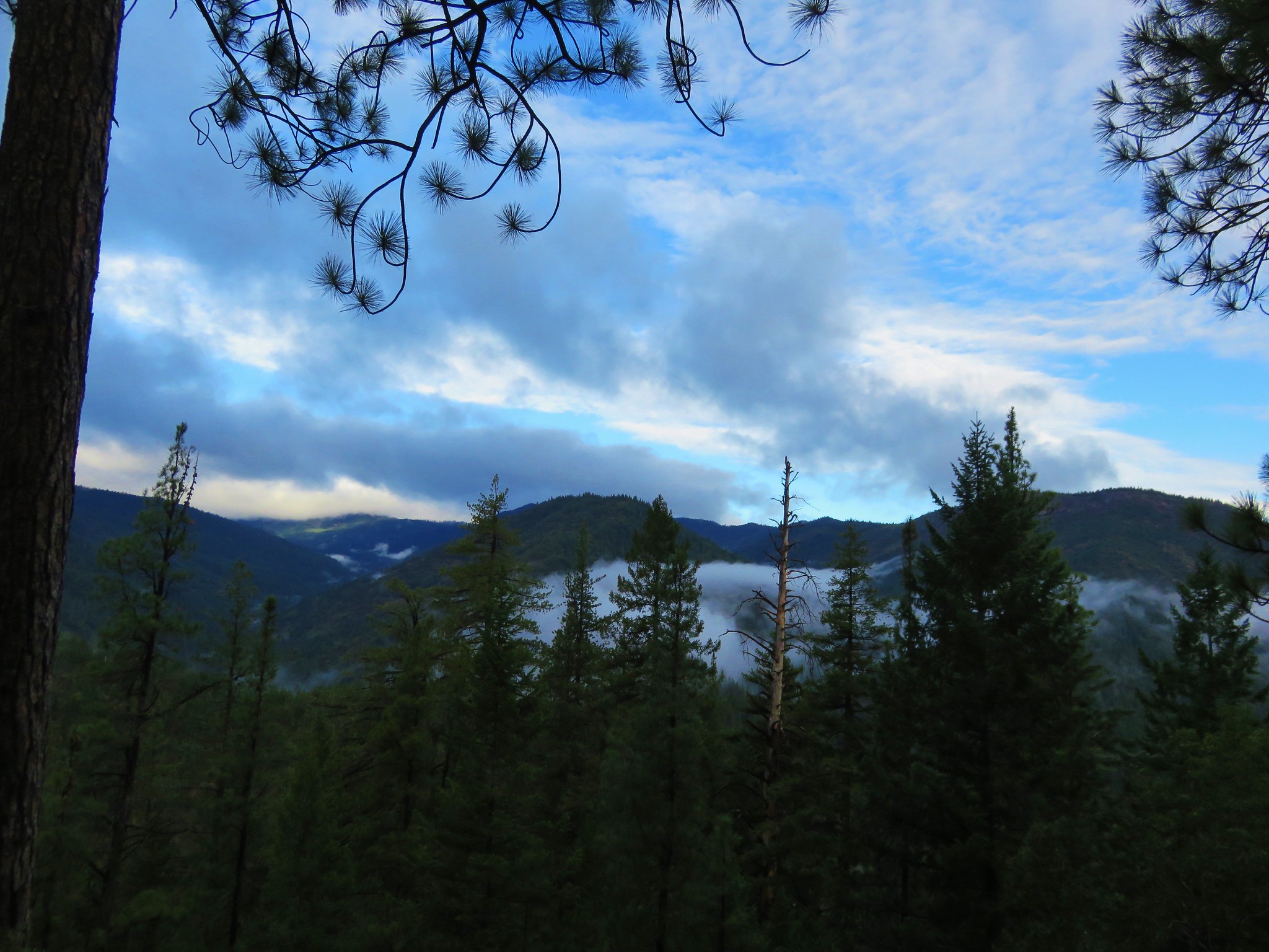
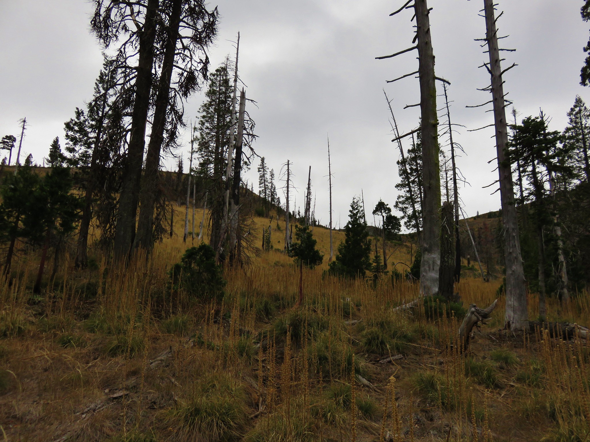
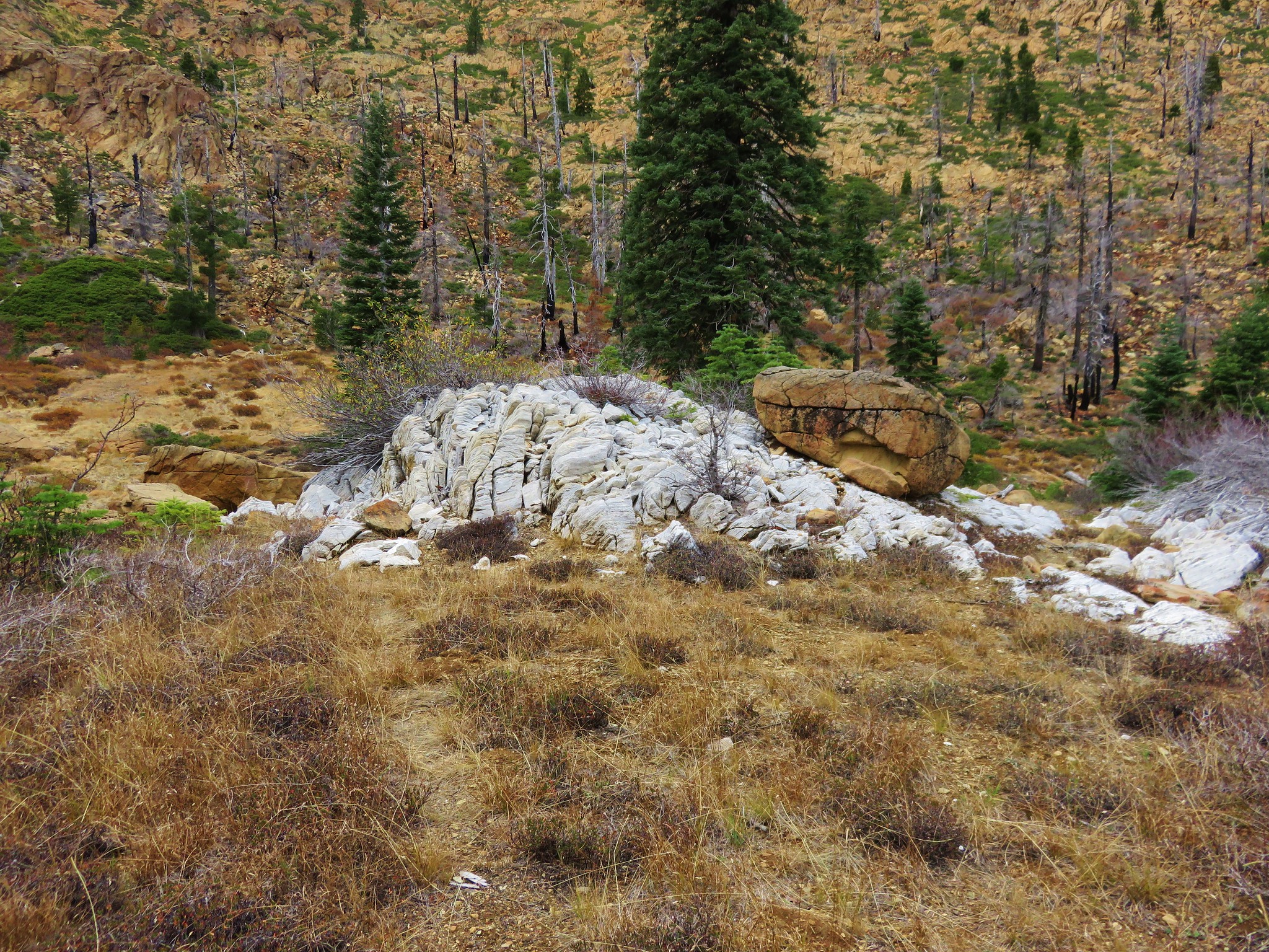
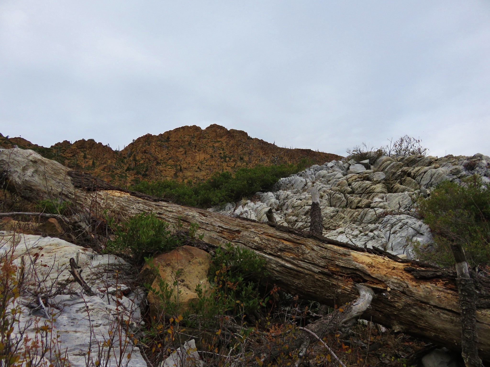
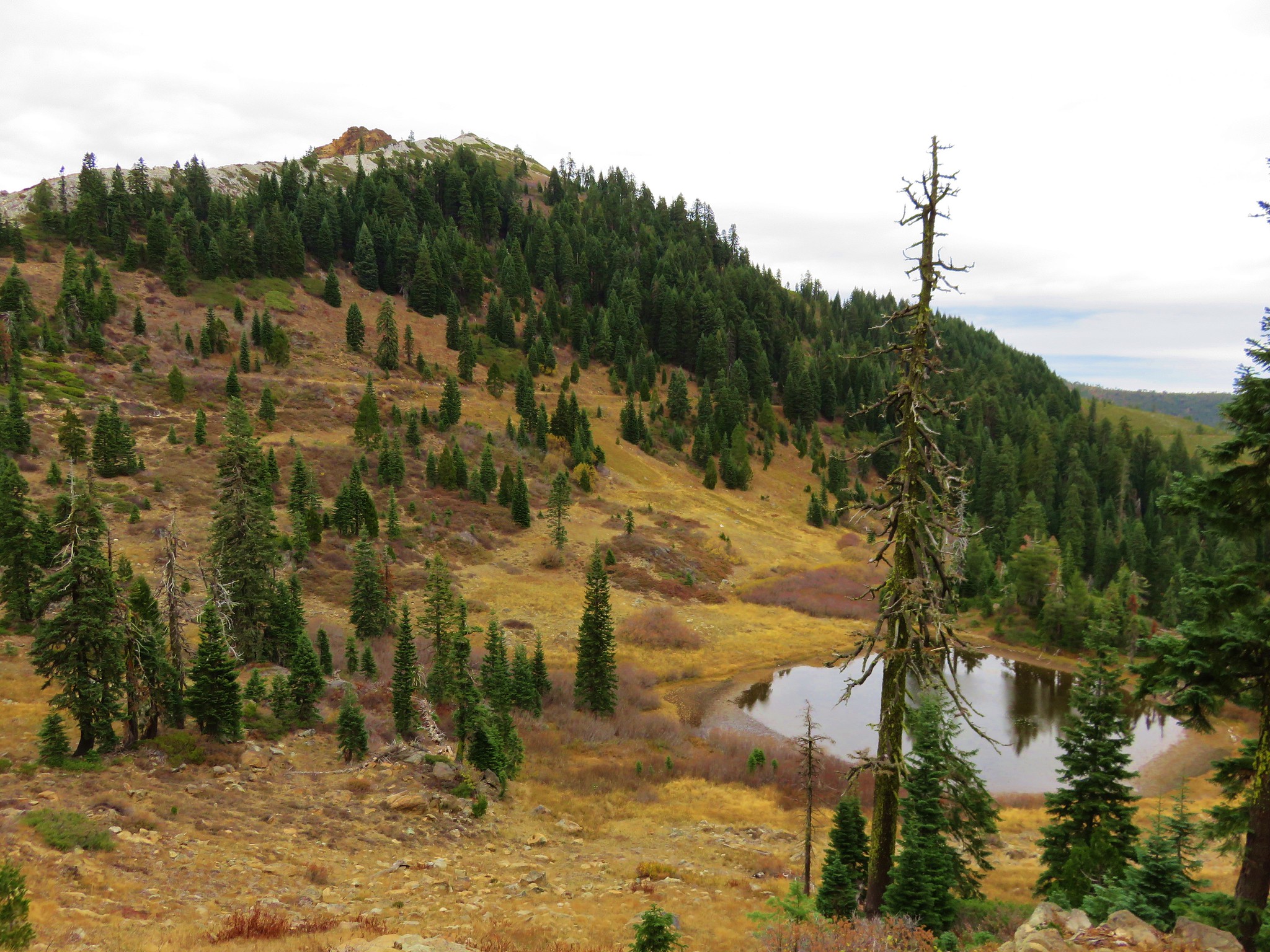
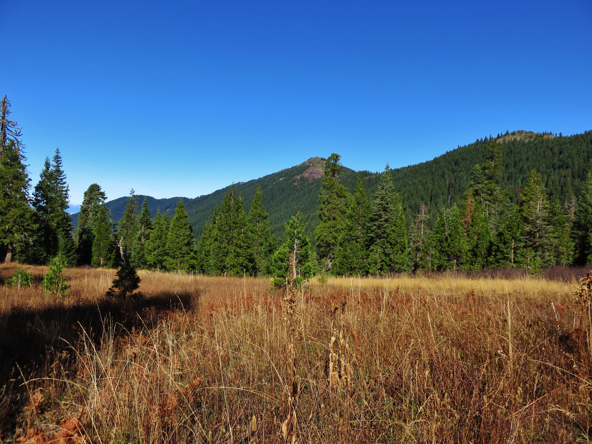
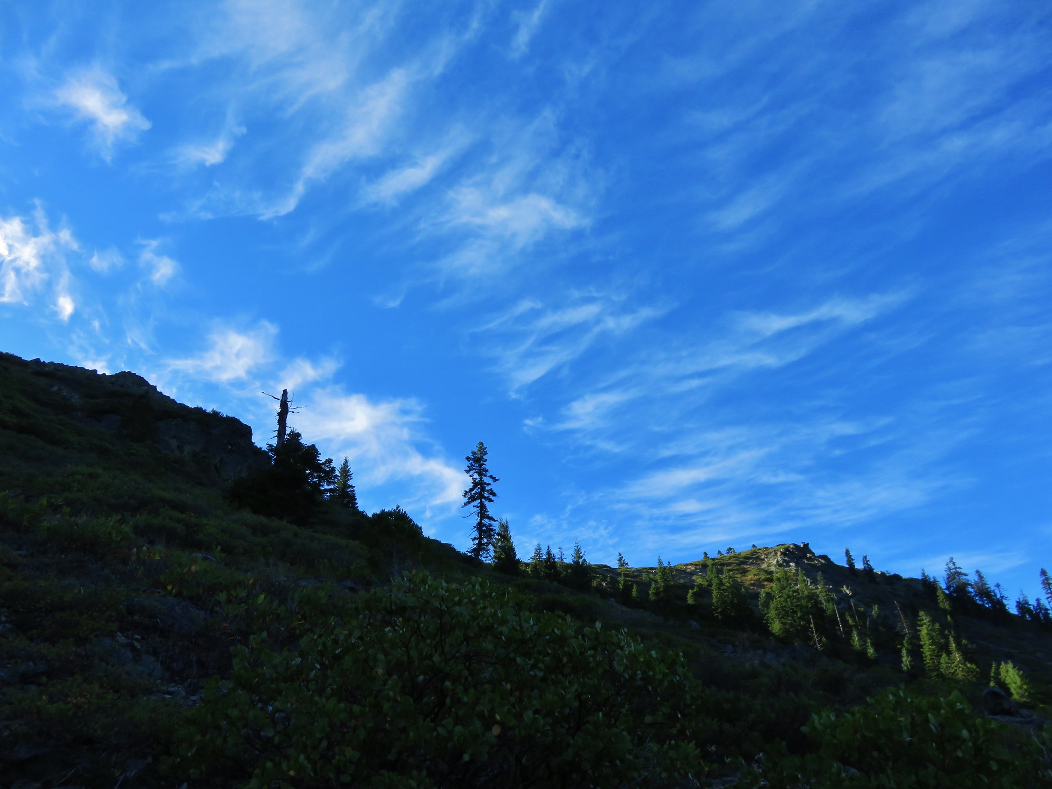
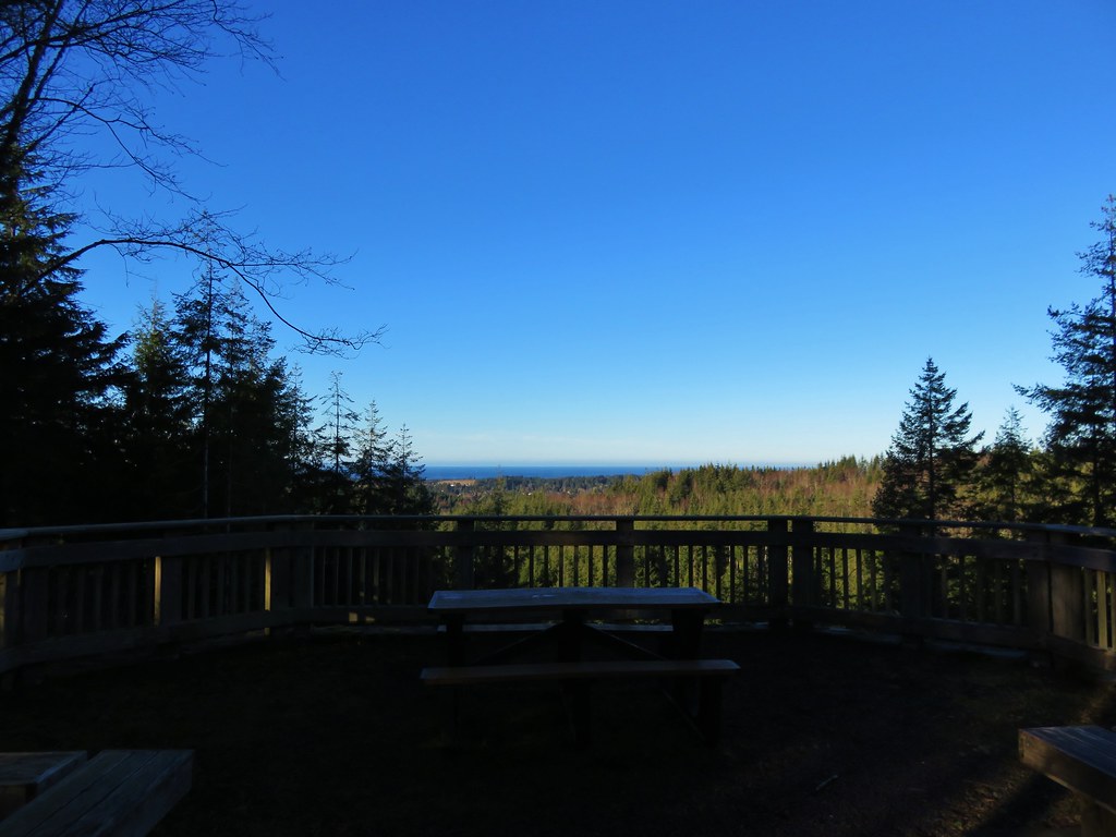
At the 4.7 mile mark we reached the Clatsop Ridge Overlook which was a nice ocean viewpoint with a picnic table and several benches.
IMG_2936

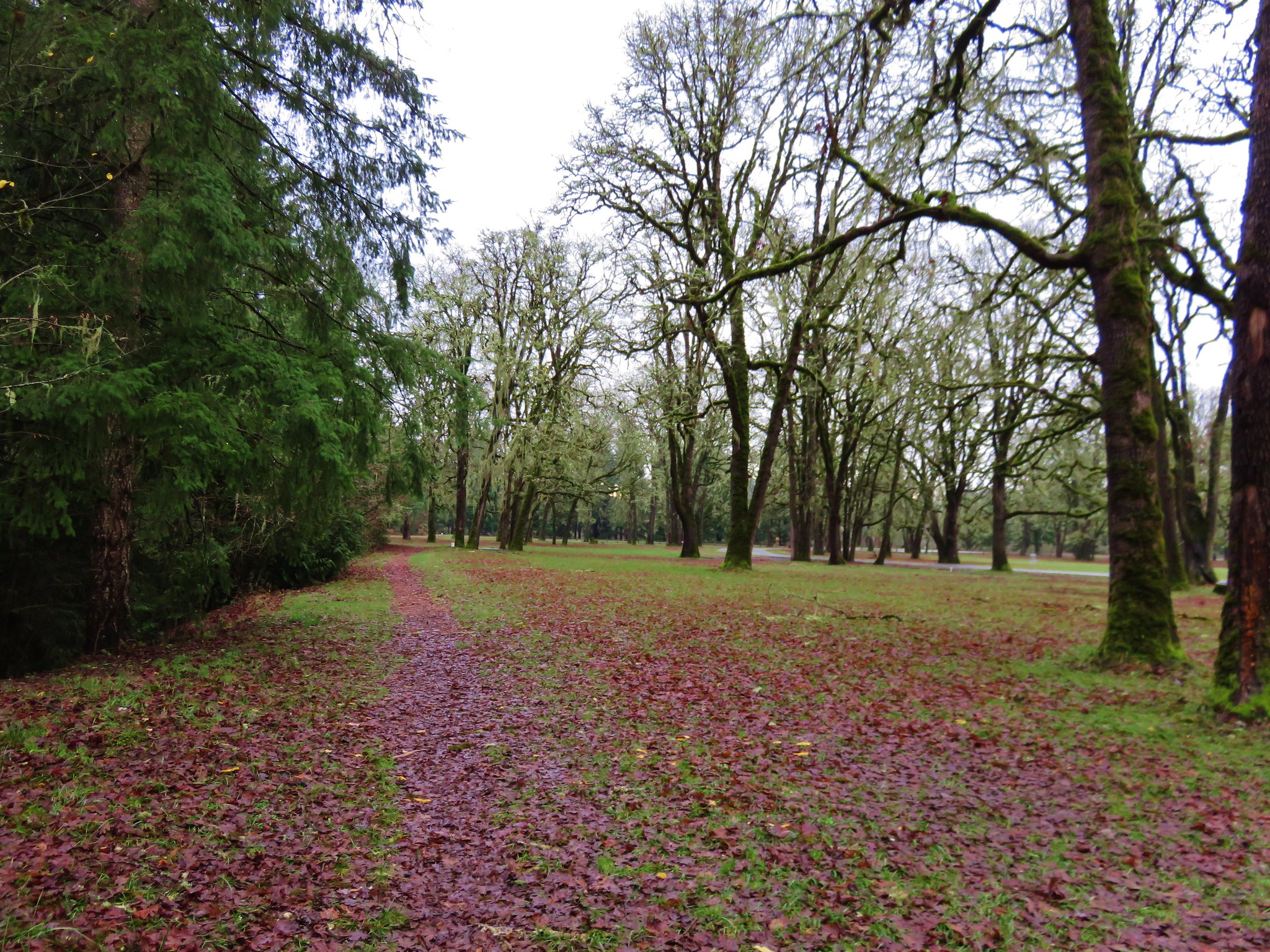
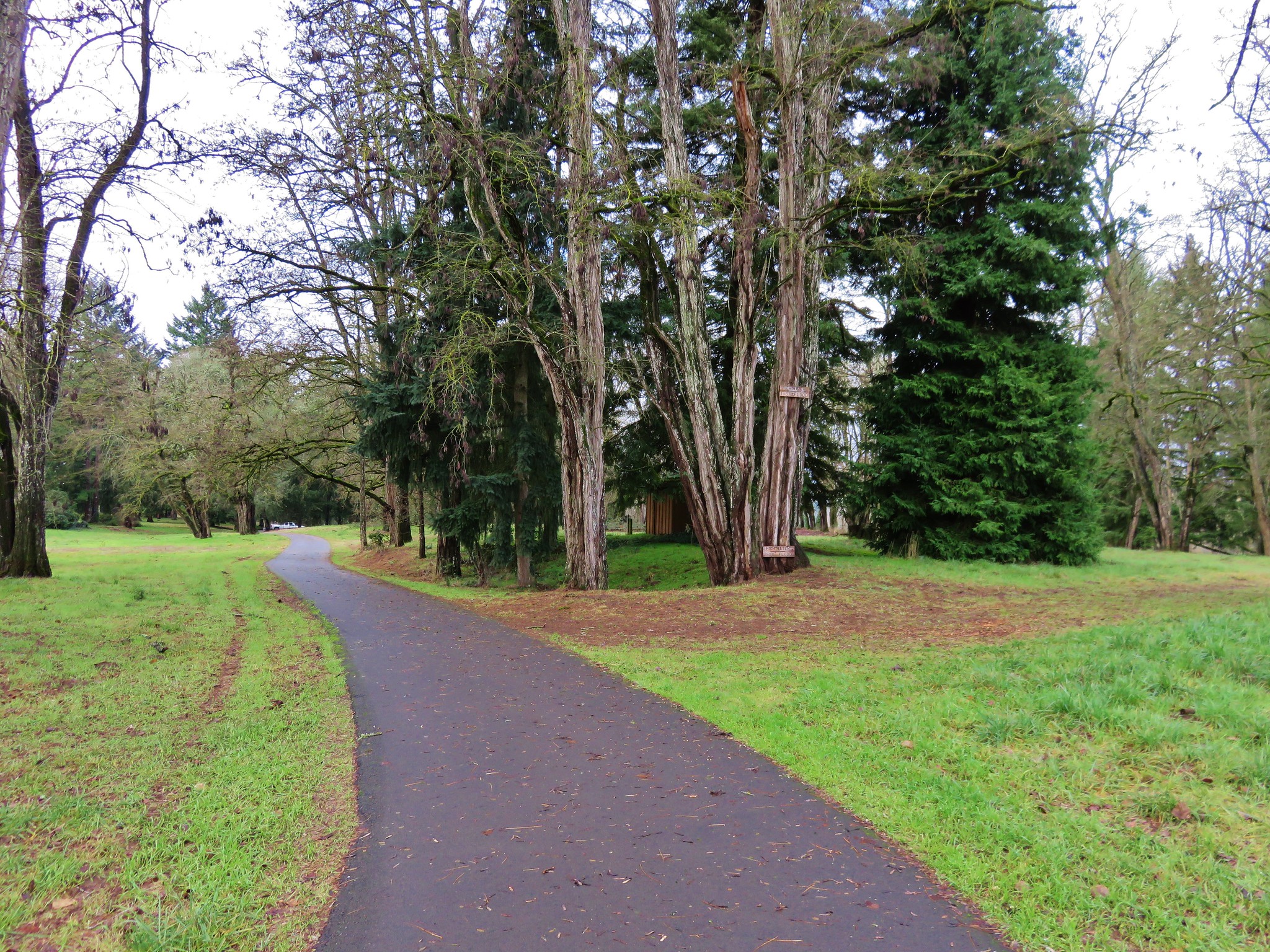
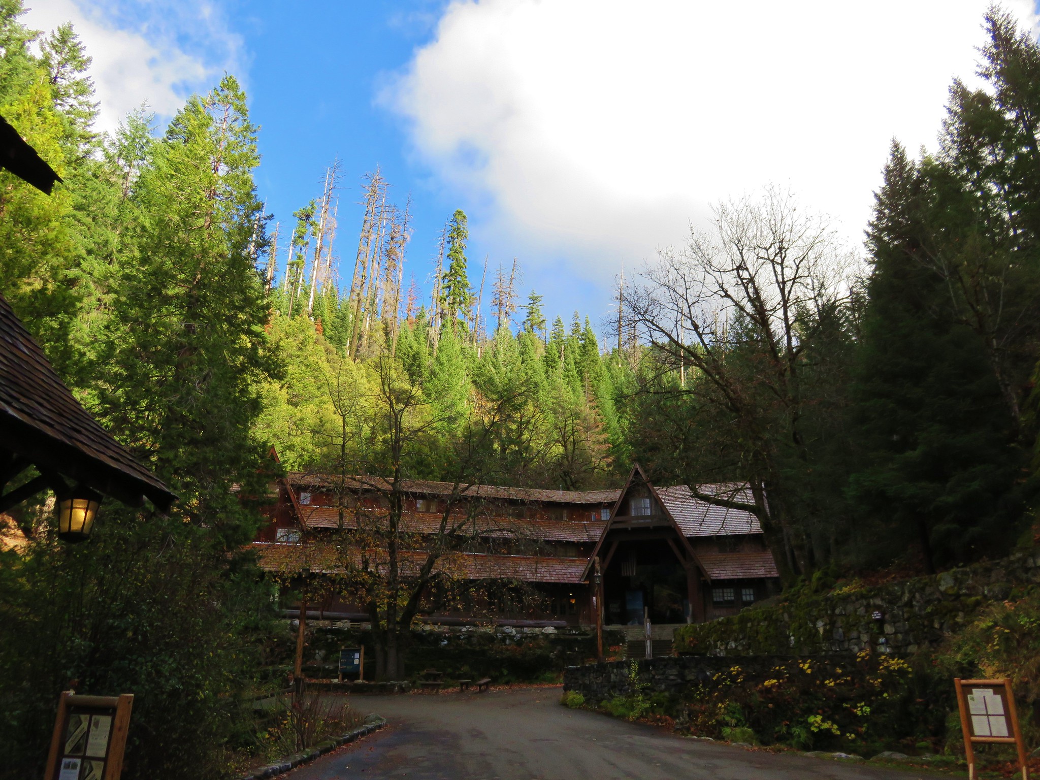
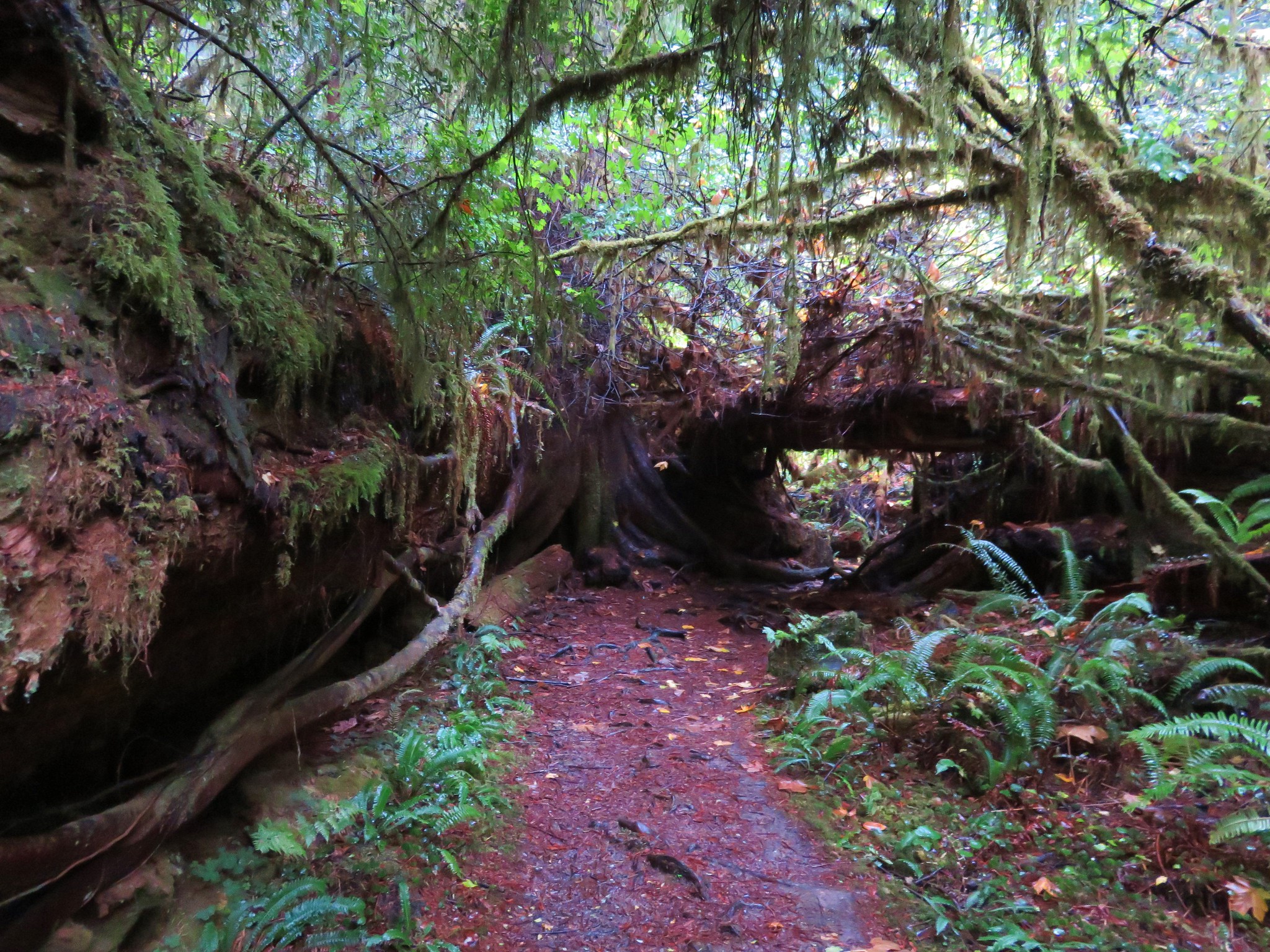
From the viewpoint the trail followed old roads down to the Fort Clatsop Visitor Center.
IMG_2938

IMG_2943

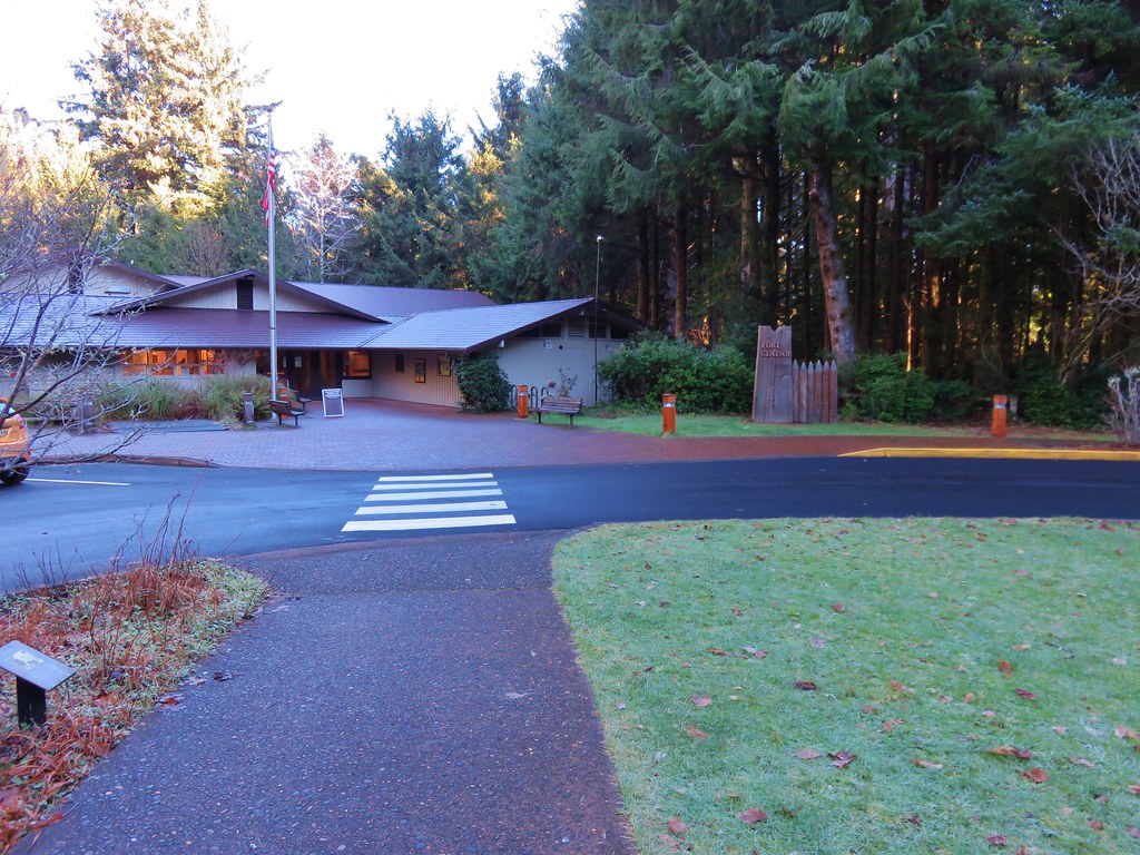
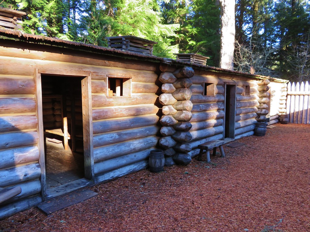
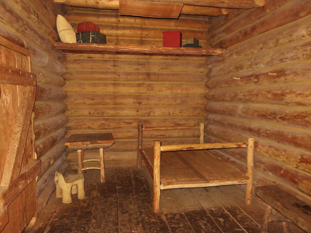
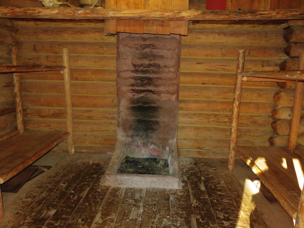
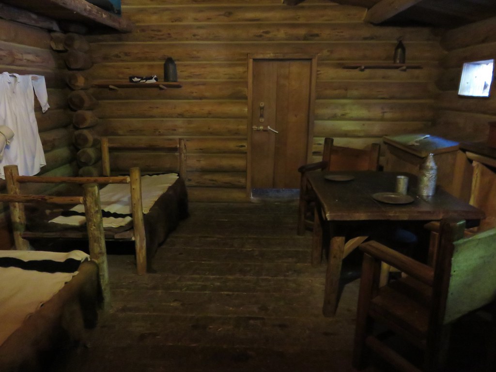
We passed through the center and continued 100 yards to the replica fort.
IMG_2945

IMG_2949

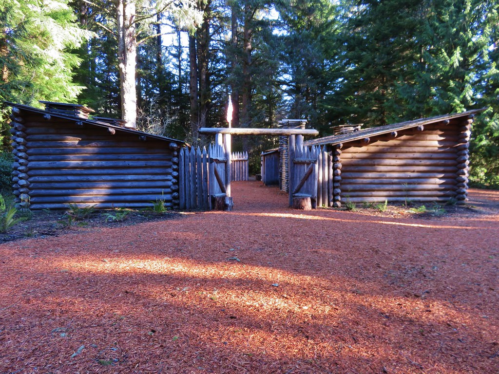
We were surprised at just how small a structure the fort was especially considering it was home to 33 people for 106 days. We spent some time poking around the fort and checking out the other nearby displays.
IMG_2950

IMG_2952

IMG_2953

IMG_2956

IMG_2957

IMG_2958

IMG_2959

IMG_2960

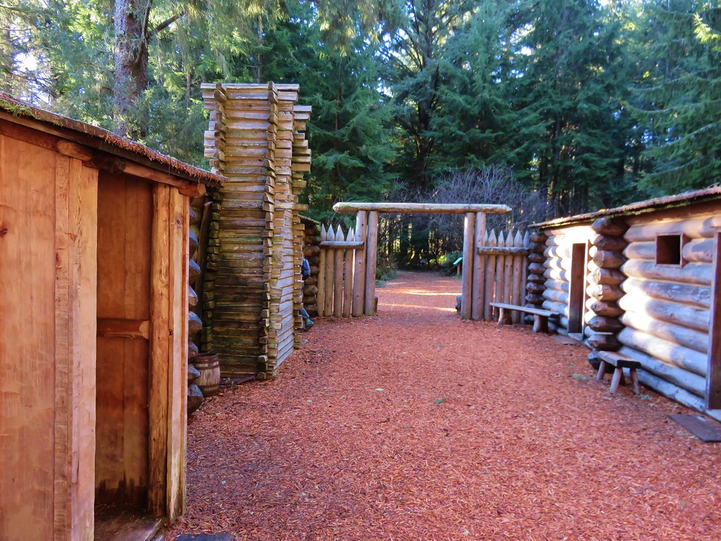
A 200 yard path led from the fort down to the site of the expedition’s canoe landing.
IMG_2962

IMG_2967

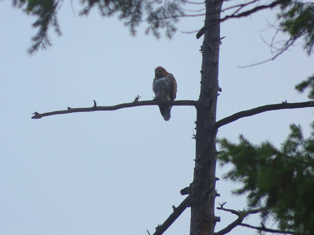
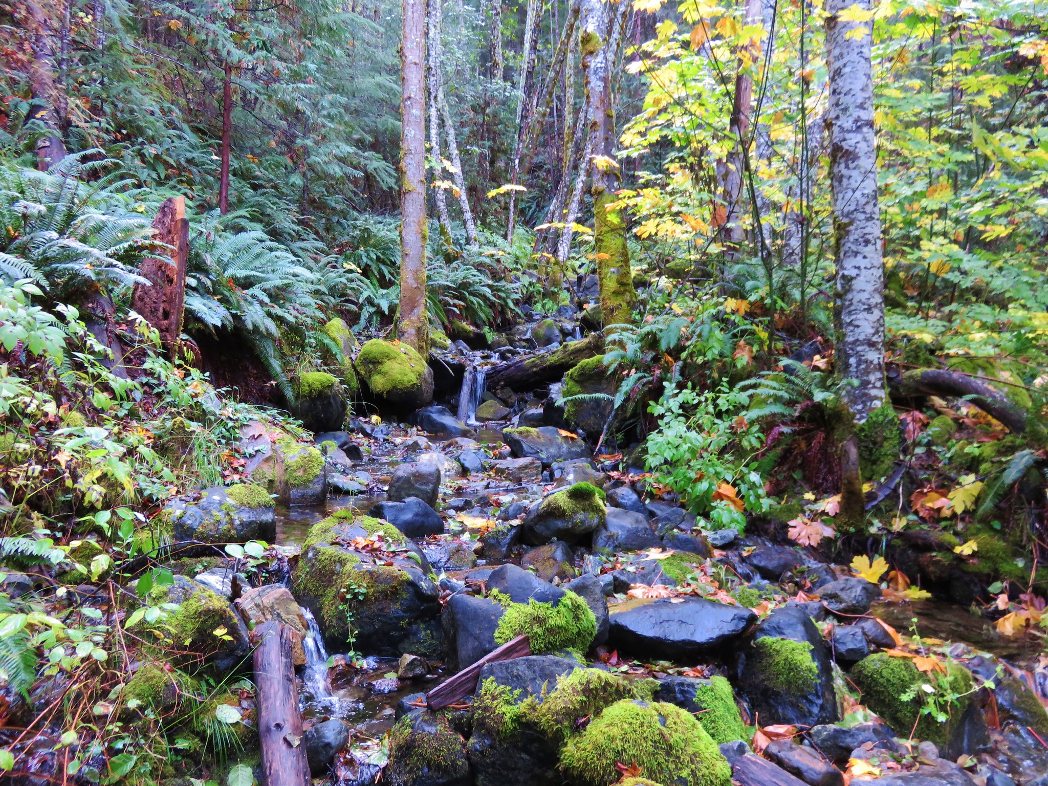
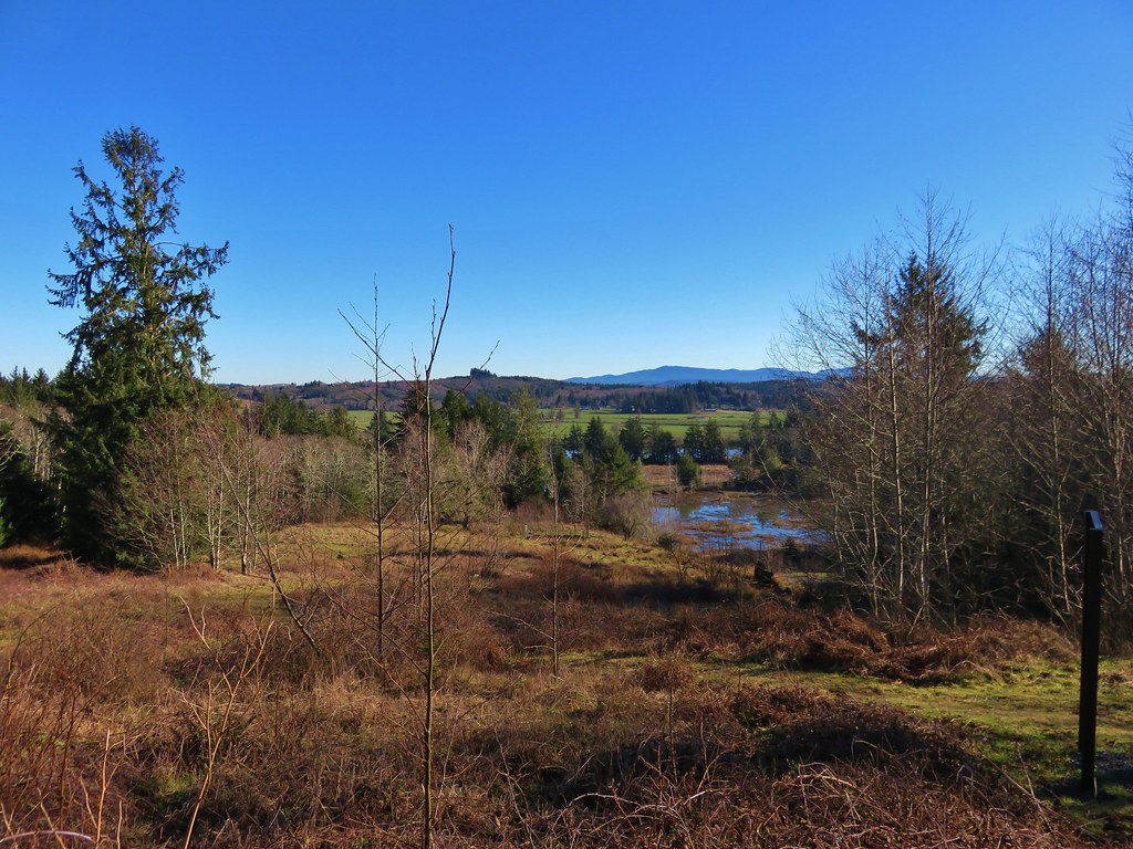
We could have turned back here and retraced our steps, but the park has several other trails which allow for various loop options. From the canoe landing we followed the Netul Trail south along the river. Part of the year a shuttle bus stop along this trail allows hikers to ride back to the fort or back to Sunset Beach. We were heading for the South Slough Trail though which we could take back to the Fort-To-Sea Trail. This trail loop around a slough filled with ducks and a couple of red-tailed hawks.
IMG_2970

IMG_2973

IMG_2978

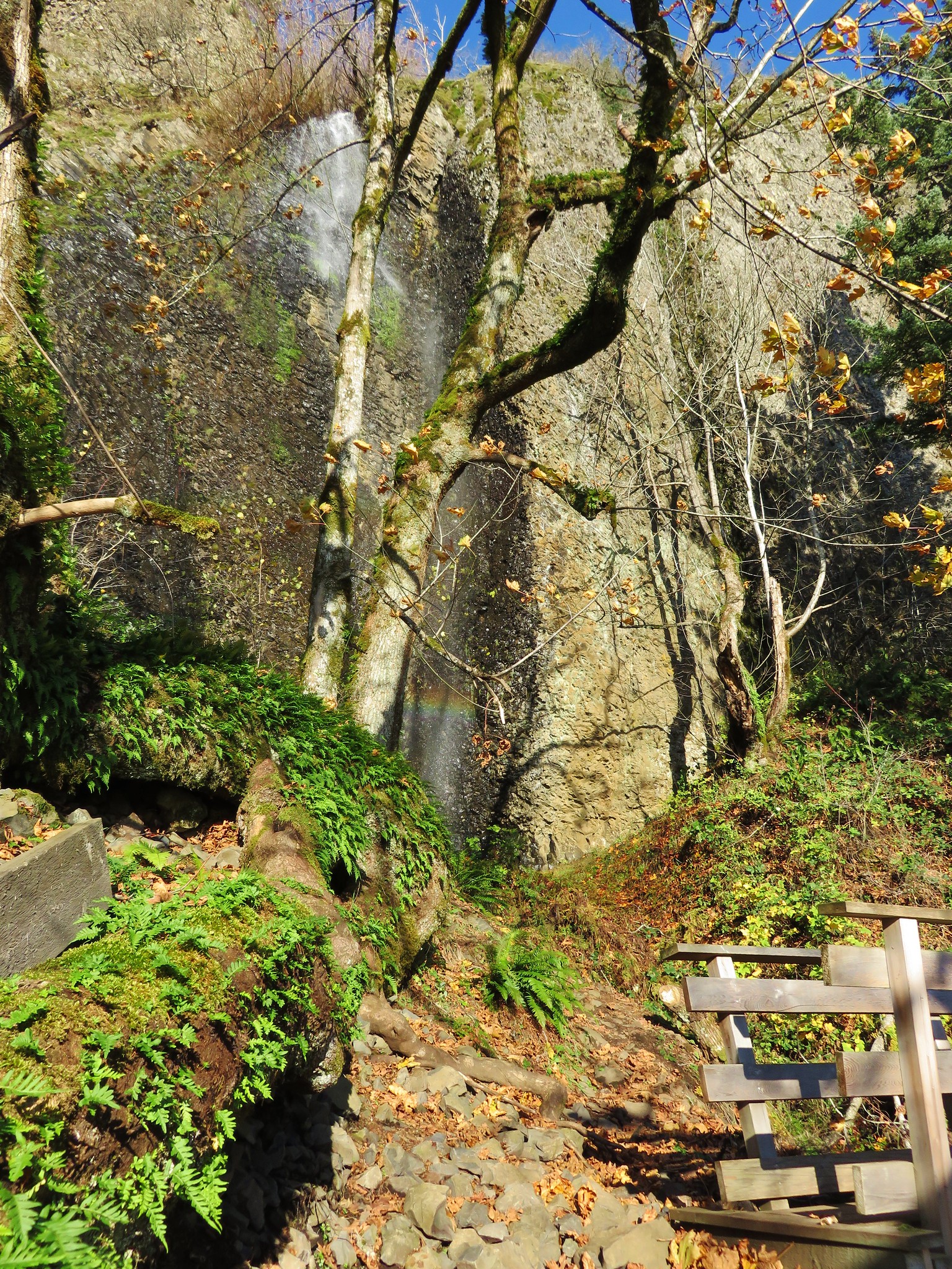
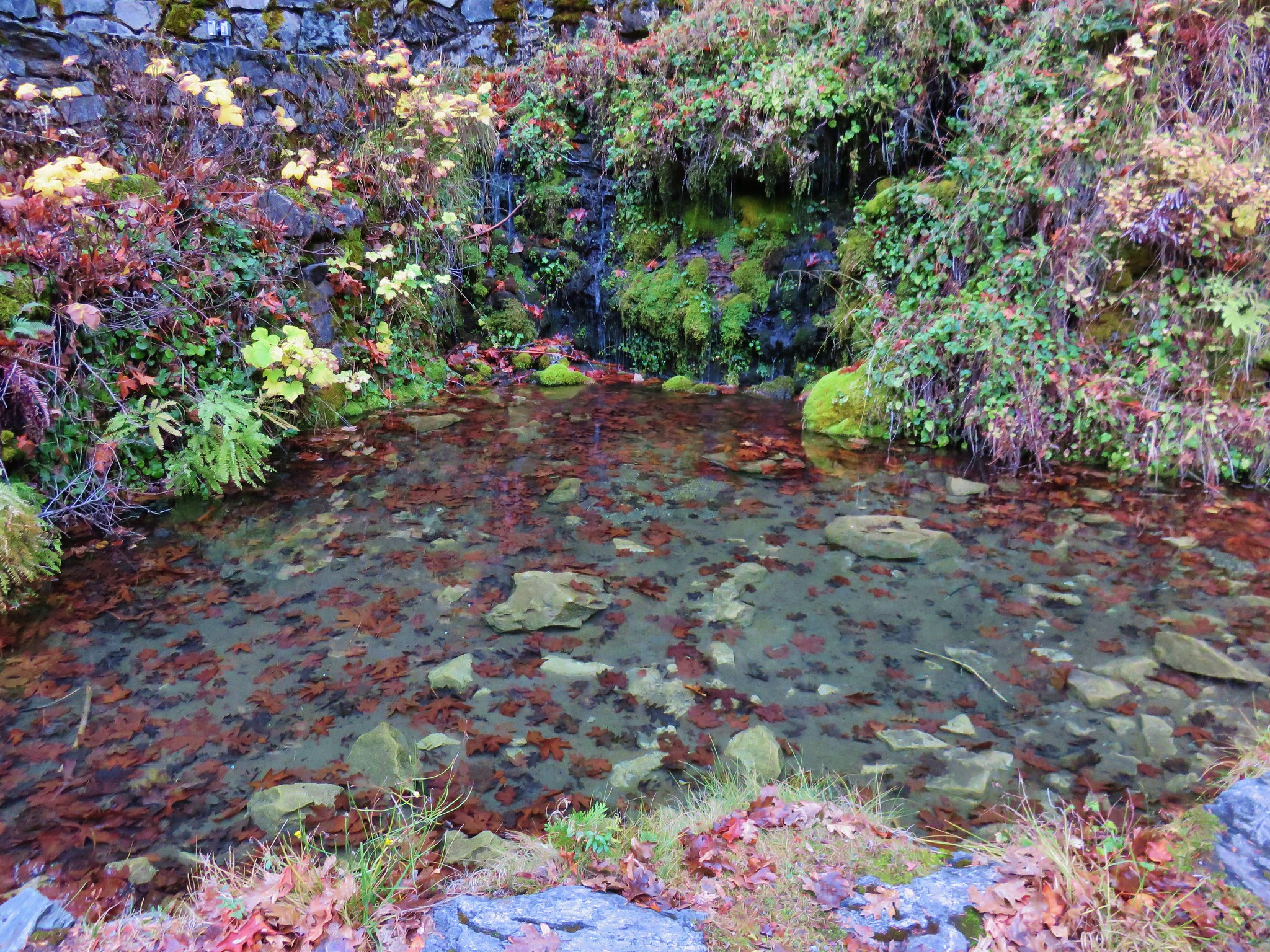
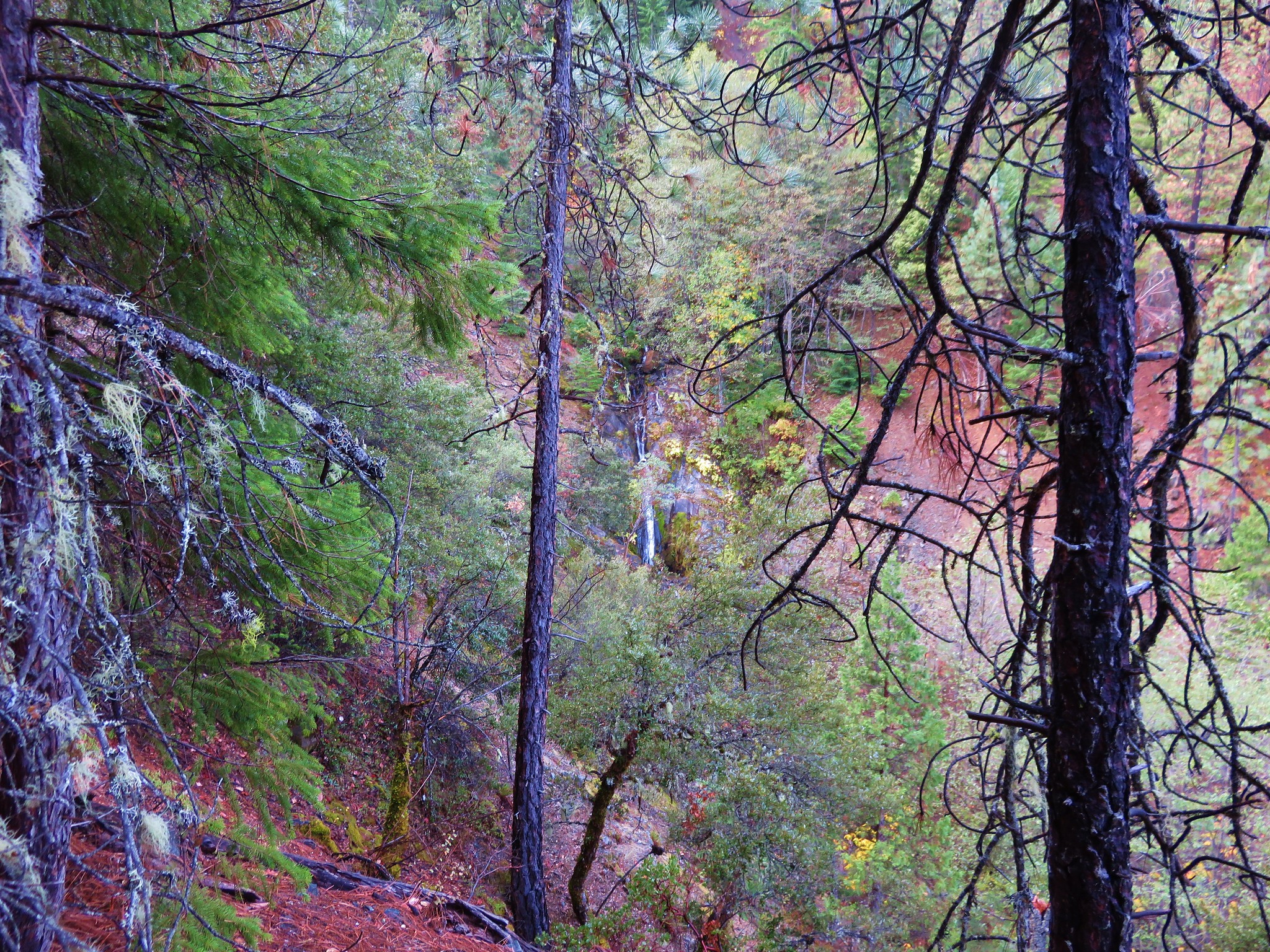
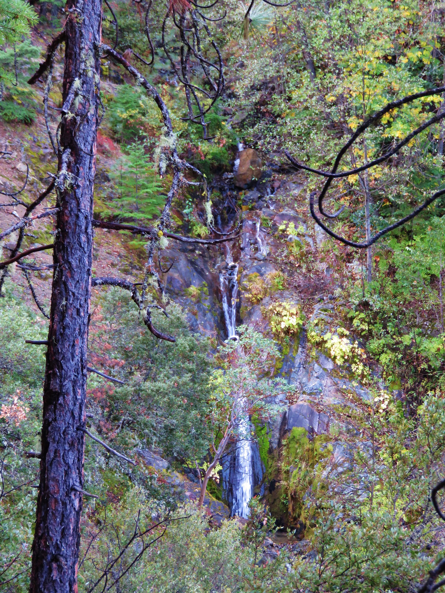
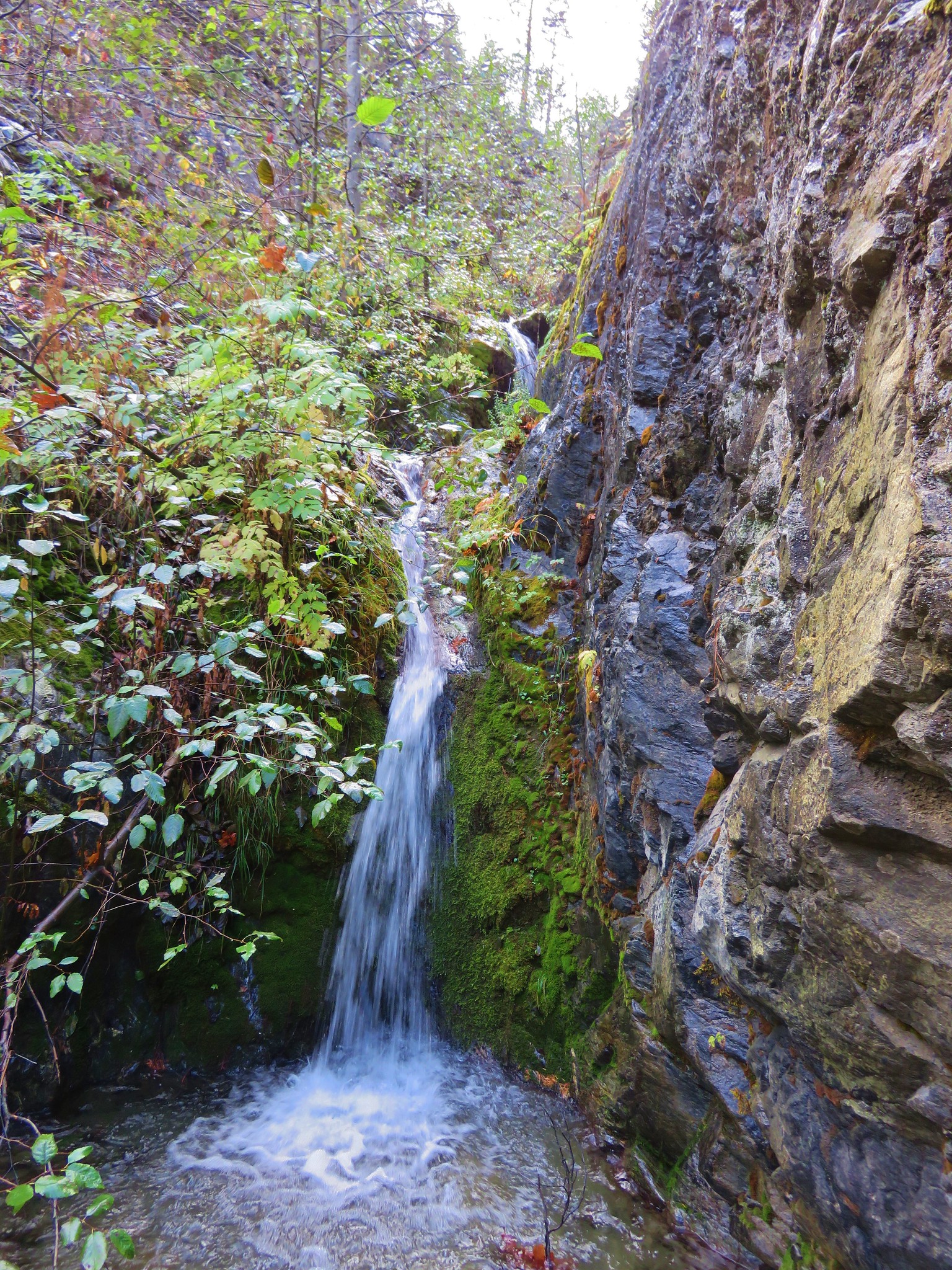
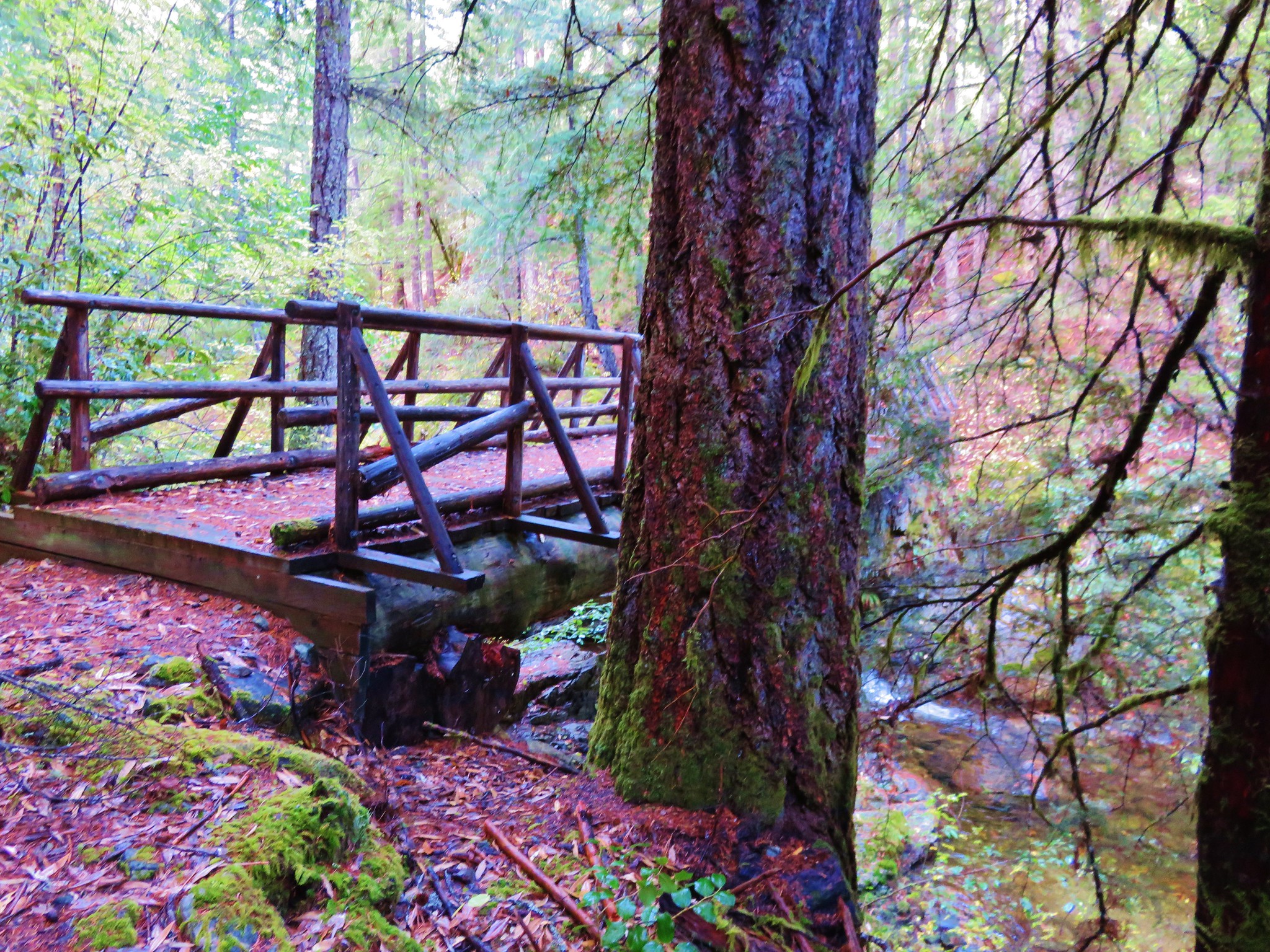
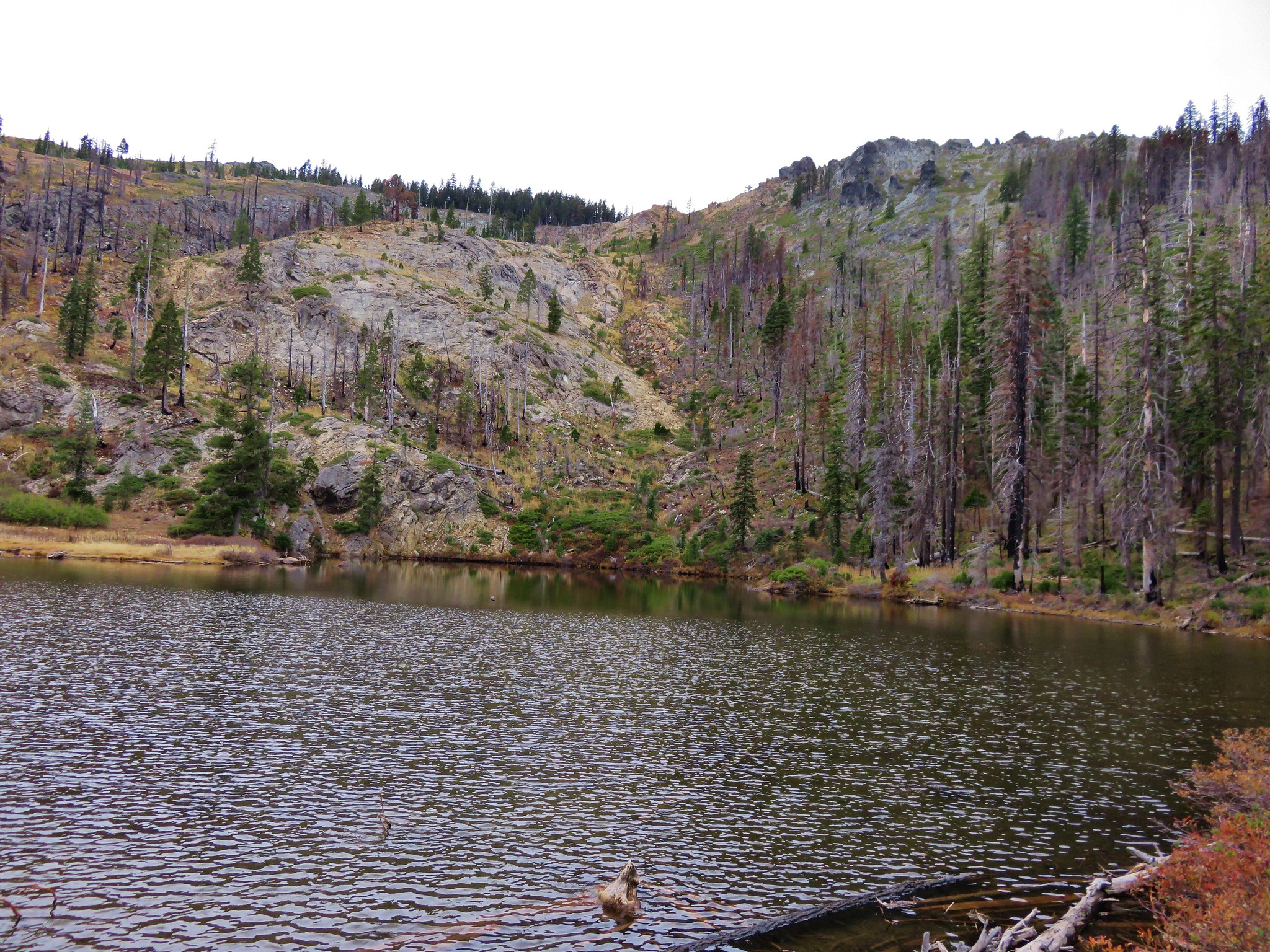
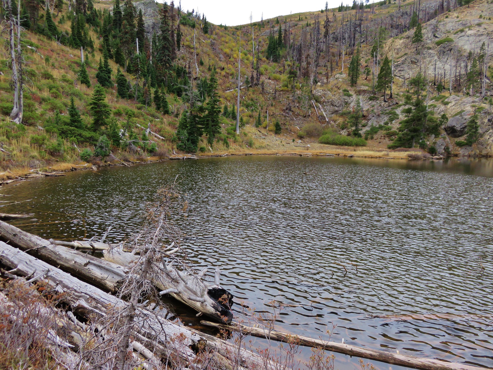
The South Slough Trail was the only trail marked as difficult on the park maps. It headed steeply uphill from the Netul Trail but the climb didn’t last long. The trail wound around the slough to a signed junction with the only real viewpoint of the trail.
IMG_2985

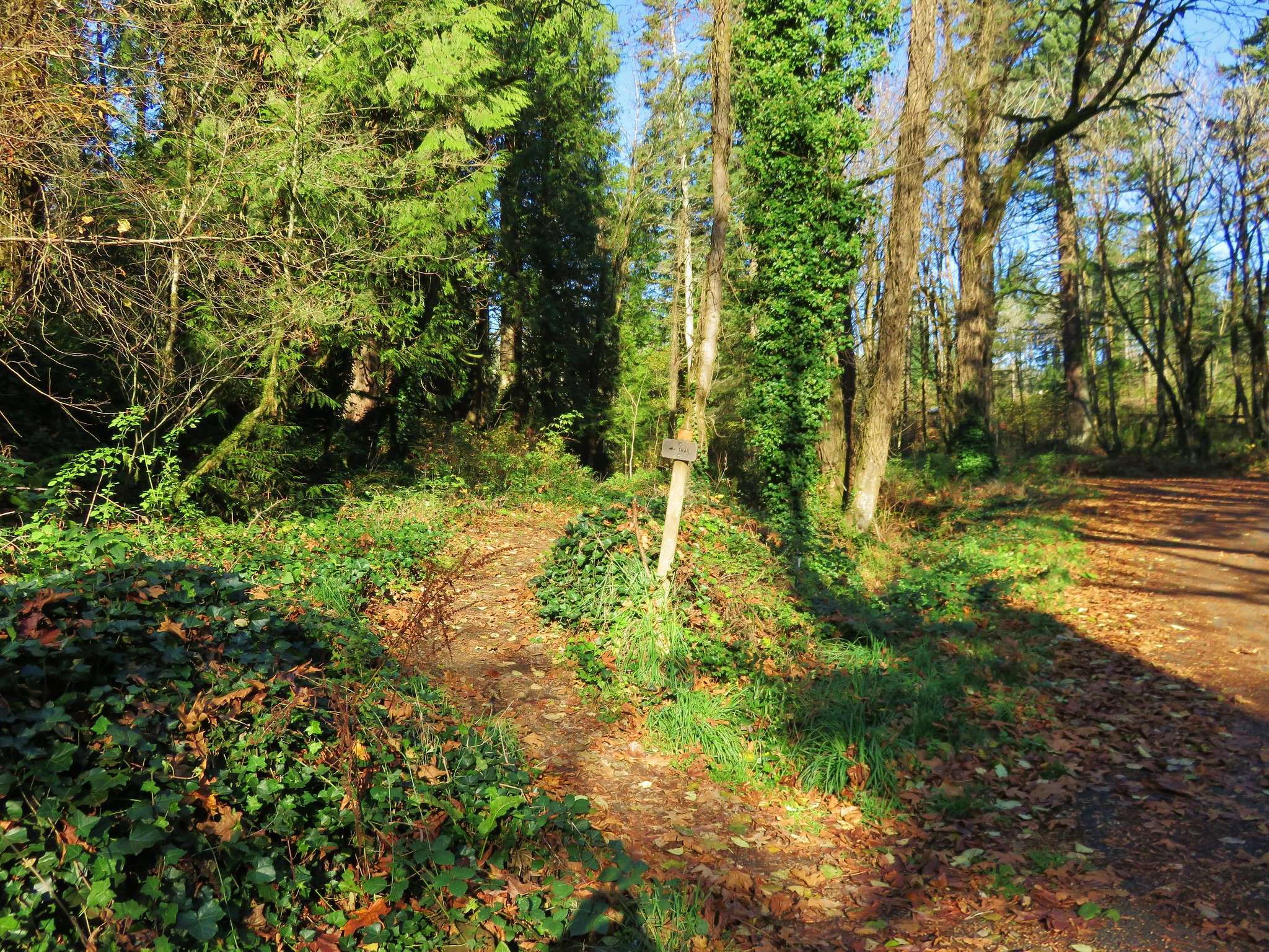
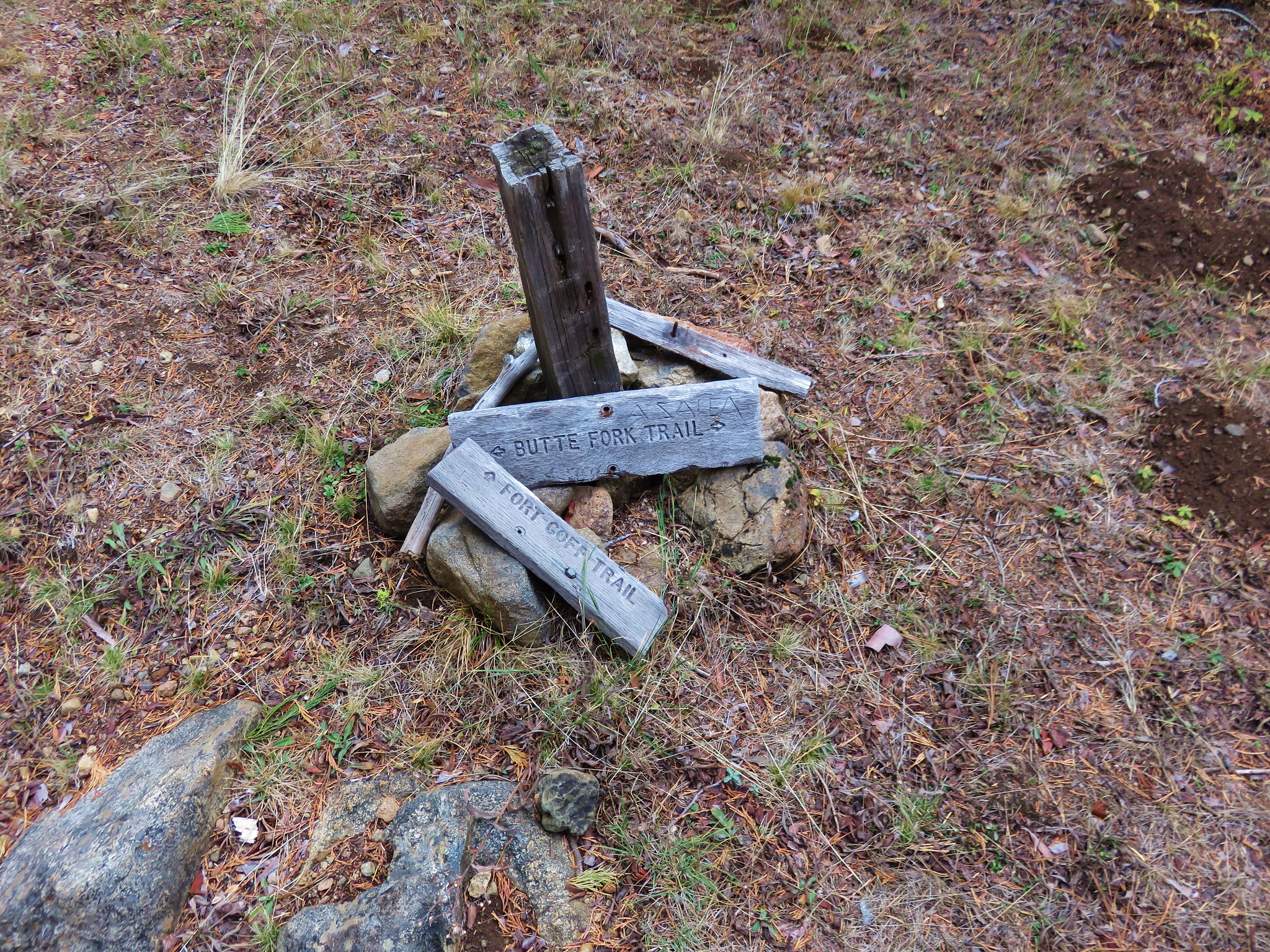
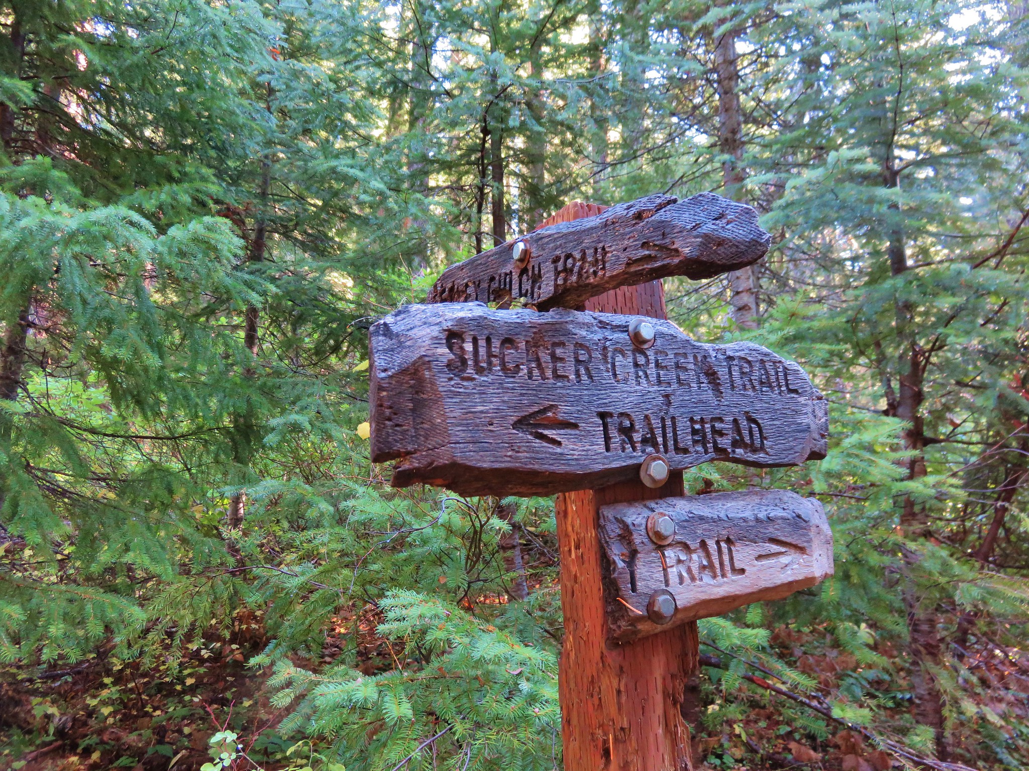
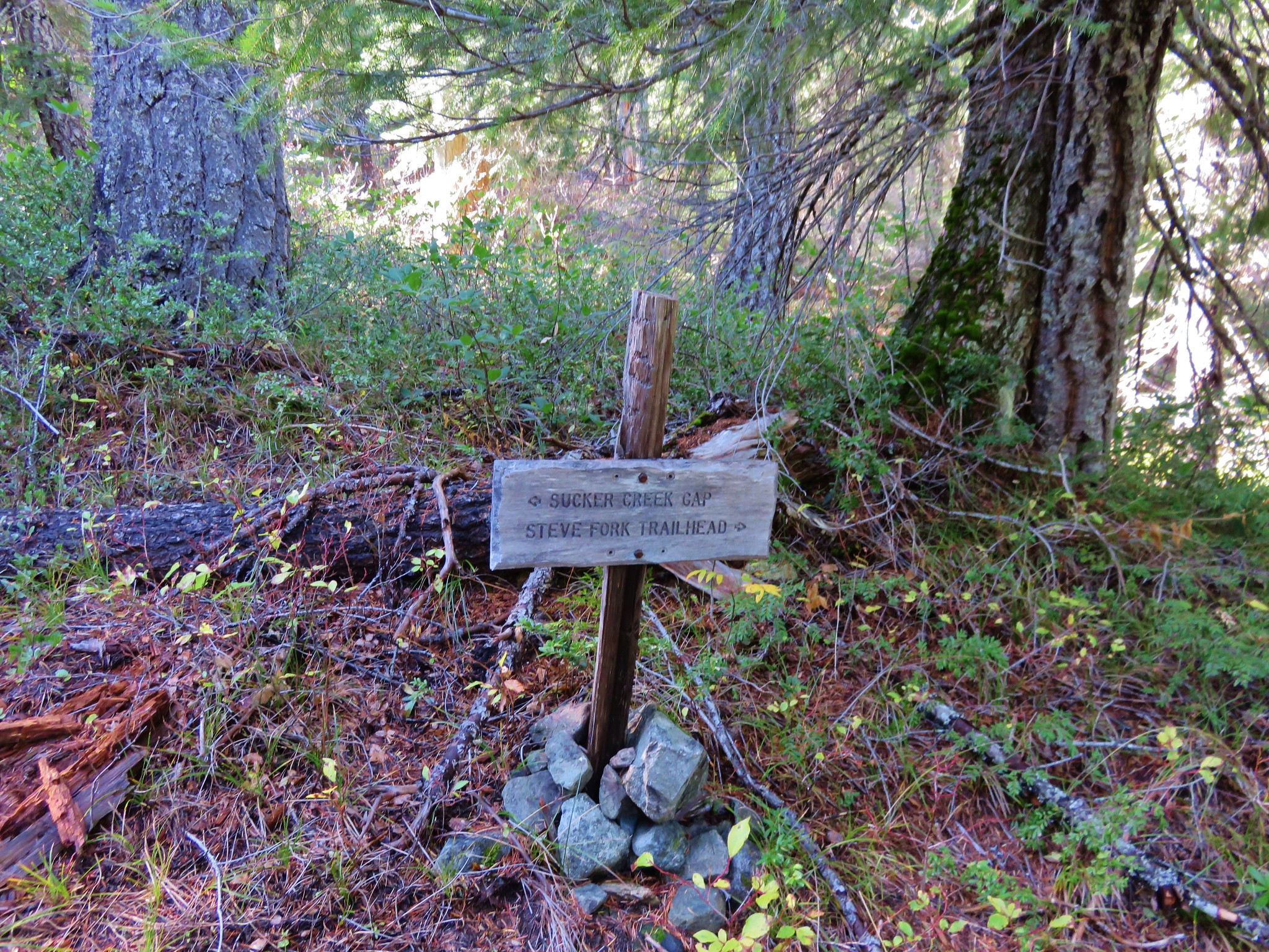
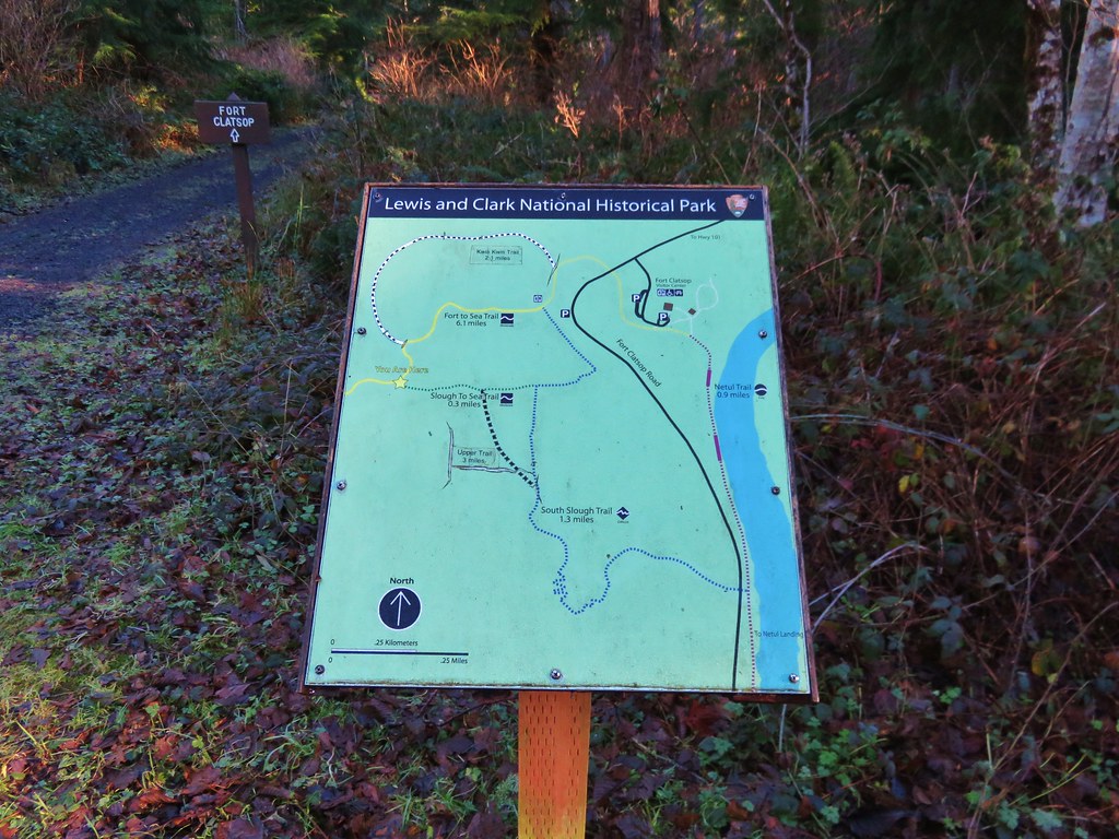
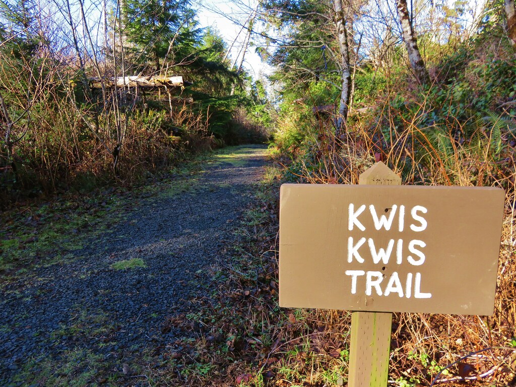
From this junction we could take the Lower South Slough Trail downhill to the Fort-To-Sea Trail about a half mile from the Visitor Center, or the Upper South Slough Trail which would meet the Fort-To-Sea Trail closer to a mile from the center. We took the upper option and made our way back to the Fort-To-Sea Trail and then took a second detour. Earlier that day just after entering the forest there was a signed trail forking left from the Fort-To-Sea Trail. It was named the Kwis Kwis Trail and it wasn’t shown in our guidebook or on any of the park maps we’d seen. The park maps did show a trail by that name but that trail showed as a wide arc leading from the Fort-To-Sea Trail near the junction with the Upper South Slough Trail and rejoining the Fort-To-Sea Trail about a third of a mile from the Visitor Center. Given the name and the fact that the signage for the mystery trail matched those of the park we theorized that it was a newer trail. We had also spotted sections of trail from the Fort-To-Sea Trail on the way up to the overlook which we suspected to be part of this trail.

From the Upper South Slough Trail junction we headed east on the Fort-To-Sea Trail to the signed Kwis Kwis Trail junction.
IMG_2987

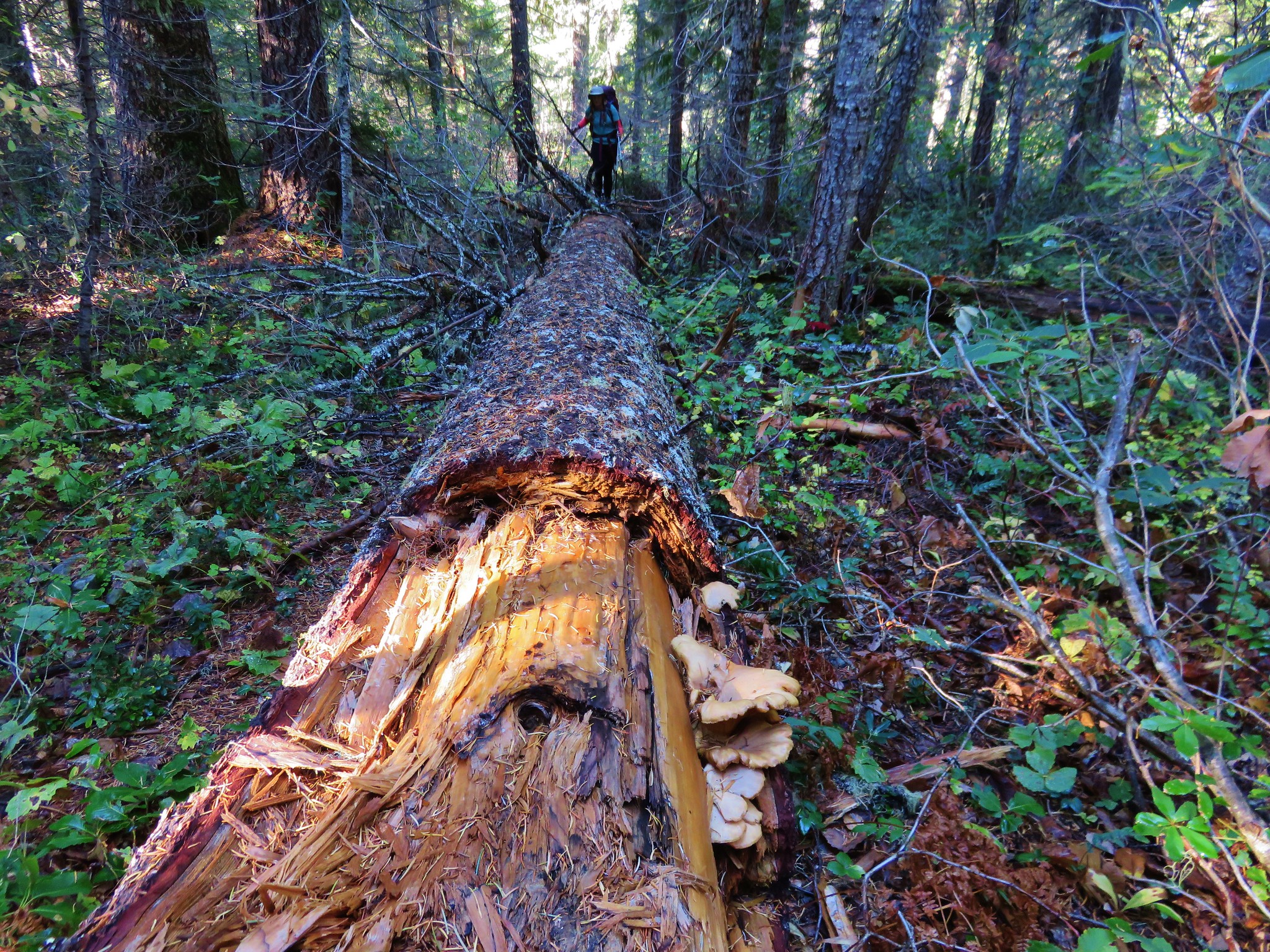
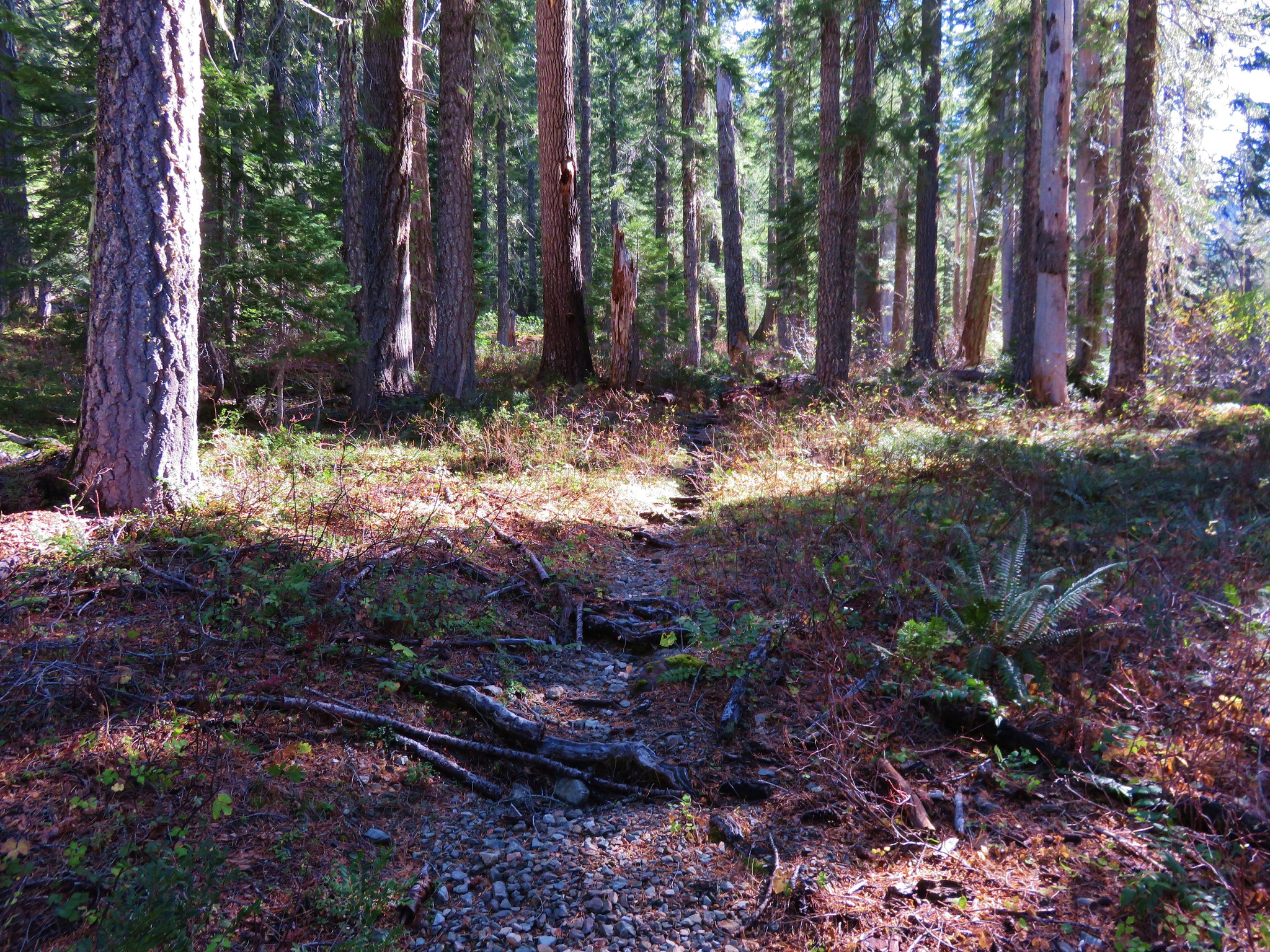
This trail also followed an old roadbed. After winding downhill for a little more than .3 miles we spotted a sign for the Kwis Extension.
IMG_2988

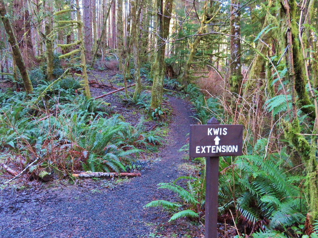
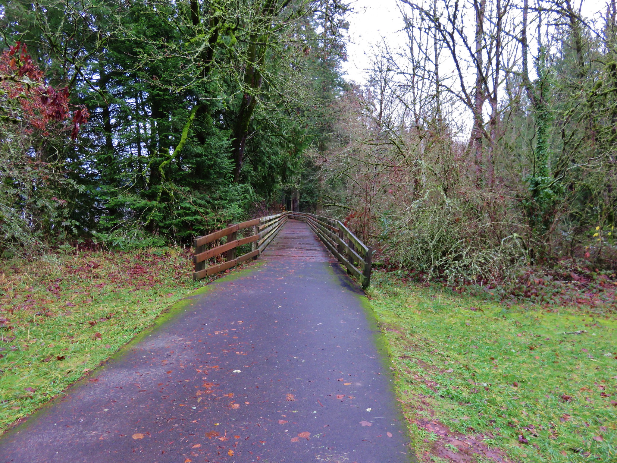
We turned up this path which ran roughly parallel to the Fort-To-Sea Trail at a lower elevation. This was indeed the path we had seen earlier. A nice long boardwalk traversed a large marshy area before rejoining the Fort-To-Sea Trail in the forest near the Skipanon River.
IMG_2991

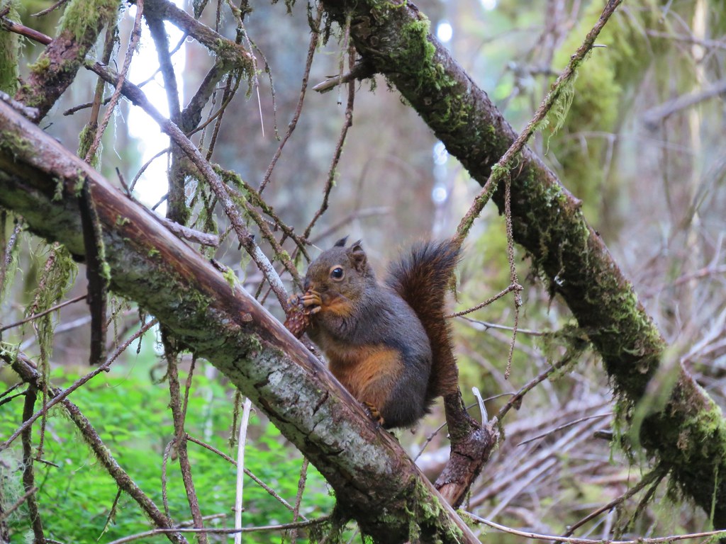
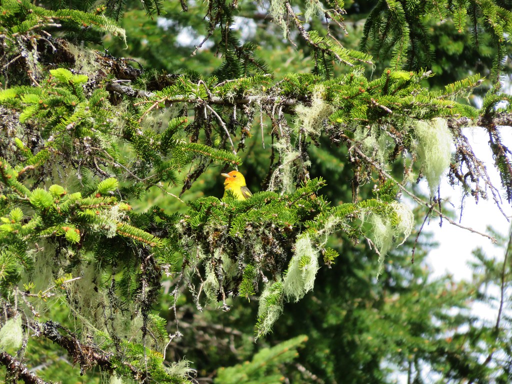
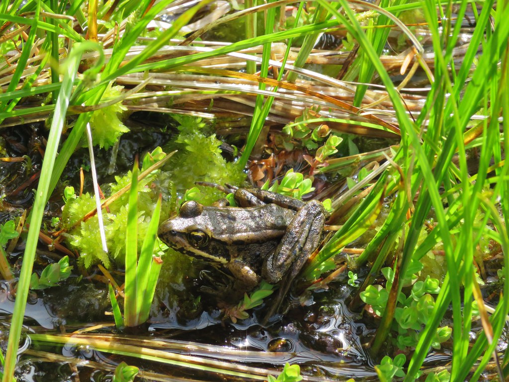
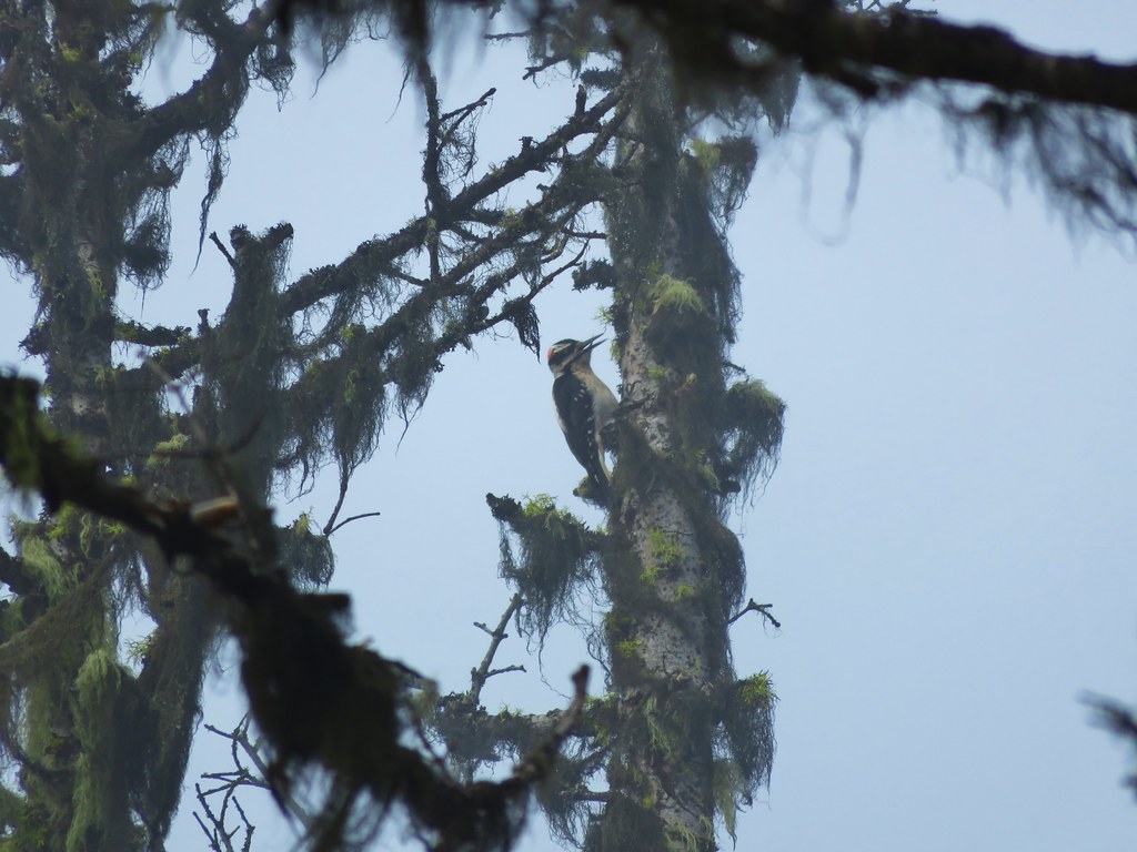
From there we retraced our steps along the Fort-To-Sea Trail to the Sunset Beach Trailhead. Later we learned the Kwis Kwis Trail Extension was completed in 2014. The scenery and wildlife along the trails were both quite varied, and the history surrounding the area made it a very interesting hike. The various loops and trail distances make this a great option for hikers of any age. Happy Trails!

Flickr: https://www.flickr.com/photos/9319235@N02/albums/72157662826694040

Categories
Year-end wrap up

The Hikes of 2015 – A Look Back

Another year of wandering the trails of the Pacific Northwest has come to an end. Since 2010 we have been on over 200 hikes covering over 2200 miles and we continually find ourselves in awe of God’s creation.

We managed to hit the trails at least once every month ending with 56 hikes for myself and 55 for Heather. I was able to sneak an extra one in by meeting my parents at Columbia Hills State Park in April while Heather was still running. These were the most hikes we’d done in a single year which also led to our highest mileage totals – 660.4 for myself and 652.6 for Heather. The hikes ranged from 2.9 miles (Butte Creek & Abiqua Falls) to 19.1 miles (Green Lakes Loop). Below is a link to a Google map showing the various trailheads and campsites (denoted by picnic tables).
2015

https://www.google.com/maps/d/edit?mid=zIiZZDXeDJAs.kn3sBy2gxhI8&usp=sharing

In addition to my Columbia State park hike we met my parents for hikes at McNeil Point and Jefferson Park. We also met a couple of regular contributors to Oregonhikers.org out on the trails, miah66 on Silver Star Mountain and justpeachy in Jefferson Park. In December we attended the Trail Keepers of Oregon/Oregon Hikers annual Winter Meet-n-Deet in Portland where we were able to put a few more faces to the names we’ve gotten to know on the hiking forums.  It was a blast and we’re hoping to continue attending the event in future years.

As in previous years our primary focus was to visit new places and spend time on trails we had not previously hiked.  We continued to expand the area in which we’ve hiked by spending 4 days hiking the Northern Loop Trail in Mt. Rainier National Park and spending some time hiking in California around Crescent City and in the Red Buttes Wilderness.  Other areas which were brand new to us included the area around Ashland, OR, Indian Heaven Wilderness, and The Oregon caves National Monument.  In all 43 of our 56 days of hiking were spent on sections of trails we had never been on before. The remaining 13 days were spent on trails that we had visited in prior years, but we managed to do something different this time around on each trip allowing us to see something new every time out.

This year just reinforced what has become one of our favorite aspects of hiking, the variety.  In visiting so many new trails we were able to see flowers, trees, animals, and even mountains that we had not previously encountered on our hikes.  Even in the familiar areas there always seems to be something new to experience.  It’s not just the sights that provide the variety though, the smells, sounds, and even the feeling of the air and the forest can change multiple times on any given hike.

Although the camera cannot adequately capture the beauty of nature a look back at some of this year’s pictures will hopefully give some indication of the many different sights we were blessed with.

Views:
Oregon Dunes Overlook
View from Oregon Dunes day use area

Rowena Crest
Rowena Crest from the Tom McCall Point trail.

Mt. Hebo Trail
Sunlight penetrating the clouds in the Siuslaw National Forest

View from Boccard Point
Looking west from Boccard Point

French Pete Creek
French Pete Creek

Smith Rock State Park
Smith Rock State Park from the summit above Burma Road

Mt. Hood from the McNeil Point Trail
McNeil Point Trail

Middle & South Sister from Eileen Lake
Middle and South Sister from Eileen Lake

Middle & South Sister from Linton Meadows
Middle and South Sister from Linton Meadows

Pacific Ocean from Salishan Spit
Low tide heading toward Salishan Spit

Mt. Jefferson from Russell Lake

Sluiskin Mountain
Sluiskin Mountain in the morning

Mt. Rainier
Mt. Rainier

Olallie Lake Scenic Area
View from Double Peaks

Indian Heaven Wilderness
Lemi Rock

Mt. Washington Wilderness
Mt. Washington and Three Fingered Jack from Belknap Crater

Belknap Crater
Belknap Crater

South Sister from the Green Lakes
South Sister from the first Green Lake

South Sister from Denude Lake

Wind and Dog Mountain from Indian Point
Wind and Dog Mountains from Indian Point

Bull of the Woods Wilderness
Lake Lenore and Mt. Hood from Big Slide Mountain

Pacific Ocean near Damnation Creek
Sunsetting over the Pacific Ocean from the mouth of Damnation Creek

Redwoods in Jedediah Redwoods State Park
Redwoods along the Boy Scout Tree Trail

Red Buttes Wilderness
Red Buttes and Kangaroo Mountain

Kangaroo Mountain
Marble outcrop below Kangaroo Mountain

Paradise Lost, Oregon Caves National Monument
Looking up in the Paradise Lost room of the Oregon Cave

Waterfalls:

University Falls
University Falls

Lower Butte Creek Falls
Lower Butte Creek Falls Upper Butte Creek Falls Upper Butte Creek Falls

Abiqua Falls
Abiqua Falls Upper McCord Falls Upper McCord Falls

Wahclella Falls
Wahclella Falls Elowah Falls Elowah Falls

The Potholes
The Potholes Woodburn Falls Trillium at Woodburn Falls

Rodney Falls
IMG_1665 Upper Kentucky Falls IMG_1840

Lower Kentucky Falls
Lower Kentucky Falls North Fork Falls North Fork Falls

Munson Falls
Munson Falls

Unnamed waterfalls along Linton Creek Waterfalls along Linton Creek

Waterfall on Linton Creek

Waterfall on Linton Creek

Waterfall along Linton Creek

Duncan Falls Duncan Falls

Upper Portion of Linton Falls
Upper portion of Upper Linton Falls

Some of Upper Linton Falls

Indian Holes Falls
Indian Holes Falls Unnamed waterfall – Mt. Rainier National Park IMG_7614

Garda Falls
Garda Falls Another unnamed fall in Mt. Rainier National Park IMG_7972

Van Horn Falls
Van Horn Falls

Waterfalls along Fall Creek IMG_9592

Fall Creek

Fall Creek

IMG_9604

IMG_9612

Falls along Crater Creek

Falls along Crater Creek

Waterfall on Crater Creek

Corner Falls Corner Falls

Fall River Falls
Fall River Falls

Waterfalls along Paulina Creek Small waterfall on Paulina Creek

Falls on Paulina Creek

Small waterfall on Paulina Creek

Small waterfall on Paulina Creek

IMG_0567

Waterfall on Paulina Creek

McKay Falls

Waterfall on Paulina Creek

Waterfall on Paulina Creek

Waterfall on Paulina Creek below Ten-mile snopark bridge

Wildlife
Mallard at Lacamas Lake

Bullfrogs in pond near Lacamas Lake

Turtles at Lacamas Lake

Greater Yellowlegs

IMG_1287

IMG_0993

IMG_1059

IMG_1134

IMG_1821

IMG_1851

IMG_1987

Douglas Squirrel

IMG_2493

Frog

Northern Pacific Treefrog

Western Bluebird

Wood duck

IMG_2915

IMG_3057

Owl

Rabbit

IMG_3651

IMG_3868

Green-tailed Towhee

IMG_4179

Hummingbird

IMG_4223

IMG_4249//embedr.flickr.com/assets/client-code.js

Butterfly along the Crooked River

IMG_4727

Butterfly along the Blair Lake Trail

IMG_4898//embedr.flickr.com/assets/client-code.js

Butterfly along the Bluff Mountain Trail

Mountain Parnassian

IMG_5507

Deer visting a meadow behind our campsite

Small fish in a little stream near Linton Meadows

IMG_6760

Gray Jay//embedr.flickr.com/assets/client-code.js

IMG_6769

Grasshopper invasion

IMG_6939

Harbor Seals

Seagull

Pika

Black Bear

IMG_7342

IMG_7376

Mountain Goats on Burroughs Mountain

IMG_7760

Chipmunk enjoying a berry

Deer in the meadow below Yellowstone Cliffs

Lounging marmot

Varied Thrush//embedr.flickr.com/assets/client-code.js

IMG_1122

Rough Skinned Newt

Sea Lions

IMG_1544

Cormorant

IMG_1601

Anenomes

IMG_1691

Ouzel

IMG_0156

Great Blue Heron

IMG_0267

IMG_0397

IMG_0440

IMG_0551

Buck

Last butterfly of the year

Hawk

IMG_2588

Barred Owl

Americn Kestrel

Acorn Woodpecker

Wildflowers
IMG_0578

IMG_0591

IMG_0708

IMG_0797

IMG_1012

IMG_1014

IMG_1040

IMG_1062

IMG_1098

IMG_1172

Bachelor Button

IMG_1375

IMG_1382

IMG_1428

California Poppy

IMG_1682

IMG_1686

IMG_1699

IMG_1854

IMG_2011

IMG_2101

IMG_2107

IMG_2163

IMG_2263

IMG_2327

Columbine

Wild Iris

IMG_2484

036

051

070

Henderson's Stars

228

213

Elegant Brodiaea

Popcorn Flower

Common Madia

IMG_2972

IMG_2987

mariposa lily

IMG_3208

IMG_3322

Scarlet gilia

IMG_3431

IMG_3314

IMG_3557

IMG_3667

Monument Plant aka Elkweed

IMG_3688

IMG_3772

Striped Coralroot

IMG_4048

IMG_4074

IMG_4202

IMG_4219

IMG_4225

smoothstem blazing-star Mentzelia laevicaulis

IMG_4340

IMG_4407

IMG_4428

IMG_4458

Bog Orchid and Elephants Head

Tiger Lily

IMG_4523

Beargrass Meadow

IMG_4640

IMG_4728

Orange Agoseris

Elegant Brodiaea

IMG_4925

IMG_5096

Cat's ear lily

IMG_5230

IMG_5270

IMG_5327

Aster

IMG_5620

IMG_5654

IMG_5694

IMG_5797

IMG_5823

IMG_6333

IMG_6516

IMG_7809

IMG_7934

We are already looking forward to next year’s hikes. I freely admit that I already have a preliminary schedule laid out (I will not admit to how far out it extends though 😉 ).  As it currently stands we will be visiting 6 new wilderness areas, another national monument, and summiting three peaks over 9000′ tall.  If history is any guide the list of completed hikes at this time next year will look vastly different from this preliminary one, but then that’s just part of the adventure.  One thing is for sure though, we are sure to see some amazing sights along whatever trails we wander.  Happy Trails!

Categories
Hiking Oregon Salem/Albany Trip report Willamette Valley

Champoeg Heritage Area

Since 2010 we have been closing out the year by taking our final hike along the coast or in the coastal mountain range, but this year that streak came to an end. Recent storms and heavy rains that damaged roads and left creeks and rivers swollen caused us to rethink our original plan to visit Fort Clatsop near Astoria Oregon. Instead we decided to put our fallback hike into play and visit Champoeg State Park.

Champoeg State Park is located along the Willamette River less than a ten minute drive from Interstate 5 at the Donald exit between Portland and Salem. The 622 acre park is at the site where Oregon’s first provisional government was formed by vote in 1843. On May 2nd of that year 100 men arrived at the Hudson’s Bay store to decide if they would form an American style government or stay aligned with Britain. The group consisted of Americans, Britons, and French-Canadians. The vote was initially tied 50/50, but two undecided French-Canadians eventually chose to vote with the Americans breaking the tie.

By 1860 Champoeg consisted of 200 buildings but in December of 1861 the river flooded when it rose by 55 feet and effectively wiped out the townsite. No lives were lost in the flood but it marked the end of the bustling town.

We parked in the Riverside Parking area located at the northeast end of the park planning on starting our hike on the .5 mile riverside loop.
Champoeg Heritage Area Trailhead The recent rains had left the park a bit waterlogged and we found portions of the trail underwater. IMG_2733

IMG_2734 We made our way around this first obstacle and climbed a small hill to the Pioneer Memorial Building. Champoeg Pioneer Memorial Building

A 1901 memorial commemorating the 1843 vote sits in front of the building.
IMG_2738 We set off on the Riverside Loop next to a muddy and swollen Willamette River. IMG_2745

IMG_2743 The loop wasn’t possible on this day due to several flood portions, but we walked the portions that were accessible. Flooded trail in Champoeg State Park

We returned to the memorial and headed west on the Townsite Trail, a 1.5 mile barkdust path that led to the Park’s campground.
IMG_2754 IMG_2756

Townsite Trail We followed the path to a backed up Champoeg Creek and crossed on the road bridge leading to the campground. IMG_2763

IMG_2765 From the campground a paved bike path leads 2.4 miles to the Historic Butteville Store. Established in 1863 it the oldest operating store in the State although it closes in the winter. IMG_2766

Two short hiker only side trails split from the bike path near the far end of the campground.
IMG_2769 The first led to the grave site of Kitty Newell while the other was the short .4 mile Nature Trail Loop. IMG_2771

The bike path was clear of water and we followed it along the Willamette. Houses lined the far side of the river, but on our side was a mossy forest.
IMG_2778 IMG_2781

The final .6 miles to the store require some road walking, first along narrow Schuler Rd then downhill on what was a busy Butteville Rd.
IMG_2782 On our way back we remained on the paved bike path after recrossing Champoeg Creek. This route would bring us back on a loop around open farmland and the park’s Frisbee golf course. IMG_2797

We spotted a number of birds along this portion including an Acorn Woodpecker.
IMG_2788 Acorn Woodpecker

IMG_2803 Near the end of the loop we spotted a tree with markers showing the water levels during the 1861 flood and the more recent 1996 flood. IMG_2804

Highwater makers for the 1861 & 1996 floods. We lived in Monmouth, OR in 1996 so we remembered the 1996 event. It was hard to fathom how much more water there would have needed to be to reach that 1861 mark. We finished up our hike and began to drive back out of the park, but as we were sitting at a stop sign I looked out the passenger window to see an American Kestrel sitting in a tree only 10 feet away. I reached back for the camera only to realize I had put it in the back of the car. As a rule I keep it in the back seat because of the amount of wildlife we seem to wind up seeing from the car instead of on the hikes, but I hadn’t this time. The kestrel flew off and landed in another tree a little further away, so I hopped out and got the camera out of the back in hopes of getting a picture. It changed trees one more time before I was able to jog over to the bike path (which just happened to pass near the road here) and get a semi decent photo. Americn Kestrel

This wasn’t one of our typical hikes, but knowing the history of the area made it an interesting hike. If you’re interested in more information on this area or for other historical Oregon hikes check out Hiking Oregon’s History by William L. Sullivan.

Happy Trails and Merry Christmas!
Little Christmas Tree in Champoeg State Park

Flickr: https://www.flickr.com/photos/9319235@N02/albums/72157660242747654


Categories
Columbia Gorge North Hiking Trip report Washington

Cape Horn

For our November hike we chose the Cape Horn trail. We had wanted a hike that was a little shorter than our normal trips since Heather had just run her first race in awhile. The 7+ mile loop around Cape Horn fit the bill perfectly and it was a good time for a visit given the full loop is closed from February 1st to July 15th due to nesting Falcons.

Just 30 minutes from the Portland airport the trailhead is located at the Skamania County Transit Park & Ride lot near milepost 26 along State Highway 14 at Salmon Falls Road. The all volunteer Cape Horn Conservancy works with the United States Forest Service (USFS), Washington Trails Association (WTA), and Friends of the Columbia Gorge (FOCG) to maintain and improve the trail here which was evident by the well maintained trail and abundant signage along the way which began at the trailhead.
IMG_2624//embedr.flickr.com/assets/client-code.js

IMG_2621//embedr.flickr.com/assets/client-code.js

IMG_2622//embedr.flickr.com/assets/client-code.js

Cape Horn Trailhead//embedr.flickr.com/assets/client-code.js

Almost immediately after crossing Salmon Falls Rd. and starting on the trail we faced the choice of going clockwise or counter-clockwise around the loop. We stayed to the right heading counter-clockwise and began climbing up toward the viewpoints on top of Cape Horn.
IMG_2631//embedr.flickr.com/assets/client-code.js

IMG_2633//embedr.flickr.com/assets/client-code.js

Our first good views were to the north as the trail neared some power lines where several snow dusted peaks were visible.
Lookout Mountain
IMG_2635//embedr.flickr.com/assets/client-code.js

Silver Star Mountain, Little Baldy, and Bluff Mountain
Silver Star, Little Baldy, and Bluff Mountain//embedr.flickr.com/assets/client-code.js

The trail then crossed over to the Columbia Gorge side of Cape Horn for our first unobstructed views of the Columbia River. The Sun had just crested over Larch Mountain to the southeast and was creating some glare limiting the views. A cold wind was racing down the Gorge which made it a little too chilly to spend much time at any of the viewpoints which was too bad because they were nice enough to warrant a longer stay.
Columbia River from the Cape Horn Trail//embedr.flickr.com/assets/client-code.js

IMG_2640//embedr.flickr.com/assets/client-code.js

A little bit of ice at the viewpoint.//embedr.flickr.com/assets/client-code.js

The trail then dropped down away from the Gorge (and out of the wind) briefly joining an old roadbed and then climbing to a crossing of paved Strunk Rd. where the trail passes through grassy fields on a gravel road.
IMG_2651//embedr.flickr.com/assets/client-code.js

IMG_2653//embedr.flickr.com/assets/client-code.js

The next viewpoint of the Columbia Gorge was the Nancy Russell Overlook which had recently undergone some repairs. A long stone bench in the overlook offered plenty of space for hikers to relax and soak in the view, but again the cold wind wasn’t going to allow us to enjoy it for long.
IMG_2654//embedr.flickr.com/assets/client-code.js

Columbia River from the Cape Horn Trail//embedr.flickr.com/assets/client-code.js

The trail began to descend after the Nancy Russell Overlook switchbacking and passing yet another viewpoint on it’s way down to a tunnel beneath SR 14.
IMG_2661//embedr.flickr.com/assets/client-code.js

IMG_2662//embedr.flickr.com/assets/client-code.js

IMG_2671//embedr.flickr.com/assets/client-code.js

Yet another viewpoint awaited on the other side of the highway.
IMG_2674//embedr.flickr.com/assets/client-code.js

IMG_2675//embedr.flickr.com/assets/client-code.js

A nice waterfall cascaded down a grassy slope near the viewpoint.
IMG_2678//embedr.flickr.com/assets/client-code.js

The section that is closed for the Falcons begins shortly after that viewpoint but that wasn’t an issue now so we continued on. After another series of switchbacks the trail began to head back leading us east parallel to the river. The wind was really whipping down closer to the river and we were blasted by it every time there was a break in the trees. We passed an unsigned side trail to the right and momentarily paused wondering where it might go. After continuing on for a minute or so it dawned on us that it had likely led to an overlook of the railroad tracks as they headed into the tunnel beneath Cape Horn. We began looking for the other end of that side trail to rejoin the main trail and spotted it at a set of trail signs. We turned right and headed out to check out this unsigned trail. It led to a series of grassy viewpoints and the view of the railroad tracks as we had suspected.
IMG_2683//embedr.flickr.com/assets/client-code.js

IMG_2685//embedr.flickr.com/assets/client-code.js

Railroad entering the tunnel beneath Cape Horn//embedr.flickr.com/assets/client-code.js

The wind along here was so strong that we struggled to not be pushed around by it. It was a challenge to try and stand in one spot for anytime at all. We followed the side trail all the way back to the unmarked junction we had wondered about earlier and then resumed our hike on the main trail. Another windy viewpoint awaited not far ahead where three unique rock formations where visible. From this spot Cigar Rock, Beacon Rock, and Phoca Rock were all visible.
IMG_2691//embedr.flickr.com/assets/client-code.js

Cigar Rock is the tall column of rock on the left, Beacon Rock is in the distance straight ahead, and Phoca Rock is in the middle of the Columbia to the right.
Cigar, Beacon and Phoca Rocks//embedr.flickr.com/assets/client-code.js

After fighting with the wind attempting to take pictures of the rocks the trail turned uphill passing through an interesting rock field below some cliffs.
IMG_2696//embedr.flickr.com/assets/client-code.js

IMG_2697//embedr.flickr.com/assets/client-code.js

As we crossed the rock field we got our first view of Cape Horn Falls.
Cape Horn Falls//embedr.flickr.com/assets/client-code.js

The falls were a delight. A small rainbow appeared and faded at the base of the falls as wind gusts blew the cascade from side to side. The footbridge below the falls was somewhat protected from the wind allowing us to spend some time watching the water dance in the wind.
Cape Horn Falls//embedr.flickr.com/assets/client-code.js

IMG_2713//embedr.flickr.com/assets/client-code.js

IMG_2718//embedr.flickr.com/assets/client-code.js

Rainbow beneath Cape Horn Falls//embedr.flickr.com/assets/client-code.js

Beyond Cape Horn Falls the trail continues through the trees below the cliffs until it finally drops down to Cape Horn Road.
IMG_2722//embedr.flickr.com/assets/client-code.js

IMG_2728//embedr.flickr.com/assets/client-code.js

The paved road acts as the trail for the next 1 1/4 miles passing farmland below Cape Horn.
Cape Horn from Cape Horn Road on the way back up to the trailhead.//embedr.flickr.com/assets/client-code.js

The trail leaves the road just prior to reaching SR 14 leading to another tunnel and than a short climb to complete the loop.
IMG_2731//embedr.flickr.com/assets/client-code.js

The hike was just what we were hoping for. Not too long (7.3 miles) but packed with views and diverse scenery. Happy Trails!

Flickr: https://www.flickr.com/photos/9319235@N02/albums/72157661488144815

Categories
Hiking Klamath/Siskiyou Mountains Oregon Trip report

Oregon Caves National Monument

We’d slept well after our dinner in the Dining Room of the Chateau at the Oregon Caves and woke ready for the final hikes of our vacation. We had reserved tickets for the 10am cave tour so we had plenty of time to eat breakfast at the cafe, explore a little of the historic district, and work on the puzzle sitting out in the Chateau’s lobby.
IMG_2430//embedr.flickr.com/assets/client-code.js

IMG_2436//embedr.flickr.com/assets/client-code.js

IMG_2437//embedr.flickr.com/assets/client-code.js

IMG_2435//embedr.flickr.com/assets/client-code.js

We checked in at the Visitor Information Center at 9:30 and picked up our tickets. The cave tours are limited in size to 15 people and can fill up quickly during the busy summer months, but on this day there would only be 8 of us on the tour. Like the rest of the Siskiyou Mountains the area began as part of the Pacific Ocean seafloor that was later lifted by the North American Plate as it scrapped over the ocean bottom. The Oregon Caves are mostly made up of marble which was formed by the “skeletons” of marine organisms. Later the caves formed as rainwater from the ancient forest above dissolved the surrounding marble and created a special marble cave system.

The tour was led by a ranger who let us know that bats had begun to settle into the cave for the coming winter months and not to use camera flashes where bats were present. We passed several small bats near the entrance to the cave clinging to the rocks.
Bat above the path toward the right hand side of the picture.
IMG_2446//embedr.flickr.com/assets/client-code.js

Harvester spider in the gray triangle (upper left) and a bat directly ahead and above.
IMG_2448//embedr.flickr.com/assets/client-code.js

Lights in the cave made it possible to get some pictures without needing a flash so I experimented with and without using one with varying degrees of success.
IMG_2452//embedr.flickr.com/assets/client-code.js

IMG_2453//embedr.flickr.com/assets/client-code.js

IMG_2466//embedr.flickr.com/assets/client-code.js

IMG_2469//embedr.flickr.com/assets/client-code.js

IMG_2472//embedr.flickr.com/assets/client-code.js

IMG_2475//embedr.flickr.com/assets/client-code.js

IMG_2483//embedr.flickr.com/assets/client-code.js

IMG_2488//embedr.flickr.com/assets/client-code.js

IMG_2491//embedr.flickr.com/assets/client-code.js

Our favorite part of the tour was a side trip up to a room called Paradise Lost which is only part of the tour when time allows. Luckily we were making good time and the ranger led us up the stairs and into the room.
IMG_2496//embedr.flickr.com/assets/client-code.js

IMG_2504//embedr.flickr.com/assets/client-code.js

IMG_2502//embedr.flickr.com/assets/client-code.js

IMG_2503//embedr.flickr.com/assets/client-code.js

Near the cave exit we were asked if anyone was deathly afraid of spiders. Harvester spiders had also begun moving into the cave and forming clumps on the walls and ceiling.
IMG_2514//embedr.flickr.com/assets/client-code.js

The tour lasts 90 minutes and covers about a mile including the .3 mile walk back down to the Visitor Center after exiting the cave.
IMG_2516//embedr.flickr.com/assets/client-code.js

IMG_2519//embedr.flickr.com/assets/client-code.js

In addition to the cave tour the monument offers a number of other hiking opportunities and we planned on checking out the Big Tree Loop before leaving.
IMG_2526//embedr.flickr.com/assets/client-code.js

The highlight of the Big Tree Loop is a 14′ diameter Douglas Fir, the widest known to exist in Oregon. The trail gains a good deal of elevation over a fairly short distance making it a moderate hike.
IMG_2531//embedr.flickr.com/assets/client-code.js

As we climbed through the forest we spotted several birds including an owl that silently flew by and landed in a tree ahead of us.
IMG_2527//embedr.flickr.com/assets/client-code.js

IMG_2537//embedr.flickr.com/assets/client-code.js

IMG_2541//embedr.flickr.com/assets/client-code.js

Big Tree may not have been as large as some of the redwoods we’d seen at the beginning of our vacation but it’s size was more emphasized due to the much smaller surrounding trees.
IMG_2548//embedr.flickr.com/assets/client-code.js

IMG_2560//embedr.flickr.com/assets/client-code.js

After a little more climbing we began descending back down toward the Visitor Center. Just over 1.5 miles from Big Tree we arrived at a junction with the Cliff Nature Trail.
IMG_2567//embedr.flickr.com/assets/client-code.js

We faced the choice of turning right and ending our hike back at the Visitor Center in .3 miles or taking the Cliff nature Trail .4 miles past a viewpoint and then down to the Cave Exit for the additional .3 miles to the parking area. We chose the nature trail. 🙂

We climbed to the viewpoint and discovered we were not alone.
IMG_2571//embedr.flickr.com/assets/client-code.js

IMG_2576//embedr.flickr.com/assets/client-code.js

IMG_2572//embedr.flickr.com/assets/client-code.js

IMG_2588//embedr.flickr.com/assets/client-code.js

IMG_2577//embedr.flickr.com/assets/client-code.js

We were nearing the end of our trip and we’d seen an amazing variety of animals during the 7 days, but one we had not seen was any black-tail deer. We had expected to see at least one in the Red Buttes Wilderness but had not and we hadn’t even seen one while driving to our various destinations. As we were coming down the paved path from the cave exit for the second time at a switchback there stood a deer.
IMG_2605//embedr.flickr.com/assets/client-code.js

It had taken over 80 miles of hiking but there in the last quarter mile were two black-tail deer. They looked up at us and then went back to grazing as we passed by.
IMG_2609//embedr.flickr.com/assets/client-code.js

IMG_2611//embedr.flickr.com/assets/client-code.js

IMG_2617//embedr.flickr.com/assets/client-code.js

We headed home both tired and refreshed. It had been a wonderful trip full of unique sights and beautiful scenery and was a perfect way to wrap up our main hiking season for 2015. We’ll scale back to one a hike month for a while so Heather can focus on her running and I can work on next years adventures. Happy Trails!

Flickr: https://www.flickr.com/photos/9319235@N02/albums/72157660617381321

Categories
California Hiking Klamath Mountains Klamath/Siskiyou Mountains Oregon Siskiyou mountains Trip report

Red Buttes Wilderness Day 4 – Azalea Lake and beyond.

**Note the 2017 Know Fire burned a portion of this hike.**

We woke up early on the final day of our trip and began packing up under a full moon.
IMG_2390//embedr.flickr.com/assets/client-code.js

We had been having a great time backpacking but we were also looking forward to our reservations for that night at the Chateau at the Oregon Caves. We said goodbye to Azalea Lake and climbed back up to the saddle between Figurehead Mountain and Buck Peak watching the sun color the clouds as it rose.
IMG_2393//embedr.flickr.com/assets/client-code.js

IMG_2394//embedr.flickr.com/assets/client-code.js

IMG_2396//embedr.flickr.com/assets/client-code.js

IMG_2402//embedr.flickr.com/assets/client-code.js

IMG_2399//embedr.flickr.com/assets/client-code.js

Preston Peak
IMG_2403//embedr.flickr.com/assets/client-code.js

IMG_2407//embedr.flickr.com/assets/client-code.js

It was a beautiful morning as we retraced our route from Monday in reverse. We skipped the .1 mile side trip to Cirque Lake and paused at Sucker Gap for a snack.
Swan Mountain from Sucker Gap
IMG_2421//embedr.flickr.com/assets/client-code.js

A little over half a mile beyond Sucker Gap we spotted another pair of hikers making their way up the trail. I don’t know who was more surprised, but we all had shocked looks on our faces. They hadn’t expected to see anyone else on the trails. They were from Medford and on their way up to Sucker Gap and then going to head off-trail up either Swan Mountain or Pyramid Peak. We informed them that they had broken a tie between humans seen and bears making the final 5 to 3 in favor of people. They let us know that they had seen our car at the lower trailhead so we knew it was still waiting for us. We arrived at our car close to 1pm and headed for the Oregon Caves National Monument which was only about 20 miles away.

We arrived before check-in (3pm) so we wandered around the gift shop and had a wonderful lunch in the cafe before picking up our room keys. The Chateau was amazing. Considered one of the “Great Lodges” the six story building was originally built in 1934.
IMG_2432//embedr.flickr.com/assets/client-code.js

IMG_2431//embedr.flickr.com/assets/client-code.js

Lobby
IMG_2429//embedr.flickr.com/assets/client-code.js

Our room
IMG_2426//embedr.flickr.com/assets/client-code.js

It really felt like we’d gone back in time in the rustic building and immediately felt at home. The Chateau would be closing for the season after the weekend but the staff was very friendly and helpful and dinner in the Chateau Dining Room was excellent. Oh, and Cave Creek flows right through the building which was the icing on the cake. Happy Trails!

Flickr: https://www.flickr.com/photos/9319235@N02/albums/72157660616631445/with/22658987801/

Categories
California Hiking Klamath Mountains Siskiyou mountains Trip report

Red Buttes Wilderness Day 3 – Echo Lake back to Azalea Lake

**Note the 2017 Knox and Abney Fires as well as the 2020 Devil Fire burned portions of this hike.**

It was still raining when we awoke Wednesday morning and we began packing everything we could into our dry sacks. While we were figuring out our strategy on exiting the tent and taking it down, the rain stopped. God had been good and just as the rain began after we had gotten into the tent, it ended just as we were preparing to exit.
IMG_2293//embedr.flickr.com/assets/client-code.js

IMG_2300//embedr.flickr.com/assets/client-code.js

We packed up our wet tent and cooked breakfast then headed away from the lake on the Horse Camp Trail downhill toward the Applegate River. It was the steepest trail of the hike but it was well maintained and easy to follow.
IMG_2302//embedr.flickr.com/assets/client-code.js

We were following a ridge down Echo Canyon until the trail veered away to the right to go around the Butte Slide.
IMG_2310//embedr.flickr.com/assets/client-code.js

As we passed the slide we descended a series of switchbacks with views of the leftover clouds drifting over the valleys.
IMG_2311//embedr.flickr.com/assets/client-code.js

IMG_2321//embedr.flickr.com/assets/client-code.js

We stopped to watch a hawk who seemed to be just as curious about us as we were of him.
IMG_2318//embedr.flickr.com/assets/client-code.js

The vegetation changed as we lost elevation and we began seeing some different trees including Madrones.
IMG_2309//embedr.flickr.com/assets/client-code.js

IMG_2322//embedr.flickr.com/assets/client-code.js

IMG_2325//embedr.flickr.com/assets/client-code.js

Before reaching the river we arrived at the junction with the Butte Fork Trail which we would take back up to Azalea Lake where we had stayed on our first night. Not surprisingly the trail sign was lying on the ground.
IMG_2328//embedr.flickr.com/assets/client-code.js

Now is a good time to mention that we had been using the USFS Red Buttes Wilderness topographic map during the trip. It was the only map I could find covering the area and we had it and our compasses as well as our Gamrin 62s GPS unit. The Garmin was of limited use though due to the fact that we were in California and we do not own the California Map so all it could show us was our elevation and where we were in relation to our earlier tracks and waypoints. We were checking the map often so that we were familiar with our route and any markers to expect along the way. Our markers for the first part of the Butte Fork Trail were a small side creek, passing beneath the Butte Slide, crossing the river near Echo Canyon, and then reentering the Red Buttes Wilderness.

The first side creek was a pleasant surprise as the trail passed between a series of small falls.
IMG_2329//embedr.flickr.com/assets/client-code.js

IMG_2332//embedr.flickr.com/assets/client-code.js

IMG_2333//embedr.flickr.com/assets/client-code.js

Things began to get interesting soon after the falls as we arrived at Echo Creek. The trail led us straight to the creek instead of down and across the river.
IMG_2340//embedr.flickr.com/assets/client-code.js

The trail was hard to see on the other side of the creek but we hopped across the rocks and found it covered in leaves.
IMG_2341//embedr.flickr.com/assets/client-code.js

We left Echo creek behind and continued on looking for the river crossing we had been expecting, but instead we came to a wilderness sign.
IMG_2342//embedr.flickr.com/assets/client-code.js

We had entered the wilderness on the opposite side of the river from what the map showed. We double and triple checked the map but we were clearly not where the trail on the map was. The trail crossed another side creek which we deemed to be Hello Creek and kept heading up the canyon on the south side of the river.
IMG_2345//embedr.flickr.com/assets/client-code.js

IMG_2346//embedr.flickr.com/assets/client-code.js

As we continued on the trail condition deteriorated. Sections were overgrown and large trees had come down across the trail along the steep canyon hillsides. We climbed over some and under others. A couple of times we had to detour up the steep hillside and crash through a mass of broken limbs to continue on. At one point the trail forked and we headed downhill finally reaching the river near what appeared to be an old campsite. We were hoping that this was the river crossing, but there was no obvious sign of the trail on the far bank nor any way to cross save fording. We returned to the fork and took the left hand fork continuing to encounter numerous downed trees. We hadn’t gotten too far from the campsite when we decided to go back and do a little more searching to see if we couldn’t find away across and possible pick up the trail shown on the map on the north side of the river. As we walked up the river bank a log lying along the hillside on the far bank caught my eye. Looking the area over we could see that it had once been lining a trail but that trail was now washed out leaving a hole on the other side where the trail had been. We now suspected that the trail had been rerouted at some point and that the map had never been updated. We decided to press ahead on the south side of the river hoping that things would improve and we at least would not encounter any obstacles that would make it impossible for us to continue. We could now see sections of the trail on the far hillside lending credence to our reroute theory.

The next marker we would have been looking for after reentering the wilderness was a junction with a trail coming from the Shoofly Trailhead to the north. We had been watching the elevation on our Garmin to give us an idea of where we might be by comparing it to the topo map and we could see we were still at a lower elevation than the trail junction so we were hoping conditions might improve once we made it that far. As we got close to the correct elevation the trail suddenly arrived at a nice bridge spanning the Butte Fork Applegate River.
IMG_2348//embedr.flickr.com/assets/client-code.js

IMG_2349//embedr.flickr.com/assets/client-code.js

IMG_2351//embedr.flickr.com/assets/client-code.js

We happily crossed the river and were finally on the side we had expected to be on. We noticed a trail that had been blocked off with branches coming from the direction that we would have been coming from had we been on the north side of the river which all but sold us on the reroute theory.

Not far from the bridge we arrived at another trail junction marked only by a small stake with “2 1/4” and an arrow pointing uphill written on it. We initially headed up this path thinking that the other trail was just going to lead down to the river, but Heather had a feeling this was incorrect and her gut instincts are usually right so we turned around and took the left hand fork which turned out to be correct. The other trail must have led up to the Shoofly Trailhead.

We were now on a nice trail that clearly saw more traffic than the section we had just come from. Signs of recent horse travel were evident on the trail and there was a nice little shelter along the way.
IMG_2362//embedr.flickr.com/assets/client-code.js

IMG_2360//embedr.flickr.com/assets/client-code.js

IMG_2361//embedr.flickr.com/assets/client-code.js

We had been gradually climbing up the valley and were passing Fruit Mountain when we heard some noise ahead and to our right. A mama bear and a cub were racing back up the hillside and disappeared into the forest. We had now seen as many bears (3) as people on the trip.
Fruit Mountain
IMG_2363//embedr.flickr.com/assets/client-code.js

Beyond Fruit Mountain our next marker was the one that had most interested us. On the map was the word “Graves” next to the trail at approximately the 4320′ elevation mark. We weren’t sure what we were looking for but it was obvious when we saw it.
IMG_2365//embedr.flickr.com/assets/client-code.js

IMG_2366//embedr.flickr.com/assets/client-code.js

Later we learned that a plane crash in 1945 had claimed the lives of four people, the pilot and his three passengers, a husband and wife and her sister whose graves this was.

After the grave site we recrossed a now much smaller river and climbed to Cedar Basin.
IMG_2367//embedr.flickr.com/assets/client-code.js

We relaxed against one of the large cedars before climbing the final .9 miles to Azalea Lake. We had half expected to find the horseback riders whose signs we’d seen on the trail but it was just us at the lake again for the night. We set up camp at the same site as before and watched the sun go down behind the ridge between Figurehead Mountain and Buck Peak.
IMG_2370//embedr.flickr.com/assets/client-code.js

IMG_2376//embedr.flickr.com/assets/client-code.js

IMG_2377//embedr.flickr.com/assets/client-code.js

Happy Trails!

Flickr: https://www.flickr.com/photos/9319235@N02/albums/72157660615820905

Categories
California Hiking Klamath Mountains Siskiyou mountains Trip report

Red Buttes Wilderness Day 2 – Azalea Lake to Echo Lake

**Note the 2020 Devil Fire burned a portion of this hike.**

After a good nights sleep at Azalea Lake we packed up and got ready to hit the trail.
IMG_2072//embedr.flickr.com/assets/client-code.js

We followed the Butte Fork Trail from the lake and headed downhill toward Cedar Basin which was .9 miles away.
IMG_2079//embedr.flickr.com/assets/client-code.js

At a trail junction in the basin we turned right following a pointer for Fort Goff.
IMG_2078//embedr.flickr.com/assets/client-code.js

This trail began climbing gradually through beargrass meadows in a forest that had been impacted by the 2012 Fort Complex Fire.
IMG_2082//embedr.flickr.com/assets/client-code.js

IMG_2090//embedr.flickr.com/assets/client-code.js

After almost a mile and a half we took a side trail to the right to visit Lonesome Lake where we had originally planned on staying the night before. As it turned out much of the area around the lake had been burned by the same fire and there didn’t seem to be many places to set up a tent.
IMG_2091//embedr.flickr.com/assets/client-code.js

IMG_2093//embedr.flickr.com/assets/client-code.js

From Lonesome Lake the trail continued to climb up to the Siskiyou Crest where views extended ahead to the Red Buttes. To Echo Lake, our goal for the day, we would need to make it around the back side of the buttes where we would pick up the Horse Camp Trail and descend a half mile to the lake.
IMG_2097//embedr.flickr.com/assets/client-code.js

IMG_2099//embedr.flickr.com/assets/client-code.js

While looking back at the hillsides above Lonesome Lake I spotted something that looked brown and thought that maybe it was a deer.
IMG_2100//embedr.flickr.com/assets/client-code.js

As I was busying zooming in on a rock Heather spotted a bear moving across the rocky slope to the right of were I was looking. She lost it in this clump of trees but I took a picture anyway. There is a suspicious black thing in front of the trees but we couldn’t tell if it was in fact the bear or if it is a piece of burnt wood.
IMG_2103//embedr.flickr.com/assets/client-code.js

After crossing over the crest we were now on the Boundary Trail which followed the crest east joining the Pacific Crest Trail on the shoulder of Kangaroo Mountain. The Fort Complex Fire over-swept the entire section of the trail between Lonesome Lake and the PCT as well as a portion of the PCT. This left a lot of burnt trees and some sections of thick brush that has since grown up along the trail.
IMG_2105//embedr.flickr.com/assets/client-code.js

IMG_2118//embedr.flickr.com/assets/client-code.js

The brush was the thickest in the first quarter of a mile or so and then it thinned out some. The trail here was a little tricky to follow so we had to make sure we were paying close attention to it’s location both ahead on the hillside and directly in front of us.
IMG_2109//embedr.flickr.com/assets/client-code.js

IMG_2121//embedr.flickr.com/assets/client-code.js

The views along the trail were great. With very few trees left we could see unobstructed in every direction. It was a cloudy day but they were high enough in the sky to reveal many of NW California’s peaks, most of which we were unfamiliar with.
IMG_2117//embedr.flickr.com/assets/client-code.js

IMG_2135//embedr.flickr.com/assets/client-code.js

IMG_2116//embedr.flickr.com/assets/client-code.js

Polar Bear Mountain, Preston Peak, and El Capitan
IMG_2132//embedr.flickr.com/assets/client-code.js

To the NE were some more familiar peaks.
Mt. McLoughlin
IMG_2141//embedr.flickr.com/assets/client-code.js

IMG_2144//embedr.flickr.com/assets/client-code.js

Mt. Bailey and Mt. Thielsen
IMG_2167//embedr.flickr.com/assets/client-code.js

Mt. Thielsen and the peaks around the rim of Crater Lake
IMG_2168//embedr.flickr.com/assets/client-code.js

We were also beginning to see more and more interesting rocks along the trail.
IMG_2108//embedr.flickr.com/assets/client-code.js

IMG_2153//embedr.flickr.com/assets/client-code.js

IMG_2160//embedr.flickr.com/assets/client-code.js

Often we could see the trail further ahead easier than it was to pick out directly in front of us. A good example of this was the trail leading up and around Desolation Peak.
IMG_2158//embedr.flickr.com/assets/client-code.js

IMG_2161//embedr.flickr.com/assets/client-code.js

The trail climbed in a series of switchbacks on the side of Desolation Peak where we were surprised to find some scarlet gilia still in bloom.
IMG_2175//embedr.flickr.com/assets/client-code.js

Switchback on Desolation Peak
IMG_2175//embedr.flickr.com/assets/client-code.js

After getting around Desolation Peak we got our first look at Mt. Shasta.
IMG_2181//embedr.flickr.com/assets/client-code.js

IMG_2189//embedr.flickr.com/assets/client-code.js

We had passed around Goff Butte, Rattlesnake Mountain, and Desolation Peak and up next was Kangaroo Mountain where we would find the PCT.
IMG_2200//embedr.flickr.com/assets/client-code.js

Kangaroo Mountain is made up of the same type of red rock, peridotite, as Red Buttes.
IMG_2207//embedr.flickr.com/assets/client-code.js

IMG_2208//embedr.flickr.com/assets/client-code.js

We met the PCT on the south side of Kangaroo Mountain and took a celebratory break.
IMG_2210//embedr.flickr.com/assets/client-code.js

While the Boundary Trail has seen little to no maintenance since the 2012 fire the PCT has been. While we were sitting on a log having a snack we saw our first other humans of the trip. Three members of the Forest Service out on a tree survey were hiking up the PCT and heading back to their vehicle. After a brief conversation they went on and we soon followed heading toward Red Buttes.
IMG_2213//embedr.flickr.com/assets/client-code.js

IMG_2220//embedr.flickr.com/assets/client-code.js

Kangaroo Mountain was by far the widest peak that we’d gone around that day and the backside was an interesting mix of rocks with marble outcrops dotting the red peridotite.
IMG_2225//embedr.flickr.com/assets/client-code.js

IMG_2223//embedr.flickr.com/assets/client-code.js

We arrived at Kangaroo Spring to find the springs dry although there did appear to be some water further offtrail on the downhill side of the PCT.
IMG_2234//embedr.flickr.com/assets/client-code.js

IMG_2232//embedr.flickr.com/assets/client-code.js

IMG_2229//embedr.flickr.com/assets/client-code.js

Next we passed Lily Pad Lake where several ducks were paddling about.
IMG_2240//embedr.flickr.com/assets/client-code.js

IMG_2242//embedr.flickr.com/assets/client-code.js

We were coming out of the burn area and passing a series of meadows that still held a few wildflowers.
IMG_2248//embedr.flickr.com/assets/client-code.js

IMG_2249//embedr.flickr.com/assets/client-code.js

IMG_2251//embedr.flickr.com/assets/client-code.js

IMG_2253//embedr.flickr.com/assets/client-code.js

IMG_2254//embedr.flickr.com/assets/client-code.js

We popped out of the trees below Red Buttes near Bee Camp.
IMG_2265//embedr.flickr.com/assets/client-code.js

A half mile after crossing an old road we arrived at the junction with the Horse Camp Trail and a unique pointer for Echo Lake.
IMG_2272//embedr.flickr.com/assets/client-code.js

We took a moment to take in the view then spied the lake below us and began the half mile descent to the lake.
IMG_2275//embedr.flickr.com/assets/client-code.js

IMG_2276//embedr.flickr.com/assets/client-code.js

IMG_2278//embedr.flickr.com/assets/client-code.js

IMG_2280//embedr.flickr.com/assets/client-code.js

We turned left at another pointer for Echo Lake before arriving at the pretty little lake.
IMG_2284//embedr.flickr.com/assets/client-code.js

IMG_2285//embedr.flickr.com/assets/client-code.js

IMG_2288//embedr.flickr.com/assets/client-code.js

We set up out tent and rainfly as the forecast when left had been for a chance of showers Tuesday night and rain on Wednesday.
IMG_2291//embedr.flickr.com/assets/client-code.js

No sooner had we gotten settled into the tent when it began to rain. The wind blew and the rain fell all night long. We got what sleep we could wondering what Wednesday would be like and just how wet we were going to get. Happy Trails!

Flickr: https://www.flickr.com/photos/9319235@N02/albums/7215766058094952

Categories
California Hiking Klamath Mountains Klamath/Siskiyou Mountains Oregon Siskiyou mountains Trip report

Red Buttes Wilderness Day 1 – Sucker Creek Trailhead to Azalea Lake

After spending two days in Crescent City, CA hiking in the Redwoods we headed up Highway 199 to the Oregon Caves Highway 46 and drove to the Sucker Creek Trailhead. We were planning on spending 4 days and 3 nights backpacking in the Red Buttes Wilderness. The wilderness was established in 1984 and encompasses 20,323 acres mostly in California but with some of that area located in Oregon. Running through the wilderness is the crest of the Siskiyou Mountains which include some of the oldest rocks in the region. These began as ocean bottom sediments eventually becoming metamorphic rock uplifted by the North American Plate scraping the ocean floor as it drifted westward across the Pacific Plate.

The trailhead sign was set back behind some vegetation and at an angle such that we missed it the first time by and very nearly did the same as we came back down the road, luckily my wife spotted it just before we drove past again.
IMG_1911//embedr.flickr.com/assets/client-code.js

The trip had a real wilderness feeling to it right from the start. The trail had the appearance of a less traveled path and the trail signs we did see seemed to have been there for decades.
IMG_1913//embedr.flickr.com/assets/client-code.js

IMG_1917//embedr.flickr.com/assets/client-code.js

IMG_1923//embedr.flickr.com/assets/client-code.js

There were also a few downed trees to navigate our way around or over.
IMG_1920//embedr.flickr.com/assets/client-code.js

After about 2 miles of climbing we entered a series of meadows where the tread became faint.
IMG_1928//embedr.flickr.com/assets/client-code.js

IMG_1931//embedr.flickr.com/assets/client-code.js

IMG_1934//embedr.flickr.com/assets/client-code.js

Just under 3 miles along the trail we spotted the Sucker Creek Shelter in a meadow below us to the left of the trail. We followed a fairly steep path down to the shelter to check it out and take a short rest before continuing on to Sucker Gap.
IMG_1941//embedr.flickr.com/assets/client-code.js

IMG_1945//embedr.flickr.com/assets/client-code.js

Sucker Gap is located at a saddle on a wide ridge with a four way trail junction. We followed the pointer for Steve Fork.
IMG_1946//embedr.flickr.com/assets/client-code.js

Two tenths of a mile beyond Sucker Gap we took a 100 yard side trail to our right and visited Cirque Lake.
IMG_1955//embedr.flickr.com/assets/client-code.js

IMG_1954//embedr.flickr.com/assets/client-code.js

Beyond Cirque Lake the trail began a 2 mile descent to a trail junction where we would head back uphill on the far side of the valley to the Azalea Lake/Fir Glade Trail.
IMG_1957//embedr.flickr.com/assets/client-code.js

IMG_1960//embedr.flickr.com/assets/client-code.js

IMG_1961//embedr.flickr.com/assets/client-code.js

IMG_1966//embedr.flickr.com/assets/client-code.js

We climbed back up out of the valley only to once again begin descending down the opposite side of a ridge. The vegetation was vastly different on this side of the ridge with plenty of manzanita bushes making up the majority of the underbrush.
IMG_1975//embedr.flickr.com/assets/client-code.js

We even spotted a butterfly in the area.
IMG_1973//embedr.flickr.com/assets/client-code.js

We switchbacked downhill for a bit before reaching the junction with the Azalea Lake/Fir Glade Trail where we again took a right.
IMG_1981//embedr.flickr.com/assets/client-code.js

The Azalea Lake Trail climbed to a pass with some great views above Phantom Meadows.
IMG_1997//embedr.flickr.com/assets/client-code.js

IMG_1995//embedr.flickr.com/assets/client-code.js

IMG_2002//embedr.flickr.com/assets/client-code.js

IMG_2006//embedr.flickr.com/assets/client-code.js

After passing around the south ridge of Buck Peak we got even better views including Azalea Lake, Mt. McLoughlin, and our first views of Red Buttes.
Azalea Lake and Mt. McLoughlin in the distance
IMG_2023//embedr.flickr.com/assets/client-code.js

IMG_2024//embedr.flickr.com/assets/client-code.js

IMG_2027//embedr.flickr.com/assets/client-code.js

Red Buttes, Kangaroo Mountain, and Desolation Peak from left to right.
IMG_2050//embedr.flickr.com/assets/client-code.js

IMG_2048//embedr.flickr.com/assets/client-code.js

We followed the trail down to Azalea Lake and headed around the west side of the lake where the designated hiker camps are. (Horse camps or on the east side.) We hadn’t originally planned on staying at Azalea Lake and had intended to continue on to Lonesome Lake which was another 2.3 miles away, but we were running late and after taking a wrong path leading away from one of the campsites we decided to call it a day and set up camp.
IMG_2059//embedr.flickr.com/assets/client-code.js

IMG_2057//embedr.flickr.com/assets/client-code.js

Figurehead Mountain
IMG_2065//embedr.flickr.com/assets/client-code.js

IMG_2060//embedr.flickr.com/assets/client-code.js

It turned out to be a great decision. The lake was very peaceful with small fish occasionally jumping and the pine needle covered ground made for the most comfortable night we’d spent in the tent. It had been 13.1 miles from the trailhead to the lake including our little side trips and we hadn’t seen another person all day. What we had been seeing was a lot of poop, more specifically bear poop but we hadn’t spotted any that day. We went to bed tired but relaxed wondering what the next day’s trails would bring. Happy Trails!

Flickr: https://www.flickr.com/photos/9319235@N02/albums/72157660604852831

Categories
California Hiking Northern California Coast Trip report

Jedediah Smith Redwoods State Park – Stout Grove and Boy Scout Tree

On the second day of our vacation we woke up to rain which seemed fitting since our hike for the day was going to be in the rain forest of Jedediah Smith Redwoods State Park. We decided to start our hike at Stout Memorial Grove and planned on combining several trails leading us past Boy Scout Tree to Fern Falls and back.
IMG_1725//embedr.flickr.com/assets/client-code.js

We started off on the .5 mile loop through the trees of Stout Grove.
IMG_1732//embedr.flickr.com/assets/client-code.js

IMG_1736//embedr.flickr.com/assets/client-code.js

IMG_1745//embedr.flickr.com/assets/client-code.js

IMG_1906//embedr.flickr.com/assets/client-code.js

We once again found ourselves confused when we arrived at the Smith River where we couldn’t see a clear trail on the far side of Mill Creek. We had not brought our guide book due to the heavy rain and neither of us could remember from looking at the map at the trailhead where exactly the Mill Creek Trail was supposed to be. After following a faint path into the brush and deciding that was wrong we returned to the trailhead and reviewed the map where we realized that we needed to cross Mill Creek near it’s confluence with the Smith River. A bridge is placed over Mill Creek during the summer but had been taken down for the year so we were left to cross on what we refer to as a “hiker” bridge, typically a jumble of small logs and other pieces of wood.
IMG_1749//embedr.flickr.com/assets/client-code.js

Once we crossed Mill Creek we easily spotted the continuation of the trail and the well marked Mill Creek Trail junction.
IMG_1751//embedr.flickr.com/assets/client-code.js

It was nearly 4 miles from the Mill Creek Crossing to the Boy Scout Tree Trailhead. We could have driven to it on Howland Hill Rd but where is the adventure in that? The sights along the Mill Creek Trail were well worth the extra walking.
IMG_1752//embedr.flickr.com/assets/client-code.js

IMG_1758//embedr.flickr.com/assets/client-code.js

IMG_1759//embedr.flickr.com/assets/client-code.js

IMG_1760//embedr.flickr.com/assets/client-code.js

IMG_1763//embedr.flickr.com/assets/client-code.js

IMG_1767//embedr.flickr.com/assets/client-code.js

IMG_1770//embedr.flickr.com/assets/client-code.js

When we reached Howland Hill Road we road walked for about a quarter mile to the Boy Scout Tree Trailhead.
IMG_1775//embedr.flickr.com/assets/client-code.js

Had we had a current map with us we would have known that we could have avoided much of the road walk by continuing on the Mill Creek Trail as it recrossed the road twice more before the Boy Scout Tree Trail. The redwoods were magnificent along the Boy Scout Tree Trail but we also had to look down along the way as there were other, smaller sights to see in the forest.
IMG_1777//embedr.flickr.com/assets/client-code.js

IMG_1782//embedr.flickr.com/assets/client-code.js

IMG_1779//embedr.flickr.com/assets/client-code.js

IMG_1780//embedr.flickr.com/assets/client-code.js

IMG_1788//embedr.flickr.com/assets/client-code.js

We took the short, unmarked, side trail to Boy Scout Tree at the 2.4 mile mark of the Boy Scout Tree Trail where we found the massive tree.
IMG_1790//embedr.flickr.com/assets/client-code.js

IMG_1798//embedr.flickr.com/assets/client-code.js

IMG_1800//embedr.flickr.com/assets/client-code.js

The trail continued another half mile to the small but pretty Fern Falls.
IMG_1806//embedr.flickr.com/assets/client-code.js

IMG_1807//embedr.flickr.com/assets/client-code.js

IMG_1816//embedr.flickr.com/assets/client-code.js

IMG_1822//embedr.flickr.com/assets/client-code.js

The rain was letting up as we began our return hike and it seemed to bring out the wildlife which we hadn’t seen much of yet.
IMG_1832//embedr.flickr.com/assets/client-code.js

IMG_1854//embedr.flickr.com/assets/client-code.js

IMG_1865//embedr.flickr.com/assets/client-code.js

IMG_1870//embedr.flickr.com/assets/client-code.js

By the time we’d made it back to the Smith River the rain had stopped and the clouds began to break up.
IMG_1890//embedr.flickr.com/assets/client-code.js

IMG_1898//embedr.flickr.com/assets/client-code.js

IMG_1900//embedr.flickr.com/assets/client-code.js

It had been a long hike, 15.4 miles, but we were glad we chose to hike the Mill Creek Trail instead of driving between the two trailheads. After all we don’t get to see redwoods everyday. Happy Trails!

Flickr: https://www.flickr.com/photos/9319235@N02/albums/72157660602039241/with/22625742012/