I had been looking for a good time to check out the Lava Lakes Trail since my hike to Duffy Lake in September (post). That opportunity presented itself when Heather decided she wasn’t quite feeling up to an outing. A quick check of the forecast showed mostly sunny skies with temperatures close to freezing in the morning and gradually increasing to the mid 50s.
My plan was to take the Maxwell Butte Trail to the Lava Lakes Trail then follow that trail to the Duffy Lake Trail and visit Duffy Lake for the second time this year. If I felt up to it on the way back, I would detour up Maxwell Butte before returning to the car.
We have hiked up Maxwell Butte twice in the past (2015) & (2019) and both times had parked near the restrooms at the Maxwell Butte Sno-Park. With the current government shutdown I wouldn’t be utilizing those facilities so this time I drove the extra 0.5-miles to the Maxwell Butte Trailhead.

This is one of the trailheads that requires a Central Cascades Wilderness Day Use Permit however they are only required between June 15th and October 15th meaning shutdown or not I didn’t need one today.

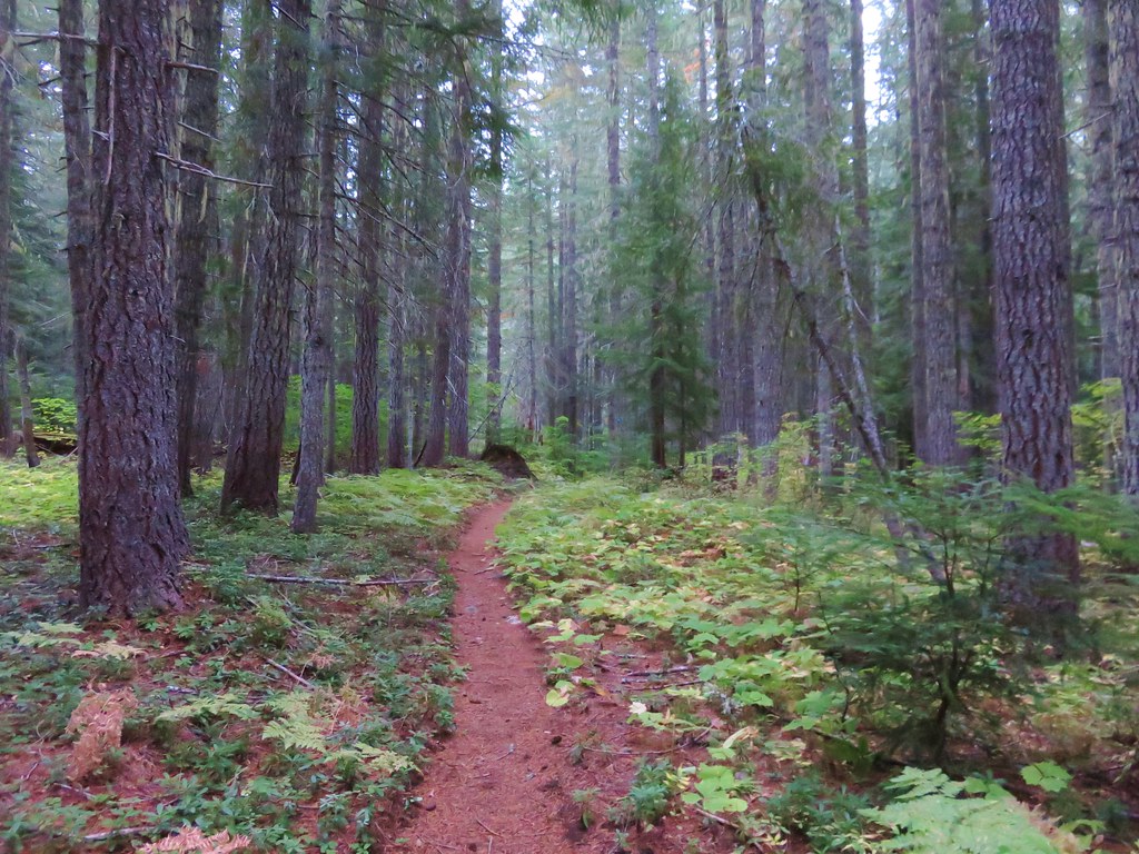
It was 2.2-miles of gradual climbing from the trailhead to the junction with the Lava Lakes Trail.

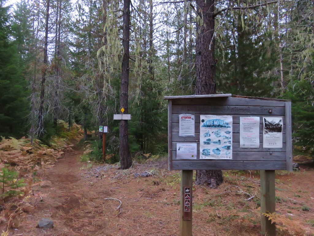
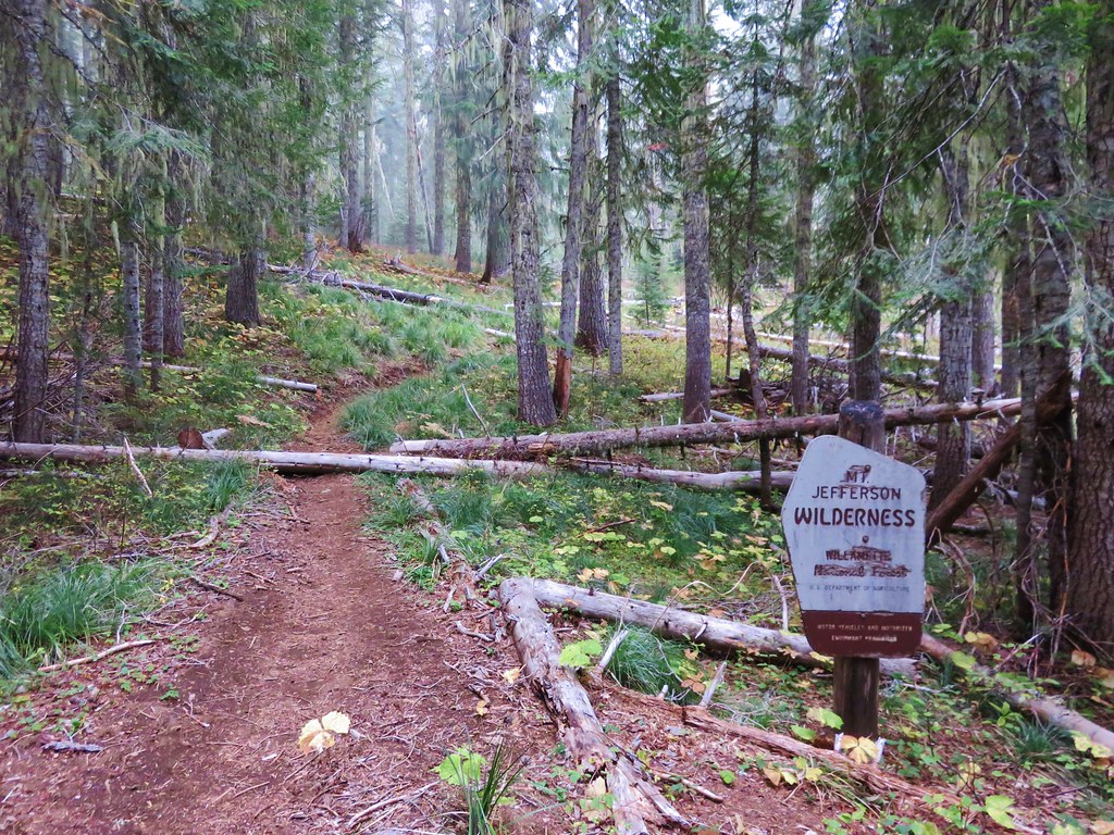
There are a couple of signed junctions with Nordic Trails in the first 1.2-miles before the trail enters the Mt. Jefferson Wilderness.

The first junction was at the half mile mark. The nordic trail is the one to the right.

The Maxwell Butte Trail also has nordic markers.

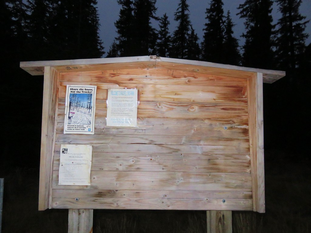
At the 1.2-mile mark a nordic trail crosses the Maxwell Butte Trail. This trail is part of a 7.3-mile loop that passes two snow shelters.


The Cascades got their first significant snow the previous weekend and I started seeing some small remaining patches around 4800′ in elevation.


Frosty leaves

This hawk seemed a little irritated with my presence.


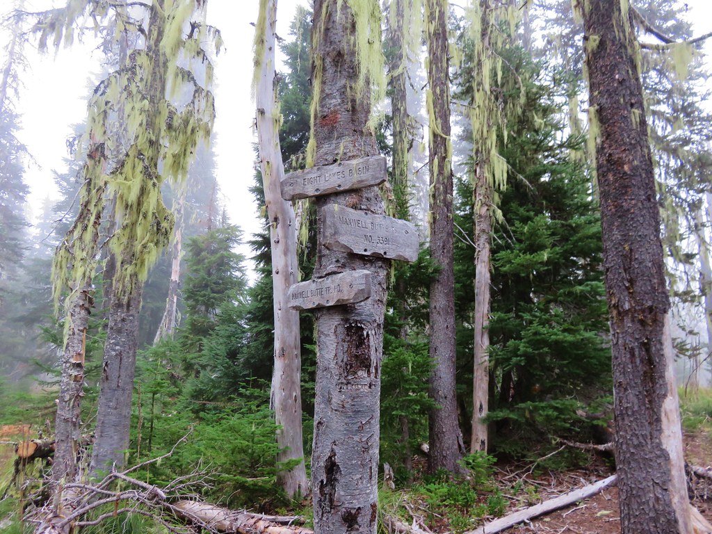
Signpost at the Lava Lakes/Maxwell Butte Trail junction.
I stayed left at the junction on what was now the Lava Lakes Trail. I took a brief detour to see Twin Lakes near the junction before continuing on.


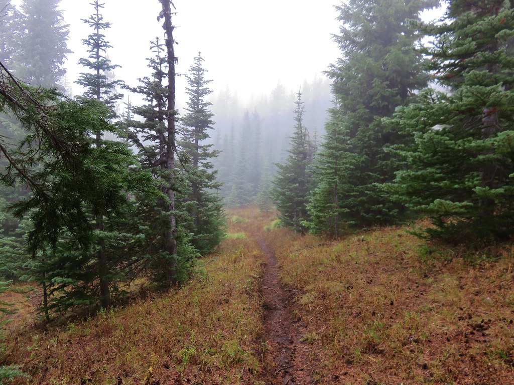
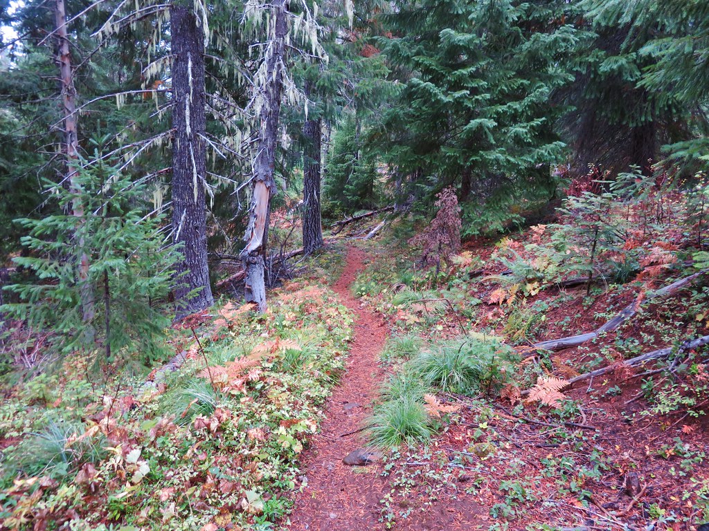
The Lava Lakes Trail extends 2.8-miles between the Maxwell Butte and Duffy Lake Trail. The trail was in good shape and relatively level all things considered.
A little under a half mile from the junction the trail passed near Train Lake which wasn’t really visible from the trail, but a very short use trail brought me to a campsite on the rocks above the lake.


The top of Maxwell Butte was visible over the trees on the far side of Train Lake.

Train Lake
I started encountering more snow beyond Train Lake, but it was only about an inch or two deep at most.

Both trails had a few small logs down that were easily stepped over or around.

A kitty had used the trail at some point.


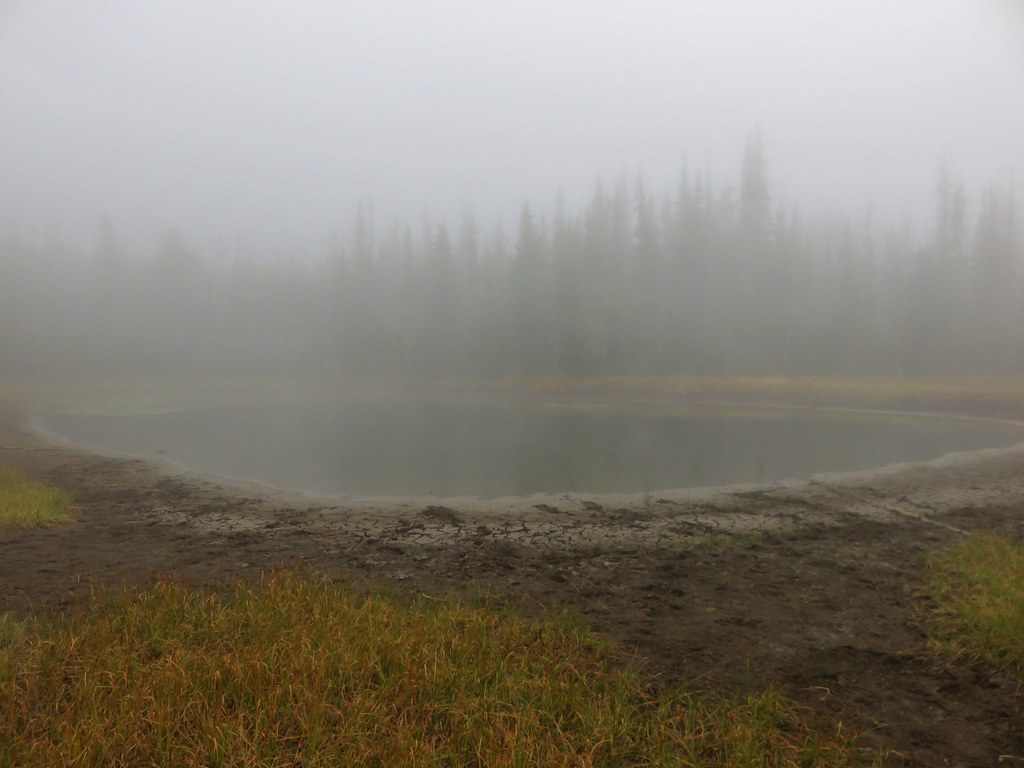
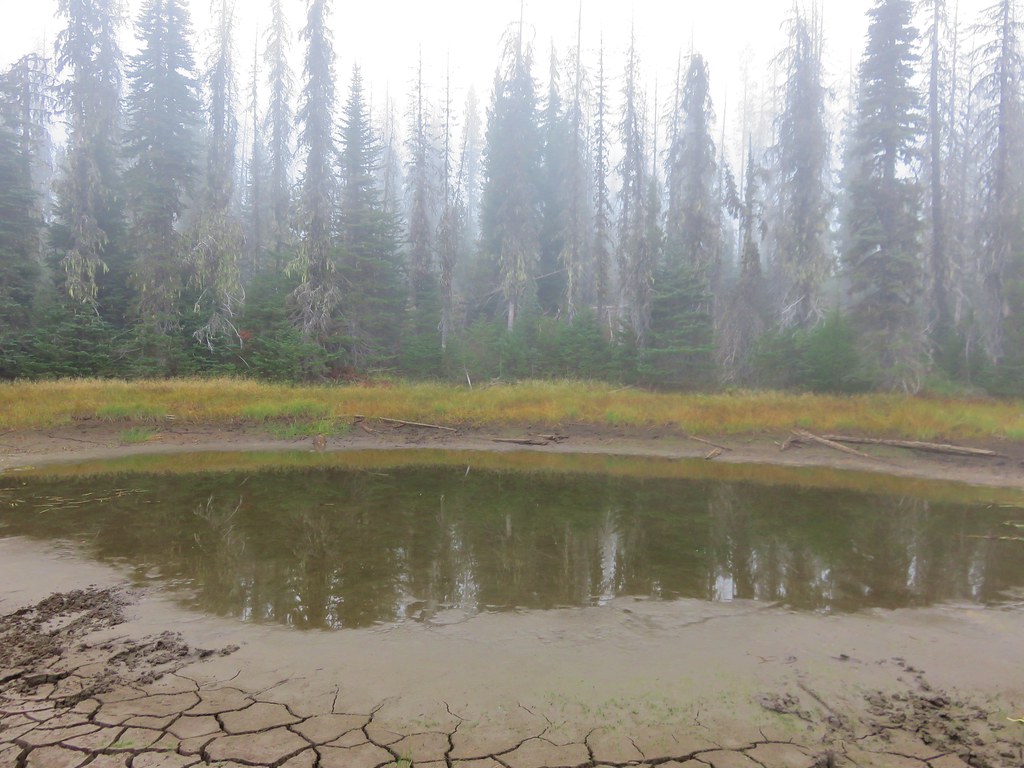
Just under 2-miles from the junction the trail passed a small pond/lake at the base of a talus slope.


While I was checking out the body of water I was also keeping an eye out for pikas which eventually paid off.


After passing the pond the trail began to descend toward the Duffy Lake Trail.


Coral fungus
As I neared the Duffy Lake Trail I came to what appeared to be an old junction.

Note the pieces of trail sign on the tree.
There had not been any other trail junctions on any of the maps I had looked at during my planning, and there was clear tread straight ahead, so I continued straight here. Had I stopped to check the GPS I would have seen that the trail as shown on the map made a hard left here and I would have reached the Duffy Lake Trail in 100 yards. Instead I wound up in some meadows along channels of the North Santiam River.

Duffy Butte rising above the trees.
I spotted a blaze in a tree next to some trail tread so I headed in that direction.

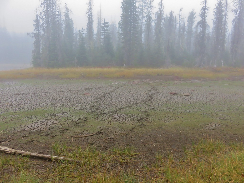
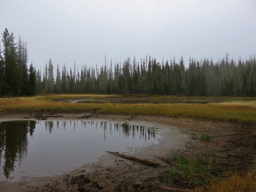
That led me to another meadow where I completely lost any sign of trail. I finally checked my GPS and realized what had happened. I had gone two tenths of a mile toward Duffy Lake through Duffy Prairie and was now only about 100′ from the Duffy Lake Trail, so I simply crossed the dry riverbed and popped onto the trail and headed right.

Duffy Lake Trail
Less than a tenth of a mile later I was at the junction with the Duffy, Blue, and Santiam Lakes Trails.

At the junction I turned left toward Duffy Lake to the day use area I’d stopped at in September.

Duffy Butte

Duffy Lake
After a brief stay at Duffy Lake I headed back along the Duffy Lake Trail. It was 0.3-miles to the actual junction with the Lava Lakes Trail.
I turned left at the junction, crossed the North Santiam River (bed), and came to the junction where I’d gone straight earlier.


The riverbed was still dry despite the recent rain and snow.

Approaching the junction. I could see why I had missed the tread; there were a couple of downed trees laying along it and blocking the view coming from the direction that I had.
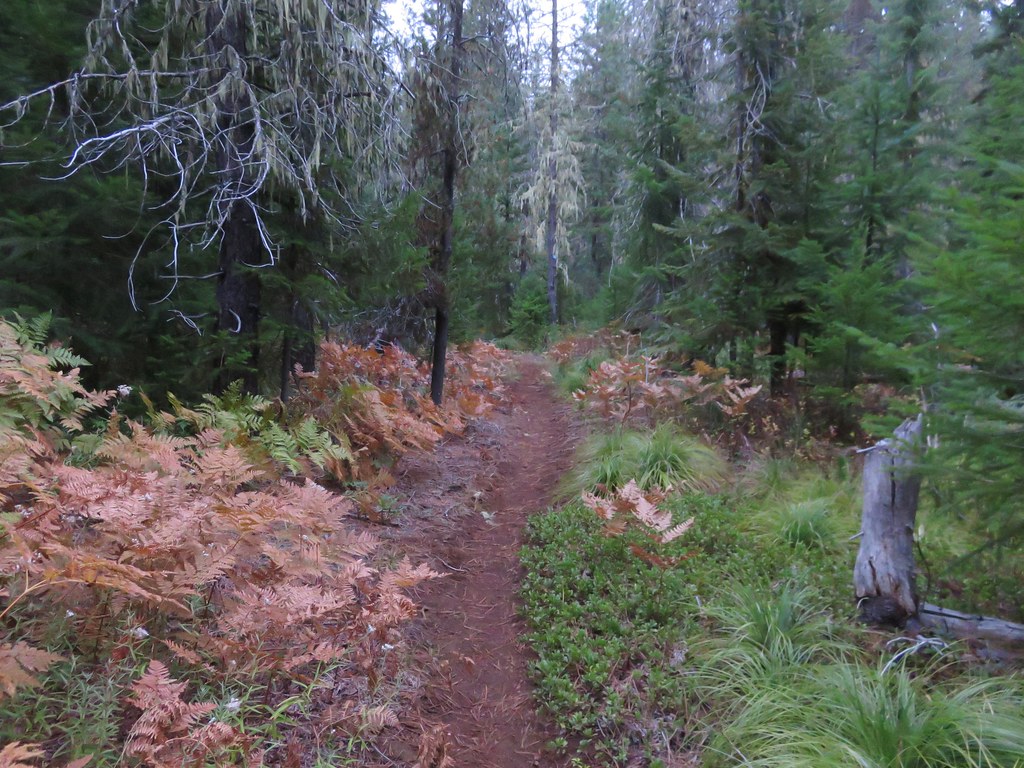
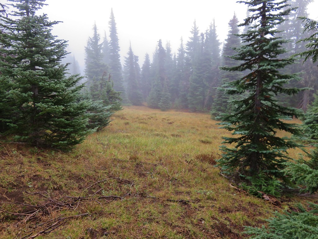
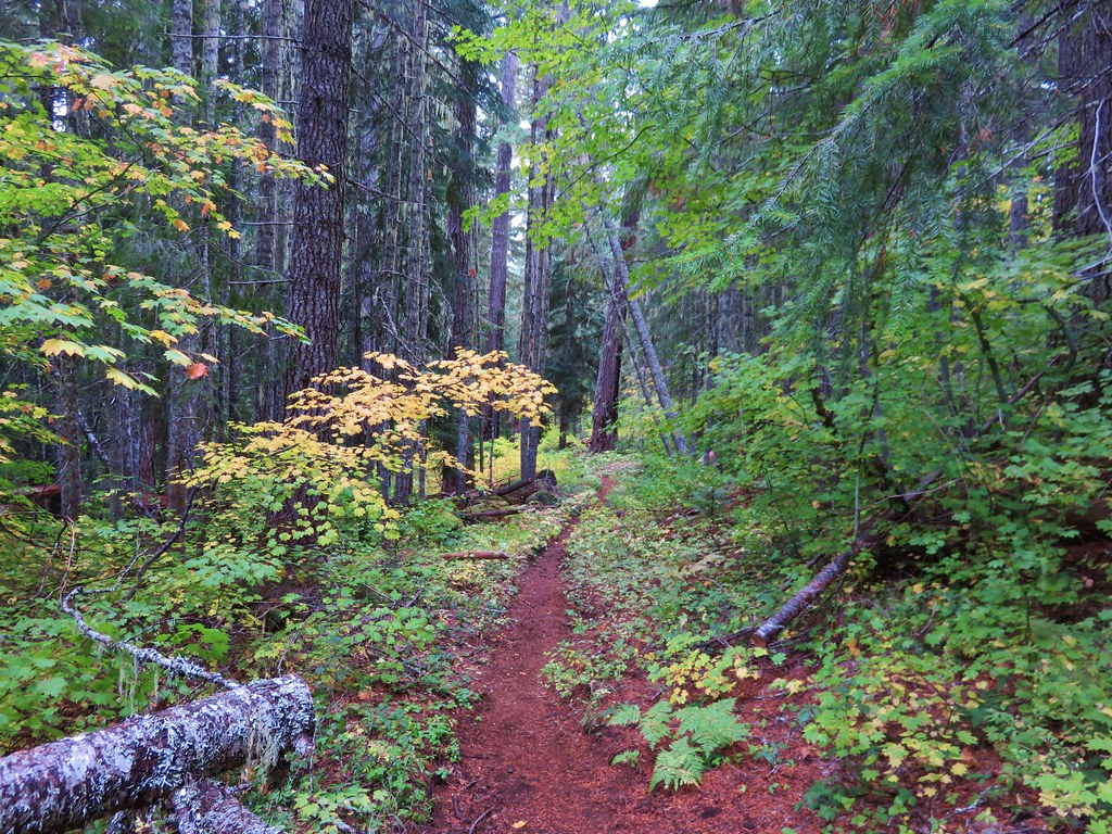
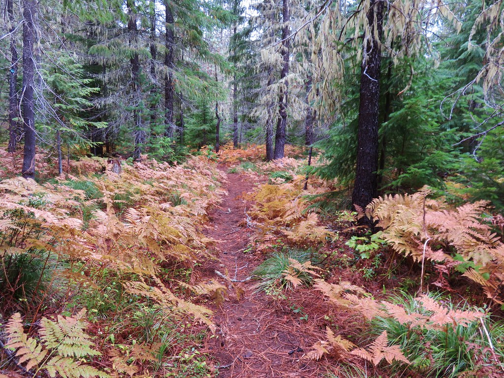
I turned right and made the 2.8-mile hike back to the Maxwell Butte Trail junction. I scanned for pikas as I passed the talus slope and stopped again briefly at Train Lake, but it was a pretty uneventful return. The forest was beautiful, one of the few trails left in the wilderness that doesn’t pass through any recent fire scars. (The Cal Topo fire history layer shows no fires on the 1900-present layer.)

There were a few snags around the talus slope but also many tall green trees.

With the Sun higher up Train Lake was a greener color now.

Back at the Maxwell Butte Trail junction just after 10:30am.
It was such a gorgeous day that I couldn’t skip a side trip up Maxwell Butte so I turned left at the junction and passed Twin Lakes on the other side.

It isn’t easy to make out in the photo but the snowy top of Mt. Jefferson was visible in the distance over Twin Lakes.
While there had been snow on the Lava Lakes Trail there were more clear sections than snowy. That wasn’t the case with the Maxwell Butte Trail beyond Twin Lakes. It still wasn’t deep but it made the going a little slower.


Deer print
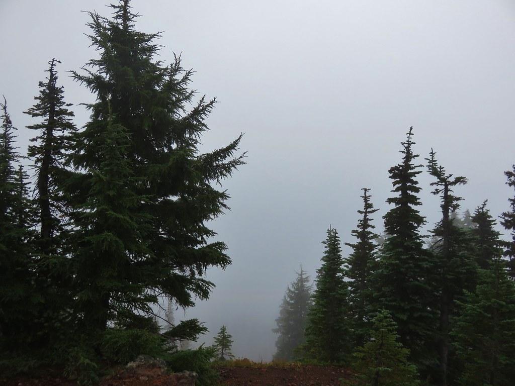
As the trail neared Maxwell Butte the forest thinned out which also lessened the amount of snow covering it.

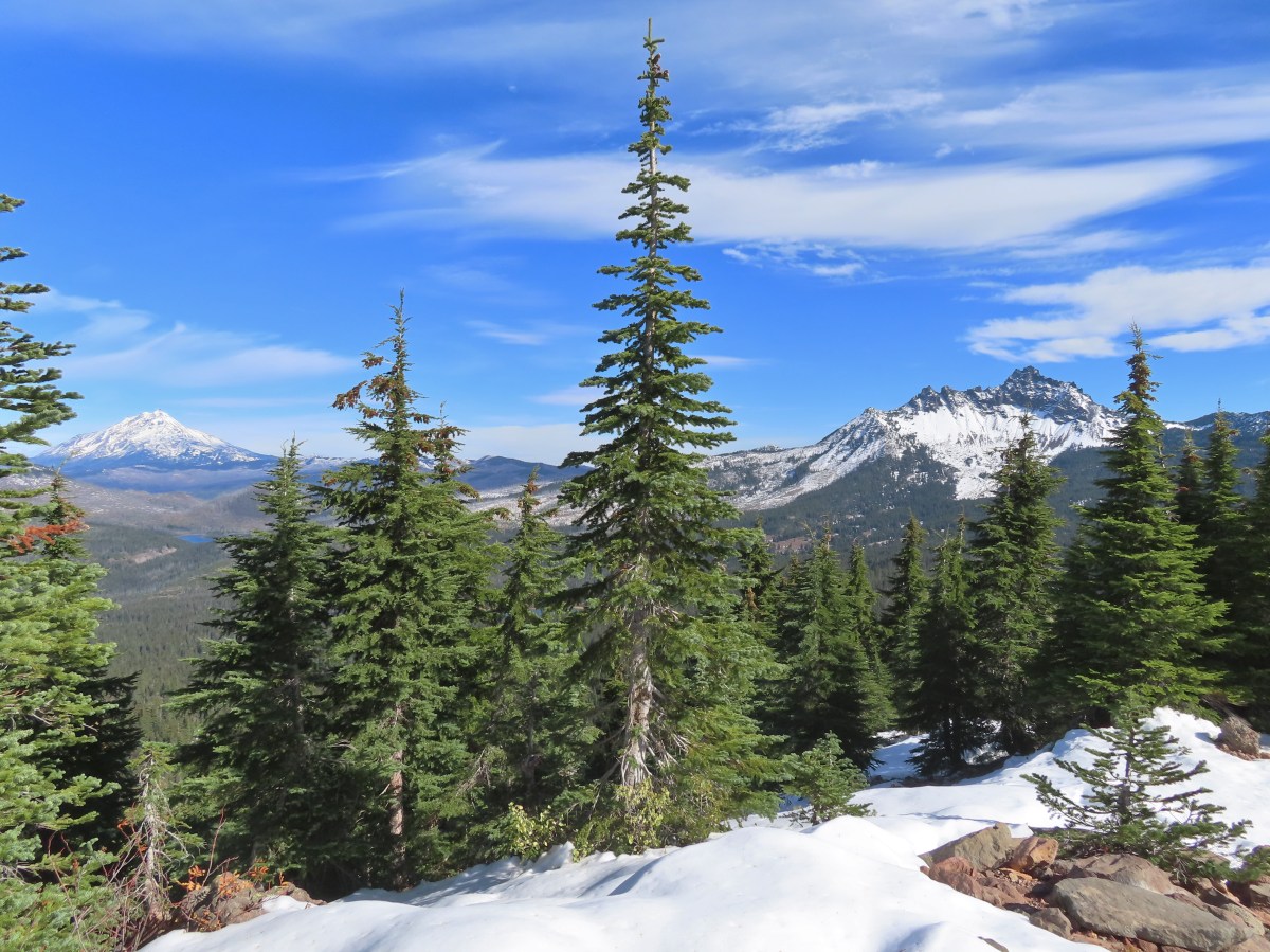
With less trees and more elevation I began getting views to the south of several Cascade peaks.


Mt. Washington partially behind the tree on the left. Broken Top is visible between the flank of Mt. Washington and the North Sister. Middle and South Sister are to the right.

Maxwell Butte looming above the trail.

Flat topped Hayrick Butte and Hoodoo Butte in front of the above-mentioned peaks. To the right of the Three Sisters is The Husband (with snow). To the right of that in the distance is Substitute Point (post) and Proxy Point. The hump with a little snow on it closer to the right is Scott Mountain (post).

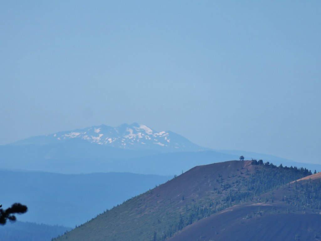
Diamond Peak (post) in the distance behind Sand Mountain and the Sand Mountain Lookout (post).
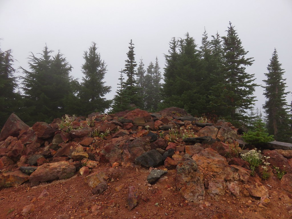
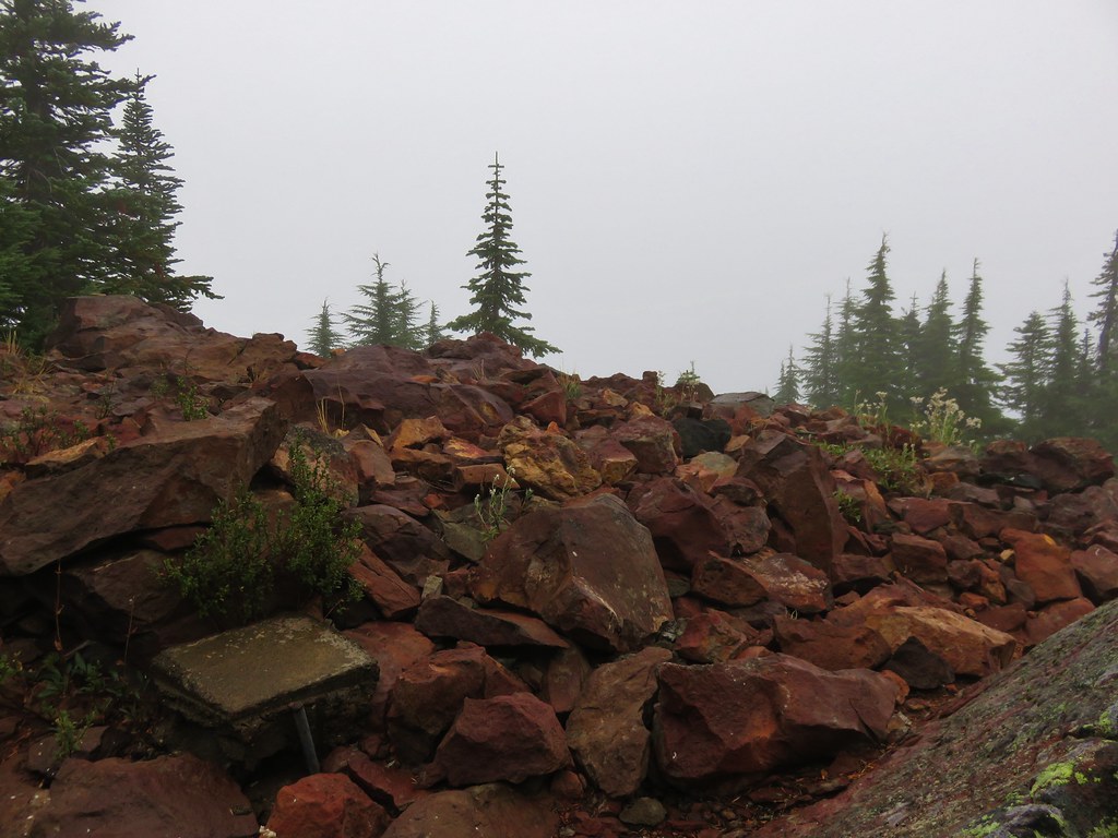
The trail eventually begins a series of switchbacks to reach the former lookout site atop Maxwell Butte.

A better look at Tam McArthur Rim (post) and Broken Top behind Mt. Washington.


Black Butte (post) to the east.

Zoomed in on Black Butte.

There wasn’t a lot of snow along the switchbacks but there were a few drifts like this. I had my micro-spikes with me just in case, but someone had already been through to create steps, so I never actually felt the need to put them on.

Snow in the crater on Maxwell Butte.

Almost to the summit.

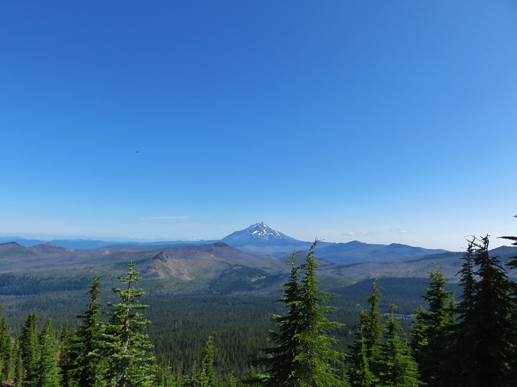
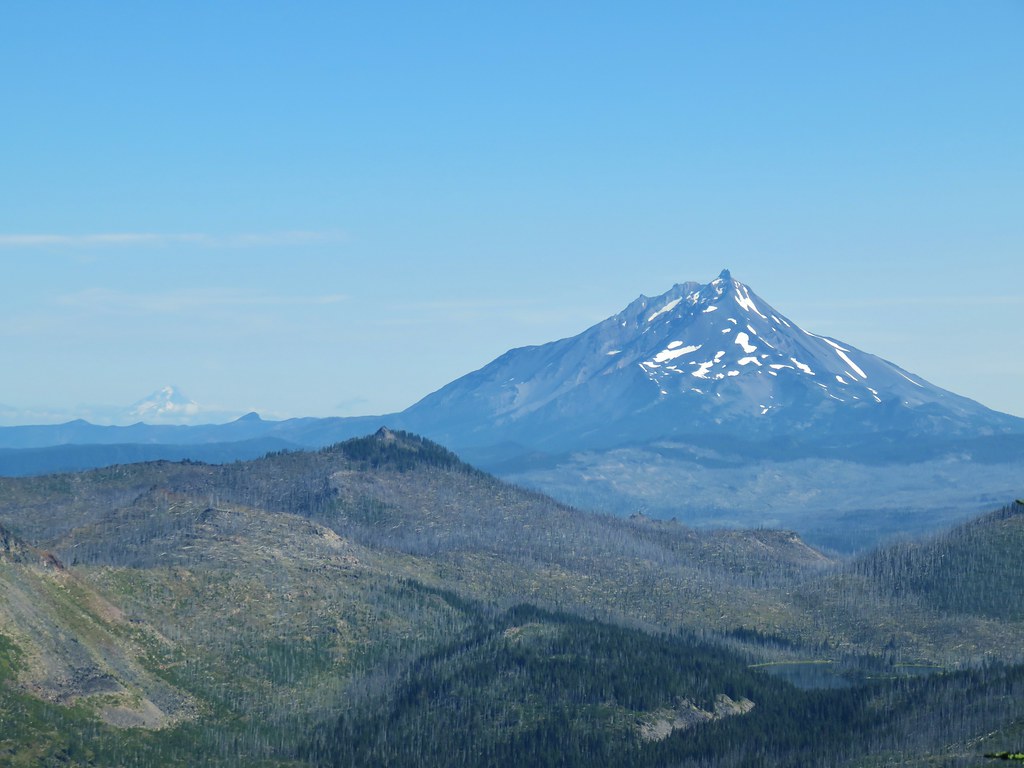
Mt. Jefferson from the former lookout site.
It was about 20-minutes before Noon when I reached the summit which was almost 2 hours later than it had been on our last visit. I was hoping that the later arrival would improve the view by allowing the Sun to be more directly overhead and that was indeed the case. (Our first visit doesn’t count because we were socked in by clouds that day.)

With the recent snow it was a lot easier to make out Mt. Hood to the left of Mt. Jefferson.

Mt. Hood and Mt. Jefferson

Three Fingered Jack and Black Butte

Mt. Hood with Bear Point (post) and Dinah-Mo Peak along the ridge in front.

Mt. Jefferson

Three Fingered Jack

The view south.

Black Crater (post) to the left of Broken Top, Mt. Washington and the Three Sisters.
I took a break on a rock outcrop overlooking the wilderness and looked for the various lakes we’ve visited over time.

Mt. Hood, Mt. Jefferson, and Three Fingered Jack along with several lakes in the Mt. Jefferson Wilderness.

Santiam Lake (post)

Upper (closer) and Lower Berley Lakes (post)

I could just see a little of Craig Lake (post) ontop of this plateau.

Mowich Lake and Red Butte.
After having a snack and resting my feet I tagged the actual summit and then headed back down.


The summit view.

Heading down.

The clouds were showing their hand that a change in the weather was coming. Another wet system would be moving in overnight.
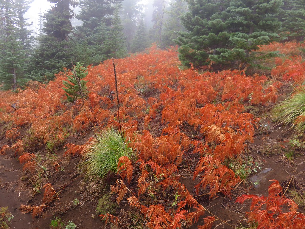
I ran into the first other hikers, a couple and a dog, that I’d seen all day while I was taking a picture of some ferns that had turned color.


Passing Twin Lakes again.

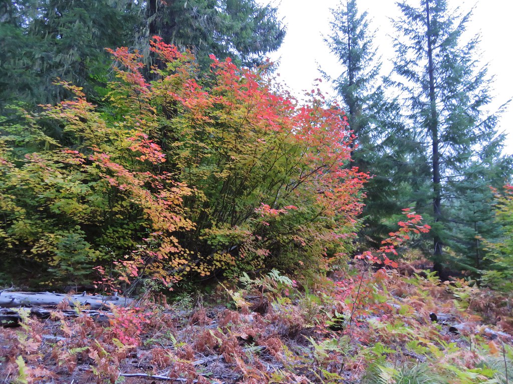
Huckleberry bushes along the Maxwell Butte Trail.

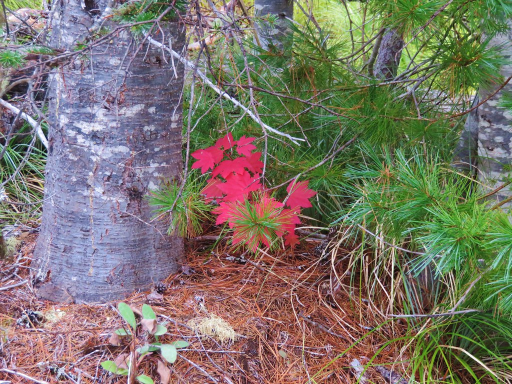
Vine maple leaves turning color.

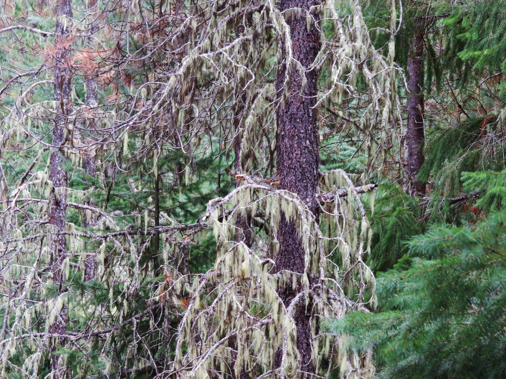
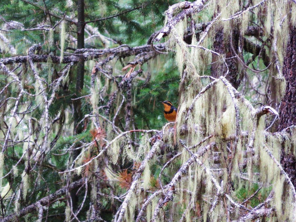
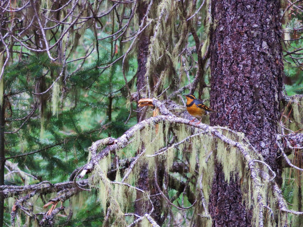
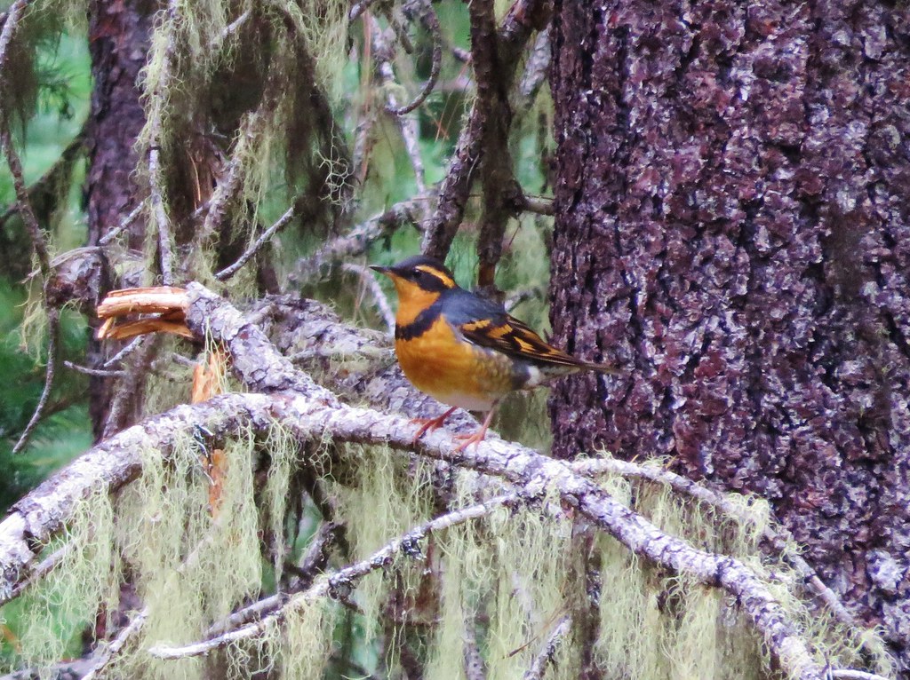
A varied thrush. For those of you who regularly read our trip reports you know this is my nemesis as far as photos go. For me this is a pretty good one as I can tell what kind of a bird I was trying to photograph.

Back at the trailhead.
I saw one other hiker, and her dog, after the couple and that was it. There had been people camped at Duffy Lake, but I only heard them and saw the tents in the distance. I had expected to at least see a hunter or two given it was rifle season for deer, but I’m not complaining. I was anticipating 15.6-miles and my GPS showed 15.7 which made sense given the handful of detours to get a view of the lakes. Total elevation gain was approximately 3100′.

This was a really enjoyable hike. The forest was great, and the handful of lakes and ponds provided some additional attractions. The view from Maxwell Butte was excellent as well and I did not regret adding the extra distance and elevation to my day. Happy Trails!
Flickr: Lava Lakes Trail


 The wilderness sign in 2015.

 2015
2015
 2015
2015

 2015
2015
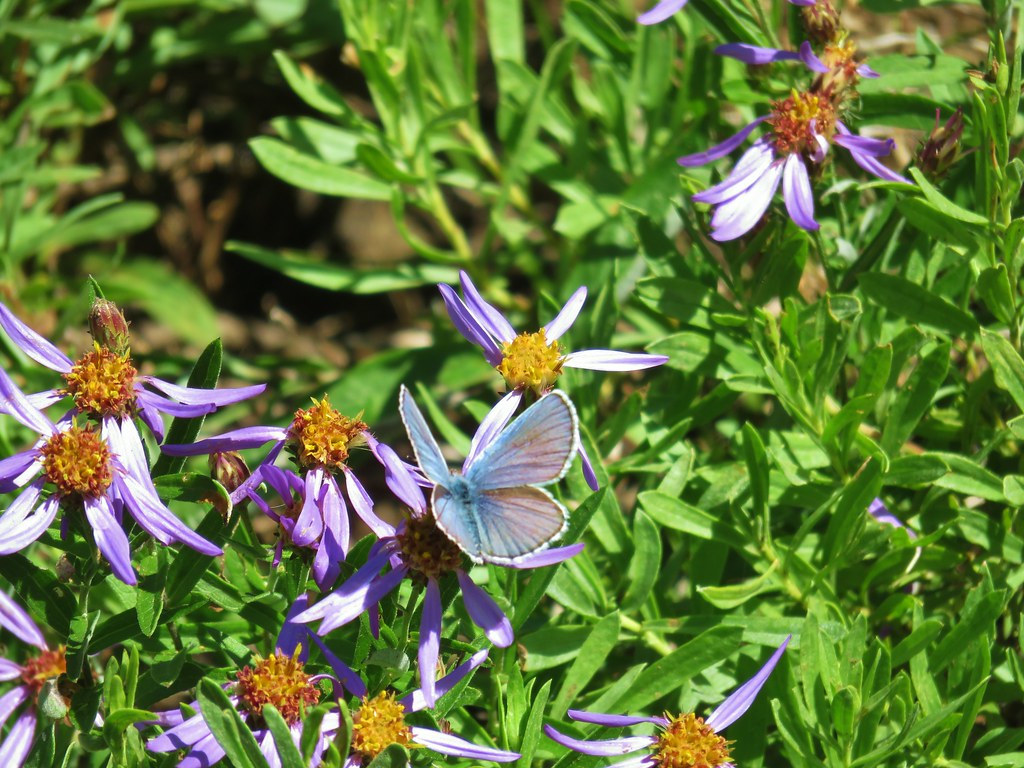
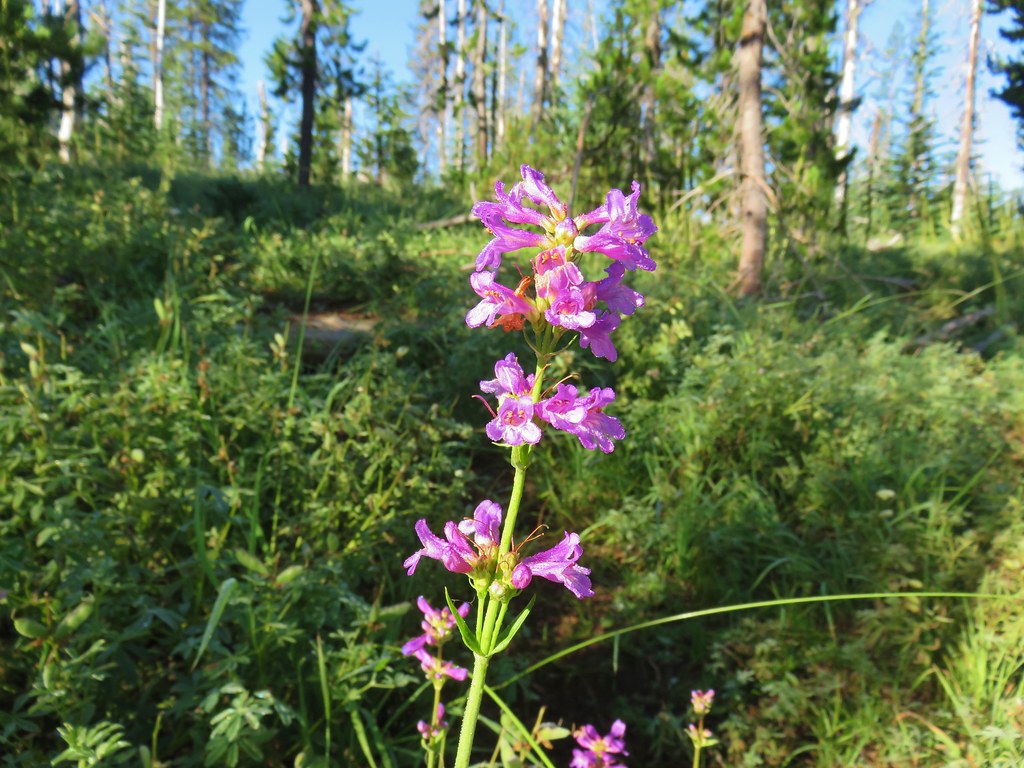 Penstemon
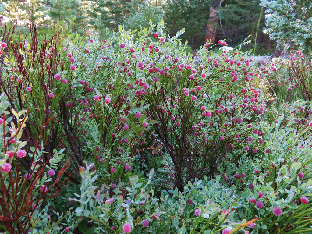
 Lousewort
 Scarlet gilia
 A couple of short (and late) beargrass plumes.
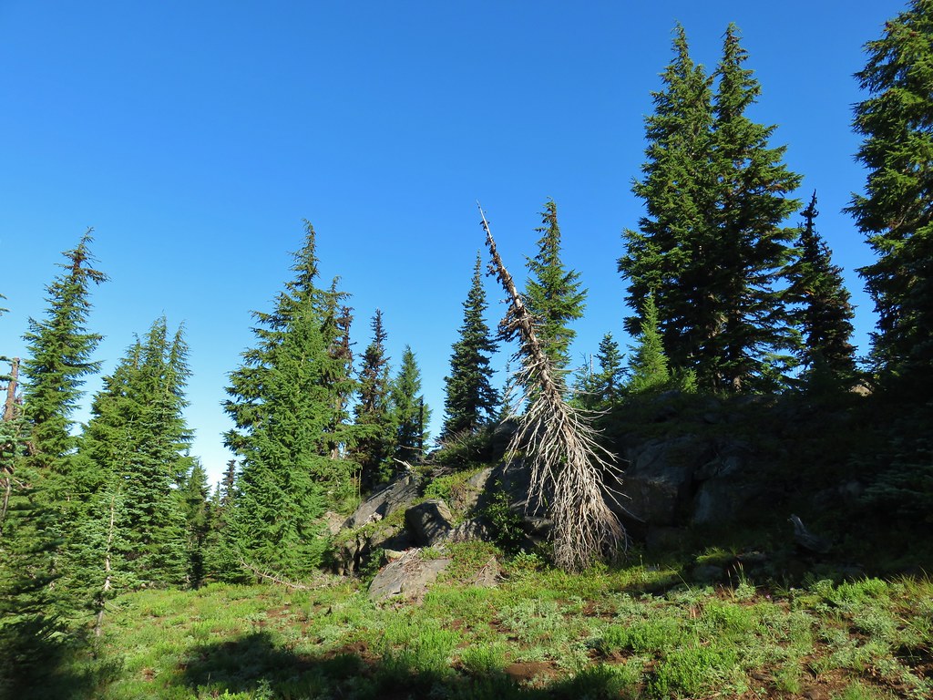

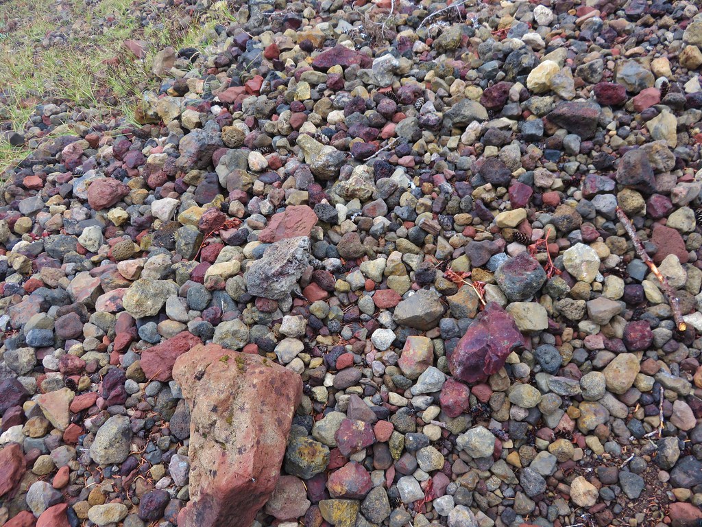
 This looked like prime pika habitat to us.


 Hogg Rock (near left), flat topped Hayrick Butte next to Hoodoo Butte, Mt. Washington with Broken Top behind left and the Three Sisters behind right.
 Mt. Hood in the distance to the left of Mt. Jefferson.

 Mt. Jefferson and Three Fingered Jack with Santiam Lake in the forest below.
 The view south.
 Broken Top, Mt. Washington, and the Three Sisters with Hayrick Butte in the forefront.
 Santiam Lake
 Duffy Lake (
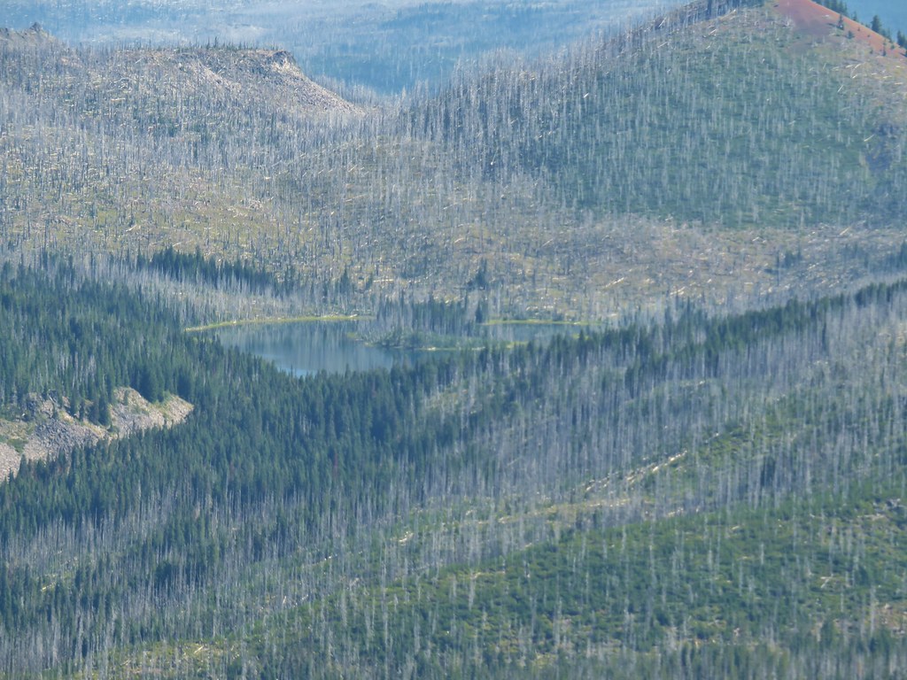 Mowich Lake
 Paintbrush in the crater.


 Pika
Pika Golden-mantled ground squirrel in the same rocky area as the pika.