
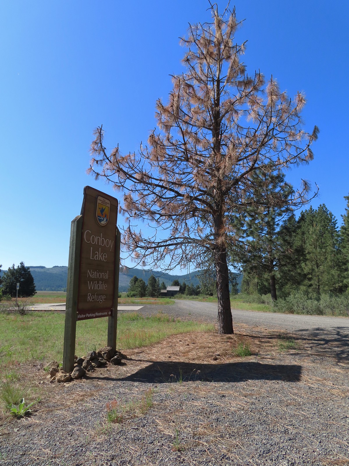
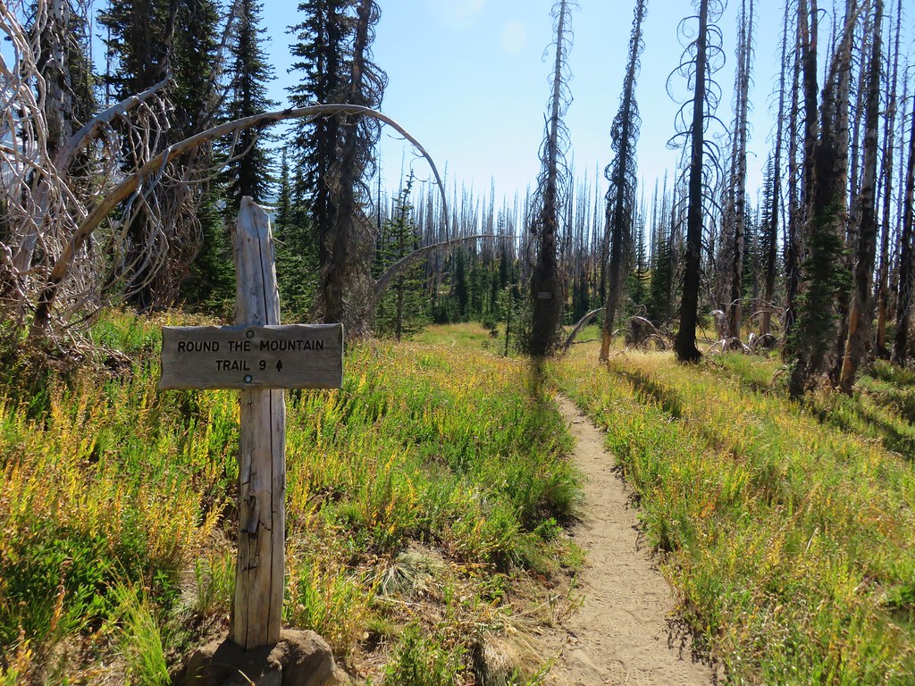
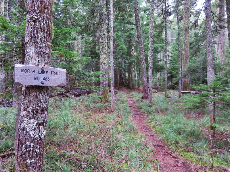
We have really come to enjoy spending time at wildlife refuges and have been looking for more to visit. I’d noticed Conboy Lake National Wildlife Refuge on maps when looking at the Mt. Adams area so I dug a little deeper to find that there is a trail there, the Willard Springs Trail. The refuge webpage describes the Willard Springs Trail as a “two-mile loop” then lists the trail length as 3.79 miles. The Oregonhikers.org field guide entry shows 2.3 miles as the hike length. No matter which length was correct, on it’s own the hike would be too short to warrant the 2:30 hour drive from Salem. I went looking for a way to fit a visit in and looked over my map of future trailheads and saw that the trailhead for the Nestor Peak hike was located on the way to the refuge. The Nestor Peak hike was just over 8-miles so adding the Willard Spring Loop would put the day around 11 miles which sounded manageable.
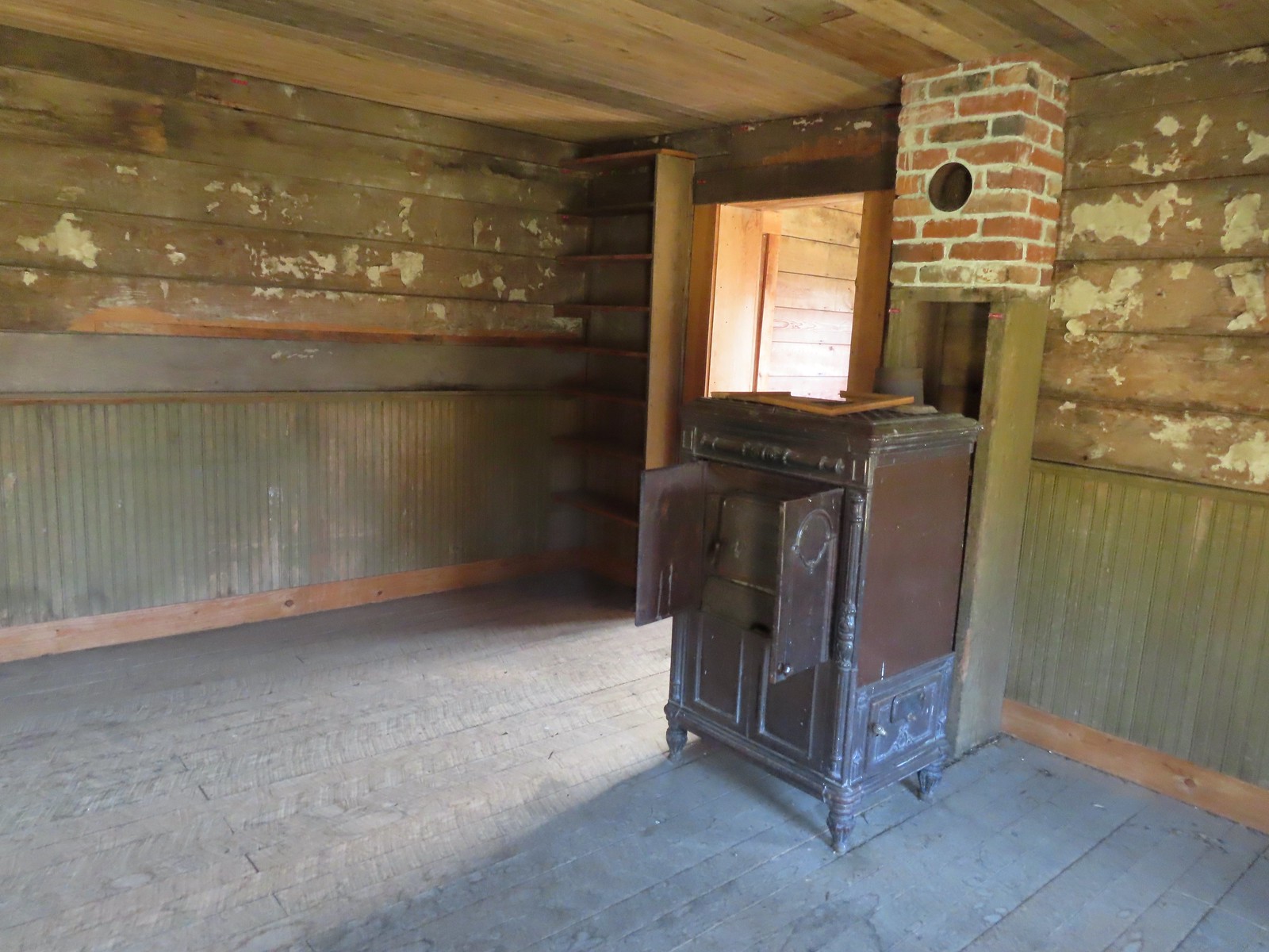
Our plan was to visit Conboy Lake first since it was the furthest from home, and an earlier start there might provide a better chance at spotting wildlife. We parked at the refuge headquarters and made our way to the historic Whitcomb-Cole Hewn Log House.
 The path to the cabin on the right.
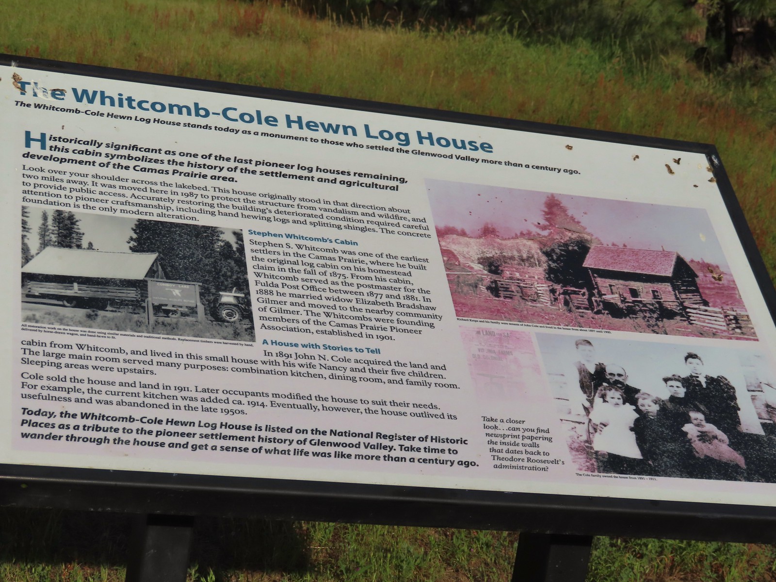 Built in 1875 the cabin was moved from its original location in 1987.


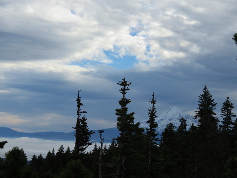
 The snowy top of Mt. Hood from the cabin.
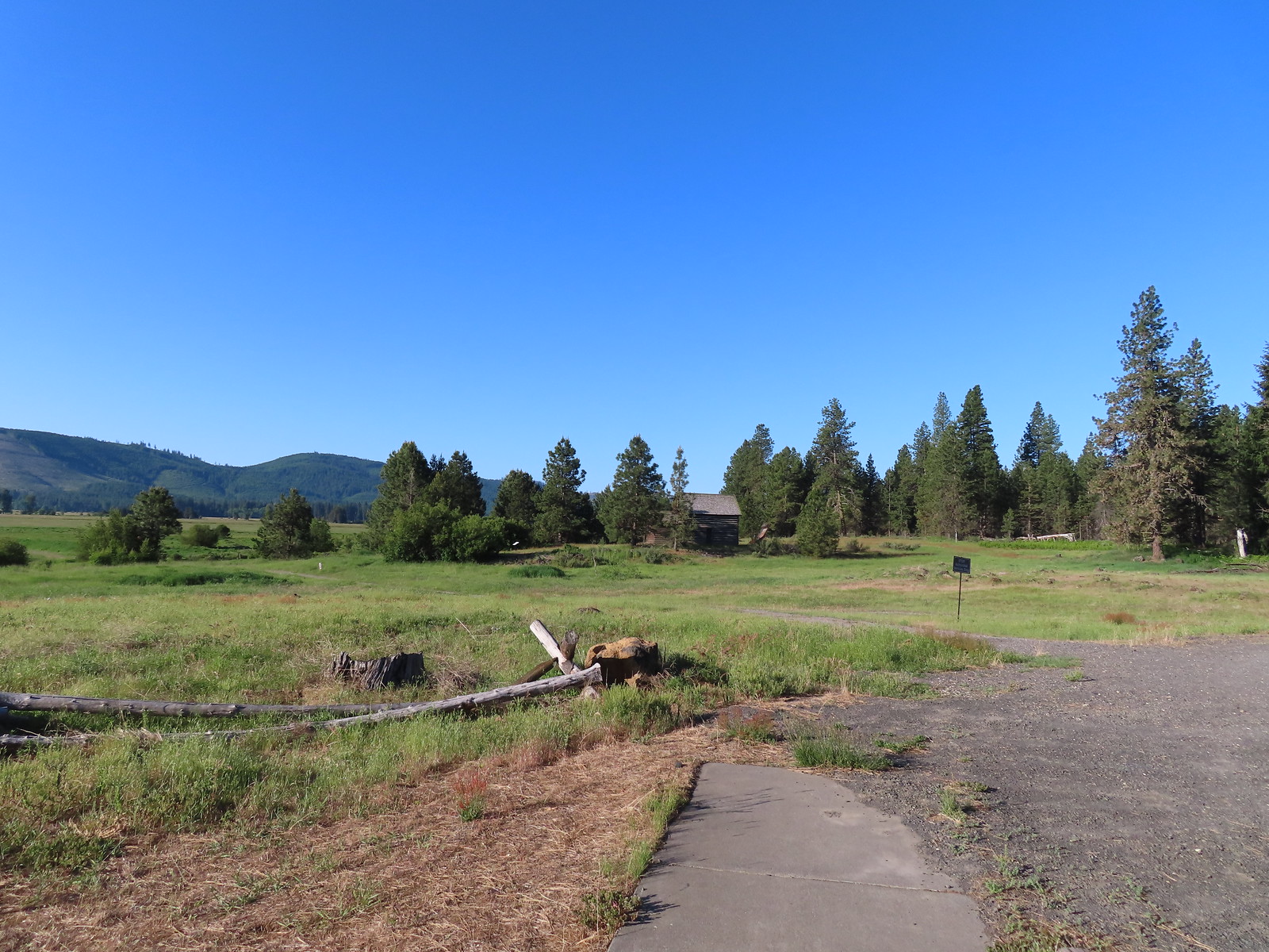
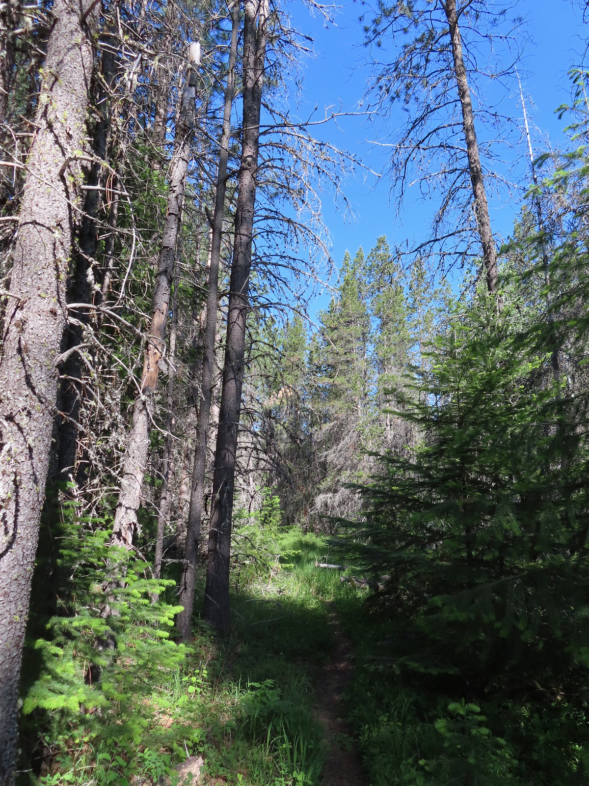
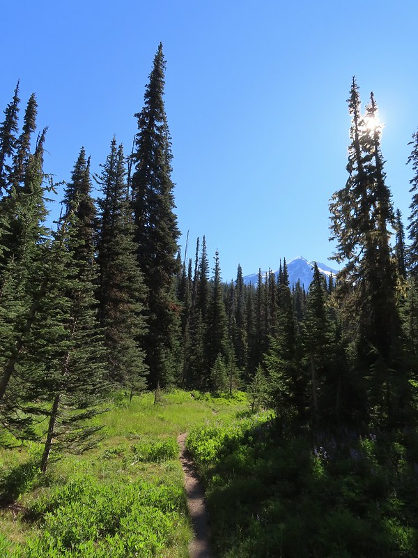
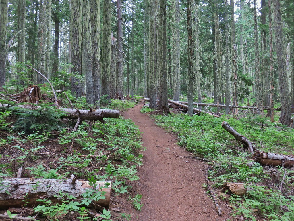
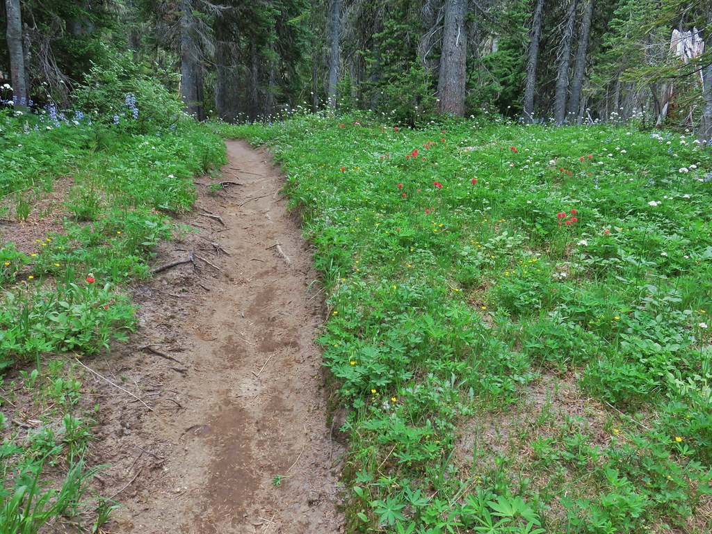
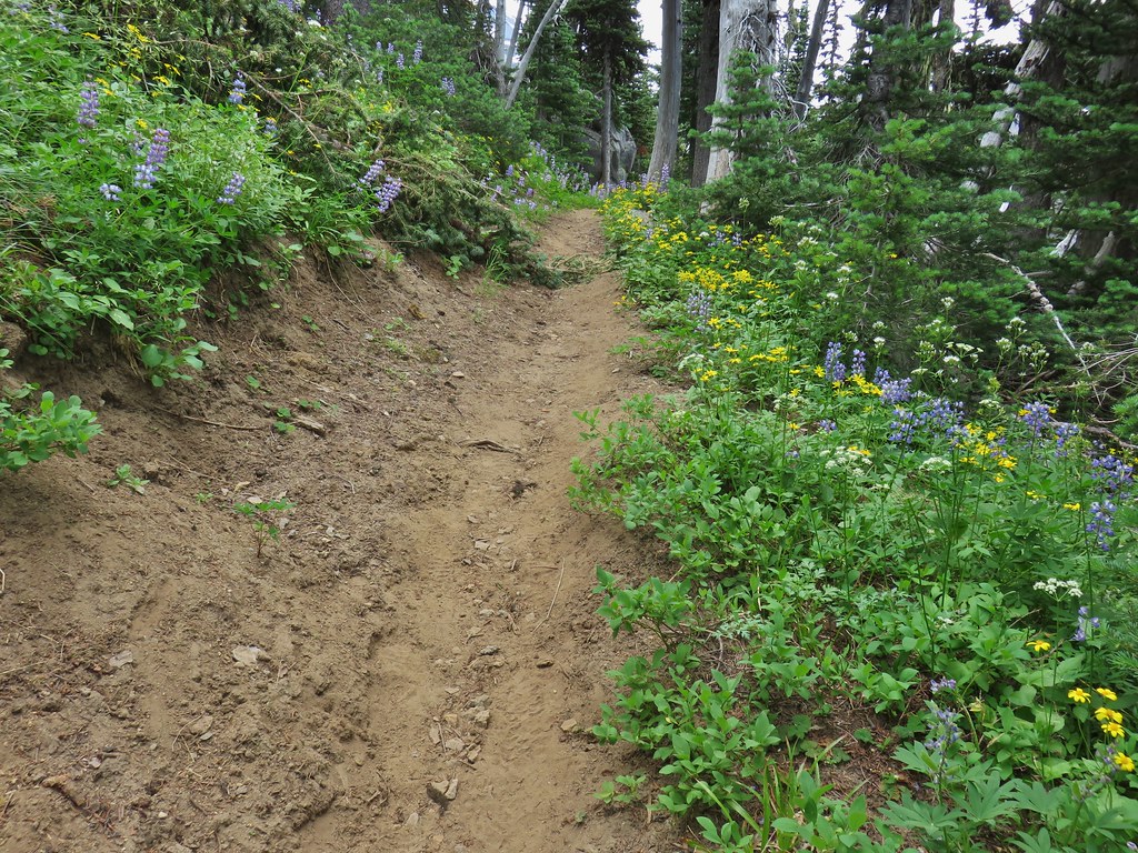
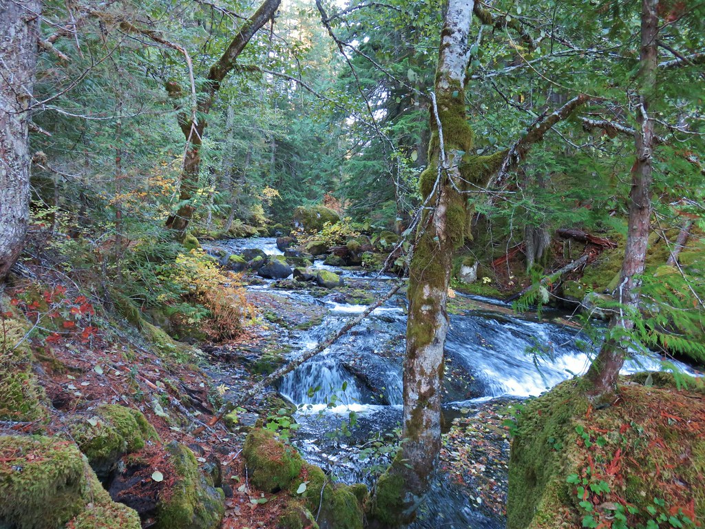
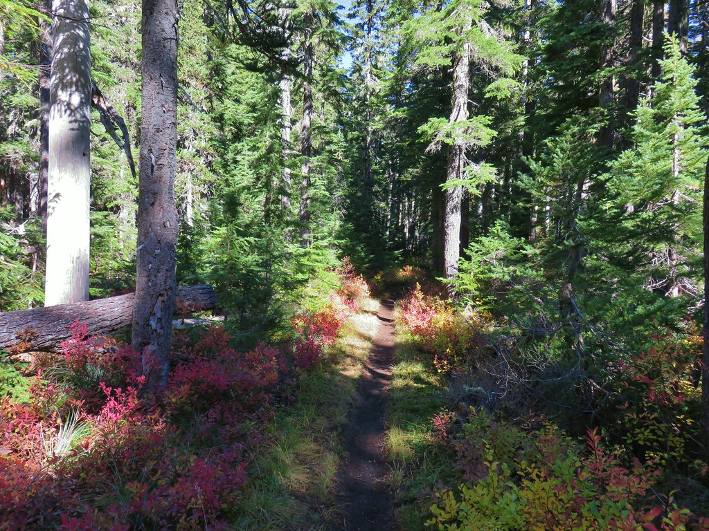
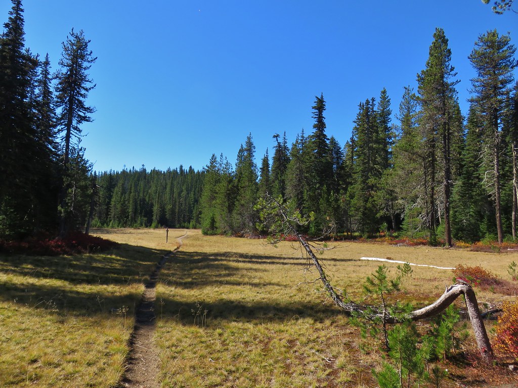
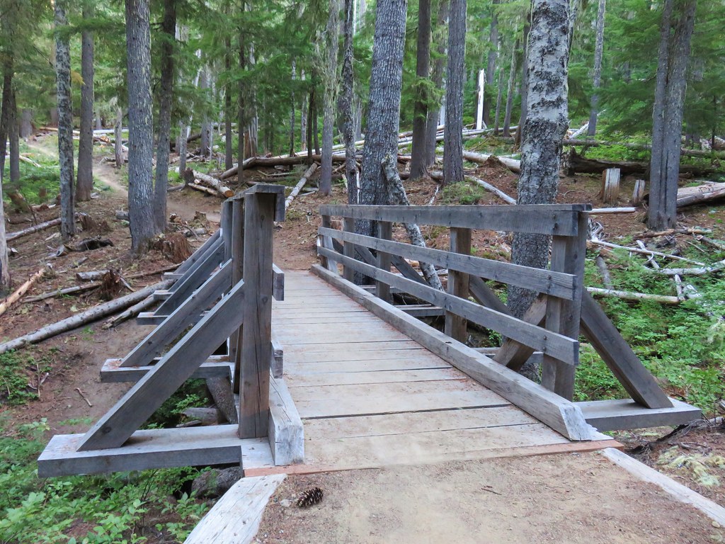
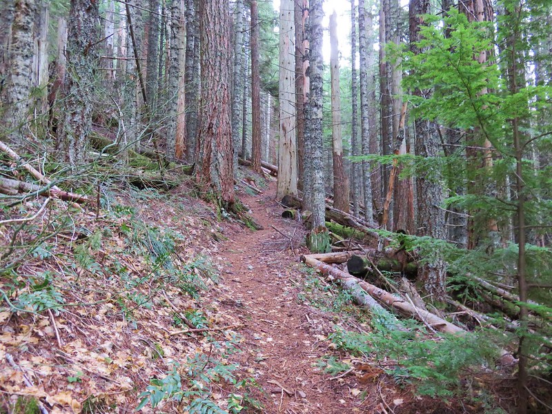
After exploring the cabin we set off on the Willard Springs Trail only we briefly went the wrong way. A grassy track lead north directly across the gravel road from the path to the cabin and we took it.

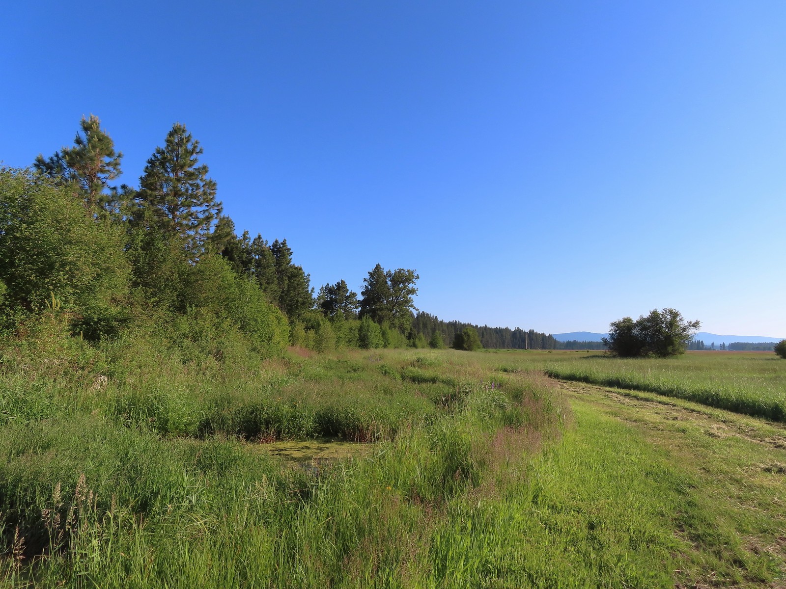
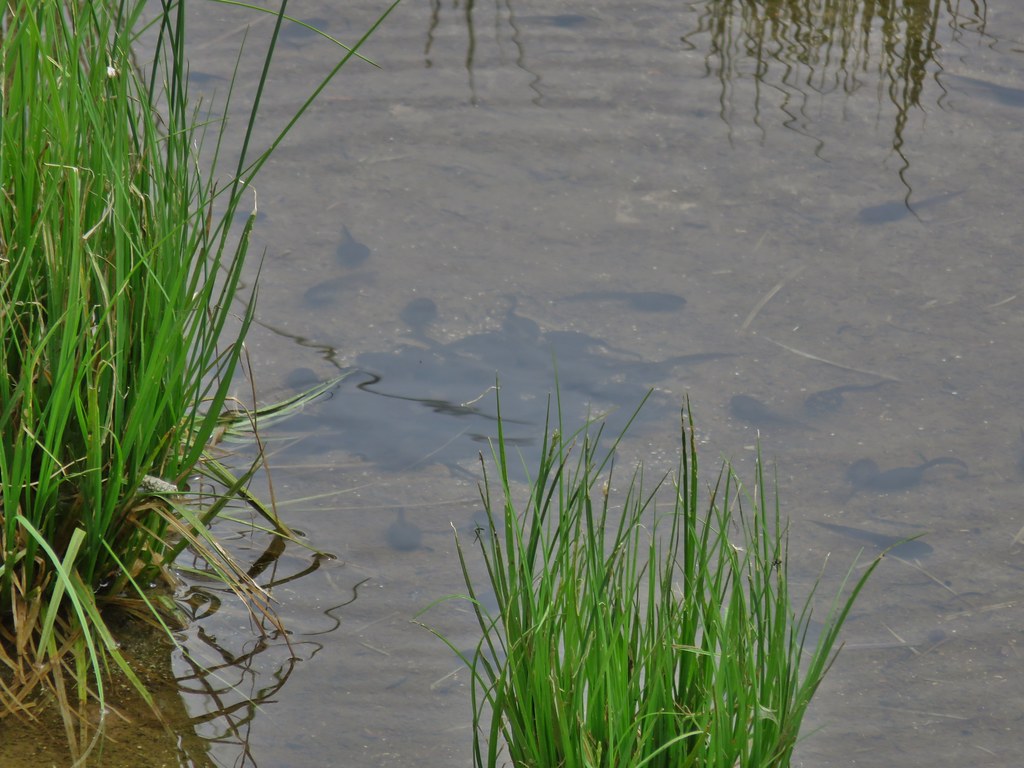
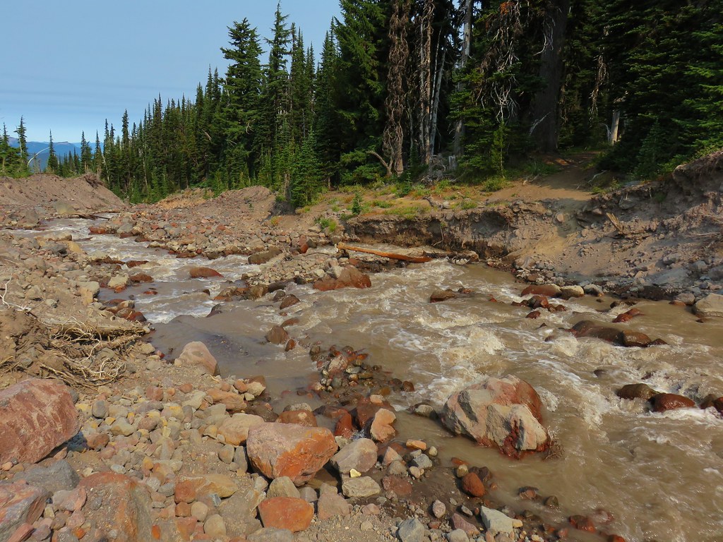
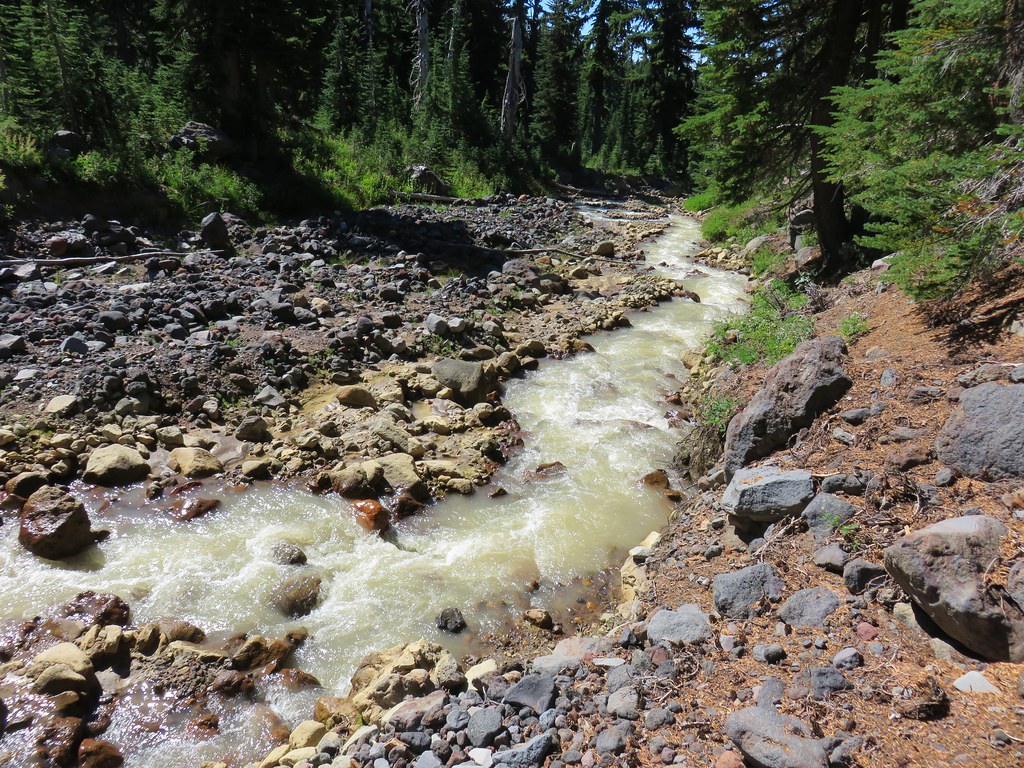
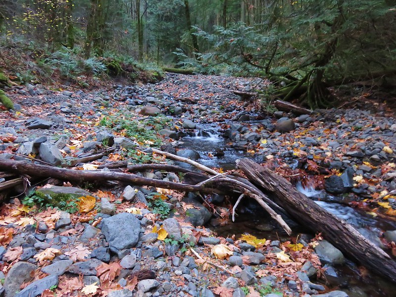
We got about 250′ before realizing that this path was just going to take us back to the parking lot so we backtracked to the gravel road and followed it toward the lakebed across a small canal. (The Garmin named this Cold Springs Ditch.)

We turned left on a wide grassy track along the ditch. Numerous colorful birds were flying in and out of the bushes and trees along the ditch, most of which would not sit still long enough for me to photograph.
 There was a lot of monkeyflower in and along the ditch.
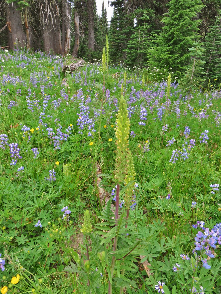
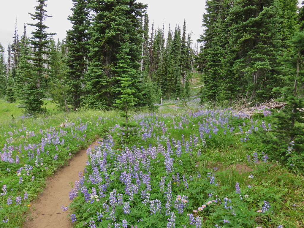
 Lupine along the ditch.
 Lazuli bunting
 Robin
Robin
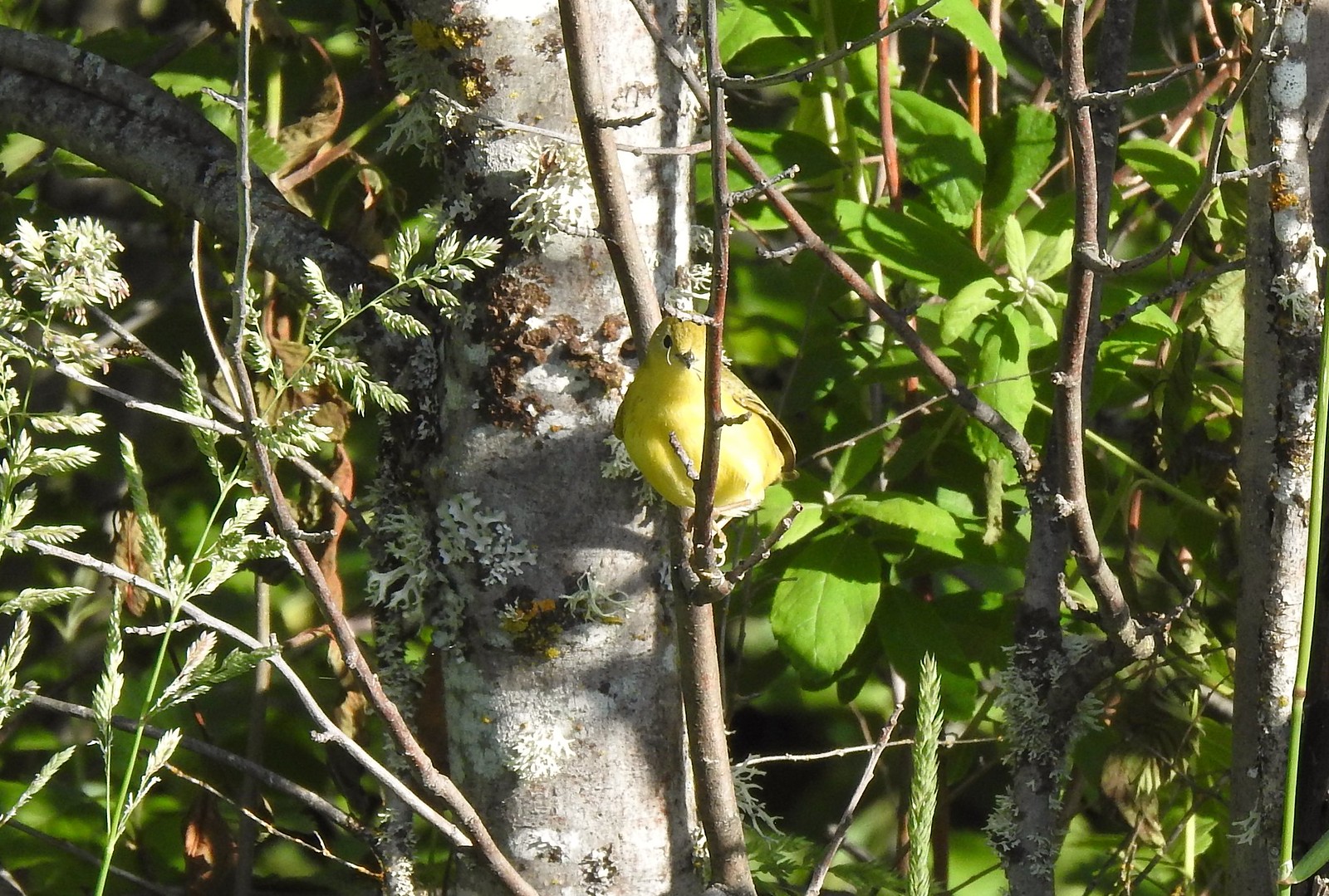 Yellow warbler (according to the Merlin app).
 Red-winged blackbird
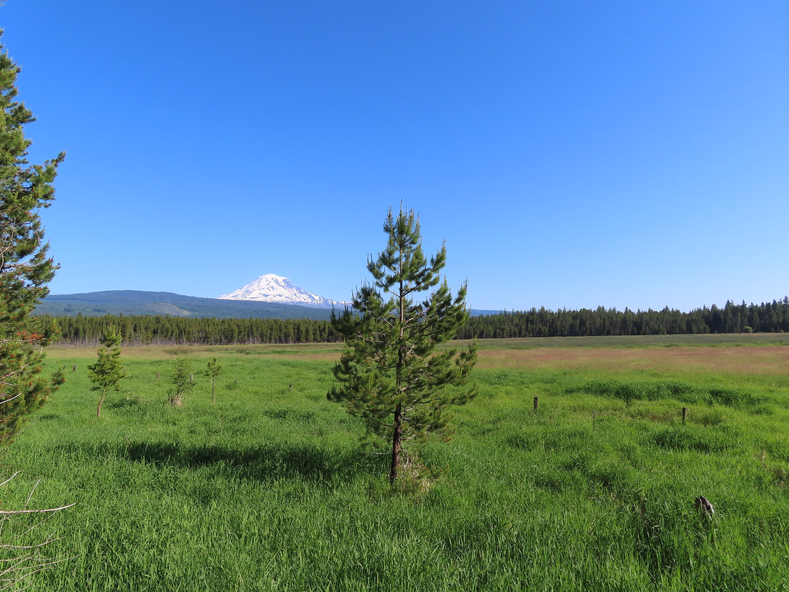
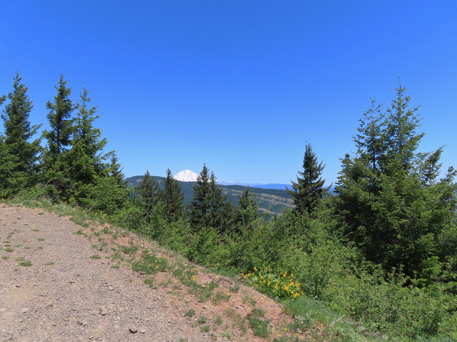
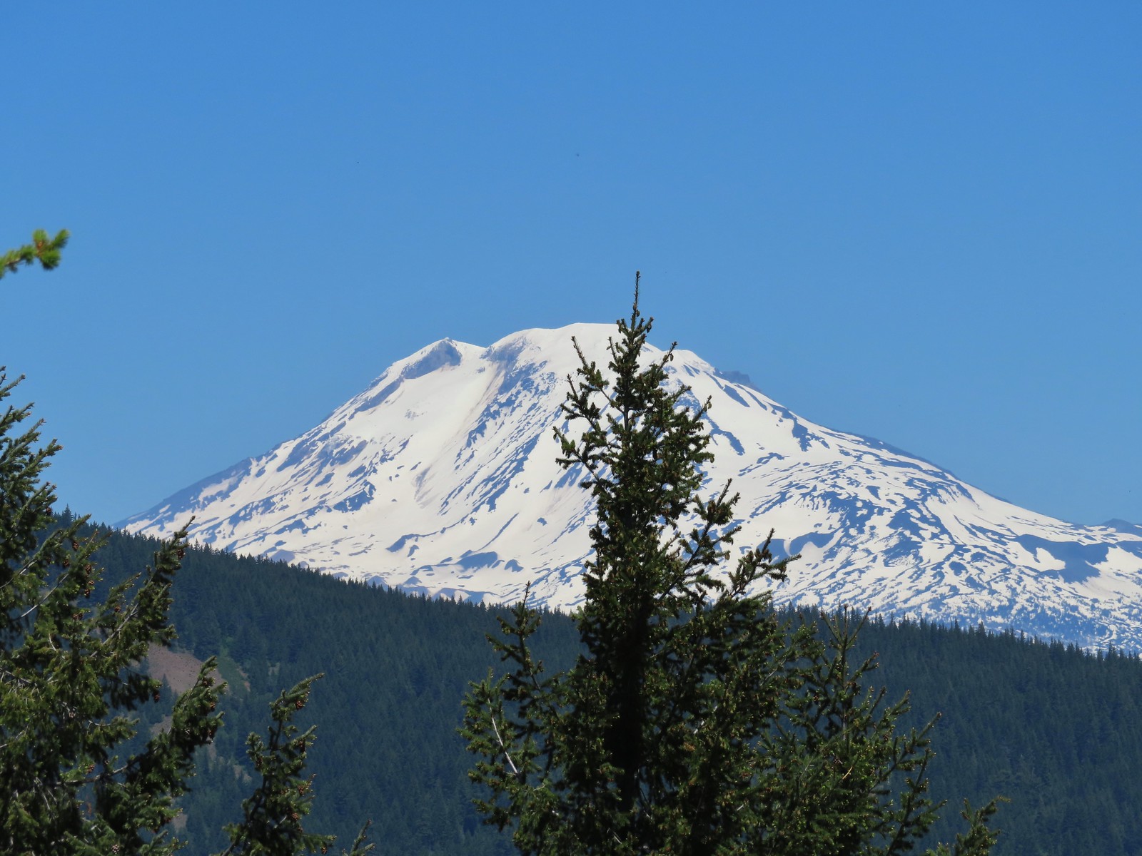
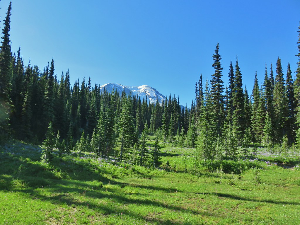
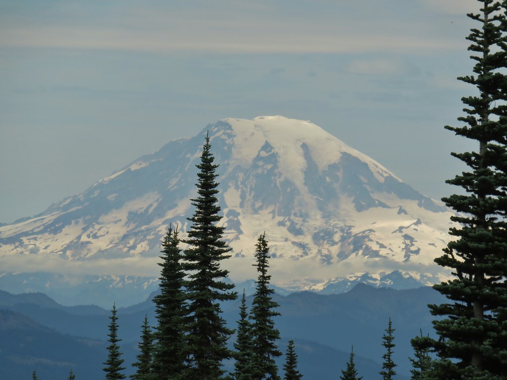
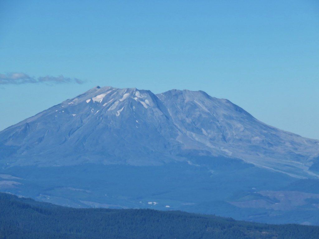
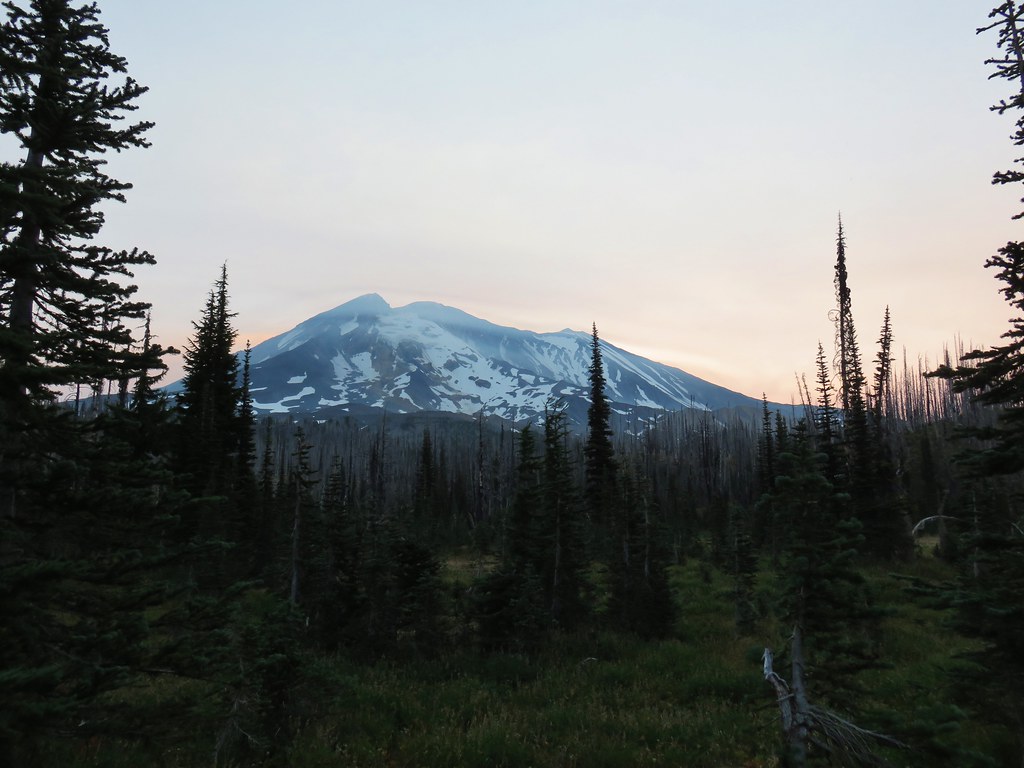
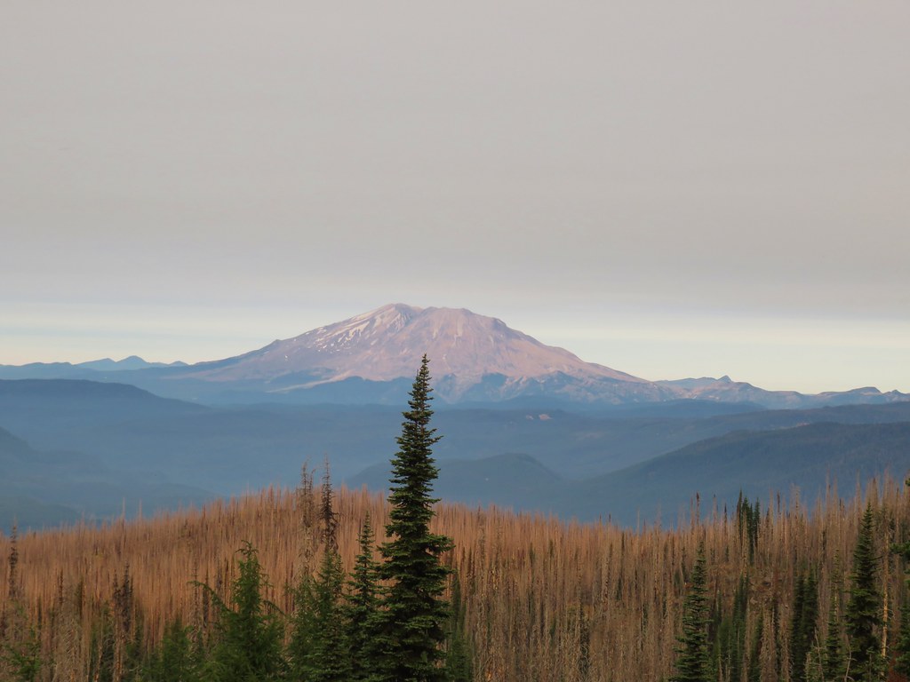
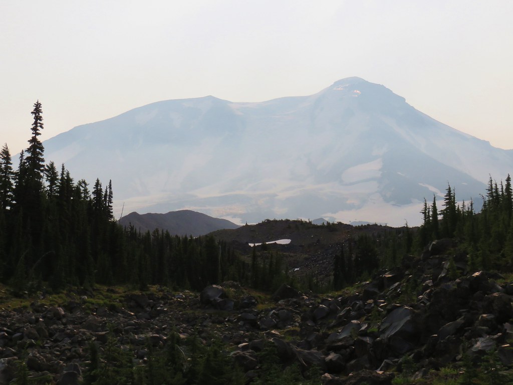
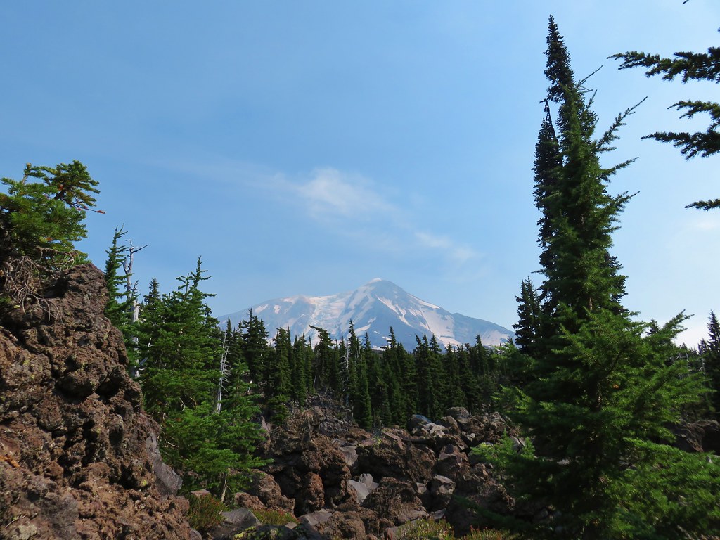
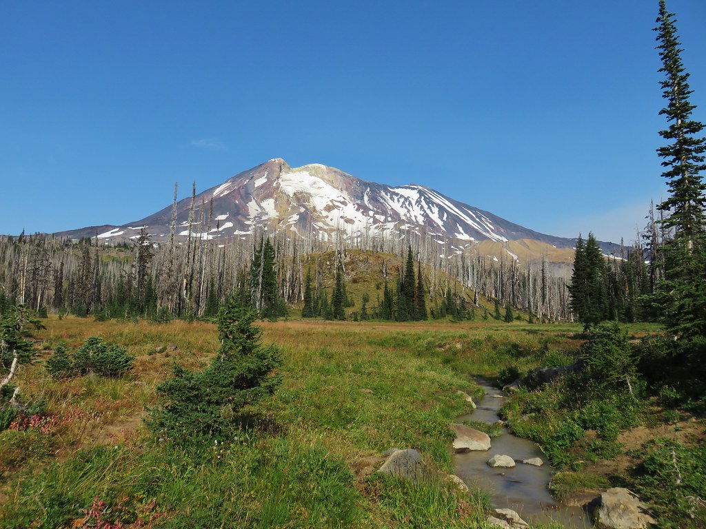
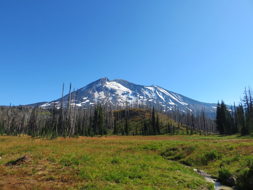
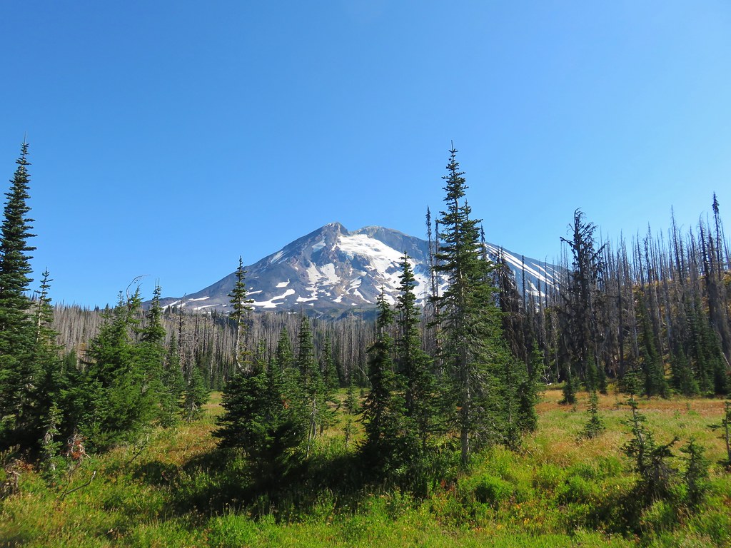
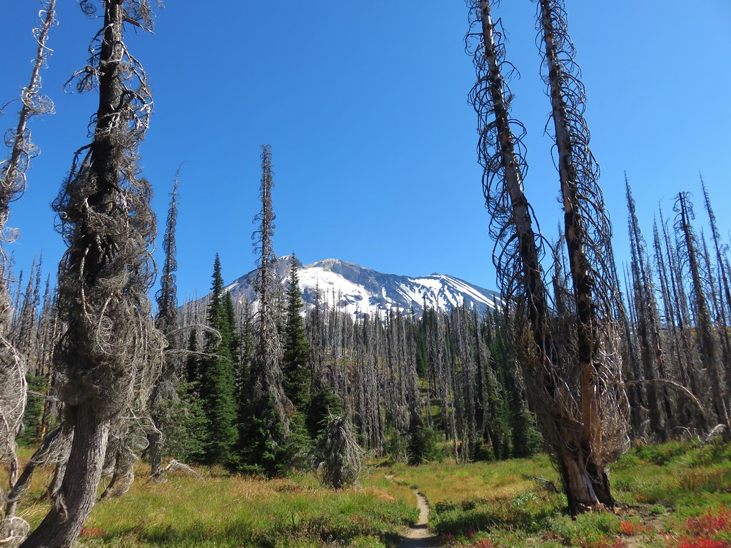
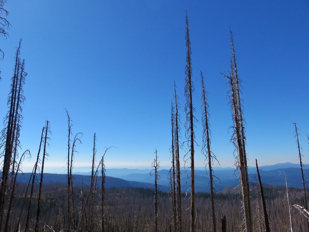
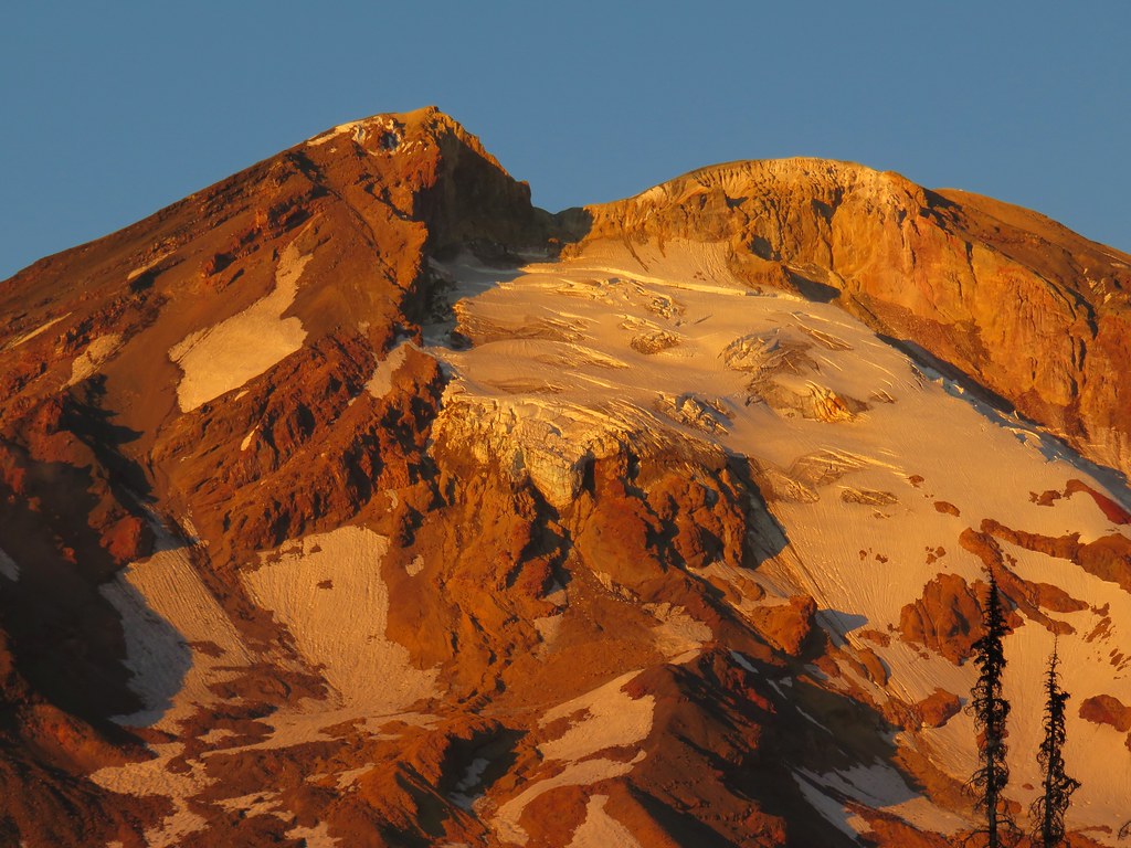
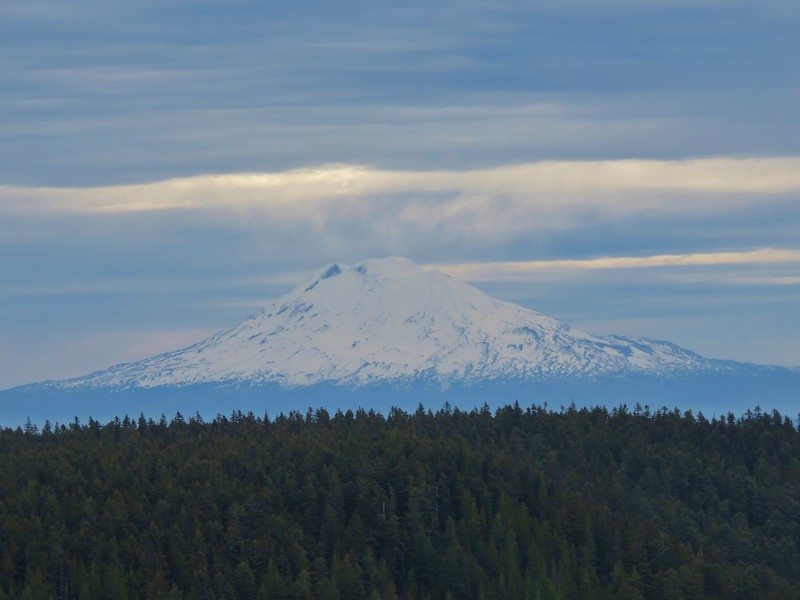
 The top of Mt. Adams above the trees.
We followed the ditch for a third of a mile then crossed over it to a field with bird houses and more birds.


 Swallow
 Western bluebirds
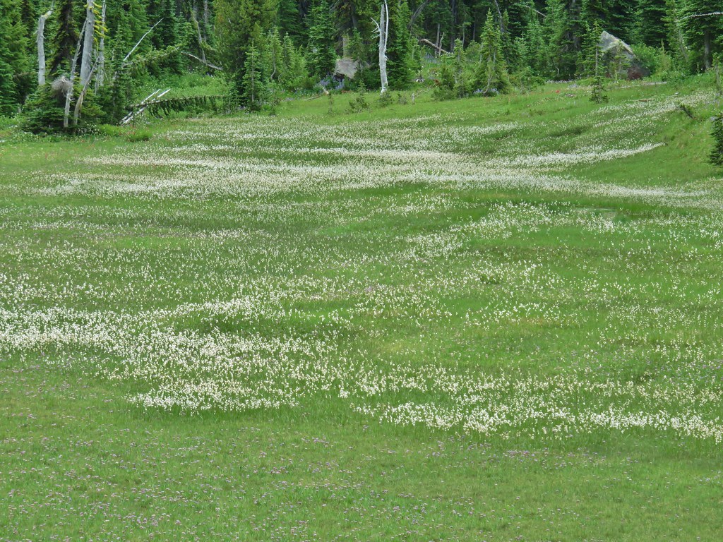
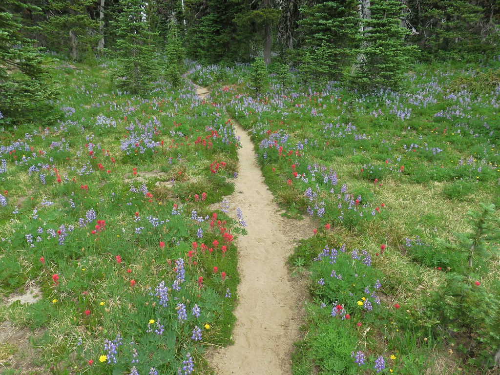
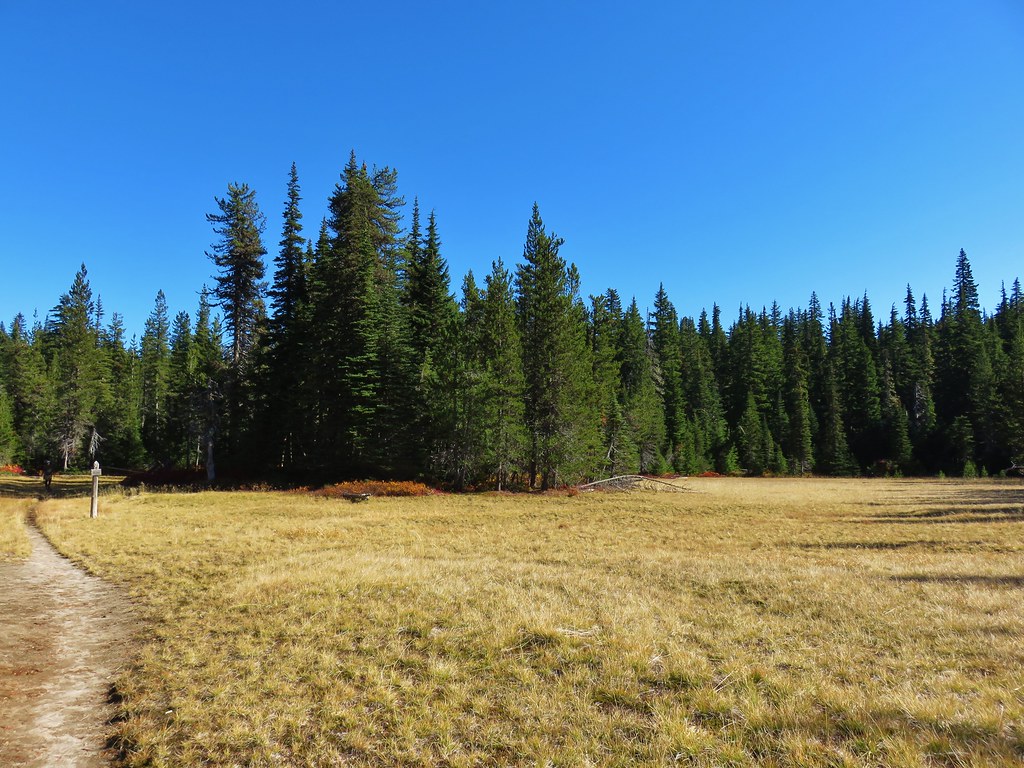
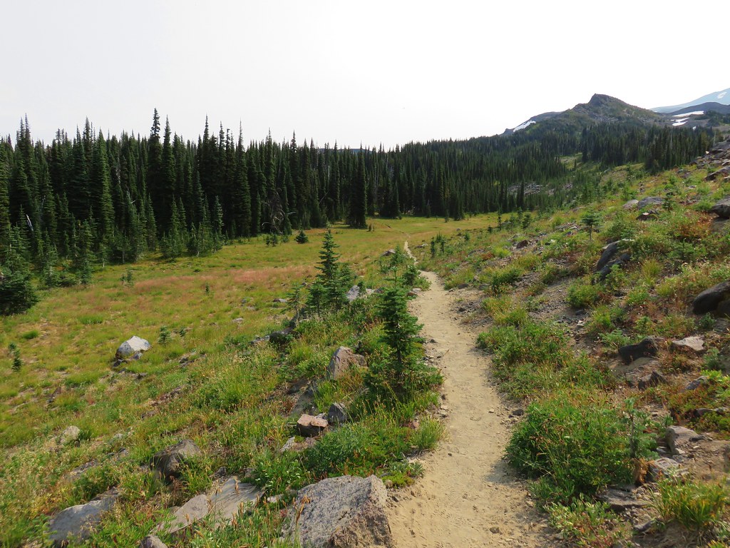
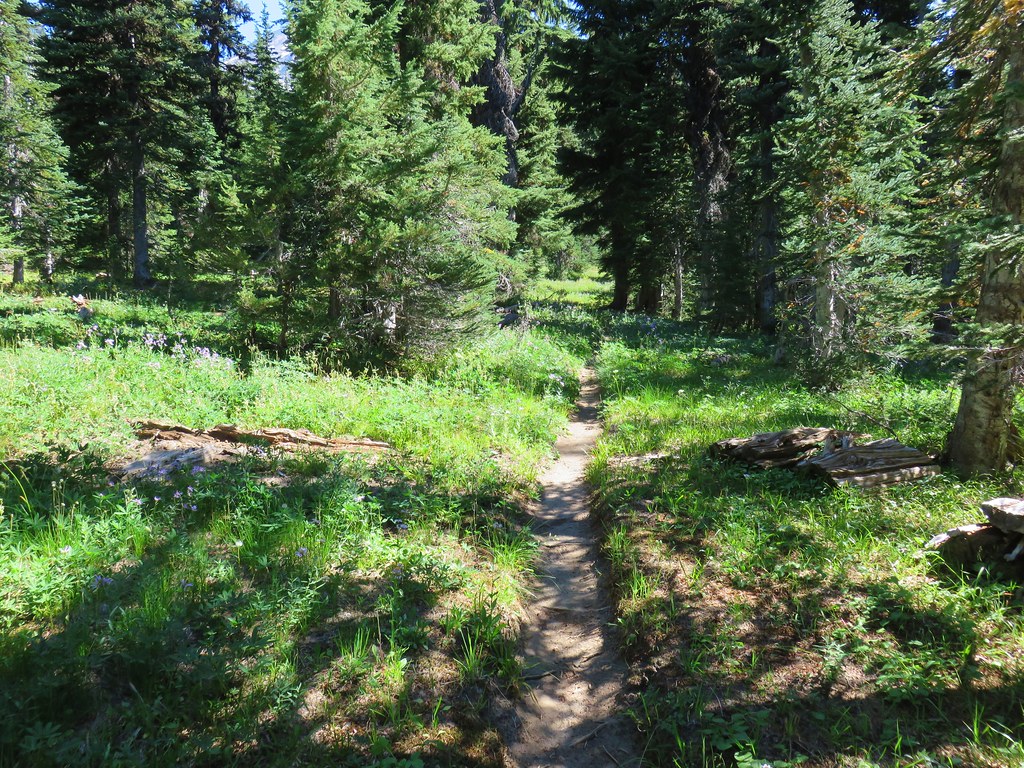
We stayed right at a junction near the corner of the field following the trail through the grass then into a mixed forest.


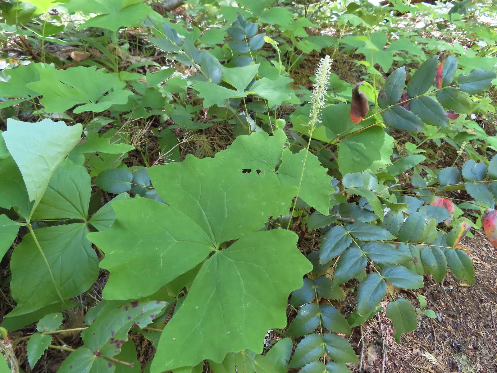
 Honeysuckle

 Columbine
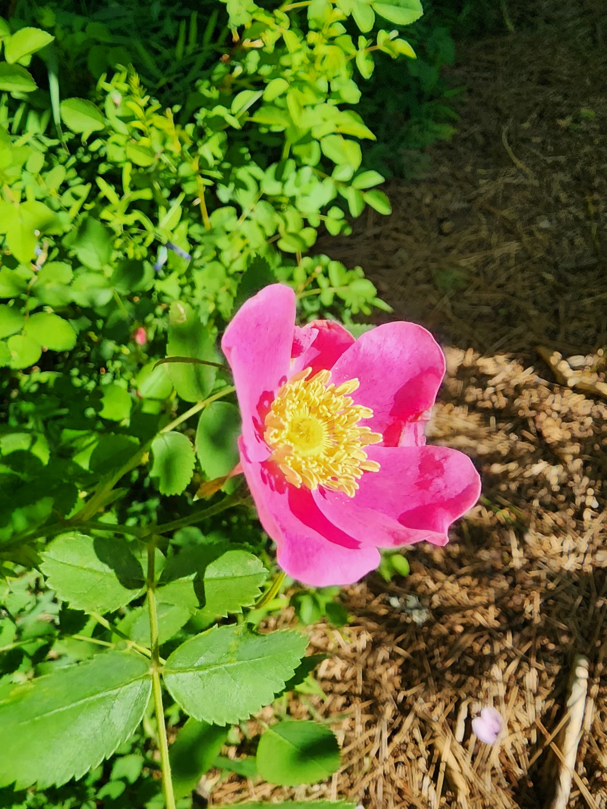 Rose
Rose
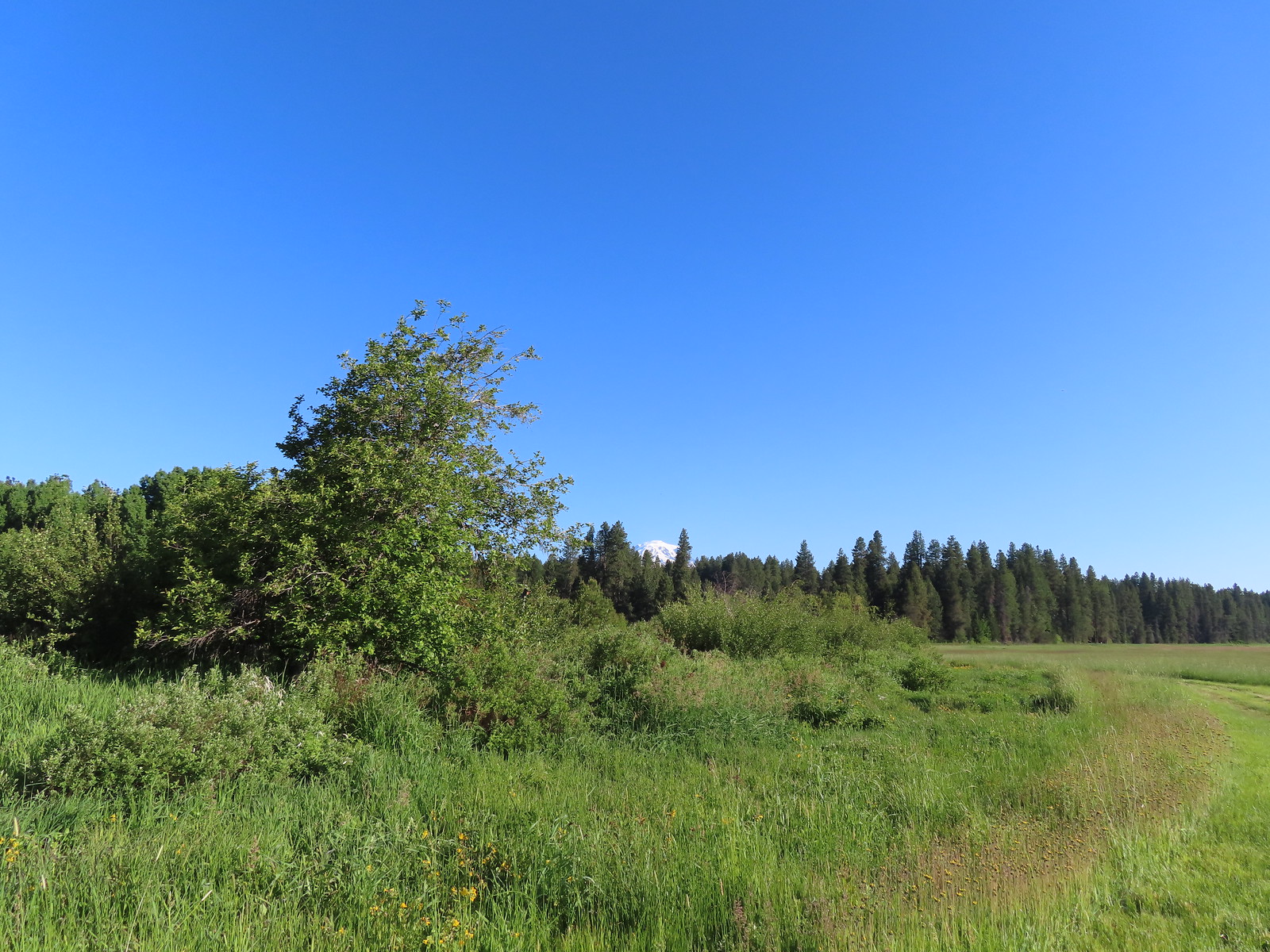
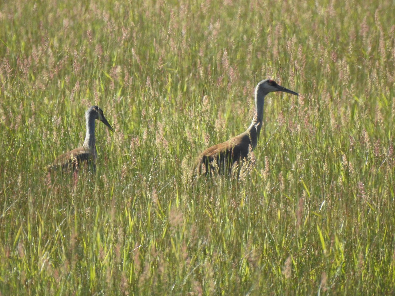
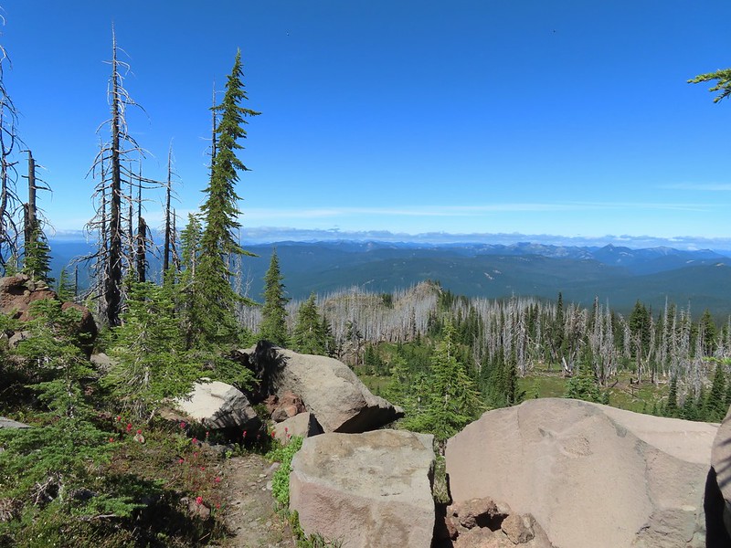
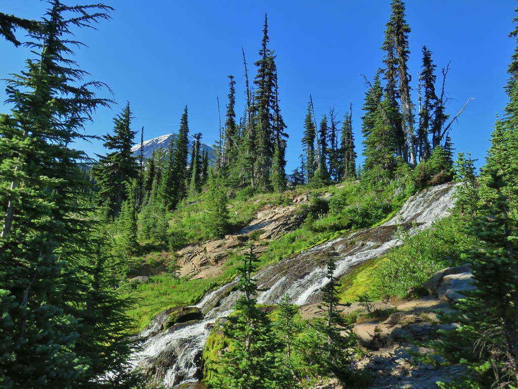
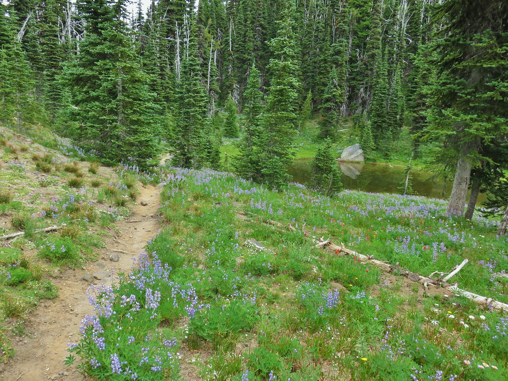
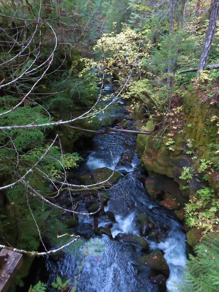
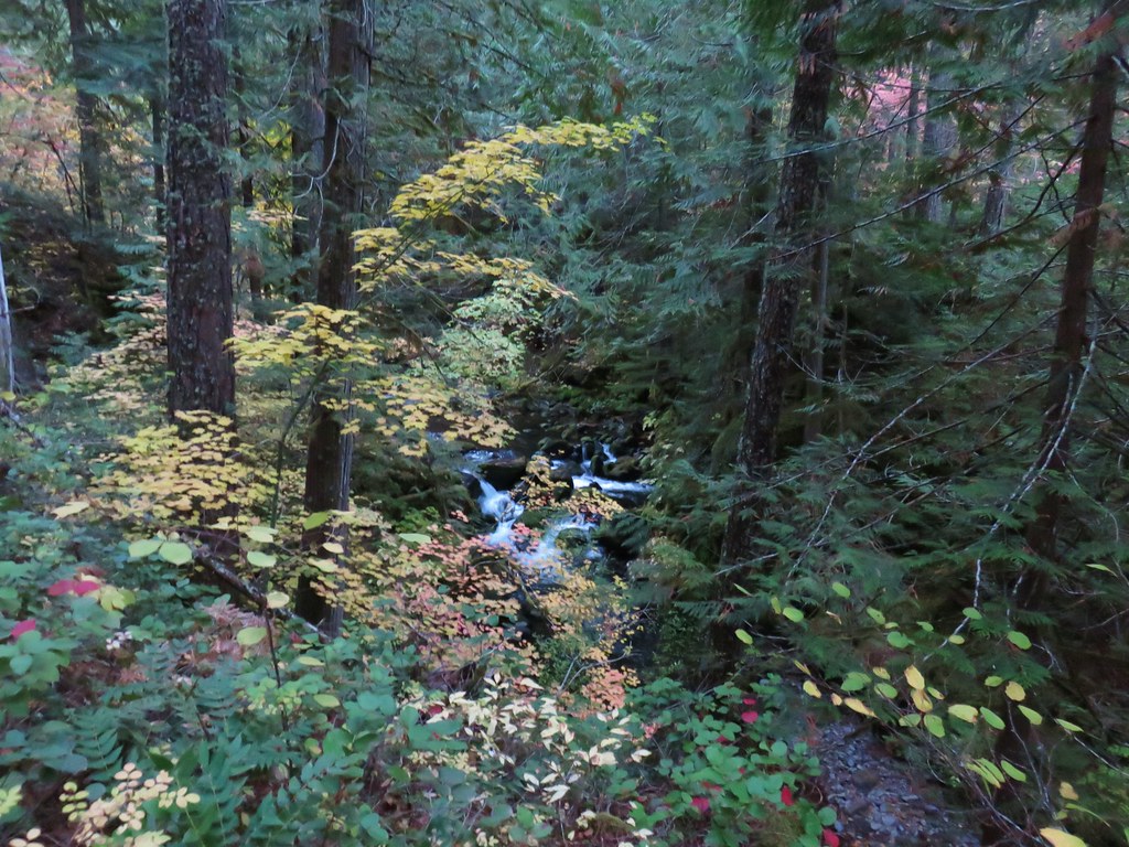
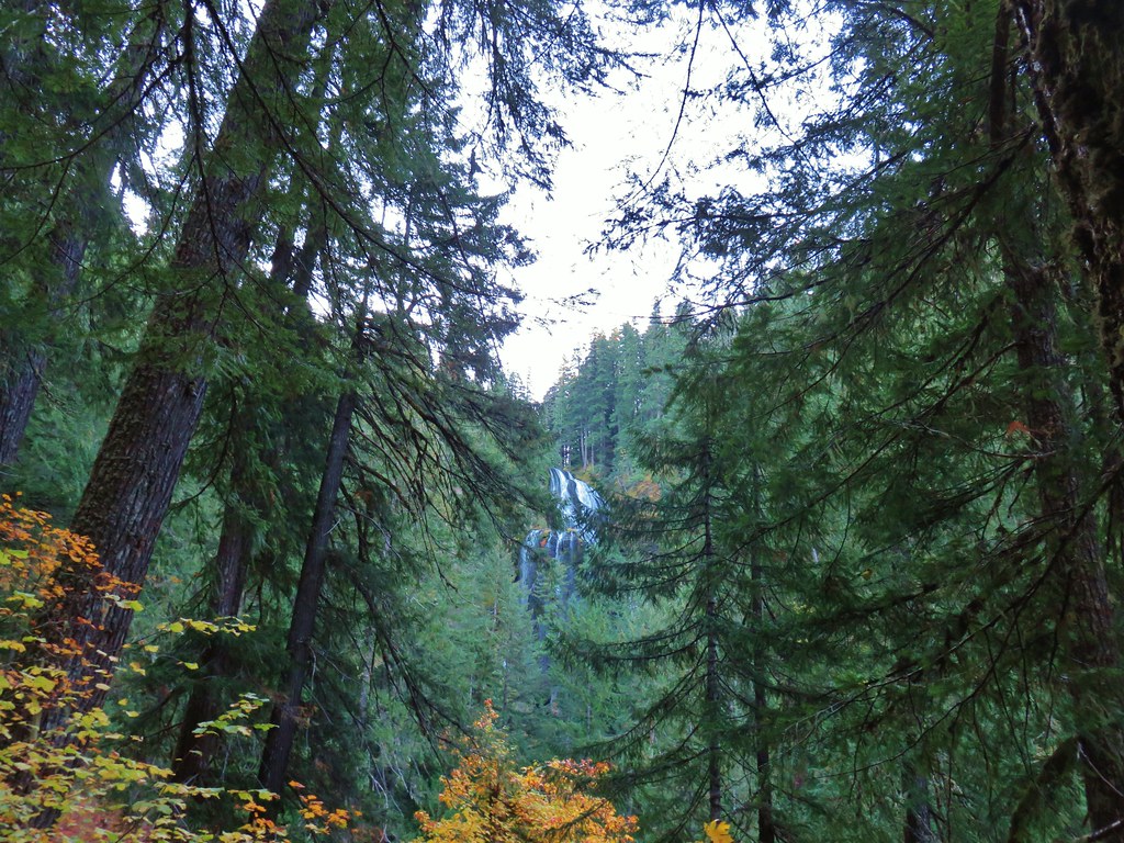
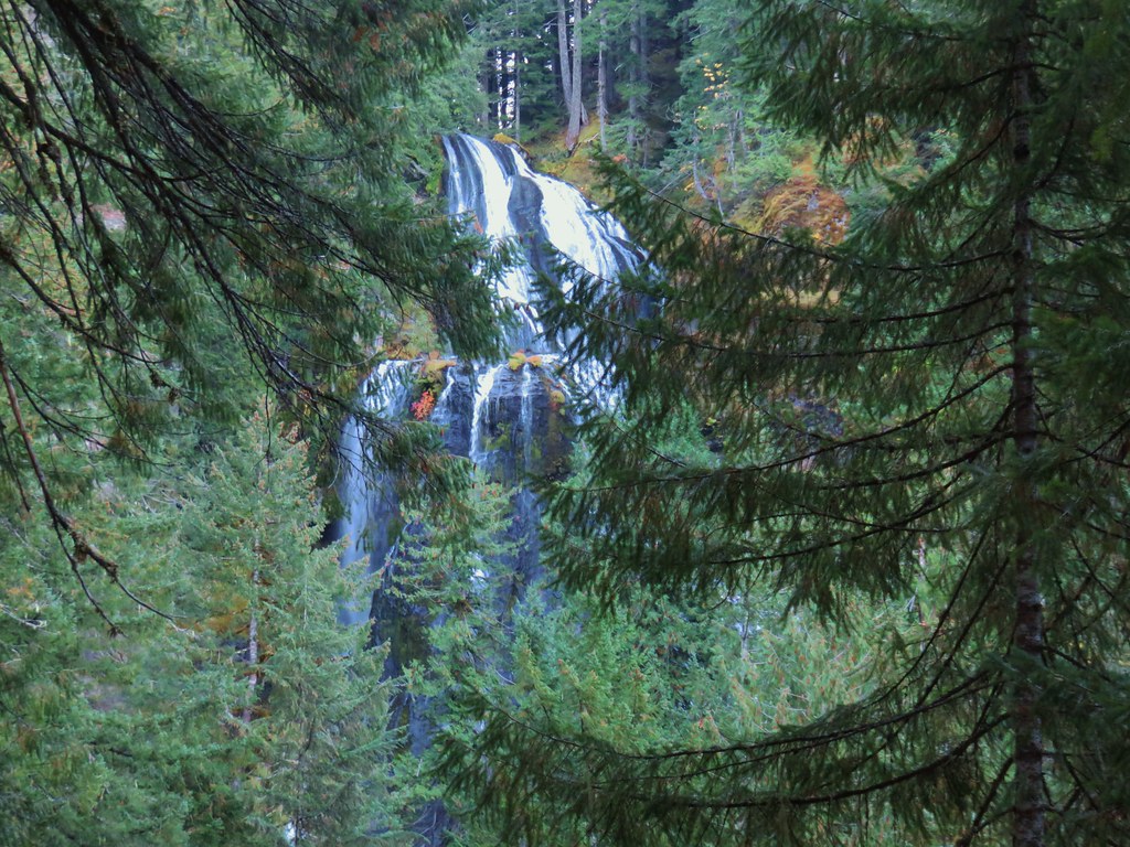
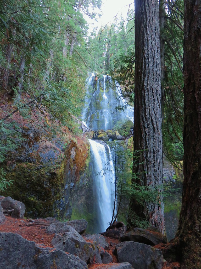
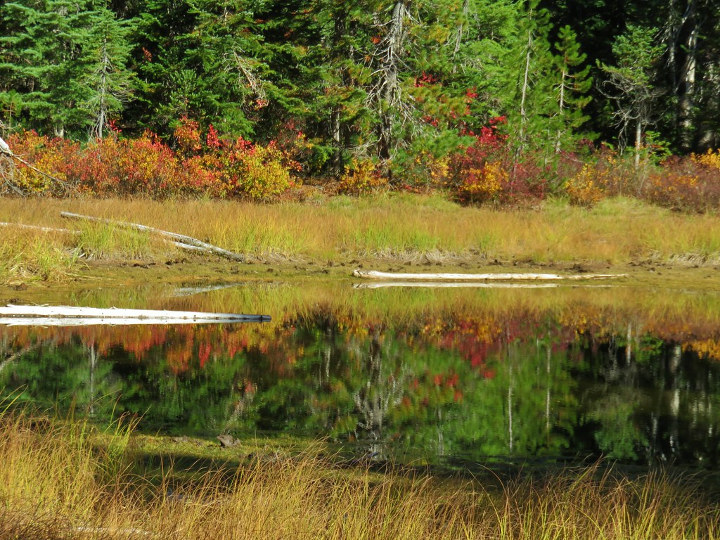
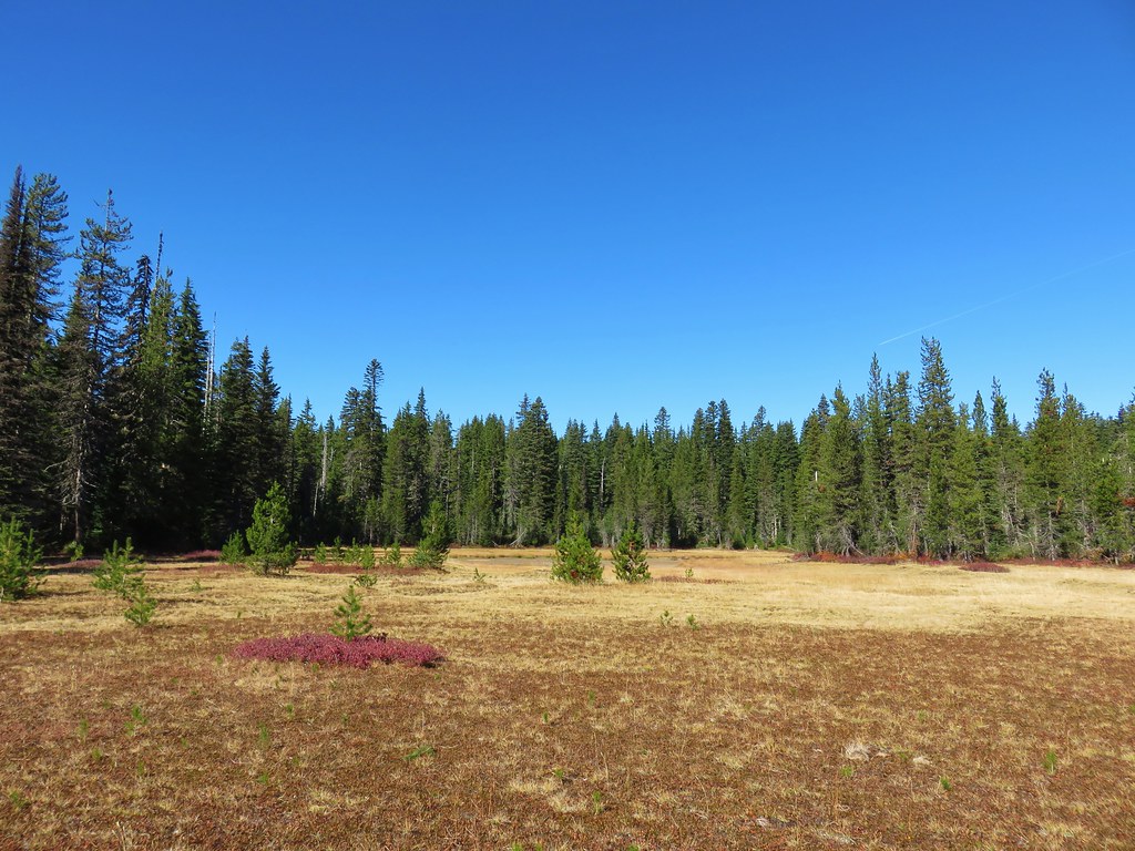
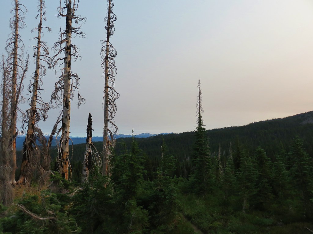
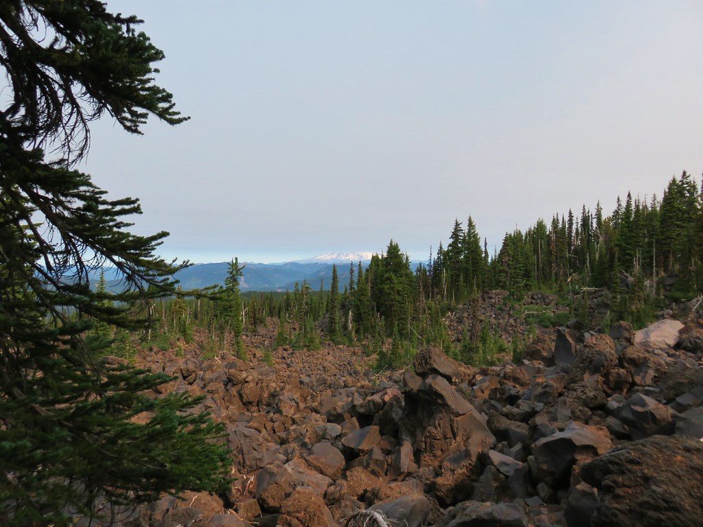
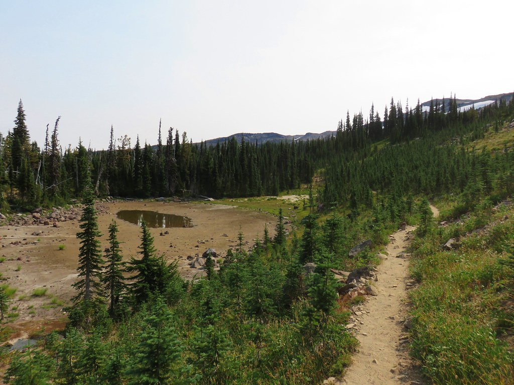
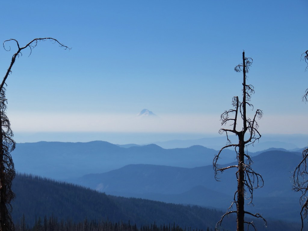
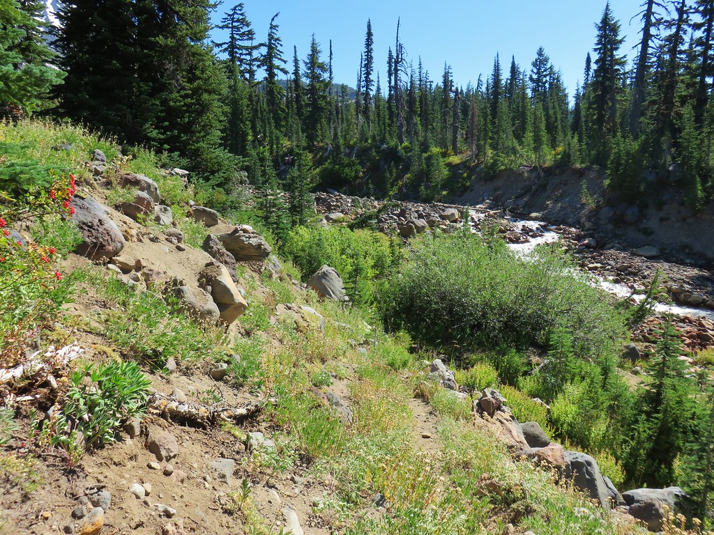
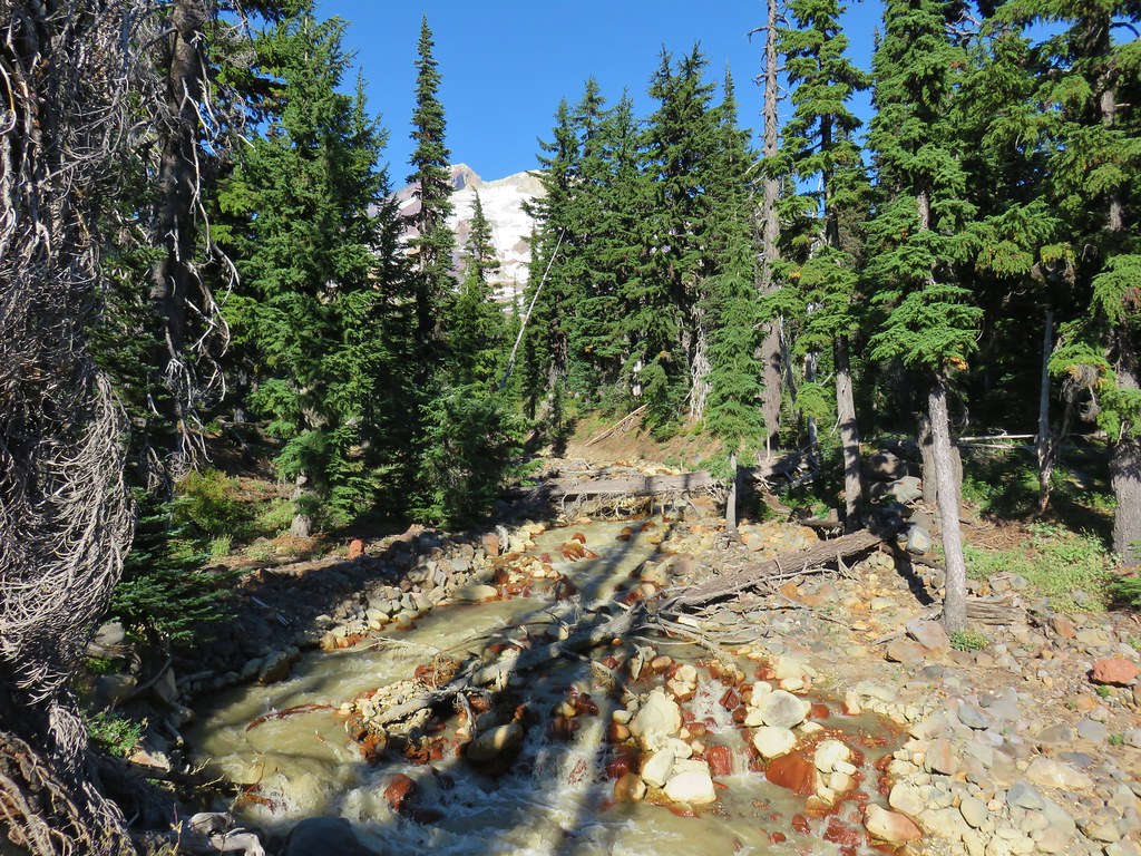
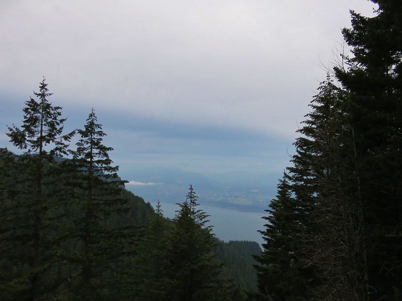
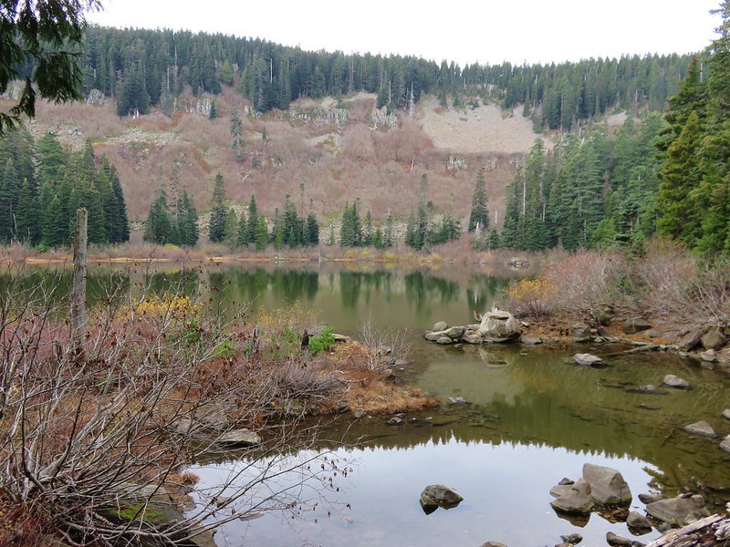
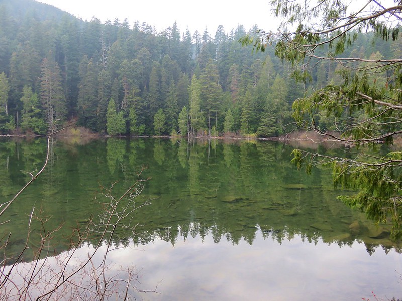
The lakebed was often visible through breaks in the trees.

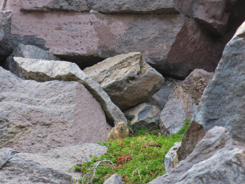
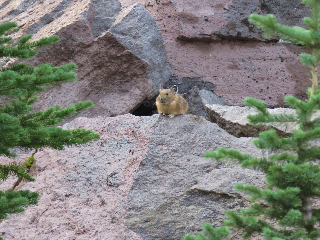
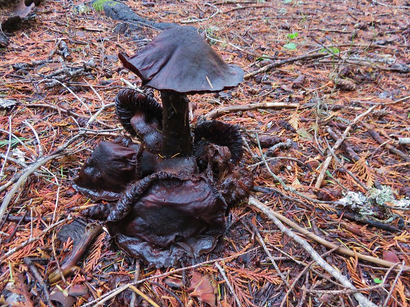
Through one such gap in the trees we spotted a pair of greater Sandhill cranes. The refuge is the only place in Washington that supports breeding pairs of the birds.


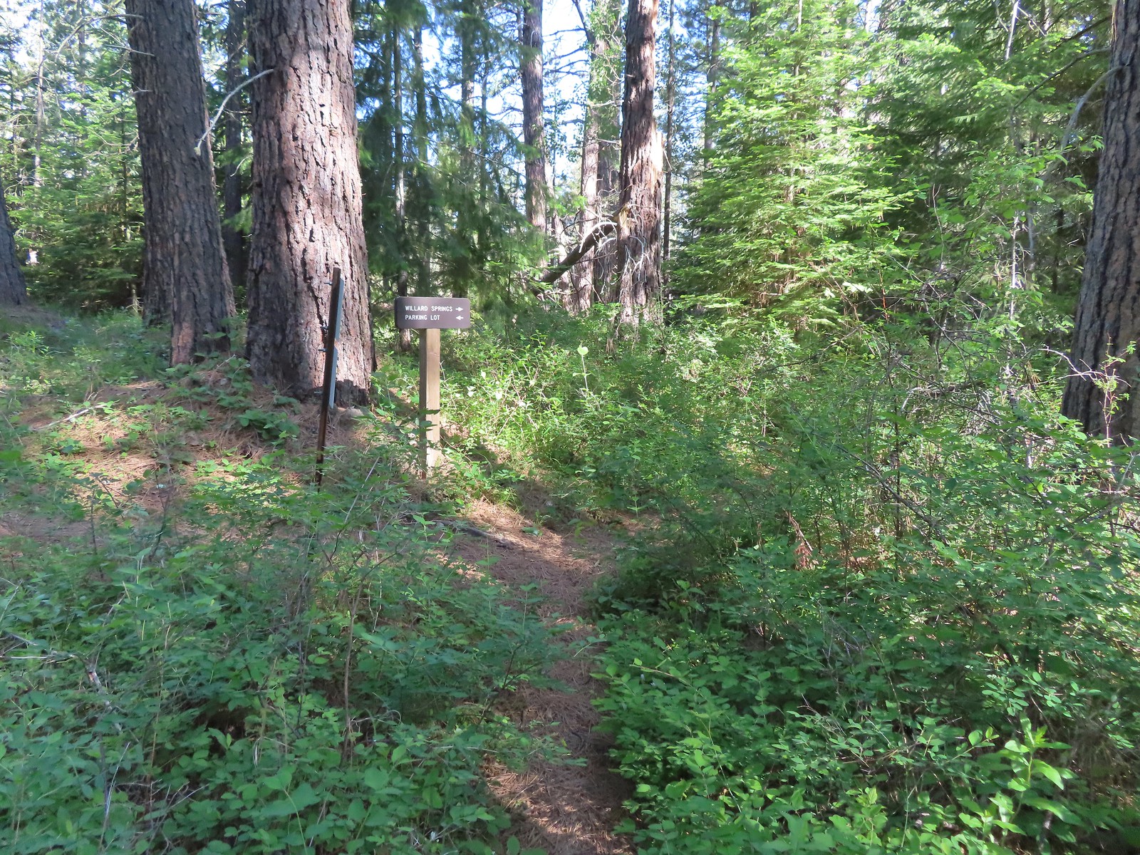
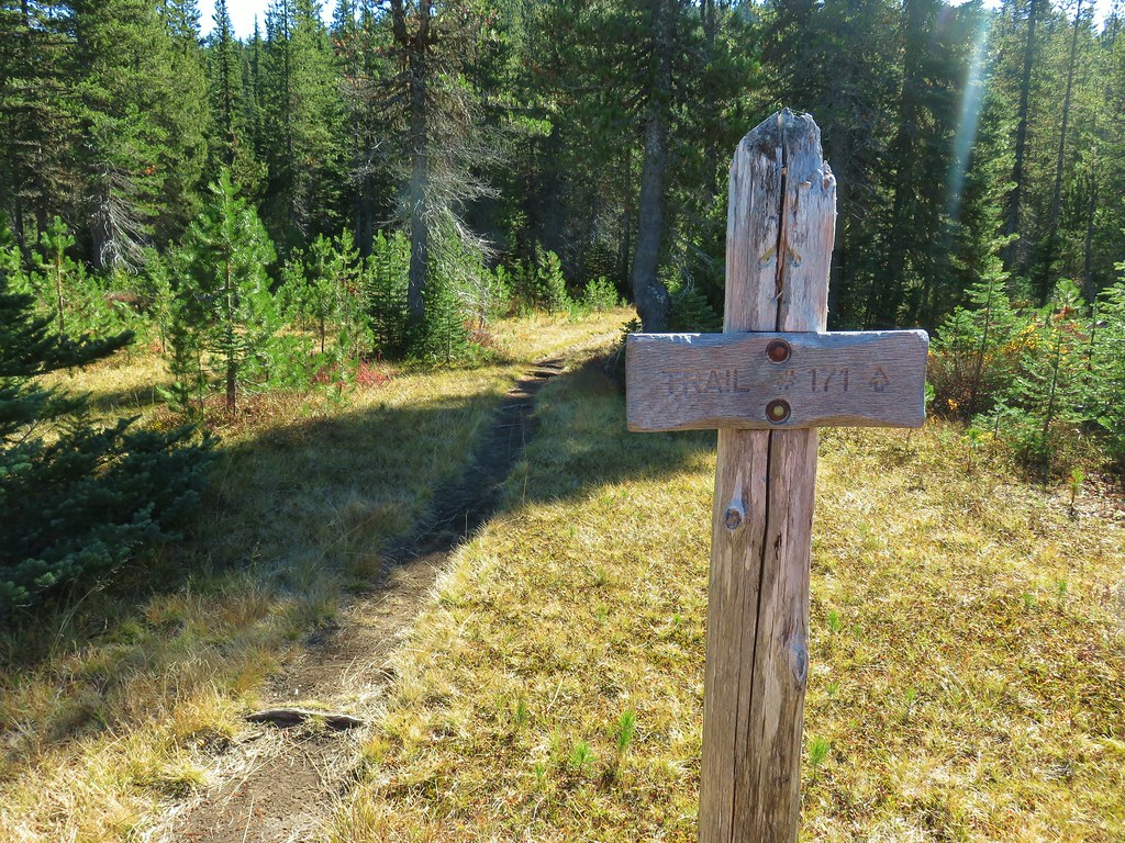
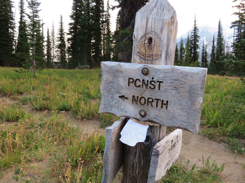
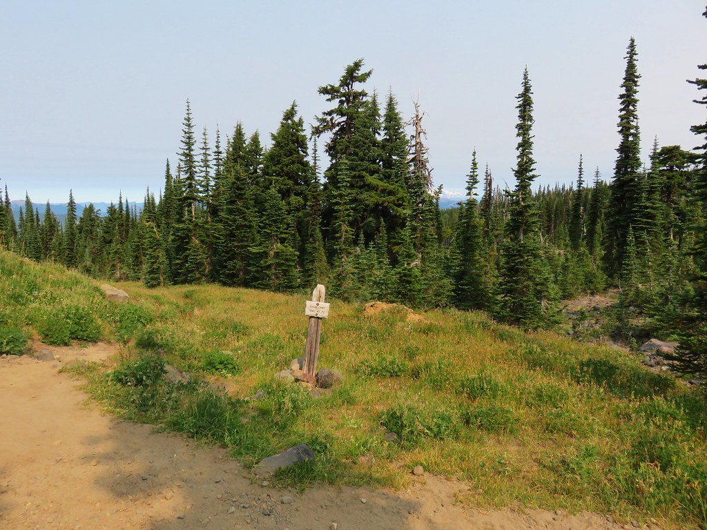
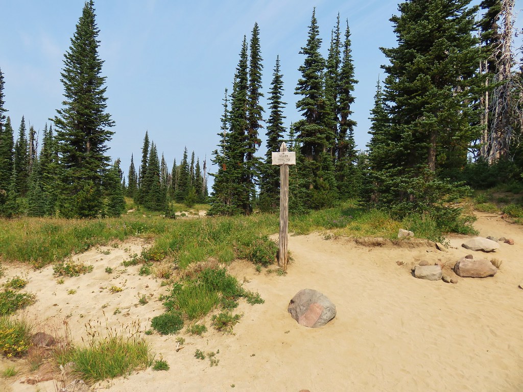
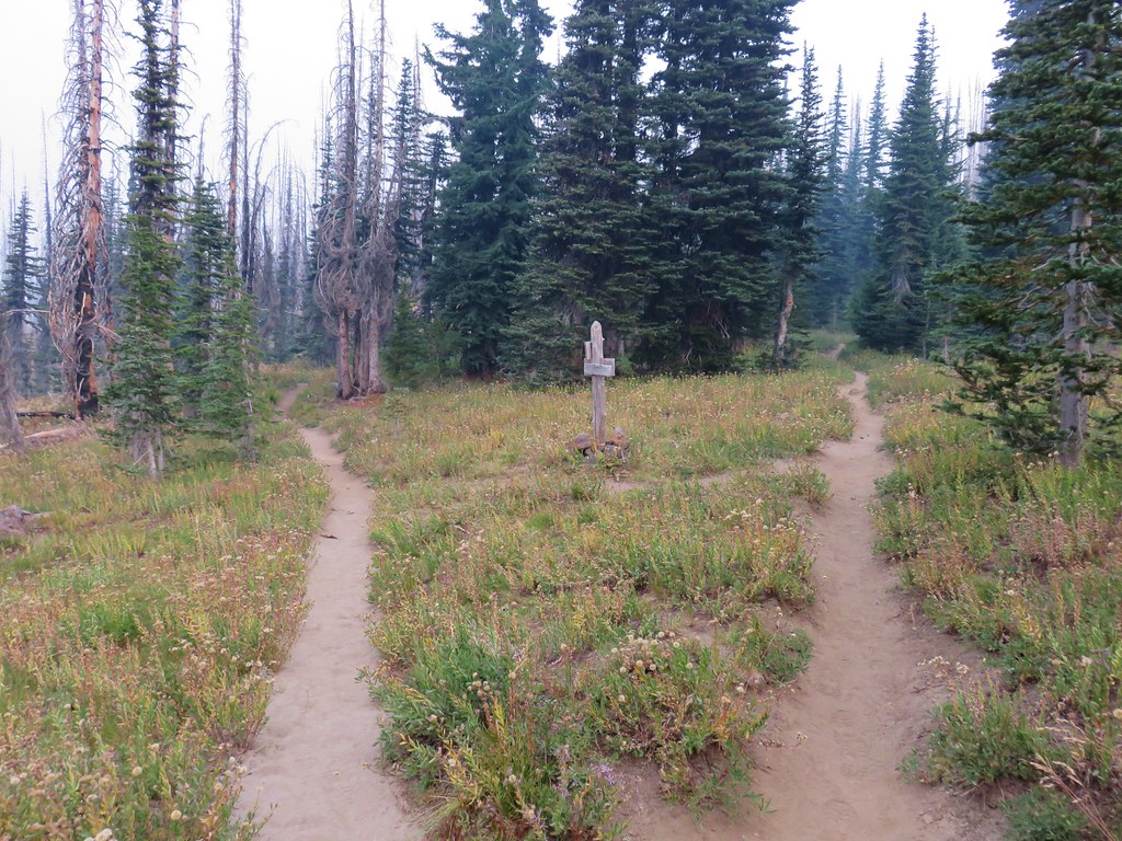
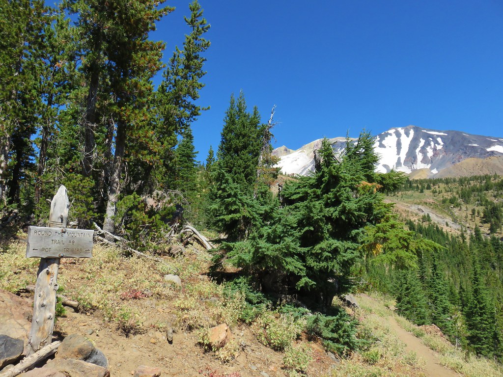
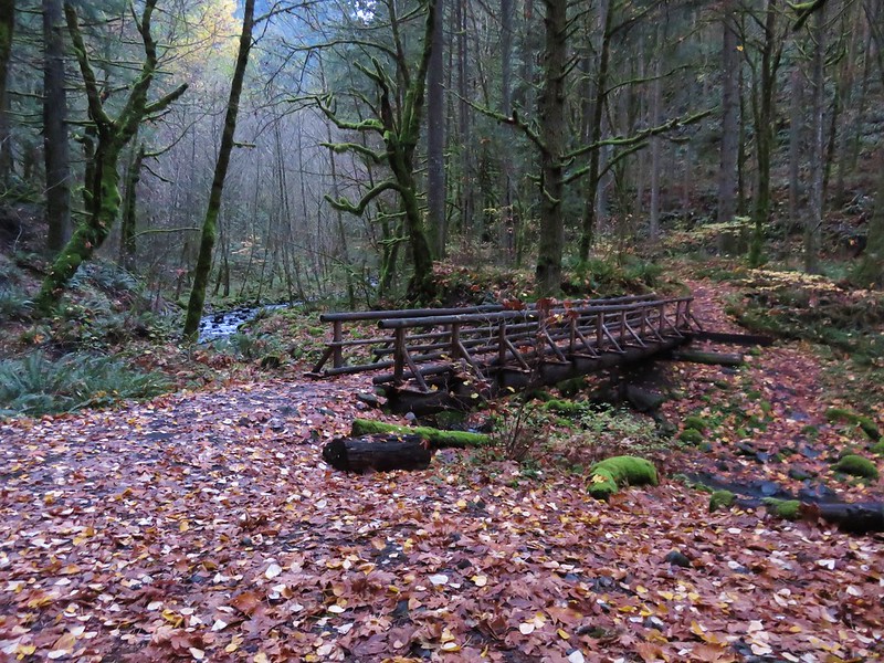
Approximately 1.4 miles from the trailhead we came to a 4-way junction. To the left was a “shortcut trail” and to the right a viewing platform with the Willard Springs Trail continuing straight(ish).

 Continuation of the Willard Springs Trail behind the sign.
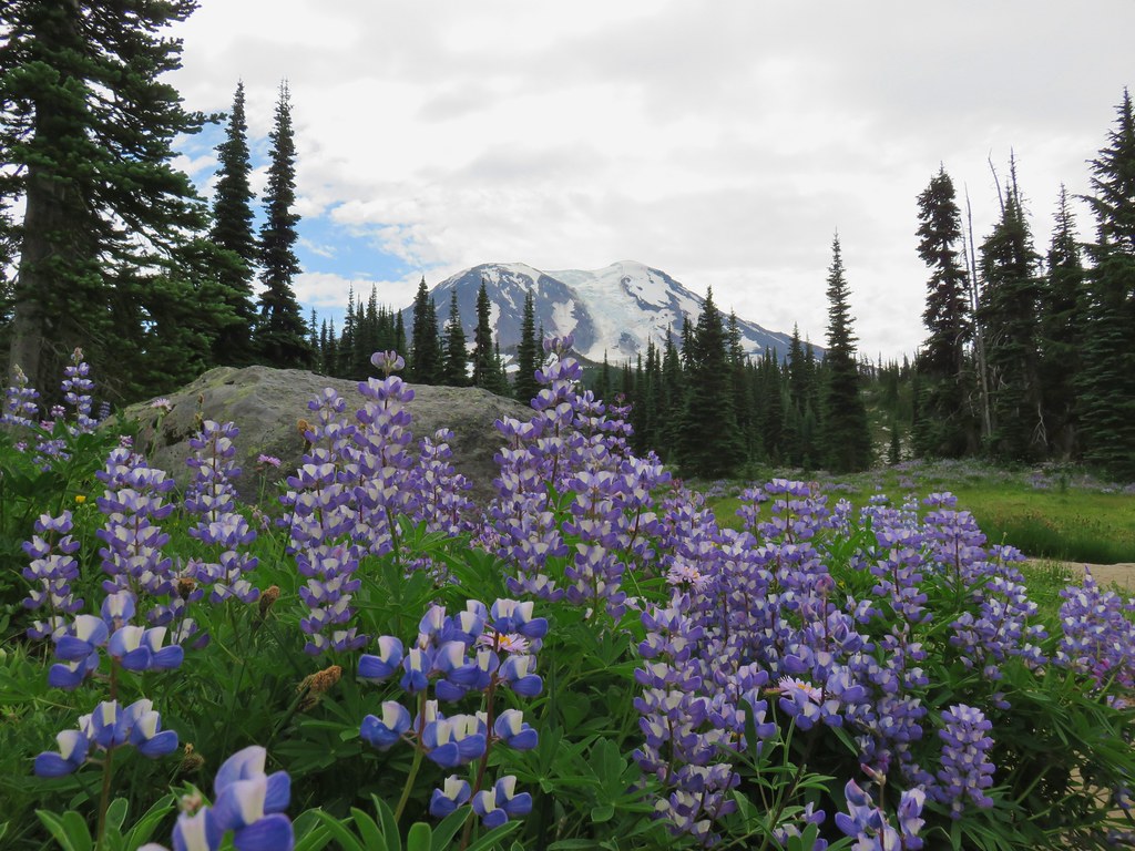
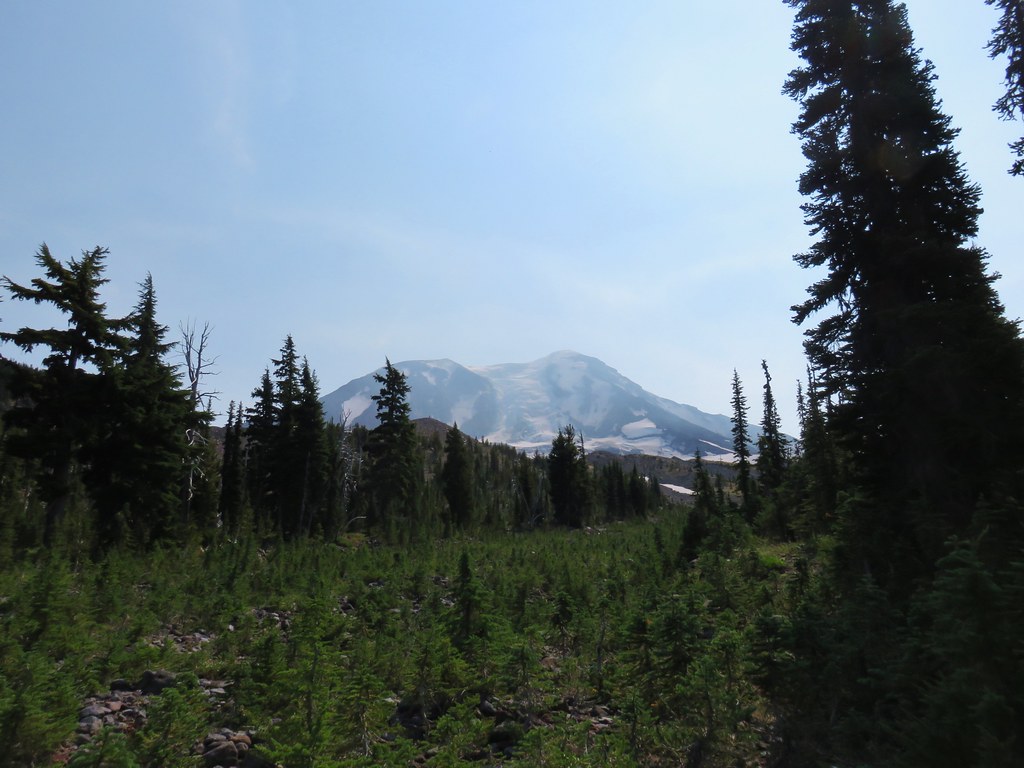
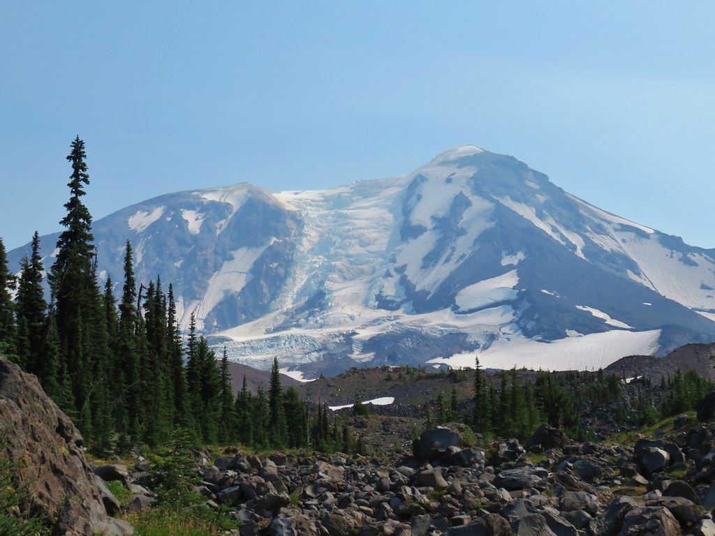
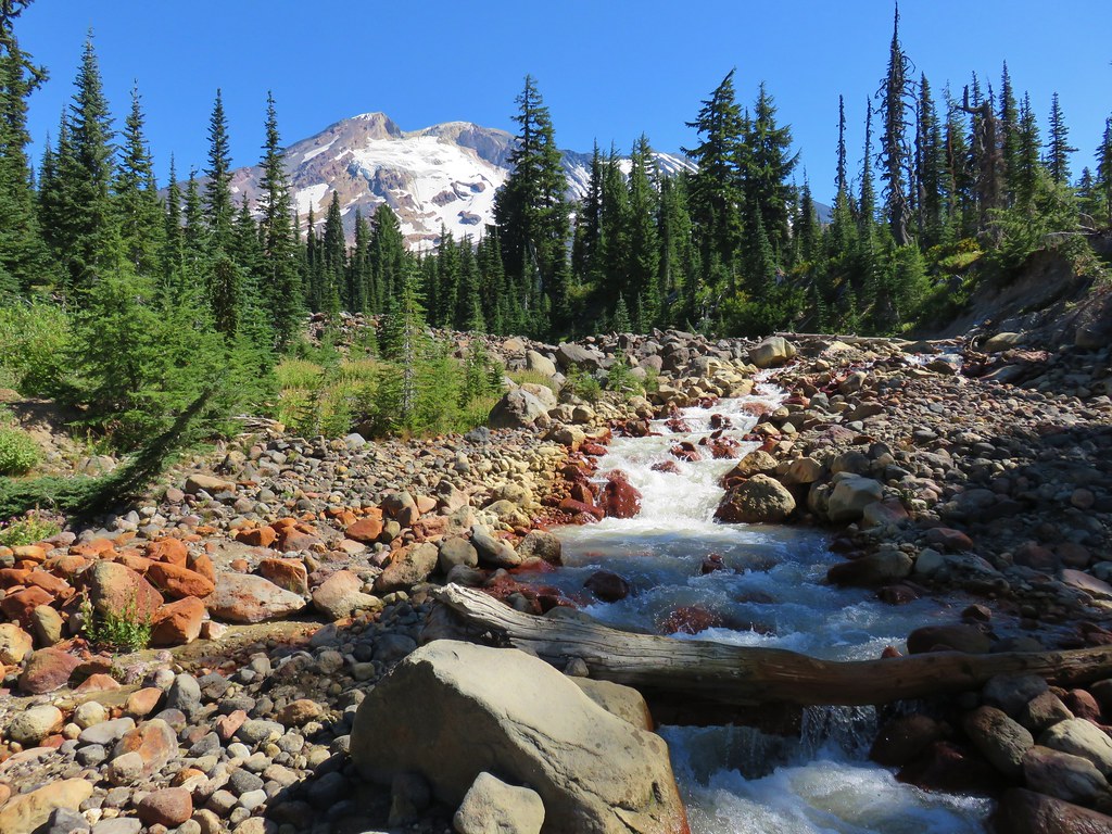
More often than not on our hikes we strike out with viewing platforms/bird blinds. (We’d have better luck if we sat and waited for the wildlife to come to us.) It was a different story today with a deer making its way across the lakebed and an excellent view of Mt. Adams.


 We hung around long enough that this warbling vireo came to check on us.
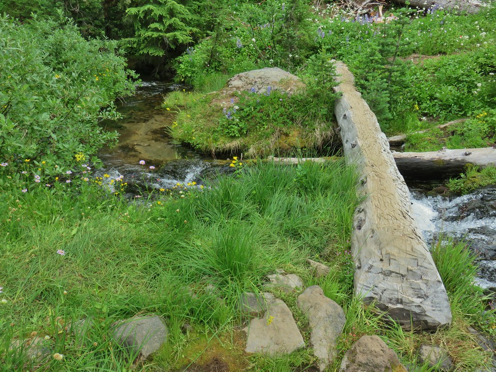
After a nice break at the platform we continued on the Willard Springs Trail. After another 0.5-miles we came to a signed spur trail to Willard Springs.
We followed this spur 0.2-miles to its end at a couple of benches near the springs.


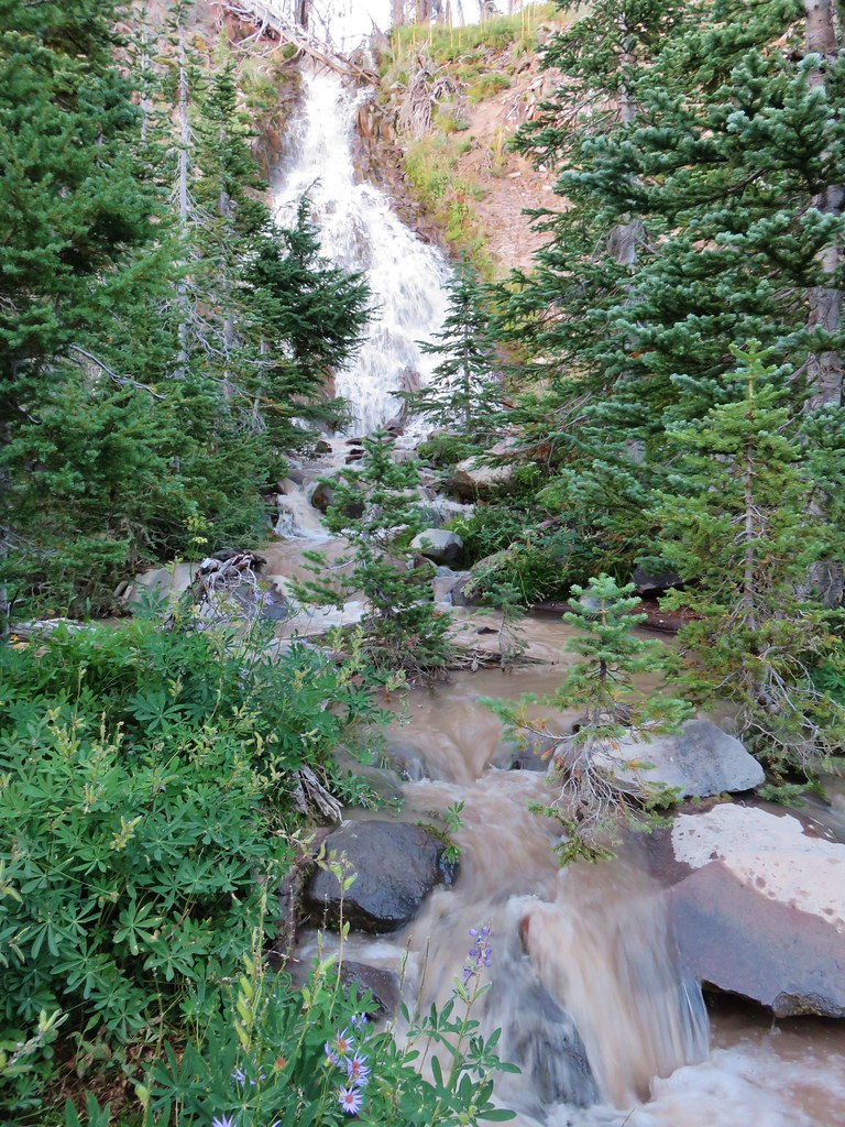
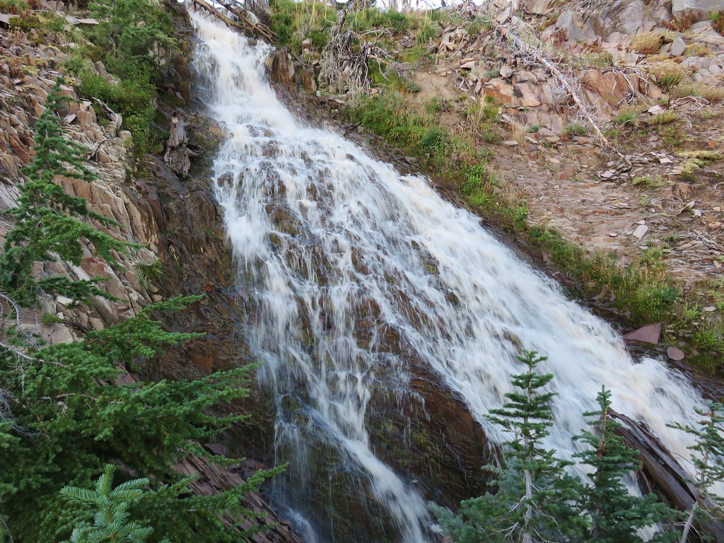
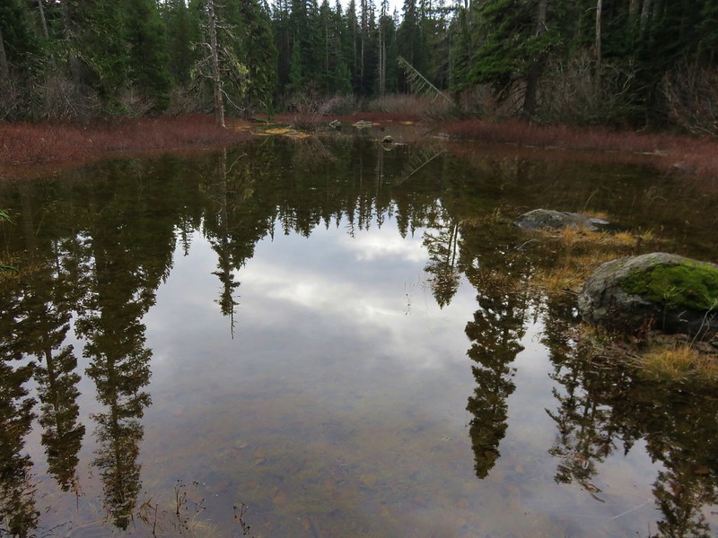
 Willard Sprins hidden in the vegetation. We could hear them better then we could see them.
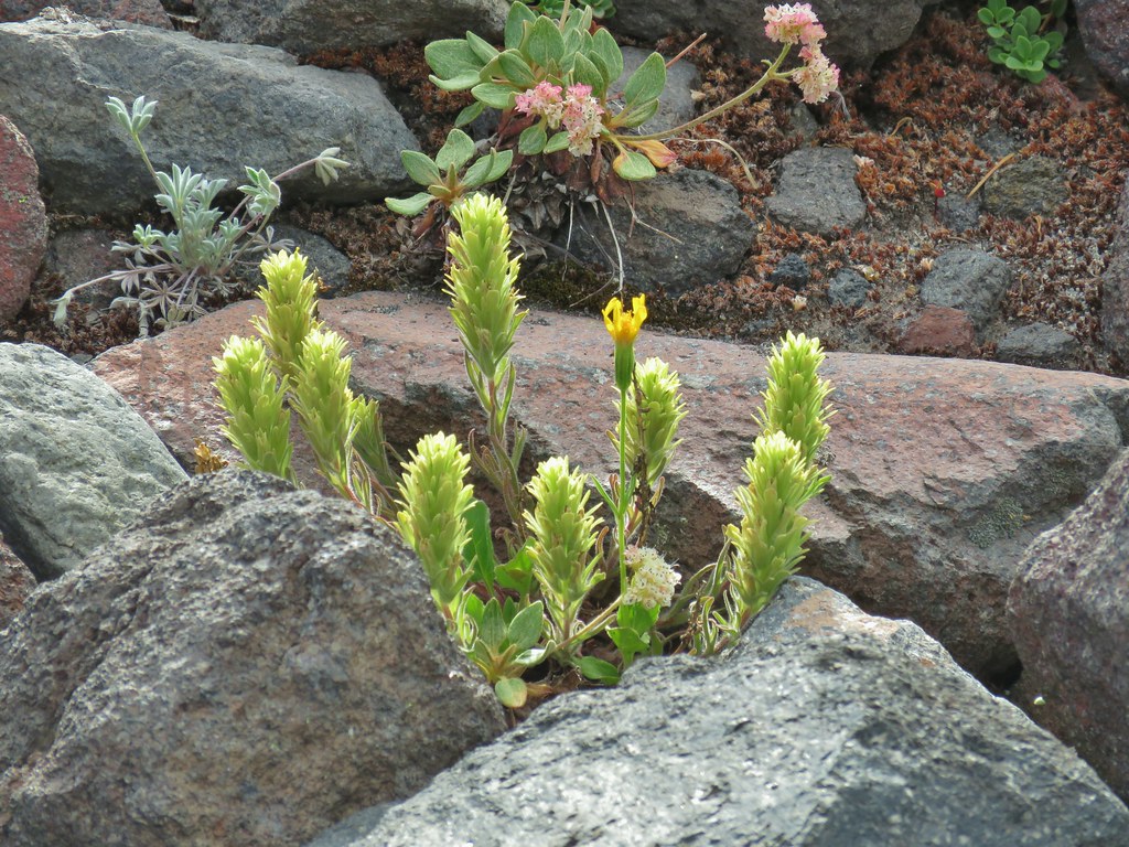
 A healthy lupine near the springs.
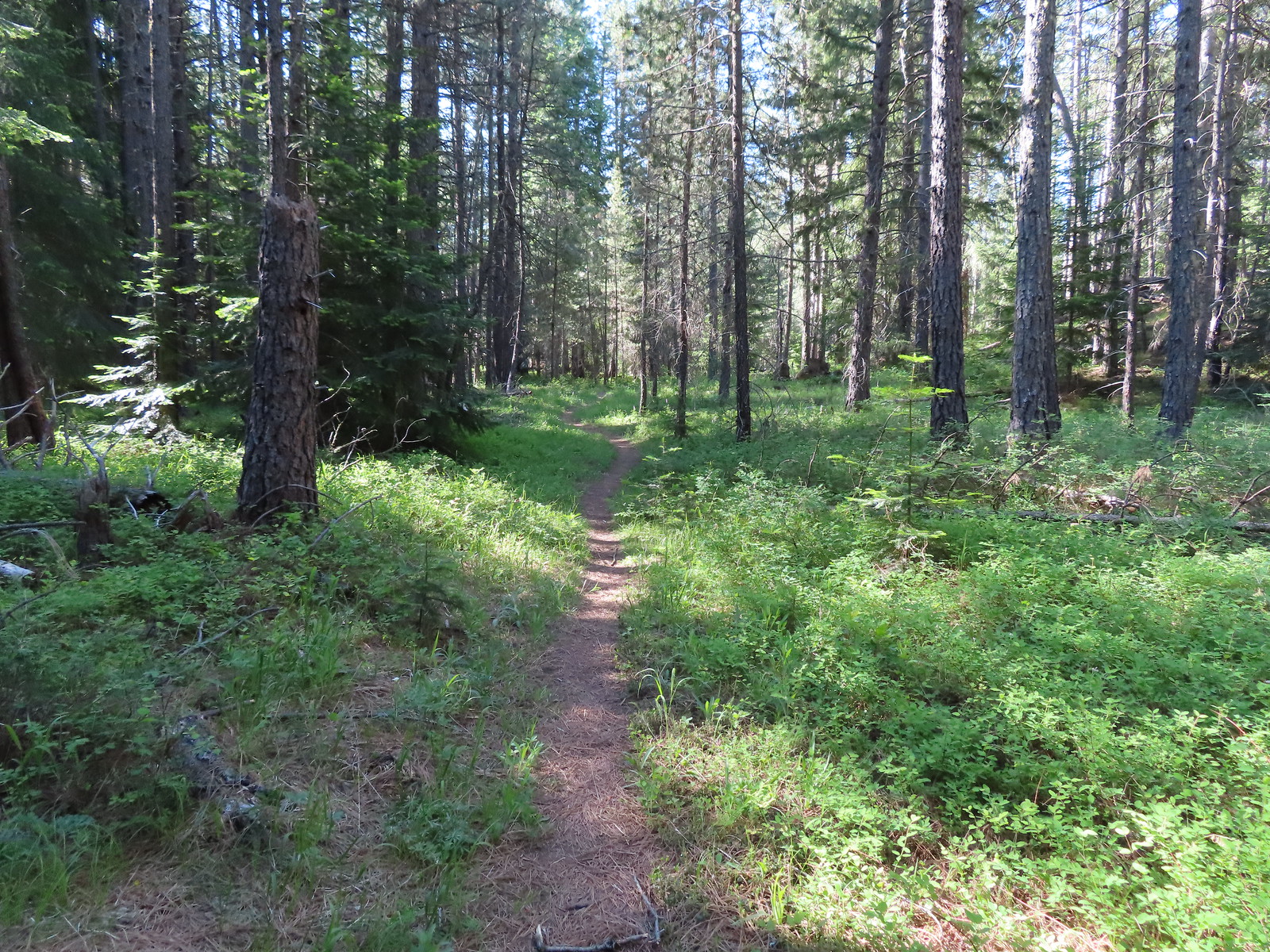
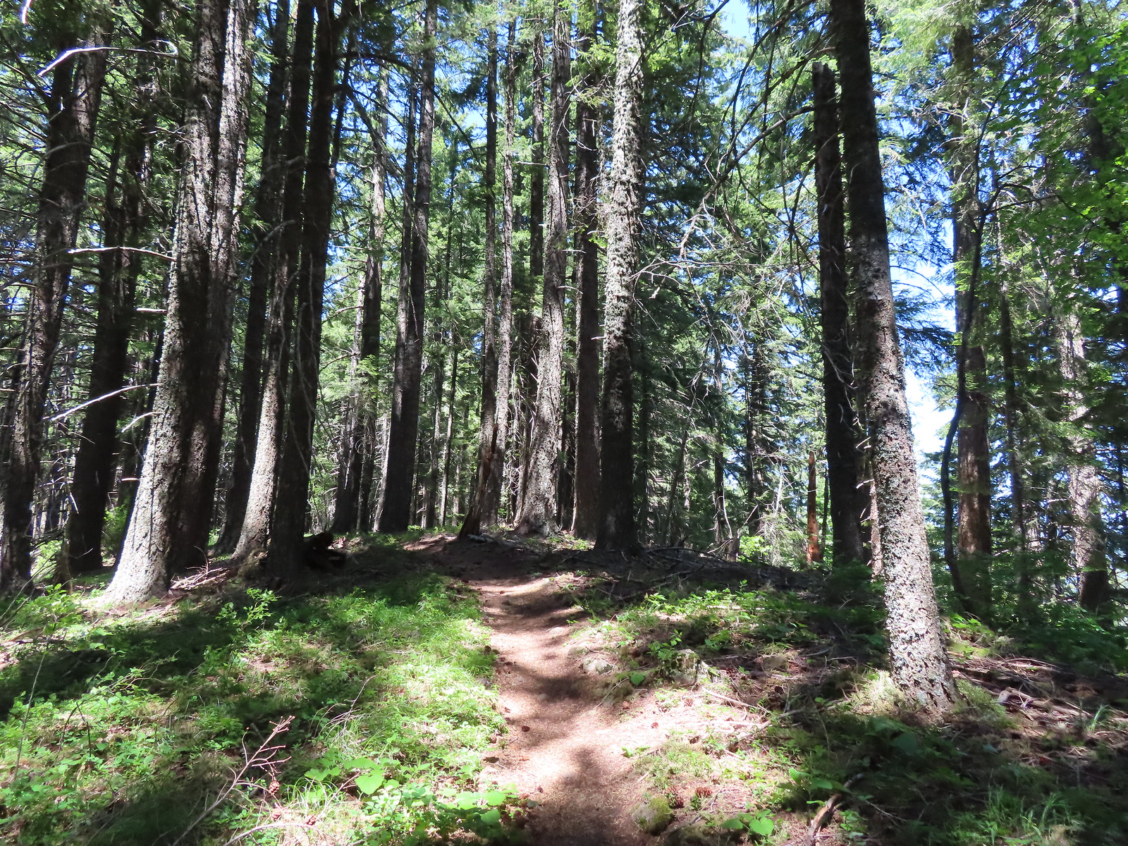
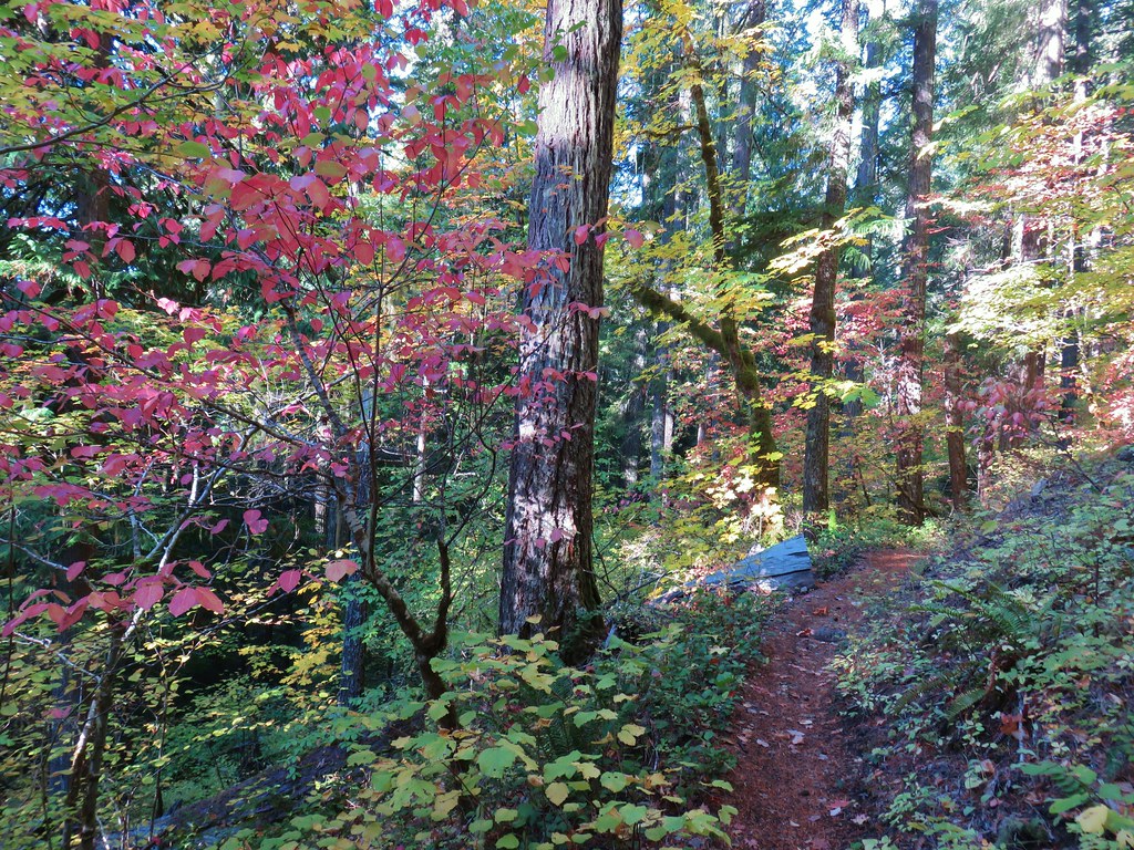
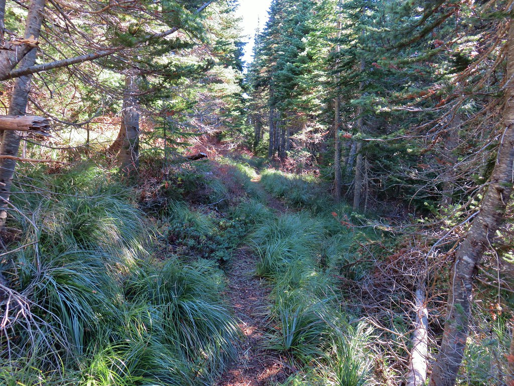
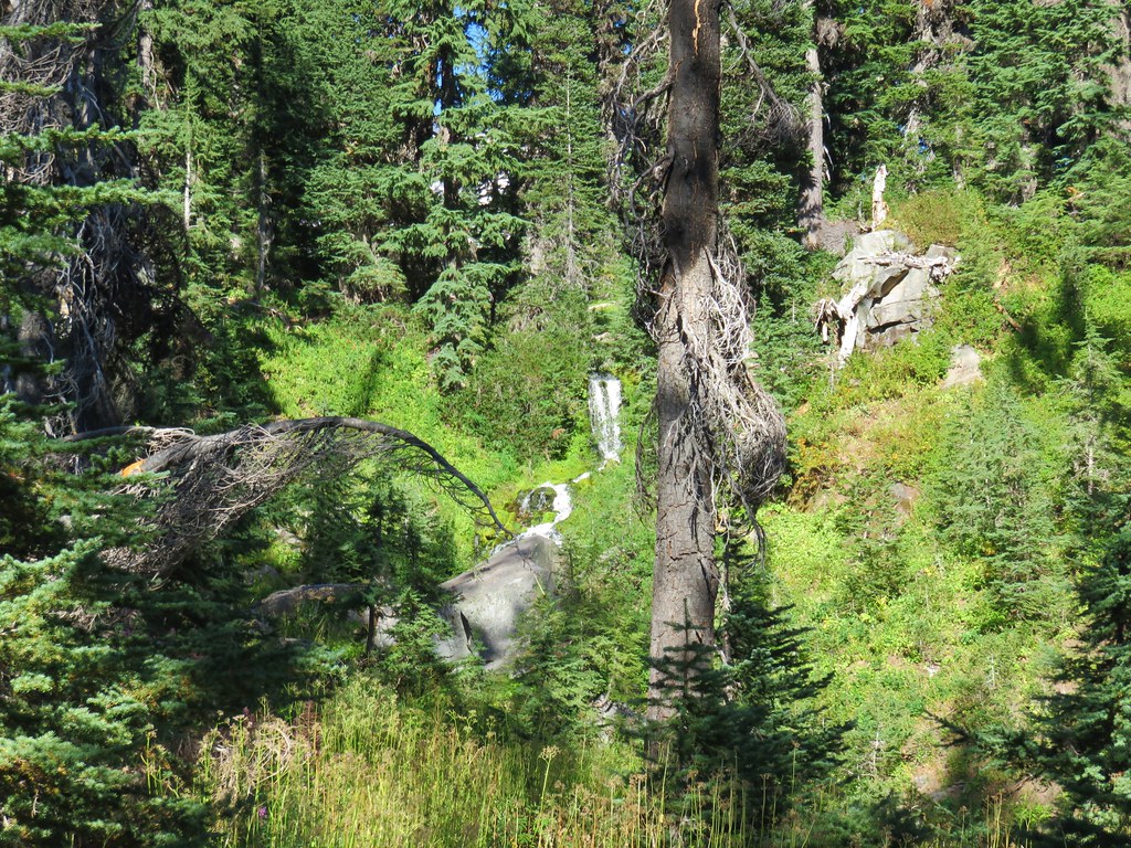
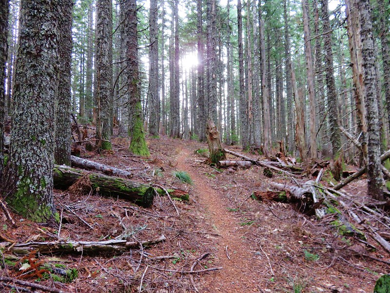
We returned to the junction and continued on the loop which now turned back south. It was interesting to see the change in the forest along this section that was further from the lakebed.
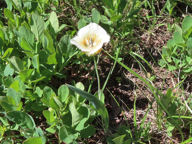
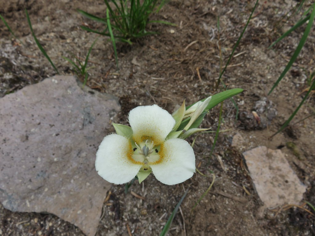
 Cat’s ear lily
 Hitchhiker
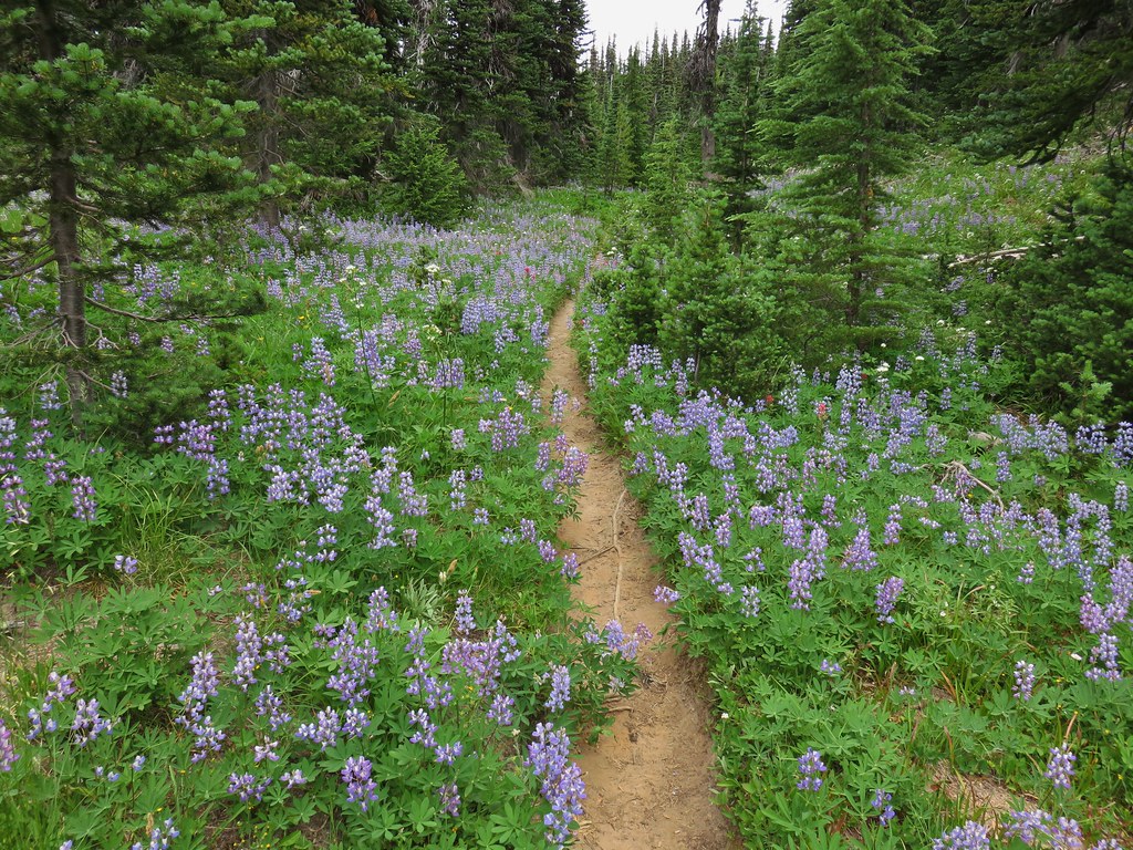
 Lupine along the trail.
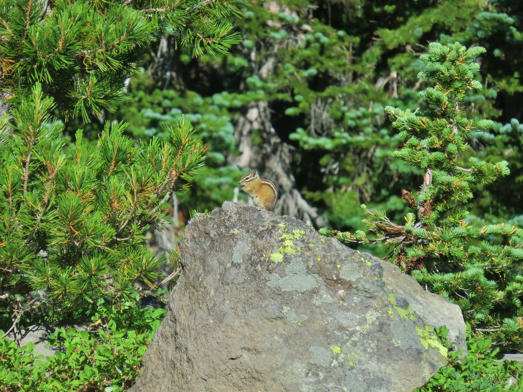
 Golden-mantled ground squirrel
 Swallowtail
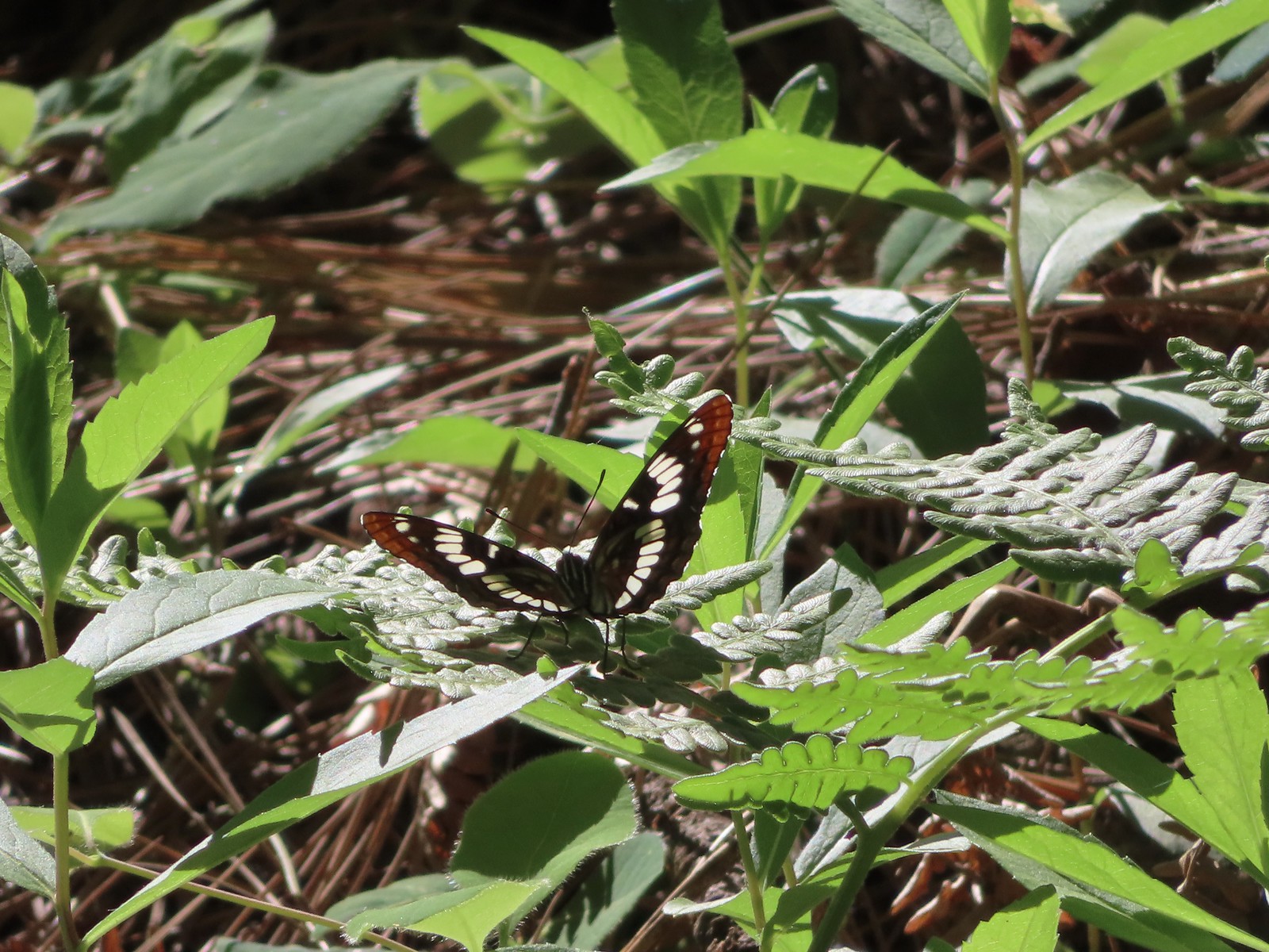 Lorquin’s admiral
 Arriving back at the refuge headquarters.
Two interesting things to note about the hike were that the Oregonhikers.org Field Guide mentioned a trailhead 0.2-miles from the HQs along the entrance road but we passed no trails coming from the road and there appeared to be a no parking sign on the side of the road near where we expected to see this other trailhead. Our guess is that the U.S. Fish and Wildlife Department decommissioned the alternate trailhead at some point. The other oddity was that while we did pass the other end of the shortcut trail neither of us noticed another trail joining from the left closer to the headquarters which would have been the other end of the trail that had split off at the edge of the field with the bird houses. There was even a map at the trailhead showing such a trail. Possibly another recent change (or we both just missed the connector trail).
 Trail map at the trailhead.

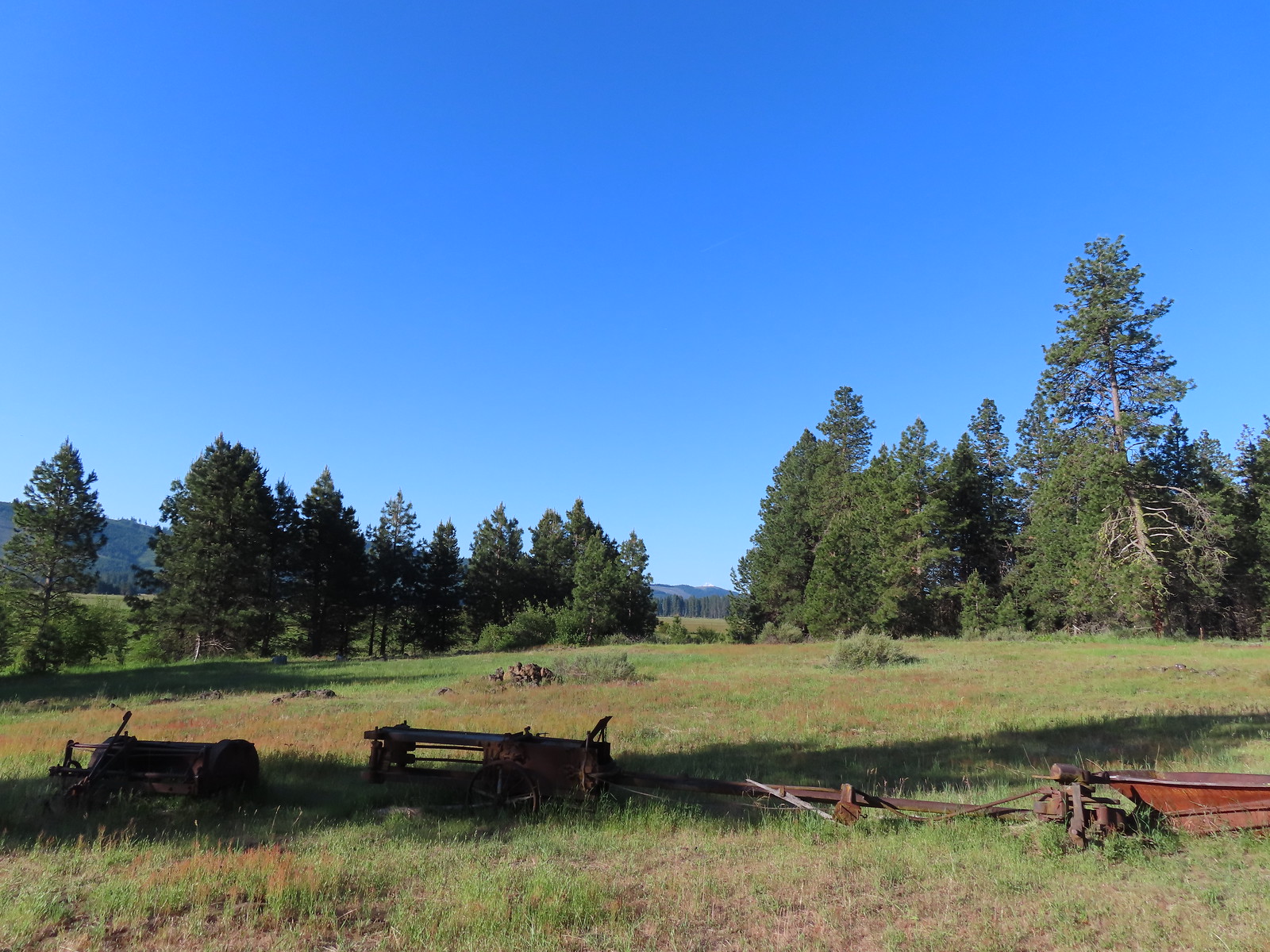
Between exploring the cabin and briefly going the wrong way our hike here came in at an even 4-miles with only 50′ of elevation gain. Given the 4-mile figure the 3.79 miles listed on the refuge webpage for the Willard Springs Trail is probably the most accurate of the distance we came across. We didn’t see any other people, just a lot of wildlife which made for a great first stop of the day.
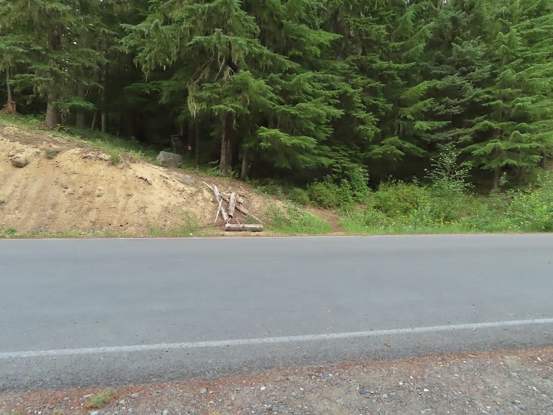
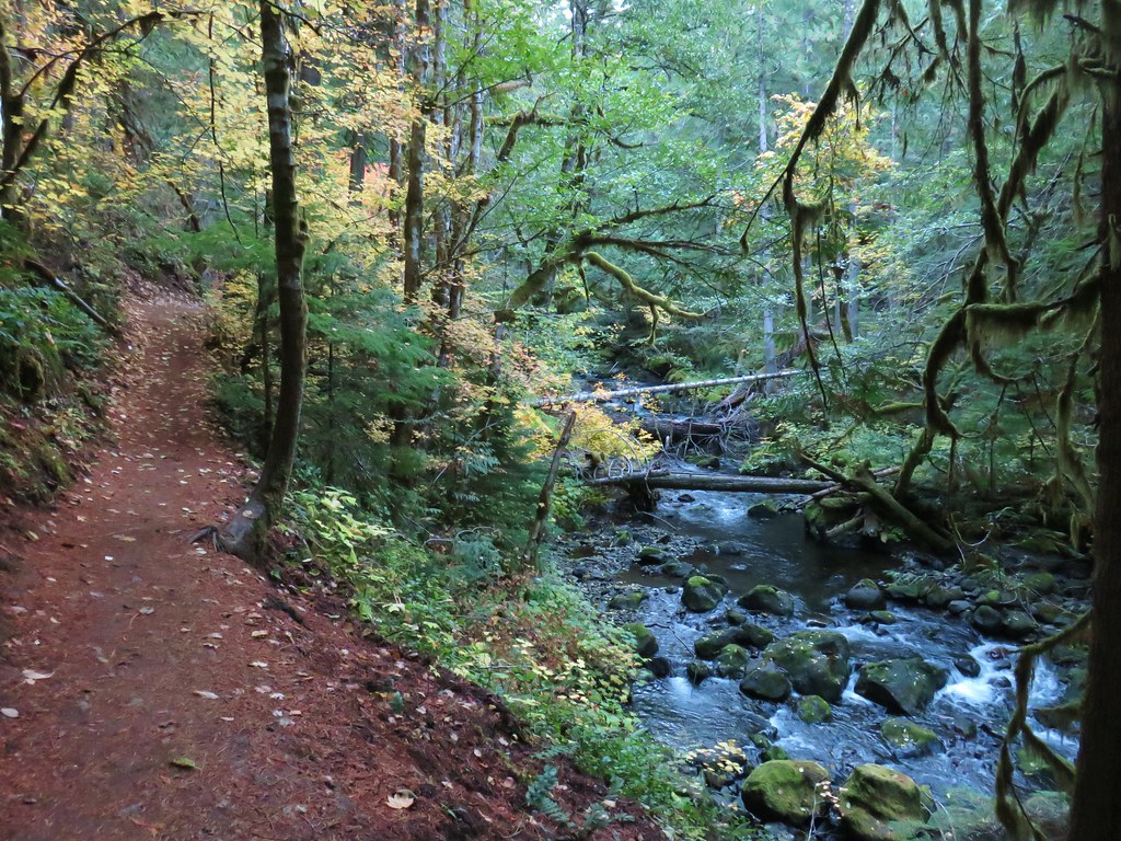
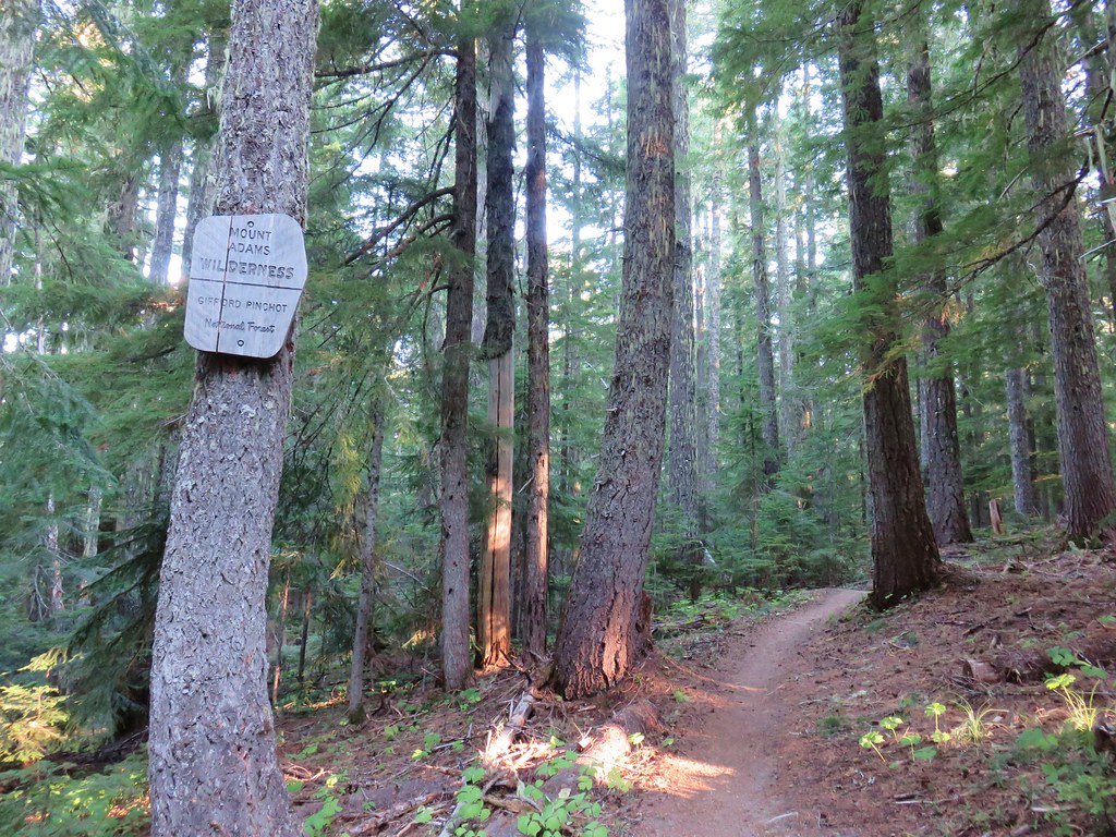
After finishing at Conboy Lake we drove back south to the Buck Creek Trailhead #1.
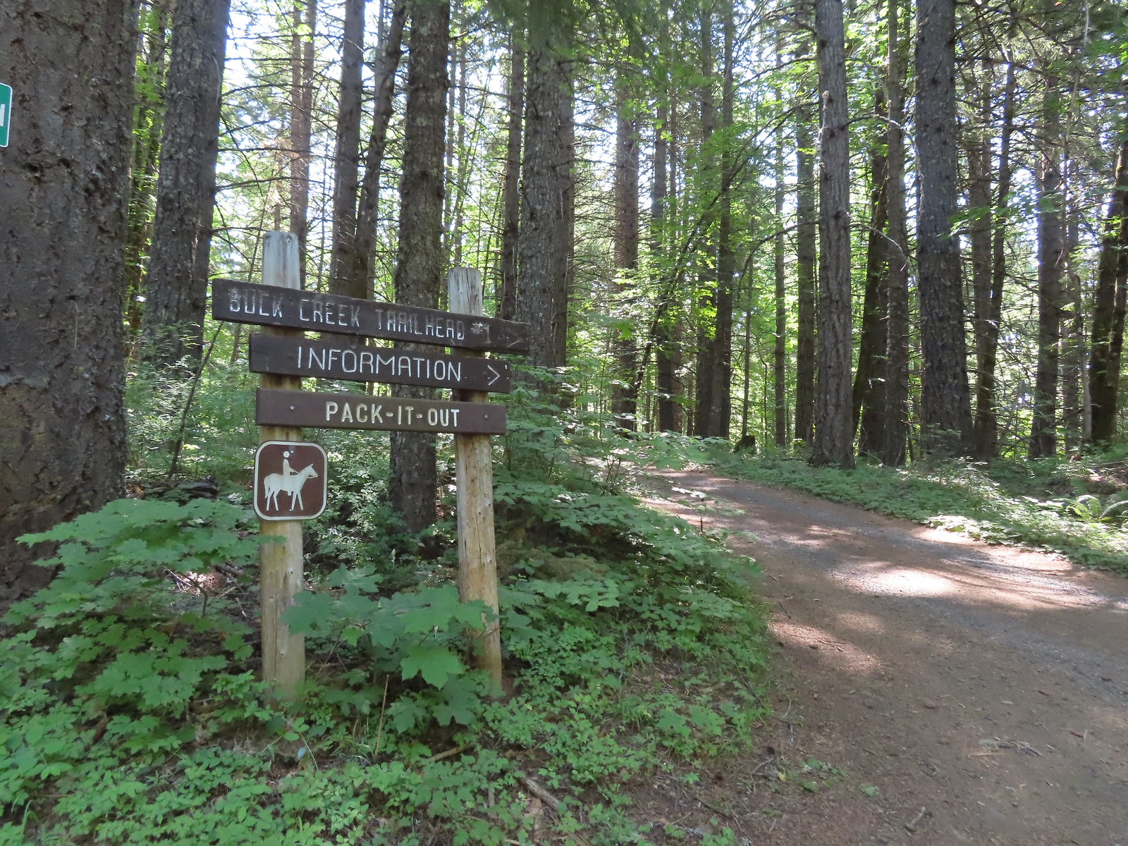
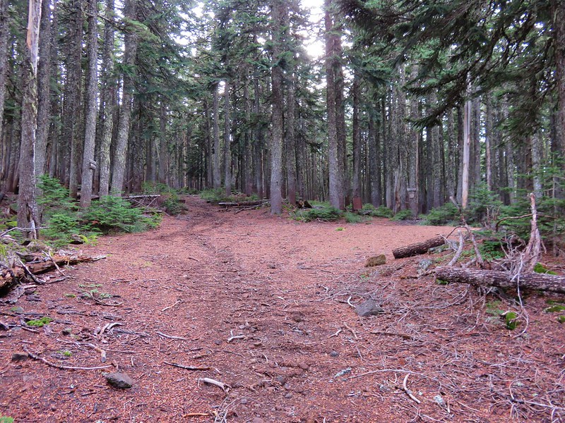
This is one of several trailheads located along the roughly 21-mile Buck Creek Trail loop. We had hiked a segment of the Buck Creek Trail in 2020 on our Monte Carlo – Monte Cristo Loop (post). Today’s segment would be a roughly 4.2 mile climb to a former lookout site atop Nestor (Nester) Peak. We picked up the trail on West side of N-1000 across from the trailhead.

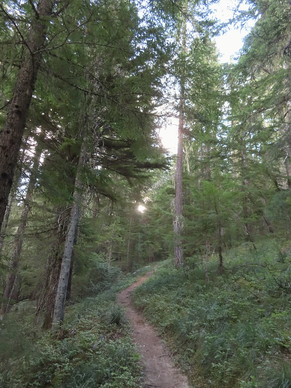
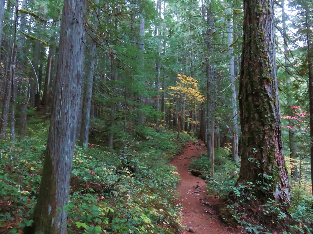
It was later in the morning than we usually get started due to visiting Conboy Lake first and even though it was a little before 10:30am it was already feeling a little warm. The trail made a steep initial ascent before leveling off a bit.

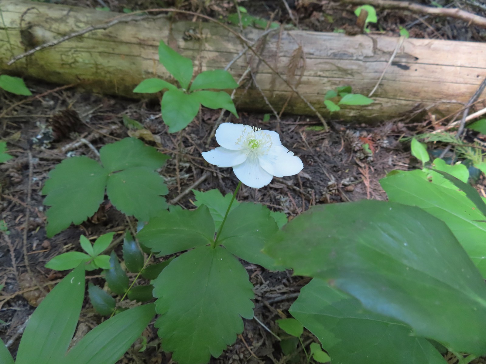
 There were lots of phantom orchids blooming along the lower sections of the hike.
 Thimbleberry
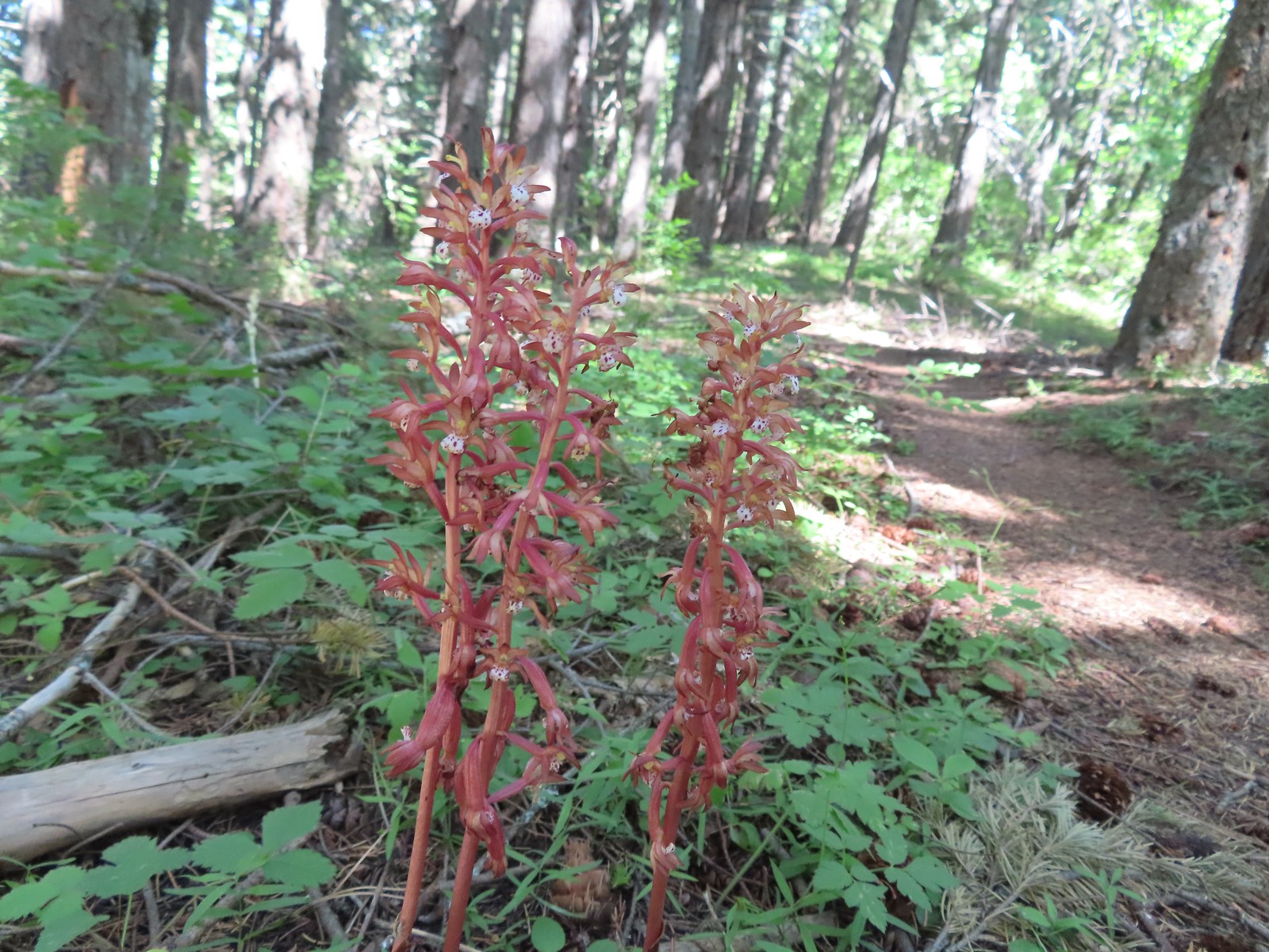 Spotted coralroot was also plentiful.
 Wallflower
Near the 3/4-mile mark we recrossed N-1000.


The trail actually lost some elevation here as it descended toward N-1300.

The trail ran parallel to N-1300 for a mile before again turning steeply uphill.
 One of only two trees that were down over the trail, both were easily manageable.
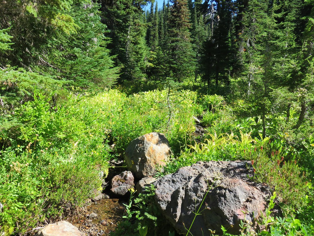
 The one small stream crossing.
 There was enough sunlight getting through to really heat up the trail.
 While there wasn’t much there we did occasionally see poison oak throughout most of the lower 2/3rds of the hike.
After the trail steepened we passed a spring on the right at the first of three switchbacks.

 Sign above the switchbacks warning mountain bikers that they were ahead.
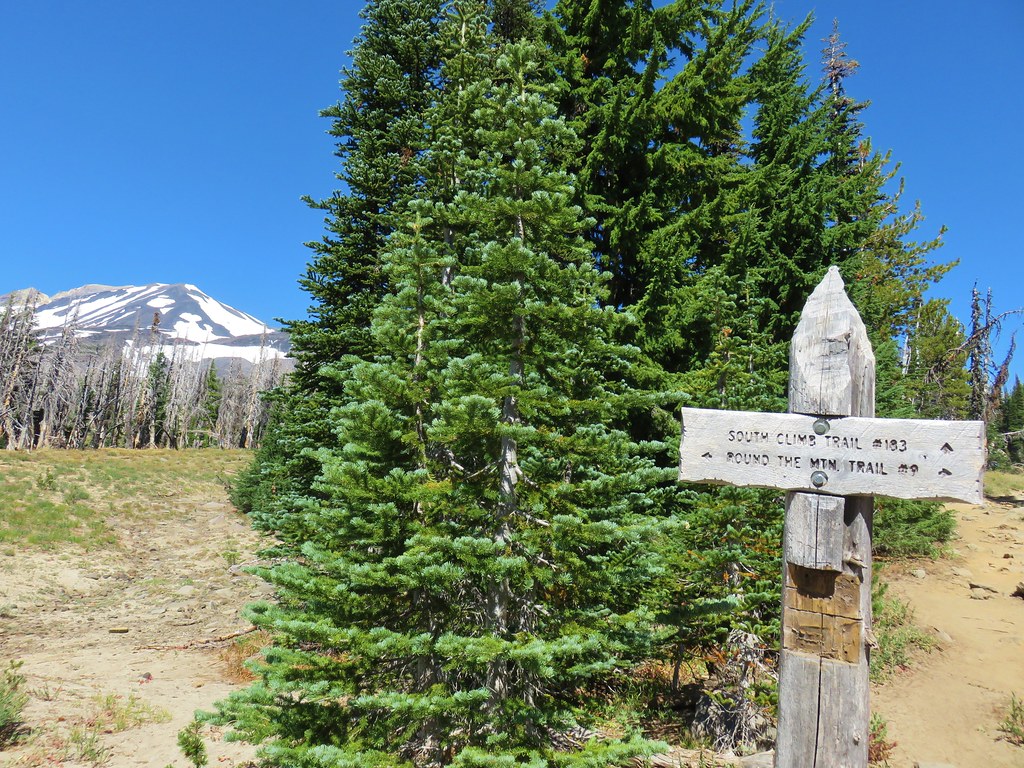
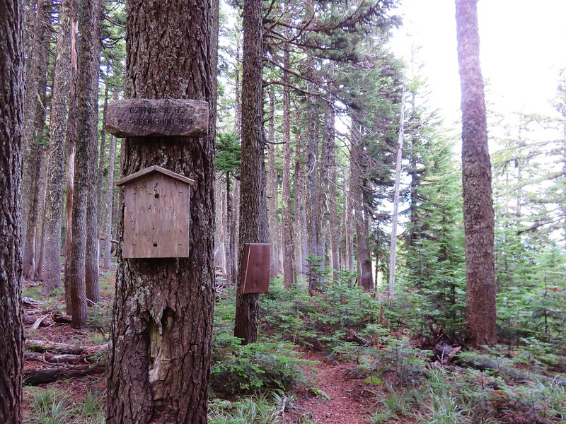
Following a fourth switchback the trail came to another dirt road which we jogged slightly right on before finding the continuation of the Buck Creek Trail.

 Buck Creek Trail to the left near the roads end.
For the next half mile the trail climbed at a healthy pace. Heather hadn’t been feeling well and the heat wasn’t helping things. We talked it over and she told me to go ahead and she would go at her own pace so we split up for now.

 More spotted coralroot.
Just over a half mile from the road crossing the trail crossed another road.

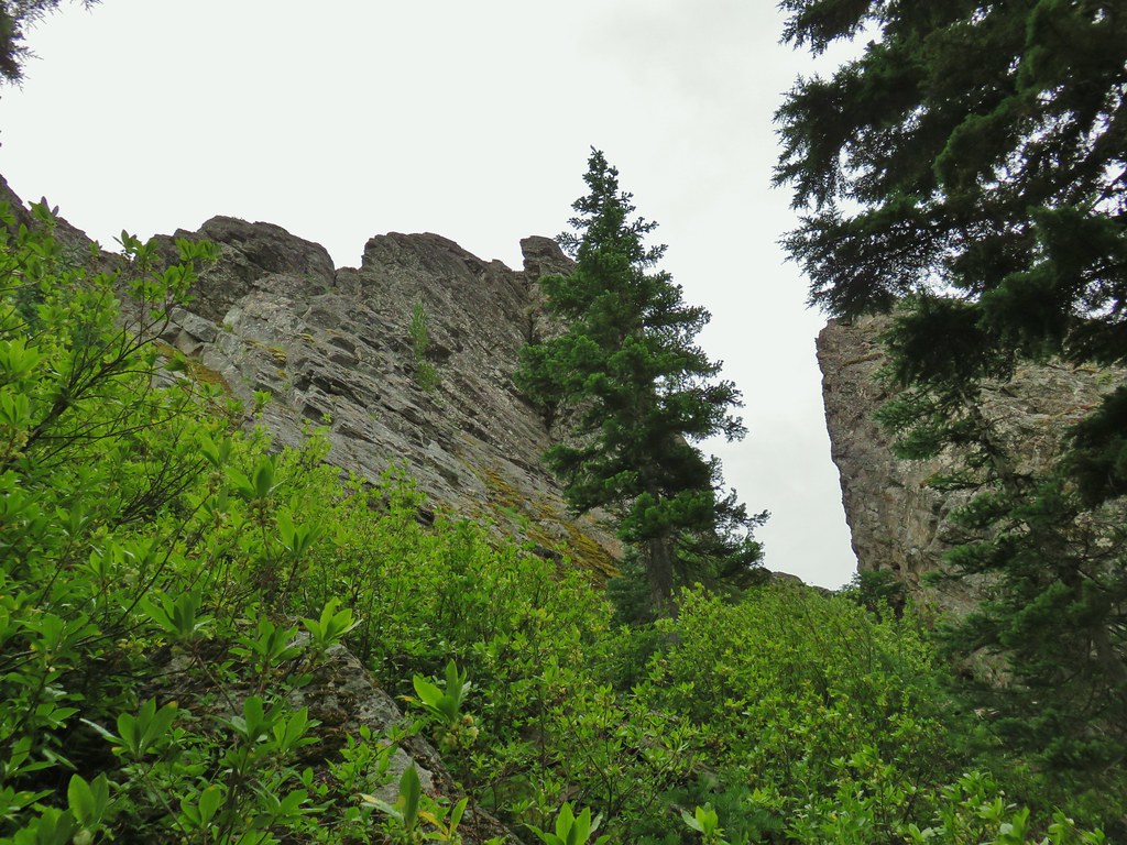
After another initial steep climb the trail relented a bit as it traversed around a ridge before gaining a ridgetop and following down to a saddle below Nestor Peak. Along the way were a couple of openings hosting bright wildflowers.

 Vanilla leaf
 Queen’s cup
 Anemone

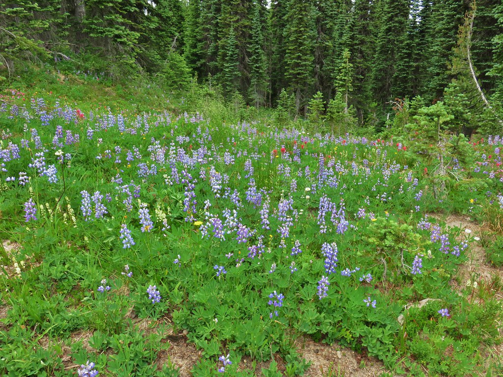
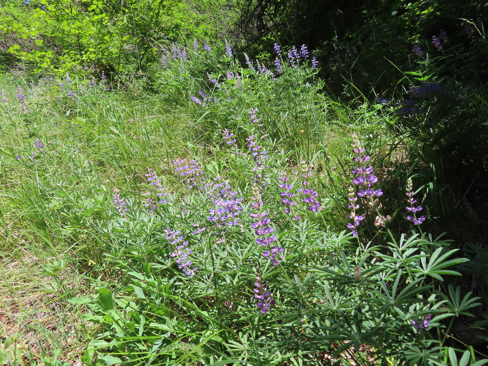 Lupine
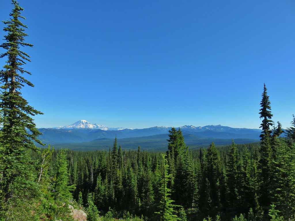
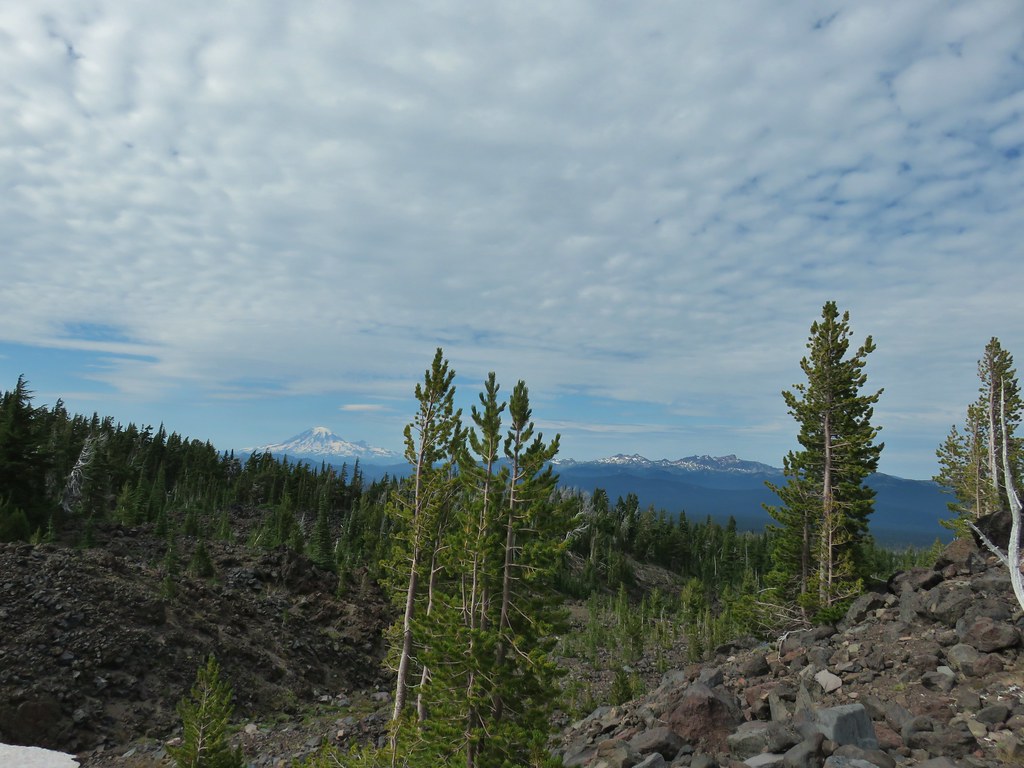
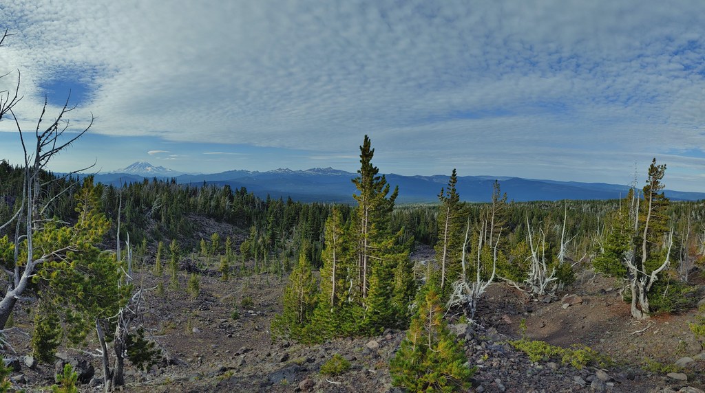
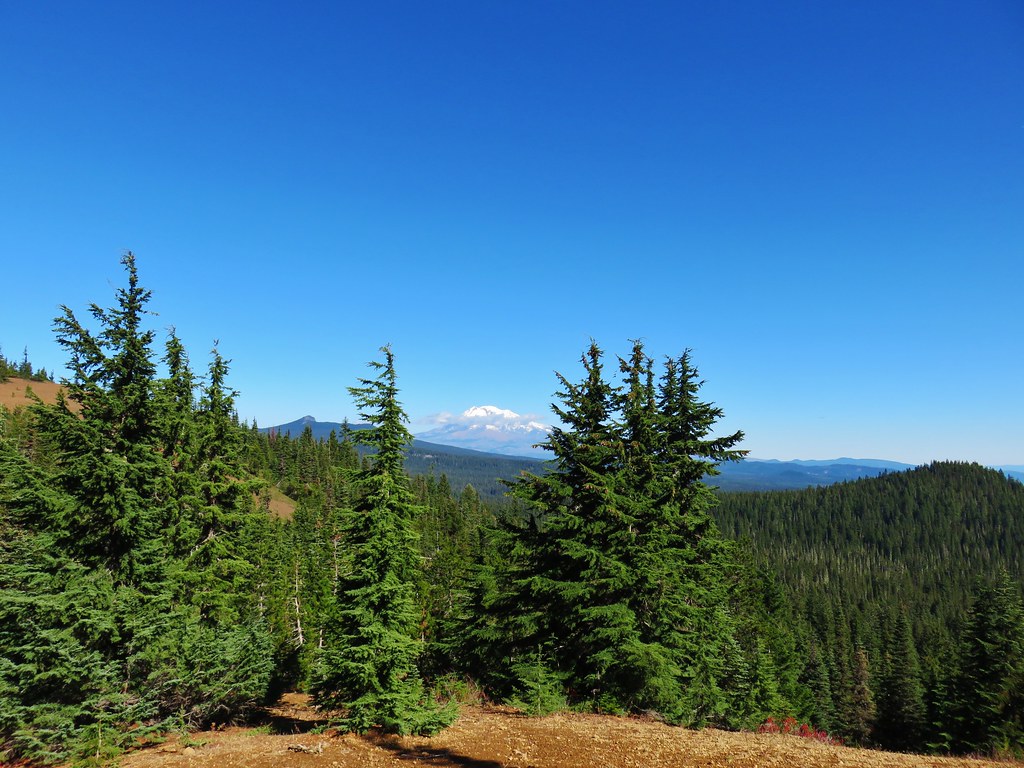
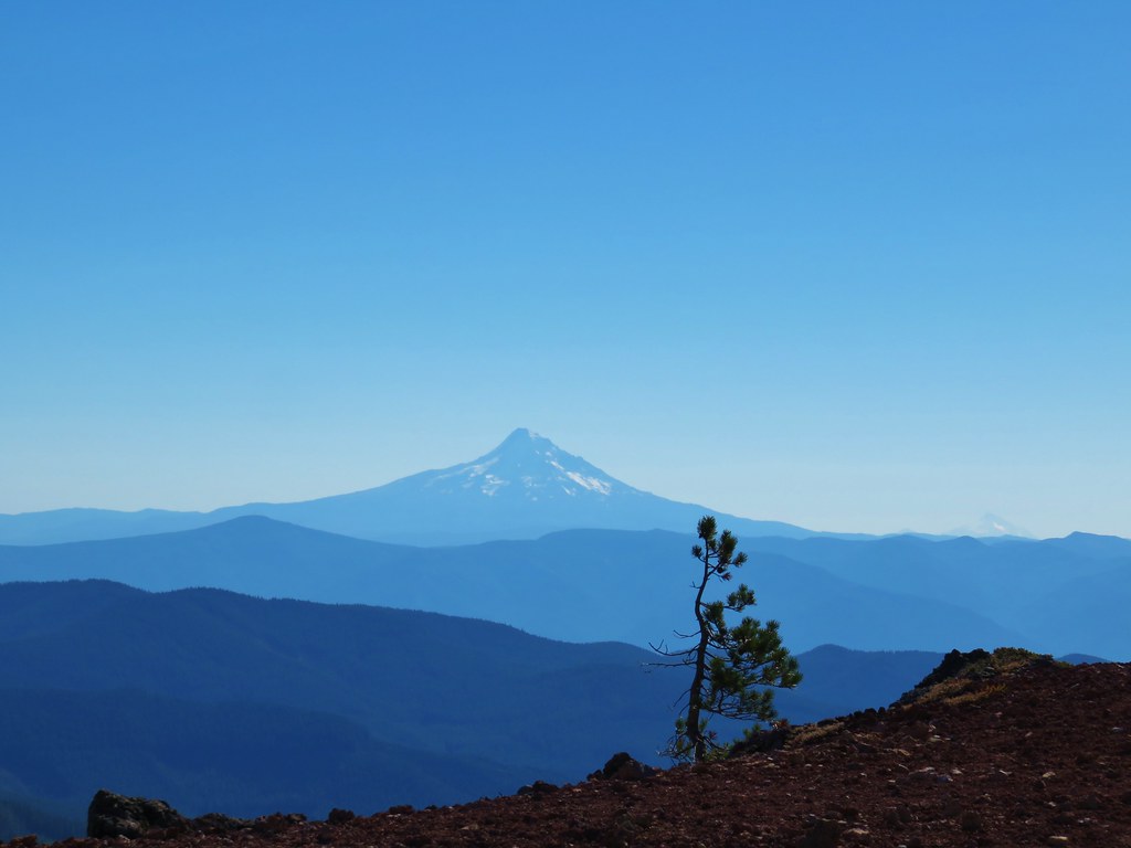
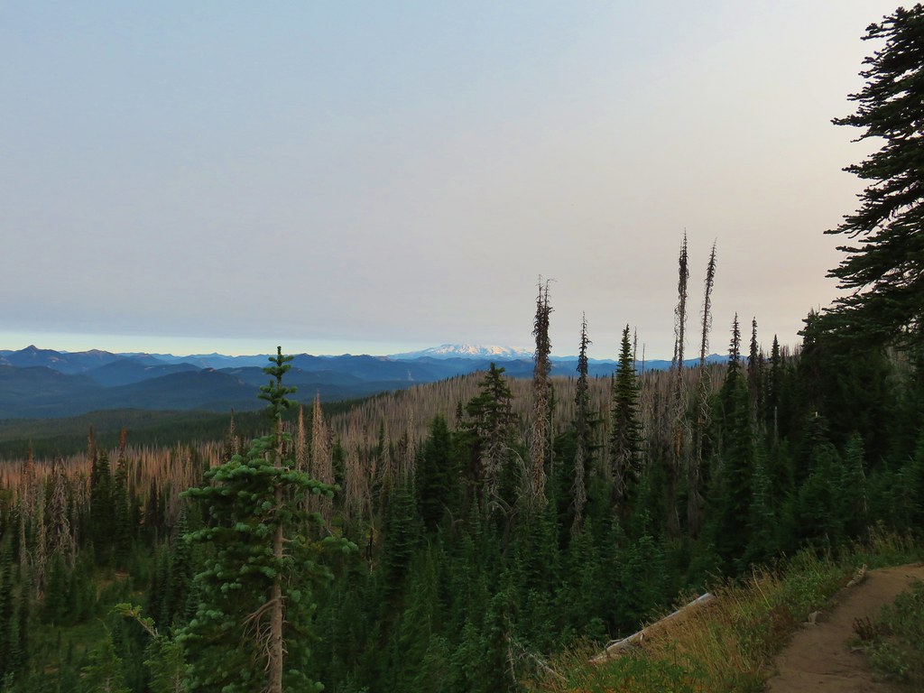
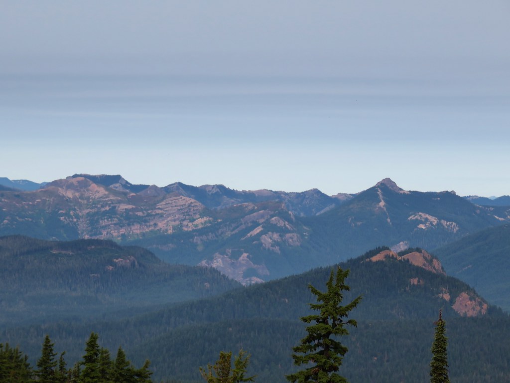
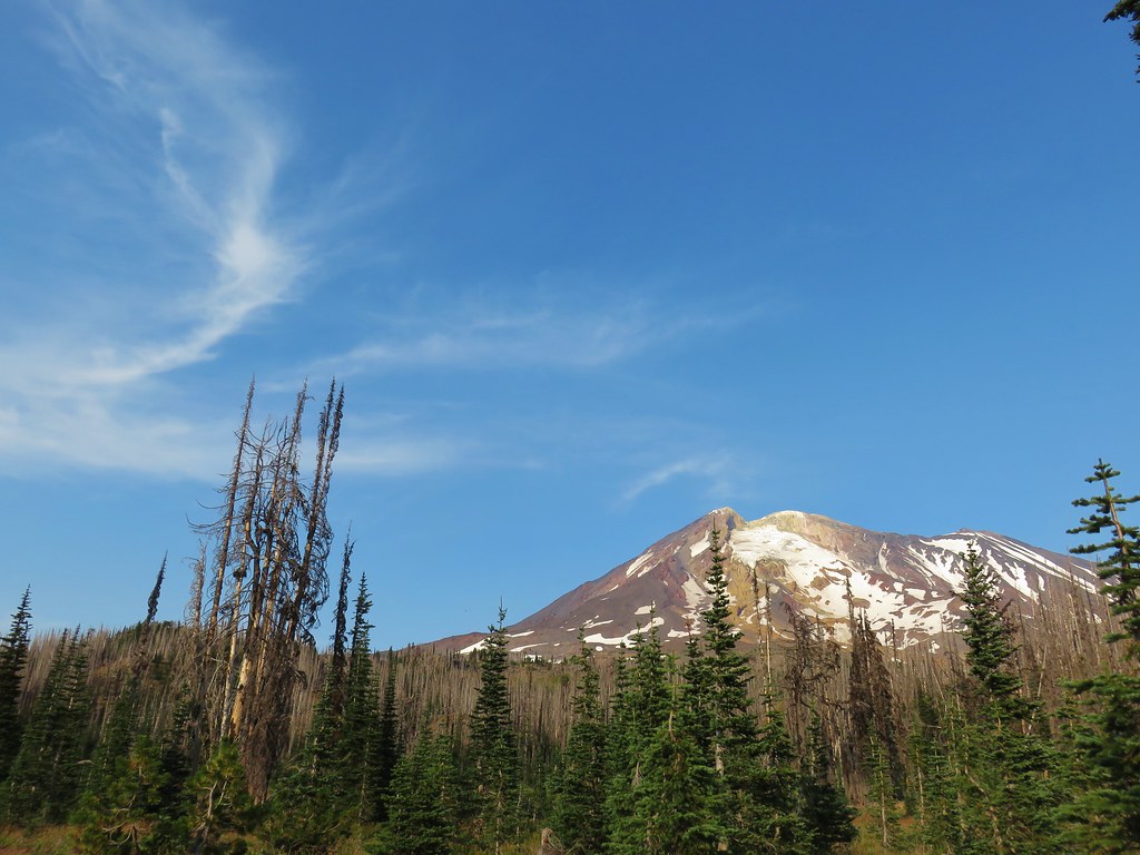
 Mt. Hood from the Buck Creek Trail.
 Mt. Hood
 Cedar hairstreak on yarrow.
 Paintbrush, lupine, penstemon, and balsamroot.
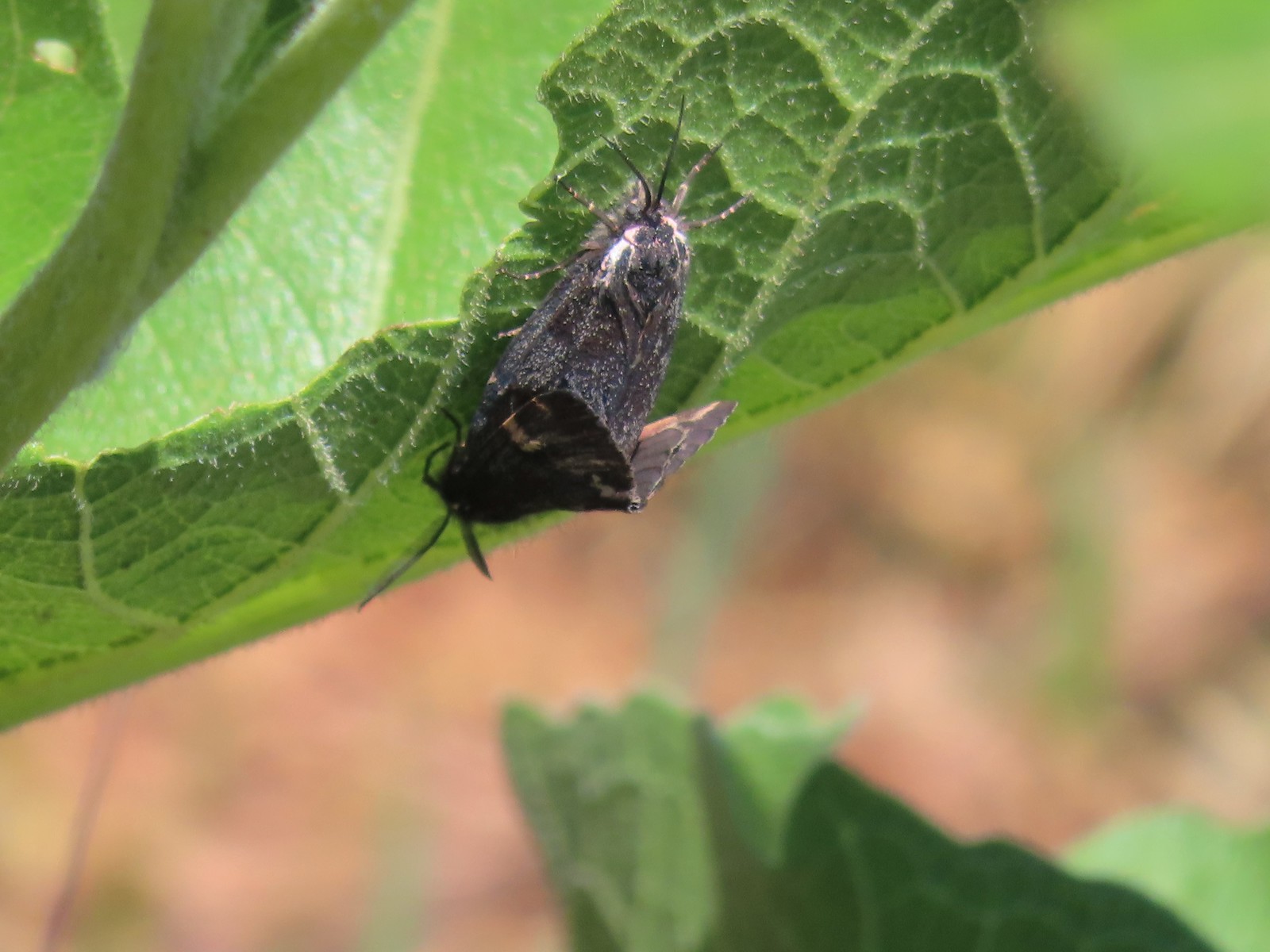
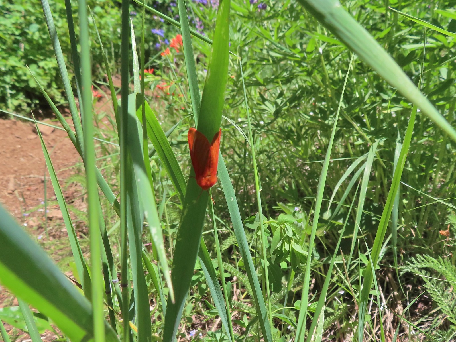 Moth
Moth
 Penstemon
 Gaining the ridge.
 Paintbrush
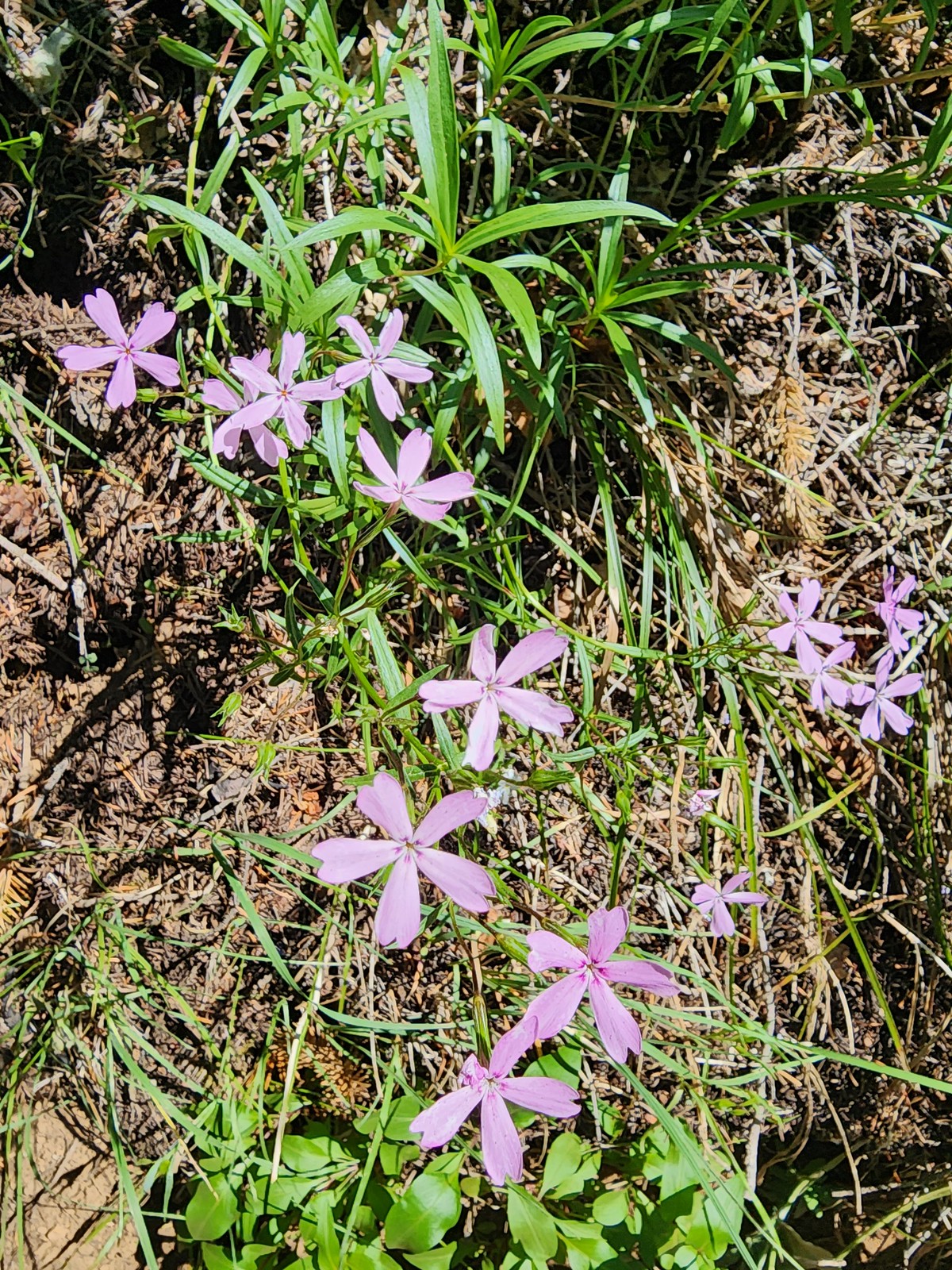 Showy phlox
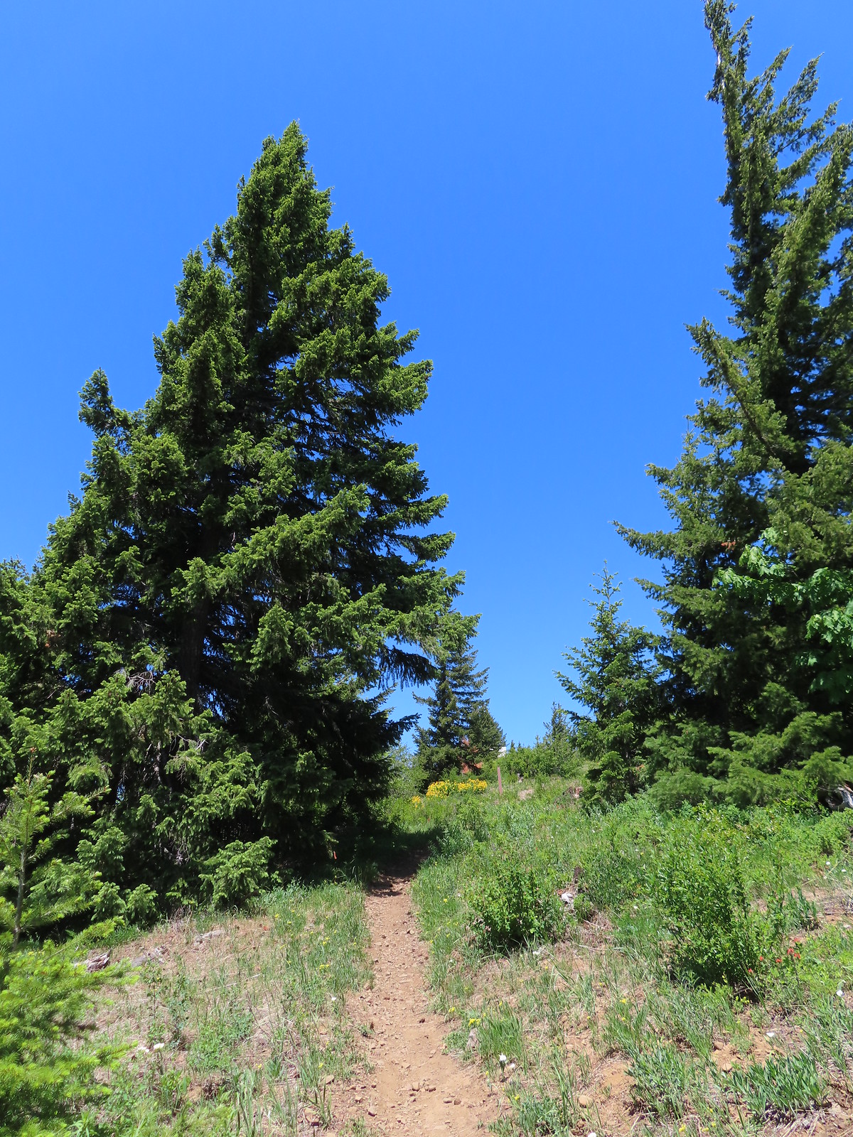
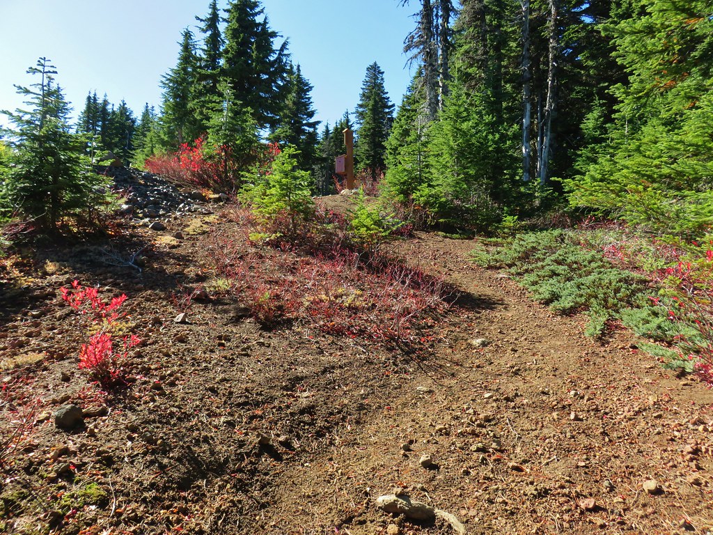
The trail dropped off the ridge and started another good climb along a hillside to a ridge end where it turned steeply uphill climbing to road N-1600 a tenth of a mile below the summit of Nestor Peak.
 Approaching the start of the final climb.

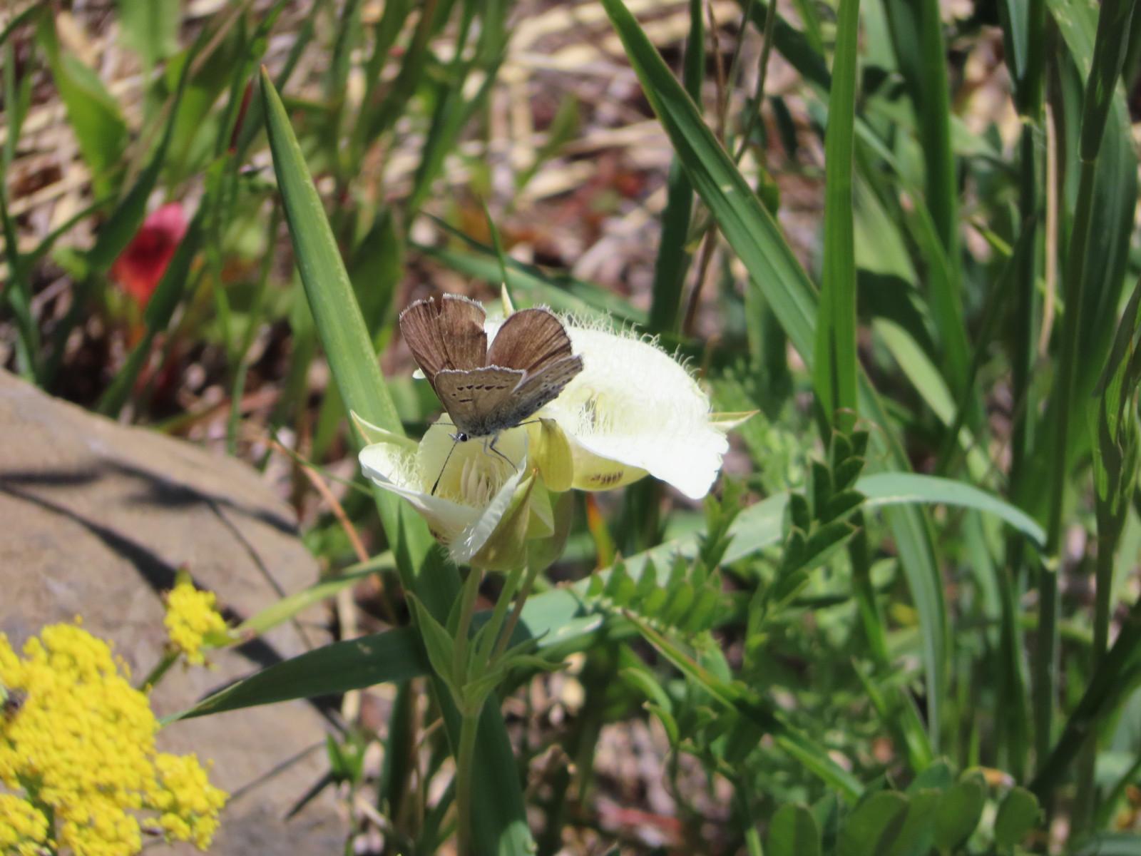
 Sub-alpine mariposa lily

 Showy phlox
 Road N-1600.
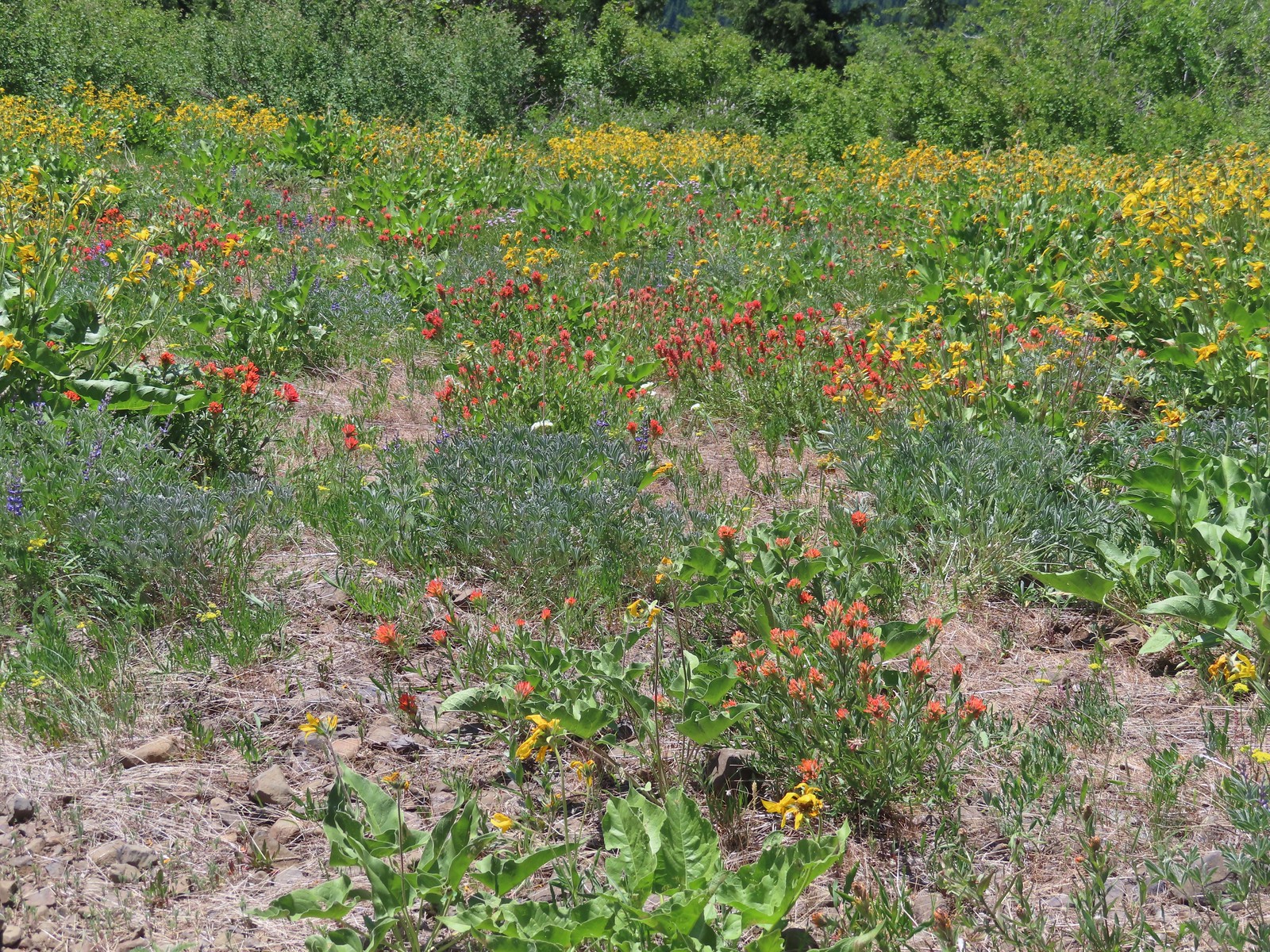
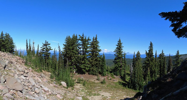
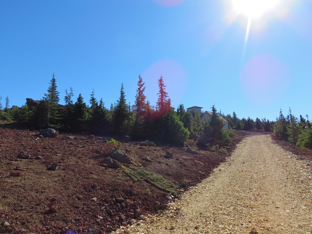
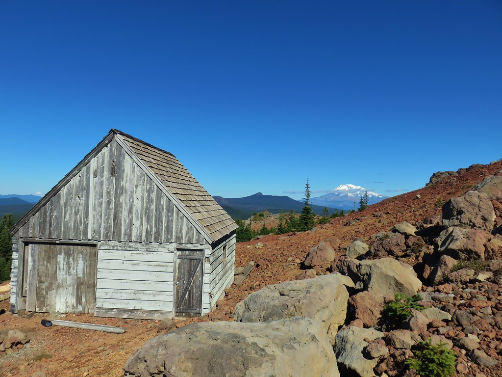
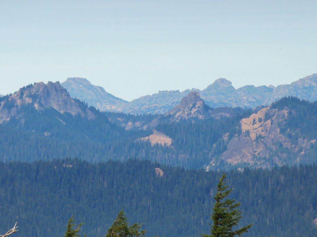
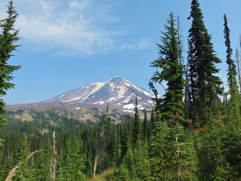
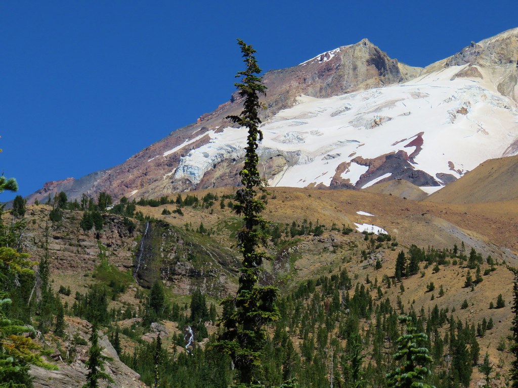
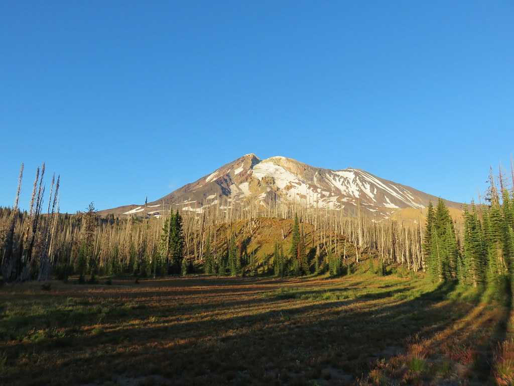
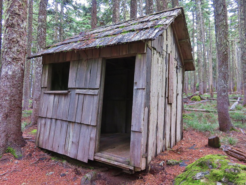
A right turn on the road led past more wildflowers with a view of Mt. Hood to the remains of a shed on top of Nestor Peak.


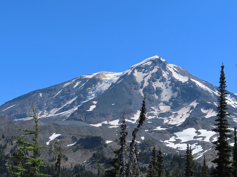
At the summit Mt. Adams came into view to the NE.
I took a break at the summit and followed some butterflies around trying to get pictures. While I was busy chasing butterflies Heather messaged to let me know she was at the start of the final climb so I waited for her at the summit.

 Unfortunate amount of graffiti on the old shed.
 Mt. Hood and balsamroot.
 Mt. Hood
 Oregon sunshine
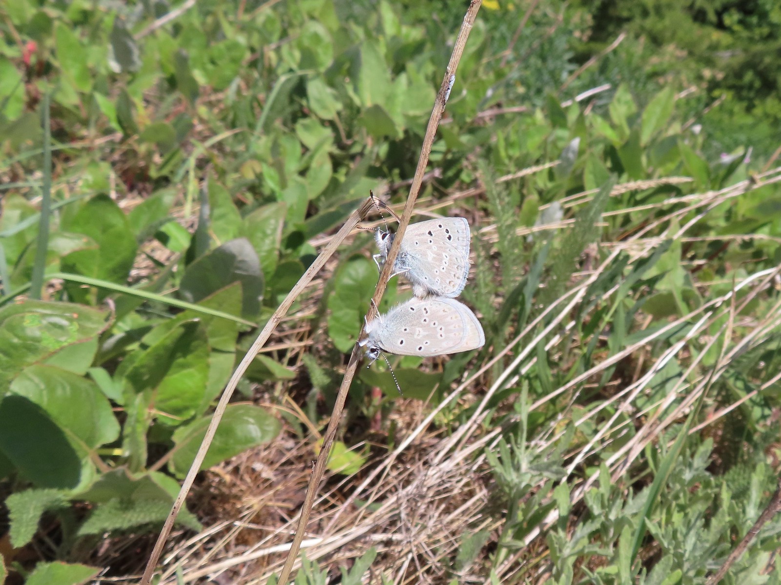 Boisduval blues
 Duskywing
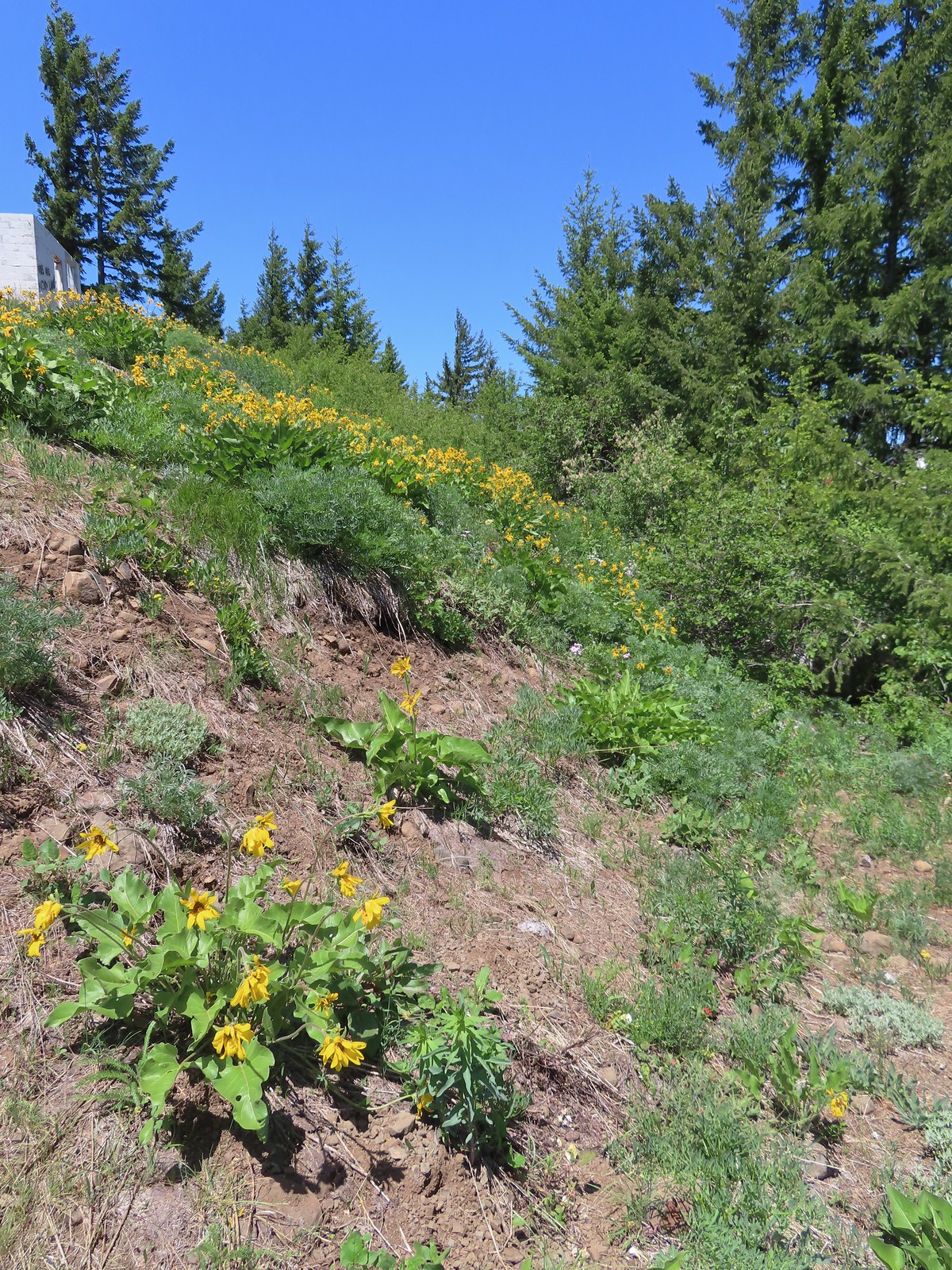 Balsamroot
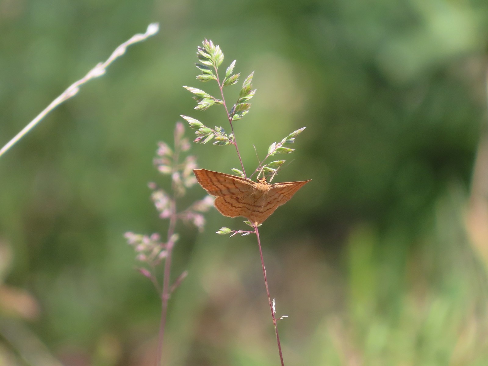
 Moths
Moths
 Moth
Moth
 Lupine
 Butterfly on cat’s ear lily.
 Woodland stars
 Paintbrush
After Heather got a break too, we headed back down. There was a little bit of a breeze as we went down which combined with going downhill instead of up helped it feel cooler on the way down.

 Blue-head gilia
 Ookow
Ookow
 Winecup clarkia
 Mountain lady slipper
The hike here would have been between 8 and 8.5 miles but I wandered around the summit area enough to log 8.9 miles on the GPS unit.

We passed 8 others on the trail (3 hikers and 6 mountain bikers) and saw another mountain biker on Road N-1600 from the summit. It was a nice hike but it would have been a little more enjoyable in cooler temperatures. The views and wildflowers were great though. Happy Trails!
Flickr: Conboy Lake WLFR and Nestor Peak

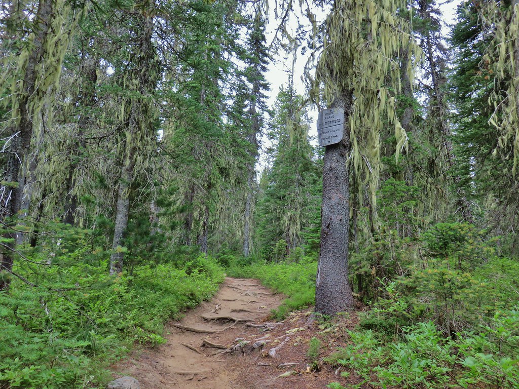
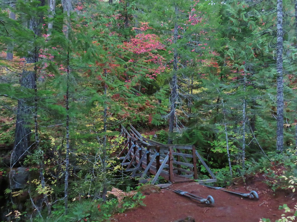
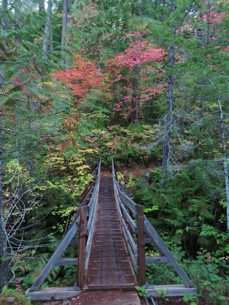
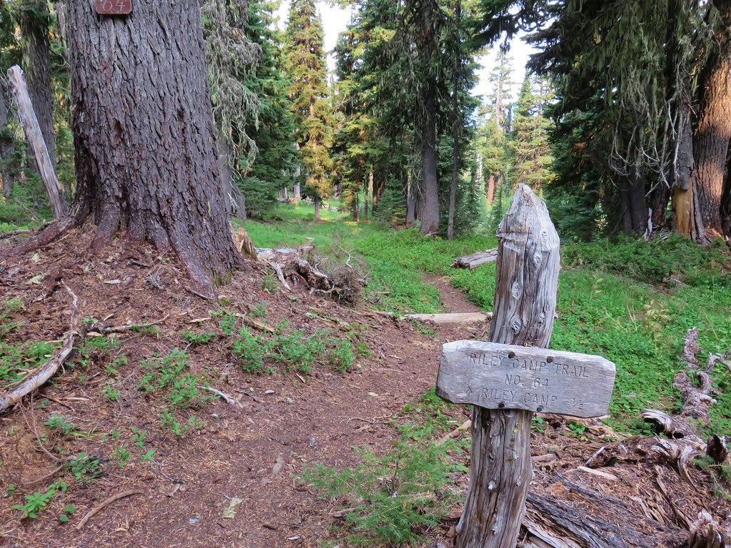
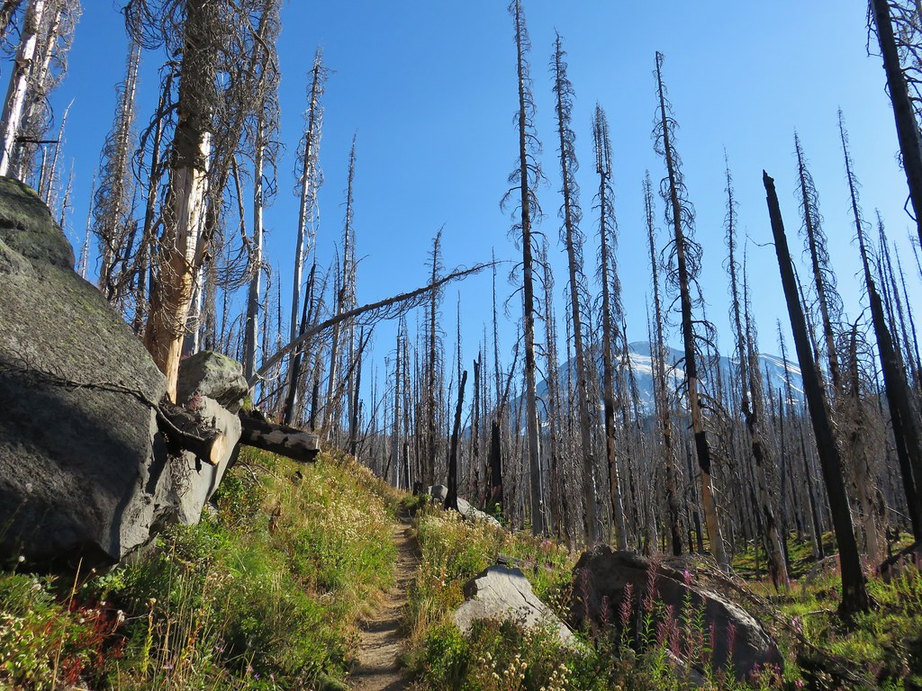
 The Riley Camp Trail (Trail 64) on the opposite side of FR 23.


 We weren’t aware that the Forest Service was employing wilderness greeters.
 May I see your self-issued permit?
 The trail was in pretty good shape with just a few downed trees to step over/under.
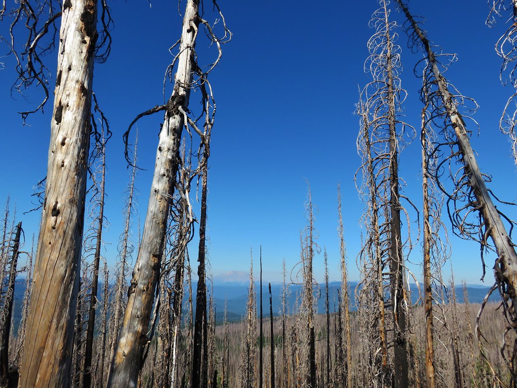
 First look at Mt. Adams through the trees.


 Luna Lake
 Aster
Aster

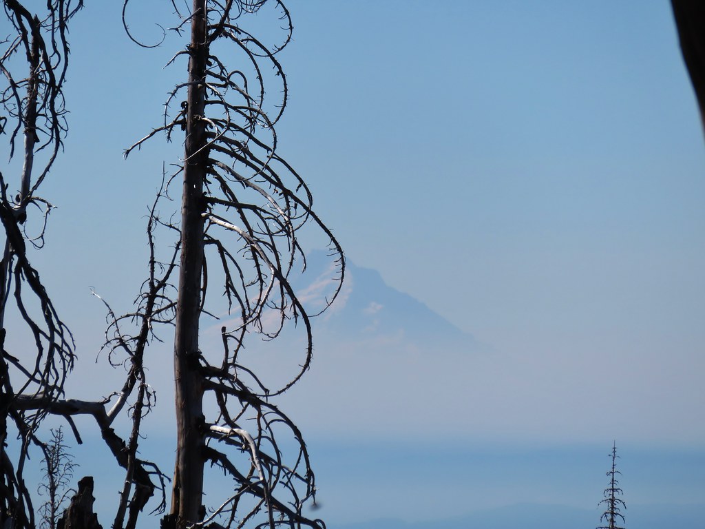
 More Mt. Adams.
 Paintbrush and lupine

 Sub-alpine mariposa lily
 Riley Creek along the trail.
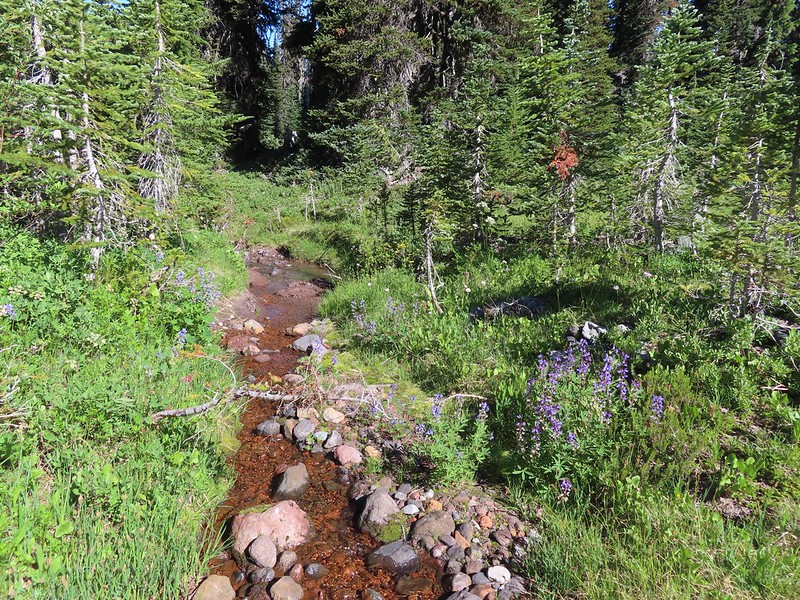 Riley Creek at the crossing.
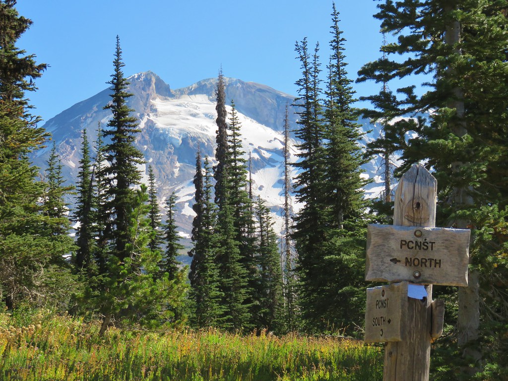
 A trail sign up ahead at the junction.
 PCT marker on the tree.
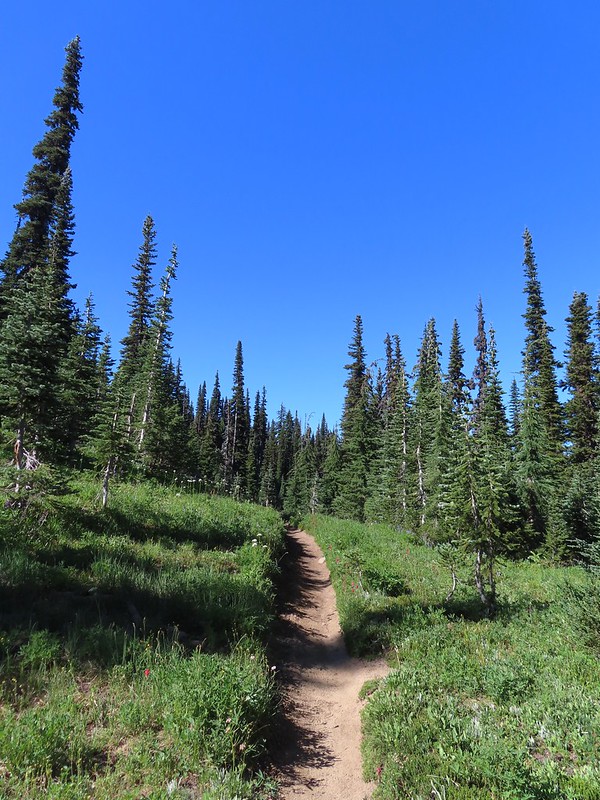
 Riley Creek below the PCT crossing.
 White mountain heather
 A nice paintbrush
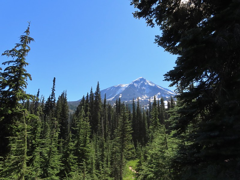 Mt. Adams behind us as we headed south.
 Sheep Lake
 Mt. Rainier behind a line of clouds.
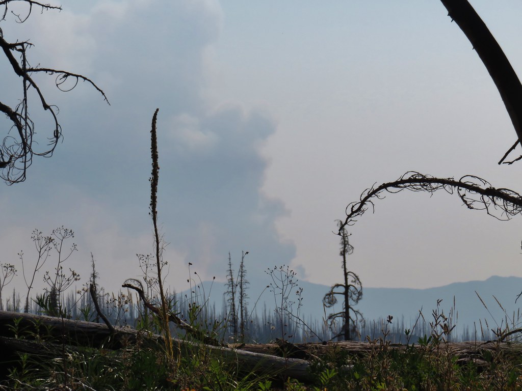
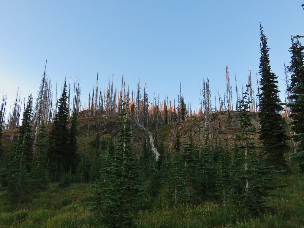
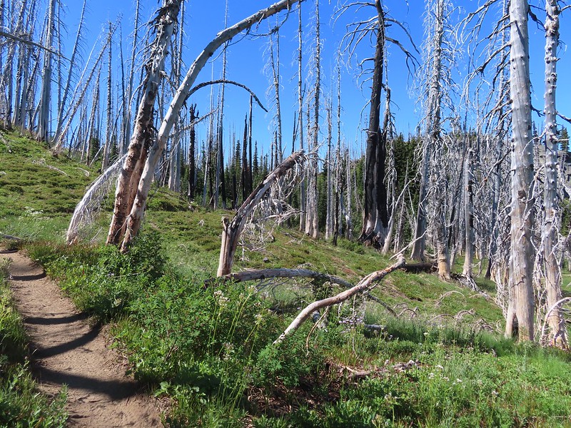 Burnt Rock behind the snags left over from the 2012 Cascade Creek Fire.
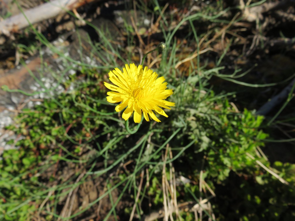
 Alpine false dandelion
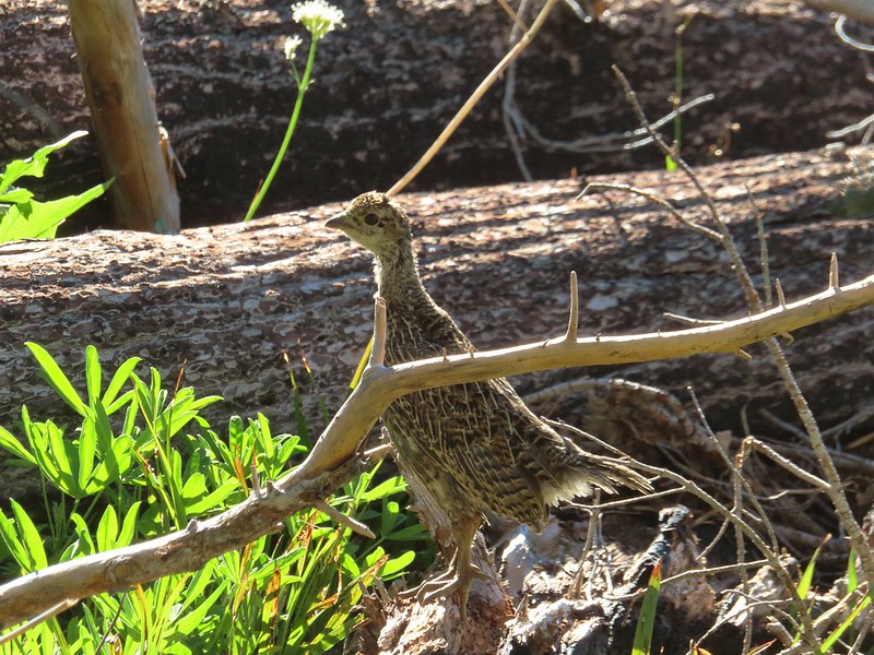 Grouse
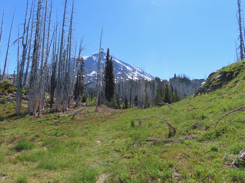

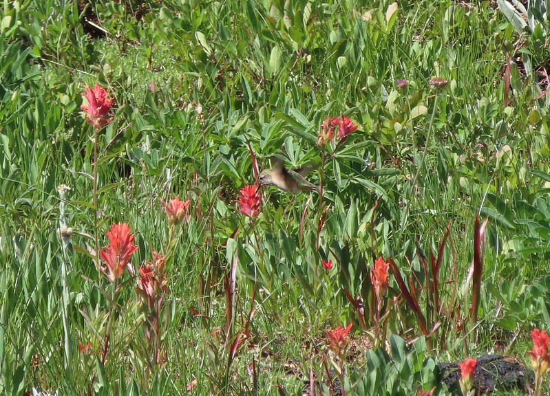 Hummingbird visiting paint.
 Mountain heather

 On the final pitch.
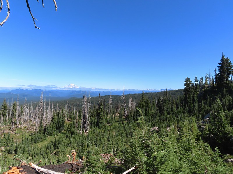 Mt. Rainier and Goat Rocks
 Phlox
Phlox Almost there.
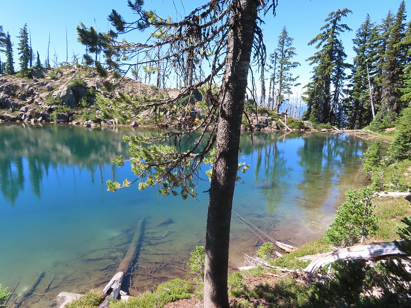
 Not Crystal Lake, just a pretty little tarn nearby.
 Mt. Rainier
 Just a bit of snow left around 6300′.
 The little tarn we’d passed.
 While not big Crystal Lake was deep.
 View down from the rocky ridge on the south side of the lake.
 The rocky ridge along the south side of the lake.
 We continued a tenth of a mile beyond the lake for a dramatic view of Mt. Adams.
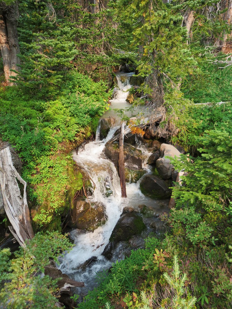
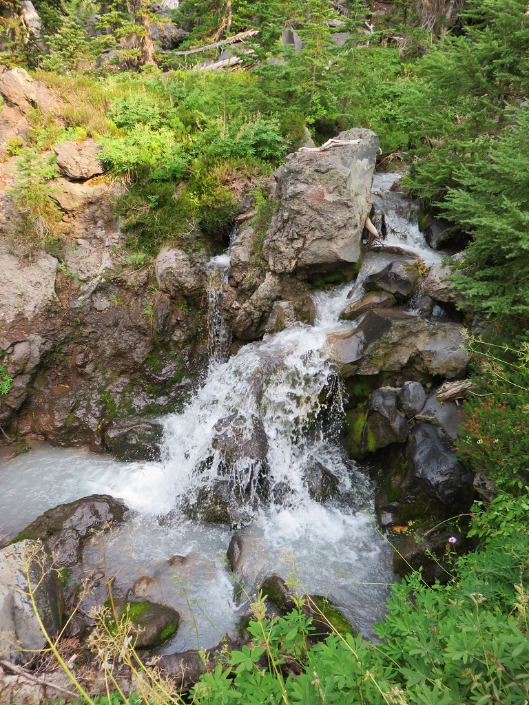
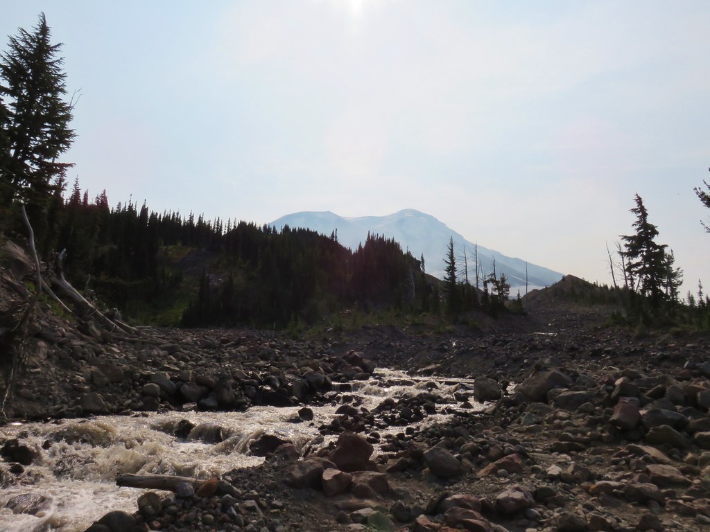
 We could hear a waterfall below on Riley Creek.
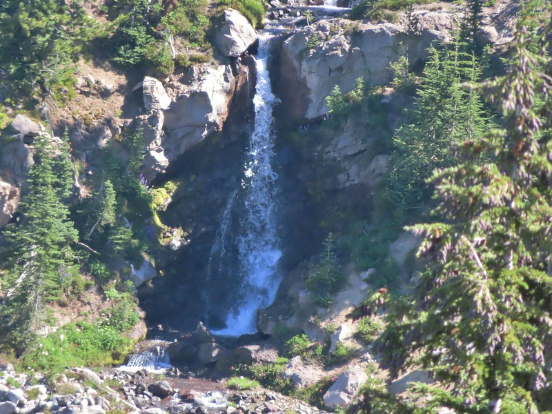 Zoomed in on the waterfall below.
 Crystal Lake from above.
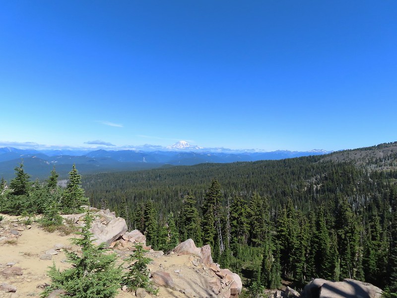 Mt. Rainier with Goat Rocks to the right.
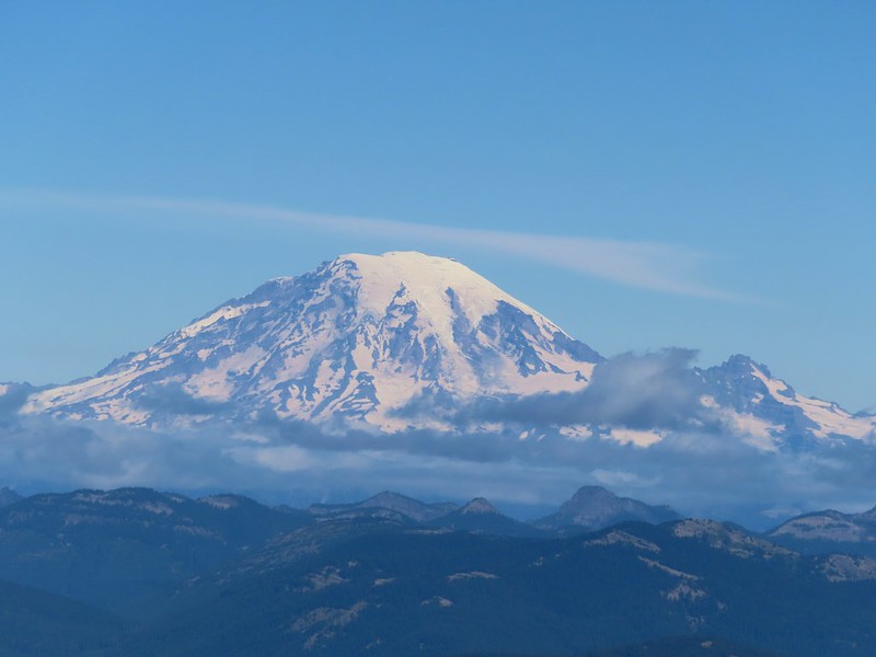 Mt. Rainier
 Some of Goat Rocks.
 Golden-mantled grounds squirrel


 Getting ready to drop down.
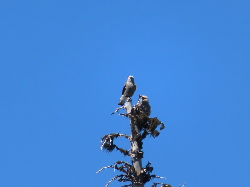 Clark’s nutcrackers
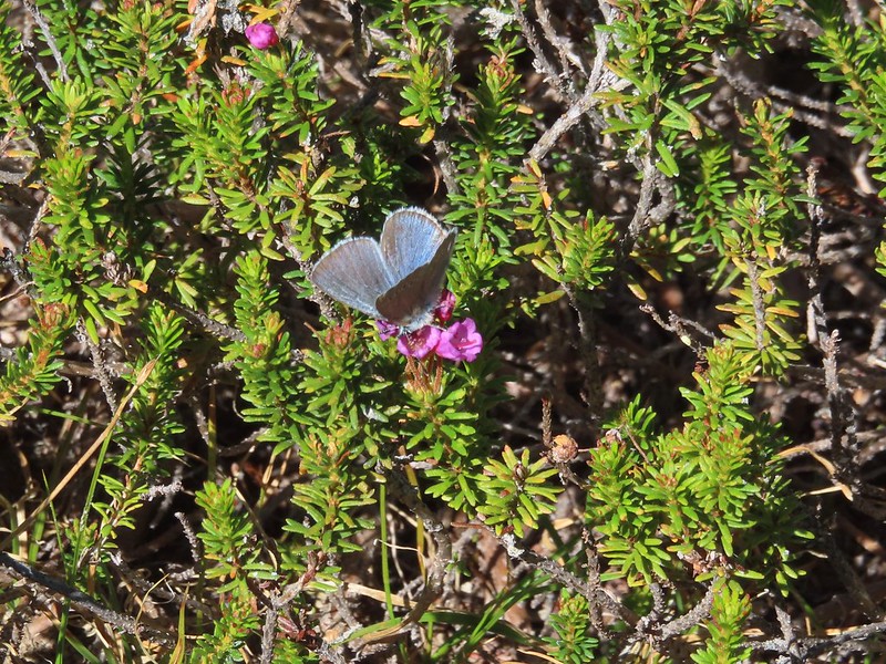 Butterfly on mountain heather.
 Saxifrage
 Violet
 Alpine speedwell
 A checkerspot
 A crescent
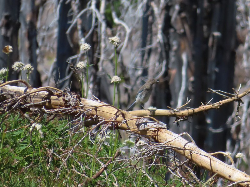 Mountain bluebird
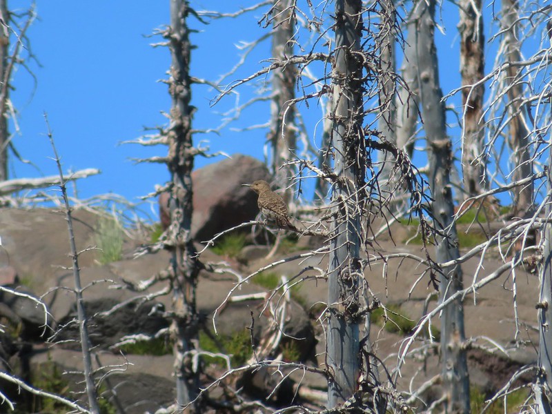 Northern flicker
 I’m guessing a warbler of some sort. We saw quite a few of these little yellow birds but had a hard time actually getting a photo.
 Mt. Adams from the PCT.
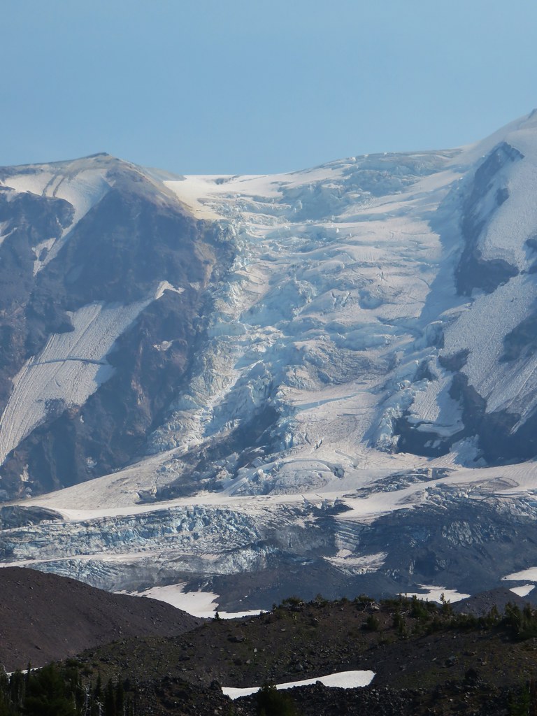
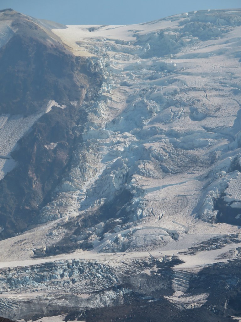
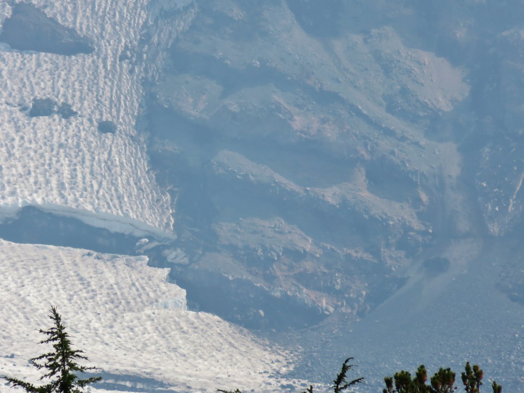
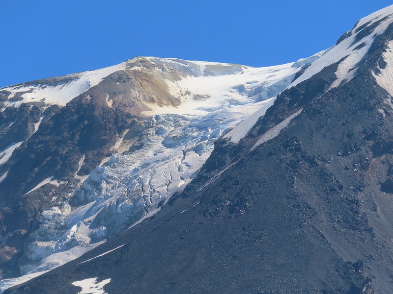 Adams Glacier
 Riley Creek at the PCT crossing.
 Wildflowers along the PCT.
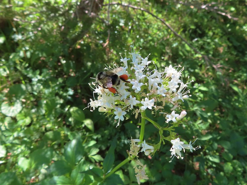 Bee on valerian
 Butterfly on valerian
 Another butterfly on valerian
 Looking back at Mt. Adams from the Riley Camp Trail.
 Passing through Riley Creek Meadows.
 Gentian
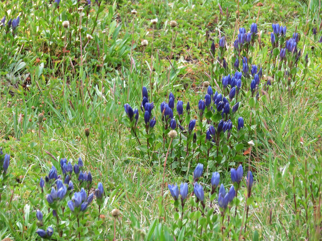
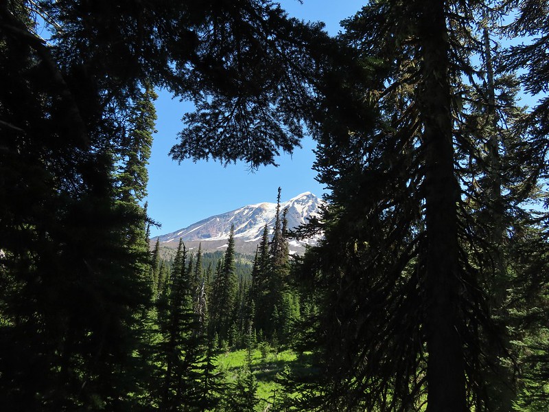
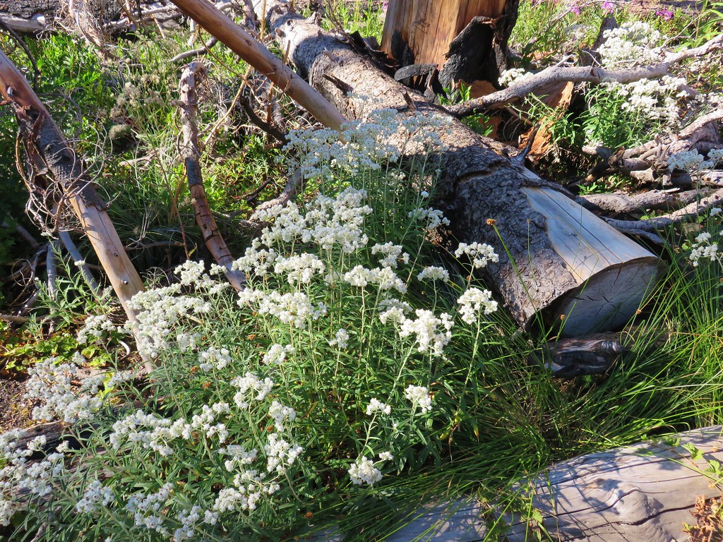
 We only saw a couple of beargrass blooms.
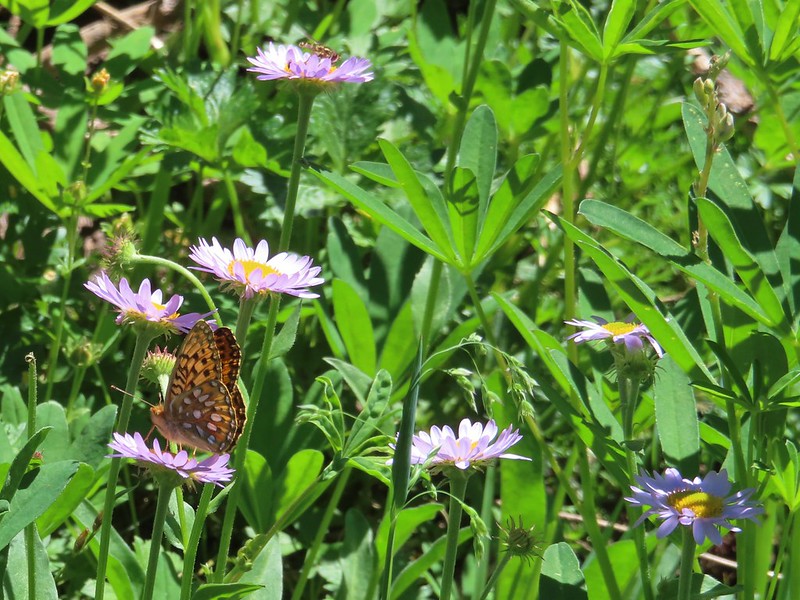 Pollinators on fleabane.
 False hellebore
 Luna Lake and Mt. Adams from the trail.
 Looking back toward the meadow.
 Western white groundsel
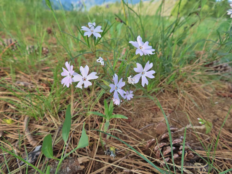 Showy phlox
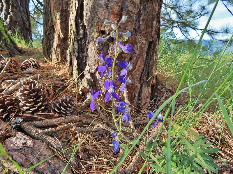 Larkspur
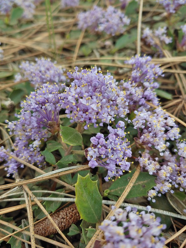 Mahala Mat (Prostrate ceanothus)

 Showy phlox among the oaks.
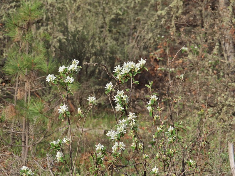 Serviceberry
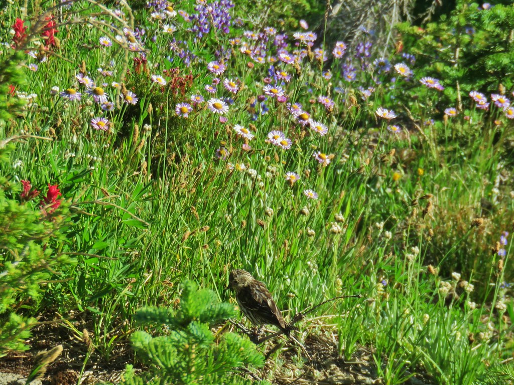
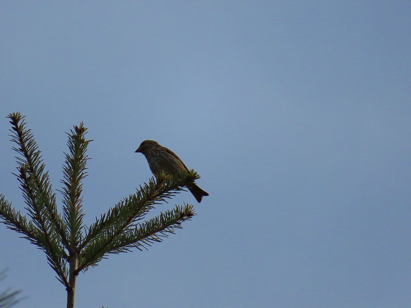 Sparrow
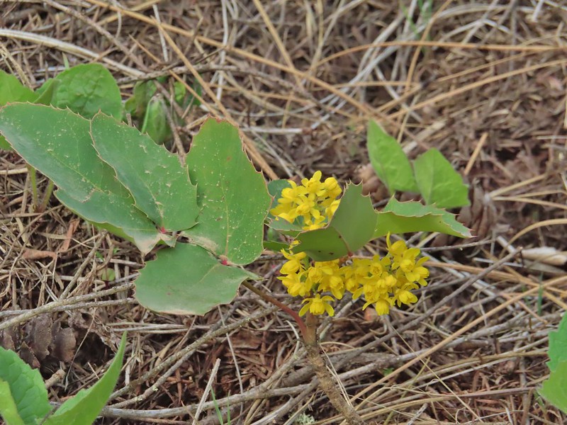 Oregon grape
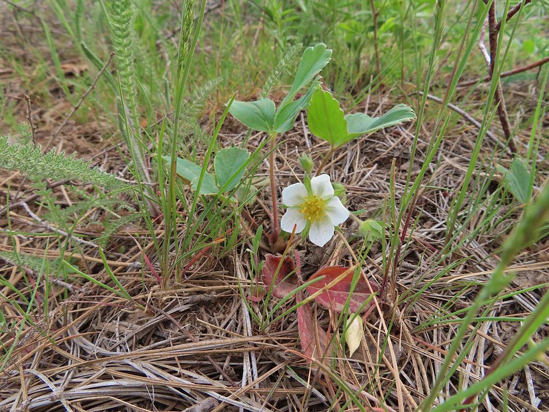 Strawberry
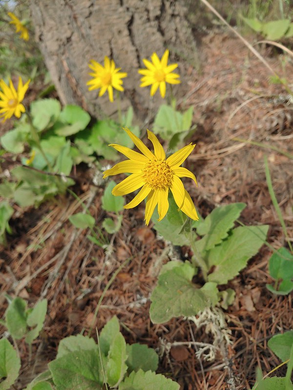 Arnica
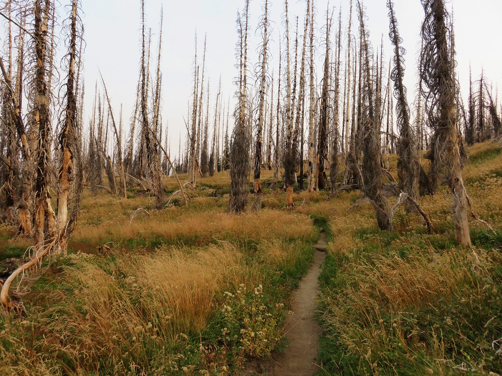
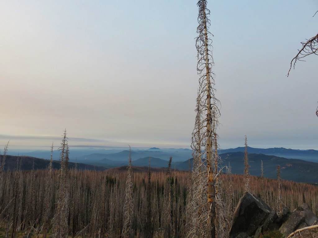
 Grayback Mountain from Grayback Road. The first 2.5 miles of the hike only gained 400′ while the next 3.1 gained 1400′.
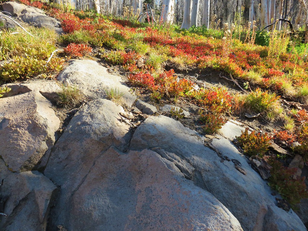
 Large head clover
 Camas, much of which had yet to bloom.
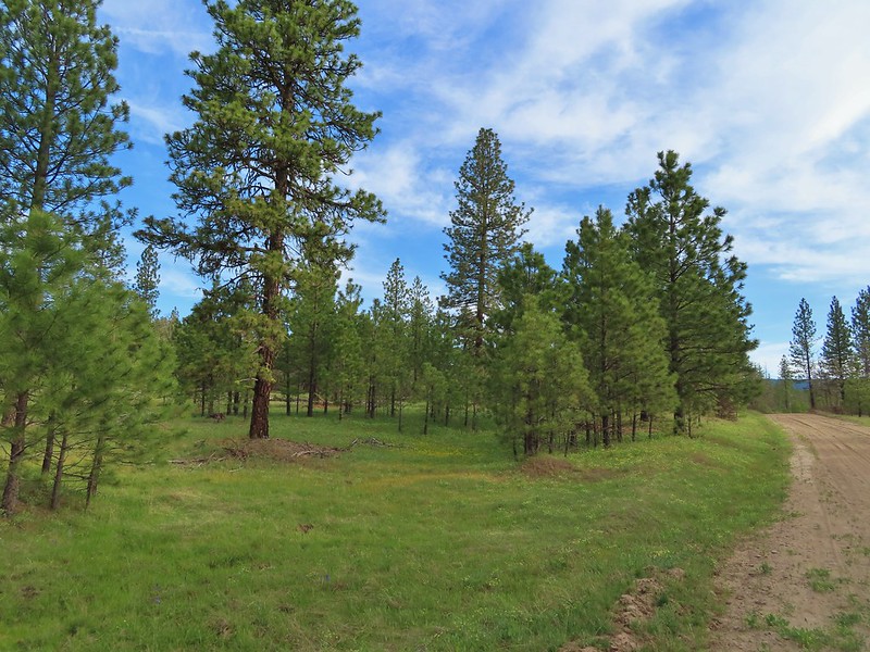 Ponderosa pines along the road.
 Western buttercups
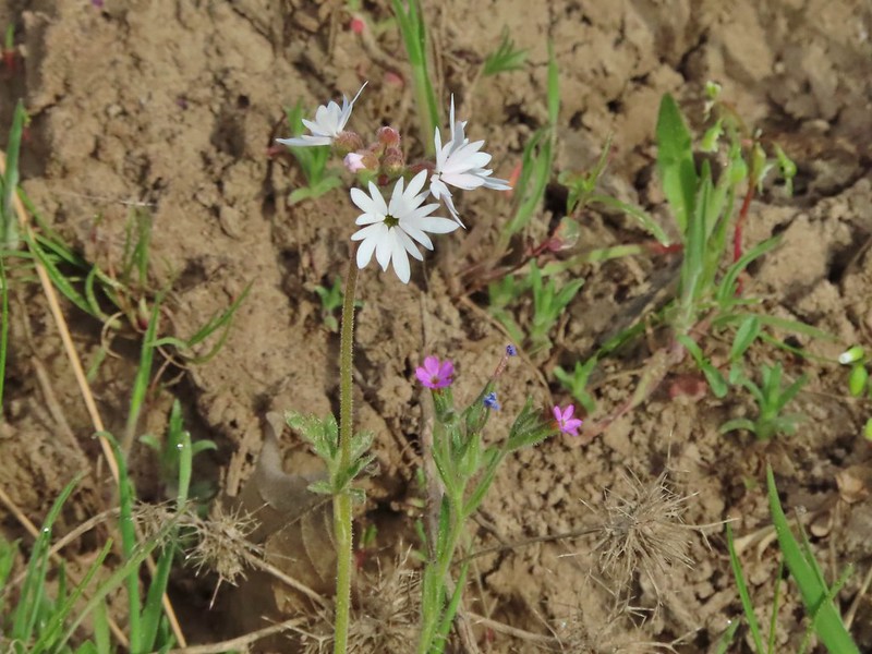 Woodland star and slender phlox
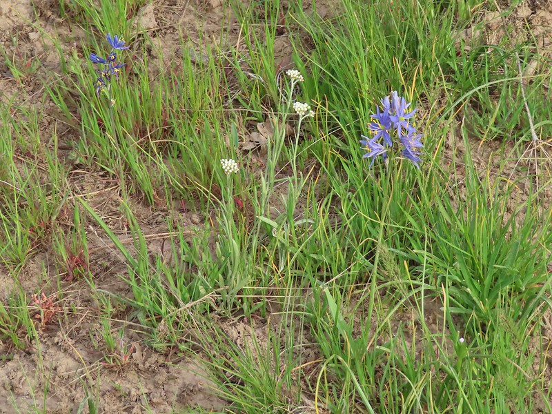 Pussytoes and camas
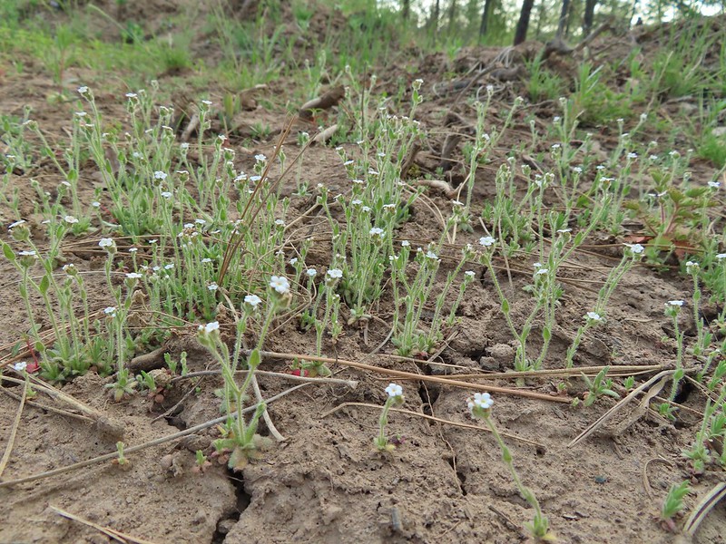 A cryptantha
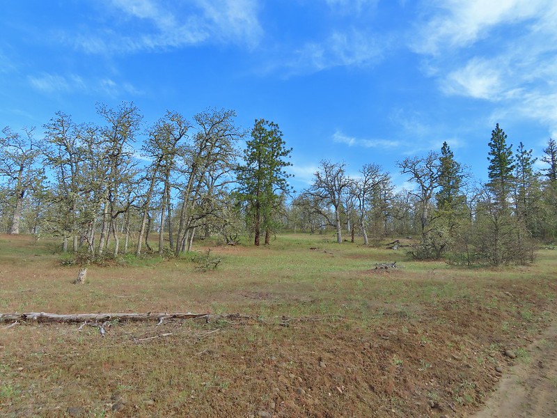 Oaks and ponderosas
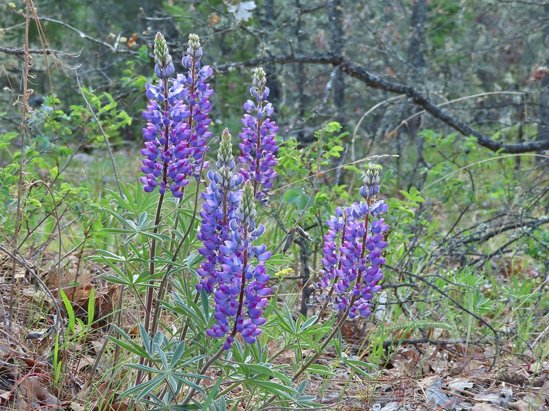 Lupine
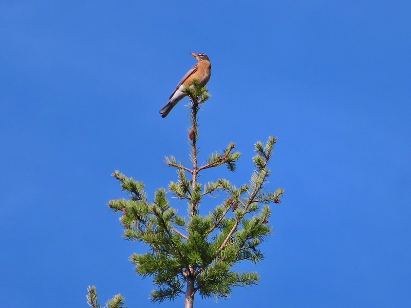 Robin
Robin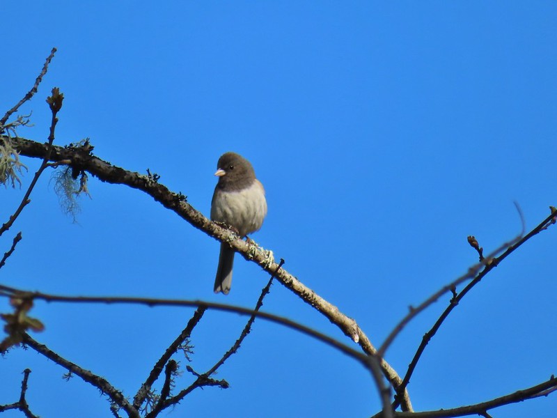 Dark eyed junco
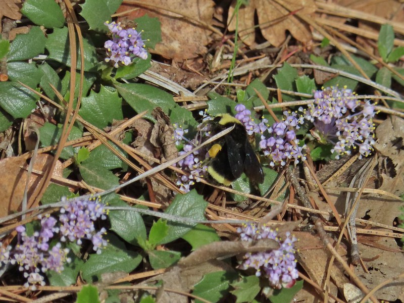 Bumble bee
 A more forested section of the road.
 Ball-head waterleaf
 Largeleaf sandwort
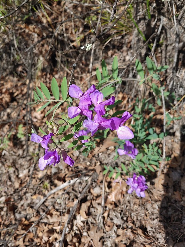 American vetch
 Dandelions in Mahala Mat
 Bitter cherry
 The real climb started at about the 4 mile mark at a junction below Grayback Mountain.
 Sagebrush false dandelion
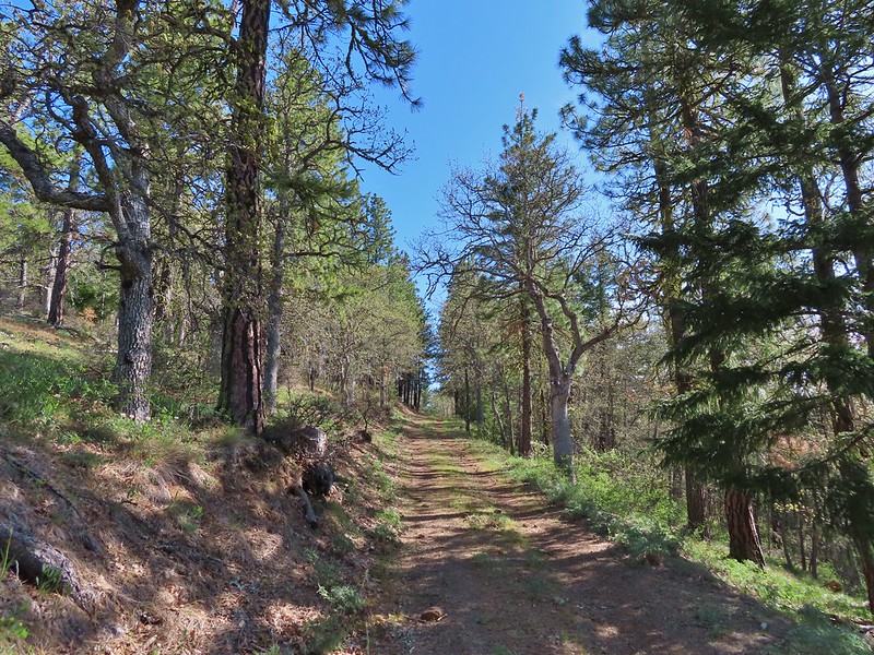 Climbing up Grayback Mountain
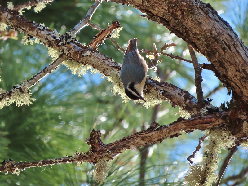 Red breasted nuthatch
 First view of Mt. Hood since the trailhead.
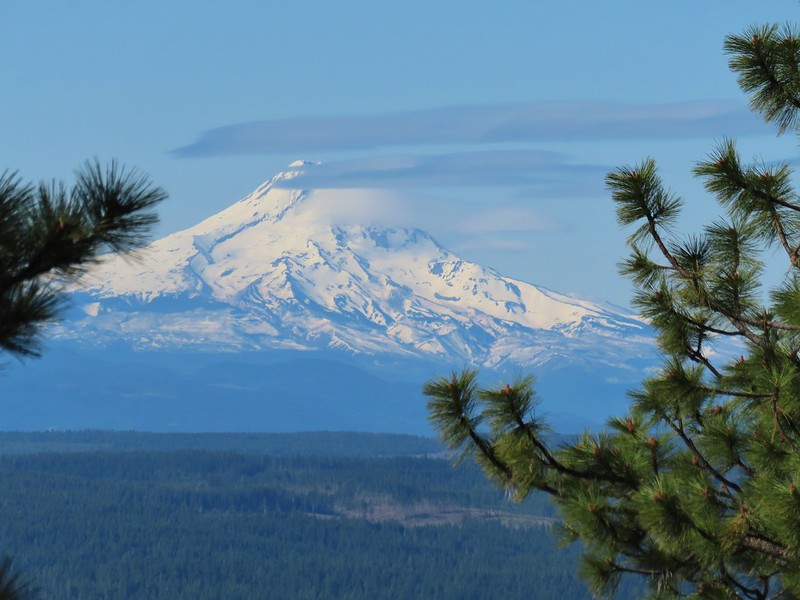 Mt. Hood
 Buckwheat
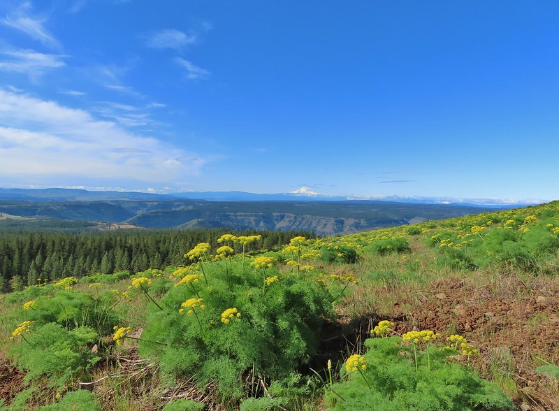 Mt. Hood beyond the Klickitat River Canyon
 Turkey vulture
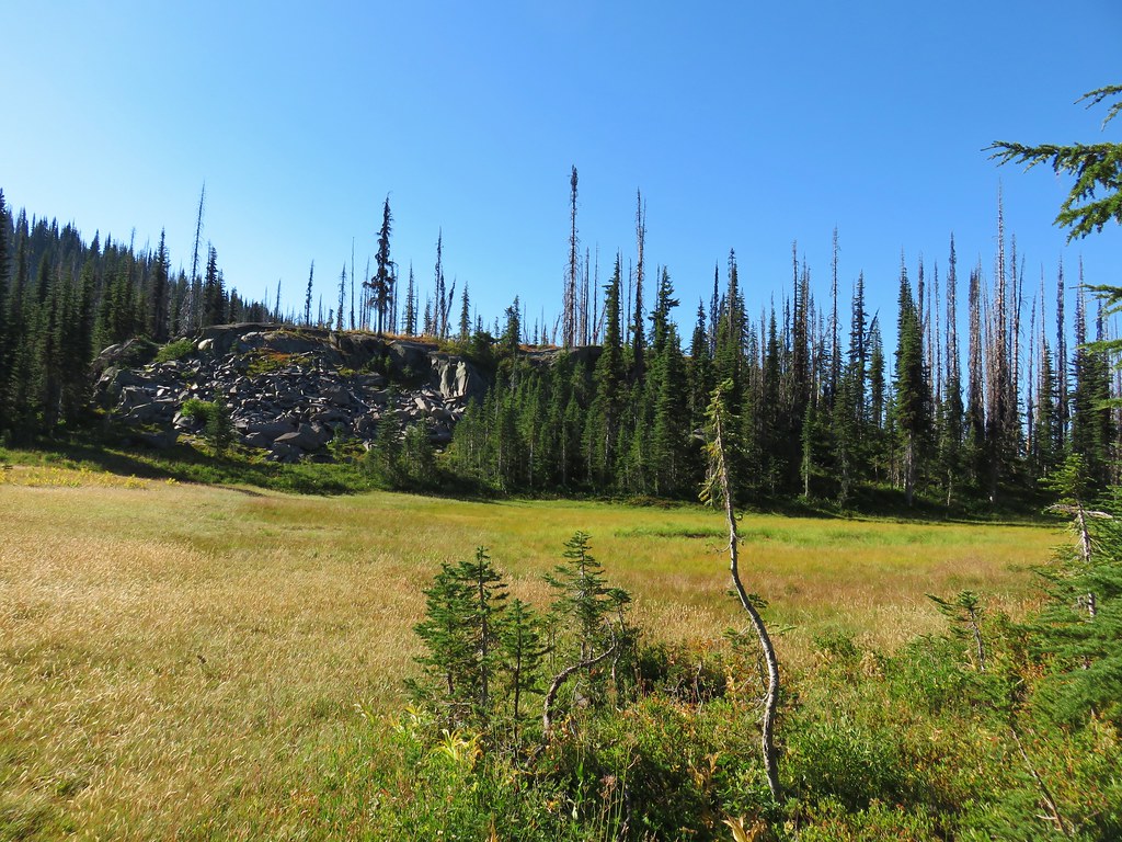
 Entering the meadows on Grayback Mountain.
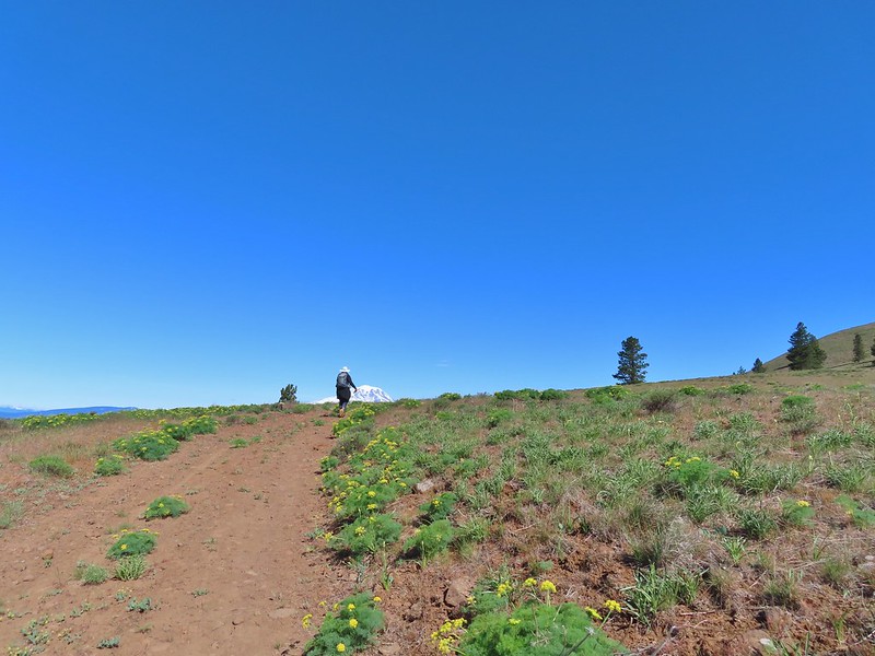 Approaching the first view of Mt. Adams.
 Mt. Adams
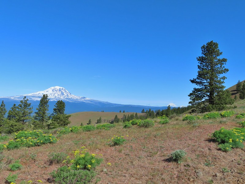 Mt. Adams, Mt. Rainier and Goat Rocks
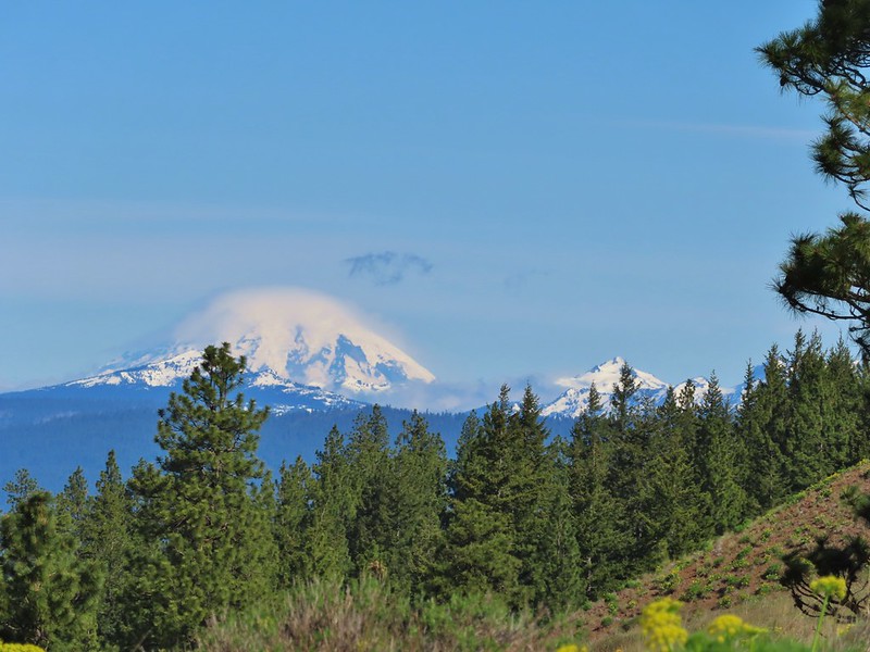 Mt. Rainier and Goat Rocks
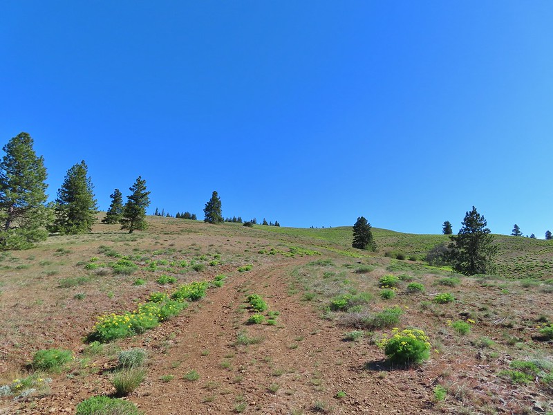 In the meadows.
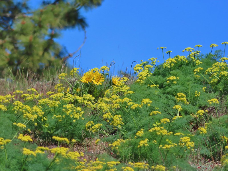 A balsamroot surrounded by parsley.
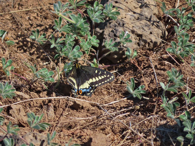 Indra swallowtail
 Western meadowlark in a patch of Columbia desert parsley.
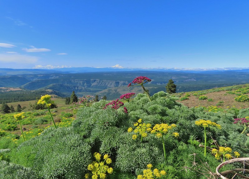
 Radio equipment atop Grayback Mountain with Mt. Adams beyond.
 Mt. Hood (we could just barely make out the top of Mt. Jefferson too.) from the summit.
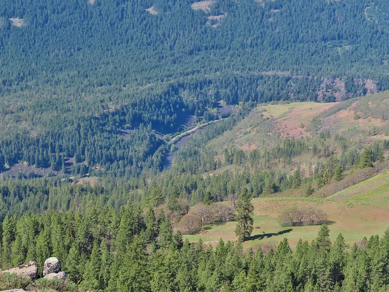 The Klickitat River
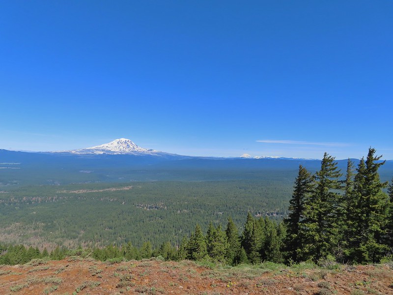 Mt. Adams, Mt. Rainier and Goat Rocks
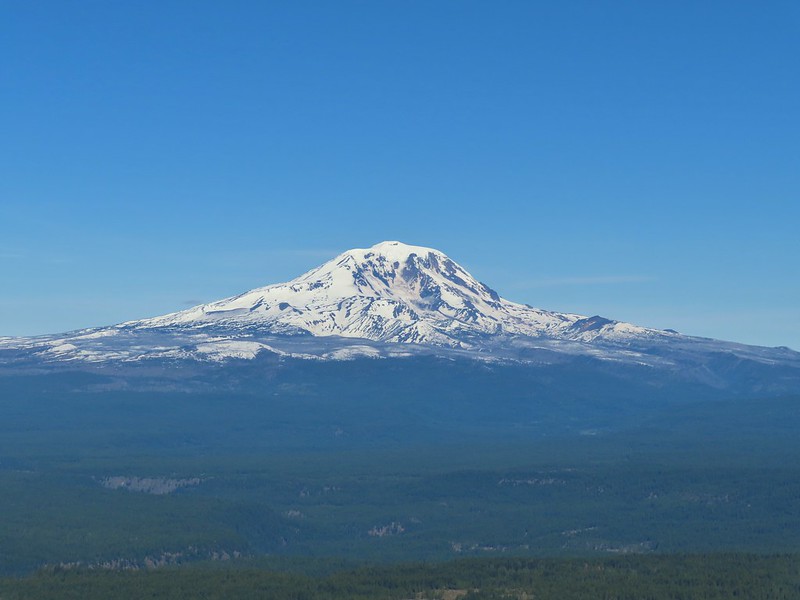 Mt. Adams
 Mt. Rainier and Goat Rocks (the Klickitat River originates from Goat Rocks.)
 Daggerpod
 Obligatory survey marker photo.
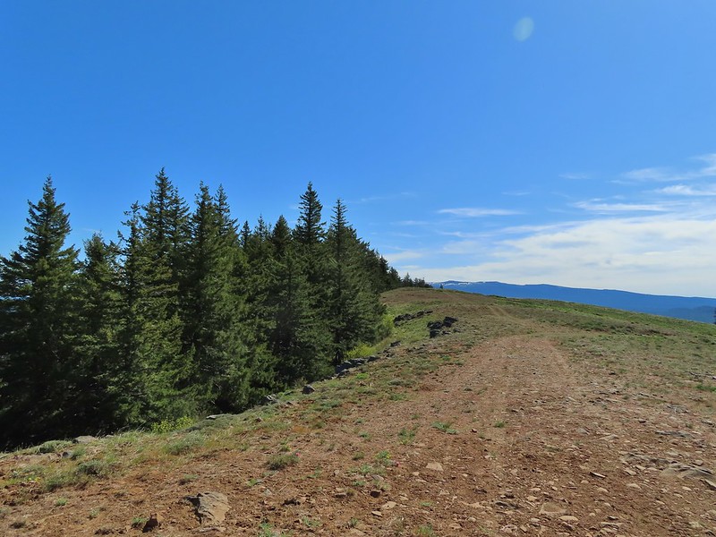 Looking east across the summit to the long ridge of Indian Rock. The boundary of the Yakima Indian Reservation is just on the north side of the summit.
 A few gold stars still had petals.
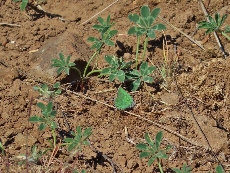 A hairstreak but I’m not sure which type.
 At least 4 ants on a large head clover.
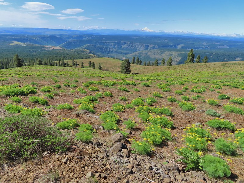 Looking back south down Grayback Mountain.
 There was a lot of white-stemmed frasera in the area but this was the closest one to blooming (and it’s a ways off).
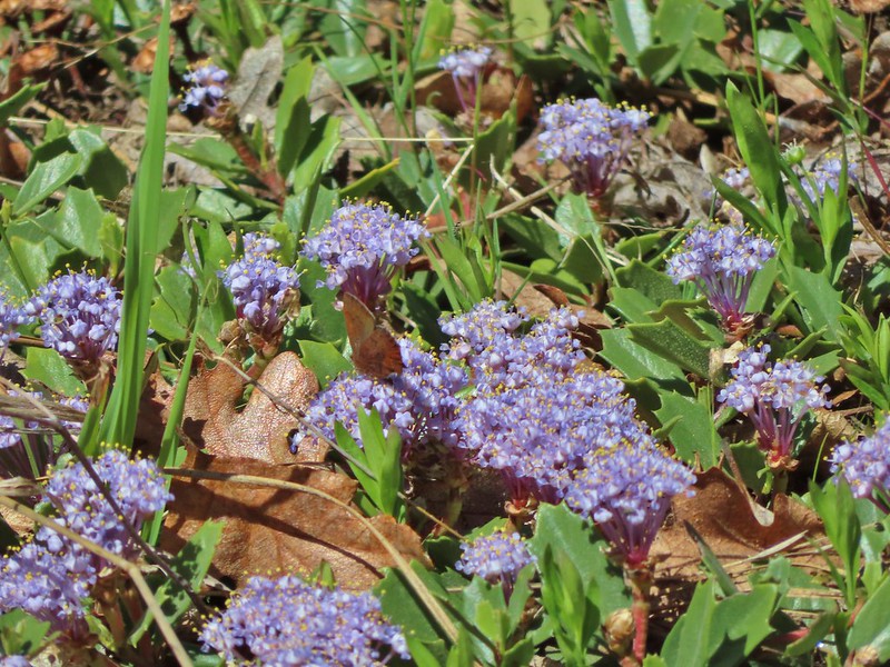 Maybe a brown elfin. I couldn’t get a clear picture of this one.
 Erynnis propertius – Propertius Duskywing (aka Western Oak Dustywing). There were lots of these duskywings flying about, it turns out that oaks are their host plants.
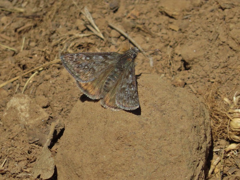 Another Erynnis propertius
 Juba skippers caught in the act.
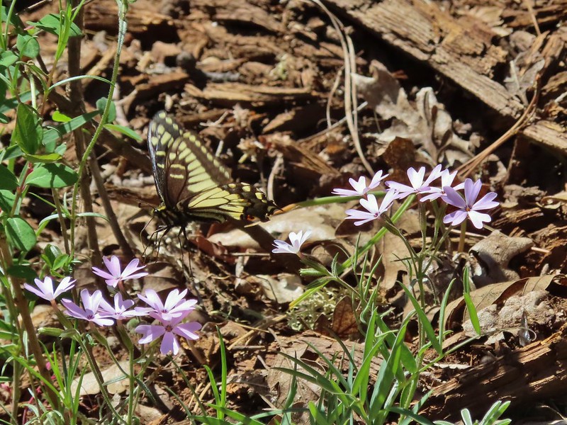 Anise swallowtail coming in for a landing on showy phlox.
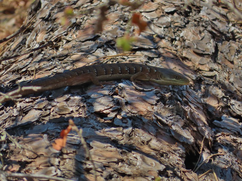 Alligator lizard on a log.
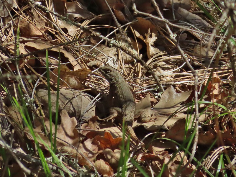 Western fence lizard
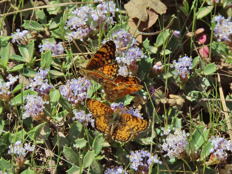 I believe these to be Mylitta crescents.
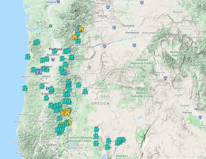 Hiker symbol = Trails/trailheads, yellow houses = campsites, purple binoculars = roadside waterfalls
 Gearhart Mountain
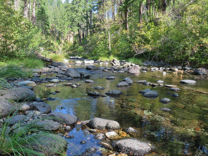 Boulder Creek
 Netarts Spit
 Spencer Butte
 Shotgun Creek
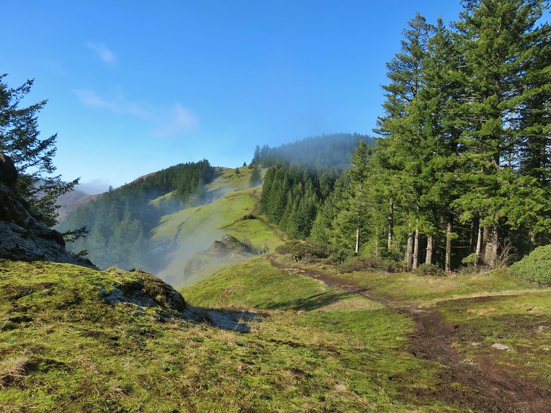 Horse Rock Ridge
 Miller Woods
 Trappist Abbey
 Bush Pasture Park
 Basket Slough Wildlife Refuge
 North Fork Willamette River
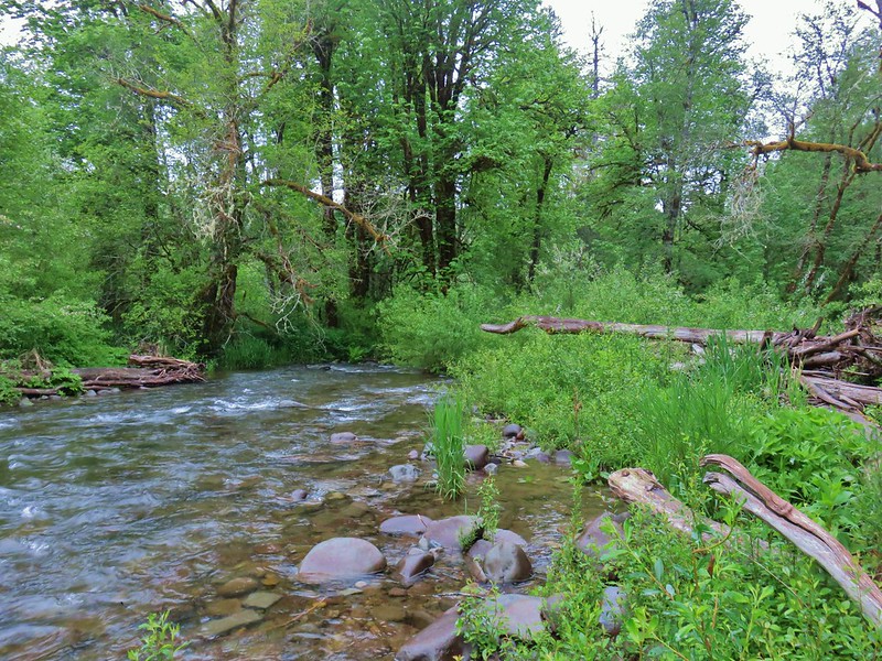 Little Luckiamute River
 Valley of the Giants
 Indigo Springs
 Rigdon Meadows
 Pigeon Butte
 East Fork South Fork McKenzie River
 Sullivan Creek Falls*
 Henline Falls*
 Henline Mountain*
 Spirit Falls
 Pinard Falls
 Moon Falls
 Memaloose Lake*
 Echo Basin
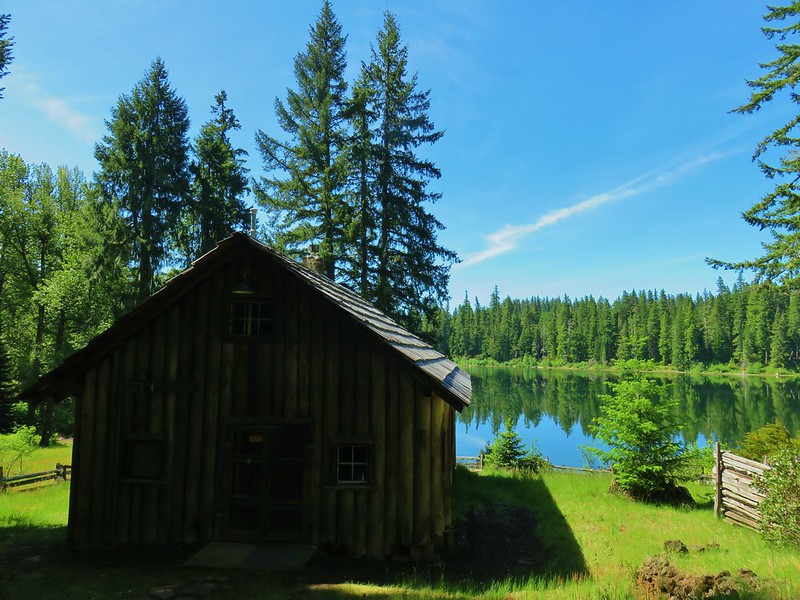 Fish Lake
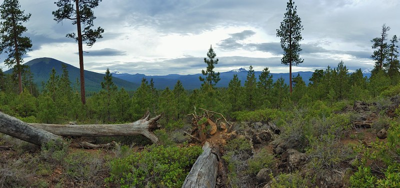 Green Ridge*
 Table Rock Wilderness* (The Riverside fire burned at least the access road and may have encroached into the SW portion of the wilderness.)
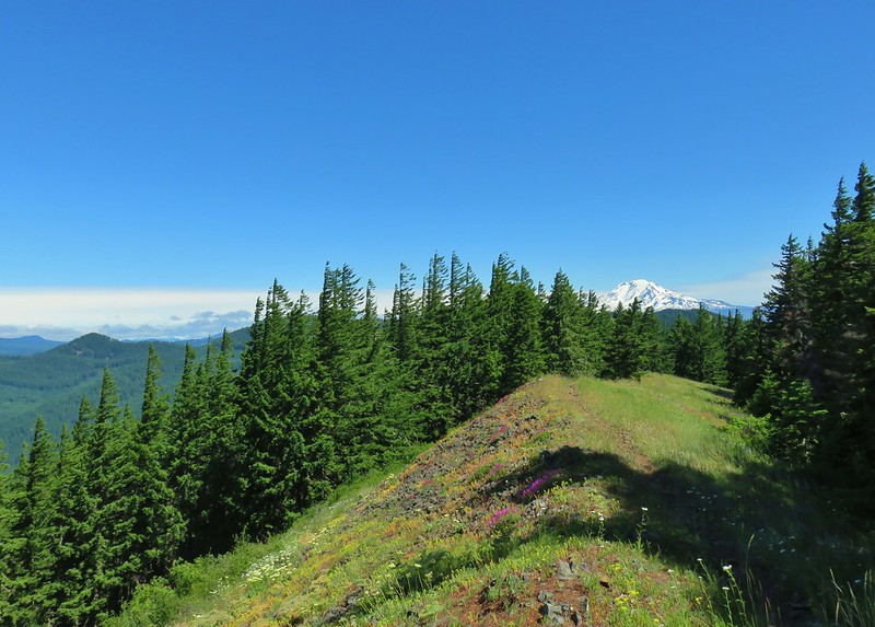 Monte Carlo Trail
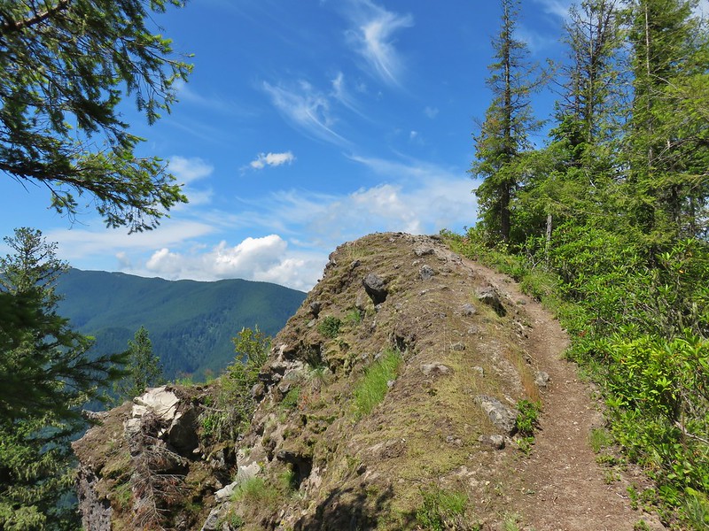 Hunchback Mountain
 Meadow below the Three Pyramids
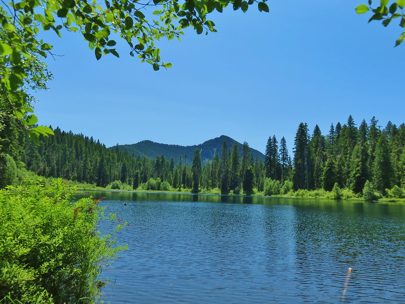 Daly Lake
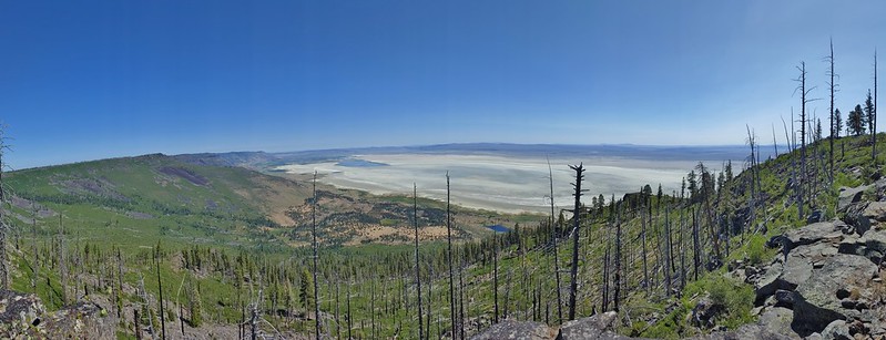 Winter Ridge
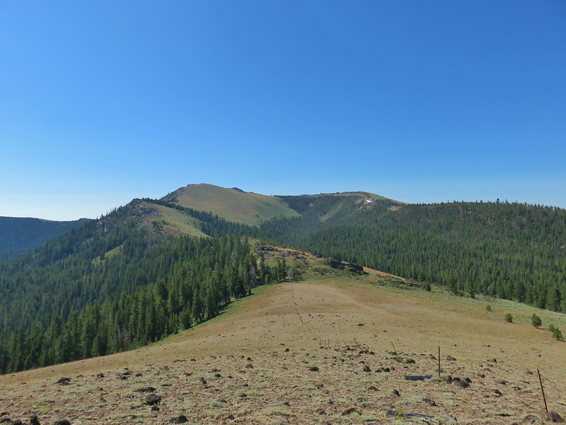 Fence Pass
 Flook Lake
 Hart Mountain Antelope Refuge
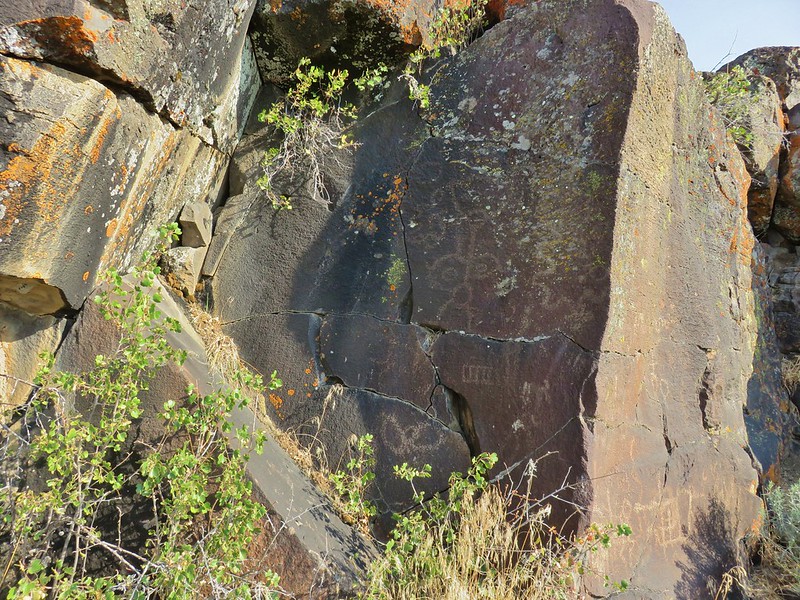 Petroglyphs along Petroglyph Lake
 DeGarmo Canyon
 The Palisades in the Gearhart Mountain Wilderness (This was probably our favorite area of the year amid these rock formations.)
 Sleeping Beauty
 Highline Trail
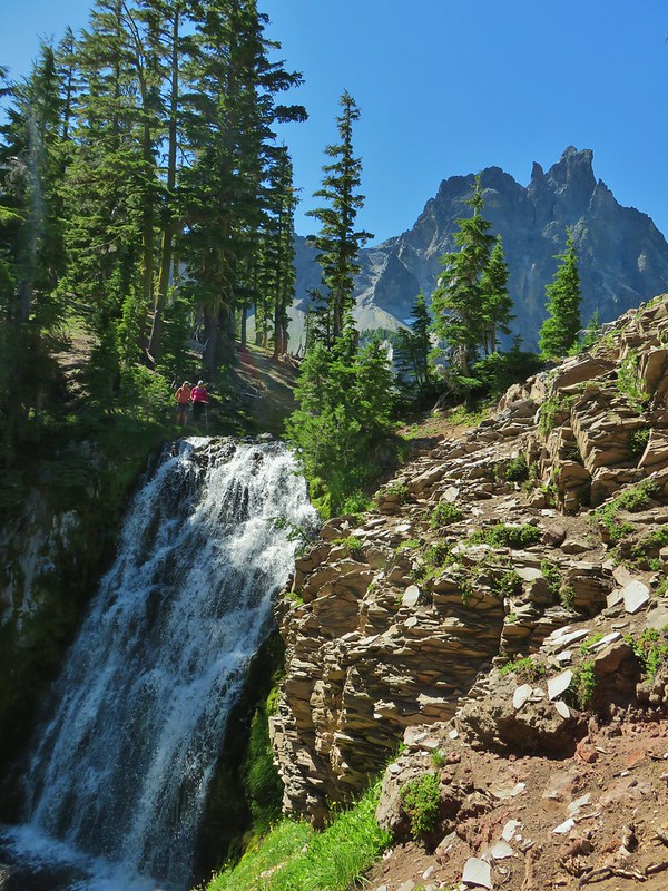 Cottonwood Creek Falls (This was probably the sketchiest hike we’ve done.)
 Mt. Thielsen* (The Thielsen Creek fire burned a small part of the trails in the area.)
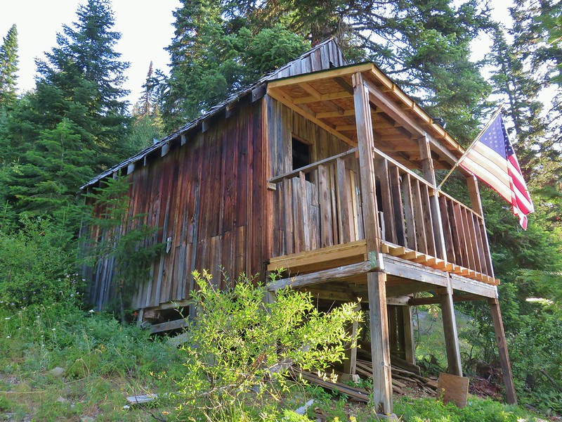 Bohemia Post Office
 Diamond View Lake
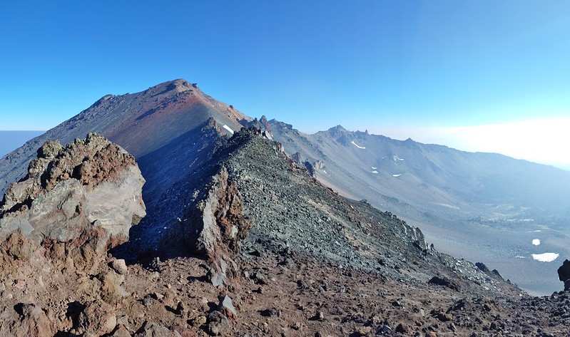 Diamond Peak (The sketchiest hike we didn’t do.)
 Karen Lake
 Middle Erma Bell Lake
 Diamond Lake
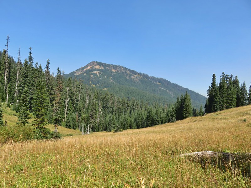 Rattlesnake Mountain
 Spruce Run Creek Trail
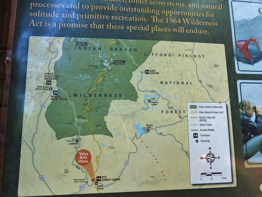
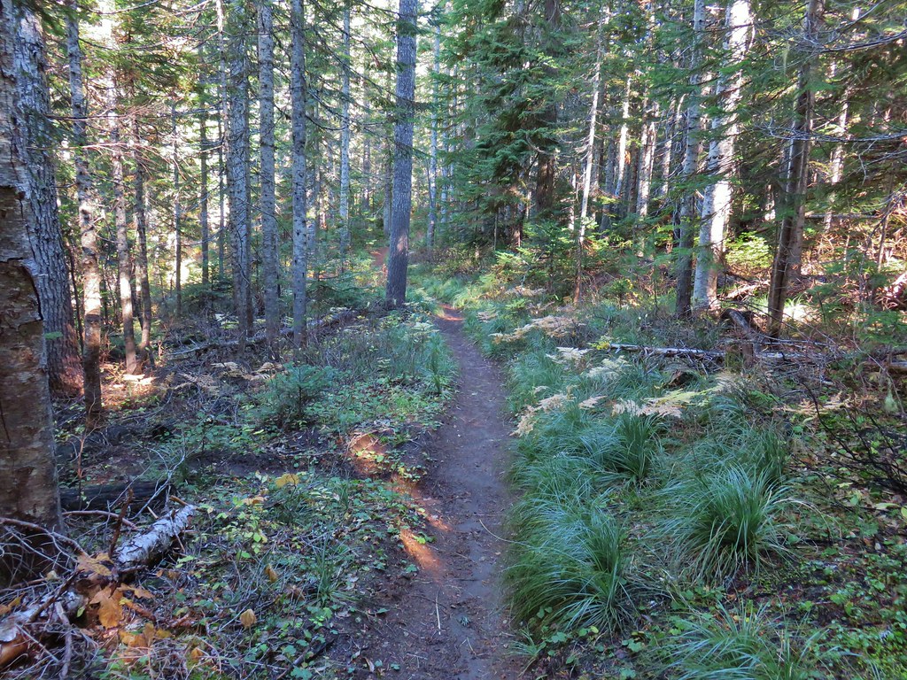
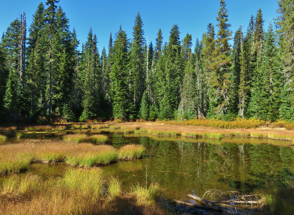
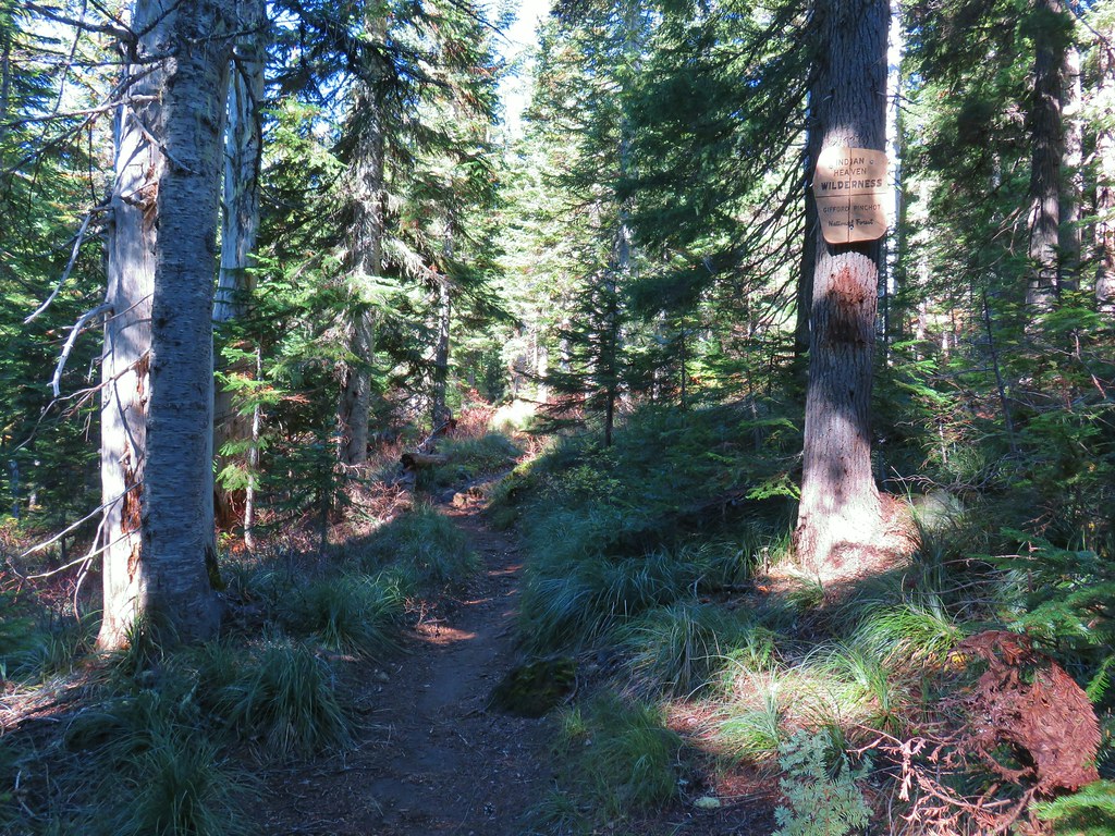
 Indian Heaven Wilderness
 Wildcat Canyon
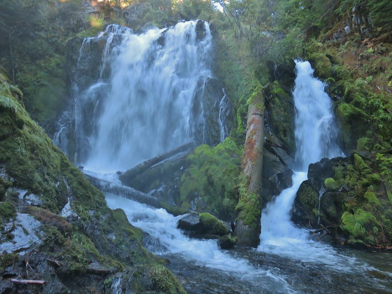 National Creek Falls
 Takelma Gorge
 Hershberger Mountain
 Rabbit Ears
 Natural Bridge
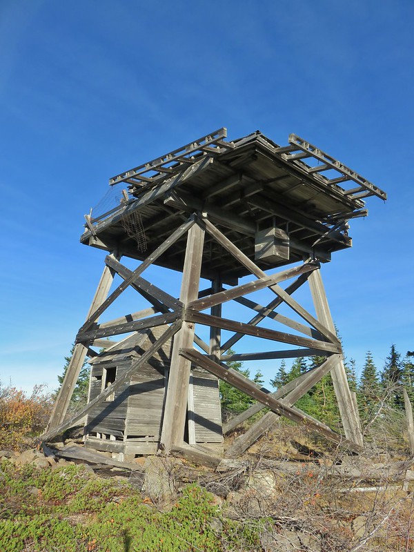 Abbott Butte Lookout
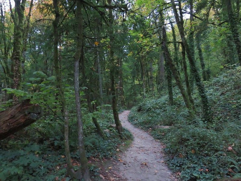 Forest Park
 Upper Latourell Falls
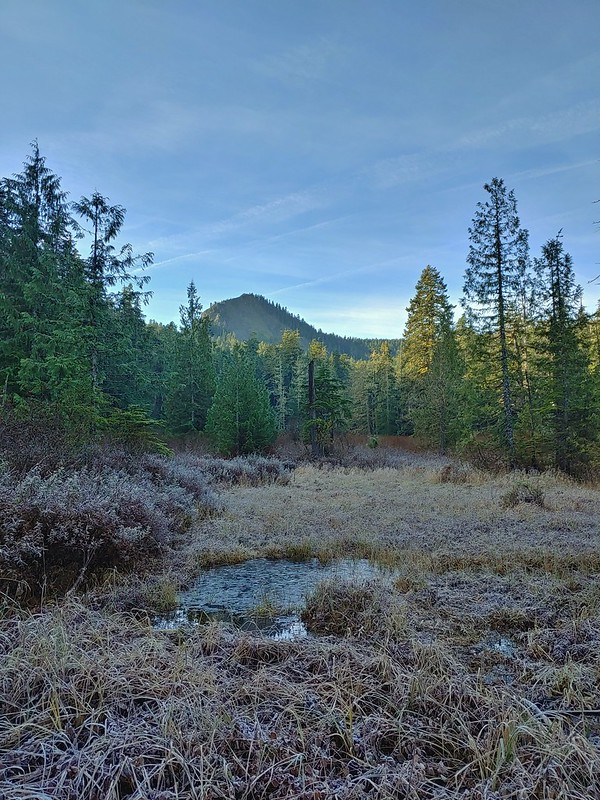 Larch Mountain
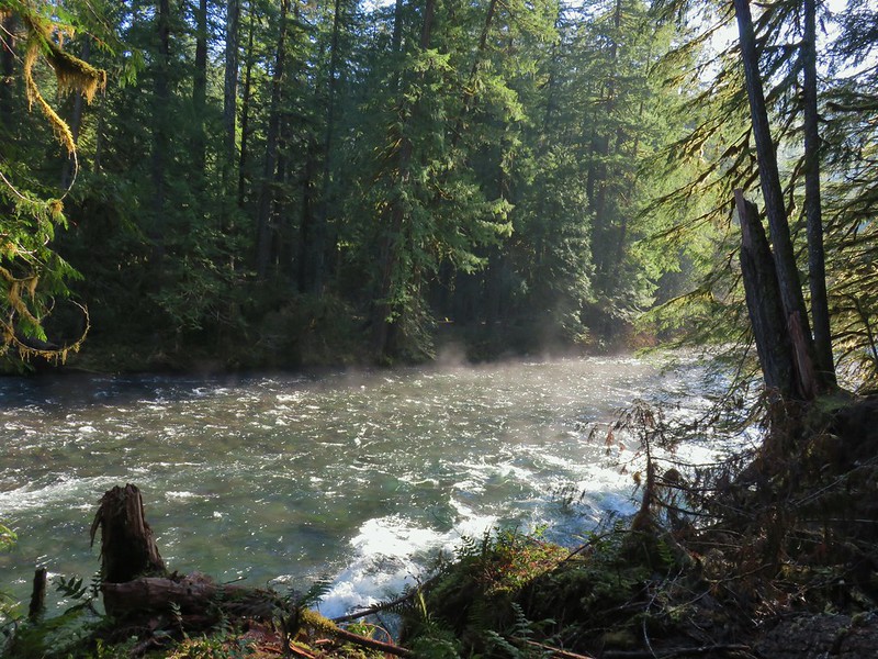 McKenzie River
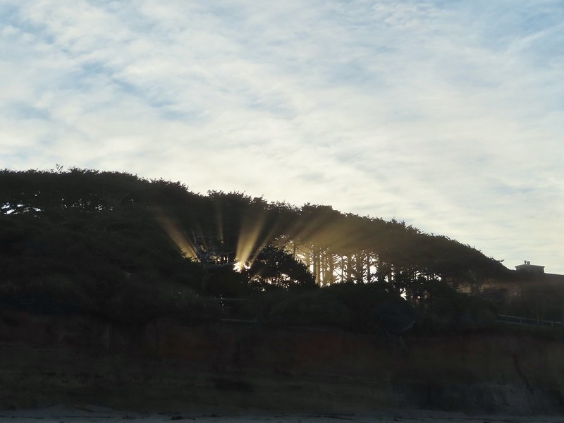 Yachats
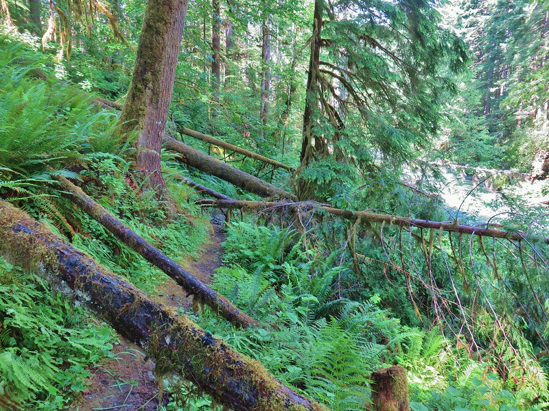 Swordfern Trail
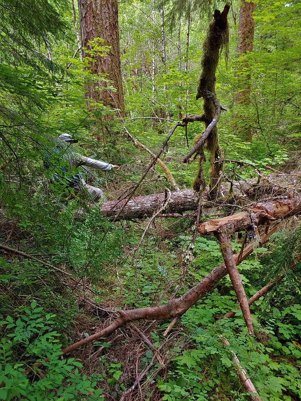 East Fork Trail
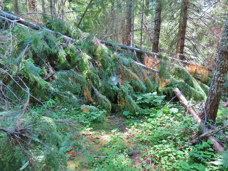 Riggs Lake Trail
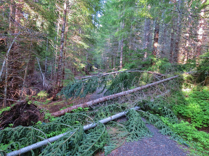 Hackleman Old Growth Loop
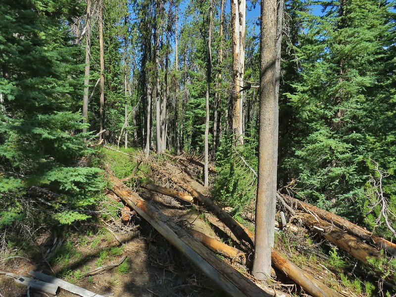 Howlock Mountain Trail
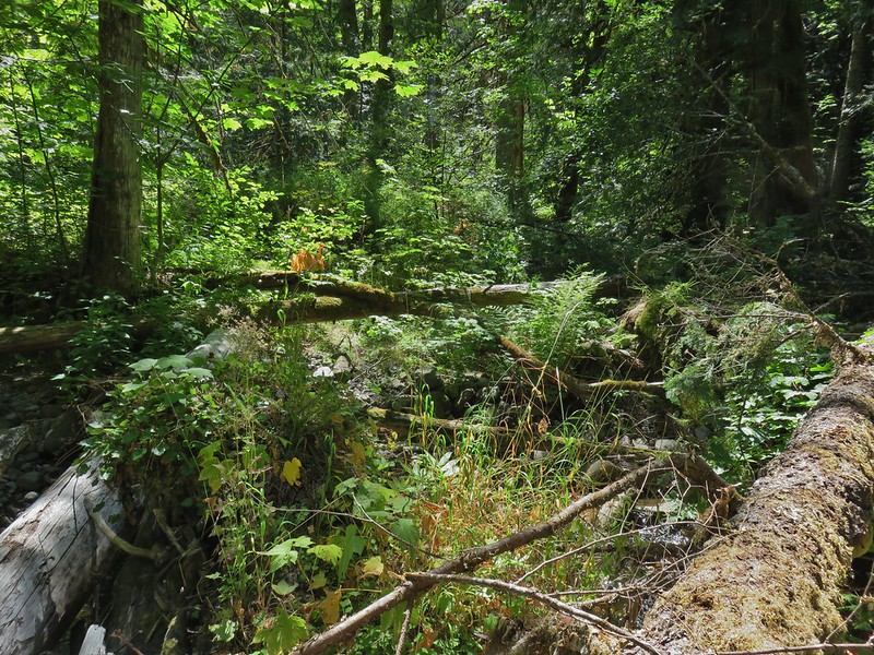 Shale Ridge Trail
 Acker Divide Trail
 Union Creek Trail
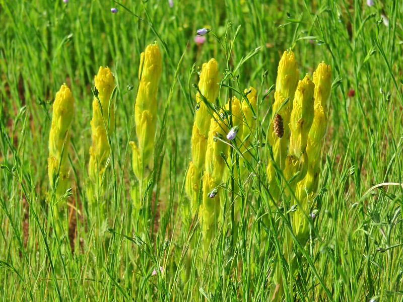 Castilleja levisecta – Golden Paintbrush at Basket Slough Wildlife Refuge (
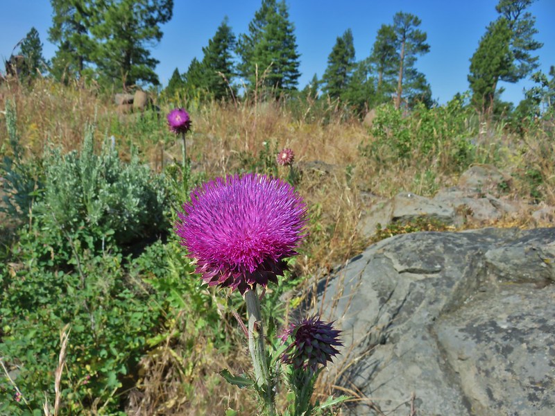 Musk Thistle at Winter Ridge (Unfortunately it’s an invasive but they were impressive.)
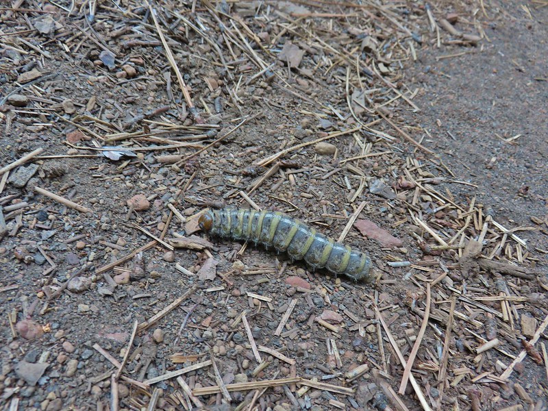 Pandora moth caterpillar at Green Ridge (
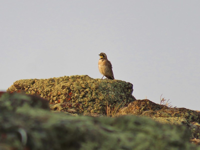 Horned Lark at Flook Lake (
 Gulls and American avocets at Lake Abert
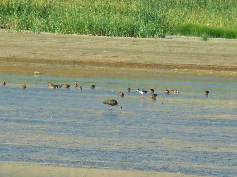 Black necked stilt at Summer Lake
 Possibly a coastal tailed frog at Wiley Camp in the Rogue-Umpqua Divide Wilderness (
 Goat Rocks in the morning
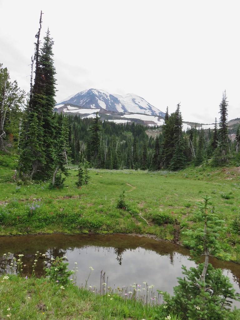
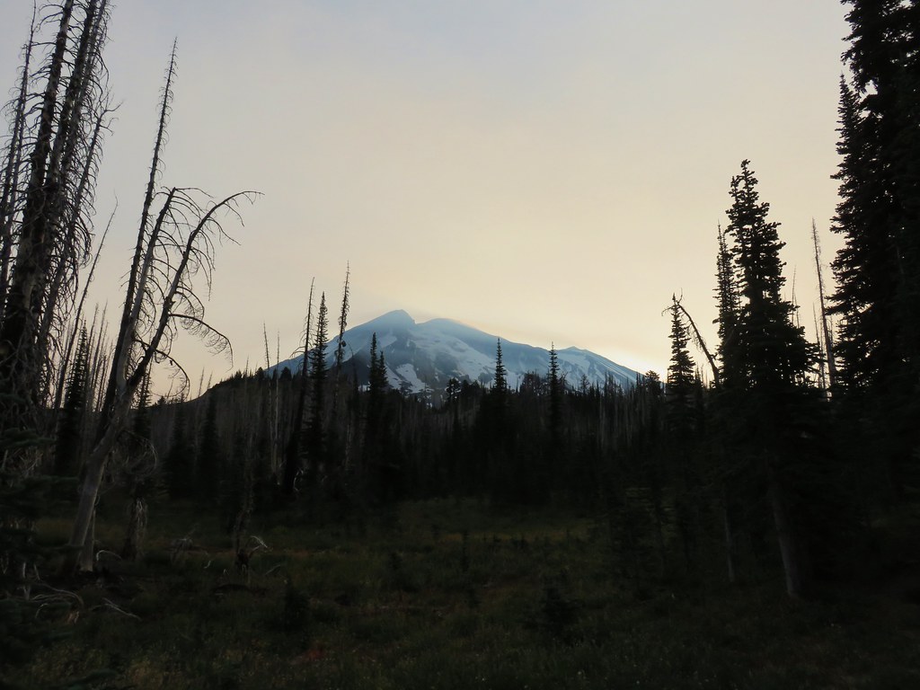
 Mt. Adams
 Looking down the Muddy Meadows Trail from the log.
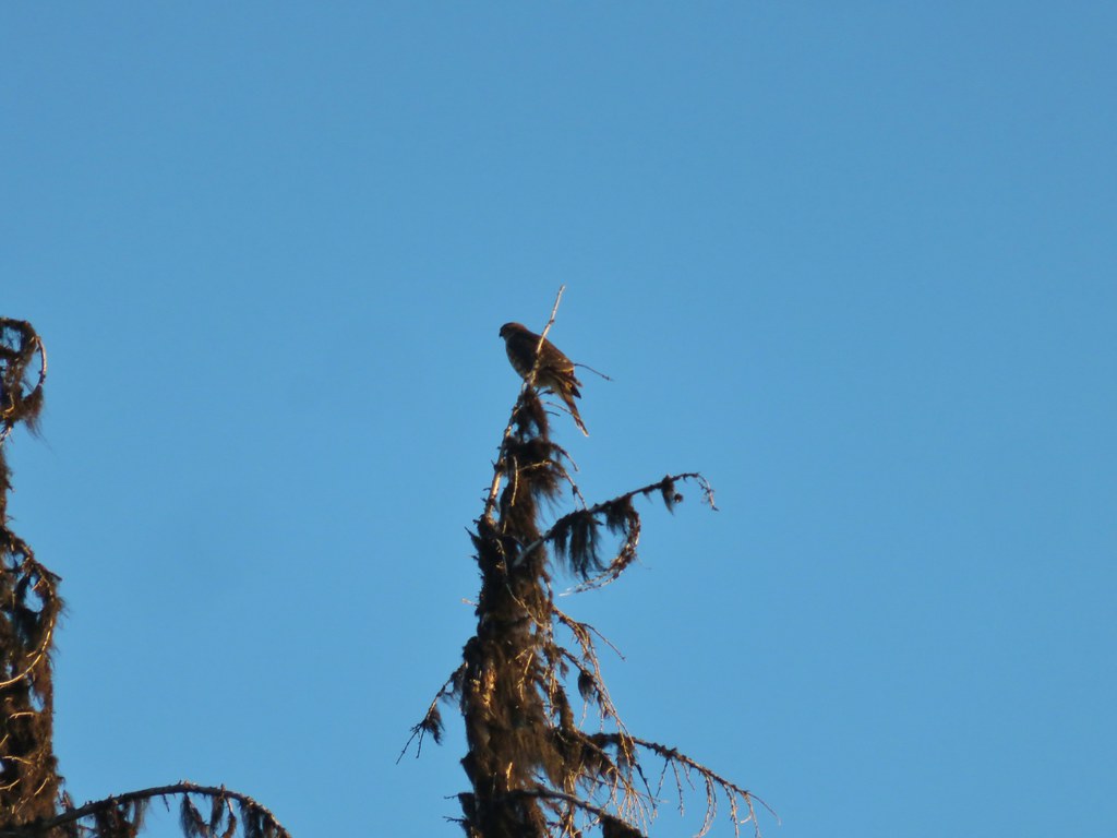 Small hawk
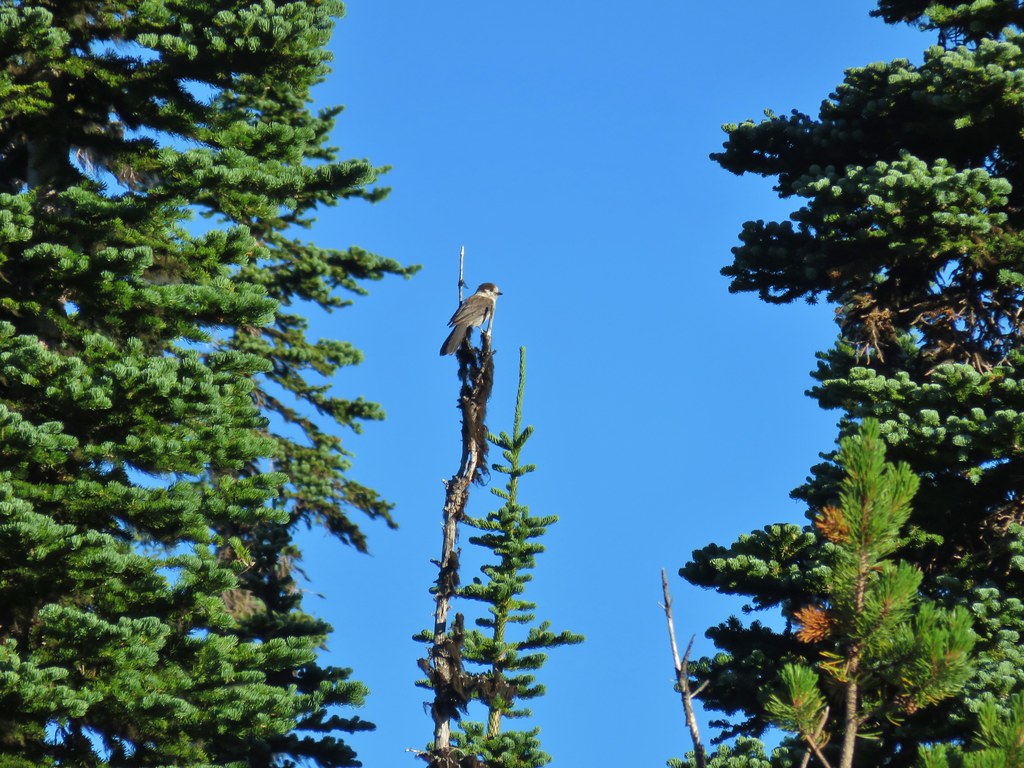 Gray jay
 Mt. Rainier and some of the Goat Rocks.
 Northern flicker

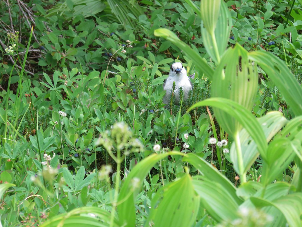
 Little bird near the PCT junction.
 Killen Creek below the waterfall.
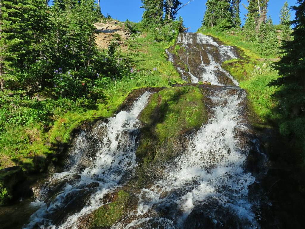
 Mt. Adams from the waterfall.
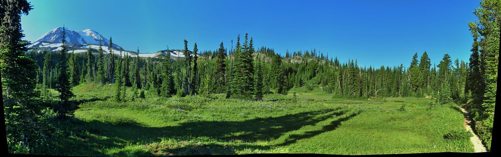
 Mt. Rainier and Goat Rocks from the PCT.

 Breakfast time (possibly second breakfast)
 Zooming in on Mt. Rainier

 Killen Creek Trail heading away from Mt. Adams.
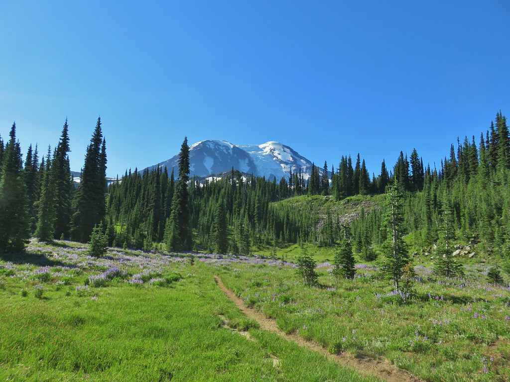
 Beardstongue
 Pearly everlasting next to thimbleberry bushes.
 Not quite ready yet.

 Mt. Adams
 Goat Rocks (
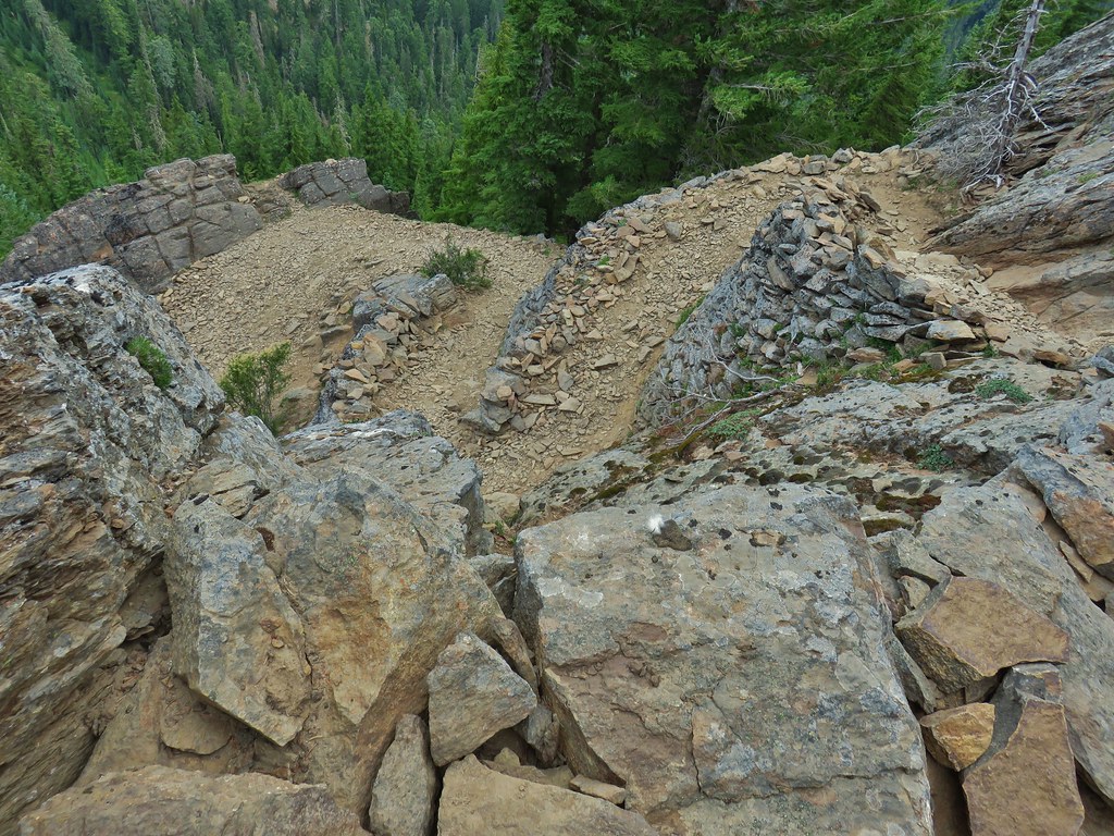 Looking down at some of the switchbacks.
 Mt. St. Helens in the distance.
 The top of Mt. Rainier.
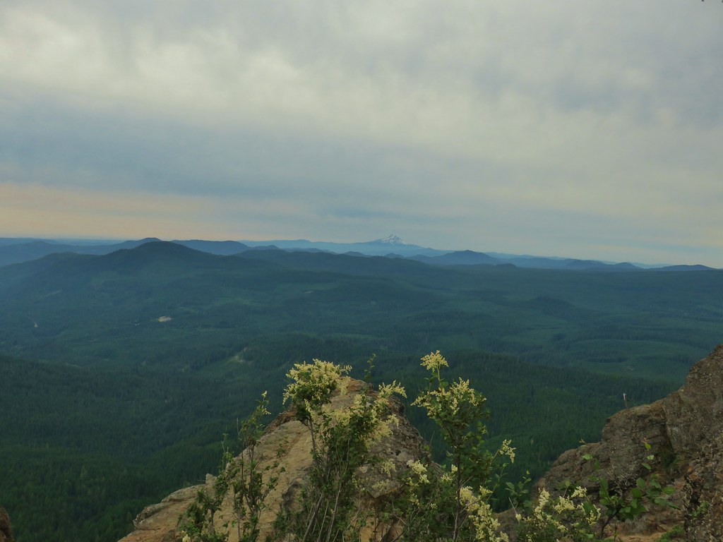 Mt. Hood to the South.
 Mt. St. Helens, Mt. Rainier, Goat Rocks and Mt. Adams.
 Indian Heaven Wilderness
 Looking east over the top of Sleeping Beauty.
 Looking west to the true summit where a lookout once stood.
 Mt. Hood from the foundation of the former lookout.
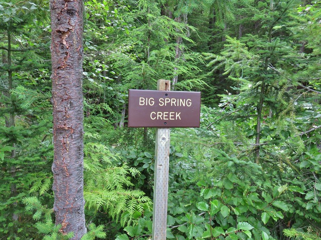 Sign at a pullout along FR 23.
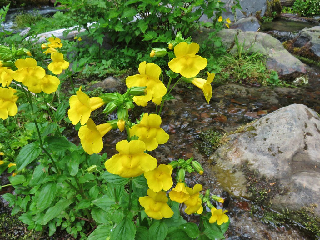 These were huge yellow monkeyflowers.
 Big Spring Creek
 Lupine along the trail.
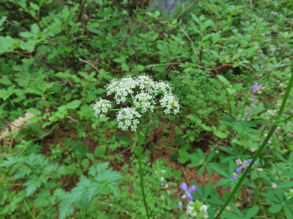
 Arnica
 Lousewort
 More lupine along the trail.
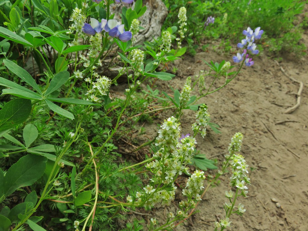 Partridge foot and lupine.
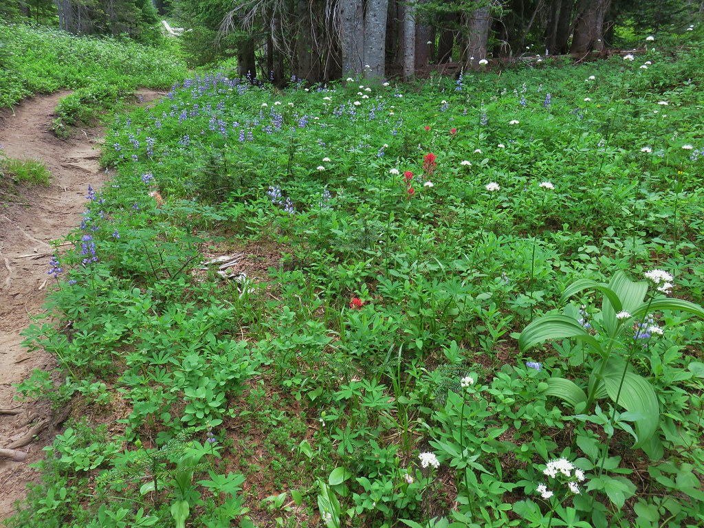 Lupine, paintbrush and valerian.
 Lupine along the trail which sees a good amount of equestrian use.
 Mountain heather.
 Yellow buttercups mixed in with the lupine, paintbrush and valerian.
 Beardstongue, arnica and lupine.
 Beargrass


 Lousewort
 Elephants head near the stream.
 Elephants head and a shooting star.

 Mountain heather
 Phlox
Phlox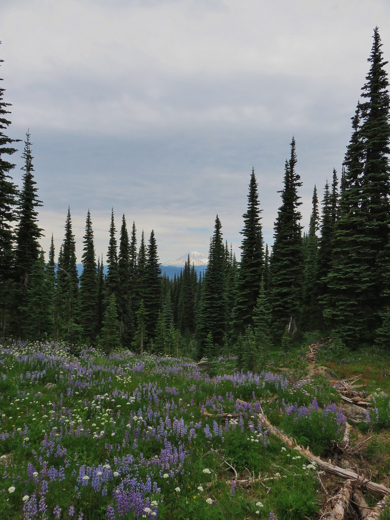
 False hellebore amid the lupine.
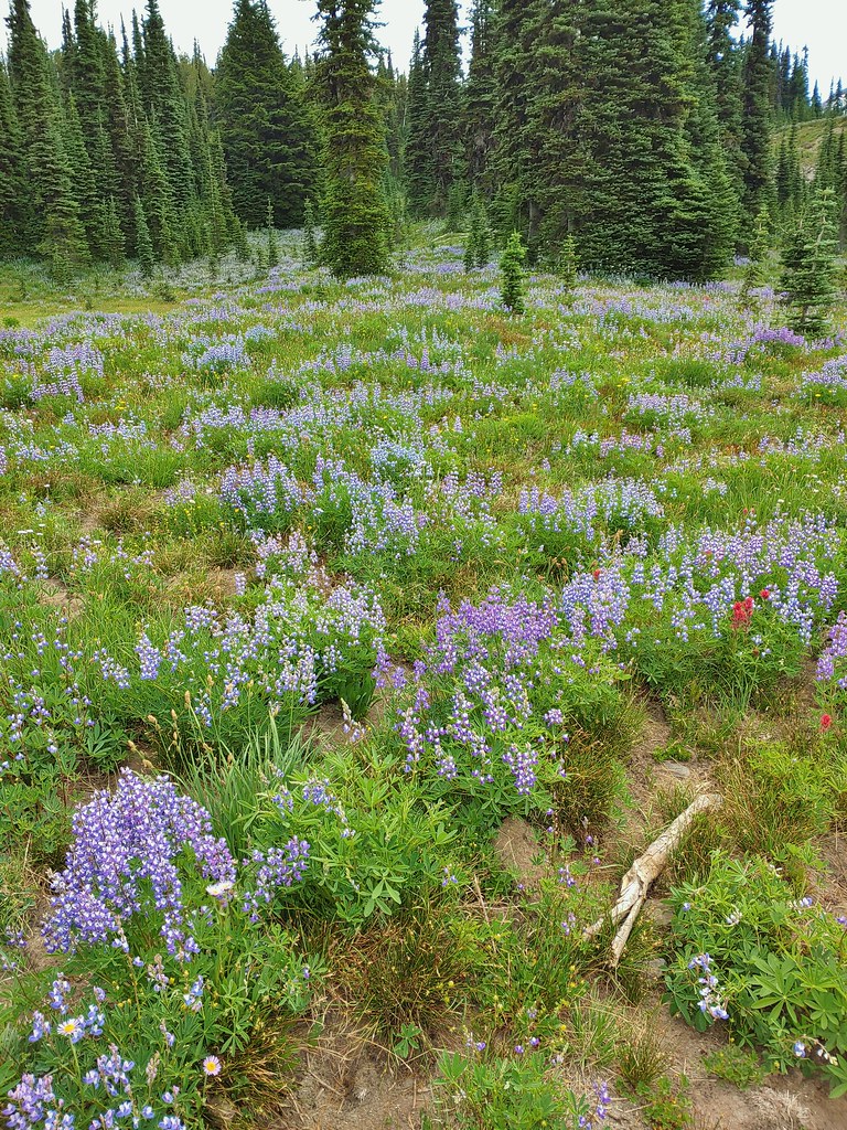
 Paintbrush framed by trees.
 Woolly pussytoes
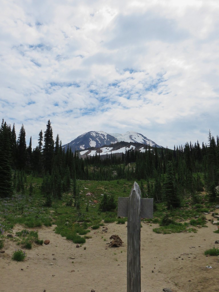


 Cinquefoil
 White and pink mountain heather, paintbrush and lupine above the PCT.
 Shooting star
 Violets
 Coming in for a landing on groundsel.
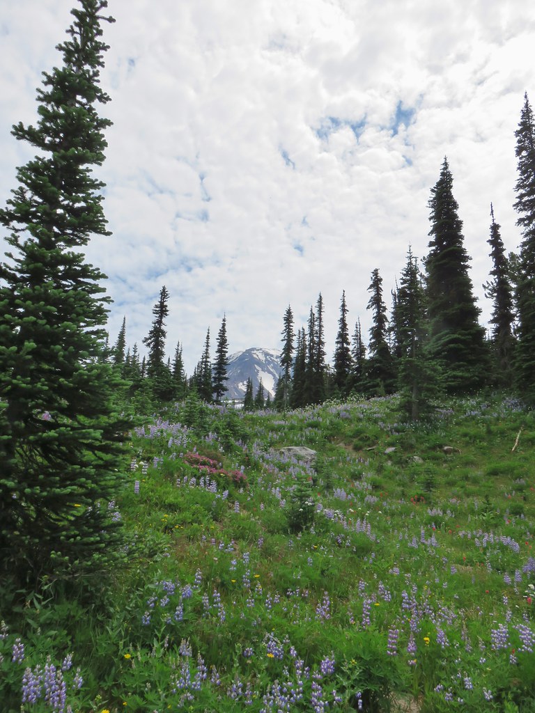
 Aster
Aster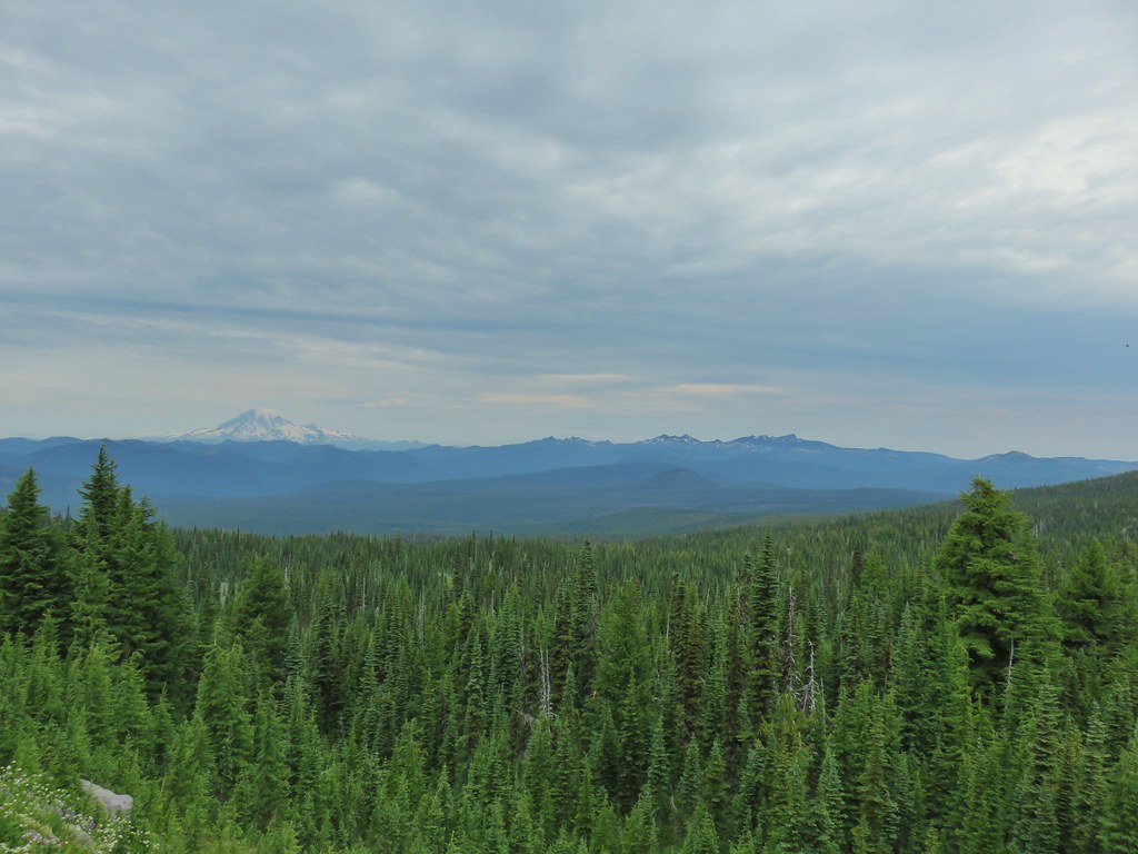
 Goat Rocks
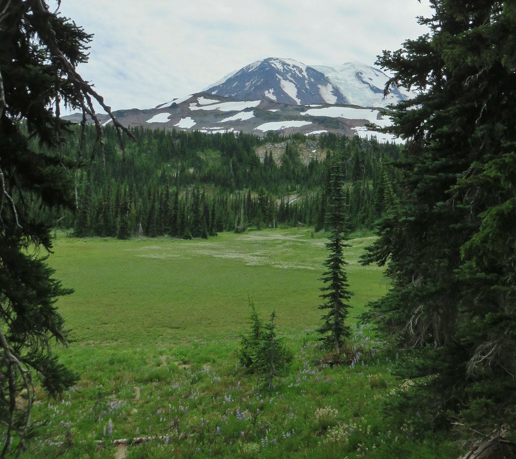
 Aster and white seed heads
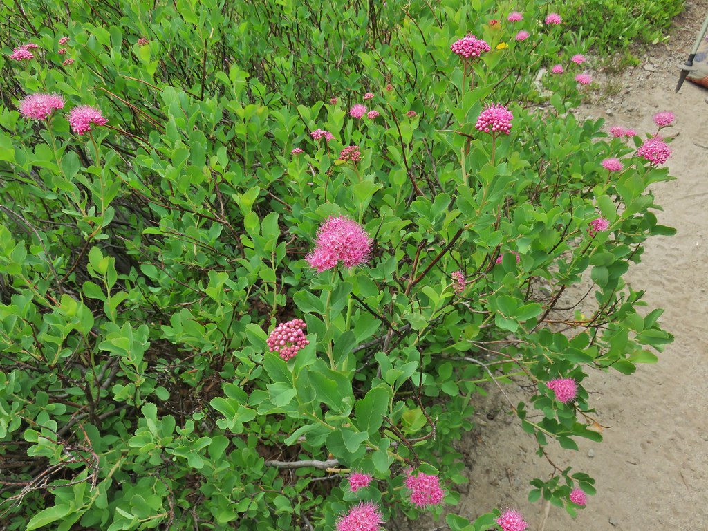 Spirea
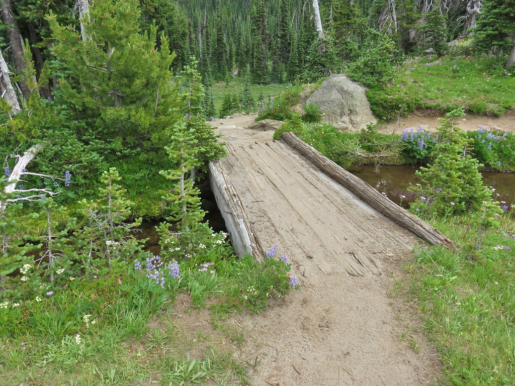
 Killen Creek and Mt. Adams.

 The waterfall from the PCT.
 Highline Trail ahead.
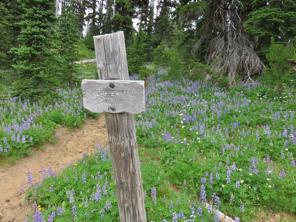

 Yellow arnica along the trail.
 Beargrass in full bloom.
 Subalpine mariposa lily
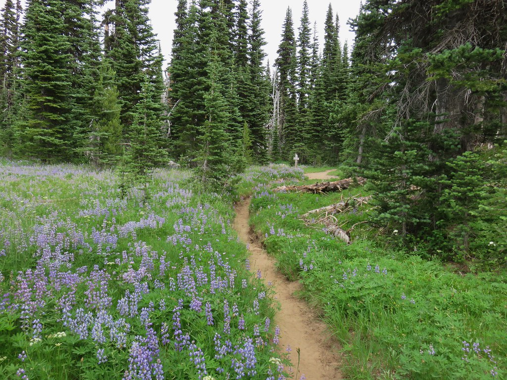
 Look more lupine that way.
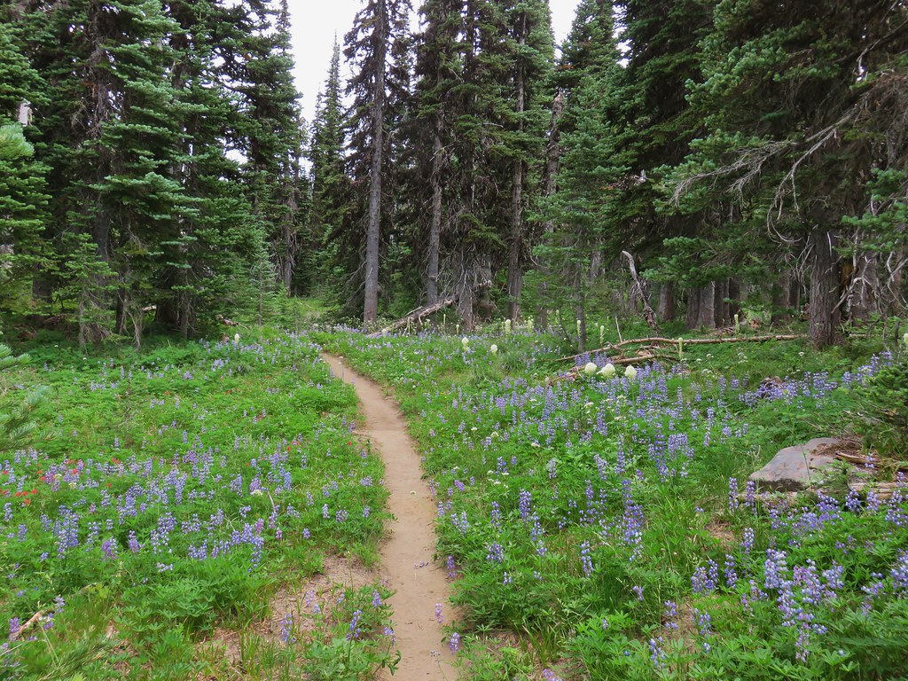 Still tons of flowers.
 Frog near Foggy Flat
 Mt. Adams from Foggy Flat
 Frog in a little stream at Foggy Flat.
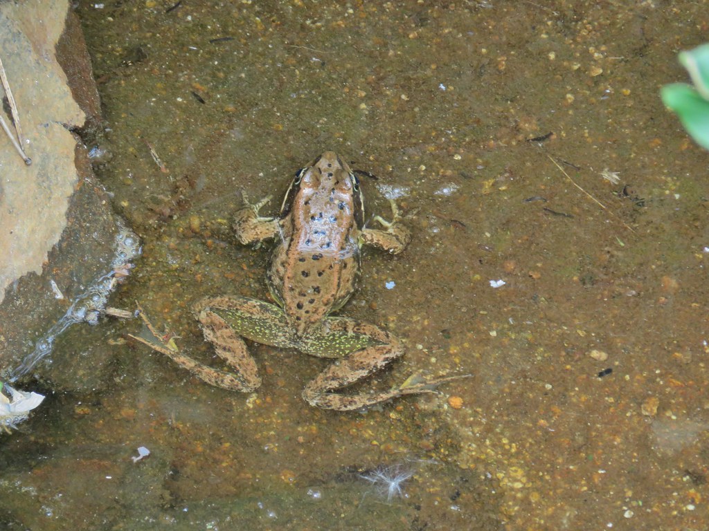 Zoomed in

 Gentian
 Elephants Head
 Monkeyflower and willowherb along the creek.
 Mt. Rainier behind us.
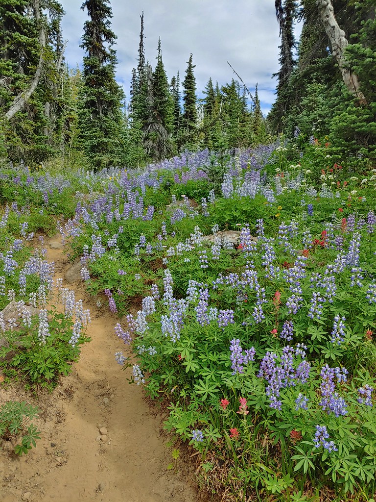
 The trail dropping steeply behind us on one of the steeper sections.
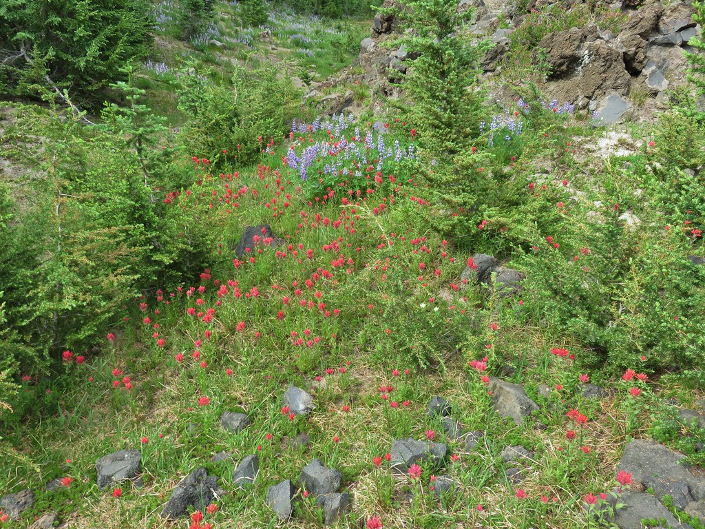 Can you spot the yellow paintbrush?
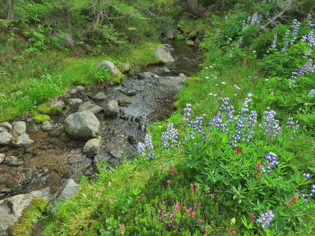


 Buckwheat

 Goat Creek falling from Goat Lake.
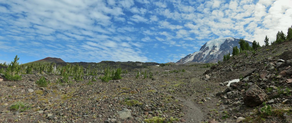 Red Butte and Mt. Adams
 Red Butte, a neat looking cinder cone.
 Flower amid the rocks.
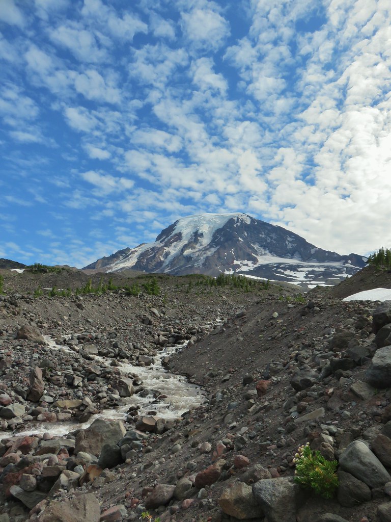


 Paintbrush
 Cutleaf daisy
 Dwarf alpinegold
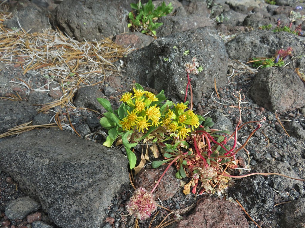 ?
?

 Water in the upper portions of the snowmelt stream.
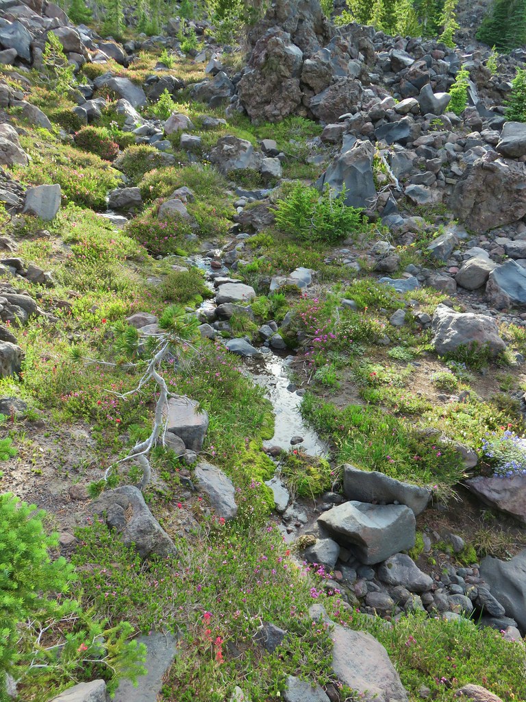 The same stream 3 minutes later.
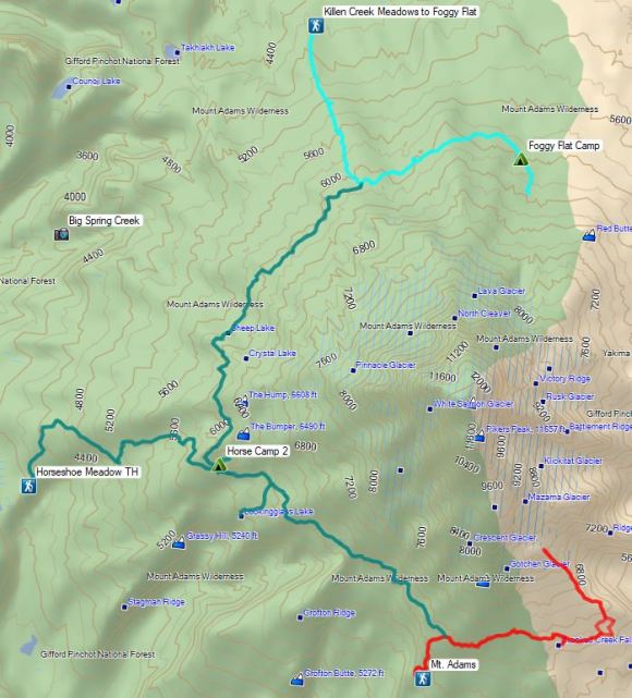


 This may named be Green Lake


 Lemei Rock and Mt. Adams
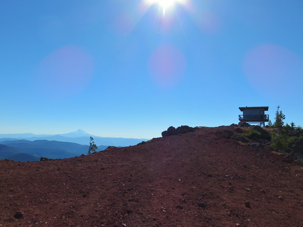

 Mt. St. Helens
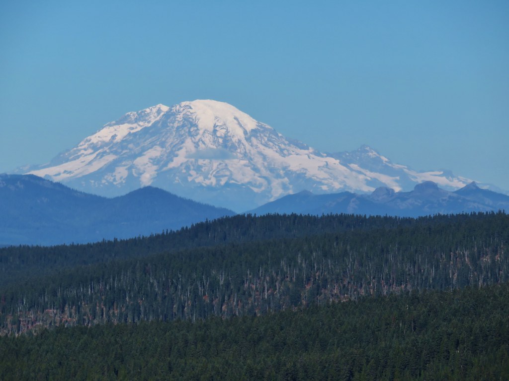 Mt. Rainier
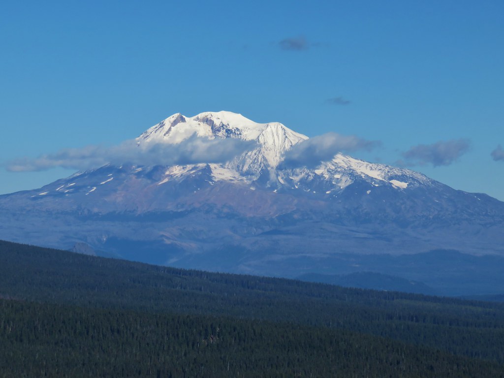 Mt. Adams
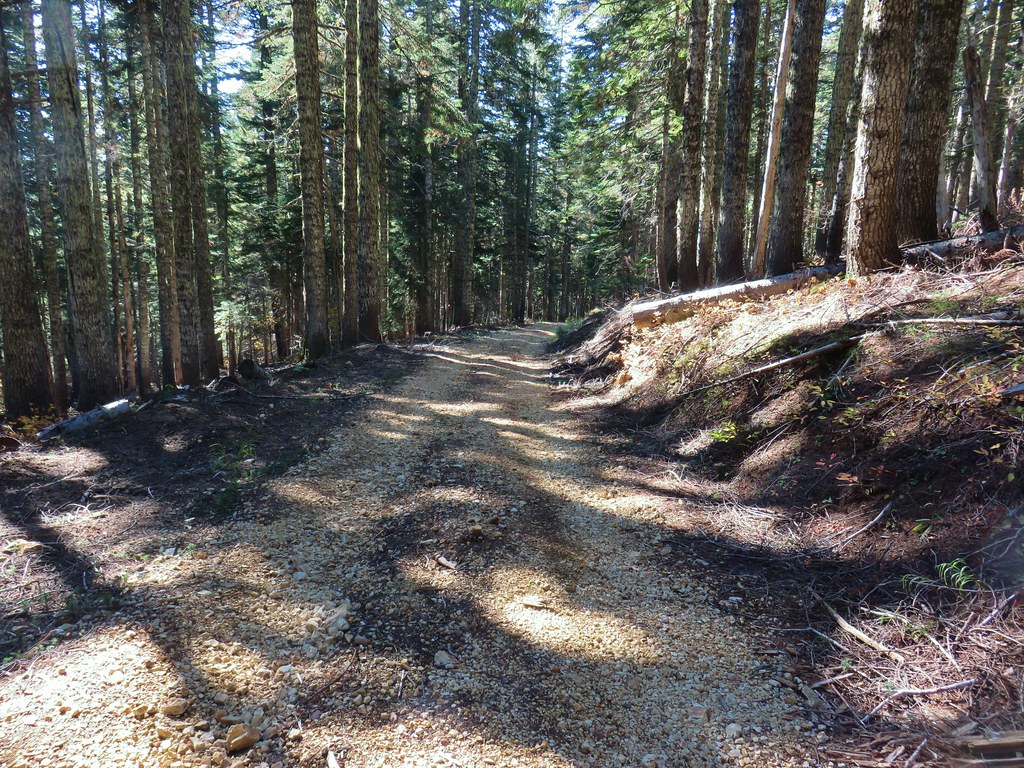


 Mt. St. Helens
 The bottom of Mt. Rainier
 Goat Rocks
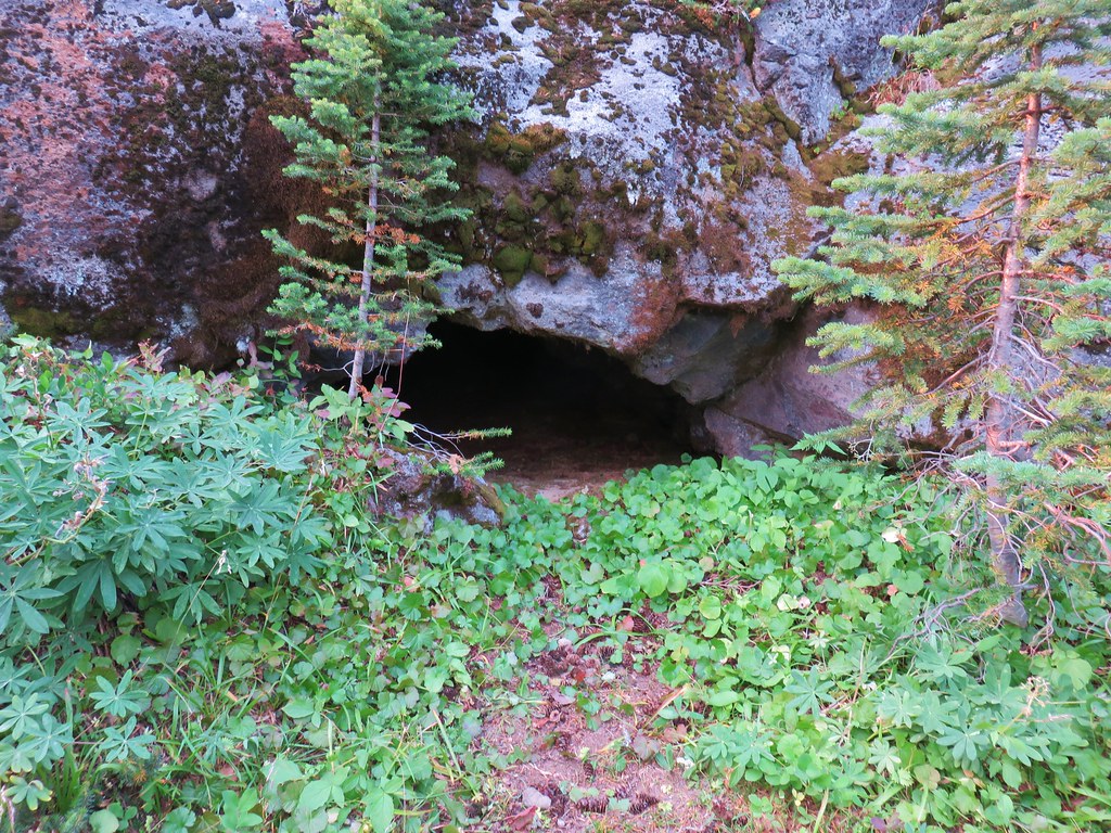 Small cave along the PCT


