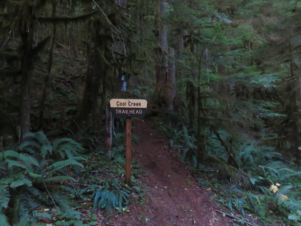
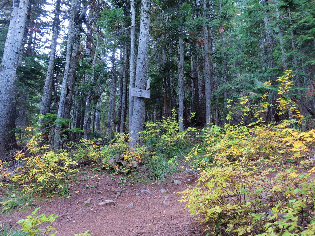
We extended our streak of 3000+ feet elevation gains and checked off another of Sullivan’s featured hikes with a visit to the Hunchback Trail in the Salmon-Huckleberry Wilderness. We started our hike at the trailhead just off Highway 26 at the Zigzag Ranger Station.
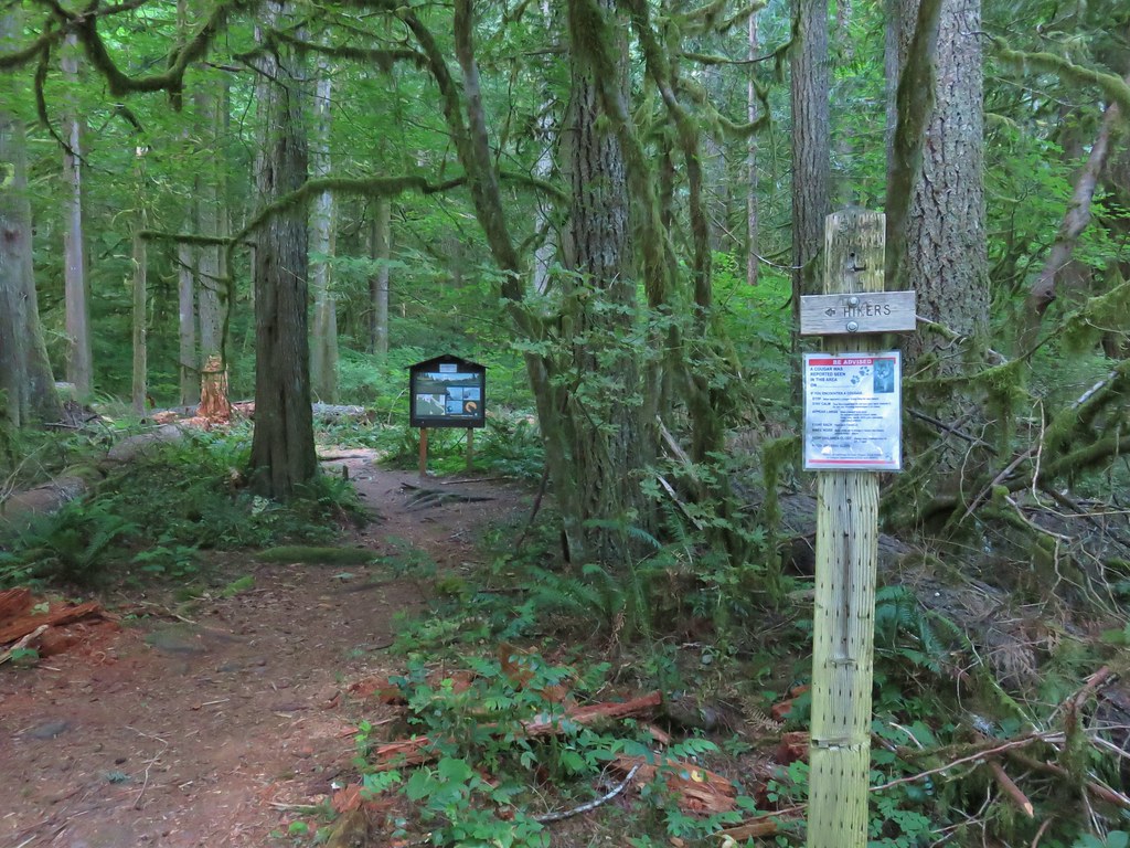
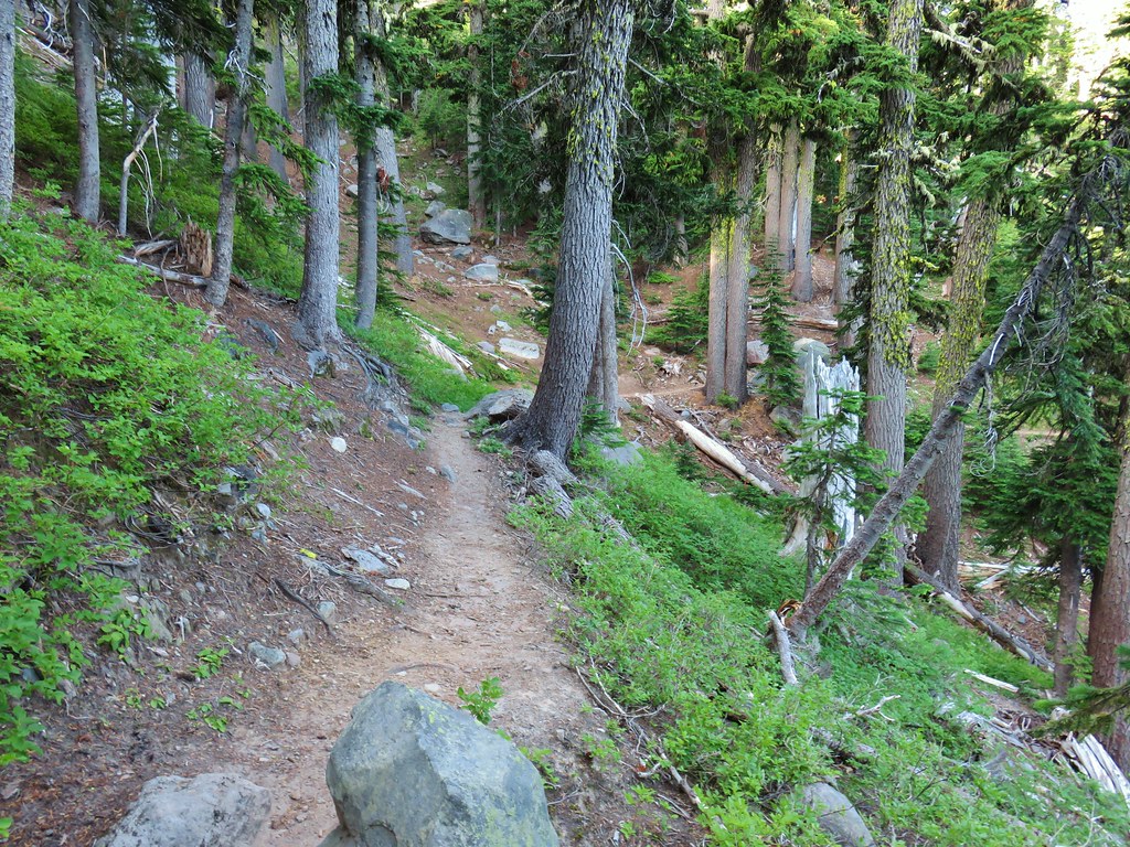
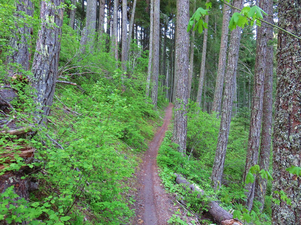
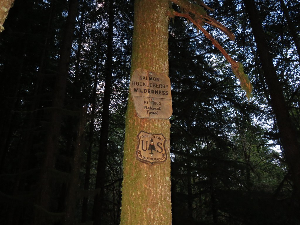
This trailhead is almost directly across Highway 26 from our previous hike, West Zigzag Mountain (post). Based on the forecast there was a really good chance that we’d get to see similar views of Mt. Hood that we’d missed the week before. Similar to that hike the Hunchback Trail began with a steep climb via a series of switchbacks which brought us into a wilderness area.


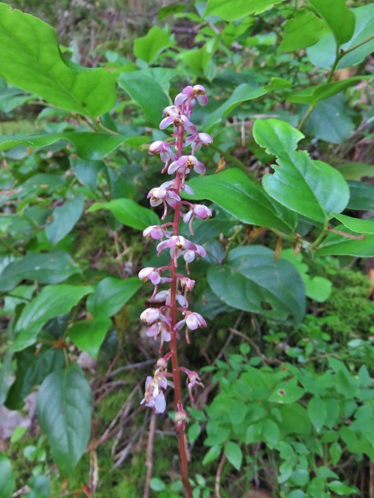 Pink pyrola
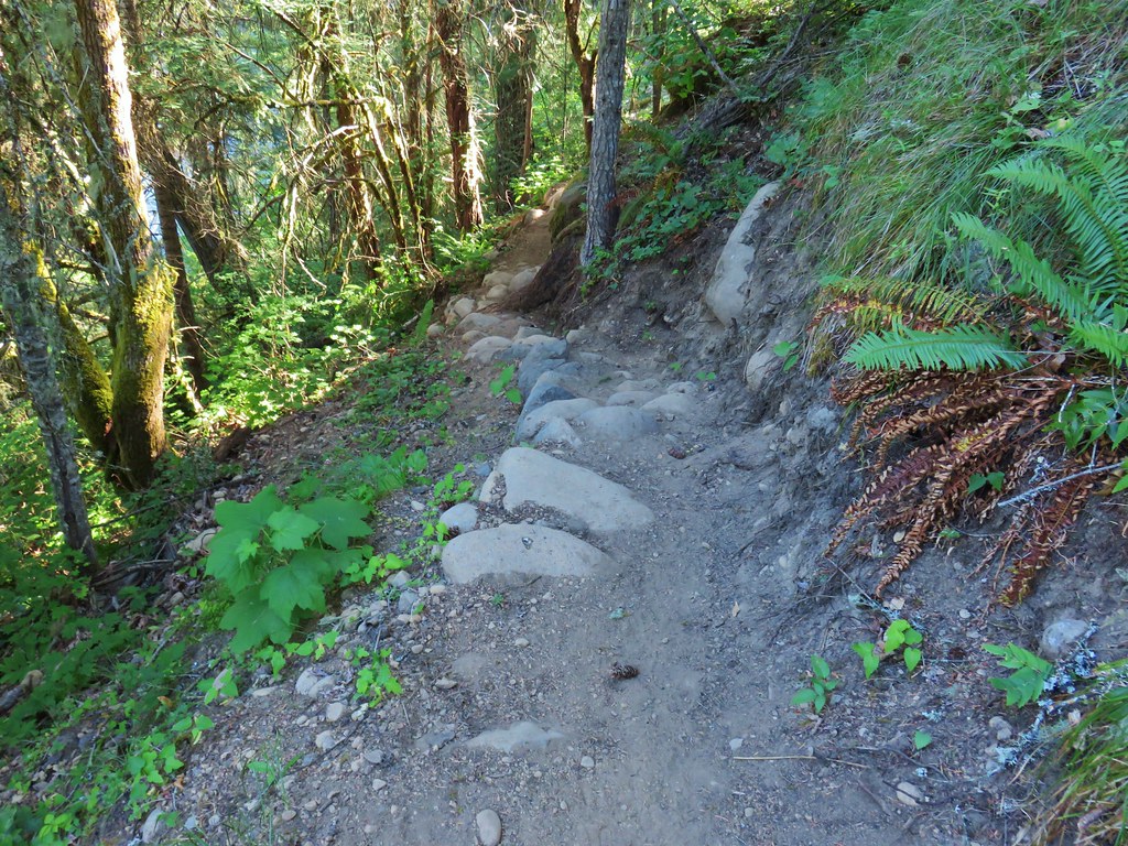
Unlike the Zigzag Mountain Trail, which was well graded and rarely felt steep, the Hunchback Trail felt quite steep at times.

 Switchback below a rock outcrop.
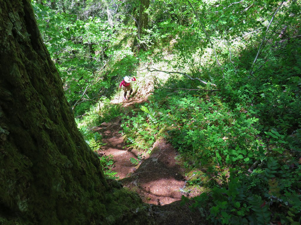
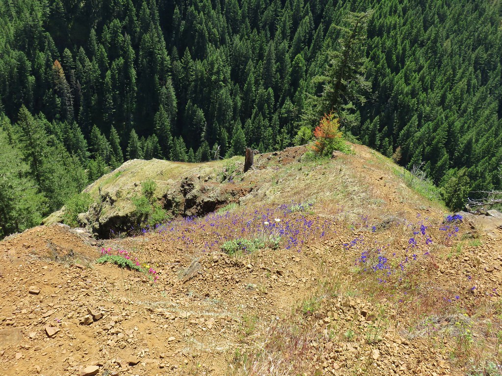
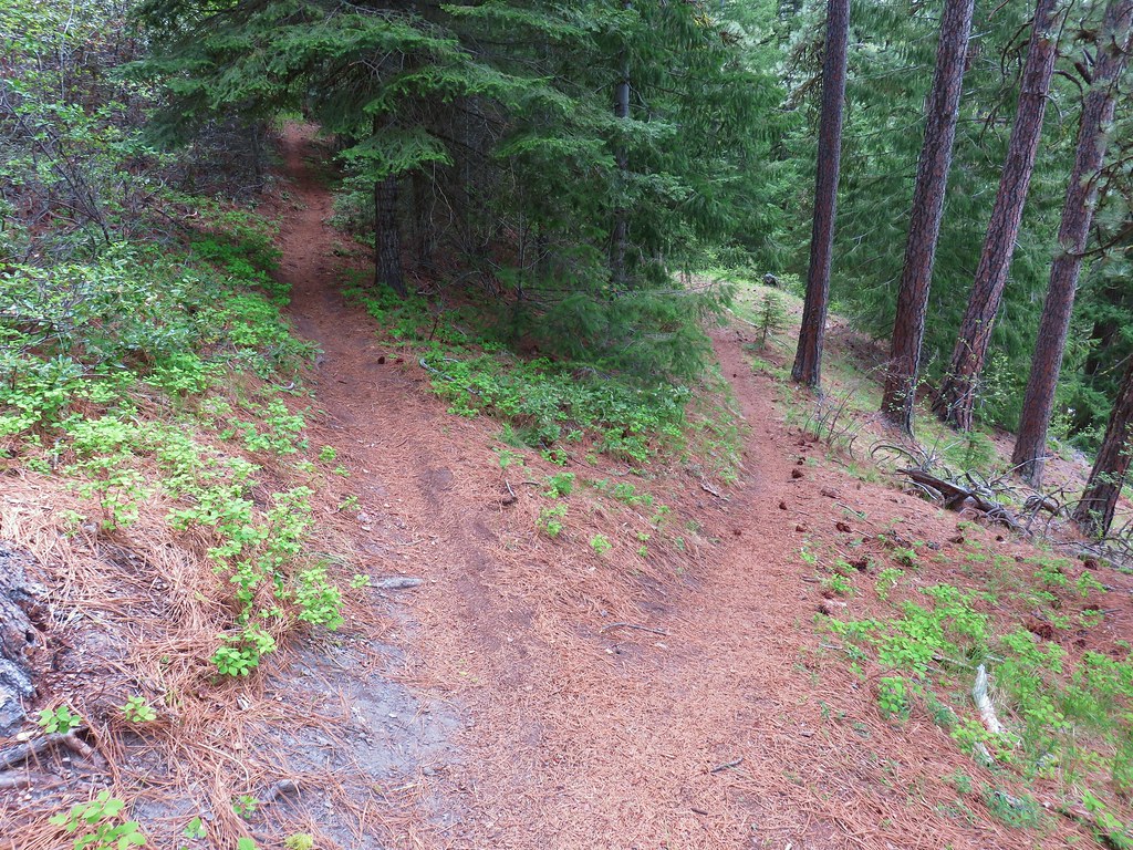
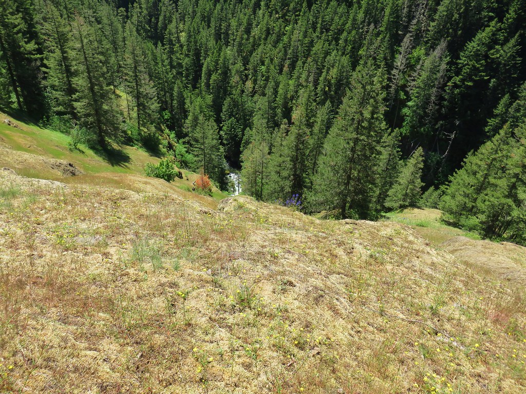
 Looking down the hillside from the trail.
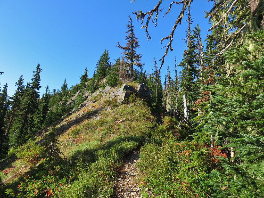
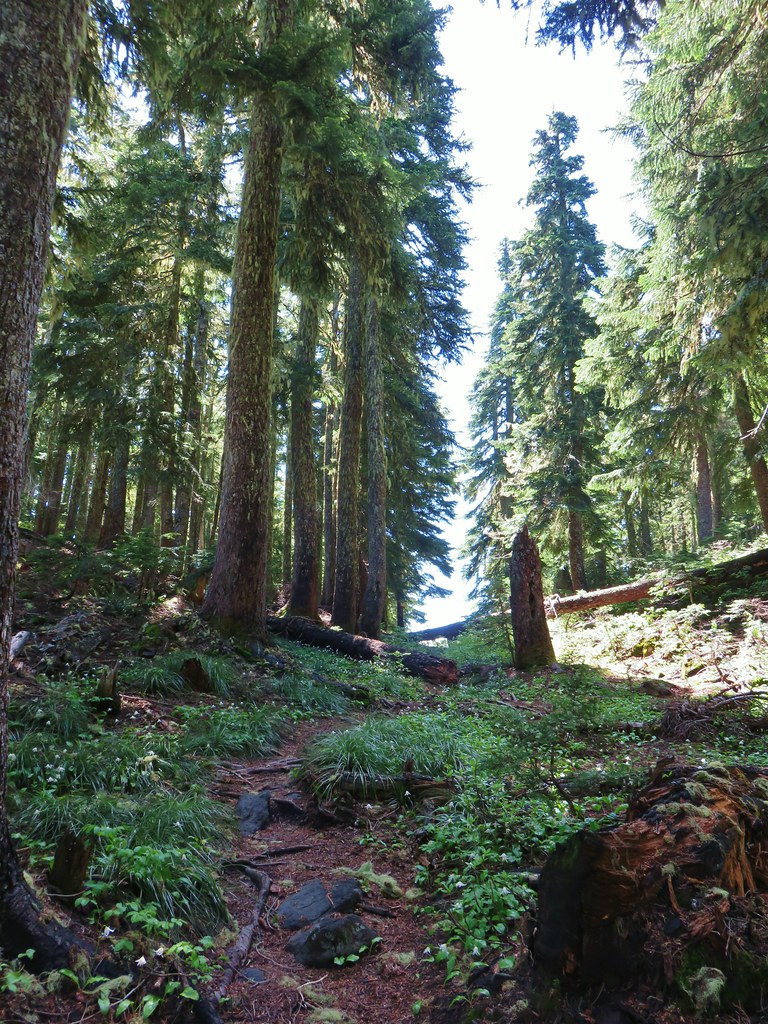
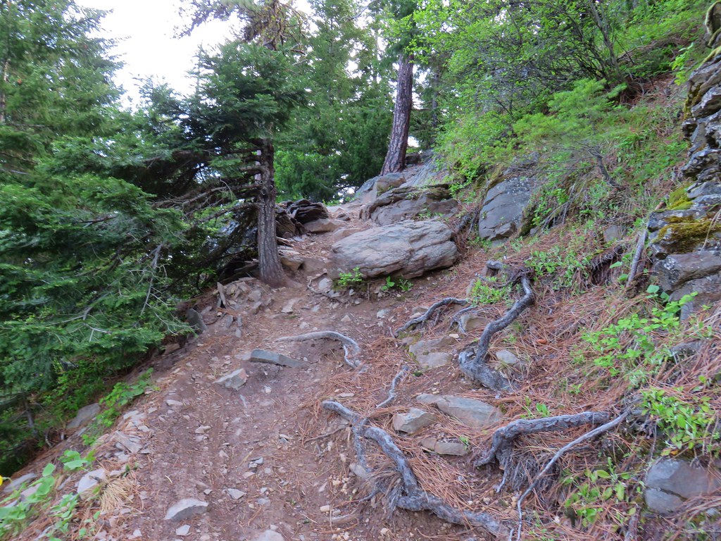
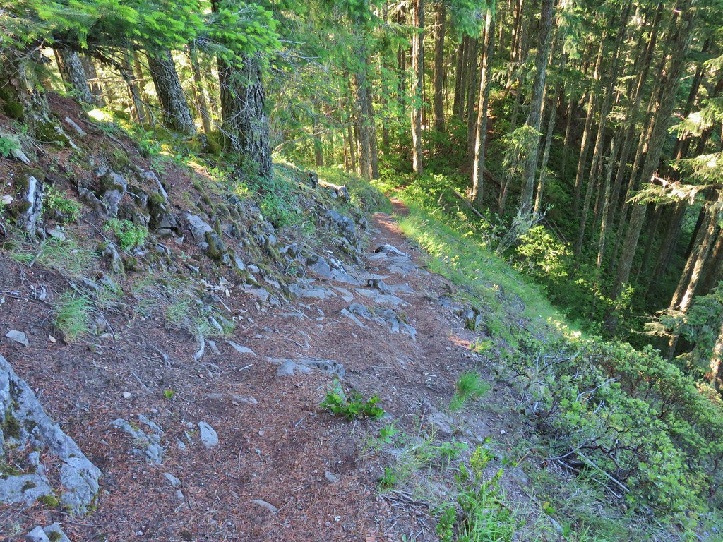 Trail dropping to a saddle.
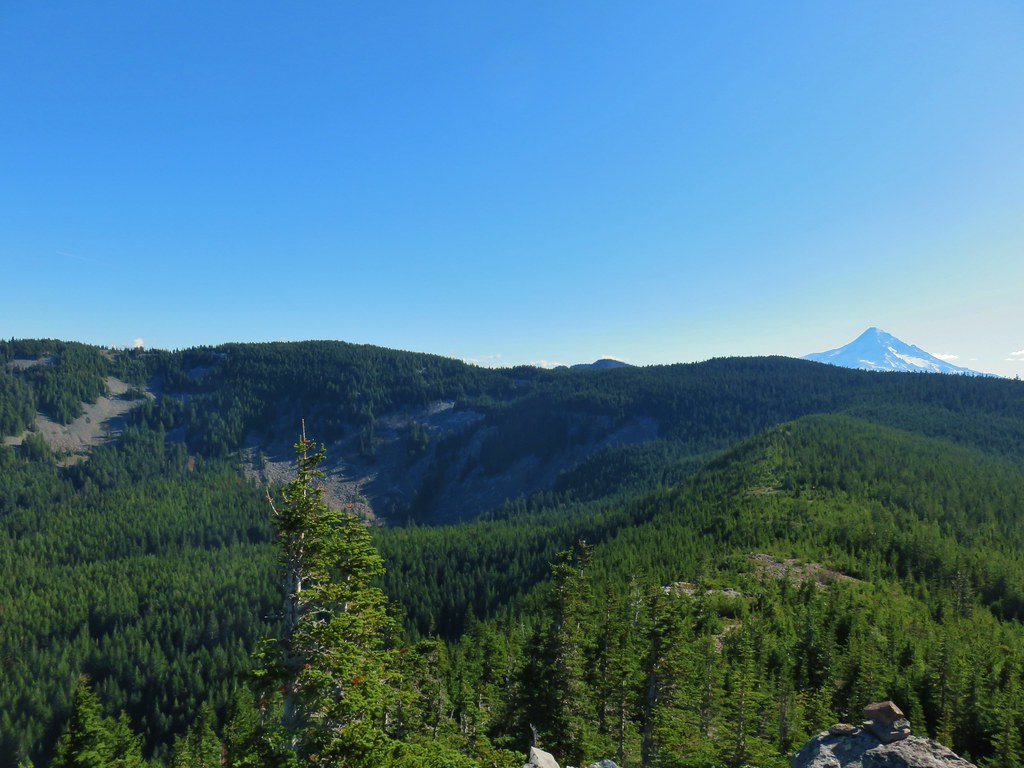
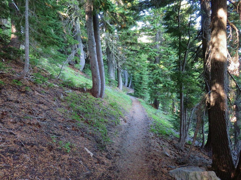
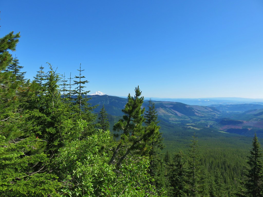
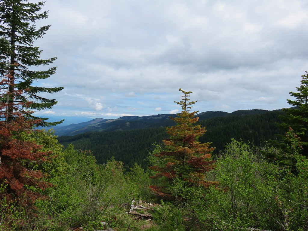
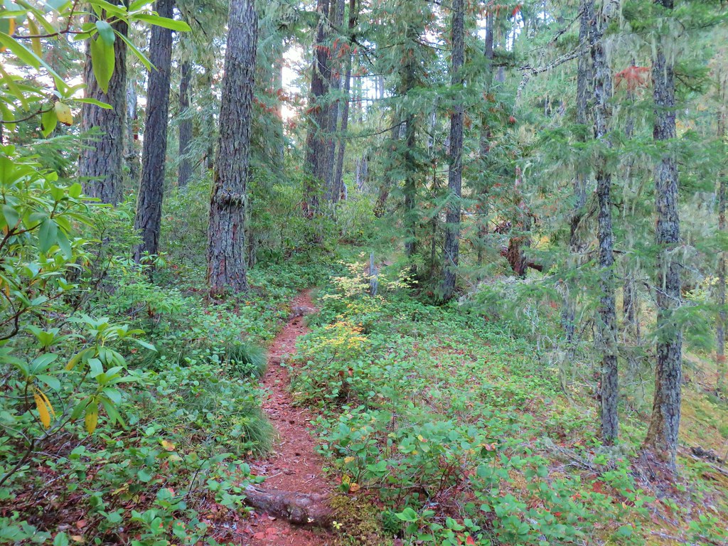
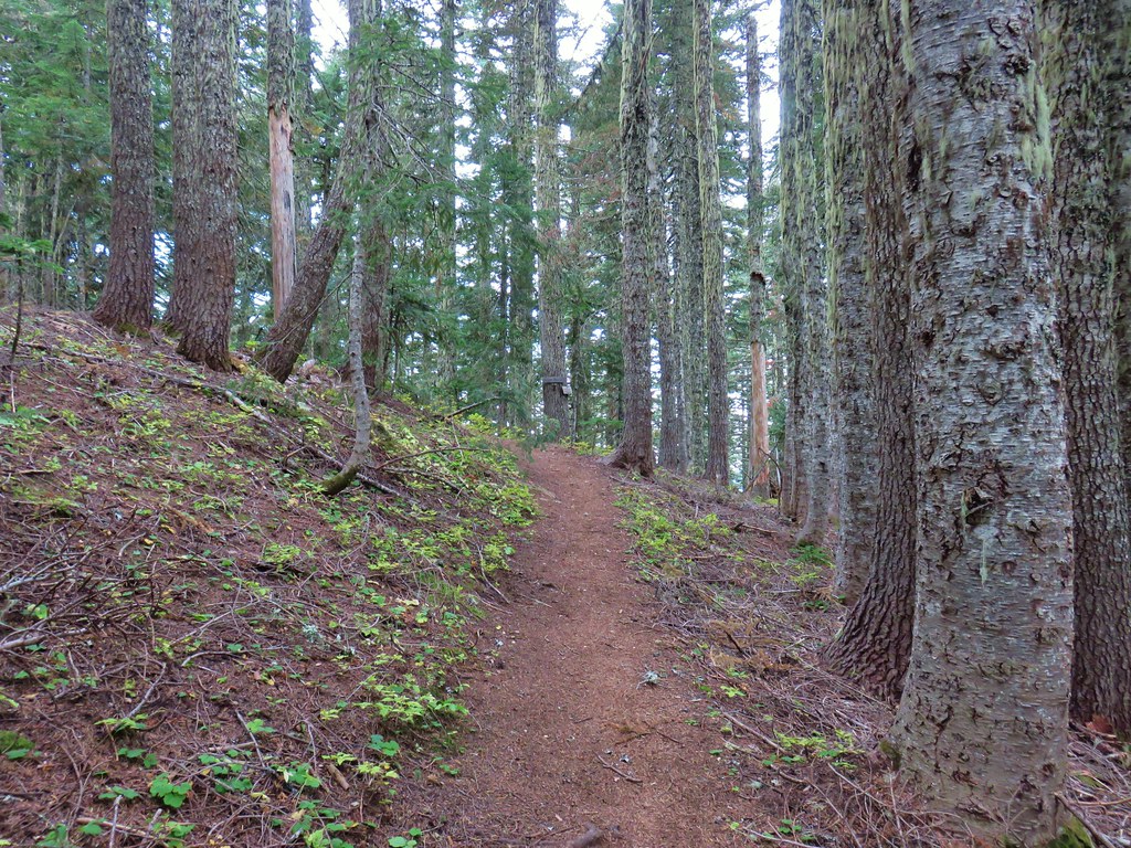
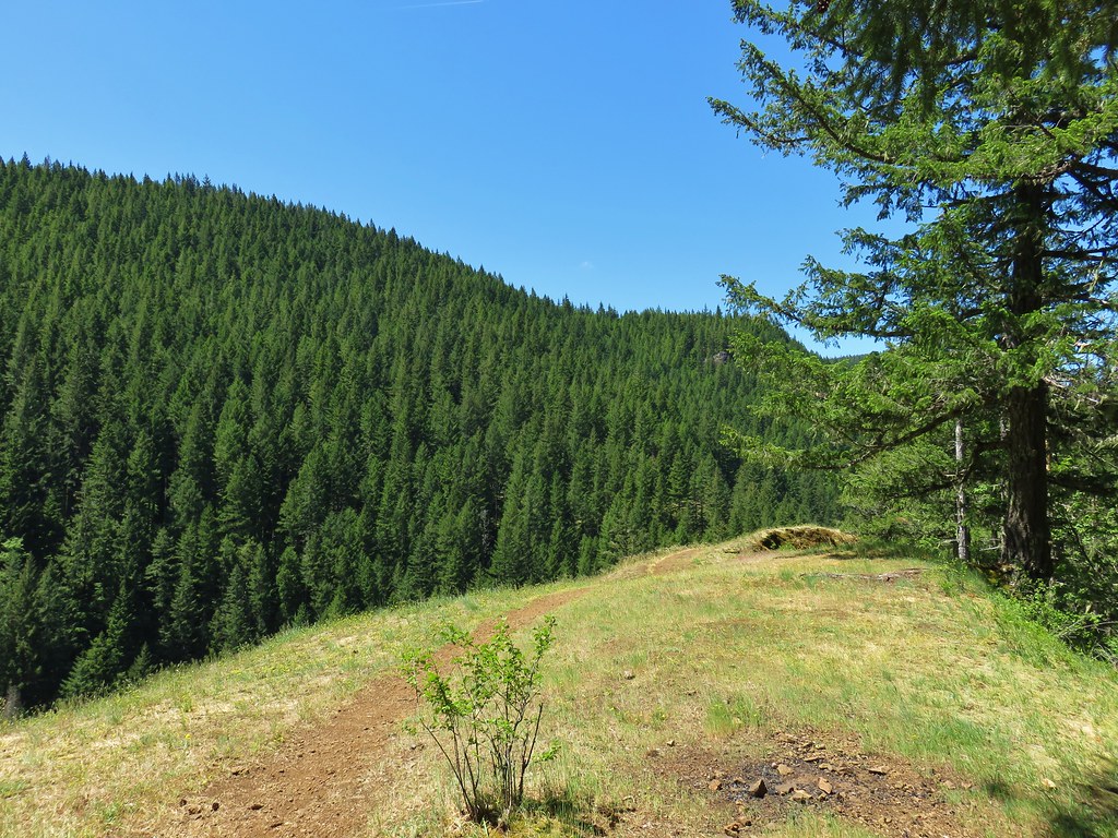
After nearly 1.75 miles of switchbacks the trail gained the ridge and turned SE following it for the remainder of the hike. After an up and down we gained our first limited view of the day to the south.
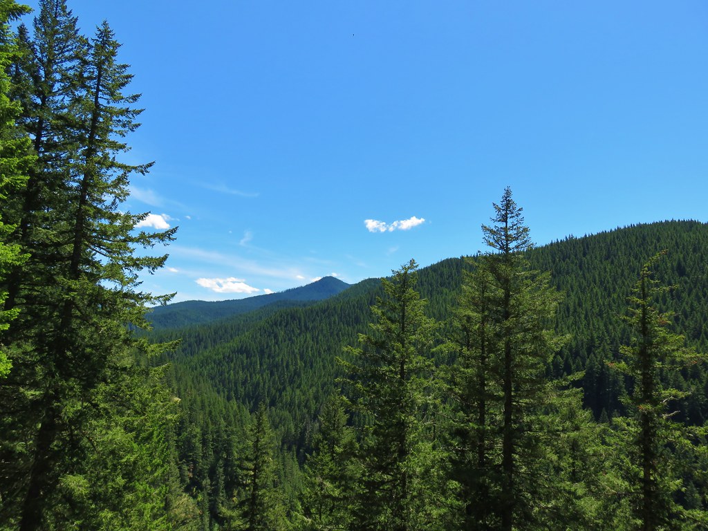
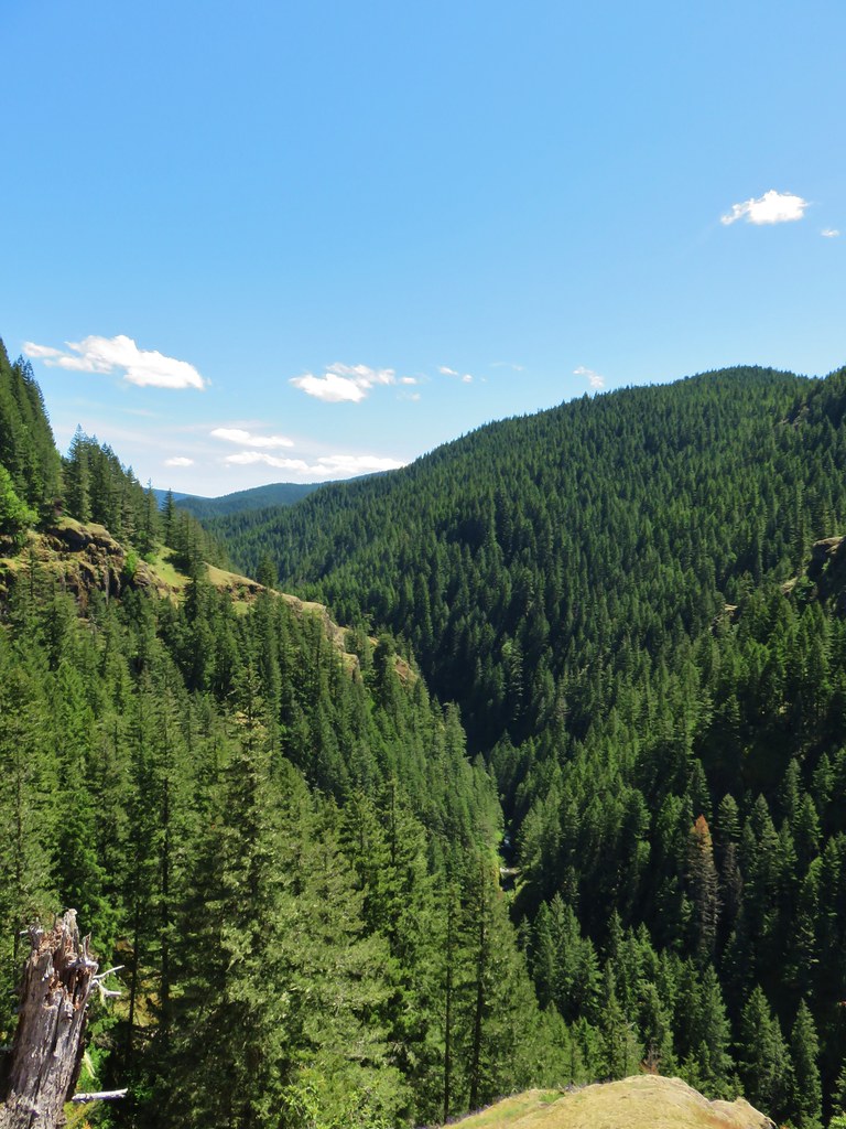
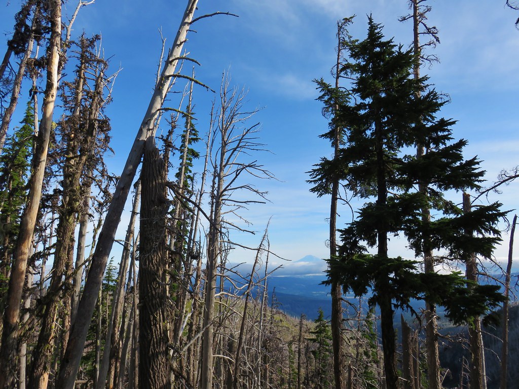
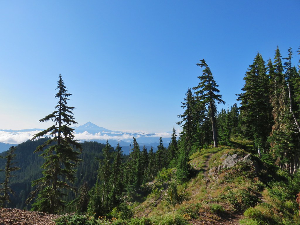
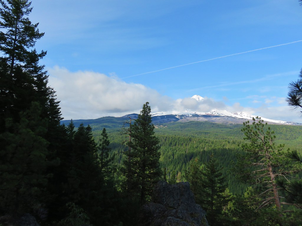
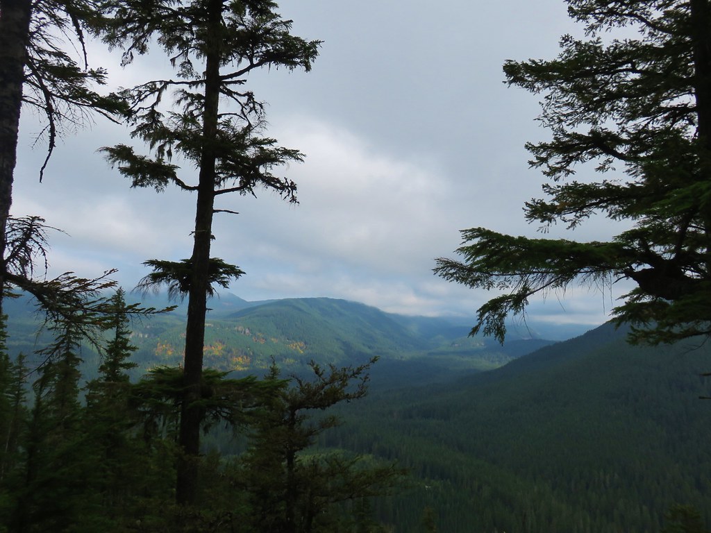
 Looking south across the Salmon River valley. The Bonanza Trail (post) climbs the ridge to the right up to Huckleberry Mountain (hidden behind the first tree on the right).
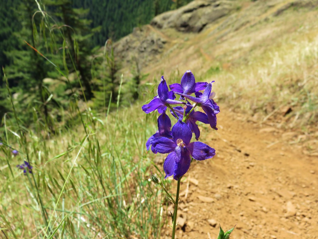
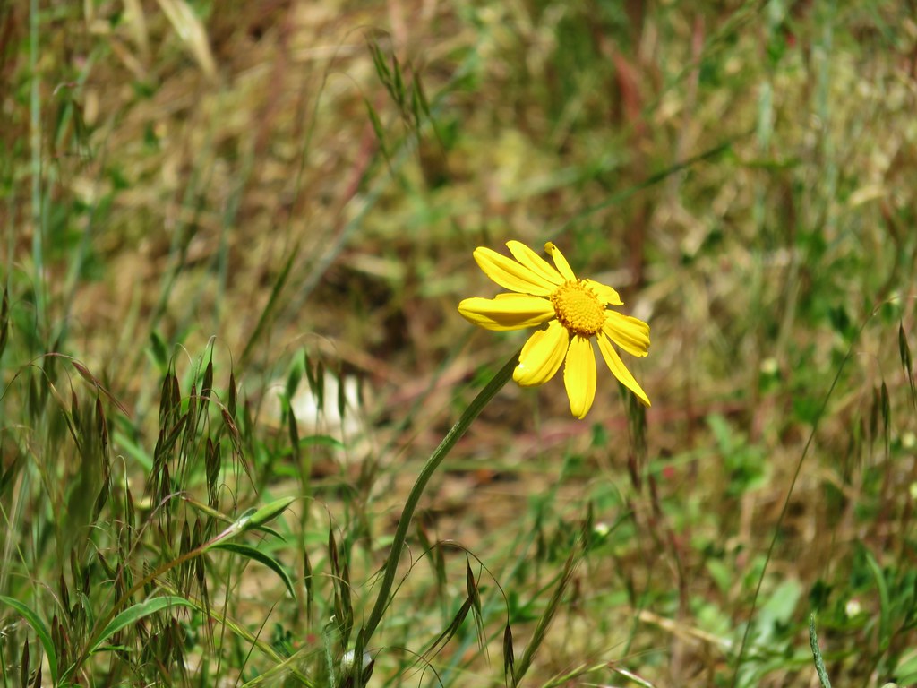
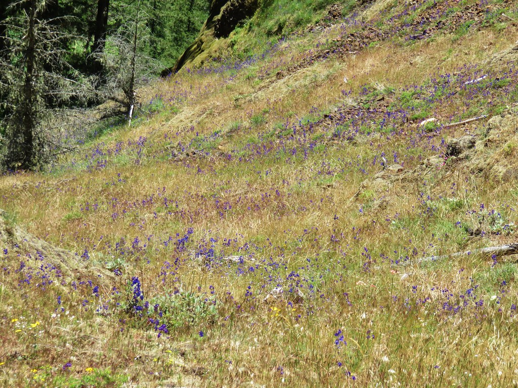
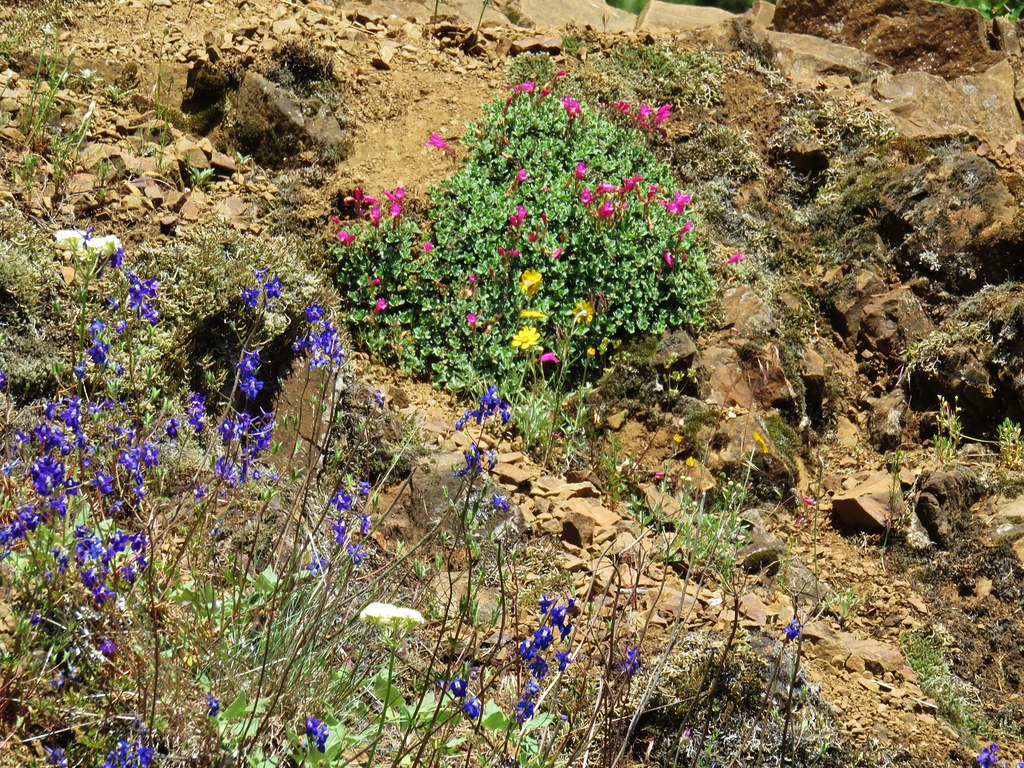
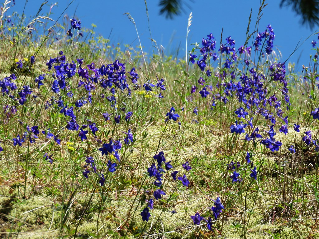
The ridge was a little more open than the forest below allowing for a wider variety of flowers.
 Beardstongue (penstemon)
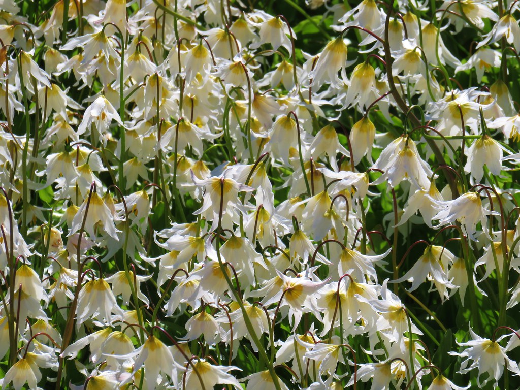
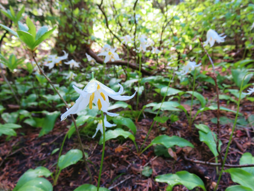
 Washington lily
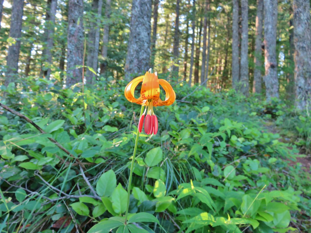 Tiger lily
 Penstemon
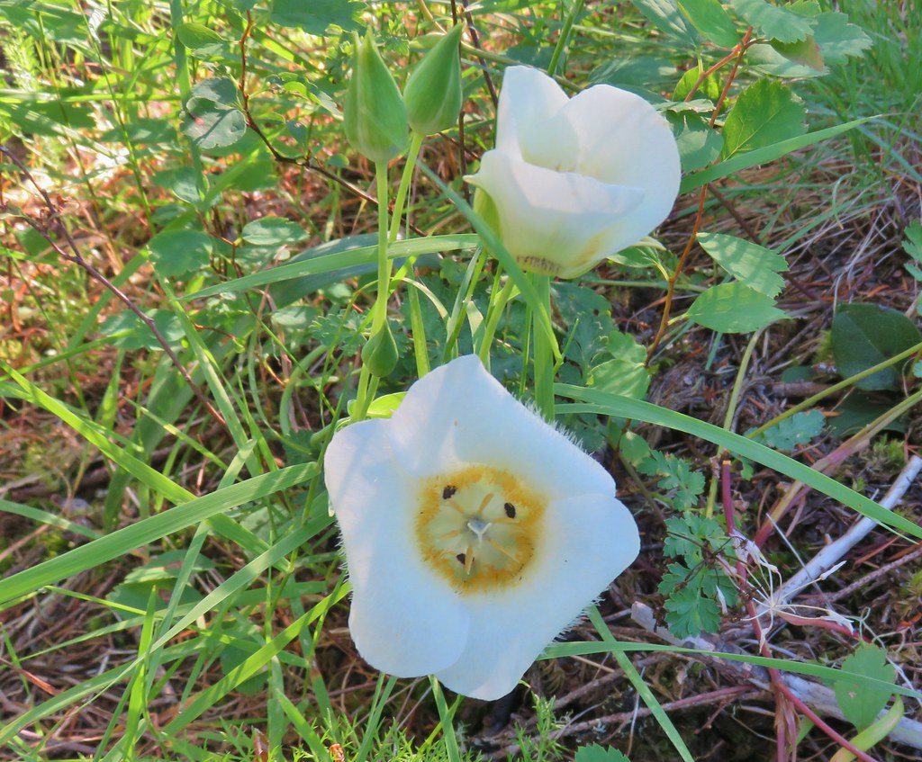 Sub-alpine mariposa lily (cat’s ear lily)
 Yarrow
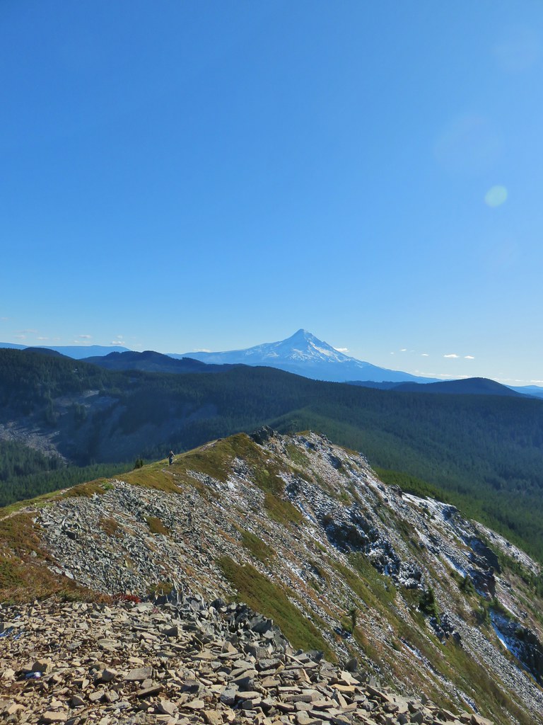
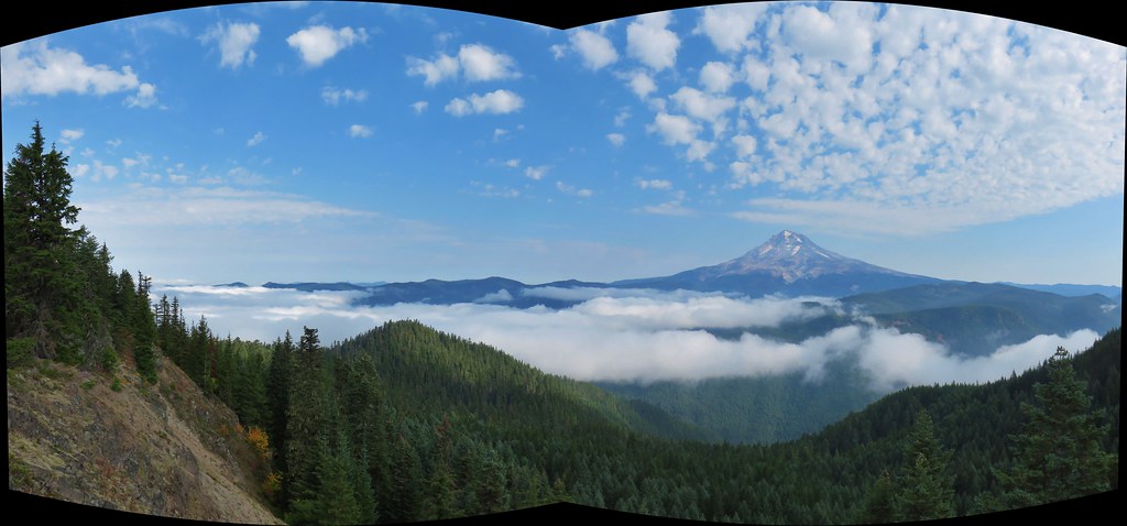
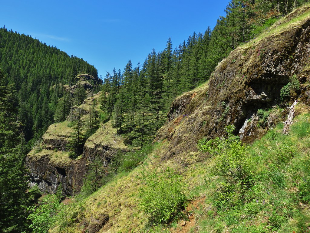
The first really good view came after just over two miles when the trail climbed steeply up to a catwalk along rimrock cliffs.
 Starting the steep climb.
 Coming up to the cliffs.
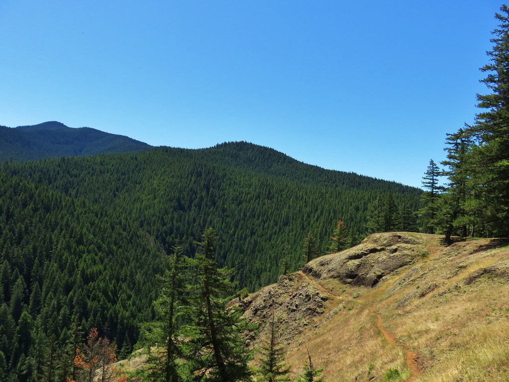
 Cliffs along the trail.
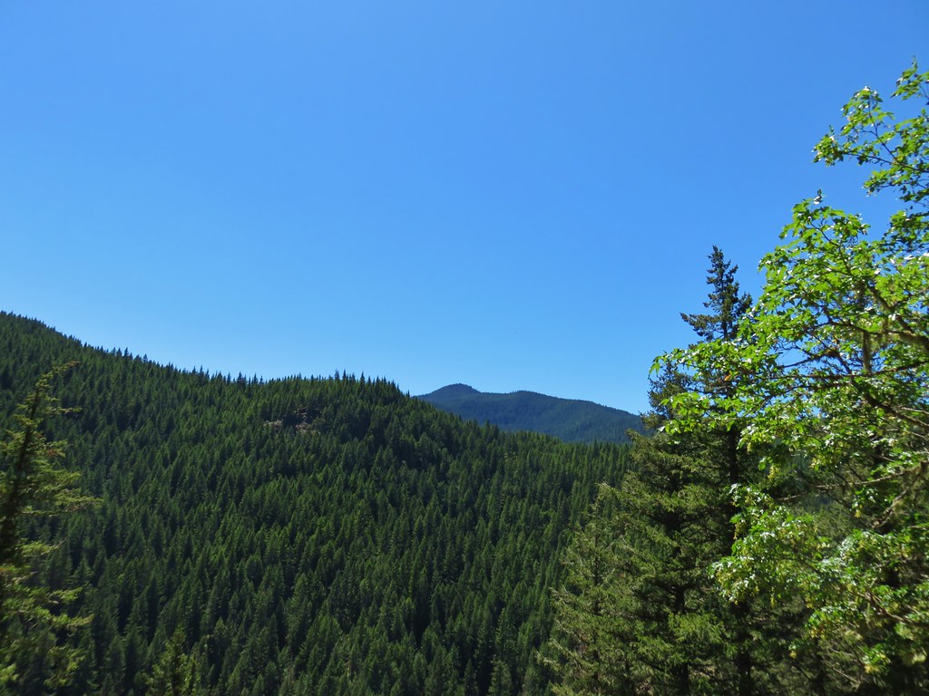
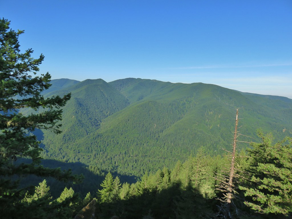 Huckleberry Mountain
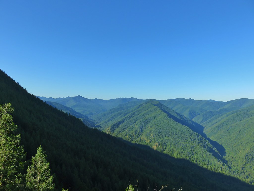 Salmon Butte (post) (tallest peak on the left and Tumala Mountain (post) (pointy peak furthest back and right)
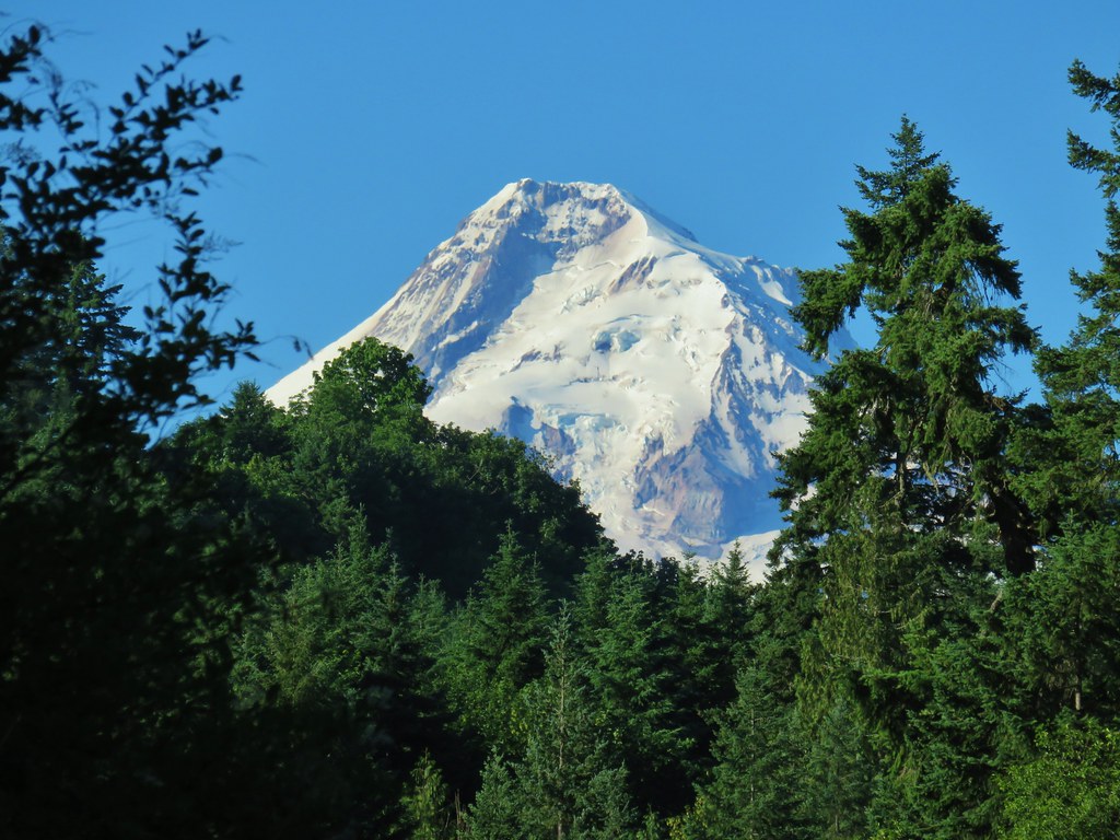
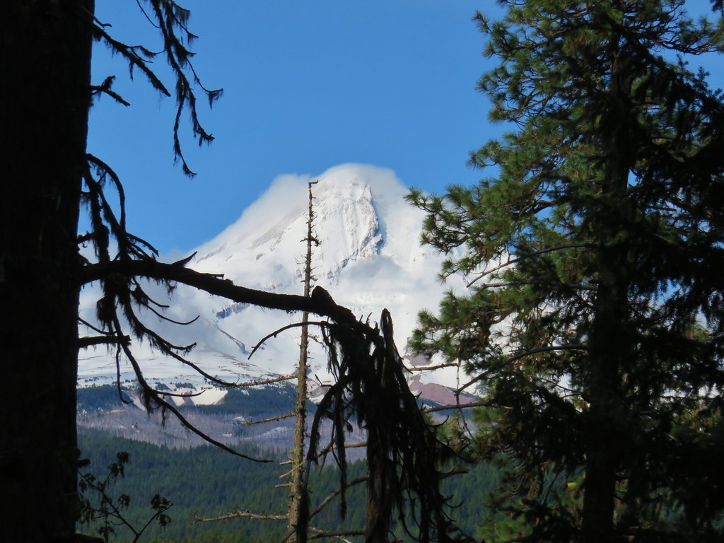
While Mt. Hood was visible through tree branches to the north there wasn’t enough of a view for photos. There were however plenty of flowers to take pictures of.
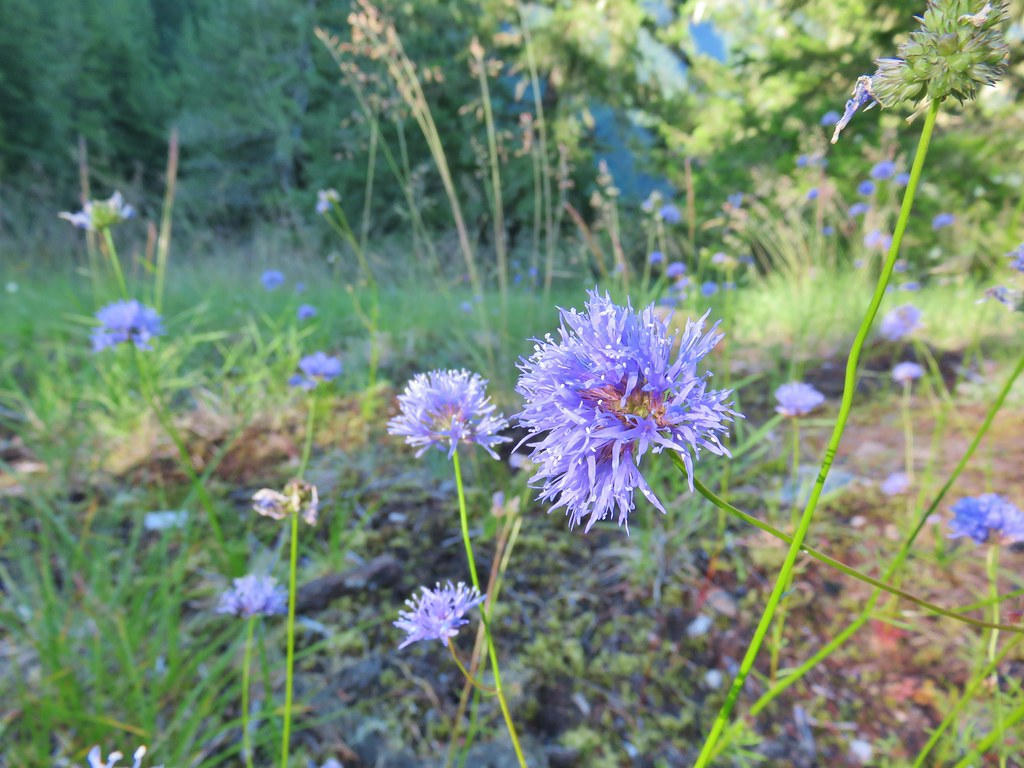 Blue-head gilia
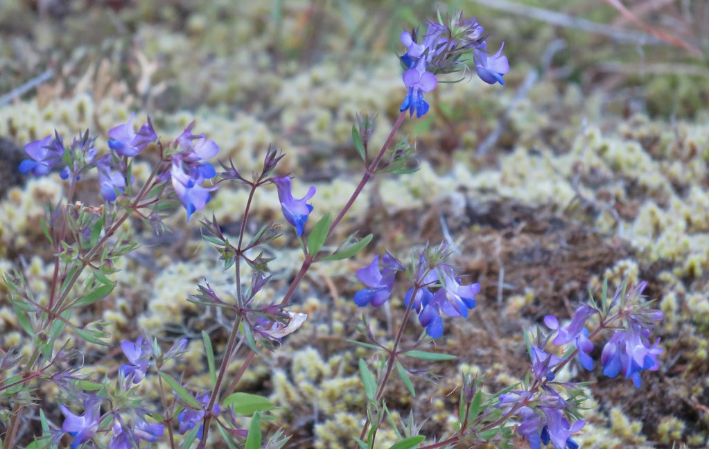 Blue-eyed Mary
 Oregon sunshine, blue-head gilia, penstemon and yarrow.
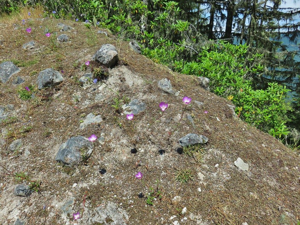
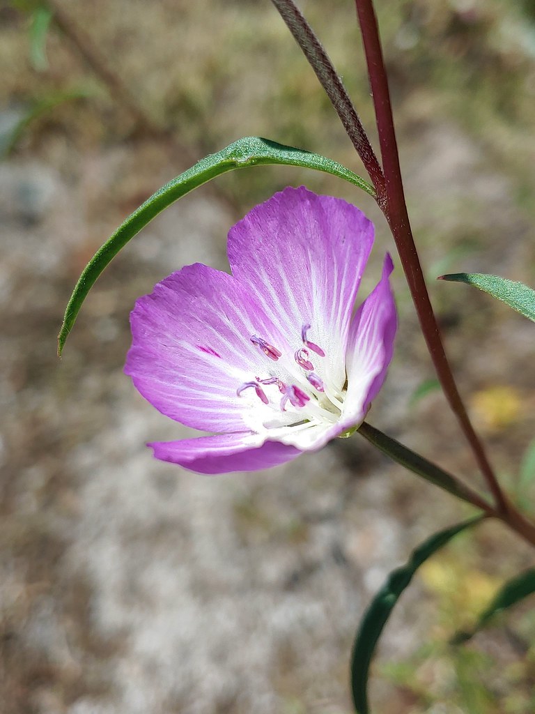
There was also quite a bit of clarkia present but it was too early in the day for the blossoms to be open so they would have to wait until we came back by later.
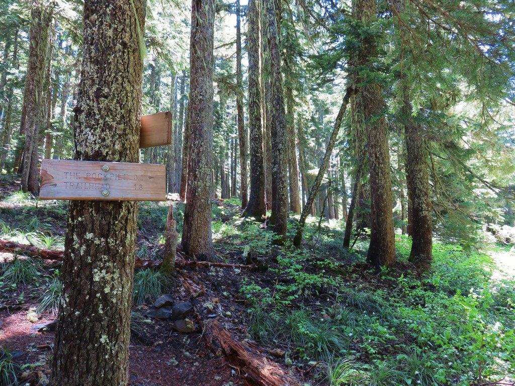
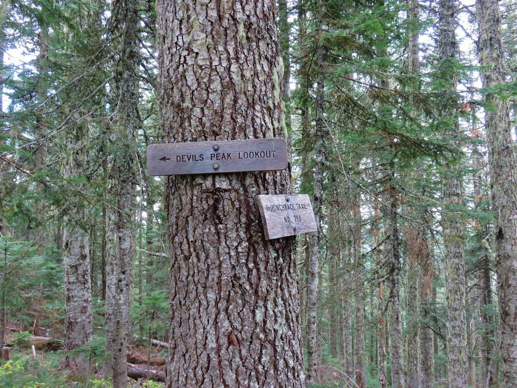
At the end of the cliffs the trail dropped back into the forest then almost immediately climbed steeply again arriving at a sign (on the opposite side of a tree) for the Rockpile Viewpoint.
 Trail dropping toward the forest.
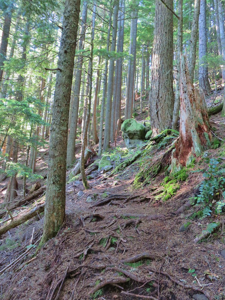 Trail starting to climb again.
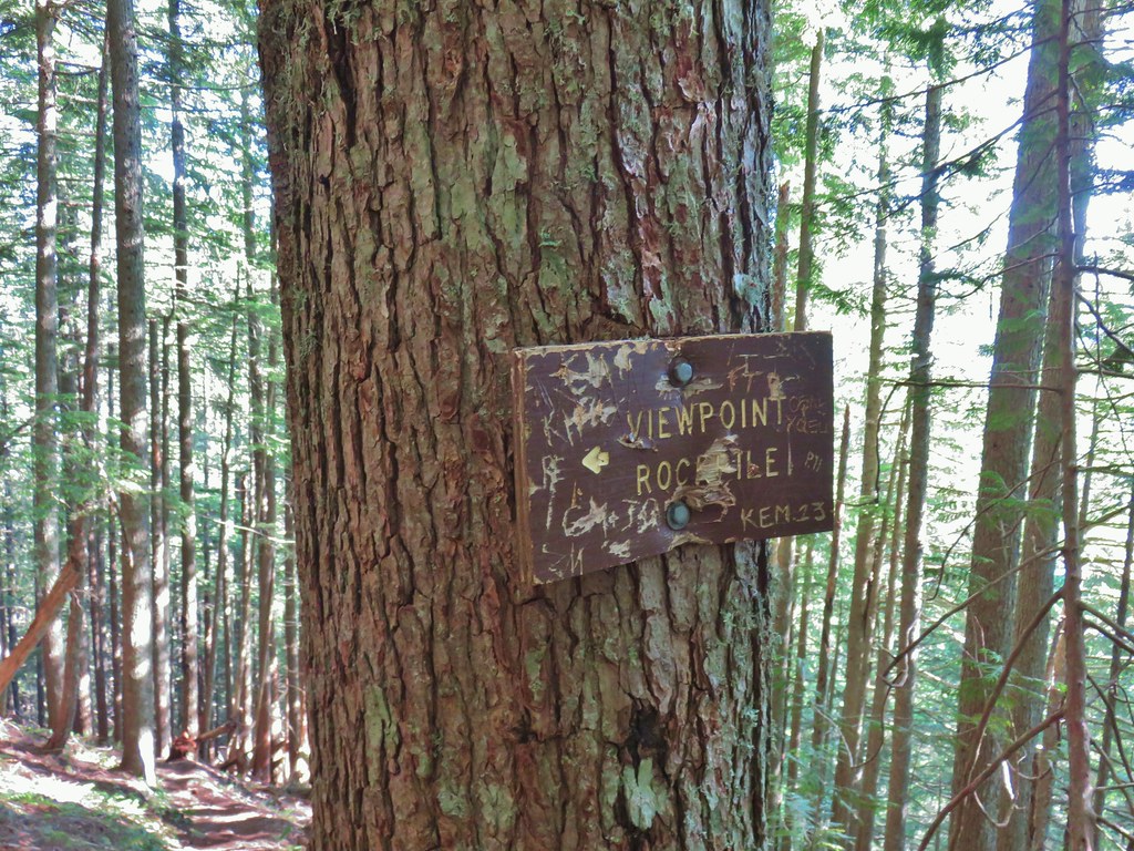 Sign for the viewpoint.
The side trail headed steeply uphill and quickly devolved into a web of possible paths.

We followed what appeared to be the “best” route uphill for about 60 yards to the base of the “Rockpile”.
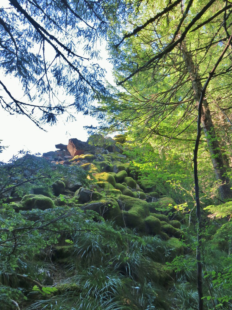
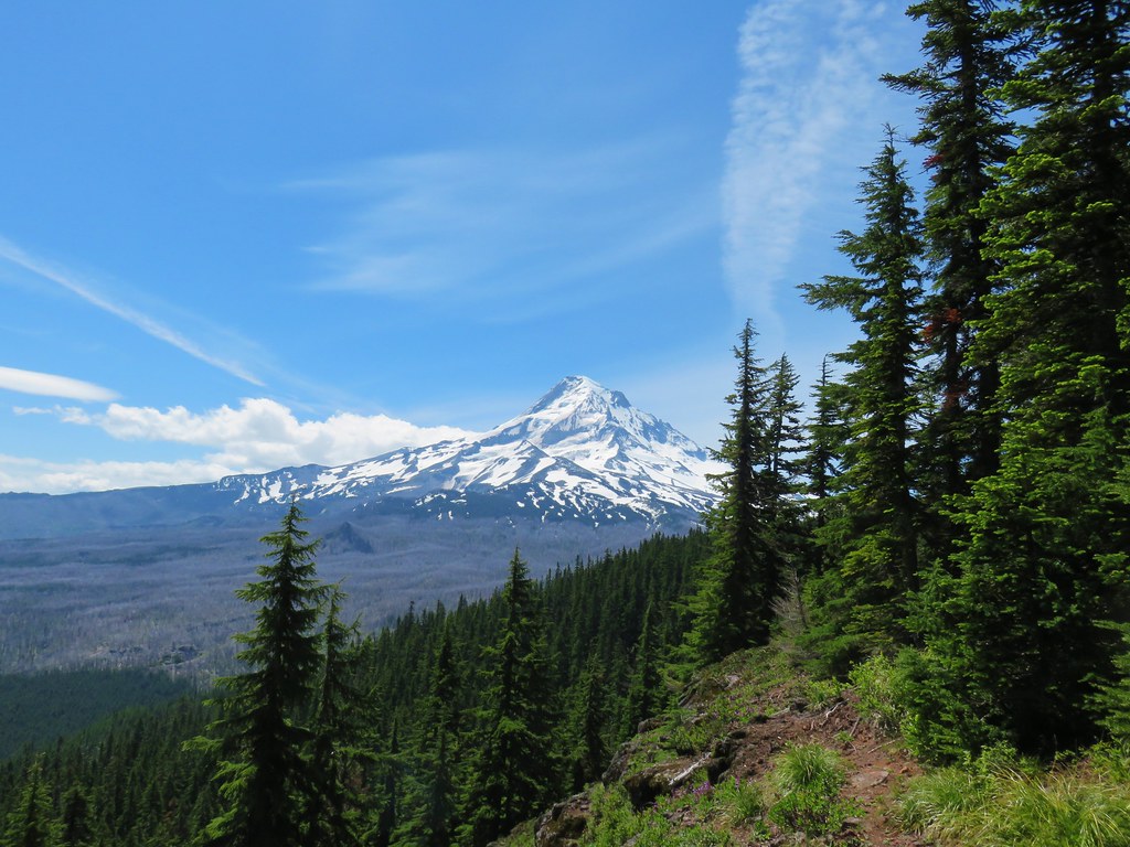
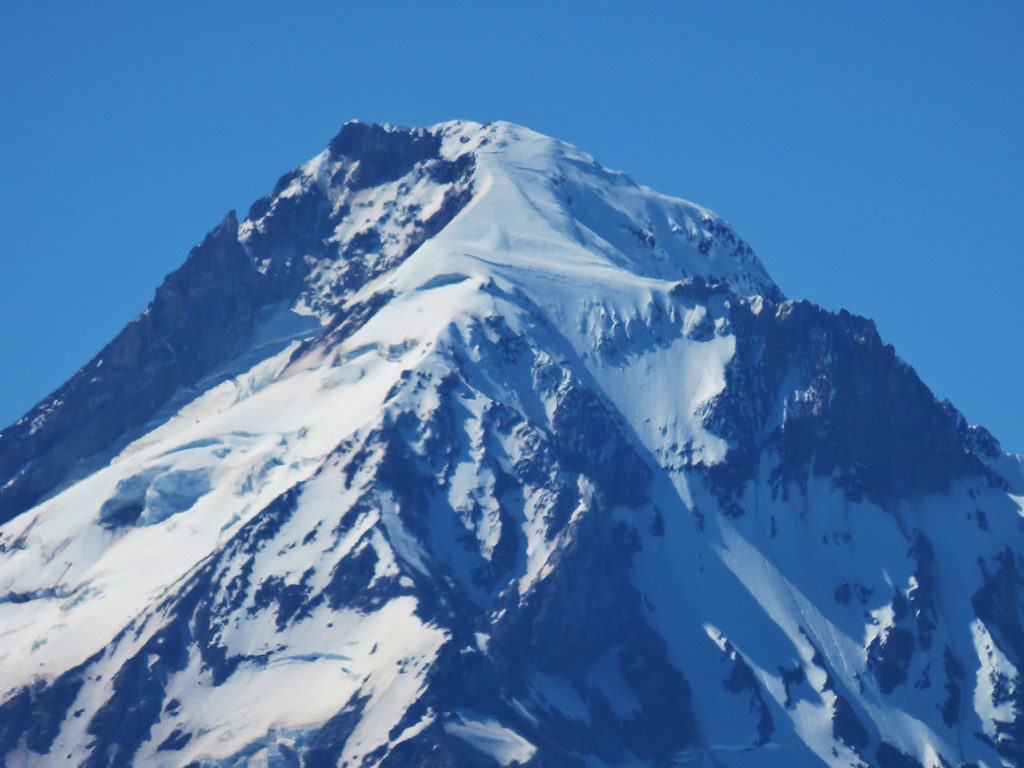
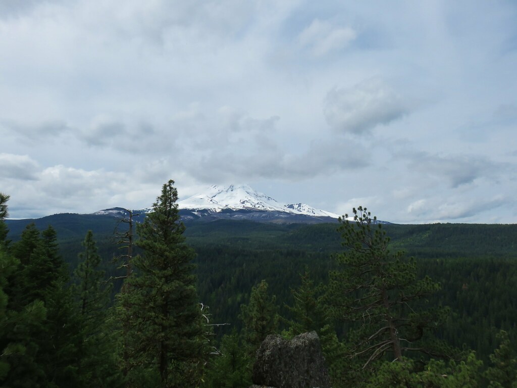
I scrambled up through the rocks enough to see that while it was a great viewpoint for Mt. Hood it was still a little too early for it as the Sun was right above the mountain.
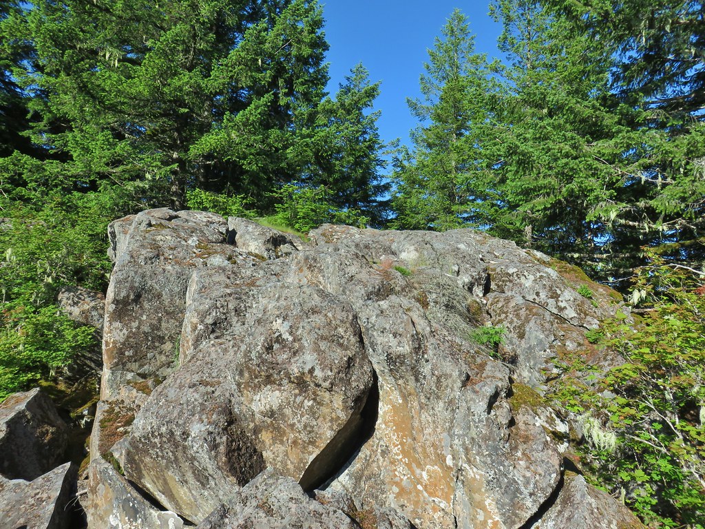 The top of the rocks.
 Washed out view of Mt. Hood
I let Heather know it probably wasn’t worth the effort to scramble up right now and we decided to stop on our way back instead.
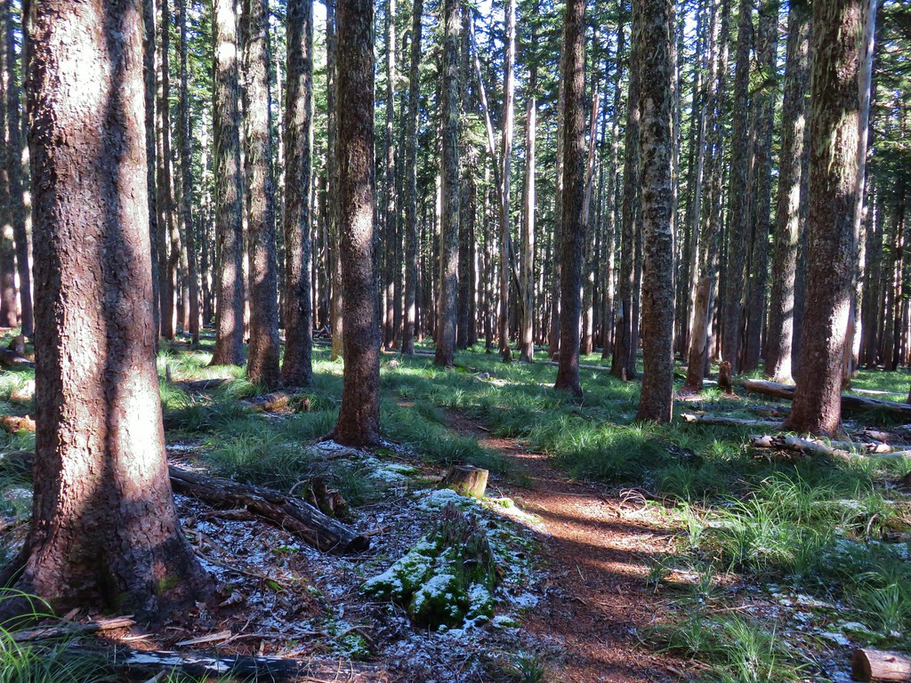
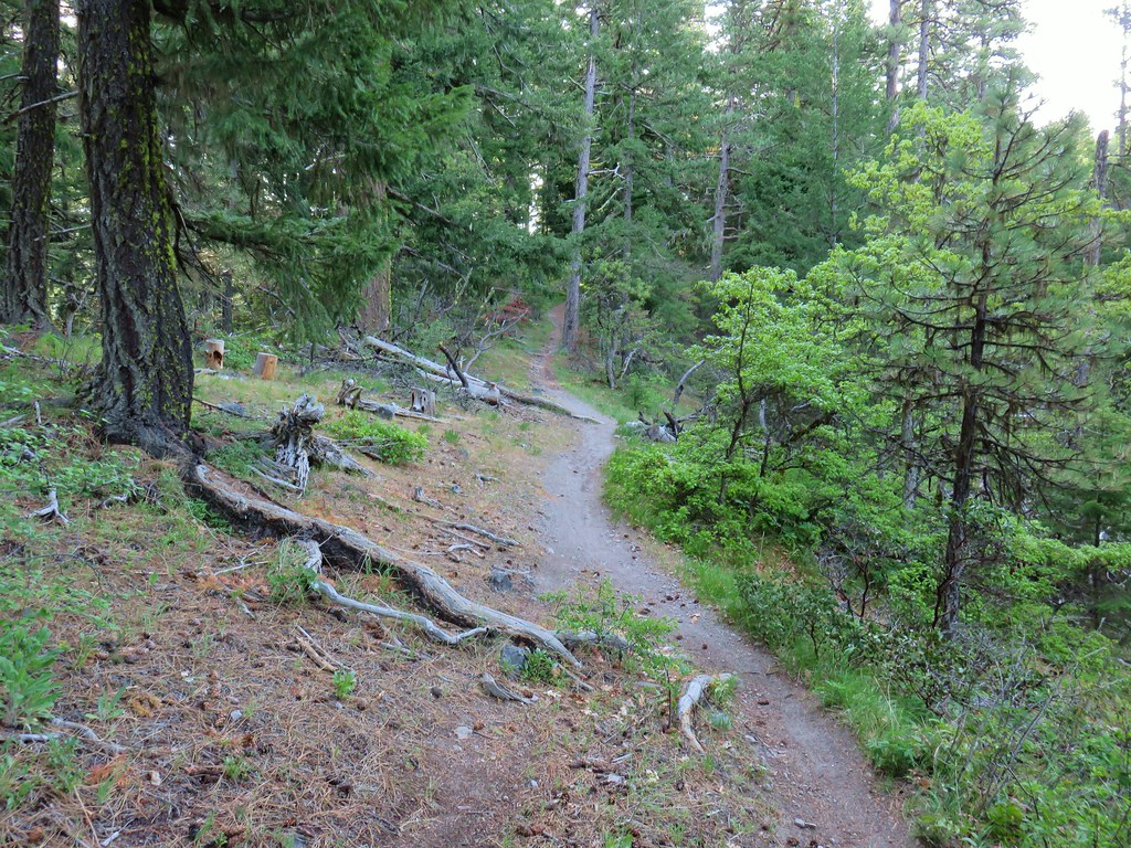
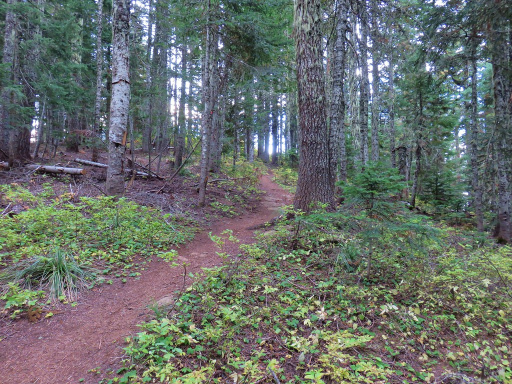
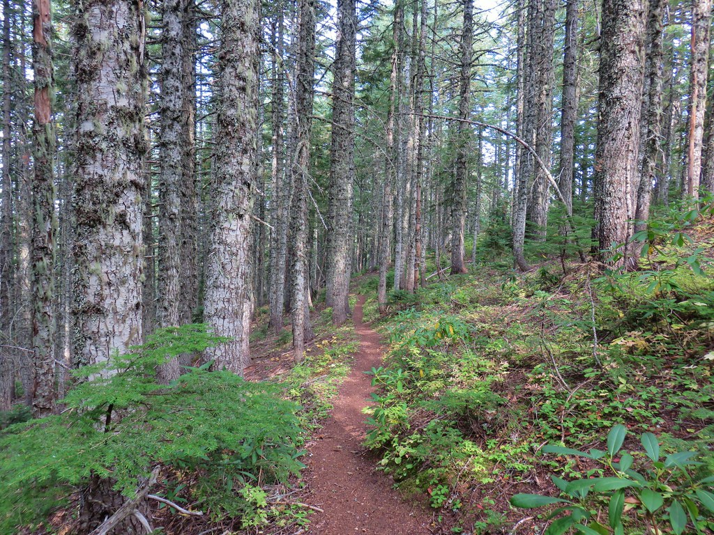
After scrambling back down to Heather we returned to the Hunchback Trail and continued SE along the ridge. The next mile was the gentlest section of the trail as it continued to do some ups and downs but they were only little rises and drops with some level trail mixed in.


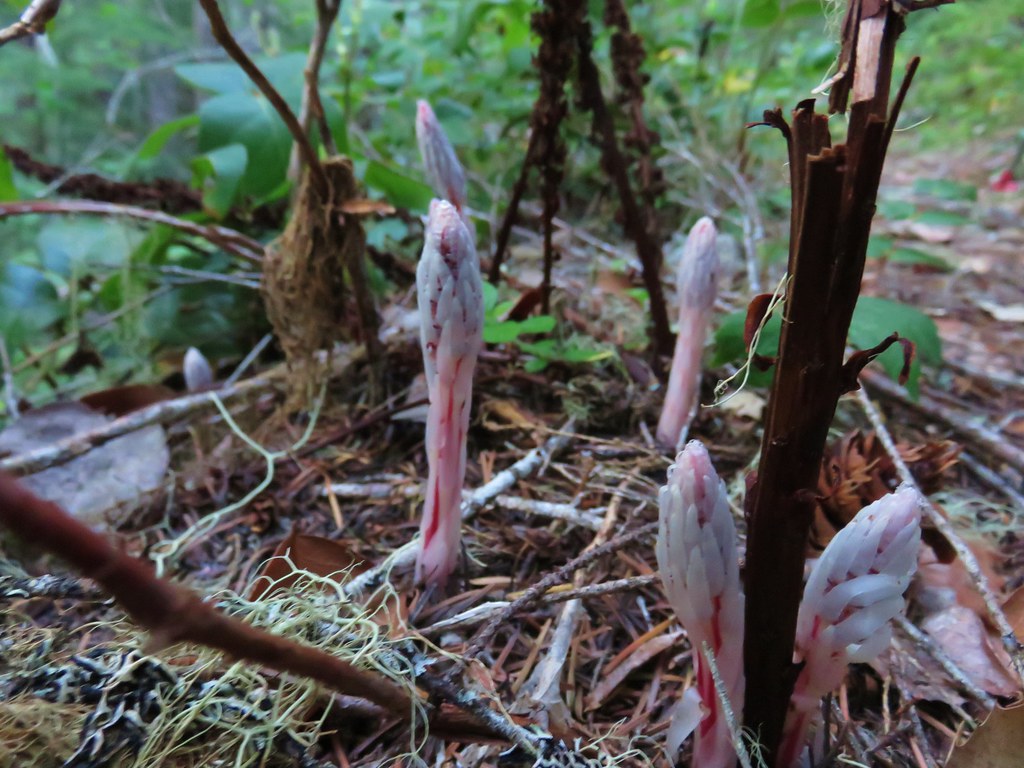
The forest here was home to a number of flowers that rely on their relationship to fungi to survive.
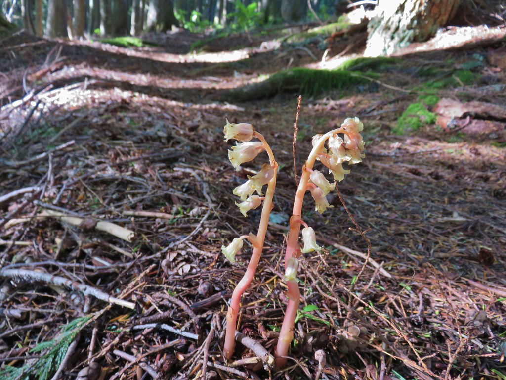 Pinesap
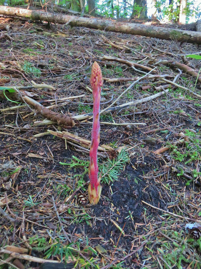 Pinedrop
 Pacific coralroot
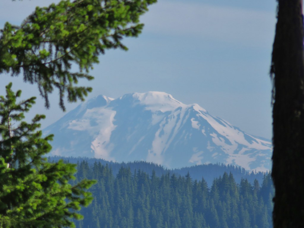
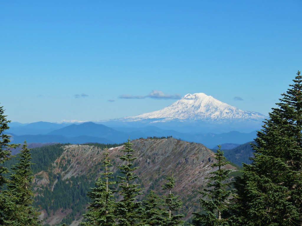
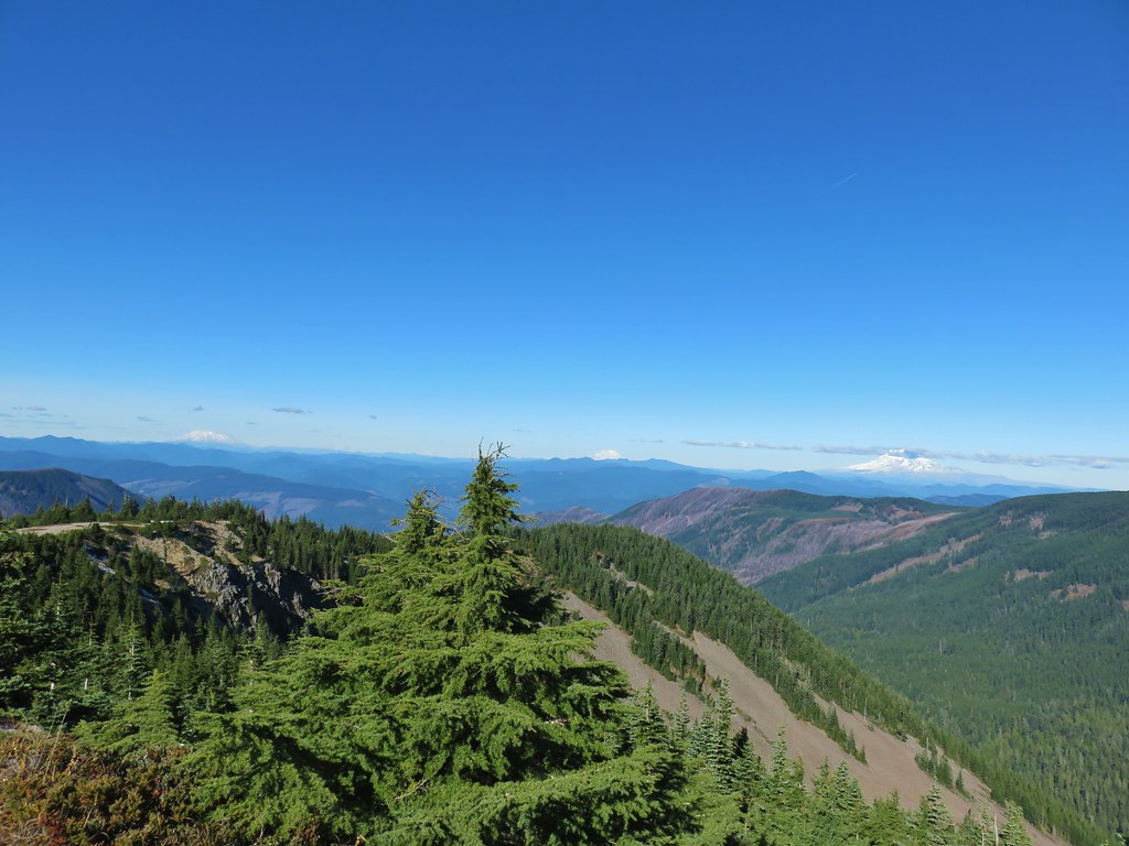
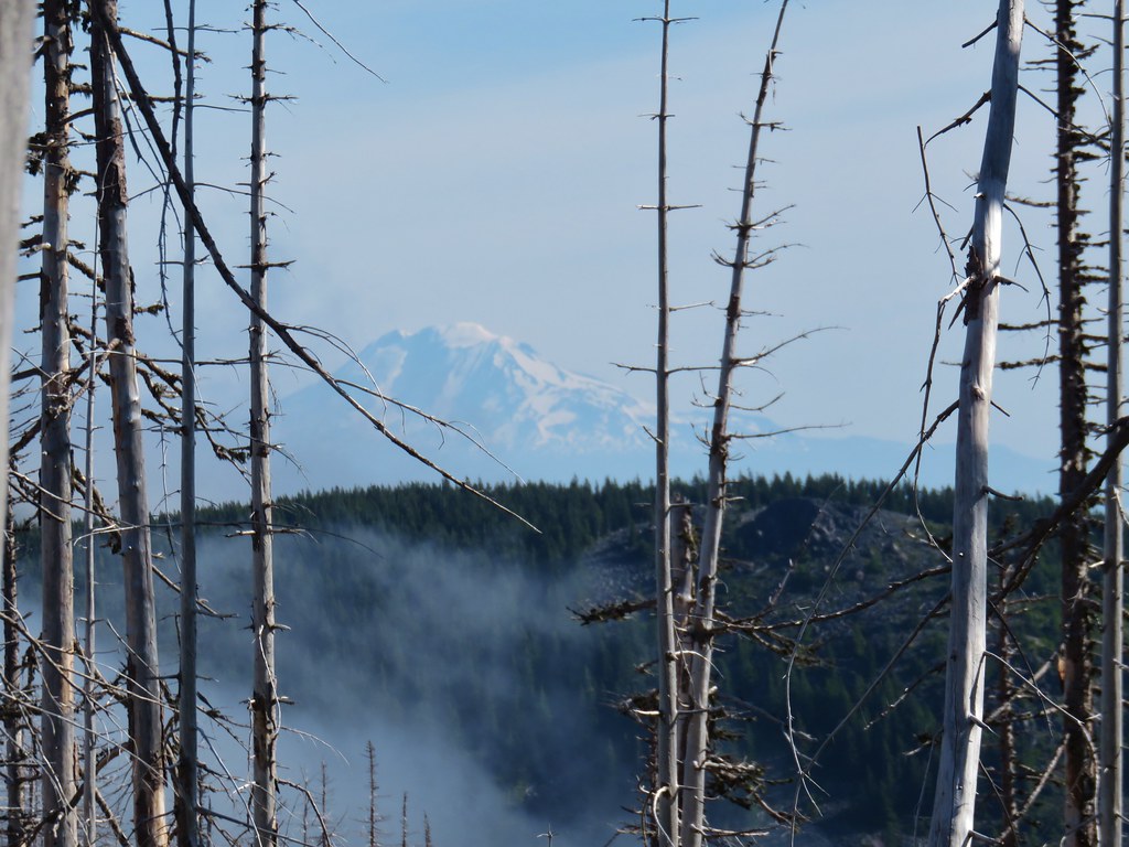
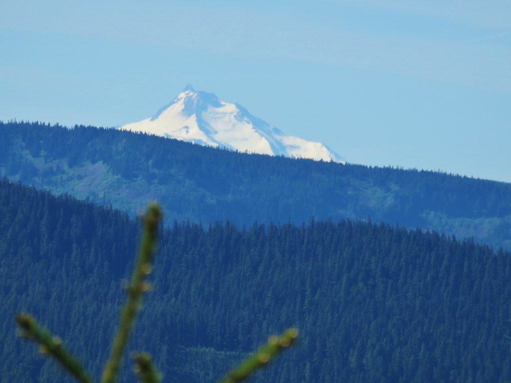
We also got a brief glimpse of Mt. Adams at one point through some trees.
Approximately 1.1 miles from the side trail to the Rockpile Viewpoint another side trail split off to the right. This one was much fainter and there was no sign where it left the Hunchback Trail but it headed uphill to the right toward some rocks.

We suspected that this trail led to the Helispot Viewpoint, but we weren’t positive and Sullivan described the view as overgrown so we decided not to follow this path just in case it wasn’t to the viewpoint. A hundred or so feet down the trail we wound up passing a sign (again on the opposite side of a tree) for the Helispot Viewpoint. There didn’t appear to be an actual route from the sign though as it was simply pointing at a hillside covered with rhododendron bushes.

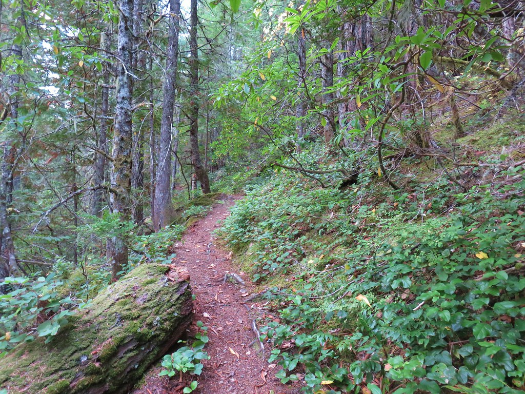
We decided that on the way back we would take the route we’d seen above and continued on. Over the next mile the trail spent quite a bit of time on the east side of the ridge where the tread was wearing and rhododendron were beginning to encroach on it a bit. There was an short interesting walk on a narrow rocky spine and then there were two steep climbs which brought the trail to a bit over 4000′ in elevation.
 Passing a rock outcrop on narrower tread.
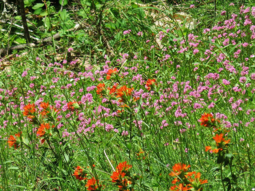
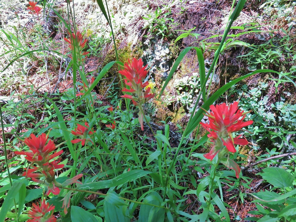 Paintbrush
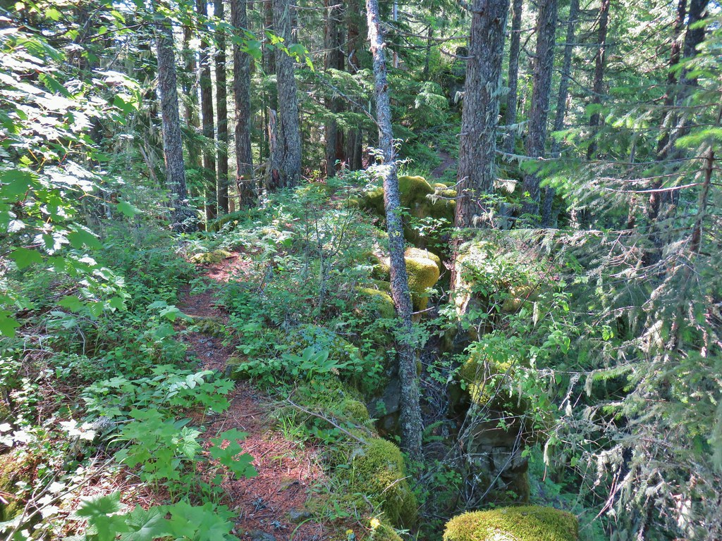 Rocky spine
 Columbine
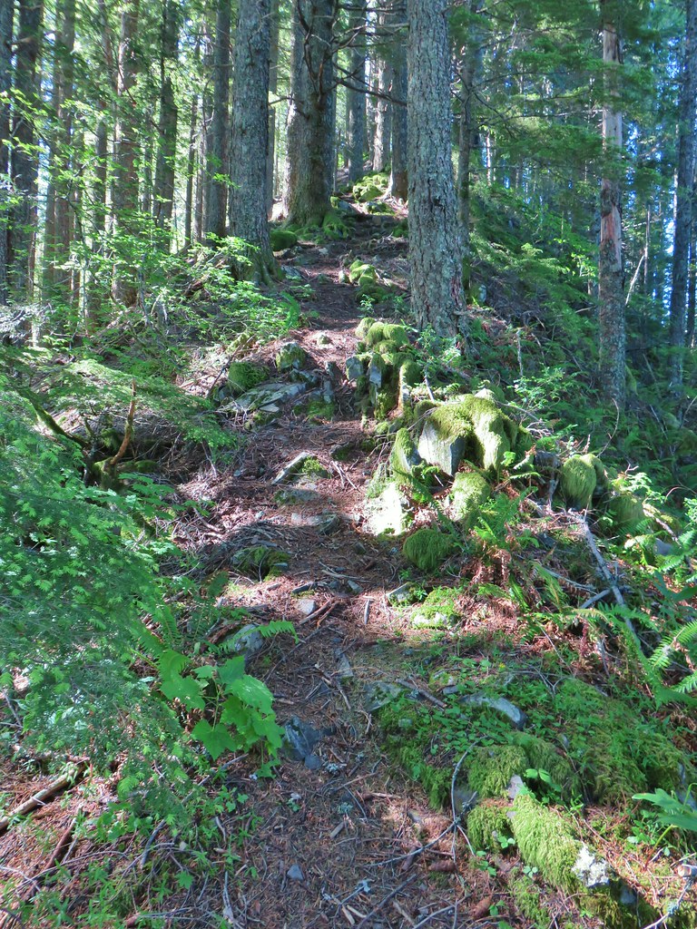 Climbing up the Hunchback Trail.
 Heather coming up the trail.
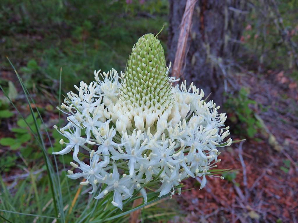
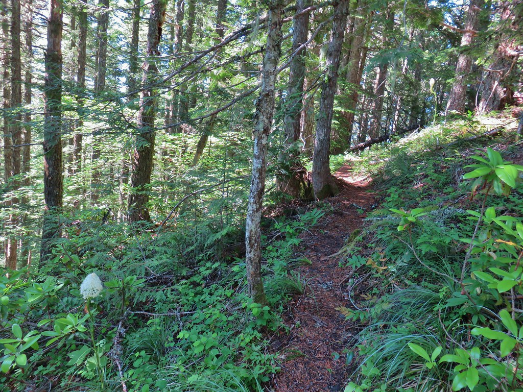 Beargrass near the 4000′ elevation.
After reaching the high point the trail began a steep 400′ drop to another saddle, but luckily our turnaround point was only about 50′ down. That turnaround point was the third signed viewpiont along this stretch of the Hunchback Trail, the Great Pyramid.
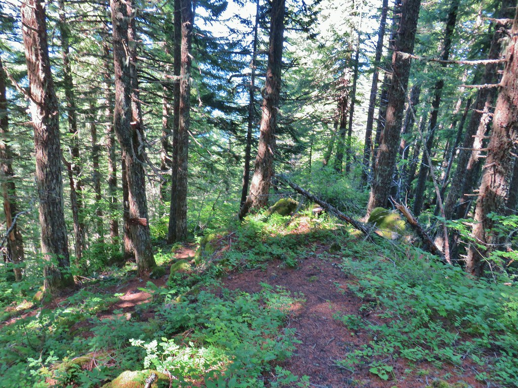 Heading down to the viewpoint sign.
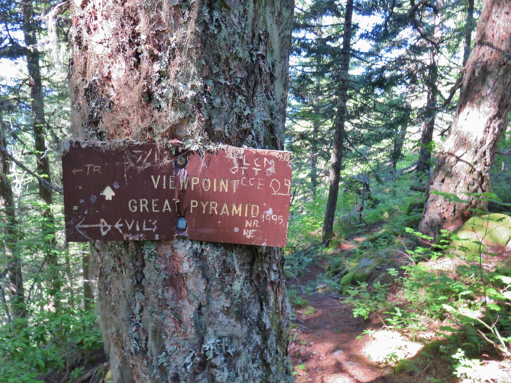 Side trail to the Great Pyramid.
The short side path led passed an obscured view SE and some wildflowers along a rock outcrop.


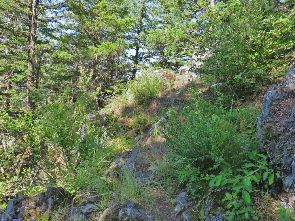
Unfortunately the whole area was overrun with thatching ants. After a few steps out along the rocks there were numerous ants climbing our legs and although their bites aren’t as painful as the all red harvester ants they aren’t fun either so we left the viewpoint to the insects and retreated back up the trail.
We followed the Hunchback Trail back to where we had planned to take the side trip to the Helispot Viewpoint and headed uphill on the faint path.
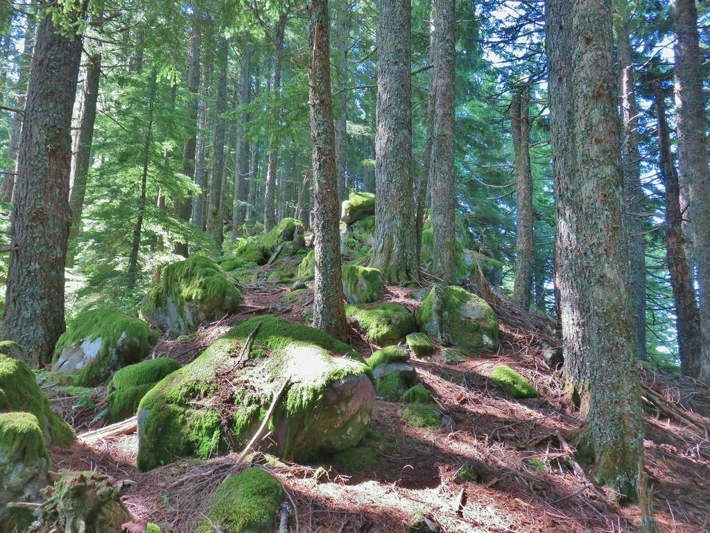
A short distance up we noticed a fairly distinct trail coming up from the left which we assumed was the trail that the sign had originally been pointing too. The viewpoint was just as Sullivan had described it, overgrown. Probably not worth the tenth of a mile side trip but there were a few flowers present.
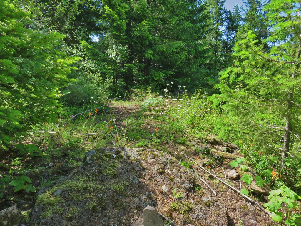

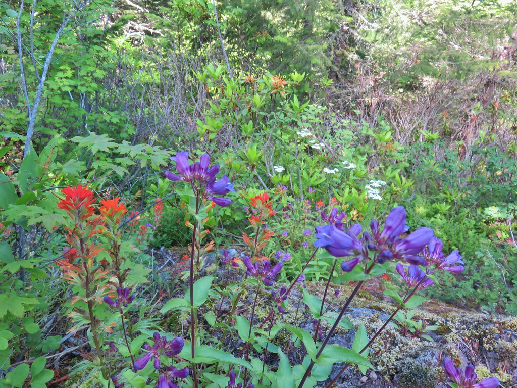
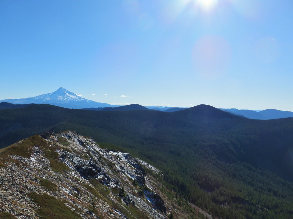
We returned to the Hunchback Trail happy to be on the gentler mile section. We detoured back up to the Rockpile Viewpoint just as some other hikers were leaving it which allowed us to take a nice break there all by ourselves with the improved view of Mt. Hood.
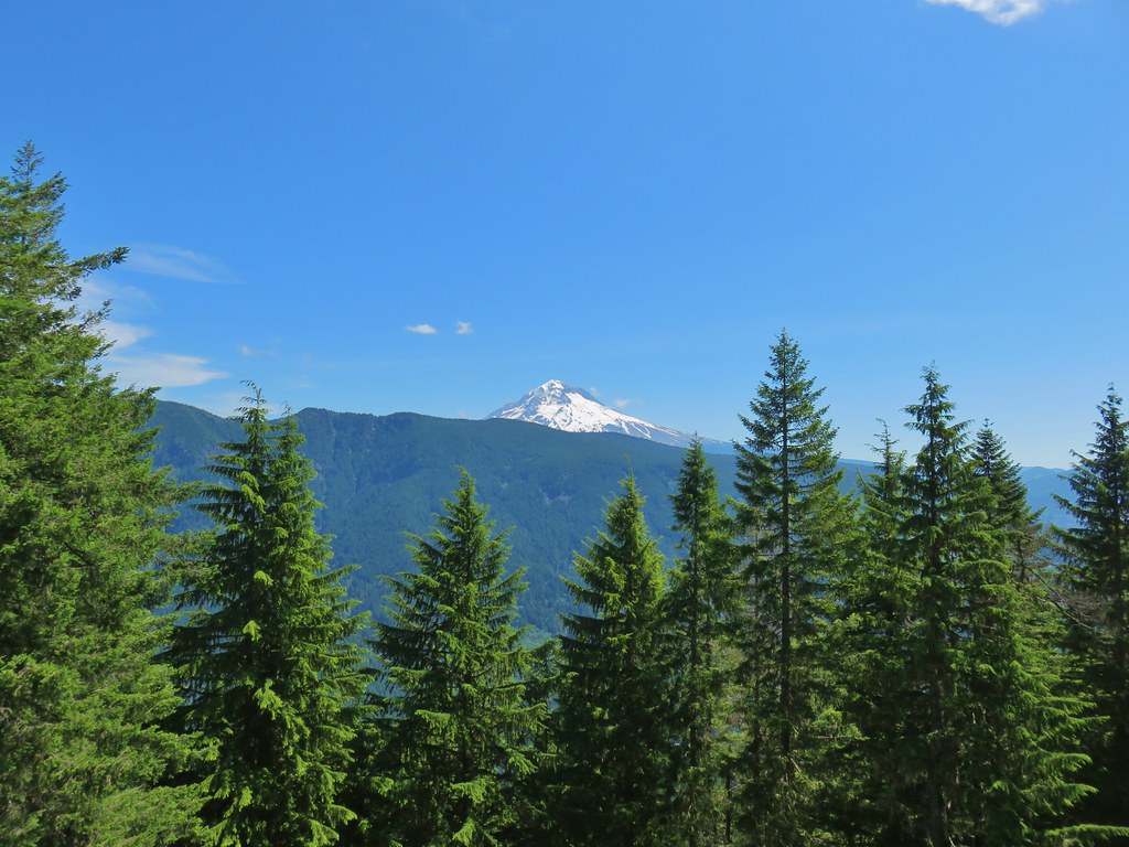 The cliffs of West Zigzag Mountain to the left of Mt. Hood where we’d been the week before (post)

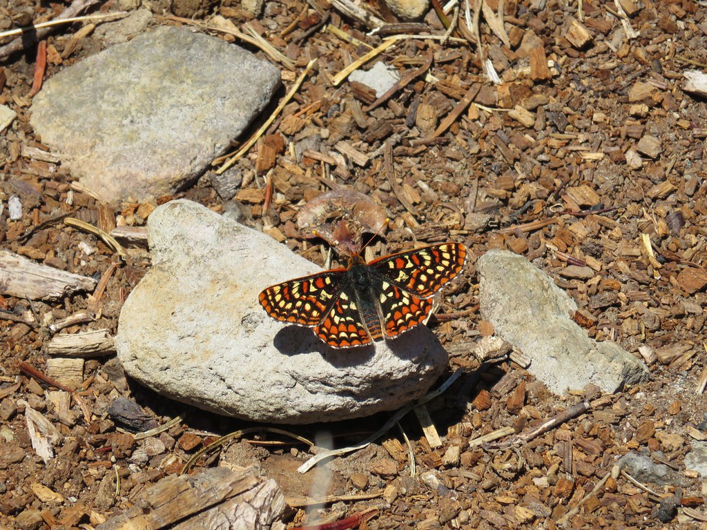
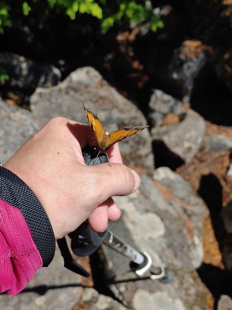 We weren’t entirely alone as Heather was visited by a butterfly.
After a nice break we made our way back to the rimrock cliffs which were now fully in sunlight opening the clarkia and making for even nicer views.
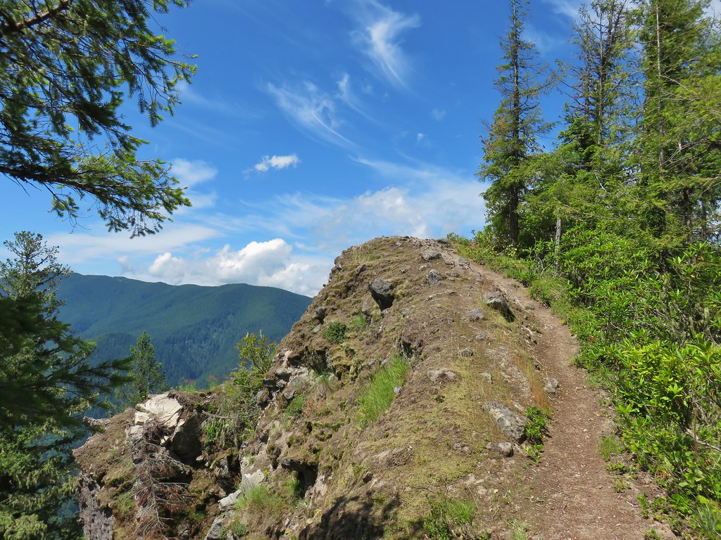
 Looking down into the Salmon River valley
 Looking west toward Highway 26
 Blue-head gilia
 Penstemon
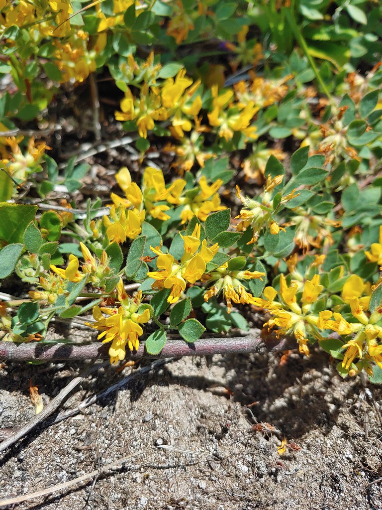 Nevada deervetch
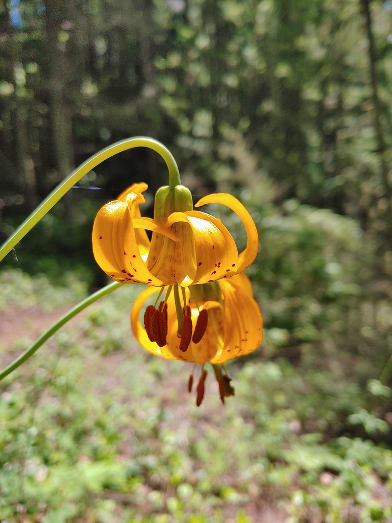 Tiger lilies
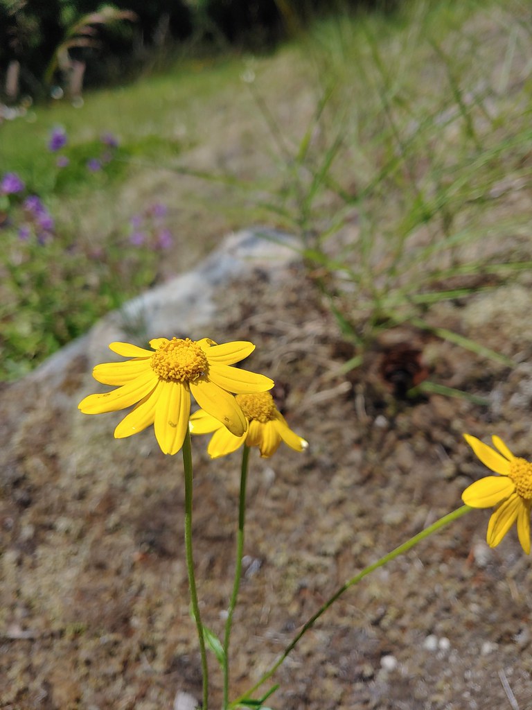 Oregon sunshine
 Cat’s ear lilies
As we descended the 1500′ from the rimrock viewpoint to the trailhead our knees and feet were letting us know that they were done with three and four thousand elevation gain hikes for awhile. We’ll have to see about that :).
Both Sullivan and the Oregonhikers.org field guide put this hike at 9 miles roundtrip. They vary on elevation with Sullivan showing a 2900′ gain while the field guide showing 3270′. Our Garmin’s came in at 10.1 and 11.2 miles and we never pay attention to the elevation numbers. We were actually running an experiment on this hike regarding the distances shown on the GPS units. We both carry a Garmin GPSmap 62s unit. We’ve looked at the settings and they seem to be the same, but for the majority of hikes Heather’s Garmin reports a noticeable amount more mileage than mine (mine is typically closer to what the information for the hike states). For this hike we swapped units so I was carrying the one she normally does and vice versa. Sure enough the one she carried registered the higher 11.2 mile total. We are at a bit of a loss to explain what causes the discrepancy. On rare occasions the totals have been the same or within a tenth of a mile or two but more often than not the difference is at least a mile and sometimes a couple. Any thoughts out there as to what might cause this? I tend to hike faster, especially uphill but then I spend more time stopped waiting for Heather.
If you couldn’t tell the GPS thing is driving me a bit crazy, so much so that that night as we were going to bed I wondered aloud what would happen if one of us carried both GPS units on a hike? These are the things that keep me up at night :). Happy Trails!
Flickr: Hunchback Mountain

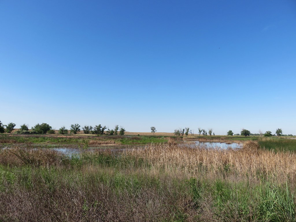 MCormack Slough in the Umatilla Wildlife Refuge.
 Looking towards Hells Canyon from Freezout Saddle.
 Wenaha River Canyon


 Road walk at Henry Haag Lake
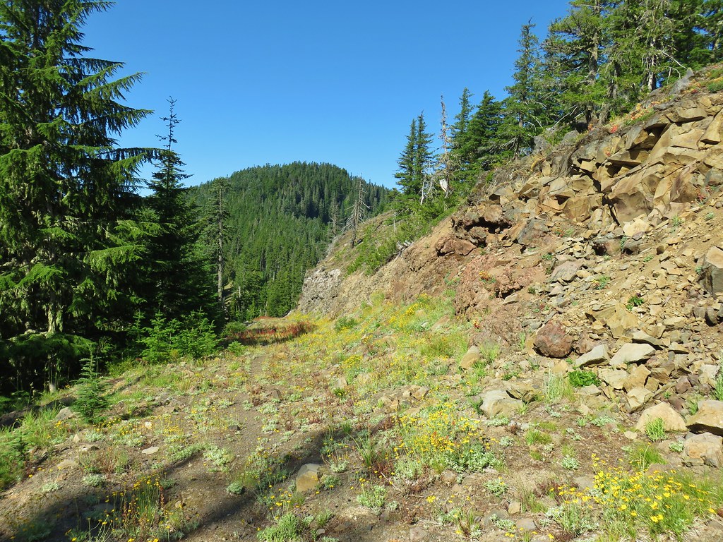 Decommissioned road to Baty Butte.
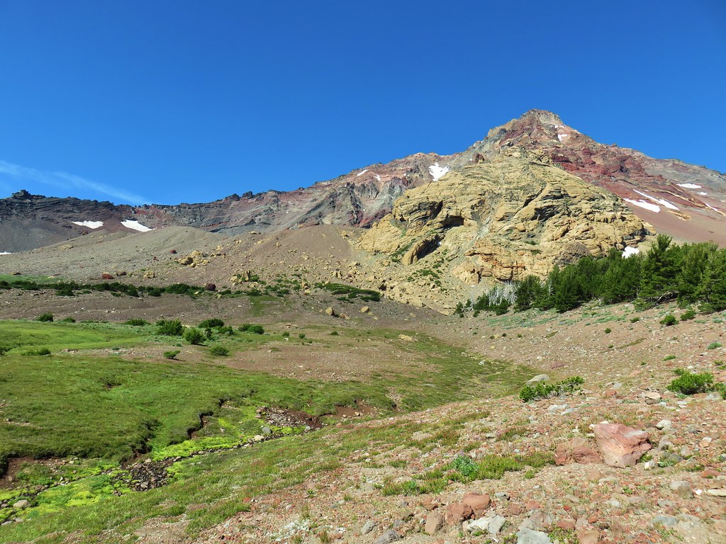 Cross country to Thayer Glacial Lake.
 Snow falling on our Freezout Saddle hike.
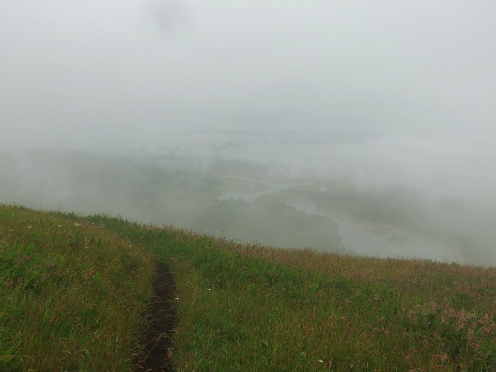 Rain shower approaching at Cascade Head.
 Taking cover under a tree in the Mollala River Recreation Area as a rain shower passes overhead.
 Rainbow framing the Wallowa Mountains from the Feezout Saddle Trail.
 View from Cascade Head after the shower.
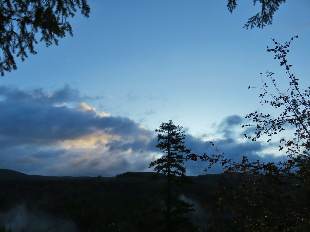 View from the morning across the Mollala River Canyon.
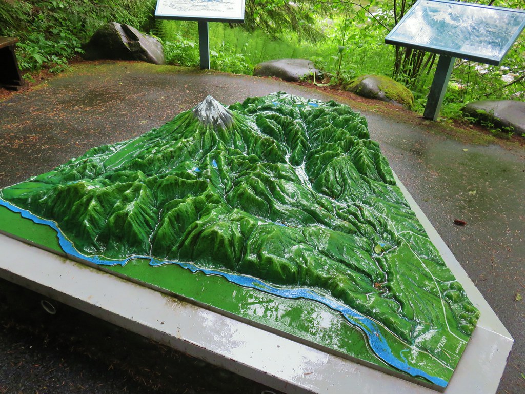 Neat 3D display at Wildwood Recreation Area.
 View atop Huckleberry Mountain.

 Gales Creek – Coast Range
 Dry Creek Falls – Columbia River Gorge, OR
 Camassia Natural Area – West Linn
 Two Chiefs and Table Mountain – Columbia River Gorge, WA
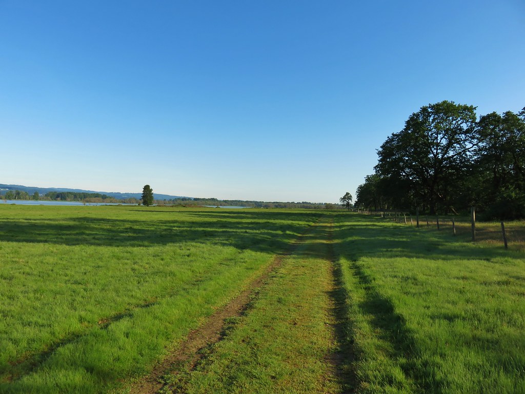 Oak Island – Columbia River
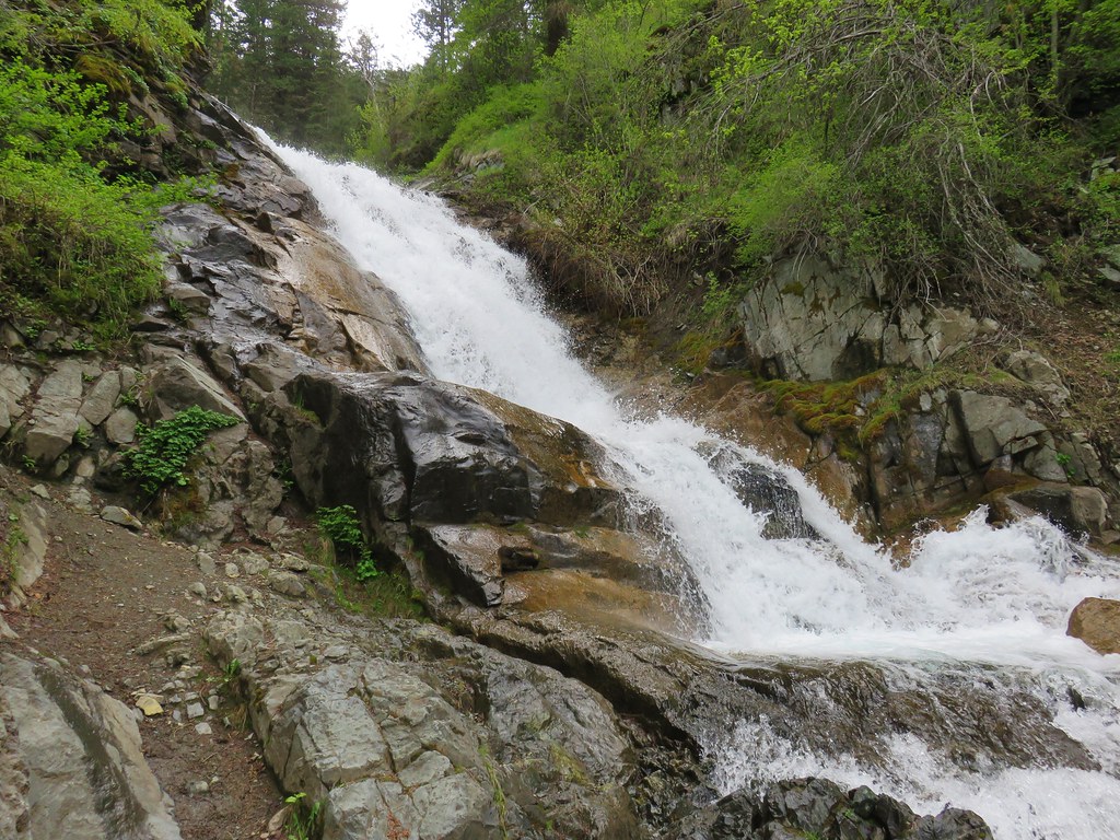 B.C. Creek Falls – Wallowa Mountains
 Wallowa Mountains
 Harsin Butte – Zumwalt Prairie
 Sardine Mountain – Willamette National Forest
 Gorton Creek Falls – Columbia River Gorge, OR
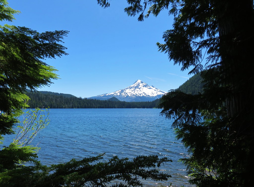
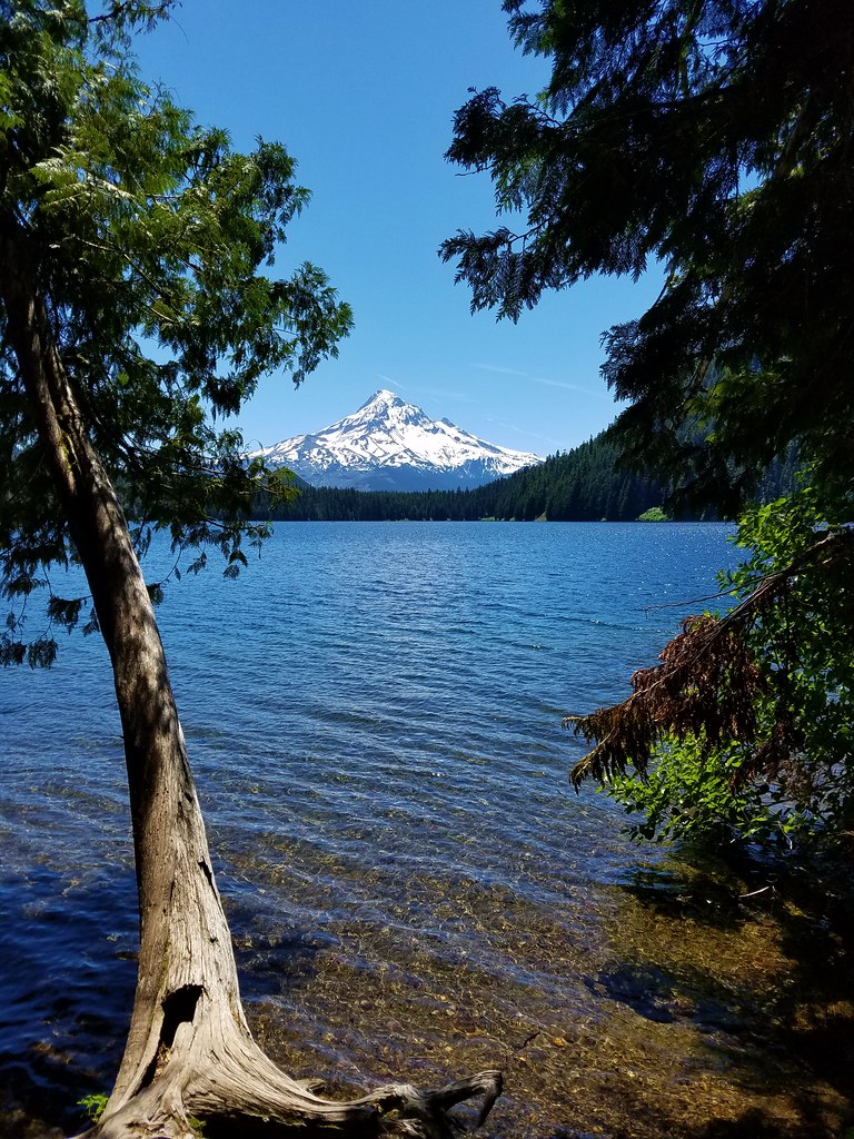
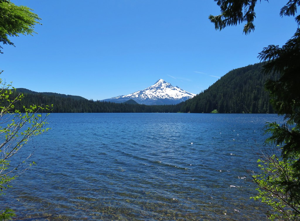 Mt. Hood from Lost Lake
 Mt. Hood from Vista Ridge
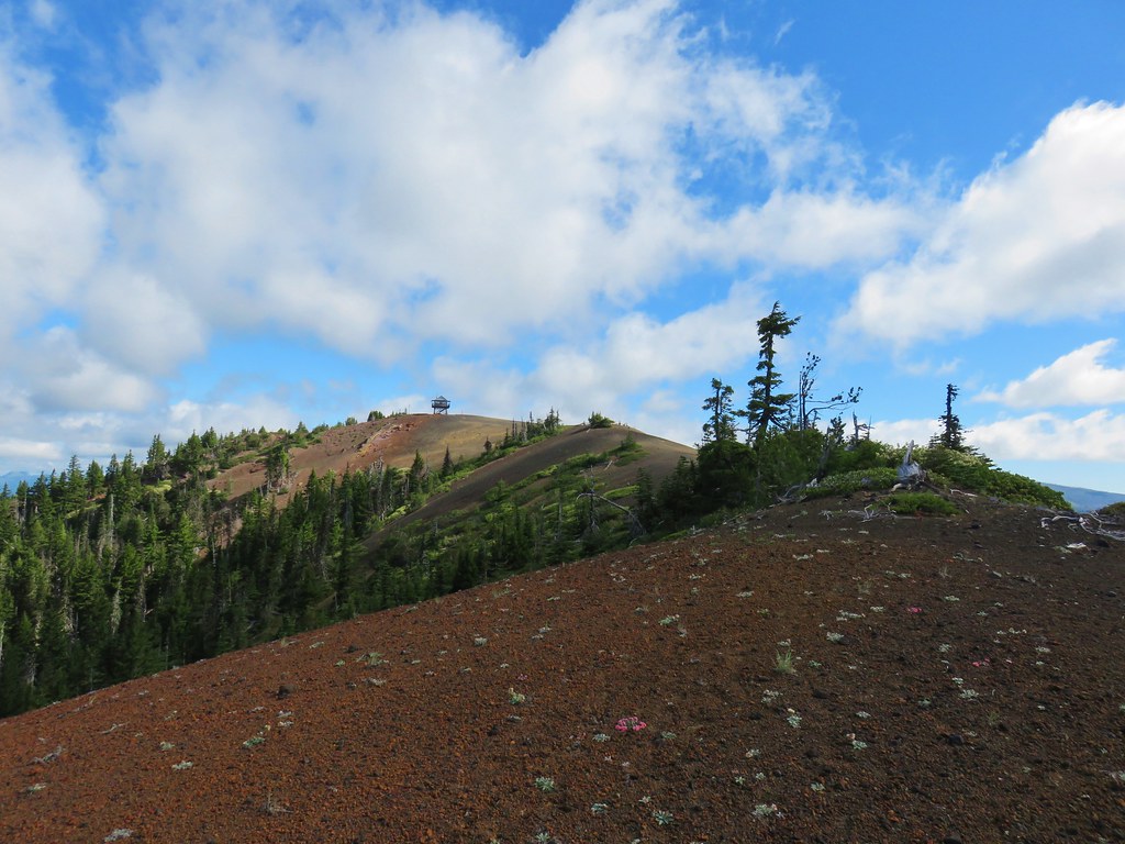 Sand Mountain Lookout – Willamette National Forest
 Cape Kiwanda and Haystack Rock from Sitka Sedge Beach
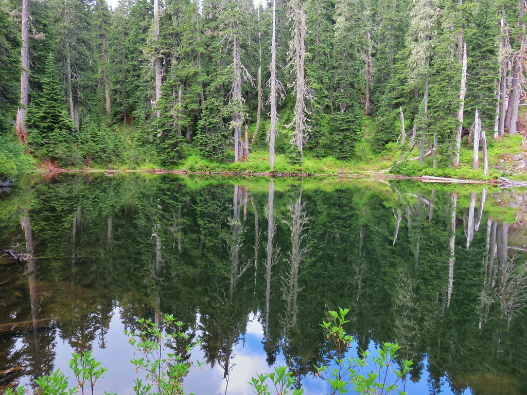 High Lake – Mt. Hood National Forest
 Tidbits Mountain – Willamette National Forest
 Bunchgrass Meadow – Willamette National Forest
 Breitenbush Cascades – Willamette National Forest
 Mt. St. Helens from Cinnamon Ridge – Mt. St. Helens National Volcanic Monument
 Mt. Jefferson from Bear Point – Mt. Jefferson Wilderness
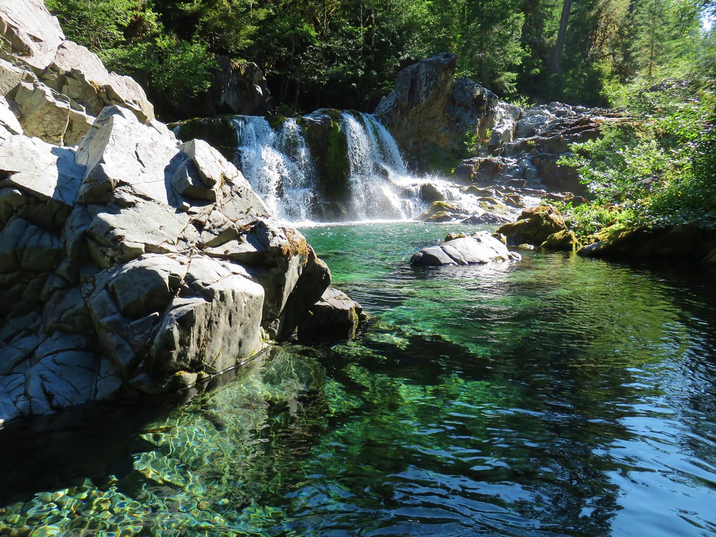 Sawmill Falls – Little North Fork Santiam River
 Three Fingered Jack, The Three Sisters, and Mt. Washington
 Scramble route to Baty Butte – Mt. Hood National Forest
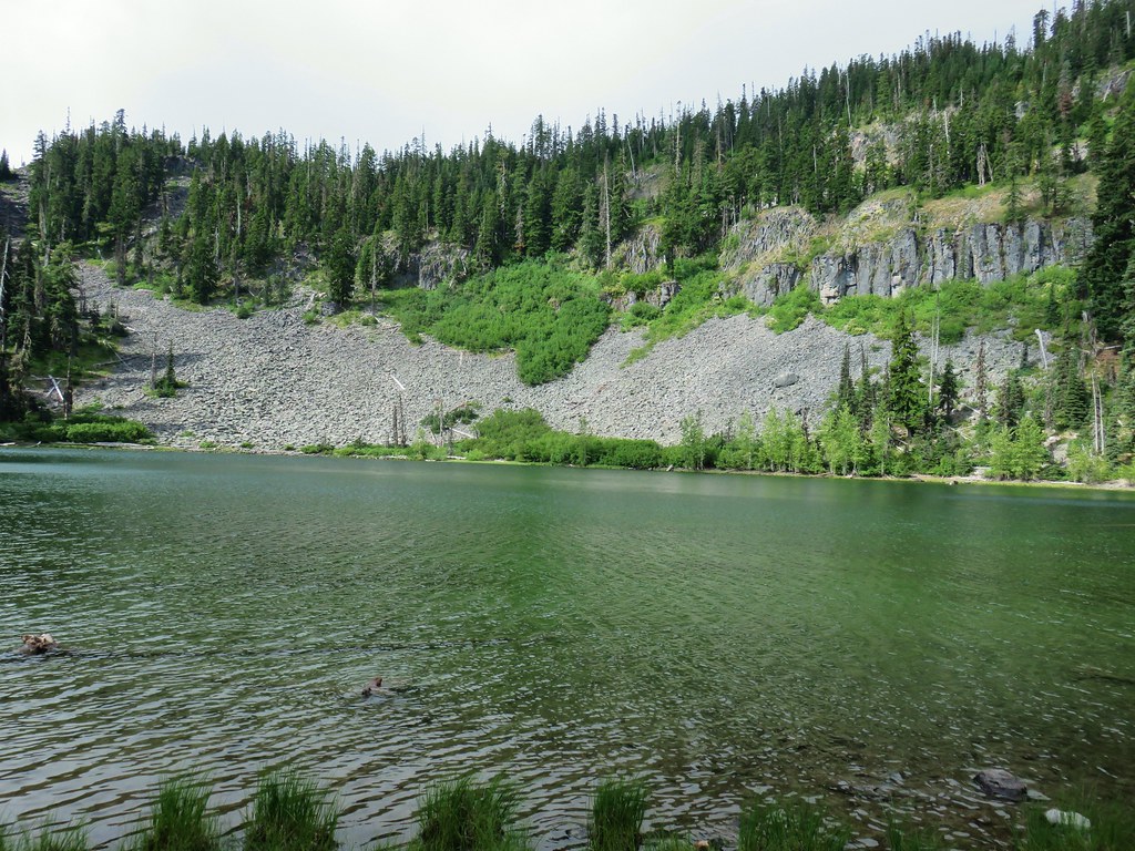 Boulder Lake – Mt. Hood National Forest
 Drift Creek – Drift Creek Wilderness
 North Sister and Thayer Glacial Lake – Three Sisters Wilderness
 North Sister, Middle Sister, and The Husband from Four-In-One Cone – Three Sisters Wilderness
 Mt. Hood from Tumala Mountain – Mt. Hood National Forest
 Bull of the Woods Lookout – Bull of the Woods Wilderness
 Mt. Hood from Elk Cove – Mt. Hood Wilderness
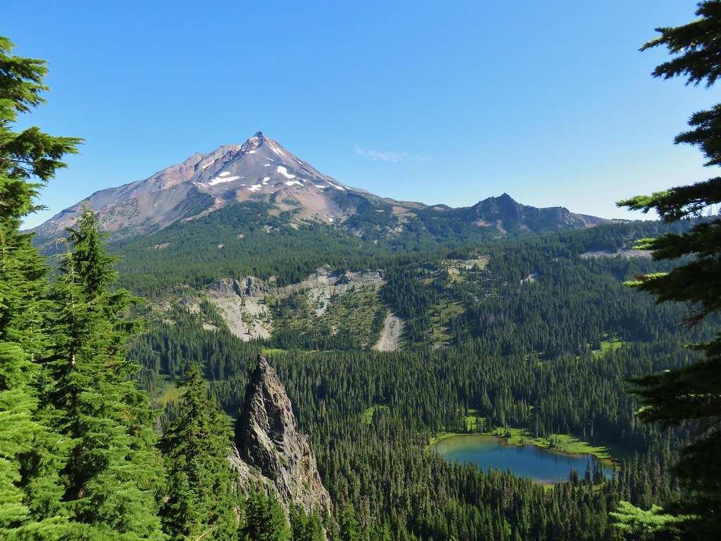 Mt. Jefferson and Hunts Cove – Mt. Jefferson Wilderness
 View from Olallie Butte – Warm Springs Indian Reservation
 Lillian Falls – Waldo Lake Wilderness
 Olallie Mountain Lookout – Three Sisters Wilderness
 King Tut – Crabtree Valley
 Mt. Jefferson from Ruddy Hill – Mt. Hood National Forest
 Henry Haag Lake – Scoggins Valley
 Waldo Lake and the Cascade Mountains from The Twins – Deschutes National Forest
 Bobby Lake – Deschutes National Forest
 Indian Henry’s Hunting Ground – Mt. Rainier National Park
 Fog over the valley from Mt. Pisgah – Eugene, OR
 Twin Peaks and Gifford Lake – Olallie Lake Scenic Area
 Mt. Adams from Lookout Mountain – Badger Creek Wilderness Area
 Mollala River Recreation Area
 View toward Washington from the Pacific Crest Trail near Indian Mountain – Mt. Hood National Forest
 Clackamas River – Mt. Hood National Forest
 Forest Park – Portland, OR
 Tilikum Crossing – Portland, OR


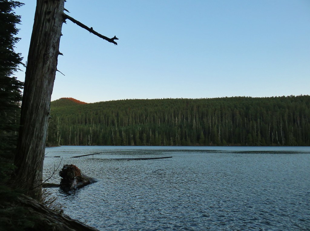 Chindrie Mountain from across Wahtum Lake.


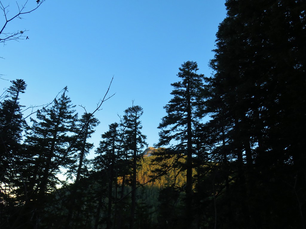 Chindrie Mountain
 Tanner Butte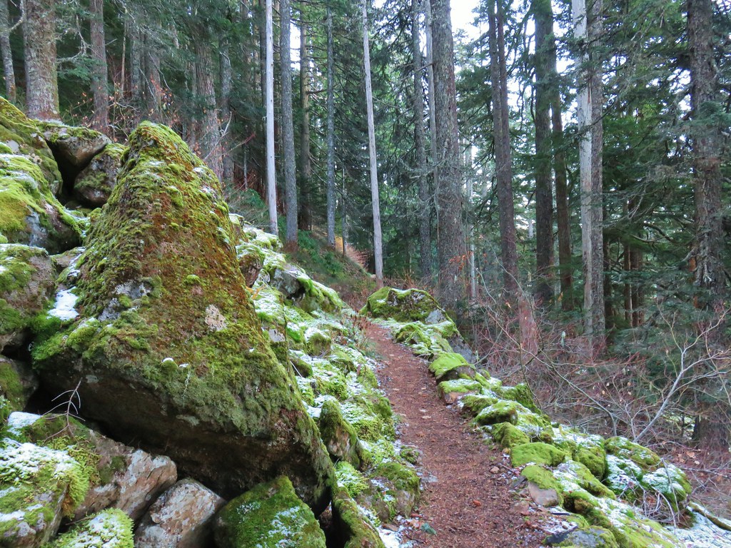
 Table Mountain
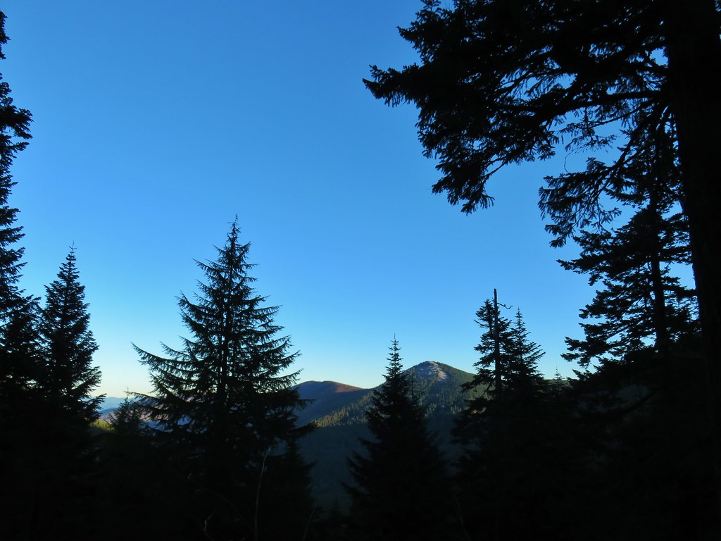 Chindrie Mountain again.
 Indian Mountain
 Mt. Hood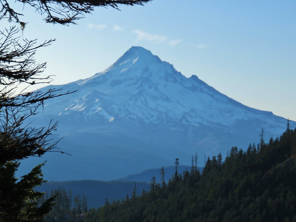


 Crossing FR 660 near Indian Springs
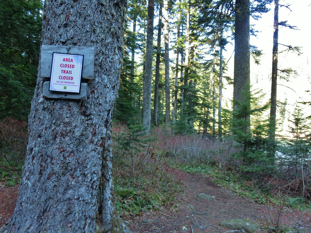
 Trail sign at the junction with the currently closed Indian Springs Trail.


 Table Mountain and Greenleaf Peak with Mt. St. Helens in the background.
 Mt. St. Helens
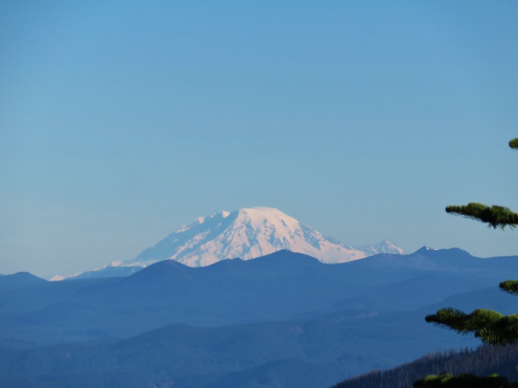 Mt. Rainier
 Goat Rocks
 Mt. Adams and Chindrie Mountain


 Mt. Hood and Mt. Jefferson
 Mt. Jefferson
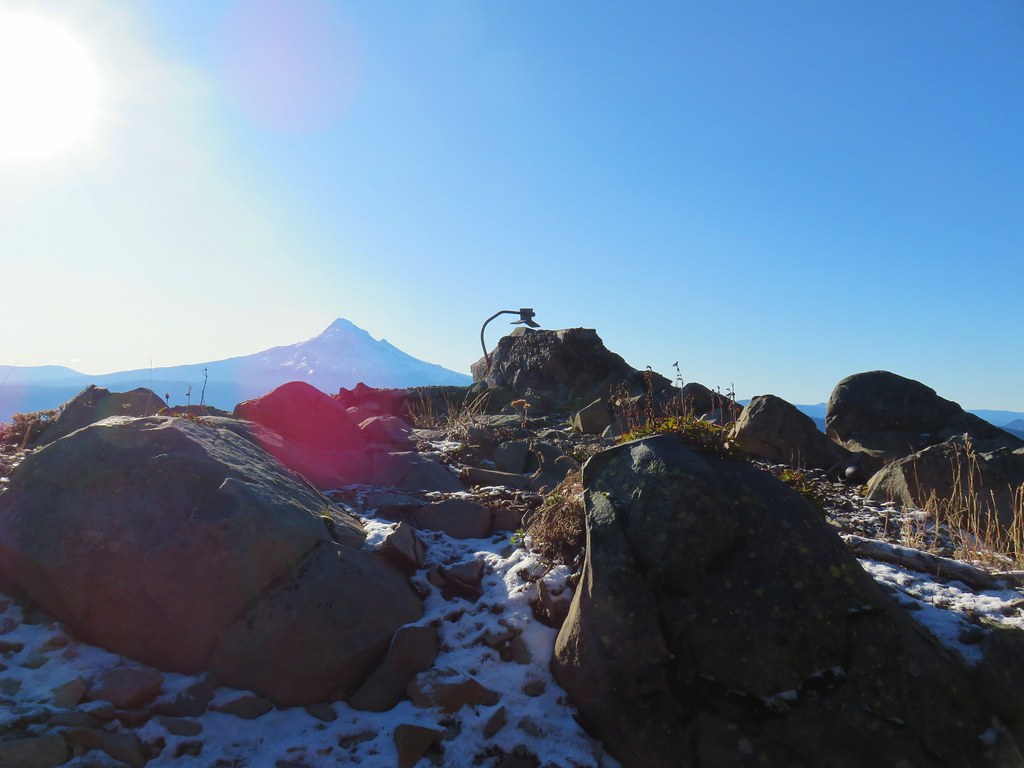 Mt. Hood from the former lookout site.
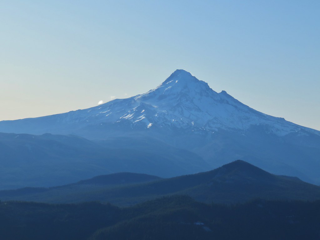 Mt. Hood with Lost Lake Butte (
 Snow on the north side, green on the south.
 Mt. St. Helens with some snow on the trees in the foreground.
 Crystals on a bush.

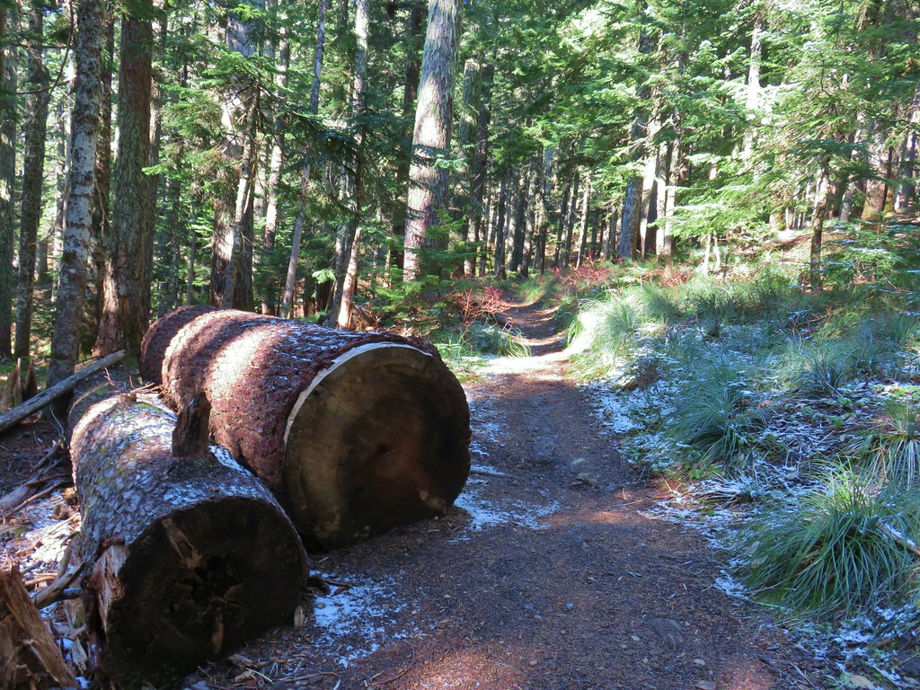
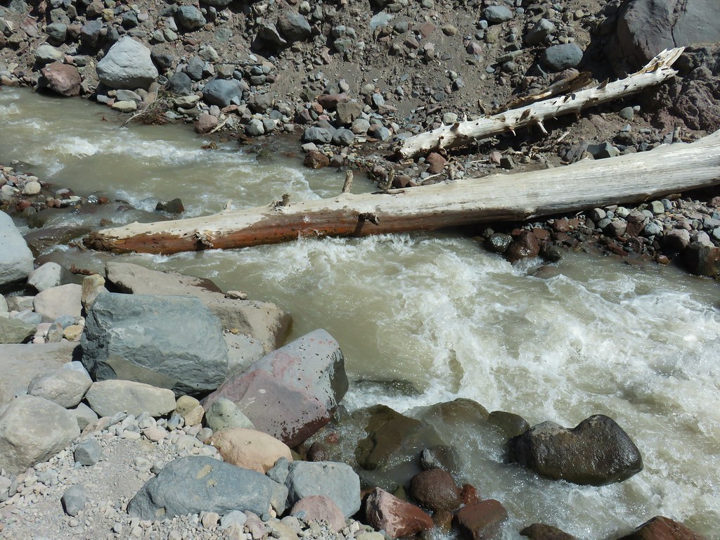
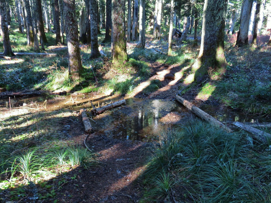 Stream crossing
 Herman Creek Trail junction.


 Looking at the summit from the trail.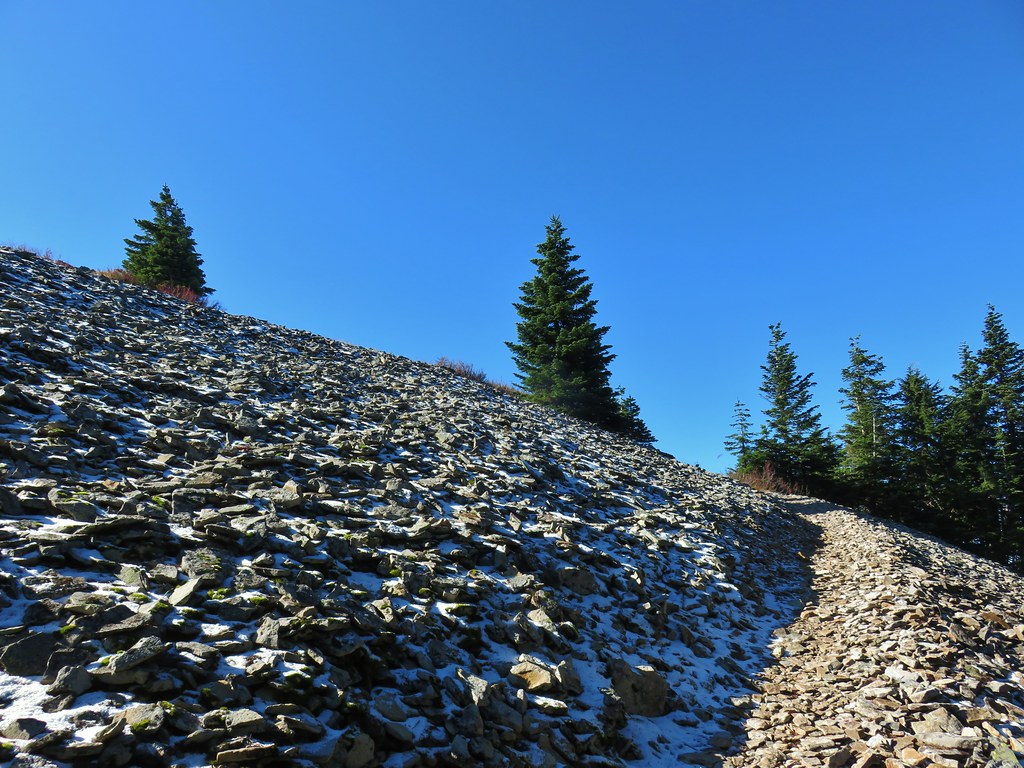
 Mt. Hood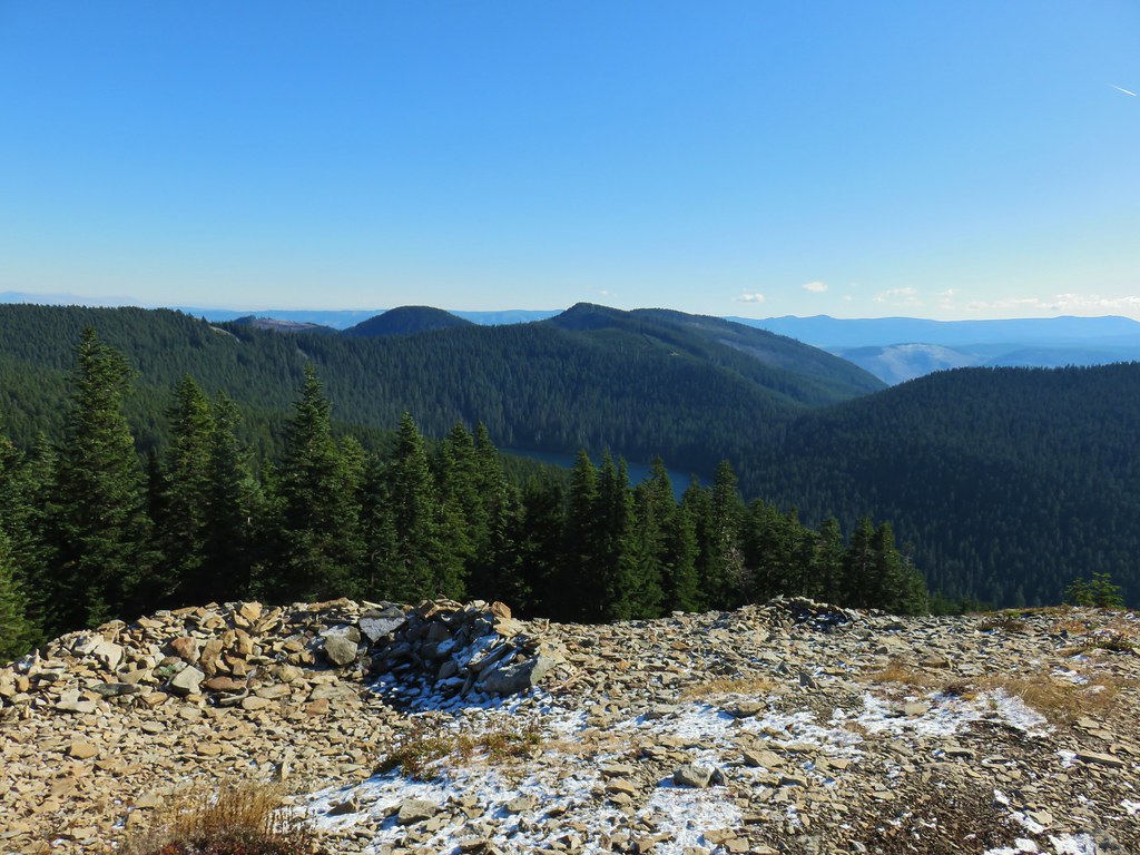




 Lots of beargrass clumps.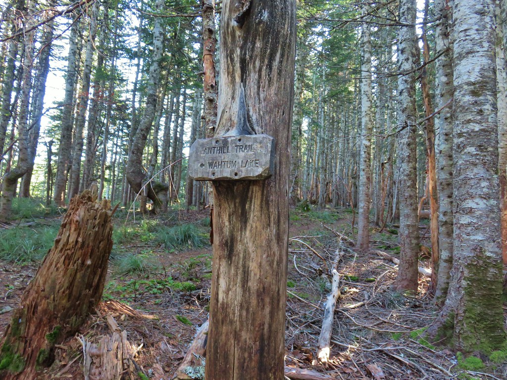
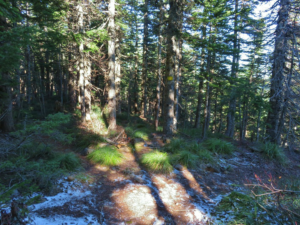 Trail to Tomlike on the left.


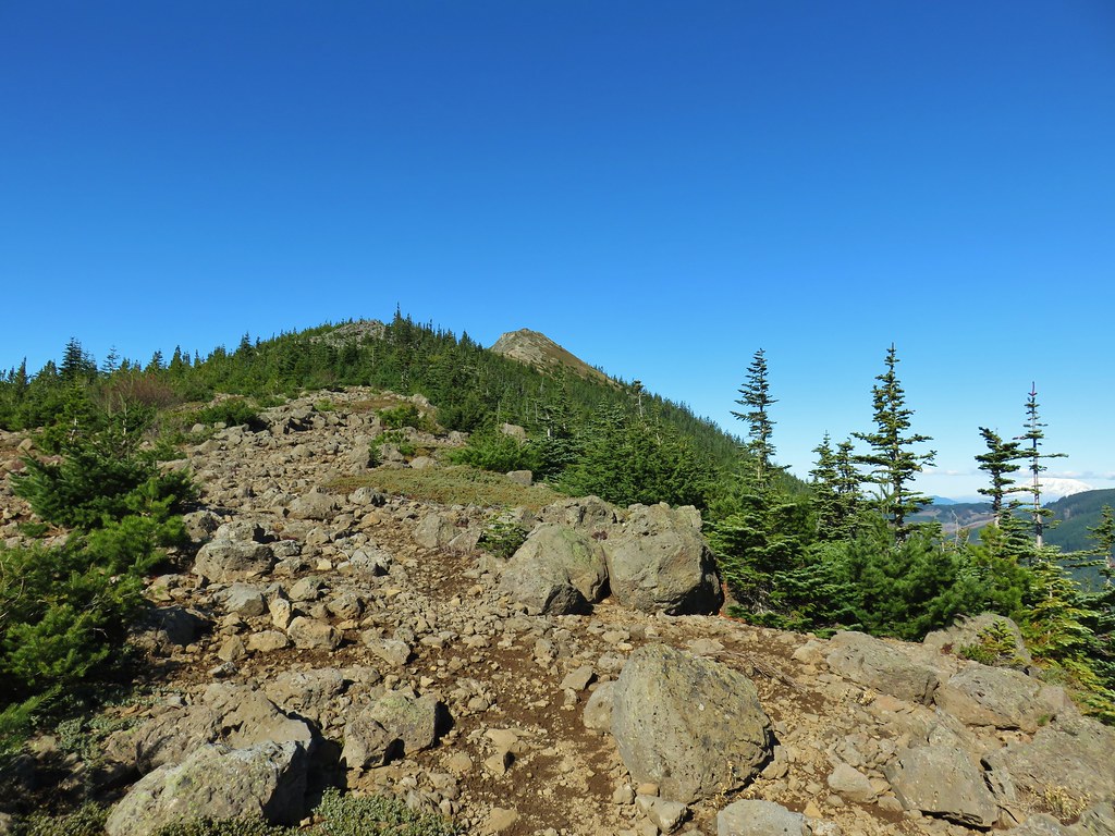
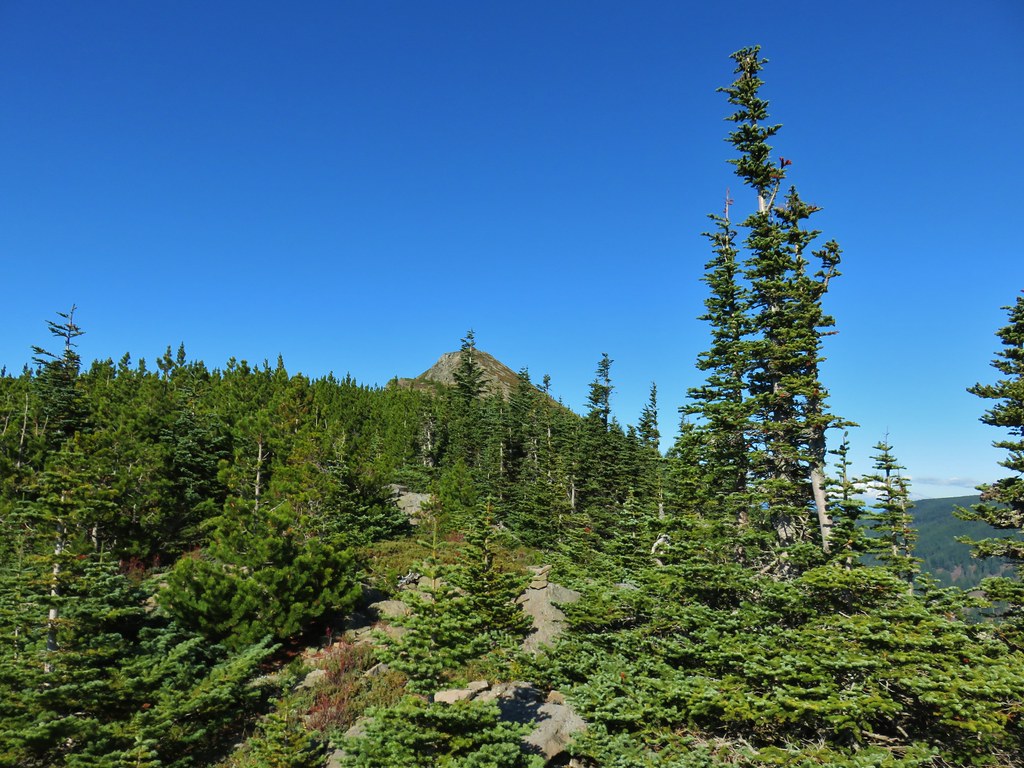 There’s at least one cairn here.

 Mt. Adams to the right.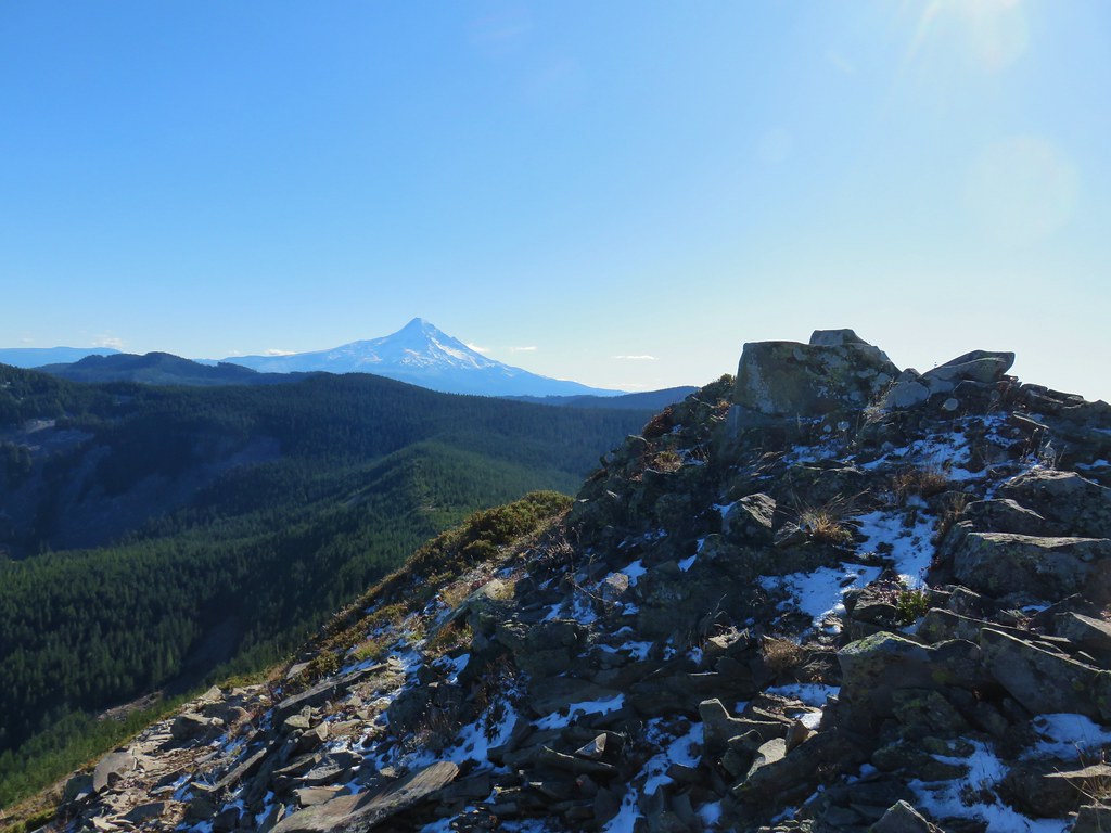
 Mt. Hood with Indian Mountain rising up behind Chindrie Mountain to the right.
 Heather crossing the ridge below the summit.

 Mt. St. Helens, Mt. Rainier, Goat Rocks and Mt. Adams from left to right.
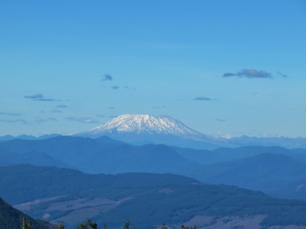 Mt. St. Helens
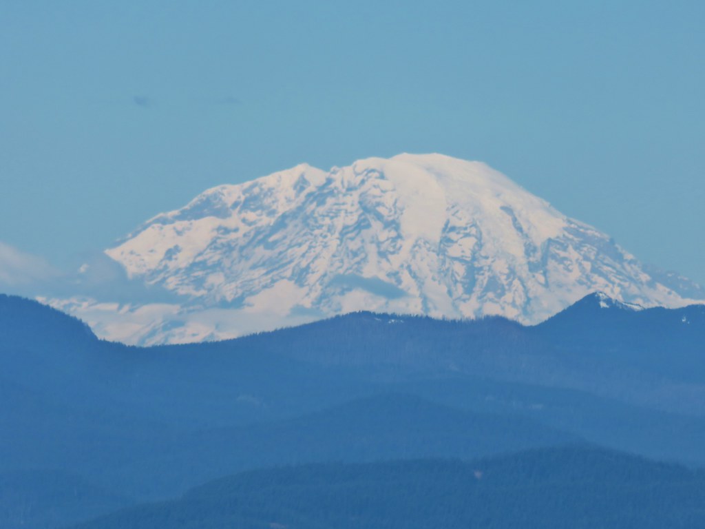 Mt. Rainier
 Goat Rocks
 Mt. Adams
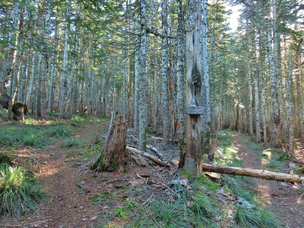 Anthill Trail on the left.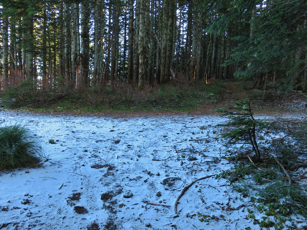


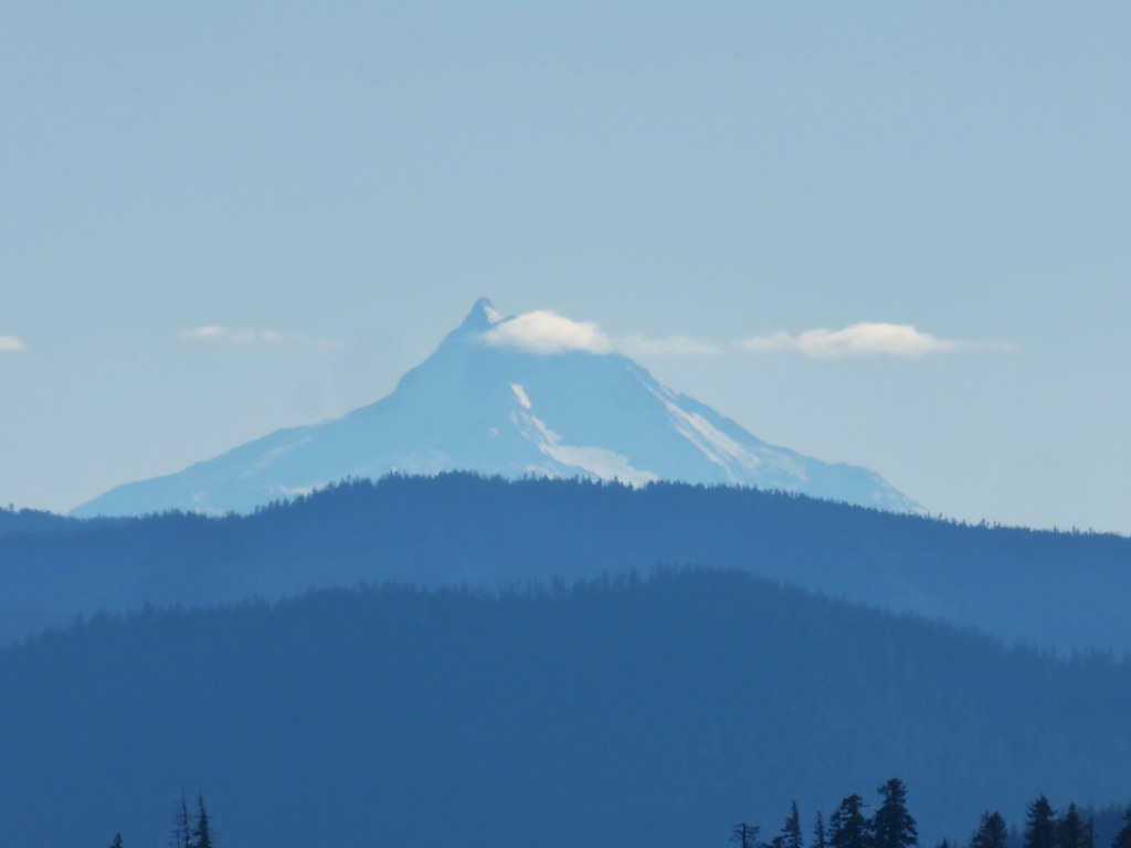 Mt. Jefferson
 Wahtum Lake and Chindrie Mountain

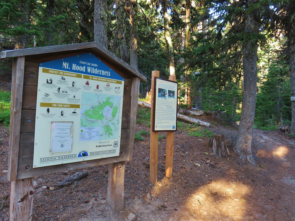


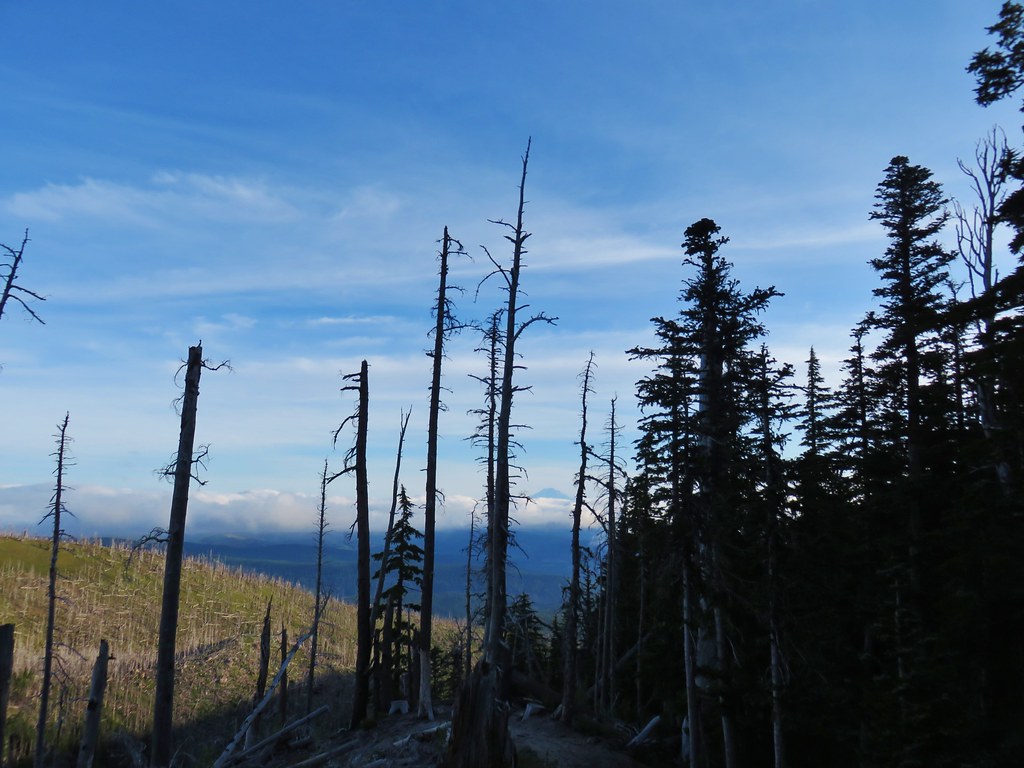 Mt. Adams ahead above the clouds.
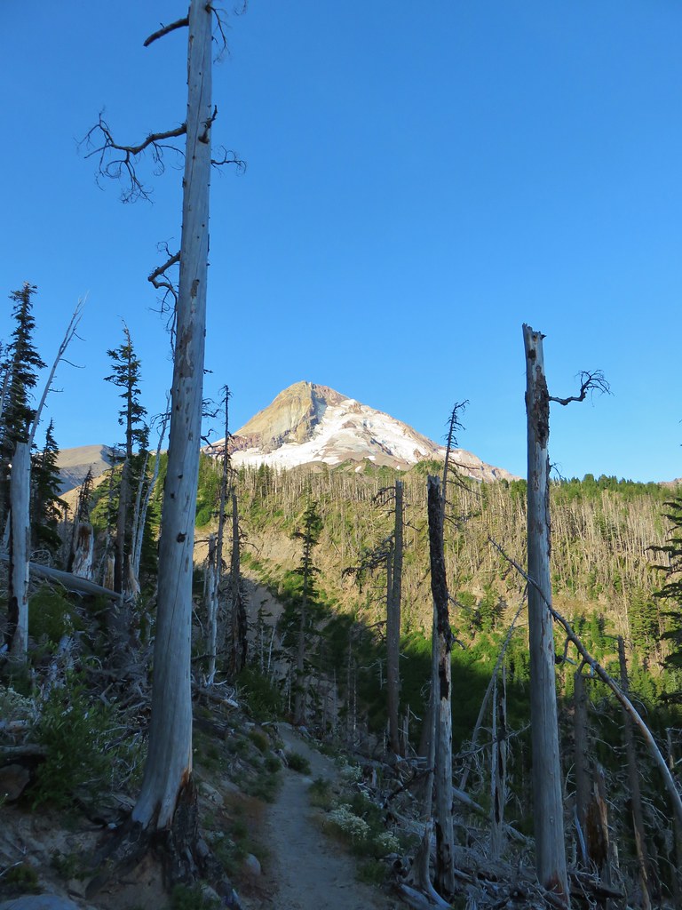 Mt. Hood


 We entered the Mt. Hood Wilderness on the way up.

 Mt. Adams
 Mt. Rainier peaking over the clouds to the left of Mt. Adams.
 Mt. Hood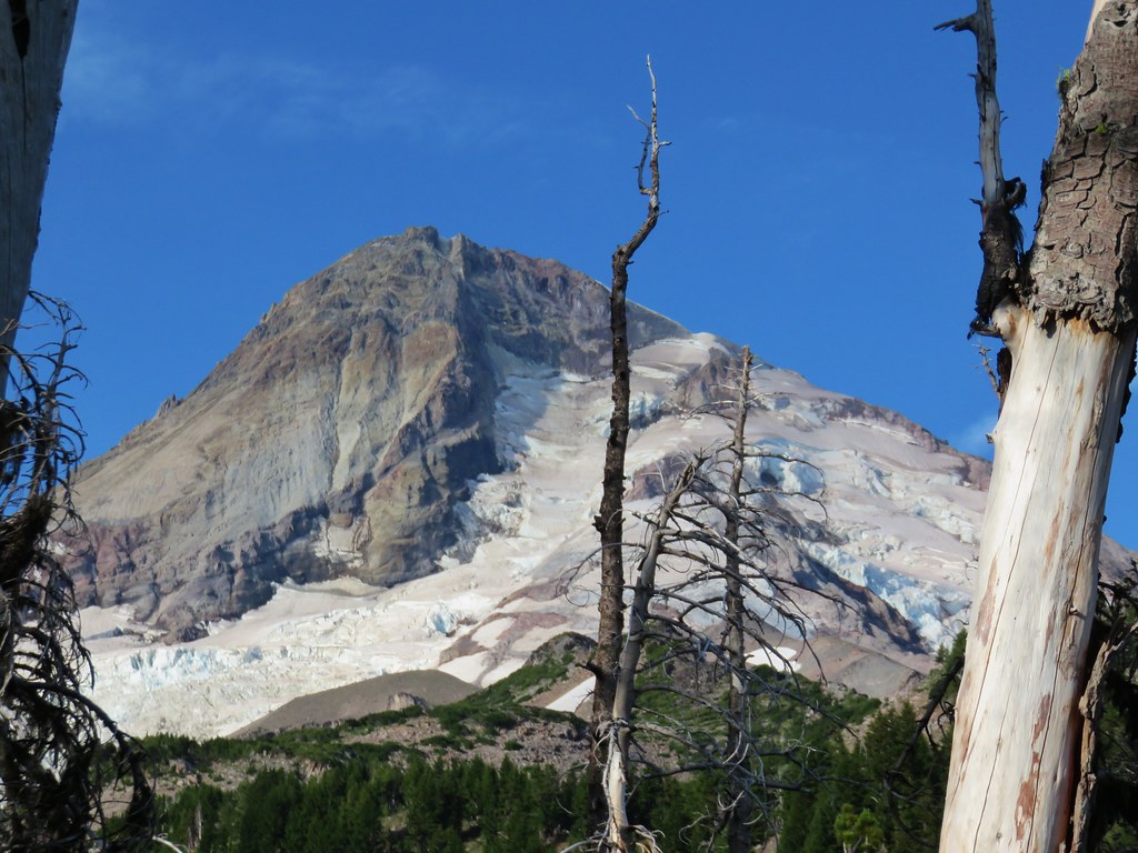
 Penstemon
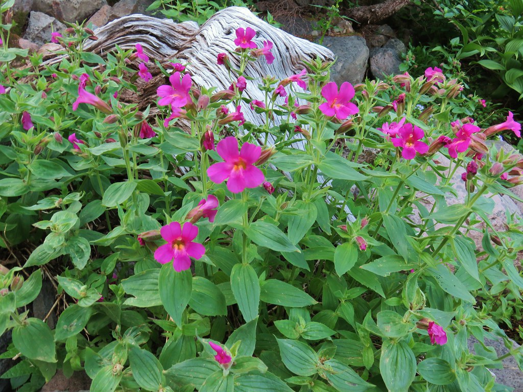 Monkeyflower
 Jacob’s ladder
 Western Pasque flower
 Paintbrush
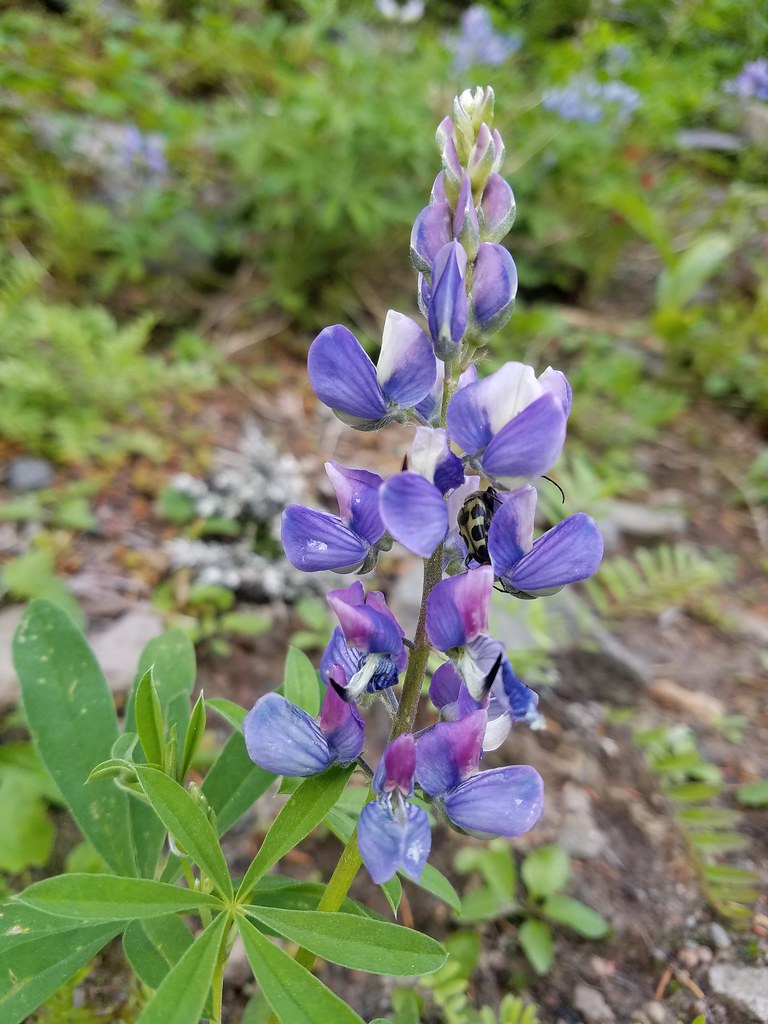 Lupine with a beetle.




 Mt. Adams from Compass Creek.
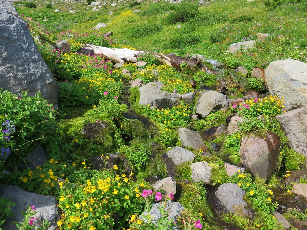
 Wildflowers along Compass Creek.
 Monkeyflower and paintbrush
 Hummingbird near Compass Creek.


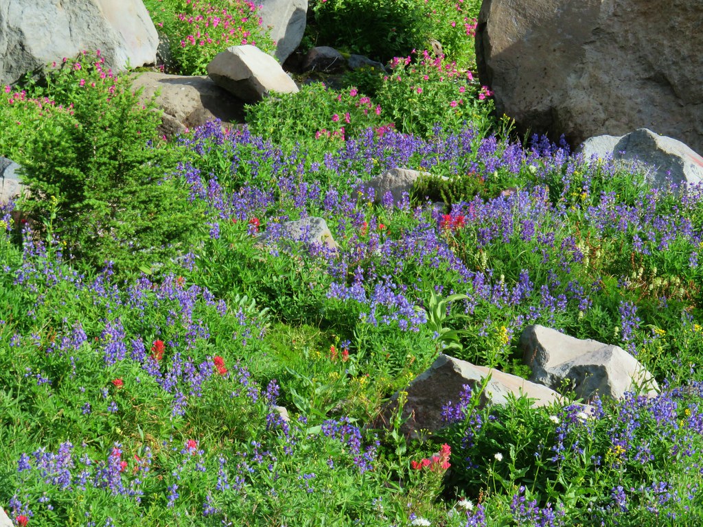 Lupine, paintbrush and monkeyflower.


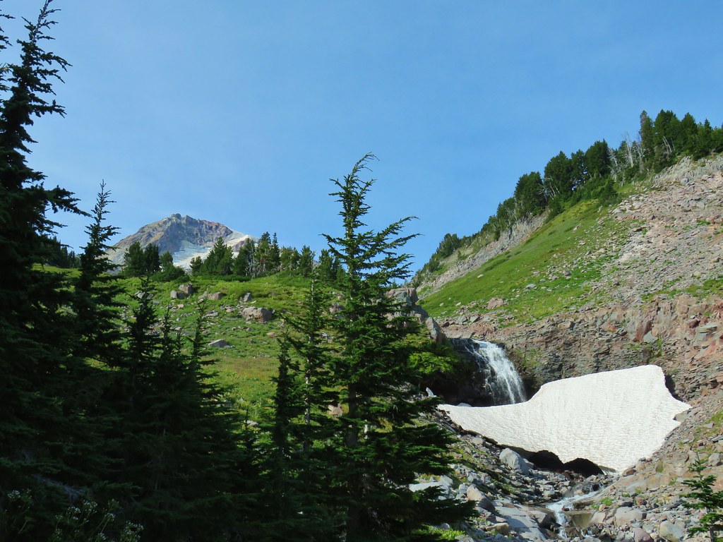
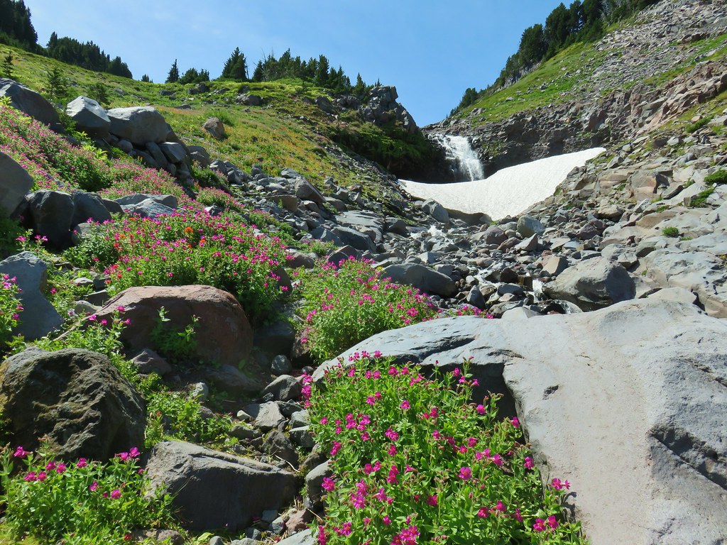


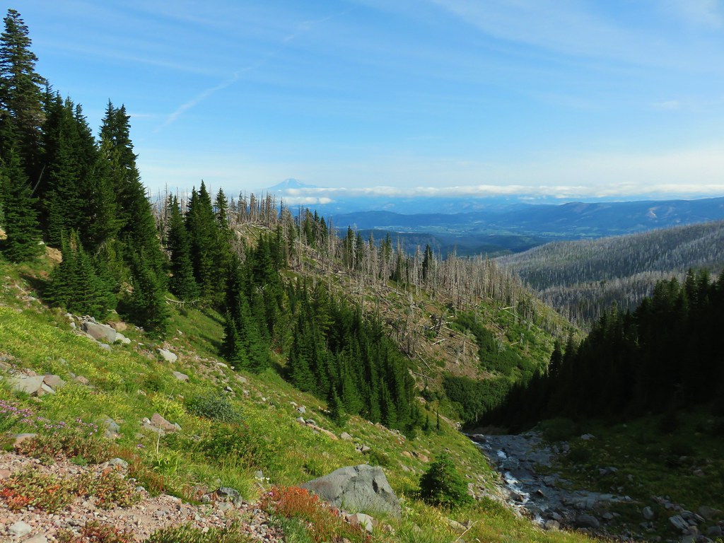 Mt. Adams (again) from Compass Creek.
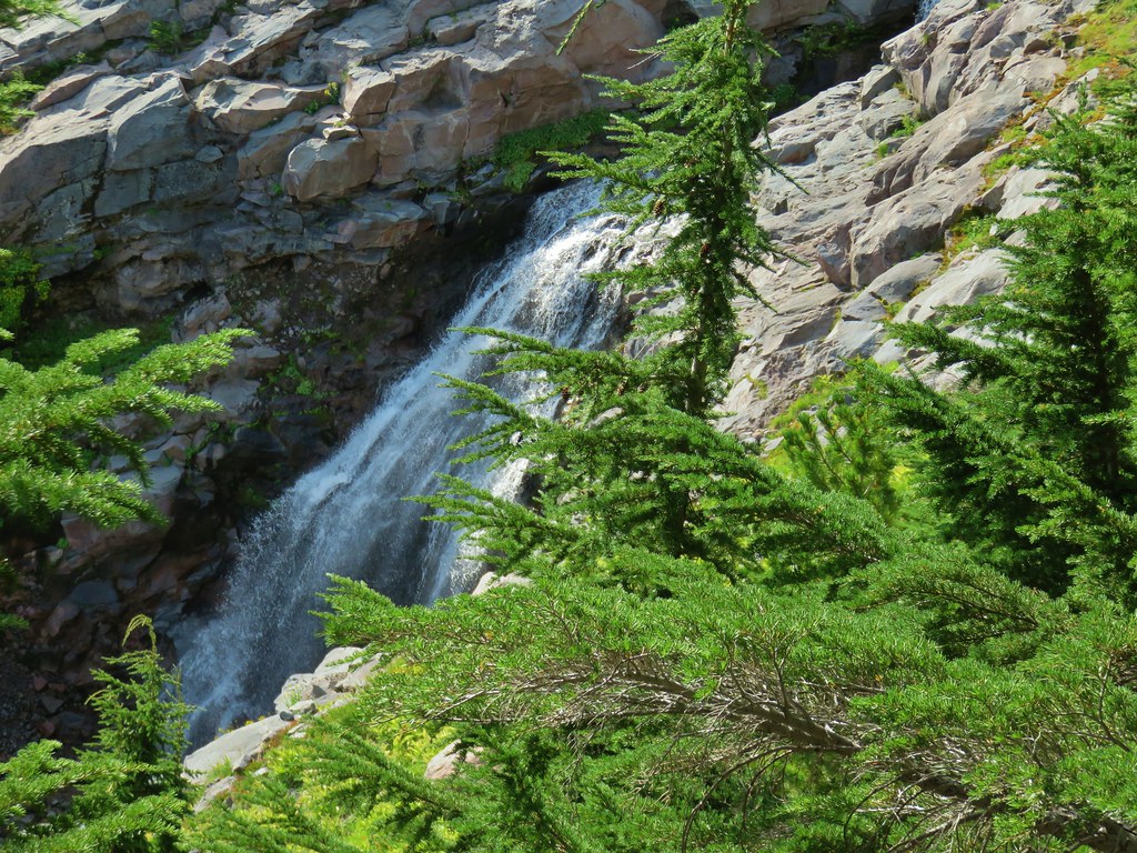 Waterfall on Compass Creek below the Timberline Trail.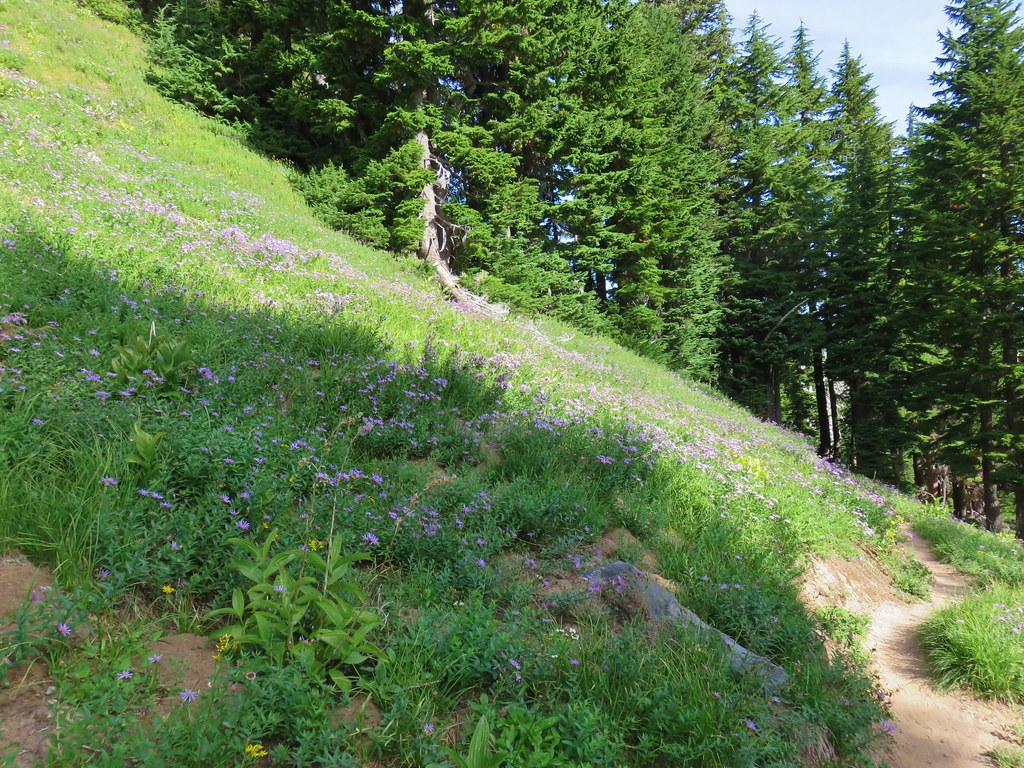




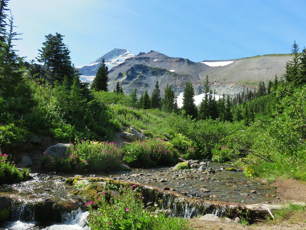

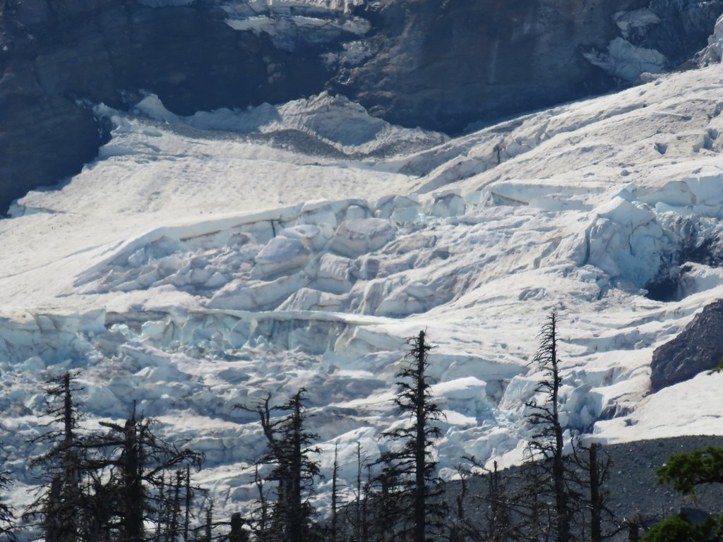
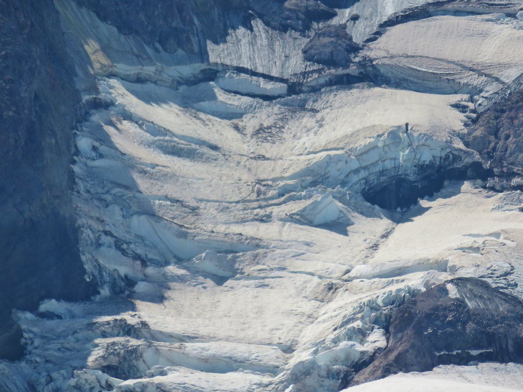
 Coe Glacier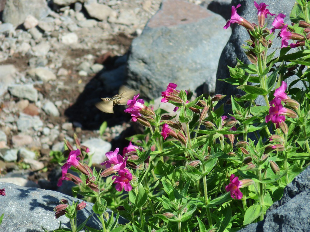


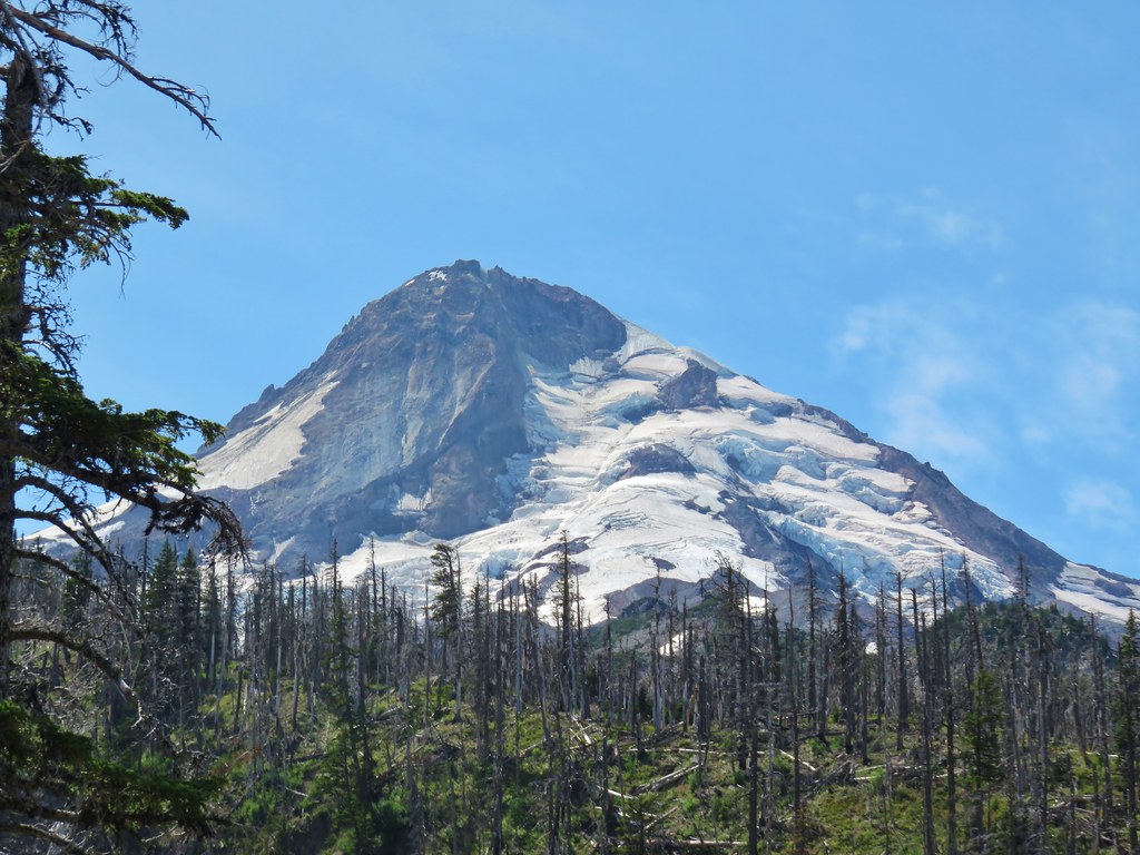






 Mt. Hood
 Mt. Jefferson
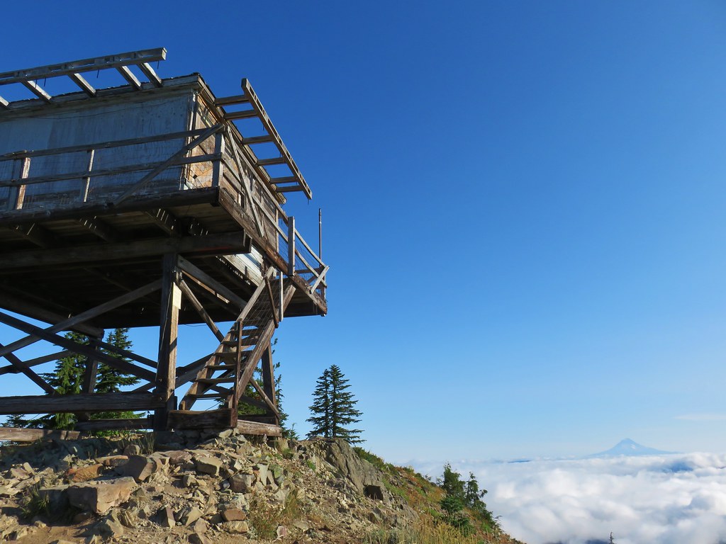


 Three Fingered Jack
 Mt. Washington and the Three Sisters

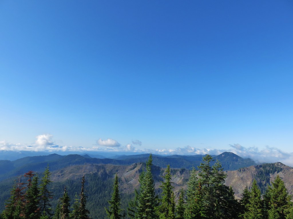

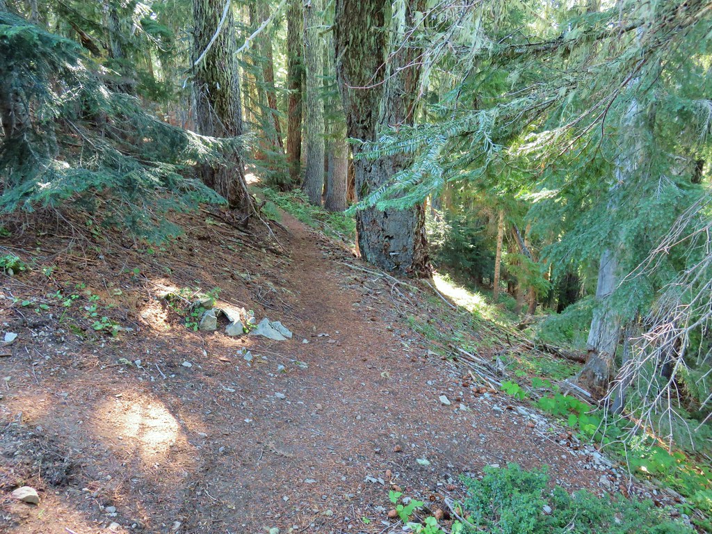 Bull of the Woods Trail ending at the Mother Lode Trail.


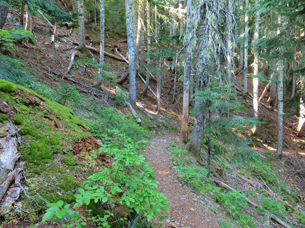
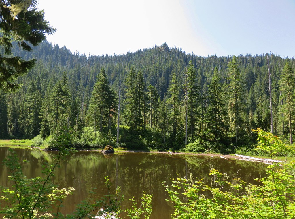
 First look at Pansy Lake.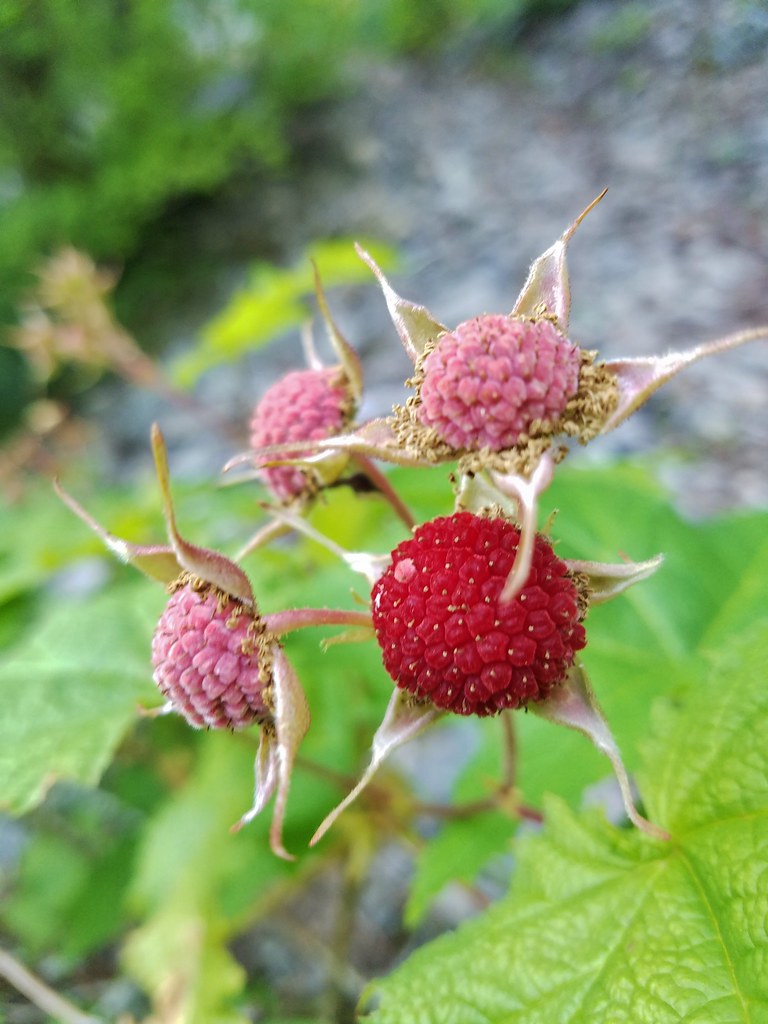


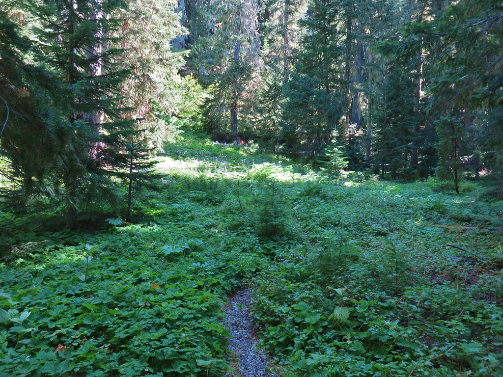
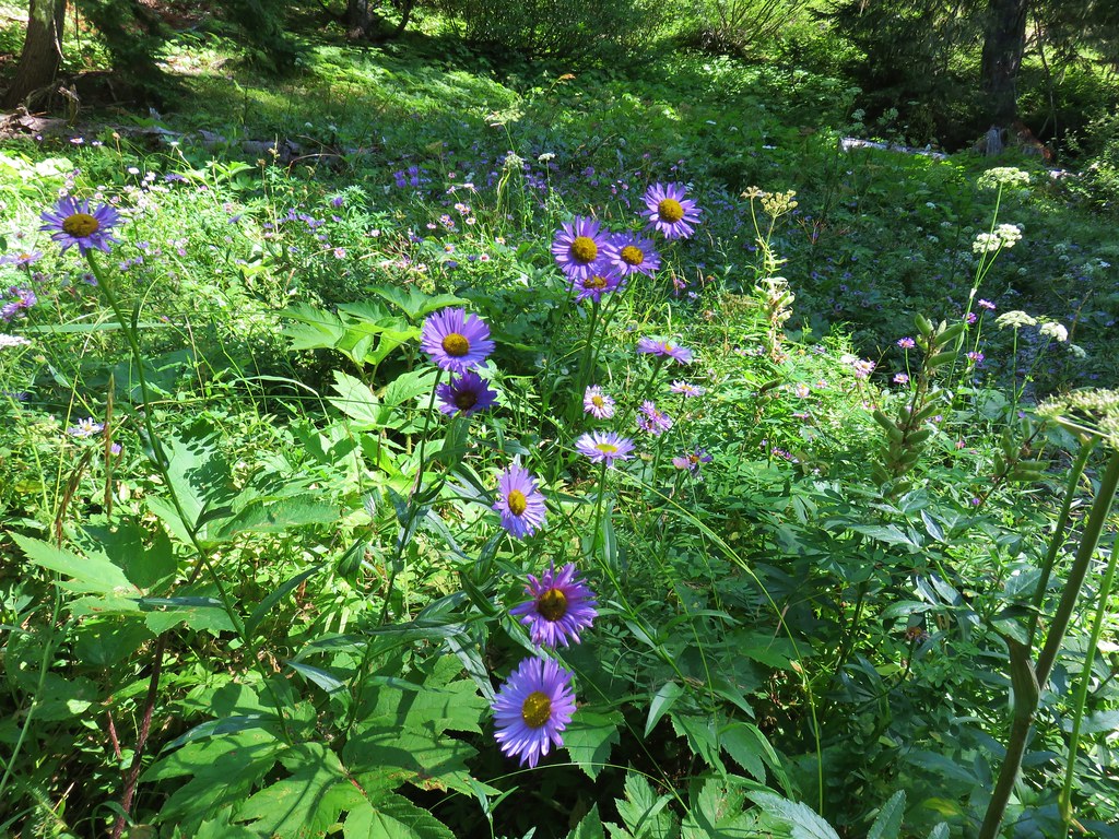




 Mt. Adams beyond Owl Point



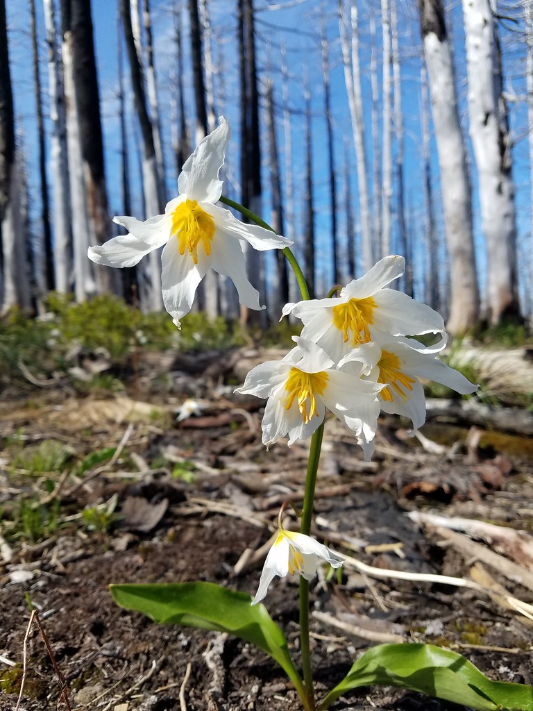


 Eden Park Trail


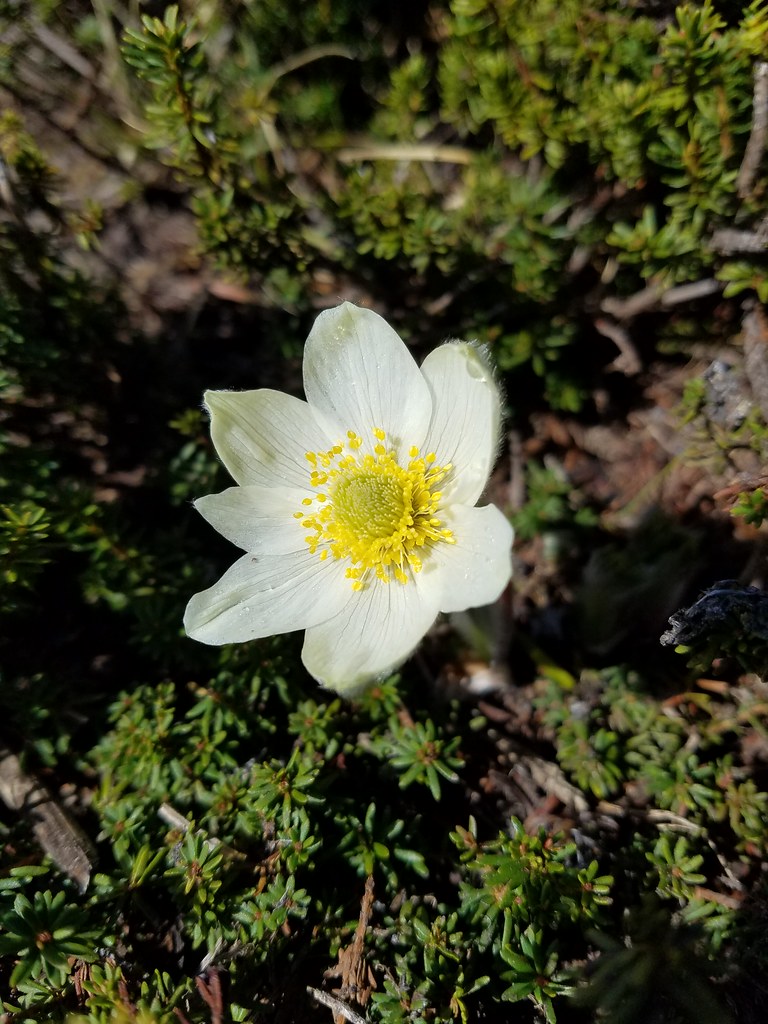
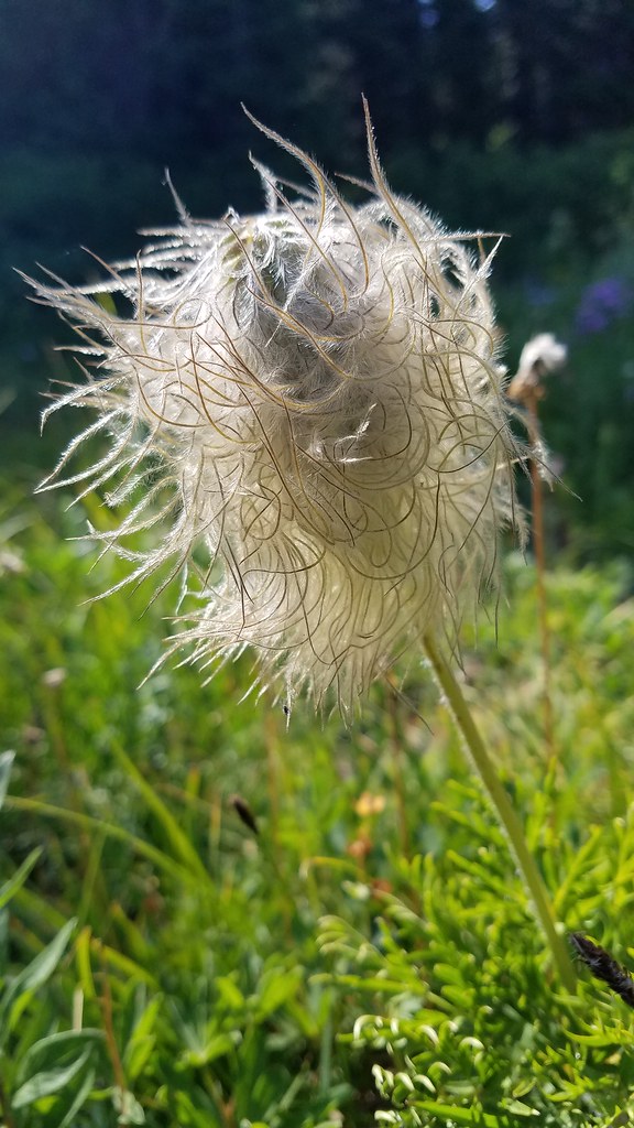
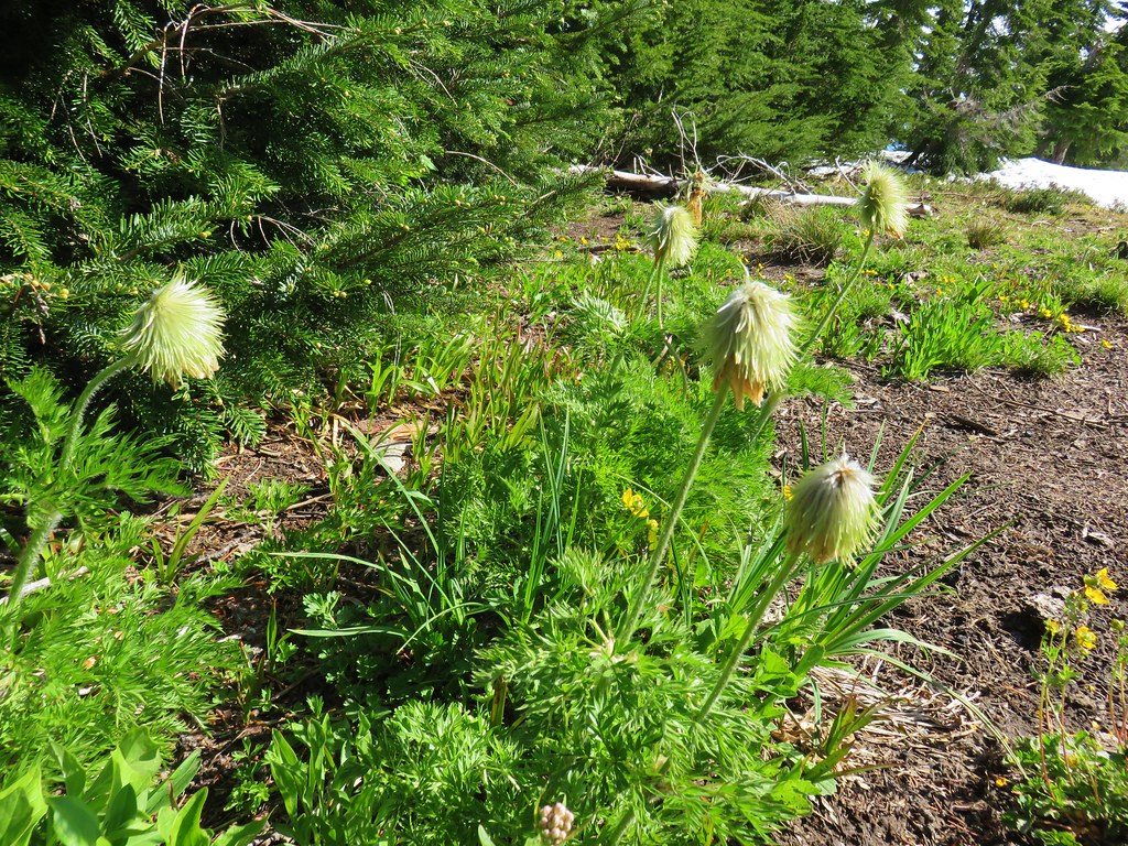 western pasque flowers already going to seed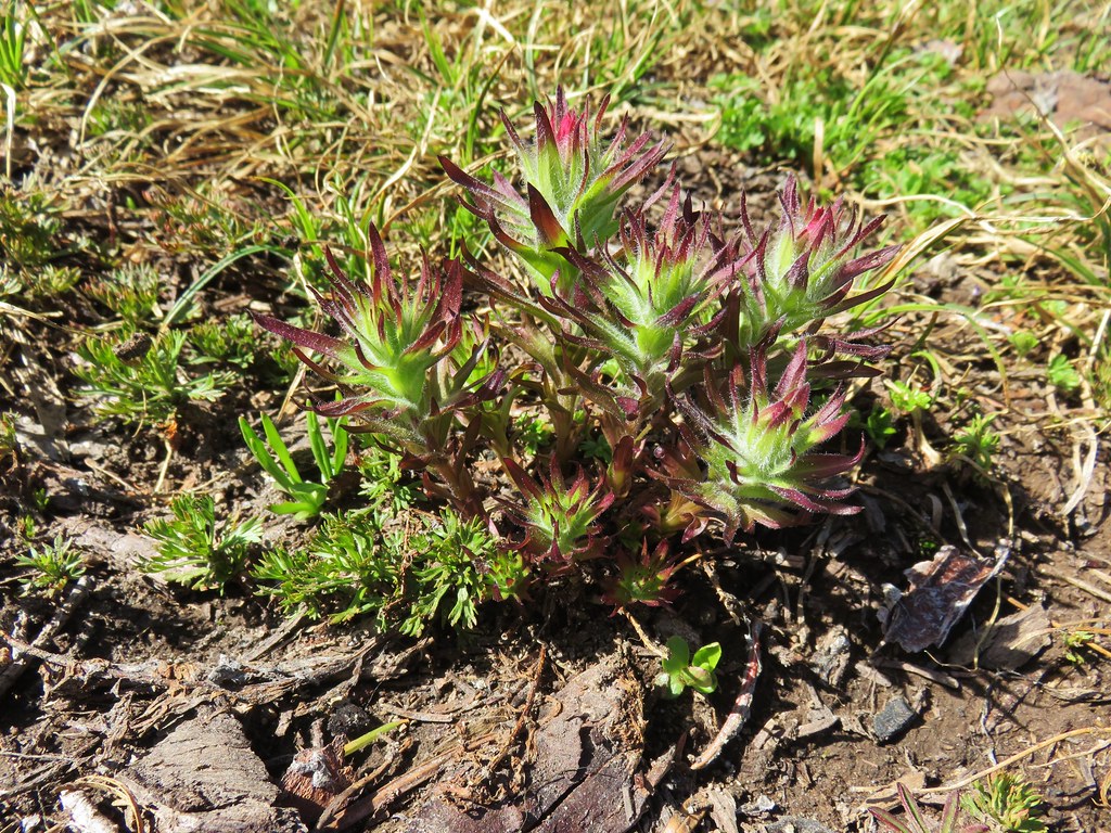




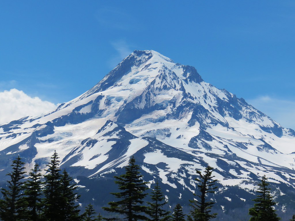


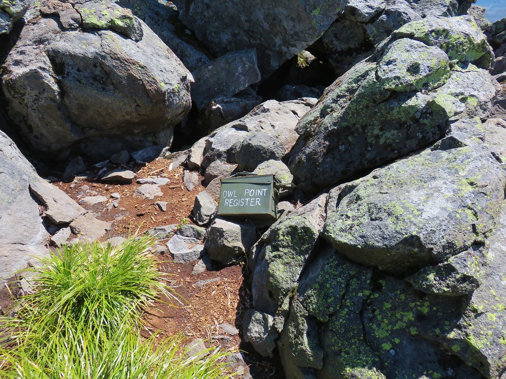

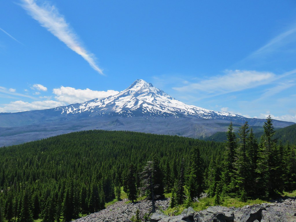
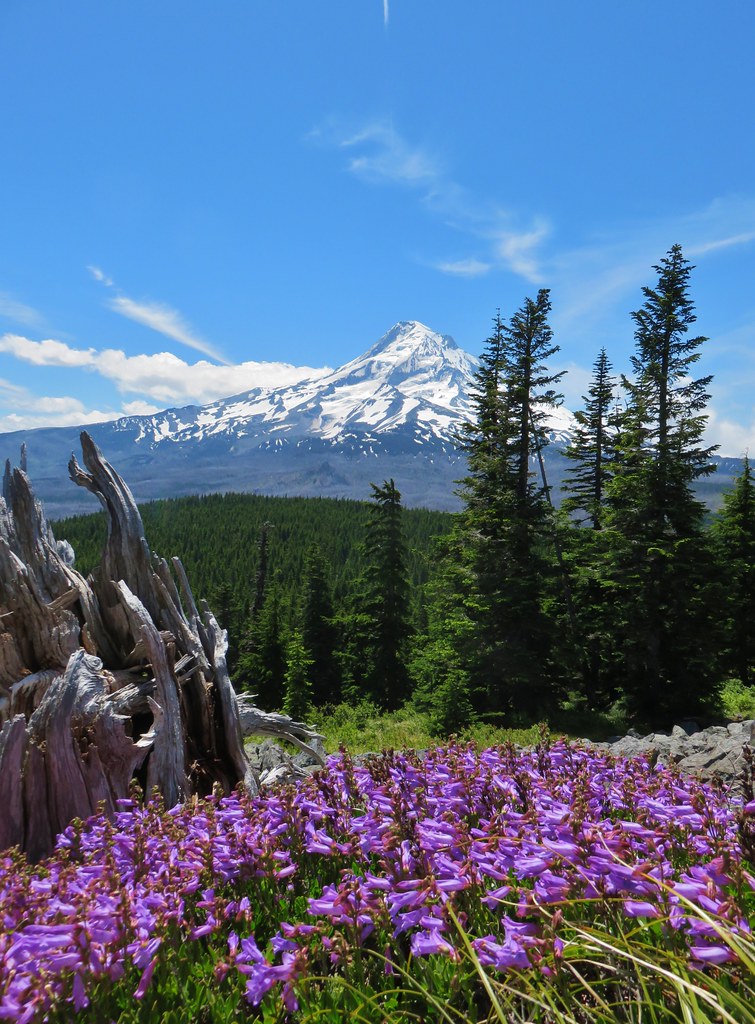




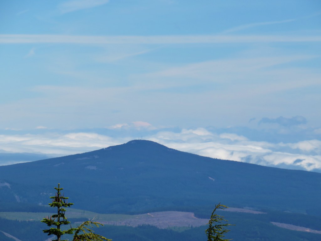 Mt. Rainier (sort of)
 Mt. Adams


 Looking down the scramble route.
 Some of the obstacles
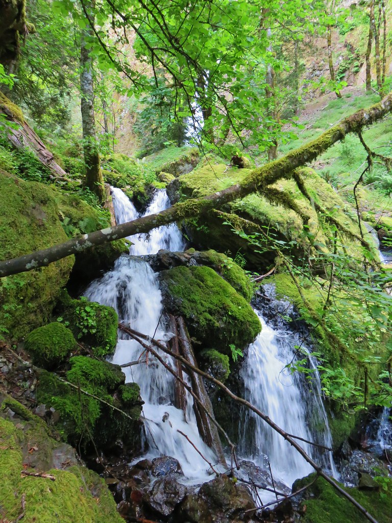 First sight of Gorton Creek Falls through the trees.


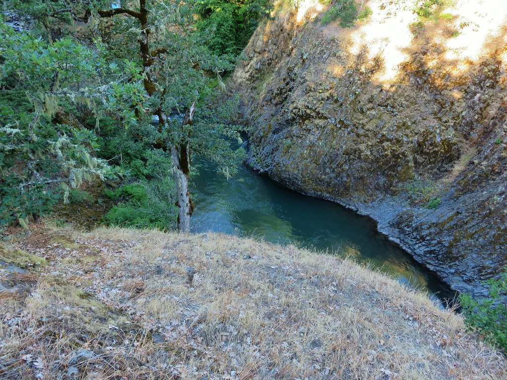
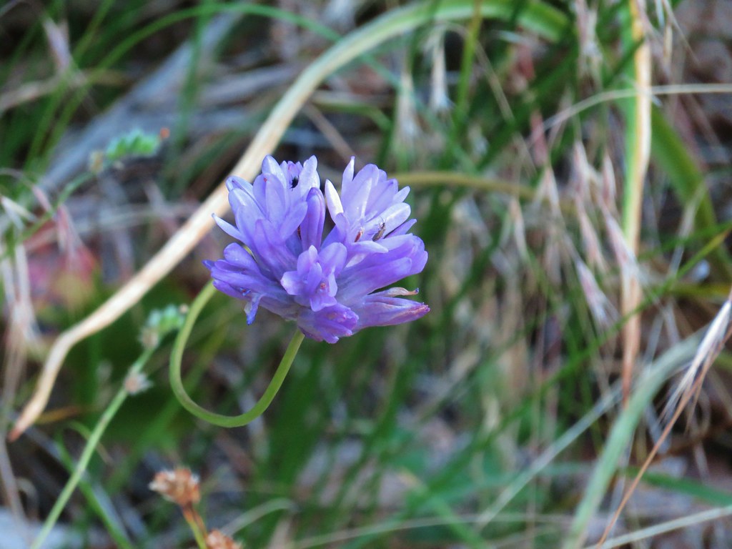


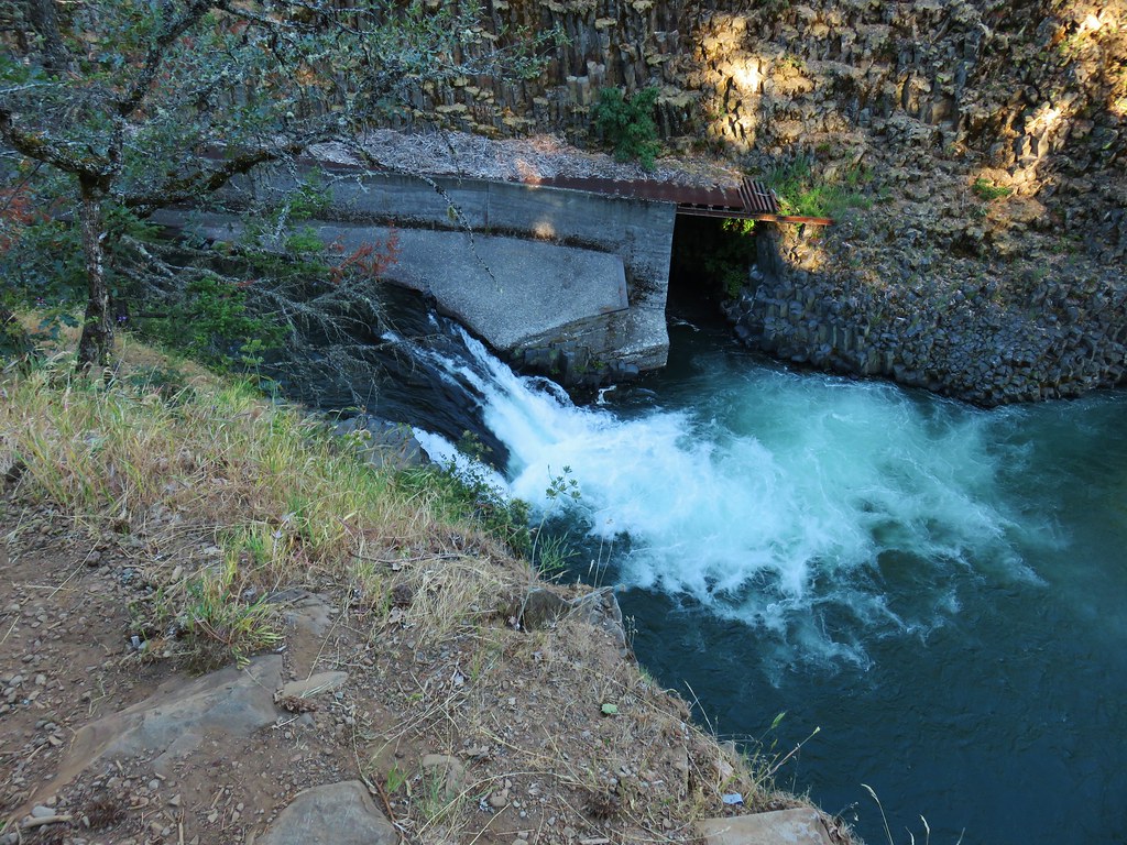

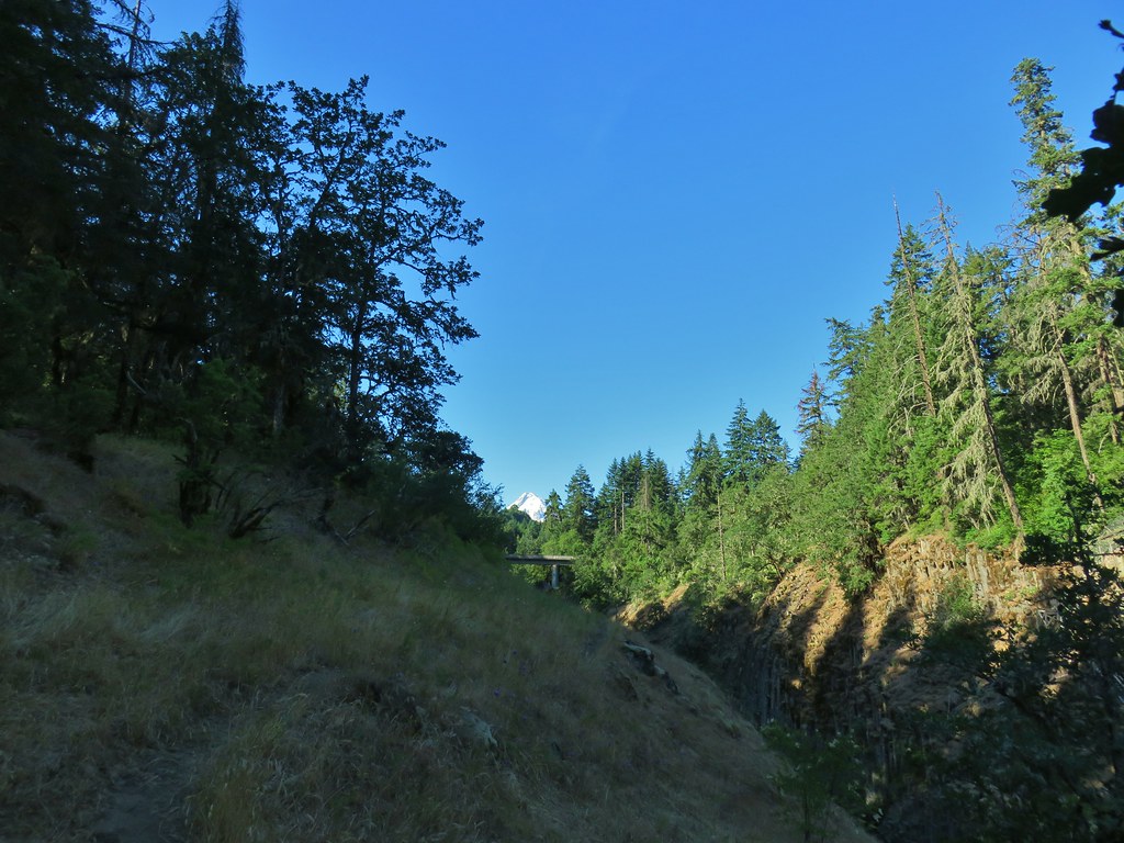













 one of the pullouts











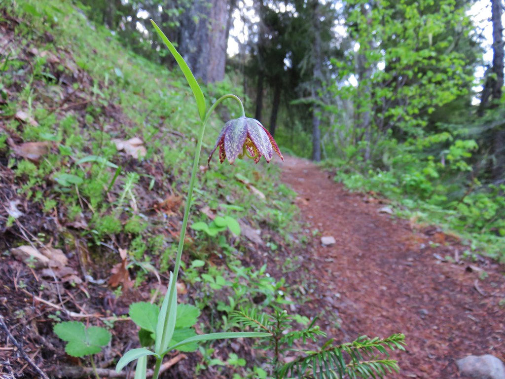 Chocolate lily
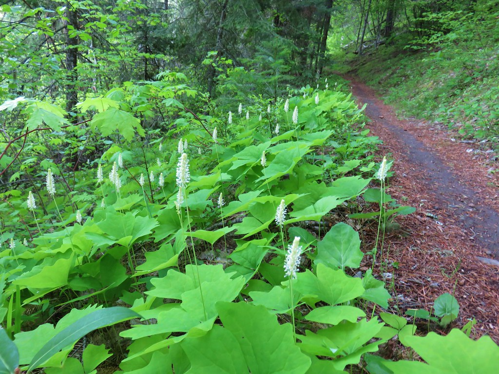 Vanilla leaf
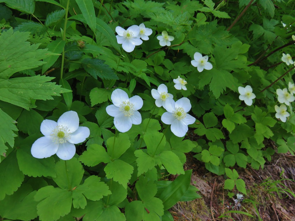
 Columbia windflower (anemone)
 Red flowering currant
 Ball-head waterleaf
 Dogwood (and a crab spider)
 Arnica
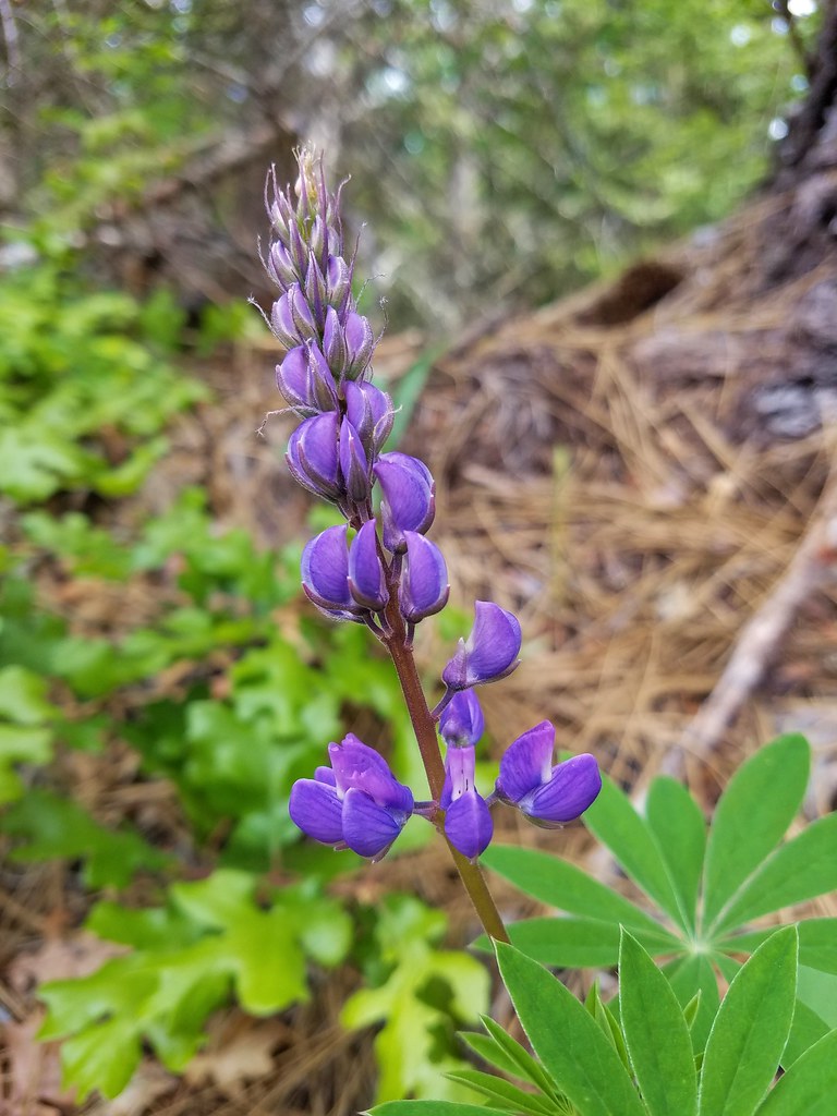 Lupine
 Lupine yet to bloom
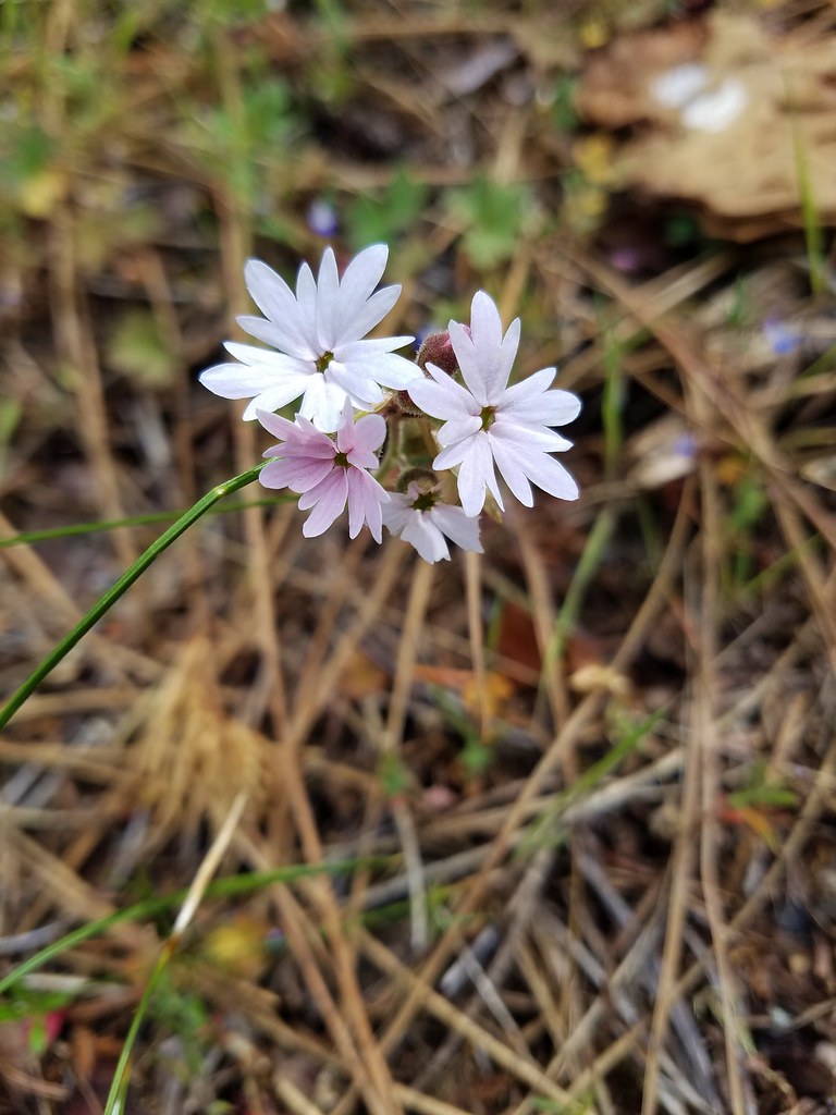 Woodland stars
 Larkspur with biscuitroot in the background
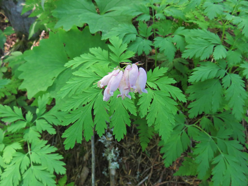
 Fairy slippers
 Indian paintbrush
 Popcorn flower
 Sandwort
 Sticky blue-eyed mary
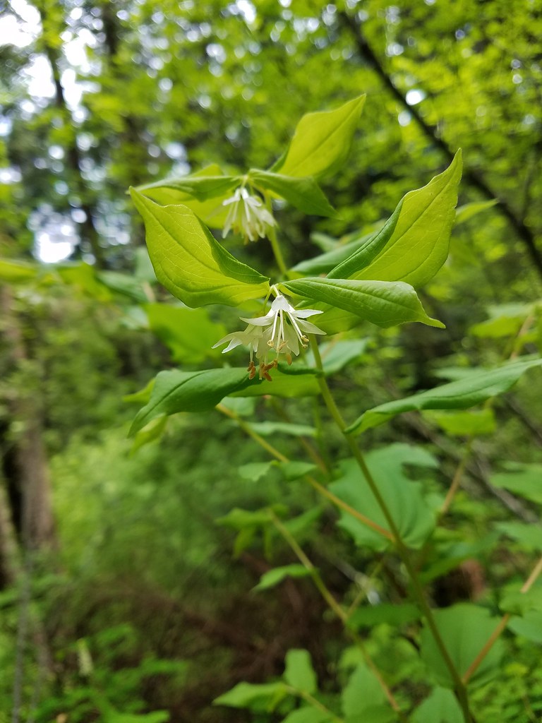 Hooker’s fairy bells
 Solomon’s seal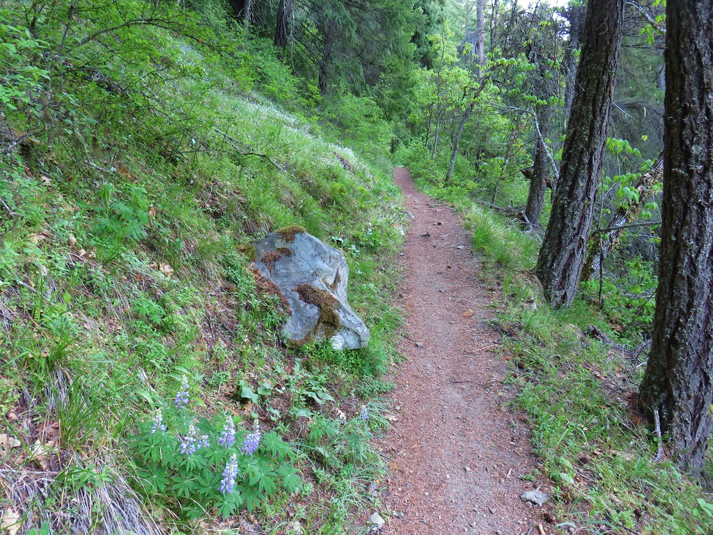








 Penstemon
 Phlox
Phlox



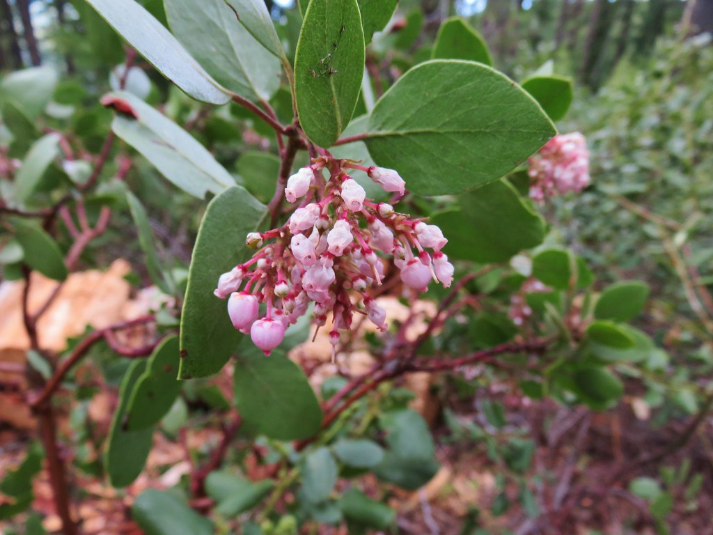 Manzanita
 A currant
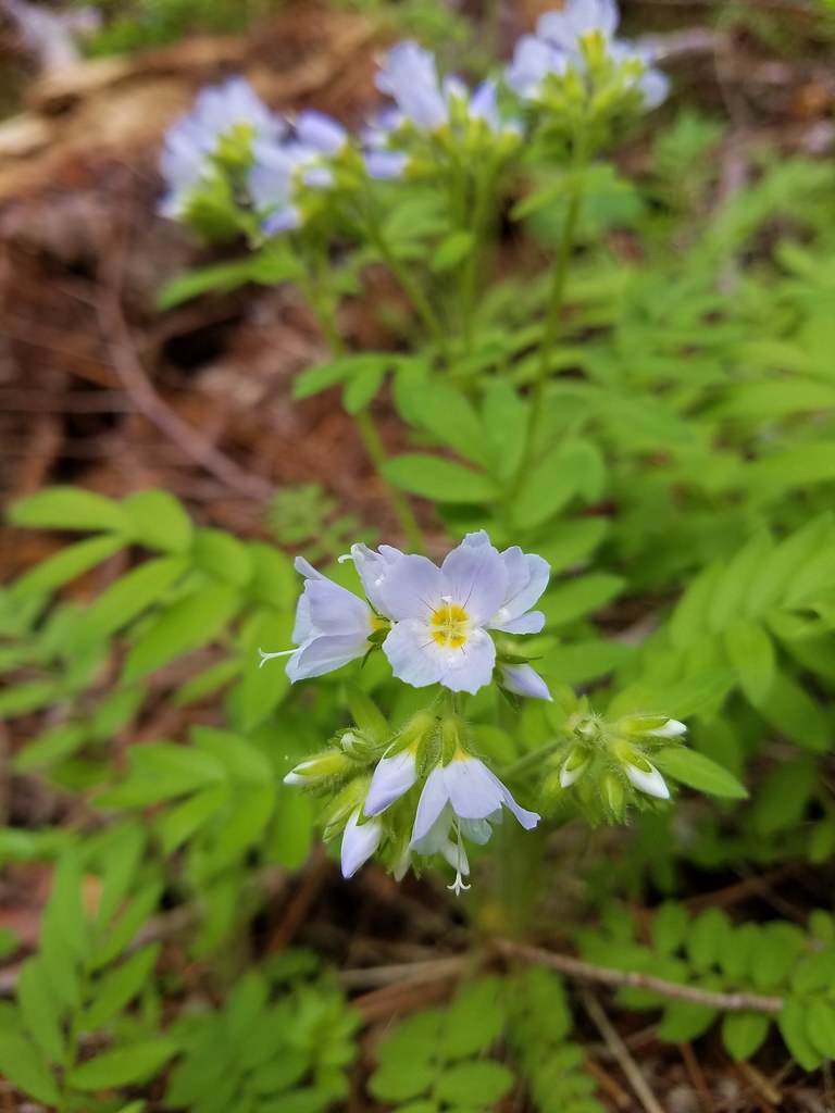 Jacob’s ladder
 Popular tree



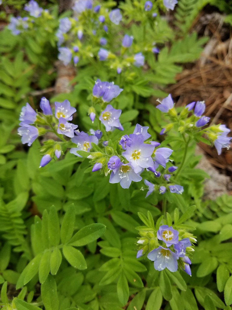 There was quite a bit of Jacob’s ladder along this stretch of trail.
 Oregon anemone
 Forest Road 620.


 A still cloudy Mt. Hood
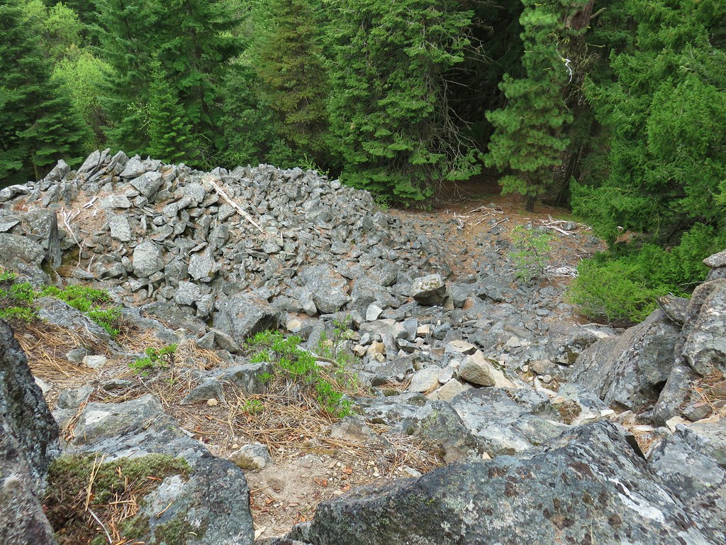 Looking down the talus slope with the Dog River Trail visible between the trees to the right.



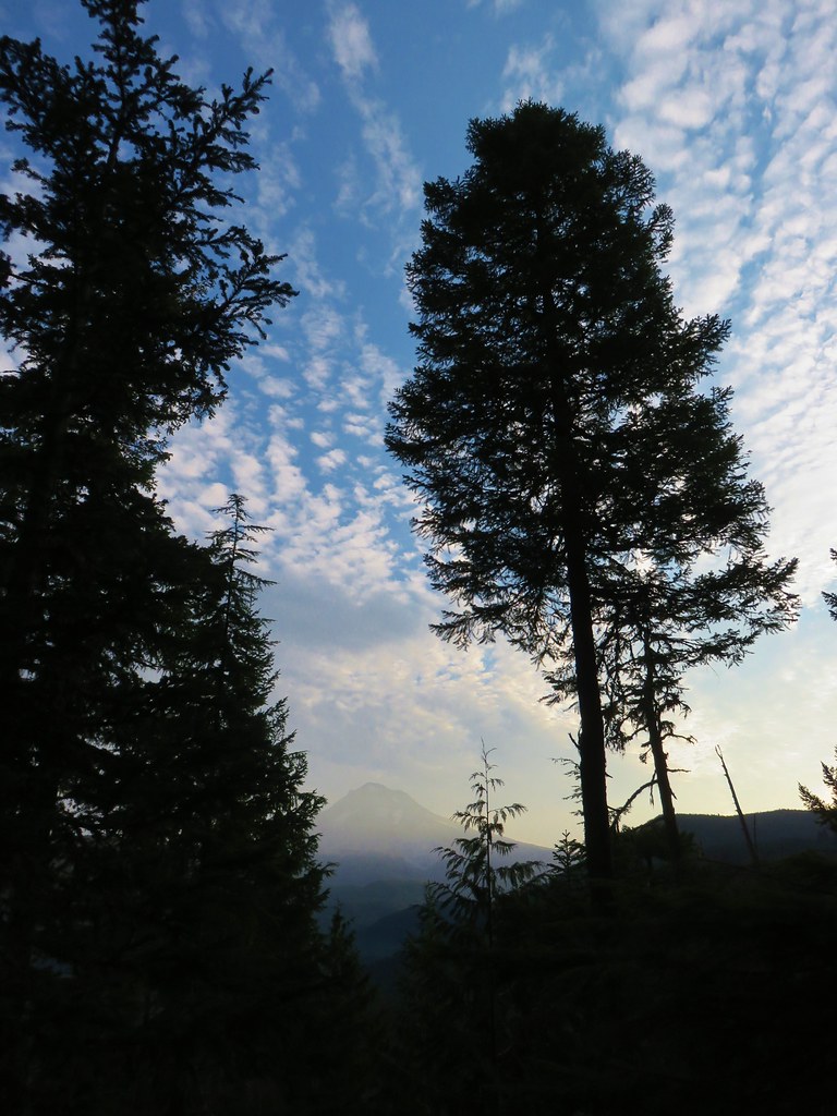
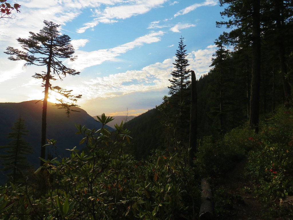

 <
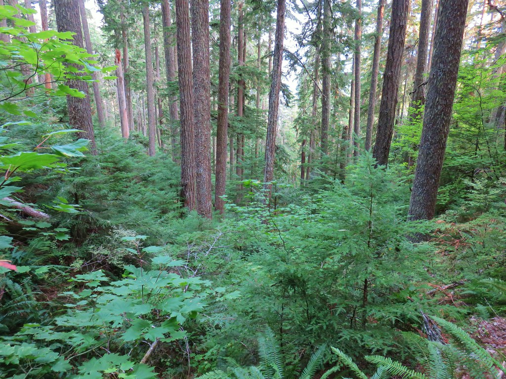
<

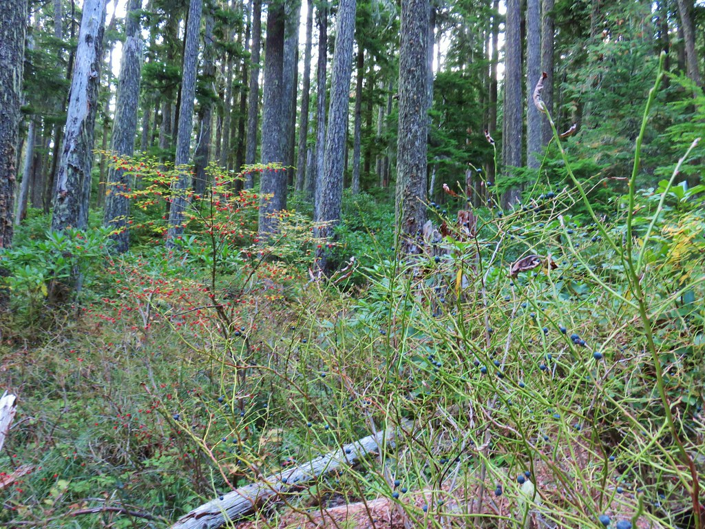
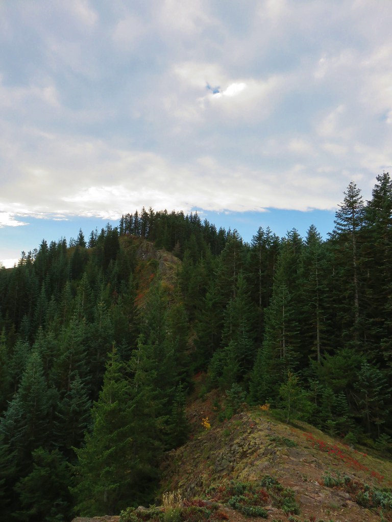 The rocky ridge
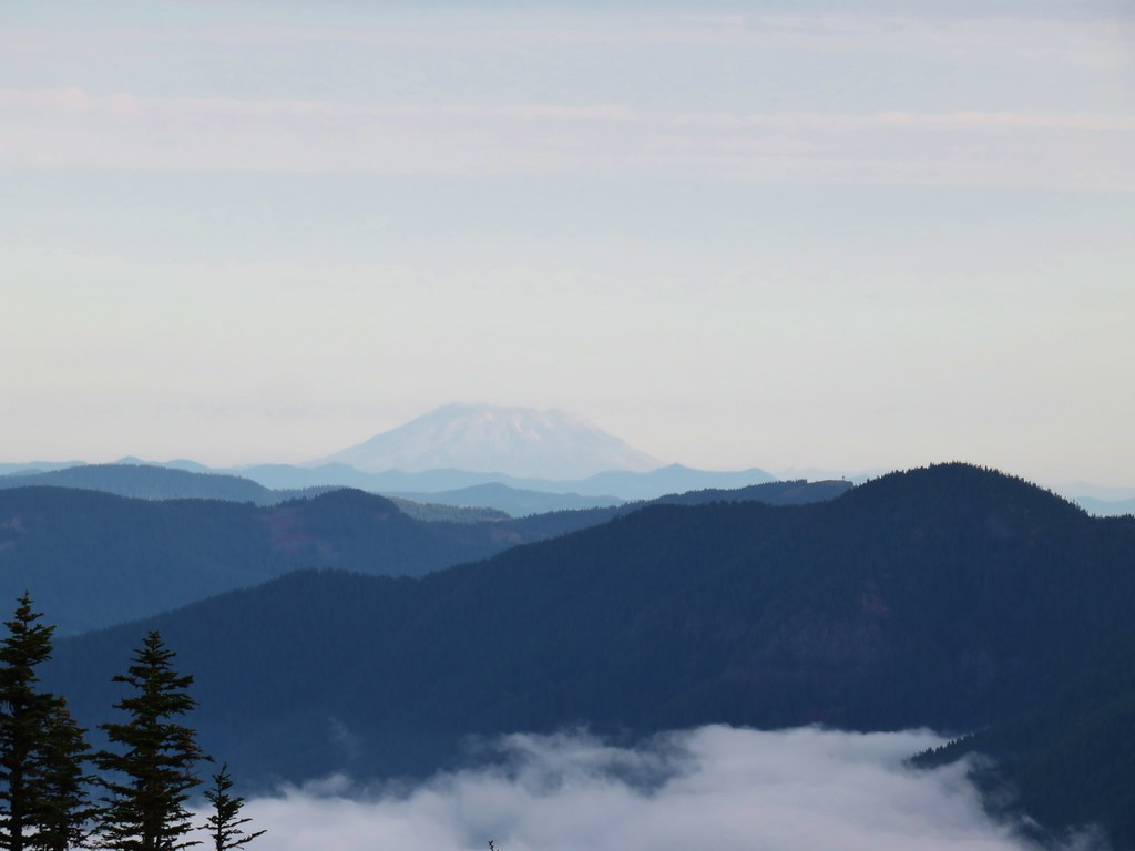 Mt. St. Helens
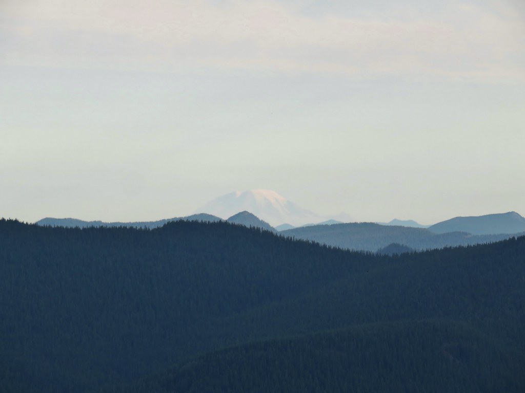 Mt. Rainier
 Mt. Adams
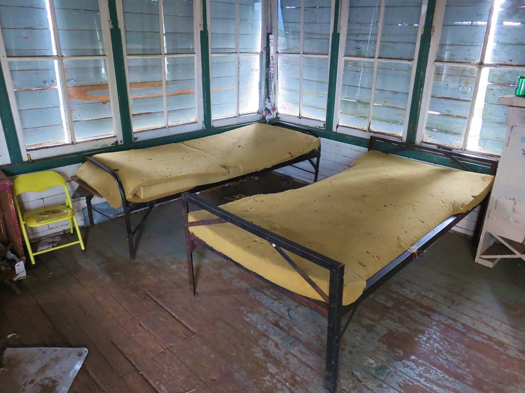
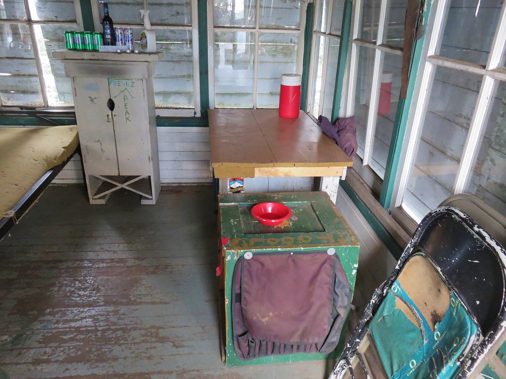

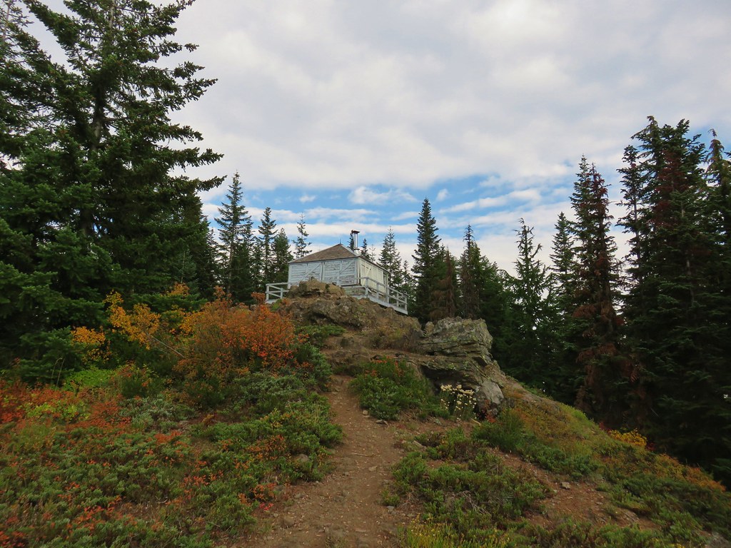
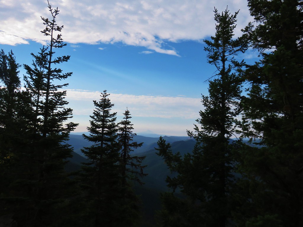 Mt. Jefferson in some haze to the south.
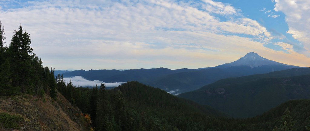
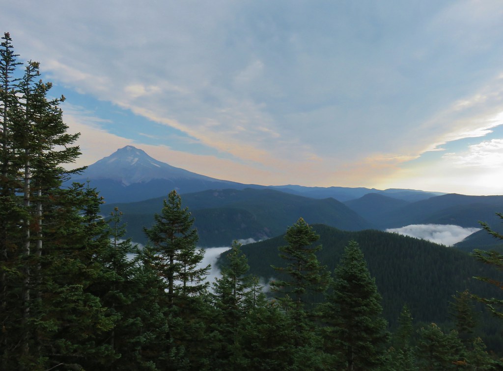 Mt. Hood
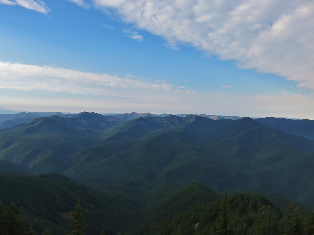 Salmon-Huckleberry Wilderness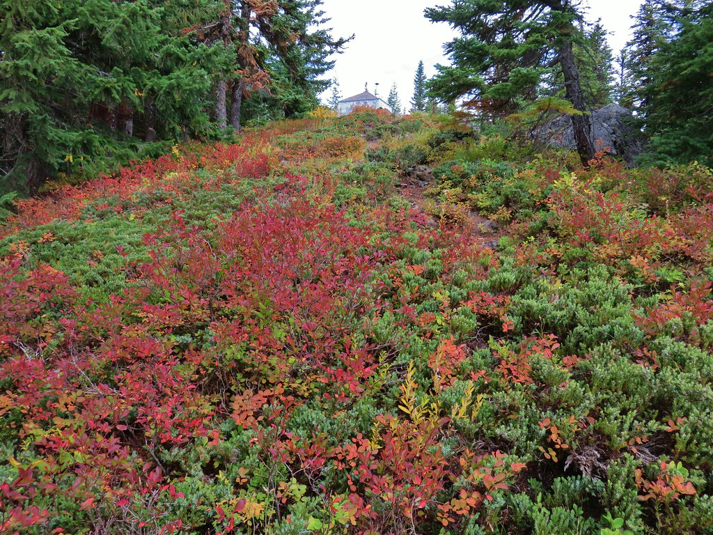
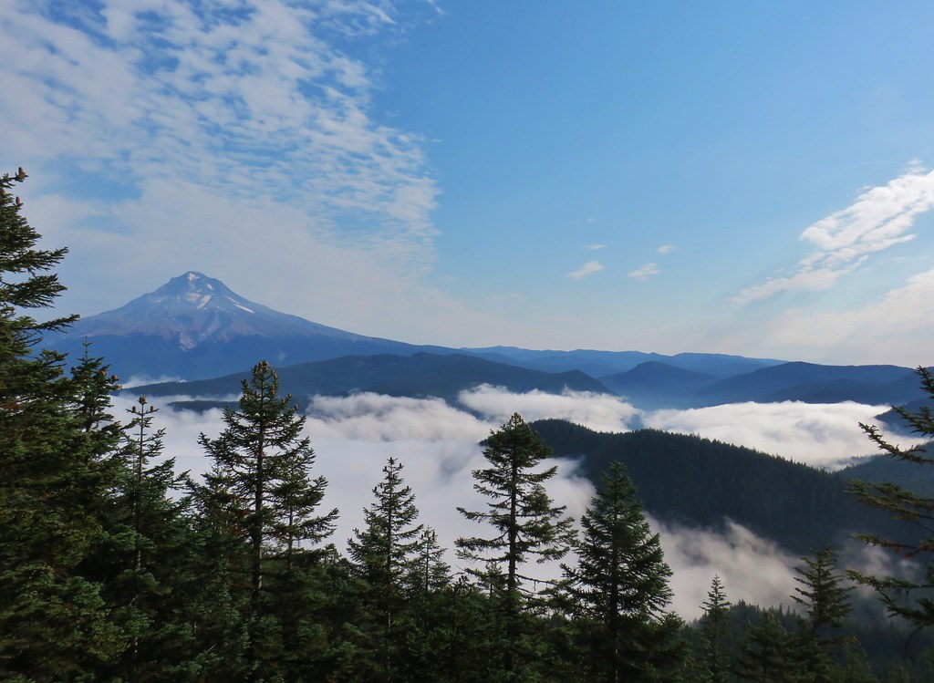
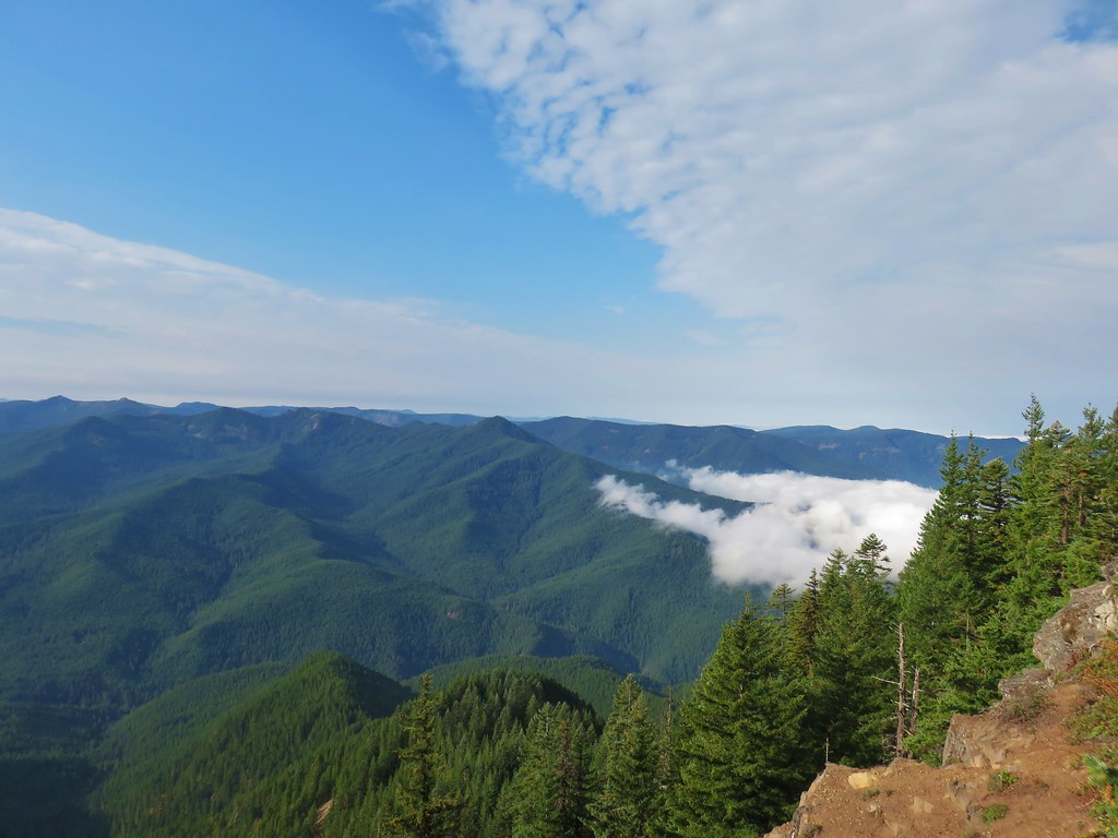 Clouds coming up the Salmon River Valley
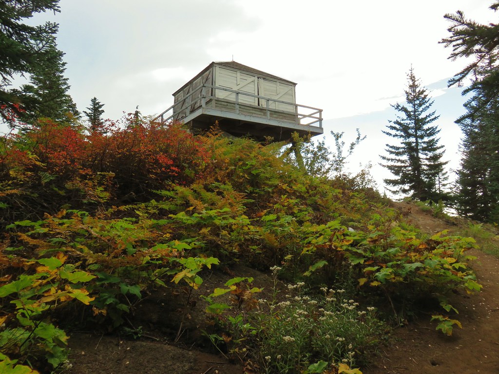
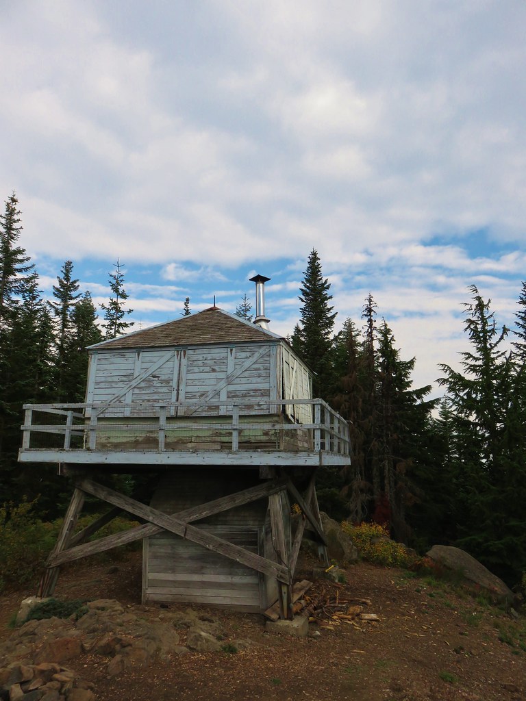
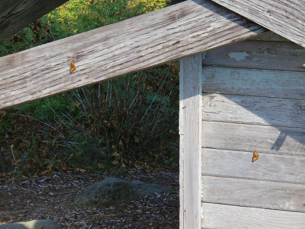 Butterflies on the lookout.
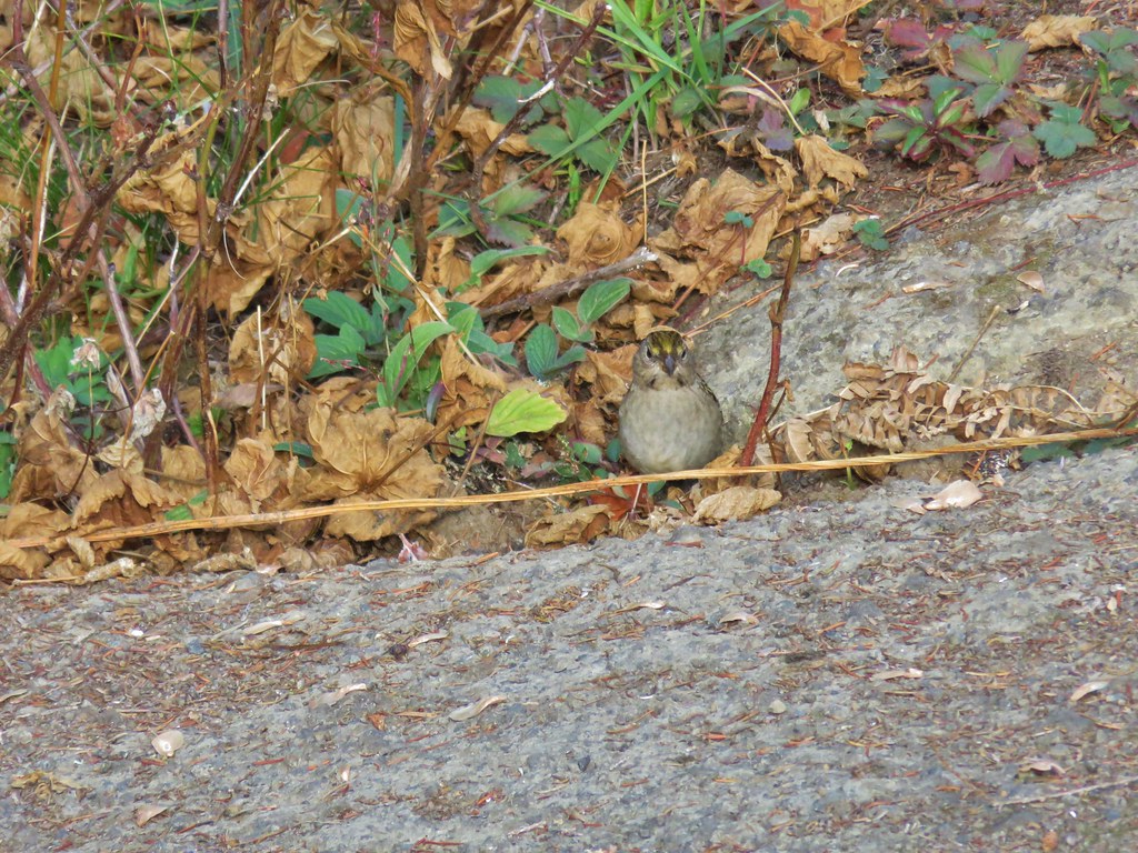 One of several birds foraging in the bushes near the lookout.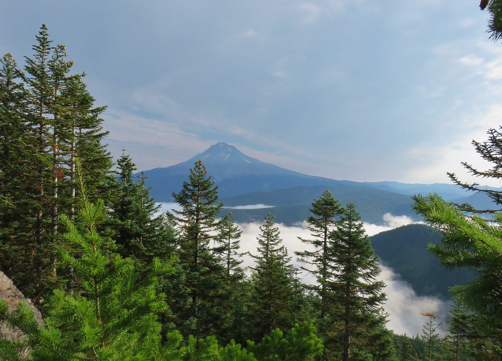

 1
1 2
2 3
3



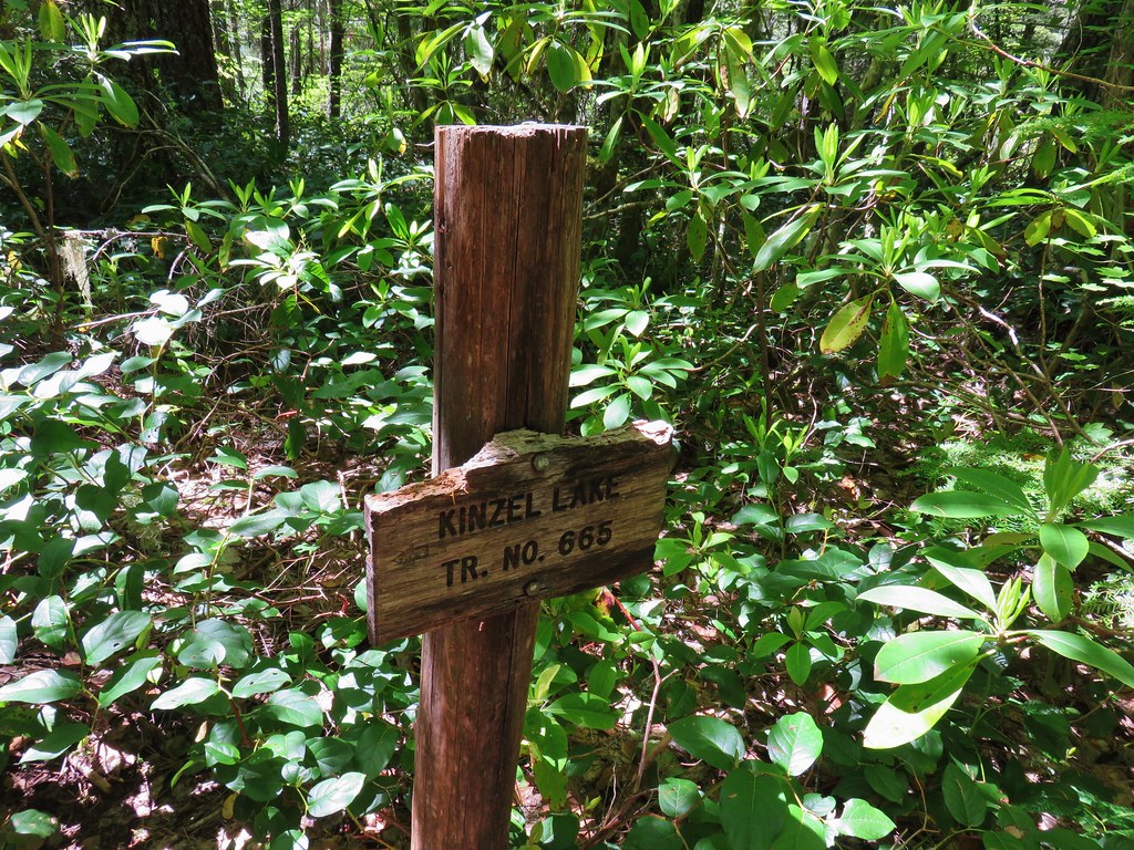
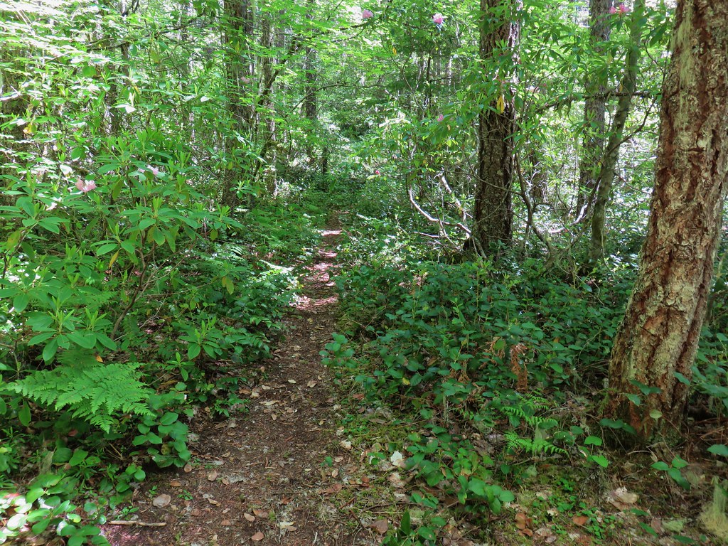 Kinzel Lake Trail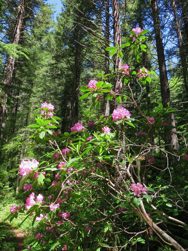
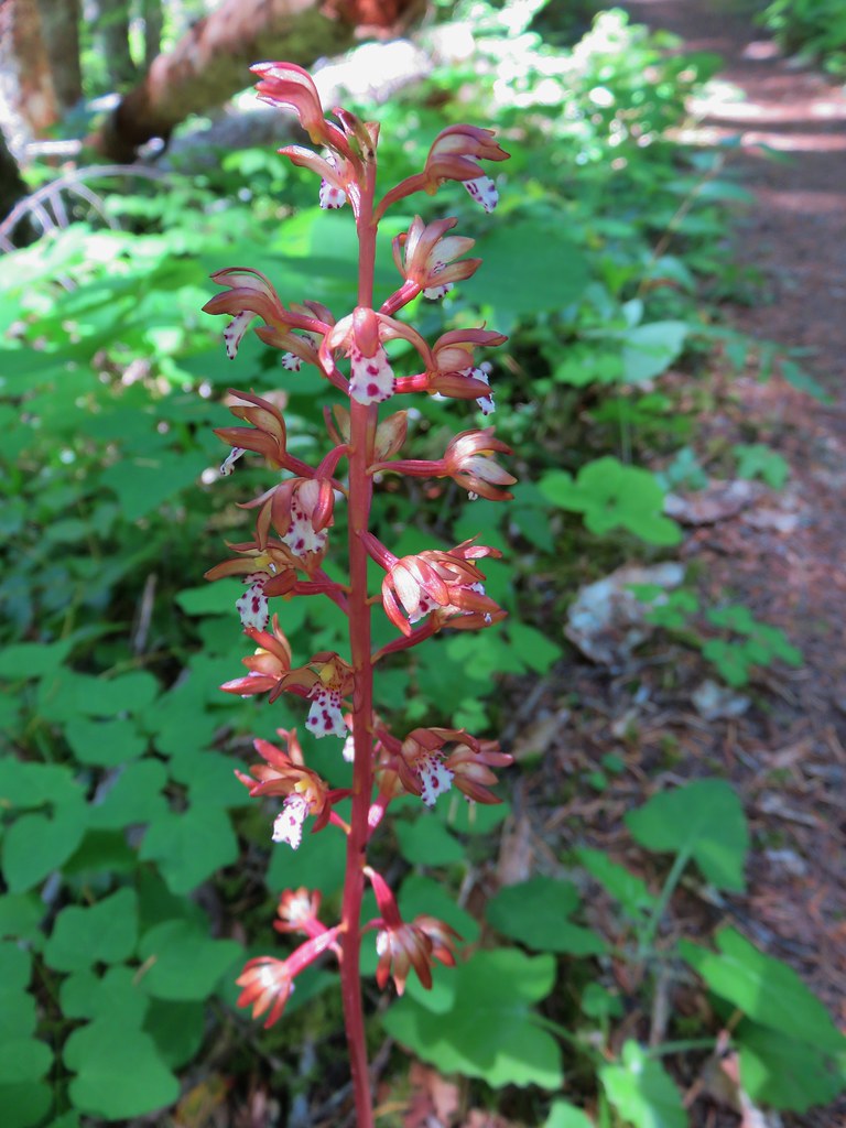 Spotted coralroot
 Paintbrush and plectritis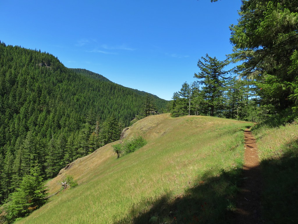
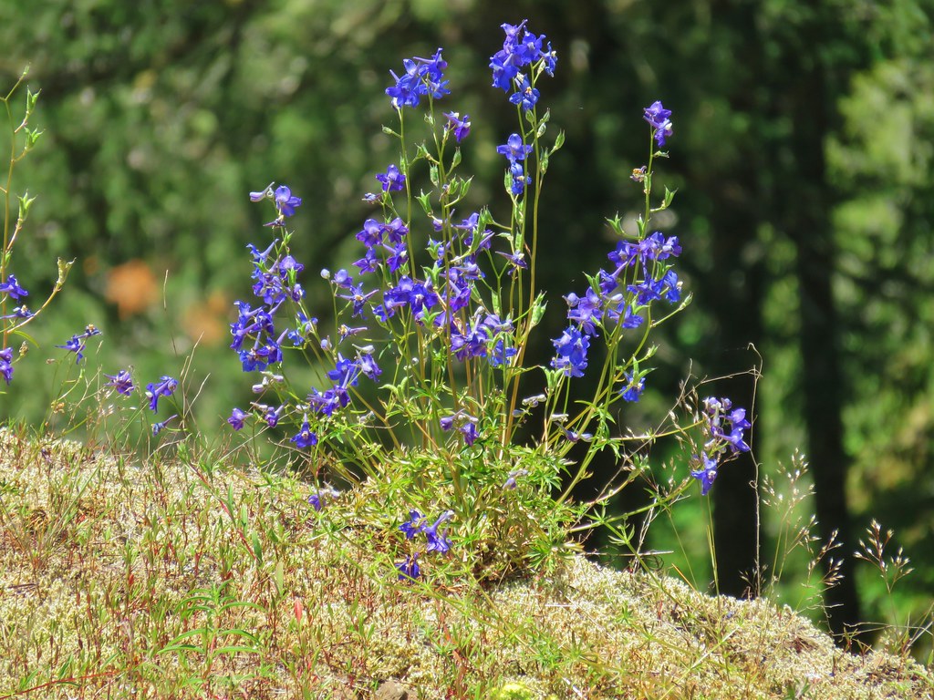 Larkspur
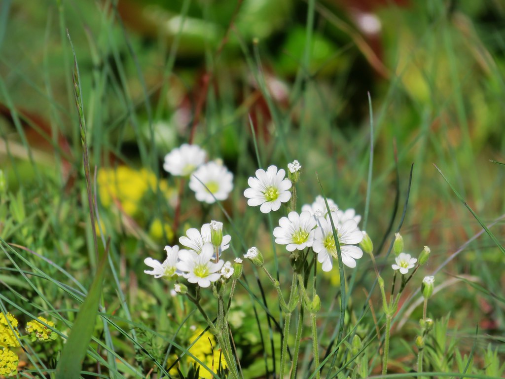 Field chickweed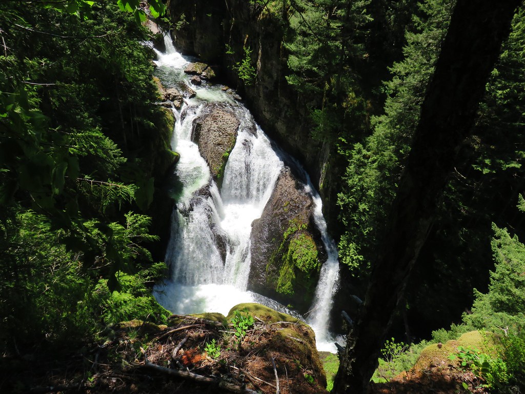
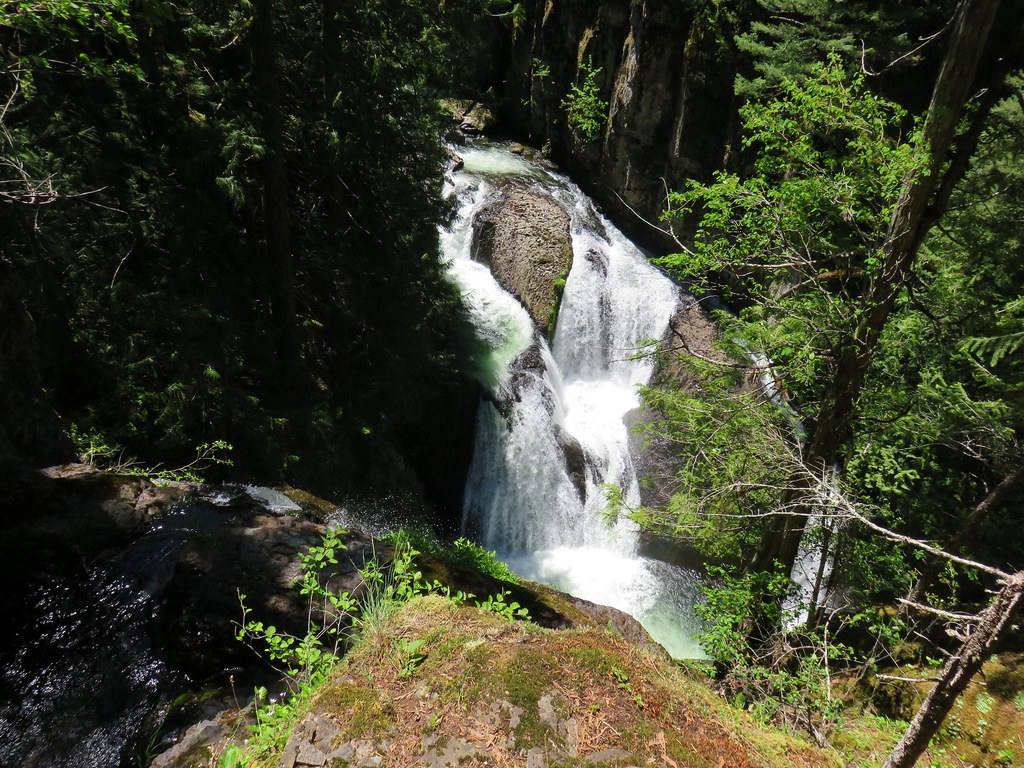
 Cliffs along the hillside above the Salmon River