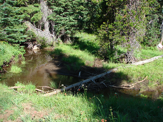
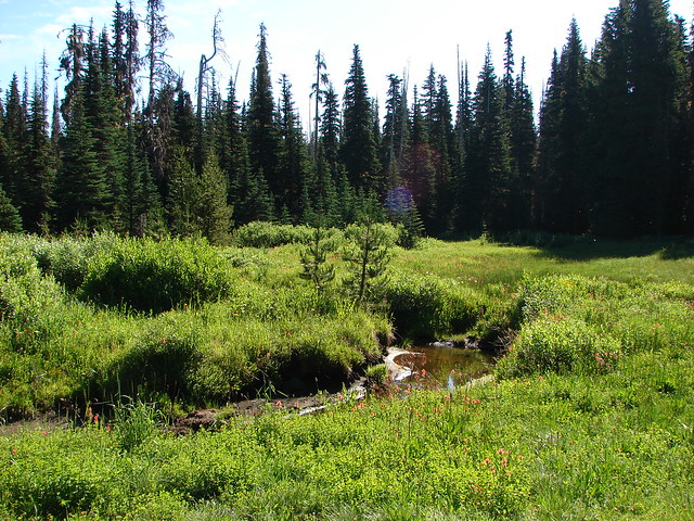
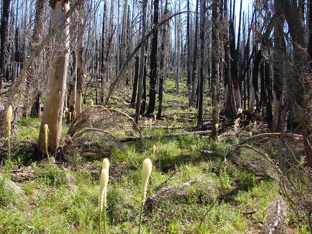
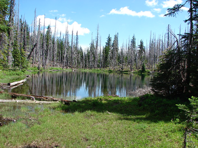
Traditionally we take a hike on July 4th somewhere in the Cascade foothills. Last year we broke that tendency by spending an extended weekend in California’s Siskiyou Wilderness (post). This year we set our sights back on the Cascade foothills with plans to hike three short trails featured in a couple of Matt Reeder’s guidebooks. All of the trails we were visiting today were impacted by the 2020 Beachie Creek Fire.
Our first stop of the morning was at the Natural Rock Arch Trailhead. Located in the Santiam State Forest Reeder combines the Natural Rock Arch Trail and the Rocky Top Trail as hike #15 in his “101 Hikes in the Majestic Mount Jefferson Region” 2nd edition.

 The forecast for Salem was for temps in the mid-90s so we got an early start.
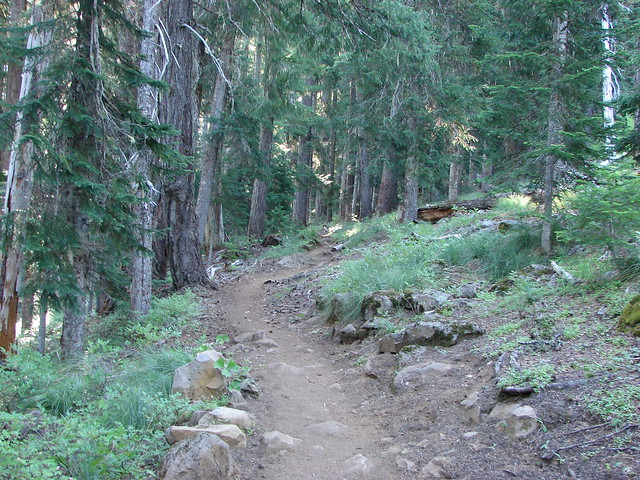
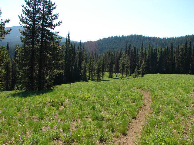
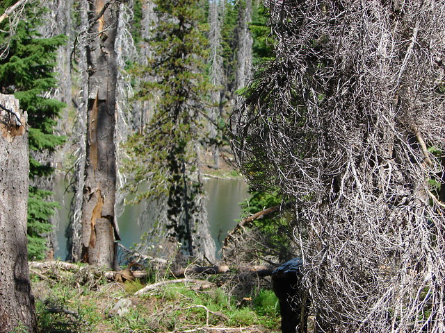
The Natural Rock Arch Trail set off downhill from the small parking area through burned woods.

There were a number of wildflowers blooming along the trail including some impressive Cascade lilies.
 Bleeding heart and penstemon
 Iris
Iris
 Cascade lily
 Scouler’s bluebell
 Inside-out flower
 A few green trees remain.
 Another Cascade lily
 The trail was in pretty good shape overall and we could tell there was ongoing trail work. It looked like there were some rock steps that were going be placed in this section.
 Penstemon
 Oregon sunshine
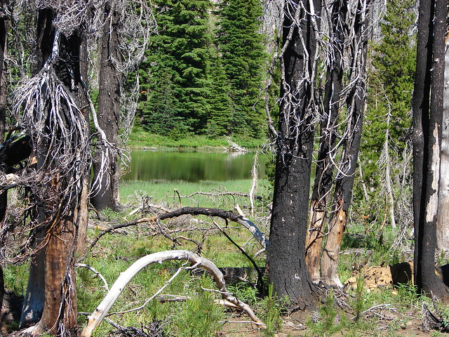
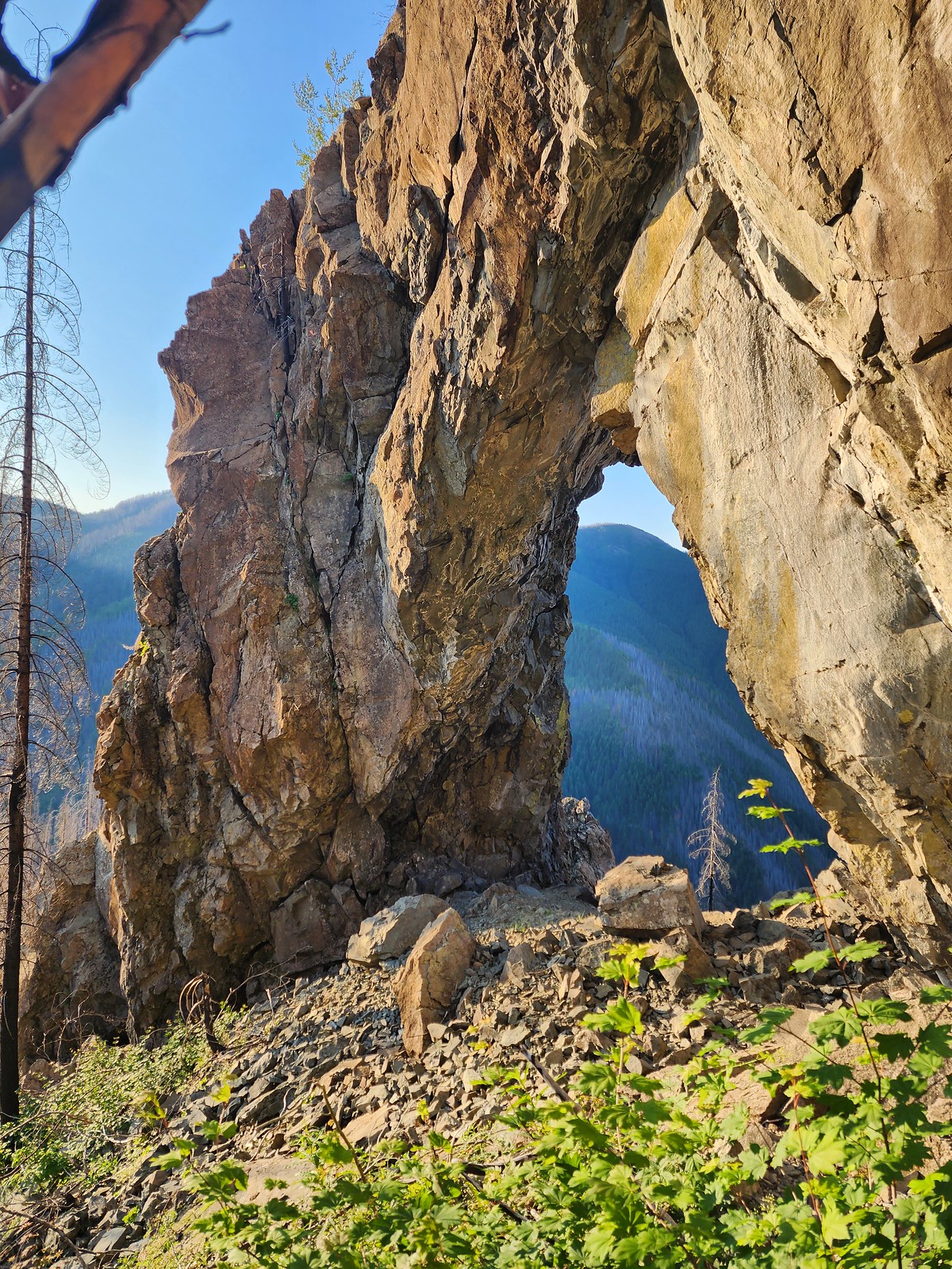
It was a half mile descent to the Natural Rock Arch.

 View from the arch.

 Fin below the arch.
The trail continues through the arch and uphill a short distance on the other side to a small cave/overhang.


After visiting the arch we hiked back up to the trailhead regaining the 500′ in elevation we’d lost on the way down. The climb was the main reason we’d started with this trail preferring to make the climb before it got too warm.

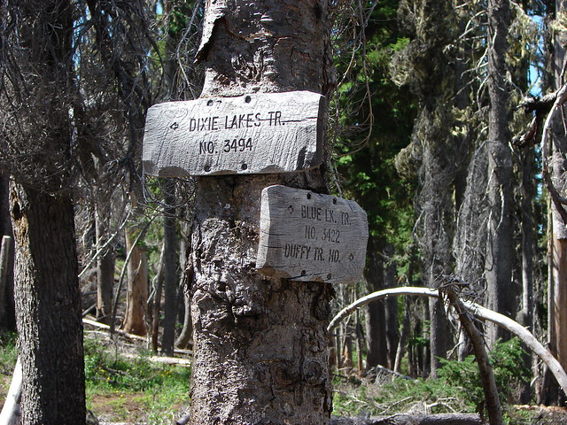
In the guidebook Reeder has you drive to the Rocky Top Trailhead which is just under 2 miles away. The last mile or so of the drive to the Natural Rock Arch Trailhead had been a little rough and I didn’t feel like two more miles of the same so we decided to walk the road instead. While there was another 500′ of elevation difference between the two trailheads the gain looked to be very gradual on the topographic map.
This wound up being a great choice as the road was lined with wildflowers for nearly its entire length, and we also spotted a pika along the way.

 Snowberry checkerspot
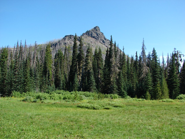
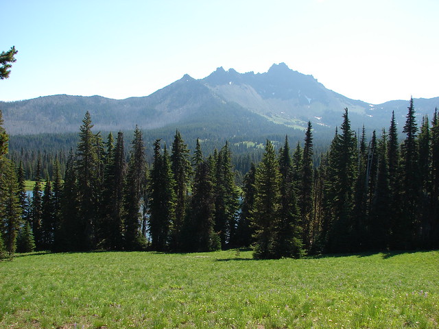
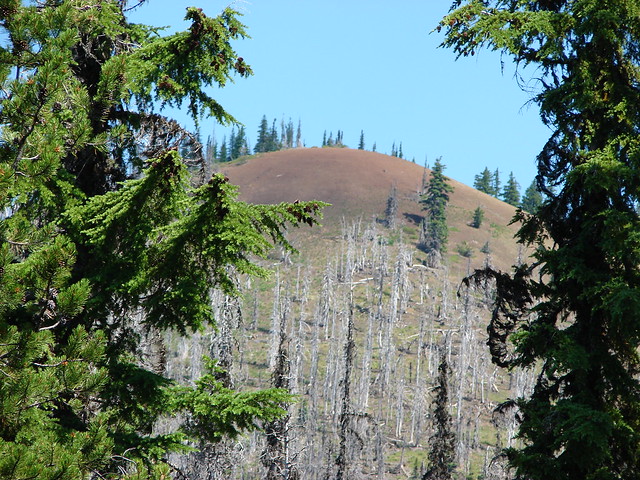
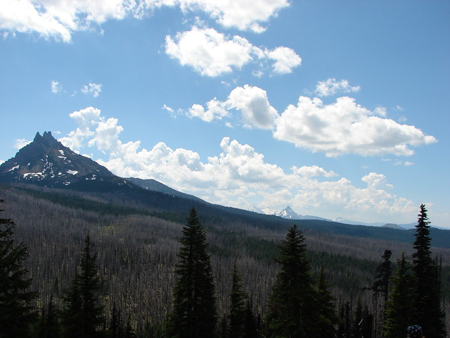
 Rocky Top straight ahead.
 Penstemon and big deer vetch
 Cascade lily
 Oregon sunshine, penstemon, Oregon bedstraw, and a daisy or two.
 Oregon sunshine and paintbrush
 There was a fair amount of shade while the Sun was still low.
 Paintbrush and penstemon
 Thimbleberry
 Bleeding heart. There was more bleeding heart on this hillside than we’d ever seen in one spot.

Eight-spotted Forester-Alypia octomaculata
 Pika below the road.
 Pika
Pika
 Rhododendron
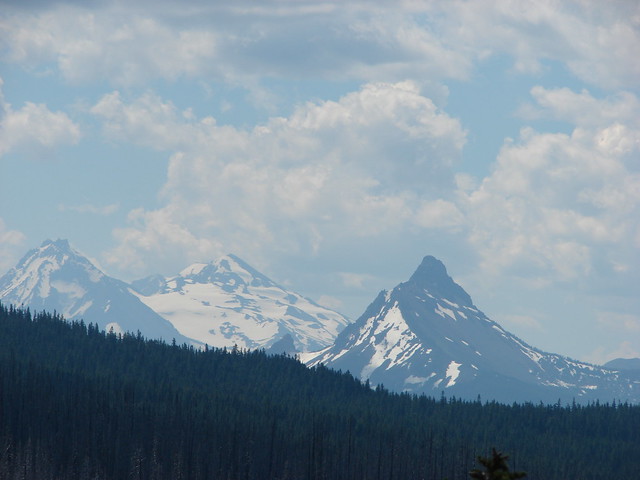
 The Three Sisters on a hazy morning.
 Anemone
 Paintbrush and lupine
 Beargrass
 A few patches of green below Rocky Top.
 This was probably the worst spot in the road in between the two trailheads.
 Bunchberry
 Trillium with a few petals yet to fall off.
 Violets
 Spirea and valerian


 Large boykinia
 Lots of lupine.
 Larkspur and phacelia
 Arriving at the Rocky Top Trailhead.
A Marion County Sherrif drove up in his pickup as I arrived at the trailhead. We had a nice talk before he started back down the road. Heather arrived shortly afterward and we started up the Rocky Top Trail together.


 Clodius paranssian
More flowers awaited along the 0.7 climb to the former lookout site atop Rocky Top.
 Columbine
 Beardstongue
 Lupine
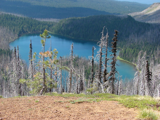
 The road from the trail. The taller, rounded, peak in the center is Sardine Mountain (post). Sardine Mountain Road has yet to reopen after the 2020 fire.
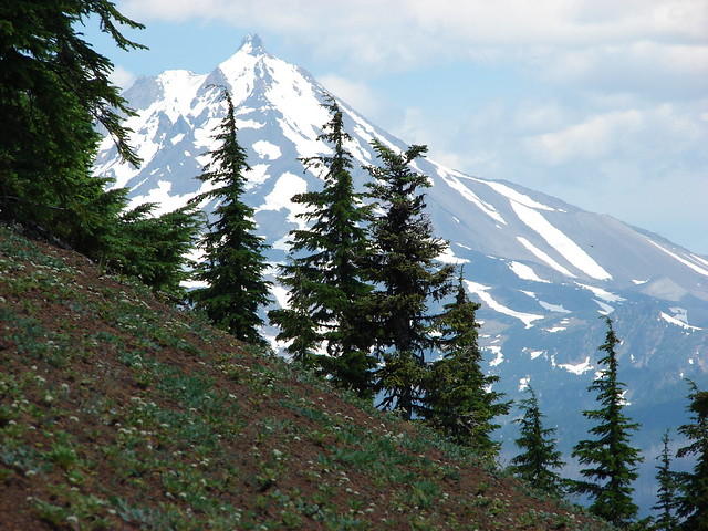
 Mt. Washington and the Three Sisters.
We decide the primary cause of the haze was smoke from the Tunnel 5 Fire on the Washington side of the Columbia River across from Hood River with the fires in Canada most likely adding their own smoke to the mix. The hazy view didn’t bother us though as the wildflowers and abundant pollinators held our attention.


 Mt. Jefferson, Three Fingered Jack, Mt. Washington and the Three Sisters.
 Mt. Jefferson through the haze.
 Elkhorn Ridge (post) with Mt. Hood in the distance to the right. Elkhorn Ridge and Opal Creek Wilderness beyond were severely impacted by the fire and remain closed for now.
 Mt. Hood above ridges of burned forest.
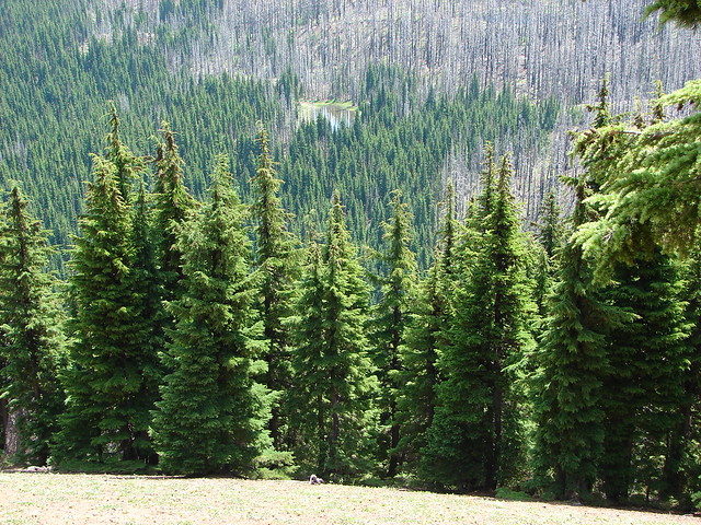
 The loss of the trees did result in better views of the various rock formations in the area.

 We’d never seen so many of these eight-spotted forester moths.
 Hummingbird taking a rest from visiting the penstemon and paintbrush.
 Another moth that had some excellent camo.
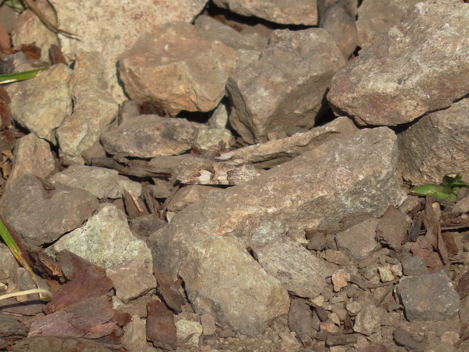 The moth putting its camouflage to use.

 Penstemon
 Rose
Rose

 Rocky Top from the trail.
 This was the only pink colored penstemon we spotted.
 Lupine and beargrass
 Not sure which of the Lycaenidae this is but it was pretty.
 The spirea was popular.
 Bumble bee
 At one point it looked like Three Fingered Jack was sitting on top of Coffin Mountain (post).
 Nice blue sky overhead.
 Looking North. Henline Mountain (post) is the high peak on the other side of Elkhorn Ridge.
 Bistort and penstemon
 Haven’t been able to identify this one yet.
 Beargrass
 A snowberry checkerspot and some fried avalanche lilies.
 The trail wound behind Rocky Top to come up the West ridge to the summit.
 Arnica
 Sub-alpine mariposa lily
 Tiger lily and beardstongue
 Catchfly
There was a 360-degree view from the summit which was of course impacted by the smoke. On a clear day we would have been able to see Mt. Adams and Mt. St. Helens in Washington but we settled for a string of Oregon Cascades and Mary’s Peak in the Coast Range.
 Not sure what the story is behind this chair, but we weren’t about to test its stability.
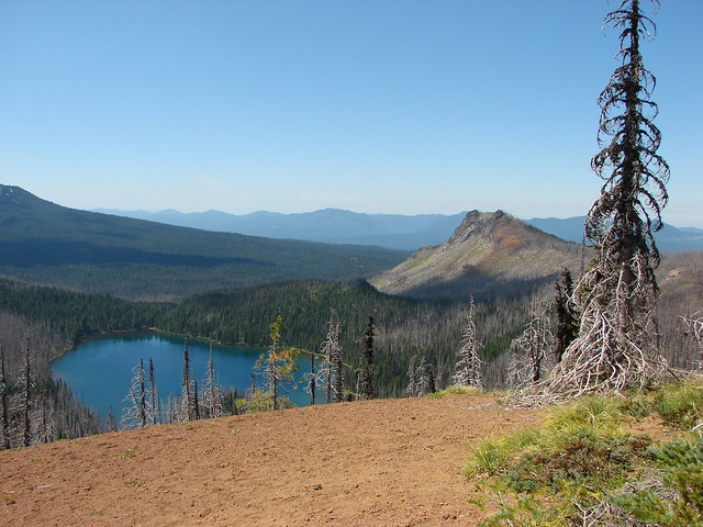
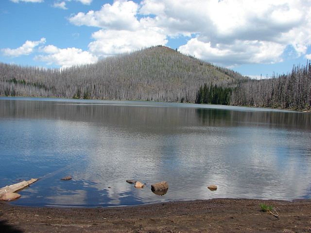
 Detroit Lake
 Mary’s Peak (post) is really hard to make out, but it is on the far left of the horizon.
 Looking North we could see Table Rock (post), the high point in the center, behind Henline Mountain closer and to the left and Elkhorn Ridge nearest.
 Closer look at Table Rock.
 Henline Mountain, Table Rock, Mt. Hood, in front and just to the right of Mt. Hood is Whetstone Mountain (post) and the two humps in the distance to the far right are North and South Dickey Peaks.
 Mountain bluebird checking us out.
 Mt. Jefferson
 Three Fingered Jack behind Coffin Mountain, Maxwell Butte (post), Mt. Washington, the Three Sisters, and The Husband.
While we were at the summit we spotted another car driving up the road to the trailhead so after a nice break we headed back to let the next visitor(s) have their turn.

 Zerene fritillary
 Beargrass
 Moth and a checkerspot
We passed the couple from the car about halfway down the trail. It would be the only other hikers we would pass on the trails this day. (We did see a few others but not on the trails.)
The road walk between trailheads was a butterfly bonanza. The road was now in full sunlight and that had brought out hundreds of butterflies and moths.

 A bee, a moth, and a butterfly land on some flowers…
 Painted lady
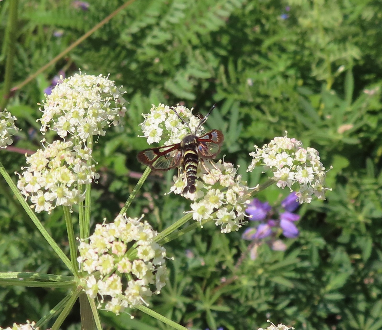 Fireweed Clearwing Moth (Albuna pyramidalis).
 A fritillary and a copper.
 Two coppers and a bee.
 Checkerspots, a bee, a copper and part of an eight-spotted forester moth.
 Eight-spotted forester moth.
 The previous four photos were all from this group of Oregon sunshine.
 Bleeding heart, no butterfly but a nice group of blossoms.
 More moths and butterflies.
 Swallowtail on penstemon
 One of the blues I think, but not sure which.
 Lorquin’s admiral
With the road walk included our hike here came in at 6.4 miles with a little over 1800′ of cumulative elevation gain.

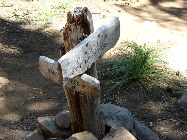
We headed back toward Salem and turned into the North Santiam State Recreation Area (3.8 miles West of Mill City or 28.6 miles East of Salem along Highway 22.) While this is a State Recreation Area Marion County is managing the park through at least 2024 following the 2020 fire. Reeder described a 2.3-mile loop here but we weren’t sure what we’d find with limited information available online. We parked near the day-use picnic area and followed the sidewalk left past a large signboard for the campground to a small “Trail” sign.


We turned onto a wide mowed path and followed it into the fire scar which was hosting masses of very tall fireweed.


 Sparrow
 Stellar’s jay
We almost missed the spur trail to the larger loop which was unsigned and hidden by some brush.
 The spur trail is to the right just ahead.
We turned right onto the spur and quickly came to a “T” junction where we turned right following a “To River” sign.

 We watched a norther flicker fly into the snag ahead and it took a minute to figure out where he was.
 The flicker
At the river the trail curved right following it to the camping area.

 Trailing blackberries. We might have found a few ripe ones.
 Arriving at the camping area.
 North Santaim River
We continued on what was now a paved path to a road
 Oregon grape

 Mock orange
 The boat launch.

 North Santiam River

It was a lot cooler by the river than it was on the paths so we lingered for a bit before heading back to the loop. Prior to the fire the loop crossed the road to the boat launch and continued in the forest eventually crossing the park entrance road and completing the loop near the “To River” sign. We quickly discovered that the loop no longer existed on the north side of the roads. We up the boat launch road past the trail we arrived on then past the park host. We could have just turned right at the parking lot, but we decided to see if any of the loop remained. A short way up the entrance road we spotted paint for a crosswalk.
 The park host on the left and the parking lot on the right.
 Crosswalk for the pre-fire loop.
 Looking North from the crosswalk there was zero sign of the former trail.
 They had at least restored this short section of the loop so we were able to return to the spur trail and turn right then right again to complete the inner loop.
 The “To River” sign at the spur trail junction.
 Possibly a western wood pee-wee
 Spotted towhee
 Osprey
 The park host from the trail.
The loop as we did it is now only 1.7-miles with 50′ of elevation gain.

The park wasn’t as crowded as we thought it might be on a hot holiday and there was no one else hiking the trails here. It was a nice enough end to a good day hiking and we had finished just after Noon so we had avoided the hottest parts of the day. To be honest we hadn’t expected a whole lot from any of these hikes and had chosen them primarily for their proximity to Salem, but the Natural Rock Arch and Rocky Top far exceeded our expectations. We were home around 1pm and had the rest of the afternoon to relax with the cats. Happy Trails!
Flickr: Natural Rock Arch, Rocky Top, and North Santiam Park