After spending a second night in The Dalles it was time to return home, but before we headed to Salem we had one more hike to do in the area. There was one more hike on the east side of the Badger Creek Wilderness featured in Matt Reeder’s “Off the Beaten Trail” (2nd edition) guidebook – Tygh Creek. His recommended hike on the trail is a 4-mile out-and-back gaining 1700′. If that sounds steep, it is!
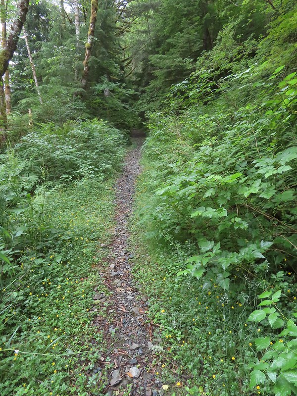
We left The Dalles and drove south on Highway 197 and made our way to the unsigned Tygh Creek Trailhead along Forest Road 27.
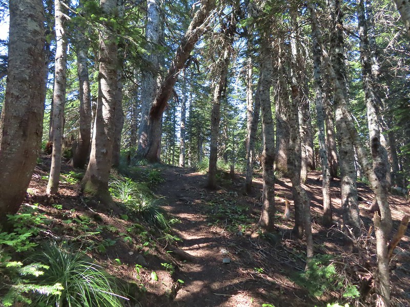
 The Tygh Creek Trail across FR 27 from the Tygh Creek Trailhead.
The trailhead is just 1.4-miles from the School Canyon Trailhead where we had started our hike two days earlier (post). It is theoretically possible to combine the two trails into a 13.7-mile loop, but the upper portion of the Tygh Creek Trail is reported faint and prone to heavy blow down. Even if the trails were clear we didn’t have time for a long hike today, so the 4-mile option was perfect.
For the first half mile the trail did a little up and down along Tygh Creek.

 The only two trees down that needed to be climbed under/over.
 Tygh Creek
At the half mile mark the trail left the creek and began the steep climb to the ridge above.

Heather had opted to not tackle the climb after already having done two challenging hikes this weekend so I had left the car before her and was on my own heading uphill when I spotted something moving in the forest ahead. I noticed the black first but then saw white as well and realized it was a skunk on the trail ahead.
 Distance + low light + moving animal = blurry photo.
 The skunk had been at the far end of this section of trail which was lined with lupine.
I stopped and watched the skunk head uphill until it was out of sight and then proceeded carefully not wanting to wind up smelling of skunk for the entire ride home. (I’m sure Heather would not have appreciated that either.) It was a good thing I was being cautious because after a short distance I noticed the skunk in some brush just off the trail.

 The little stinker had a pretty cute face.
We stared at each other for a minute, and I politely requested it move along. When that didn’t work I left the trail in an attempt to swing out wide and pick up the trail further uphill. My moving again prompted the skunk to run off deeper into the forest with its tail in “firing position”. I hoped it wasn’t randomly spraying the air which might still get me but fortunately the safety was kept on and I was in the clear to continue the hike.
Reeder mentioned the middle third of the 0.9-mile climb as being “some of the steepest, dustiest trail in the Badger Creek Wilderness.” From the sample of trails we’ve hiked in this wilderness I’d agree with that statement. The first and final third were no picnic either. There were however great views and a lot of wildflowers to look at as I slowly trudged uphill.
 The trail is to the right in this photo.
 Paintbrush, balsamroot, and a strawberry blossom.
 Ball Point
 Rough eyelashweed
 When a trail looks steep in a photo that tells you something.
 More paintbrush and balsamroot.
 Townsend’s solitaire
 Buckwheat
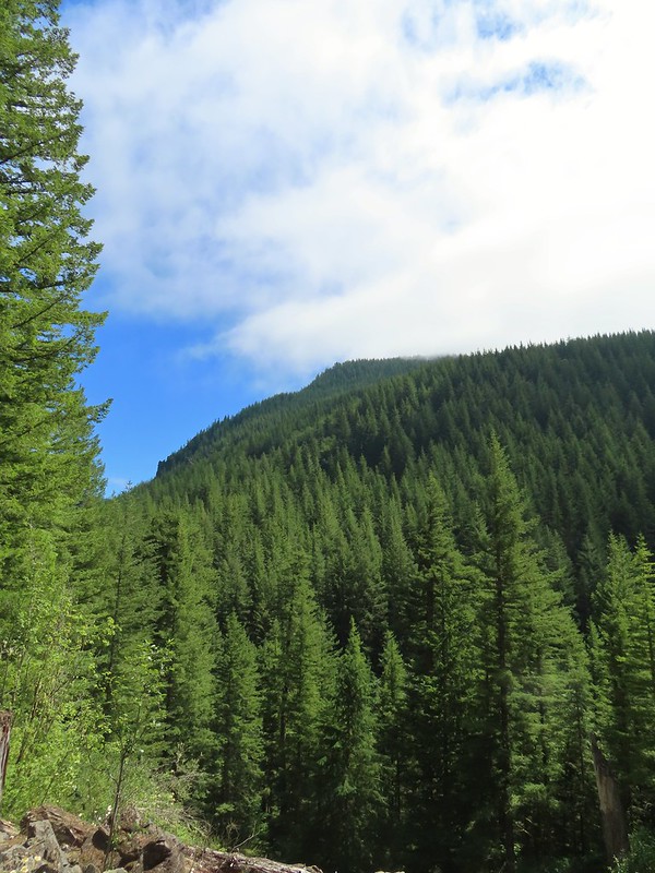
 My goal, the turn around point, was up on the crest of that ridge ahead.
 Lupine, balsamroot, and a death camas.
 Dogwood tree among the ponderosa pines.
 Mahala mat
 Getting close to the ridge and still steep.
 The trail got less steep near the ridge.
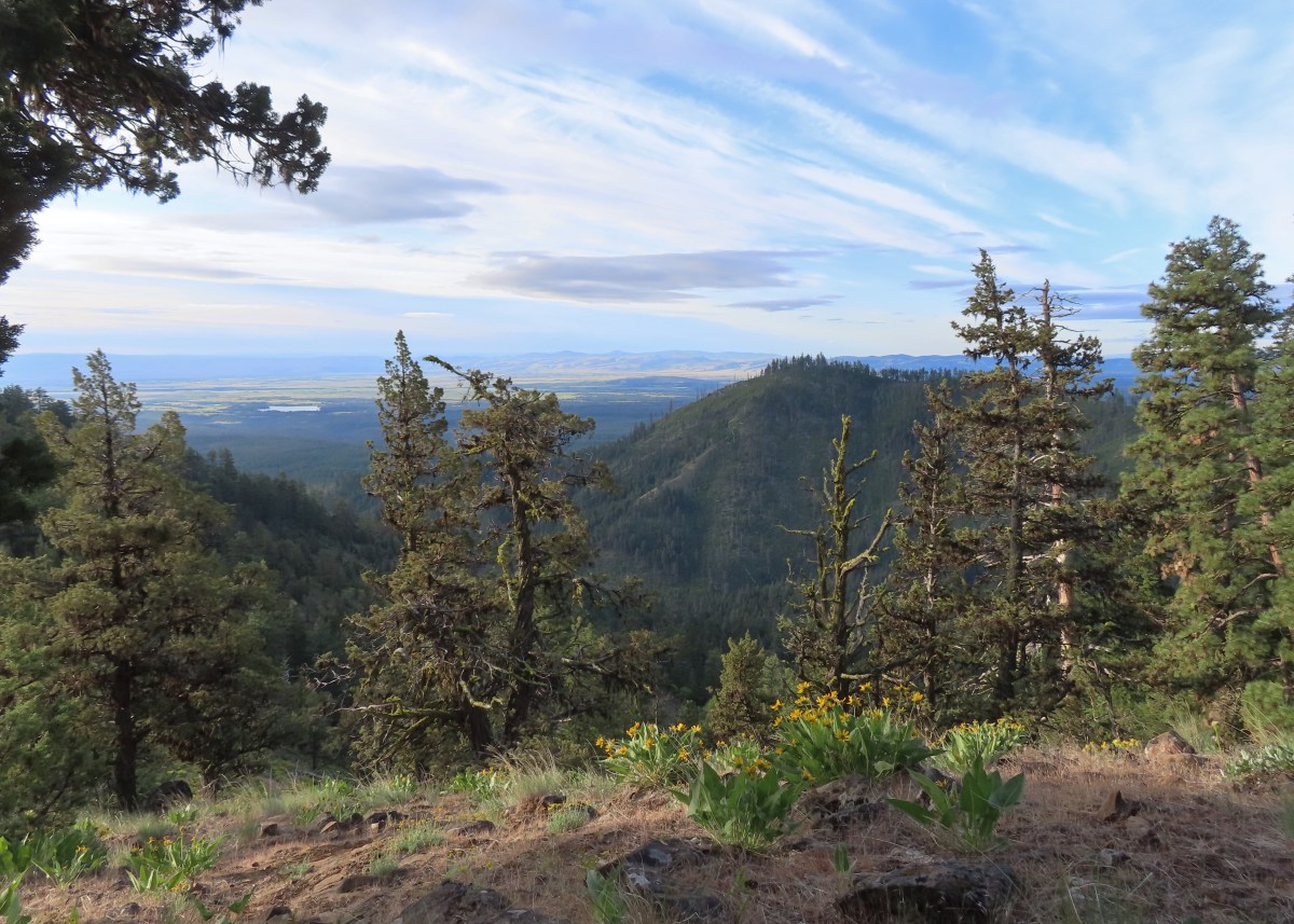
 Gordon Butte to the right. Broken Top, the Three Sisters, and Mt. Jefferson would also have been visible if not for the clouds.
 Level trail on the ridge!
The hike describes cresting a “small” ridge and finding a user trail on the left that leads to a viewpoint sometimes used as a helispot. I headed out the ridge and quickly realized that my definition of “small” and Reeder’s were not the same.
 Looking ahead at the trees atop the “small” ridge.
 Sandwort
 Oregon sunshine
 Wildflowers on the “small” ridge.
 Almost to the crest.
While I never actually spotted a use trail it was easy to see the opening where a helicopter could land just to the left of the trail, so I made my way out to the opening.

 The clouds here are hiding Mt. Hood which should be visible behind the ridge. What is visible is Flag Point (post) in the middle with the Flag Point Lookout Tower.
 Looking toward Mt. Jefferson.
 Parts of Mt. Jefferson peeking out through the clouds.
After catching my breath at the viewpoint I began the steep descent back to Tygh Creek. I had been so focused on the climb up that I saw a few flowers that I’d missed on my first pass.
 I’d seen a couple whitestem frasera going up but coming down I realized just how many there actually were, although none of the plants were quite blooming yet.
 Groundsel
 Broken Top and some of the Three Sisters were visible on the way down.
 Tam McArthur Rim (post), Broken Top with Green Ridge (post) and Black Butte (post) in front, and parts of the Three Sisters.
 I missed this whole patch of silvercrown earlier.
 Pine Hollow Reservoir and Central Oregon.
 Elkhorn clarkia aka ragged robin.
 Threadleaf phacelia
 Paintbrush with Ball Point in the background.
 Vetch
Vetch
 Penstemon
 Bastard toadflax

Buttes in Cental Oregon.
 Back in the forest near Tygh Creek.
 Tygh Creek
 Squirrel
 Starflower
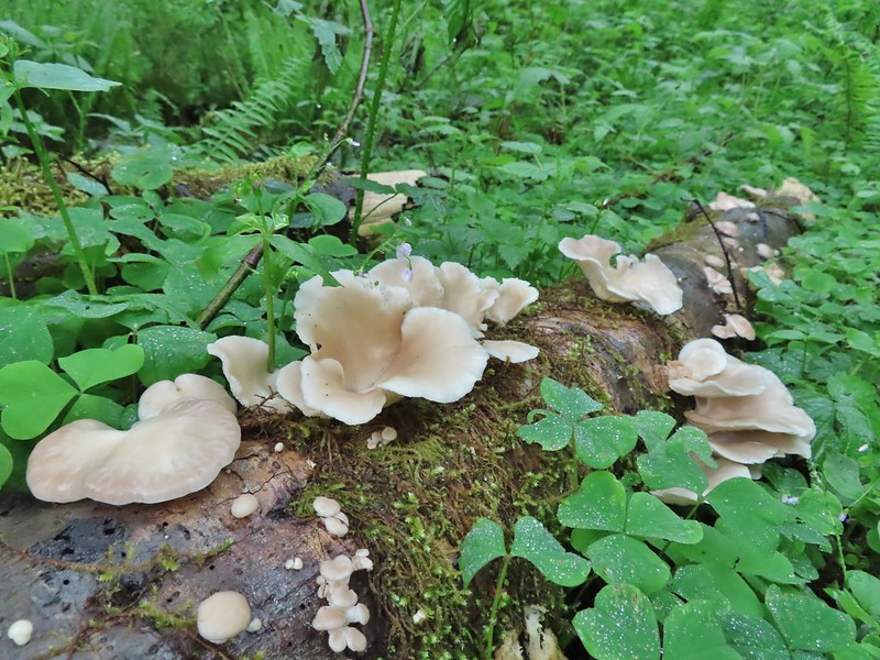
 Coral fungus
 The trailhead in sight.
The hike was just under 4-miles with 1700′ of elevation gain.
 The Tygh Creek track along with a portion of Saturday’s hike on the School Canyon Trail at the bottom.
Tackling this hike when my legs were already tired from the previous two days wasn’t ideal, but its length was which allowed us to get home to Salem before 11am. It was a little disappointing not having clearer views from the helispot given the effort to get there, but the wildflowers and views that I did have made for a good hike regardless.
In a crazy twist I posted a few photos on Instagram and Matt Reeder himself commented having also hiked the trail a little later that same morning. Happy Trails!
Flickr: Tygh Creek


 Gooch Falls
 The road widened briefly near the pullout that acts as the trailhead.
 Delicious red huckleberries provided morning snacks along much of the road and trail.

 We forked right when the ancient roadbed headed uphill.


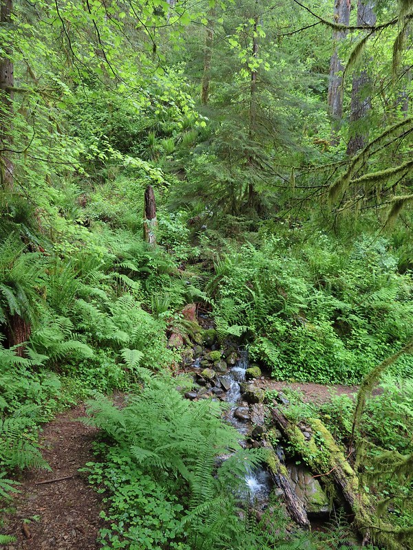
 Not Downing Creek Falls, just one of many streams along the mossy hillside flowing into the creek.
 Downing Creek Falls


 The flat top of Coffin Mountain to the left of the tall trees at center and Bachelor Mountain to the right.
 Coffin Mountain
 It took us a bit to realize that this was indeed a really old roadbed.

 There was sporadic flagging along the creek.
 Another flag ahead.
 The faint trail running along Downing Creek.
 When I lost the path a couple times I just looked for signs like this old log cut for where the tread might be.
 I wasn’t expecting to see caution tape. Maybe that’s all the person had because I couldn’t identify any hazard here.
 A forested island in Downing Creek.
 It was a short climb back up to the road.


 Overgrown roadbed that is now the Starway Trail.
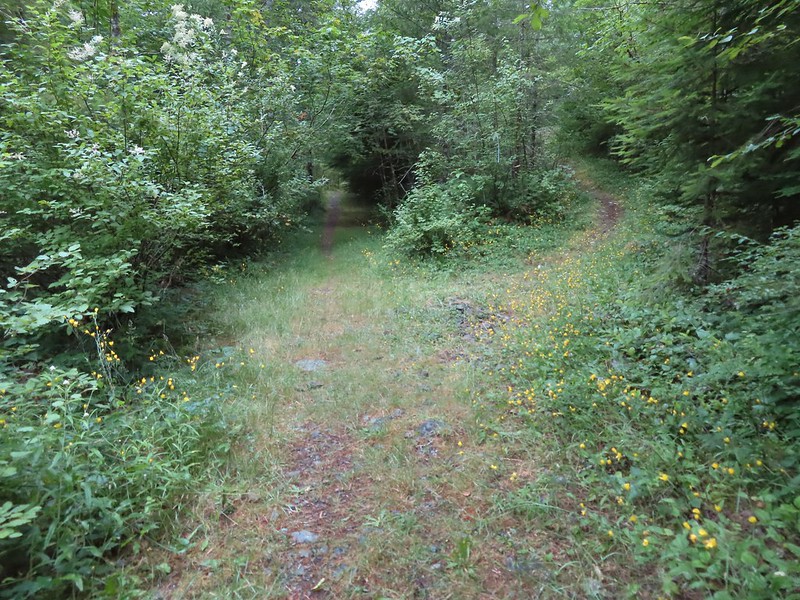 The fork with the Starway Trail to the right.
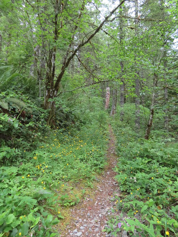
 Scouler’s bluebells
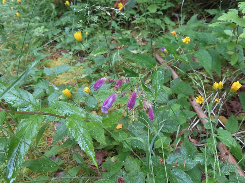 Beardstongue
 Paintbrush
 Taken from the first switchback this gives a little reference for how steep the trail was.
 Pictures never do justice to just how steep trails are.
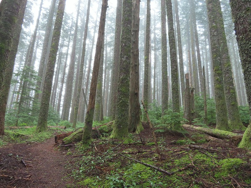 Almost to the bench.
 Level trail!
 Inside out flower
 The trail starting to steepen again.
 The first set of what appeared to be fairly recently built switchbacks.
 Approaching the little meadow.
 A little bit of blue overhead through the fog.
 Tiger lily
 Paintbrush
 Wood rose
 Thimbleberry
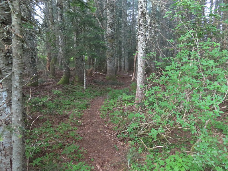 Into the trees to look for a log.
 Silver Star Mountain
 Bunchberry
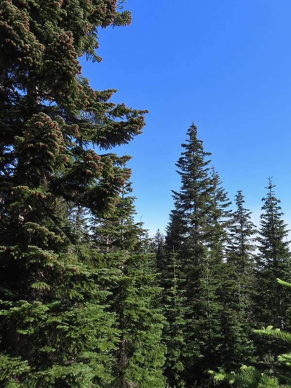 Our first view of Mt. St. Helens
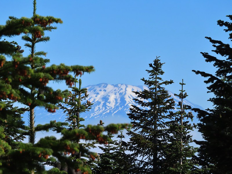 Zoomed in on Mt. St. Helens.
 Arriving below Point 3977.
 Point 3977
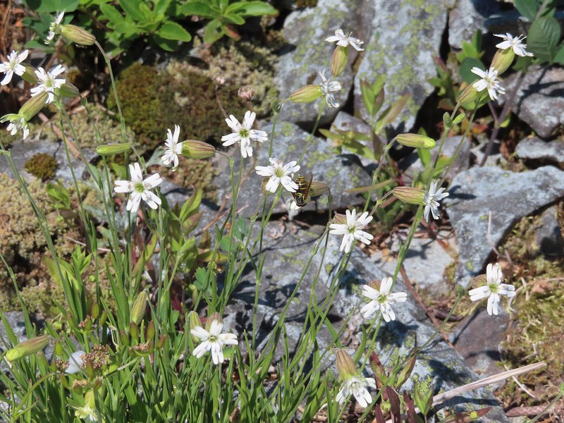 Pollinator on catchfly
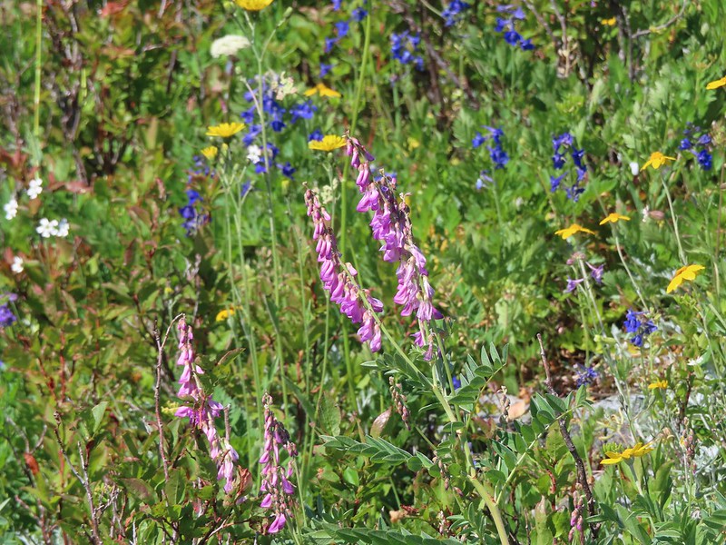 The pink vetch was very bright.
 Silver Star Mountain from the trail below Point 3977.
 Rose
Rose Wildflowers on Point 3977.
 Bluebells of Scotland
 Sub alpine mariposa lily
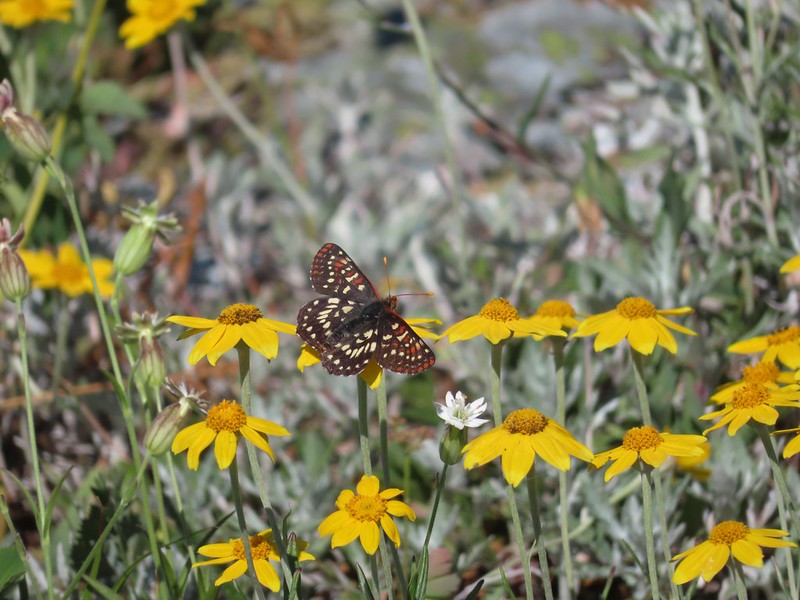 Checkerspot on Oregon sunshine
 Lots of purple larkspur amid the other flowers.
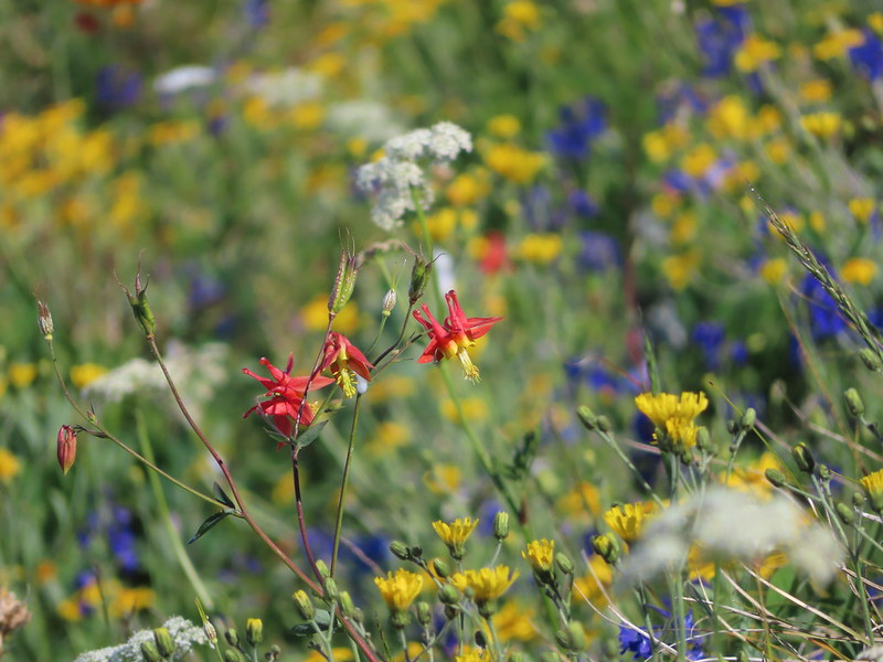 A few columbine were hiding in the mix.
 Violet
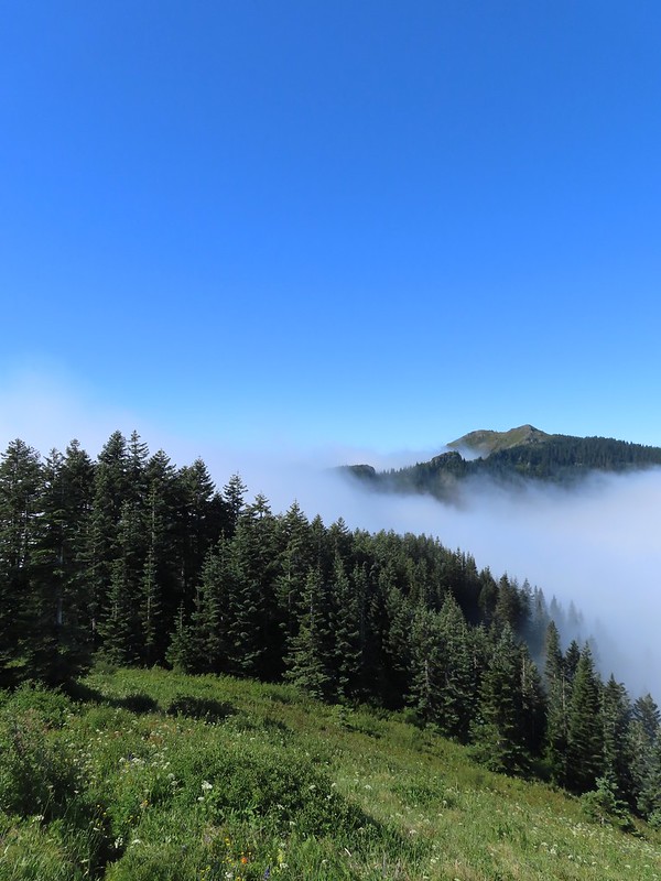 Starting down.
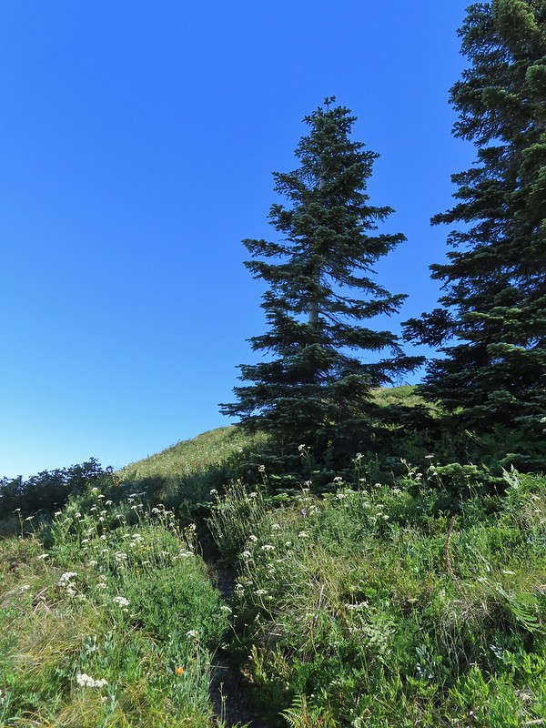 Looking back up.
 Stars on the trees marked the Starway Trail at times.
 Pinesap emerging from the ground.
 A cairn at the end of this brief level section marked the start of another steep descent. By this time we’d lost enough elevation to be back in the clouds.
 Part of the elevation loss was to drop below some interesting rock outcrops.
 Fully back in the fog.
 Time to climb again.
 Big root balls.
 Trail sign near the Bluff Mountain Trail junction.
 Final pitch to the Bluff Mountain Trail.
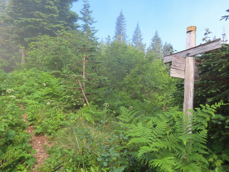 On the Bluff Mountain Trail at the junction.

 Lots of nice wildflowers along the Bluff Mountain Trail.
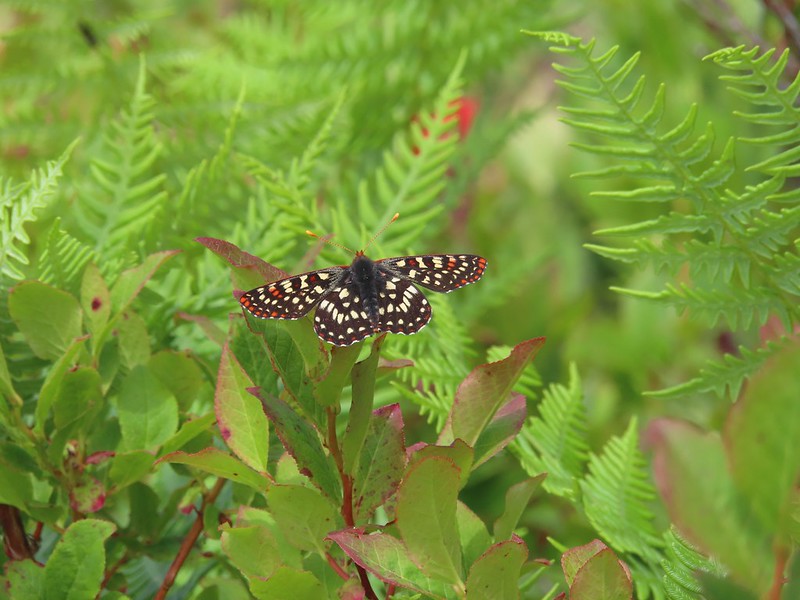 Another checkerspot
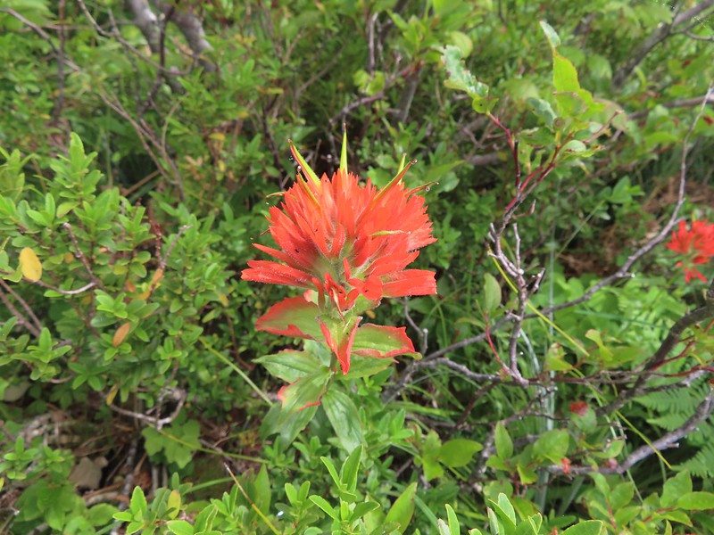 Paintbrush
 Penstemon
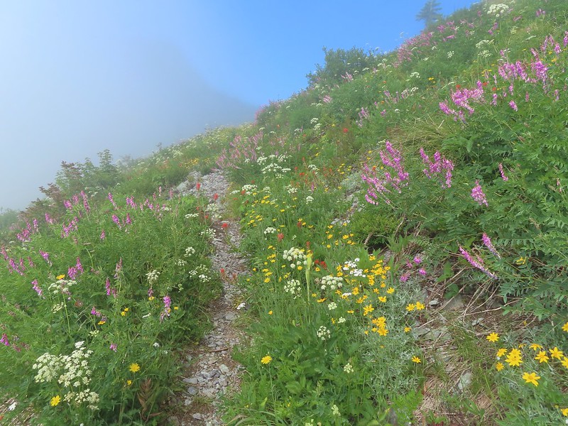 We just couldn’t quite shake the fog.
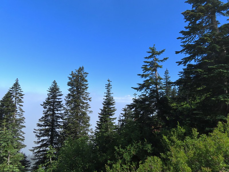 First sighting of Mt. Rainier.
 Mt. St. Helens to the left with Mt. Rainier to the right.
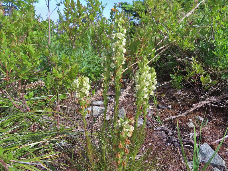 Coiled lousewort
 Lupine
 Getting closer to Silver Star.
 Crab spider on fleabane
 Spirea along the trail.
 Bistort and mountain goldenbanner
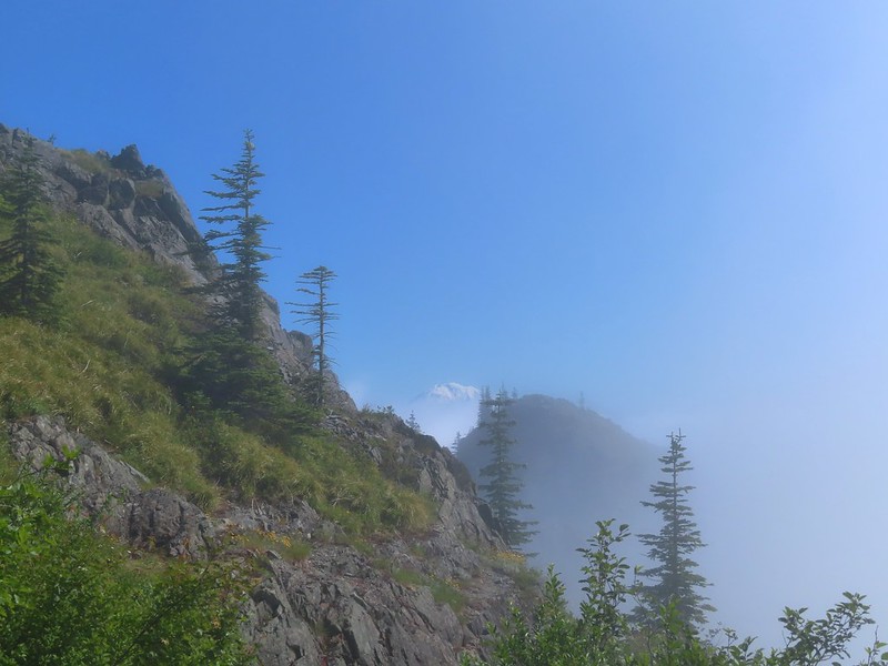 First Mt. Adams sighting.
 A crescent on bistort.
 Penstemon
 Wallflower with beetle.
 Passing below Silver Star Mountain.
 Mt. Hood
 Rock arch below Silver Star’s summit.
 Fading avalanche lily.
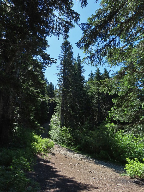 The old roadbed.
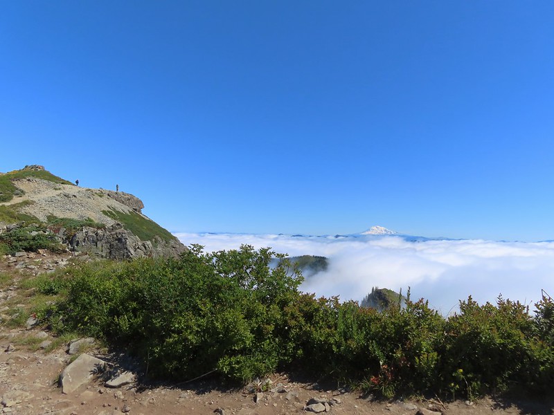 The summit to the left with Mt. Adams in the distance.
 Mt. Hood to the right at the saddle.
 Mt. St. Helens, Mt. Rainier, and Mt. Adams.
 Goat Rocks (between Mt. Rainier and Mt. Adams)
 Mt. Hood and Mt. Jefferson
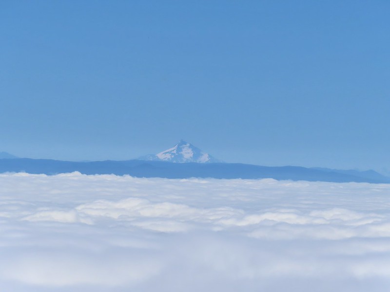 Mt. Jefferson. If you enlarge and look closely you can also make out Three Fingered Jack and the North Sister to the far right.
 Swallowtail
 Sturgeon Rock
 Wildflowers at the summit.
 Bug at the summit.
 Point 3977 is the the island surrounded by clouds.
 The only beargrass bloom we saw all day.
 The talus slope.
 Pikas are not easy to spot.
 On alert.
 Orange agoseris
 Ladybug
 Making the steep climb back up to Point 3977.
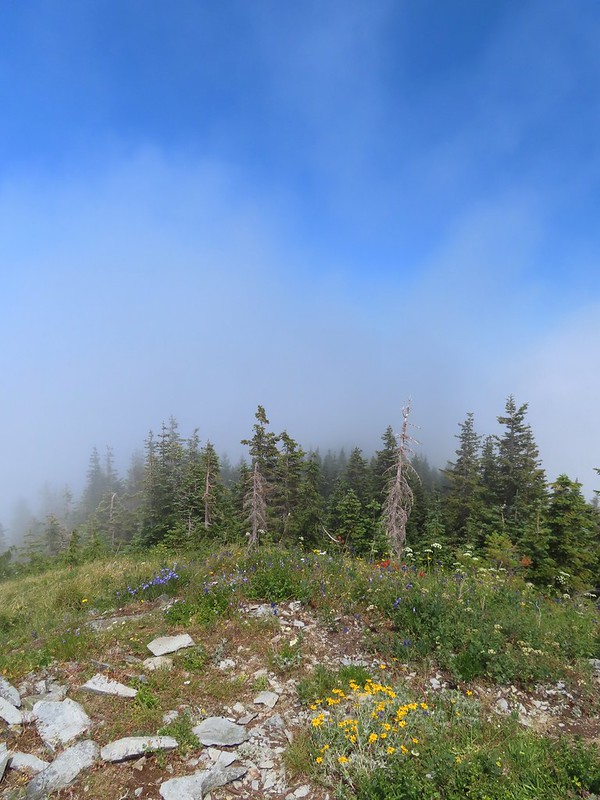 Looking toward Mt. St. Helens and Mt. Rainier.
 Looking toward Silver Star.
 Possibly a Native American vision quest pit.
 Bluebells of Scotland with at least three visible insects.
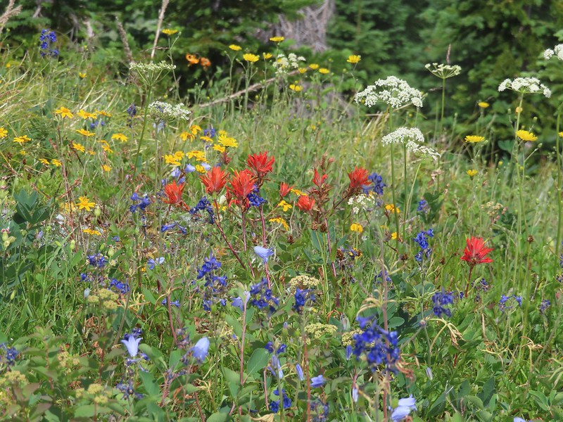 Some bright paintbrush.
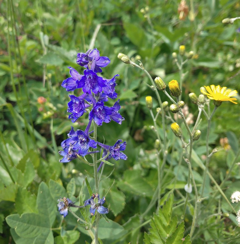 Larkspur
 A brief appearance by Silver Star’s summit.
 Sorry knees.
 Mock orange
 A little blue sky in the afternoon.
 Salmonberries along FR 4107. I may have eaten a few as well as some red huckleberries along the lower portion of the Starway Trail.
 Looking back at the hillside the Starway Trail climbs from FR 4107.


 Dropping into the forest.
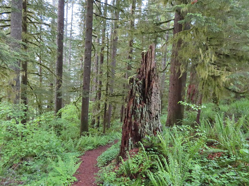
 Anemone
 Vanilla leaf
 Baneberry


 Quite a few snails and slugs along the trail.
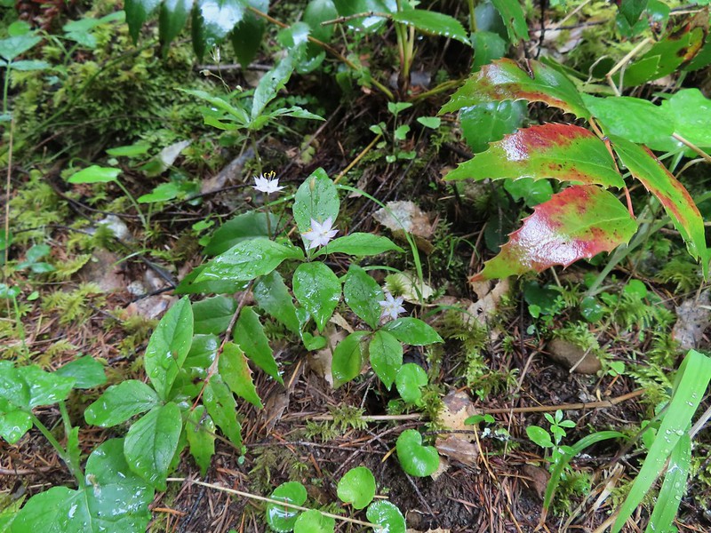 Starflower


 Some of the logs had had tiles and ropes placed on them to help avoid slipping.
 Surprisingly this was the only rough-skinned newt we spotted all day.
 Foam flower
 Inside-out flower
 There were some huge nursery logs in the forest here.
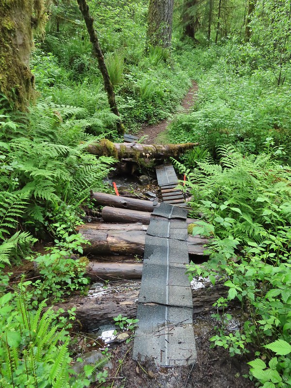 A good example of a makeshift crossing.
 Most of the flowers were white or pale pink but this salmonberry blossom added a splash of bright color.


 Violets
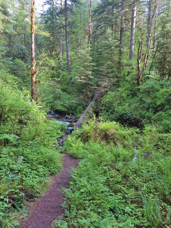 This was an interesting log/bridge.
 Millipedes were everywhere but this one was a color we hadn’t seen before.
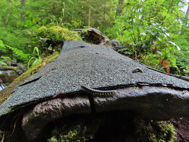 These were the ones we were seeing all over.
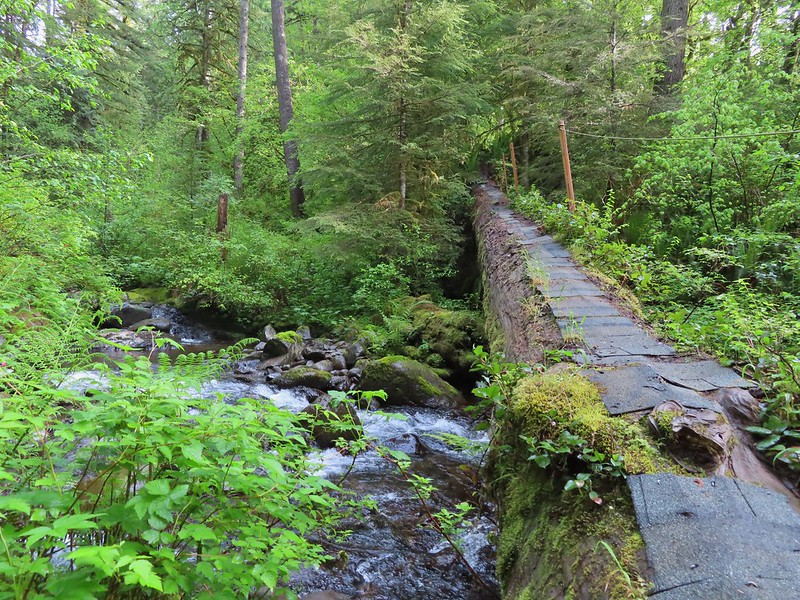
 The dismount was a little awkward but doable.
 Star-flowered solmonseal catching a moment of sunlight.
 Fairybells
 Solomonseal
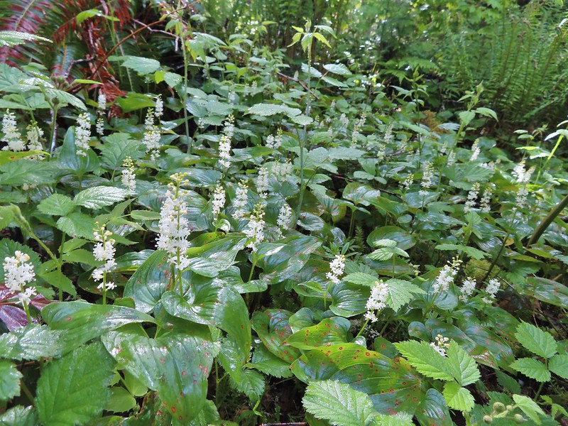 False lily of the valley
 Moss and lichens
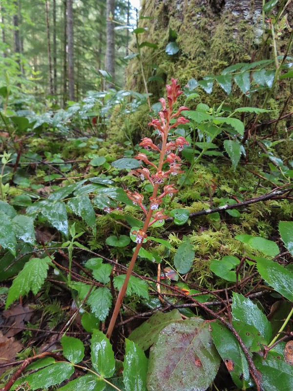 Spotted coralroot
 Bunchberry
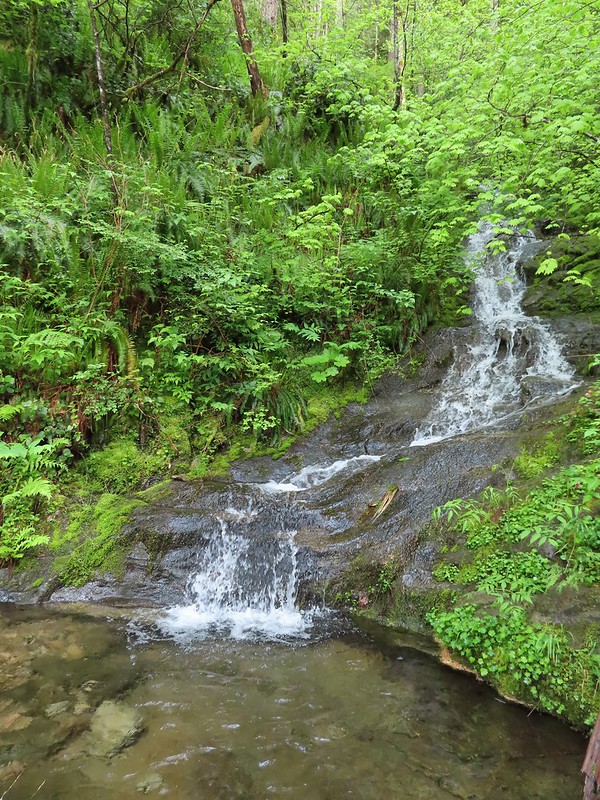 Small fall along the trail.
 Did I mention millipedes were everywhere?
 Another creek crossing.
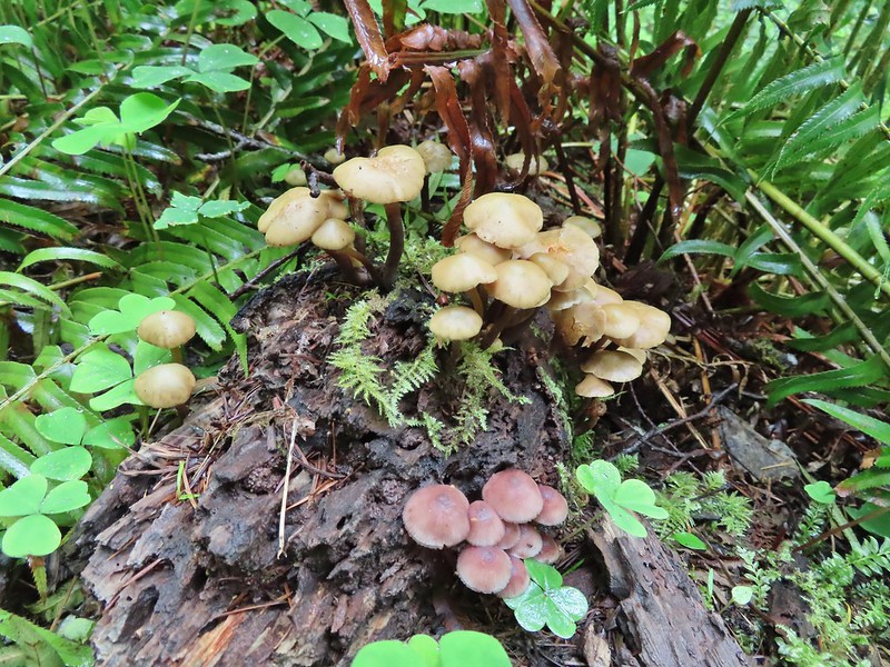

 The reroute
 This was one of the log crossings that looked too slick and high to warrant an attempt so we forded here. The water was ankle deep and we crossed easily.
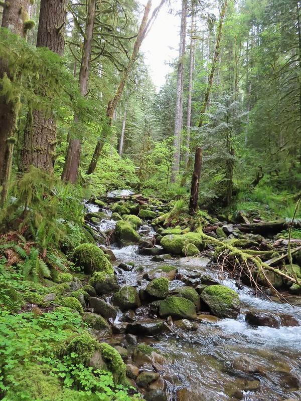 We forded just above the larger rocks in the middle of the creek.
 The lower of the two cascades.
 The upper cascade.
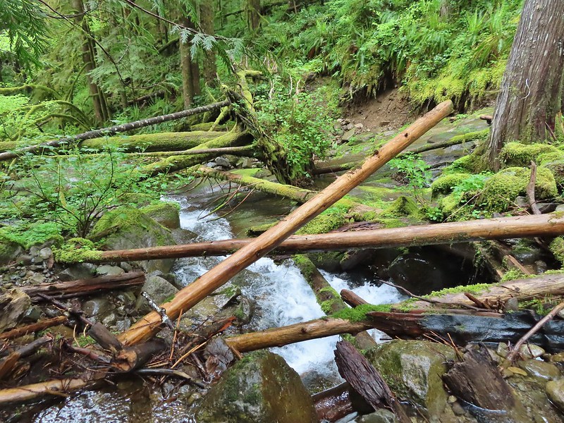 Looking across the old crossing you can see where some of the hillside was washed out.
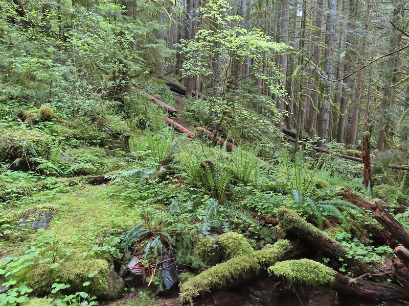 Looking back at the trail from the creek. The large downed tree was the one that was too wide to climb over.
 Most of the downed trees were like this although there was one that required ducking pretty low.
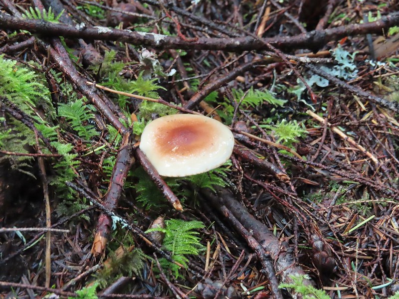
 We could hear the songs of wrens throughout the hike but only caught flitting glimpses of the little singers.
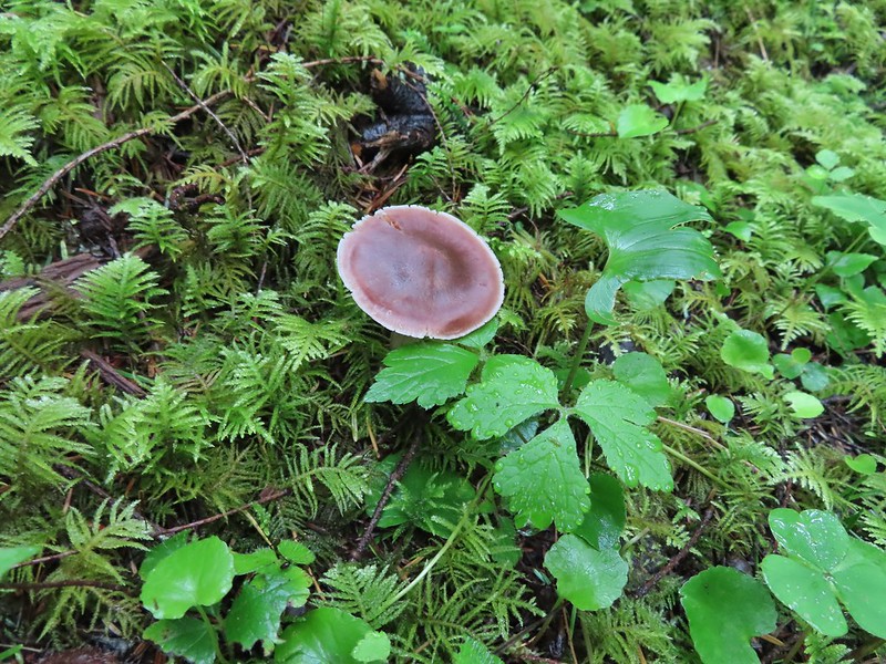

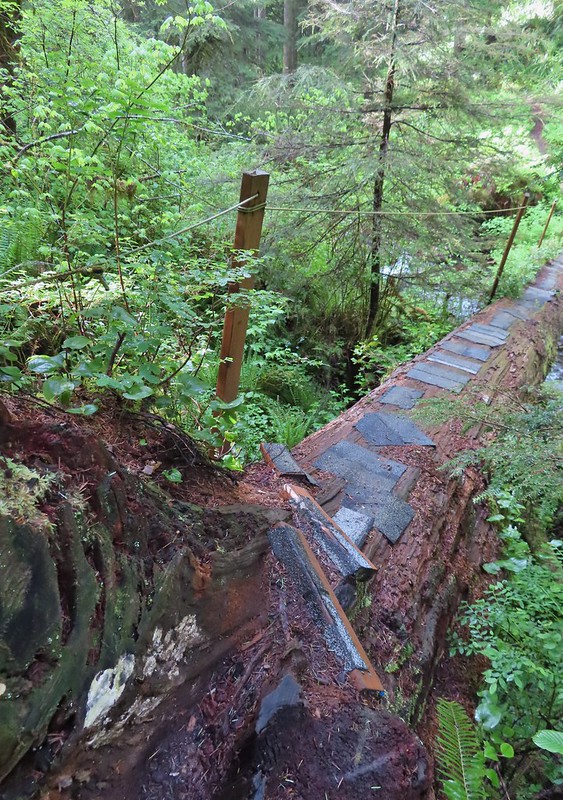
 Two of the footbridges were in a state like this. It held but we had to watch our step to not only avoid the holes but also the millipedes.
 This was another ford/rock hop. There was a log serving as the bridge but it also looked slick. The rope in the picture was connected to the log and I almost didn’t see it (both times by).
 Deep pool near the crossing.

 First view through the trees.
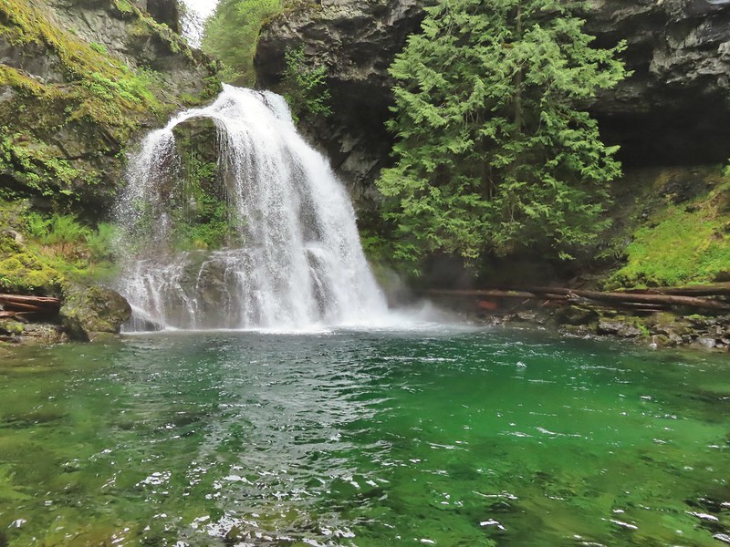 The pool was a beautiful green.
 More cascades and clear pools were located downstream.
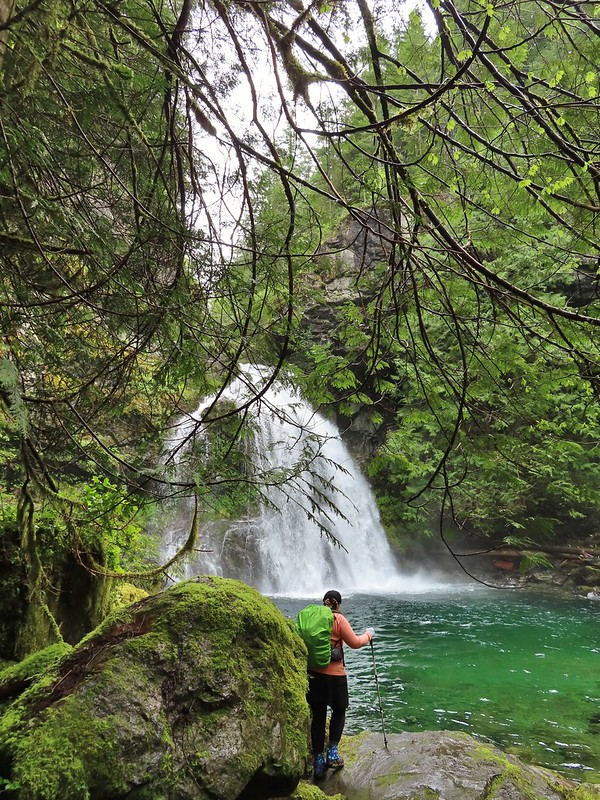 Heather taking in the view.
 Since I was already wet from the fords I waded out in the calf deep creek to get a different angle.
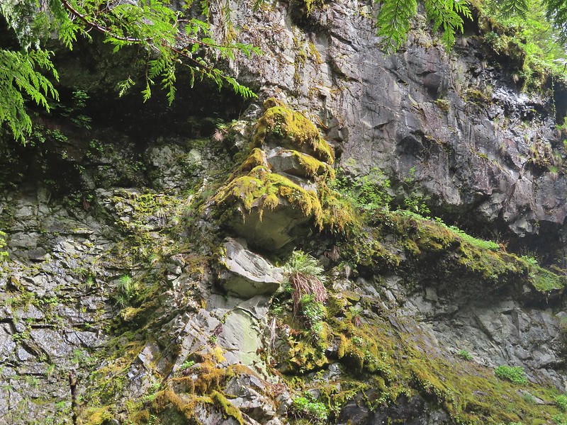
 The right fork heading on toward Mount Mitchell.
 A really long nursery log spanning across this whole depression.
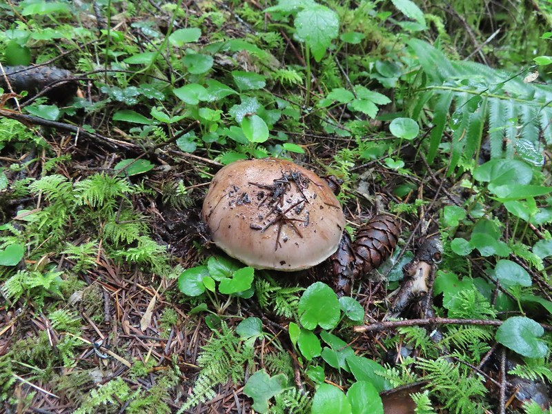
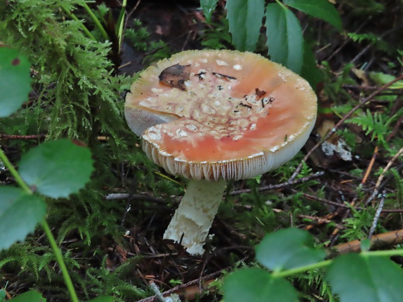
 Camouflaged mushrooms.
 The only trillium that still had its petals.
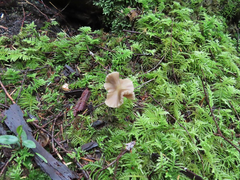
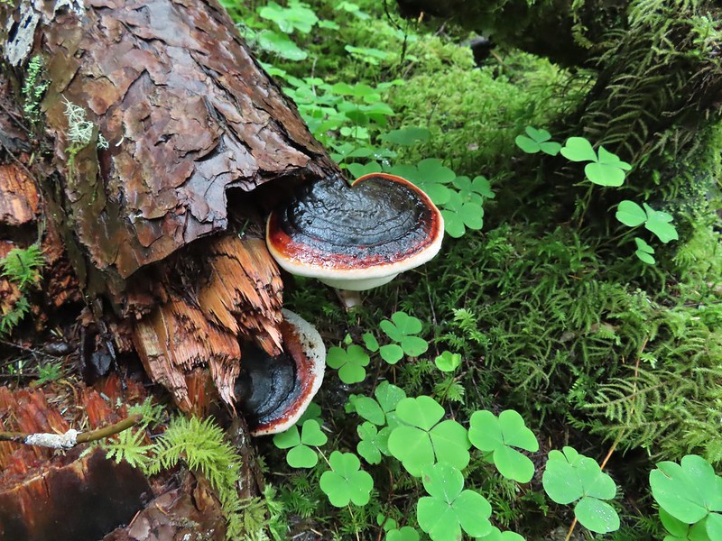
 It looked like someone took a slice of this mushroom.
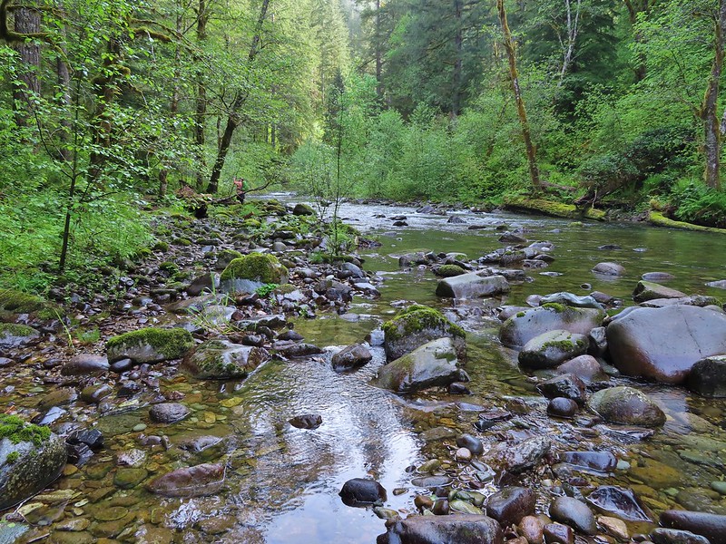
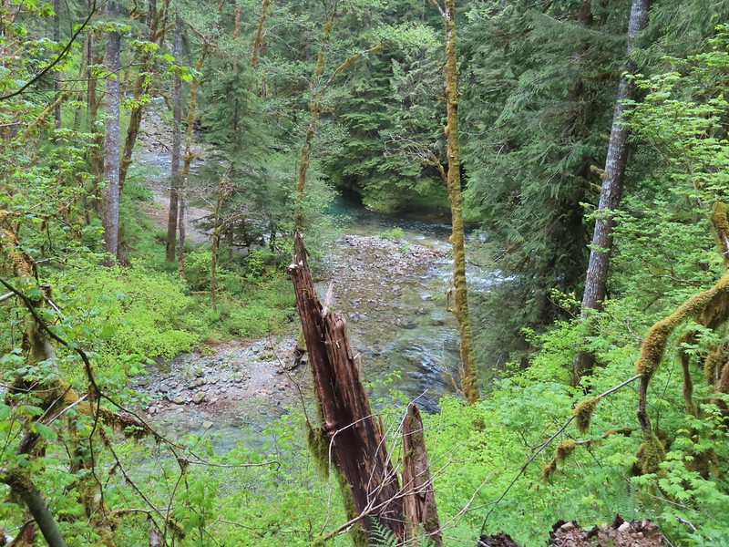 There weren’t too many views of North Siouxon Creek from the trail but this was a nice one.
 Sour grass
 Youth-on-age
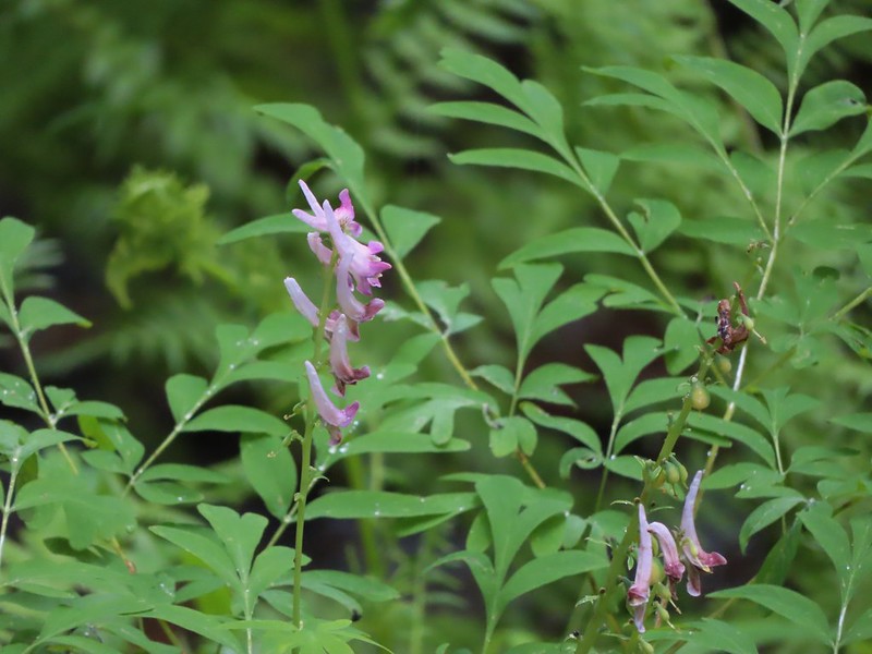 Scouler’s corydalis
 Candy flower
