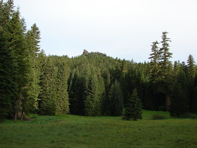
Whenever possible we try and take a hike in the Old Cascades in the morning on the 4th of July. This year we chose one of the few remaining hikes from Matt Reeder’s “101 Hikes in the Majestic Mount Jefferson Region” (2nd edition) that we had yet to do. Many hikes featured in that book have been affected by fires over the last 5 years, primarily in 2020, but Mount Lowe has thus far been spared. Located along the Rho Ridge Trail, Mount Lowe rises to 5338′ and was home to a Forest Service lookout from 1916 into the 1960’s. We had hiked a portion of the Rho Ridge Trail in 2017 when we visited the Hawk Mountain Lookout (post). Much of that section of the trail was burned in the 2021 Bull Complex Fire.
While there are several potential starting points to reach Mount Lowe, we chose to start at Graham Pass where we had also parked for our 2017 hike.

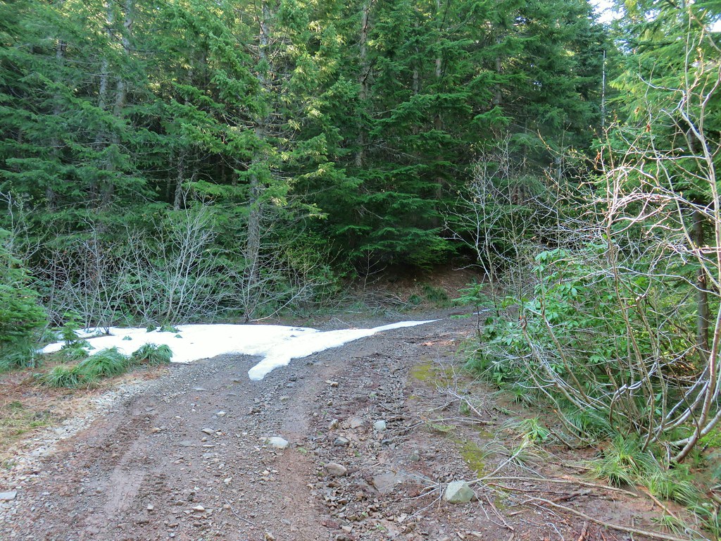
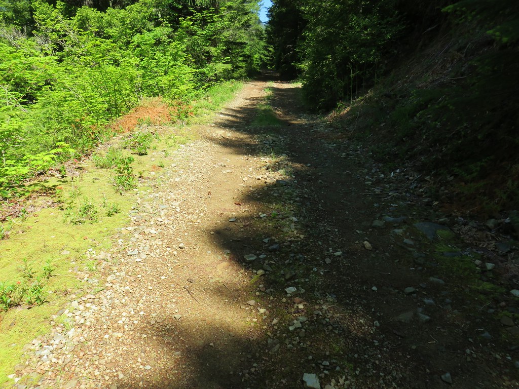
Forest Road 6350 from the large parking area at Graham Pass.
This starting point creates a moderate 6.8-mile out-and-back with approximately 1400′ of elevation gain with options to extend it. From the parking area we walked down the gravel road, crossed FR 6350, and followed FR 4670 for 200′ to a sign for the Rho Ridge Trail.

Penstemon

Oregon sunshine and maybe a vetch?

The Rho Ridge Trail paralleled FR 4670 for just under half a mile before returning to the road.


Queen’s cup

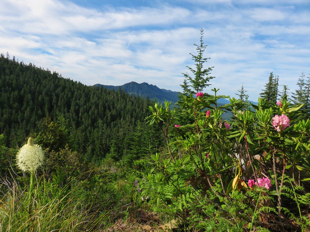
Rhododendron

Flagging was present along most of the route. Here the trail is crossing a decommissioned logging road.

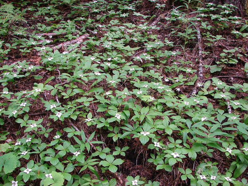
Bunchberry


Flagging at the point where the trail rejoined FR 4670.
For the next two tenths of a mile we walked along FR 4670 before spotting the resumption of the Rho Ridge Trail on the left side of the road across from a dirt spur road.


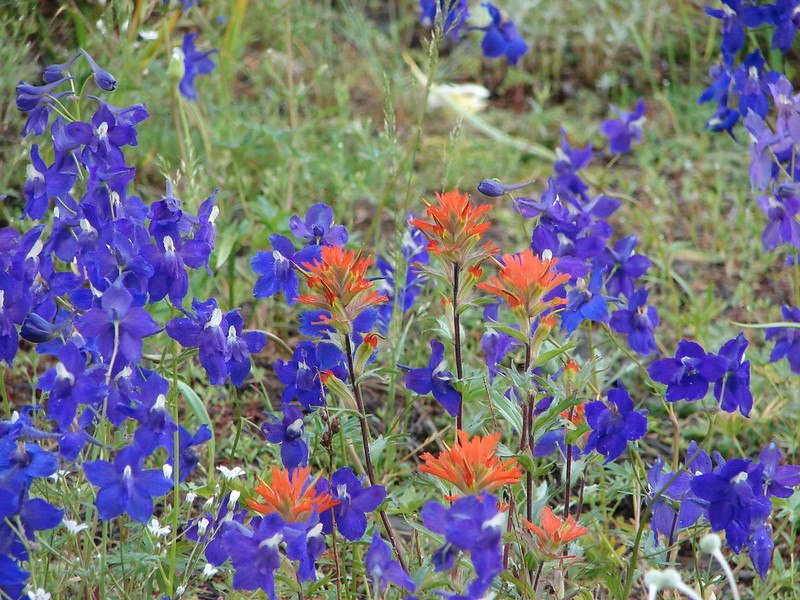
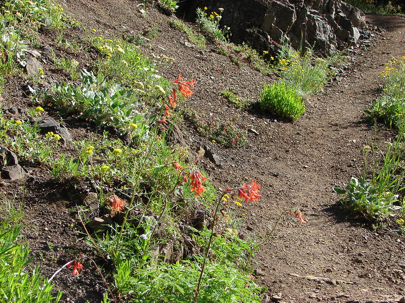
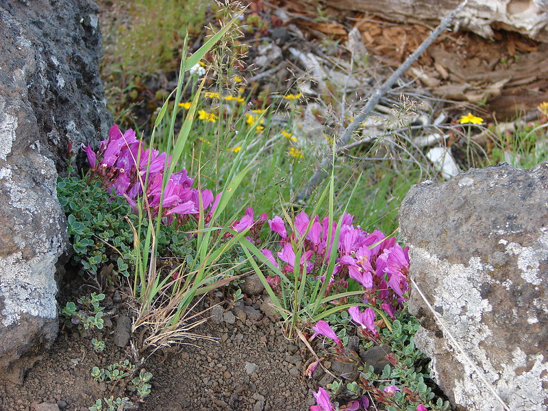
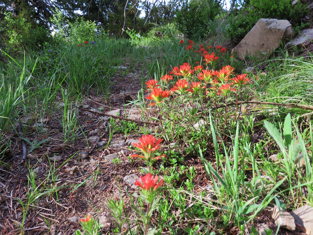
Paintbrush and penstemon

Continuation of the Rho Ridge Trail.

The dirt spur. This road leads to a few campsites and the Rho Creek Trail which is not shown on maps but is sometimes maintained by the Trail Advocates and is on our bucket list to check out some day.
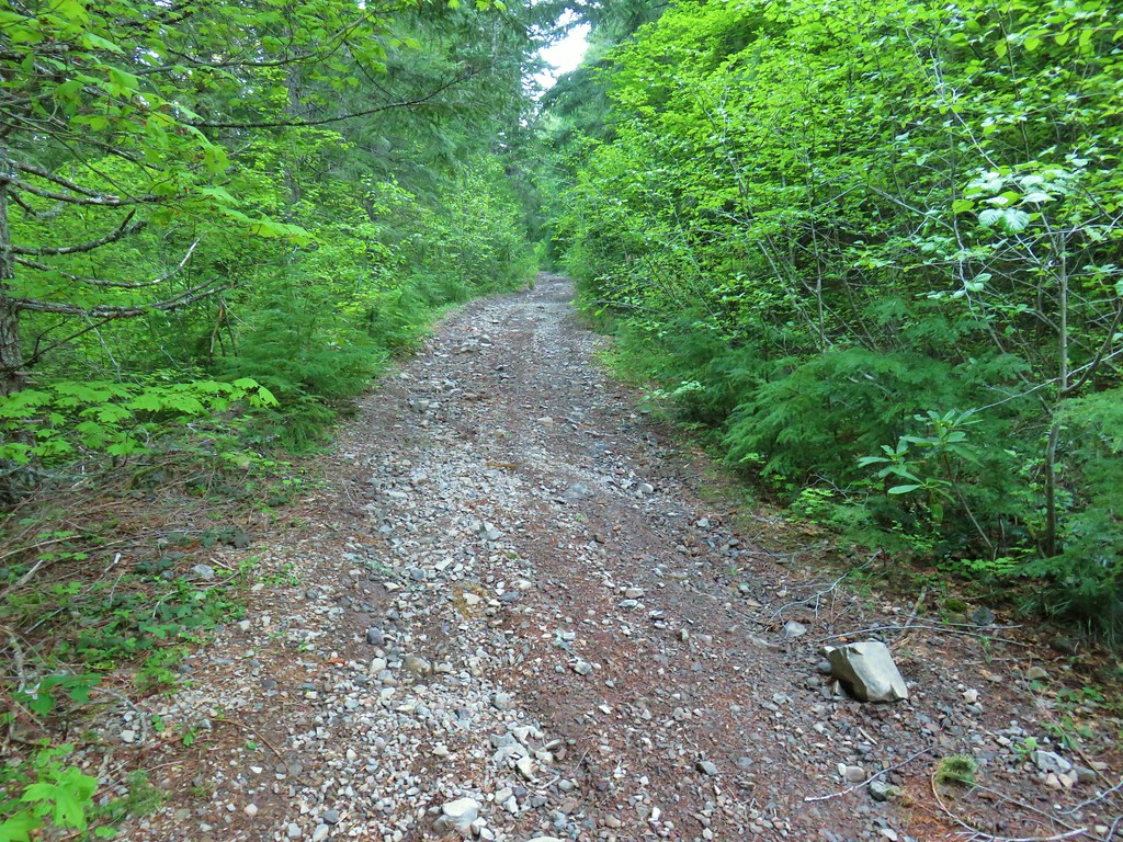
The Rho Ridge Trail was in relatively good shape albeit a little overgrown in places. There was also some occasional blowdown, but it was all easy to either climb over or go around.


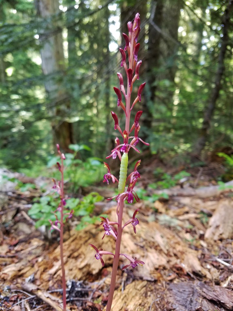
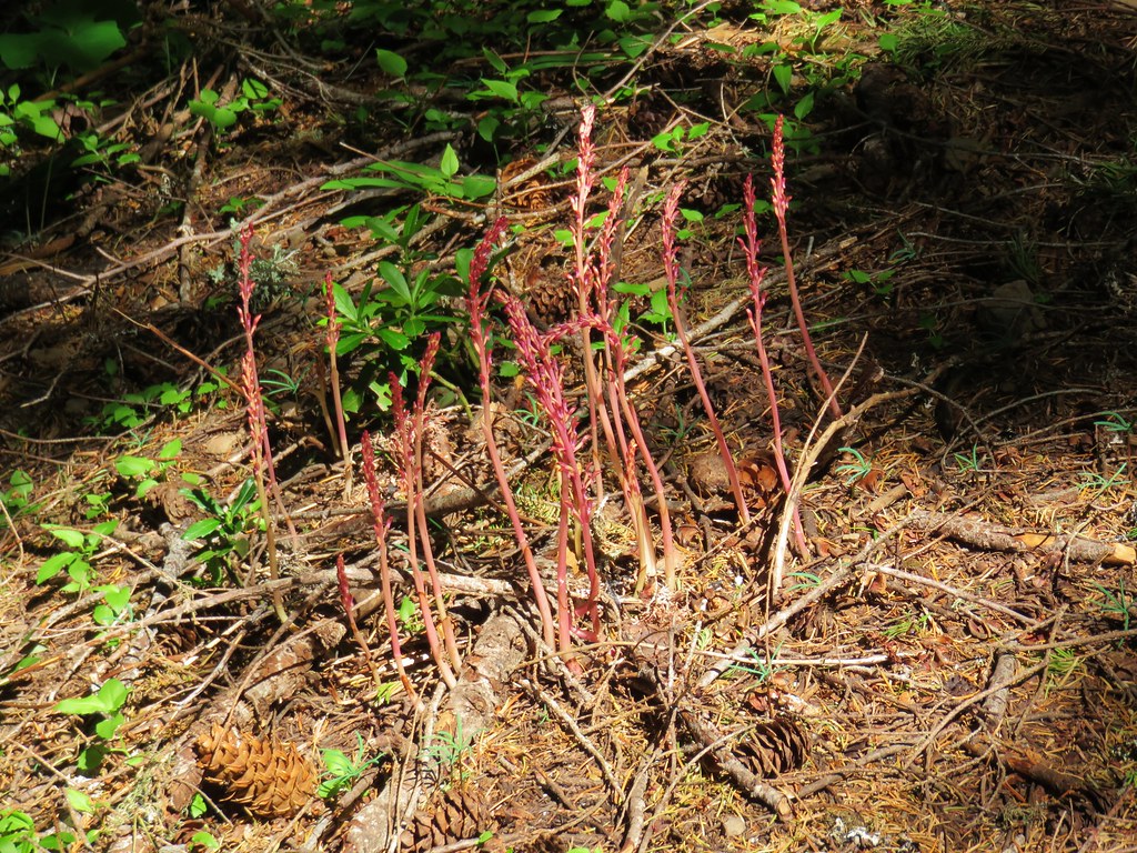
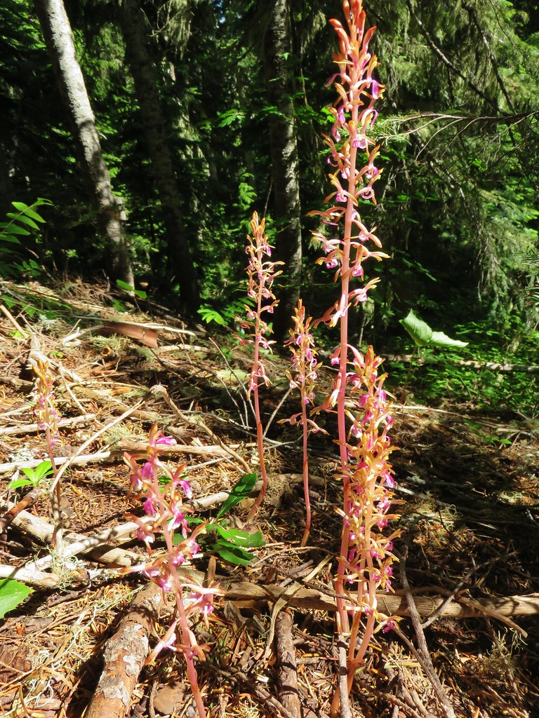
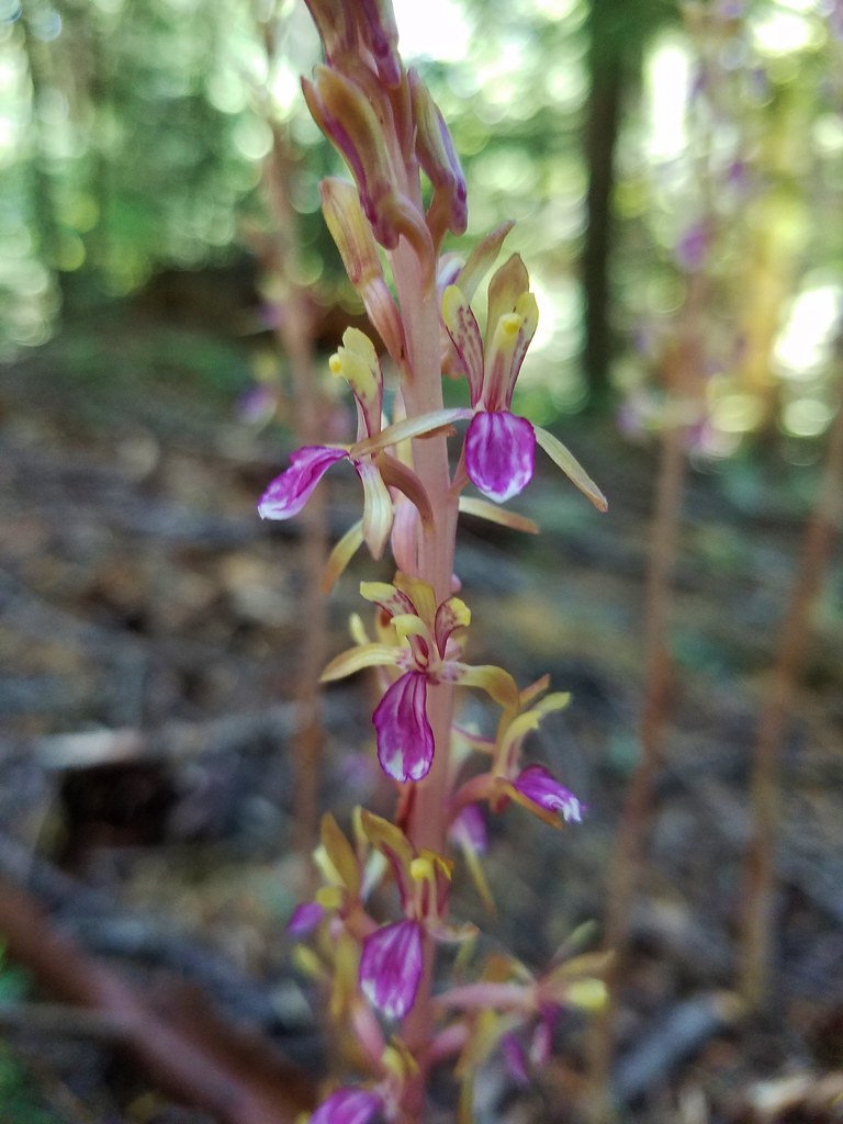
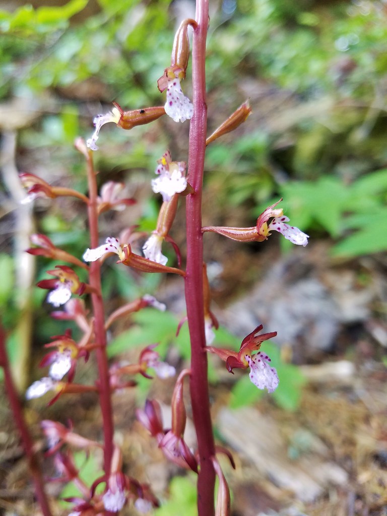
Pacific coralroot

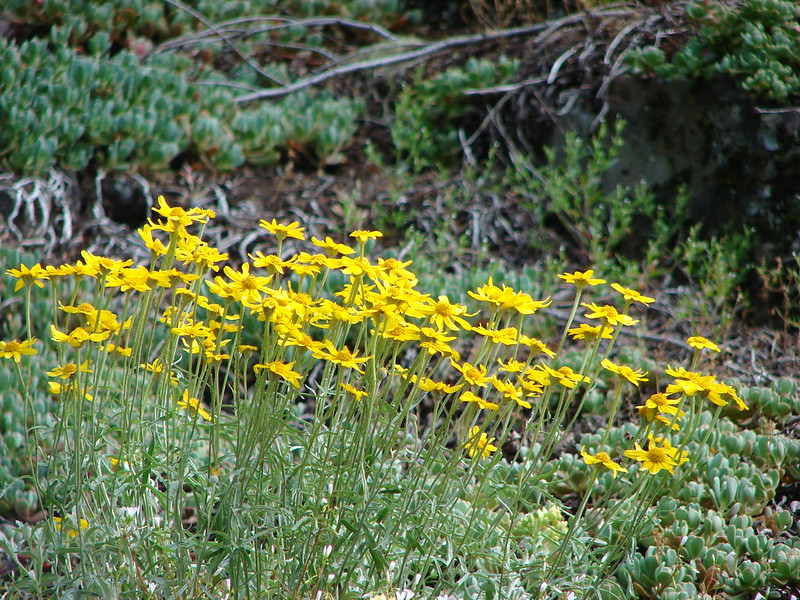
 Arnica

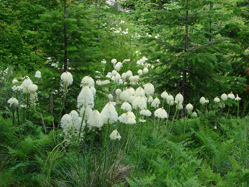
Beargrass

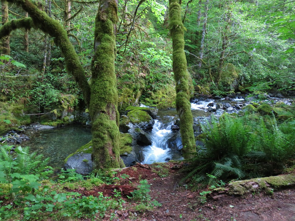
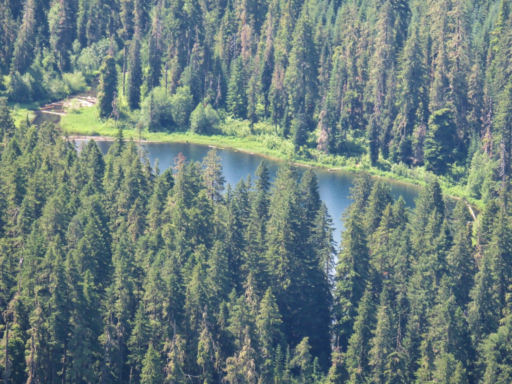
After a short climb the trail lost a little elevation as it dropped into a lovely forest before nearing FR 4670 again.


This was one we had to go around.

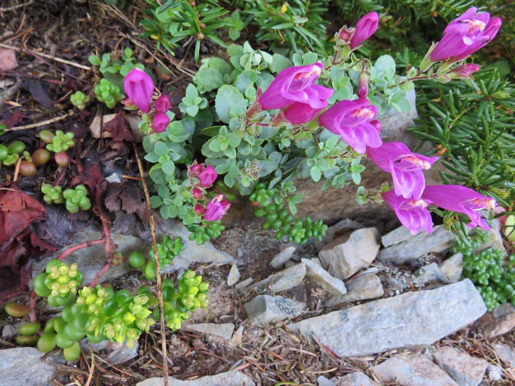
Beardtongue
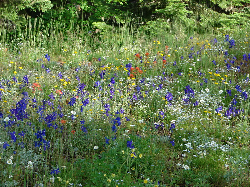
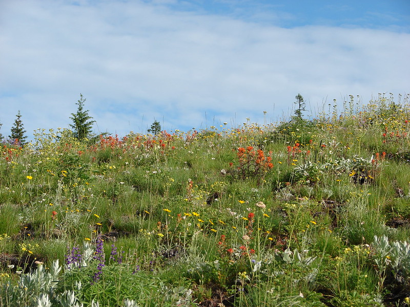
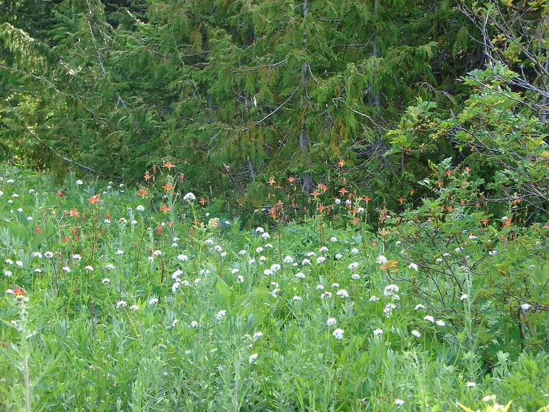
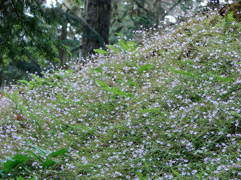
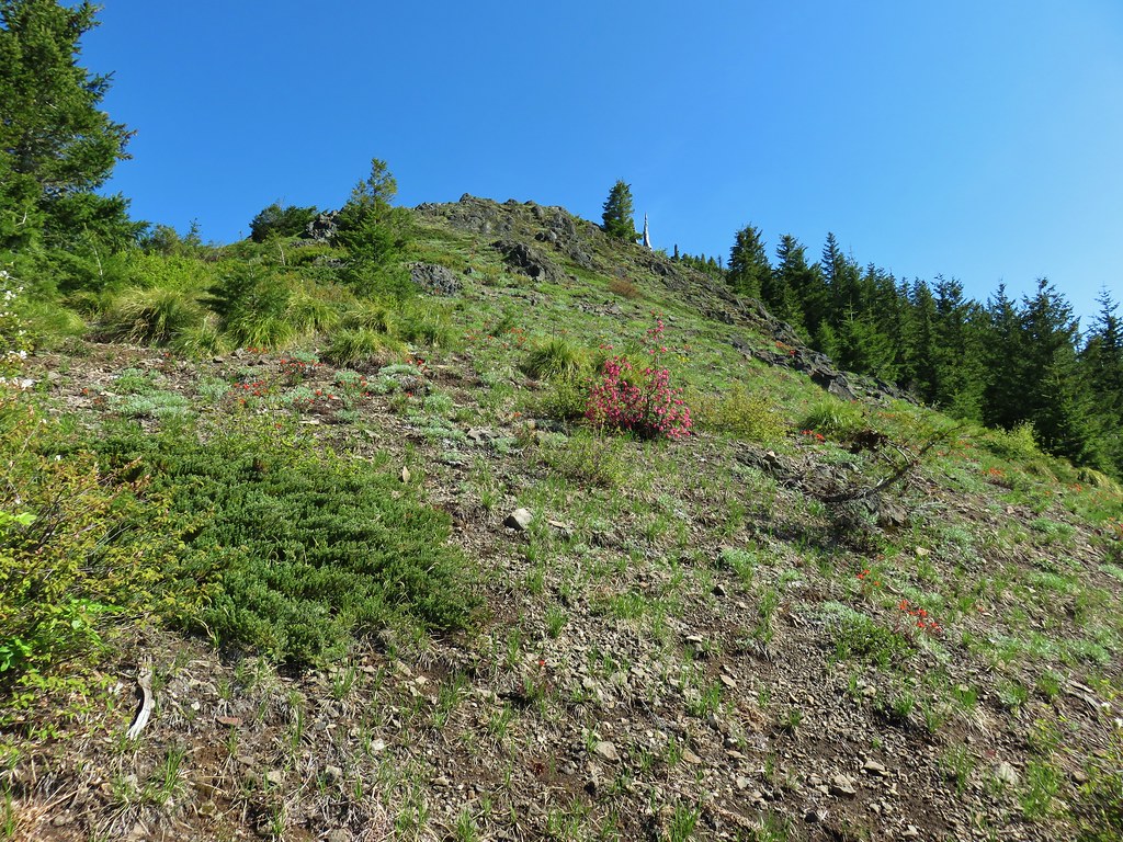
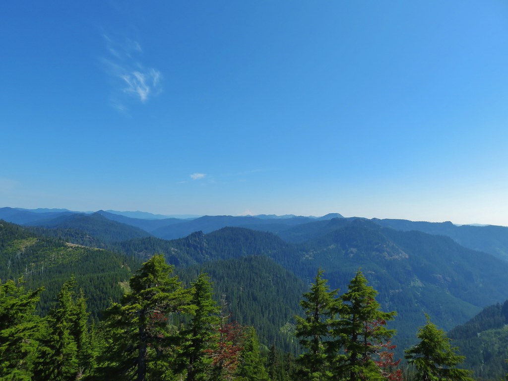
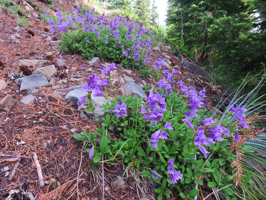
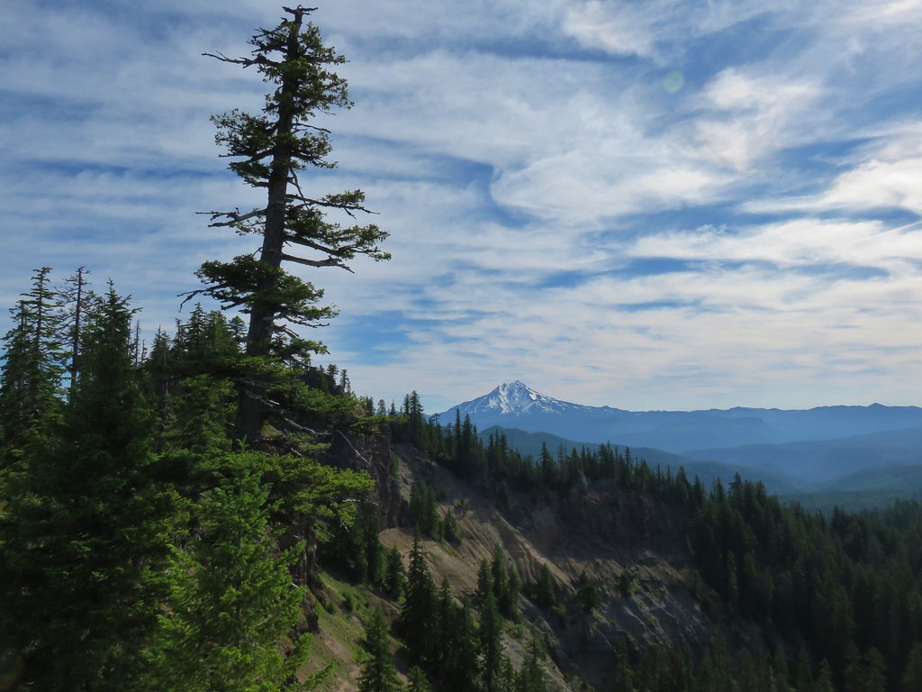
We came to an open rocky section of the ridge covered in wildflowers as the trail neared FR 4670.

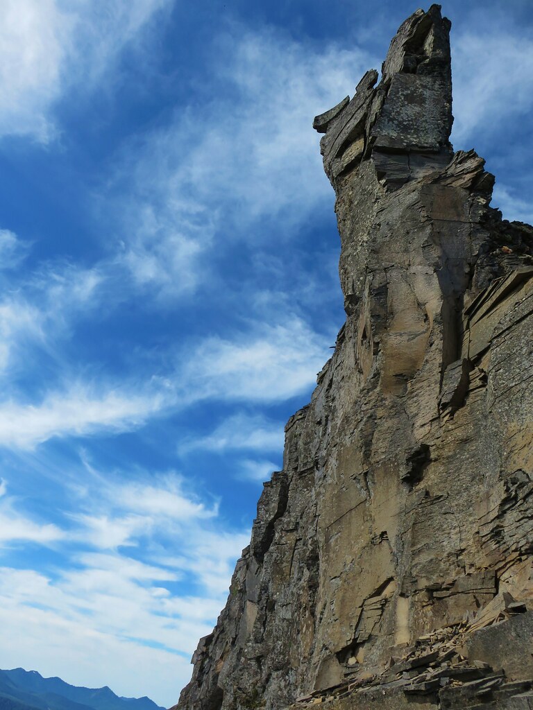
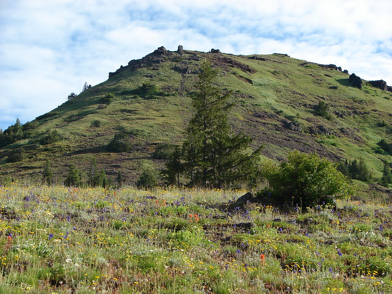
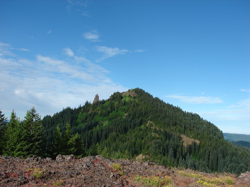
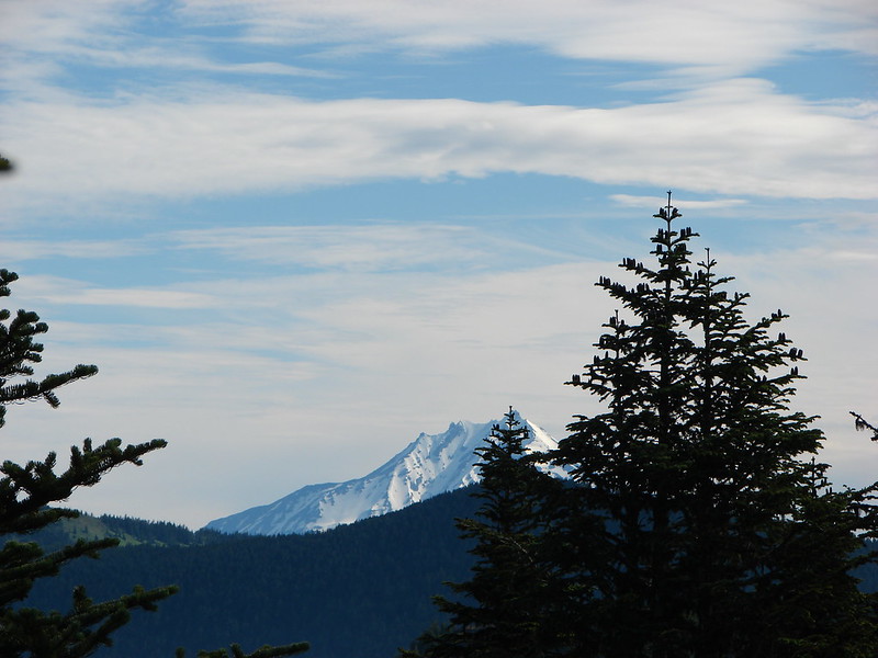
Mount Lowe from the trail.

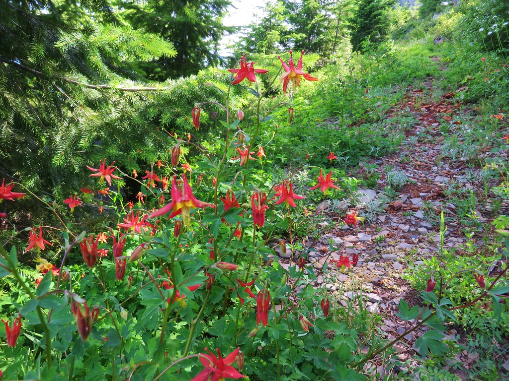
Columbine

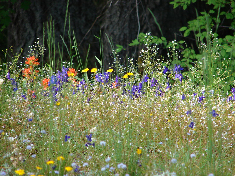
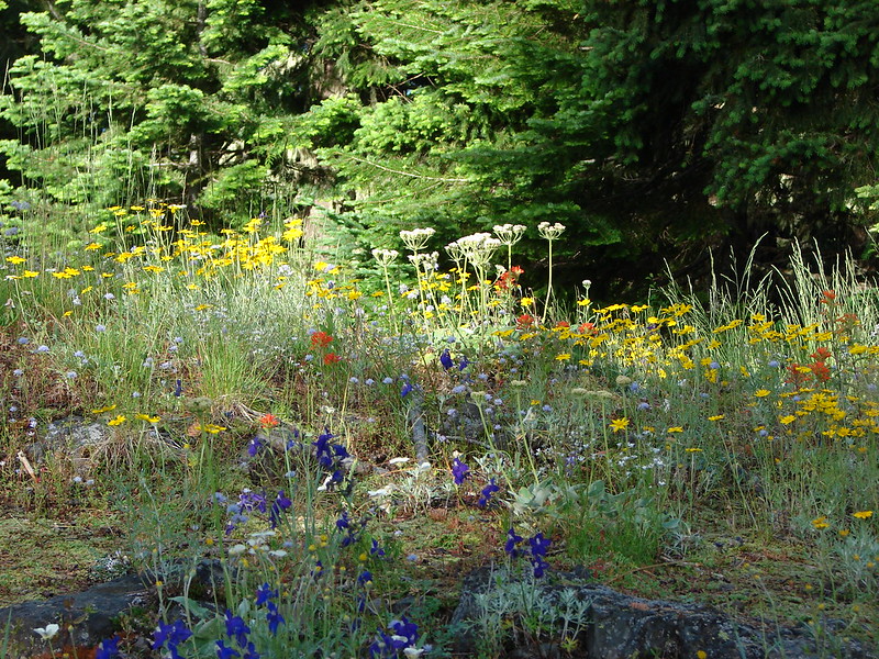
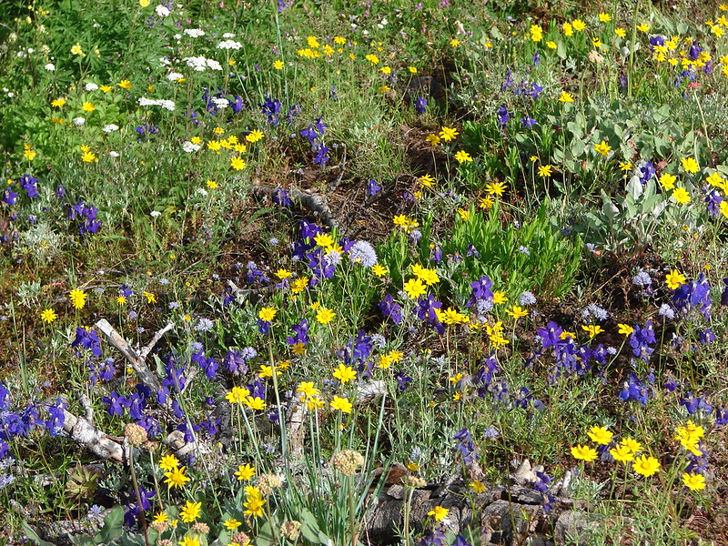
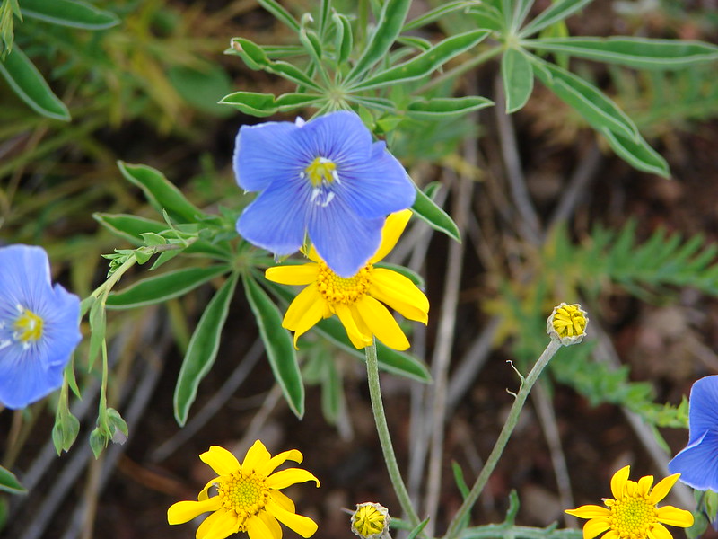
Paintbrush, lupine, penstemon, and false sunflowers.

Larkspur hiding in the grass.

Yarrow and paintbrush

Bleeding heart

Catchfly

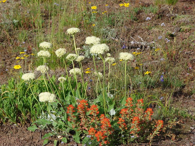
Arrowleaf buckwheat and sunflowers.

Penstemon

FR 4670 from the trail.

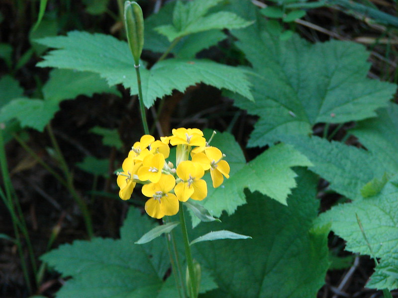
Wallflower, catchfly, and penstemon.

FR 4670 and the Rho Ridge Trail (to the right).

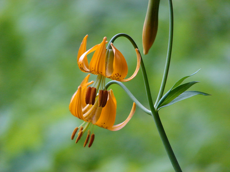
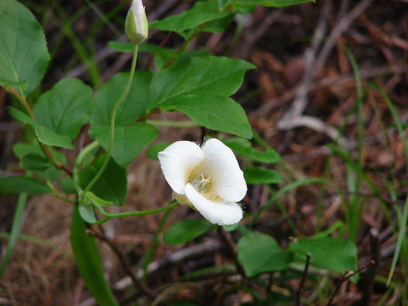
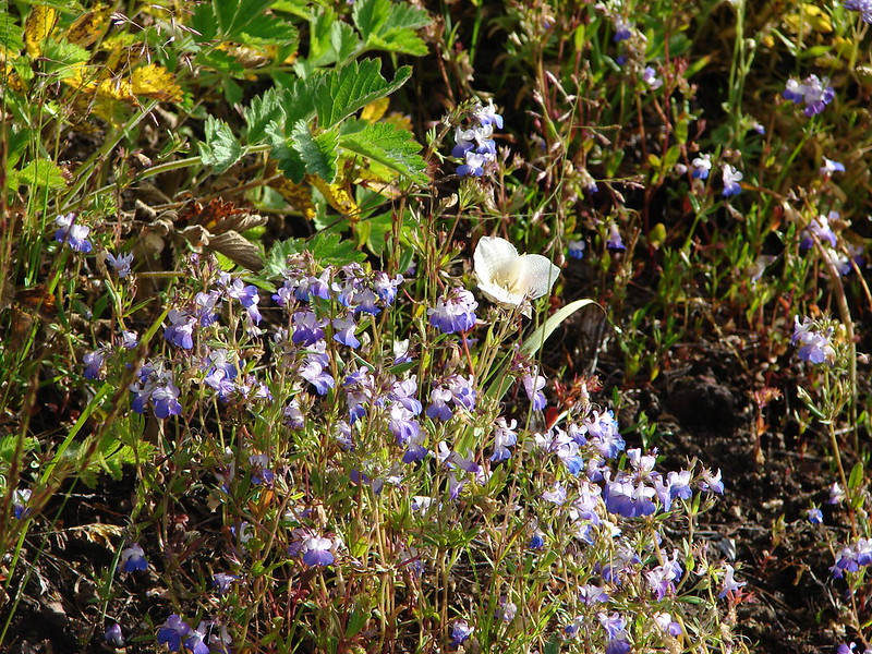
Sub-alpine mariposa lily

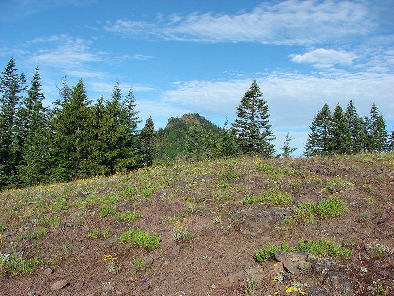
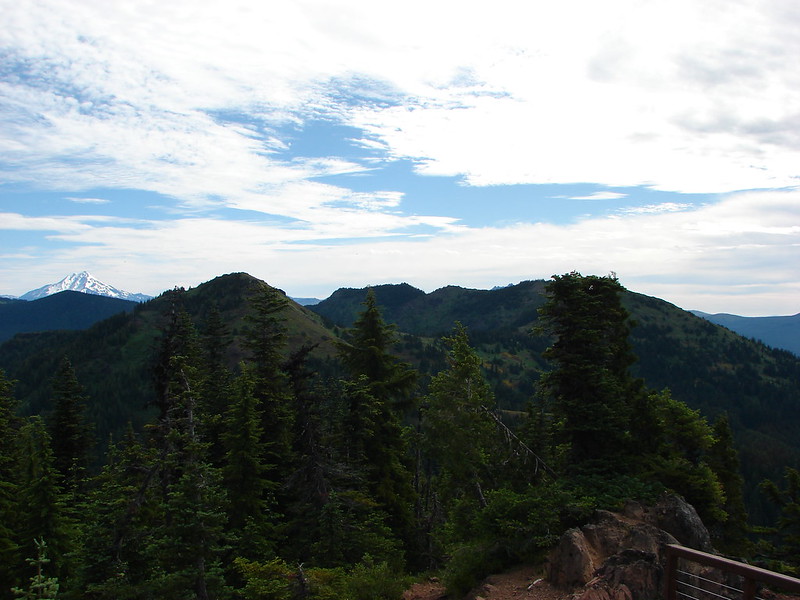
Sisi Butte (post)

Barestem buckwheat

Sisi Butte in the center with Olallie Butte to the right (post).

Olallie Butte

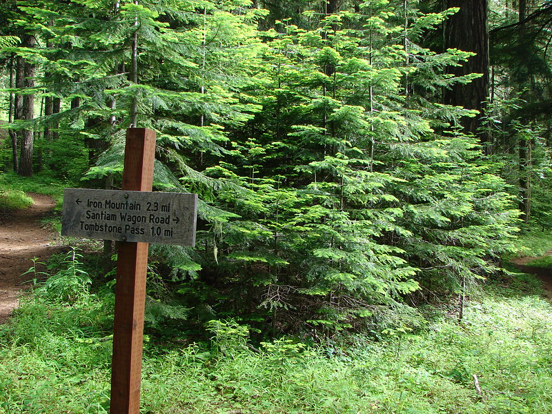
Trail sign facing FR 4670.
The trail began to climb again from here gaining a little over 400′ in just under a mile to the summit of Mount Lowe.

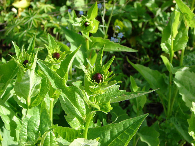
Washington lilies along the trail. These beautiful flowers are also by far the best smelling flowers that we encounter on hikes.

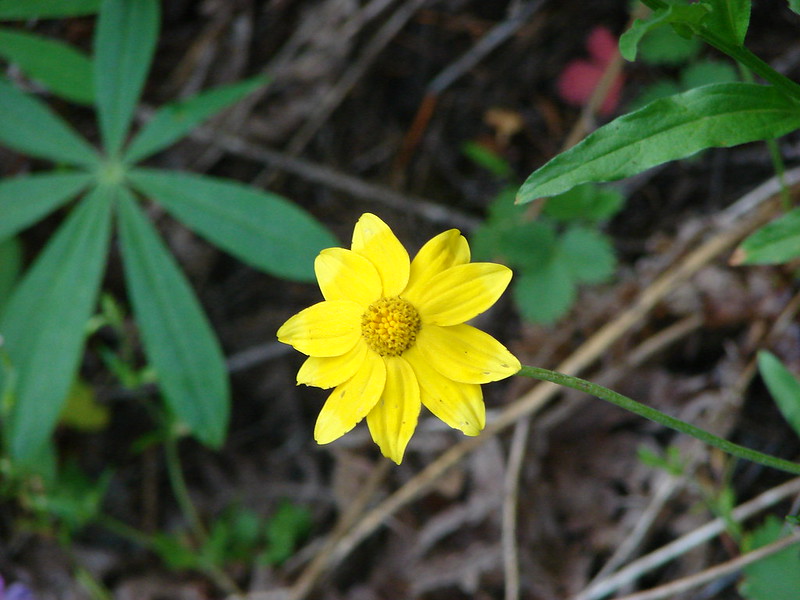
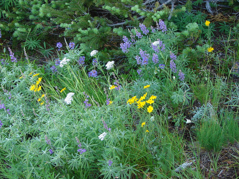
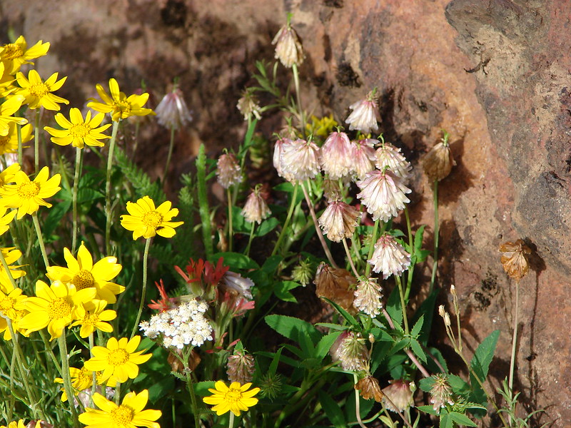
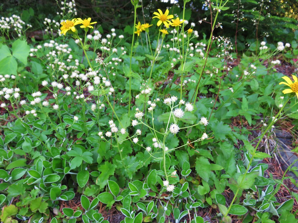
False sunflowers

Washington lily

Serviceberry

Snowberry

Thimbleberry

Larkspur

Rainiera, Lyall’s angelica, and columbine


Anemone’s and a queen’s cup

False sunflowers

Bastard toadflax

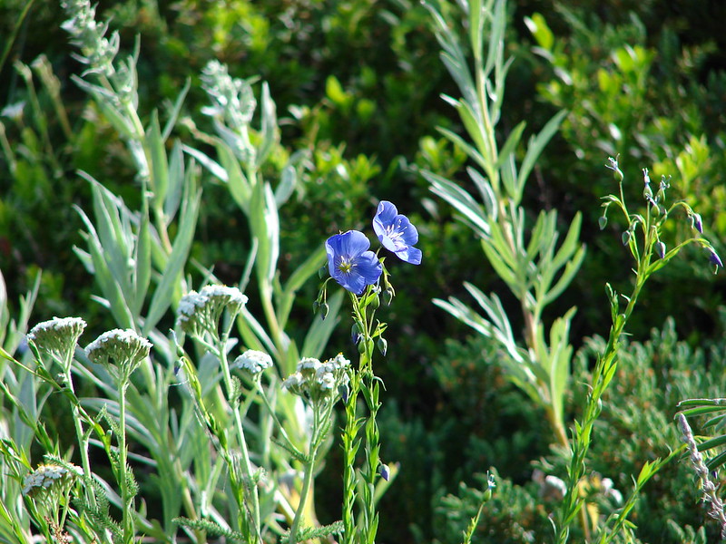
Blue-head gilia

Vetch

Red-flowering currant

Sisi Butte, Oallie Butte, and Mt. Jefferson

Mt. Jefferson

Sticky currant


Better view of Mt. Jefferson.


Scarlet gilia

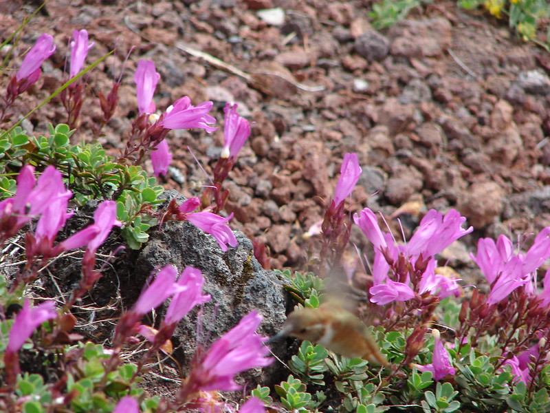
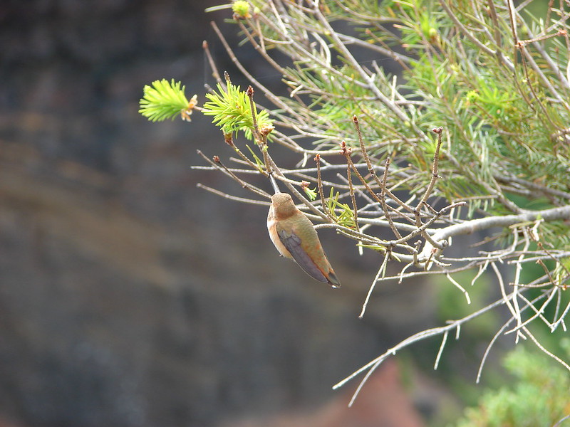
Junco

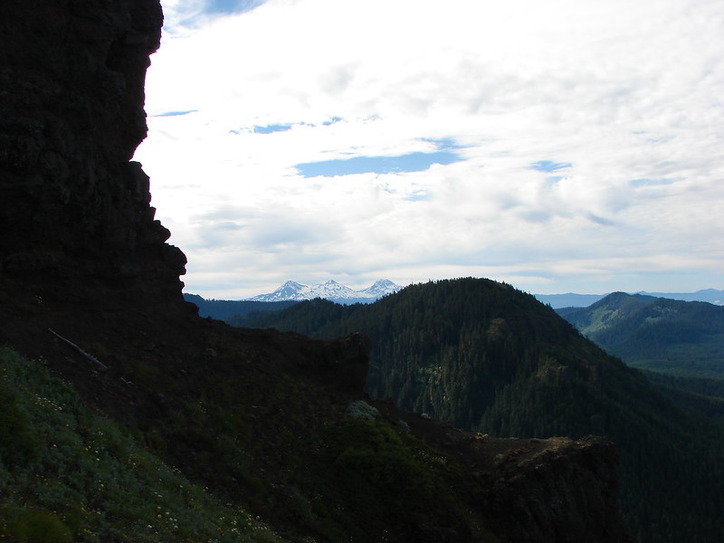
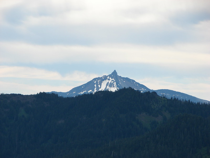
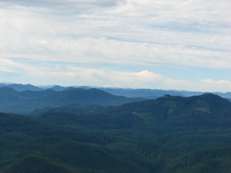
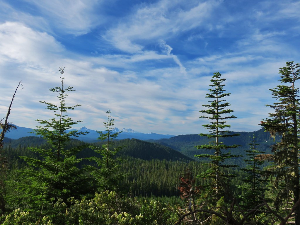
First view of Three Fingered Jack, Mt. Washington, and the Three Sisters.

Three Fingered Jack, Mt. Washington, and the Three Sisters.


The trail passed below a talus slope where there may have been a view of Mt. Hood, Mt. Adams and Mt. Rainier had we scrambled up it, but we didn’t want to disturb the residents.

Pika near the top of the talus slope.

One-sided wintergreen


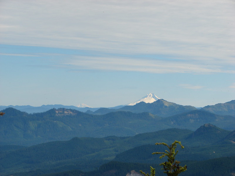
Mt. Hood

View to the west above another pika filled talus slope.

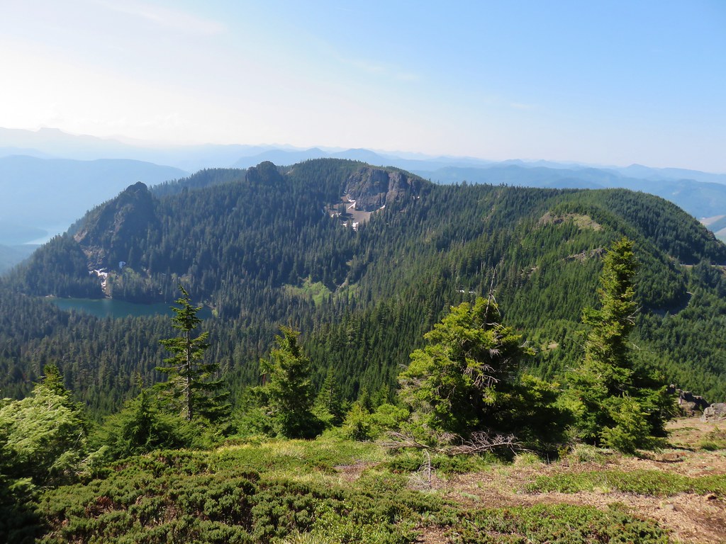
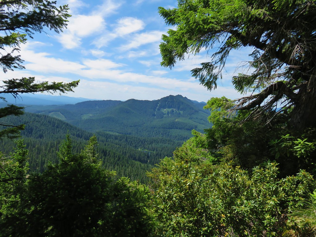
Schreiner Peak, Knob Peak, Big Slide Mountain (post), and Bull of the Woods (post) in the Bull of the Woods Wilderness.

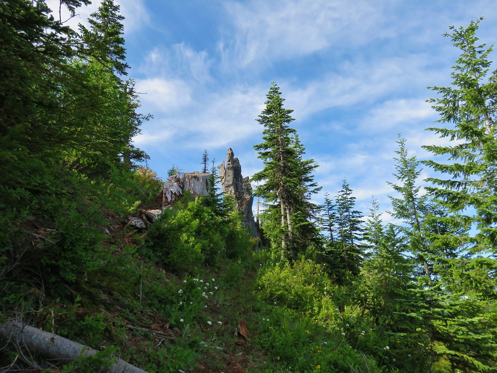
Spur trail to the summit on the left.


Paintbrush and penstemon

Windbreaks near the former lookout stie.

View west towards the Bull of the Woods.

View South toward Mt. Jefferson and the Central Cascades.

Bachelor and Coffin Mountains (post).

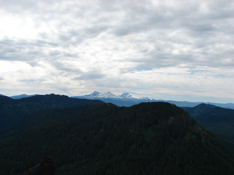
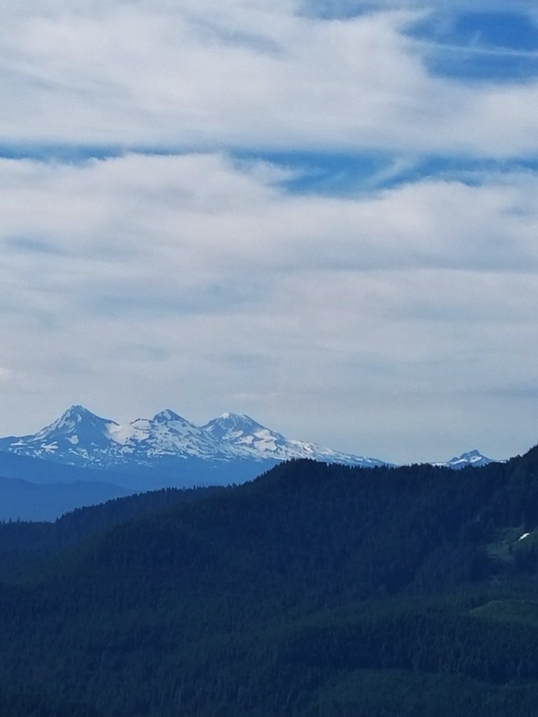
Broken Top poking up on the far left with Three Fingered Jack, North Sister, South & Middle Sister, and Mt. Washington.

The view North included Mt. Adams (center between the tress) and the tops of Mt. Rainier and Mt. St. Helens but those would not show up in photos.

Subalpine fir cones

Douglas fir cones.

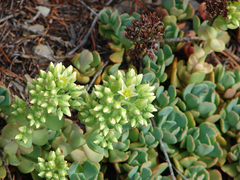
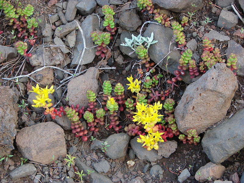
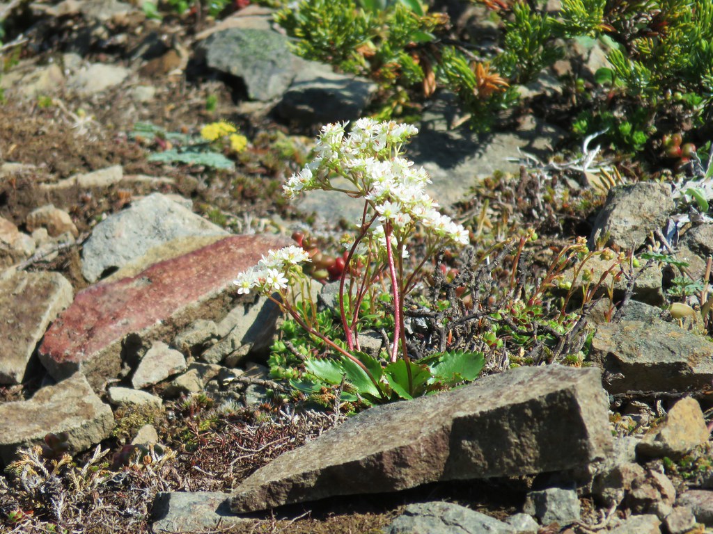
Stonecrop

Penstemon
After a nice break at the summit we headed back down from the summit and followed the Rho Ridge Trail back to FR 4670.

The Rho Ridge Trail continues left at this fork below the summit another 1.5-miles to a northern trailhead.

Orange agoseris

Star-flowered solomonseal

Phacelia

Rainiera

Vanilla leaf

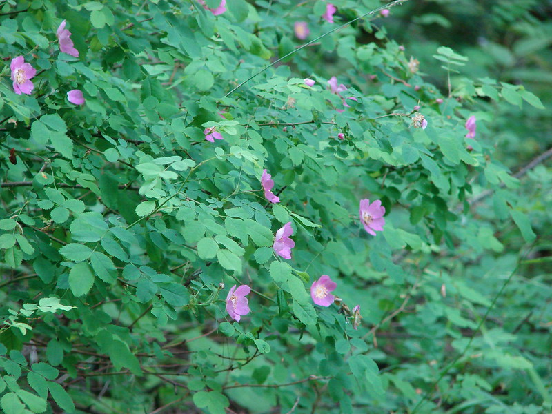
Rose

Oregon bedstraw

Arriving at FR 4670.
We decided to detour here and check out a little of the Rho Creek Trail so we crossed FR 4670 and turned onto the dirt spur road.

We weren’t entirely sure where the trail began and there were a few spurs to campsites. We simply picked one and then headed cross country from it looking of any sign of tread or flagging.


The cross country was fairly easy and we were able to use our GPS and the map we’d downloaded from the Orgon Hikers Field Guide to pick up the tread.

The trail was in surprisingly good shape and we followed it downhill a little over a quarter of a mile to an unsigned junction.


The unsigned, but flagged, junction. Here the Rho Creek Trail turned left while the right-hand fork was said to lead to the remains of the Rho Ridge Guard Station.
The remains had been our goal for this brief detour so we went right.

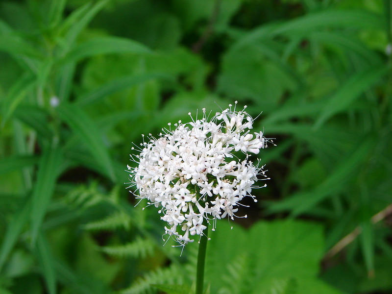
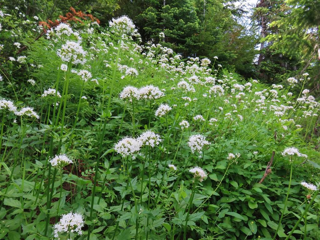
Valerian

Flagging marking the trail.

More flagging marking the route.

Spirea
Somehow we never spotted the guard station remains, but the flagged route continued and theoretically would lead us back to Graham Pass so we just kept following the flagging.


Rhododendron
The tread got pretty faint the closer we got to the Rho Ridge Trail but the flagging made the route obvious enough.


We eventually popped out onto the decommissioned logging road just 100′ from the Rho Ridge Trail.

We turned right here and then left onto the Rho Ridge Trai and 500′ later were back on FR 4670.

With the detour our hike wound up being 7.4-miles with approximately 1600′ of elevation gain.

The hike to Mount Lowe was a really great one. There were views, flowers, wildlife and solitude. The trail itself was in good enough condition to not make the hike challenging while adding a feeling of it being a little wild. While we missed the remains on our side-trip the experience with the Rho Creek Trail encouraged us to get back there and hike more of it. Maybe next time we’ll locate the old guard station. Happy Trails!
Flickr: Mount Lowe


 Paintbrush above Sardine Creek
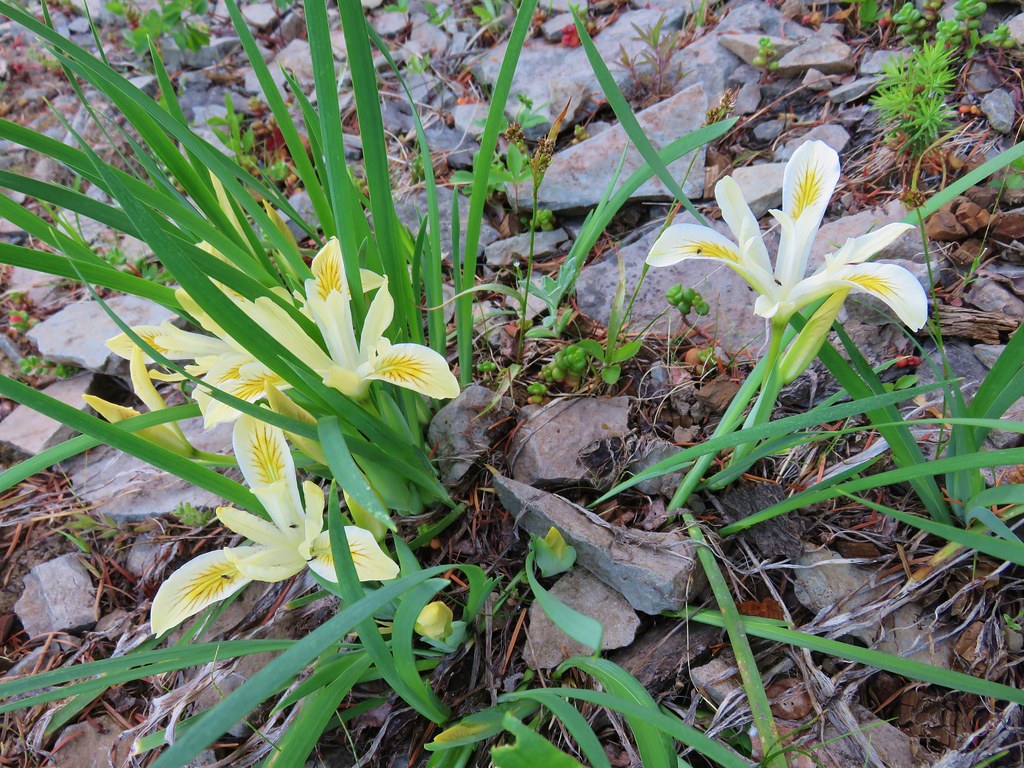
 Iris
Iris Rhododendron
 Candy flower


 Beargrass
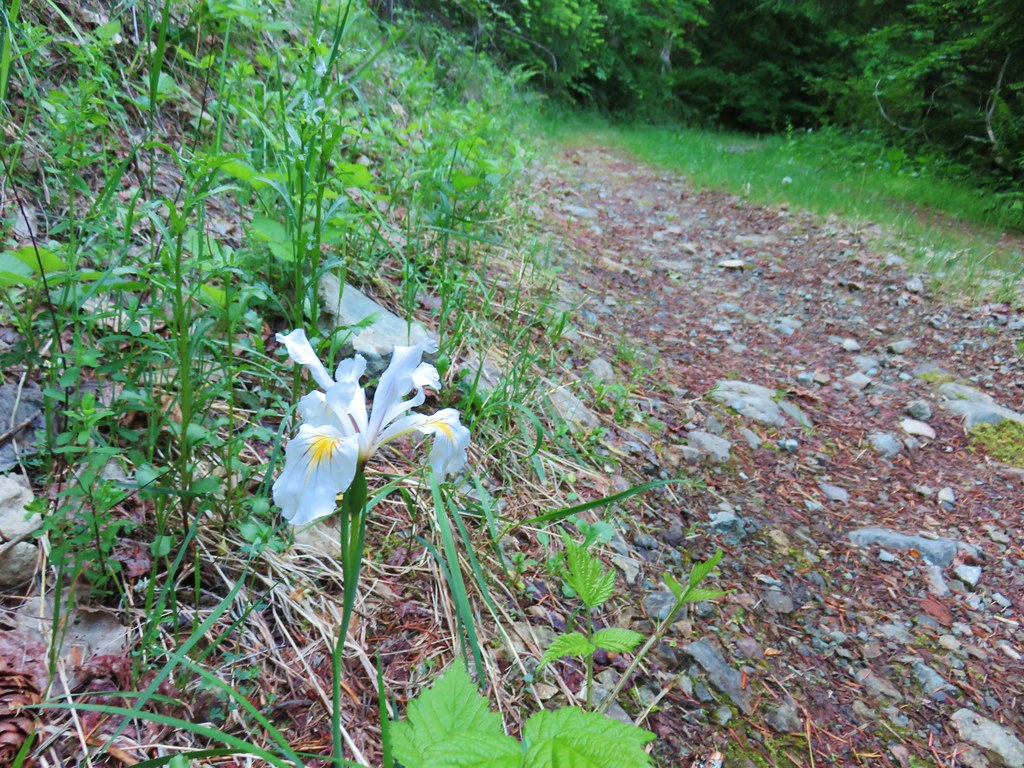 Iris
Iris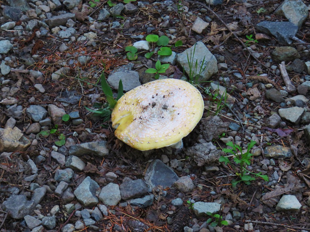 Mushroom in the middle of the road
 Valerian
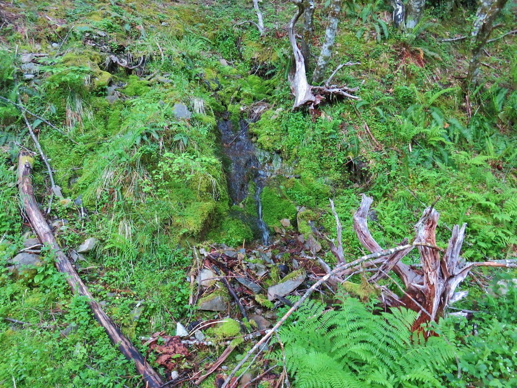 A hillside spring


 Red flowering currant


 Mt. Hood with North Dicky Peak in front.
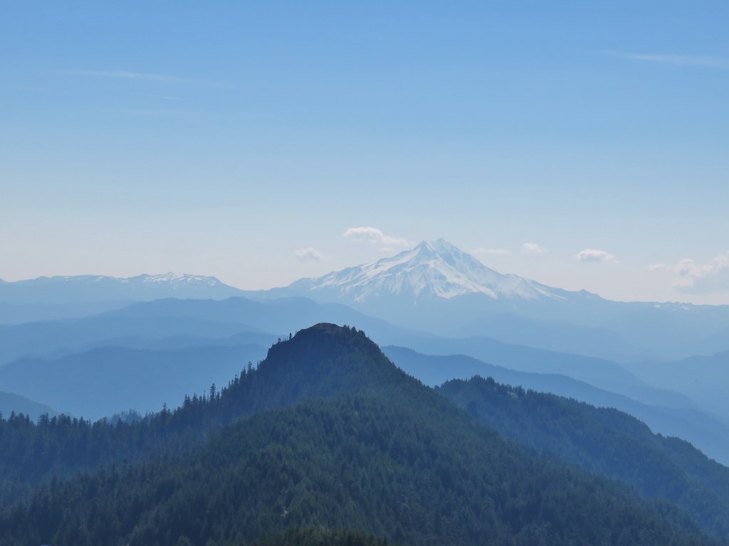


 Three Fingered Jack
 Mt. Washington and the Three Sisters
 Tumble Lake
 A saxifrage
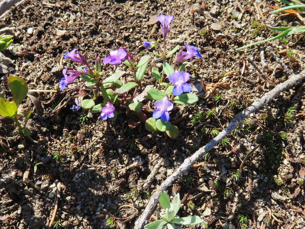 Blue-eyed mary
 Cats ears
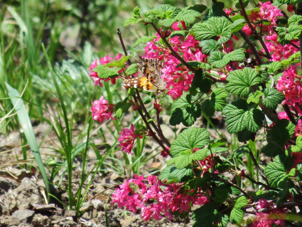 Butterfly on red flowering currant
 Rabbit
 Snake
Snake
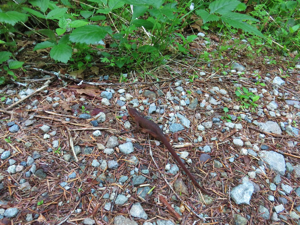
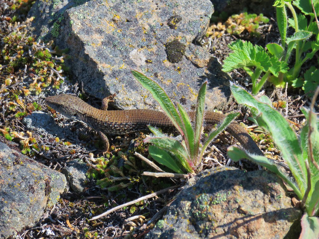
 Another northern alligator lizard
 These two long legged spiders got into a brawl when they met crossing the road.
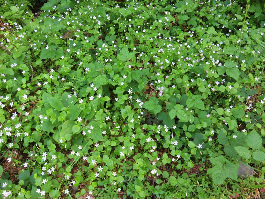
 Candy flower
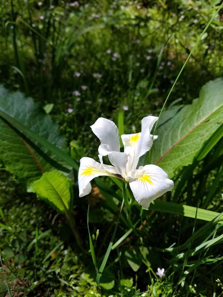 Iris
Iris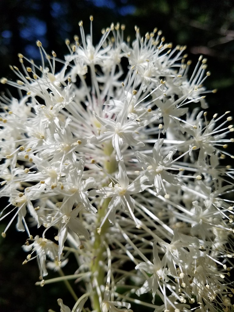 Beargrass
 Fringecup
 Monkeyflower
 Thimbleberry
 Stonecrop
 Youth-on-age with an interesting insect


 Mt. Washington, the Three Sisters and the Husband
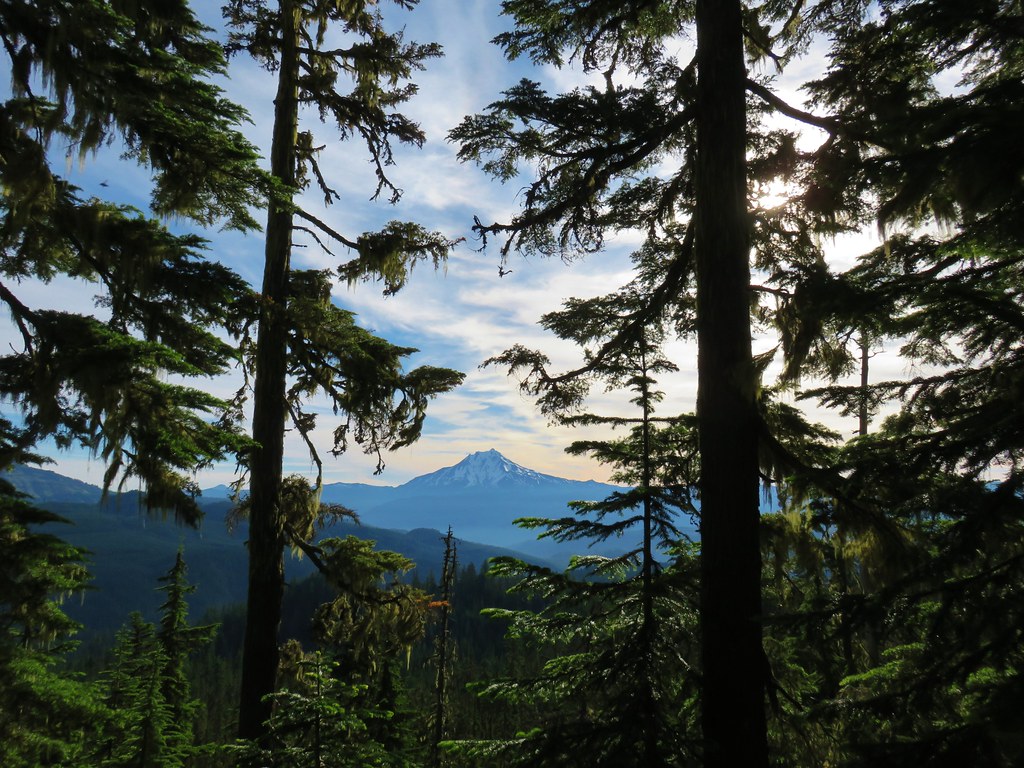 Mt. Jefferson
 Coffin and Bachelor Mountains


 Mt. Jefferson
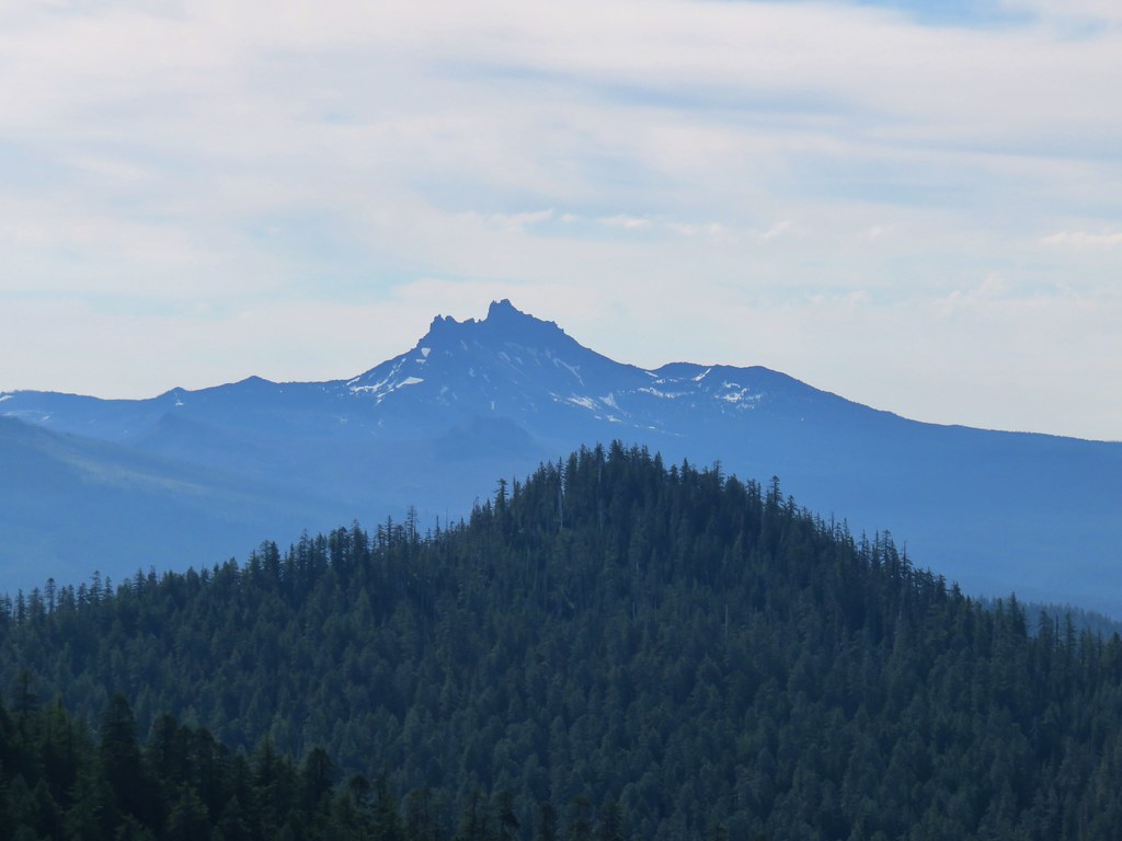 Three Fingered Jack
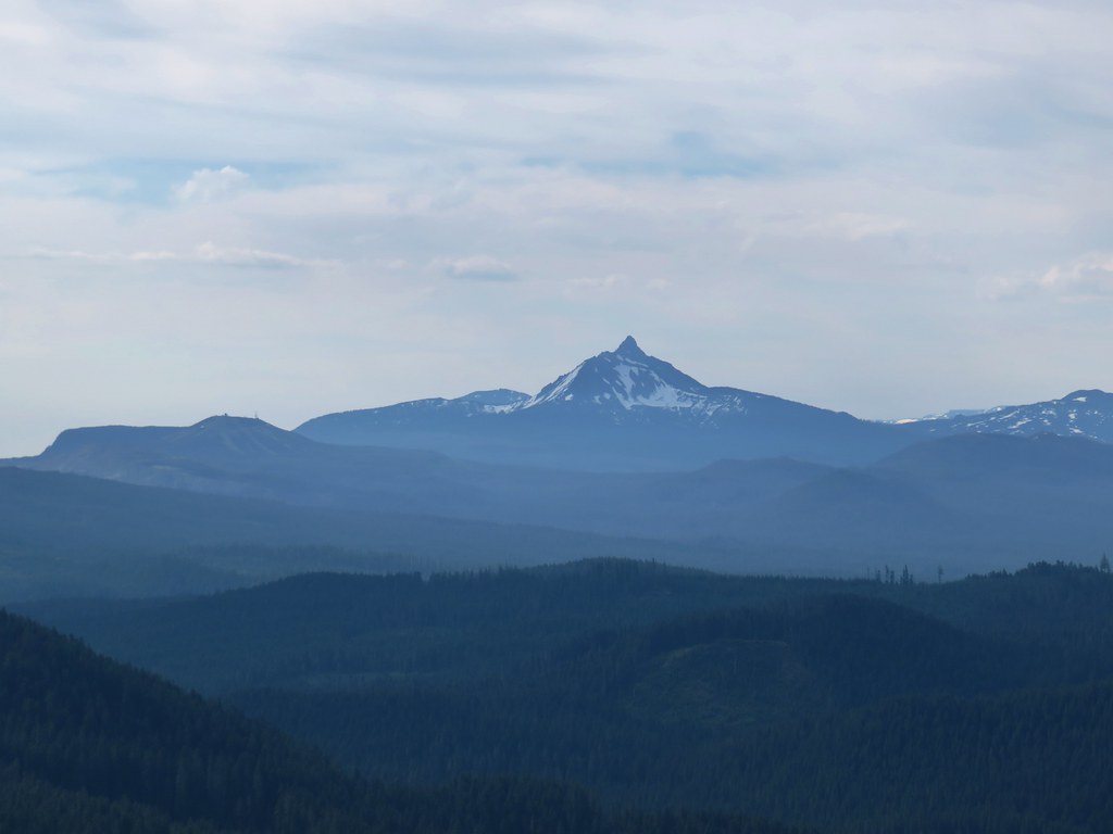
 The Three Sisters and the Husband
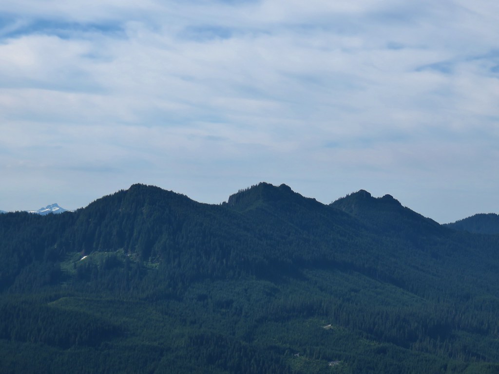 The Husband behind the Three Pyramids
 North Peak, Echo Mountain, South Peak, Cone Peak, and