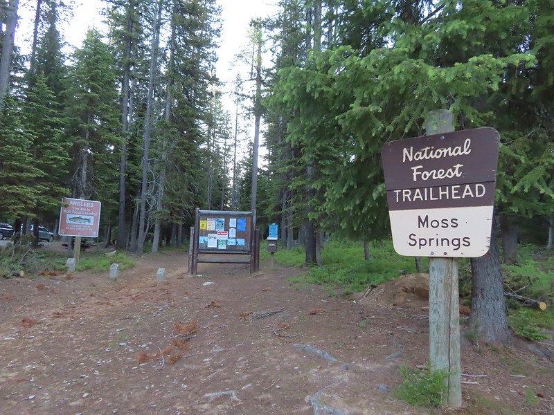
Following a great first two days of hikes (Mt. Ireland & Catherine Creek Meadows) on our visit to Eastern Oregon Monday’s hike was set to be the longest in the trip, a visit to the Minam River via the Moss Springs Trailhead. We’d set our alarm for 4am in order to try and get as much hiking done during the cooler morning hours as possible. We’d left our motel at 5am and I started having abdominal pain as we drove to the trailhead. We think it was a side effect of my having preemptively taken some over the counter heartburn medication the previous nights since we had been eating richer foods than we typically do. Whatever the cause the my stomach seemed constantly cramped which was affecting my lower back and hips as well. I hoped that whatever was ailing me would subside soon as we set off on the Horse Ranch Trail (Trail 1908).
The trail descended from the trailhead 1.4 miles to a bridge over Horseshoe Creek. Going downhill was particularly painful for me as my cramped muscles protested each time I stepped down.
Scarlet gilia along the trail.
Tapertip onion
Scarlet gilia
Lewis flax, we were hoping to see it opened up on the way back up to the car but somehow we both completely missed it.
Arrowleaf groundsel
Bog orchid
False sunflowers
Paintbrush
Sticky geranium
Footbridge over Horseshoe Creek.
Horseshoe Creek
Shortly after crossing Horseshoe Creek the trail came close to the Little Minam River.
The trail gradually descended along the river for approximately three miles to a bridge crossing it.
Spotted coralroot
Mountain lady slipper
Little Minam River
Coral fungus
Huckleberry Creek
Bridge across the Little Minam River.
Little Minam River
I had been forced to take a number of breaks due to the abdominal discomfort including several bouts of dry heaves. Other than my core though I felt good and being just a tad stubborn we continued on from the bridge. On the far side of the bridge we stayed left at a junction with the Jim White Ridge Trail.
The Horse Ranch Trail briefly descended then climbed to a pass a little over 2 miles from the river crossing.
The only area that we encountered showing signs of having burned in the not too distant past.
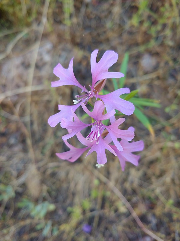
Elkhorn clarkia
Junction with the Little Minam Trail (left) just below the pass.
At the pass the trail turned left and began to descend along a ridge.
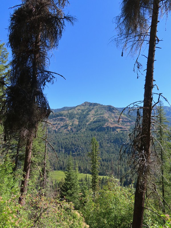
Soon the trail left the ridge and began a steep descent to a meadow along the Minam River. The meadow from the trail.
Arriving at the meadow.
The U.S.F.S. owned Red’s Horse Ranch is located in the meadow. This historic ranch was acquired by the Forest Service in 1994 and still has a caretaker. Due to how I was feeling we didn’t actually visit the ranch but instead continued past it to the Minam River where we crossed on another bridge and took a long break across the river from the ranch.
Horses at Red’s Horse Ranch.
Minam River
I was hoping the long break would finally help my stomach relax but alas it wasn’t to be; so after our break we began the 8 mile trek back up to the car. We stopped at a spring on the way up to the pass to top off our water. For whatever reason I felt way better going uphill than I had downhill or even on level trail which was nice. Landing strip near Red’s Horse Ranch.
The pain was back as we descended from the pass but alleviated again every time we climbed. It was the first time I was happy to be climbing on a trail. We missed the flax on the way back up to the car but we did spot several white mariposa lilies which we hadn’t noticed that morning as well as a large patch of broomrape. Pink pyrola
Little Minam River
Coral fungus
We saw a bunch of these black moths? but they seldom sat still long enough to get a photo.
An Orobanche
Penstemon
Butterfly
White mariposa lily
Large-flower triteleia
Arriving back at the trailhead.
We arrived back at the car around 3:15pm after the long hike. It was a nice hike but admittedly my issues were a distraction for both of us which kept us from appreciating it as much as we should have.
Heather drove us back to La Grande where I tried taking a bath and eating half a sandwich was the only thing other than water and Gatorade that I’d had all day. Neither helped immediately so I laid down in bed and soon fell asleep. We kept the alarm set in hopes that I would be feeling better in the morning but if I didn’t we’d have to delay our planned hike to Burger Pass. Happy Trails!
We’d spent the night in Baker City following our hike to the Mt. Ireland Lookout (post). Our plan for the next six days was to do five more of the “featured hikes” (post) from Sullivan’s 3rd edition “100 Hikes/Travel Guide Eastern Oregon” then before heading home on Friday do the Wallowa Homeland hike which is featured in Sullivan’s most recent 2022 edition of “100 Hikes Eastern Oregon”. Because the hikes were spread out along the western and northern sides of the Wallowas we would be moving our base of operations a couple of times during the week starting with a move to La Grande for Sunday through Tuesday nights.
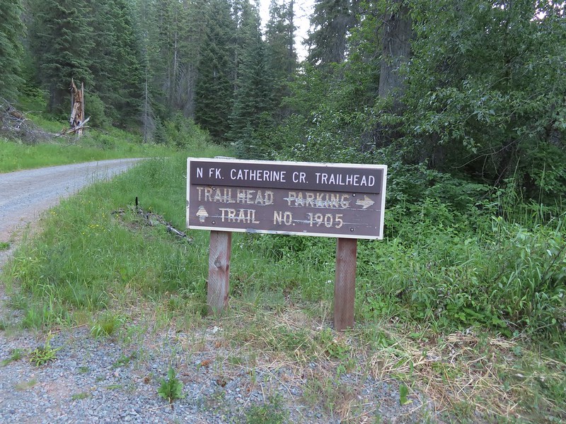
Sunday morning we packed everything up and headed for the North Fork Catherine Creek Trailhead. After navigating the pothole filled FR 7785 we pulled into the large trailhead parking area.
A $5 fee is required here and at several other trailheads we visited during the week. (An annual NW Forest Pass can be used instead.)
The trail doesn’t start at the parking area but rather another tenth of a mile up the road so we road walked to the official trailhead.
The trail initially climbs above the creek to an open hillside, that was putting on a pretty good wildflower display, before descending to a bridge a little after 1.5 miles. Lots of purple venus penstemon.
There were also some white scabland penstemon on the hillside.
Buckwheat
Venus penstemon
Lupine and stonecrop
Paintbrush
North Fork Catherine Creek
Douglas dustymaiden
Spreading dogbane
The trail crossed several side creeks, all of which were we were able to cross dry footed.
A brief stretch along North Fork Catherine Creek.
Queen’s cup
Another side creek.
Bog orchid
Spotted coralroot
A fleabane
One of the more interesting things we’ve witnessed was watching carpenter ants removing sawdust from a dead log and dropping it in a pile below.
They’re a little blurry but you can see the ants in the cracks where they would drop their sawdust. It was fascinating to watch and we paused for quite a while.
Columbine
Mountain lady slippers
Large-flower triteleia
Back above the creek.
The bridge over Catherine Creek.
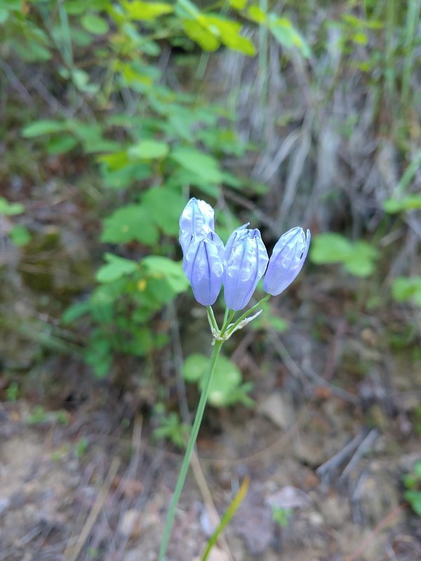
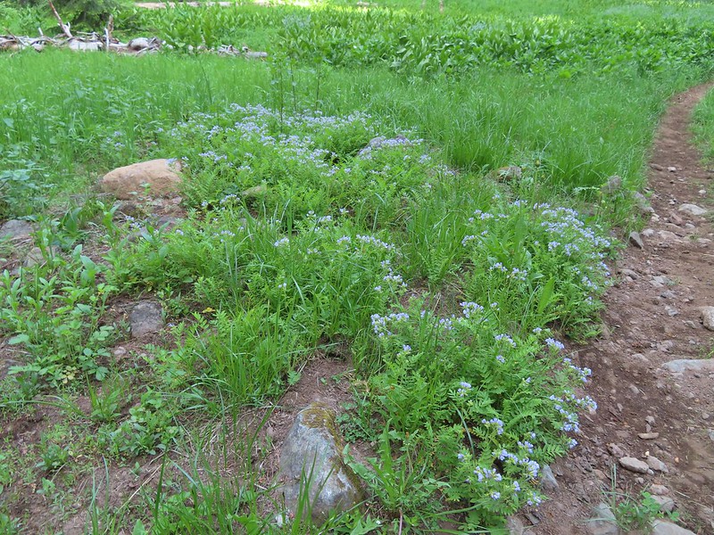
Bluebells next to the bridge.
The trail climbed gradually for the next three and a half miles before reaching Catherine Creek Meadows.
Jim Creek, this was one of the trickier crossings.
Hound’s tongue
Nettle-leaf giant hyssop
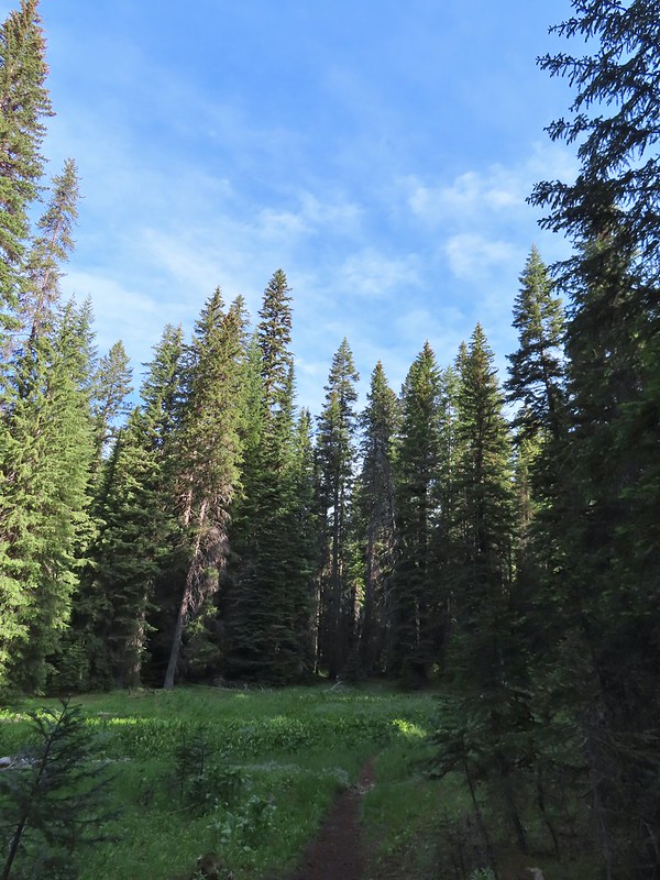
One of several smaller meadows along the trail.
Jacob’s ladder
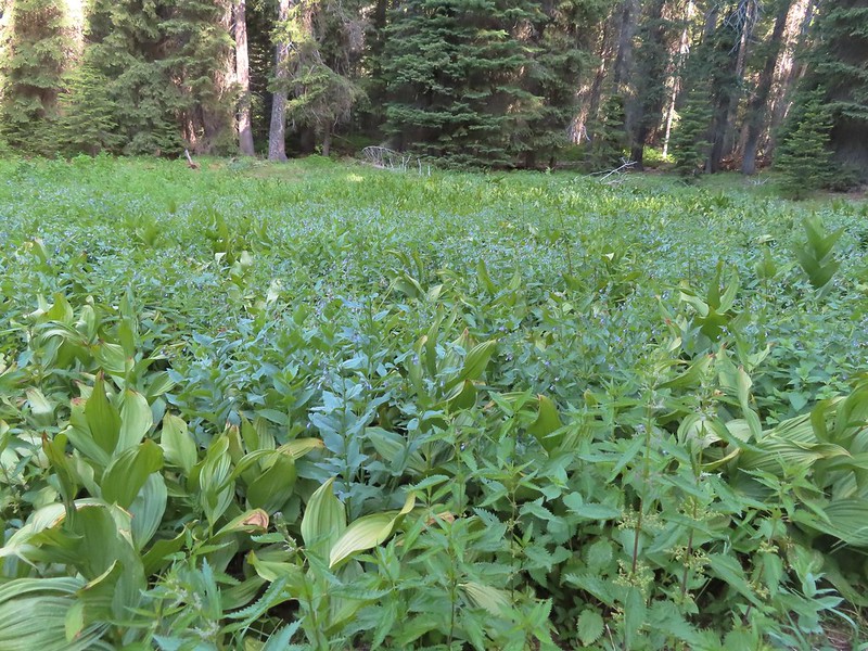
California corn lily and bluebells.
Boot Hill Creek was also tricky as it had taken over the trail.
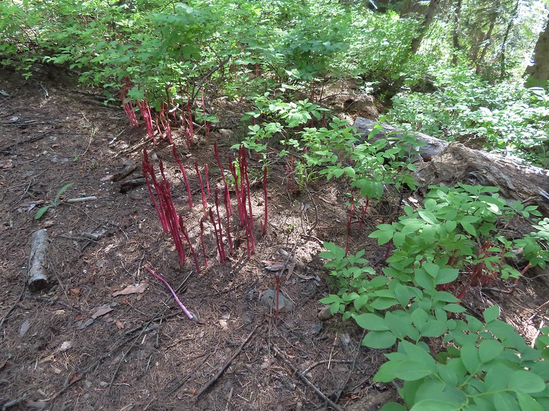
A large patch of coralroot.
A few remaining balsamroot blooming above North Fork Catherine Creek.
Arriving at Catherine Creek Meadows.
Up until this point we had been very lucky this year with mosquitos but the meadows were very wet and the recent warm weather had the bugs out in decent numbers so we couldn’t linger in any one spot too long but we did take a short break at a campsite near a side creek.
All the black dots in the blue sky were gnats flying over the stream at the trail crossing.
Heart-leaved bittercress
Our goal for the day lay about a half mile away, an early 1900’s log cabin at the far end of the meadow. After our break we set off across the creek following what became an increasingly wet trail to a junction where we forked left.
Looking back at the sign post in the meadow marking the trail junction.
Another dry section of trail.
It wasn’t dry for long.
Yellow buttercups and pink elephant’s head.
Elephant’s head, one of our favorites.
Ladybug
Nearing the cabin.
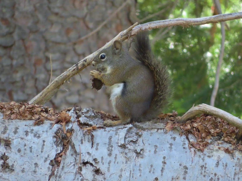
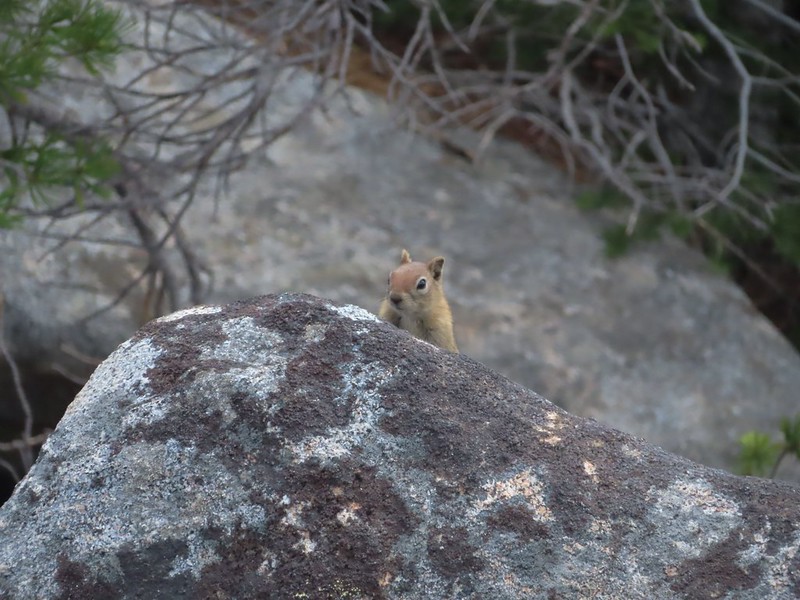
Ground squirrel
Squatter running from the cabin.
We checked out the inside of the cabin before heading back.
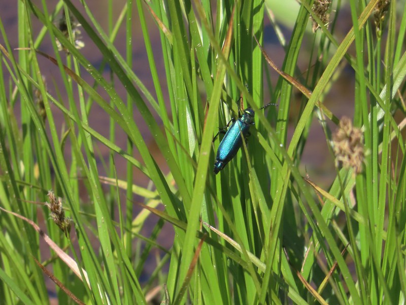
It was only 9:45am when we started back so we took our time and kept an eye out for anything we’d missed on our first pass. Beetle
Another beetle and Nevada bitterroot.
Brunch
A comma of some sort.
Big mushroom
Something from the Lycaenidae family.
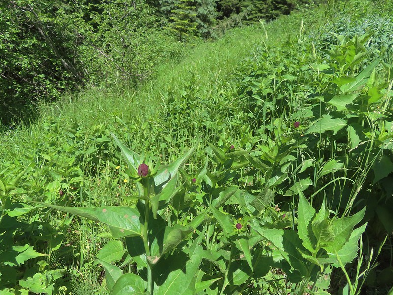
Coneflower
Swallow-tail on red clover.
Fritilary on clover
Mourning cloak perched overhead.
Lorquin’s admiral
A tortoiseshell
Skullcap, one of the hardest flowers to get a decent picture of for some reason.
Tapertip onion
Yarrow and other wildflowers up the hillside.
Our hike came in at 11.8 miles with approximately 1450′ of elevation gain.
From the trailhead we drove to La Grande and checked into our Motel, after hanging out at a park for about an hour because we’d arrived a bit too early, and then headed to Side A Brewing for an early dinner. It was going to be a warm week so we turned in early planning on another 4am wake-up the next morning to beat as much of the heat as we could. Happy Trails!
As we continue to work toward our goal of completing the 100 featured hikes (post) in each of the five areas covered by William L. Sullivan in his “100 Hikes” series we headed for Eastern Oregon for a week hoping to check off 6 more hikes from that area. The first hike on our list, Mt. Ireland, had become something of a white whale for us. We had tried to do this hike during a September 2017 to Sumpter, OR but an early round of snow forced us to change that plan (post). We tried again on the way home from backpacking the Elkhorn Crest (post) but a round of severe thunderstorms stymied that plan.
We hoped the third time would be the charm but a little doubt crept in when I checked the forecast Friday night before leaving and saw it called for a slight chance of thunder storms the next day. We left at 5am to make the five and a half hour drive to the trailhead. Our plan was to watch the weather on the way there and if all looked good to try the hike but if it looked like thunder storms were imminent we would drive straight to Baker City where we had reservations for that night and try the hike again on our way home. There were a few clouds in the sky as we approached but none looked threatening so we followed Sullivan’s driving directions to the small, poorly marked, parking area. A small sign post was all that marked the trailhead.
The trail begins along a closed roadbed which climbs steeply for the first 0.3 miles to a junction with other old roadbeds a view of Mt. Ireland.
Mt. Ireland from the junction.
Hound’s tongue
There were several old roads/skids in the area but the trail was well flagged (we later learned that flagging had been recently placed by folks manning the lookout). Flagging on the left marking the “trail”.
After another mile we came to FR 142 where a trail sign marked the continuation of the the trail. Another flag hanging on the tree to the right.
Another glimpse of Mt. Ireland.
Small meadow near FR 142 along a tributary of East Fork Boundary Creek.
Trail sign at FR 142.
The trail climbed for nearly another mile from FR 142 to a junction on an open ridge.
Jacob’s ladder
This was one of three trees across the trail, all of which were easily navigated.
Ironside Mountain in the distance.
Phlox
Brown’s peony
Nearing the junction.
The trail to the right led 1.3 miles downhill to Downie Lake a possible side trip but one we decided to skip given our late start, the warm temperature, and we had another six straight days of hikes planned after this. We turned left and headed uphill, steeply at times (most times) toward Mt. Ireland. Heading uphill.
Pussy paws
Mt. Ireland ahead.
Rock Creek Butte (post) and Elkhorn Peak along the Elkhorn Crest.
Paintbrush
Goosefoot violet
Vinegar Hill in the Greenhorn Mountains (post) with a few snow patches.
It was just over a mile from the junction to the lookout and as we neared the lookout we began noticing signs of mountain goats. Mountain goat fur on the trail.
I was a little ahead of Heather reaching the tower and when I arrived there were goats at a salt lick placed below the tower to keep the goats from disturbing the tower itself. Just to the right of the silver stump in the center of the photo is one of the goats.
One of the goats below the lookout tower.
Zoomed in shot of one of the goats leaving upon my arrival.
I rested at the saddle below the lookout tower next to a helipad and took in the view of Baldy Lake below. Arriving at the saddle.
Baldy Lake below Mt. Ireland.
The tower from the saddle.
The helipad.
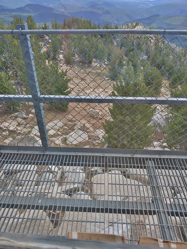
Being watched.
The tower is typically staffed from late-June thru late-September and as I waited for Heather I was waved up to the tower by the current staffer, Warren. Warren and his wife Chris(sp?), who are from Arkansas, welcomed me to the tower where they offered me a chair while I waited for Heather to arrive. Heather soon joined us and we spent almost an hour in the tower visiting. We learned the tower is a bit of an anomaly being steel framed and that the day before 23 goats had been at the summit. Warren also informed us that under the right conditions Mt. Rainier was visible from the tower over 200 miles away. Another interesting tidbit of information was that dietician was the most common occupation of visitors to the tower in 2021 which was Warren’s first year staffing the tower. Apparently they don’t get a lot of visitors which was surprising to us given how great the view was from here.
While we were visiting a nanny and kid came to the salt lick. The kid was on the other side of mom.
After our visit we returned to the saddle for a few more photos and then headed back down the trail to the car. The Elkhorns from the tower.
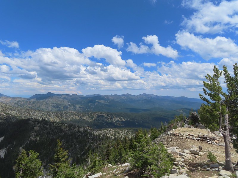
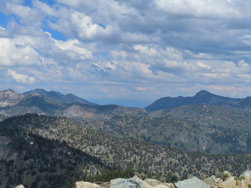
The snowy Wallowa Mountains beyond a gap in the Elkhorns.
Milbert’s tortoiseshell
Vinegar Hill with Dixie Butte to the left and Strawberry Mountain (post) the high point to the far left in the distance.
Clark’s nutcracker
Butterfly on pussy paws.
A comma?
Beetle on arnica.
Hookedspur violet
After returning to the car we drove into Sumpter and stopped for hand dipped corn dogs at a small stand that is only there typically between July 4th and Labor Day. The owner of the stand had stayed later in September of 2017 and we’d had several of the corn dogs (and cheese sticks) then which were delicious. The next year the stand wasn’t there but it was this year to our delight.
After a couple of corn dogs (w/jalapeno mustard) and a cheese stick each we continued to Baker City and checked into our room for the night. The hike came in at a little over 7 miles with just over 2300′ of elevation gain.
We really enjoyed this hike and getting to visit with the staffers made it even more enjoyable. It’s really hard to understand why this hike isn’t more popular except that there doesn’t seem to be a lot of information out there about it. It felt good to finally be able to check this one off our to-do list but we would happily do it again if the opportunity arose. Happy trails!
A change in the forecast led us to swap the final two hikes of our Ashland vacation when Friday called for rain and the possibility of thunderstorms. Heading into the Red Buttes Wilderness under those conditions didn’t sound like the best idea so instead we looked to a closer pair of Sullivan’s featured hikes in the Ashland Trails System. The two featured hikes are a 3.5 mile lollipop loop using the Bandersnatch Trail (hike #53 edition 4.2) and a 4 mile lollipop on the Mike Uhtoff and White Rabbit Trails (hike #54 edition 4.2). Our plan was to combine the two hikes utilizing several of the other trails within the trail system. Our plan was to start at the Witzend Trailhead and take the Waterline Trail from there to the Bandersnatch Trail where we would turn left
following it to the Red Queen Trail. We would then take a right on the Red Queen Trail following it to the Caterpillar Trail where we would turn left to a junction where we thought we would turn right onto the Mike Uhtoff Trail. (Spoiler – you have to first take the Queen of Hearts Loop to reach the Mike Uhtoff Trail.) We then planned to follow the Mike Uhtoff Trail to a junction with a trail from the Oredson-Todd Woods where we would hook up with the White Rabbit Trail. We could then turn left onto it and follow it to an upper trailhead where we could pick up the Alice in Wonderland Trail which would bring us back to the Bandersnatch Trail. A right on the Bandersnatch Trail would then bring us to the Jubjub Trail where a left turn would lead us back again to the Bandersnatch Trail section that we’d first been on which we would follow back to the Waterline Trail and our car. If that sounds confusing you’re not alone, we spent much of the hike confused but for the most part successfully managed to follow our plan.
We got a little later start than usual due to taking advantage of the full breakfast offered at the motel but there was still only one or two other cars at the trailhead when arrived. Sign for the Witzend Trail at the trailhead. Not one of the trails we wanted today.
The Waterline Trail is the smaller gravel roadbed to the left of the fire hydrant.
Despite the sign saying Snark online maps show that trail starting further up the Waterline Trail.
The Snark Trail splitting off to the right.
Turning left onto the Bandersnatch Trail.
There were a few pieces of art along the lower section of trail. Marty the Pacific Fisher
The Bandersnatch Trail climbed uphill passed a number of wildflowers and a whole lot of poison oak. Henderson’s stars
Paintbrush and blue sky.
Mariposa lily
Ookow
Diamond clarkia
Some of that poison oak.
A cryptantha
Honeysuckle
Madia and winecup clarkia
Bell catchfly
View down toward Ashland.
Picnic table at the top of the hill.
From the picnic table the Bandersnatch Trail descended to a crossing of the bike only BTI Trail before arriving at the junction with the Red Queen Trail. Crossing the BTI Trail
Baresteam wild buckwheat
Wallflower
heart-leaf milkweed
Wild onion
Another Snark Trail encounter.
The Red Queen Trail junction ahead.
Bluehead gilia
We followed the Red Queen Trail for 1.6 miles to the Caterpillar Trail. Madrones along the Red Queen Trail.
National Forest boundary.
Lupine
Clouding up.
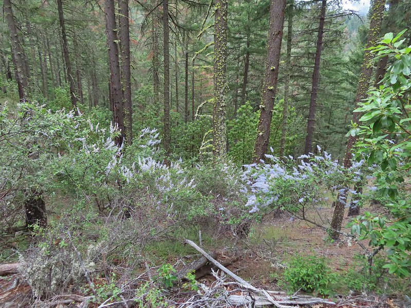
Deer brush
A madrone and a ponderosa
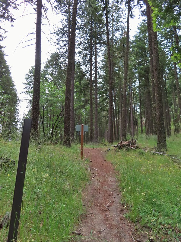
Nearing the junction with Road 2060 and the Caterpillar Trail.
Sign for the Caterpillar Trail across the road.
After 0.4 miles on the Caterpillar Trail we came to a series of signs and junctions.
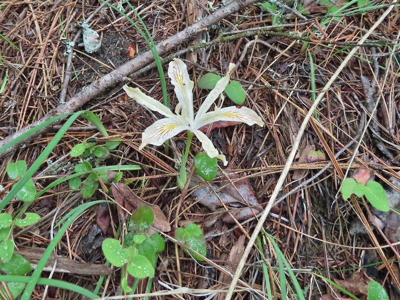
Iris
The first signed junction with more signs in the distance.
After consulting the maps we had and reading all the signs we headed uphill past a sign for the Queen of Hearts Trail which listed the Mike Uhtoff Trail as being 0.15 away.
The one mistake we made on our route came at the next signed junction which was just a short distance uphill. At this junction with a small bench the sign only listed the Queen of Hearts and pointed left and in the direction that we had come from. A third trail continued uphill which we mistook for the Mike Uhtoff Trail thinking that we had gone the 0.15 miles and it just wasn’t signed.
This path led uphill past some boulders and nice madrone trees before reaching a fence at some private land where it made a hard left and followed the fence line.
There were a lot of cool madrones along the trails.
The trail followed the fence line to a ridge with what looked like it would have been a decent viewpoint on a clearer day.
Madrone bark
The trail followed the ridge to the left away from the fence and after a gradual initial descent dove almost straight down the ridge end.
This design didn’t seem to fit with the other trails we’d seen and been on and we wondered why the Uhtoff Trail was different, then we came to a large junction near a bench where a sign on our left for the Mike Uhtoff Trail pointed to a different path. Arriving at the junction with the Mike Uhtoff sign to the left.
That isn’t the trail we were on so where were we?
As I mentioned above we learned later that we should have stuck to the Queen of Hearts Loop a little longer instead of heading uphill on the unsigned trail that we’d taken. As far as we can tell the trail that we were on has no name but I was able to find at least one map showing it as a red dotted line. While we were thoroughly confused about how we’d missed the Mike Uhtoff Trail and had no idea what trail we’d just been on we quickly recognized where we were on the map at a junction with the White Rabbit Trail which we would be coming back up.
For now we stayed right on the Mike Uhtoff Trail (now it really was) and descended through more madrones.
Still no real rain but it was clouding up even more.
Grand collomia
Silverleaf phacelia
There were a number of connector trails running between the Uhtoff and White Rabbit Trails but they were fairly well signed allowing us to stick to the Uhtoff.
We did turn off the Uhtoff when it crossed the White Rabbit Trail above a junction with the Oredson-Todd Woods Trail. We turned right onto this road bed which is the White Rabbit Trail.
We hiked downhill on the White Rabbit to a bench (just visible through the vegetation on the left) at the trail junction.
Trail to the Oredson-Todd Woods.
Sullivan showed a map as being located a little further down the White Rabbit Trail and we were hoping it was a full sized map so we continued downhill to see if maybe it could tell us where we’d gone wrong earlier. There were a lot of bachelor buttons, a non-native but pretty flower, along this stretch of the White Rabbit Trail.
We were losing a fair amount of elevation (and we’d already lost a lot) so when we saw what appeared to be just another small map on a sign post in the distance we decided to turn back onto the Uhtoff Trail and head back uphill. We turned left here. There is a sign downhill on the left with what looked to be a small white map which we’d seen on other trail signs. These gave very limited information for bike routes.
We followed the Uhtoff Trail back up to the crossing of the White Rabbit Trail where we again turned onto it, now heading uphill.
One of the white maps at the White Rabbit/Cheshire Cat junction.
We followed the White Rabbit for 1.8 miles ignoring side trails. The trail gained over 500′ via a series of switchbacks before leveling out a bit and then descending to a trailhead on Ashland Loop Road. A connector for the Uhtoff Trail at a switchback.
Large boulders near the Looking Glass Trail jct.
Passing the bench at the junction where we’d discovered that we had not in fact been on the Mike Uhtoff Trail.
This section was a little confusing. The trail dropped to a junction in a small basin. We ignored this sign which pointed to another road bed with a gate.
We also ignored the March Hare Trail which was a very short trail heading steeply uphill only to rejoin the White Rabbit Trail a short distance up.
Looking down the March Hare Trail (it took less than 2 minutes to get from the bottom to the top via the White Rabbit Trail).
Yet another side trail = Mad Hatter.
The Queen of Hearts Loop junction with the White Rabbit Trail.
Sign as we neared the trailhead.
Lots of cars here.
This was the map that we needed earlier.
From the trailhead we followed a sign for the Alice and Wonderland Trail.
Sullivan mentioned that the trail might not be open due to it crossing some private land which the map at the trailhead also showed but there was nothing stating that the trail was not open and I’d read some recent trip reports from people who had hiked/biked it so we decided to give it a try. We ran into several other trail users and no signs to indicate the trail was not open for use.
Madrone circle.
A couple of short spurs went up and over small hills, we stuck to the more level road bed.
When we reached the Bandersnatch Trail we turned right. While the Alice in Wonderland Trail continues it is only open to bikes beyond the Bandersnatch.
We left the Bandersnatch Trail when we reached a sign for the Jubjub Trail where we turned left.
The Jubjub Trail crossed the Alice in Wonderland, BTI, and Red Queen Trails before ending at the Bandersnatch.
We turned right on the Bandersnatch Trail and climbed back up to the picnic table we had passed earlier and retraced our steps to the Witzend Trailhead.
Marty the Pacific Fisher from the other side.
The Waterline Trail 0.1 mile from the Witzend Trailhead.
We wound up with a 9.5 mile hike with over 2000′ of elevation gain which was a surprising amount for a hike so close to town but there were a lot of ups and downs. Despite the abundance of poison oak it’s a fun area to hike in. The Lewis Carroll themed trail names add to the fun and the madrone trees with their twists and bends seem to belong in Alice in Wonderland. The trails are wide enough that the poison oak was never a concern and for the most part are well signed. There are just so many that criss-cross and intersect that even with decent signage it’s easy to get confused.
We managed to stay pretty dry as it only sprinkled a couple of times while we were hiking. That changed in the afternoon as it was pouring when we ventured out for a meal at Xeres Mediterranean Grill. The food was great there and they had a nice little market as well. We packed up as much as we could that night so that we could get a nice early start in the morning for our final hike of the trip before heading home. Happy Trails!
Much like our first day in the Ashland area (post) we spent our second day hiking on the PCT in the Siskiyou Mountains. Just as we had the day before we had planned to head both north and south from our trailhead which was supposed to be at Siskiyou Gap. The driving directions given by the Forest Service say to take FR 20 -Mt. Ashland Road, but we opted to take FR 22 – Wagner Creek Road per Sullivan’s driving directions. This road was in good shape but about halfway to the trailhead our “Low Tire Pressure” light came on. Those have become my most dreaded three words while on vacation as it seems to happen every 2 or 3 trips we make. FR 22 ends at FR 20 about three quarters of a mile from the trailhead so we turned right onto FR 20 which was filled with two large pools of water. The first hole wasn’t bad but the second was deceptively deep and the Outback had a momentary struggle getting through. Just beyond this puddle we passed through a 5-way junction staying on FR 20 which was full of potholes. With the tire light on I decided enough was enough and turned the car around. We drove back through the water filled hole and parked at the FR 22/20 junction. The deepest hole, it doesn’t look too bad here.
Potholes on FR 20. These turned out to be the worst of the stretch between the junction and Siskiyou Gap but we didn’t know that until we’d walked this road later in the day.
While not an official trailhead the PCT passes through the 5-way junction that we’d parked near so we easily hopped onto the trail. The PCT was just a few yards into the forest from the FR 20/22 junction.
Today we headed north (left) on the PCT first hoping to reach the summit of Siskiyou Peak before clouds started moving in. Heading into vacation the forecast for the day had been for mostly sunny skies with rains showers moving in the next afternoon (Friday) but by Wednesday night things had shifted and now the showers were arriving Thursday with rain Friday and showers Saturday.
Jessica sticktight?
There were occasional glimpses of Mt. Shasta to the south along this stretch of trail.
Mt. Shasta and Black Butte (post). The layer of smoke from the day before seemed to have blown out overnight.
Paintbrush
We followed the PCT north approximately two and a quarter miles to a ridge on the north side of Siskiyou Peak where a clear path led uphill towards the summit.
Siskiyou Peak from the PCT.
Lupine and pussypaws
The PCT heading toward Mt. Ashland from the ridge where we left it.
Towers on Mt. Ashland.
The trail up Siskiyou Peak.
It was a little over a quarter mile to the summit. Observation Peak to the left, where we had been the day before with Big Red Mountain on the right, where we were going later today.
The snowy Marble Mountains (post) with Observation Peak to the right.
Some of the Marble Mountains.
I believe these are peaks in the Russian Wilderness.
While this was a nice view, the view from Observation Peak had been just a bit better as from it you could see the Red Buttes which were now ironically hidden behind Observation Peak. Observation Peak and Big Red Mountain with Dutchman Peak in a cloud behind Big Red.
Our shadows from the summit.
Dutchman Peak emerged from the clouds to make an appearance over Big Red Mountain.
After a nice break at the summit we headed back to the PCT and returned to the 5-way junction. Wagner Butte (post) on the left with the PCT on the hillside below FR 20. Mt. McLoughlin is behind the ridge middle right.
Arriving at the junction.
From the junction we had the option of following the PCT almost two miles to Siskiyou Gap or walking FR 20 for 0.7 miles. Sullivan didn’t show anything of particular interest along that stretch of PCT and when we saw that the section of trail began by heading uphill we both opted for FR 20.
Trillium along FR 20.
California Jacob’s ladder
FR 20 looking a little better here.
Pretty face
Larkspur
Larkspur
Mariposa lily
FR 20 became a little rutted just before Siskiyou Gap.
Mt. Shasta from the gap.
Mt. Shasta
Siskiyou Gap
We headed uphill on the PCT from the gap and almost immediately spotted a doe who looked like she might be expecting.
From the gap the PCT climbed steadily for a mile to a spring on a hillside filled with white Drummond’s anemone and yellow buttercups.
Chocolate lily
Violets, larkspur and alpine pennycress.
Ballhead waterleaf
Bleeding heart
A trickle of water flowing down over the rocks along the trail.
Anemones and buttercups
It’s hard to tell just how many flowers there were from the photo but it was very impressive to the naked eye.
A cloud over Wagner Butte which stayed this way the rest of the day.
Beyond the spring the PCT reentered forest for a little over half a mile before trading the trees in for colorful rock cliffs.
A few small patches of snow were all that was left along the PCT.
Starting to leave the trees behind as the PCT passes below Big Red Mountain.
From the first set of big rocks which Sullivan refers to as “Crags” it was 1.3 miles to our turnaround point on a ridge above the Monogram Lakes.
You could see where this large chunk of rock used to be.
Something budding out.
Dummond’s anemone – the blueish/purplish hue on some was quite pretty.
Violets
There was a decent sized beargrass meadow along this section which appeared to have bloomed last year.
Anemones
A saxifrage
Siskiyou Peak from the trail.
Splithair Indian paintbrush and a lomatium.
Phlox
A small green pond and two of the Monogram Lakes.
The green pond.
Sullivan mentioned an old mine cart located between the PCT and the lakes and described how to find it so I decided to give that a try while Heather took a break on the ridge. I followed the PCT downhill a tenth of a mile and set off cross country along the ridge to a snag with cable wrapped around the bottom (this was visible from the PCT but it took a while to spot). Looking down the ridge.
I continued down the ridge past the cable until I came to a pit where an old mining trail led back along the cliffs below the cable. Heather sitting up on the PCT while I made my way down the ridge.
The pit with the mining trail on the far side.
Old mining trail.
The mining cart.
Cable running up to the snag.
I climbed back up to Heather and we headed back stopping along the way to admire the many wildflowers.
I spotted something moving down in the meadow here.
Had too use a lot of zoom to determine it was a deer.
Chocolate lily
Mt. Shasta and Black Butte from Siskiyou Gap on the way back.
We were happy to see that none of our tires were flat (or even appeared all that low). We drove back down to Ashland and stopped at the Les Schwab. They added some air to the tires which took care of the light by the time we’d gotten back to the motel. Since it hadn’t started raining yet we decided to walk back to Caldera Brewing to try some different beers, split an appetizer and get dessert. It had indeed clouded up but for the most part the clouds had been high enough not to adversely impact the views. As a bonus they kept the temperature down making for a comfortable 12.6 mile hike with approximately 2250′ of cumulative elevation gain.
The forecast for our stay in Ashland was for a sunny Wednesday and Thursday followed by a partially sunny Friday before rain showers moved in Friday evening and into Saturday. That worked well for our planned set of hikes which were to spend the first three days at higher elevations in the Siskiyou Mountains and then on Saturday hiking in the foothills before heading home. Up first was a hike to Observation Peak just off the Pacific Crest Trail not far from where that trail crosses the Oregon/California border. In fact the start of Sullivan’s featured hike (Hike #63 in “100 Hikes/Travel Guide Southern Oregon & Northern California” edition 4.2) is at the Stateline Trailhead for the PCT. Sullivan lists this hike as open beginning late June so we were a couple of weeks early but we had been watching the snow level using the NOHRSC Snow Analysis Data layer on the Pacific Crest Trail Associations interactive map to check the snow depth and all seemed clear. Some late season snows hadn’t been enough to make up for the drought conditions that have plagued the area.
From the trailhead the hike to Observation Peak and back is just under 5.5 miles so we were open to other options to lengthen the hike a bit. While Observation Peak was north along the PCT Donomore Meadows, just across the California border, to the south offered a chance to see a cabin and the meadows. After parking in a pullout near the PCT crossing of Forest Road 2025 we set off south on the trail to visit the meadows before heading north to Observation Peak. The PCT heading south from the Stateline Trialhead
From the trailhead the PCT descends a little over 550′ in approximately 1.5 miles to a footbridge across a creek in the lower portion of Donomore Meadows which we thought would be a good turnaround point for this part of our hike.
Iris
A register is located 0.4 miles from the trailhead at the Oregon/California border.
We were long overdue for a visit to California, our last hike in the state was way back in 2018 at the Lava Beds National Monument (post).
A good reminder of how much of the PCT is located in CA.
Pussytoes
First look at Donomore Meadows.
This road crossing is just over a mile from the trailhead. The Donomore Cabin is just up the road to the right.
The cabin was built in 1935.
The meadow below the cabin.
Death camas in the meadow.
We’d seen one doe in the meadow and as we began to descend to the creek crossing we spotted another one below us.
We watched each other for a bit before she started to head off. When she moved we both noticed what appeared to be another set of ears in the grass. It turned out to be the smallest fawn either of us had seen in the wild. We watched from afar as mom led the youngster to the safety of the trees then we continued down to the footbridge.
Mariposa lily
Chocolate lily
Cinquefoil?
Violets
Bistort
Heather passing through the meadow.
There wasn’t much to the brushy creek but it made for a definitive turnaround point.
After pausing at the footbridge we climbed back up to Oregon and the Stateline Trailhead and set off in the other direction for Observation Peak. California ground cone
PCT heading north from the Stateline Trailhead.
This section the PCT passed through a manzanita covered hillside with views of Ductchman Peak.
Pasque flower
Grayback Mountain in the distance with a small patch of snow.
One of three springs the trail passes on the way to Observation Peak.
Marsh marigolds
Alpine pennycress
Another spring with marsh marigolds and glacier lilies.
Scraggy Mountain
The views along the PCT were very good as it passed through several open hillsides.
Looking SE to the Red Buttes (post), Preston Peak, and Grayback Mountain.
Kangaroo Mountain and Red Butte with Preston Peak, Twin Peak and El Capitan behind in the Siskiyou Wilderness.
One and a half miles from the trailhead we rounded a ridge end above Kettle Lake. The lake basin still had a fair amount of snow and there were a few small lingering patches on the PCT. Kettle Lake through the trees.
From the ridge end above Kettle Lake it was just over half a mile to another ridge on the NW flank of Observation Peak. We left the PCT here and first checked out the rocky ridge to the north where wildflowers were just getting going. Then we headed cross country a half mile to the summit. The open hillside made for an easy off trail climb and was easier than if we had been trying to continue on the PCT because that trail disappeared under a large snow drift on the other side of the ridge. Heading up to the ridge.
Dutchman Peak from the ridge.
Not sure if these are mule’s ears or a balsamroot.
Splithair Indian Paintbrush (Castilleja schizotricha)
Swallowtail on phlox.
Wildflowers on the ridge.
Cutleaf daisy?
Snow drifts covering the PCT.
Lance-leaf Spring Beauty
Claytonia lanceolata
Heading for the summit.
Mt. McLoughlin (post) came into view to the NE as we climbed.
Pilot Rock (post) to the east was slightly smokey.
A rockcress
Once we reached the summit Mt. Shasta came into view to the SW.
Mt. Shasta above a layer of smoke that mostly hid Black Butte (post). Mt. Eddy (post) is the snowy peak to the right.
I think these peaks are a mix of the Russian Wilderness in the forefront and Trinity Alps behind. Bruce correct me if I am wrong on that :).
A red can houses a summit register tucked in a rock pile at the summit. As I was flipping through looking for a page to sign on I came across what we considered a huge find, a bootsonthetrail.blog business card. Rock pile at the summit.
Our big find. I took a couple of pictures and put the card back for someone else to find (and added one of ours).
It was a great temperature at the summit so we took an extended rest (and way too many photos) before heading back. There were dozens of ladybugs in the rock pile.
One of many photos of Mt. Shasta. We don’t get too many chances to see this Cascade Mountain.
We could see Mt. Thielsen (post), the rim of Crater Lake (post) and Mt. McLoughlin beyond Wagner Butte (post) and Mt. Ashland (post).
On the way back down we were concentrating on any flowers that we’d missed on the way up. Buckwheat
Alpine pennycress
Quill-leaf Lewisia
Lewisia leeana
Larkspur
Chipmunk having a snack.
One of two hairstreaks we encountered on the PCT.
The 2nd hairstreak.
I decided to detour at Kettle Lake and headed cross country downhill a tenth of a mile to check it out while Heather continued toward the car. Where I left the PCT.
Lots of this orange fungus in the forest.
While I was scoping out the lake Heather was getting wildflower photos. Bee on a marsh marigold.
Glacier lily
Trillium
Anemone
Buttercup?
Passing through the manzanita section.
The hike came in at a reasonable 8.8 miles with a little over 1800′ of elevation gain. A reasonable day with lots of great scenery.
After showering and changing at the motel we walked to Caldera Brewing which was only about 0.2 miles from our room. Neither the food or beer disappointed and the view from the restaurant was good too. It was the perfect end to our first day in Ashland. Happy Trails!
Our original plan for this vacation was to do a pair of hikes on the way down to Roseburg on Monday, Illahee Rock and Twin Lakes but the weather hadn’t cooperated with that plan. Monday was cloudy so doing two viewpoint hikes didn’t make sense. Instead, we had spent Monday visiting various waterfalls along Highway 138 (post). The plan for Tuesday had been a hike along Cow Creek on the way south to Ashland but during one of the many drives between trailheads on Monday we had decided instead to do the Illahee Rock and Twin Lakes hikes on Tuesday, weather permitting, and to save Cow Creek for another year. There were two reasons for this change. First Twin Lakes is one of Sullivan’s featured hikes while Cow Creek is not. The second reason was that we were both still dealing with blisters from our 17.5-mile outing at the Columbian White-Tailed Deer Refuge three days earlier (post) and with at least four creek crossings on the Cow Creek Trail the probability of us having to ford the creek and soaking our feet didn’t sound like the best idea. Before going to sleep Monday, we checked the forecast which was “Becoming Sunny”. I don’t think we’d ever come across that particular forecast, but it sounded hopeful so Tuesday morning we packed up the car and headed east once again on Highway 138.
Our first stop was at Illahee Rock, a former featured hike that was hit with fires in both 2017 and 2021. Two lookout towers sit atop Illahee Rock and the Umpqua National Forest website listed the Illahee Lookout Trail as open but gave no update on conditions. We wound up cutting the drive short by three quarters of a mile due to a decent amount of debris in the road due to damage caused by the fires. We parked in a pullout just before this section.
The “becoming sunny” forecast was obviously not for the morning as we found ourselves in heavy fog as we hiked along FR 100. The Boulder Creek Wilderness (post) under the slowly rising clouds.
After 0.75 miles on FR 100 we came to FR 104 on the left which led to the Illahee Rock Trailhead. Before heading up to the lookouts though we wanted to make an attempt to reach nearby Wild Rose Point which Sullivan described in his book. FR 104
We passed FR 104 and continued on FR 100 for another 0.2 miles to a fork. Rabbit on FR 100
Lots of fawn lilies along the road and trails.
Red flowering currant
Is this an apple tree? Whatever it is it seemed very out of place.
FR 105 on the left and FR 100 on the right.
We could see a post for the trail on the hillside in brush but had a bit of trouble figuring out where the trail began at the fork. We first looked for it right at the fork then a bit down FR 100 but it was actually just up FR 105 next to the post for the road.
This little path brought us to the post in the brush where it was already obvious this was going to be an adventure.
The 2021 fire had burned over this area as well and it didn’t appear that any maintenance had been done aside from some occasional flagging and cairns. We decided to give it a go though since it was under 1.5 miles to Wild Rose Point. We picked our way uphill and found some decent tread in some trees that had been spared by the fire.
Another uphill through a burned area brought us to another short section of better trail before fallen trees began to be a problem. A little over half a mile in near Illahee Spring we decided to turn back. Several larger trees blocked the trail head and looked like more trouble than it was worth to try and navigate around and even if we did manage there wasn’t going to be a view due to the fog. A cairn on the left.
Damp trillium
Downed trees across the trail near Illahee Spring.
We returned to FR 100 and walked back to FR 104 which we now turned up.
Gooseberry
Two tenths of a mile up FR 104 we came to the Illahee Rock Trailhead.
This trail was in much better shape and we had no problem following it the three quarters of a mile up to the lookouts.
The tread was a little faint but otherwise in good shape.
Lots of cool rock outcrops along the trail.
Fawn lilies
Typical trail condition.
Ragwort and blue-eyed Mary covered hillside.
Blue-eyed Mary
Ragwort
Rocky hillside below the lookouts.
Larkspur
1925 Cupola style lookout.
1956 L-4 tower lookout
Paintbrush
We spent some time exploring the summit and checking out the lookouts while we waited for it to become sunny. We eventually gave up on that and headed back down.
Illahee Rock
A sliver of hope for blue sky at some point.
It wasn’t more than 10 minutes after we started down before the blue sky started appearing.
Back at the trailhead.
On FR 100
Wallflower
The Boulder Creek Wilderness
We’d missed out on a view from Illahee Rock but we had another opportunity coming up on our hike to Twin Lakes. We drove back down FR 100 to Highway 138 and turned left (east) for 2.25 miles to FR 4770 where we turned right at a sign for the Twin Lakes and North Umpqua Trail. We followed FR 4770 to the Twin Lakes Trailhead . (The east trailhead not the west.)
The same 2017 fire that burned Illahee Rock affected the Forest here as well although many large trees did survive. We followed the Twin Lakes Trail for 0.6 miles to a junction.
Meadow along the trail.
Trillum
Becoming sunny in action. From this viewpoint Diamond Peak, Mt. Thielsen, and Mt. Bailey are visible sans clouds.
A carpet of blue-eyed Mary at the viewpoint.
Illahee Rock was visible from the viewpoint despite the clouds.
The lookout tower on Illahee Rock.
Indian plum
Hellbore starting to sprout in a meadow.
Waterleaf
Nearing the junction.
At the first junction we stayed right then veered left at the next, avoiding the Deception Creek Trail, and descended through a meadow to the Twin Lakes Shelter.
Woodpecker
Gray jay
The second junction where we turned left.
Mushroom near the shelter.
After a short break at the shelter we started around the bigger of the two lakes going counter-clockwise. We passed a walk in campground and continued along the lake shore.
The lake was very colorful and it was easy to see into the water which allowed us to watch fish as they swam around.
No fish but it was easy to see them when they were present.
This big rock added to the scenery.
We couldn’t decide if that was an old bridge or dock in the water.
Passing behind the big rock.
The rock turned out to be split.
There was a lot of water in the section between the two lakes. Fortunately there didn’t seem to be any mosquitos which was really surprising but in a good way.
We weren’t entirely sure where the trail between the two lakes was and we started thinking that we’d missed it so when we saw an opportunity we headed cross country toward the smaller lake. This looked like it could be a trail.
How were there not any mosquitos in here.
A local wondering what we were up to.
We spotted more large rocks with a bit of a shelter underneath and were headed for it when we spotted an actual trail running by the rocks.
We followed this trail to the second lake and made our way around it counter-clockwise as well.
The outlet creek.
Yellow-rumped warbler
Red-breasted sapsucker
Stellar’s jay
There was still snow in the basin on the south side of the lake making this side very wet.
A 1995 log shelter used to be located on this side of the lake but was lost to the 2017 fire. A small outhouse and a whole lot of garbage (people are awful sometimes) is all that was left.
After completing the loop we followed the trail back toward the larger lake passing the boulder shelter and a balancing rock.
This cracked us up, someone just nailed the planks into the tree that broke the bridge.
This trail led back to the trail around the larger lake. A small sign at the junction.
We finished the loop around the larger lake and stopped again at the shelter.
A 1.1 mile climb from the first junction that we’d come to earlier would take us to a viewpoint above the lakes.
We had been waiting to see if it really did become sunny before deciding on this optional side trip but now that there was quite a bit of blue sky overhead we decided to head up. Another meadow along the 1.1 mile section.
The 2017 fire hit this section pretty hard.
There was a bit more snow over 5400′ but not enough to cause any problems.
A well established use trail led out to the viewpoint where we met another pair of hikers enjoying the view.
The larger lake.
The smaller lake.
Illahee Rock from the viewpoint.
The lower flanks of Howlock Mountain, Mt. Thielsen (post), and Mt. Bailey (post).
We chatted with the other hikers long enough that we could almost see all of Mt. Thielsen and Mt. Bailey by the time we were headed back.
Bee on an anemone.
Glacier lily
Moth and a violet.
When we passed by the lower viewpoint the views had improved even more.
It truly had become sunny and was supposed to stay that way at least for the next couple of days. After driving back to Highway 138 we followed it east to Diamond Lake then took Highway 230 south to Highway 62 and followed it into Medford to I-5 and took the freeway south to Ashland where we would be staying for the next four nights. We’d hoped to stop by Becky’s Cafe in Union Creek but when we drove by it was closed so instead we wound up with Wendy’s after another long day (sigh) of driving.
The hikes were 5.2 miles and 6.2 miles with 650′ and 850′ of elevation gain respectively giving us an 11.4 mile 1500′ day.
The last two years have created a bit of urgency to our goal of completing the 100 featured hikes in all five areas covered by William L. Sullivan in his 100 hikes guidebook series (post). Between the pandemic and 2020 wildfire season it became clear that taking our time could create issues down the road so starting last year we refocused our efforts on finishing the 500 hikes as soon possible. As we started 2022 we were down to just the Eastern and Southern Oregon (and Northern CA) areas to complete (post). The majority of the remaining hikes were from the southern book where a number of planned trips had been canceled in recent years due to weather and/or the effects of wildfires. We spent a week in Medford earlier in June checking off Roxy Ann Peak (post) and the Jack-Ash Trail (post) and we headed back south a couple of weeks later to hopefully check off more.
A cool and wet Spring has left parts of Oregon, in particular the northern and central Cascade Mountains with a lot of lingering snow. Many trails and trailheads in those areas that in recent years would be open are still snowed in but Southern Oregon had been dealing with an extreme drought, so the recent weather has not had as much of an impact leaving trails accessible. While accessibility wasn’t an issue the weather forecast was a bit of one. More wet weather was forecast for the start and end of our six-day trip with the possibility of snow at higher elevations. After some substituting and rearranging of hikes we settled on a tentative plan that gave us some flexibility in case the forecast tried to pull a fast one on us. Since Monday was supposed to be mostly cloudy with a chance of showers off and on all day we decided to combine a number of stops east of Roseburg along Highway 138 to check out seven different waterfalls.
We started our morning off at Susan Creek Falls. This waterfall is one of three stops listed in featured hike #2, Fall Creek Falls (4th edition). This area was burned in the 2020 Archie Creek Fire and to date the other two stops at Fall Creek Falls and the Tioga Segment of the North Umpqua Trail remain closed. The BLM has managed to get the 0.7 mile Susan Creek Trail open although the trailhead on the north side of the highway was full of logs forcing us to park across the street at the Susan Creek Picnic Area.
After dashing across the highway we set off on the trail through the burned forest.
Checkermallow
A slug and a bug on a flower.
Pea
Approaching the falls.
Columbine
Susan Creek Falls
This short trail only gained about 150′ and was a nice leg stretcher after the drive down from Salem. After admiring the falls we returned to the car and continued east on 138 to milepost 59 and turned left onto Forest Road 34 to the Toketee Falls Trailhead. One of two stops that make up featured hike #9 (edition 4.2) a 0.4 mile trail leads to a platform above the falls which spill out of gap in basalt cliffs.
Evidence of overnight rains on the trail.
A very faint rainbow over the North Umpqua River.
Stairs down to the viewpoint platform.
Toketee Falls
We spent some time admiring this waterfall which is one of Oregon’s more recognizable falls before returning to the car and continuing on FR 34 to FR 3401 and following it to the Umpqua Hot Springs Trailhead.
The hike starting here is not the second part of featured hike #9 but rather its own entry (featured hike #8, edition 4.2). Sullivan gives two 0.6 mile round trip options starting from this trailhead. The first is a 120′ climb to Umpqua Hot Springs overlooking the North Umpqua River. To reach the hot springs we crossed the river on a footbridge and turned right to make the climb up to the springs.
Candy sticks along the trail.
Just before the hot springs I veered downhill on a side trail to visit the river.
During lower flow there is another hot spring along the river bank in the area.
I climbed back up to find Heather sitting near the springs. There were a number of people enjoying a soak and with clothing being optional pictures were very limited.
We climbed down from the hot springs and returned to the trailhead where we took a short trail up to FR 3401 and turned left following a short distance to the resumption of the North Umpqua Trail. Heading up to the road.
The North Umpqua Trail on the left leaving the FR 3401.
Approximately a quarter mile along this segment we arrived at Surprise Falls, a cascade created by cold springs bursting from the hillside below the trail.
The mossy cascade was beautiful and we spent quite a while enjoying the lush green surroundings. A very short distance further we arrived at our turn around point at another spring fed waterfall, Columnar Falls.
This fall gets its name due to the columnar basalt that the water both cascades down and spouts right out of.
The hot springs across the river from Columnar Falls.
We returned the way we’d come and hoped back into our car and drove back to Highway 138 where we again turned east. Our next stop was the second waterfall in featured hike #9, Watson Falls. Another short (0.4 mile) trail leads from the Watson Falls Trailhead to Southern Oregon’s tallest waterfall. The top of Watson Falls from the trailhead signboard.
This trail gains 300′ as it climbs to a viewpoint part way up the 272′ waterfall.
Watson Falls from below.
Footbridge over Watson Creek.
Heather at the viewpoint.
The splash pool.
On the way back down we took the loop back trail which splits off just before the creek crossing.
This trail follows Watson Creek down to FR 37 where a right turn and short road walk completes the loop.
Watson Creek at FR 37.
A little bit of blue sky and sunlight along FR 37.
Once again we returned to Highway 138 and continued east. Our next three stops were in the Lemolo Lake Recreation Area so we turned off of the Highway onto FR 2610 at a pointer for the Recreation Area. Our first stop was at the Warm Springs Trail.
Yet another short trail (0.3 miles) that led to a scenic waterfall.
Viewing platform above the falls.
We both really liked the angled basalt cliff on the far side of these falls.
This waterfall surprised us a bit with how much we both liked it. We headed back to the car and drove back the way we’d come until reaching a canal bridge along FR 2610 where we turned across it to the North Umpqua Trail. The canal bridge is 5.6 miles from Highway 138 on FR 2610.
Sign near the canal bridge.
The North Umpqua Trail.
The section between Lemolo Lake and the Umpqua Hot Springs Trailhead is called the “Dread and Terror Segment” but both sections we hiked were beautiful.
This would be our longest hike of the day at 3.5 miles round trip. The trail followed the North Umpqua River providing numerous views while losing 400′ to a viewpoint above Lemolo Falls.
Numerous seasonal streams and seeps flowed across the trail.
Unnamed fall along the river.
Trillium
Ouzel
Lemolo Falls
We took a short break at the viewpoint then headed back. We had one final stop to make on the other side of the river to visit a better viewpoint below Lemolo Falls. Red flowering currant along the trail.
Bleeding heart.
From the canal bridge we drove back toward Lemolo Lake crossing the dam then in half a mile turned right on FR 3401 for another half mile to FR 800 where we again turned right. We followed FR 800 for 1.6 miles to a spur road (FR 3401-840). The trailhead is located approximately a quarter-mile down this road but we parked as soon as we had a chance due to this road being in the worst condition we’d experienced this day. Approaching the trailhead.
This old trail/trailhead was recently reopened and aside from the poor access road the trail was in good shape. The first 0.6 miles follows an old roadbed to a former picnic area where the Lemolo Falls Trail used to begin. Three quarters of a mile later the trail arrives at the North Umpqua River below Lemolo Falls.
The former picnic area (Note the picnic table in the trees to the right.)
Valerian along the trail.
One of many brief appearances of blue sky during the day.
This was by far the superior view and a great way to end the day. We climbed back up the 500′ that we’d descended to the falls and called it a day. Our seven stops was a new personal record (previously six on a trip down the Oregon Coast). With most of the hikes being rather short our mileage for the day was just a smidge over 11 miles with a little over 1800′ of cumulative elevation gain. It was a long day made longer by a couple of delays due to road construction so it was later than we’d planned when we pulled into our motel in Roseburg but we had managed to finish three more featured hikes (and one third of a fourth) and although it had sprinkled off and on all day we’d also had a few sun breaks which made it a perfect day for chasing waterfalls. Happy Trails!
Memorial Day marked the end of our trip to the Medford area but before we headed home we had one final hike planned at Roxy Ann Peak. Located within Prescott Park the 3670′ Roxy Ann Peak offers multiple trails and great views (on clear days) of the surrounding area. The park has two gates that according to the park brochure are “typically” open from 8 to 8 in Spring and Summer (closed at 5pm in Fall/Winter). We wanted to get an early start to our drive back to Salem so we opted to park at the 1st gate and road walk to the start of the trail that Sullivan features in his guidebook. Setting off at 5:20am from the 1st gate.
This was another hike that became a featured hike in his 4.2 edition “100 Hikes/Travel Guide Southern Oregon & Northern California” due to fire damage to several of the previously featured hikes. He suggests a 3.4 mile loop started by parking at the second gate. Like most of our other hikes this trip we’d originally planned on a longer hike utilizing more of the Park’s trails but had pulled back after the first day of our trip (post) but parking at the first, lower trailhead did add a little over 2 miles round trip. While the forecast was for a mostly sunny day the clouds from the weekend hadn’t moved on as we hiked up the road. Roxy Ann Peak from the road.
We spotted three deer and a jack rabbit during the road walk but the low light conditions made for poor picture taking opportunities. Fortunately deer were the theme for the first half of the hike and we had several more photo ops with them. Jack rabbit
Coming up on the 2nd gate.
Sunlight hitting the hillsides on the far side of Medford.
Our planned lollipop loop was to take the Madrone Trail to the Oak Trail then onto the Ponderosa Trail which would take us up to the Park Tower Road where we could visit the summit. Then we would descend via the Manzanita Trail back to the Madrone Trail to return to Roxy Ann Road and eventually our car.
It was 0.2 miles along the road from the 2nd gate to the start of the Madrone Trail where we turned right and began climbing in earnest. Roxy Ann’s shadow being cast over Medford.
For the most part the trails in the park were nice and wide giving us the feeling of plenty of space from the abundant poison oak in the area. (We’re not sure how long it takes to get used to hiking in its presence but we haven’t gotten there yet.) There was a nice variety of wildflowers along the way and, as I already mentioned, a good deal of wildlife. We also appreciated the fact that most junctions were well marked with posts identifying the various trails. Lots of purple vetch along the trails.
One of the posts used to identify trails.
Madrones along the Madrone Trail.
We turned left following the pointer for the Oak Trail.
Juvenile great horned owl along the Oak Trail. We didn’t get a good look at the second owl to the left but it looked to be an adult.
This segment of the Madrone Trail (MD3) ended at Roxy Ann Road with the Oak Trail picking up on the far side.
The Oak Trail
Lupine amid the vetch
Camas in front of poison oak.
Carrotleaf horkelia
ookow
Death camas
Blue-eyed grass
Oak along the Oak Trail.
Roxy Ann Peak
Blow wives
The Oak Trail appeared to be the least used of all the trails we would hike on this day.
Trail junction near the Challenge Course with the Oak and Ponderosa Trails.
Dove
Hopping onto the Ponderosa Trail.
Mariposa lily
Lazuli bunting. We saw quite a few of these during our trip but they proved to be very difficult to photograph.
Medford from the Ponderosa Trail.
Paintbrush
Madia
Lower Table Rock again.
A bench and Ponderosa pines along the Ponderosa Trail.
Plectritis
Two more deer above the trail.
Deer and balsamroot.
Young deer
Momma deer
Larkspur
Nearing Park Tower Road.
When we hit the road we headed uphill then took a short rocky trail to a picnic table on the summit. Unfortunately the low clouds hadn’t burned off nearly enough yet for us to get the big views of either the Cascade Mountains or the Sisikyous but it was a nice view none the less.
Serenading lazuli bunting.
A lot darker clouds toward the Cascades.
With no real views today we took a brief break then headed over to the tower on the other side of the peak just for the heck of it before heading down the road to pick up the Manzanita Trail.
Sign for the Manzanita Trail
We followed this trail back down to Roxy Ann Road and the Madrone Trail.
The lower flank of Grizzly Peak (post) to the left. Mt. Ashland (post) is hiding behind the clouds almost straight ahead.
Looking NE from the trail, still a lot of clouds.
Another bunting, we were on a roll.
The clouds were really starting to break up as we descended.
Arrow-leaf buckwheat on the hillside.
Roxy Ann Road
Back on the Madrone Trail.
Back on the road walk. The trail post here is for the Greenhorn Trail.
Spotted towhee.
The lower gate was still closed when we got back to our car around 8:20am but we’d passed a steady stream of hikers and trail runners heading up the road regardless. In the end our hike came to 5.4 miles with approximately 1475′ of elevation gain.
It had been a nice short hike to end the trip on. It was only about 15 minutes from our room so we had left our things there instead of having to leave it in the car and now had time to go back to the room, shower and then drive home. We stopped in Eugene to have lunch with our son Dominique and his friend Russell and then continued home to unpack and start getting ready for our next adventure. Happy Trails!
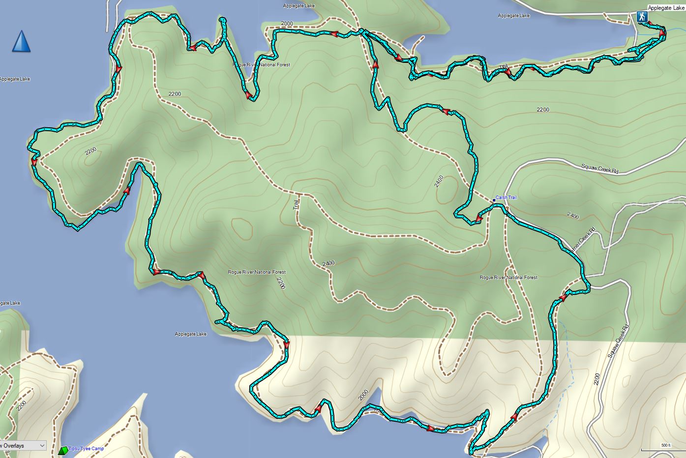
Having escaped the rainy weather thus far Sunday of Memorial Day weekend was yet another foretasted “chance of rain/showers” but also contained the words partly sunny. Today’s hike was another piece of one of Sullivan’s featured hikes that we had done a different portion of on a previous trip. For Applegate Lake Sullivan gives two options – a 6.4 mile peninsula loop starting at French Gulch and the 17.8 mile loop around the entire shore of the man made lake. Going around the lake requires a good amount of road walking mixed in with trails and given the distance never sounded too appealing so in 2017 when we hiked Collings Mountain (post) we made a loop incorporating Da-Ku-Be-Te Trail on the west side of the lake. That trail was not part of Sullivan’s 6.4 mile option which is located on the east side of the lake so today that hike was our goal. We had tentatively planned on lengthening his hike by following the Payette Trail beyond the Osprey Trail as an out-and-back extension. That idea was scrapped after our first hike of the trip at Mule Mountain (post) turned out to be a lot more challenging that expected leaving us a little depleted.
Here the Payette Trail headed downhill into the forest.
We followed this trail as it wound around the lake for a mile to a 5-way junction.
Walk in campsite at French Gulch.
French Gulch
Hooker’s Indian Pink
White lupine
Violet
Iris
Pretty face
Starflower
Columbine
Osprey
Ground cone
Madrones near the the 5-way junction.
We stayed straight at the junction ignoring two trails to the right the led onto a smaller peninsula and the Calsh Trail on the left which would be our return route on the loop.
After another half mile we took a short trail downhill to the lake. The side trail to the right.
Collings Mountain
After checking out the view from the lake we returned to the Payette Trail and in a quarter of a mile passed a junction with the Sins Bar Trail.
Just beyond the junction the Payette Trail became an old road bed.
Penstemon
Stricklin Butte in the distance.
Two tenths of a mile along the road we came to a fork where a pointer indicated the trail left the road to the right. We could see from the maps we had that the trail would rejoin the road in a little over half a mile so we had the option of following either.
We decided to split up here with me taking the trail while Heather stuck to the road where there was much less chance of encountering poison oak.
We didn’t see many mushrooms on the trip but this one was good sized.
Collings Mountain on the left.
Deer brush and manzanita along the trail.
Marble
Rejoining the roadbed.
In another mile the trail split off from the road again, this time to the left while the road headed down into the lake. Oregon sunshine
Kellog’s monkeyflower
heart-leaf milkweed
Blue gilia
Ookow
Silverleaf phacelia
Blow wives?
Lupine
Payette Trail to the left.
We decided to stick to the road to see how much of it was above water. We made it a quarter mile before the road vanished but we were able to follow a use path uphill along the hillside to rejoin the Payette Trail. The road vanishing into the lake.
Back on the Payette Trail.
At a signed junction with the Osprey Trail we turned uphill leaving the Payette Trail.
Mallards
Heading up the Osprey Trail.
Approximately 0.2 miles up this trail we came to a fork. A small pointer on a tree seemed to indicate that the Osprey Trail was to the right which was another old roadbed.
The paper map we had did not show both a trail and a road so we weren’t certain which was correct, but based on the arrow pointing right and not straight up we turned onto the road and followed it uphill. As it turns out this was the wrong choice and if we’d have stopped to look out our GPS we would have known that.
Clarkia
Looking back down the road.
Mariposa lily
The roadbed grew fainter the more we climbed and we eventually began to suspect we’d gone the wrong way which was confirmed when we finally did consult our GPS maps. The good news was that this road, appearing as a trail on the GPS, hooked up with Forest Road 1075 which the Osprey Trail also did. The bad news was that the two trails veered in opposite directions leaving us with a quarter mile road walk to reach the Dagelma Trailhead where the Osprey Trail terminated.
This obvious trail split off from the road to the left. We’re not sure if it would have led us to the Osprey Trail possibly by old cabin ruins that are in the area or if it would have gotten us nowhere so we stuck to the road.
The roadbed petered out a short distance from FR 1075 leaving a short cross-country scramble up to a pullout along the road where a section of barbed wire fence had been broken by what appeared to be an off-road vehicle of some sort based on tire tracks down the slope.
Signboard at the pullout.
Unintended road walk.
The Dagelma Trailhead
These chutes prevent equestrian and motorized users from passing through but also tend to attract poison oak.
The Osprey, Sinns Bar, and Calsh Trails all begin/end here with the Osprey being the left most, Sinns Bar center and the Calsh on the right. We took the Calsh Trail and headed downhill through the forest 0.7 miles to the 5-way junction at the Payette Trail.
Northern phlox
The 5-way junction.
We turned right onto the Payette Trail and followed it back to the French Gulch Trailhead. Junco
Canada geese in French Gulch.
It was another day without any significant precipitation despite the forecast and while there were a number of folks fishing near French Gulch and we’d heard others along the lake shore we didn’t encounter anyone else on the trails. We ended the day with a 6.4 mile hike, the same distance as Sullivan’s described hike despite a couple of deviations from it. My guess is we saved some distance following sticking to the road instead of turning inland on the Payette Trail then added about the same back by splitting off of the Osprey Trail.
This was a nice hike with a surprising variation in habitat and some nice views. We were however glad that we’d decided to shorten it though since we were both dealing with blisters we’d picked up 4 days (and hikes) earlier. Happy Trails!

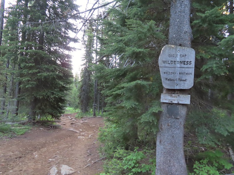 Entering the Eagle Cap Wilderness.

 Scarlet gilia along the trail.
 Tapertip onion
 Scarlet gilia
 Lewis flax, we were hoping to see it opened up on the way back up to the car but somehow we both completely missed it.
 Arrowleaf groundsel
 Bog orchid
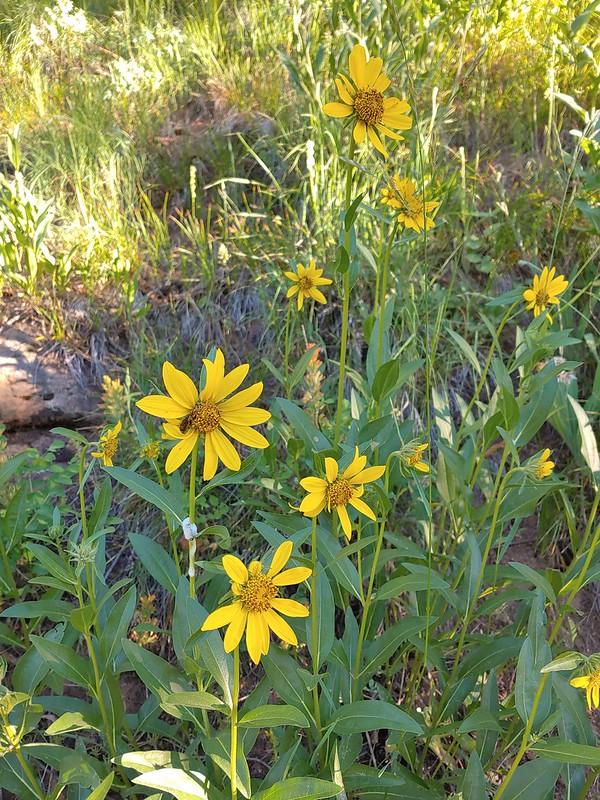 False sunflowers
 Paintbrush
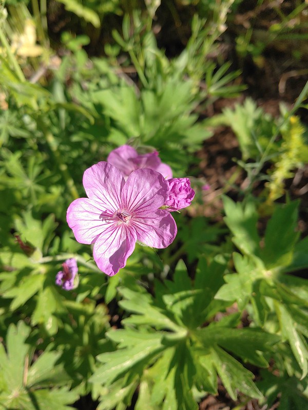 Sticky geranium
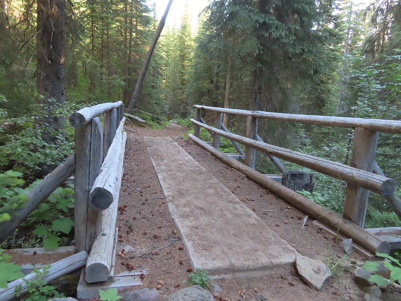 Footbridge over Horseshoe Creek.
 Horseshoe Creek

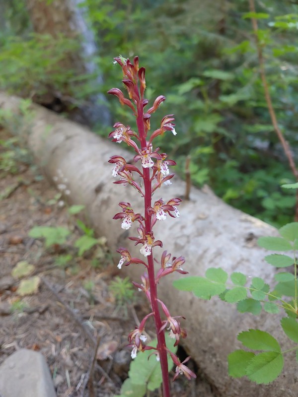 Spotted coralroot
 Mountain lady slipper
 Little Minam River
 Coral fungus
 Huckleberry Creek
 Bridge across the Little Minam River.
 Little Minam River

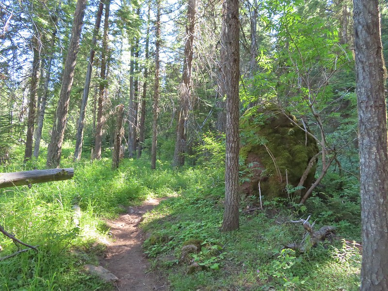 The only area that we encountered showing signs of having burned in the not too distant past.
 Elkhorn clarkia
 Junction with the Little Minam Trail (left) just below the pass.
 The meadow from the trail.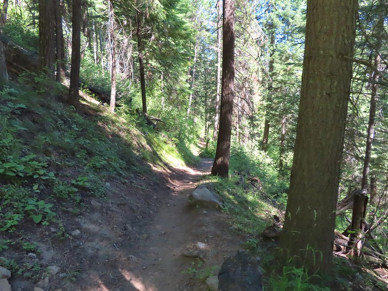
 Arriving at the meadow.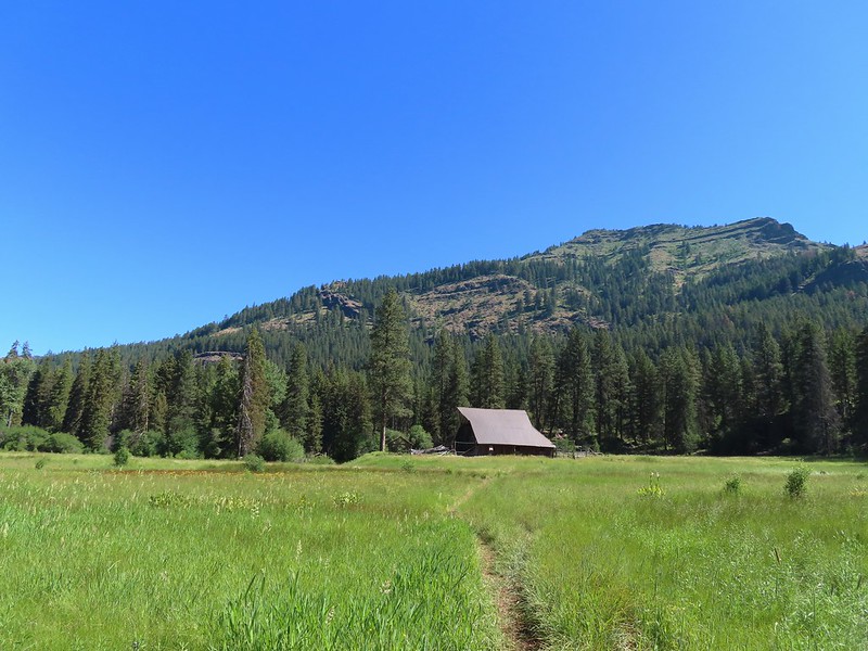

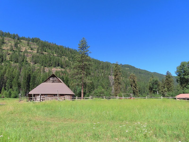 Horses at Red’s Horse Ranch.
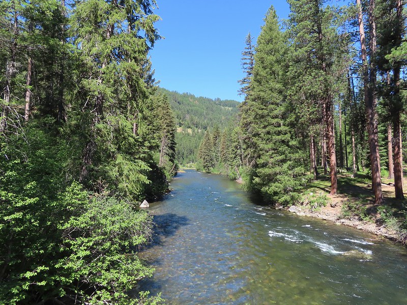 Minam River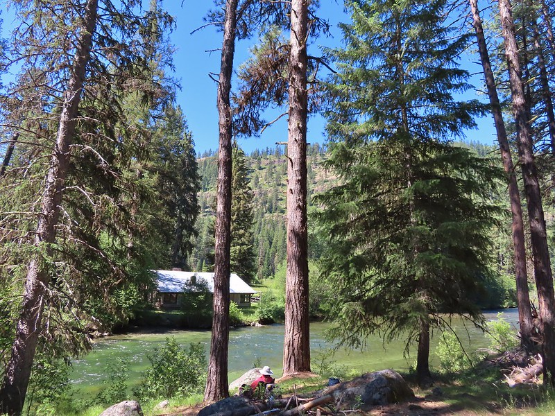
 Landing strip near Red’s Horse Ranch.
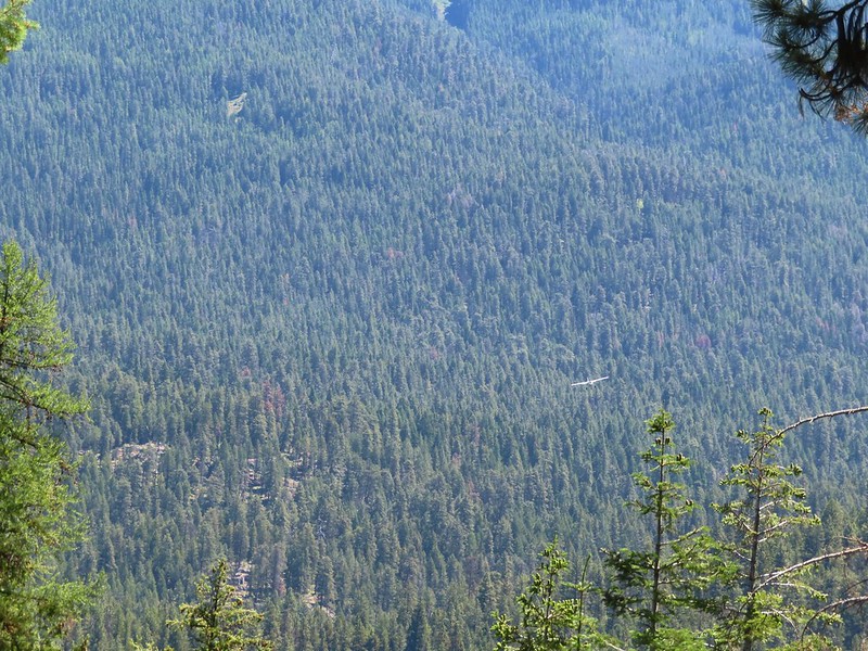 A plane coming in for a landing at the nearby Minam River Lodge.
 Lousewort
 Diamond clarkia
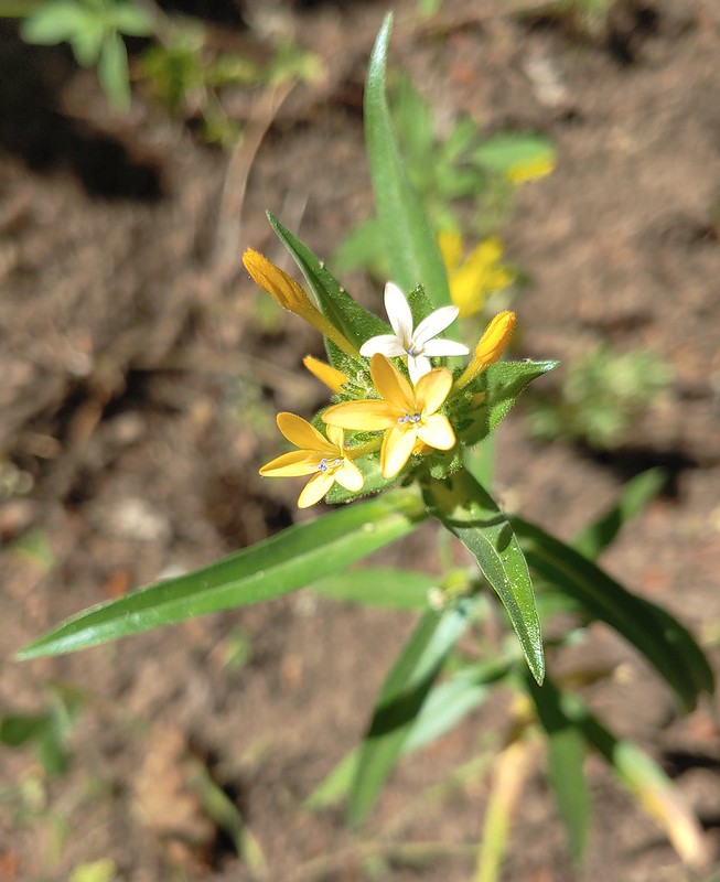 Grand collomia
 Millipede
 Pink pyrola
 Little Minam River
 Coral fungus
 We saw a bunch of these black moths? but they seldom sat still long enough to get a photo.
 An Orobanche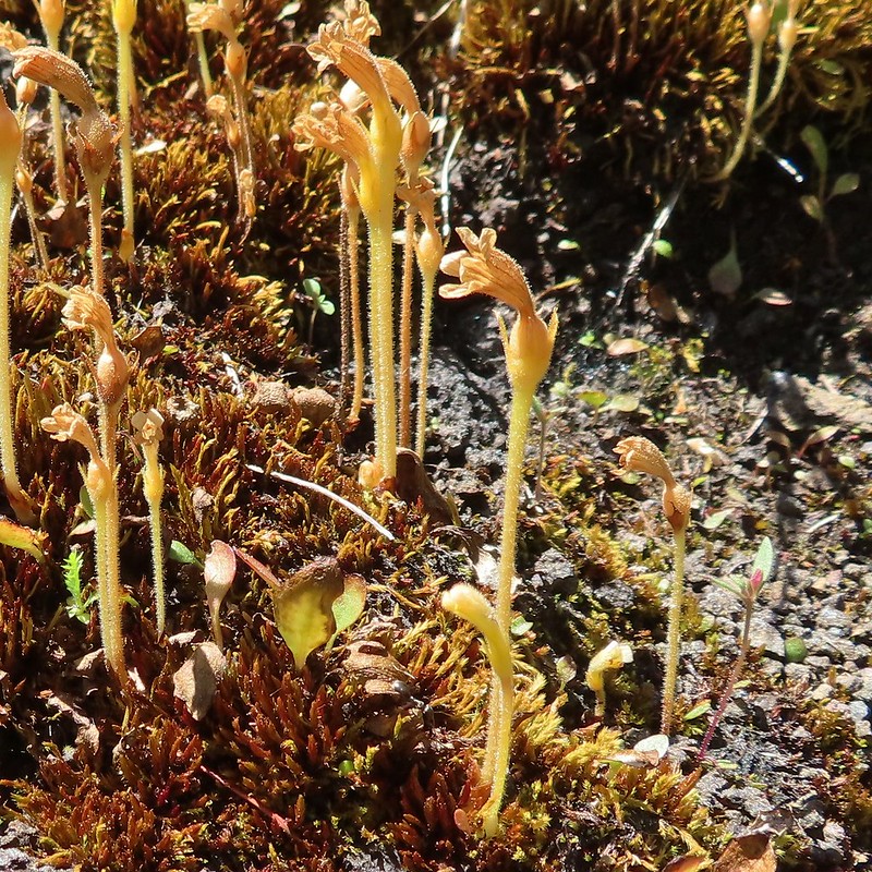
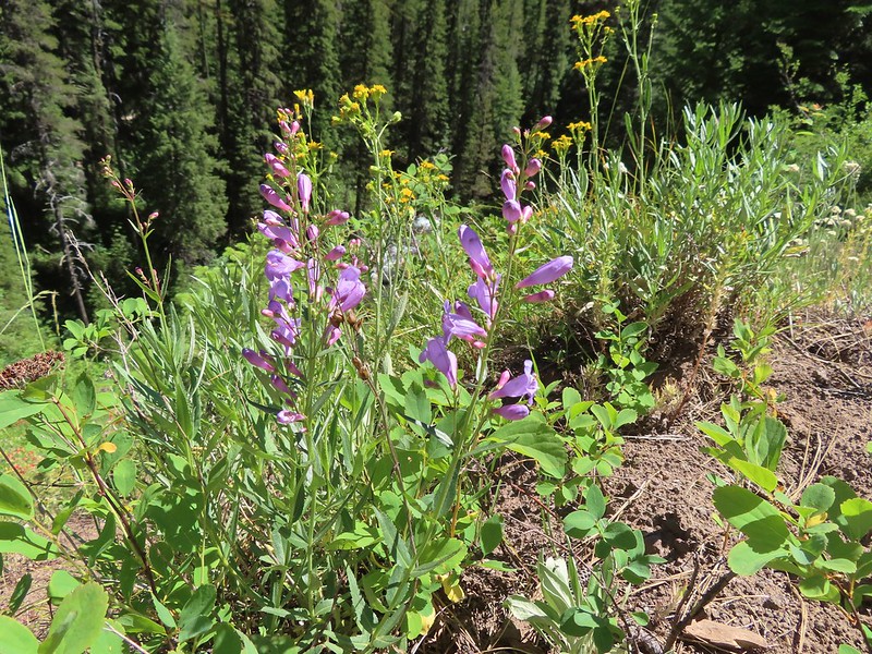 Penstemon
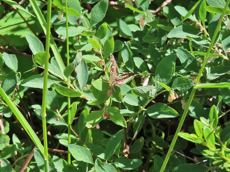 Butterfly
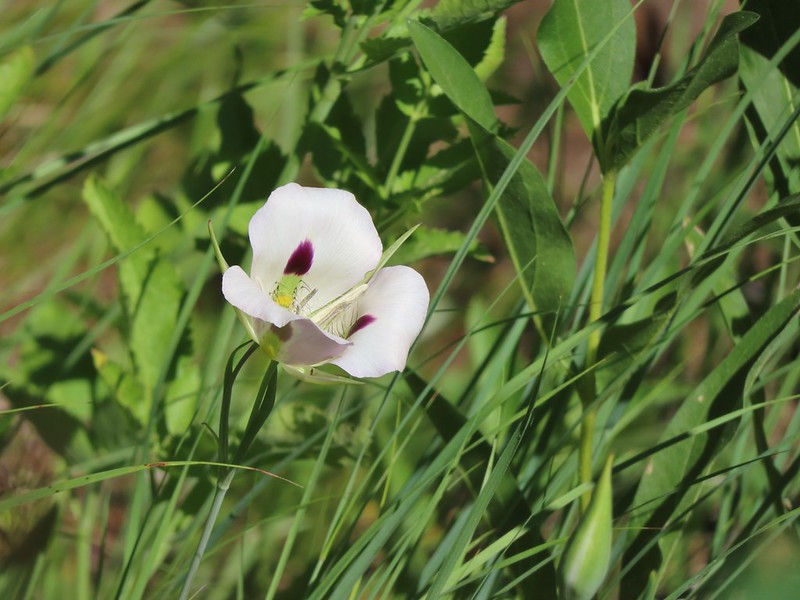 White mariposa lily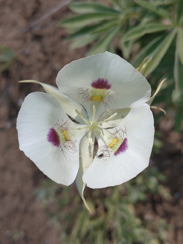
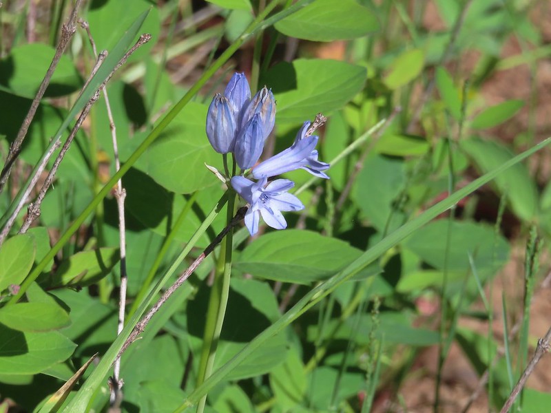 Large-flower triteleia
 Arriving back at the trailhead.

 A $5 fee is required here and at several other trailheads we visited during the week. (An annual
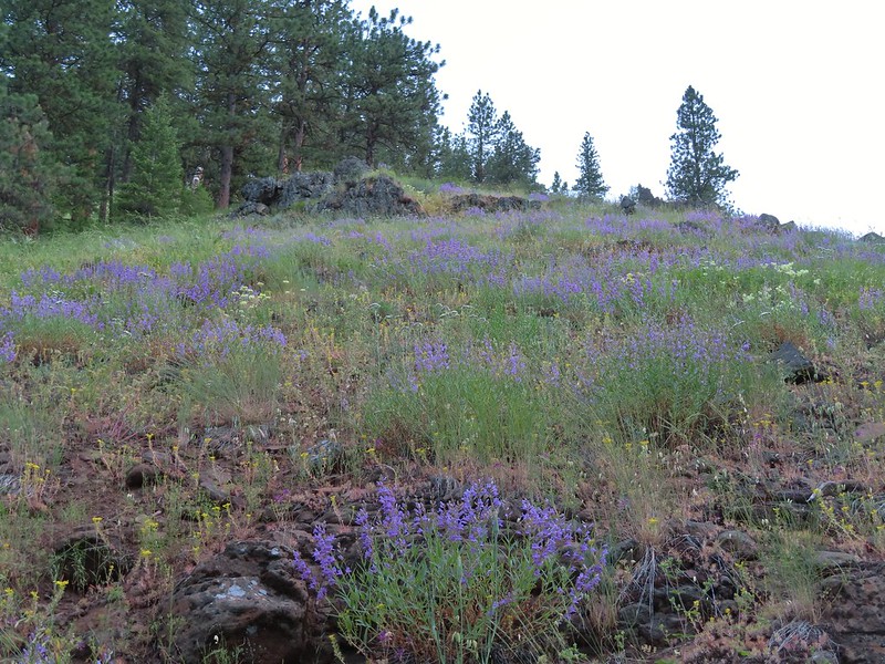 Lots of purple venus penstemon.
 There were also some white scabland penstemon on the hillside.
 Buckwheat
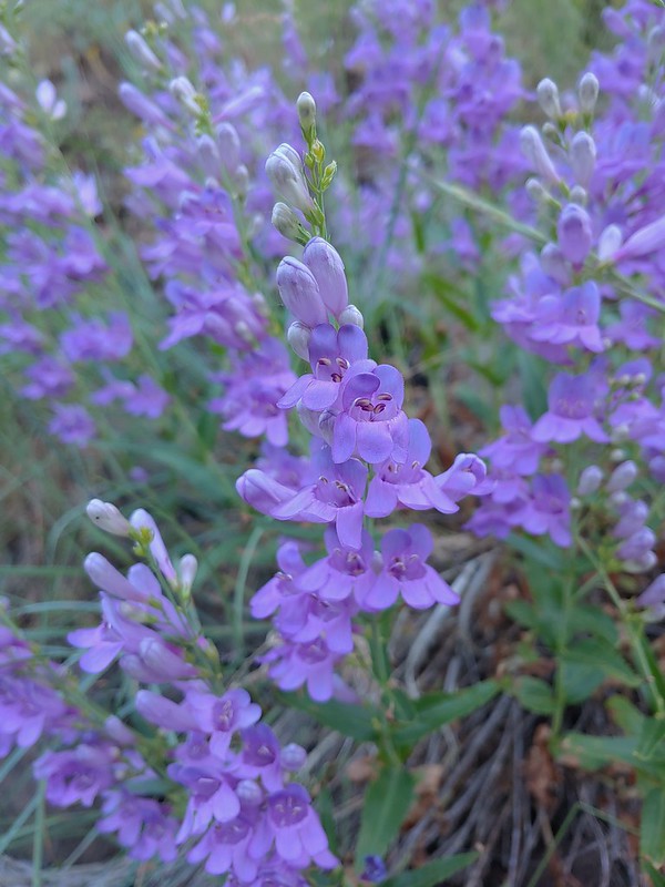 Venus penstemon
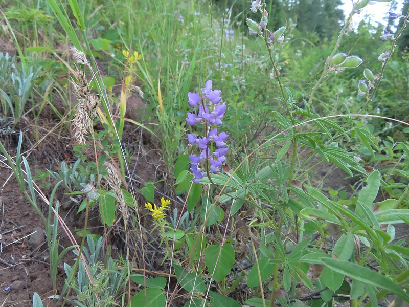 Lupine and stonecrop
 Paintbrush
 North Fork Catherine Creek
 Douglas dustymaiden
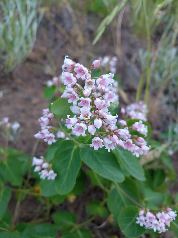 Spreading dogbane
 The trail crossed several side creeks, all of which were we were able to cross dry footed.
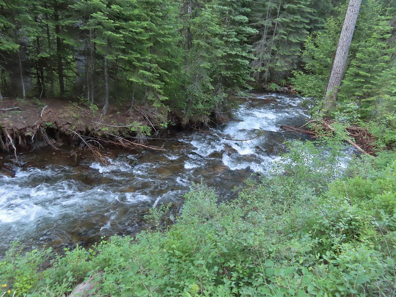 A brief stretch along North Fork Catherine Creek.
 Queen’s cup
 Another side creek.
 Bog orchid
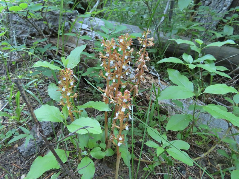 Spotted coralroot
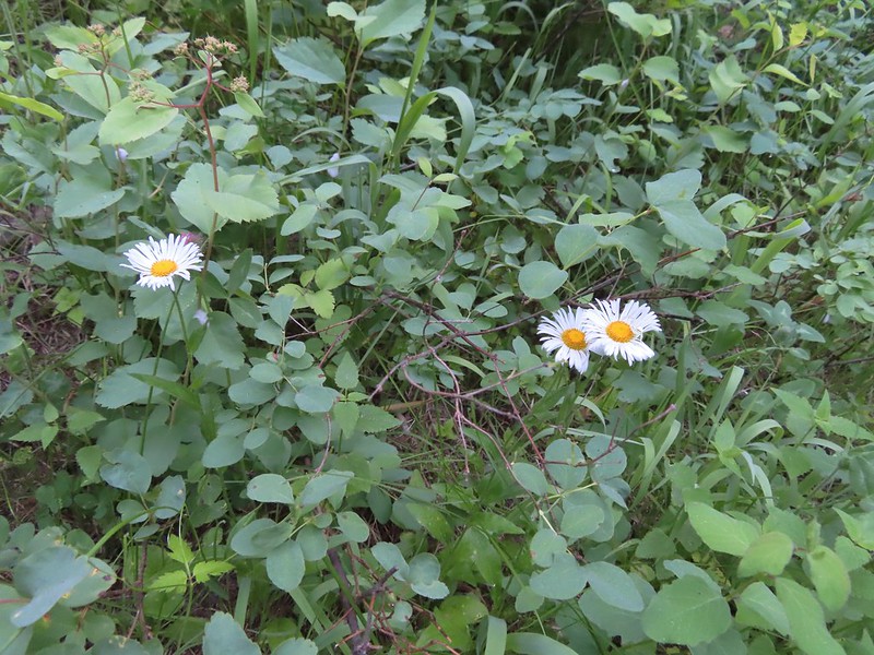 A fleabane
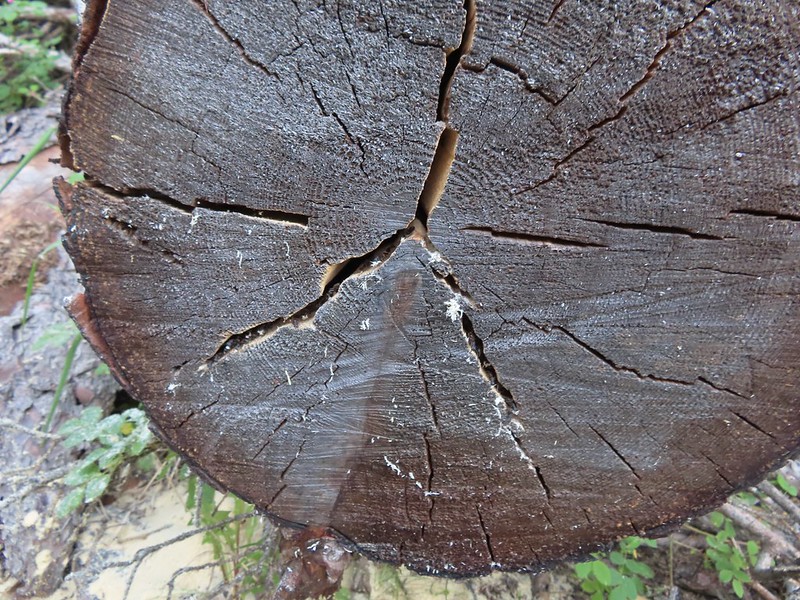 They’re a little blurry but you can see the ants in the cracks where they would drop their sawdust. It was fascinating to watch and we paused for quite a while.
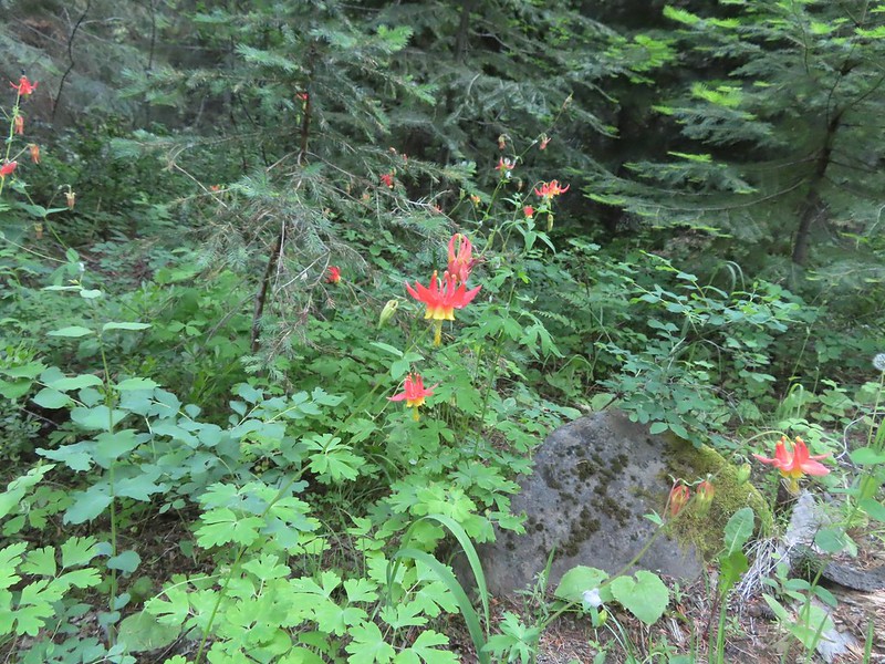 Columbine
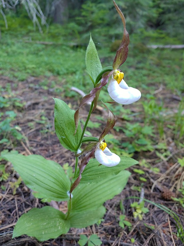 Mountain lady slippers
 Large-flower triteleia
 Back above the creek.
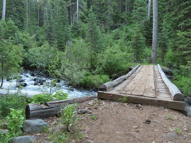 The bridge over Catherine Creek.
 Bluebells next to the bridge.

 Crab spider
 Another type of penstemon
 Rosy pussytoes
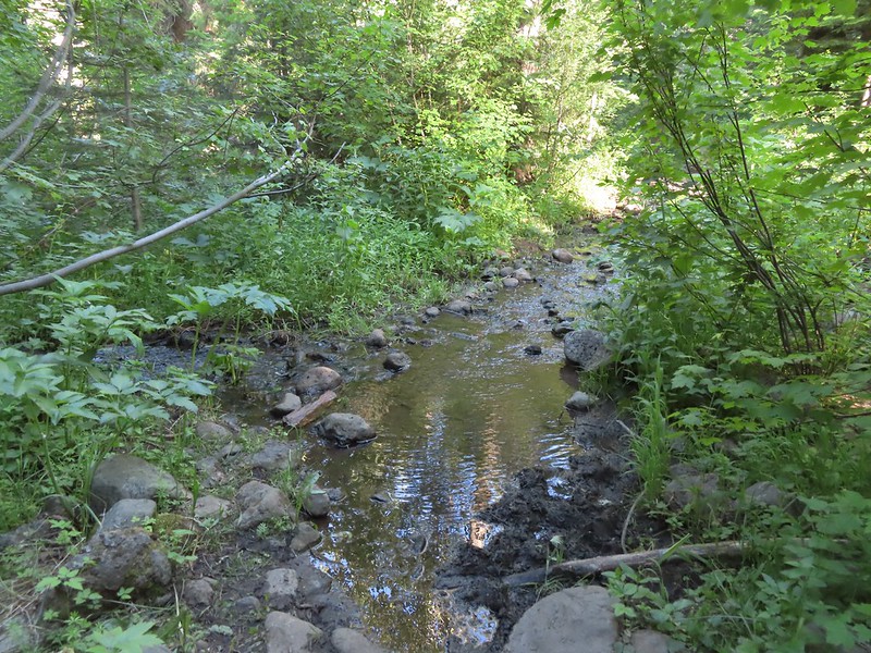 A side creek running down the trail.
 Yellow columbine
 Entering the
  Jim Creek, this was one of the trickier crossings.
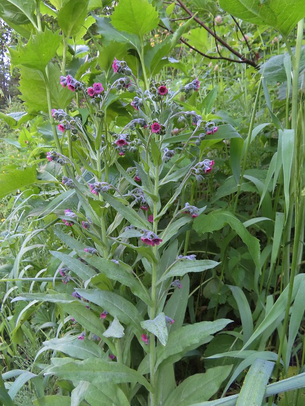 Hound’s tongue
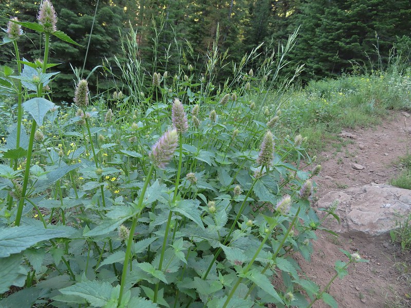 Nettle-leaf giant hyssop
 One of several smaller meadows along the trail.
 Jacob’s ladder
 California corn lily and bluebells.
 Boot Hill Creek was also tricky as it had taken over the trail.
 A large patch of coralroot.
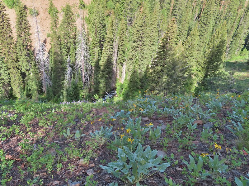 A few remaining balsamroot blooming above North Fork Catherine Creek.
 Arriving at Catherine Creek Meadows.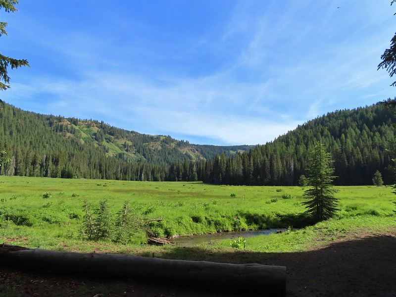
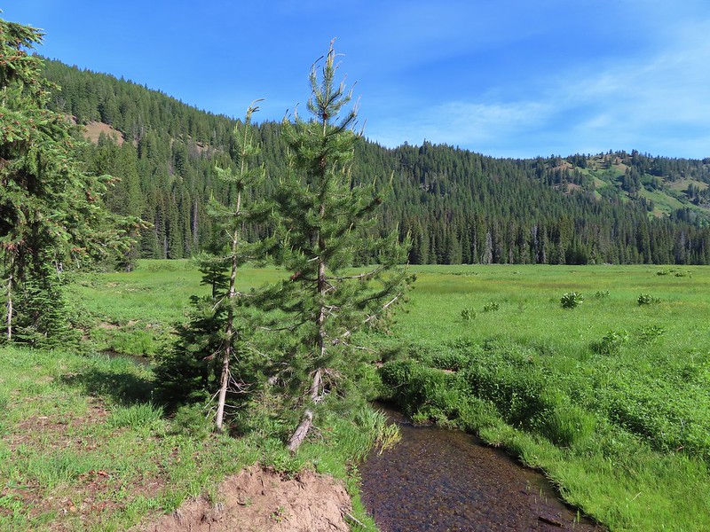
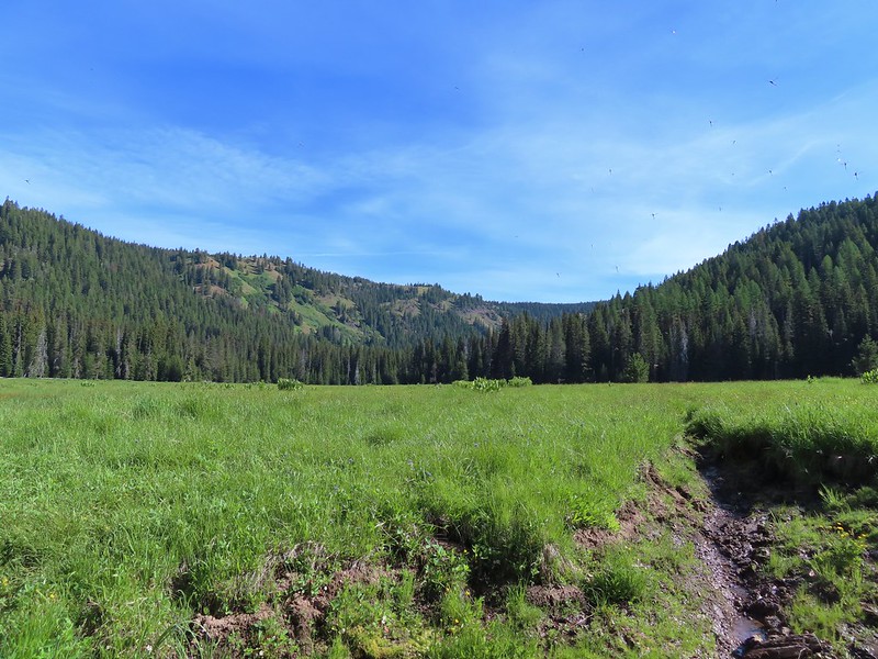 All the black dots in the blue sky were gnats flying over the stream at the trail crossing.
 Heart-leaved bittercress
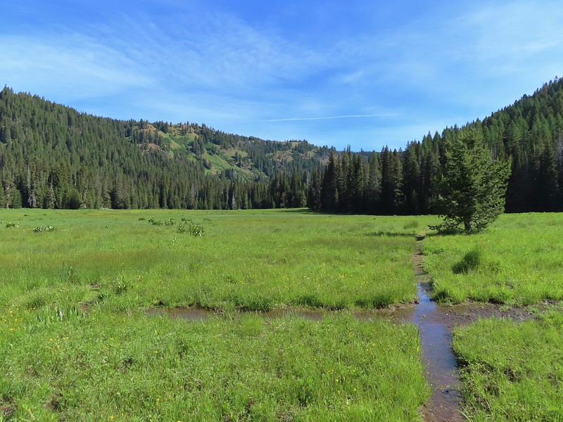
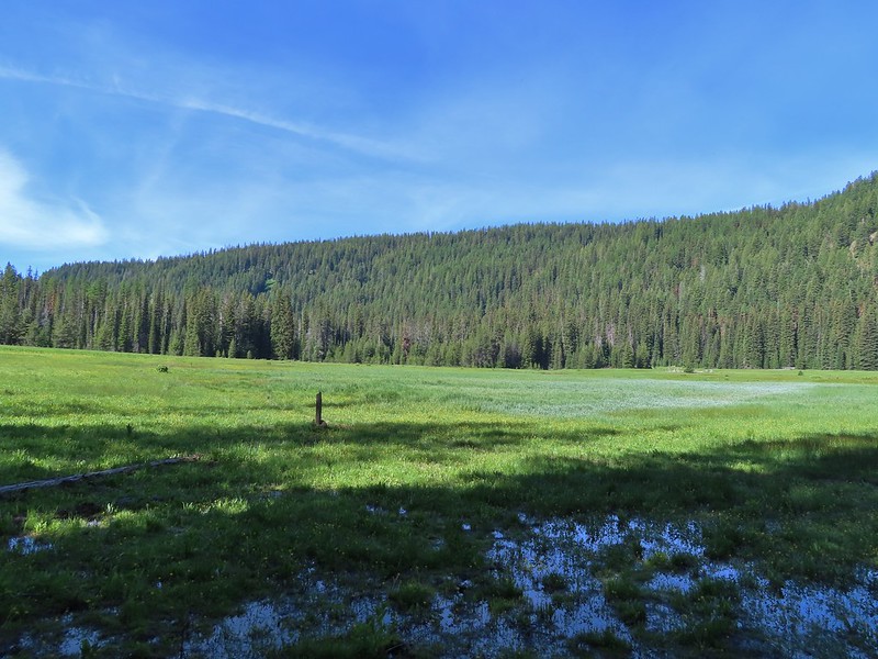 Looking back at the sign post in the meadow marking the trail junction.
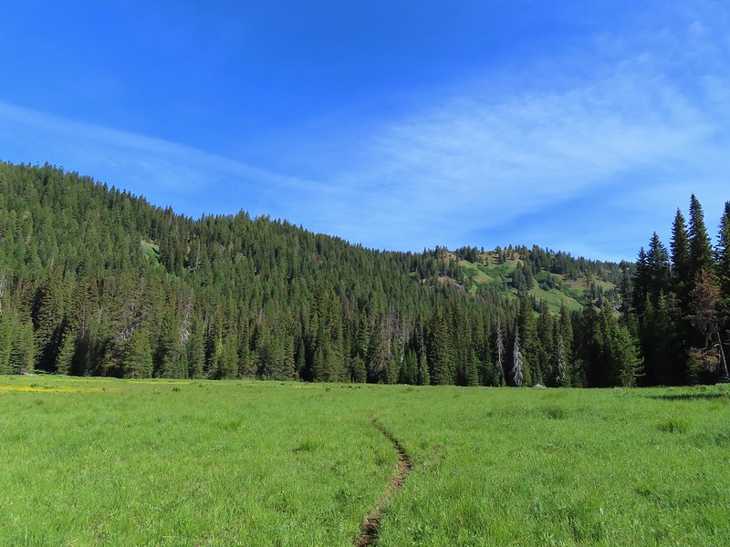 Another dry section of trail.
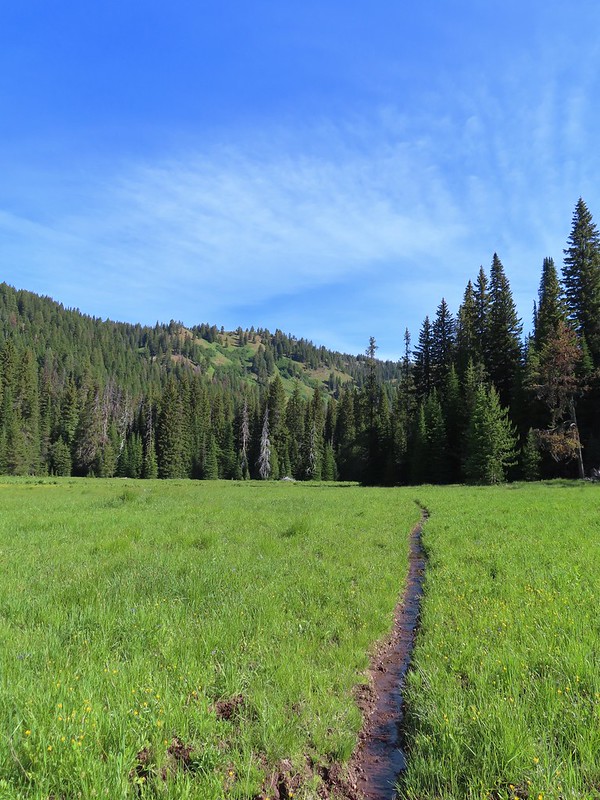 It wasn’t dry for long.
 Yellow buttercups and pink elephant’s head.
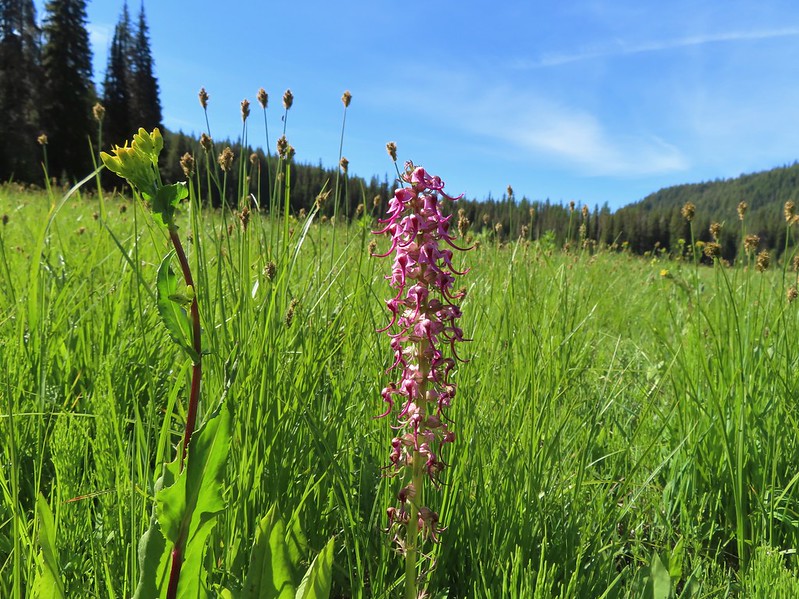 Elephant’s head, one of our favorites.
 Ladybug
 Nearing the cabin.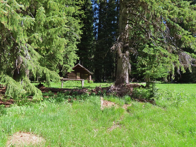
 Ground squirrel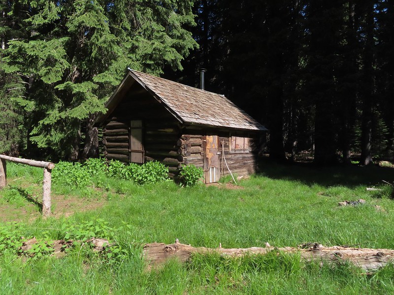
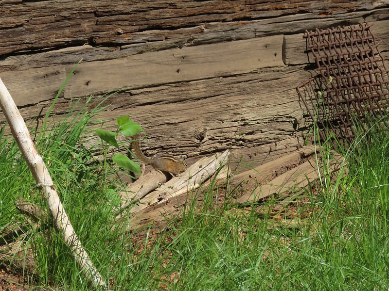 Squatter running from the cabin.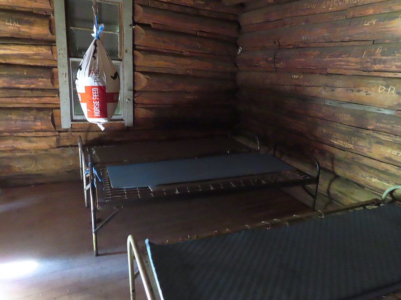

 Beetle
 Another beetle and Nevada bitterroot.
 Brunch
 A comma of some sort.
 Big mushroom
 Something from the Lycaenidae family.
 Coneflower
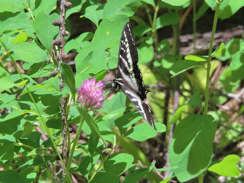 Swallow-tail on red clover.
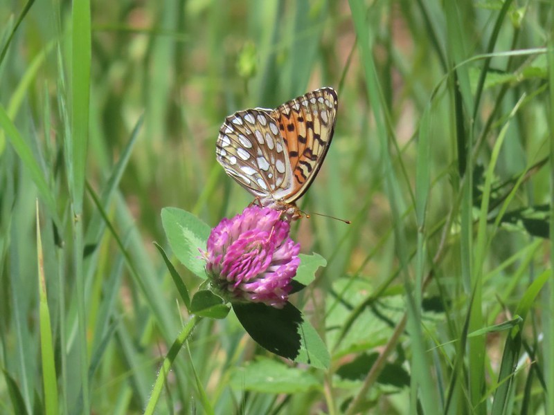 Fritilary on clover
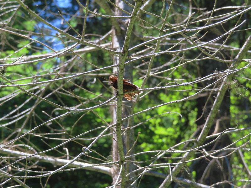 Mourning cloak perched overhead.
 Lorquin’s admiral
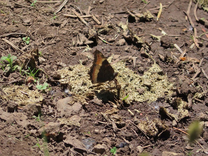 A tortoiseshell
 Skullcap, one of the hardest flowers to get a decent picture of for some reason.
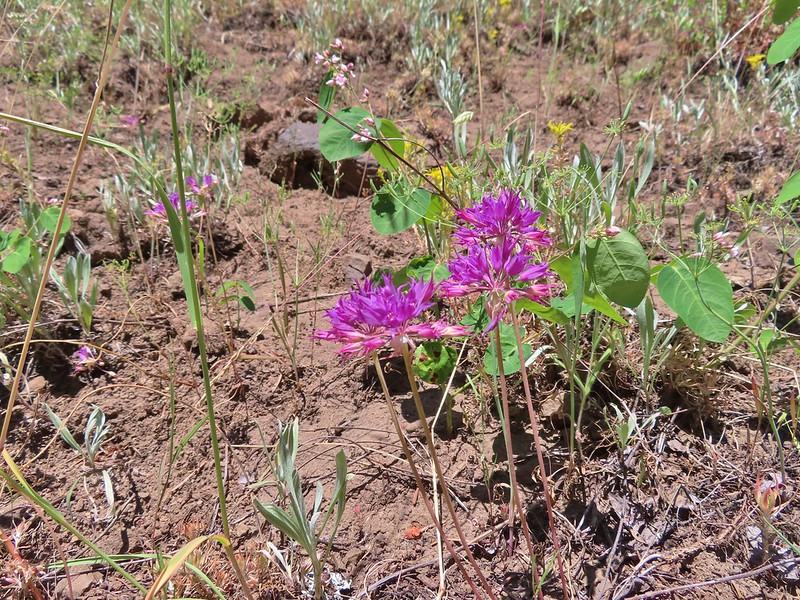 Tapertip onion
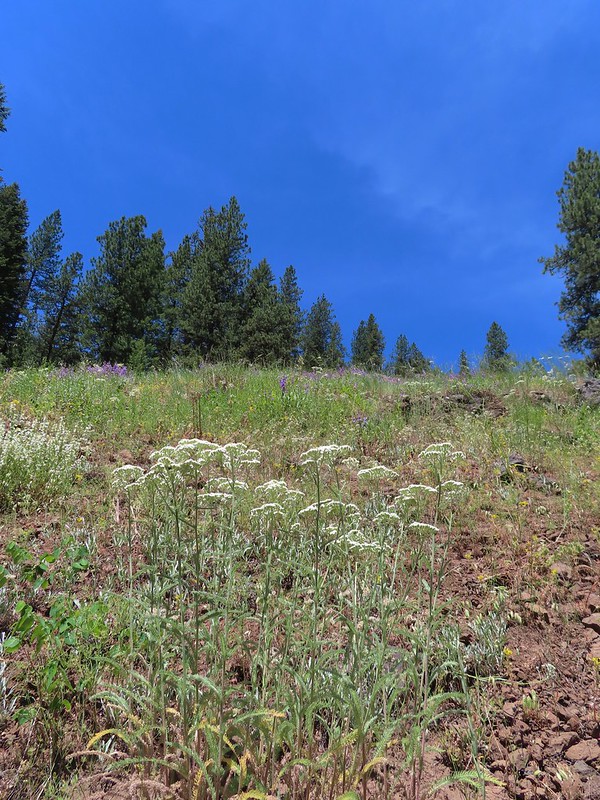 Yarrow and other wildflowers up the hillside.

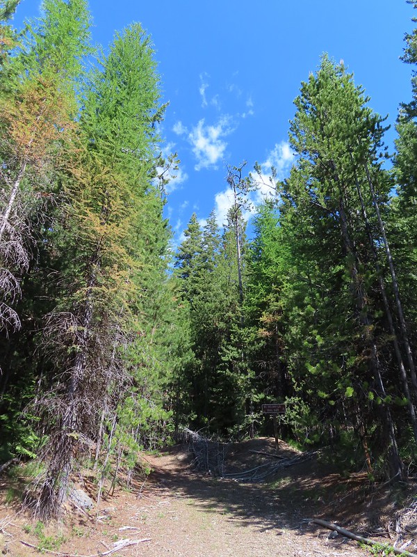 A small sign post was all that marked the trailhead.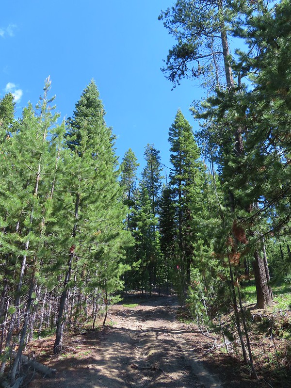
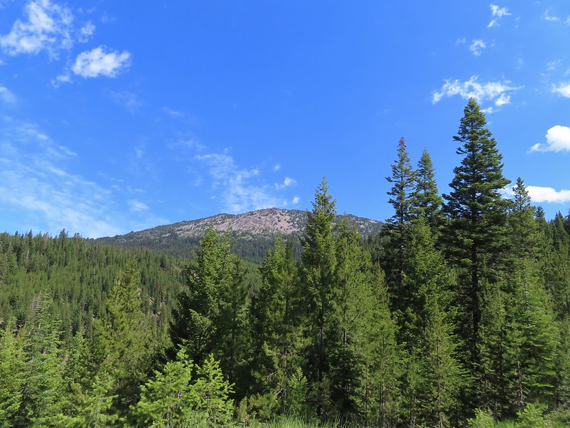 Mt. Ireland from the junction.
 Hound’s tongue
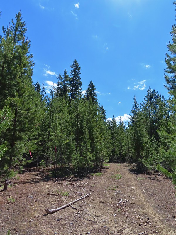 Flagging on the left marking the “trail”.
 Another flag hanging on the tree to the right.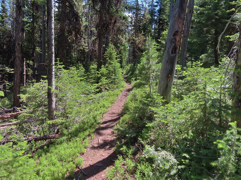
 Another glimpse of Mt. Ireland.
 Small meadow near FR 142 along a tributary of East Fork Boundary Creek.
 Trail sign at FR 142.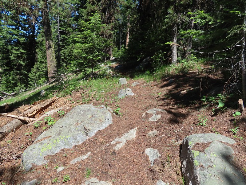

 Jacob’s ladder
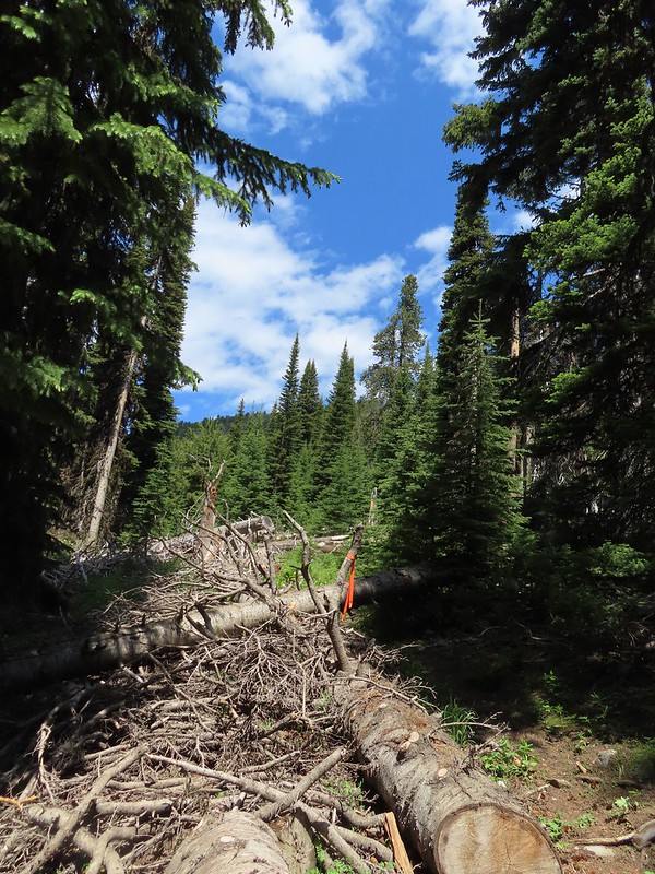 This was one of three trees across the trail, all of which were easily navigated.
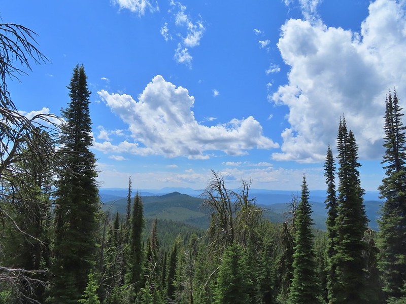 Ironside Mountain in the distance.
 Phlox
Phlox Brown’s peony
 Nearing the junction.
 Heading uphill.
 Pussy paws
 Mt. Ireland ahead.
 Rock Creek Butte (
 Paintbrush
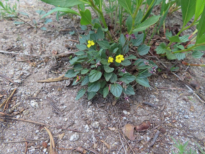 Goosefoot violet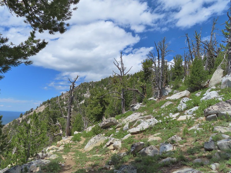
 Vinegar Hill in the Greenhorn Mountains (
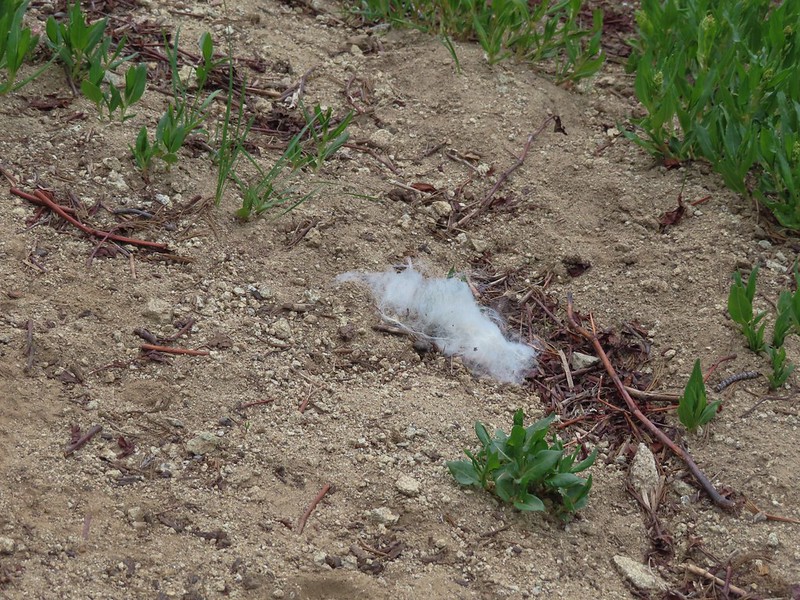 Mountain goat fur on the trail.
 Just to the right of the silver stump in the center of the photo is one of the goats.
 One of the goats below the lookout tower.
 Zoomed in shot of one of the goats leaving upon my arrival.
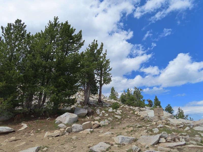 Arriving at the saddle.
 Baldy Lake below Mt. Ireland.
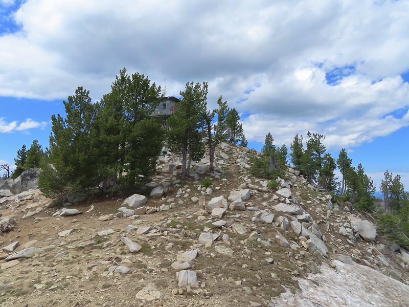 The tower from the saddle.
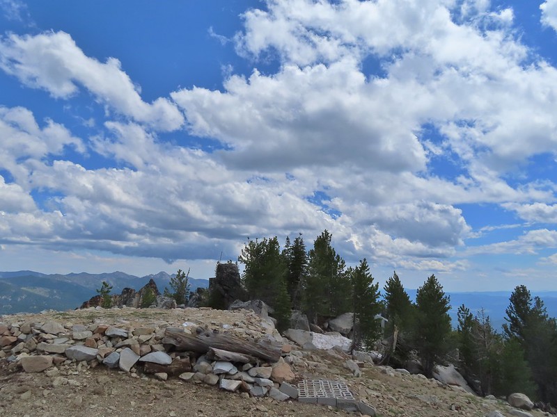 The helipad.
 Being watched.
 The kid was on the other side of mom.
 The Elkhorns from the tower.
 The snowy Wallowa Mountains beyond a gap in the Elkhorns.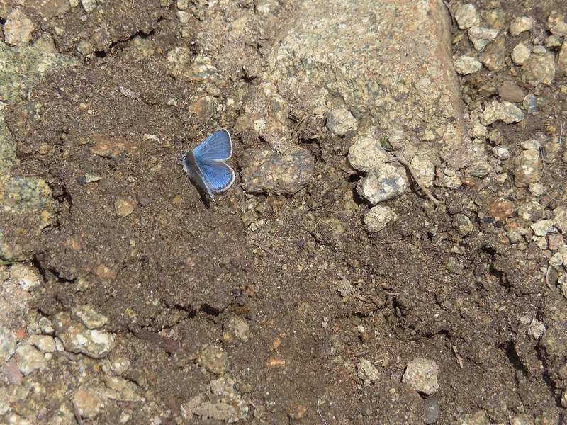
 Milbert’s tortoiseshell
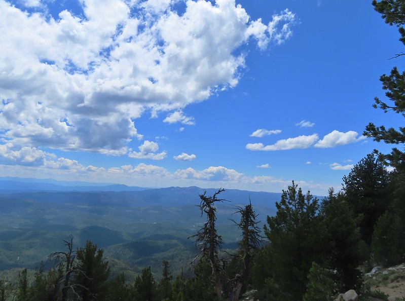 Vinegar Hill with Dixie Butte to the left and Strawberry Mountain (
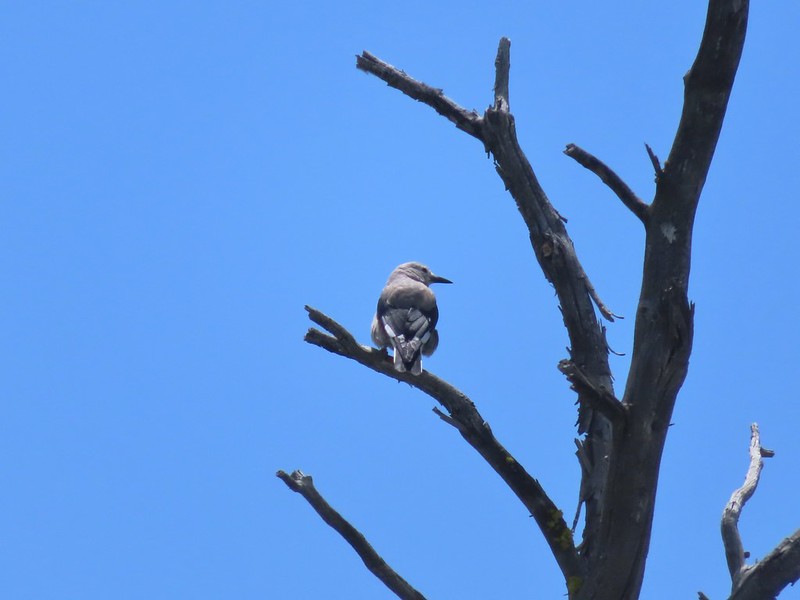 Clark’s nutcracker
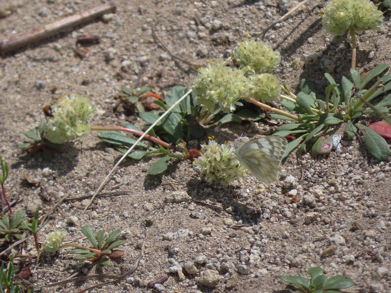 Butterfly on pussy paws.
 A comma?
 Beetle on arnica.
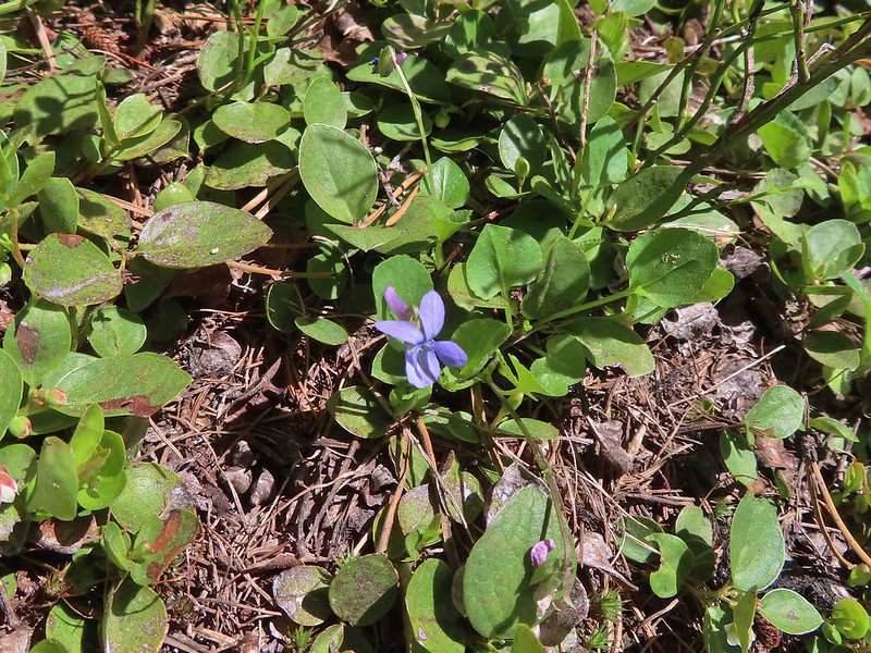 Hookedspur violet


 Sign for the Witzend Trail at the trailhead. Not one of the trails we wanted today.
 The Waterline Trail is the smaller gravel roadbed to the left of the fire hydrant.
 Despite the sign saying Snark online maps show that trail starting further up the Waterline Trail.
 The Snark Trail splitting off to the right.
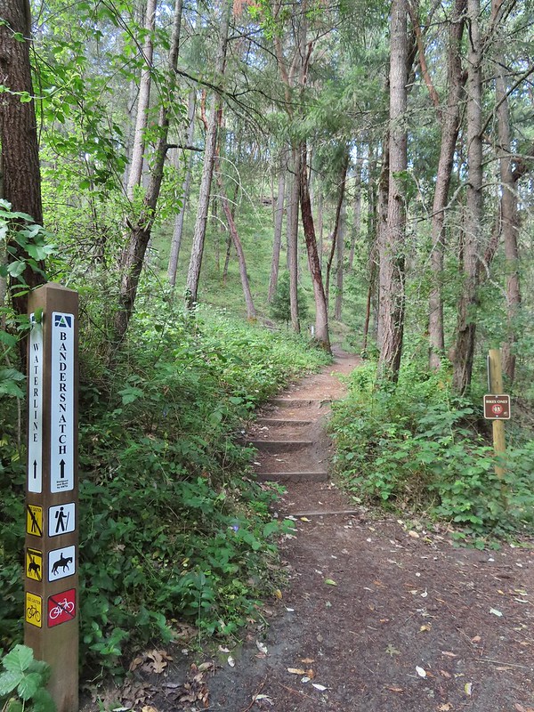 Turning left onto the Bandersnatch Trail.
 Marty the Pacific Fisher

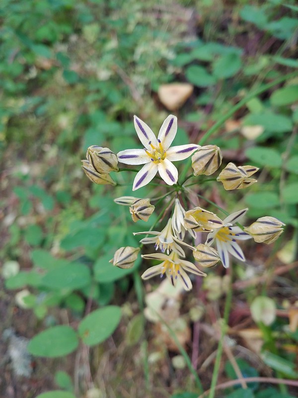 Henderson’s stars
 Paintbrush and blue sky.
 Mariposa lily
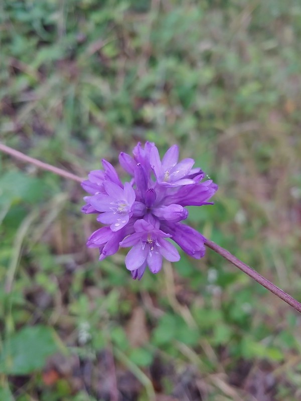 Ookow
Ookow Diamond clarkia
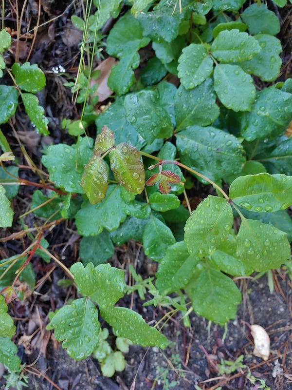 Some of that poison oak.
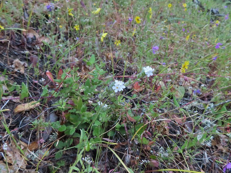 A cryptantha
 Honeysuckle
 Madia and winecup clarkia
 Bell catchfly
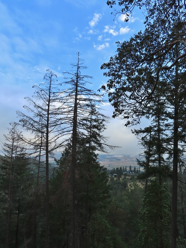 View down toward Ashland.
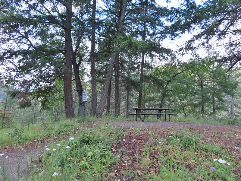 Picnic table at the top of the hill.
 Crossing the BTI Trail
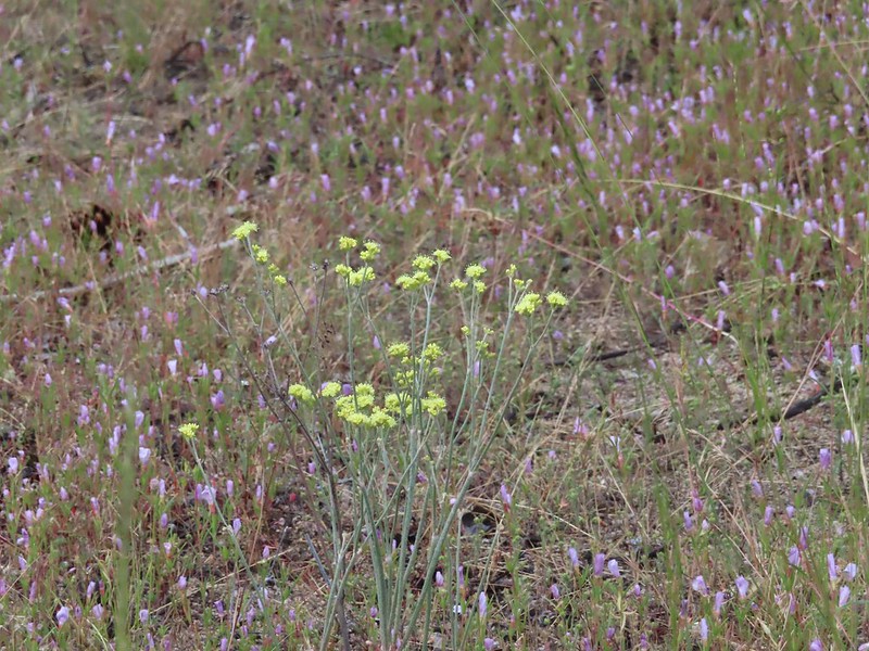 Baresteam wild buckwheat
 Wallflower
 heart-leaf milkweed
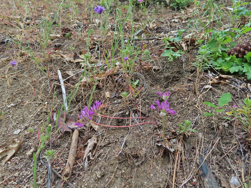 Wild onion
 Another Snark Trail encounter.
 The Red Queen Trail junction ahead.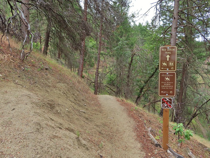
 Bluehead gilia
 Madrones along the Red Queen Trail.
 National Forest boundary.
 Lupine
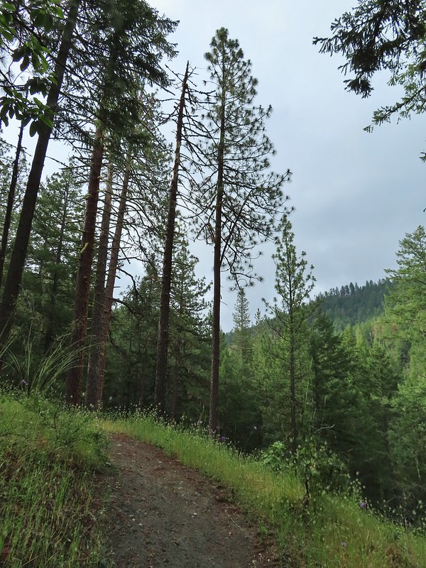 Clouding up.
 Deer brush
 A madrone and a ponderosa
 Nearing the junction with Road 2060 and the Caterpillar Trail.
 Sign for the Caterpillar Trail across the road.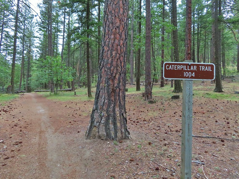

 Iris
Iris
 The first signed junction with more signs in the distance.

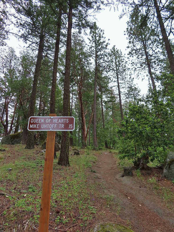

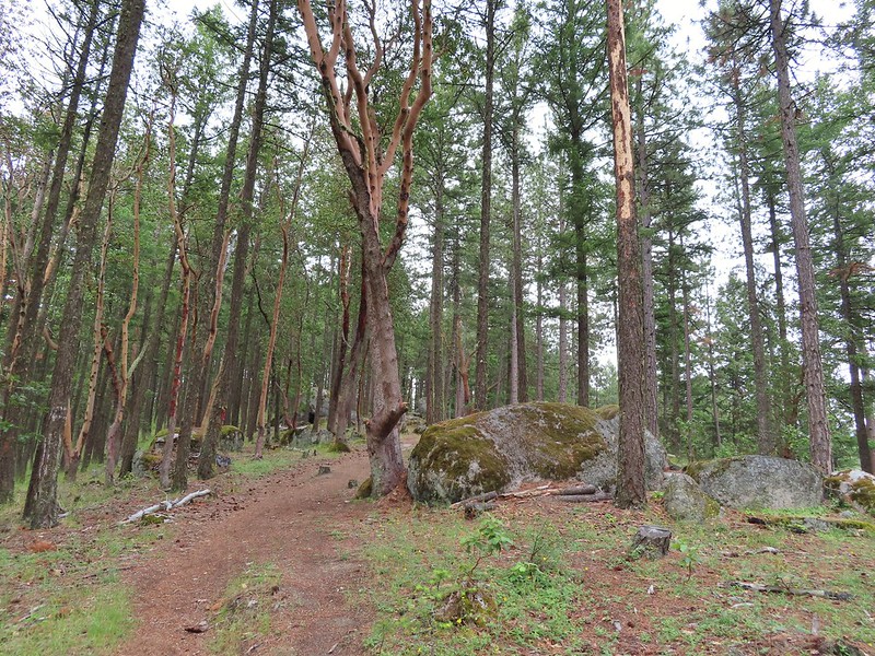
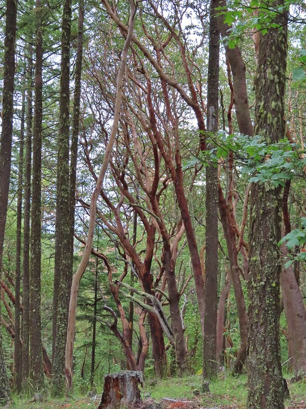

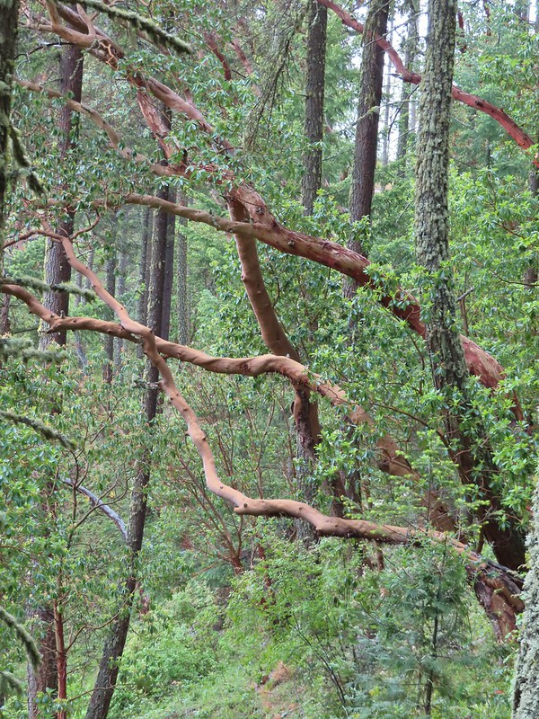 There were a lot of cool madrones along the trails.

 Madrone bark
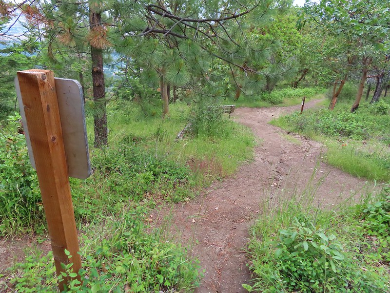 Arriving at the junction with the Mike Uhtoff sign to the left.
 That isn’t the trail we were on so where were we?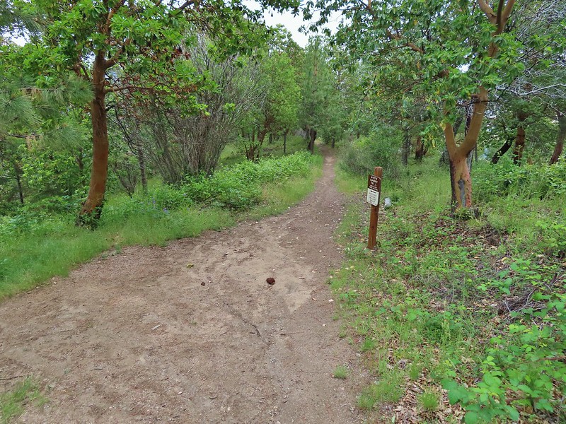
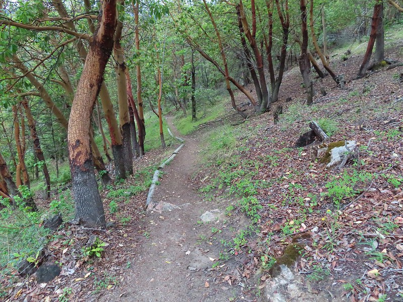
 Still no real rain but it was clouding up even more.
 Grand collomia


 Silverleaf phacelia
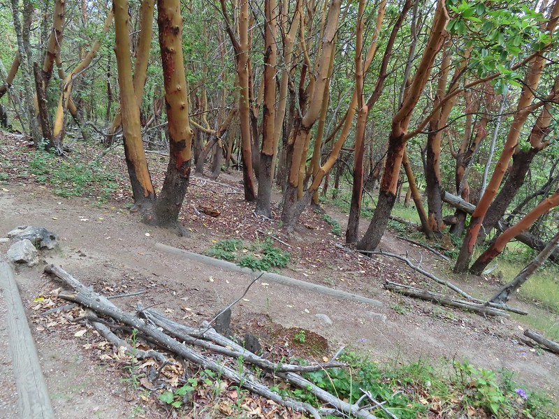
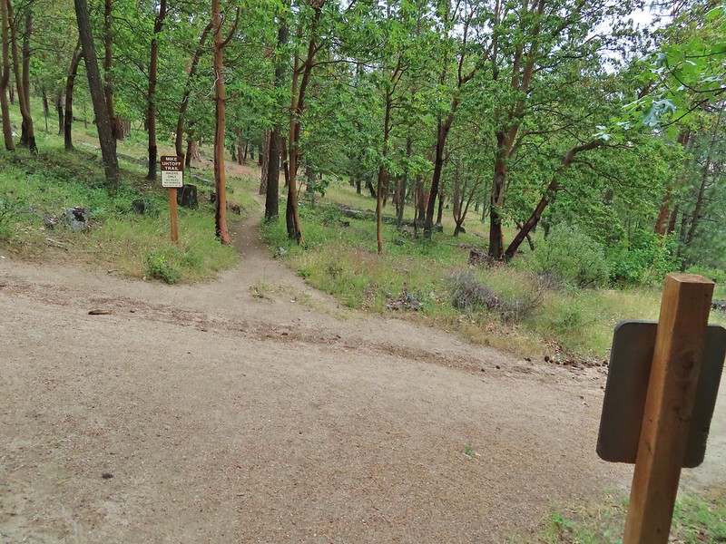 We turned right onto this road bed which is the White Rabbit Trail.
 We hiked downhill on the White Rabbit to a bench (just visible through the vegetation on the left) at the trail junction.
 Trail to the Oredson-Todd Woods.
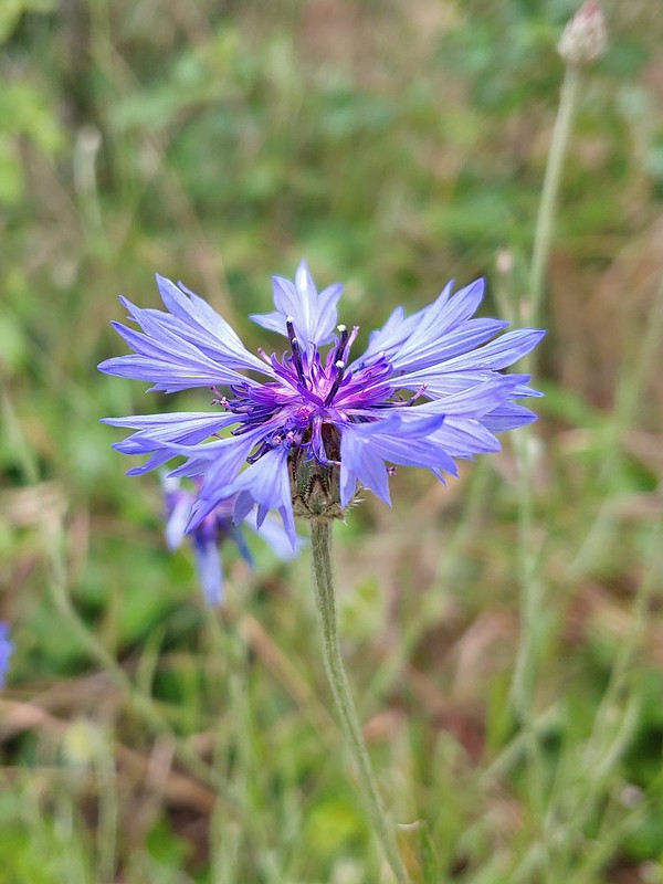
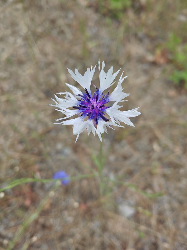

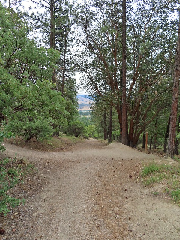 We turned left here. There is a sign downhill on the left with what looked to be a small white map which we’d seen on other trail signs. These gave very limited information for bike routes.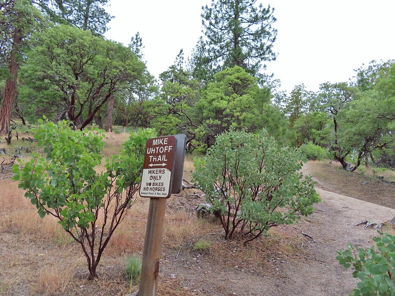


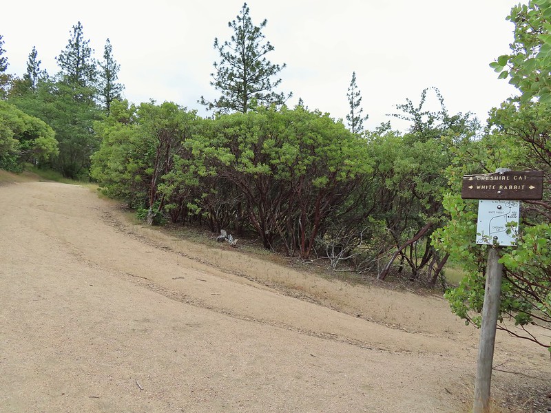 One of the white maps at the White Rabbit/Cheshire Cat junction.
 A connector for the Uhtoff Trail at a switchback.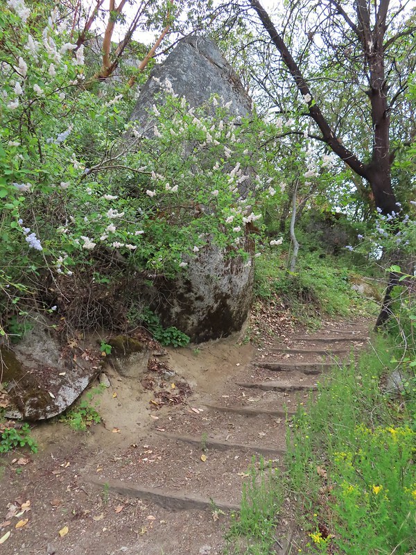
 Large boulders near the Looking Glass Trail jct.
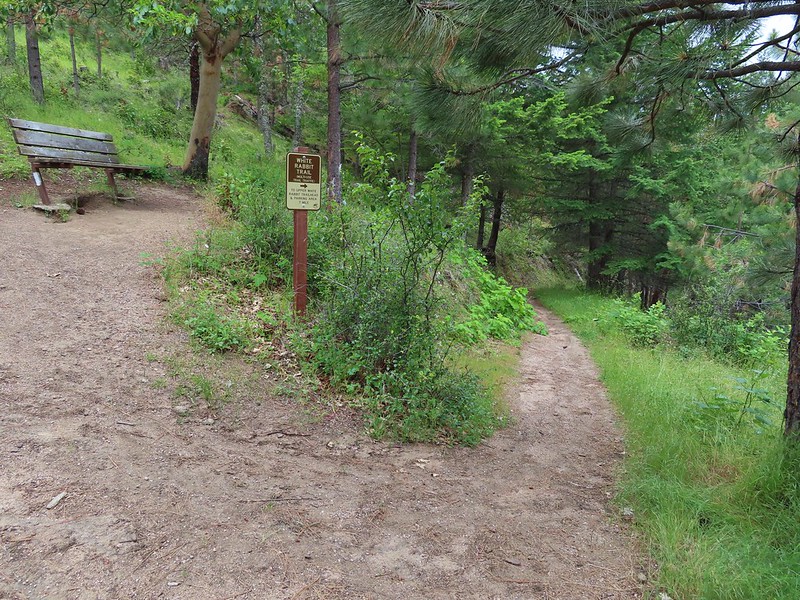 Passing the bench at the junction where we’d discovered that we had not in fact been on the Mike Uhtoff Trail.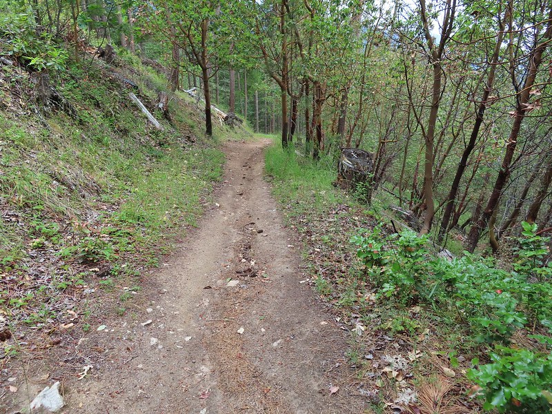
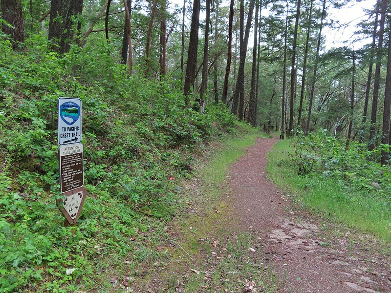 This section was a little confusing. The trail dropped to a junction in a small basin. We ignored this sign which pointed to another road bed with a gate.
 Looking down the March Hare Trail (it took less than 2 minutes to get from the bottom to the top via the White Rabbit Trail).
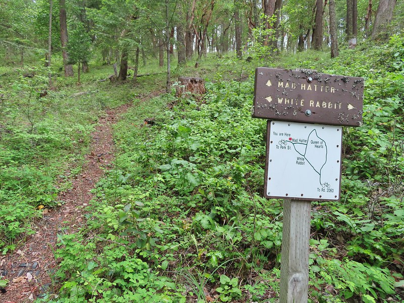 Yet another side trail = Mad Hatter.
 The Queen of Hearts Loop junction with the White Rabbit Trail.
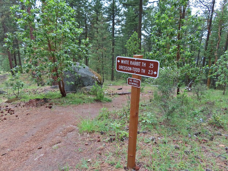 Sign as we neared the trailhead.
 Lots of cars here.
 This was the map that we needed earlier.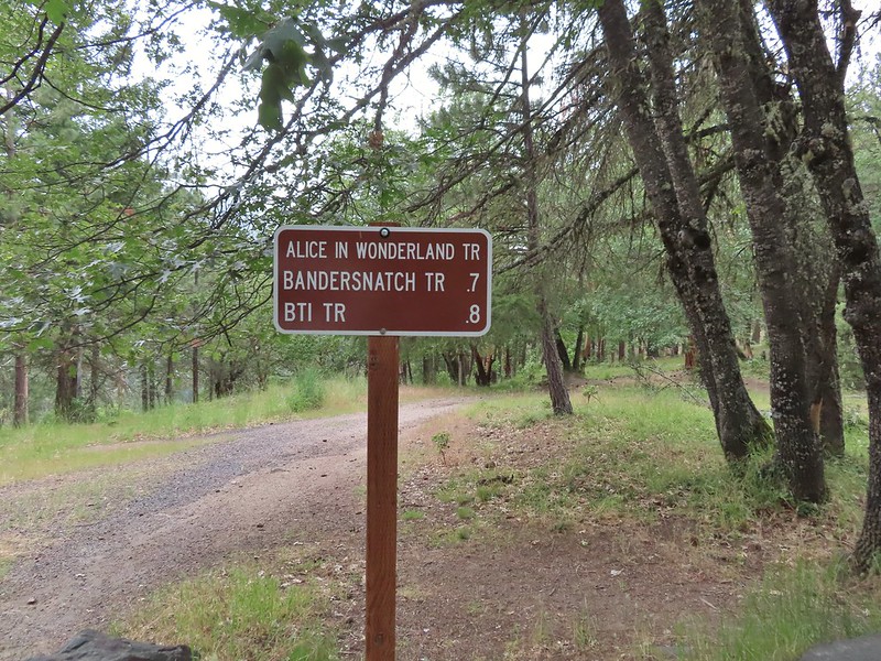

 Madrone circle.
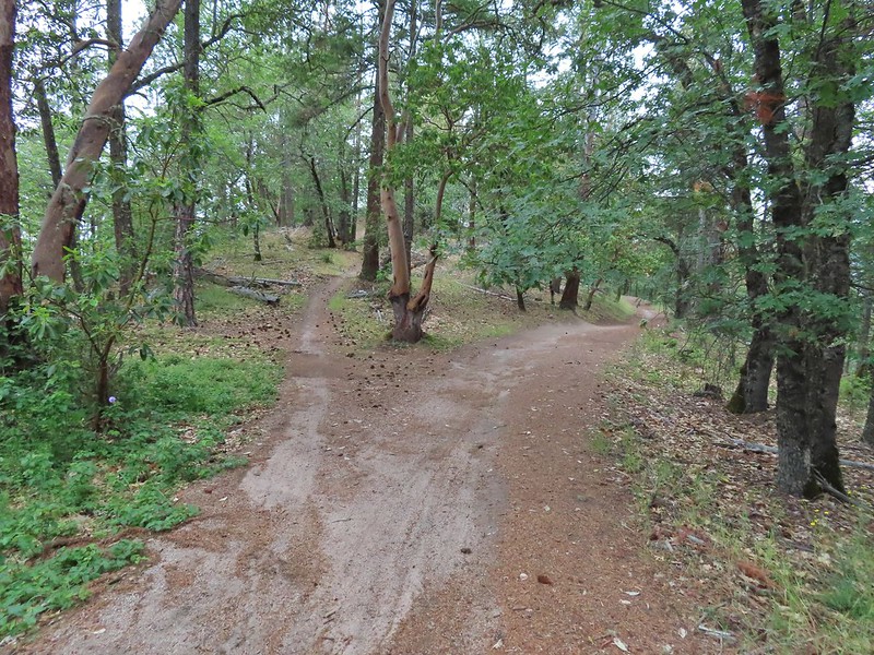 A couple of short spurs went up and over small hills, we stuck to the more level road bed.
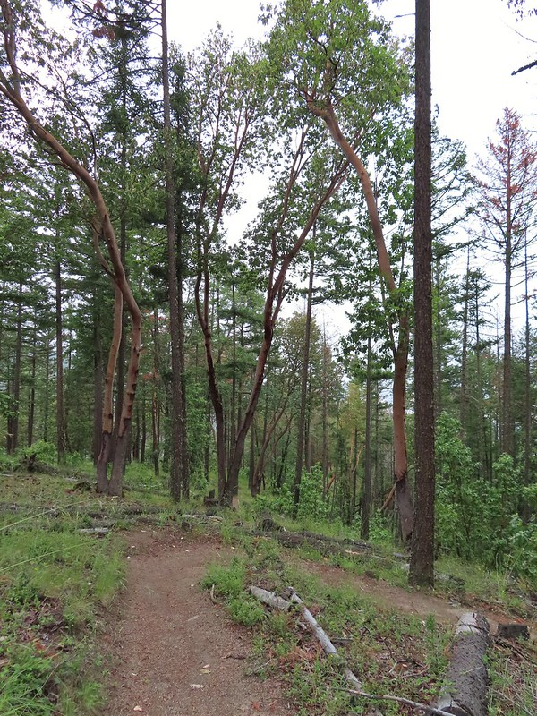
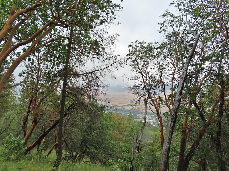
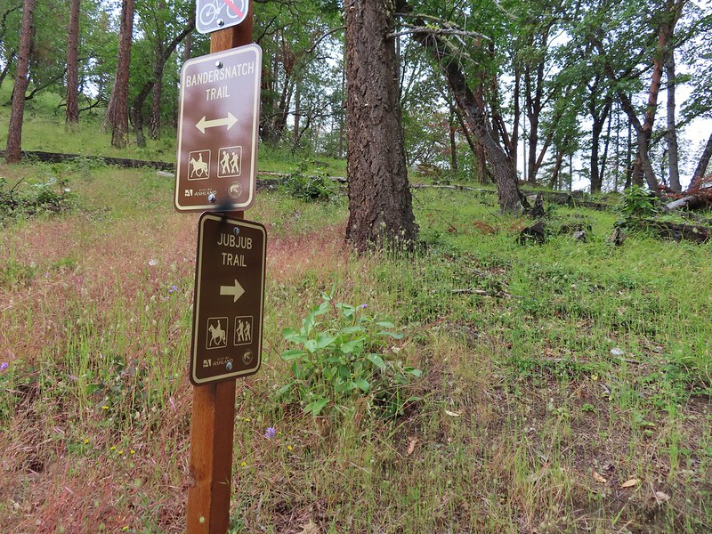

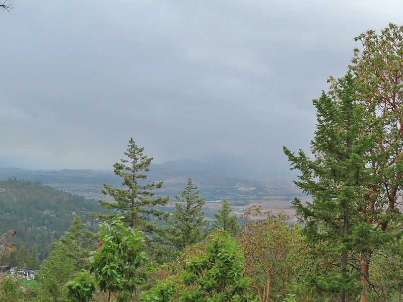 Rain to the north over Grizzly Peak (
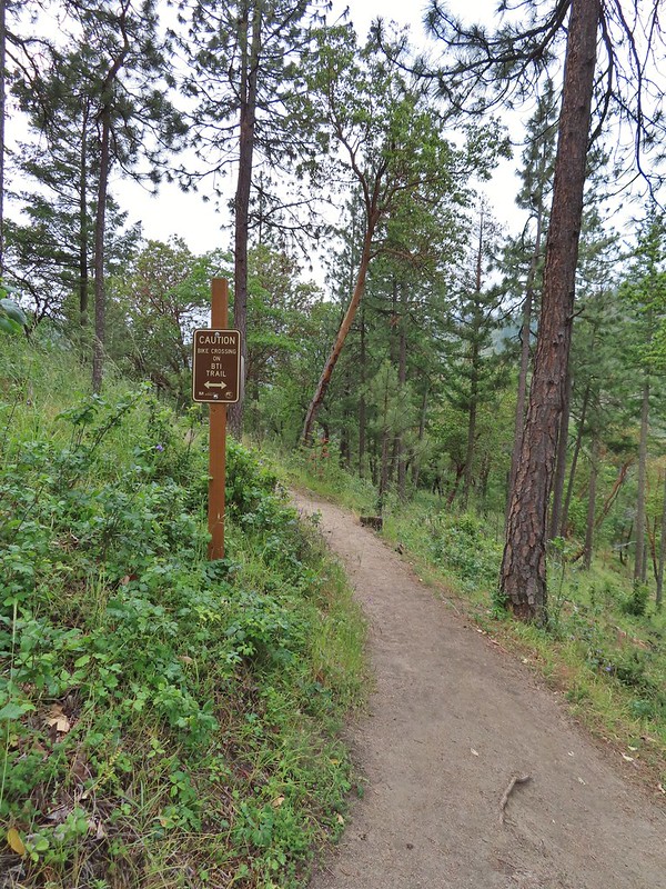 Approaching the BTI crossing.
 Red Queen crossing.
 Descending to the Bandersnatch junction.

 Marty the Pacific Fisher from the other side.
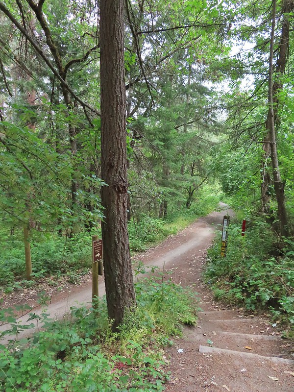 The Waterline Trail 0.1 mile from the Witzend Trailhead.

 The deepest hole, it doesn’t look too bad here.
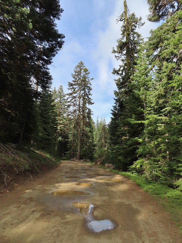 Potholes on FR 20. These turned out to be the worst of the stretch between the junction and Siskiyou Gap but we didn’t know that until we’d walked this road later in the day.
 The PCT was just a few yards into the forest from the FR 20/22 junction.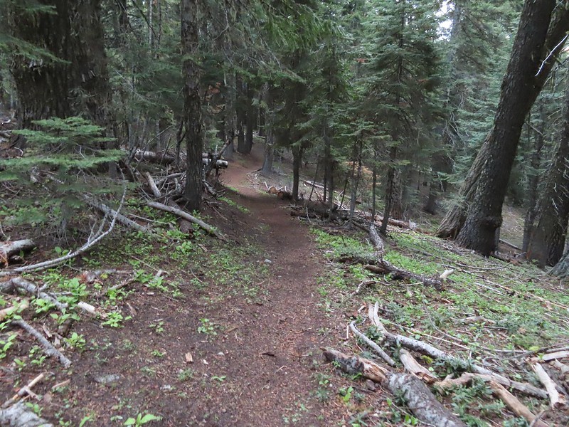
 Jessica sticktight?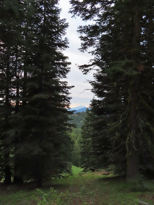
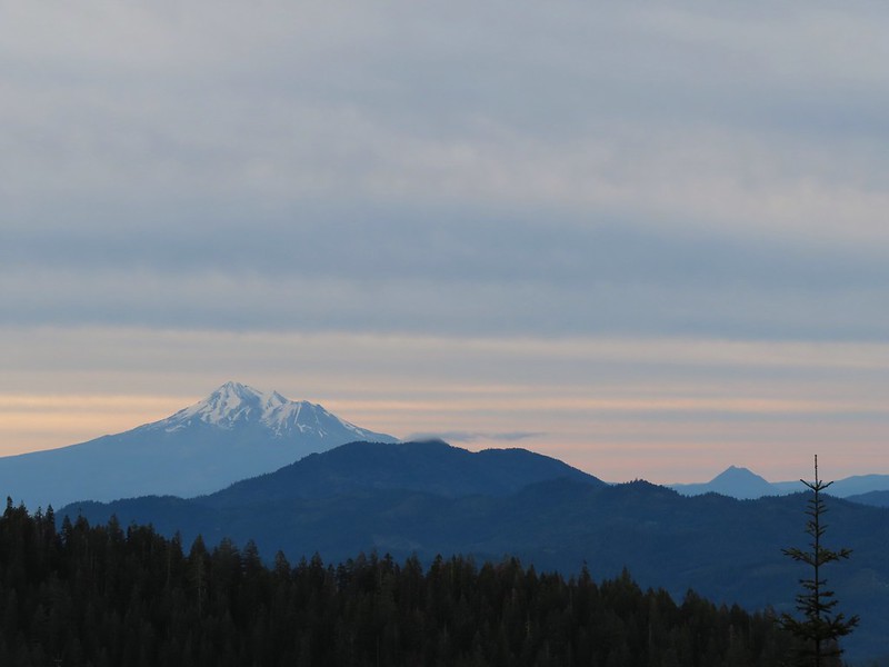 Mt. Shasta and Black Butte (
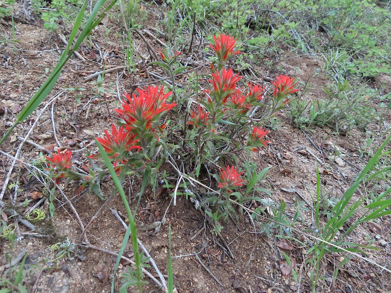 Paintbrush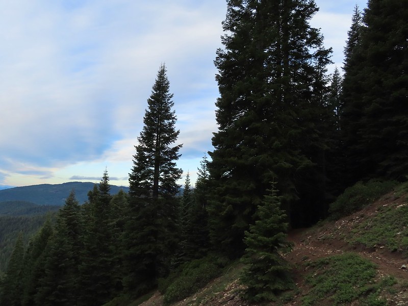
 Siskiyou Peak from the PCT.
 Lupine and pussypaws
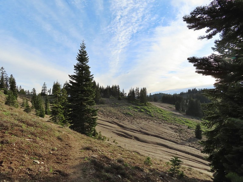 The PCT heading toward Mt. Ashland from the ridge where we left it.
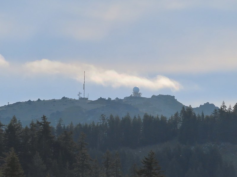 Towers on Mt. Ashland.
 The trail up Siskiyou Peak.
 Observation Peak to the left, where we had been the day before with Big Red Mountain on the right, where we were going later today.
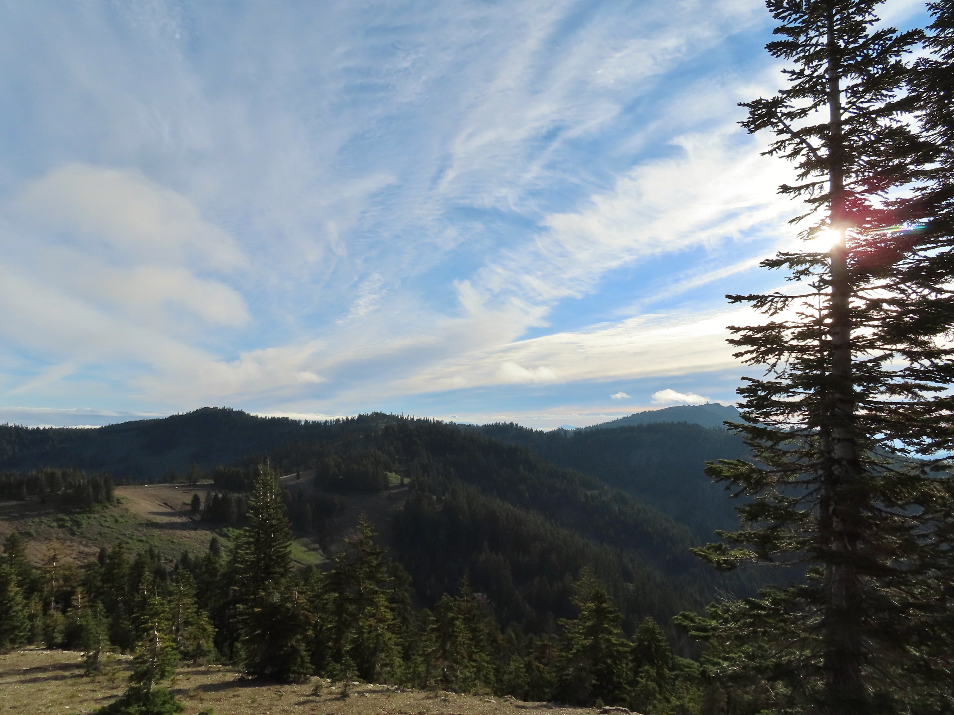 Mt. Ashland to the right.
 Mt. McLoughlin (
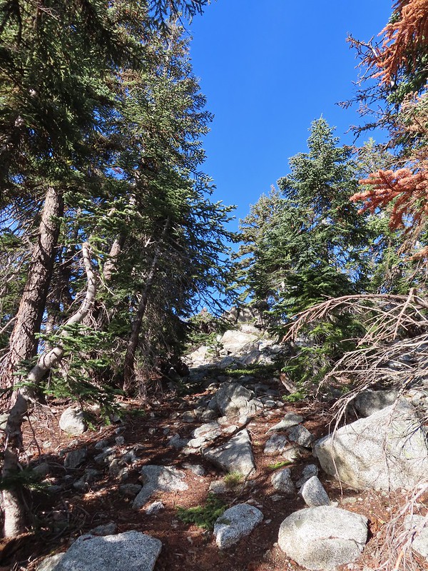 The final rocky climb to the summit.
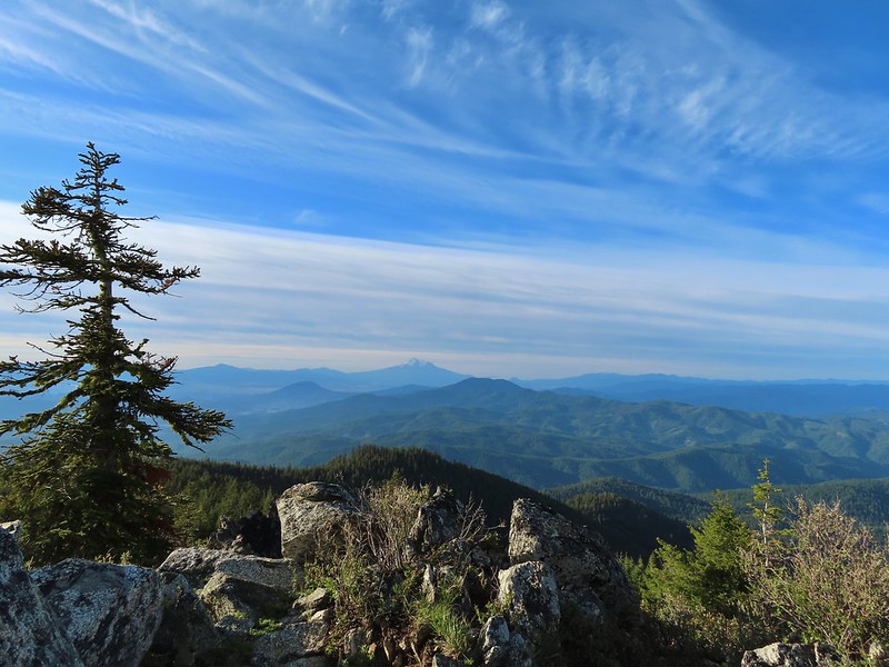 Mt. Shasta from the summit.
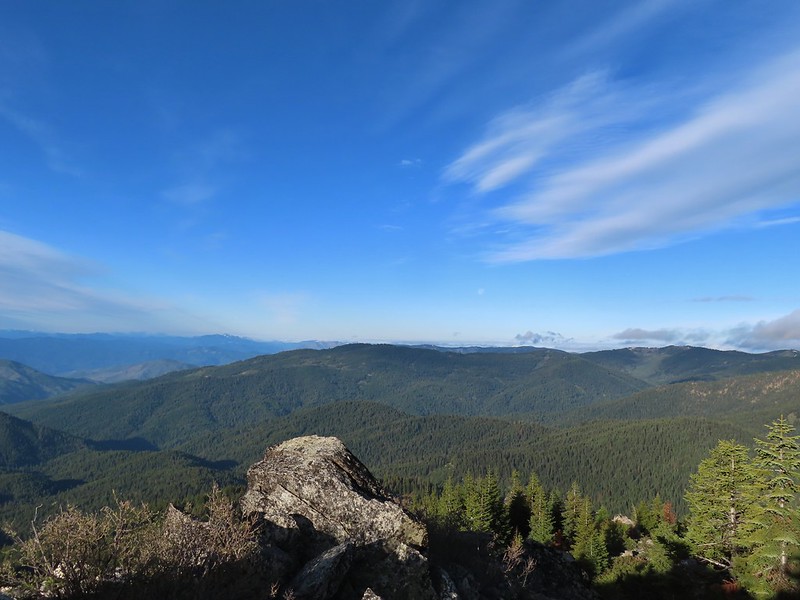 The snowy Marble Mountains (
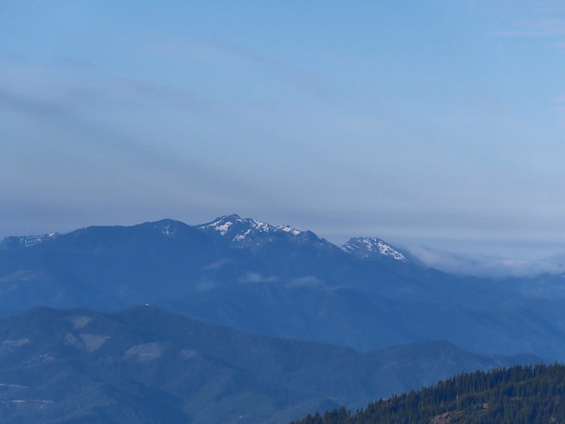 Some of the Marble Mountains.
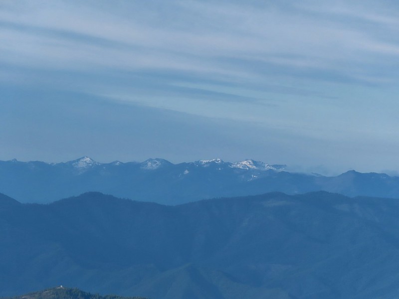 I believe these are peaks in the Russian Wilderness.
 Observation Peak and Big Red Mountain with Dutchman Peak in a cloud behind Big Red.
 Our shadows from the summit.
 Dutchman Peak emerged from the clouds to make an appearance over Big Red Mountain.
 Wagner Butte (
 Arriving at the junction.
 Trillium along FR 20.
 California Jacob’s ladder
 FR 20 looking a little better here.
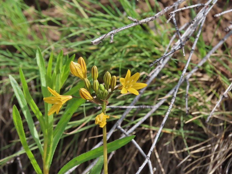 Pretty face
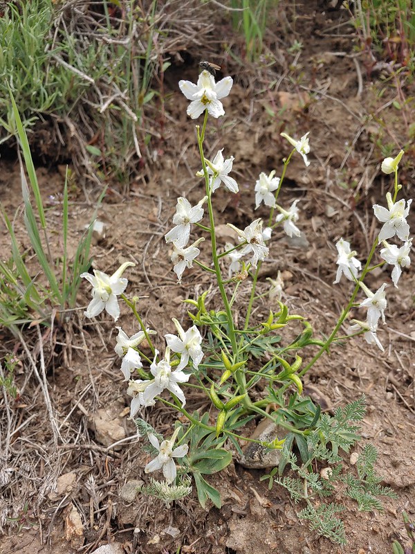 Larkspur
 Larkspur
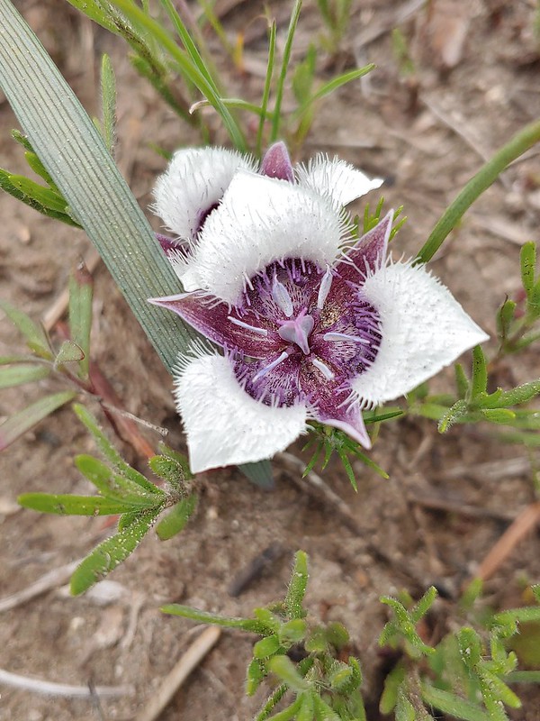 Mariposa lily
 FR 20 became a little rutted just before Siskiyou Gap.
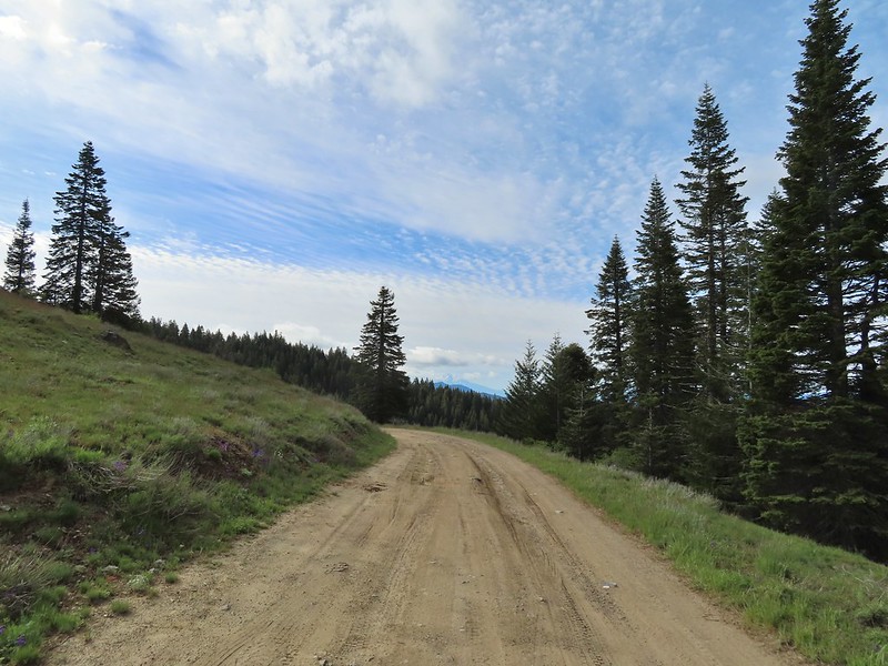 Mt. Shasta from the gap.
 Mt. Shasta
 Siskiyou Gap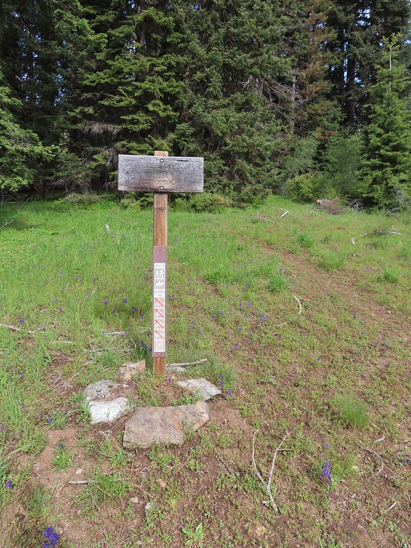
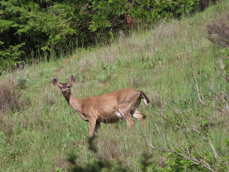
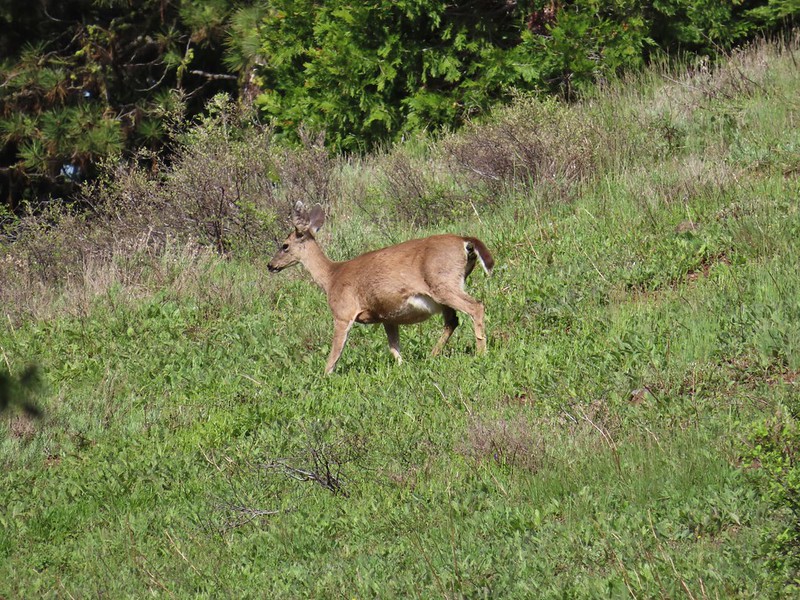

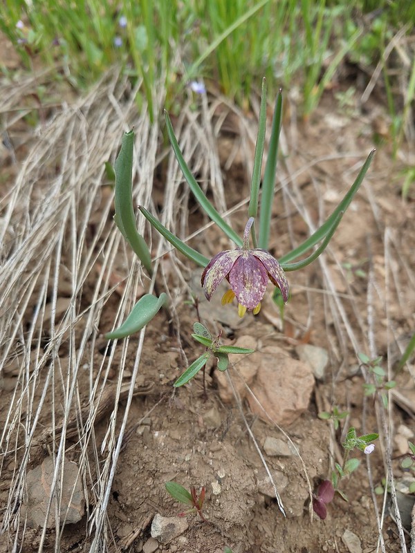 Chocolate lily
 Violets, larkspur and alpine pennycress.
 Ballhead waterleaf
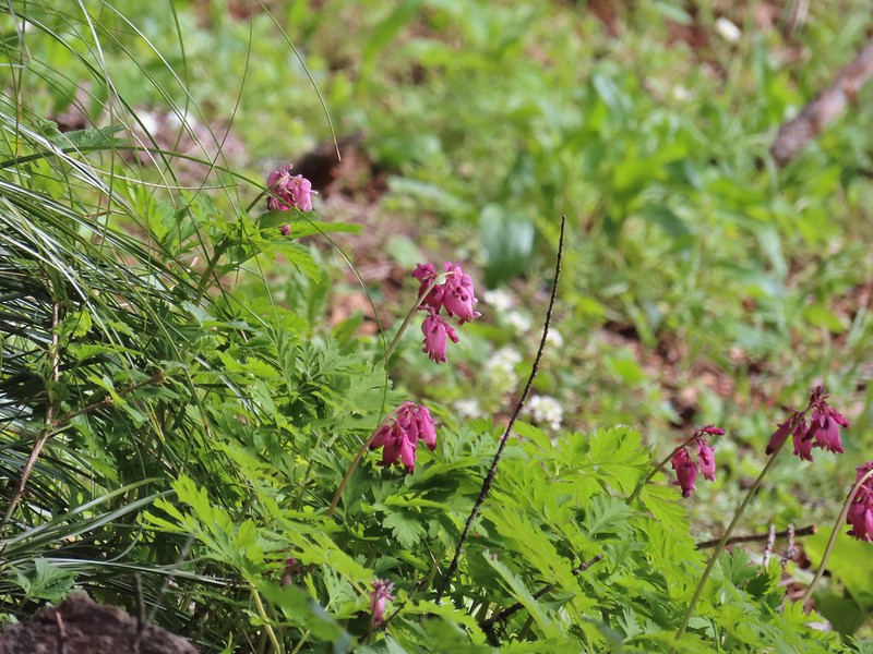 Bleeding heart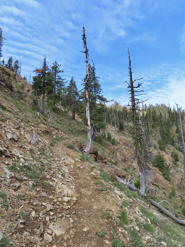

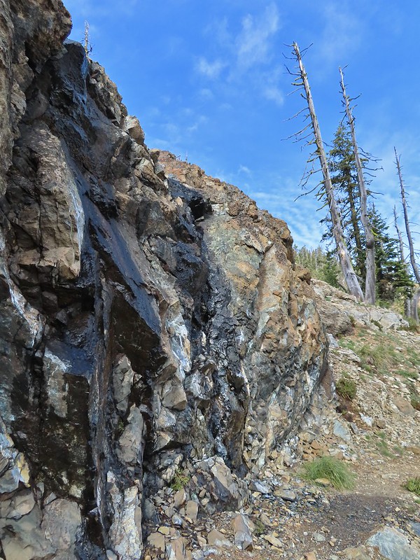 A trickle of water flowing down over the rocks along the trail.

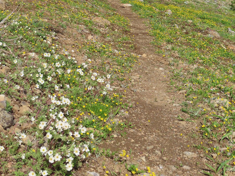 Anemones and buttercups
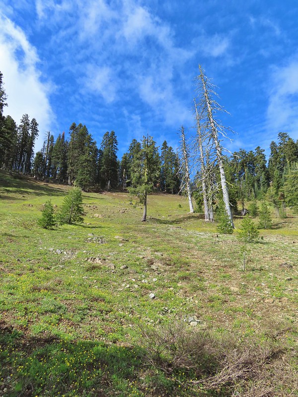 It’s hard to tell just how many flowers there were from the photo but it was very impressive to the naked eye.
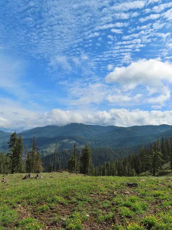 A cloud over Wagner Butte which stayed this way the rest of the day.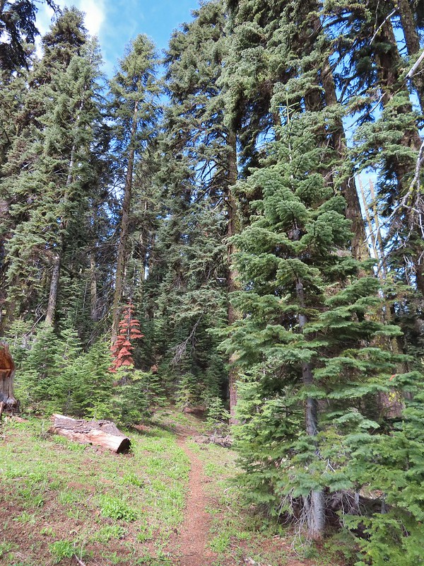
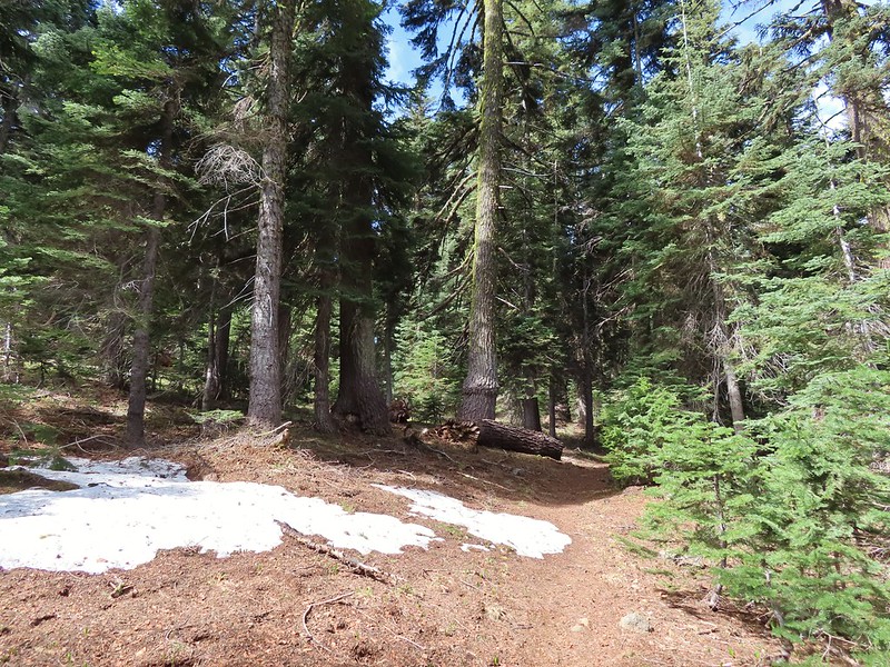 A few small patches of snow were all that was left along the PCT.
 Starting to leave the trees behind as the PCT passes below Big Red Mountain.
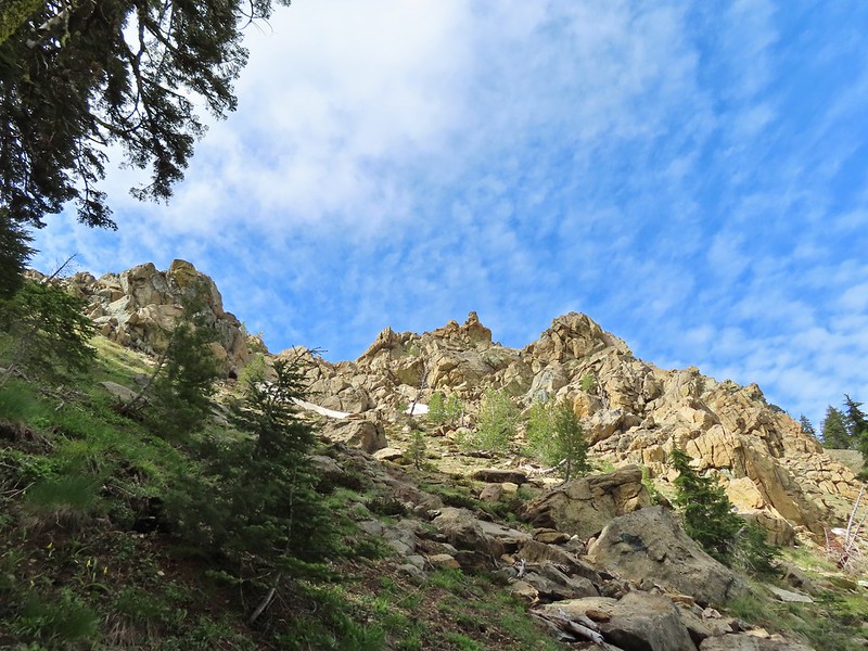
 Looking toward Medford to the NE.
 Upper Table Rock (
 You could see where this large chunk of rock used to be.
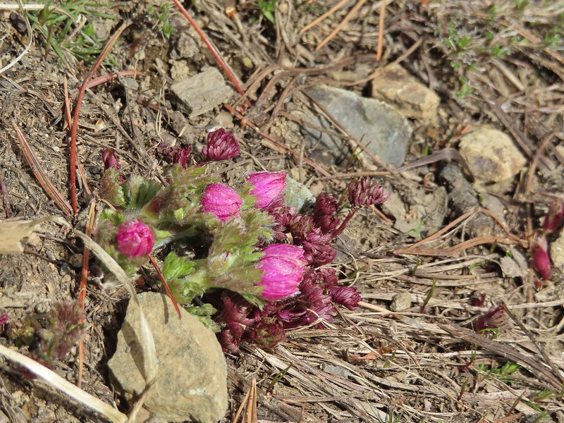 Something budding out.
 Dummond’s anemone – the blueish/purplish hue on some was quite pretty.
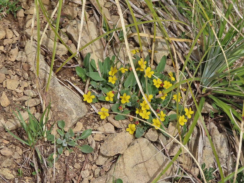 Violets
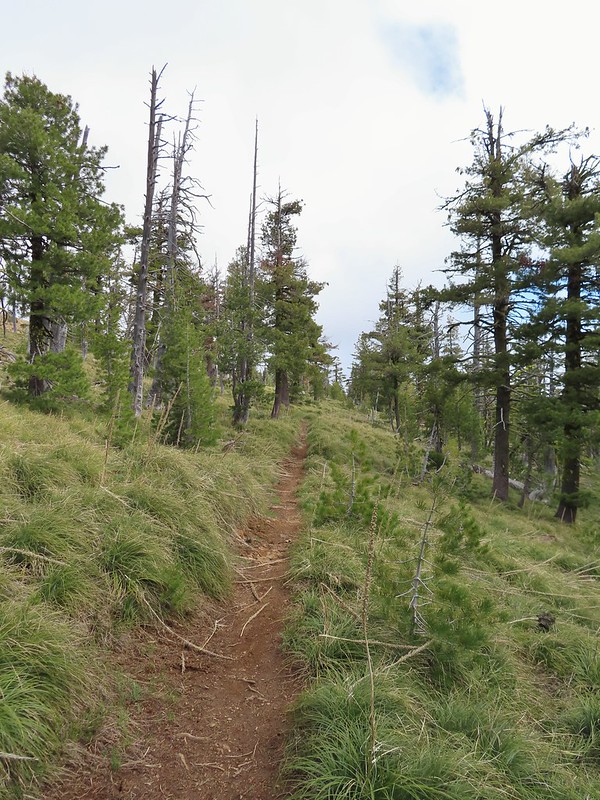 There was a decent sized beargrass meadow along this section which appeared to have bloomed last year.
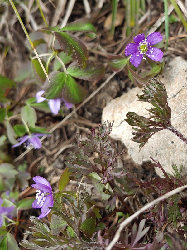 Anemones
 A saxifrage
 Siskiyou Peak from the trail.
 Splithair Indian paintbrush and a lomatium.
 Phlox
Phlox A small green pond and two of the Monogram Lakes.
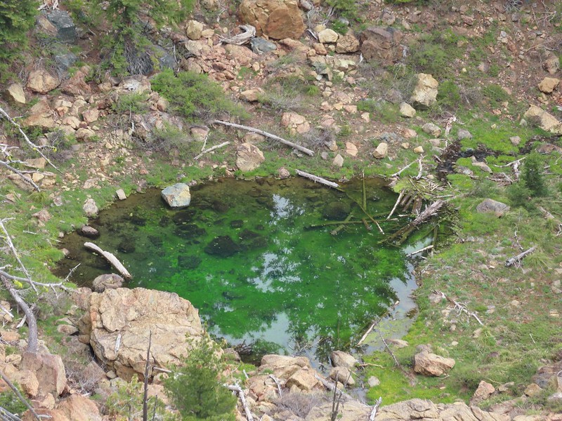 The green pond.
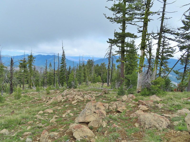 Looking down the ridge.
 Heather sitting up on the PCT while I made my way down the ridge.
 The pit with the mining trail on the far side.
 Old mining trail.
 The mining cart.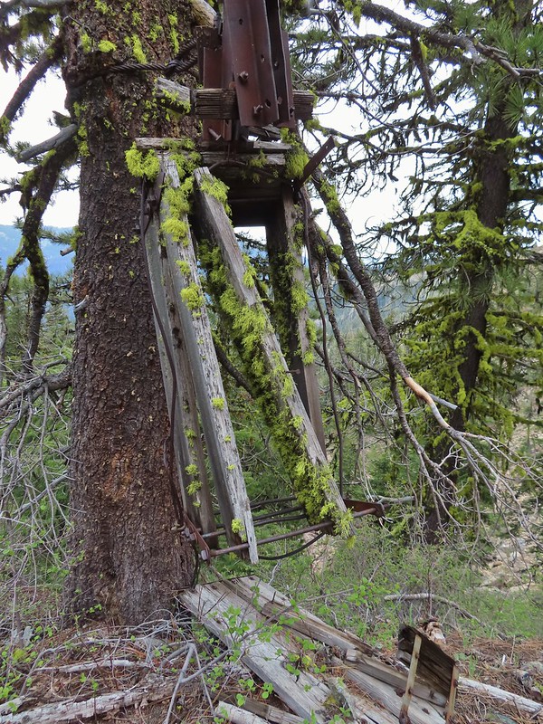
 Cable running up to the snag.


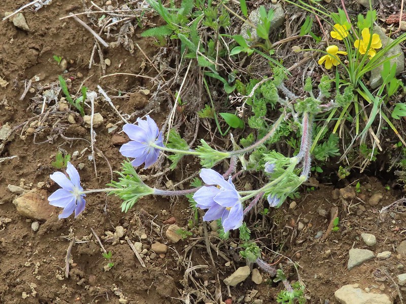
 I spotted something moving down in the meadow here.
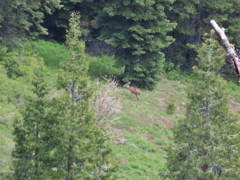 Had too use a lot of zoom to determine it was a deer.
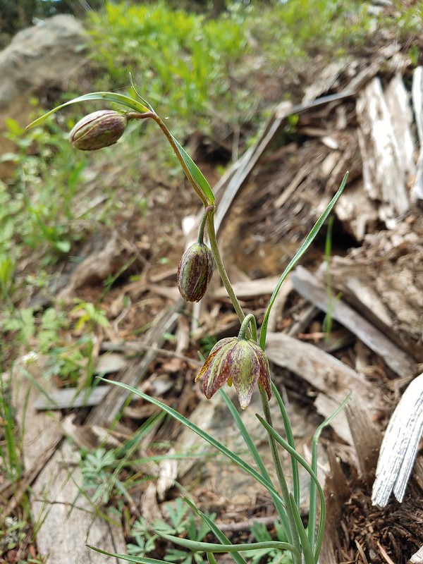 Chocolate lily
 Mt. Shasta and Black Butte from Siskiyou Gap on the way back.
 Our final view of Mt. Shasta this trip.
 Mt. Eddy (

 The PCT heading south from the Stateline Trialhead
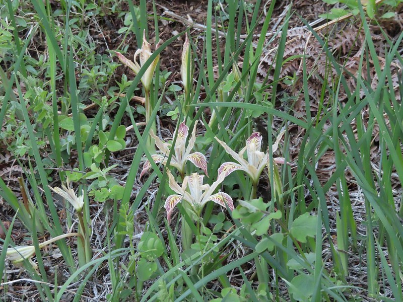 Iris
Iris
 A register is located 0.4 miles from the trailhead at the Oregon/California border.
 We were long overdue for a visit to California, our last hike in the state was way back in 2018 at the Lava Beds National Monument (
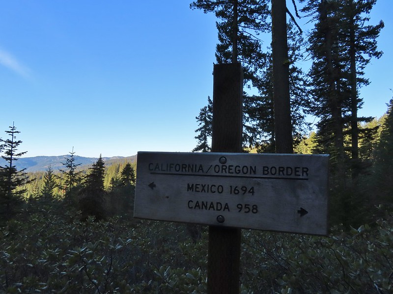 A good reminder of how much of the PCT is located in CA.
 Pussytoes
 First look at Donomore Meadows.
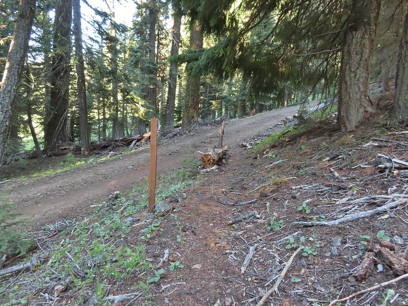 This road crossing is just over a mile from the trailhead. The Donomore Cabin is just up the road to the right.
 The cabin was built in 1935.
 The meadow below the cabin.

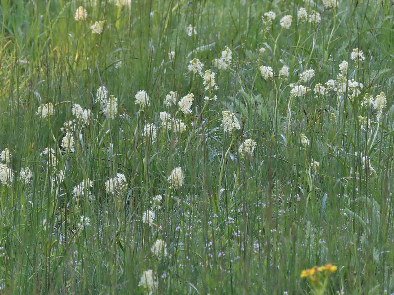 Death camas in the meadow.


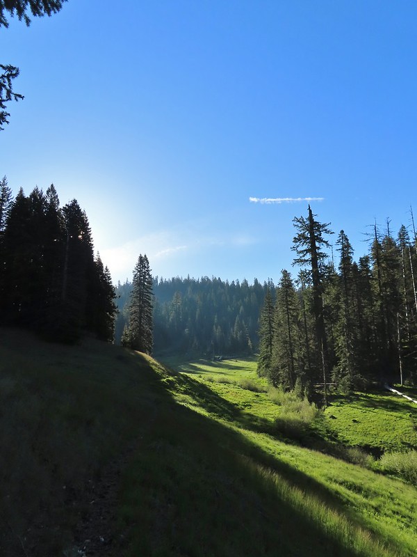
 Mariposa lily
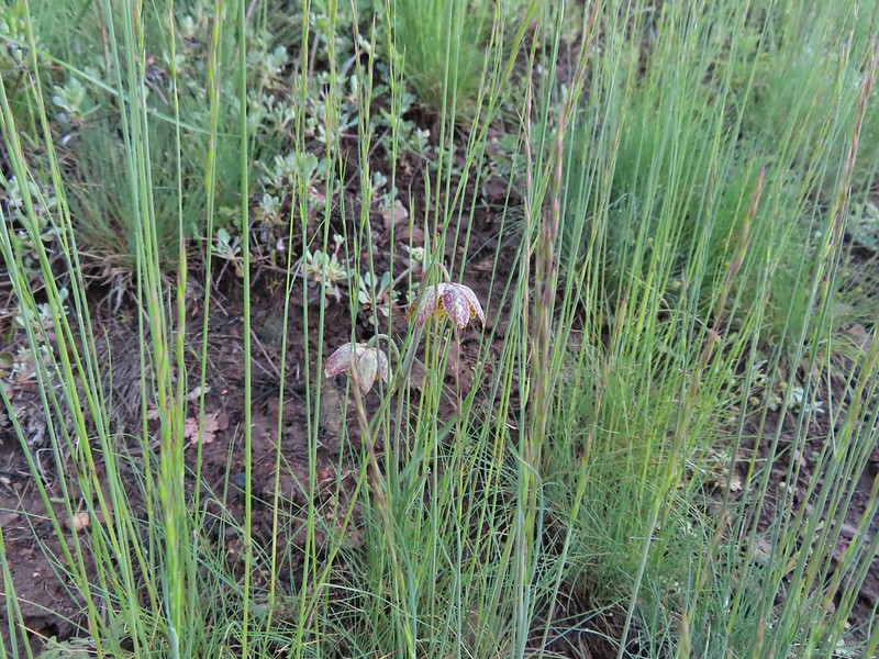 Chocolate lily
 Cinquefoil?
 Violets
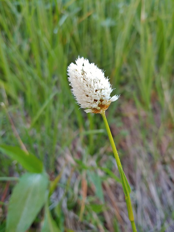 Bistort
 Heather passing through the meadow.
 There wasn’t much to the brushy creek but it made for a definitive turnaround point.
 California ground cone
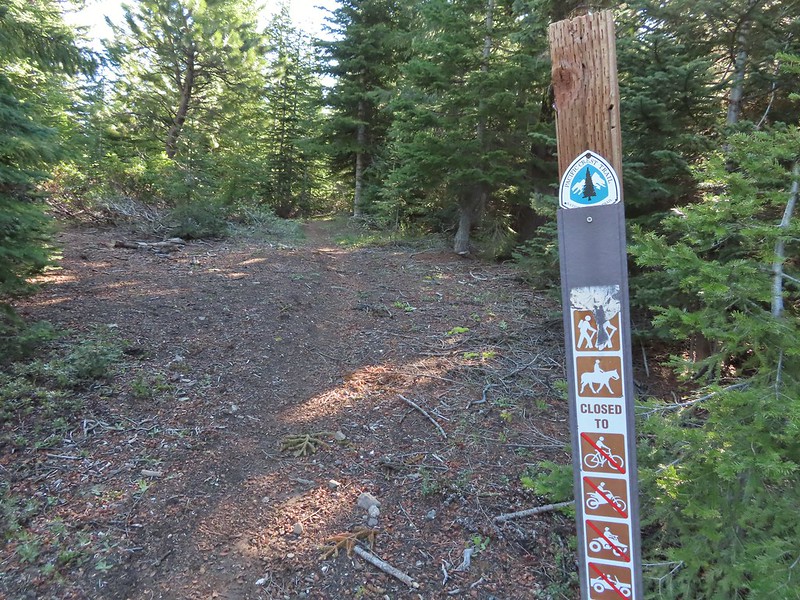 PCT heading north from the Stateline Trailhead.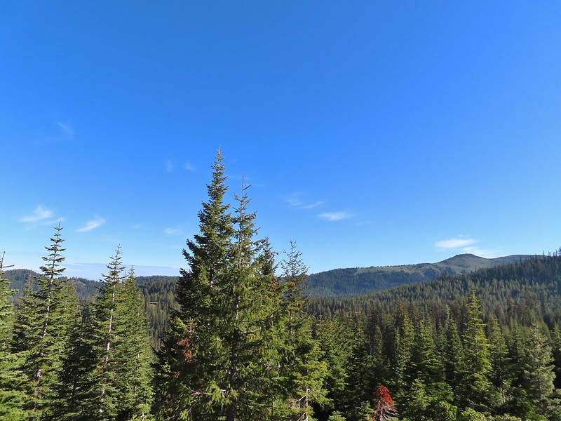
 Pasque flower
 Grayback Mountain in the distance with a small patch of snow.
 One of three springs the trail passes on the way to Observation Peak.
 Marsh marigolds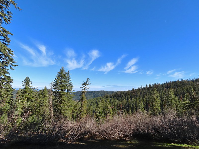
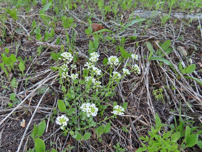 Alpine pennycress
 Another spring with marsh marigolds and glacier lilies.
 Scraggy Mountain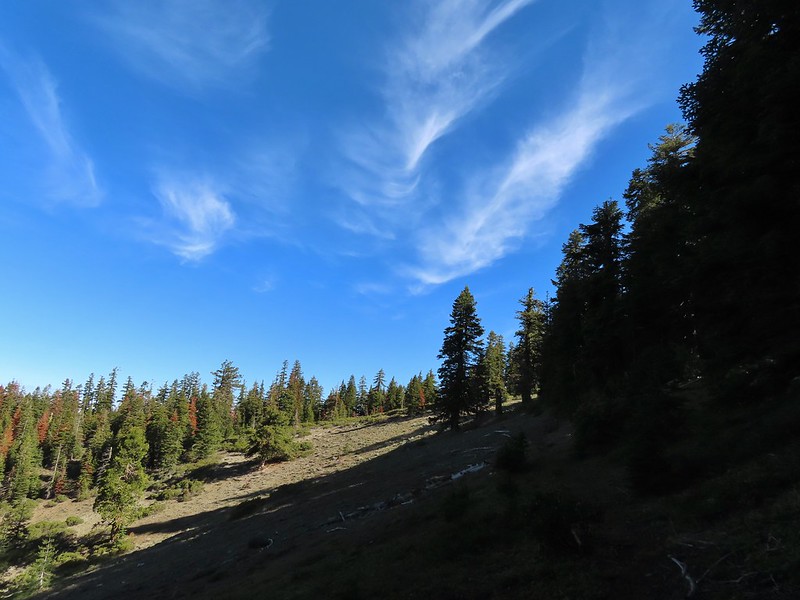
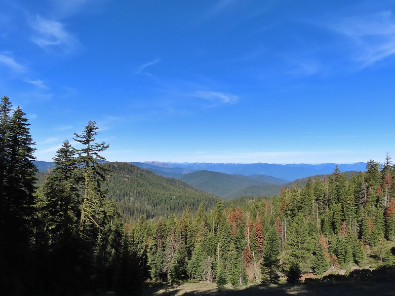 Looking SE to the Red Buttes (
 Kangaroo Mountain and Red Butte with Preston Peak, Twin Peak and El Capitan behind in the Siskiyou Wilderness.
 View south.
 Part of the Marble Mountains (
 Kettle Lake through the trees.
 Heading up to the ridge.
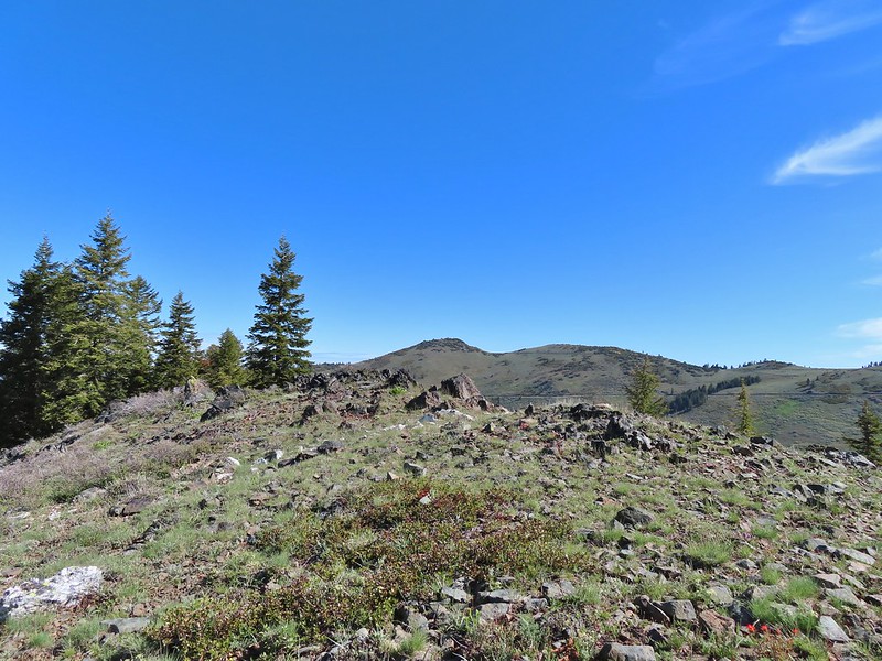 Dutchman Peak from the ridge.
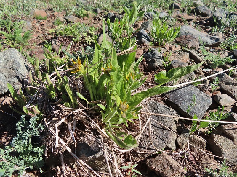 Not sure if these are mule’s ears or a balsamroot.
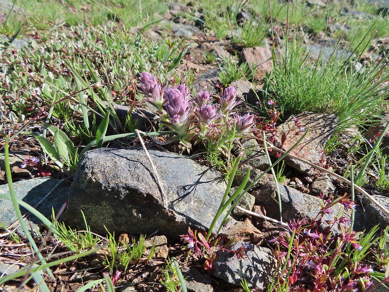 Splithair Indian Paintbrush (Castilleja schizotricha)
 Swallowtail on phlox.
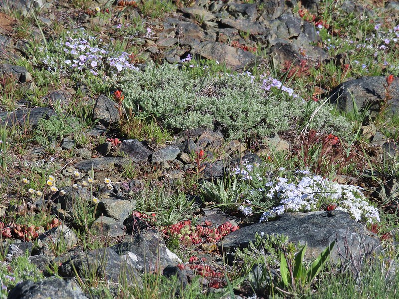 Wildflowers on the ridge.
 Cutleaf daisy?
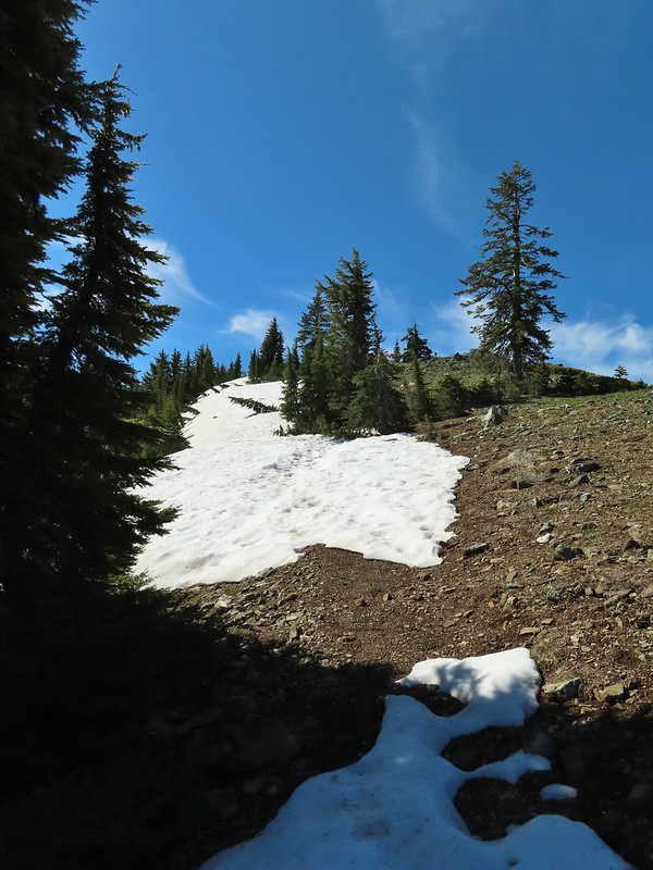 Snow drifts covering the PCT.
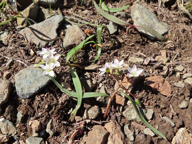 Lance-leaf Spring Beauty
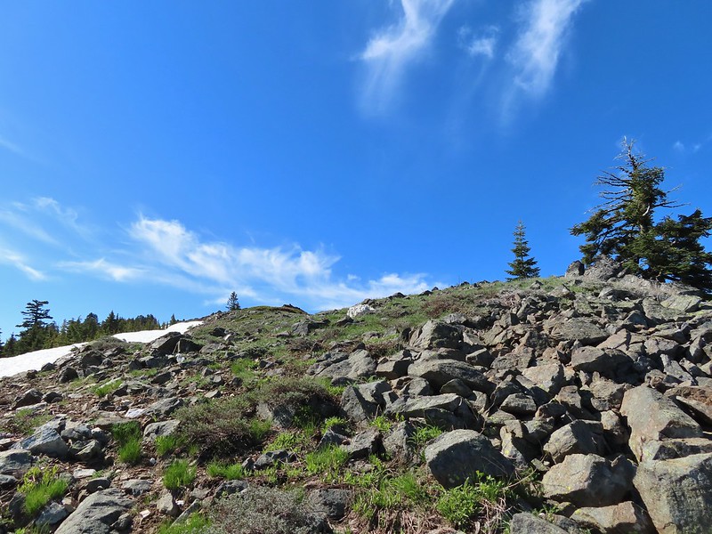 Heading for the summit.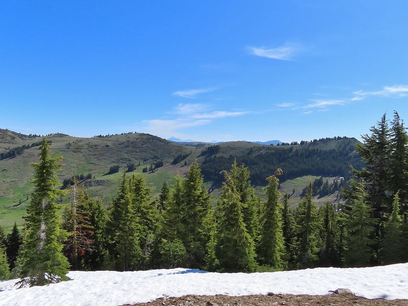

 Pilot Rock (
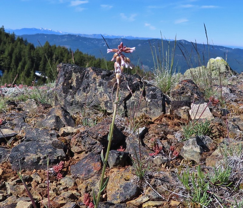 A rockcress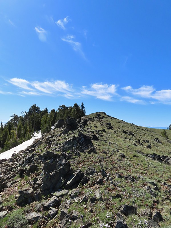

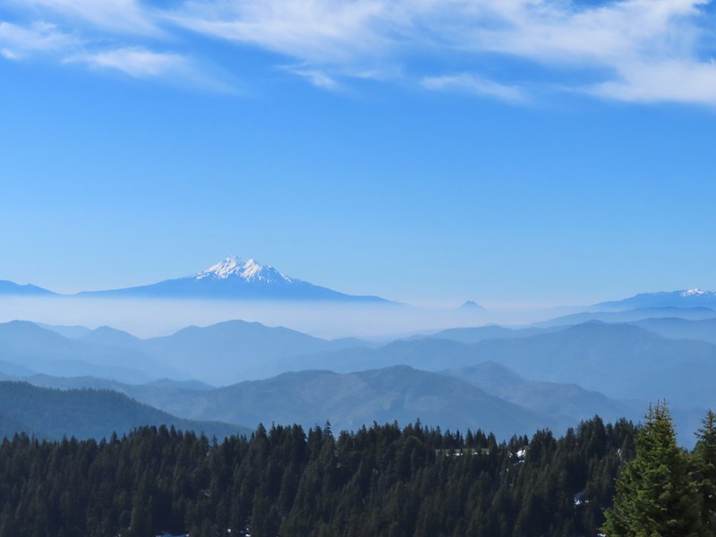 Mt. Shasta above a layer of smoke that mostly hid Black Butte (
 I think these peaks are a mix of the Russian Wilderness in the forefront and Trinity Alps behind. Bruce correct me if I am wrong on that :).
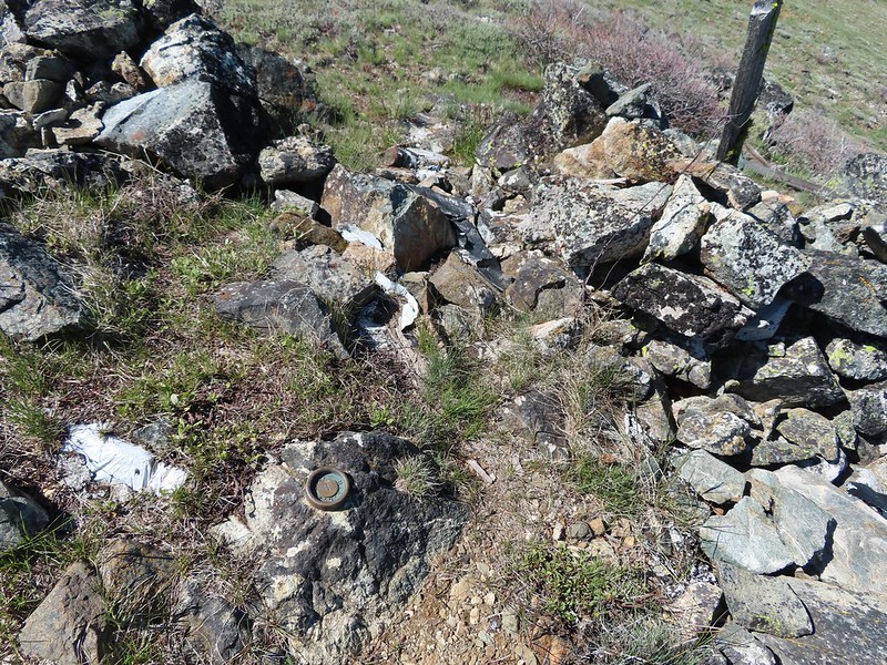 Rock pile at the summit.
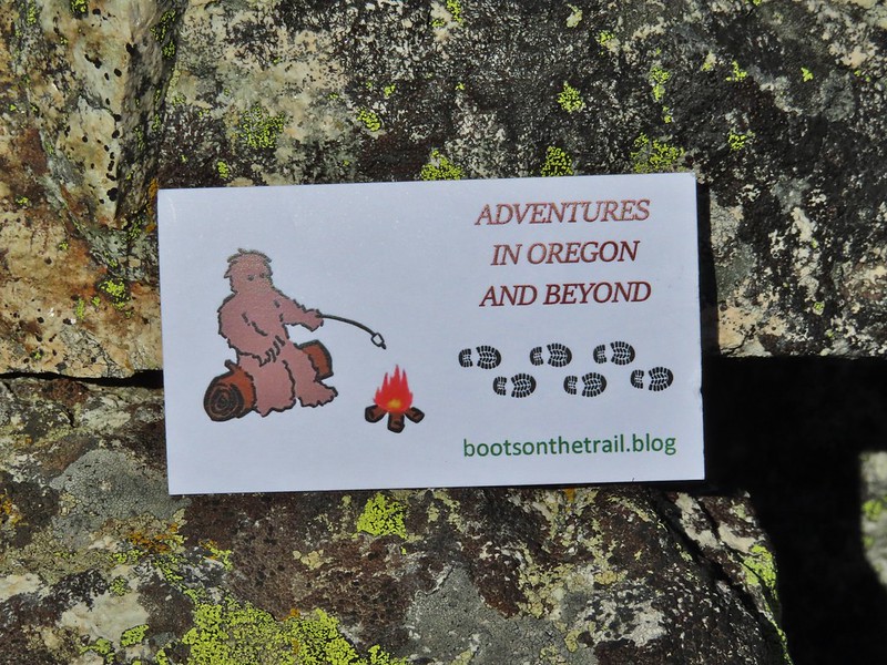 Our big find. I took a couple of pictures and put the card back for someone else to find (and added one of ours).
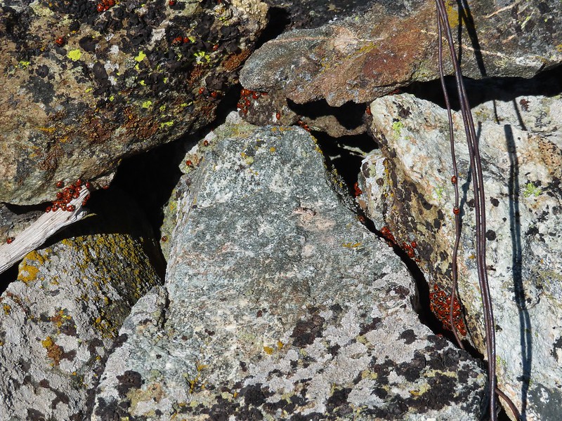 There were dozens of ladybugs in the rock pile.
 One of many photos of Mt. Shasta. We don’t get too many chances to see this Cascade Mountain.
 We could see Mt. Thielsen (
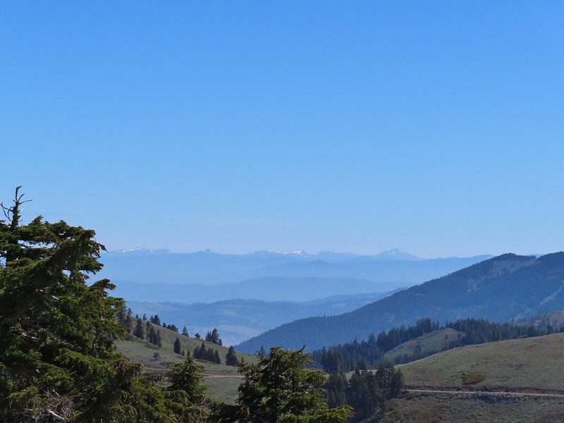 The peaks around the rim of Crater Lake.
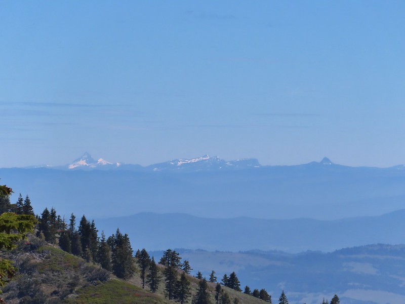 Mt. Thielsen to the left of Crater Lake.
 Mt. Bailey (
 The Red Buttes in front of Preston Peak.
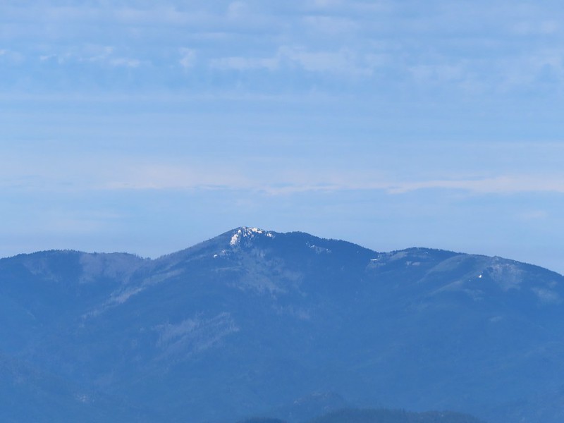 Grayback Mountain
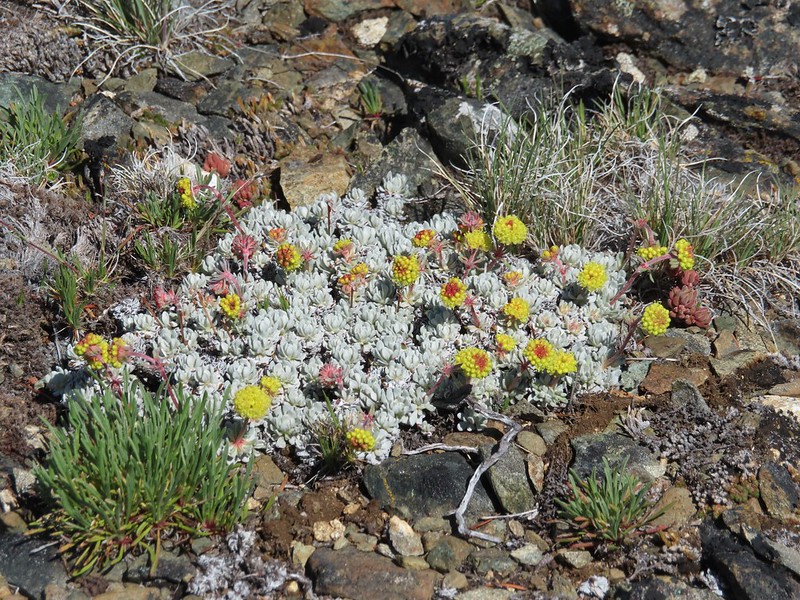 Buckwheat
 Alpine pennycress
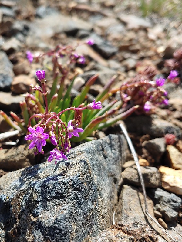 Quill-leaf Lewisia
 Larkspur
 Chipmunk having a snack.
 One of two hairstreaks we encountered on the PCT.
 The 2nd hairstreak.
 Where I left the PCT.
 Lots of this orange fungus in the forest.
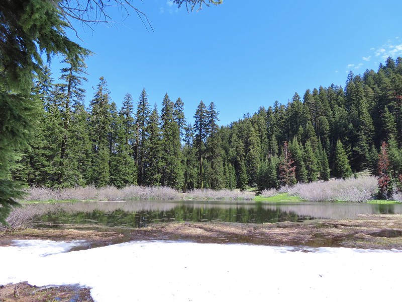

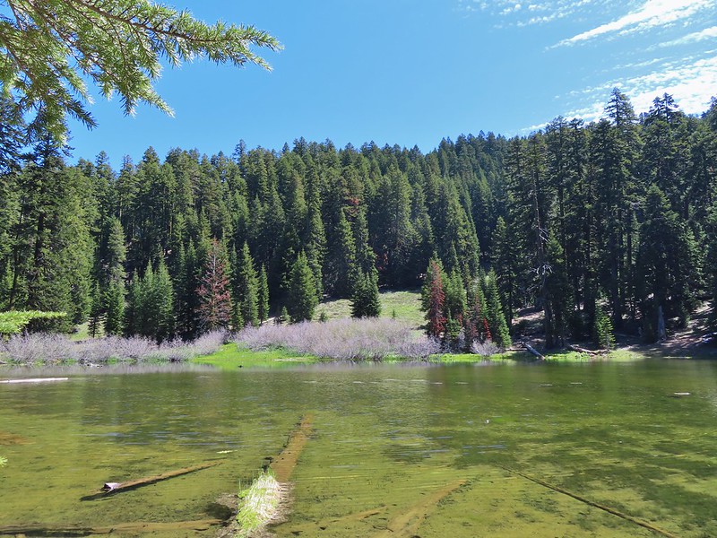
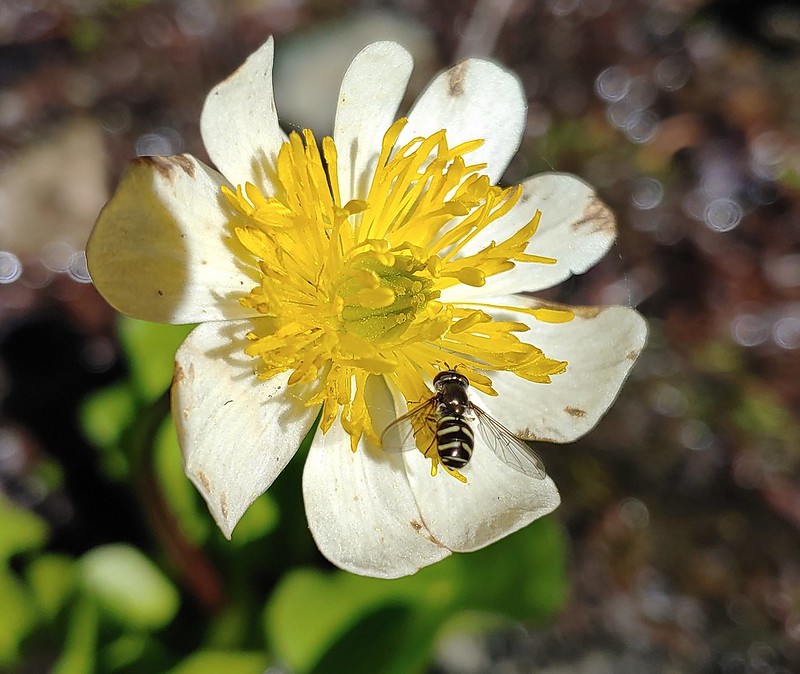 Bee on a marsh marigold.
 Glacier lily
 Trillium
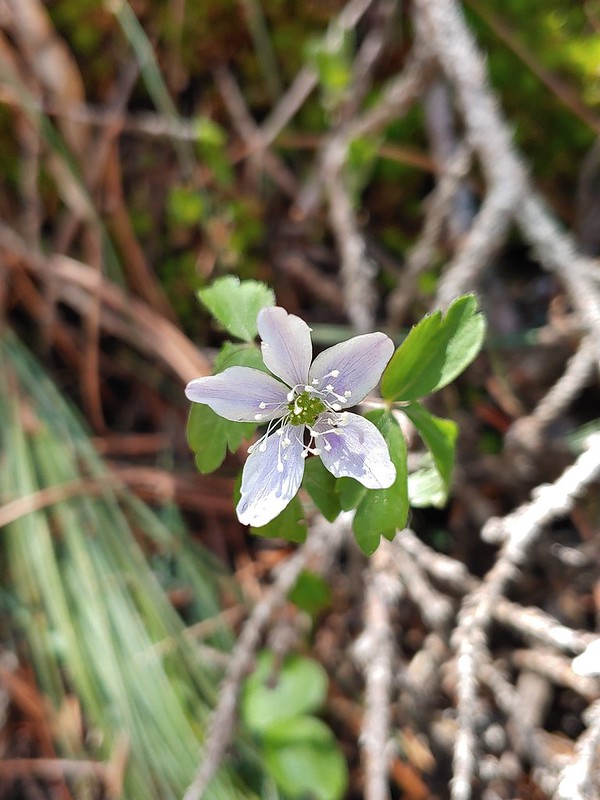 Anemone
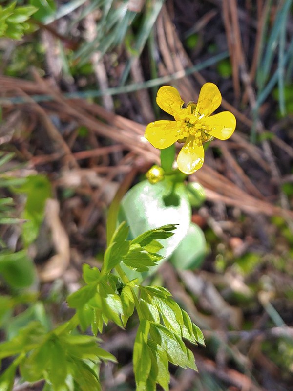 Buttercup?
 Passing through the manzanita section.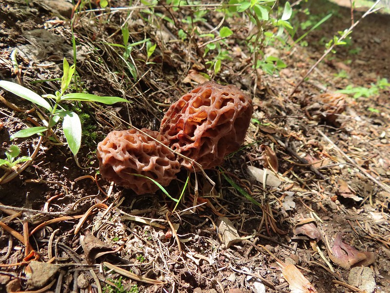

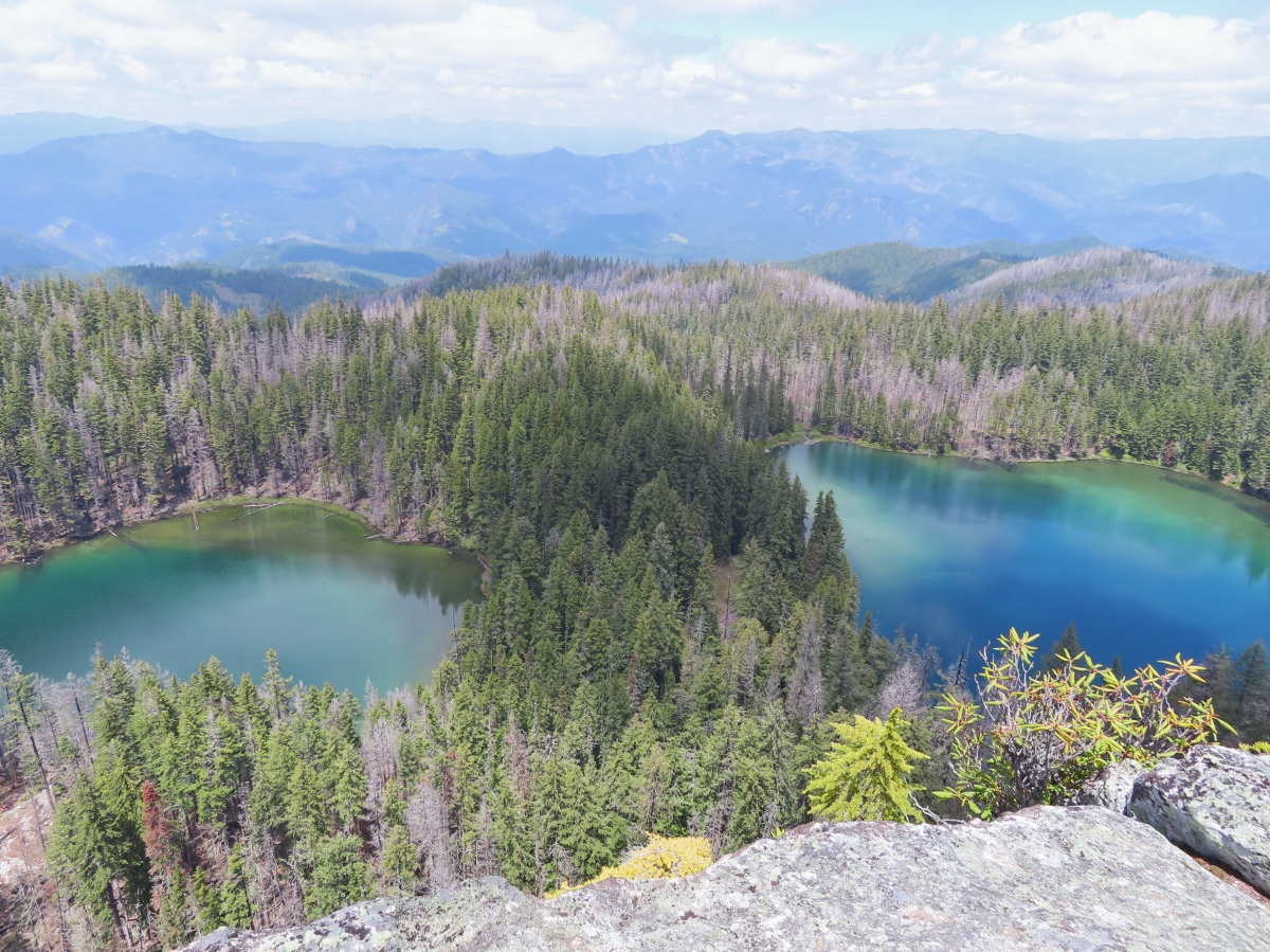
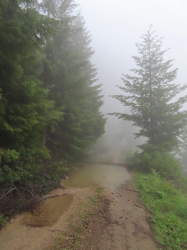 We parked in a pullout just before this section.
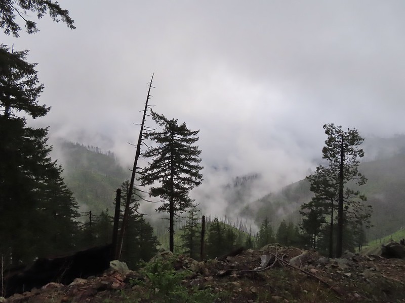 The Boulder Creek Wilderness (
 FR 104
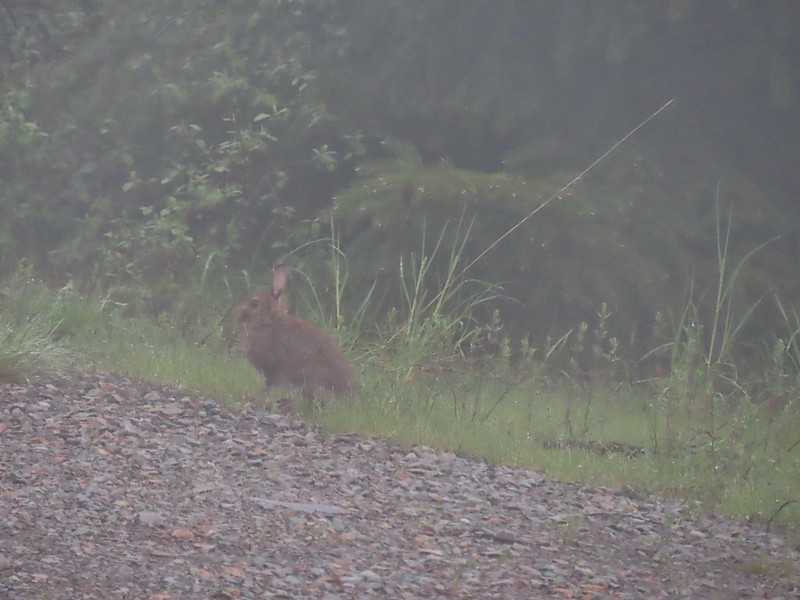 Rabbit on FR 100
 Lots of fawn lilies along the road and trails.
 Red flowering currant
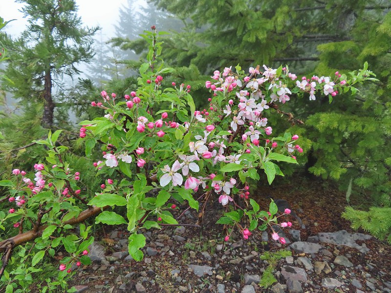 Is this an apple tree? Whatever it is it seemed very out of place.
 FR 105 on the left and FR 100 on the right.


 A cairn on the left.
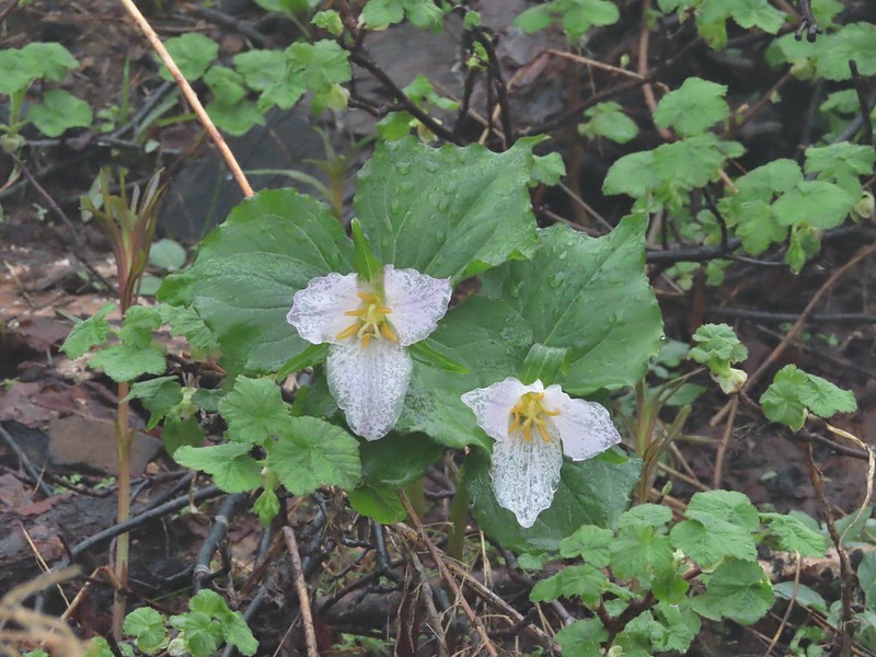 Damp trillium
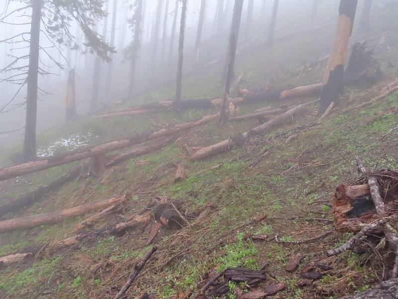 Downed trees across the trail near Illahee Spring.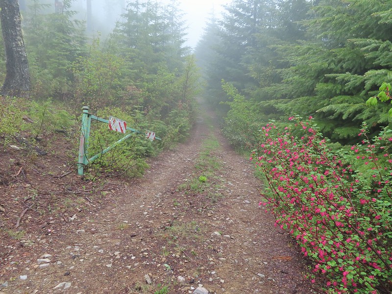
 Gooseberry

 The tread was a little faint but otherwise in good shape.
 Lots of cool rock outcrops along the trail.
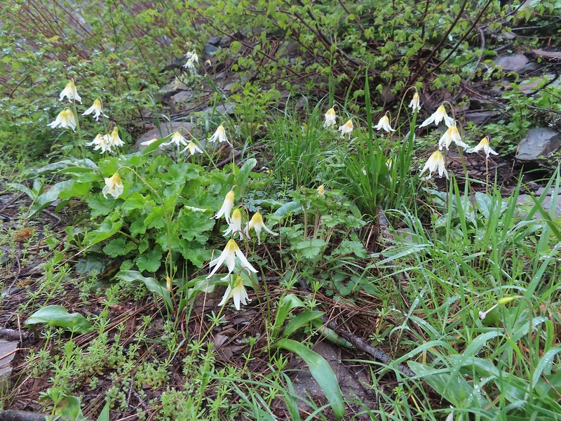 Fawn lilies
 Typical trail condition.
 Ragwort and blue-eyed Mary covered hillside.
 Blue-eyed Mary
 Ragwort
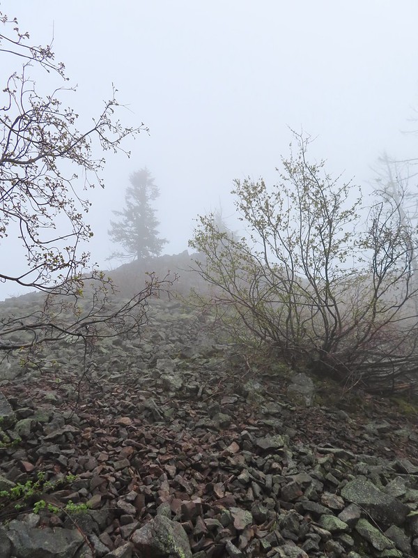 Rocky hillside below the lookouts.
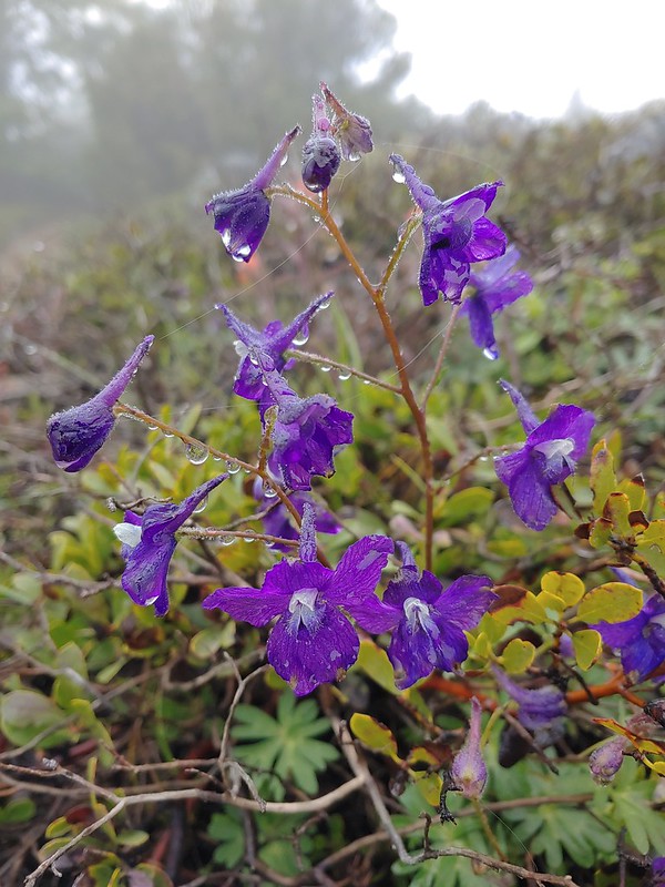 Larkspur
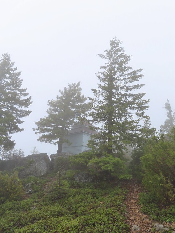 1925 Cupola style lookout.
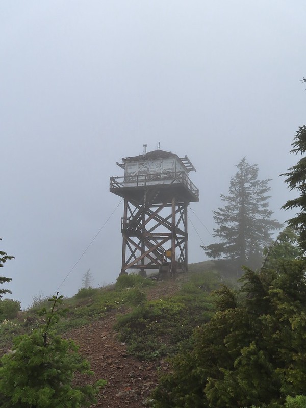 1956 L-4 tower lookout
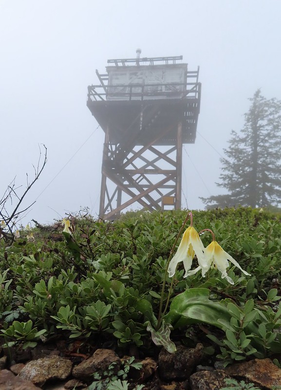
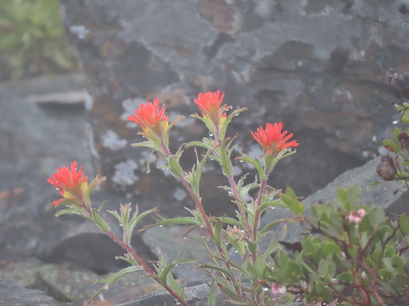 Paintbrush
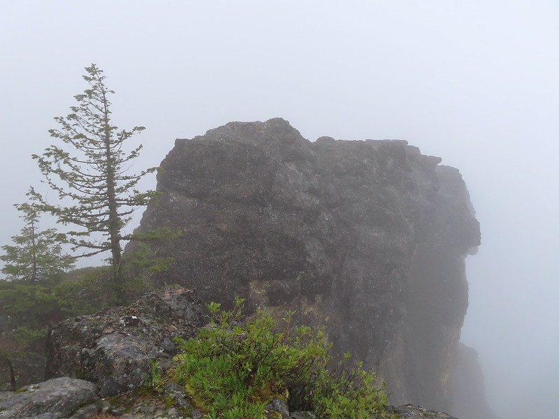 Illahee Rock
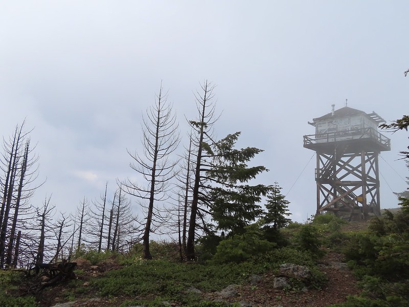 A sliver of hope for blue sky at some point.


 Back at the trailhead.
 On FR 100
 Wallflower
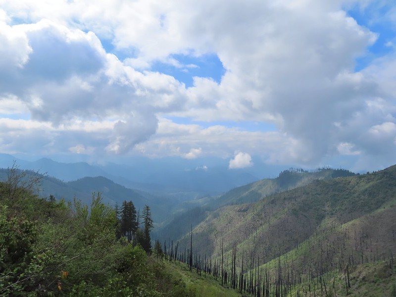 The Boulder Creek Wilderness

 Meadow along the trail.
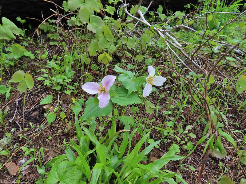 Trillum
 Becoming sunny in action. From this viewpoint Diamond Peak, Mt. Thielsen, and Mt. Bailey are visible sans clouds.
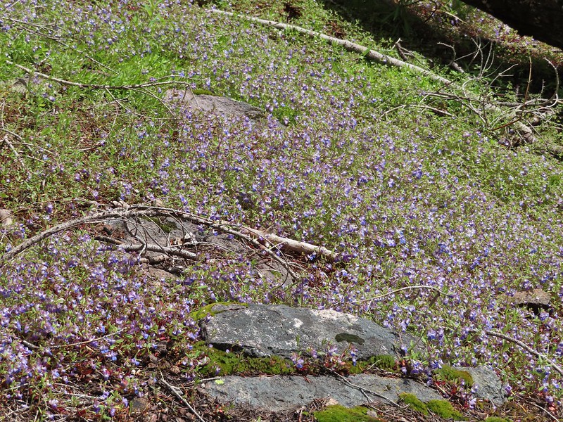 A carpet of blue-eyed Mary at the viewpoint.
 Illahee Rock was visible from the viewpoint despite the clouds.
 The lookout tower on Illahee Rock.
 Indian plum
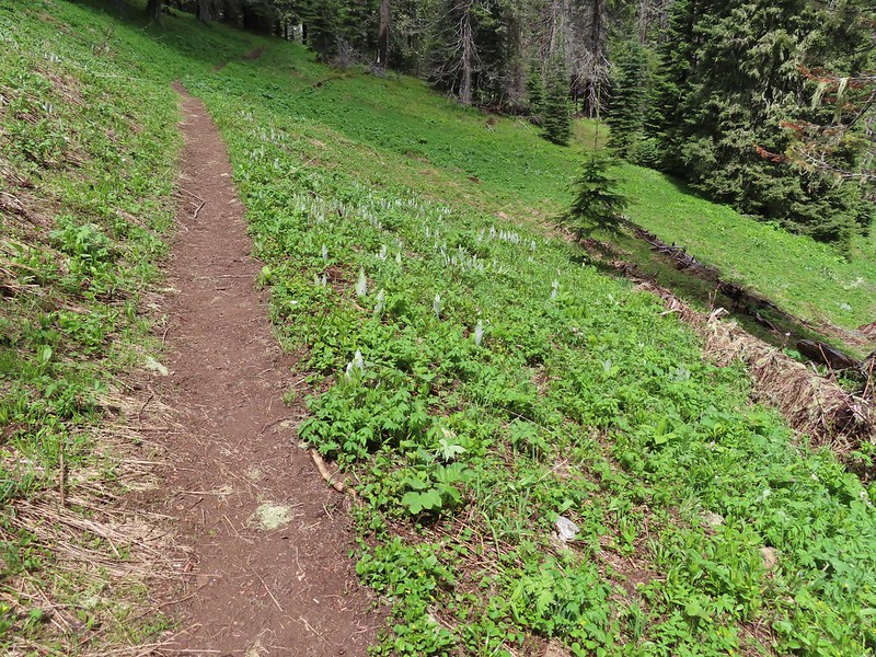 Hellbore starting to sprout in a meadow.
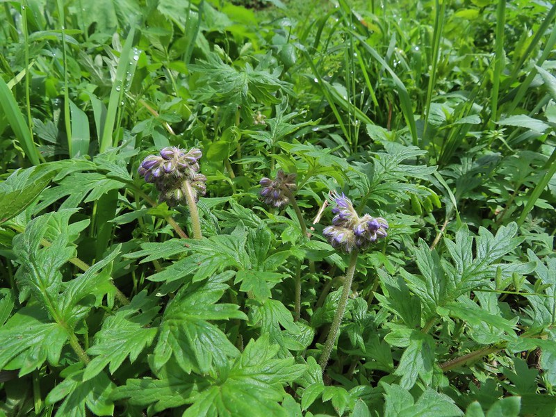 Waterleaf
 Nearing the junction.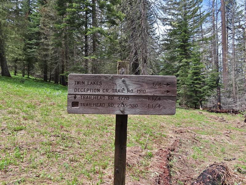
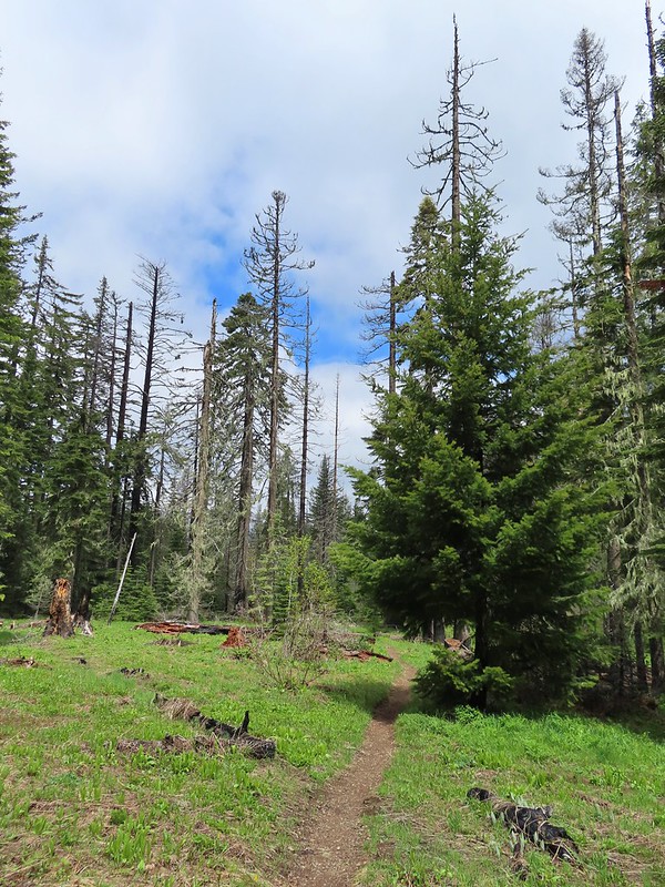
 Woodpecker
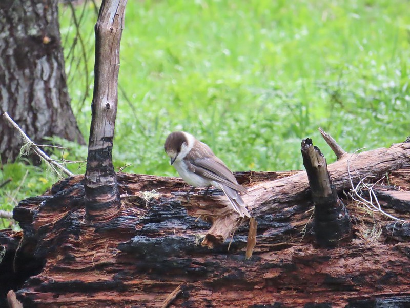 Gray jay
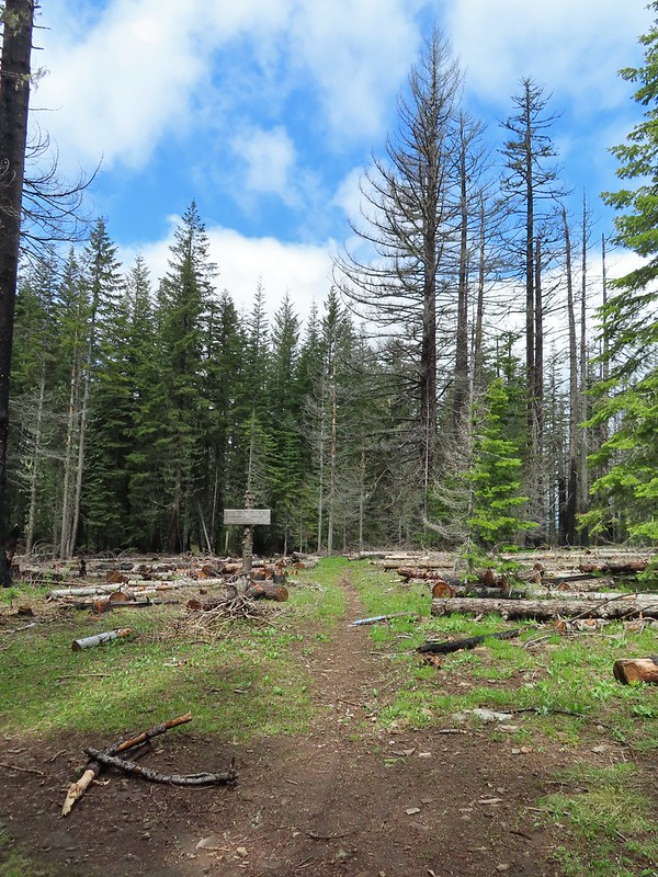 The second junction where we turned left.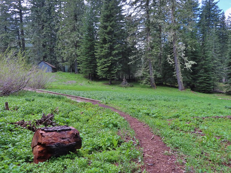


 Mushroom near the shelter.


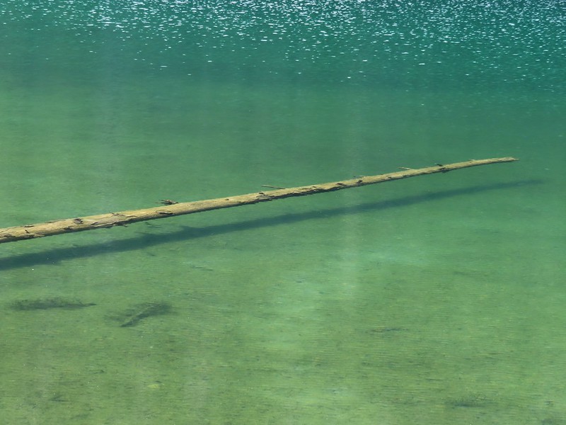 No fish but it was easy to see them when they were present.
 This big rock added to the scenery.
 We couldn’t decide if that was an old bridge or dock in the water.
 Passing behind the big rock.
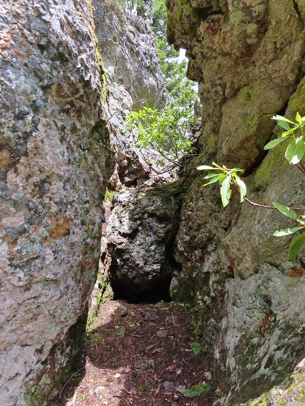 The rock turned out to be split.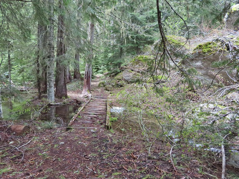
 There was a lot of water in the section between the two lakes. Fortunately there didn’t seem to be any mosquitos which was really surprising but in a good way.
 This looked like it could be a trail.
 How were there not any mosquitos in here.
 A local wondering what we were up to.
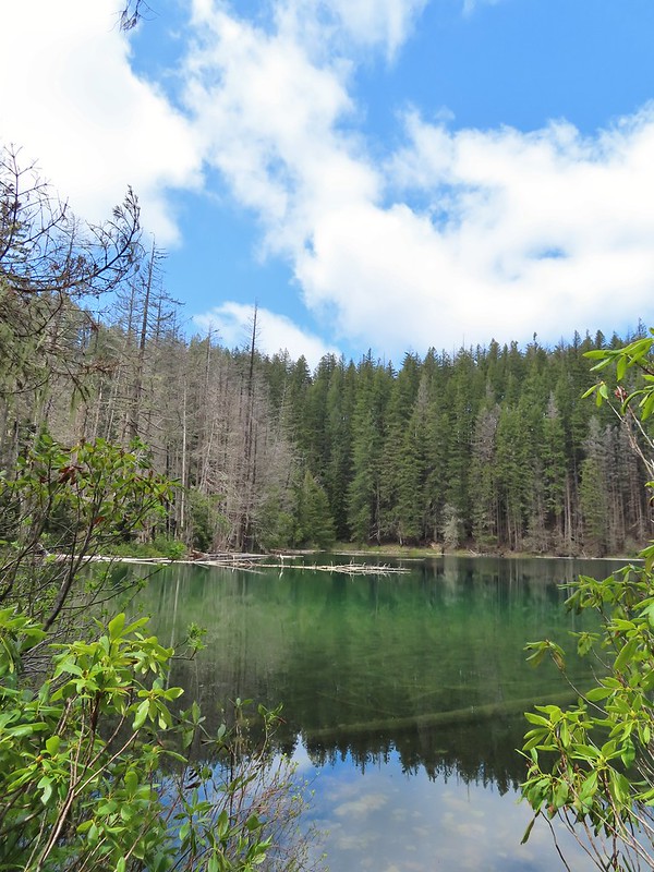
 The outlet creek.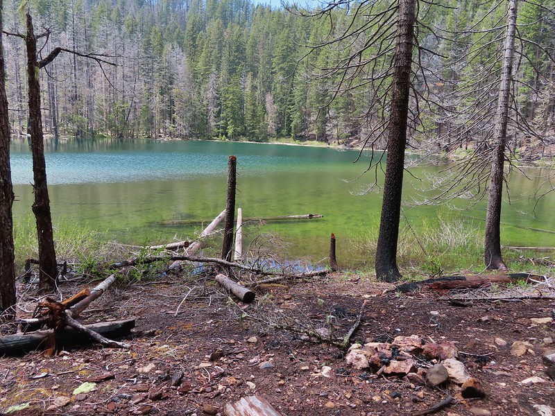
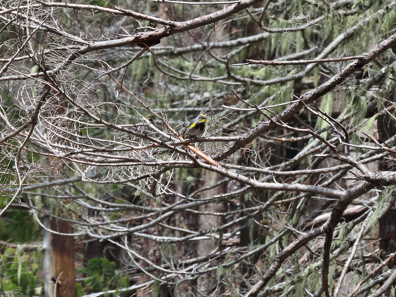 Yellow-rumped warbler
 Red-breasted sapsucker
 Stellar’s jay

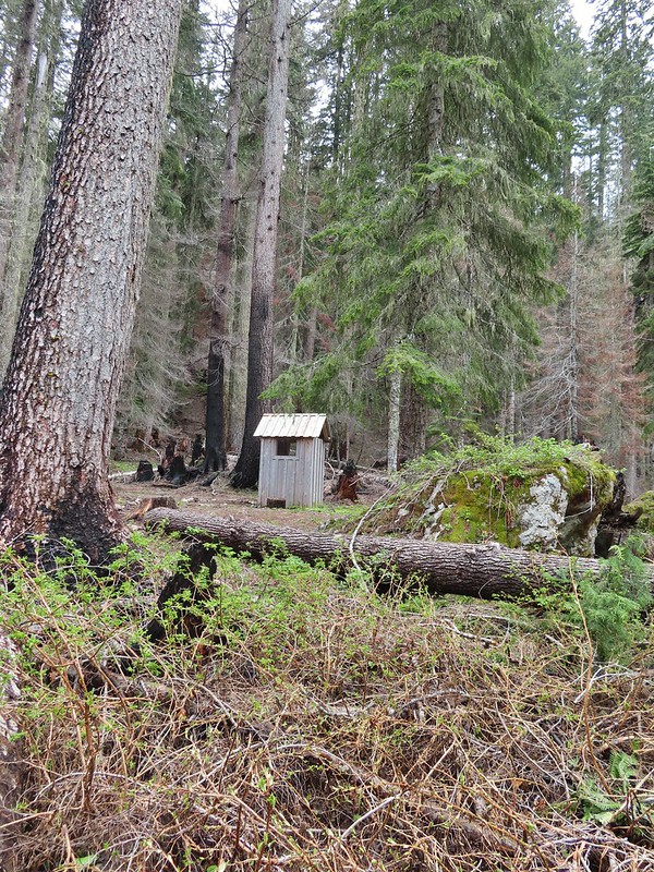

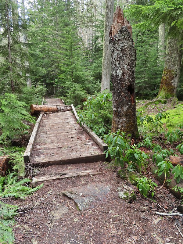
 This cracked us up, someone just nailed the planks into the tree that broke the bridge.
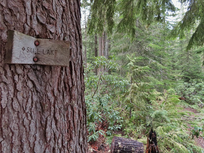 A small sign at the junction.

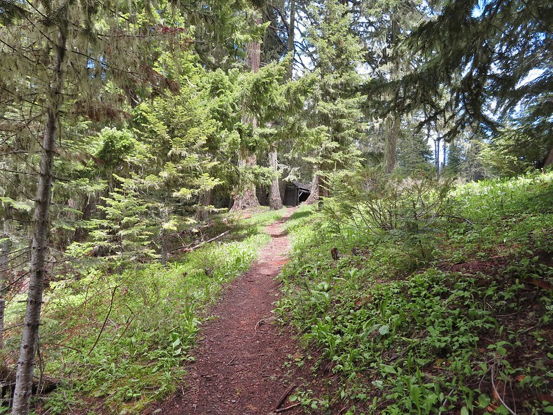
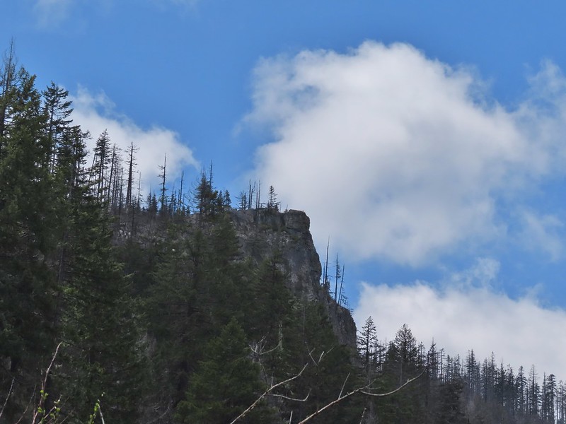
 Another meadow along the 1.1 mile section.
 The 2017 fire hit this section pretty hard.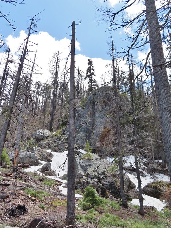

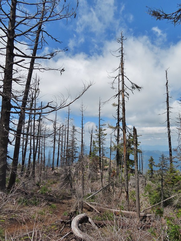
 The larger lake.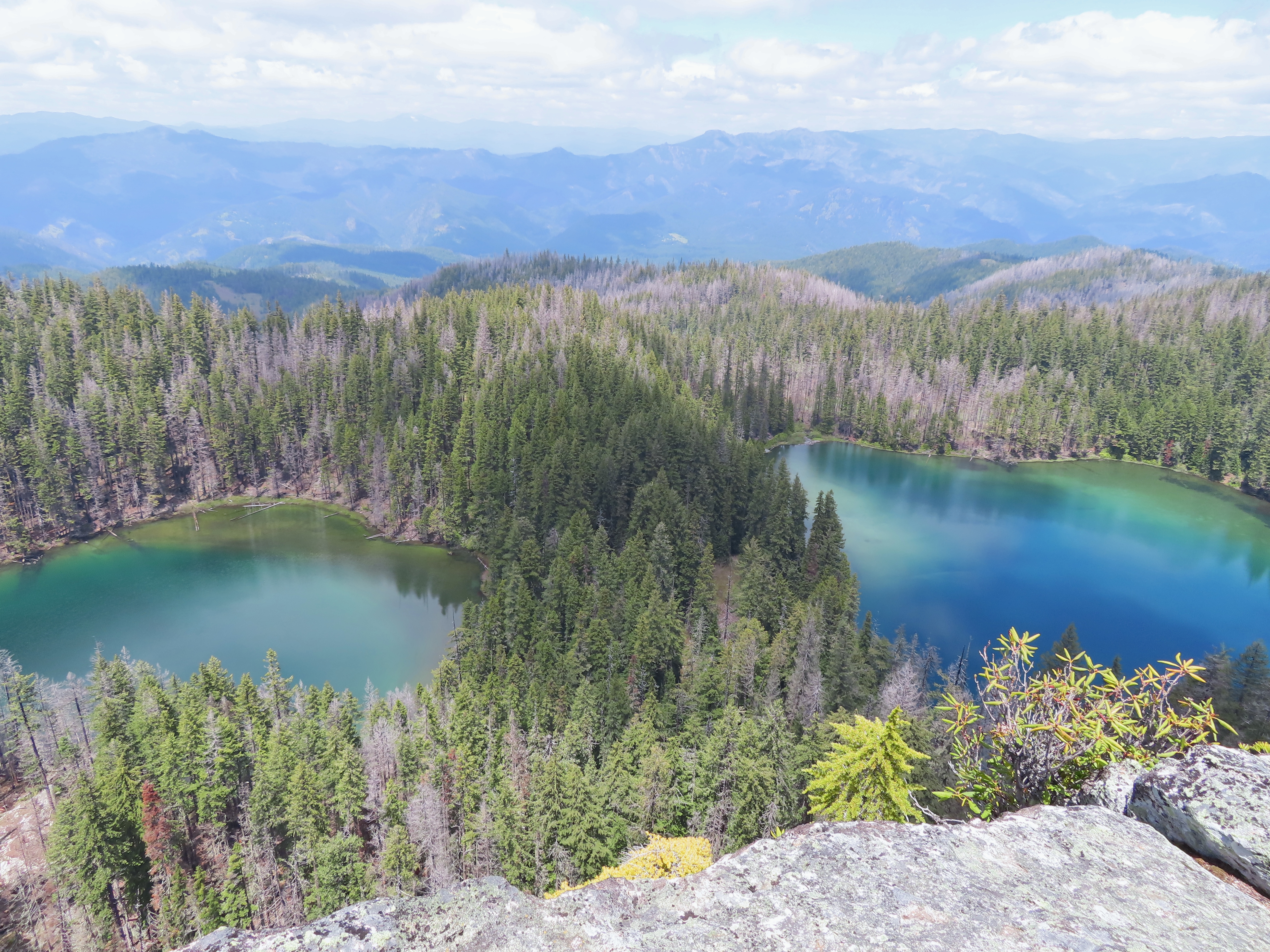
 The smaller lake.
 Illahee Rock from the viewpoint.
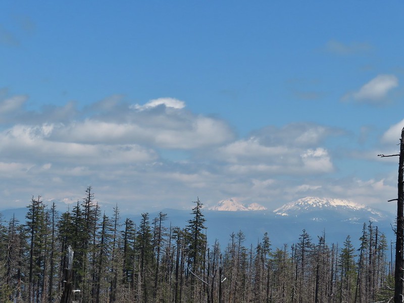 The lower flanks of Howlock Mountain, Mt. Thielsen (
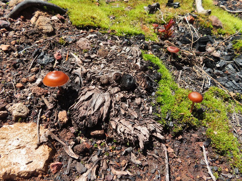
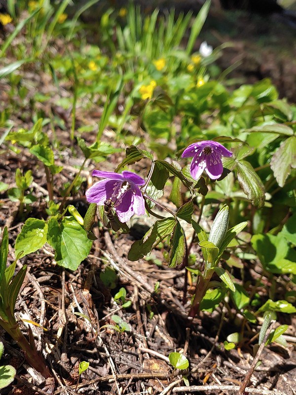 Bee on an anemone.
 Glacier lily
 Moth and a violet.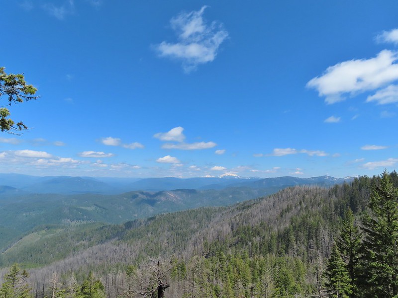
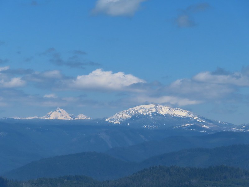 Mt. Thielsen and Mt. Bailey
 Black Rock on the right.
 Highrock Mountain
 Howlock Mountain
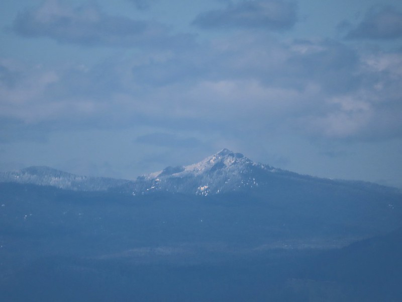 Cowhorn Mountain (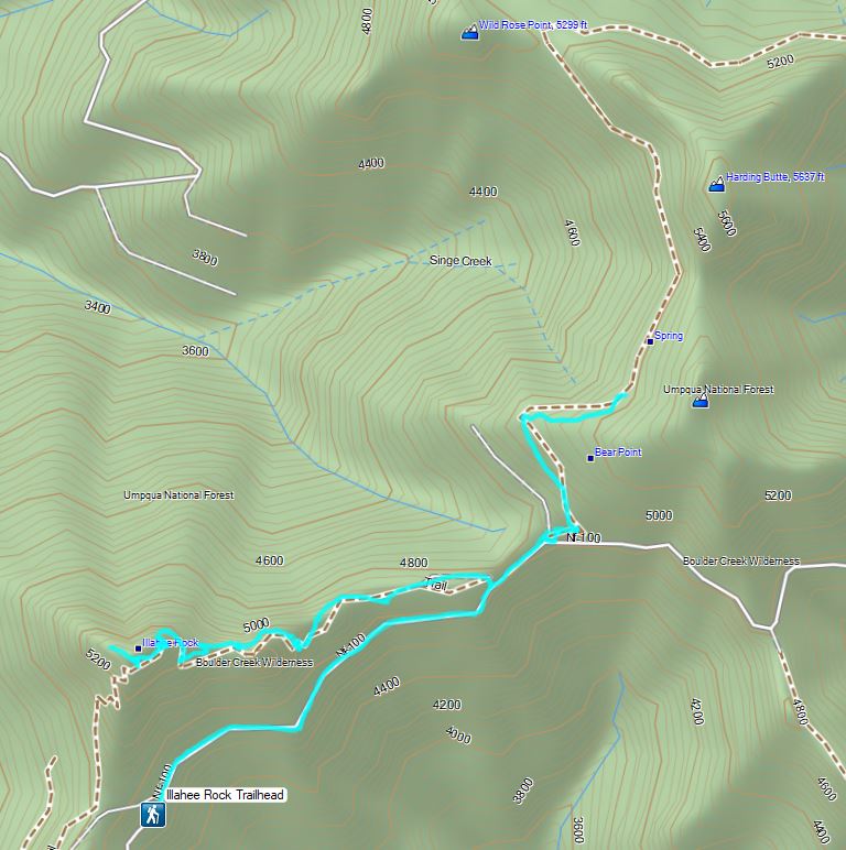
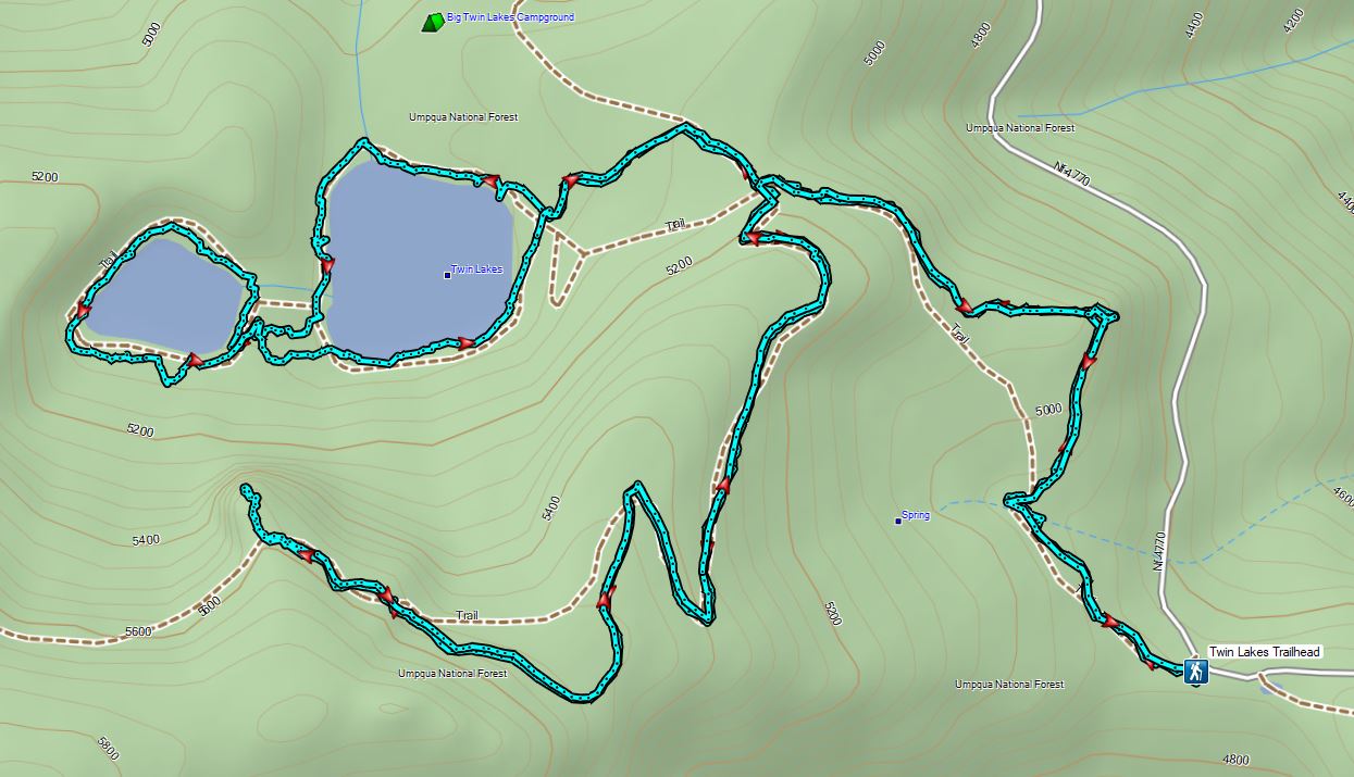

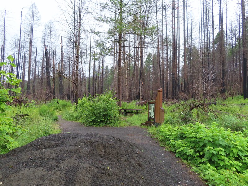
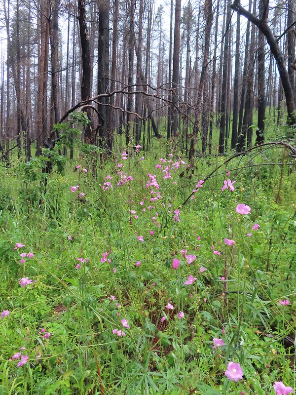 Checkermallow
 A slug and a bug on a flower.
 Pea
Pea
 Approaching the falls.
 Columbine
 Susan Creek Falls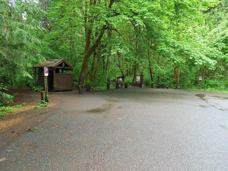
 Evidence of overnight rains on the trail.
 A very faint rainbow over the North Umpqua River.
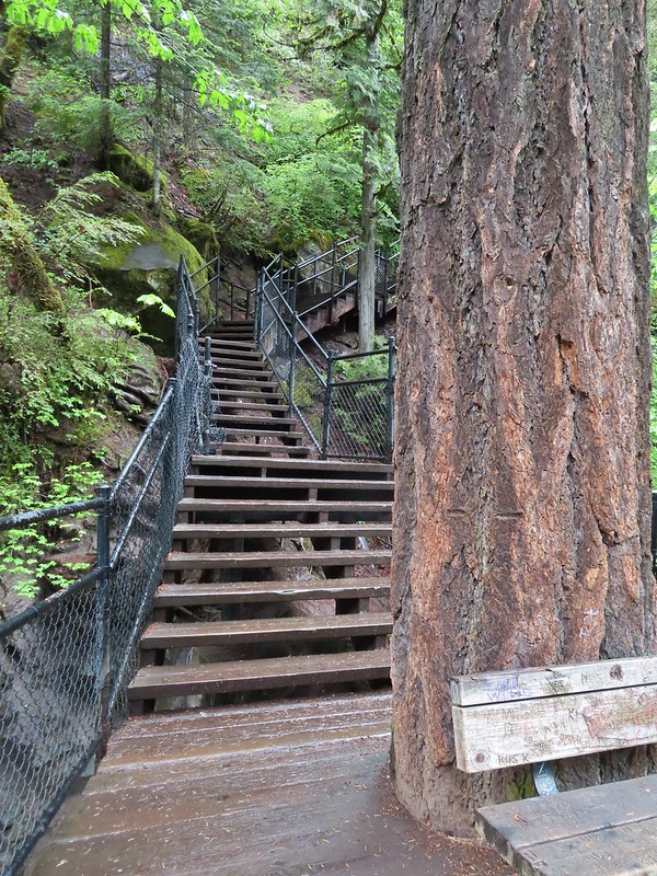 Stairs down to the viewpoint platform.
 Toketee Falls


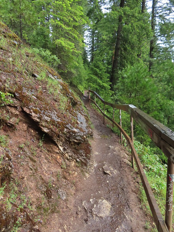
 Candy sticks along the trail.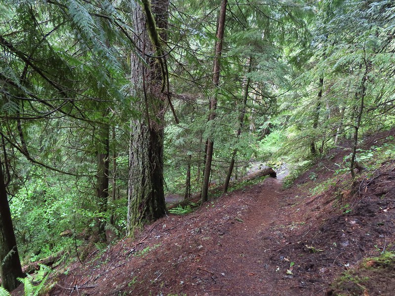
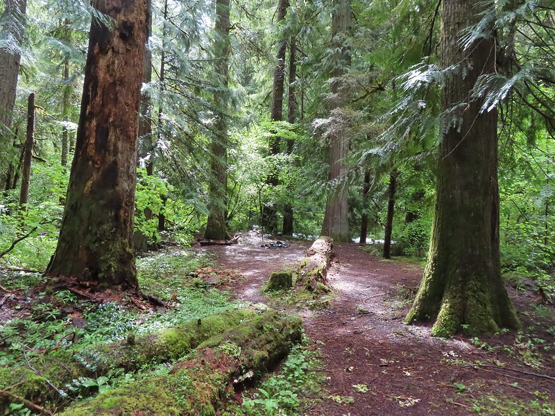
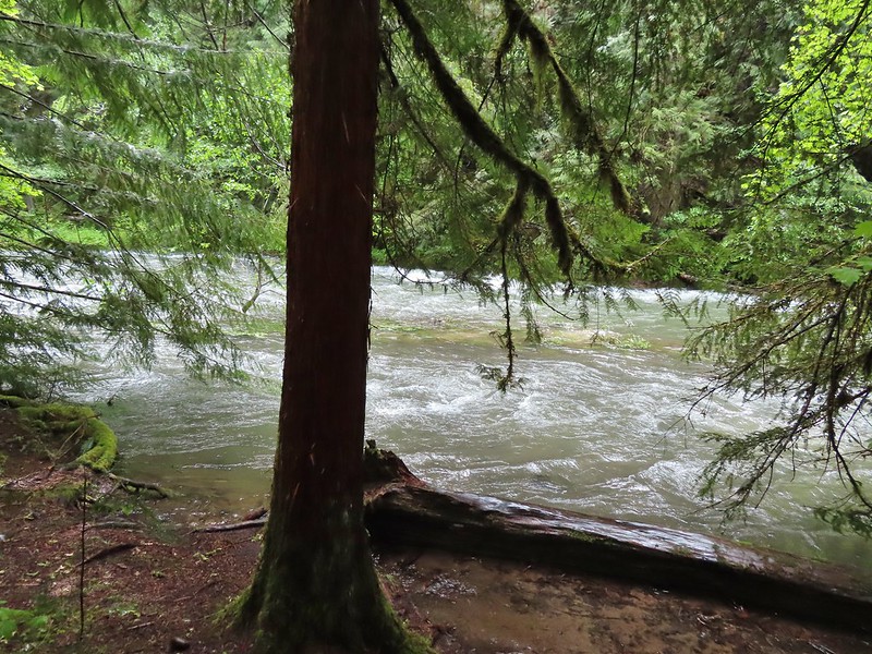 During lower flow there is another hot spring along the river bank in the area.

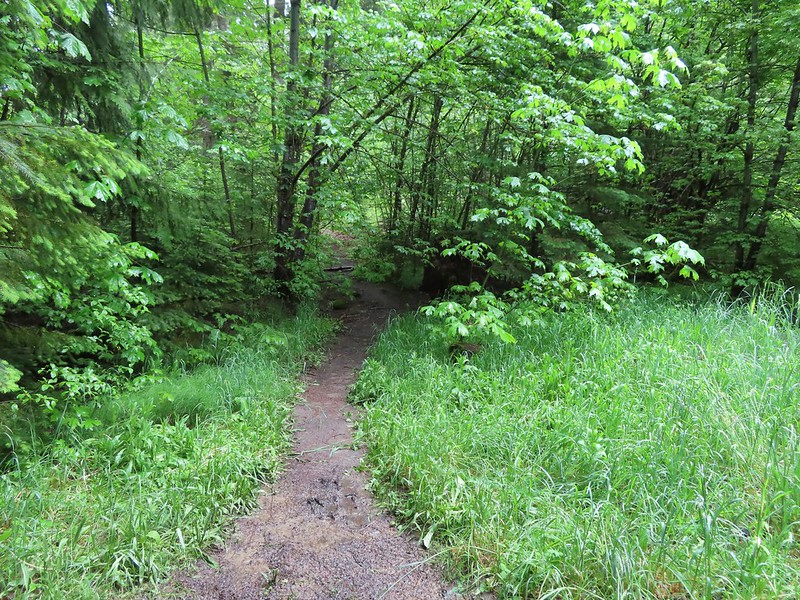 Heading up to the road.
 The North Umpqua Trail on the left leaving the FR 3401.
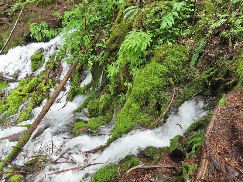

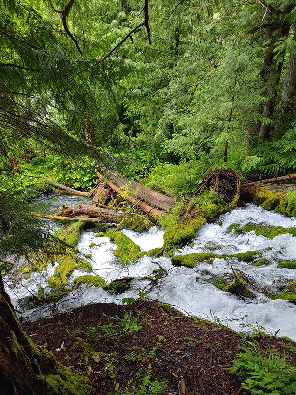
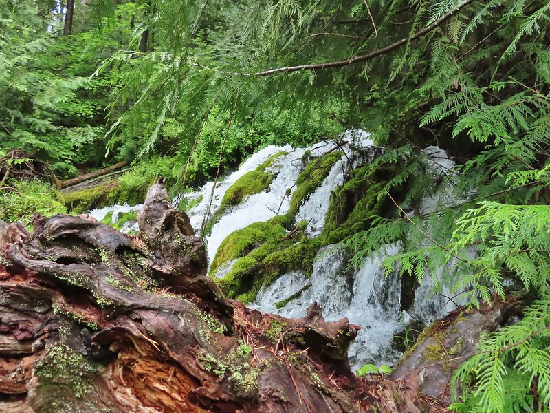
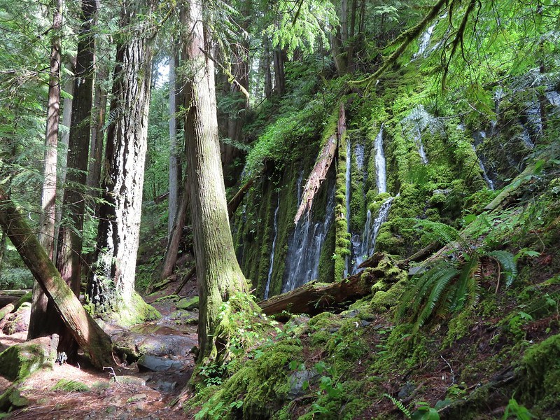
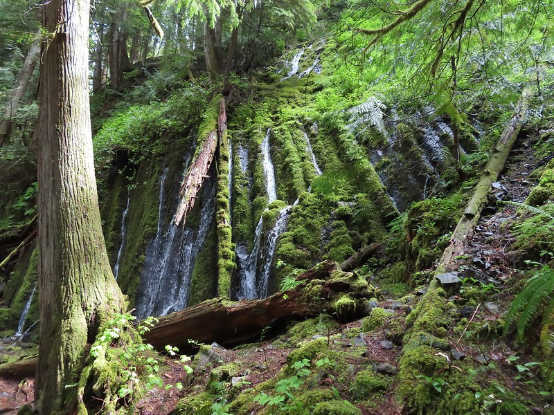

 The hot springs across the river from Columnar Falls.
 The top of Watson Falls from the trailhead signboard.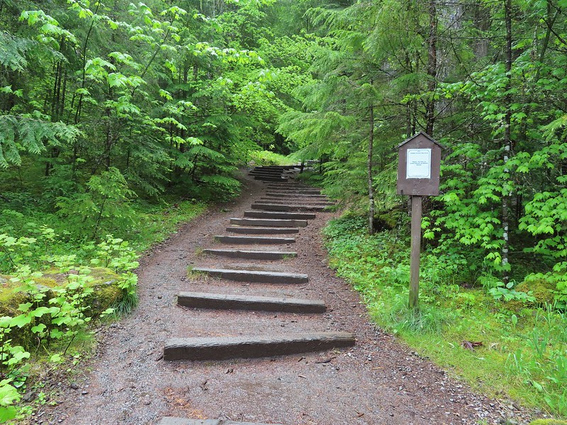
 Watson Falls from below.
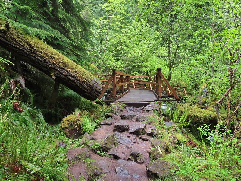 Footbridge over Watson Creek.
 Heather at the viewpoint.
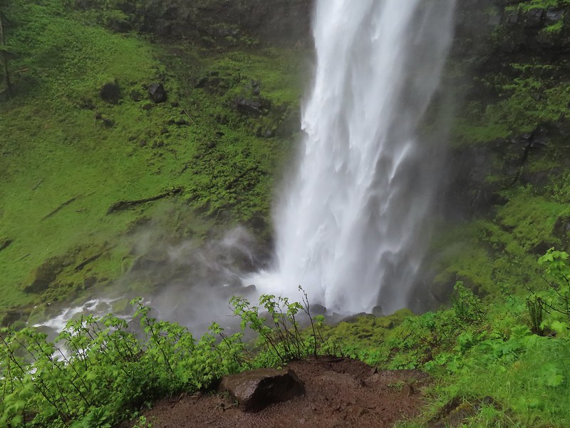 The splash pool.
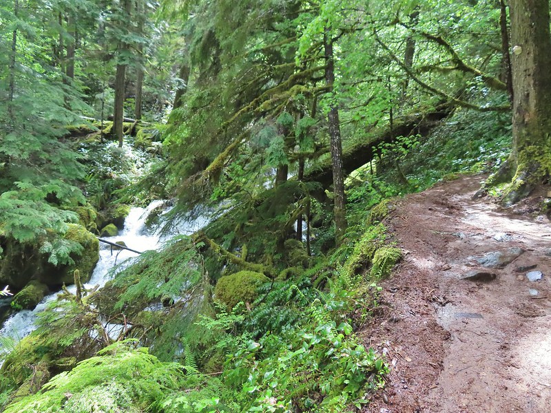
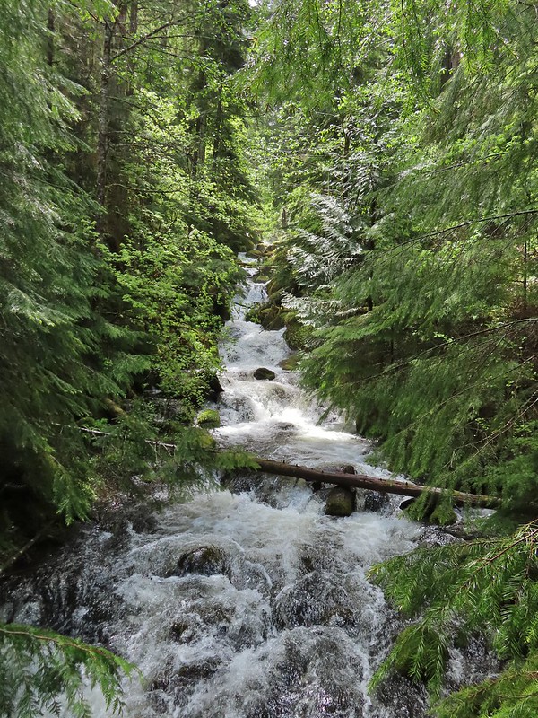 Watson Creek at FR 37.
 A little bit of blue sky and sunlight along FR 37.

 Viewing platform above the falls.
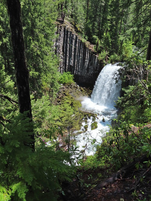 We both really liked the angled basalt cliff on the far side of these falls.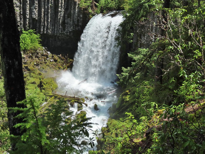
 The canal bridge is 5.6 miles from Highway 138 on FR 2610.
 Sign near the canal bridge.
 The North Umpqua Trail.
 The section between Lemolo Lake and the Umpqua Hot Springs Trailhead is called the “Dread and Terror Segment” but both sections we hiked were beautiful.
 Numerous seasonal streams and seeps flowed across the trail.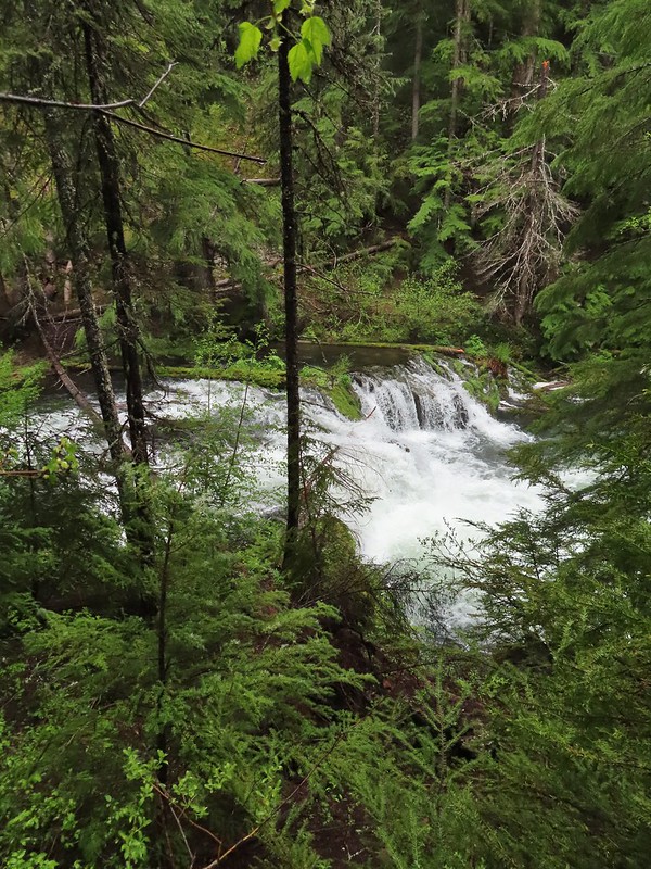
 Unnamed fall along the river.
 Trillium
 Ouzel
Ouzel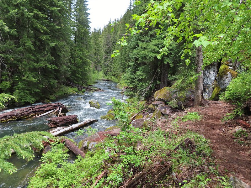
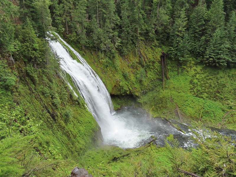 Lemolo Falls
 Red flowering currant along the trail.
 Bleeding heart.
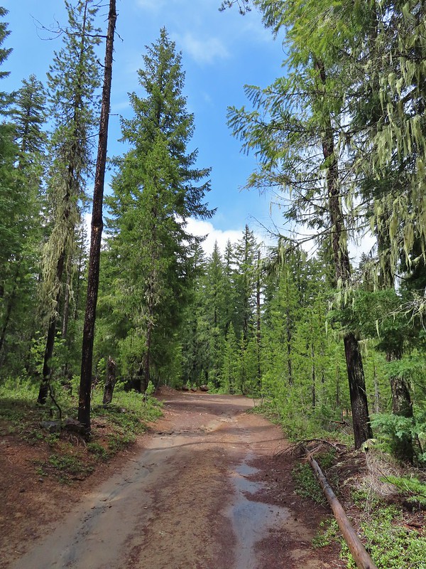 Approaching the trailhead.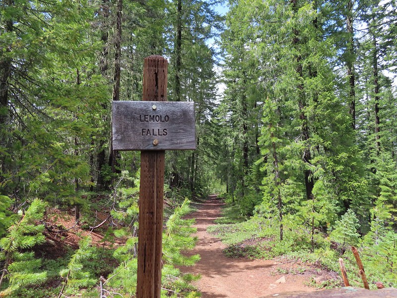

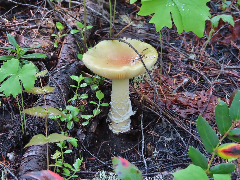
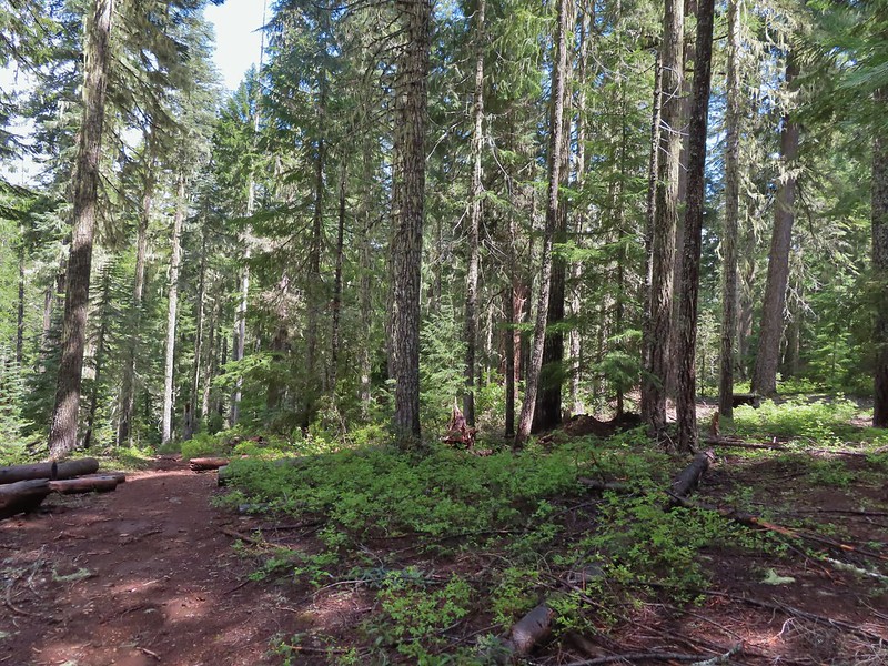 The former picnic area (Note the picnic table in the trees to the right.)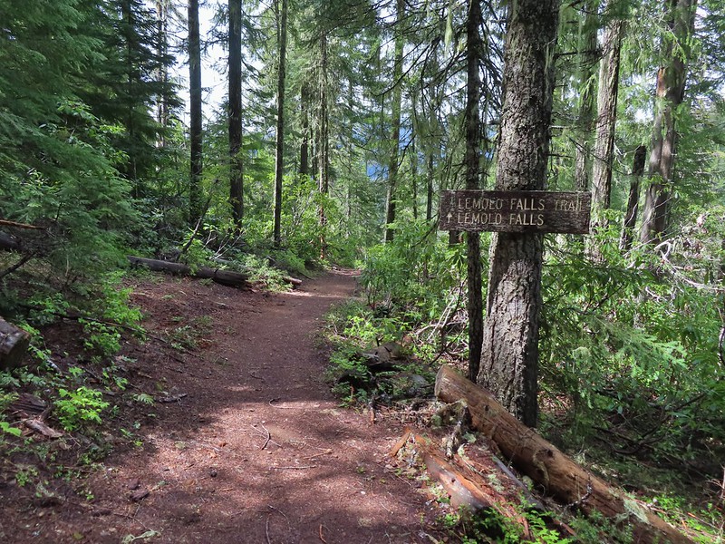
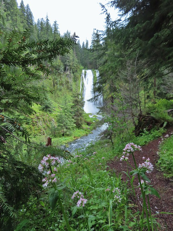 Valerian along the trail.

 One of many brief appearances of blue sky during the day.
 Setting off at 5:20am from the 1st gate.
 Roxy Ann Peak from the road.
 Jack rabbit
 Coming up on the 2nd gate.
 Sunlight hitting the hillsides on the far side of Medford.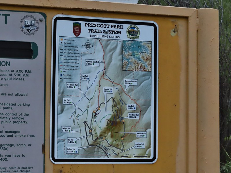
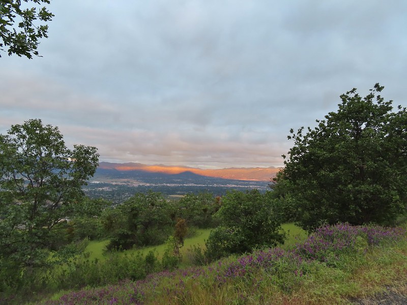 Roxy Ann’s shadow being cast over Medford.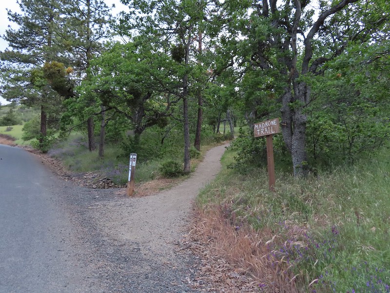
 Lots of purple vetch along the trails.
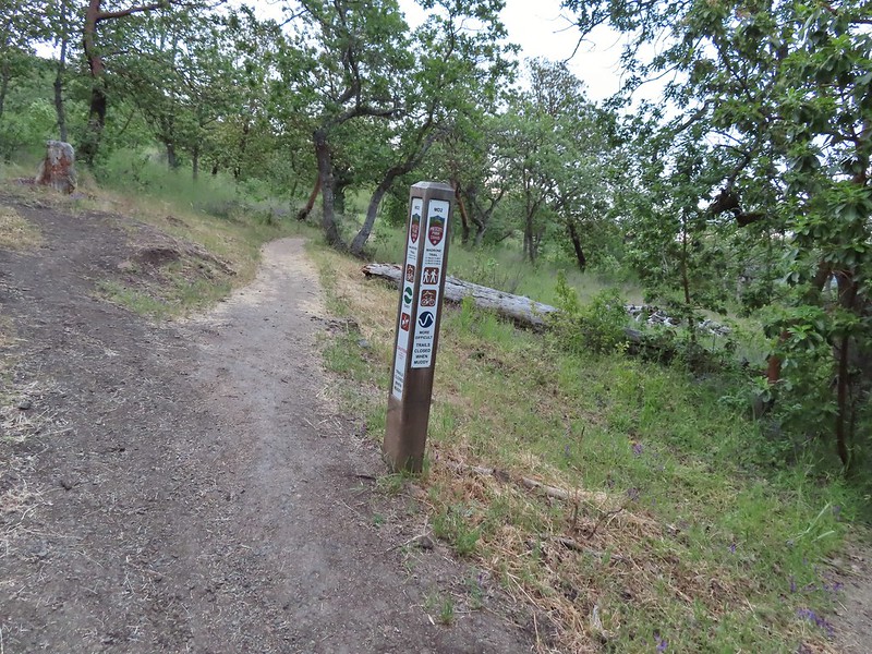 One of the posts used to identify trails.
 Madrones along the Madrone Trail.
 We turned left following the pointer for the Oak Trail.
 Juvenile great horned owl along the Oak Trail. We didn’t get a good look at the second owl to the left but it looked to be an adult.
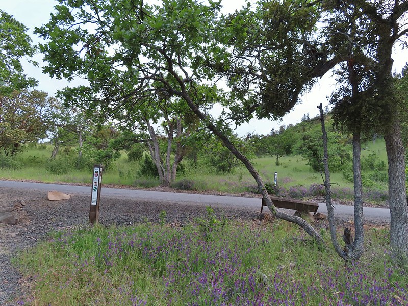 This segment of the Madrone Trail (MD3) ended at Roxy Ann Road with the Oak Trail picking up on the far side.
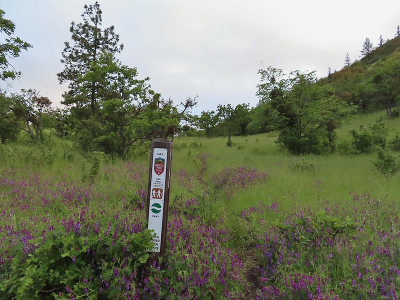 The Oak Trail
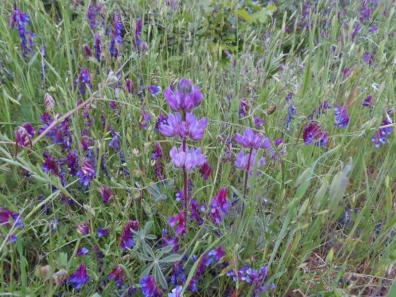 Lupine amid the vetch
 Camas in front of poison oak.
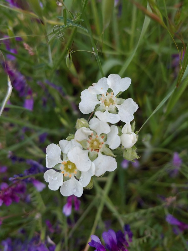 Carrotleaf horkelia
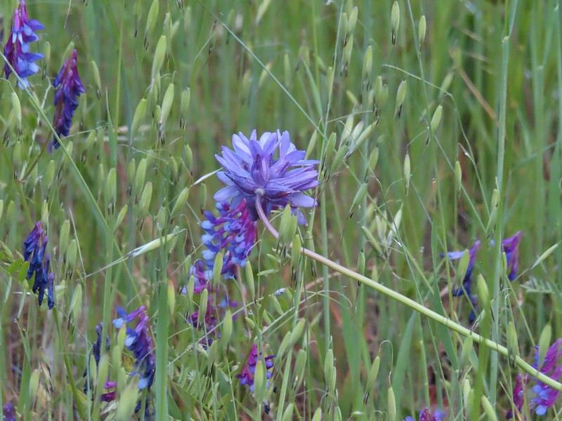 ookow
ookow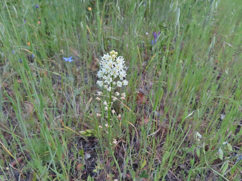 Death camas
 Blue-eyed grass
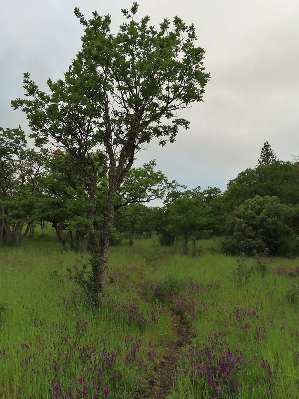 Oak along the Oak Trail.
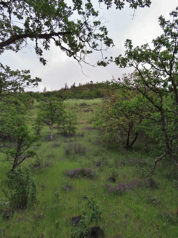 Roxy Ann Peak
 Blow wives
 The Oak Trail appeared to be the least used of all the trails we would hike on this day.
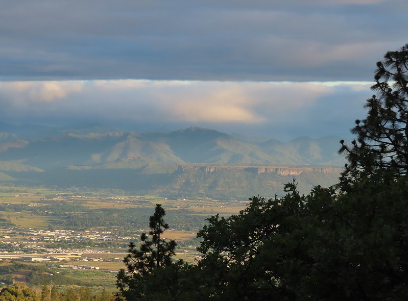 Lower Table Rock (
 The only post we saw that wasn’t helpful.
 Challenge Course just off the Oak Trail.
 Parts of the Challenge Course
 Trail junction near the Challenge Course with the Oak and Ponderosa Trails.
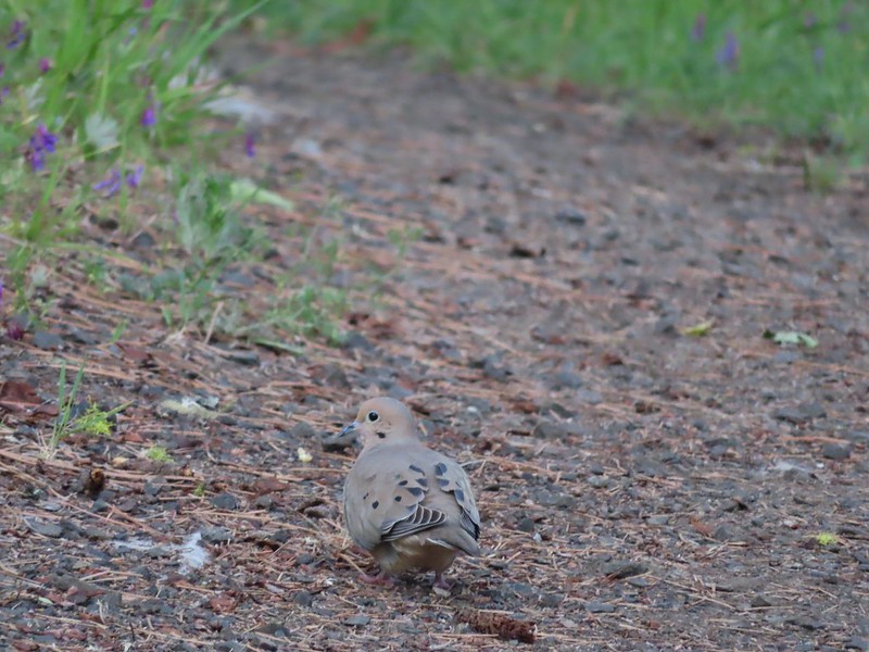 Dove
Dove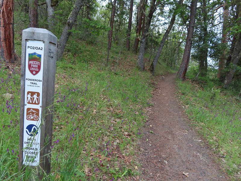 Hopping onto the Ponderosa Trail.
 Mariposa lily
 Lazuli bunting. We saw quite a few of these during our trip but they proved to be very difficult to photograph.
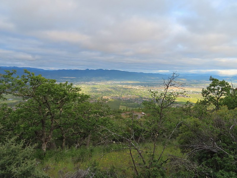 Medford from the Ponderosa Trail.
 Paintbrush
 Madia
Madia Lower Table Rock again.
 A bench and Ponderosa pines along the Ponderosa Trail.
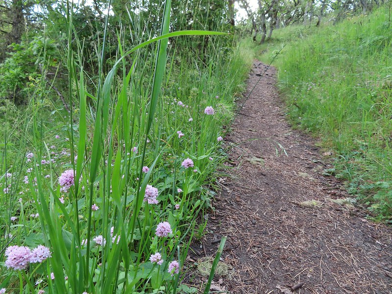 Plectritis
 Two more deer above the trail.
 Deer and balsamroot.
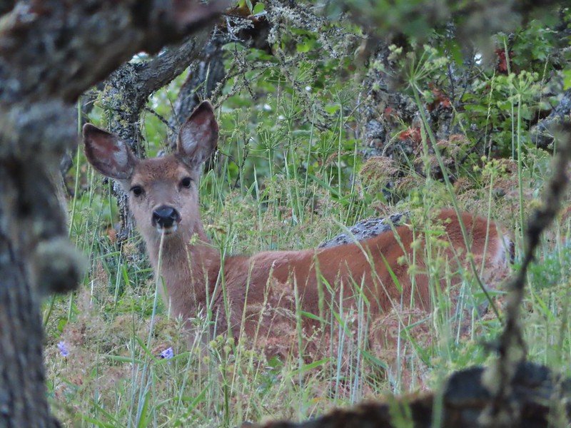 Young deer
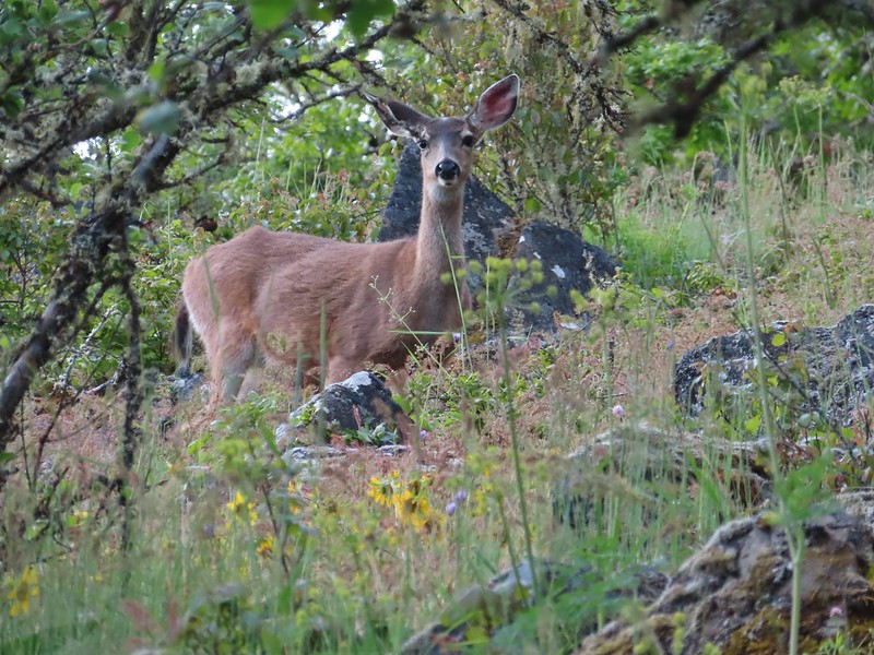 Momma deer
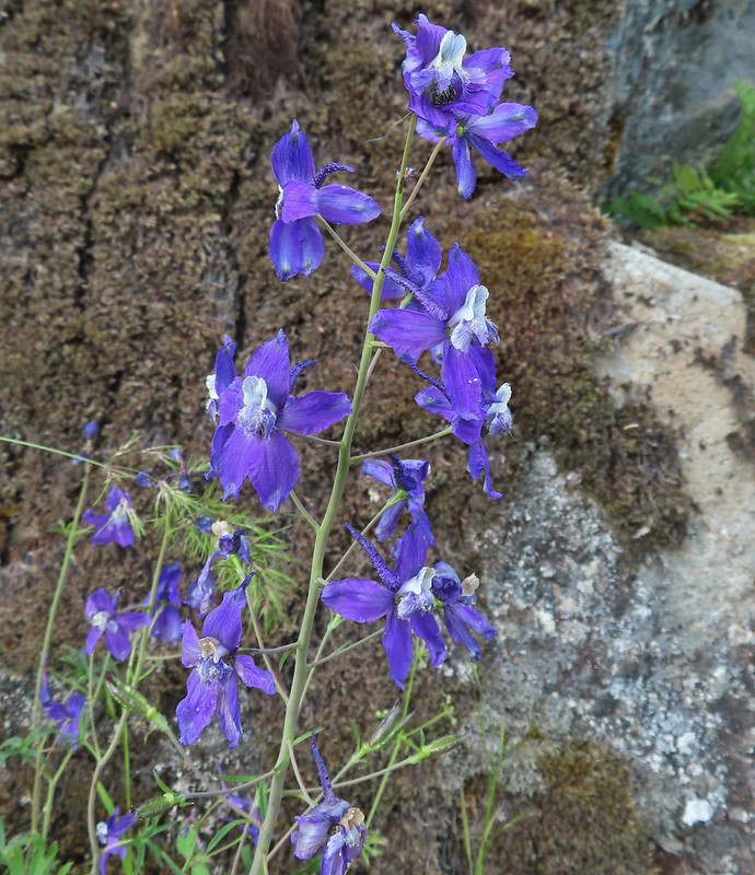 Larkspur
 Nearing Park Tower Road.
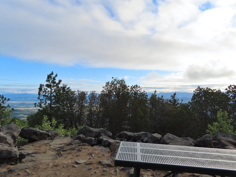

 Serenading lazuli bunting.
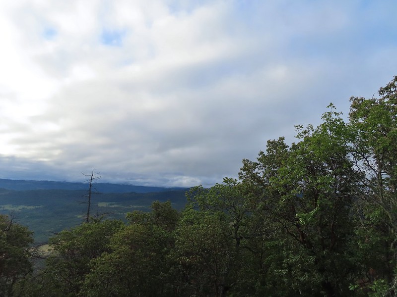 A lot darker clouds toward the Cascades.
 Sign for the Manzanita Trail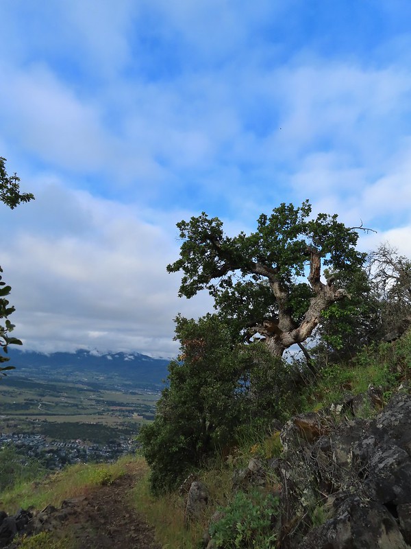
 The lower flank of Grizzly Peak (
 Looking NE from the trail, still a lot of clouds.
 Another bunting, we were on a roll.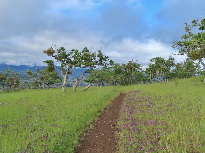
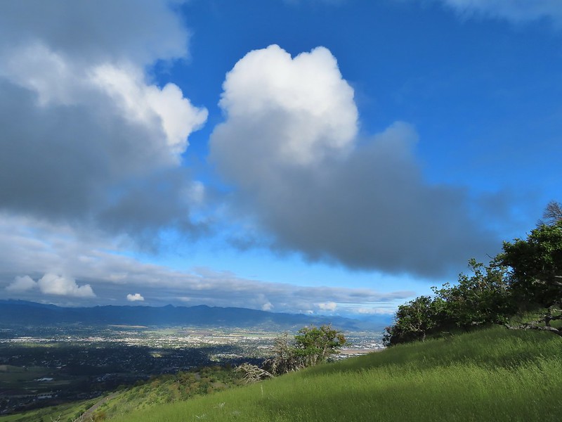 The clouds were really starting to break up as we descended.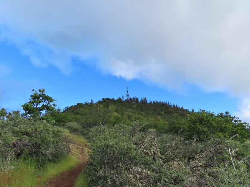
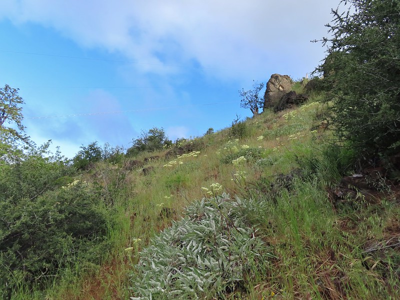 Arrow-leaf buckwheat on the hillside.
 Roxy Ann Road
 Back on the Madrone Trail.
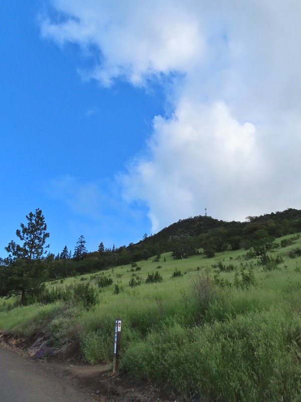 Back on the road walk. The trail post here is for the Greenhorn Trail.
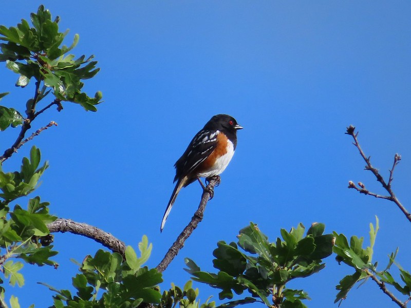 Spotted towhee.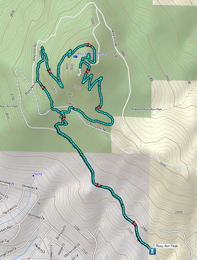


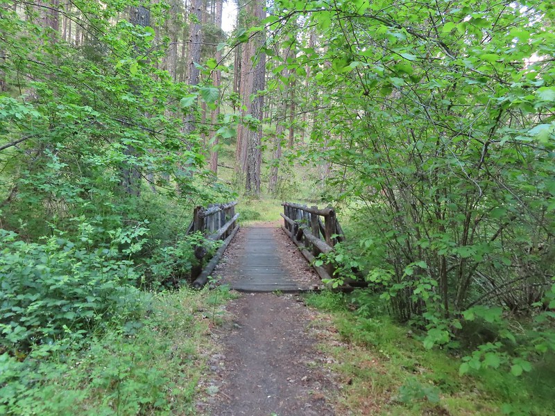
 Walk in campsite at French Gulch.
 French Gulch
 Hooker’s Indian Pink
 White lupine
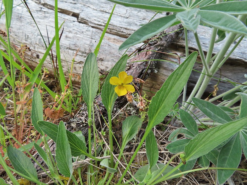 Violet
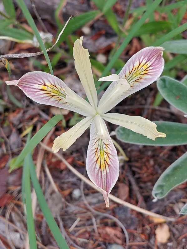 Iris
Iris Pretty face
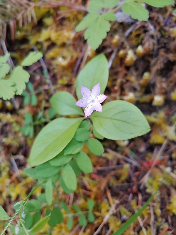 Starflower
 Columbine
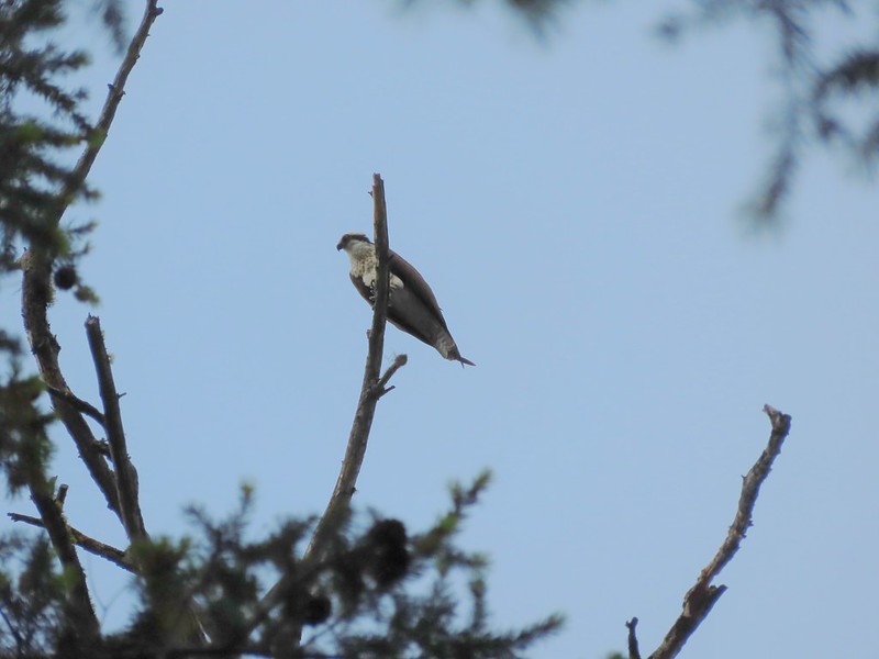 Osprey
 Ground cone
 Madrones near the the 5-way junction.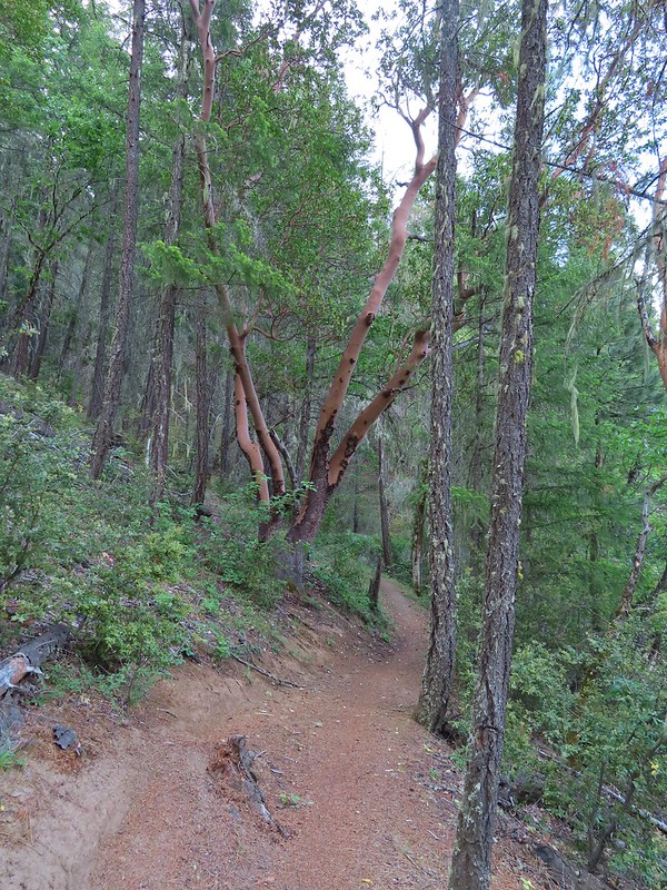
 The side trail to the right.

 Collings Mountain

 Penstemon
 Stricklin Butte in the distance.


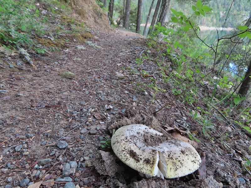 We didn’t see many mushrooms on the trip but this one was good sized.
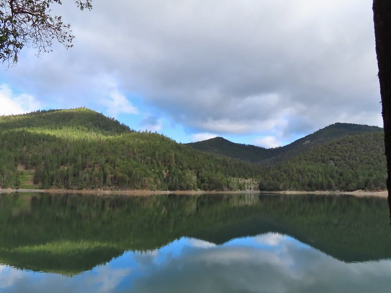 Collings Mountain on the left.
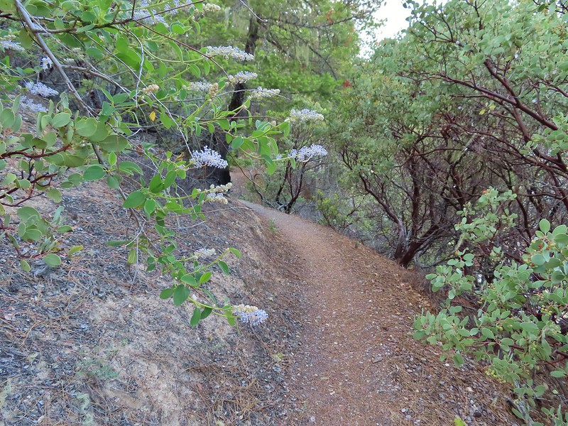 Deer brush and manzanita along the trail.
 Marble
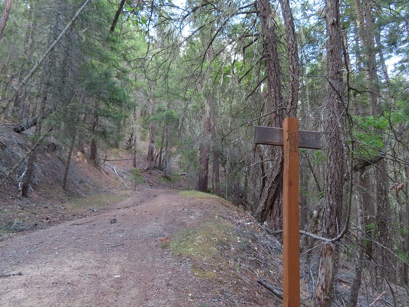 Rejoining the roadbed.
 Oregon sunshine
 Kellog’s monkeyflower
 heart-leaf milkweed
 Blue gilia
 Ookow
Ookow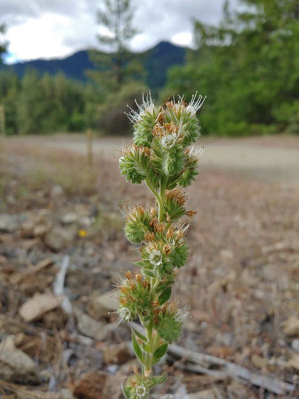 Silverleaf phacelia
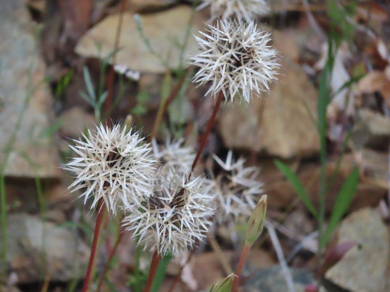 Blow wives?
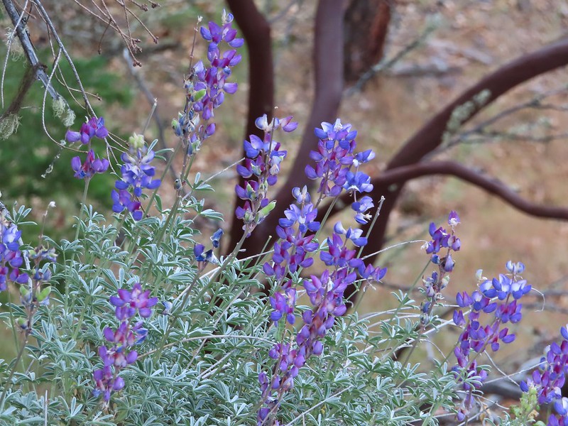 Lupine
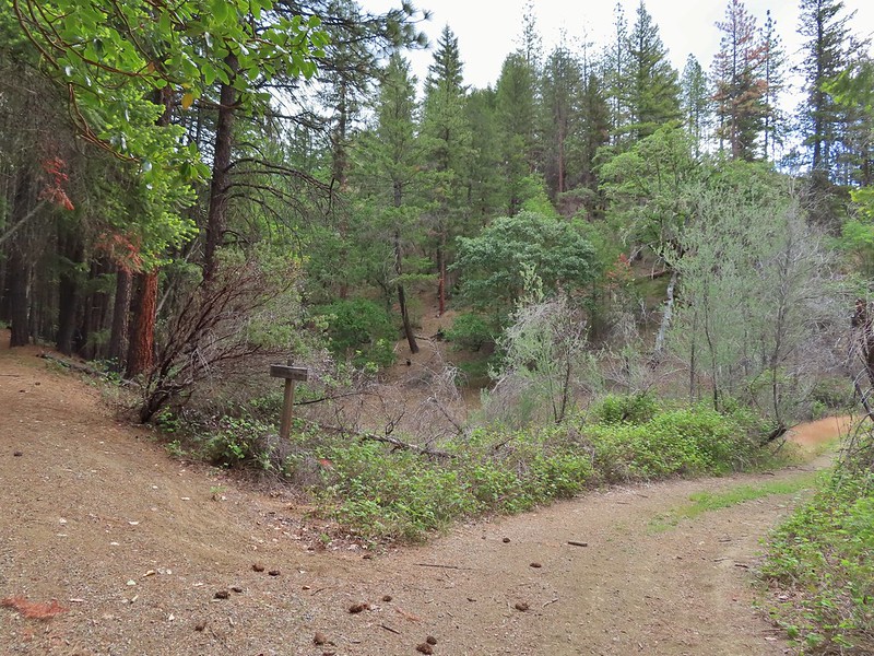 Payette Trail to the left.
 The road vanishing into the lake.
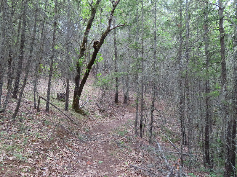 Back on the Payette Trail.
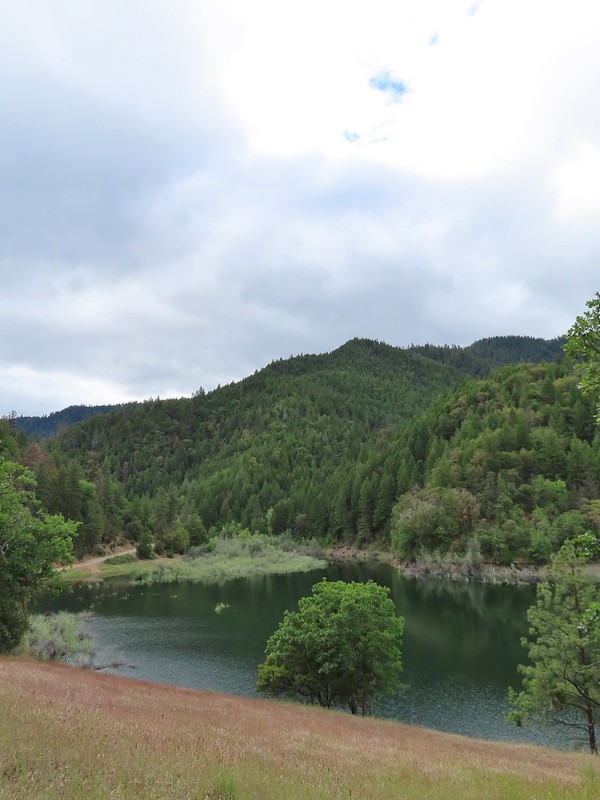
 Mallards
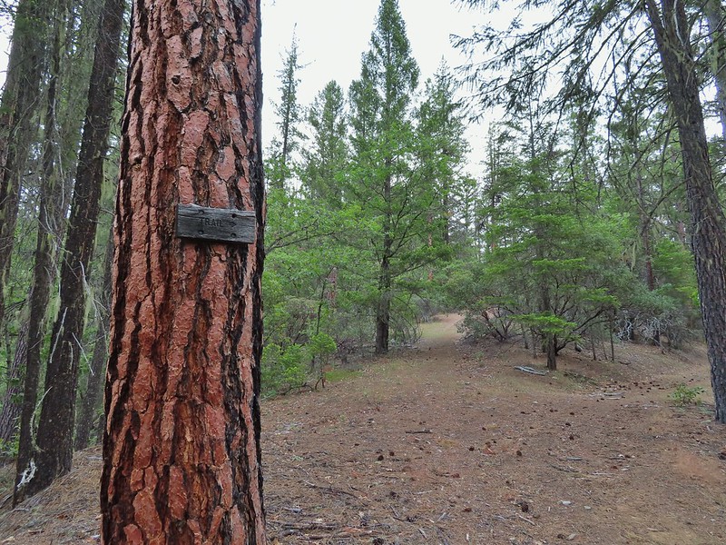
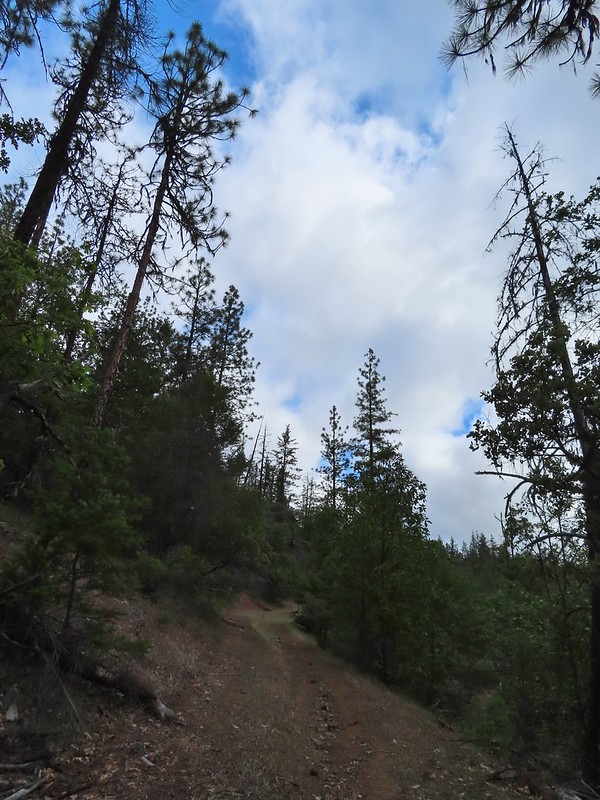
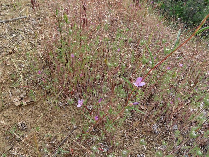 Clarkia
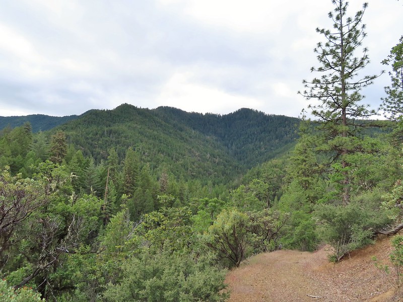 Looking back down the road.
 Mariposa lily
 This obvious trail split off from the road to the left. We’re not sure if it would have led us to the Osprey Trail possibly by old cabin ruins that are in the area or if it would have gotten us nowhere so we stuck to the road.
 The roadbed petered out a short distance from FR 1075 leaving a short cross-country scramble up to a pullout along the road where a section of barbed wire fence had been broken by what appeared to be an off-road vehicle of some sort based on tire tracks down the slope.
 Signboard at the pullout.
 Unintended road walk.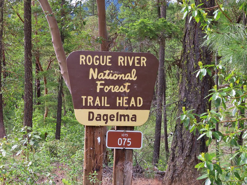
 The Dagelma Trailhead
 These chutes prevent equestrian and motorized users from passing through but also tend to attract poison oak.
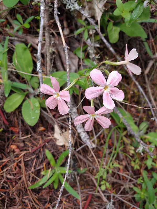 Northern phlox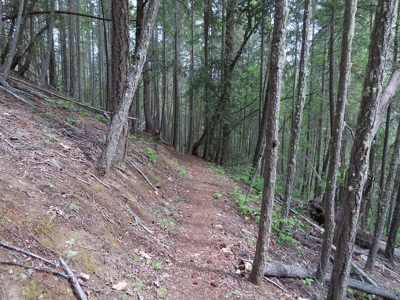
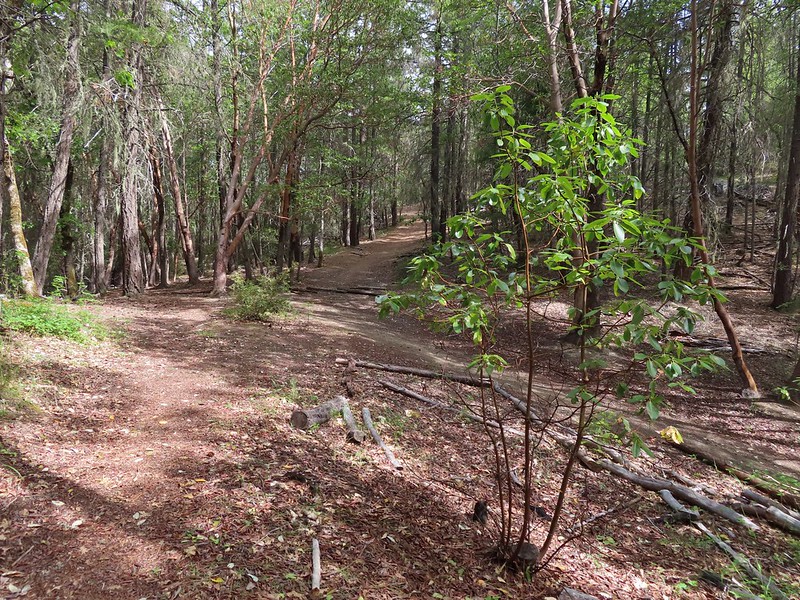 The 5-way junction.
 Junco
Junco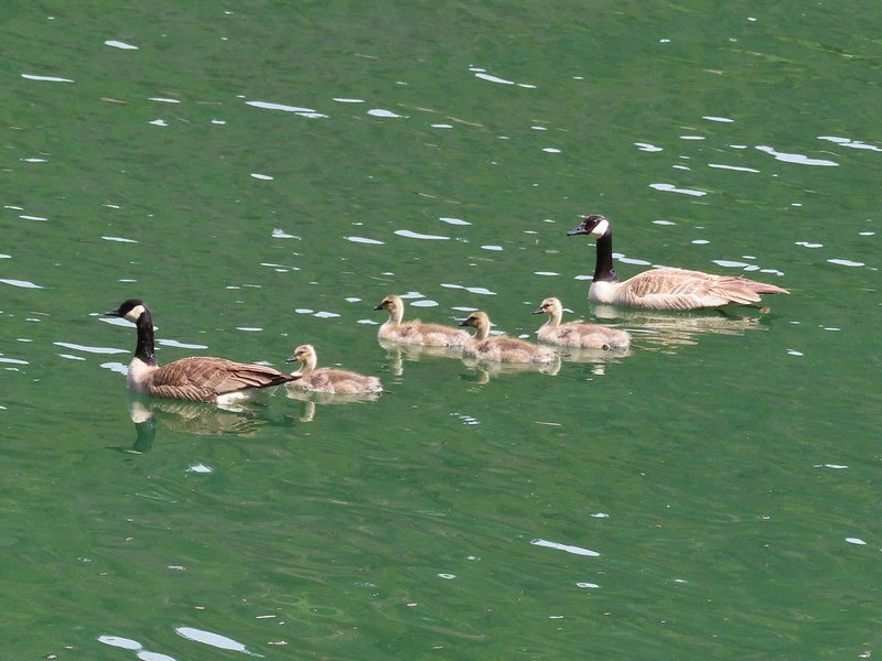 Canada geese in French Gulch.