Our hiking focus this year has been primarily on the Southern Oregon and Northern California area. This was due in large part to that being the area where the majority of the remaining hikes were located for us to reach our goal of hiking Sullivan’s 500 featured hikes (post). Over the last couple of years we’ve canceled several trips down to this area due to wildfires (and associated smoke) as well as inclement weather. In fact we were starting to wonder if we might ever get the chance to finish the featured hikes from the area. This year things have been different, in fact we switched our August vacation from the Wallowas in Eastern Oregon to Northern California because the conditions, for once, were more favorable.
One of the trips we’d canceled in recent years was a four day stay in Union Creek. (Dangerous air quality due to wildfire smoke.) We had placed that trip back on our schedule for this year hoping for better luck. There were no fires in the immediate area but a number of fires were burning elsewhere in Oregon and Northern California which could still send enough smoke into the area to affect air quality. We kept a close eye on the weather and air quality forecasts and while the latter looked good the weather forecast was a little iffy. There was potential for showers including snow at higher elevations (7500′) as well as a slight chance of thunderstorms on a couple of days. The forecast was good enough for us to give it a try. Of the four hikes we had planned, two were not view dependent so we could rearrange the order depending on the forecast.
The forecast for Saturday was for partly cloudy skies with a chance of showers all day and a slight chance of thunderstorms in the afternoon. We decided to attempt Union Peak despite the possible thunderstorms counting on summiting the 7709′ peak well before the arrival of potential thunderstorms. The most direct route from Salem to the Union Peak Trailhead is to take the West Rim Drive through Crater Lake National Park requiring the purchase of a $30.00, 7-day park pass. (Please note that both the Union Peak Trailhead and Union Peak itself are inside the park but do not require a park pass.) Since one of our other planned hikes started along West Rim Drive we would have needed a pass anyway so we entered the Park from the north entrance, purchased a pass, and then stopped at the Watchman Lookout Trailhead for a view of Crater Lake. Wizard Island
We continued through the Park past the south entrance to Highway 62 where we turned right toward Medford for a mile to the Union Peak Trailhead.
It was a little before 9am which gave us plenty of time to complete the hike based on the weather forecast. Both Sullivan and the trailhead signboard indicated that it was an 11 mile out-and-back. The sign calls this the “steepest” hike in Southern Oregon. We wondered what criteria that was based on?
The hike begins on the Pacific Crest Trail following it south for 2.5 fairly level miles to a signed junction with the Union Peak Trail.
There were a large number of big mushrooms along this section of trail as seen to the lower right.
One of the big shrooms.
A Stellar’s jay.
More of the big mushrooms.
Another Stellar’s jay.
Nearing the trail junction.
We veered right onto the Union Peak Trail which began with a gradual climb following a ridge toward Union Peak.
First glimpse of Union Peak through the trees.
Gardner Peak behind Goose Egg (center) to the SE.
Fireweed
It was cloudy but no showers so far and the clouds appeared to be well above the summit.
Townsend’s solitaire
I was so focused on Union Peak I failed to notice the deer to the right below until it and a nearby fawn bounded off.
Approximately 1.7 miles from the junction the trail passed an colorful rock outcrop on the right.
Mount Bailey in the distance to the right of the outcrop.
I missed more deer below the trail here, only noticing them when they started to run off. The last doe keeping watch as the rest of the deer disappeared into the forest.
Beyond the colorful outcrop the trail dipped to a saddle then turned left at the base of Union Peak passing through a boulder field then onto a cinder hillside.
Golden-mantled ground squirrel
Western pasque flower seed-heads along the trail.
Looking up at Union Peak and wondering how the trail got up there.
Nearing the cinder field.
The trail switchbacked in the cinders providing a nice view of Crater Lake’s Rim. Mount Scott (post) was the only peak covered by clouds.
The trail climbed back through the rock field and then came the steep part.
It’s always interesting to see the various rock that make up these volcanic peaks.
The Watchman and Llao Rock with Mt. Thielsen in between in the background.
That’s the trail on the right side of the photo.
Looking down at the trail below.
The trail was fairly easy to follow as it switchbacked up through the rocks. It was narrow in places which might be hard for those with a fear of heights.
The final pitch was more of a scramble than a hike though.
While there were no people at the summit the brush had attracted a fairly large number of yellow jackets.
I had reached the summit before Heather so I wandered back and forth along the top since every time I tried to sit down the yellow jackets took an interest in me, and I don’t do yellow jackets. Looking west toward the Rogue-Umpqua Divide.
Mount Bailey, Diamond Peak (post), and Mt. Thielsen behind the rim of Crater Lake.
The rim of Crater Lake.
The combination of clouds, smoke, and the position of the Sun impacted the view to the south which on a clear day would have included both Mt. McLoughlin (post) and Mt. Shasta. Mt. McLoughlin is to the far right with some clouds over the top. Starting from the left is Goose Nest, Goose Egg (with Gardner Peak behind), Maude Mountain (with a faint Pelican Butte behind to the right), Lee, Devil’s, & Lucifur Peaks (Mt. Shasta is behind those three.) followed by Mt. McLoughlin.
Heather joined me at the summit. Her dislike of heights had kicked in on her way up so she was ready for a nice break but after having been stung two weeks earlier the presence of the yellow jackets did not help her relax. We did however stay long enough for the clouds to start breaking up a little.
Mt. Bailey
The Watchman and Hillman Peak directly behind with Mt. Thielsen further in the distance.
Llao Rock
Applegate Peak
When Heather was ready we headed down. She was a little nervous but managed fine and we soon found ourselves crossing the boulder field again.
Looking back up from the rock field.
Mount Shasta arnica
By the time we were recrossing the ridge near the colorful outcrop a bit of blue sky had appeared behind Union Peak.
Bleeding heart
That trend continued and we imagined that the two hikers we’d passed on the way down were enjoying even better views than we’d had.
We had no complaints though. The smoke hadn’t been bad, we didn’t smell any at all until we were nearly back to the trailhead, and the clouds had kept the temperature down without raining at all. The Sun even made an appearance along the way.
One of several mountain bluebirds we spotted.
Bumblebees on a few remaining aster.
Sunshine
A sulphur butterfly.
Arriving back at the trailhead.
While Sullivan and the signboard listed this as an 11 mile hike our GPS came in at only 10 miles round trip. Either way there was 1600′ of elevation gain, much of which came in the final, steep, half mile.
From the trailhead we continued west on Highway 62 to the Edgewater Inn in Shady Cove, OR where we would be spending the next three nights. A quick check of the forecast for Sunday before bed revealed that “severe” thunderstorms were now forecast for Crater Lake overnight and Sunday called for clouds and a 50% chance of showers everywhere we’d planned on hiking. The good news was that our planned hike for Sunday was a visit to several lakes in the Sky Lakes Wilderness so showers wouldn’t really affect any views and getting some much needed precipitation was a lot more important than whether or not we would be getting wet on our hike. Happy Trails!
September has always been a bit tricky for planning hikes. Historically it seemed there was always at least one weekend where snow returned to the mountains while other weekends might see rain or 90 degree temperatures. In recent years extreme wildfire behavior has entered into the mix resulting in some devastating fires and some very unhealthy air quality as was the case with the Labor Day fires in 2020. A rare east wind event that year caused a number of wildfires to explode.
A similar, but not nearly as strong, wind event was forecast for Friday & Saturday which coincided with our third attempt at using a Central Cascade Overnight Wilderness Permit. We had planned on trying to reach Goat Peak in the Mt. Jefferson Wilderness after having failed to do so in September 2018 (post) but the combination of extreme fire danger and forecast for wide spread smoke resulted in our once again deciding not to utilize the permit we’d obtained. (An early snowstorm in 2021 and thunderstorms in July of this year were the reasons we’d changed our permit plans.)
We were still hoping to sneak some sort of hike in so I started looking for another idea. We didn’t want to go too far from home due to the potential for fast spreading fires but at the same time the Saturday forecast for Salem was a high in the mid-90’s and widespread haze/smoke. I turned to the Oregon Hikers Field Guide for inspiration and noticed the Spring Valley Loop in the Willamette Valley State Parks section. It was less than a 20 minute drive from home and at less than four miles would allow us to be done hiking by mid-morning and avoid the warmer part of the day.
Prior to leaving in the morning I checked up on a fire that had started the day before in South Salem along Vitae Springs Road and stuck my head outside to see if the air smelled of smoke. Everything seemed okay so we proceeded to get ready and headed out at about a quarter to 7am. While the air didn’t smell of smoke the sky had a familiar hauntingly orange hue to it. As we prepared to set off on the first of three short loops from the Spring Valley Trailhead we remarked at how dark it still was due to the layer of smoke overhead. (The majority of the smoke was likely from the Cedar Creek Fire near Waldo Lake (post) which had grown rapidly overnight toward Oakridge and Westfir prompting evacuations although there was also a new fire to the NE at Milo McIver State Park (post).)
For the first loop we walked back up the park entrance road approximately 400 feet to the Rook Trail on the left.
We followed this trail as it wound through the woods for nearly a mile before ending at the entrance road a short way from Highway 221 (Wallace Rd NW). The combination of low light and orange hue made for some poor photography conditions.
Approaching the entrance road. The gate is for the road which is only open during daylight hours.
We turned right onto the road and followed it for a tenth of a mile to the unsigned Generator Trail (there was some pink flagging present) and took a left onto this one-way trail.
The Generator Trail.
The 0.4 mile Generator Trail brought us back down to the entrance road between the trailhead and where we had turned onto the Rook Trail.
As we followed the road back to the trailhead we were discussing which loop to try next. That decision was made by the couple having an intimate moment in the back of a pickup parked at the start of the Perimeter Trail. We turned right, away from the show, and cut across the mowed field surrounding the vault toilet to pick up the also unsigned Upper Spring Valley Trail.
Spring Valley Creek passing under the entrance road.
The mowed field.
Upper Spring Valley Creek Trail.
The 0.7 mile Upper Spring Valley Creek Trail simply loops back to the trailhead so we hopped that by the time we had finished the short loop the couple was finished as well.
A few Autumn colors starting to show, now we just need some Fall rain.
Brief glimpse of the Willamette River.
The tailgate was up on the pickup, a good sign for us.
Some of the various non-native wildflowers in the area.
Before setting off on the Perimeter Trail we decided to make the quick detour down to the Willamette.
We didn’t quite make it to the river though as the couple had apparently decided to switch locations, but at least they were taking turns. We made a hasty retreat and set off on the Perimeter Trail. The Perimeter Trail begins to the right of the gate.
The Perimeter Trail loops around another mowed field but after 0.2 miles the signed TCC Trail splits off to the right into the woods (assuming you are hiking counter-clockwise).
Invasive common tansy but the beetle was cool looking.
We were initially fooled by this side-trail at the 0.1 mile mark which was not the TCC Trail, but did provide access to the Willamette. Willamette Mission State Park (post) is located on the opposite side down river.
There’s the TCC Trail.
After just a tenth of a mile on the TCC Trail it appeared that we were going to be led right back out to the field but the TCC Trail made a hard right and stayed in the woods for an additional four tenths of a mile.
Back to the field after half a mile.
At the field we turned right onto what in theory was the Perimeter Trail following it another 0.4 miles back to the trailhead.
Invasive Canadad thistle.
Common toadflax – non-native.
Moth mullein – you guessed it, non-native.
The Sun behind a layer of smoke.
Pigeons (or doves) in a snag.
The three loops came to a grand total of 3.5 miles with a little over 200′ of elevation gain.
While the conditions weren’t ideal there was a cool (mostly) breeze and it never smelt like smoke. Early Spring would be a much better time to visit or maybe a little later once more of the leaves have had time to change color but given the circumstances it was a suitable destination. It was nice to find another option so close to home too. Happy Trails!
For Labor Day Weekend we continued our focus on featured hikes from the Southern Oregon area and headed for the Rogue-Umpqua Divide Wilderness to visit several lakes. Our goal was to finish hikes #6 & 7, Fish Lake and Buckeye & Cliff Lakes respectively. To do this we planned hiking into Fish Lake from the Beaver Swamp Trailhead, setting up camp there, and then taking the Lakes Trail from there to the Buckeye and Cliff Lakes for a loop described by Sullivan visiting Grasshopper Mountain. We planned on hiking out the next day one of two ways, either by Rocky Ridge which Sullivan described as a rough route requiring route finding skills or back the way we’d come via the Beaver Swamp Trail.
We made an unscheduled stop on the drive to the trailhead at South Umpqua Falls (We used our NW Forest Pass to cover the $5 day use fee). My Mom had mentioned a water fall along the South Umpqua River that they had not made it to during their explorations and when I saw the sign for the South Umpqua Falls picnic area I thought this might be the falls she was talking about so we pulled in for a quick peek.
We had the popular swimming area that often draws large crowds all to ourselves. We began by visiting the base of the falls then hiked up above the falls.
Ouzel
In all our wanderings here came to 0.4 miles, a good leg stretcher after having driven for a little over 3 hours. We then continued on our drive to the Beaver Swamp Trailhead which we arrived at shortly after 9am.
We set off downhill on the Beaver Swamp Trail which promptly entered the Rogue-Umpqua Divide Wilderness.
It was surprisingly overcast and a light drizzle was falling as we hiked through a mixed forest with madrone trees and sporadic poison oak. When I’d checked the forecast the night before it simply called for “widespread haze” with Sunday showing as sunny.
After 1.4 miles on the Beaver Swamp Trail we arrived at the Fish Lake Trail where we turned left.
This trail followed Fish Lake Creek for 0.3 miles to Fish Lake.
Small cascade on Fish Lake Creek.
Logs at the outlet of Fish Lake. The Indian Trail can be seen on the far side. This junction was unmarked and you would have to cross the logs to reach it. In theory one could take this trail to the Lakes Trail near Buckeye Lake, but as we understand it the trail does not receive regular maintenance so we did not include it in our plans.
Arriving at Fish Lake
We continued around the northern shore of the lake for three quarters of a mile passing the one other family camped at the lake along the way (more on them later). Before reaching Highrock Creek we followed a use trail uphill to locate a suitable campsite. When we passed by the campers we caught the distinct smell of campfire smoke which, as of 7/22/2022 had been prohibited in Wilderness areas within the Umpqua National Forest. (Not a good start with this group.)
The clouds began burning off before we’d found our campsite.
We set up camp on a little knoll near an old stone foundation. We’re interested to know what used to be there but so far haven’t found any information on it.
After setting up camp we returned to the Fish Lake Trail which appears to have been rerouted through a large and elaborate campsite. A little too developed for Wilderness standards.
From the large campsite the trail followed Highrock Creek for 0.6 miles to a fork. The Fish Lake Trail actually veered uphill to the left and the Lakes Trail picked up to the right. A dry channel along Highrock Creek.
Crossing an unnamed creek.
The trail junction.
Just beyond the junction the Lakes Trail crossed Highrock Creek and began a steady climb along a hillside above Fish Lake. Highrock Creek. There were several nice pools here which we utilized to replenish our water on our way back to camp.
Foam flower and a few ripe thimbleberries, Heather’s favorite.
This trail was well maintained and after approximately 2 miles we arrived at a junction with the Grasshopper Trail. A couple of things to note about this segment of the Lakes Trail. Sullivan showed it as 1.7 miles so this was a little longer than we’d expected, but more importantly the trail alignment shown our GPS unit’s topographic map had the trail quite a bit higher on the hillside. (CalTopo agrees with our actual track so it appears to be accurate.) The junction with the Grasshopper Trail
We decided to make the climb to Grasshopper Mountain before visiting the two lakes so we turned right onto the Grasshopper Trail and trudged uphill gaining 860′ in the next 1.25 miles before arriving at a junction near Grasshopper Spring.
Pine white
Sign for the Gasshopper Mountain Trail.
Grasshopper Spring is out there somewhere.
We turned right onto the Grasshopper Mountain trail. This three quarters of a mile trail climbed another 350′ to the site of a former lookout. The climb was surprisingly gradual and passed through a variety of scenery along the way. We had to go around this big tree.
A few aster
There were some good sized cedars up here.
A fritillary
Another big cedar.
Fritillary on pearly everlasting.
The final stretch to the summit passed through a fire scar.
Highrock Mountain to the left, Hershberger Mountain in the middle, and the Rabbit Ears to the right (post).
Rabbit Ears closeup.
Fish Mountain (back left), Weaver Mountain, Highrock Mountain, and Hershberger Mountain with Grasshopper Meadow below.
Highrock Mountain
Owl’s clover.
Arriving at the old lookout site.
We spent some time enjoying the view but a lack of shade (and places to comfortably sit) kept us from taking a longer break at the summit.
Buckeye (left) and Cliff Lakes below Grasshopper Mountain. The broad hump beyond to the left is Twin Lakes Mountain. We had visited a viewpoint on the north side of that mountain back in June of this year (post).
Buckeye and Cliff Lakes
Smoke on the horizon to the NW. The Cedar Creek fire to the NE, Rum Creek Fire to the SW or several fires in Northern California could be the culprit(s). The peak with the white spot to the center right is Quartz Mountain which we recognized from our Hemlock Lake hike in August (post).
To the NE we got a glimpse of Rattlesnake Mountain (far left) which we’d climbed during Labor Day weekend in 2020 (post).
Rattlesnake Mountain behind Standoff Point.
We headed back down toward the Grasshopper Trail but instead of simply retracing our steps we veered right after 0.6 miles on a spur of the Grasshopper Mountain Trail that brought us to the Grasshopper Trail on the opposite side of a saddle from where we’d left it.
A skipper
We veered right here which kept us from dropping below the saddle that we otherwise would have had to climb over on the Grasshopper Trail.
Descending to the Grasshopper Trail.
Trail sign at the other junction.
We turned right again and continued on our loop following the Grasshopper Trail downhill to Grasshopper Meadow. Grasshopper Meadow through the trees.
Sign for a (faint) spur trail to a spring above the meadow.
The Grasshopper Trail skirted the meadow and a half mile from the saddle arrived at a signed junction with the Acker Divide Trail. Highrock Mountain from Grasshopper Meadow.
A few flowers hanging on to the last days of Summer.
Common wood nymph
The trail got pretty faint just before the junction but we could see the trail sign so we just headed for it.
Fleabane? and paintbrush.
Acker Divide Trail pointer.
Pointer for Cripple Camp (we visited the shelter there on our Hershberger Mountain hike) and the Rogue-Umpqua Divide Trail.
We turned right onto the Acker Divide Trail following this trail for a total of 3.2 miles (per our GPS, Sullivan had it as 3) passing a spur to the Acker Divide Trailhead at the 1 mile mark, Mosquito Camp at the 1.4 mark, and a pond labeled Little Fish Lake in the guidebook after 2.8 miles. This appeared to be the least utilized trail that we’d been on. It was fairly well maintained but there was a lot of debris on it and vegetation crowding the trail. It also left and reentered the wilderness area a couple of times.
This fuzzy caterpillar was in a hurry.
The trail along an old log.
Passing through a small meadow near the spur to the Acker Divide Trailhead.
Yarrow and goldenrod
The area was really well signed.
Sign for Mosquito Camp on the tree to the right. There was zero sign of any established campsites here.
Meadow at Mosquito Camp, it came complete with mosquitos (not too many though).
First of two times reentering the Rogue-Umpqua Divide Wilderness.
Scat on the trail, at least we knew something used it.
One of several very small bodies of water along Skimmerhorn Creek which may or may not be Little Fish Lake.
Overgrown trail near Skimmerhorn Creek.
Looking down at the pond? lake?
As we neared the Lakes Trail we began seeing more signs of what appeared to be an ancient lava flow.
Last of the lupine blooms.
Lots of these insect tents on the madrones in the area.
Arriving at the Lakes Trail.
At the Lakes Trail we again turned right following it briefly through a fire scar before reentering unburnt forest and arriving at Buckeye Lake after 0.4 miles.
First glimpse of Buckeye Lake
At this fork we detoured right to visit the lake shore.
A good reminder that far too many people tend to forget.
Grasshopper Mountain from Buckeye Lake.
We were surprised to find that there was no one at the lake given that it’s just a mile from the Skimmerhorn Trailhead. While there were no people to be seen we were not alone. Lizard
We had to really watch our step because these little guys were everywhere.
There is an smaller, unnamed lake just West of Buckeye Lake that we did not take the time to check out closer.
From the far end of Buckeye Lake we followed the Lakes Trail 0.2 mile through the old lava flow to a spur trail on the right that led to a large campsite along Cliff Lake. Someone had left (placed) a small BBQ and tarp here but we never saw anyone.
The spur trail to the campsite.
Attempted panorama.
The campsite provided a nice shaded place for a break free of mosquitos. After a nice long break we returned to the Lakes Trail and continued another 0.3 miles to the junction where we had earlier turned onto the Grasshopper Trail. We turned left at the junction and headed back toward Fish Lake. Footbridge over the outlet creek which flows into another small unnamed lake that we did not attempt to find.
Unfortunately the lighting made this tree very hard to photograph but it was the coolest tree/rock combination that we’ve encountered.
Fritillary on thistle.
Short climb back up to the junction.
We had considered having our dinner at Cliff Lake since it was close to 5pm but we had decided against it due to being low on water and preferring to refill from one of the creeks over the lakes. We followed the Lakes Trail back to Highrock Creek where I worked on dinner while Heather refilled our water. After enjoying some Mountain House creamy macaroni and cheese we hiked the final 0.6 miles back to our campsite. This slug was heading our way while we finished dinner.
The Sun was getting pretty low as we ended our hike.
A big nest atop a tree and the Moon above Fish Lake.
Zoomed in on the nest and Moon.
Fish Lake just before 7:30pm.
We were again surprised by the lack of people, it appeared that it was still just us and the campfire family. We turned in a little after 8pm to the welcome sound of crickets. Just before 9pm someone with the campfire family decided it was the perfect time to repeatedly fire a small caliber gun. It was both jarringly startling and disconcerting. We were not sure which direction they were firing in and we had no idea if the even knew we were camped there. As the shooting continued we began to consider our options. We couldn’t hike out because we’d need to pass them and that didn’t seem safe in the dark plus we guessed that whoever it was had been drinking. (Based on the four Coors cans we passed the next morning cooling in a stream we think that was probably the case.) The other option was to move camp further back, there was a site near Highrock Creek that was closer to the water than we would normally choose but given the choice of being struck by a stray bullet of camping closer than 200′ to water we were going to pick the water. During a break in the gunfire I quickly retrieved our bear bag and moved it downhill where we could easily access it if we needed move to the creek. We settled on moving camp if the shooting started again but fortunately it did not and we were able spend the rest of the night in relative peace.
The next morning we discussed our plan for the day. Neither of us were too keen on passing by what we were now referring to as the “mouth breathers” but we also both had the sneaking suspicion that the previous days hike was longer than the 13 miles we had come up with adding the distances in Sullivan’s book together. In the end though we both felt like we’d regret not trying the longer (and more elevation gain) return via Rocky Ridge. We decided that we would go ahead and give it a try knowing that we always had the option of turning around and hiking out the way we’d come in on the Beaver Swamp Trail given it was less than 2.5 miles to the trailhead from our campsite that way. We packed up camp and headed for Highrock Creek to top off our water. Campsite after packing up in the morning.
Passing our planned route for the day on the left. Highrock Creek was just a 20 yard detour to the right.
After replenishing our water supply we started up the Fish Lake Trail which climbed nearly 2200′ in three miles to its end at the Rogue-Umpqua Divide Trail near Highrock Meadows. This section of the trail had many signs of the 2017 Pup Fire scar which is the main reason we were uncertain whether or not we would be able to make it back to the trailhead this way. There were some signs of post fire trail maintenance, but we weren’t able to even make it a half mile before encountering a very large downed snag blocking the trail. It was too tall and at too steep of an angle to safely climb over and there wasn’t enough clearance to go under (we’d already done both options on other downed trees). The steep hillside was covered in downed trees and the fire had left the ground unstable making scrambling around too risky for our taste so we called it there and made our retreat. I think this was the third obstacle, one of several that was easy enough to get over.
Prior maintenance, the second log may have been cut post fire?
End of the line for us. Even if we somehow got around this one there was still 9.5 miles of burned trail from the trailhead and who knew how many obstacles like this one we might encounter or how long it would take us if we somehow were successful.
We had the privilege of navigating this one twice. Heather is on the other side coming through.
Back at the junction.
From the junction it was just under three miles back to the car. We hustled past the mouth breathers who seemed to still be asleep and said goodbye to Fish Lake. No clouds this morning.
Highrock Mountain behind Fish Lake. Seeing the vine maples turning colors reminded us that despite the heat Autumn was just around the corner.
Hiking along Fish Lake Creek.
Highrock Mountain from the Beaver Swamp Trail.
Leaving the Rogue-Umpqua Wilderness for the last time this trip.
Our suspicions about the length of our hike on Saturday were confirmed by our GPS showing a distance of 16.4 miles with approximately 3200′ of cumulative elevation gain.
Our tracks for the weekend. The solid light blue line was our attempt to reach Rocky Ridge
Given the previous days hike and how warm it was by 9am it was probably for the best that we were turned back from the longer return as quickly as we had been. It had been a bit of a mixed bag with some good weather, nice scenery mixed in with the gunfire and not being able to hike out via Rocky Ridge but overall it had been enjoyable. (Click here for a look at the Rocky Ridge route pre-fire courtesy of Boots-on-the-Trail.)
At the trailhead we encountered a Forest Service employee who had just arrived for a two night stay at the trailhead. They were there to perform a survey of recreation users so we spent about 10 minutes answering the questions before heading home.
Unfortunately for us our adventure wasn’t over. If you’ve been following our blog this year you’ll know that we’ve had the low tire pressure light come on three different times, each one a long way from home (Siskiyou Gap, Black Butte Trail, and Russian Lake) due to a nail, a screw, and a rock. The latter leaving us with a flat tire near Callahan, CA and requiring a purchase of four new tires. This time just outside of Roseburg instead of the low tire pressure light half our dashboard lit up. All at once the check engine light came on, the X-mode indicator began blinking, and the Eye Sight unavailable lights all came on. After further review it appears that when the check engine light comes on those other systems are disabled prompting those indicators to come on. Regardless it was a Sunday and we were over a hundred miles from home. We kept a close eye on all the gauges for the rest of the drive and will have to wait until the Tuesday after Labor Day to make an appointment to have the car checked out. What I wouldn’t give for a Star Trek transporter. Happy Trails!
While we completed our goal of hiking portions of all 100 featured hikes in William L. Sullivan’s 4th edition of “100 Hikes/Travel Guide Central Cascades” in 2020 (post) there remain a few “loose ends” that we’d like to take care of. We have established some guidelines for considering a featured hike “done” allowing us some wiggle room. For instance we might start at a different trailhead than Sullivan’s description but still visit the main attraction(s) he describes. It might also mean starting at the trailhead described but due to closures might cut the hike short. The two most common dilemmas we faced though were featured hikes with a short and long option and featured hikes that included multiple stops/destinations. Regarding the short vs long options we’ve tended to opt for the longer option assuming the distance is reasonable, under 16 miles (maybe not reasonable to all), but when the longer options are close to or more than 20 miles we’ve settled for the shorter.
For the featured hikes where there are multiple stops/destinations we allow the hike to be checked off once we have completed either the longest option, and/or visited the hike’s namesake. A perfect example is Featured Hike 23 in the Central Cascades book (4th edition). The hike is titled “Pamelia Lake & Hunts Cove” with three options given, all beginning at the Pamelia Lake Trailhead. The shortest is a 4.4 mile out-and-back to Pamelia Lake while the longest is a 12.4 out-and-back to Hunts Cove. Sandwiched in between is a 10 mile out-and-back hike up Grizzly Peak. We had been to Hunts Cove once (post) and Pamelia Lake twice (once on the way to Hunts Cove and the other on an attempt to reach Goat Peak (post)) so going by our self-imposed rules we checked the hike off, but we had yet to visit Grizzly Peak. To put a ribbon on the featured hike we obtained a pair of Central Cascade Wilderness Permits (required at this trailhead) and once again set off for Pamelia Lake.
This was at least the third posted notice so there is no claiming you weren’t aware that a permit is needed.
The roughly two mile hike to Pamelia Lake never disappoints.
Pamelia Creek
Fireweed along the creek.
We turned right onto the Grizzly Peak Trail at its junction a short distance from the lake.
The trail crossed the dry outlet creek and then began the nearly 2000′ climb to Grizzly Peak. Pamelia Creek only flows underground here much of the year.
Heading up.
The trail climbs for two and three quarters of a mile to a former lookout site through a nice forest with limited view for the first two miles. A glimpse of Mt. Jefferson.
That might be Woodpecker Hill, it was hard to tell exactly which ridge we could see with nothing else visible to help orient.
This looked like it might be a nice little waterfall with enough water.
That’s not enough water.
Heather below one of several switchbacks.
Just over two miles from the junction the Grizzly Peak Trail we came to a viewpoint on a ridge. Here the trail made a sharp right and followed the ridge SE. There were multiple views along this ridge, the one issue we had though was it was still fairly early and the angle of the Sun was catching all the haze in the air. Turning up the ridge.
The haze was probably a combination of morning cloud/fog and smoke from the Cedar Creek Fire near Waldo Lake.
Pinedrops
We were too late for most of the flowers but there were a few pearly everlasting going.
There’s that pesky Sun again.
After following the ridge for 0.4 miles the trail veered to the right leaving it and traversing up a forested hillside with views north towards the Bull of The Woods Wilderness where we got our first good look at the fire scars from the 2020 Labor Day fires.
A quarter mile after leaving the ridge the trail came to another ridge and made a hard right following this ridge up to the summit. This section provided views south to Three Fingered Jack, the Three Sisters, and Broken Top.
Broken Top to the far left blending into the haze and Three Fingered Jack to the right with the Three Sisters in between.
Just below the summit.
Pamelia Lake below Mt. Jefferson.
We spent a little over half an hour at the summit checking out different views and watching several butterflies and some large black flying insects.
Hunts Creek flowing into Pamelia Lake.
Had to hunt for a view of Three Fingered Jack.
A hard to make out Mt. Hood beyond the far ridge which consists of Bear Point to the left (post) and Dinah-mo Peak to the right.
Mt. Hood
Beardtongue
A fritillary butterfly.
A skipper
We returned the way we’d come opting not to visit the lake on this trip since we have permits to return next month for a second attempt at Goat Peak. Goat Peak is to the right of Mt. Jefferson.
Mt. Jefferson and Pamelia Lake from one of the viewpoints along the ridge.
Cascade toad
One more of Pamelia Creek.
One other hiker had arrived at the summit a bit before we headed down and that was the only other person we saw until we were headed back down. We encountered one couple coming up the Grizzly Peak Trail and a number more on the Pamelia Lake Trail. It was a little surprising because the trailhead parking lot had looked nearly full when we had arrived that morning. The hike was nice and the well graded trail kept the 2700′ of elevation gain from ever feeling steep. It also allowed us to be home before 2pm which gave us time to unpack and clean up before heading of to a friends house for their annual margarita (and dinner) party. Happy Trails!
**Note the 2017 Jones Fire burned a portion of this hike.**
For the second set of hikes during our weekend near Glide, OR we had a pair of short waterfall hikes planned which we hoped would be less eventful than our hikes had been the day before. We started our morning by heading east on Highway 138 to the recently reopened (following the 2020 Archie Creek Fire) Fall Creek Falls Trailhead. This is one of three stops that make up Sullivan’s featured hike #2, Fall Creek Falls edition 4.2 “100 Hikes/Travel Guide Southern Oregon & Northern California”. We had visited Susan Creek Falls in June this year before this trail reopened (post). The third hike to Fern Falls is still inaccessible due to still being under a closure order from the fire.
From the small parking area the trail immediately crosses the creek on a footbridge.
The trail passed between some interesting rock formation in the first third of a mile.
Scarlet monkeyflower
The terrain opened up a bit as we neared the waterfall.
The trail first passes near the splash pool of the lower tier before switchbacking uphill to a viewpoint of the upper tier.
Heading for the viewpoint.
The upper tier from the viewpoint.
Our 6am start allowed us to have the trail and falls to ourselves which was nice because it is a popular trail. (There was a couple sleeping on the pavement in the parking lot surrounded by empty Mike’s Hard Lemonade bottles. To their credit they did pack everything into their car when they left.)
After returning to the car we drove to the Wolf Creek Falls Trailhead along Little River Road. The 1.2 mile trail here is part of featured hike #3 – Little River Waterfalls in Sullivan’s book and is overseen by the BLM and begins with a crossing of the Little River on an arched footbridge.
The forest along the trail combined with Wolf Creek made this our favorite scenery of the weekend. It was a perfect mix of forest, creek, and rock formations.
Wolf Creek Falls solidified this as our favorite hike of the weekend. The trail first passes above a lower fall then leads to a viewpoint above that cascade and of the larger 70′ fall at trails end. First good view of the lower fall from the trail. The upper fall was visible but somewhat blocked by trees.
We really liked how the water curved and narrowed as it cascaded down.
The pool appeared to be extremely deep.
After a nice break admiring the upper fall we headed back and I detoured downhill on a use trail to get a closer look at the lower falls.
Even though it was still early (we were at the falls a little after 8am) we were surprised no one had been on the trail. There hadn’t been any cars at the trailhead either time we’d driven by the day before either which we found a bit odd considering how nice the trail and waterfall were. We did finally encounter a couple of other hikers as we made our way back to the car. This had been a perfect hike to end our trip on. The two hikes combined for just 4.5 miles and 630′ of elevation gain, which was about all my feet could take, and we were able to make it home before noon giving us plenty of time to unpack and get ready for the work week ahead. Happy Trails!
We’ve unfortunately entered fire season which means we are keeping a close eye on current and new fires as well as any associated closures. At the time of writing the Cedar Creek Fire has closed the Waldo Lake Wilderness, part of the Three Sisters Wilderness as well as some of the surrounding forest and other fires have closed part of the Diamond Peak Wilderness. We had reservations at the Ideyld Lodge for August 6th and luckily our planned hikes for the weekend were not impacted by any of the current wildfires so we left Salem a little before 5am and headed south on I-5.
Like our earlier trips south this year we were continuing to work on checking off featured hikes from William L. Sullivan’s “100 Hikes/Travel Guide Southern Oregon & Northern California” guidebook (post). This time we planned on completing hike #3 – Little River Waterfalls (edition 4.2) as well as another waterfall from hike #2 – Fall Creek Falls. Due to those hikes combining for just 8 miles of hiking we had also planned to add Hemlock Lake (hike #103) onto Saturday’s outing. Sullivan’s Little River Waterfalls hike includes three stops to visit four waterfalls: Wolf Creek, Grotto, Yasko, and Hemlock Falls. The last two both starting from the Lake in the Woods Campground. The Hemlock Creek Trail also begins at this campground and climbs up to the Yellow Jacket Loop Trail which is the trail that Sullivan has you take for his Hemlock Lake hike. We planned on parking at the campground and taking all three of the trails and then time permitting stopping at Grotto Falls on our way to the lodge.
We arrived at the campground and couldn’t tell exactly where the day use area was (we missed the small sign) and wound up driving around the lake through the campground. Instead of trying to figure out where the day use area was (It was immediately to the right as you start counter-clockwise around the loop.) we exited the campground and turned right (east) on FR 27 for a tenth of a mile to FR 421 where we turned right for another tenth of a mile to a pull out where the Hemlock Creek Trail crossed the road. Hemlock Creek Trail heading uphill toward Hemlock Lake.
Trail sign for the Hemlock Creek Trail heading down to Lake in the Woods from FR 421.
We opted to do the two short trails to the waterfalls first hoping for less crowds (spoiler alert we saw no one) and hiked a tenth of a mile down to the campground round where we turned right. Hemlock Creek Trail at Lake in the Woods Campground.
Lake in the Woods (a 4 acre man made lake).
We exited the campground and crossed FR 27 to a hiker symbol marking the start of the Yasko Falls Trail.
The trail led gradually down hill for three quarters of a mile to Yasko Falls.
Ghost plant
We had heard this particular waterfall was one that was best viewed when the water flow wasn’t too strong which is one reason that we’d chosen August for a waterfall trip. The other reason was mosquitos are reportedly bad here and fierce at Hemlock Lake earlier in the year, in particular July. The 50′ waterfall did not disappoint and we spent some time admiring the cascade before returning to the campground.
A rare photo of me for scale.
At the campground we turned right following the path we’d driven earlier and now spotting the day use sign. We mistook this for another campsite having not noticed the small sign on the tree.
A tenth of a mile from the day use area we left the road and turned onto the Hemlock Falls Trail.
This half mile trail descended 300′ to Hemlock Falls.
We again returned to the campground and completed the loop around Lake in the Woods then took the Hemlock Creek Trail back up to FR 421 and continued on uphill. We both noticed that the sign said Hemlock Lake was 4 miles away. Sullivan’s map showed that it was 3 miles from Lake in the Woods to the Yellow Jacket Loop which raised the question was the hike going to be 2 miles longer than we’d expected or did the 4 miles include some of the Yellow Jacket Loop? Based on the mileage in Sullivan’s book I had come up with 16.6 miles so an extra two miles would be pushing us close to 19 (we always find reasons to wander).
Sleepy bee
Same mileage on the sign on the other side of FR 421. The fact that Road 2759 showed 2 miles when Sullivan had 1.5 on his map was a pretty good indicator that we were in for more than 16.6 miles.
The Hemlock Creek Trail climbed at a reasonable grade through a nice forest and passed several waterfalls. While the falls were partly visible from the trail, use trails led steeply downhill to better views. Gluttons for punishment that we are we took advantage of these trails to visit the falls.
Tributary Falls (unofficial name) was just below a footbridge approximately a half mile from FR 421.
Middle Hemlock Falls was just two tenths of a mile further along.
Small cascade below Middle Hemlock Falls.
Leopard lily
Another drop with no way to get a view of the fall from above.
Typical use trail.
A small slide that was fully visible from the trail.
Clover Falls was a quarter mile above Middle Hemlock Falls.
Clover Falls
More leopard lilies
Moth hanging out around the falls.
Use trail to Clover Falls.
Heather coming up from the falls through a huckleberry bush that I may have been using for snacks.
All of these falls were before the trail reached Road 2759. Beyond Clover Falls the hillside steepened and the trail veered away from the creek as it climbed via a series of switchbacks to the road crossing. Skunk cabbage leaves in a wet area.
Curious stellar’s jay.
FR 2759.
The trail leveled out quite a bit on the other side of the road crossing Hemlock Creek a couple of times on footbridges. Again with the 2 miles.
A much more reserved Hemlock Creek.
More snacks
Frog
We started to encounter some open meadows as we neared the junction with the Yellow Jacket Loop Trail.
Coneflower and paintbrush
Fleabane
The wildflowers were already on the way out but on the positive side we didn’t have much trouble at all with mosquitos.
At the junction, which was only marked by a post we turned right. Hemlock Lake was to the left but Sullivan’s hike description called for doing the loop counter-clockwise. He typically has a reason for the direction he suggests so we’ve learned to stick with his recommendations.
The trail passed through a couple of meadows where pollinators were busy visiting the remaining flowers.
Busy bee
A lone columbine
Dragonfly
Mountain owl’s clover
Damselfly
Bee on rainiera
Butterfly on hyssop
Oregon checkermallow
Coneflower
Fleabane and paintbrush
Brief forested section.
Hedgenettle
Northern phlox
Flat Rock beyond a meadow.
Large boykina
From the junction it was a mile to the Flat Rock Trail where a three quarter mile detour led up to a viewpoint atop Flat Rock. Heather had been feeling a little “off” since a little before reaching the Yellow Jacket Loop so as we were climbing up from the meadows she decided to skip the out-and-back and instead would continue on the loop and I could catch up to her after visiting the viewpoint. I went on ahead and turned right at the signed junction.
After dropping a bit to a saddle the Flat Rock Trail leveled off which meant that the 500 plus foot climb that was needed to reach the top was all going to be packed into the last quarter mile or so. There was an opening at the saddle where Diamond Peak (post) was visible through a bit of haze.
The all too familiar Summer “smoke” filter on the mountains.
The trail was a bit overgrown in places.
Starting to climb.
The climb was indeed fairly steep and it was probably a good thing Heather decided to skip it, although that decision had other repercussions. While the view from Flat Rock was pretty nice it wasn’t as nice as the view above nearby Twin Lakes had been when we visited in June (post). Heading out to the viewpoint.
Hemlock Lake from Flat Rock with Mt. Bailey (post) and the spire of Mt. Thielsen (post) in the distance.
Quartz Mountain in the foreground with Hillman Peak and The Watchman (Crater Lake Rim) in the distance.
Diamond Peak in the distance to the right and the smoke plume from the Cedar Creek Fire center-right.
Smoke from the Cedar Creek Fire 😦
I returned to the Yellow Jacket Loop Trail and turned right and started to play catch-up with Heather. Beyond the Flat Rock Trail the loop passed through more meadows and some forest that had been impacted by the 2021 Smith Fire.
Parnassian on hyssop
Grand collomia
Swallowtail on hyssop.
Just over three quarters of a mile from the Flat Rock Trail I came to a sign for the Cavitt Mountain Tie Trail which didn’t show up on the GPS map or on Sullivan’s map.
Heather had placed an arrow using sticks to show that she had turned left here sticking to the Yellow Jacket Loop and I followed. A tenth of a mile later the trail came to a viewpoint at an old roadbed. Mt. Bailey and Quartz Mountain.
Quartz Mountain
If Sullivan’s map hadn’t indicated that the trail followed a roadbed for a short distance I might not have known that this had once been a road.
Union Peak. To the left is Highrock Mountain and to the right of Highrock Mountain are the Rabbit Ears (post), a rock outcrop sticking up over a ridge.
The end of the old road section.
The only blooming lupine I saw all day.
I still hadn’t caught up with Heather when I came to a lone post which caused me to stop and ponder our decision to split up. I had realized we’d made the mistake of not setting a meet point where she would stop and wait for me, or I her if I somehow wound up in front of her. At this unsigned post the trail appeared to go straight but the maps showed the trail veering to the left. I looked for an arrow or even footprints to indicate which way Heather had gone. She also carries a GPS and had Sullivan’s map and hike description so I thought there was a good chance she went the right way, but it was a confusing enough junction that going straight wasn’t out of the question. The actual trail to the left was very overgrown here and hard to pick out at first glance.
The map showed FR 625 in the direction of the right hand fork and it also showed the trail nearly touching that road two time further along the ridge it was on so I decided that even if she had taken a wrong turn here she would hop back onto the trail at one of those other two points so I went left and kept my eyes out for her.
The first convergence with FR 625.
Signpost at the second meeting.
The further I went the more concerned I became because I knew she hadn’t been feeling great when we split up and I had been moving at a crisp pace and had expected to catch up to her by now. I talked myself into think she might have started feeling better and with the trail being more level and starting to go downhill she may have been moving faster than I’d expected and I wasn’t sure quite how long my detour up to Flat Rock had taken. I continued on passing a sign for the Snowbird Shelter Trail and coming to Dead Cow Lake where I optimistically thought she might be waiting. There were a lot of different types of signs along the loop.
Dead Cow Lake turned out to be a bust, not only was Heather not there but the lake was more of a slime filled pool. At least from what could be seen from the trail, there wasn’t any visible way to the lake itself.
Monkshood
It was a little under a mile from Dead Cow Lake to the next trail junction where I thought I might find her. This end of the loop was steeper than the other which made doing the loop counter-clockwise the better option. I was moving rather quickly now and not stopping for much but I did pause for these sugar sticks.
When I didn’t find Heather at the next junction another possible scenario popped into my head. The right fork led 0.8 mile to a picnic area near the Hemlock Lake boat ramp and I suddenly wondered if Heather thought I had planned to loop around Hemlock Lake that way.
That hadn’t been the plan but now I couldn’t remember if we had really discussed that part. The left fork led back to the Hemlock Creek Trail in 0.7 miles and had been my intended route. I decided to go that way hoping that Heather hadn’t gone to the picnic area and was waiting there for me (if only we had agreed on a meet point). The trail never got very close to the lake.
I passed the day use parking area looking for any sign of Heather but didn’t see her and then didn’t find her at the junction with the Hemlock Creek Trail. Signboard at the Hemlock Lake Day Use Area.
Loop complete, no Heather.
Again not having set a meeting spot meant that I didn’t know for sure if she was somehow still ahead of me or if she was at the picnic area or if I had somehow passed her without knowing it. I decided my only choice was to double time it down the Hemlock Creek Trail and if she wasn’t at the car I would leave a note and drive up to Hemlock Lake to search the picnic area and campground for her. I half jogged half double timed it down to FR 2759 and was pretty sure she wasn’t in front of me as I crossed that road. My suspicion was confirmed when I ran into a trail crew near Clover Falls and asked if they’d seen a woman go by. (These were the only other people I’d seen on trail all day.) That cinched it so I jogged the majority of the way down to the car. I wrote two notes letting her know that I was driving up to look for her and to stay there if she happened to come down behind me as I would come back if I didn’t find her at Hemlock Lake. I stuck the notes on a tree limb near the trail sign and under a rock in the fire pit near where we’d parked and drove up to the boat ramp. No one there had seen her so I drove through the campground to the day use parking area. As I stepped out of the car I spotted her coming up from the trailhead signboard where she had just left a note for me.
It turned out that she had indeed gone right at the unmarked post and gotten on FR 625. She realized her mistake pretty quickly and turned around but we’d timed it just right and I had passed her during that time. Fortunately she took several breaks thinking that there was a chance I might still be behind her so she was just getting ready to head down the Hemlock Creek Trail when I pulled up, prayers answered. The whole debacle was a good reminder of how important it is to make clear plans before splitting up.
Despite the anxious ending it had been a nice hike but it was too long, especially if you’re jogging a good portion of the final 3.5 miles. My hike wound up being 18.2 miles with over 3700′ of elevation gain. Heather’s was a bit shorter having skipped Flat Rock and the return trip on the Hemlock Creek Trail.
Deryl’s track
So how do you follow something like that up? With another hike of course. It was just after 4pm and since Grotto Falls was on the way and only about half a mile round trip we detoured to that trailhead. We were mostly motivated by the thought of not making the drive the next day so we could get home a little earlier.
There were two other cars at this trailhead and we set off behind a family with a couple of youngsters. The trailhead is right after crossing Emile Creek.
The setting for Grotto Falls was impressive. There wasn’t a lot of water flowing in the creek this time of year but there was enough and we were treated to a pair of small rainbows which added to the beauty.
The trail lead behind the falls giving us a chance to cool off in the water.
Cave behind the falls.
This was a perfect short hike to end the day on allowing us to relax a bit. We returned to the car and drove to the Idleyld Lodge and checked in. Then Heather ran across the street Idleyld Trading Post where she picked up some tasty post hike burritos. The historic lodge narrowly escaped the 2020 Archie Creek Fire and recently changed owners. It was obvious that the new owners had been putting a lot of work into the lodge and the room was quite comfy. What wasn’t were all the blisters on my feet, apparently jogging downhill at the end of an 18 mile hike isn’t something that they appreciated. In any event the day had ended on a high note. Happy Trails!
The Central Cascade Wilderness Permit system has been in place for 2 years now and for the second year in a row we gambled early and secured permits in April for a weekend backpacking trip. For the second year in a row weather prompted us to leave the purchased permits unused. Last September it was an early snow storm and this year it was a heat wave accompanied by the threat of thunderstorms. We had planned on hiking around Three Fingered Jack but after checking the forecast the morning of our departure we went to Plan B. The combination of nearly 90 degree temperatures (with an overnight low pushing 70) on trails that are 95% exposed due to passing through the 2008 B & B fire scar and the possibility of thunderstorms throughout the entire weekend just didn’t sound appealing.
We had gotten up at 4am and most of our packing already done but we needed somewhere to go. It needed to be nearby so we could get onto the trail early and short enough that we wouldn’t be out as the day warmed up. As I was trying to come up with ideas Alsea Falls came to mind. We had hiked to the falls in December 2011 (post) and had wanted to see them again when there was less water as the volume in December had been too much to see. With 3.5 miles round trip to visit both Alsea and Green Peak Falls this fit the criteria nicely and it would give us time to make a quick stop at E.E. Wilson Wildlife Area if we felt like it on the way back home.
We were the first car at the Alsea Falls Day-Use/Picnic Area and after paying the $5 fee (In 2012 we avoided this fee by parking along Miller Road which lengthened the hike.) we set off following pointers for Alsea Falls.
We stayed left here following the pointer. We later crossed the bridge on the way to Green Peak Falls.
A quarter mile from the trailhead we came to the top of Alsea Falls. The trail continued downhill providing a few different vantage points of the falls.
Heather in front of the falls.
December 2012
After checking out the falls from several spots we headed back up to the bridge and crossed the river. Looking down river from the bridge.
On the far side of the bridge we turned left following the pointer for McBee Park and Green Peak Falls.
We followed trail pointers to stay on the correct path which brought us to a road near McBee Park (Privately owned by Hull-Oaks Lumber Company).
Fireweed
We turned off the main gravel road at another sign for Green Peak Falls. Here a spur road led through a large campsite to a trail.
Green Peak Falls
Green Peak falls in December 2012.
It was interesting to see how differently the lower water levels affected the visuals of the two falls. For Alsea Falls less water allowed us to see more of the bedrock and gave the falls a little more definition and character. Green Peak on the other hand just had less water, it was still a nice waterfall but it wasn’t the thundering cascade that we’d experienced in 2012.
On the way back we crossed the river at McBee Park and explored one of the empty sites there.
Covered picnic table.
The table is one solid plank.
Instead of back tracking through the park to the trail and returning the way we’d come we decided to road walk back to the Alsea Falls Picnic Area. Sign for McBee Park along South Fork Road.
Trail down to the picnic area along South Fork Road.
This wound up being a 3.3 mile hike which was just what we were looking for. It had been warm when we started at 6:15am and it was already noticeably warmer when we got back to the car at 8am. It was still early enough though that we did decide to stop on our way home and finally check out the E. E. Wilson Wildlife Area.
The area, located just north of Corvallis, is one of several Oregon Department of Fish and Wildlife managed areas that requires a $10/day parking perming ($30 for an annual permit). Hiking options are limited here with just a 1.5 mile Interpretive Trail to a fishing pond and a 1.7 mile out-and-back to Coffin Butte. The $10 price tag for such sort hikes had kept us away but we had come into possession of an annual permit (They come with certain hunting and/or fishing licenses.) which eliminated that obstacle.
We parked at the Camp Adair Trailhead and promptly forgot to put the permit on the dashboard. Instead we got out, threw our packs on (we looked crazy for a 1.5 interpretive loop but we wanted the water that was in them), and started checking out the pheasants being raised in nearby cages.
Silver pheasant
After looking at the birds we walked through the Camp Adair Memorial Garden. Camp Adair was established approximately 6 months after Pearl Harbor and housed up to 40,000 personnel at a time comprising four infantry divisions.
Red-breasted sapsucker
Parking for the fishing pond is located on the opposite side of the memorial and at that parking lot we turned left on a road passing through a gate to a signboard.
We followed this road 0.2 miles to a “T” where we turned left.
Less than 100 yards later we came to a sign for the Fishing Pond on our right at another road junction.
We made it about a tenth of a mile up this road before I thought to ask Heather if she had put the permit on the dashboard since I’d completely forgotten about it. She had forgotten too so I left my pack with her at a bench and jogged back to the car, put the permit in the window, and (mostly) jogged back to her. We then continued on to the Fishing Pond. Bunnies in the grass near one of the benches.
Coffin Butte on the other side of Highway 99.
Turkey vulture
Wetlands on the other side of the pond.
Great blue heron
After walking a little way up along the western side of the pond we backtracked and started around the southern end where we picked up the continuation of the Interpretive Loop. The loop trail to the right.
Skipper
The loop passed through some wetlands before entering a series of fields and finally arriving back at the road.
Tadpole
We stayed left at any junction like this.
Dragon fly
Bindweed
Arriving back at the road.
We took a left on the road and retraced our steps to the memorial and then back to our car. Between our wandering and my return trip to the car to put the permit out I managed to turn this into a 2.8 mile outing but it should have been closer to 1.5. We still managed to be done just after 10am which was a good thing because it was already pushing 80 degrees. These two short hikes turned out to be a great option given the circumstances. Unfortunately as I write this several fires are burning in Northern California and the Oregon Cascades with more red flag warnings for lighting through Monday. Hopefully things won’t get too bad and we pray for the firefighters as they do their best to keep things in check. Happy Trails!
Our first night in the small town of Wallowa had been great. Our room at the Mingo Motel was extremely comfortable and we’d gotten ice cream sundaes from the Little Bear Drive-In. We were also conveniently located less than 10 miles from the Bear Creek Trailhead which was our destination for Thursday’s planned hike. This meant we could get an even earlier start in order to avoid as much heat as possible. A quick check of the forecast the night before had shown that it was again going to be in the 90’s in Wallowa and it also showed that there was another slight chance for thunderstorms Friday morning when we were hoping to do our final hike of the trip at the Wallowa Homeland. As we set off from the Bear Creek Trailhead a little after 5:30am we left open the option of doing that last hike when we got back to Wallowa if we felt up to it. The Bear Creek Trail at the trailhead.
This was a fairly straight forward hike following the Bear Creek Trail 4.6 miles to a junction with the Goat Creek Trail then continuing another three quarters of a mile to the Bear Creek Guard Station. The relatively level trail crosses Bear Creek a quarter mile from the trailhead.
Footbridge over Bear Creek.
Milk-vetch
Mountain lady-slippers
Bug on a thimbleberry leaf.
There were a couple of ups and downs where the trail got above Bear Creek.
Baker Gulch
Cliffs on the opposite side of Bear Creek.
Trail sign marking the junction with the Goat Creek Trail. By this time we had crossed into the Eagle Cap Wilderness but there hadn’t been any signs
indicating that.
Prairie smoke a.k.a. old mans whiskers
A fleabane
The Bear Creek Trail crossing Goat Creek.
Footbridge over Goat Creek.
Goat Creek
The unmarked but obvious spur trail to the (locked) Bear Creek Guard Station on the right.
We took a brief break at the Guard Station and headed back. On the way back we spotted a new to us (at least we think) flower. Moneses uniflora – one-flowered moneses
We also spotted several bugs and insects. Hairstreak
Crab spider
Moth
Swallowtail on a bog orchid
Lorquin’s admiral
A fritillary butterfly with some sort of spider on the underside of a leaf below to the right.
The 10.8 mile hike here only gained 900′ of elevation, by far the least amount of any of our hikes during the trip. The lack of elevation gain combined with the cool morning temperatures allowed us to move at a quicker pace completing the hike under 5 hours and 15 minutes.
On our way back we had decided that we would indeed do the Wallowa Homeland hike today too instead of risking having to skip it if thunderstorms did develop in the morning. As convenient as our motel had been for the Bear Creek hike it was even more so for the Wallowa Homeland which started just a couple of blocks from the Mingo Motel at the Nez Perce Visitor Center. First time we’ve started a hike from a motel room.
Passing the Visitor Center on 2nd Street.
From the Visitor Center we turned north on Storie Street and followed it nearly 3 blocks to a dirt path that crossed rail road tracks then crossed the Wallowa River on a bridge with interpretive signs.
The trail here is on land purchased in 1997 & 2000 but that is also the former site of the Nez Perce’s Winter camp. In one of the more shameful events in U.S. History the Army ordered the Wallowa Band of Nez Perce to leave their home and relocate. This led to a 6 month saga that saw the Nez Perce attempt to flee to safety in Canada with the Army in pursuit for over 1100 miles. Ultimately they were capture or dispersed and their homeland lost. We were visiting a week before the 30th annual Tamkaliks Celebration.
Dance arbor
After crossing the bridge we turned left on a gravel road heading toward the basalt cliffs of Tick Hill (an unsettling name but we did not actually see any ticks during this hike).
We followed the road as it bent to the right below the cliffs for half a mile where a trail pointer sent us climbing uphill via a series of switchbacks.
Marmot
Approaching the pointer uphill.
While it was still before noon it was heating up fast and the exposed hillside allowed the Sun to beat down on us. We distracted ourselves by looking at the different wildflowers that were still blooming amid the tall grasses. Scarlet gilia
Dustymaidens
Skullcap
Heading up Tick Hill
Yarrow
Lupine
Mock orange and wild rose
Dragon fly
Moth mullien
Blanket flower
Checker-mallow and vetch
The Wallowas from the trail.
Sagebrush mariposa lily
After a steep half mile climb the trail leveled out a bit. We turned left at a post and descended slightly to a viewpoint next to a scraggly juniper tree.
A buckwheat
The Wallowa River and dance arbor from the viewpoint.
The Wallowa Mountians
We returned to the trail which continued to be level for 400 more feet before heading uphill again for a third of a mile to a junction with a spur trail to a gazebo. Heading back to the post from the viewpoint.
About a quarter mile from the post we crossed this road leading to some radio towers.
Elkhorn clarkia
The gazebo ahead.
Shade!
Plaque near the gazebo.
View from the gazebo.
From left to right: Point Joseph, Hurricane Point, Ruby Peak, and Sawtooth Peak.
We cooled off in the shade of the gazebo before continuing on.
From the gazebo the trail descended slowly recrossing the road after 0.2 miles and passing by the radio towers. At the junction with the spur trail to the gazebo. We came up from the left and continued on to the right.
Recrossing the road.
Western meadowlark
Heading toward the radio tower.
A fleabane
There were several plaques along this stretch.
Various wildflowers
Cinquefoil
Lots of blanket flower.
Sticky geranium
A little over three quarters of a mile from the gazebo the trail turned steeply downhill descending via another series of switchbacks.
Grand collomia
Scarlet gilia
The last line is great advice.
At the bottom of the switchbacks we turned left on a road bed following the Wallowa River.
Swallowtail
Dragon fly
Bachelor buttons
Swallowtail on hyssop.
Wallowa River
Goldenrod
We followed this road half a mile to the gravel road we’d been on earlier.
We retraced our steps back to the Mingo Motel completing a 4.5 mile lollipop hike with 600′ of elevation gain.
It was now a little after 2pm so after cleaning up and cooling down we headed back to the Little Bear Drive In for burgers, tots, and milkshakes. It was a good ending to what was overall an excellent trip (abdominal pain aside). With all our planned hikes completed we got a really early start on our drive back to Salem on Friday and made it home before Noon giving us plenty of time to unpack and relax. Happy Trails!
No Summer trip to Eastern Oregon is complete without at least one thunder storm and ours came early Wednesday morning. When we awoke at 4am in La Grande one was passing overhead nearby. I pulled up the weather forecast for the hike we had planned that day and much like the forecast had been for Mt. Ireland on Saturday there was a slight chance of a thunder storm. We packed up and headed for the Rock Springs Trailhead which was between La Grande where we had been staying and Wallowa where we had reservations for the next two nights. We were following the storm as it passed over the Wallowas but it stayed ahead of us and things looked pretty good when we parked along the shoulder of FR 62 where the Rock Springs Trail headed downhill toward the confluence of the Minam and Little Minam Rivers. We parked about 200′ north of the actual trailhead per a suggestion by Sullivan in his guidebook.
The Rock Springs Trail at FR 62.
The trail loses approximately 2500′ in the first 3.5 miles, sometimes steeply, passing viewpoints at the 0.7 and 2.0 mile marks. There were views along other stretches of trail though as the trail alternated between open wildflower filled hillsides and forest. It was the least maintained trail that we were on all week with quite a bit of grass and brush encroaching on the trail. It was also the only trail on which we encountered multiple ticks, about a half dozen, during the trip. (The only other tick we saw all week was one on my pants at Mt. Ireland on the first day (post). The trail passed a large rock field just below FR 62 and then entered the Eagle Cap Wilderness.
Lupine
Coralroot
The edge of the storm clouds.
Scarlet gilia along the trail.
Oregon sunshine and tapertip onion
Nettle-leaf giant hyssop
View from the trail before the first “viewpoint”.
Oregon checker-mallow
Assorted wildflowers
Blue sky following the storm clouds.
Scabland penstemon
Penstemon near the first “viewpoint”.
Yarrow
Douglas dustymaiden
Looking back from the viewpoint.
Buckwheat
The Point Prominence Lookout atop the high point to the left.
Ballhead sandwort
Heather coming down from the viewpoint.
Blowdown over the trail.
Nookta rose
Wood rose
View to the SE deeper into the Wallowas.
Mountain parnassian?
Back in the trees.
Some pale columbine. At first we thought it might be yellow columbine but it definitely had a red tint.
Thimbleberry crowding the trail. The storm had left a lot of water on the vegetation which in turn wound up on our legs and shoes.
Heading down into the valley.
Elkhorn clarkia
Approaching the second viewpoint.
Backbone Ridge which separates the Minam and Little Minam Rivers. We had crossed over that ridge further south on Tuesday when we took the Horse Ranch Trail from Moss Springs to the Minam River (post).
Grand collomia
Prairie smoke
Mock orange along the trail.
Twin flower and foam flower
Sign marking the junction of the Rock Springs and Little Minam Trails.
Possibly a wasp of some sort near the junction.
We turned left at the junction and descended another tenth of a mile where we spotted the first of several structures that used to be part of a lodge. The first cabin ruin.
Almost looks okay from this angle.
Not so good from this angle.
The lodge was at the edge of this meadow.
The lodge
The fireplace seems to have held up well.
This cabin didn’t hold up.
Beyond the lodge several faint trails led off into the meadow.
The map in Sullivan’s book appeared to show the main trail turning left after passing the lodge with a spur continuing straight to the Little Minam River and a drinking hole for horses.
We had intended on taking the left hand fork but we wound up at the watering hole instead. Wildflowers near the watering hole.
The Little Minam River. We couldn’t quite see the confluence of the two rivers from here despite being very close.
We headed north using our GPS units in an attempt to locate the actual trail which should take us to a dangerous ford three quarters of a mile from the old lodge. After a bit of searching we picked up the faint trail.
The dangerous ford.
According to Sullivan, horses are able to cross later in the Summer but hikers should follow the Little Minam Trail south to the Horse Ranch Trail and cross the Minam on the footbridge that we had crossed on near Red’s Horse Ranch.
We sat on the rocks along the Minam for a bit before heading back.
On the way back it was a little easier to follow the faint trail which led us to some campsites above the old lodge. Here we tried looking for horse hoof prints to stick to the trail.
Butterfly on yarrow.
We think this was the trail.
The campsites where we picked up the Rock Springs Trail again.
We made the 2500′ climb back up, watching for things we missed (and ticks) as we went. Lorquin’s admiral
Looking across the gully we could see the trail cut climbing up the far hillside.
Pincushion plant
Resting moth
A plane taking off from Minam Lodge.
A popular thistle.
A skipper of some sort.
We both missed this yellow columbine on the way down.
View from the upper viewpoint on the way back up.
A final view from the Rock Springs Trail.
The cloud cover that moved in turned out to be a blessing as it kept the temperature reasonable as we made the long climb back up.
Our hike here came in just a tad over 9 miles to go with the 2500′ of elevation gain.
The ticks had been a bit of a distraction but the views had been good and there were a lot of wildflowers along the way. At the end of the day it was our least favorite hike of the trip but there was still plenty to enjoy. From the trailhead we drove to Wallow and checked into the Mingo Motel which turned out to be a surprisingly nice room. Happy Trails!
I’d spent all of Monday hiking with abdominal pain so I was very happy to wake up Tuesday feeling fine. On tap for today was the highest elevation hike in the Wallows for this trip (Mt. Ireland on Saturday (post) was higher but that peak is part of the Elkhorns.) and we weren’t sure how much snow we might encounter. We did have our microspikes with us just in case.
The Elk Creek Trail (Trail 1944) leads from this trailhead to 7848′ Burger Pass near the 4.5 mile mark then down to Burger Meadows and eventually on to the Minam River. Sullivan’s featured hike is to Burger Pass which was our goal for the day but we had also left open the possibility of visiting the meadows if conditions were good.
At the 0.7 mile mark the trail briefly followed an old road bed to an old clearcut.
Trail sign in the old clearcut.
Sullivan describes the second mile of this trail as one of the dustiest in Oregon but on this morning there was enough moisture in the ground to keep the dust at a minimum.
Rock Creek Butte (post) in the Elkhorns from the clearcut.
The trail climbed steeply following an old roadbed out of the clearcut following a ridge before leaving the ridge and bending SE near the 2 mile mark.
Shortly after leaving the ridge we encountered the largest obstacle on the way to the pass.
The Elkhorns in the distance.
The trail made a long switchback and entered the Eagle Cap Wilderness as it rounded the same ridge that we’d been following earlier. Granite at the switchback.
Entering the wilderness (photo from the way back).
The trail then traversed a granite hillside to a large slide below Burger Butte. Valerian along the trail.
View from the trail.
Burger Butte
Rosy paintbrush
Tributary of Middle Fork Catherine Creek.
Looking down the creek over the slide.
Yellow columbine
After reentering the forest we began to encounter the first patches of snow. The snow began around 7200′.
Snow over the Elk Creek Trail.
China Cap from the trail.
The trail crossed another tributary of Middle Fork Catherine Creek below a beautiful pair of cascades.
Small meadow below the trail.
Approximately 3.5 miles from the trailhead we came to an unsigned junction with the China Ridge Trail. The China Ridge Trail joining from the left.
We stayed on the Elk Creek Trail as it climbed for another scenic mile to the pass below Burger Butte.
The Elkhorns to the right beyond Burger Butte.
Lyall’s Rockcress
The few patches of snow were just melted enough to allow us to avoid having to walk over them.
Burger Pass
The view from Burger Pass was great. There was a large snow patch over the trail but it was fairly level and soft so it didn’t require the microspikes. Burger Butte from the pass.
Looking deeper into the Wallowas.
The snow patch below Burger Butte.
I decided to go ahead and attempt the 350′ descent to Burger Meadows while Heather opted to stay at the pass. From Burger Pass the Elk Creek Trail descends three quarters a mile to a junction with the Sand Pass Trail.
There were several patches of snow and some downed trees to navigate but I soon found myself at the junction.
I turned right on the Sand Pass Trail to see more of the meadows.
The Sand Pass Trail can be seen climbing out of the basin in the sandy gap to the center left.
Meadow lookout.
View from the meadow.
Buttercups were about the only flowers blooming in the wet meadow.
The rocks along the ridge were really interesting.
Marmot? in the meadow.
I followed the trail about four tenths of a mile before stopping at Elk Creek where a large snow drift lingered on the far side.
I climbed back up to Burger Pass and once Heather got my attention we started back down arriving at the car a little before 12:30pm. Golden mantled ground squirrel watching us from the granite.
Butterfly
Mountain heather
Mushrooms near the Middle Fork Catherine Creek cascades.
Jacob’s ladder
Penstemon
Mushroom
Pacific coralroot
Including my visit to the meadows this was a 11.5 mile, 2800′ elevation gain hike which turned out to be our favorite of the trip (Mt. Ireland (post) being a close second.)
We picked up a late lunch/early dinner from Yia Yia Nikki’s which turned out to be a wonderful choice on what was the hottest day of the week. We packed up as much as possible that night in preparation of moving from La Grande to Wallowa for the next two nights. Happy Trails!

 Wizard Island
 The Watchman (post)
 Hillman Peak and Llao Rock
 The sign calls this the “steepest” hike in Southern Oregon. We wondered what criteria that was based on?
 There were a large number of big mushrooms along this section of trail as seen to the lower right.
 One of the big shrooms.
 A Stellar’s jay.
 More of the big mushrooms.
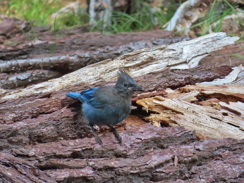 Another Stellar’s jay.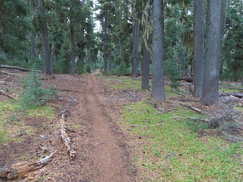
 Nearing the trail junction.
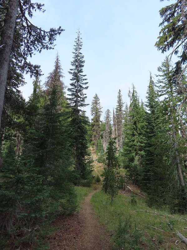
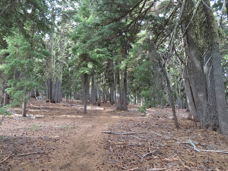
 First glimpse of Union Peak through the trees.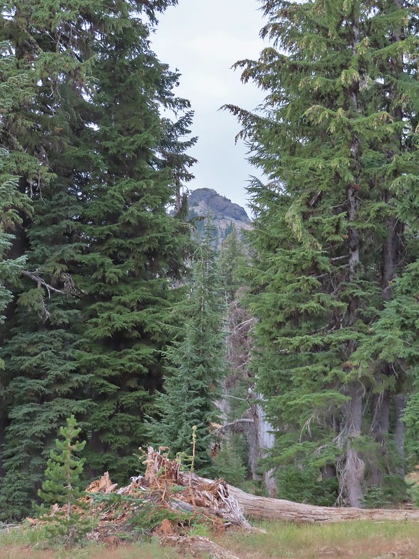
 Gardner Peak behind Goose Egg (center) to the SE.
 Fireweed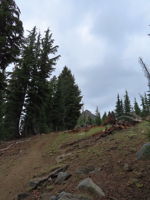
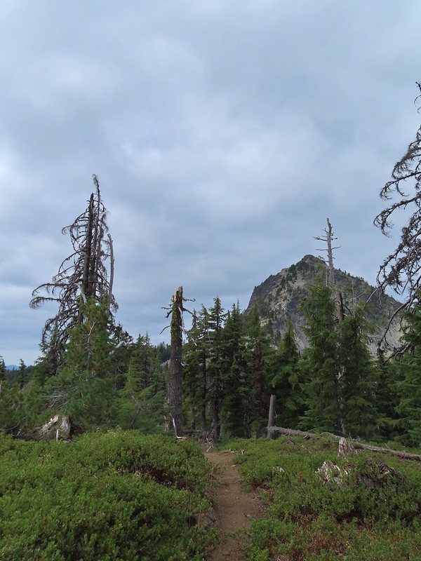 It was cloudy but no showers so far and the clouds appeared to be well above the summit.
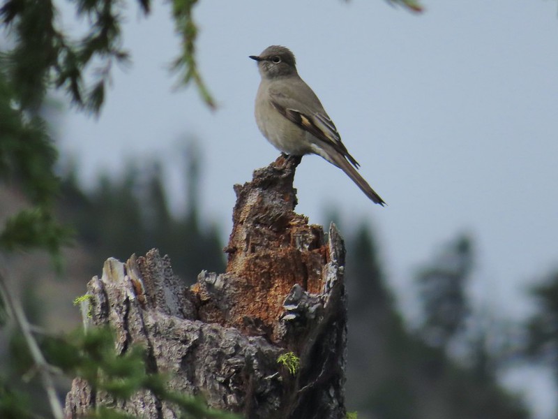 Townsend’s solitaire

 Mount Bailey in the distance to the right of the outcrop.
 The last doe keeping watch as the rest of the deer disappeared into the forest.
 Golden-mantled ground squirrel
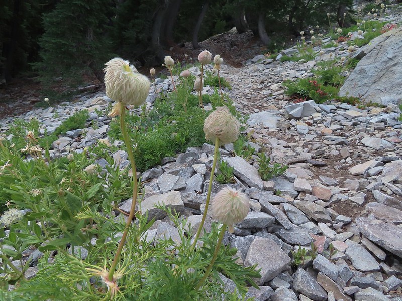 Western pasque flower seed-heads along the trail.
 Looking up at Union Peak and wondering how the trail got up there.
 Nearing the cinder field.
 Mount Scott (post) was the only peak covered by clouds.
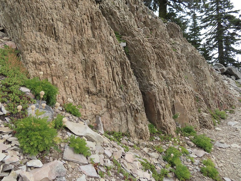 It’s always interesting to see the various rock that make up these volcanic peaks.
 The Watchman and Llao Rock with Mt. Thielsen in between in the background.
 That’s the trail on the right side of the photo.
 Looking down at the trail below.
 The trail was fairly easy to follow as it switchbacked up through the rocks. It was narrow in places which might be hard for those with a fear of heights.
 While there were no people at the summit the brush had attracted a fairly large number of yellow jackets.
 Looking west toward the Rogue-Umpqua Divide.
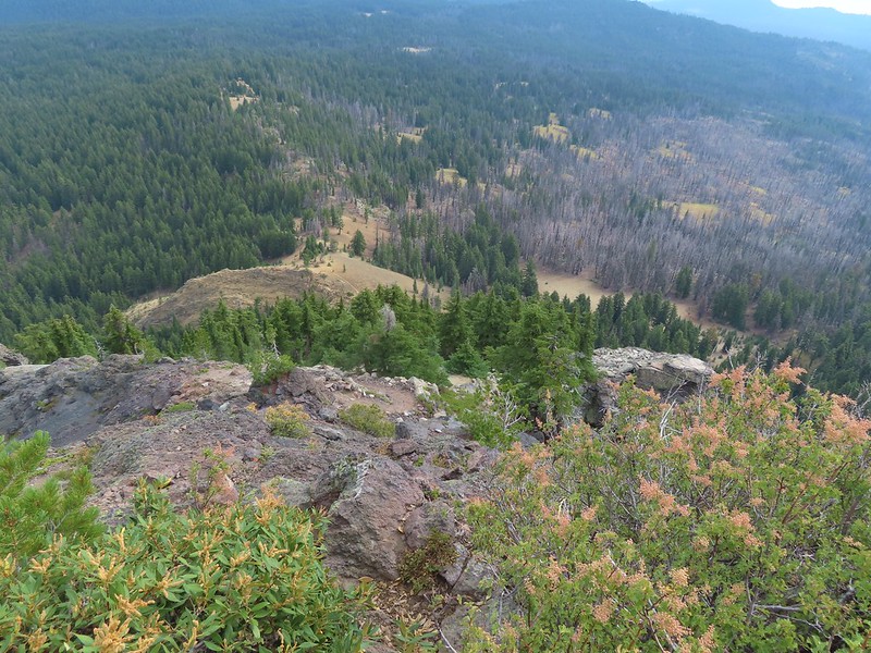 The trail along the ridge below Union Peak.
 Lost Creek Lake (post) in the valley to the SW.
 Mount Bailey, Diamond Peak (post), and Mt. Thielsen behind the rim of Crater Lake.
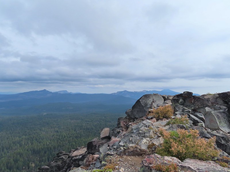 The rim of Crater Lake.
 Mt. McLoughlin is to the far right with some clouds over the top. Starting from the left is Goose Nest, Goose Egg (with Gardner Peak behind), Maude Mountain (with a faint Pelican Butte behind to the right), Lee, Devil’s, & Lucifur Peaks (Mt. Shasta is behind those three.) followed by Mt. McLoughlin.
 Mt. Bailey
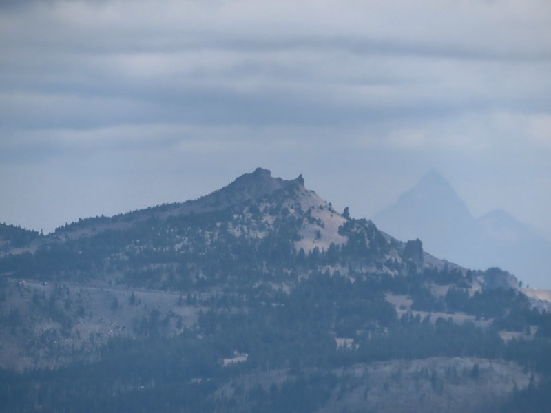 The Watchman and Hillman Peak directly behind with Mt. Thielsen further in the distance.
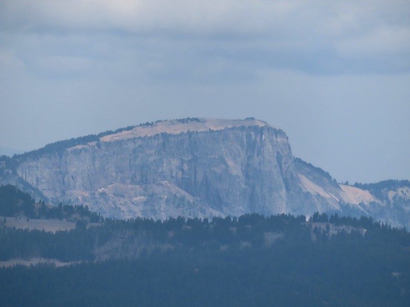 Llao Rock
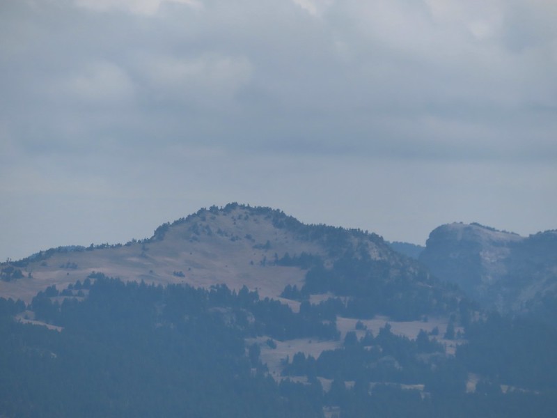 Applegate Peak
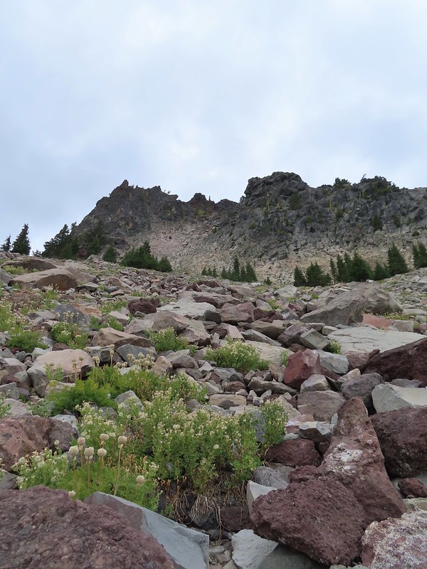 Looking back up from the rock field.
 Mount Shasta arnica
 Bleeding heart

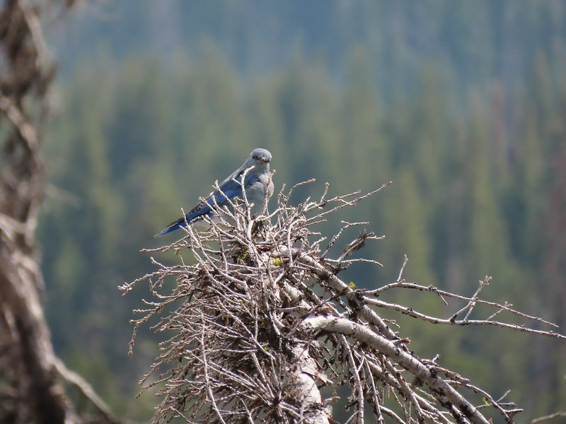 One of several mountain bluebirds we spotted.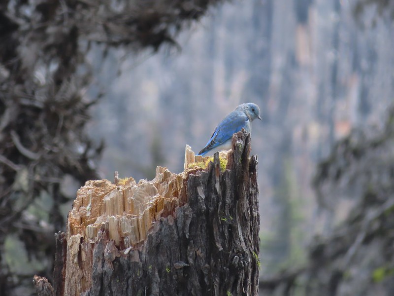
 Bumblebees on a few remaining aster.
 Sunshine
 A sulphur butterfly.
 Arriving back at the trailhead.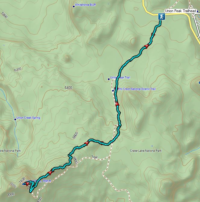


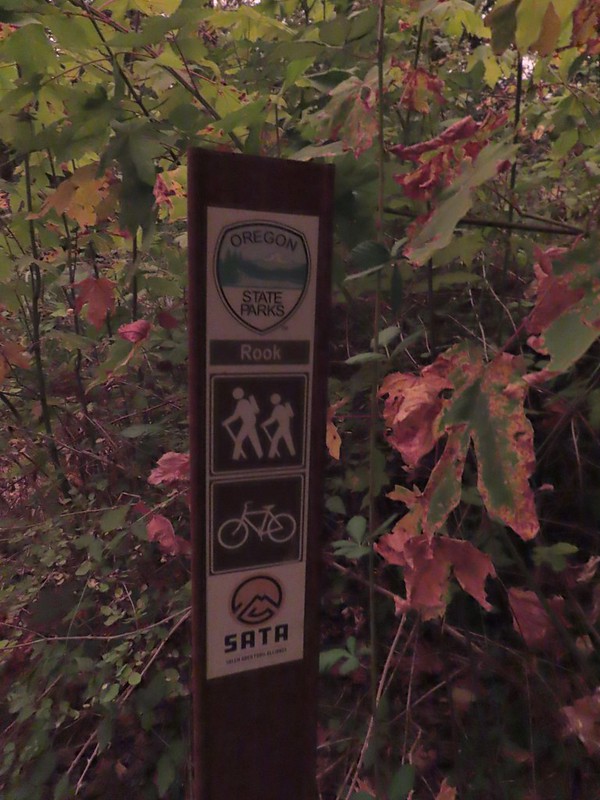
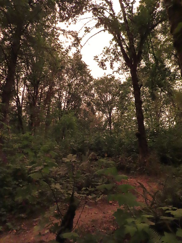 The combination of low light and orange hue made for some poor photography conditions.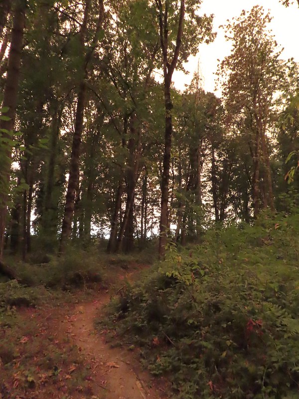
 Approaching the entrance road. The gate is for the road which is only open during daylight hours.
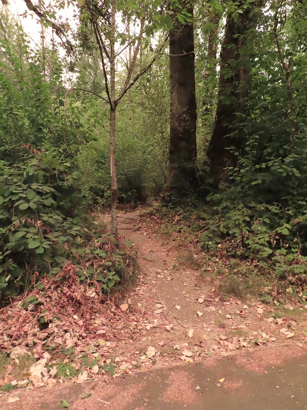 The Generator Trail.
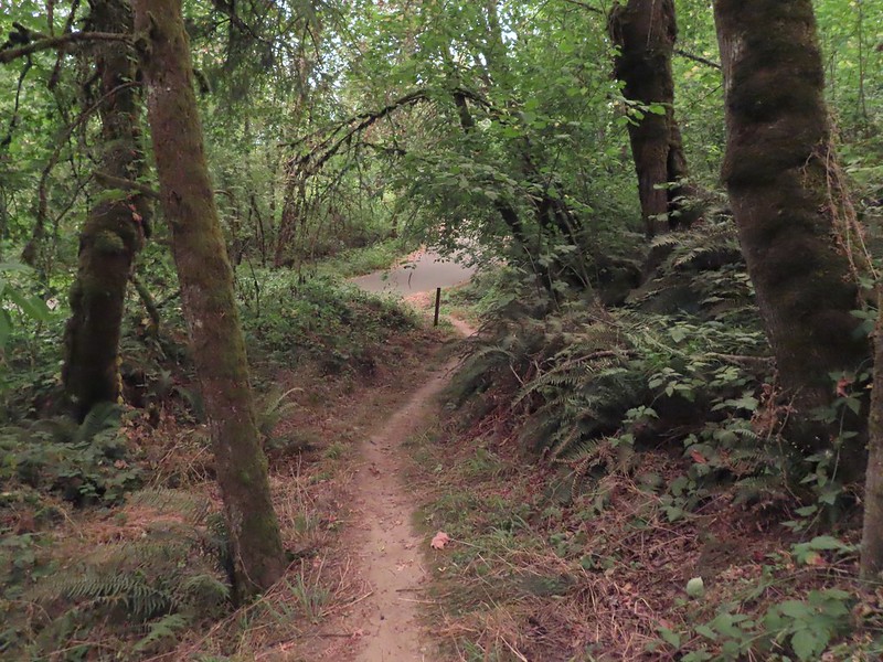


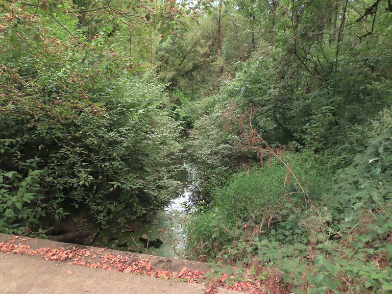 Spring Valley Creek passing under the entrance road.
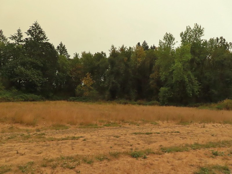 The mowed field.
 Upper Spring Valley Creek Trail.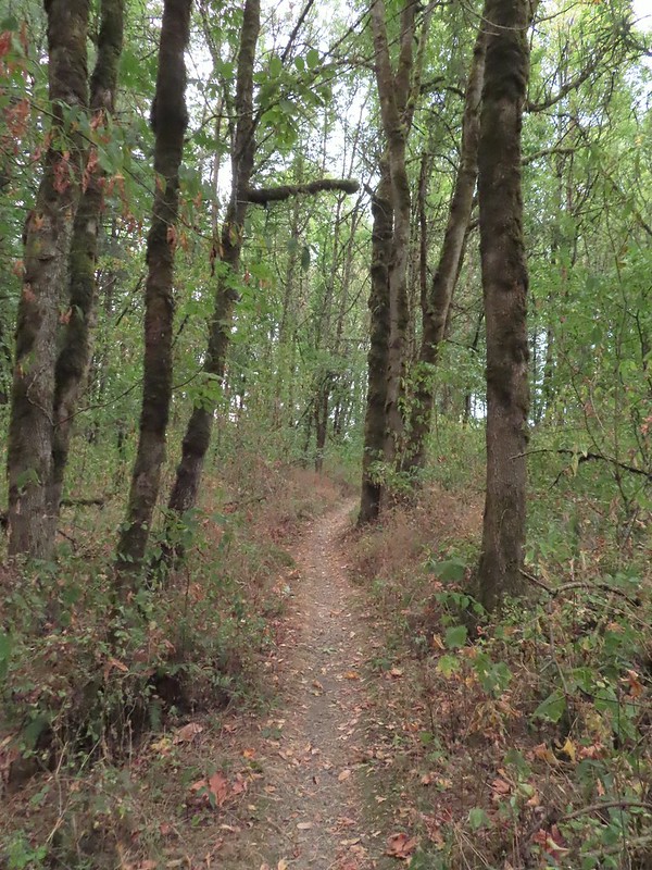
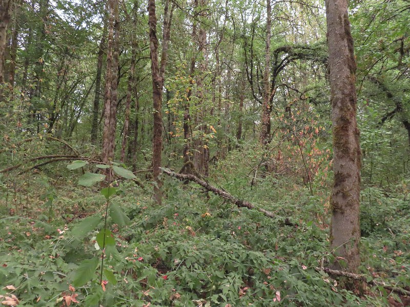 A few Autumn colors starting to show, now we just need some Fall rain.
 Brief glimpse of the Willamette River.
 The tailgate was up on the pickup, a good sign for us.
 Some of the various non-native wildflowers in the area.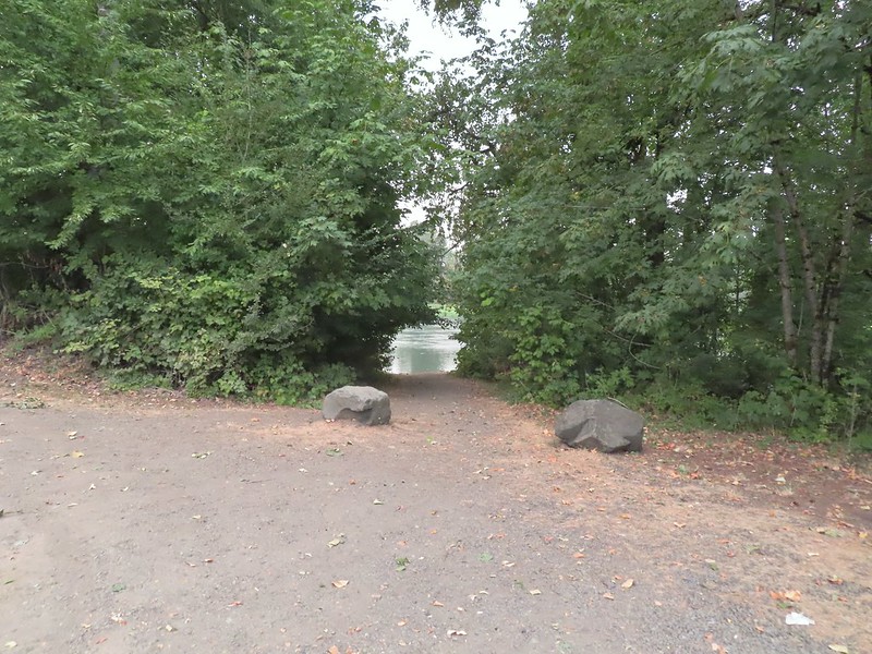
 Mile 74.2 of the
  The Perimeter Trail begins to the right of the gate.
 Invasive common tansy but the beetle was cool looking.
 We were initially fooled by this side-trail at the 0.1 mile mark which was not the TCC Trail, but did provide access to the Willamette.
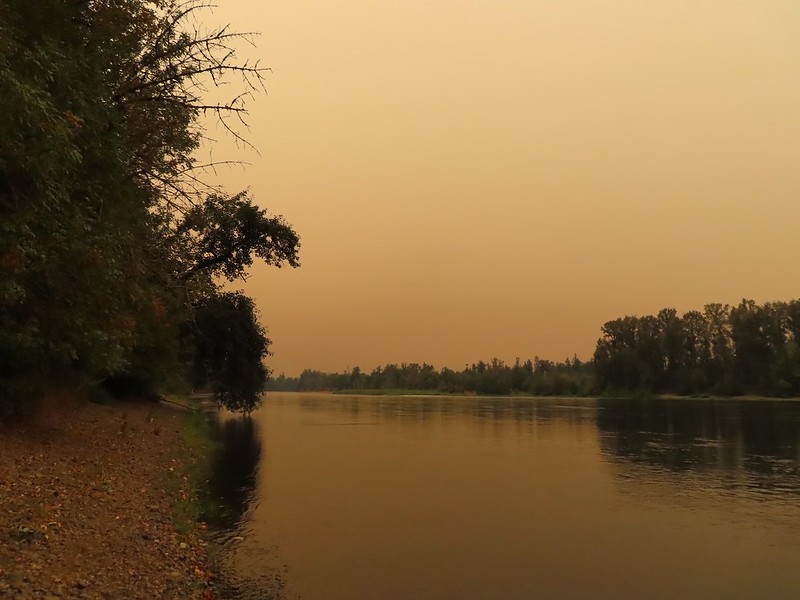 Willamette Mission State Park (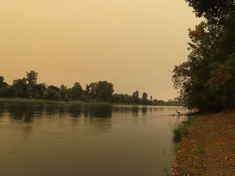
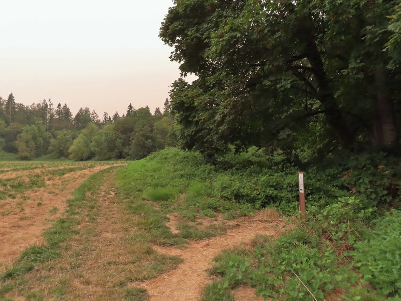 There’s the TCC Trail.

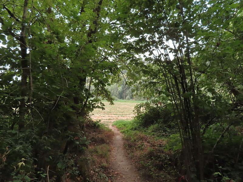 Back to the field after half a mile.
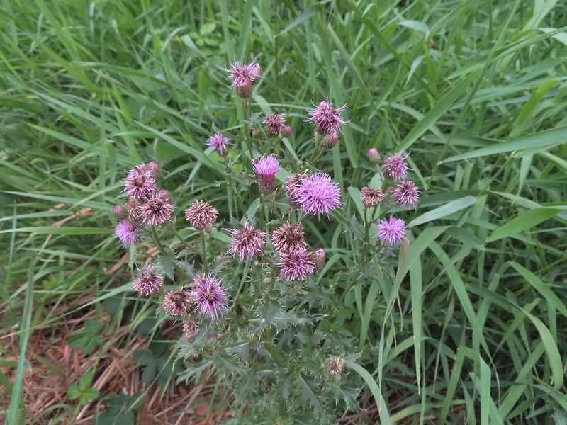 Invasive Canadad thistle.
 Common toadflax – non-native.
 Moth mullein – you guessed it, non-native.
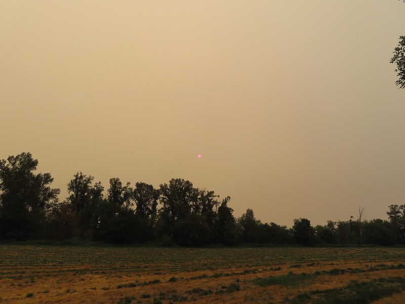 The Sun behind a layer of smoke.
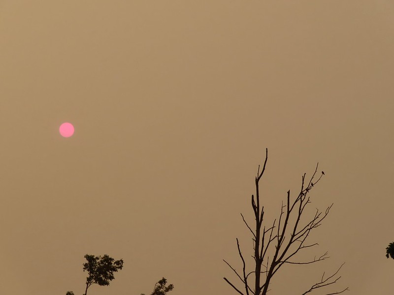 Pigeons (or doves) in a snag.


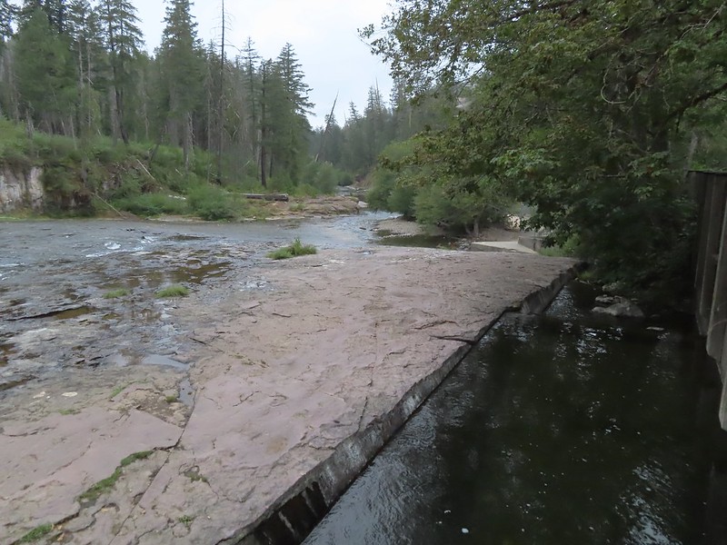
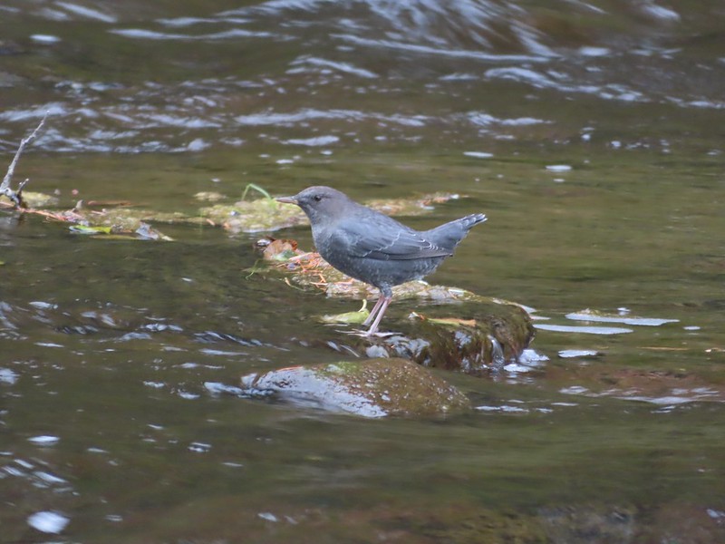 Ouzel
Ouzel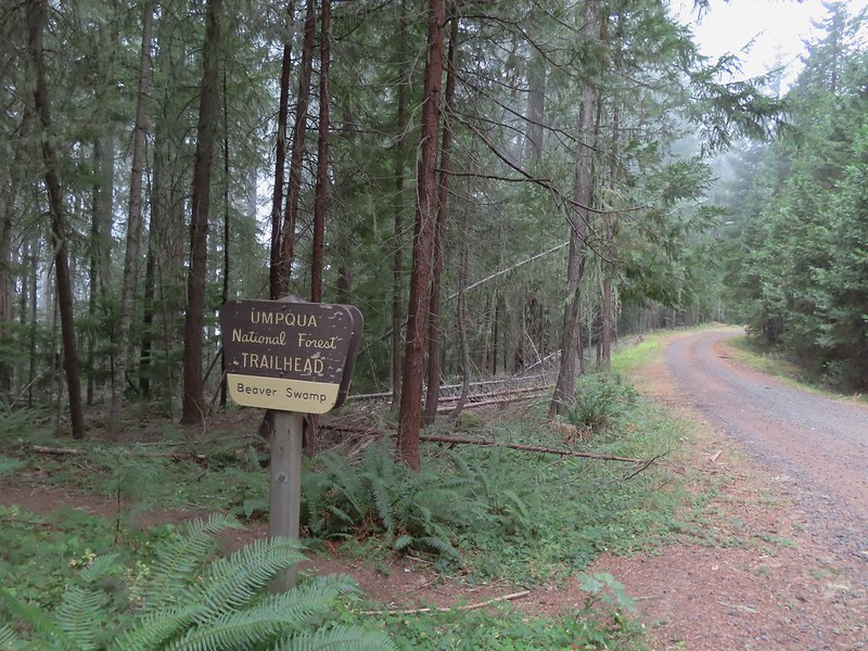
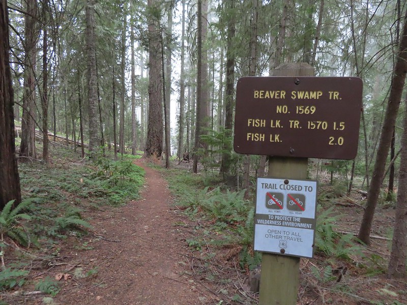



 Small cascade on Fish Lake Creek.
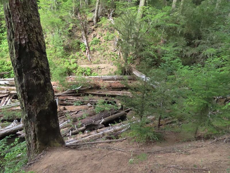 Logs at the outlet of Fish Lake. The Indian Trail can be seen on the far side. This junction was unmarked and you would have to cross the logs to reach it. In theory one could take this trail to the Lakes Trail near Buckeye Lake, but as we understand it the trail does not receive regular maintenance so we did not include it in our plans.
 Arriving at Fish Lake

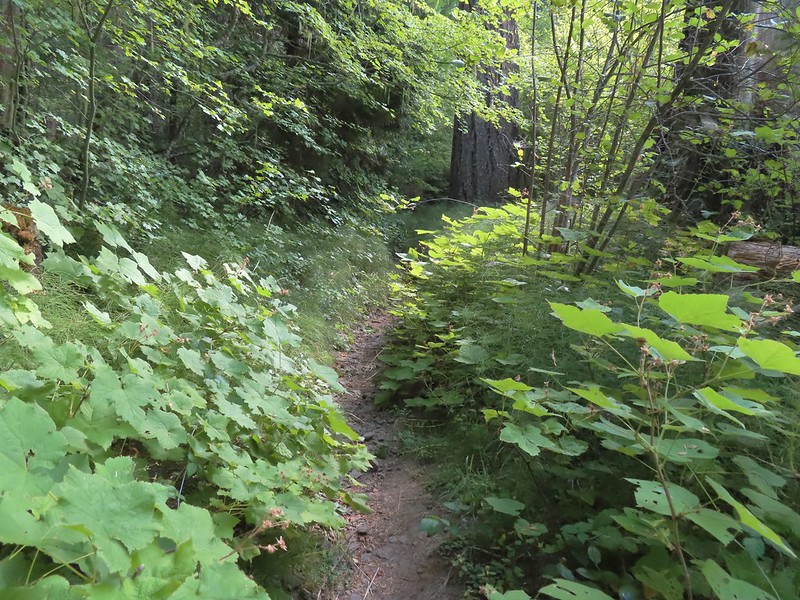
 The clouds began burning off before we’d found our campsite.
 We set up camp on a little knoll near an old stone foundation. We’re interested to know what used to be there but so far haven’t found any information on it.
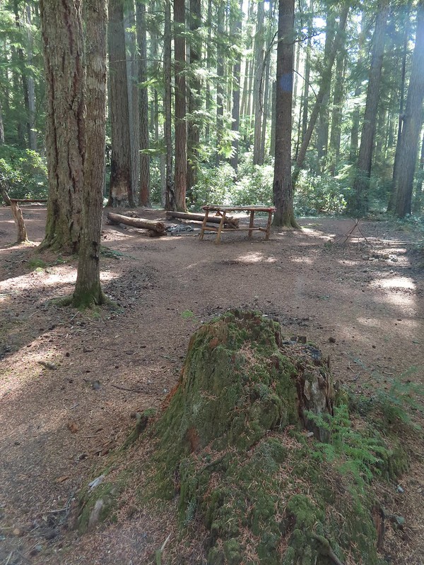 A little too developed for Wilderness standards.
 A dry channel along Highrock Creek.
 Crossing an unnamed creek.
 The trail junction.
 Highrock Creek. There were several nice pools here which we utilized to replenish our water on our way back to camp.
 Foam flower and a few ripe thimbleberries, Heather’s favorite.
 The junction with the Grasshopper Trail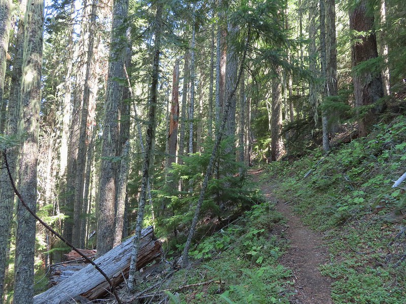
 Pine white
 Sign for the Gasshopper Mountain Trail.
 Grasshopper Spring is out there somewhere.
 We had to go around this big tree.
 A few aster
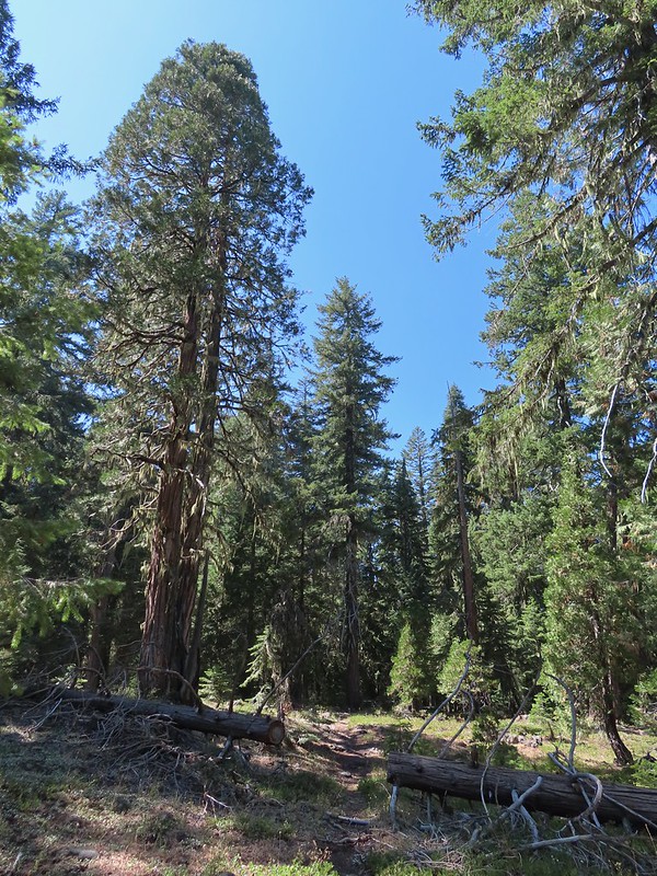 There were some good sized cedars up here.
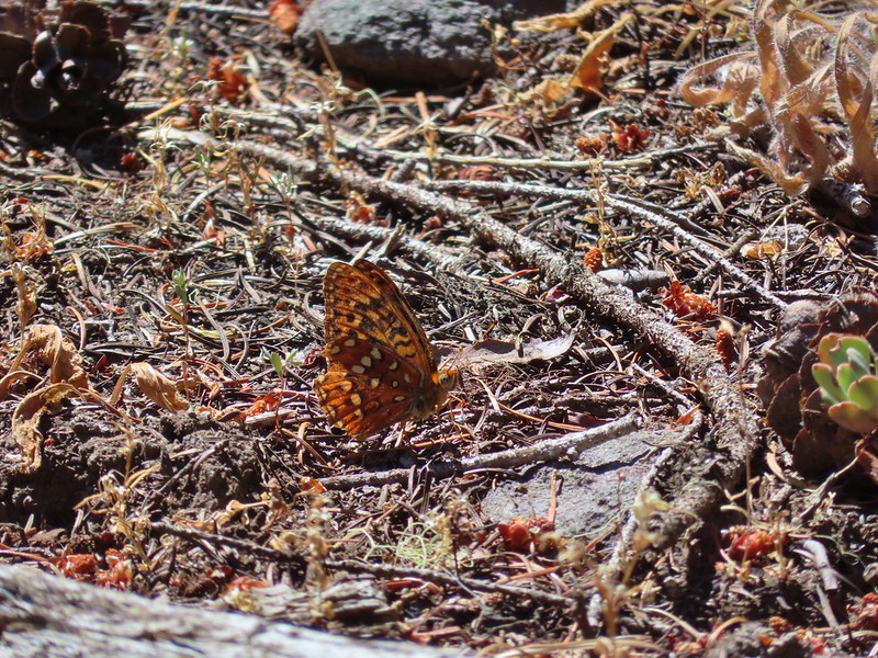 A fritillary
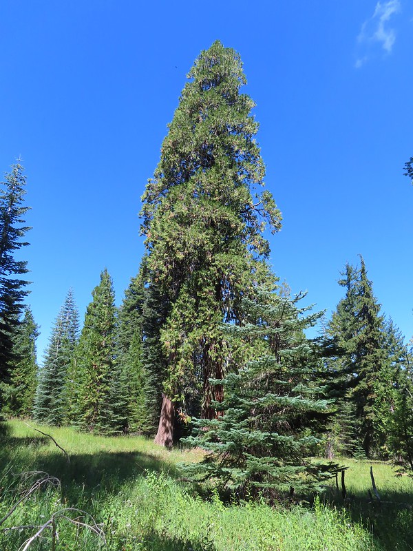 Another big cedar.
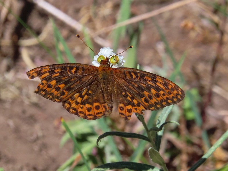 Fritillary on pearly everlasting.
 The final stretch to the summit passed through a fire scar.
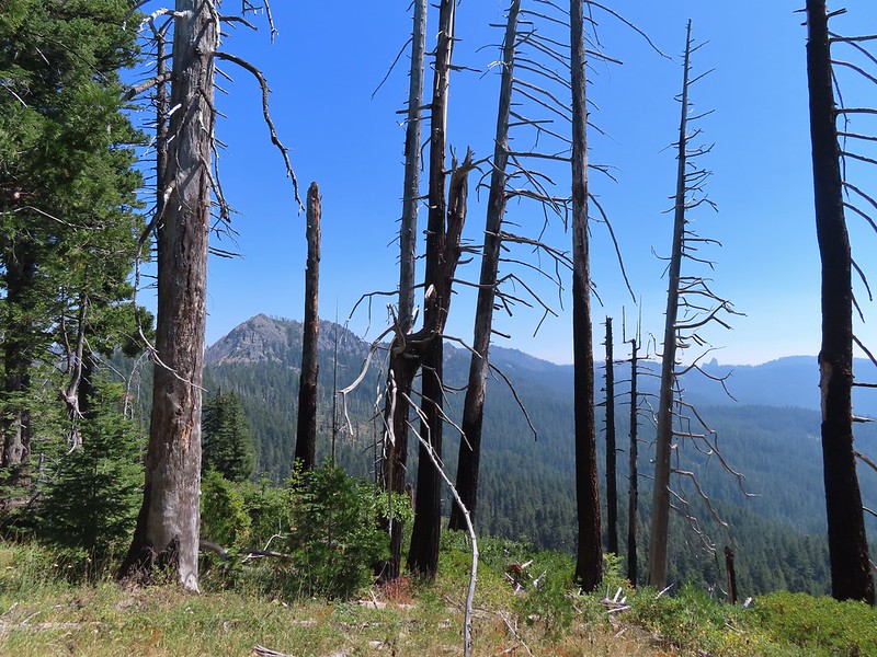 Highrock Mountain to the left, Hershberger Mountain in the middle, and the Rabbit Ears to the right (
 Rabbit Ears closeup.
 Fish Mountain (back left), Weaver Mountain, Highrock Mountain, and Hershberger Mountain with Grasshopper Meadow below.
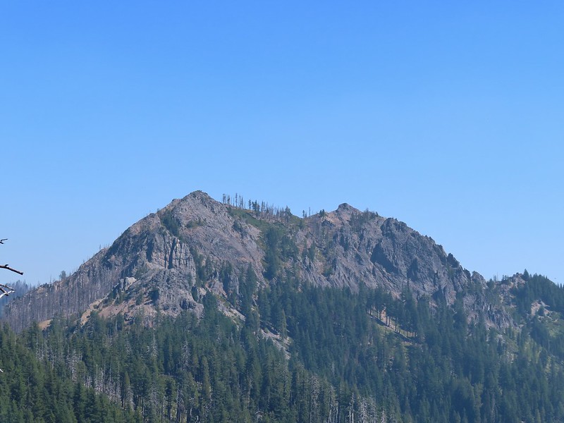 Highrock Mountain
 Owl’s clover.
 Arriving at the old lookout site.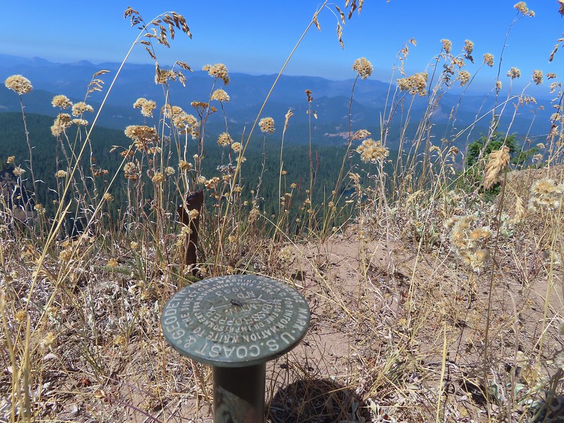
 Buckeye (left) and Cliff Lakes below Grasshopper Mountain. The broad hump beyond to the left is Twin Lakes Mountain. We had visited a viewpoint on the north side of that mountain back in June of this year (
 Buckeye and Cliff Lakes
 Smoke on the horizon to the NW. The Cedar Creek fire to the NE, Rum Creek Fire to the SW or several fires in Northern California could be the culprit(s). The peak with the white spot to the center right is Quartz Mountain which we recognized from our Hemlock Lake hike in August (
 To the NE we got a glimpse of Rattlesnake Mountain (far left) which we’d climbed during Labor Day weekend in 2020 (
 Rattlesnake Mountain behind Standoff Point.
 A skipper
 We veered right here which kept us from dropping below the saddle that we otherwise would have had to climb over on the Grasshopper Trail.
 Descending to the Grasshopper Trail.
 Trail sign at the other junction.
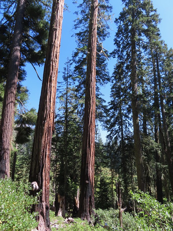 Grasshopper Meadow through the trees.
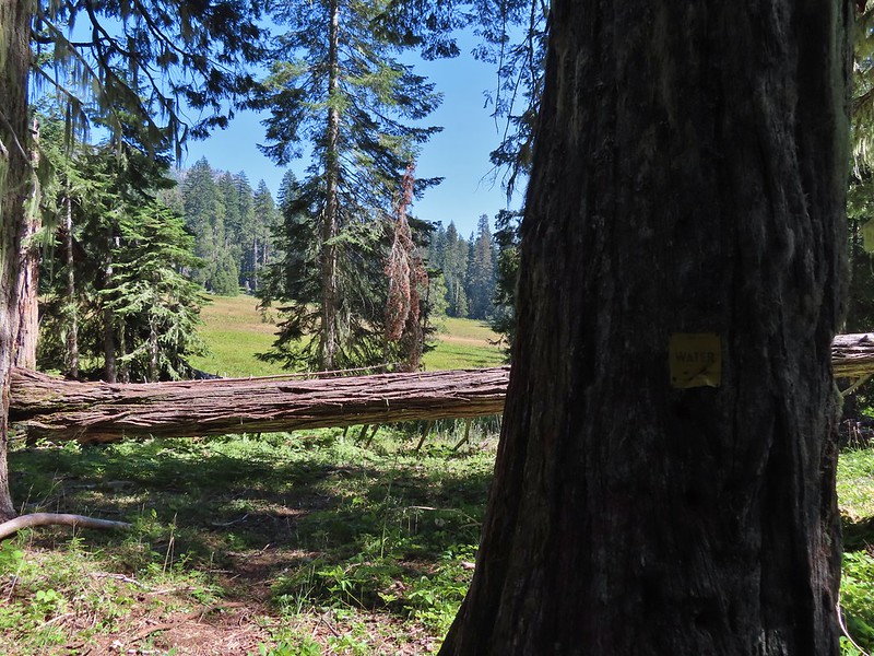 Sign for a (faint) spur trail to a spring above the meadow.
 Highrock Mountain from Grasshopper Meadow.
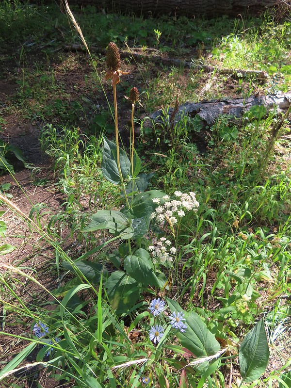 A few flowers hanging on to the last days of Summer.
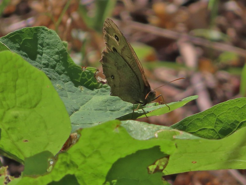 Common wood nymph
 The trail got pretty faint just before the junction but we could see the trail sign so we just headed for it.
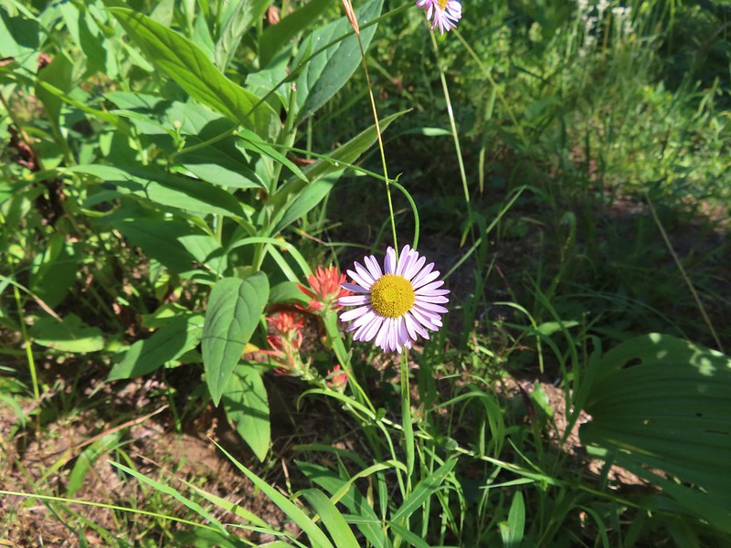 Fleabane? and paintbrush.
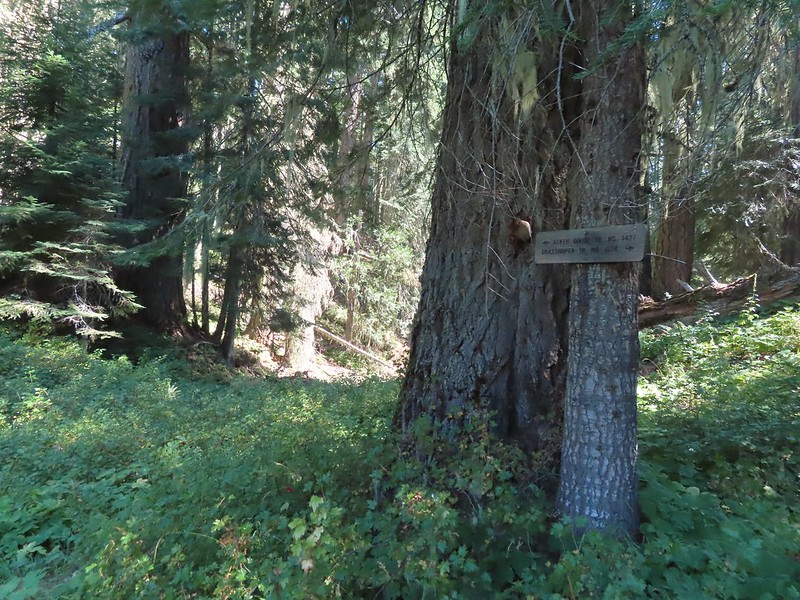 Acker Divide Trail pointer.
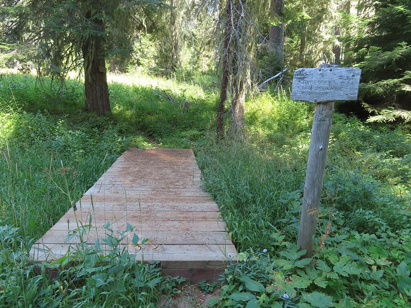 Pointer for Cripple Camp (we visited the shelter there on our Hershberger Mountain hike) and the Rogue-Umpqua Divide Trail.
 This fuzzy caterpillar was in a hurry.
 The trail along an old log.
 Passing through a small meadow near the spur to the Acker Divide Trailhead.
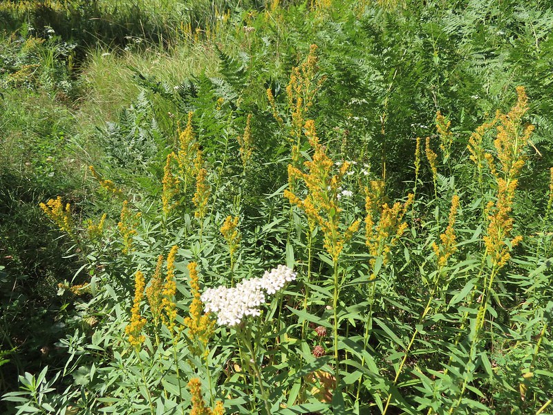 Yarrow and goldenrod
 The area was really well signed.
 Sign for Mosquito Camp on the tree to the right. There was zero sign of any established campsites here.
 Meadow at Mosquito Camp, it came complete with mosquitos (not too many though).
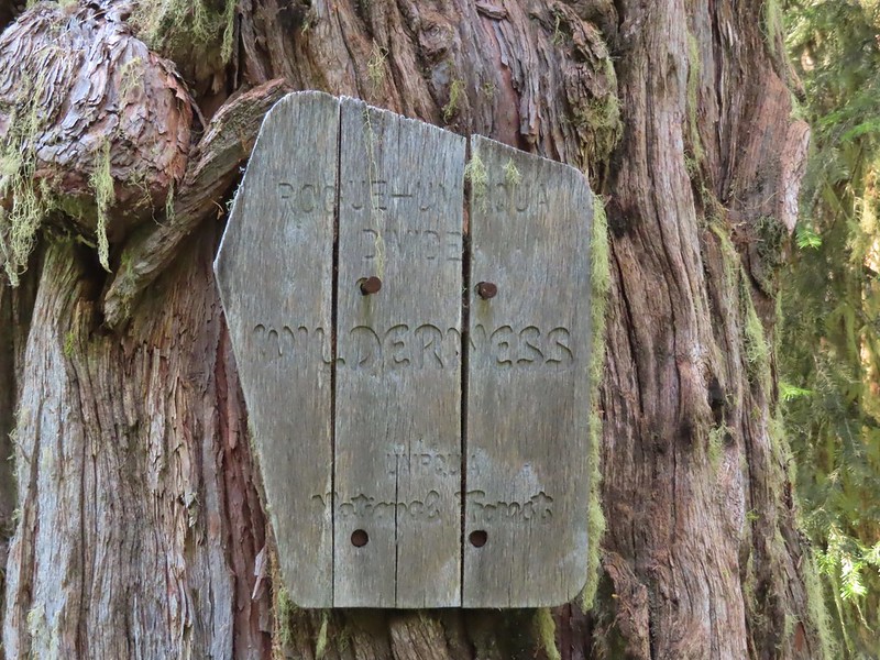 First of two times reentering the Rogue-Umpqua Divide Wilderness.
 Scat on the trail, at least we knew something used it.
 One of several very small bodies of water along Skimmerhorn Creek which may or may not be Little Fish Lake.
 Overgrown trail near Skimmerhorn Creek.
 Looking down at the pond? lake?
 As we neared the Lakes Trail we began seeing more signs of what appeared to be an ancient lava flow.
 Last of the lupine blooms.
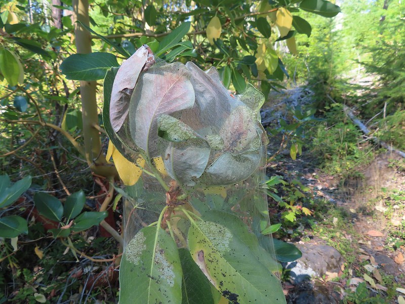 Lots of these insect tents on the madrones in the area.
 Arriving at the Lakes Trail.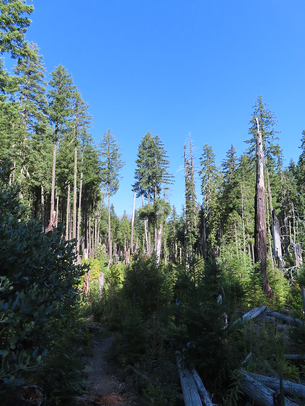

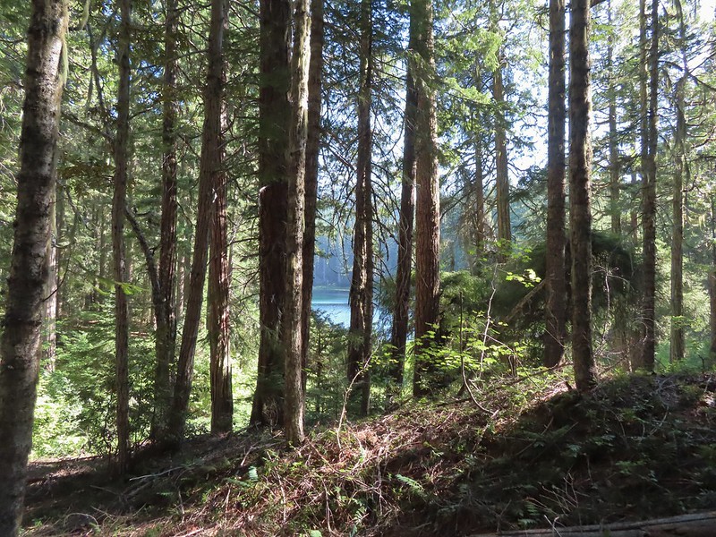 First glimpse of Buckeye Lake
 At this fork we detoured right to visit the lake shore.
 A good reminder that far too many people tend to forget.
 Grasshopper Mountain from Buckeye Lake.
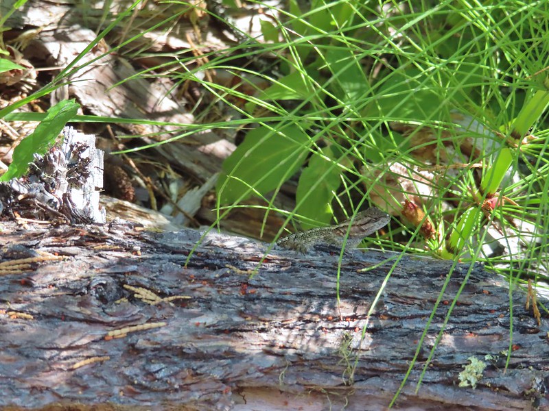 Lizard
 We had to really watch our step because these little guys were everywhere.
 There is an smaller, unnamed lake just West of Buckeye Lake that we did not take the time to check out closer.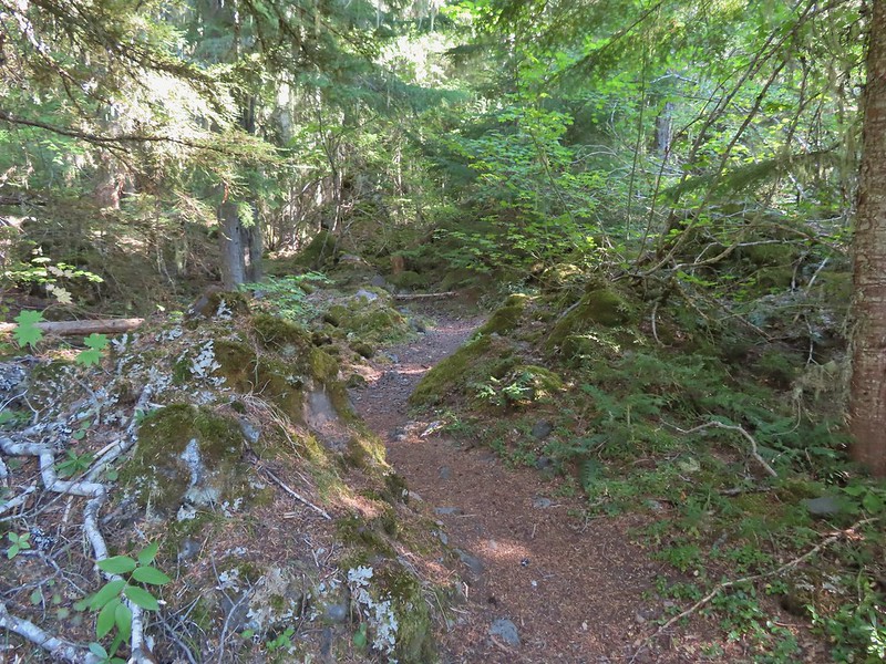
 The spur trail to the campsite.
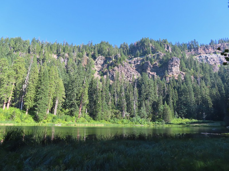
 Attempted panorama.
 Footbridge over the outlet creek which flows into another small unnamed lake that we did not attempt to find.
 Unfortunately the lighting made this tree very hard to photograph but it was the coolest tree/rock combination that we’ve encountered.
 Fritillary on thistle.
 Short climb back up to the junction.
 This slug was heading our way while we finished dinner.
 The Sun was getting pretty low as we ended our hike.
 A big nest atop a tree and the Moon above Fish Lake.
 Zoomed in on the nest and Moon.
 Fish Lake just before 7:30pm.
 Campsite after packing up in the morning.
 Passing our planned route for the day on the left. Highrock Creek was just a 20 yard detour to the right.
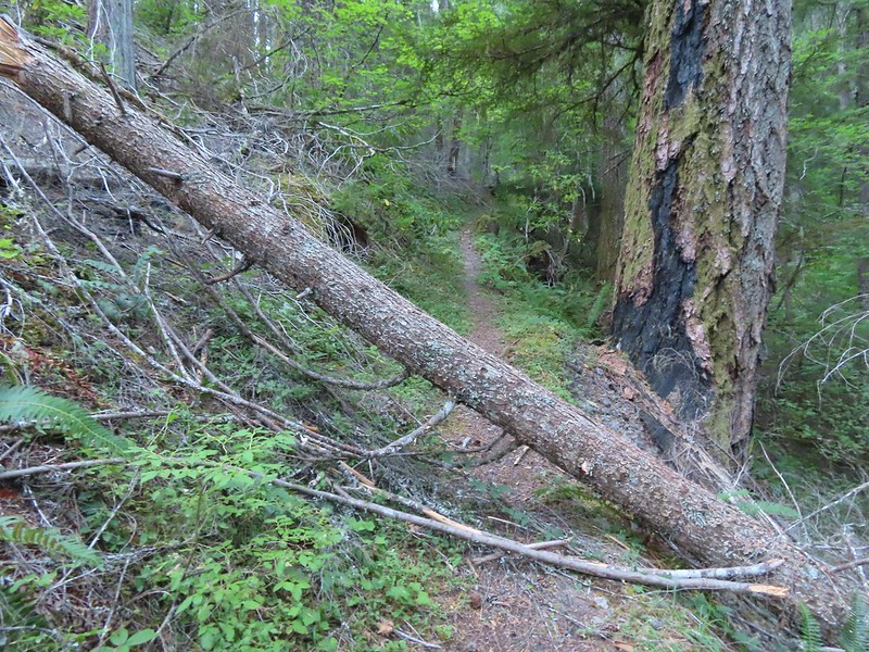 I think this was the third obstacle, one of several that was easy enough to get over.
 Prior maintenance, the second log may have been cut post fire?
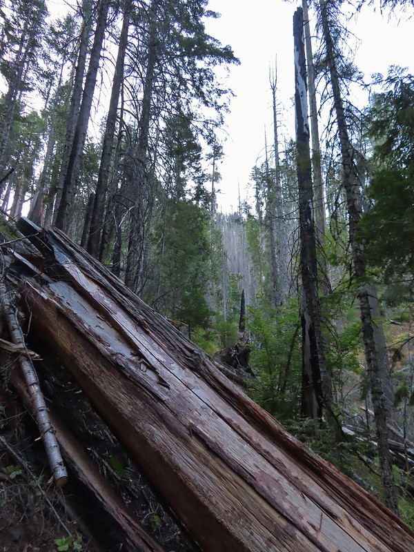 End of the line for us. Even if we somehow got around this one there was still 9.5 miles of burned trail from the trailhead and who knew how many obstacles like this one we might encounter or how long it would take us if we somehow were successful.
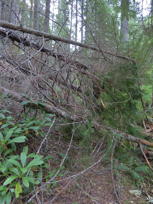 We had the privilege of navigating this one twice. Heather is on the other side coming through.
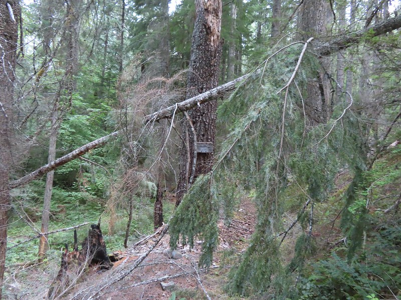 Back at the junction.
 No clouds this morning.
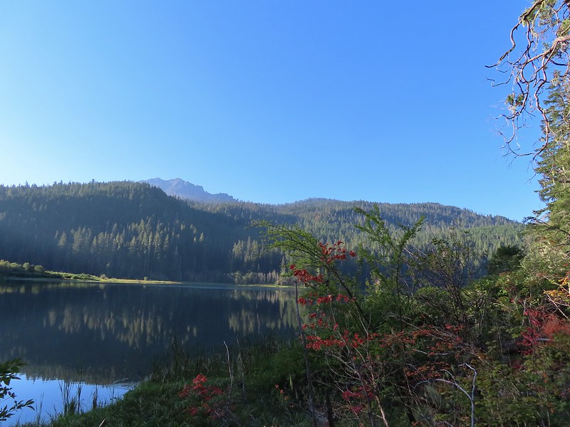 Highrock Mountain behind Fish Lake. Seeing the vine maples turning colors reminded us that despite the heat Autumn was just around the corner.
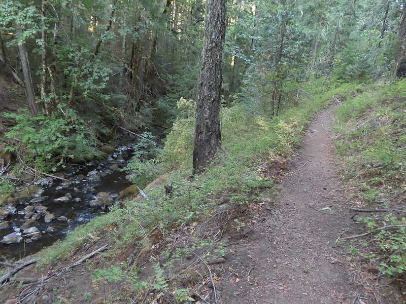 Hiking along Fish Lake Creek.
 Highrock Mountain from the Beaver Swamp Trail.
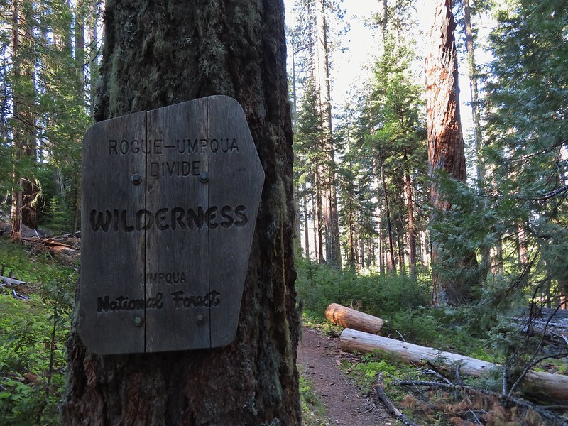 Leaving the Rogue-Umpqua Wilderness for the last time this trip.


 This was at least the third posted notice so there is no claiming you weren’t aware that a permit is needed.
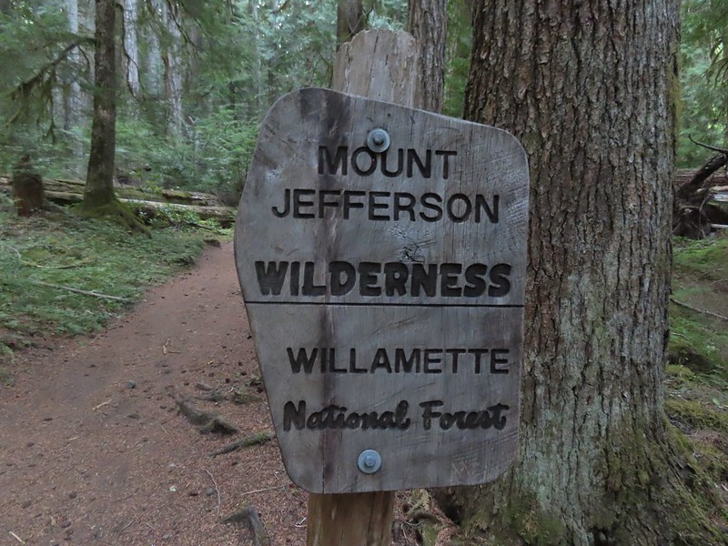
 Pamelia Creek
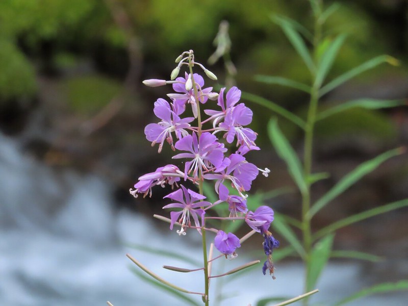 Fireweed along the creek.

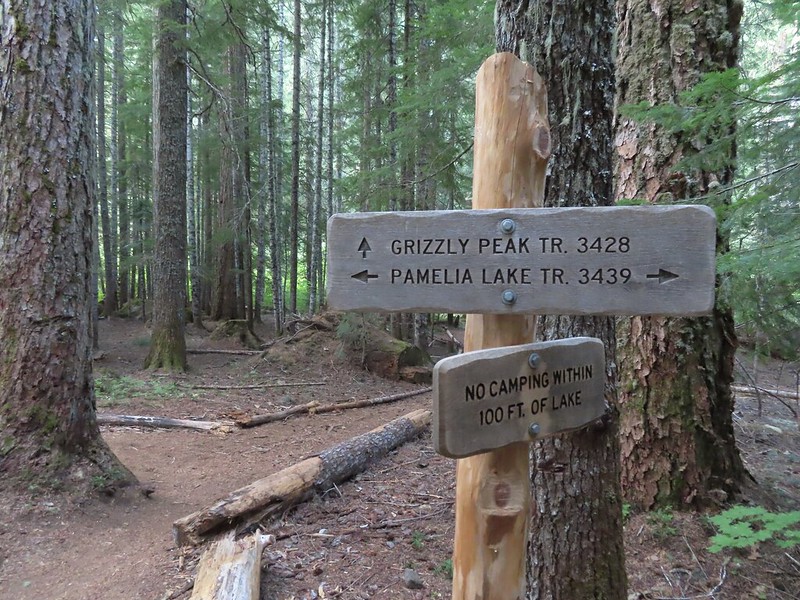
 Pamelia Creek only flows underground here much of the year.
 Heading up.
 A glimpse of Mt. Jefferson.
 That might be Woodpecker Hill, it was hard to tell exactly which ridge we could see with nothing else visible to help orient.
 This looked like it might be a nice little waterfall with enough water.
 That’s not enough water.
 Heather below one of several switchbacks.
 Turning up the ridge.
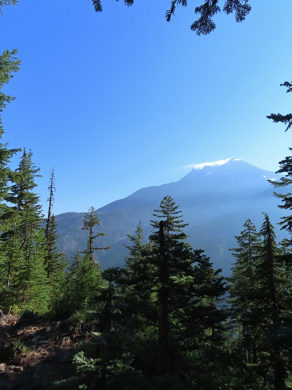 The haze was probably a combination of morning cloud/fog and smoke from the Cedar Creek Fire near Waldo Lake.
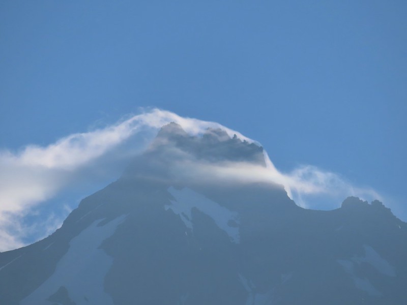
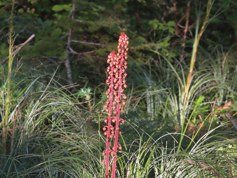 Pinedrops
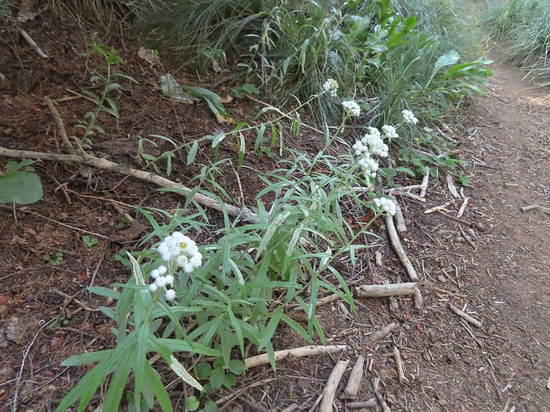 We were too late for most of the flowers but there were a few pearly everlasting going.
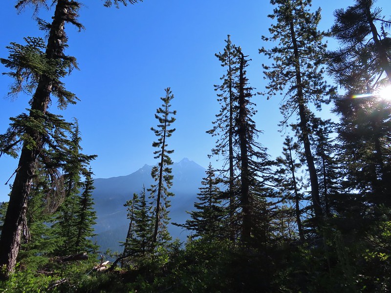 There’s that pesky Sun again.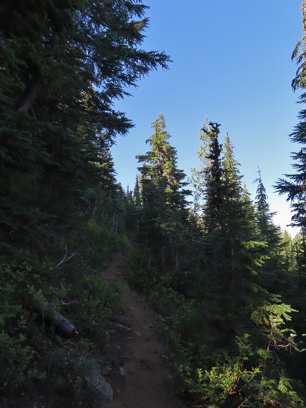
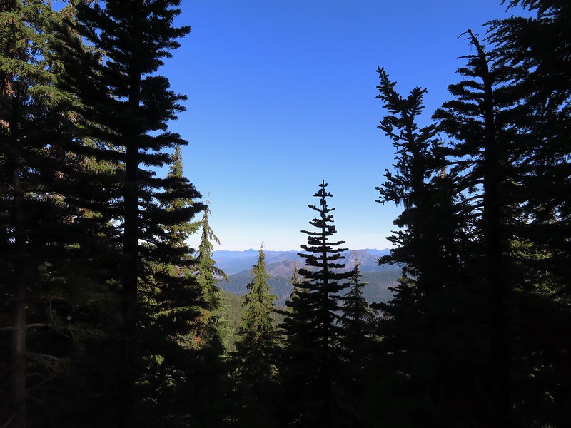
 Aster
Aster Lousewort
 Lots of burnt forest out there.
 Triangulation Peak and Boca Cave (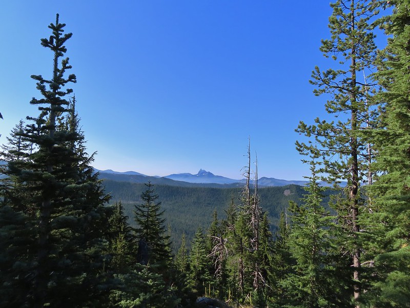
 Broken Top to the far left blending into the haze and Three Fingered Jack to the right with the Three Sisters in between.
 Just below the summit.
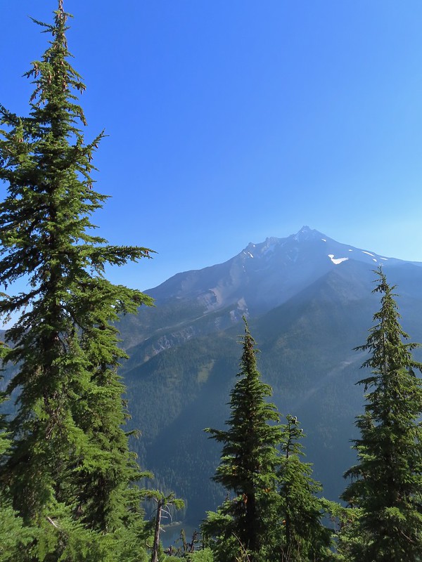 Pamelia Lake below Mt. Jefferson.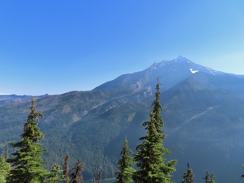
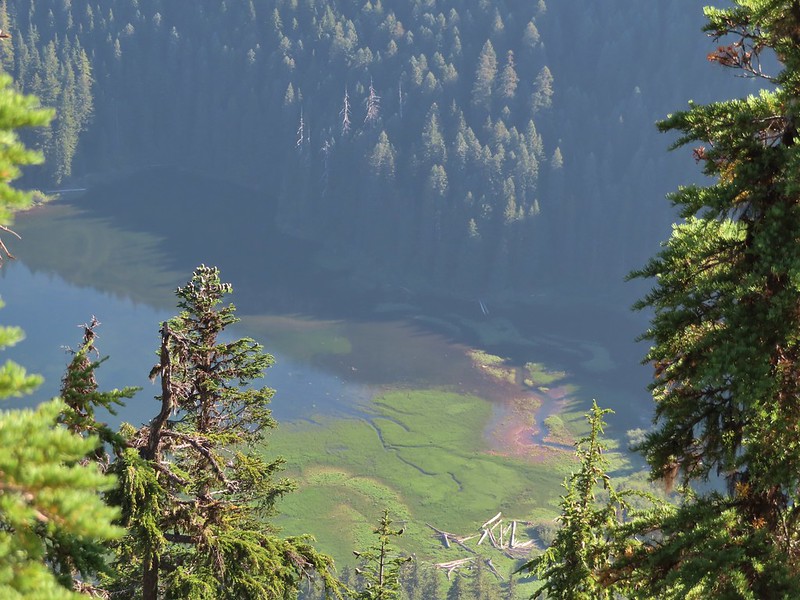 Hunts Creek flowing into Pamelia Lake.
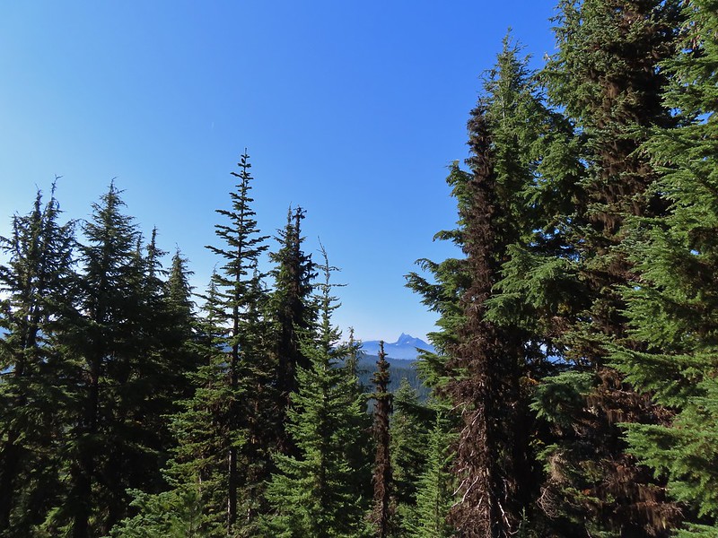 Had to hunt for a view of Three Fingered Jack.
 A hard to make out Mt. Hood beyond the far ridge which consists of Bear Point to the left (
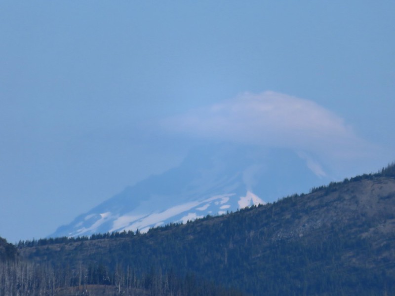 Mt. Hood
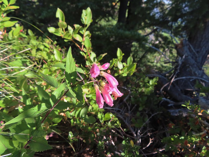 Beardtongue
 A fritillary butterfly.
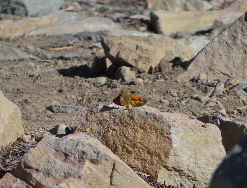 A skipper
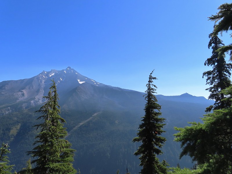 Goat Peak is to the right of Mt. Jefferson.
 Mt. Jefferson and Pamelia Lake from one of the viewpoints along the ridge.
 Cascade toad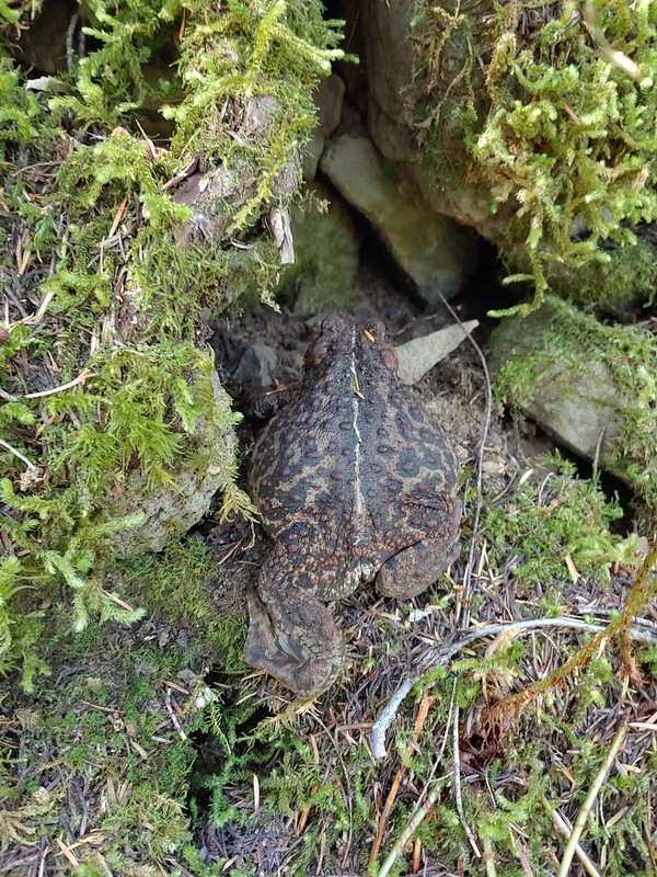

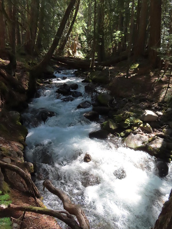 One more of Pamelia Creek.


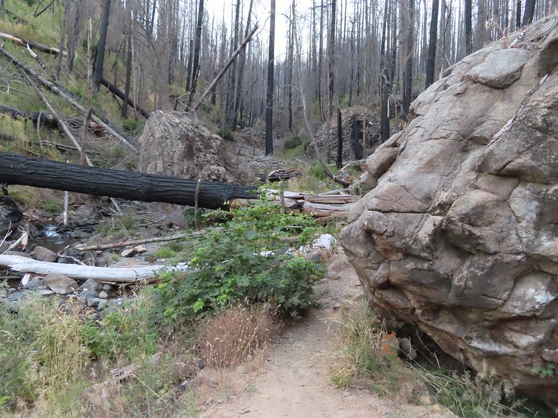
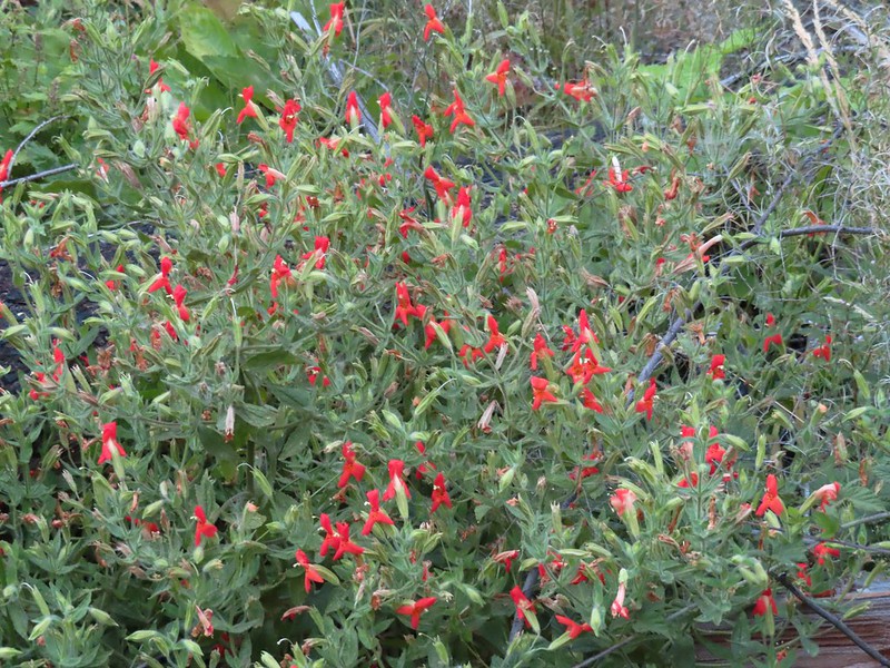 Scarlet monkeyflower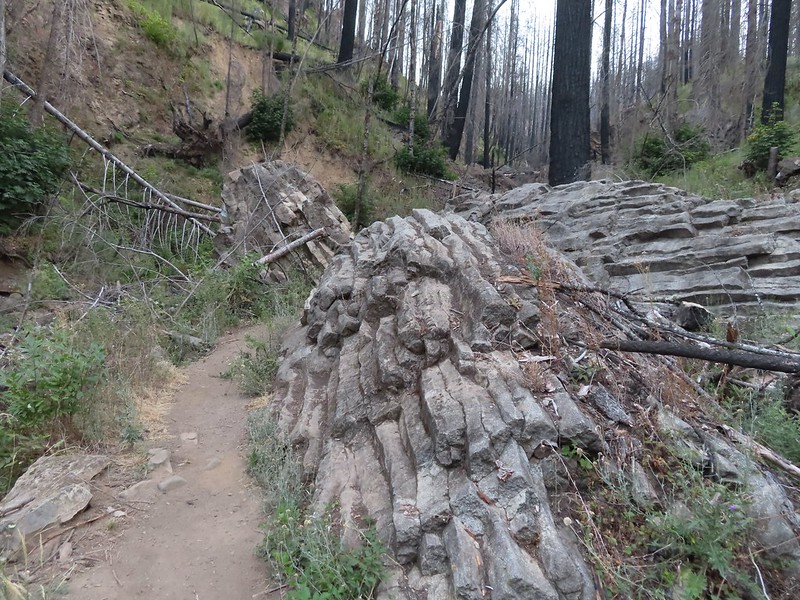



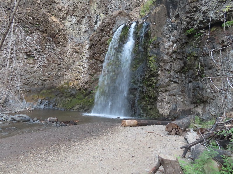

 Heading for the viewpoint.
 The upper tier from the viewpoint.
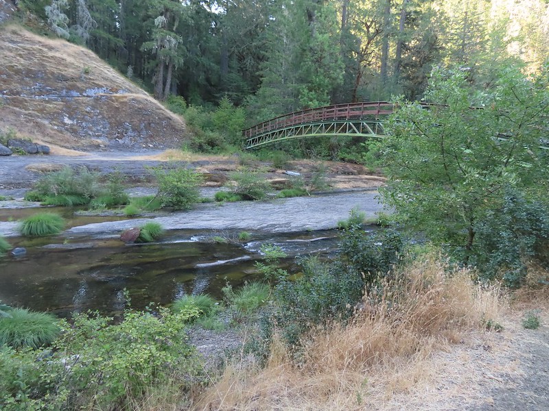
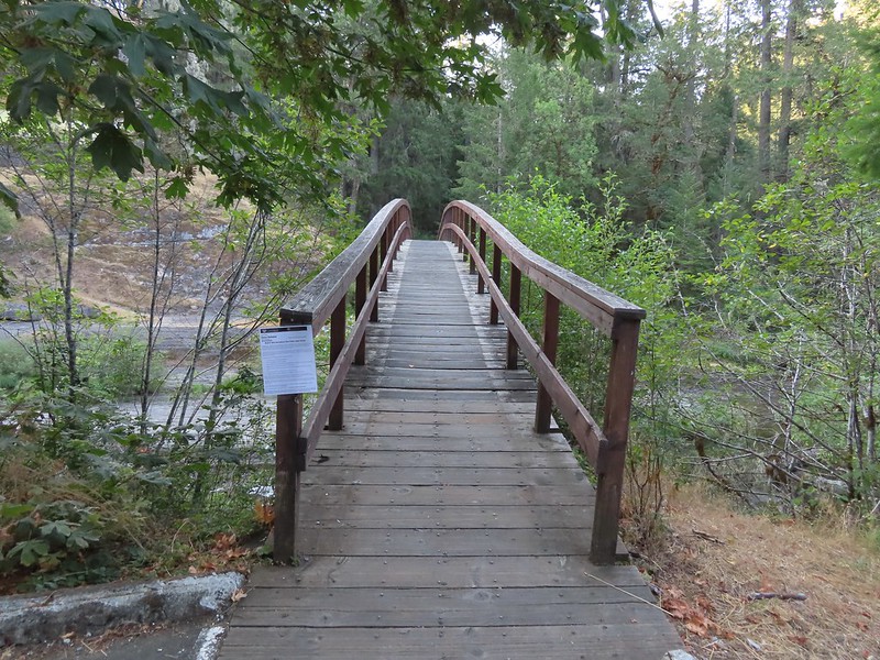


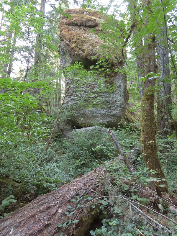

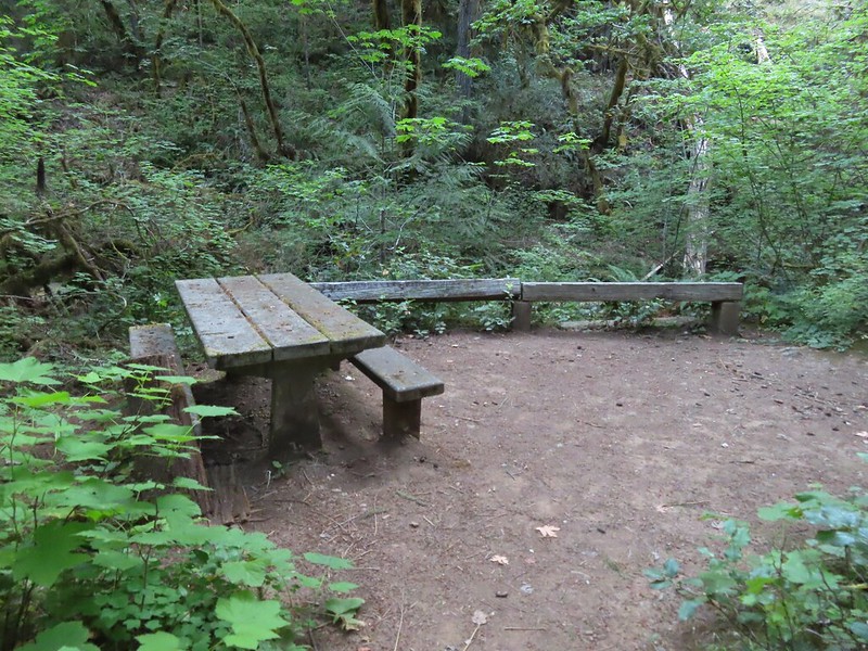

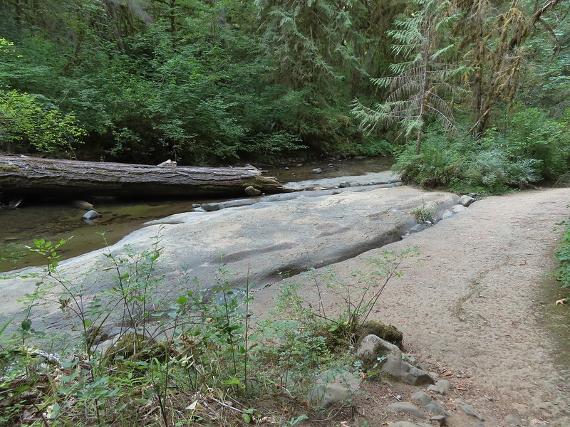


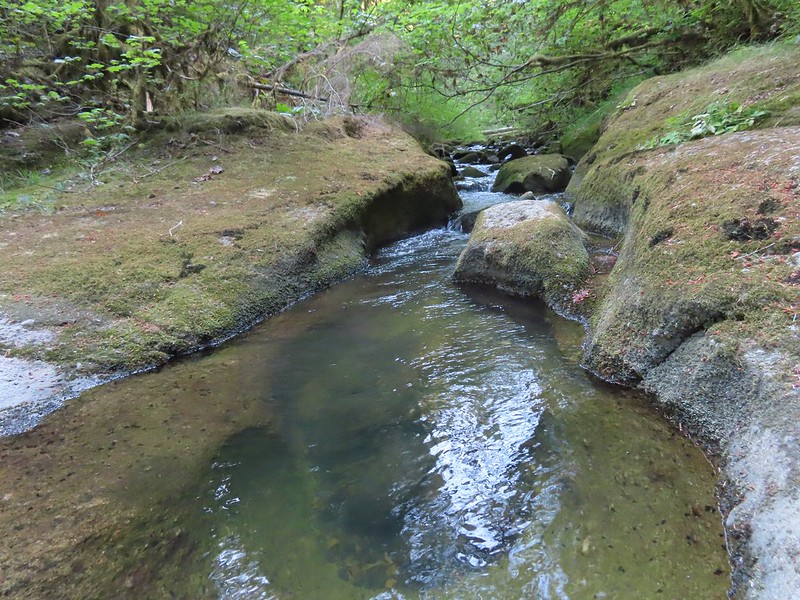
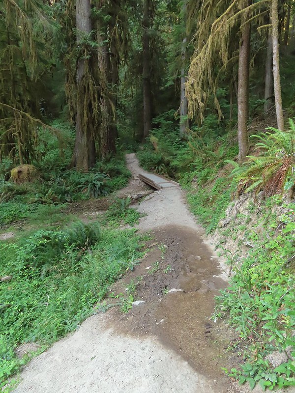
 First good view of the lower fall from the trail. The upper fall was visible but somewhat blocked by trees.

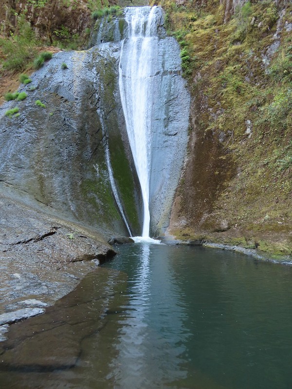 We really liked how the water curved and narrowed as it cascaded down.
 The pool appeared to be extremely deep.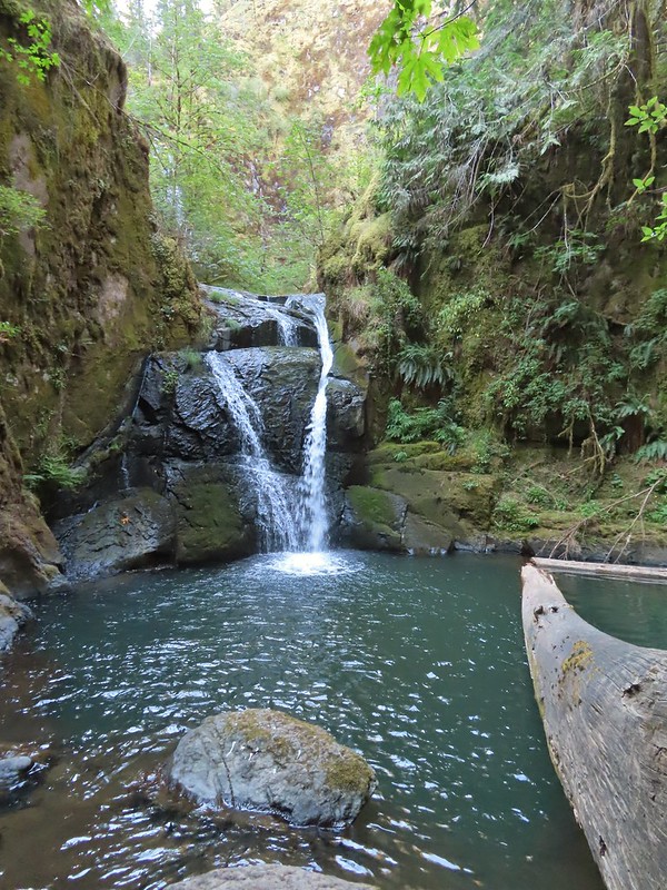
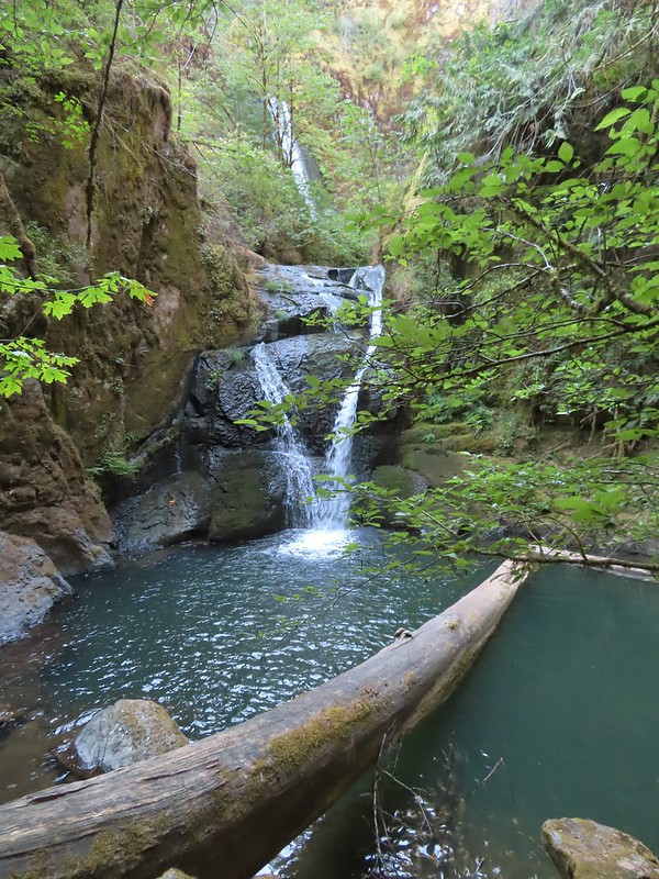

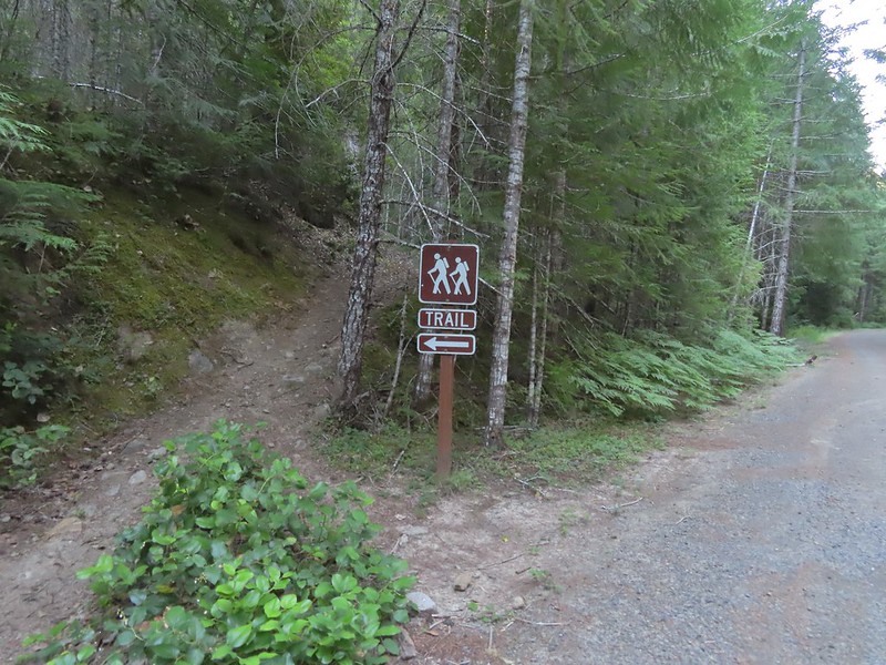 Hemlock Creek Trail heading uphill toward Hemlock Lake.
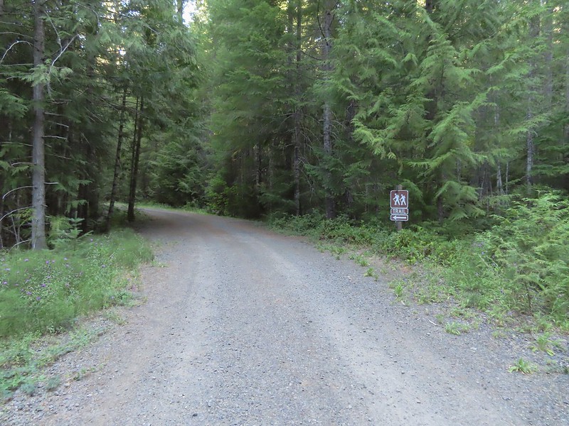 Trail sign for the Hemlock Creek Trail heading down to Lake in the Woods from FR 421.
 Hemlock Creek Trail at Lake in the Woods Campground.
 Lake in the Woods (a 4 acre man made lake).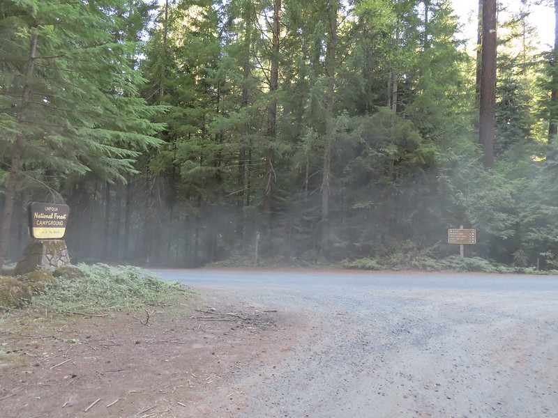


 Ghost plant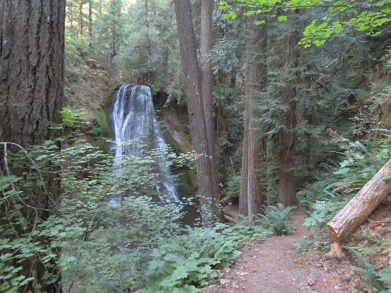
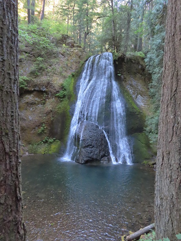
 A rare photo of me for scale.
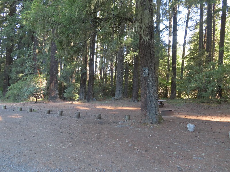 We mistook this for another campsite having not noticed the small sign on the tree.
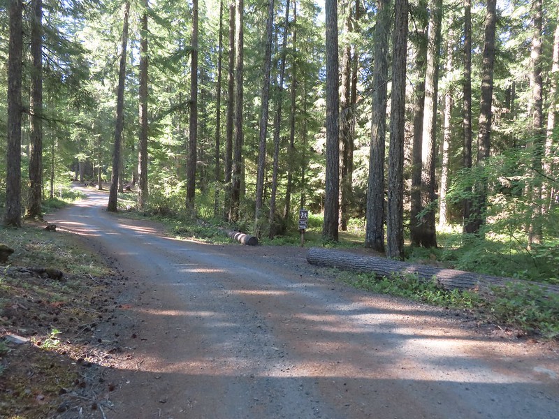


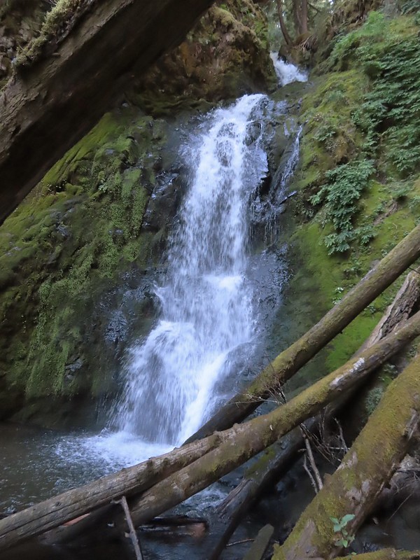
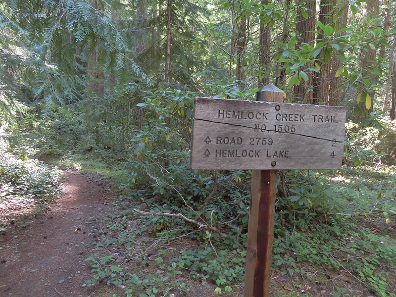 We both noticed that the sign said Hemlock Lake was 4 miles away. Sullivan’s map showed that it was 3 miles from Lake in the Woods to the Yellow Jacket Loop which raised the question was the hike going to be 2 miles longer than we’d expected or did the 4 miles include some of the Yellow Jacket Loop? Based on the mileage in Sullivan’s book I had come up with 16.6 miles so an extra two miles would be pushing us close to 19 (we always find reasons to wander).
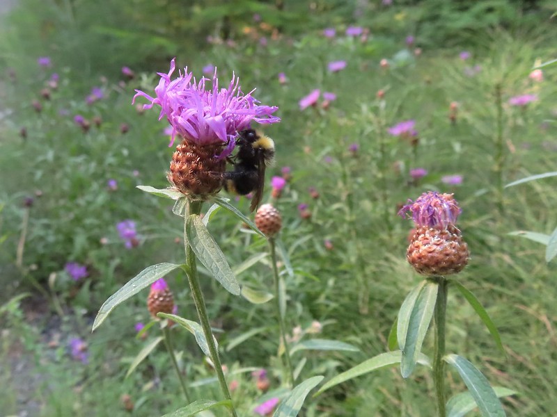 Sleepy bee
 Same mileage on the sign on the other side of FR 421. The fact that Road 2759 showed 2 miles when Sullivan had 1.5 on his map was a pretty good indicator that we were in for more than 16.6 miles.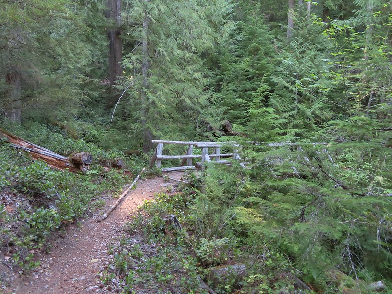
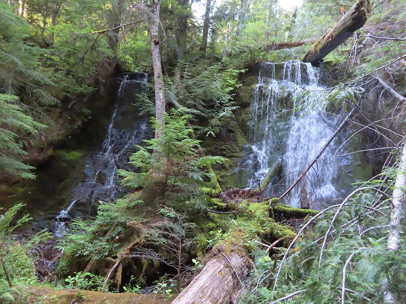 Tributary Falls (unofficial name) was just below a footbridge approximately a half mile from FR 421.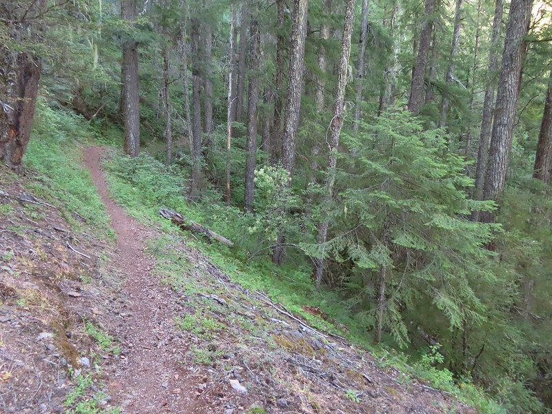
 Middle Hemlock Falls was just two tenths of a mile further along.
 Small cascade below Middle Hemlock Falls.
 Leopard lily
 Another drop with no way to get a view of the fall from above.
 Typical use trail.
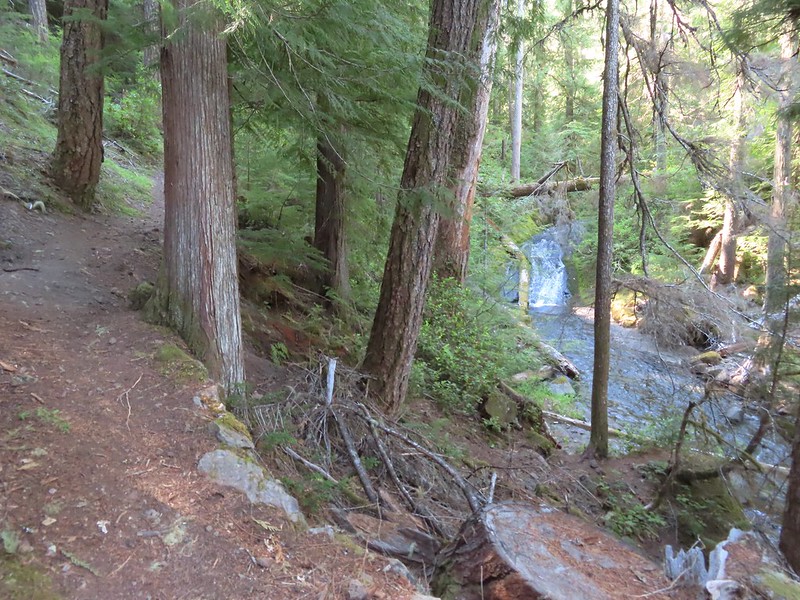 A small slide that was fully visible from the trail.
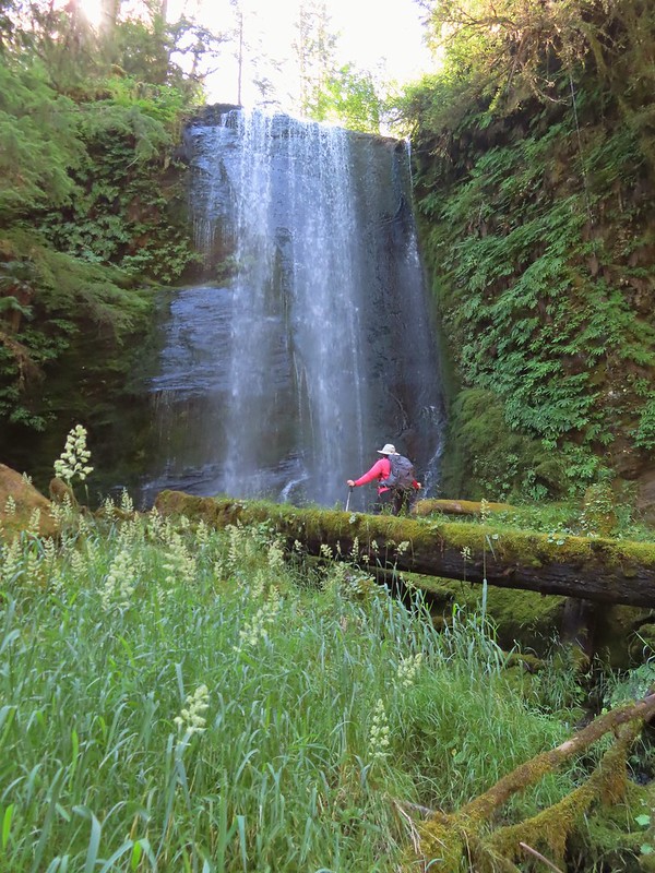 Clover Falls was a quarter mile above Middle Hemlock Falls.
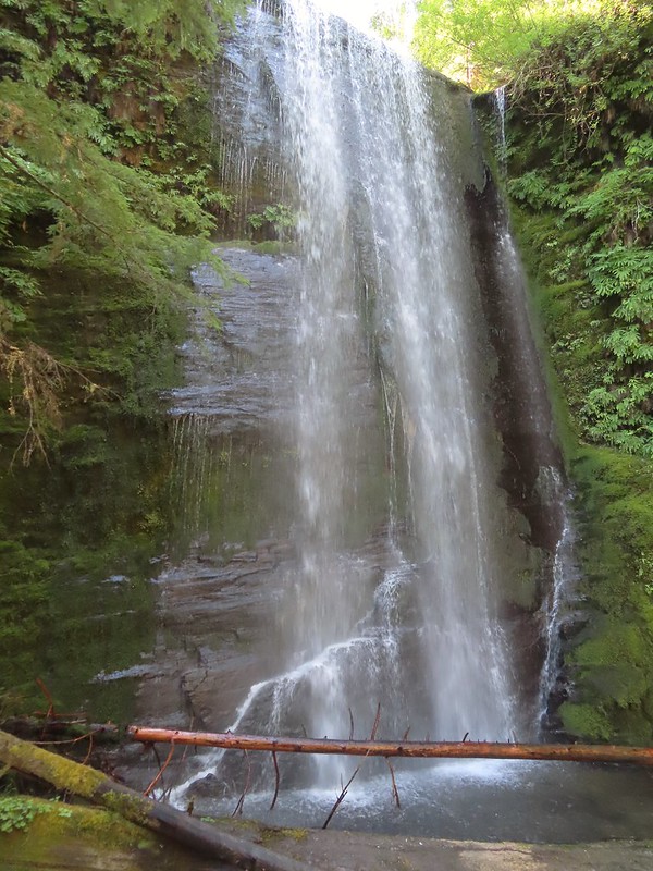 Clover Falls
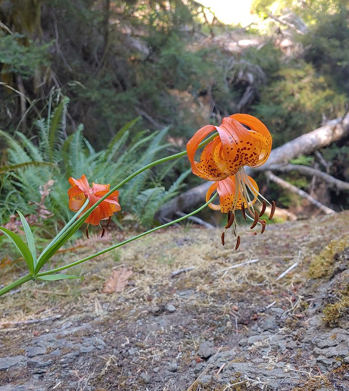 More leopard lilies
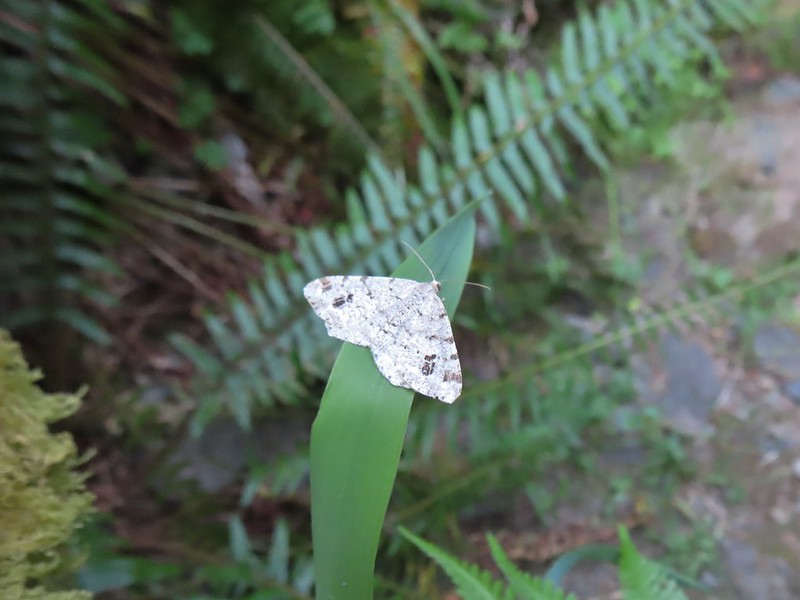 Moth hanging out around the falls.
 Use trail to Clover Falls.
 Heather coming up from the falls through a huckleberry bush that I may have been using for snacks.
 Skunk cabbage leaves in a wet area.
 Curious stellar’s jay.
 FR 2759.
 Again with the 2 miles.
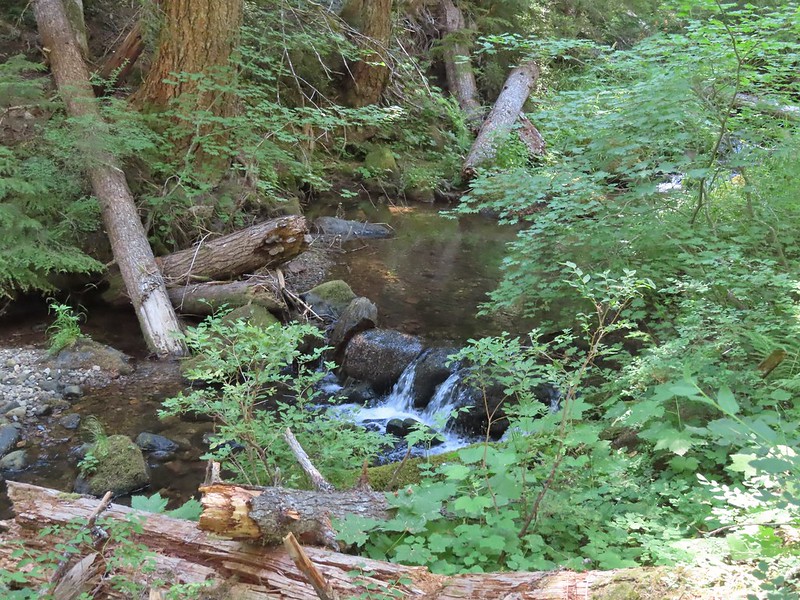 A much more reserved Hemlock Creek.
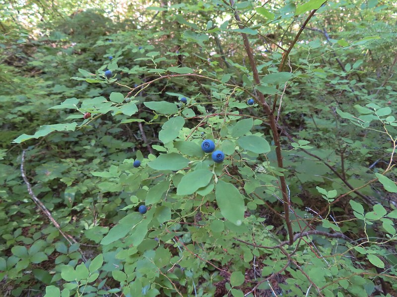 More snacks
 Frog
Frog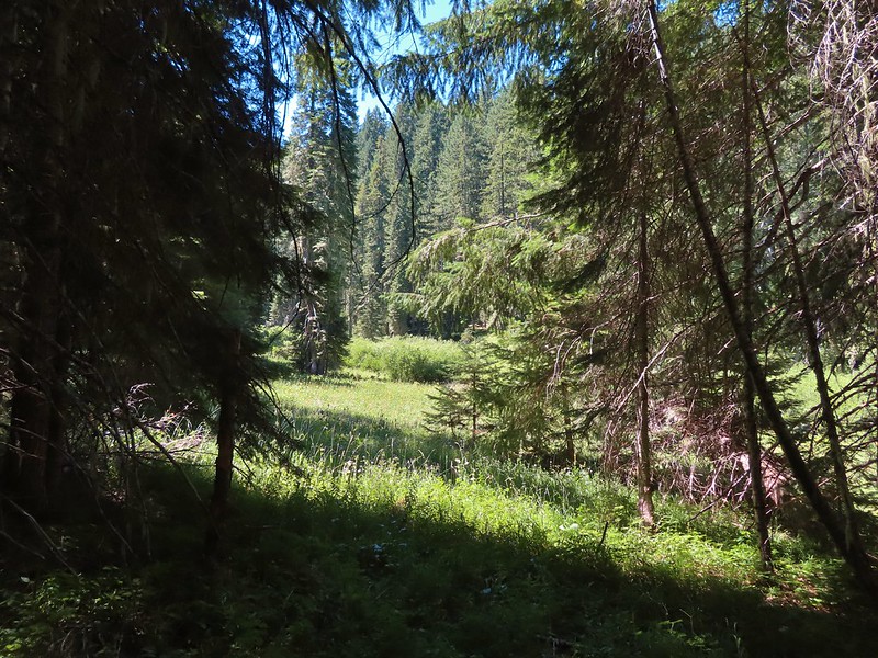
 Coneflower and paintbrush
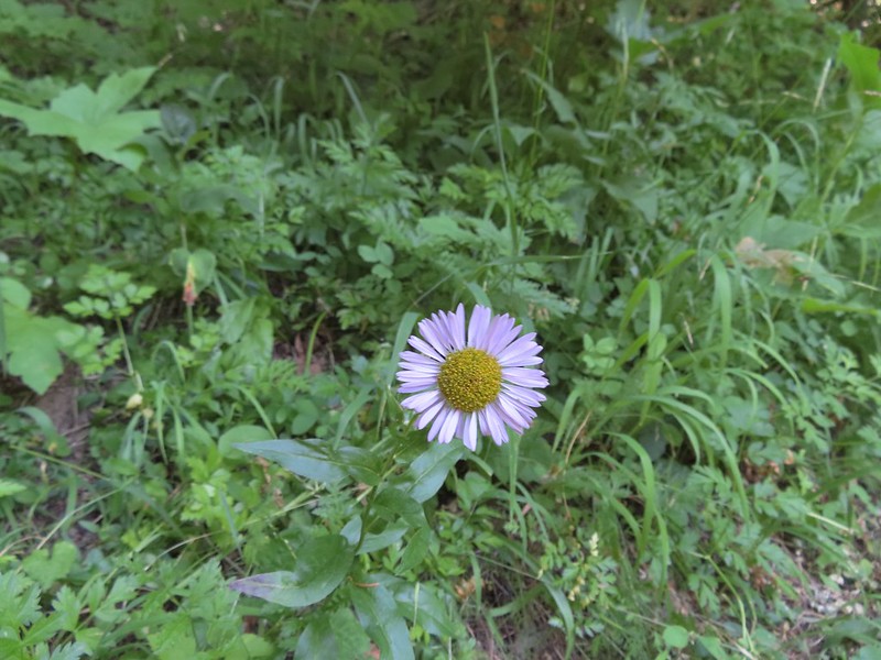 Fleabane
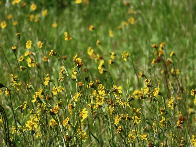 The wildflowers were already on the way out but on the positive side we didn’t have much trouble at all with mosquitos.
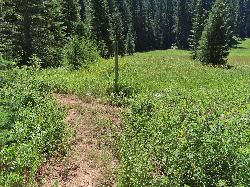 Hemlock Lake was to the left but Sullivan’s hike description called for doing the loop counter-clockwise. He typically has a reason for the direction he suggests so we’ve learned to stick with his recommendations.
 Busy bee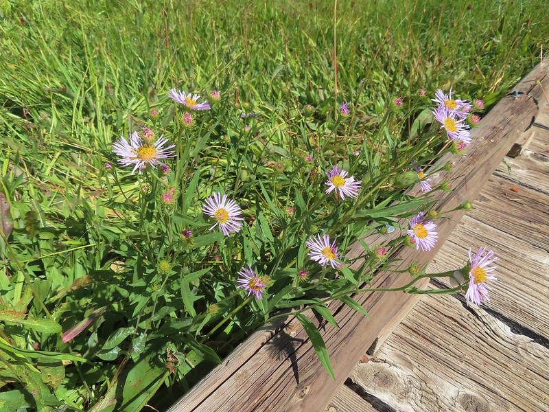
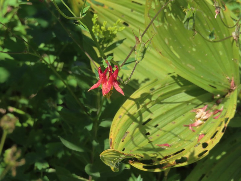 A lone columbine
 Dragonfly
 Mountain owl’s clover
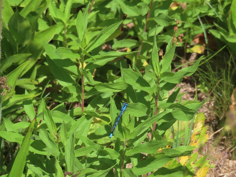 Damselfly
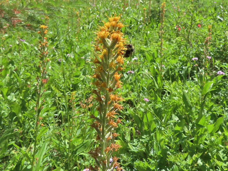 Bee on rainiera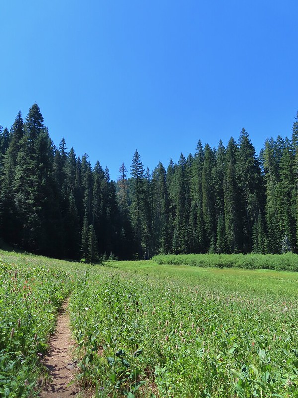
 Butterfly on hyssop
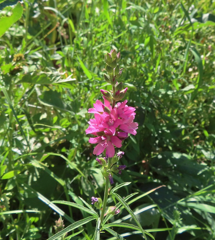 Oregon checkermallow
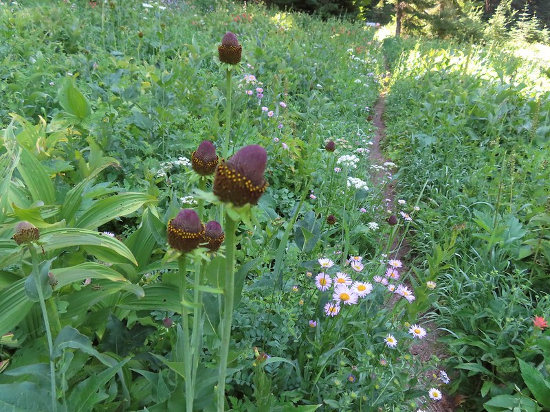 Coneflower
 Fleabane and paintbrush
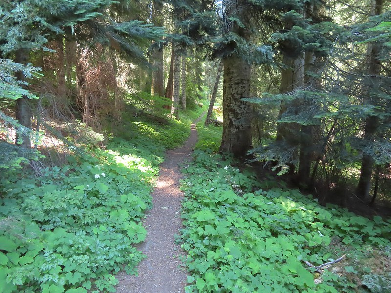 Brief forested section.
 Hedgenettle
 Northern phlox
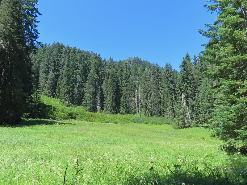 Flat Rock beyond a meadow.
 Large boykina
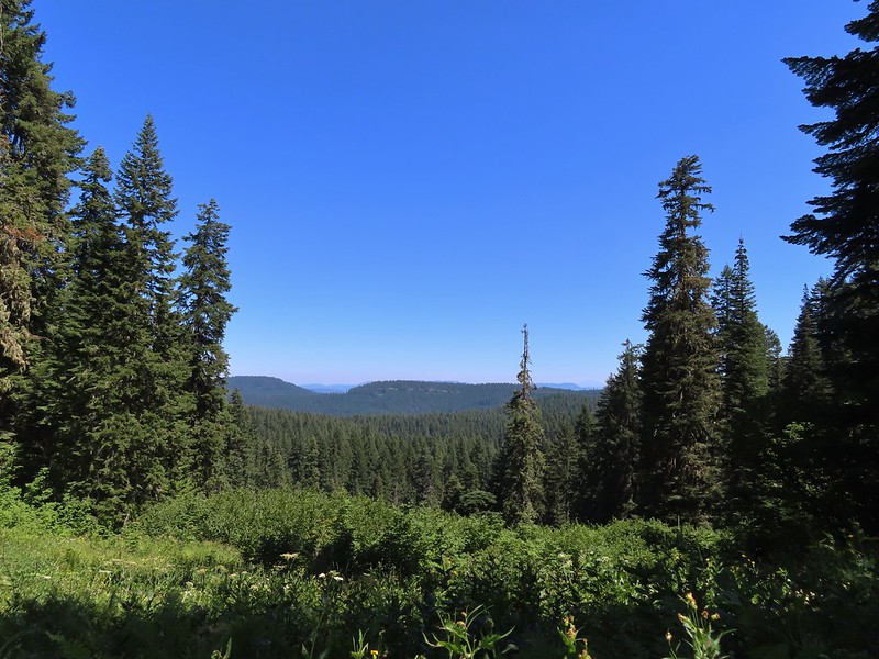 There was an opening at the saddle where Diamond Peak (
 The all too familiar Summer “smoke” filter on the mountains.
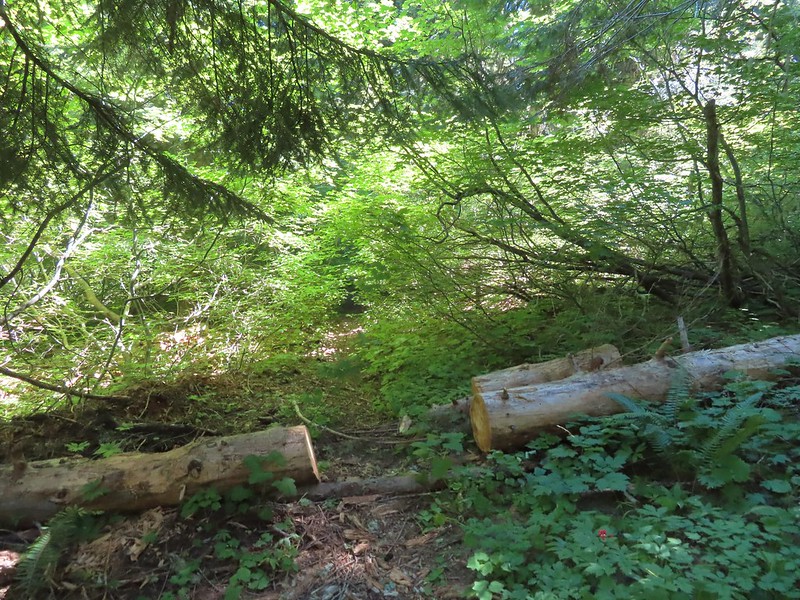 The trail was a bit overgrown in places.
 Starting to climb.
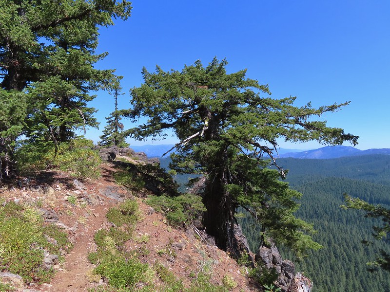 Heading out to the viewpoint.
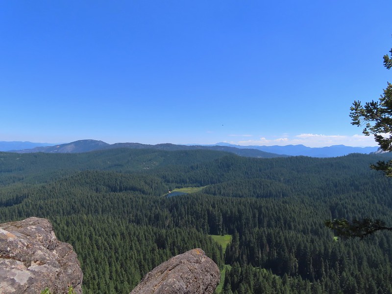 Hemlock Lake from Flat Rock with Mt. Bailey (
 Quartz Mountain in the foreground with Hillman Peak and The Watchman (Crater Lake Rim) in the distance.
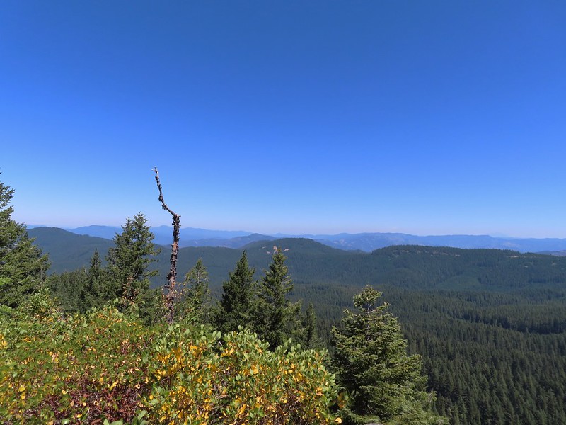 Diamond Peak in the distance to the right and the smoke plume from the Cedar Creek Fire center-right.
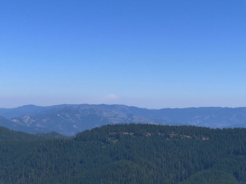 Smoke from the Cedar Creek Fire 😦
 Parnassian on hyssop
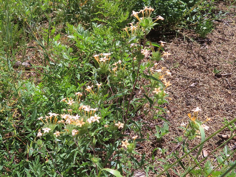 Grand collomia
 Swallowtail on hyssop.

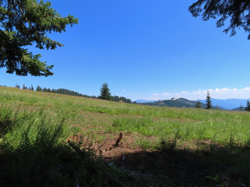 Mt. Bailey and Quartz Mountain.
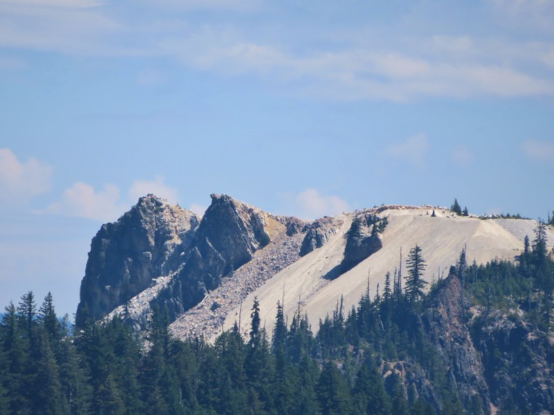 Quartz Mountain
 Union Peak. To the left is Highrock Mountain and to the right of Highrock Mountain are the Rabbit Ears (
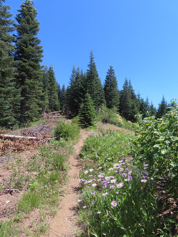
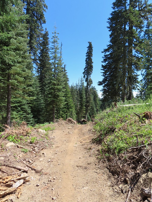 The end of the old road section.
 The only blooming lupine I saw all day.
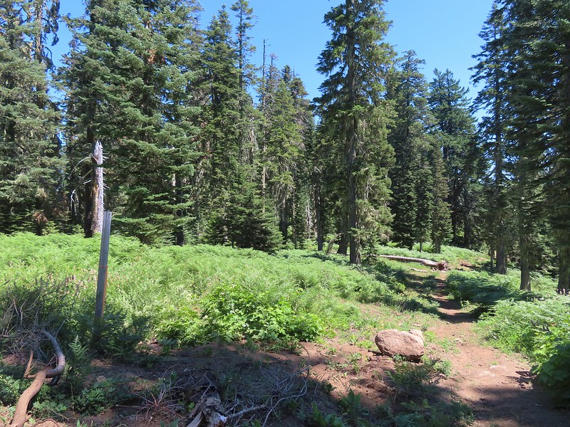 The actual trail to the left was very overgrown here and hard to pick out at first glance.
 The first convergence with FR 625.
 Signpost at the second meeting.
 There were a lot of different types of signs along the loop.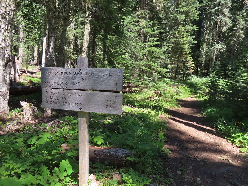


 Monkshood
 I was moving rather quickly now and not stopping for much but I did pause for these sugar sticks.
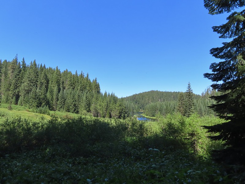 The trail never got very close to the lake.
 Signboard at the Hemlock Lake Day Use Area.
 Loop complete, no Heather.
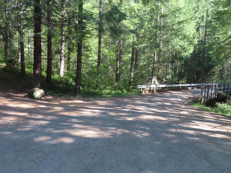 The trailhead is right after crossing Emile Creek.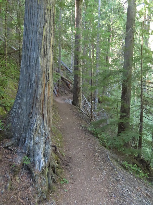
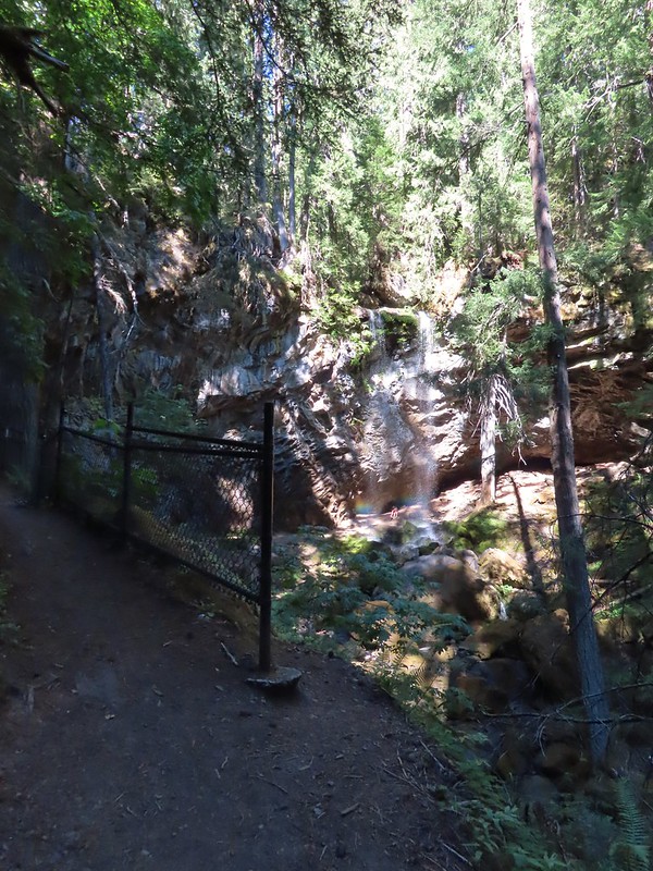
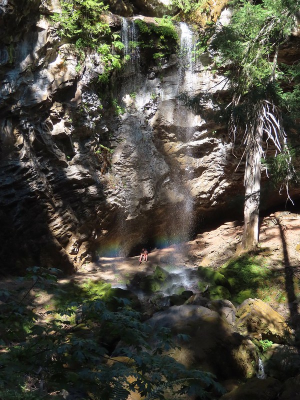
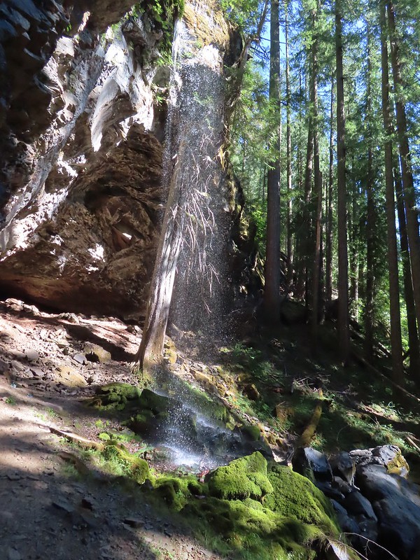
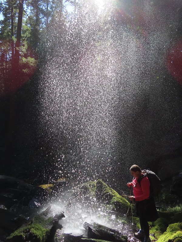


 Cave behind the falls.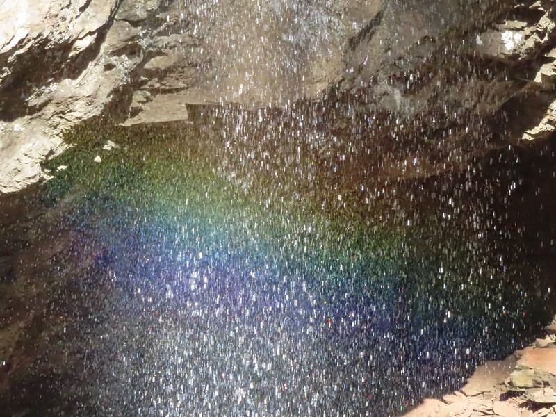

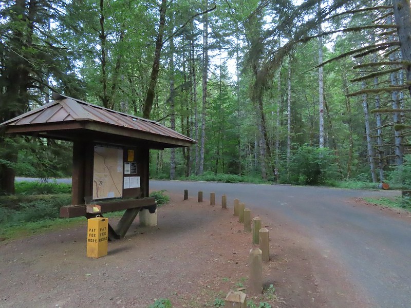


 We stayed left here following the pointer. We later crossed the bridge on the way to Green Peak Falls.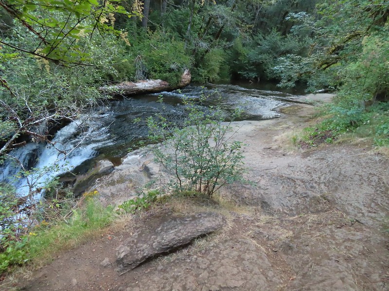

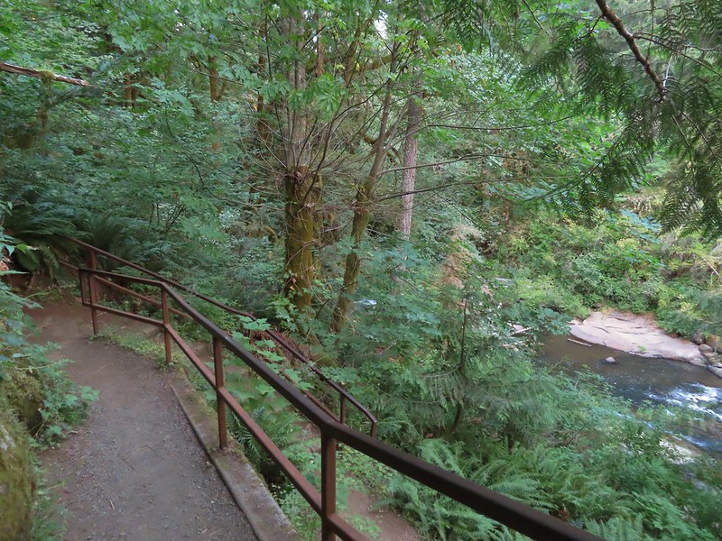

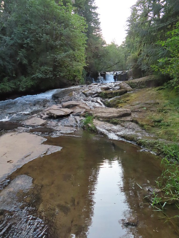 Heather in front of the falls.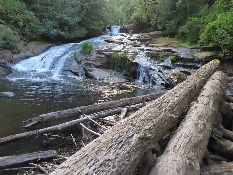
 December 2012
 Looking down river from the bridge.
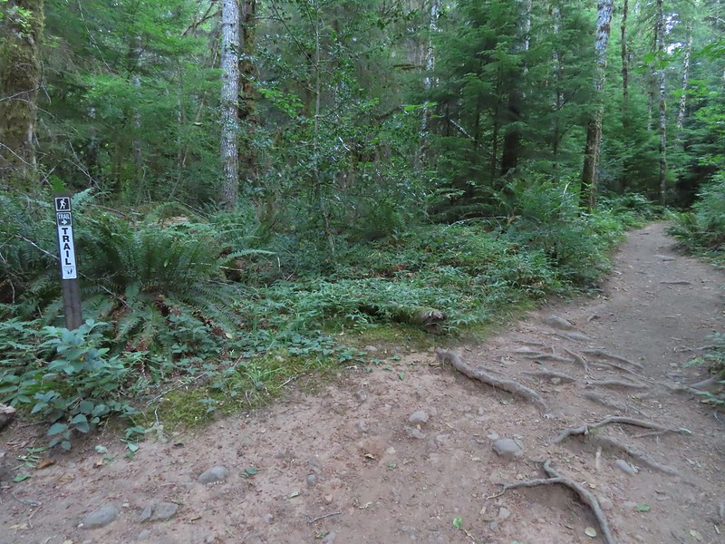
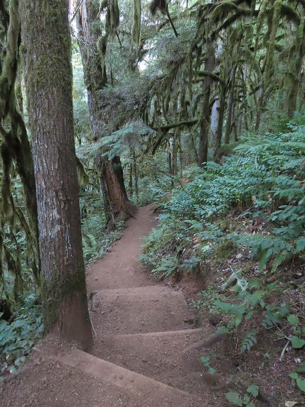

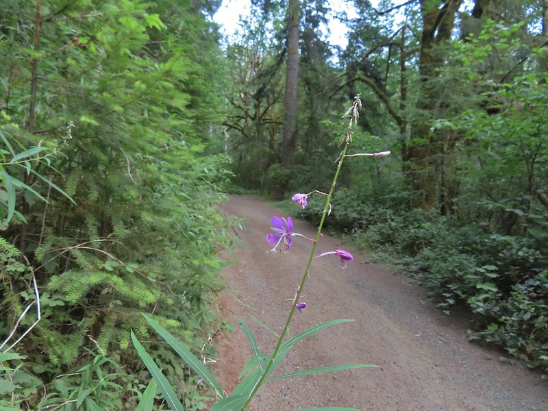 Fireweed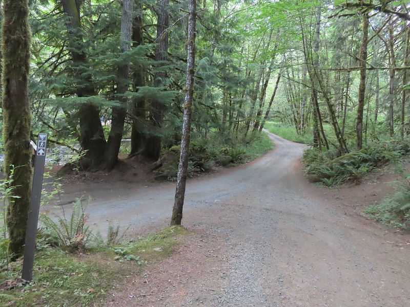

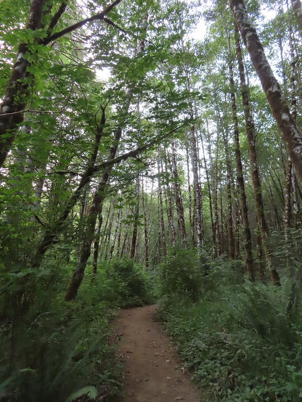


 Green Peak Falls
 Green Peak falls in December 2012.
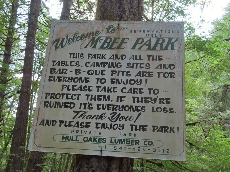
 Covered picnic table.
 The table is one solid plank.
 Sign for McBee Park along South Fork Road.
 Trail down to the picnic area along South Fork Road.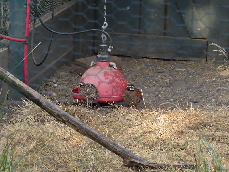
 Silver pheasant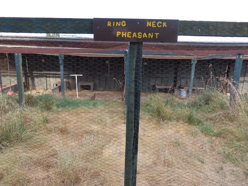


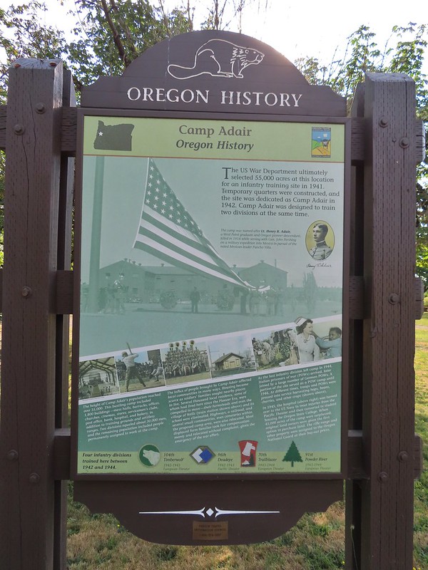
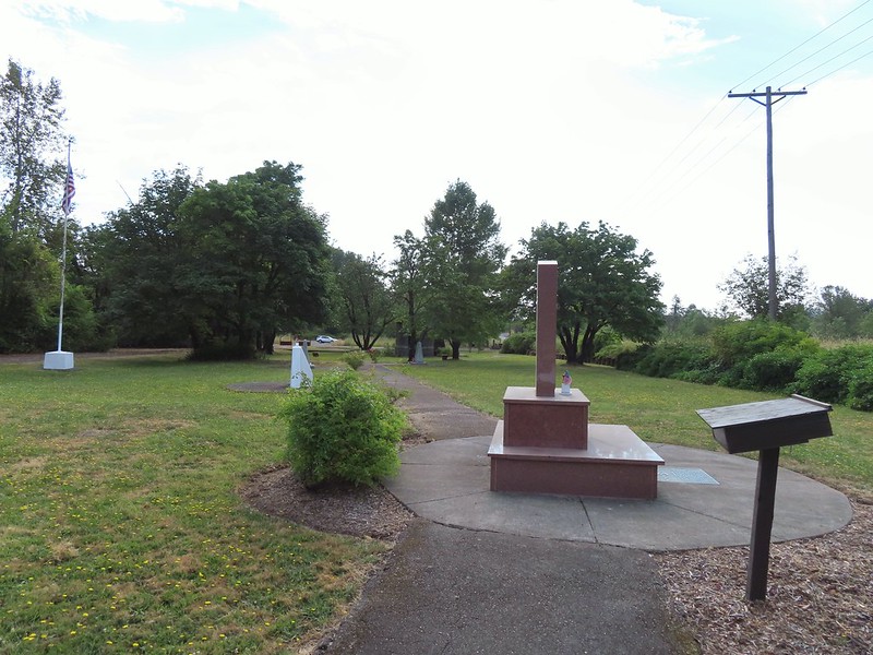
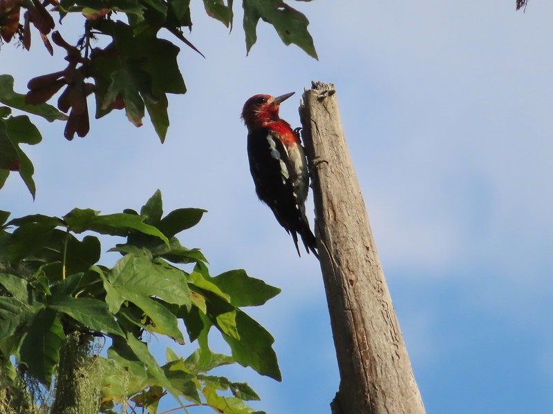 Red-breasted sapsucker
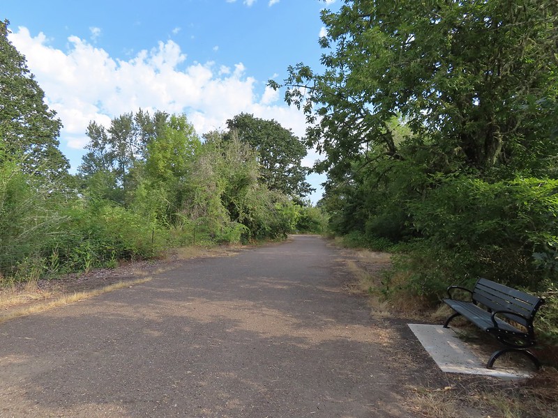


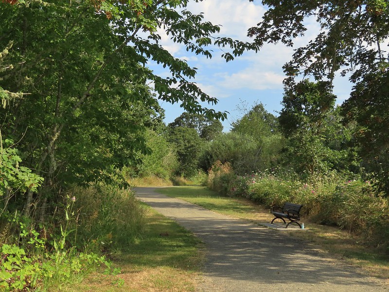 Bunnies in the grass near one of the benches.
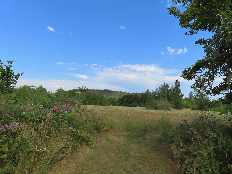 Coffin Butte on the other side of Highway 99.
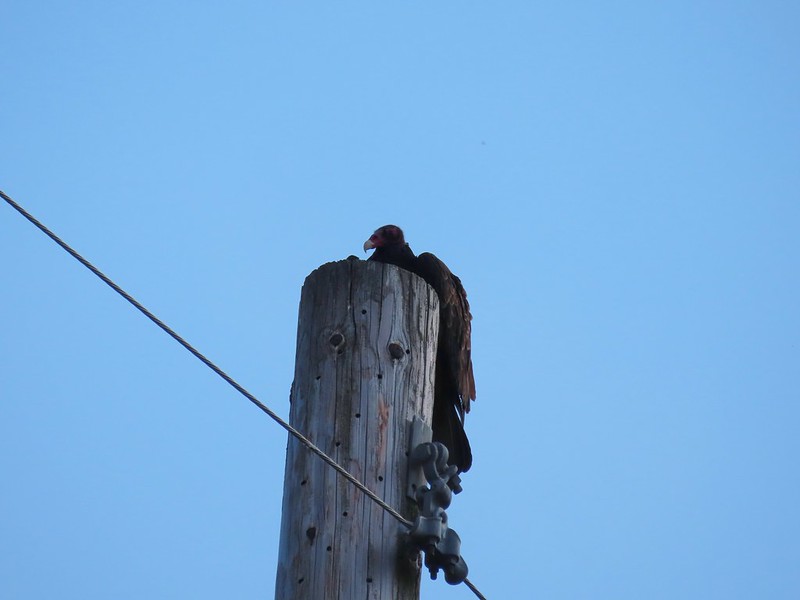 Turkey vulture


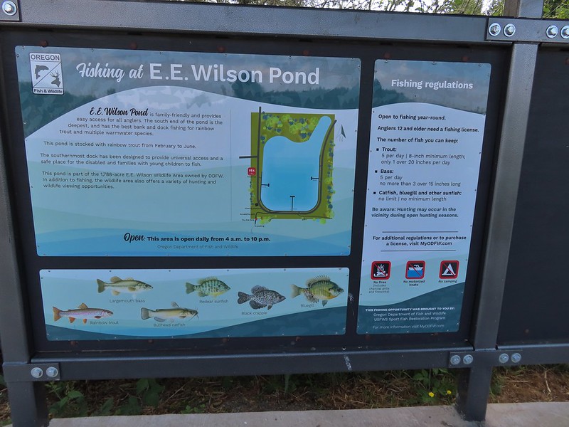
 Wetlands on the other side of the pond.
 Great blue heron
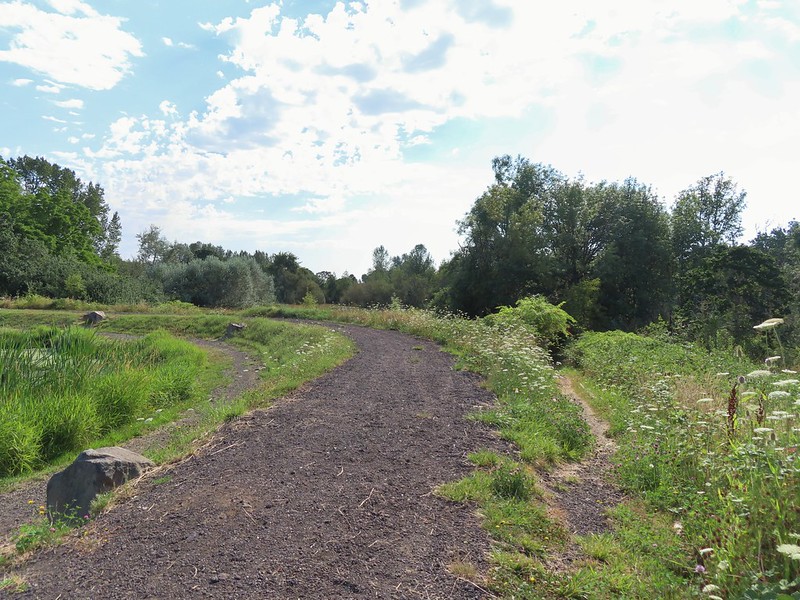 The loop trail to the right.
 Skipper
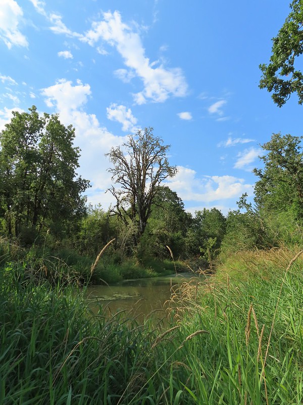
 Tadpole
 We stayed left at any junction like this.
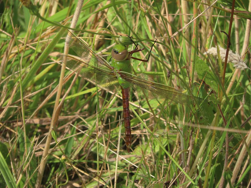 Dragon fly
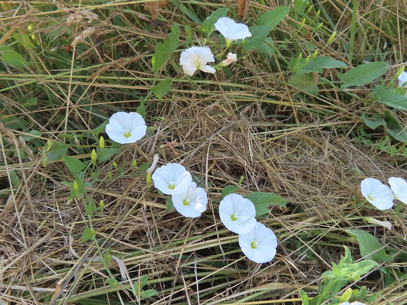 Bindweed
 Arriving back at the road.
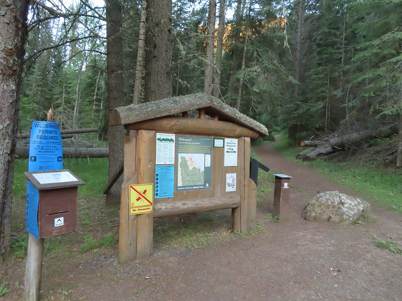 The Bear Creek Trail at the trailhead.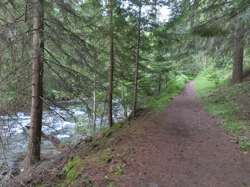
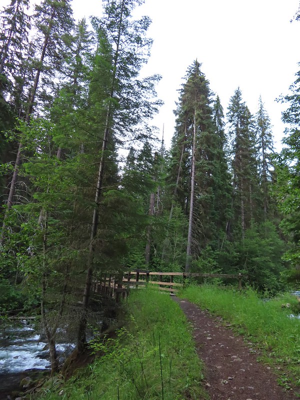
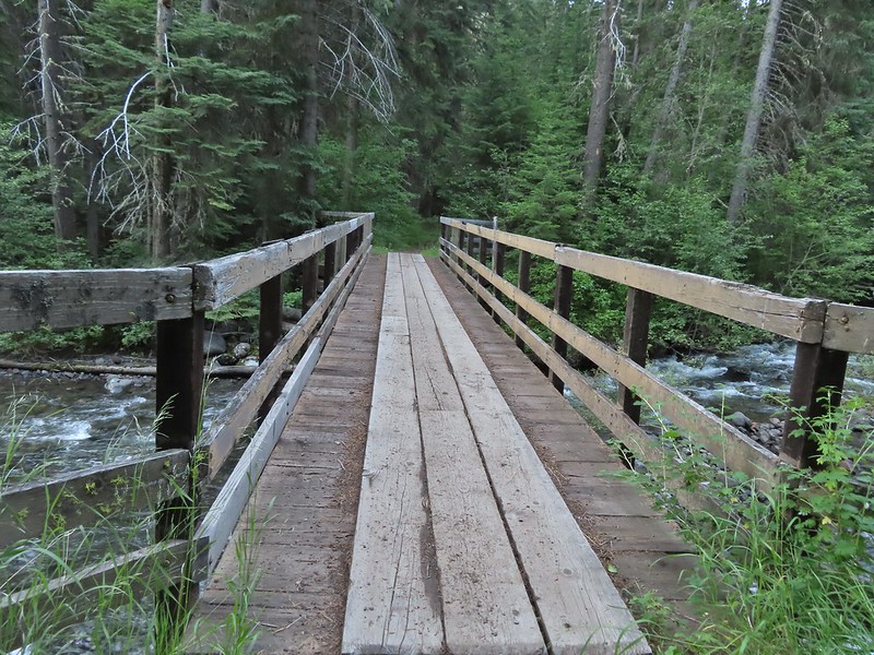 Footbridge over Bear Creek.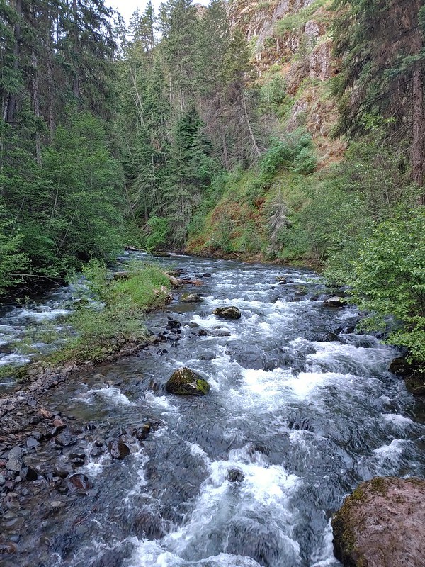
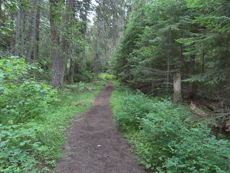

 Milk-vetch
 Mountain lady-slippers
 Bug on a thimbleberry leaf.
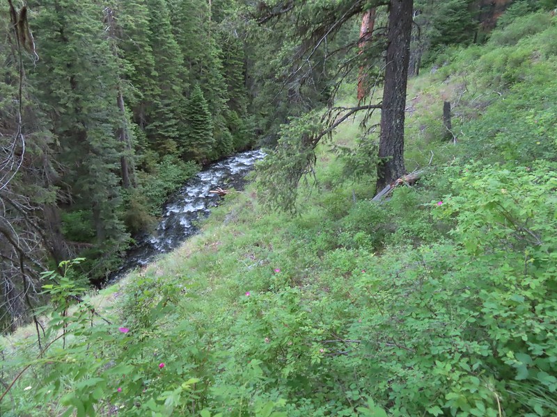 There were a couple of ups and downs where the trail got above Bear Creek.
 Baker Gulch
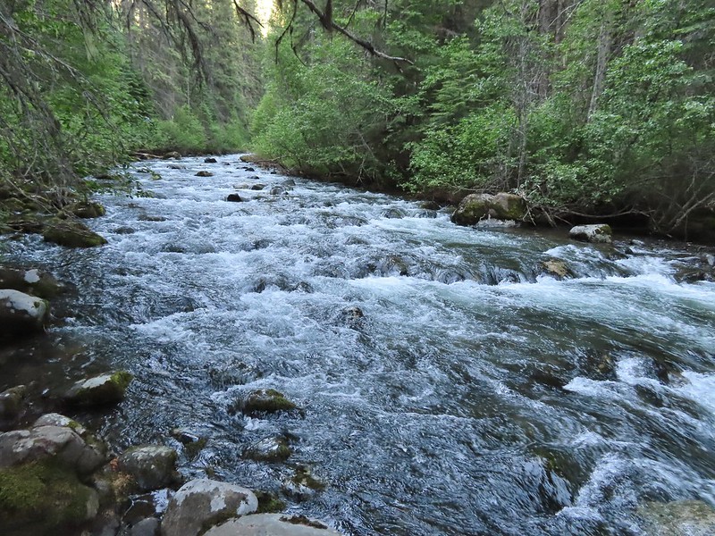
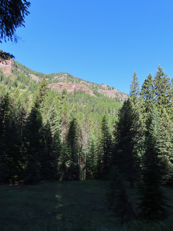 Cliffs on the opposite side of Bear Creek.
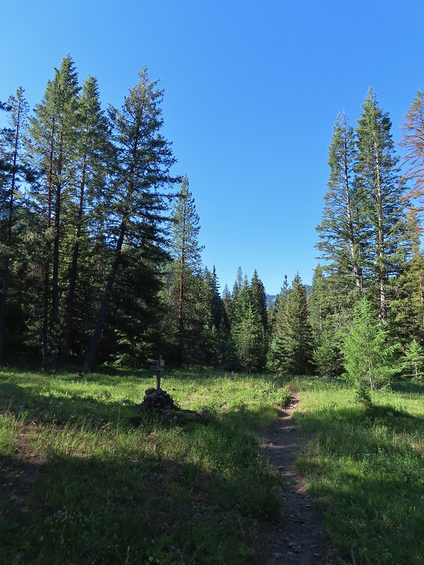 Trail sign marking the junction with the Goat Creek Trail. By this time we had crossed into the
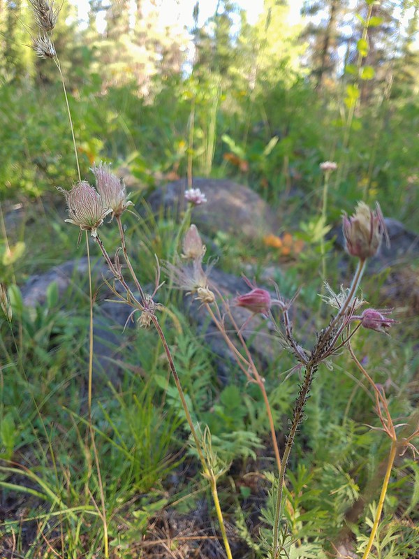 Prairie smoke a.k.a. old mans whiskers
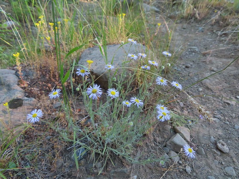 A fleabane
 The Bear Creek Trail crossing Goat Creek.
 Footbridge over Goat Creek.
 Goat Creek
 The unmarked but obvious spur trail to the (locked) Bear Creek Guard Station on the right.

 Moneses uniflora – one-flowered moneses
 Hairstreak
 Crab spider
 Moth
Moth Swallowtail on a bog orchid
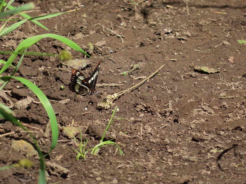 Lorquin’s admiral
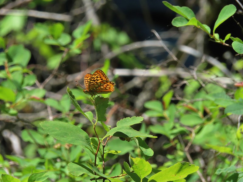 A fritillary butterfly with some sort of spider on the underside of a leaf below to the right.
 First time we’ve started a hike from a motel room.
 Passing the Visitor Center on 2nd Street.
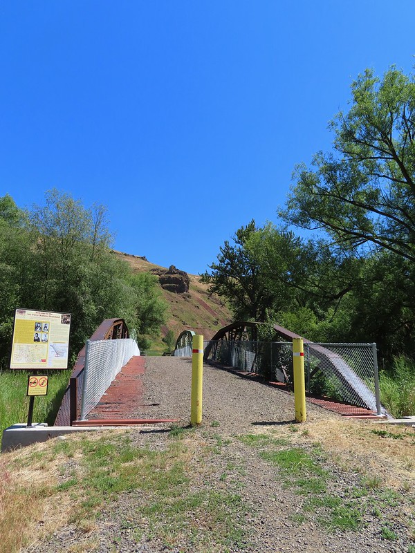


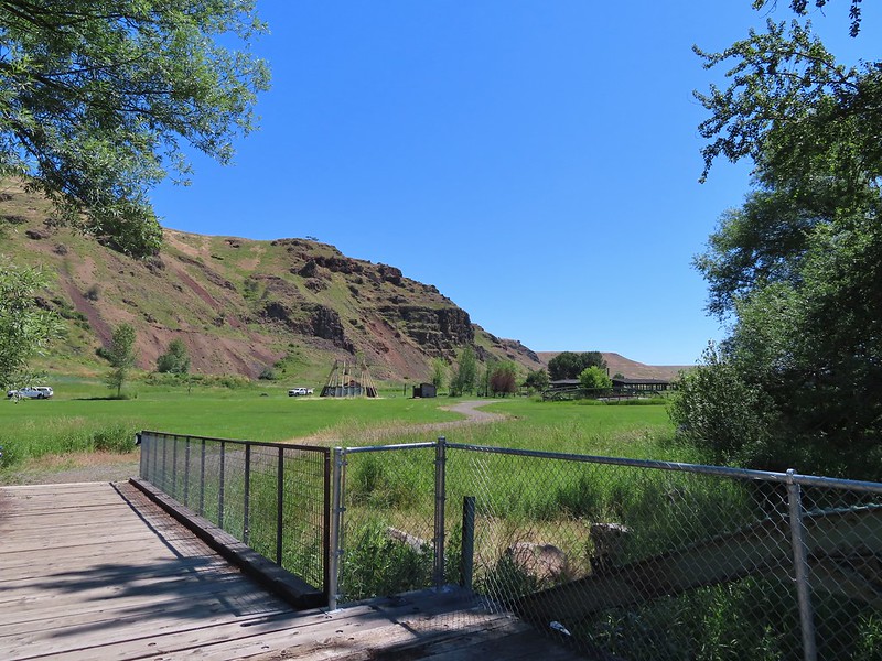
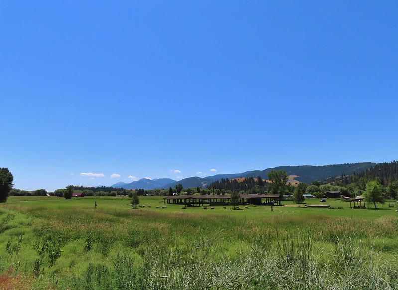 Dance arbor
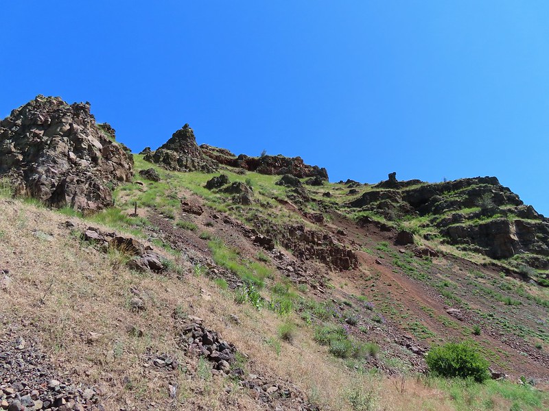
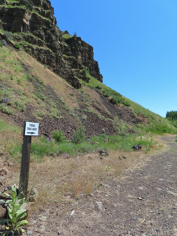
 Marmot
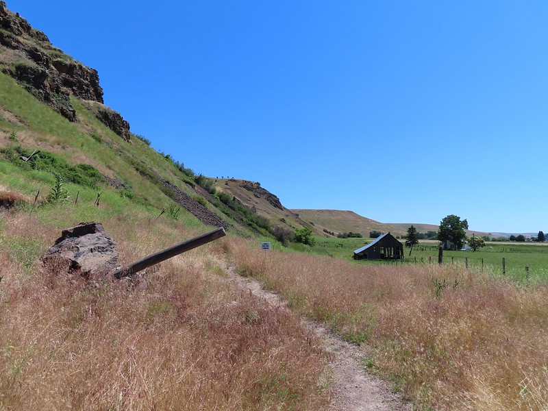 Approaching the pointer uphill.
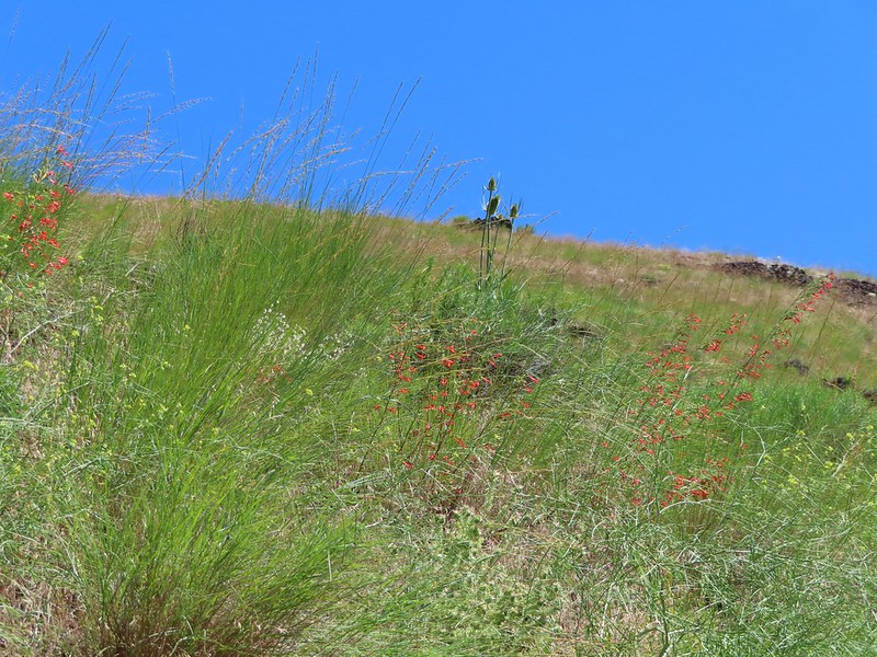 Scarlet gilia
 Dustymaidens
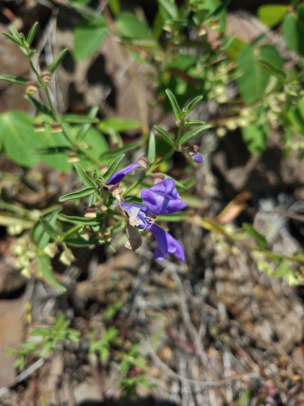 Skullcap
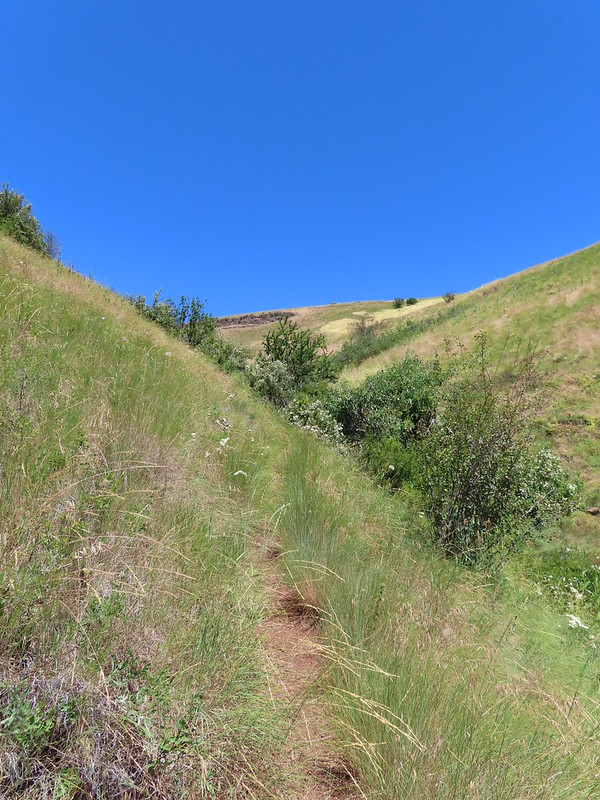 Heading up Tick Hill
 Yarrow
 Lupine
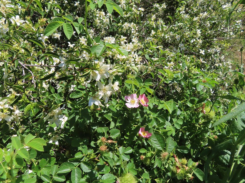 Mock orange and wild rose
 Dragon fly
 Moth mullien
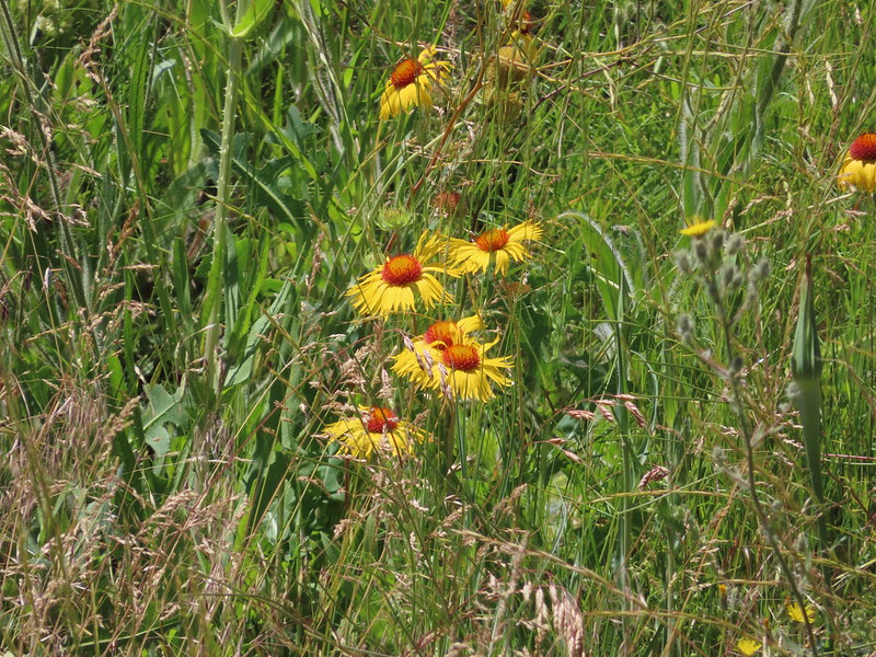 Blanket flower
 Checker-mallow and vetch
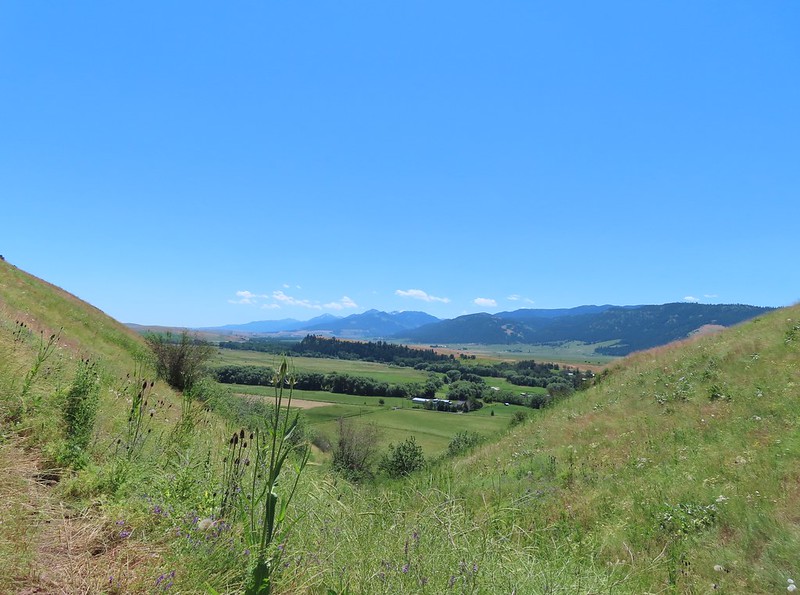 The Wallowas from the trail.
 Sagebrush mariposa lily
 A buckwheat
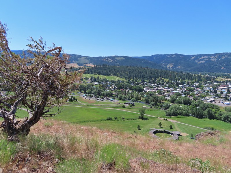 The Wallowa River and dance arbor from the viewpoint.
 The Wallowa Mountians
 Heading back to the post from the viewpoint.
 About a quarter mile from the post we crossed this road leading to some radio towers.
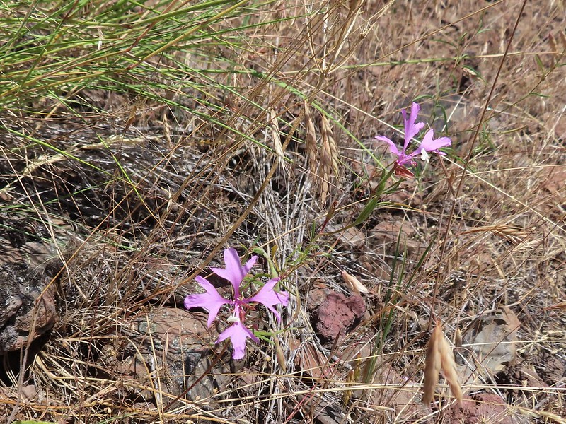 Elkhorn clarkia
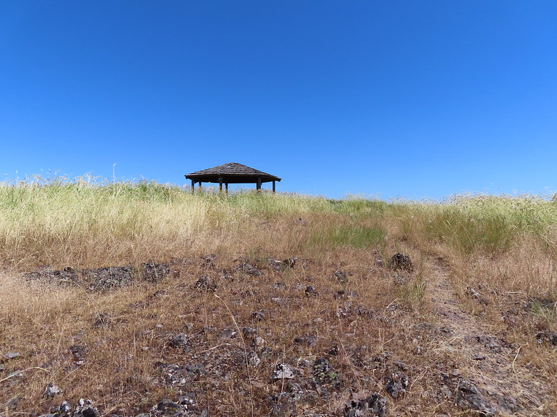 The gazebo ahead.
 Shade!
 Plaque near the gazebo.
 View from the gazebo.
 From left to right: Point Joseph, Hurricane Point, Ruby Peak, and Sawtooth Peak.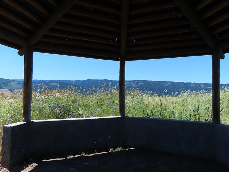
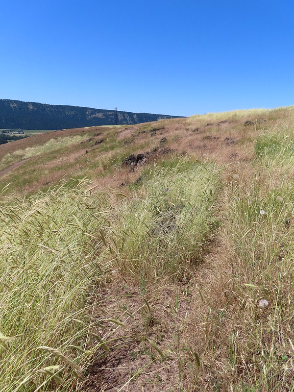 At the junction with the spur trail to the gazebo. We came up from the left and continued on to the right.
 Recrossing the road.
 Western meadowlark
 Heading toward the radio tower.
 A fleabane
 There were several plaques along this stretch.
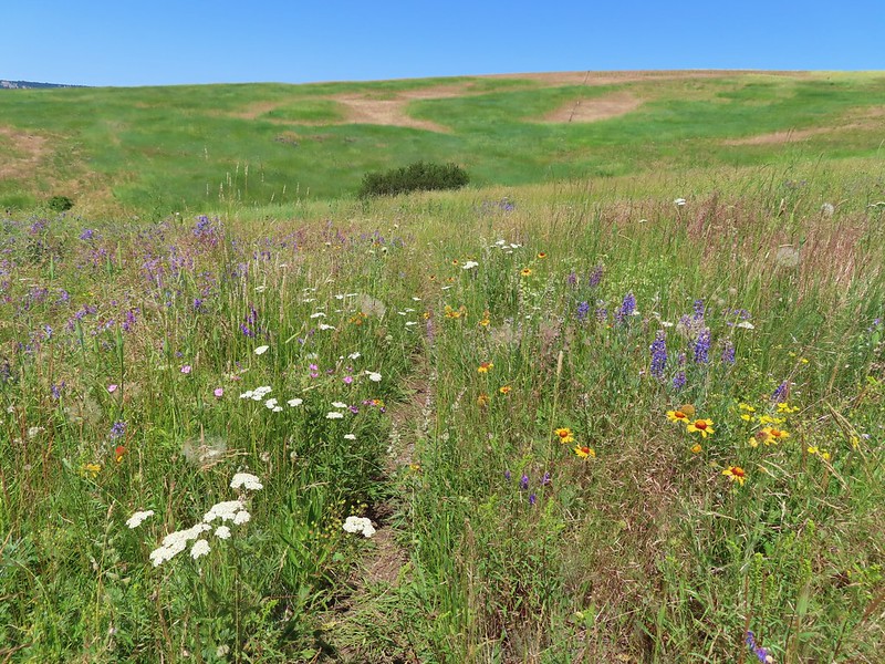 Various wildflowers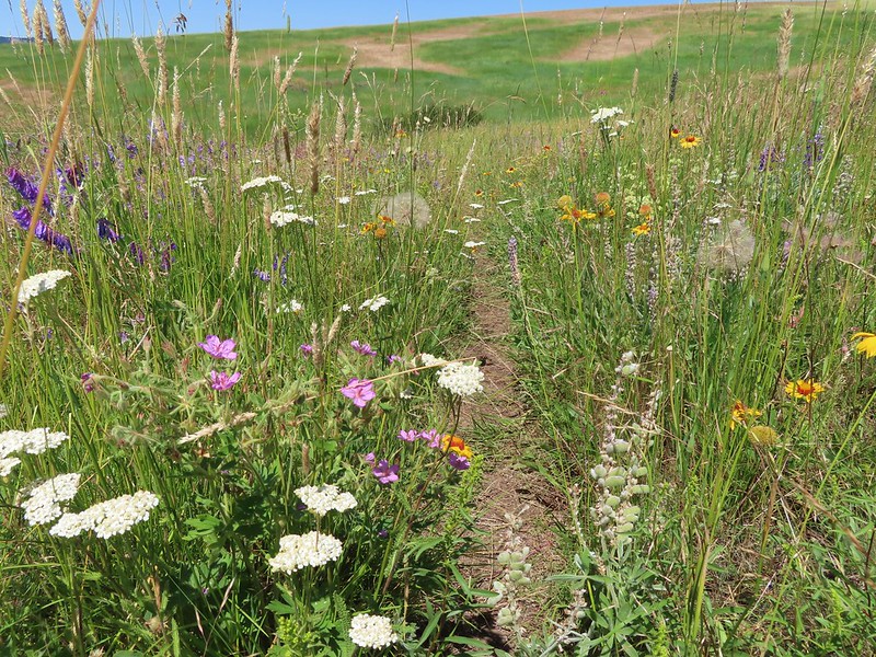
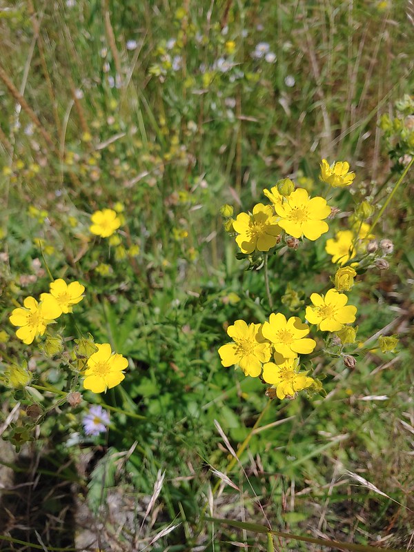 Cinquefoil
 Lots of blanket flower.
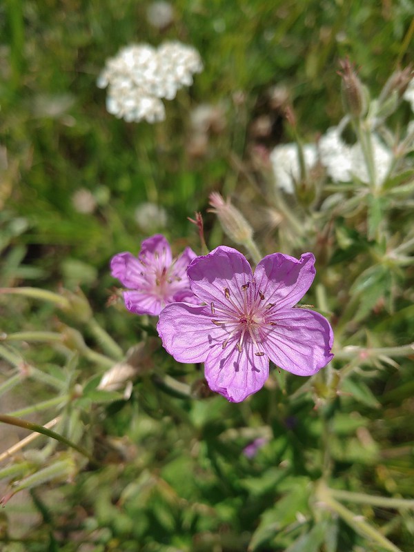 Sticky geranium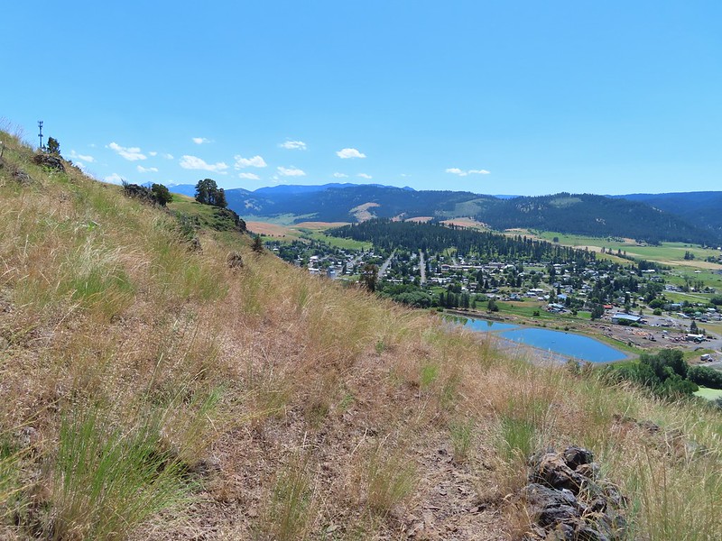
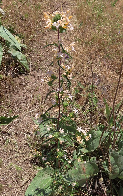 Grand collomia
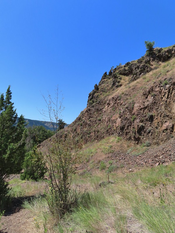
 Scarlet gilia
 The last line is great advice.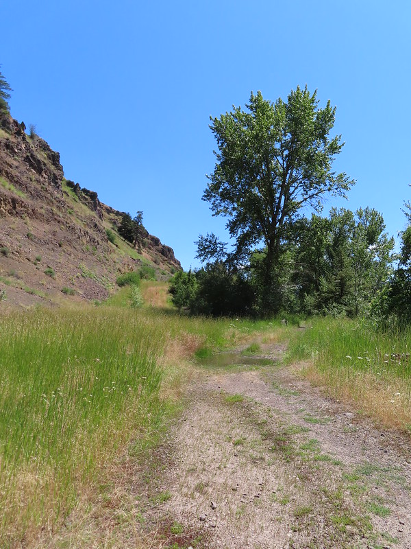
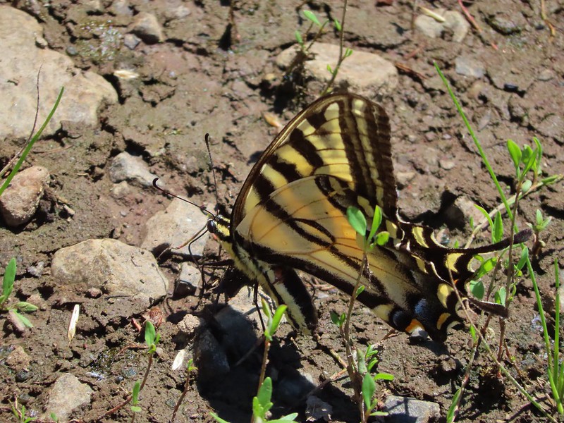 Swallowtail
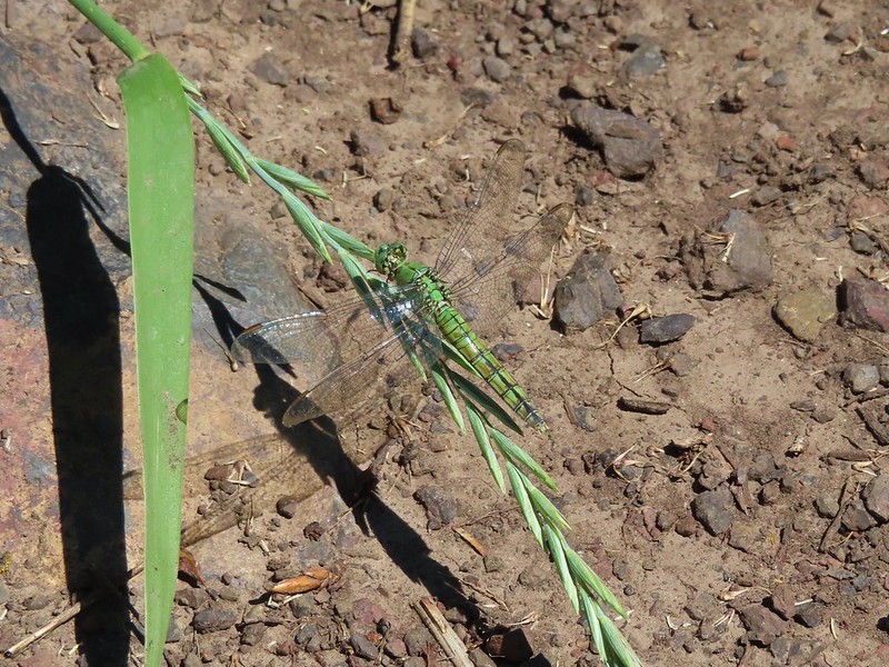 Dragon fly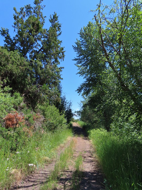
 Bachelor buttons
 Swallowtail on hyssop.
 Wallowa River
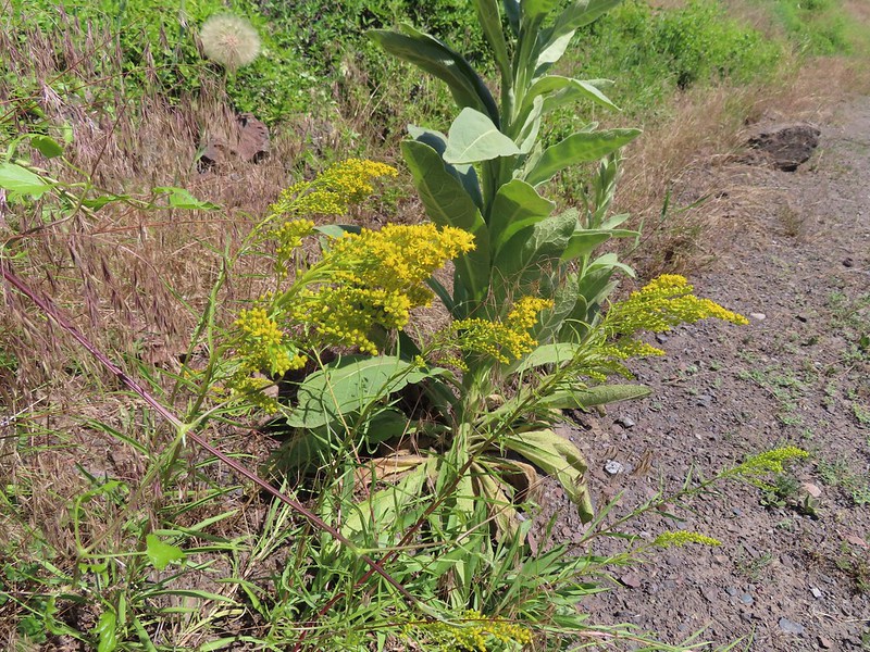 Goldenrod


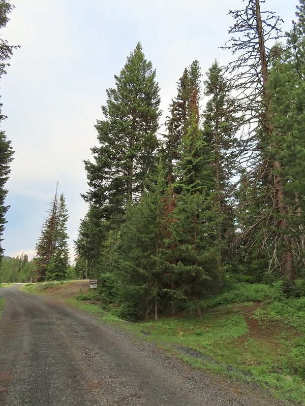 We parked about 200′ north of the actual trailhead per a suggestion by Sullivan in his guidebook.
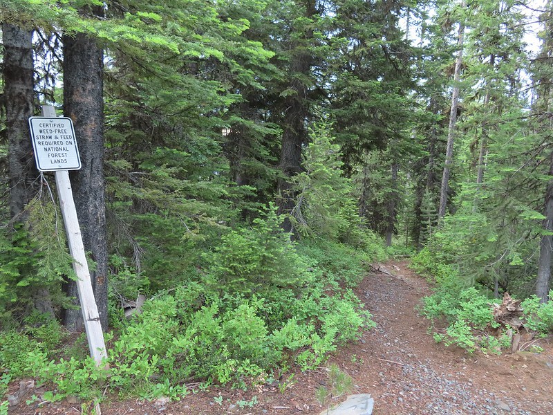 The Rock Springs Trail at FR 62.
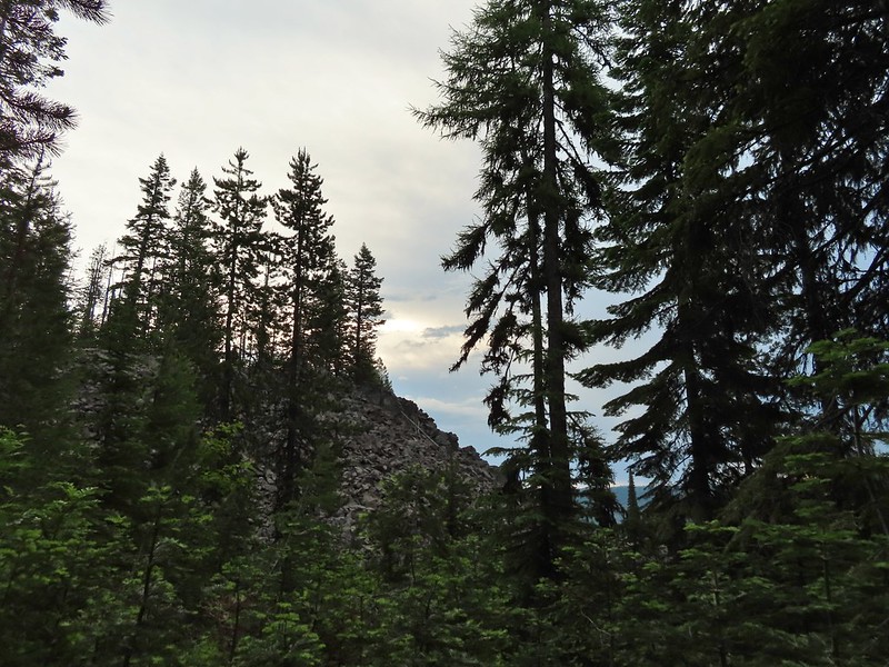 The trail passed a large rock field just below FR 62 and then entered the
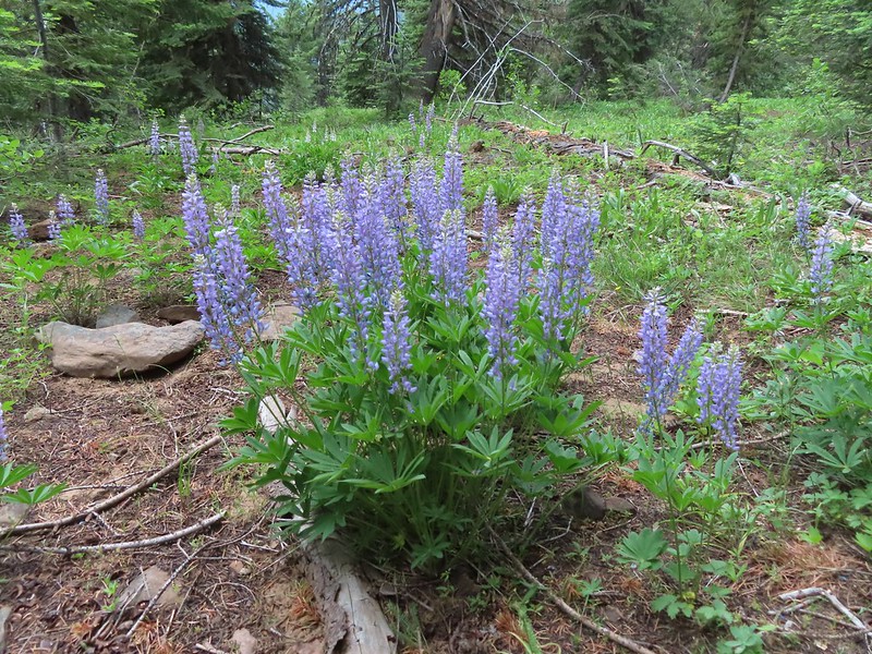 Lupine
 Coralroot

 The edge of the storm clouds.
 Scarlet gilia along the trail.
 Oregon sunshine and tapertip onion
 Nettle-leaf giant hyssop
 View from the trail before the first “viewpoint”.
 Oregon checker-mallow
 Assorted wildflowers
 Blue sky following the storm clouds.
 Scabland penstemon
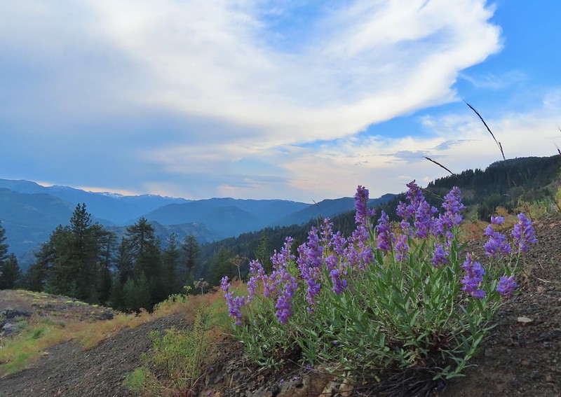 Penstemon near the first “viewpoint”.
 Yarrow
 Douglas dustymaiden
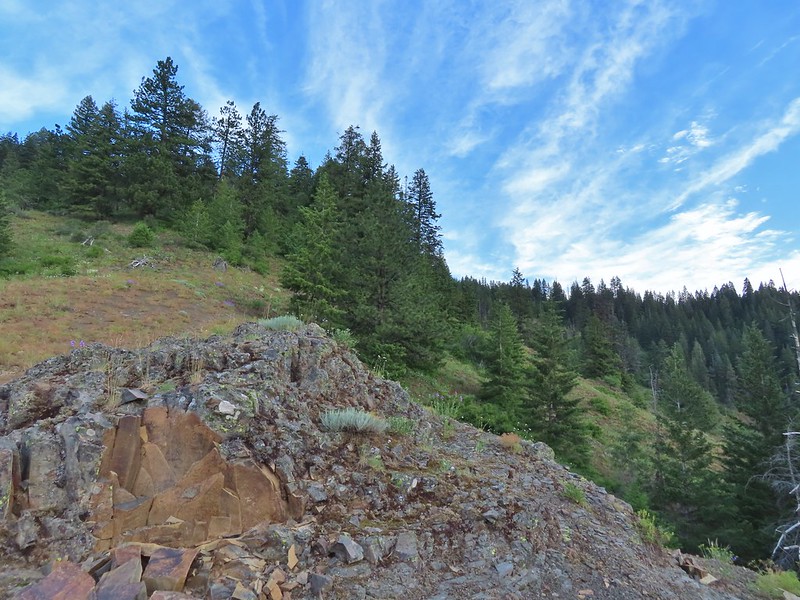 Looking back from the viewpoint.
 Buckwheat
 The Point Prominence Lookout atop the high point to the left.
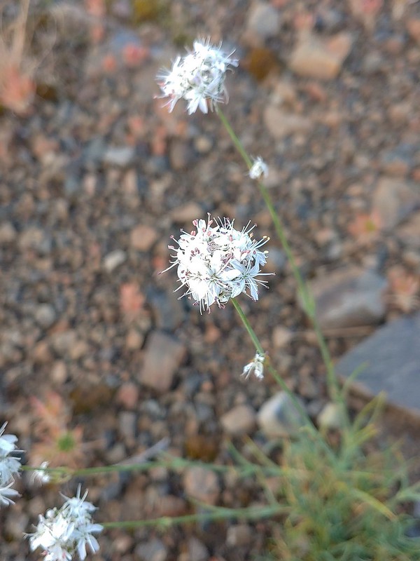 Ballhead sandwort
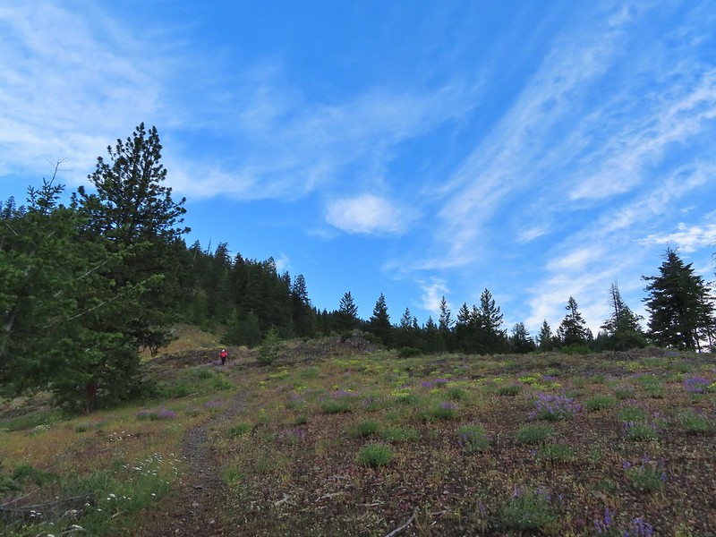 Heather coming down from the viewpoint.
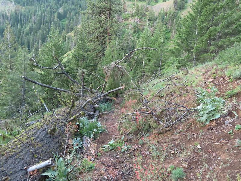 Blowdown over the trail.
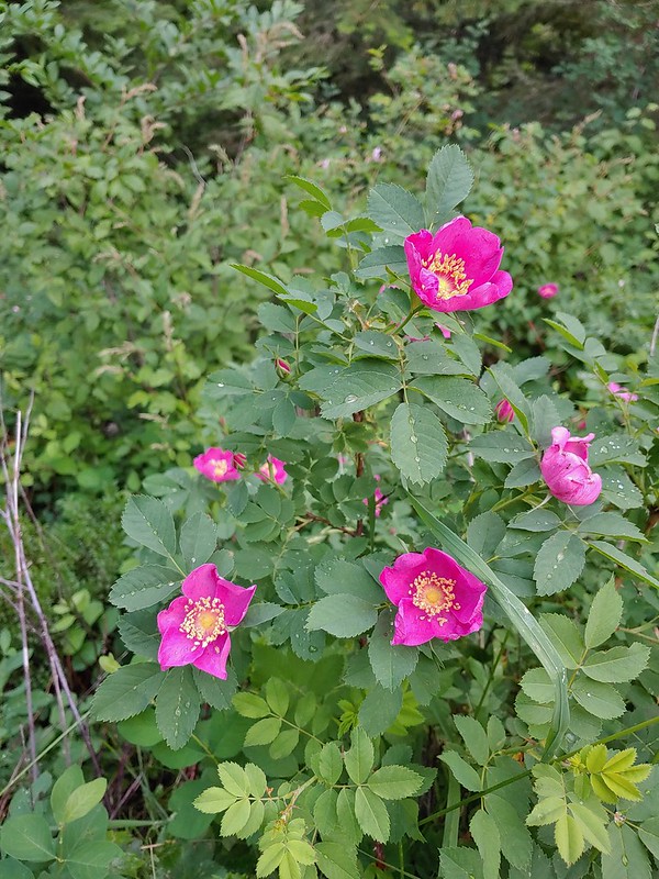 Nookta rose
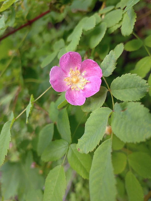 Wood rose
 View to the SE deeper into the Wallowas.
 Mountain parnassian?
 Back in the trees.
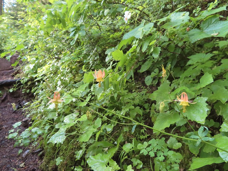 Some pale columbine. At first we thought it might be yellow columbine but it definitely had a red tint.
 Thimbleberry crowding the trail. The storm had left a lot of water on the vegetation which in turn wound up on our legs and shoes.
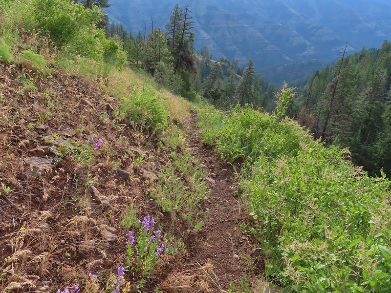 Heading down into the valley.
 Elkhorn clarkia
 Approaching the second viewpoint.
 Backbone Ridge which separates the Minam and Little Minam Rivers. We had crossed over that ridge further south on Tuesday when we took the Horse Ranch Trail from Moss Springs to the Minam River (post).
 Grand collomia
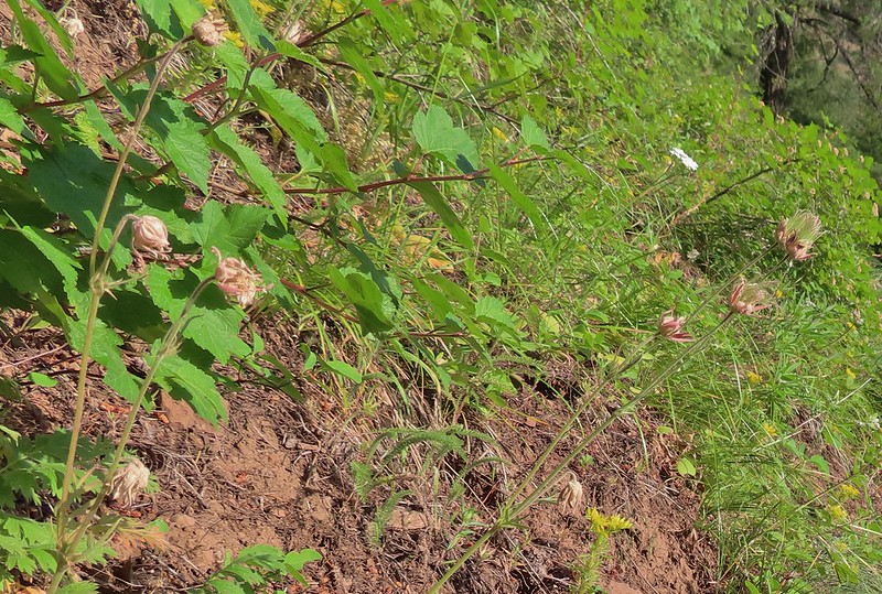 Prairie smoke
 Mock orange along the trail.
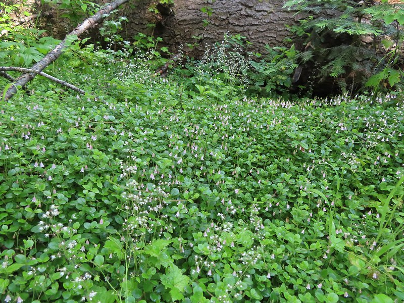 Twin flower and foam flower
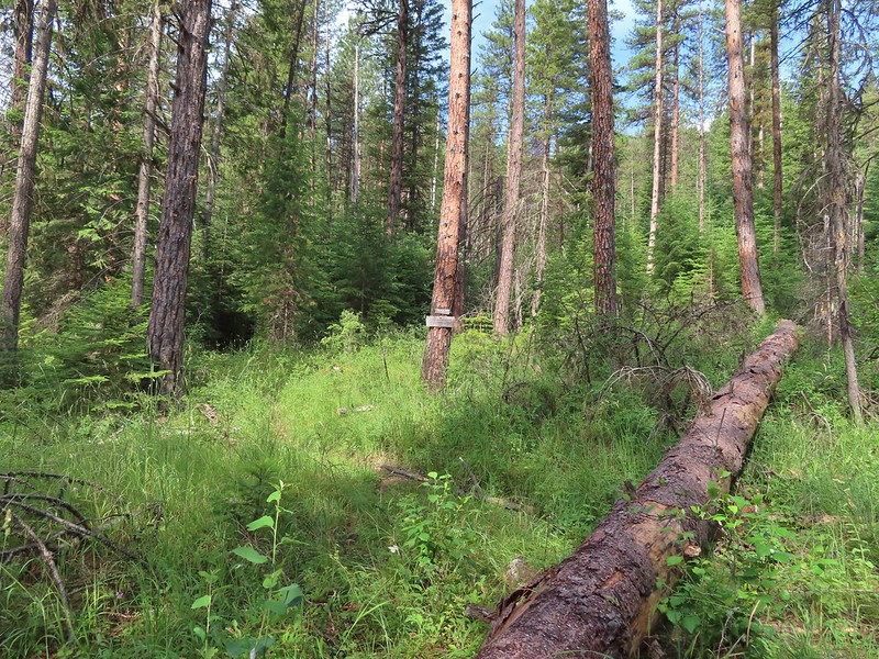 Sign marking the junction of the Rock Springs and Little Minam Trails.
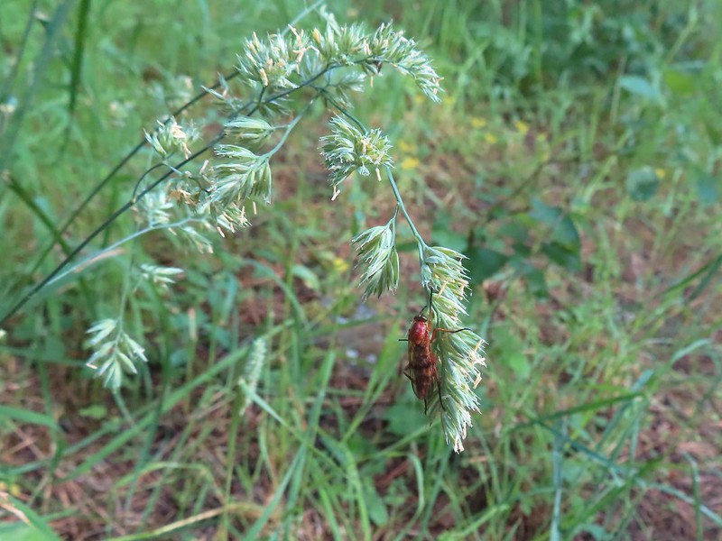 Possibly a wasp of some sort near the junction.
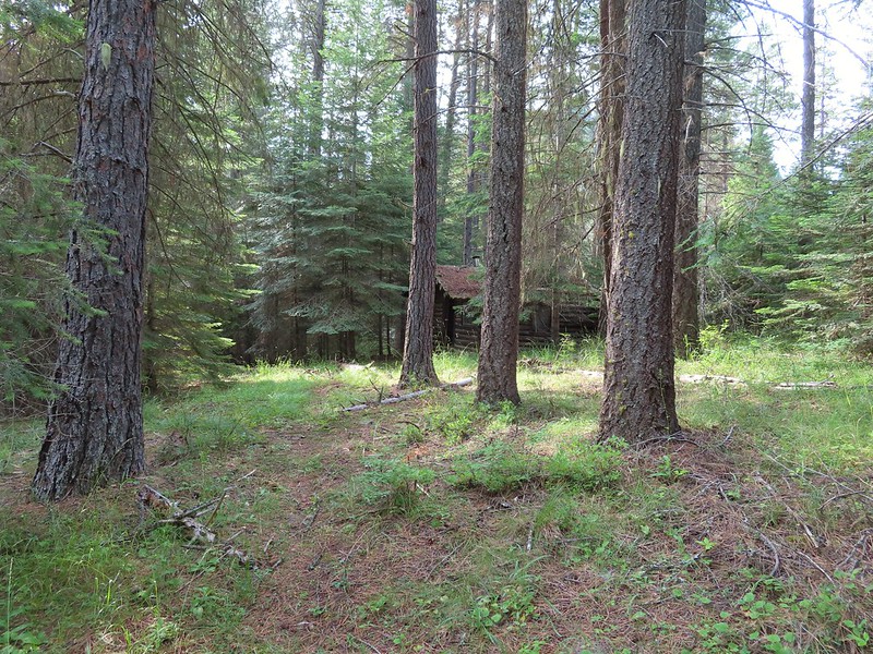 The first cabin ruin.
 Almost looks okay from this angle.
 Not so good from this angle.
 The lodge was at the edge of this meadow.
 The lodge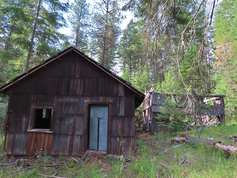
 The fireplace seems to have held up well.
 This cabin didn’t hold up.

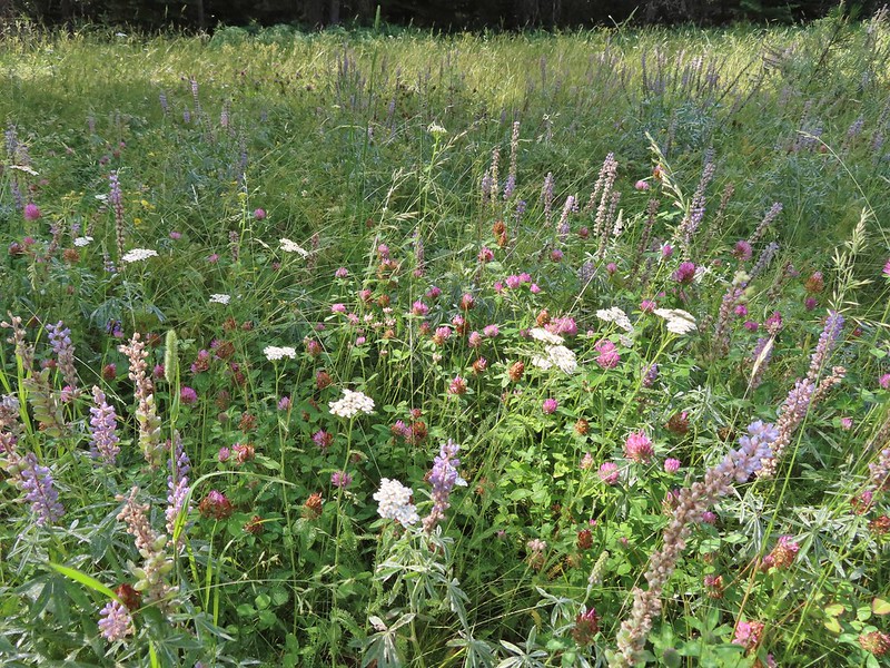 Wildflowers near the watering hole.
 The Little Minam River. We couldn’t quite see the confluence of the two rivers from here despite being very close.


 The dangerous ford.
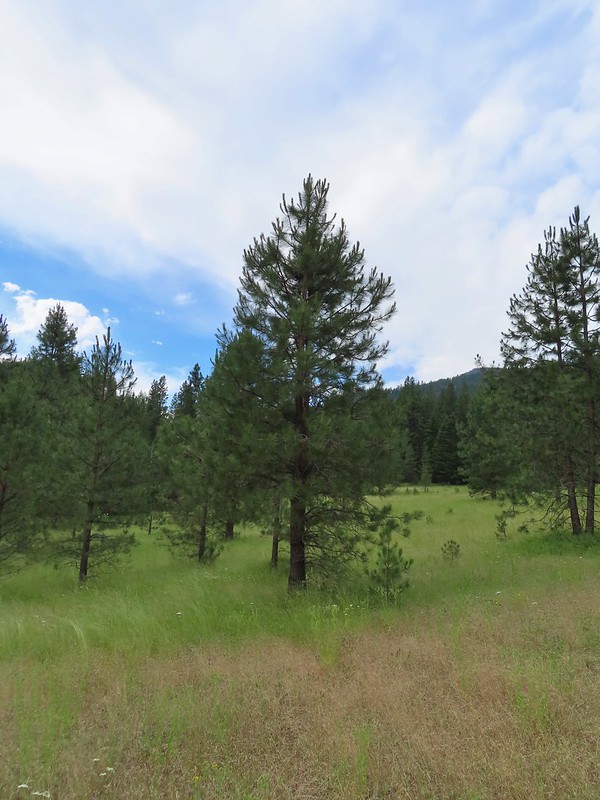 Here we tried looking for horse hoof prints to stick to the trail.
 Butterfly on yarrow.
 We think this was the trail.
 The campsites where we picked up the Rock Springs Trail again.
 Lorquin’s admiral
 Looking across the gully we could see the trail cut climbing up the far hillside.
 Pincushion plant
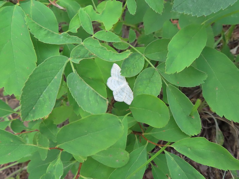 Resting moth
 A plane taking off from Minam Lodge.
 A popular thistle.
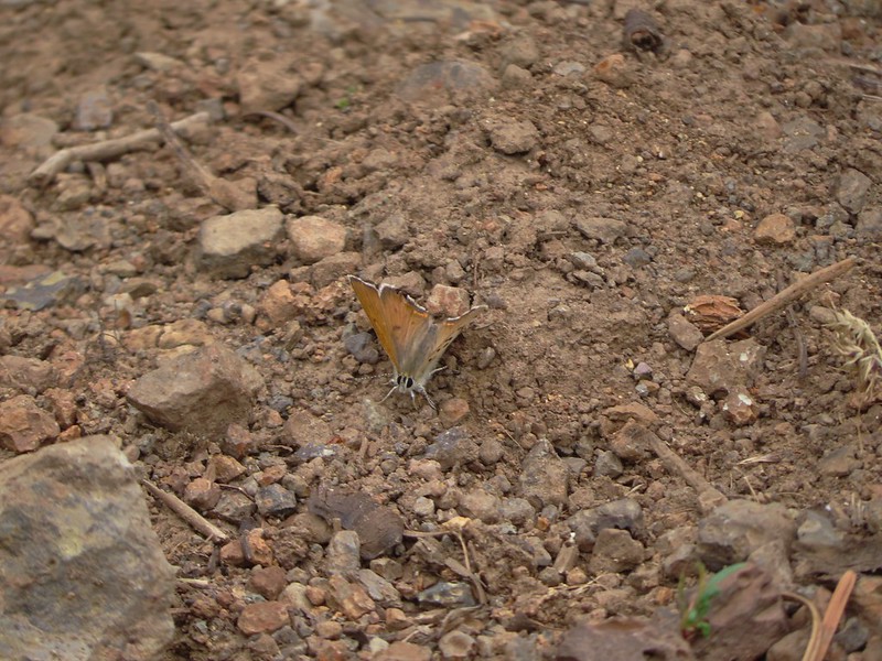 A skipper of some sort.
 We both missed this yellow columbine on the way down.
 View from the upper viewpoint on the way back up.
 A final view from the Rock Springs Trail.
 The cloud cover that moved in turned out to be a blessing as it kept the temperature reasonable as we made the long climb back up.


 At the 0.7 mile mark the trail briefly followed an old road bed to an old clearcut.
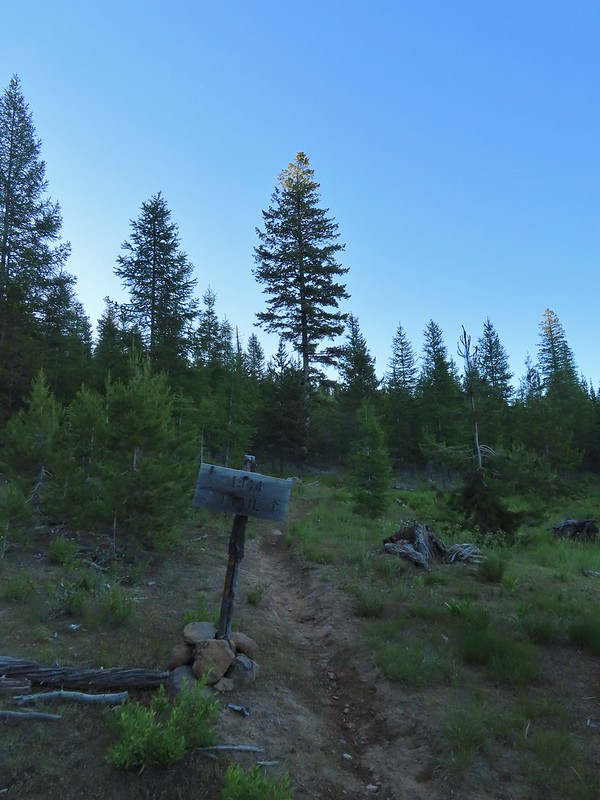 Trail sign in the old clearcut.
 Sullivan describes the second mile of this trail as one of the dustiest in Oregon but on this morning there was enough moisture in the ground to keep the dust at a minimum.
 Rock Creek Butte (
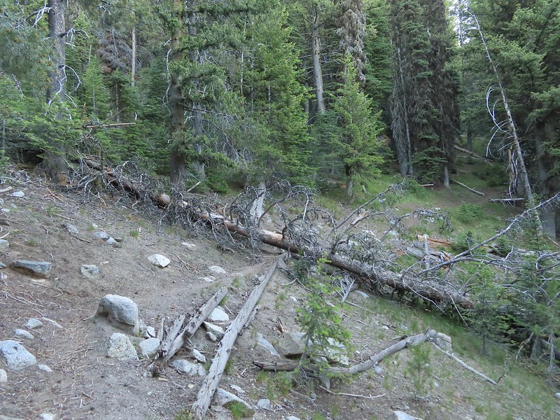 Shortly after leaving the ridge we encountered the largest obstacle on the way to the pass.
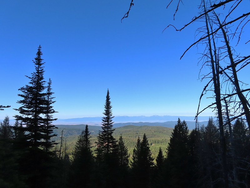 The Elkhorns in the distance.
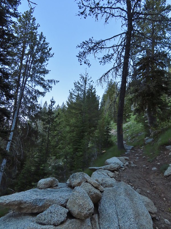 Granite at the switchback.
 Entering the wilderness (photo from the way back).
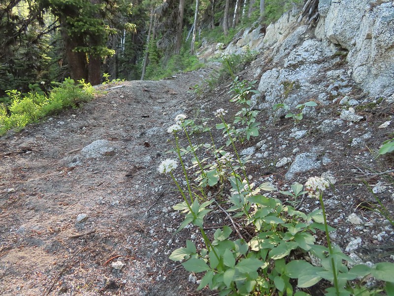 Valerian along the trail.
 View from the trail.
 Burger Butte
 Rosy paintbrush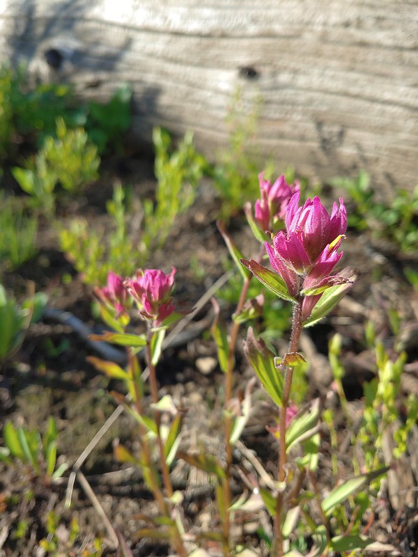
 Tributary of Middle Fork Catherine Creek.
 Looking down the creek over the slide.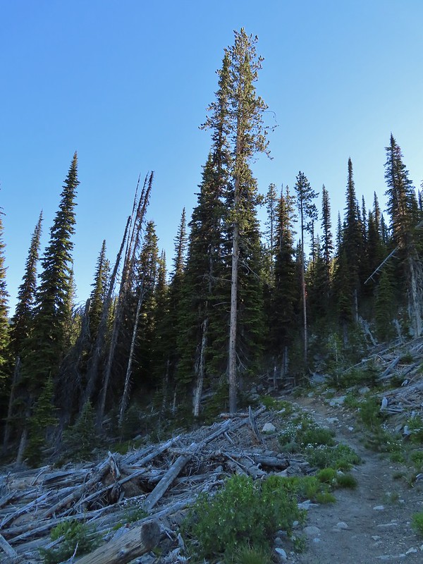
 Yellow columbine
 The snow began around 7200′.
 Snow over the Elk Creek Trail.
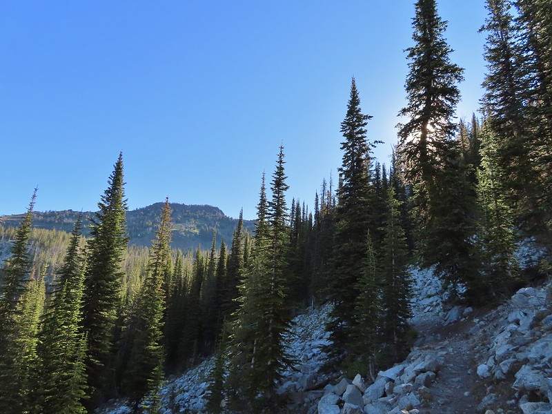 China Cap from the trail.
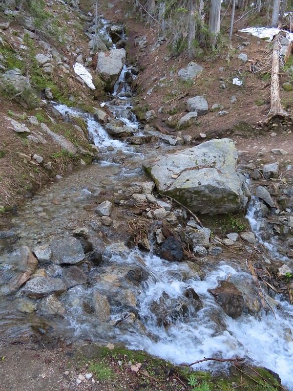
 Small meadow below the trail.
 The China Ridge Trail joining from the left.
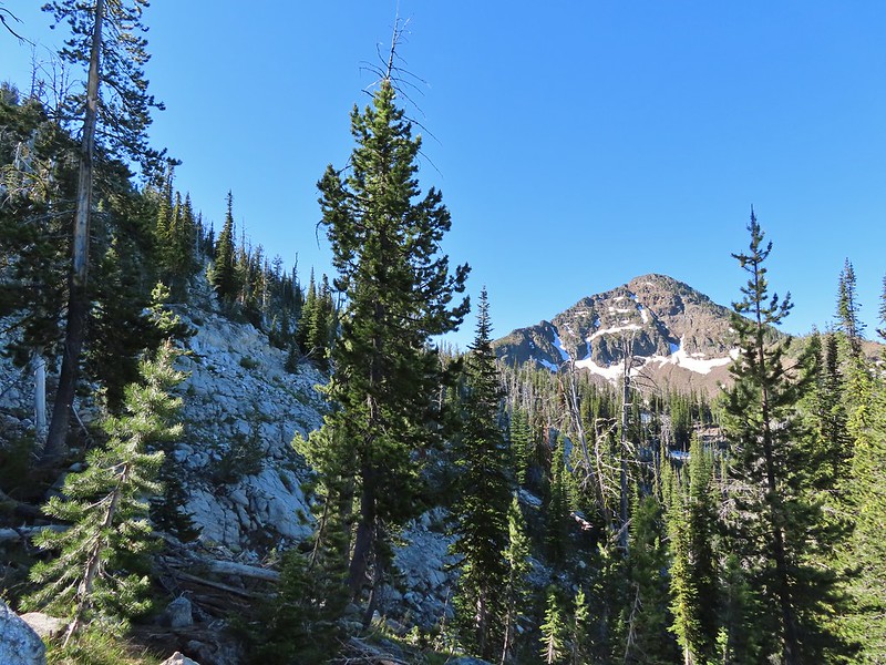
 The Elkhorns to the right beyond Burger Butte.
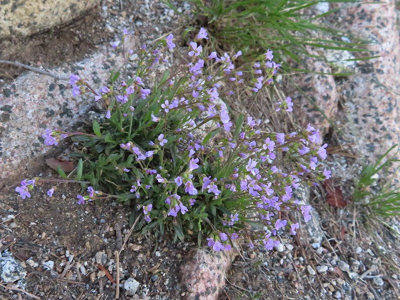 Lyall’s Rockcress
 The few patches of snow were just melted enough to allow us to avoid having to walk over them.
 Burger Pass
 Burger Butte from the pass.
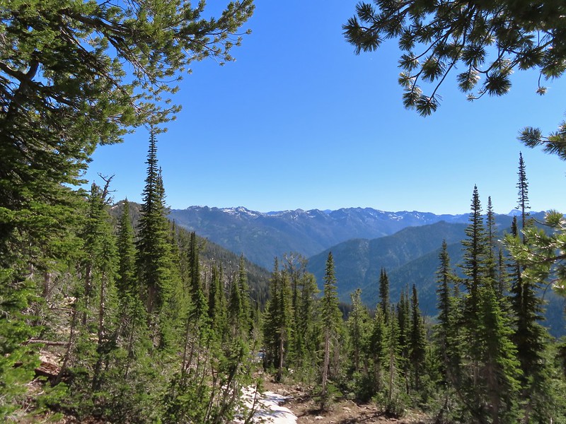 Looking deeper into the Wallowas.
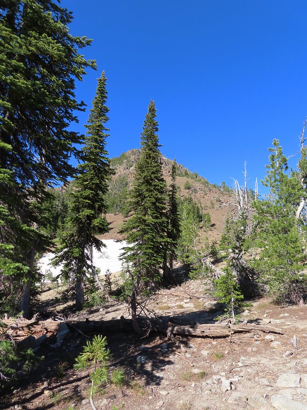 The snow patch below Burger Butte.
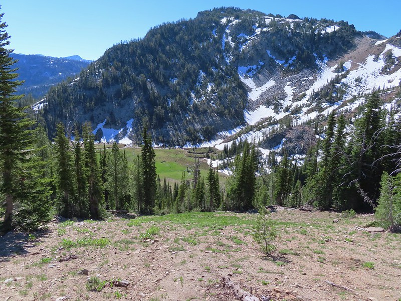
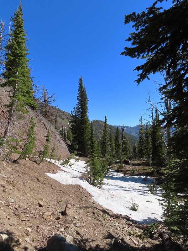 There were several patches of snow and some downed trees to navigate but I soon found myself at the junction.
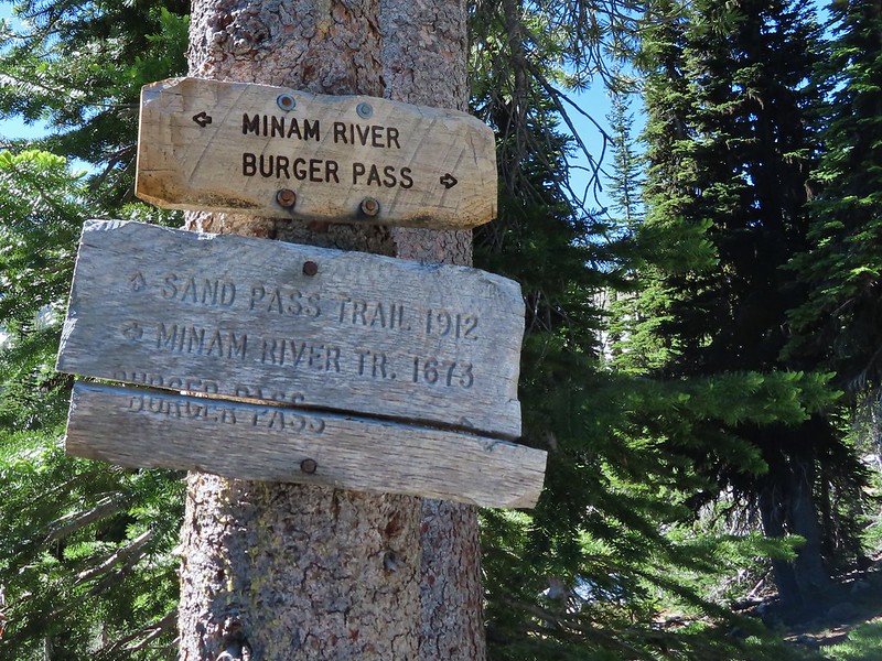

 The Sand Pass Trail can be seen climbing out of the basin in the sandy gap to the center left.
 Meadow lookout.
 View from the meadow.
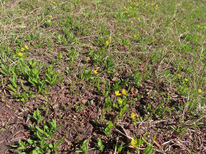 Buttercups were about the only flowers blooming in the wet meadow.
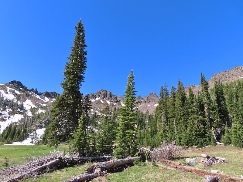 The rocks along the ridge were really interesting.

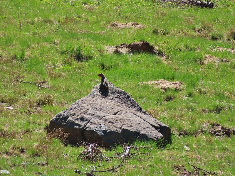 Marmot? in the meadow.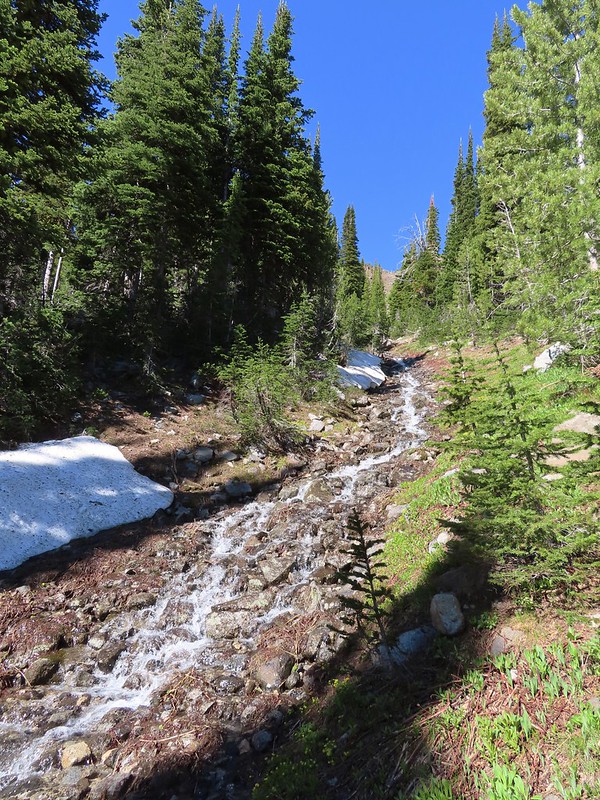

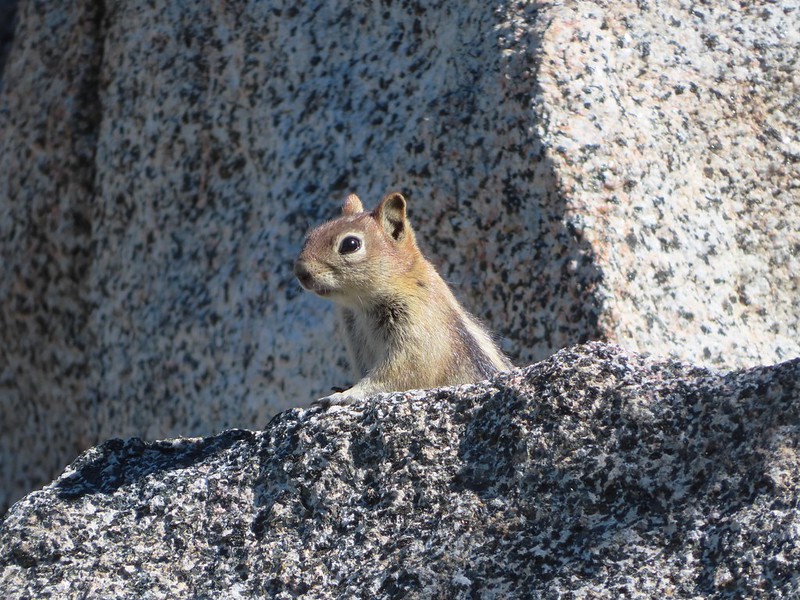 Golden mantled ground squirrel watching us from the granite.
 Butterfly
 Mountain heather
 Mushrooms near the Middle Fork Catherine Creek cascades.
 Jacob’s ladder
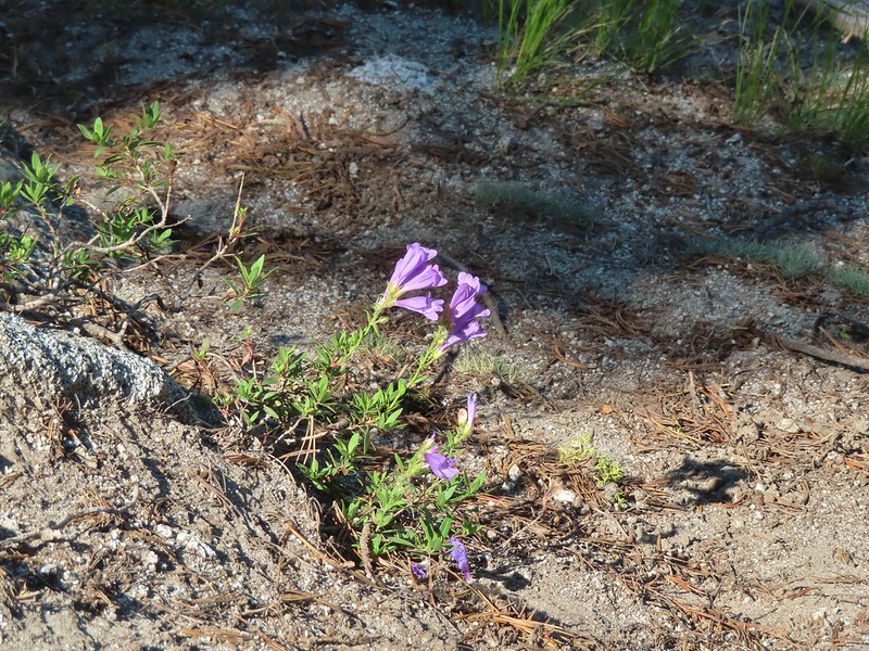 Penstemon
 Mushroom
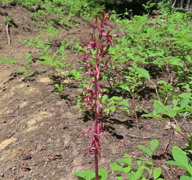 Pacific coralroot

