Heather was able to join me for the last hike of my July vacation. I chose the Patjens Lake Loop in the Mount Washington Wilderness to wrap up the five hikes. It seemed fitting since we had hiked on Mt. Hood (post) to kick off my vacation then I had visited Mt. Jefferson area (post), the Three Sisters area (post), and the Three Fingered Jack area (post). That left Mt. Washington as the only major Oregon Cascade Mountain north of the Three Sisters I hadn’t hiked near during the week.
The Patjens Lakes loop was my pick for a couple of reasons. First, I wanted a relatively easy hike following some longer, more challenging hikes during the week. and at 7 to 8 miles with just a little over 600′ or so of elevation gain this loop fit the bill. The second reason was it had been almost 13 years since we’d done the loop (post).
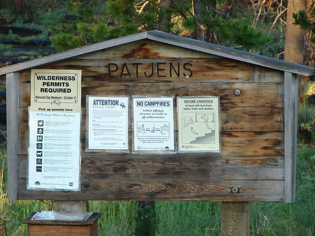
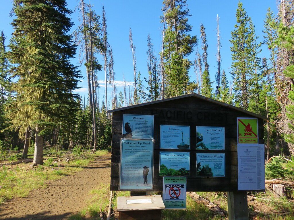
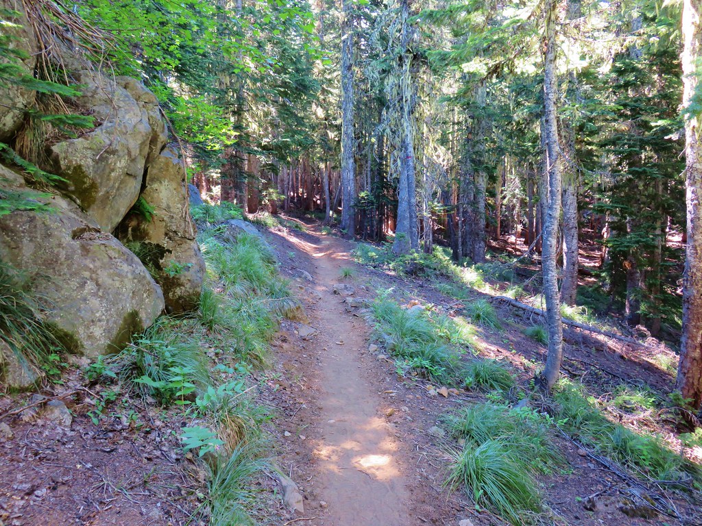
We parked at the Patjens Lakes Trailhead and after filling out a self-issued wilderness permit set off on the trail.

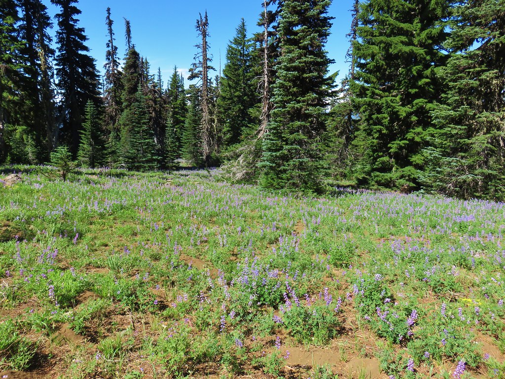
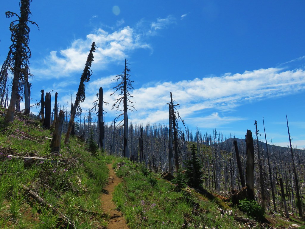
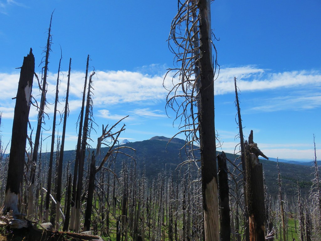
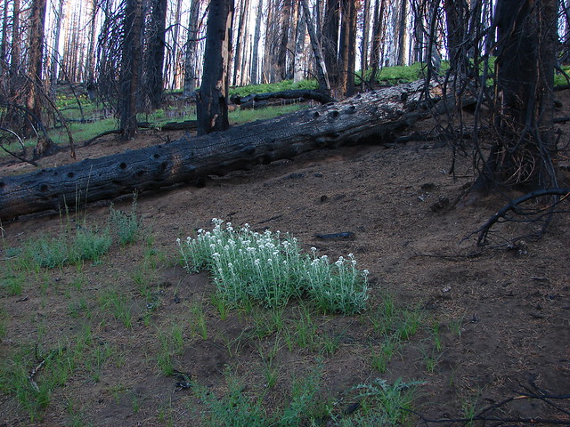
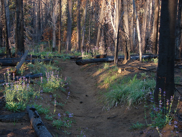
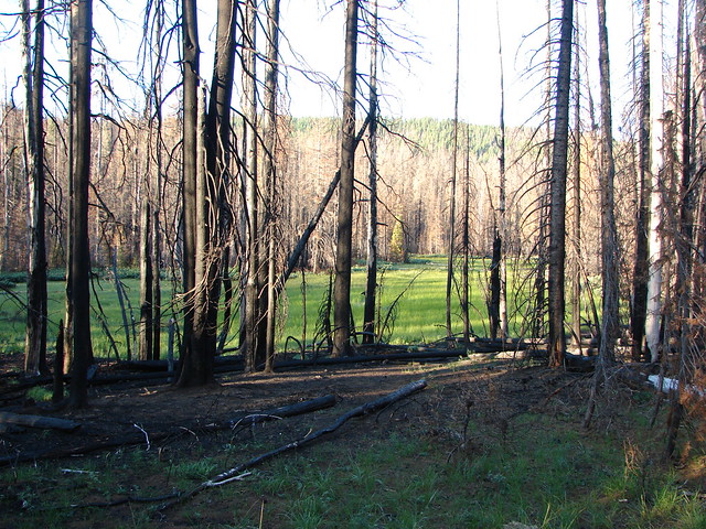
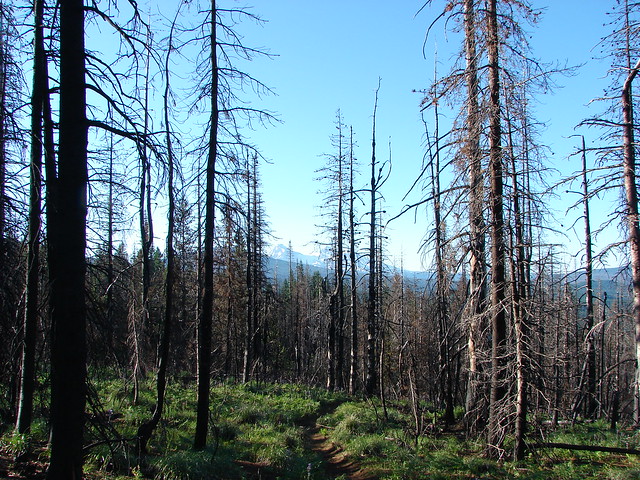
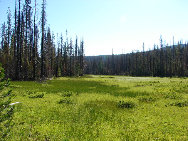
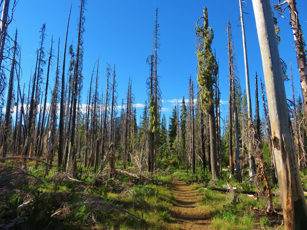
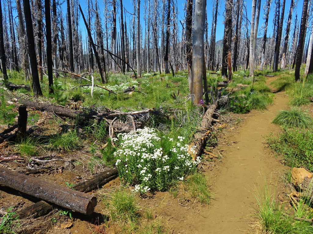
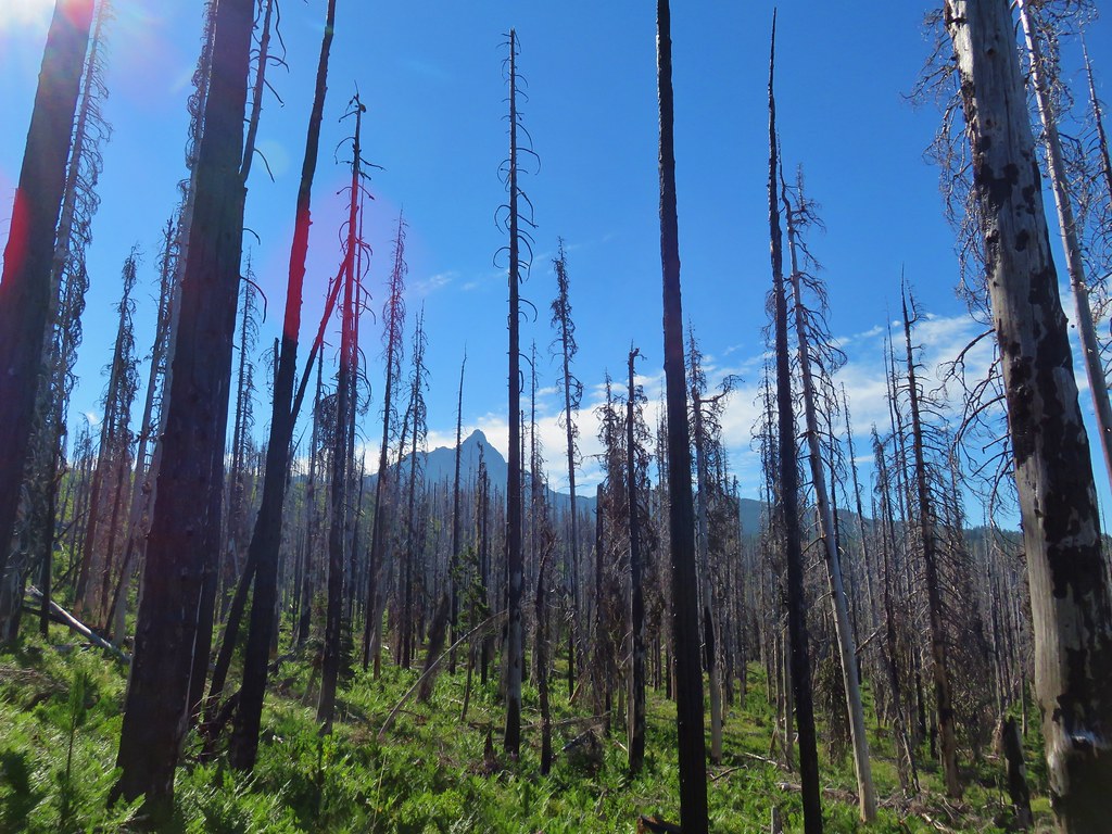
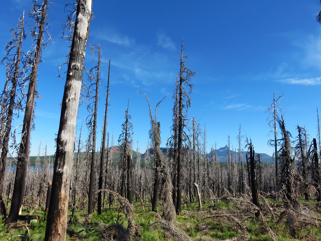
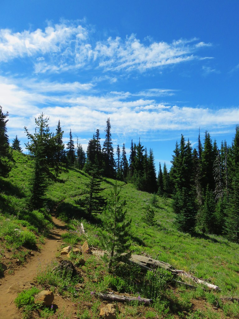
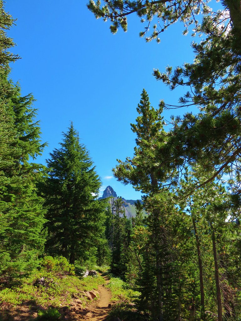
The majority of the route passes through the 2011 Shadow Lake Fire scar. In the 13 years since our first visit many of the burned trees have fallen and some new trees have begun replacing them. As a result, the views were much more open.

Mt. Washington beyond Big Lake.


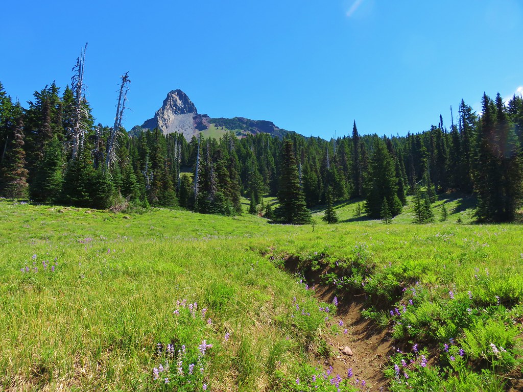
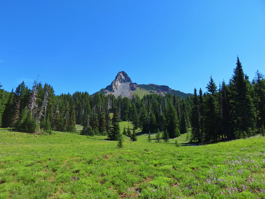
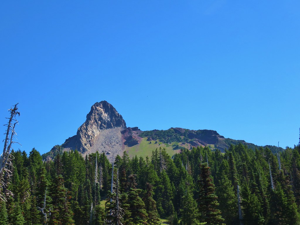
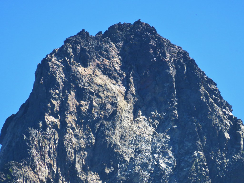
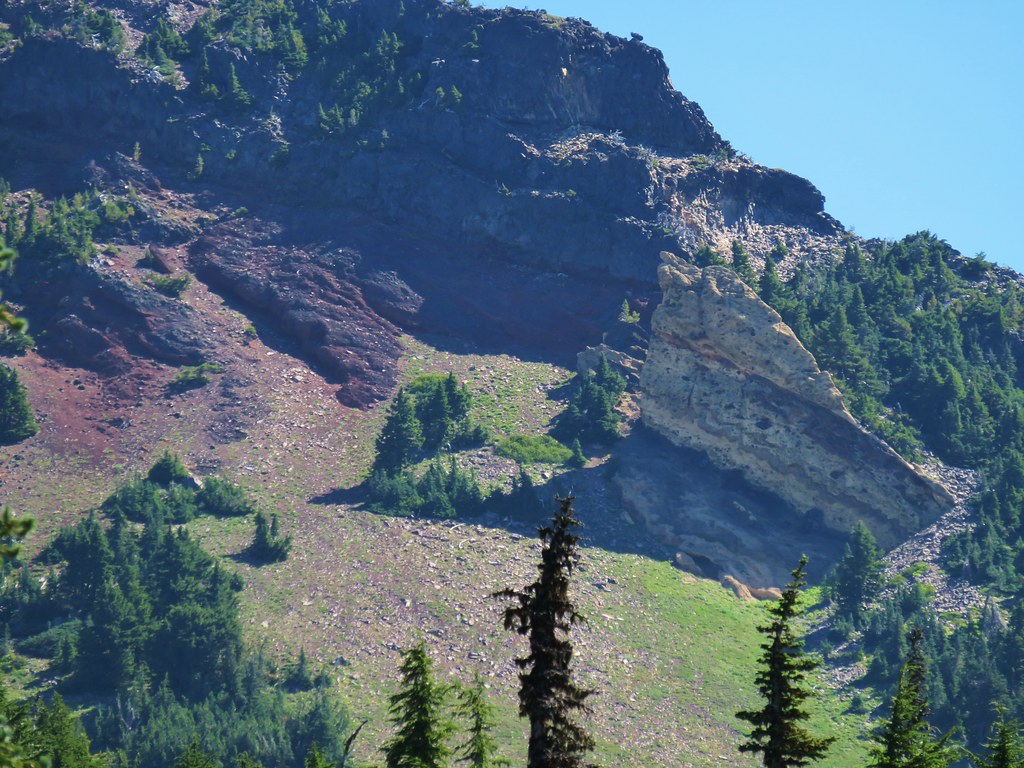
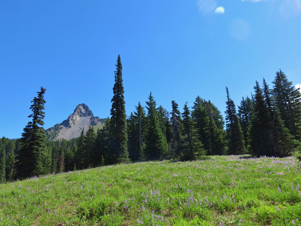
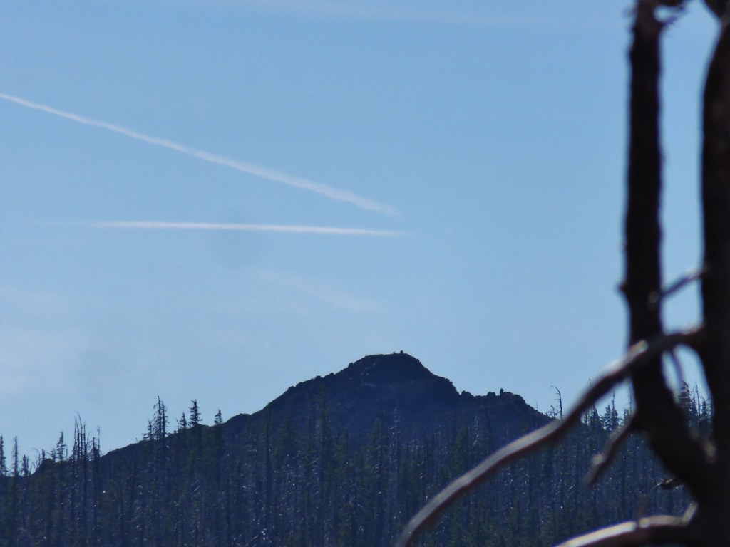
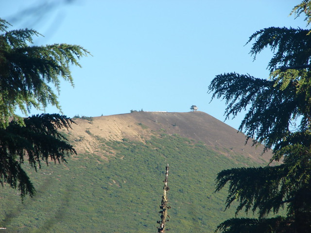
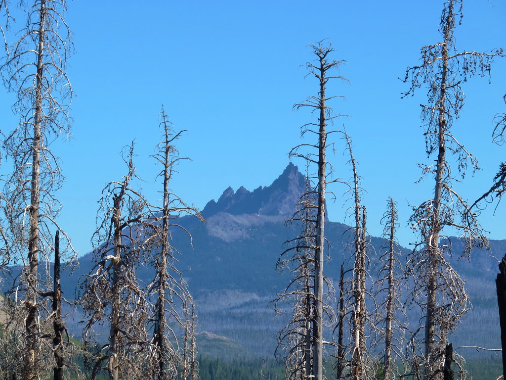
Patjens Butte

Pearly everlasting

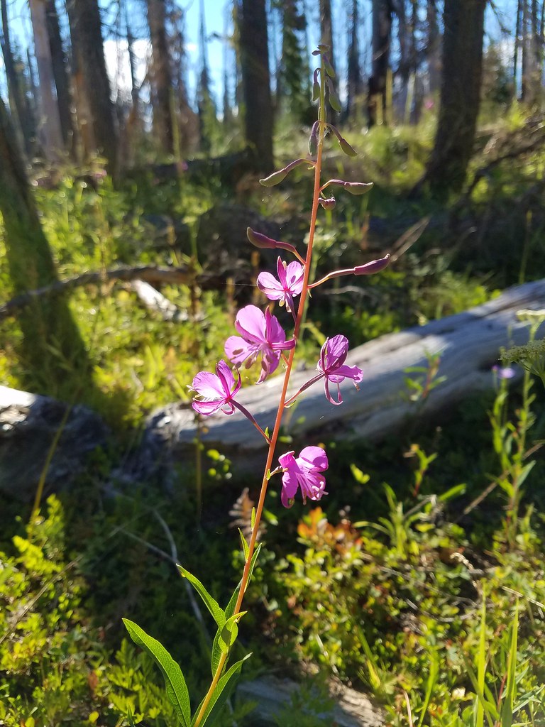
Fireweed
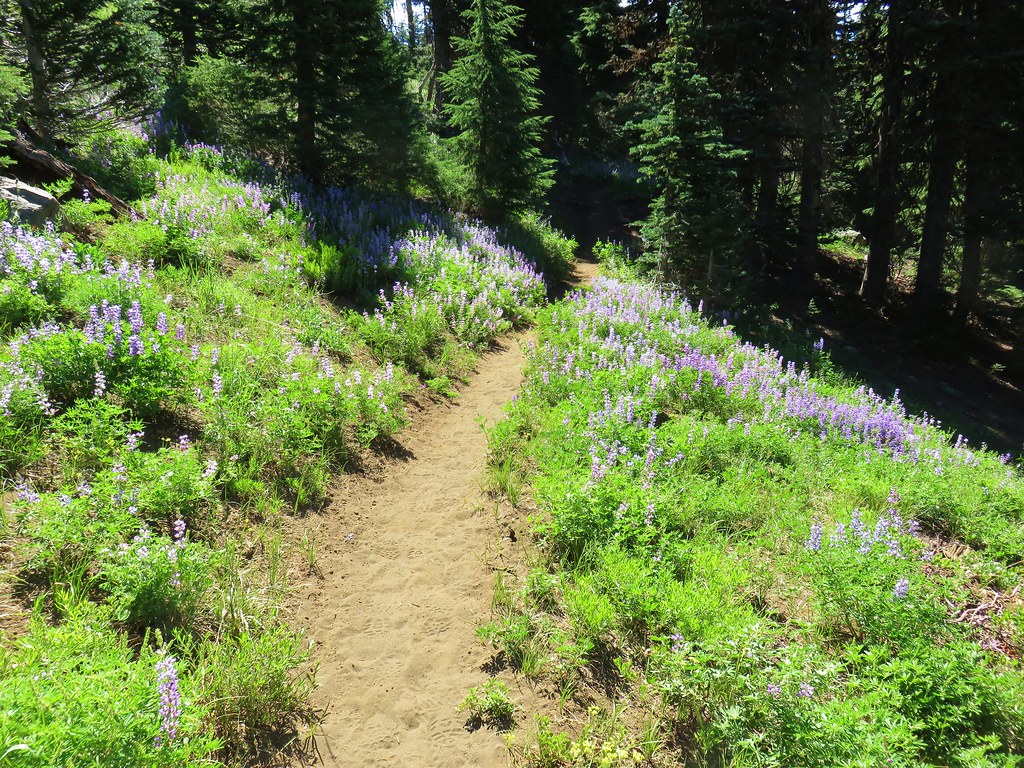
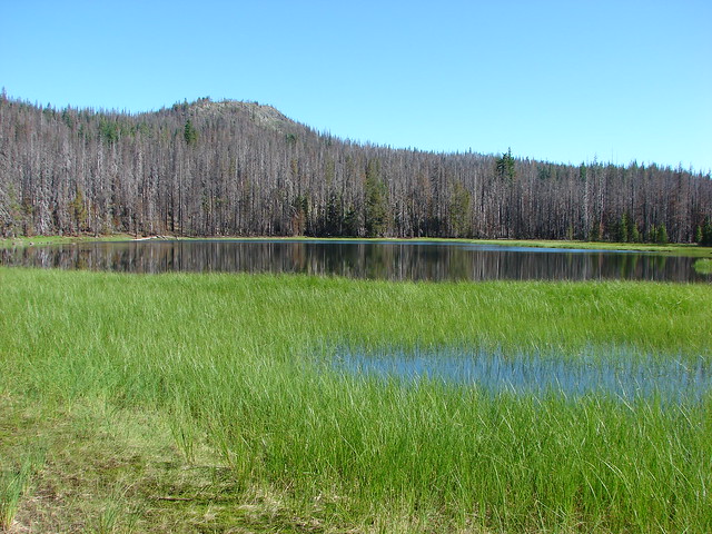
The trail makes a brief descent to pass around an unnamed lake and long meadow.

At the 0.3-mile mark the loop begins.

Scarlet gilia and milk kelloggia

Closer look at the milk kelloggia.

The unnamed lake below Patjens Butte.

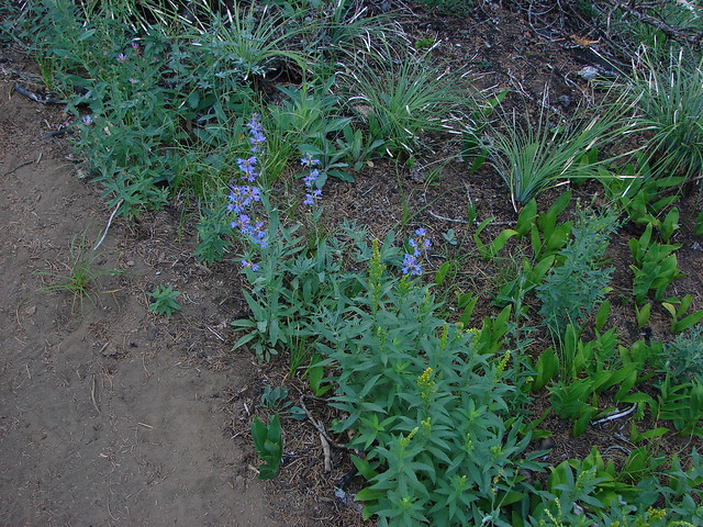
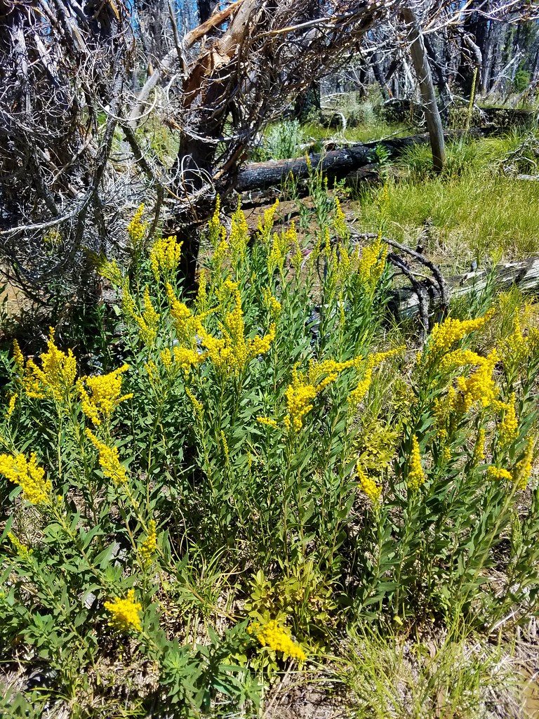
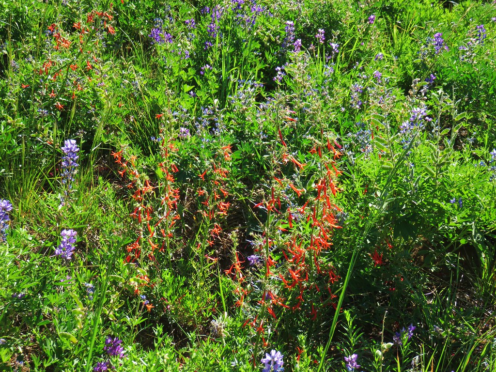
Goldenrod, scarlet gilia, and penstemon

Tent caterpillars

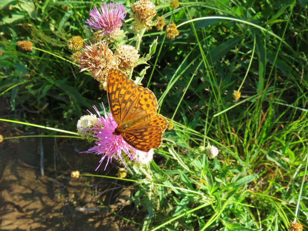
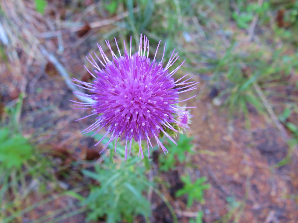
Thistle

Cardwell’s penstemon

The long meadow on the left.
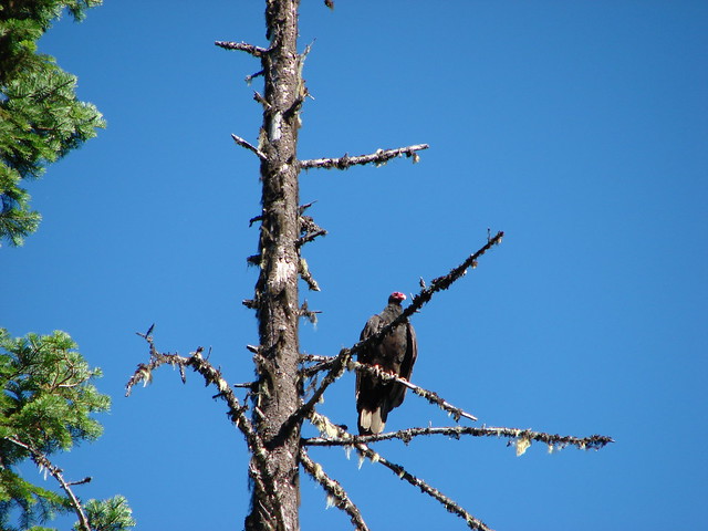
There were a bunch of birds near the meadow including northern flickers, lazuli buntings, juncos and sparrows.

A lazuli bunting in the foreground and a northern flicker further down the log.

Northern flicker

Lazuli bunting

Sparrow
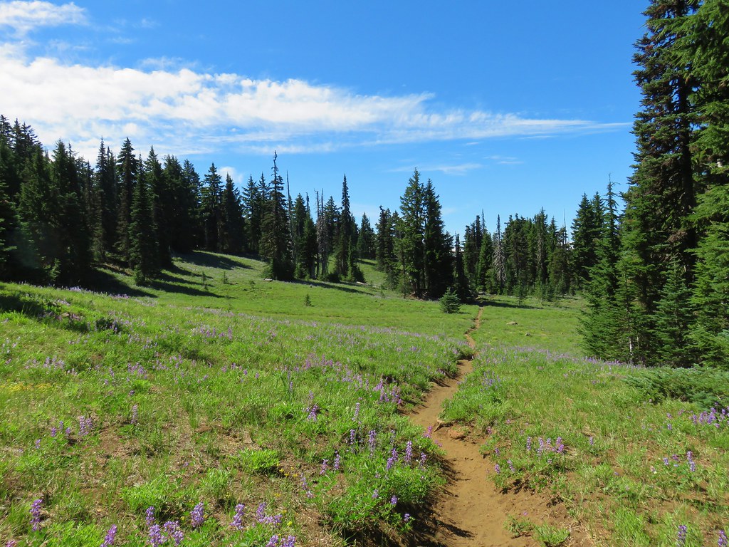
Beyond the meadow the trail climbed to a saddle between Peak 5026 and Peak 5164.


Aster

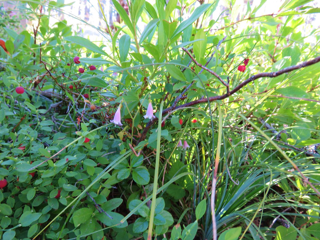
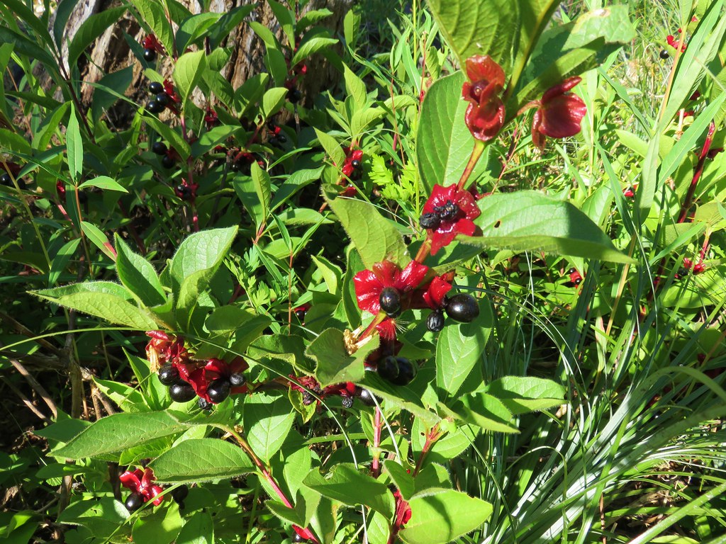
Twinberry

Ragwort

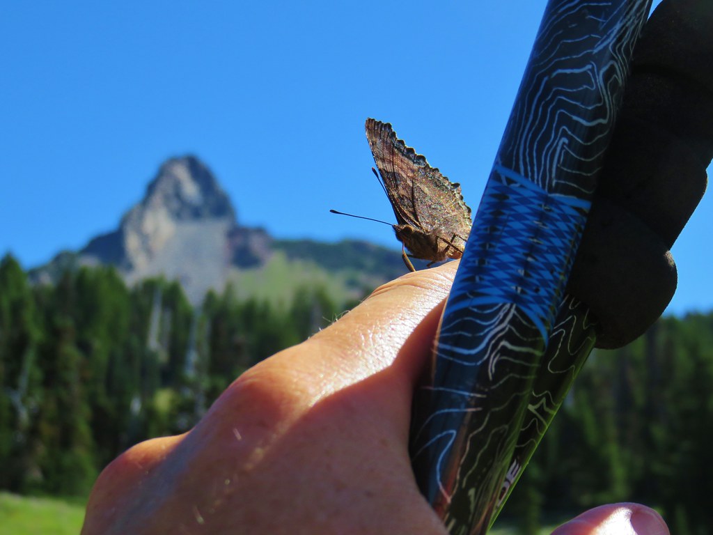
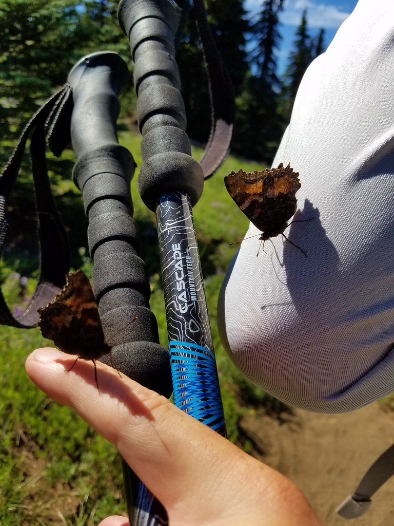
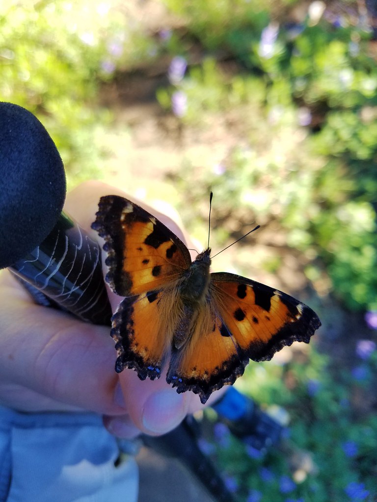
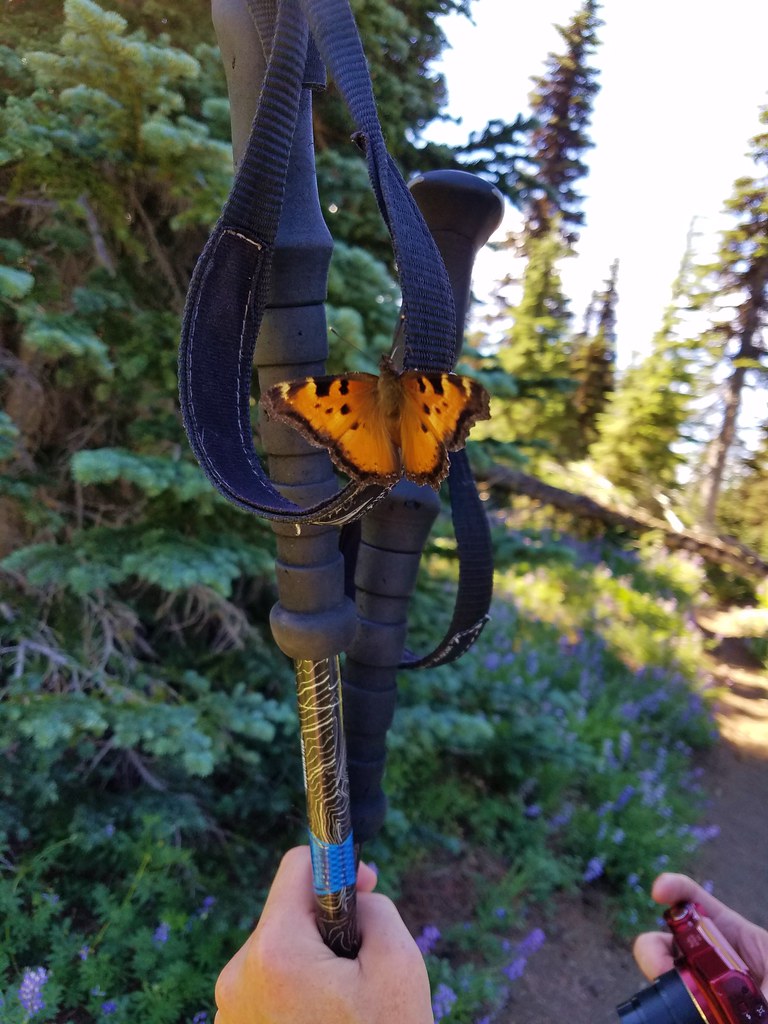
Butterfly on lupine.

Sickle top lousewort


Sub-alpine fleabane

Scouler’s bluebells

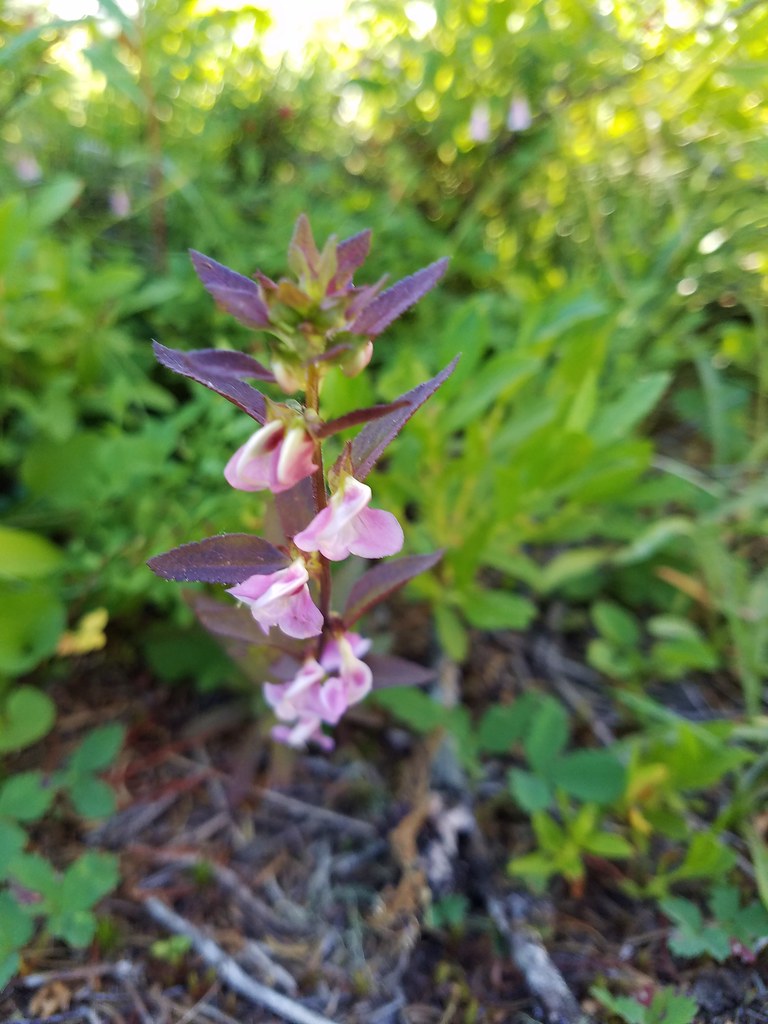
Twinflower

Chipping sparrow with a snack.

Sand Mountain (post)

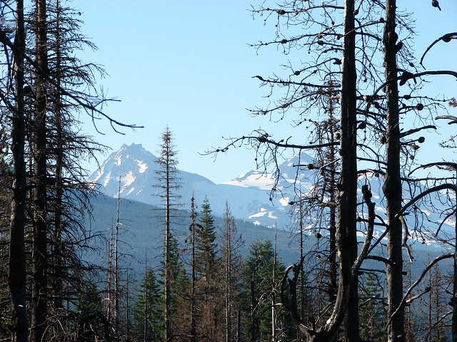
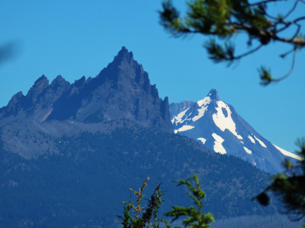
Maxwell Butte (post), the top of Mt. Jefferson, Hoodoo Butte, and Hayrick Butte.

Strawberries

Huckleberries

It had been a good year for beargrass blooms, but they had all gone to seed.

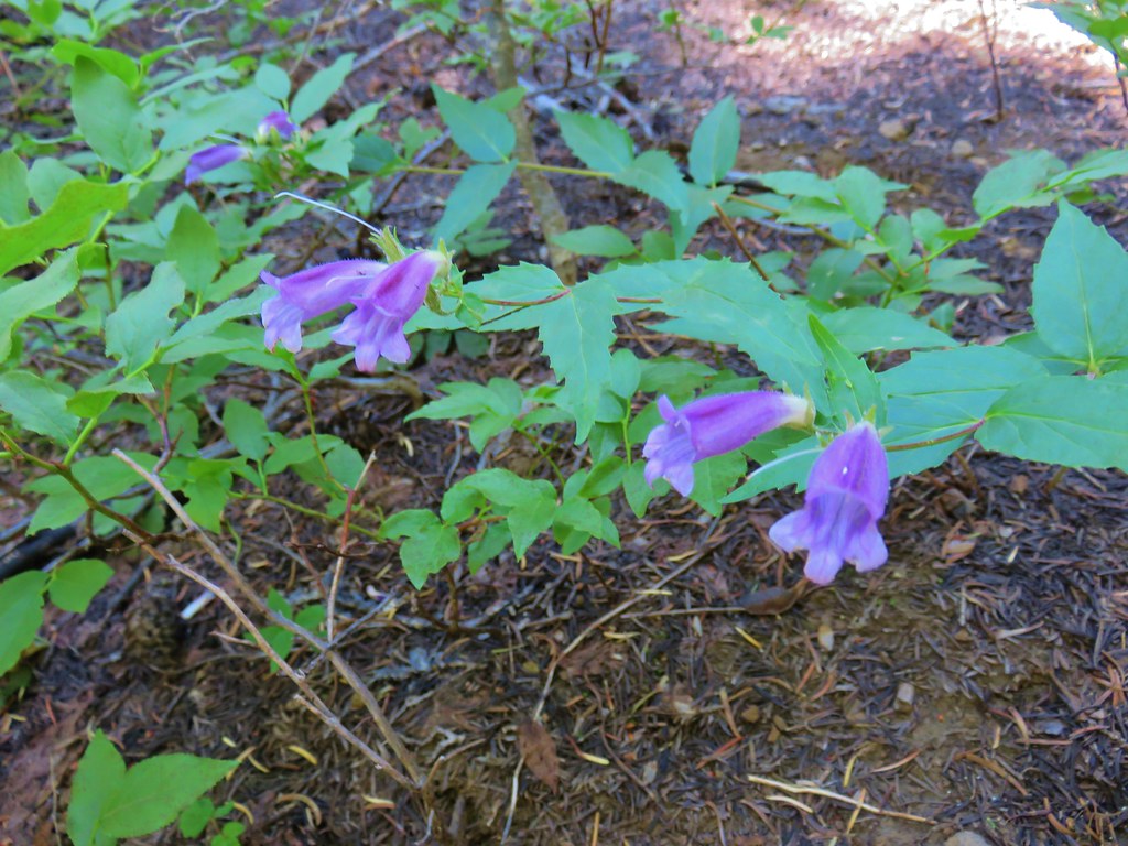
Woodland beardtongue

The top of Mt. Jefferson.

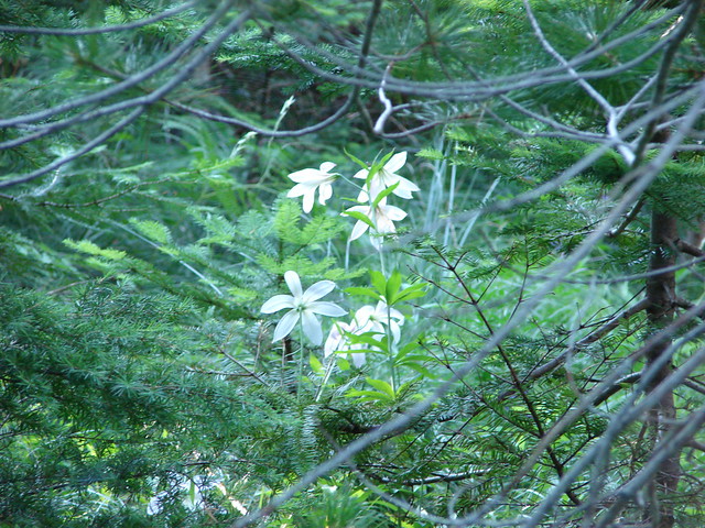
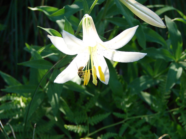
The only Washington lily left that was still kind of in bloom.

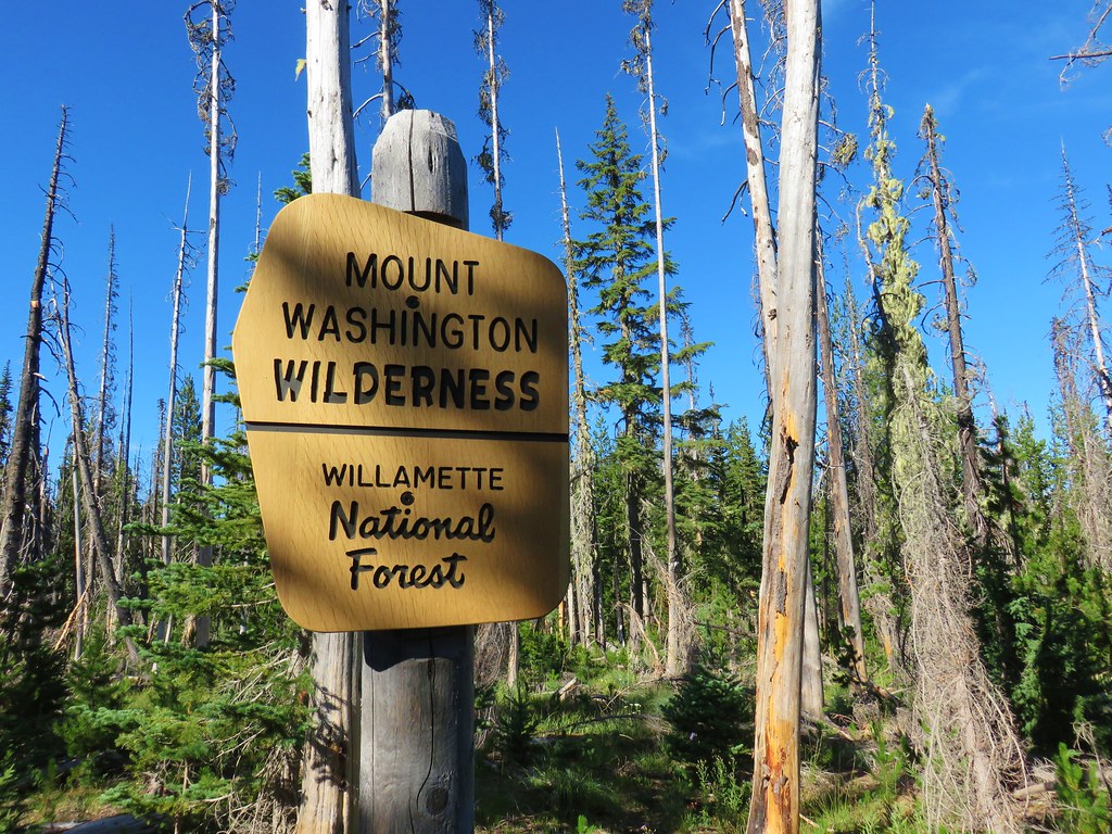
Entering the Mt. Washington Wilderness.
Shortly after entering the wilderness the trail arrived at the saddle between the peaks where it began a mile long descent. It was on this descent that the difference in views was most evident.

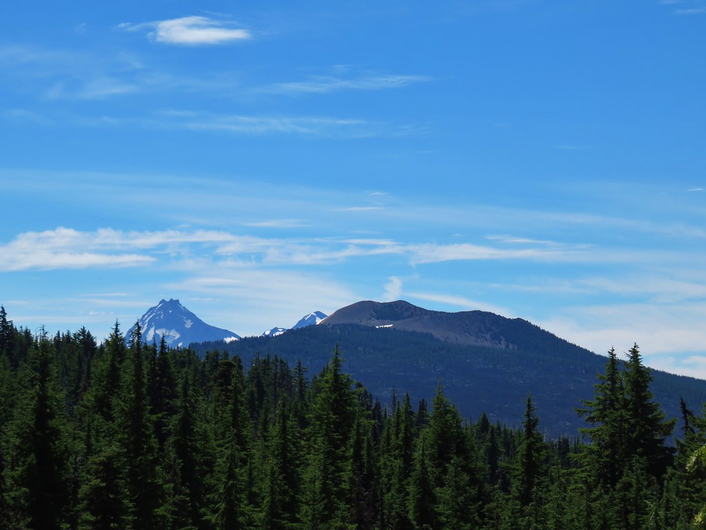
The Three Sisters, The Husband, and Scott Mountain (post).

The Three Sisters from the trail in 2012.

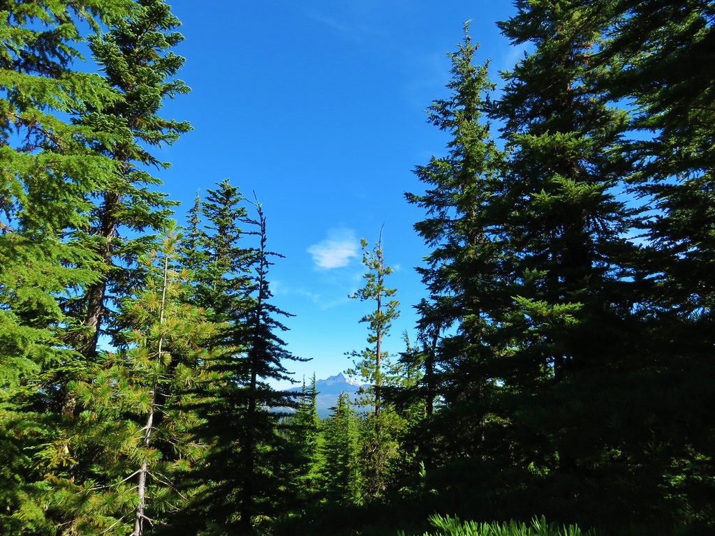
Mt. Washington, Belknap Crater (post), the Three Sisters, and The Husband.

We could even see Diamond Peak (post) over the right shoulder of Scott Mountain.

Diamond Peak

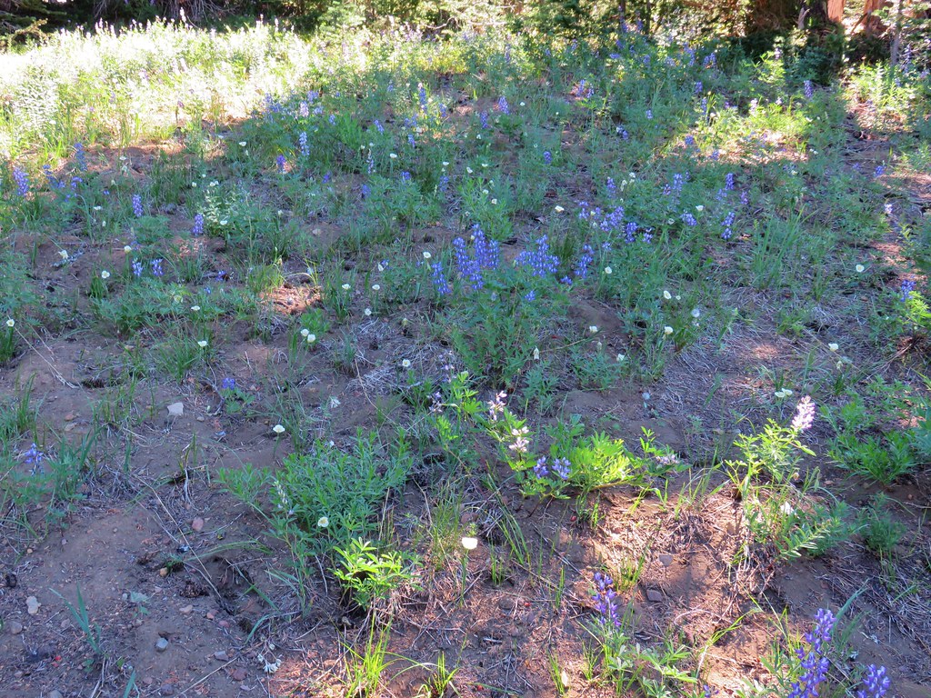
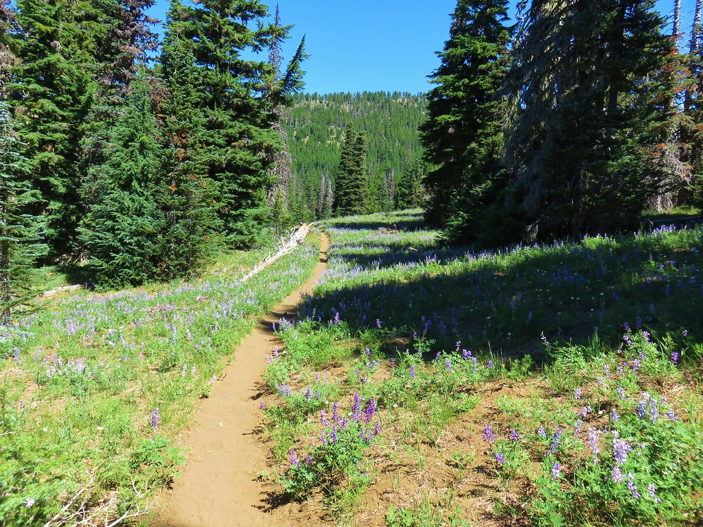
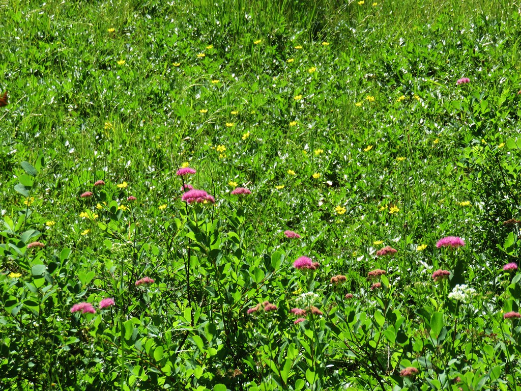
Wildflowers along the hillside.

Lupine and scarlet gilia

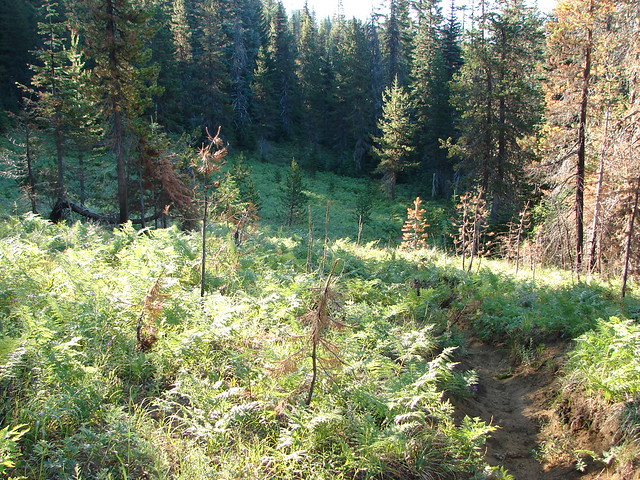
The trail entered a section of forest that escaped the Shadow Lake Fire.

Moth on vanilla leaf.

Scarlet gilia


White-veined wintergreen and prince’s pine


Foam flower
Shortly after the trail emerged from the unburnt forest we arrived at what some, ourselves included, consider the first of the Patjens Lakes on the right.


Whether or not this first lake counts as a “Patjens” lake is debatable, but we like to include it as a fourth member of the group.

Hardhack
The trail entered another section of unburned forest where we detoured down a short trail to the next Patjens Lake.


This lake escaped the 2011 fire leaving it the only lake surrounded by green trees.

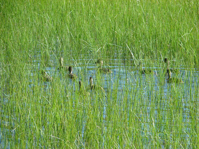
Bufflehead family
Beyond the second lake the trail reentered the fire scar where it would stay for the remainder of the hike. A third of a mile from the second lake we arrived at the third lake where we left the trail in order to loop around it.


Peak 5164 on the left and Patjens Butte on the right.

Almost synchronized ducks.

Cinquefoil

Duck family

Tree frog
We hadn’t looped around this lake in 2012 but wanted to see what the view of Mt. Washington was like this time.

There was a rough user trail to follow at times.


Field crescent
Form the northern end of the lake we headed cross country to the final Patjens Lake.


Aster

The fourth Patjens Lake.
On our first trip it was this lake that we looped around.

This time we headed along the western end of the lake to return to the official trail.

Dragonflies


Peak 5164 and Patjens Butte

The Patjens Lake Loop just ahead.
We turned left onto the trail and gradually climbed for a mile and a half to a view of Big Lake.


Western sulphur


Looking back after leaving the Mt. Washington Wilderness.

Hoodoo Butte, Hayrick Butte, and Three Fingered Jack

Hoodoo and Hayrick Buttes across Big Lake.
For the next 0.6-miles the trail followed the hillside above Big Lake providing nice views across the lake and back to Mt. Washington.

Big Lake Youth Camp on the eastern side of the lake.

Swallow

Rosy spirea

Stellar’s jay

Thimbleberry


This right-hand fork leads down to the Big Lake Campground. We stayed left.

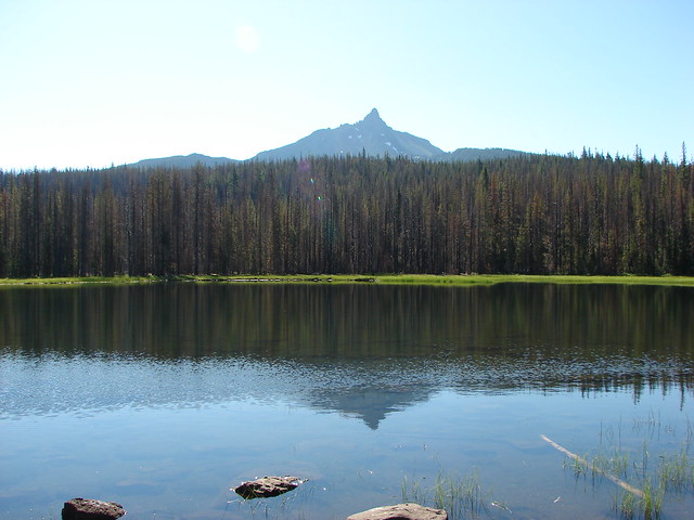
Nice view of Mt. Washington.

The view in 2012.

The ridge on the left of Mt. Washington is the North Ridge (post) which is used by mountain climbers.
From the final viewpoint the trail turned away from the lake and descended to the junction where the loop had started.

Heading west toward Sand Mountain.


We turned right after completing the loop and returned to our car.

One last look back.

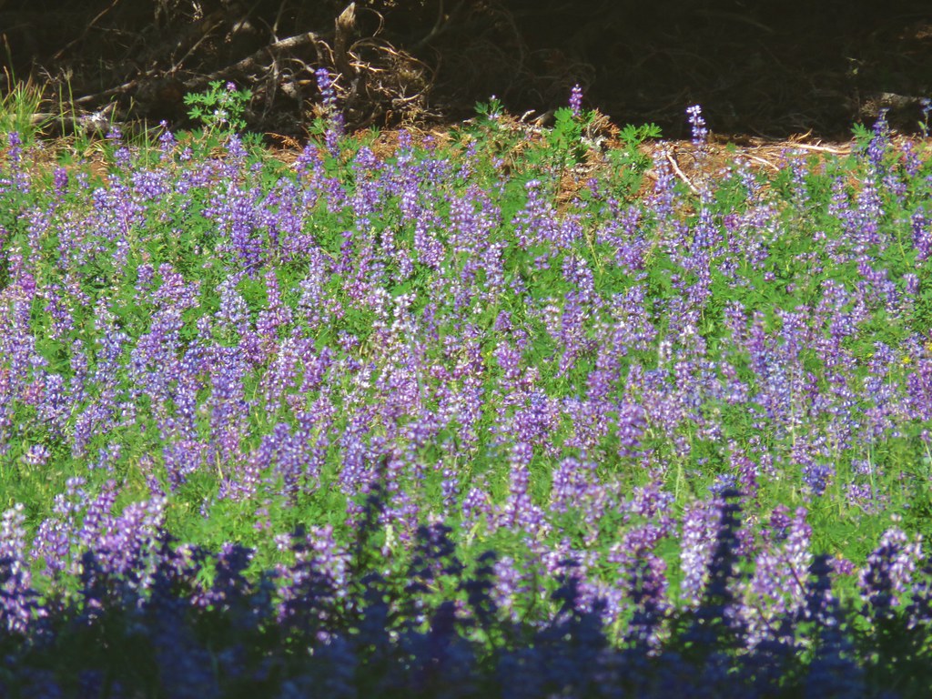
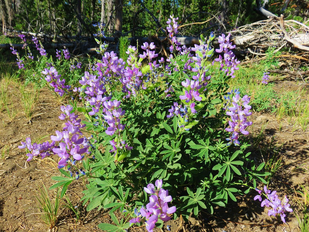
Lupine

Today’s hike came in at 7.4 miles with a little over 600′ of elevation gain.

Despite the area around Big Lake being full of people we saw very few people on the hike itself. Mosquitos were a bit of a nuisance at times, particularly for Heather who assisted me by keeping them occupied. If you don’t care about wildflowers Autumn would probably be a great time to visit. The distance between the lakes and the trailhead and lack of steep climbs makes this a good option for younger hikers/backpackers too. Happy Trails!
Flickr: Patjens Lakes


 Patjens Lake Trail – August 2012
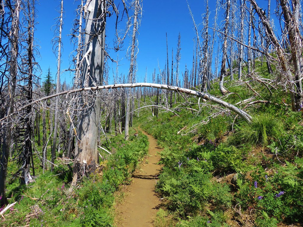 Pacific Crest Trail – August 2017
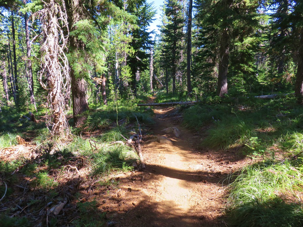


 North & Middle Sister with Belknap Crater
 Scott Mountain