
A mostly sunny, near 60-degree forecast, looked too good to pass up so we decided to head out and attempt a pair of short hikes in the Oregon Coast Ranges Tillamook State Forest. Our first stop was along Maple Creek Road for a hike to Ki-a-Kuts Falls.
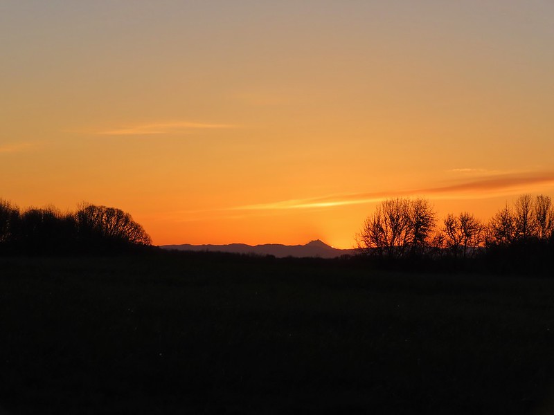
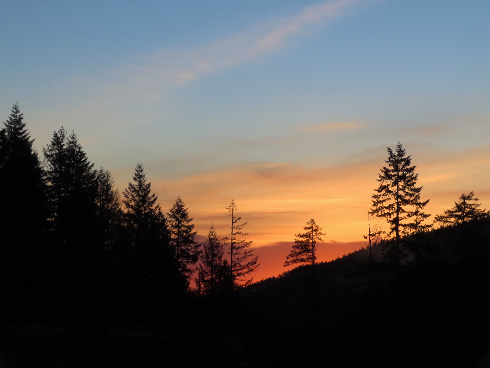 Sunrise from the trailhead.
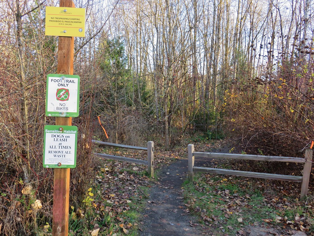
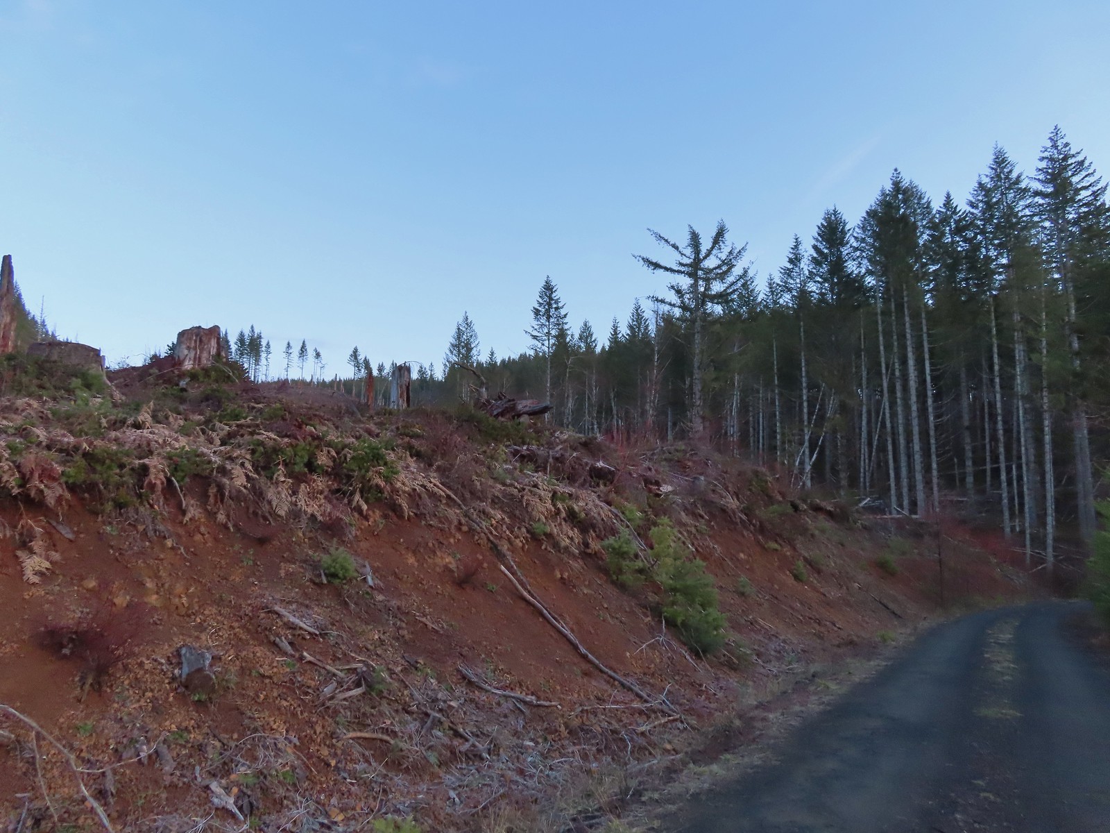 Clear cut at the trailhead.
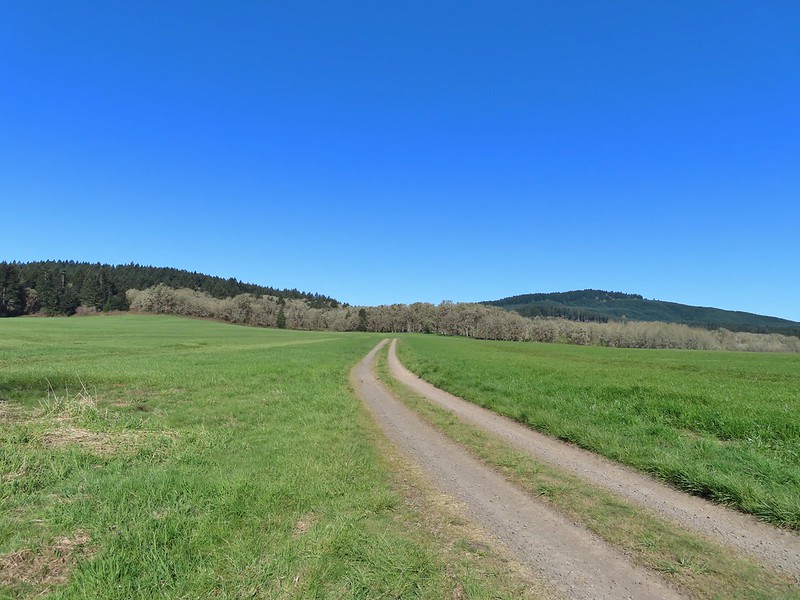
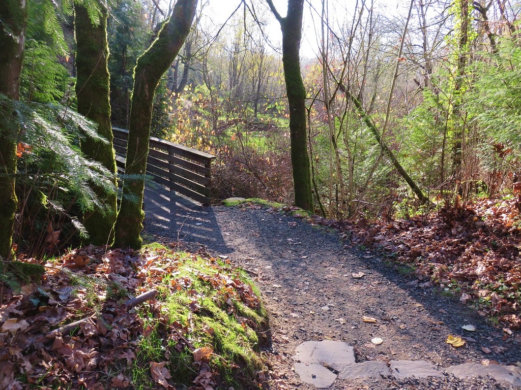
The old alignment of the road was said to be located approximately 80 yards from the trailhead, but it appears that between time, storms, and logging operations the old road has become far less obvious.
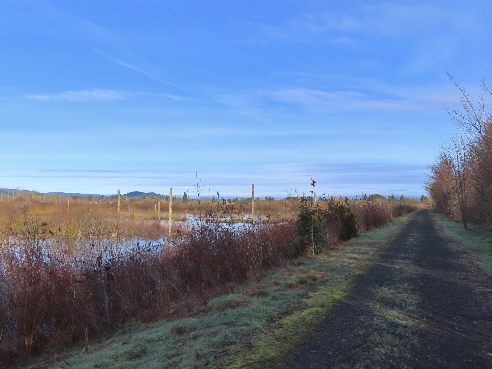
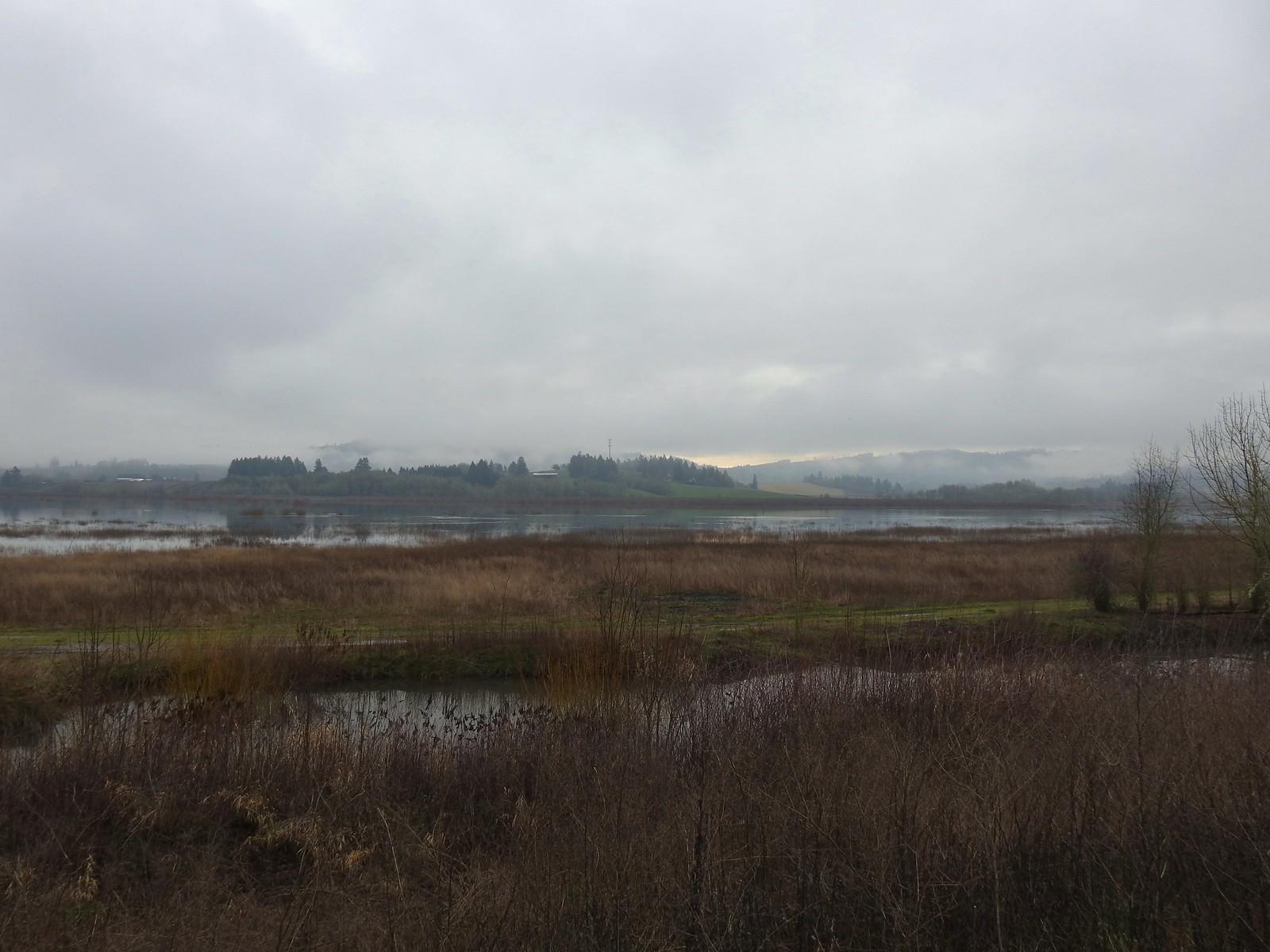
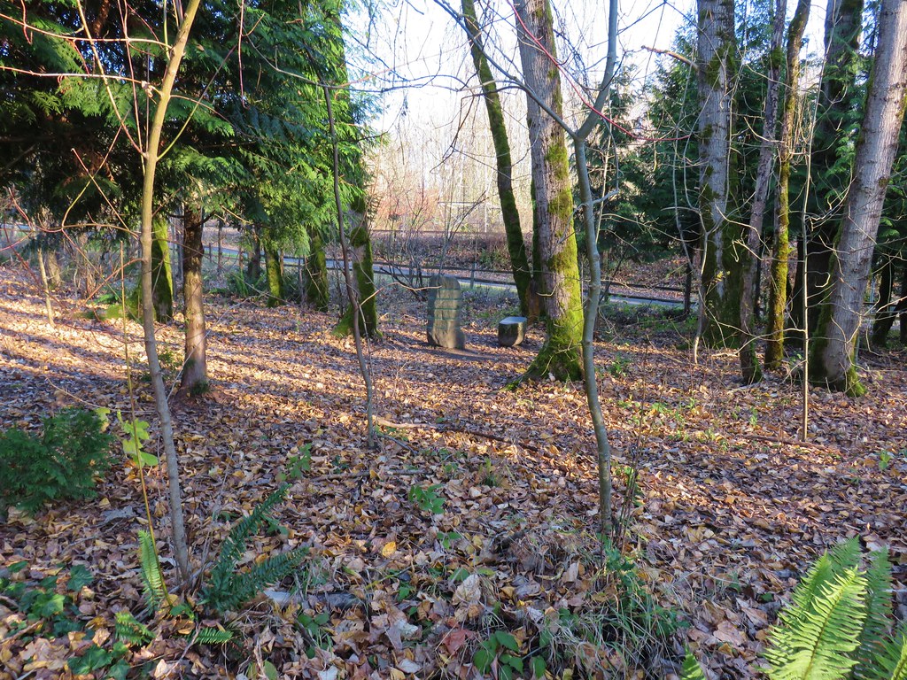
 This was the view through the forest from Maple Creek Road around the 80-yard mark.
We hiked further up Maple Creek Road and checked for a way down to the old alignment, but in the end decided that the slick conditions combined with the amount of blowdown on the hillsides would have made for a much more challenging hike than we were looking to tackle.
 We could hear the Tualatin River in the valley below and I managed to get far enough down the hill to get a glimpse of the water. I had descended from a pullout with a fire ring about 50-75′ looking for the old roadbed, but I still couldn’t make out where it actually was and had been slipping a lot on wet wood.
After climbing back up to Heather I called an audible and we turned to Plan B. The second hike we’d originally planned on was a 1.5-mile out and back further into the forest to visit Stairstep Falls, a rapid more than a fall, that requires fording the 25 yard wide Middle Fork North Fork Trask River. We decided against attempting that hike because it would effectively end our hiking day by leaving the only pair of hiking shoes I’d brought soaked. That was fine when it was going to be the final hike of our day, but we wanted to get a little more than 2.5-miles in. (We’d done close to 1 looking for the way to Ki-a-Kuts Falls.)
I’d known going in that there was a chance that we’d need to turn to Plan B because the most recent trip reports I could find for Ki-a-Kuts Falls was from 2014. That Plan B had been Fernhill Wetlands. Located in Forest Grove, OR the trailhead was just 26-miles from where we were. We drove back to Yamhill and then headed North on Highway 47 to the Fernhill Wetlands Trailhead.

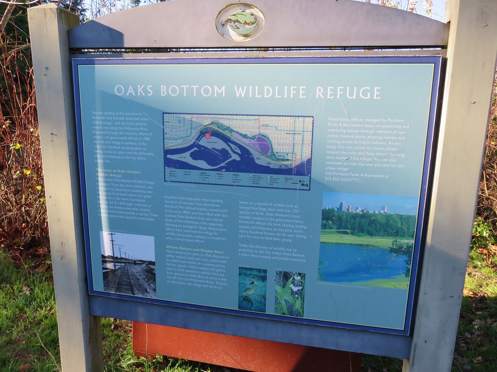
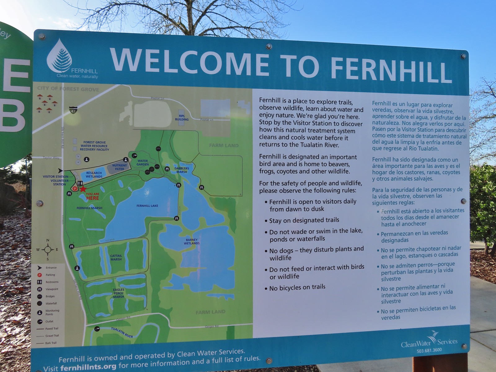 Map and information at the trailhead.
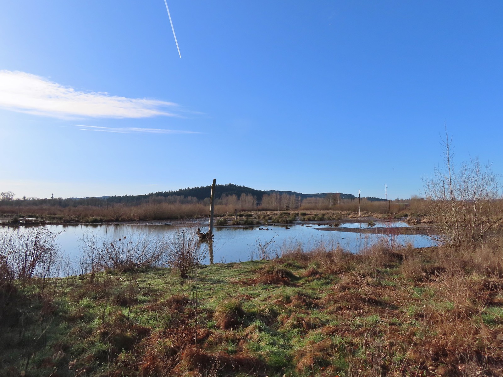
There are several loops possible at the wetlands and we hoped to maximize these, so we headed south along Fernhill Marsh.
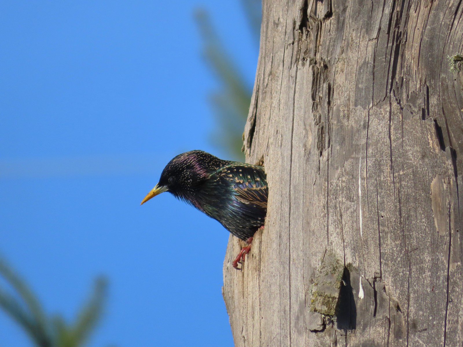 Starling
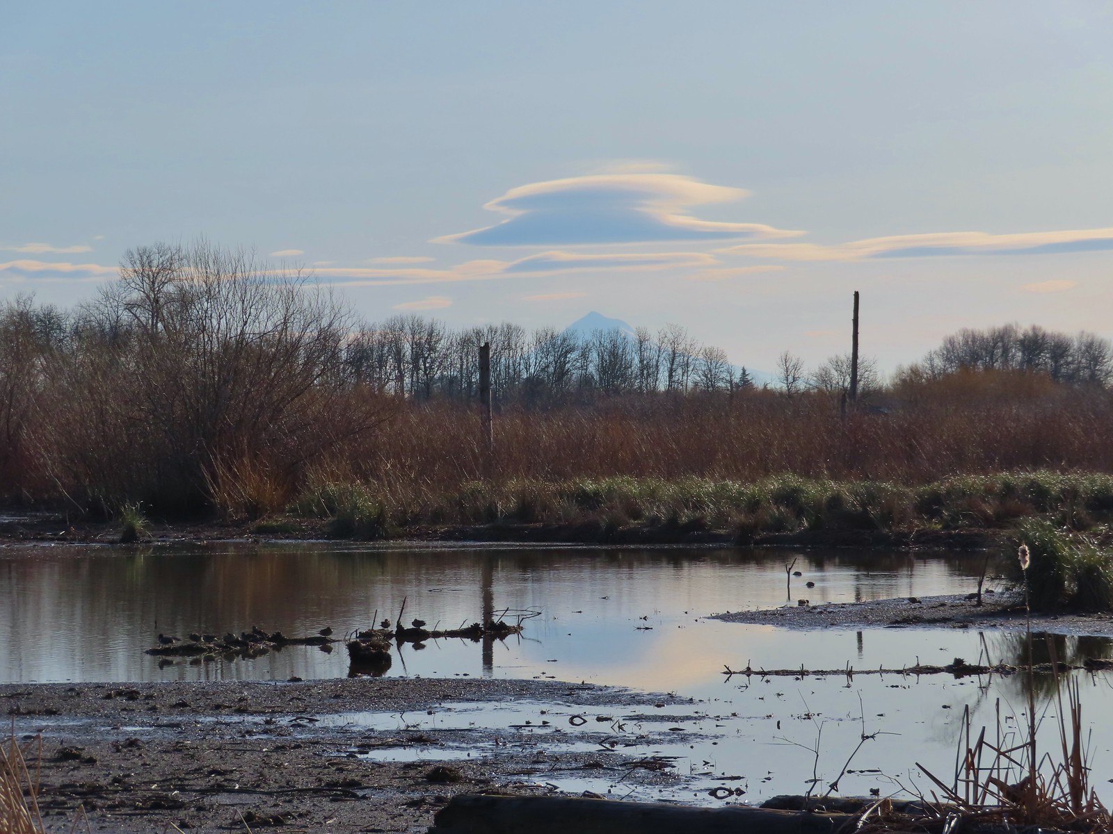 Lenticular clouds over Mt. Hood in the distance.
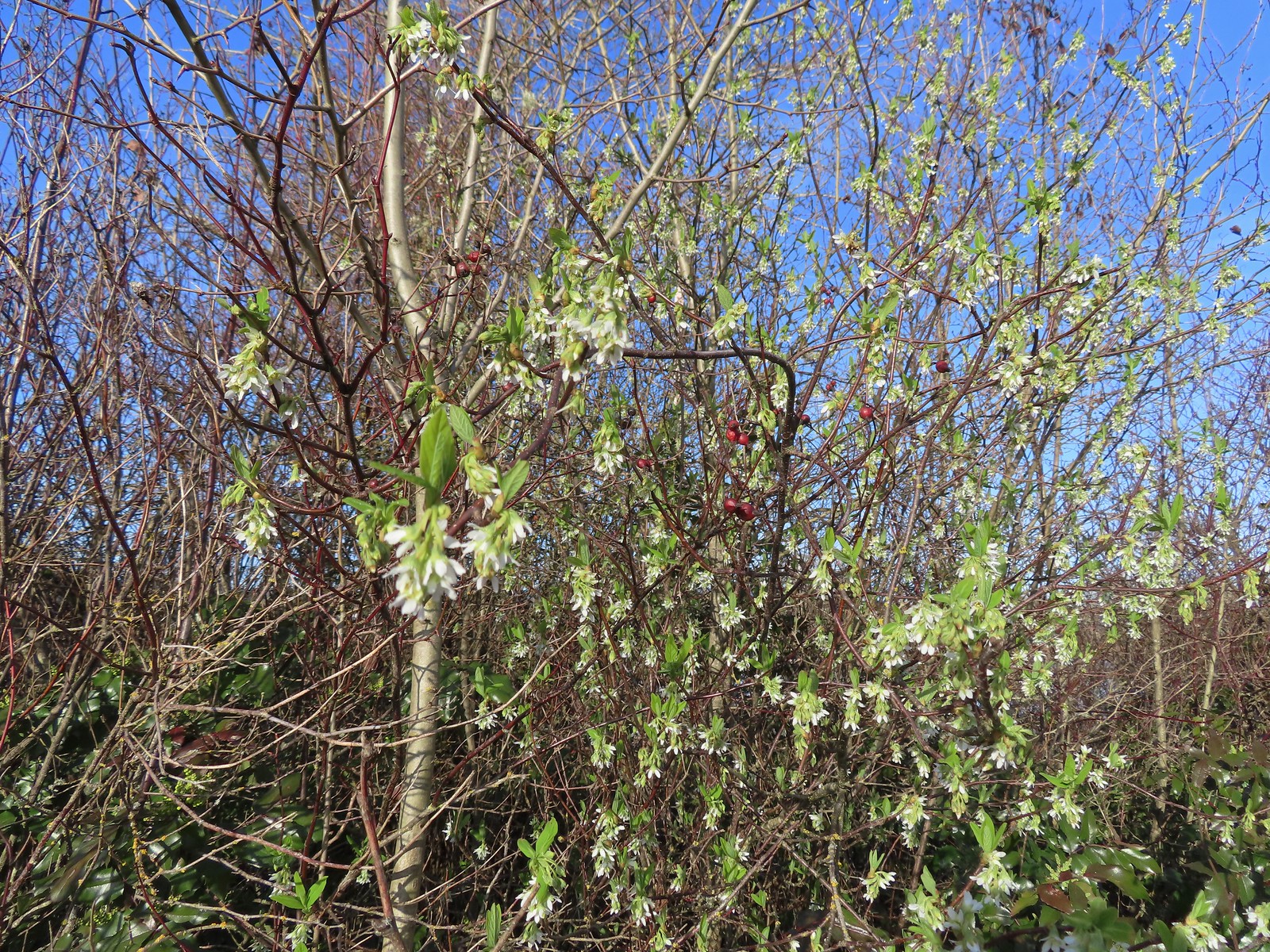 Our first wildflower of the year is Indian plum in 2024.
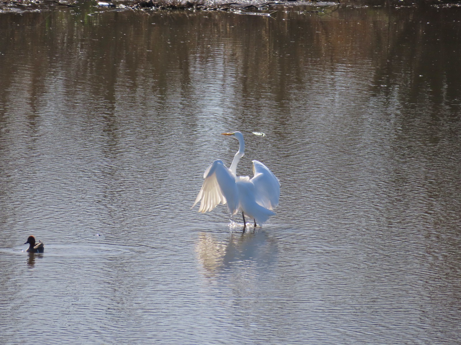
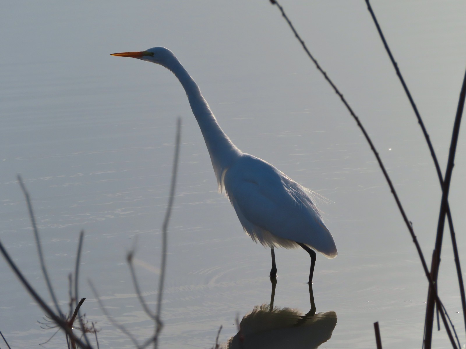 Egret
Egret
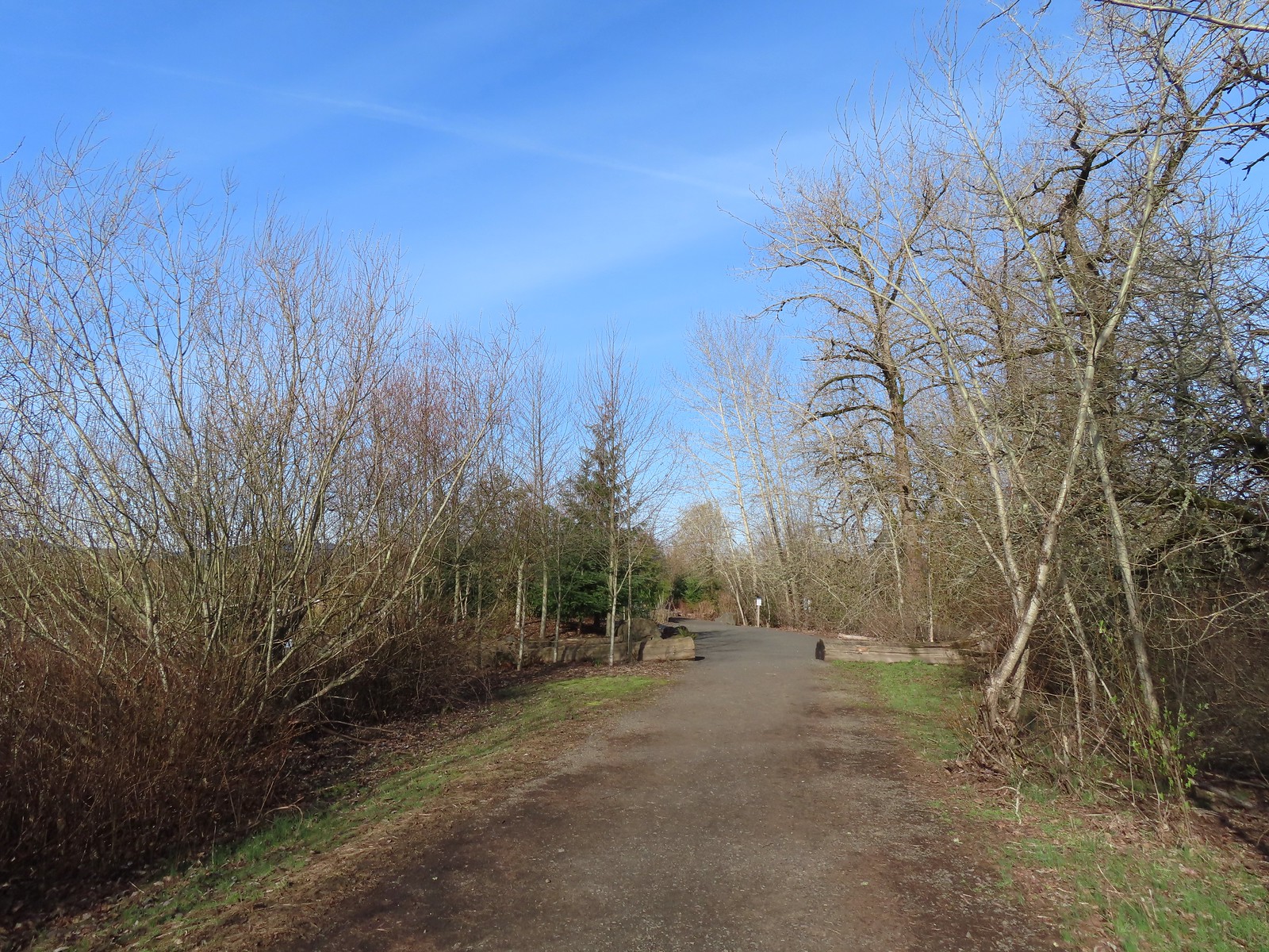
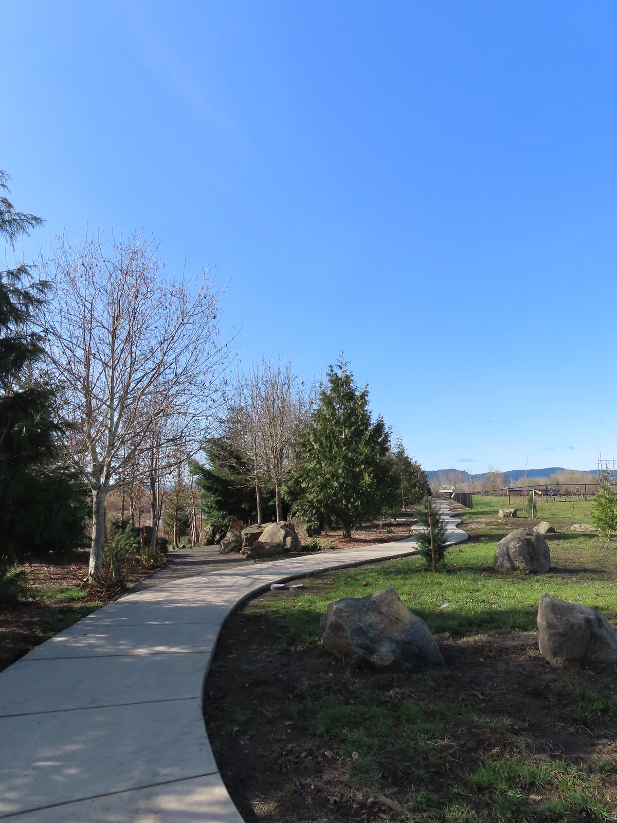
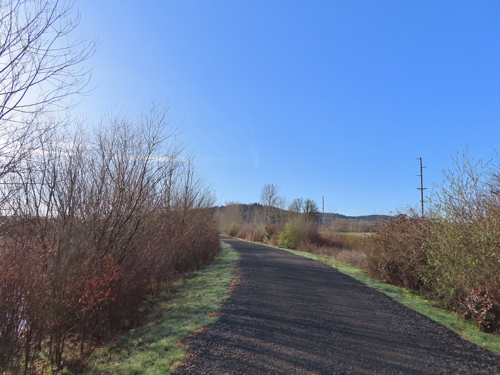 Path at Fernhill Wetlands.
We stayed straight at a junction with a path between Fernhill Marsh and Cattail Marsh.
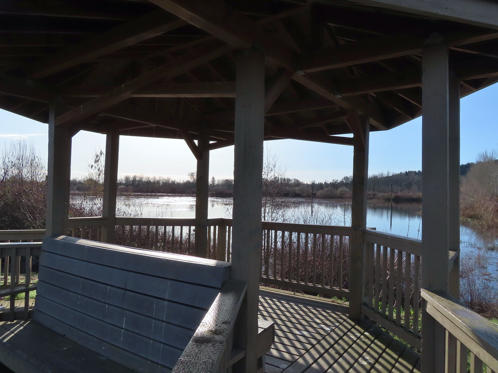 Gazebo overlooking Cattail Marsh.
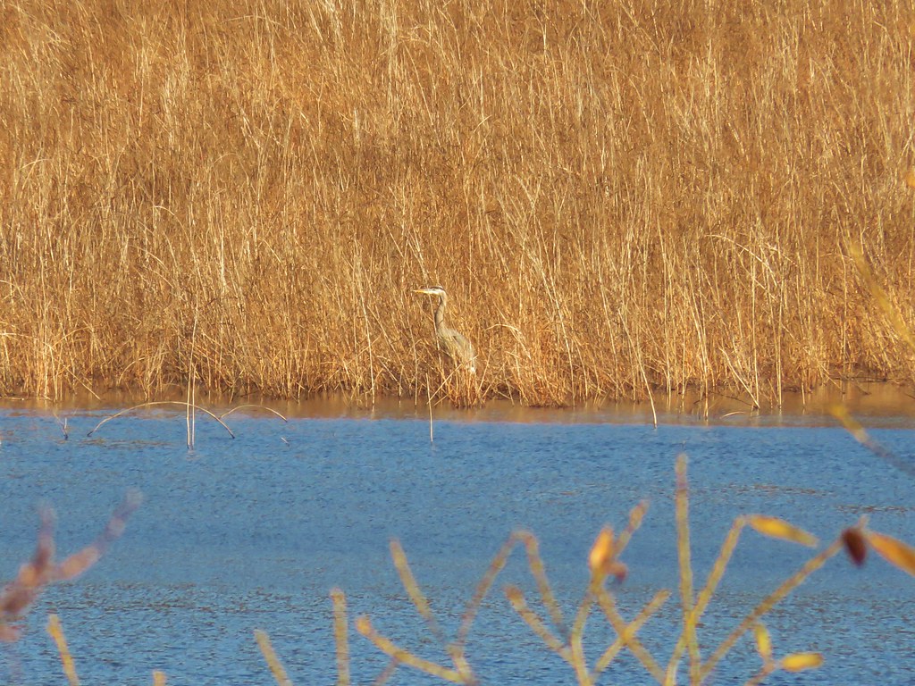
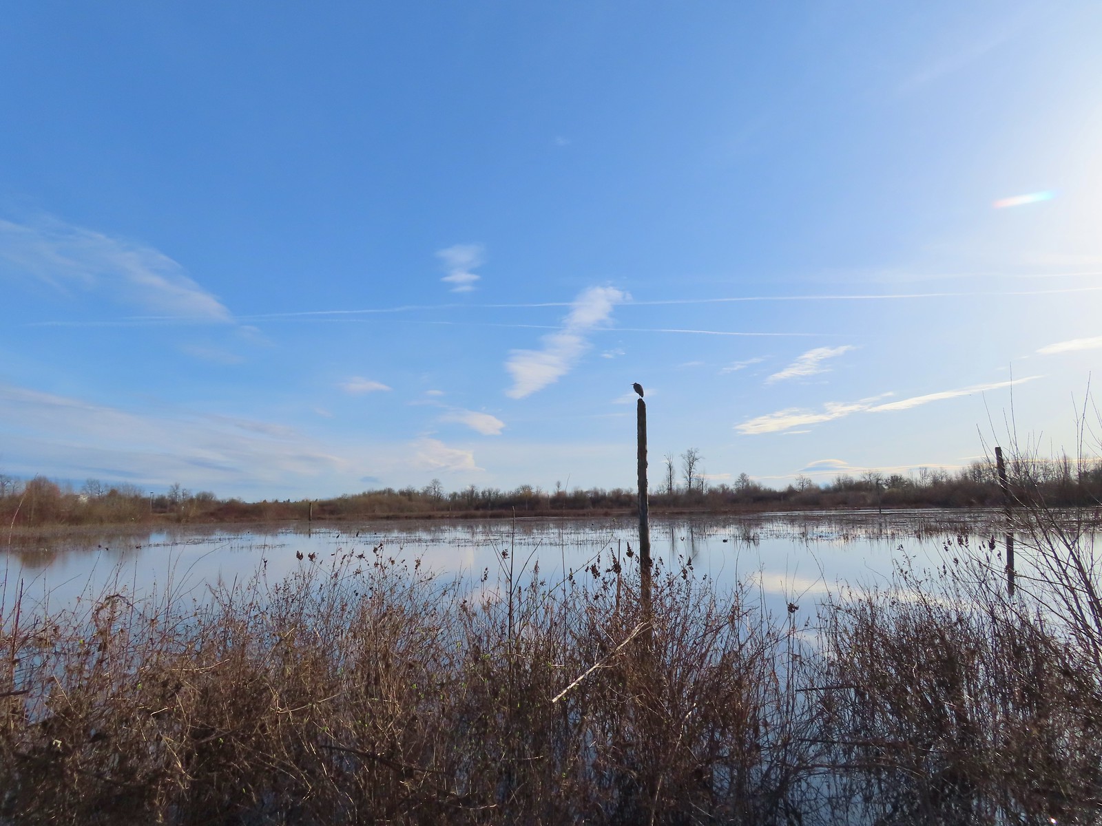 Great blue heron on a post above Cattail Marsh.
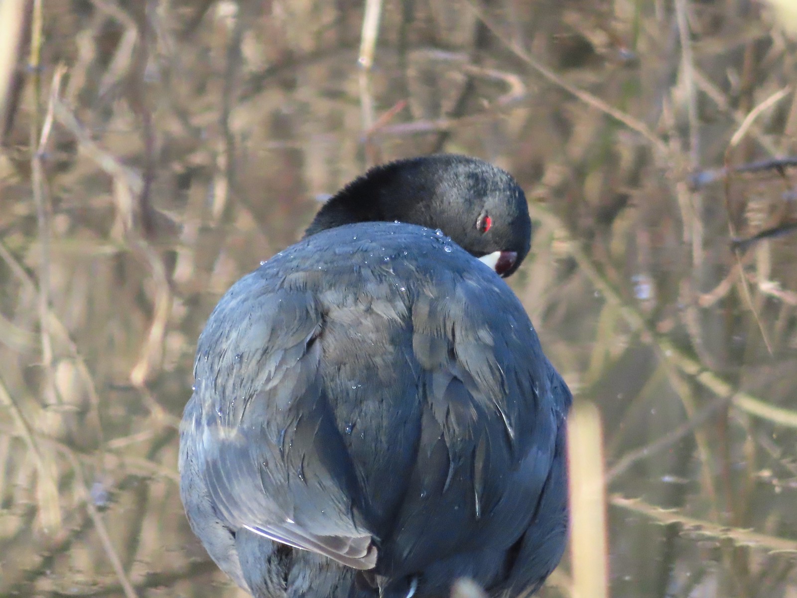 American coot
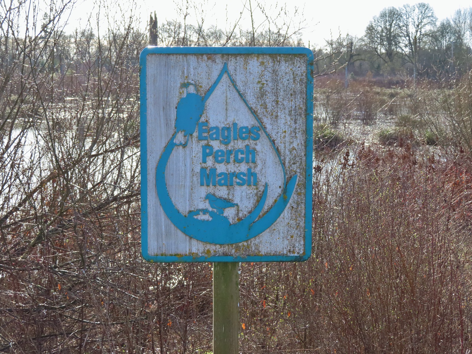
At the next junction we turned left between Cattail and Eagles Perch Marshes.
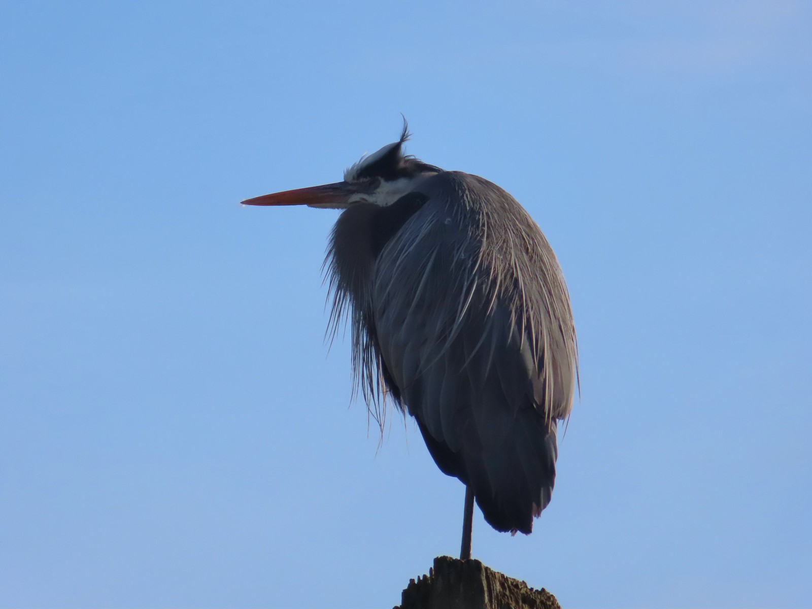
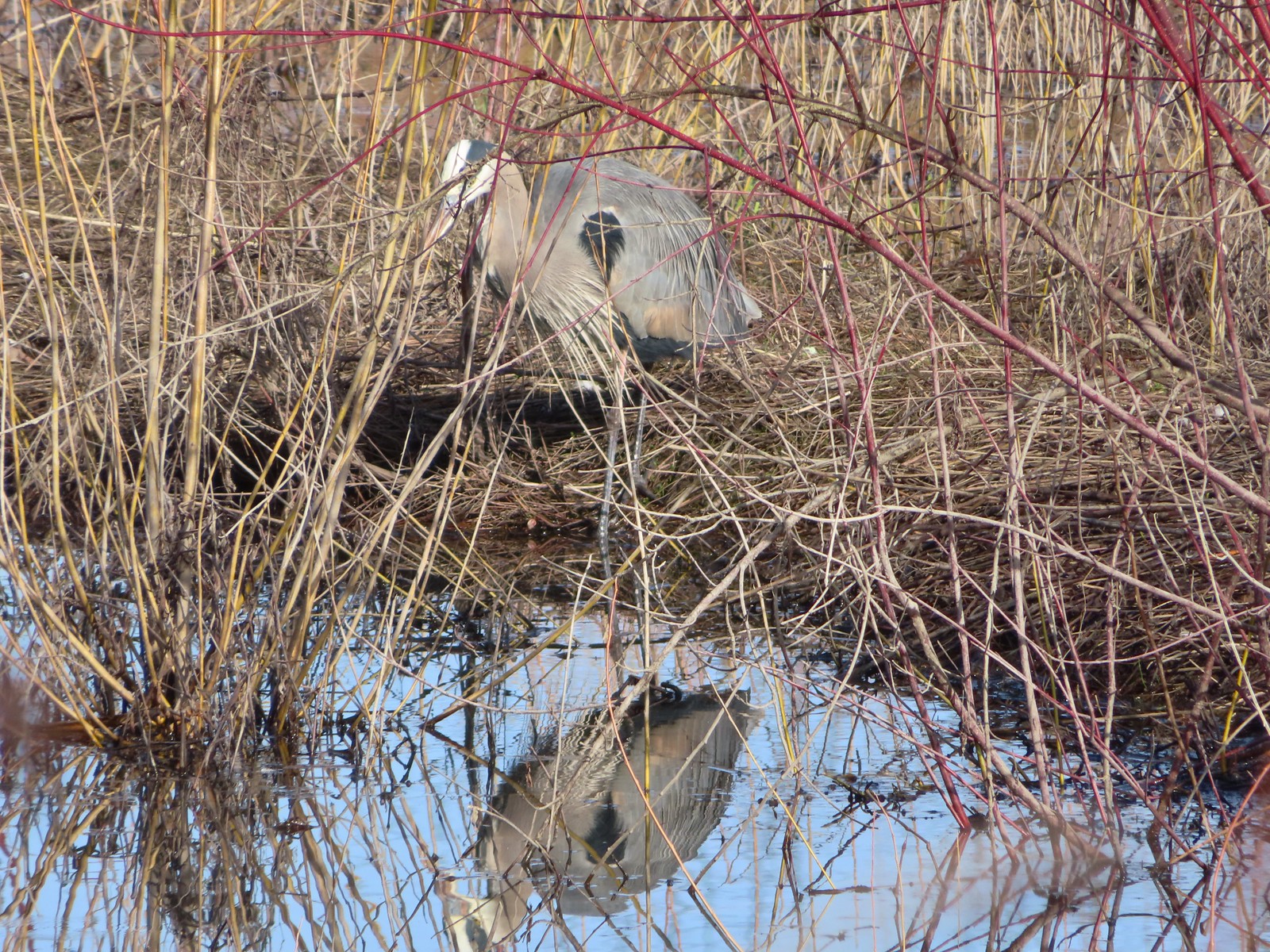
 Another great blue heron.
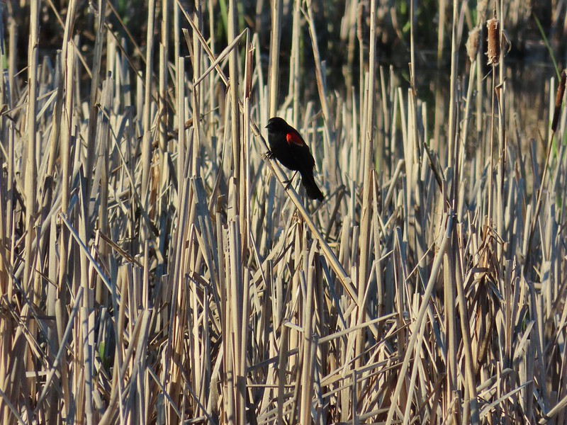
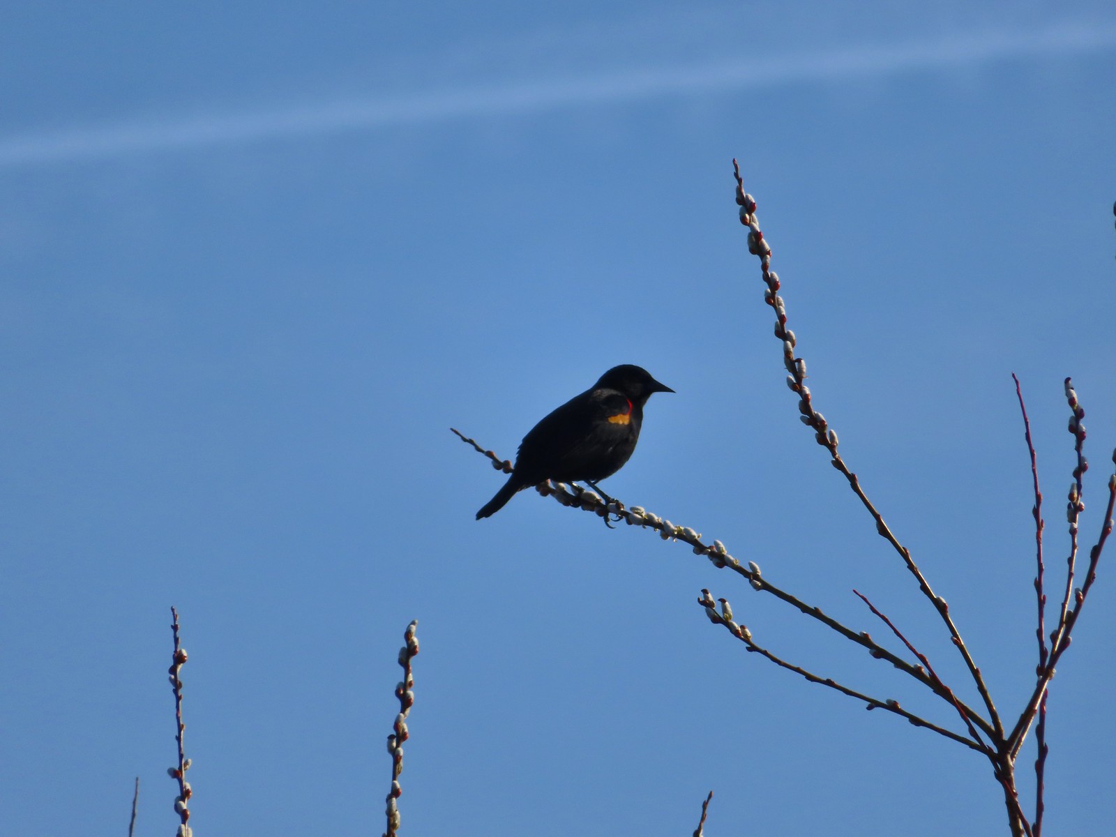 Red-winged blackbird
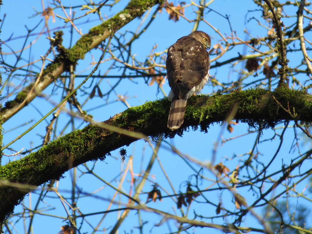
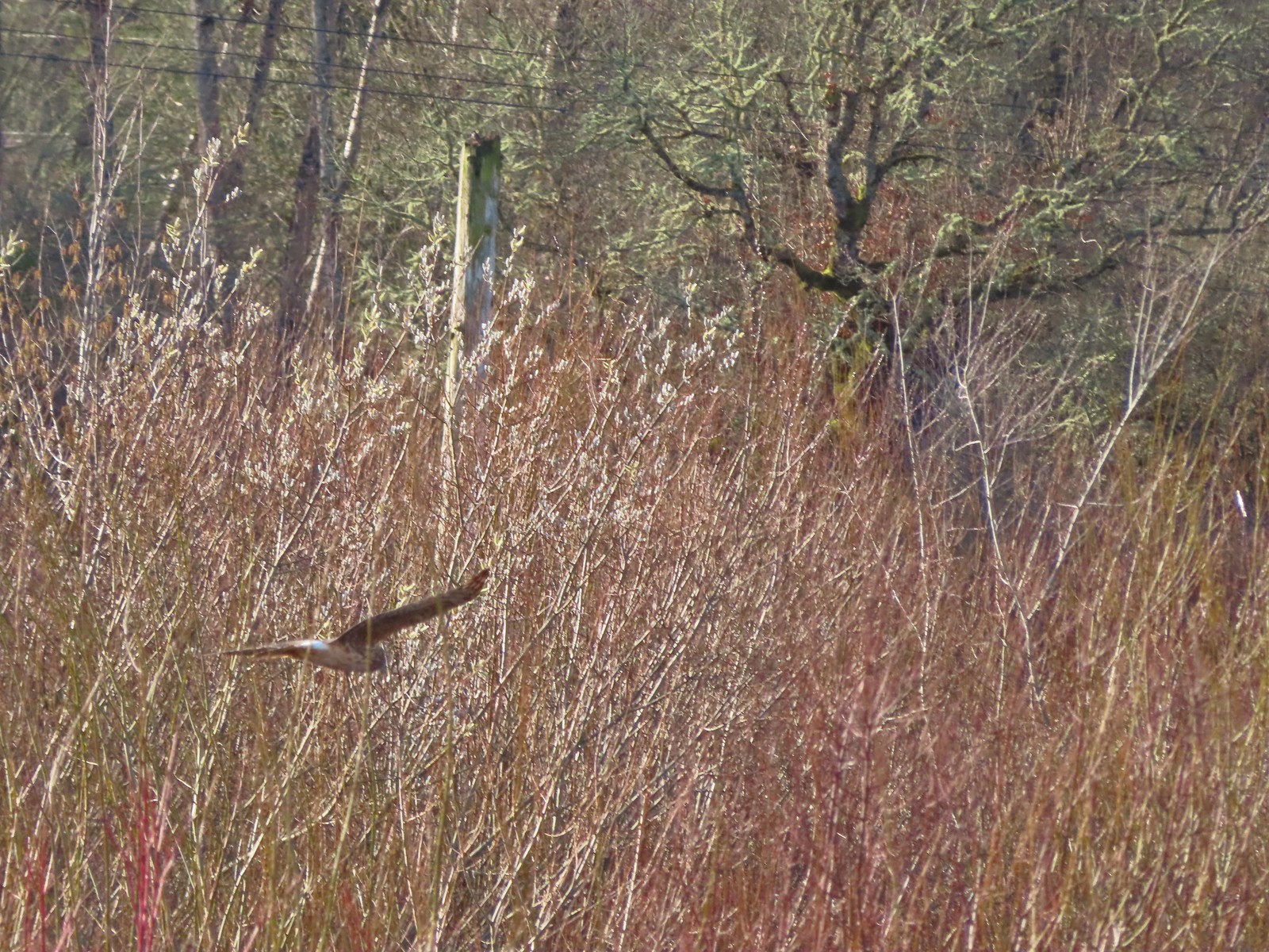 Hawk flying over Eagles Perch Marsh.
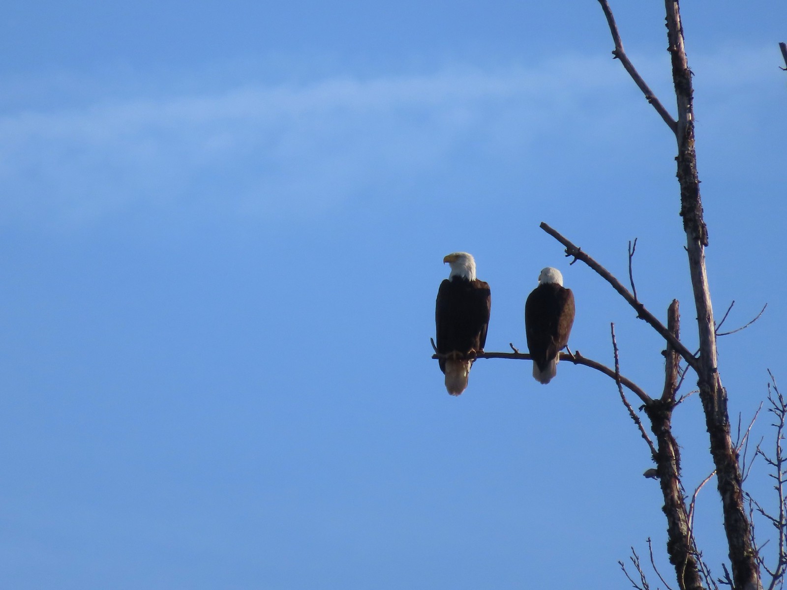
Fittingly at the far end of the marsh were a pair of bald eagles.
We turned right and walked along Eagles Perch Marsh for a tenth of a mile to a gate along SW Geiger Rd.

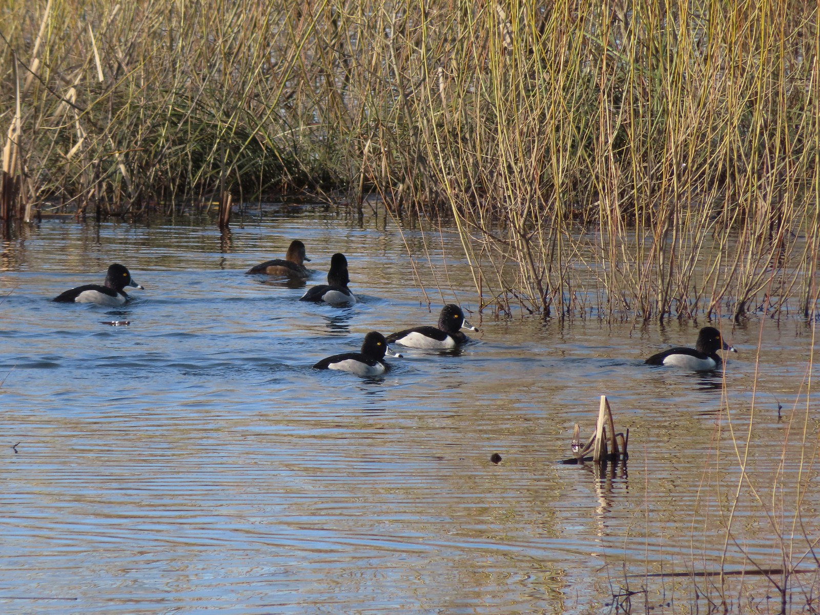 Ring-necked ducks
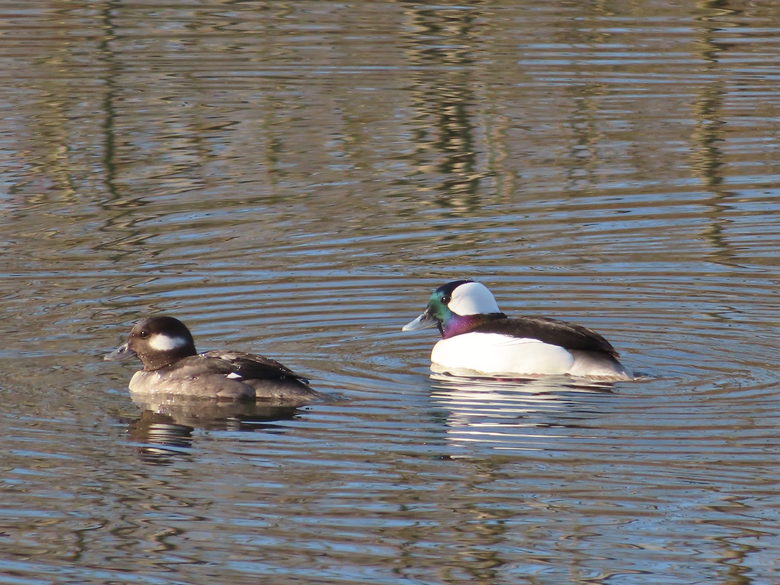 Buffleheads
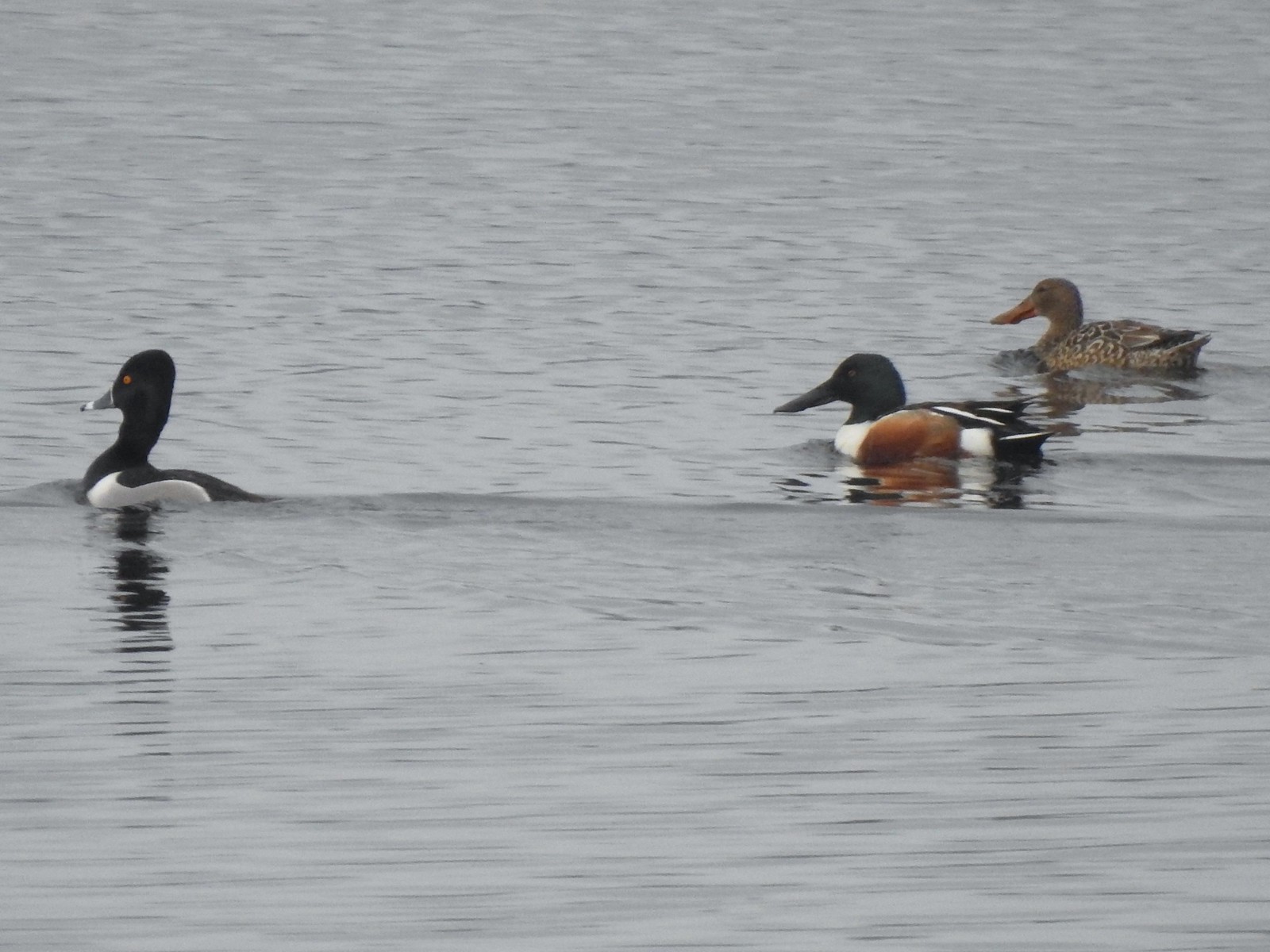
 This one might be a hooded merganser?
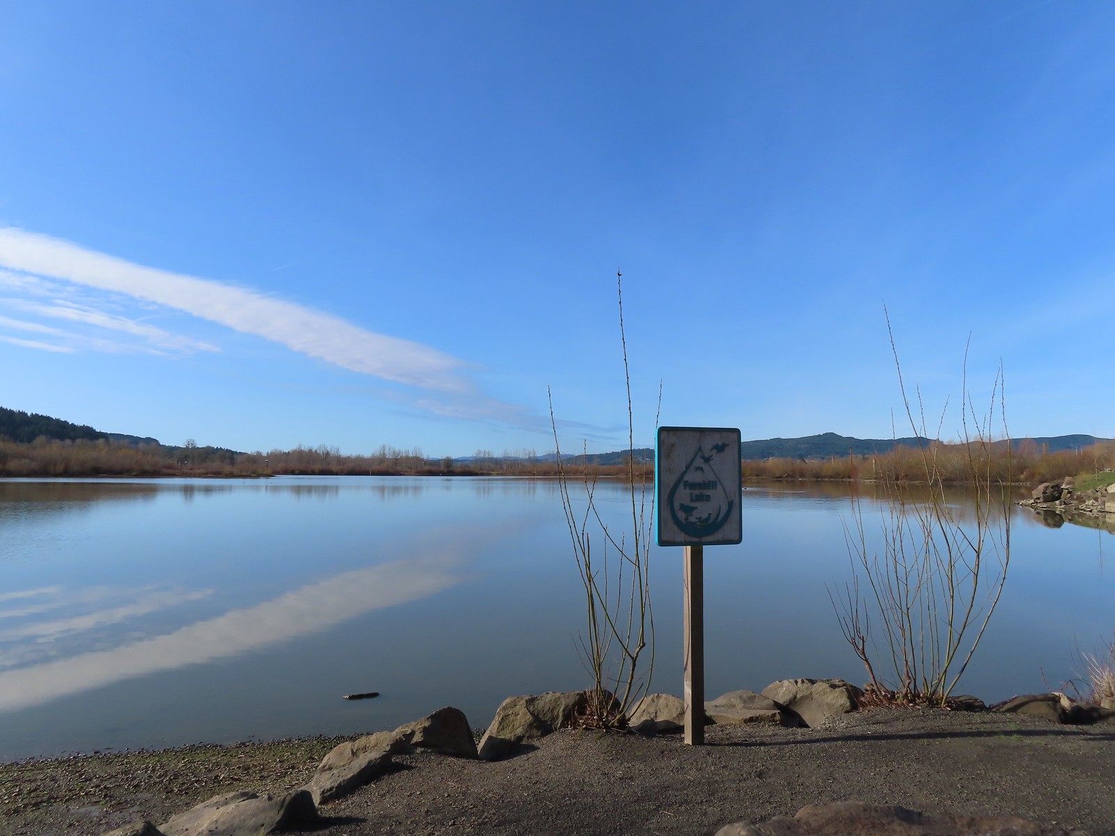
After turning around we headed north passing Cattail Marsh and arriving at Fernhill Lake.
 Fernhill Lake
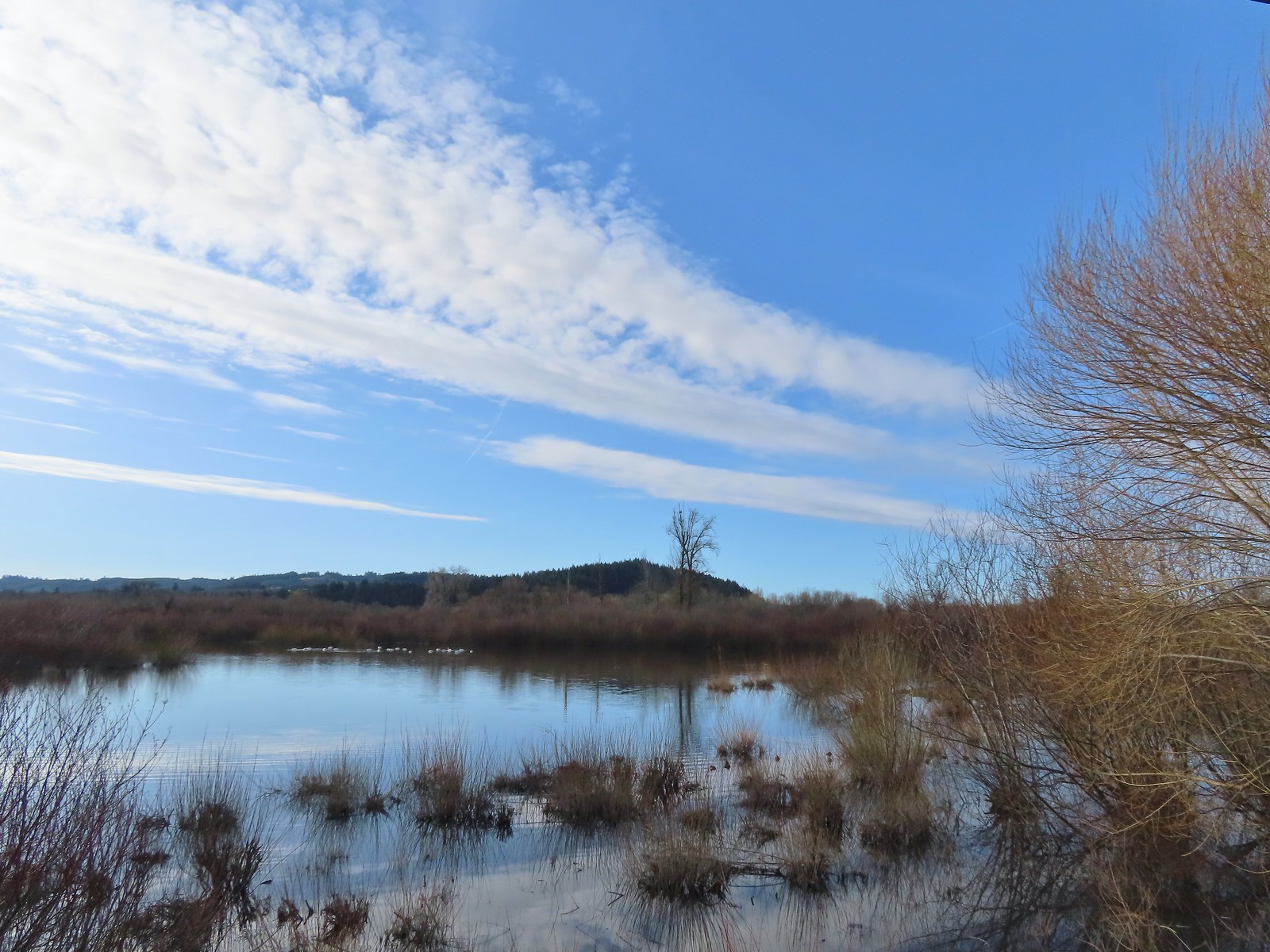
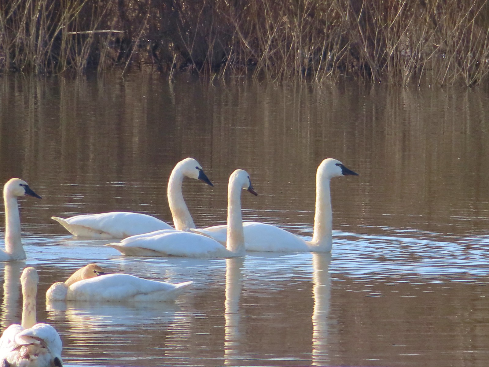
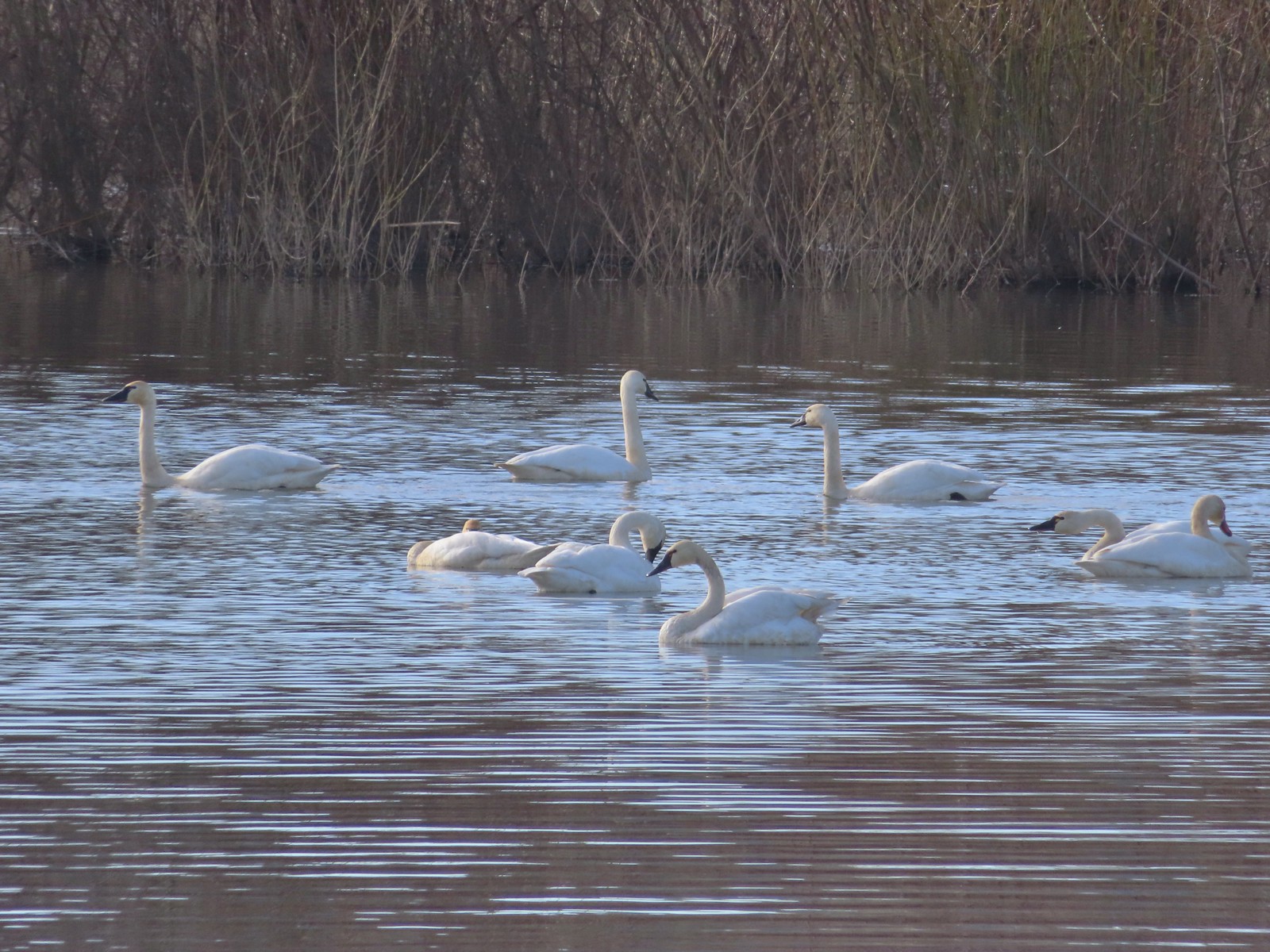
The trail bent eastward along the lake to a gazebo overlooking Barney Wetlands. From the gazebo we watched a flock of tundra swans. This was our second outing in a row (Wapato Lake) seeing tundra swans after not ever having seen them on a hike prior.
 This is where the trail turned east (for obvious reasons).
 Barney wetlands


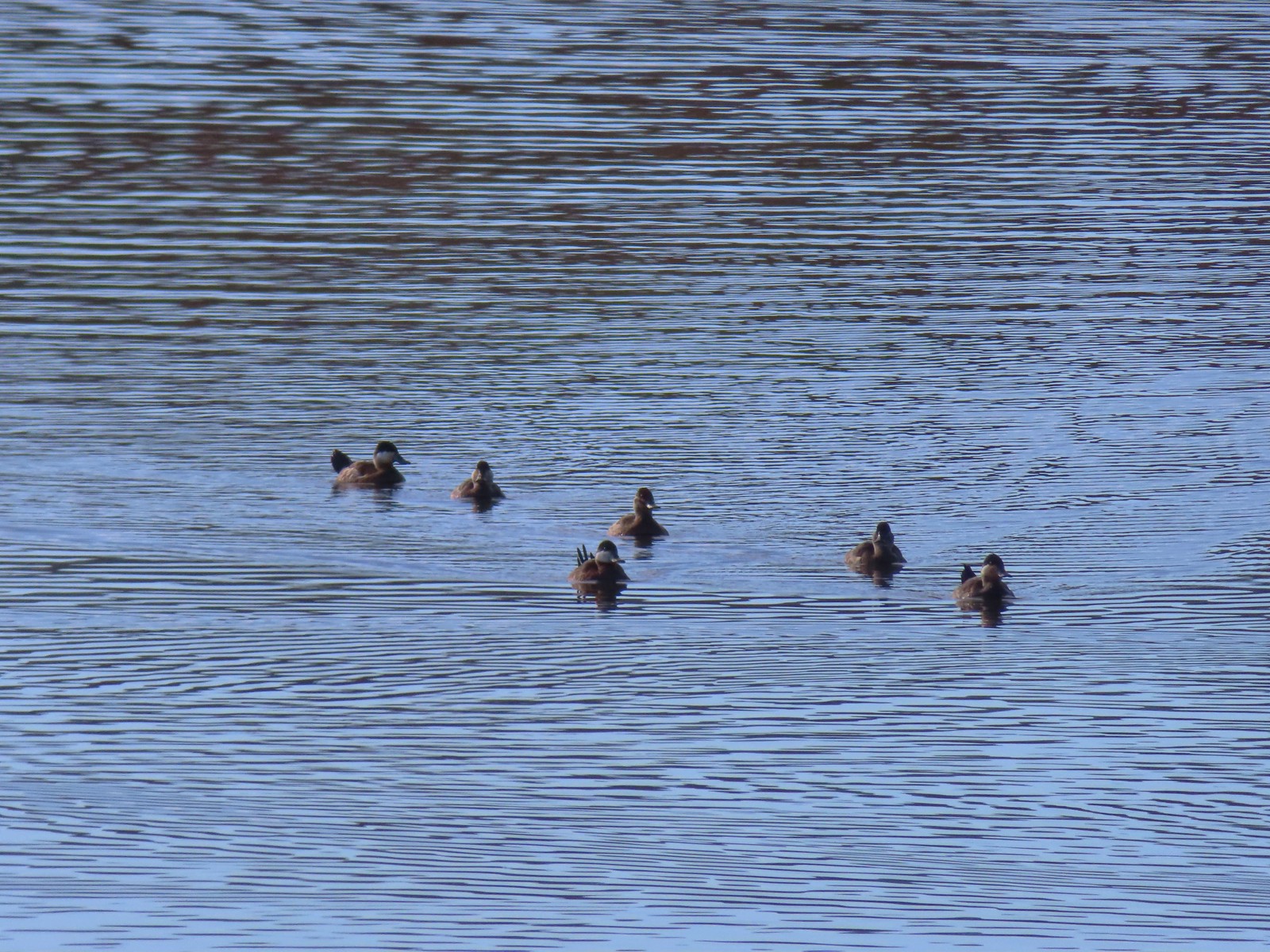
There were also quite a few ruddy ducks here which we don’t often see.


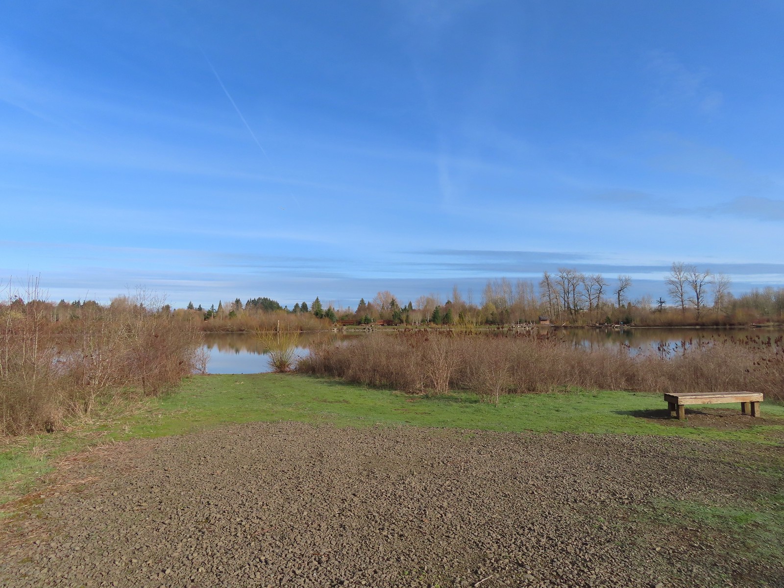
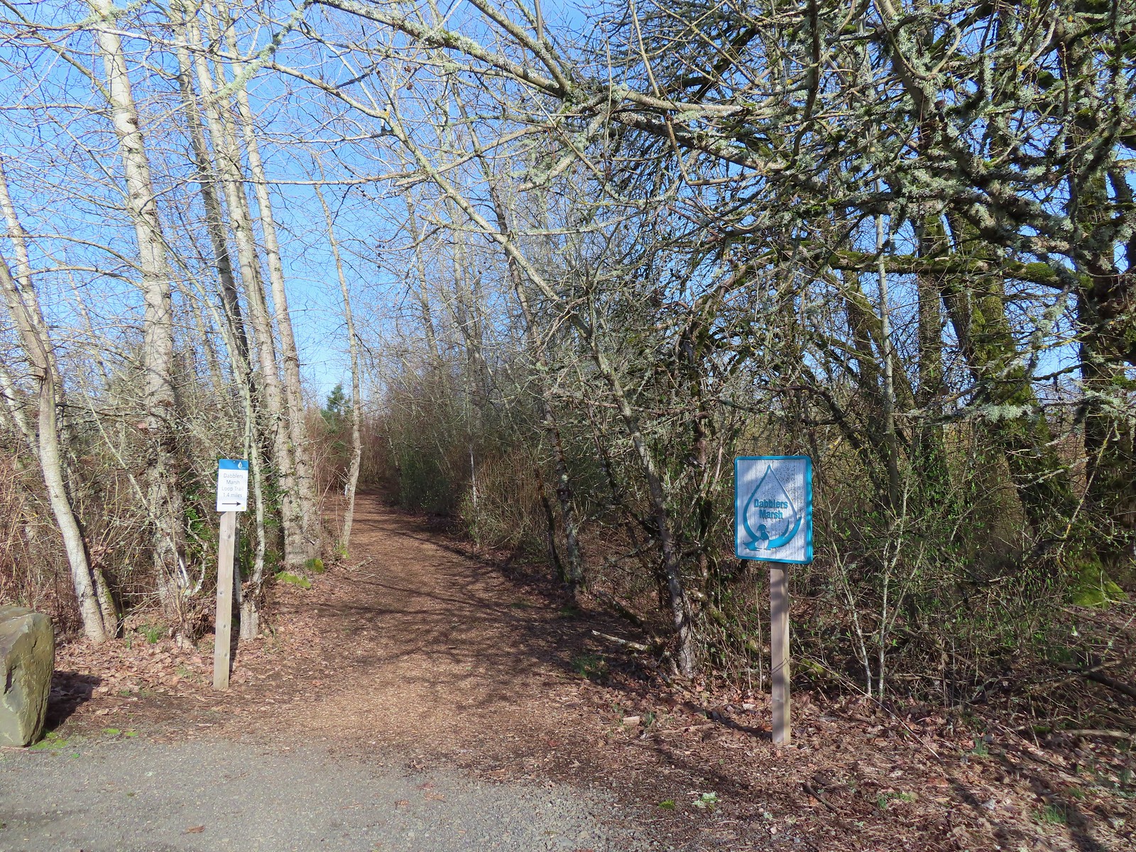
After a good long break watching the swans we continued around Fernhill Lake to Dabblers Marsh.
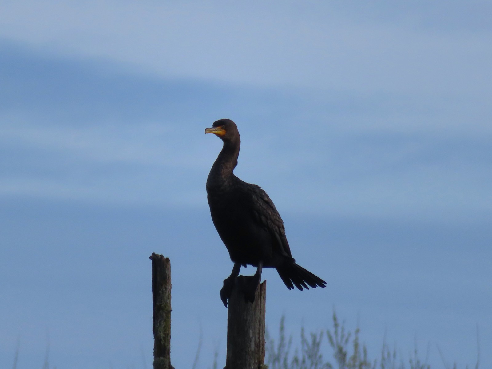
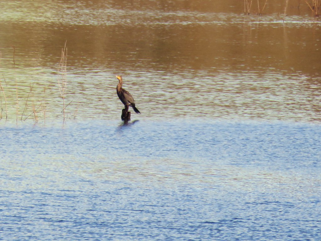
 Double-crested cormorant on a post in Barney Wetlands.
 Double-crested cormorant
 Drying off in the sun.
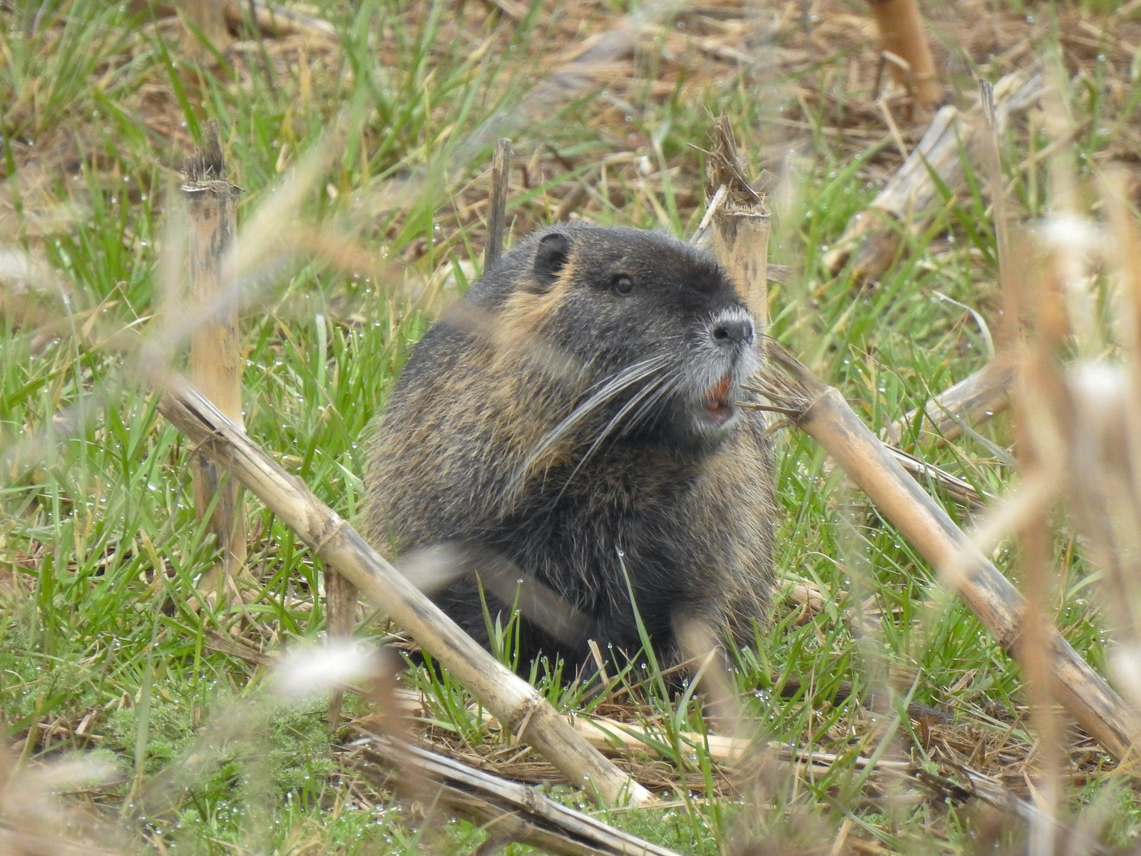
 Nurtia at a bench near Dabblers Marsh
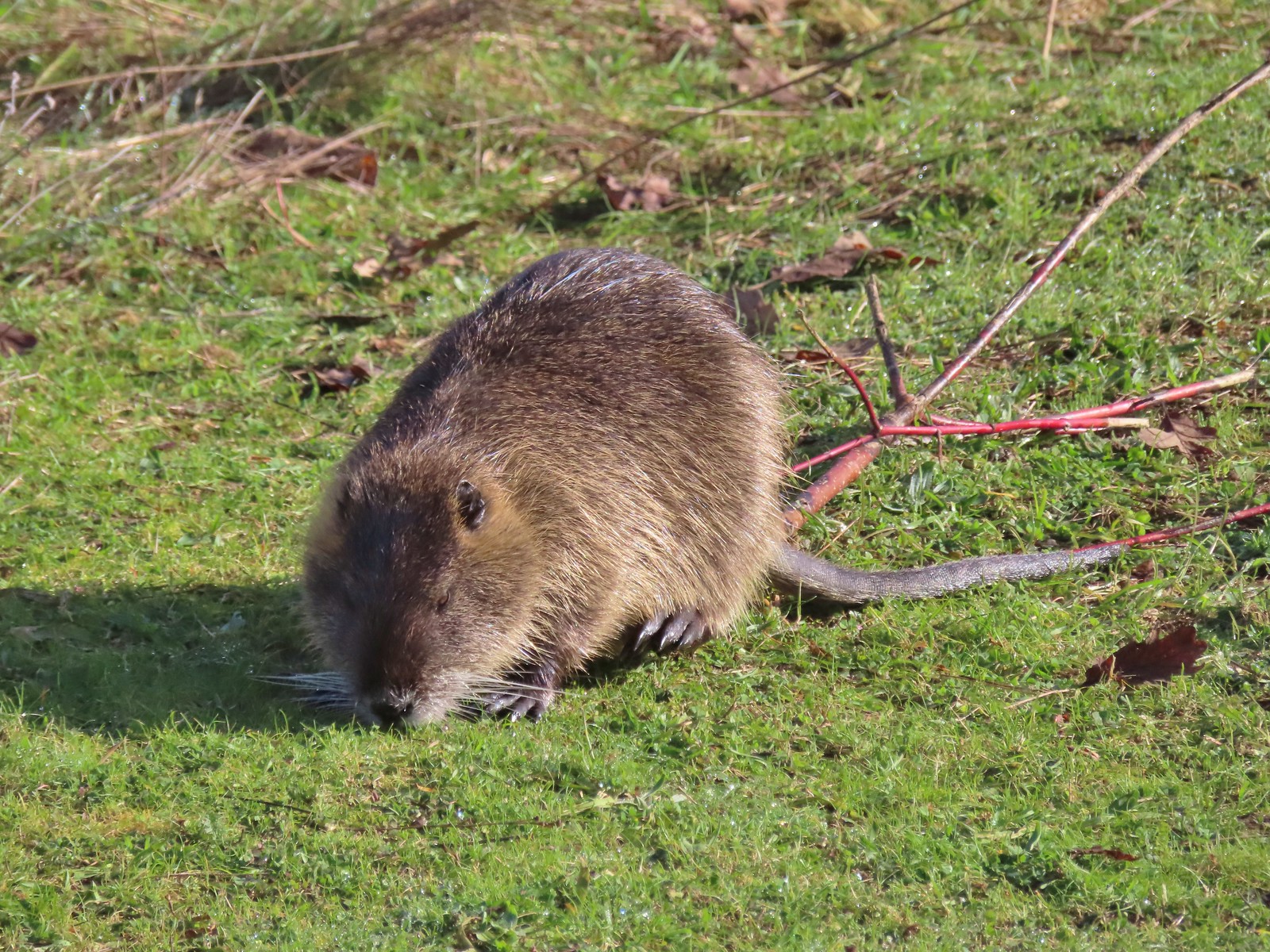 Nutria
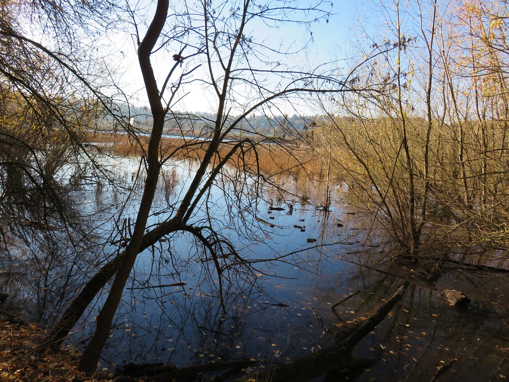
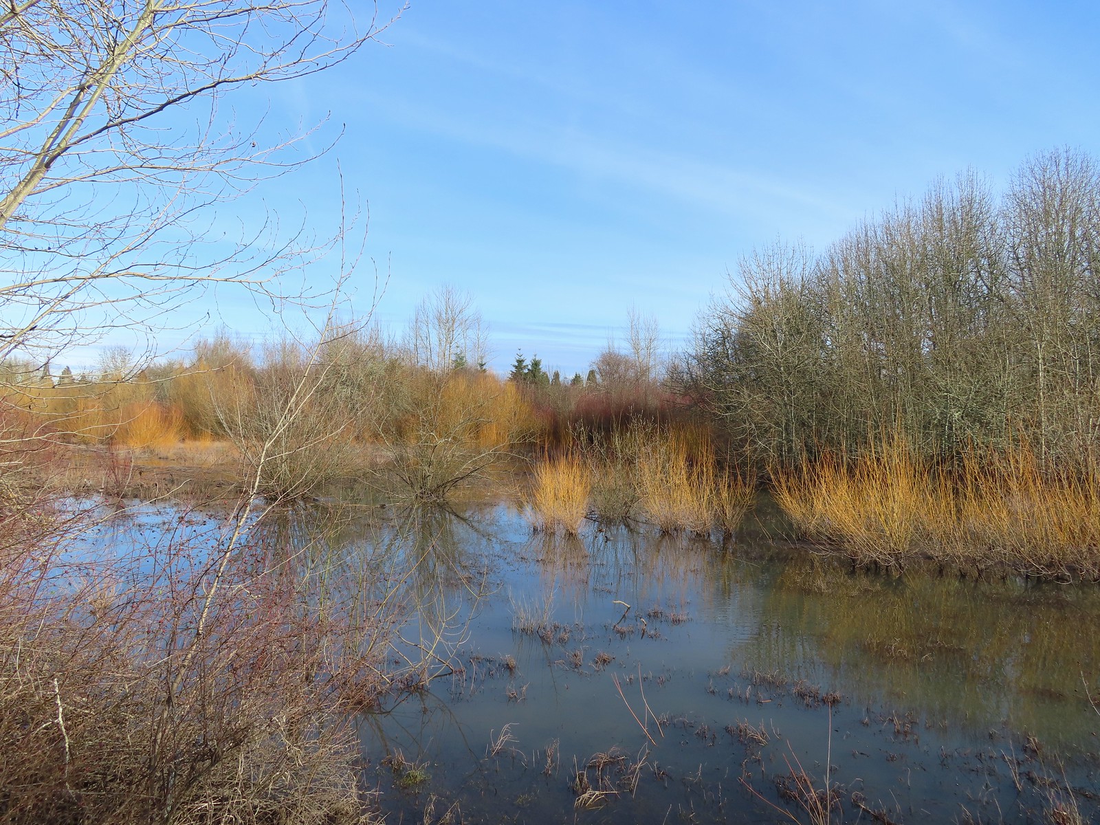 Dabblers Marsh
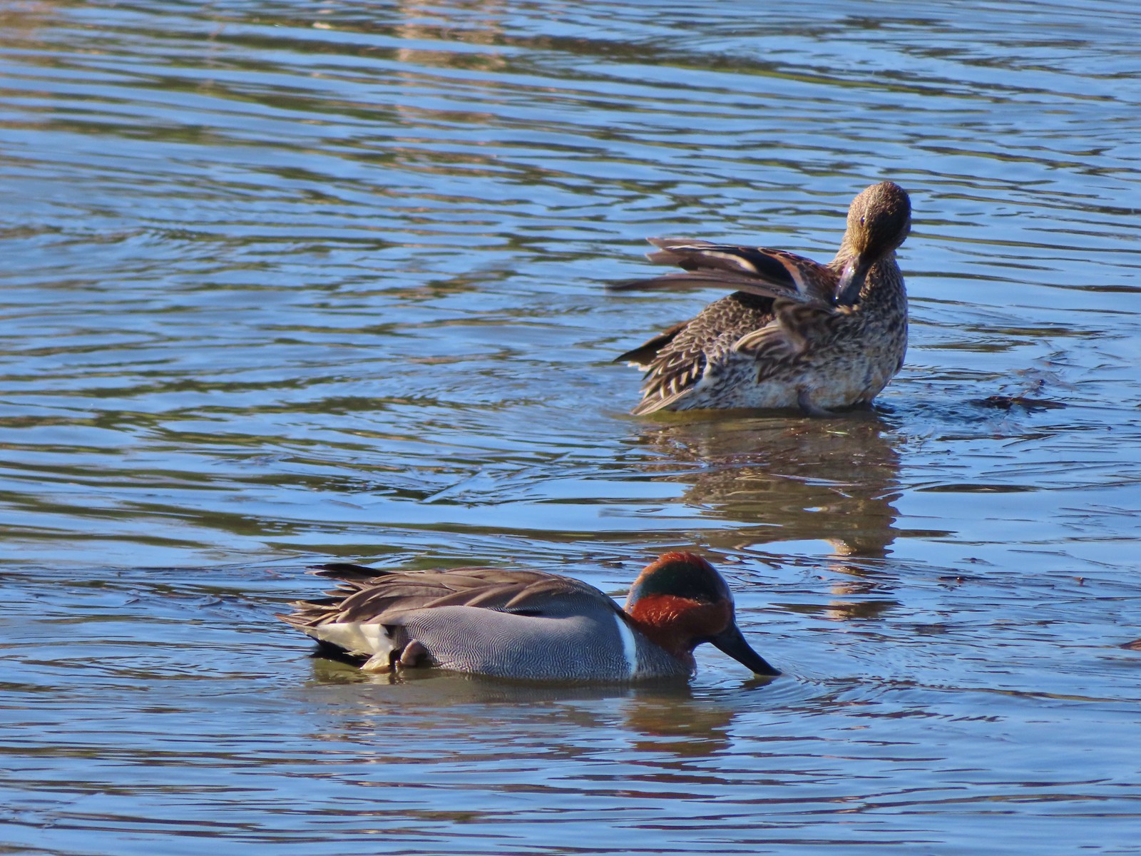
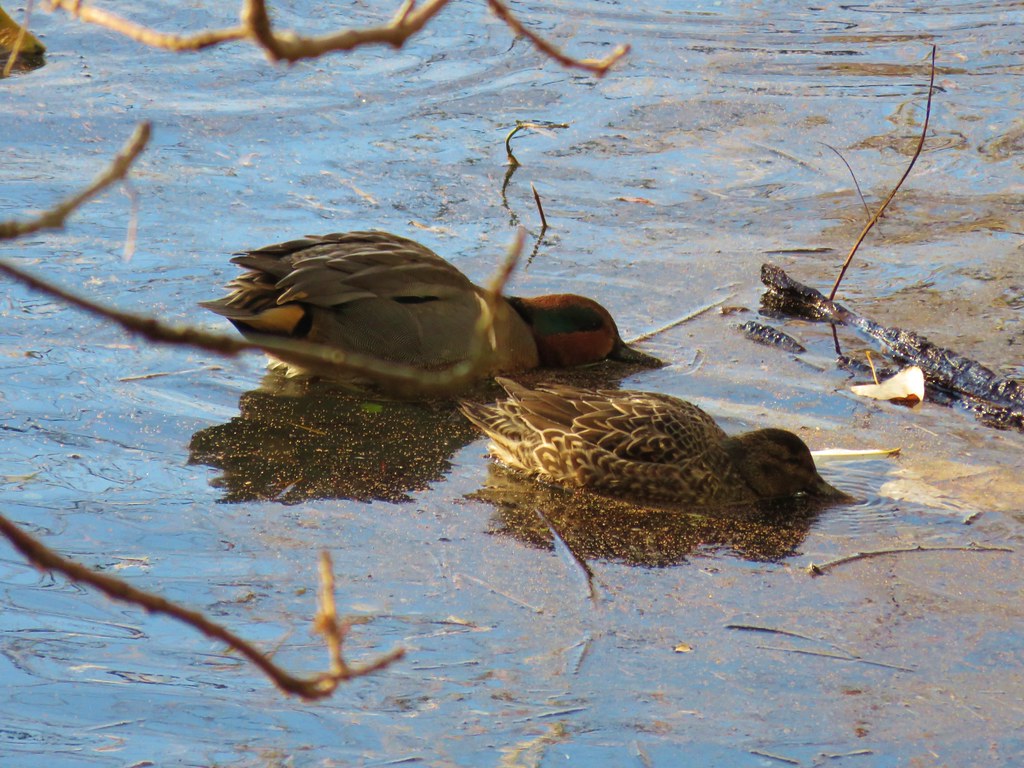
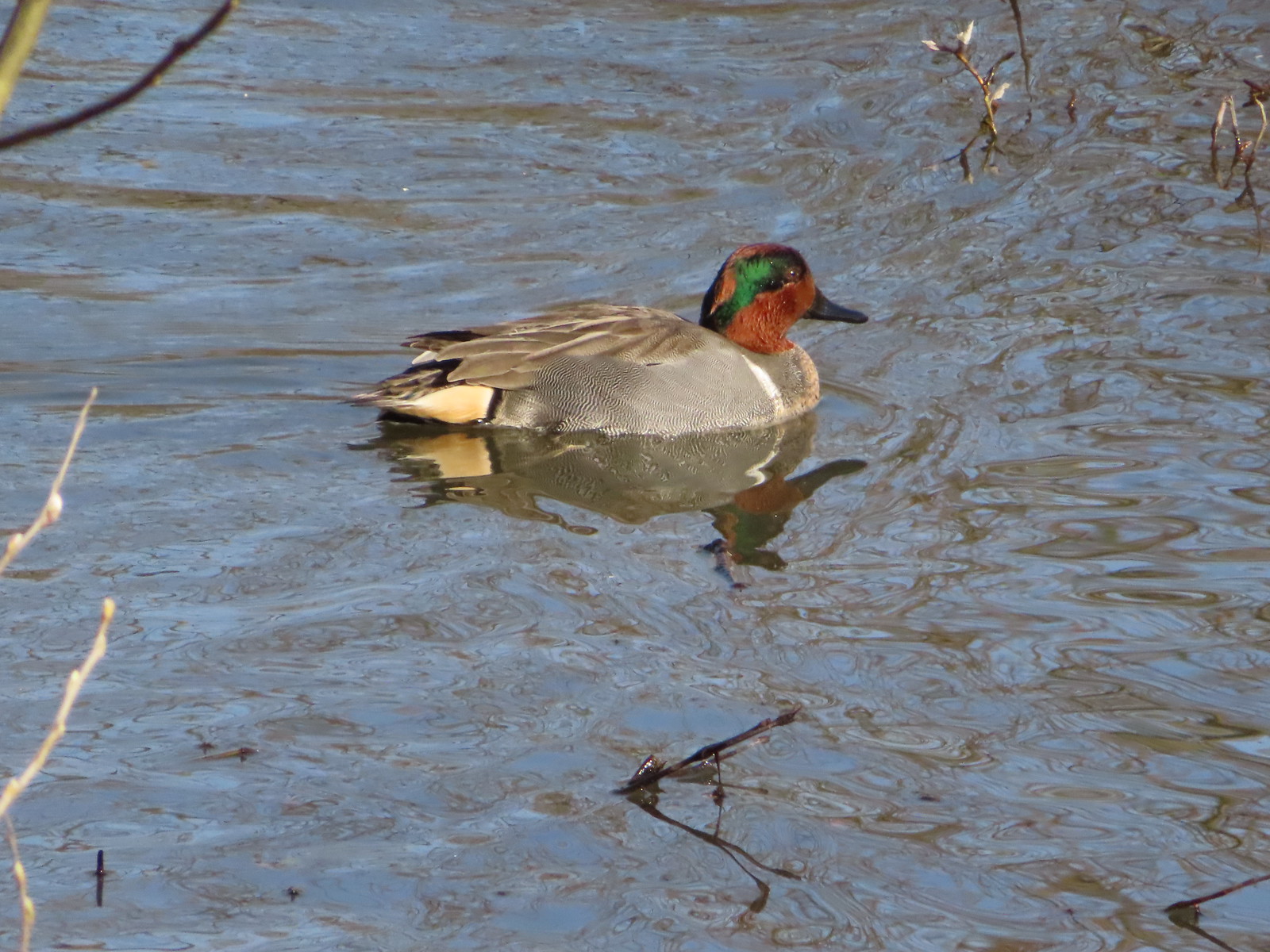 Green-winged teal
 Great blue heron
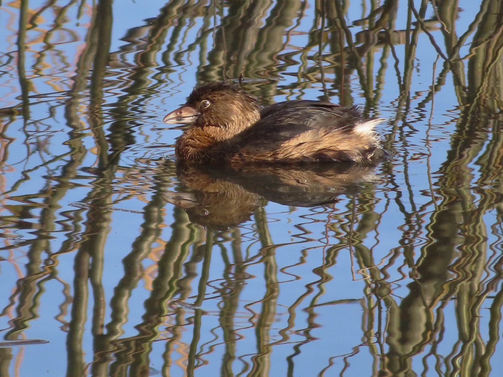 Pie-billed grebe
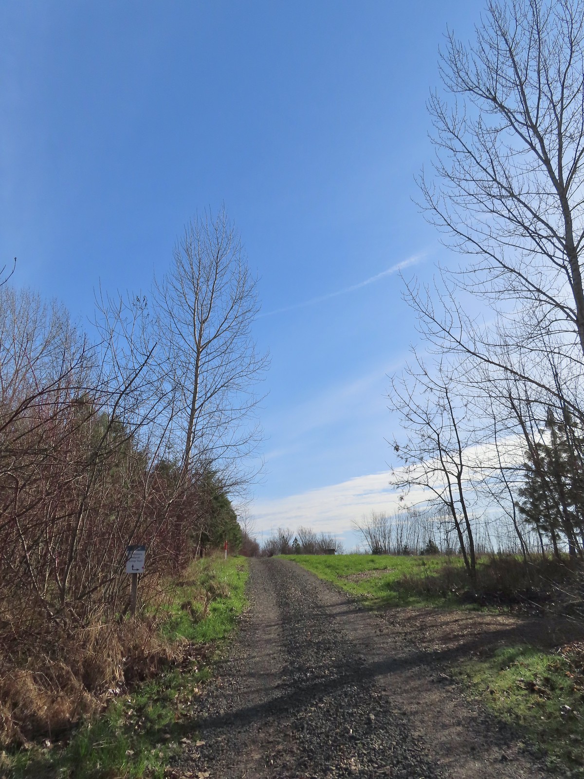
We turned west between Fernhill Lake and Dabblers Marsh and came to a nice view of the lake and the start of the Dabblers Marsh Loop Trail.
We turned onto the woodchip path along Dabblers Marsh and followed pointers to a loop around some farmland.
 Robin
Robin

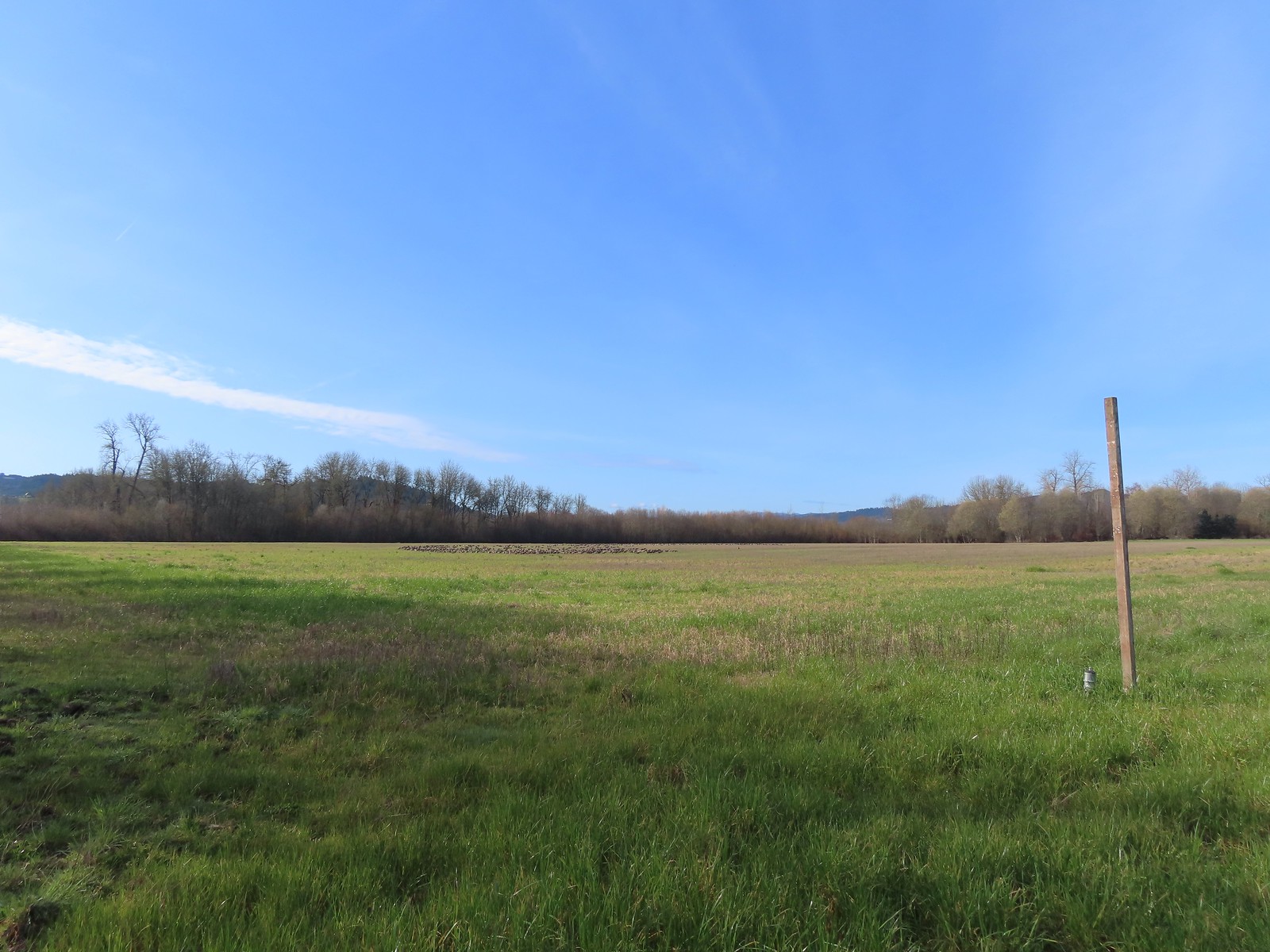
 The start of the loop at the edge of the farmland. We stayed left opting to hike the loop clockwise.
 Anna’s hummingbrid
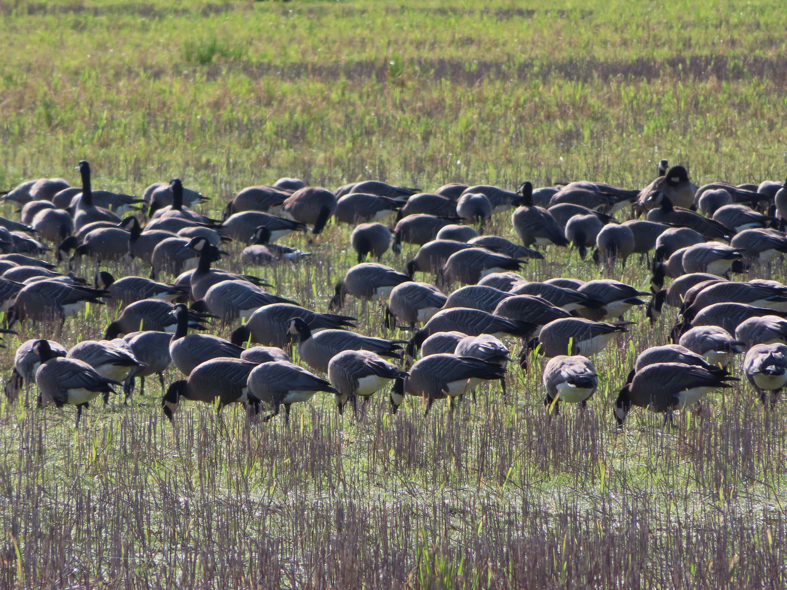
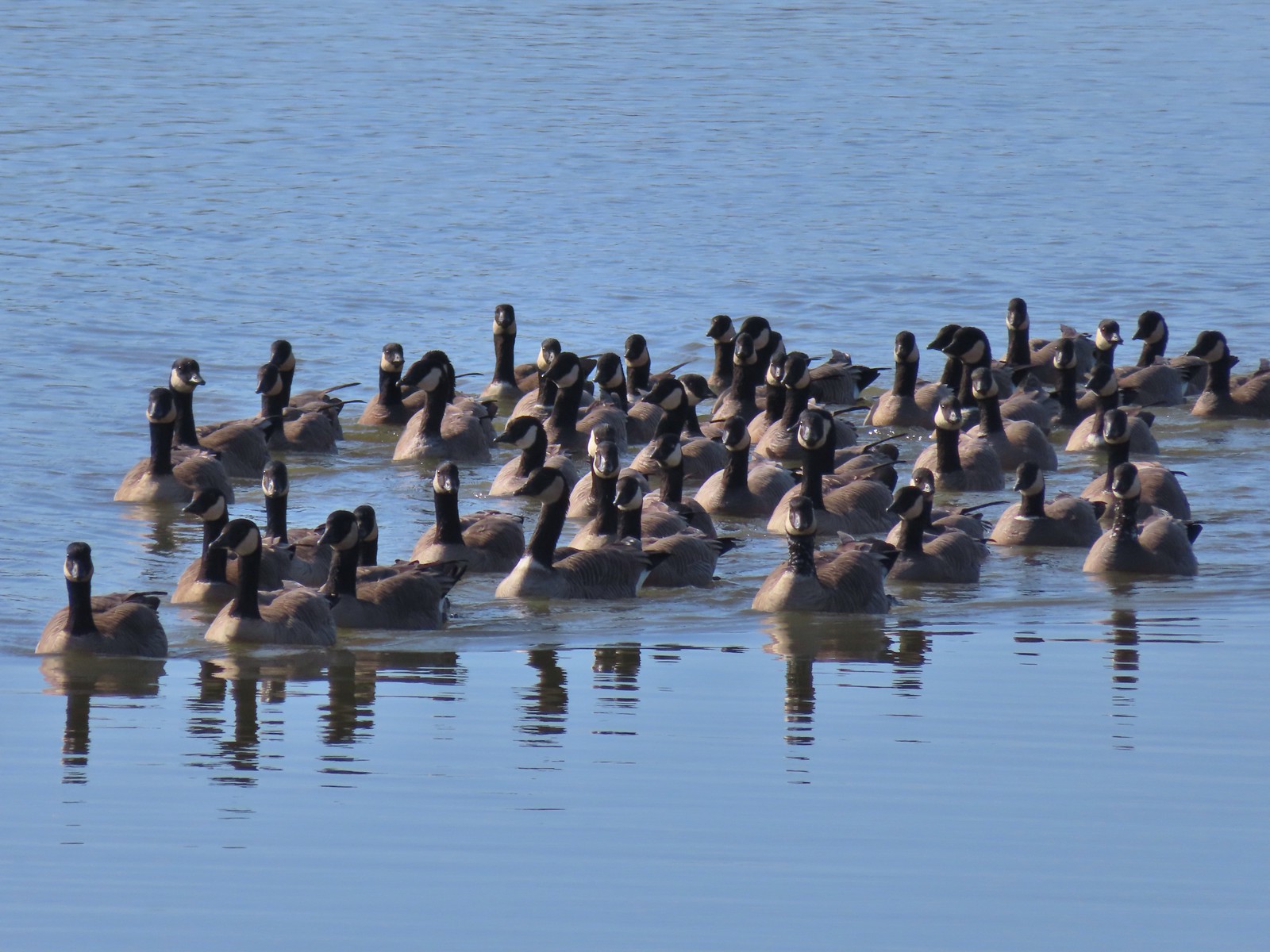
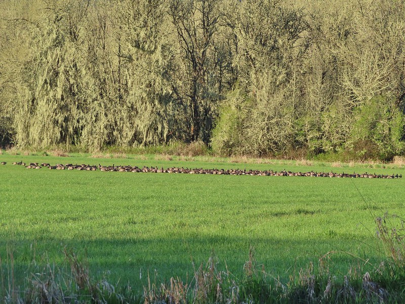
 A gaggle of geese in the field.
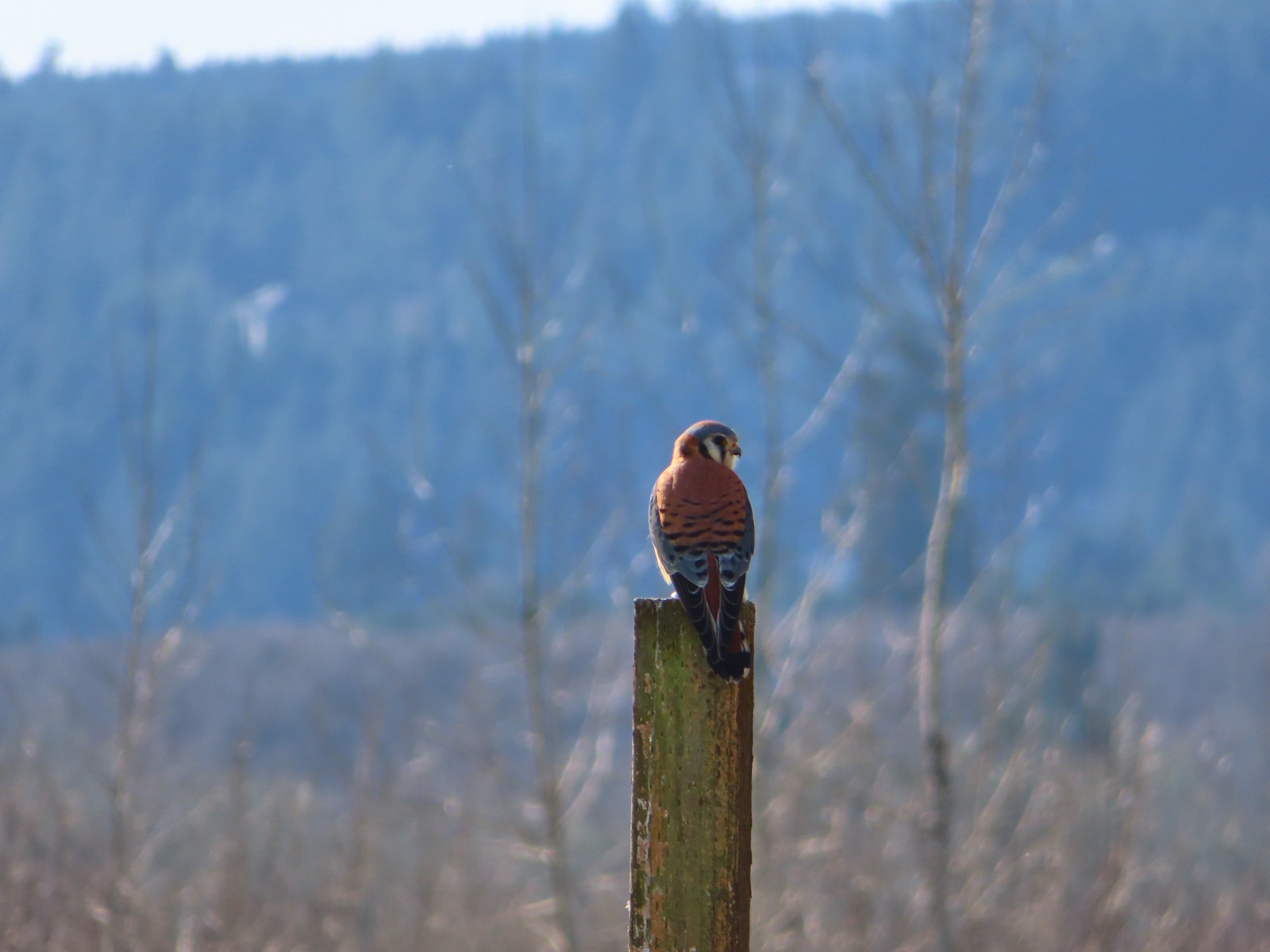
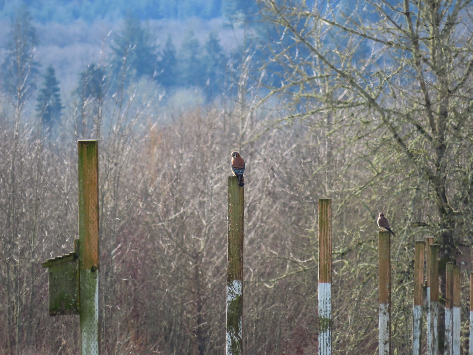 American kestrels manning their posts.
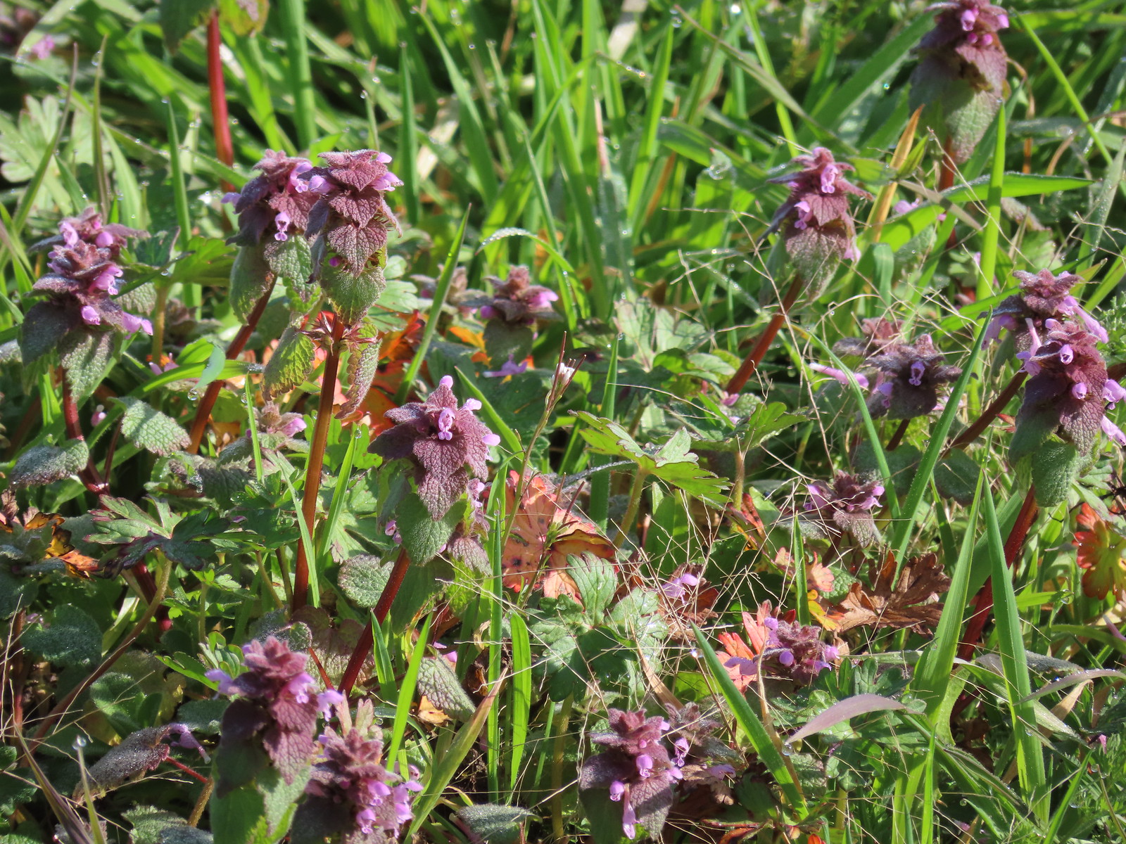 Purple dead-nettle
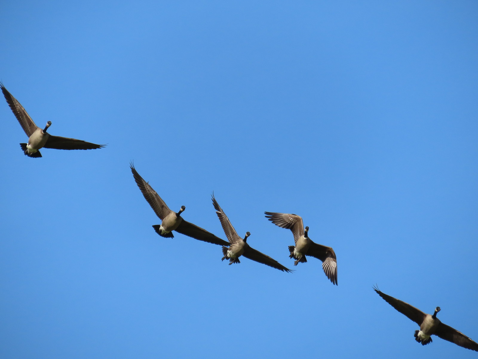 More geese coming in for a landing.
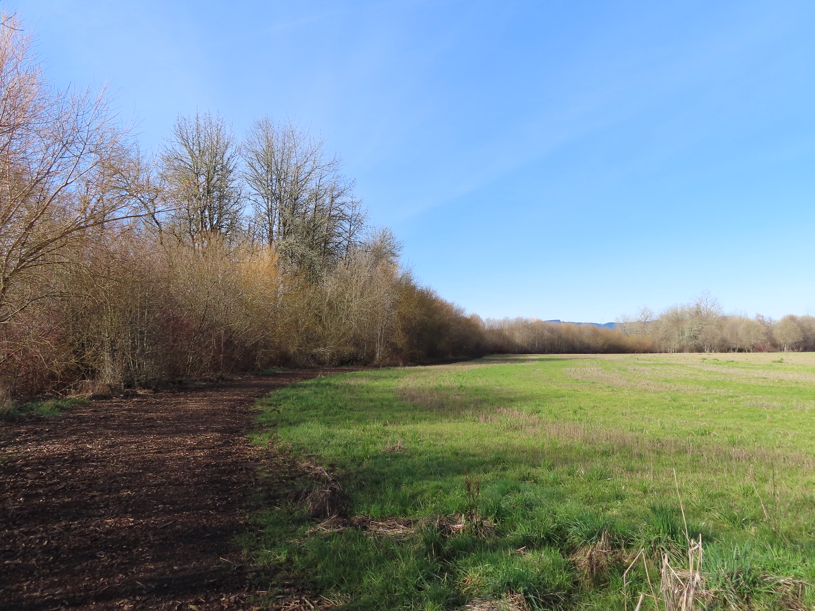
 Near the end of the loop the trail left the field along Dabblers Marsh.
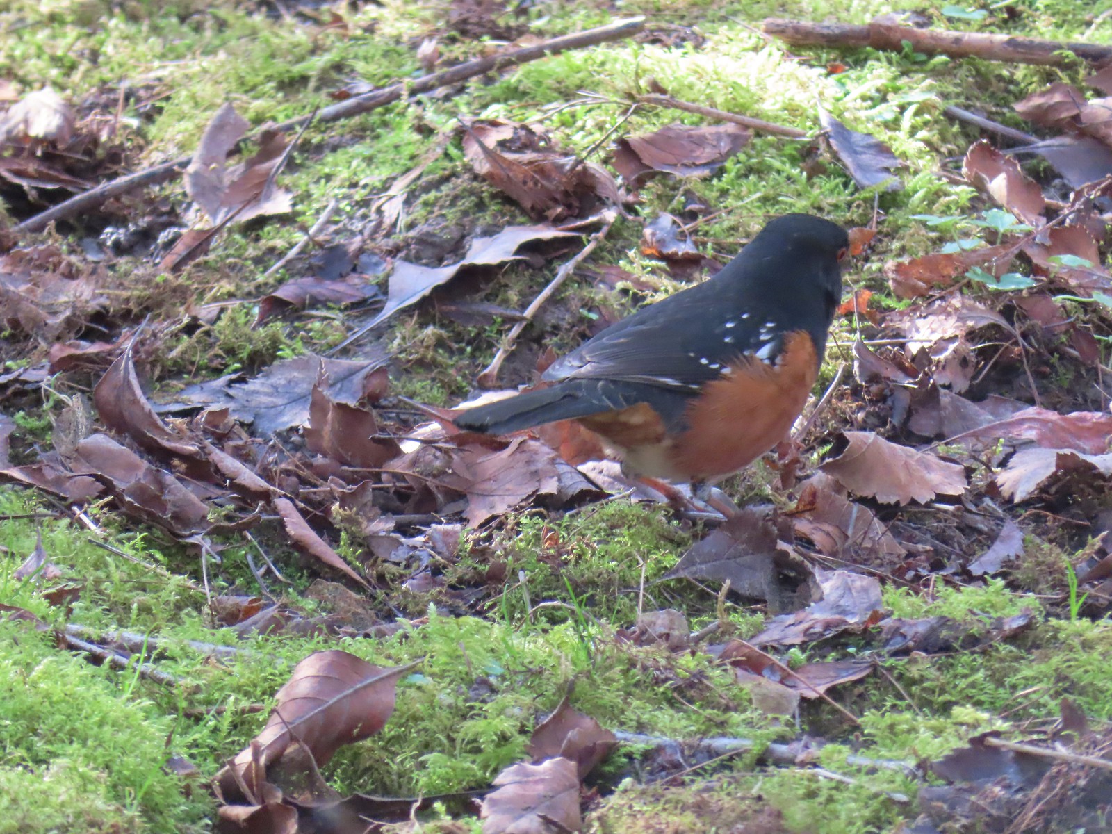 Spotted towhee
 Rabbit
After completing the loop and returning to Fernhill Lake we did a loop through the Water Gardens.
 Geese on Fernhill Lake
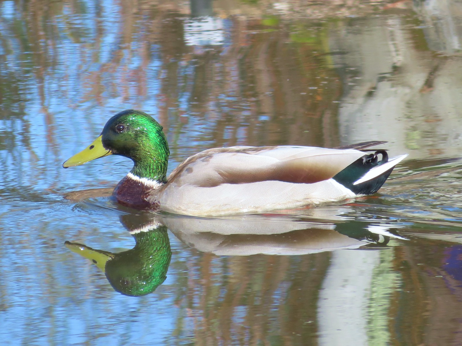 Mallard drake
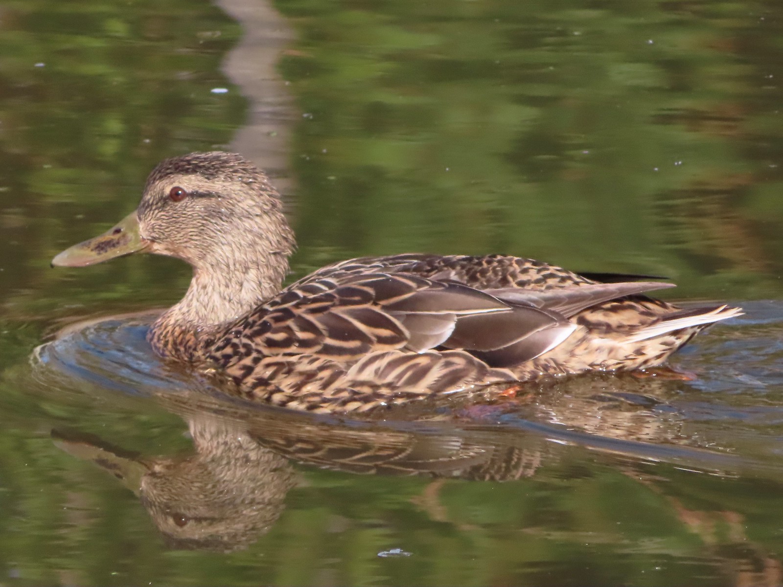 Mallard female
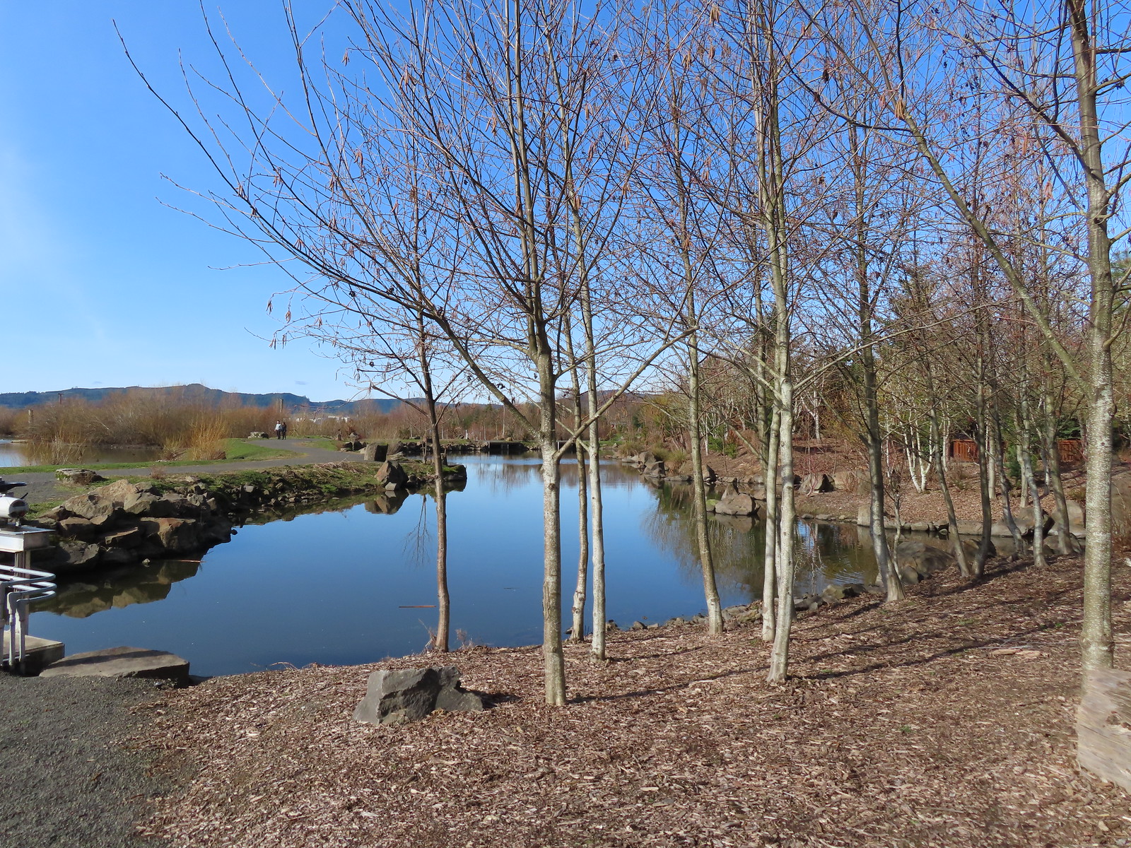
 Water Gardens

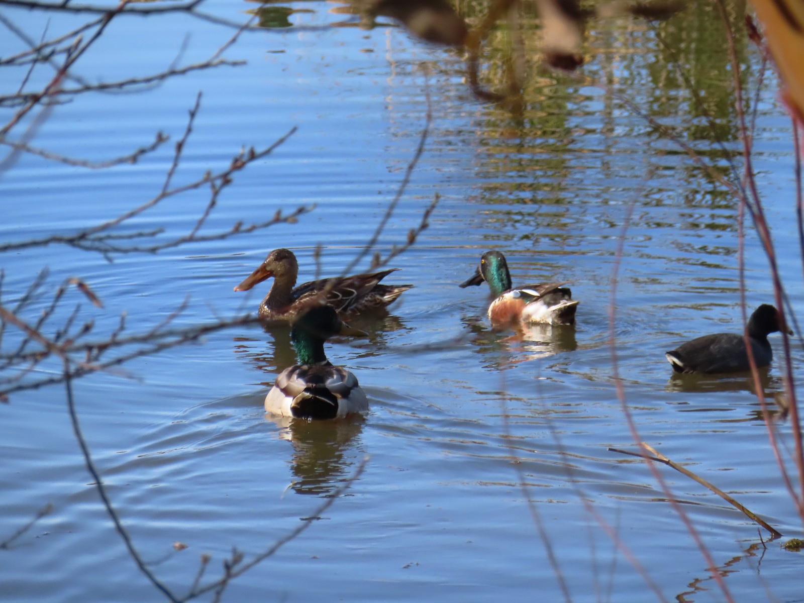 Northern shovelers, a mallard, and a coot.
 Oregon grape beginning to bloom.
 Northern shoveler
 Green-winged teal pair
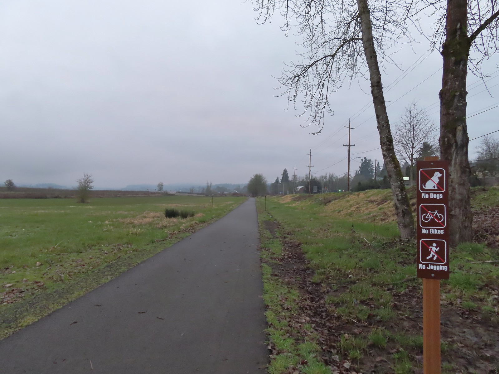
 Path along the Research Wetlands.
 Egret near the parking lot at Fernhill Marsh
 Looking back at the Research Wetlands from the near the trailhead.
We managed to get 3.7-miles in at the wetlands and saw a lot of birds and other animals. While there were quite a few more folks here than we’d seen on our previous hike at nearby Wapato Lake Wildlife Refuge, it never felt too busy. Plan B had earned an A+ in our books. Happy Trails!


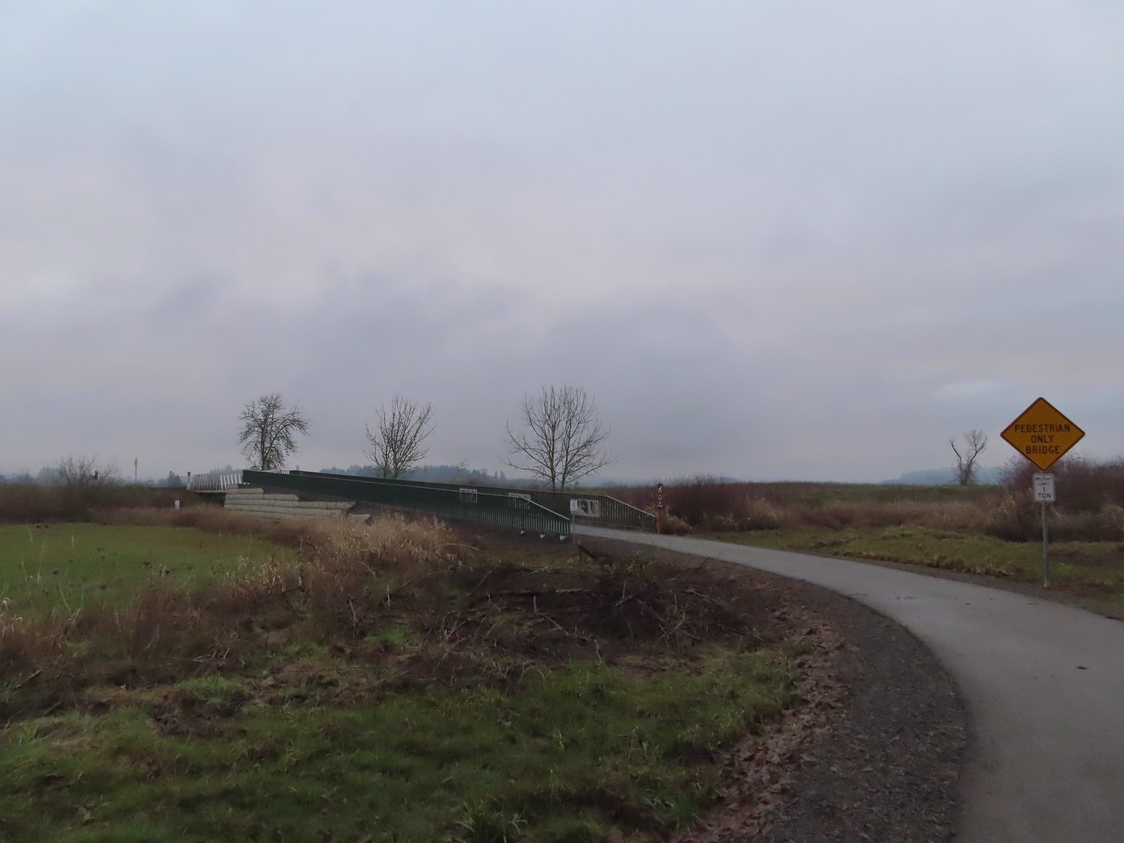
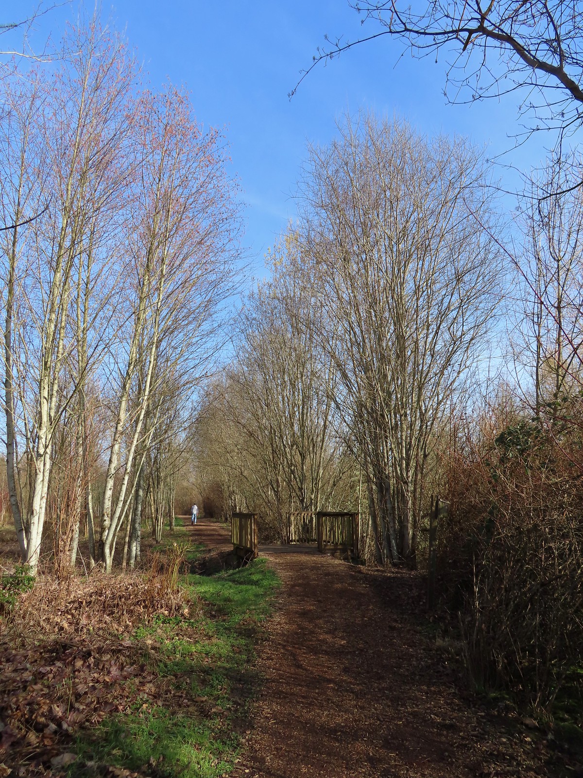
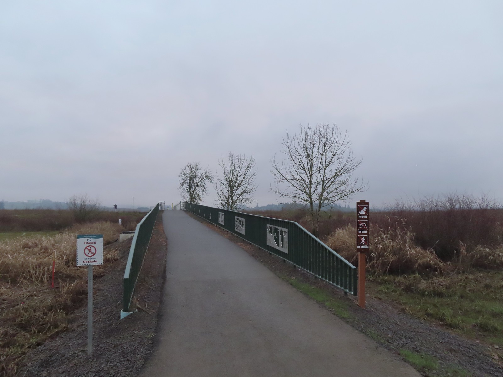 We were a little confused by the sign on the left here stating the trail was closed. The website and signboard had said nothing about a closure and the gate at the far end of the bridge was open and others were already out on the levee. We assume they just hadn’t taken the sign down after the seasonal closure period.
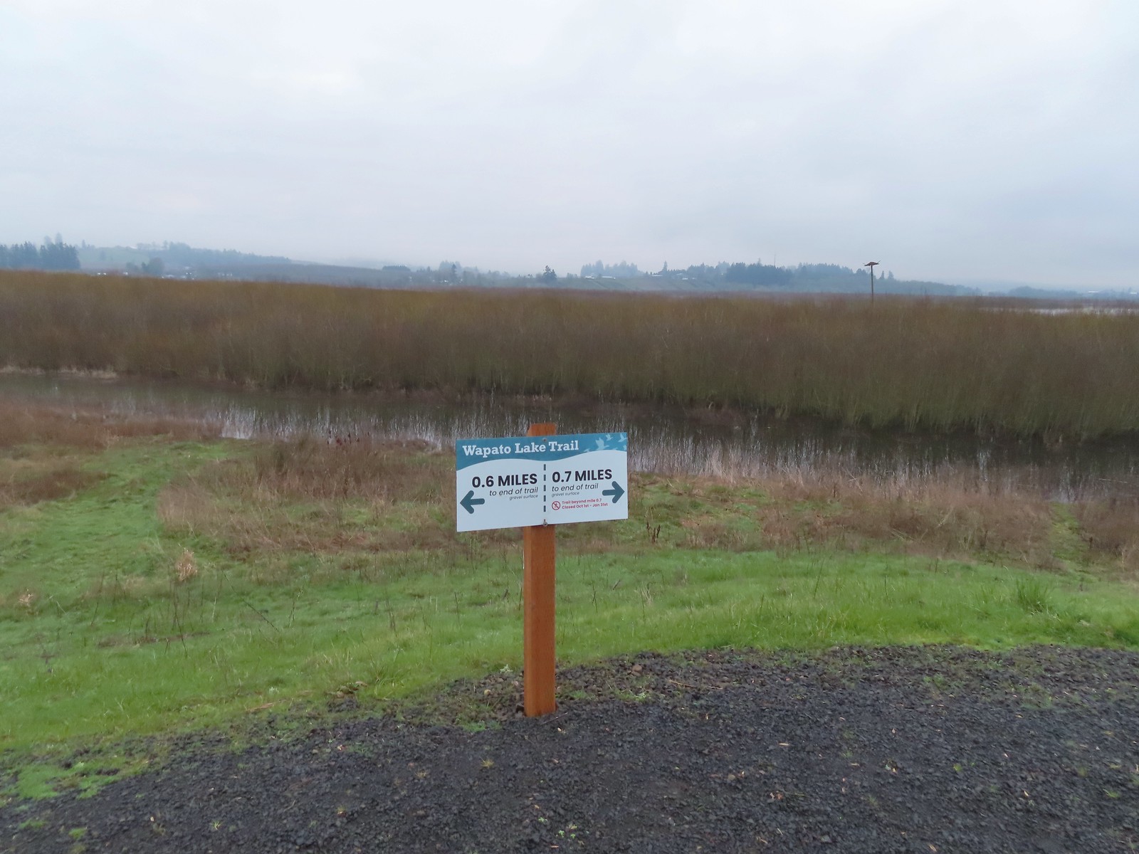 Pointers on the levee.
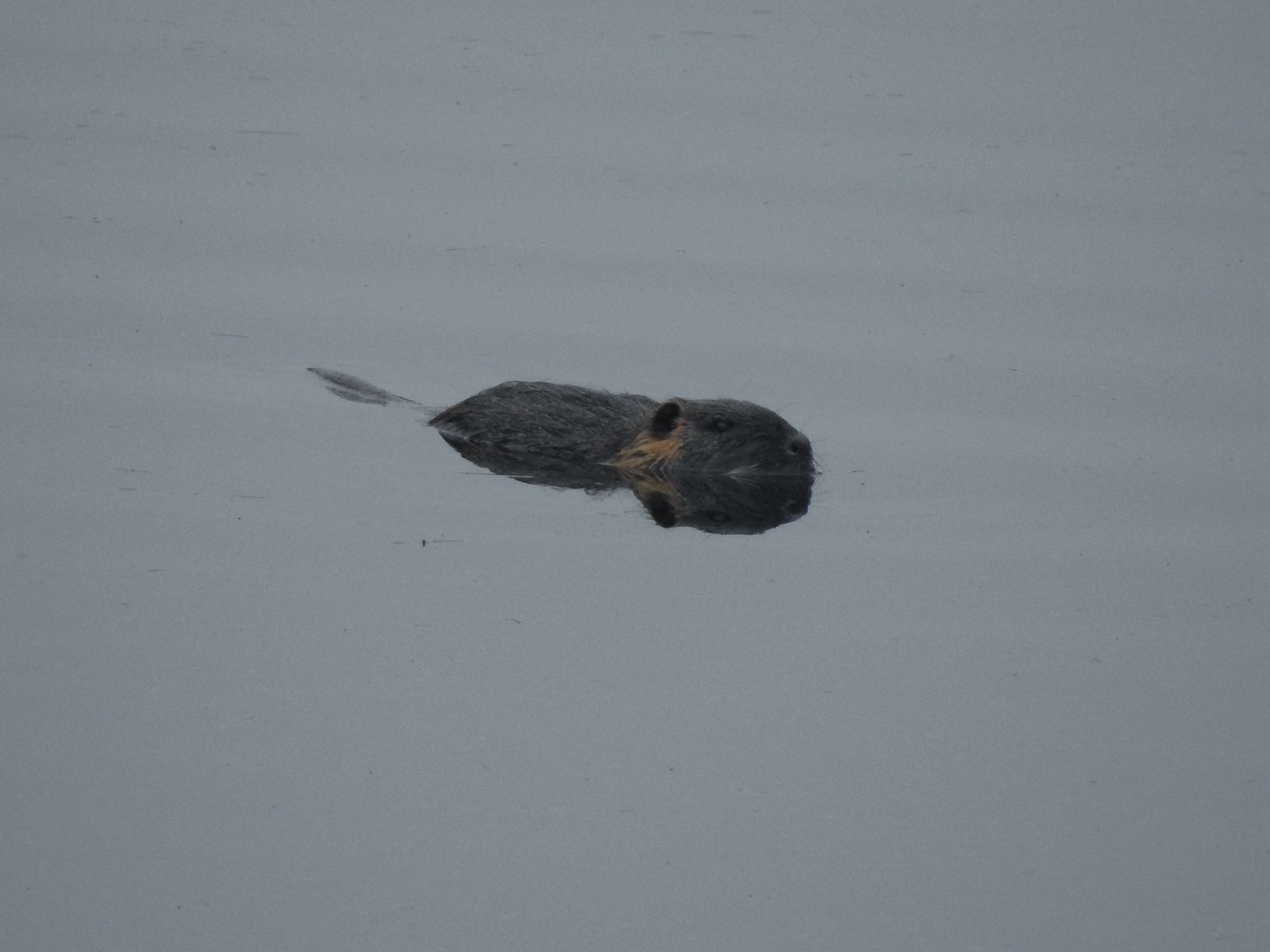 Nutria (sigh). We had hopped it was a beaver but alas the whiskers give it away.
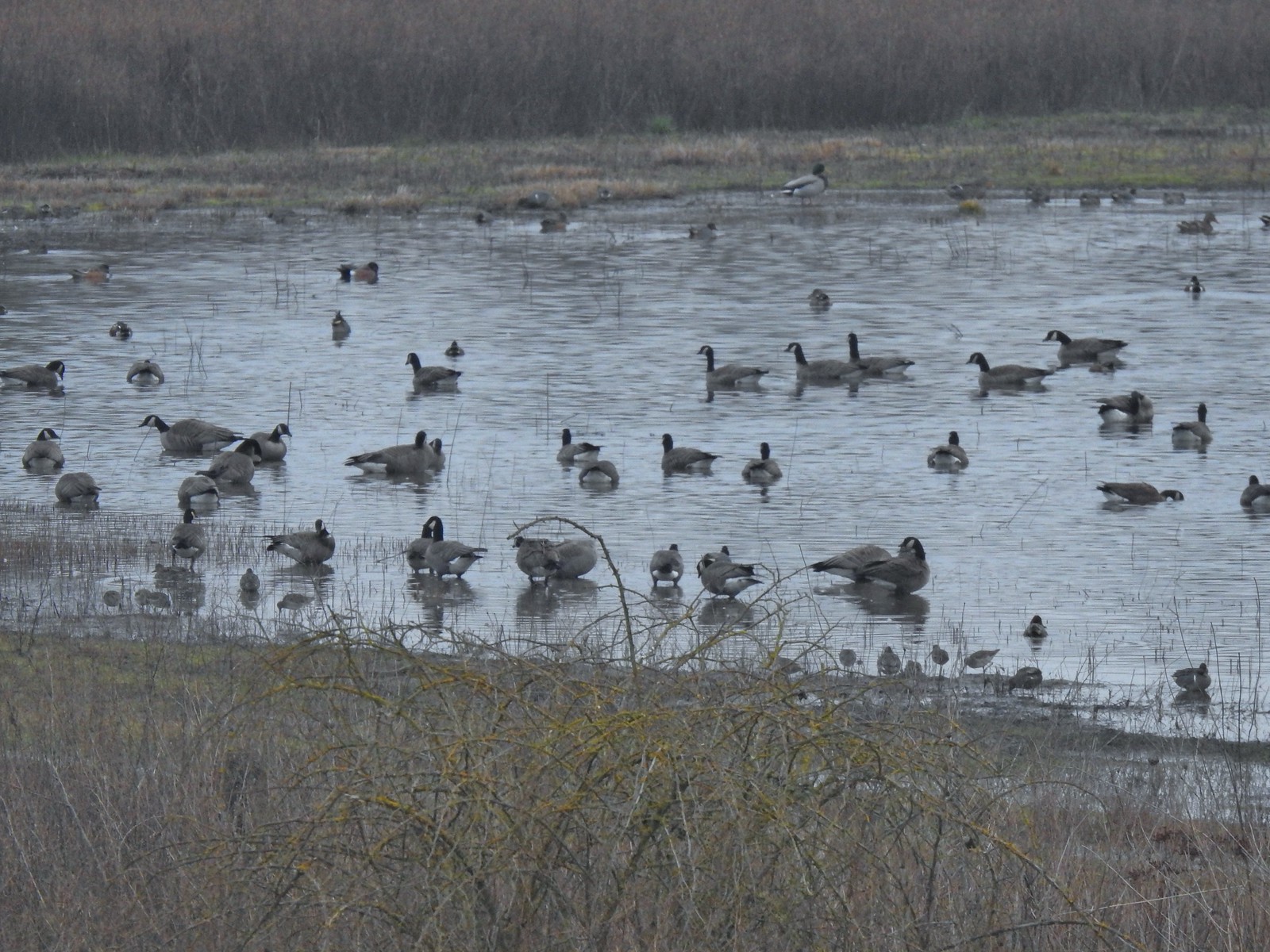 Geese, several species of ducks, and some shore birds.
 A great blue heron along Wapato Creek.
 Great blue heron
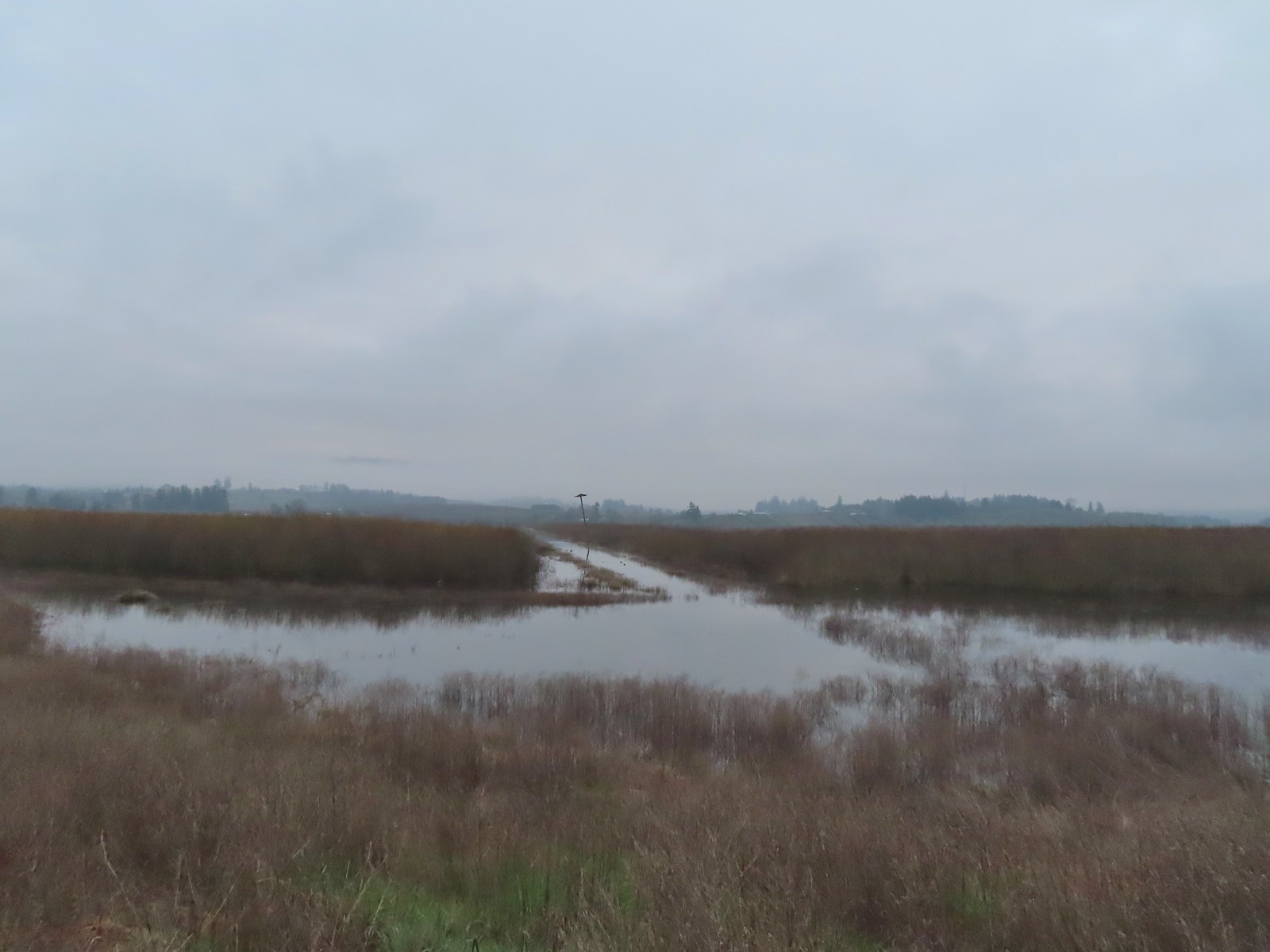 Wapato Lake
 Beaver lodge
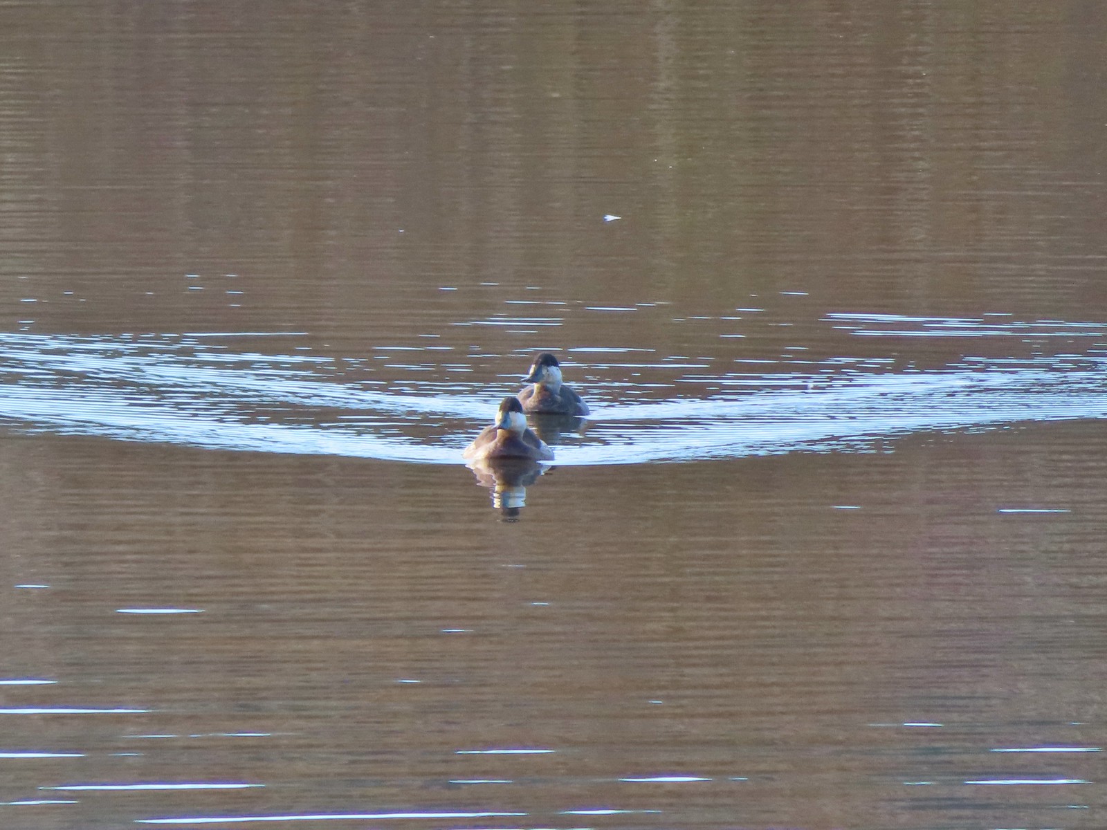
 Northern shovelers and an American wigeon
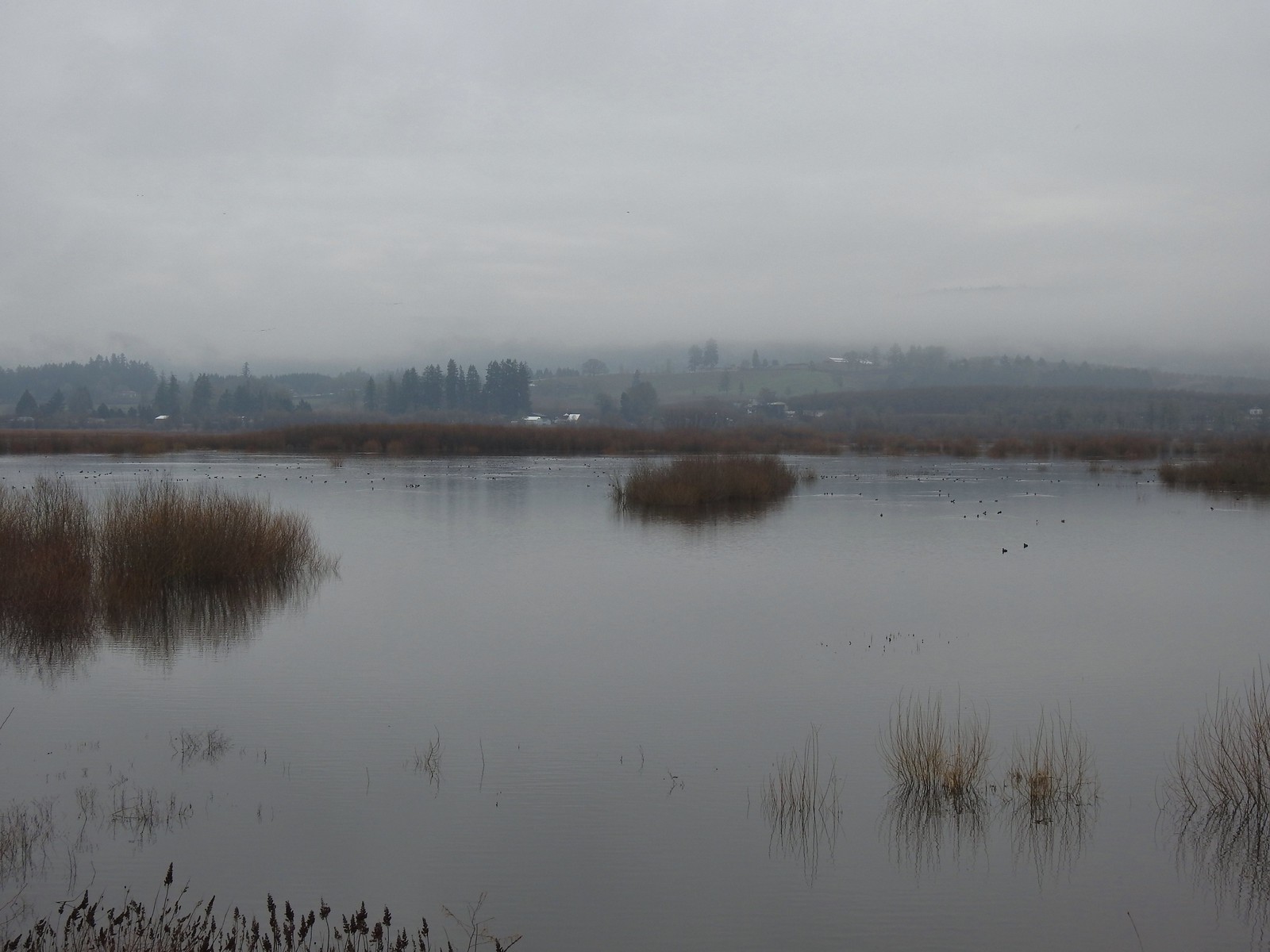 Of course we forgot to bring binoculars making it even harder to make out which types of ducks were out there.
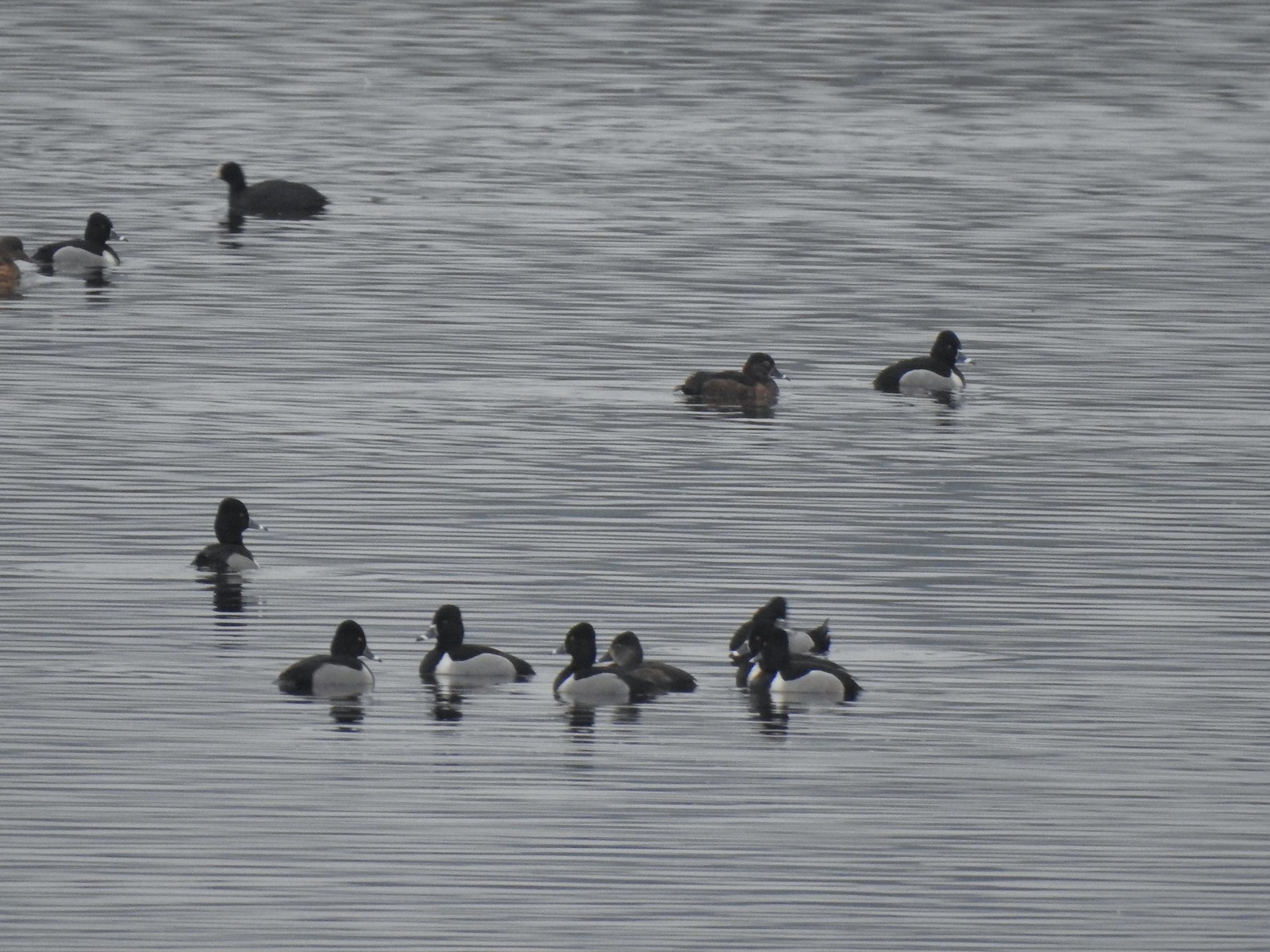 Ring-necked ducks with an American coot in the background.
 Ring-necked duck and northern shovelers
 Reflections in Wapato Lake
 There is virtually no shade along the lake which wasn’t an issue today but could be in the heat of Summer. There are however three benches along the levee allowing for a place to sit and watch the birds.
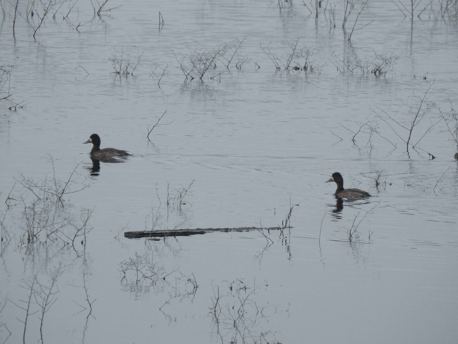 Lesser scaups
 Ducks flying over the lake.
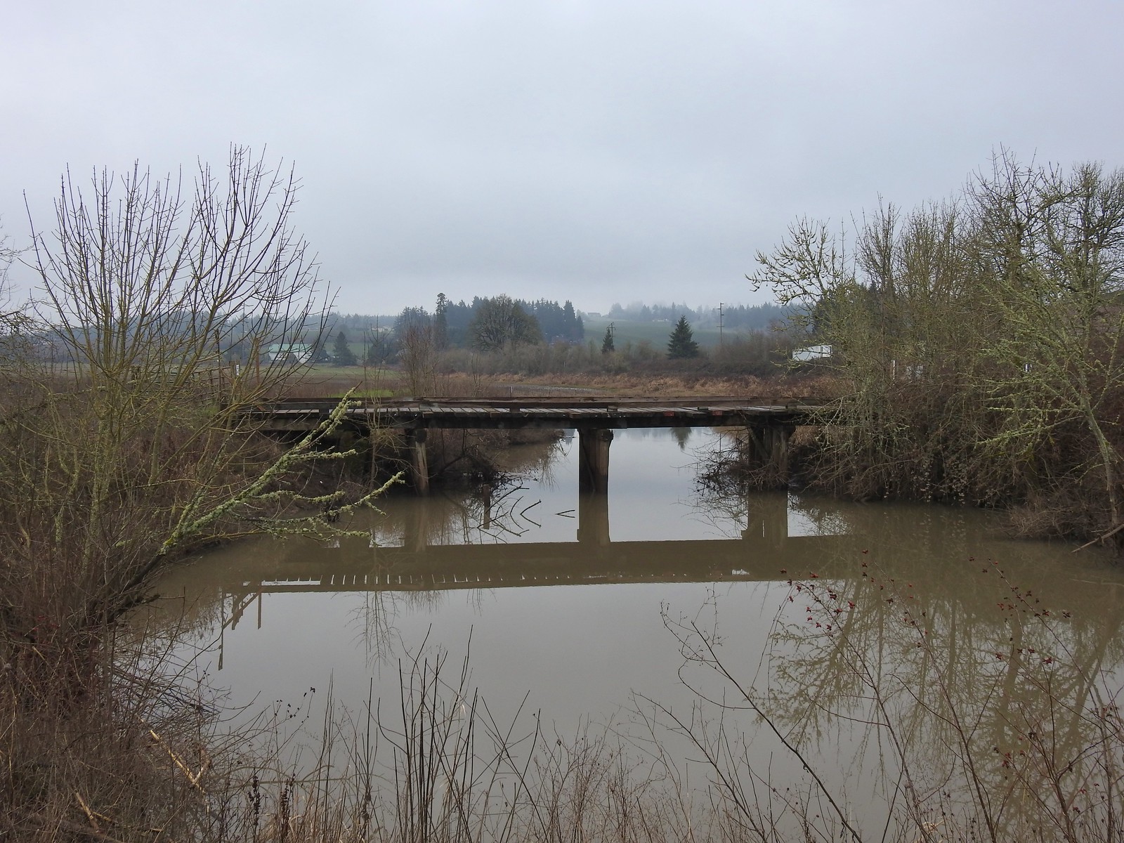 Old bridge over Wapato Creek. The gravel surface ended at this bridge.
 The coyote running off through the brush.
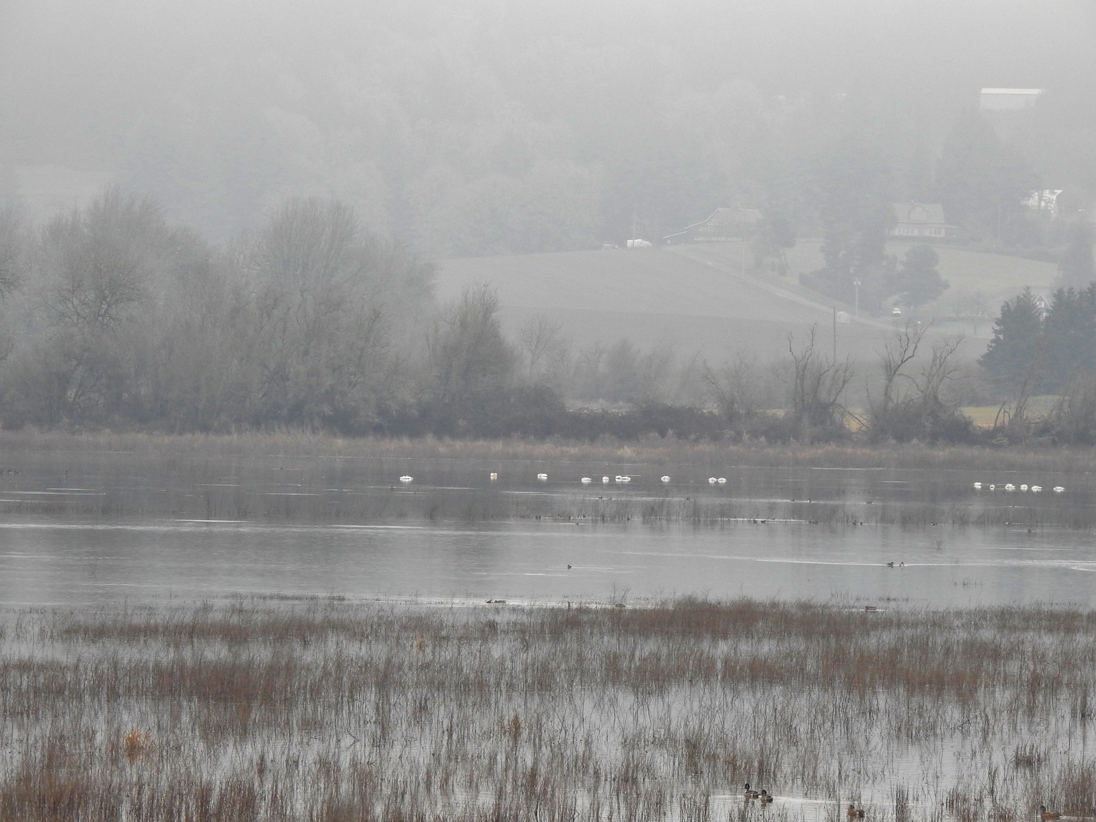 Tundra swans
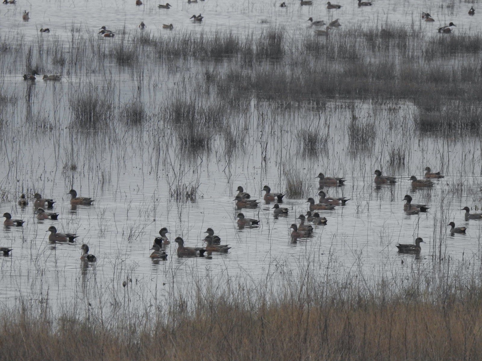
 Tundra swans
 We decided to turn around at this bridge even though the levee continued. It appeared that the water was further away from the levee going forward and we hadn’t planned on going much more than 3-miles today.
 Northern pintails and some green-winged teals.
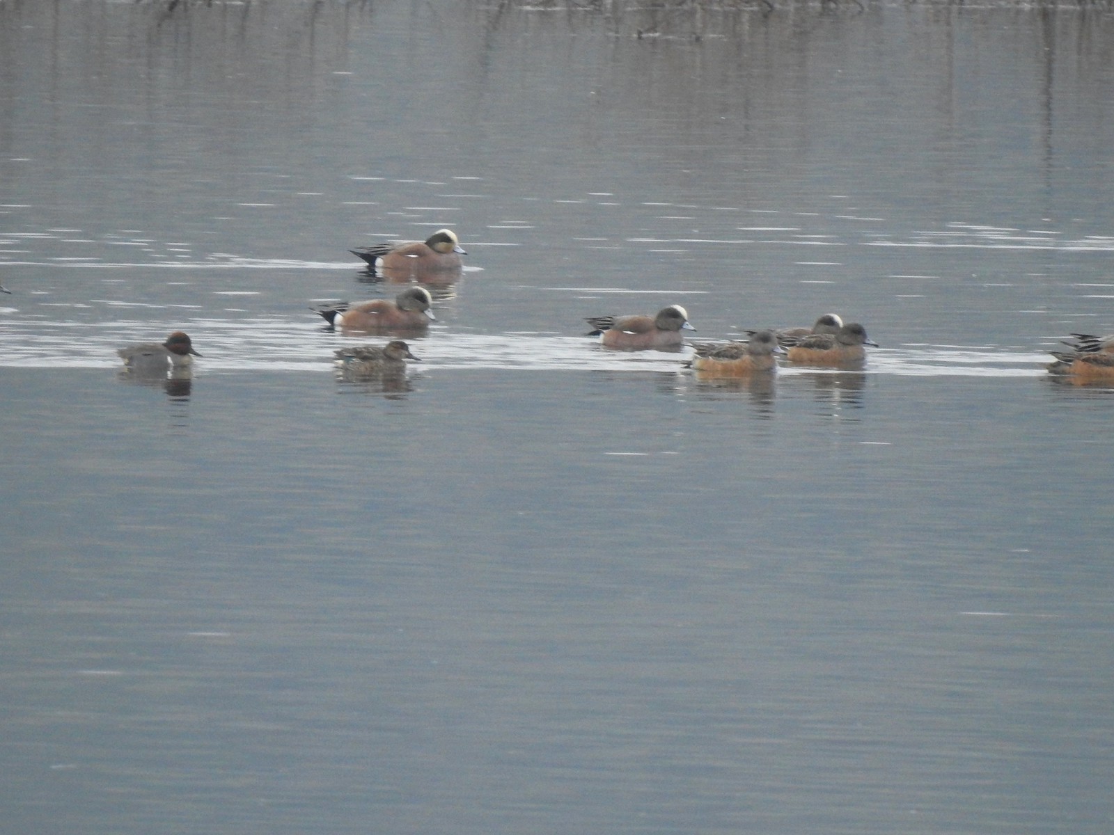 American wigeons and a pair of green-winged teals.
 There were a couple of times that blue sky seemed imminent.
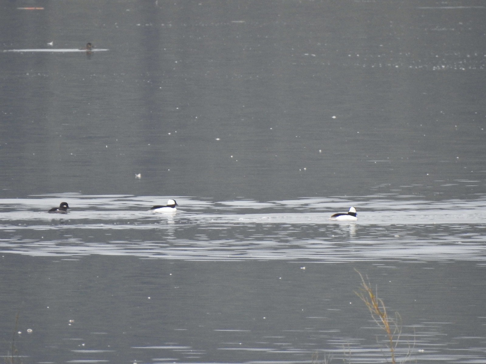 Buffleheads
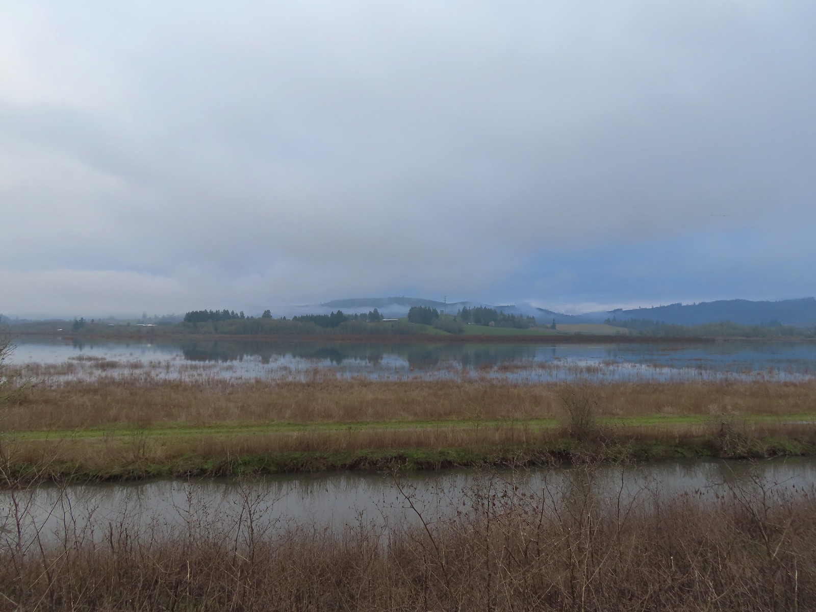 Iowa Hill (
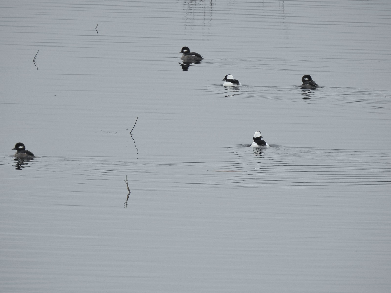 More buffleheads
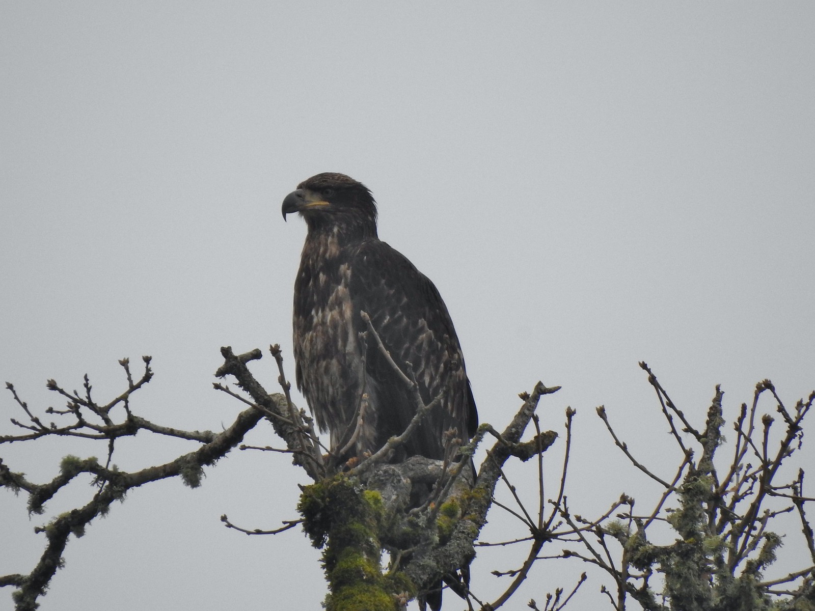 Immature bald eagle
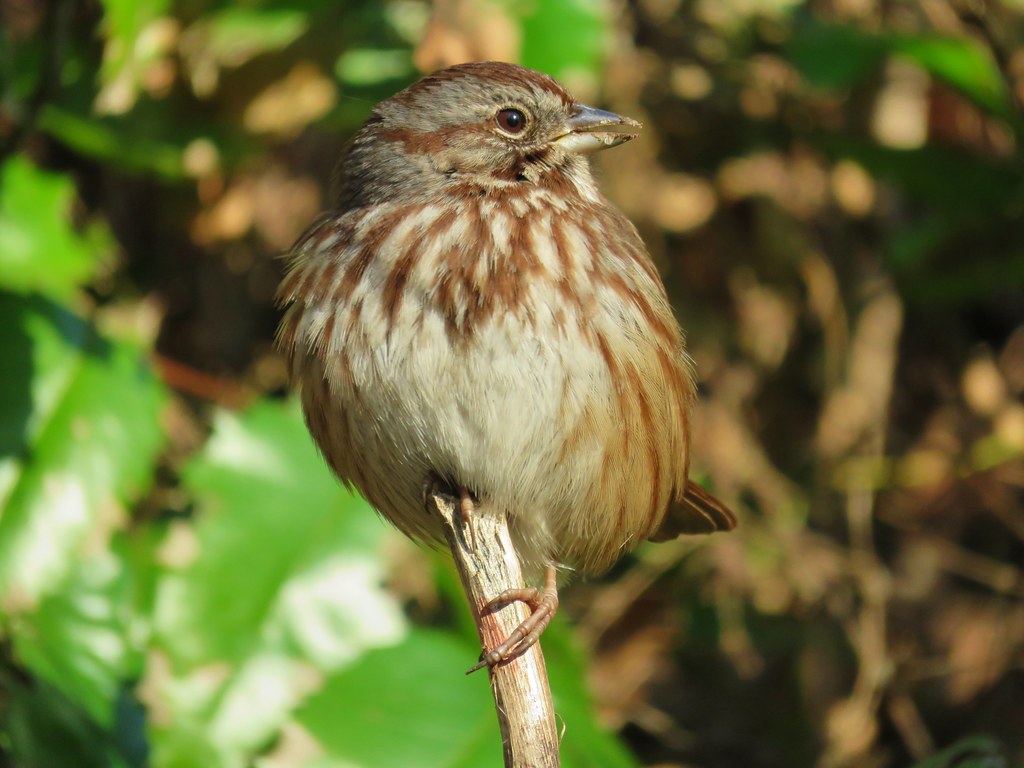
 Sparrow
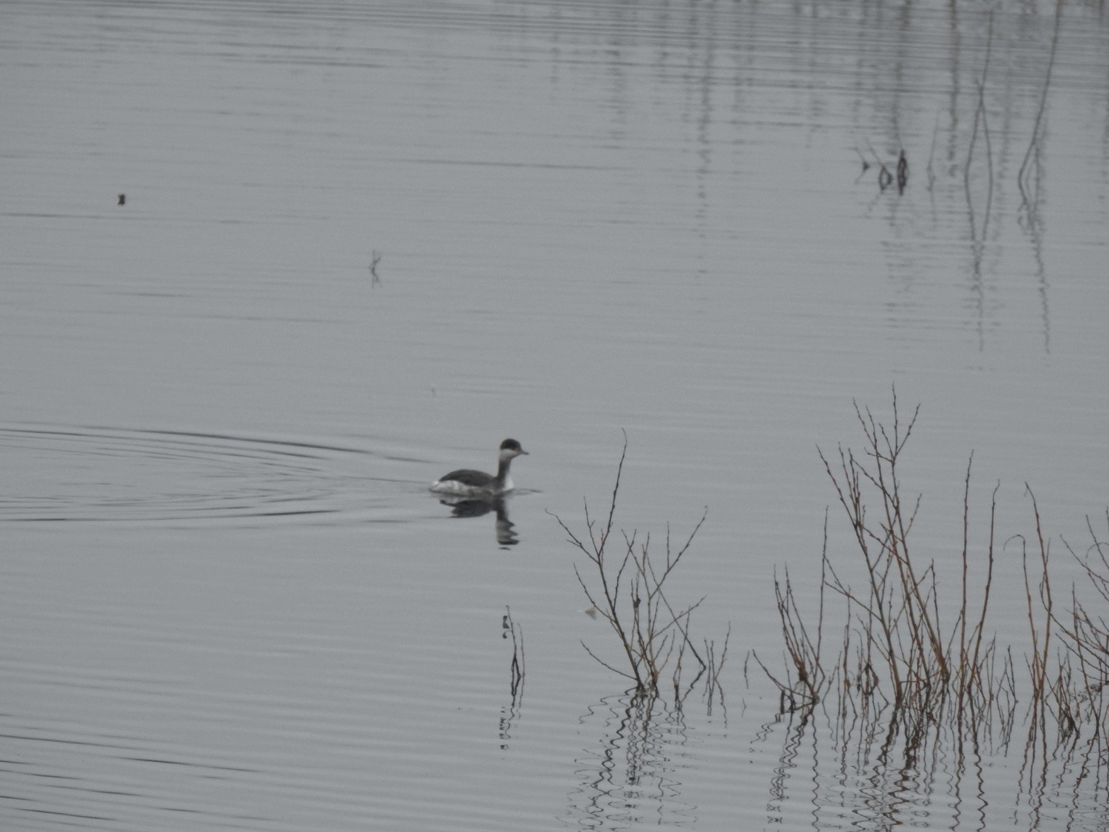 Horned grebe
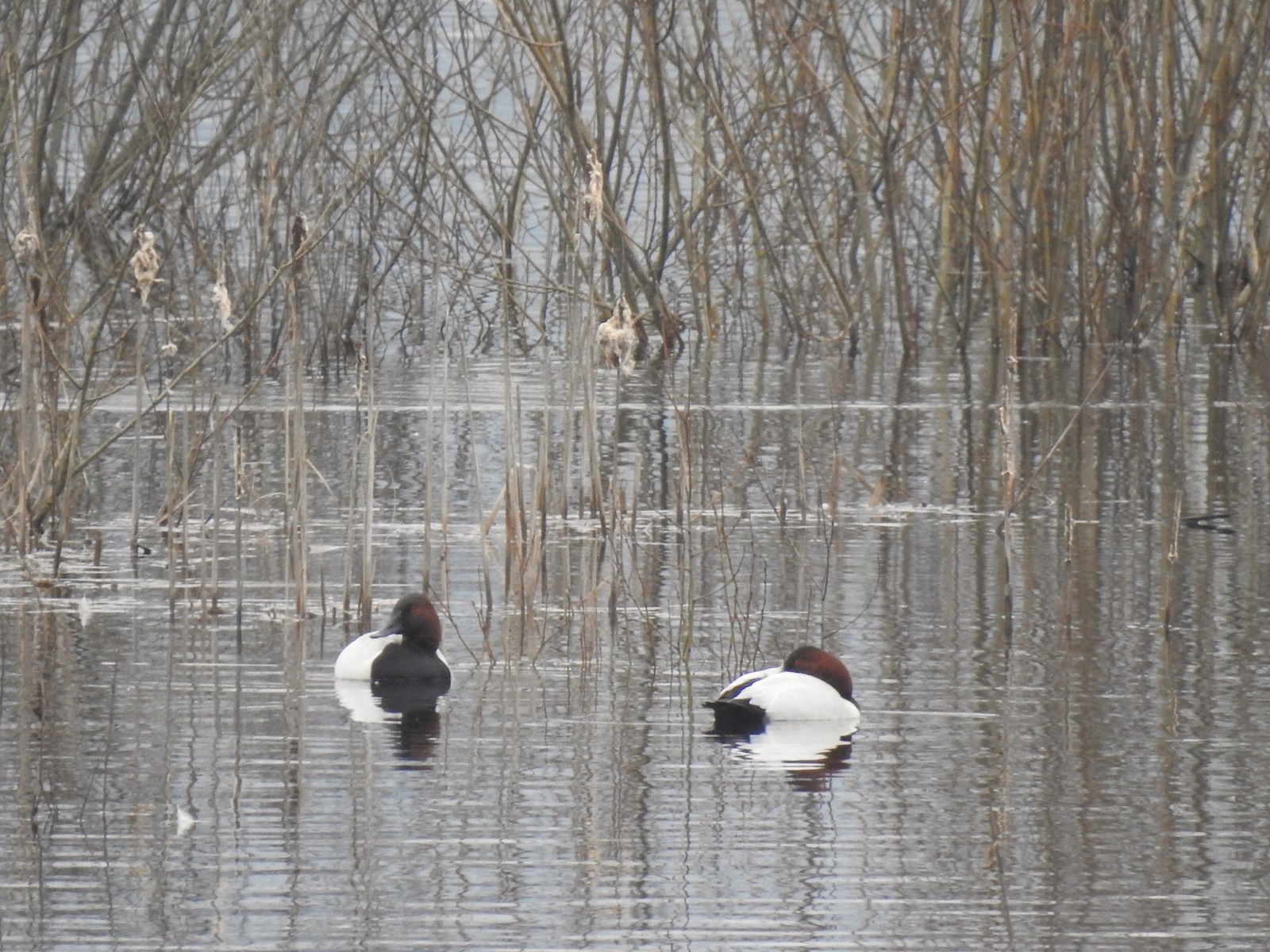 Canvasbacks, another first for us.
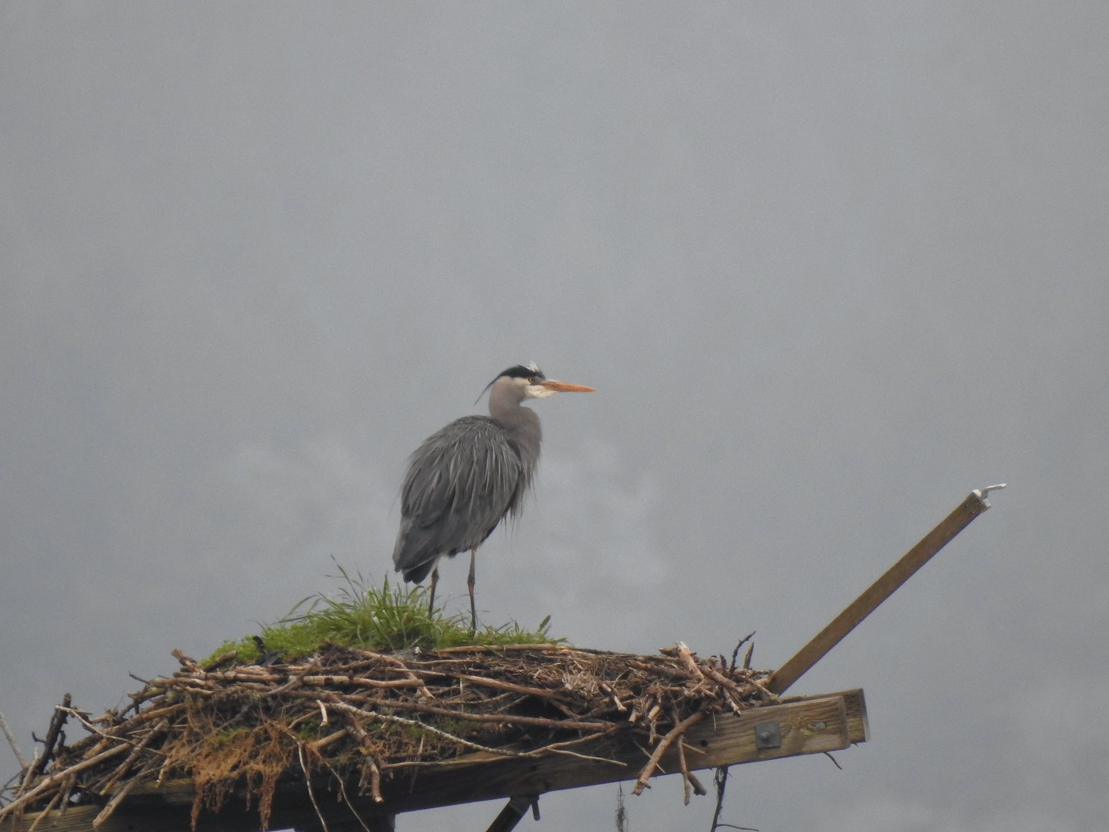 Great blue heron on the osprey nest.
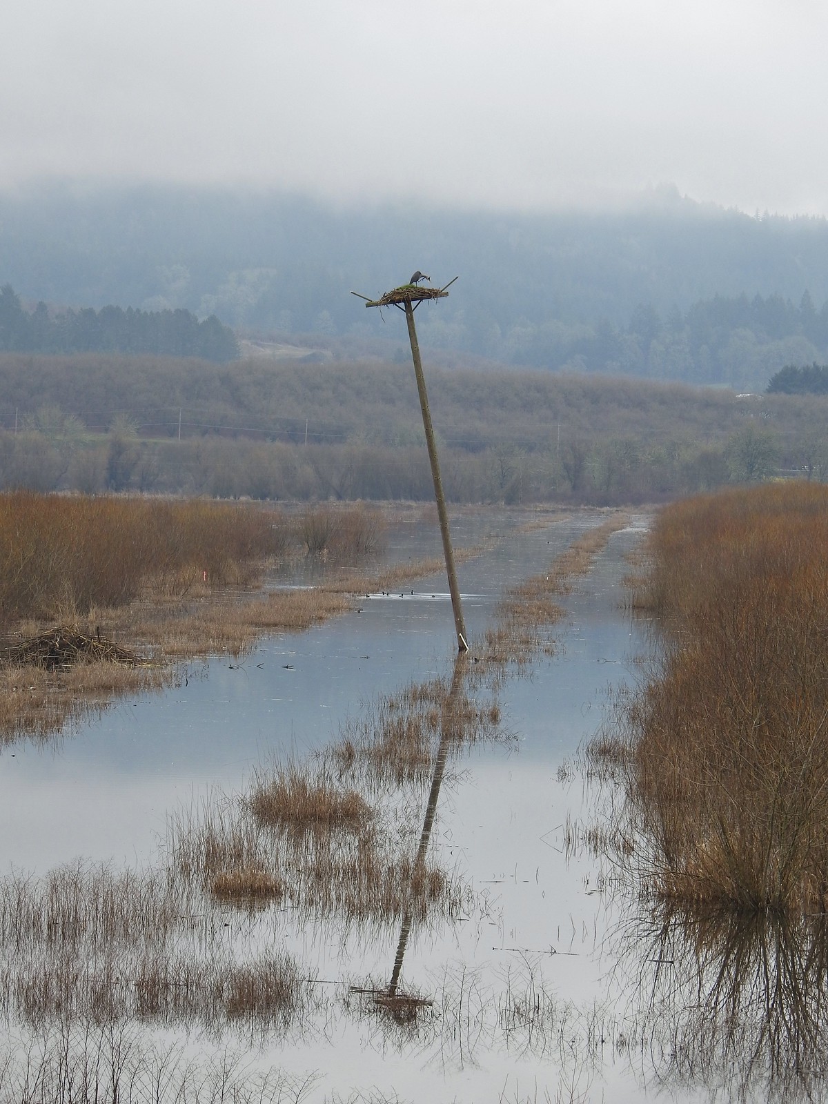 Ther heron on the nest.
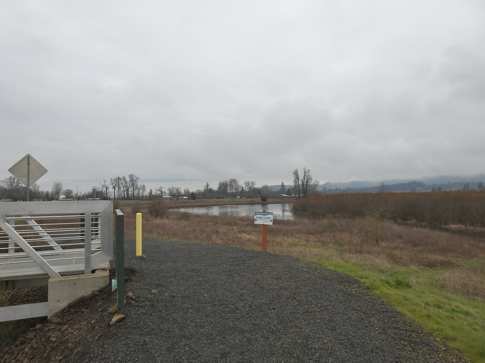
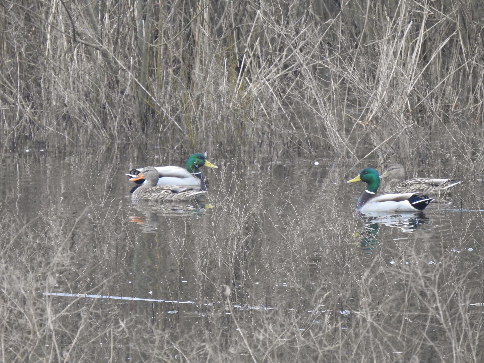 Mallards
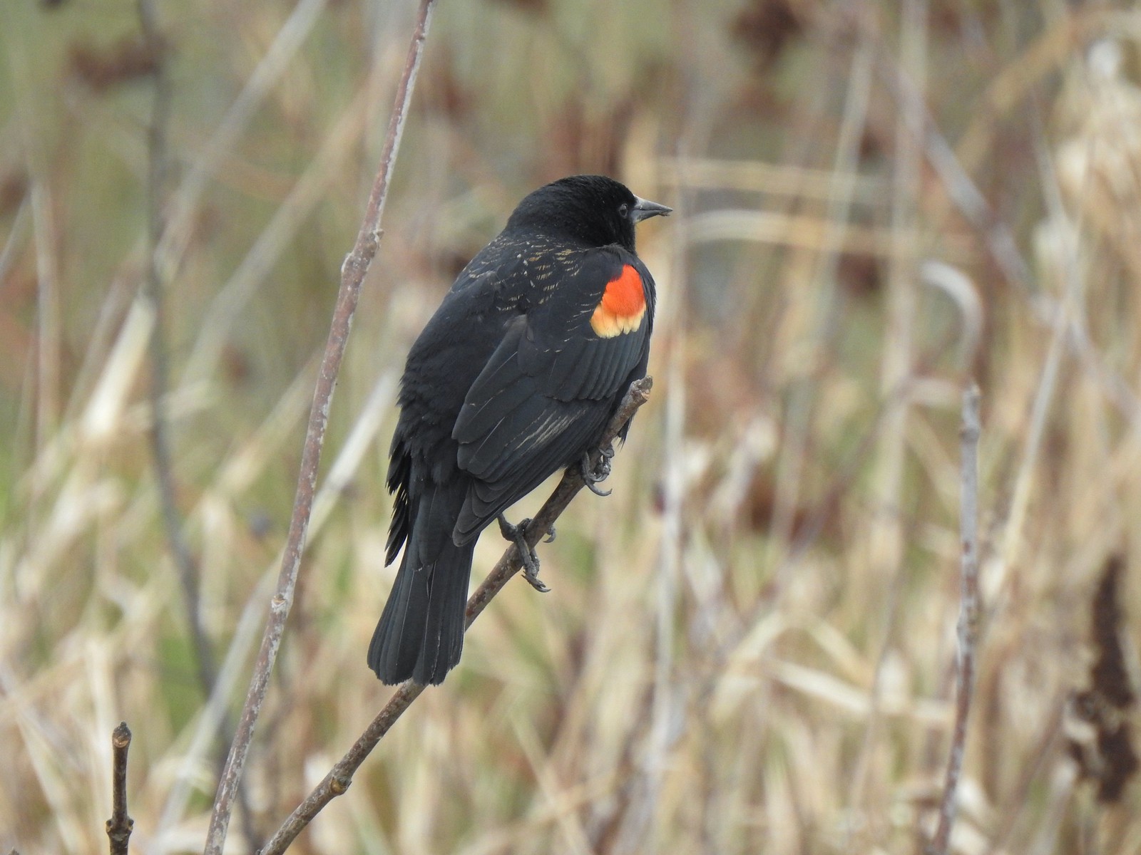 Red-winged blackbird
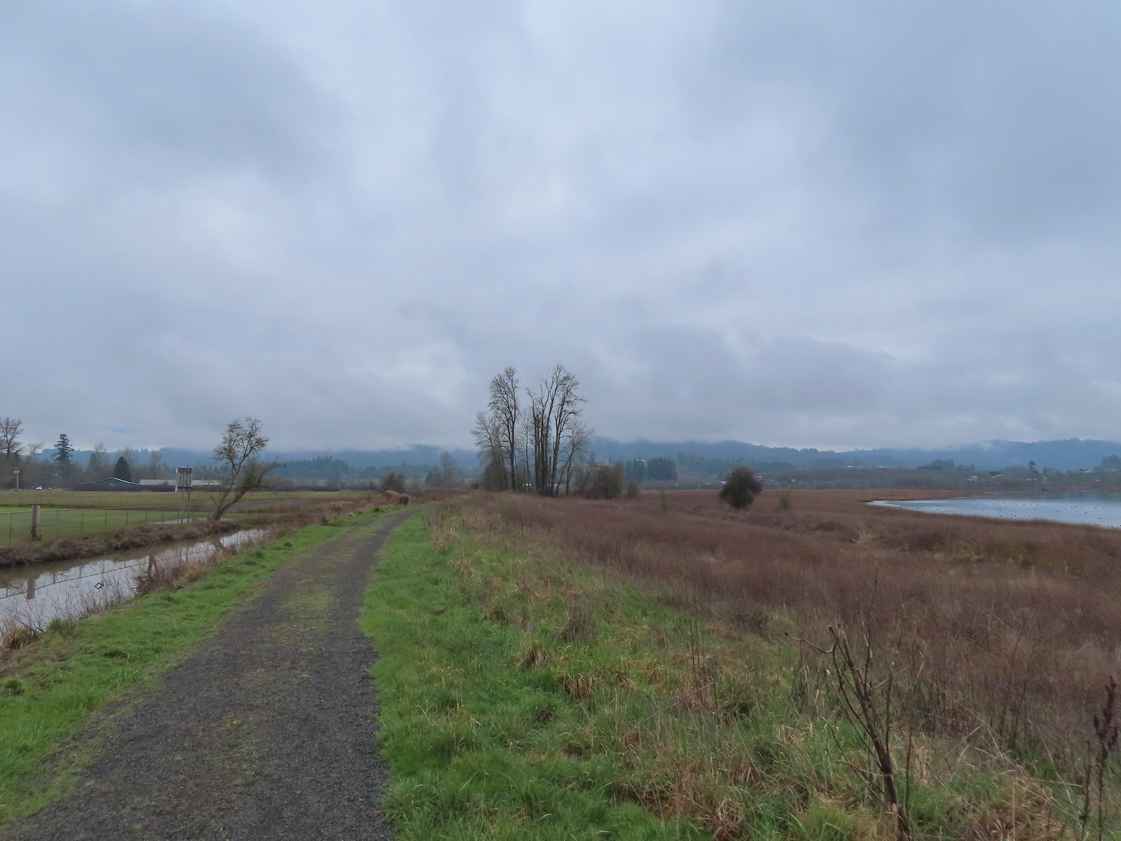
 Bald eagle
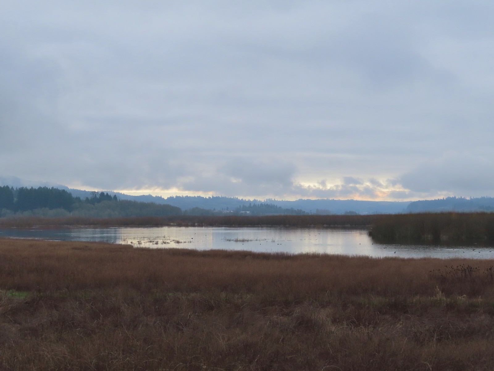
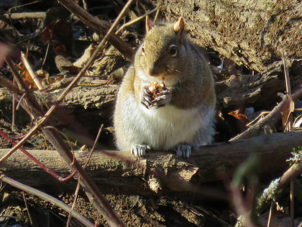
 Nutria
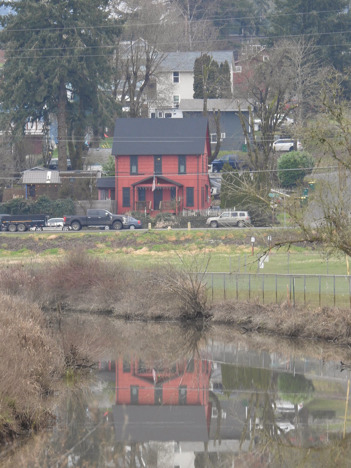 Gaston from the refuge.
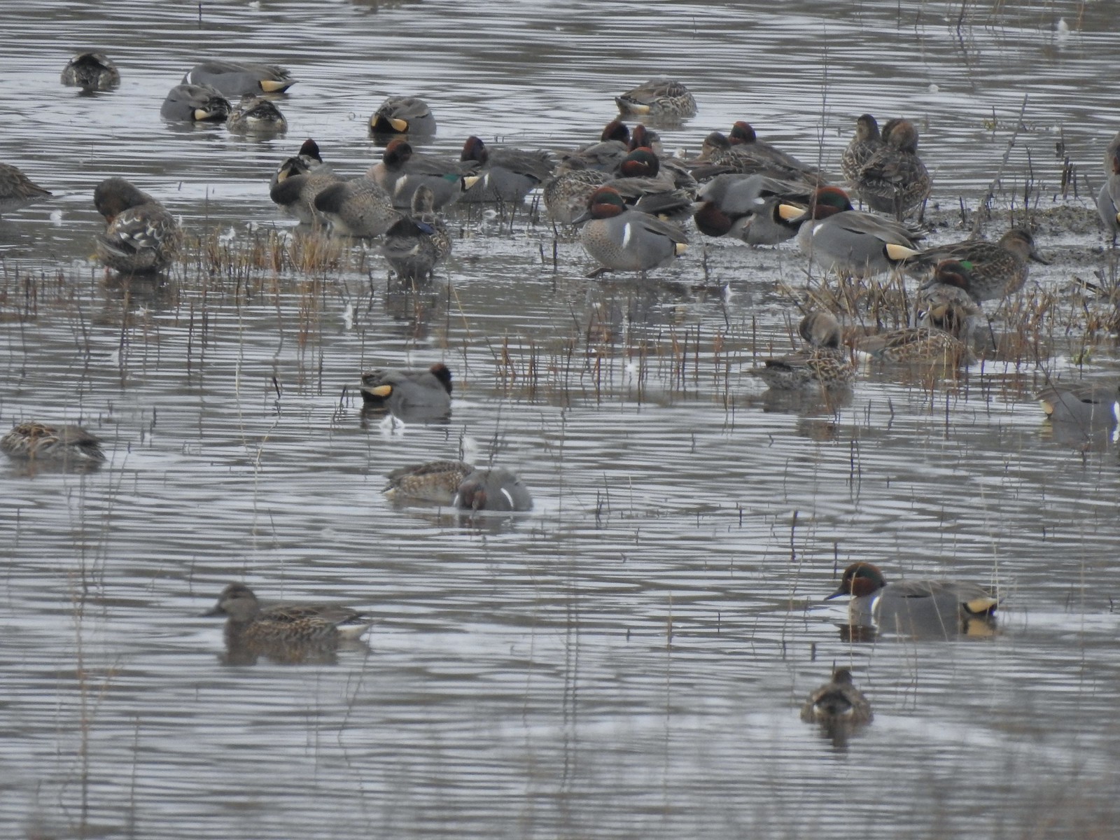 Green-winged teals
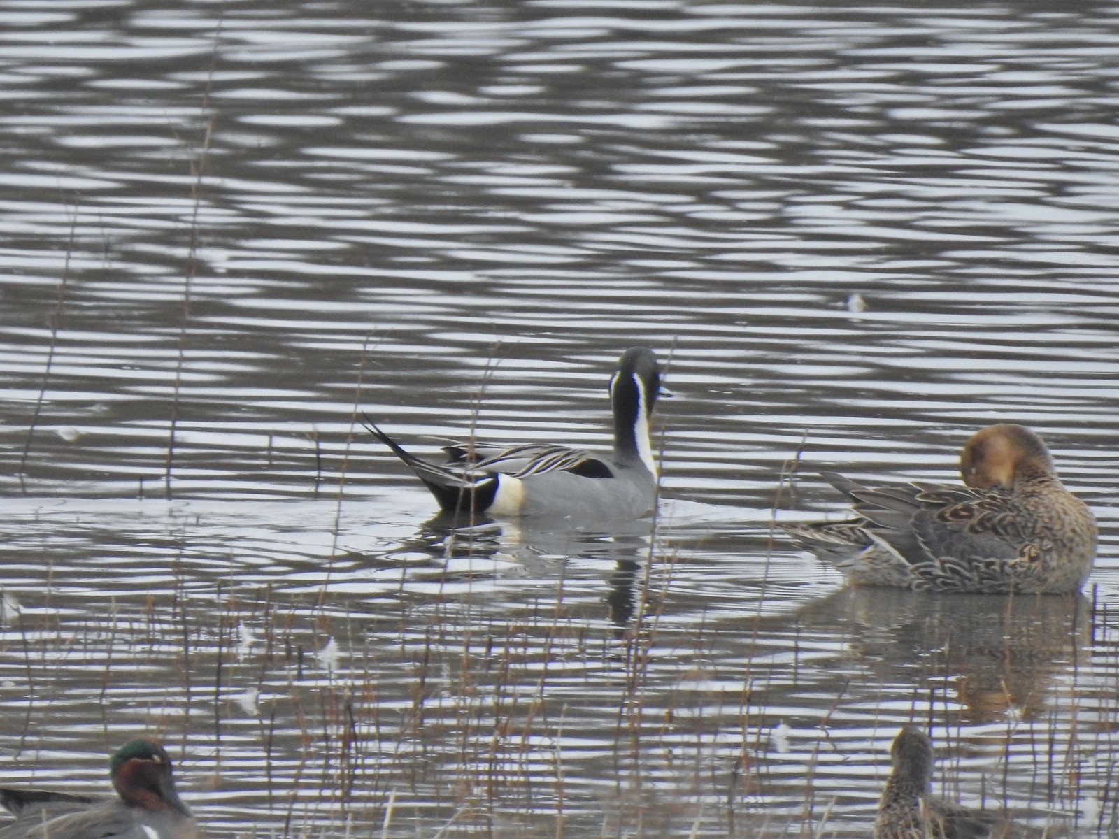 Northern pintails
 Mostly American wigeons and green-winged teals
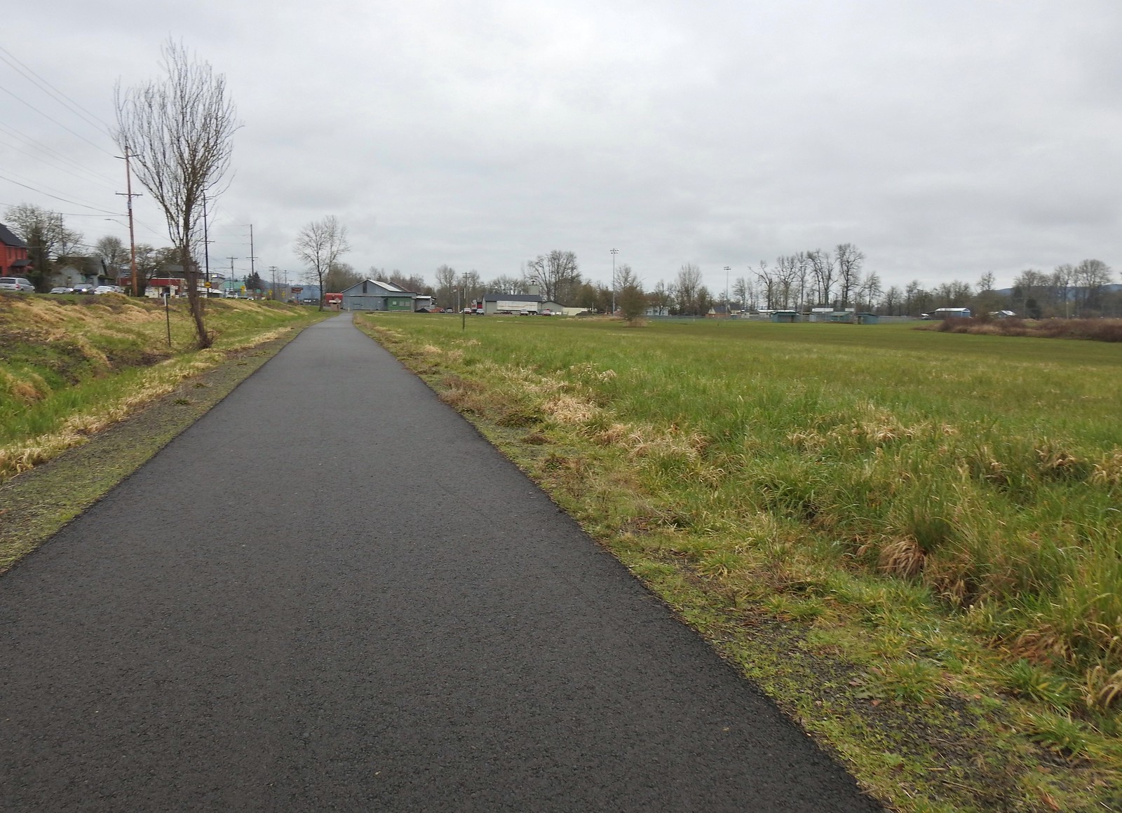 On the paved path back to the parking lot.


 Mt. Hood from the refuge road
 The Three Sisters from the road
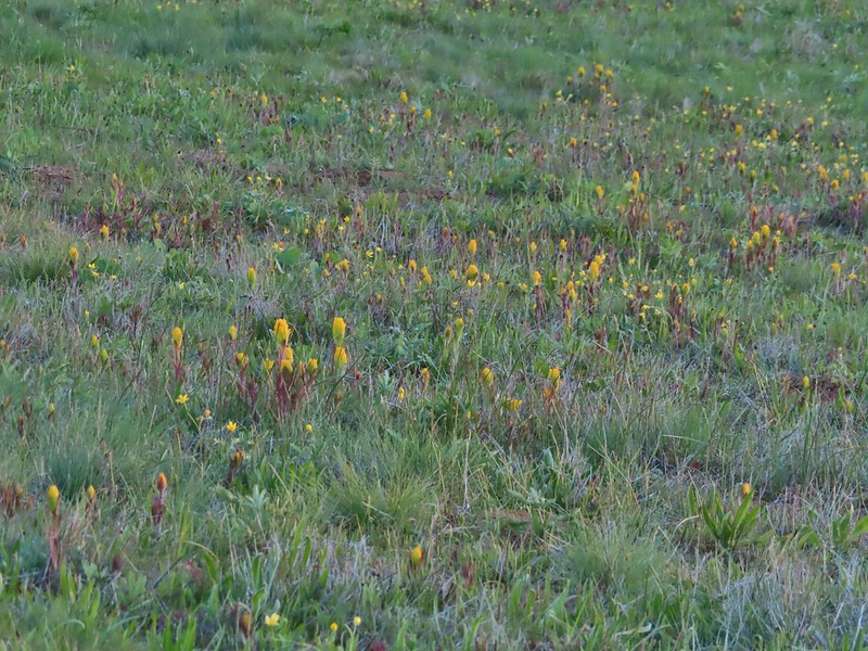 Yellow paintbrush
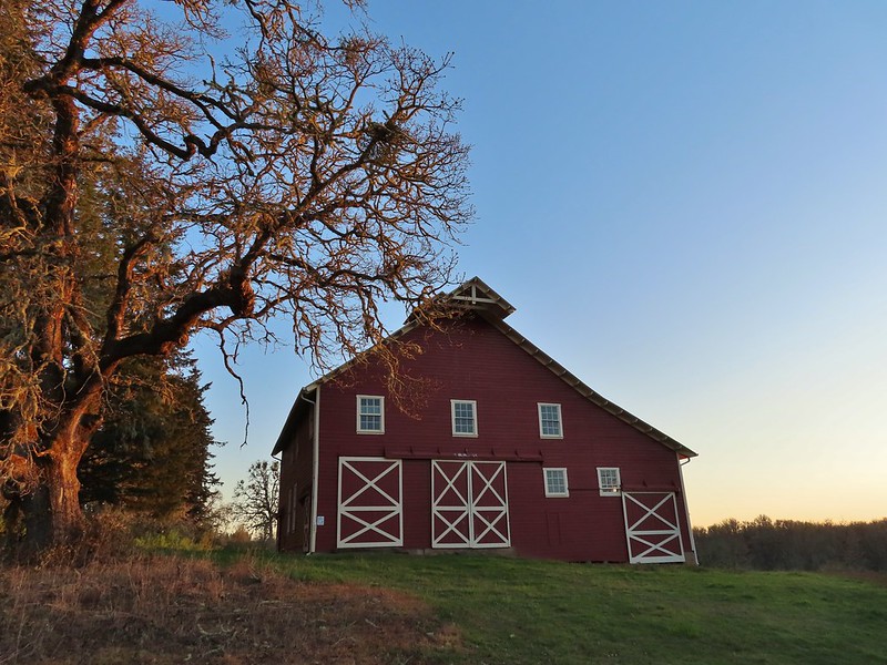 Cabell Barn
 Rabbit at the lodge
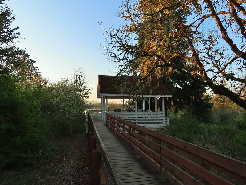 Cabell Marsh Overlook
 White crowned sparrows
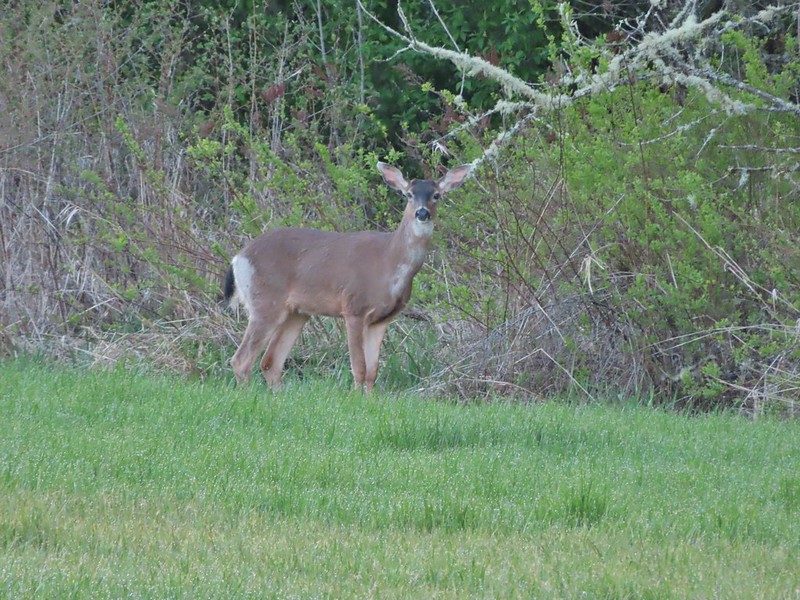 Deer in a field near Cabell Marsh
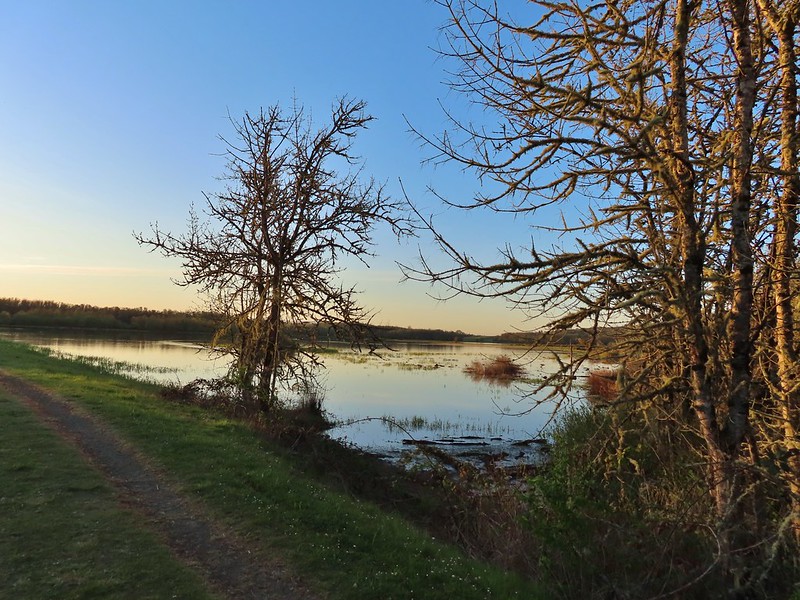 Cabell Marsh (the marsh had been drained when we visited in 2020)
 Norther shovelers
 American coots
 Ring-necked ducks
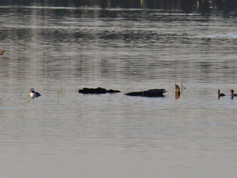 Buffleheads
 Black pheobe
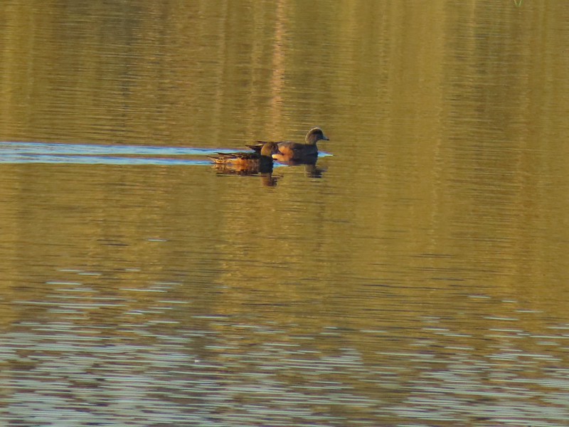 American wigeons
 Cabell Marsh
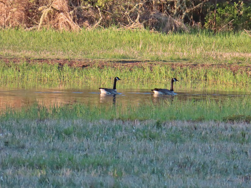 Canada geese
 Wood duck, ring-necked ducks and a pied billed grebe
 More northern shovelers
 Ring-necked ducks
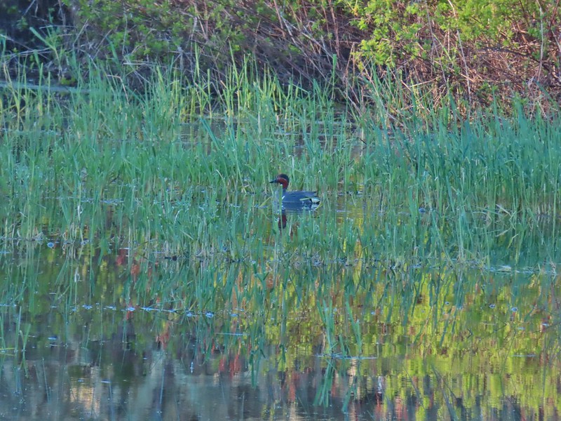 Green winged teal
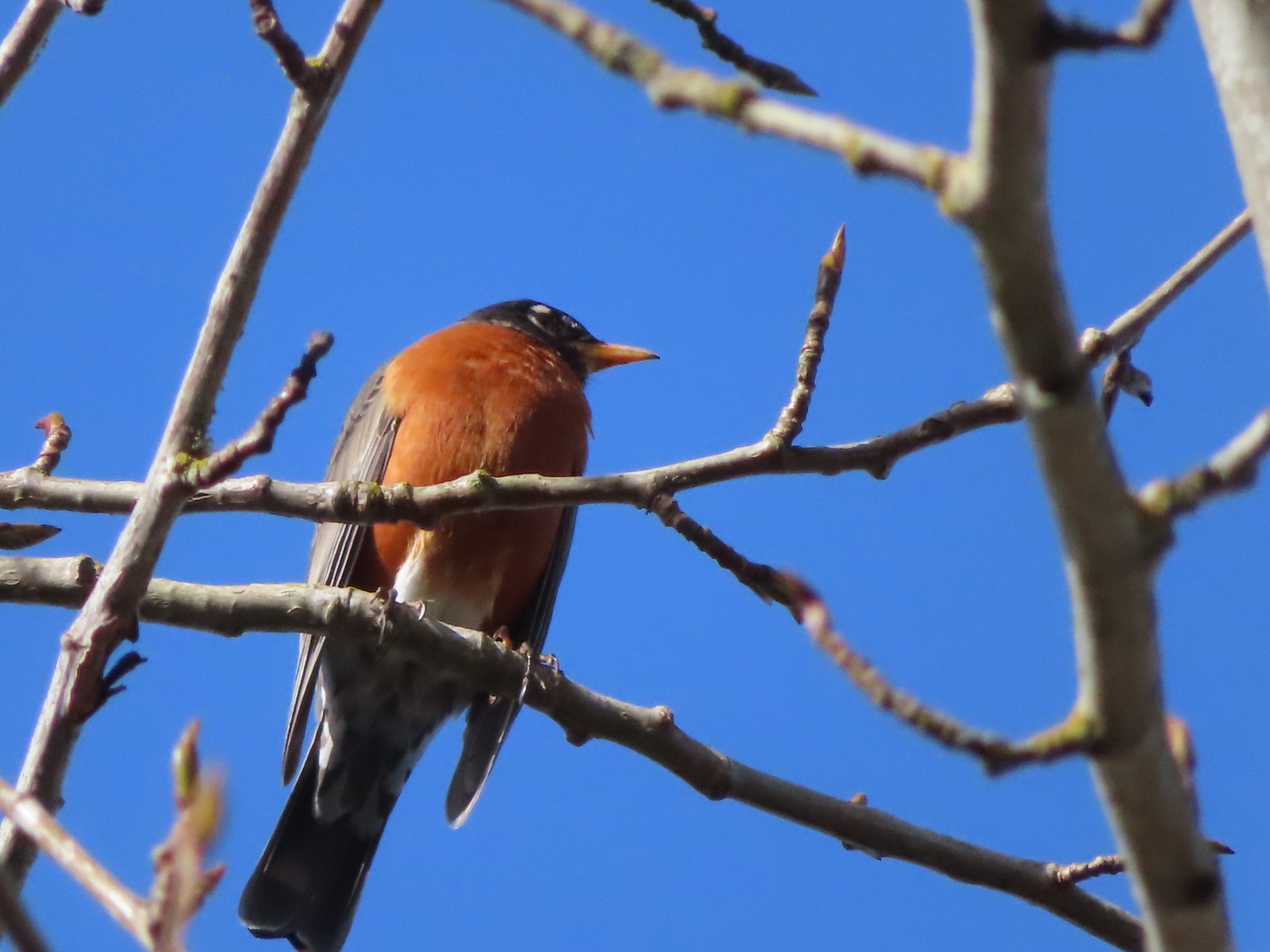
 Robin
Robin

 Killdeer
 Red-winged blackbird
 Junction with the Pigeon Butte Trail (grassy track heading uphill)
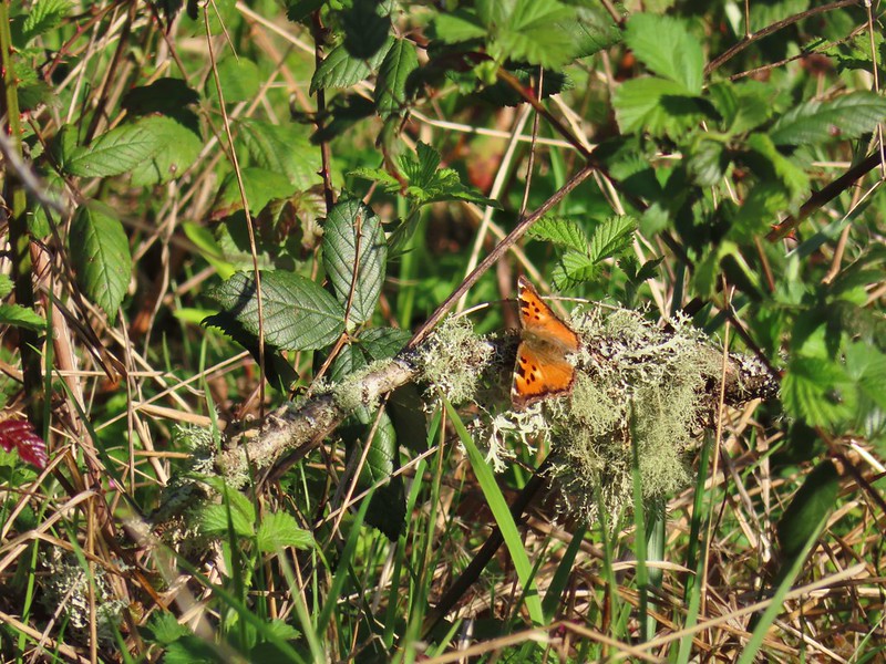 Tortoiseshell butterfly
 Spotted towhee serenade
 Bewick’s wren
 Madrone
 Mourning dove
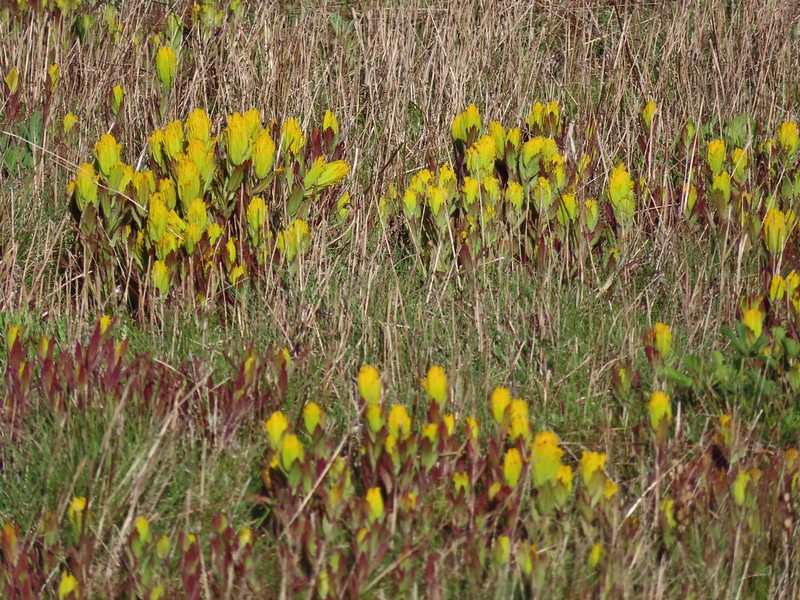
 Camas blooming near the summit
 View from Pigeon Butte
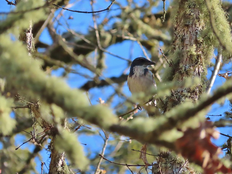 Scrub jay spotted on the way down.
 One of the “blue” butterflies, maybe a silvery blue
 Acorn woodpecker
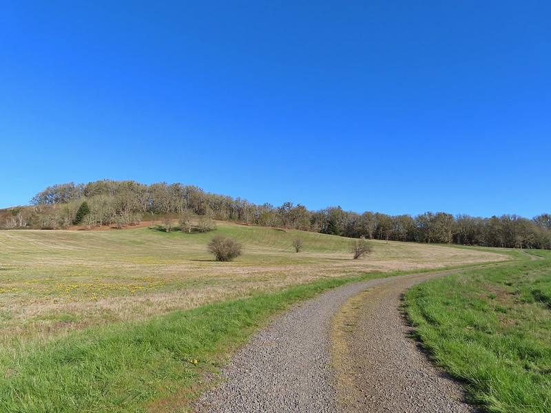 Looking back at Pigeon Butte, the yellow paintbrush was starting its bloom on the hillside.

 Looking back at Pigeon Butte and the Cheadle Barn
 Western bluebird
 Bruce Rd and a sign for the overlook.
 Swallows at the overlook
 Mary’s Peak and Pigeon Butte from the overlook.
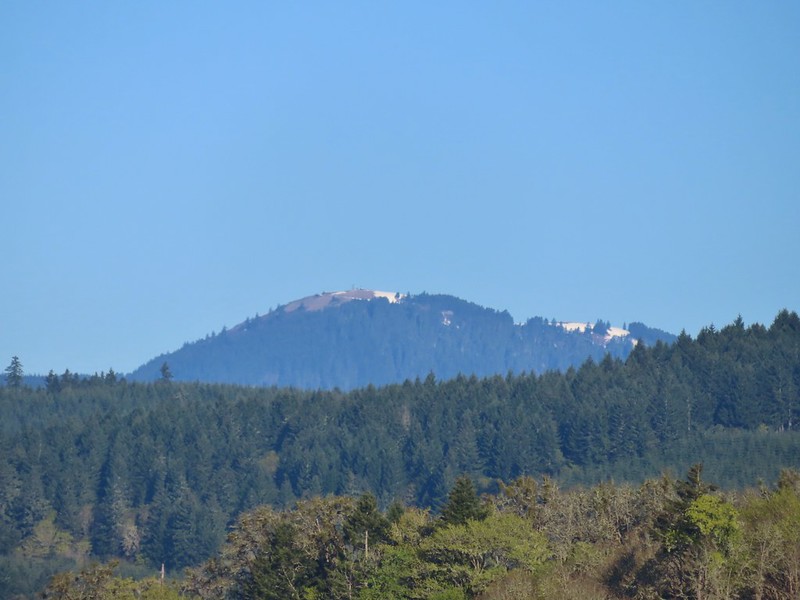 Mary’s Peak (
 Ground squirrel on Bruce Rd.
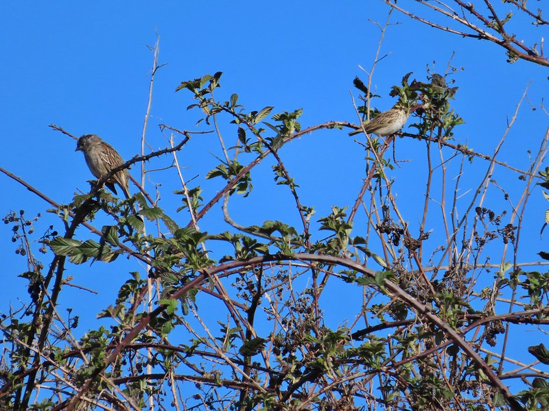 Sparrows
 Western bluebird
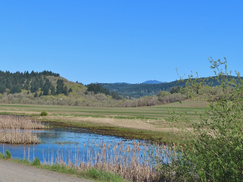 Mitigation Wetland
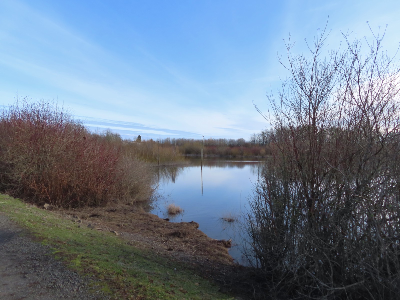
 Egret
Egret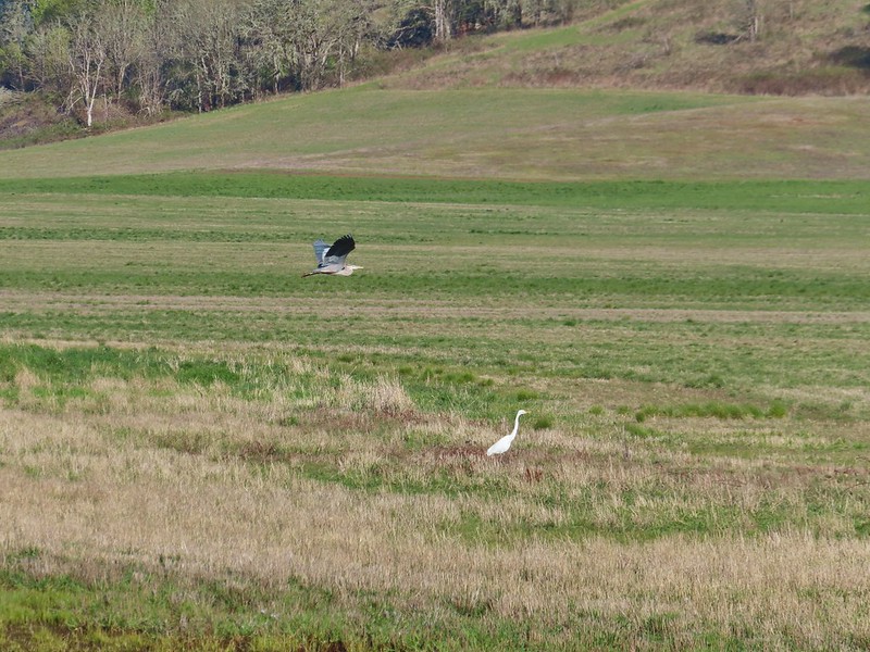 heron flying by the egret
 Northern shoveler
 Green winged teals
 Trailhead off of Bruce Road
 Ground squirrel
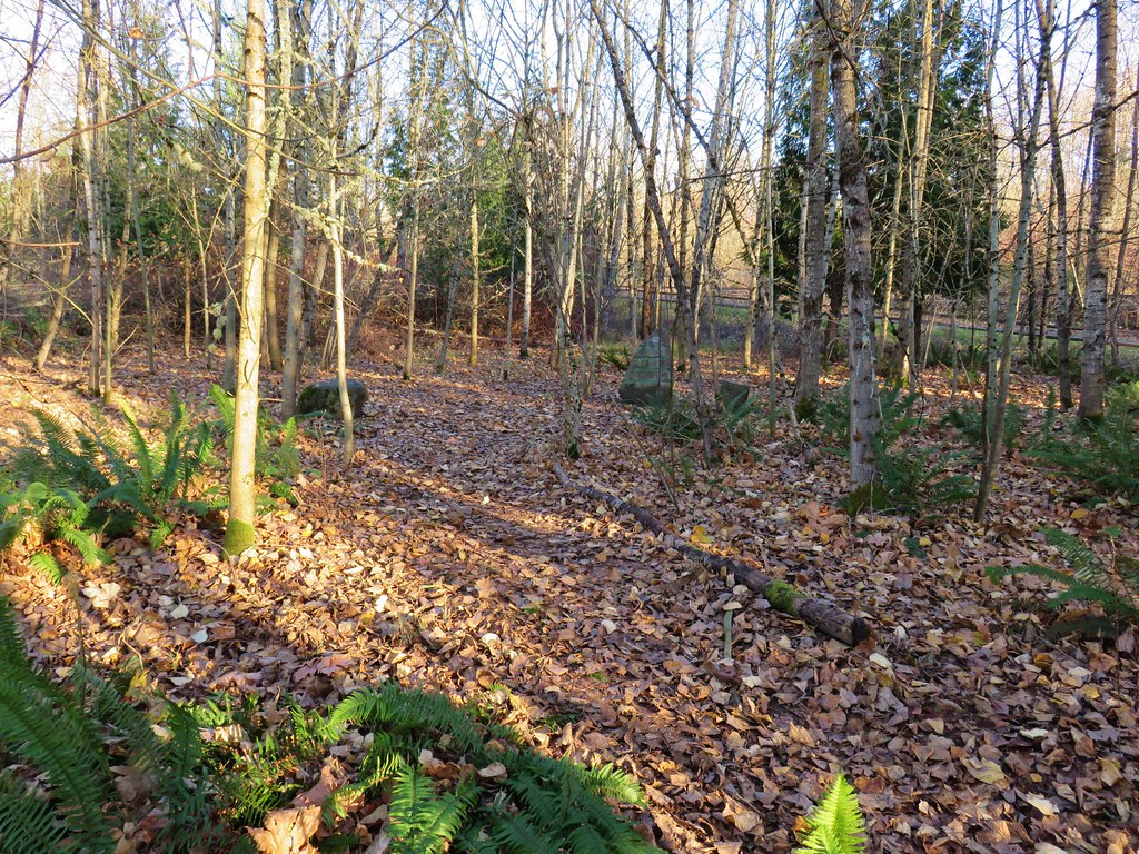
 Entering the woods
 Giant white wakerobin
 Fairybells
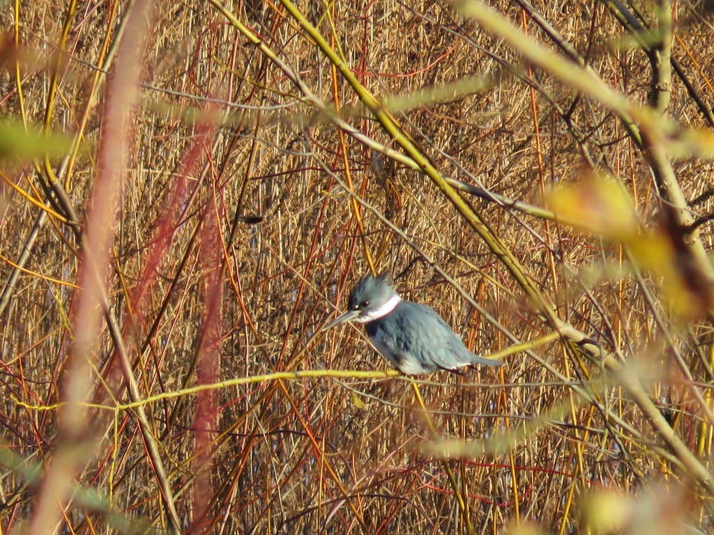
 Startled heron
 Egret and a cinnamon teal pair and maybe an American wigeon
 Candyflower
 The pink turned out to be shooting stars.
 Iris
Iris Bleeding heart
 One of many fairy slippers
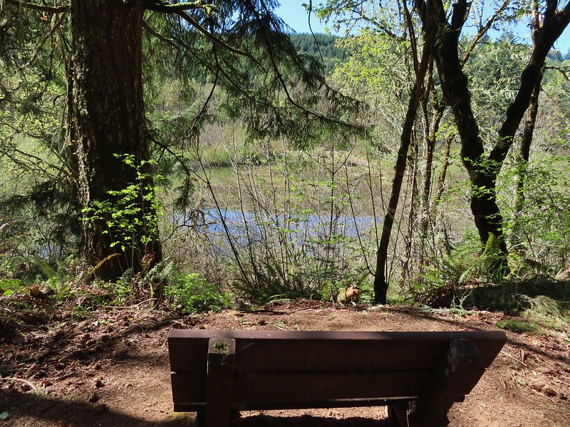
 It took some work to get the camera to stop focusing on the brush in the foreground.
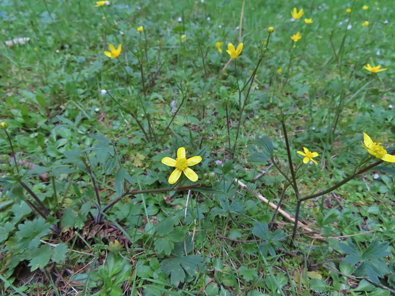 Buttercups
 Violets
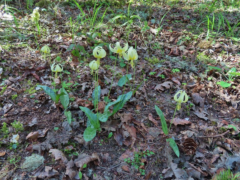 Fawn lilies
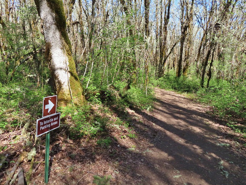 Back at the junction and onto the Intertie Trail

 Service berry
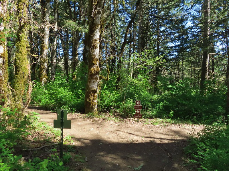 The Woodpecker Loop
 Norther flicker along the Woodpecker Loop
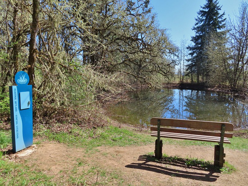 Amphibian pond and interpretive kiosk.
 Viewing structure
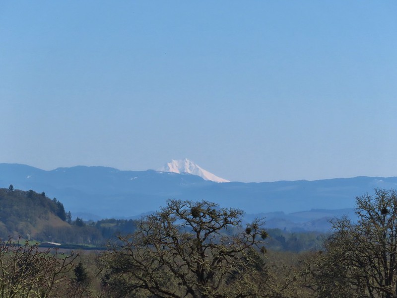 Mt. Jefferson
 The Three Sisters
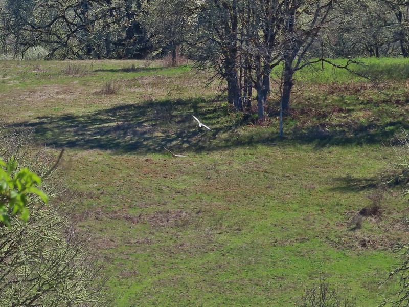
 This was the best shot I could get at 40x zoom with the sun in front of me.

 Green-winged teal
 Wood duck
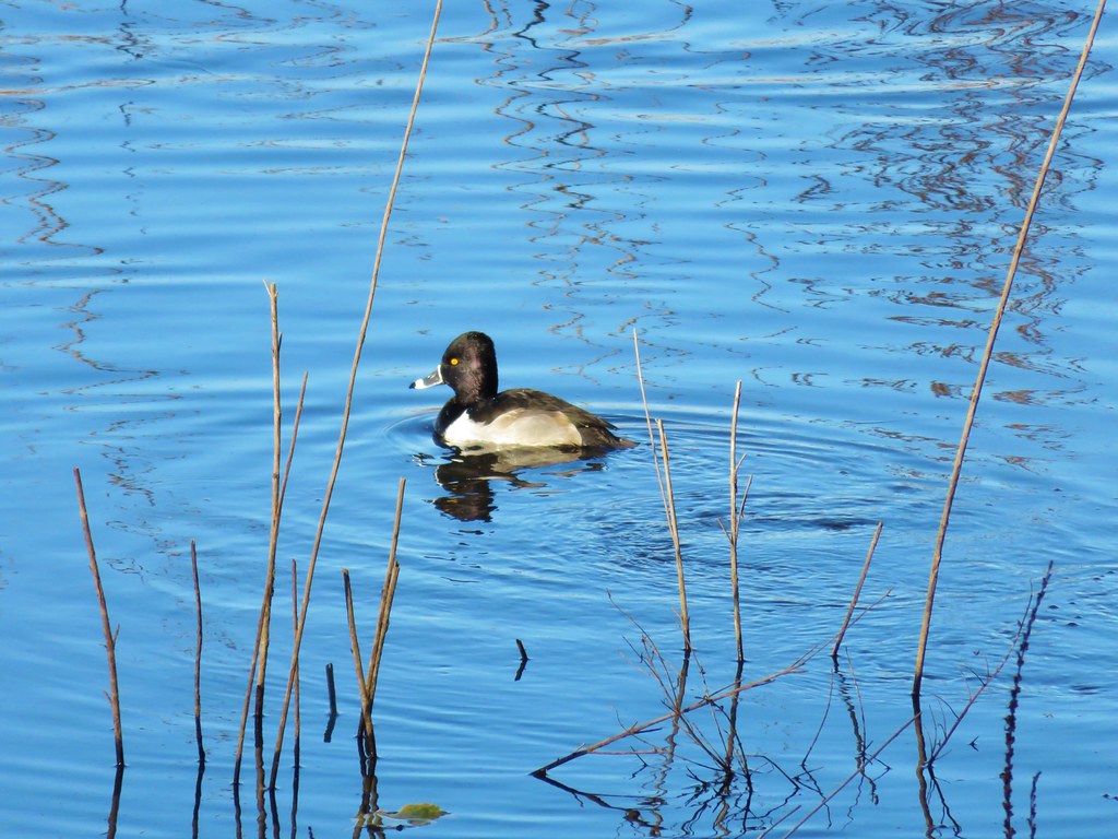 Ring necked duck?
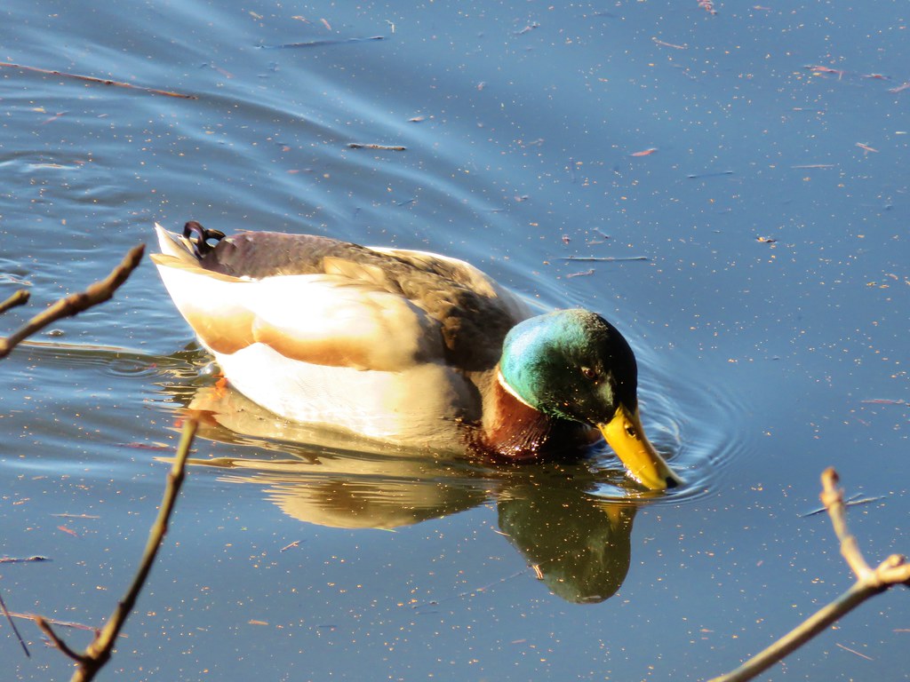 Mallard
 Not sure what kind of duck is in the upper left hand corner.

