
We used our second extended vacation of the year to continue our quest to complete 100 featured hikes from William L. Sullivan’s “100 Hikes/Travel Guide Eastern Oregon” edition 3rd edtion (post). Heading into 2023 we had done 79 out of the 100 featured hikes and had planned to check off five more on this trip to Enterprise, OR. On the way to Enterprise, a 7 1/2-hour drive from Salem, we stopped at Hat Rock State Park. We had originally planned for this stop to be a quick leg stretcher and just hike the mile loop passing Hat Rock, but a couple of late changes to our planned hikes for the remainder of the week reduced our milage so we extended our visit by hiking the Lewis and Clark Commemorative Trail to McNary Beach. This was not one of Sullivan’s featured hikes but the Lewis and Clark Trail is covered in his additional hikes under the Columbia River Railroad.
There are several large parking areas in the park and we wound up parking near the picnic area.

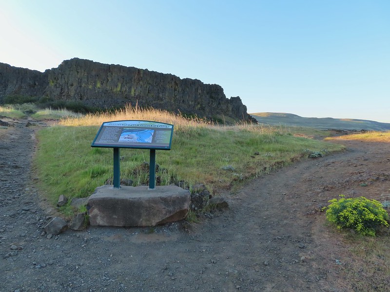
We took a paved trail on the opposite side of the parking lot from the picnic area which climbed up to another parking lot and trailhead.

 The parking area at the trailhead.
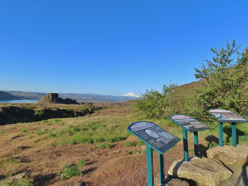
 Signboards at the trailhead.
 Trail map.
We headed counterclockwise on the loop which quickly brought us to Hat Rock.


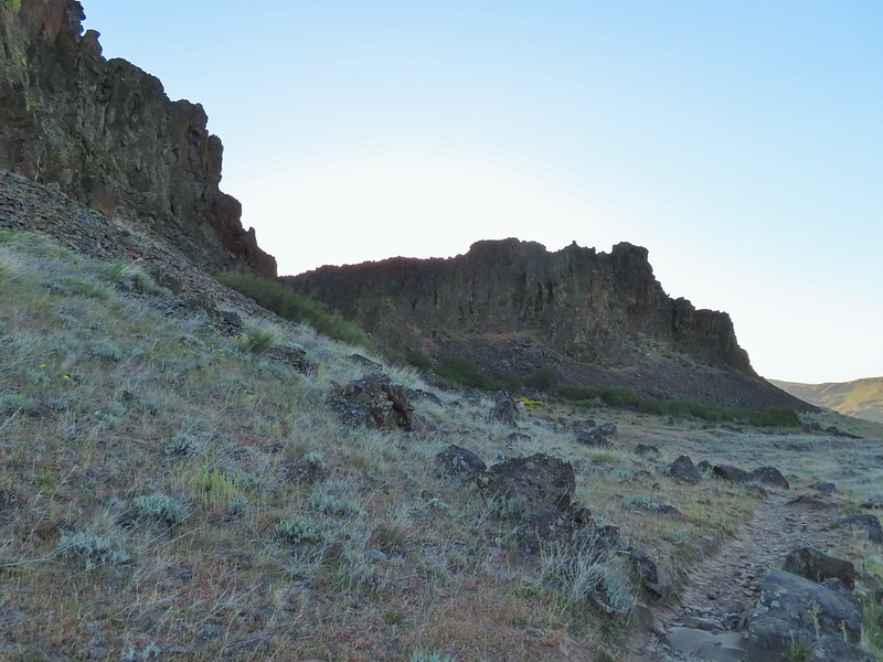
The basalt feature is part of the Columbia Basalt eruptions, a series of lava flows that left basalt a mile thick in some places.

We continued on the loop detouring to a bench overlooking a pond.

Beyond the viewpoint the trail descended to a junction along the pond. Here we turned right which took us across a footbridge to a boat ramp.


 Lake Wallula from the footbridge.
We crossed the parking lot at the boat ramp to a continuation of the trail which led uphill to the Lewis and Clark Commemorative Trail.

 Eastern kingbird near the boat ramp.
 Post ahead marking the junction with the Lewis and Clark Trail. There is also a deer below the cliffs ahead.
 Zooming in on the doe.
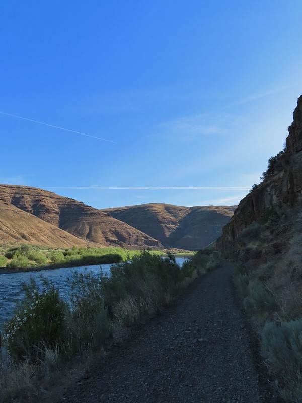
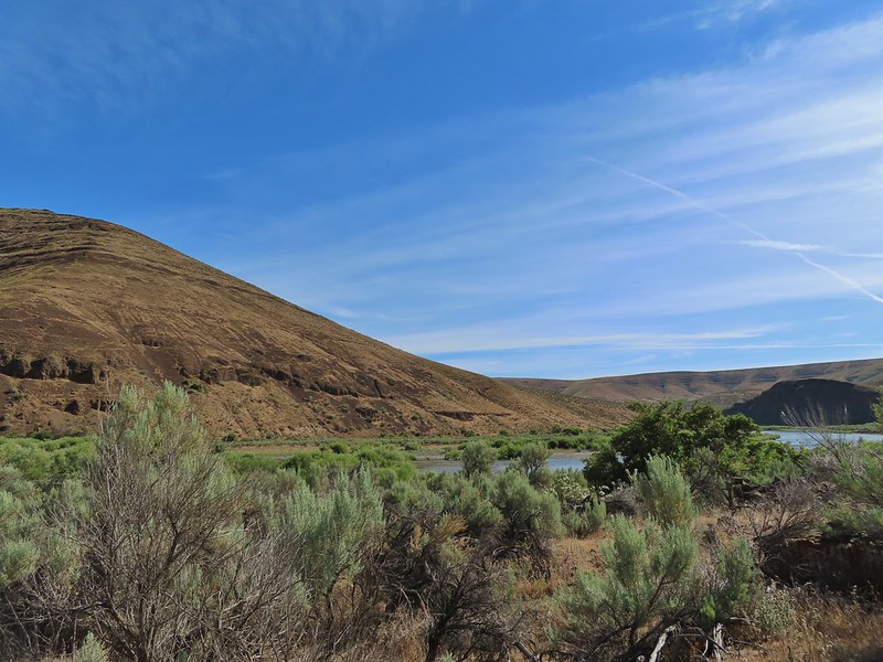
We turned right on the Lewis and Clark Trail. The former railroad grade follows the shore of Lake Wallula on the Columbia River. The lake is created by the McNary Dam which was visible near the western end of the trail near McNary Beach.

 Lake Wallula
We followed the trail a total of 4.8 miles to McNary Beach where we took a short break at a shaded picnic table. While the scenery didn’t change much the views were good and there were lots of birds along the way filling the air with their songs.
 Raven with an egg it had snatched from some other bird.
 Broad-leaved pepperweed (invasive)
 Initially there were some houses on the left, but they gave way to the Wanaket Wildlife Area.
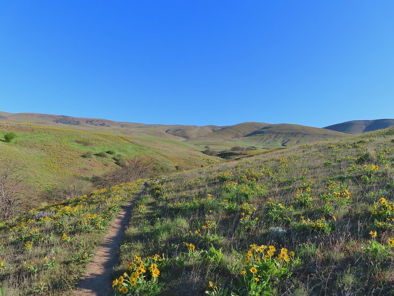
 Most of the balsamroot was long past done but a few late blooms remained.
 Dove
Dove
 A fleabane

 Swallow
 Patterns on Lake Wallula
 Western meadowlark signing from atop the cliffs.
 Sign for the Wanaket Wildlife Area
 Lark sparrow
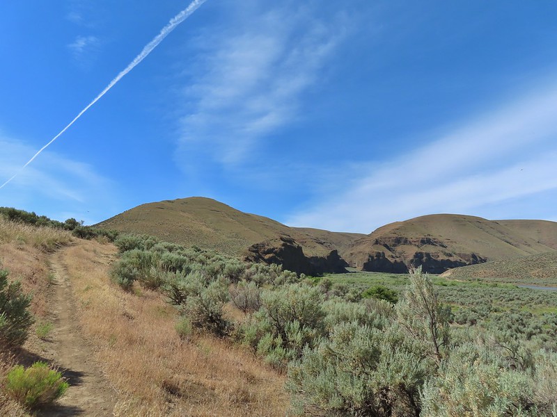
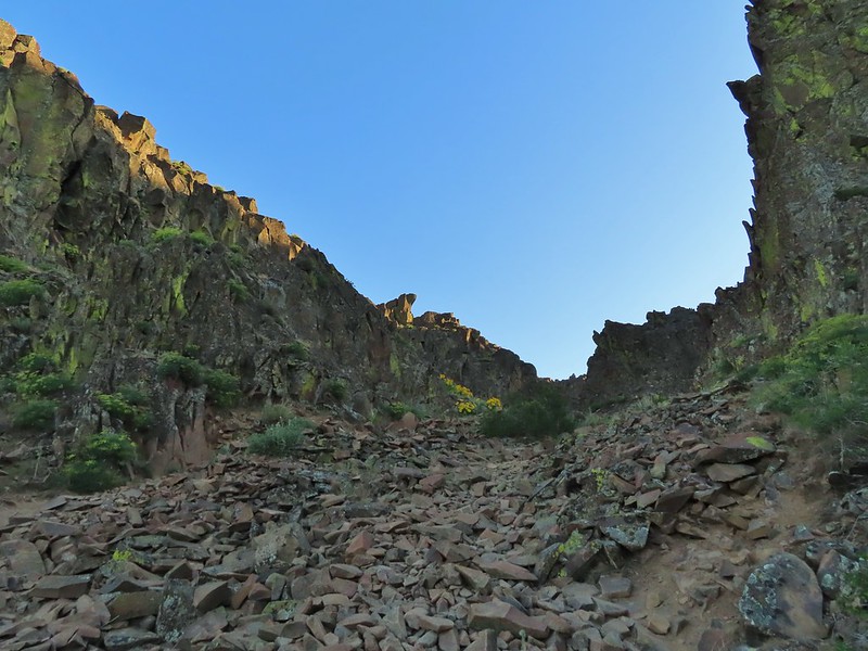
 Box Canyon
 There were a couple of small hills but over all very little elevation gain.
 Another western meadowlark.
 Cormorant

 Mallard
 Showy milkweed and a bunch of bees.
 Trail sign near McNary Beach
 Our rest stop.
We returned to Hat Rock State Park the way we’d come.
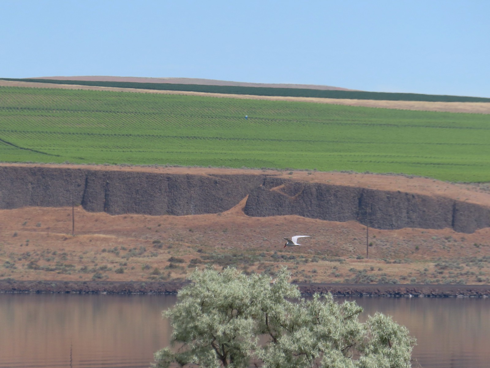 Caspian tern
 Hawk
Hawk
 Gray hairstreak on tall tumblemustard

 Becker’s white also on tall tumblemustard.
 Boat Rock to the left and behind Hat Rock from the Lewis and Clark Trail.
We recrossed the footbridge and followed the path along the pond to complete the loop back to the picnic area.


 One of these is not like the others.

We ate lunch at a table in the picnic area before getting back in the car and driving to Enterprise. Our hike here came in at 10.9 miles with approximately 200′ of elevation gain.

The trail is mostly exposed to the Sun so it got a little warm but overall it was a pleasant hike. We only saw a hand full of others on the trails but there were plenty of people at Hat Rock Park itself and a fair number at McNary Beach. This was a good kick-off hike for our trip and we looked forward to more eastern Oregon scenery to come.
Two days after our visit (Tuesday 6/13) the Hat Rock Fire started near the SE corner of the park at the Highway 730/Highway 37 junction. Fortunately the fire spread away from the park. The fire is now 100% contained but it grew to over 16,800 acres before containment occurred. Happy (fire free) Trails!
Flickr: Hat Rock State Park


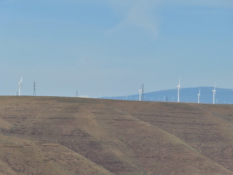
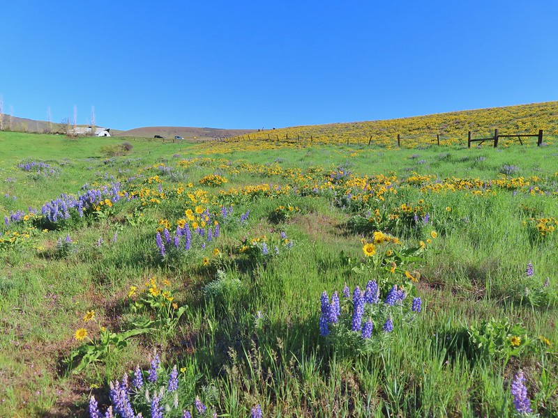
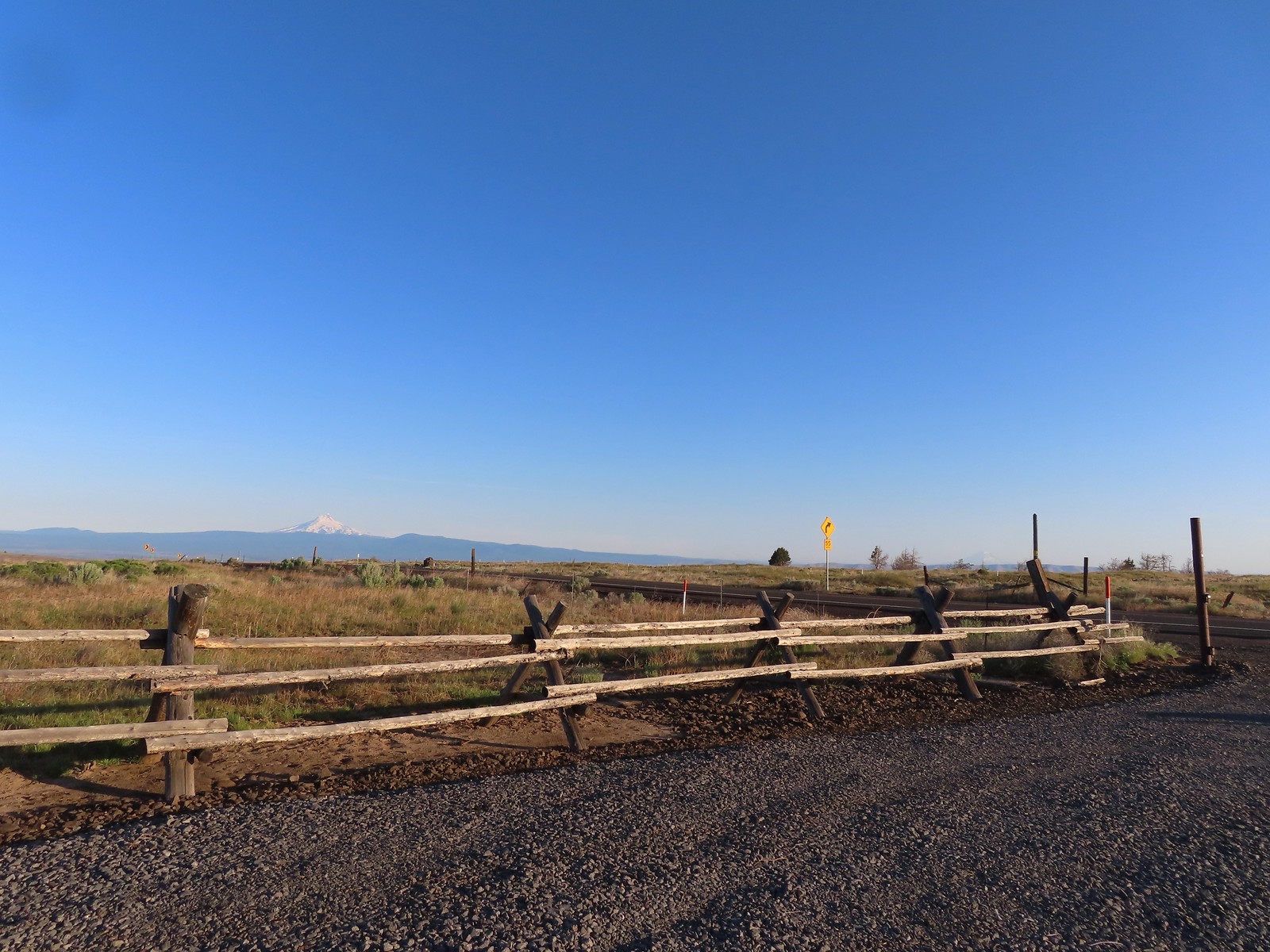 Mt. Hood and Mt. Adams from the trailhead which is the high point of the hike.
 Mt. Hood
 Cattle sometimes graze in the area and the combination of their hooves with the unmaintained roads makes for some pretty rough surfaces.
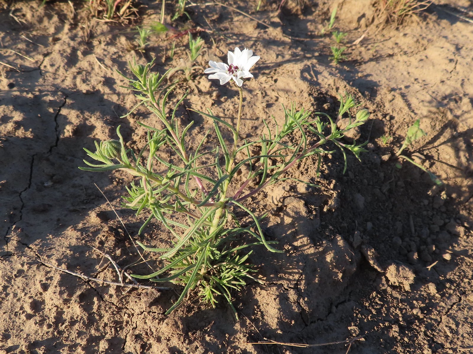 Rough-eyelashweed. There was a lot of this blooming along the road.
 A couple of lomatiums.
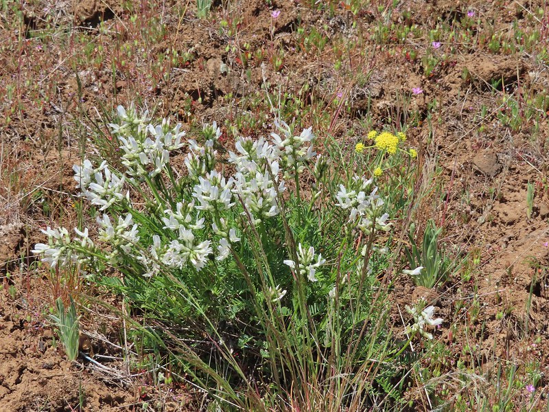
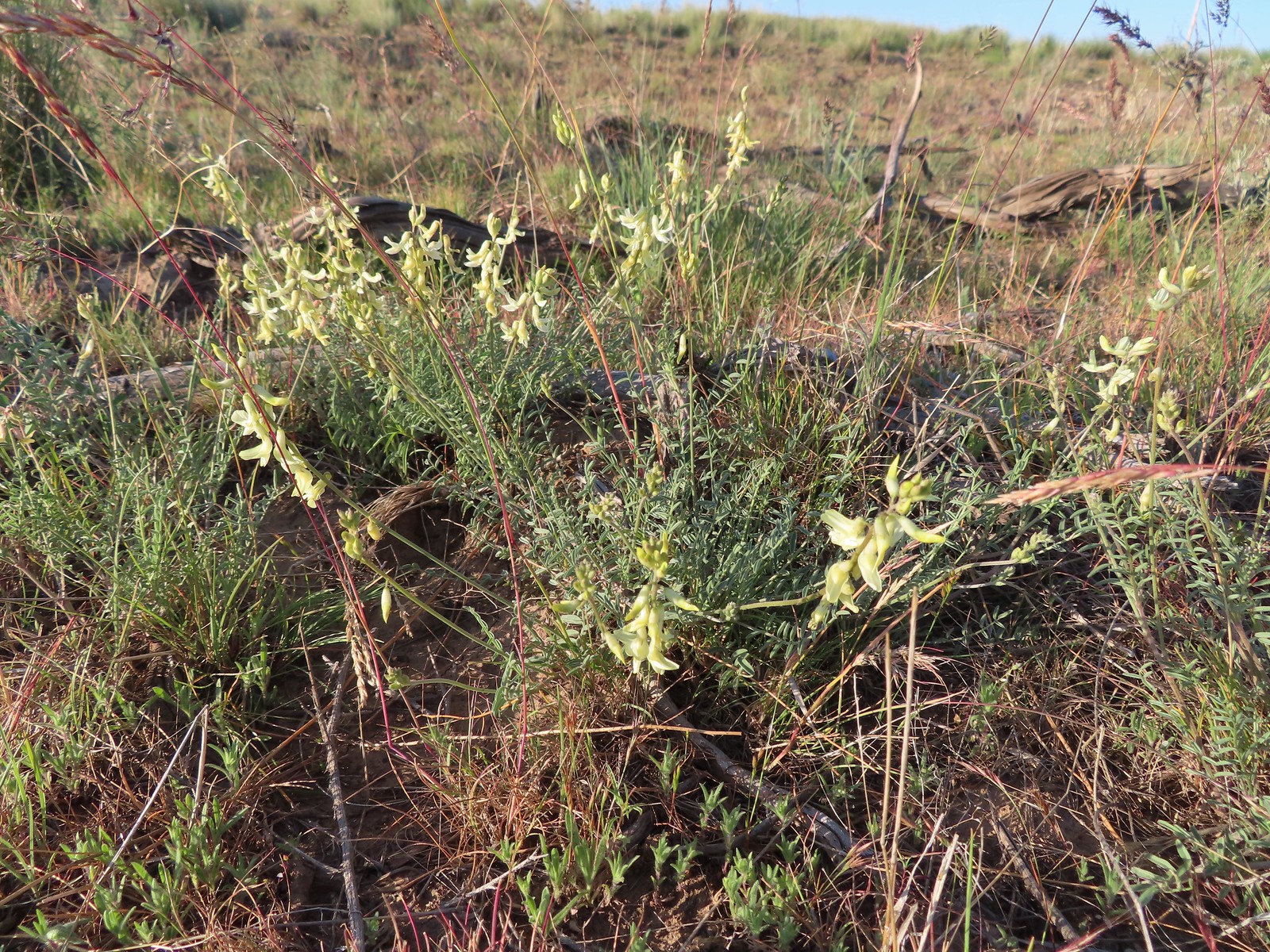 Howell’s milkvetch
 Idaho milkvetch
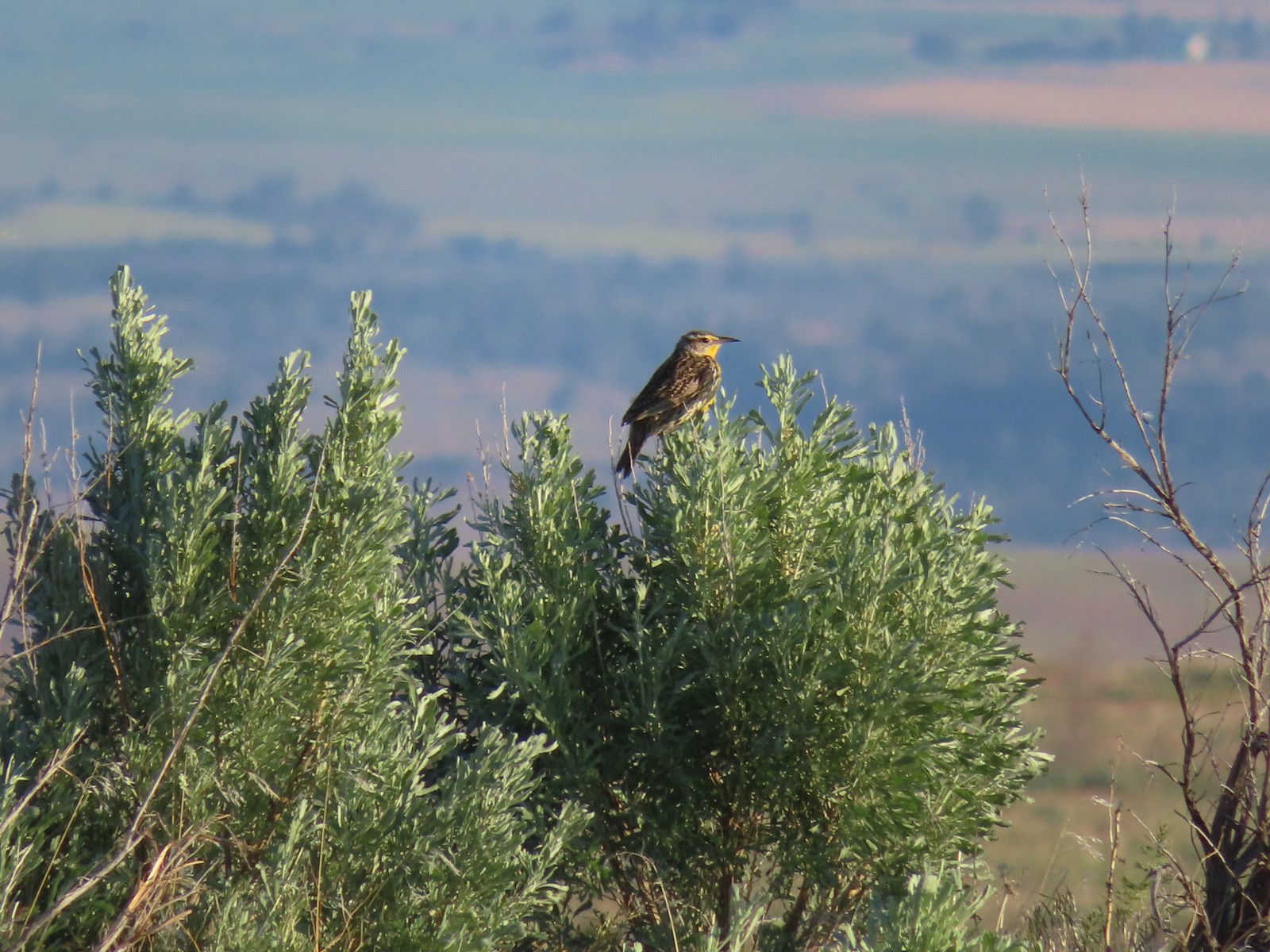 Western meadowlark
 A buckwheat
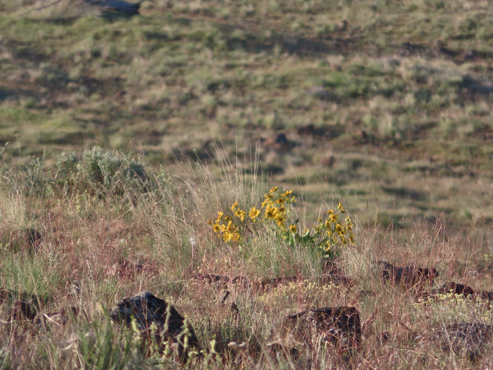 Carey’s balsamroot
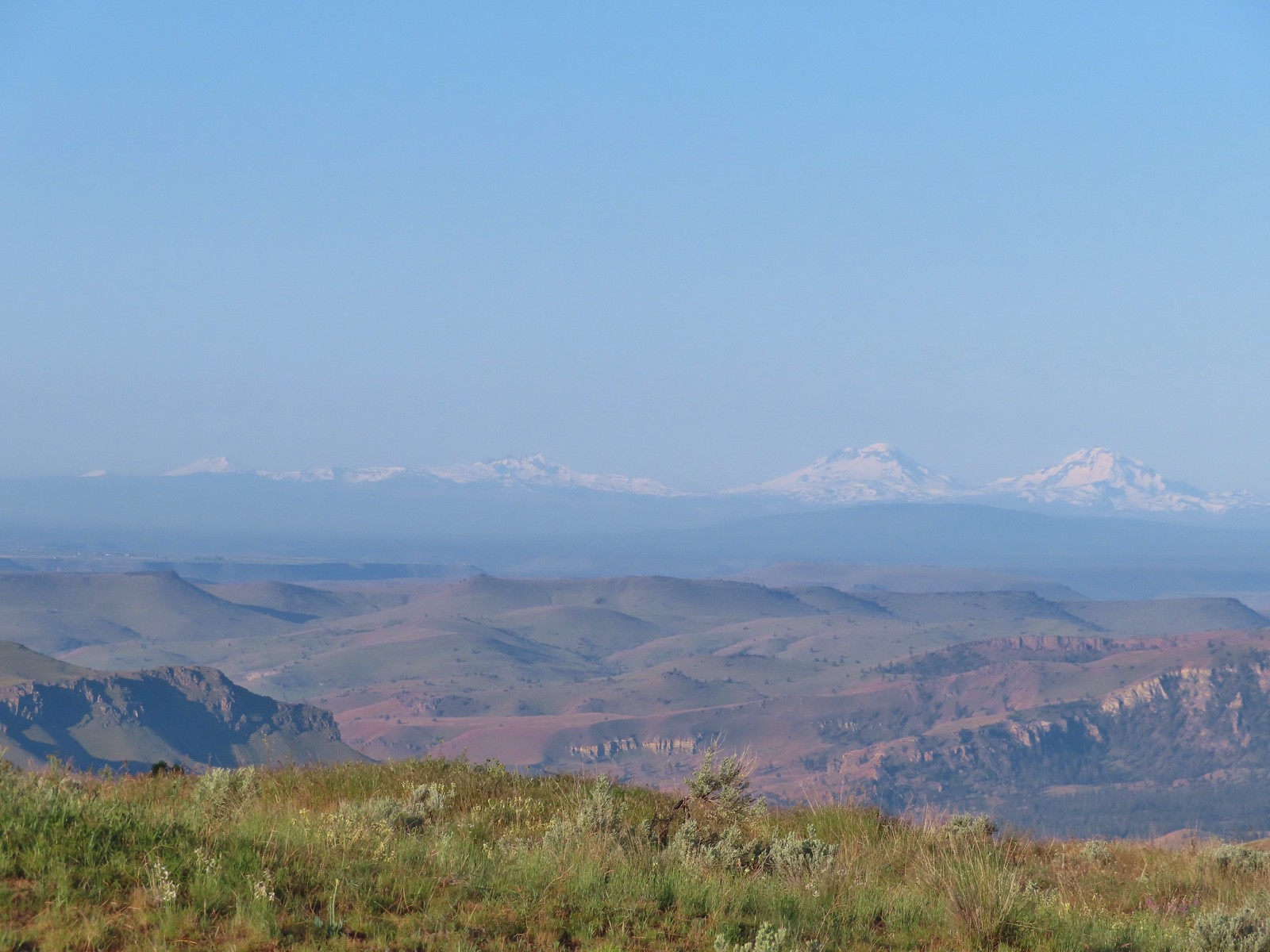 Mt. Bachelor, Broken Top and the Three Sisters
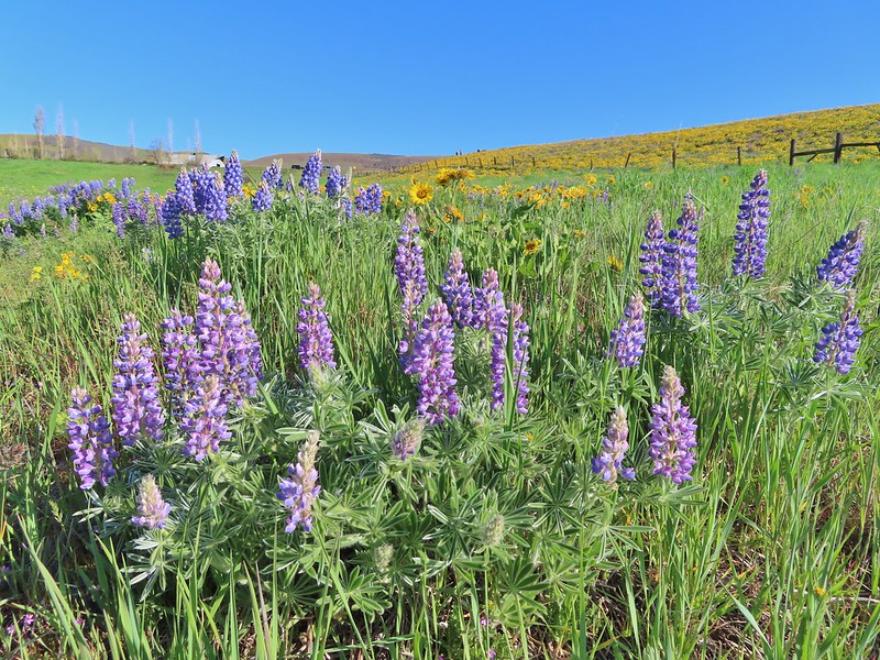
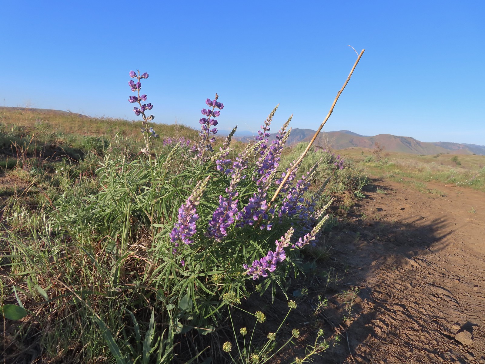 Lupine
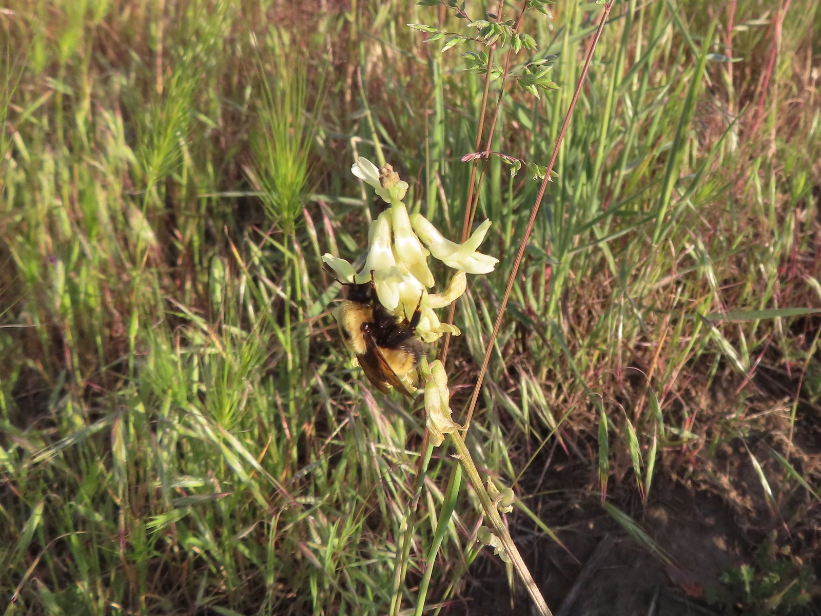 Bumble bee on Howell’s milkvetch
 Lark sparrow
 We spent a lot of time heading toward Mt. Hood.
 Sparrow?
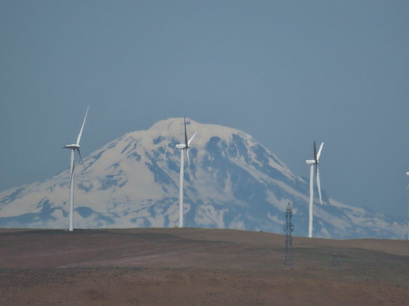
 Mt. Adams
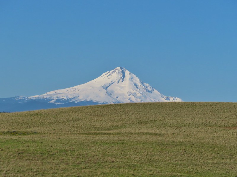
 Mt. Hood
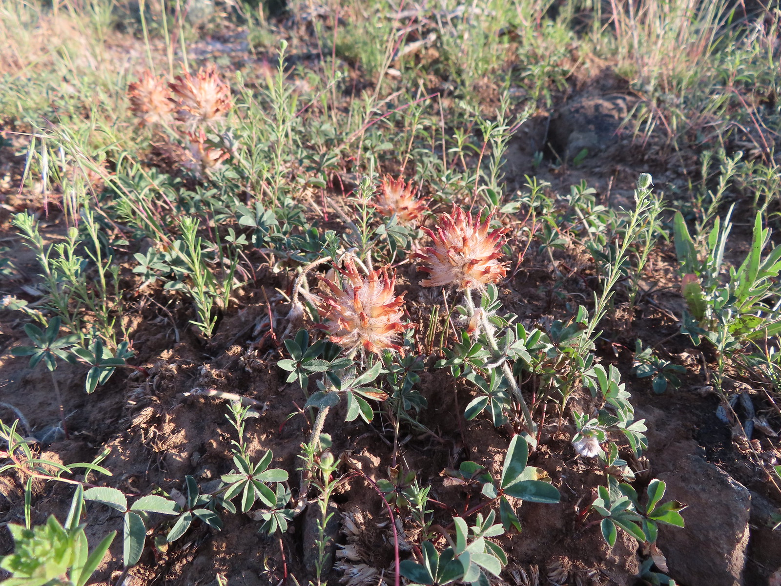 We were a little too late for the large-head clover.
 Western meadowlark giving a performance.
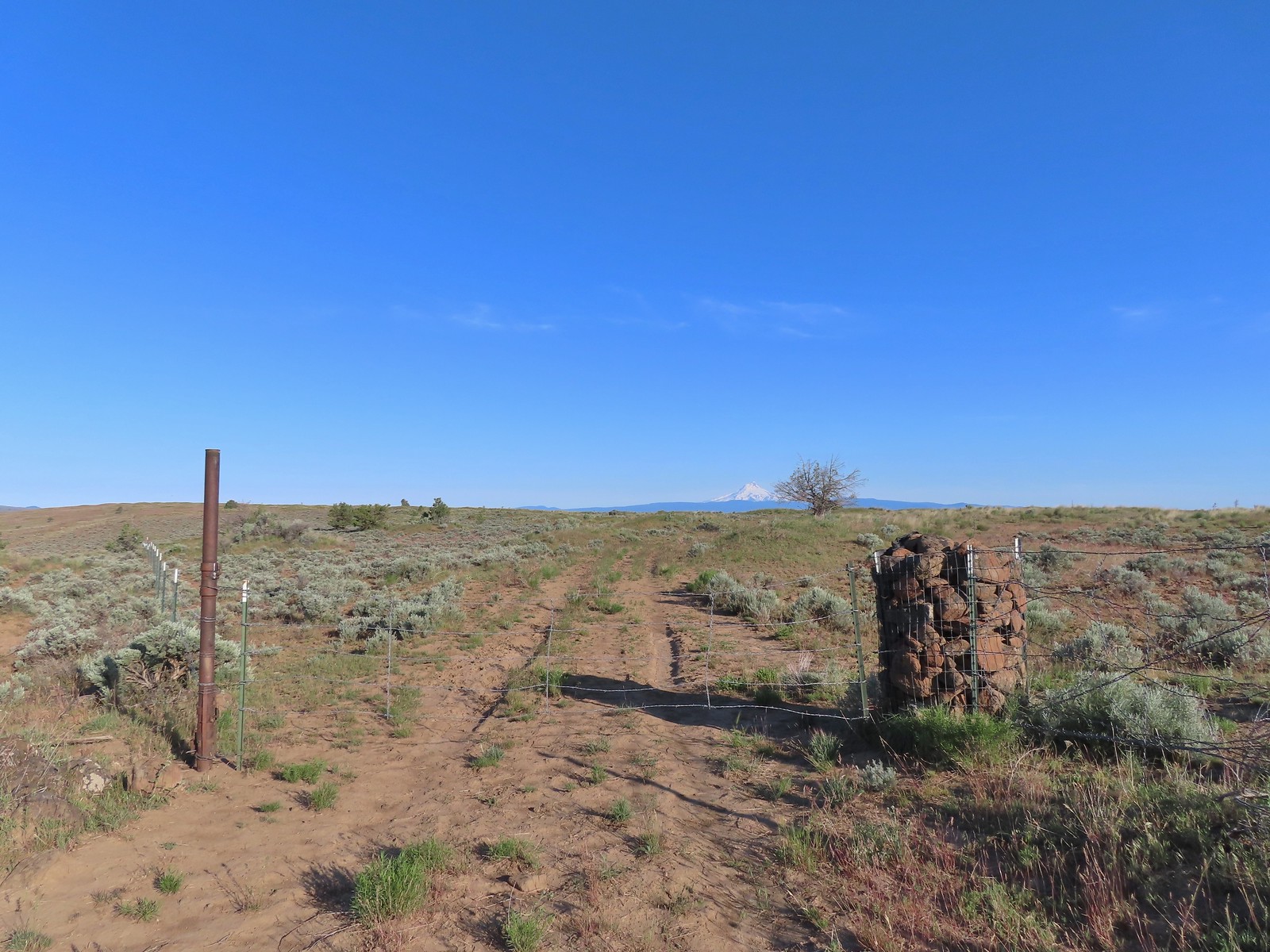 The third gate with Mt. Hood in the distance.
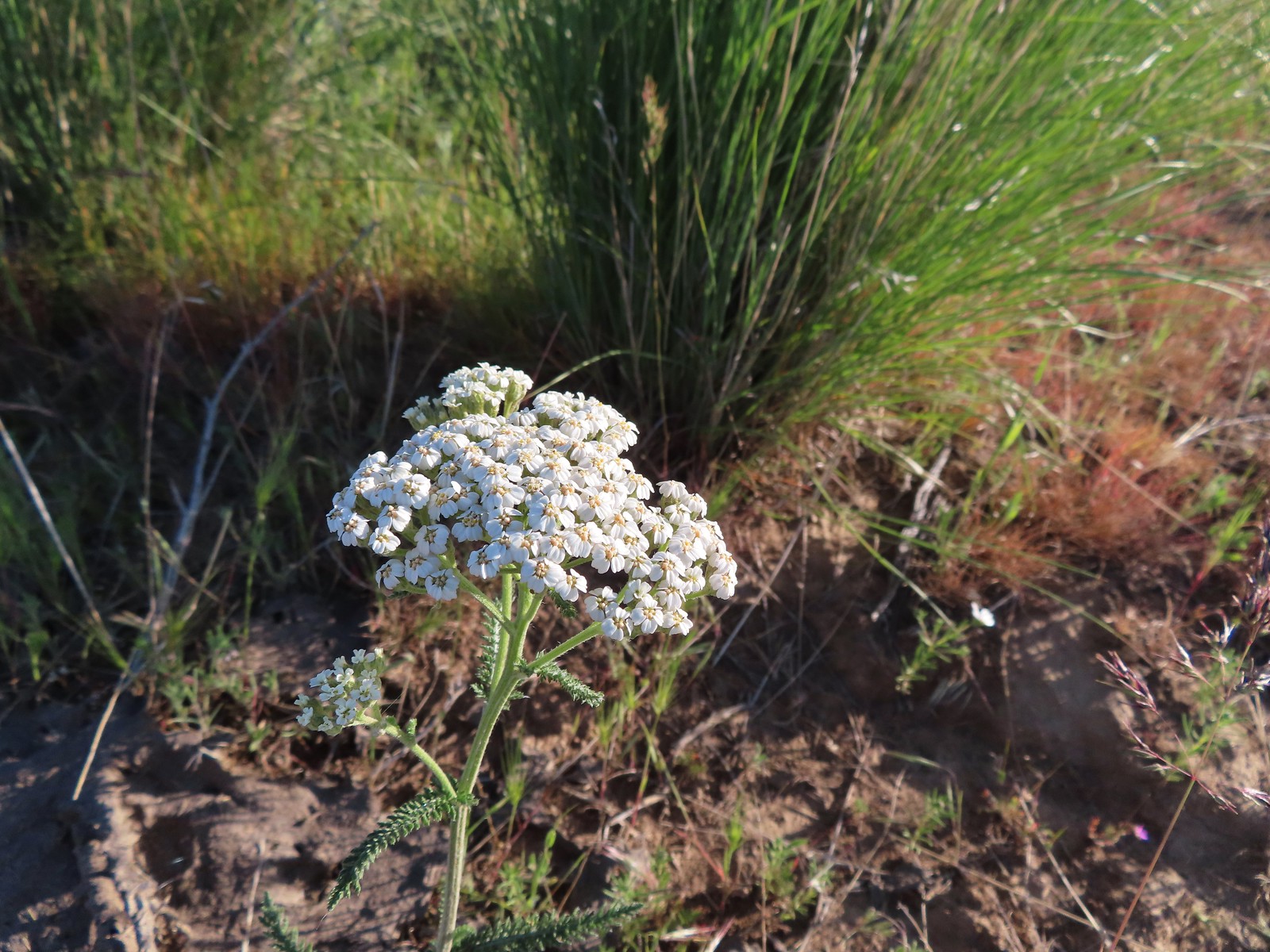 Yarrow
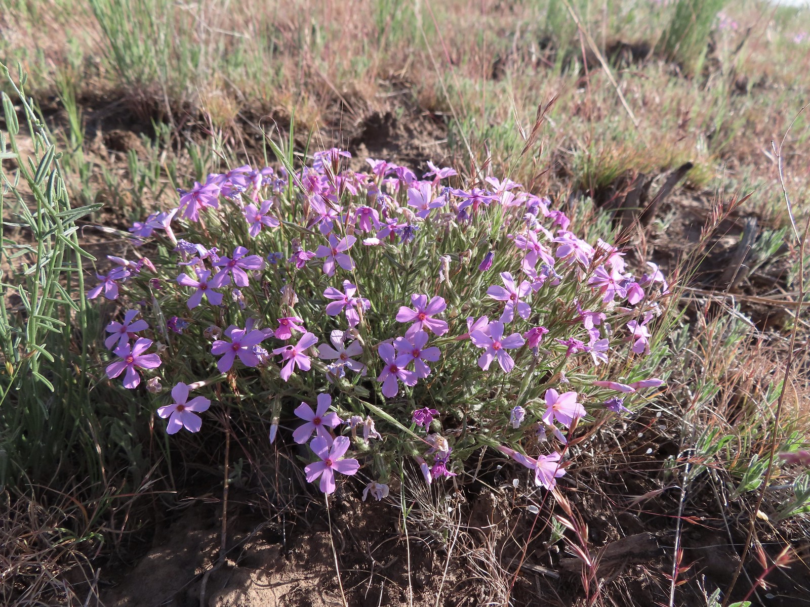 Phlox
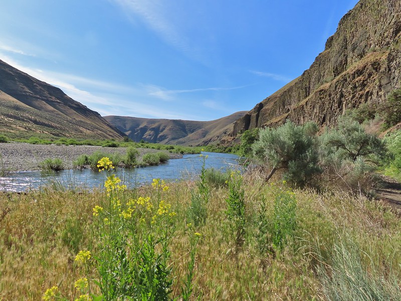
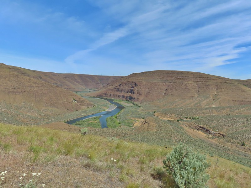
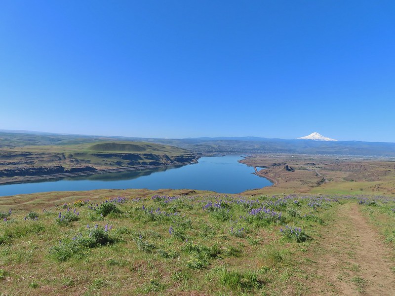
Phlox The Deschutes River winding through the valley below.
 Rough eyelashweed and lupine with Mt. Hood behind.
 Caterpillar
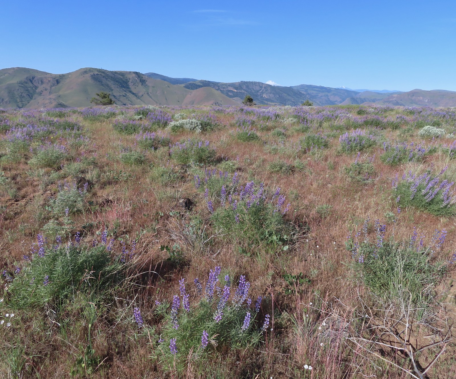 Lupine with Mt. Jefferson in the background.
 Horned lark
 Mt. Jefferson behind the abandoned trailer.
 Mt. Jefferson was hidden at times but this gap in the hills provided a nice view.
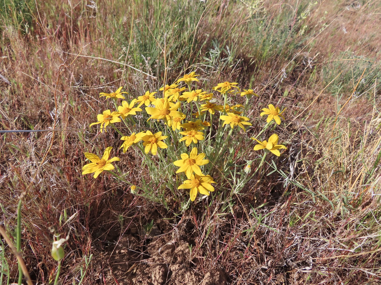 Oregon sunshine
 Skipper
 Mt. Jefferson and Olallie Butte (
 A small watering hole.
 Leaning toward an Acmon blue but not sure.
 Another in the Lycaenidae family.
 Large marble on a fiddleneck.
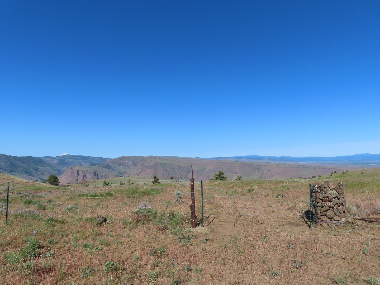 The fourth gate at the 4-way junction.
 Mourning dove
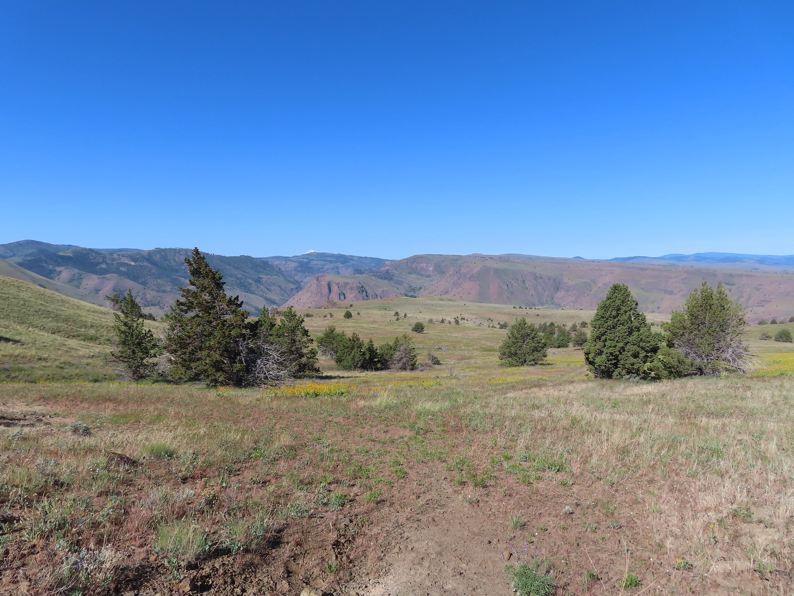 The more “obvious” jeep track curving left.
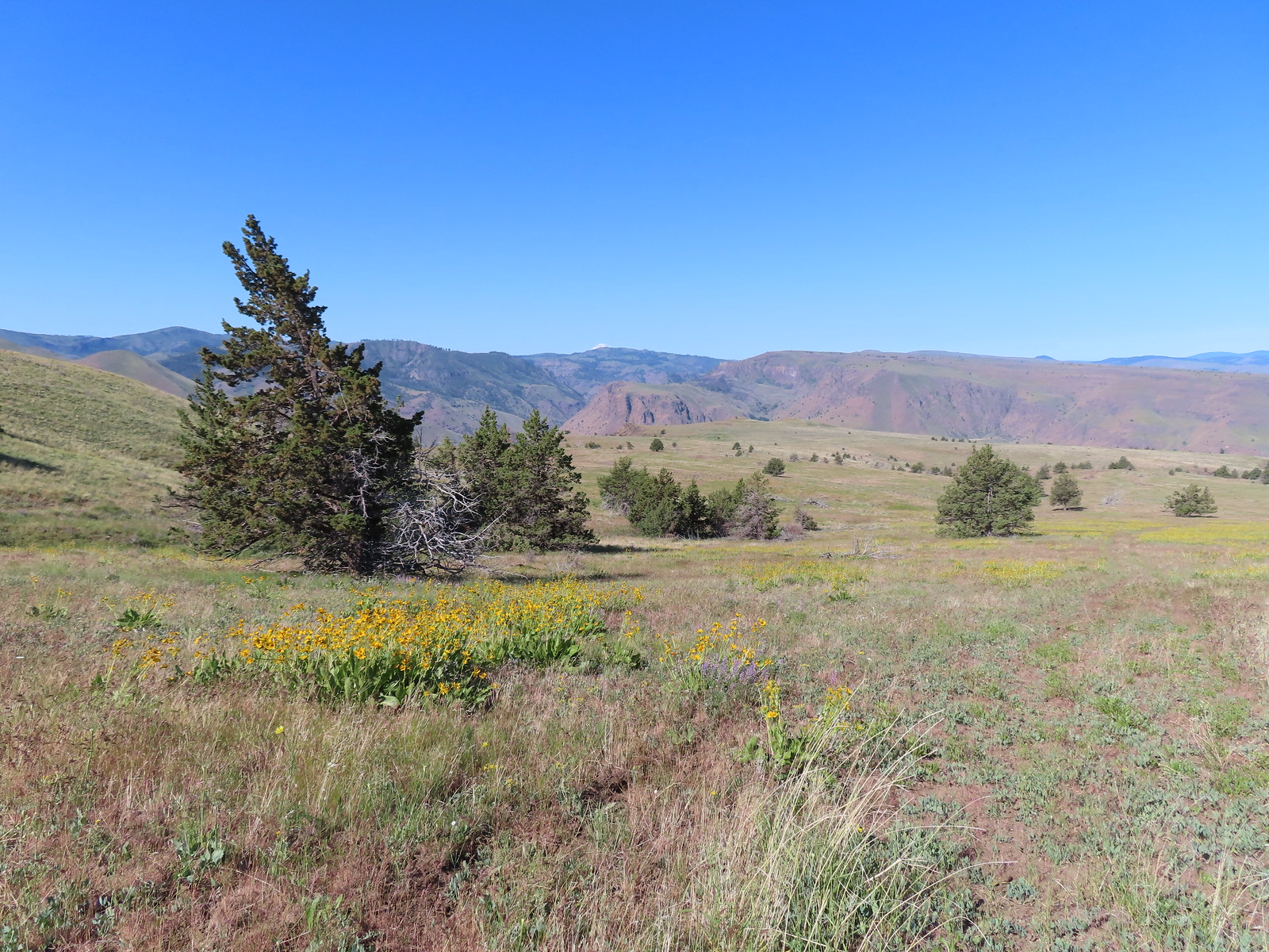 The fainter track angling slightly right.
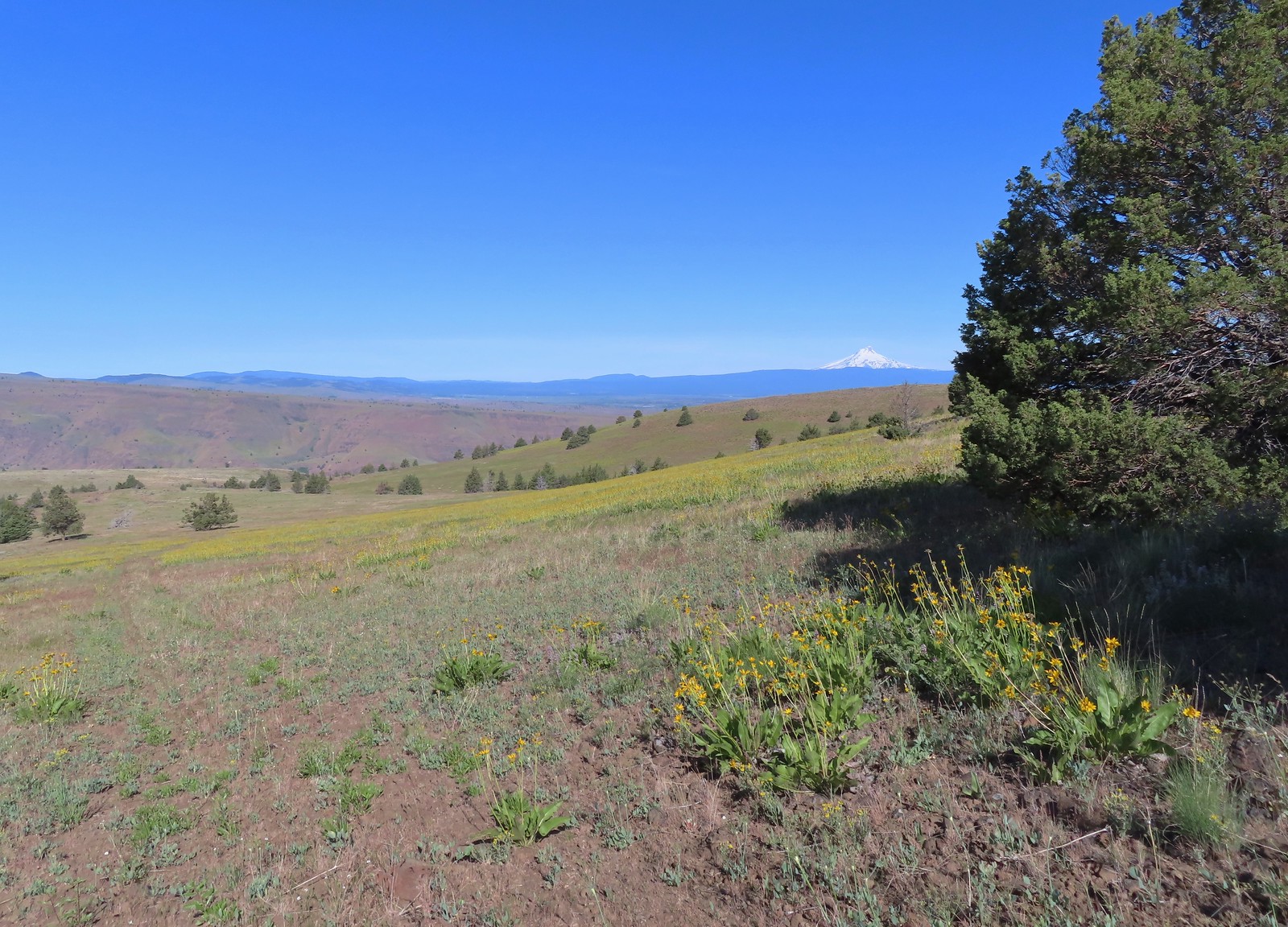
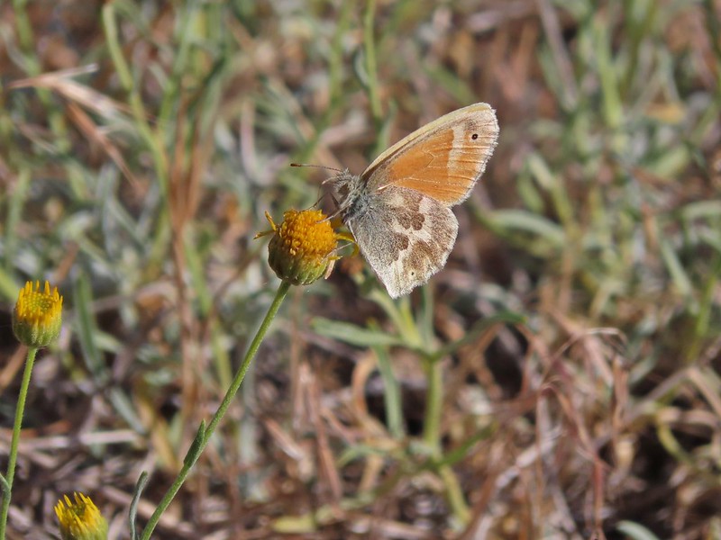
 Ochre ringlet on rougheyelashweed.

 Zerene fritillary
 Zerene fritillary on salsify
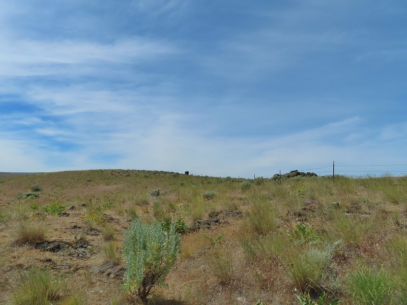
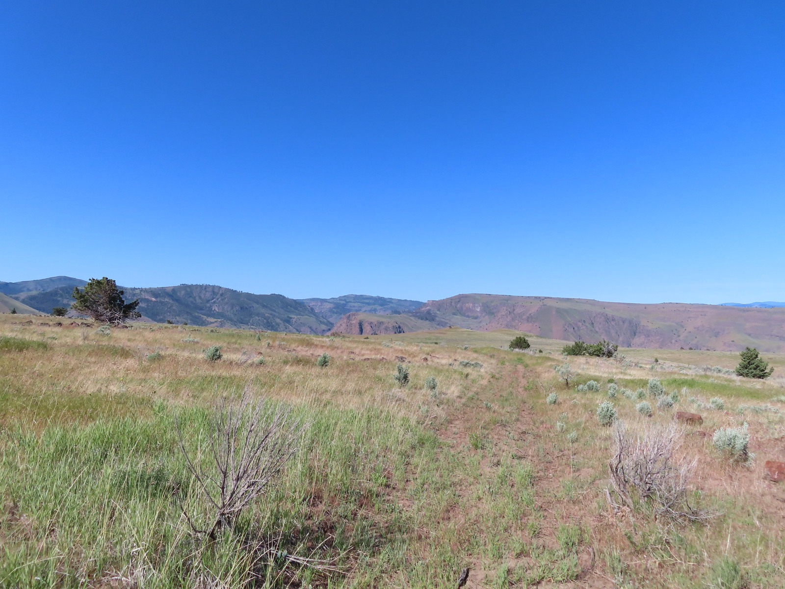 We thought we spied the post and used the camera to zoom in and confirm.
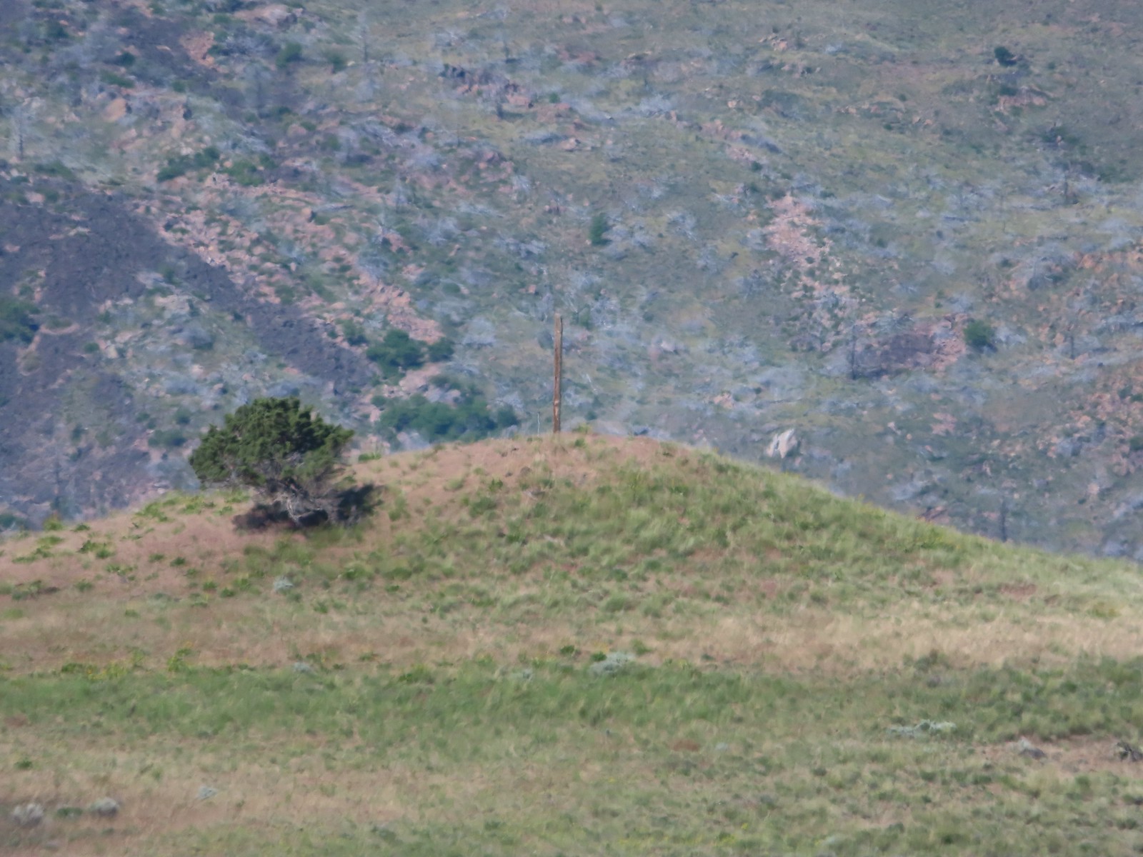 This was the only knoll with a juniper as well as the post.
 Largeflower hawksbeard
 Paintbrush
 To reach Stag Point we had to go cross country, so we looked for the most gradual looking climb.
 Mt. Hood from Stag Point.
 The Deschutes River from Stag Point.
 Mt. Hood and Mt. Adams from Stag Point.
 Looking back over the route we’d come down.
 Ladybug and an Oregon swallowtail.
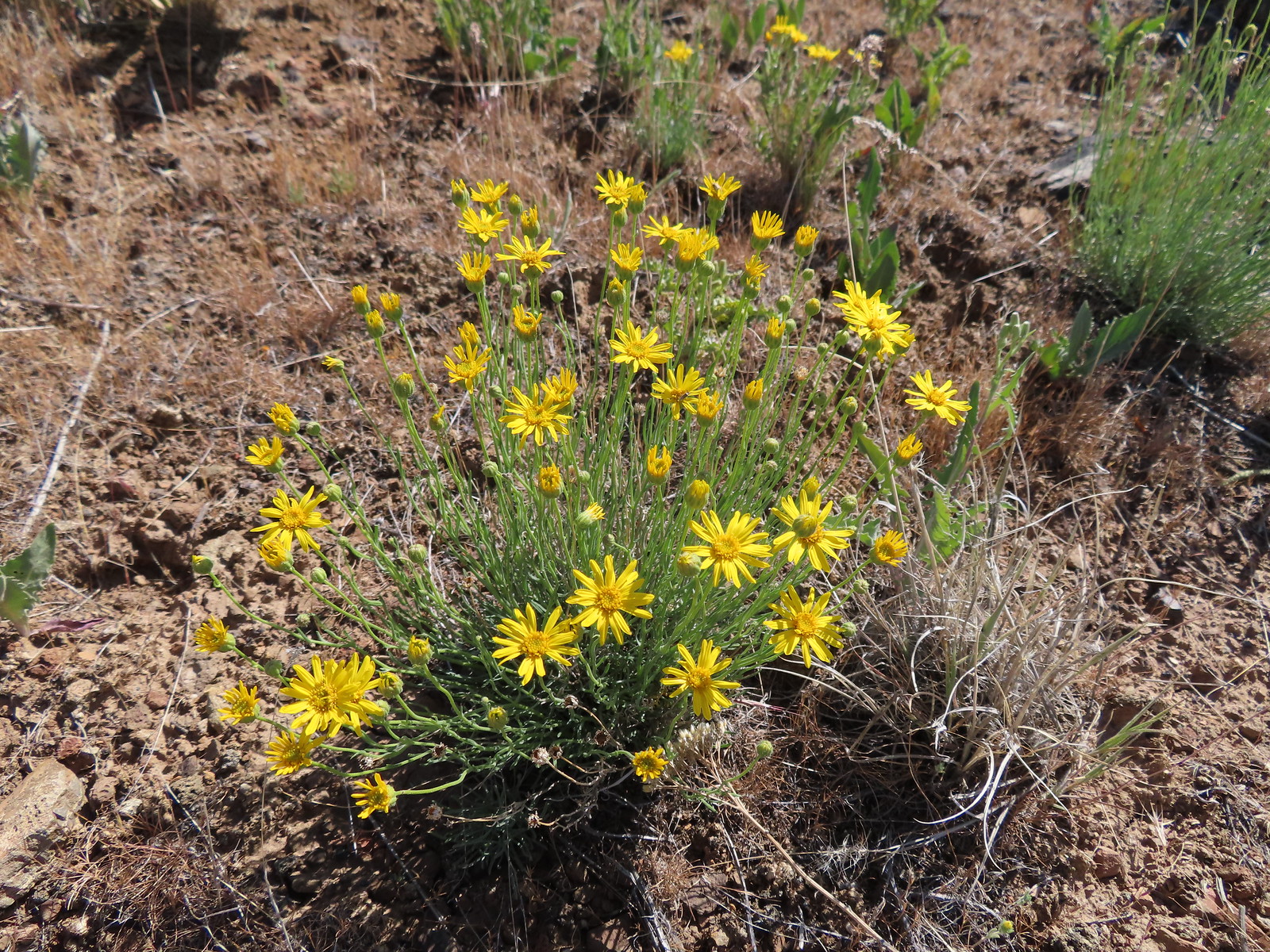 Desert yellow fleabane
 Heading out to the rock outcrop.
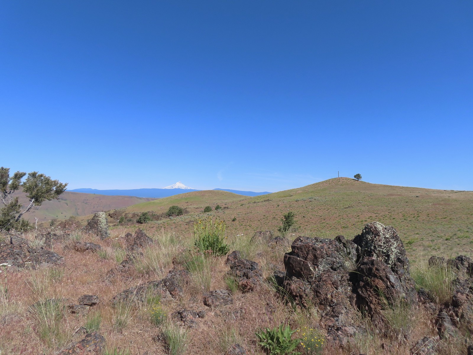 Mt. Hood and Stag Point from the outcrop.
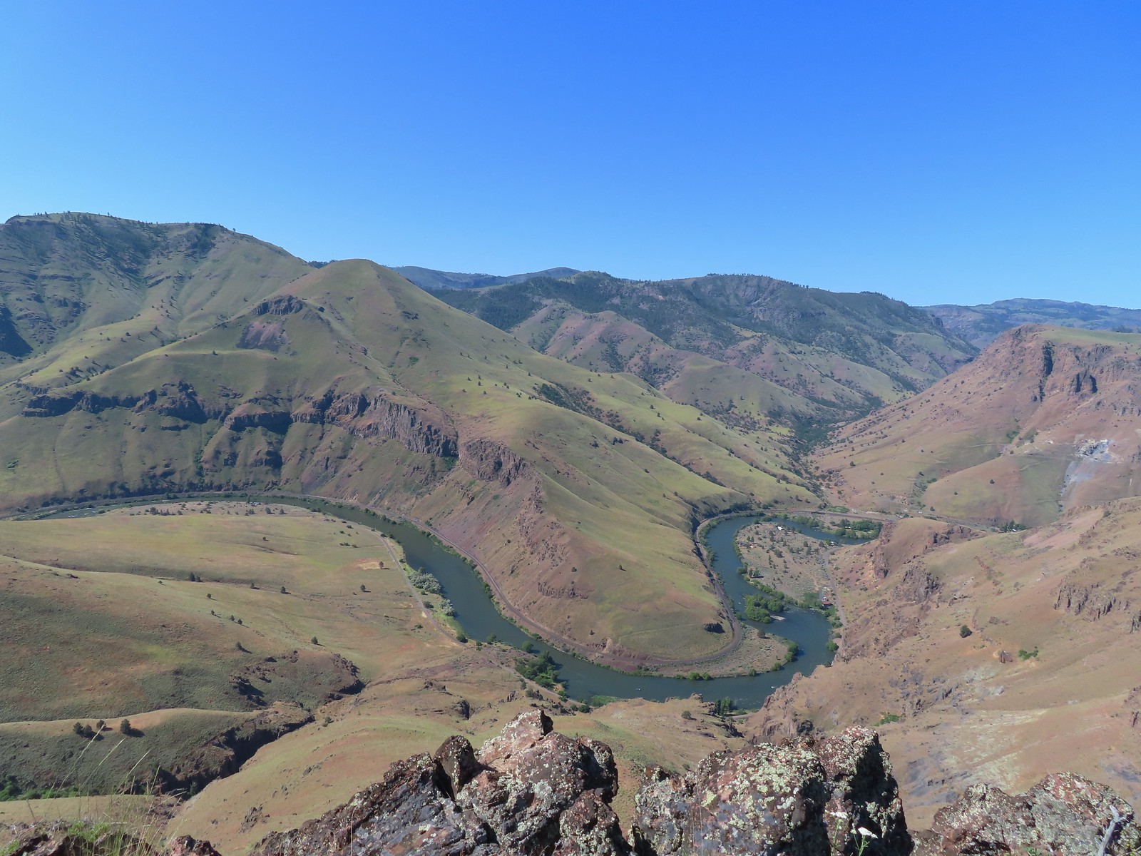 A better view of the Deschutes.
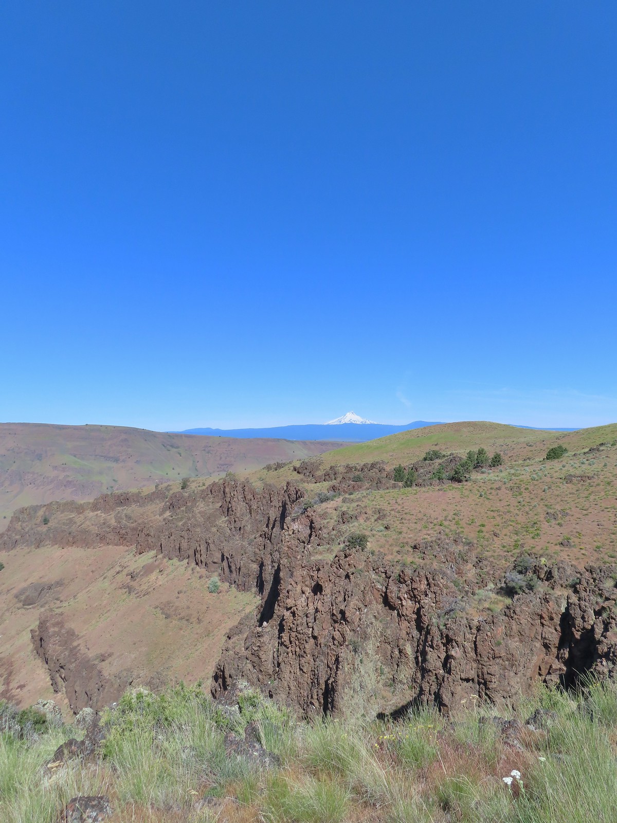 Mt. Hood beyond the cliffs.
 A buckwheat
 Stink bug
 Silverleaf phacelia
 Back on the jeep track.
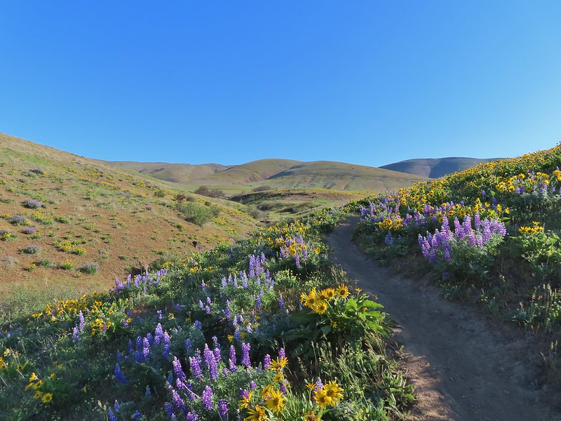
 Lupine and balsamroot
 The cows had really chewed this section of the jeep track up.
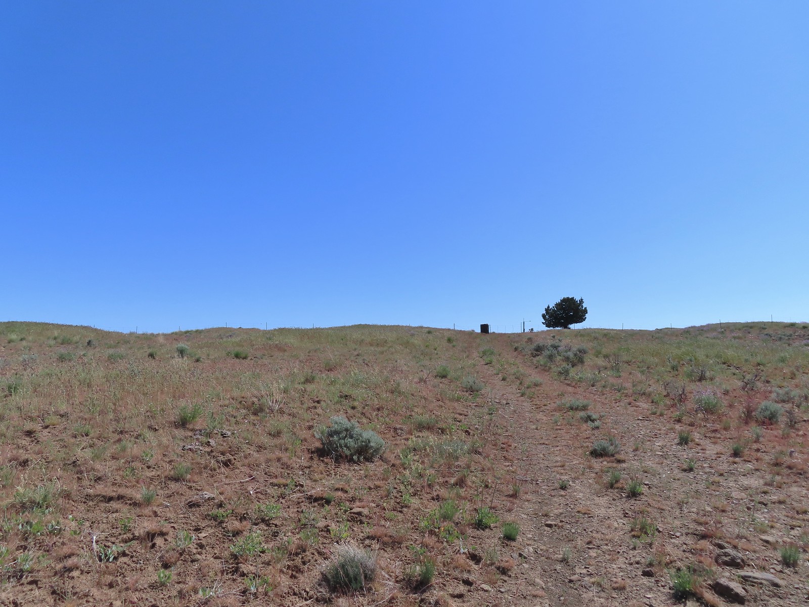 The gate ahead.
 Horned lark guarding the gate.
 Mt. Jefferson and Olallie Butte
 Grand collomia
 Time for some sun.
 A butterfly and fly.
 Three butterflies and a fly.
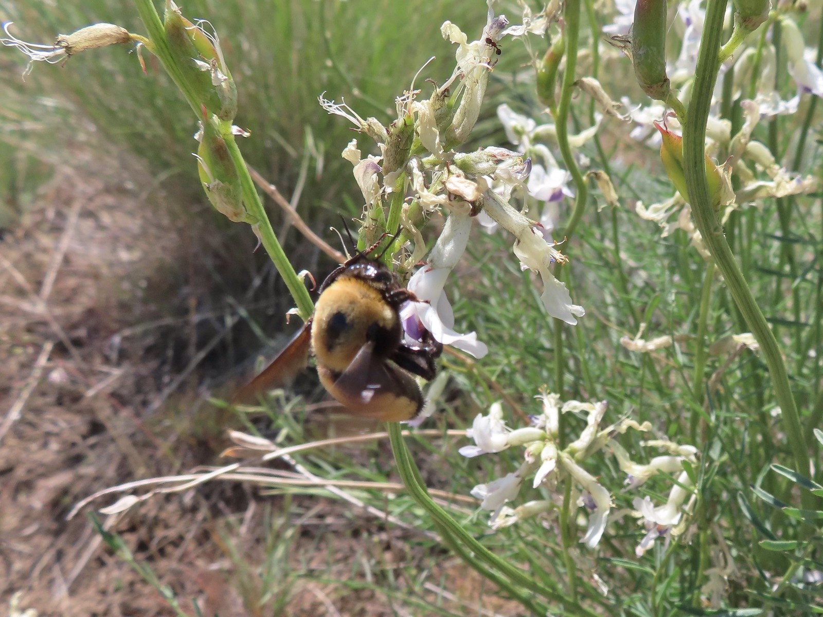 Busy bee
 This swallowtail was a little rough around the edges.
 Another horned lark on lookout.
 Nothing brings fritillary butterflies together like a good pile of scat.
 Another option for another time. We were just happy to have solved that mystery.
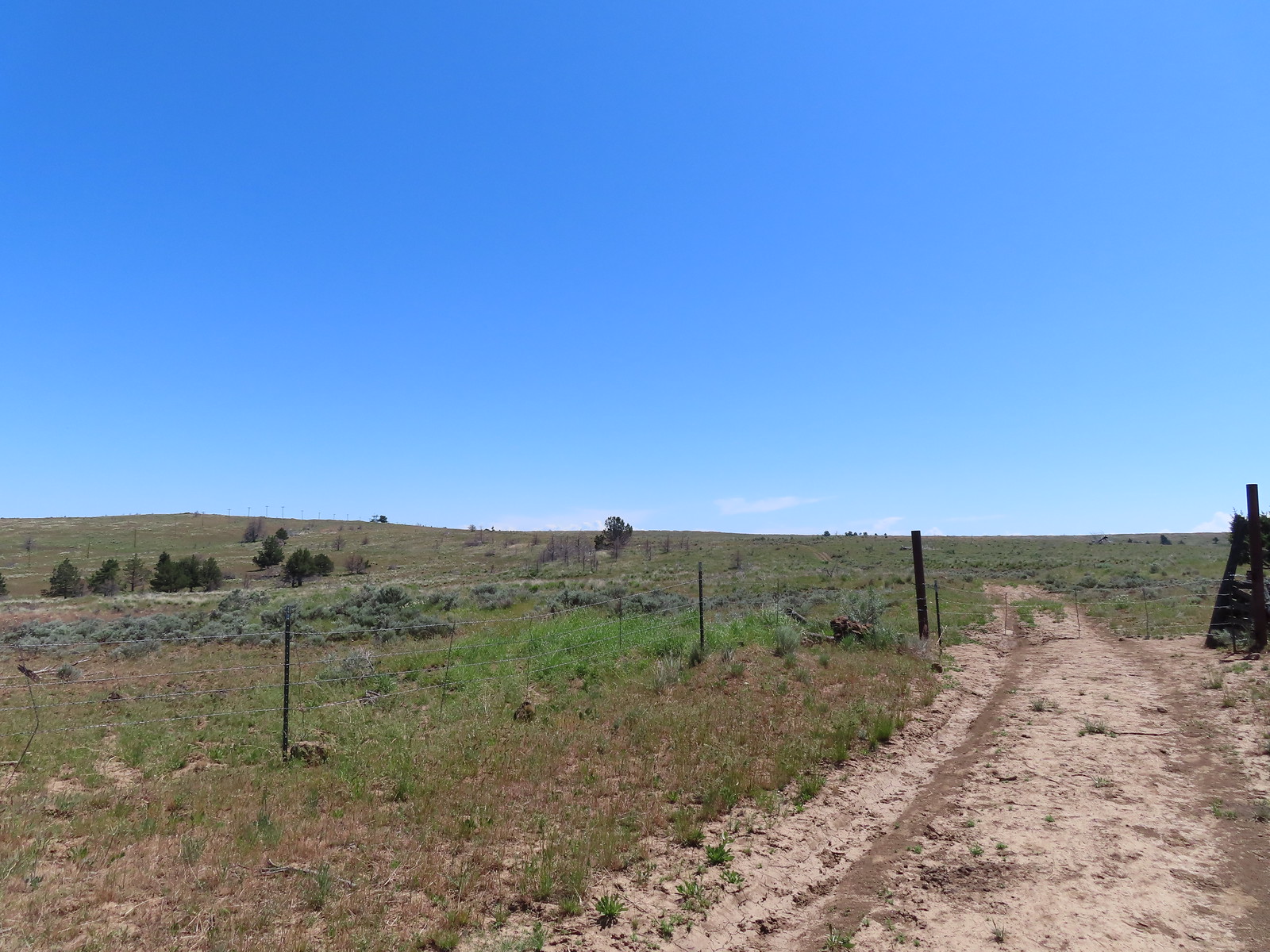 The Radio Towers on the hill were right next to the trailhead.
 The Three Sisters (from this angle it looks like two)
 Three butterflies and a beetle on buckwheat.
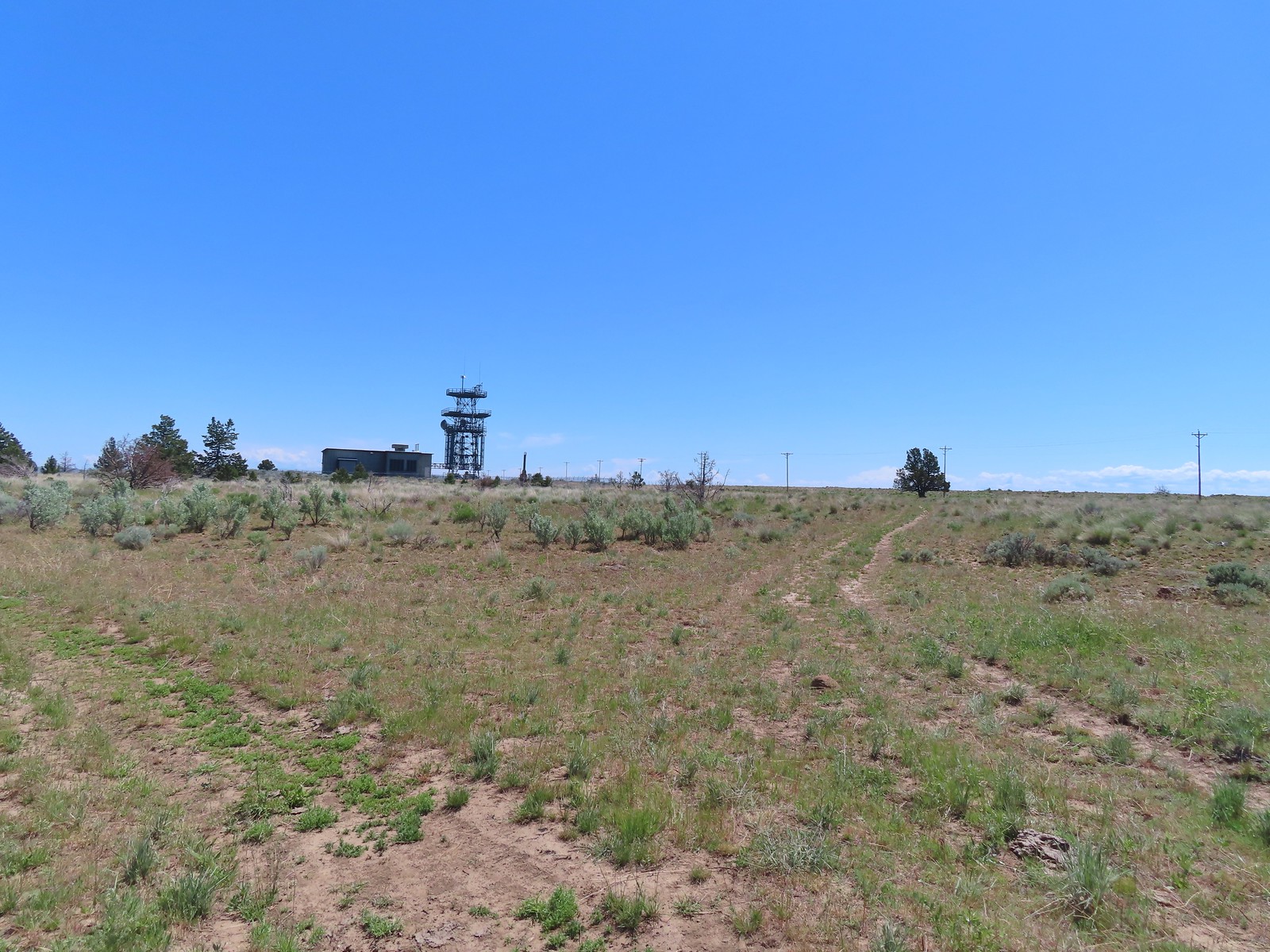 Another mystery was where did the trail from the South Trailhead (just on the other side of the radio towers) connect. We’d missed the track on the right on our first pass, another question answered.
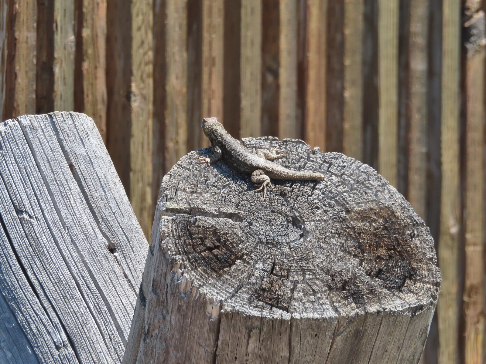 Lizard with half a tail at the trailhead.
 This mountain bluebird was acting odd when we arrived at the gate. It was flying back and forth with something in its mouth. (Mt. Adams is in the background.)


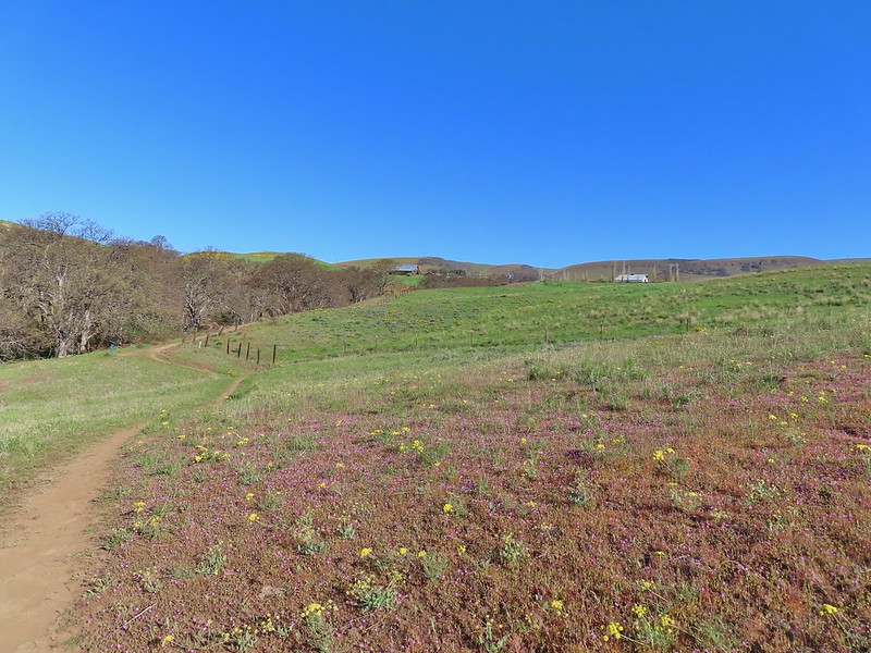
 There were a few buttercups blooming in the grass and not much else along this side of the Memorial Trail.
 A lone strawberry blossom.
 The Inter-Tie Trail was a wet and muddy affair. I could hear a lot of birds in the surrounding trees but couldn’t make any of them out unless they flew right in front of me.
 I went left here which got me out of the slick mud but onto even wetter grass.
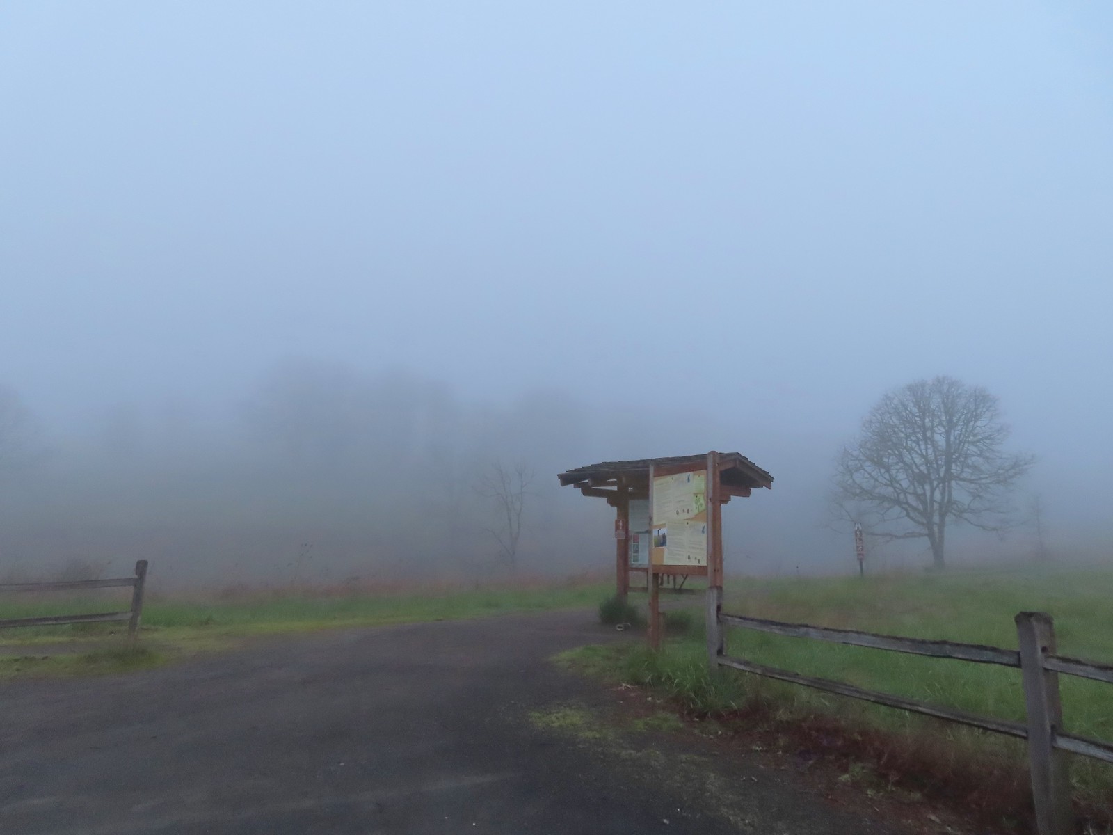
 Coming up on the marsh which is just on the other side of the dip in the road.
 Two rabbits trying to decide if they were going to keep eating grass or race off into the blackberry bushes.

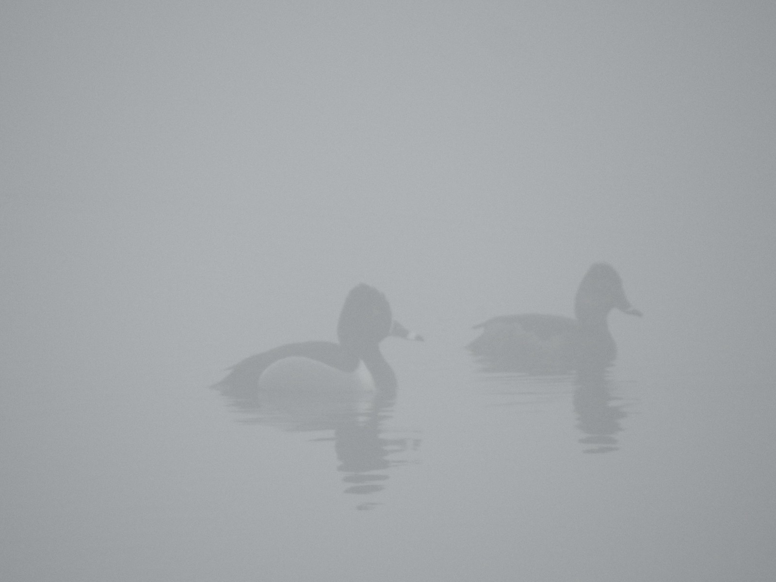 Ring-necked ducks
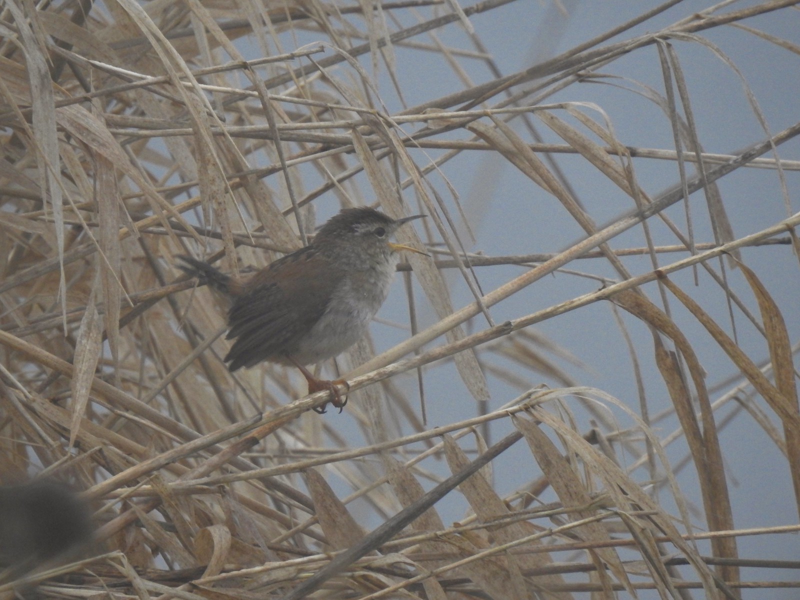 I think this is a marsh wren.

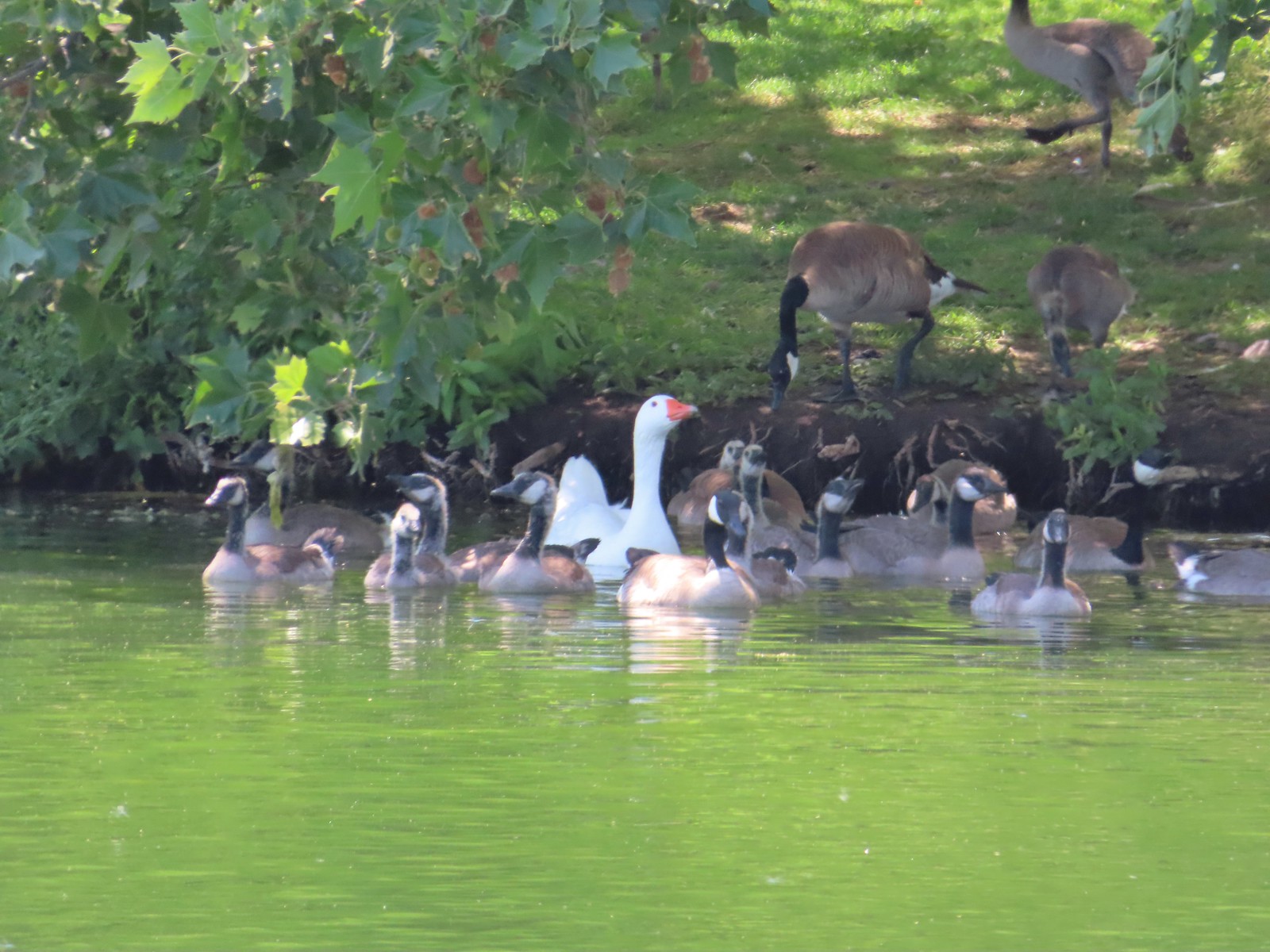
 I think the 2nd goose in from the right is a cackling goose while the others are Canada geese. It’s a bit smaller and the white patch is shaped differently.
 Swallows
 California quail
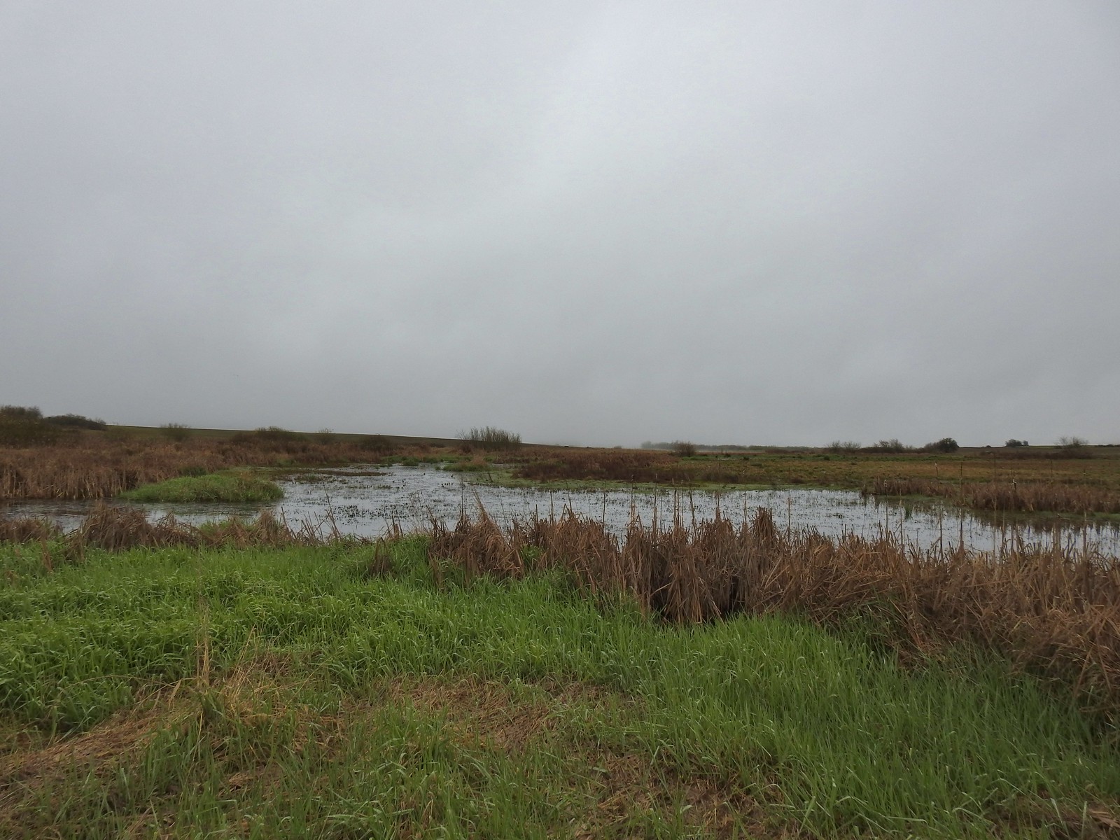
 Cinnamon teals
 Northern shoveler drake
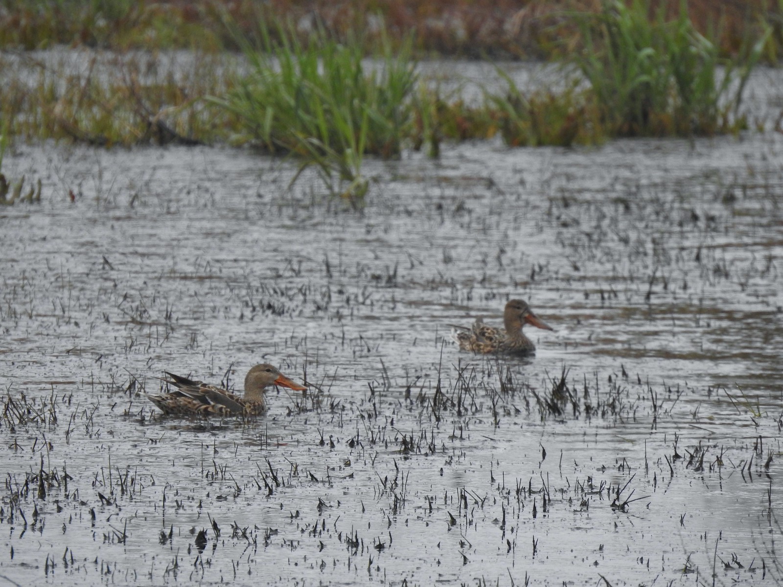 Northern shoveler females
 Signs at the Smithfield Road Trailhead.
 Buffleheads
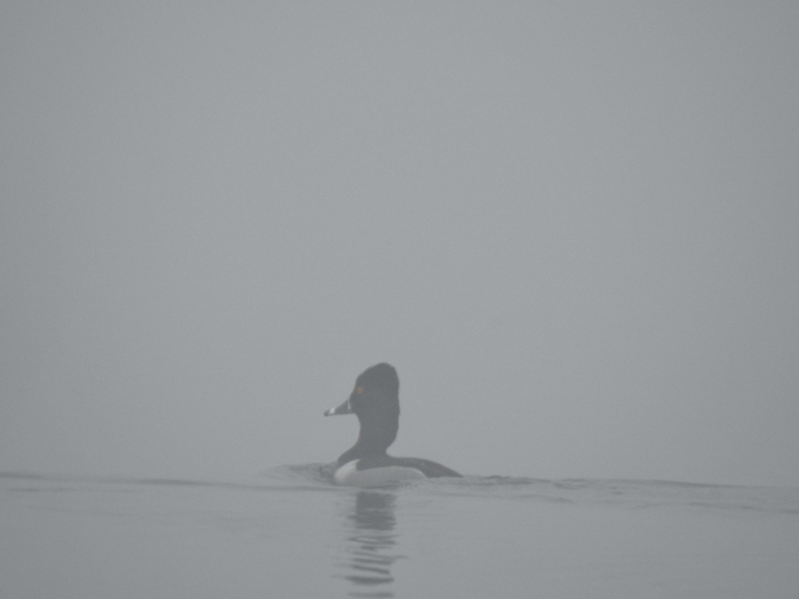 Ring-necked duck
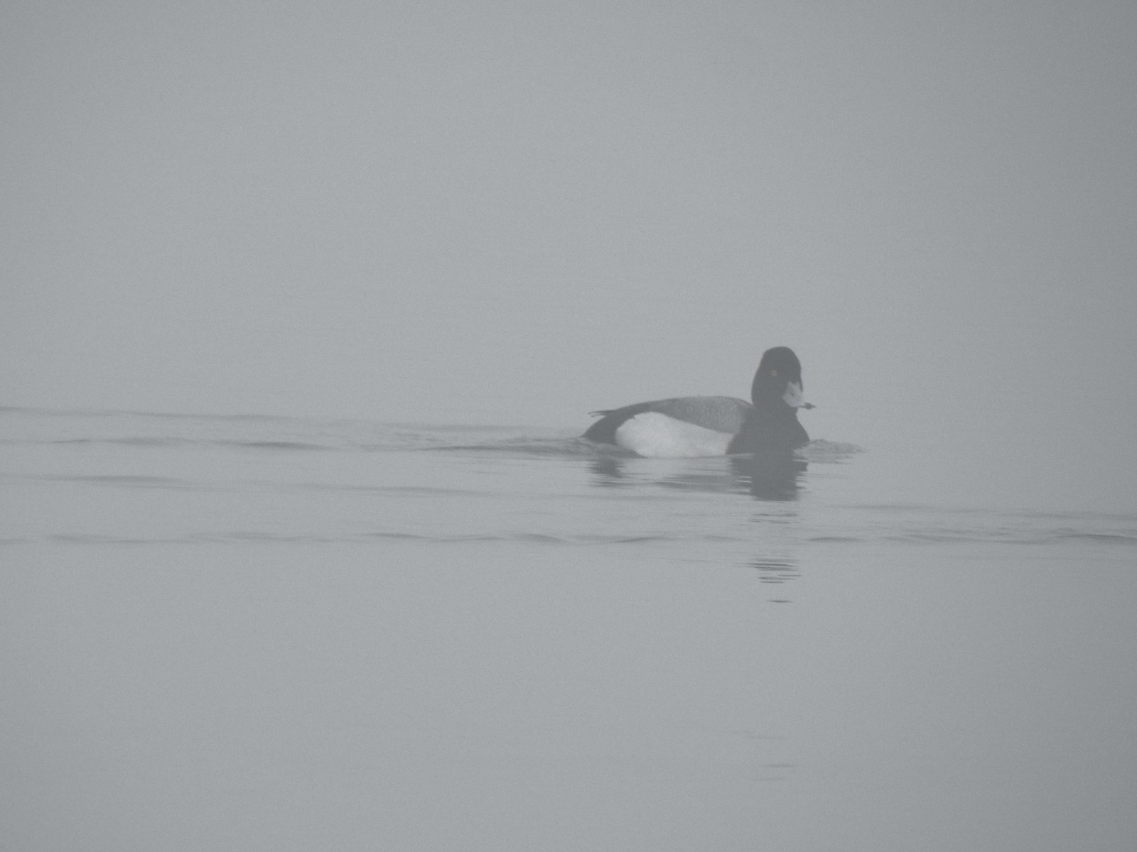 Possibly a lesser scaup.
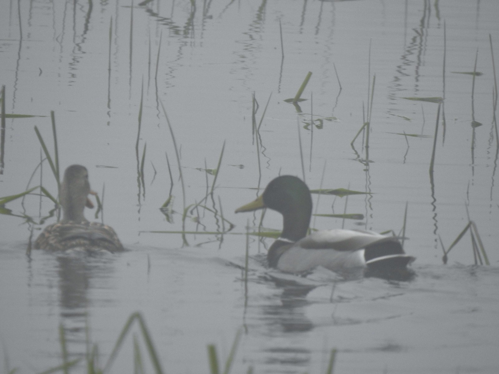 Mallards
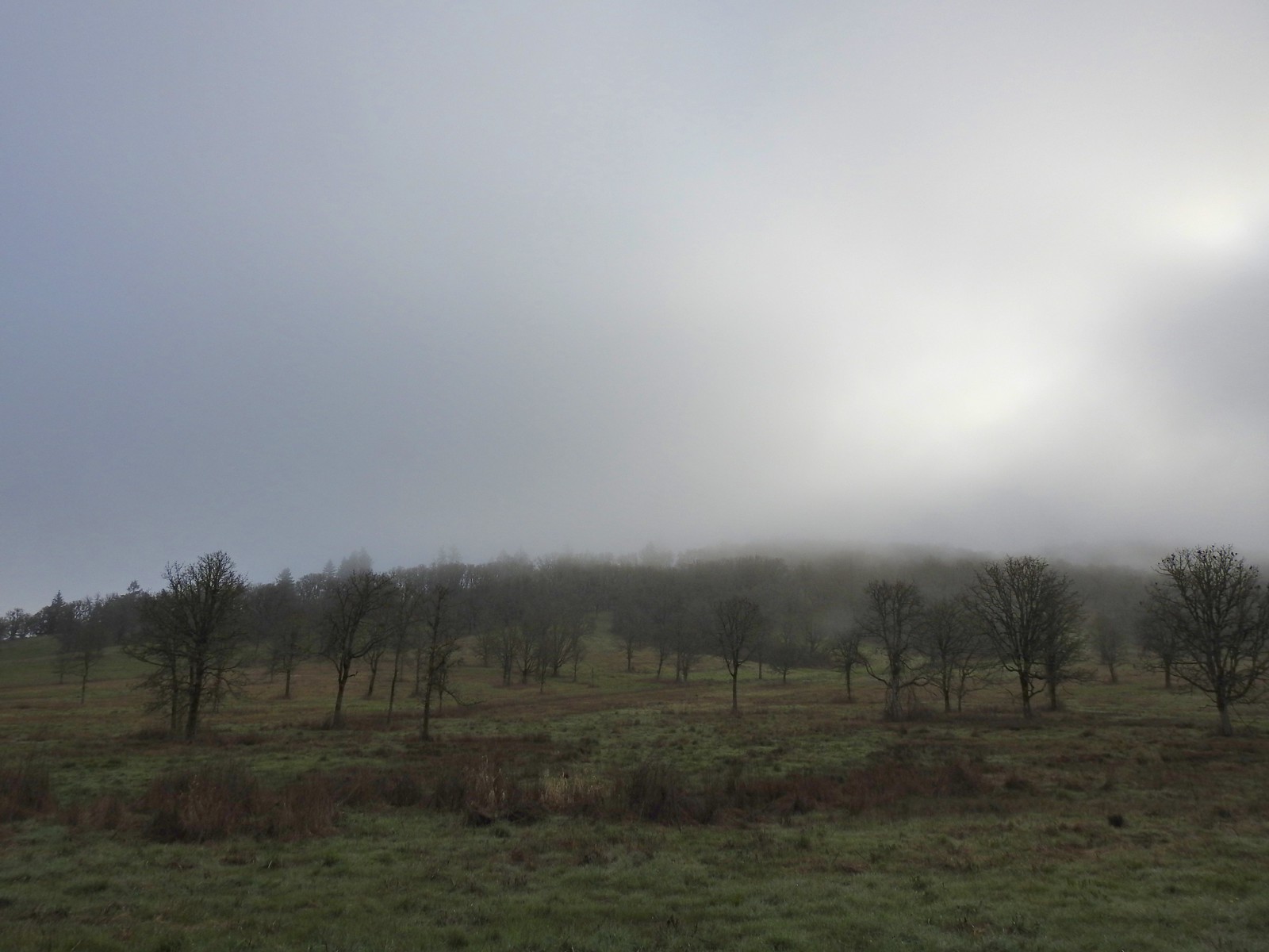


 The only bull I could pick out.

 Robin
Robin Bench overlooking Morgan Lake
 Morgan Lake from the bench.
 Spotted towhees
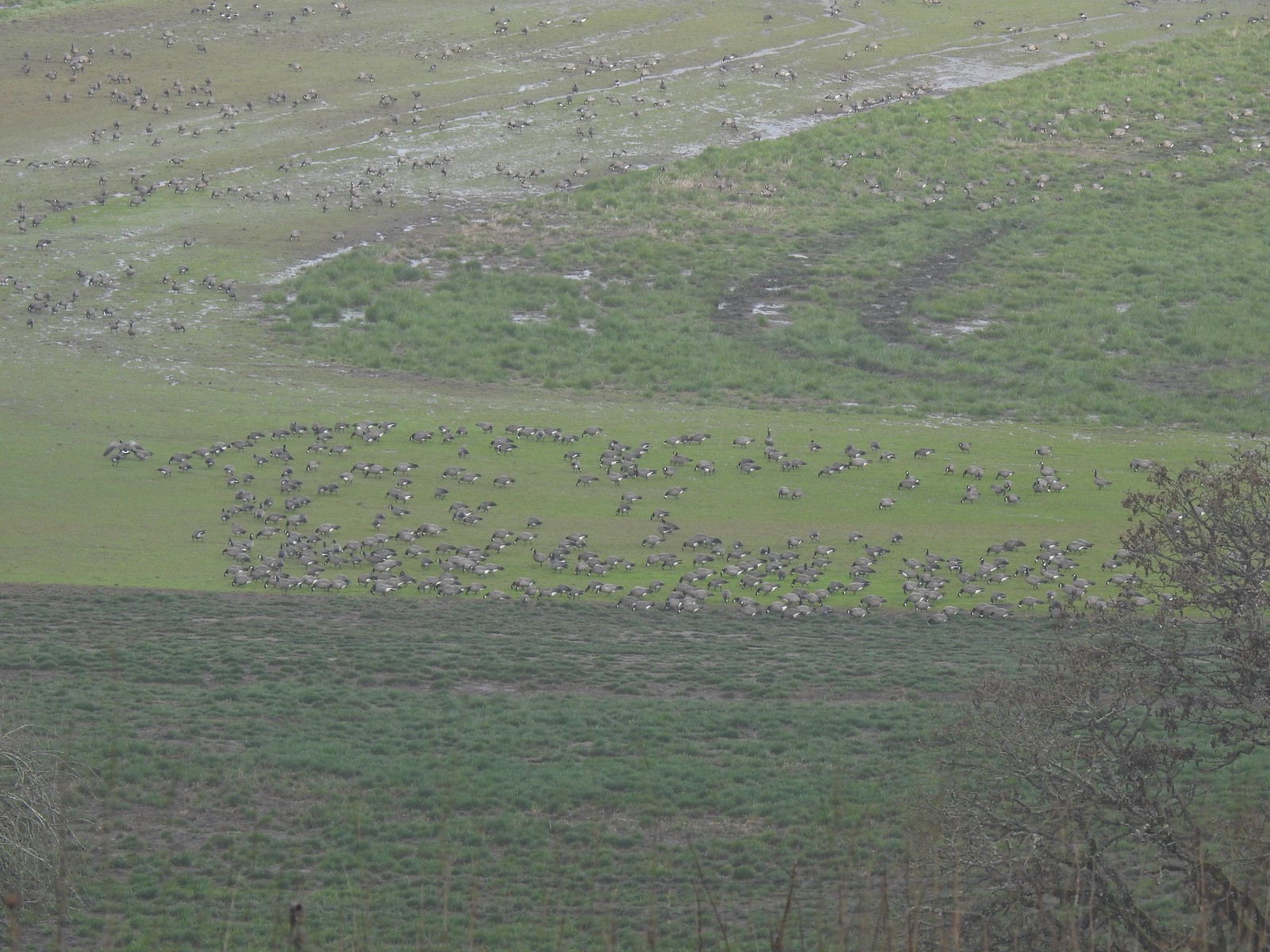 A lot of geese way below the trail.
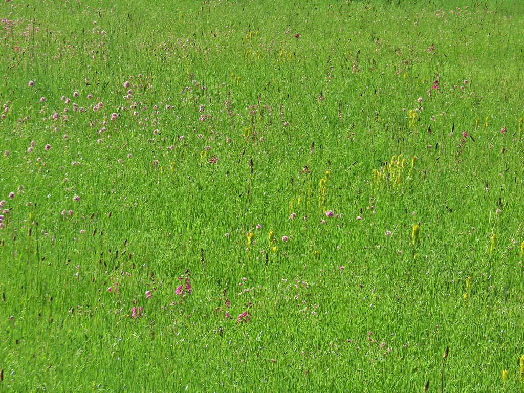
 I started seeing a lot of toothwort on this side of the loop.
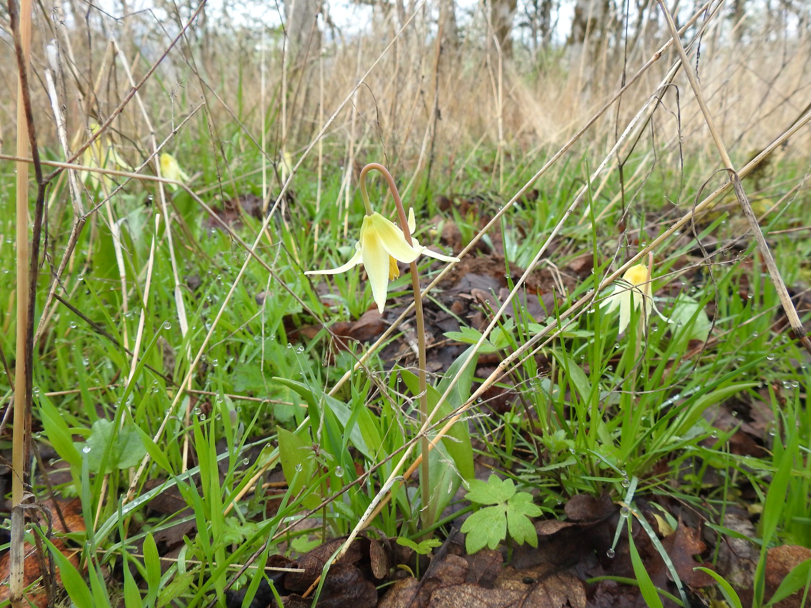 More fawn lilies too.
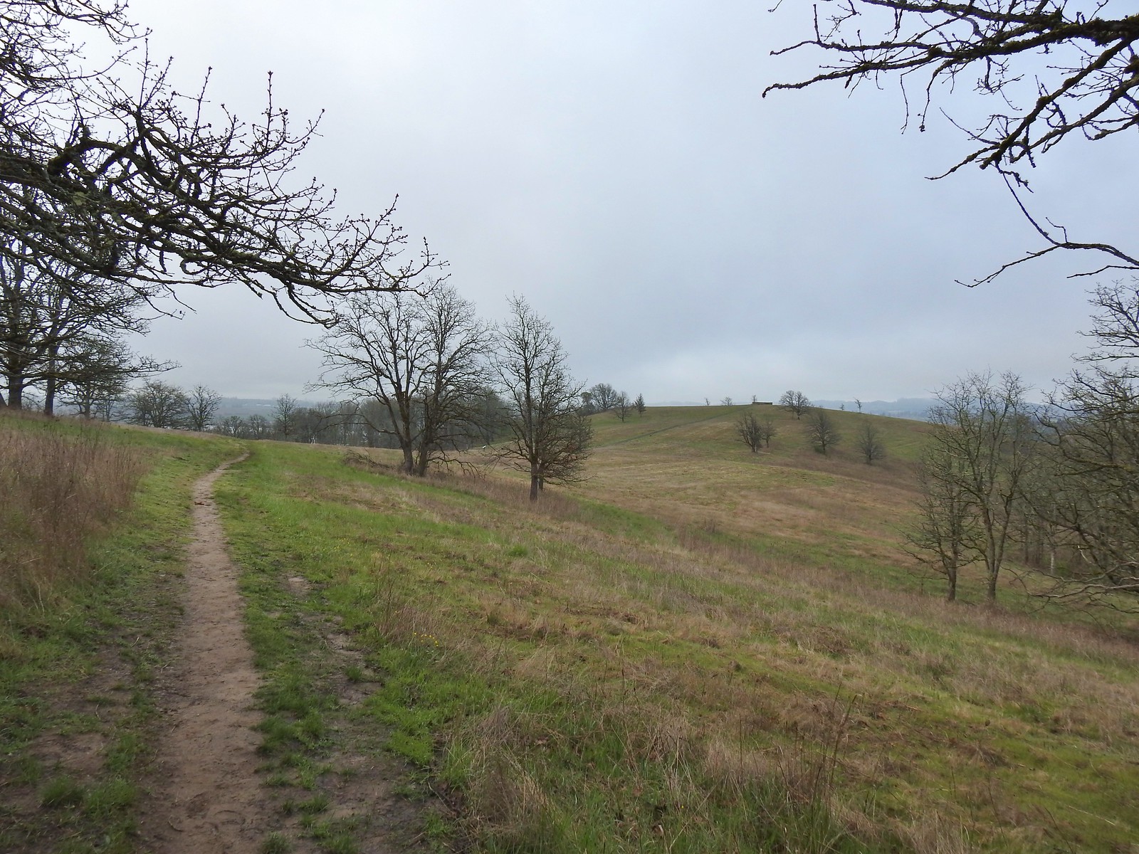 The viewing platform on Baskett Butte to the right.
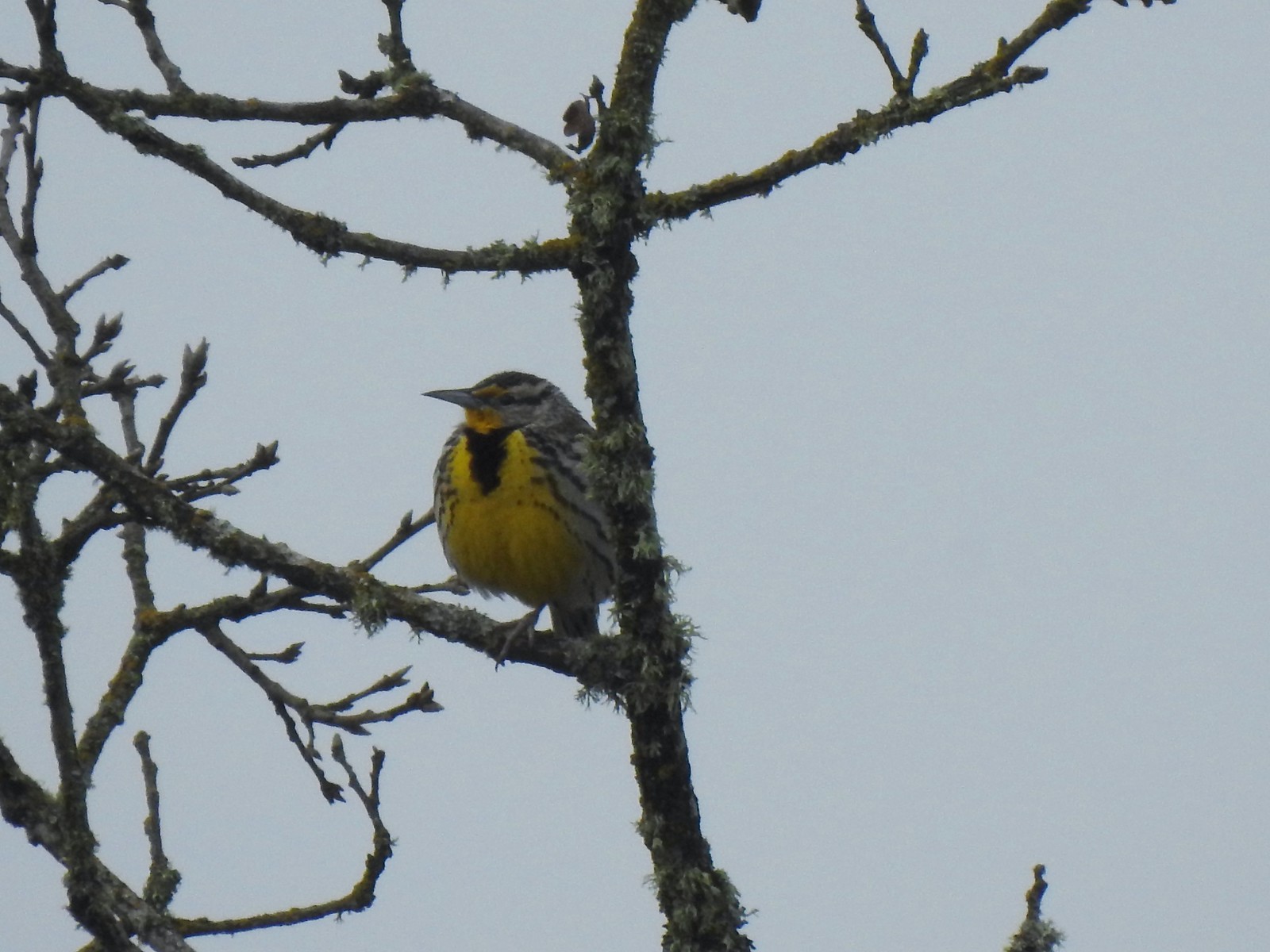 One of several western meadowlarks (Oregon’s state bird) on the butte.
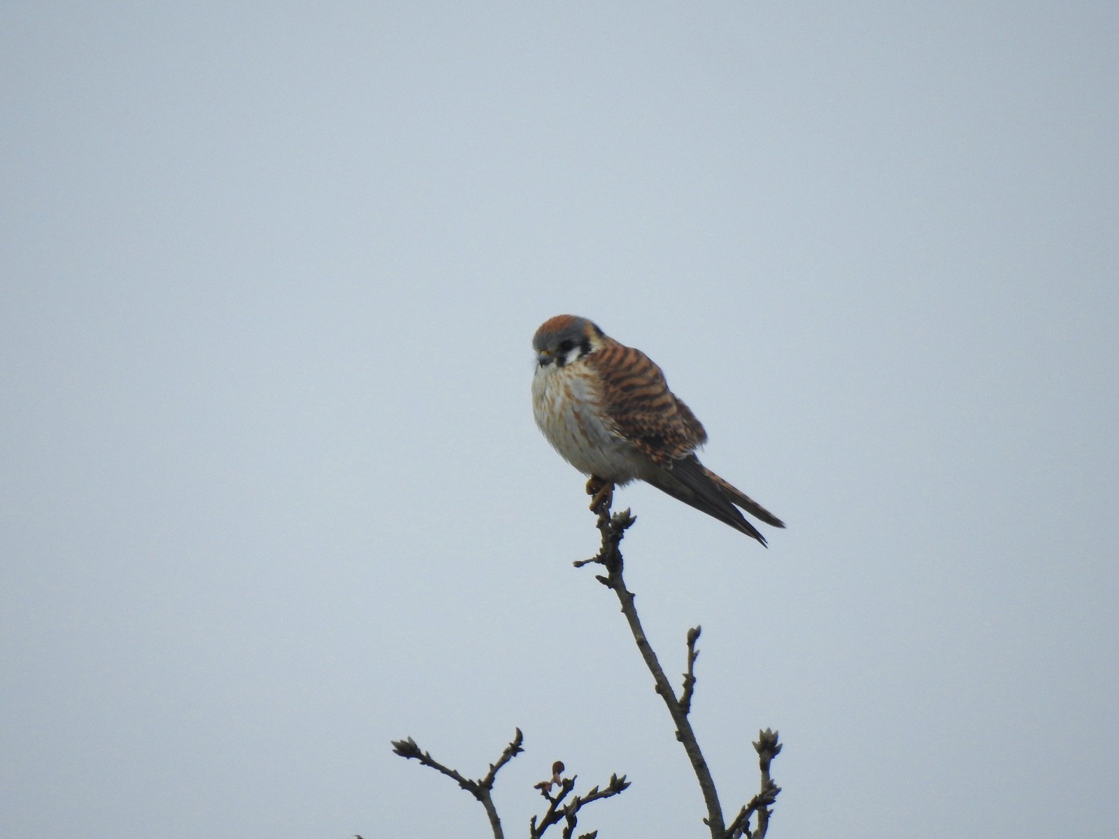 American kestral
 A better look at the yellow on the meadowlarks.
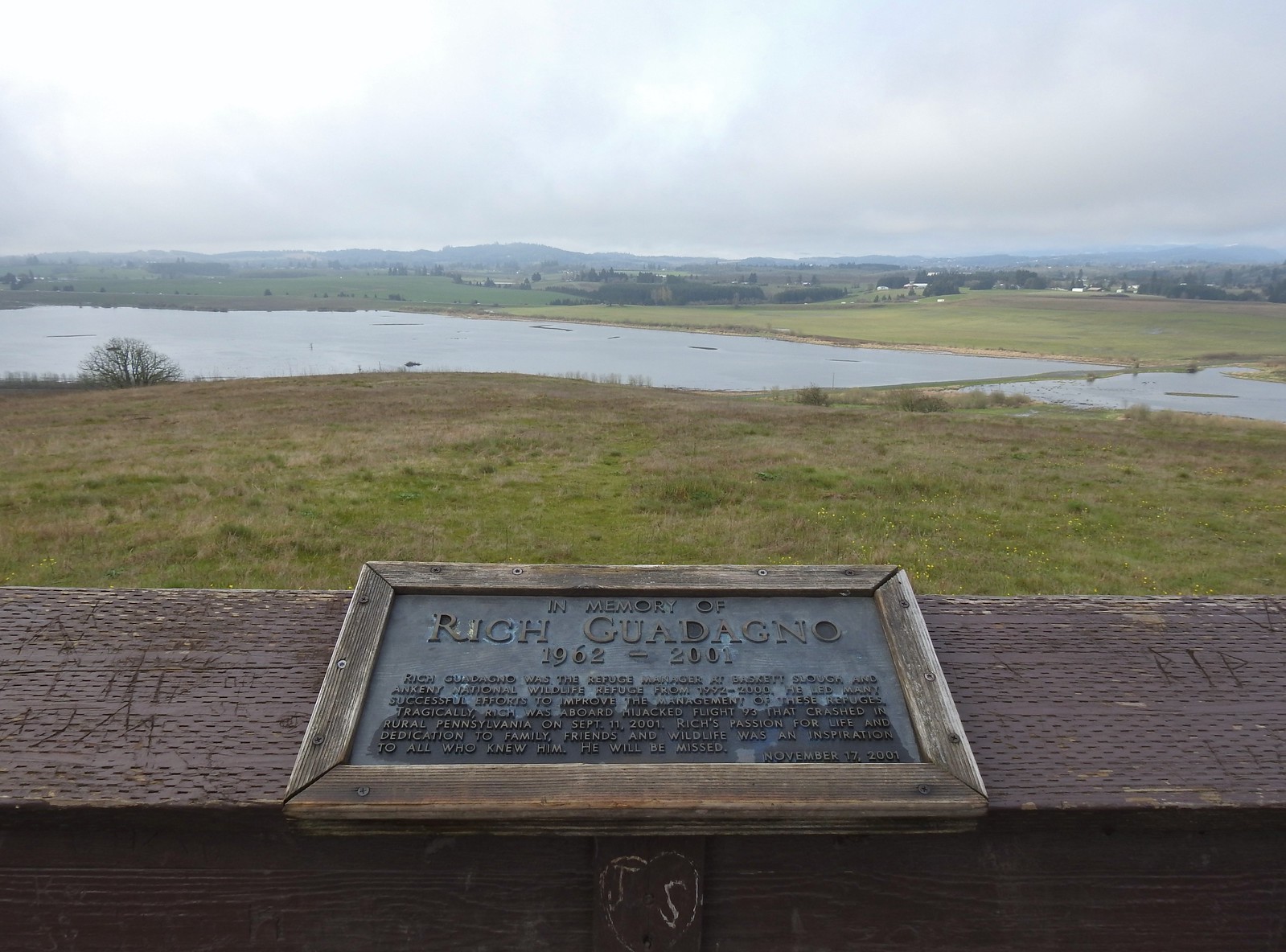 View from the platform.
 Sign along the path.
 More fawn lilies.
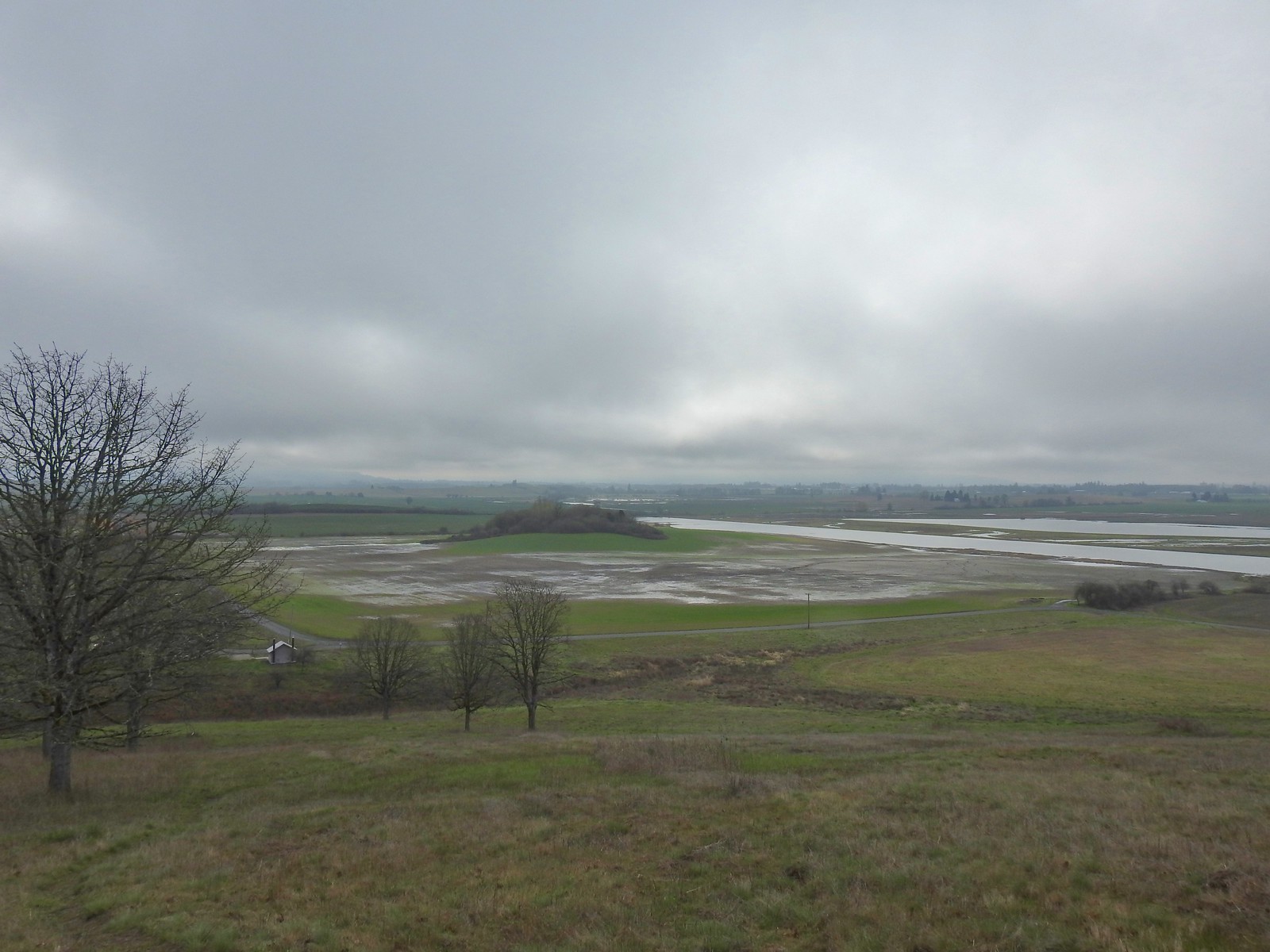 The path leading down toward Coville Road. The outhouse at the Baskett Butte Trailhead is on the left below.
 Baskett Butte from below.
 The trail is simply a dike road that leads to the refuge HQs.
 The headquarters is to the left of the road on the far side of South Slough.
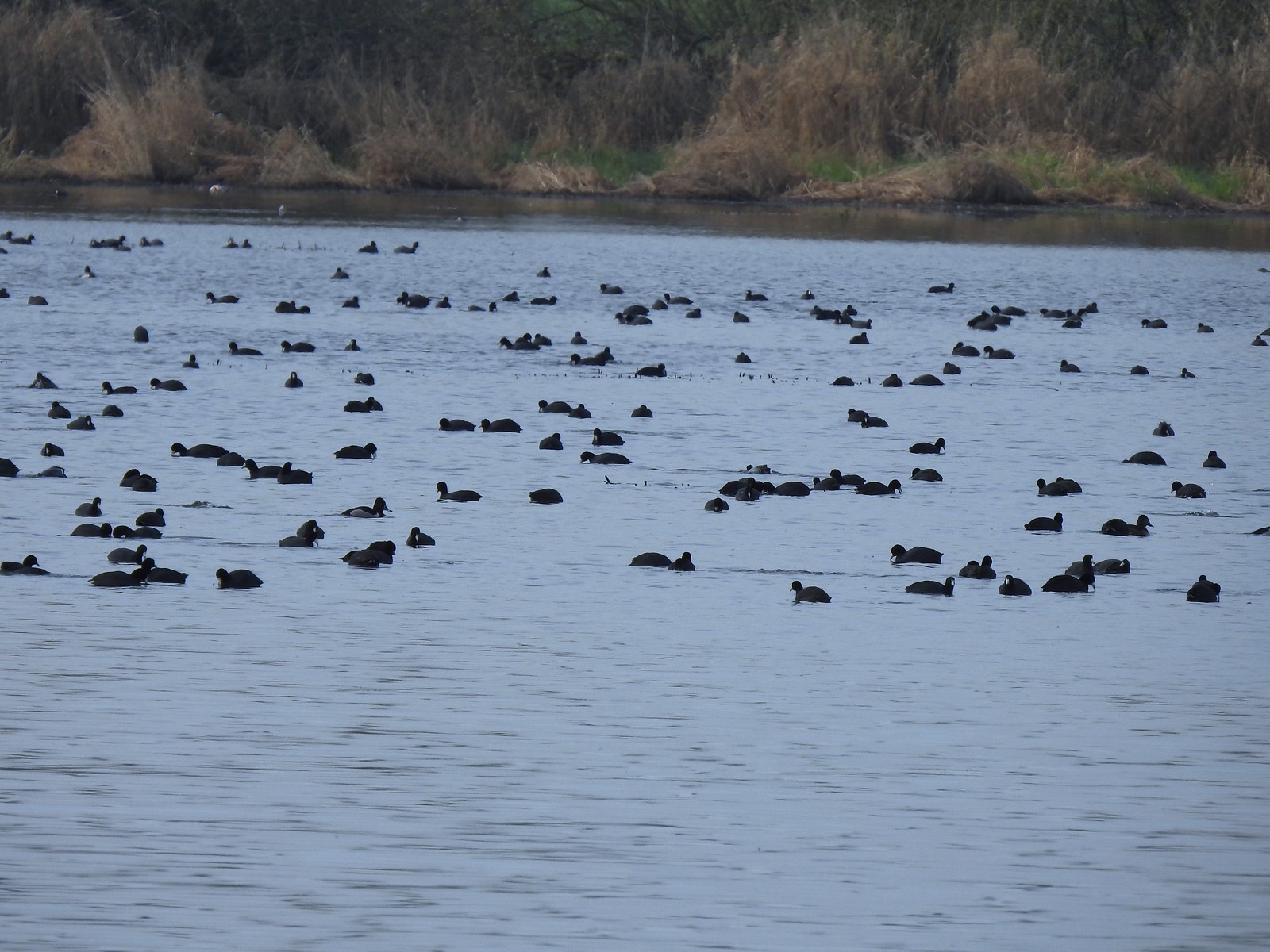 Also a bunch of American coots.
 Northern shovelers
 Buffleheads
 Red-winged blackbird
 Yellowlegs (probably lesser)
 Baskett Butte (left) from my turn around point.
 The ruddy duck woke up after all the American coots headed off.
 Savannah sparrow
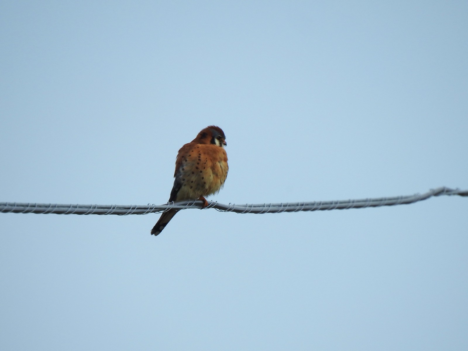 One more American kestral

 Afternoon photo of the start of the trail.
 This section was so nice I did it twice.
 Cottonwood Canyon State Park main area across the river.
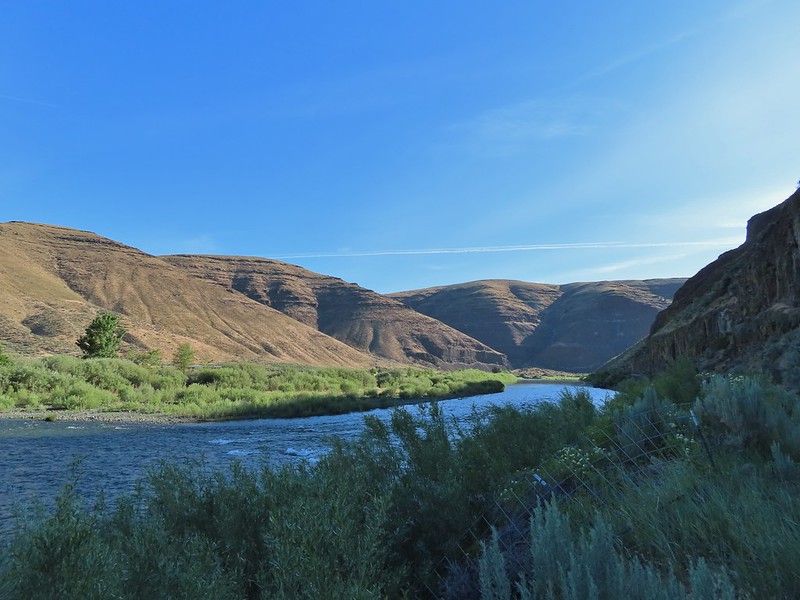
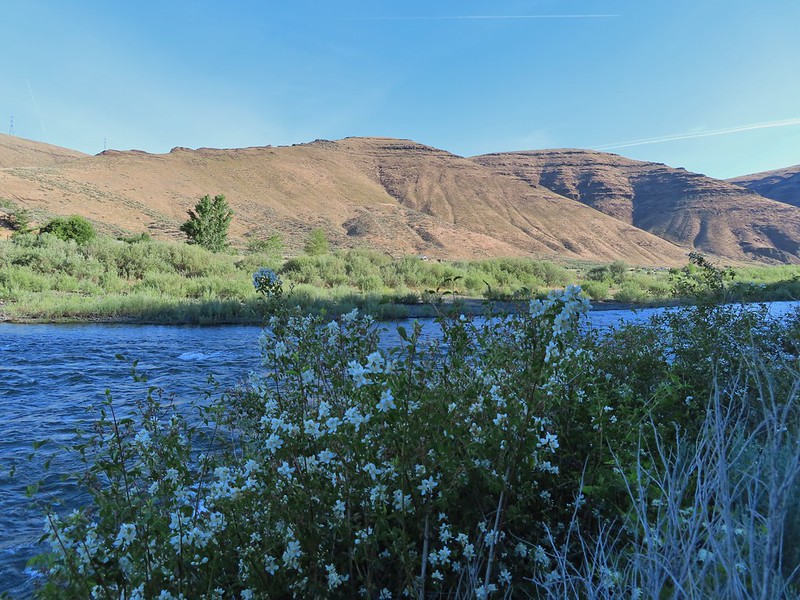 One of the exceptions was mock orange which was blooming profusely along the trail.
 Dalmation toadflax and yarrow.
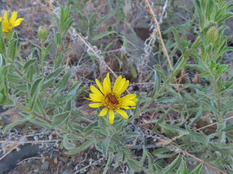 Beetle on what might be hairy golden aster
 A lupine


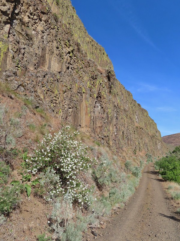 More mock orange along the trail.
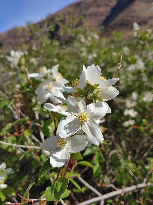 Close up of the mock orange.
 Butterfly on western clematis
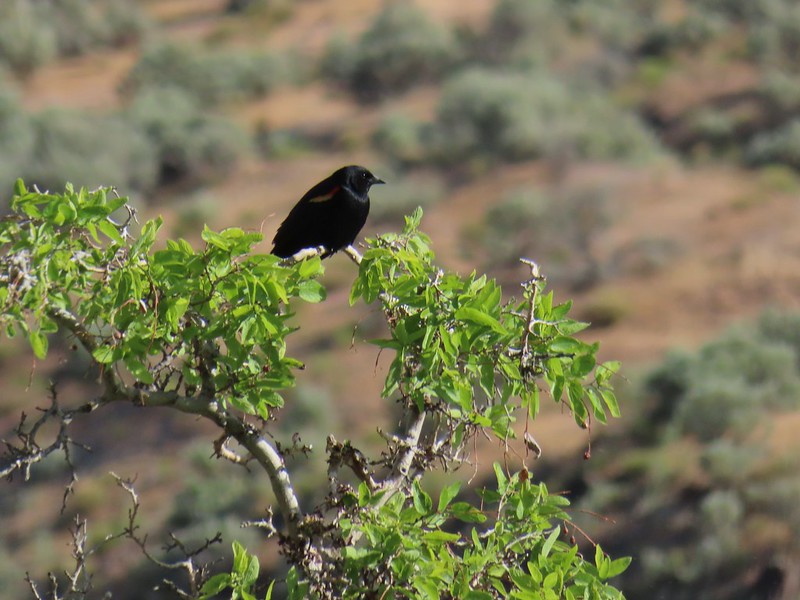 This red winged blackbird cooperated for a photo op.
 Salsify
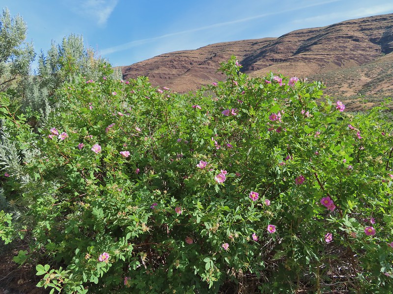 Wild roses
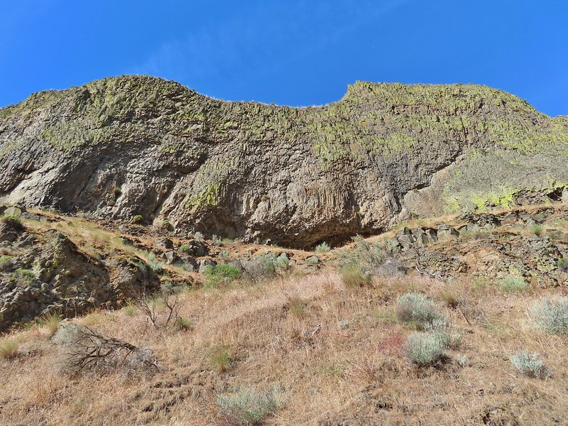


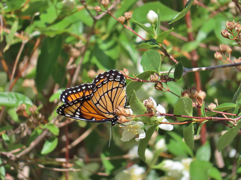 We saw this viceroy on the way back to the car.
 Magpie dive bombing a hawk.
 Coming up on the second bench.
 The otter or whatever it was was right in this area.
 Cedar waxwings
 The Pinnacles
 Ducks
Ducks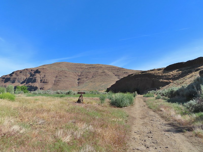 Esau Loop Trail sign.
 Looking back at The Pinnacles from the Esau Loop Trail.
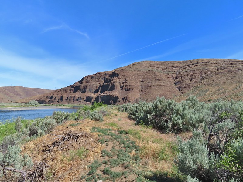
 Unknown flower
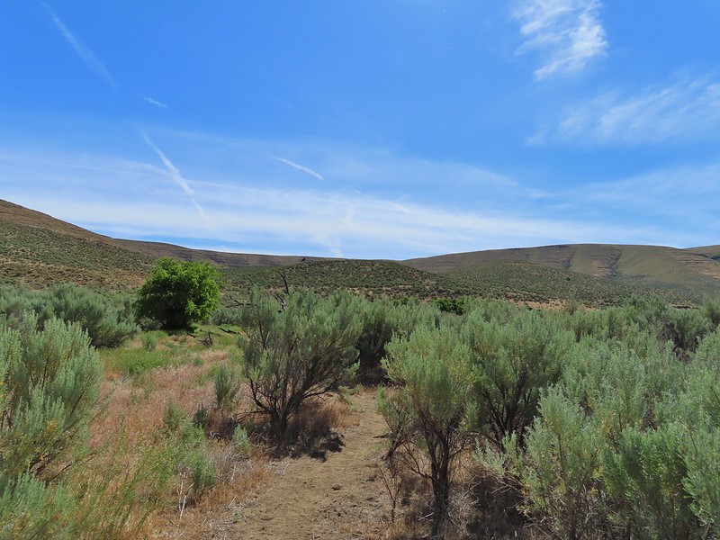
 Sagebrush mariposa lilies
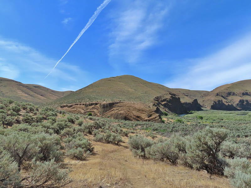

 The more open looking hillside to the right of the cliffs was deceptively steep so we followed the road to the left until the the terrain appeared more hospitable.
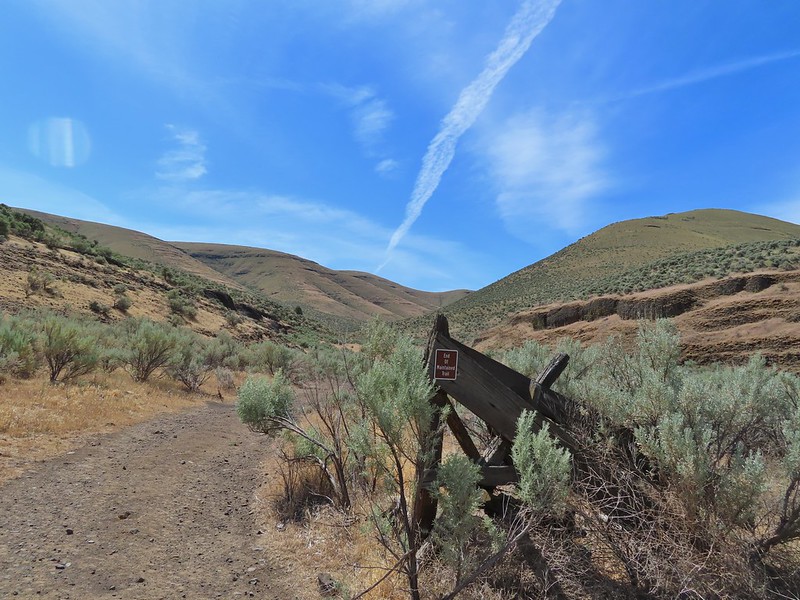
 We set off from the roadbed here.
 Have these gone to seed or blossoms?
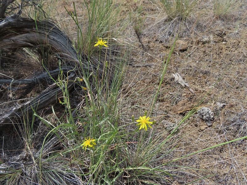 Possibly a hawksbeard
 Sagebrush mariposa lily

 Found the fence line.
 I took this photo at 10:35, it looks like I’m close to the top.
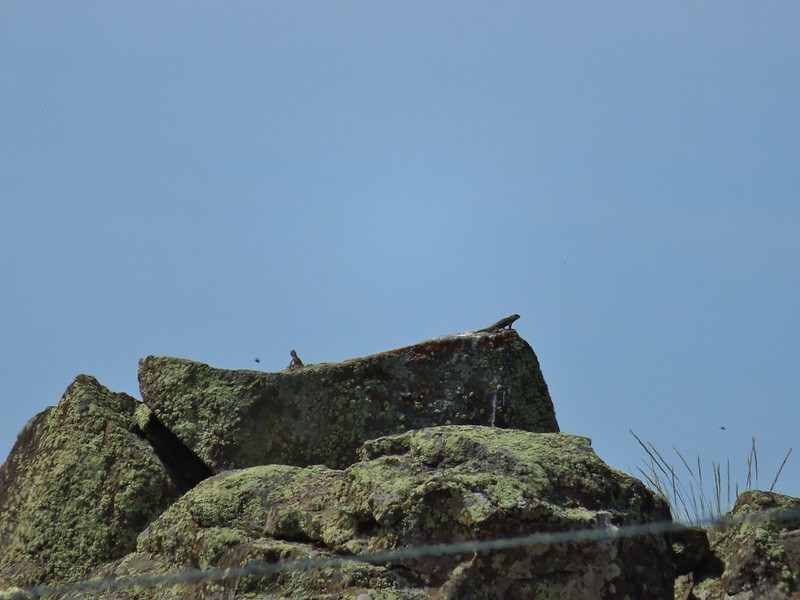 These two lizards beat us to the top.
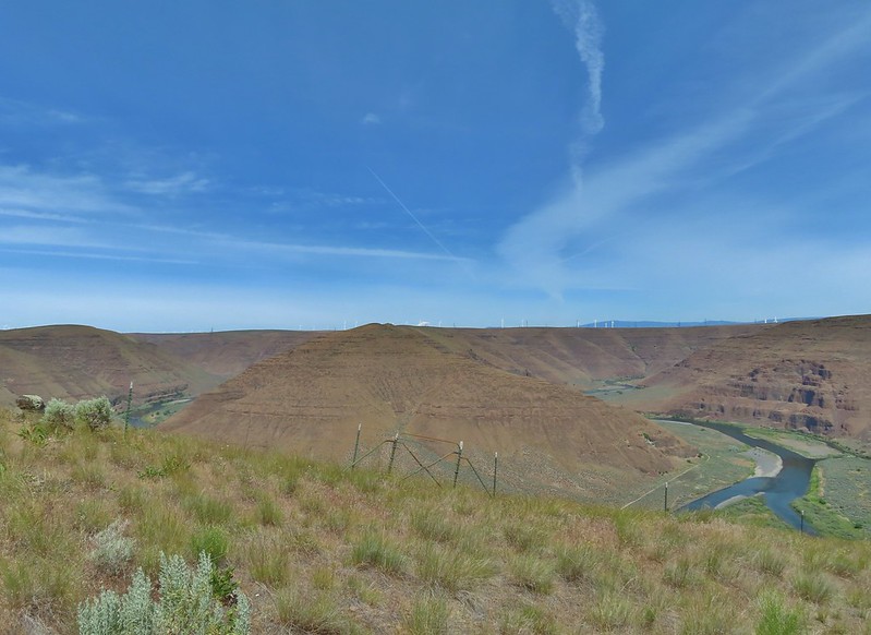

 The very top of Mt. Rainier was also visible (barely)
 View SE
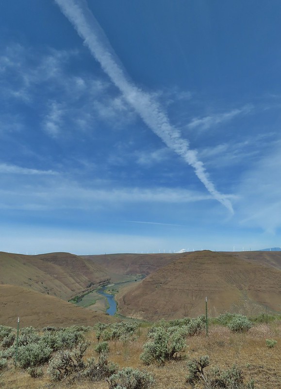
 Descending into Esau Canyon on the jeep track.


 Second climb over the fence.
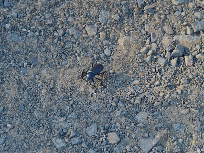
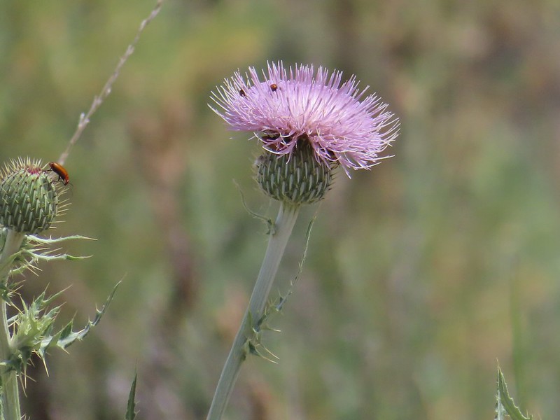 Beetles on thistle.
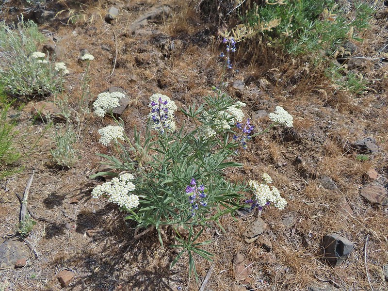 Yarrow and lupine
 Western meadowlark
 The Lost Corral Trail where it passes the cliff at the ridge end.
 Cottonwood Canyon State Park in the afternoon.
 Looking back toward the meadow.
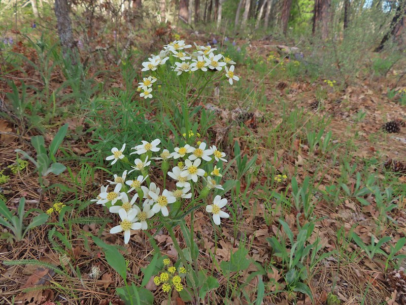 Western white groundsel
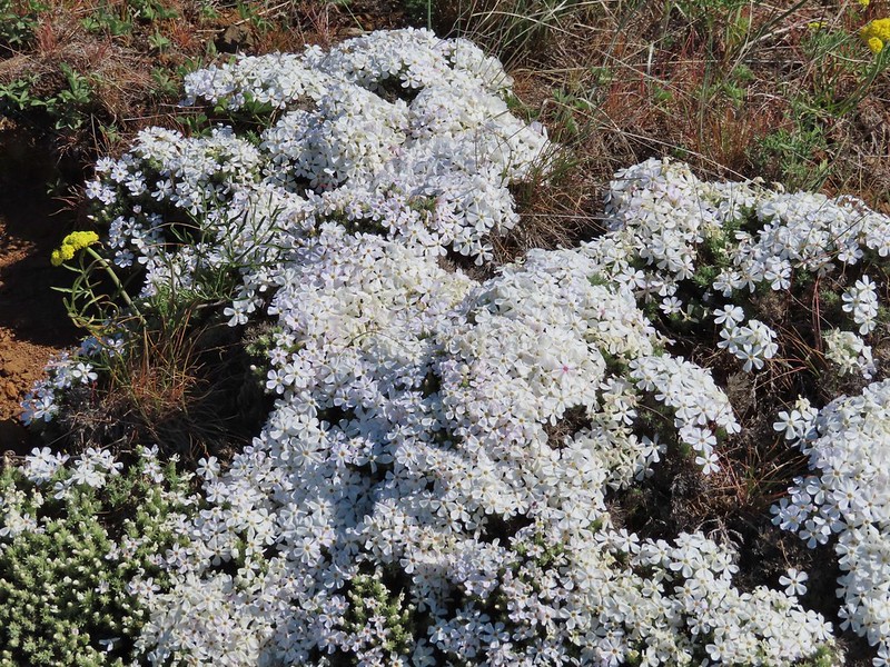
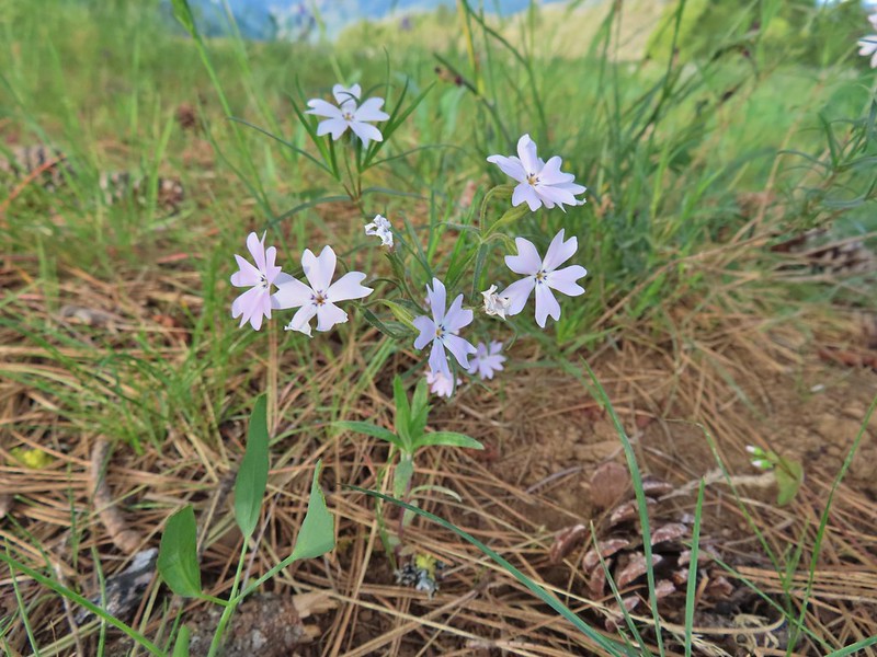 Showy phlox
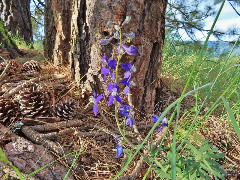 Larkspur
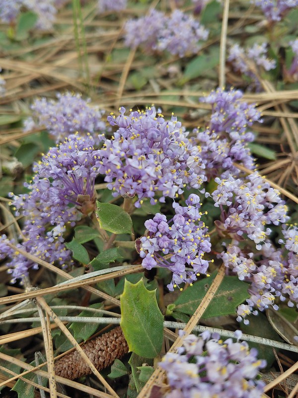 Mahala Mat (Prostrate ceanothus)
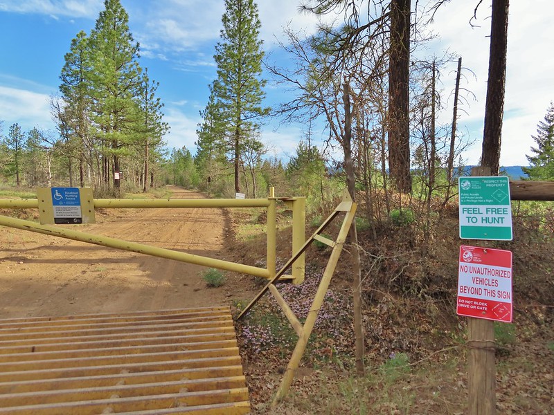

 Showy phlox among the oaks.
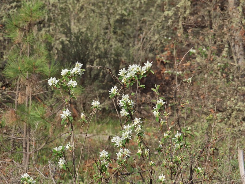 Serviceberry
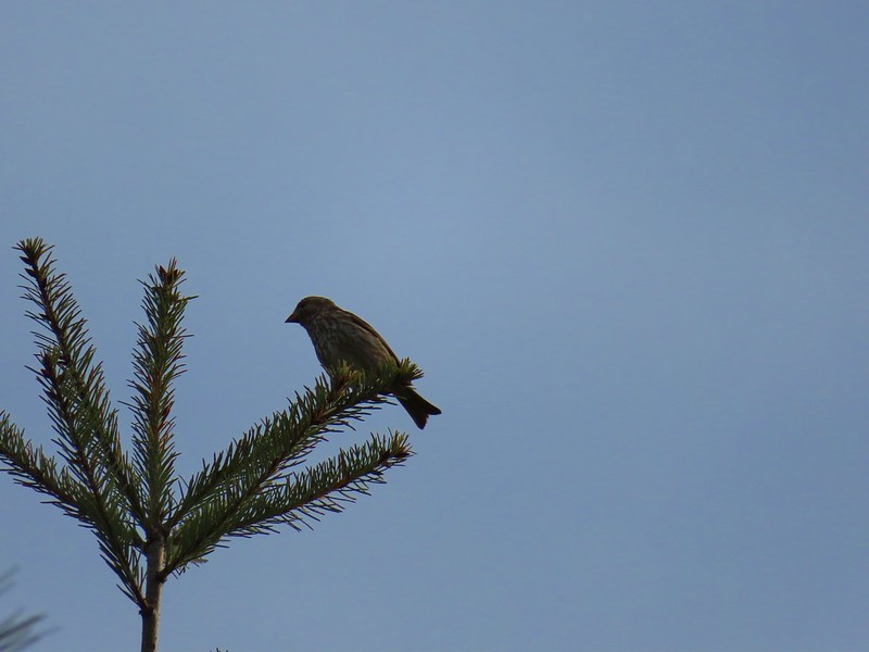 Sparrow
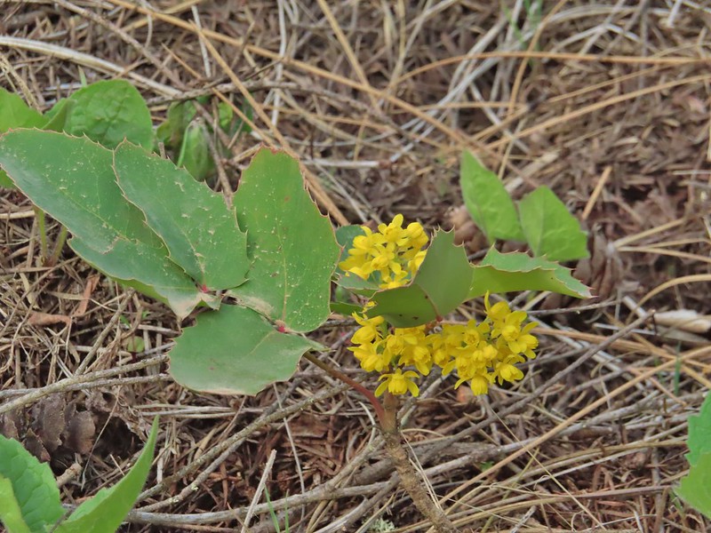 Oregon grape
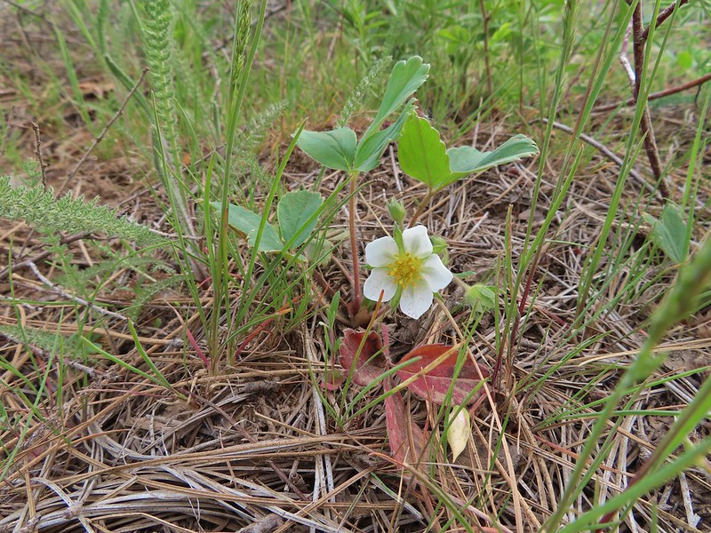 Strawberry
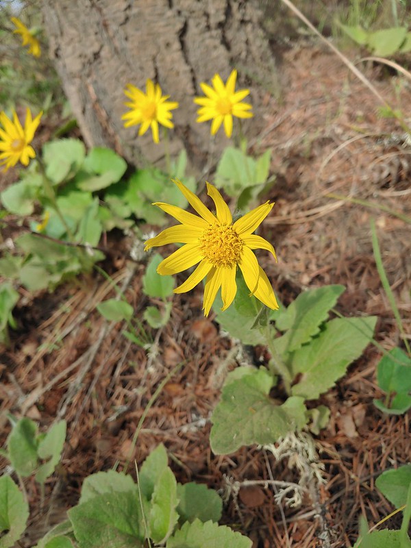 Arnica
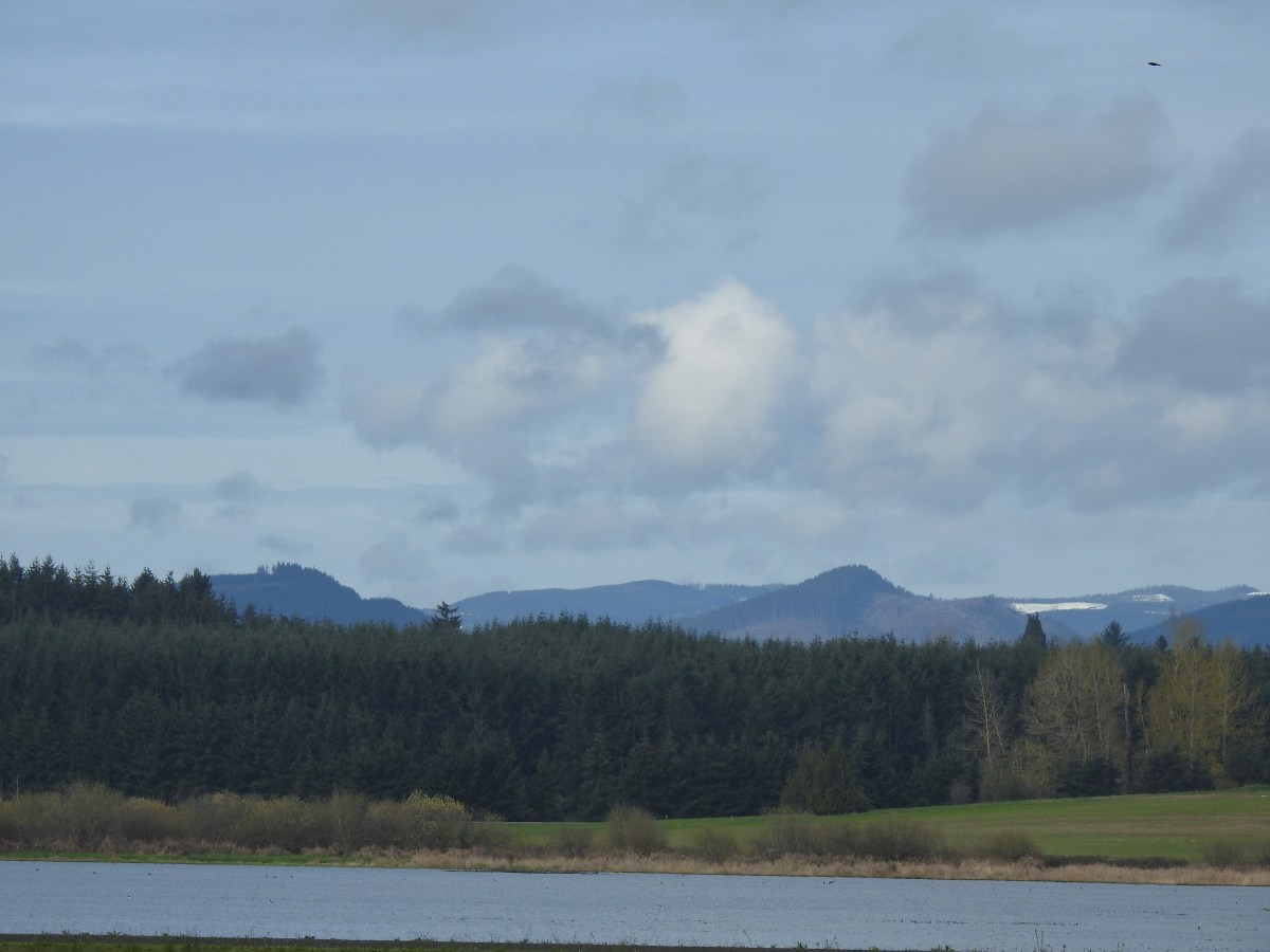
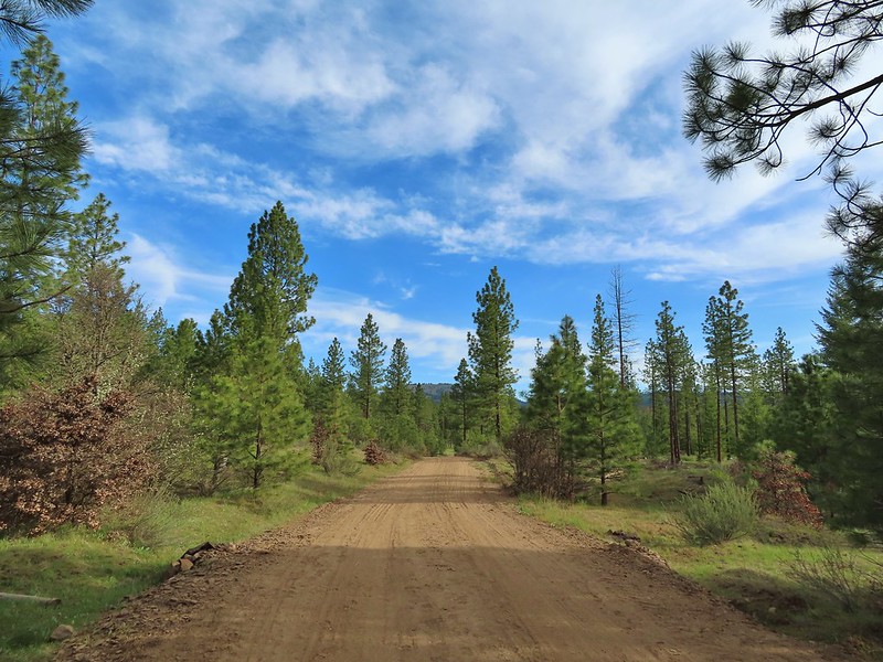 Grayback Mountain from Grayback Road. The first 2.5 miles of the hike only gained 400′ while the next 3.1 gained 1400′.
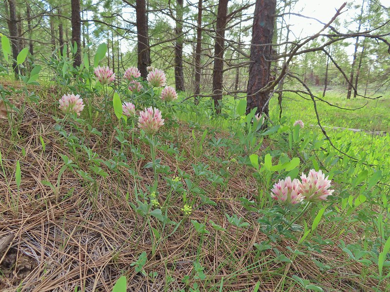 Large head clover
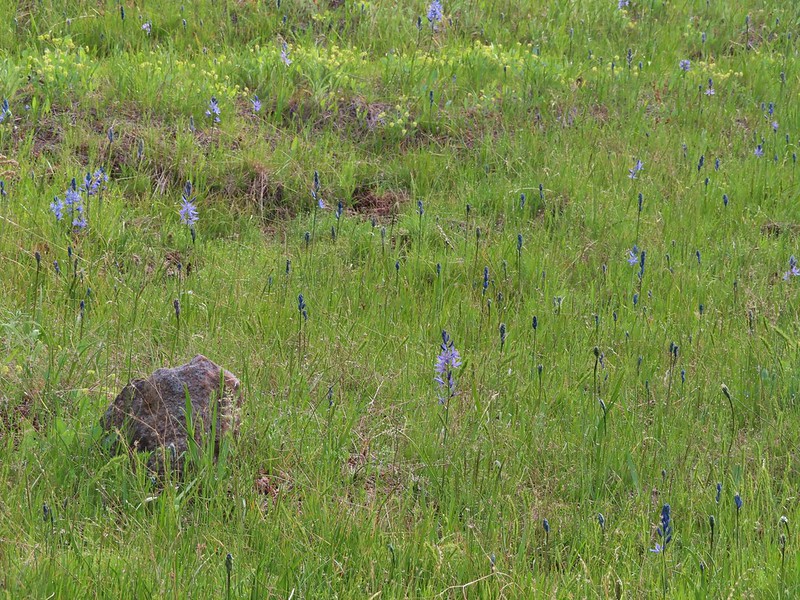 Camas, much of which had yet to bloom.
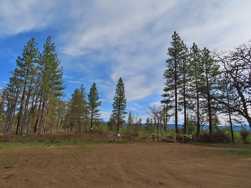
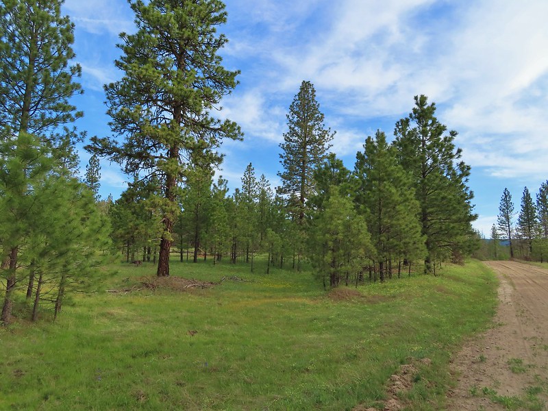 Ponderosa pines along the road.
 Western buttercups
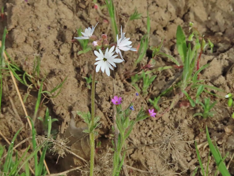 Woodland star and slender phlox
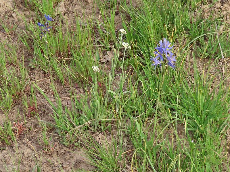 Pussytoes and camas
 A cryptantha
 Oaks and ponderosas
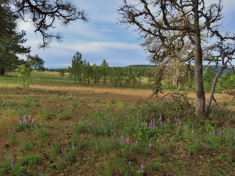
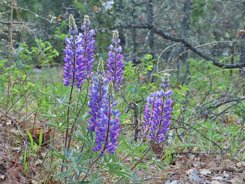 Lupine
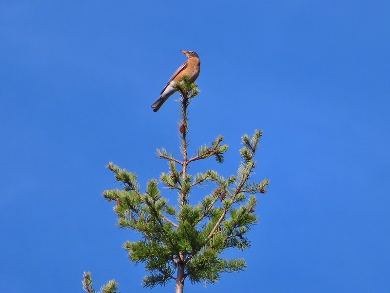 Robin
Robin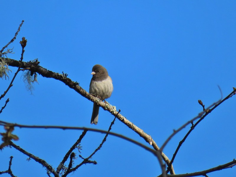 Dark eyed junco
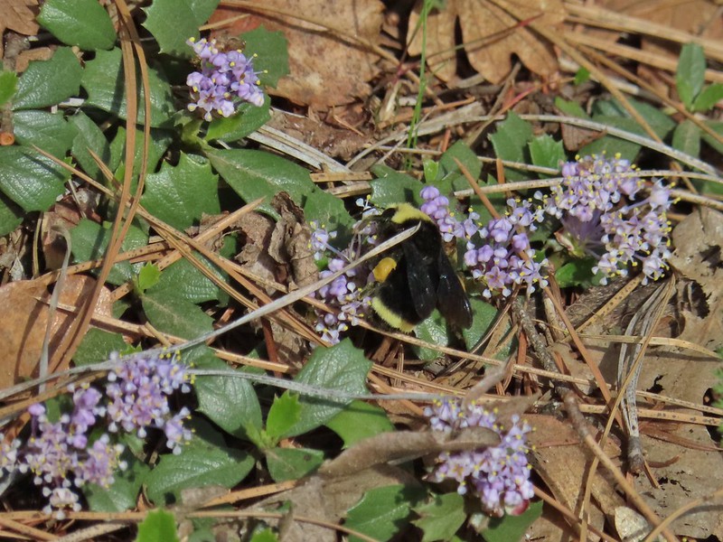 Bumble bee
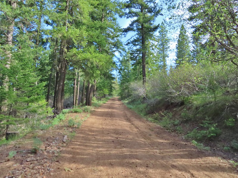 A more forested section of the road.
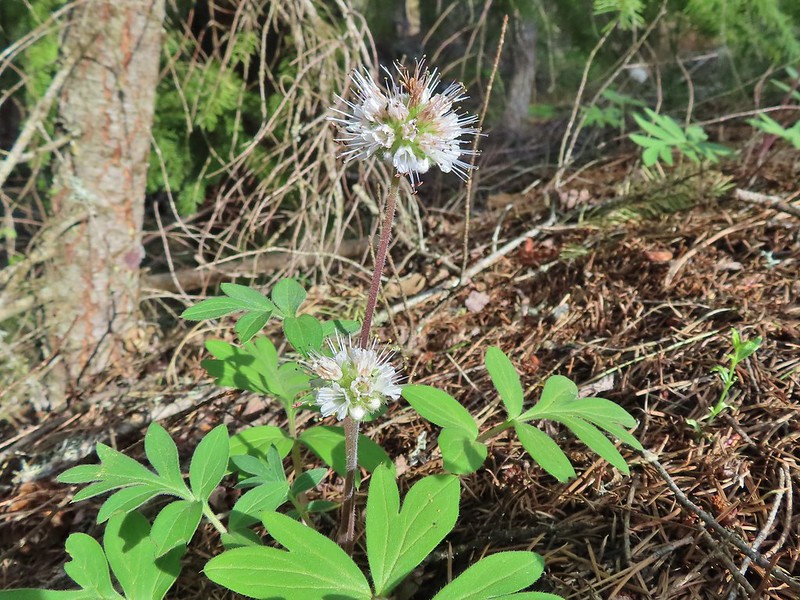 Ball-head waterleaf
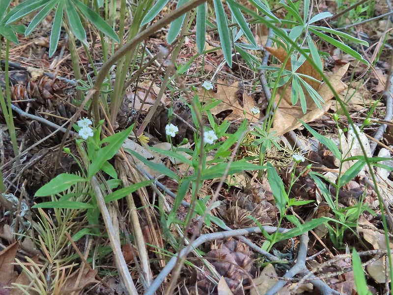 Largeleaf sandwort
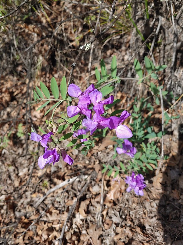 American vetch
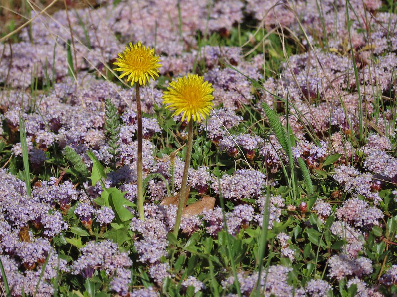 Dandelions in Mahala Mat
 Bitter cherry
 The real climb started at about the 4 mile mark at a junction below Grayback Mountain.
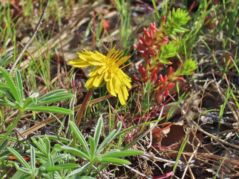 Sagebrush false dandelion
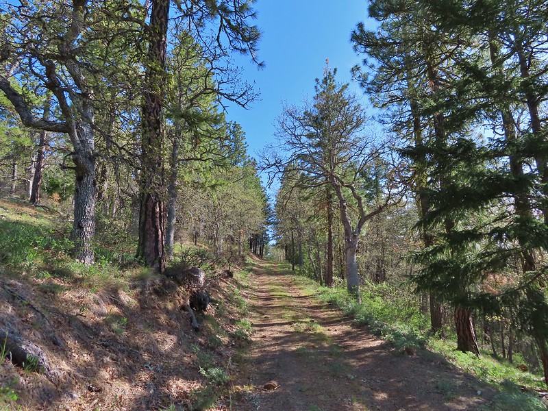 Climbing up Grayback Mountain
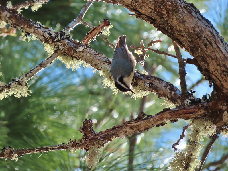 Red breasted nuthatch
 First view of Mt. Hood since the trailhead.
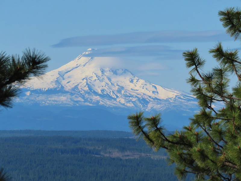 Mt. Hood
 Buckwheat
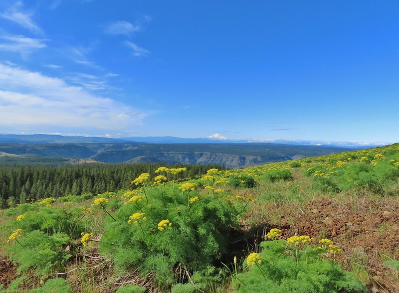 Mt. Hood beyond the Klickitat River Canyon
 Turkey vulture
 Entering the meadows on Grayback Mountain.
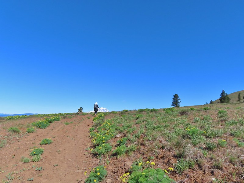 Approaching the first view of Mt. Adams.
 Mt. Adams
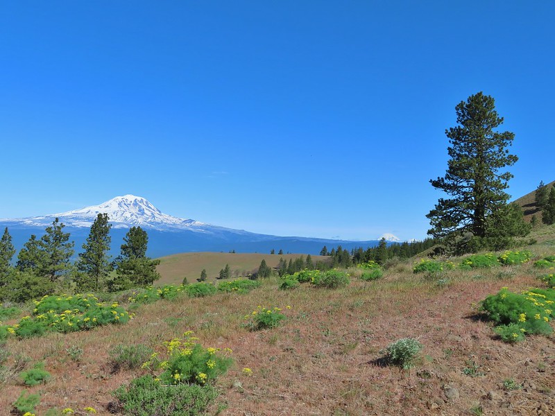 Mt. Adams, Mt. Rainier and Goat Rocks
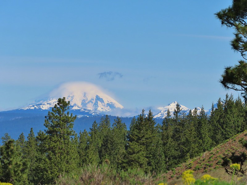 Mt. Rainier and Goat Rocks
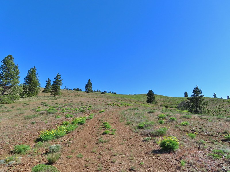 In the meadows.
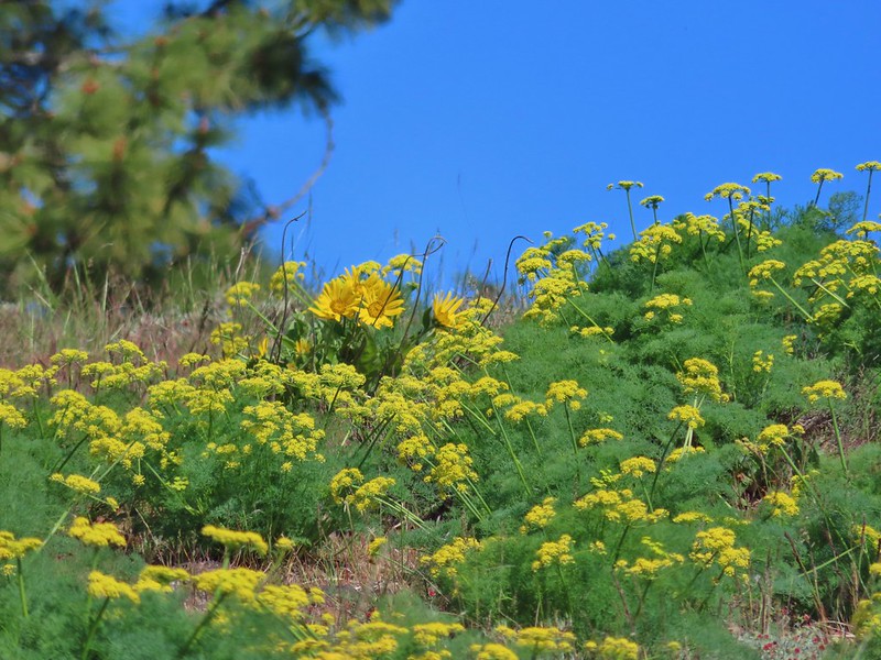 A balsamroot surrounded by parsley.
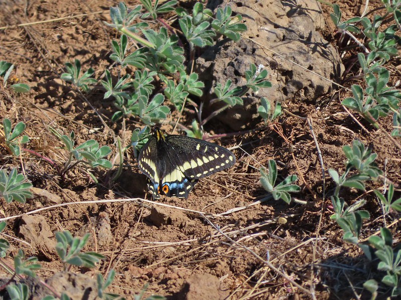 Indra swallowtail
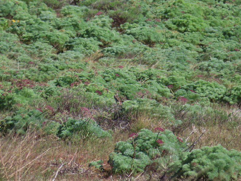 Western meadowlark in a patch of Columbia desert parsley.
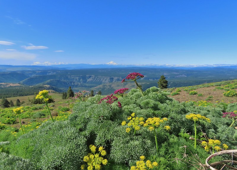
 Radio equipment atop Grayback Mountain with Mt. Adams beyond.
 Mt. Hood (we could just barely make out the top of Mt. Jefferson too.) from the summit.
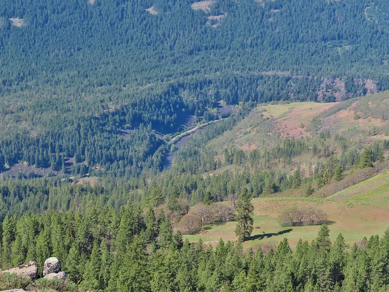 The Klickitat River
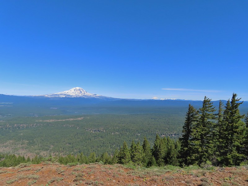 Mt. Adams, Mt. Rainier and Goat Rocks
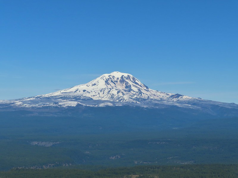 Mt. Adams
 Mt. Rainier and Goat Rocks (the Klickitat River originates from Goat Rocks.)
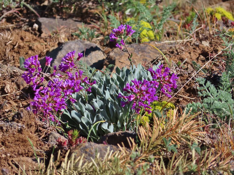 Daggerpod
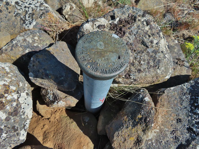 Obligatory survey marker photo.
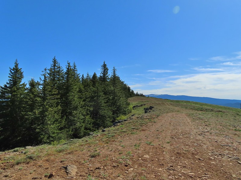 Looking east across the summit to the long ridge of Indian Rock. The boundary of the Yakima Indian Reservation is just on the north side of the summit.
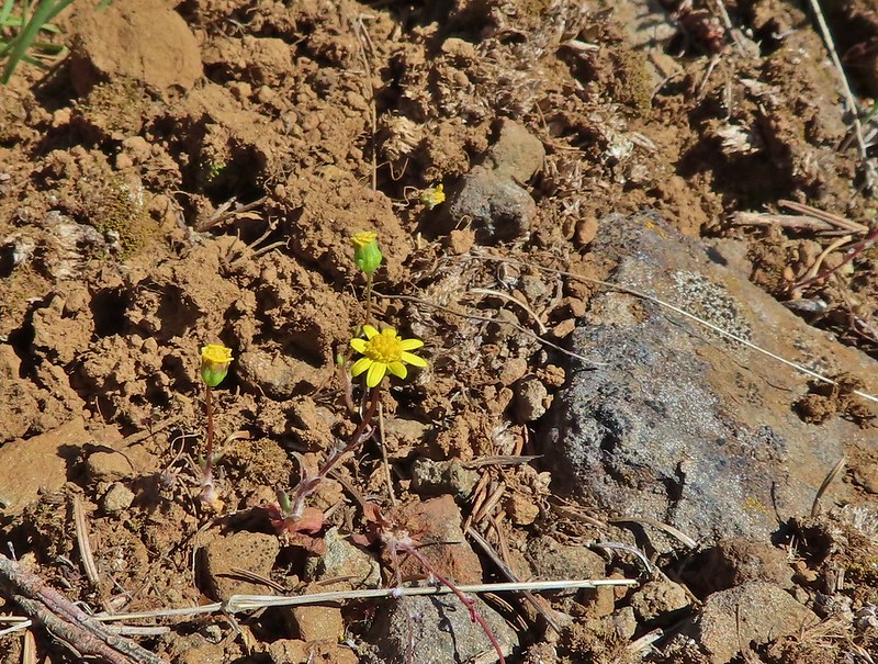 A few gold stars still had petals.
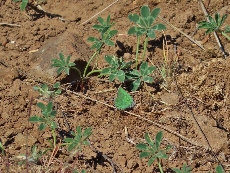 A hairstreak but I’m not sure which type.
 At least 4 ants on a large head clover.
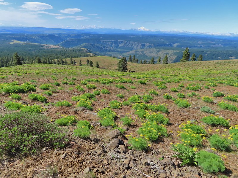 Looking back south down Grayback Mountain.
 There was a lot of white-stemmed frasera in the area but this was the closest one to blooming (and it’s a ways off).
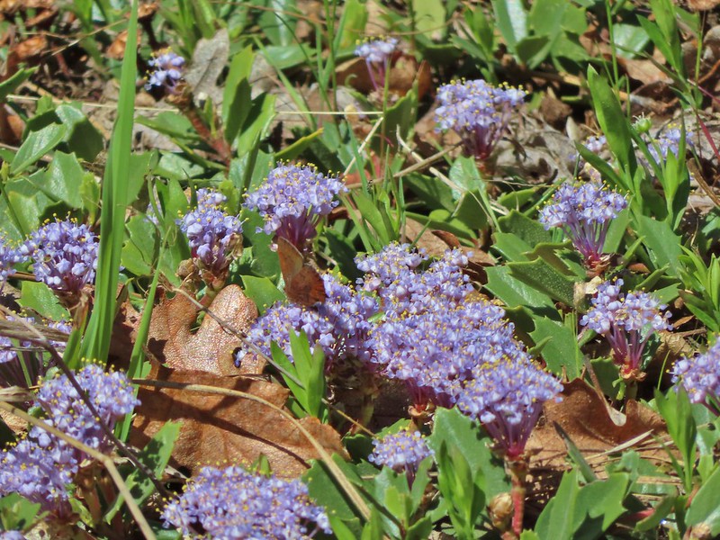 Maybe a brown elfin. I couldn’t get a clear picture of this one.
 Erynnis propertius – Propertius Duskywing (aka Western Oak Dustywing). There were lots of these duskywings flying about, it turns out that oaks are their host plants.
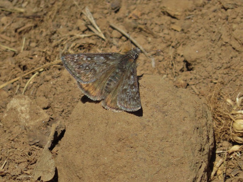 Another Erynnis propertius
 Juba skippers caught in the act.
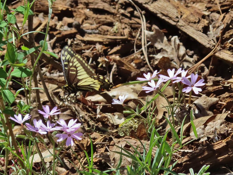 Anise swallowtail coming in for a landing on showy phlox.
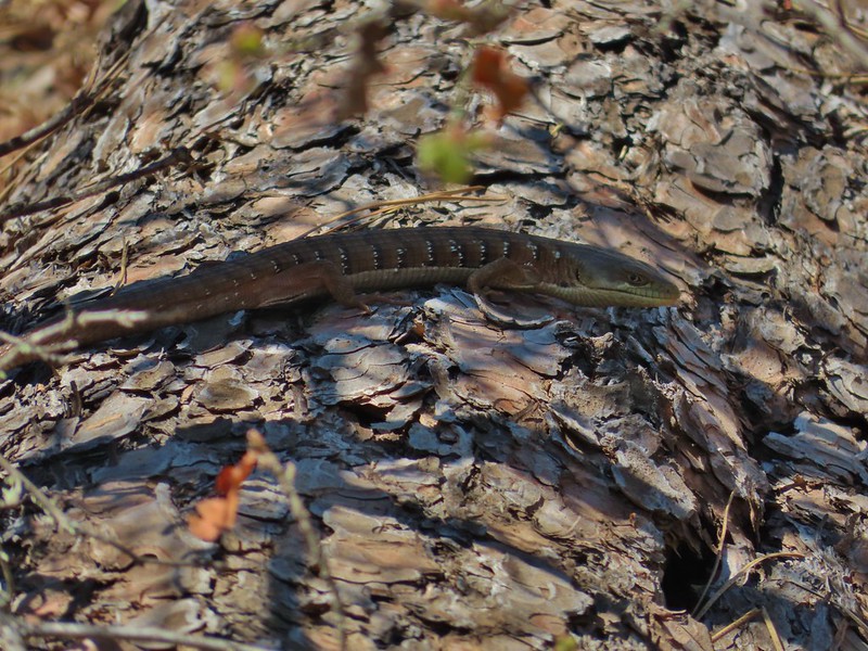 Alligator lizard on a log.
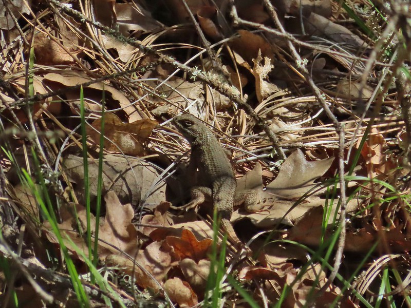 Western fence lizard
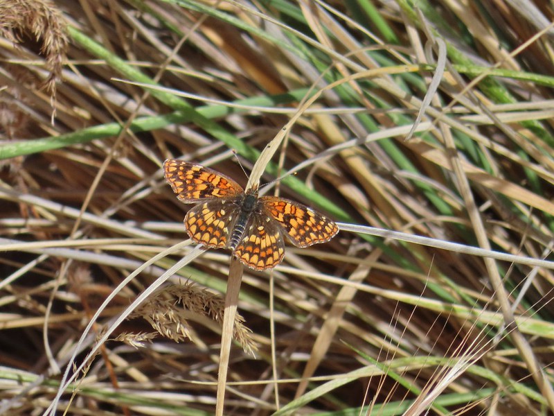
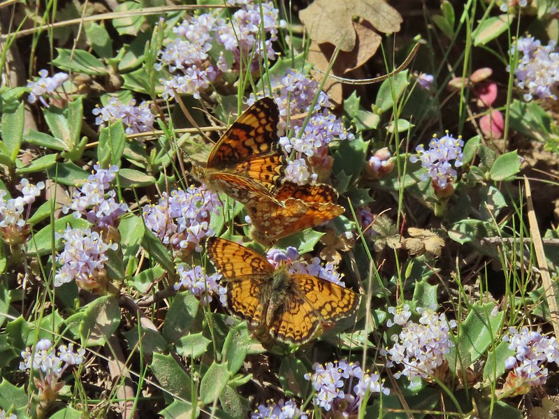 I believe these to be Mylitta crescents.
 Mt. Hood from the trailhead.
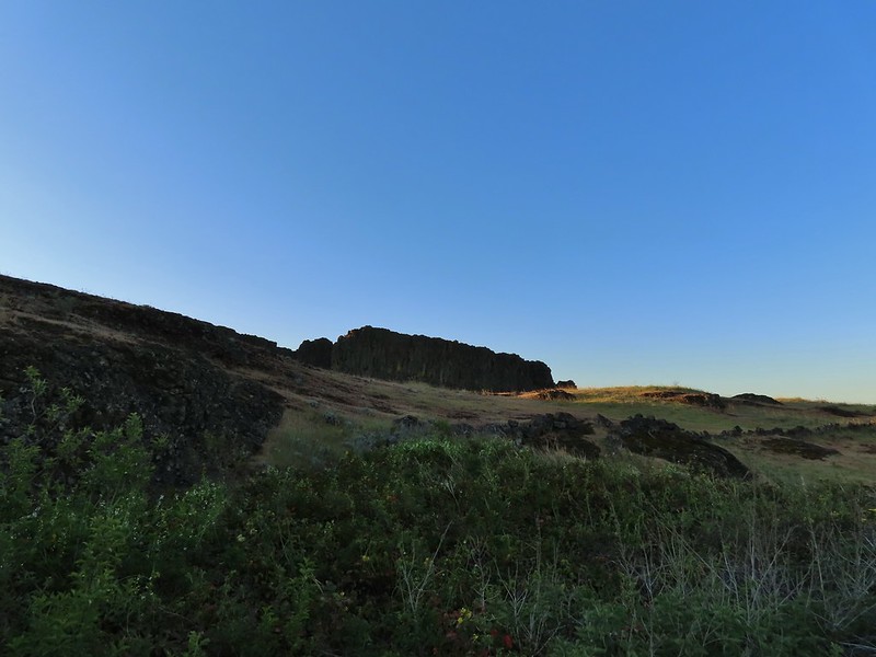
 Death camas
 Western stoneseed
 Fiddleneck
 Large-flower tritelia
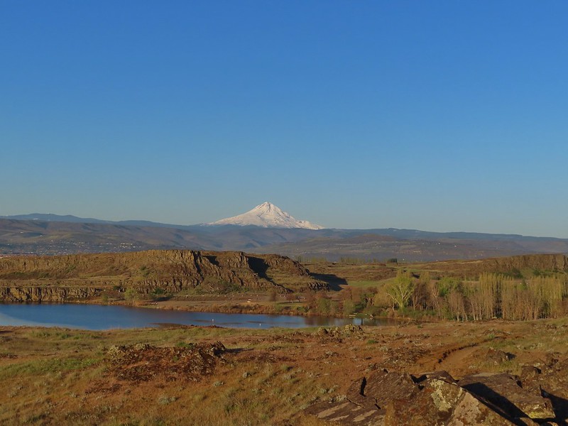 Mt. Hood beyond Horsethief Lake
 Standing at the fence looking east.
 Wren
Wren Horsethief Butte
 Lupine


 Horsethief Butte and Mt. Hood from the viewpoint.
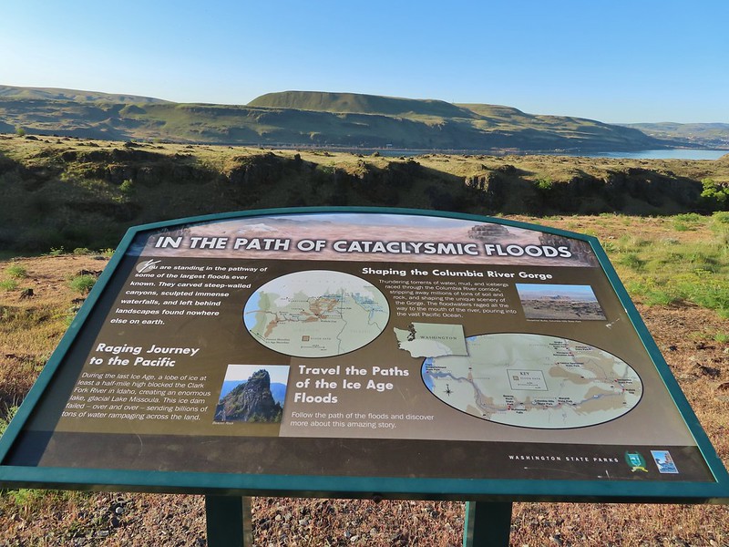

 Purple cushion fleabane
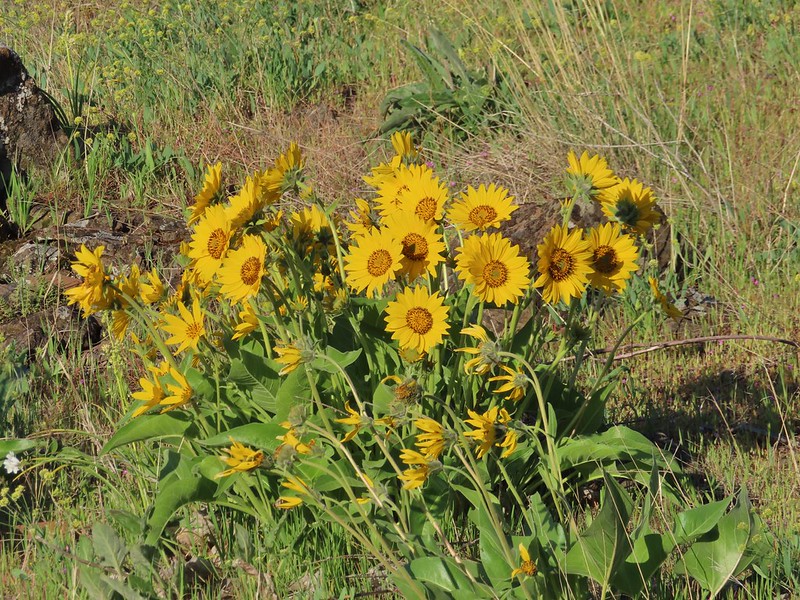 Balsamroot

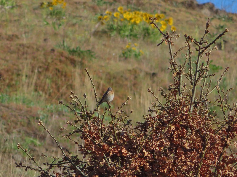 Western bluebird
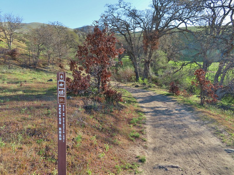
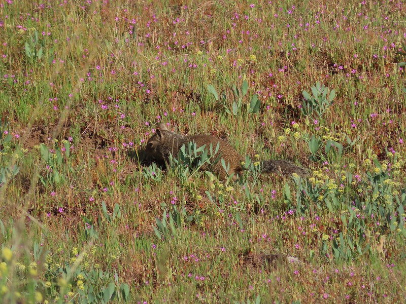 Ground squirrel


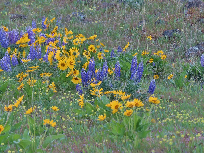 Lupine, balsamroot and parsley
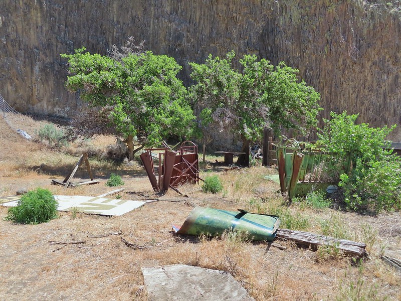
 The Crawford Ranch Complex ahead to the left.
 Phlox
Phlox


 Approaching the fence line.
 Yellow-rumped warbler
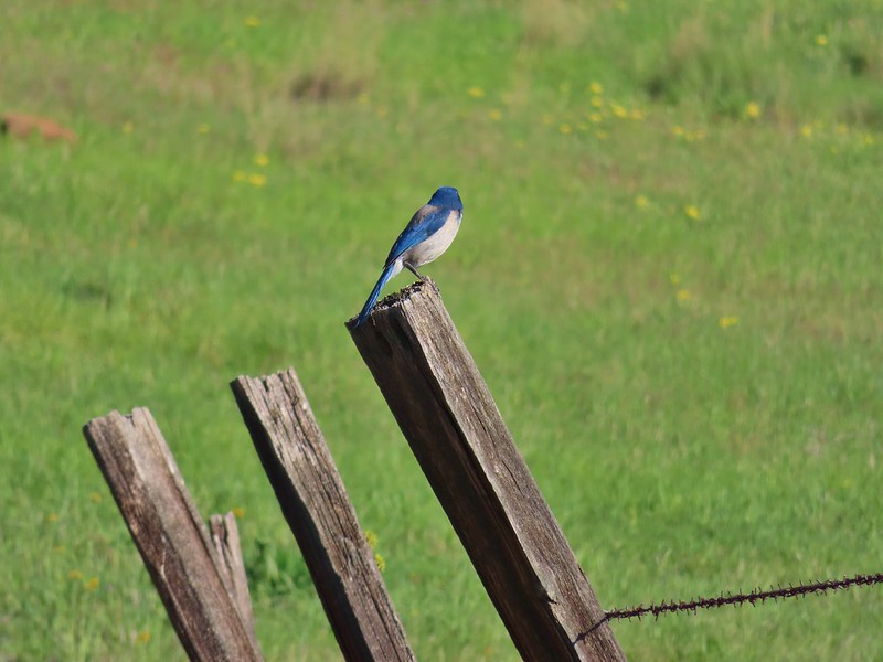 Back of a scrub jay


 Mt. Hood
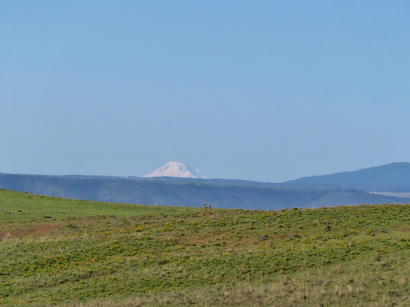 Mt. Jefferson
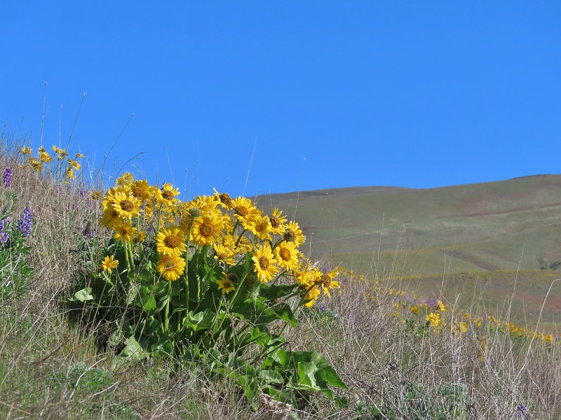


 Yakima milk-vetch


 The Columbia River, Horsethief Butte, and Mt. Hood
 Death camas
 Large head clover
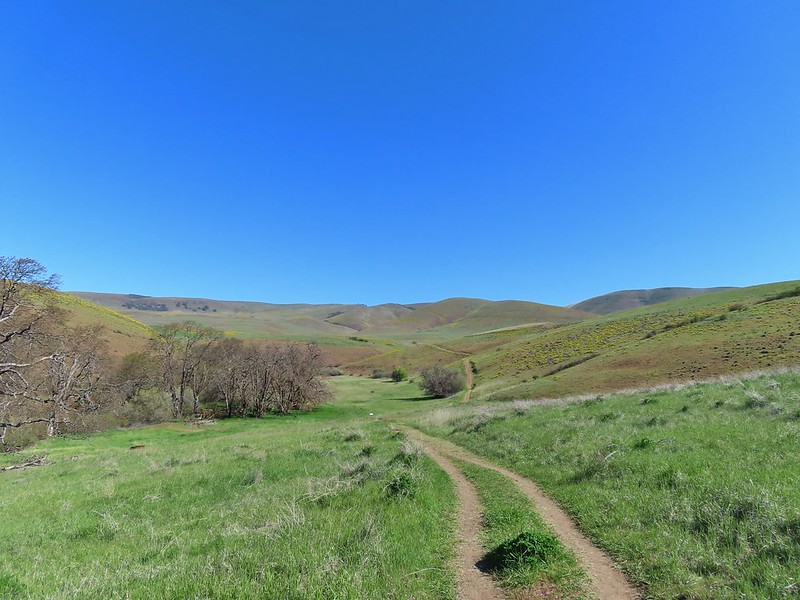 Approaching the junction.
 Hawk watching all the hikers.
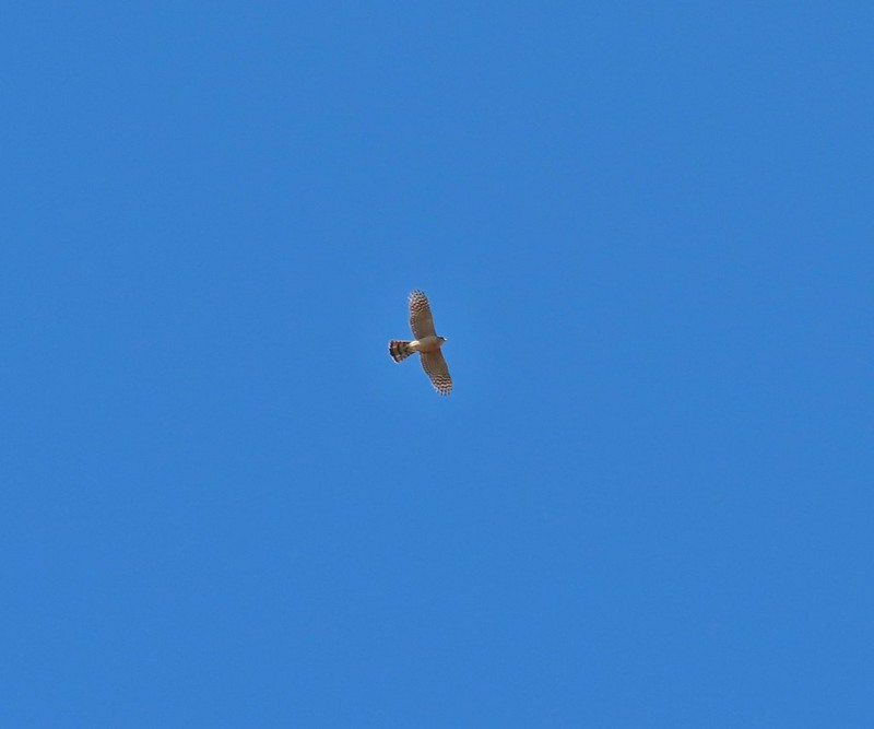 A different hawk? watching the goings on.
 Western fence lizard watching everything.
 Poppy, manroot, and red-stemmed storksbill
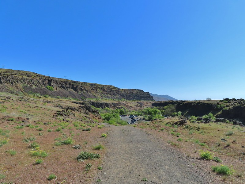 The crowded trailhead

 While both were part of the Crawford Ranch, Stacker Butte is not part of the Columbia Hills State Park but is part of the Columbia Hills Natural Area Preserve.
 Yakima milk-vetch
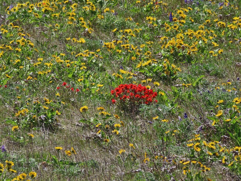 Paintbrush amid the balsamroot.
 Phlox
Phlox
 Big-seed biscuitroot
 Sicklepod rockcress
 Sagebrush false dandelions
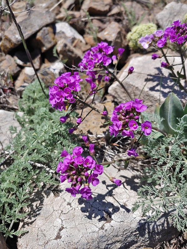 Daggerpod
 Daggerpod
 Slender toothwort?
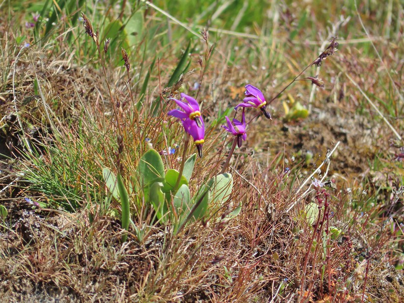 Shooting stars in front of a little blue-eyed Mary
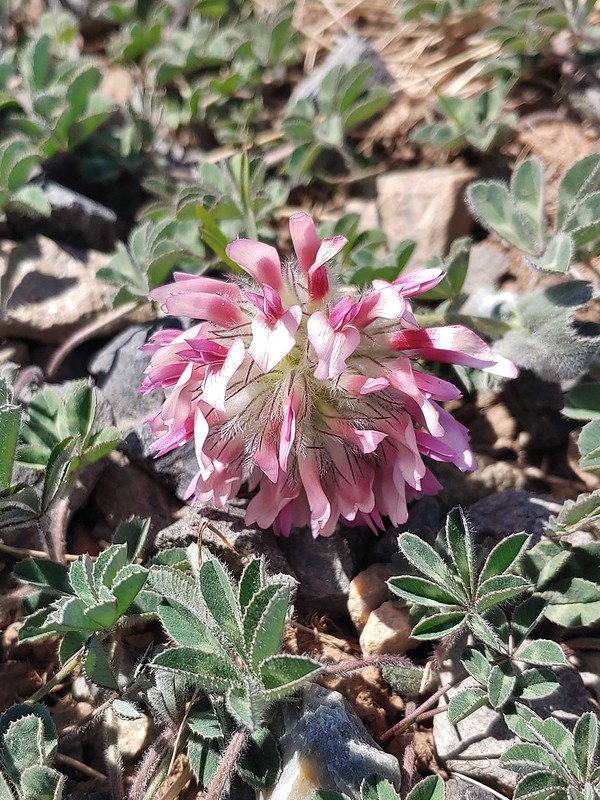 Large head clover
 Popcorn flower
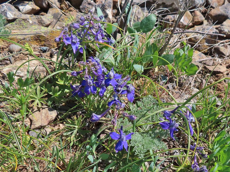 Larkspur
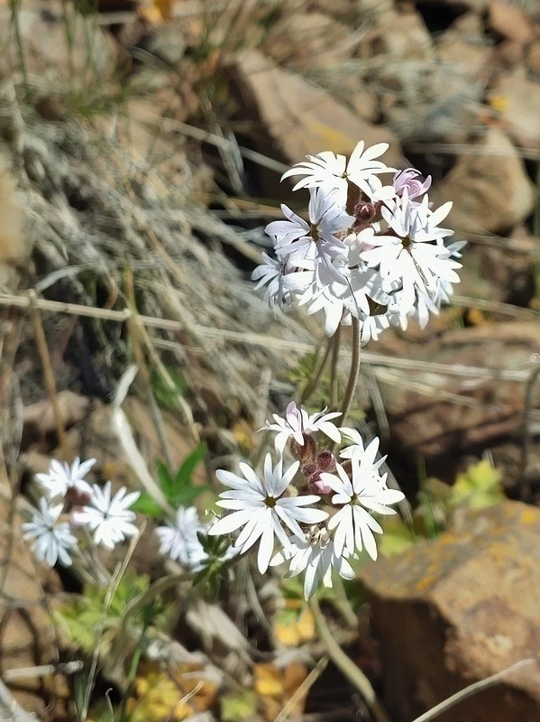 Woodland stars
 Mt. Adams
 Mt. Rainier
 Goat Rocks
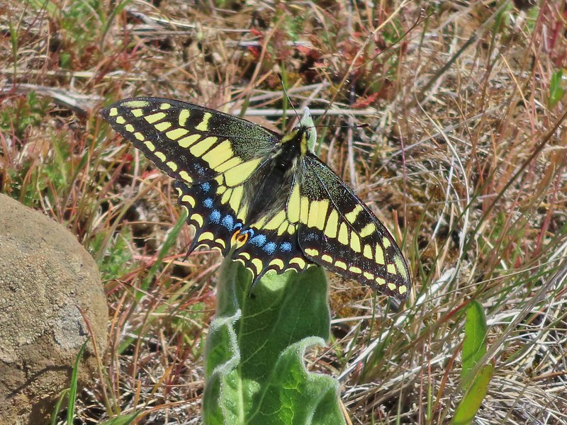 Swallowtail
 Western fence lizards
 White crowned sparrow
 Another sparrow
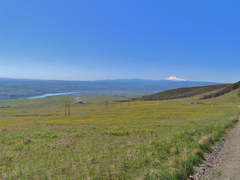 Mt. Jefferson and Mt. Hood as we neared the trailhead.
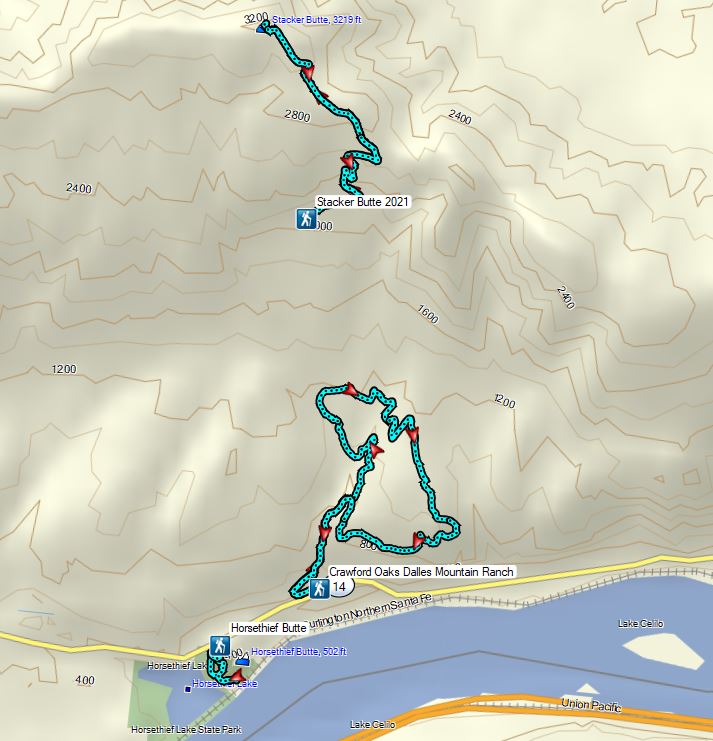


 Mallards
 Crow
Crow Sparrow
 Guessing some sort of warbler
 California quail scattering

 Rabbit with sparrows behind.
 Rabbit with a quail behind.
 Golden-crowned sparrows
 Most of the rabbits we see run off right away but this little guy was pretty brave.
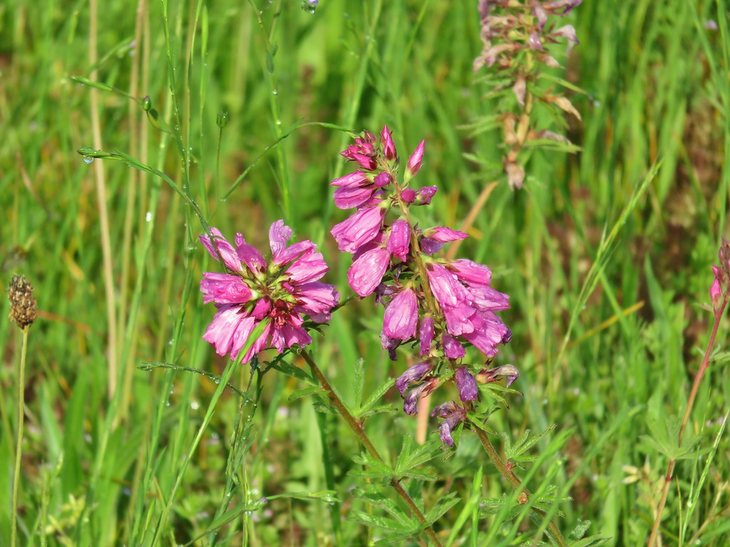
 Meadow checker-mallow
 Tough-leaved iris
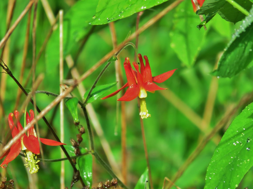 Columbine
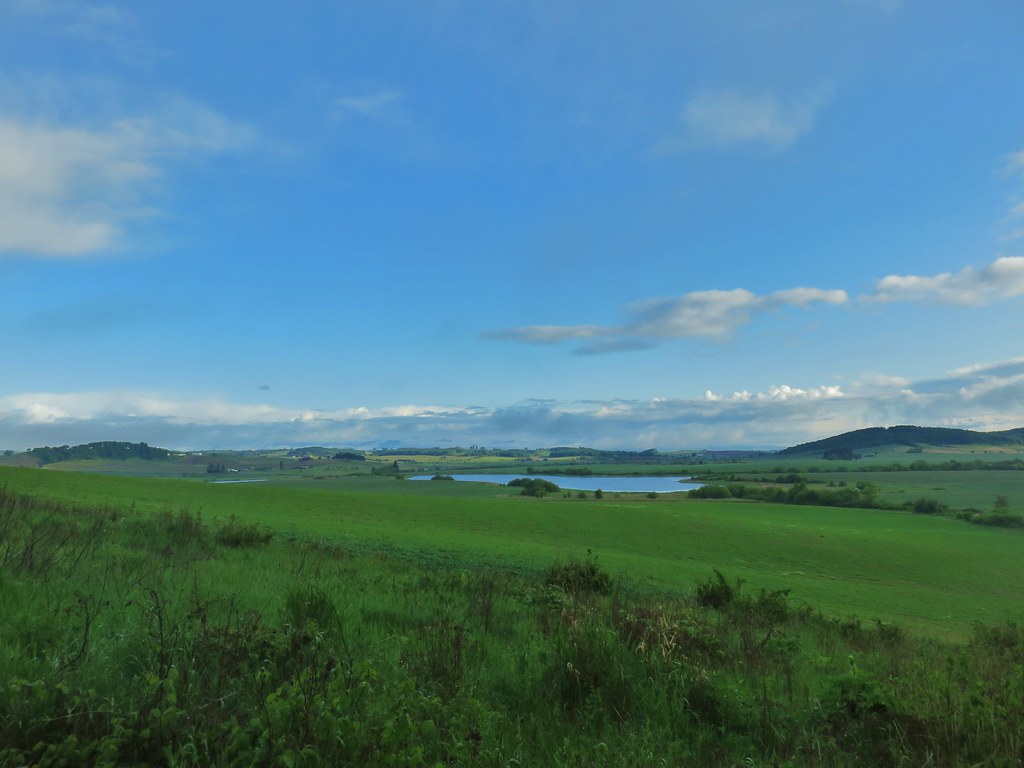 Morgan Lake from the trail.
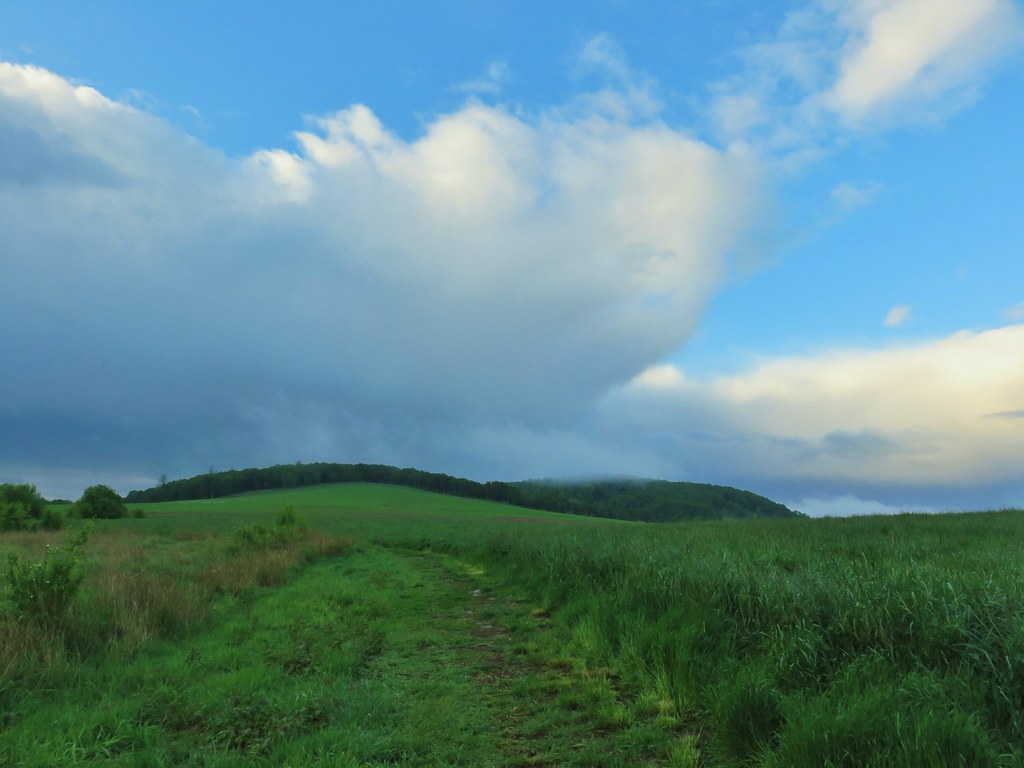
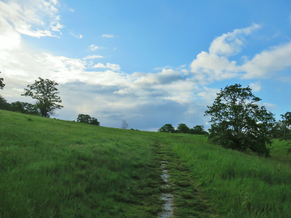
 Heading into the woods.
 Spotted towhee
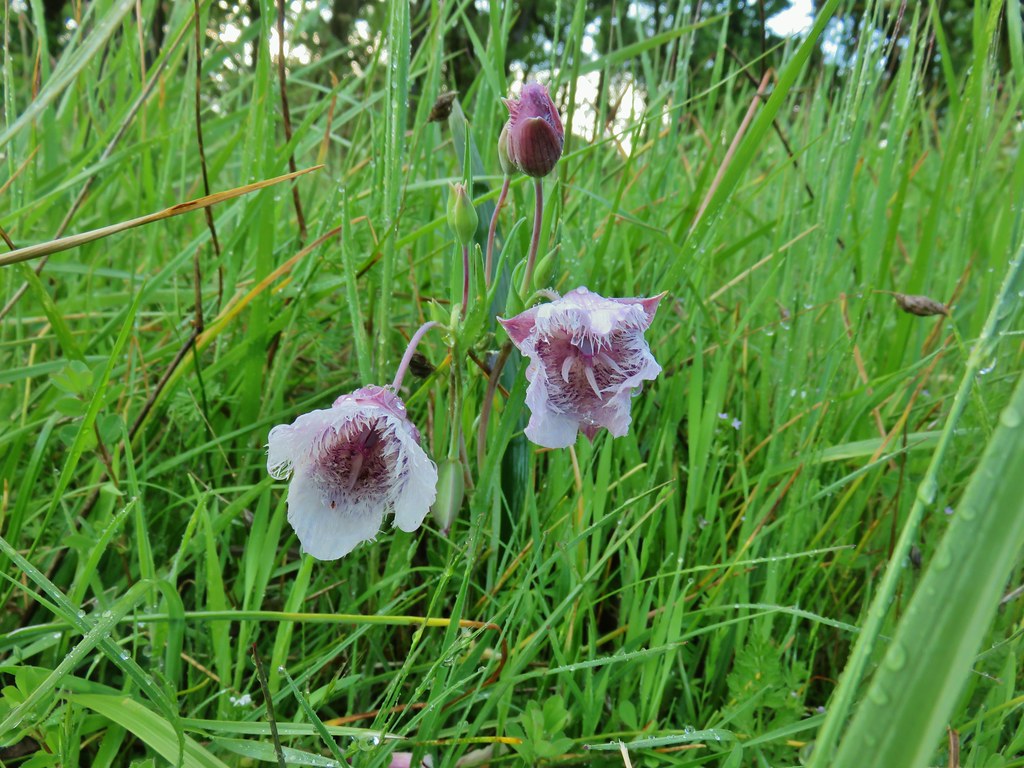


 Old tree trunk
 Ferns
Ferns Woodland stars
 Thin-leaf pea (and a spider behind the blossoms)
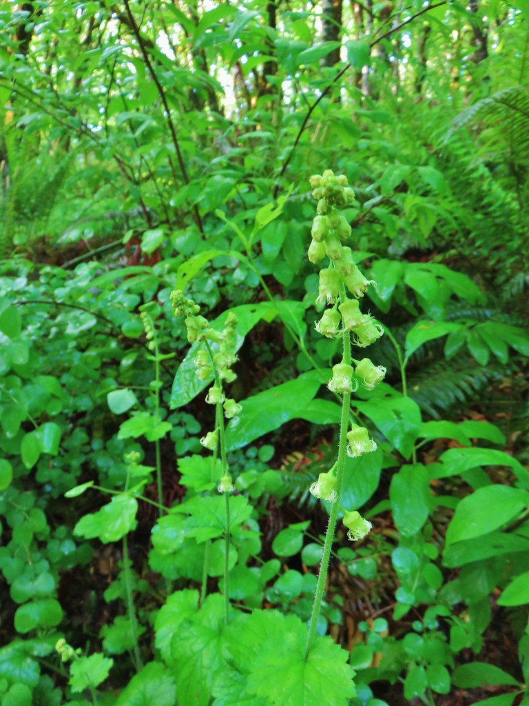 Fringecup
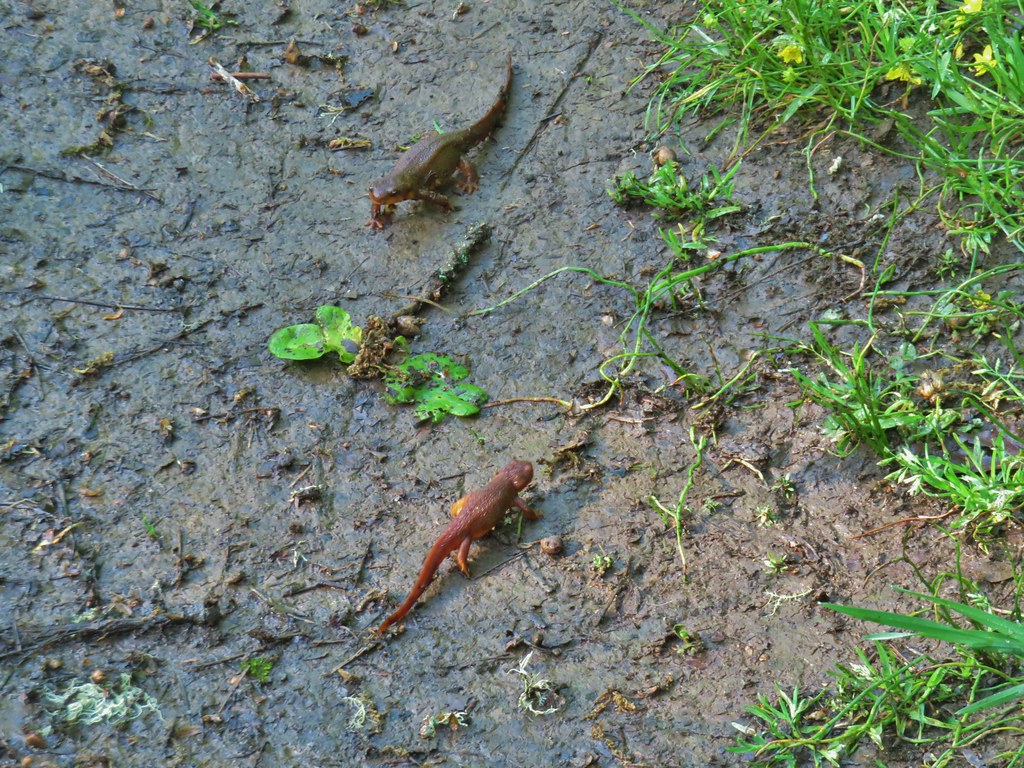 Given their size we believe this was proper social distancing for rough-skinned newts.
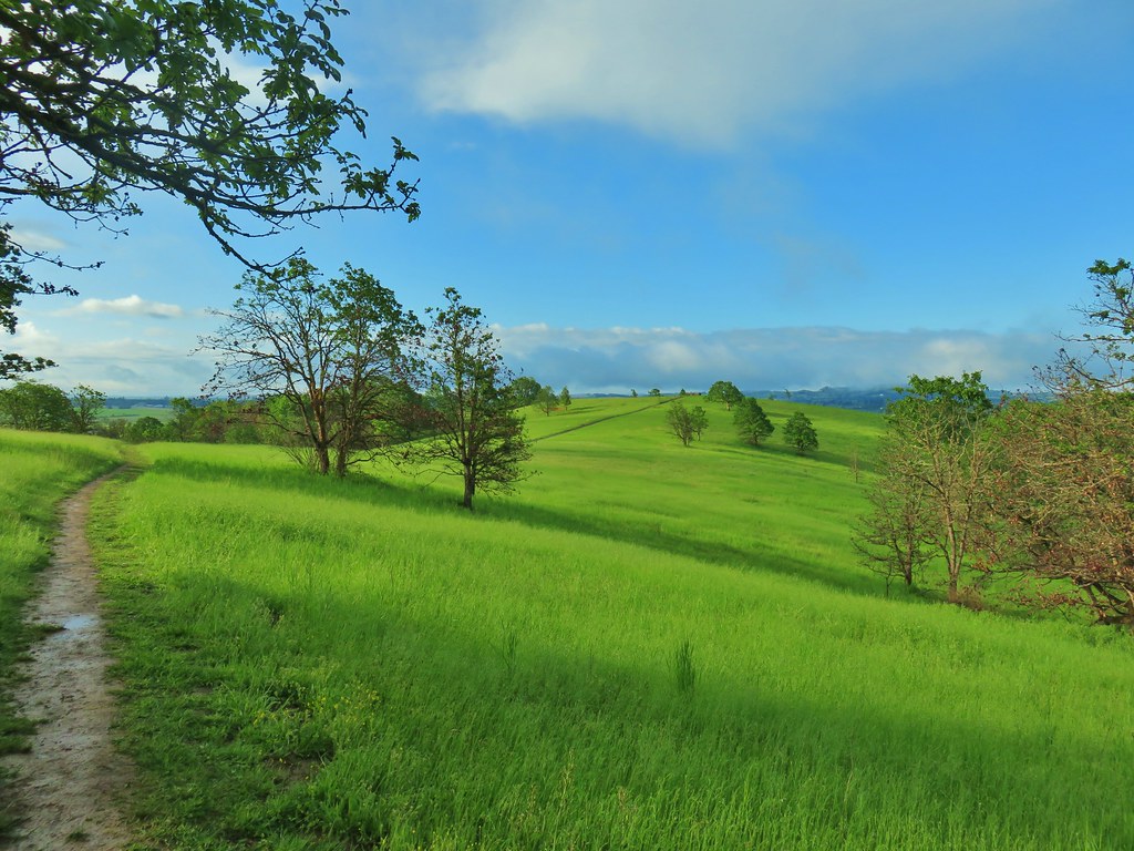
 Western meadowlark
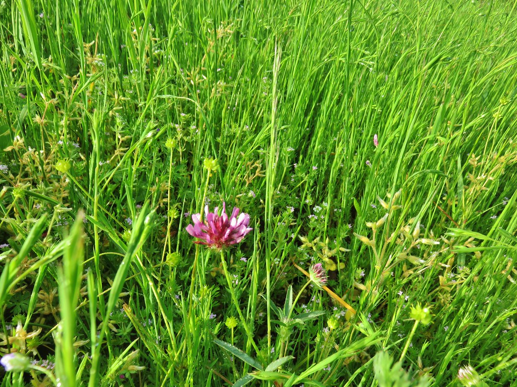 Tomcat clover
 Giant blue-eyed Mary
 A checker-mallow surrounded by pale flax
 Camas
Camas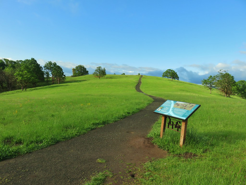
 Plectritis
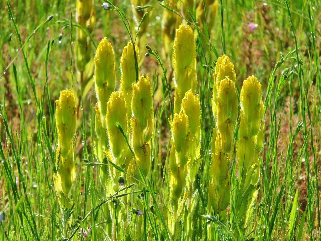 Castilleja levisecta – Golden Paintbrush which historically occurred in the grasslands and prairies of the Willamette Valley. The species had been extirpated from the valley with the last sighting in Oregon occurring in Linn County in 1938. It was reintroduced to various areas starting in 2010 including here at Baskett Slough. In the wetter areas it failed to take but the plant has managed to take hold on Baskett Butte.
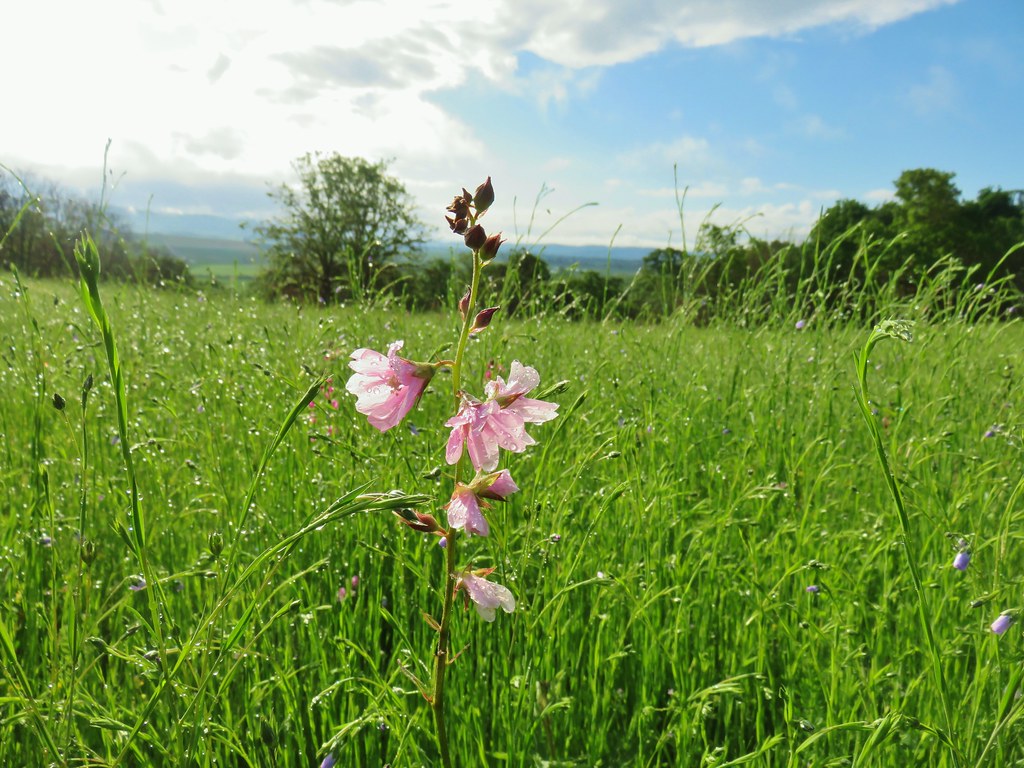

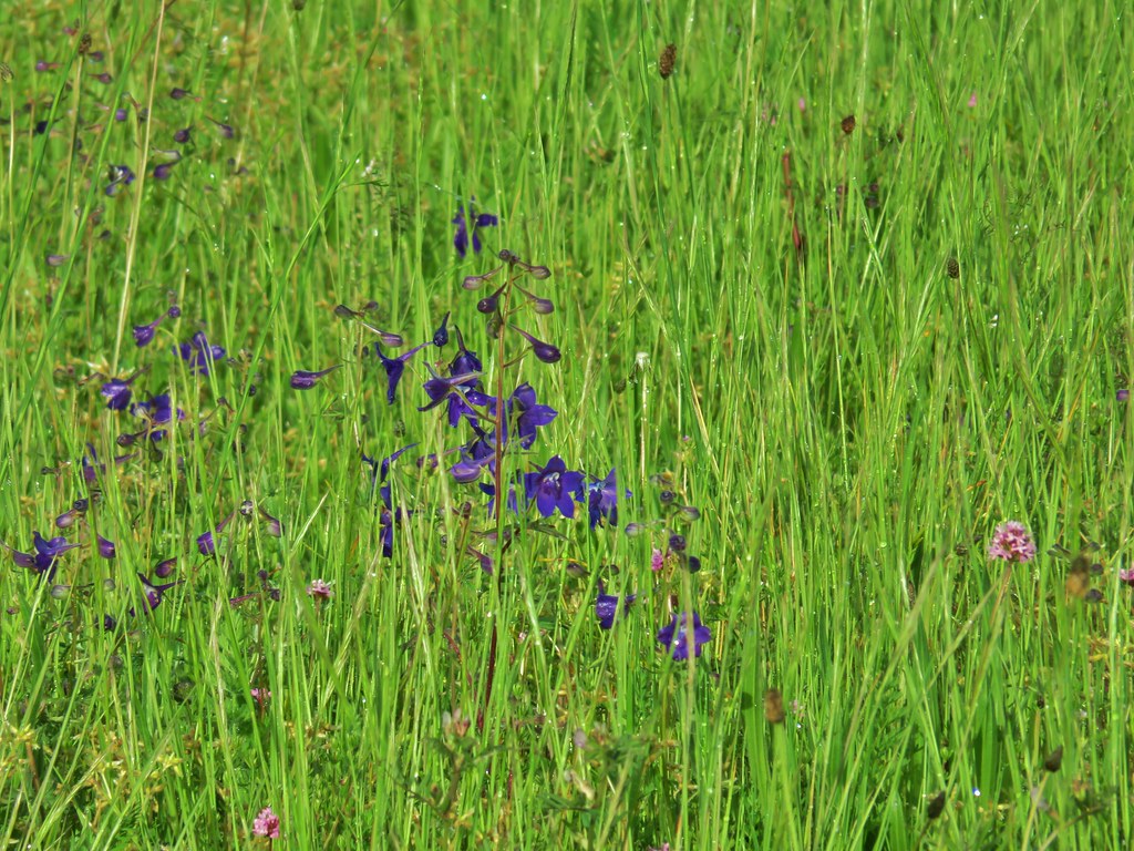 Larkspur
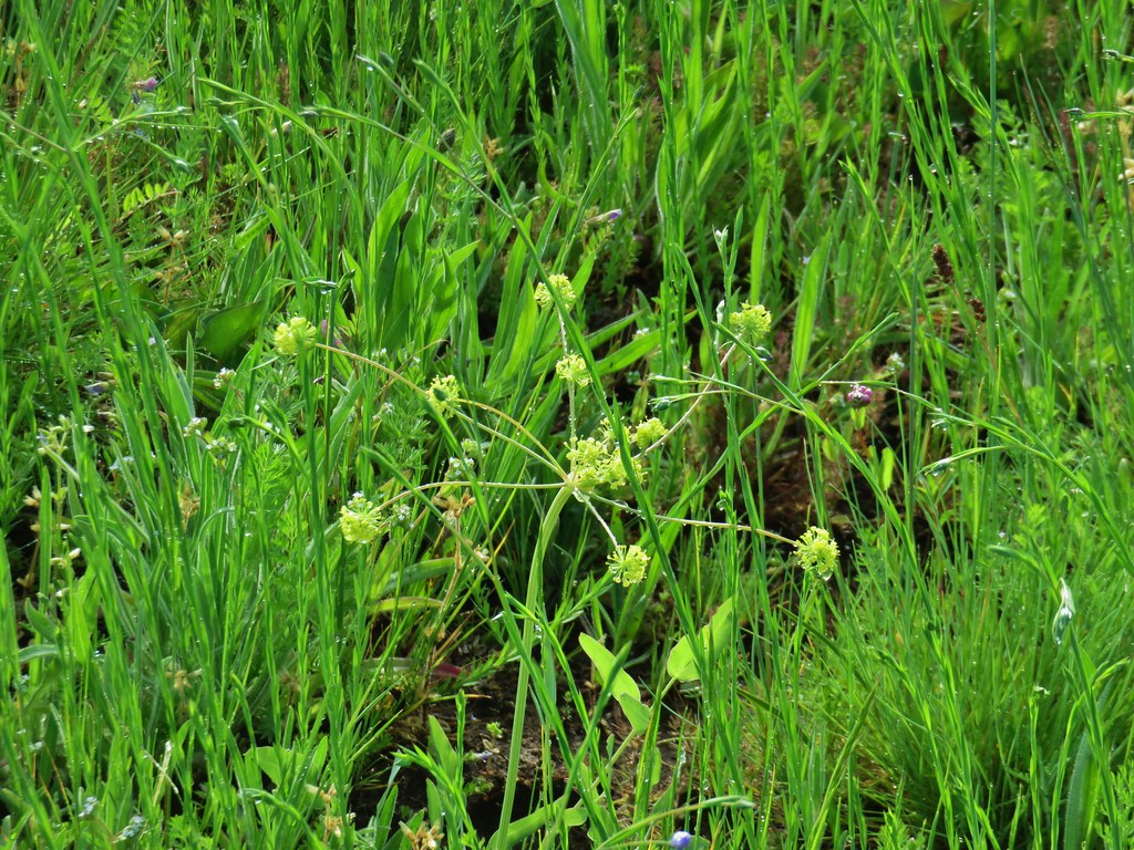 Biscuitroot
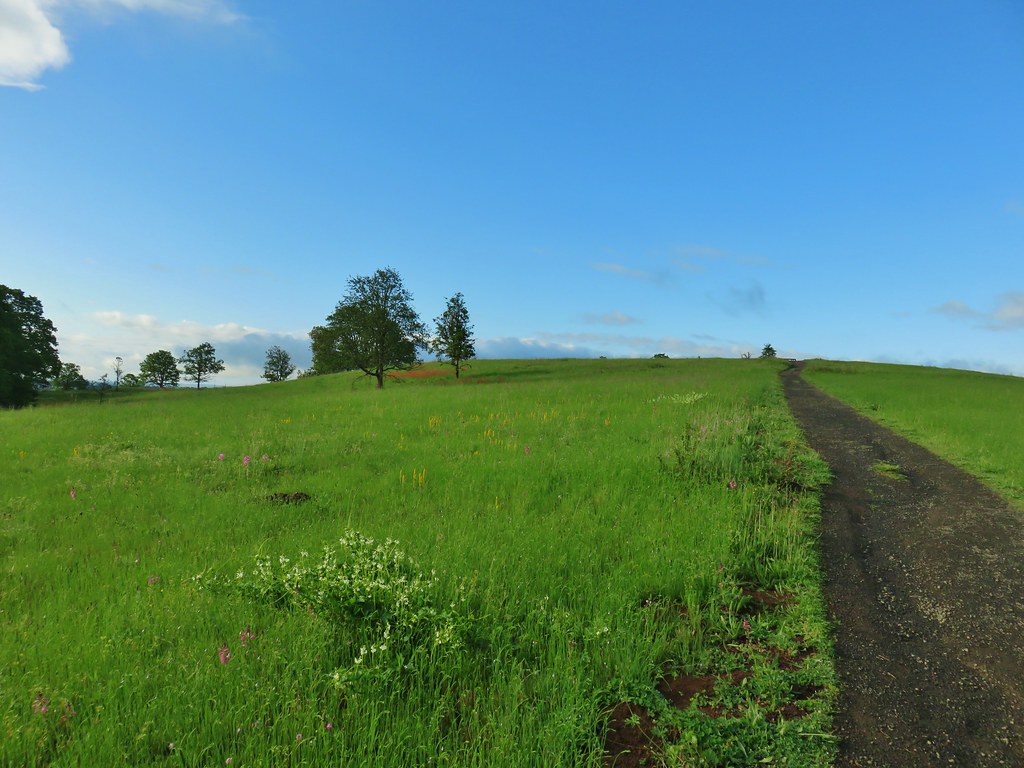 The white patch in the foreground is coastal manroot while the red patch uphill is columbine.
 Some of the mass of columbine.
 Tolmie’s mariposa lilies
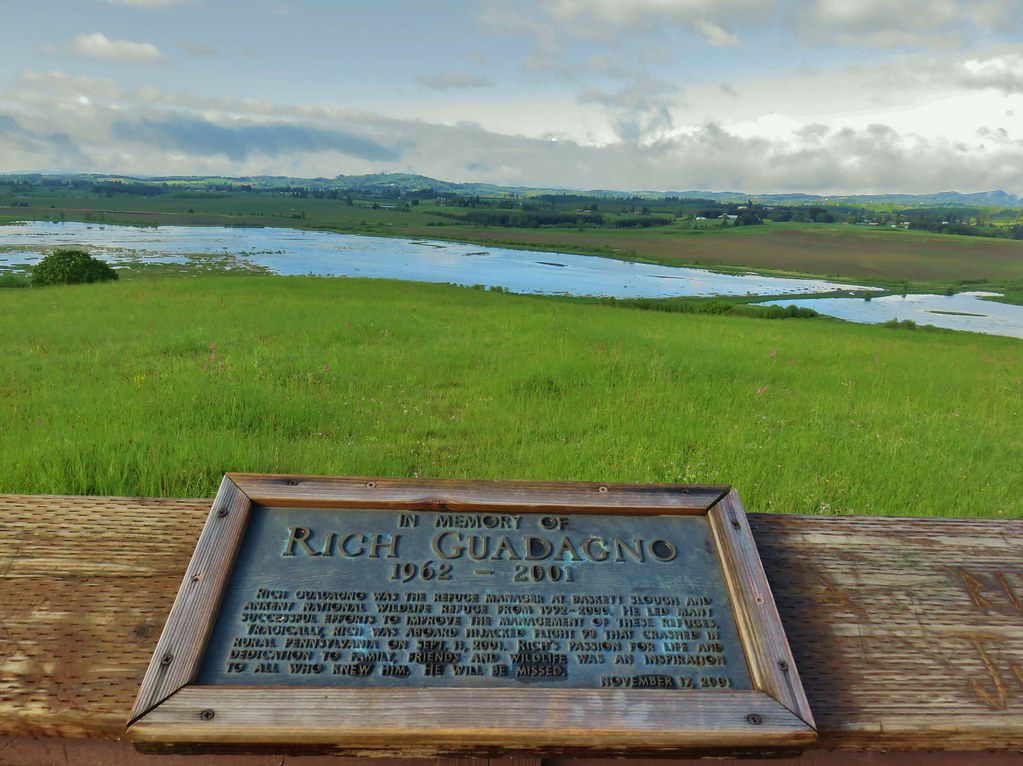

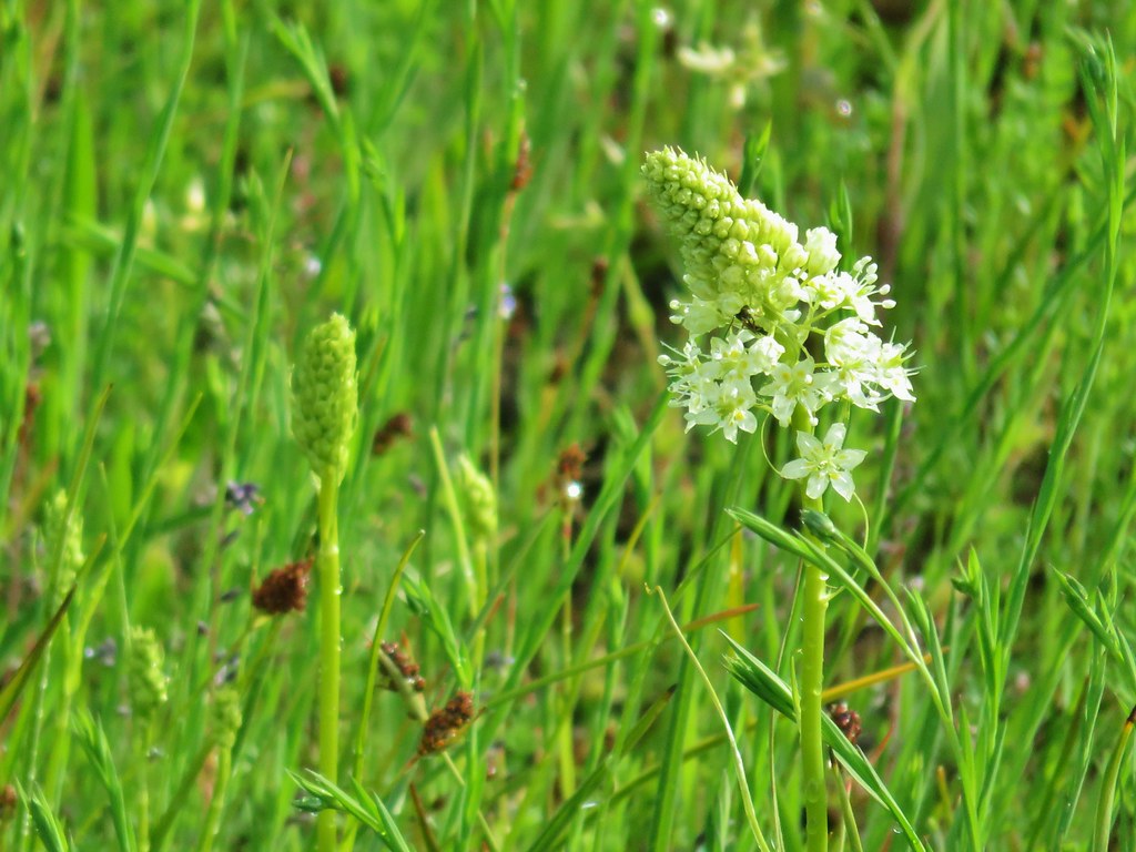 Meadow death camas
 Oregon sunshine
 Hairy vetch
 Purple sanicle

 Yarrow starting to bloom.
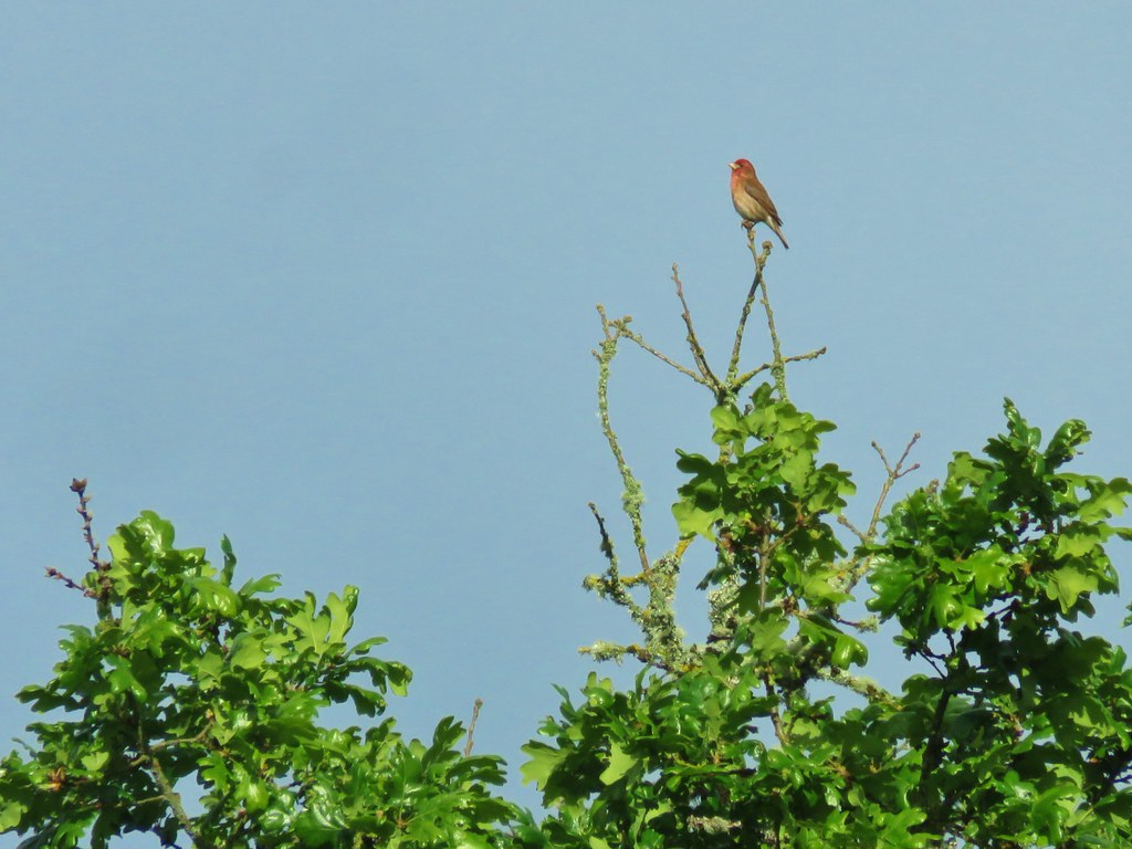

 A pair of American goldfinches
 Silvery blue butterfly
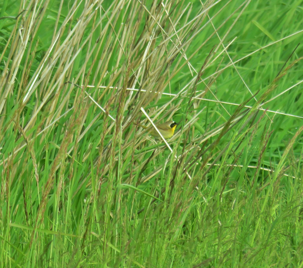 Common yellowthroat
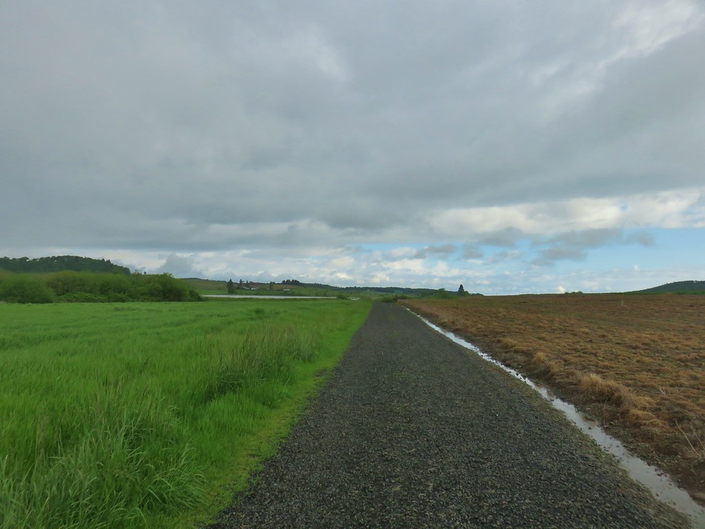
 Moffiti Marsh
 Great blue heron flying over
 Ducks on the water and swallows in the air.
 Northern shoveler on the left.
 A couple different types of ducks.
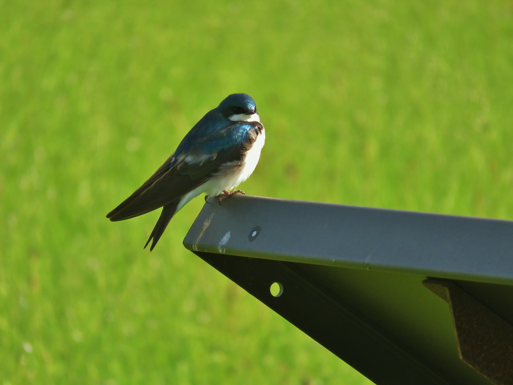
 Western bluebird
 Female western bluebird gathering items for a nest.
 Wild rose
 Canada geese flying over.
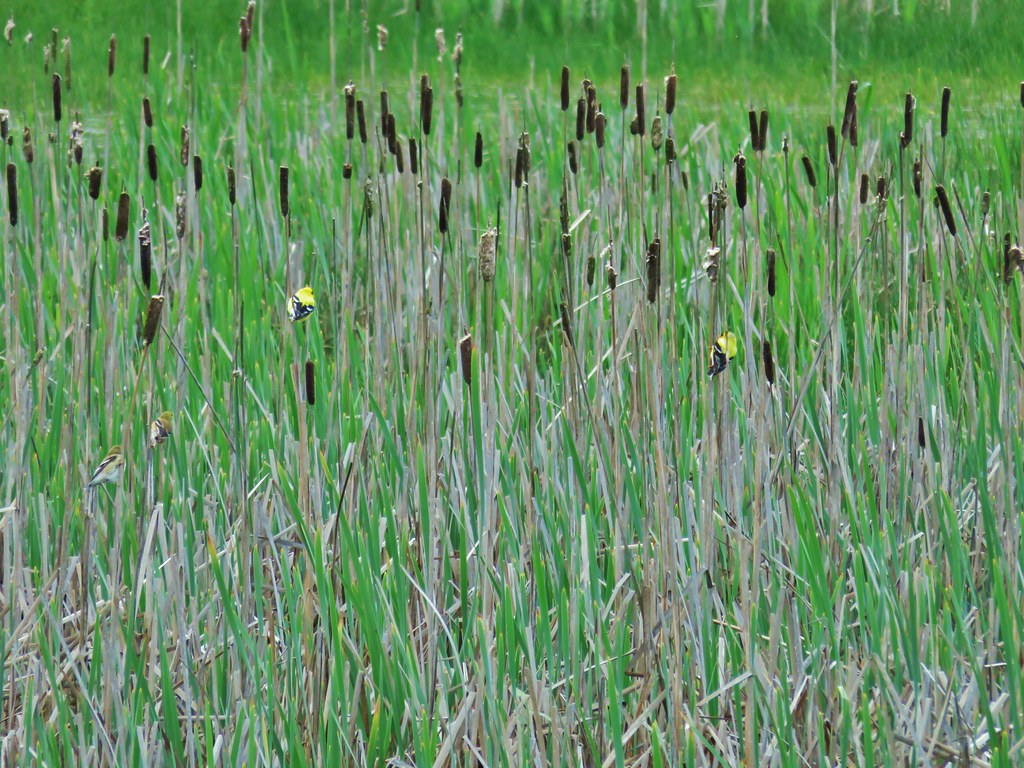 Two pairs of American goldfinches.
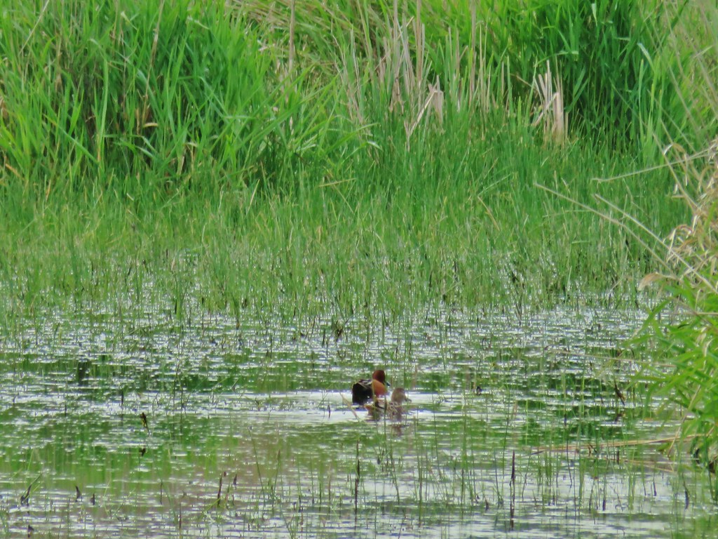 Cinnamon teal
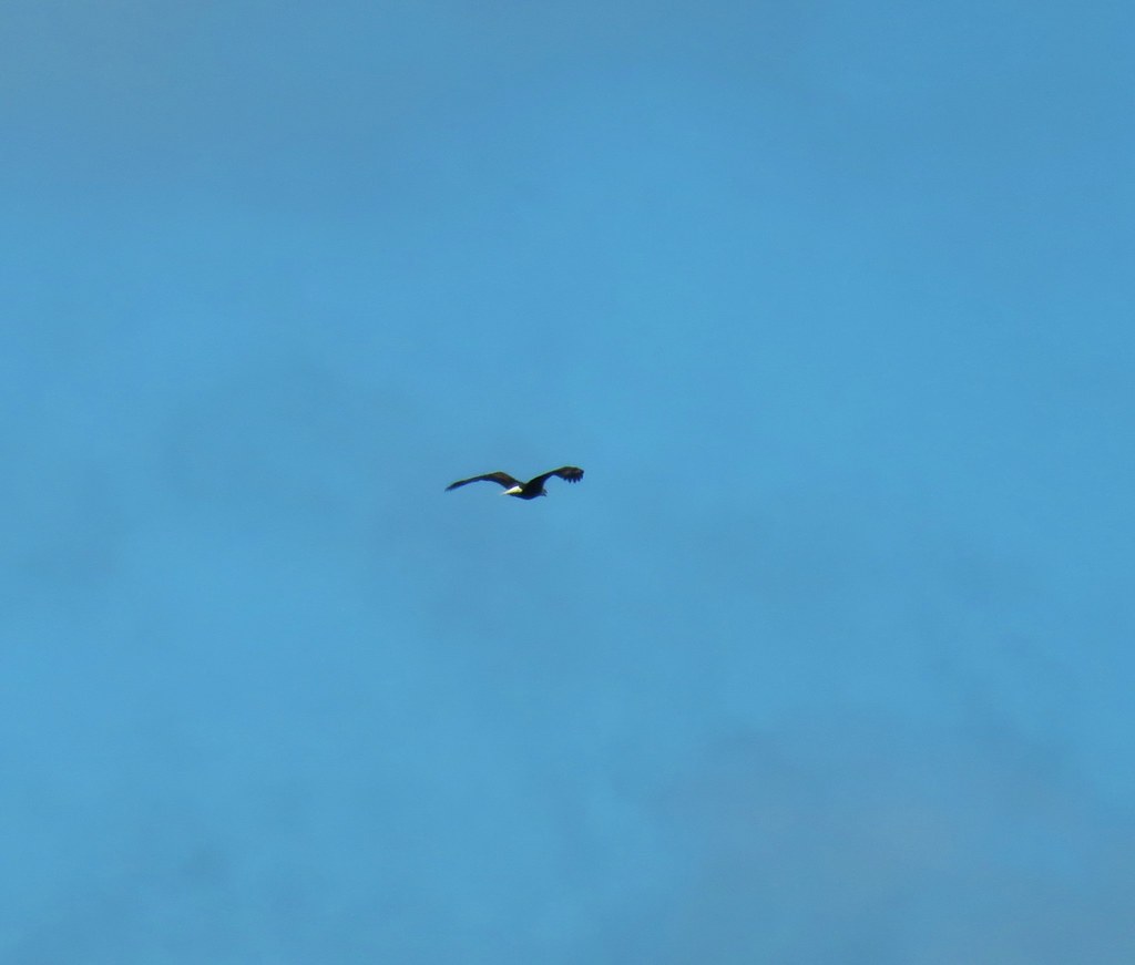 Bald eagle flying overhead
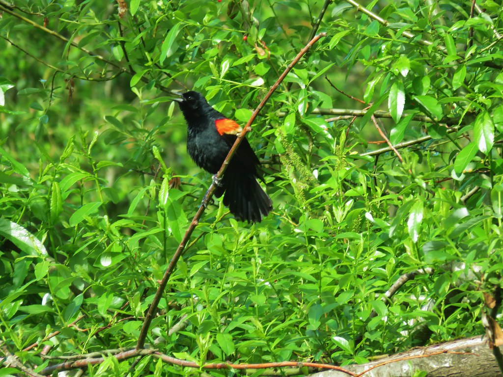 Red-winged blackbird
 Moffiti Marsh