After a long, hot day the day before we were hoping to wake up to some crisp mountain air. Alas it was not to be as the temperature didn’t seem to have dropped all that far overnight. It was cooler than it had been but we could tell it was going to be another hot one.
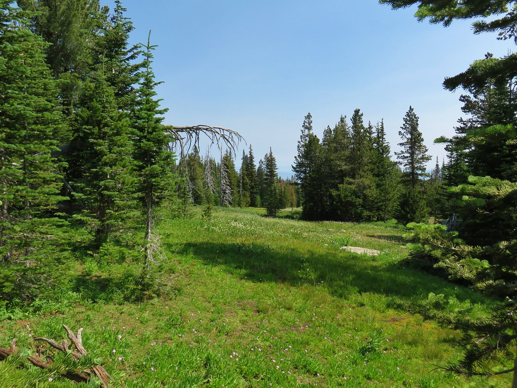
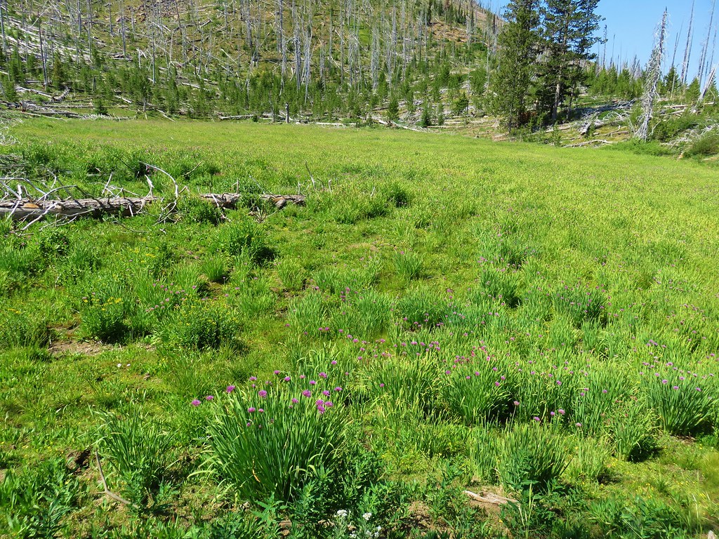
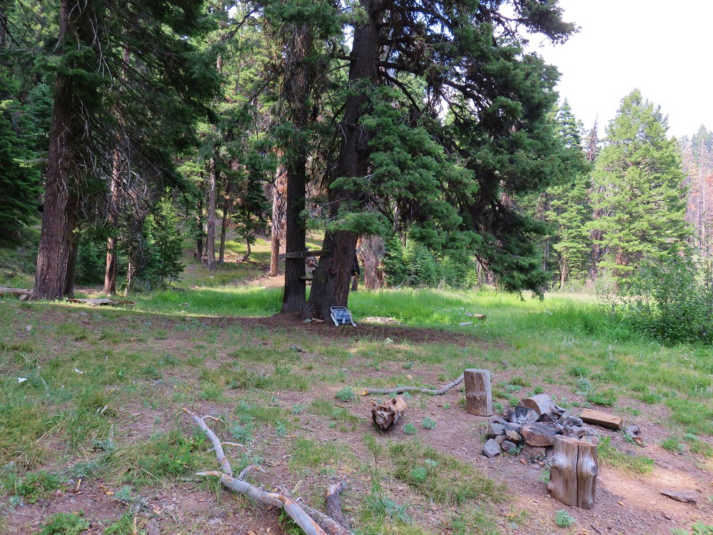
After applying a little Deet to deter the mosquitoes that had been waiting for us to wake up we had breakfast in a small meadow near our campsite.
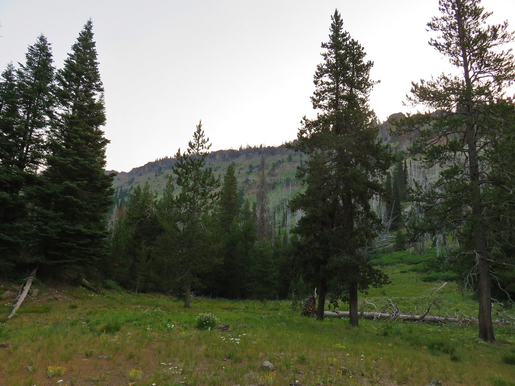
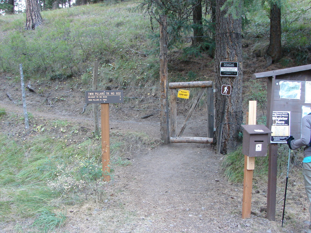
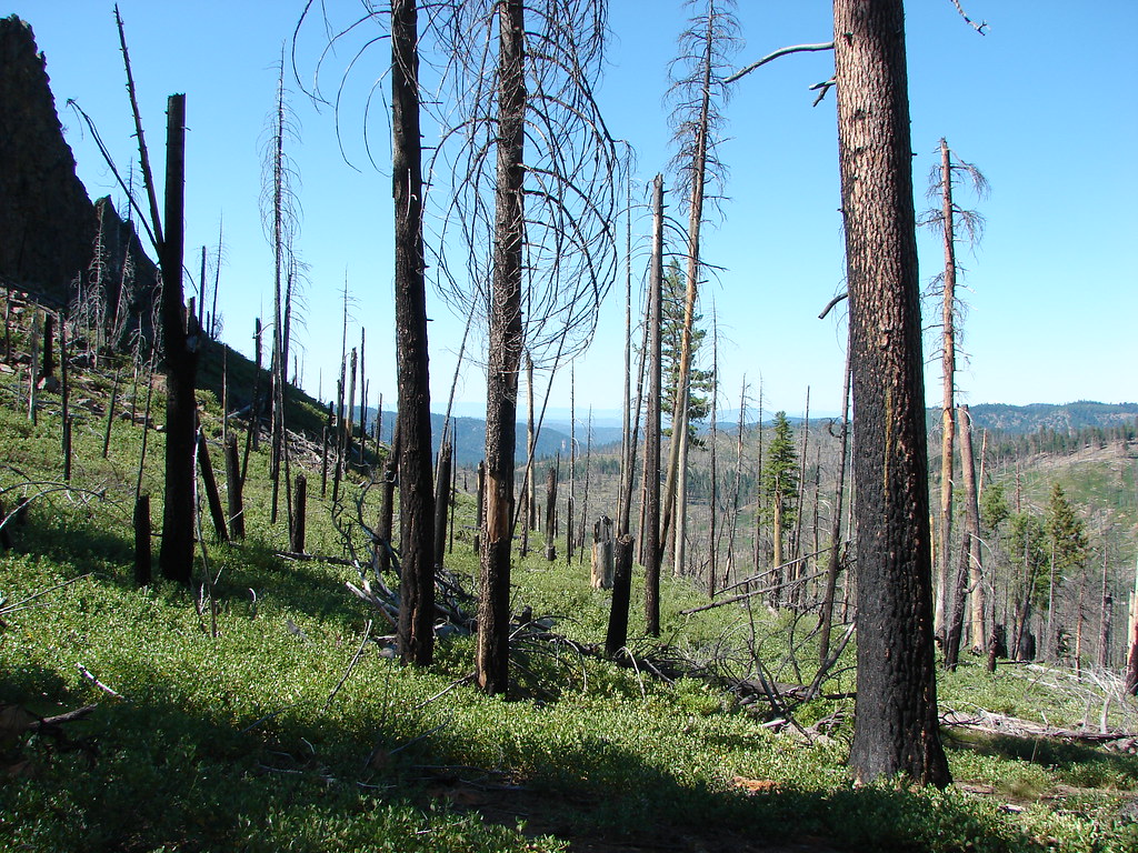
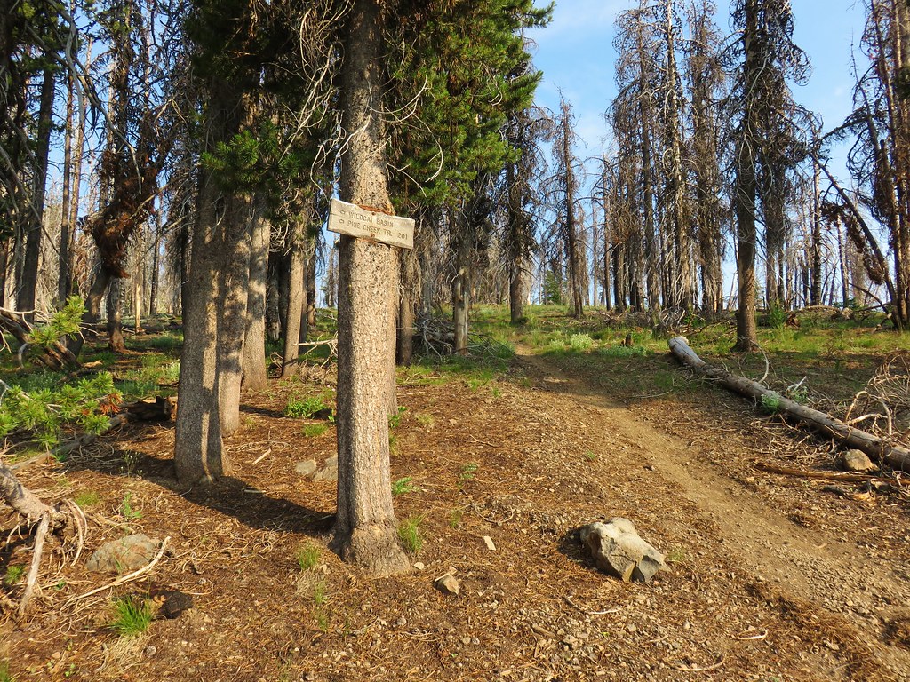
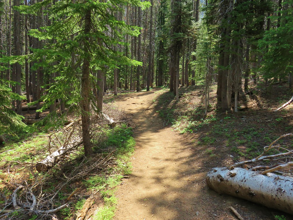
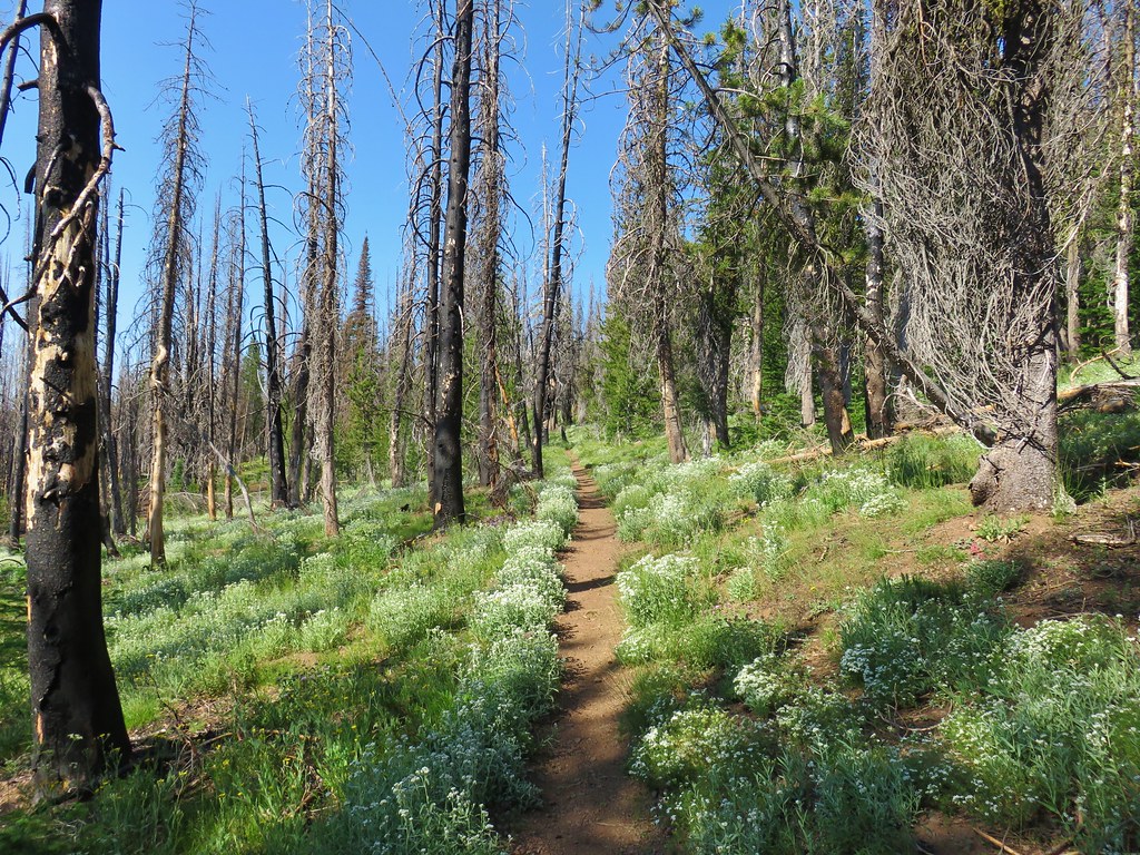
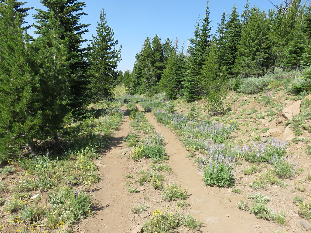
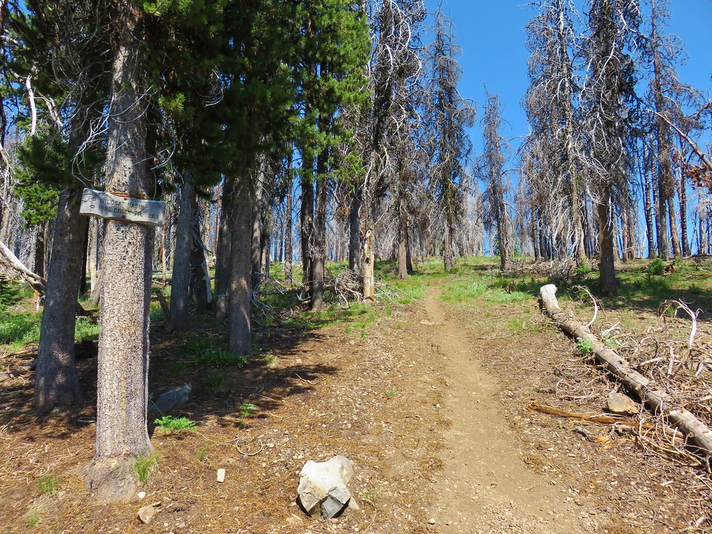
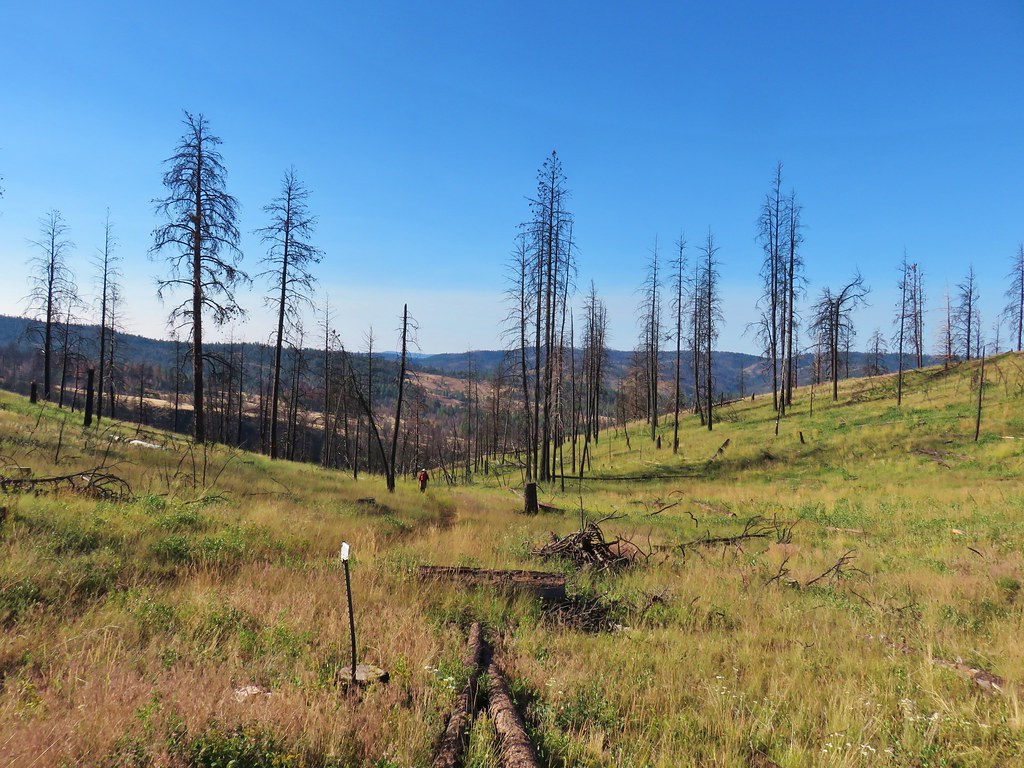
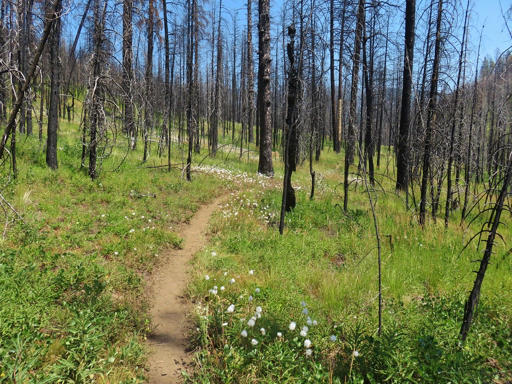
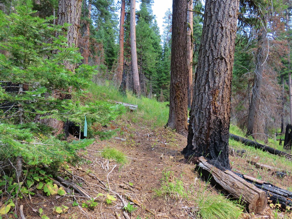
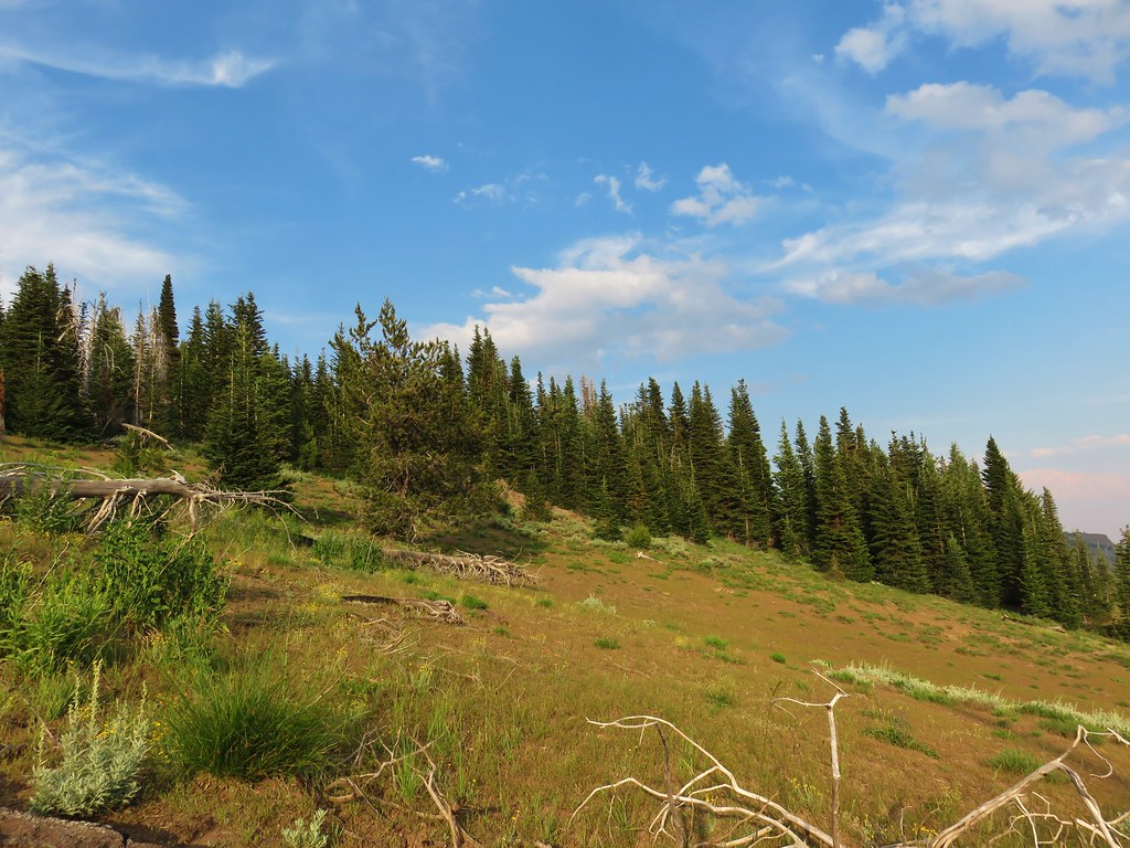
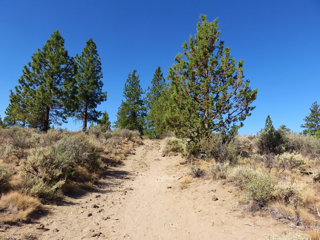
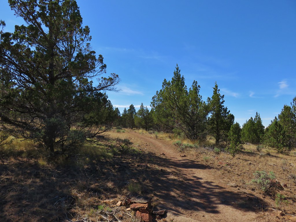
After breakfast we packed up and headed out of Wildcat Basin via the Pine Creek Trail.
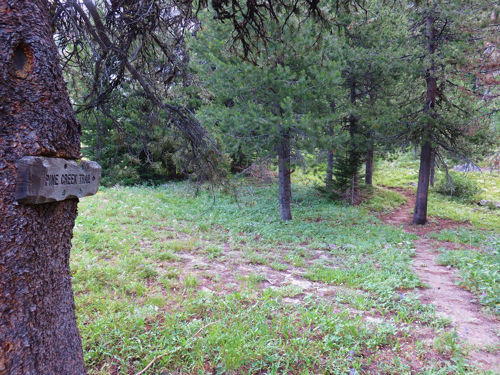
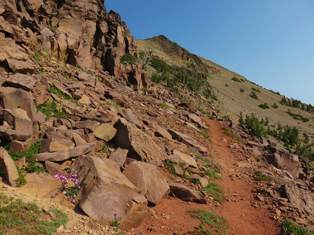
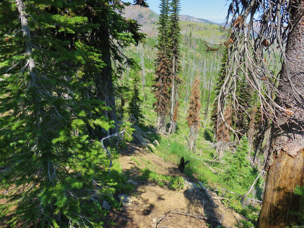
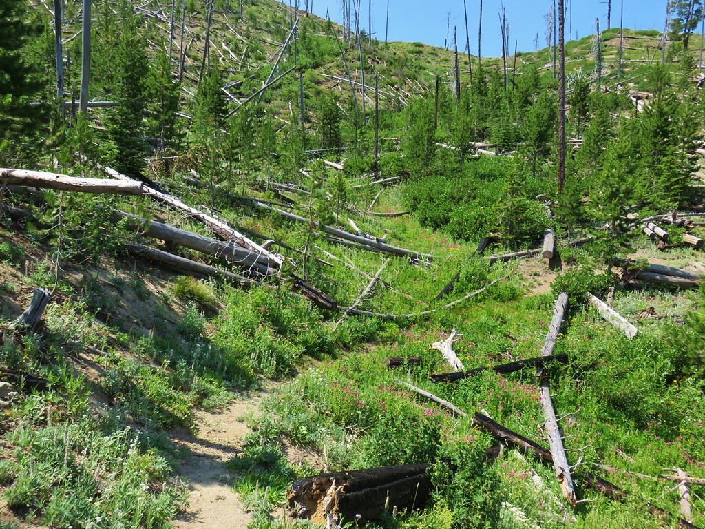
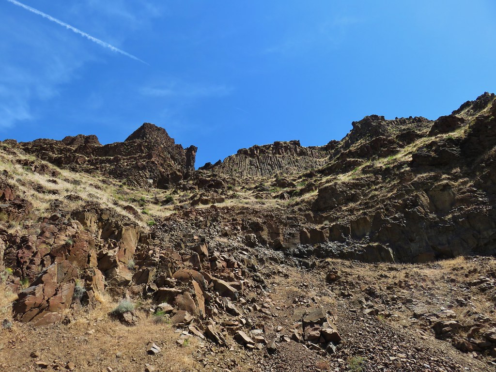
One of the reasons we were hoping it would have been colder was that the Pine Creek Trail gained nearly 800′ in less than three quarters of a mile as it steeply climbed out of Wildcat Basin.
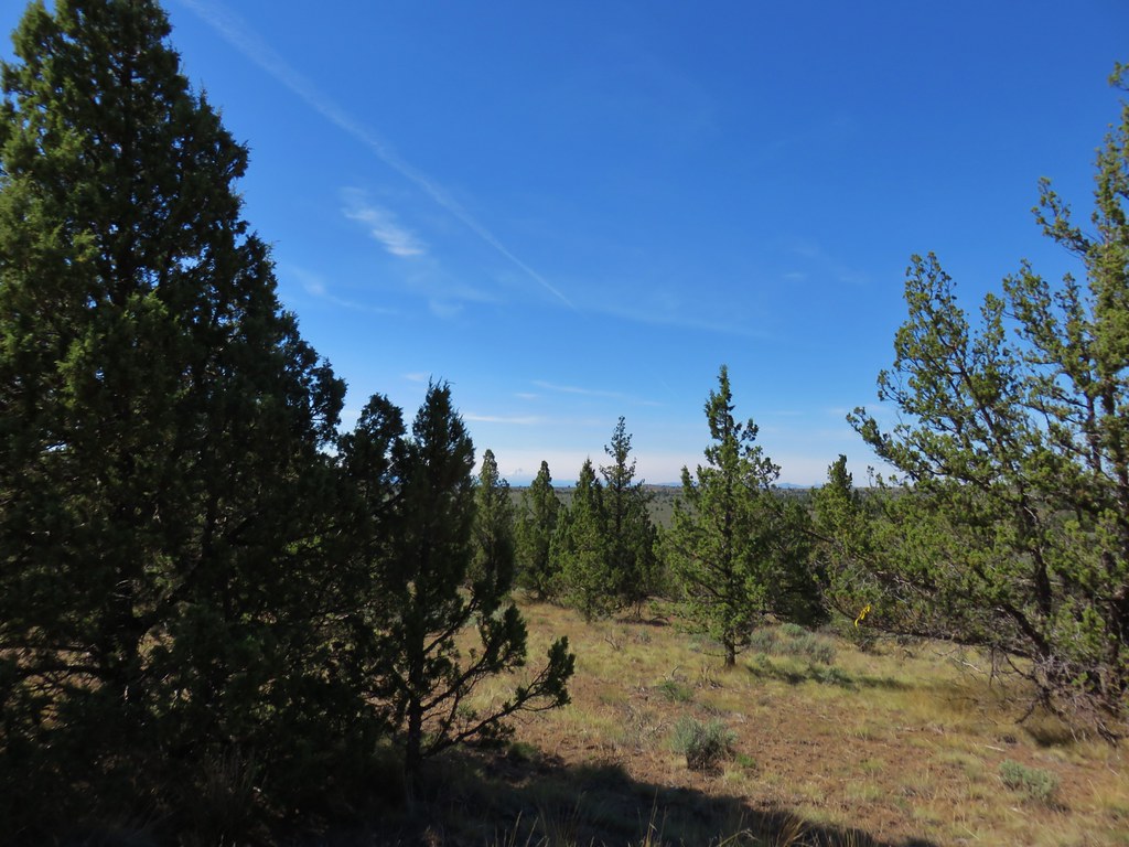
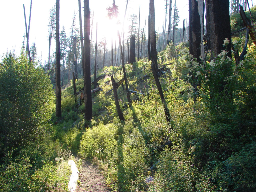
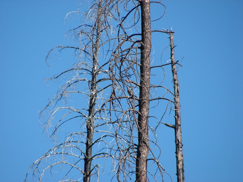
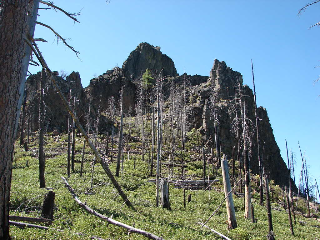
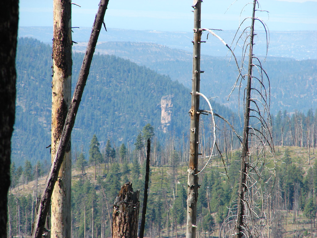
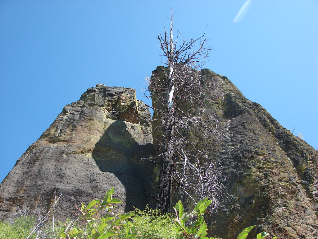
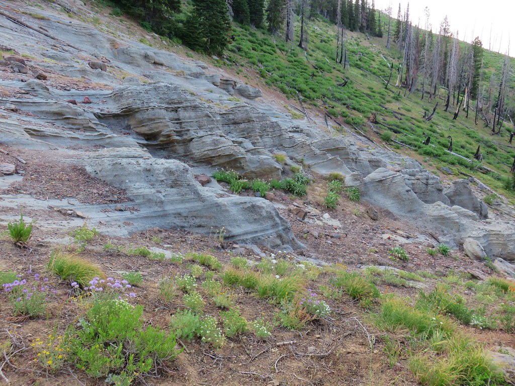
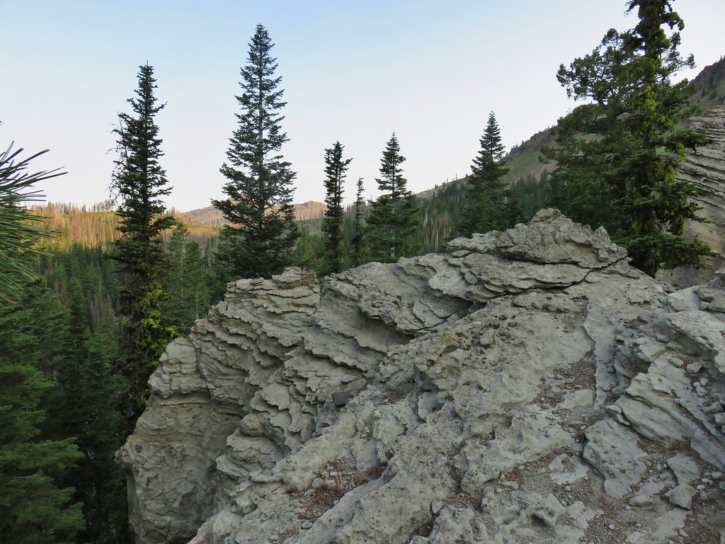
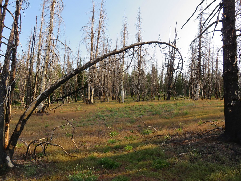
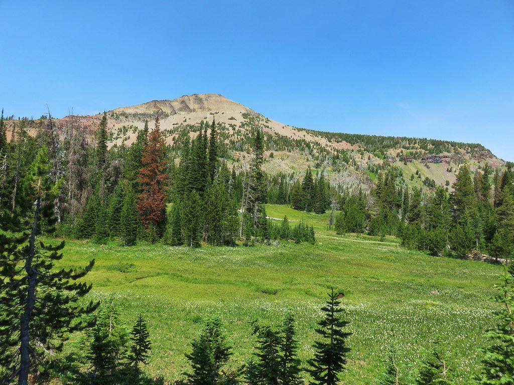
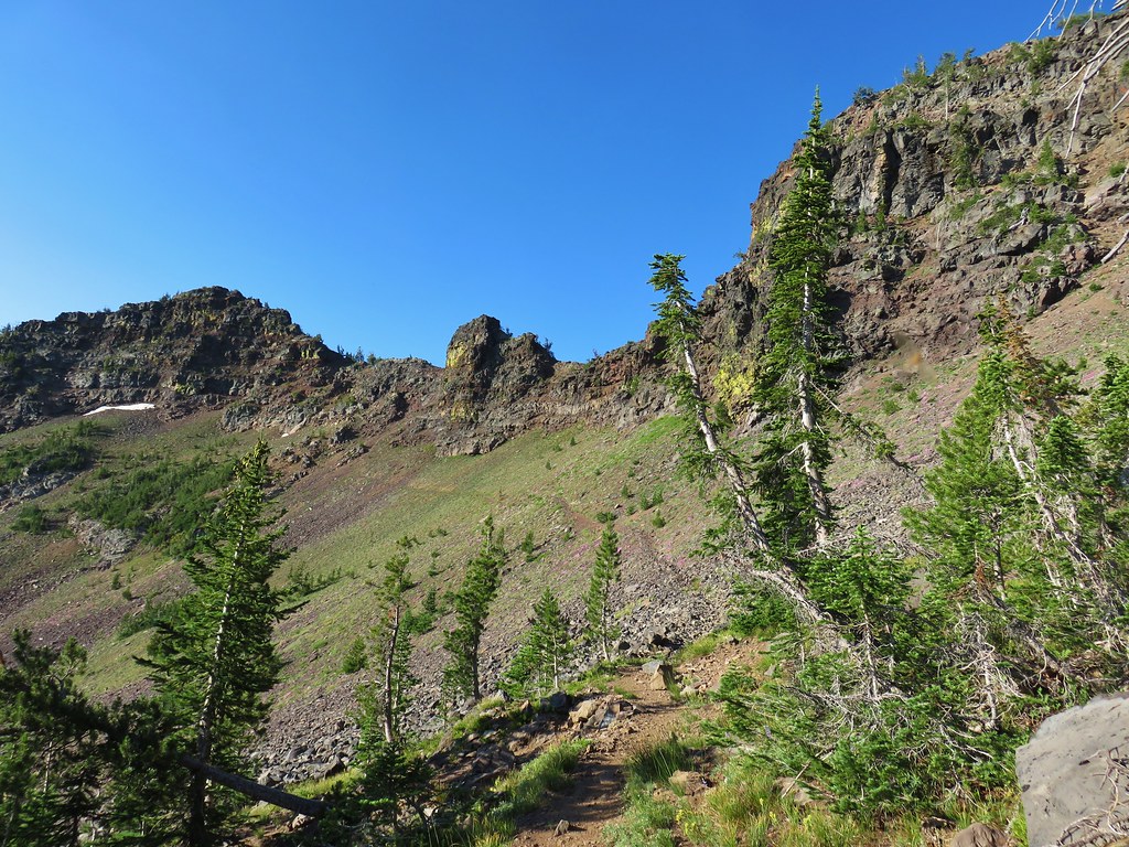
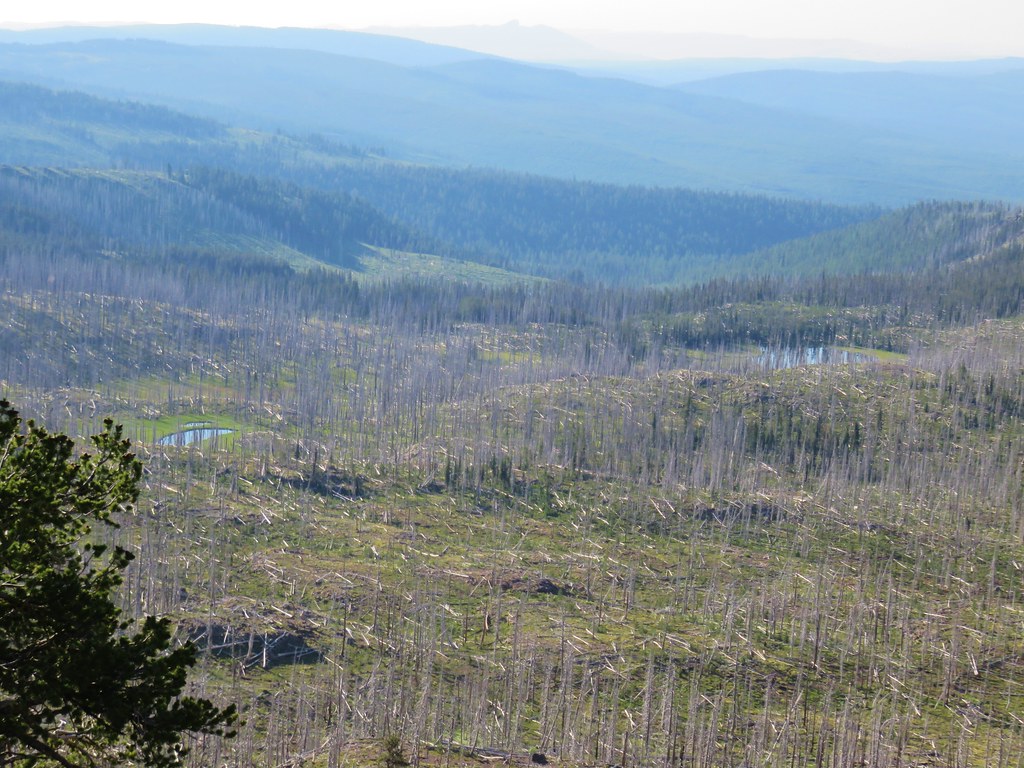
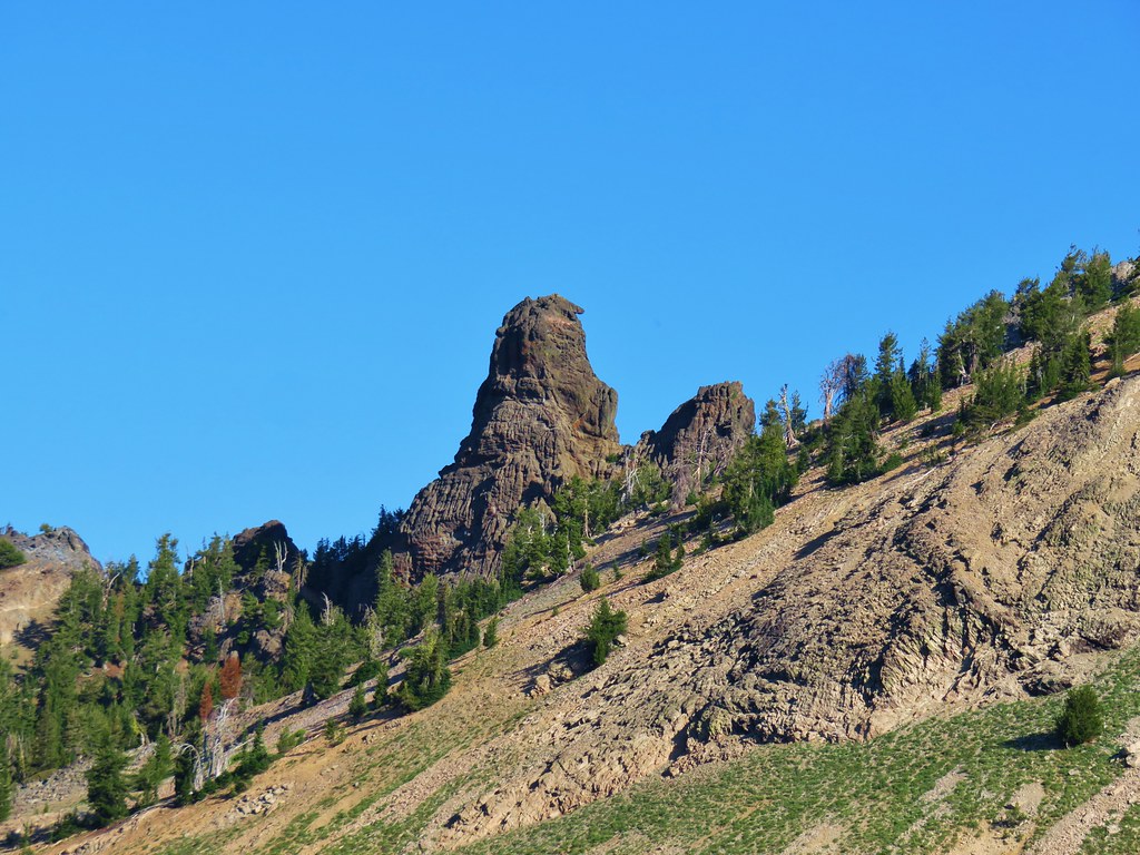
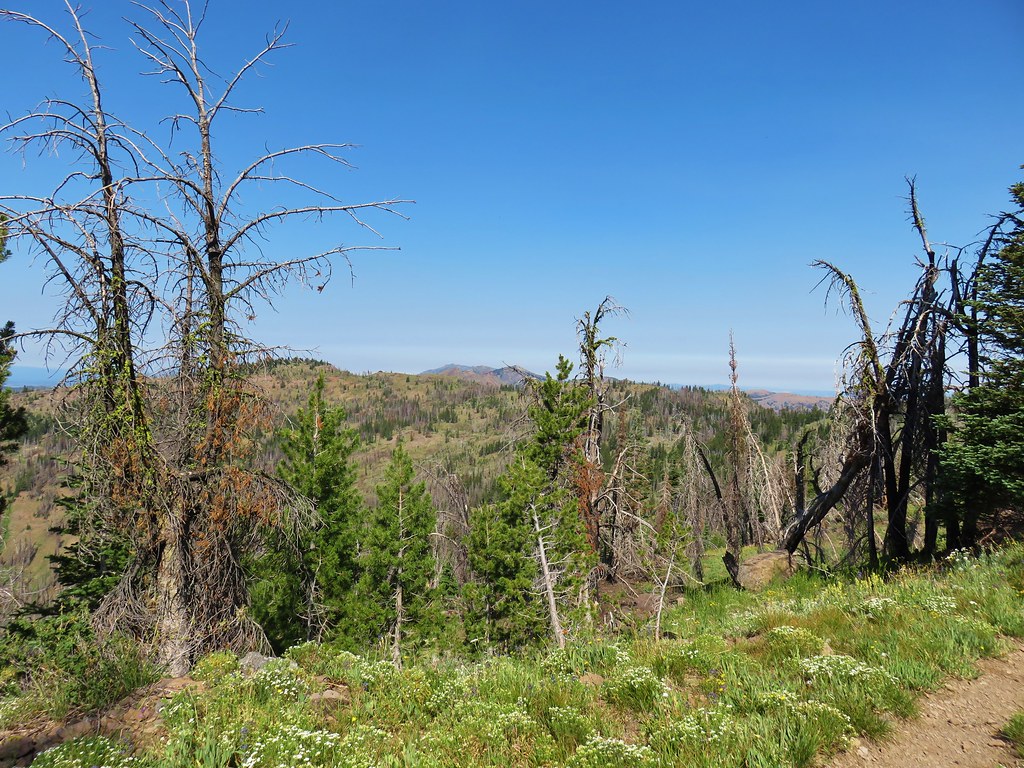
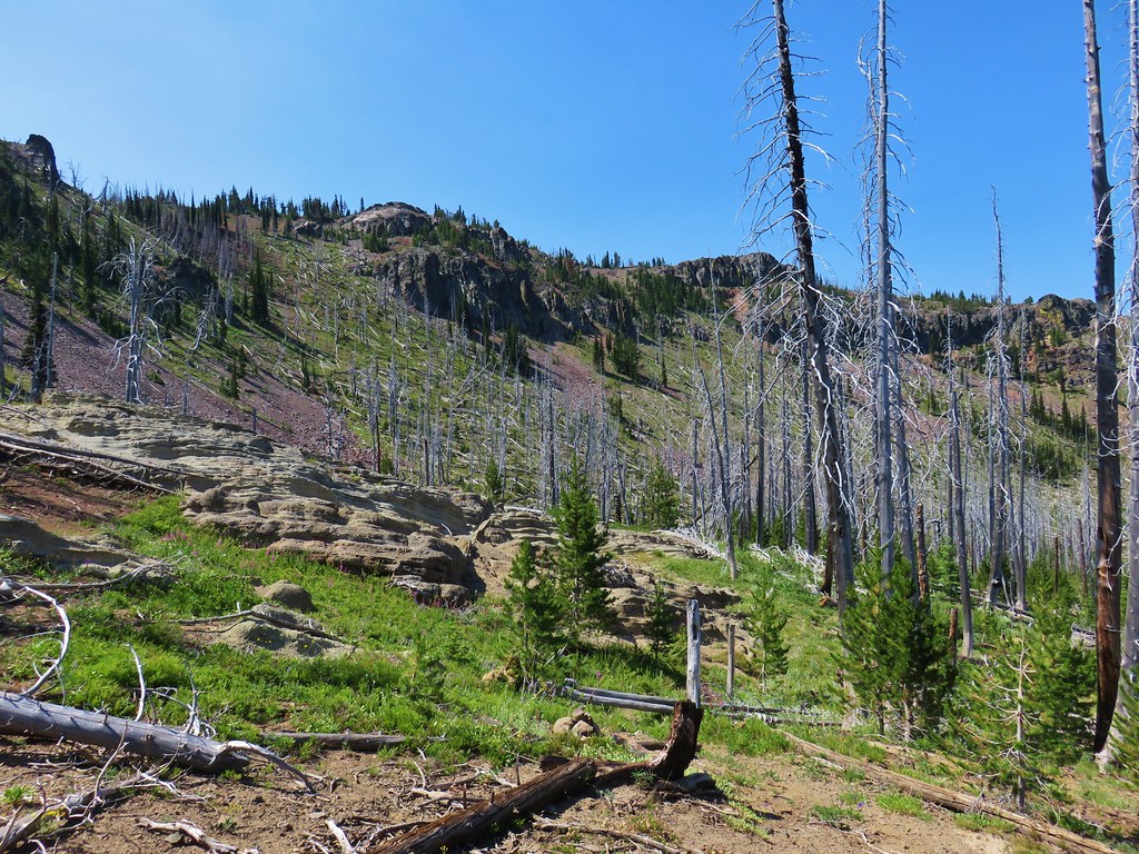
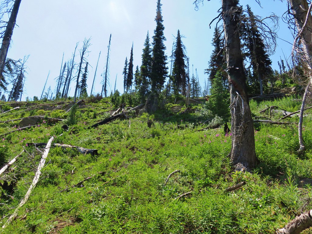
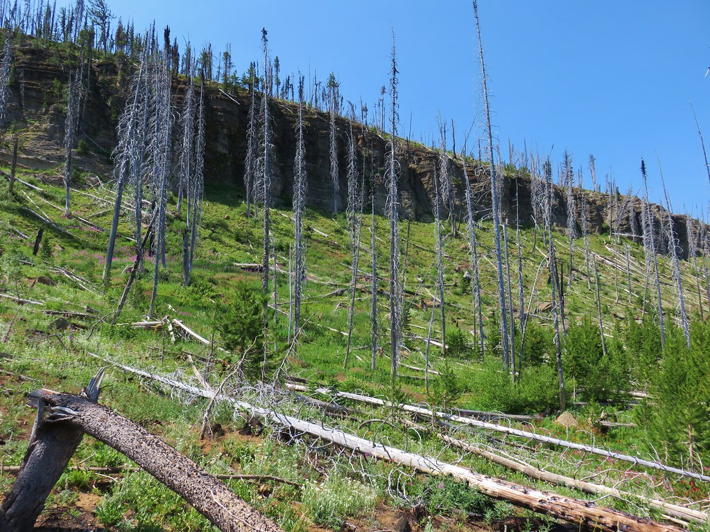
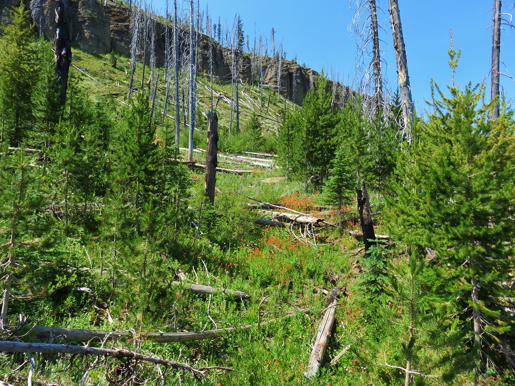
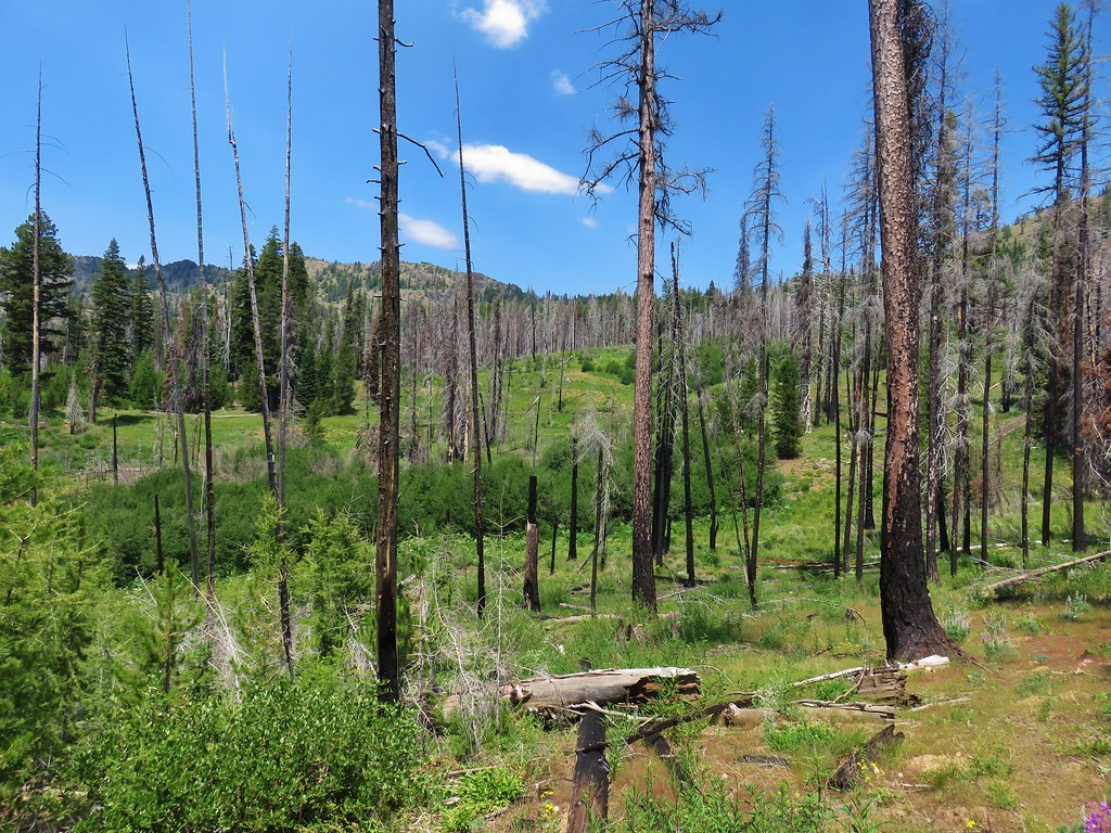
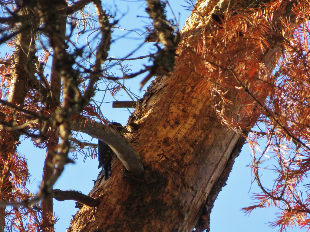
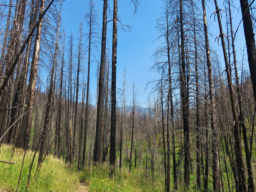
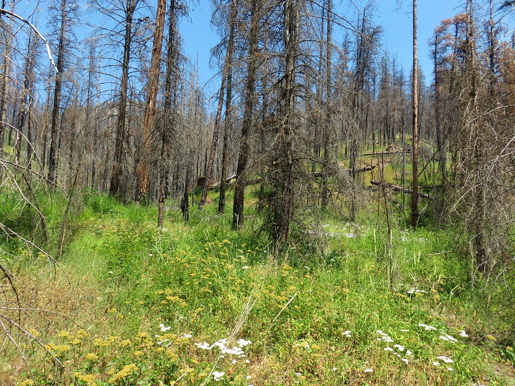
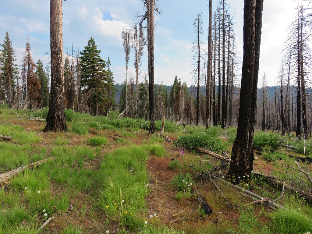
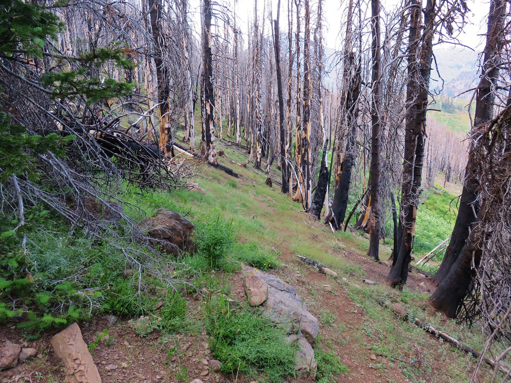
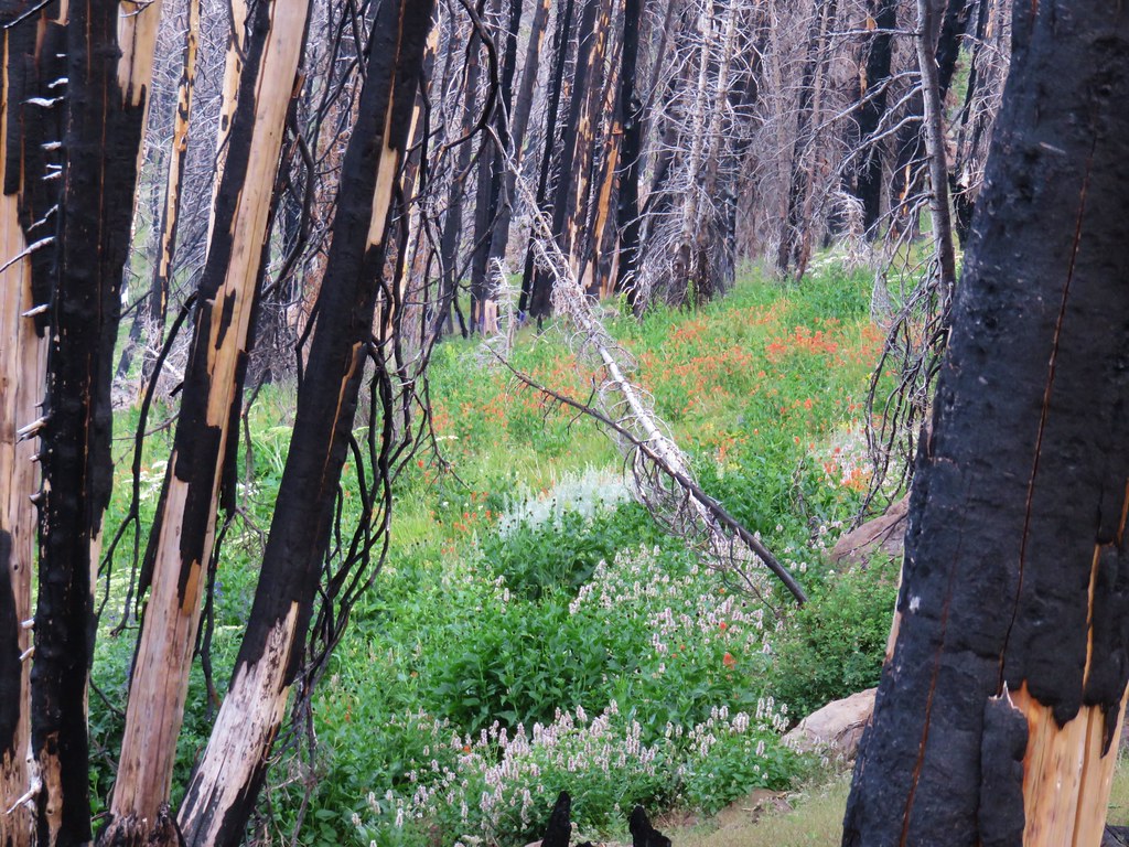
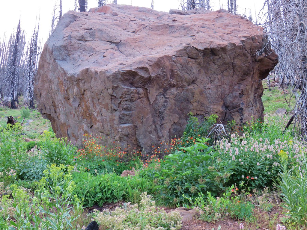
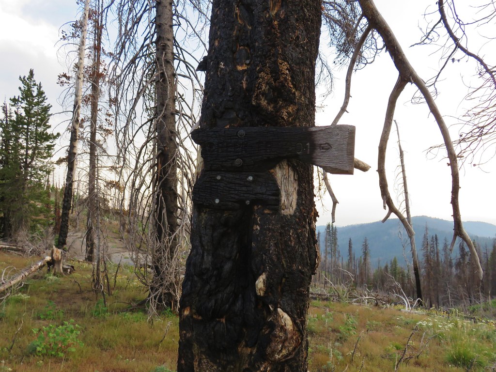
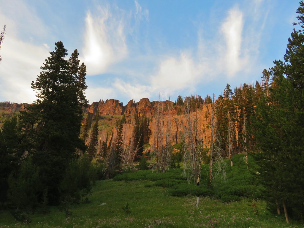
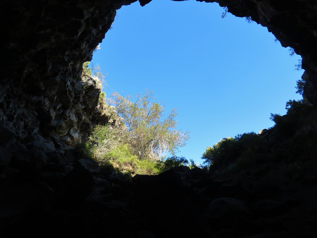
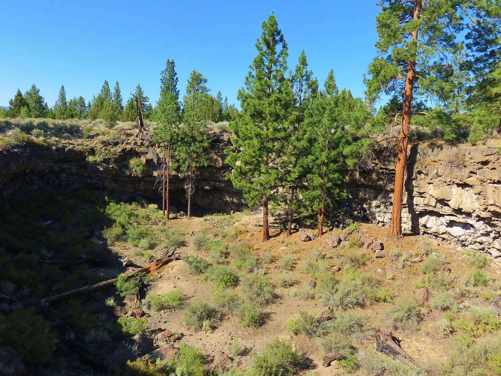
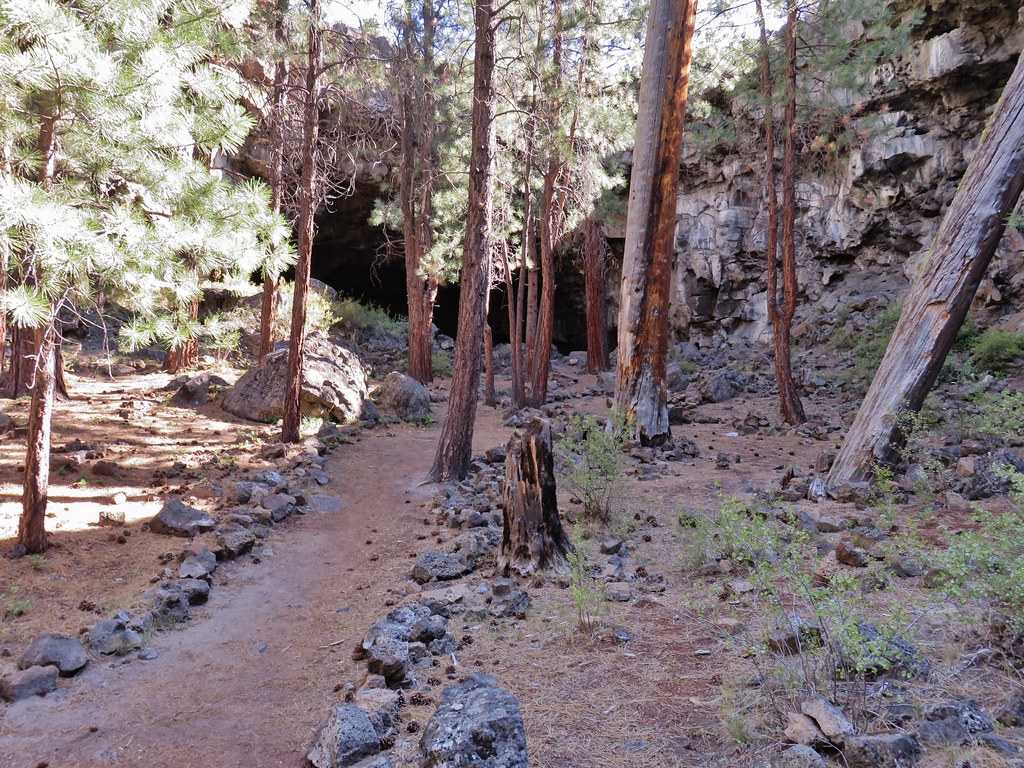
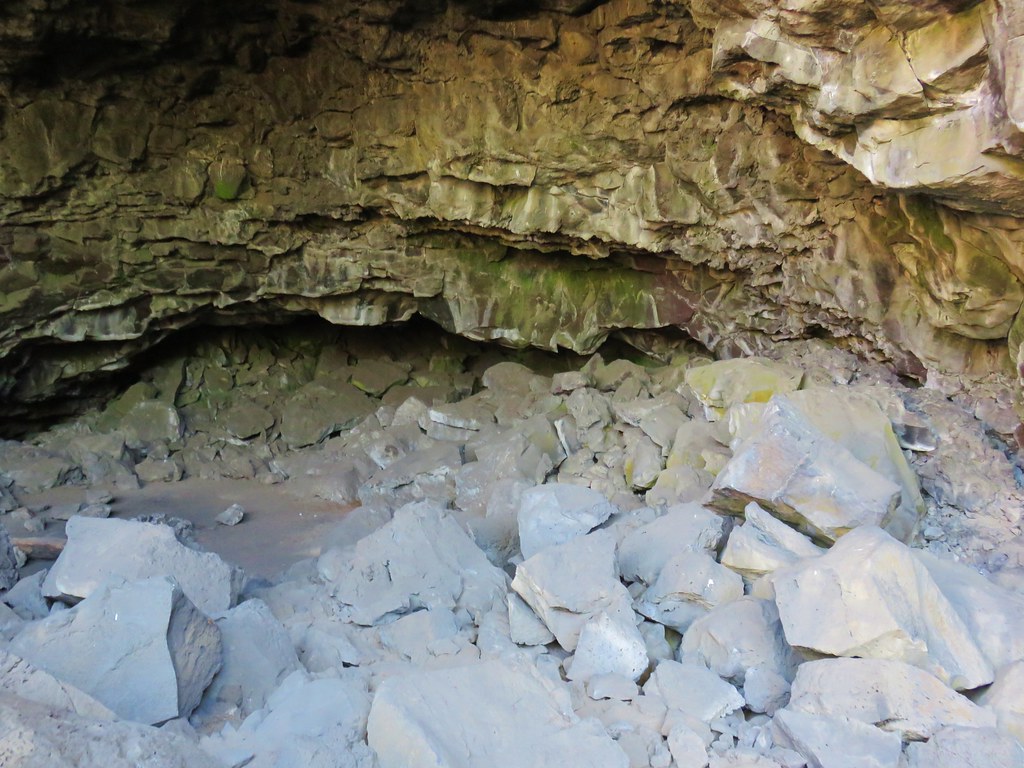
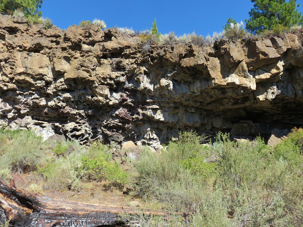
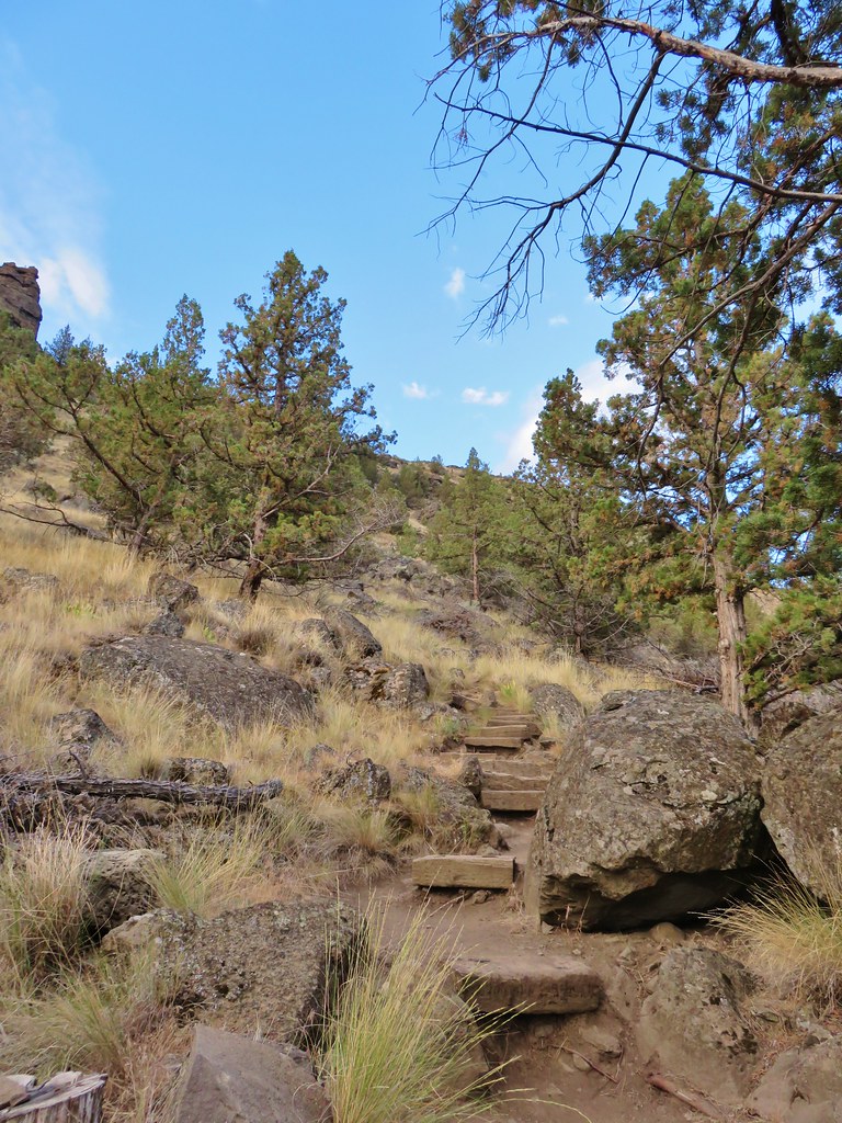
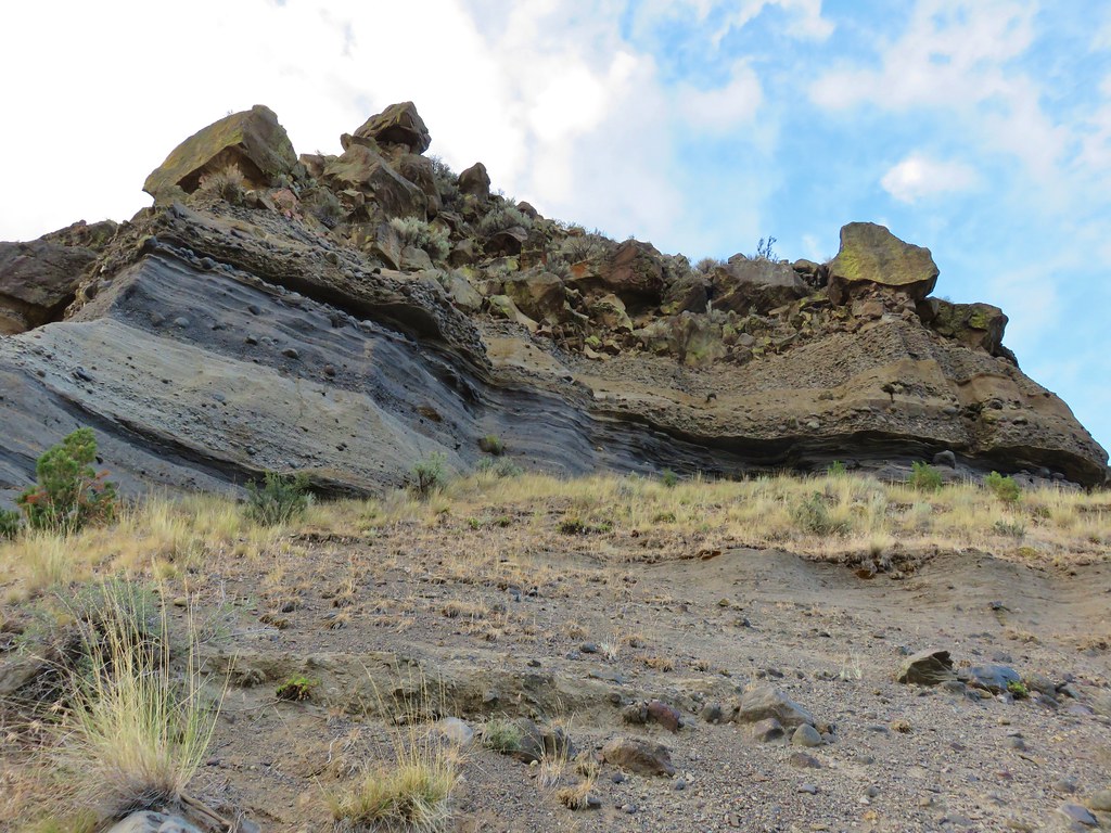
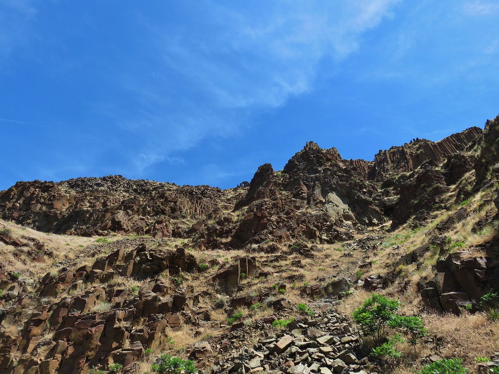
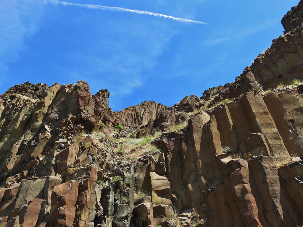
As it climbed we passed some interesting ash formations.
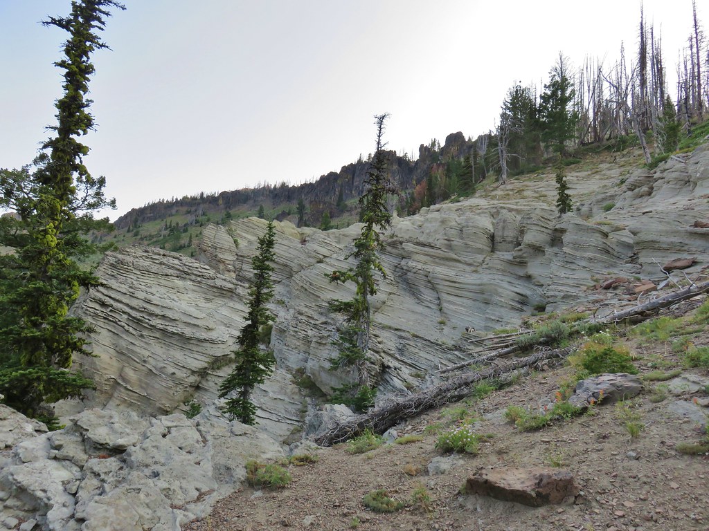
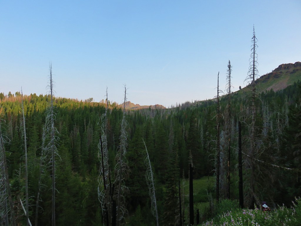
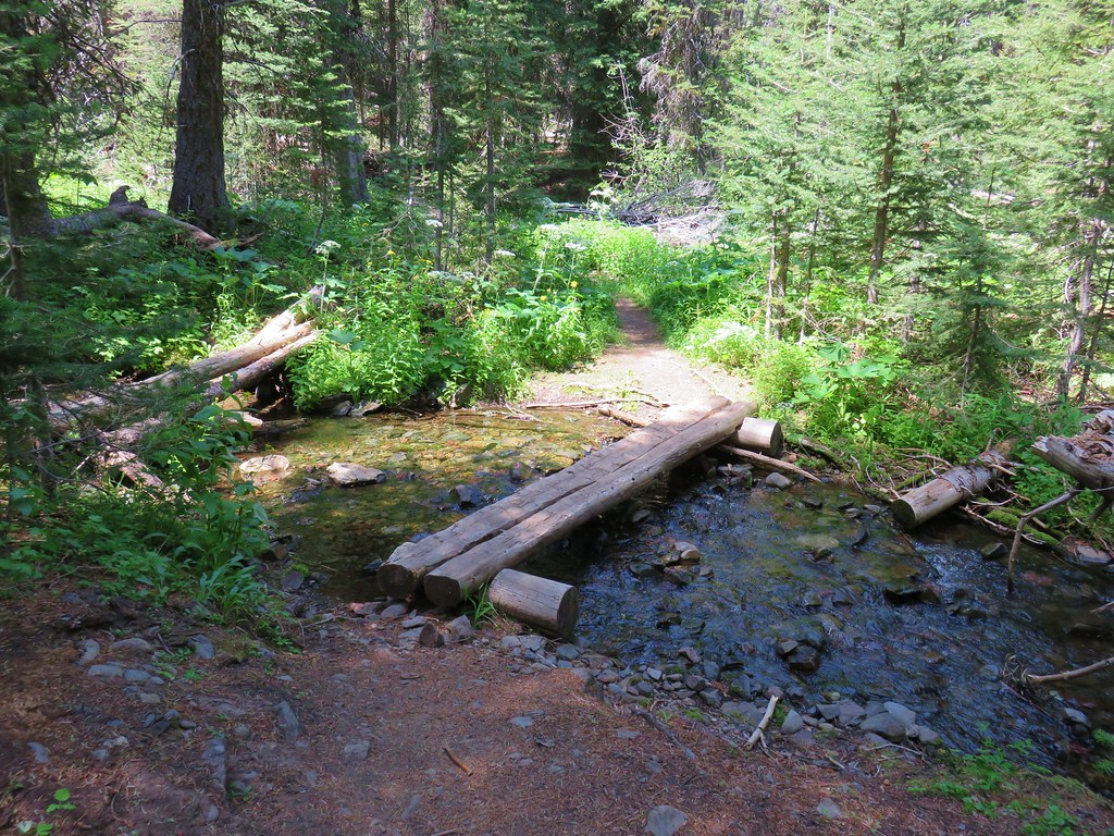
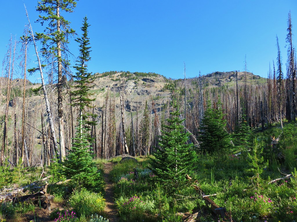
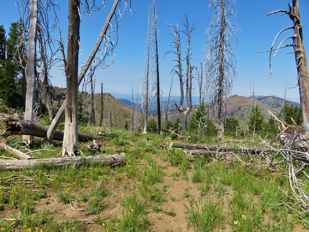
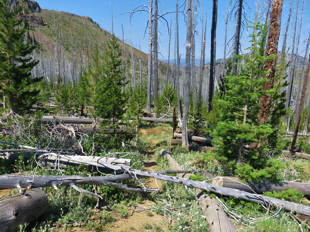
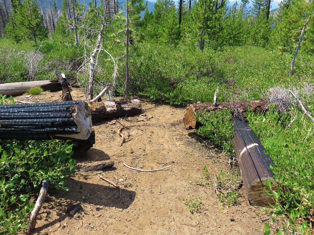
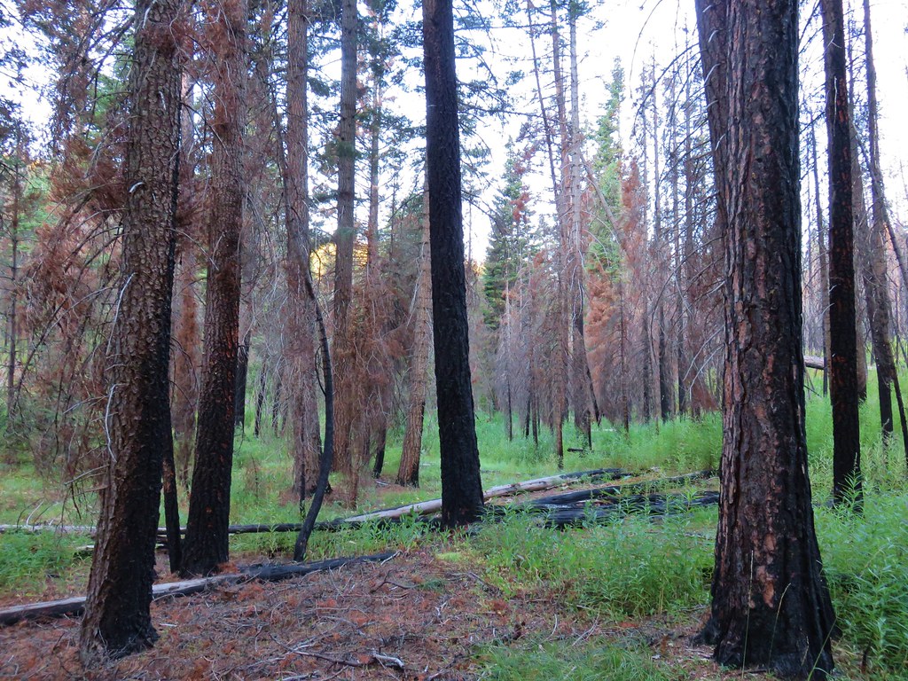
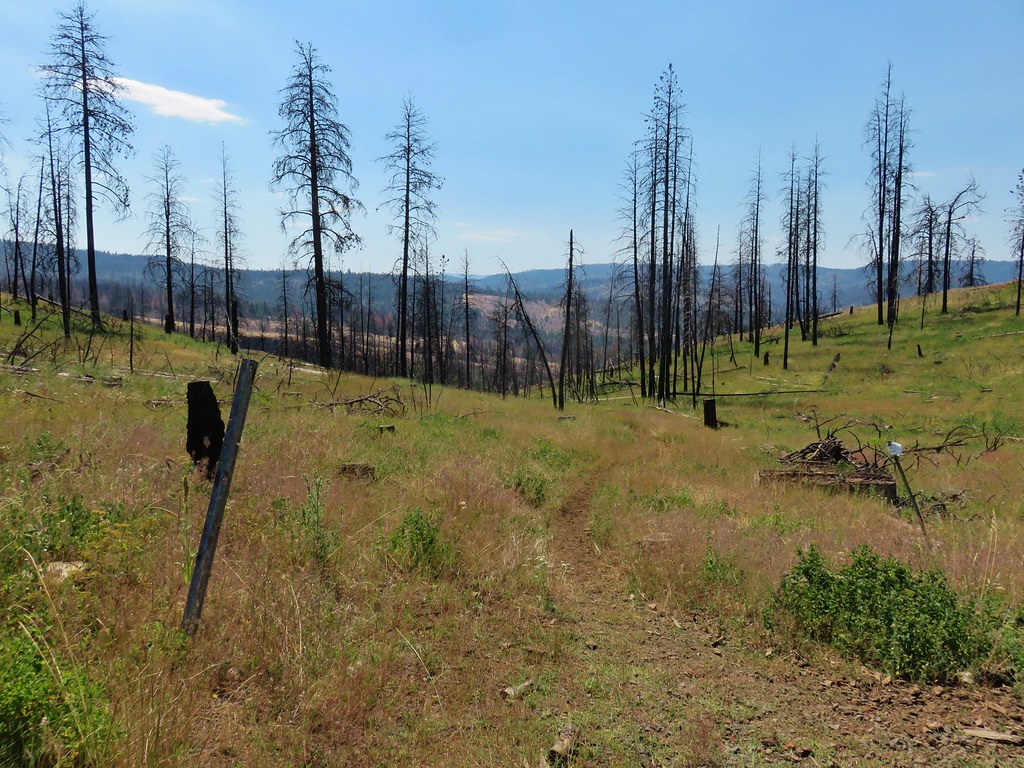
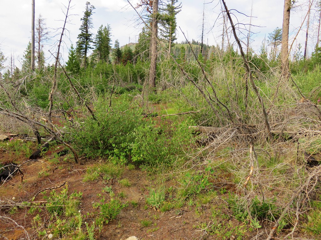
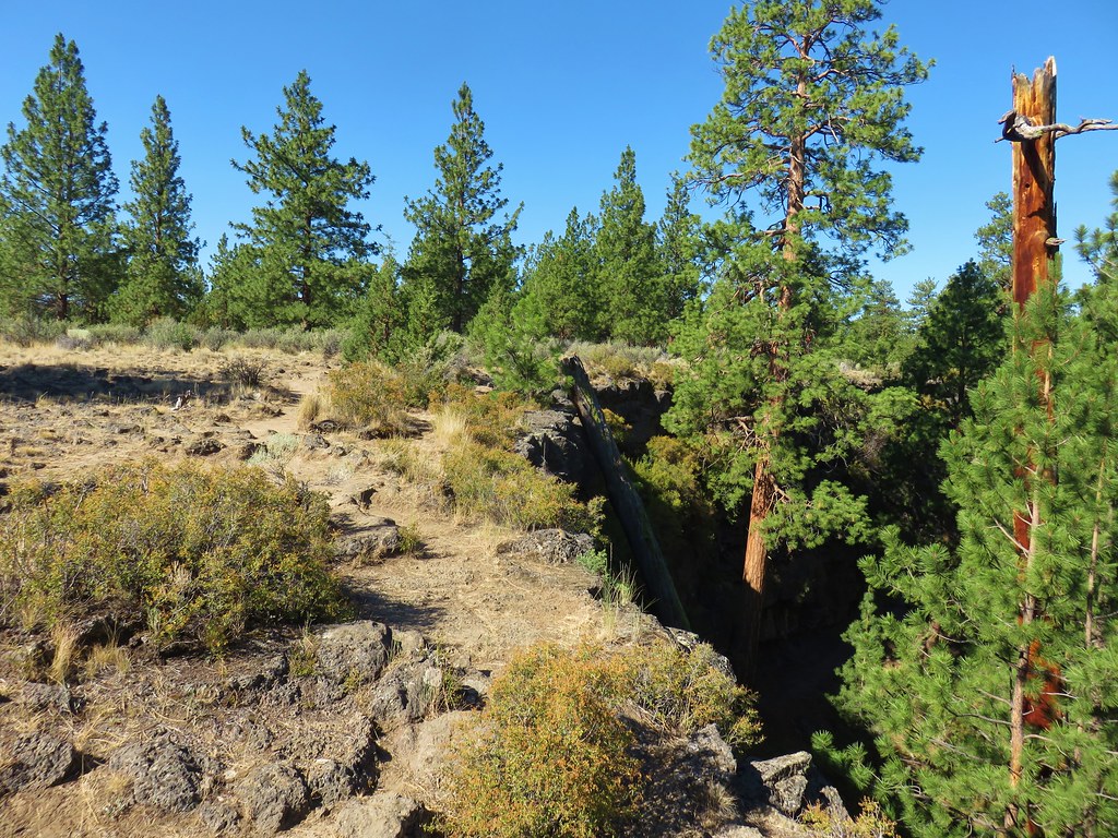
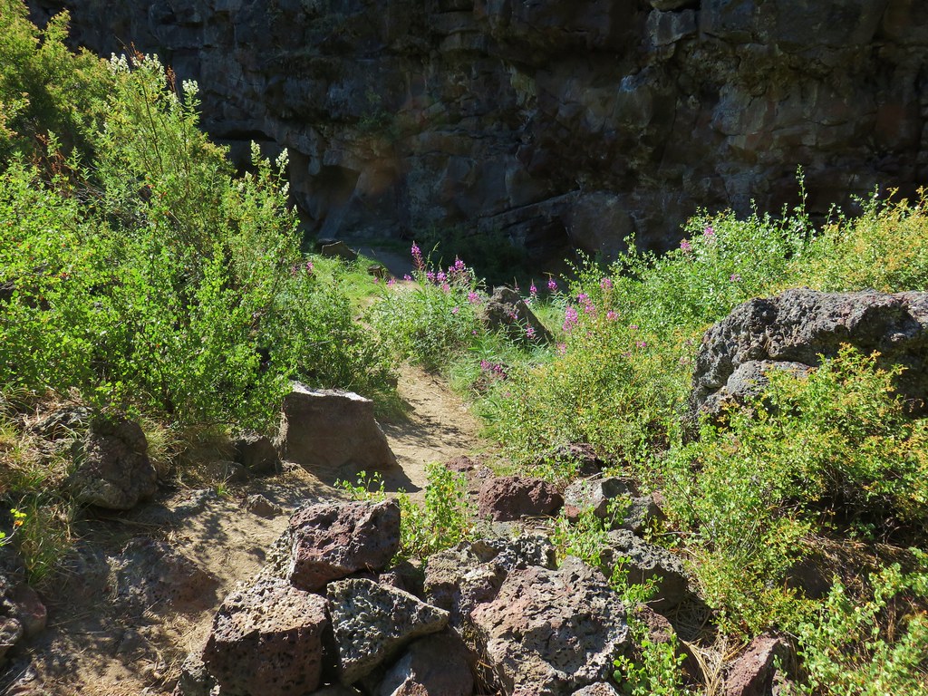
We had read that above these ash formations the trail would become obscured by brush for a short distance. After the previous days bushwacking around Indian Creek Butte (post) we were fearing the worst but it turned out to not be anywhere near as bad as that had been. It was a much shorter stretch and there were less obstacles to maneuver around. We hadn’t been at it long before Heather spotted the trail veering to the right into burned trees.
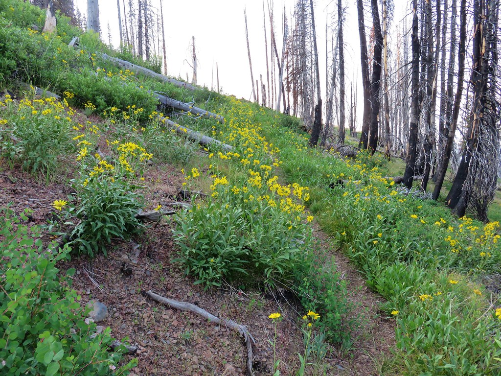
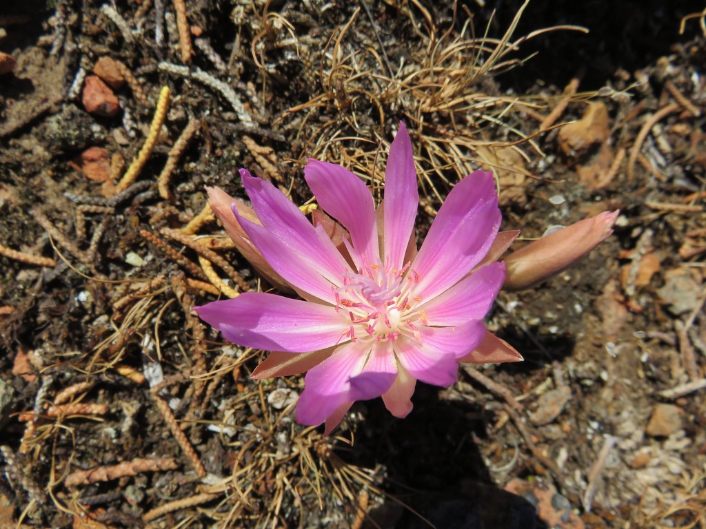
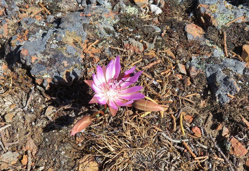
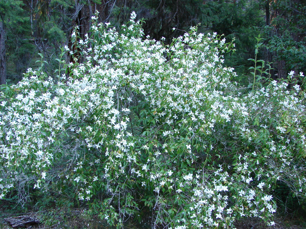
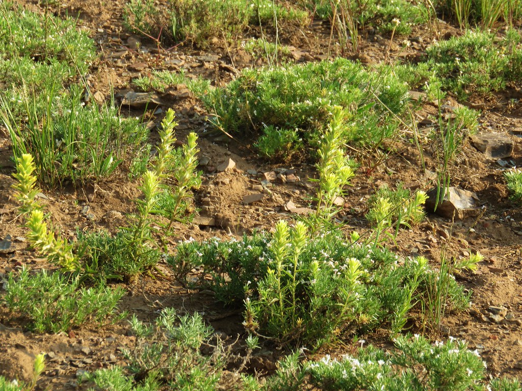
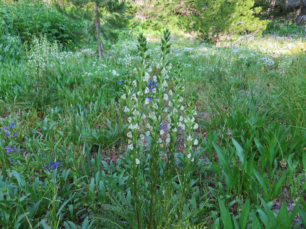
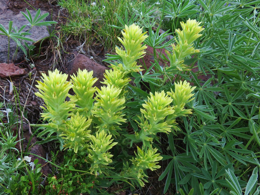
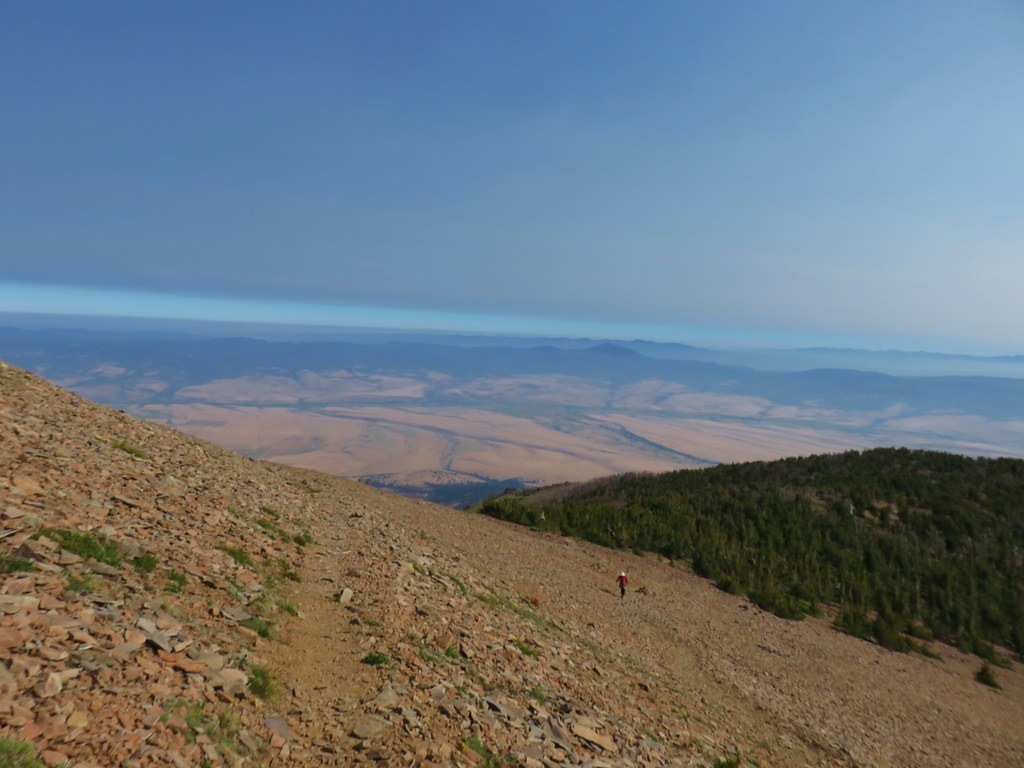
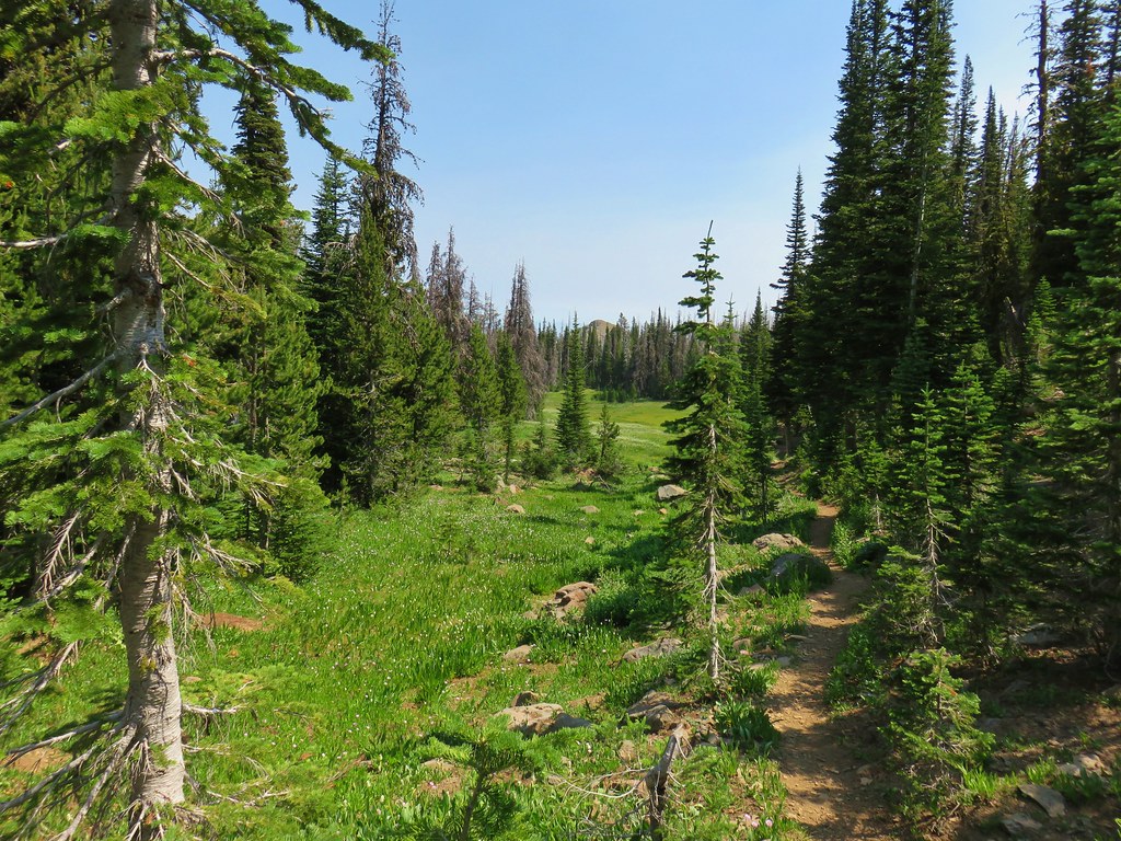
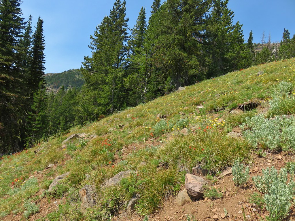
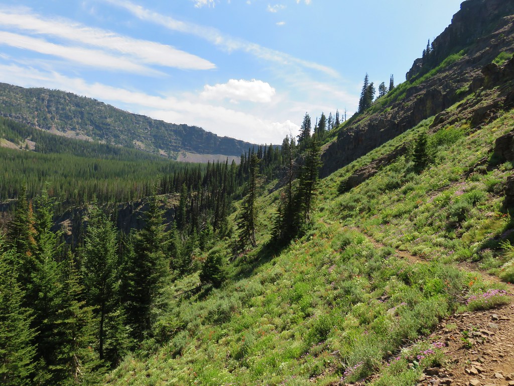
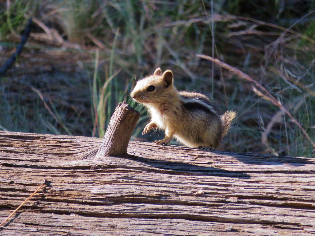
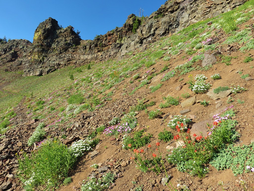
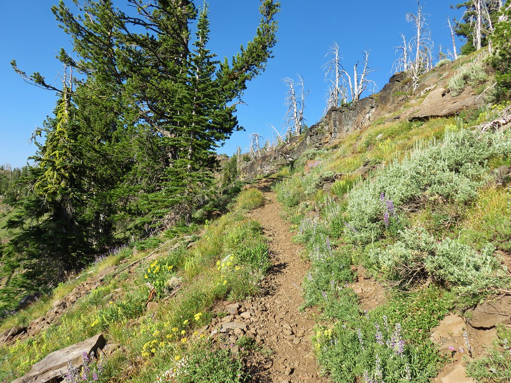
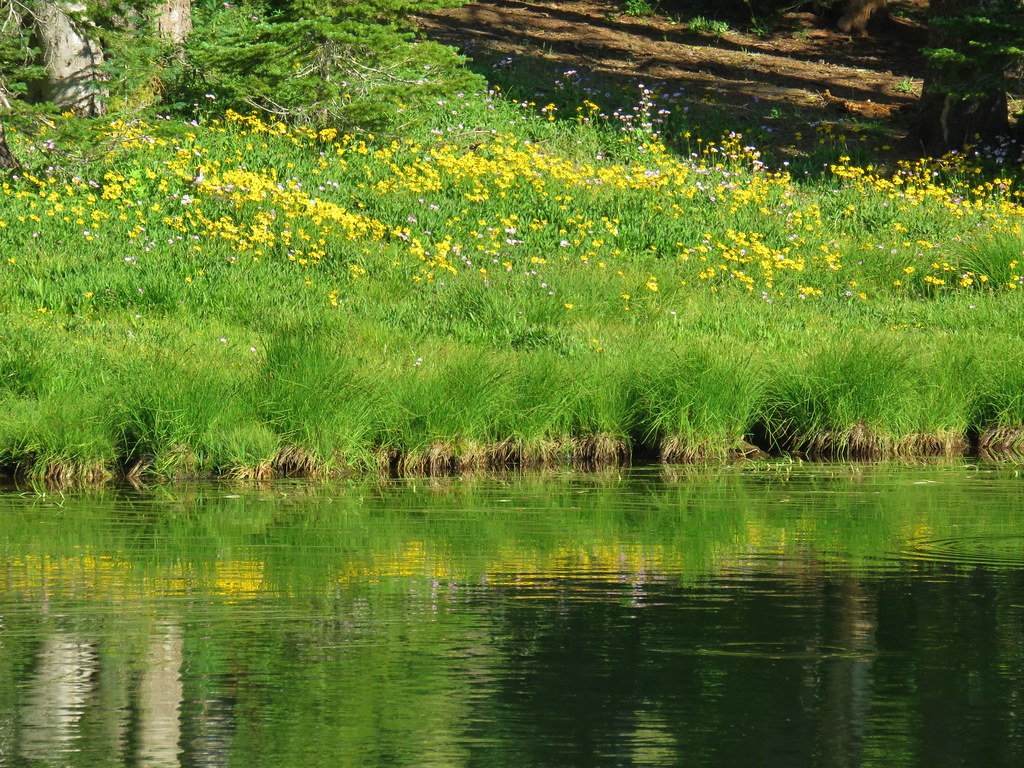
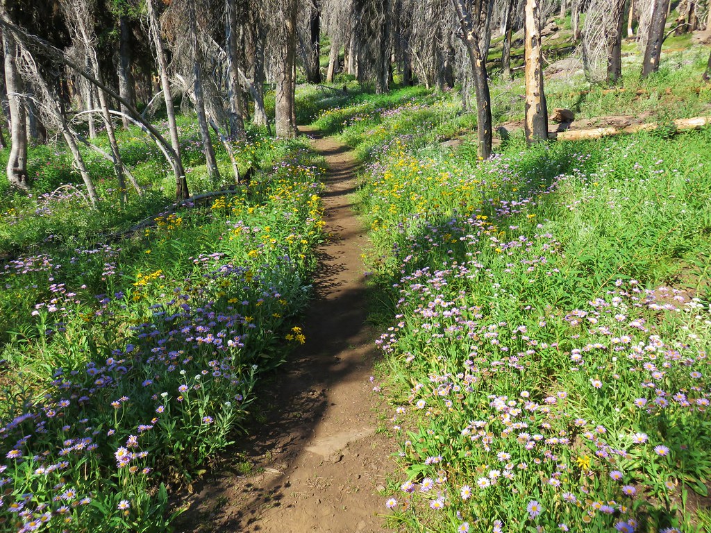
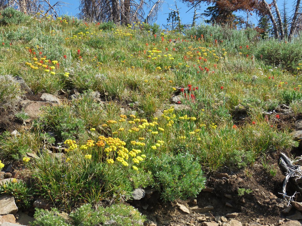
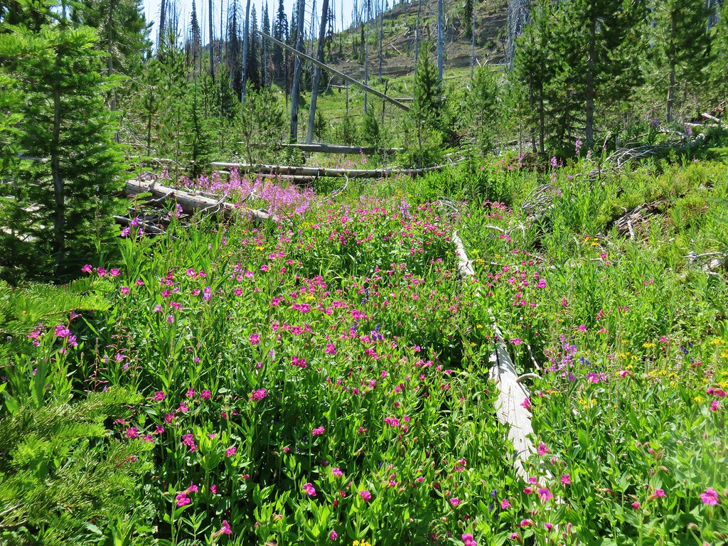
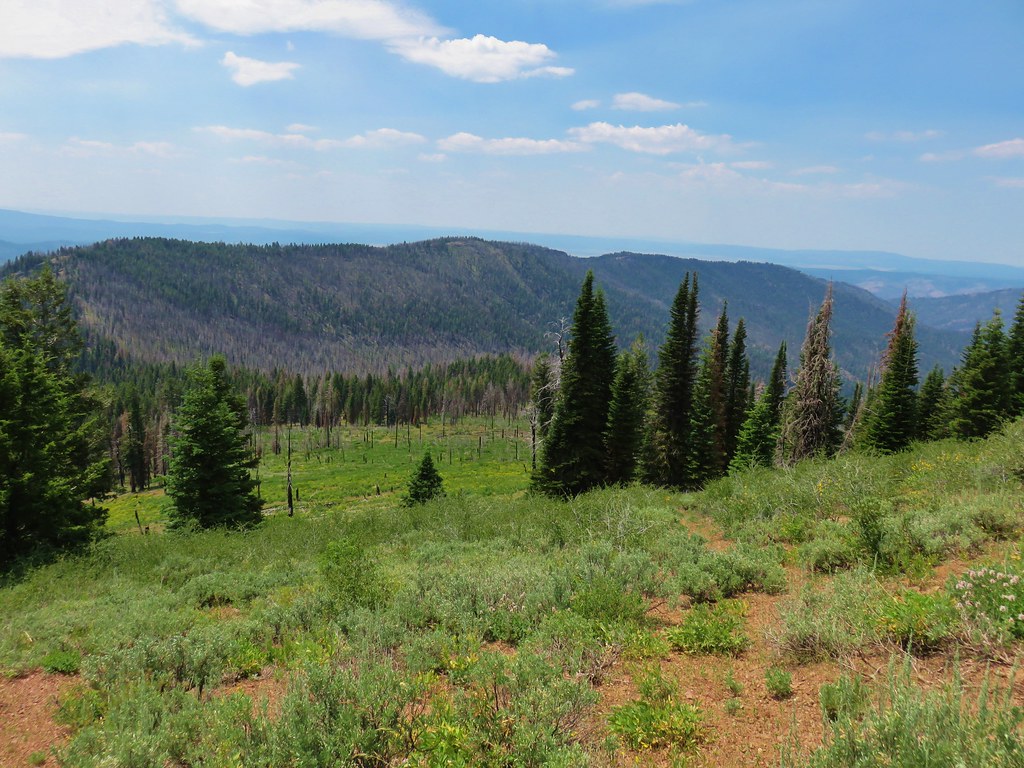
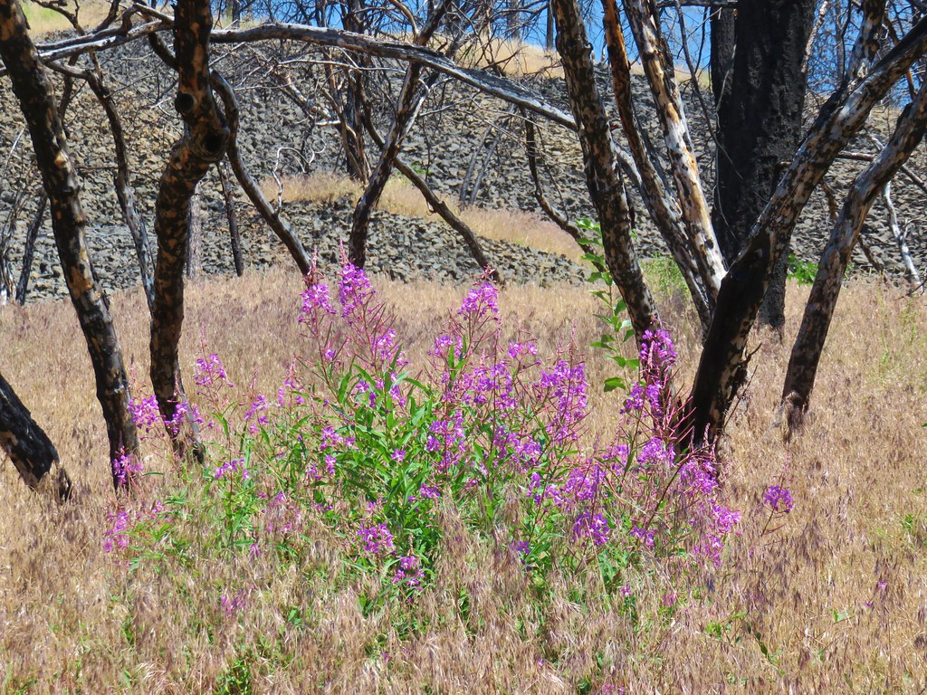
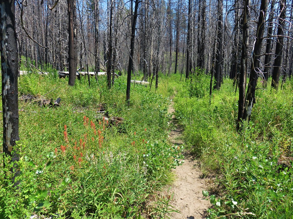
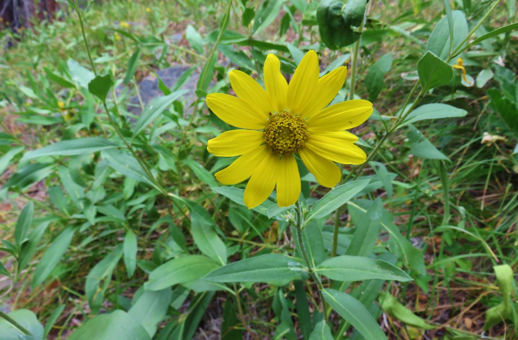
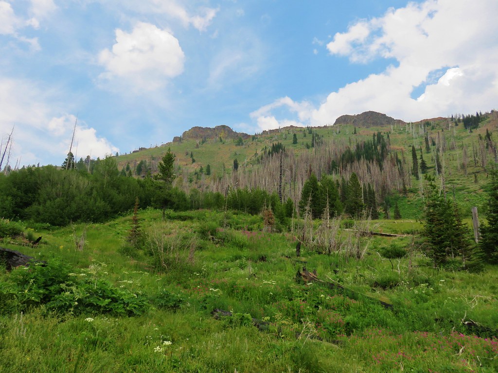
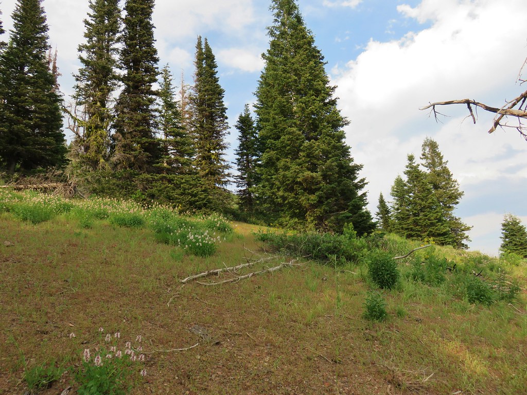
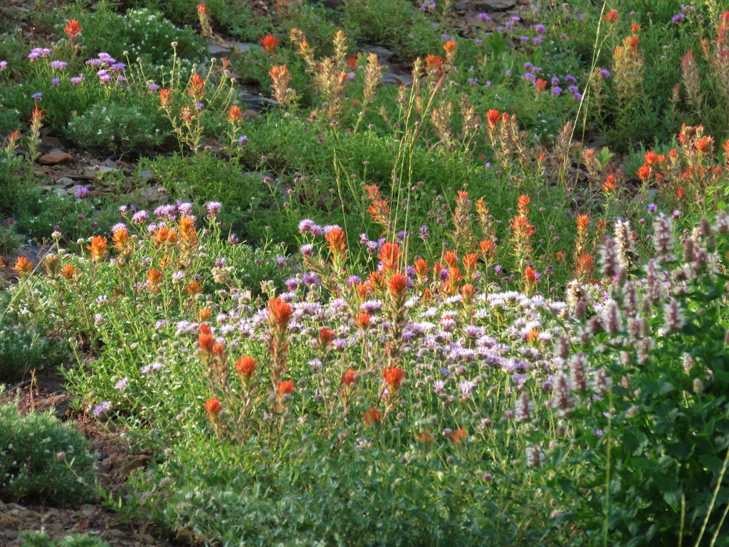
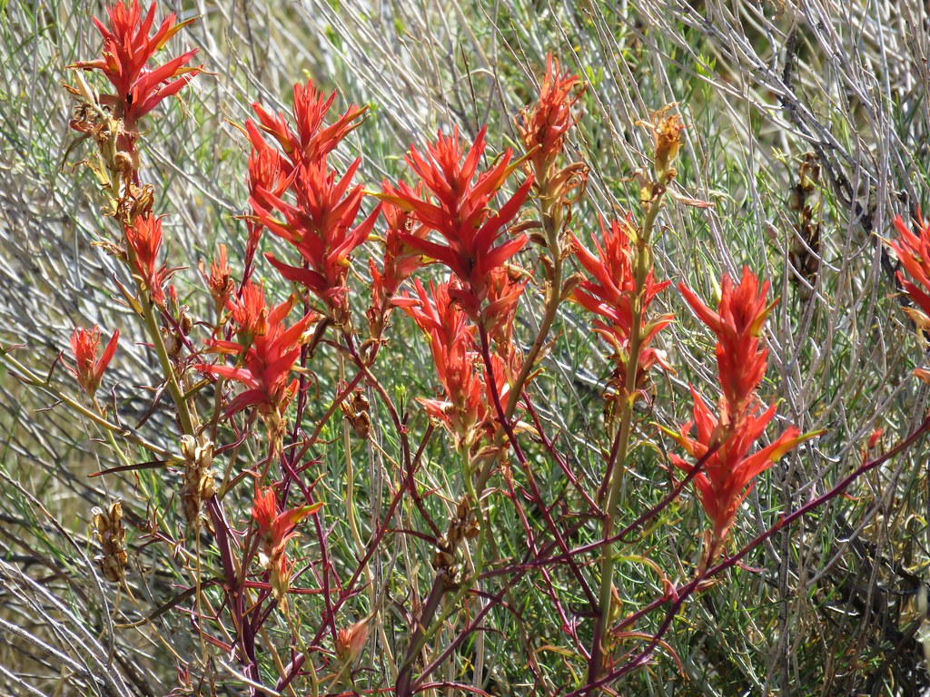
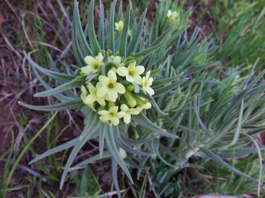
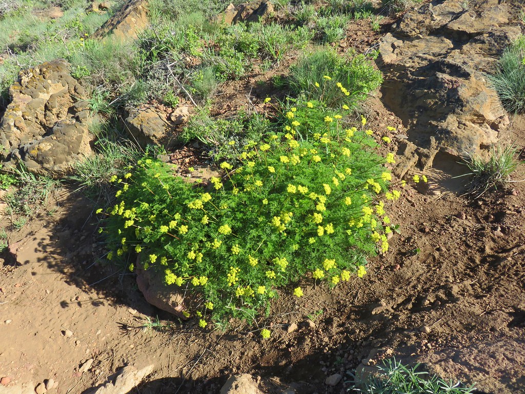
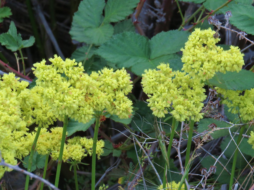
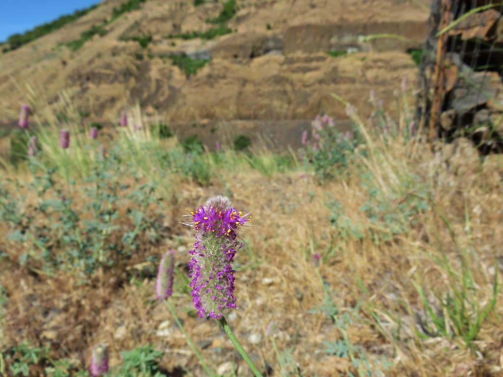
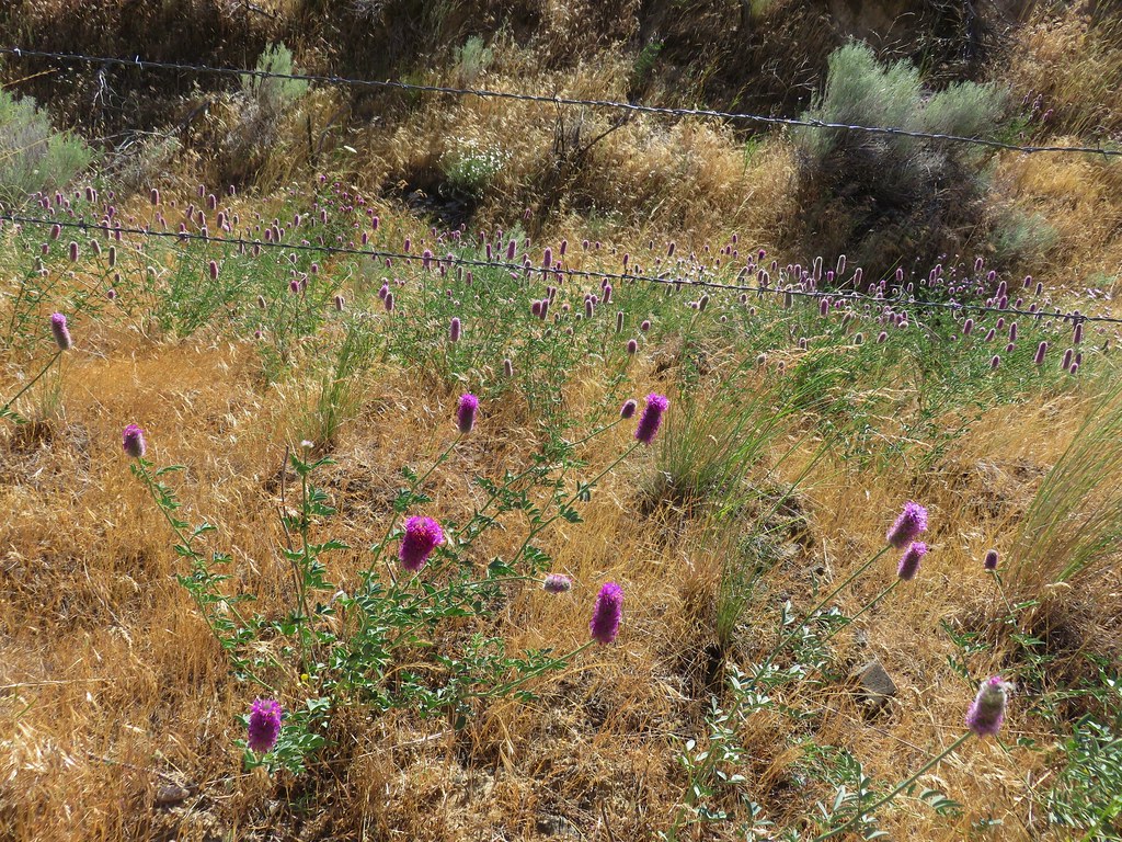
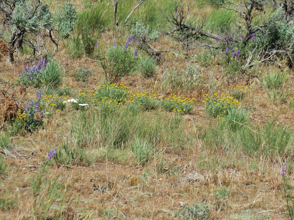
The trail leveled out a bit as it crossed a ridge top where we spotted the first of the yellow paintbrush that is plentiful in the area.
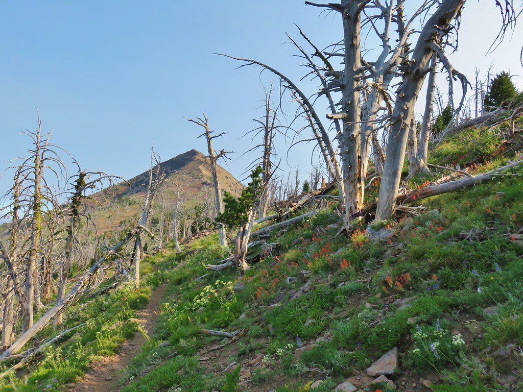
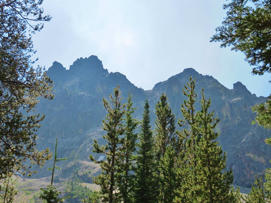
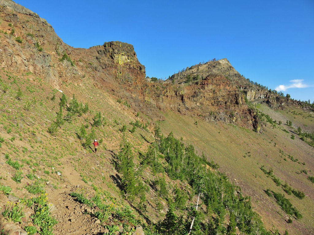
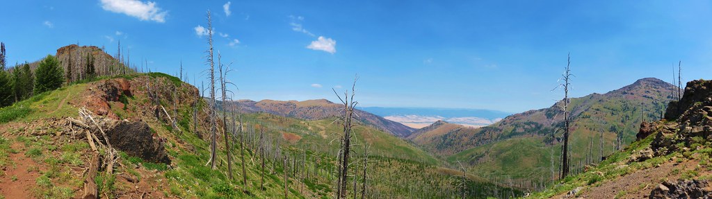
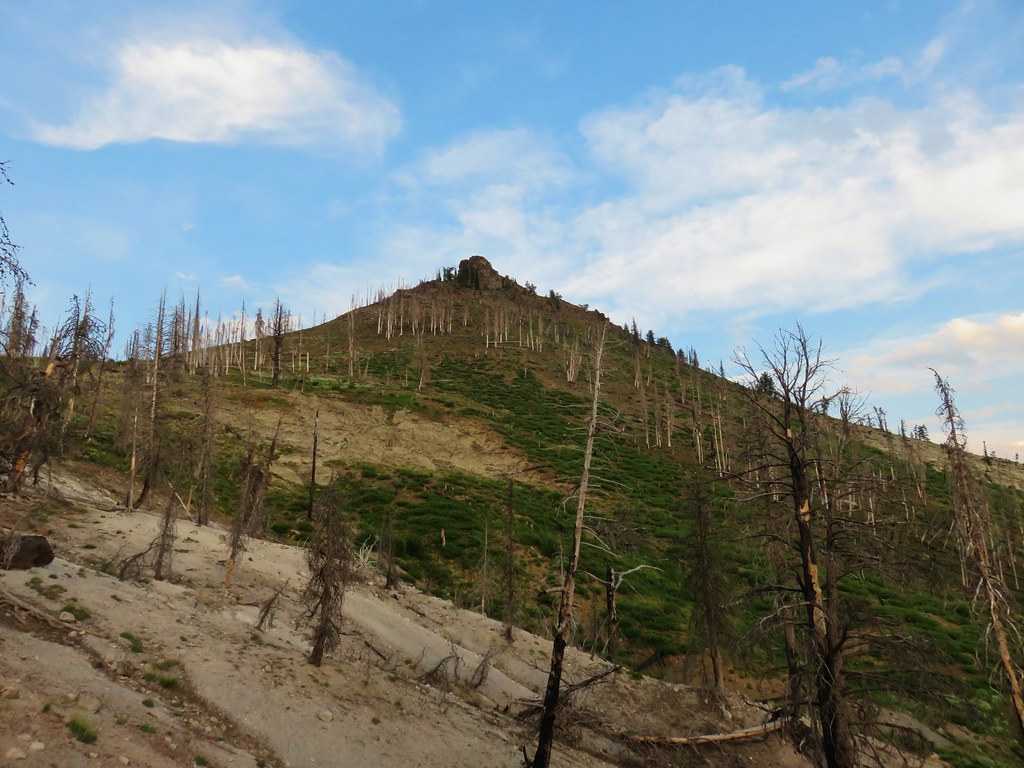
The trail bent around to the north as it crossed the ridge and soon Strawberry Mountain came into view.
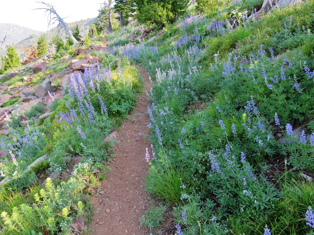
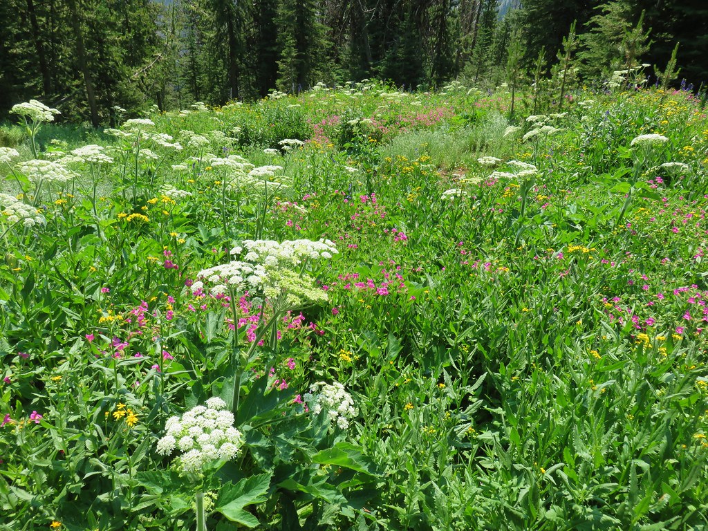
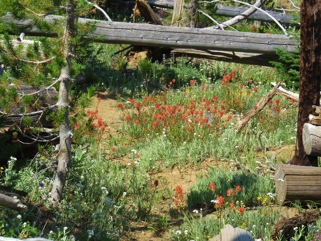
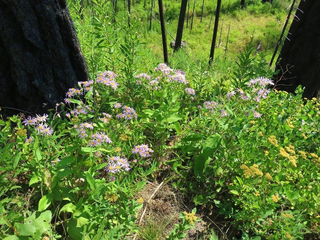
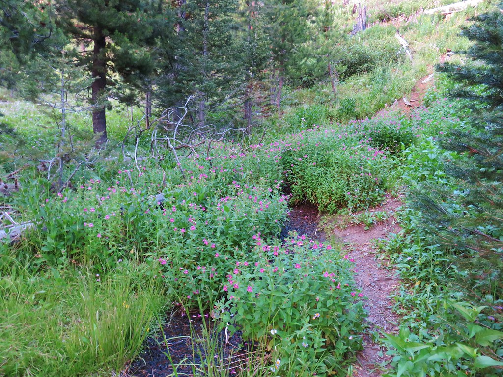
Our plan was to take a side trip up to the summit once we made it to the saddle below the peak, but for now we were focused on the trail at hand which was passing through some nice wildflowers.


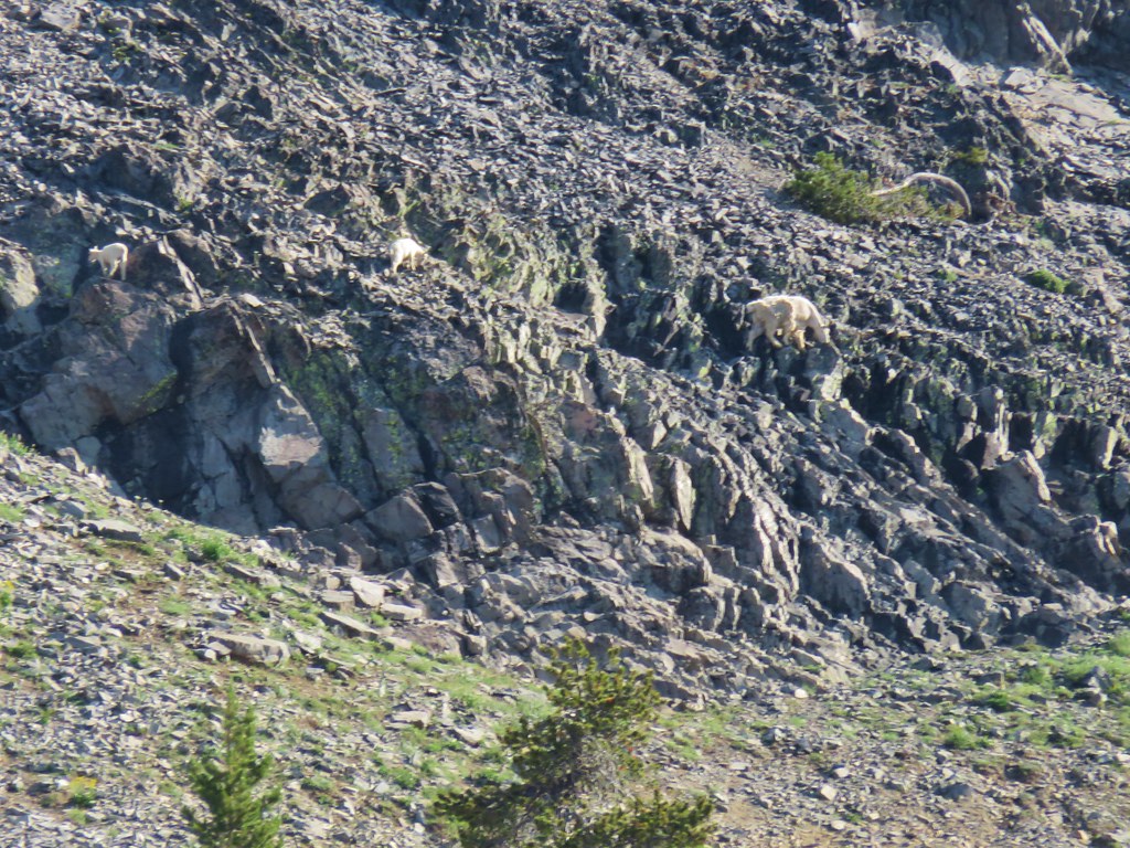
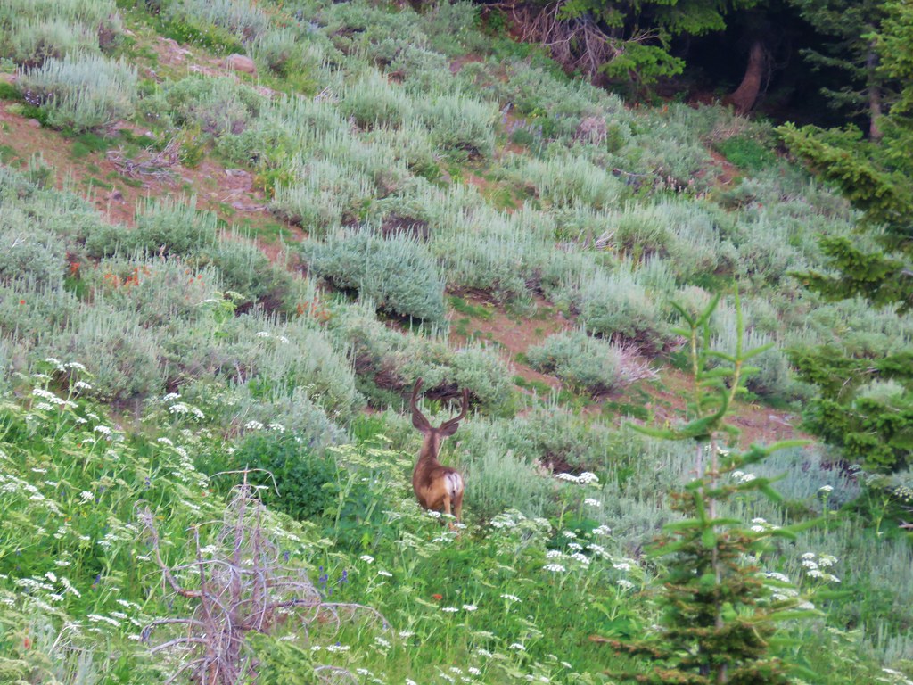
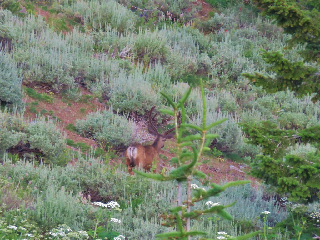
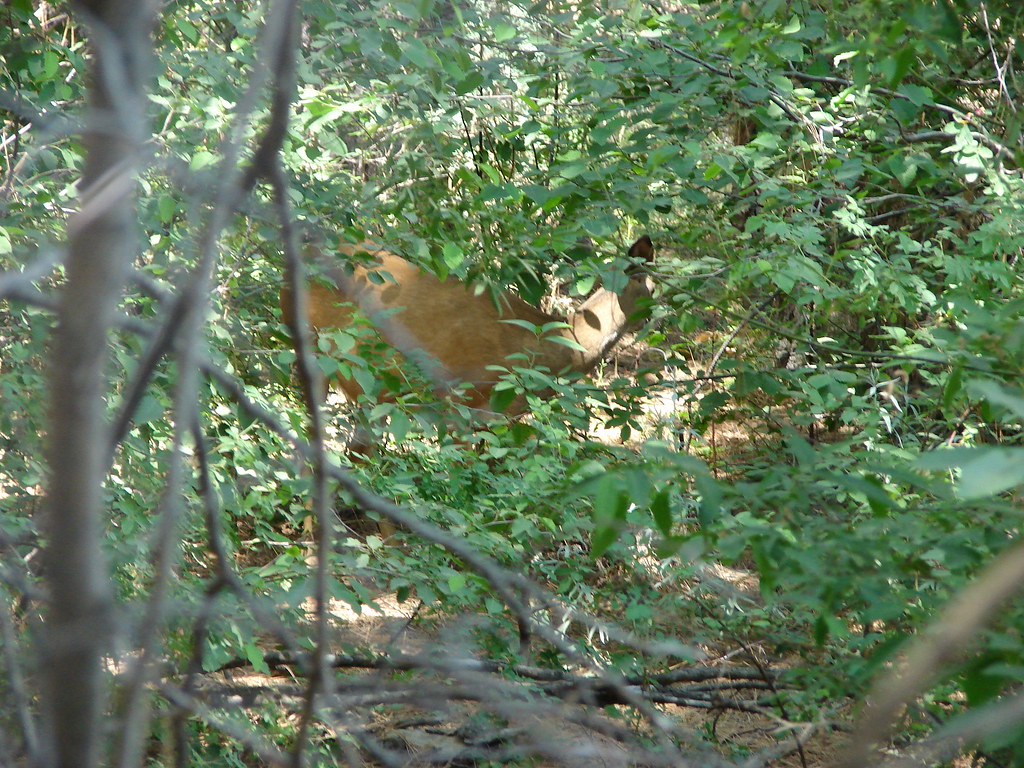
We also flushed out several deer but they escaped before I could get any photos.
A mile and a half from Wildcat Basin we arrived at a junction with the Indian Creek Trail #5001.
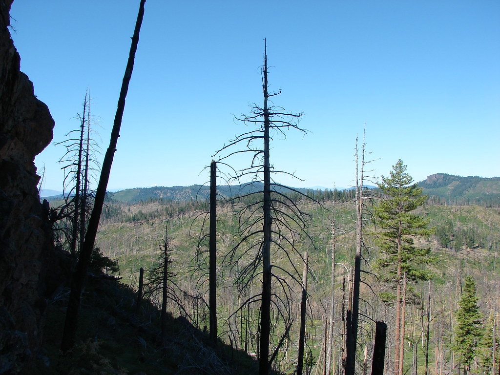
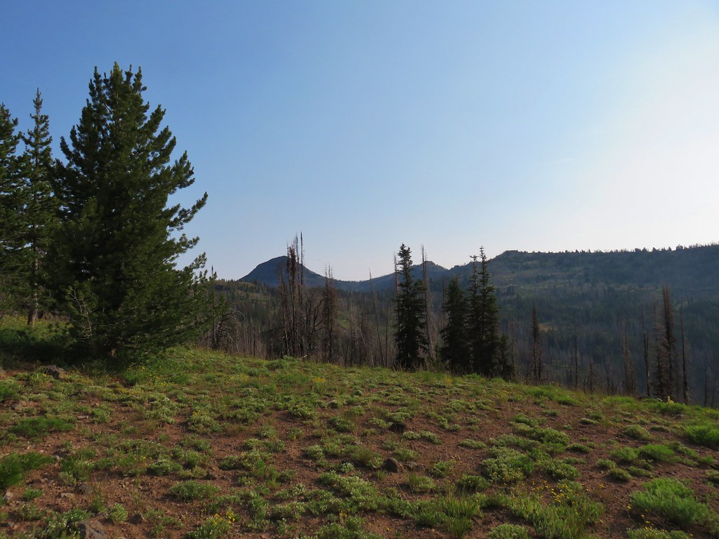
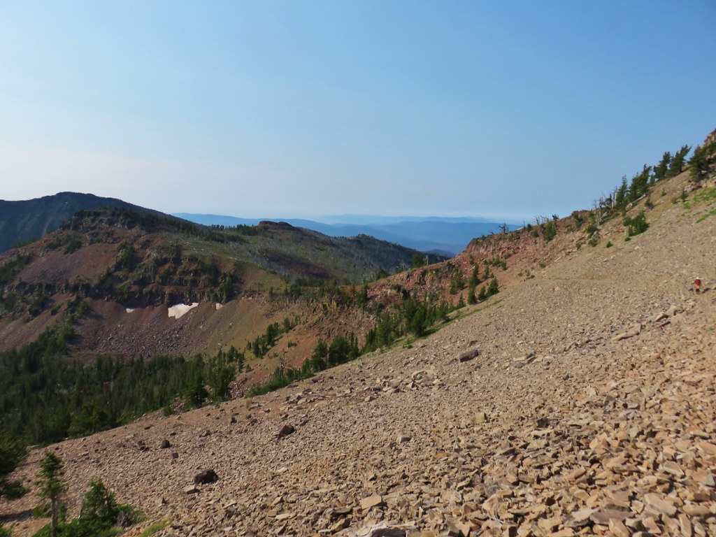
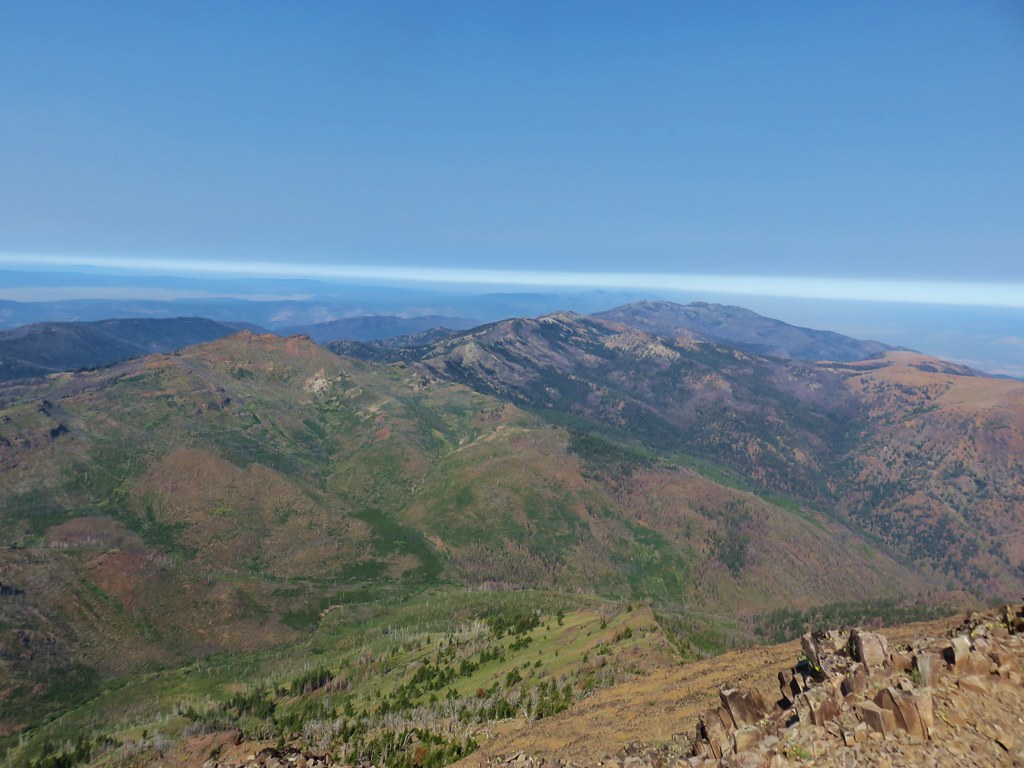
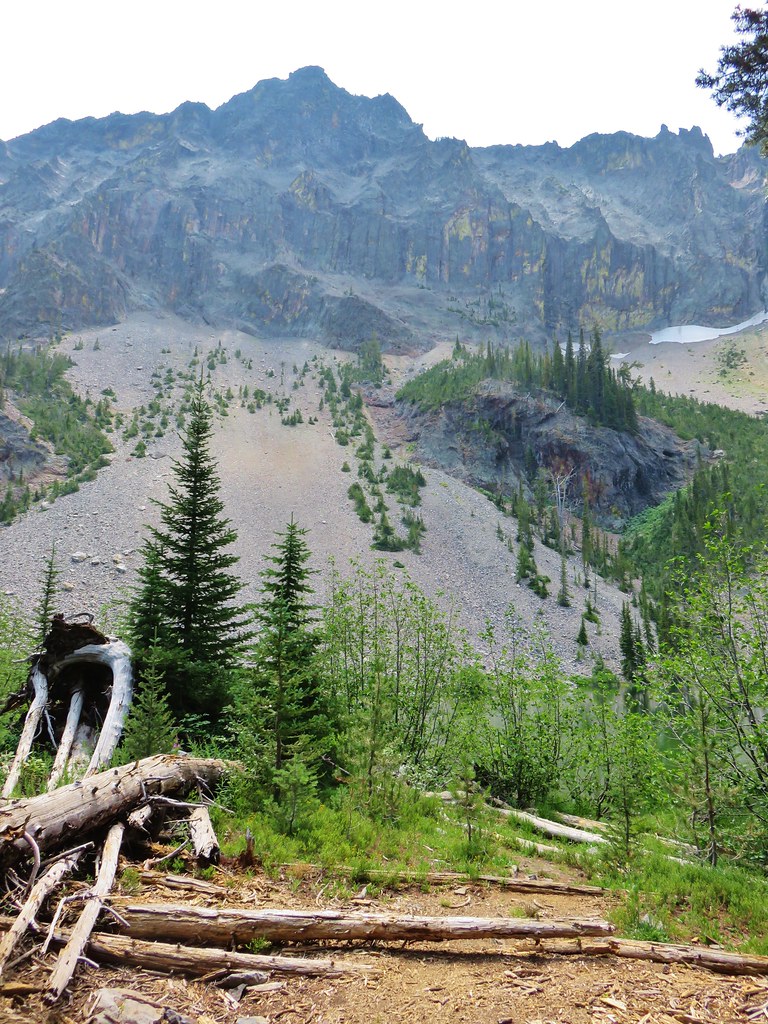
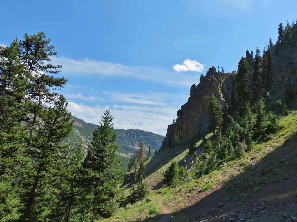
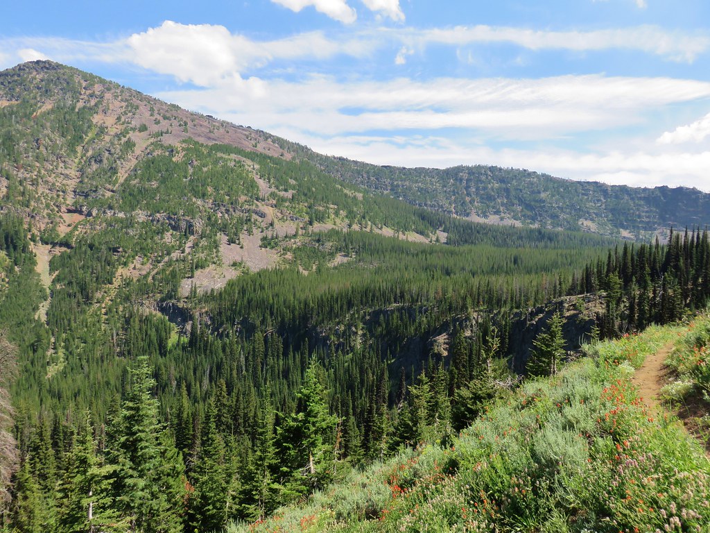
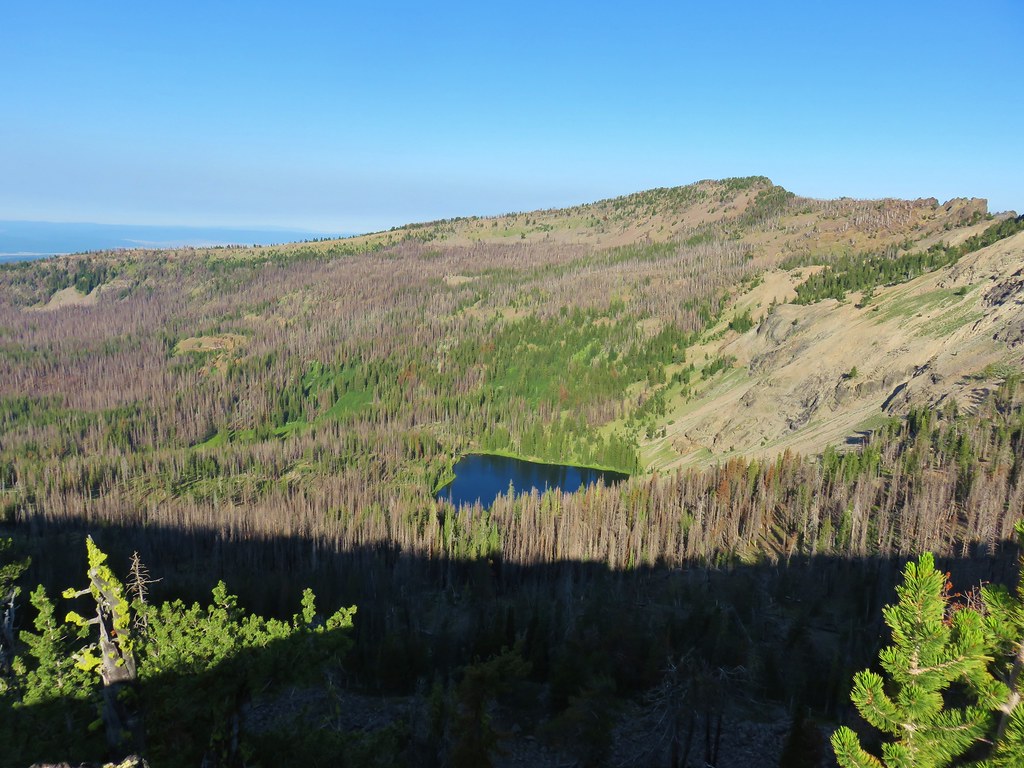
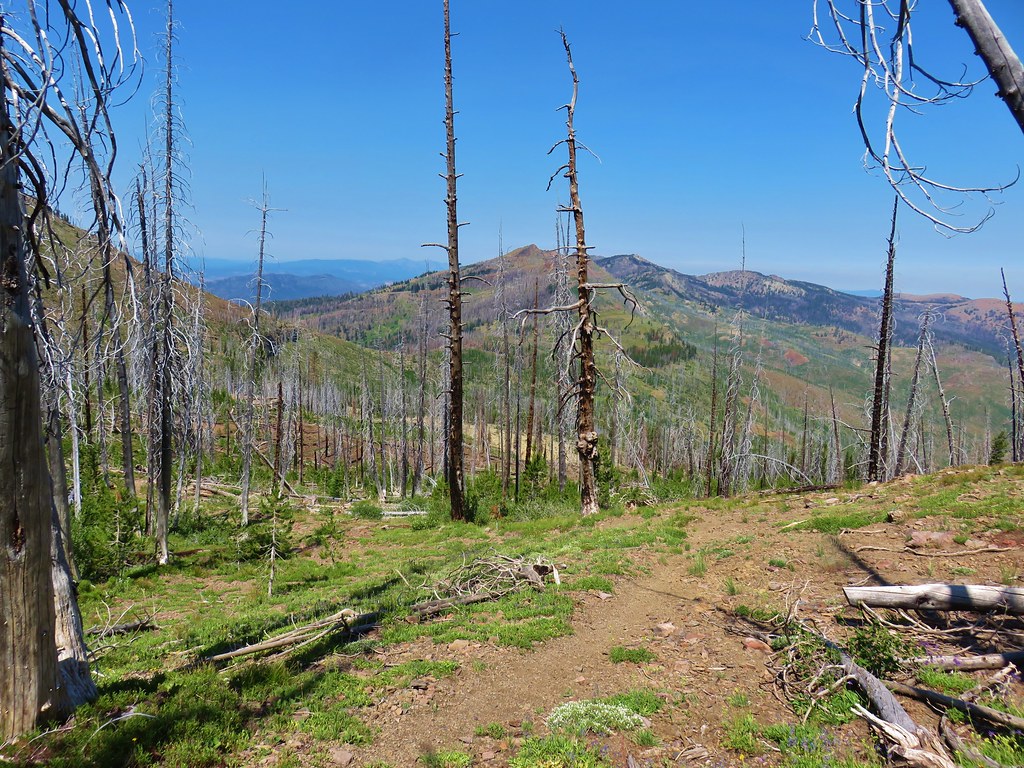
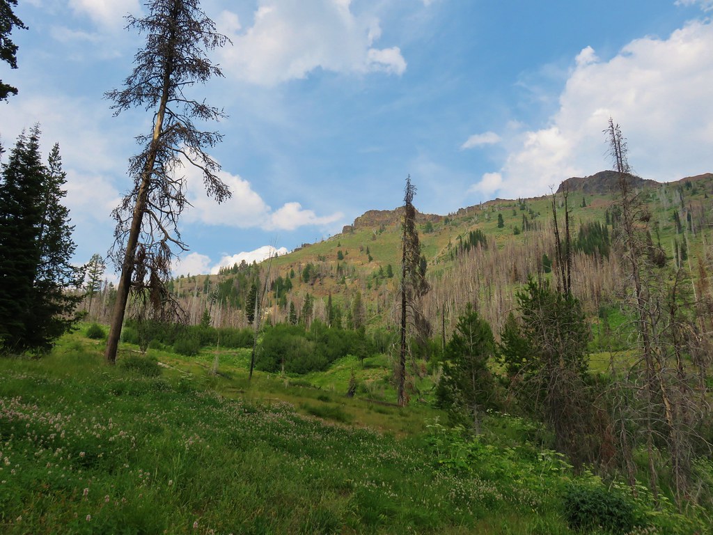
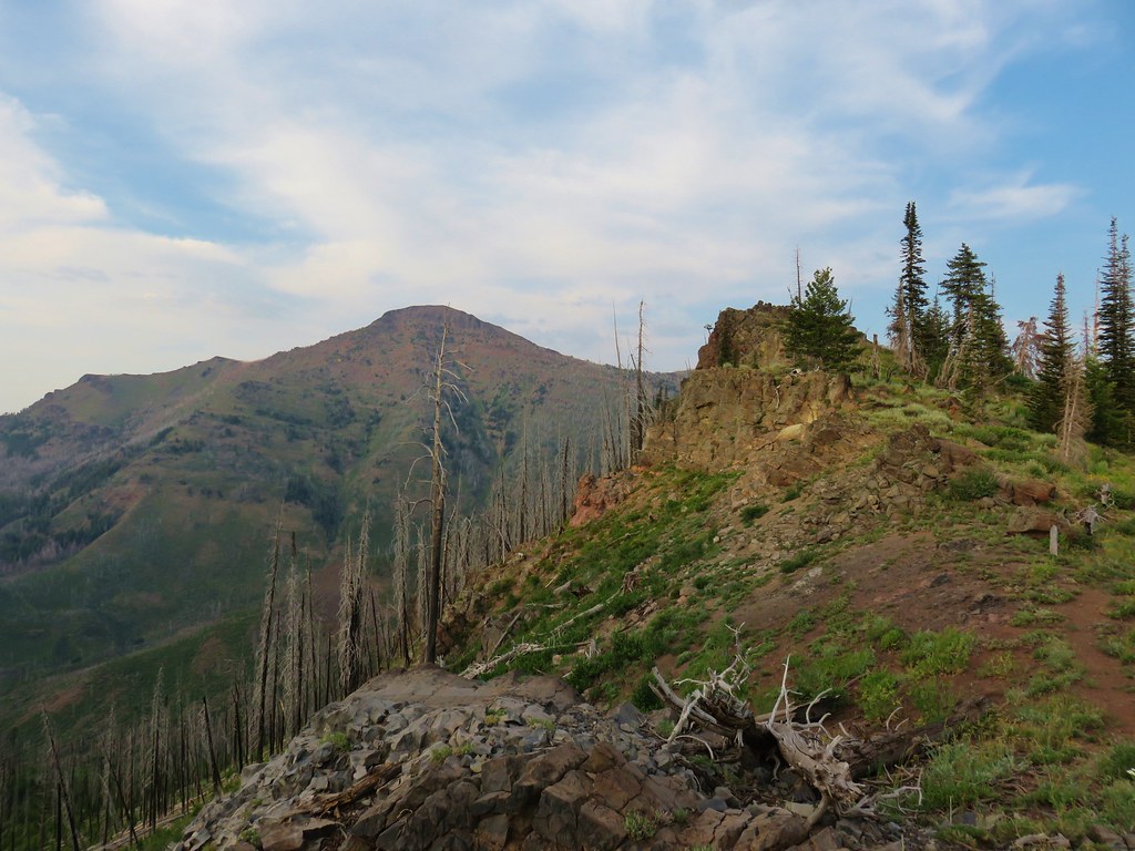
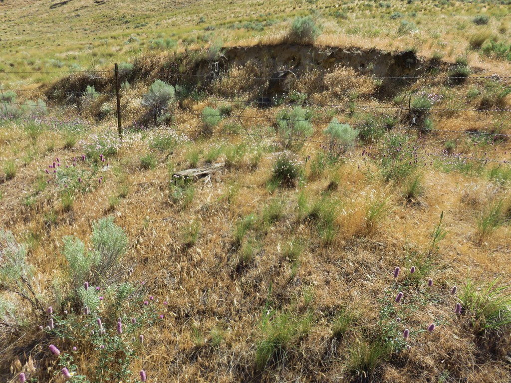
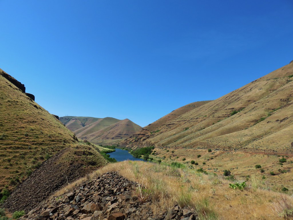
Here we turned right crossing a saddle and climbing for .3 miles to another junction, this time with the Onion Creek Trail #368. The view from the old roadbed here was good and we could see Indian Creek Butte as well as Strawberry Mountain.
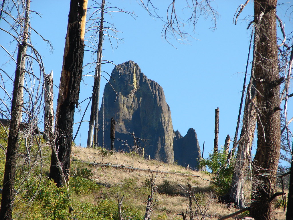
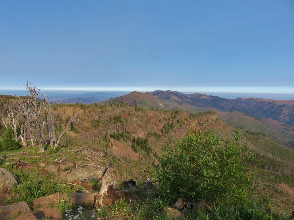 Indian Creek Butte
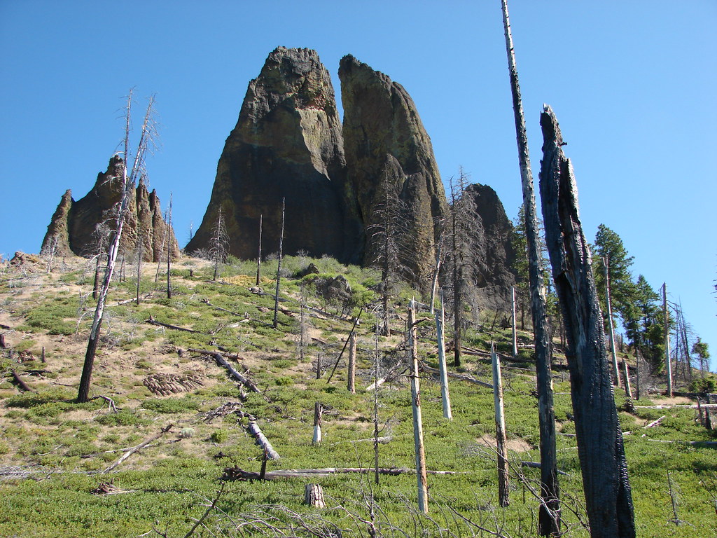
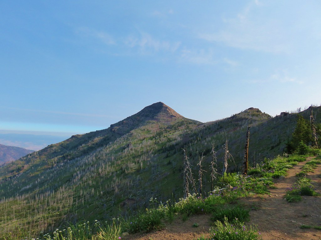 Strawberry Mountain
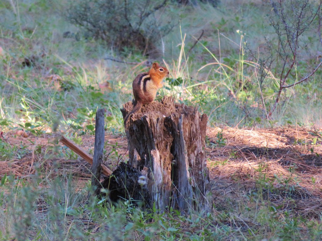
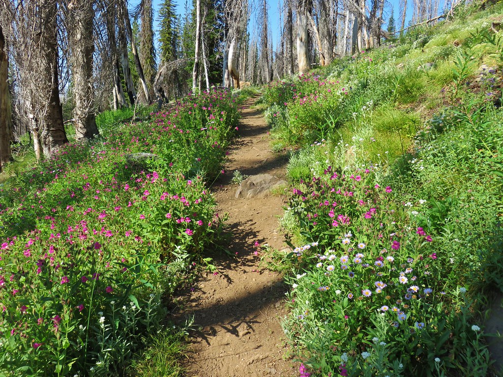
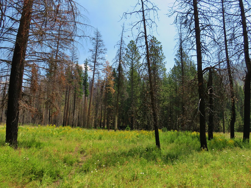
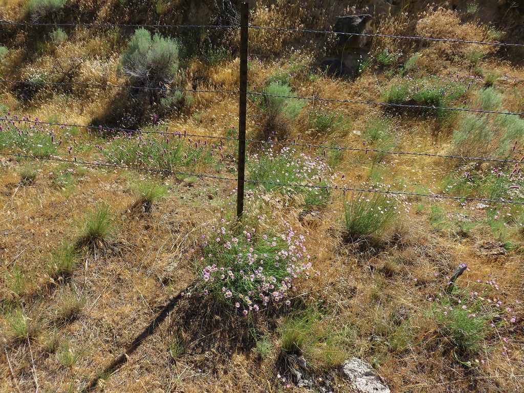
We took a short break in some shade near the junction having already climbed nearly 1200′ on the day. From this spot we had another 450′ to gain over the next 1.4 miles just to reach the saddle below Strawberry Mountain.
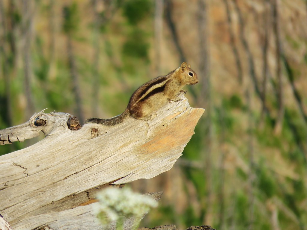
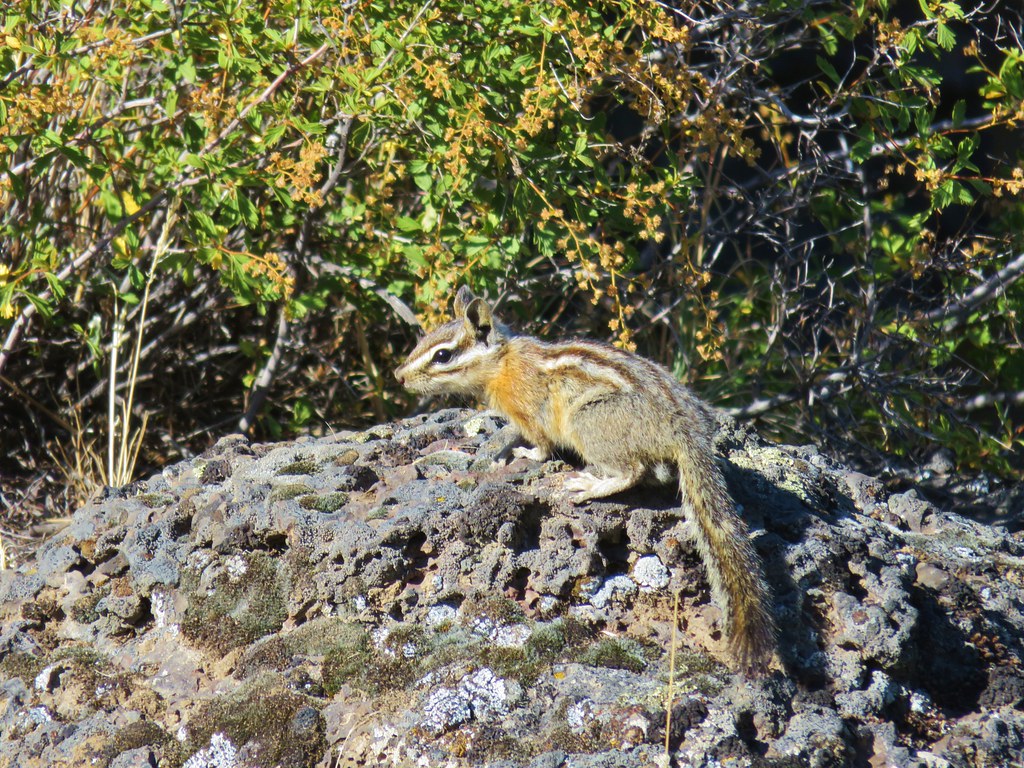
A golden-mantled ground squirrel came out to check on us as we recovered.
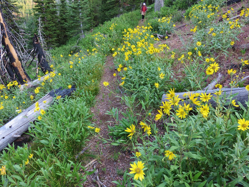
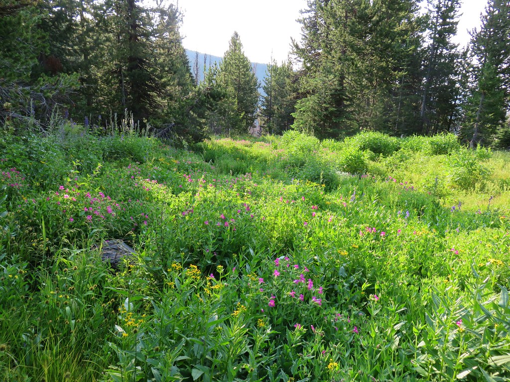
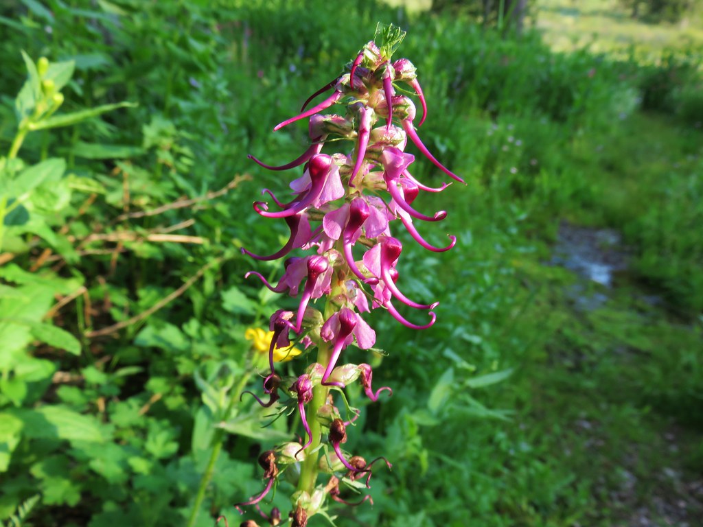
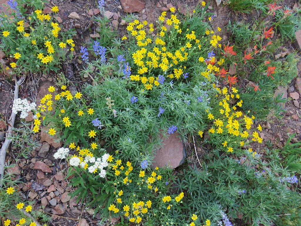
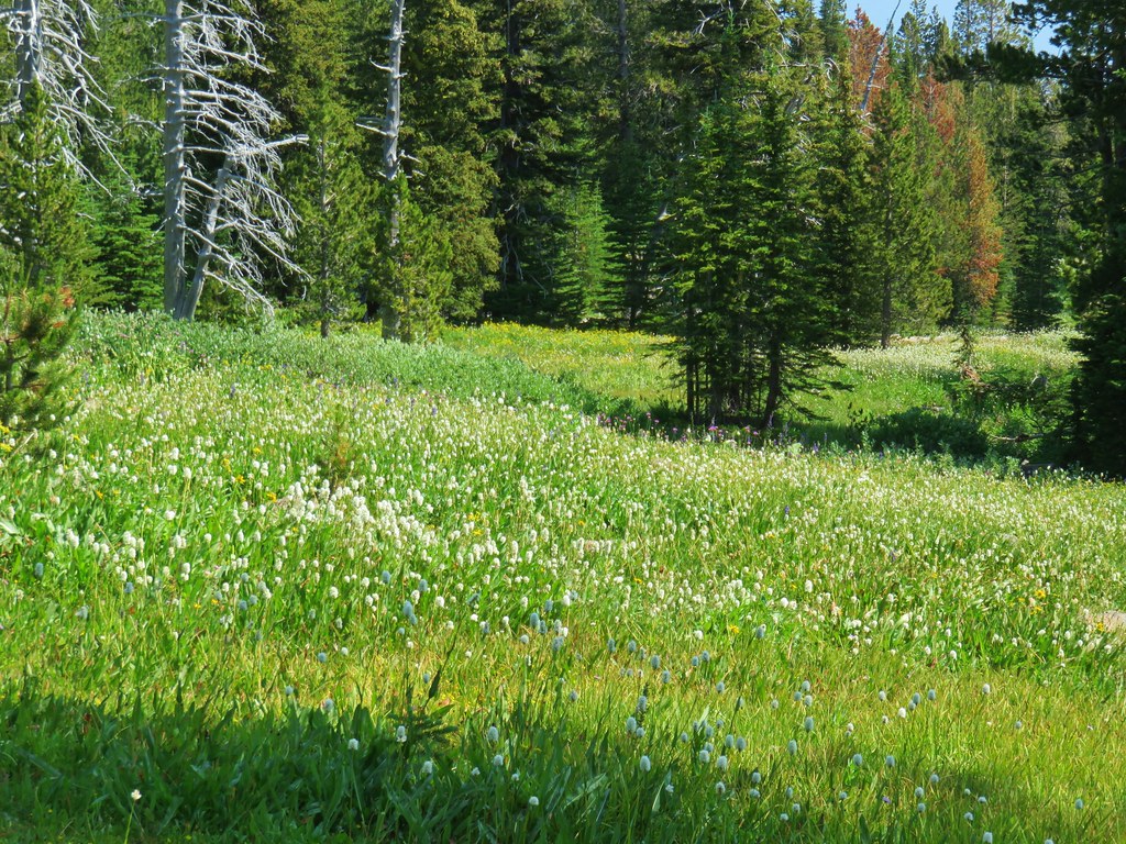
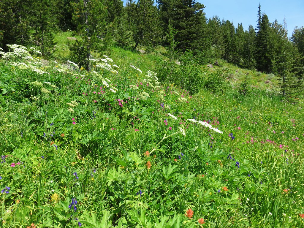
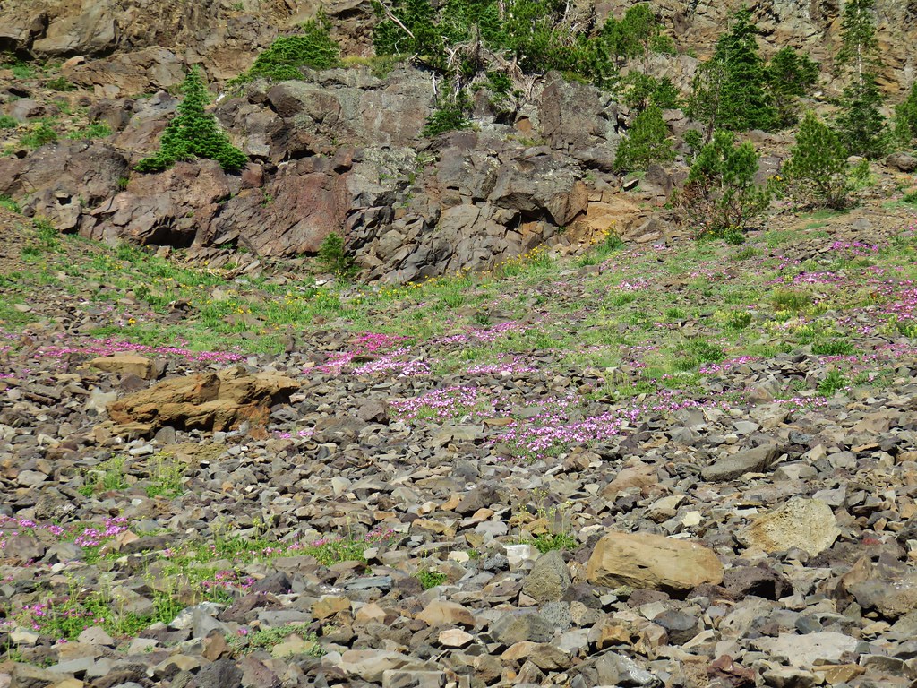
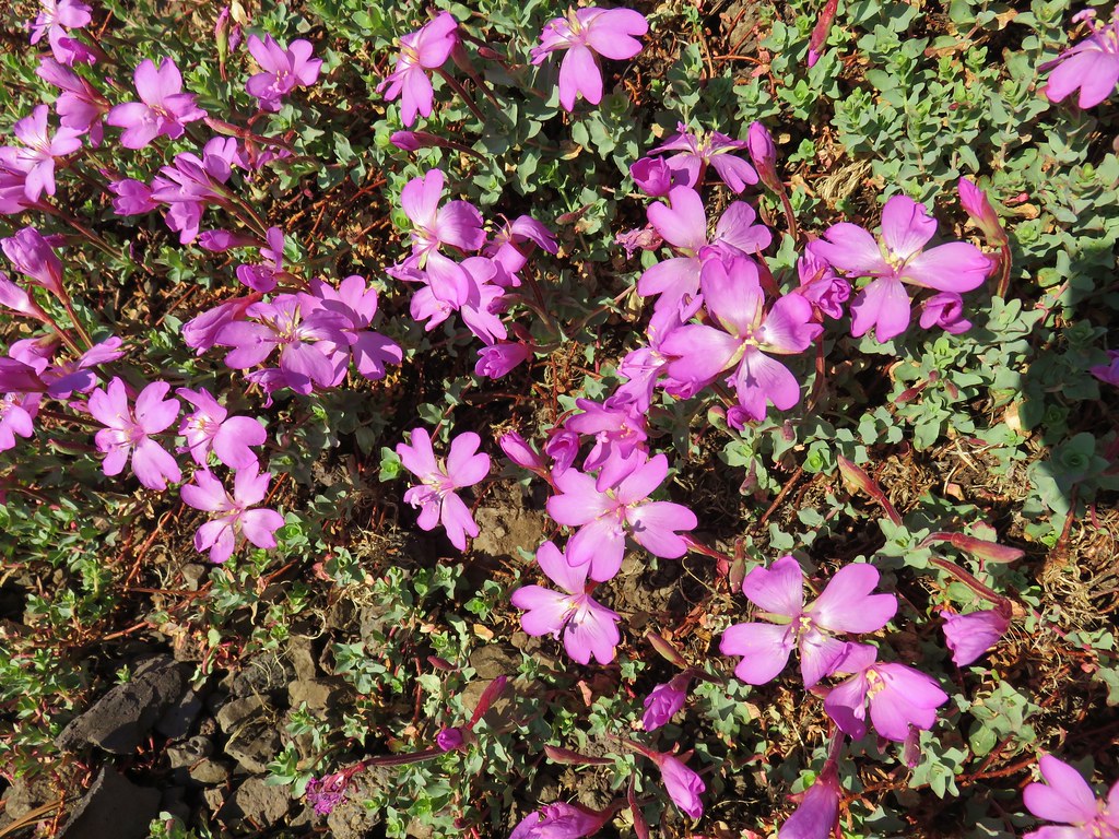
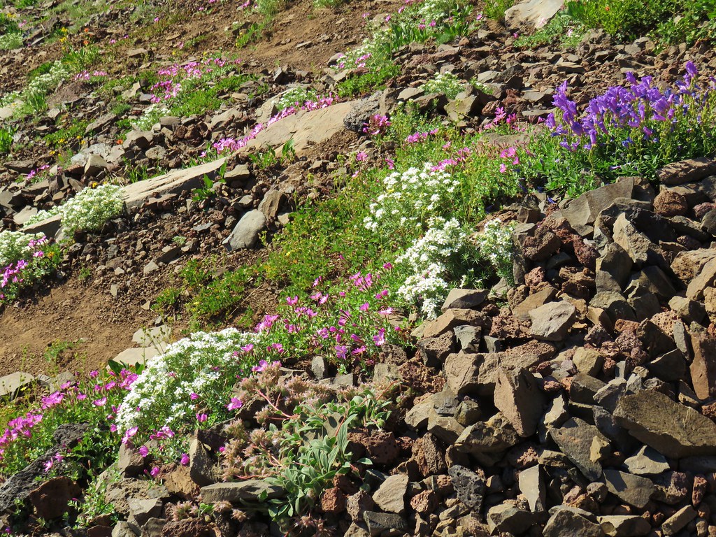
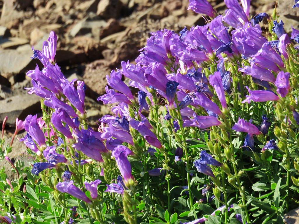
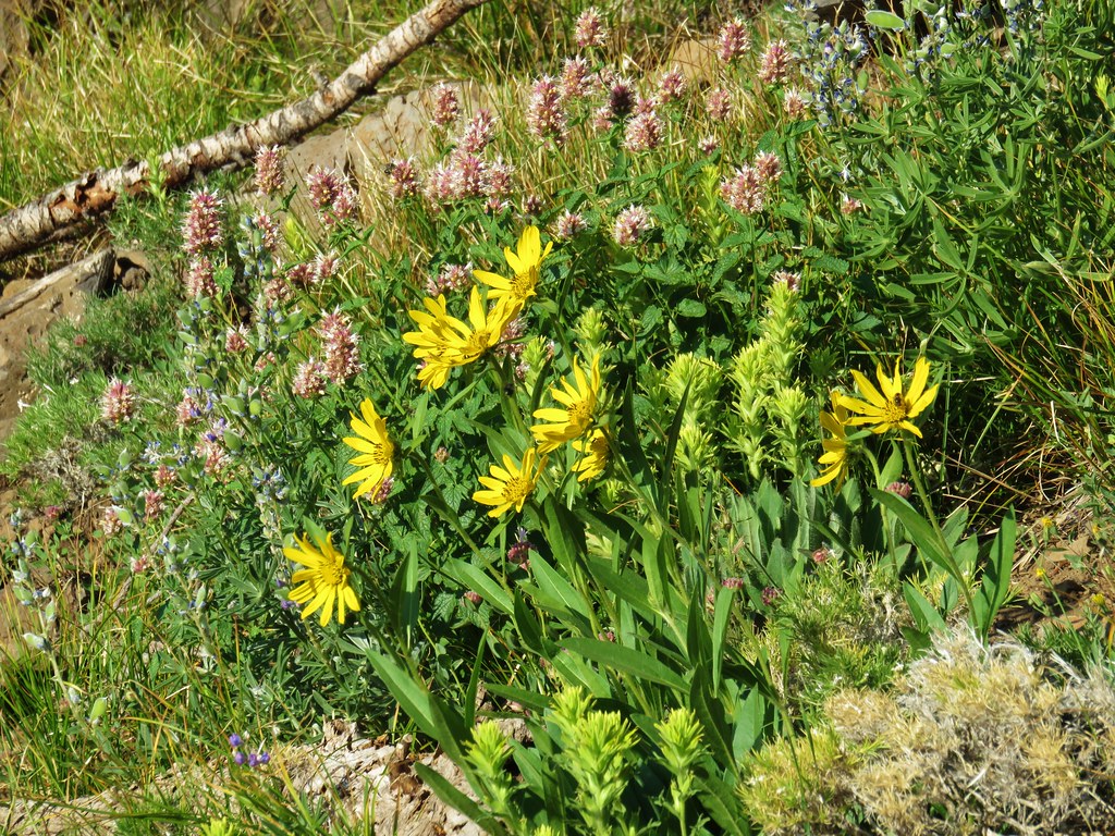
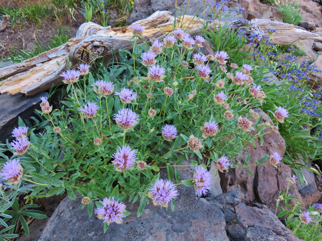
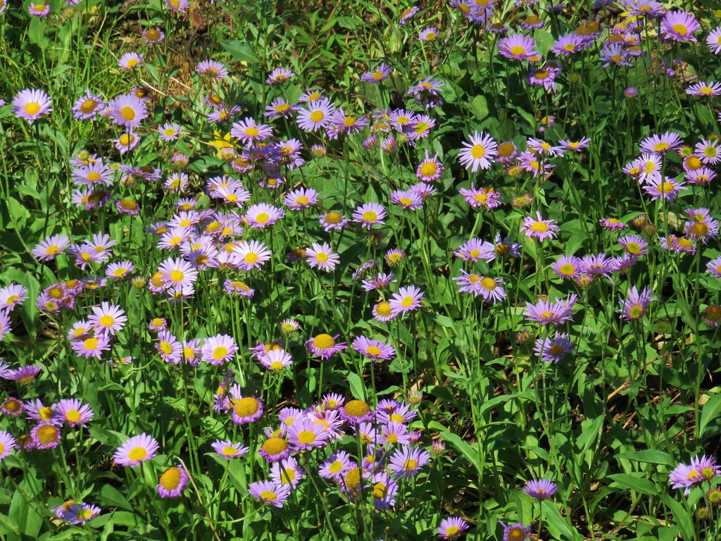
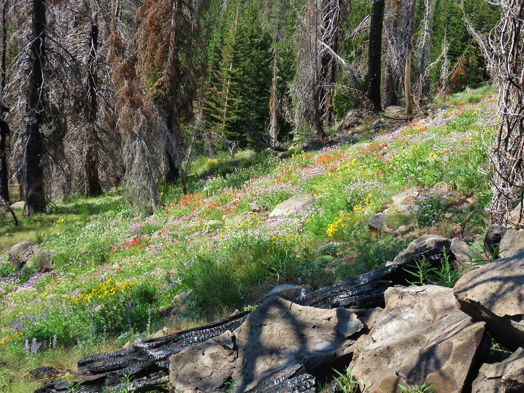
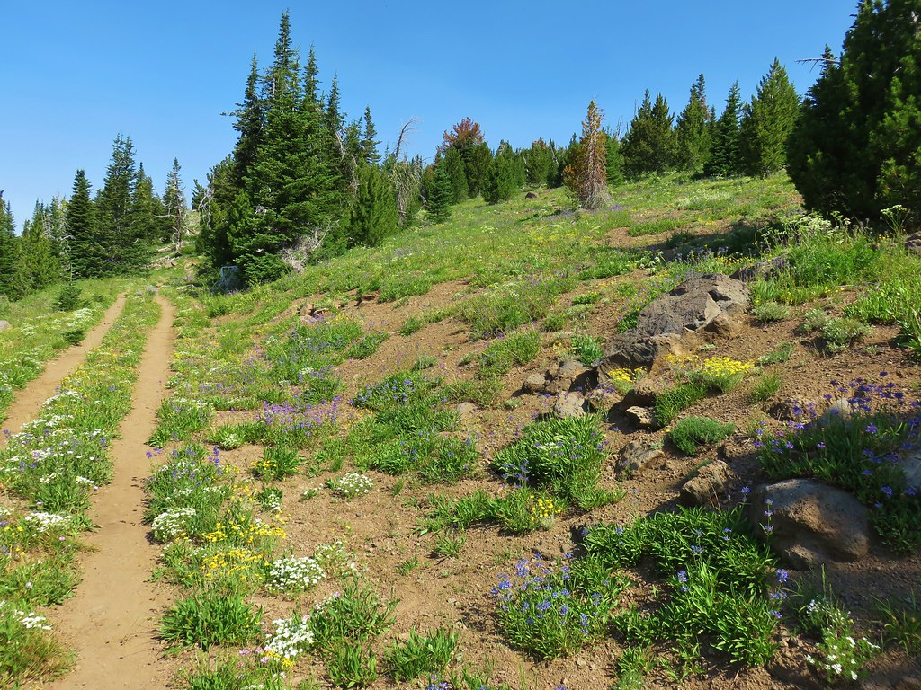
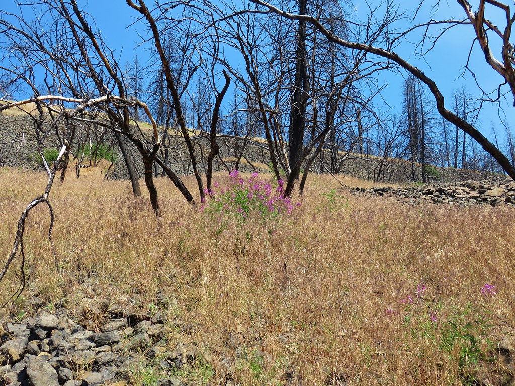
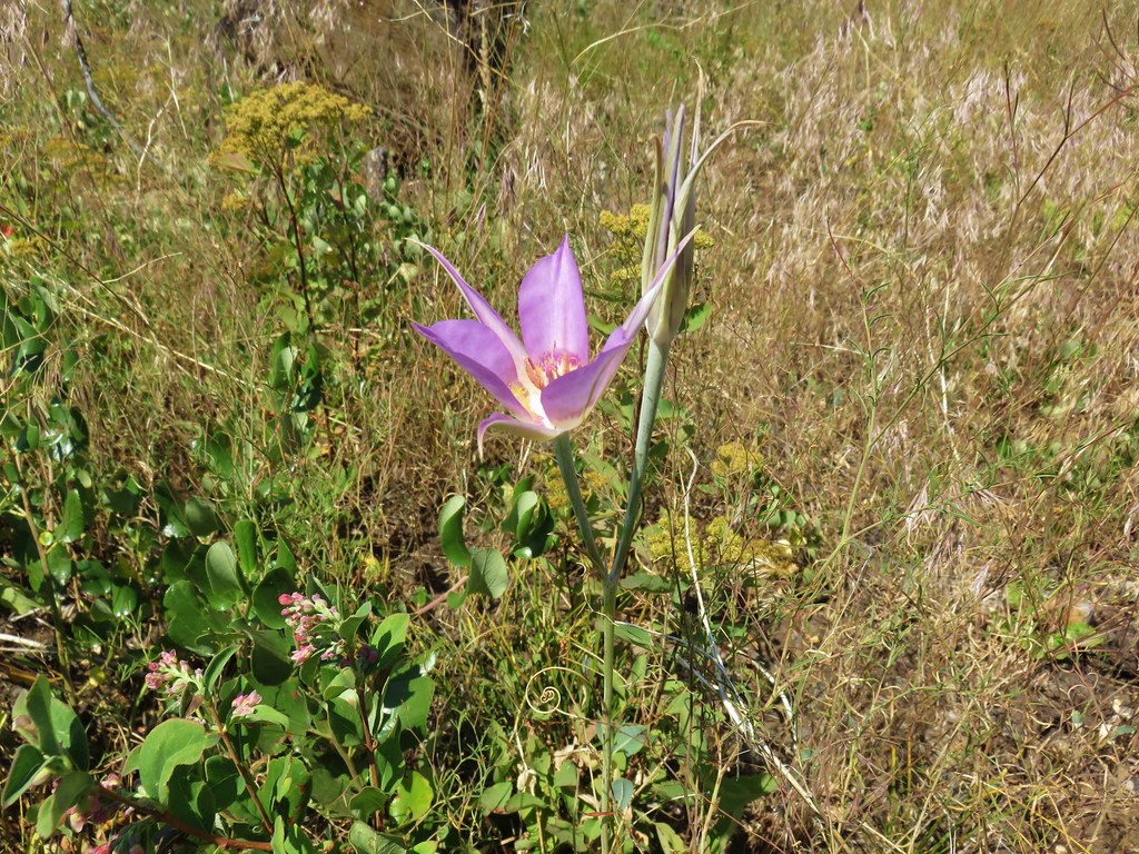
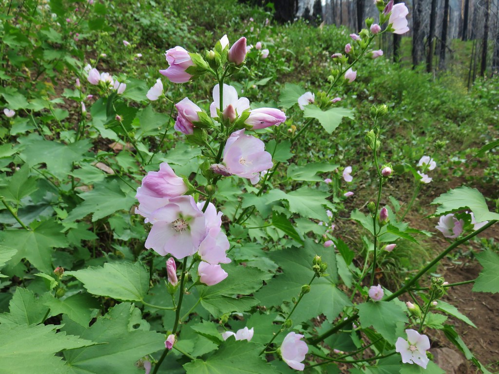
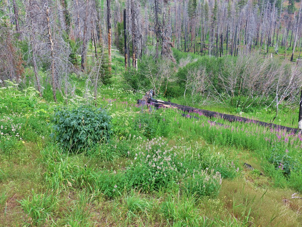
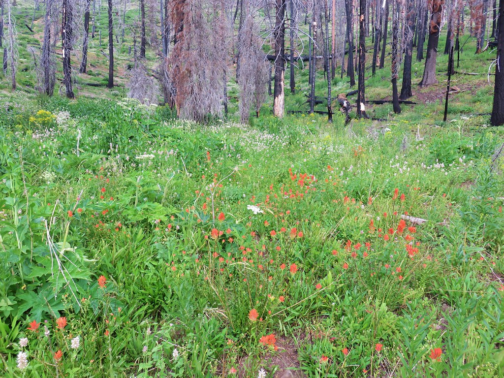
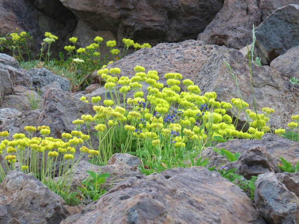
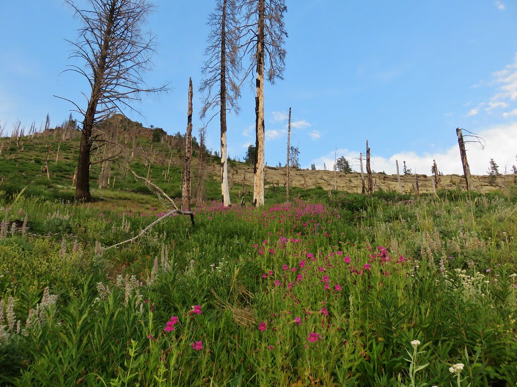
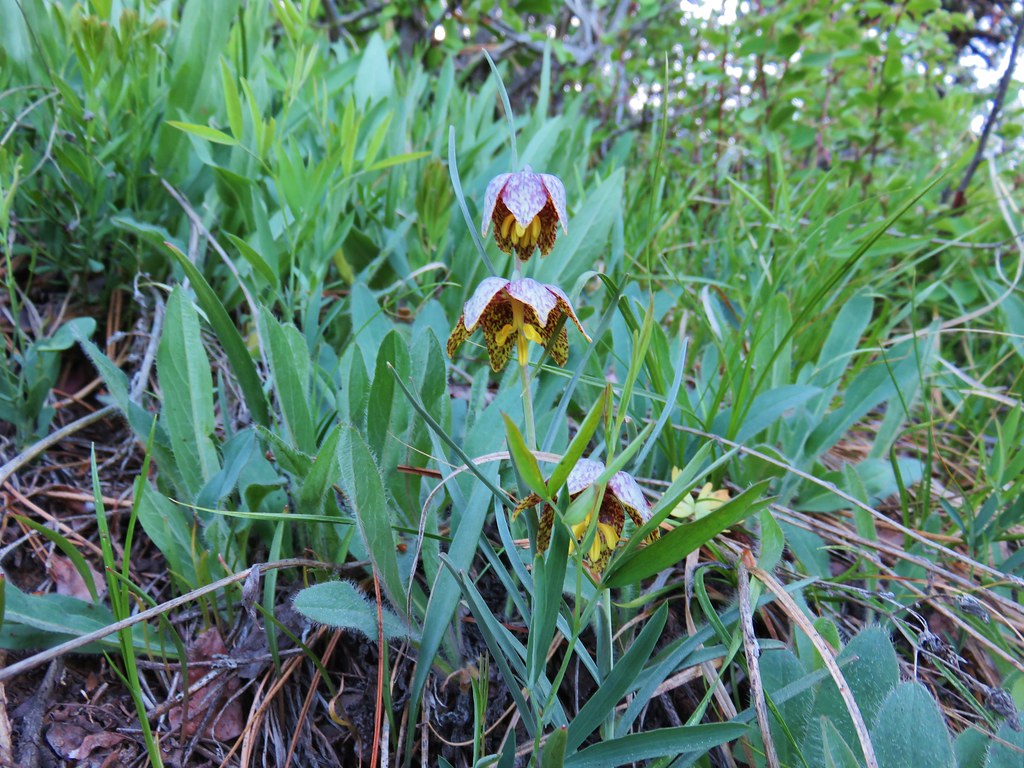
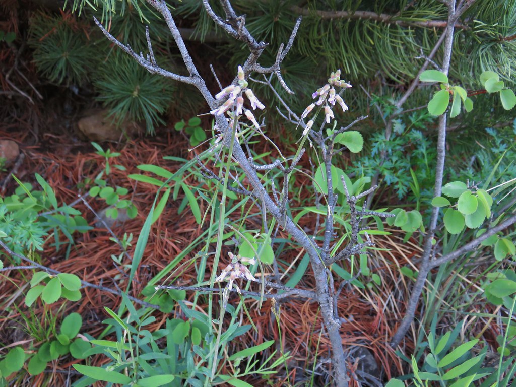
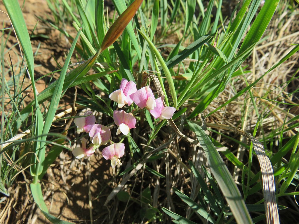
Fortunately some of this section of trail was still shaded from the Sun and once again there was a nice display of wildflowers to help distract us.

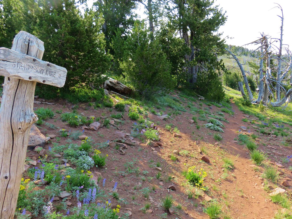
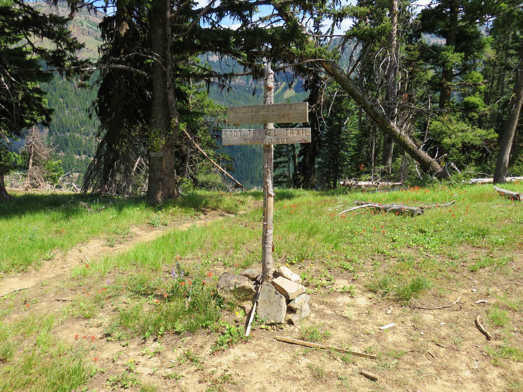
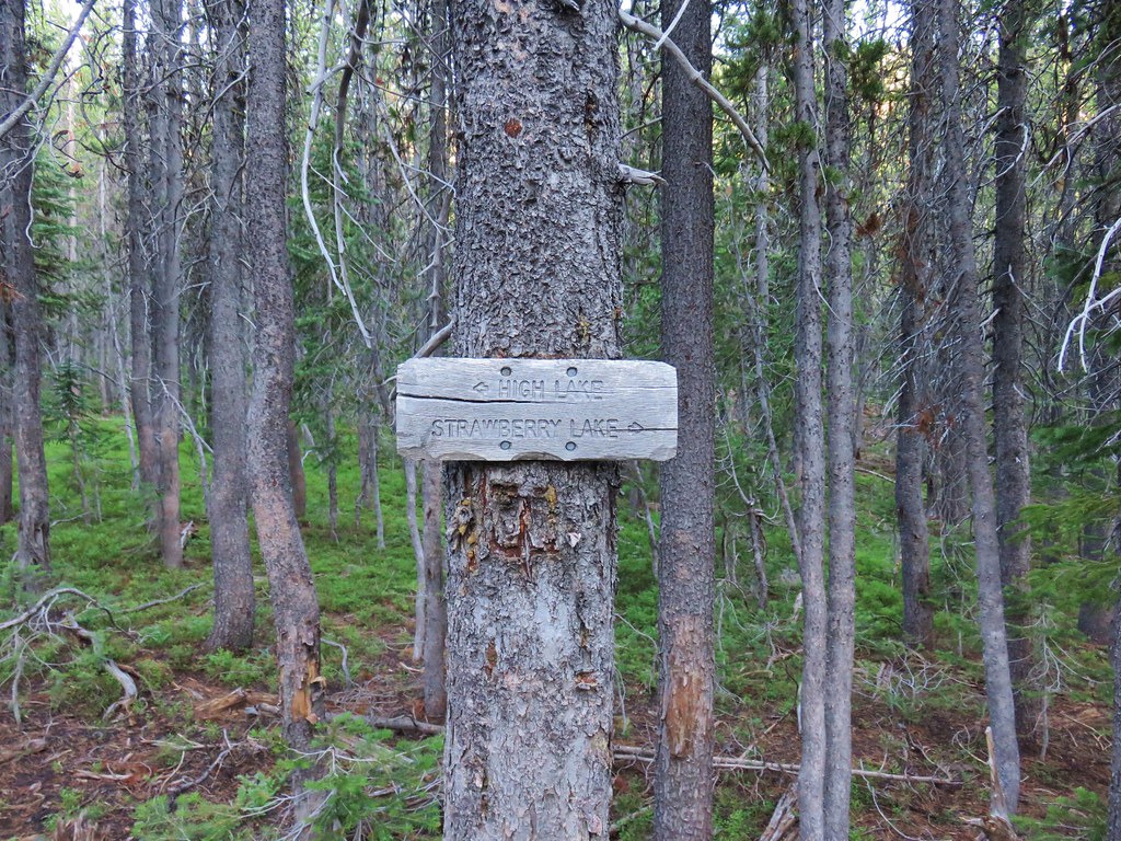
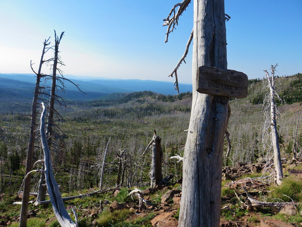
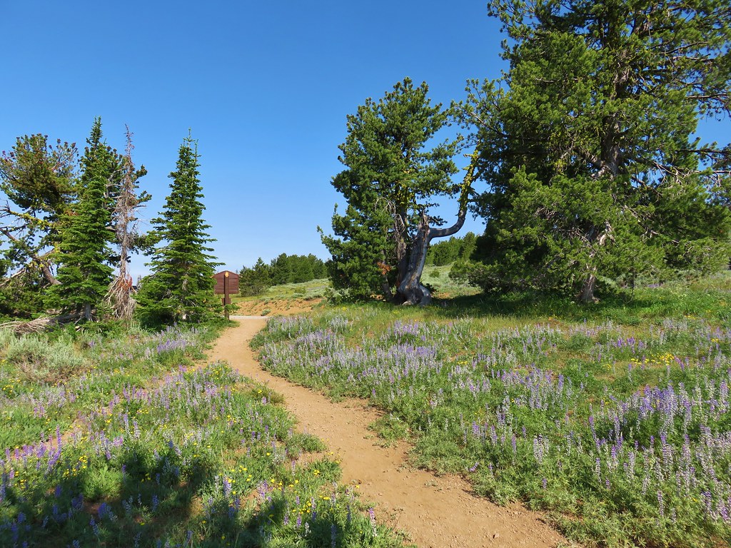
We arrived at the saddle just after 9am. To reach our goal for the day, Slide Lake, we needed to take the right hand Strawberry Basin Trail toward Strawberry Lake.
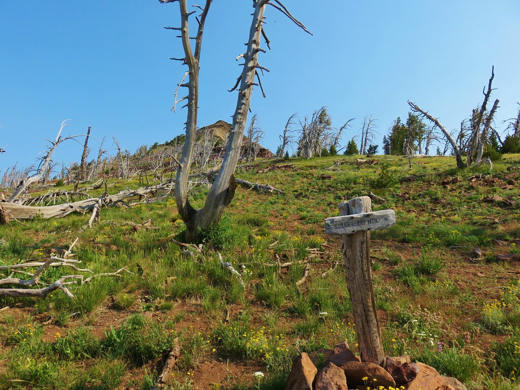
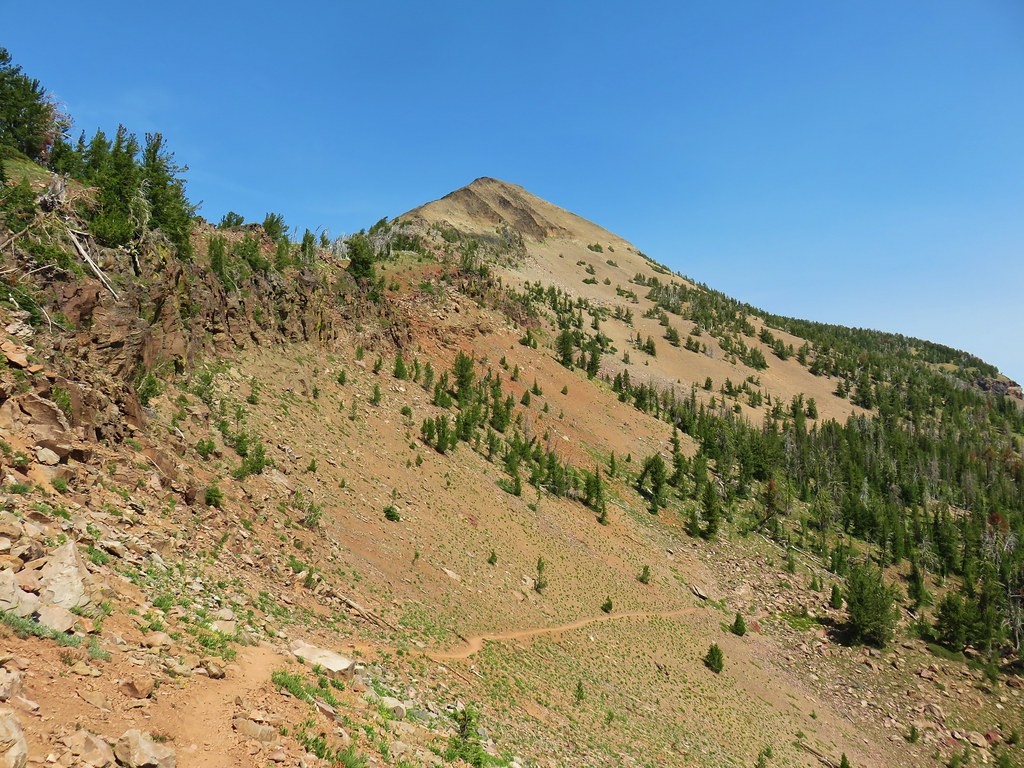
Before we did that though we wanted to summit the 9038′ Strawberry Mountain which was to the left.
Since we would have to come back by this junction after summiting the mountain we pulled our daypacks out and stashed our backpacks in a group of nearby trees. The lighter packs felt great as we traversed across the rocky terrain below the summit.
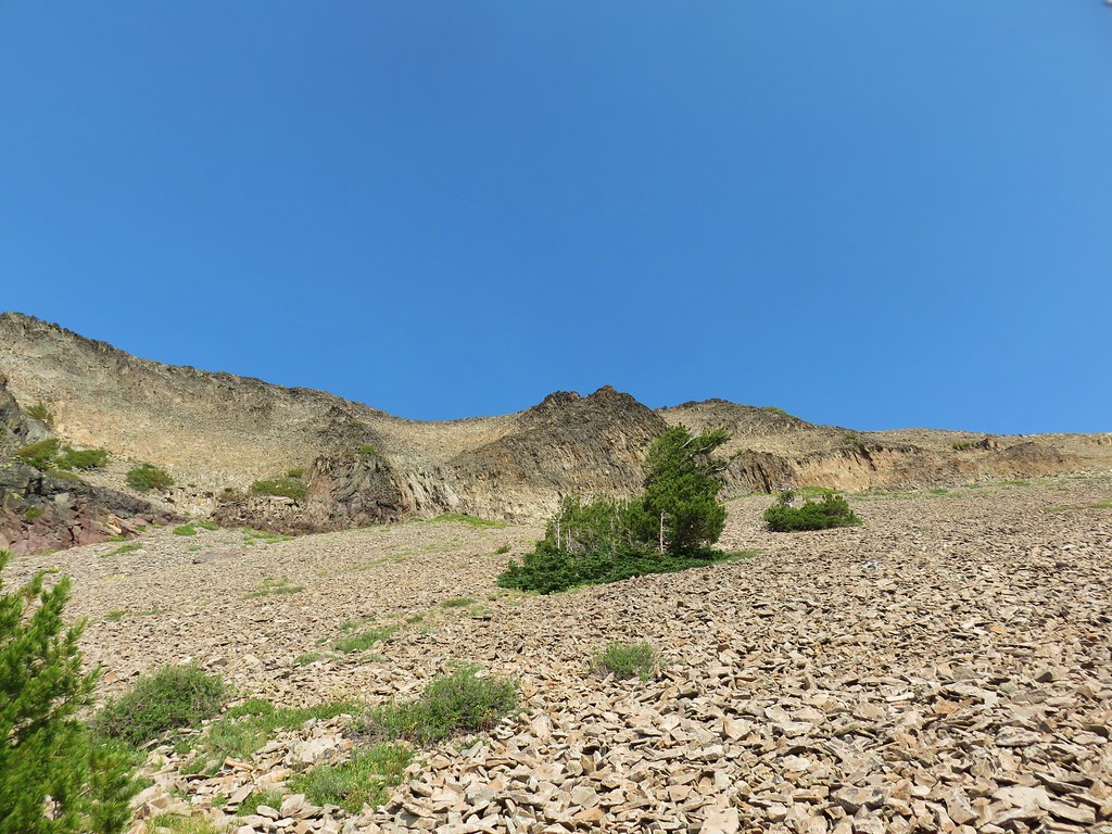
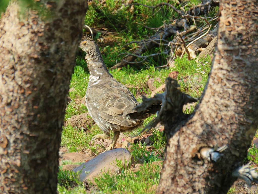
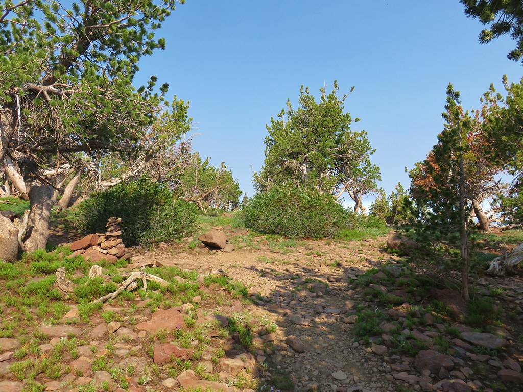
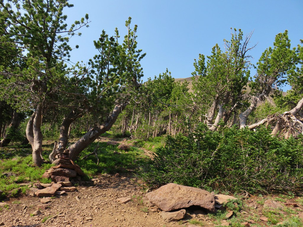
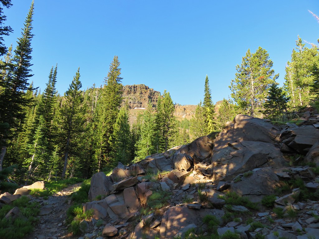
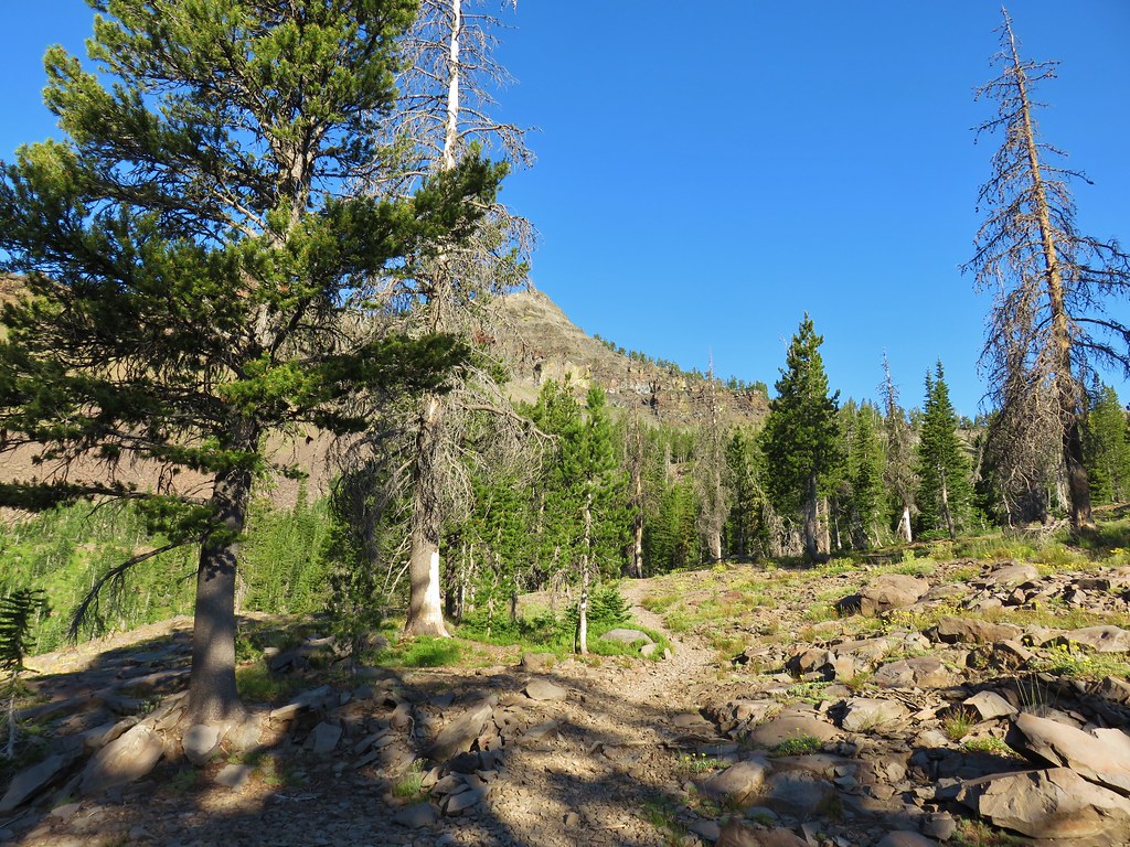
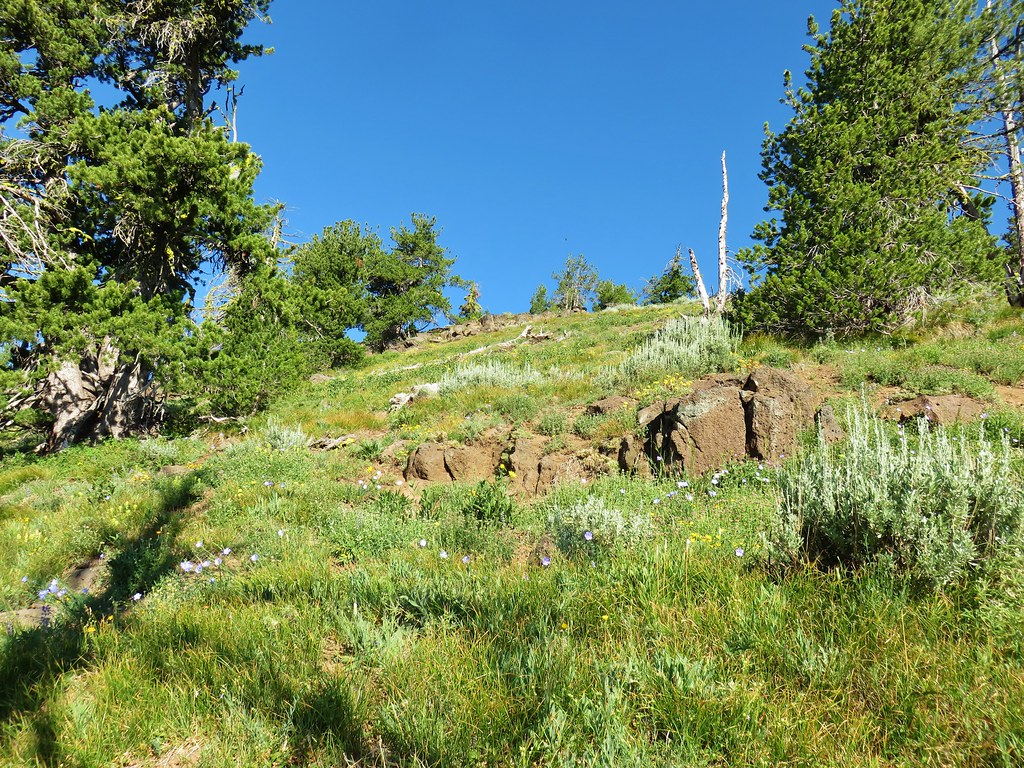
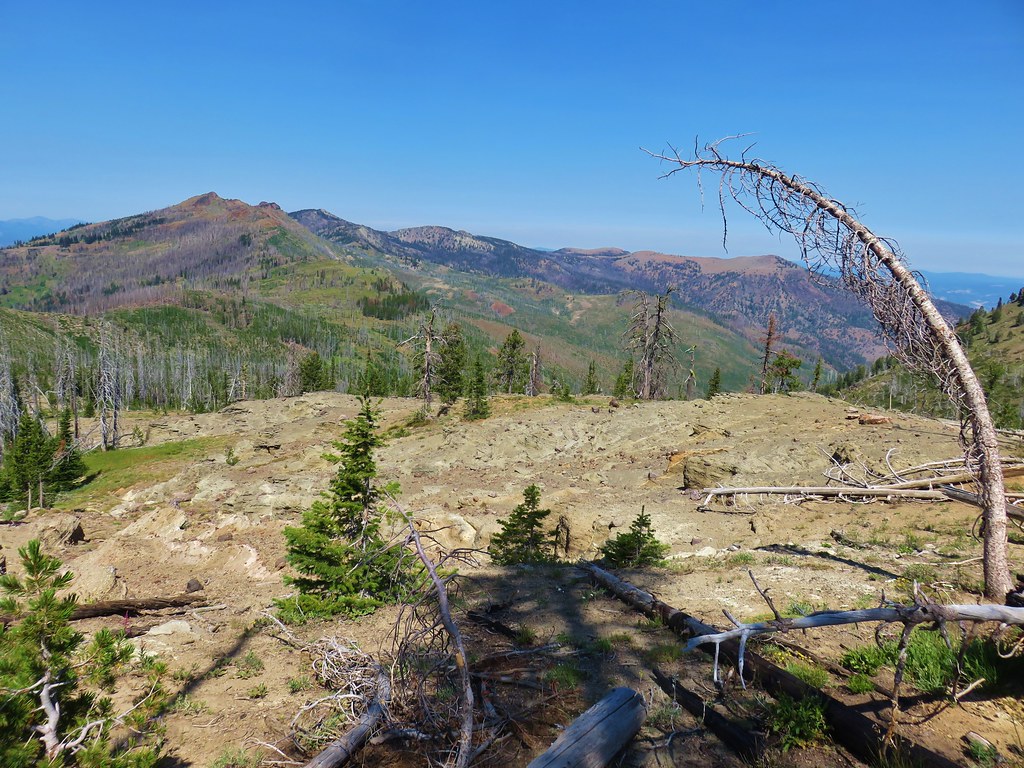
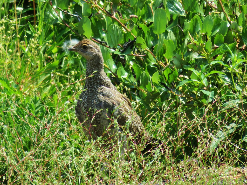
The trail climbed gradually across the shaley rocks about a half mile before entering a stand of white bark pines.
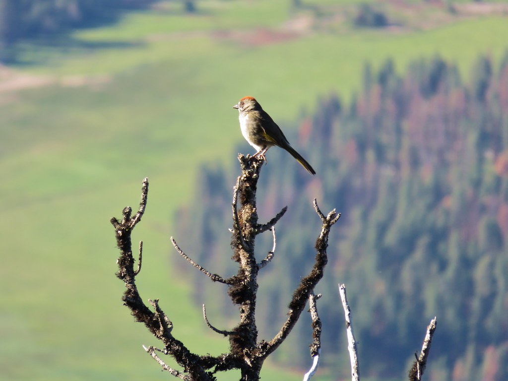
Several grouse were present in this area.
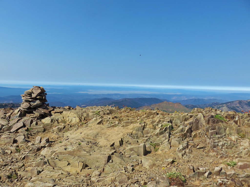
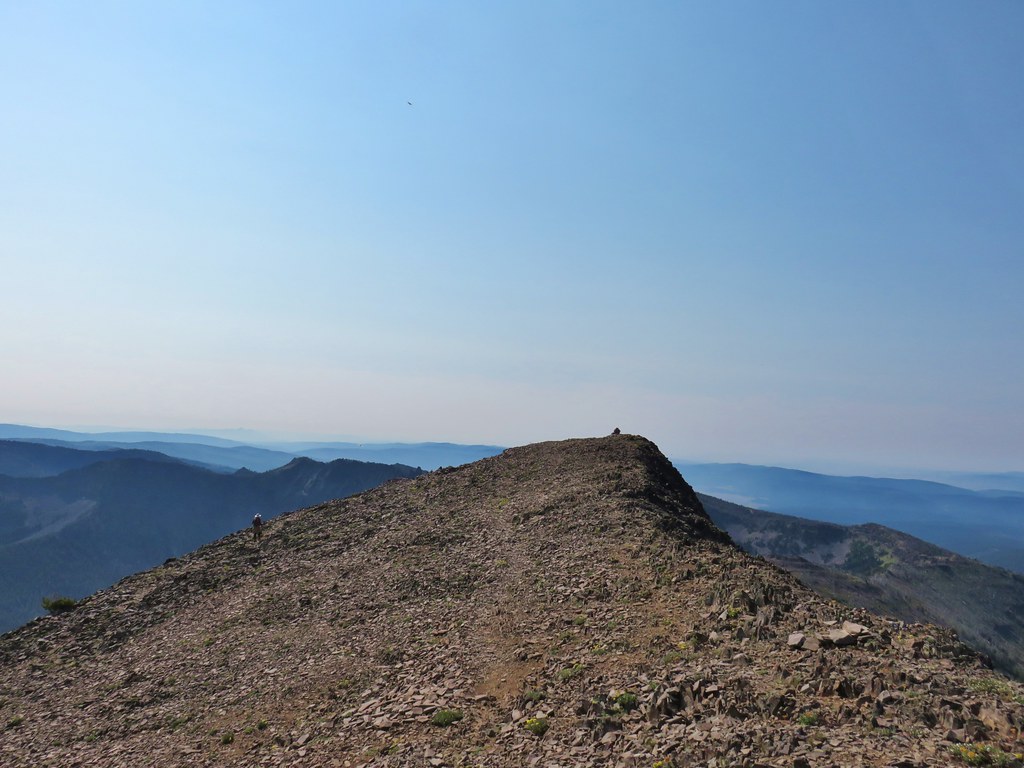
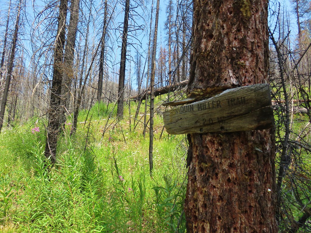
Three quarters of a mile from the junction we arrived at the junction with the summit trail marked by rock cairns.
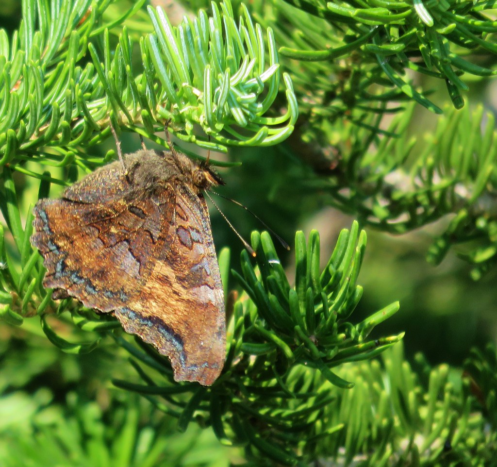
We took another short break in the shade of the white bark pines watching the many butterflies that were flitting about.
After catching our breath we headed up the left hand fork for the final .4 miles and 350′ to the former lookout site atop Strawberry Mountain.
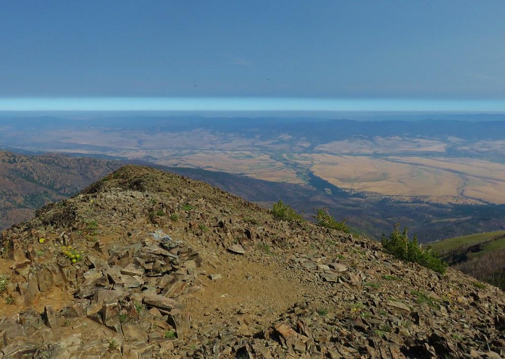
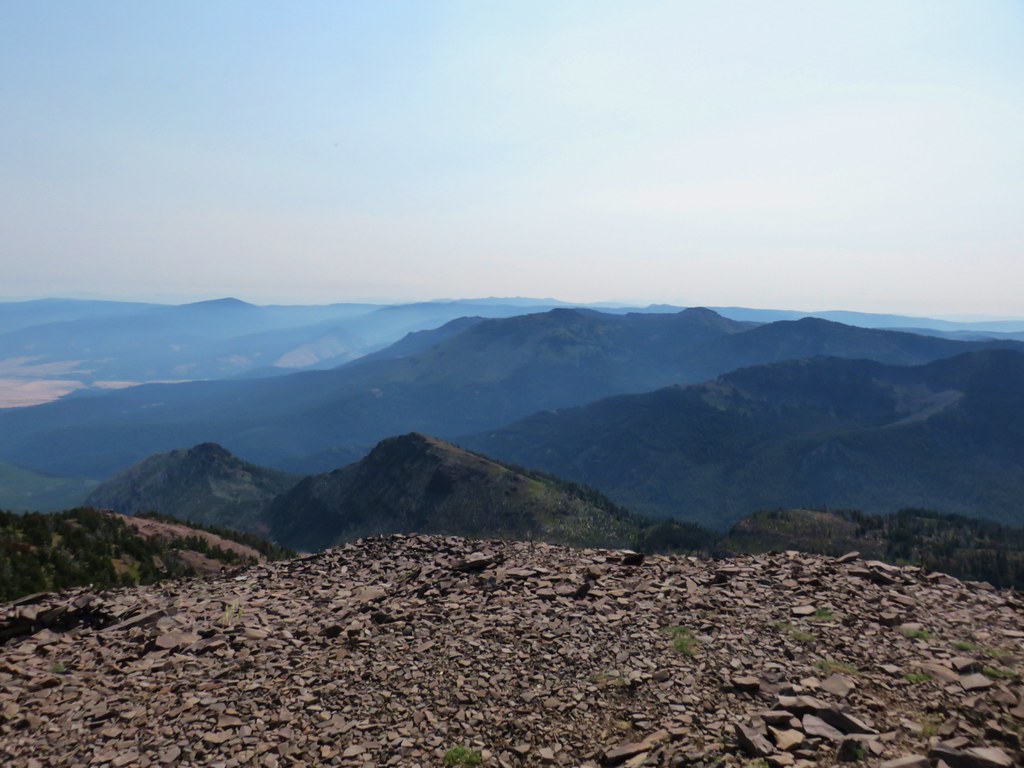
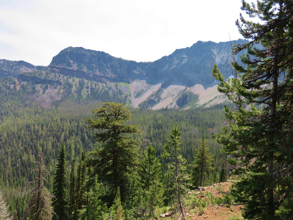
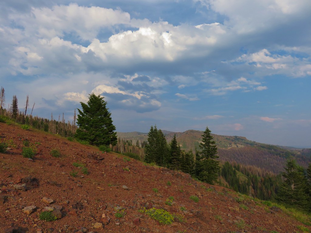
Butterflies were swirling around atop the summit, never sitting still for long. The views were good but not great due to the presence of smoke from wildfires. We weren’t sure which fires the smoke was from but with a number of them burning across the northwest it wasn’t a surprise to have hazy skies. It unfortunately seems to be the new default for the summer months.
 Looking north toward the John Day Valley
 Looking SW toward Wildcat Basin
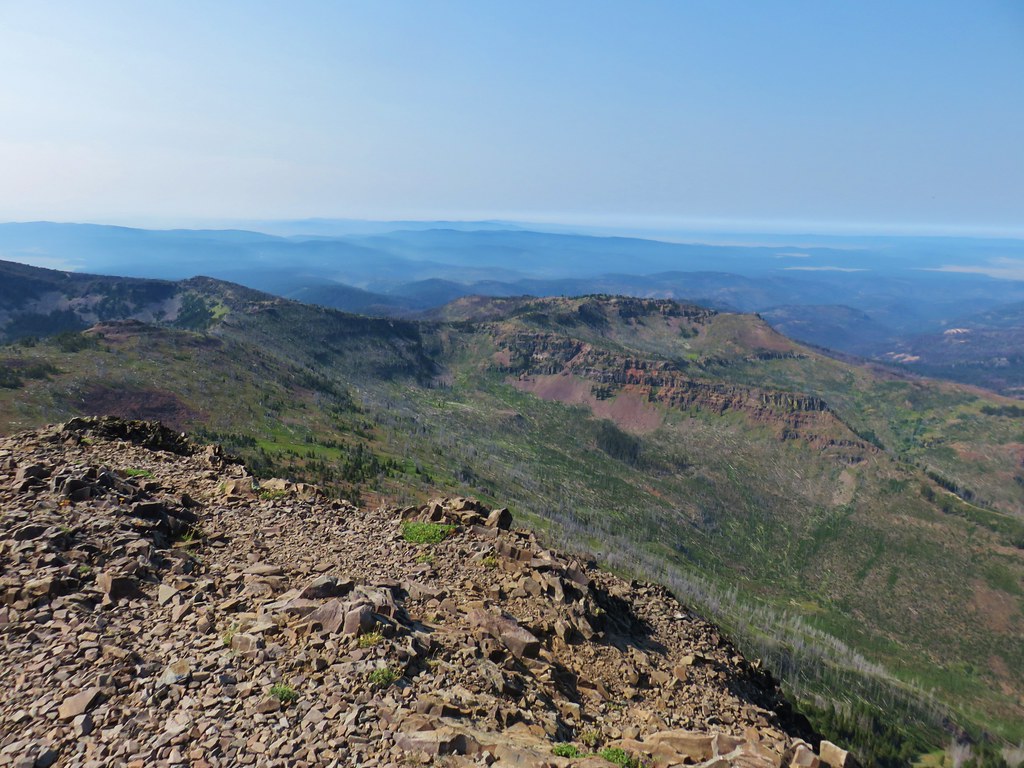
 View west toward Indian Creek Butte and Canyon Mountain
 Looking NE
 View east
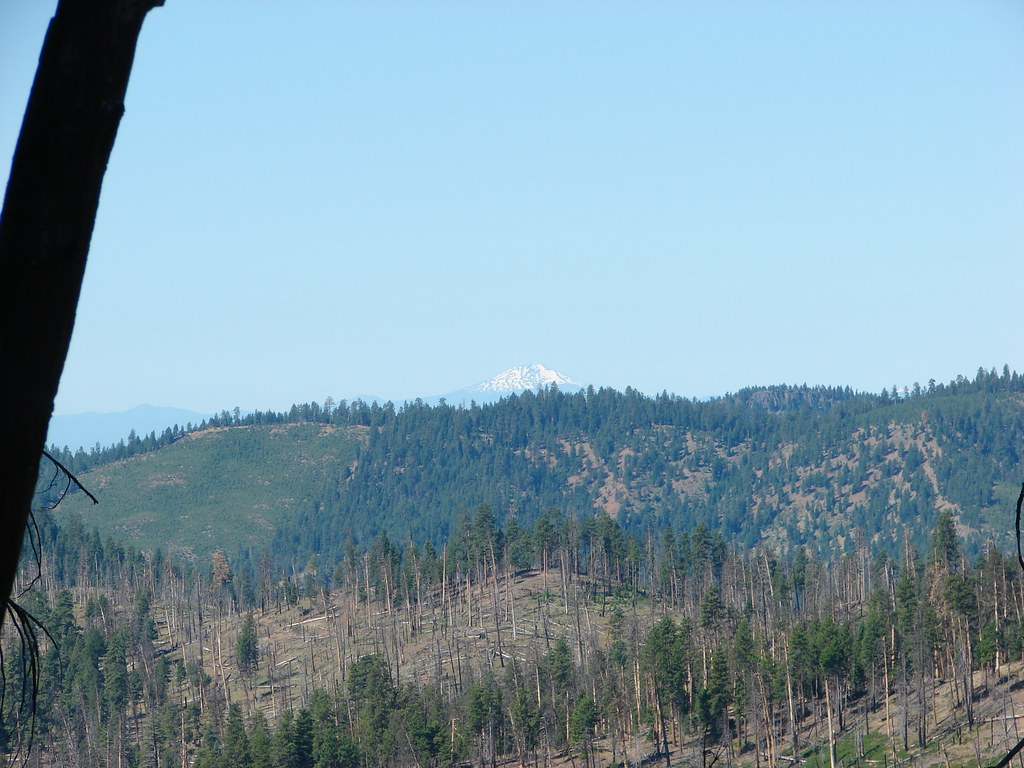
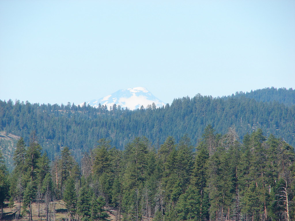
With all the haze it was tough to make out much in the distance but we were able to make out the Elkhorn Range off to the NE.

It was a little cooler at the summit where we rested once again before starting back down. As we were traversing the rocky hillside on the way back we encountered another group of hikers on their way up to the summit. They mentioned that they had stashed their packs as well after coming up the Strawberry Basin Trail. They let us know that some of the trail to Slide Lake had suffered from a near washout so there might be a little exposure along that stretch. After thanking them for the heads up we returned to the saddle and retrieved our packs.
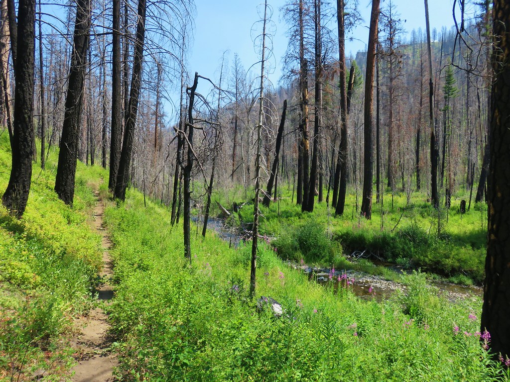
It was just before 10:45am when we started down the Strawberry Basin Trail. There was a nice view of Strawberry Mountain as we dropped into the basin.
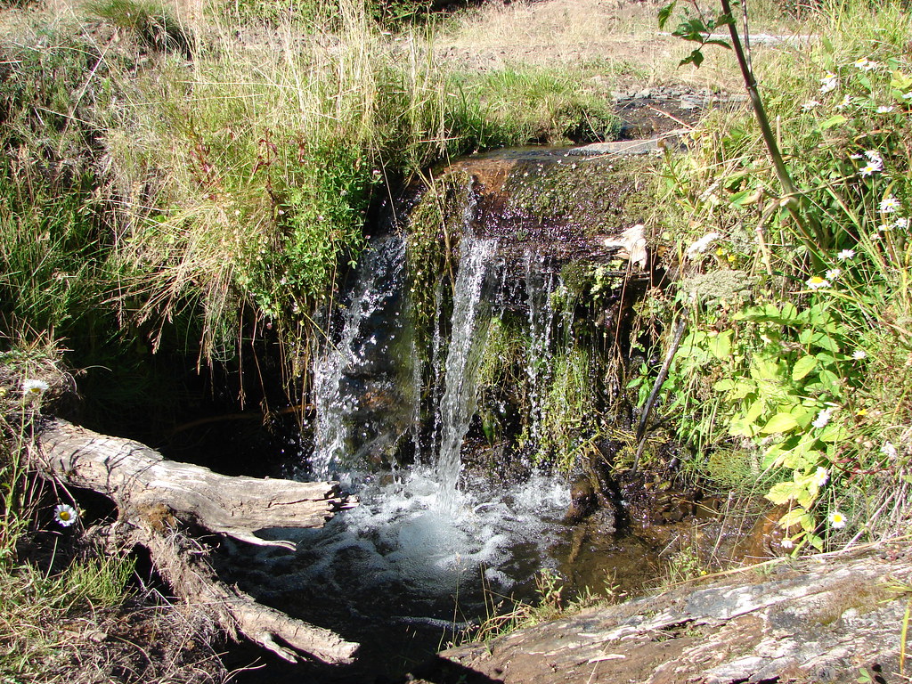
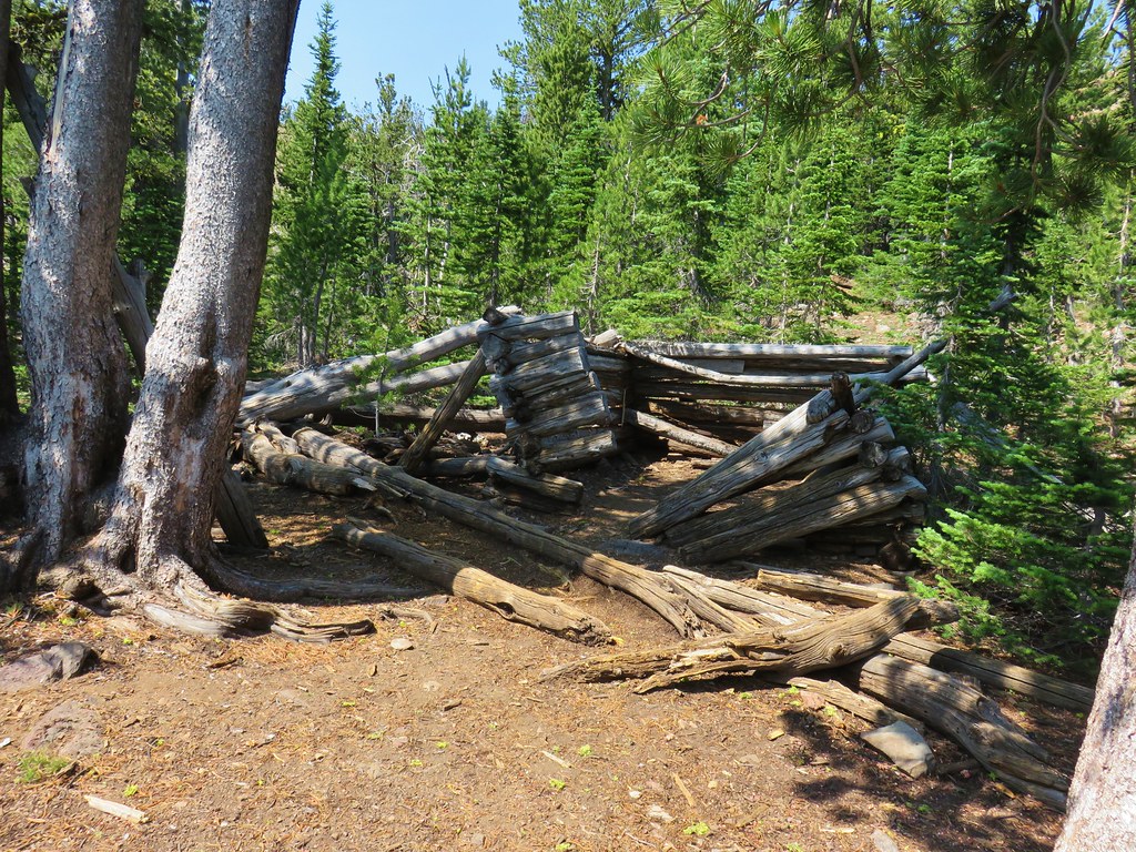
After approximately .4 miles of descending the trail leveled out somewhat and we passed the ruins of a cabin and a minute later Strawberry Spring.

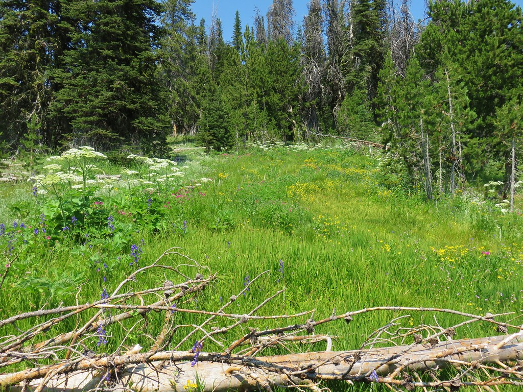
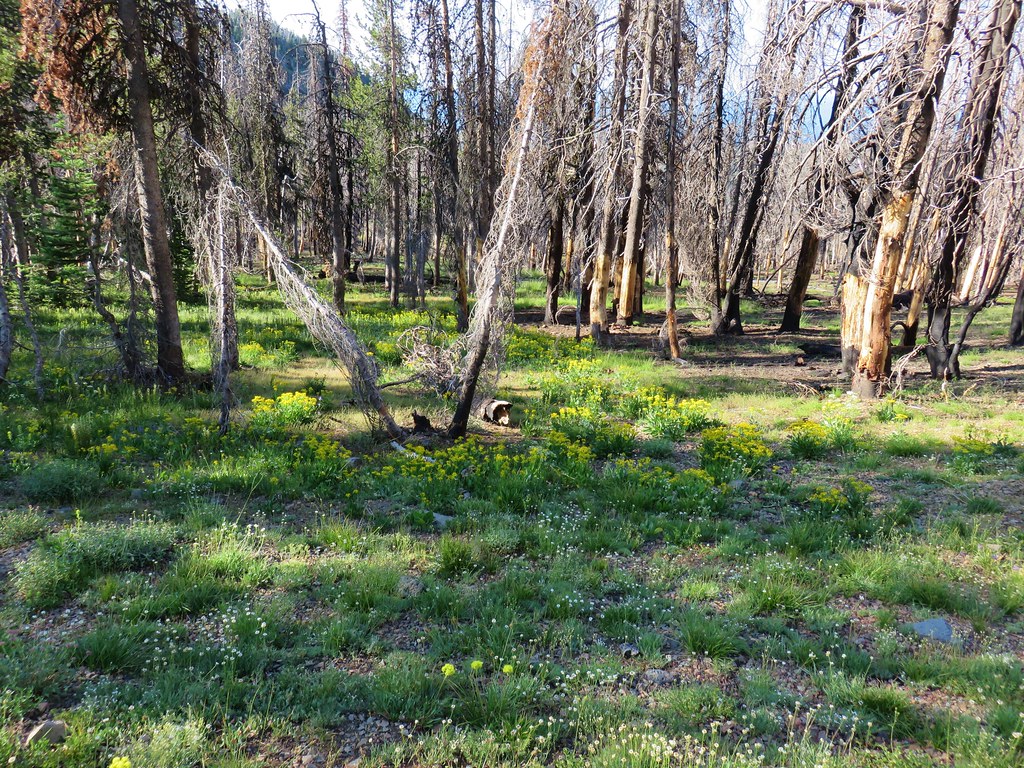
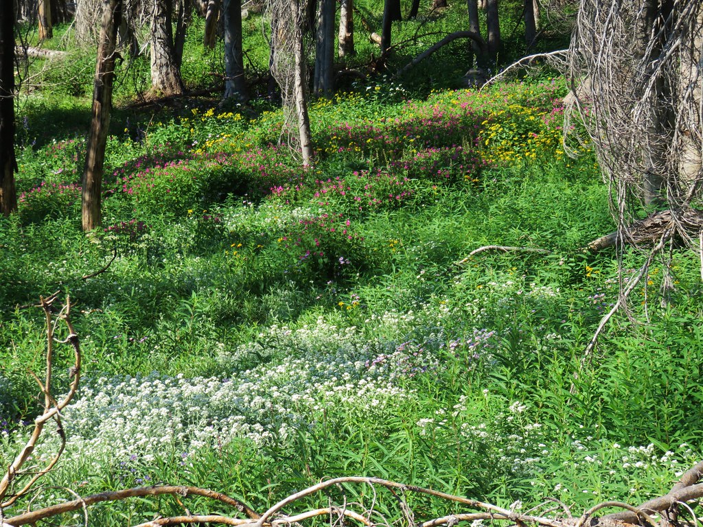
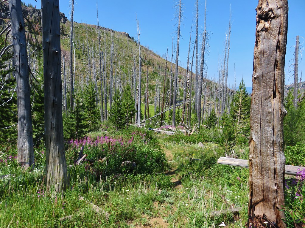
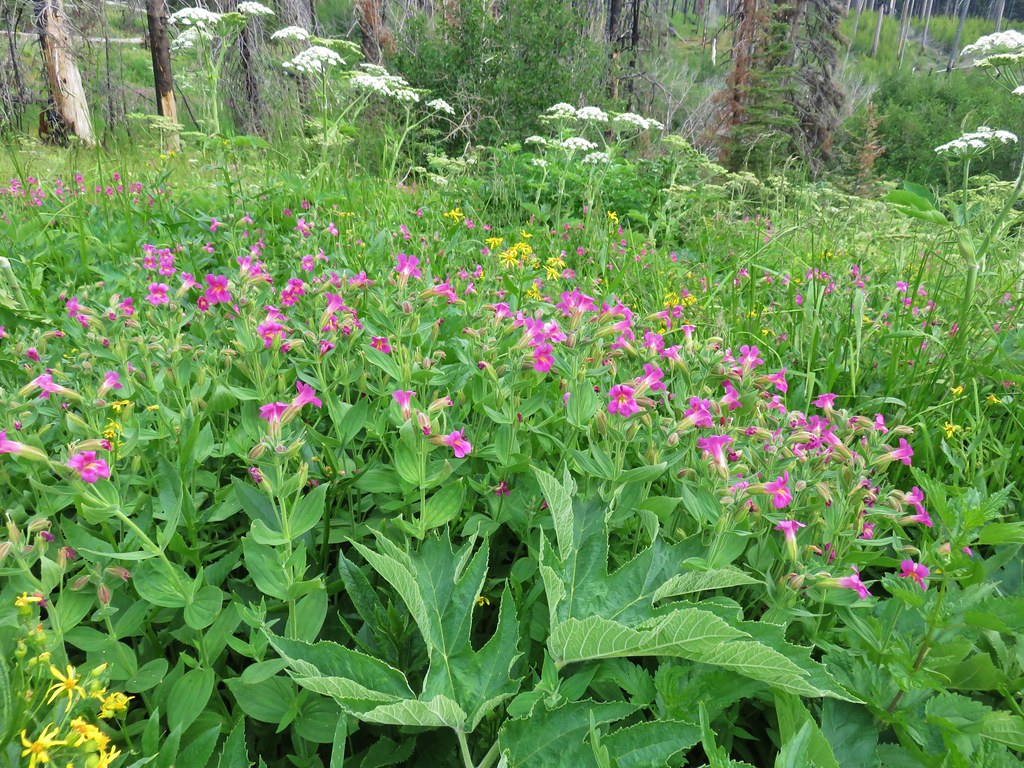
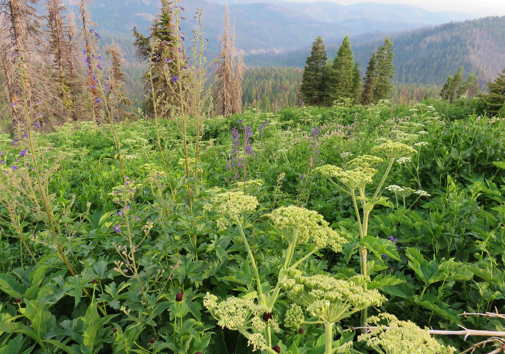
This was followed by a series of meadows, some filled with wildflowers as well as views back to Strawberry Mountain.
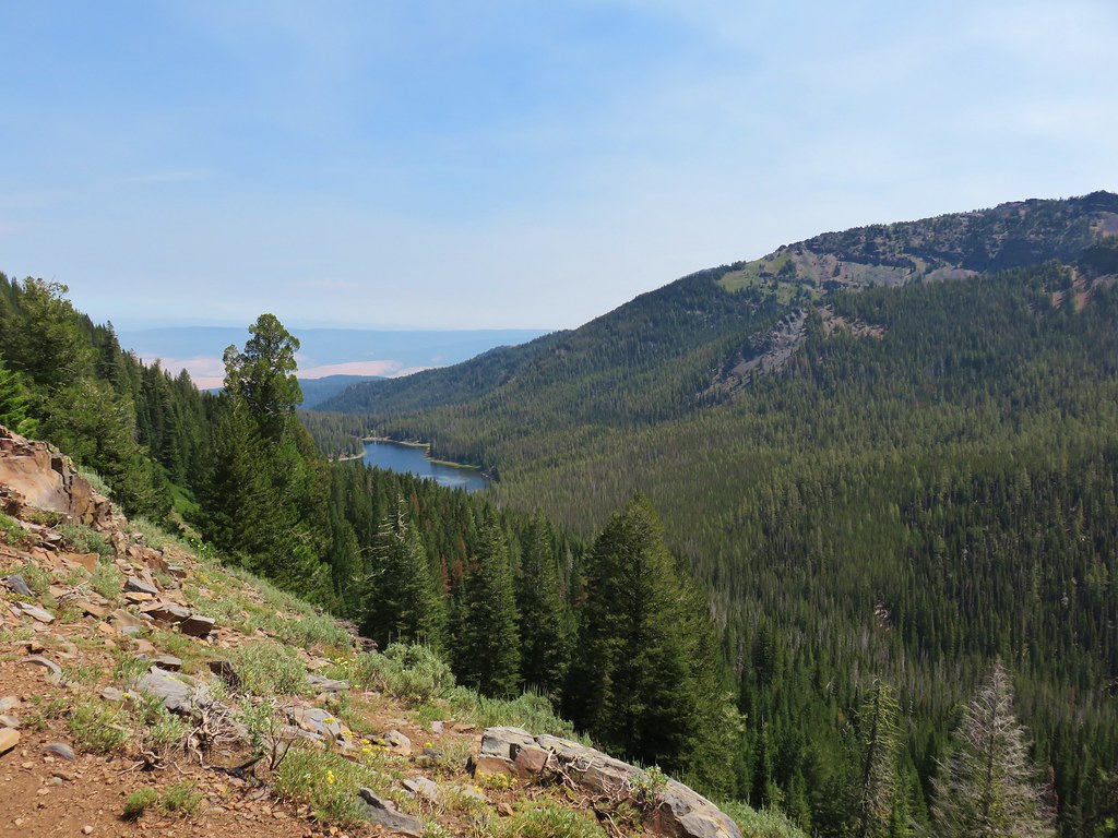
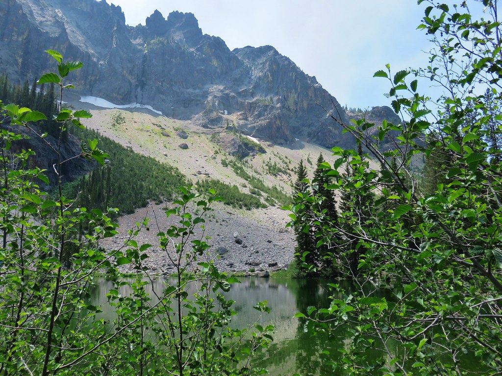
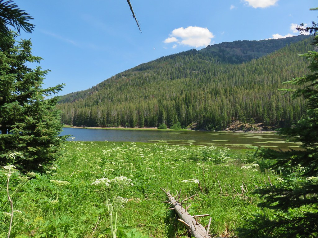
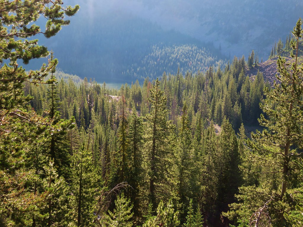
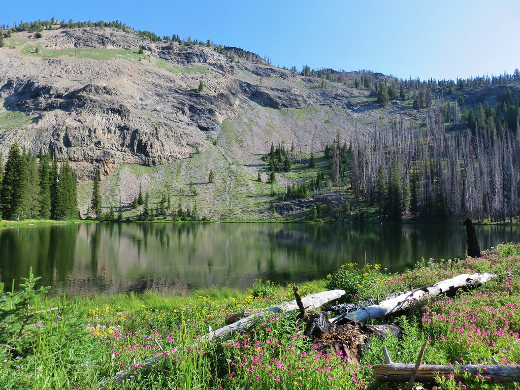
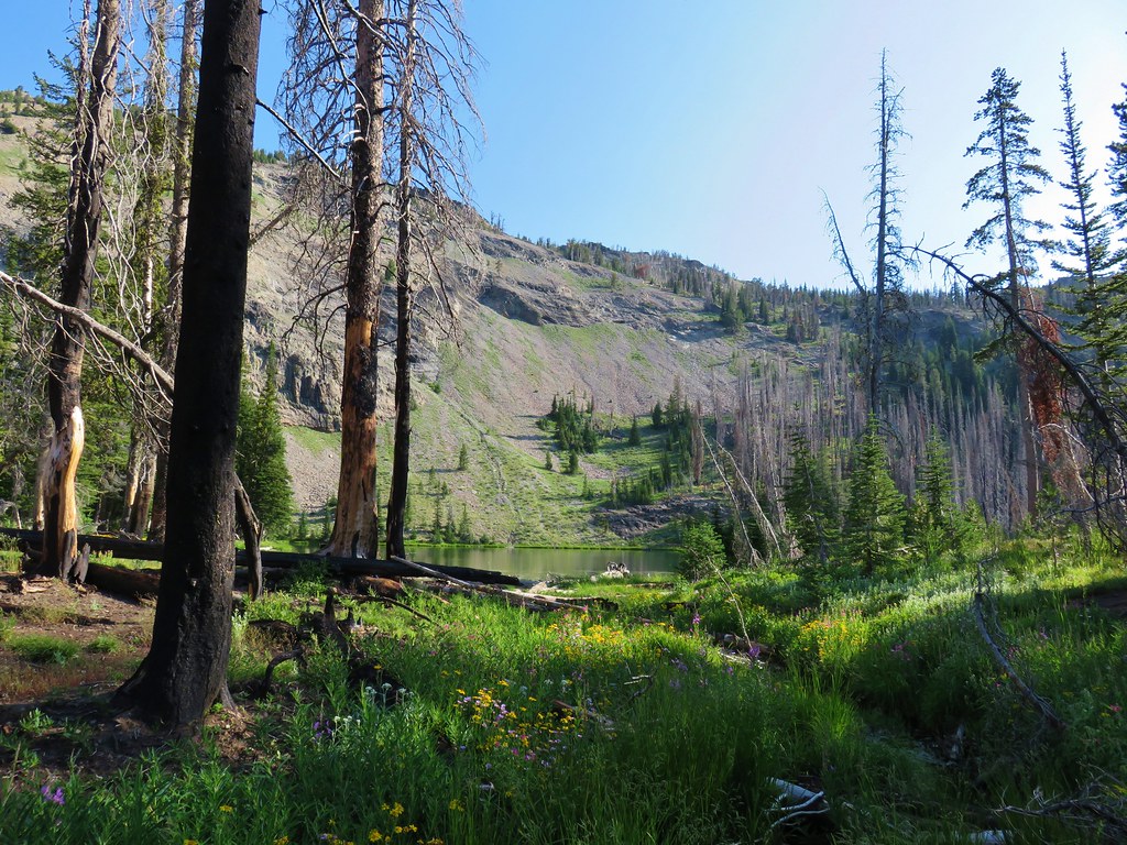
We got our first look at Strawberry Lake as the trail began to bend around a ridge.
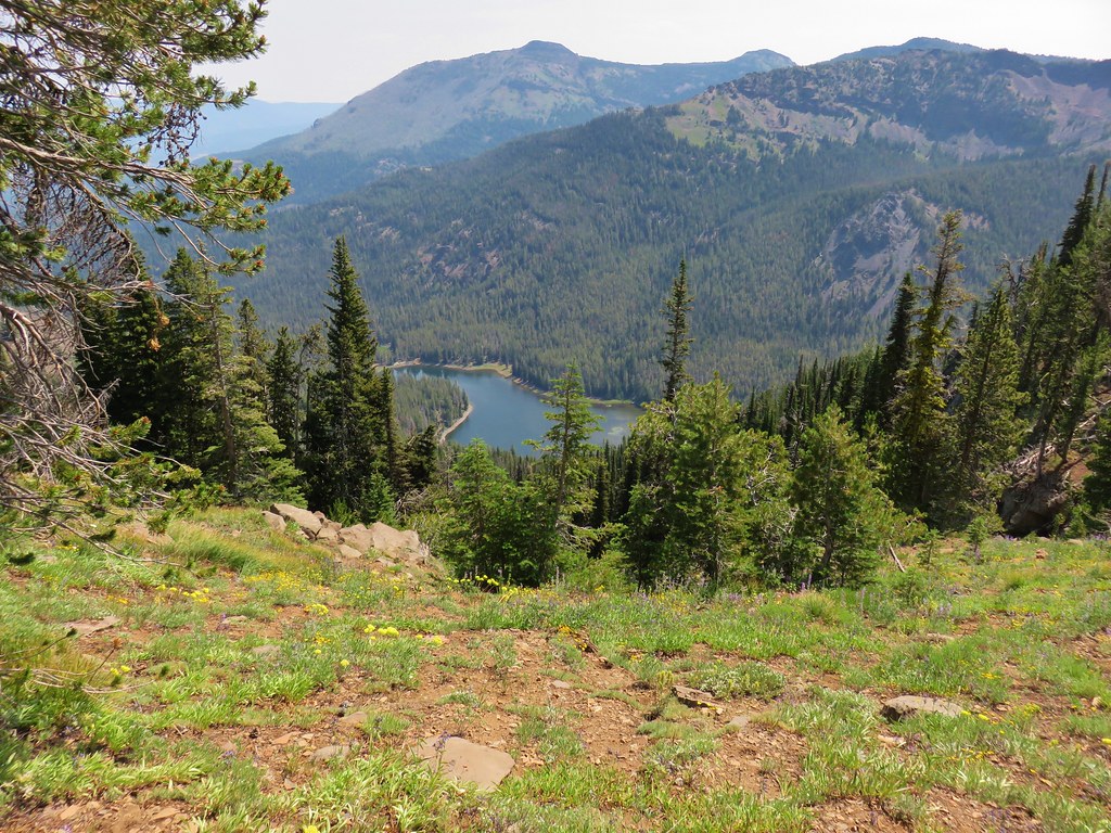
We were now heading south, continuing our descent into the Strawberry Basin. Across the valley were the rock formations known as the Rabbit Ears over Little Strawberry Lake which was hidden in the trees.

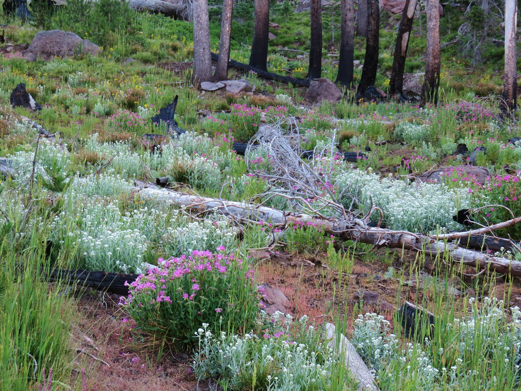
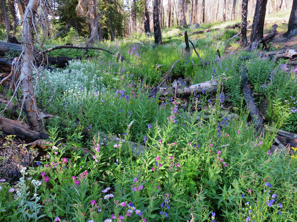
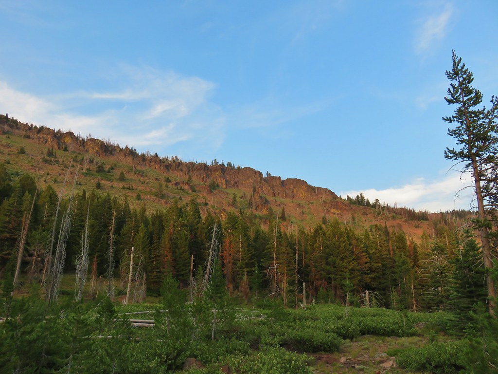
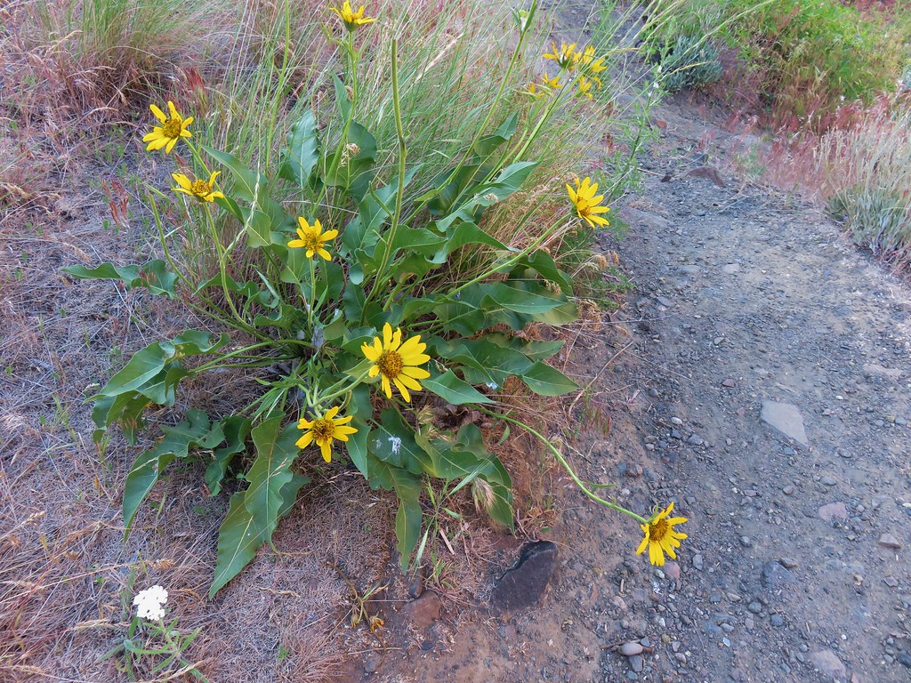
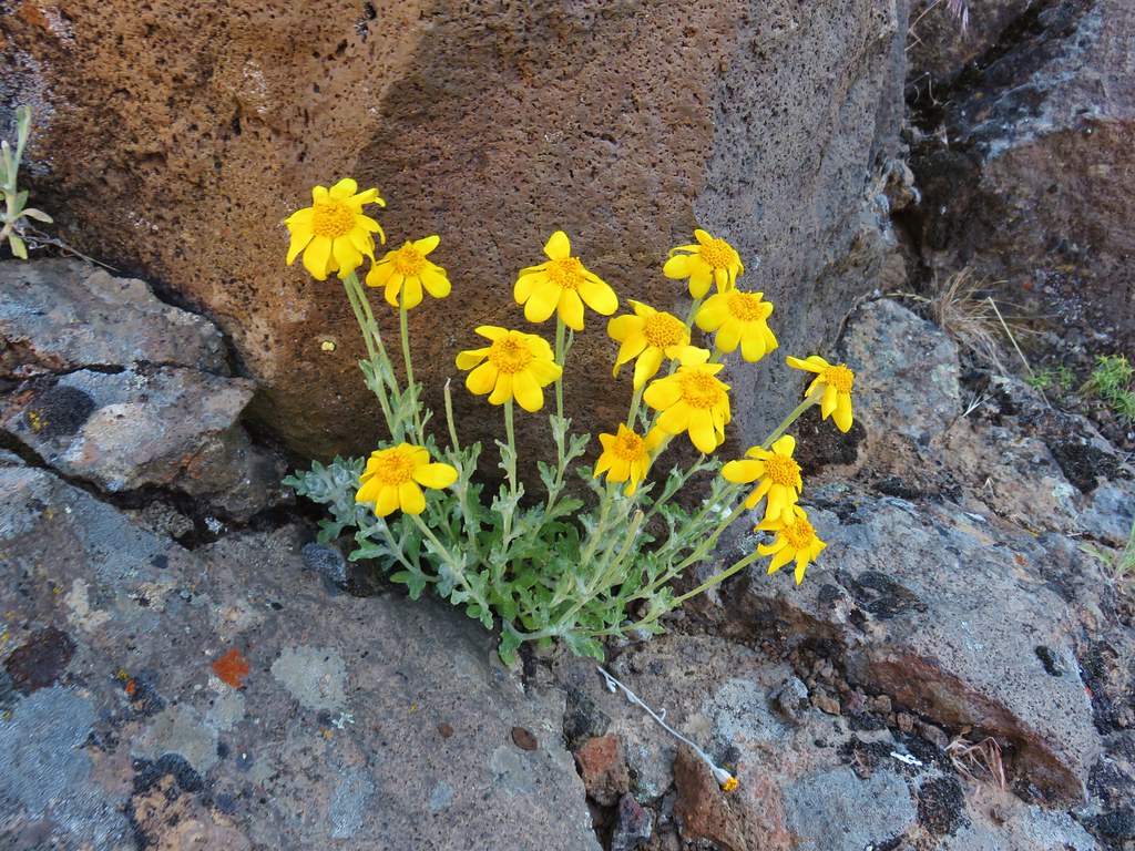
Although this side of the ridge was drier than the north side had been there were still some good displays of color.
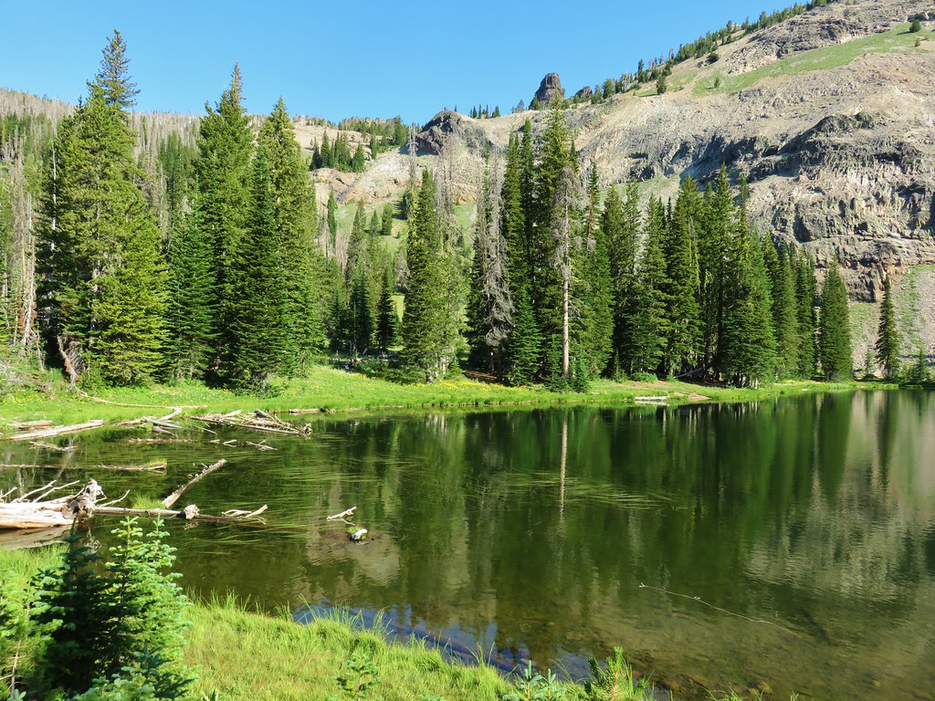
The Strawberry Basin Trail wrapped around the basin eventually reaching the side trail to Little Strawberry Lake, two and a half miles from the saddle junction with the Onion Creek Trail.
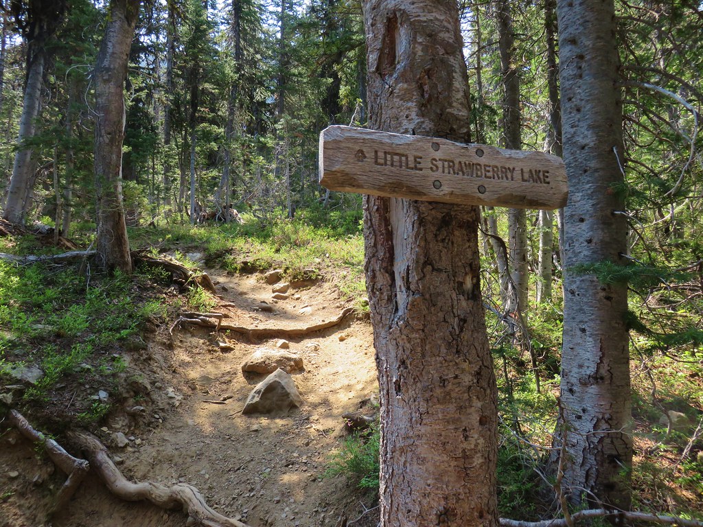
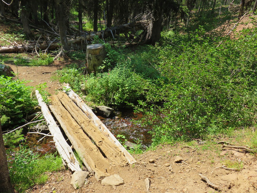
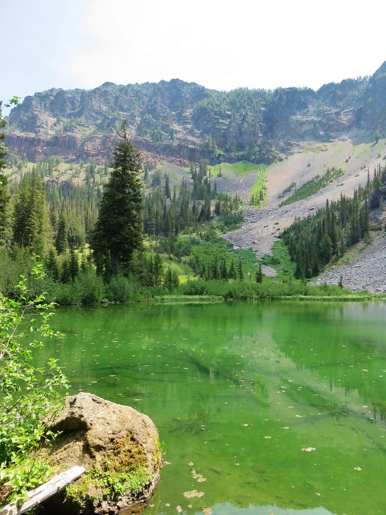
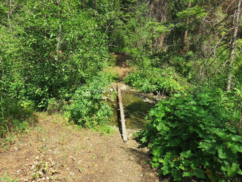
We turned right onto the Little Strawberry Lake Trail for the .6 mile side trip (1.2mi round trip) to the lake. Heather asked about stashing our packs again but I chose poorly and we kept them on. The trail crossed Strawberry Creek and climbed about 150′ through the forest to the little lake.
That shouldn’t have been too difficult a trek but it was so hot (How hot was it?) that we truly regretted not having left our full packs back near the junction. It was also pretty hazy in the basin here so our views of the cliffs backing Little Strawberry Lake were not clear.
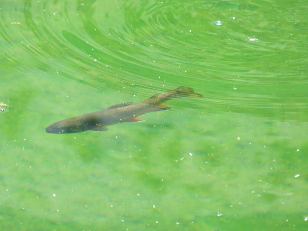
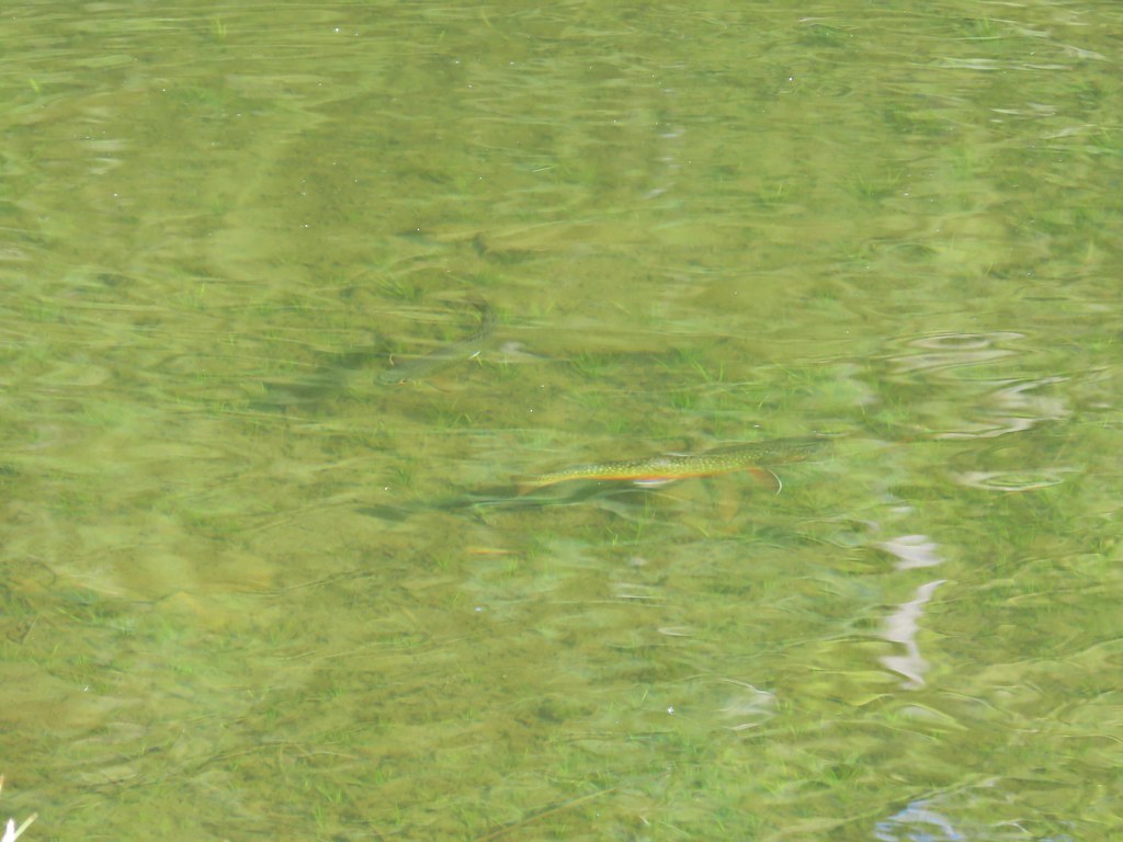
The water however was clear which made it really easy to watch the fish swim about.
After another short break we strapped on our packs again and returned to the Strawberry Basin Trail. It was obvious by the state of the trails and the number of other people we were seeing that this part of the wilderness is significantly busier than the eastern end.
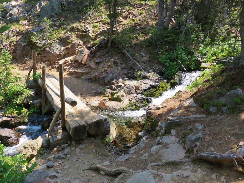
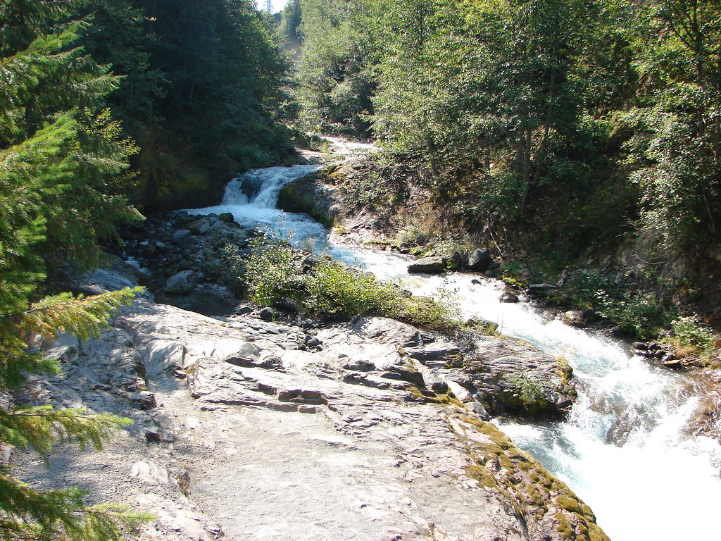
We turned right and promptly crossed Strawberry Creek again.
 //embedr.flickr.com/assets/client-code.js
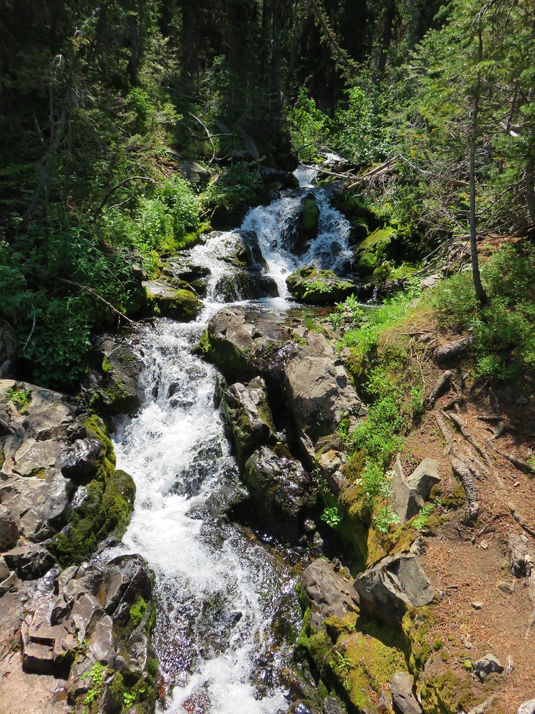
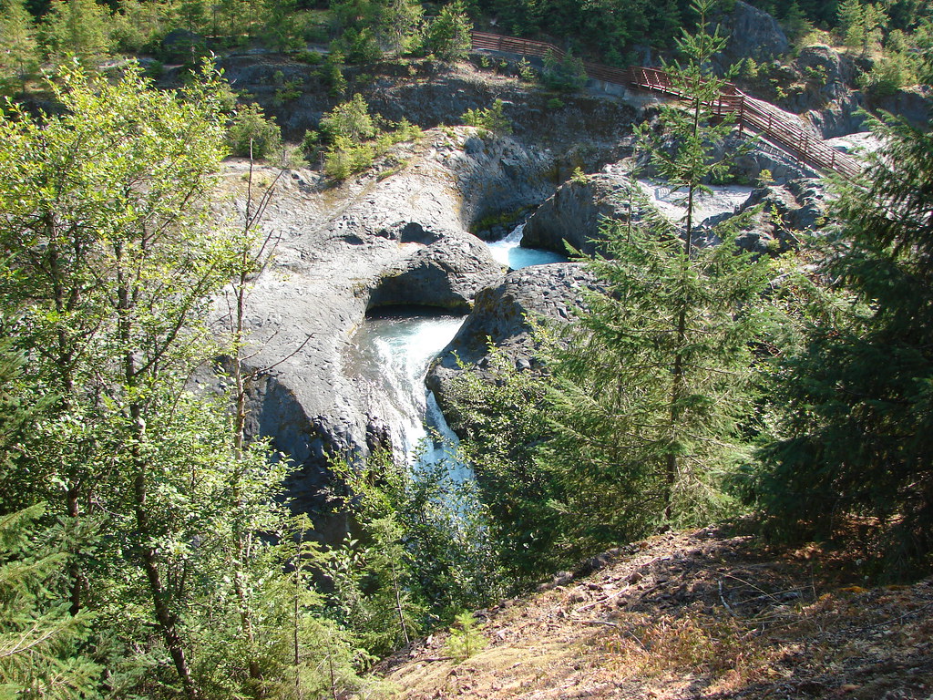
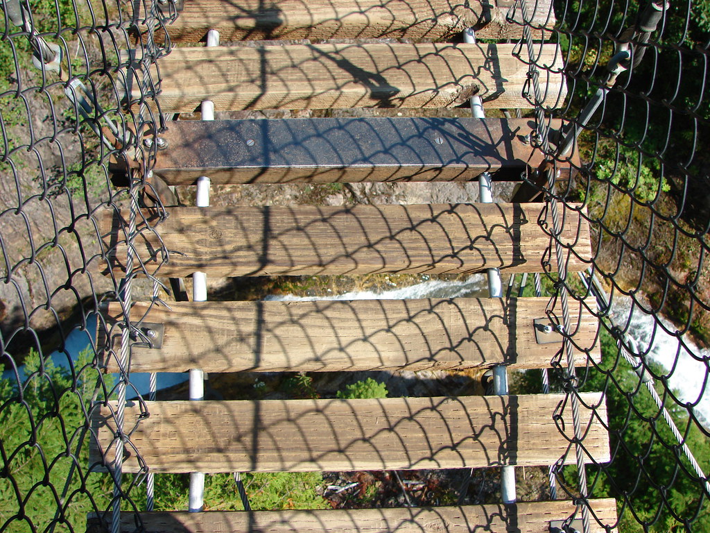
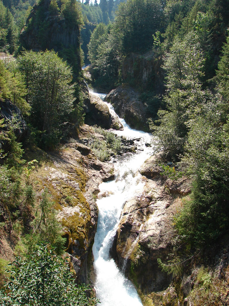
We were just a bit above Strawberry Falls here and I suddenly thought we might not get to actually see the waterfall.
My fears were eased when Heather correctly pointed out that the trail switchbacked down to the base of the falls.
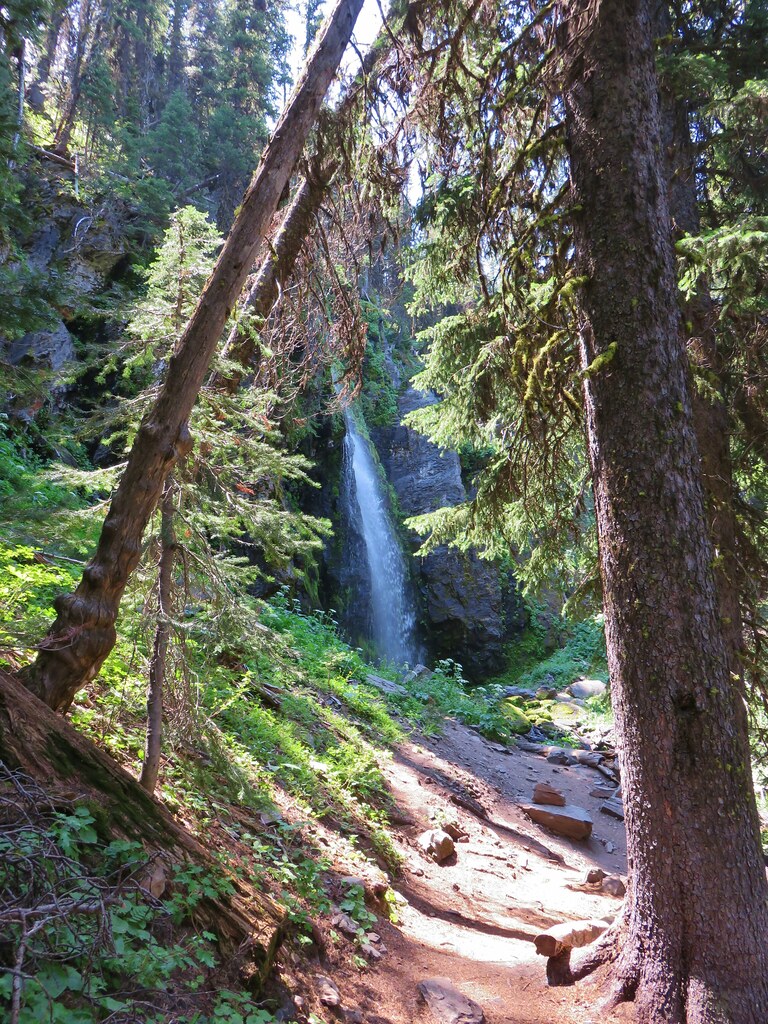
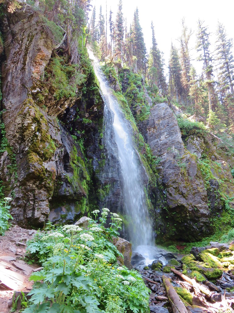
The base of Strawberry Falls was by far the most comfortable spot we would be in during the entire trip. We took our packs off again and allowed the mist from the falls to cool us down. Unfortunately we could not take that feeling with us and shortly after leaving that heavenly place we were once again sweating profusely.
After descending a little over half a mile form the falls we came to a fork in the trail near Strawberry Lake.
Both trails led around the lake with the right hand fork being the shorter but the left hand fork reportedly having the better views. We opted for the left hand fork and descended to the southern end of Strawberry Lake.
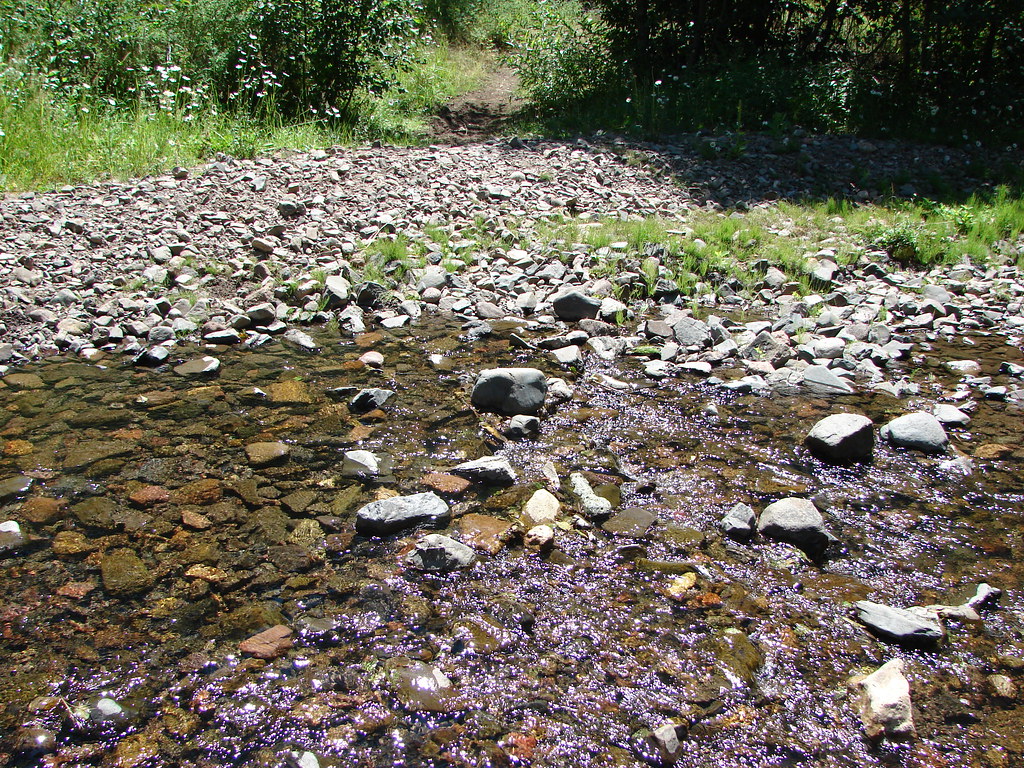
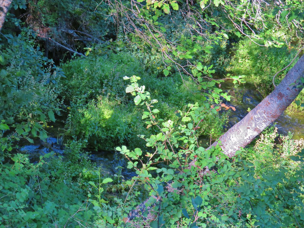
A series of stream crossings followed as we worked our way around to the western side of the lake.
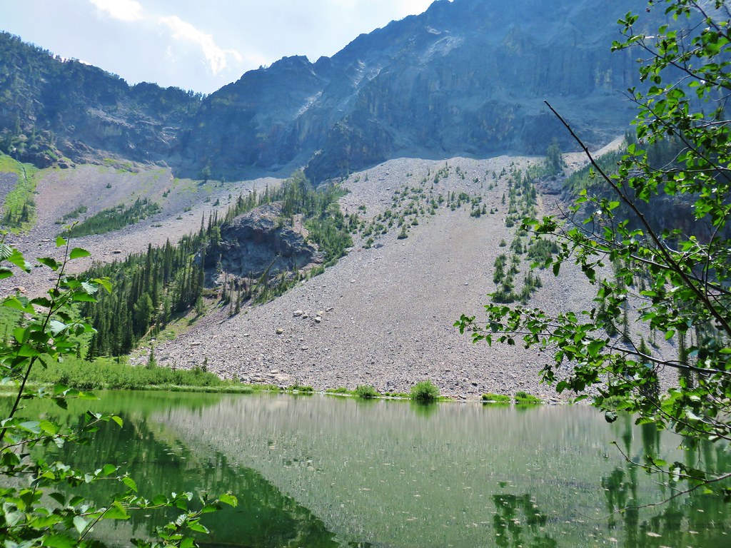
Eventually the Rabbit Ears came into view across the lake.

It was time for yet another break once we reached the northern end of the lake but here even in the shade it was stupid hot.
Since there was no real relief from the heat we quickly decided to press on. After crossing the lakes outlet we turned left and then followed pointers for Slide Lake.
We climbed gradually for nearly a mile gaining 360′ from Strawberry Lake.
We were struggling with the gradual climb and now the Slide Basin Trail launched more steeply uphill gaining an additional 350′ over the next half mile. After cresting a ridge we arrived a split in the trail where a horse trail went left and a hiker only trail right.
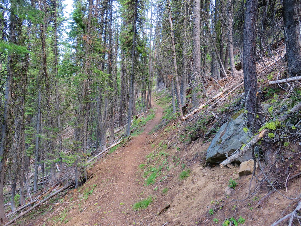
Thankfully the trail leveled out quite a bit on this side of the ridge as it traversed the hillside.
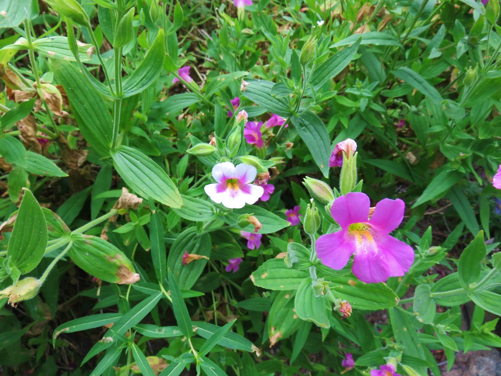
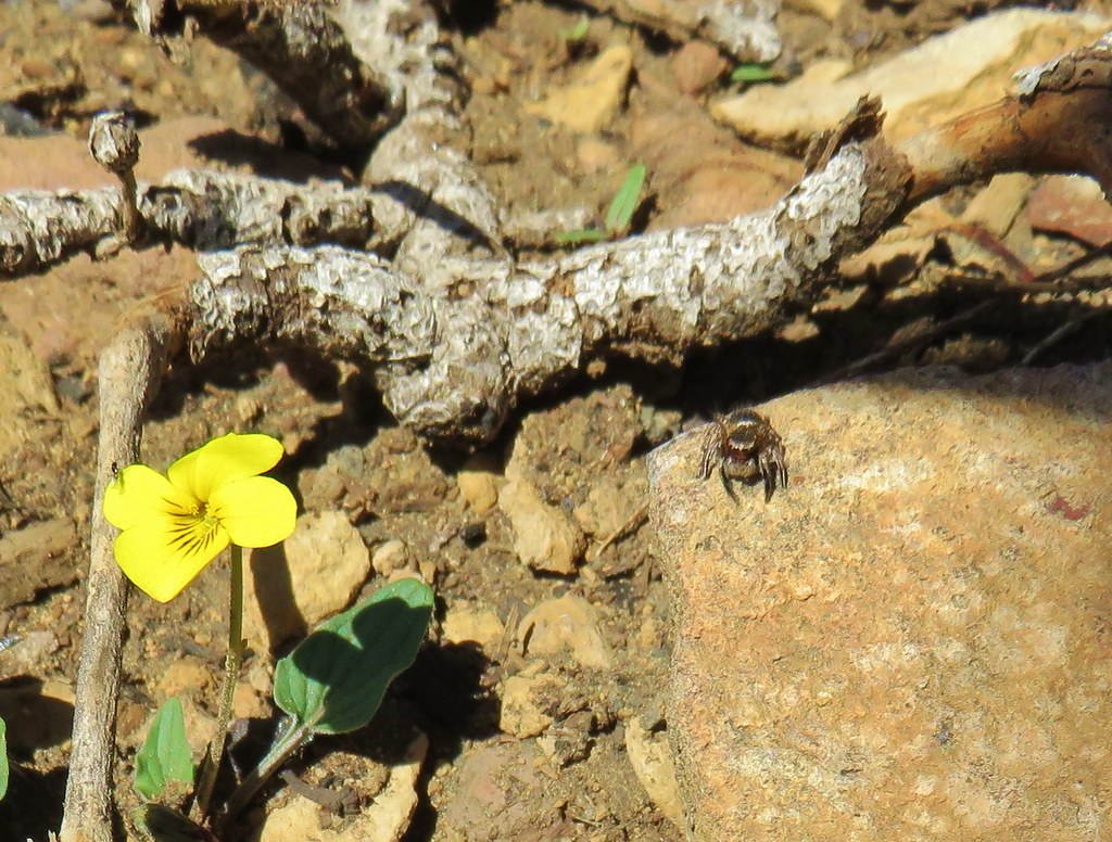
The bad news was we were now out of water, tired, hot, and the trail was indeed semi-washed out in spots. We were almost too miserable to enjoy the scenery which included quite a few wildflowers of which I took almost no pictures.
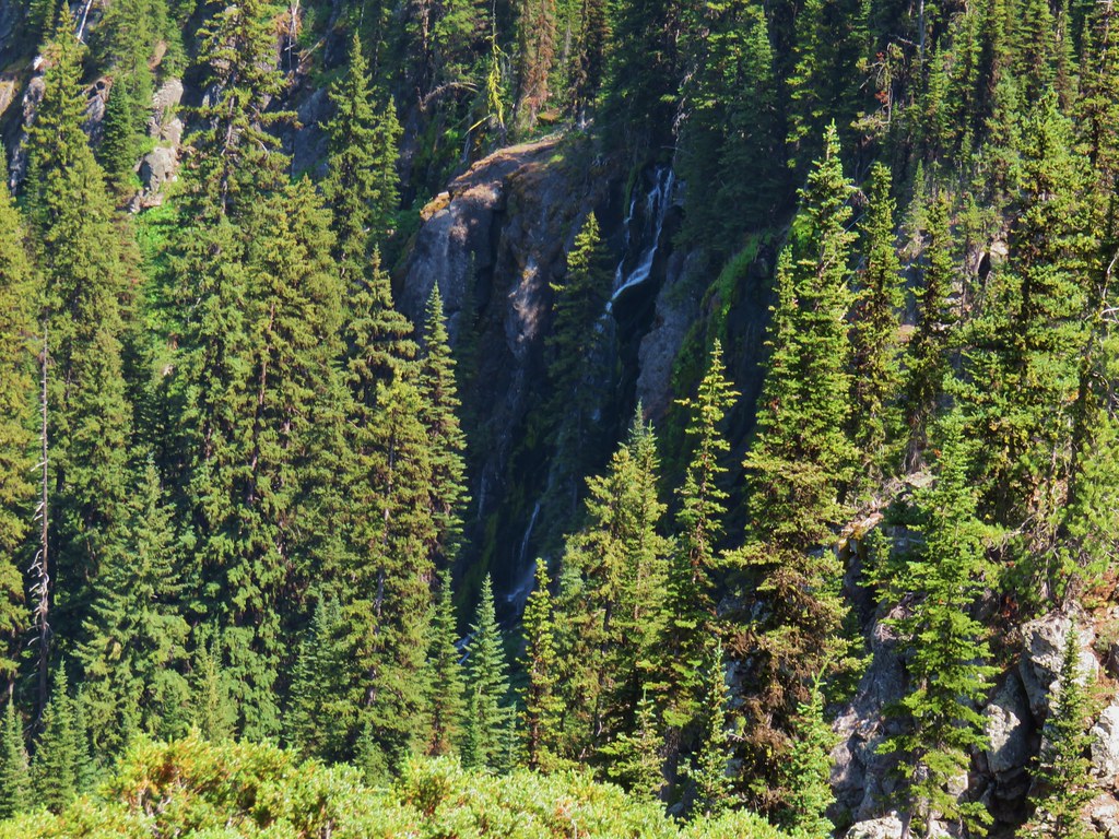
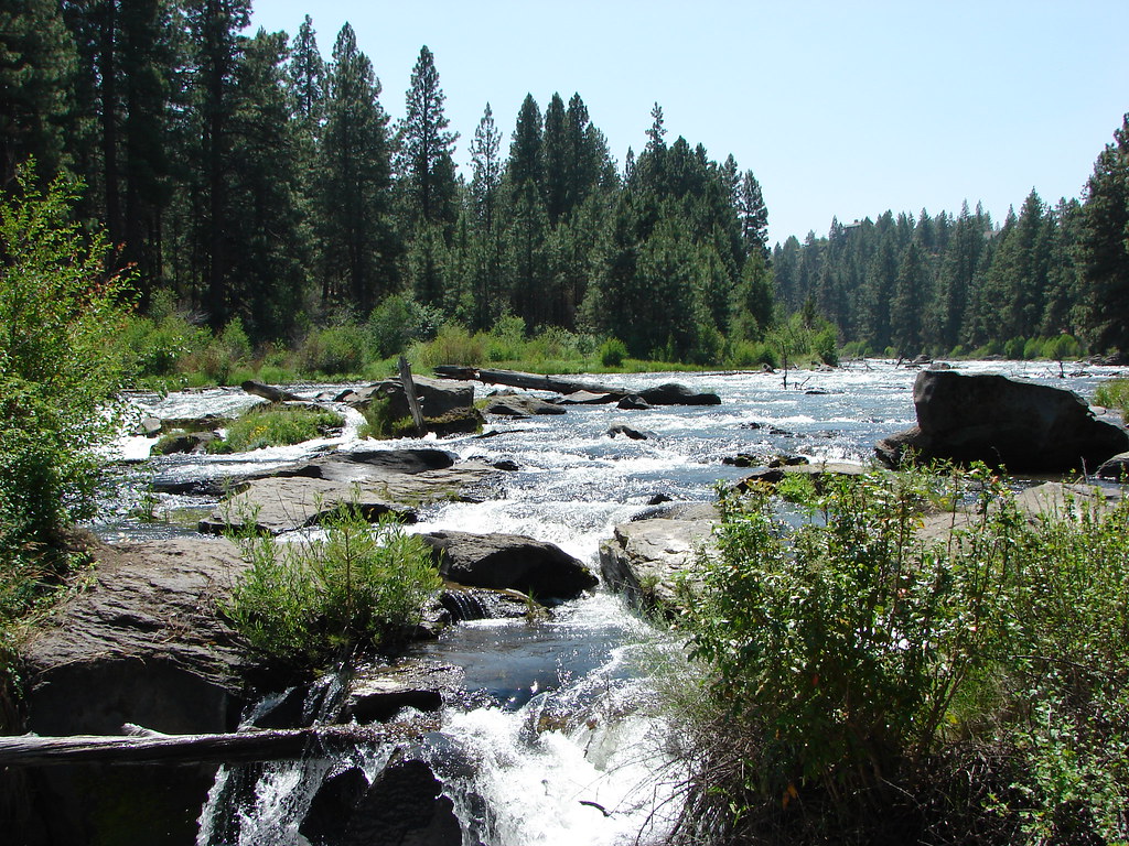
We had two overriding goals. First was to stay on the trail and second was to find water. There was a spring shown our our map about three quarters of a mile from the fork but it was dry. To make matters worse we could hear and see Slide Falls in the valley below. It was taunting us with all that water.
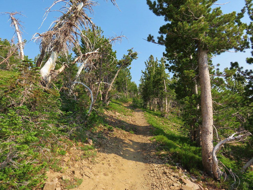
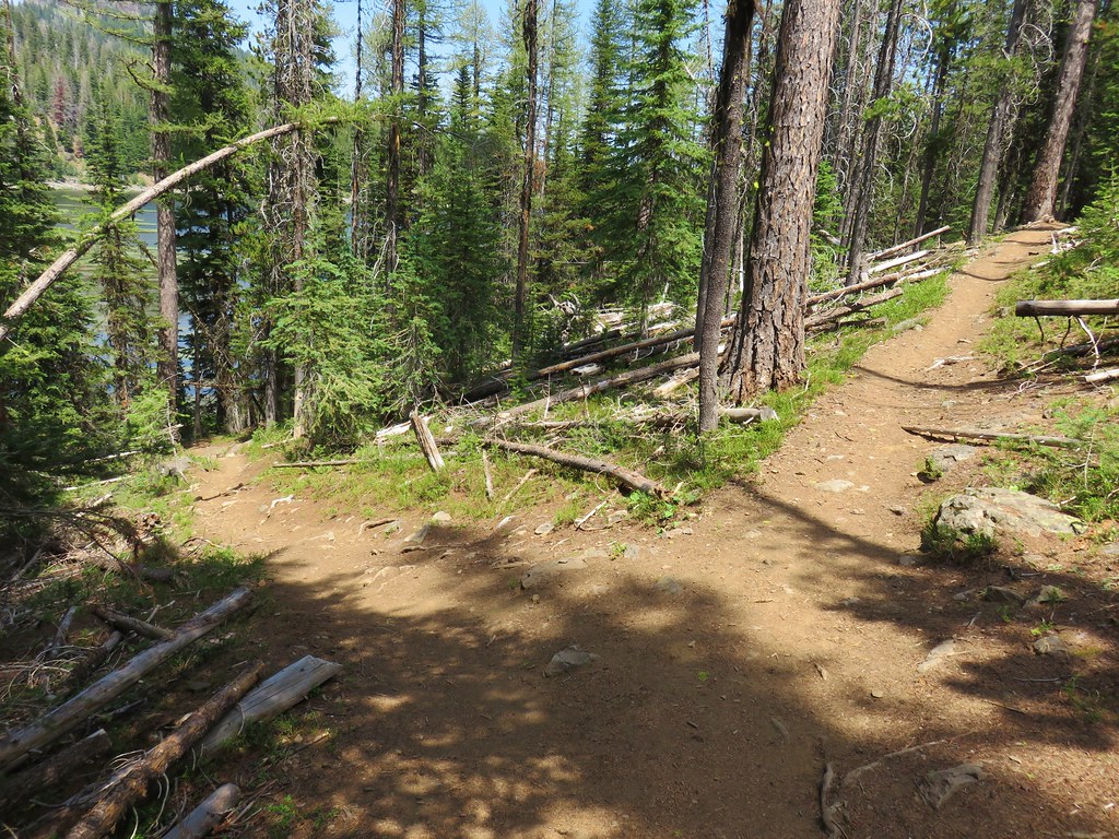
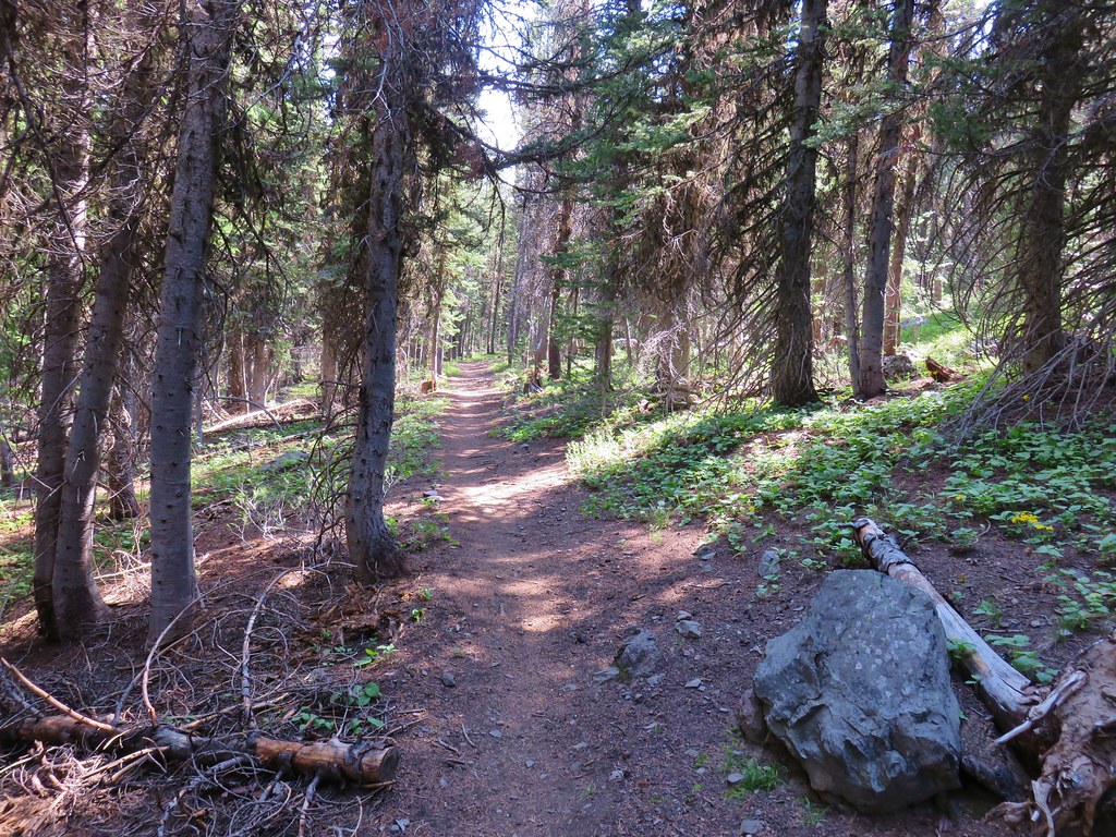
The trail reentered the trees just after being rejoined by the horse trail.
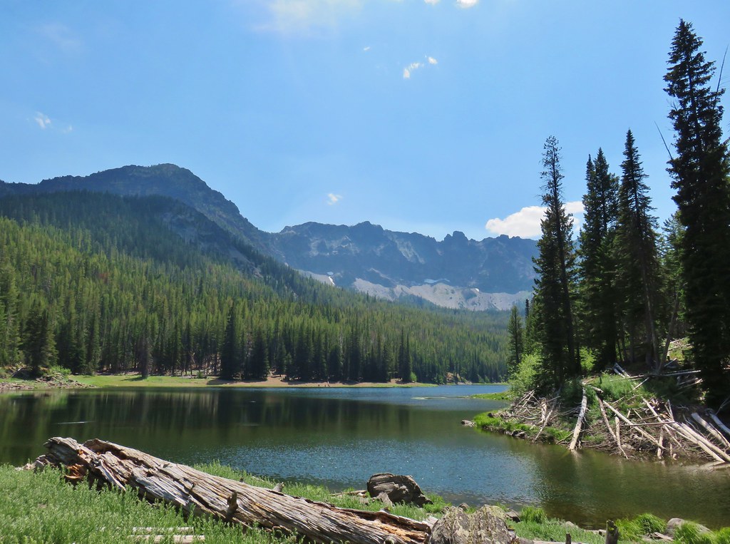
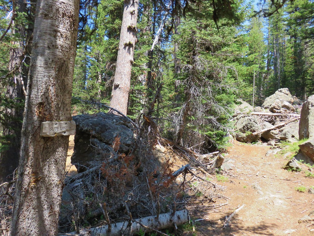
A short distance later we came to the Slide Lake Trail.
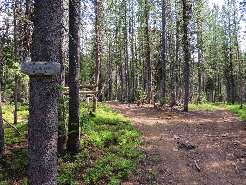
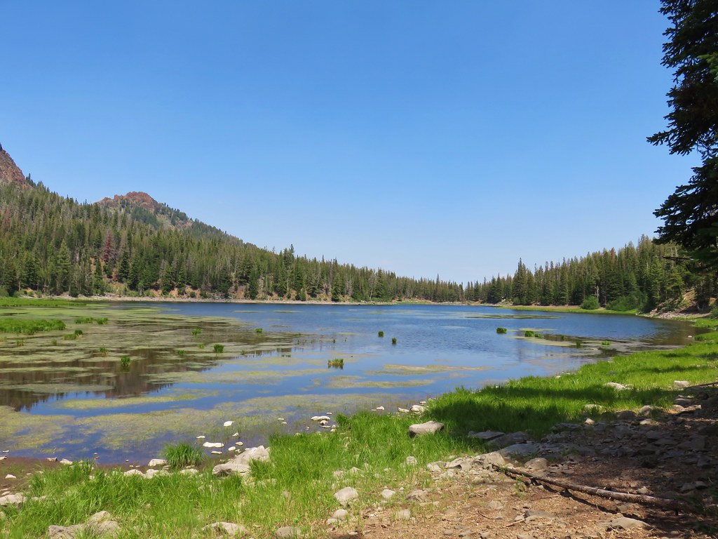
We veered left for a quarter mile to the lake.
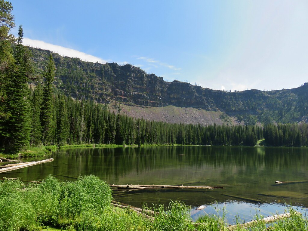
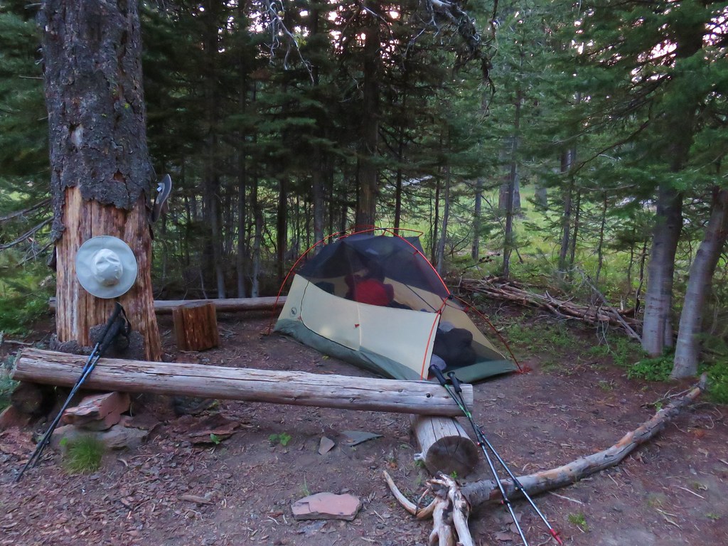
We claimed a campsite just across the outlet creek and Heather set about refilling our water supply while I set up the tent.

When we arrived at Wildcat Basin the night before Heather had been done, tonight it was my turn. After setting up the tent I set up my camp chair and just sat there. 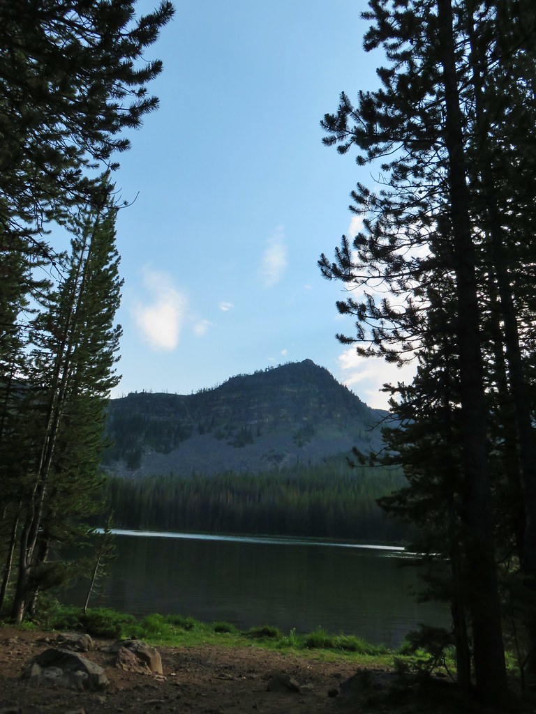 View from the chair.
It was only 3:30pm but I was done for the day. Heather would later ask if I wanted to do the 1 mile loop around the lake and I said no. That was when she knew I really was wiped out, I rarely pass up a side trip but at that point I had no desire to get up. We had covered 14 miles and climbed over 3700′ that day and that was enough.
As I was getting ready to start dinner I thought I heard voices and assumed that there were other people camped to our left along the lake. After dinner a woman from the group of hikers we’d run into on our way down from Strawberry Mountain showed up. She said that they were equally finished for the day having gone to High Lake after summiting the mountain. She said that they had gotten to High Lake at 1:30pm, took a swim and a nap, then decided to push on to Slide Lake for the night. They set up camp somewhere on the opposite side of the outlet creek and we never did see them again. The next day Heather solved the mystery of the voices I had heard when she suggested that it may have been this group coming down the trail from High Lake which was located in the same direction that I had heard the voices from.
We stayed in our chairs until a little before 7pm. Out of nowhere a host of small insects appeared which we took as are queue to turn in for the night. It was another warm night which told us we were in for more of the same the following day, we just weren’t sure we were ready for it. Happy Trails!
Flickr: Strawberry Mountain Wilderness Day 2

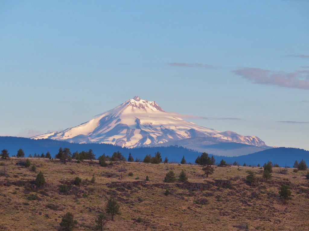
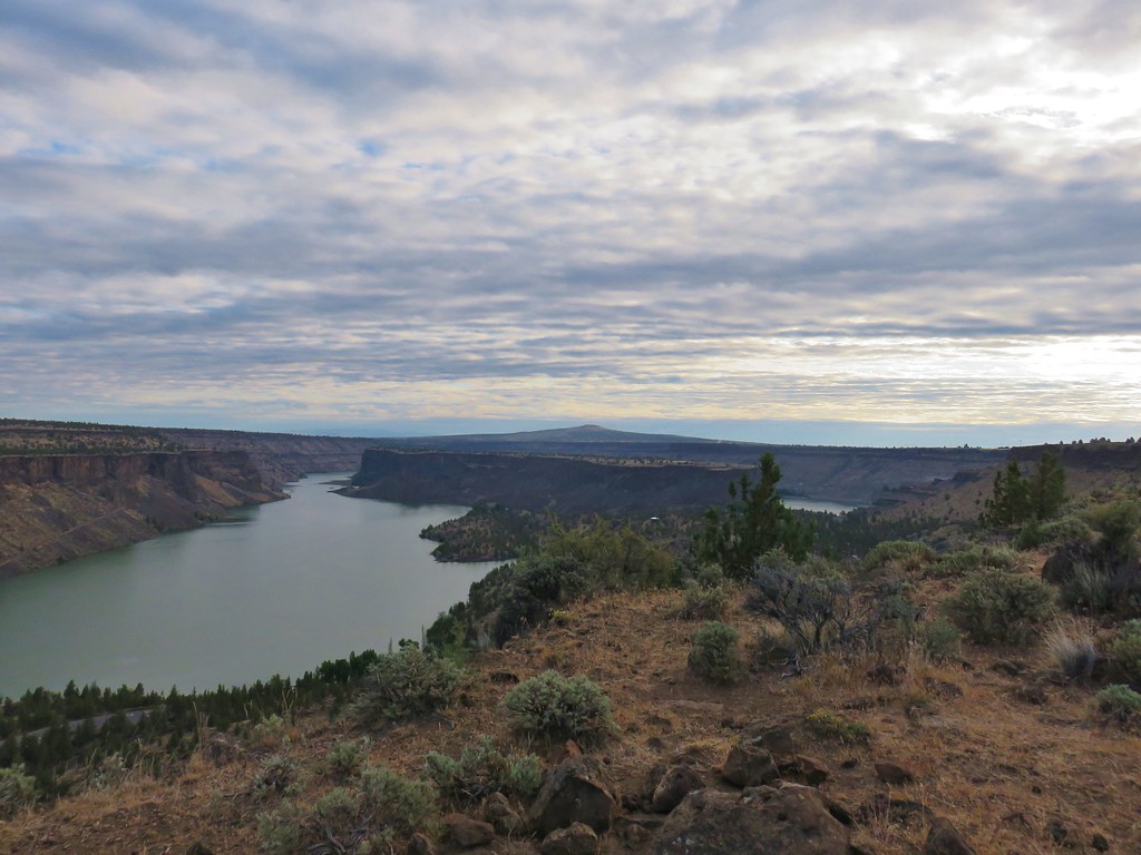
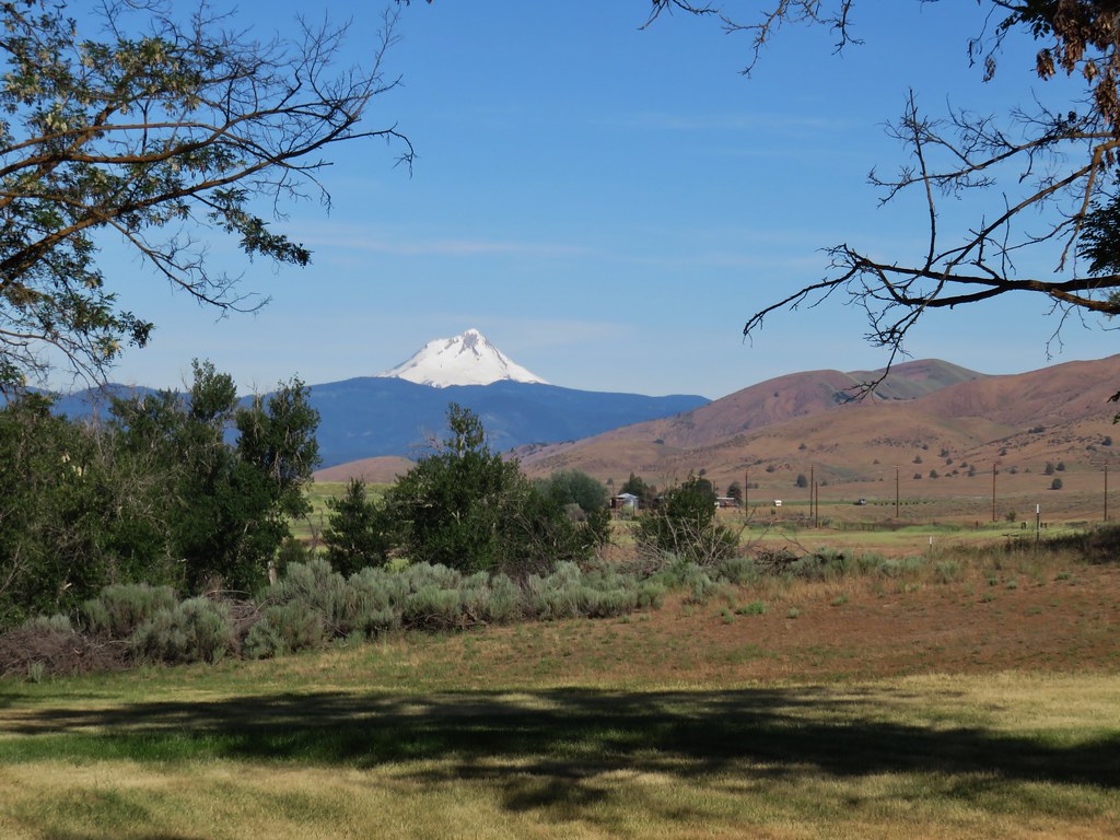
 Mt. Jefferson rising above the Metolius River


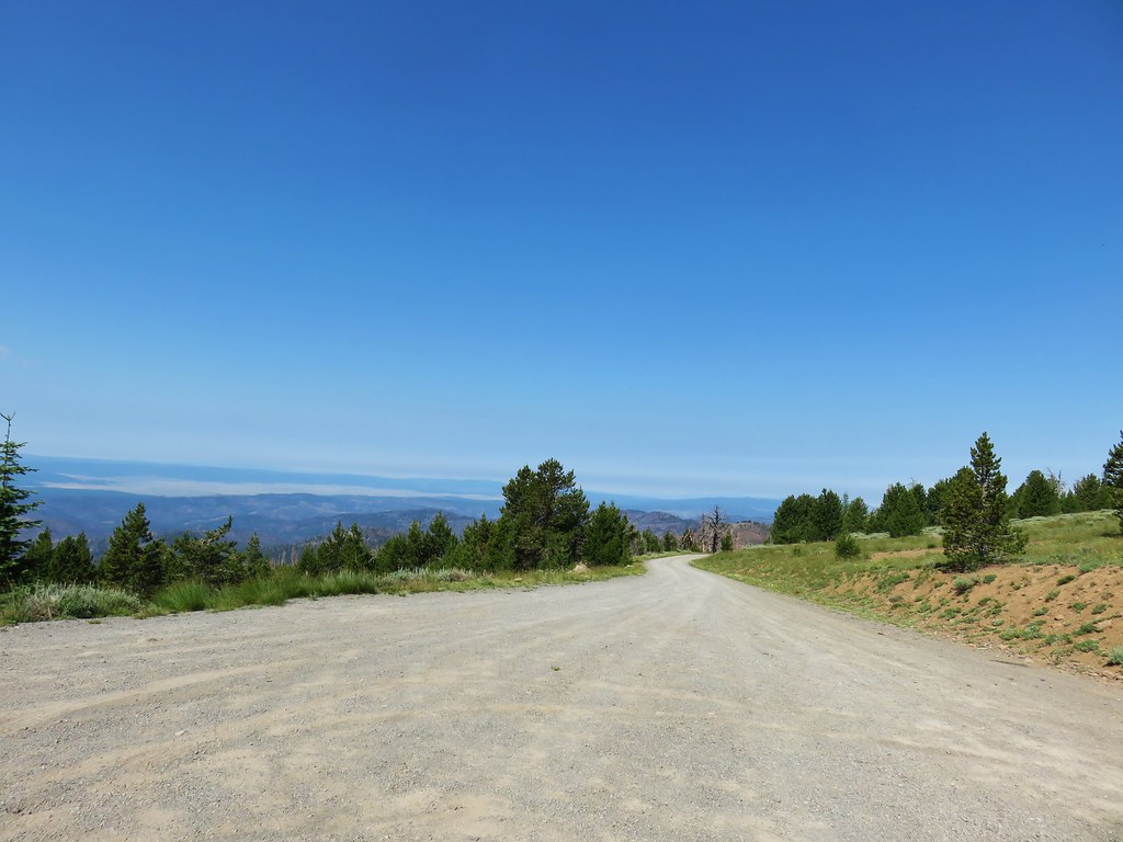
 Strawberry Mountain from FR 1640.


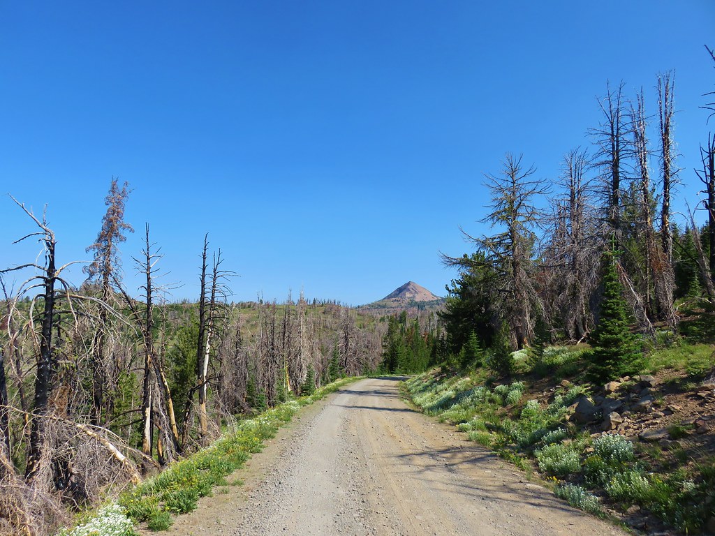
 Indian Creek Butte, the John Day Valley, and Strawberry Mountain

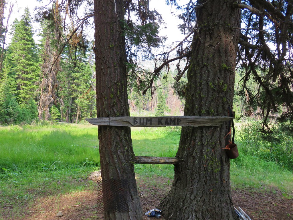
 A horse in the meadow at Hotel De Bum Camp
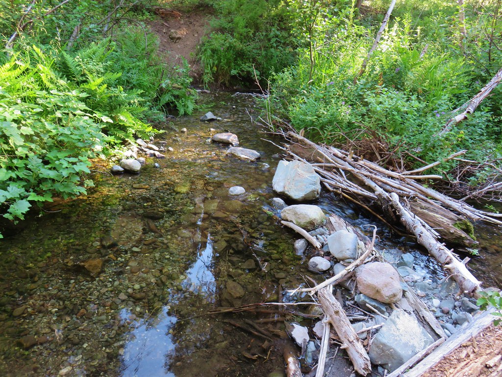

 Looking in the direction of the Tamarack Trail
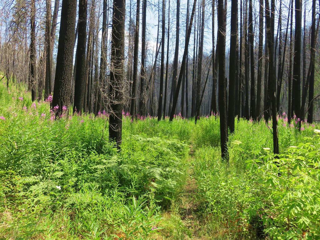
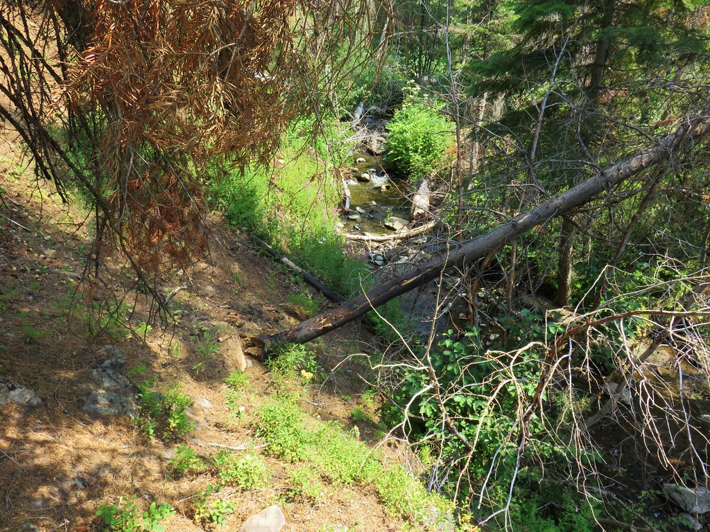


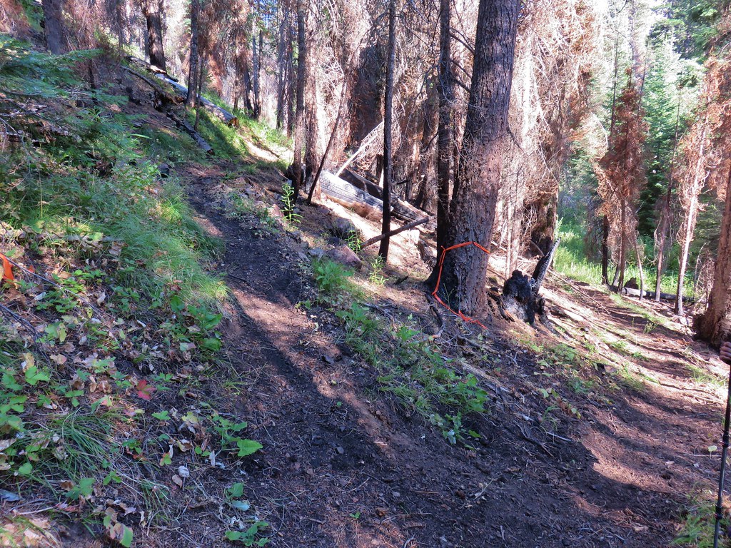
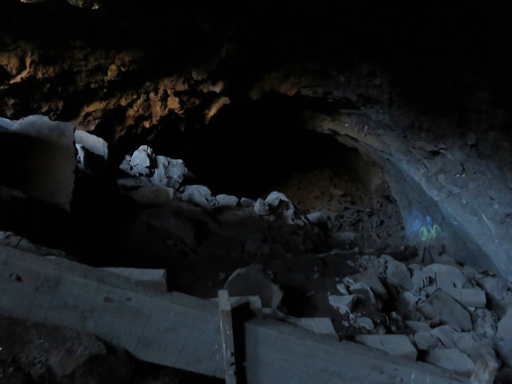
 Blue flagging is attached to a small burned tree 3/4 up the left hand side of the photo.


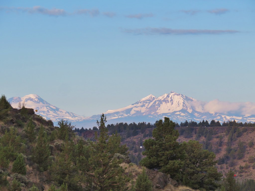 The Three Sisters


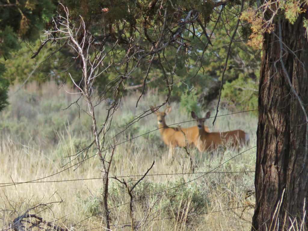 (the camera deciding the fence was more interesting than the deer)


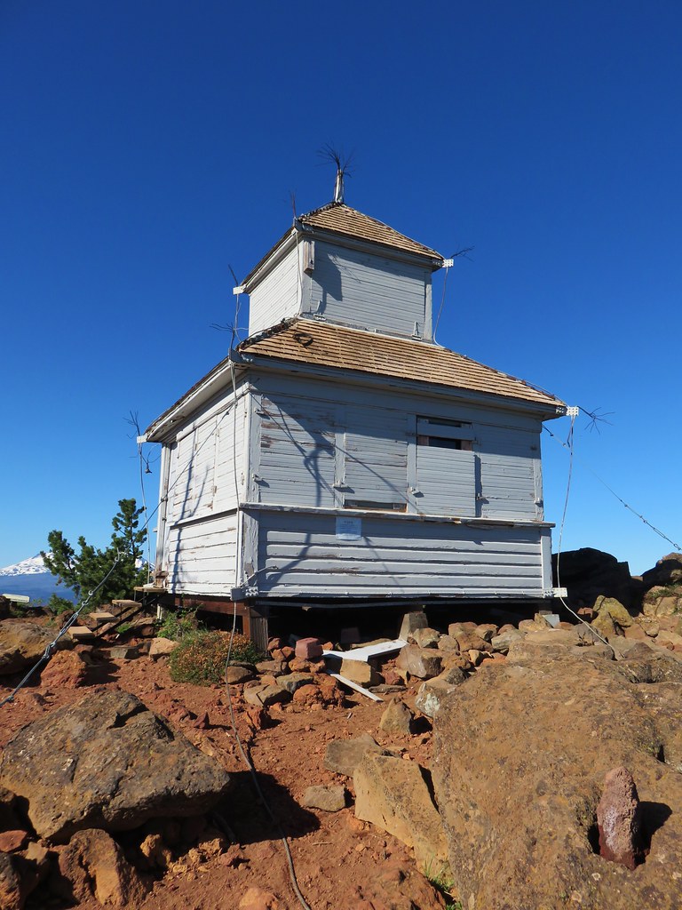
 The old lookout tower with Broken Top and the Three Sisters
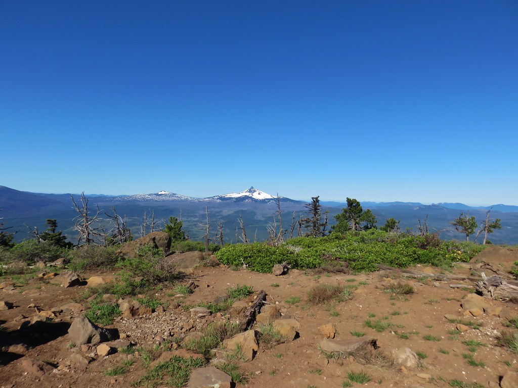 Belknap Crater & Mt. Washington
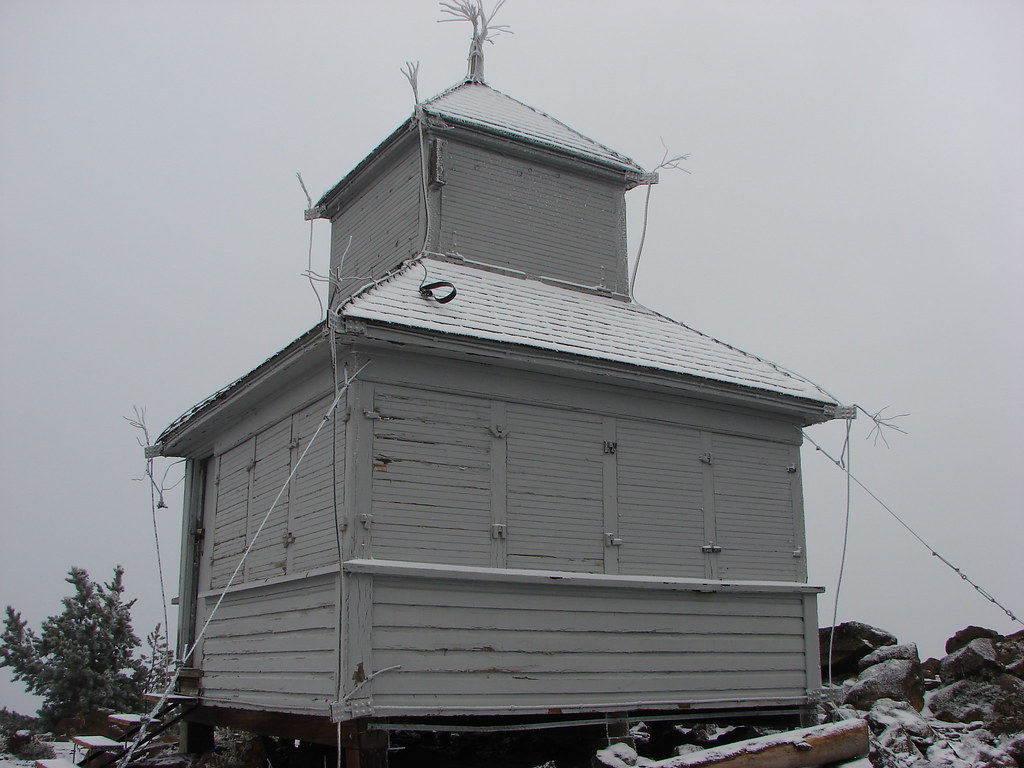
 Mt. Washington & Three Fingered Jack with the old cupola lookout
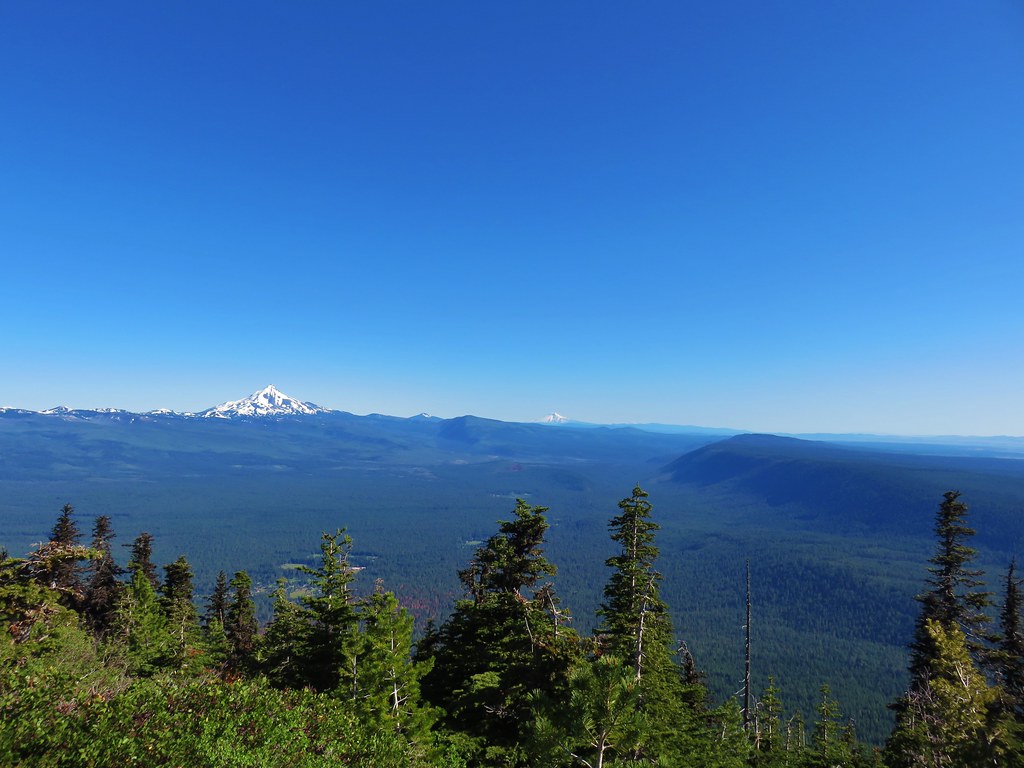 Mt. Jefferson, Mt. Hood and Mt. Adams
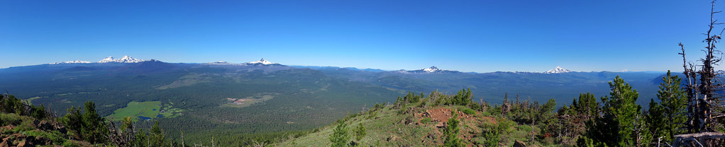


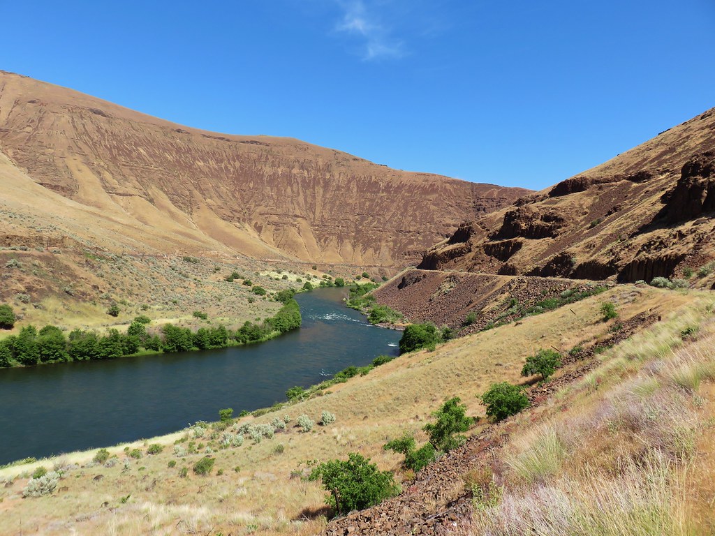
 Looking up Macks Canyon


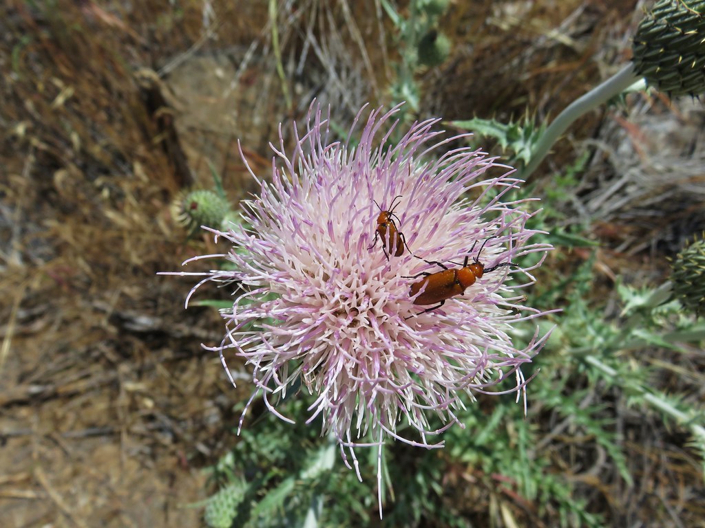
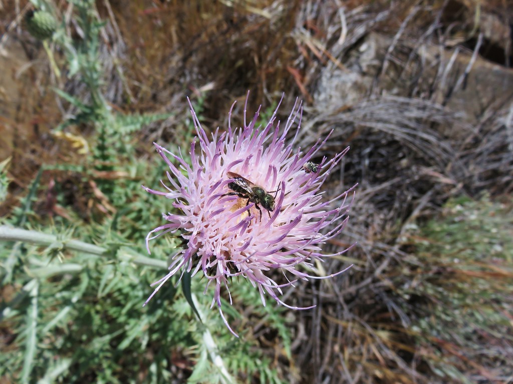
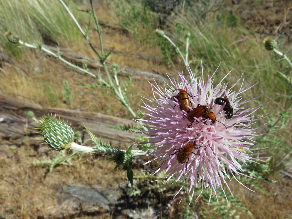
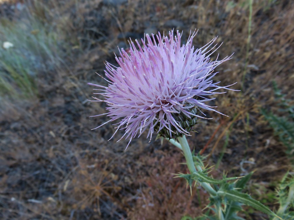 A thistle
 A vetch
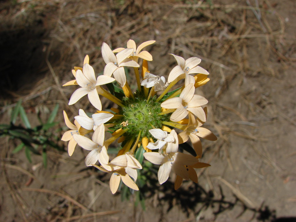
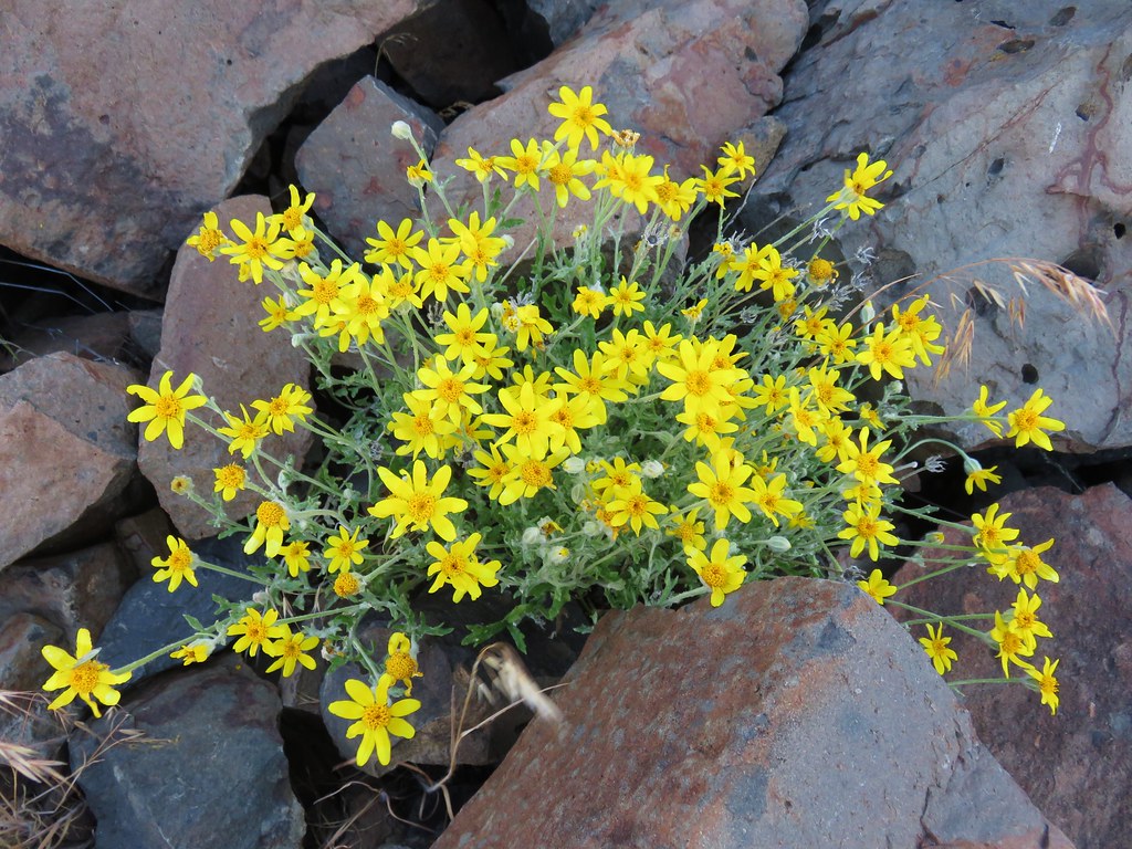 Oregon sunshine
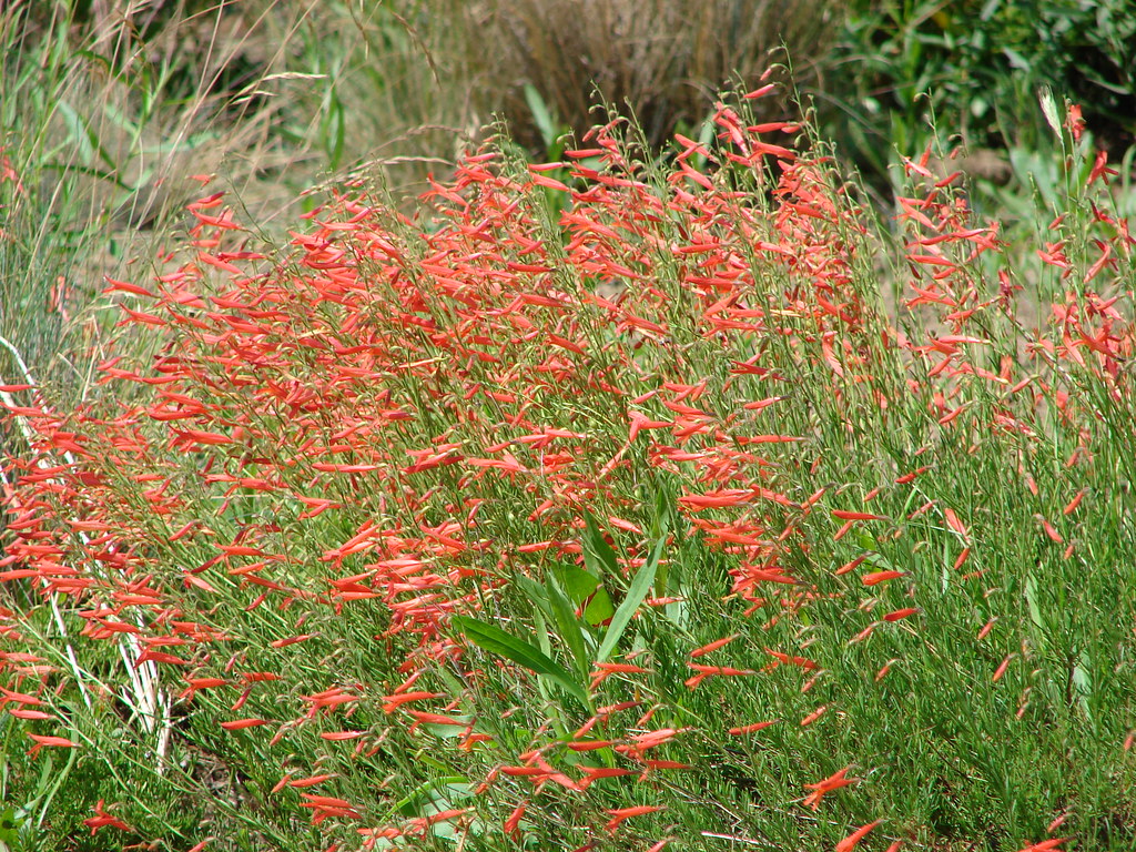
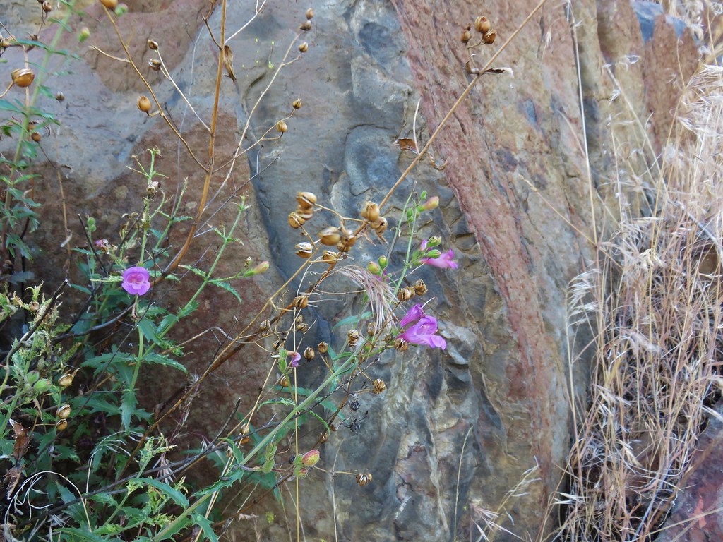 A penstemon
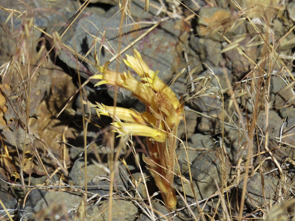 Clustered broomrape
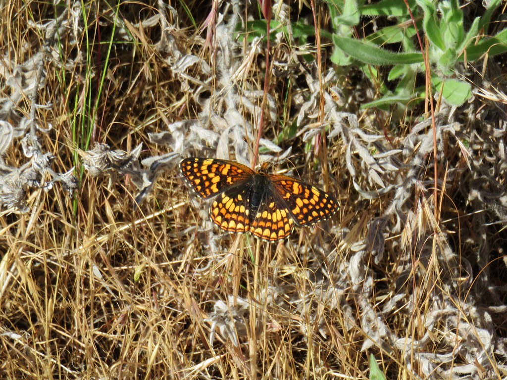


 Broken Top and the Three Sisters
 Mt. Jefferson