So far in 2022 the first Saturday of every month has come with a dry and at least partially sunny forecast which meant for the third month in a row we took our hike on the first weekend. We tend to take for granted the opportunities we have to get out and enjoy nature but this outing was different. For more than a week we’ve watched as the Ukrainian people have been forced to fight for their freedom and country. We continue to pray for their safety and an end to Russian aggression.
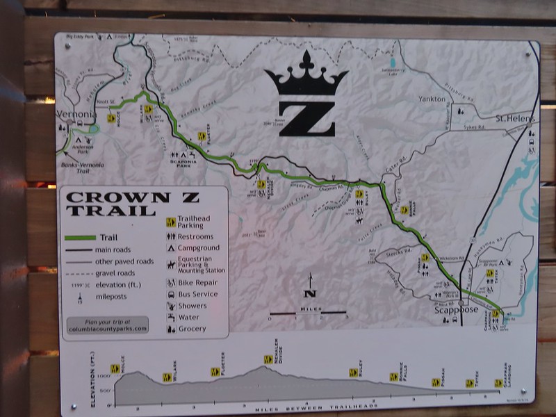
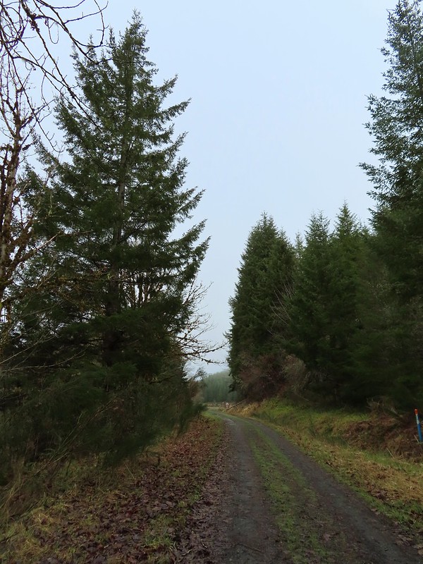
For our March hike we decided to check out the Crown Z Linear Trail, also known as the CZ Trail or Crown Zellerbach Trail. The 24.8 mile long CZ Trail runs between the cities of Vernonia and Scappoose following former (and sometimes active) logging roads open to hikers, bicycles and horses. Multiple trailheads make it possible to hike shorter segments as either out-and-backs or between trailheads using a second car. For our first visit we used the Oregon Hikers field guide which breaks the trail up into five sections. We picked section four, the East Fork Nehalem River Section, which runs between the Nehalem Divide and Wilark Trailheads.
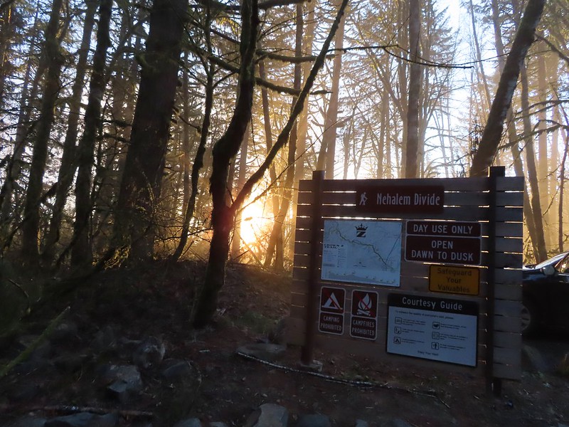
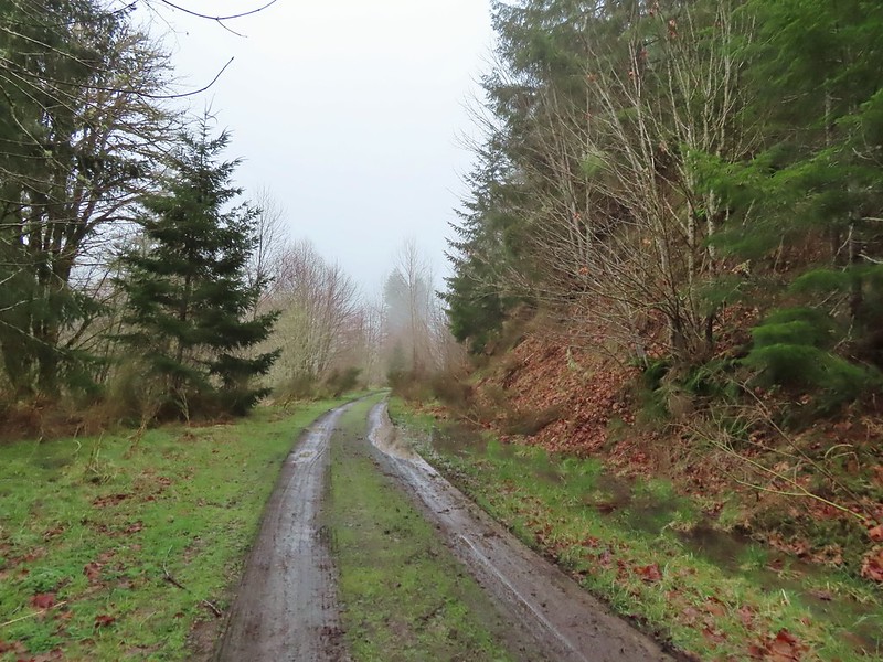
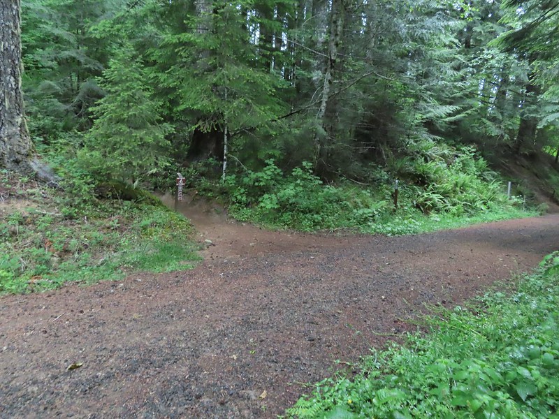
We began at the Nehalem Divide Trailhead which provided the shorter drive of the two and also allowed us to begin the day with a downhill.
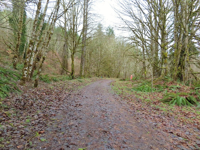
A 100′ path leads downhill from the trailhead to the CZ Trail which passes under the Scapoose-Vernonia Highway (if you’re heading toward Vernonia). Heading down the connector trail.
Trial sign at the jct with the CZ Trail.
CZ Trail passing under the highway.
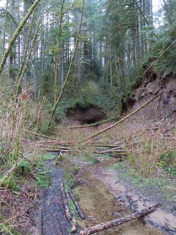
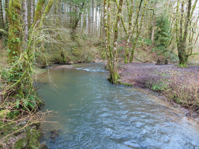
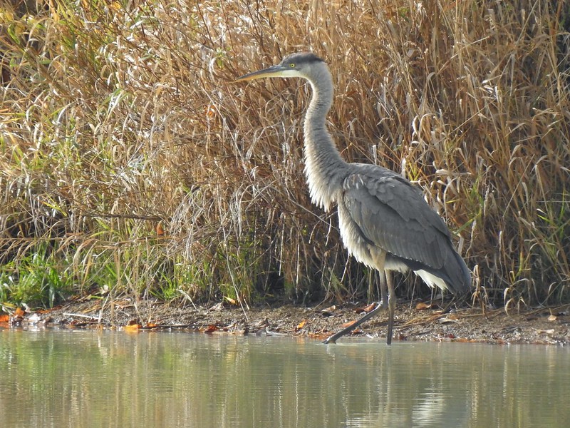
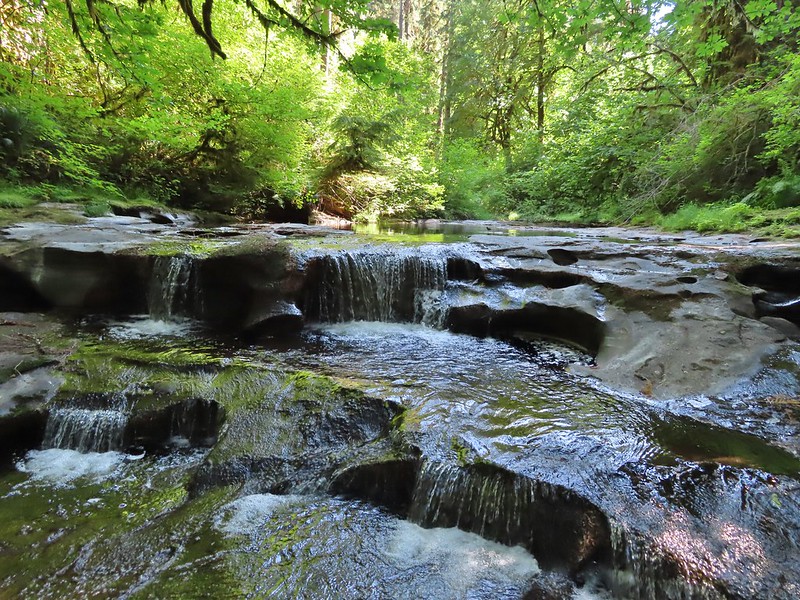
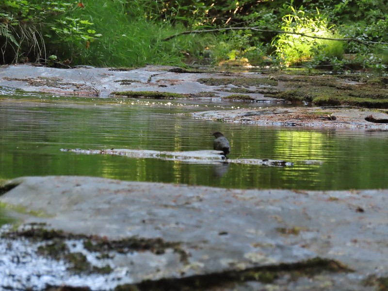
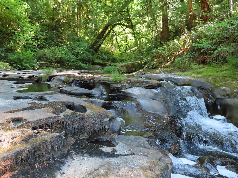
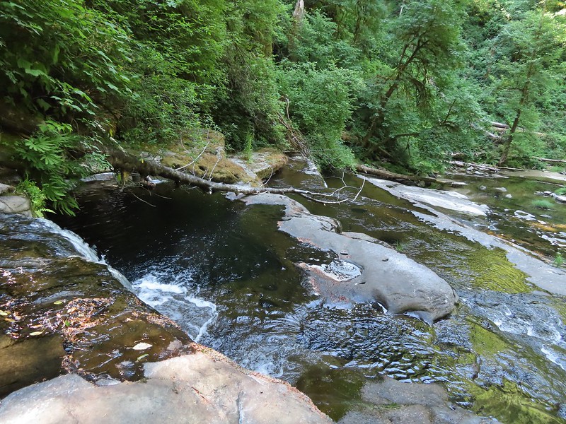
We followed the road downhill for approximately 3/4 of a mile to an interpretive wildlife sign where a path behind led downhill to the East Fork Nehalem River. The river isn’t much as it isn’t far from the headwaters, but a short distance up river is a pair of small waterfalls with the western end of the Nehalem Divide Railroad Tunnel.
Light from the eastern portal is visible at the other end but the tunnel is not safe to enter without at least a hard hat.
After checking out the old tunnel we returned to the CZ Trail and resumed our hike toward the Wilark Trailhead.
The East Fork Nehalem River next to the trail.
We detoured again briefly to check out a small seasonal fall just off the trail.
It was a little muddy in places.
Another of several interpretive signs along the trail.
Not much in the way of flowers yet but there were a few indian plum starting to blossom.
A little under four miles from the Nehalem Divide Trailhead we arrived at the Floeter Trailhead.
Beyond this trailhead the CZ Trail immediately crossed an unnamed creek on a bridge.
After crossing the bridge we detoured here yet again passing over the highway to a small trail sign for Scaponia Park.
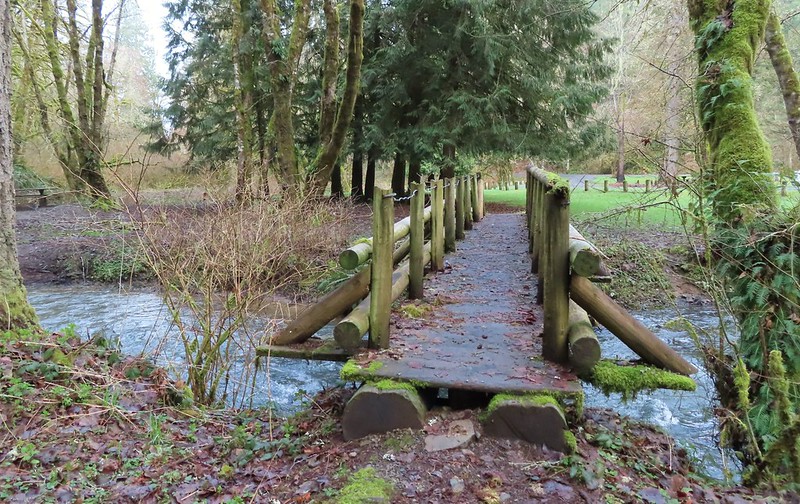
This short path dropped us into the 7 acre park which has 12 campsites and a short network of trails. We turned right on the park entrance road then crossed the East Fork Nehalem River on a footbridge to do a short 0.4 mile loop utilizing a second footbridge to return to the road near the campground.
East Fork Nehalem River
After our little loop we returned to the CZ Trail and continued west. Pointer for the CZ Trail in Scaponia Park
For the next three quarters of a mile the trail parralled the highway.
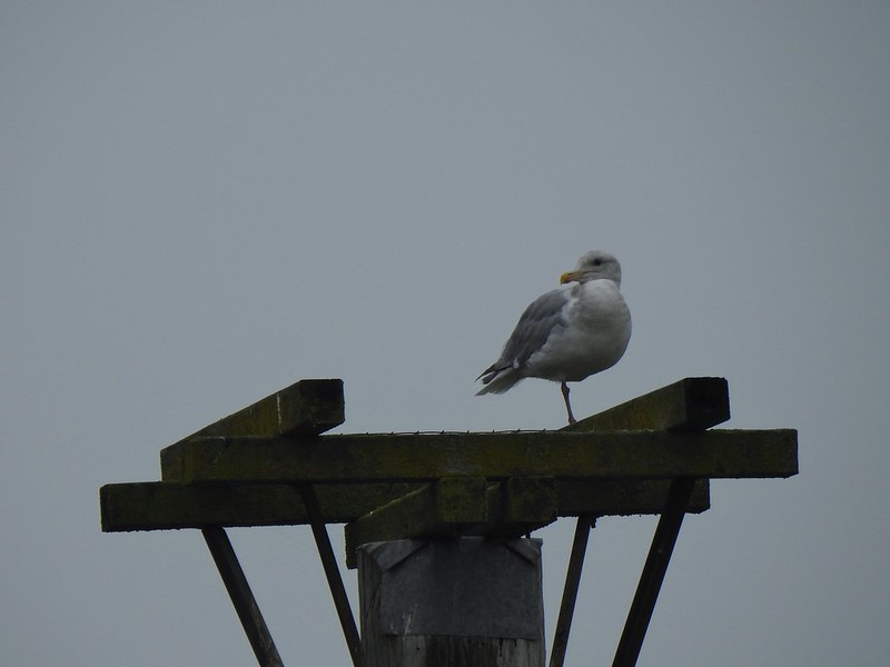
American kestral
The trail veered away from the highway again after the highway crossed the river putting it between the road and the trail.
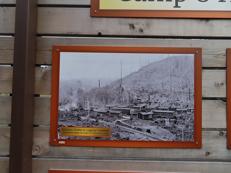
Just over two miles from the Floeter Trailhead we arrived at the former site of Camp 8, a logging camp established in the 1920’s.
Robin in the meadow that once was Camp 8.
Beyond the Camp 8 site the trail crossed the East Fork Nehalem River then climbed to the highway passing mile marker 19 along the way.
The orange mile marker 19 ahead.
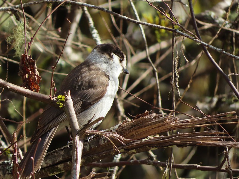
This short section was full of birds. Juncos
Another not great picture of a varied thrush.
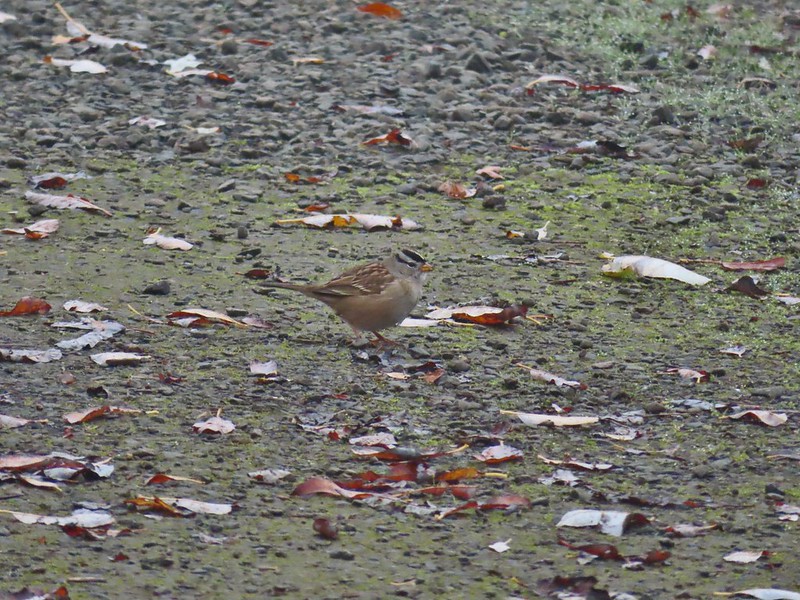
Sparrow
We turned around at the highway and headed back.
The clouds finally began to break up after we passed Camp 8 and soon we found ourselves under a bright blue sky.
A grey jay enjoying the emerging sunlight.
Blue sky near the Floeter Trailhead.
Surprisingly until the final tenth of a mile we hadn’t seen a single other trail user when a lone mountain biker zoomed past us heading downhill. Including our three detours our hike came in at 12.7 miles with a little over 650′ of elevation gain. A good early season workout with some nice scenery and interesting history.
At some point down the road we will return to do another section of the trail but for now this was a fun introduction to CZ Trail. Happy Trails and Slava Ukraini.
A dry forecast on my birthday provided a great excuse to head out on our November hike. We had an unusually loose plan for this outing which consisted of a stop at the Clay Creek Trail followed by a visit to the Fern Ridge Wildlife Area with a third possible stop at Meadowlark Prairie. While the 2 mile hike on the Clay Creek Trail was covered in Sullivan’s “100 Hikes/Travel Guide Oregon Coast & Coast Range” we had very little information on the Fern Ridge Wildlife Area. There was enough information available on line to know that it was open to hiking but it was unclear just how long of a hike was possible which is why we were keeping the option of Meadowlark Prairie on the table. The mostly paved 14 mile long Fern Ridge Path passes along Meadowlark Prairie on its way into Eugene, OR which would have provided some extra hiking time if we’d felt that we needed it.
We started our morning by driving to the BLM managed Clay Creek Recreation Site. The hike here is one of two hike Sullivan lists under his Siuslaw Ridge Trails entry (featured hike #65, 4th edition). We had done the other hike at nearby Whittaker Creek in 2016 (post) and while we considered that earlier hike enough to check off the featured hike from our list completed this second short hike would complete it. We parked at a small pullout on the south side of the Siuslaw River. The trailhead sign for the Clay Creek Trail is ahead on the opposite side of the road.
It was a foggy morning, much like it had been on our earlier visit to the Wittaker Creek Recreation Area. Siuslaw River
Clay Creek on the left emptying into the Siuslaw.
A short use trail led down to Clay Creek and a small gravel bench. Stairs at the Clay Creek Recreation Area across the river.
After checking out the creek we walked the short distance up the road to the start of the trail. Sullivan described the hike as a 2 mile out and back but the map on the sign at the trailhead showed a lollipop loop. (Sullivan does mention the loop in his “Trail Updates” on oregonhiking.com.)
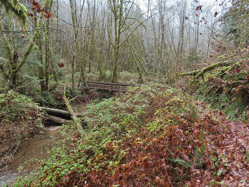
The existence of the loop at the top was a pleasant surprise. We crossed Clay Creek on a footbridge and began the 600′ climb to the ridge top.
The Clay Creek Trail climbing above Clay Creek.
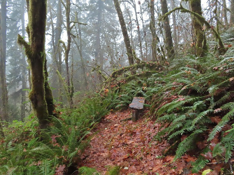
We passed a bench at the second swtichback and continued climbing to a junction 0.6 miles from the parking area.
It’s hard to tell size here but the diameter of this tree was well over 5′.
The junction for the loop.
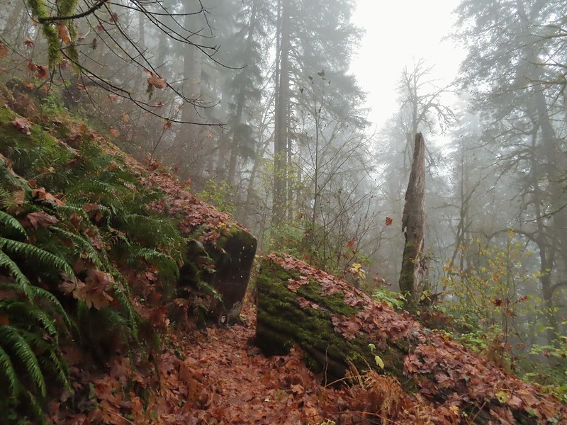
We turned right and continued to climb through the fog to the ridge top where the trail turned left. One of several reroutes we encountered.
On the ridge top.
The trail passed several madrone trees before arriving at a bench at the high point of the ridge. Madrone trunk and bark, always fascinating.
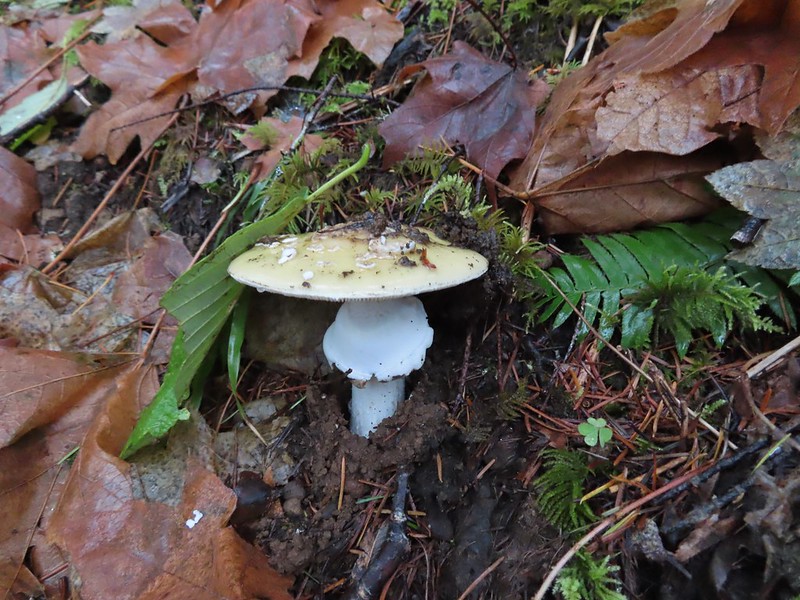
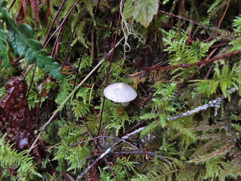
Lots of mushrooms pushing up through the forest floor.
Good sized trees near the high point.
No idea what you might see on a clear day.
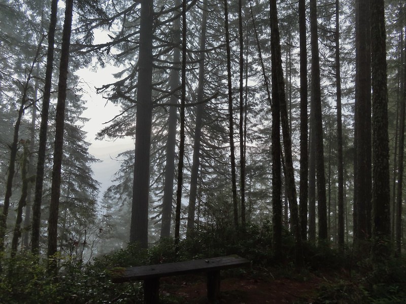
The trail then began to descend to another bench at a switchback where the map indicated there was a view.
The viewpoint.
The trail continued switchbacking downhill while it wound back to the junction.
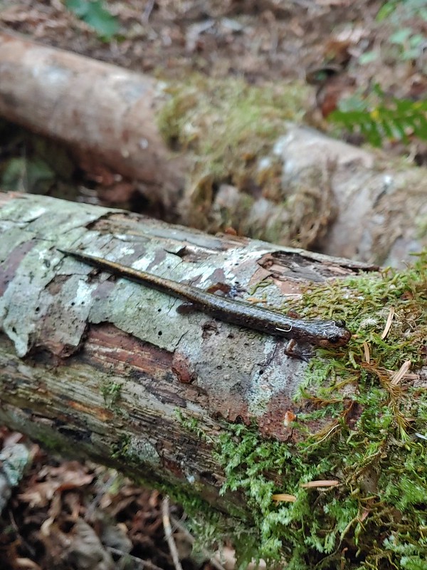
Just before reaching the junction I nearly went head over heals trying to avoid stepping on a rough skinned newt that I spotted at the last minute.
After having a one sided conversation with said newt we continued downhill to the car. Nearing the footbridge.
The fog had lifted off the river at least.
While Sullivan indicates in his update that the loop makes this a 3.6 mile hike others still list it as 2 miles and both Heather and my GPS units logged 2 miles for the hike. Despite the fog not allowing for any view it was a pleasant little hike. Sullivan does also mention that the BLM is considering a $5 parking fee for the area in the future so be sure to check the BLM site before heading out.
We spent just over an hour on the Clay Creek Trail after driving over 2 hours to get there so a second stop was a must in order to not break our rule against spending more time driving than hiking. That’s where the Fern Ridge Wildlife Area came in. Located just west of Eugene the area consists of a dozen units broken up around Fern Ridge Reservoir. We had driven by the reservoir numerous times on the way to hike in the Coast Range and around Florence and seen signs for the wildlife area which had piqued at least my curiosity. After some online research it appeared that parking at the end of Royal Avenue between the Royal Amazon and Fisher Butte units was our best bet. The ODFW website mentions possible seasonal closures but finding detailed information on them wasn’t easy. I was eventually able to determine that these two units were open to the public from 10/16 thru 1/30 from until 2pm each day (presumably starting at sunrise). Even with the earlier hike we had arrived before 9:30am so we had plenty of time to explore. There is a $10 daily fee to park in the lots which is typical for ODFW wildlife areas (although it appeared most people simply parked along the shoulder of Royal Ave to avoid the fee).
Note that Royal Ave and the trail to the viewing platform are open year around with the other restrictions listed below.
We took a picture of this map to assist us with our route.
From the signboard we continued on the gated extension of Royal Avenue. It was a lot foggier than we had expected so the visibility wasn’t good and it was in the mid 30’s so it was chilly too.
We passed a grassy path leading to the viewing platform at the 0.4 mile mark.
We opted to pass on the platform for now hoping that visibility would improve as the morning wore on and we could stop by on our way back. We continued on the old road bed watching for birds and any other animals that might be about.
White crowned sparrow
Northern harrier on the hunt.
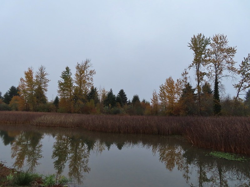
Wetlands in the Royal Amazon unit.
As we neared sub-impoundment one a large bird flew up from the reeds. It was our first encounter with an American bittern which was on my bucket list of animals we’d yet to see. The bittern taking off.
Not the greatest photo but enough to identify it.
We turned right on a levy/old roadbed on the other side of the sub-impoundment and followed it for 0.7 miles to Gibson Island. The highlight of this stretch was a pair of bald eagles hanging out in a snag.
A hawk on a stump.
American coots
Gibson Island (with the eagles in the snag to the far left)
A short trail at the end of the levy led onto the island before petering out.
We turned around and headed back to Royal Avenue where we turned right and continued west just to see how far we could go. A flock of geese above the coots.
There were a number of these small birds pecking around in the mud which, with some help from Molly in the comments, are American pipits.
Continuing west.
We used the stones to the right to cross the water here.
Great blue heron (with Highway 126 in the background).
Sandpiper in the roadway.
End of the line.
We imagined that much of this stretch would be under water by late Winter/early Spring but we had managed to make make it 1.7 miles from the trailhead before being turned back. We headed back past sub-impound one to the grassy path near the viewing platform where we left the road bed.
Seagull
Perhaps the same northern harrier.
The harrier taking a break.
The path to the platform.
Dunlins (thanks again to Molly)
The platform.
From the platform dikes led west and south. Since we had just come from the west we decided to go south along a body of water in Field 5.
The first signs that the fog/clouds might be breaking up.
Looking back at a little blue sky and a visible Gibson Island
We watched a group of shore birds as the alternate between foraging in the mud and performing areal acrobatics.
A little over three quarters of a mile from the viewing platform we arrived at a 4-way junction.
We turned left continuing around Field 5 for a third of a mile before arriving at a “T” junction just beyond a ditch. Fisher Butte is the low hill ahead to the right.
According to the map we’d taken a picture of at the trailhead continuing straight at the junction would lead us to the area’s boundary near Fisher Butte while the right hand path led past Field 2 to Field 1 and then to a parking area off Highway 126. We turned left walking between the ditch and Field 3. Gibson Island was now lit by direct sunlight.
In another third of a mile we faced another choice. Another dike headed to the right (east) between Field 3 and Field 4. The dike running between Fields 3 & 4.
Looking back over the ditch.
We opted to turn right having misread the map for the first time. For some reason we ignored the difference between the symbols for the dikes and boundary lines (although some online sights showed paths along the boundary lines). At first everything was fine as the dike gave way to a cut mowed track wrapping around Field 4 along the boundary. There was a pond in Field 4 where several species of ducks were gathered as well as a great blue heron and a kingfisher. California scrub jay
Northern shovelers and a bufflehead.
Buffleheads and two hooded merganser females.
Kingfisher
American robin
After wrapping around the pond for half a mile the track we were following became increasingly muddy with standing water in areas. We were very close to a gravel road so we hopped onto it for a tenth of a mile where we were able to get back onto a grassy track at a signpost. The gravel road and another small portion of the wildlife area on the other side.
Noisy geese.
Back on the mowed track.
We went straight here looking for a trail on the right that would leave us back to the parking area. The clouds were really breaking up now and lots of little birds were out enjoying the warmer weather.
A sparrow
Spotted towhee and friend.
Finch
As of yet unidentified little bird.
We found what we were looking for, at least what we thought we were looking for and turned right on a clear trail that dropped down into a mowed field then mostly disappeared. We skirted along the edge of the field toward the parking area and as we neared the trailhead a clear trail emerged, or more like submerged. We followed the wet trail almost to the signboards near the trailhead where a ditch of standing water stood in our way. Our only choice (aside from backtracking) was to get wet so get wet (or wetter) we did. Luckily our hike was over and we had a change of socks and shoes waiting in the car. We finished hiking just before 1pm and managed to get a full 7 miles in while leaving parts of the area unexplored. It was nice to find another option in the valley that offered a potential destination when getting up into the mountains is possible. While we did hear occasional gun shots from hunters we only saw two duck hunters, but we also saw some families and bird watchers. This path headed north from the trailhead, something to explore on our next visit.
Track at Fern Ridge Wildlife Area
It was a good birthday hike and we were done early enough for my parents to treat us to a great birthday dinner at The Manilla Fiesta, a restaurant I’d been dying to try. Happy Trails!
In 2019 Congress designated the 31,107 acre Devil’s Staircase Wilderness adding another Oregon wilderness area for us to visit in order for us to reach our goal of visiting each of the State’s wilderness areas open to the general public (post). (The Three Arch Rocks and Oregon Islands wilderness areas managed by the Fish & Wildlife service are closed to the general public.) The Devil’s Staircase Wilderness is managed jointly by the Bureau of Land Management (east side) and the Siuslaw National Forest. The area is named after a cascade/waterfall on Wassen Creek known as The Devil’s Staircase.
There are no official trails in this wilderness area and everything we’d read from the Forest Service, BLM, Oregon Wild, Oregonhikers.org and William L. Sullivan’s “Atlas of Oregon Wilderness” described the area as having steep terrain, dense vegetation and unstable soils. Because of this we are not going to go into much detail of our visit, these descriptions are accurate and our outing was one of the most difficult we’ve undertaken to date. If you do decide to visit bring a map and compass (and the skills to use them) and be prepared to crawl, scoot and probably swear at least once. Also make sure you give yourself plenty of time or plan on spending the night. We came out muddy, bruised and a little bloodied. Our dream was to actually reach the Devil’s Staircase but realistically we didn’t expect to be able too. Wilderness boundary
Varied thrush
Blackberries, we found a couple of ripe ones later as well as ripe salmonberries, thimbleberries, and red huckleberries.
There was a lot of Himalayan blackberry to get through which caused many a scratch.
Salamander, possibly a Dunn’s.
Snail on a fern.
A few rhododendron were still blooming.
Huckleberries
This was the only open spot the whole day. There were some thistle and yarrow blooming here along with a bit of poison oak.
Bees sleeping on thistle.
Yarrow
The rhododendron was often so tall we could walk through them.
The morning fog burned off by 9:30am.
Wild cucumber (coastal manroot)
Monkeyflower
Although this picture doesn’t really convey it this section of exposed wet rock was at a fairly steep angle and was quite the challenging both coming and going.
A lot of planning and a little luck allowed us to actually reach Wassen Creek at the staircase (Bruce you had the right idea) but we didn’t wind up seeing it from the bottom. We reached it at it’s upper end and were unsure if we’d be able to get back up if we climbed all the way down to the bottom. After watching a video on YouTube and seeing them go down where we had been thinking we still weren’t convinced that we wouldn’t have been stuck on a ledge.
An ouzel
This was the ledge that we decided to not drop down off of.
That pool is said to be approximately 20′ deep!
We checked the little pools for rough skinned newts and this one had four and a crawdad.
The other factor for not attempting to go down was the presence of a couple who had backpacked in and were camped on the gravel below the staircase. We think they came in from the same place we did but aren’t 100% sure. In any case neither of us could imagine hauling full packs in and out of this area. After a nice long break we began the arduous hike back.
A chickadee came to check on me as I was catching my breath under a rhododendron.
We didn’t see any large animals but signs of their presence abounded.
Thimbleberries
Salmonberries
Swallowtail on a blackberry blossom.
The hike took us almost 8 hours and according to my GPS was 7.7 miles long although Heather’s only showed 6.7 miles. (Might be the first time ever where hers was less for essentially the same hike.) With the dense trees and deep canyon I’m sure they are both a bit off but around 7 miles is probably accurate. On a typical hike we average around 2mph with a moving speed between 2 1/4 and 3mph. This was about half of those speeds. The elevation gain, which was mostly on the way back, was in the neighborhood of 2000′.
We now have just 2 remaining wilderness areas in Oregon to visit, Black Canyon and Monument Rock. If our plans aren’t derailed by wildfires we should be done by the end of Summer. Happy Trails!
After a week of 90 degree temperatures much needed rain arrived just in time for the weekend. Most of the west is in the midst of a drought so the the rain is welcome but it meant looking for a plan B for our hike. We decided to stick relatively close to home and revisit Mary’s Peak (previous post), this time via the North Ridge Trail. In addition to only being about an hour away the forecast for the area was better than any of the other alternatives that I had looked at with NOAA calling for a 30% chance of showers and partly sunny skies over the Woods Creek Trailhead. We figured that gave us the best chance for a dry hike (lol) and if the weather wasn’t great at least we had been there before when it was better.
While we were encouraged by a good sized patch of blue sky between Monmouth and Philomath the trailhead was under the cover of low clouds.
A couple of trails led into the trees from the parking area on Woods Creek Road. The trails led to what was the Old Peak Trail which was abandoned for a time but appeared to be in good shape now. The Siuslaw National Forest page for the trailhead indicates that this is now part of the North Ridge Trail extending downhill (northeast) 2.2 miles to Peak Road although they do not show said trail on their map.
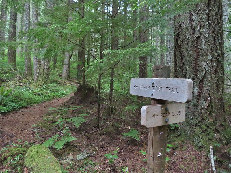
We took this trail from the parking area to the North Ridge Trail where we turned right at a signboard.
We followed the trail for approximately 100 yards before popping out onto Woods Creek Road just uphill of the gate near the parking area (on our return we simply followed the road down to the car).
The North Ridge Trail continued on the other side of the road and began a 3.5 mile climb to a junction with a tie trail connecting the North and East Ridge Trails. On our last visit in 2014 we had come down the North Ridge Trail to the junction and taken the tie trail to get back to the East Ridge Trail and our car at Conner’s Camp. The North Ridge Trail gained 1400′ over the 3.5 miles using a number of switchbacks to keep the grade from ever being very steep. The green forest was filled with fog which was depositing moisture on the trees that was then falling to the forest floor so even though it wasn’t “raining” it may as well have been. Signboard along the North Ridge Trail at Woods Creek Road.
Iris
Near the half mile mark we ignored this pointer to the left. Looking at the map there are roads looping back to Woods Creek Road and also to Conner’s Camp but what their conditions are we don’t know.
Monkeyflower
Wren
Thimbleberry
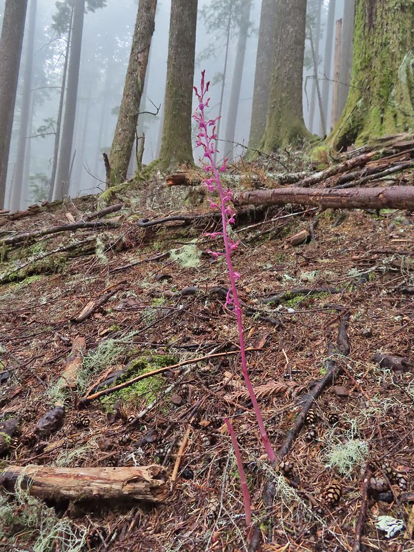
Pacific coralroot
Anemones
Vanilla leaf along the trail.
Lots of vanilla leaf.
Douglas squirrel.
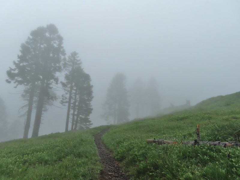
The higher we went the foggier it got.
Bench at the junction with the tie trail.
We stayed right at the junction continuing uphill on the North Ridge Trail for another 0.7 miles to the Mary’s Peak Overlook parking area. We were starting to get pretty wet, and so was the trail, by this point.
Some of the trillium still had petals.
Signboard for the overlook on the hillside to the right.
When we exited the trees below the overlook we were able to confirm that it wasn’t raining despite all the water falling from the trees. It was however windy and that wind combined with damp skin/clothes and upper 40 degree temperatures made it cold at the overlook.
We quickly dropped downhill on the East Ridge Trail, which also ended at the overlook and were going to then head uphill on Summit Trail but we forgot what that junction looked like and when we came to a set of old steps after just 500′ we got confused. The steps led uphill into a jumble of downed trees. This was apparently an older route and the actual Summit Trail junction was just another 100 feet or so away. The junction from later in the morning with the Summit Trail heading uphill to the right and the East Ridge Trail down to the left.
Since we were unsure we headed back to the overlook and took the gated road uphill.
Going to be a beargrass year.
Beargrass
Larkspur in the wet grass.
After 0.3 miles on the road we came to the Summit Trail/Summit Loop Trail junction. We stuck to the road opting to do the loop clockwise.
The road cut between the junction and the summit host a nice display of flowers including large patches of paintbrush, larkspur, phlox, and penstemon. Lupine, parsley, field chickweed, blue eyed mary, buttercups and ragwort were also present. Paintbrush
Penstemon
Field chickweed
Parsley
Blue-eyed Mary
Ragwort in front of lupine that had yet to bloom.
Phlox
Lupine
Buttercups and larkspur
The wind was once again an issue at the summit (the highest peak in the Oregon Coast Range at 4097′). Heather hiding behind the summit signboard to try and keep out of the wind.
Needless to say there was no break taken at the picnic table here and instead we headed downhill on the Summit Loop Trail. Lots of lupine yet to bloom.
At an unsigned fork we went left descending further through the meadows then reentering the forest before coming to a junction with the Meadows Edge Trail after 0.2 miles.
We turned left here to take the Meadows Edge Trail which we had not been on before. The 1.6 mile trail makes a loop around a grove of old growth noble fir losing and regaining 450′ in elevation along the way.
As the name implies the Meadows Edge Trail occasionally entered the meadows before returning to the forest.
For a brief moment a bit of sunlight hit the forest and we thought maybe the sky would clear up.
Salmonberry bushes near Parker Creek.
Western meadowrue
Spur trail to the Mary’s Peak Campground.
Fairybells and star flower solomonseal
The sky was in fact not clearing up.
Bleeding heart and sourgrass.
Fawn lilies in the meadow.
When we had finished this lovely loop we returned to the Summit Trail and followed it for 100 yards to the 4-way junction on the gated road. Signs at the road junction.
We could have crossed the road and followed the Summit Trail down to the East Ridge Trail but we still were under the mistaken impression that the trail might be impassable so we returned to the Overlook via the road and picked up the East Ridge Trail there. Shortly after having turned onto that trail we passed the actual Summit Trail junction and realized that we could have indeed taken it from the road. We followed the East Ridge Trail beyond the Summit Trail junction for 1.2 miles where signs and a bench marked the junction with the tie trail. The wet conditions were starting to really hinder picture taking at this point.
We turned left onto the tie trail and followed it another 1.2 miles to the North Ridge Trail junction.
Striped coralroot
North Ridge Trail junction
It was 3.5 miles back downhill to the car and the gentle grade made for a pleasant return trip. The clouds also began to finally lift and we finally did see some patches of blue sky. Heather descending in the fog.
Cutleaf goldthread
Millipede
Is that some blue sky out there?
Not much but it is blue.
Our hike came in at 13.1 miles with around 2500′ of elevation gain. We could have shaved a tenth of a mile or two off by taking the Summit Trail down to the East Ridge Trail and skipping the Meadows Edge Loop would have saved another 1.6 (but that was a really nice loop).
Track for Mary’s Peak via the North Ridge Trail
Despite the wet conditions and lack of “partly sunny skies” it was a nice hike and the conditions kept the popular trails from being too busy, although we did see a couple dozen other users. Hopefully we won’t have to do too much more shuffling of our planned hikes but if we do I always have a few options standing by. Happy Trails!
Our trip home from the southern Oregon coast was very different than our six stop drive that started our long weekend (post). We had only one stop planned at Golden and Silver Falls State Natural Area. Only 24 miles from Highway 101 in Coos Bay the park felt further removed due to the winding back country roads to the trailhead.
We started our morning off by heading for Golden Falls first. The trail led to a footbridge across Silver Creek and then forked.
We took the right hand Lower Trail first which followed Glenn Creek to the base of 254′ Golden Falls.
Rough skinned newt
Monkeyflower
Thimbleberry
Wren below Golden Falls
After exploring the area below Golden Falls we returned to the fork and turned onto the Upper Trail. This trail climbed for .4 miles to a switchback below 259′ Silver Falls.
Columbine
Ginger
Inside out flower
Iris
Anemone
Ouzel
Marshall’s saxifrage
Beyond the switchback the trail continued to climb along an long abandoned road over half a mile to cliffs at the top of Golden Falls.
Plectritis
Manroot
Stonecrop
Upper portion of Golden Falls.
Glenn Creek above Golden Falls.
The trail petered out after a short distance so we turned back. As we began our hike back down blue skies emerged overhead. Despite a cloudy morning they stayed high enough to not obstruct the view of the falls.
We returned to the trailhead where another car had joined ours and walked to the west end of the parking area to the Silver Falls Viewpoint Trail.
This .3 mile trail led to the base of Silver Falls across from the switchback. Epic battle between a rock and a tree.
Pacific waterleaf
I was treated to a single ripe salmonberry along this stretch of trail. It didn’t survive long enough for a photo but I found another that was almost ripe.
Larkspur
Ouzel (might be the same one as earlier)
We did some more exploring around the base of the falls before saying goodbye and heading back to our car.
At 4 miles this was a perfect hike to end our trip on, even with 4 more hours of driving we made it home around 1:30pm giving us plenty of time to unpack and get ready for the work week ahead. Happy Trails!
Our first big trip of the year was an extended weekend visit to the southern Oregon coast area to finish the remaining featured hikes from Sullivan’s “100 Hikes Oregon Coast & Coast Range” (3rd ed.) as well as a couple from his additional hikes section. For the first day of the trip we had set an ambitious goal of stopping at five different trailheads on the way to our motel in Gold Beach and after checking in continuing almost to the California border for a sixth hike on the Oregon Redwoods Trail. We got our typical early start driving from Salem to Eugene to take Highway 126 toward the coast and our first stop at the Mapleton Hill Pioneer Trailhead .
The short loop (0.6 miles) on the Pioneer Trail here follows portions of the historic North Fork Trail and Mapleton Hill Road which were early routes connecting Florence and Eugene.
The trail was in good shape and there were a some wildflowers in bloom to go along with the numerous interpretive signs along the loop.
Thimbleberry
Salmonberry
McLeod Creek
One of the sharp turns.
Fairy bells
Columbine
Bleeding heart
Monkeyflower
Sourgrass
Star flower
Trillium
Star flower solomonseal
Twisted stalk
Wren – We heard lots of birds but didn’t see many of them.
Waterleaf
After completing the loop we drove west from the trailhead on Road 5070/North Fork Siuslaw Road to Road 5084 which we followed 5 miles to the Pawn Trailhead.
This was another short loop hike (0.8 miles) which combined with the Pioneer Trail make up featured hike #57 in the 3rd edition (they were moved to the additional hikes section in the 4th edition). This trail suffered some storm damage over the Winter and as of our hike had only been 80% cleared. It is also an interpretive trail but instead of signs there are markers which correspond to information on a brochure that can be downloaded from the Forest Service here. The name “Pawn” was derived from the last names of four families that settled in the area in the early 1900’s – the Pooles, Akerleys, Worthingtons, and Nolans.
While this trail was relatively close to the Pioneer Trail the presence of the old growth trees gave the hike a different feel.
Marker for a fire scarred Douglas fir. According to the brochure the last major fire in the area was in the 1860s.
The storm damage proved to be a bit tricky but it appeared the Forest Service had started a reroute of the trail which we were able to follow.
We had to climb over this big tree.
We lost the reroute after climbing over the big trunk and had to bushwack our way through some debris before climbing up on a second downed trunk and walking along it to the resumption of the trail. At one point Heather bumped a limb and pine needles exploded over her head like confetti giving us both a good laugh.
The loop ended shortly beyond the damage and we were soon back at the trailhead. From there we drove west on North Fork Siuslaw Road into Florence. From Florence we took Highway 101 south toward Coos Bay. We turned off a little north of North Bend at a sign for Horsefall Dune and Beach. Our next stop was yet another short loop trail, this time at Bluebill Lake. We parked at the Bluebill Trailhead and set off on the wide trail.
We went clockwise around the loop. The water level of the lake varies throughout the year but there was a good amount of water now but no flooding which can be an issue in late Winter/early Spring. Looking at the bridge at the north end of the lake.
Canada geese
Cormorants flying above the lake.
Cormorant
Ring necked ducks
Rhododendron
Boardwalk at the south end of the lake.
Sparrow
Coming up on the bridge at the north end.
Yellow rumped warbler
Finch
After completing the 1.5 mile hike here we returned to Highway 101 and continued south into Coos Bay where we detoured to our fourth stop of the day at Millicoma Marsh. This was an interesting trailhead given that it was right next to a middle school track and field. The trail on the far side of the track.
We followed the posted directions and kept to the outside of the grass as we walked around the track to the trail.
One of three panels on a signboard at the start of the trails.
Two tenths of a mile from the signboard the grassy track came to a junction. The loop continued to the left but a quarter mile spur trail to the right led to an observation bench. We hiked out to the end of the spur trail before continuing on the loop. This bench is at the junction.
Sparrow near the junction.
Heading to the observation structure.
Looking toward Coos Bay along the Coos River.
McCullough Memorial Bridge spanning Coos Bay.
Wetlands from the end of the spur.
We returned to the loop and continued counterclockwise around. There wasn’t much wildlife activity which was probably a matter of timing as it looked like an area where we might see quite a bit. In any case the hike was pleasant with nice scenery. Bitter cherry
Crow
Turkey vulture
Cormorants overhead
Canada goose with goslings
Buttercups
Pale flax
Arriving back at the field.
Up to this point we had only passed one other hiker all day (at Bluebill Lake) but this area was popular and we ran into over a half dozen other users on this 1.8 mile jaunt.
From Coos Bay we continued south on Hwy 101 for 14.6 miles before turning right onto West Beaver Hill Road at a sign for the Seven Devils Wayside, our next stop. We parked in the large lot where only one other vehicle sat and promptly headed down to the beach.
Ground squirrel enjoying the view.
Twomile Creek
Our plan here was to hike south along the beach at least as far as Fivemile Point to complete another of Sullivan’s featured hikes. We hopped across the creek using rocks and logs and set off on what is considered possibly the windiest beach along the Oregon coast (it was windy). Shore bird in the creek.
The occupant of the other vehicle had headed north so we had this stretch of beach to ourselves, and a few feathered friends.
The hillside was covered with yellow gorse, an invasive but colorful shrub.
The gorse wasn’t the only yellow flowers present though. Brass buttons (another non-native)
We were looking for a side trail up to a viewpoint bench that Sullivan showed as .7 miles from the trailhead just beyond a brown outcrop. The brown outcrop a little way ahead with Fivemile Point further on.
We couldn’t pick out any trail just several stream beds and seeps so we kept going coming next to a rock spire a short distance from Fivemile Point.
We passed the spire and continued to Fivemile Point where the ocean was coming up to the rocks effectively creating our turn around point. Whiskey Run Beach lay on the other side of the rocks with another parking area 0.8 further south.
A cormorant off Fivemile Point
We turned back and headed north past the spire.
We were now walking into the stiff wind but from this direction Heather was able to spot some stairs in the vegetation marking the side trail to the bench.
We followed a good trail .2 miles to said bench.
View from the bench.
After a short break at the viewpoint we descended to the beach and returned to our car.
We returned to Highway 101 and drove south into Gold Beach where we checked into our motel and dropped our stuff off before hitting the road again. Our final stop of the day had us driving south of Brookings to the Oregon Redwoods Trailhead.
A 1.2 mile barrier free lollipop loop trail starts at the trailhead.
We were once again the only people on this trail which was especially nice given the setting amid the giant trees. Although the trees here aren’t as big as those found in California we were once again awestruck by them. We stayed right where the barrier free loop started which brought us to a hollowed out trunk with room for several people.
Coming up on the hollow trunk straight ahead.
Approximately a half mile into the loop portion of the trail the Oregon Redwoods Trail split off allowing for a longer (2.5 miles total) hike.
We set off on the Pioneer Trail at 7:19am and stepped off the Oregon Redwood Trail at 5:51pm. We logged 9.8 miles of hiking but nearly 147 miles (as the crow flies) separated the Oregon Redwoods Trailhead from the Pawn Trailhead (and another 70 miles home) making for a long but great day. We had gotten to see a great variety of scenery all in one day. To top it off we could now check three more featured hikes off our yet-to-do list. The only thing that could have made the day better would have been an actual knob on the cold water handle in the motel shower. Happy Trails!
Like much of the U.S. we’ve had some ugly weather so far in February so when we saw the potential for a “not too wet” window of time we decided to head out for this month’s hike. On our schedule for February was the North Fork Nehalem River in the Coastal Range. This hike came from the Oregon Hikers Field Guide, my favorite online source for ideas. This particular hike utilizes roads instead of trails which was actually a good thing after an unusually destructive ice and snow storm had come through just a week before our hike. We hopped that the combination of the roads and some clearcuts along those roads would mean we wouldn’t have to deal with much if any debris from the storm. As we drove west on Highway 26 from Portland we were amazed at how much damage there was to trees in the Coastal Range. Between the damage we saw and a couple of heavy rain showers we were wondering what we might be getting ourselves into as we turned south onto Highway 53. The rain let up as we wound our way down past more damaged trees to the Nehalem Fish Hatchery. We had planned to stop at the hatchery first for a quick stop to see Umbrella Falls but signs at the hatchery indicated it was closed to visitors due to COVID-19 (the ODFW website for the hatchery didn’t mention the closure). With access to the 1/8 mile path to the falls blocked we had to skip Umbrella Falls for now and we drove the short distance north on Highway 53 to Cole Mountain Road (just north of the bridge over the North Fork Nehalem River) where we turned west (right) and kept right at a fork to reach the North Fork Nehalem Trailhead.
We parked at a pullout before a gate marking the start of private land owned by McCracken Woodlands LLC and set off on foot.
After crossing over a small stream we started getting views of the North Fork Nehalem River on our right.
We were soon passing one of several clearcuts.
While we are always on the lookout for wildlife we rarely spot anything when we’re specifically looking for something. Today was no exception and after scanning the hillside and coming up empty we started walking again. I turned around to see what the view was like behind us and caught movement 2/3rds of the way up the hill. It was a pair of deer that were well aware of us and making their way in the other direction.
A mile into the hike we crossed the river on a bridge.
Just under a half a mile from the bridge we came to North Fork Falls where some steps led down to a fish ladder.
After checking out the falls and fish ladder we continued on North Fork Road passing twin seasonal waterfalls, a quarry, and a pond before crossing over Gods Valley Creek near the two and three quarter mile mark of the hike.
Gods Valley Creek
Just beyond Gods Valley Creek we spotted some old moss covered picnic tables. We’d be interested in the history here as there was also at least one former campsite with an old fire ring in the area as well. Our guess is that before the logging this was some sort of recreation area but we haven’t been able to find any information online about it.
Frog near the old picnic tables.
After crossing the creek the road left the North Fork Nehalem as the river bent northward sticking to a straight line to another crossing of the River just before the 3.5 mile mark.
A gate at the far end of this bridge marked the boundary of the private land and the start of the Clatsop State Forest. We followed North Fork Road through the forest another two miles to Fall Creek (just on the far side of another large quarry). Not much in the way of flowers yet but there was a bit of skunk cabbage in bloom.
Some low hanging trees, presumably from the storm. The roads had been cleared but occasional damage along the side of the road was evident.
There were no recent clearcuts in the Clatsop State Forest section but there was evidence of past logging.
Fall Creek
After crossing Fall Creek the road (which is shown on maps as Hill Road here) turned away from the river and followed Fall Creek. We took a short detour to the right toward the river where a gated suspension bridge led to another fish ladder.
Not sure why I neglected to get a picture of the bridge from the locked gate but this is the only one I took of the bridge.
The hike description in the Oregon Hikers Field Guide mentions walking along the bank to get a view of Upper North Fork Falls from the rocks below but that wasn’t going to be an option with the river level today.
After checking out the bridge we returned to the the road and continued uphill along Fall Creek to visit three more waterfalls.
We came to the first fall after .3 miles, a side stream flowing into Fall Creek. The lack of leaves made it a little easier to see the falls than it would be later in the year.
I was able to make my way down to Fall Creek below the falls for a closer look. (I did however get slapped in the face a couple of times by the vegetation.)
Another quarter mile brought us to the final two falls. A stepped fall on Fall Creek and another side stream flowing into Fall Creek.
We were pleasantly surprised at how nice these last three waterfalls were, especially the two on the side streams. We were also thankful that we hadn’t had any real precipitation to deal with. We headed back the way we’d come looking for anything we’d missed on our fist pass. We both thought that this thick moss looked like some sort of hairstyle.
Rough-skinned newt
A brief mist passed over but that was it and we enjoyed some bright blue sky as we finished up our outing.
The hike came in at a little under twelve and a half miles with just over 500′ of elevation gain. We passed three anglers on the road on the way back and saw two more (their fishing line anyway) down on river. This was a great winter hike and a thoroughly enjoyable outing despite being entirely on roads. It just goes to show that it’s the not the surface but the surroundings that make a good hike. Happy Trails!
We kicked off our 2021 hiking year by revisiting the Banks-Vernonia State Trail. We had run the entire trail in April 2014 as part of an ill fated marathon and I had hiked a short section between the Buxton Trestle and Manning Trailhead in April 2016 while Heather ran a half-marathon (post). We had used the marathon as our “hike” to check off hike #23 in Sullivan’s “100 Hikes/Travel Guide Oregon Coast & Coast Range”4th edition, but the Banks-Vernonia Trail was only part of a longer lollipop loop through L.L. Stub Stewart State Park that he describes. With this visit we planned on doing the rest of his described hike as well as continuing on to the Tophill Trailhead where we plan to someday start another section hike of the trail.
We began our hike at the Buxton Trailhead where I had started my 2016 hike as well.
From the far end of the parking lot we took a path down to Mendenhall Creek below the Buxton Trestle.
The path then took us up to the Banks-Vernonia State Trail where we turned right and crossed the trestle.
We followed the paved former railroad north approximately 3/4 of a mile into L.L. Stub Stewart State Park. Leaving the Buxton Trailhead area.
Entering Stub Stewart State Park.
We continued through the park for another mile and a half passing two marked trails to the right before arriving at a third just north of Williams Creek
This trail was just north of Logging Creek and appeared to just loop back to the Banks-Vernonia Trail a bit further north.
The Caddywhomper Way(s) Trail was signed better. We skipped the viewpoint given the amount of fog/clouds and not wanting to add another 2 miles to the days total. The Oregonhikers field guide also mentions that there isn’t much of a view left due to the presence of trees.
Trail junction just north of Williams Creek
This was our first wrong turn of 2021 although it may have been correct back in 2016 when our guidebook was released. The map in the book showed a single trail splitting off to the right just beyond the creek so we turned down what turned out to be the Shoofly Trail.
After .2 miles we arrived at a signboard with a map (it would have been more helpful up at the junction).
It was here that we realized that it was the wrong trail and that the Hares Canyon Trail was just a tenth of a mile further north.
Since we were already down there we checked out Williams Creek stopping before the bridge which was clearly marked “no hikers”.
I say that it may have been the correct trail at one point because Sullivan’s description says that “after 100 feet a spur down to the right dead ends at the creek bank” and there was a closed fork up to the left that may have at one time been part of the Hares Canyon Trail. It wasn’t now though so back up we went to the Banks-Vernonia Trail where we continued north the the signed Hares Canyon Trail.
A barricade next to the trail had signs for active logging that was occurring Monday – Friday closing the trail on those days.
We headed up this trail through the forest where we ran into a pair of rough skinned newts.
We passed a signed junction with the Brookecreek Trail and then arrived at a new logging road three quarters of a mile from the Banks-Vernonia Trail.
There were no indications of where the Hares Canyon Trail went so we used the map to decide that it must be somewhere to our right and we followed the logging road a short distance before spotting an obvious trail splitting off of it.
The trail passed through a thinned forest before popping out on another logging road.
We stayed right on the road at junctions and dropped to another barricade at the Widowmaker Way Trail.
Sign for the Widowmaker Way and Harse Canyon Trails.
Passing through the logging operation was a bit depressing to be honest. We’ve been on several trails in the last year that have passed through active or recently logged areas and combined with the trails that we’ve lost to wildfires in the last few years and other trails that are being lost to lack of funding for maintenance it’s a bit of a bummer. Ironically this is all at a time when more people then ever are heading out to the trails overloading the most popular and causing issues with litter and human waste. Enough of the doom and gloom though and back to the hike.
The Hares Canyon Trail followed a roadbed of indeterminate age through a disc golf course arriving at a signboard in a mile marking the northern end of the Mountain Bike Area at North Caddywhomper Way.
No flowers yet but plenty of mushrooms and fungi.
The trails were well signed so it was easy to stay on the Hares Canyon Trail.
Comming up on North Caddywhomper Way
We turned left here following pointers for the Hares Canyon Trail until it crossed a service road (3/4 of a mile from the signboard).
At a junction on the far side of the service road we veered left following the Unfit Settlement View Trail and pointers for the Skycar View and Boomscooter Trail.
Wet webs in the trees.
We took a detour to the Skycar View despite the fog since it was only 150 yards away.
We returned to the Unfit Settlement View Trail and followed it downhill to a junction with the Boomscooter Trail where we turned right.
The Boomscooter Trail descended past Boomscooter Pond and ended in three quarters of a mile at the Banks-Vernonia State Trail.
Chatty squirrel
Sullivan’s description would have had us turn left here and return to the Buxton Trailhead but we turned right instead in order to visit the Tophill Trailhead. There were two reasons for this, one was that if we did do more sections of the trail in the future we didn’t want to have a non-hiked gap in between our section hikes, don’t know why but we prefer them to connect. The second reason was that the Tophill Trailhead had been the halfway point of the 2014 marathon which was also the point at which the train went off the tracks. The section of trail just beyond that trailhead was the only significant uphill of the whole route and we had thought walking it would keep it from doing too much damage, but we hadn’t planned on it being 20 plus degrees warmer that day than it had been during any of our training runs. None of us recovered after the hill and the remainder of the race included a lot of walking and cramping. We were both interested in revisiting that hill and seeing if it really was a bad as it had seemed that day.
It was about 2 miles to the Tophill Trailhead where we walked to Highway 26 then turned around and headed up the hill. Passing over Highway 47 on the way to the Tophill Trailhead.
Orange jelly fungus on a tree.
Heading up from the hill from the less steep south side.
Highway 47 at the Tophill Trailhead.
The climb back up the couple of switchbacks was underwhelming. It made us work but it also reinforced that it wasn’t the hill that had done us in that day, it had been the heat. We followed the Banks-Vernonia Trail back to the Buxton Trailhead passing back through L.L. Stub Stewart State Park along the way. The trail was fairly busy by the afternoon with joggers, hikers, bikers, and a couple of equestrians enjoying the dry day (with a bonus sighting of blue skies). Chestnut-backed chickadee
Pond along the trail.
Entrance road to Stub Stewart.
Back at the Buxton Trailhead
Bench at the Buxton Trailhead
We had expected the hike to be around 13 miles but our GPS (and time) put it at 15.5 miles. Although not the most exciting or dramatic hike there was a nice variety of sights and the trails (except for the area being logged) were in great to good shape. Happy Trails!
The tragic wildfires that claimed lives and wreaked havoc on several towns and communities had kept us home since Labor Day. Several forests and parks still remain closed but things have been slowly reopening and some much needed rain arrived to help slow the fires and clear the air. One of the forests that had reopened was the Clatsop State Forest between Portland and Seaside. Hike #12 in William L. Sullivan’s 4th edition “100 Hikes/Travel Guide Oregon Coast & Coast Range” consists of three short hikes to lakes in that forest. We had visited Soapstone Lake on a previous outing (post) With many forests and parks still closed due to the tragic wildfires that claimed lives and wreaked havoc on several towns it seemed like a perfect time to check out the other two lakes, Lost and Spruce Run. We also added nearby Bloom Lake whose trailhead along Highway 26 we’d driven by a number of times.
The winds that had caused the fires to explode throughout Labor Day night had also toppled thousands of trees across the forests of Oregon so we we weren’t sure what conditions we might encounter. Nearly immediately after setting off on the trail we were met with a jumble of recently downed limbs.
They were passable with care due to the slick condition of the wood which was damp from passing showers. Encountering this so early in the hike made us even more concerned about the conditions further on but as it turned out this would be the biggest obstacle of the day. There were a couple of downed trees which we simply stepped over and the rest was just smaller debris.
The Spruce Run Creek Trail began with a series of ups and downs, sometimes surprisingly steep, as it followed along Spruce Run Creek.
It was a fairly dark morning as passing showers kept the Sun behind clouds but none of the showers lasted long nor were very heavy and the clouds breaking up made for some nice views.
A little over a mile along the trail we were surprised to enter a recently logged area.
The trail was in relatively good shape and easy to follow through this area.
Another small surprise came near the 2 mile mark where we expected to find a short spur trail on the left leading to Lost Lake Road. Instead we arrived at a newer logging road.
We momentarily wondered if we had somehow taken the spur trail without realizing it but after consulting the map it was clear that this was a new road and we were still on the Spruce Run Creek Trail. We turned right onto the road and spotted the continuation of the trail at a 3-way junction after 100 yards or so.
We had actually planned on taking the spur trail to Lost Lake Road and hiking up that road 1.1 miles to Lost Lake instead of driving to the Lost Lake Trailhead after finishing our hike to Spruce Run Lake so at the 3-way junction we turned left. We followed this road downhill approximately .2 miles past a gate to Lost Lake Road where we turned right. The open gate and Lost Lake Road from a logging road.
As we climbed up the road the alternating showers and blue sky created a nice rainbow behind us.
From the parking lot of Lost Lake we headed clockwise around the lake on a nice trail.
There were several opportunities for views of the little lake along the 1 mile loop.
Hardhack
After completing the loop we returned on the roads to the continuation of the Spruce Run Creek Trail. Spruce Run Creek Trail on the left.
The trail descended through logged forest for the next half mile before passing the timber sale boundary.
Leaving the logged area.
In another quarter mile we arrived at a pair of benches near the end of Spruce Run Lake.
Rough skinned newt near Spruce Run Lake.
The lake was created by a landslide that backed up Spruce Run Creek. The water level fluctuates with the season and was little more than a pond at this point of the year.
The rest of the lake bed was a marshy green meadow with Spruce Run Creek flowing through.
One of many damp spider webs in the meadow.
The meadow from the bank of Spruce Run Creek
After exploring the meadow for a bit we headed back to our car under increasingly blue skies.
Bleeding heart
Scouler’s bluebell
A little butterfly
When we had passed through the logged area we got a better look at the forest along the first part of the trail now that it was lighter. It looked and felt like Autumn.
Combining these two hikes was a little over 9 miles with 1600′ of elevation gain. We drove back to Highway 26 and headed toward Portland stopping at the Bloom Lake Trailhead just west of the Quartz Creek Bridge for a final quick hike.
The blue skies that we had enjoyed on the earlier hike were nowhere to be found at this trailhead even though it was only 3 miles from Spruce Run Lake as the crow flies. The heaviest shower of the day passed overhead as we crossed South Fork Quartz Creek on a footbridge.
Fortunately this shower was like all the rest had been, brief. The Bloom Lake Trail climbed along an old road cut for a mile to the start of a loop around little Bloom Lake. We stayed left at the fork and in another .3 miles crossed an inlet creek on a slick looking piece of wood.
Fall means mushrooms start replacing wildflowers.
Beyond the creek crossing we turned right another another old road bed then right again on August Fire Road (on which one can drive to Bloom Lake). August Fire Road
We turned right off of this road at another old road bed that was blocked by cut tree trunks.
This led us down to Bloom Lake.
Snail near Bloom Lake.
We continued around the lake on a trail which crossed the outlet creek on an old log.
We completed the loop around the lake then headed back downhill to our car. Mushrooms
More mushrooms
This hike was 3.2 miles with 675′ of elevation gain making our days tally 12.4 miles and 2275′. It was nice to get back out and this had turned out to be a good choice. Happy Trails!
***Please note that the access road was washed out in December 2023, and as of May 2024 there is no ETA to restoring access.***
As we continue to navigate this COVID-19 reality we decided to finally make an attempt at visiting the Valley of the Giants, a stand of old growth forest in the Coastal Range. Even though the Valley of the Giants is a featured hike in Williams L. Sullivan’s “100 Hikes/Travel Guide Oregon Coast & Coast Range” and we would need to complete this hike someday if we were ever going to complete our goal of hiking all 500 of the featured hikes (post) we had thus far avoided this hike for a two reasons. The first reason was that at only 1.5 miles long this hike violated our made up rule of not spending more time driving than hiking on a day trip. Despite only being 31 miles, as the crow flies, from our house the drive to the trailhead would be around an hour and forty-five minutes.
The second reason was that we’d heard it was sometimes difficult to reach the trailhead if you could even find it at all. The area (and much of the Coast Range) is a checkerboard of public and private land with most of the private land being owned by timber companies and heavily logged. From time to time the timber companies close the roads used to reach the trailhead due to logging activity. The logging activity also means that there are often new roads or changes to existing roads that are not on maps making them unreliable.
With social distancing in mind we thought now was as good as a time as ever to finally give this hike a go. First we needed to make sure that the hike was indeed open so during the week I contacted the Northwest Oregon District Office of the BLM via email to confirm. They responded that same day saying that it was open and also attached two pdfs. One was a brochure for the trail as well as detailed driving directions and the second contained phone numbers for the timber companies to check on any potential closures they might have in place. We didn’t wind up calling the timber companies opting to just take the chance that the roads would be open.
With the hike being only 1.5 miles we also looked for some other options along the way and in the back of Sullivan’s book was an additional hike just outside of Falls City, which we would be driving through, along the Little Luckiamute River. He described the hike as an “easy mile and an additional 1.5 faint miles to a brushy clearcut”. The guidebook had us park at a locked gate at a bridge over the Little Luckiamute River along Blackrock Road.
Little Luckiamute River from the bridge.
The book then mentions crossing the bridge on foot and continuing up the road 200 yards to the trail on the left and shows the BLM as the land manager. When we walked up to the gate though we were met with posted signs from Weyerhaeuser stating that permits were required for all recreation beyond that point. We did walk up the road a bit to see if we could find the start of the trail to see if maybe the it was in fact on BLM land and it was only the road and possibly the land on the right hand side that was Weyehaeuser owned. Our Garmin appeared to show the location of the trail but we walked a little past where it was showing and never saw any signs of one so we quickly returned to our car. Heather had noticed another gated road just before the spot where we parked heading in the same direction that the trail on the opposite side of the river would have taken us so we walked over to it to check it out. There were signs here too but it wasn’t Weyerhaeuser land it was owned by Hancock Forest Management and they didn’t require permits for recreational use.
We decided to hike up this road instead. We wanted to kill some time before heading to the Valley of the Giants because the Oregon Hikers Field Guide entry for the hike mentioned visiting between 8am and 5pm to avoid gates that might be opened and closed daily. It was a little before 6am when we’d discovered that our plan A was a no go so to kill enough time we set a 45 minute goal for hiking out along this road before turning around.
A quarter mile up the road we followed a well developed use trail down to the river.
Salmonberry blossoms along the river.
After checking out the river we continued up the road until we arrived at a 1.5 mile marker spray painted in orange on a stump. We were at almost 43 minutes and in the middle of an uphill climb so we decided that the marker was a good definitive turnaround spot. Our turnaround spot.
We returned the way we’d come arriving back at the car close to 7:20. Even though it wasn’t the trail that we’d planned on hiking this was a pleasant little hike and probably very similar to what we would have seen on the trail itself. There were a number of different flowers, slugs, a snail, a millipede, and a rough skinned newt along the way not to mention the sounds of the river and lots of signing birds.
Cinquefoil and youth-on-age
One of several little creeks along the road.
Iris
Fairybells
Forest along the road.
Bleeding heart
Rough skinned newt escaping into the grass.
Lupine
Columbine
We drove back into Falls City and stopped at a viewpoint along Parry St. to check out the Falls City Falls.
Unfortunately you can’t get a good look at the waterfall from this side of the river and it wasn’t any apparent access on the opposite side where a clearer view could have been had. Little Luckiamute above the falls.
Falls City Falls
Lower end of Falls City Falls.
That quick stop killed a little more time before we began our quest for the Valley of the Giants. The entry in the Oregon Hikers Field Guide for the trailhed begins with “Here follows one of the most convoluted approaches to a trailhead you will ever endure:”. We were primarily using the BLM directions with Sullivan’s being secondary. (All three provided similar directions although they were worded differently.) The trailhead was 31.5 miles from the Falls City Post Office with all but the first .6 on gravel roads. As crazy as the directions appeared the drive turned out to be fairly straight forward. The directions were spot on and we found that at many of the intersections the BLM had pointers for VOG.
We weren’t expecting to see these pointers and aren’t sure how new they might be (or how long they will last given some peoples penchant for causing mischief) but they proved to be very helpful.
The roads had a few potholes but were in relatively good shape and passable for lower clearance vehicles. The scenery alternated between the bleak landscapes of clearcuts and beautifully green forests surrounding the South and later North Forks of the Siletz River. South Fork Siletz River along Valsetz Road.
Confluence of the North and South Forks of the Siletz River.
North Fork Siletz River.
The route also took us past the historical site of Valsetz, an unincorporated community and timber company town. In 1983 the timber company announced the halting of operations there and in 1984 all structures were removed leaving just some foundations. We drove by the foundations but didn’t stop due to some sort of gathering occurring (which we were pretty sure wasn’t within the current COVID-19 guidelines).
An hour and fifteen minutes after passing the Post Office in Falls City we arrived at the Valley of the Giants Trailhead.
A signboard at the trailhead provided a brief history and a map of the 51 acre area.
We followed the trail downhill to a footbridge over the North Fork Siletz River.
Bleeding heart
Fairybells
Star flowered solomonseal and false lily of the valley getting ready to bloom.
At the far end of the footbridge was a lone picnic table.
The trail climbed a bit to the start of a .7 mile loop which itself climbed approximately 160′ to the “Big Guy”, a huge Douglas Fir that fell in a 1981 storm. At that time the tree is believed to have been 230′ tall and approximatley 600 years old.
Old growth giants.
Another huge Douglas fir.
Standing among the giants.
Unfurling ferns.
“Big Guy”
Standing in between a cut in “Big Guy”. For reference I am a little under 5’9″.
Bench at “Big Guy”
Beyond “Big Guy” the trail descended back down to the start of the loop.
Oregon grape
The only trillium we saw all day that still had any petals.
We returned to the trailhead to find a second car there now and the only other hikers we’d seen that day. We chatted with them for a bit (from over 6 feet away). His grandfather had been working at Valsetz when it was shut down so he had spent time there as a child and all around the area.
Driving back past the clear-cuts after having just visited the pocket of old growth just reinforced how important it is to us to protect any wild areas lucky enough to have yet been spared from development or resource extraction. There are not that many of them left and those that aren’t yet protected deserve to be. Happy Trails!

 Heading down the connector trail.
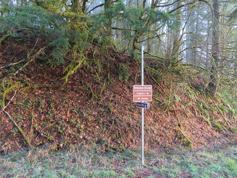 Trial sign at the jct with the CZ Trail.
 CZ Trail passing under the highway.


 Light from the eastern portal is visible at the other end but the tunnel is not safe to enter without at least a hard hat.

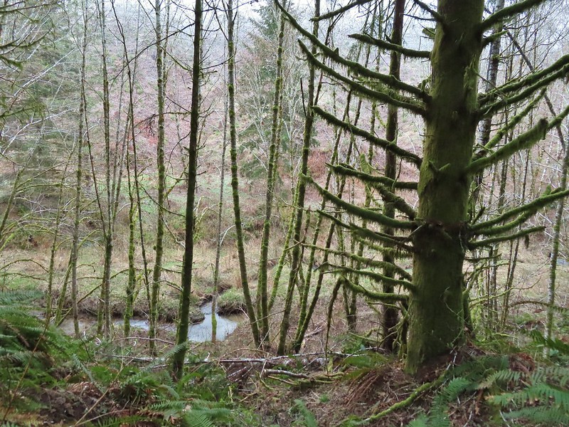 The East Fork Nehalem River next to the trail.
 It was a little muddy in places.
 Another of several interpretive signs along the trail.
 Not much in the way of flowers yet but there were a few indian plum starting to blossom.


 East Fork Nehalem River
 Pointer for the CZ Trail in Scaponia Park

 American kestral

 Robin in the meadow that once was Camp 8.
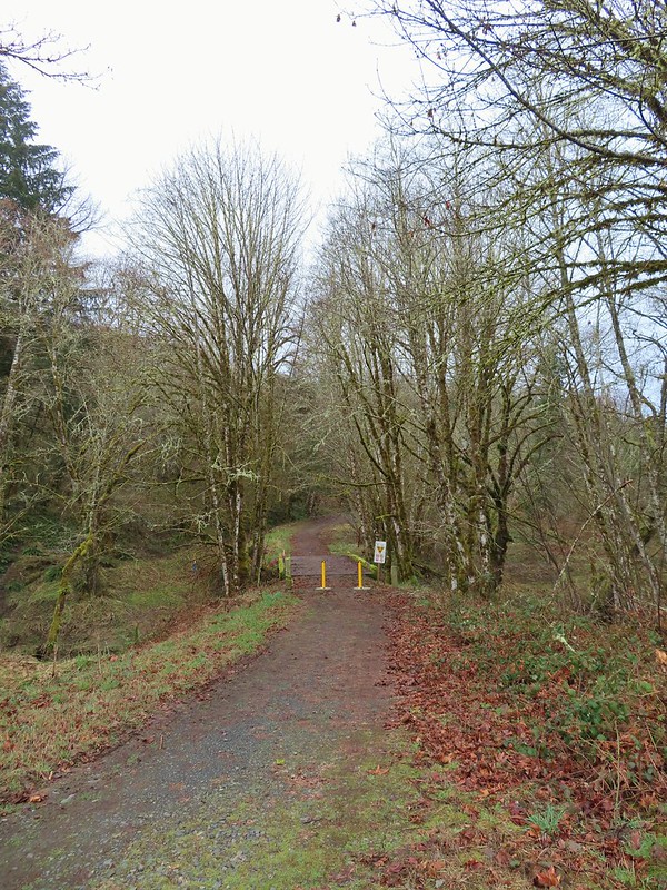

 The orange mile marker 19 ahead.
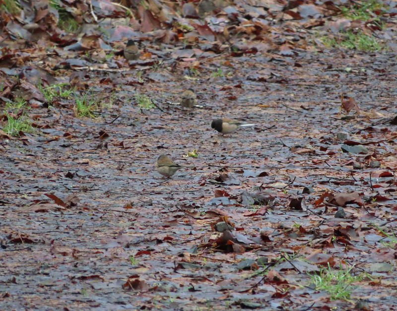 Juncos
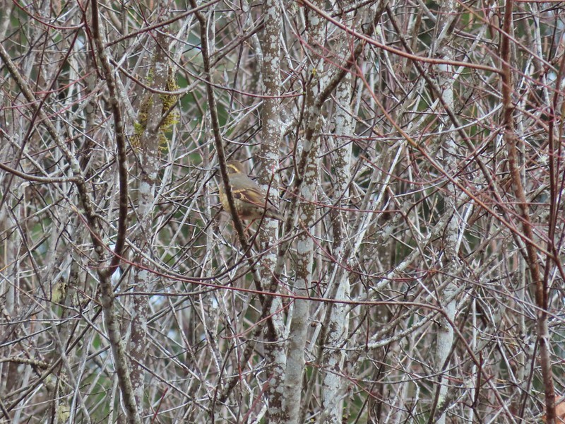 Another not great picture of a varied thrush.
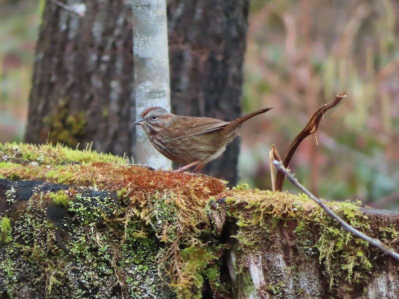 Sparrow
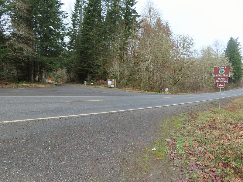


 A grey jay enjoying the emerging sunlight.
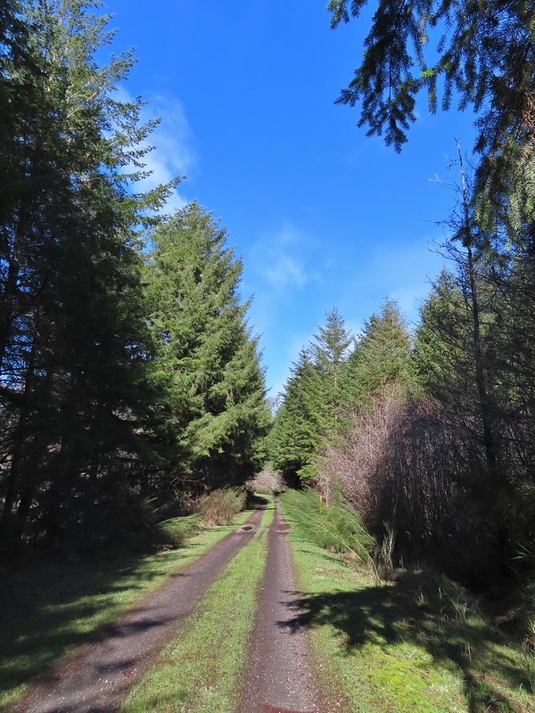
 Blue sky near the Floeter Trailhead.
 The trailhead sign for the Clay Creek Trail is ahead on the opposite side of the road.
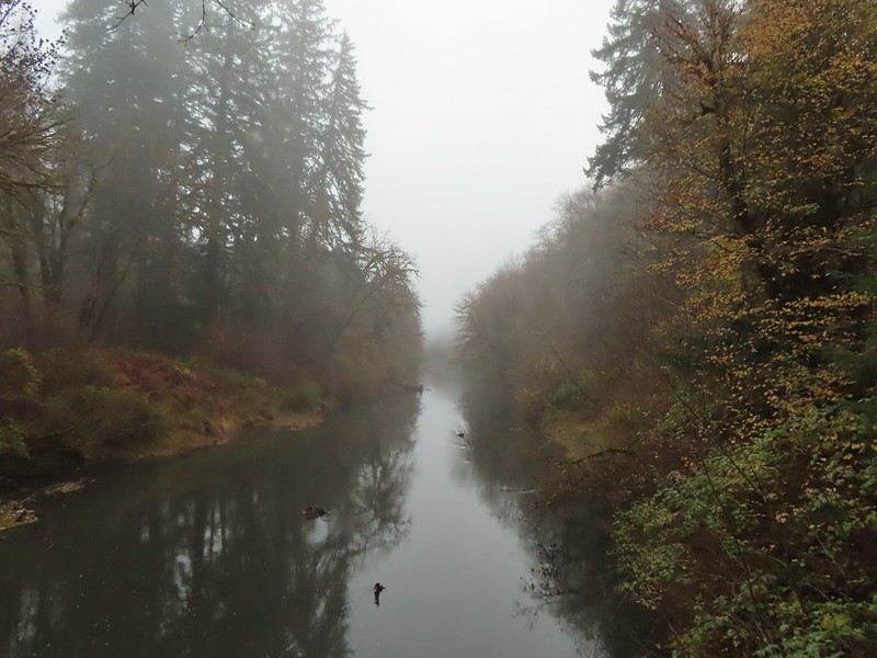 Siuslaw River
 Clay Creek on the left emptying into the Siuslaw.
 Stairs at the Clay Creek Recreation Area across the river.

 The Clay Creek Trail climbing above Clay Creek.
 It’s hard to tell size here but the diameter of this tree was well over 5′.
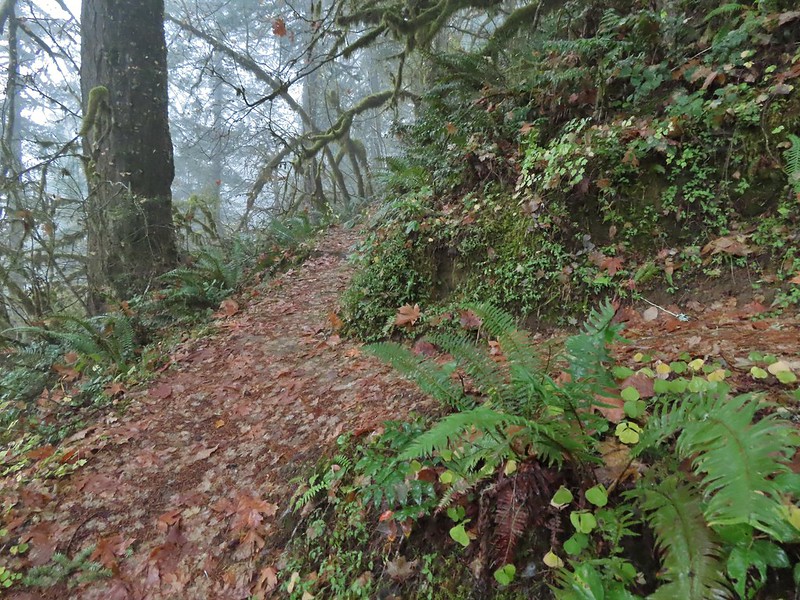 The junction for the loop.
 One of several reroutes we encountered.
 On the ridge top.
 Madrone trunk and bark, always fascinating.
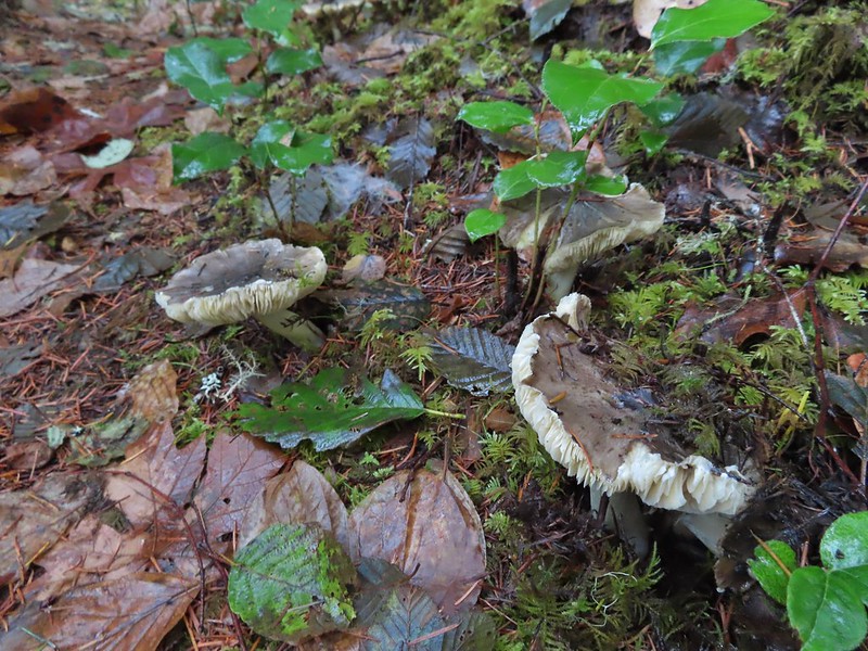 Lots of mushrooms pushing up through the forest floor.
 Good sized trees near the high point.
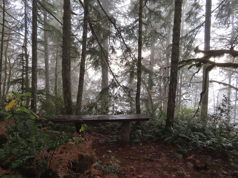 No idea what you might see on a clear day.

 The viewpoint.
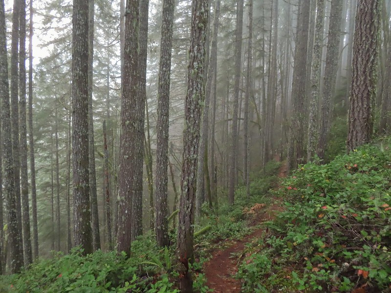

 Nearing the footbridge.
 The fog had lifted off the river at least.
 Note that Royal Ave and the trail to the viewing platform are open year around with the other restrictions listed below.
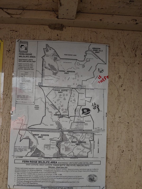 We took a picture of this map to assist us with our route.

 White crowned sparrow
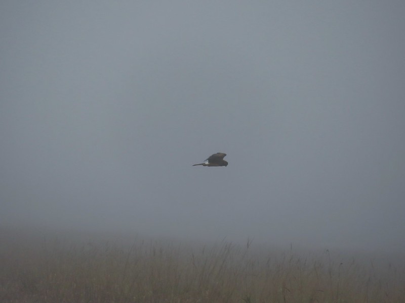 Northern harrier on the hunt.
 Wetlands in the Royal Amazon unit.
 The bittern taking off.
 Not the greatest photo but enough to identify it.
 A hawk on a stump.
 American coots
 Gibson Island (with the eagles in the snag to the far left)
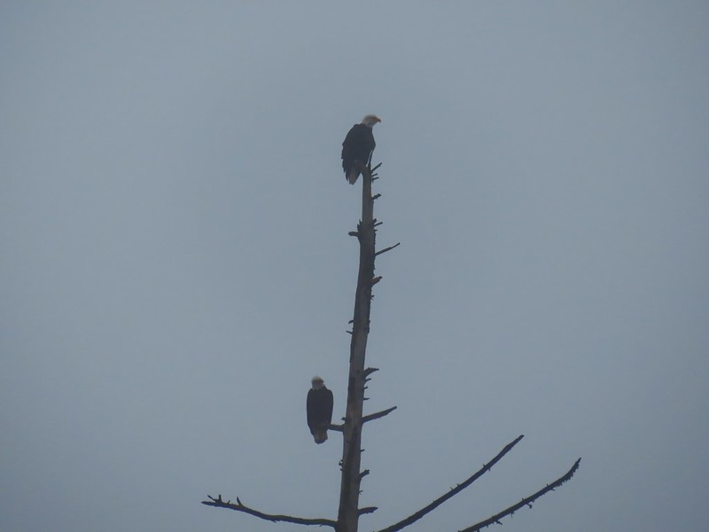


 A flock of geese above the coots.
 There were a number of these small birds pecking around in the mud which, with some help from Molly in the comments, are American pipits.
 Continuing west.
 We used the stones to the right to cross the water here.
 Great blue heron (with Highway 126 in the background).
 Sandpiper in the roadway.
 End of the line.

 Seagull
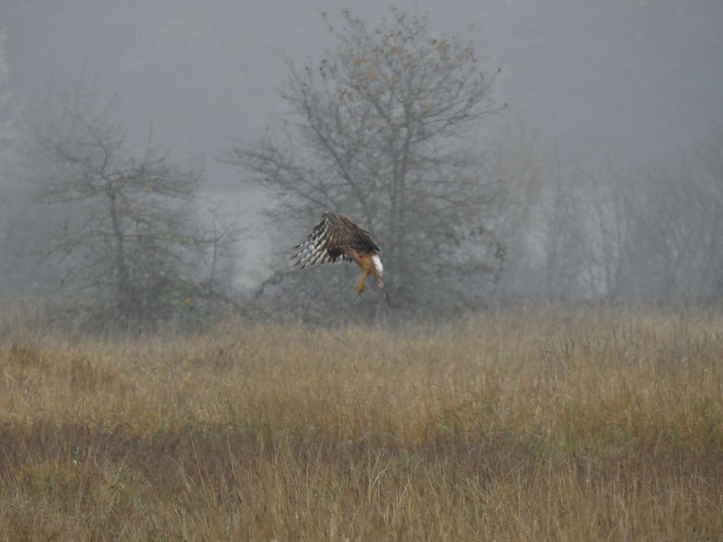 Perhaps the same northern harrier.
 The harrier taking a break.
 The path to the platform.
 Dunlins (thanks again to Molly)
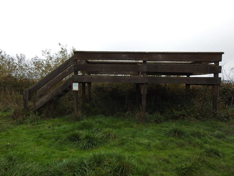 The platform.
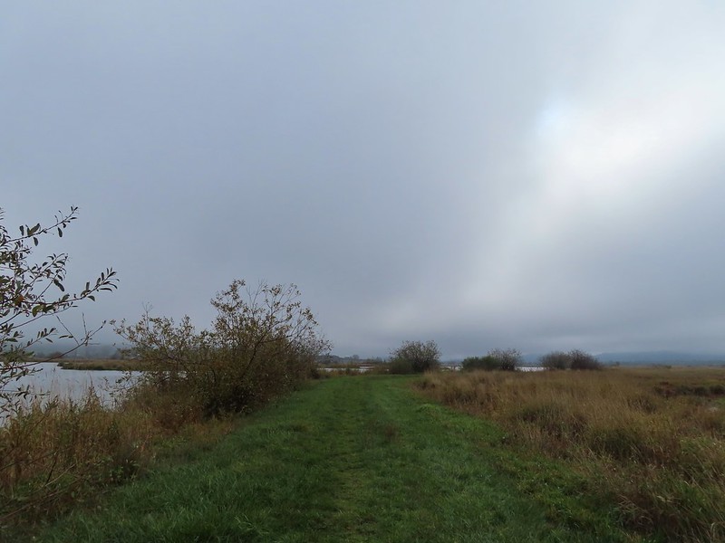
 The first signs that the fog/clouds might be breaking up.
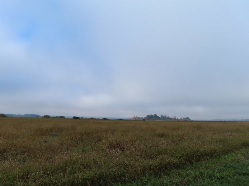 Looking back at a little blue sky and a visible Gibson Island


 Fisher Butte is the low hill ahead to the right.
 Gibson Island was now lit by direct sunlight.
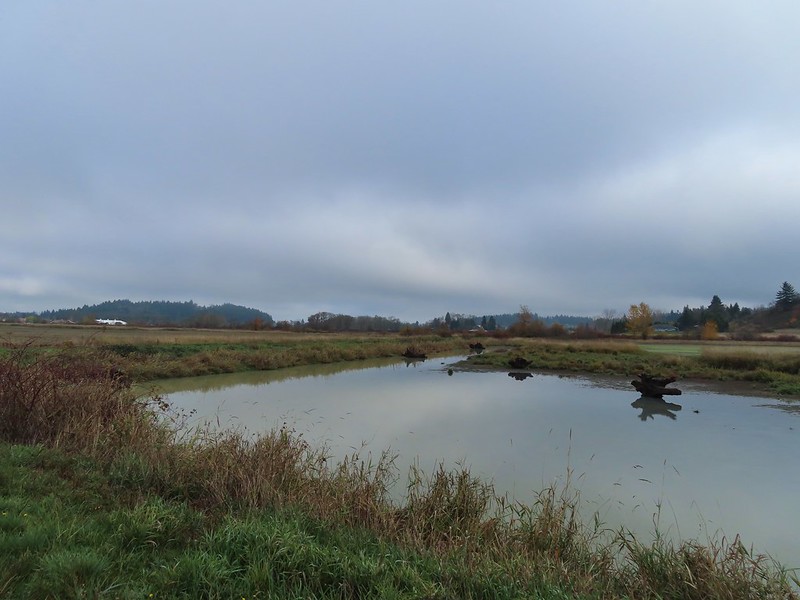 The dike running between Fields 3 & 4.
 Looking back over the ditch.
 California scrub jay
 Northern shovelers and a bufflehead.
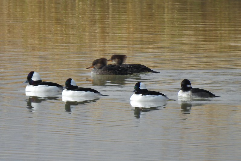 Buffleheads and two hooded merganser females.
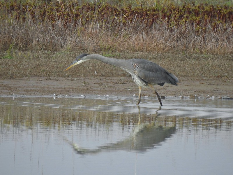
 Kingfisher
 American robin
 The gravel road and another small portion of the wildlife area on the other side.
 Noisy geese.
 Back on the mowed track.
 A sparrow
 Spotted towhee and friend.
 Finch
Finch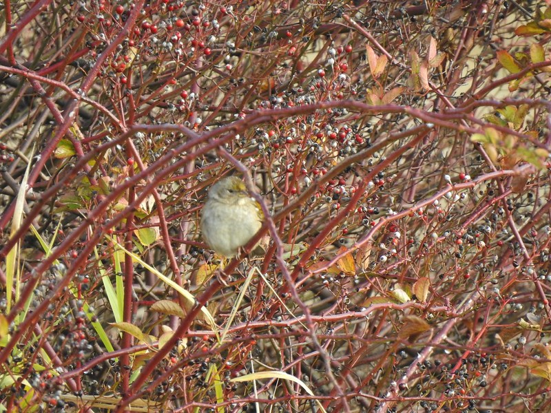 As of yet unidentified little bird.
 This path headed north from the trailhead, something to explore on our next visit.


 Wilderness boundary
 Varied thrush
 Blackberries, we found a couple of ripe ones later as well as ripe salmonberries, thimbleberries, and red huckleberries.
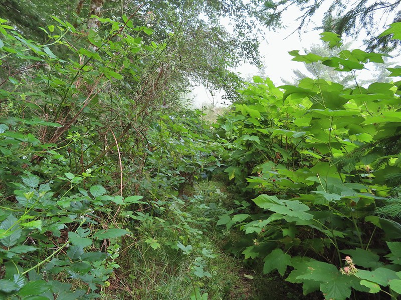 There was a lot of Himalayan blackberry to get through which caused many a scratch.
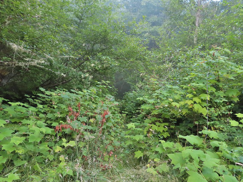

 Salamander, possibly a Dunn’s.
 Snail on a fern.
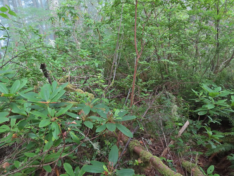
 A few rhododendron were still blooming.
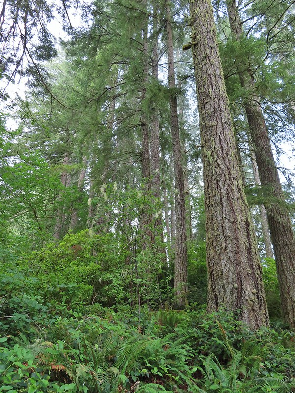
 Huckleberries
 This was the only open spot the whole day. There were some thistle and yarrow blooming here along with a bit of poison oak.
 Bees sleeping on thistle.
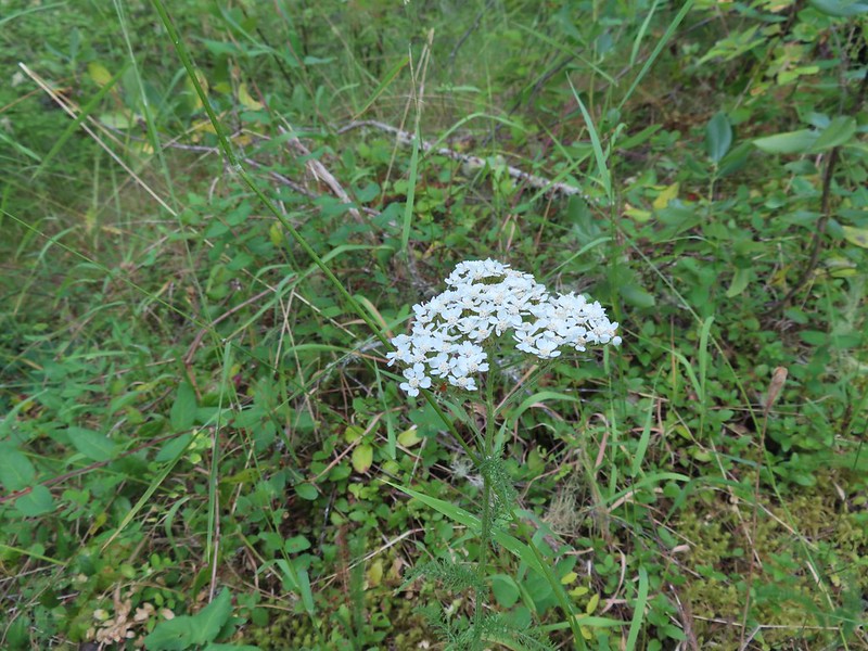 Yarrow

 The rhododendron was often so tall we could walk through them.

 The morning fog burned off by 9:30am.
 Wild cucumber (coastal manroot)
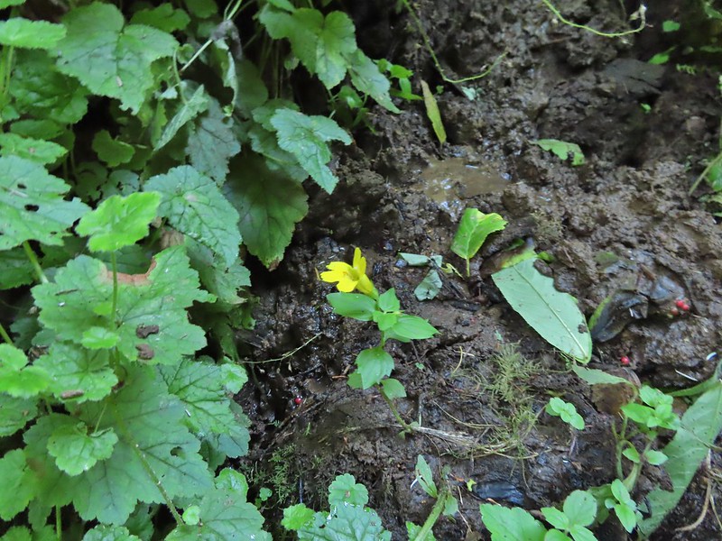 Monkeyflower
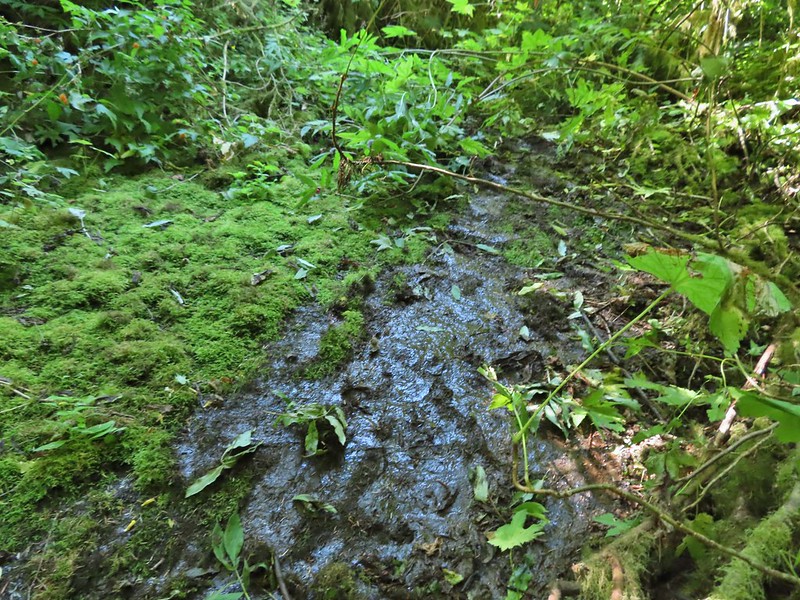 Although this picture doesn’t really convey it this section of exposed wet rock was at a fairly steep angle and was quite the challenging both coming and going.

 An ouzel
 This was the ledge that we decided to not drop down off of.
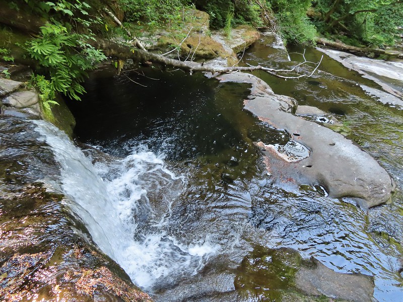 That pool is said to be approximately 20′ deep!
 We checked the little pools for rough skinned newts and this one had four and a crawdad.
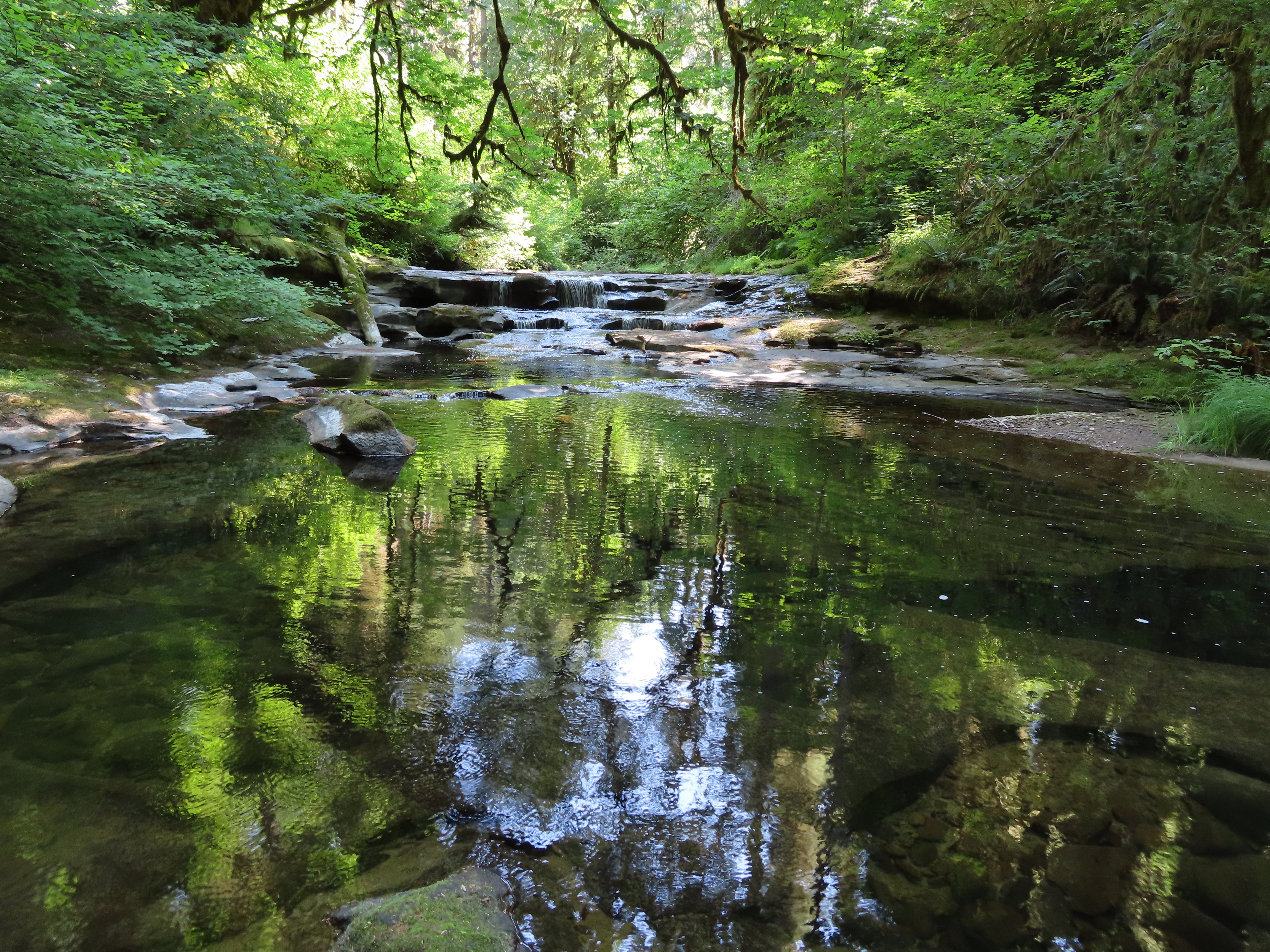


 A chickadee came to check on me as I was catching my breath under a rhododendron.
 Thimbleberries
 Salmonberries
 Swallowtail on a blackberry blossom.
 We took this trail from the parking area to the North Ridge Trail where we turned right at a signboard.
 Signboard along the North Ridge Trail at Woods Creek Road.
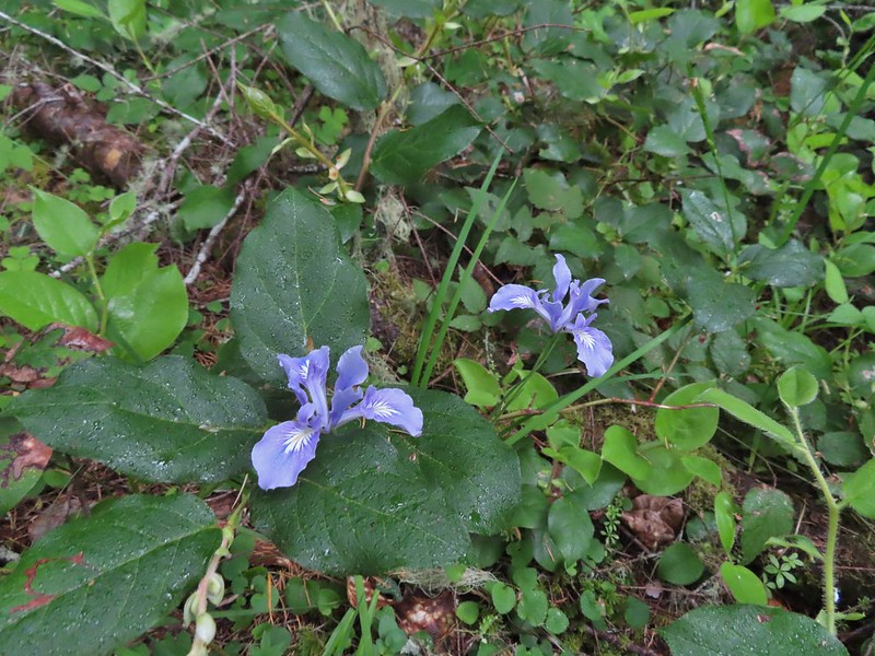 Iris
Iris
 Near the half mile mark we ignored this pointer to the left. Looking at the map there are roads looping back to Woods Creek Road and also to Conner’s Camp but what their conditions are we don’t know.
 Monkeyflower

 Wren
Wren Thimbleberry
 Pacific coralroot
 Anemones
 Vanilla leaf along the trail.
 Lots of vanilla leaf.
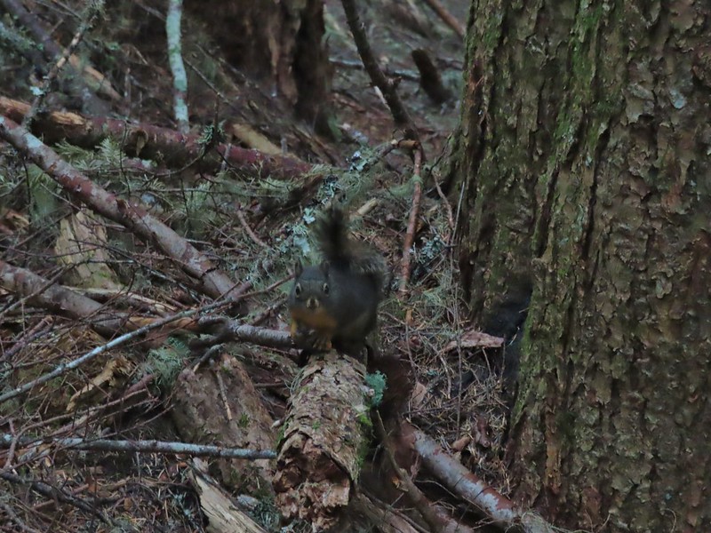 Douglas squirrel.
 The higher we went the foggier it got.
 Bench at the junction with the tie trail.
 Some of the trillium still had petals.
 Signboard for the overlook on the hillside to the right.
 The junction from later in the morning with the Summit Trail heading uphill to the right and the East Ridge Trail down to the left.
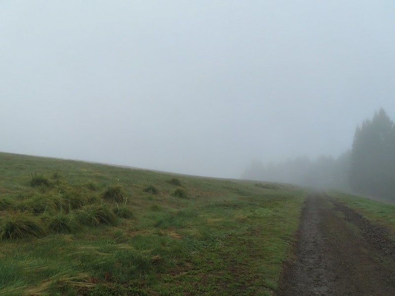
 Going to be a beargrass year.
 Beargrass
 Larkspur in the wet grass.
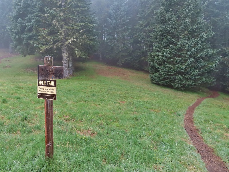
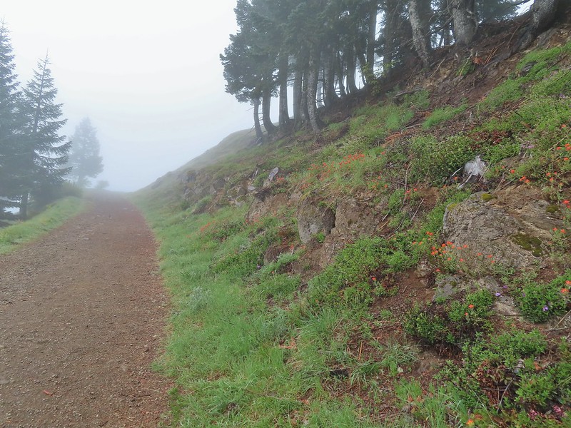
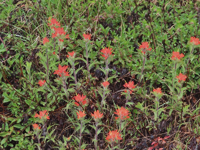 Paintbrush
 Penstemon
 Field chickweed
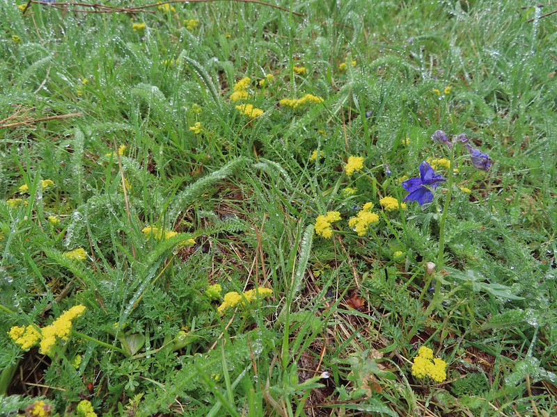 Parsley
 Blue-eyed Mary
 Ragwort in front of lupine that had yet to bloom.
 Phlox
Phlox
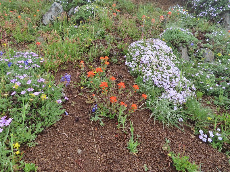
 Lupine
 Buttercups and larkspur
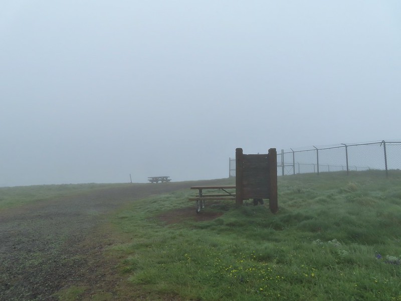 Heather hiding behind the summit signboard to try and keep out of the wind.
 Lots of lupine yet to bloom.
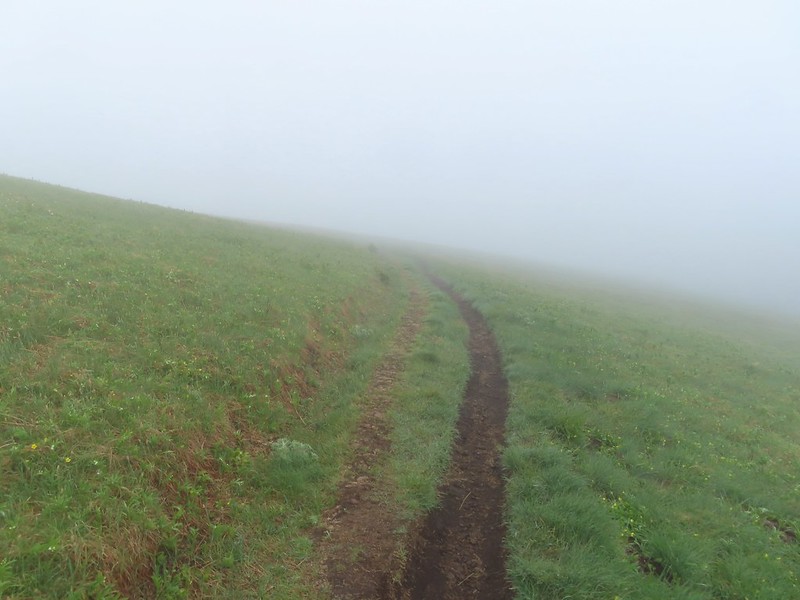
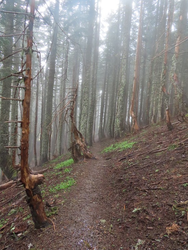

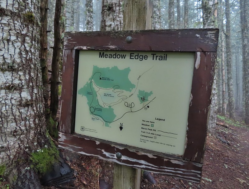
 As the name implies the Meadows Edge Trail occasionally entered the meadows before returning to the forest.
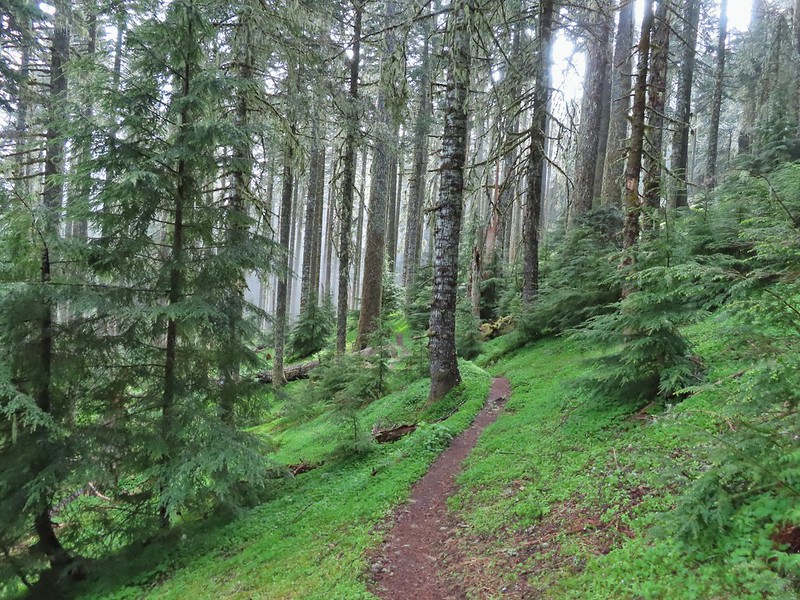
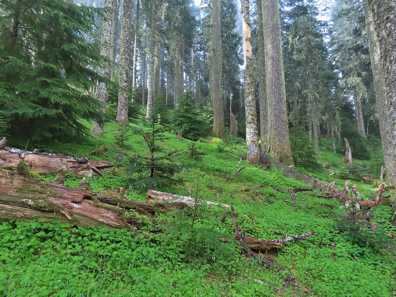 For a brief moment a bit of sunlight hit the forest and we thought maybe the sky would clear up.
 Salmonberry bushes near Parker Creek.
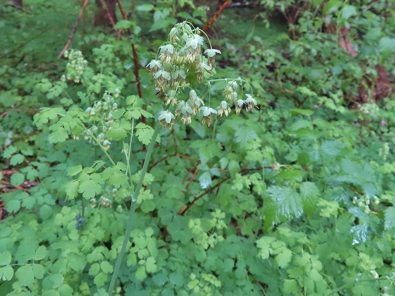 Western meadowrue
 Spur trail to the Mary’s Peak Campground.
 Fairybells and star flower solomonseal
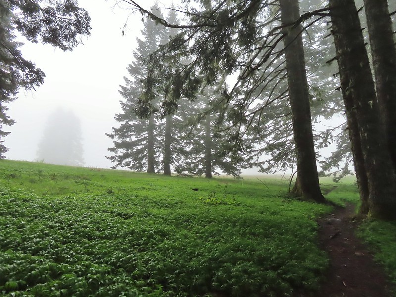 The sky was in fact not clearing up.
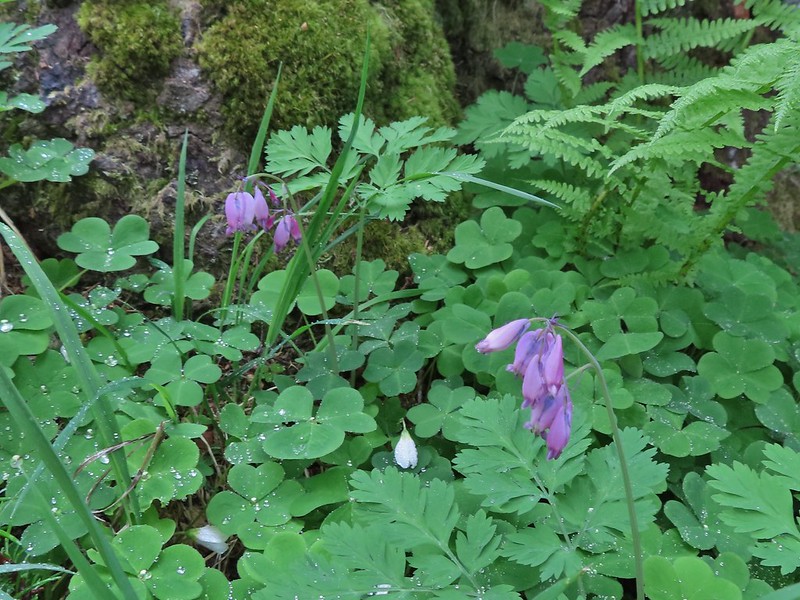 Bleeding heart and sourgrass.
 Fawn lilies in the meadow.
 Signs at the road junction.
 The wet conditions were starting to really hinder picture taking at this point.


 Striped coralroot
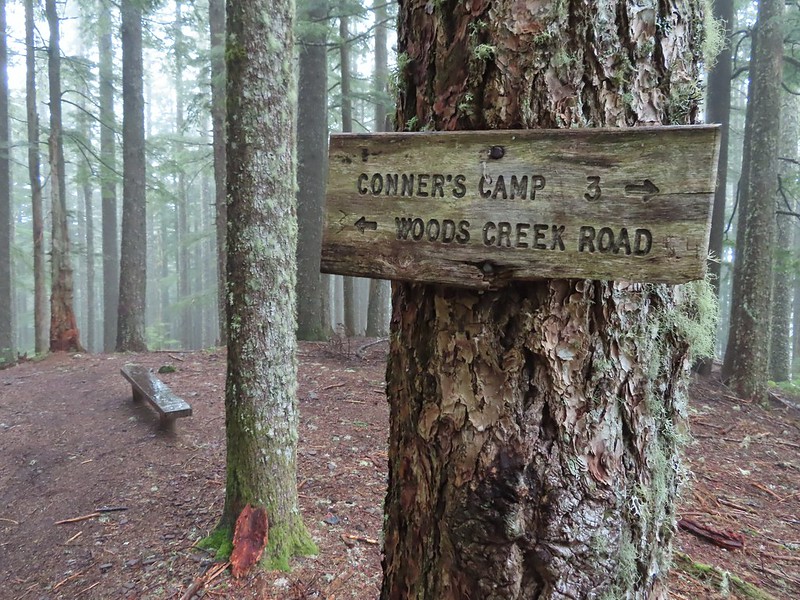 North Ridge Trail junction
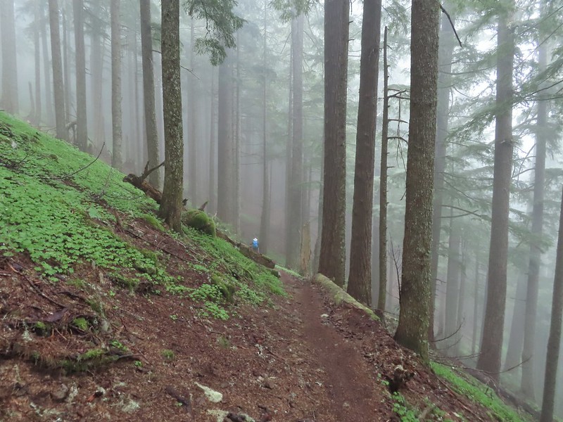 Heather descending in the fog.
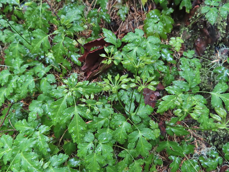 Cutleaf goldthread
 Millipede
 Is that some blue sky out there?
 Not much but it is blue.
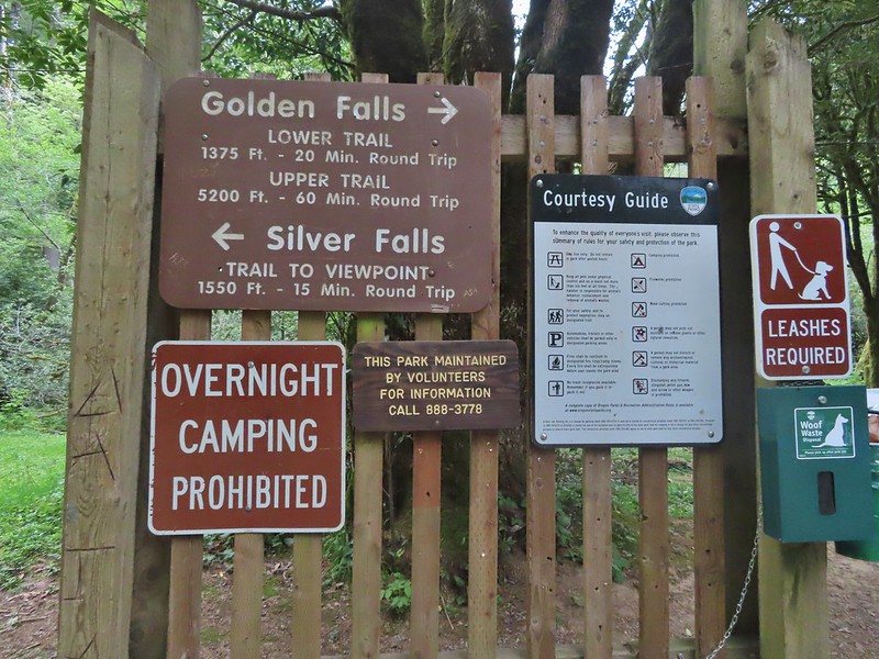
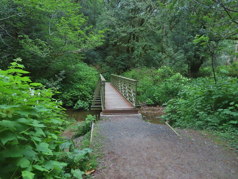


 Rough skinned newt
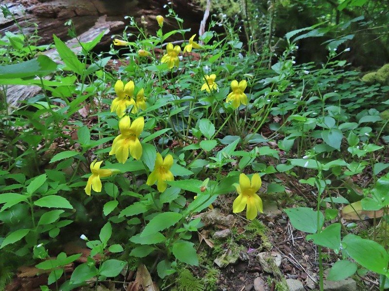 Monkeyflower
 Thimbleberry
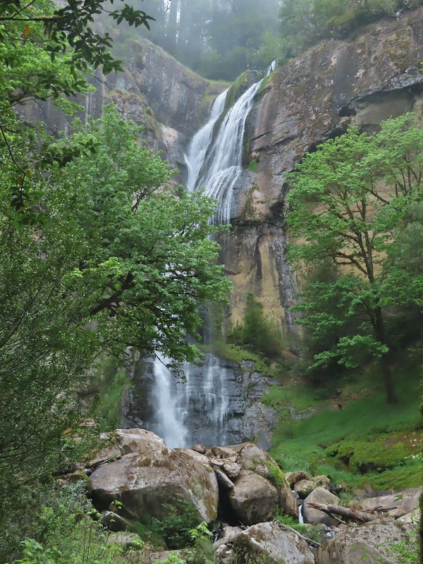

 Wren below Golden Falls
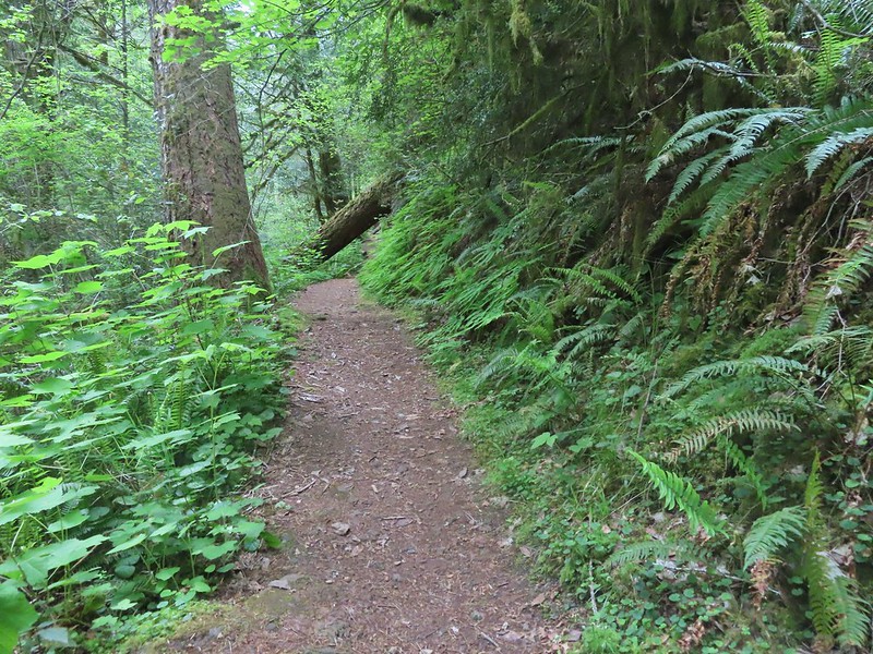
 Columbine
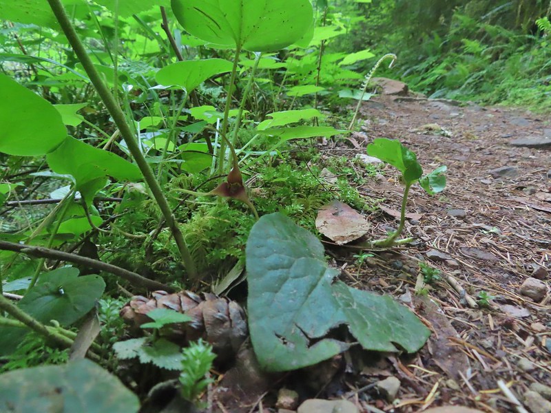 Ginger
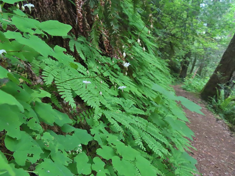 Inside out flower
 Iris
Iris Anemone

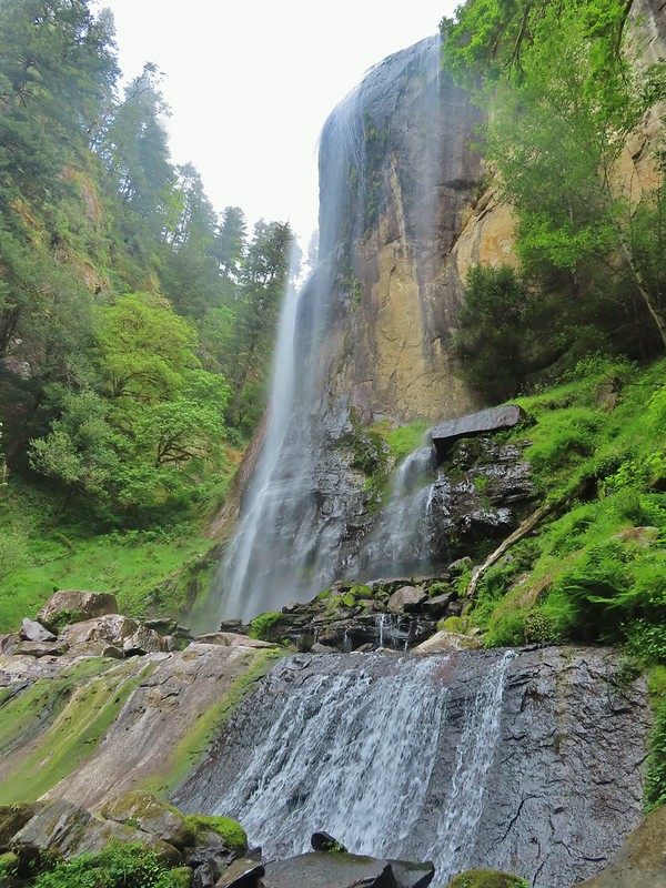
 Ouzel
Ouzel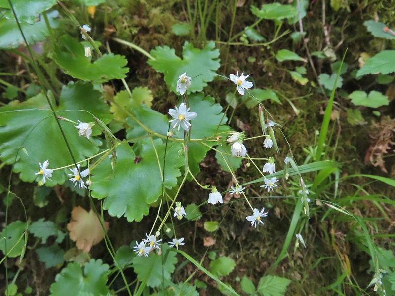 Marshall’s saxifrage

 Plectritis
 Manroot

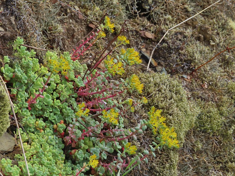 Stonecrop
 Upper portion of Golden Falls.
 Glenn Creek above Golden Falls.
 Despite a cloudy morning they stayed high enough to not obstruct the view of the falls.
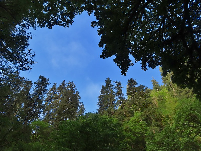

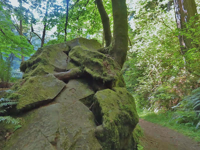 Epic battle between a rock and a tree.
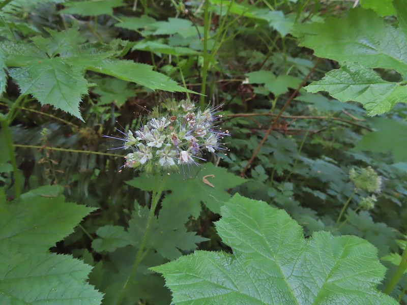 Pacific waterleaf
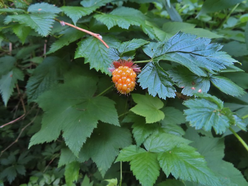

 Larkspur
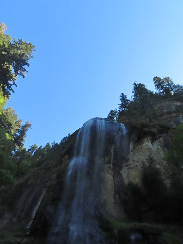
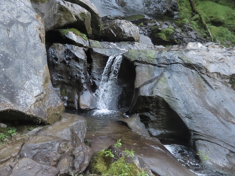
 Ouzel (might be the same one as earlier)


 Thimbleberry
 Salmonberry
 McLeod Creek
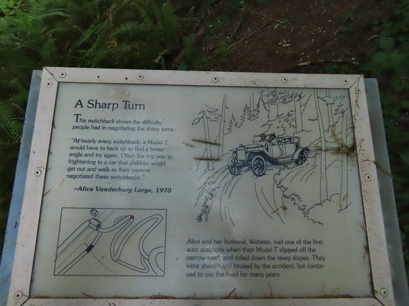
 One of the sharp turns.
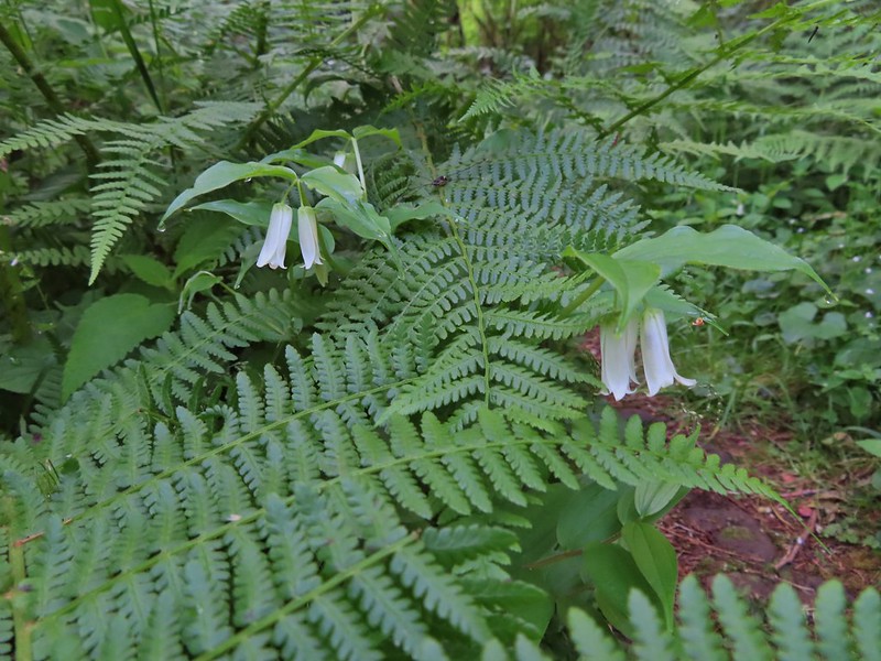 Fairy bells
 Columbine
 Bleeding heart
 Monkeyflower
 Sourgrass
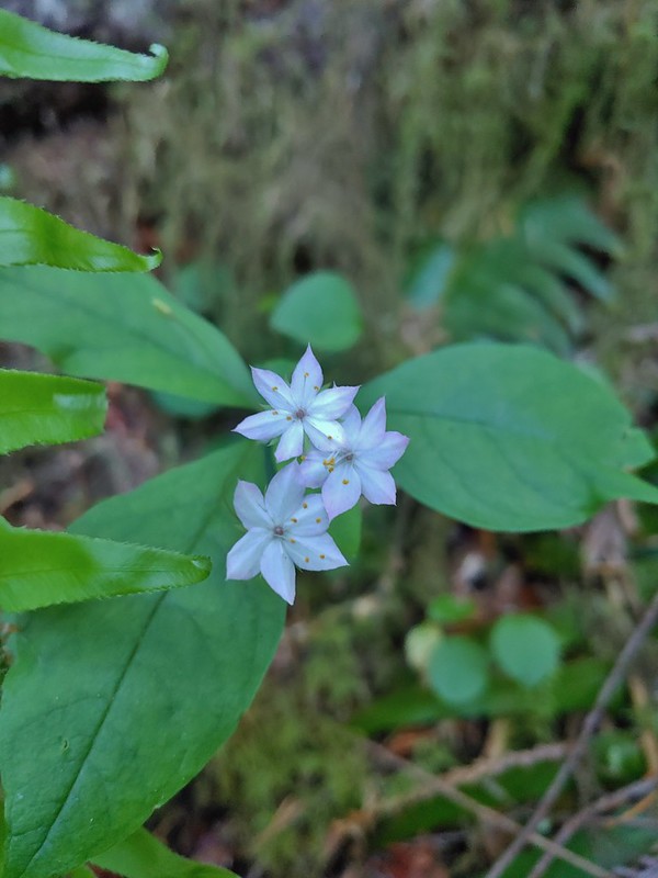 Star flower
 Trillium
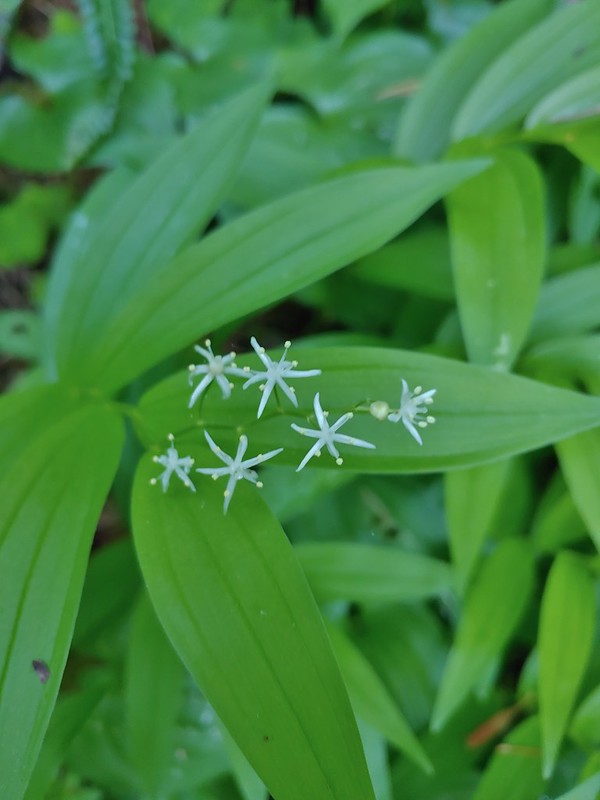 Star flower solomonseal
 Twisted stalk
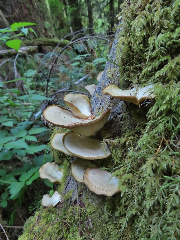
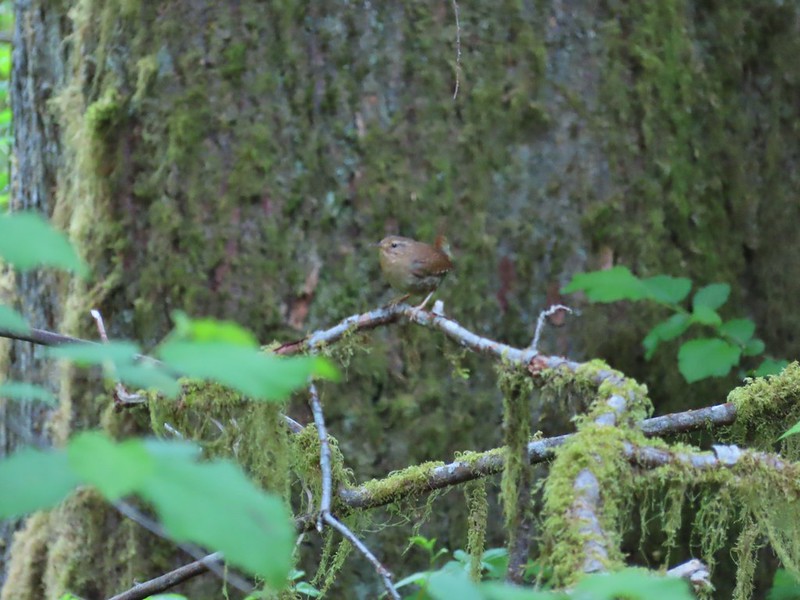 Wren – We heard lots of birds but didn’t see many of them.

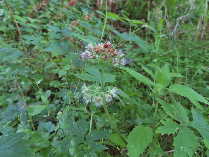 Waterleaf

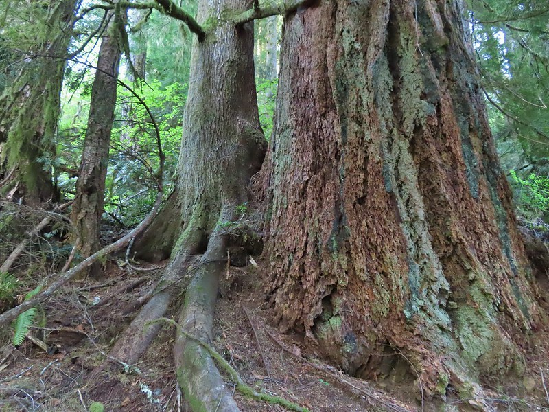
 Marker for a fire scarred Douglas fir. According to the brochure the last major fire in the area was in the 1860s.


 We had to climb over this big tree.


 Looking at the bridge at the north end of the lake.
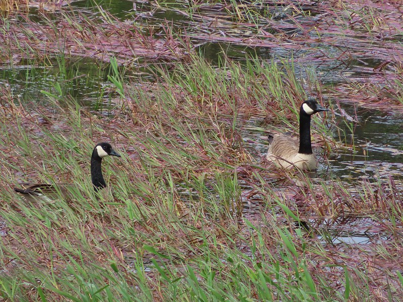 Canada geese
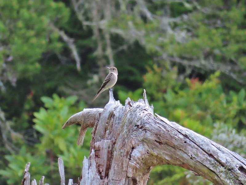
 Cormorants flying above the lake.
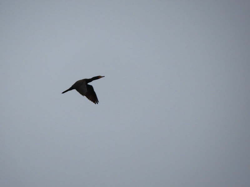 Cormorant
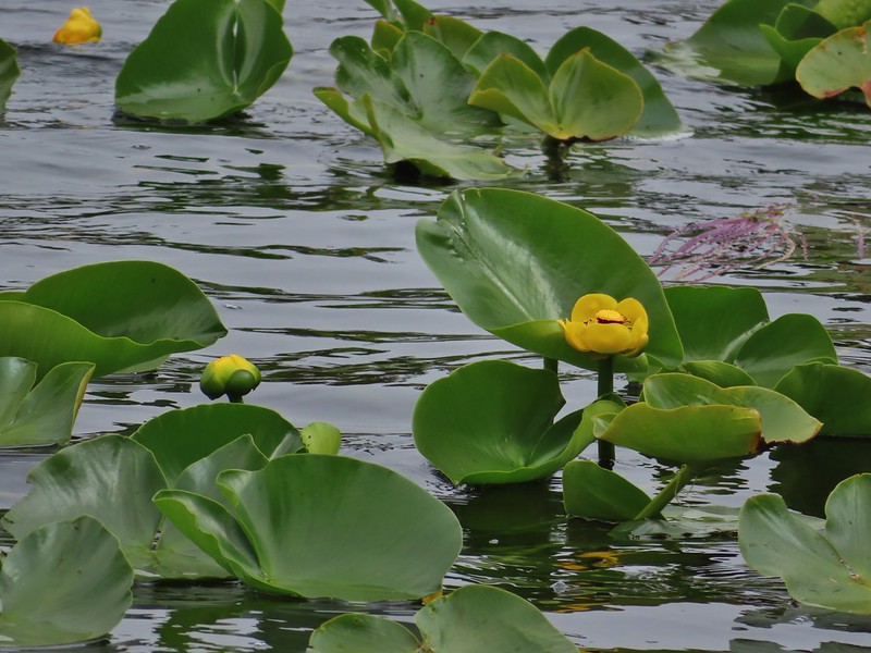
 Ring necked ducks
 Rhododendron
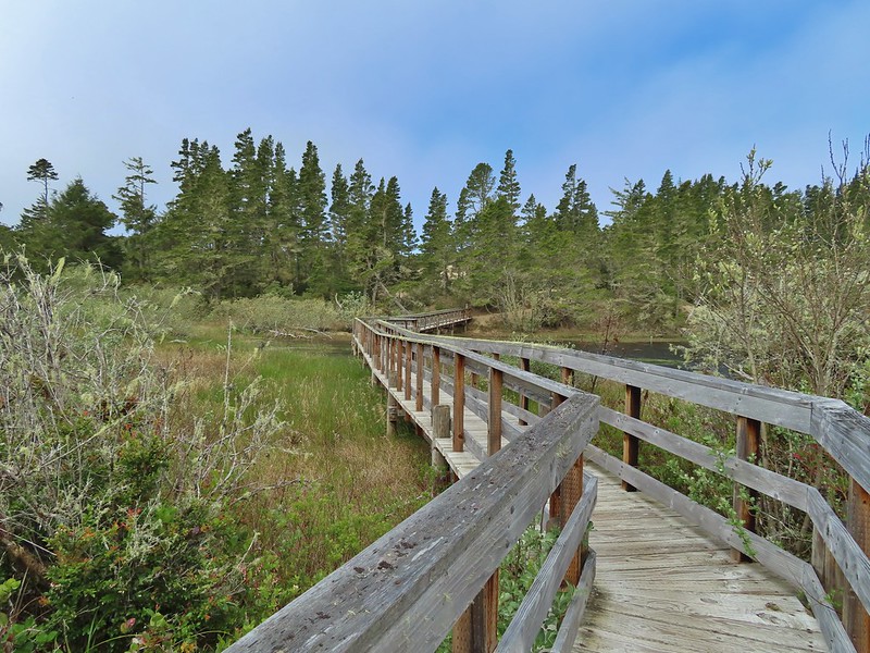 Boardwalk at the south end of the lake.
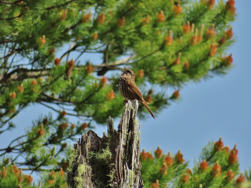 Sparrow
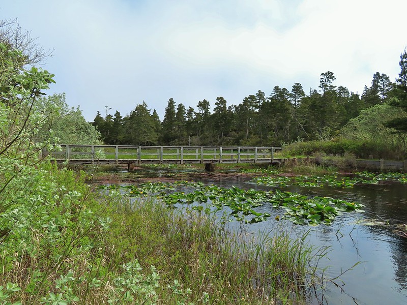 Coming up on the bridge at the north end.
 Yellow rumped warbler
 Finch
Finch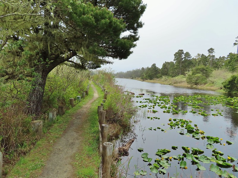
 The trail on the far side of the track.

 One of three panels on a signboard at the start of the trails.
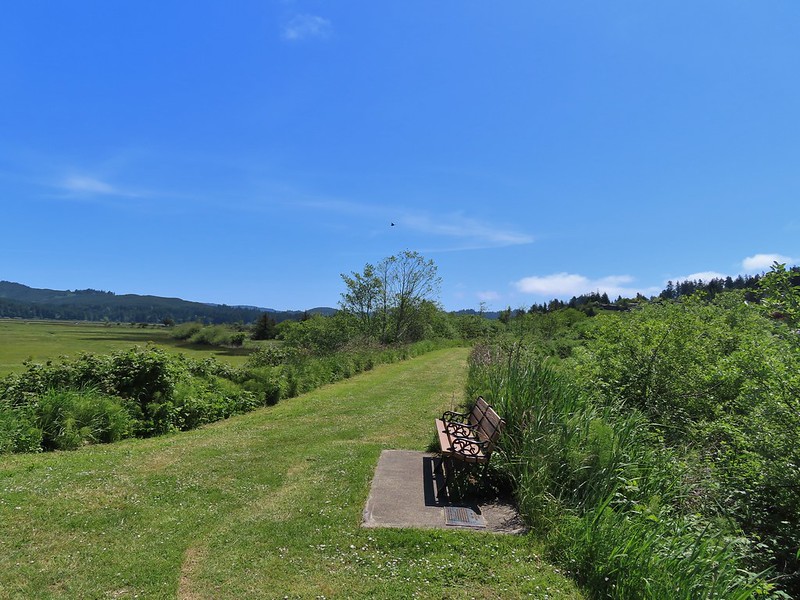 This bench is at the junction.
 Sparrow near the junction.
 Heading to the observation structure.
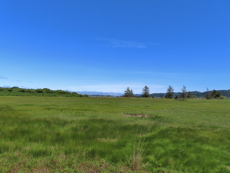 Looking toward Coos Bay along the Coos River.
 McCullough Memorial Bridge spanning Coos Bay.
 Wetlands from the end of the spur.
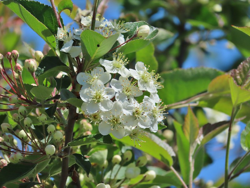 Bitter cherry
 Crow
Crow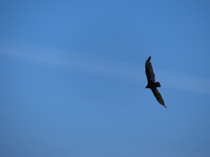 Turkey vulture
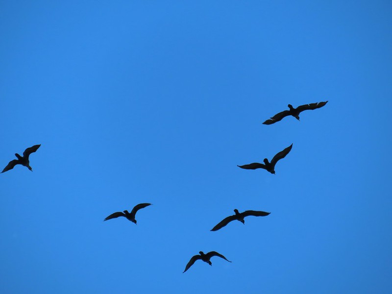 Cormorants overhead
 Canada goose with goslings
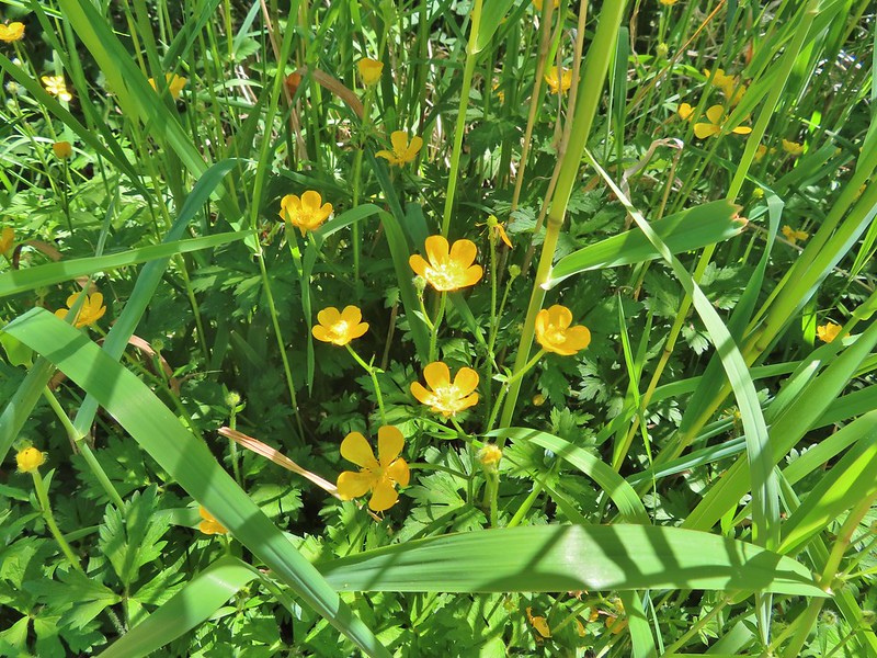 Buttercups
 Pale flax
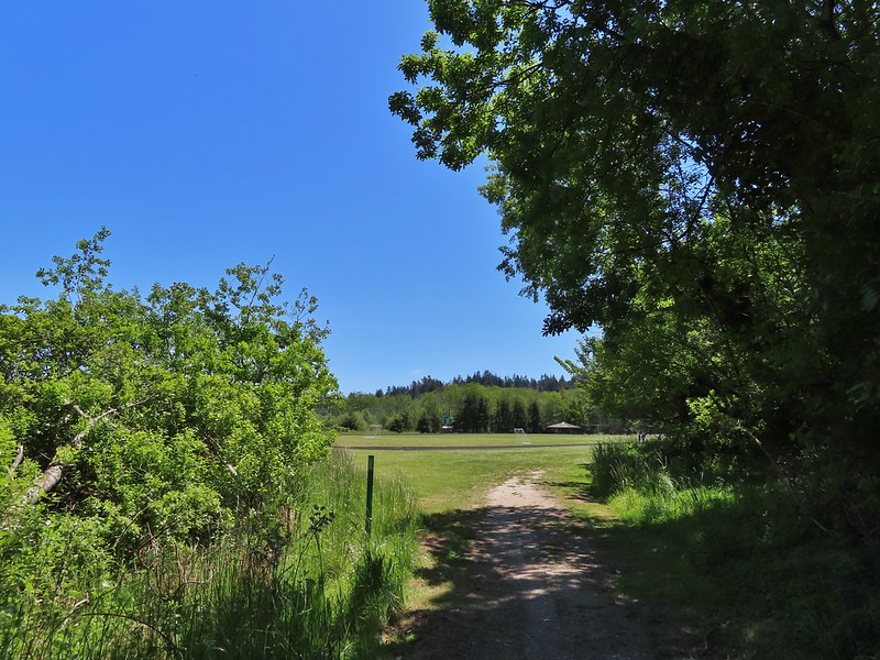 Arriving back at the field.
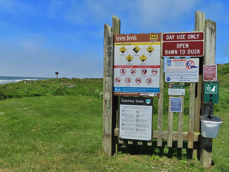
 Ground squirrel enjoying the view.
 Twomile Creek
 Shore bird in the creek.


 Brass buttons (another non-native)


 Whiskey Run Beach lay on the other side of the rocks with another parking area 0.8 further south.
 A cormorant off Fivemile Point

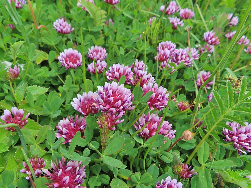


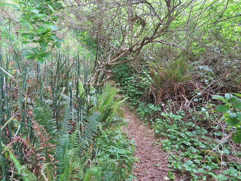
 View from the bench.


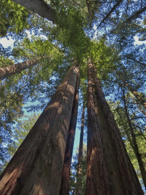
 Coming up on the hollow trunk straight ahead.
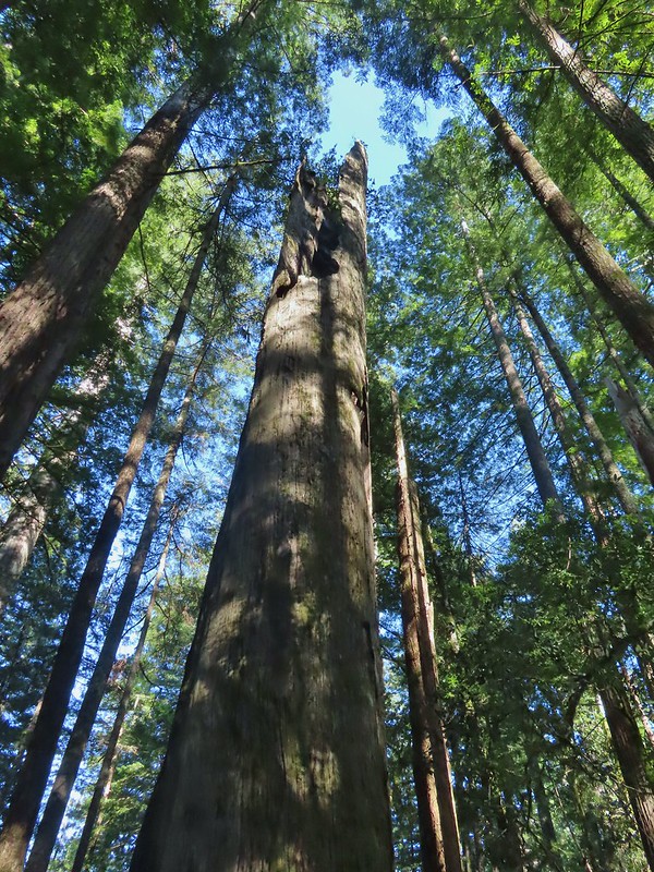


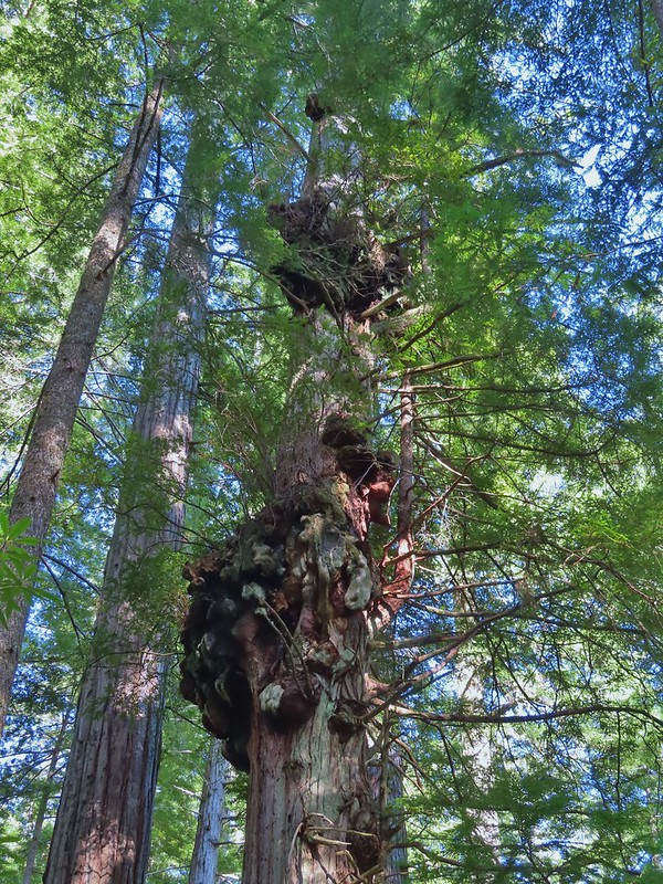


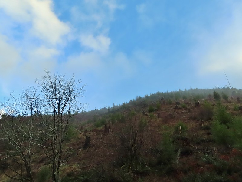


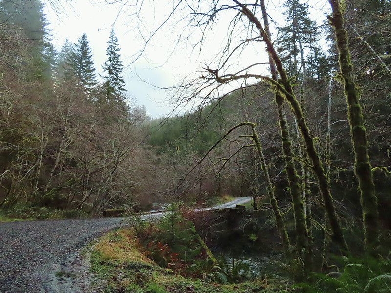

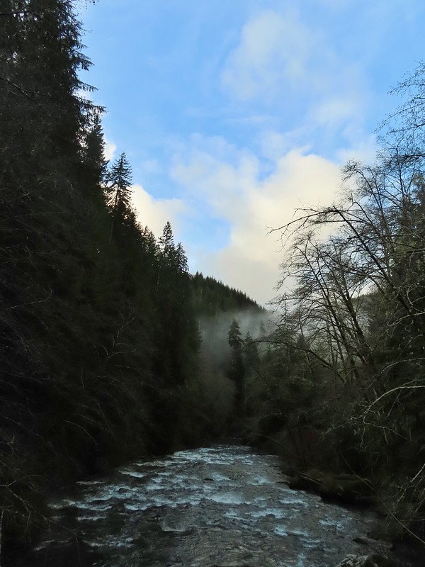

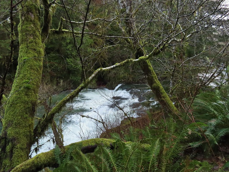


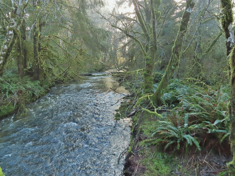 Gods Valley Creek
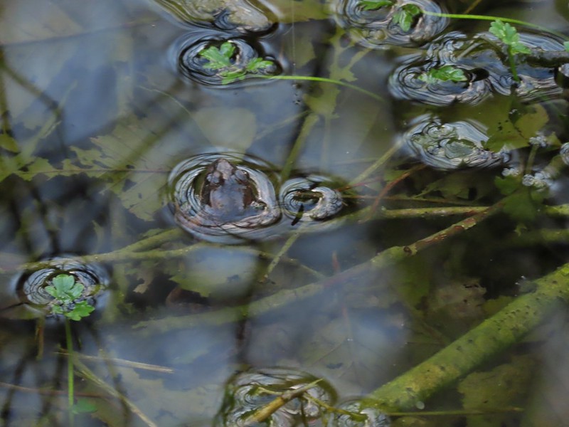 Frog near the old picnic tables.


 Not much in the way of flowers yet but there was a bit of skunk cabbage in bloom.
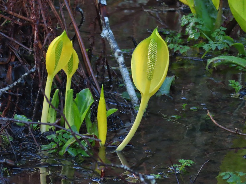
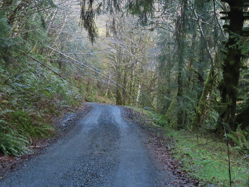 Some low hanging trees, presumably from the storm. The roads had been cleared but occasional damage along the side of the road was evident.
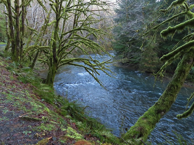
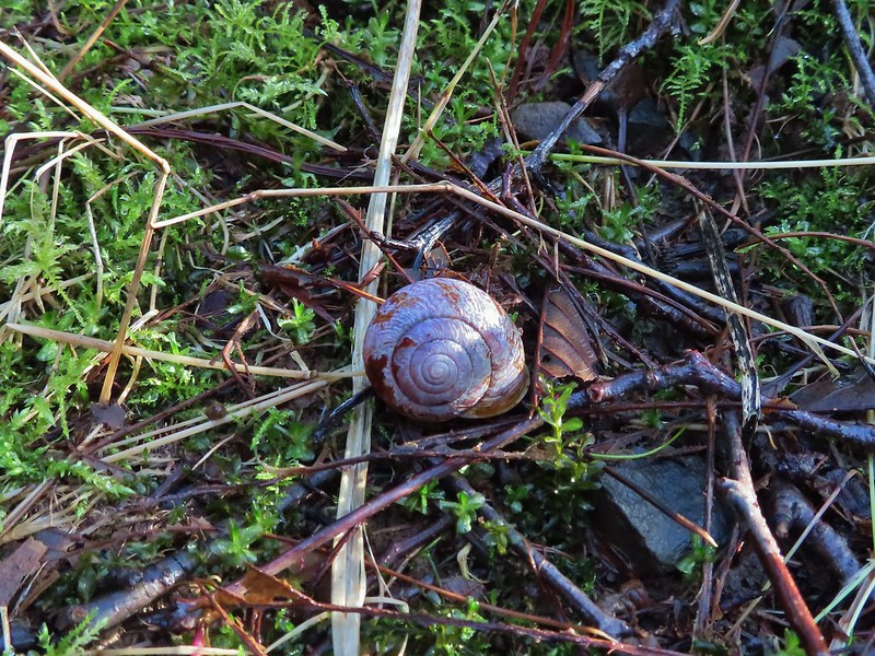
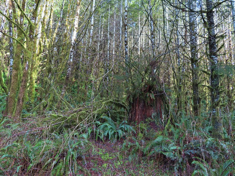 There were no recent clearcuts in the Clatsop State Forest section but there was evidence of past logging.
 Fall Creek
 Not sure why I neglected to get a picture of the bridge from the locked gate but this is the only one I took of the bridge.
 The hike description in the Oregon Hikers Field Guide mentions walking along the bank to get a view of Upper North Fork Falls from the rocks below but that wasn’t going to be an option with the river level today.
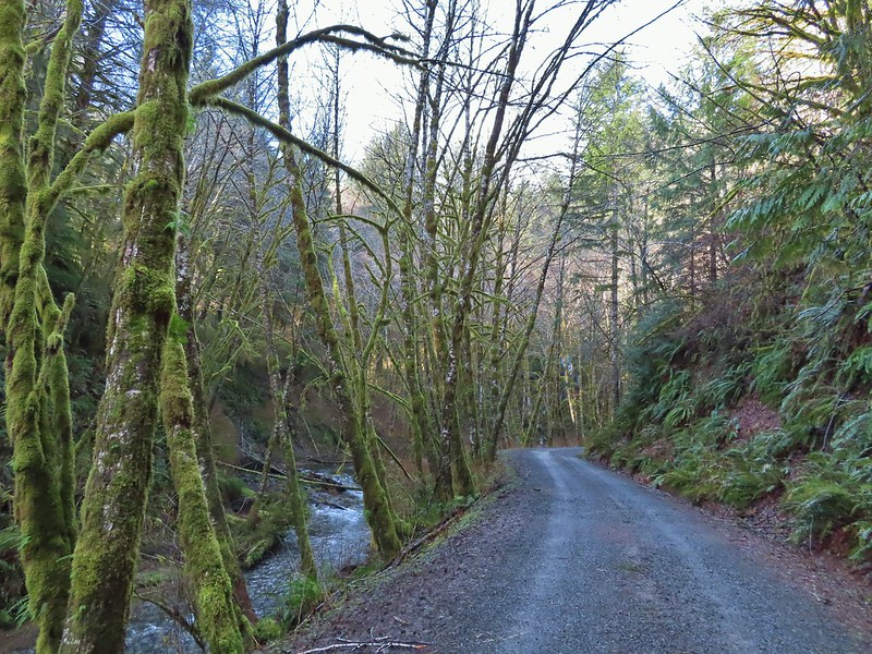


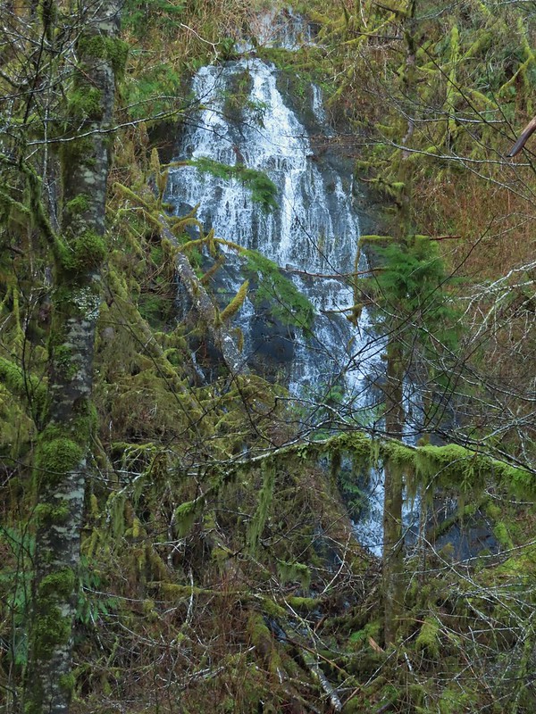

 We both thought that this thick moss looked like some sort of hairstyle.
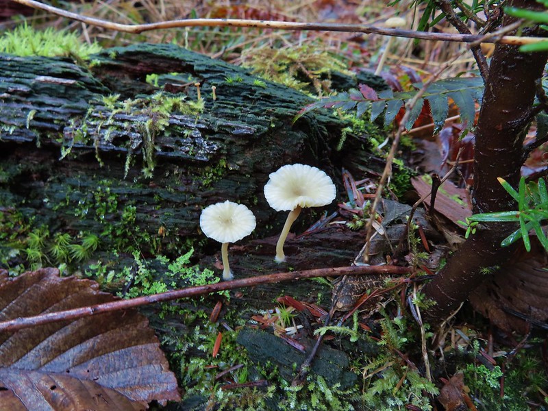
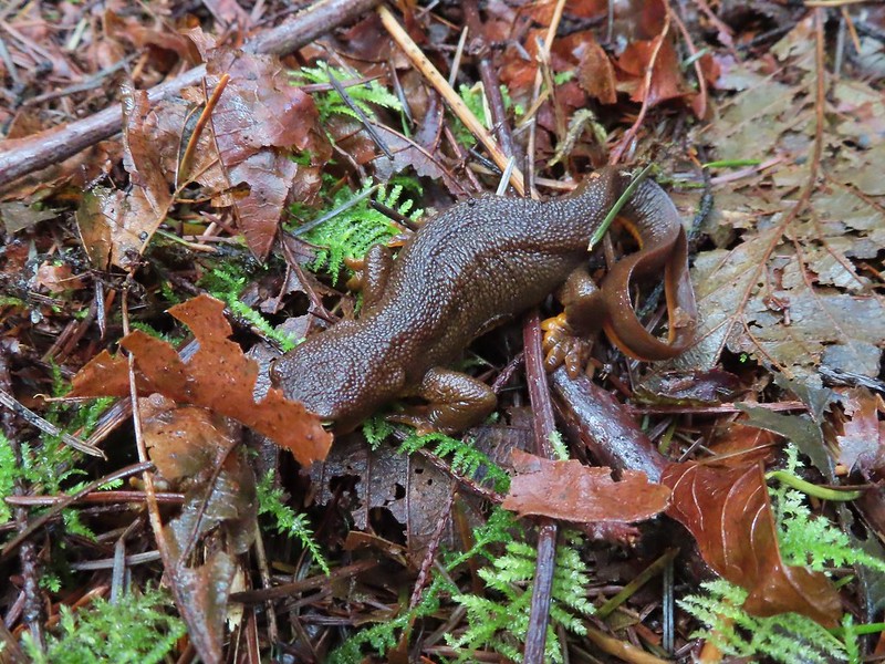 Rough-skinned newt
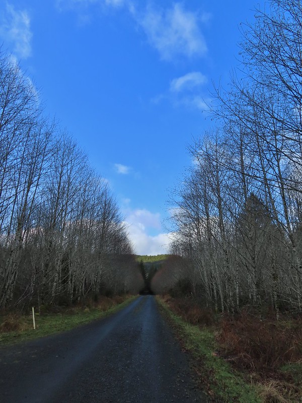
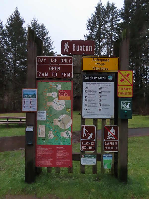


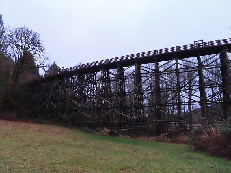


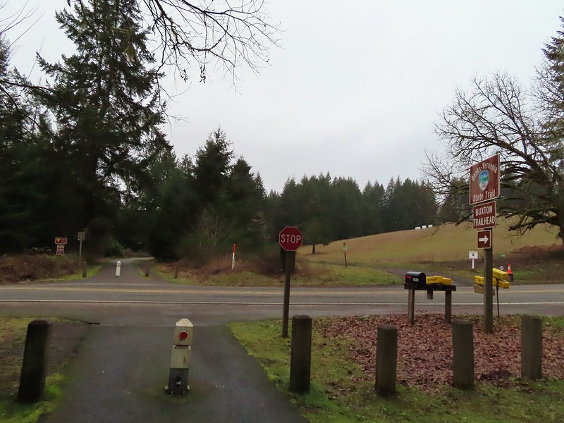 Leaving the Buxton Trailhead area.
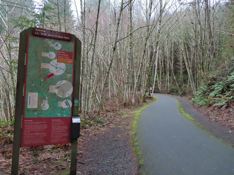 Entering Stub Stewart State Park.
 This trail was just north of Logging Creek and appeared to just loop back to the Banks-Vernonia Trail a bit further north.
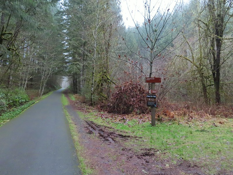 The Caddywhomper Way(s) Trail was signed better. We skipped the viewpoint given the amount of fog/clouds and not wanting to add another 2 miles to the days total. The Oregonhikers field guide also mentions that there isn’t much of a view left due to the presence of trees.
 Trail junction just north of Williams Creek


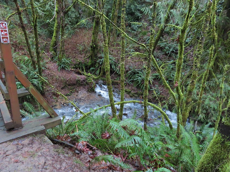


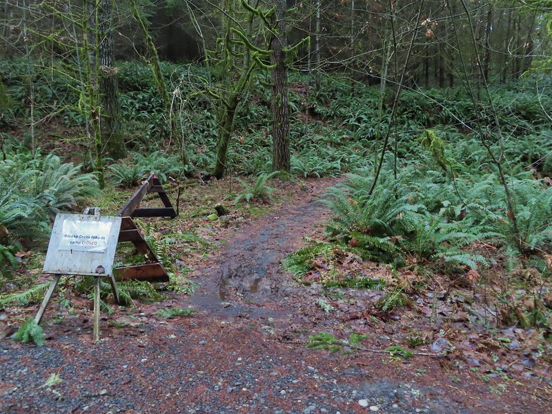


 Sign for the Widowmaker Way and Harse Canyon Trails.
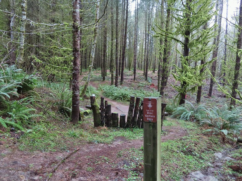

 No flowers yet but plenty of mushrooms and fungi.
 The trails were well signed so it was easy to stay on the Hares Canyon Trail.
 Comming up on North Caddywhomper Way
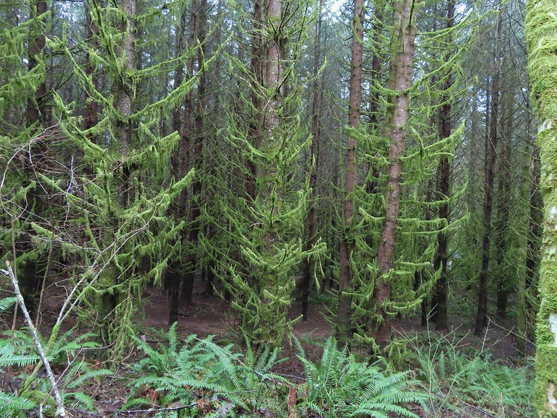

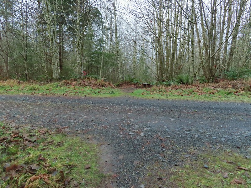


 Wet webs in the trees.
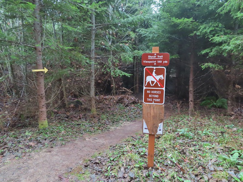

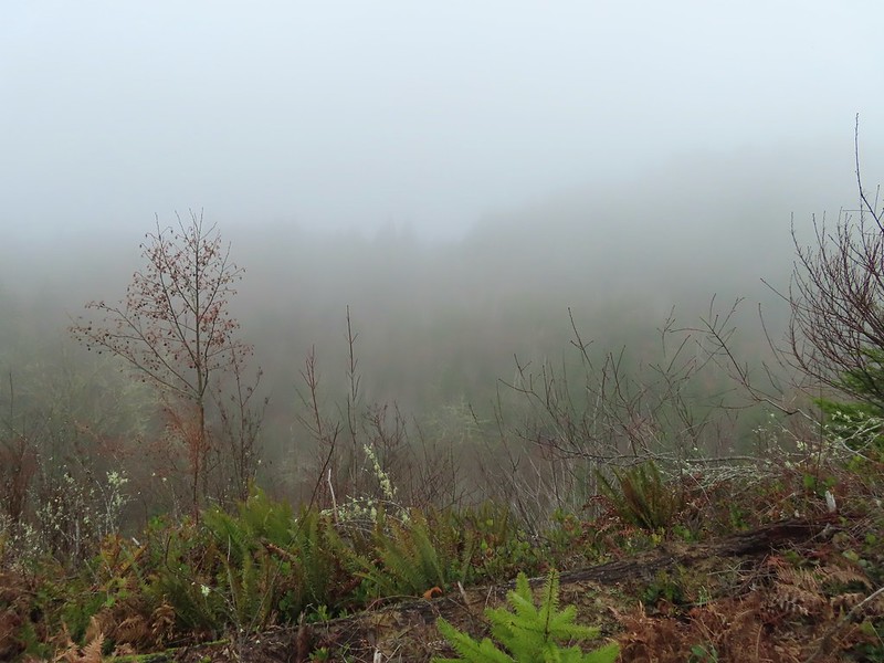

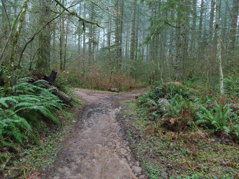
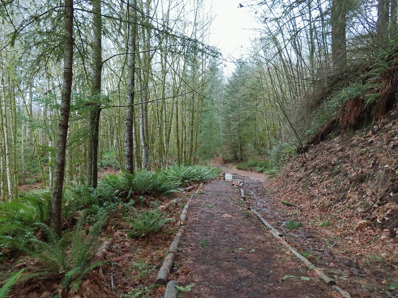
 Chatty squirrel
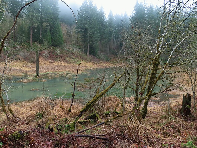

 Passing over Highway 47 on the way to the Tophill Trailhead.
 Orange jelly fungus on a tree.
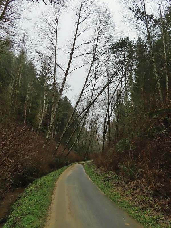 Heading up from the hill from the less steep south side.
 Highway 47 at the Tophill Trailhead.
 Chestnut-backed chickadee
 Pond along the trail.
 Entrance road to Stub Stewart.
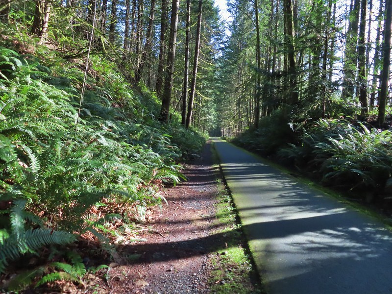
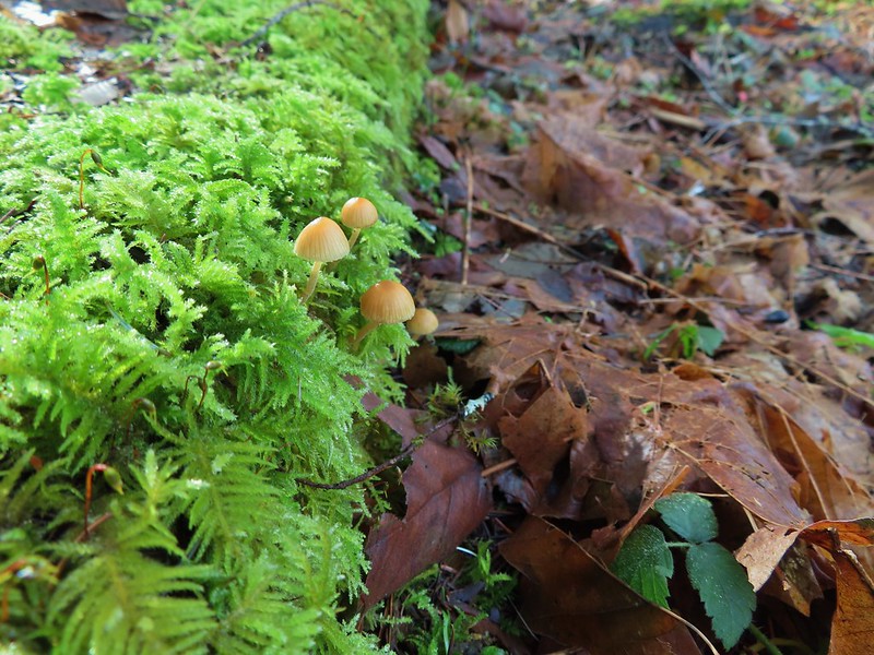
 Back at the Buxton Trailhead
 Bench at the Buxton Trailhead


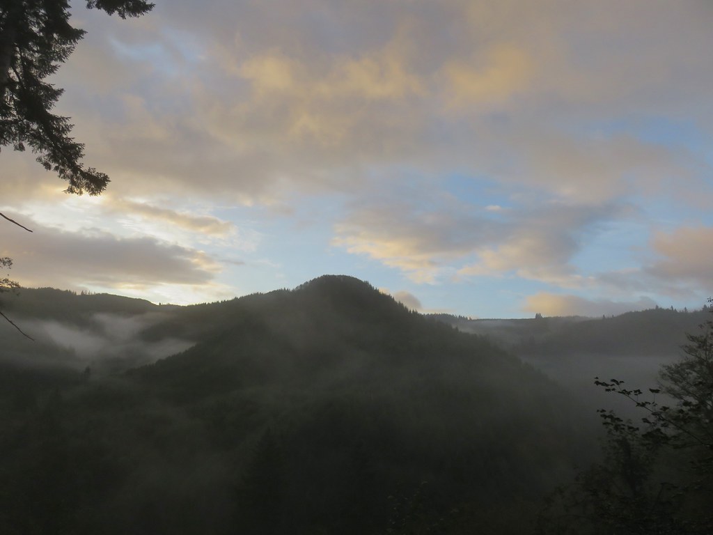
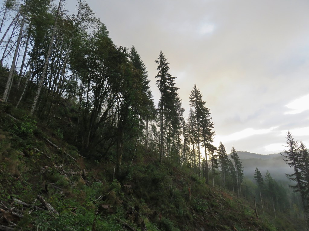


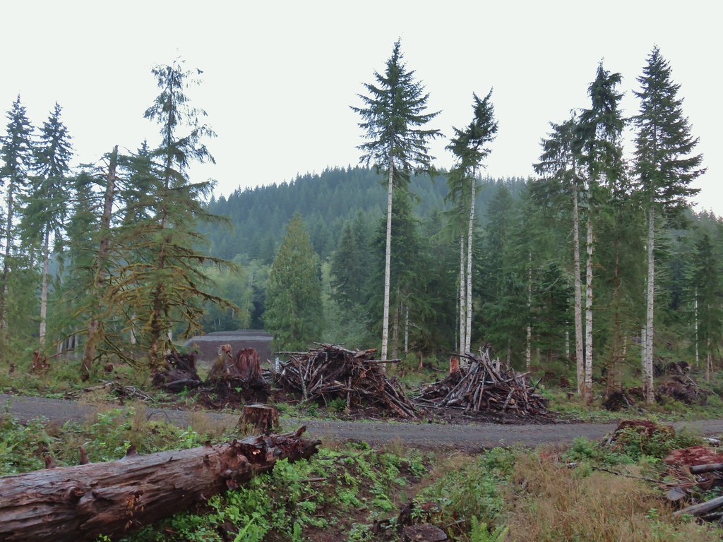
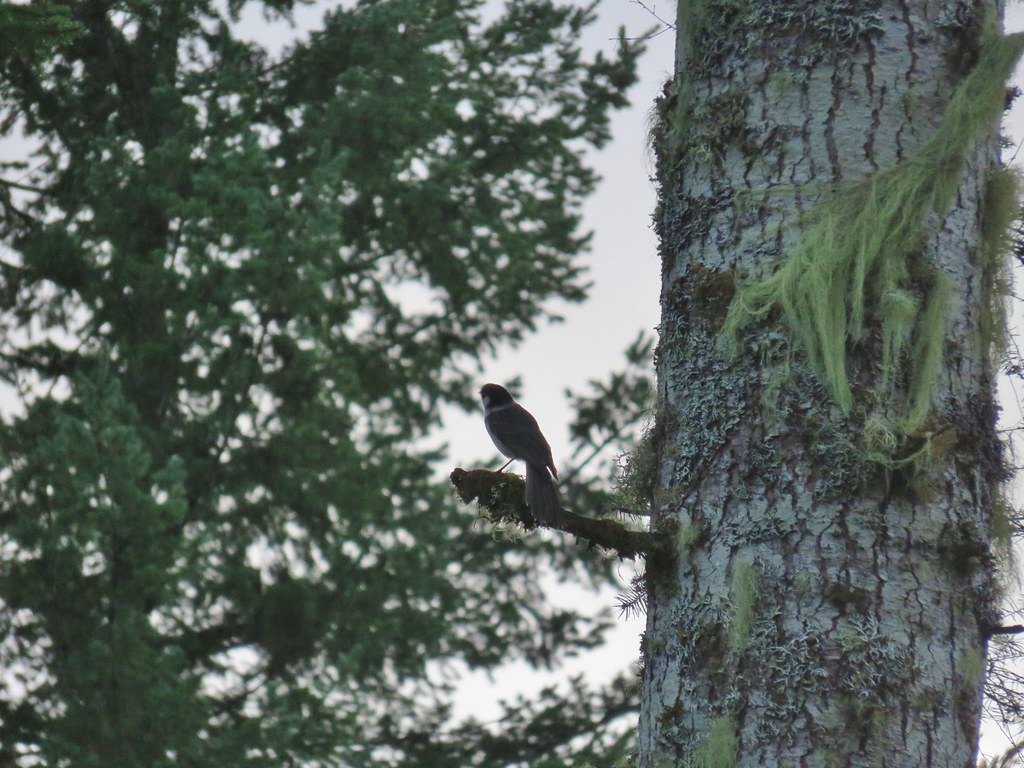

 The open gate and Lost Lake Road from a logging road.
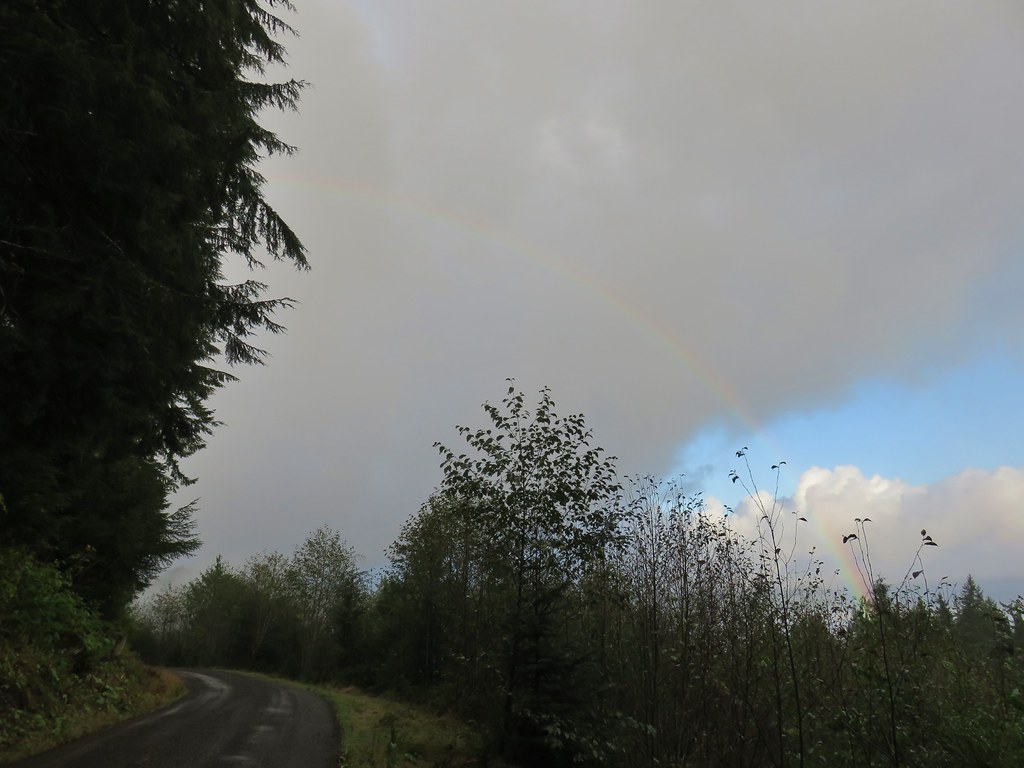


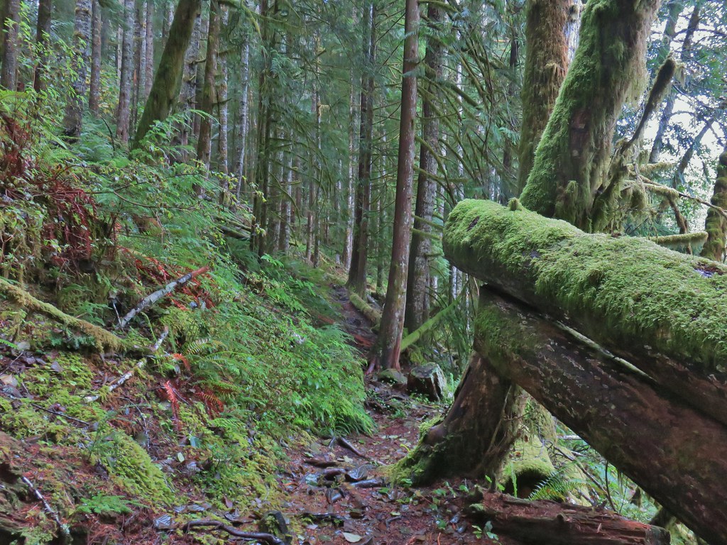


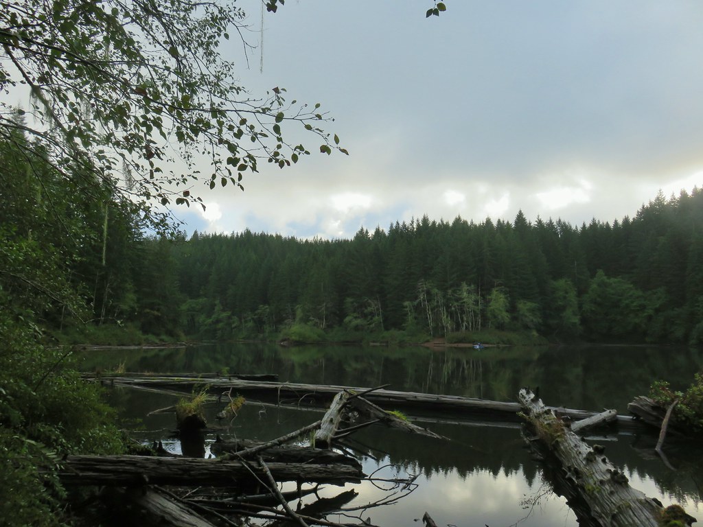
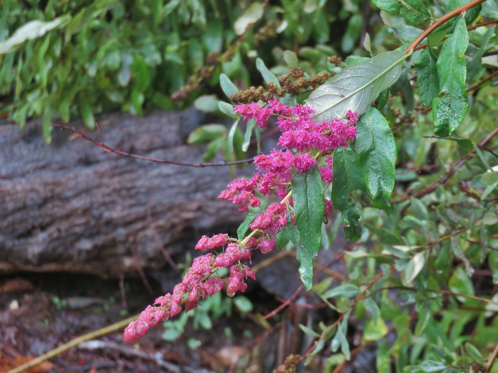 Hardhack
 Spruce Run Creek Trail on the left.
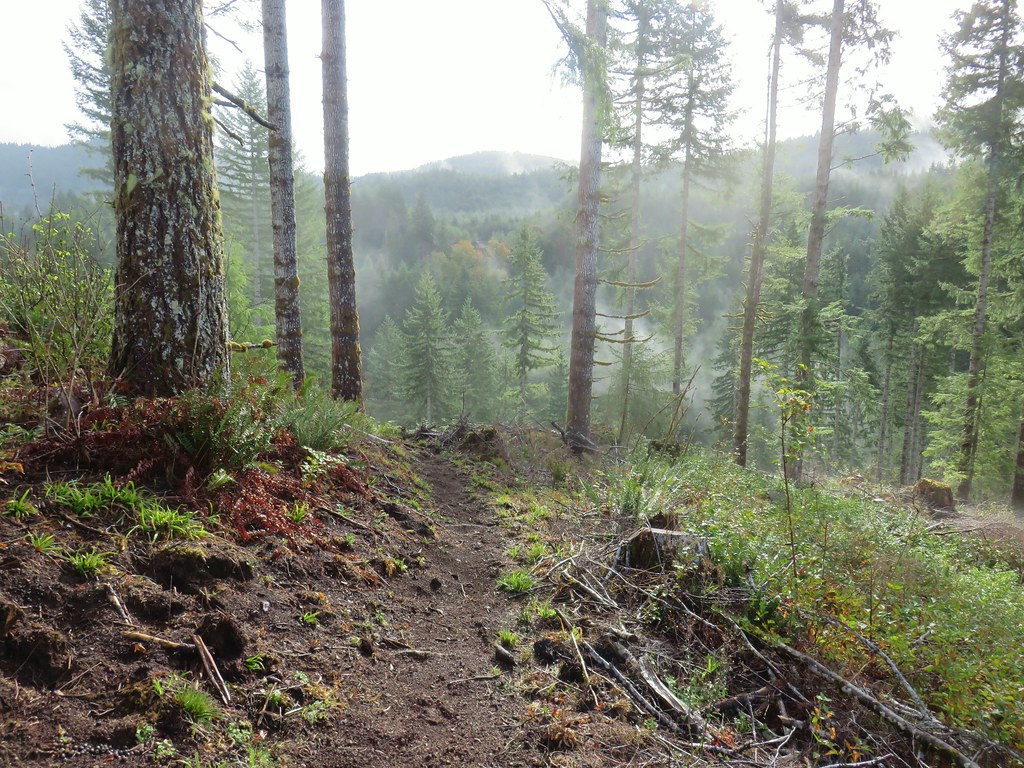

 Leaving the logged area.
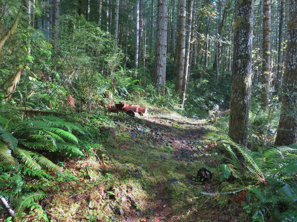
 Rough skinned newt near Spruce Run Lake.
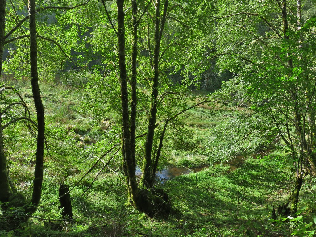
 One of many damp spider webs in the meadow.
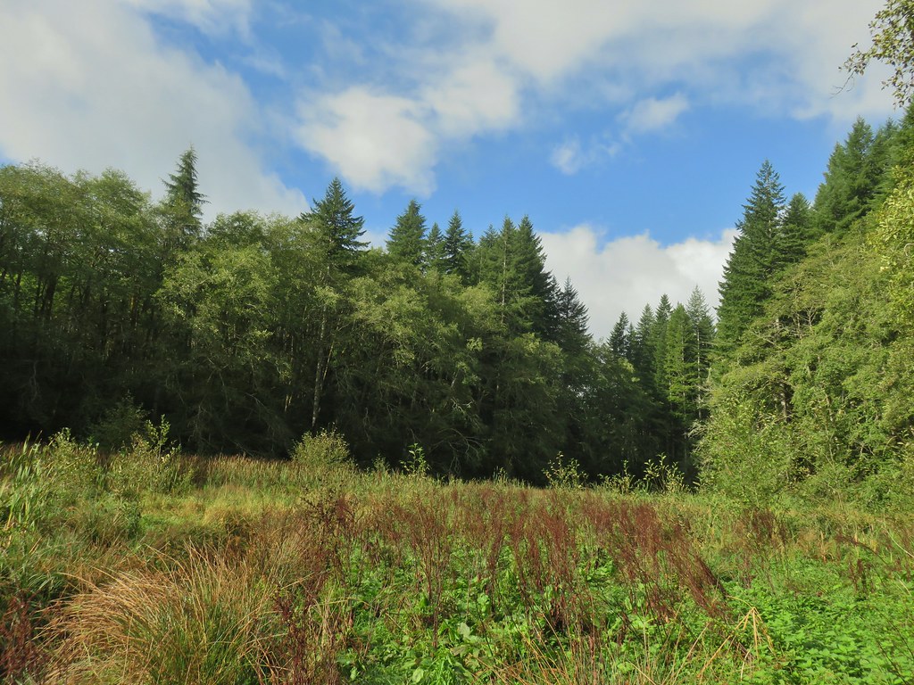 The meadow from the bank of Spruce Run Creek
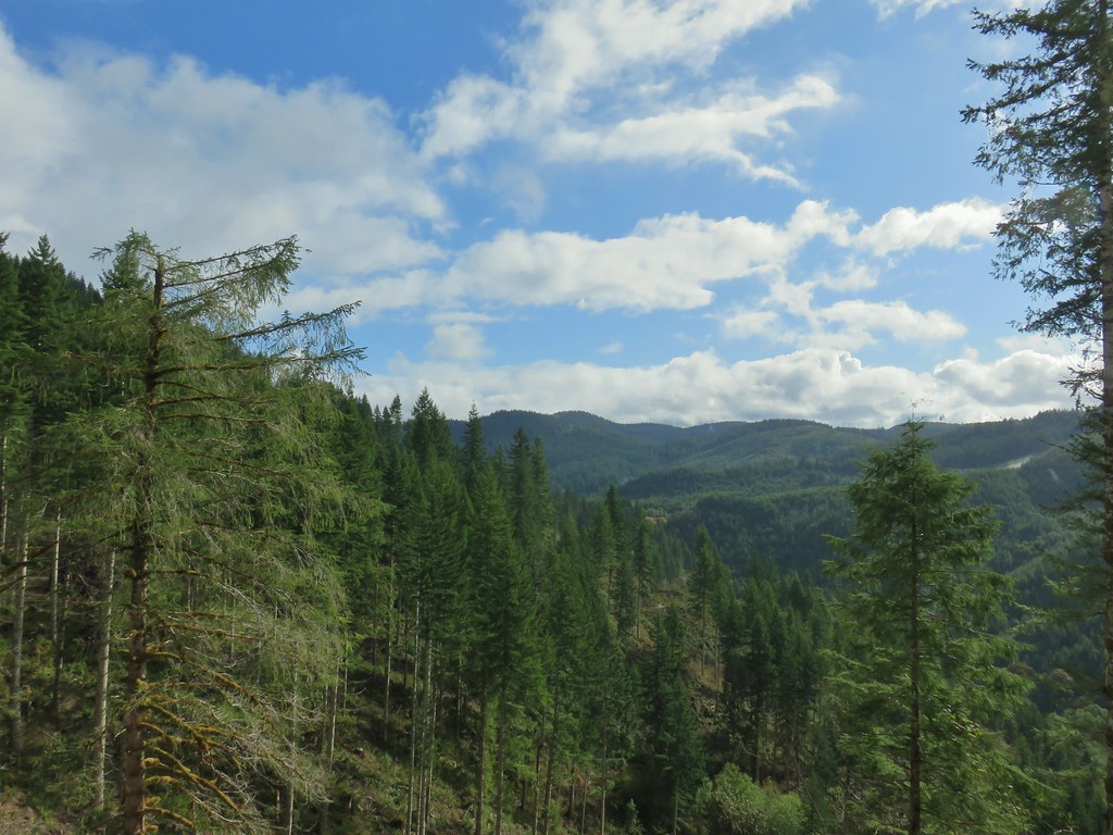
 Bleeding heart
 Scouler’s bluebell
 A little butterfly
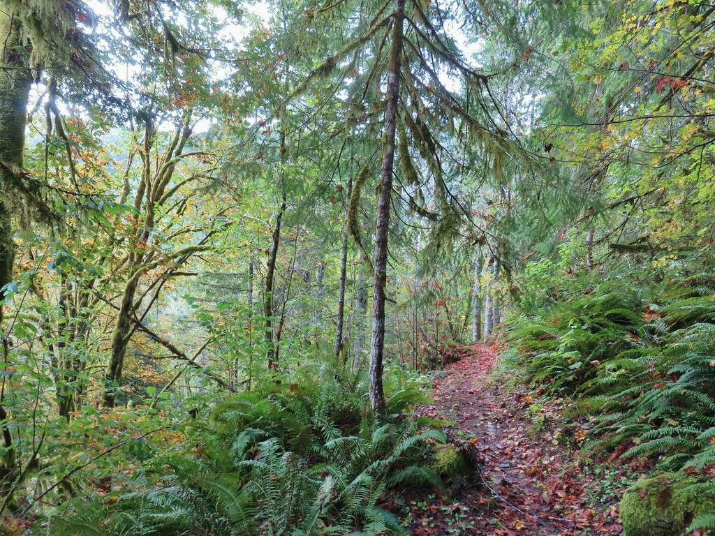
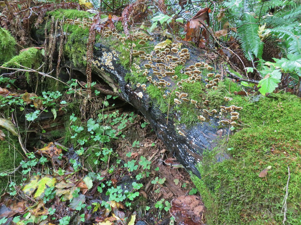

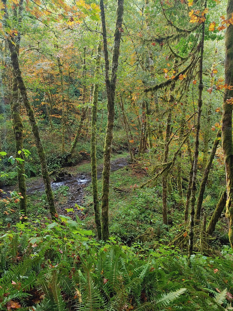
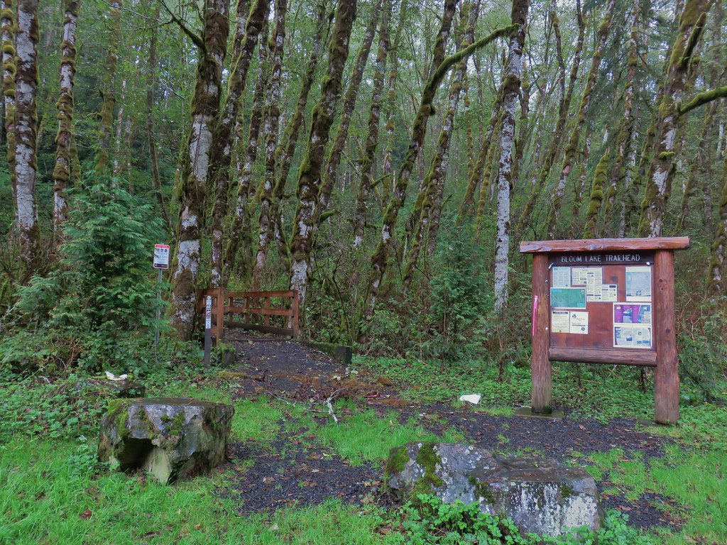


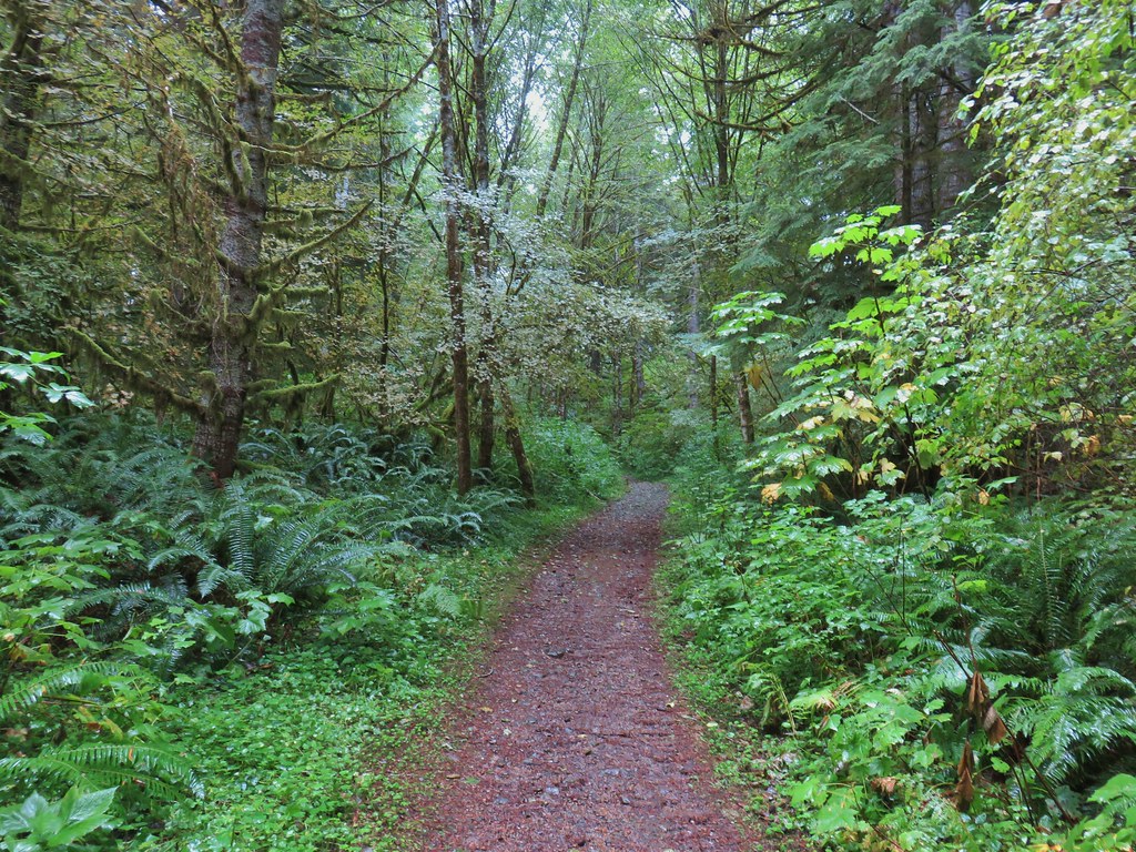
 Fall means mushrooms start replacing wildflowers.
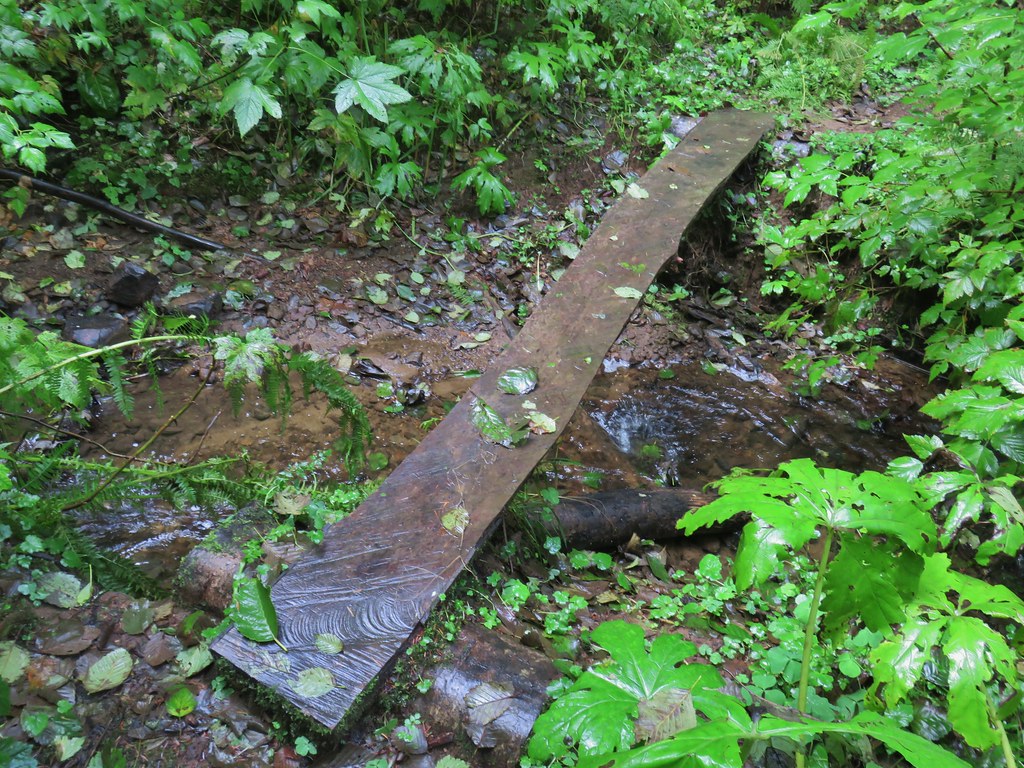
 August Fire Road

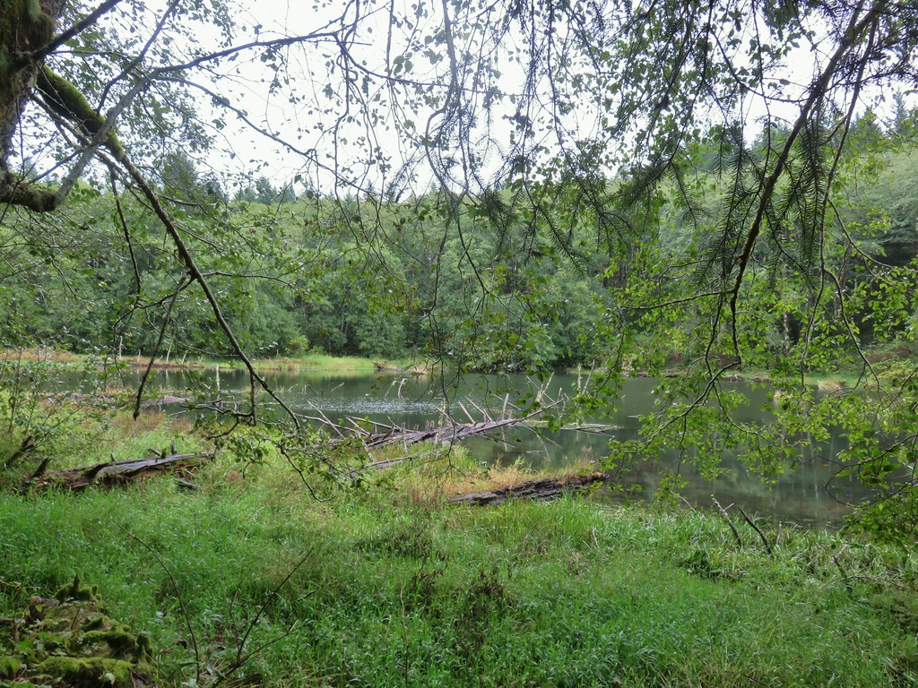
 Snail near Bloom Lake.
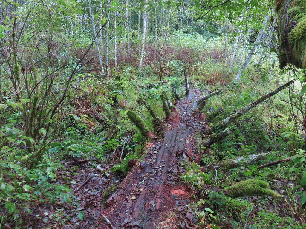
 Mushrooms
 More mushrooms
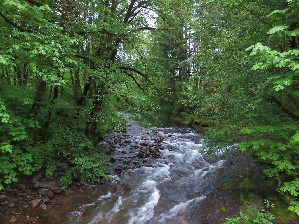 Little Luckiamute River from the bridge.

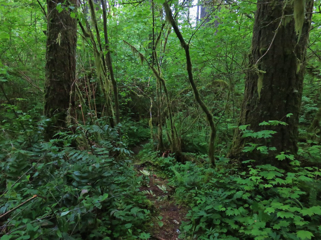
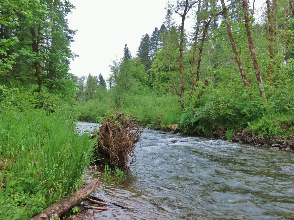
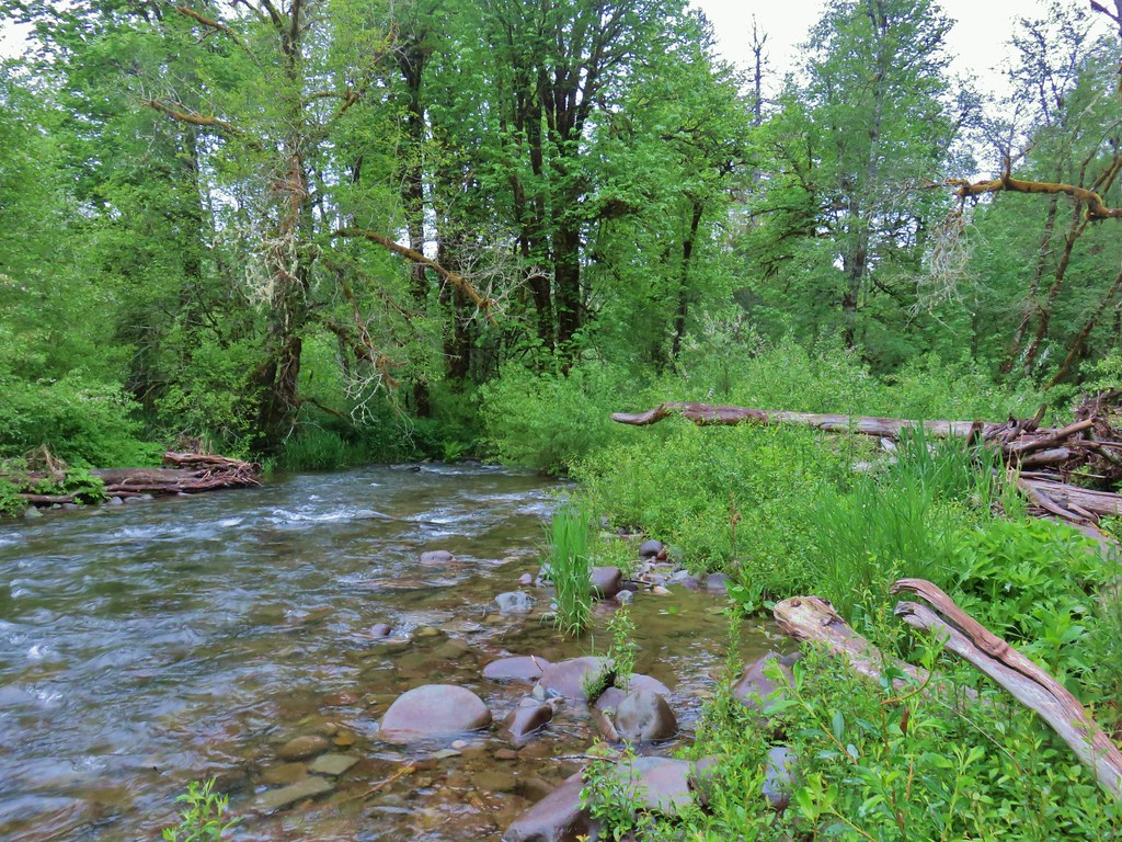
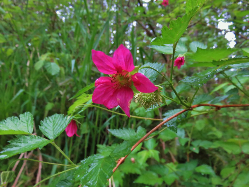 Salmonberry blossoms along the river.
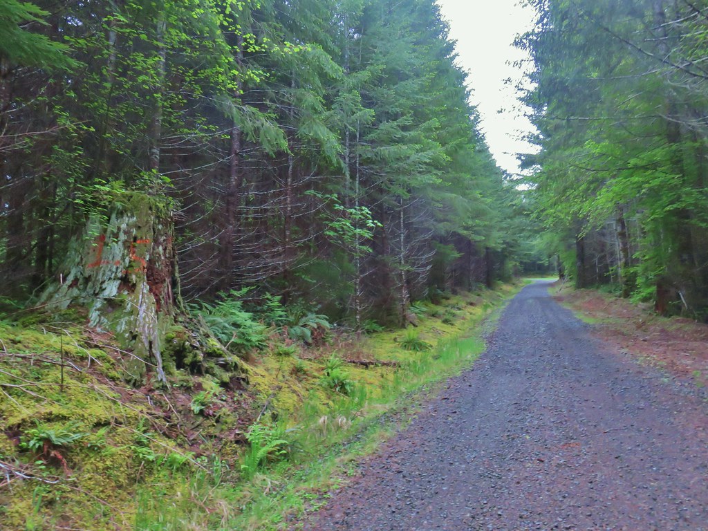 Our turnaround spot.
 Cinquefoil and youth-on-age
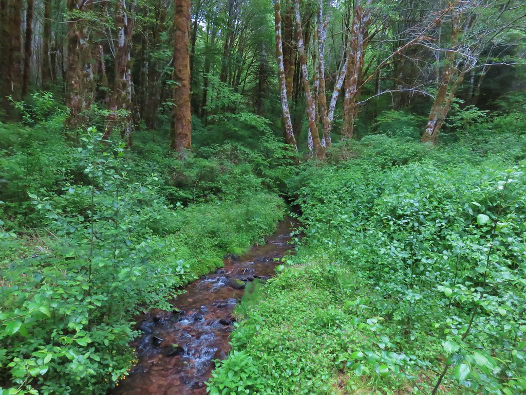 One of several little creeks along the road.
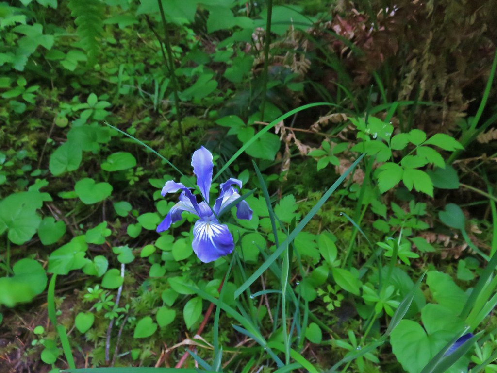 Iris
Iris Fairybells
 Forest along the road.
 Bleeding heart
 Rough skinned newt escaping into the grass.
 Lupine
 Columbine
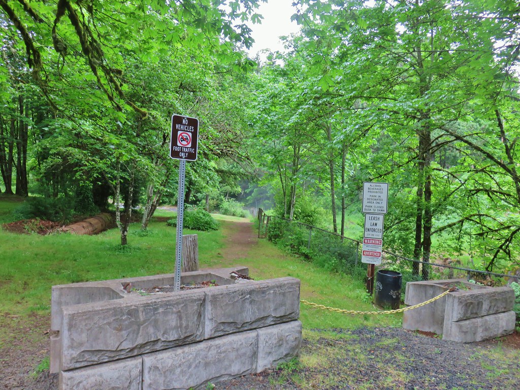
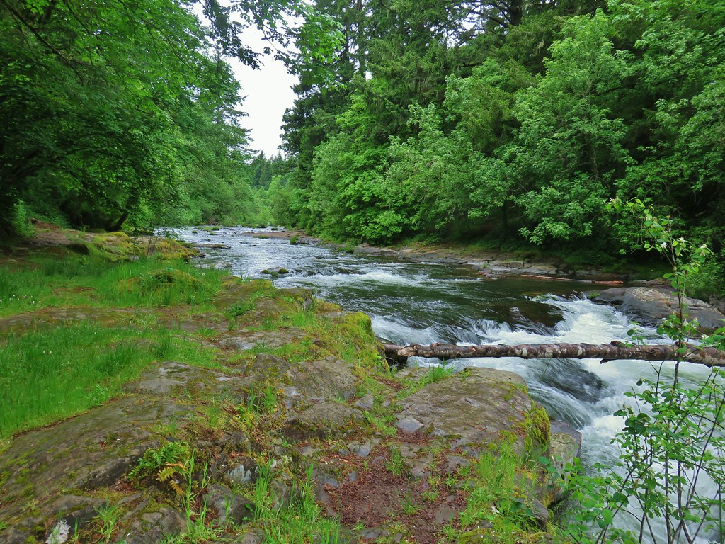 Little Luckiamute above the falls.
 Falls City Falls
 Lower end of Falls City Falls.
 South Fork Siletz River along Valsetz Road.
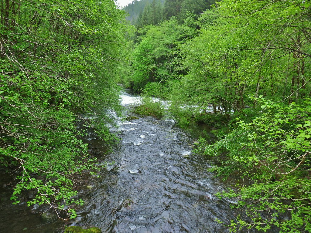 Confluence of the North and South Forks of the Siletz River.
 North Fork Siletz River.
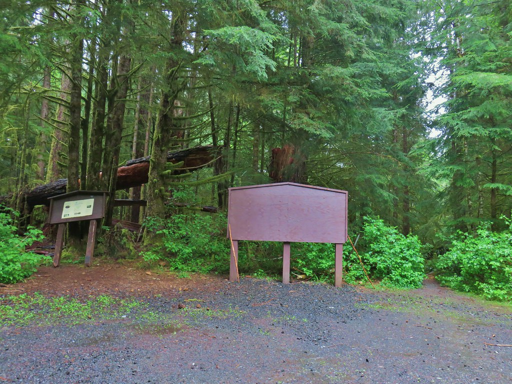
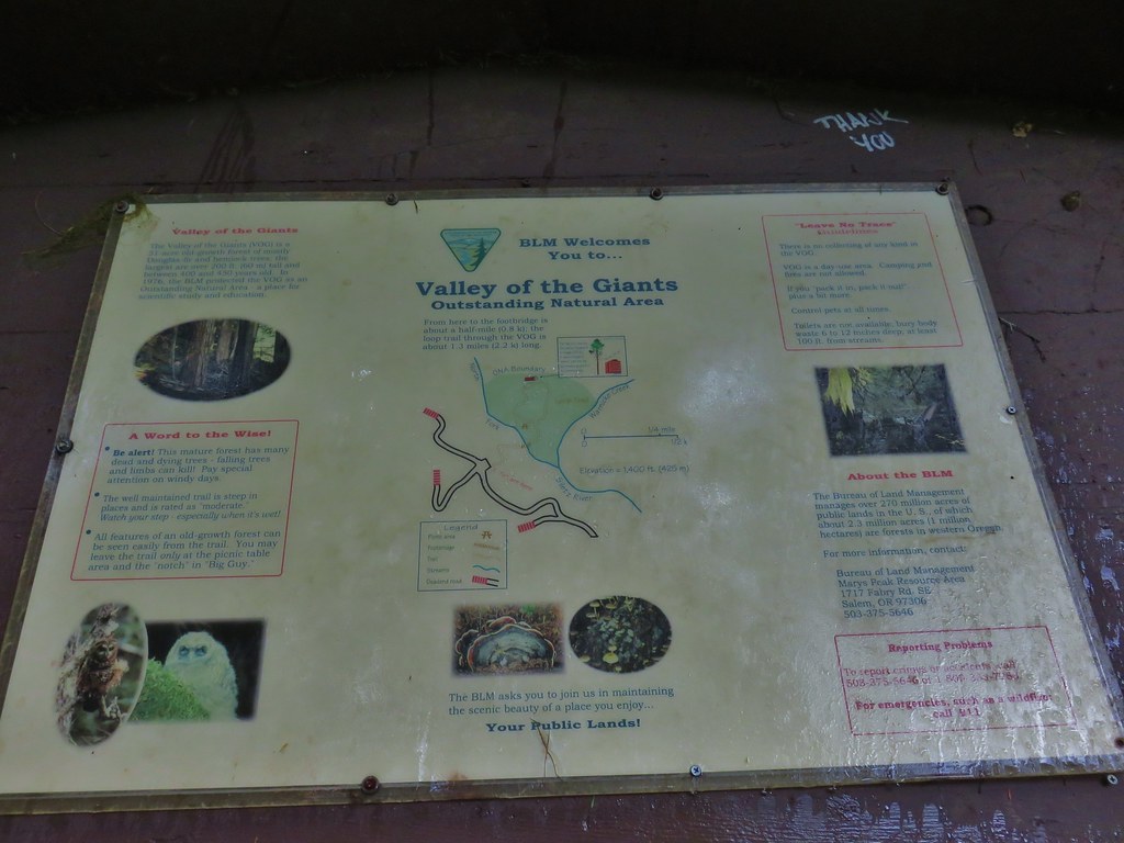
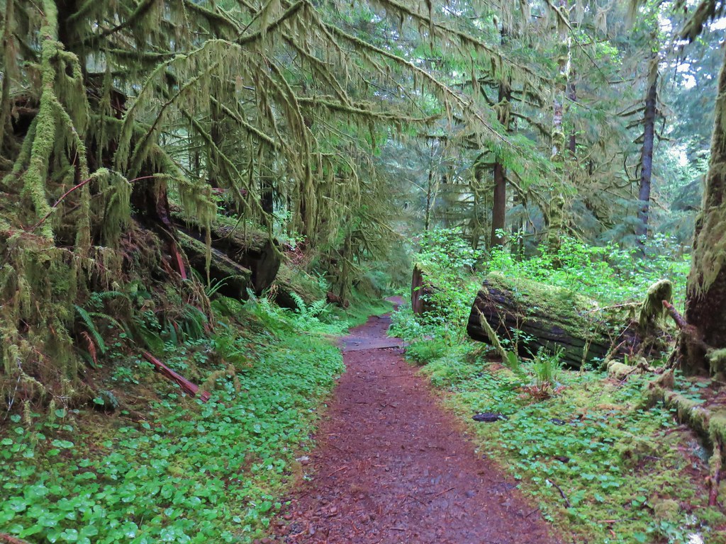
 Bleeding heart
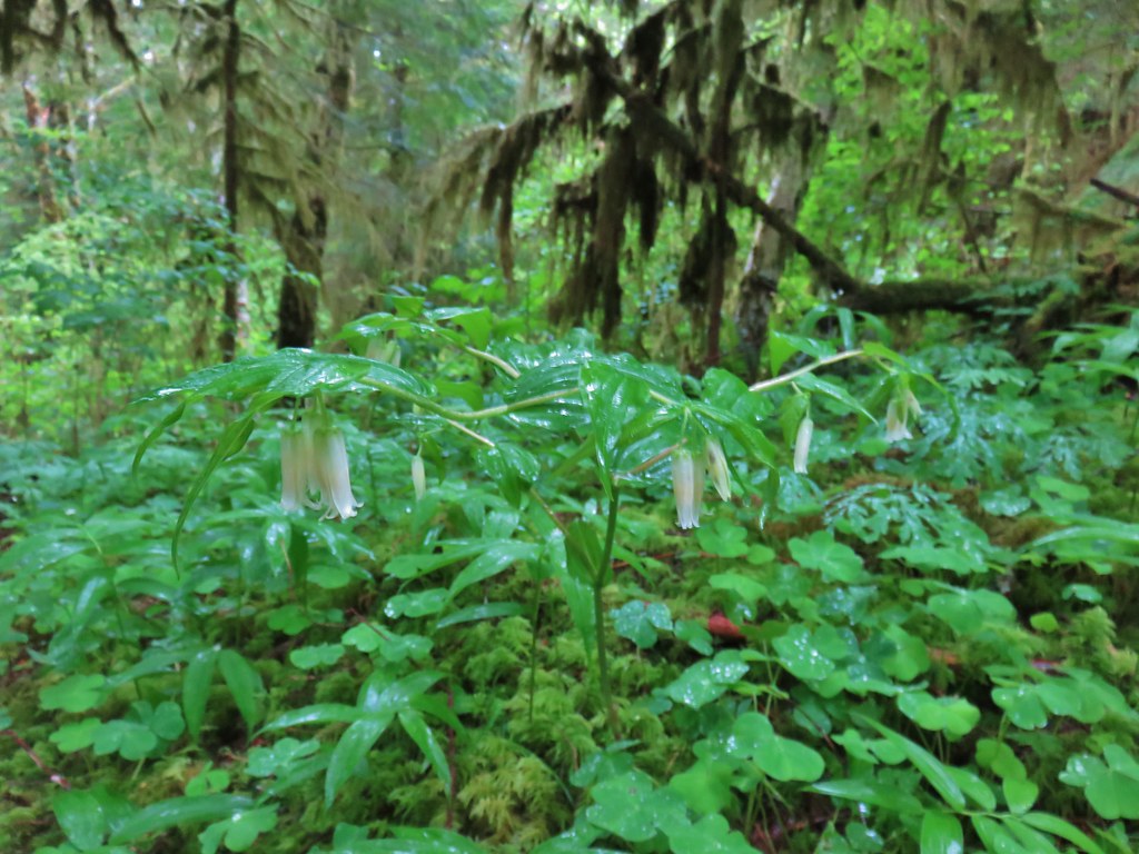 Fairybells
 Star flowered solomonseal and false lily of the valley getting ready to bloom.
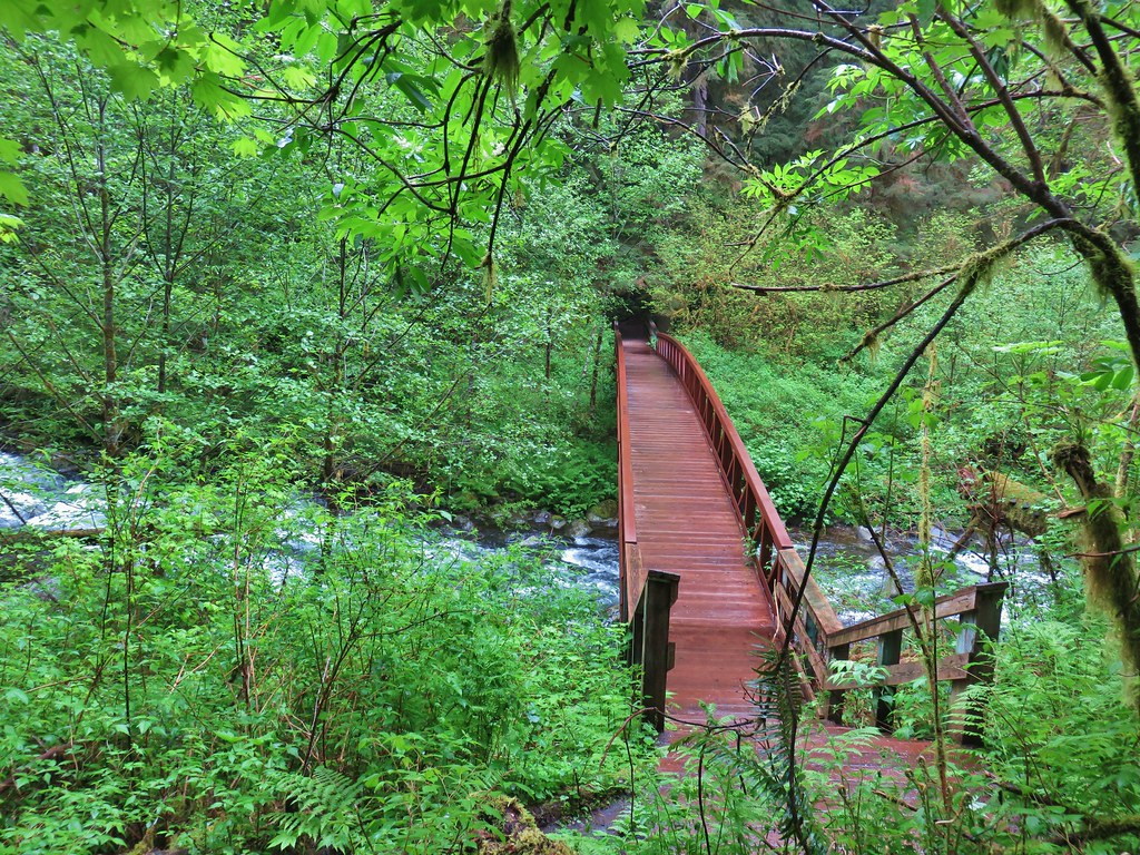

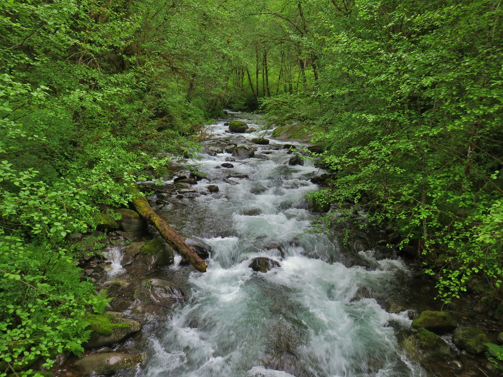


 Old growth giants.
 Another huge Douglas fir.
 Standing among the giants.
 Unfurling ferns.
 “Big Guy”
 Standing in between a cut in “Big Guy”. For reference I am a little under 5’9″.
 Bench at “Big Guy”
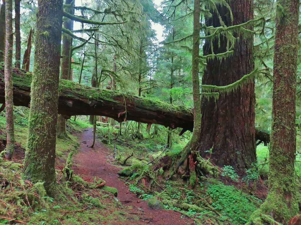
 Oregon grape
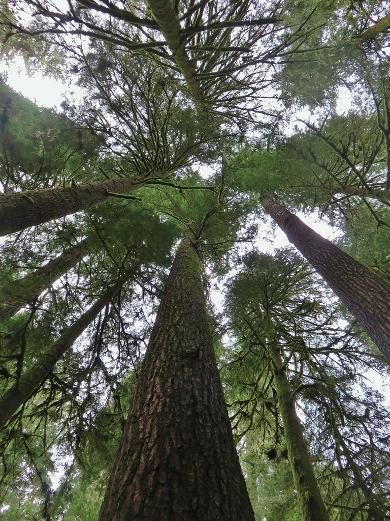
 The only trillium we saw all day that still had any petals.
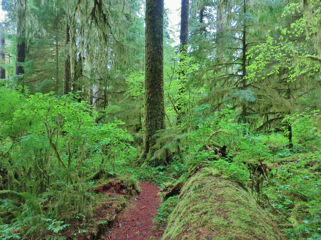
