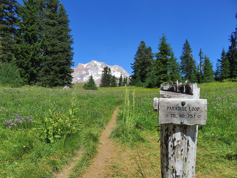
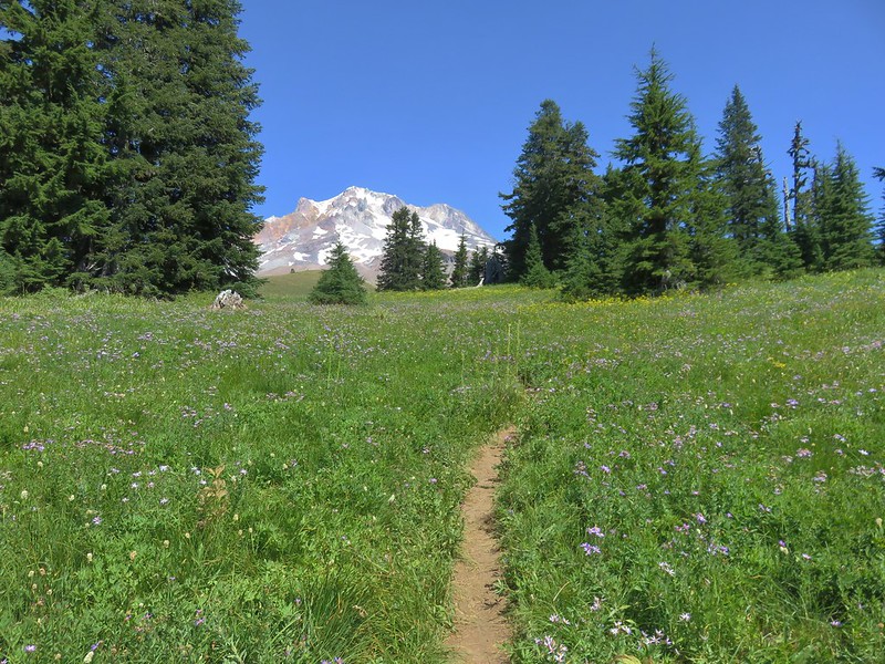
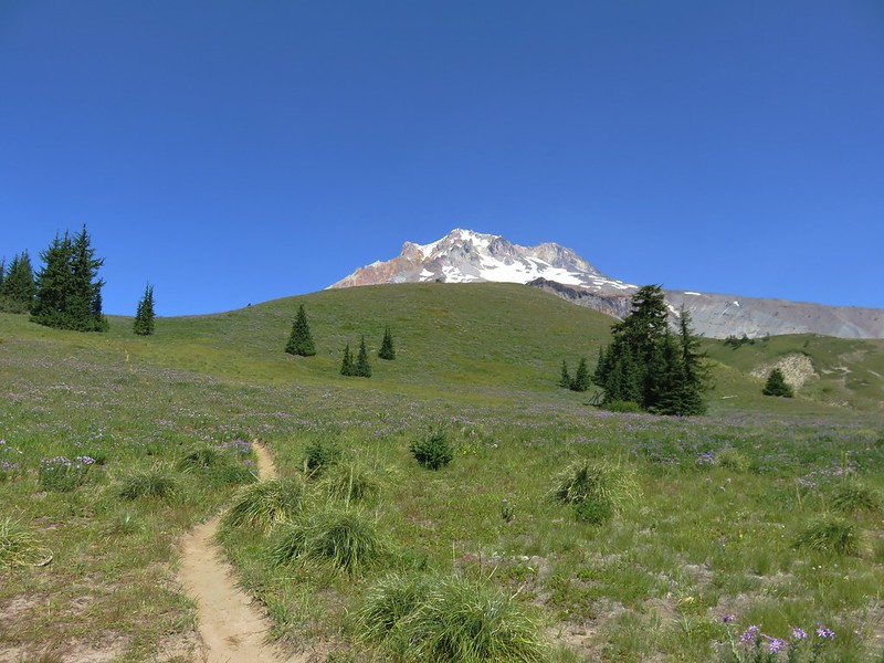
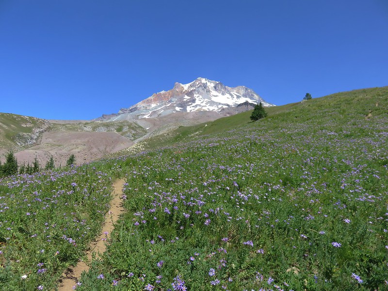
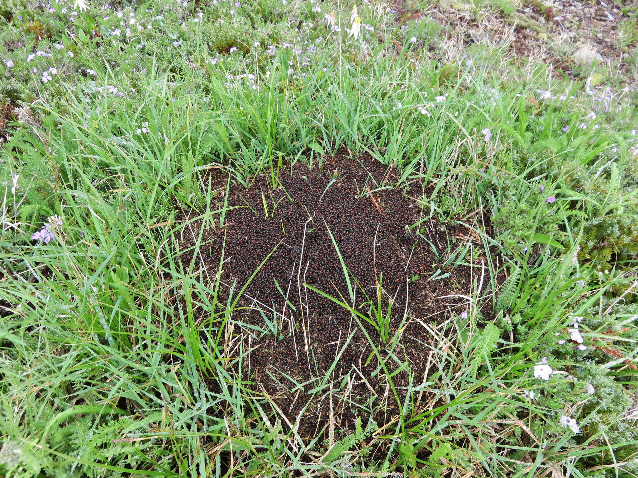
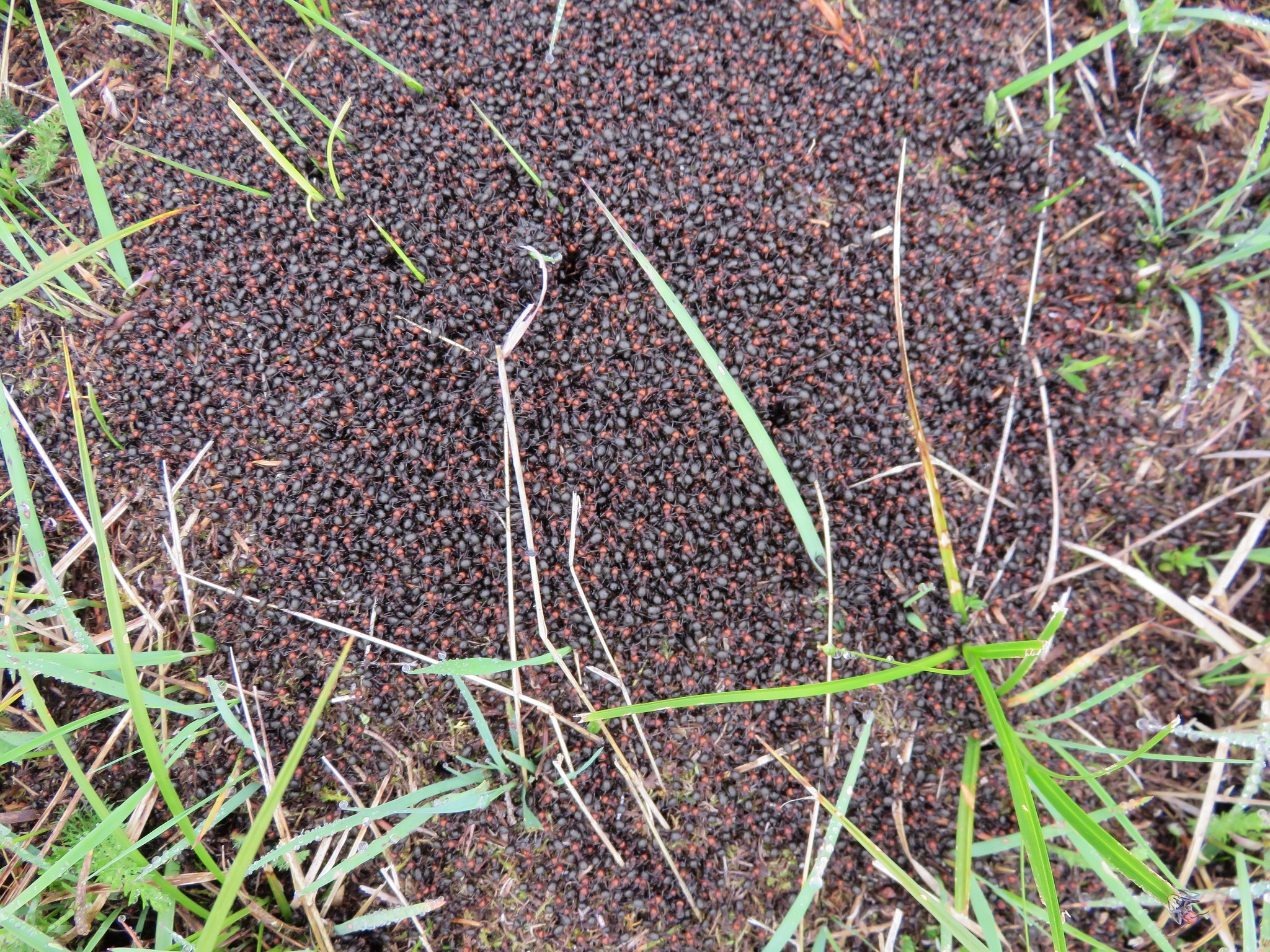
Categories
High Cascades Hiking Mt. Hood Area Oregon Trip report

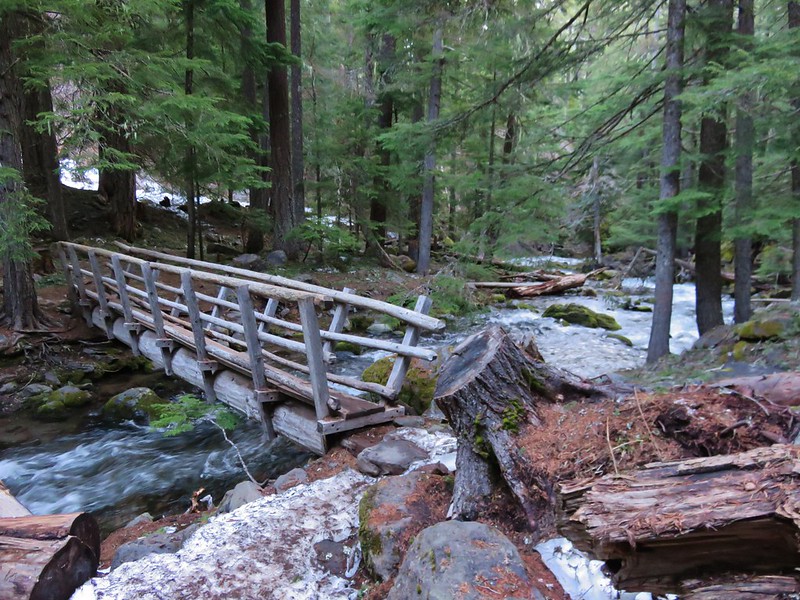
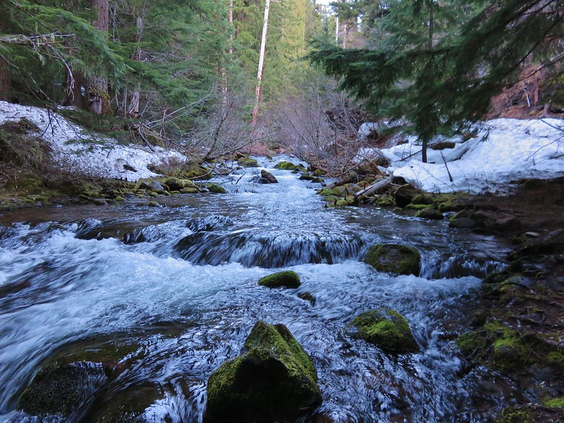
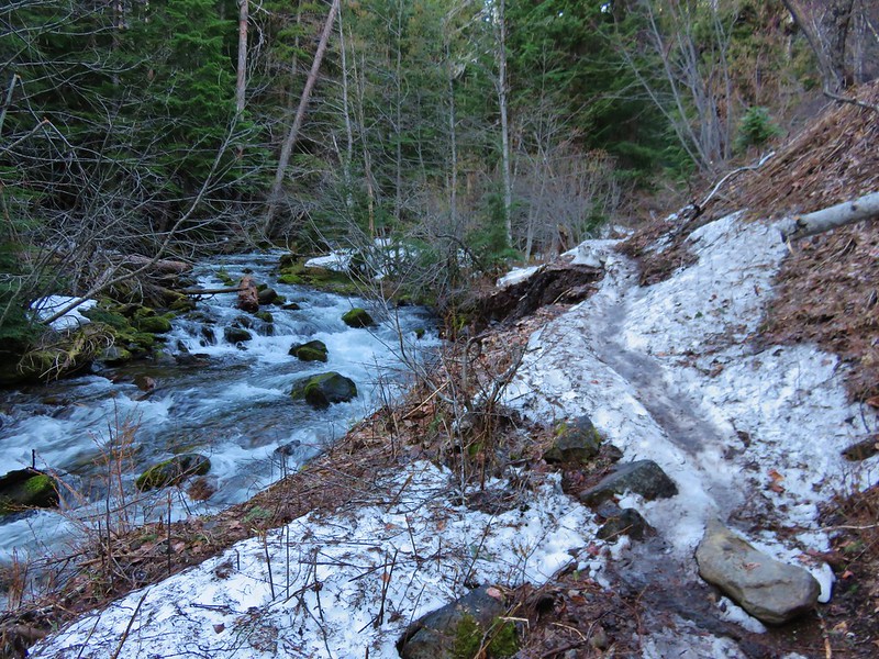
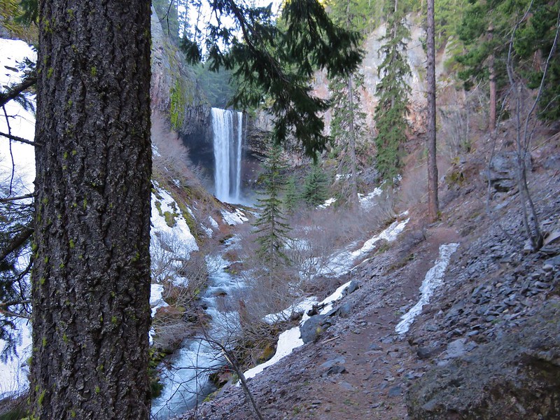
Vista Ridge Trail to Elk Cove – Mt. Hood

August is typically one of our busier hiking months but this year things are working out differently. We’ve both had things come up at work leading us to change our vacation plans, the date of our annual family reunion changed, there are forest fires closing large areas of both the Mt. Jefferson and Three Sisters Wildernesses, and the upcoming solar eclipse essentially eliminated any realistic plans for hiking around the 21st.

We actually almost skipped our weekly hike this time around but knowing we’d later regret that decision we turned to Mt. Hood, which has thus far escaped the fire issues this year. Our plan was to take the Vista Ridge Trail up to the Timberline Trail and visit a few familiar areas – Eden Park, Cairn Basin, and Elk Cove.

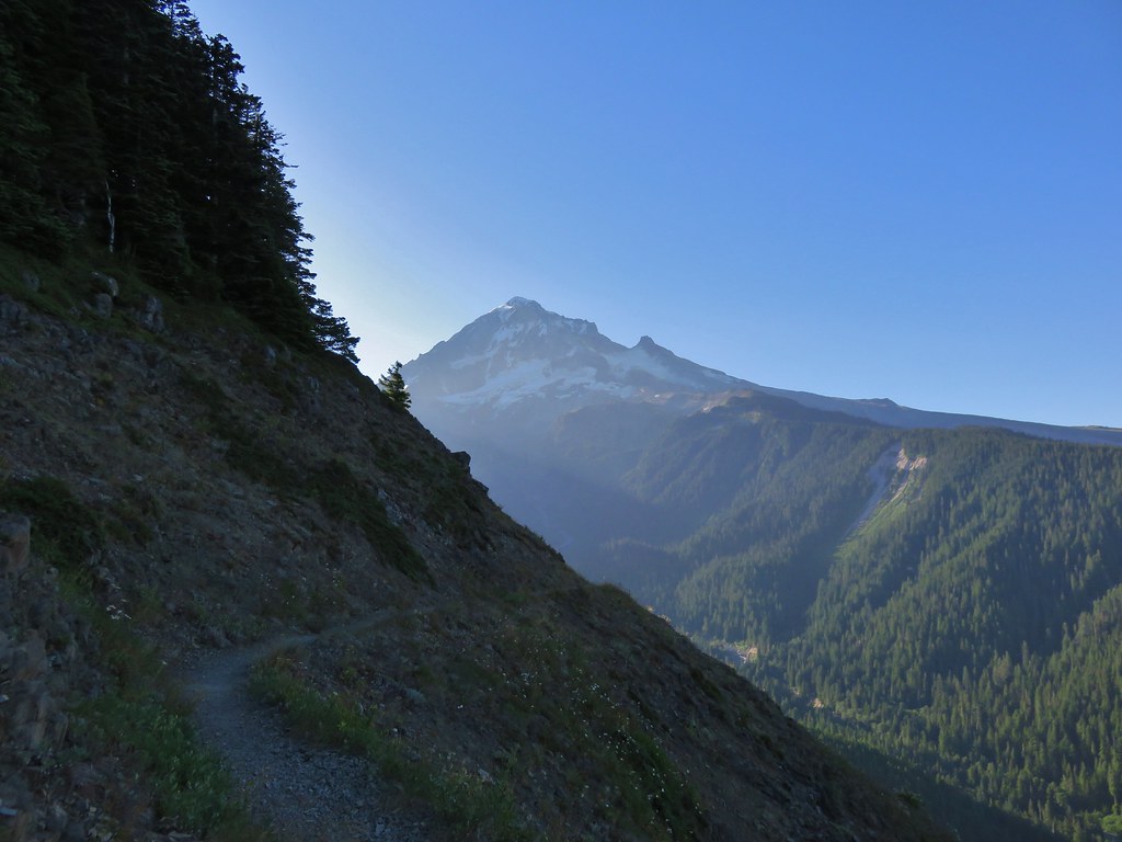
We began at the Vista Ridge Trailhead.

IMG_6805

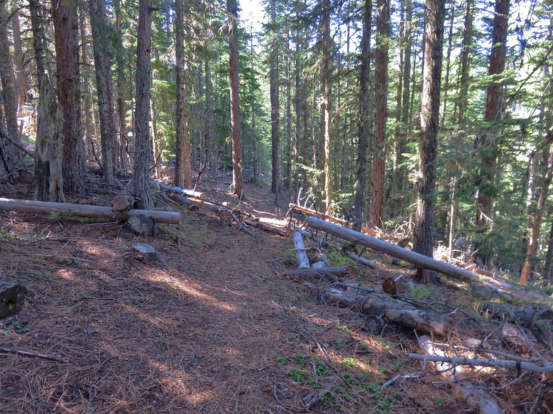
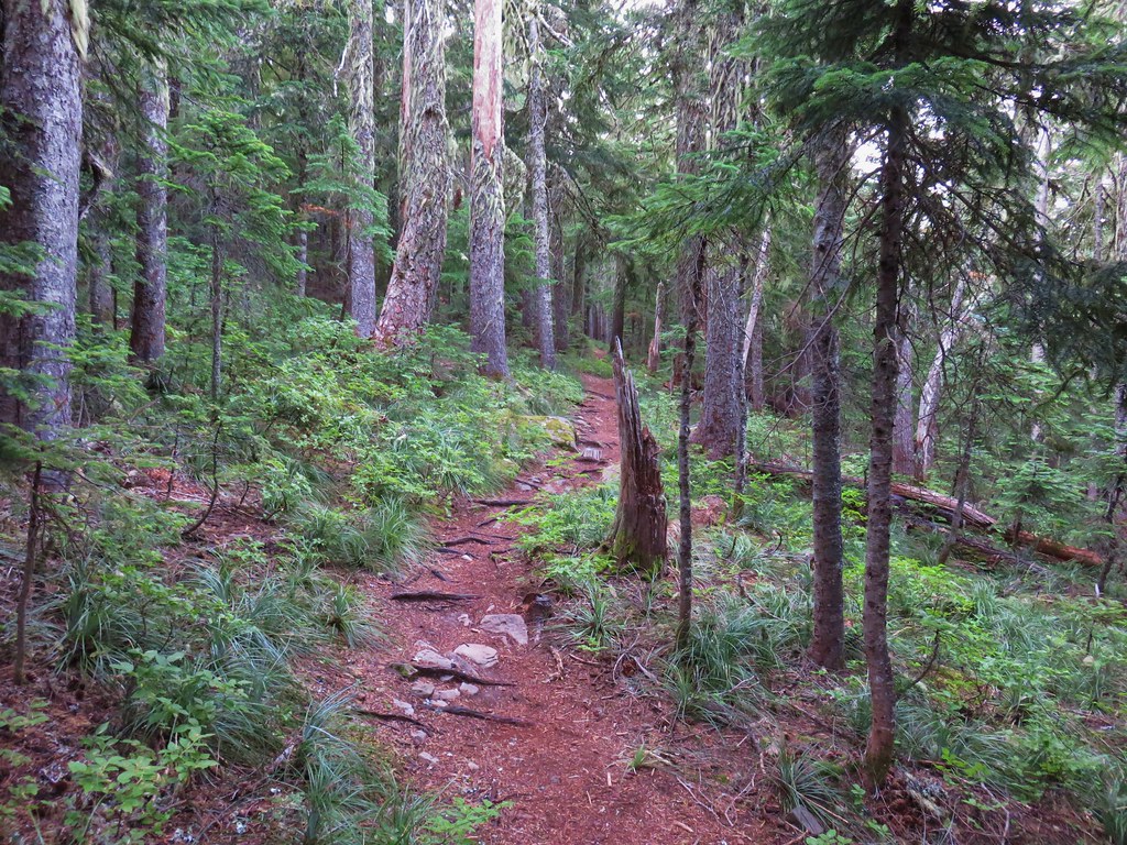
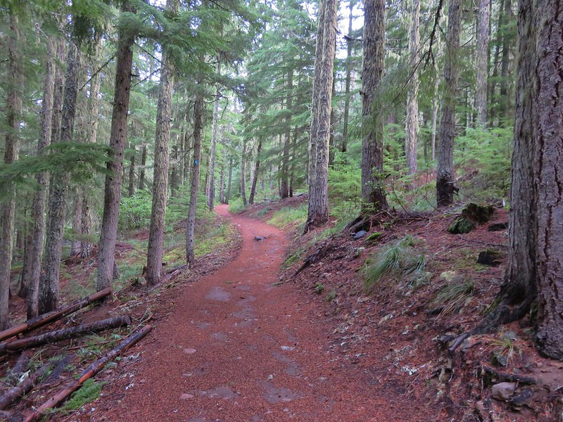
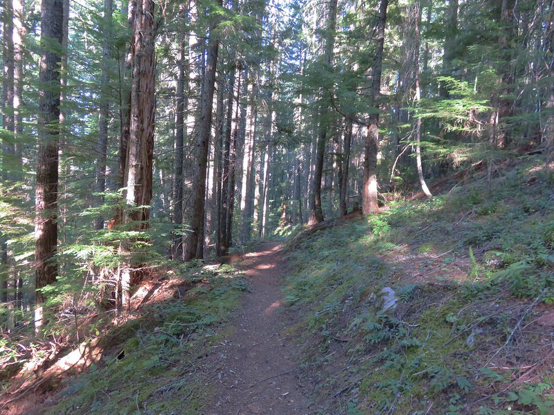
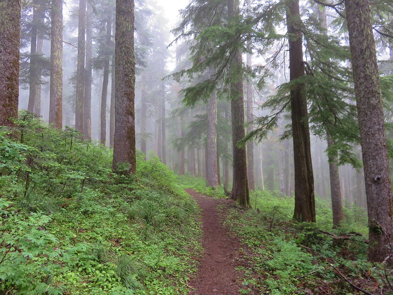
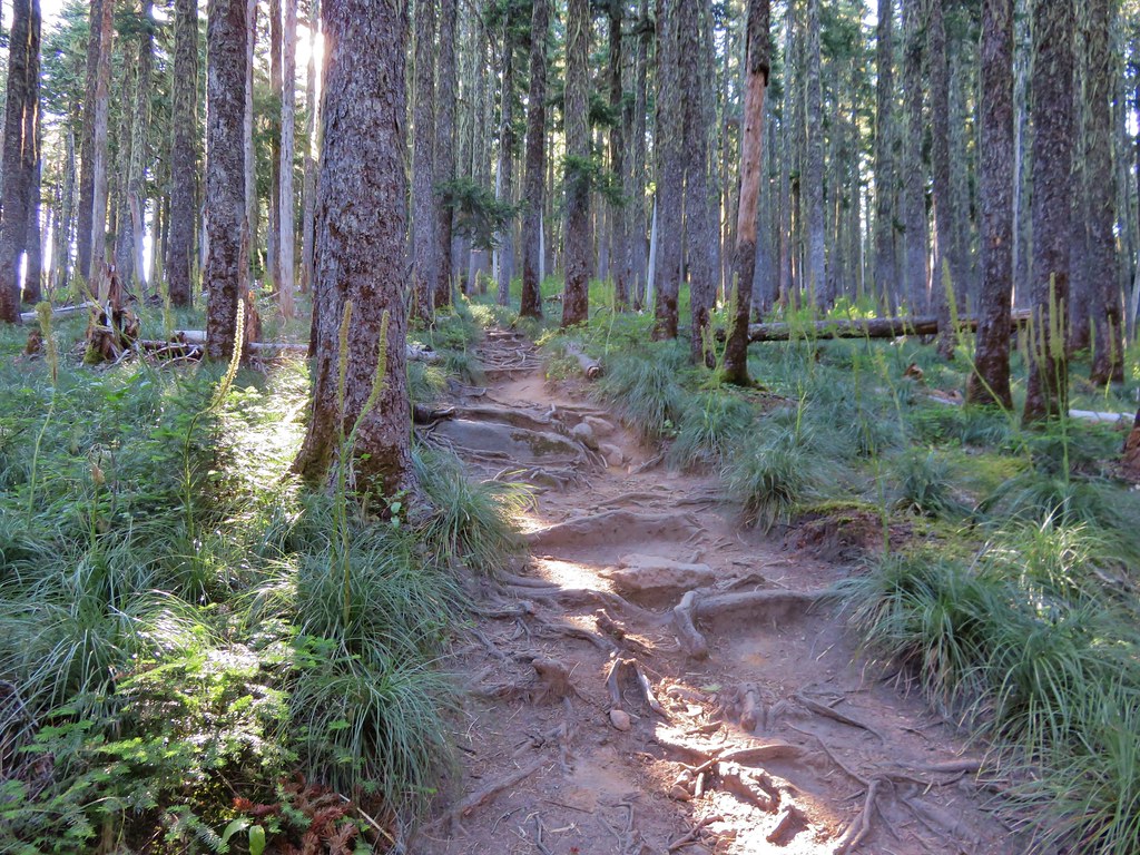
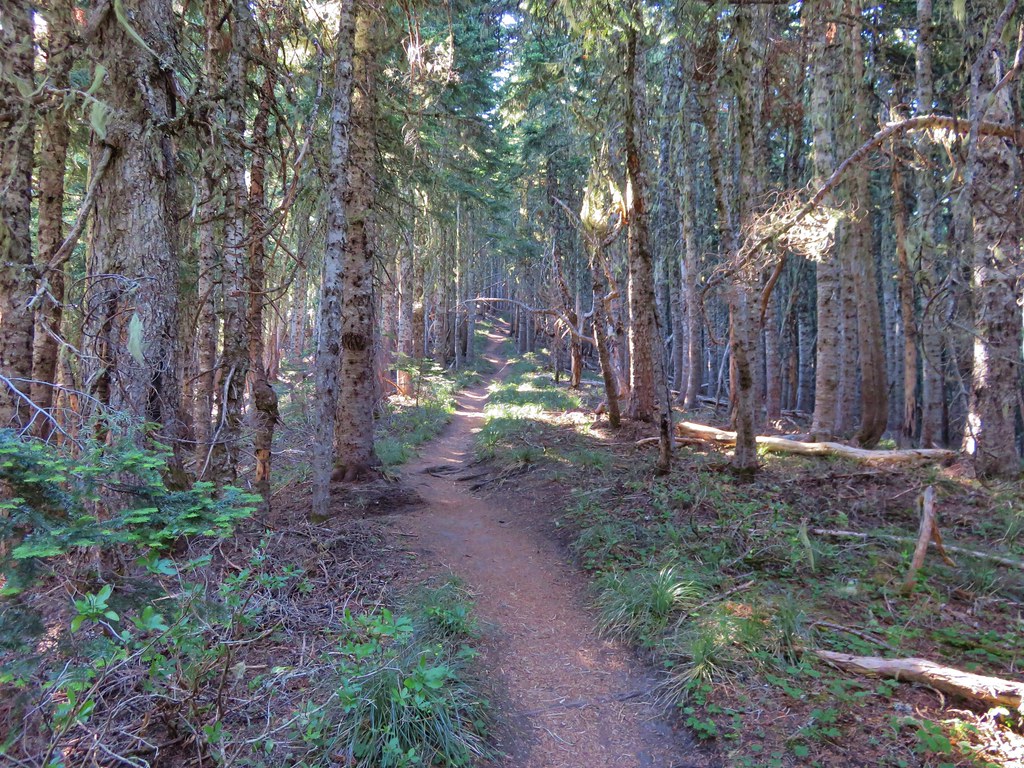
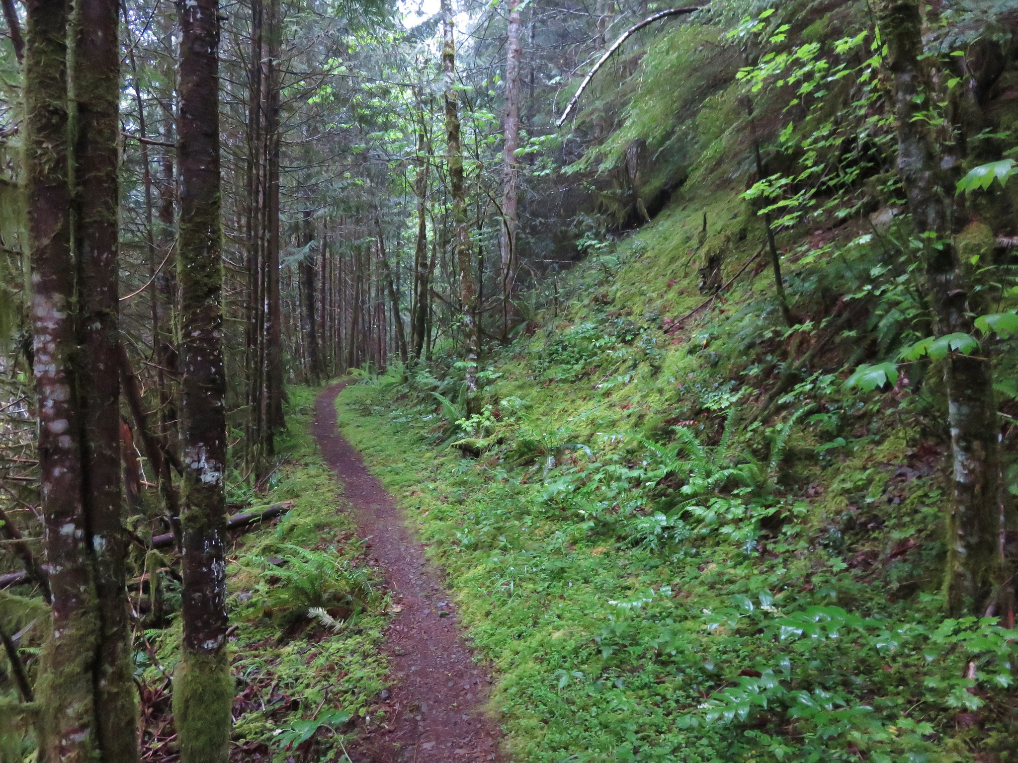
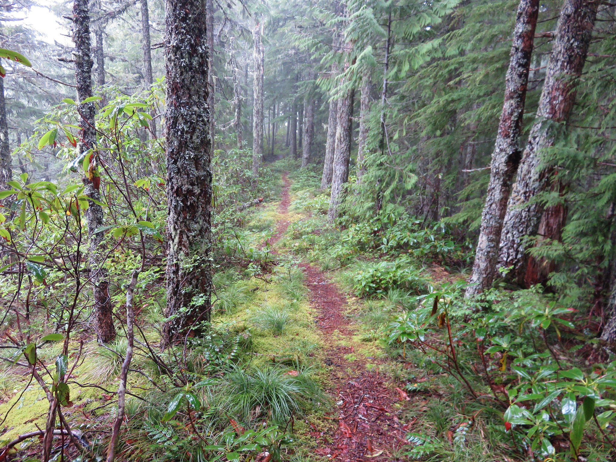
We set off through the forest which was damp from a light mist that fell for most of the day.

IMG_6811

It was actually really nice to hike in the cool temperatures and to see some moisture falling.


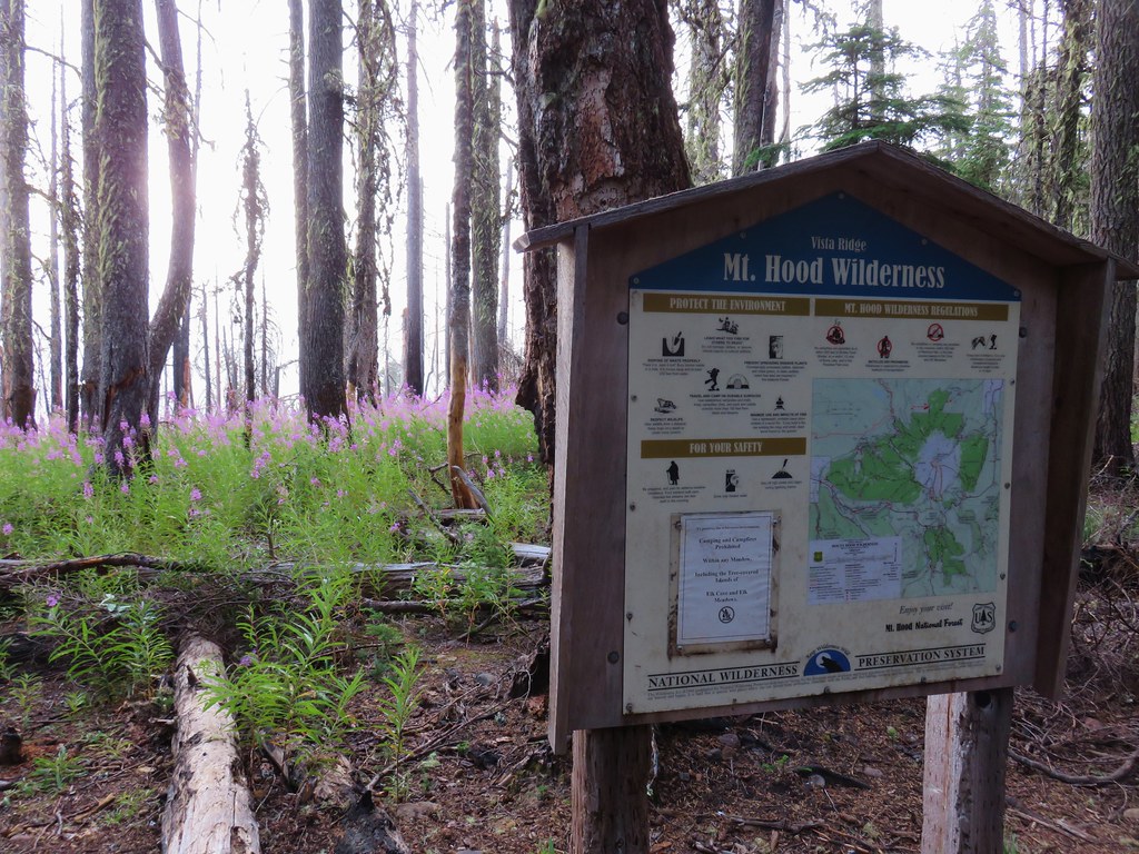
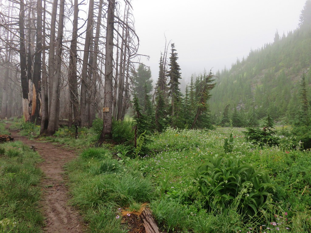
The trail enters an area burned by the 2011 Dollar Lake Fire near a registration box for the Mt. Hood Wilderness after a half mile.

IMG_6812

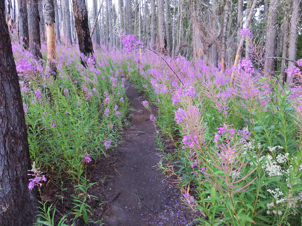
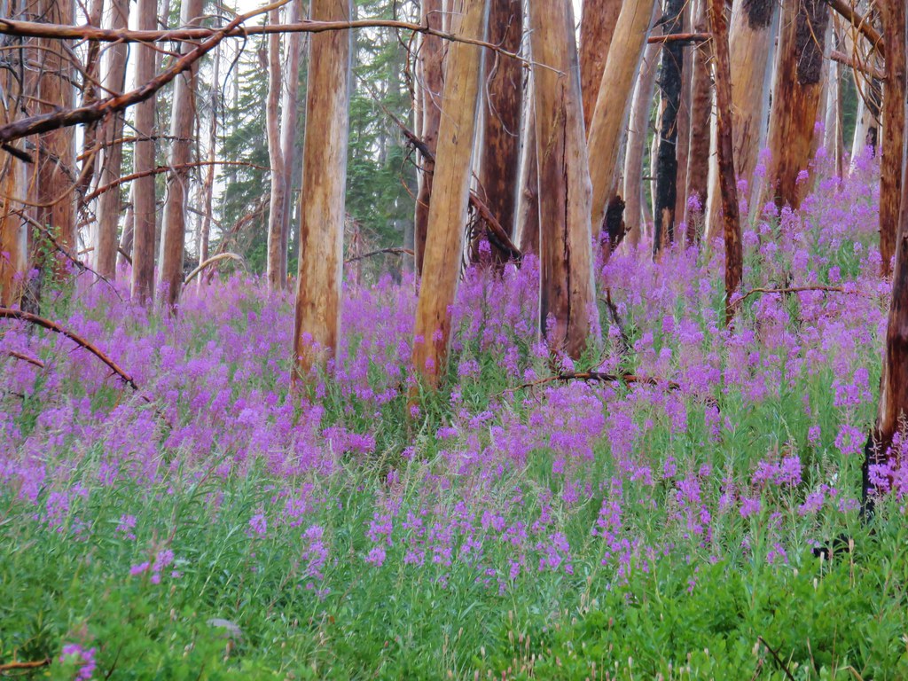
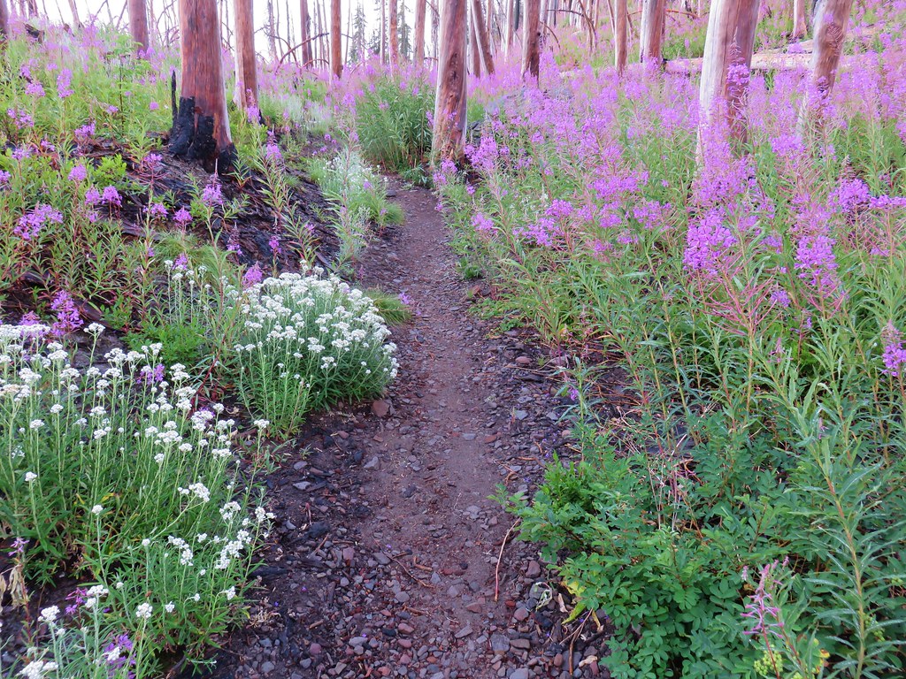
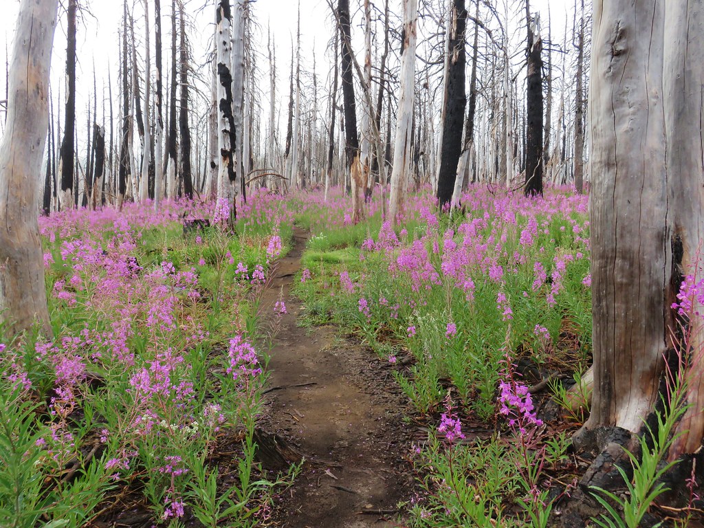
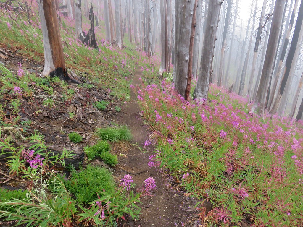
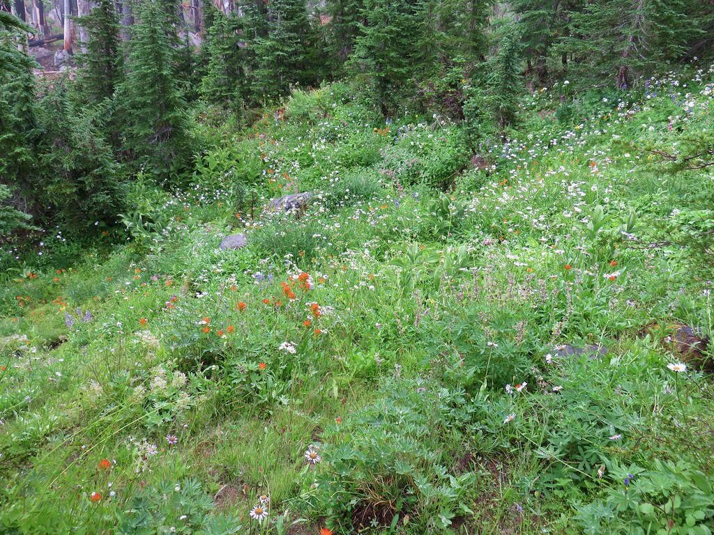
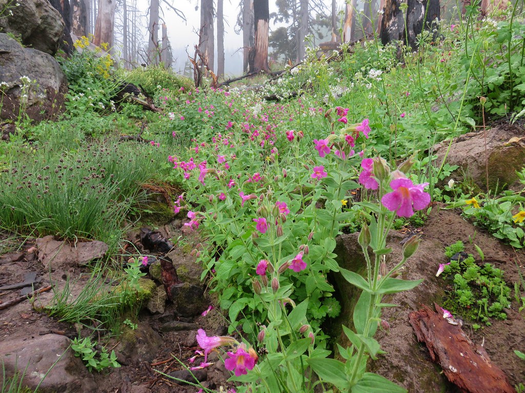
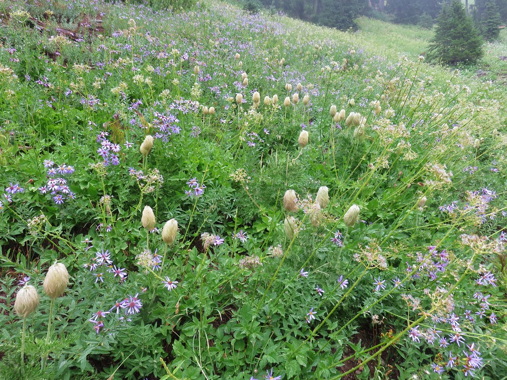
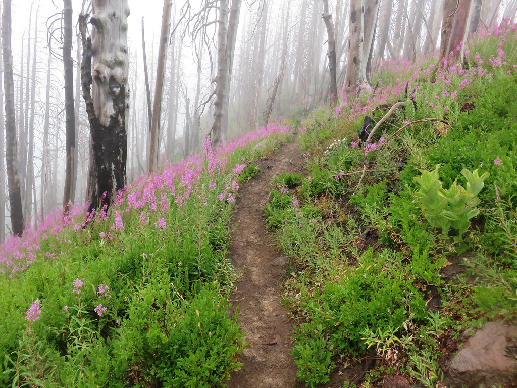
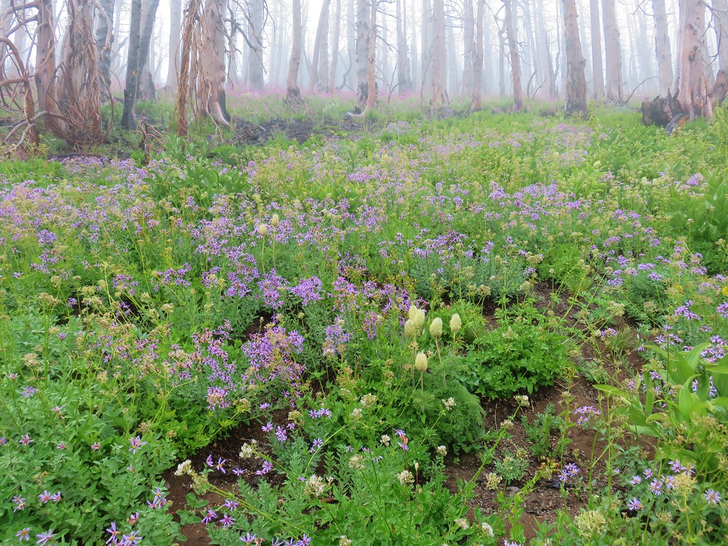
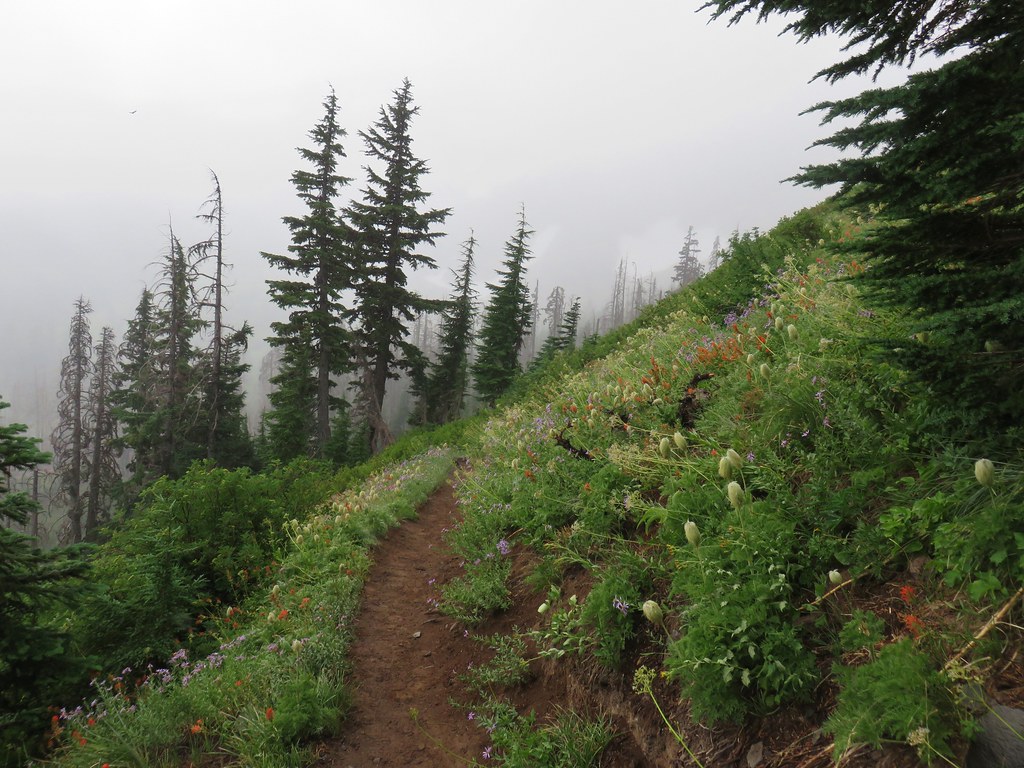
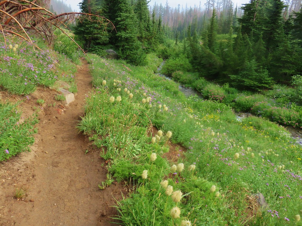
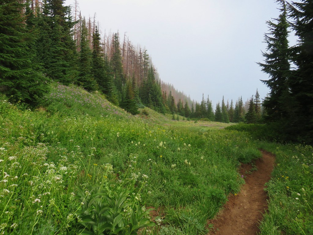
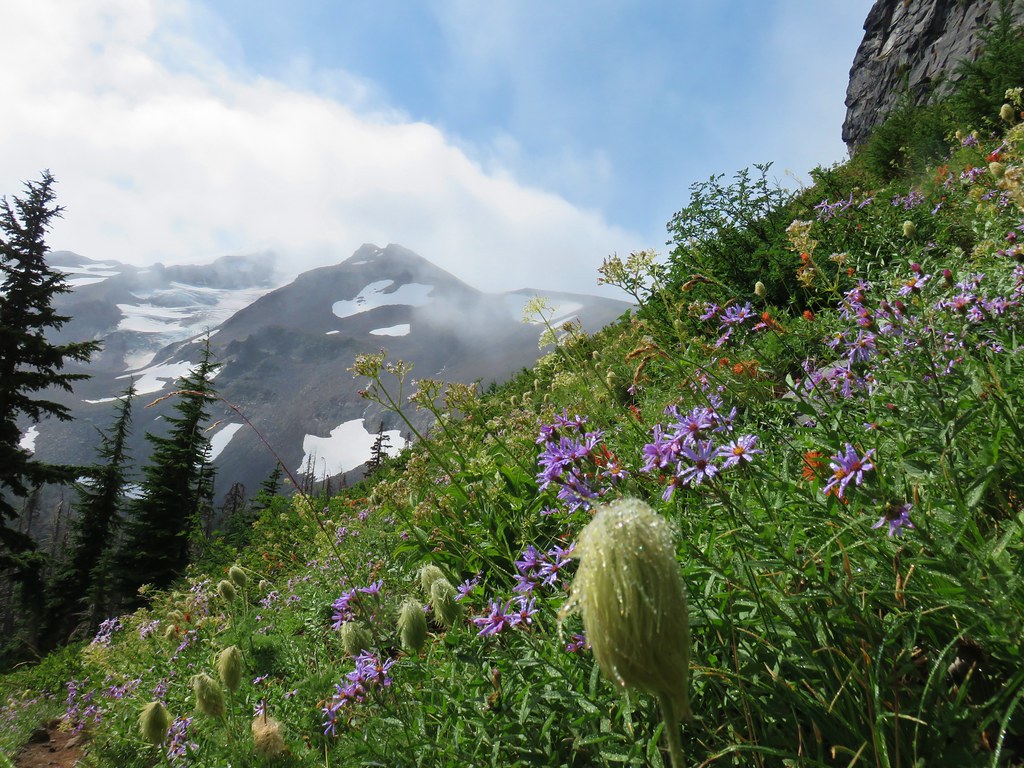
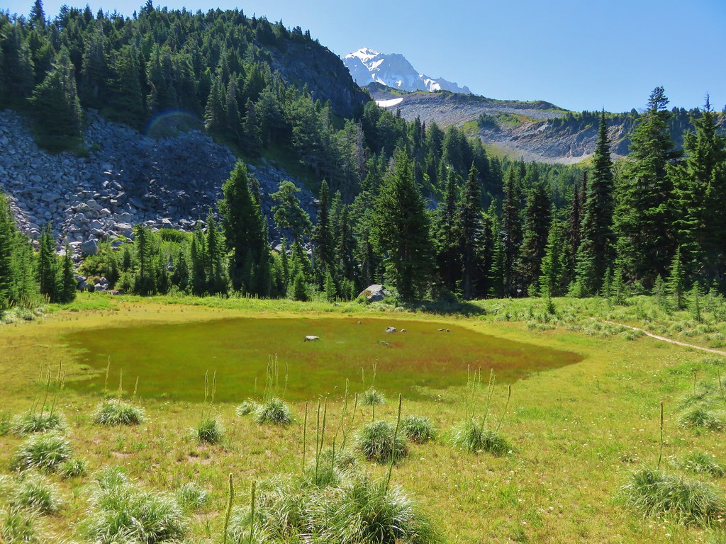
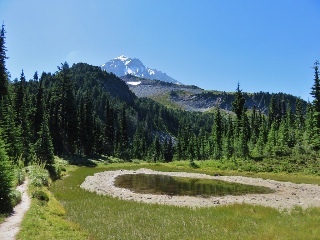
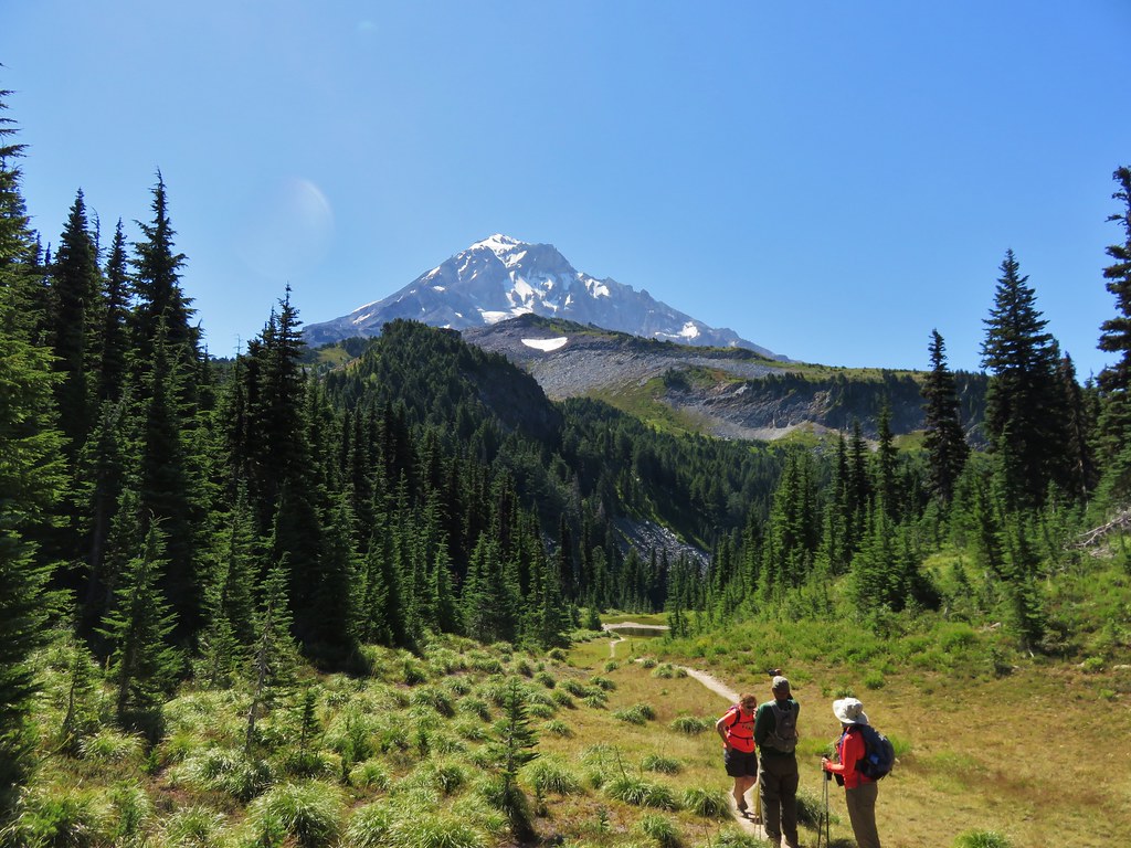
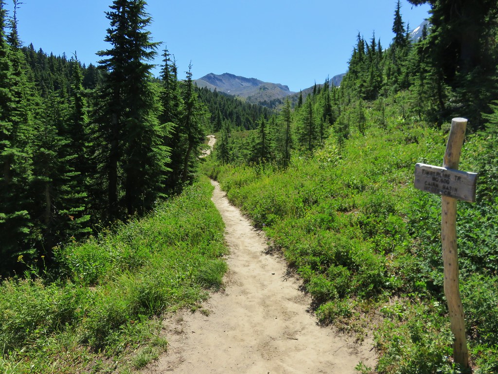
The Vista Ridge Trail is probably best known for its displays of avalanche lilies in the burn area during July but we discovered that August provided an amazing display of its own.

IMG_6818

The amount of fireweed was simply amazing.

IMG_6822

IMG_6828

IMG_6842

With all the fires currently burning it was nice to be reminded that the forests will recover eventually.

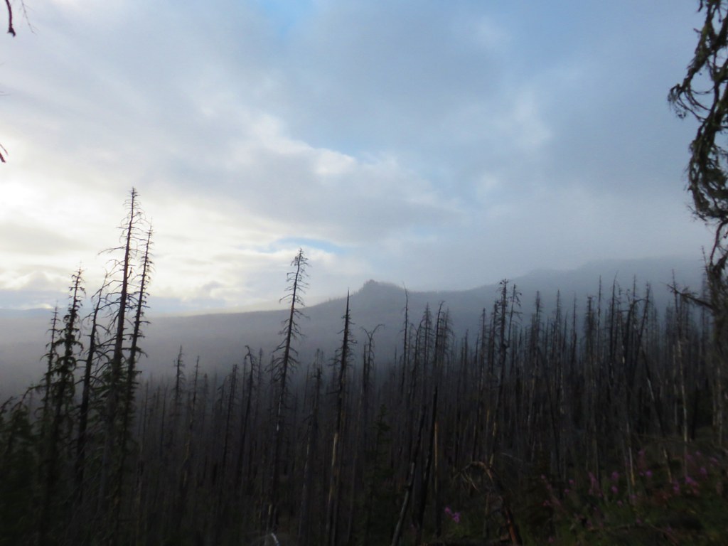
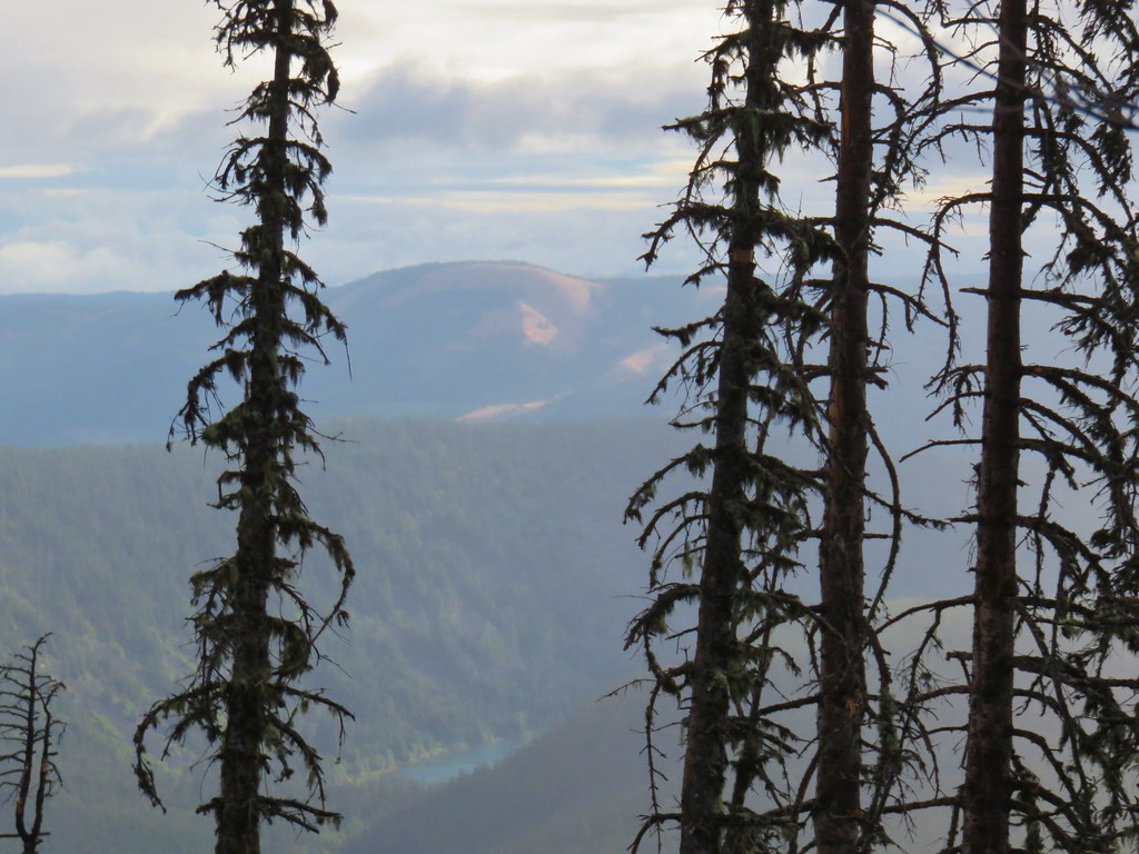
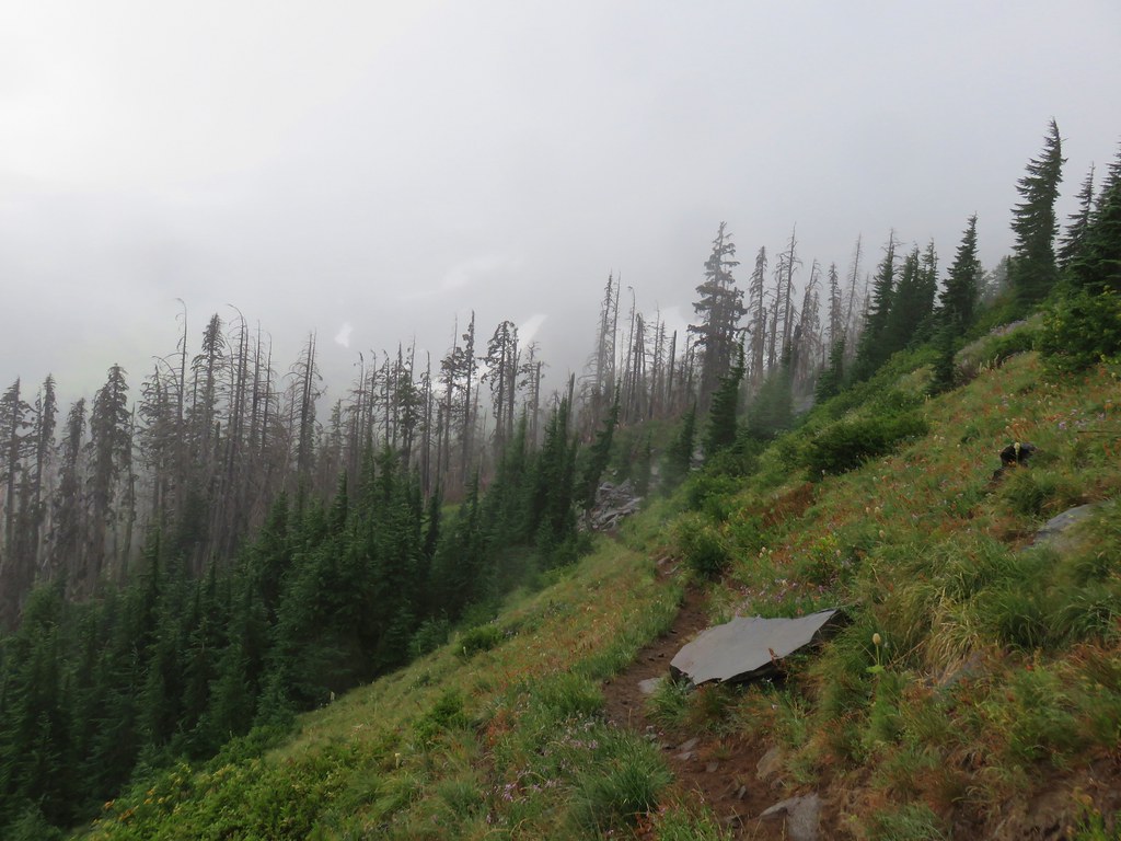
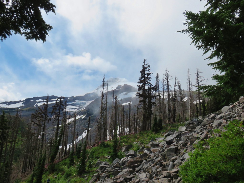
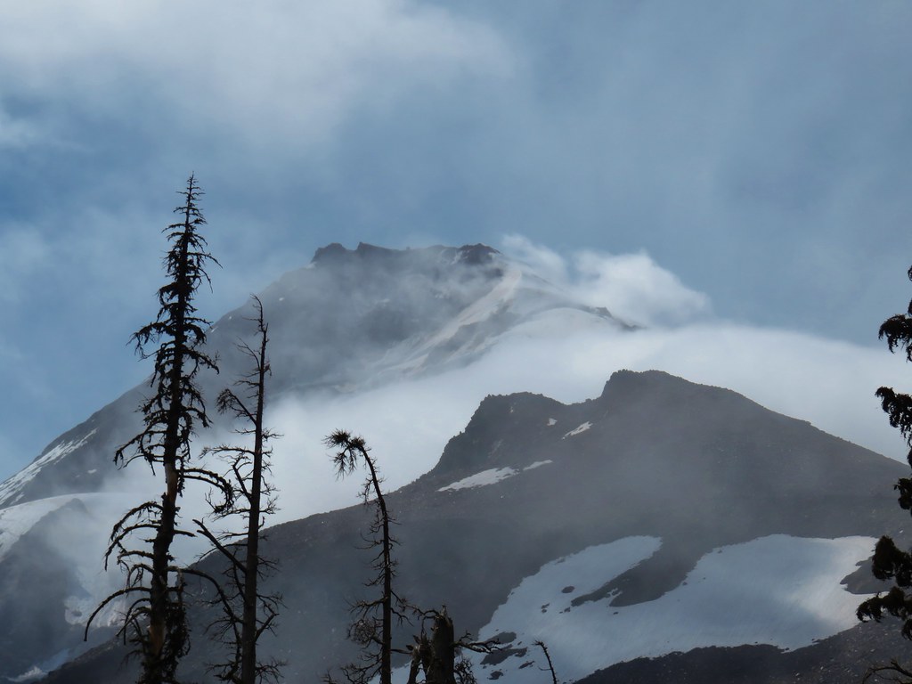
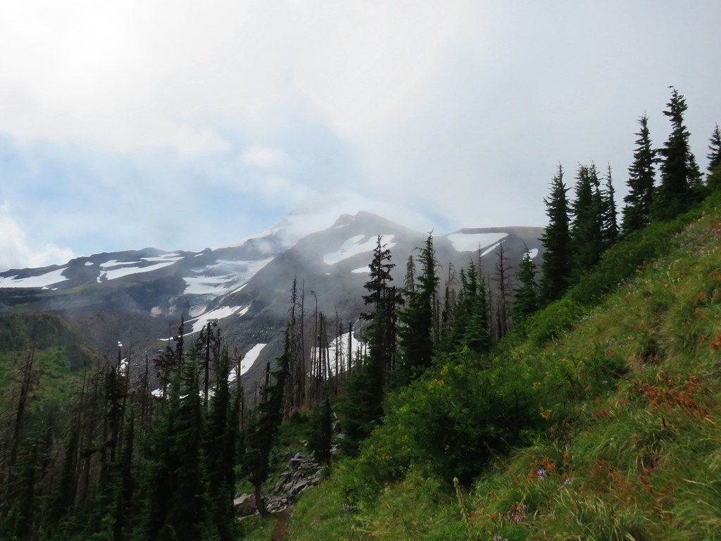
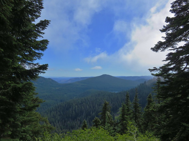
With the misty conditions views were limited but Pinnacle Ridge was visible across the Clear Branch Valley and we spied a bit of Laurence Lake as well as Bald Butte further in the distance.

IMG_6829Pinnacle Ridge

IMG_6831

After two and a half miles we arrived at the junction with the Eden Park Loop Trail.

IMG_6855

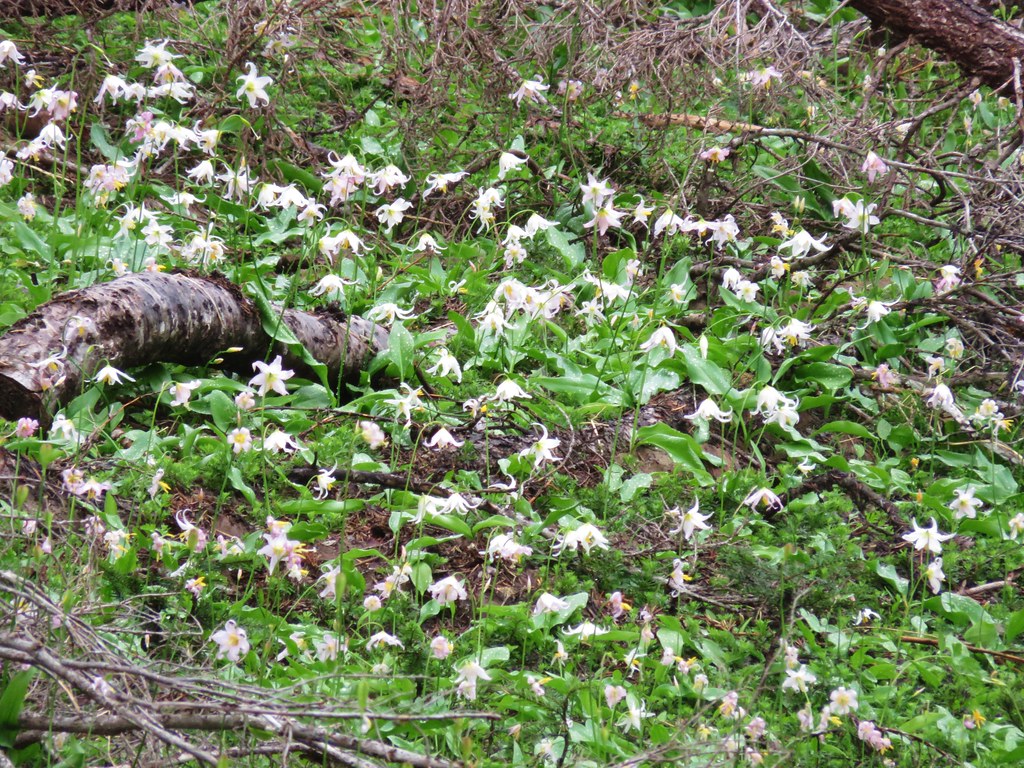
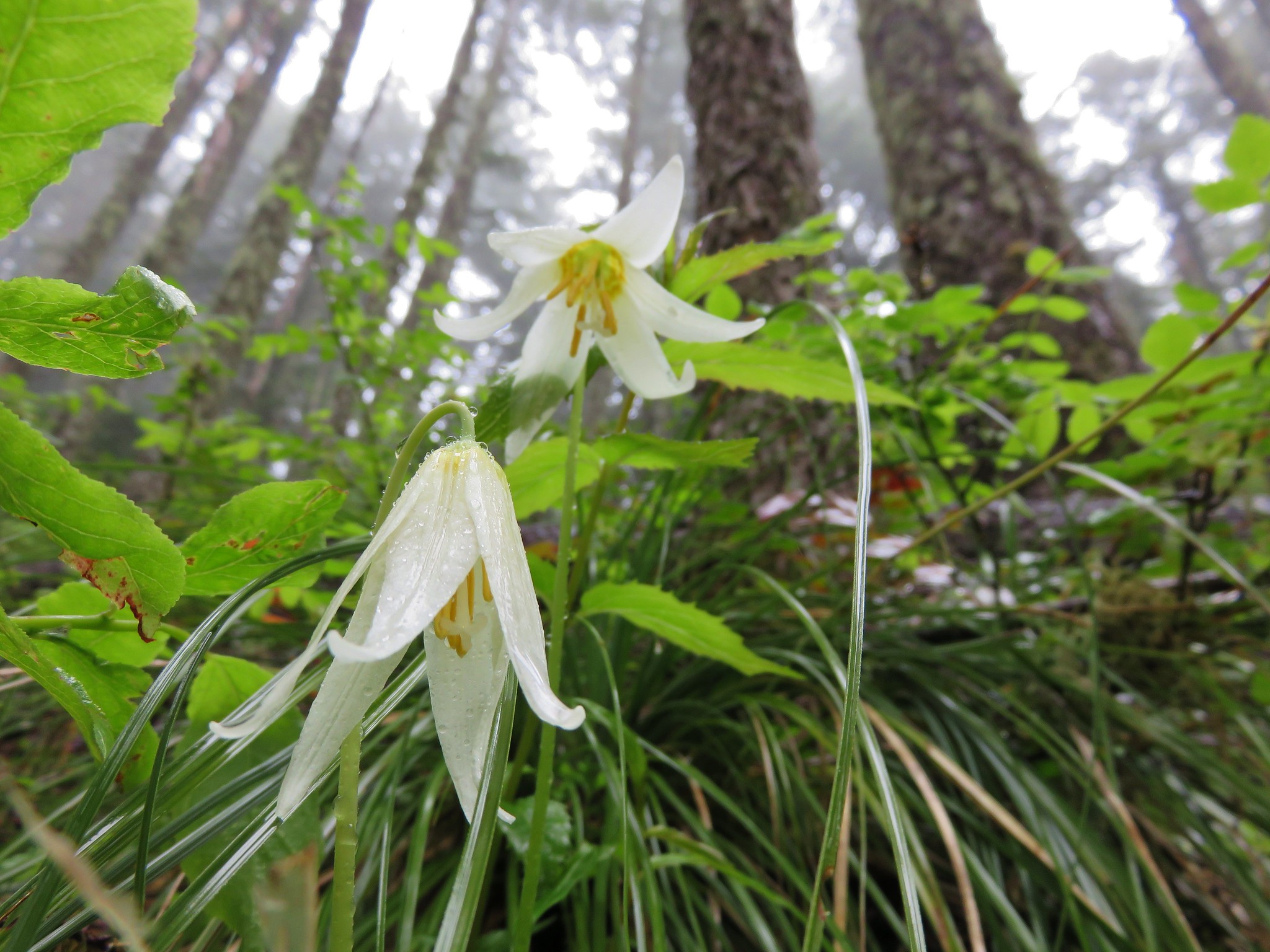
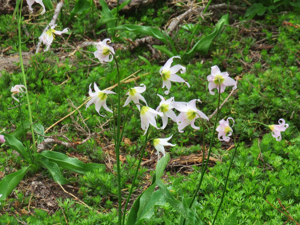
A few avalanche lilies were still blooming in this area.

IMG_6845

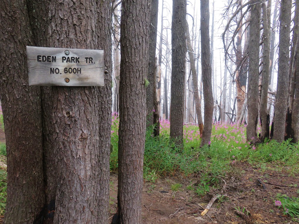
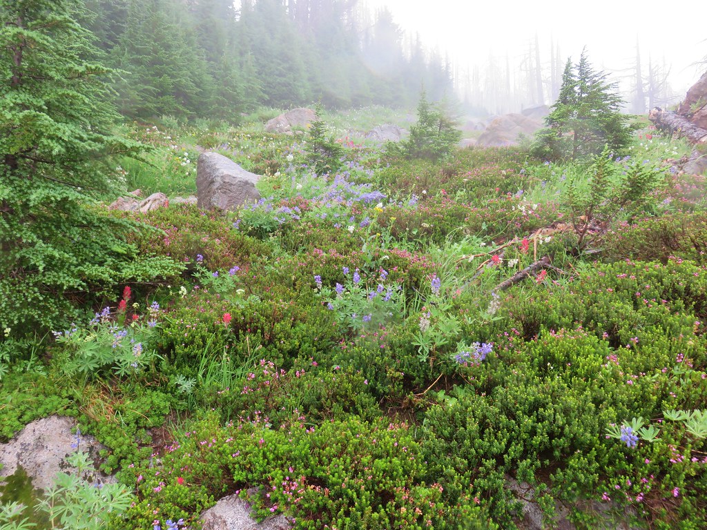
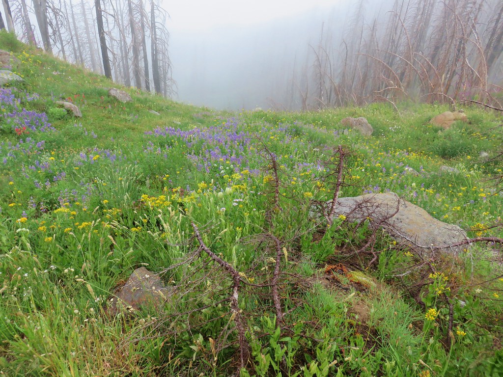
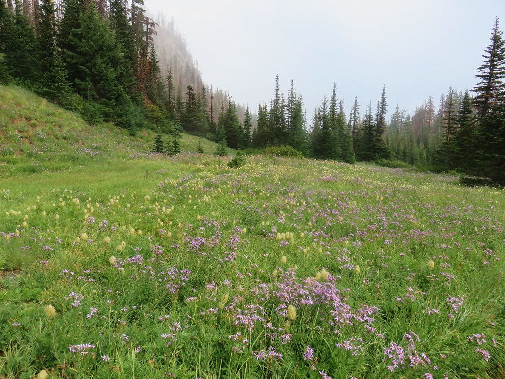
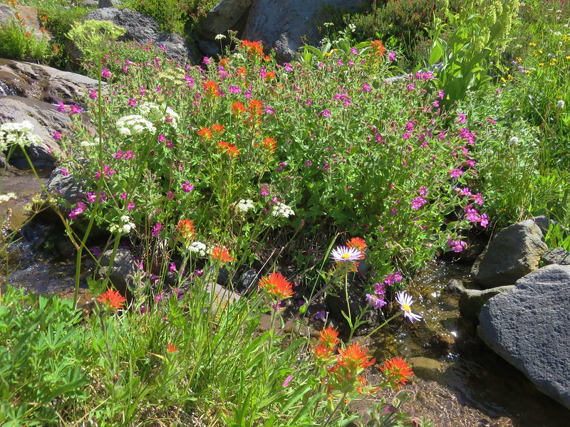
We turned down the Eden Park Trail which descended through more burned forest filled with more fireweed and some small meadows with other wildflowers.

IMG_6857

IMG_6865

IMG_6869

IMG_6877

IMG_6875

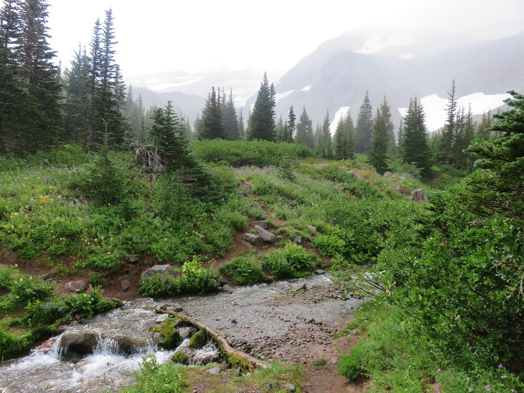
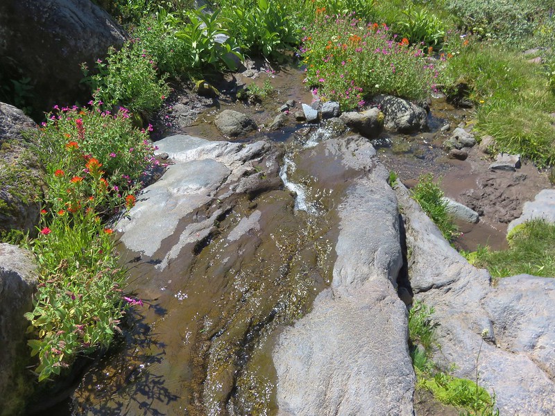
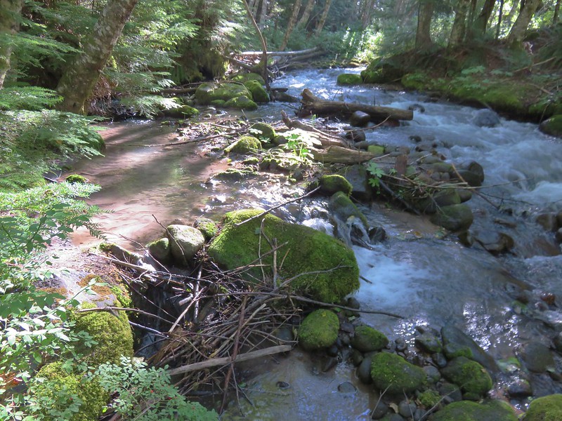
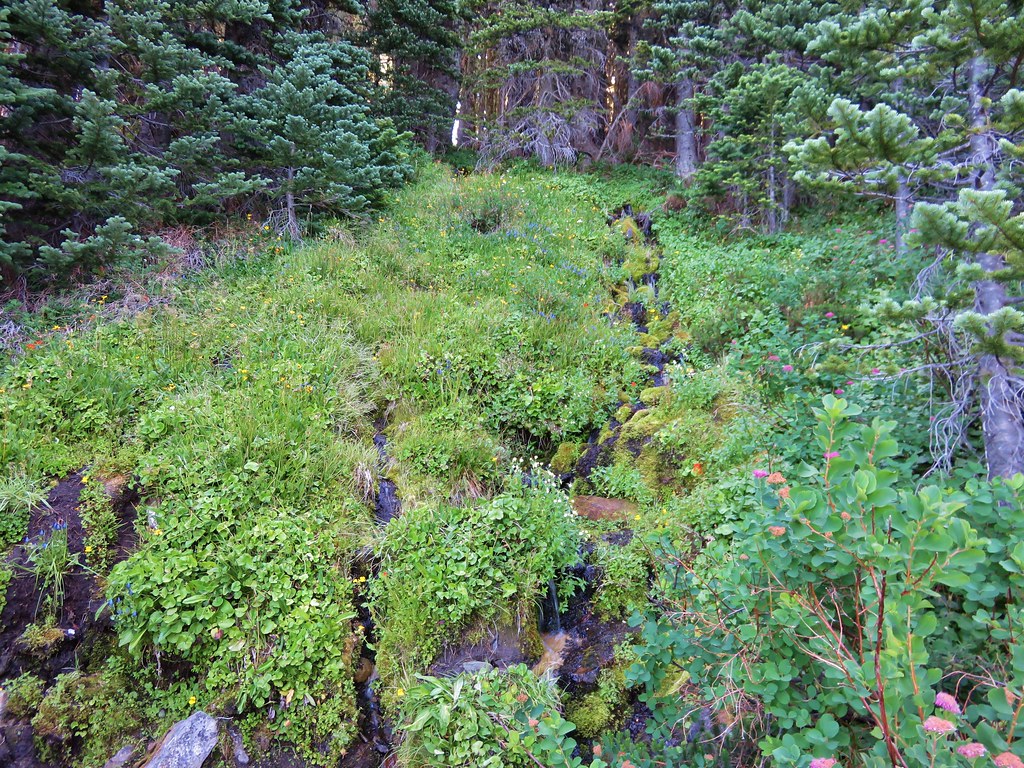
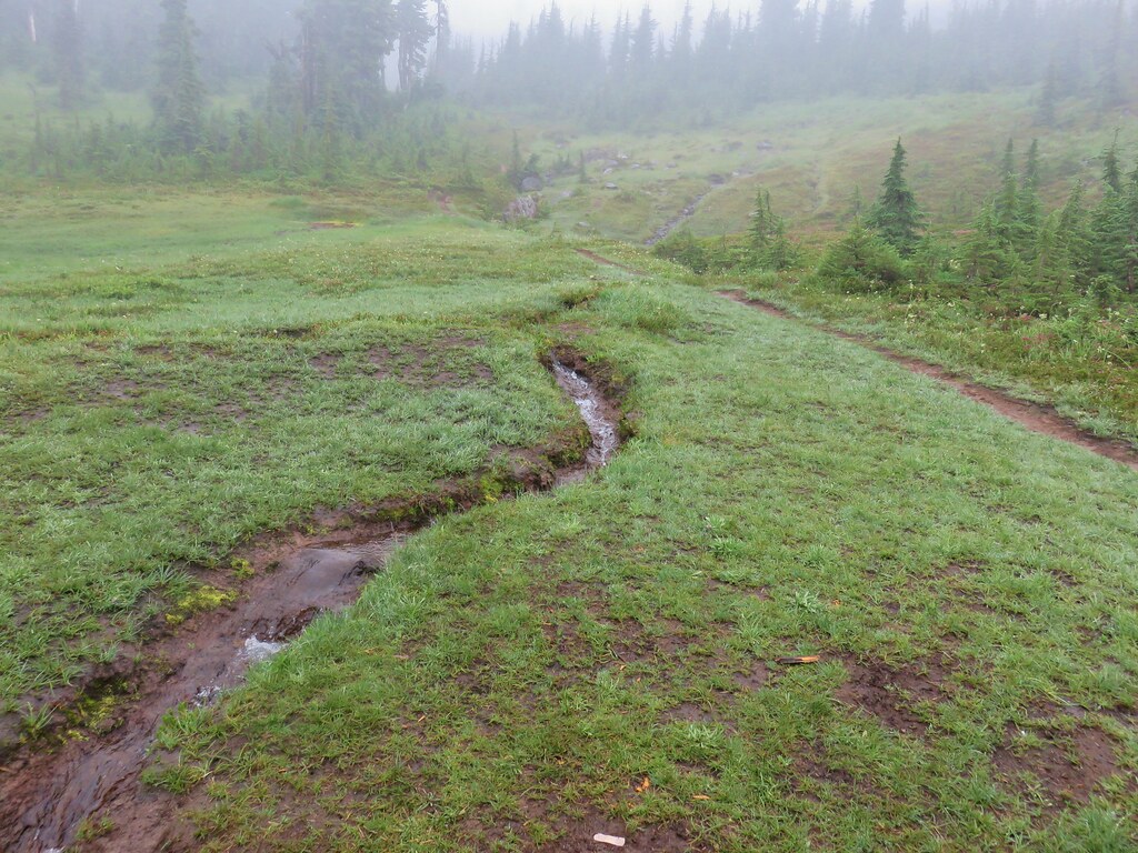
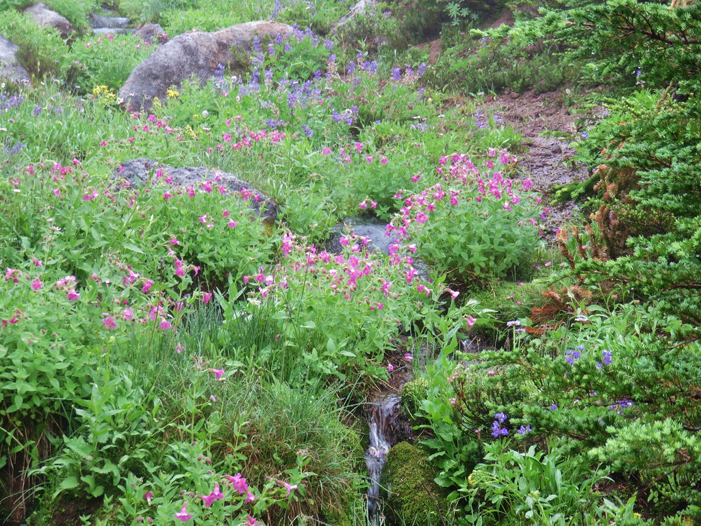
We also crossed several small wildflower lined streams flowing down toward Ladd Creek.

IMG_6884

IMG_6883

IMG_6885

IMG_6886

Eight tenths of a mile from the Vista Ridge Trail junction we arrived at Ladd Creek itself.

IMG_6892

Just beyond Ladd Creek we arrived at Eden Park.

IMG_6897

IMG_6899

IMG_6901

IMG_6902

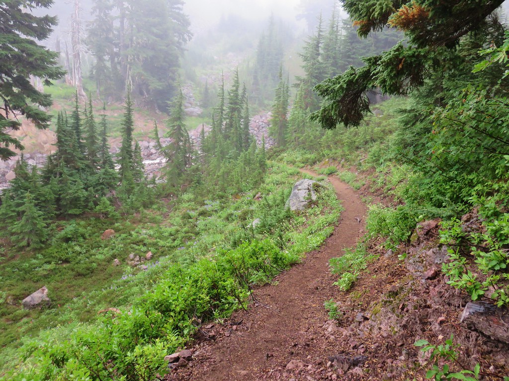
Beyond Eden Park the trail began to climb on its way up to the Timberline Trail at Cairn Basin.

IMG_6917

IMG_6921

IMG_6923

IMG_6925

IMG_6927

IMG_6930

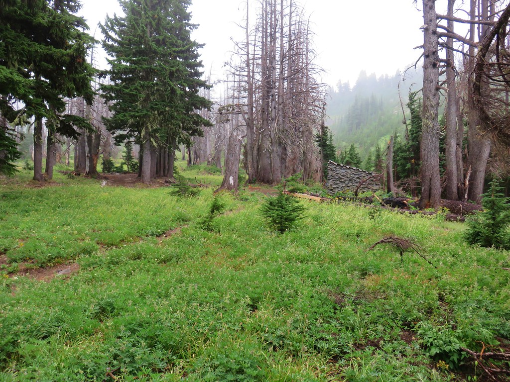
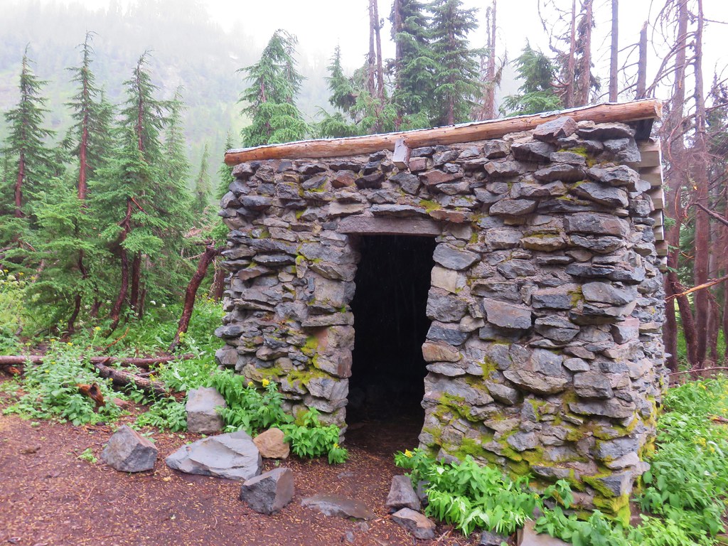
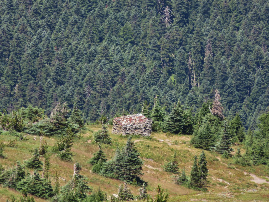
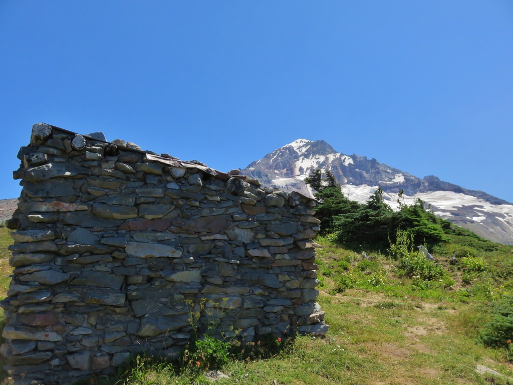
We turned left on the Timberline Trail and took a short snack break in Carin Basin and visited the stone shelter.

IMG_6934

IMG_6938

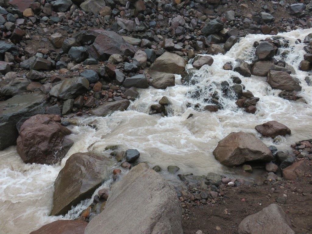
After leaving Cairn Basin we recrossed Ladd Creek.

IMG_6940

IMG_6942

It was about a mile from this upper crossing to the junction with the Vista Ridge Trail. There were lots of wildflowers along this stretch as well as some lingering snow.

IMG_6946

IMG_6952

IMG_6953

IMG_6958

IMG_6962

IMG_6966

IMG_6971

IMG_6970

IMG_6973

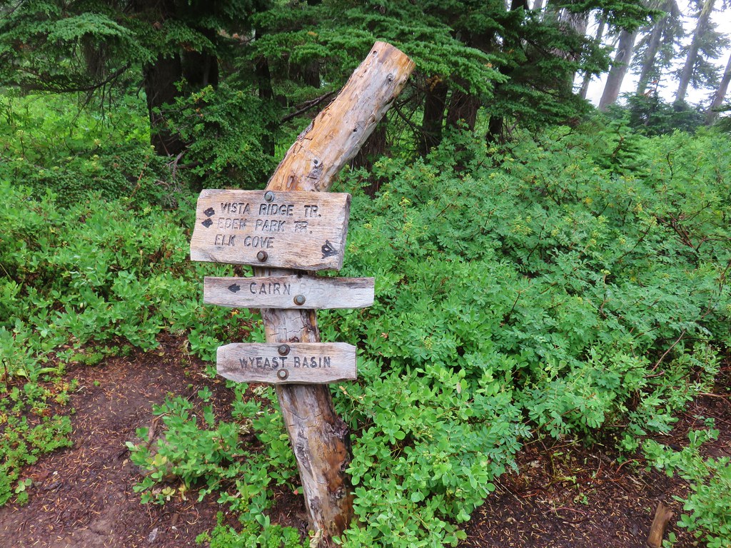
Wy’East Basin lay just beyond the junction with more flower lined streams.

IMG_6974

IMG_6980

IMG_6982

IMG_6988

We continued on from Wy’East Basin heading toward Elk Cove. Despite not being able to see the mountain, just being on the Timberline Trail gave us that alpine feeling that only the mountains can.

IMG_6992

IMG_6995

IMG_6998

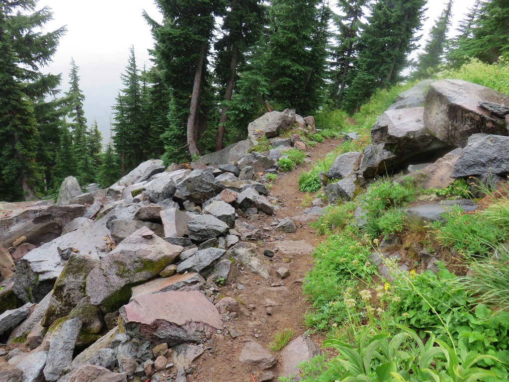
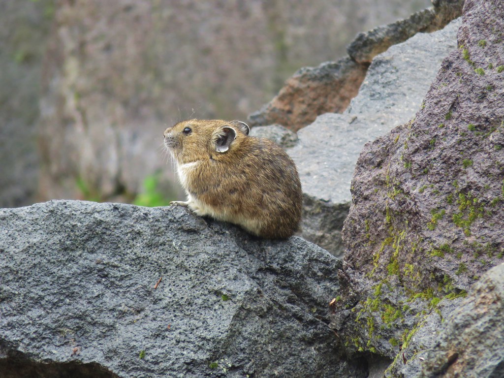
We had passed several rock fields where we had listened and looked for one of our favorite animals, the pika, but had not had any luck. As we began the descent to Elk Cove though we heard the distinctive “meep” of a pika. It’s a sound that always brings a smile to our faces. We had stopped along the trail for a moment to look around and just as we started to resume hiking we spotted one sitting on the rocks ahead.

IMG_7007

IMG_7005

IMG_7009

The descent to Elk Cove when hiking clockwise on the Timberline Trail is an extremely scenic section of trail when visibility is good. The clouds and mist took a bit away from the epic views but it was still an impressive sight.

IMG_7015

IMG_7020

IMG_7022

IMG_7025

IMG_7026

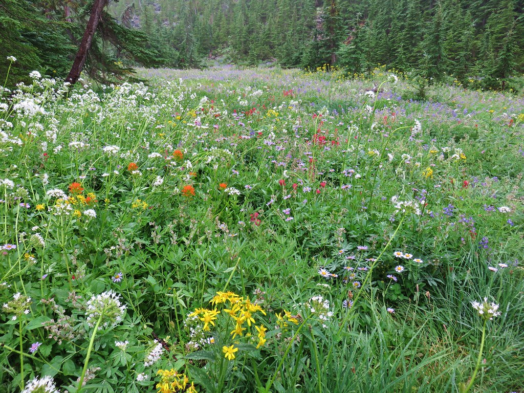
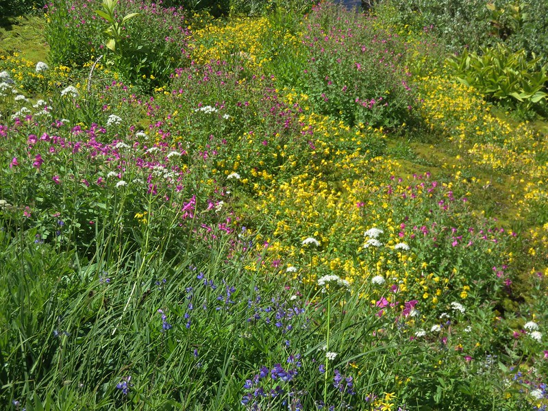
The further down into the cove we went the better the flower display became.

IMG_7036

IMG_7035

IMG_7040

IMG_7044

IMG_7045

IMG_7047

We stopped at an empty campsite near a creek and took a seat while we took in the beauty of the surrounding area.

IMG_7050

We could occasionally see some blue sky to the east which gave us a just a bit of hope that maybe we’d get a view of the mountain after all.

IMG_7053

The blue sky looked to be just on the side of the mountain though and the clouds were continuing to blow in from the west.

IMG_7054

After a while the combination of our damp clothes and the cool breeze became a little chilly so we decided to head back. It appeared that we were out of luck on a mountain view this time but as we were climbing out of the cove the clouds began to break even more.

IMG_7064

IMG_7065

IMG_7066

We waited and watched as the sky cleared up just enough to reveal the mountain before swallowing it up once more.

IMG_7075

IMG_7074

IMG_7077

IMG_7084

It had lasted less than a minute and then we were back in the cloudy mist but it was the icing on the cake for what had already been a great hike. We returned to the junction with the Vista Ridge Trail where we turned downhill, passing the Eden Park Trail junction in .3 miles and arriving back at our car in another two and a half miles. The total distance for the day was just over 11 miles with a little under 2000′ of elevation gain.

We were very glad we hadn’t skipped our weekly hike. Getting out on the trail was really just what we had needed. Happy Trails!

Flickr: Vista Ridge Trail

Categories
High Cascades Hiking Mt. Hood Area Oregon Trip report

Lower White River Wilderness and Twin Lakes Loop

We took advantage of a favorable weather forecast and ended our “hiking season” with a pair of hikes south of Mt. Hood in two separate wilderness areas. Our first hike was in the Lower White River Wilderness.

Designated a wilderness area in 2009, the 4 square mile Lower White River Wilderness has no official trails. The narrow wilderness SE of Mt. Hood covers a portion of the White River and it’s canyon on either side from Keeps Mill Forest Camp for approximately 7.5 miles. A use trail from the forest camp follows the river a short distance and this was our planned route into the wilderness.
Lower White River Wilderness Sign

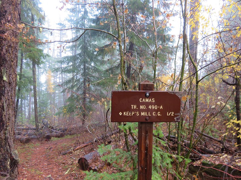
Keeps Mill Forest Camp is located at the end of Road 2120 which is accessed from Highway 216. The narrow dirt road is poorly maintained along the final mile and a half making it suitable only for high clearance vehicles. Instead of driving all the way down to the camp we parked at a pullout near the Camas Trail which crosses Road 2120 on it’s way from Camas Prairie to Keeps Mill Forest Camp.
Camas Trail sign along Road 2010

We followed the Camas Trail down to the campground. It was still pretty dark and also fairly foggy when we arrived back on Road 2120 near the entrance of Keeps Mill Forest Camp.
Keep's Mill Forest Camp

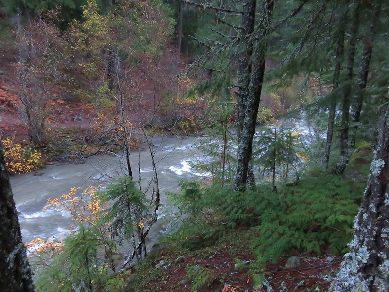
The campground is located near the confluence of Clear Creek and the White River.
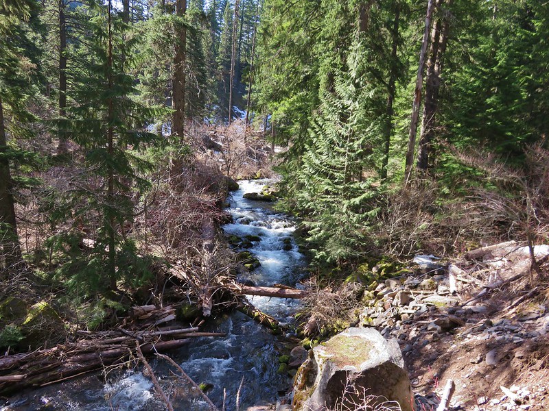
Clear Creek
Clear Creek

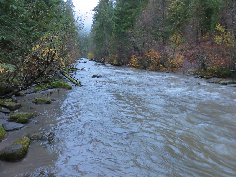
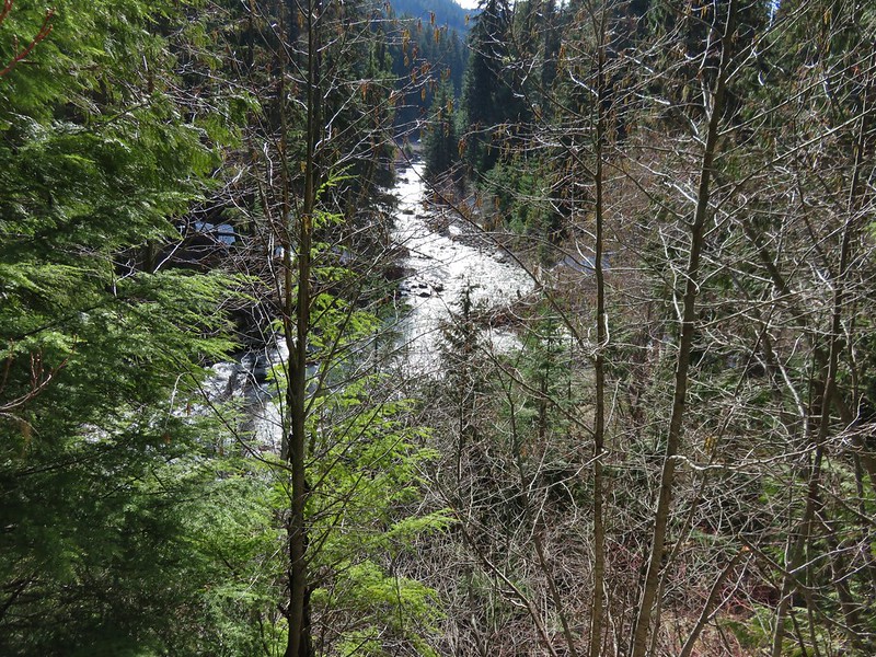
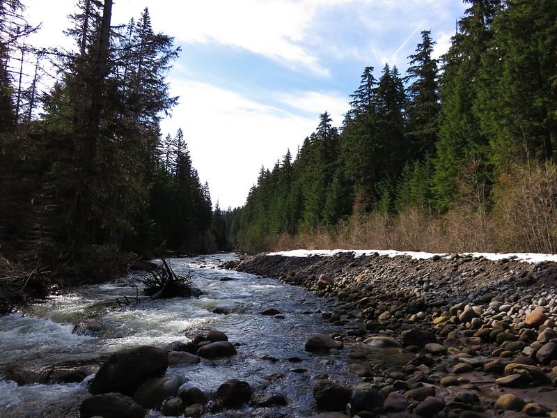
White River
White River

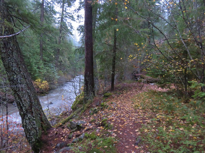
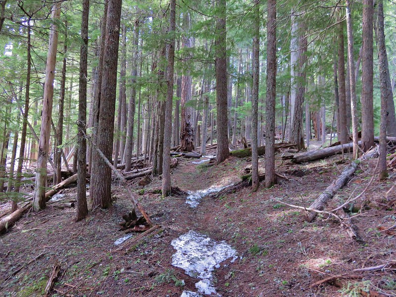
We found the use trail along the river and followed it for about half a mile where it appeared to become fairly brushy.

Lower White River Wilderness

White River

Lower White River Wilderness

The trail had been traveling between the river and a talus slope where the remains of an old flume could be seen amid the rocks.
Talus slope with the remains of an old flume

Old flume remains in the Lower White River Wilderness

We turned around here having accomplished our goal of hiking into the wilderness and seeing some of the flume remains and headed back to the campground and up the Camas Trail.
Camas Trail

Fog and a little blue sky over the talus slope along the Camas Trail

When we got back to where we’d parked Heather spotted a doe that quickly fled into the forest. The hike had been just under 2 miles with approximately 250′ of elevation gain climbing up the Camas Trail.

We hopped back into the car and headed toward Mt. Hood turning off Highway 26 at the Frog Lake Sno-Park for our next hike.
Frog Lake Sno-Park sign

Our planned hike here was a loop visiting Palmateer Point, the Twin Lakes, Frog Lake Butte, and Frog Lake. We began by heading north from the large parking lot on a short connector trail that brought us to the Pacific Crest Trail.
Pacific Crest Trail near the Frog Lake Sno-Park

We turned right on the PCT at a sign for Barlow Pass.
Trail sign for Barlow Pass

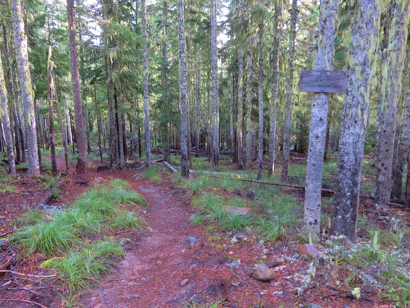
Pacific Crest Trail

After 1.4 miles we arrived a trail junction with the Twin Lakes Trail.
Pacific Crest Trail near the Mt. Hood Wilderness boundary

Turning right on the Twin Lakes Trail would have led past Lower then Upper Twin Lake before returning to the PCT 1.4 miles to the north after traveling a total of 3.1 miles. We had a longer loop planned so we stuck to the PCT and entered the Mt. Hood Wilderness.
Pacific Crest Trail entering the Mt. Hood Wilderness

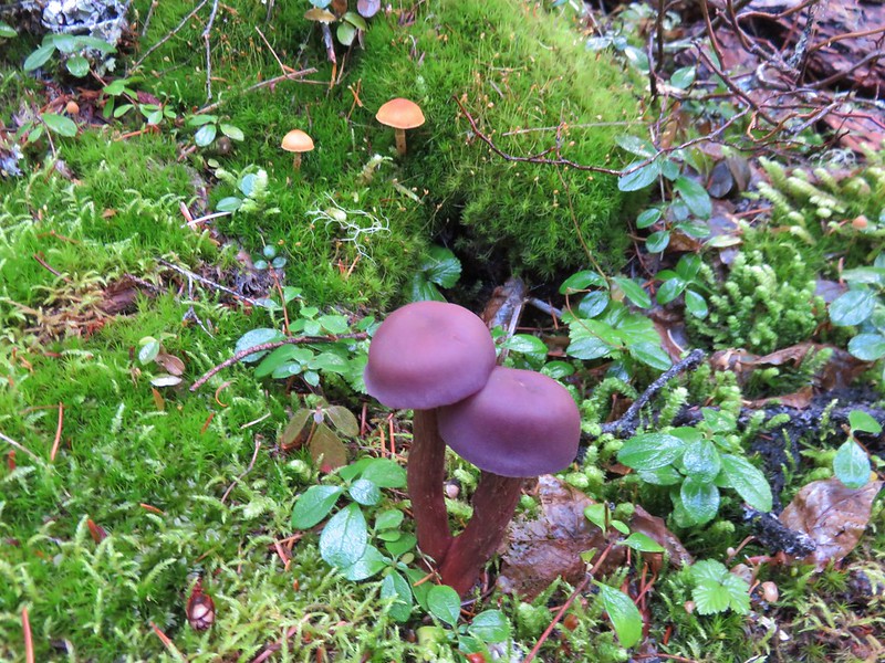
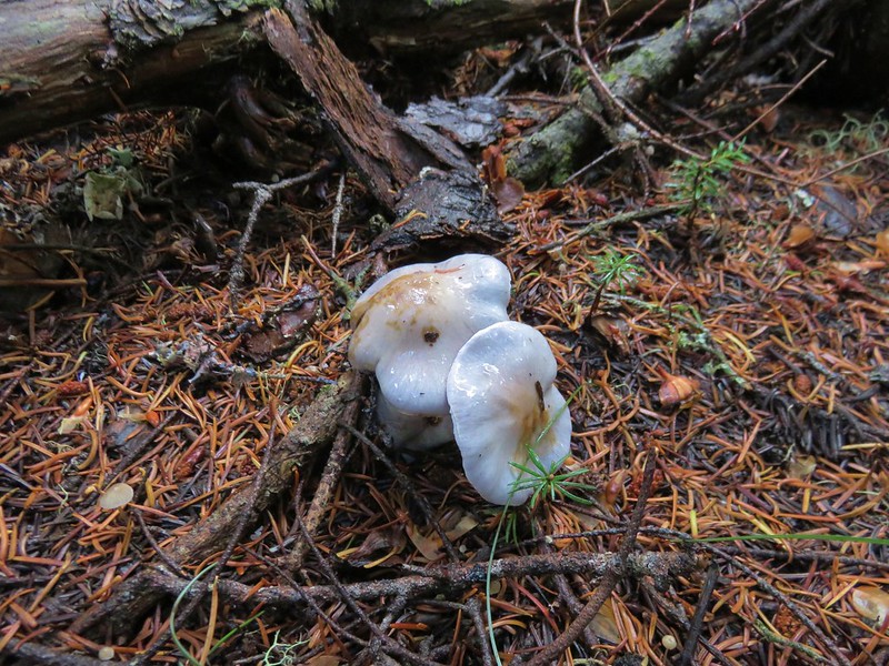
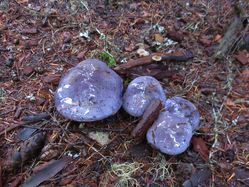
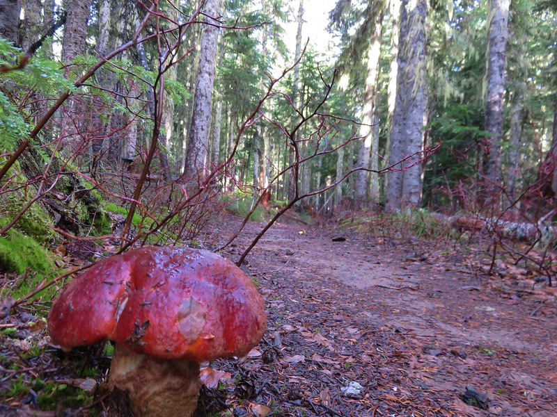
There were no views along this section of the PCT but it was a pleasant forest walk and we kept busy spotting all the different mushrooms along the trail.
Mushroom

Mushrooms

Mushrooms

Mushrooms

Mushrooms

Mushroom along the Pacific Crest Trail

We passed the other end of the Twin Lakes Trail sticking to the PCT for another 3/4 miles to the Palmateer Trail.
Twin Lakes Trail

Palmeteer Trail

We turned onto the Palmateer Trail and followed it for nearly a mile passing a junction with the Devil’s Half Acre Trail along the way.
Palmateer Trail

Trail sign along the Palmateer Trail

We forked left at a post after .9 miles.
Spur trail to Palmateer Point

This .3 mile spur trail led up to Palmateer Point.
Heading to Palmateer Point

View along the spur trail to Palmateer Point

We were hoping for a close up view of Mt. Hood but found that a jumble of clouds were preventing that.
Mt. Hood behind clouds from Palamteer Point

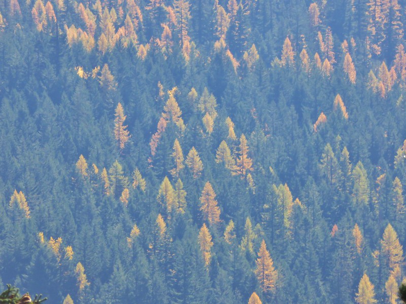
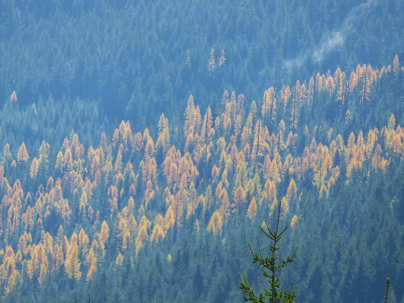
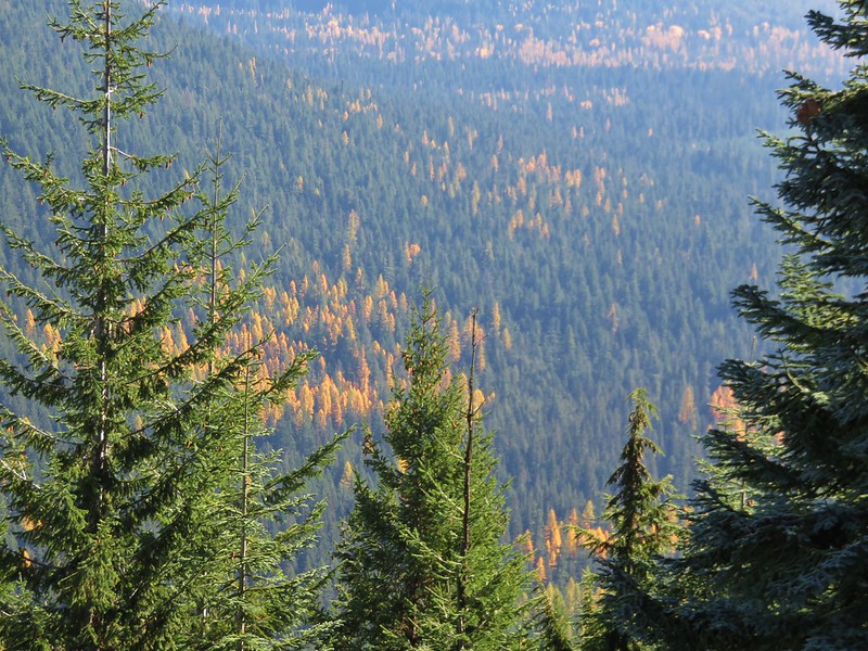
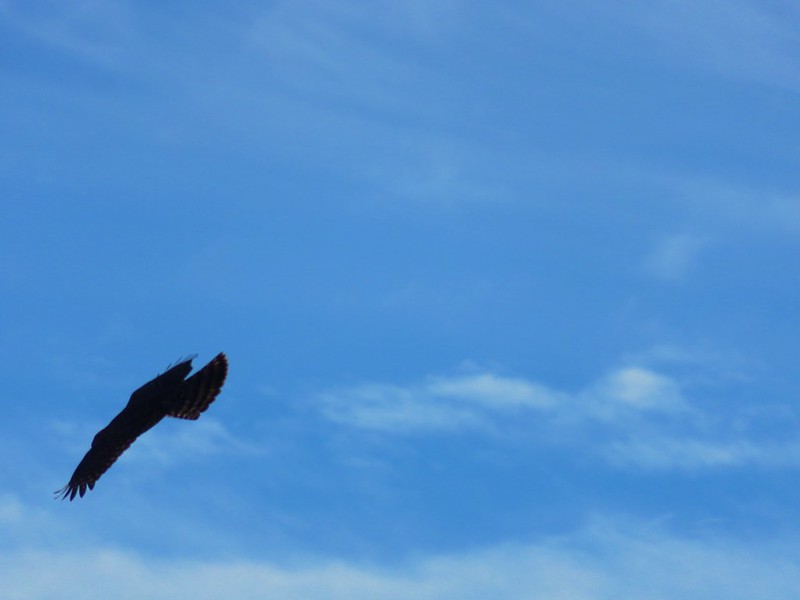
We took a break on the point watching a pair of hawks soaring nearby and admiring the golden larches in the valley below.
One of two hawks flying around Palmateer Point

Hawk on Palmateer Point

Larches

Larches

This was our first good look at the larches, the only deciduous conifers, sporting their fall colors.

After getting a brief glimpse of Mt. Hood’s summit we headed back down to continue our loop.
Mt. Hood hiding behind clouds from Palmateer Point

We passed in and out of small patches of fog for the next .6 miles to a junction with a .2 mile tie-trail that would have led to the Twin Lakes Trail.
Sunrays in the Mt. Hood Wilderness

Trail sign along the Palmateer Trail

This was the route equestrians would need to take, but we stuck to the Palmateer Trail heading for another viewpoint.
Palmateer Trail

Mt. Hood was still mostly hidden when we arrived at the small rocky viewpoint so it was once again the larches that were the highlight.
Mt. Hood from the Palmateer Trail

Larches in the valley below the Palmateer Trail

Larches

We followed the Palmateer Trail to it’s end at the Twin Lakes Trail along Upper Twin Lake.
Upper Twin Lake

Mt. Hood was starting to reveal more of itself as the day went on.
Mt. Hood from Upper Twin Lake

We followed trails counter-clockwise around the lake getting an even better view of the mountain’s snowy summit from the lake’s southern end.
Upper Twin Lake

Mt. Hood from Upper Twin Lake

Mt. Hood from Upper Twin Lake

When we arrived back at the Twin Lakes Trail we headed south down to Lower Twin Lake which was .7 miles away.
Trail junction near Upper Twin Lake

The lower lake is just off the Twin Lakes Trail and is accessed from the direction we were coming from by the Frog Lake Butte Trail.
Frog Lake Butte Trail sign near Lower Twin Lake

Lower Twin Lake

Again we did a counter-clockwise loop around the lake.
Lower Twin Lake

The quickest way back to the sno-park would have been to return to the Twin Lakes Trail and follow it back to the Pacific Crest Trail for a 9.1 mile loop (not counting the loops around the lakes). By being willing to do an extra 4 miles though we could visit one more viewpoint and another lake by taking the Frog Lake Butte Trail.
Frog Lake Butte Trail

This trail led 1.3 miles to a junction on a saddle with the Frog Lake Trail.
Frog Lake Butte Trail

At the junction we turned uphill toward Frog Lake Butte climbing steeply for .7 miles to the summit.
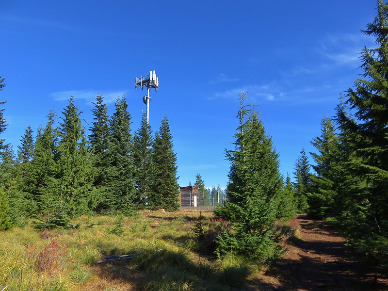
Cell tower on Frog Lake Butte

The final portion of the trail followed Frog Lake Butte Road past a communications tower to a viewpoint where Mt. Hood was now mostly visible.
Mt. Hood from Frog Lake Butte

Mt. Hood from Frog Lake Butte

We stayed at the viewpoint for awhile watching as the clouds slowly passed by.
Mt. Hood from Frog Lake Butte

When we were satisfied that we’d gotten about as good a view as we were going to get we headed back down to the Frog Lake Trail and continued downhill on it.
Frog Lake Butte Trail

This trail crossed Frog Lake Butte Road before entering what appeared to be an old clear cut where we had a nice view of Mt. Jefferson to the south.
Frog Lake Butte Trail

Mt. Jefferson from the Frog Lake Butte Trail

Mt. Jefferson from the Frog Lake Butte Trail

After 1.3 miles we arrived at the Frog Lake Campground where we detoured briefly to get a look at Frog Lake.
Frog Lake

Frog Lake

A .7 mile walk along Frog Lake Butte Road brought us back to the sno-park and our waiting car.
Frog Lake Butte Road

The loop came to 14.1 miles which was nicely broken up into shorter sections by the various sights and trail junctions. It was a very enjoyable hike on a great weather day and a perfect end to our 2016 hiking season. We’ll try and get out on a trail at least once a month until next year’s season starts. For now – Happy Trails!

Flickr: https://www.flickr.com/photos/9319235@N02/albums/72157672250482753

Categories
High Cascades Hiking Mt. Hood Area Oregon Trip report

Cooper Spur

We have had the hike up Cooper Spur on Mt. Hood in our plans for the last several years but for one reason or another it has wound up getting bumped from the schedule.  It was on our schedule again this year with an October date set.  Not wanting to miss out on this hike again we decided to take advantage of what appeared to be an excellent weather forecast and move it up.

Our plan was to start out at the Tilly Jane Ski Trail along Forest Road 3512 and explore the Cloud Cap/Tilly Jane Historic District as well as hiking up Cooper Spur. This starting point adds nearly 2000′ of elevation gain and approximately 5.5 miles to the hike vs starting at either the Tilly Jane or Cloud Cap Saddle Campgrounds but we decided we’d rather spend time hiking up to those areas than driving an additional 30 minutes each way.

The trailhead is located just beyond the Cooper Spur Ski Area on Forest Road 3512. To reach it turn off of Highway 35 onto Cooper Spur Road then turn left onto Cloud Cap Road (Forest Road 3512) at the Cooper Spur Mountain Resort. The trailhead is 1.5 miles along this road with parking on the right.
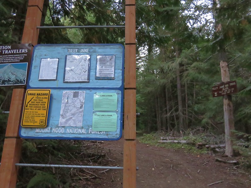
IMG_6569

Informational signs at the trailhead told a little about the historic district.
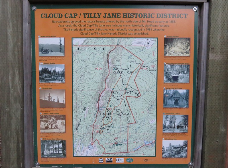
IMG_6567

IMG_6568

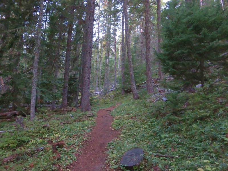
The trail headed uphill through the forest, reaching a junction after a half mile with the Polallie Ridge Trail which we would be taking as part of our return route.
IMG_6572

IMG_6574

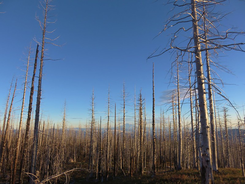
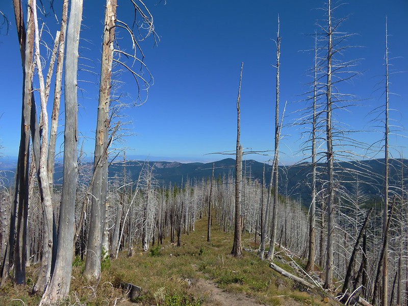
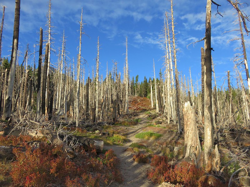
The trail climbed very steadily and soon entered forest burned in the 2011 Dollar Lake Fire.
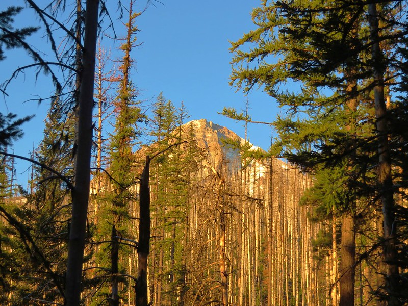
IMG_6579

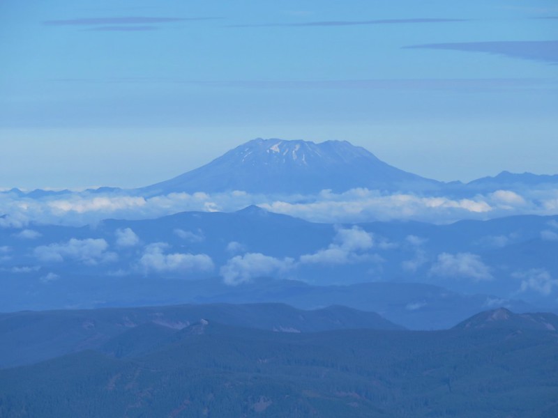
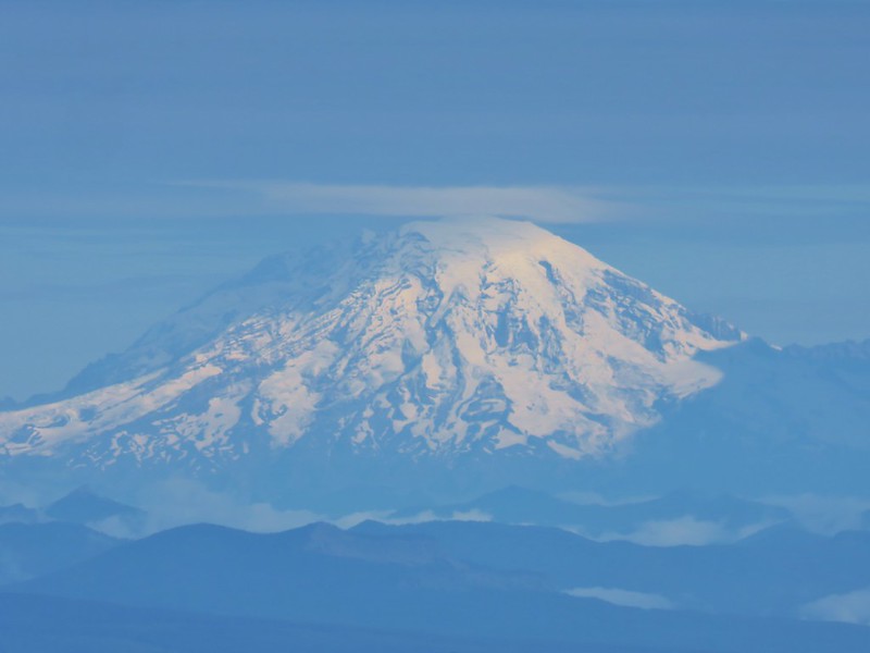
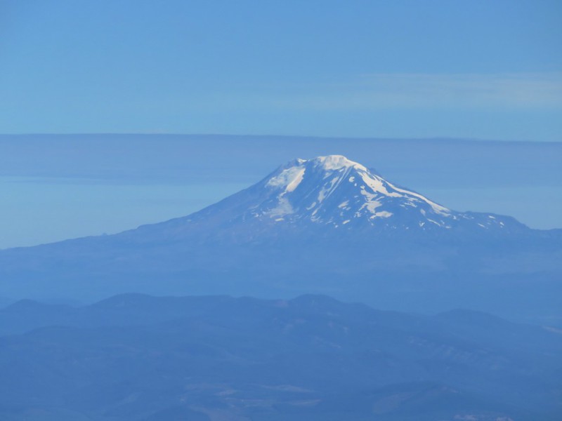
The burnt trees allowed for some nice views of not only Mt. Hood but also Mt. Adams, Mt. Rainier, and Mt. St. Helens in Washington.
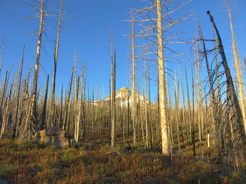
IMG_6587

IMG_6590

It was very apparent that earlier in the year there had been a nice display of wildflowers along the trail but most of them had long since passed although a few holdouts did remain.
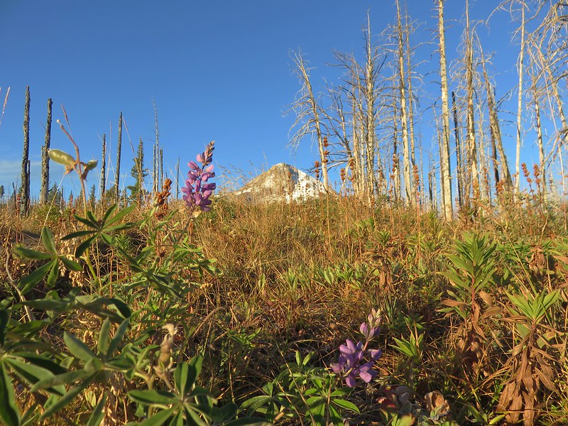
IMG_6606

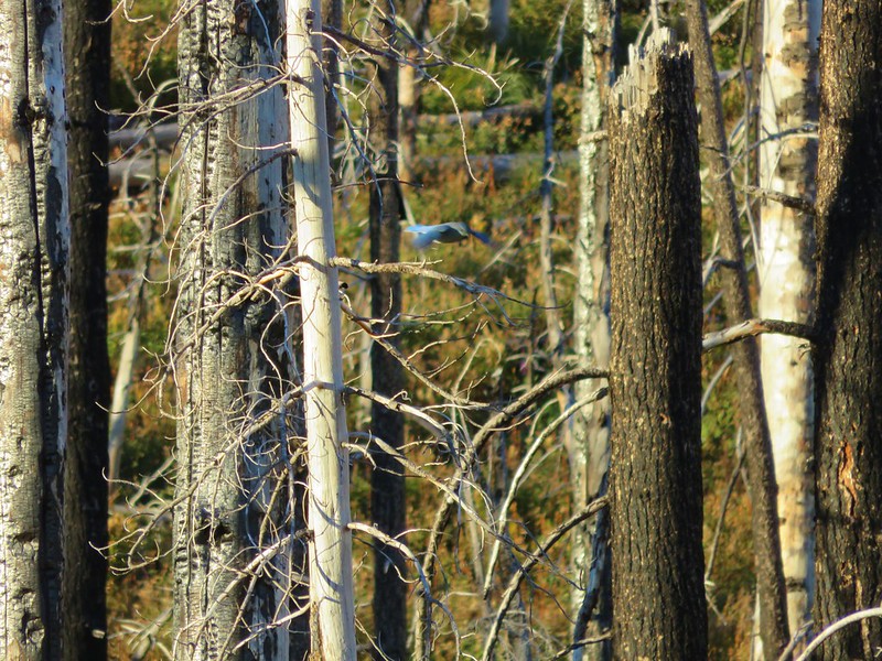
The dead trees seemed to host plenty of life in the form of a variety of birds flying from tree to tree.
IMG_6601

IMG_6619

IMG_6627

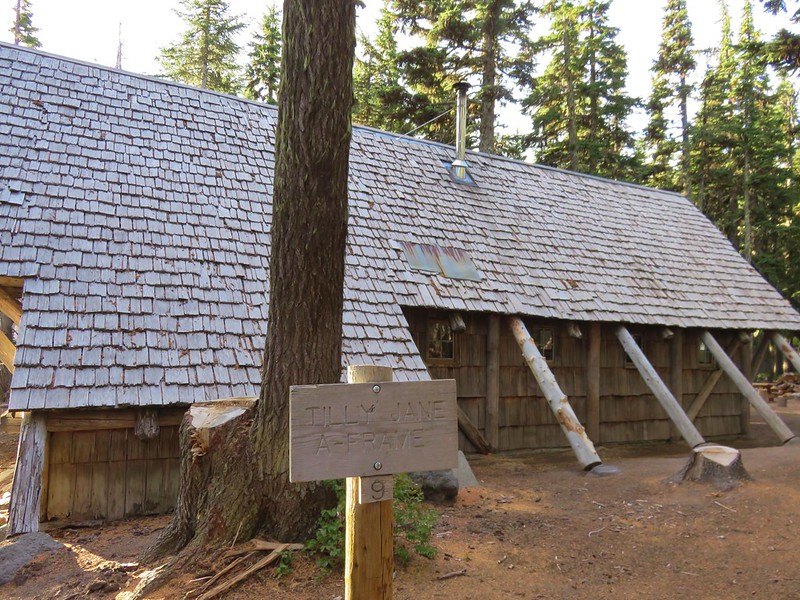
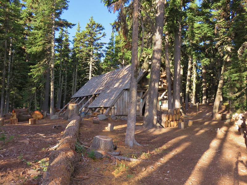
After nearly 3 miles of climbing we neared the Tilly Jane A Frame which was hidden in non-burnt trees.
IMG_6628

Despite being threatened by the 2011 fire, firefighters had been able to save all the structures in the historic district.

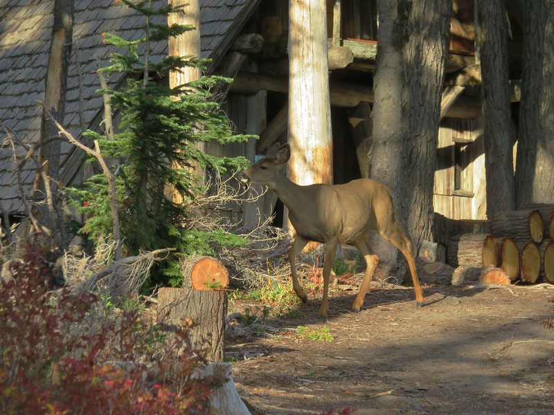
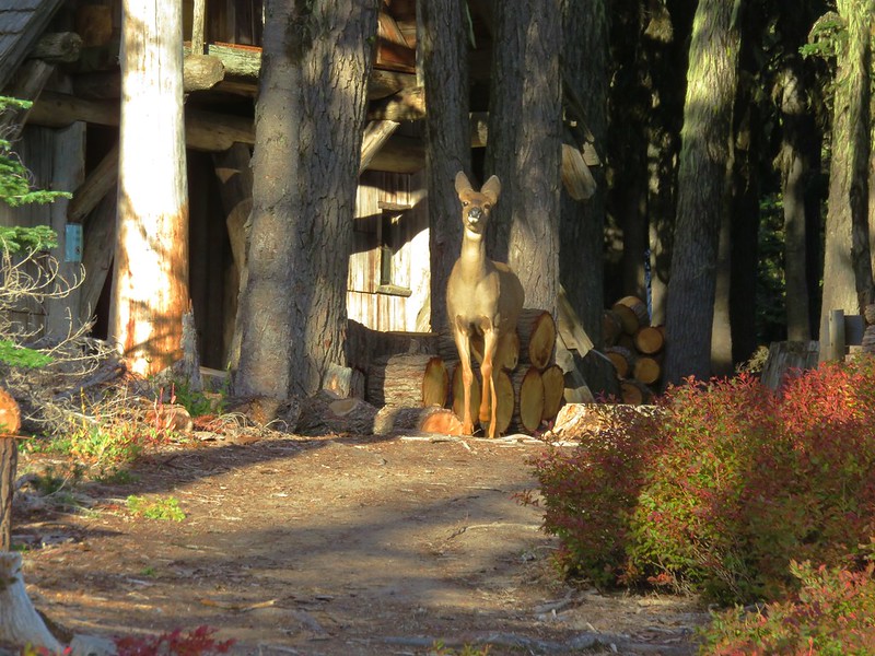
Heather and I were busy talking as we approached the A-Frame and I suddenly noticed there was a deer in the trail about 20 yards away. It walked into the trees as I was grabbing the camera, but then a second deer appeared.
IMG_6629

She sized us up for a moment then proceeded to take a few bites of the plants as she followed the other one into the trees.
IMG_6631

IMG_6633

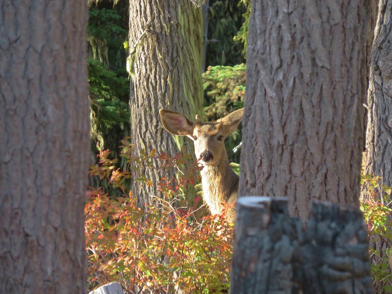
As we continued up the trail we spotted the first deer and saw that it was a young buck.
IMG_6634

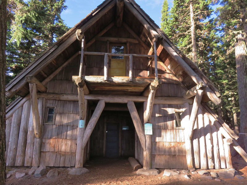
After watching the deer for a moment we proceeded to the A-Frame to have a look.
IMG_6638

IMG_6639

IMG_6640

IMG_6642

The A-Frame was constructed by the Civilian Conservation Corps in 1939 and can sleep up to 20. It originally had a kitchen and dining hall on the ground floor with the sleeping area above in the loft.

West of the A-Frame is the Legion Cookhouse (built in 1924) which is not in the best of shape.
IMG_6644

IMG_6645

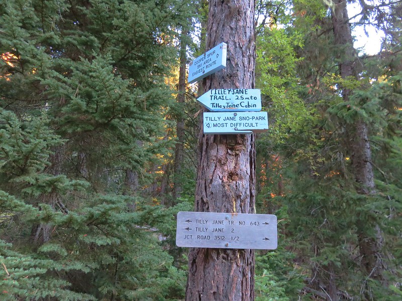
Just beyond the cookhouse a trail sign announced the Tilly Jane Trail.
IMG_6649

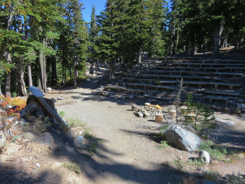
We turned left on the trail after taking a quick look at the American Legion Amphitheater which was also constructed in the 1920s.
IMG_6651

The Tilly Jane Trail enters the Mt. Hood Wilderness about a quarter mile from the cookhouse.
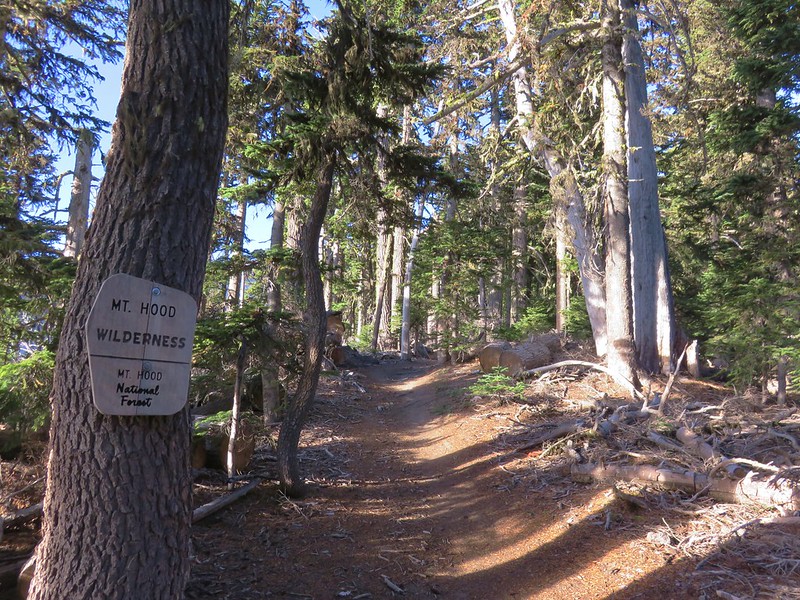
IMG_6654

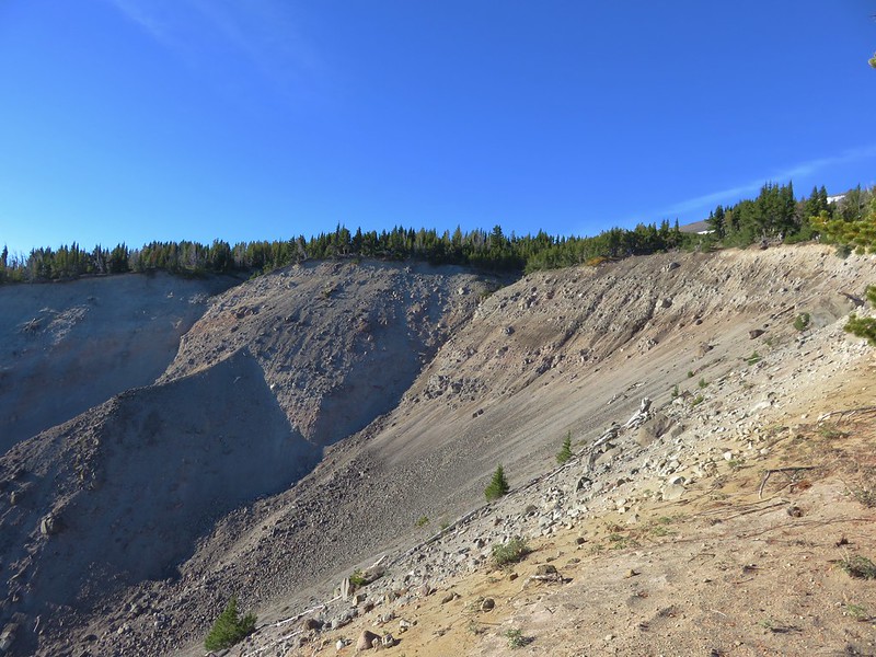
The trail then proceeds uphill along the Polallie Creek Canyon just over three quarters of a mile to the Timberline Trail. A 1980 flash flood sent an 80′ deep wall of water and debris down the canyon. Viewpoints along the way offered a look at the origin of the flood at the headwall of the canyon.
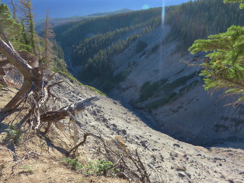
IMG_6656

IMG_6659

Beyond the viewpoint of the headwall the forest began thinning out providing nice views ahead of Mt. Hood.
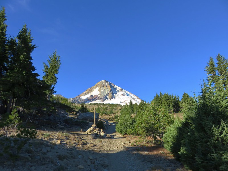
IMG_6666

We also had a great view of Mt. Adams which is something we seem to rarely get.
IMG_6676

Just over a mile from the cookhouse and 4 miles from the trailhead on FR 3512 we arrived at the Timberline Trail.
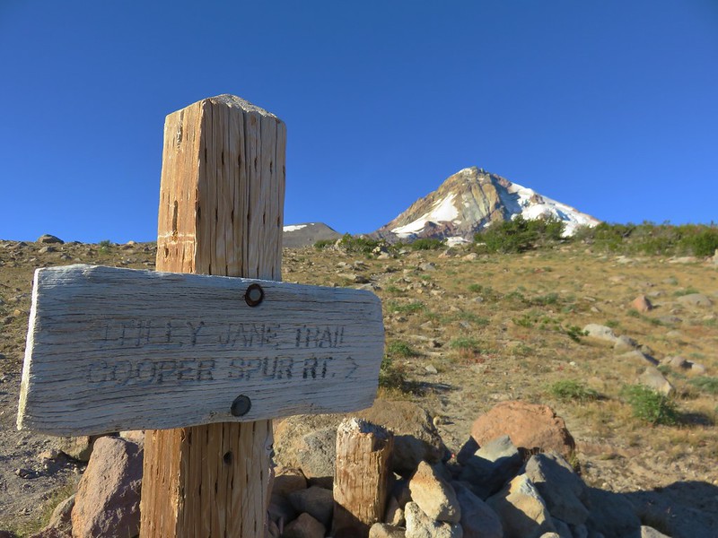
IMG_6681

We followed the pointer for Cooper Spur a tenth of a mile to the Cooper Spur Shelter.
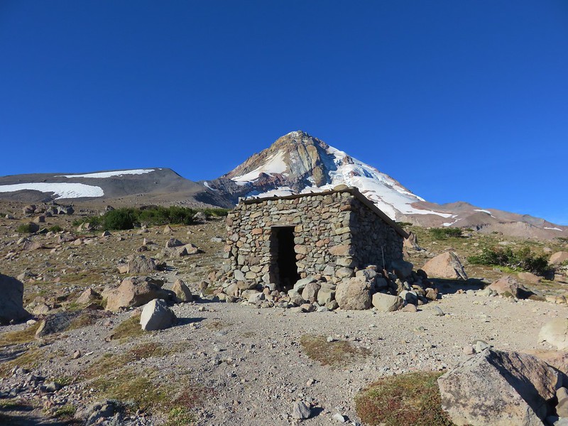
IMG_6688

Cloud Cap Inn was visible from the shelter which we planned to visit on our way down.
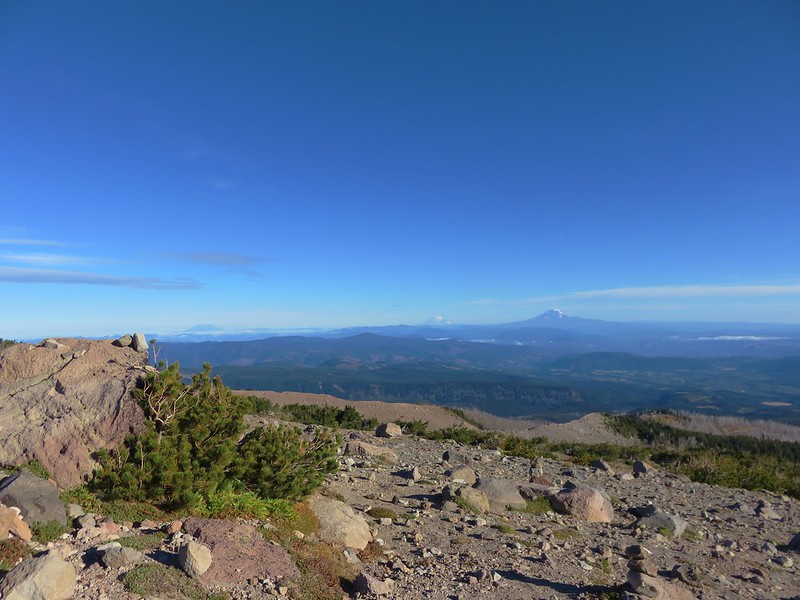
IMG_6690

IMG_6691

We continued up from the shelter following a clear trail.
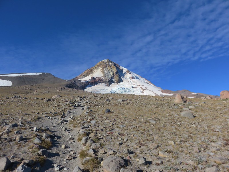
IMG_6701

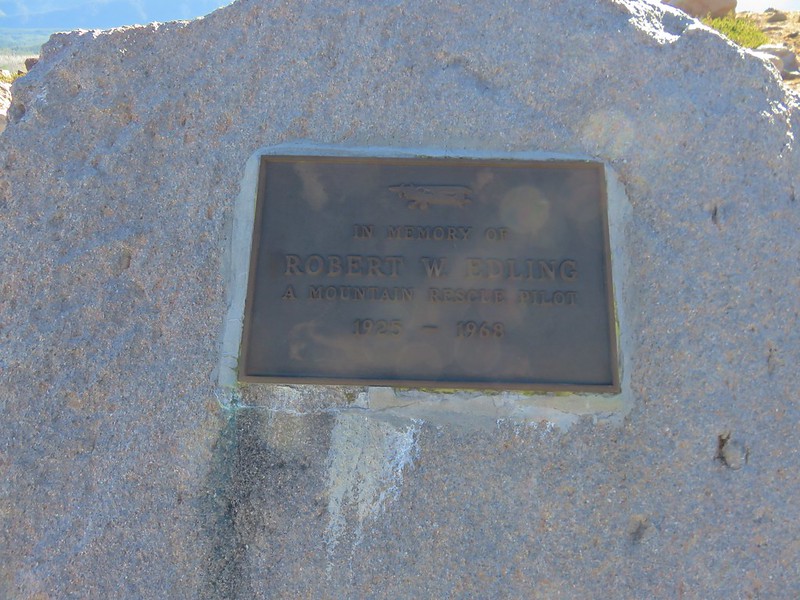
The official trail shown on maps switchbacks uphill but we wound up off the trail after visiting a viewpoint of the Eliot Glacier near a memorial plaque for Robert Edling, a mountain rescue pilot that died in a crop duster accident near The Dalles.
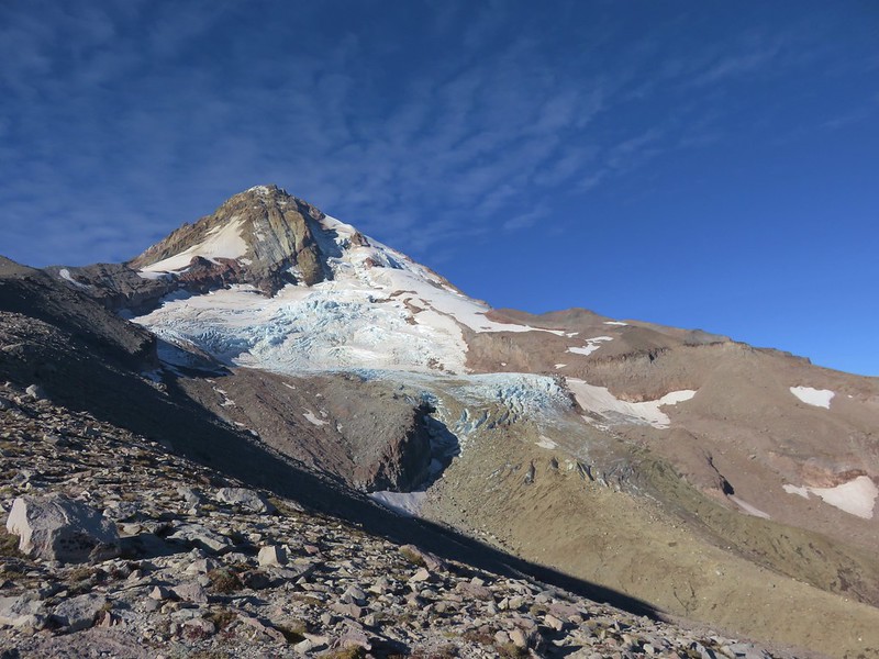
IMG_6703

IMG_6708

From the memorial plaque we headed straight up the ridge following a confusion of faint paths up through the rocks.
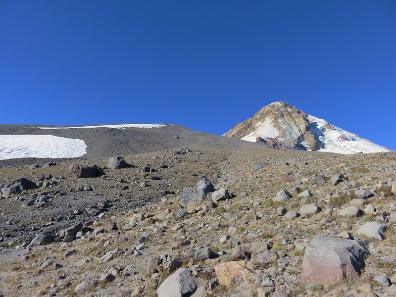
IMG_6713

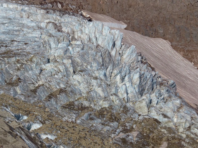
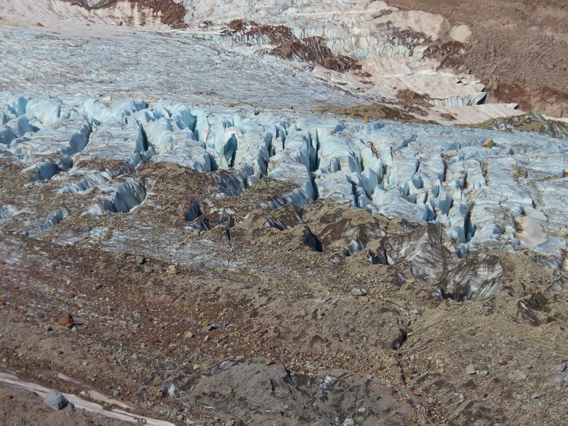
This was much steeper than the switchbacks would have been and when the official trail came close enough for us to see it we hopped back on. We left it again though when it headed straight for a snowfield. It was a cold morning (the expected high for the day in the area was 48) and we knew that the snow would be covered in ice so we wouldn’t be able to cross it. We returned to the edge of the ridge and headed straight up again. In addition to making the distance a little shorter, the main advantage to this route were the views. The views of the Eliot Glacier were really interesting.
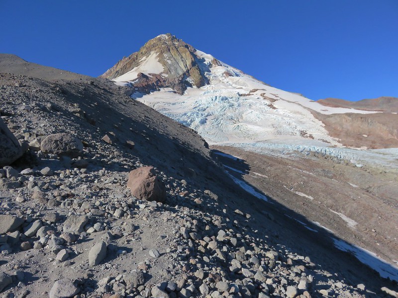
IMG_6718

IMG_6719

IMG_6720

IMG_6721

IMG_6722

IMG_6723

IMG_6717

The route steepened quite a bit as it veered to the east to climb to the top of a moraine.
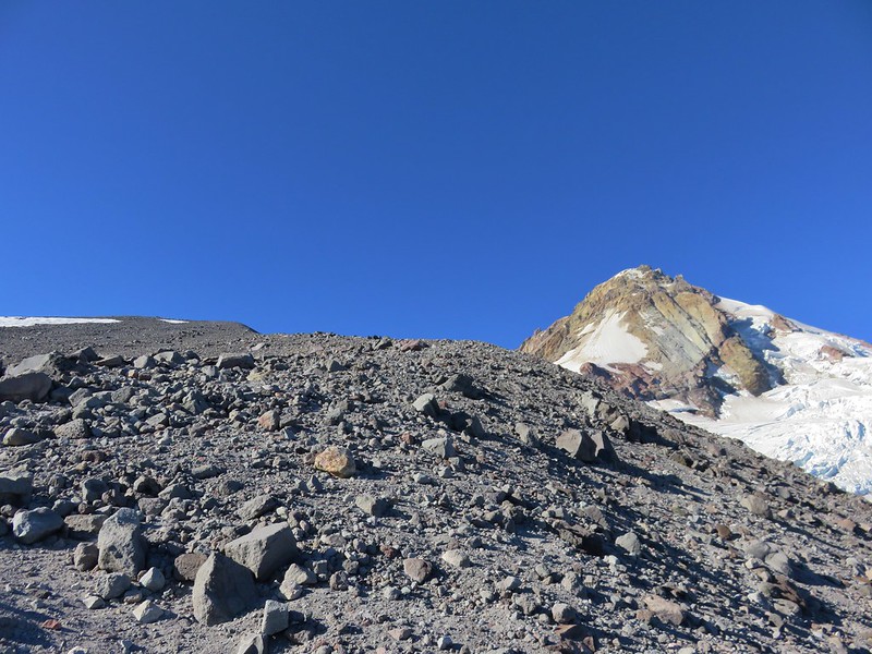
IMG_6725

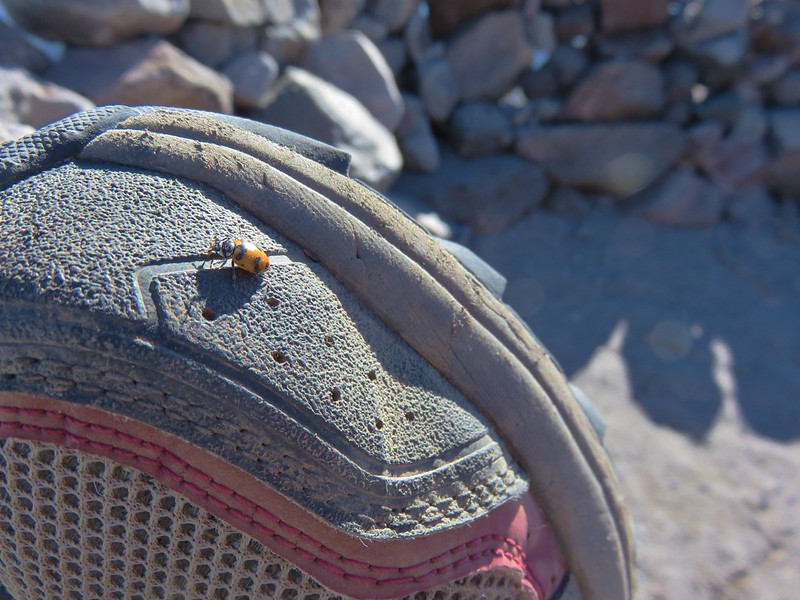
A stone windbreak at the top wasn’t housing any hikers but there were a few ladybugs taking shelter.
IMG_6736

IMG_6768

The official trail ends here where the views were spectacular. To the south Broken Top, The Three Sisters, and Mt. Jefferson were all visible.
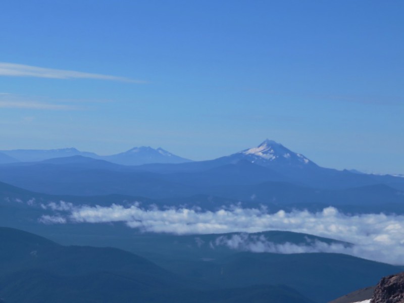
IMG_6738

To the north Mt. St. Helens, Mt. Rainier, and Mt. Adams were all virtually cloud free.
IMG_6740

IMG_6746

IMG_6741

IMG_6743

To the NE the Columbia River snaked from the dry brown landscape of eastern WA and OR into the forested cliffs of the Columbia Gorge.
IMG_6755

Further to the east the Newton Clark Glacier drained into the Newton Creek Canyon.
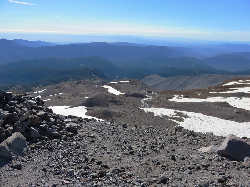
IMG_6756

Mt. Hood provided the most dramatic view though.
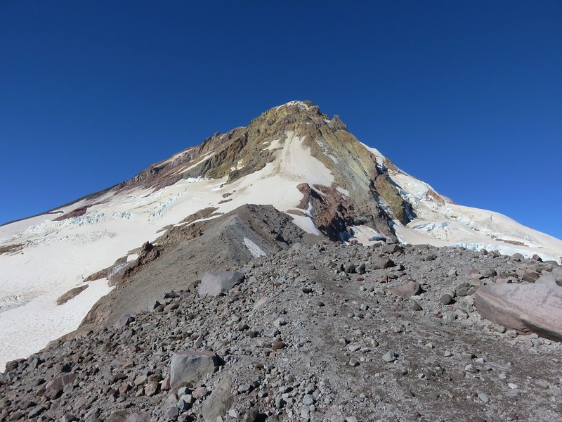
IMG_6750

One of the features on Mt. Hood that we had a good view of was Pulpit Rock.
IMG_6760

Another unique feature in the area is Hiroshima Rock. A boulder inscribed by a group of Japanese climbers in 1910.
IMG_6751

For more information on the Hiroshima Rock check out this post by WyEast Blog.

Even though the official trail ended at roughly 8500′ on top of the moraine, a climbers trail continued along the ridge past Tie-in Rock, a large boulder not far beyond the start of the ridge. The ridge was snow free so we continued on passing Tie-in Rock and continuing to an elevation just over 8900′ where the trail dropped slightly to a saddle between the Eliot and Newton Clark Glaciers.

Heather crossing the ridge. (Tie-in Rock is the large boulder in the distance just to the right of the trail.)
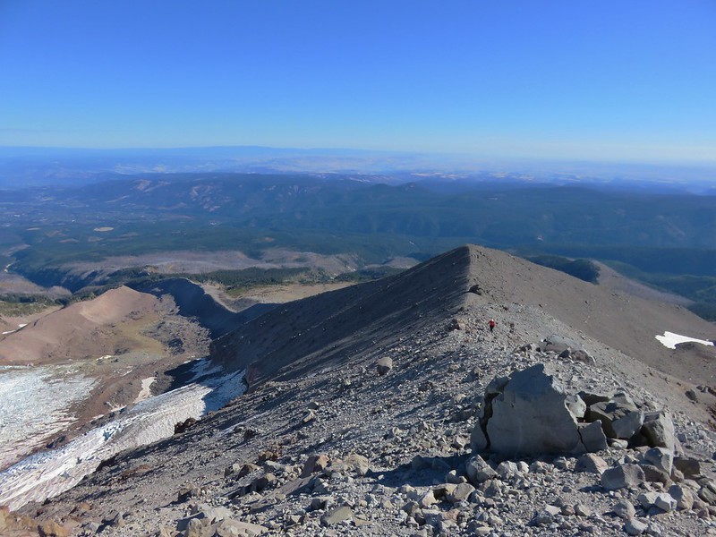
IMG_6770

The first section of the ridge was somewhat level before a final rocky climb to our turnaround point.
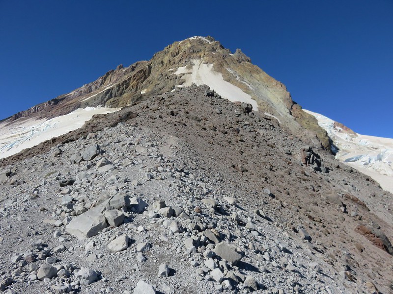
IMG_6773

We passed a final memorial plaque along the way remembering the victims of a 1981 climbing accident.
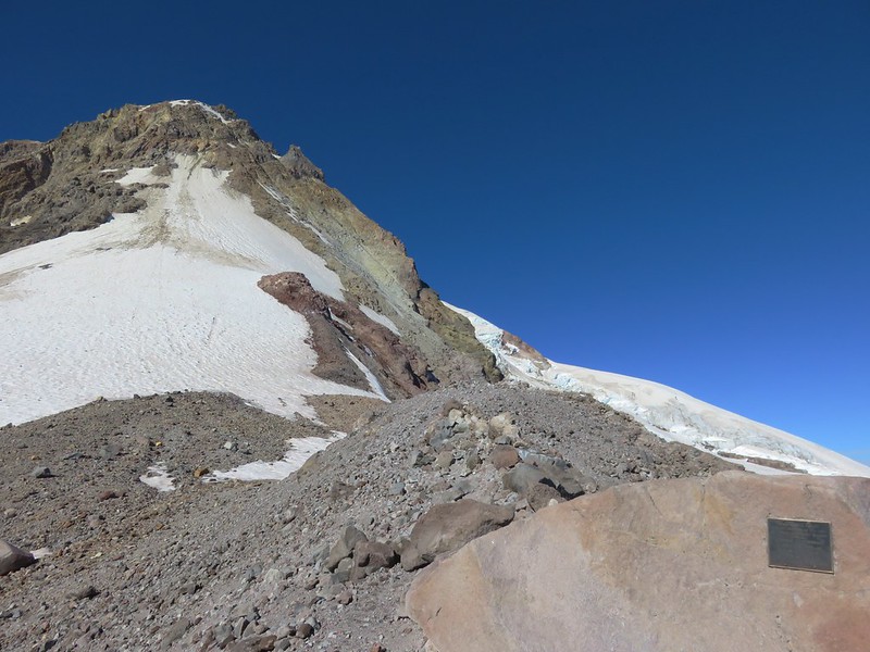
IMG_6774

IMG_6775

Other than a bow hunter, who had been at the trailhead when we arrived that morning, we hadn’t seen anyone other people and were alone on the ridge.
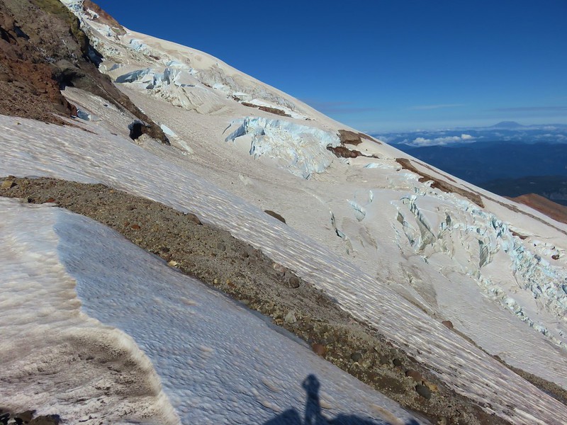
IMG_6785

From this highest point one final Cascade Peak came into view to the south – Diamond Peak.
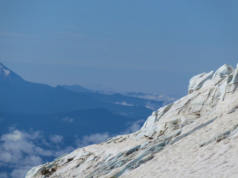
IMG_6804

After enjoying the views we headed back down the way we’d come. As we were descending some high clouds passed overhead changing the scenery a bit.
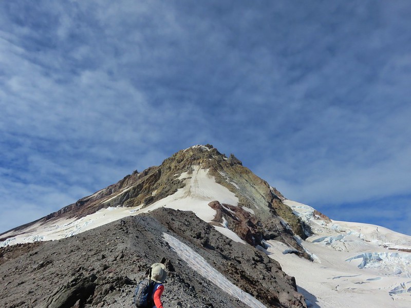
IMG_6817

We decided to follow the official trail on the way down from the moraine which turned out not to be the best decision. The snowfield was still impassible and it was a lot bigger than we had anticipated which caused us to have to swing out wide and make our way down along the snow in loose rocks and sand.
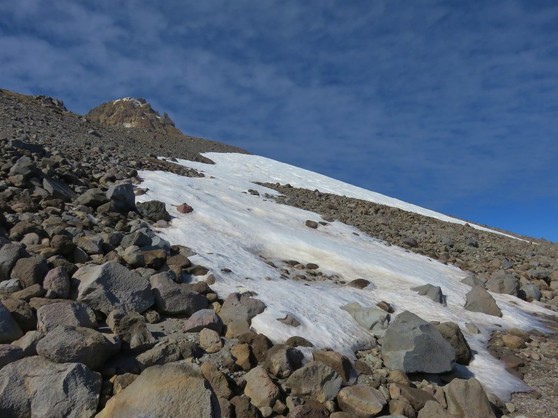
IMG_6821

After passing below the snowfield we contoured back toward the official trail eventually picking it up about a mile and a half from the Timberline Trail. We then followed it back down to the junction and turned left on the Timberline Trail and headed toward Cloud Cap.
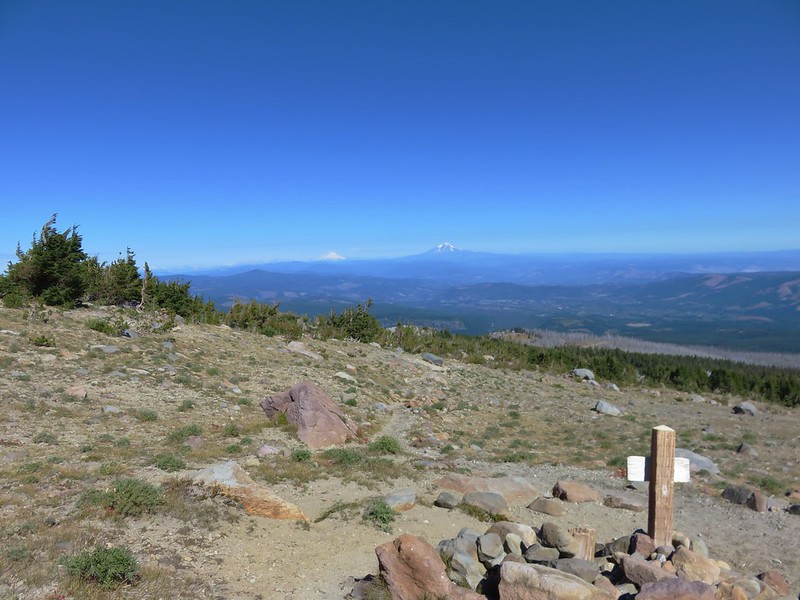
IMG_6824

IMG_6825

The trail descended to a crossing of the upper (and dry) portion of Tilly Jane Creek where it split. With no signs it was difficult to tell if we should turn downhill along the creek or climb to the ridge along the Eliot Moraine. We chose to go up where we found a nice path with great views along the ridge.
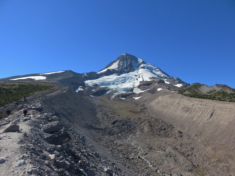
IMG_6832

IMG_6828

IMG_6830

Near the end of the moraine the trail dropped down to the right into the forest.
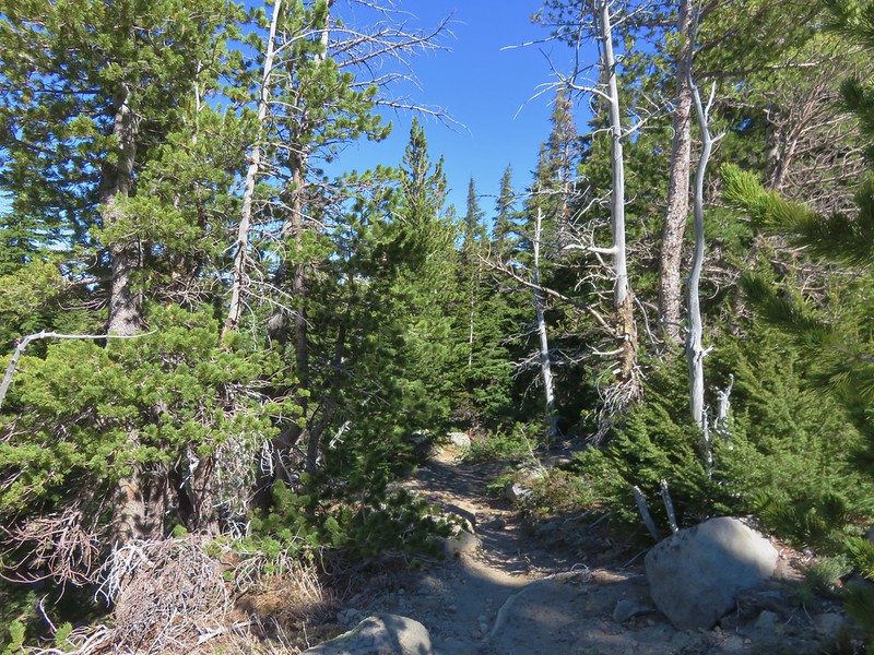
IMG_6835

After 1.2 miles we came to a sign for the Cloud Cap Trailhead.
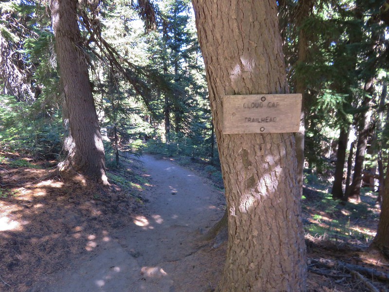
IMG_6836

We followed that trail for 100 yards to the Cloud Cap Saddle Campground where a road led up and around a hill to the Cloud Cap Inn.
IMG_6837

IMG_6838

Snowshoe Cabin
IMG_6839

Cloud Cap Inn
IMG_6846

IMG_6848

IMG_6849

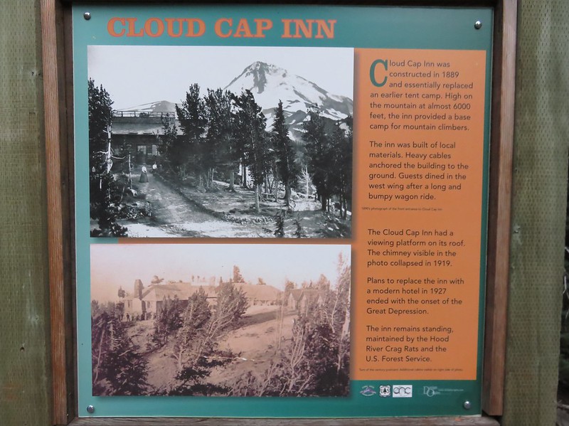
The inn was opened in 1889 and is currently maintained by the Hood River Crag Rats who use the inn as a base for snow surveys and mountain rescues. Click  here for more on the inn’s history.

After visiting Cloud Cap we passed back through the campground where we turned left on the Tilly Jane Trail.
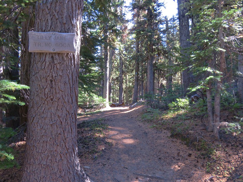
IMG_6852

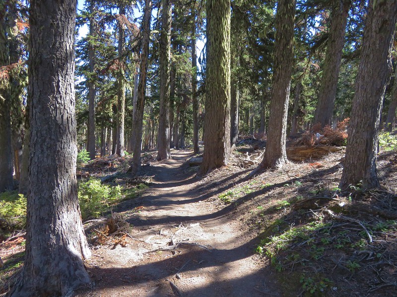
This section of the trail passed through a mix of burnt and unburnt forest and still had a few flowers along it.
Aster
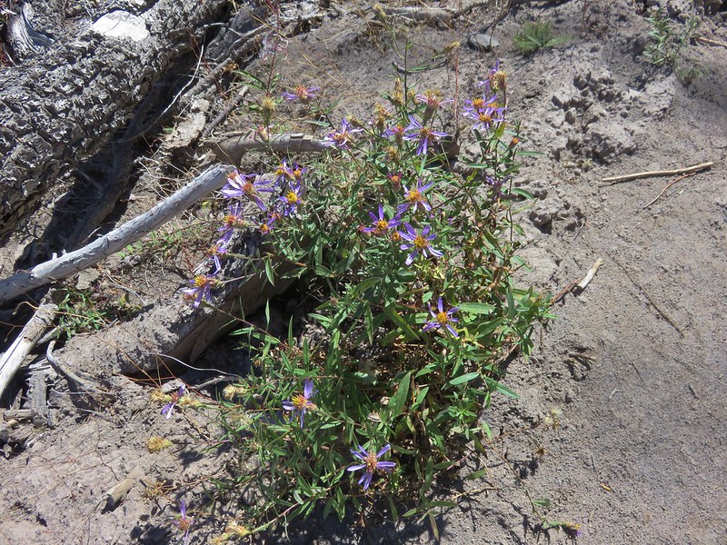
IMG_6854

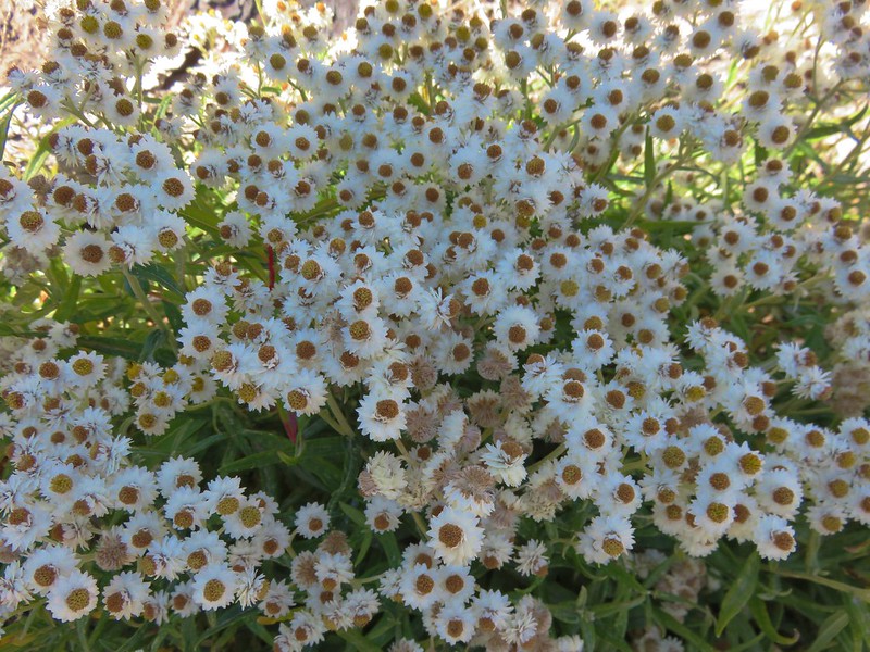
Pearly everlasting
IMG_6855

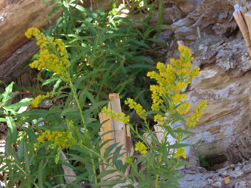
Goldenrod
IMG_6857

IMG_6859

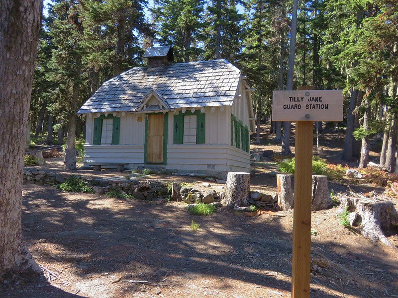
We followed signs to the Tilly Jane Campground and the 1924 Tilly Jane Guard Station.
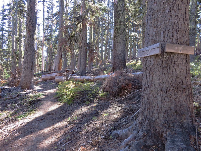
IMG_6860

IMG_6863

IMG_6864

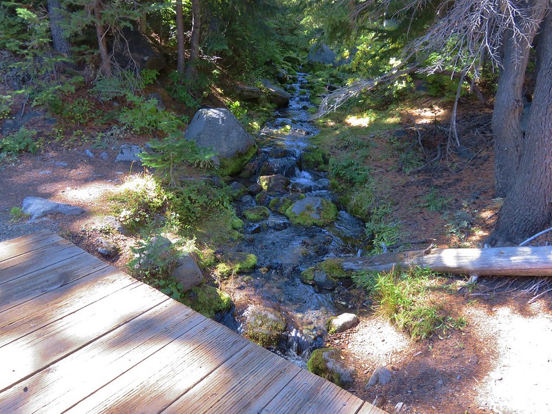
The trail crossed Tilly Jane Creek on a footbridge between the Guard Station and the amphitheater.
IMG_6866

IMG_6868

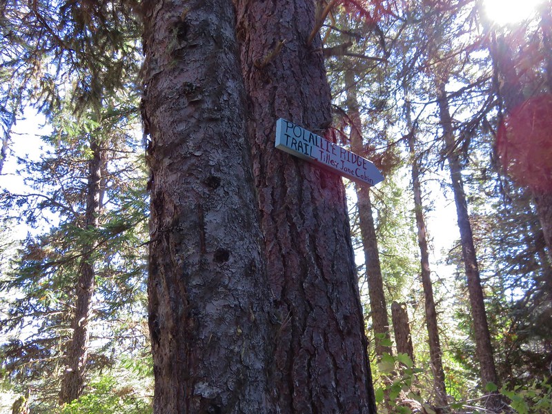
Instead of returning on the Tilly Jane Ski Trail which led past the A-Frame we turned back uphill on the Tilly Jane Trail for a couple hundred feet to a trail sign for the Polallie Ridge Trail.
IMG_6871

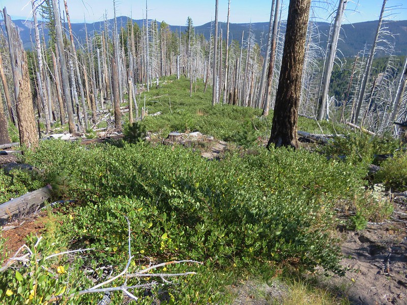
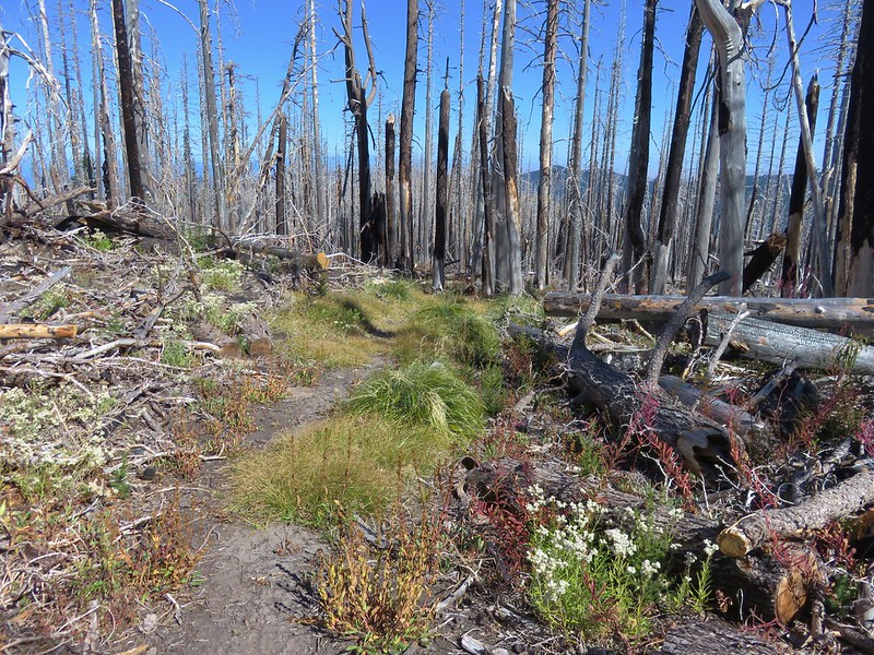
The Polallie Ridge Trail quickly entered the Dollar Fire burn area. The trail stuck closely to the top of the ridge as it headed straight downhill.
IMG_6876

IMG_6882

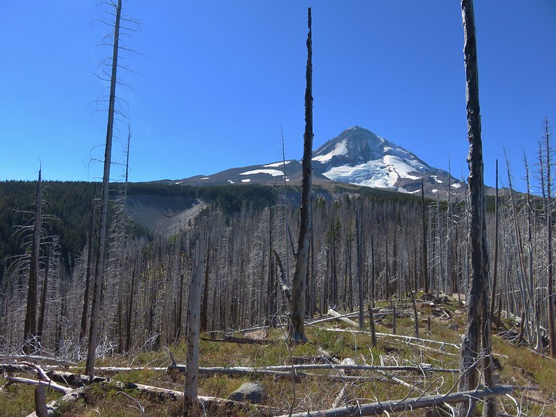
There was a nice view back to Mt. Hood as well as the headwall of the Polallie Creek Canyon.
IMG_6878

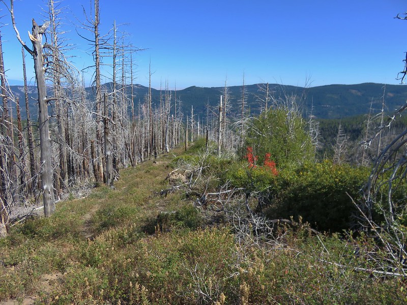
The trail was faint and appeared to get more use by deer than hikers. Manzanita and chinkapin covered sections of the trail but it was passable.
IMG_6883

IMG_6888

chinkapin
IMG_6885

The trail eventually reentered forest unaffected by the fire and just over 2 miles from the Tilly Jane Trail junction we turned left following a blue arrow for the Polallie Ridge Trail.
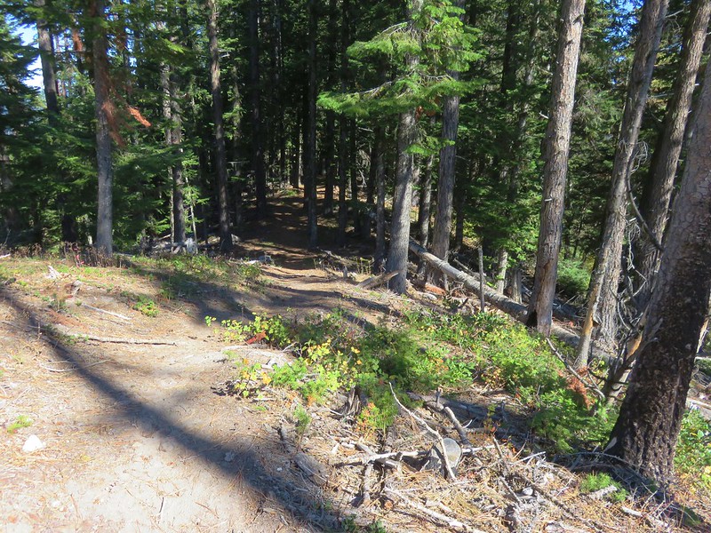
IMG_6889

IMG_6890

IMG_6891

Another quarter mile brought us back to the Tilly Jane Ski Trail just .5 miles from our car.
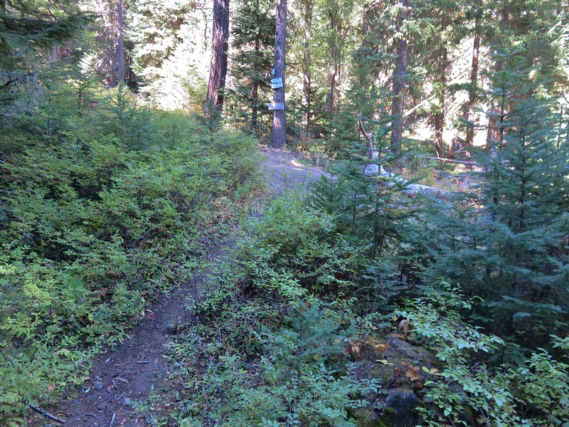
IMG_6892

IMG_6894

The total distance for the hike was 13.9 miles with a little over 5000′ of elevation gain. It had been a near perfect day for the hike with the cool temperatures and lack of troublesome clouds. Having had Cooper Spur all to ourselves was just a bonus. We had begun seeing other hikers when we began descending from the moraine at 8500′ and there were plenty of cars at Cloud Cap and the Tilly Jane Campground as well as the trailhead when we got back. It was another good reminder why we get ourselves up so early on hiking days.

Happy Trails!

Flickr: https://www.flickr.com/photos/9319235@N02/albums/72157674245738906
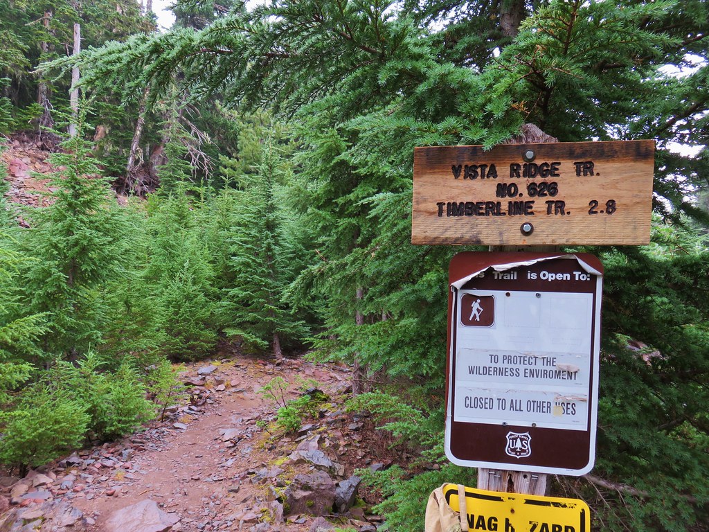
Categories
High Cascades Hiking Mt. Hood Area Oregon Trip report

Paradise Park via Hidden Lake Trail

Just like our previous hike (Jefferson Park via Woodpecker Ridge) our latest outing consisted of a new way to visit a familiar area. Our goal this time was Paradise Park on Mt. Hood which we had hiked to twice previously; first in August 2012 on a day hike from Timberline Lodge and again in July 2014 during an overnight trip that started from the Burnt Lake Trailhead.  This hike was originally going to be a 13.2 mile day hike consisting of  a loop using the Hidden Lake, Pacific Crest, and Paradise Park Trails.  The drawback to this plan was that the planned loop did not bring us to Paradise Park. We would need to add at least another mile to the hike to reach the park and even then we would only be seeing a small portion of the Paradise Park area.   Our solution was to turn it into an overnight backpacking trip which would allow us to set up camp and then explore to our hearts content (or until our feet said no more).

We decided to park at the Paradise Park Trailhead and walk .9 miles along Road 39 to the Hidden Lake Trailhead.
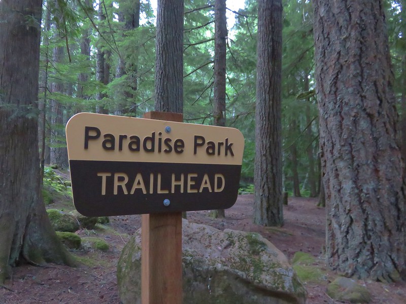
Paradise Park Trailhead

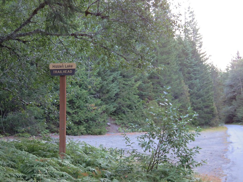
Hidden Lake Trailhead

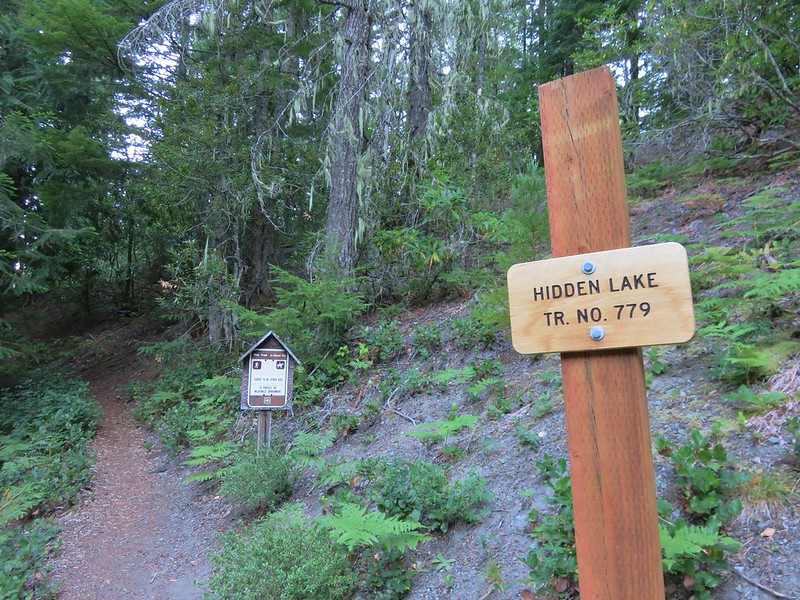
We turned up the Hidden Lake Trail, stopping to fill out a wilderness permit and read a nearby sign recalling the organization of the Mazamas.
Hidden Lake Trail

Interpretive sign near the Hidden Lake Trailhead

The Hidden Lake Trail climbed at a pretty good pitch at first, eventually becoming less steep as it gained the forested ridge and approached Hidden Lake.
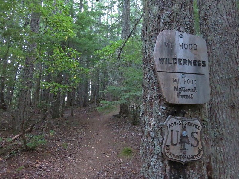
Entering the Mt. Hood Wilderness on the Hidden Lake Trail

Hidden Lake Trail

We reached the spur trail to Hidden Lake about 2 miles up the Hidden Lake Trail. The lake itself was not visible from the trail but the presence of a campsite just off the trail gave its presence away. We followed the spur trail past the campsite to the small forested lake.
Hidden Lake

Hidden Lake

Hidden Lake

The muddy lake shore seemed to be attracting a fair number of yellow jackets so we kept our distance and didn’t stay long. From the lake the trail climbed nearly another 2000′ in approximately 2.5 miles. The forested ridge provided no views of Mt. Hood but there was a nice supply of ripe huckleberries for us to munch on as we climbed. The trees did provide some protection from the Sun which was welcome because it was already a warm morning. Temperatures in the Willamette Valley were supposed to hit triple digits and the high at Paradise Park was forecast to be around 70 for the day. We were able to keep a decent pace though and at the Pacific Crest Trail we turned left toward Paradise Park.
Hidden Lake Trail junction with the Pacific Crest Trail

Mt. Hood finally came into view as we hiked along the PCT.
Mt. Hood from the Pacific Crest Trail

From the Hidden Lake Trail junction it was a mile and a half to the dramatic Zigzag Canyon overlook. From the overlook, Mt. Hood looms behind Mississippi Head as the Zigzag River roars below.
Mt. Hood and the Zigzag River Canyon

To the south Mt. Jefferson was visible although it was a little hazy.
Mt. Jefferson

The PCT drops approximately 500′ from the overlook down to the Zigzag River. We rock hopped across the water then decided to head upstream toward Zigzag Falls.
Zigzag Falls

On our 2012 hike we noticed the fall but didn’t actually make it all the way there. It had seemed too far away. Our definition of “too far” has apparently changed over time. This time Zigzag Falls appeared relatively close and it didn’t take us long to arrive at the waterfall.
Zigzag Falls

Zigzag Falls

We were surprised at the power of the waterfall as it crashed down into the splash pool. A nice cool mist was being generated and we took advantage by sitting nearby and taking a fairly long break. After cooling off we returned to the PCT and continued toward Paradise Park. The climb out of the northern side of the canyon was much shorter than the descent on the far side and shortly after climbing out we came to a junction with the Paradise Park Loop Trail.
Pacific Crest Trail junction with the southern end of the Paradise Park Loop Trail

The 2.4 mile Paradise Park Loop Trail climbs up to the wildflower meadows of Paradise Park and eventually rejoins the PCT further to the north. Before we headed up to Paradise Park though, we wanted to find a campsite so we could leave our heavy backpacks behind. After passing the junction we began looking for a suitable spot. We were hoping to find something near the junction with the Paradise Park Trail which was just a half mile from the Paradise Park Loop Trail. There were a couple decent spots just before we reached the Paradise Park Trail but we preferred to be a little further off the busy Pacific Crest Trail so we decided to turn down the Paradise Park Trail and see if we could find something along this trail.
Paradise Park Trail junction with the Pacific Crest Trail

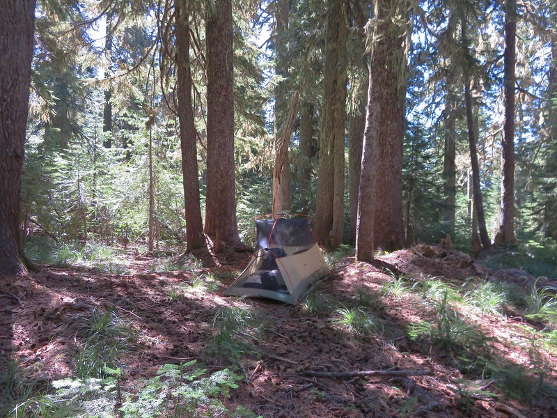
As we descended the .2 miles to a junction with the Burnt Lake Trail, we agreed to turn around if we were unable to find a decent campsite. We found what we were looking for near the trail junction and were able to set up our tent.
Campsite along the Paradise Park Trail

After getting camp situated we headed back up to the Pacific Crest Trail where we faced a choice. To reach Paradise Park we could go straight up the Paradise Park Trail, turn right and take the Paradise Park Loop counterclockwise, or turn left and do the loop clockwise. We had done the loop counterclockwise in 2012 and gone straight up the Paradise Park Trail in 2014 so of course we chose clockwise this time just to be different. When we reached Lost Creek we turned off the PCT and headed up a sandy hill to visit Lost Creek Falls.
Lost Creek Falls

Lost Creek Falls

Lost Creek Falls

Continuing on from Lost Creek Falls we passed the trickle of the ironically named Rushing Water Creek.
Rushing Water Creek

We reached the northern end of the Paradise Park Loop Trail 2 miles from the Paradise Park Trail and turned uphill.
Pacific Crest Trail junction with the northern end of the Paradise Park Loop Trail

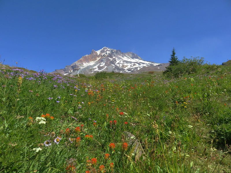
The northern end of the trail passes through drier meadows that were filled with aster and big views of Mt. Hood. A wider variety of flowers were present where there was more moisture.
Mt. Hood from the Paradise Park Loop Trail

Mt. Hood from the Paradise Park Loop Trail

Mt. Hood and split rock from the Paradise Park Loop Trail

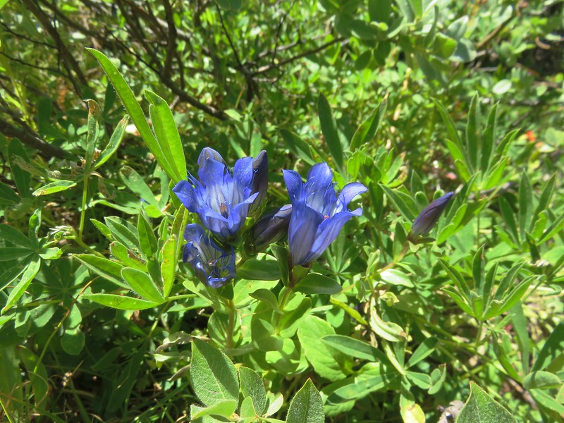
Gentians
Gentians

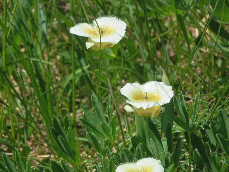
Cat’s ear lily
Cat's ear lily

Mt. Hood from the Paradise Park Loop Trail

Mt. Hood from the Paradise Park Loop Trail

We stopped to get water from the wildflower lined north fork of Lost Creek.
Mt. Hood from the Paradise Park Loop Trail

Wildflowers along a branch of Lost Creek

Wildflowers alogn a branch of Lost Creek

Mt. Hood was briefly hidden as we wrapped around a hillside covered in aster and fireweed that separates the branches of Lost Creek.
Fireweed and aster along the Paradise Park Loop Trail

Meadows of aster and lupine were visible below the trail.
Aster meadow

Lupine and groundsel

Beyond the hill we passed the site of the former Paradise Park Shelter before descending to the main branch of Lost Creek.
Site of the former Paradise Park shelter

Mt. Hood from the Paradise Park Loop Trail at Lost Creek

There were lots of flowers near the creek including an impressive patch of yellow and pink monkeyflower.
Wildflowers along Lost Creek

Mt. Hood from the Paradise Park Loop Trail

The meadows along the trail on the south side of Lost Creek were much greener with more wildflowers.
Lupine and groundsel

Mt. Hood from the Paradise Park Loop Trail

When we arrived at the junction with the Paradise Park Trail we remarked at the difference in the types of flowers present from our visit in 2012. That visit had been on August 27th and the meadow had been full of lupine and bistort.
Mt. Hood from Paradise Park

This time it was mostly aster that filled the meadow.
Mt. Hood from the Paradise Park Trail

One area we had not explored on either of our previous visit was further up the Paradise Park Trail so this time we turned toward the mountain and headed up through the wildflower meadows.
Mt. Hood from the Paradise Park Trail

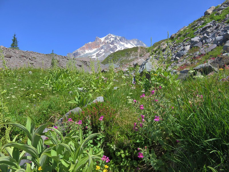
It was interesting to see how the composition of the meadows changed along the way. We passed areas of purple aster, white bistort, and eventually dwarf lupine and yarrow.
Mt. Hood from the Paradise Park Trail

Mt. Hood from the Paradise Park Trail

Mt. Hood from the Paradise Park Trail

Mt. Hood from the Paradise Park Trail

We took a break on a large rock with a great view of Mt. Hood and Mississippi Head.
Mt. Hood from the Paradise Park Trail

Mississippi Head

There was a cool breeze coming off Mt. Hood which made the temperature perfect. After a snack we followed the trail over to a ridge overlooking the upper portions of the Zigzag Canyon where a couple of waterfalls were visible.
Trail heading over to an overlook of the Zigzag River Canyon

Mississippi Head and Mt. Hood

Seeps flowing down into the Zigzag River Canyon

Waterfall in the Zigzag River Canyon

We headed back down to the Paradise Park Loop Trail and then opted to finish the loop instead of heading straight back down the Paradise Park Trail to the PCT. Once we were back on the Pacific Crest Trail we decided that we would hike back to Lost Creek Falls in order to cook dinner and then refill our water supply for the night. We cooked dinner on the sandy hill then moved to a rock with a view of the falls to eat. As the Sun lowered there was almost a rainbow effect at the base of Lost Creek Falls.
Lost Creek Falls

Lost Creek Falls

After dinner we filtered some water then returned to our campsite along the Paradise Park Trail. Stopping along the way at a nice huckleberry patch for dessert.
Huckleberries along the Paradise Park Trail

Huckleberries along the Paradise Park Trail

It was just after 7pm when we arrived back at camp. There were a ton of little flies out and a fair number of mosquitoes that were much more interested in Heather than myself so we quickly headed into the tent for the night which was okay because we’d somehow managed to put in 19.7 miles for the day.
Campsite along the Paradise Park Trail

It was still dark when we woke the next morning as I went to check the time on my phone. We both expected it to be somewhere around 2 or 3am so we were relieved when it turned out to be 5:23 and not too early to get up. After packing up camp we braved the bugs and prepared breakfast – instant coffee and Backpacker’s Pantry bacon and cheddar mashed potatoes. After eating we began the 6 mile downhill hike toward the Paradise Park Trailhead. We made good time despite being distracted by the abundant ripe huckleberries. The trail was just as view-less as the Hidden Lake Trail had been the day before. Where it would have been possible to filter water on that trail the Paradise Park stream crossings were basically dry. The forest was nice though and this ridge was a bit wider than the one the Hidden Lake Trail, creating a little more of an open feeling.
Paradise Park Trail

Mt. Hood Wilderness

In the middle of the trail was a long section where the trail was about as straight as a trail can be and almost looked like it was following an old road bed. As the trail approached the edge of the ridge the forest thinned and there was a viewpoint looking toward Tom, Dick, and Harry Mountain to the south.
Tom Dick and Harry Mountain

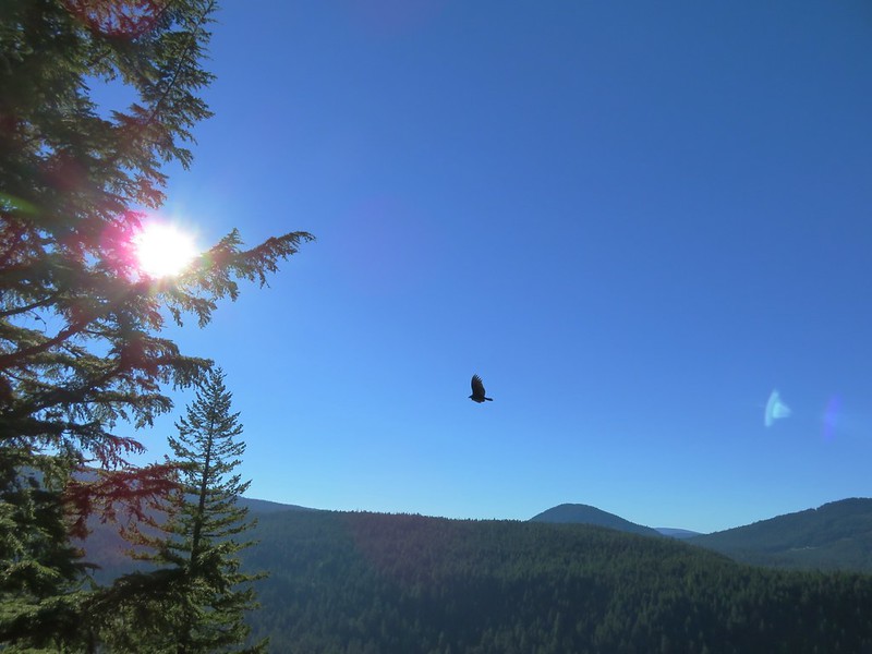
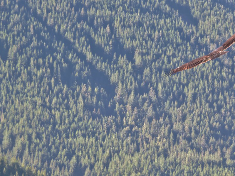
While we were at the viewpoint a Turkey Vulture passed by several times close enough to hear the wind on its wings.
Turkey Vulture

Turkey Vulture

Turkey Vulture

The trial then veered away from the ridgeline for .7 miles and began a final set of switchbacks down to the Zigzag River, which it followed back to the Barlow Campground and the Paradise Park Trailhead.
Paradise Park Trail

Zigzag River Trail

Both the Hidden Lake and Paradise Park Trails are longer, steeper routes to Paradise Park than the more popular Pacific Crest Trail from Timberline Lodge hike but they do have things to offer. Solitude and dense forest replace mountain views making these good options for quieter hikes while still bringing you to the big views at Paradise Park. If you’ve already been to Paradise Park via Timberline Lodge either of these trails make a nice alternative, especially when the berries are ripe. Happy Trails!

Flickr: https://www.flickr.com/photos/9319235@N02/albums/72157671573939900

Categories
High Cascades Hiking Mt. Hood Area Oregon Trip report

Buck Peak

A week out from our somewhat cloudy visit to the Mount Margaret Backcountry we found ourselves heading back into the clouds on the Pacific Crest Trail. Our goal for the day was the viewpoint atop Buck Peak which is just off the PCT to the NW of Lost Lake in the Mt. Hood National Forest. We began our hike at the Pacific Crest Trailhead at Lolo Pass.
IMG_2482

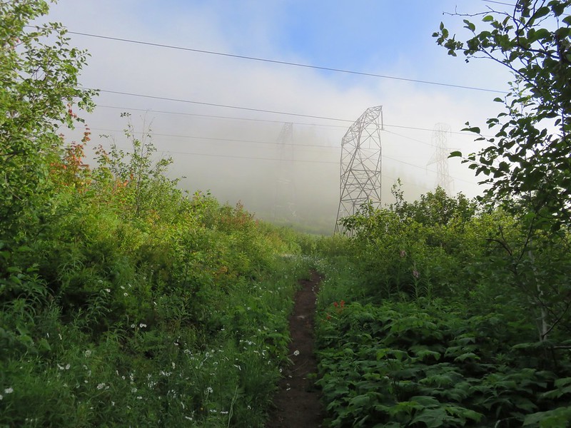
We headed north on the PCT which quickly passed under some power lines where we met our first clouds.
IMG_2487

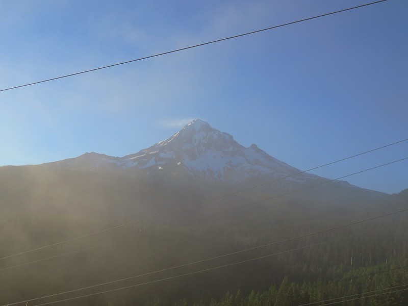
Looking back toward Mt. Hood from the power lines it looked like blue skies around the mountain.
IMG_2492

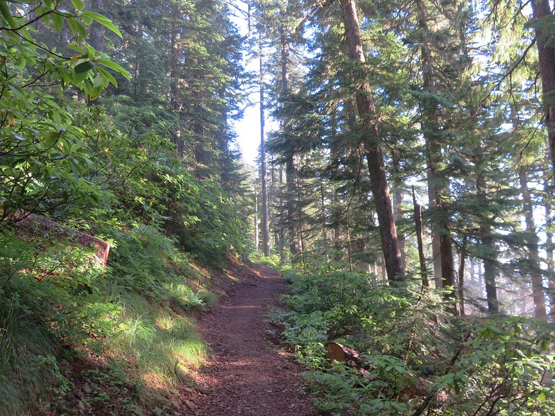
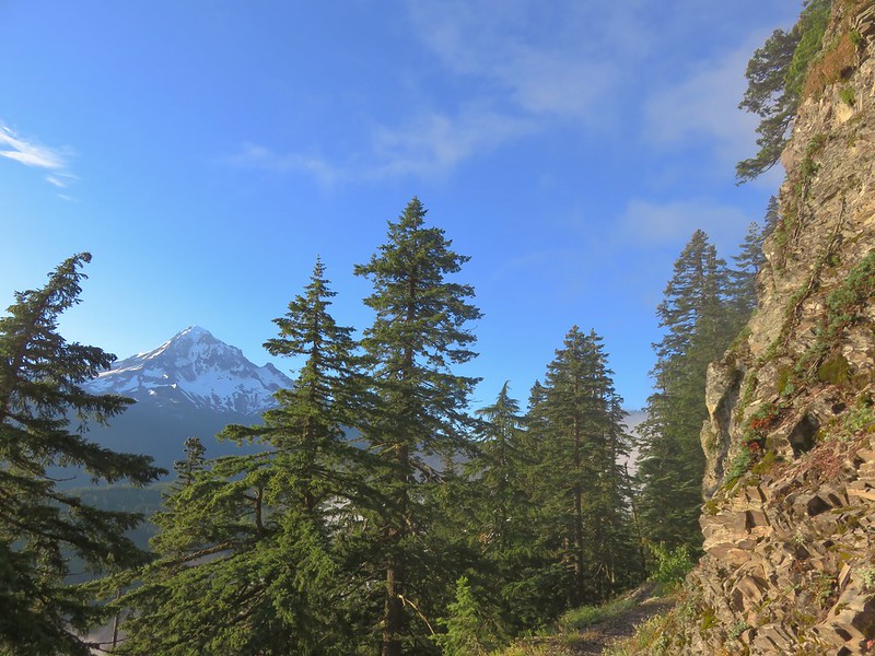
The PCT climbed gently up a ridge where we had a few views between the clouds that were passing over.
IMG_2498

IMG_2516

IMG_2533

IMG_2530

IMG_2538

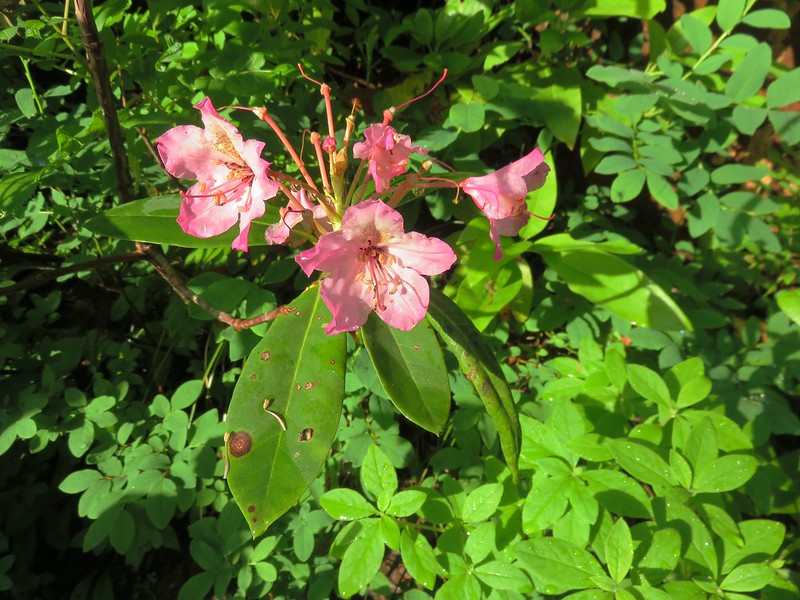
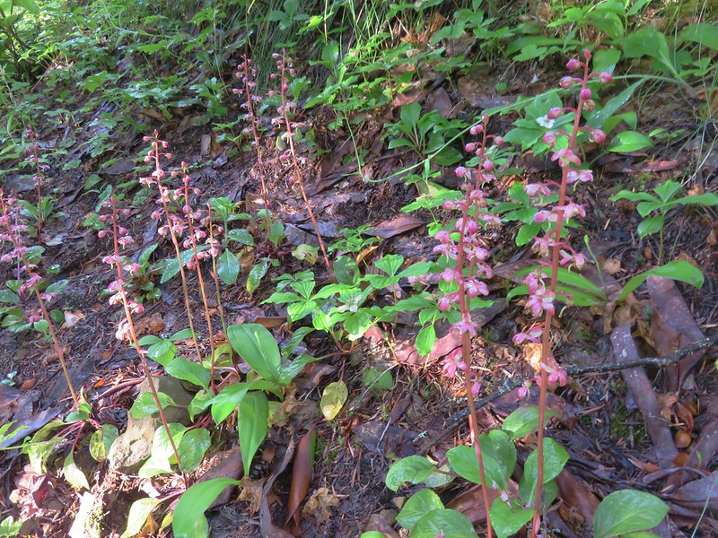
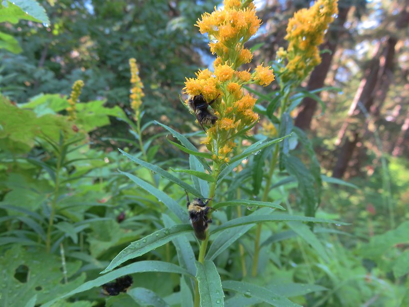
A decent variety of flowers could be found along the more open portions of the trail.
Rhododendron
IMG_2493

Pink pyrola
IMG_2496

Tiger lilies
IMG_2506

Bees on goldenrod
IMG_2512

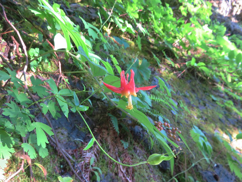
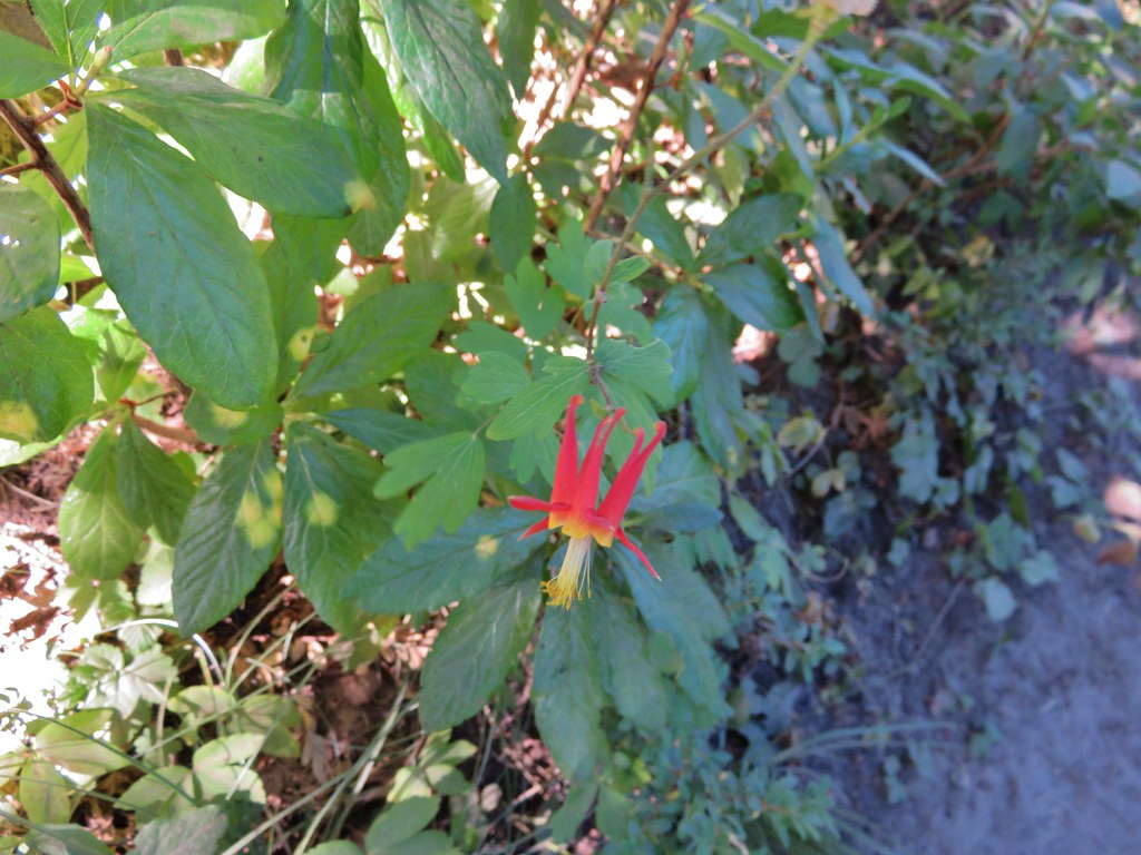
Columbine
IMG_2520

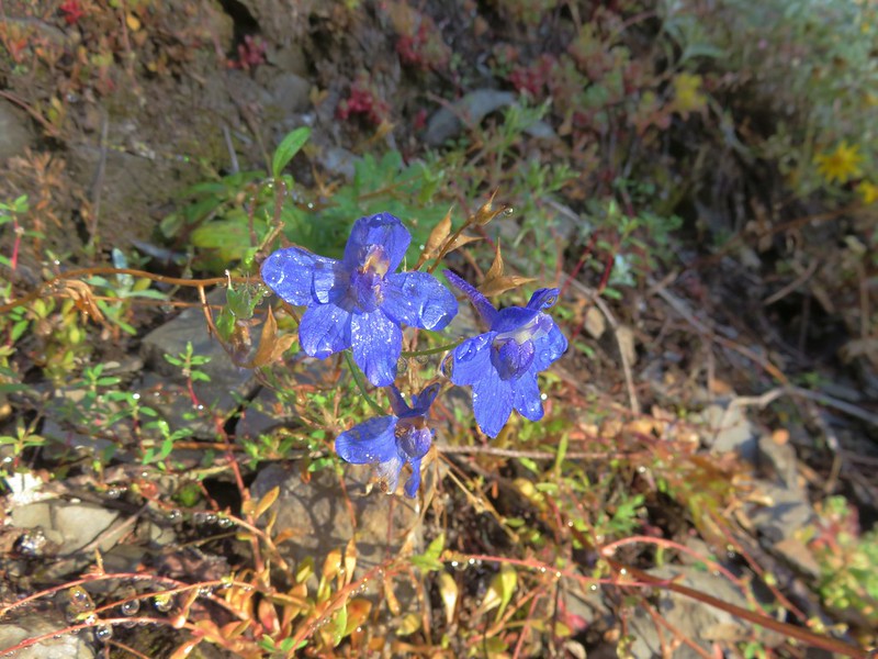
Larkspur
IMG_2523

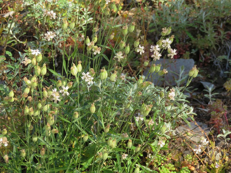
Catchfly
IMG_2526

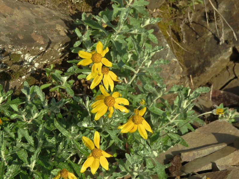
Oregon sunshine
IMG_2529

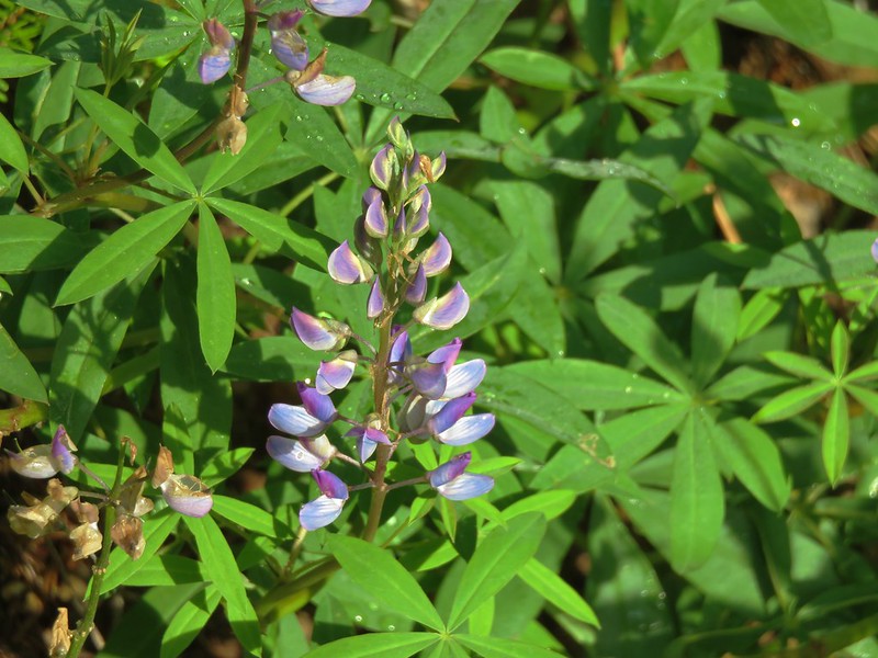
Lupine
IMG_2541

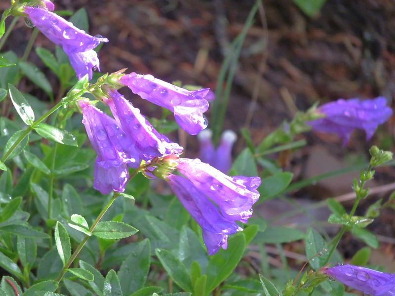
Penstemon
IMG_2544

The trail soon entered the trees where it remained for the majority of remainder of the hike to Buck Peak. The forest was full of huckleberries and some salmonberries.
IMG_2545

IMG_2548

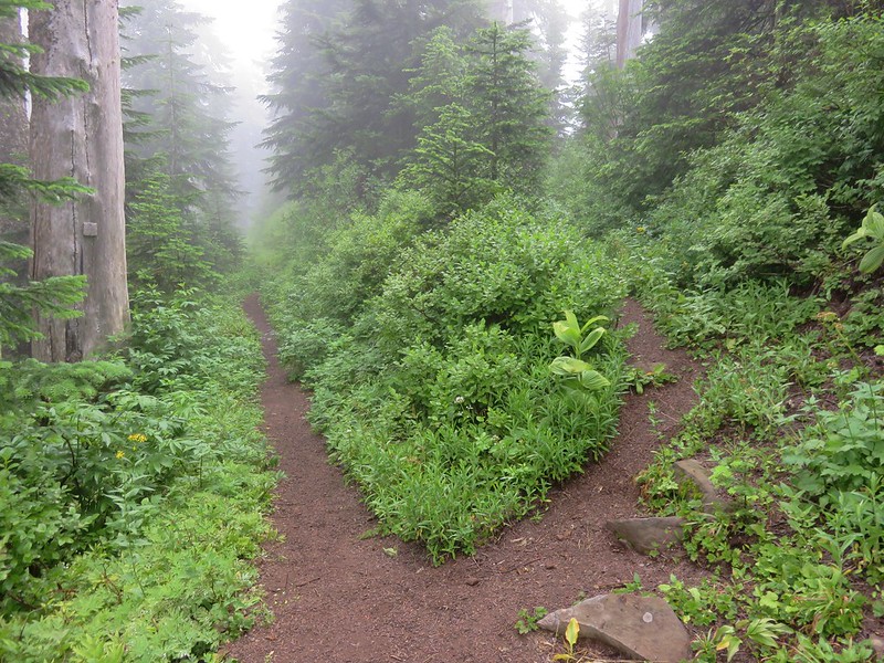
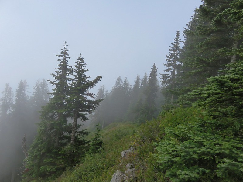
It was increasingly foggy as we gained elevation.
IMG_2552

Approximately 4.5 miles from Lolo Pass we arrived at a junction with the Huckleberry Mountain Trail which led down to Lost Lake.
IMG_2553

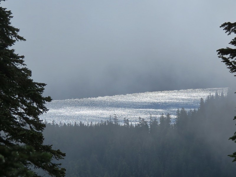
We continued on the PCT passing a spur trail to Salvation Spring and heading further into the clouds. There were a number of downed trees across the trail after the Huckleberry Mountain junction but nothing impassable. With the forest and the clouds, views were few but we did get a couple of glimpses of Lost Lake along the way. The majority of the time we were just looking at the different flowers along the way.
Beargrass
IMG_2553

Monkeyflower
IMG_2556

Parrot’s beak lousewort
IMG_2557

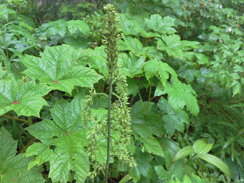
False hellbore
IMG_2561

IMG_2561

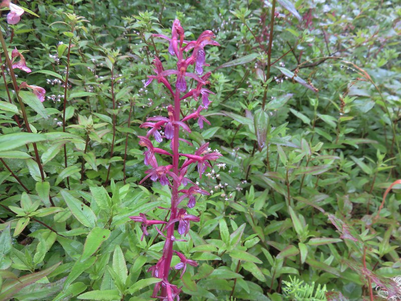
Coralroot
IMG_2568

IMG_2586

The trail to Buck Peak was unsigned but easy to spot as it split up and to the right from the PCT.
IMG_2590

The trail was a little brushy and the clouds had left the plants rather damp which in turned soaked us pretty quickly.
IMG_2591

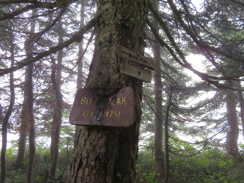
After a half-mile on the Buck Peak Trail we arrived at the signed summit.
IMG_2594

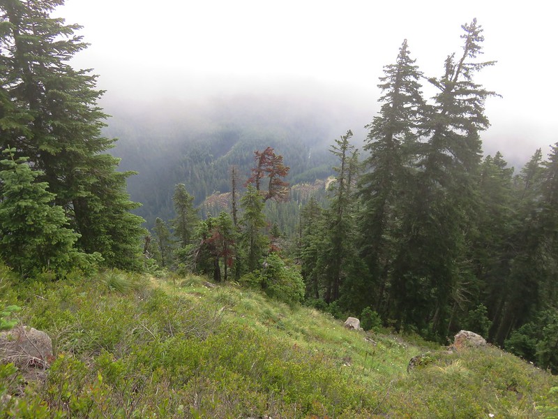
The panoramic viewpoint of several Cascade Mountains was on the fritz and we were lucky to get a couple of looks at Lost Lake below.
IMG_2599

IMG_2603

IMG_2605

We sat on the rocky viewpoint for awhile watching the clouds pass over hoping to wait them out but finally decided it could be hours before the view cleared and headed back down. Things had already cleared up some along the PCT and the views were starting to open up as we made our return trip.
Lost Lake Butte above Lost Lake
IMG_2619

IMG_2622

Buck Peak still in a cloud.
IMG_2624

Eventually the sky had cleared enough to provide some great views of Lost Lake, Mt. Hood, and even Mt. Adams in Washington.
IMG_2630

IMG_2641

IMG_2653

The butterflies had come out in the afternoon and as we passed the rockier section of trail they were busy pollinating the flowers.
IMG_2665

IMG_2676

Mt. Hood loomed large as we passed under the power lines and finished up our hike.
IMG_2674

The hike was over 15 miles round trip but really didn’t feel that long. The approximately 1500′ of elevation gain was gradual and spread out nicely. One item to note is that this section of the PCT and the Buck Peak Trail are in the Bull Run Watershed Management Area which is the primary source of drinking water for Portland and is closed to the public. Hikers are required to remain on the trails within the area’s boundary. Happy Trails!

Flickr: https://www.flickr.com/photos/9319235@N02/albums/72157671458188065

Categories
High Cascades Hiking Mt. Hood Area Oregon Trip report

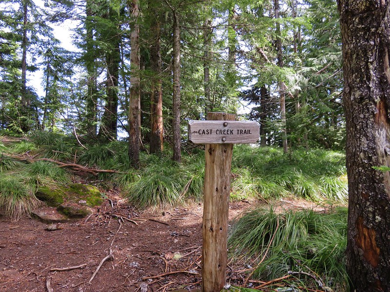
Horseshoe Ridge and Cast Creek Trail Loop
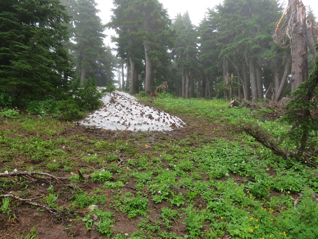
On Father’s Day we headed toward Mt. Hood for a loop hike on some lesser used trails. We planned on using the Horseshoe Ridge and Cast Creek Trails as well as a portion of the Zigzag Mountain Trail for a loop in the Mt. Hood Wilderness. Along the way we’d also visit Cast Lake and depending on visibility detour to the summit of East Zigzag Mountain.
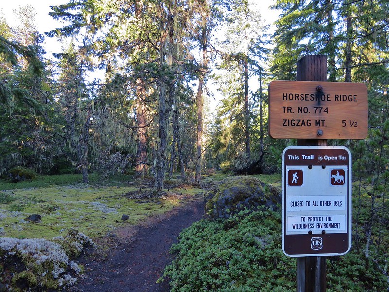
We began our hike by parking along Forest Road 1825-380 at the bridge over Lost Creek near the Riley Horse Camp. The Horseshoe Ridge Trail began on the SW side of the road.
IMG_8679

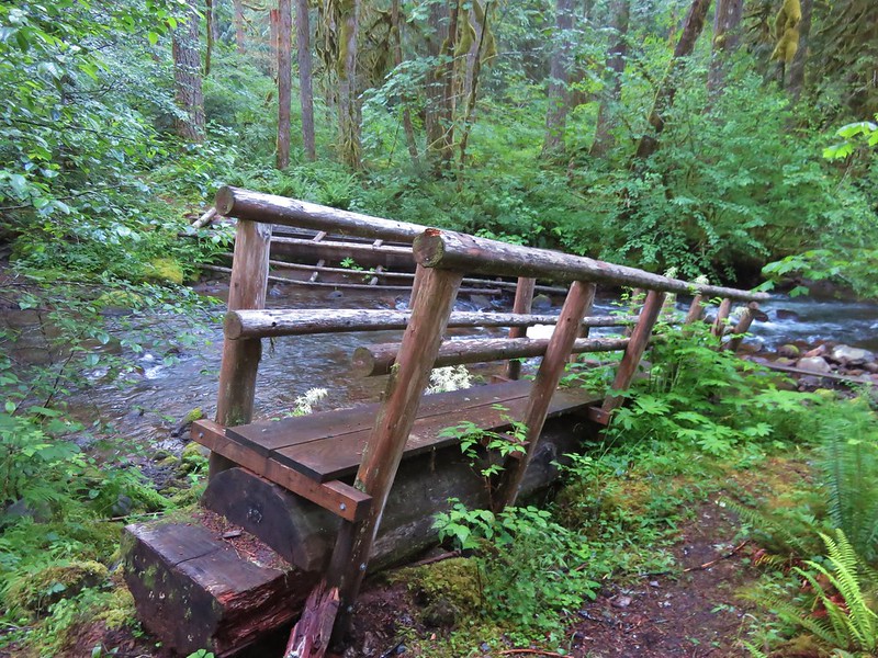
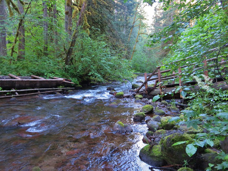
The trail paralleled Lost Creek for the first 3/4 mile but didn’t get very close to the water until the trail crossed the creek. I had checked the Mt. Hood Forest Service for trail conditions before we left so we knew the bridge was “unusable”.
IMG_8682

IMG_8685

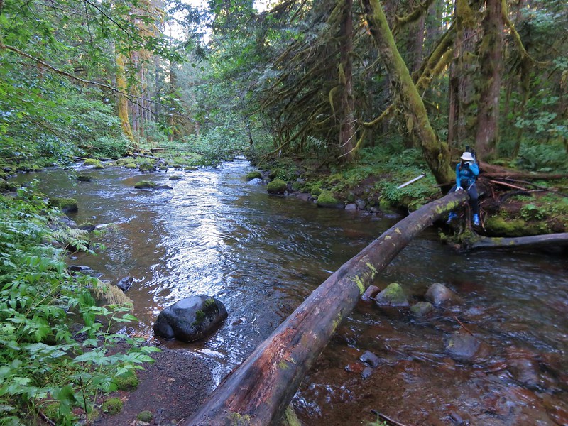
We looked around a bit and noticed a downed tree a little downstream that we could use to cross but it was wet and slick and not wide enough to comfortably walk across in those conditions. We faced the choice of scooting across or fording the creek. Considering the temperature was only in the upper 30’s we decided we’d rather scoot than get soaked.
IMG_8686

Halfway across we discovered that we weren’t the only ones using the log and had to creatively maneuver past a snail and small slug.

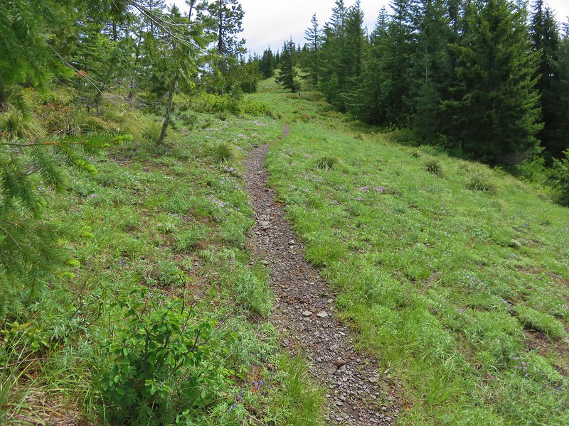
Beyond Lost Creek the trail climbed through the forest for nearly 4 miles to the Zigzag Mountain Trail. The climb was never too steep and near the end the trail entered a meadow with wildflowers and views of Mt. St. Helens.
IMG_8698

Columbine and paintbrush
IMG_8733

Beargrass
IMG_8720

Lupine
IMG_8723

Paintbrush
IMG_8719

Lousewort before blooming
IMG_8726

IMG_8728

IMG_8730

IMG_8735

We turned left on the Zigzag Mountain Trail passing through more beargrass meadows and gaining views of Mt. Hood and Mt. Jefferson.
IMG_8736

IMG_8737

IMG_8739

IMG_8744

IMG_8746

We followed the trail up to a ridge top where a rocky viewpoint added three Washington volcanoes to the view.
IMG_8752

Mt. St. Helens
IMG_8756

Mt. Rainier
IMG_8755

Mt. Adams
IMG_8754

The trail then crossed over the ridge and began descending along the north side of Zigzag Mountain. We had been on this section of trail in 2012 during a July 9th loop starting from the Burnt Lake South Trailhead. During that hike this portion of trail was still partly covered in snow. This time around there were only a couple of small patches remaining in the brush along the trail.
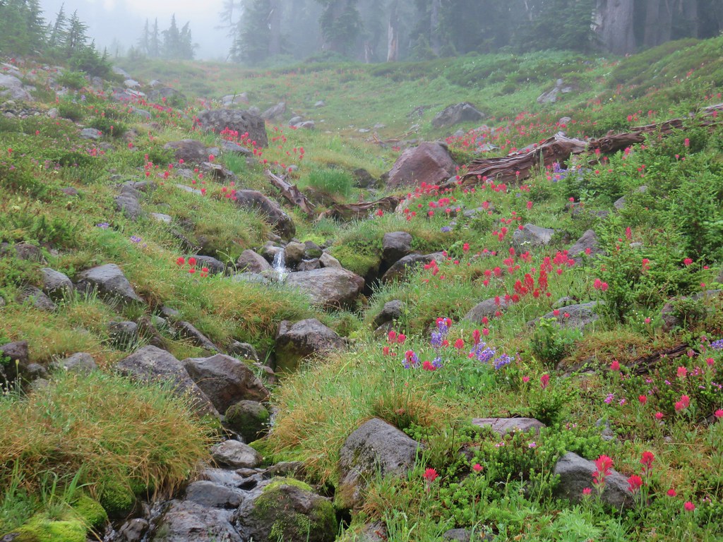
IMG_8778

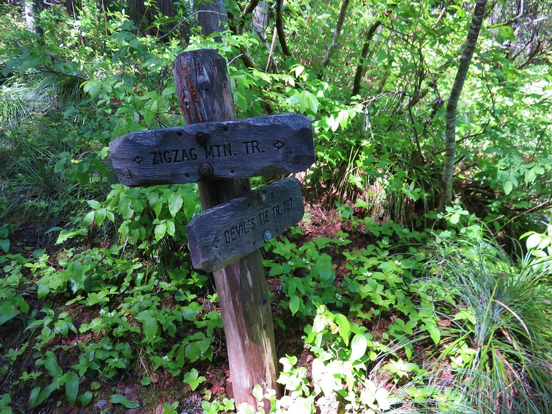
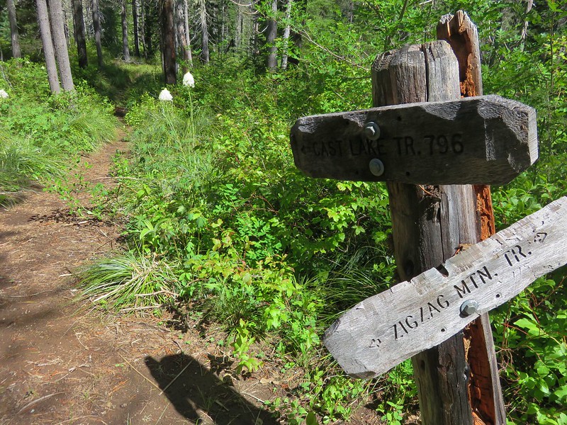
We passed above Cast Lake passing a junction with the Devil’s Tie Trail to the Cast Lake Trail.
IMG_8781

IMG_8784

IMG_8790

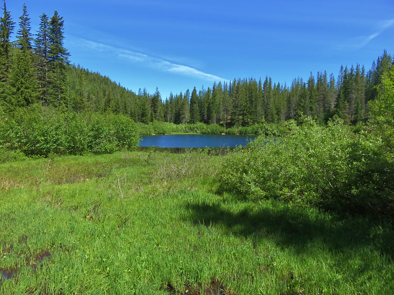
A half mile hike along this trail brought us to Cast Lake.
IMG_8794

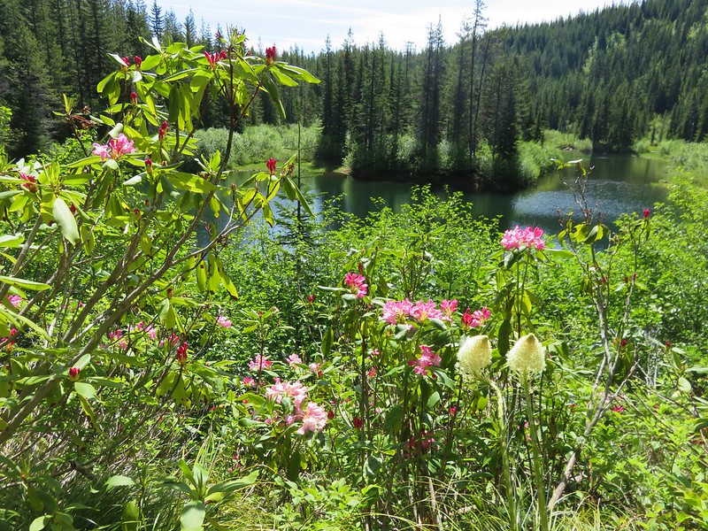
Snow melt and recent precipitation had left standing water on some of the trail and mud along portions of the shore on the SW side of the lake. We followed a path around the north side of the lake past several nice campsites. We turned around shortly after crossing Cast Creek flowing out of the lake. The one thing that the lake lacks is a good view of Mt. Hood, but rhododendron and beargrass were blooming along the shore making for a pretty scene.
IMG_8803

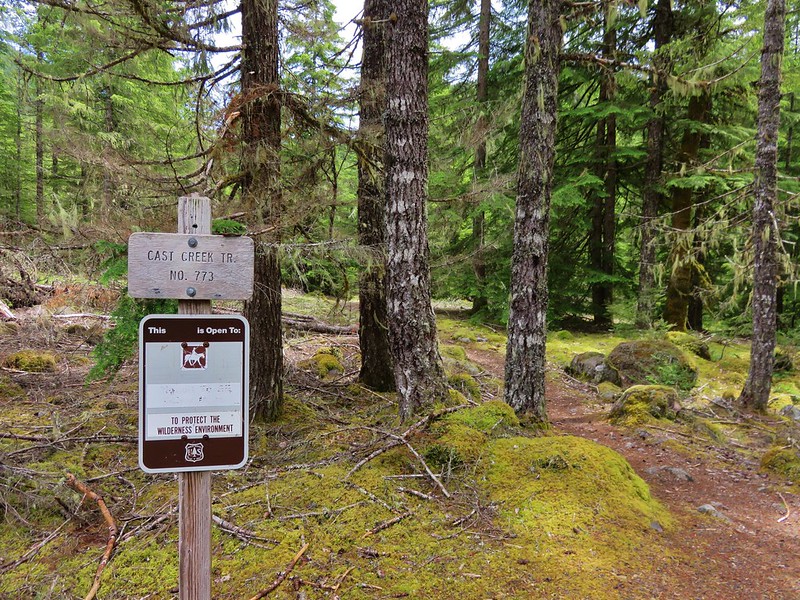
We left Cast Lake and continued our loop on the Zigzag Mountain Trail and quickly arrived at the Cast Creek Trail junction.
IMG_8806

We faced a choice here. We could turn left on the Cast Creek Trail and complete the loop or take another side trip by continuing on the Zigzag Mountain Trail to East Zigzag Mountain. With the weather being as nice as it was and knowing that there would be some flowers in the meadow below the summit we decided on one more side trip. After a short but decent climb we emerged from the trees in the meadow.
IMG_8809

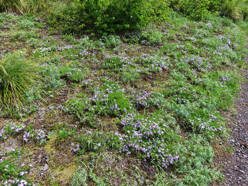
The lower portion of the meadow was full of Phlox and yet to bloom lupine.
IMG_8815

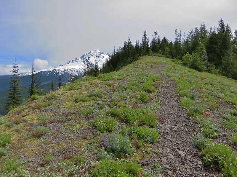
As we climbed higher Mt. Hood came into view and the variety of flowers increased.
IMG_8821

IMG_8827

IMG_8830

IMG_8833

IMG_8840

IMG_8836

Several other Cascade peaks were visible from the ridge.
Mt. St. Helens, Mt. Rainier, and Mt. Adams to the north.
IMG_8854

Mt. Jefferson and Three Fingered Jack to the south.
IMG_8857

I left Heather at the summit and headed down into the meadow on the opposite side of the summit. The flowers seemed to be a little behind so I turned around after getting a few pictures including the obligatory Burnt Lake shot.
IMG_8866

IMG_8868

Burnt Lake below Mt. Hood
IMG_8861

I returned to the summit and we headed back to the Cast Creek Trail. We had accidentally taken this trail in 2012 mistaking it for the Cast Lake Trail (we obviously didn’t read the sign well). The Cast Creek Trail begins with a little climb past some decent viewpoints before beginning its decent into the forest.
IMG_8879

Mt. Hood

The rhododendron bloom along the upper portion of the trail was one of the best we’ve witnessed.
IMG_8876

IMG_8882

IMG_8886

The forest along the Cast Creek Trail was quite different from what we had encountered coming up on the Horseshoe Ridge Trail. There was much less underbrush leaving the forest with a more open feeling.
IMG_8890

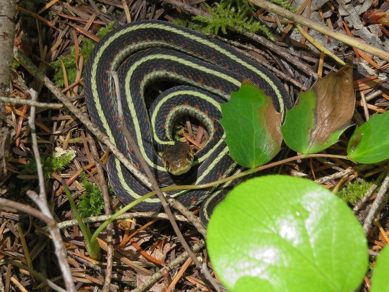
We kept expecting to see a deer or other larger animal below us through the trees but we never did. What we did see was a garter snake enjoying a patch of sunshine along the trail.
IMG_8894

IMG_8892

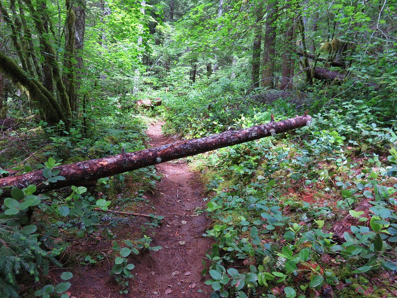
According the the Forest Service website neither the Cast Creek nor the Horseshoe Ridge Trail had been maintained since 2014 but they were both in pretty good shape. There were a few downed trees but nothing difficult to maneuver around. We did see one sign of more recent maintenance on the lower portion of the Cast Creek Trail which left us scratching our heads. A small tree had come down across the trail. The top end of the tree had been sawed off, but not the portion that was across the trail. There was a saw mark along the trunk where someone had started a second cut to remove the portion of tree hanging over the trail, but they hadn’t finished it for some reason.
IMG_8917

The Cast Creek Trail ended at a day use area at the far end of Riley Horse Camp.
IMG_8920

We had intended to park here, but failed to find it due to a lack of signage and having turned out of the horse camp before going all the way to the end.
We walked through the horse camp to the road then continued a tenth of a mile back to our car. Both of our GPS devices had the hike at a little over 16 miles which made it pretty long for a day hike, but spending the night at Cast Lake would make it a nice overnight trip. Happy Trails!

Flickr: https://www.flickr.com/photos/9319235@N02/albums/72157669434295252

Categories
High Cascades Hiking Mt. Hood Area Oregon Trip report

Tamanawas Falls

It is our goal to eventually visit each of the featured hikes in William L. Sullivan’s “100 Hikes” series of guide books.  One of the things that I have been working on during our current off-hiking season is figuring out how to accomplish this.  One of the difficulties is that some of the hike distances are such that the amount of time we would spend on the trail is quite a bit less than the amount of time we’d spend driving to and from the trailhead.  At first glance the hike to Tamanawas Falls fell into this category for us.  At a little over two hours away the 3.8 mile round trip was too short and an alternate return route suggested by Sullivan would only extend the hike to 5.9 miles which was still likely too short to balance out the driving time. While rereading the description in the book and reviewing the accompanying map I found the solution which was to extend the hike along the East Fork Trail southward.

This trail incurred heavy damage during a flood event and no longer  ties into the Robin Hood Campground to the south.  It continues as far south as the Nottingham Campground but there is no bridge at that point making it the unceremonious end of the trail. We just needed some extra distance on a trail though so this would give us the ability to hike south at least a mile or two and increase our hiking time enough to top our driving time.

Now that the we had a plan that fit this hike into our hike-to-drive ratio requirement we needed to figure out when to visit.  The hike to Tamanawas Falls is very popular given its shorter length and its location along Highway 35 on the east side of Mt. Hood. We decided that early Spring might be our best bet when the wildflowers had begun blooming in the Columbia Gorge and there would still be some snow along the Tamanawas Falls Trail.

We arrived at the Tamanawas Falls Trailhead just before 7am (our other trick for avoiding crowds) on what promised to be a beautiful mostly sunny day.

Tamanawas Falls Trailhead

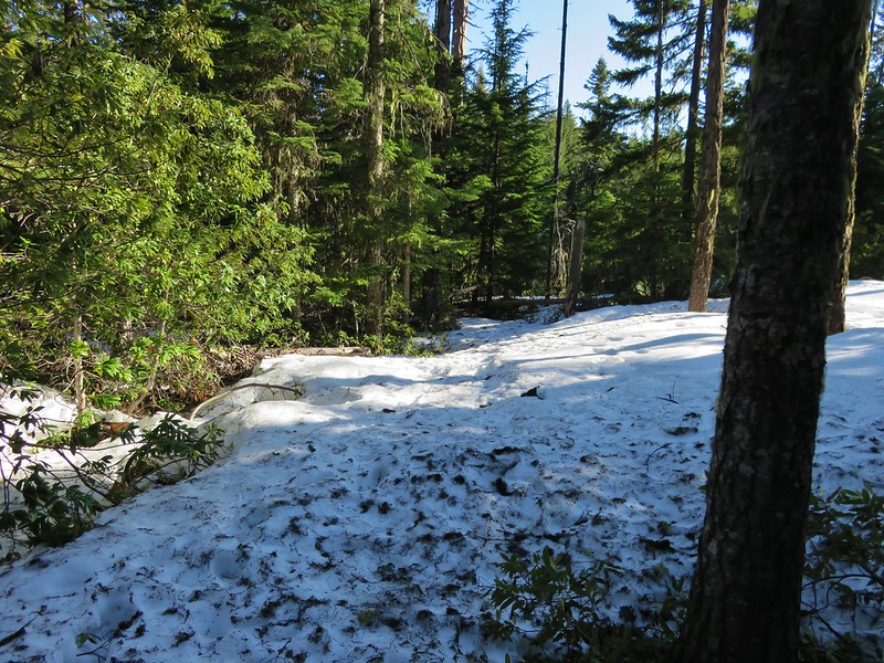
It was a crisp 37 when we arrived and the remaining snow was packed and a little slick on the way down to a footbridge across the East Fork Hood River.

Footbridge over the East Fork Hood River

Footbridge over the East Fork Hood River

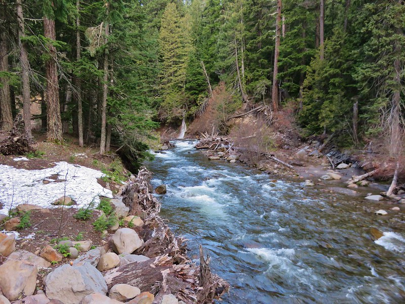
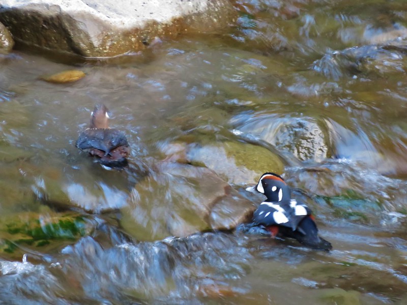
From the bridge a small waterfall cascaded down into the river and a pair of Harlequin Ducks paddled about along the far bank.
East Fork Hood River

Harlequin Ducks

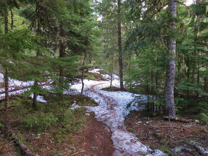
We were headed north on the East Fork Trail toward a junction with the Tamanawas Falls Trail. The trail climbed a bit and was still covered in snow in sections.
East Fork Trail

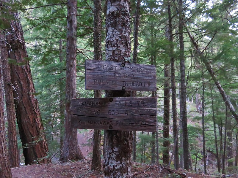
After .6 miles we reached the signed trail junction and turned left on the Tamanawas Falls Trail.
East Fork Trail junction with the Tamanawas Falls Trail

We were now heading downhill toward Cold Spring Creek and another footbridge.
Footbridge over Cold Spring Creek

We then followed the trail up along picturesque Cold Spring Creek for almost a mile to a trail fork.
Cold Spring Creek

Tamanawas Falls Trail and Cold Spring Creek

Cold Spring Creek

The Tamanawas Falls Trail continued straight ahead at the fork, passing through a rock field while the Tamanawas Tie Trail headed uphill to the right. We would be taking the tie trail on our return trip but first we headed into the rock field and onto the slickest portions of trail we’d encountered.
View from the junction

The snow had been packed down to ice in sections and we were glad to have had our trekking poles with us. We also had brought along some traction devices for our shoes which Heather used in this section on the way back.
Tamanawas Falls Trail

We felt the falls before we could see them. As we made our way up the trail a faint breeze met us. The air had the unmistakable feel of waterfall, cool and containing a hint of moisture. I admit to not expecting much from the falls themselves. For some reason the pictures I’d seen had left me with the impression that the falls were smaller than what they turned out to be. I was pleasantly surprised when they first came into view.
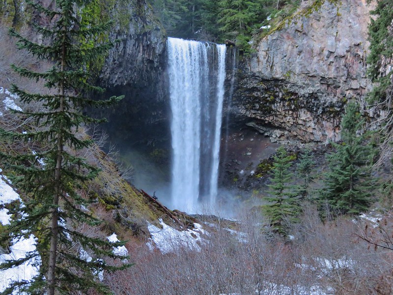
Tamanawas Falls

Tamanawas Falls

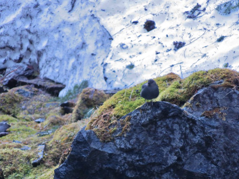
We hung around for awhile exploring and having a snack. We were the only people at the falls but we were joined by an Ouzel.
Tamanawas Falls

Ouzel

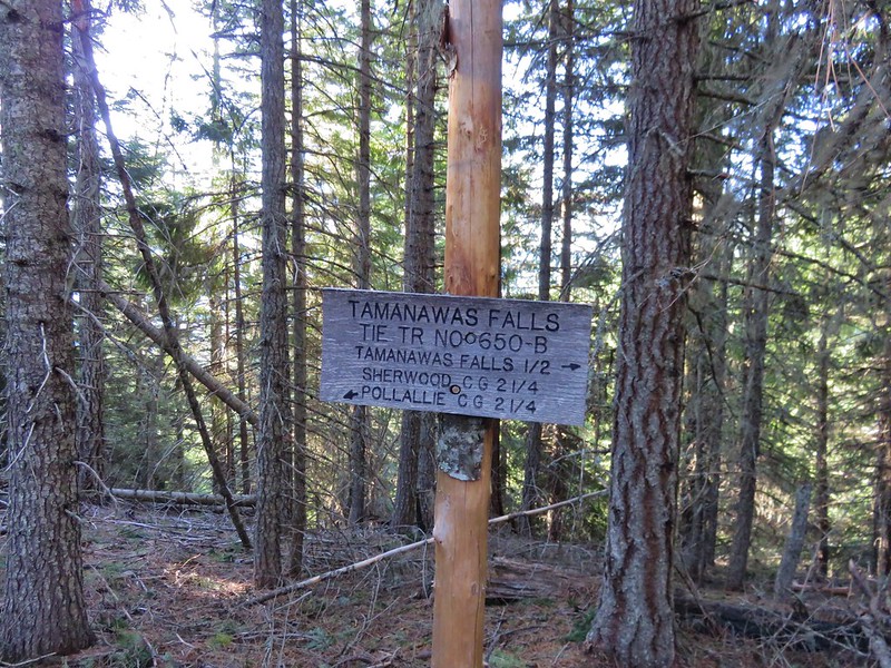
After admiring the falls we made our way back to the junction with the Tamanawas Tie Trail. We turned uphill on this trail and began the short climb up to the Elk Meadows Trail.
Tamanawas Tie Trail

Sign at the junction with the Elk Meadows Trail

We followed the signs for the Polallie Campground and began descending a forested ridge. The Elk Meadows Trail had obviously seen less traffic and some sections still had a decent amount of snow. There was also some light blowdown to step over or around and lots of small pine tree limbs on the trail.
Elk Meadows Trail

Elk Meadows Trail

Although the ridge was forested we did get our only glimpses of Cascade peaks along this trail.

Mt. Adams
Mt. Adams

Mt. Hood
Mt. Hood

The trail had gradually made its way toward the Polallie Creek Canyon and we headed off trail just before the trail took a sharp right-hand turn around the ridge end to check out it out. A reported 80 foot deep flash flood scoured the canyon and washed out miles of Highway 35 in 1980 but there was no sign of that kind of power in the creek now.
Polallie Creek

After a brief descent we arrived at yet another trail junction. This was the East Fork Trail that we had been on before turning up the Tamanawas Falls Trail earlier in the morning.
Elk Meadows Trail junction with the East Fork Trail

We turned right to complete our loop. Along this 1.1 mile stretch we could often see the highway below, but it wasn’t without its sights including a neat little spring that flowed out of the ground into a small pool then quickly disappeared once again.
Spring along the East Fork Trail that disappeared back underground after a couple of feet

The trail had a few ups and downs before finally dropping down to Cold Spring Creek.
Cold Spring Creek

We crossed the creek on a footbridge and climbed back up to the junction with the Tamanawas Falls Trail that we had passed earlier. We had not seen anyone else on the trail yet that day but now that we were back on the main route we began to see a handful of others. When we arrived back at the East Fork Hood River crossing we stayed on the West side of the river and continued on the East Fork Trail to get our needed time in.

This section of the East Fork Trail alternated between being along the river and above it in the forest.
East Fork Hood River

East Fork Hood River

East Fork Trail

After about a mile the trail headed further uphill away from the river and entered an old snowy clear cut where the trees were much younger.
East Fork Trail

When the trail reentered older forest it switchbacked up just below an abandoned road. We had decided that we would continue on from here until the trail began to drop back down toward the river because we didn’t want to have to climb back up. We left the stand of older trees and entered another old clear cut where the trail did begin to head downhill. From this area we had a nice view of the Lookout Mountain area across Highway 35 to the East.
Looking toward Lookout Mountain from the East Fork Trail

A quick glance at the time told us that by the time we were back at the car we’d have hiked long enough to surpass our driving time so we declared victory and headed back. The parking area at the trailhead was packed but we’d encountered less than a dozen others on the trails.

All in all it was a great final off-season hike and the next time we head out our 2016 hiking season will be officially under way. Happy Trails!

Flickr: https://www.flickr.com/photos/9319235@N02/albums/72157666743878315

Categories
High Cascades Hiking Mt. Hood Area Oregon Trip report

Salmon River Trail

Rain! We finally got some much needed rain in parts of the Pacific Northwest this past weekend. While it helped out with a few of the many wildfires burning in the area, strong winds associated with the storm fanned the flames of others on Saturday. For us it meant rearranging our hiking plans a bit. We wanted to avoid the strong winds and find a hike where cloudy and rainy conditions wouldn’t interfere with possible views. We typically look for a river or creek hike in similar conditions and chose the Salmon River Trail in the Mt. Hood National Forest. The trail follows the Salmon River into the Salmon-Huckleberry Wilderness and past some nice old growth forests. Our plan was to start at the Old Salmon River Trailhead which is located 2.7 miles along Salmon River Road off of Highway 26 at Zig Zag. From the trailhead we would hike the Old Salmon River Trail up to the Salmon River Trailhead (located 4.9 miles along Salmon River Road) and follow that trail 3.5 miles to a canyon viewpoint.

We arrived at the trailhead about 6:30am under cloudy skies and a light mist.
Old Salmon River Trailhead//embedr.flickr.com/assets/client-code.js

The trail quickly descended through the forest to the Salmon River. IMG_8640//embedr.flickr.com/assets/client-code.js

IMG_8642//embedr.flickr.com/assets/client-code.js

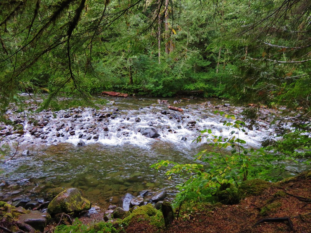
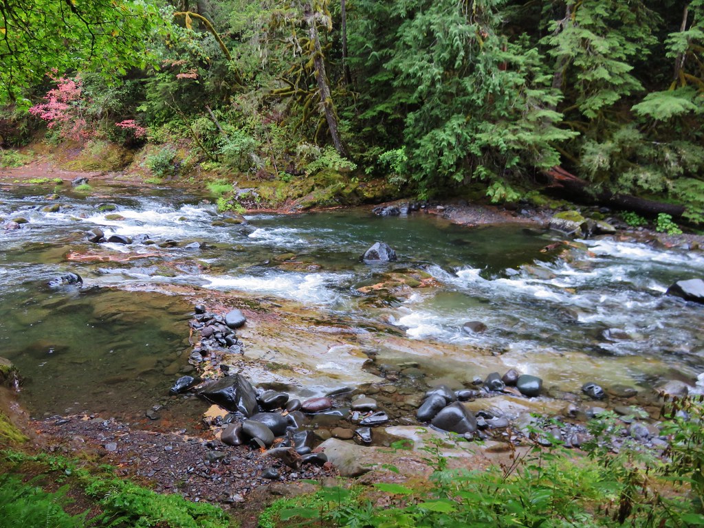
The river was sometimes deep and calm and at other times flowed noisily over rocks.
IMG_8659//embedr.flickr.com/assets/client-code.js

Salmon River//embedr.flickr.com/assets/client-code.js

IMG_8656//embedr.flickr.com/assets/client-code.js

Salmon River//embedr.flickr.com/assets/client-code.js

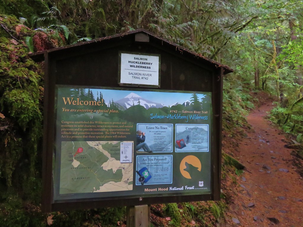
The trail occasionally joined Salmon River Road for short sections. The trail ended the third time it met the road at the 2.6 mile mark. On the far side was the start of the Salmon River Trail.
IMG_8665//embedr.flickr.com/assets/client-code.js

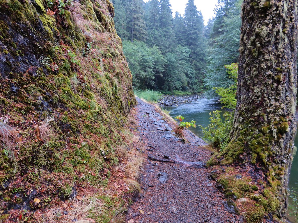
We alternated between passing along the river and through the old growth forests of the Salmon-Huckleberry Wilderness.
IMG_8666//embedr.flickr.com/assets/client-code.js

IMG_8668//embedr.flickr.com/assets/client-code.js

IMG_8670//embedr.flickr.com/assets/client-code.js

IMG_8672//embedr.flickr.com/assets/client-code.js

IMG_8673//embedr.flickr.com/assets/client-code.js

IMG_8677//embedr.flickr.com/assets/client-code.js

Salmon River Trail along the Salmon River//embedr.flickr.com/assets/client-code.js

Salmon River Trail in the Salmon-Huckleberry Wilderness//embedr.flickr.com/assets/client-code.js

Fall Colors on Display//embedr.flickr.com/assets/client-code.js

At a fork in the trail, at the 3.5 mile mark, the right hand path led out to a grassy viewpoint.
IMG_8696//embedr.flickr.com/assets/client-code.js

The Salmon River flowed through the canyon far below.
IMG_8697//embedr.flickr.com/assets/client-code.js

Salmon River Canyon//embedr.flickr.com/assets/client-code.js

IMG_8700//embedr.flickr.com/assets/client-code.js

It had been raining a little harder as the morning went on but we had a brief respite at the viewpoint and took a short break before the rains returned and we resumed our hike.
It was a pretty quick return trip being mostly downhill following the same route we’d come up earlier. Even though we’d already hiked the trail in the other direction we’d missed a small waterfall on a side creek across from the Old Salmon River Trail.
Small creek feeding into the Salmon River//embedr.flickr.com/assets/client-code.js

We also stopped to admire a large nursery log that had several decent sized trees growing atop it.
IMG_8720//embedr.flickr.com/assets/client-code.js

IMG_8722//embedr.flickr.com/assets/client-code.js

It had been a great hike for the rainy weather and a beautiful place to visit. Happy Trails!

Flickr: https://www.flickr.com/photos/9319235@N02/albums/72157657952382142

Categories
High Cascades Hiking Mt. Hood Area Oregon Trip report

McNeil Point

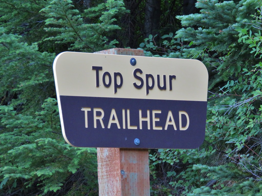
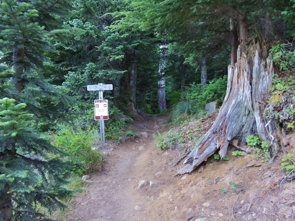
A week after visiting Mt. St. Helens we were headed to another of the Cascades volcanoes – Mt. Hood. We were meeting my parents in the morning for a hike up in the area of McNeil Point. The plan was to begin at the Top Spur Trailhead with them and hike together to an area below McNeil Point where ponds collect the melting winter snows. From the ponds Heather and I would head up to McNeil Point to visit the shelter there and continue up the ridge behind it toward Mt. Hood. We picked up my parents at McNeil Campground in the morning and were ready to set off on the Top Spur Trail just before 7AM.
IMG_5739

IMG_5740

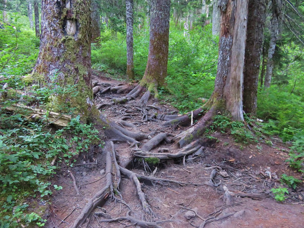
The first section of trail led through a forest filled with huckleberries and blueberries. Tree roots covered the path in many areas making for an uneven surface for walking.
IMG_5741

The Top Spur Trail joined the Pacific Crest Trail for a tenth of a mile before splitting off at a four way trail junction where the PCT and the Timberline Trail intersect.
IMG_5743

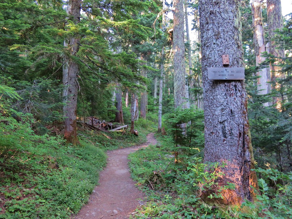
We took the middle of three forks following the Timberline Trail toward the Muddy Fork River. The PCT continued down the far right-hand fork and the left-hand fork was the continuation of the Timberline Trail on its way toward Cairn Basin.
IMG_5744

It would have been a little shorter hike if we had taken the Timberline Trail toward Cairn Basin which was the more direct way to get to the ponds below McNeil Point, but by heading toward the Muddy Fork we would pass through some open meadows on the south side of Bald Mountain where Mt. Hood would be visible. The meadows fill with flowers in early summer but were mostly passed now, however the view of Mt. Hood was still there.
IMG_5747

After passing through the second (smaller) meadow on Bald Mountain the trail reentered the forest. We were now looking for a side trail that would take us over the top of the Bald Mountain ridge to the Timberline Trail on the north side. Heather and I had taken this trail in 2012. At that time it was an unmarked use trail up and over the ridge. We spotted a worn trail to the left in the area we expected and headed toward the ridge. I managed to lead us over a small ridge and right back onto the Timberline Trail that we had already been on. We had to walk back through the small meadow and look for a different trail. Just around the corner from where we had turned off the trail the first time there was another side trail. This one had a nice new sign indicating it was the Cut Off Trail. Apparently it was now an official trail and there was a similar sign on the far side of the ridge.
IMG_6210

Now that we were back on track we headed uphill through the forest. More root covered trail awaited as we passed through some past-its-prime beargrass and headed up the ridge.
IMG_5768

IMG_5769

The trail climbed fairly gently up the ridge passing a couple of open views of the mountain.
IMG_5777

IMG_5786

In a typical year the flowers along this hike would have been at or near their peak in mid-July but this year the majority of them had already gone to seed. We did manage to spot a few late bloomers along the ridge though.
Paint
IMG_5790

Columbine
IMG_5788

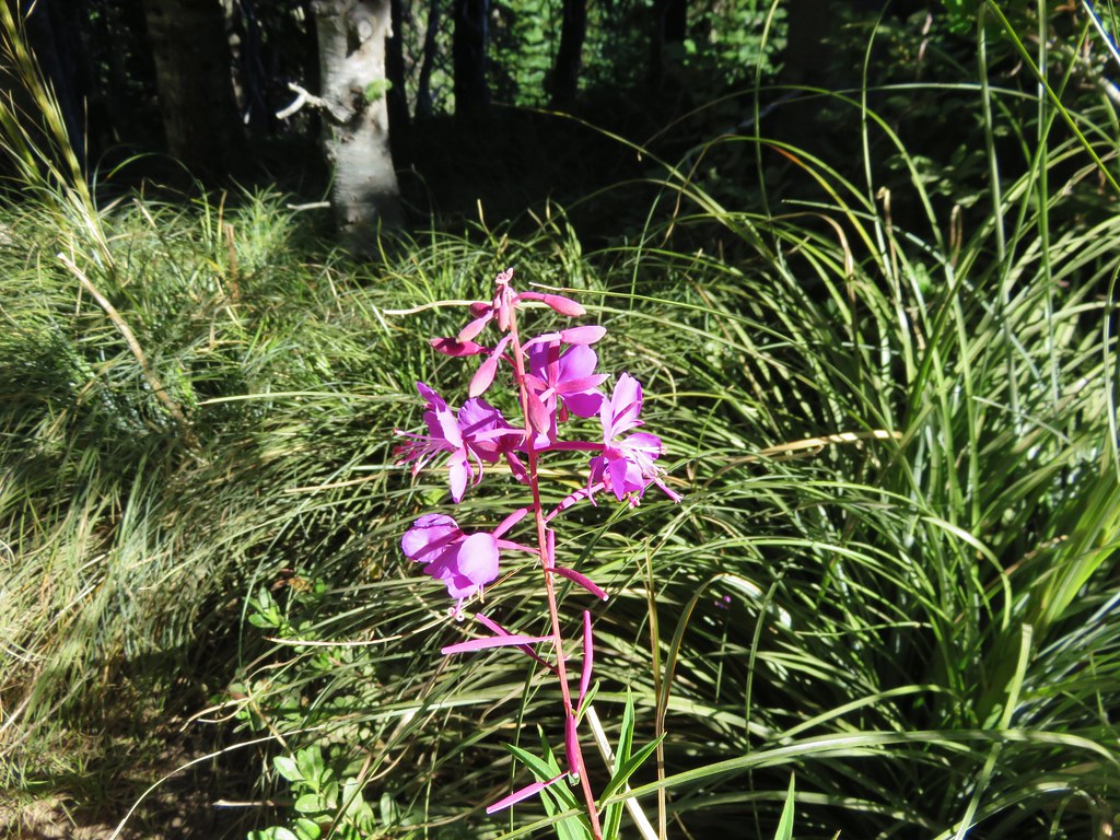
Fireweed
IMG_5791

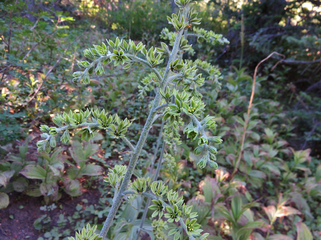
False Hellbore
IMG_5792

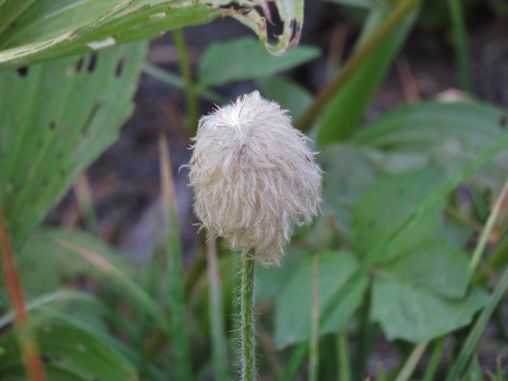
Western Pasque Flower (seed-head)
IMG_5797

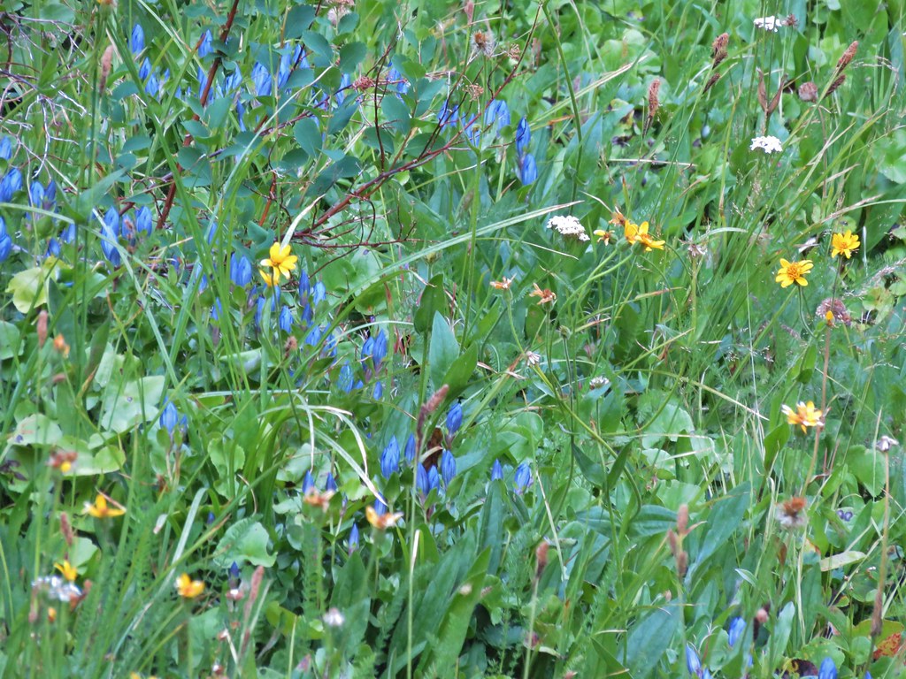
After a few switchbacks the trail final leveled out some as it traversed a hillside where several branches of McGee Creek flowed across the trail. Additional flowers began popping up along this stretch but only the late blooming gentians and monkeyflower in larger quantities.
A branch of McGee Creek
IMG_5805

Aster or fleabane
IMG_5804

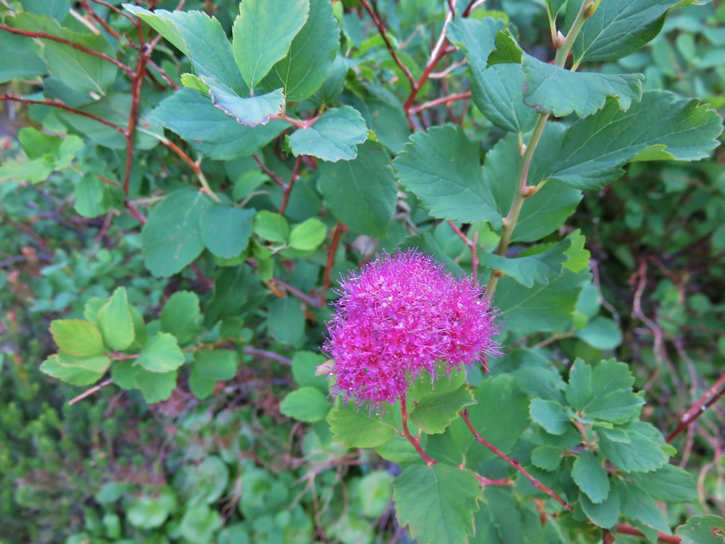
Spirea
IMG_5806

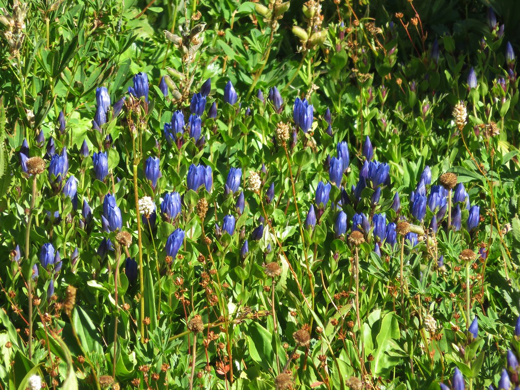
Gentians
IMG_5808

IMG_5834

Monkeyflower
IMG_5822

Another branch of McGee Creek
IMG_6188

The trail passed below a pair of rock outcroppings below McNeil Point. At the second outcropping we found the first of the ponds completely dried up.
Passing the first outcropping.
IMG_5827

Dry pond
IMG_5843

Dry pond below the rocky outcrop and Mt. Hood beyond.
IMG_5848

The second pond still had a little water and a nice view of the top of Mt. Hood.
IMG_5853

IMG_5858

We erroneously followed the trail leading away from the second pond believing it would reconnect with the Timberline Trail which had forked to the right after passing the dry pond. The trail we were on eventually petered out and we were left with a short bushwack to get back onto the correct trail. We popped back out of the trees onto the trail and turned left continuing toward the McNeil Point Trail and Cairn Basin. We passed a junction with the Mazama Trail, a trail we had hiked in 2013, and decided it was time for our party to split up.
IMG_5869

Heather and I would go ahead at our own pace and head up to McNeil Point, and my parents would continue on toward Cairn Basin. We headed off amazed at the lack of flowers along the trail. On our previous visit to McNeil Point on 8/20/12 and Barrett Spur on 8/12/13 this section had been full of flowers but here we were a full month earlier than those visits and the flowers had long since passed. It was a clear indication of just how hot and dry this year had been. The good news was it was a clear day we had still had the views. In addition to Mt. Hood we could see three Washington snow peaks to the north.
IMG_5870

IMG_5876

Mt. Adams
IMG_5878

Mt. Rainier
IMG_5877

Mt. St. Helens
IMG_5879

We left the Timberline Trail at the sign for McNeil Point.
IMG_5882

The trail up to the shelter begins on a ridge next to silty Ladd Creek.
IMG_5887

IMG_5889

Heather enjoying the day.
IMG_5896

The trail then crossed a rock field where there is normally also a snowfield. Not this year though.
IMG_5905

Once past the rock field the trail passed beneath hills that hid most the mountain. Here we began to encounter more flowers in bloom.
IMG_5916

IMG_5917

IMG_5919

IMG_5932

IMG_5937

IMG_5939

There was also a lovely little creek lined with monkeyflowers.
IMG_5925

IMG_5927

IMG_5929

We faced a choice as we neared the shelter. We could head straight for the stone building or we could veer uphill and gain the ridge behind the shelter and then head up it. On our previous visit we had simply gone to the shelter and turned back there. (We had also visited Cairn & Wy’East Basins and Eden Park that day.) We decided to head directly for the ridge and turned uphill.
IMG_5946

As we headed for the ridge Mt. Hood began to peek out from above it.
IMG_5947

Heather spotted an interesting looking ladybug along the way.
IMG_5950

We gained the ridge and could see our route laid out before us with a closer look at Mt. Hood being the reward.
IMG_5955

As we were climbing and looking around at all the scenery I noticed something brown near the top of the ridge to our left. It didn’t look like it belonged there but we couldn’t make out what it exactly was at first.
IMG_5988

Once again the 30x zoom on our camera came in handy and we were able to see that it was a good sized buck bedded down for the day.
IMG_5998

The best flower display of the day was in a little basin below the ridge where the deer was. Lupine, Mountain Heather, Paintbrush, Partridgefoot, Bistort, and Pasque flowers were all present.
IMG_5993

IMG_6008

IMG_6012

IMG_6016

The buck kept an eye on us as we continued up a very steep section of the ridge. Looking back down near we could see the trail to the shelter below and beyond McNeil Point was Bald Mountain and the ridge we and climbed from there.
IMG_6047

McNeil Point Shelter
IMG_6028

We were near what looked like the end of the climb.
IMG_6041

We were wrong and there was one more stretch of uphill ahead of us.
IMG_6043

To our left was Barrett Spur where we climbed to in August of 2013. https://wanderingyuncks.wordpress.com/2013/08/15/barrett-spur-via-the-mazama-trail/
IMG_6042

To our right was Yocum Ridge which we visited later that same year. https://wanderingyuncks.wordpress.com/2013/08/26/yocum-ridge/
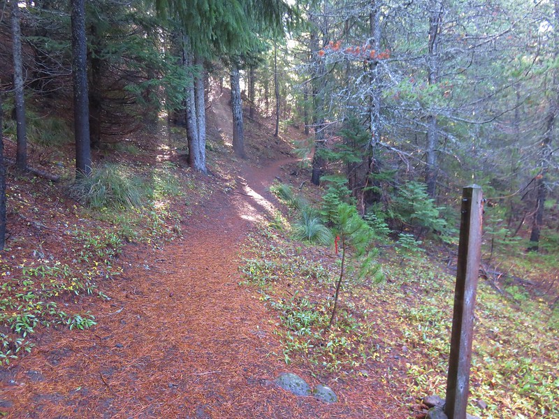
IMG_6046

On our right was also the Sandy Glacier which feeds the Muddy Fork, a branch of the Sandy River. The scenery around the Sandy is just amazing.
IMG_6054

IMG_6055

IMG_6056

IMG_5966

IMG_6072

IMG_6070

We stopped on on a rocky spine just before a saddle where it would have required a sketchy looking descent to continue on any further.
IMG_6103

We took a couple of pictures then pulled out some potato chips for a snack.
IMG_6076

IMG_6080

IMG_6093

There had been two small groups ahead of us but they had since headed back down so we had the view almost to ourselves.
IMG_6088

IMG_6095

We headed back down toward the shelter, our next destination. Along the way we spotted a few flowers we’d missed on the way up.
Yellow cinquefoil
IMG_6119

Cats ear lily
IMG_6122

Blue-bells of Scotland
IMG_6131

We paid a quick visit to the shelter then continued to make our way back down.
IMG_6137

A few small clouds had formed by the time we arrived back at the ponds.
IMG_6168

IMG_6170

And the gentians had opened up some in the sunlight.
IMG_6176

It was another hot day so we stopped at a nice pool in one of the branches of McGee Creek to filter some cold mountain water into our Hydroflasks.
IMG_6179

We had some great views on the way down the ridge toward the trailhead. This had been the first day we’d been able to pick out an ice cave on the Sandy Glacier.
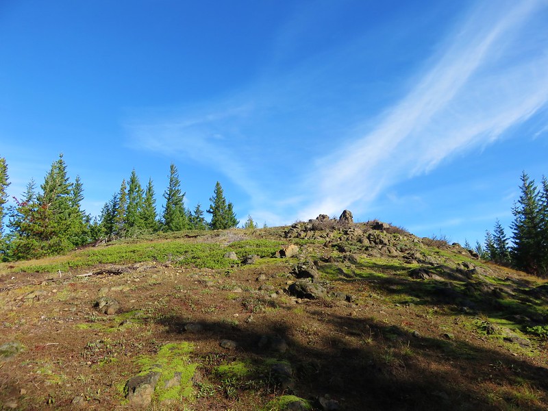
IMG_6196

IMG_6199

IMG_6198

We had decided to take the shorter path back opting not to go around Bald Mountain with its views again so we said goodbye to the mountain at the last viewpoint along the ridge before heading back into the trees of the Mt. Hood Wilderness.
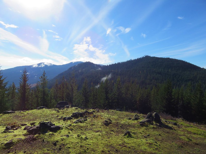
IMG_6202

IMG_6208

We found my parents back at the car, having finished their hike about 15-20 minutes prior to us. They had made it to Ladd Creek on the Timberline Trail and turned back there. It was a great day to be on the mountain and we ended it with dinner back at my parents campsite. Happy Trails!

Flickr: https://www.flickr.com/photos/9319235@N02/sets/72157655660865389

Categories
High Cascades Hiking Mt. Hood Area Oregon Trip report

Bonanza Trail – Salmon-Huckleberry Wilderness

We were looking for a hike that would avoid the crowds of Memorial Day weekend and landed on the Bonanza Trail. The Bonanza Trail starts at the edge of Welches, OR near the Salmon River where it climbs 3000′ through the Salmon-Huckleberry Wilderness to a junction with the Plaza Trail #783 on Huckleberry Mountain. The forest service lists usage as light for this trail which is exactly what we were looking for.
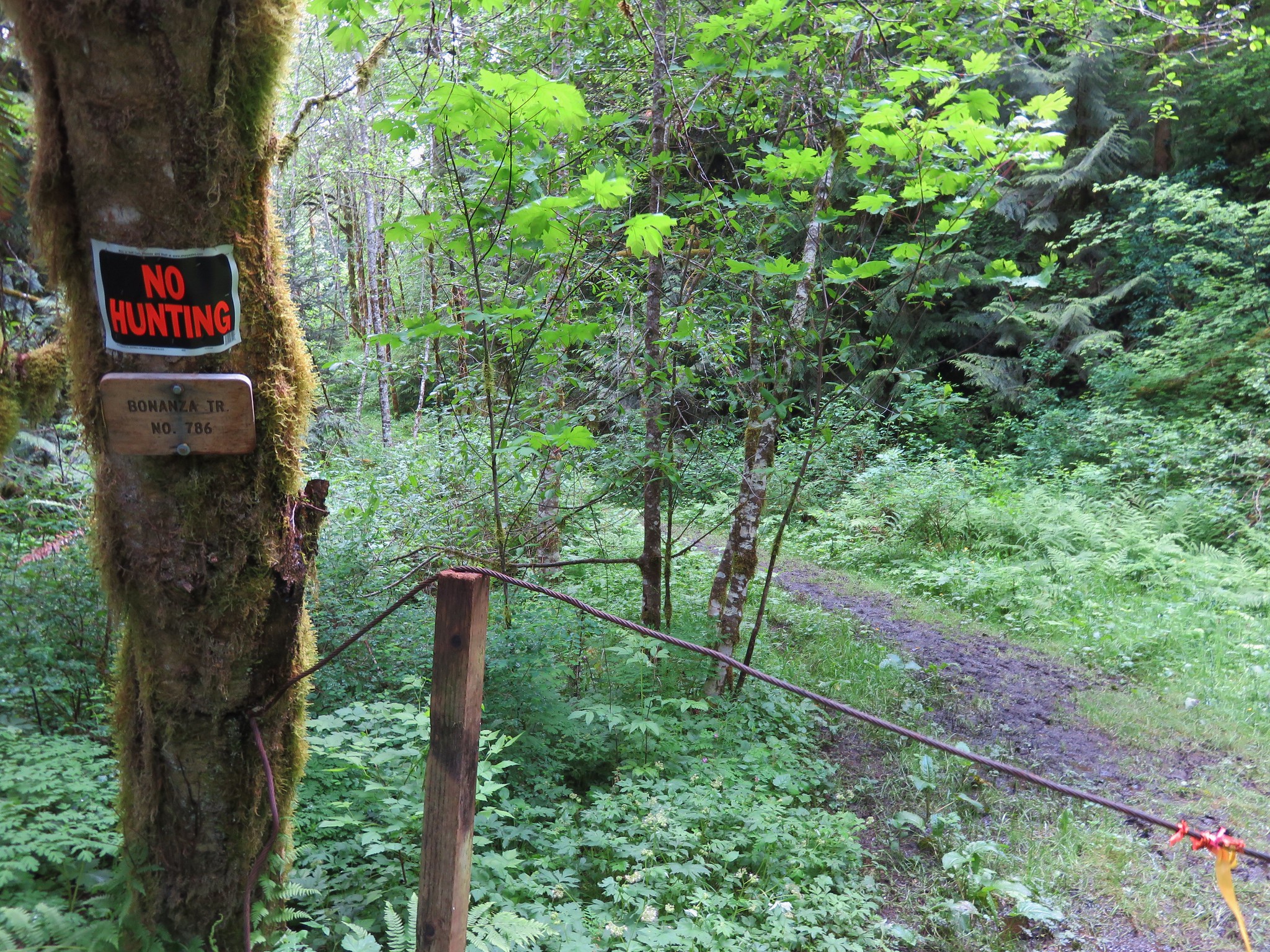
The trailhead consists of a small pullout (room for 2 cars maximum) along E. Grove Rd in Welches marked by a cable, a no hunting sign, and a small trail sign.
Bonanza Trail Trailhead

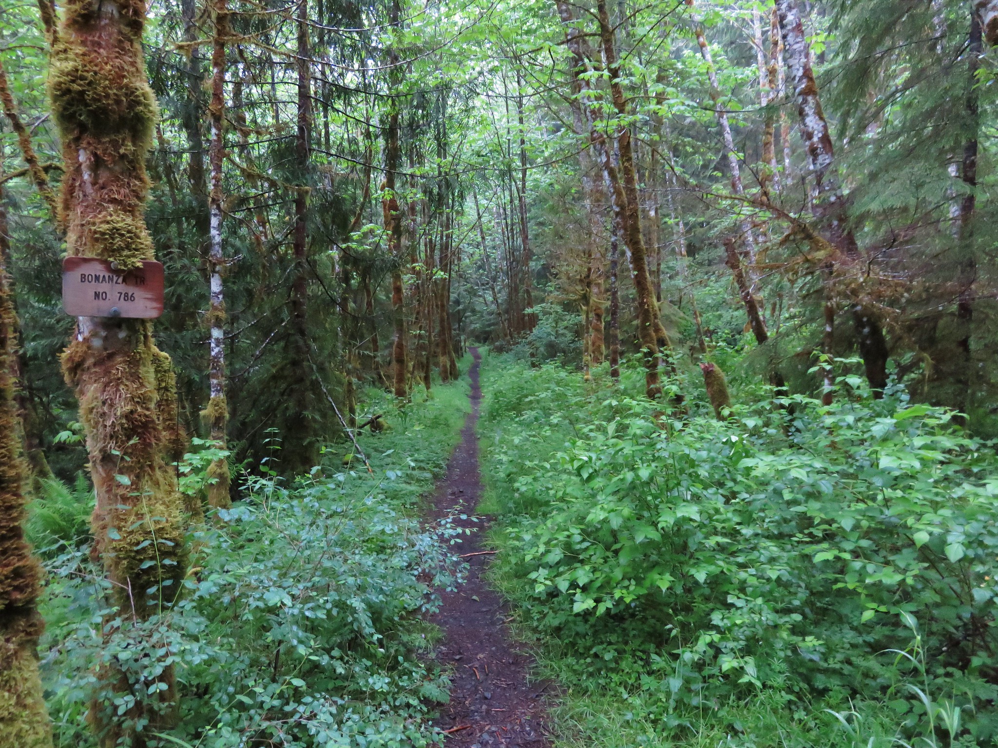
The trail begins on an old grassy road climbing up over a ridge before dropping down the other side to a crossing of Little Cheney Creek.
Bonanza Trail

IMG_2174

Shortly after crossing the creek the trail enters the Salmon-Huckleberry Wilderness at what has to be the most pathetic wilderness sign we’ve seen yet (note the slug attached to it).
IMG_2176

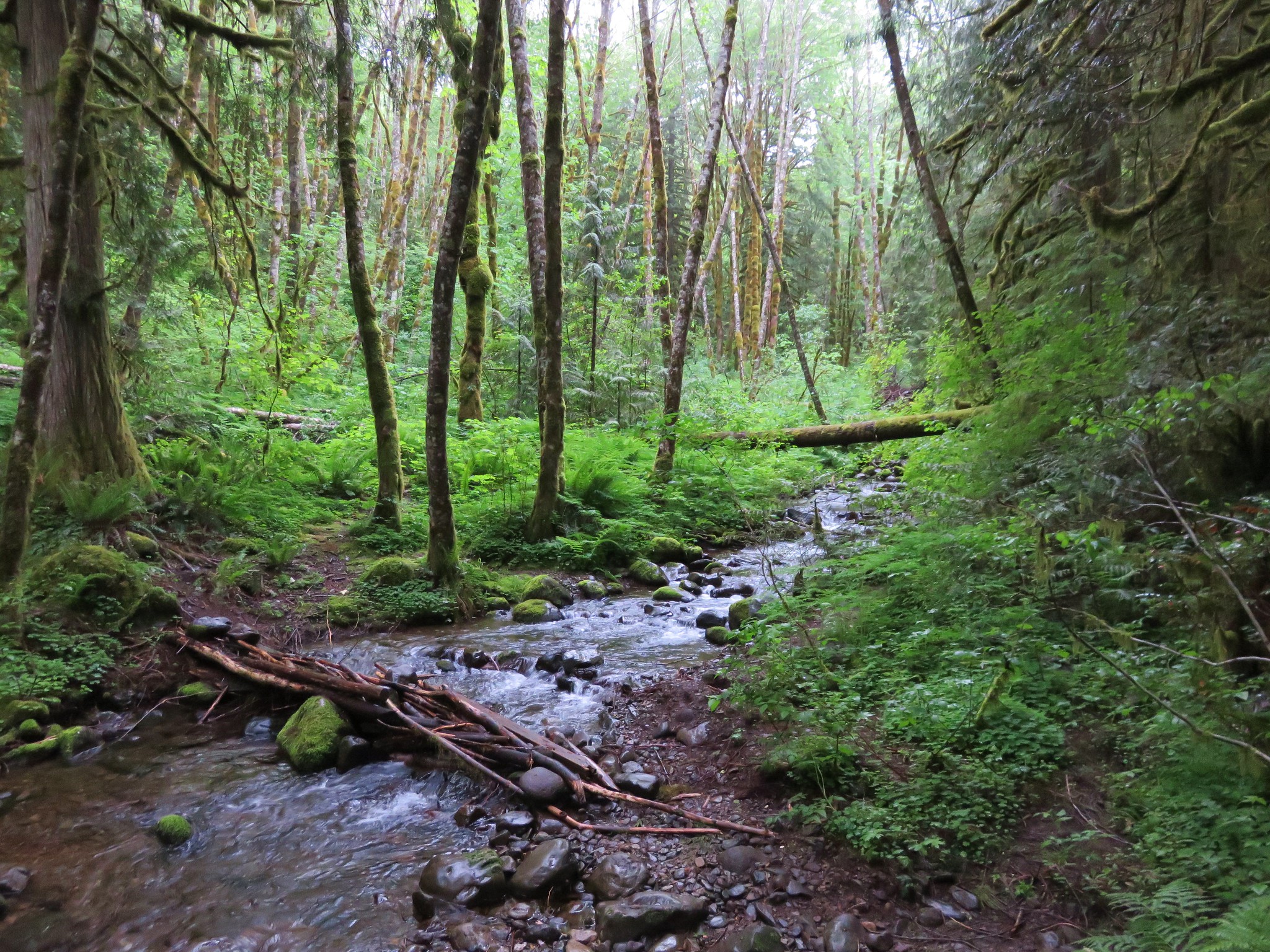
The trail then went up and down along Cheeney Creek still following an old roadbed. I am still trying to figure out why Little Cheney Creek has one “e” and Cheeney Creek is spelled with two. In places the trail was rather overgrown with salmon berry bushes and scouler’s corydalis, a rather interesting flower.
IMG_2189

IMG_2195

Scouler’s corydalis
IMG_2180

IMG_2327

The trail leaves the creek shortly after arriving at a possible campsite near a small waterfall.
Small fall on Cheeney Creek

We had gained a little over 300′ of elevation up to the point of the campsite and then the real climbing began. One of the reasons that the Bonanza Trail is not heavily used is the 3000′ of cumulative elevation gain to reach the summit of Huckleberry Mountain. The trail only has a handful of switchbacks which means that the trail is fairly steep in some sections and even on sunny days lacks viewpoints. We had not chosen a sunny day though and so we climbed up through a forest filled with fog.
IMG_2223

It may as well have been raining as the mist in the clouds gathered on the plants and trees falling as drops of rain.
IMG_2220

Despite the lack of views there was plenty to see along the way. Flowers, wildlife, and the abandoned Bonanza mine gave us plenty of things to look for and explore.
IMG_2224

IMG_2228

Bonanza Mine

IMG_2232

IMG_2243

Rhododendron in the Salmon-Huckleberry Wilderness

As we climbed the forest and flowers we were seeing changed.
IMG_2255

IMG_2259

IMG_2261

IMG_2263

IMG_2267

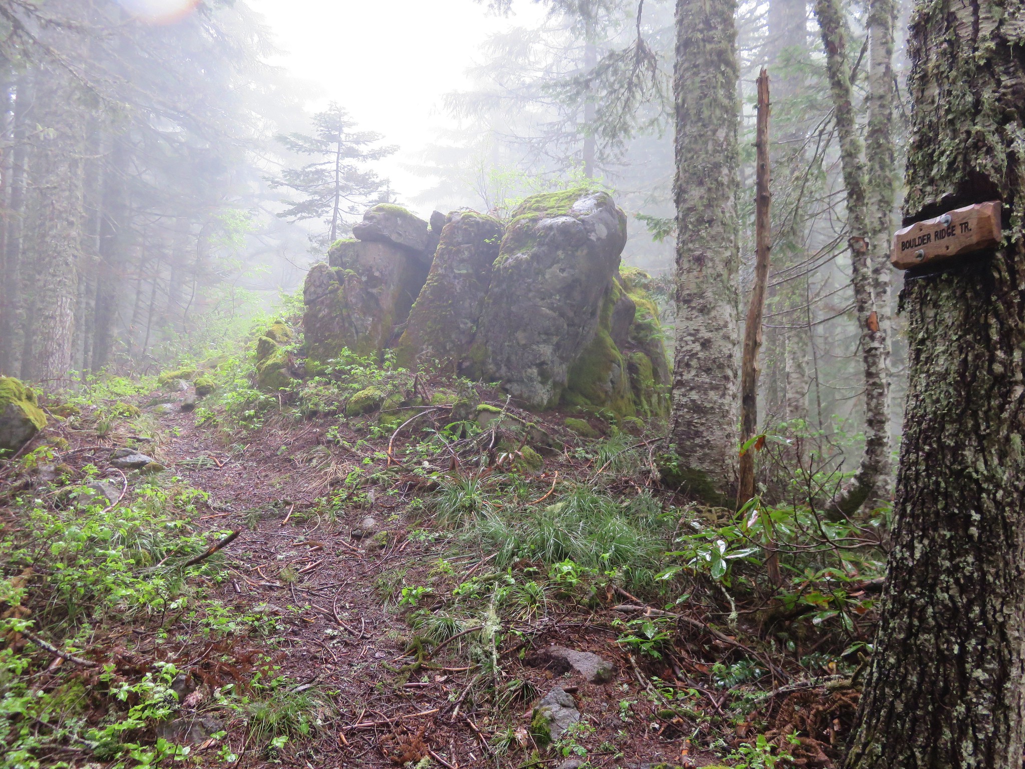
When we reached the trail junction we were a bit surprised to find a newer looking sign announcing the Boulder Ridge Trail. According to the Forest Service the Boulder Ridge Trail ends at the Plaza Trail on the same ridge further to the NW on the opposite side of the summit of Huckleberry Mountain.
IMG_2272

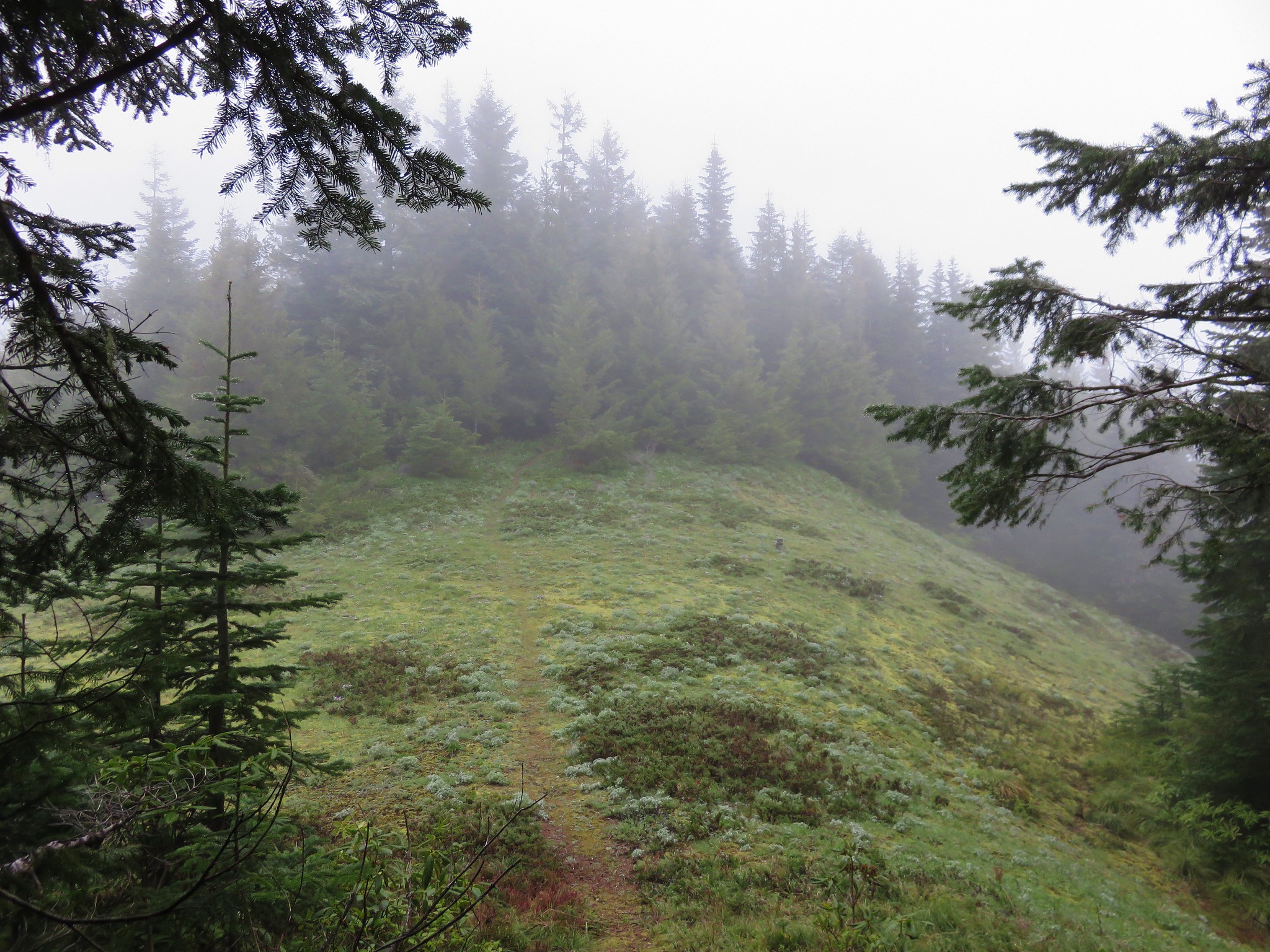
We turned right on the Plaza/Boulder Ridge Trail and headed for the summit of Huckleberry Mountain. We knew we wouldn’t be getting any views on this day but we wanted to bag the summit before turning around. The trail traveled up and down along the ridge entering a nice meadow after .3 miles where we spotted a number of different flowers.
IMG_2275

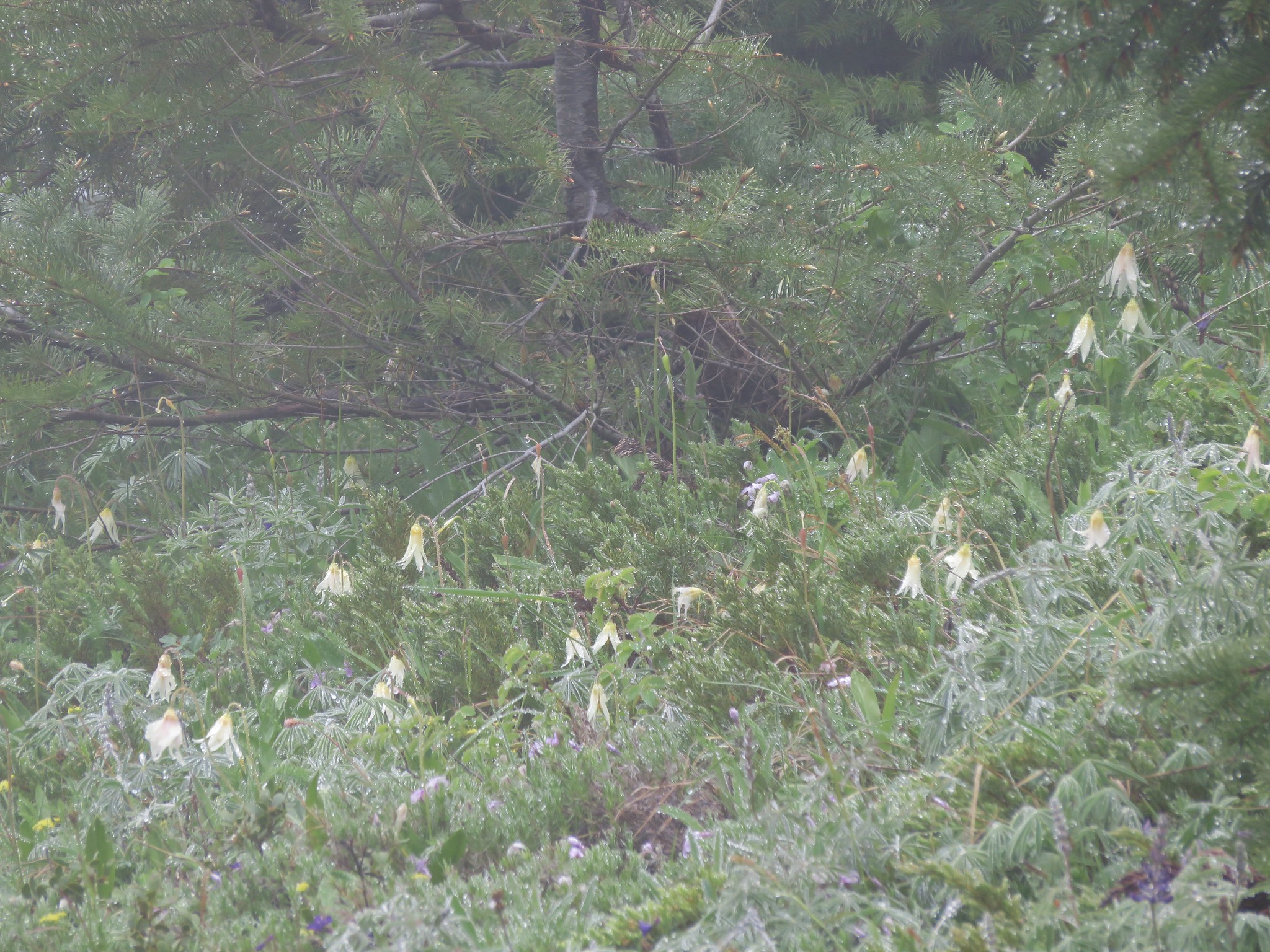
Lilies
IMG_2278

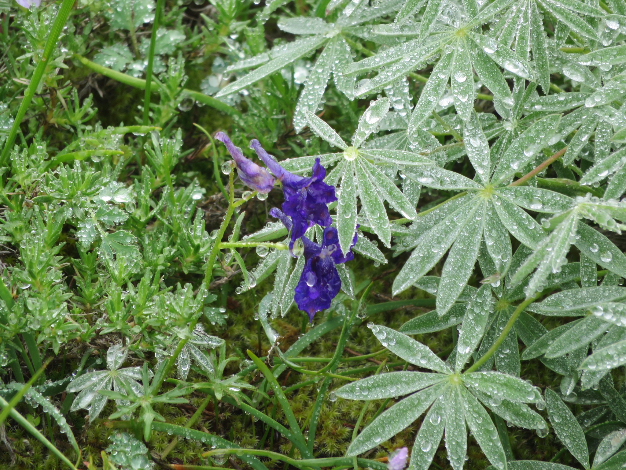
Larkspur
IMG_2283

Lupine
IMG_2289

Phlox and violets
IMG_2291

Beyond the meadow the path reentered the forest which was a stark contrast to the open saddle we had just left.
Forest along the Boulder Trail on Huckleberry Mountain

In another .2 miles the trail once again emerged from the forest in a meadow at the summit of Huckleberry Mountain.
Meadow on Huckleberry Mountain

IMG_2309

There were more flowers here, some of which we hadn’t seen on the hike until this meadows.
IMG_2300

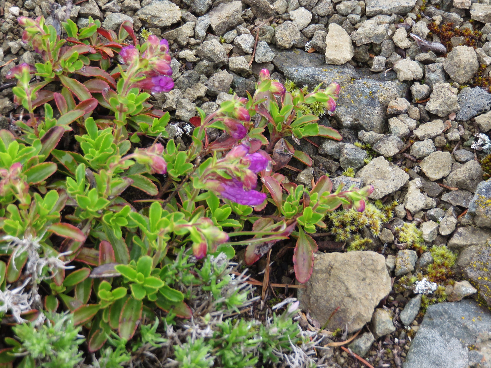
Penstemon
IMG_2301

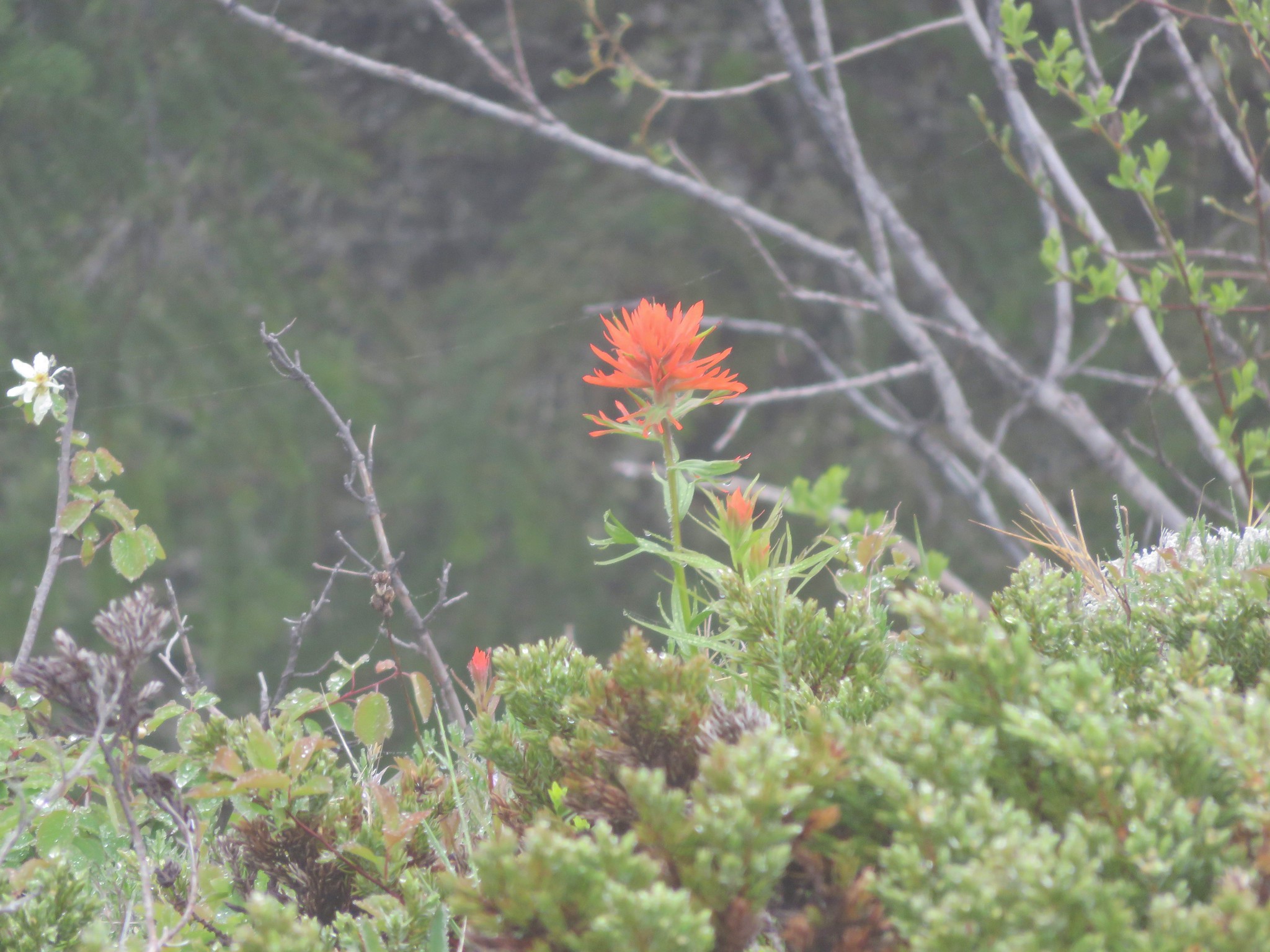
Paintbrush
IMG_2304

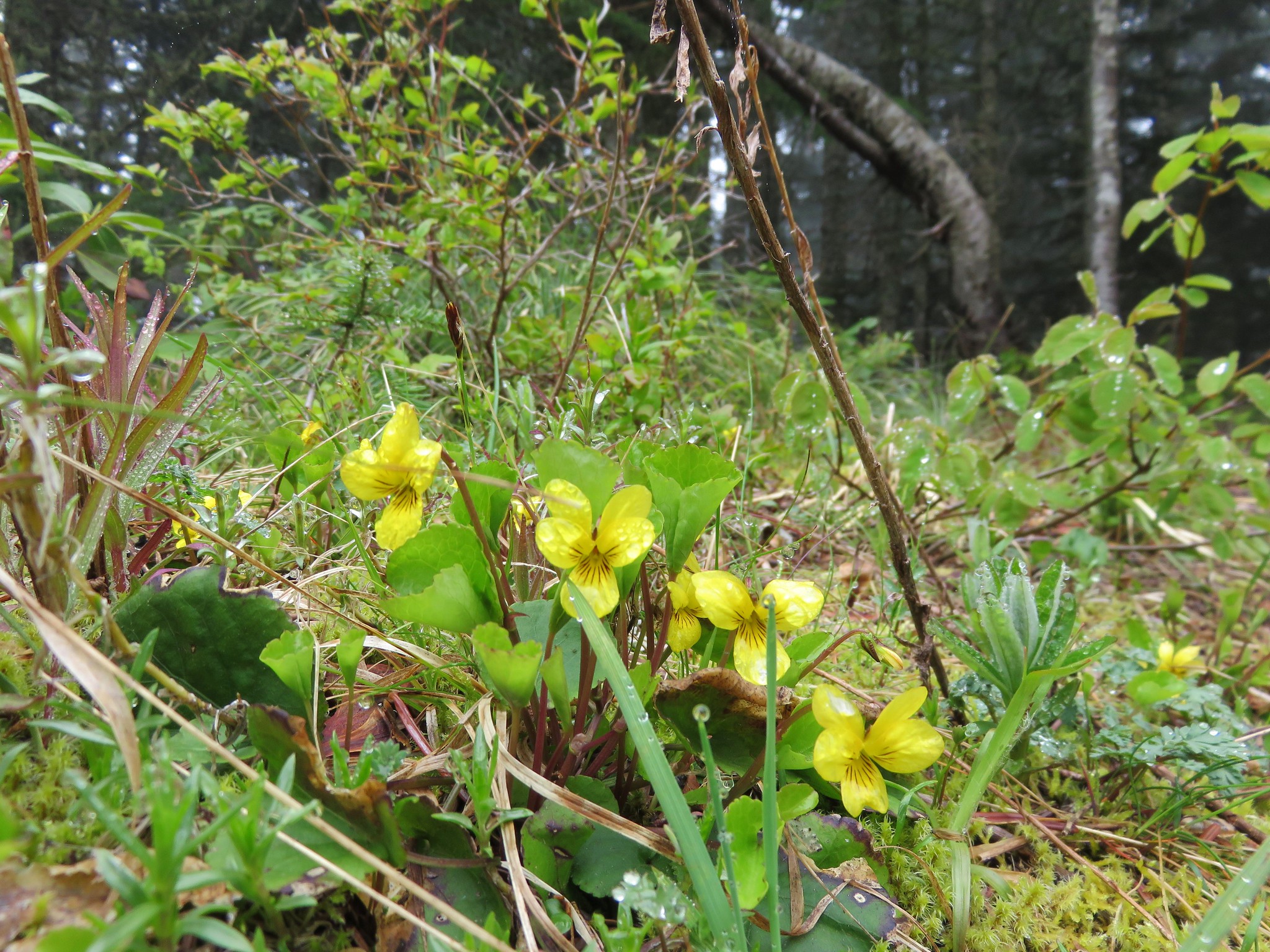
Yellow violets
IMG_2318

We sat on the rocky summit where at least four cascade peaks would have been visible on a clear day and took a short rest. Missing out on the view just meant we’d need to come back some other day, possibly via the Boulder Ridge Trail, and try again. As we were leaving the meadow Heather noticed an ant pile that was quite active.
IMG_2314

IMG_2316

Our descent was pretty uneventful as we made our way back down the mountain. We finally saw other people at the small waterfall, a family of four exploring the creek. The Bonanza Trail lived up to the light usage label, but despite the fact that it hadn’t been maintained by the Forest Service since 2013 it was in surprisingly good shape. Perfect for a good bit of exercise and solitude.
Happy Trails!

flickr: https://www.flickr.com/photos/9319235@N02/sets/72157653391492331