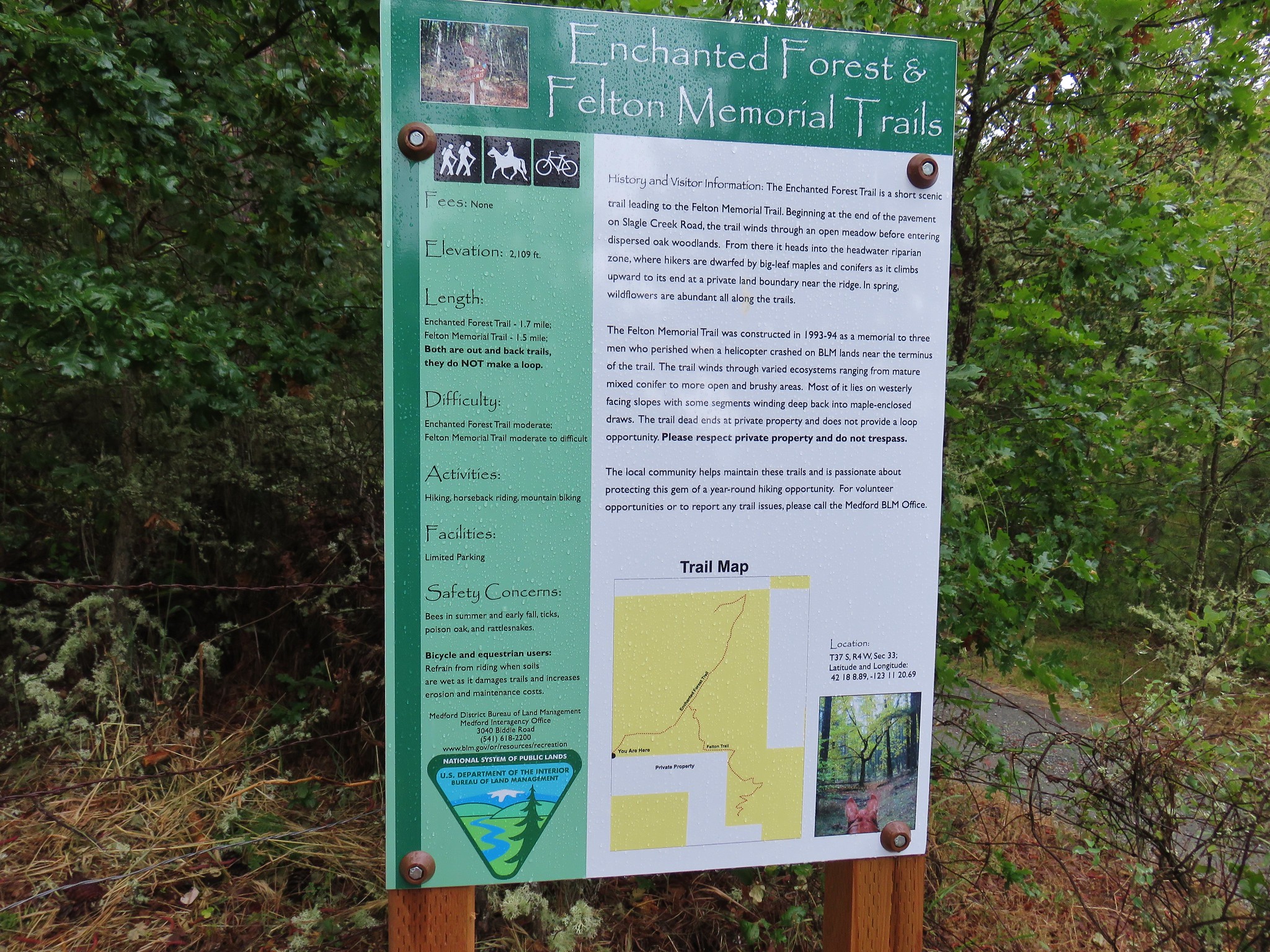
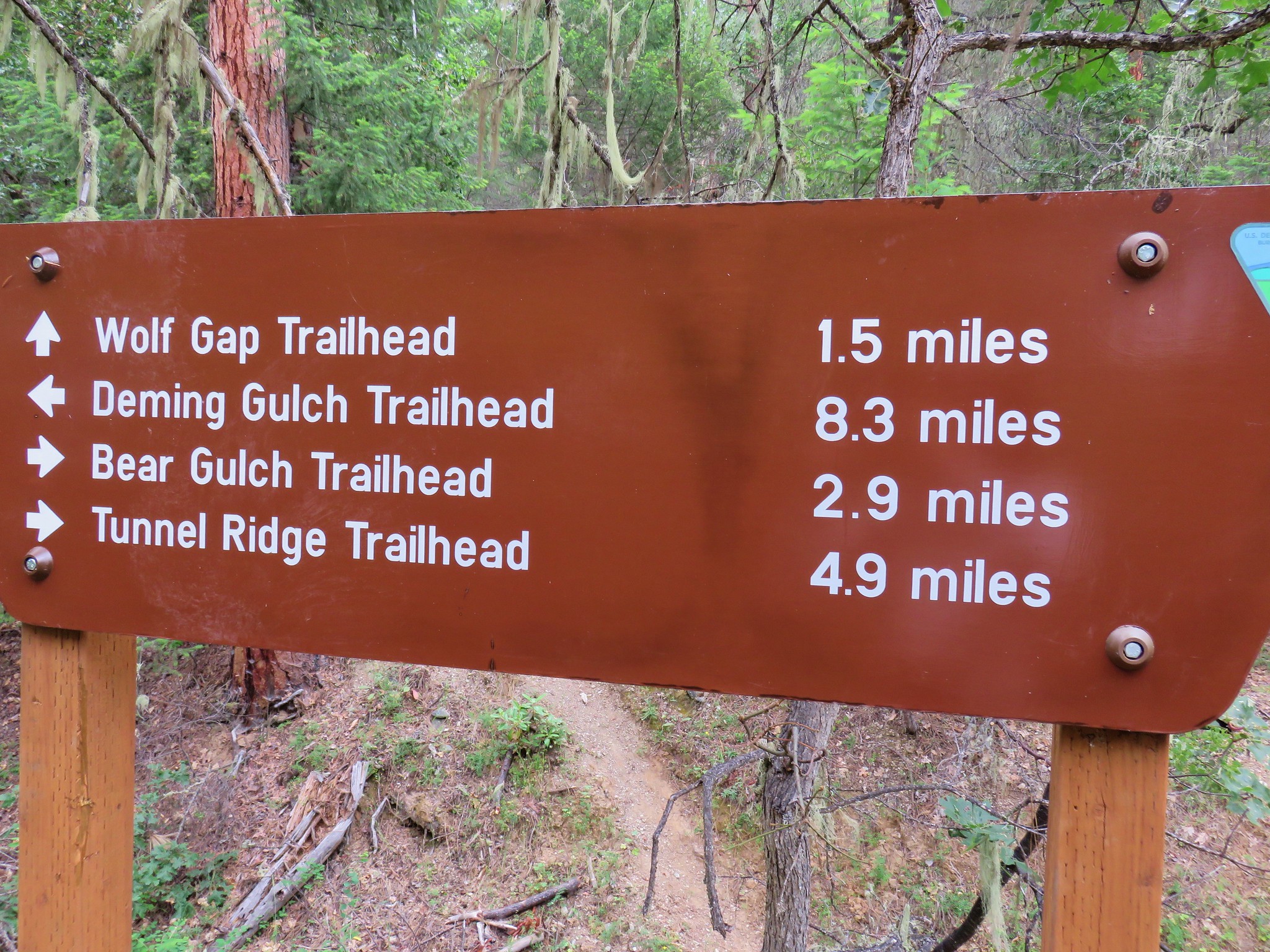
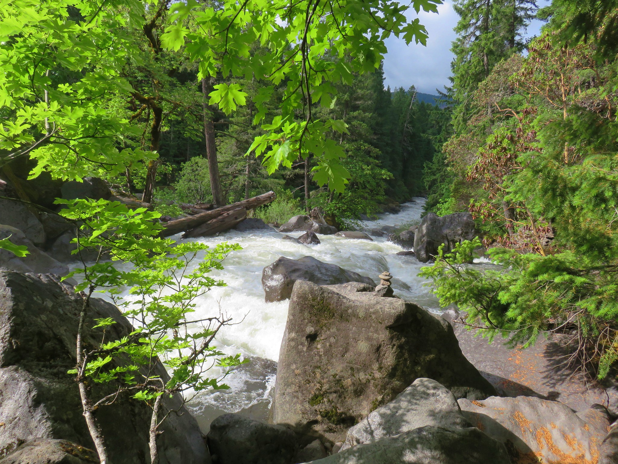
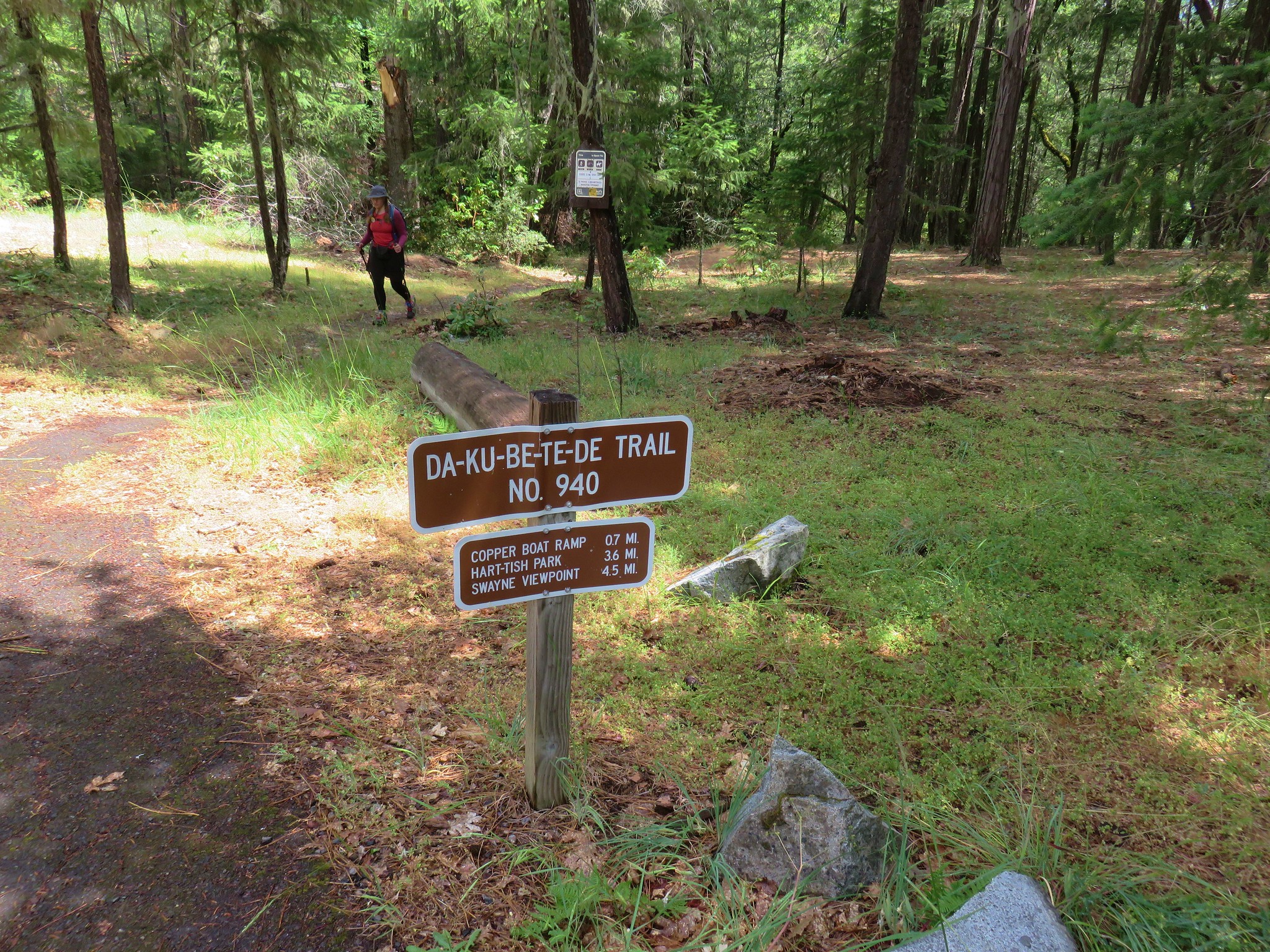
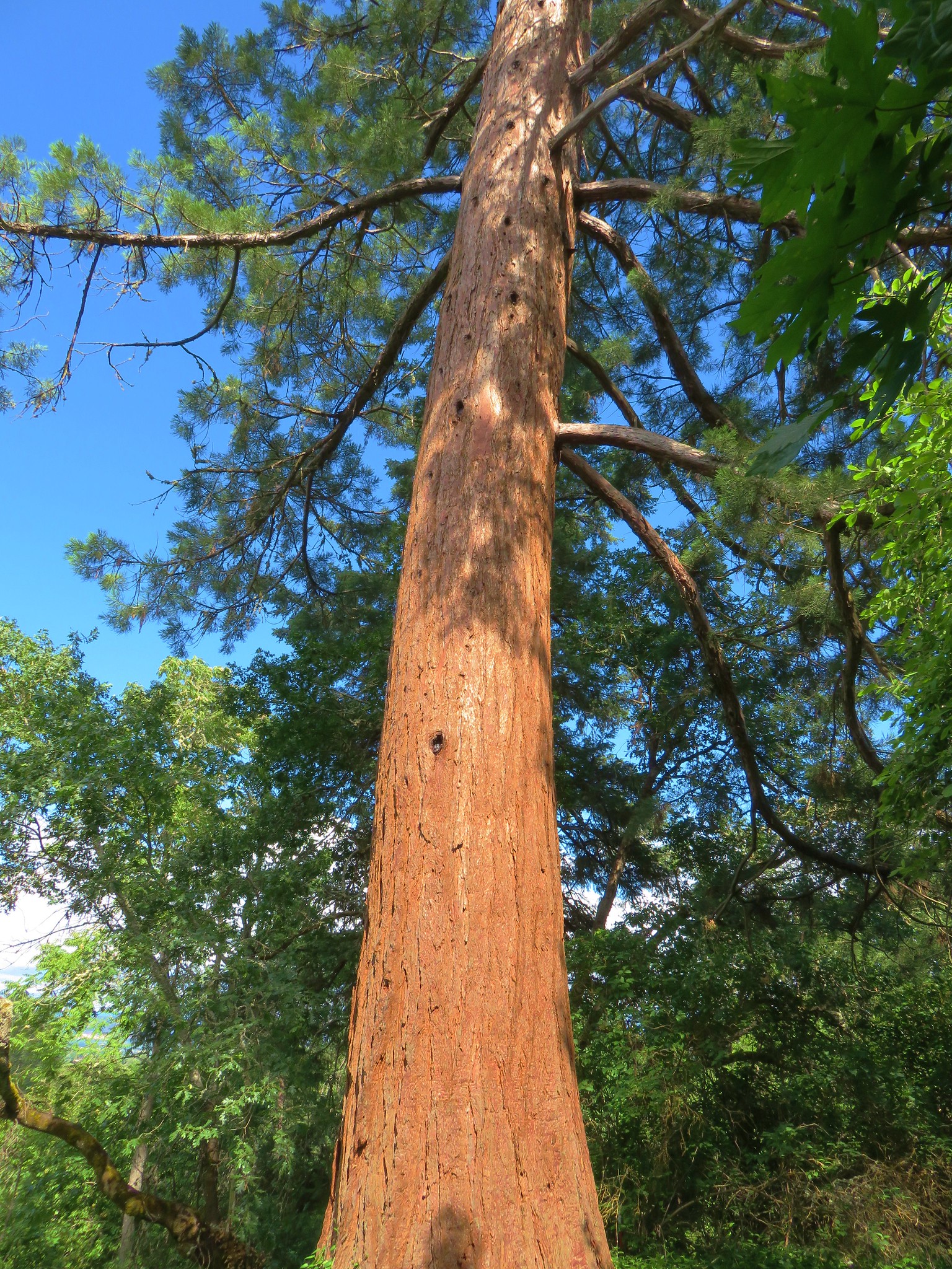
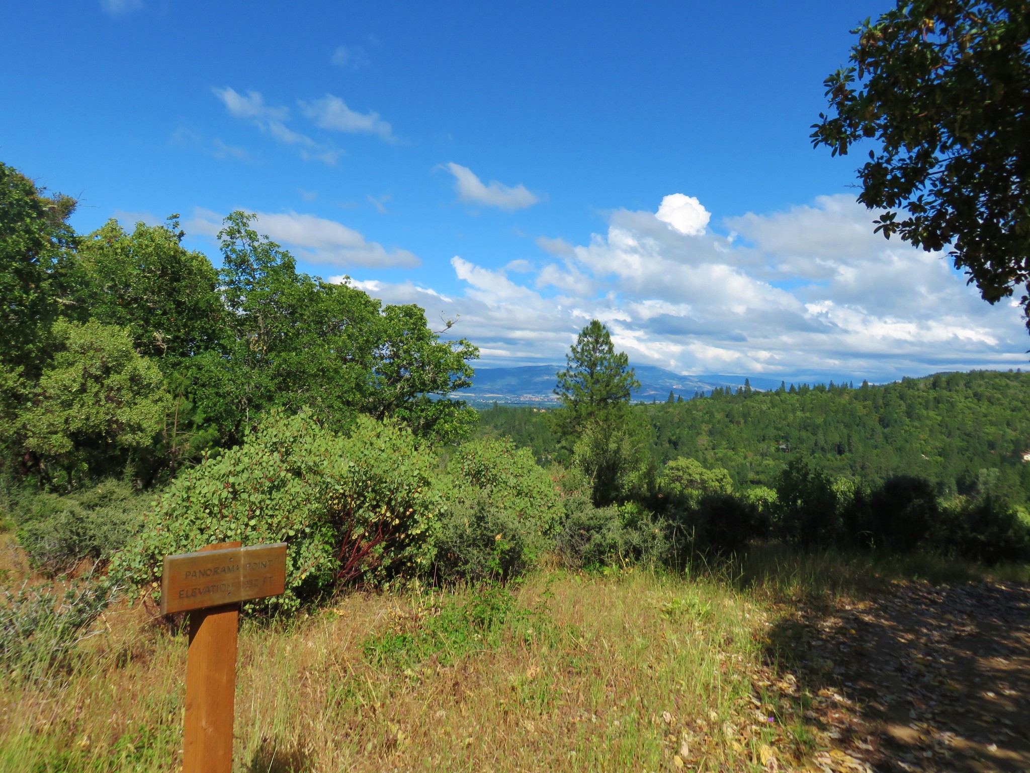
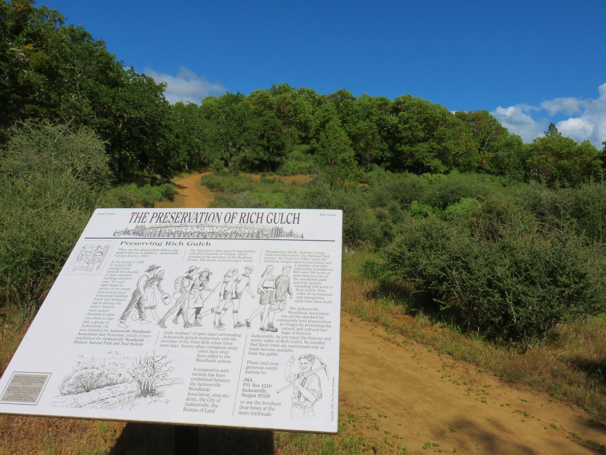
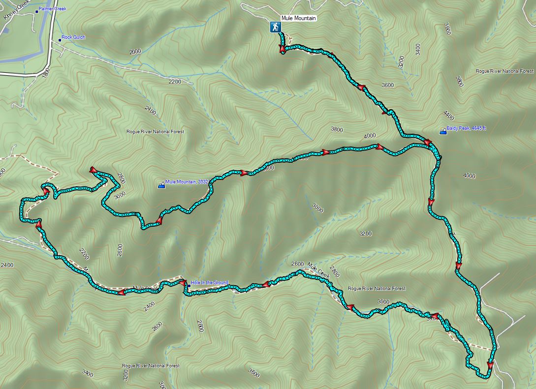
We took a few days of vacation prior to Memorial Day weekend and headed to Medford, OR for six days of hiking. Our original plan had been to make 8 different stops over those 6 days hiking around 70 miles. Seven of the stops would be new to us with two of the hikes being featured hikes in Sullivan’s “100 Hikes/Travel Guide Southern Oregon & Northern California” (4.2 edition) that we were hoping to cross of our list. Two others involved featured hikes that we had done part of previously and were now looking to complete another portion. The other three hikes that we hadn’t done were listed in the “More Hikes” section in the back of his book. I said our original plan because after the first hike our plans were blown up. For the first hike we picked Mule Mountain which had been a featured hike in Sullivan’s 3rd edition but lost that status after the Mule Mountain Trailhead was closed in 2016. From that previous trailhead the first 0.3 miles of the Mule Mountain Trail pass across private land and the Forest Service has so far been unable to obtain an easement. The Forest Service shows two alternate trailheads that can be used to access the loop that Sullivan describes – the Charlie Buck/Baldy Peak Trailhead and the Mule Creek/Baldy Peak Trailhead. Sullivan and Oregon Hikers suggest starting at the Charlie Buck/Baldy Peak Trailhead which is what we chose to do.

Our planned hike here looked to be about 12 miles with approximately 4000′ of cumulative elevation gain. Those numbers were quite similar to our hike at Elk & Kings Mountain (post) the previous Saturday. That had been a hard hike but not anything that we couldn’t manage and we had forgotten to bring our Endurolytes on that hike. These have seemed to really help on warmer/more difficult hikes when we work up a good sweat. It was supposed to be a little warmer for this hike with highs forecast to be in the mid to upper 70s but we had hydrated ahead of time, were carrying full water bladders and a filter to get additional water from Mule Creek if the opportunity arose. Despite the similarities in overall statistics there were a couple of key differences between the two hikes that we failed to take fully into account. The biggest difference was that it had been a brisk 37 degrees at 6:50am when we set off on the steep climb at Elk Mountain while here due to the long drive time from Salem it was 9:20am when we started and already in the mid 60s. Another key difference was that the majority of the elevation gain on the previous hike had been during the first half of the hike meaning we were done earlier in the day with the most strenuous portions. Here the climbs were broken up with a steep initial 1200′ climb in the first mile and a longer 3.5 mile 2000′ climb later near the end prior to the final downhill mile. The other differences were the amount of direct Sun exposure involved in this hike and that the one long downhill section on the Mule Creek Trail would involve a lightly maintained trail requiring extra effort.
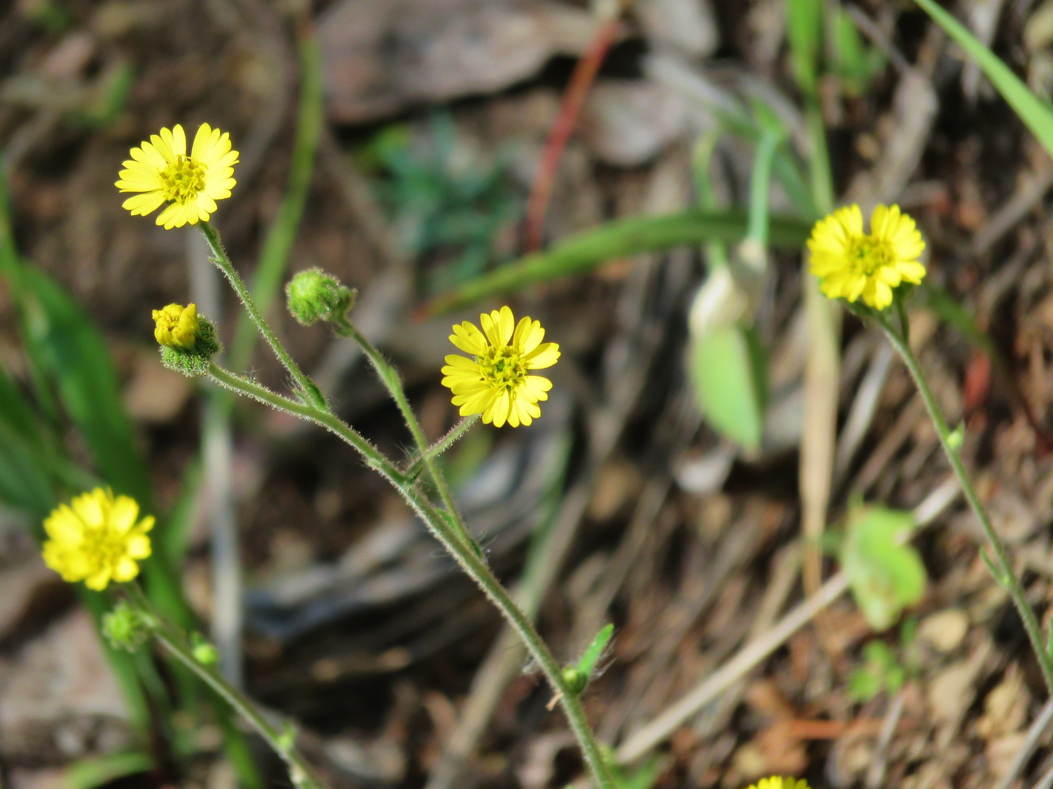
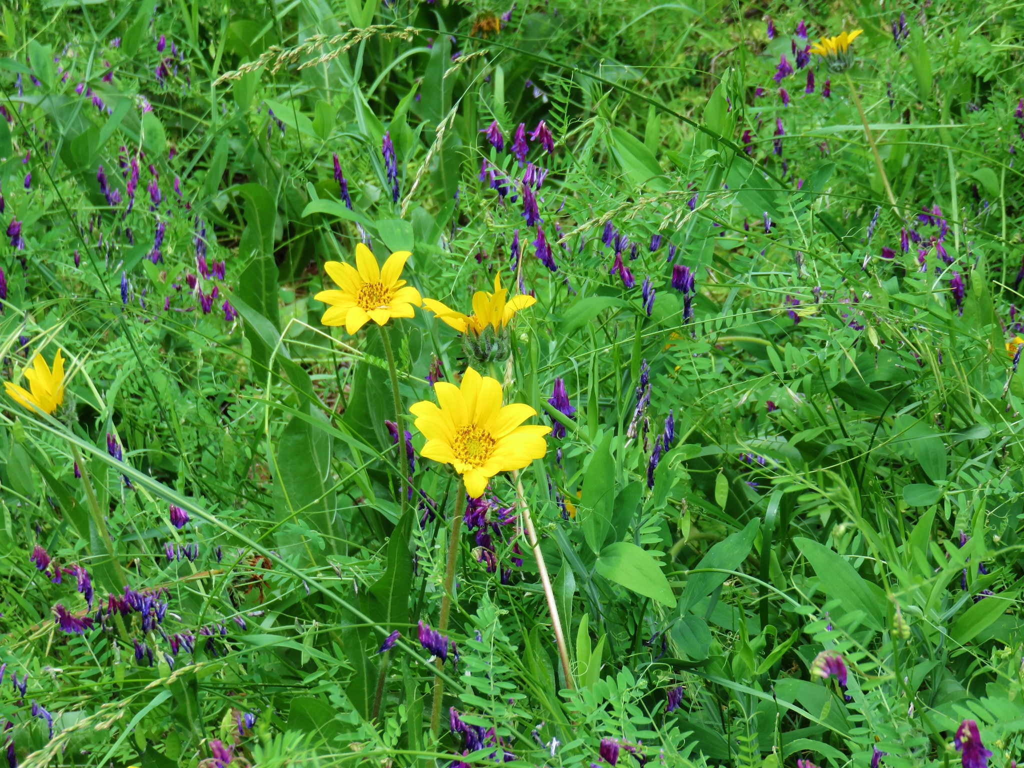
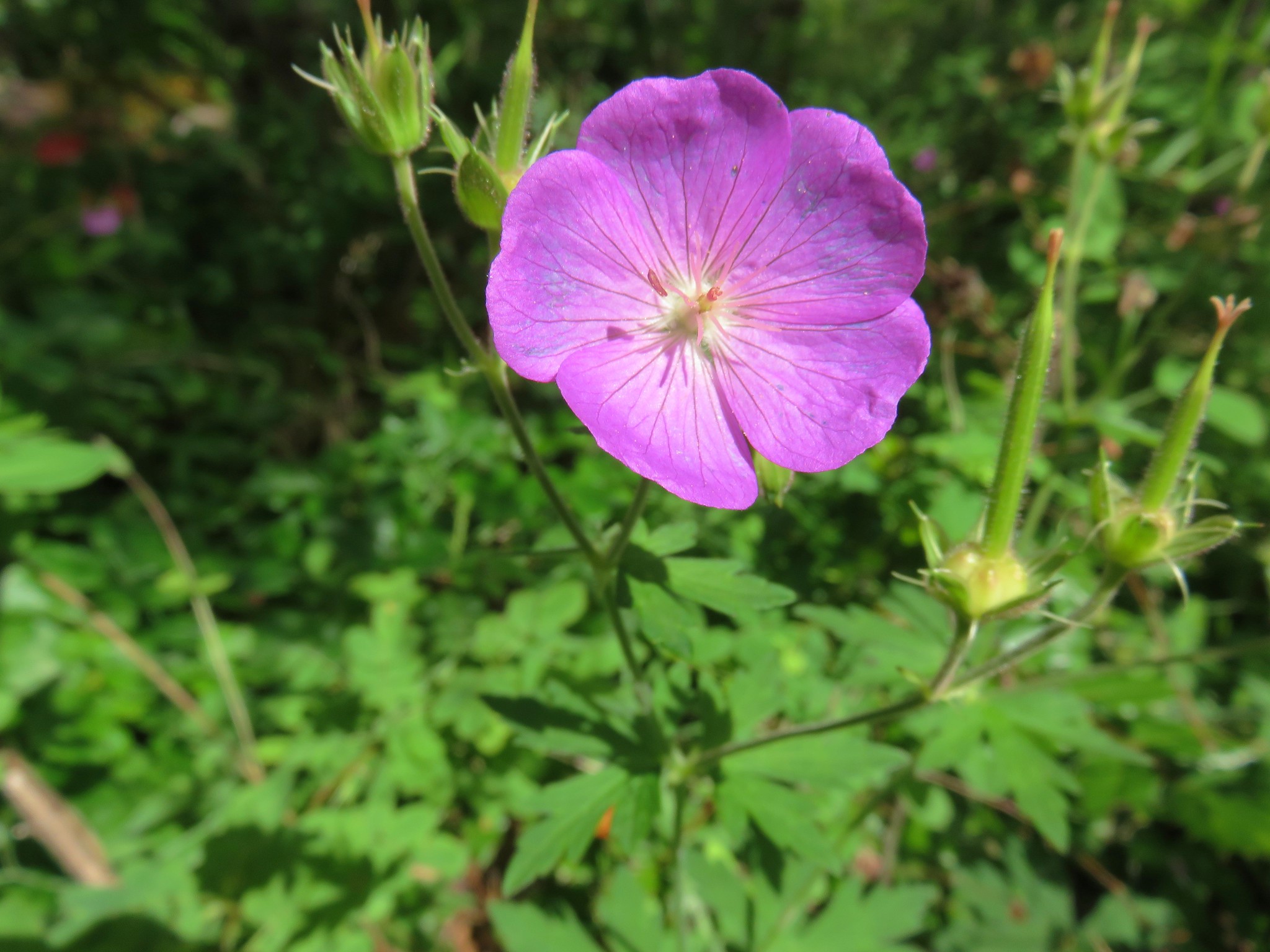
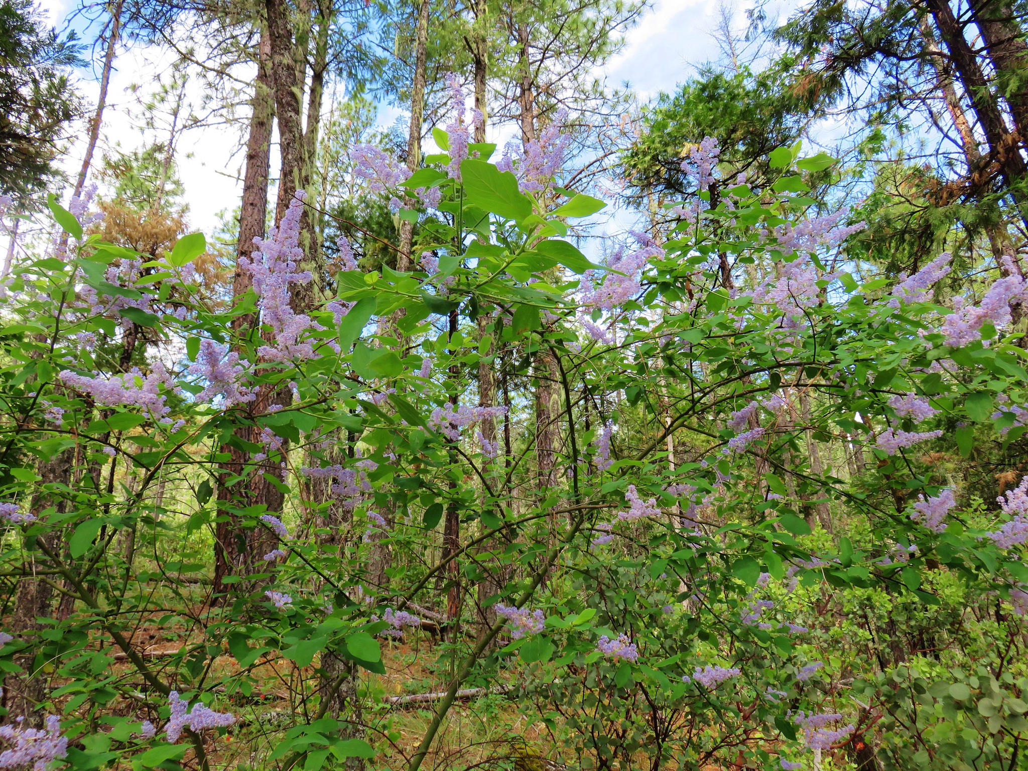
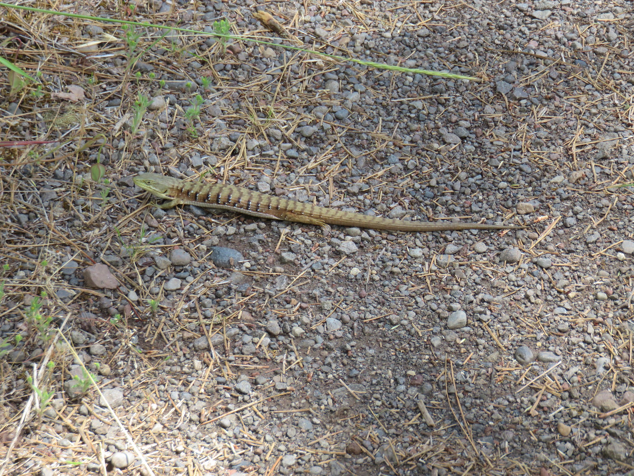
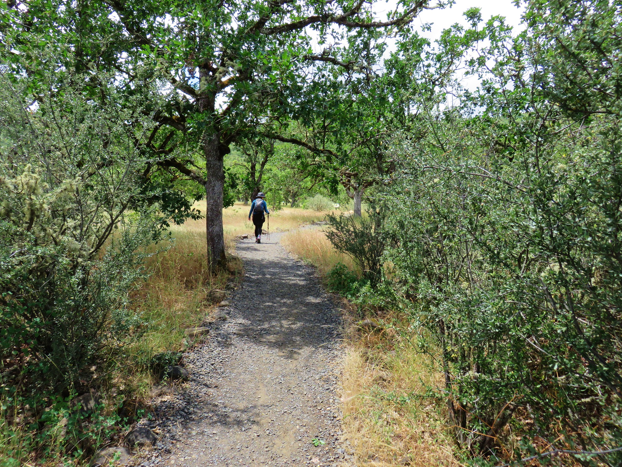
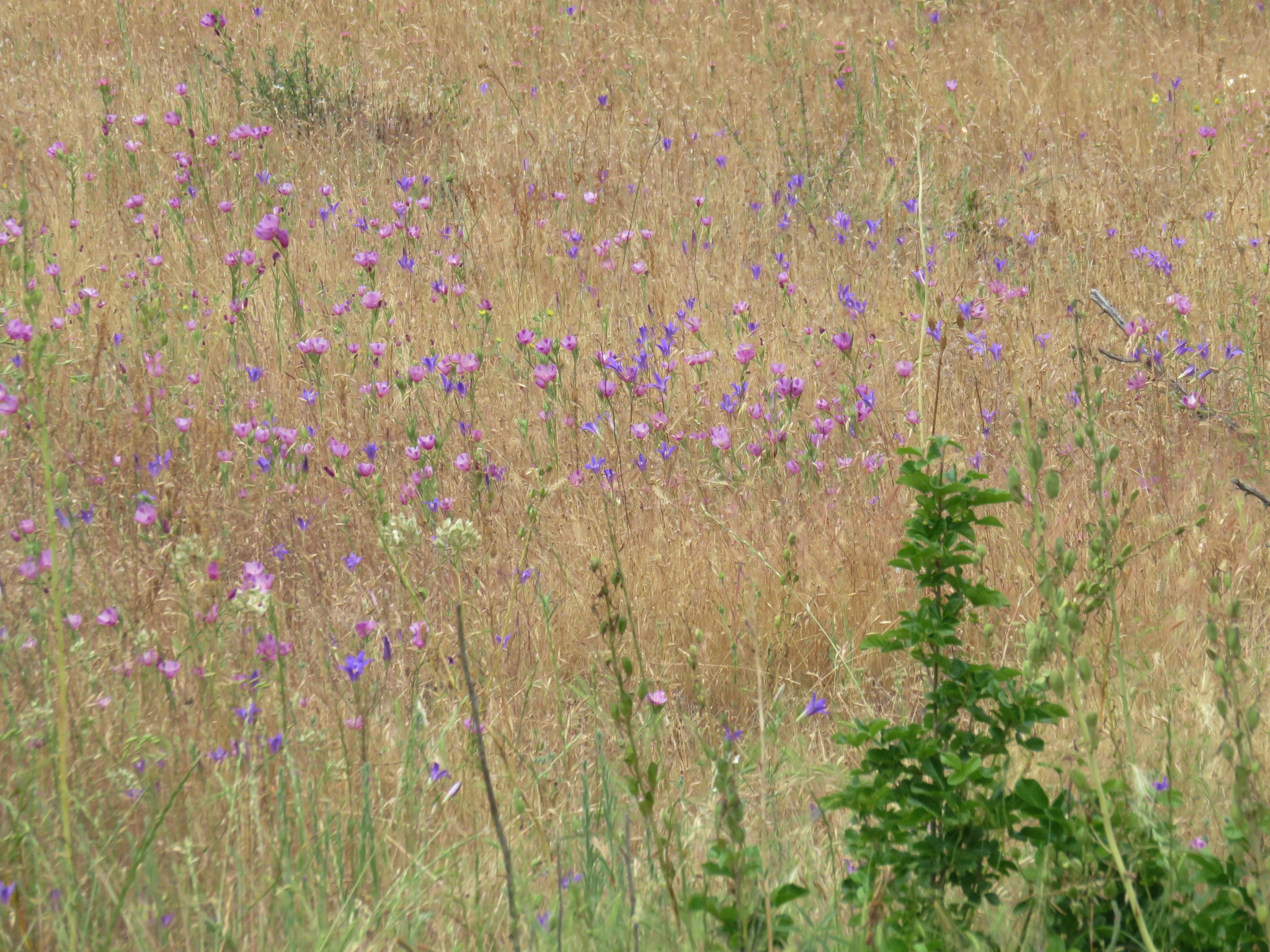
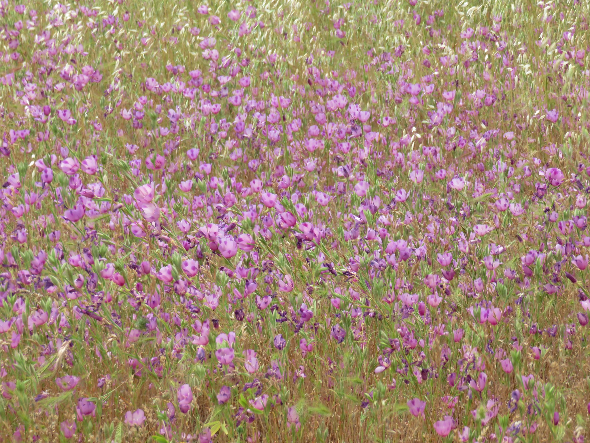
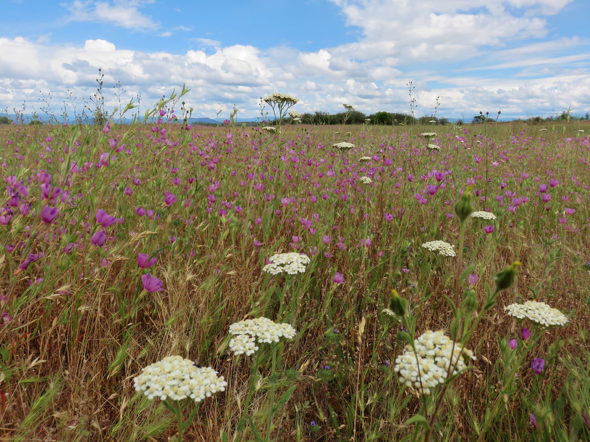
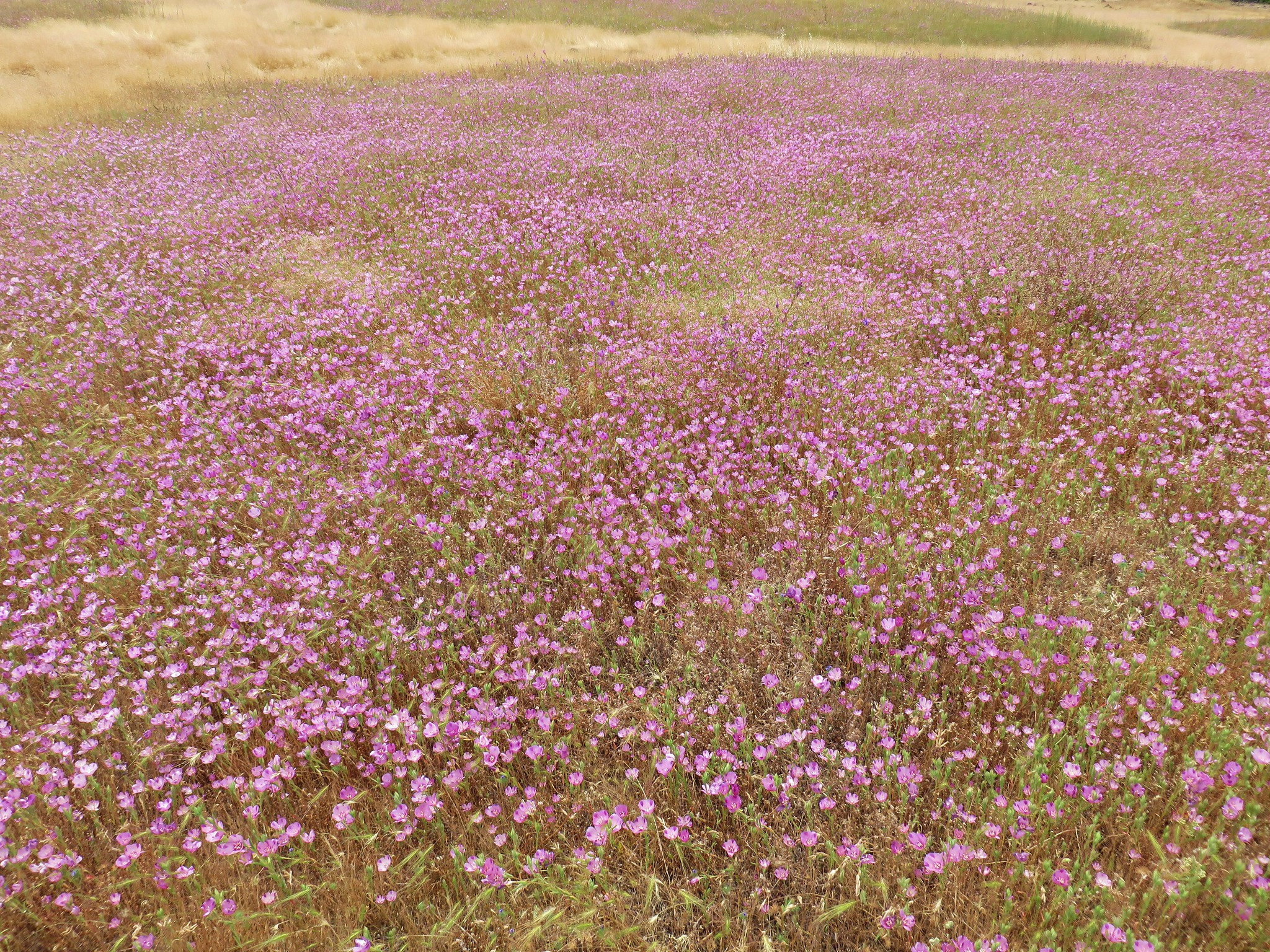
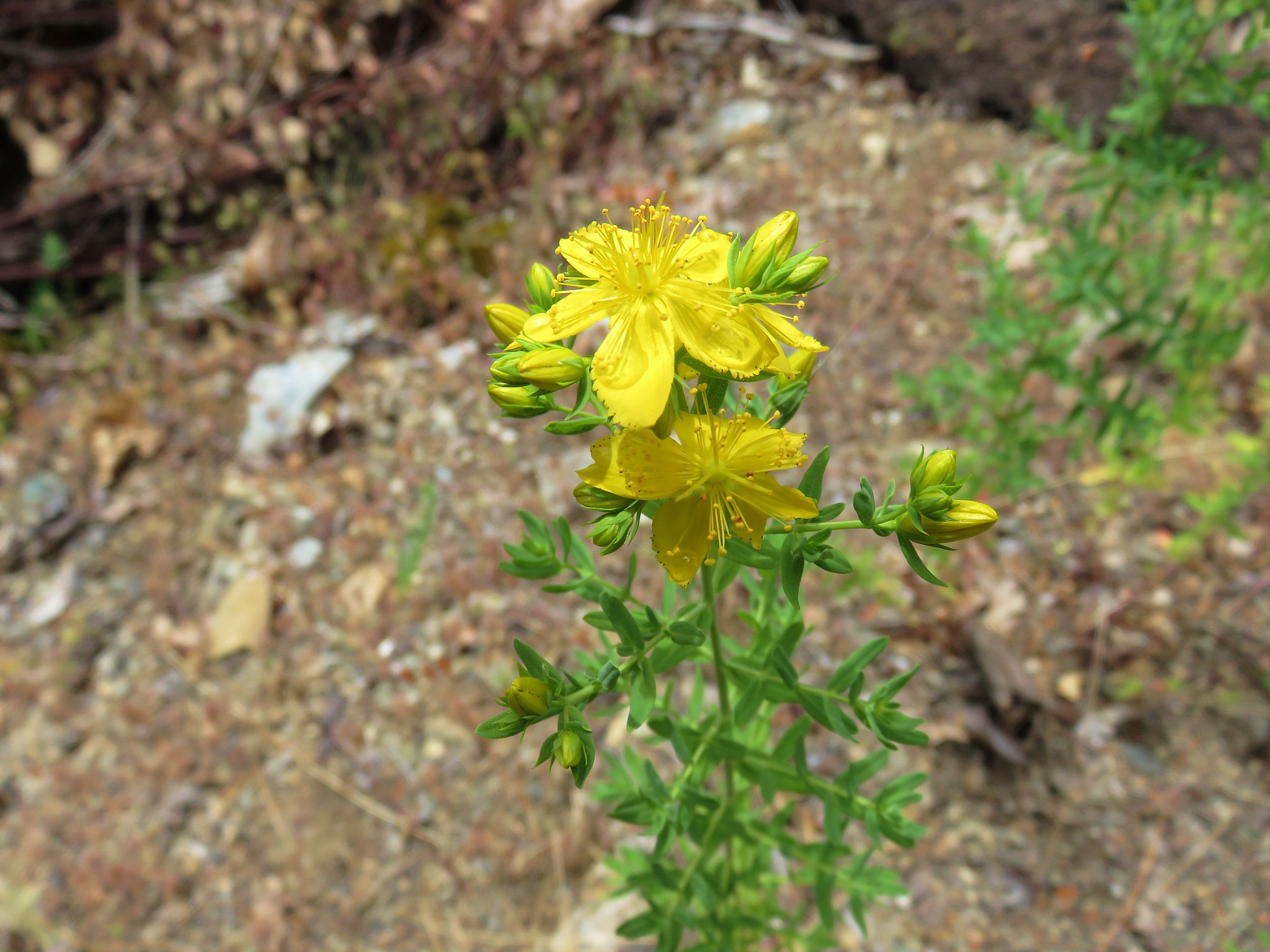
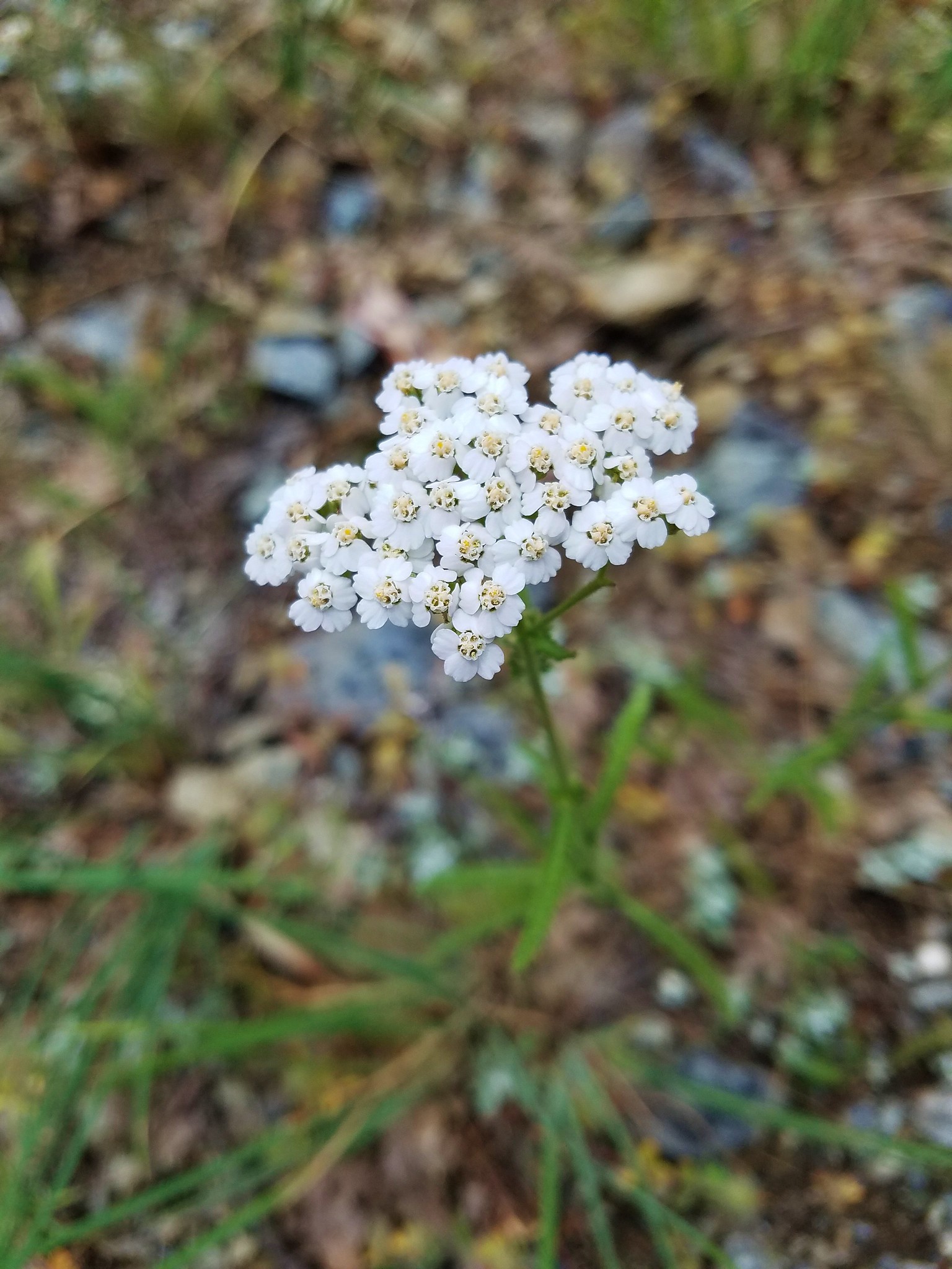
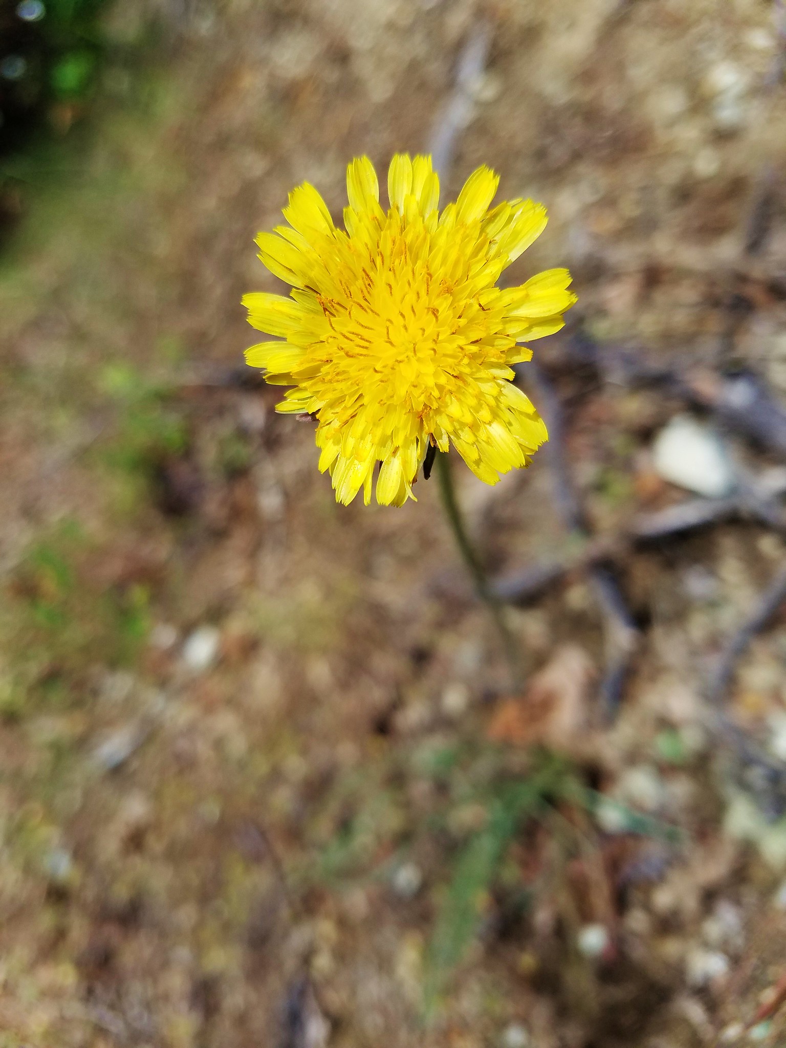
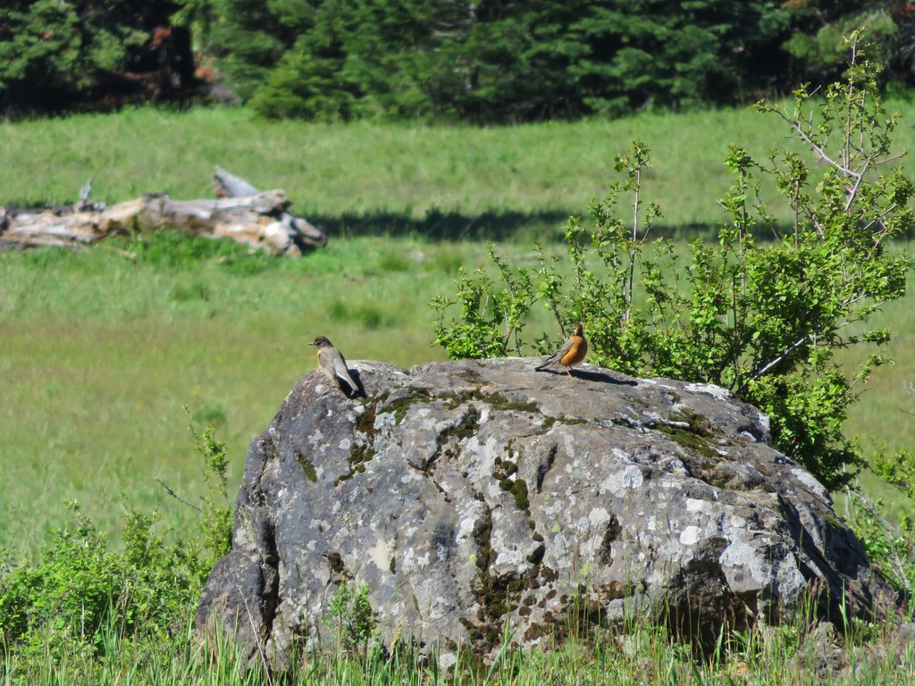
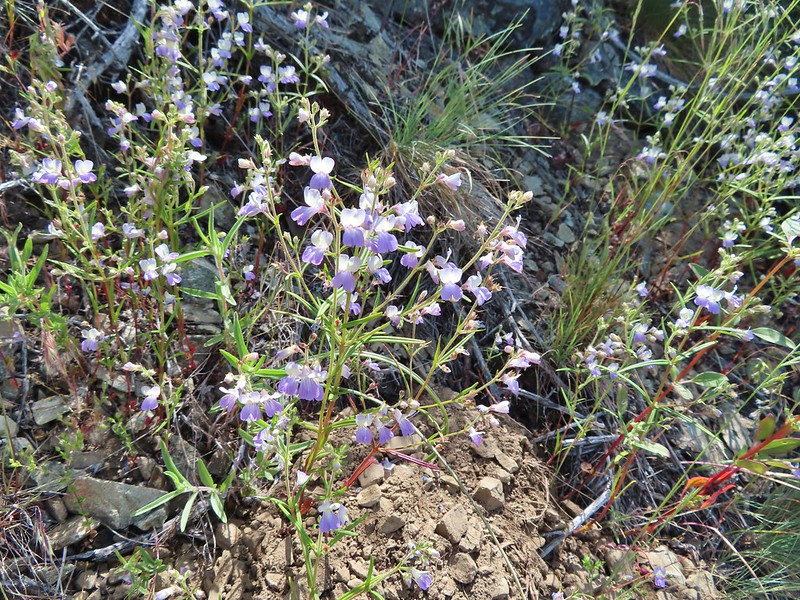
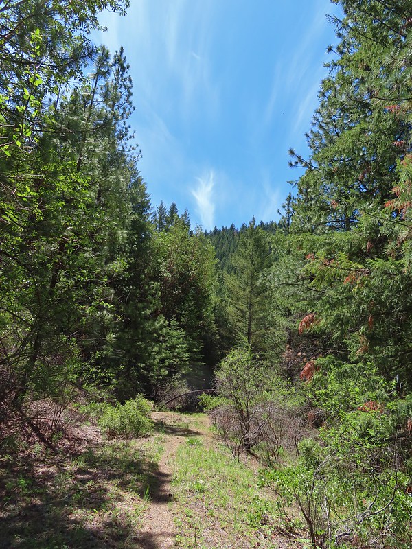
The hike started off nice enough despite the steep initial climb. We spotted a number of wildflowers and a couple of alligator lizards as we huffed our way upwards.

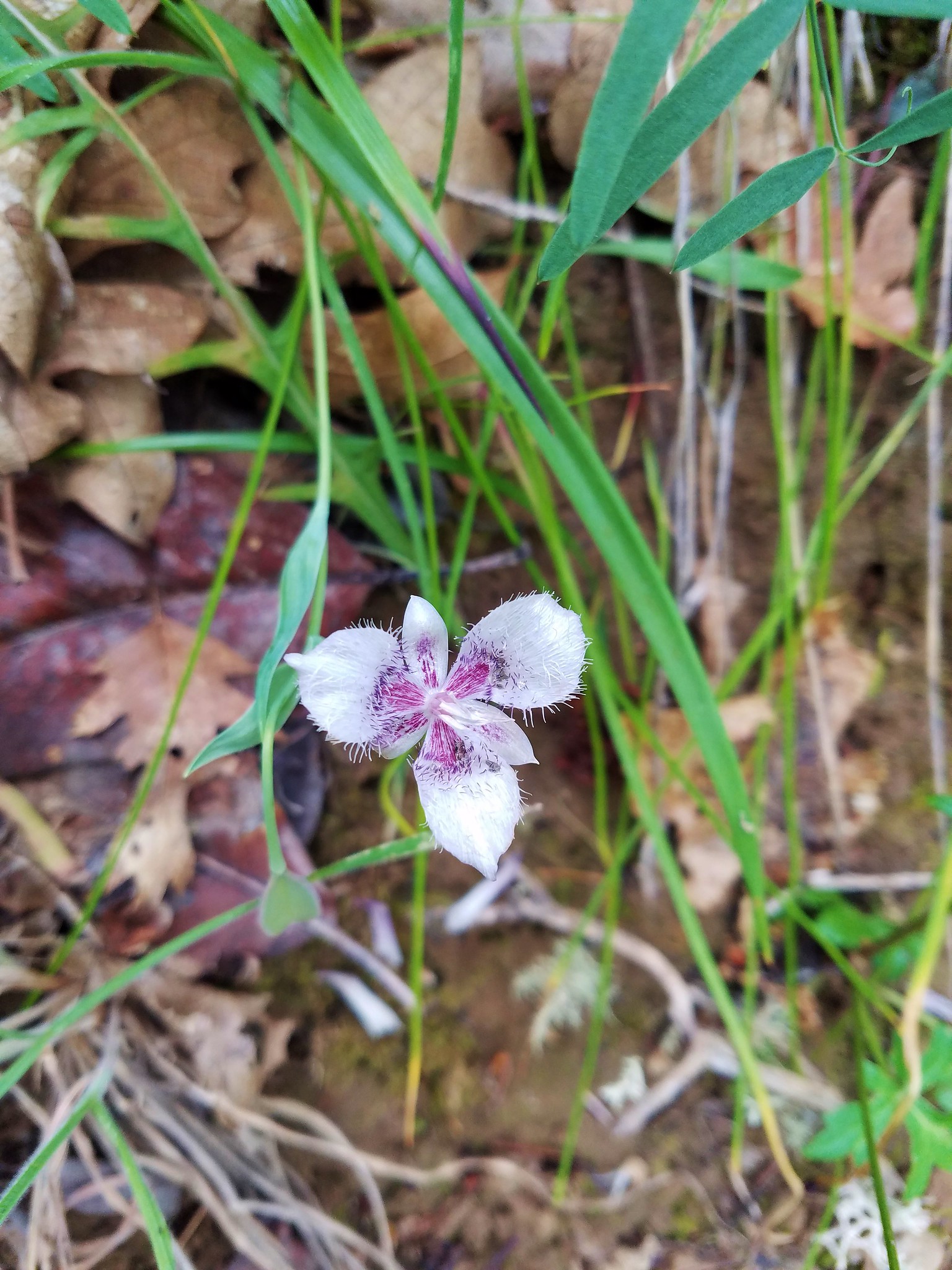
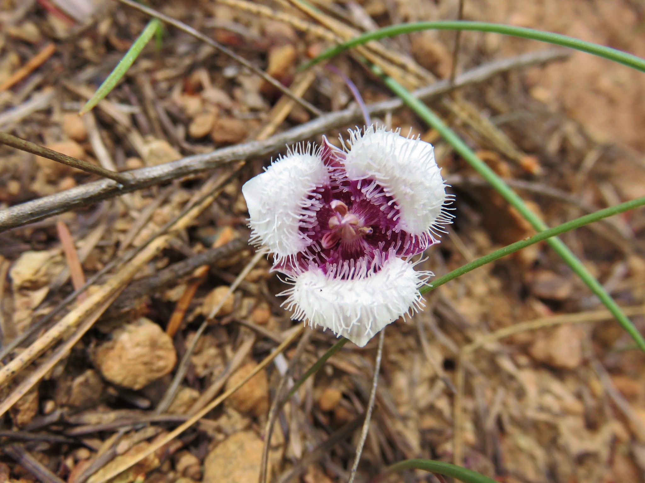
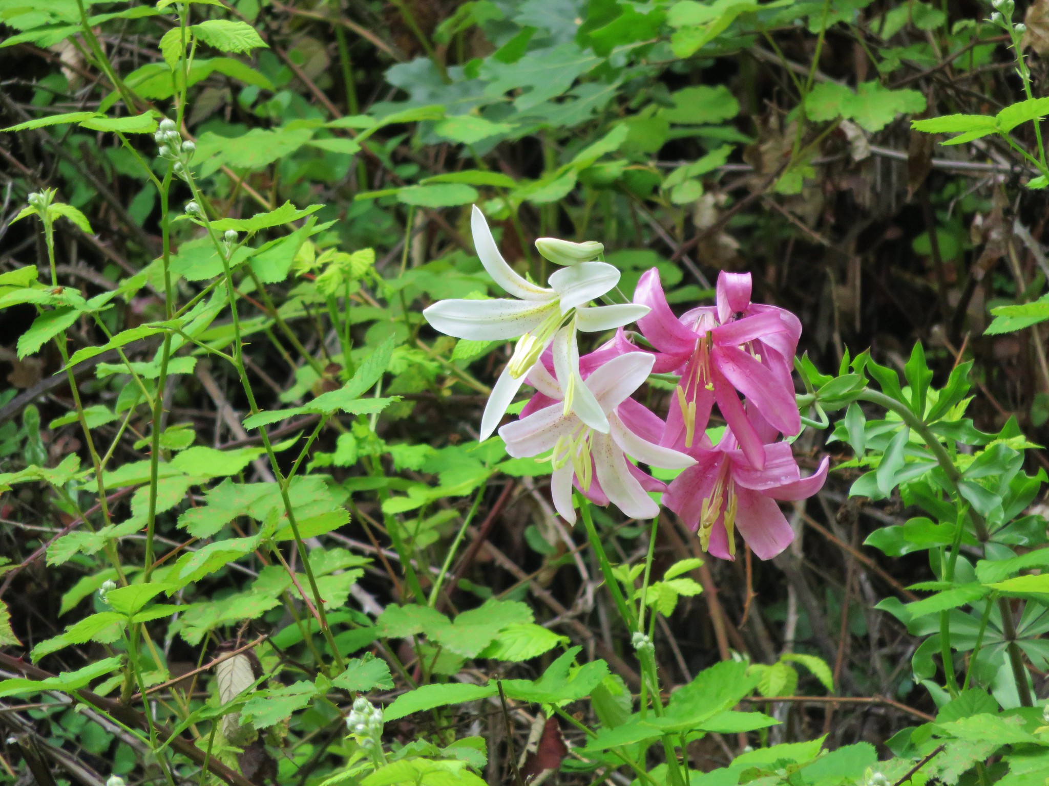
 Mariposa lilies
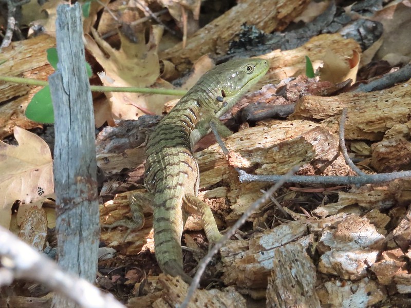
 Alligator lizard
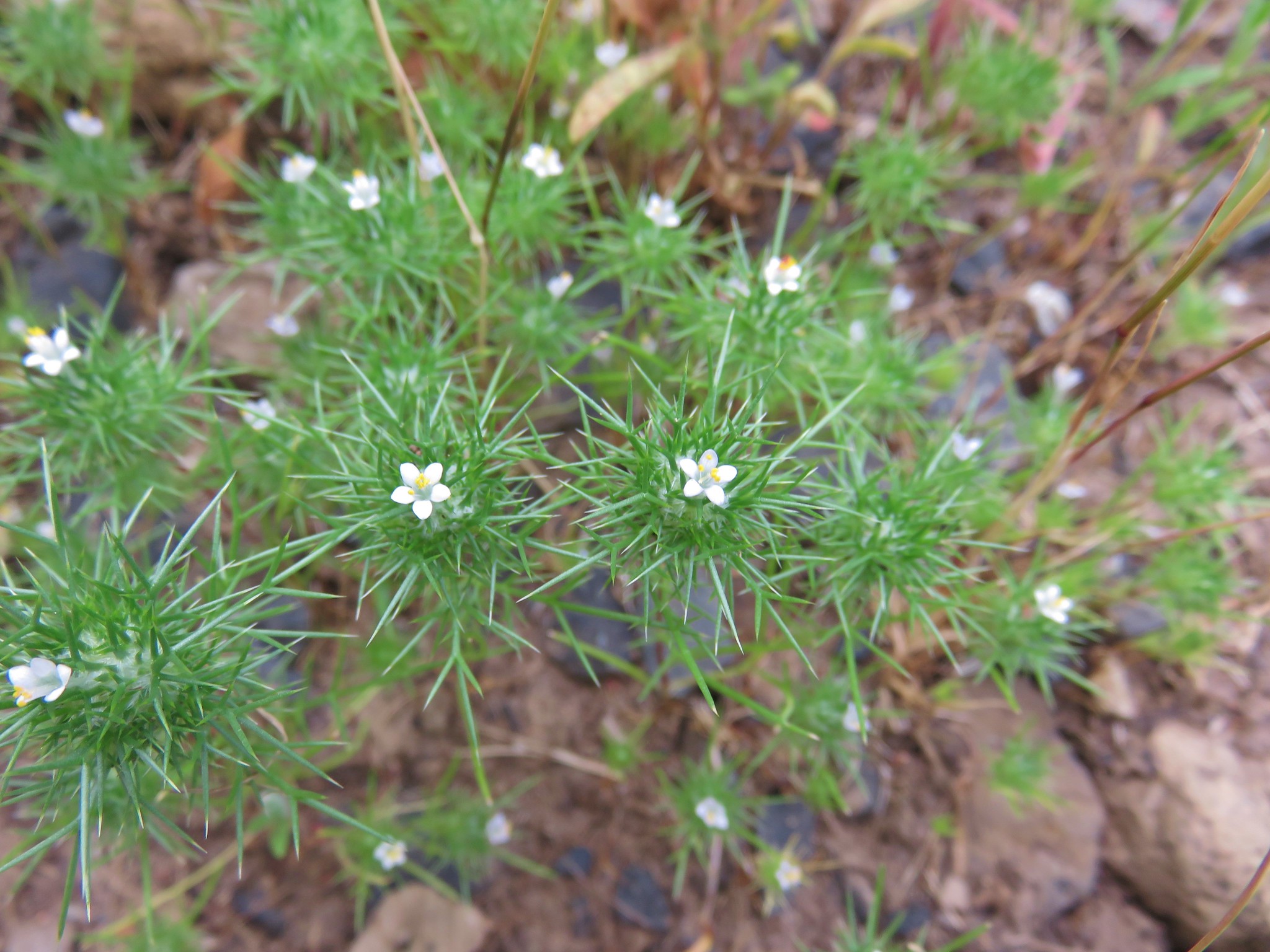
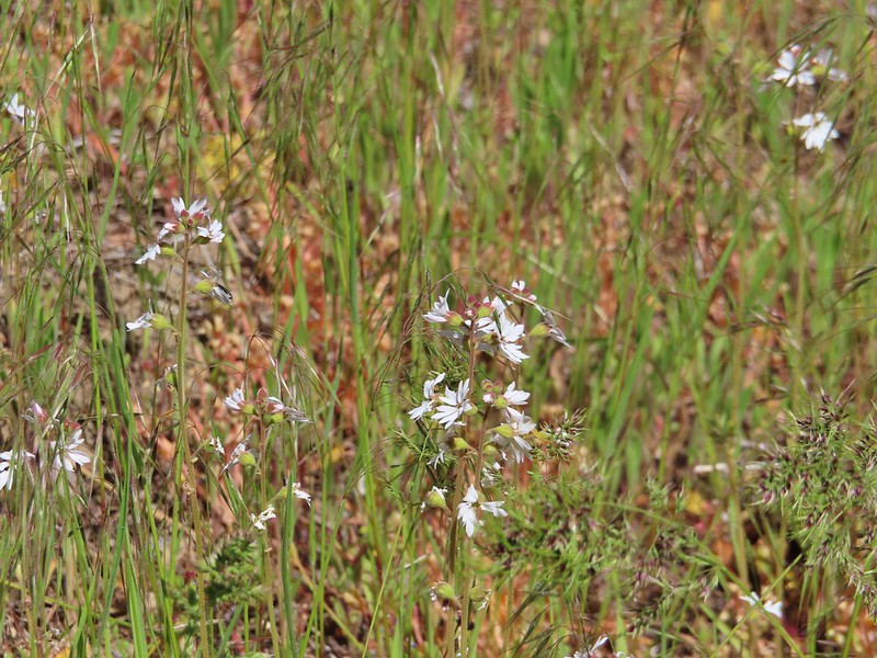
 Henderson’s stars
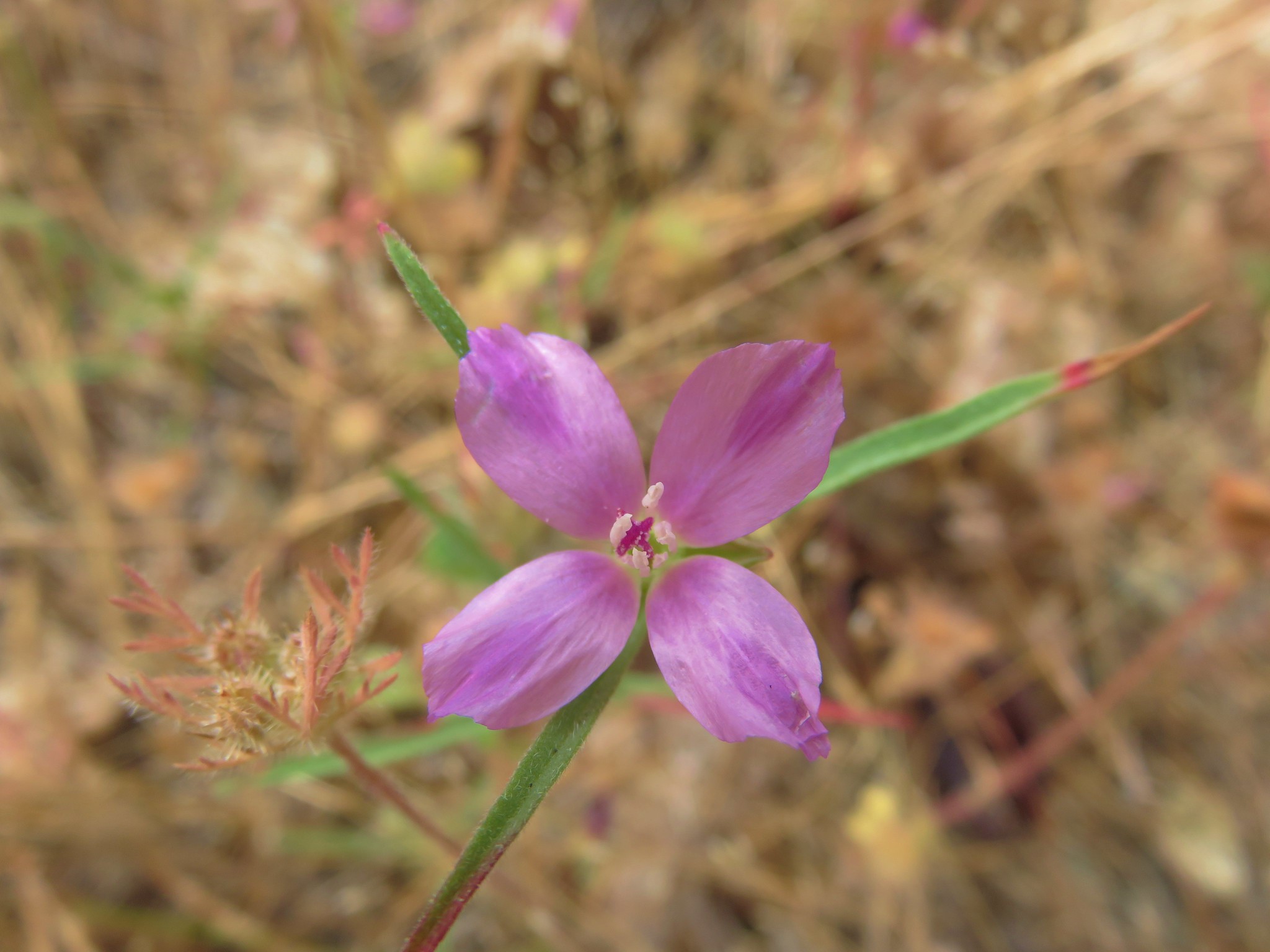
 Hooker’s Indian pink
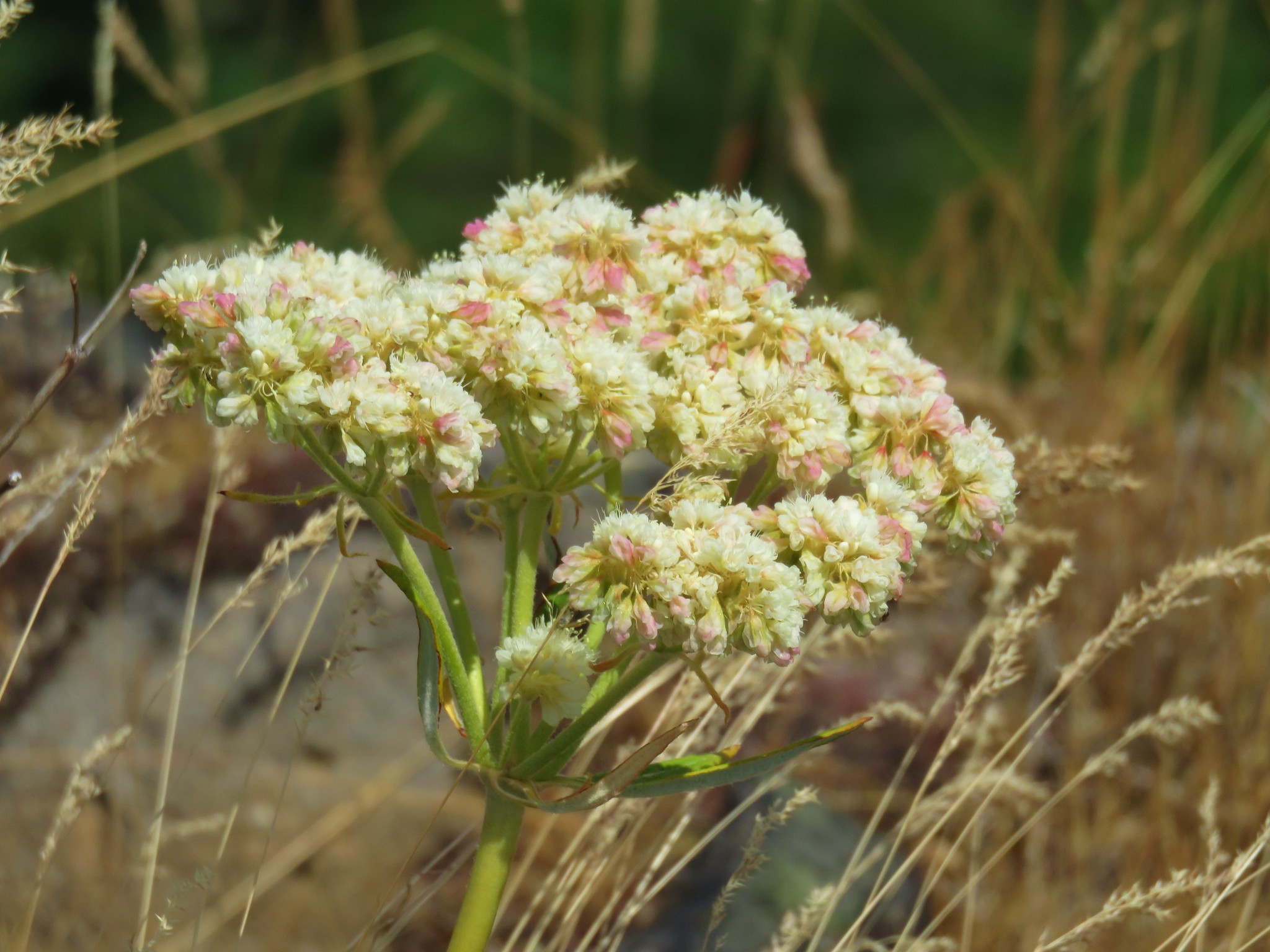
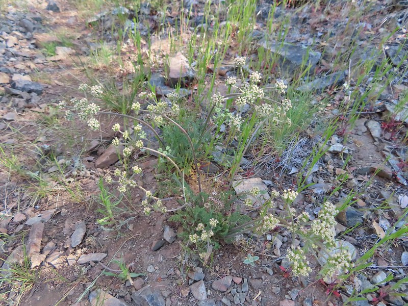
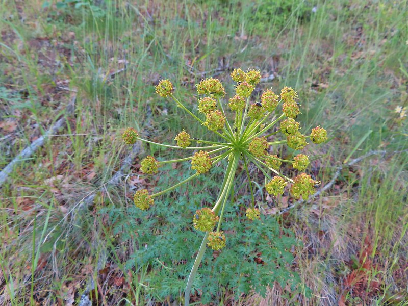 Fern leaf biscuitroot
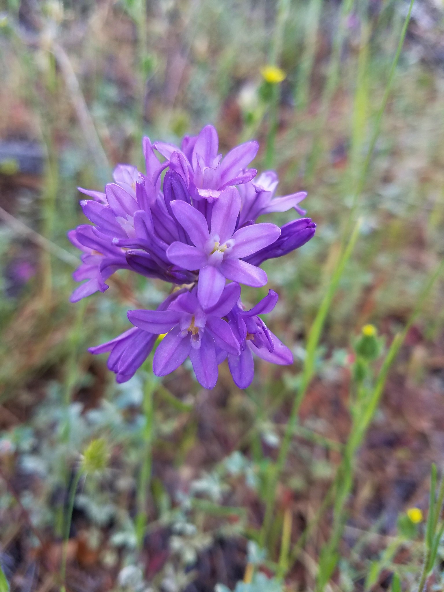
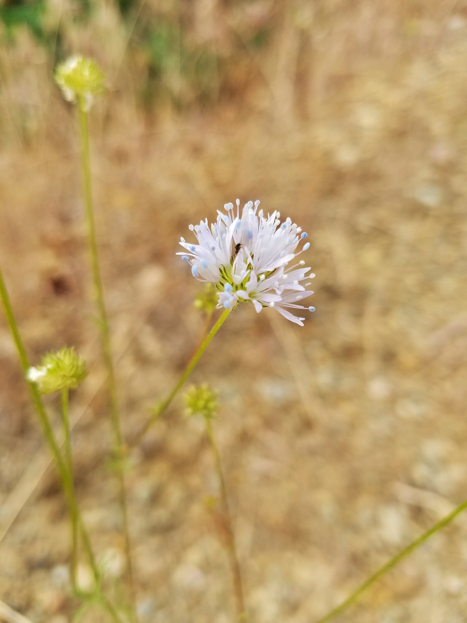
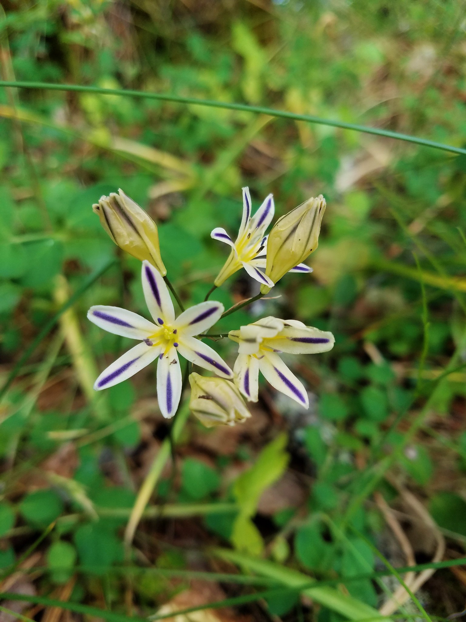
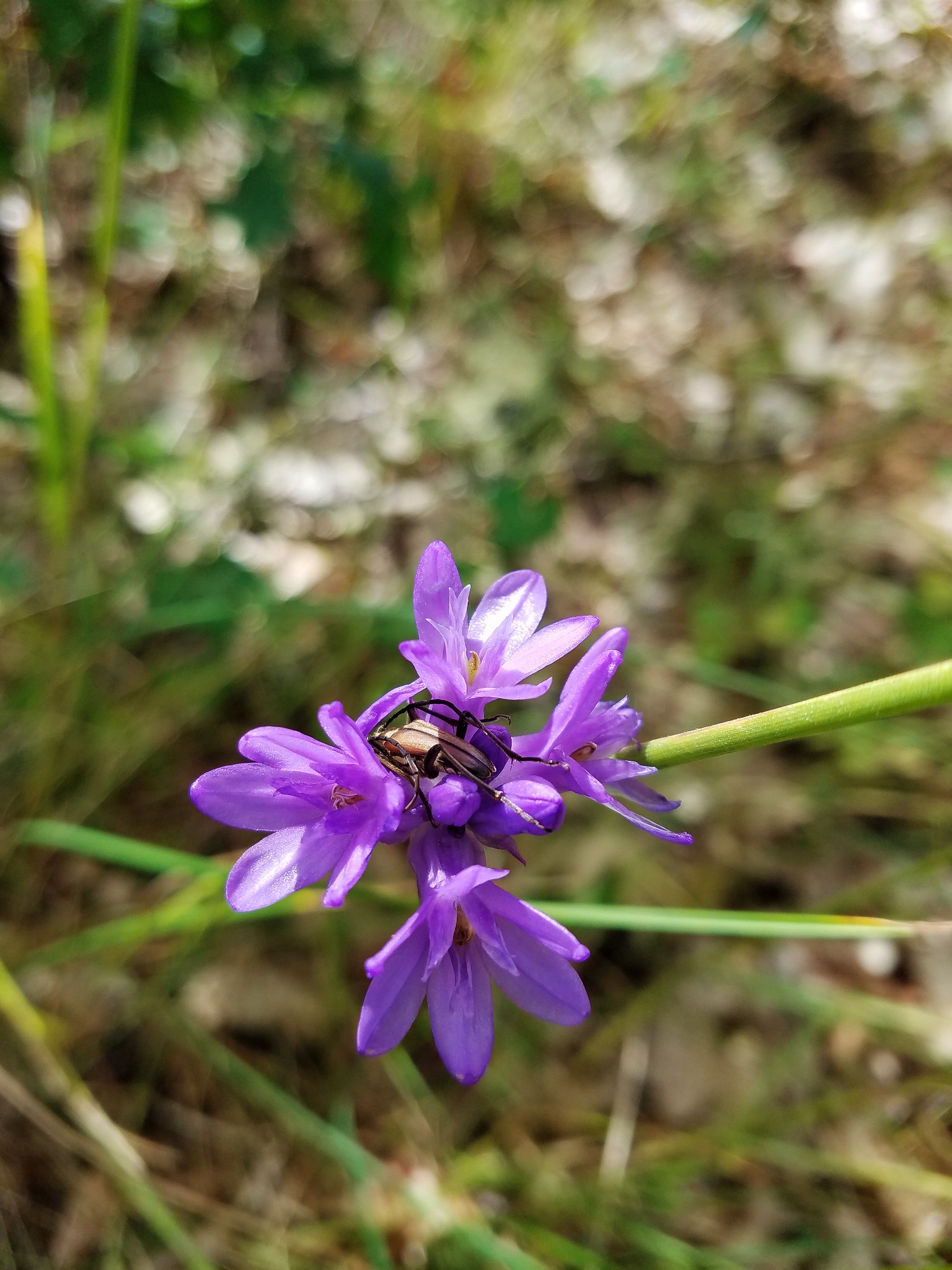
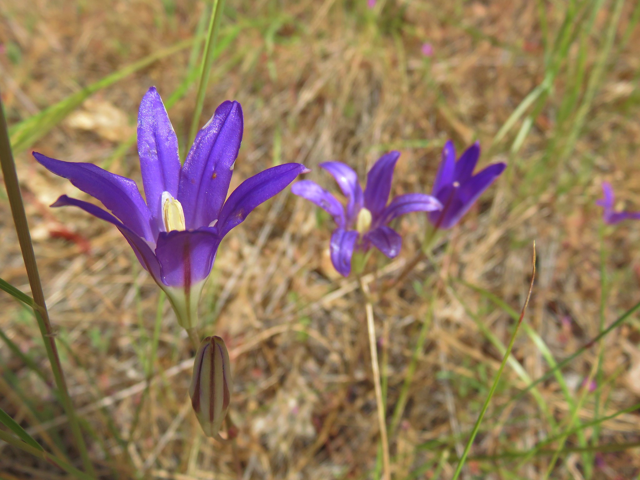
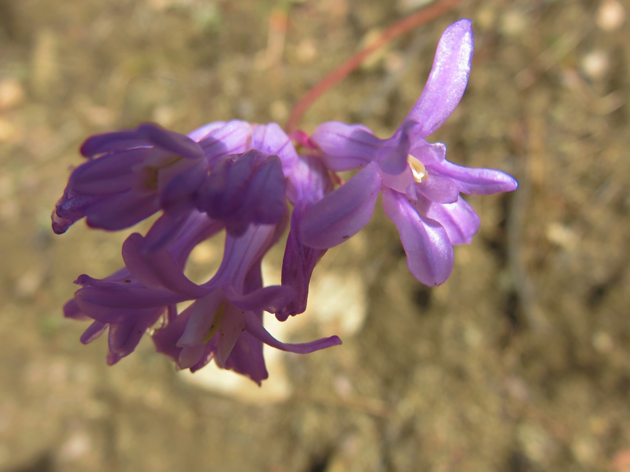
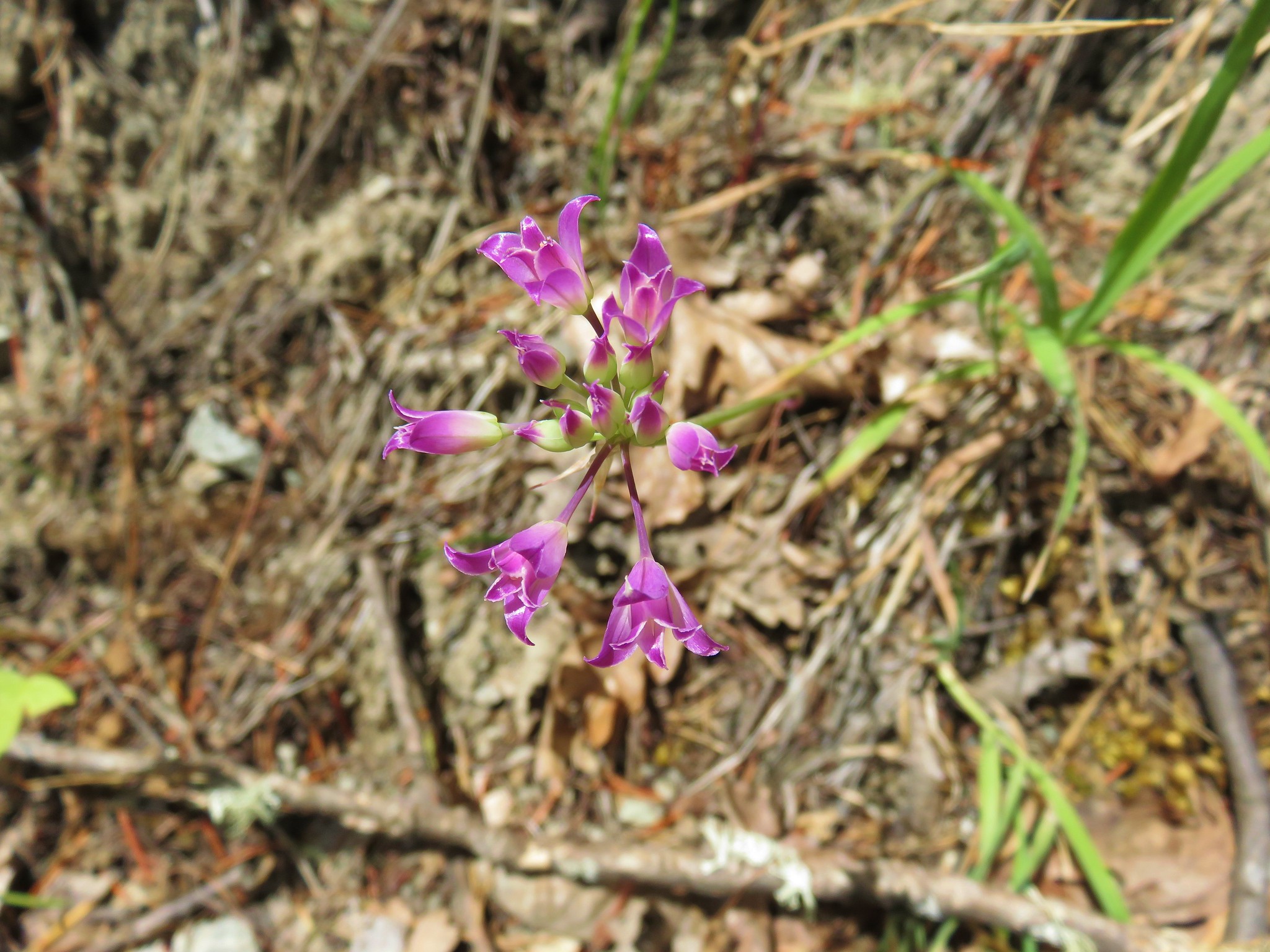
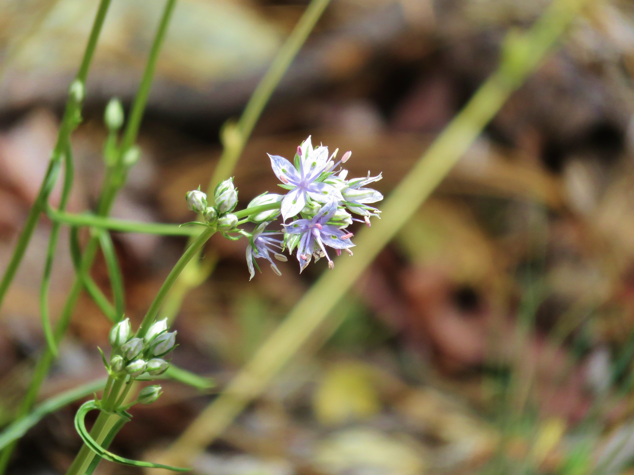
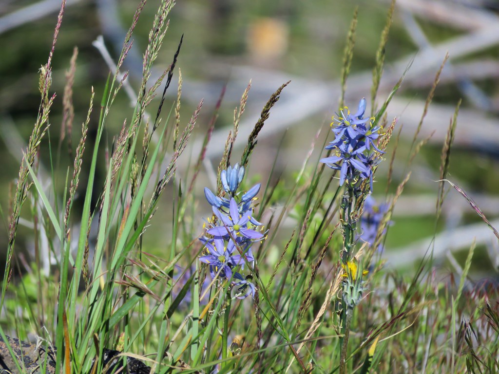
 Blue dicks
 Larkspur
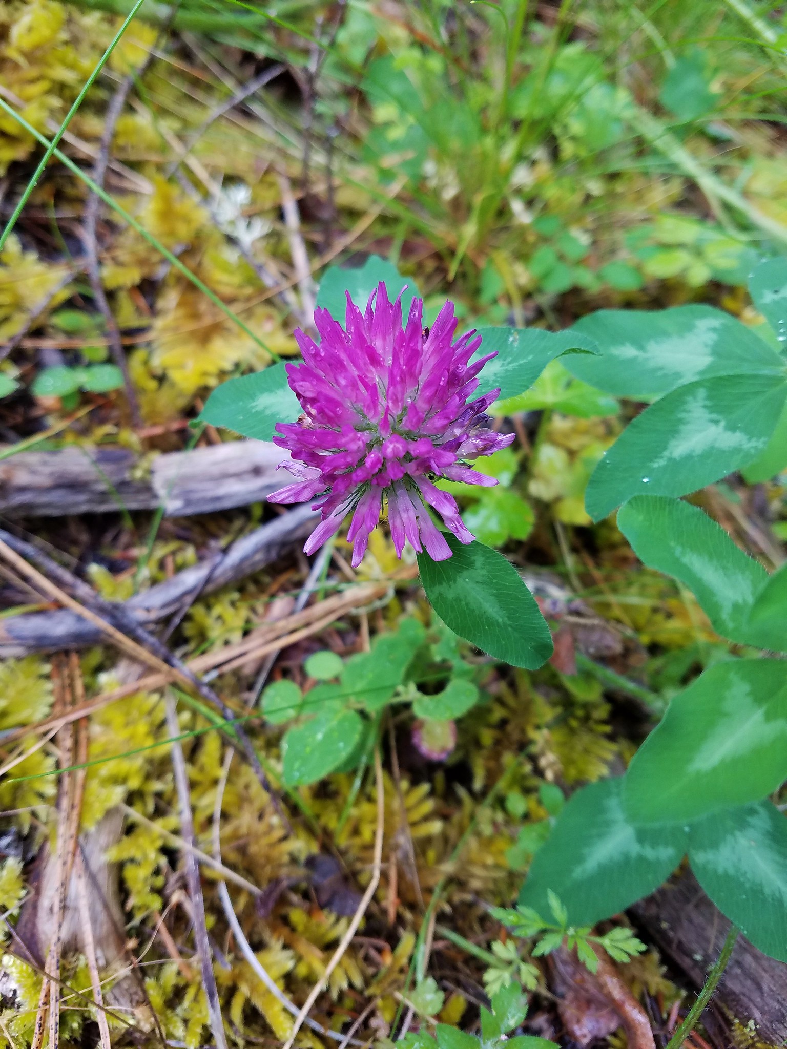
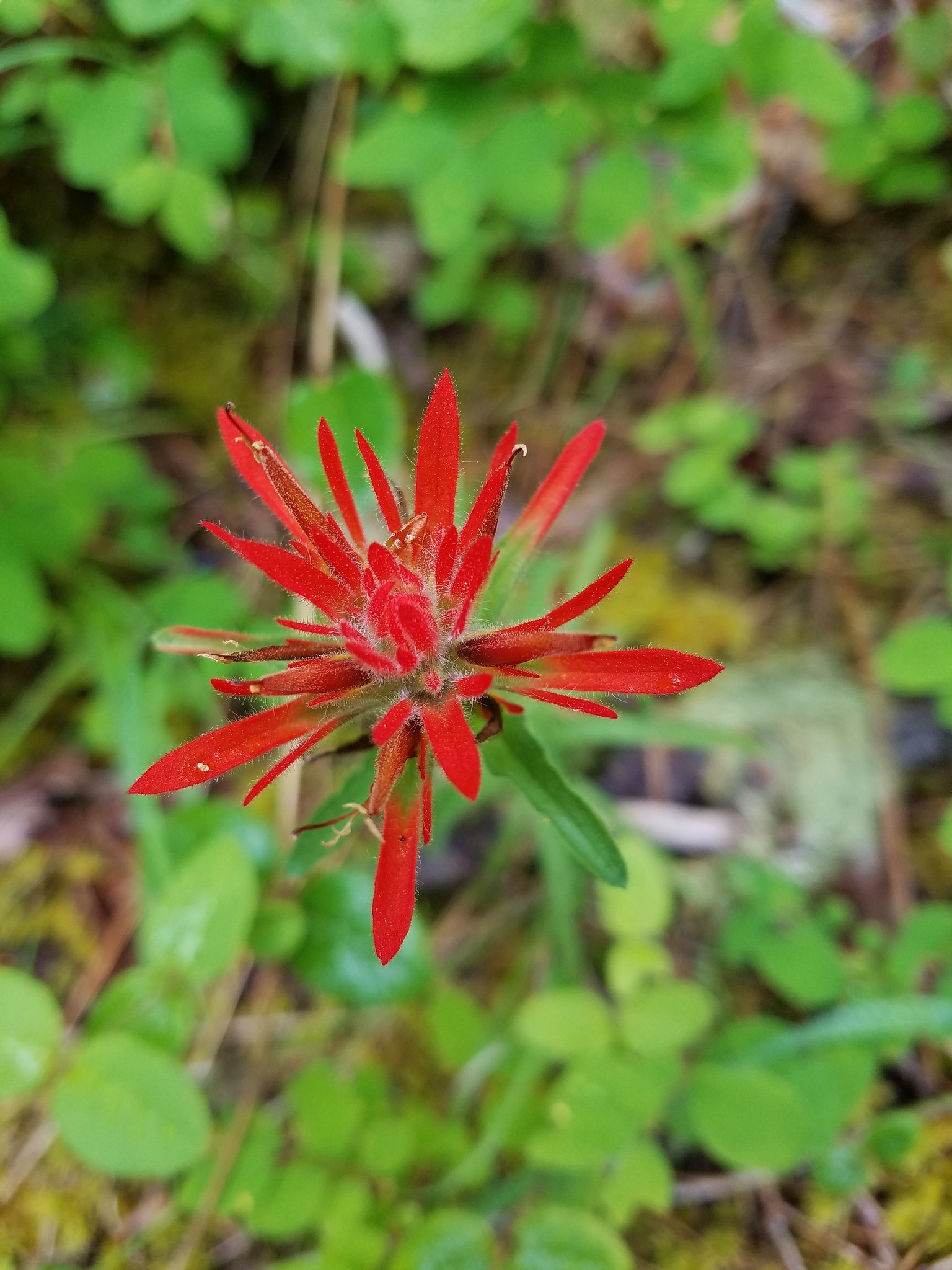
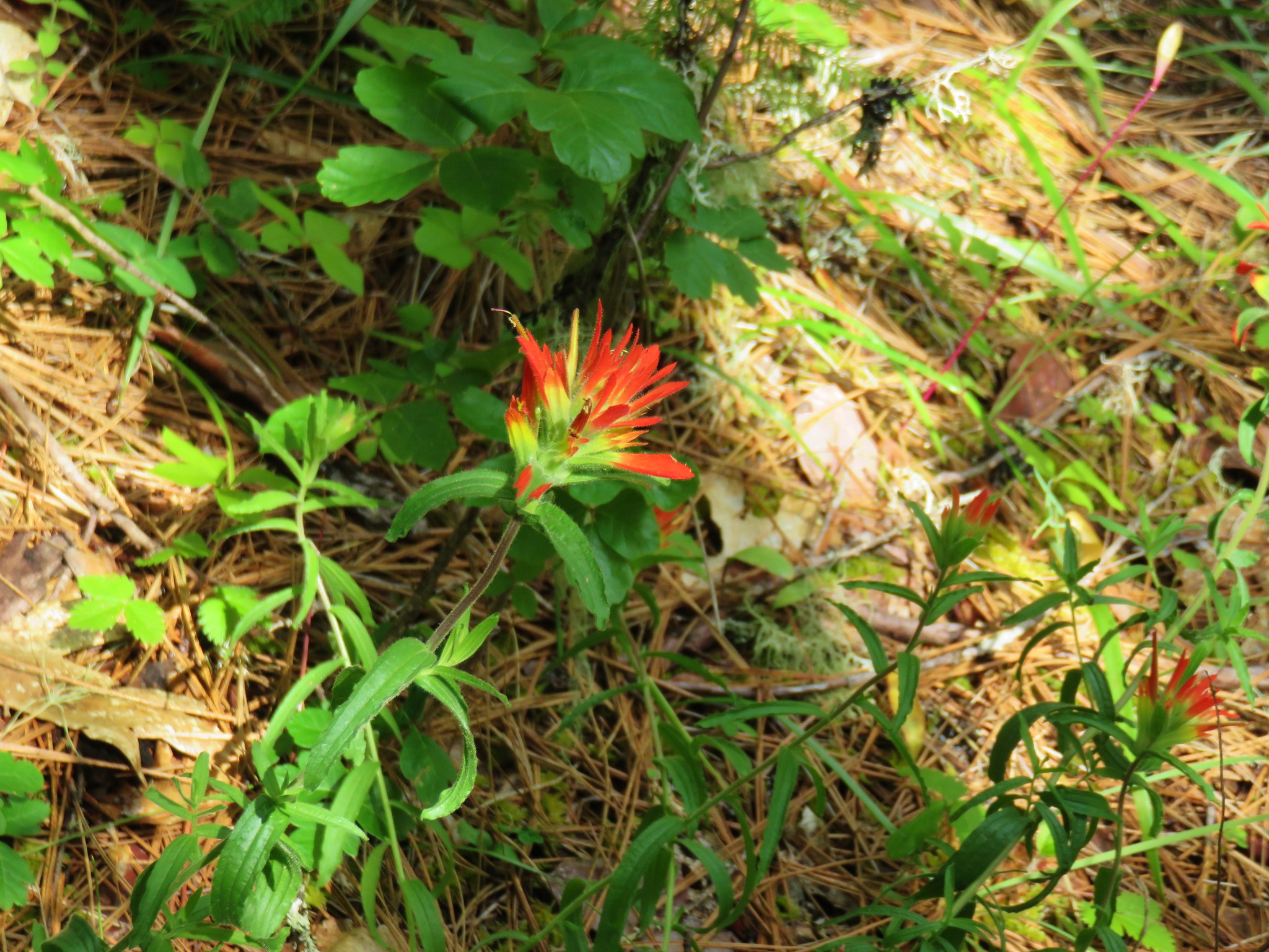
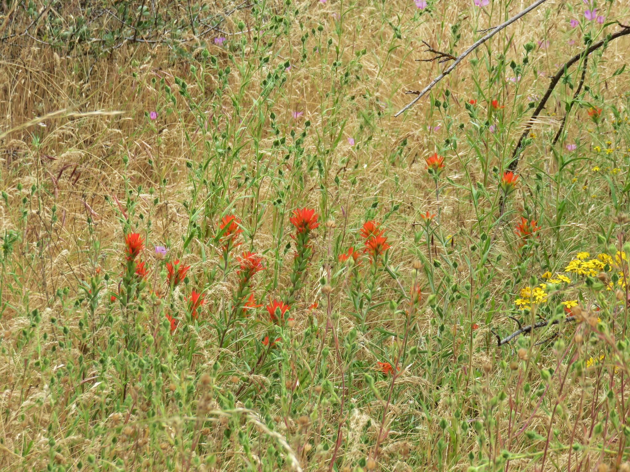
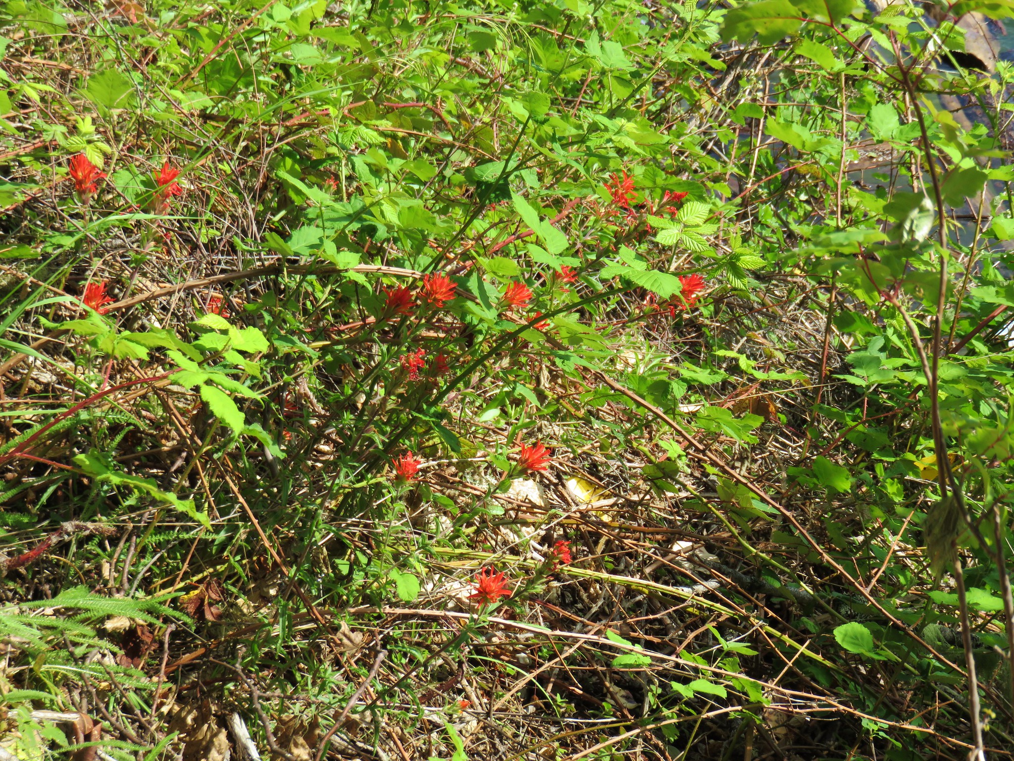
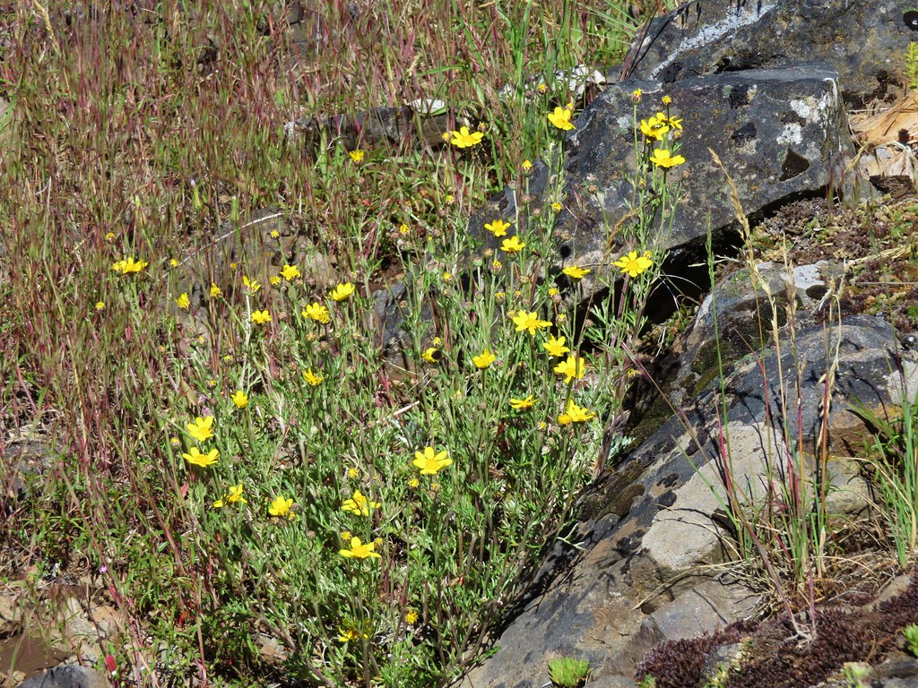
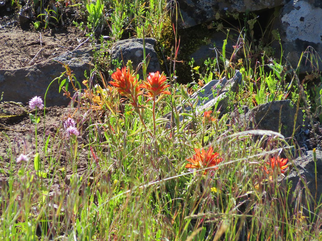
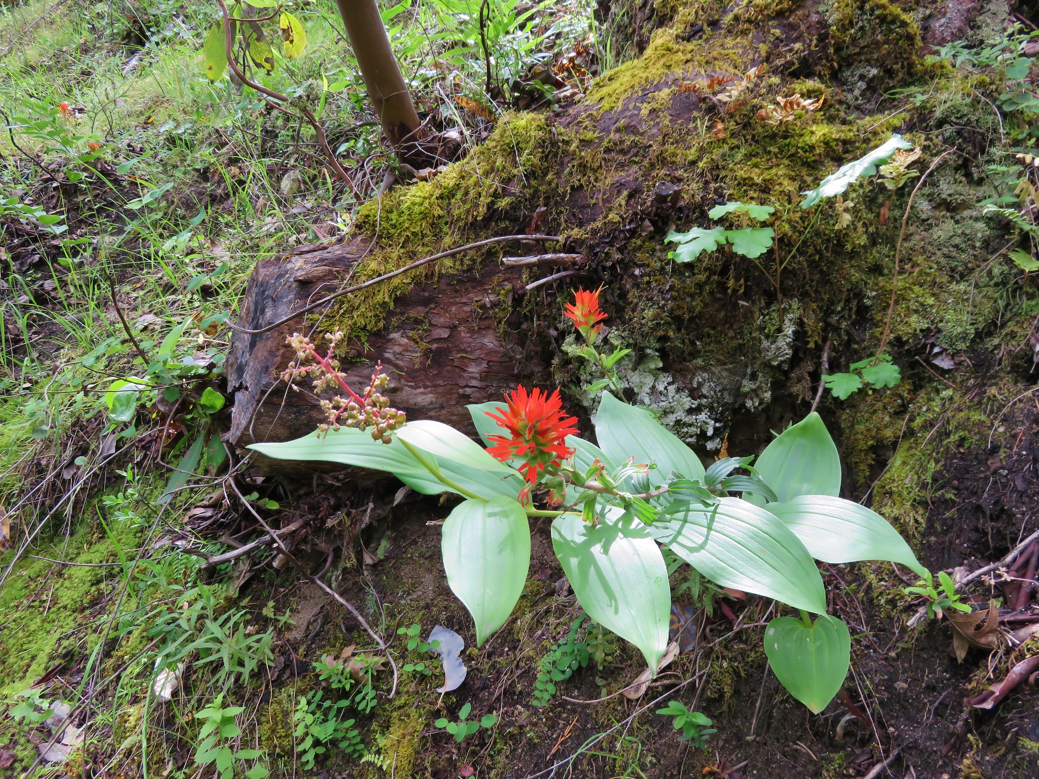
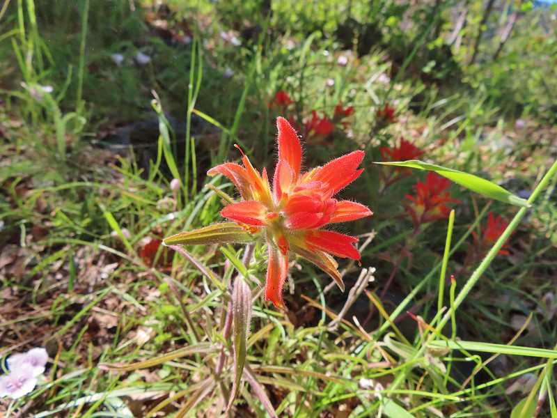 Paintbrush
 Mariposa lily
 Another alligator lizard. They eat ticks but in this case it appears a couple ticks got the jump on him (or her).
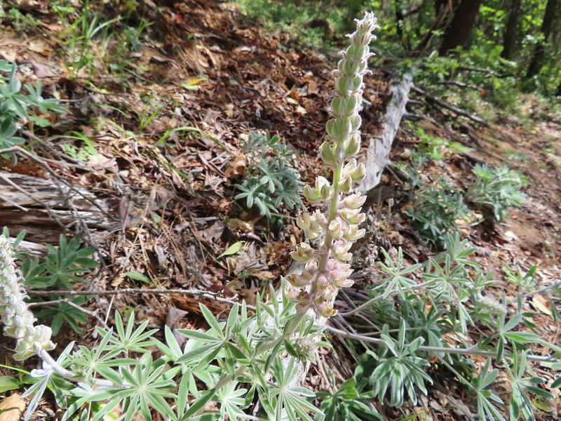
 Lupine
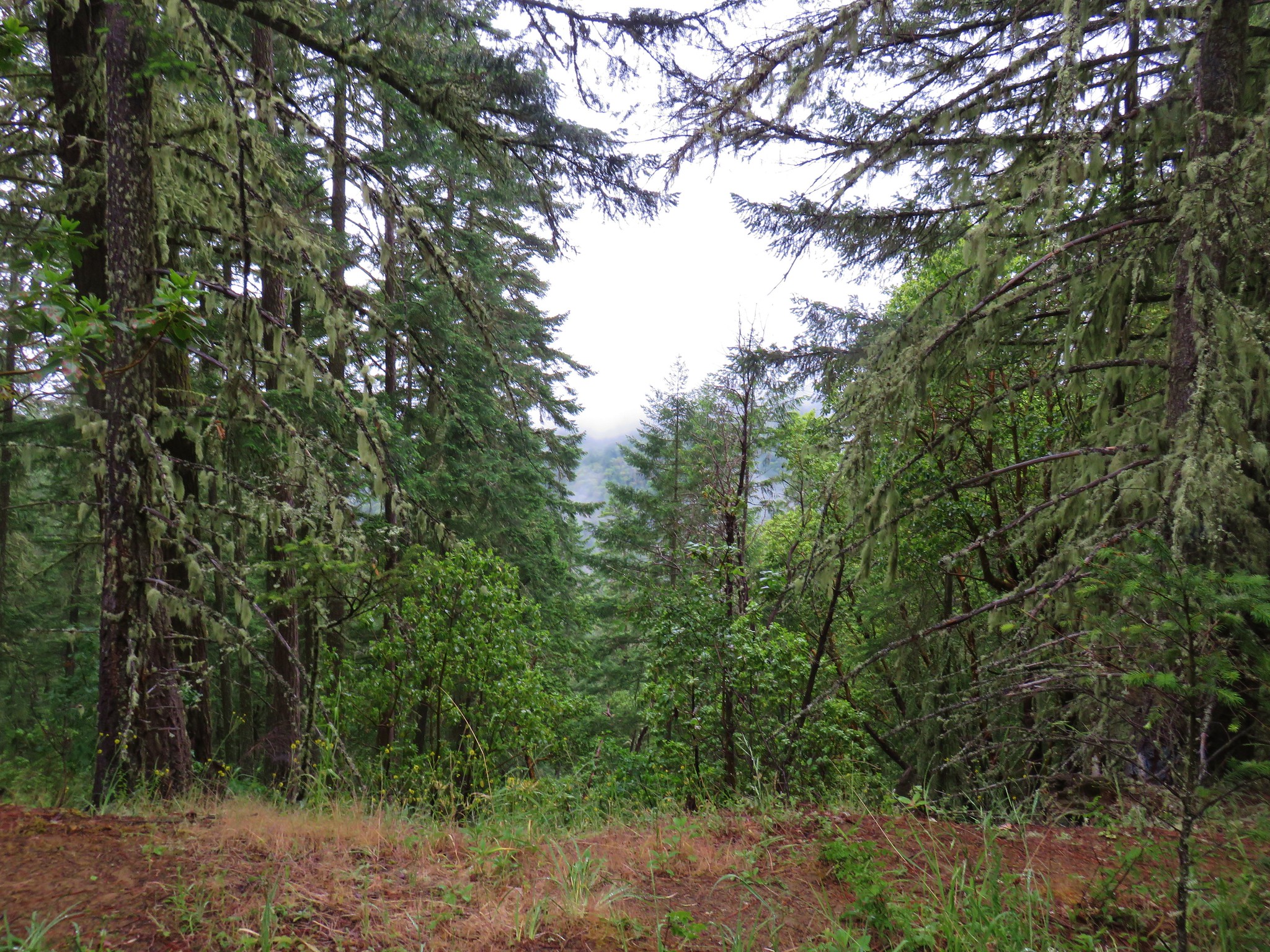
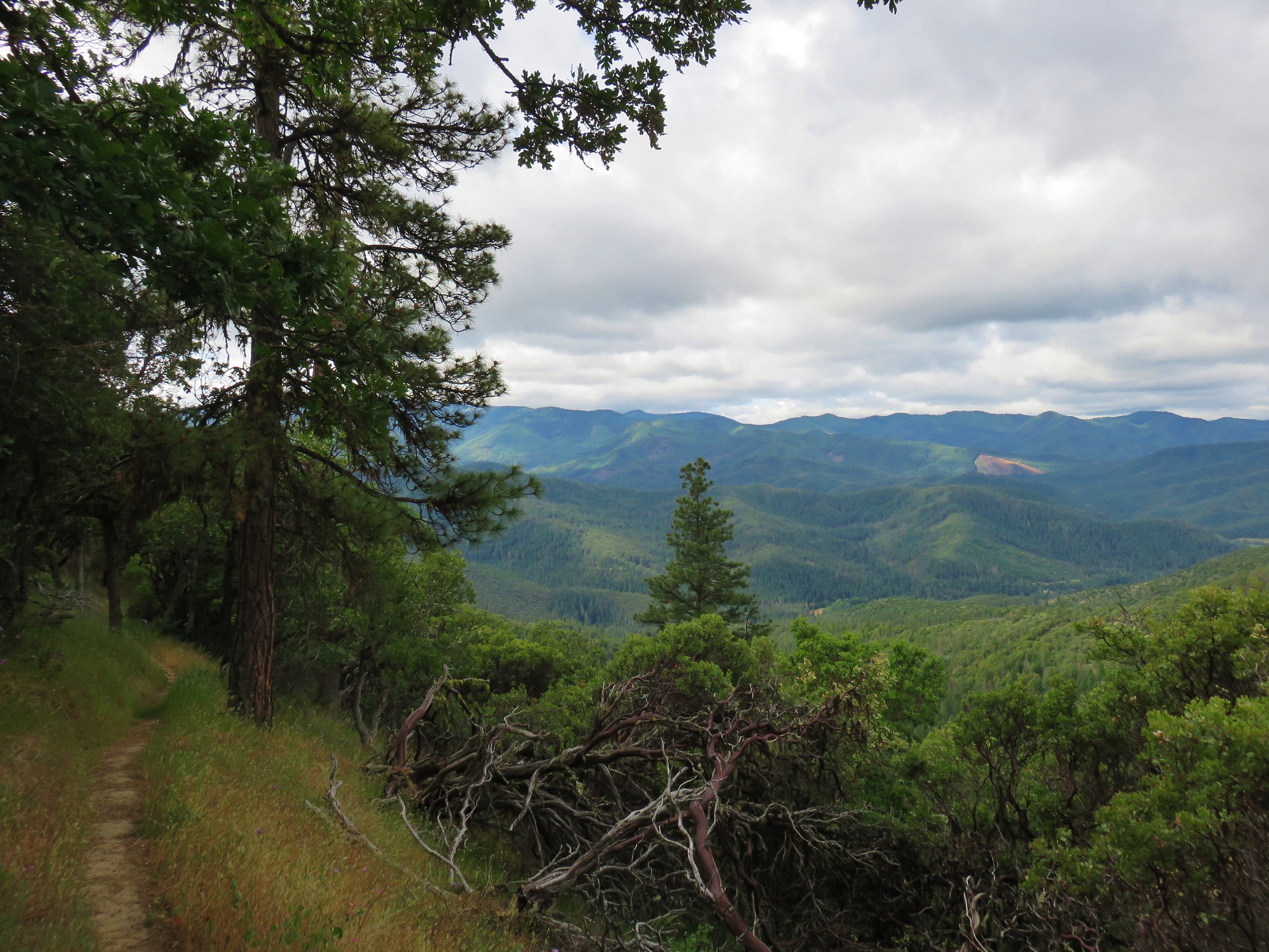
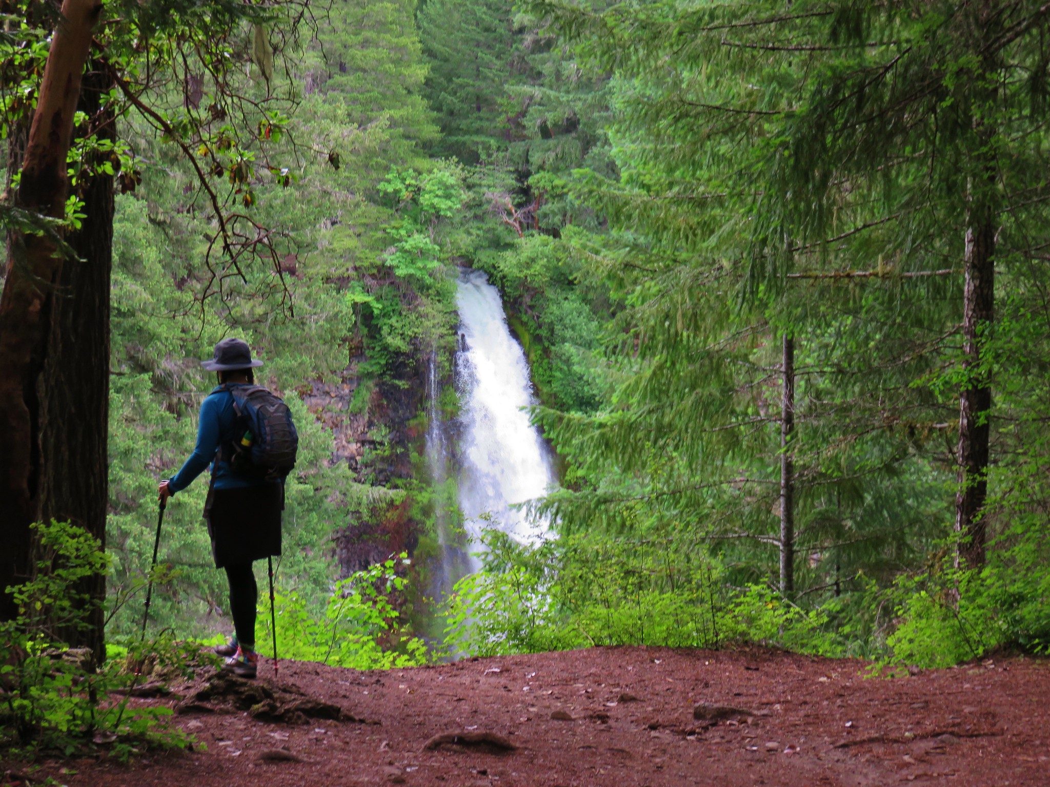
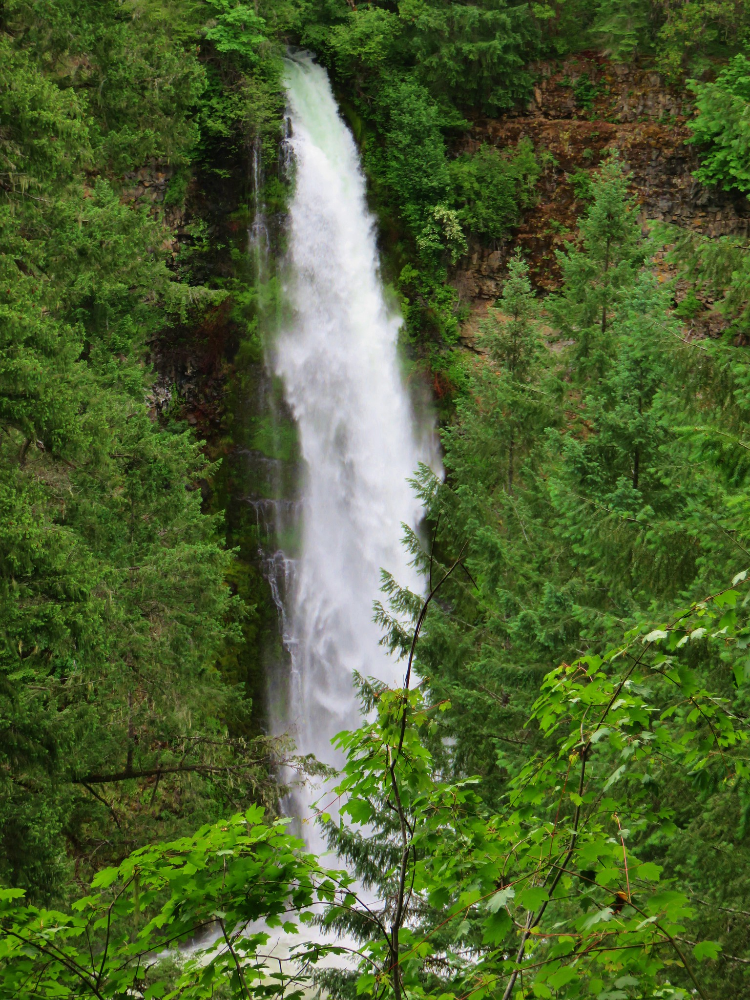
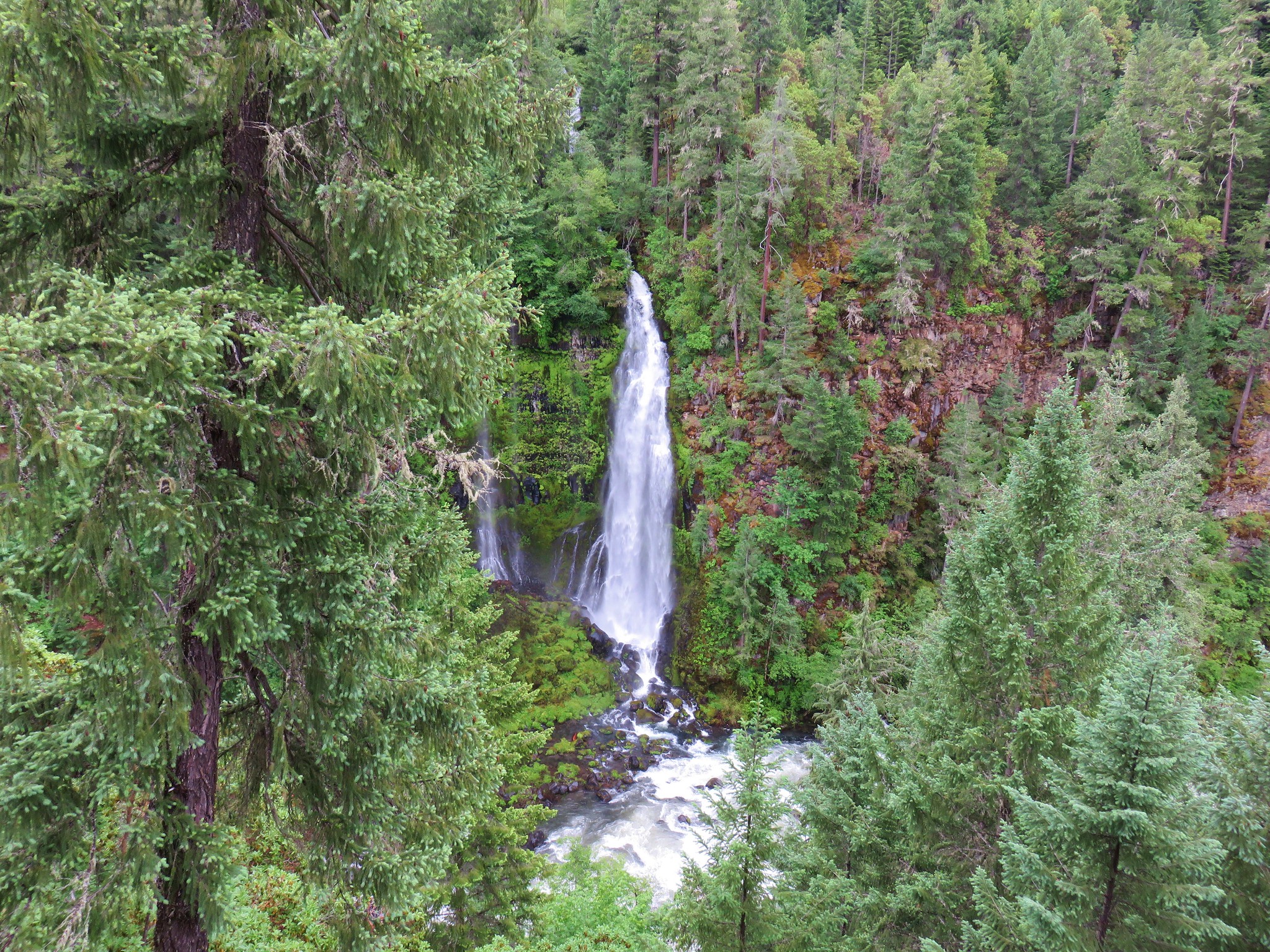
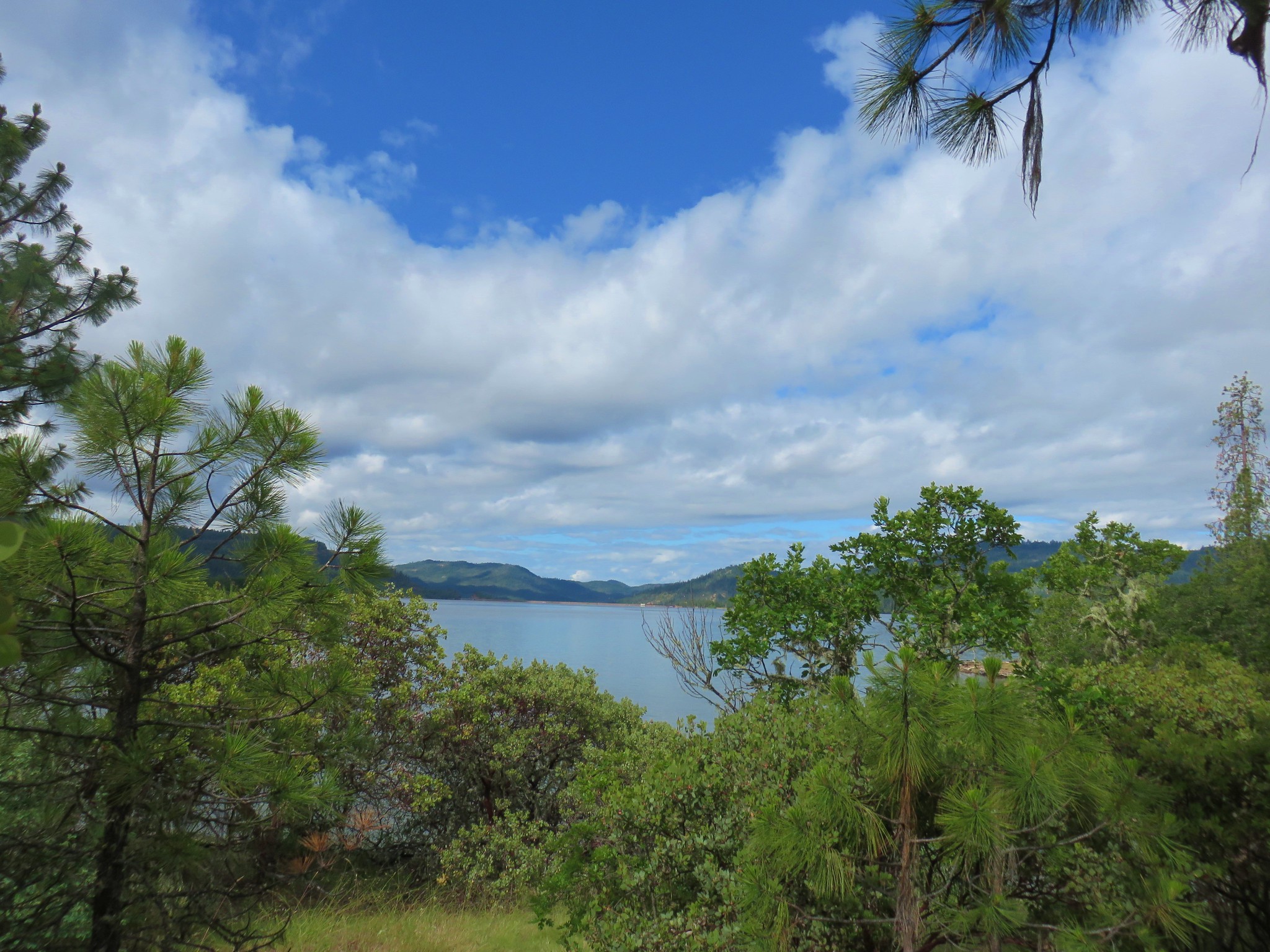
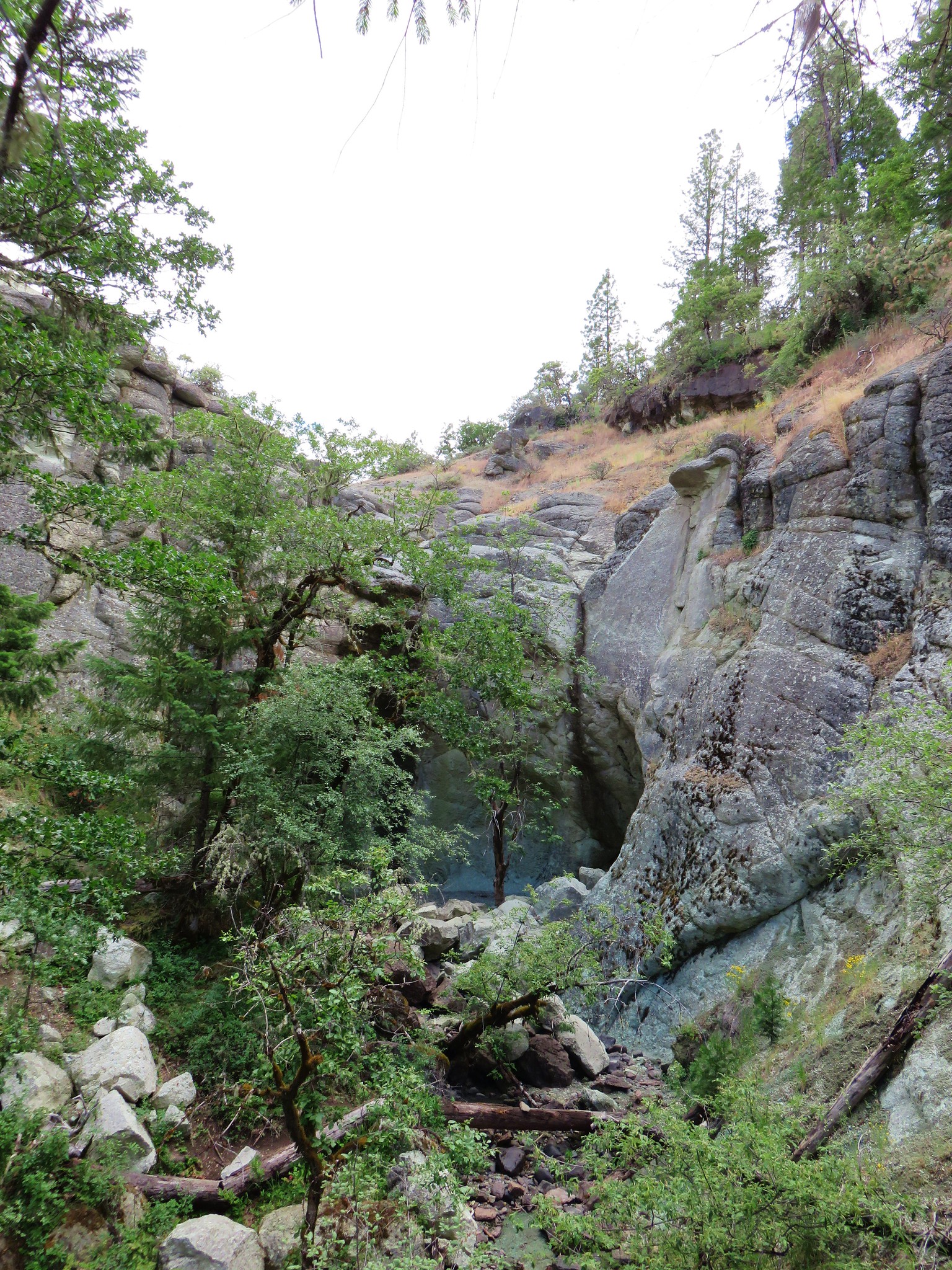
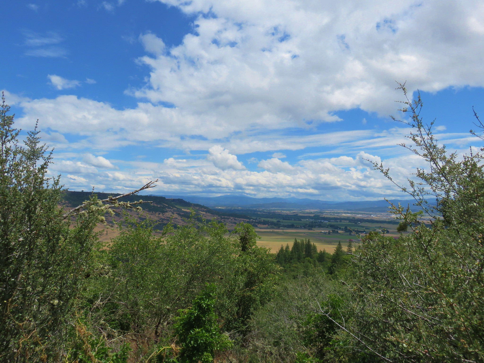
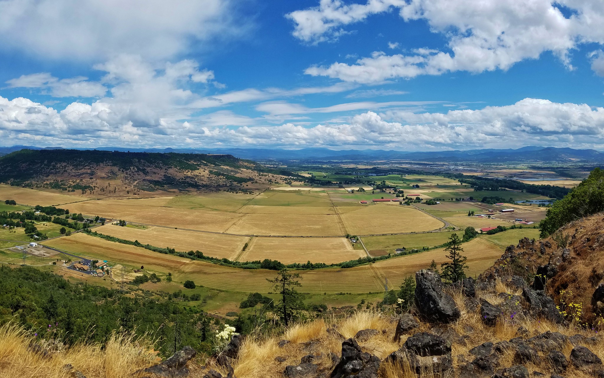
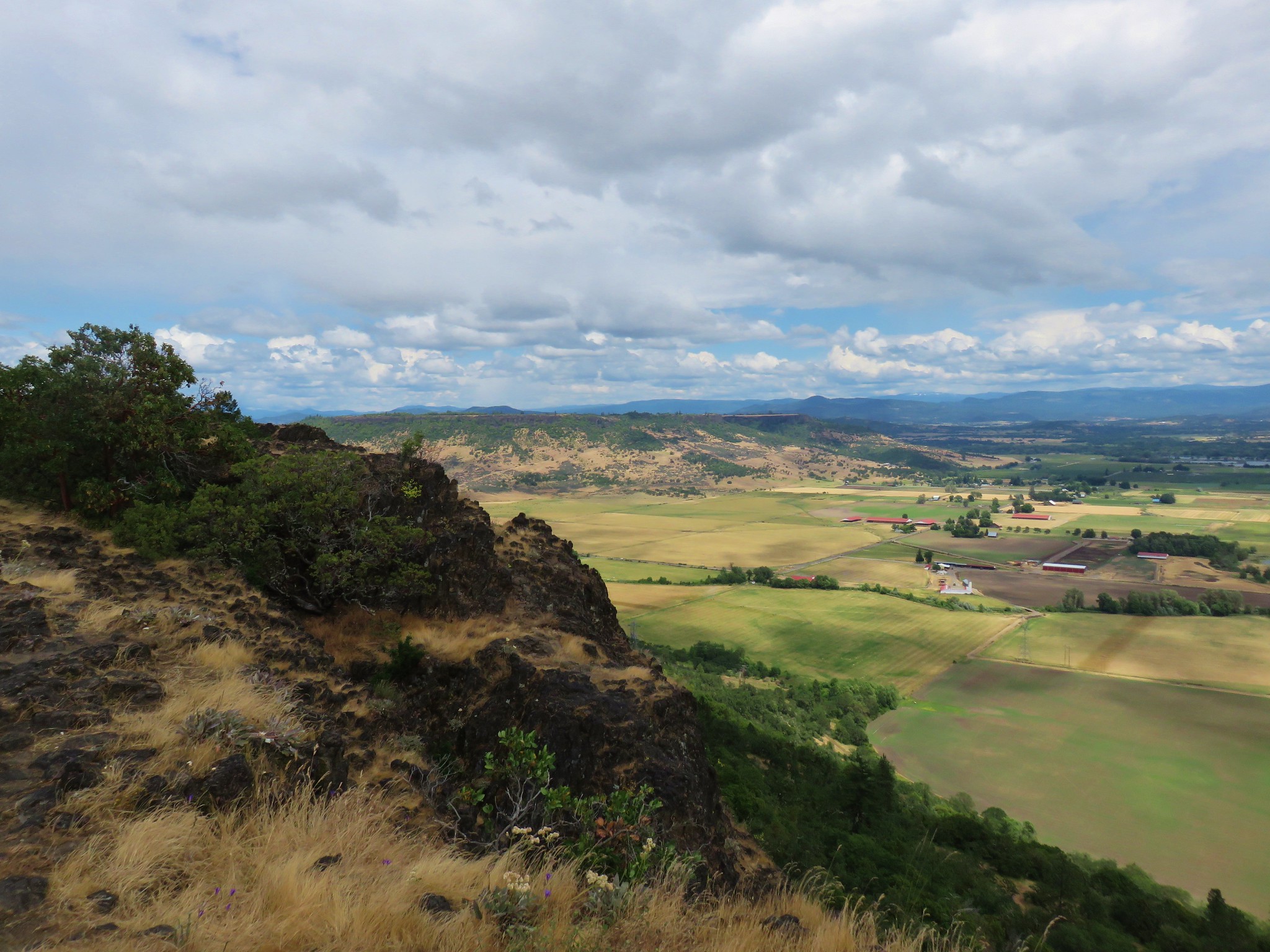
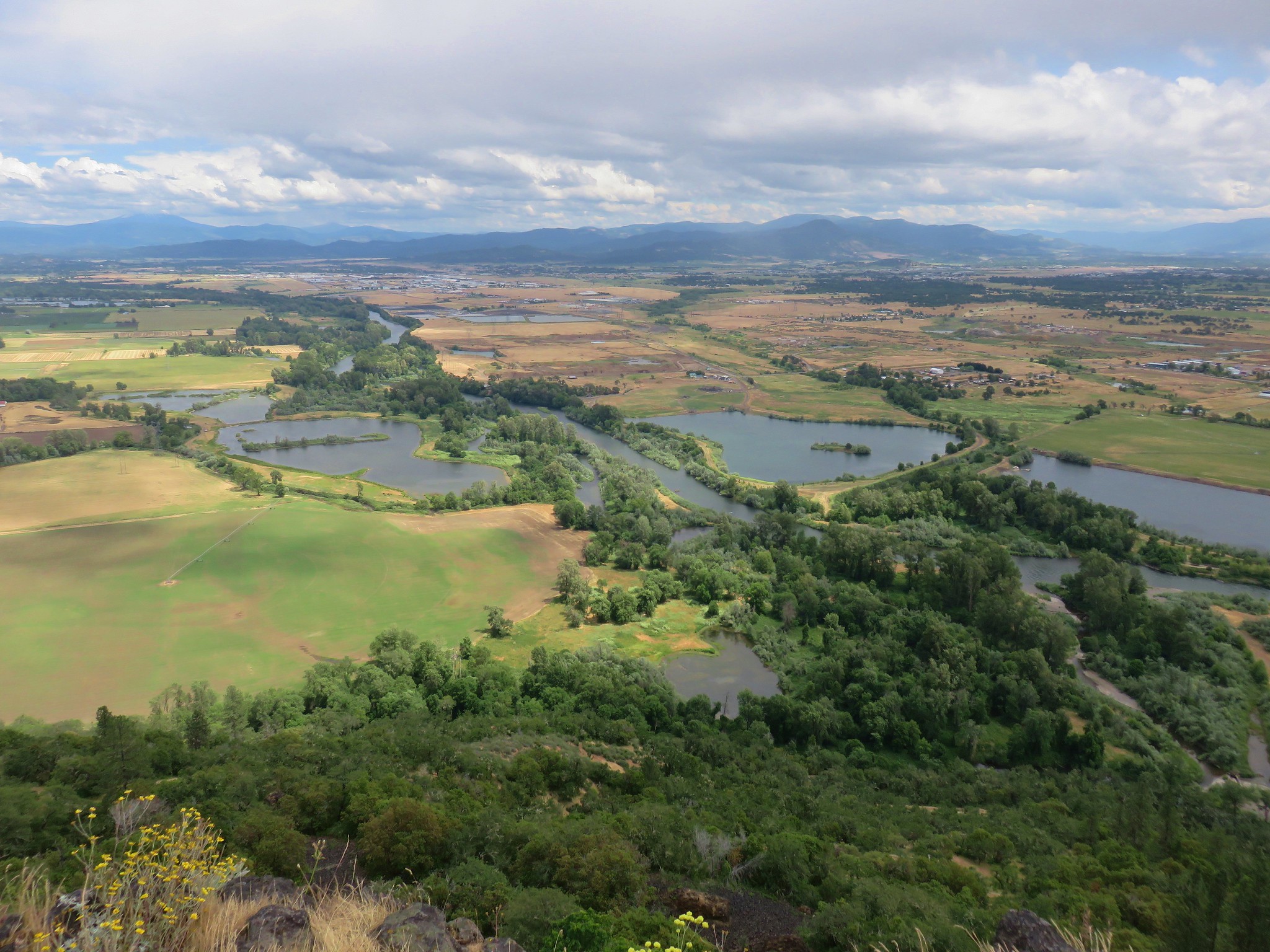
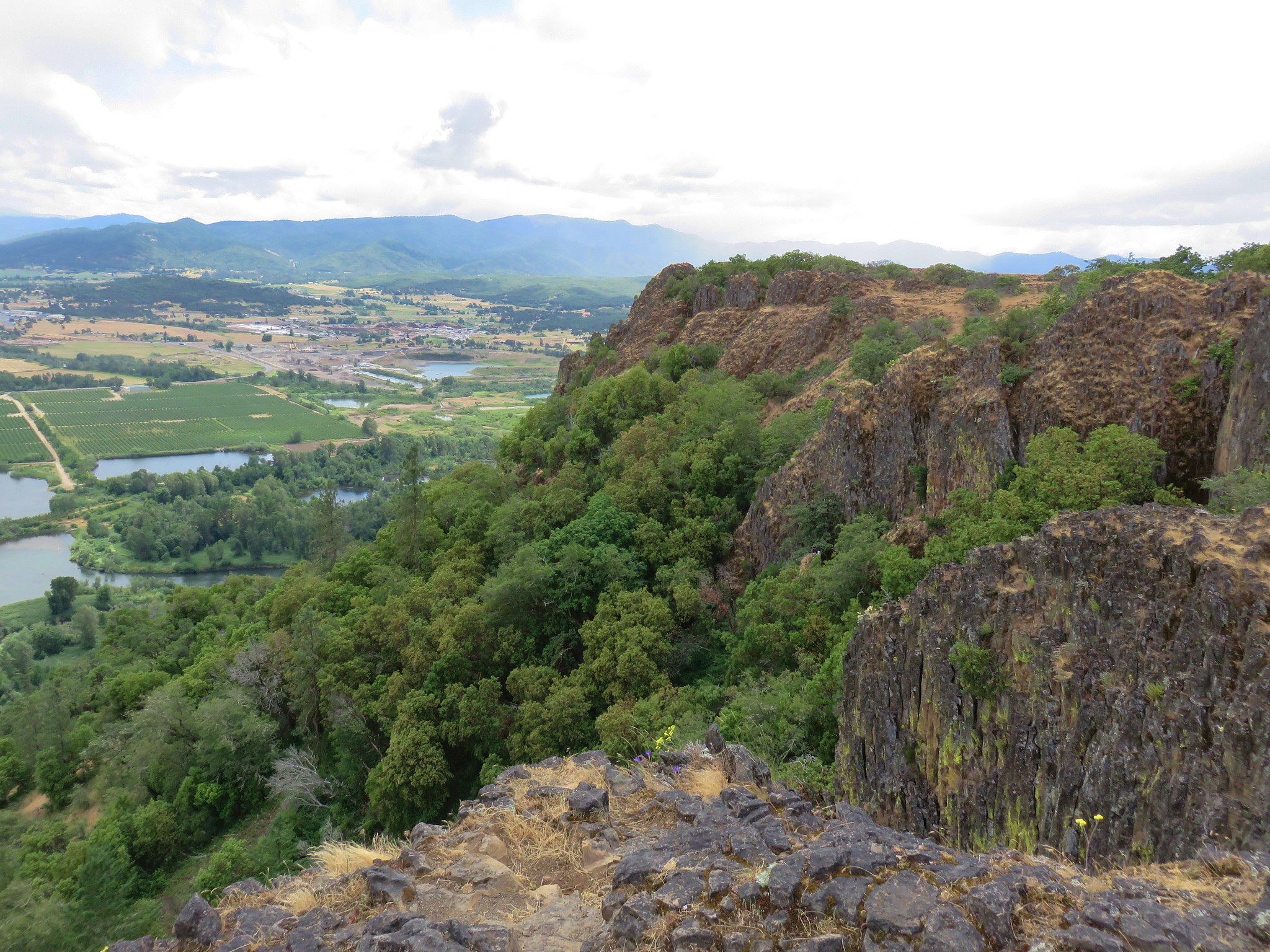
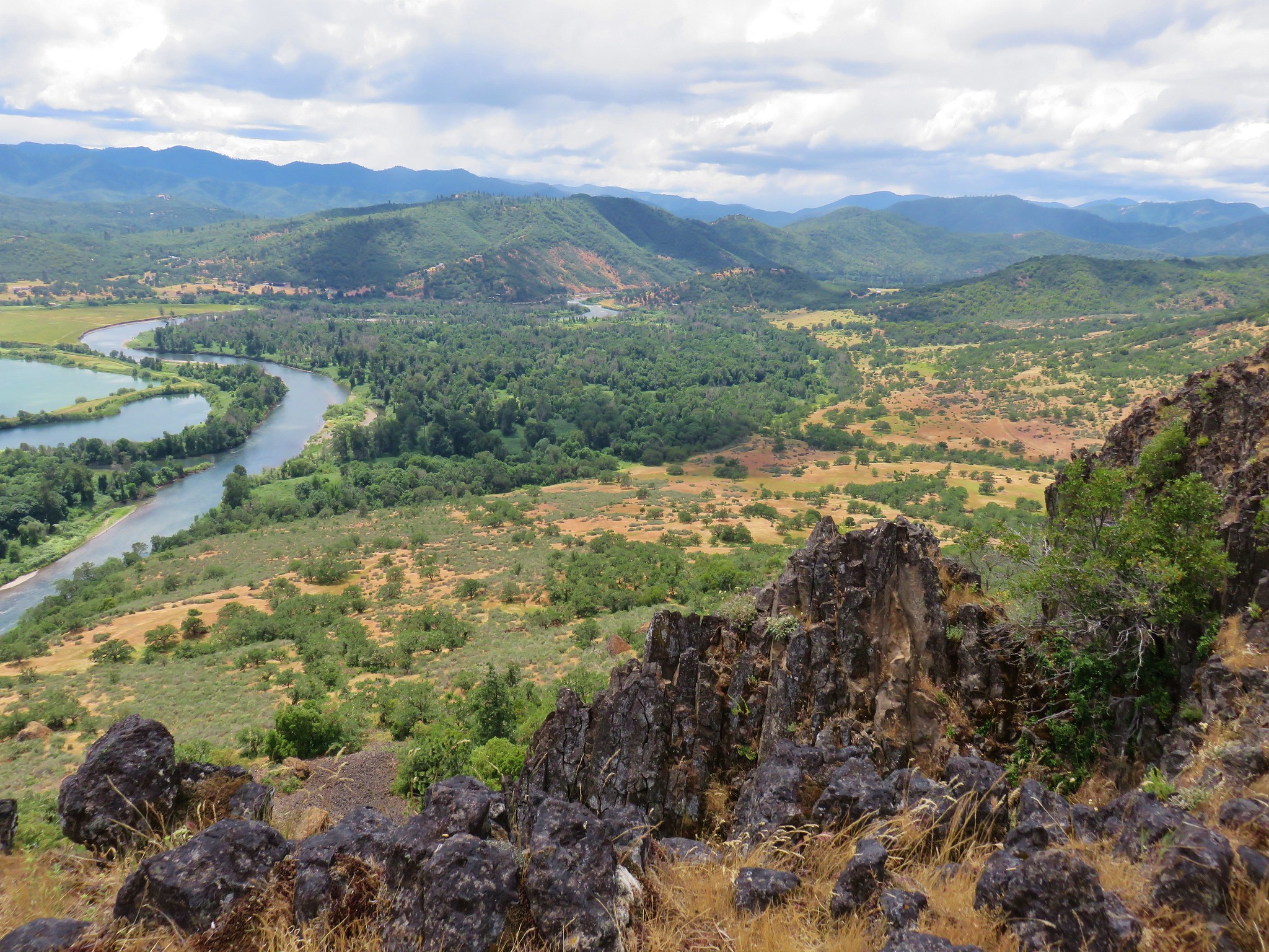
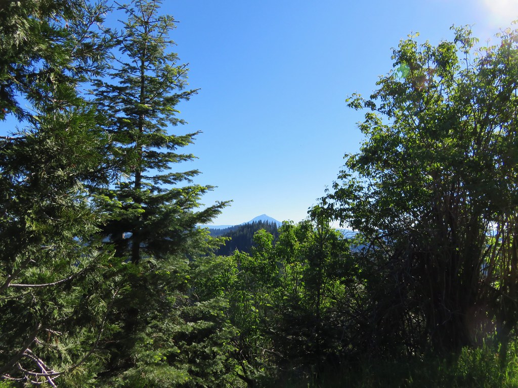
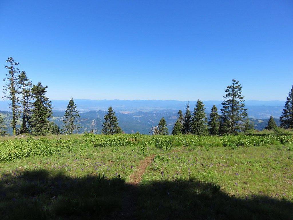
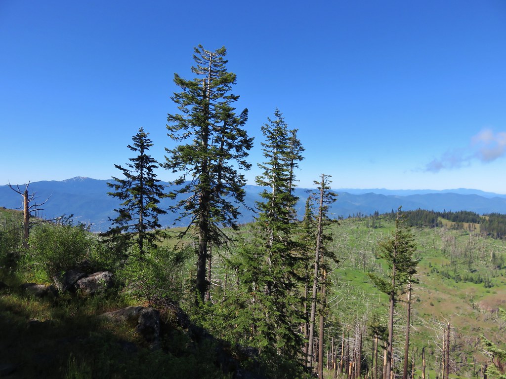
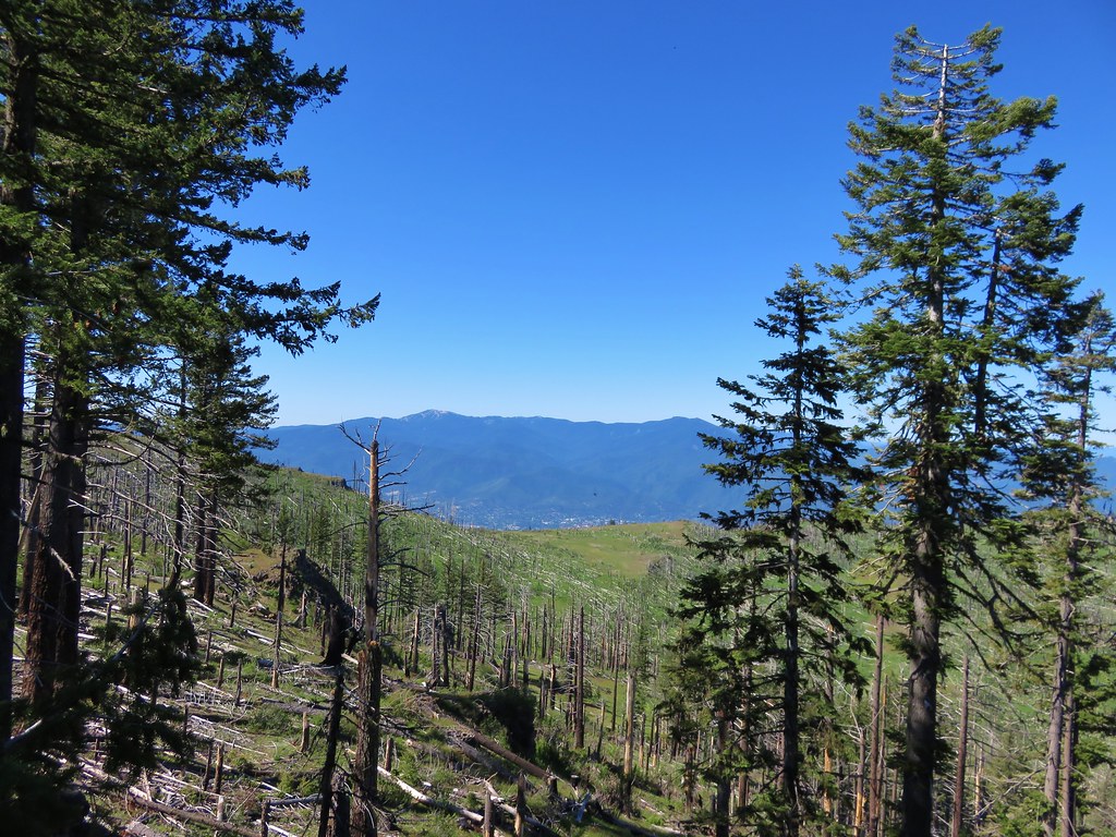
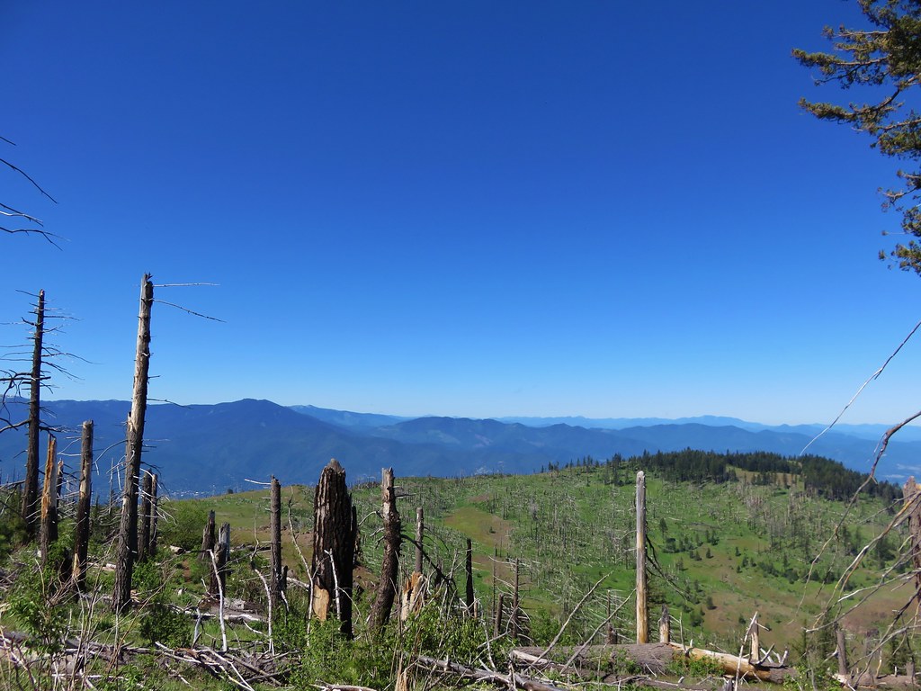
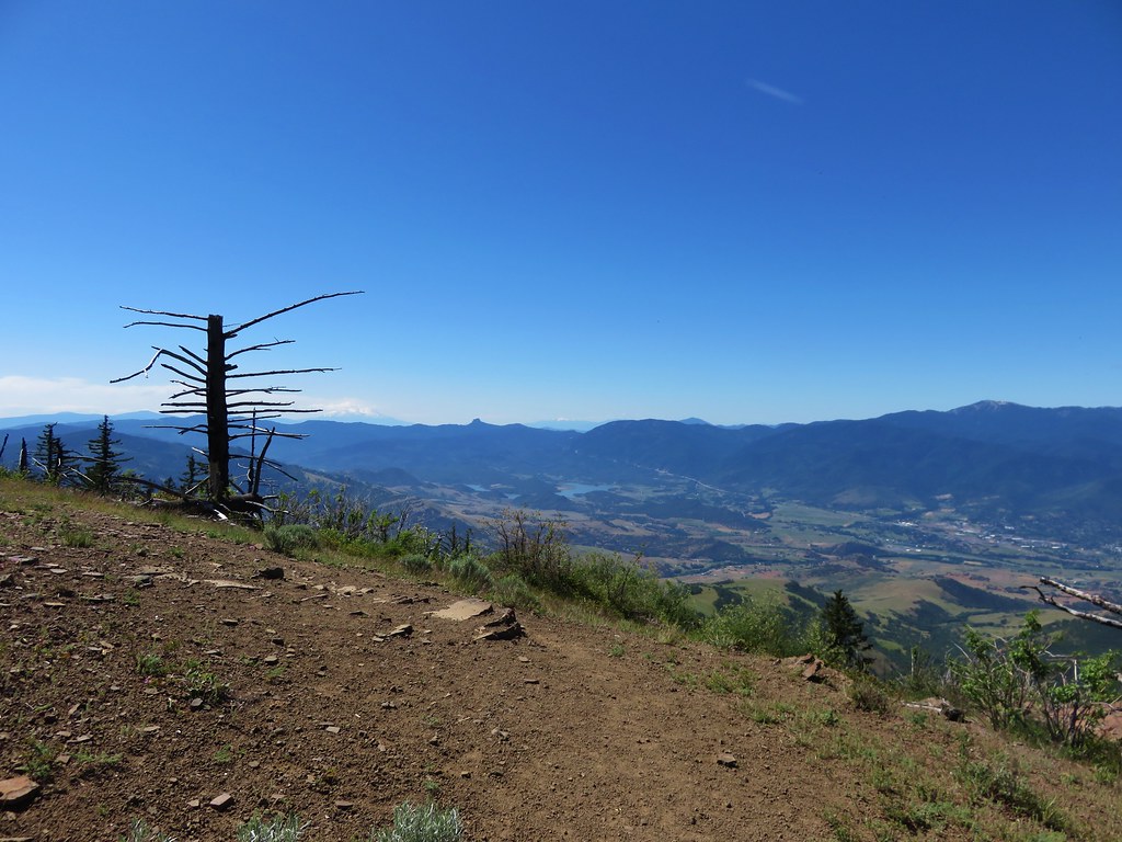
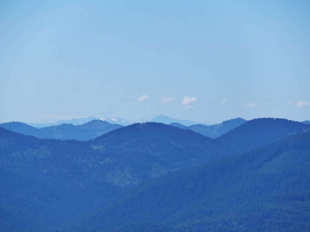
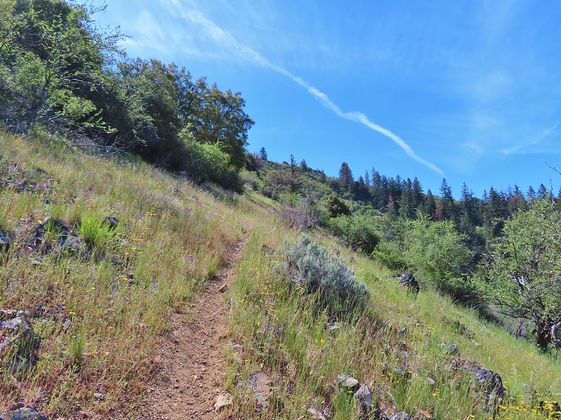
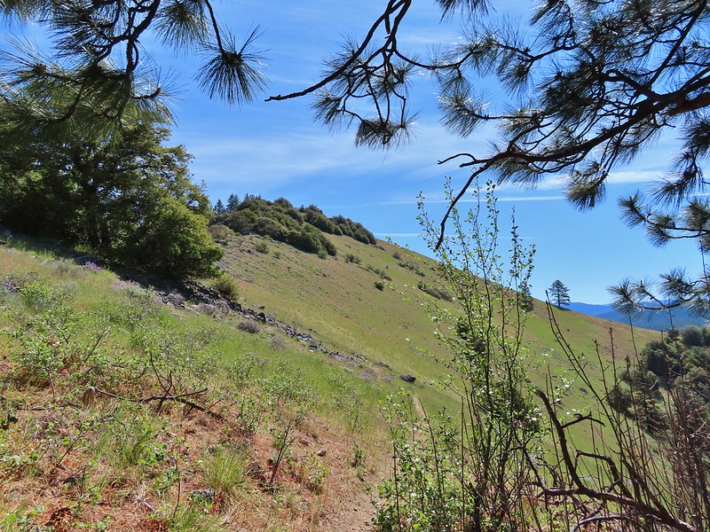
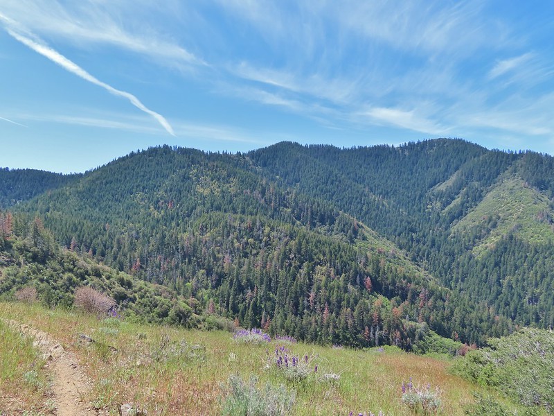
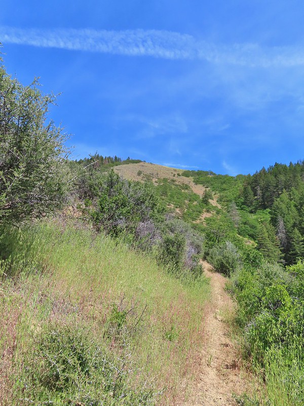
 View from the trail.
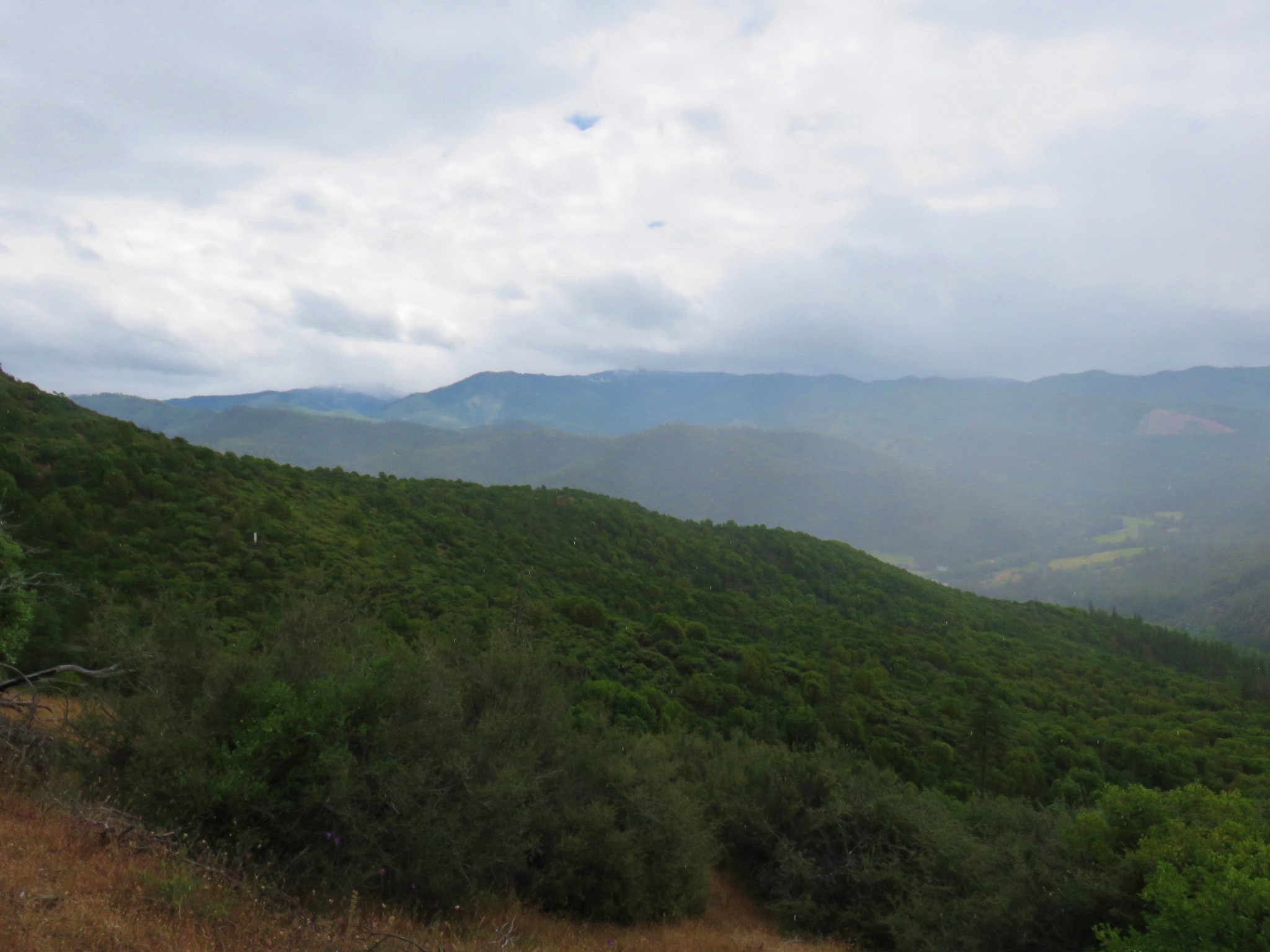
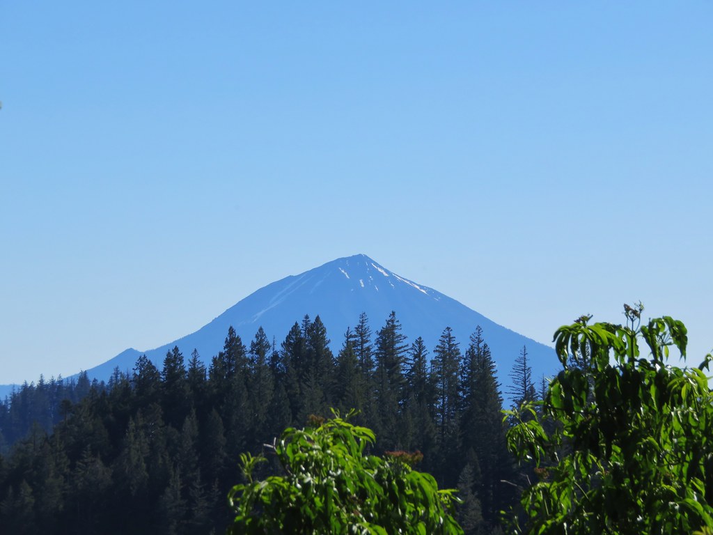
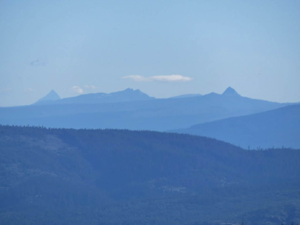
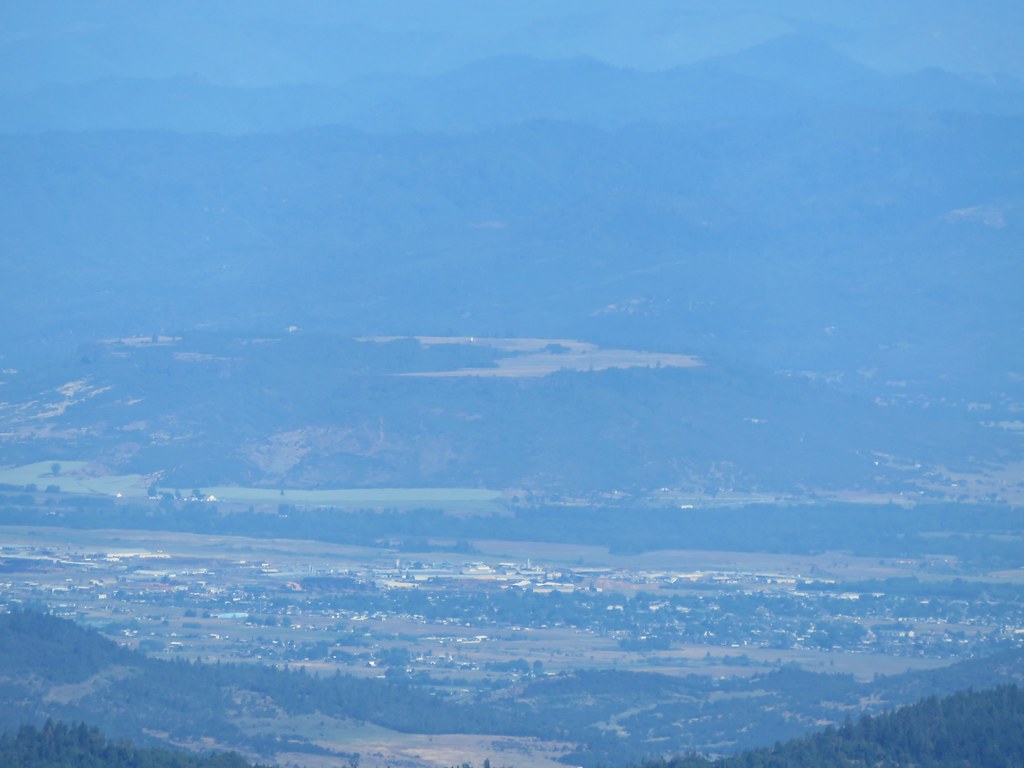
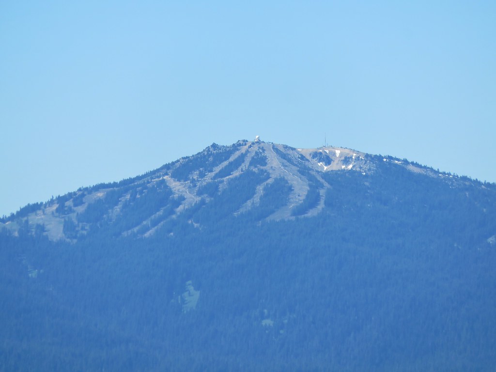
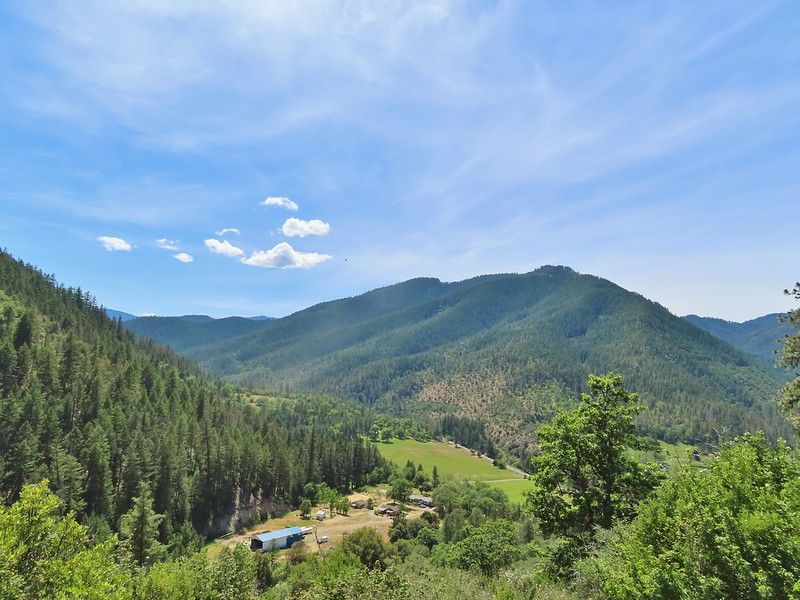
 Grayback Mountain to the right in the distance.
 Fiddleneck
 Miniture lupine
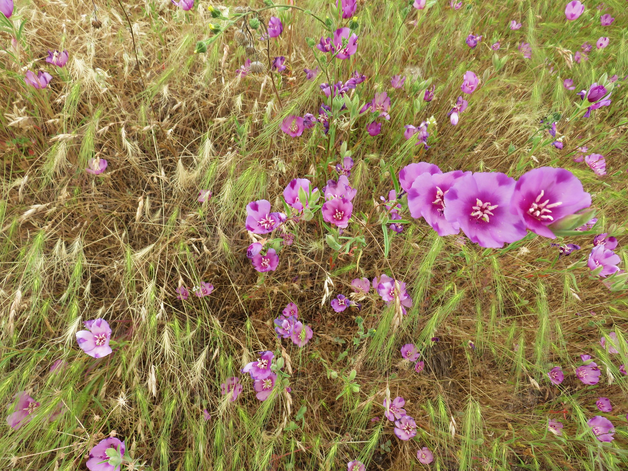
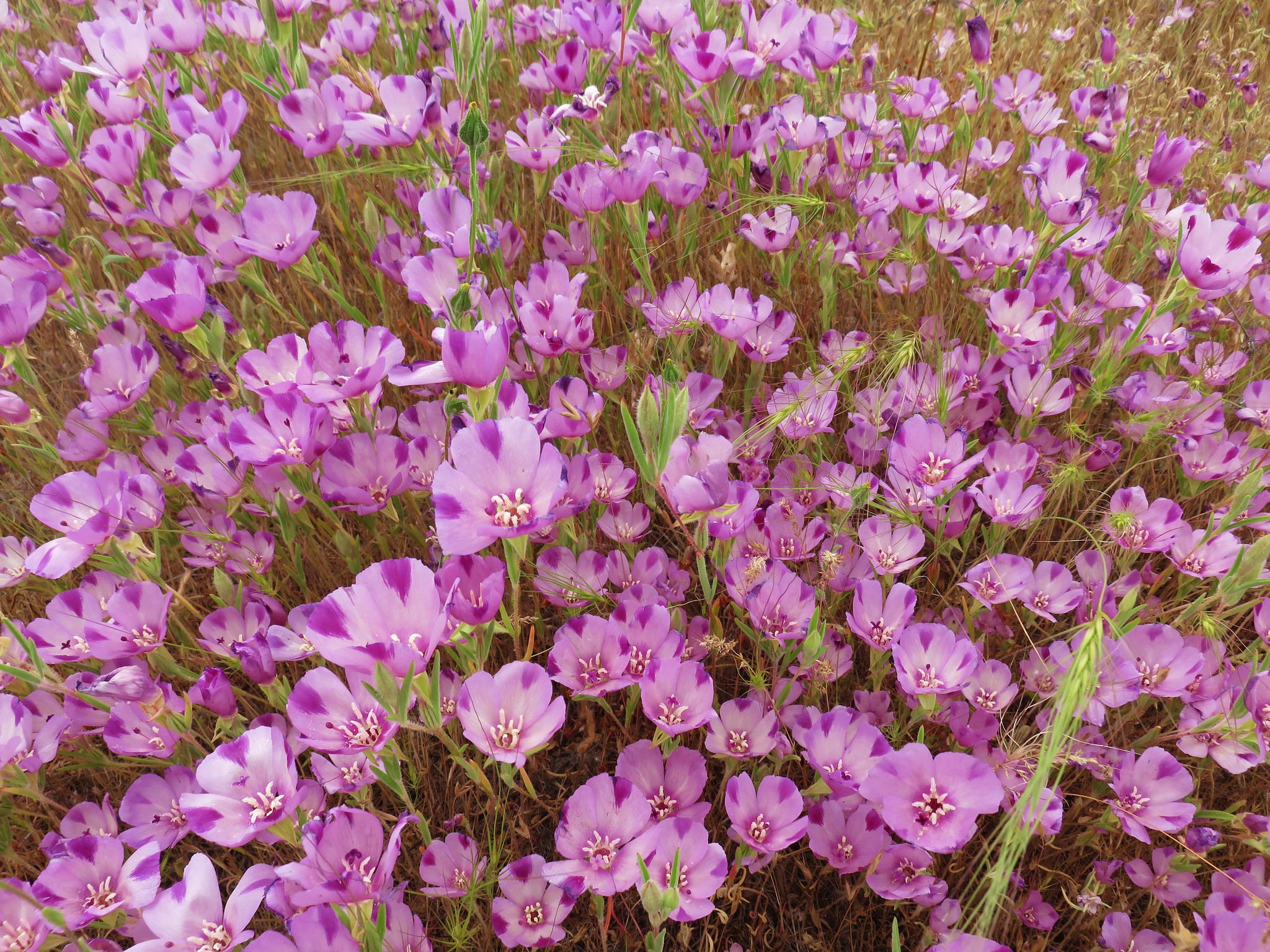
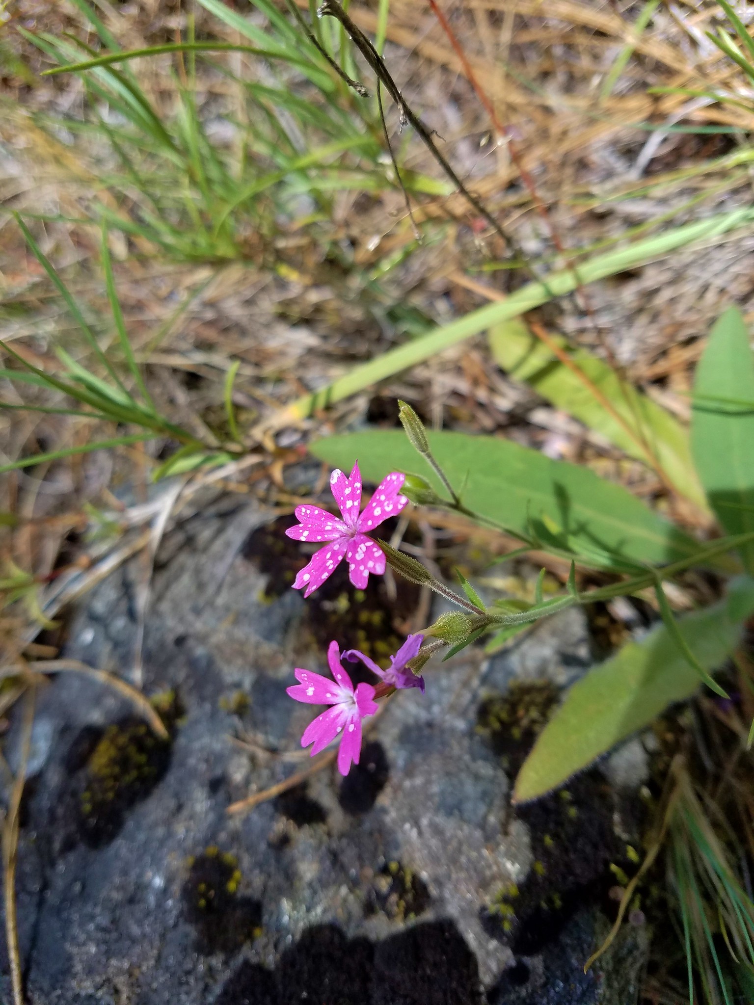
 A lupine, clarkia and madia?
 Madia
Madia
 A molting lizard.
 A lomatium
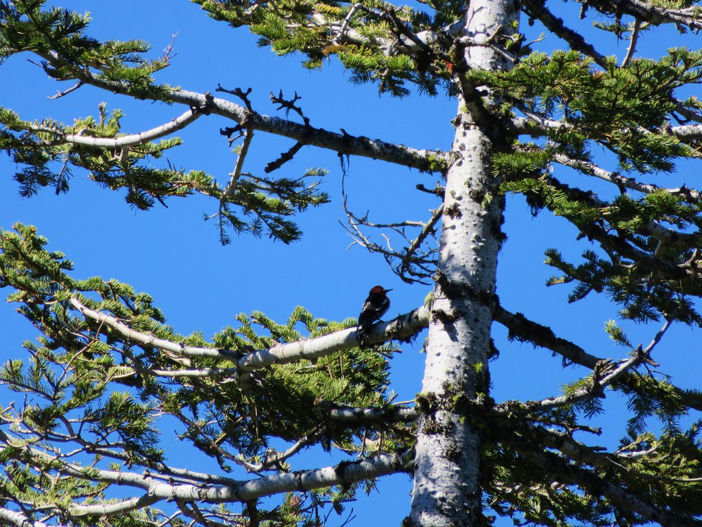
 Believe this is a female black-headed grosbeak
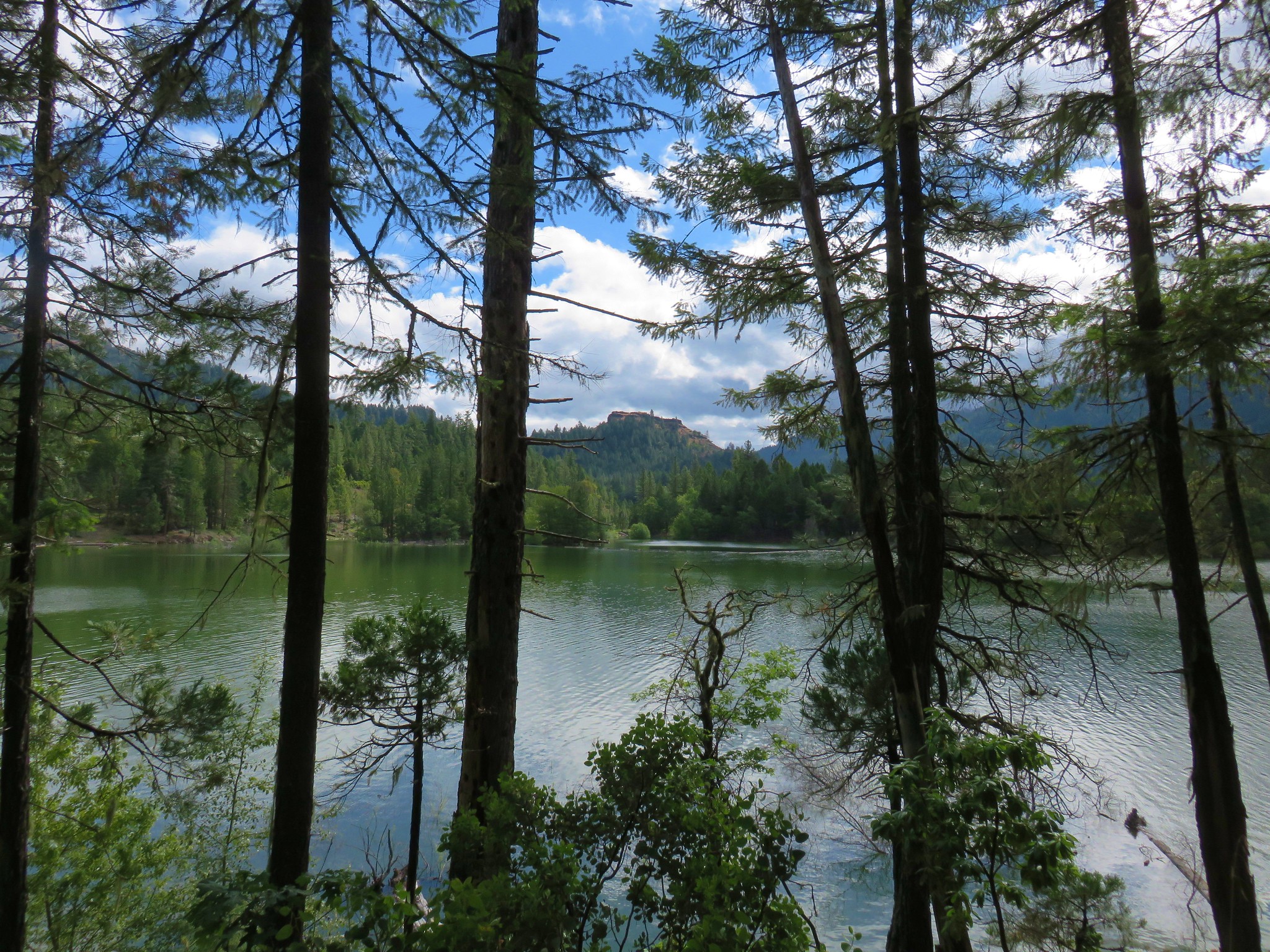
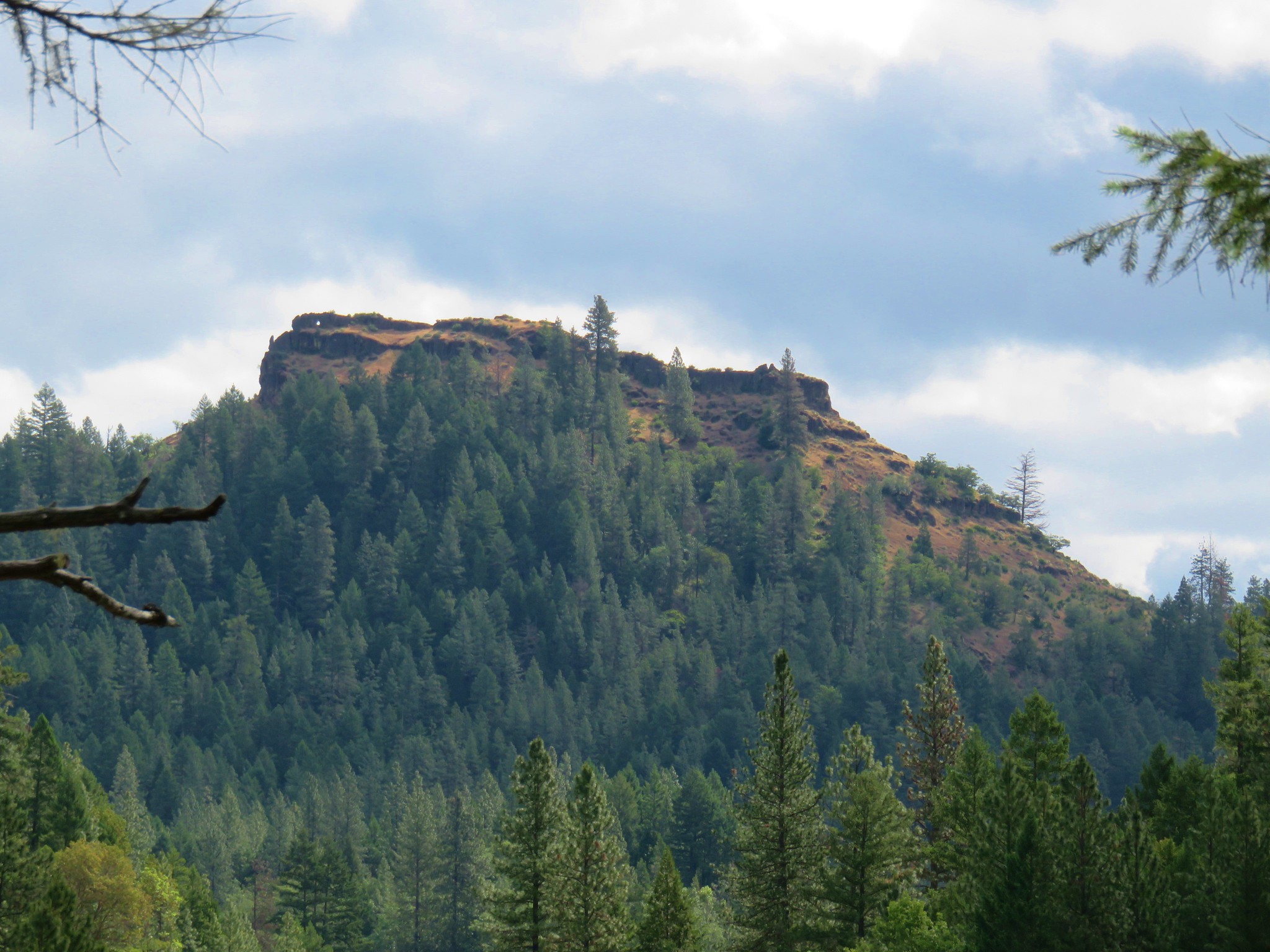
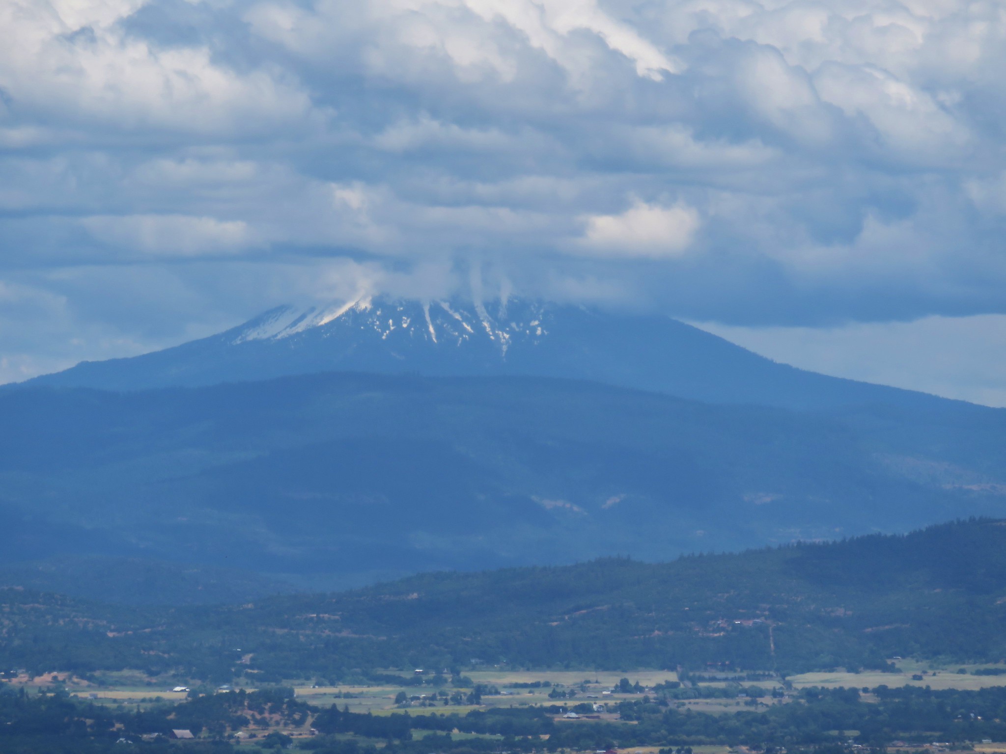
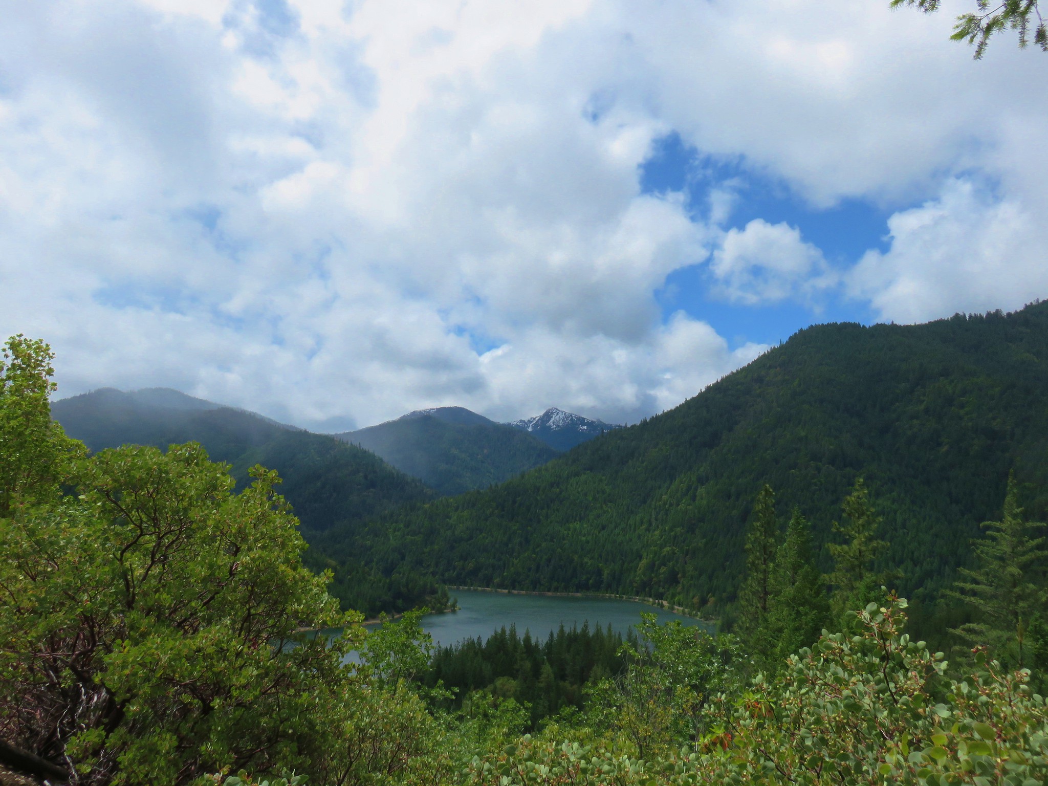
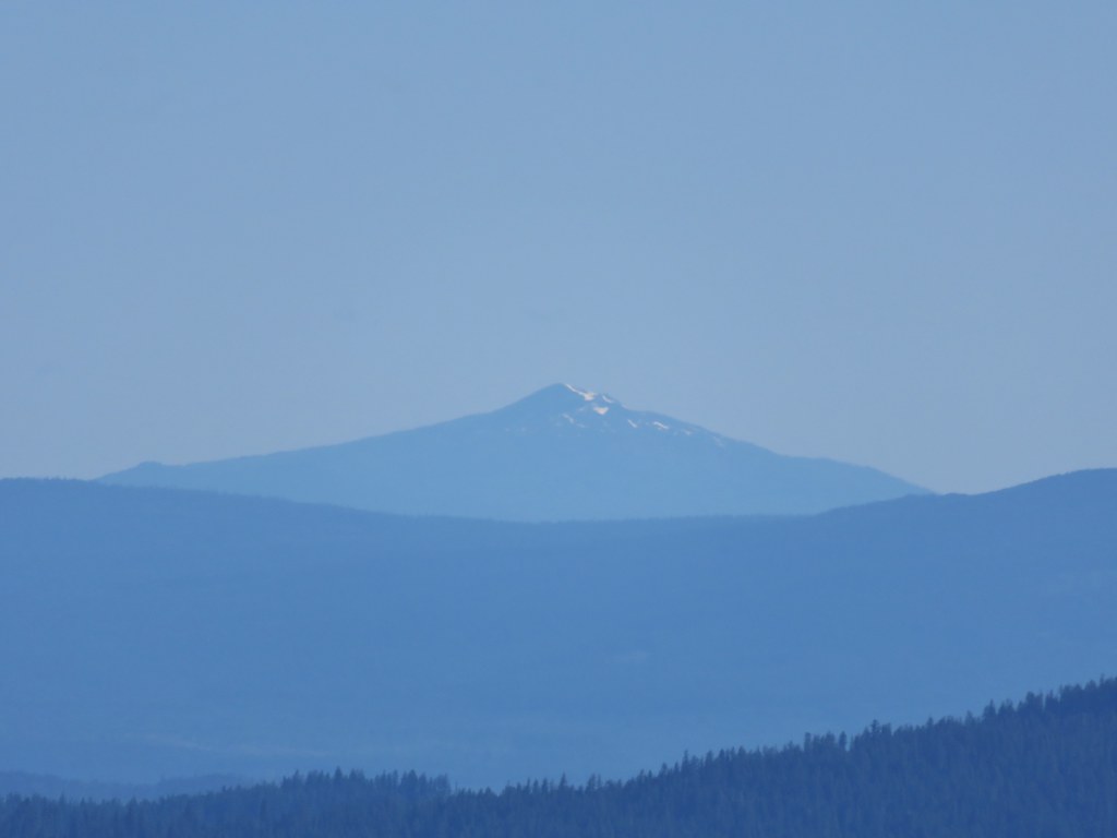
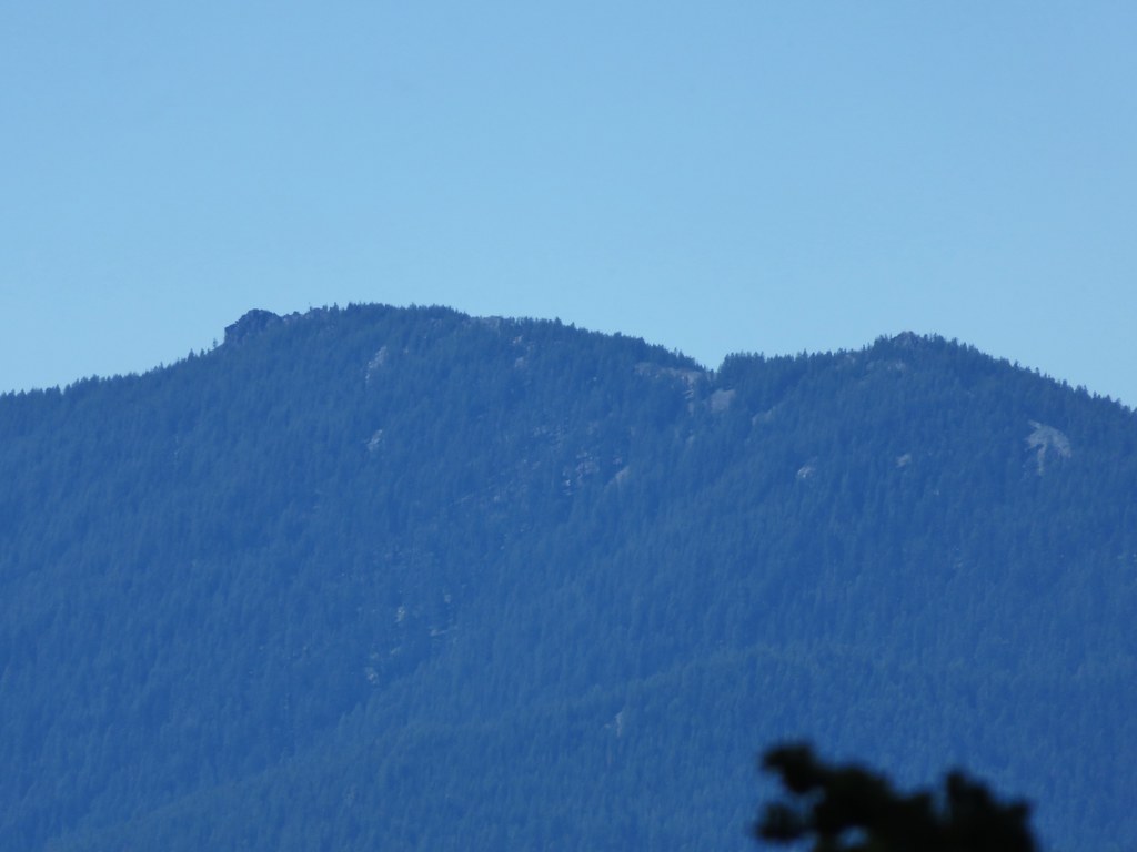
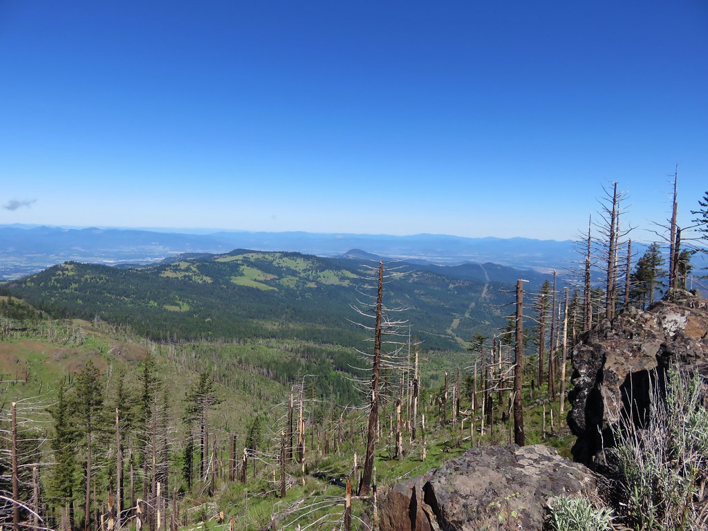
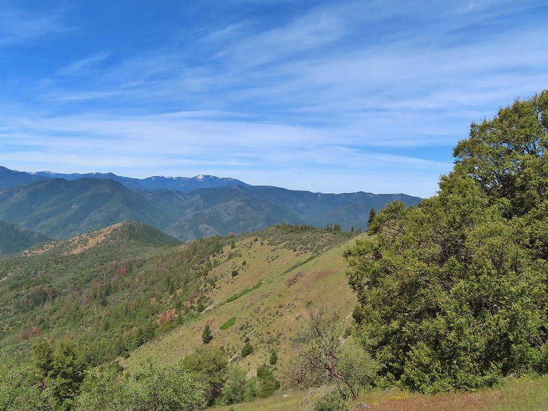
 The Red Buttes (post) in the distance.
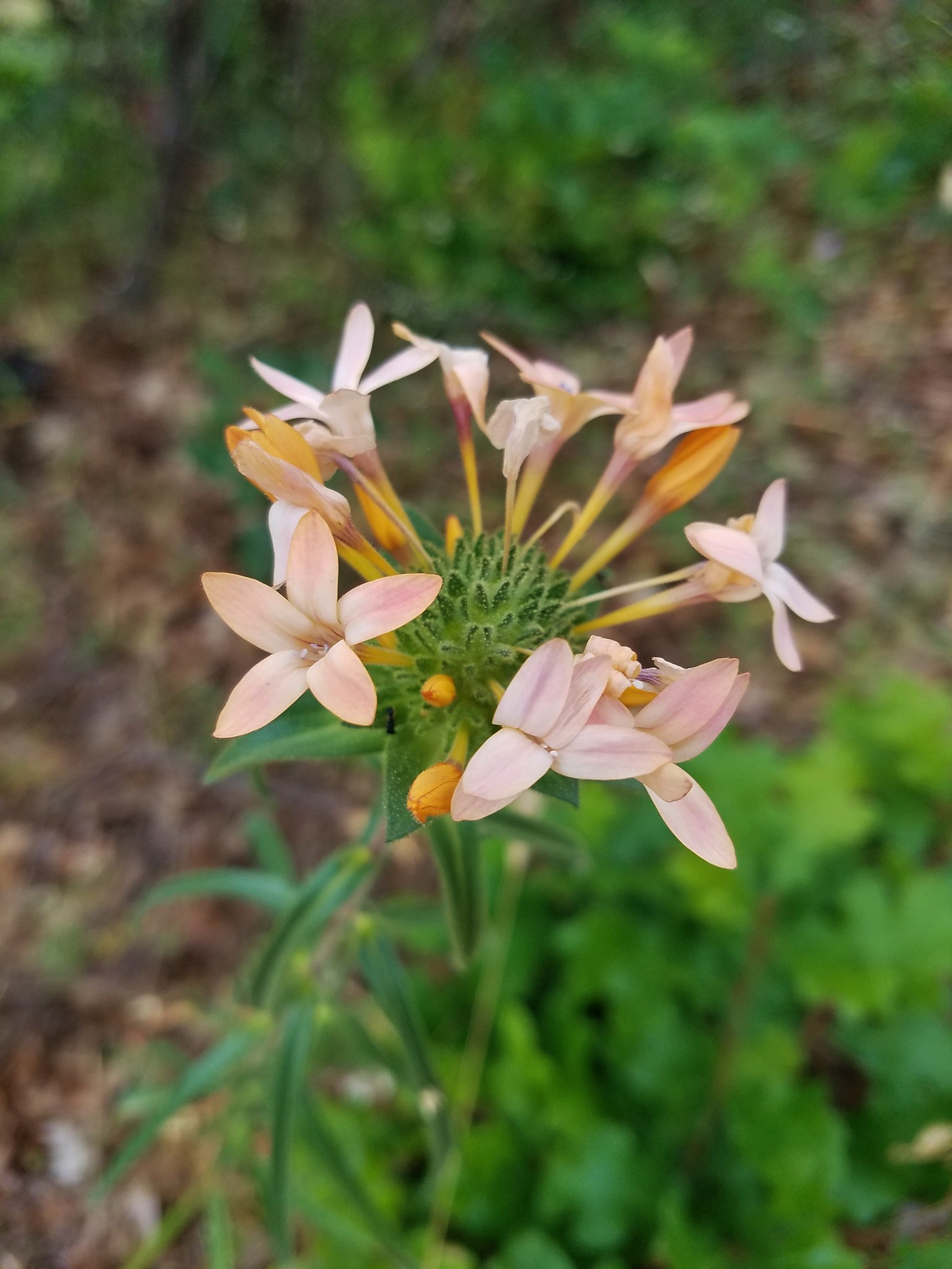
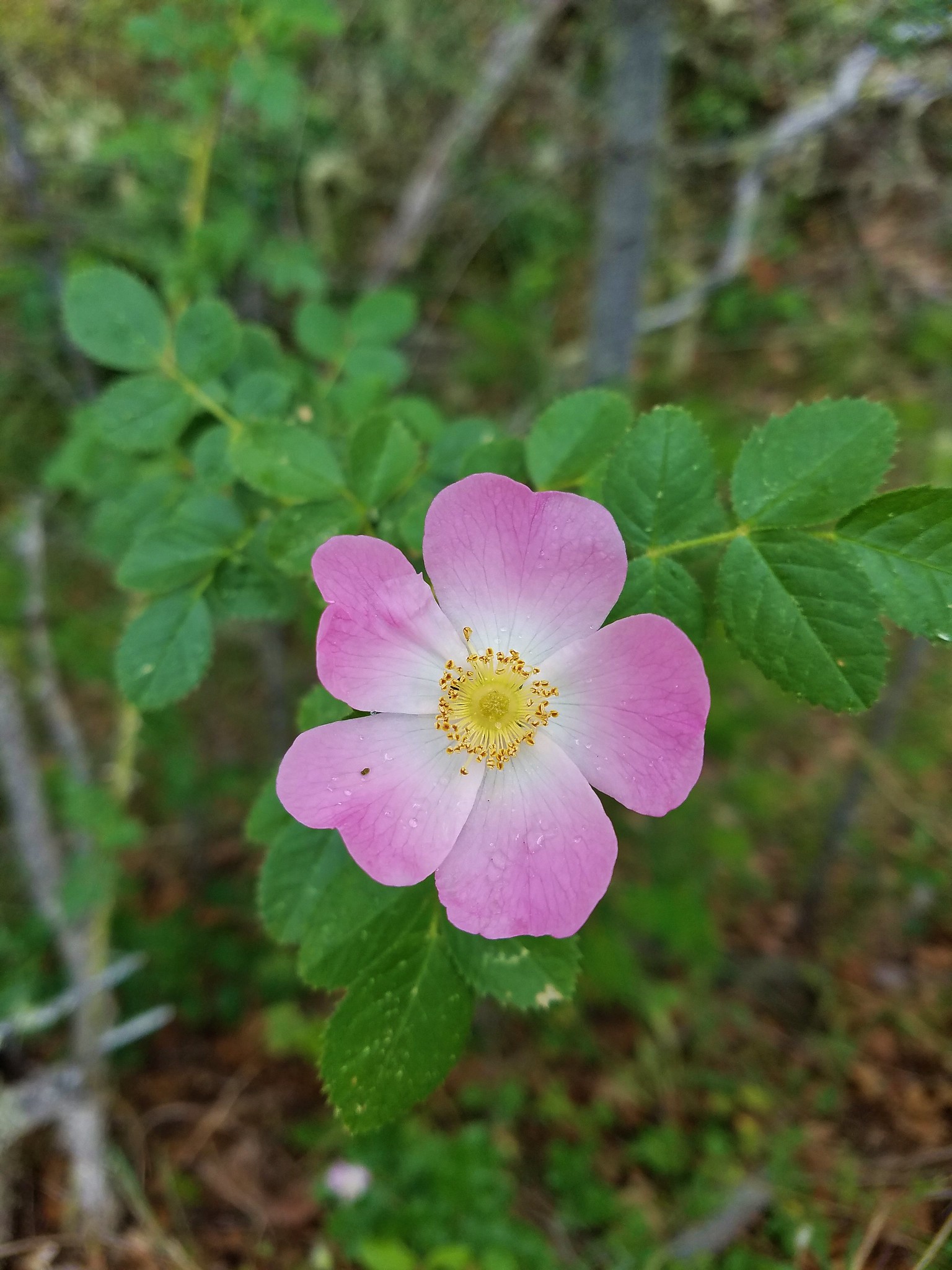
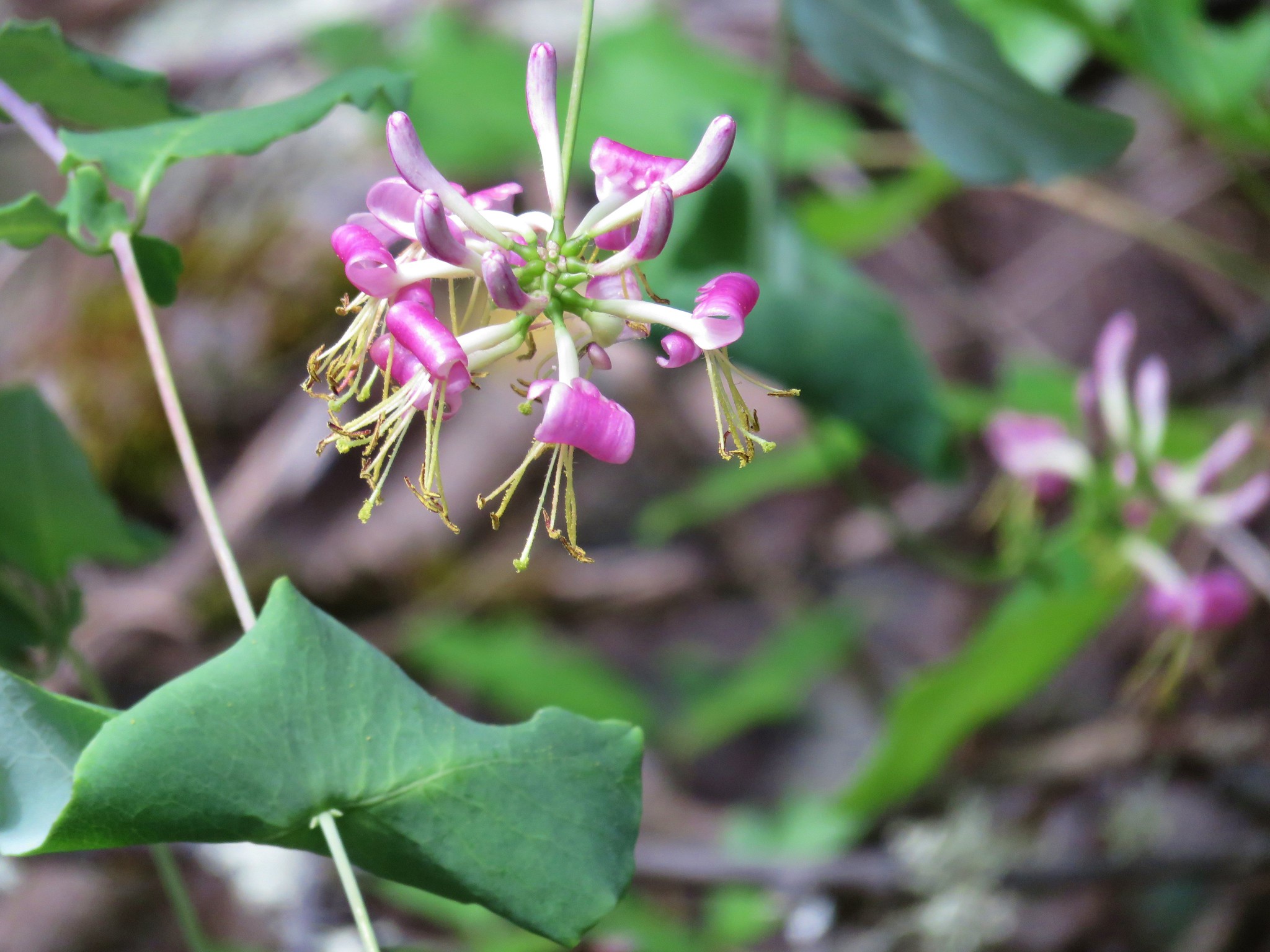
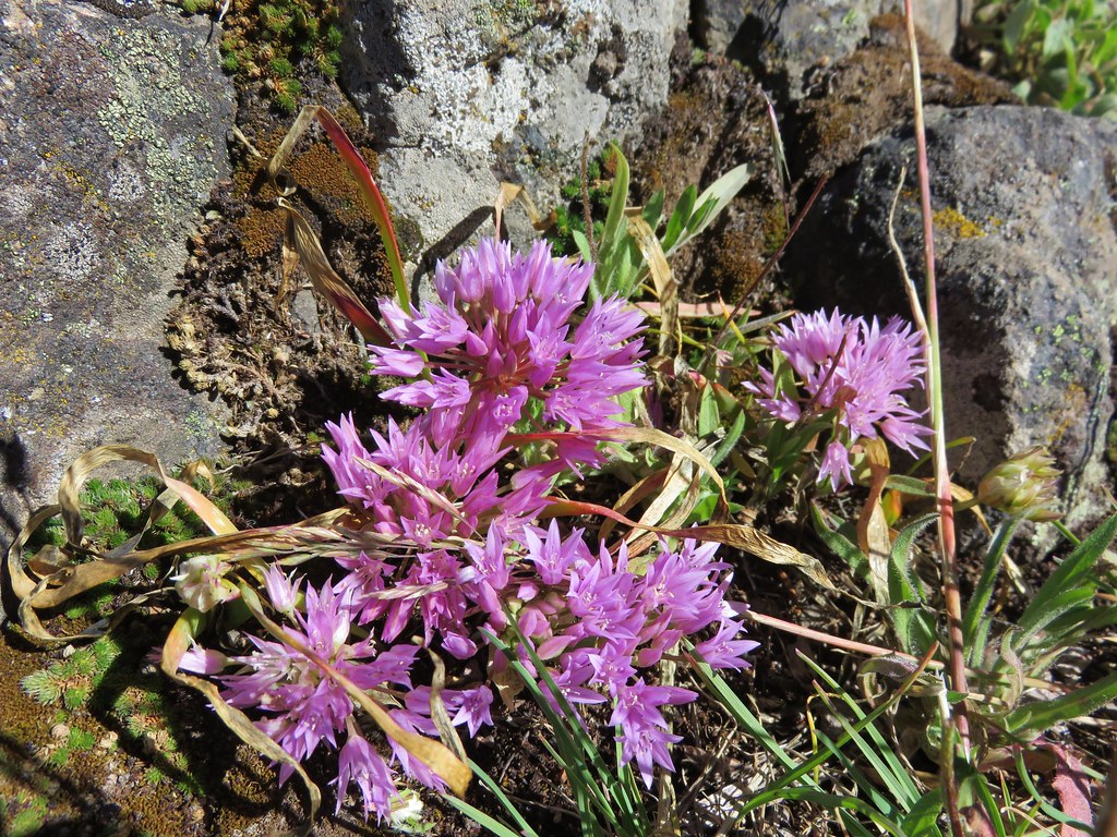
 Red bells, these were on a short wish list of wildflowers that we’d yet to see on trail.
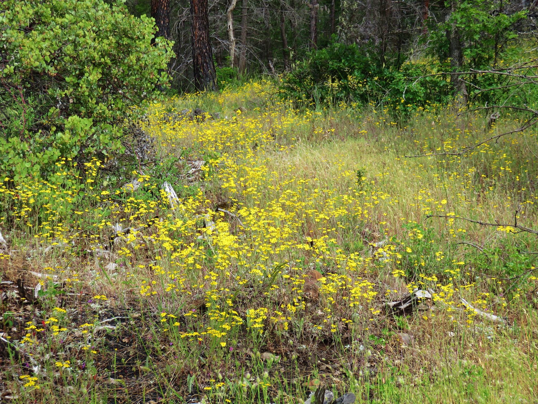
After the mile climb the trail gained a ridge on the west shoulder of Baldy Peak and began a 0.4 mile traverse below the peak through an open grassy hillside. Sullivan showed a 0.3 mile use trail leading up this ridge to the summit of Baldy Peak but while Heather noticed the trail neither of us at the time remembered it was on Sullivan’s map (I thought it was at the other end of the 0.4 mile traverse.) which was probably a good thing.
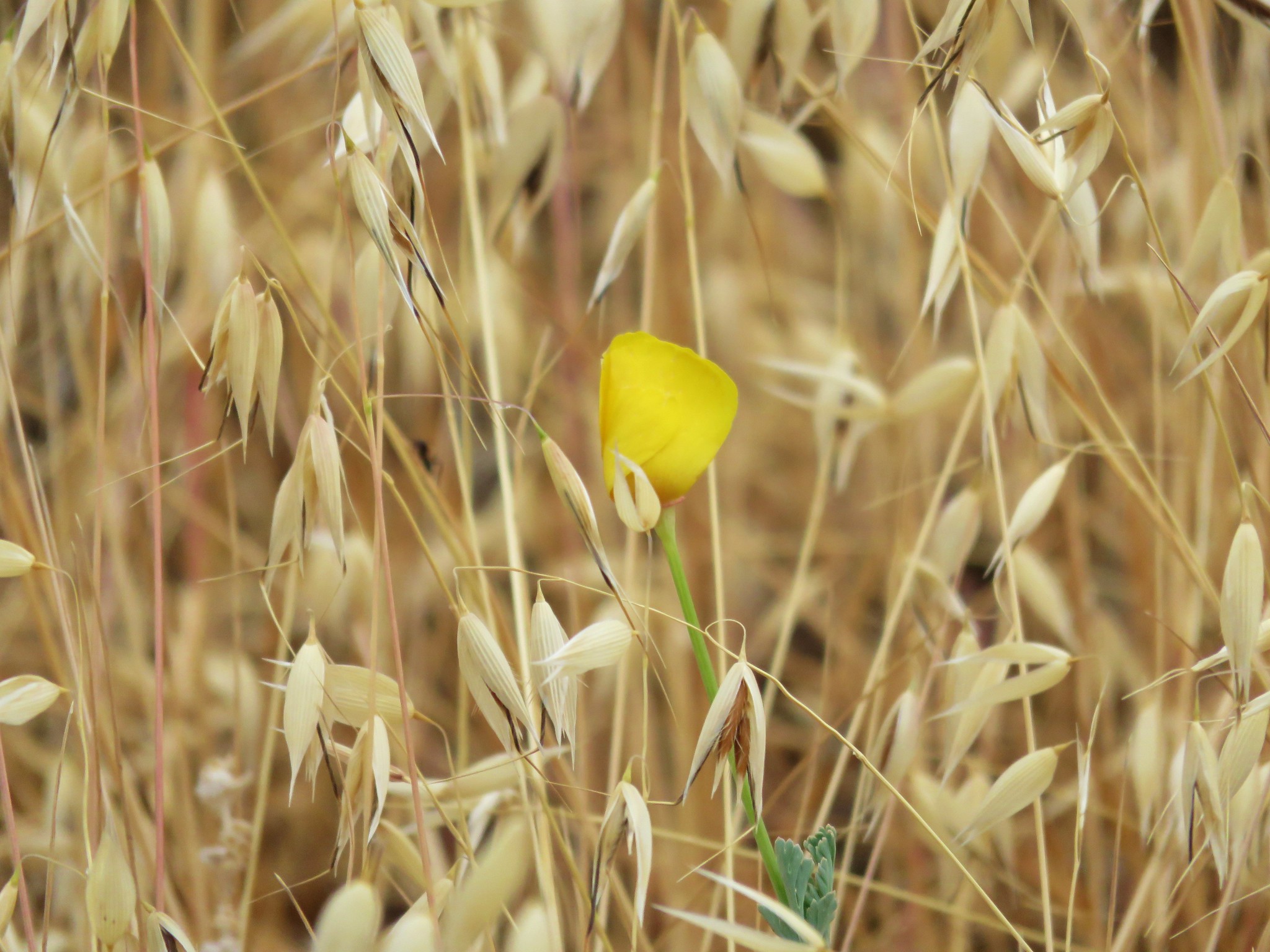
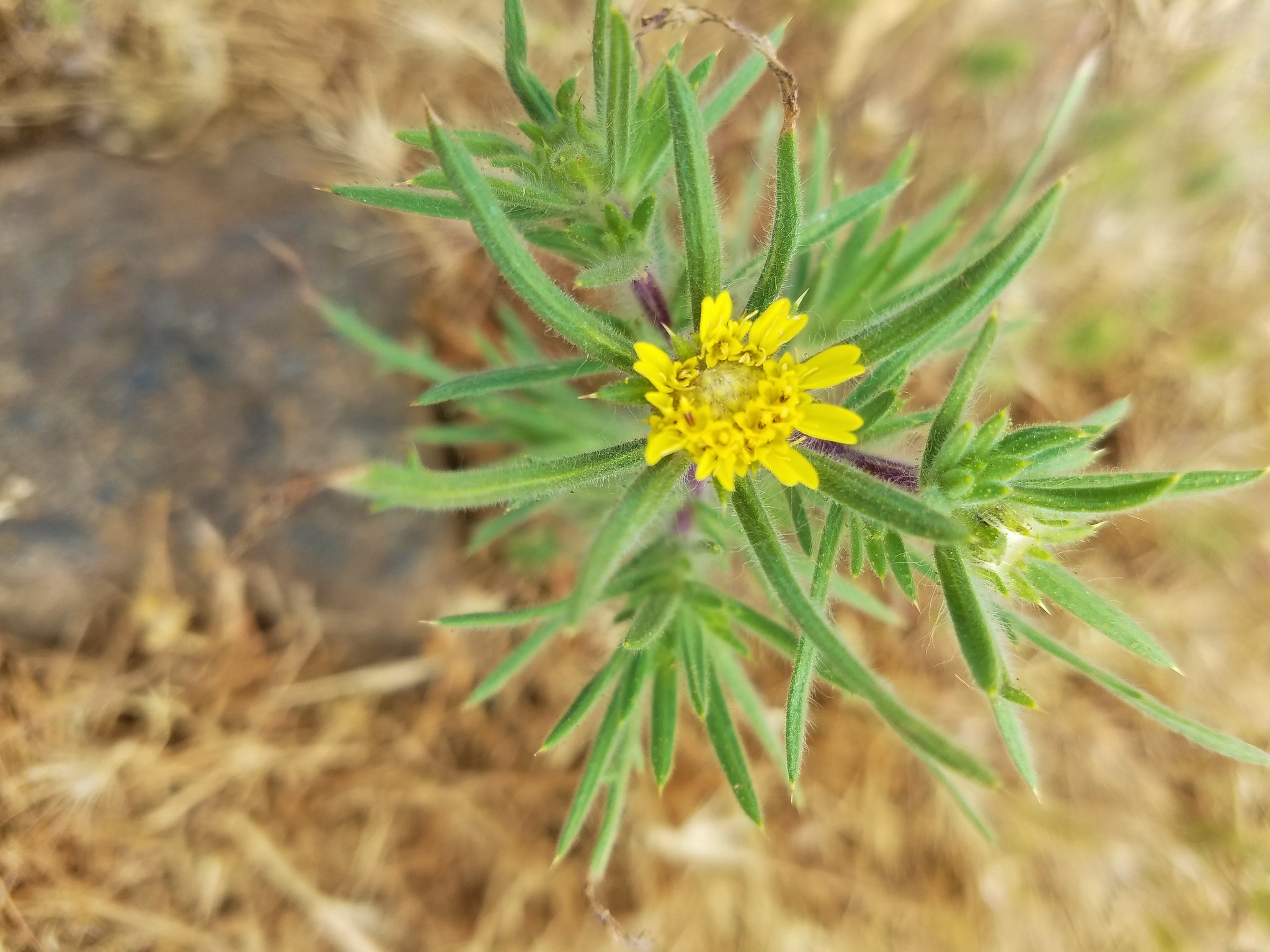
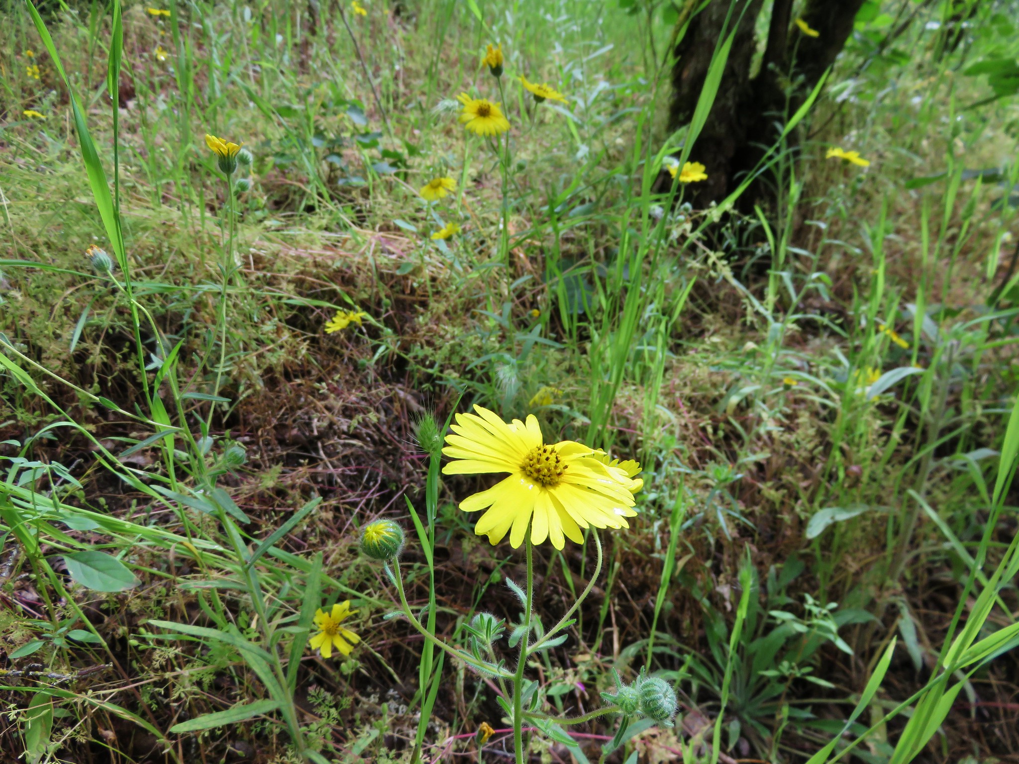
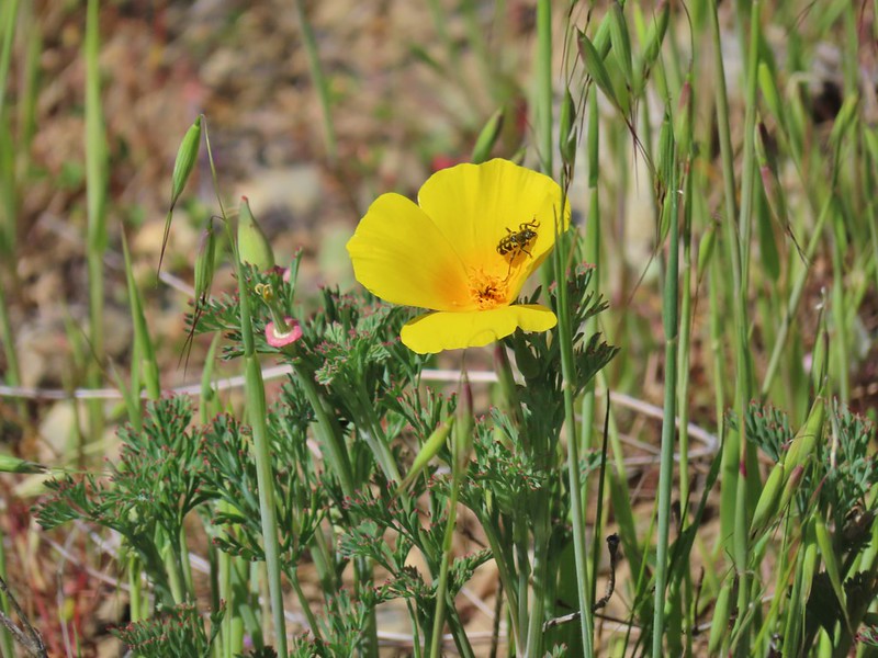 Poppy
Poppy
 Scraggy Mountain behind Little Grayback Mountain
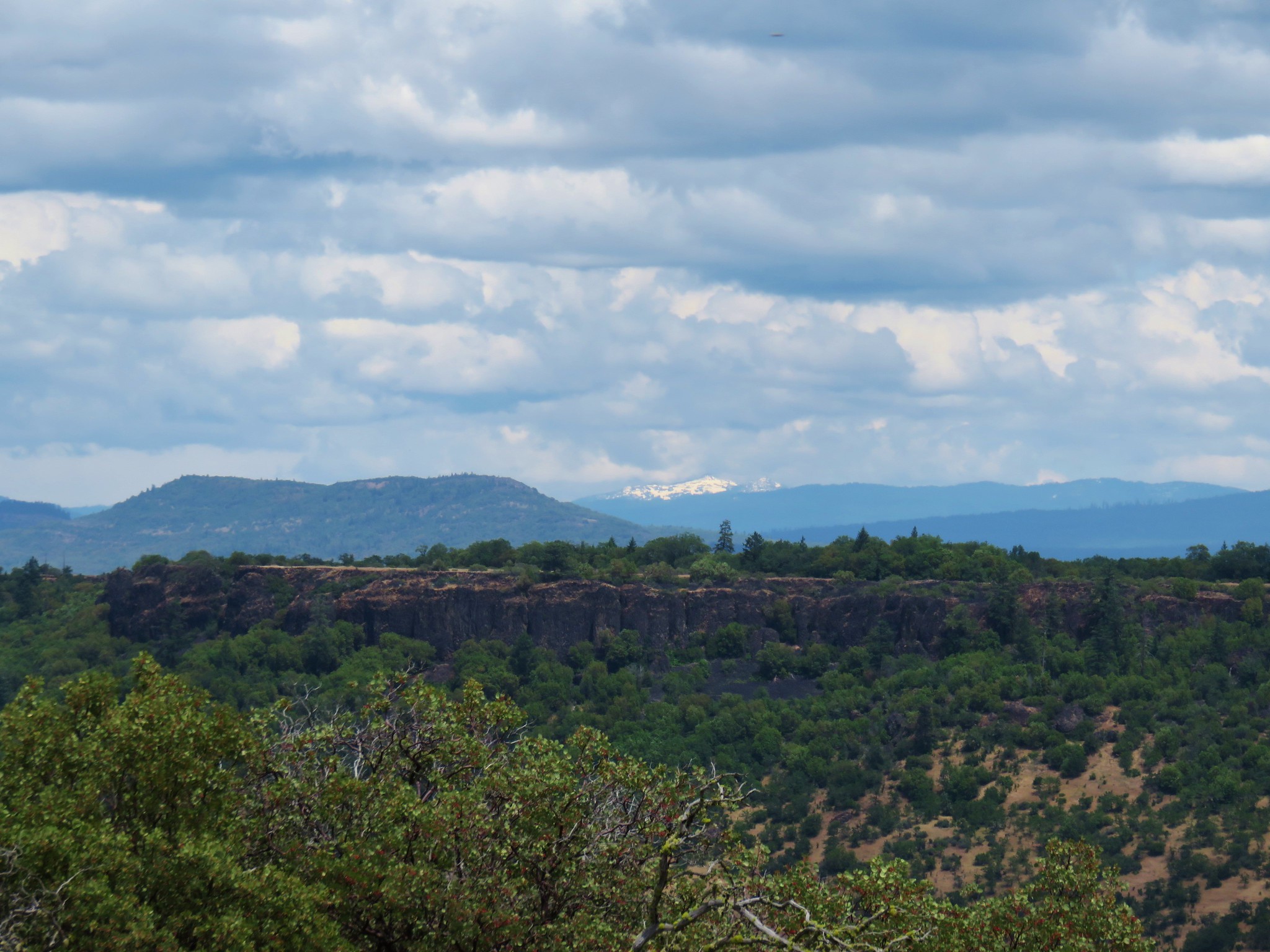
 Red Buttes behind Little Grayback Mountain
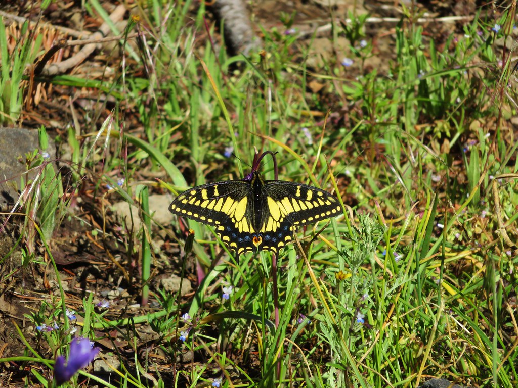
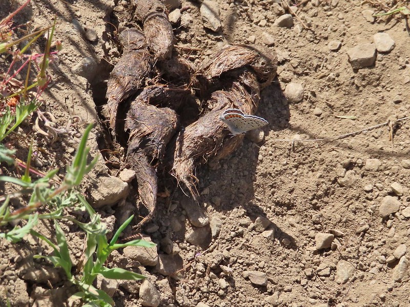 Butterfly on scat.
When we arrived at the ridge at the end of the 0.4 mile segment we spotted a faint trail heading up Baldy Peak.
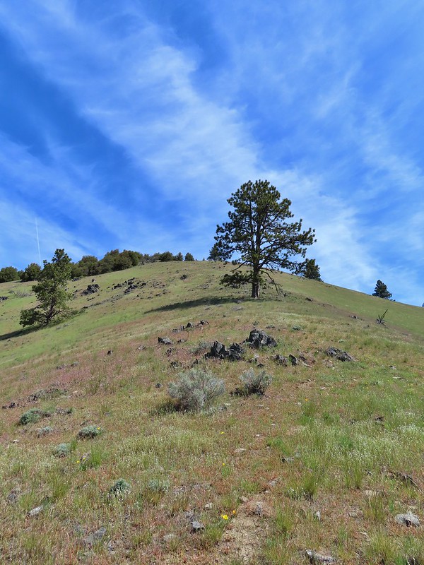
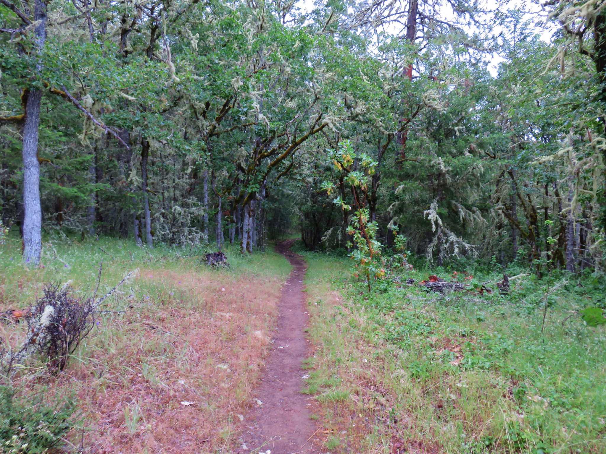
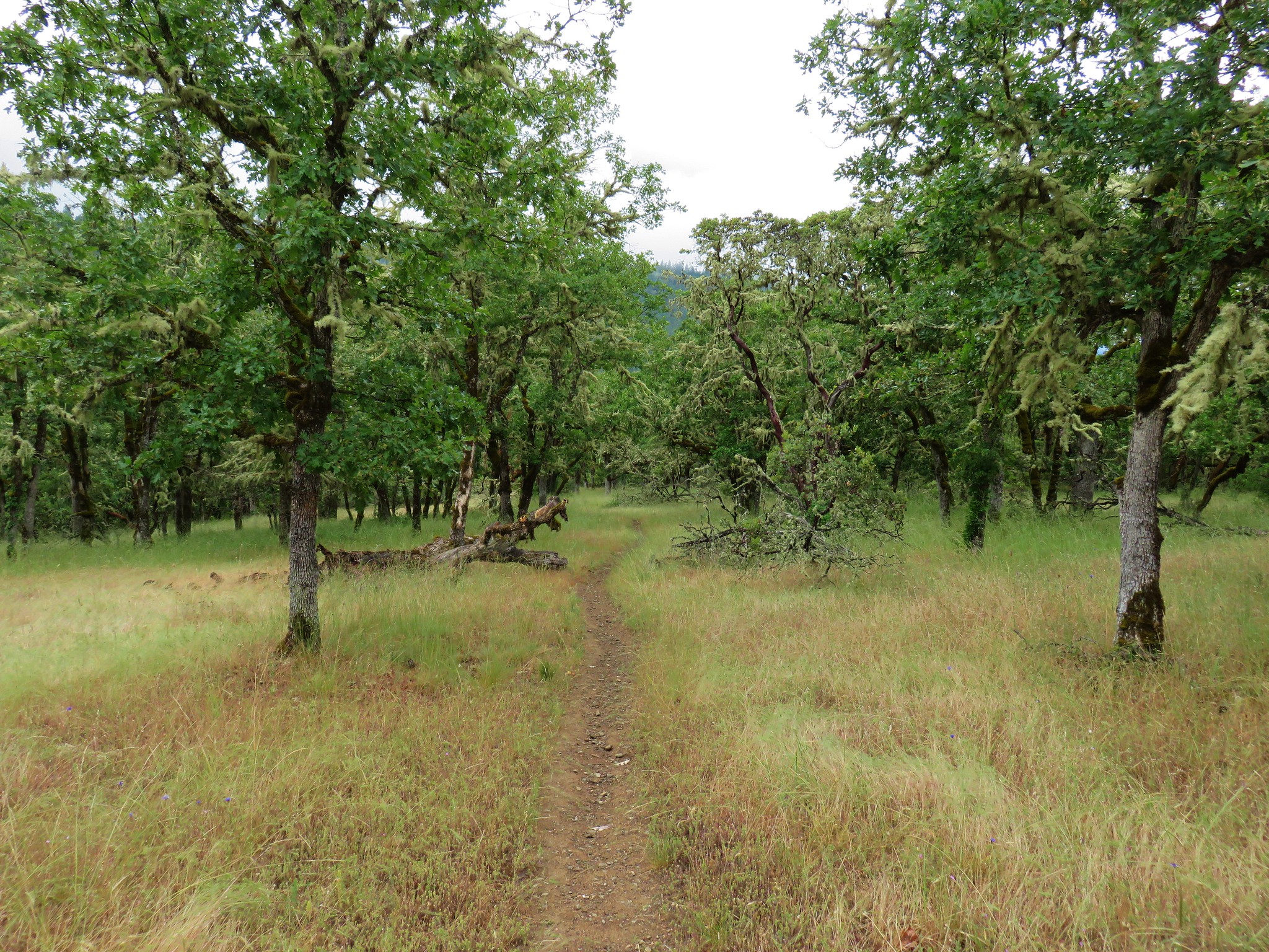
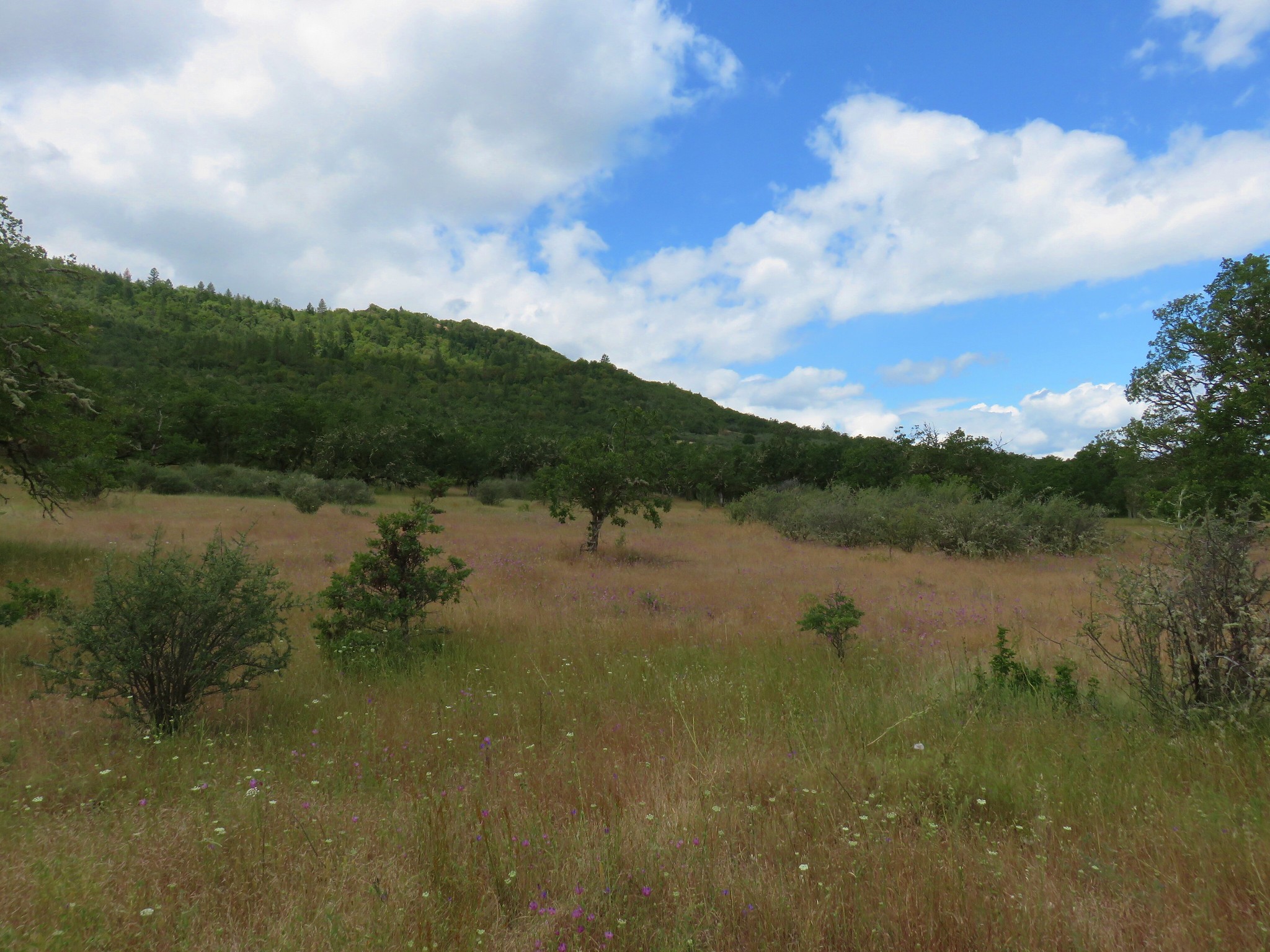
After giving it some thought and consulting Sullivan’s map we realized that this wasn’t the trail he showed and so we decided to skip Baldy Peak for now and then see if it was something we wanted to attempt on our way back by later. In addition to the use trail heading up Baldy Peak the Mule Mountain Trail joined the Baldy Peak Trail on the ridge. For now though we headed out along the ridge on what was now a much more level trail.

 Mule Mountain is the lower peak along the ridge with the brown left side.
 Lupine
 Prairie stars
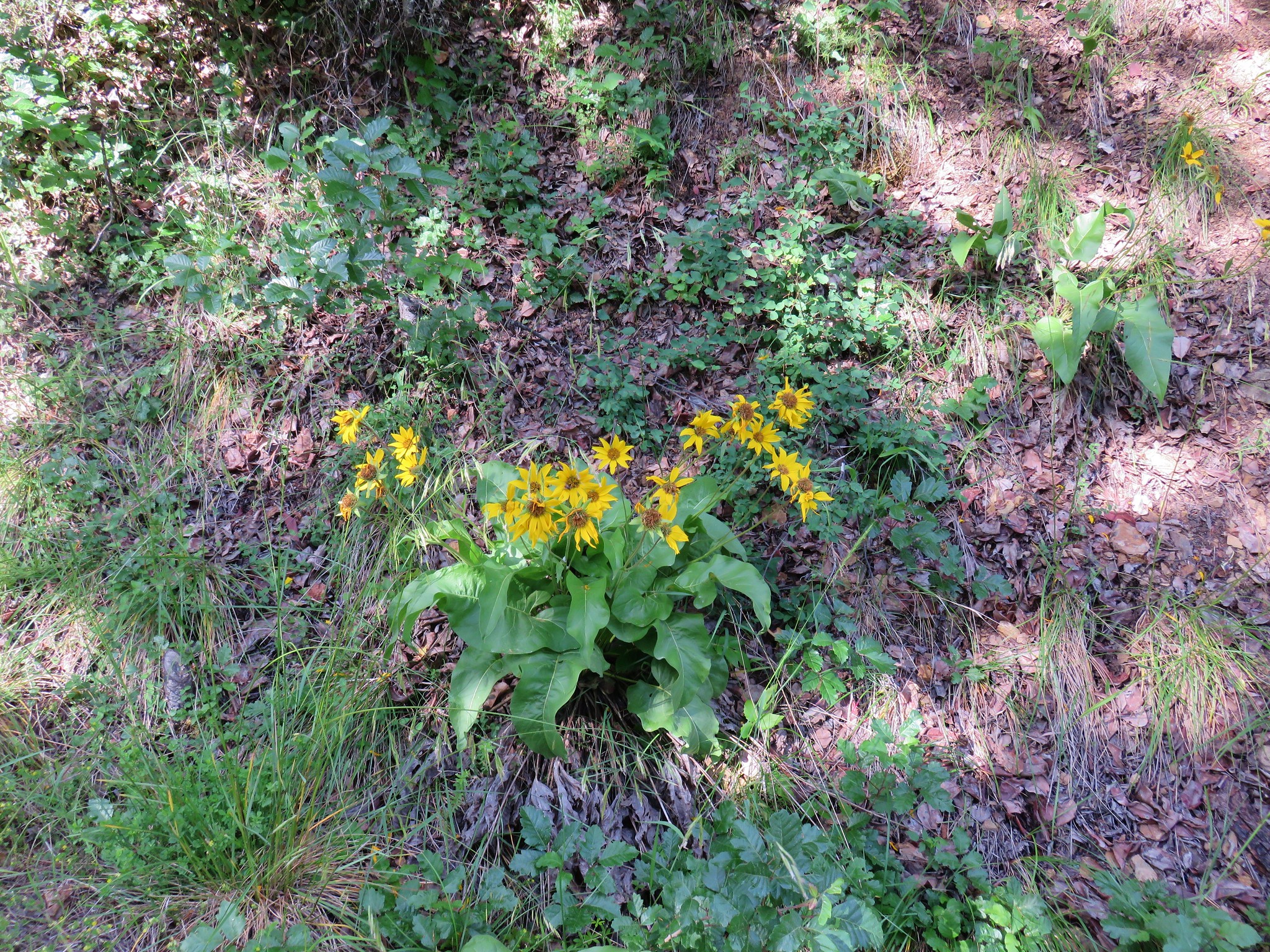
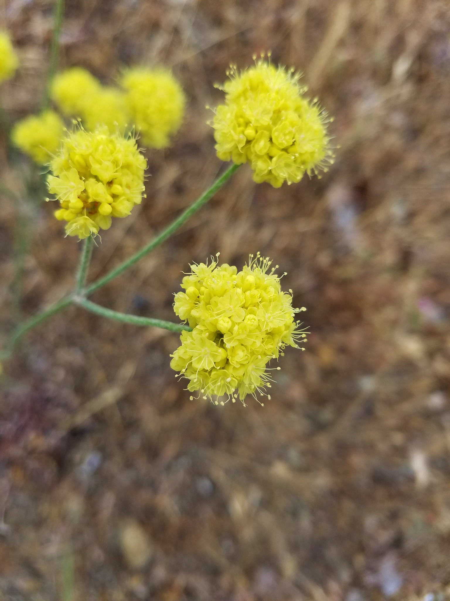
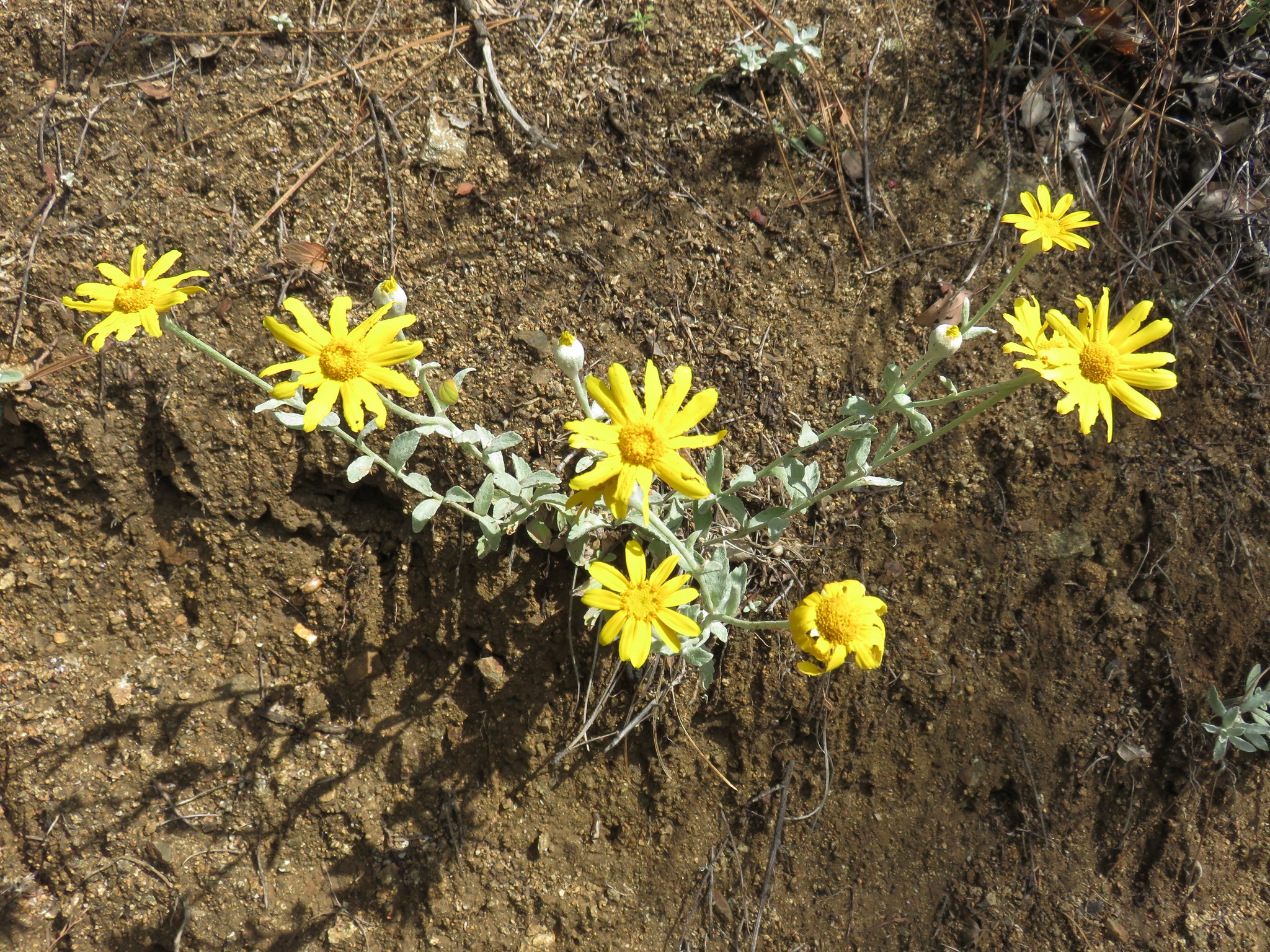
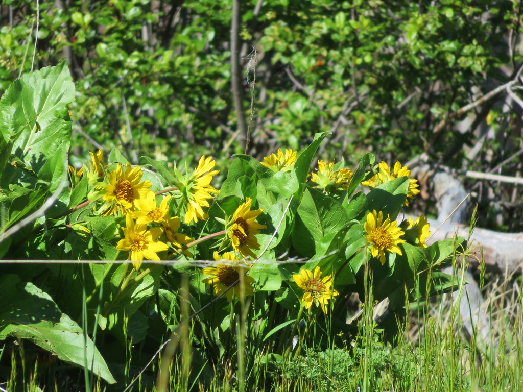
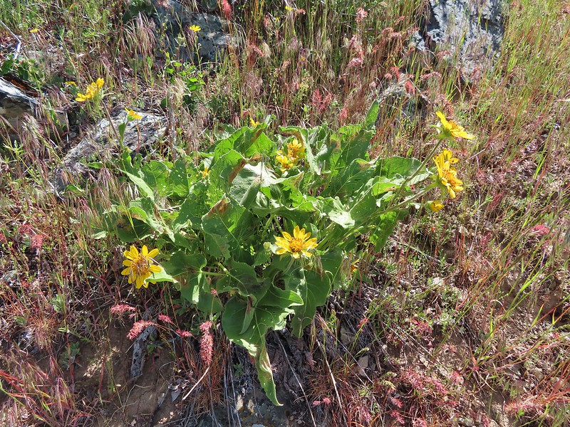 Balsamroot
 Blue-eyed Mary
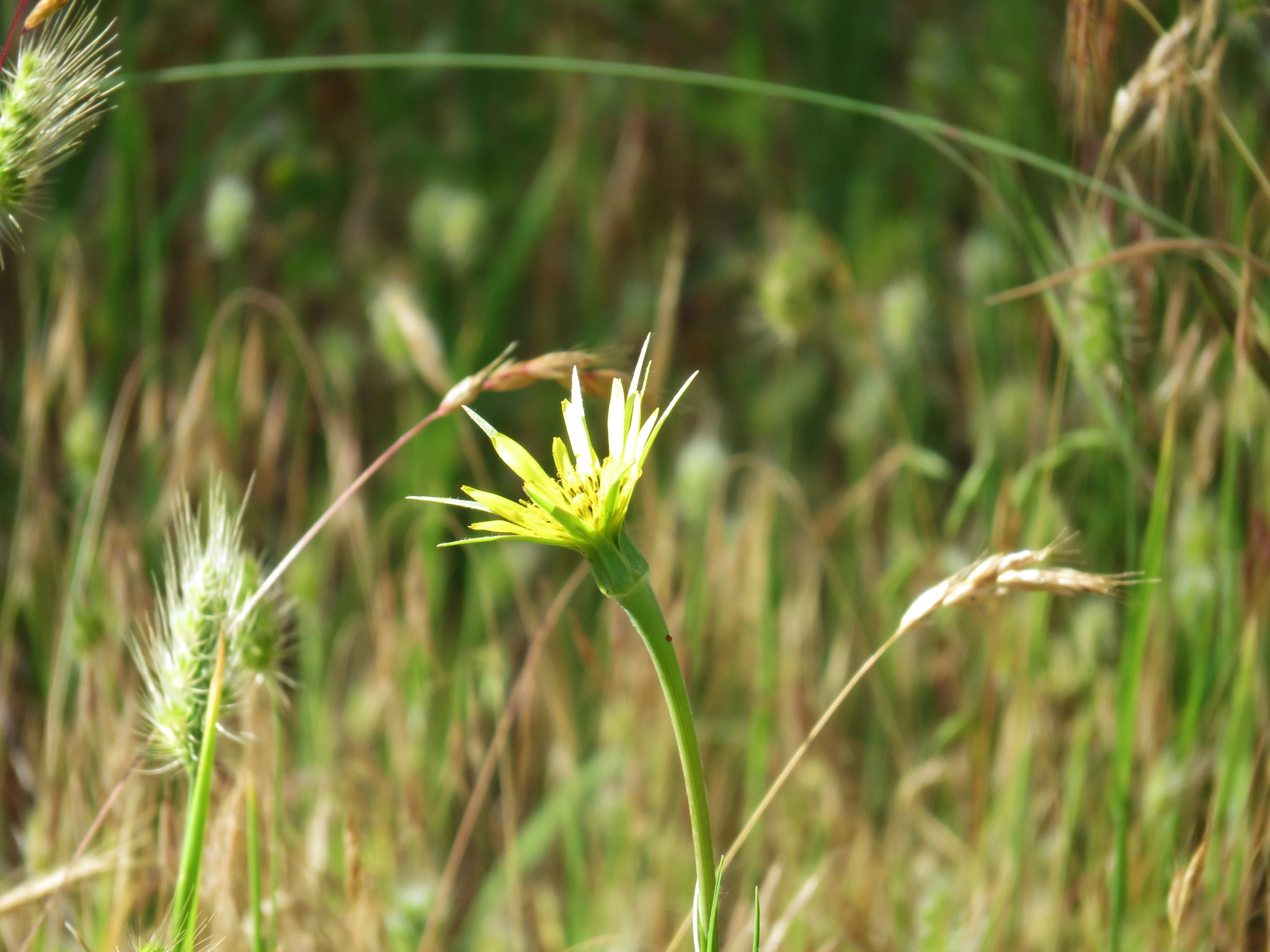
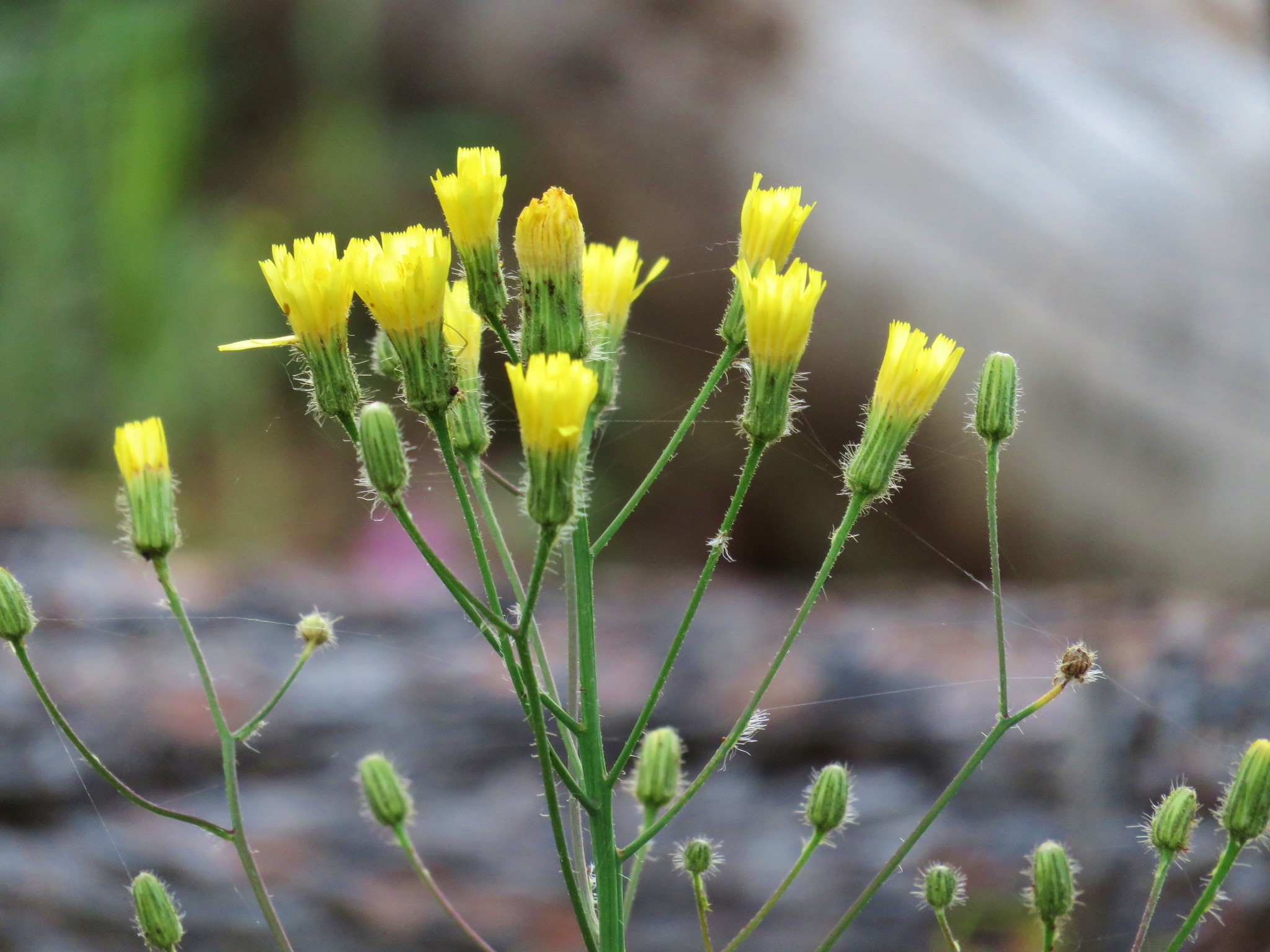
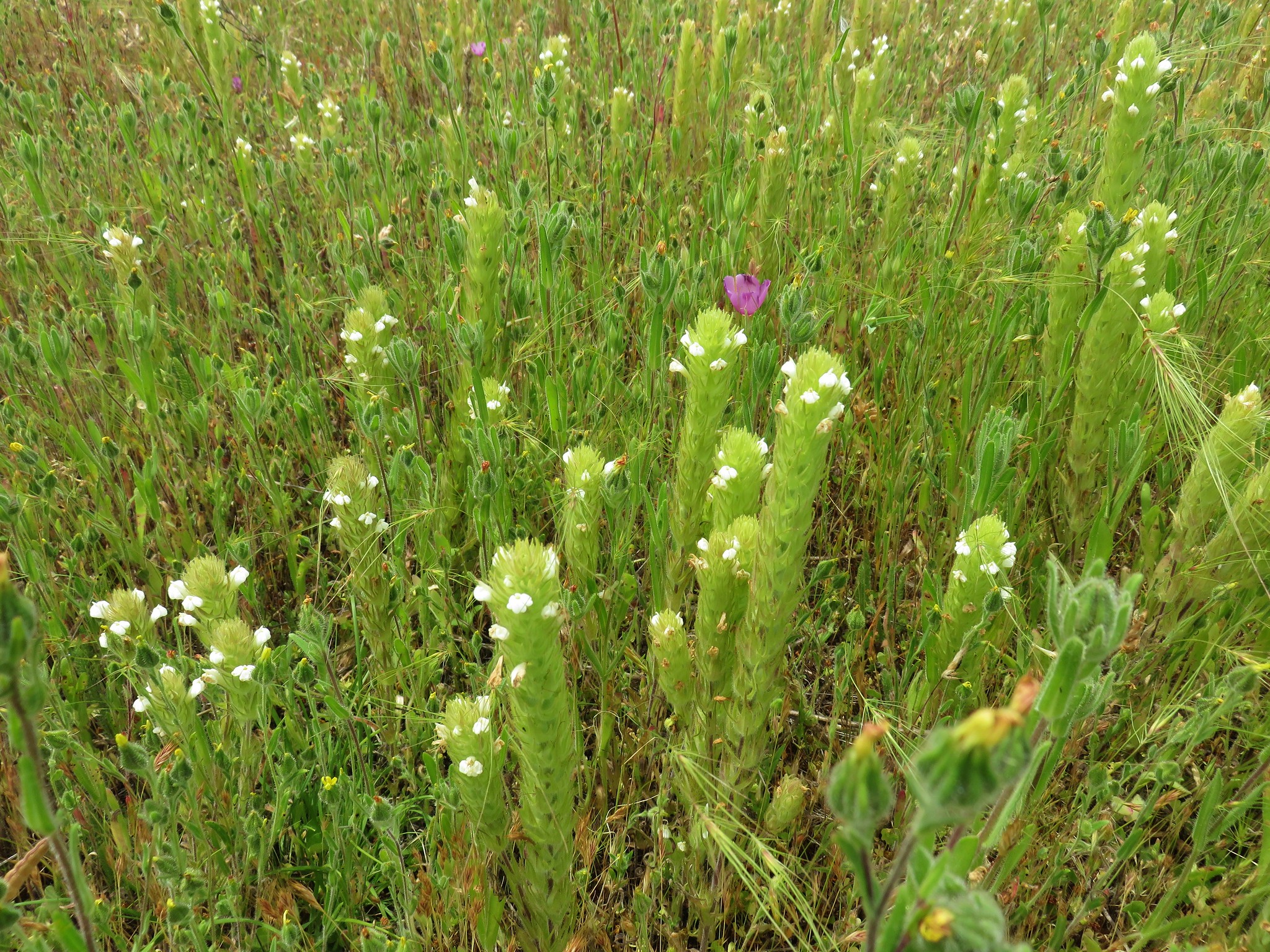
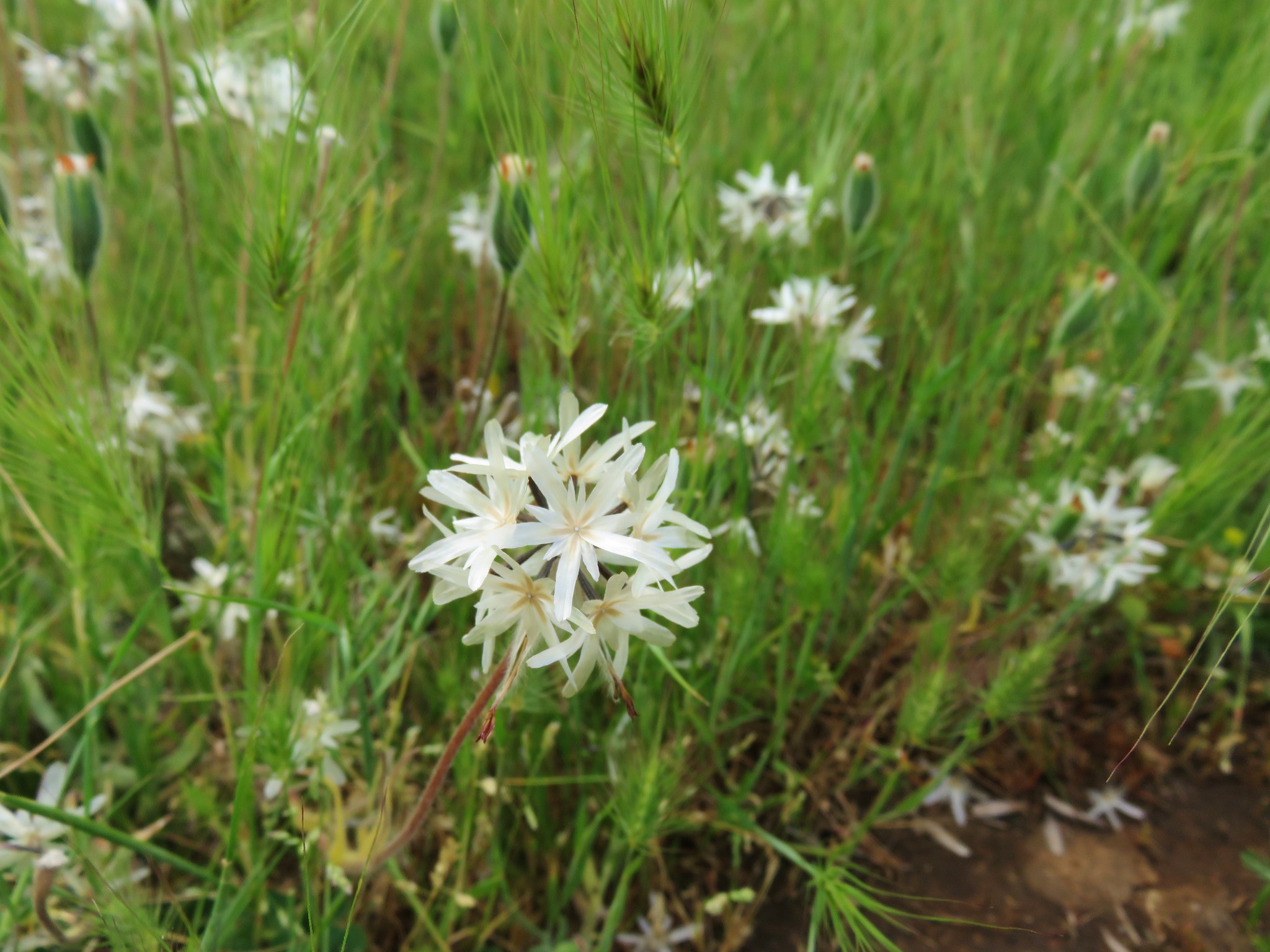
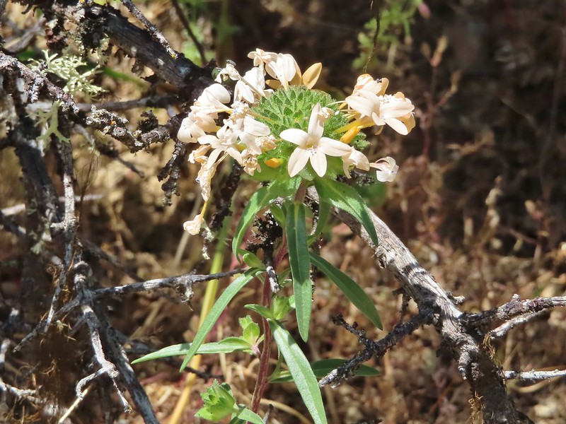
 A collection of various small wildflowers.
 Rough eyelashweed
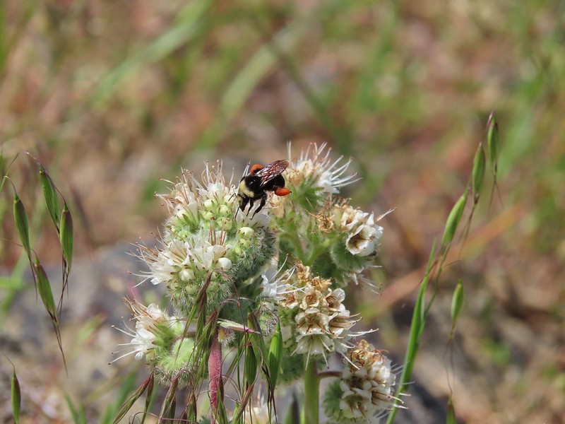 Bee on silverleaf phacelia
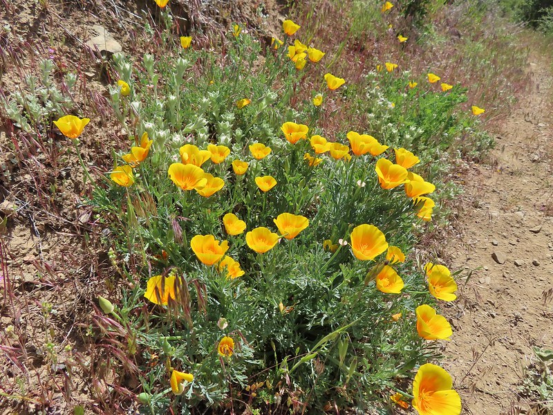 Poppies
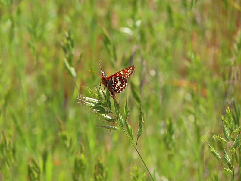 Butterfly on grass
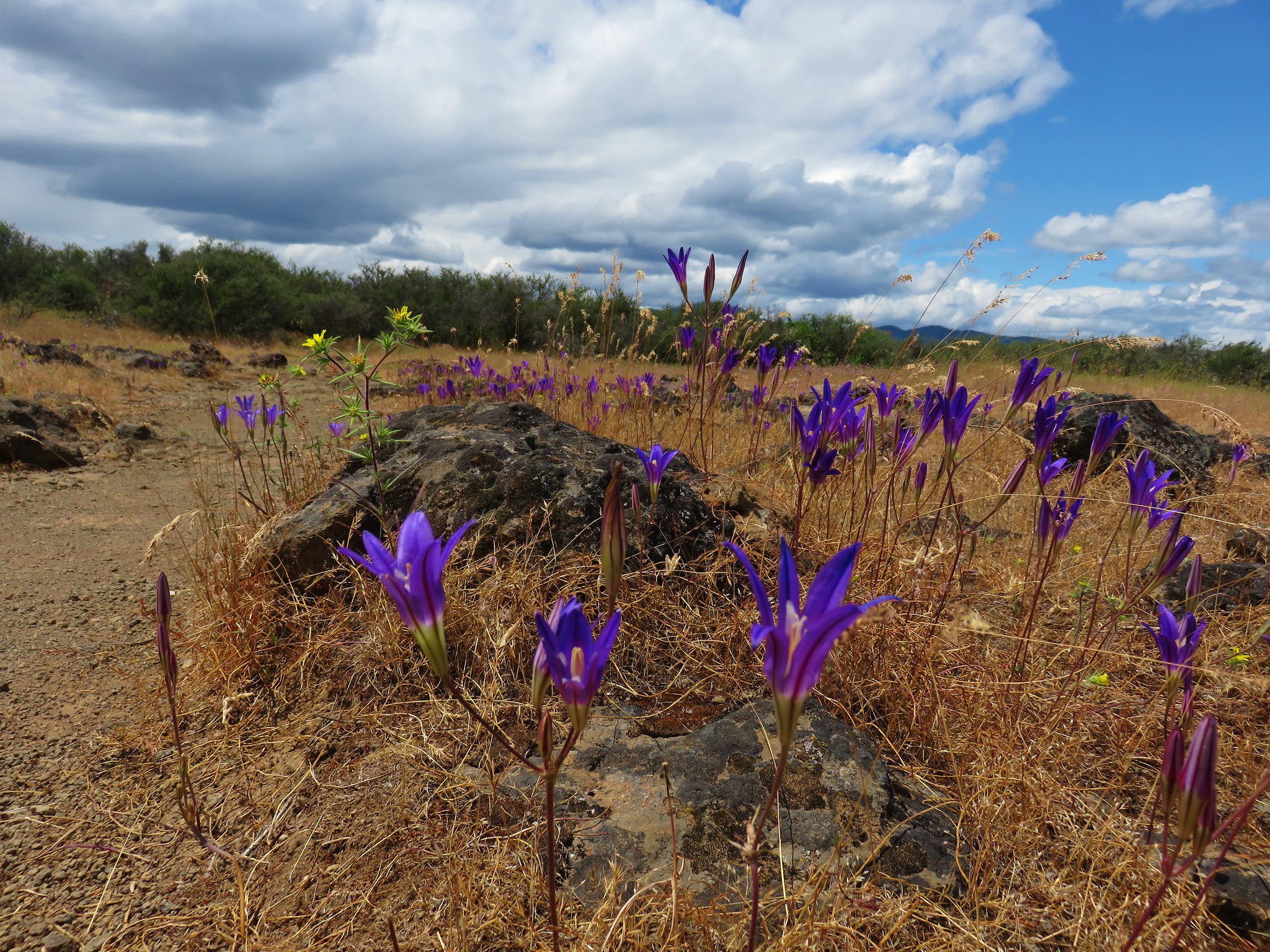
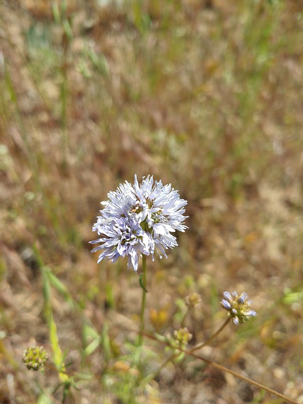 Blue gilia
 Grayback Mountain behind Mule Mountain
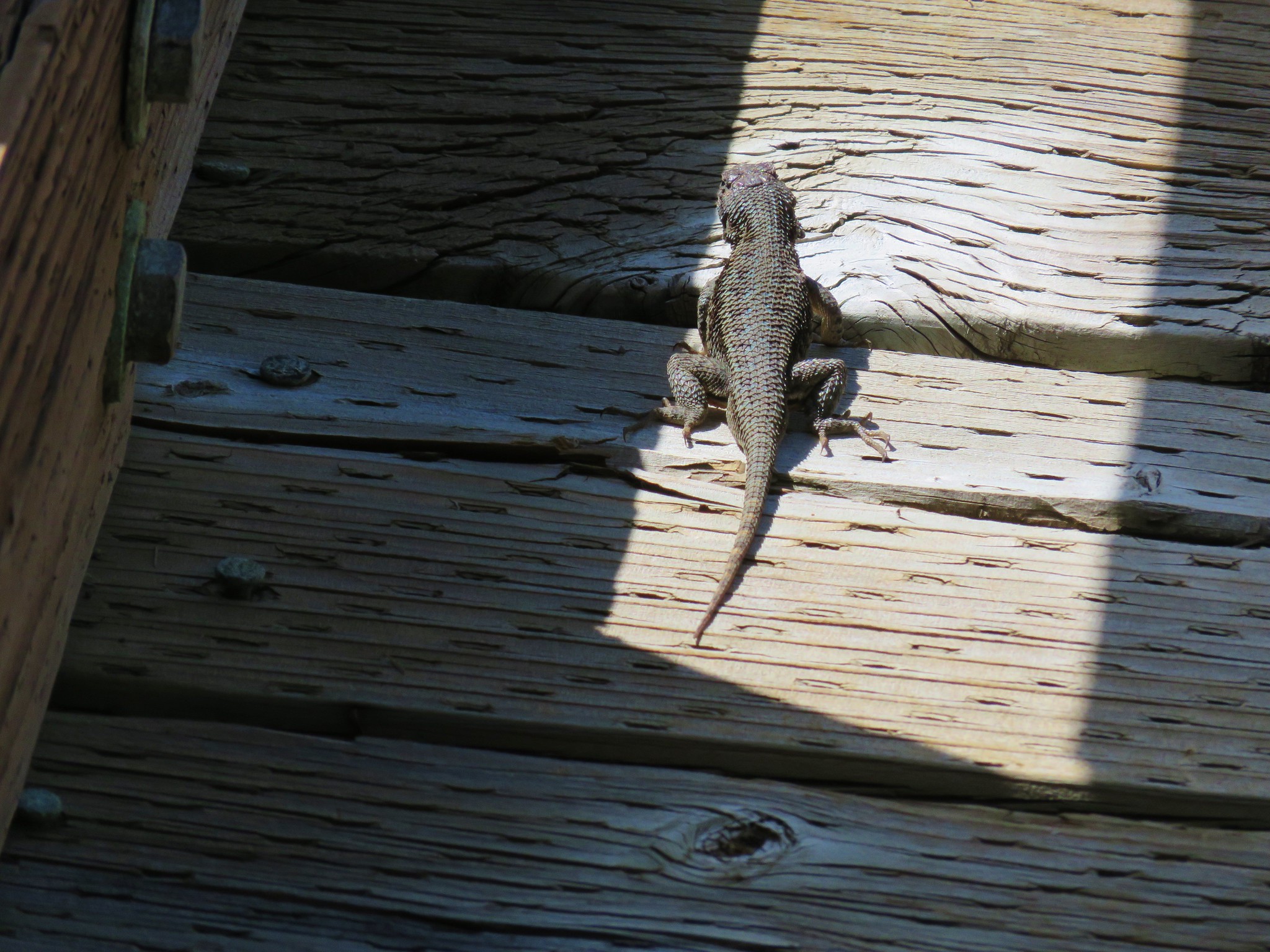
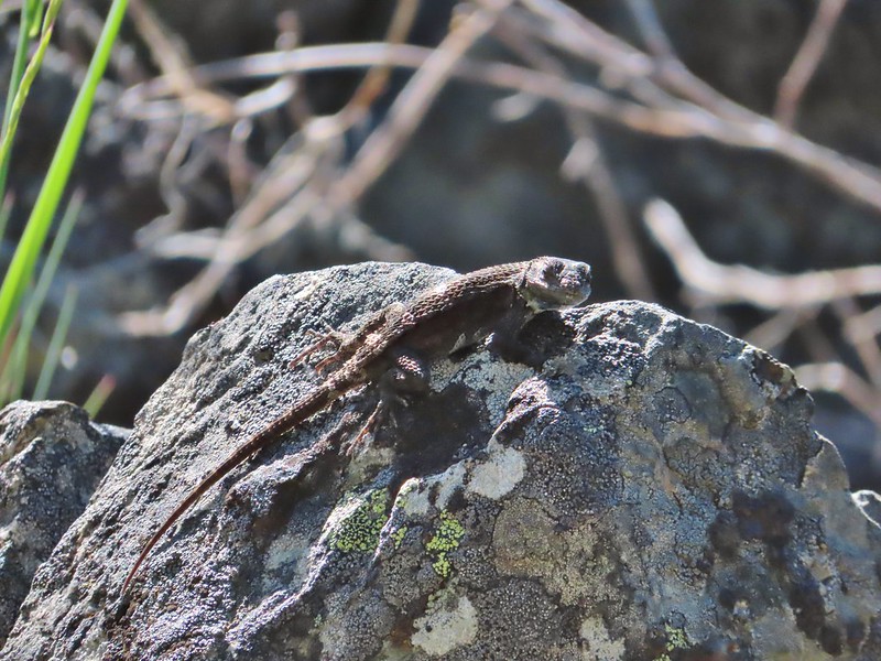
 Yet another lizard
 A colorful moth.
 Little Grayback Mountain
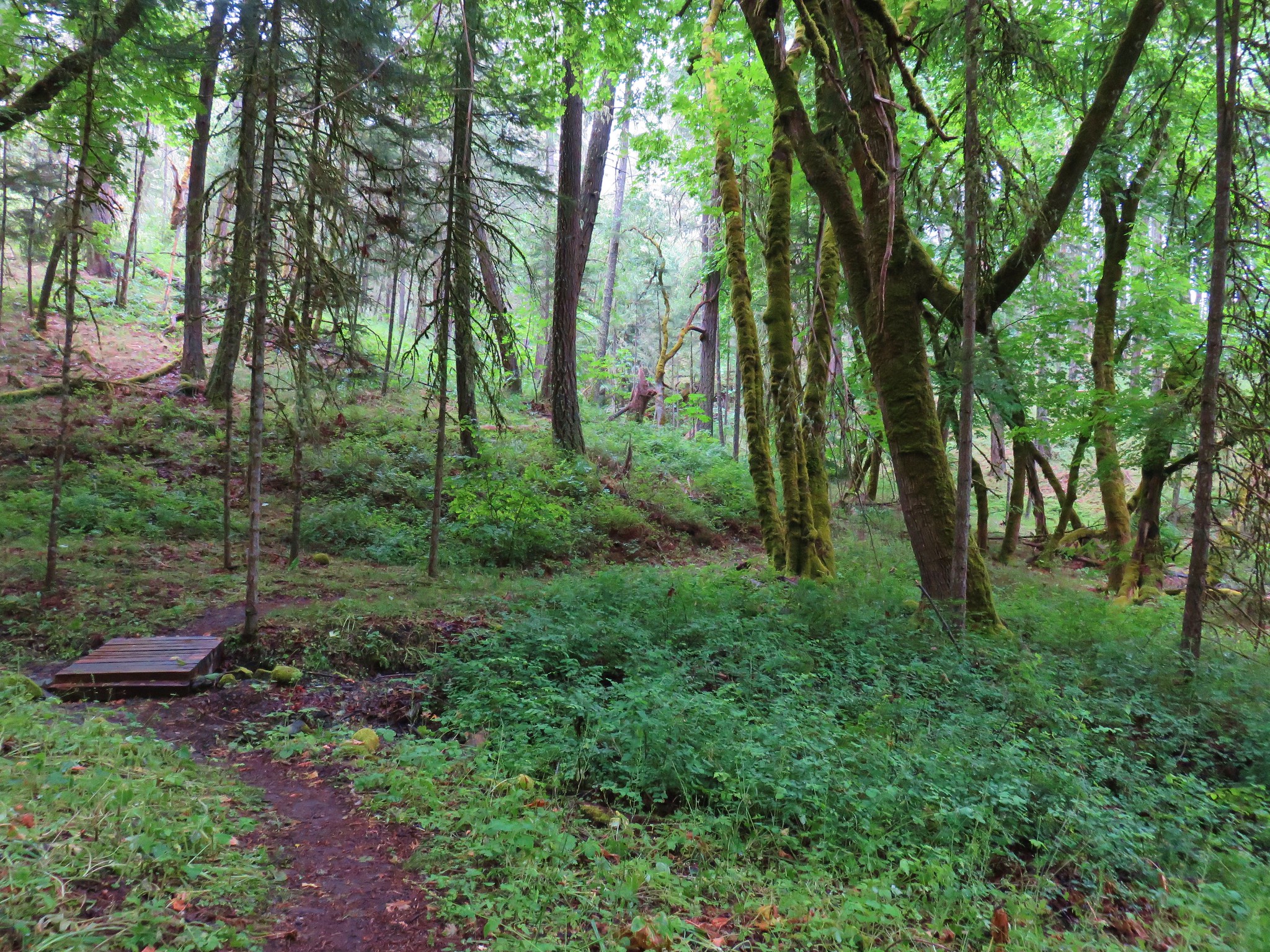
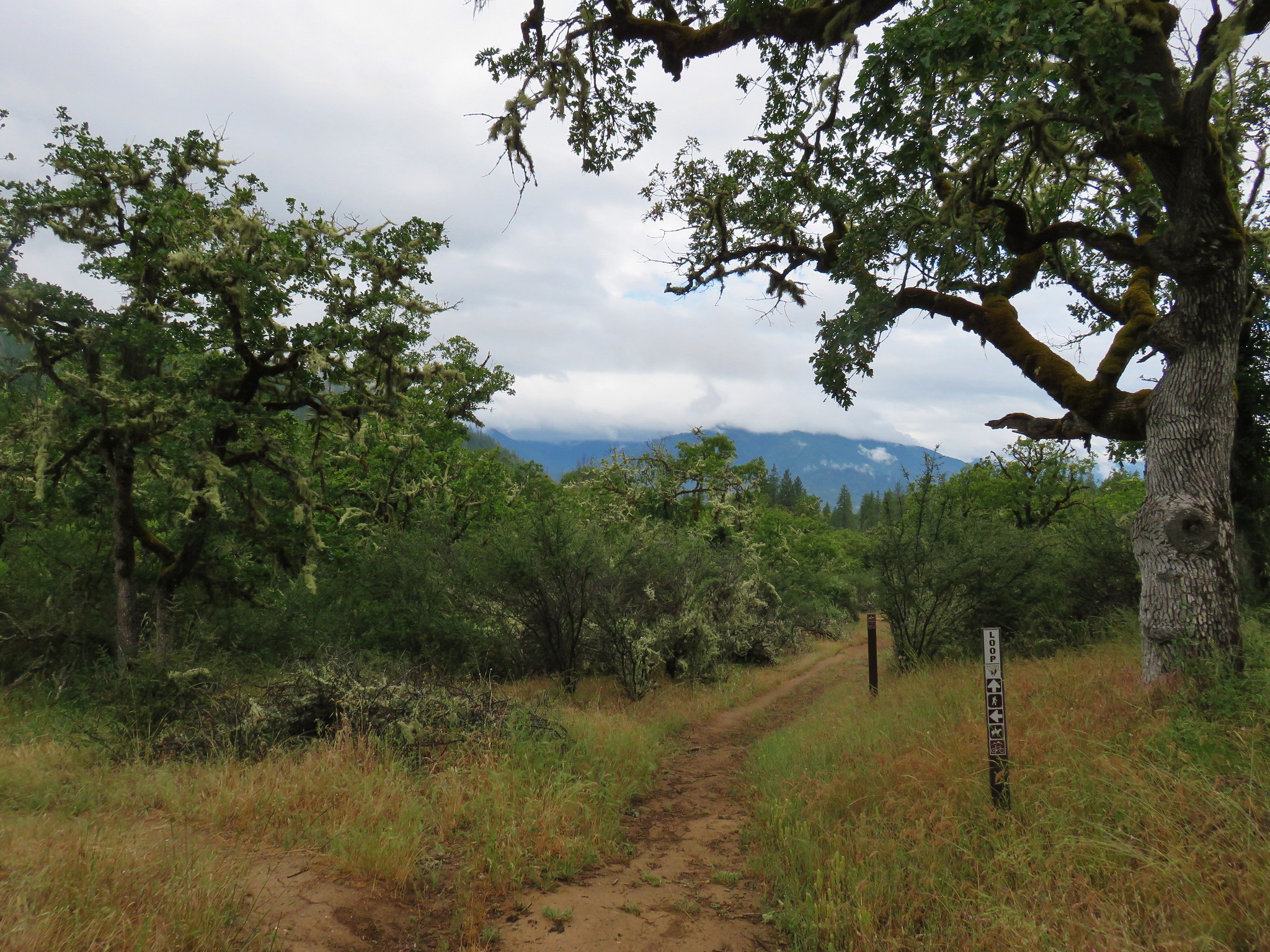
The trail descended to a forested saddle before joining an old road bed that led to the Mule Creek/Baldy Creek Trailhead approximately 1.5 miles from the Mule Mountain Trail junction.


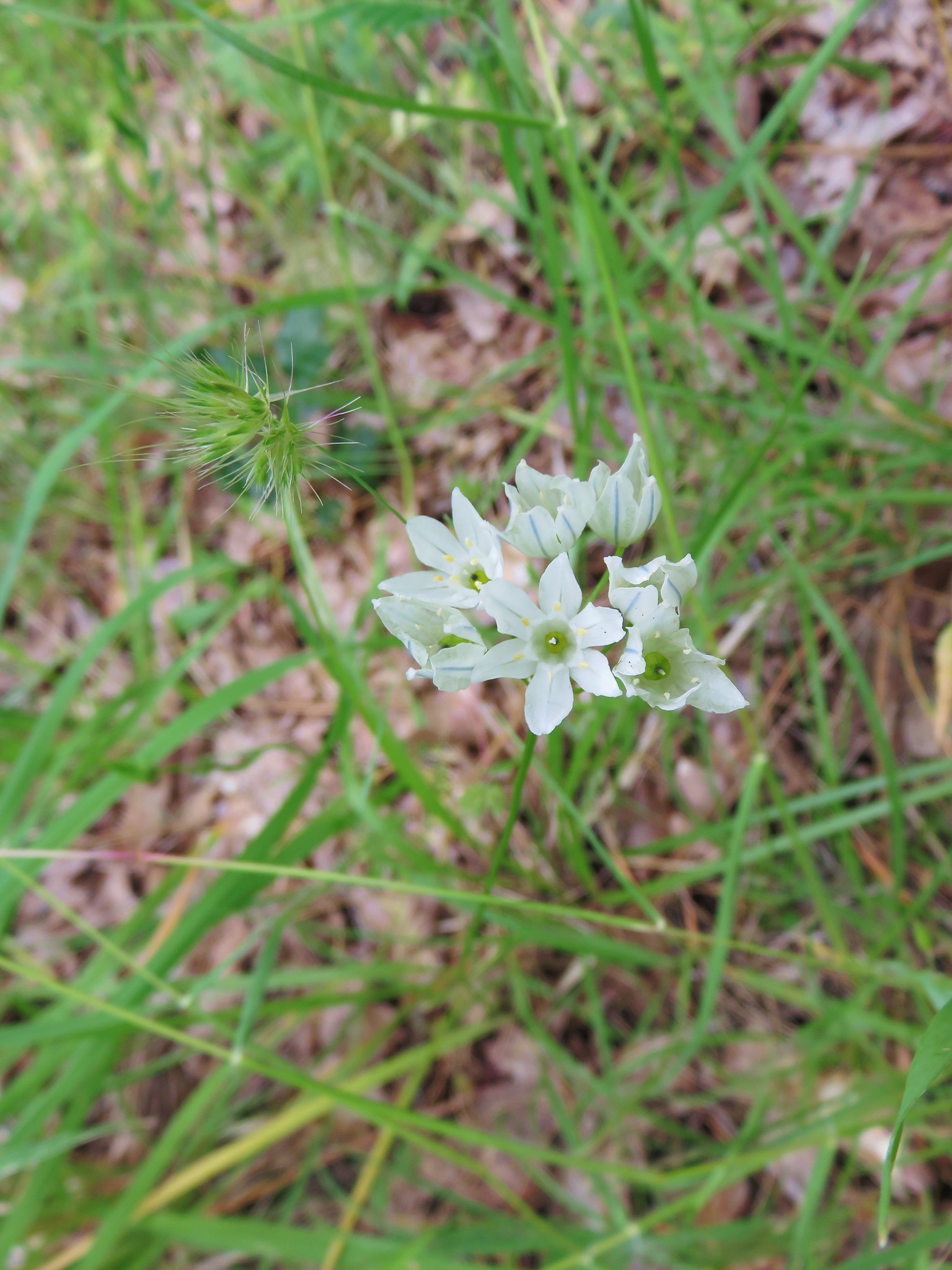
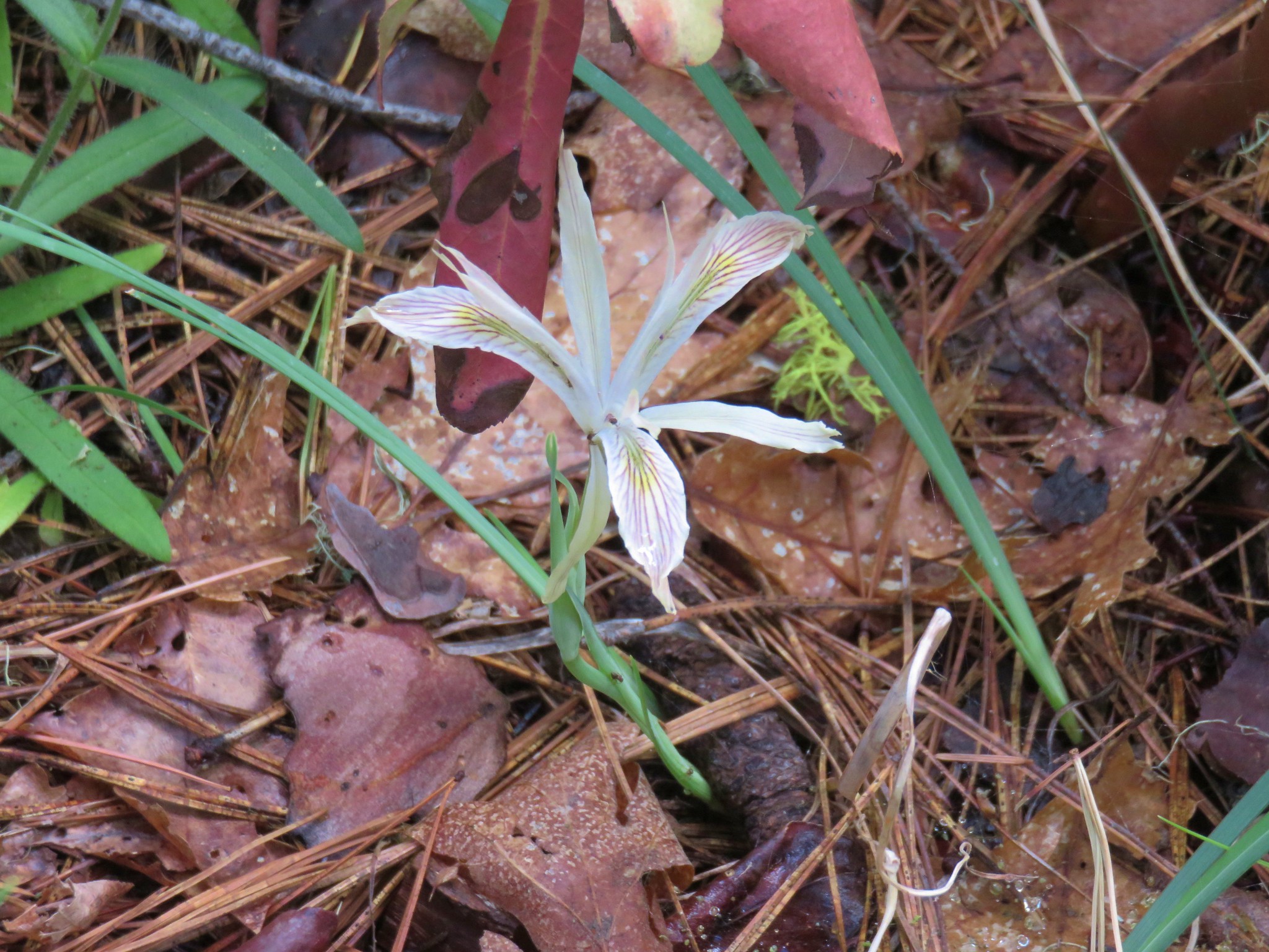
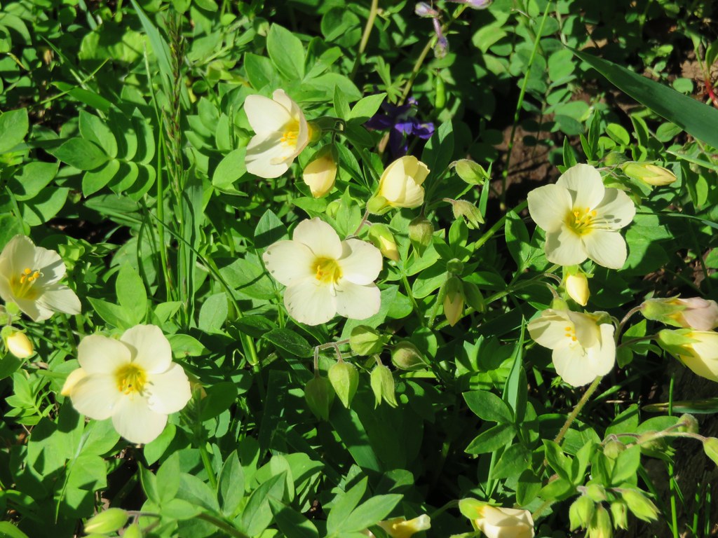
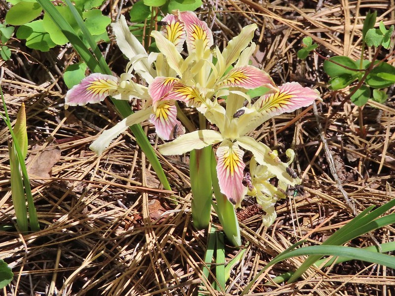 Iris
Iris
 Approaching the trailhead.

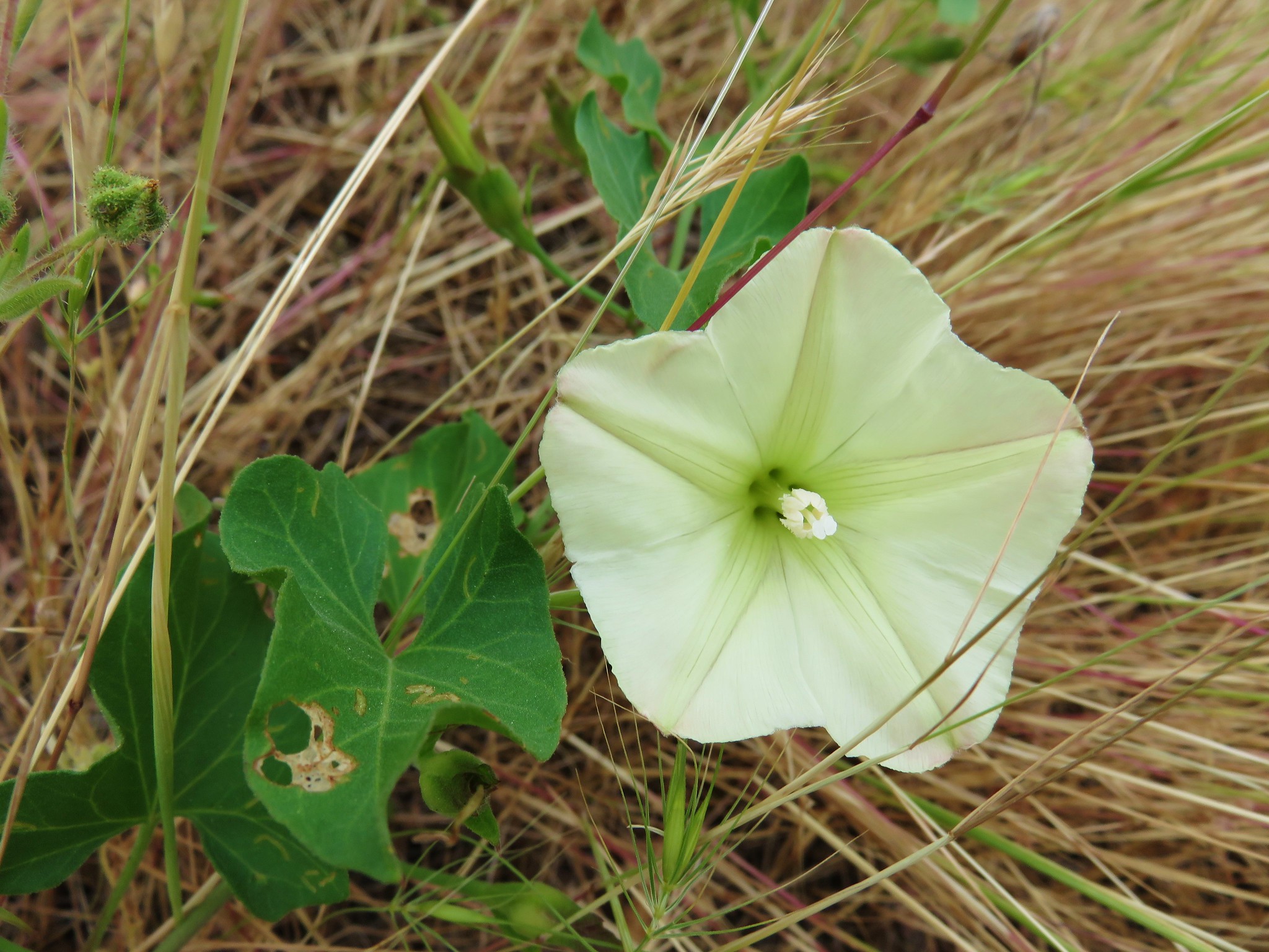
A very short road walk brought us to the Mule Creek Trail on our right.
 Looking back at the trailhead from the road.

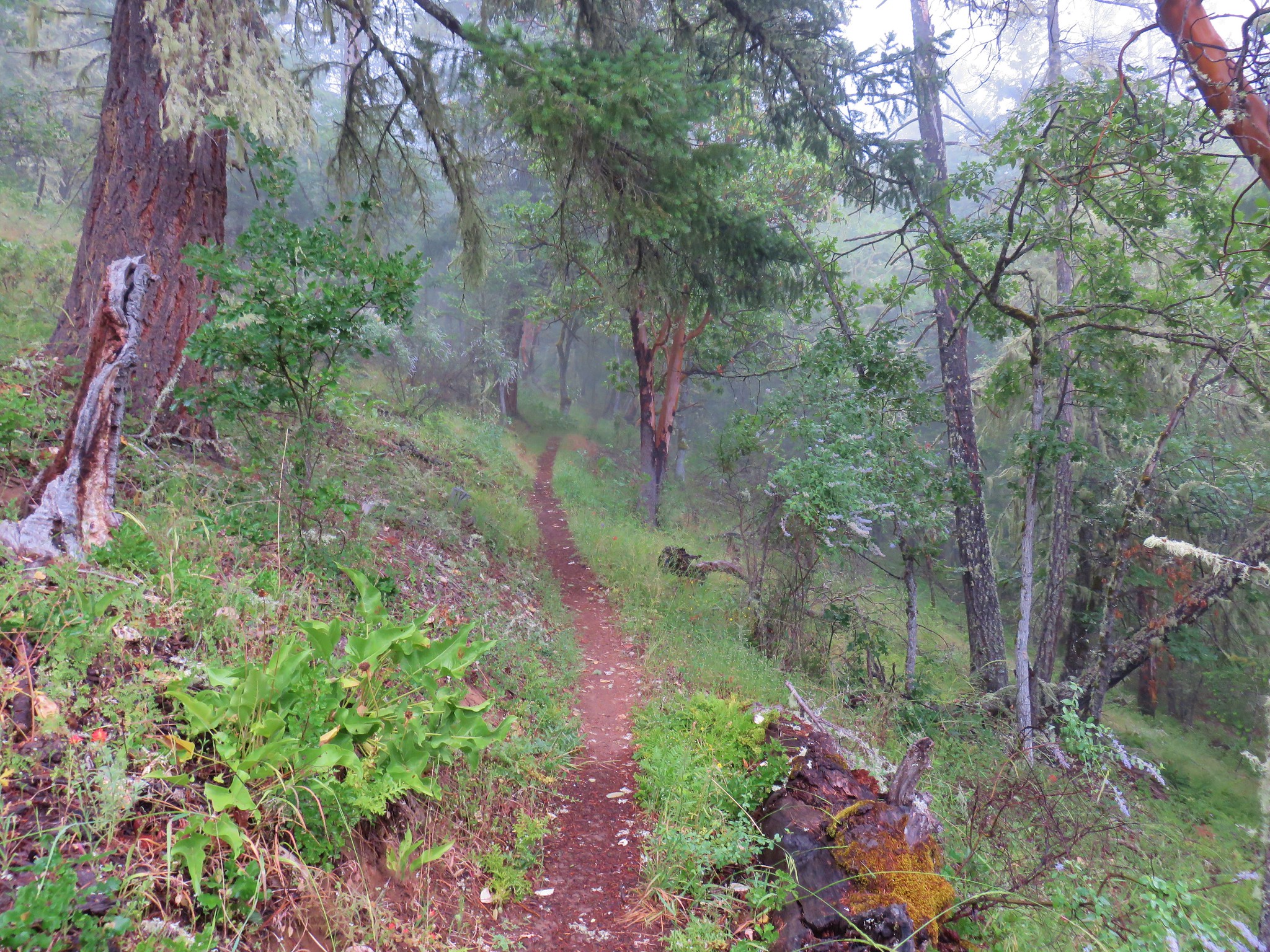
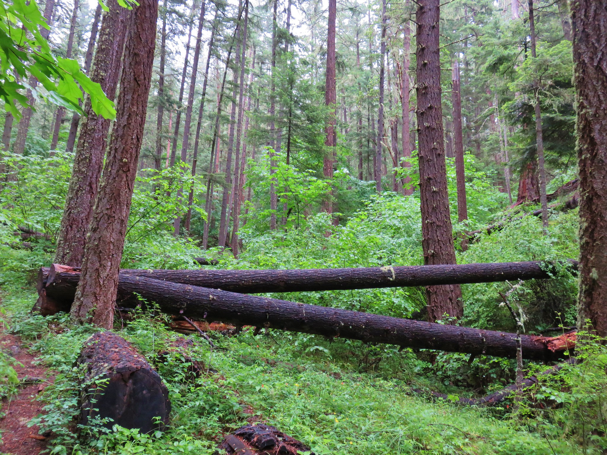
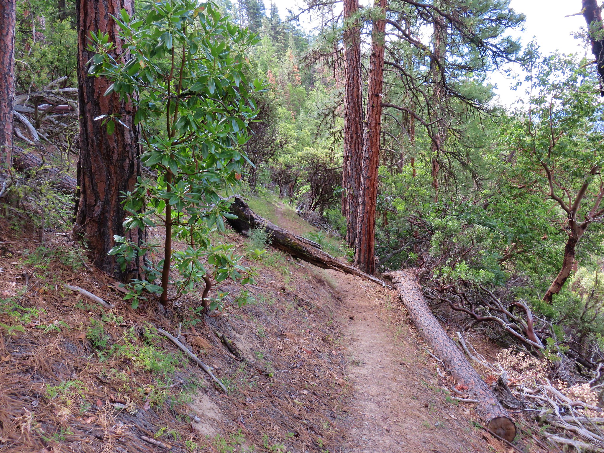
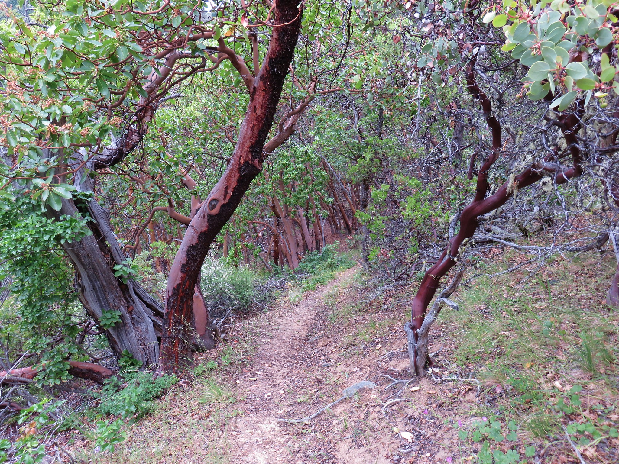
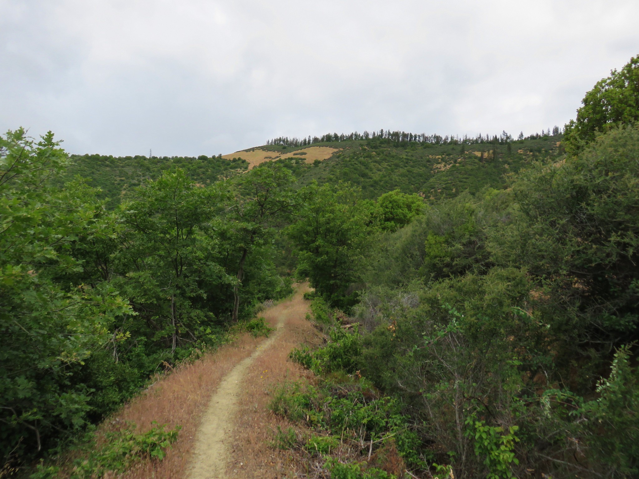
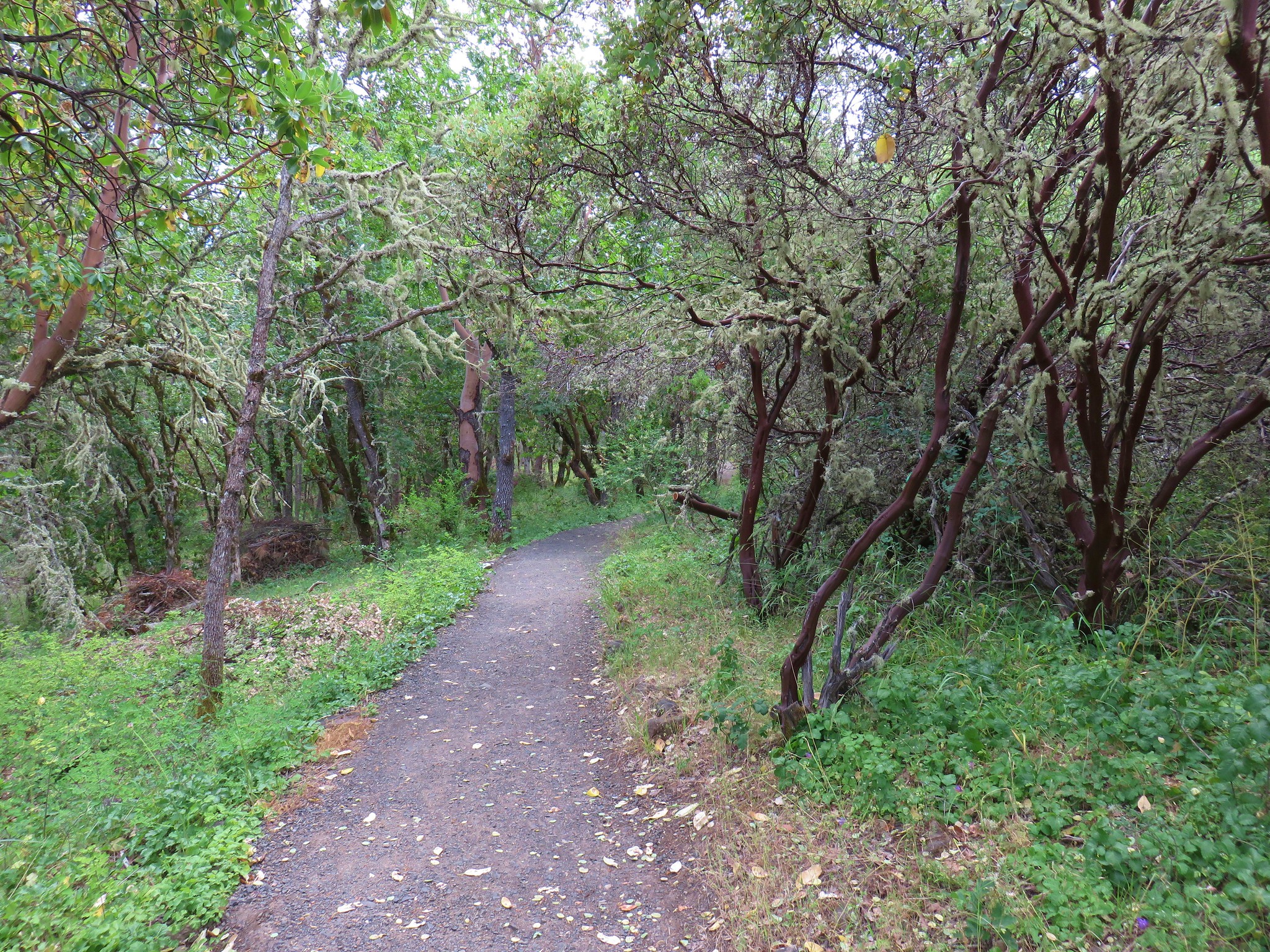
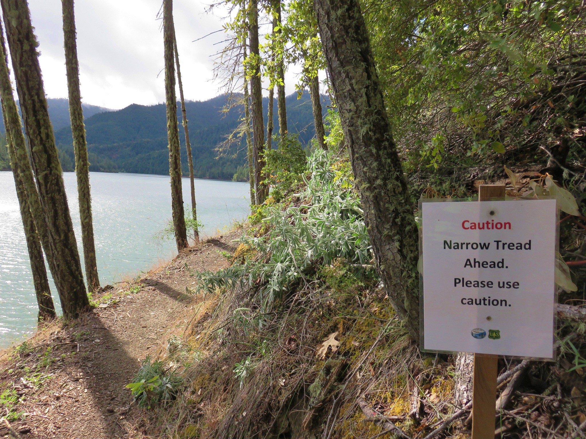
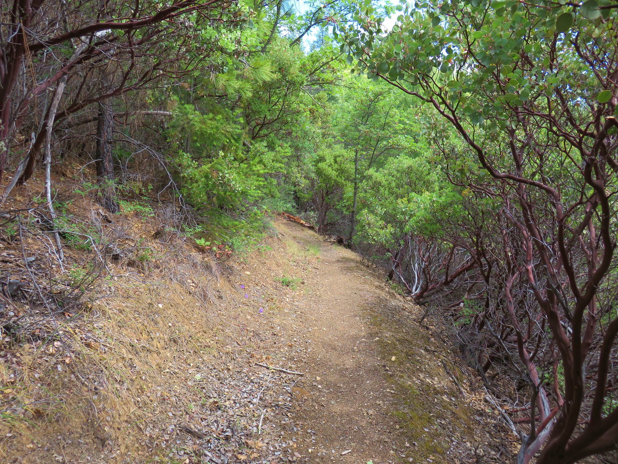
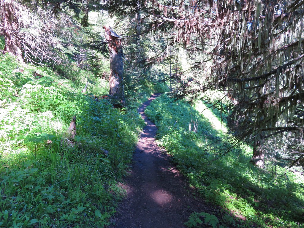
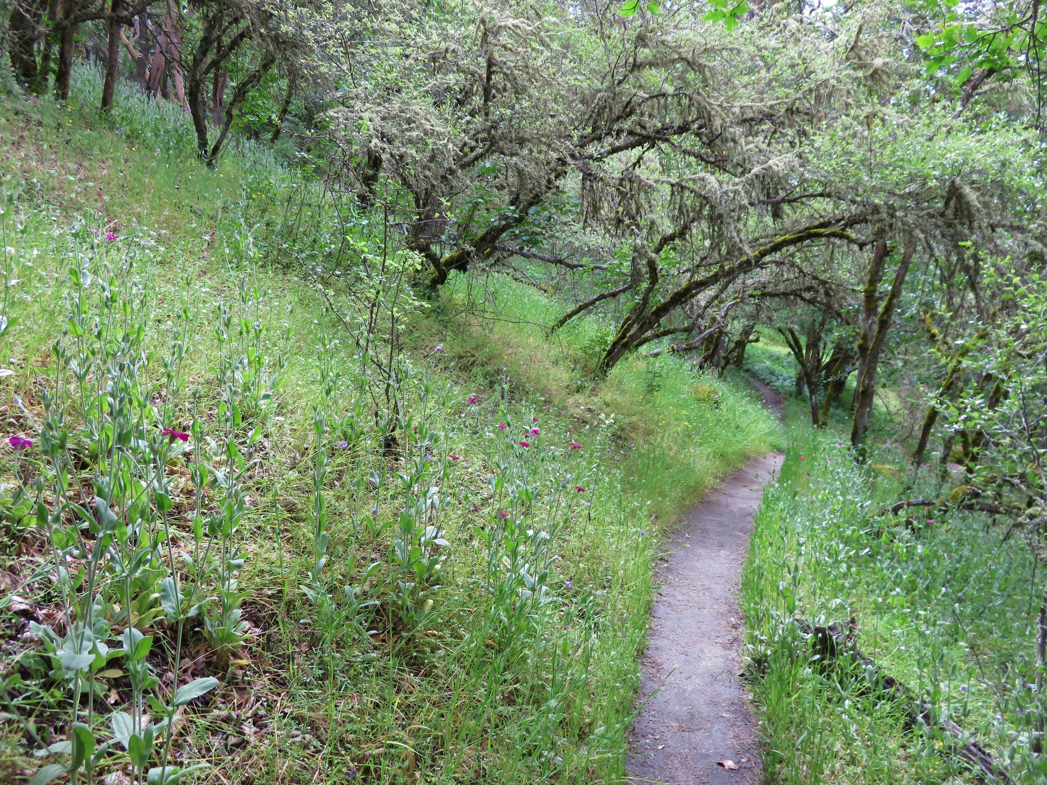
It was just a bit after noon now and it was getting pretty warm out so we were looking forward to the long downhill section in the forest. Unfortunately, as mentioned earlier, the Mule Creek Trail was in need of maintenance so there was some blowdown to navigate. Possibly worse, at least for those of us that aren’t used to a lot of poison oak, the trail was rather overgrown in places so we found ourselves twisting and turning in vain to try and avoid making any contact. Eventually we realized that wasn’t possible so we did our best to minimize contact and keep it to our clothing (we were wearing long pants/sleeves and sun gloves so we were pretty well covered).
 Henderson’s fawn lily, another one we could check off our wish list.
 A typical obstacle.
 Overgrown trail.
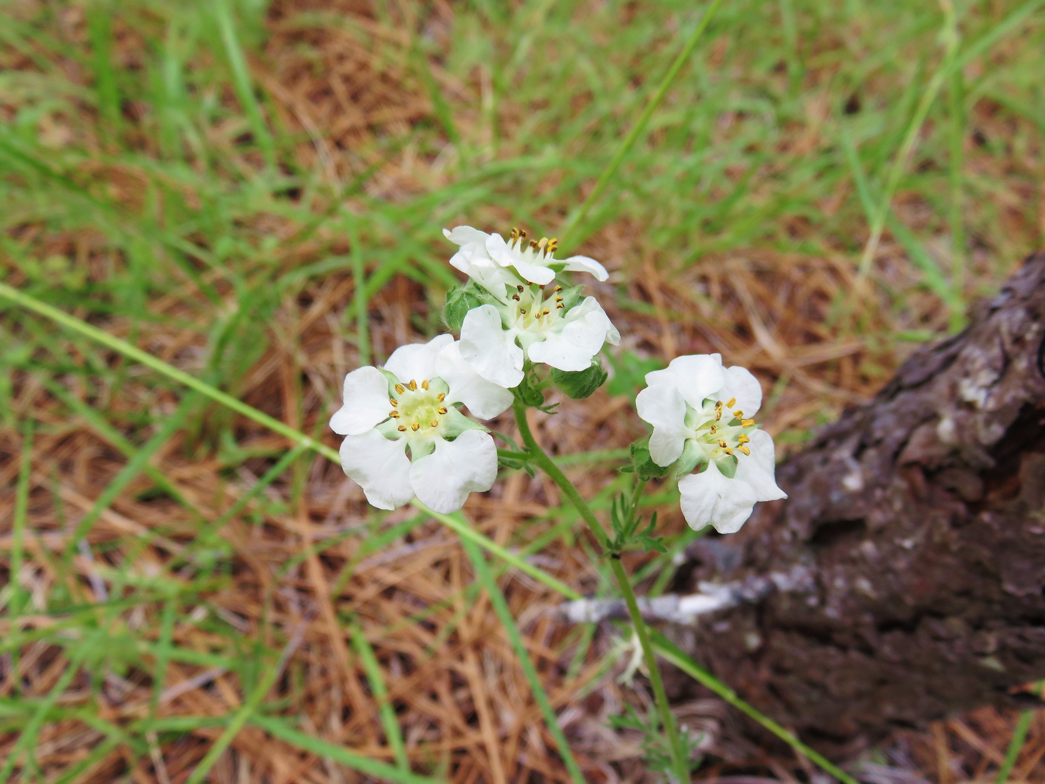
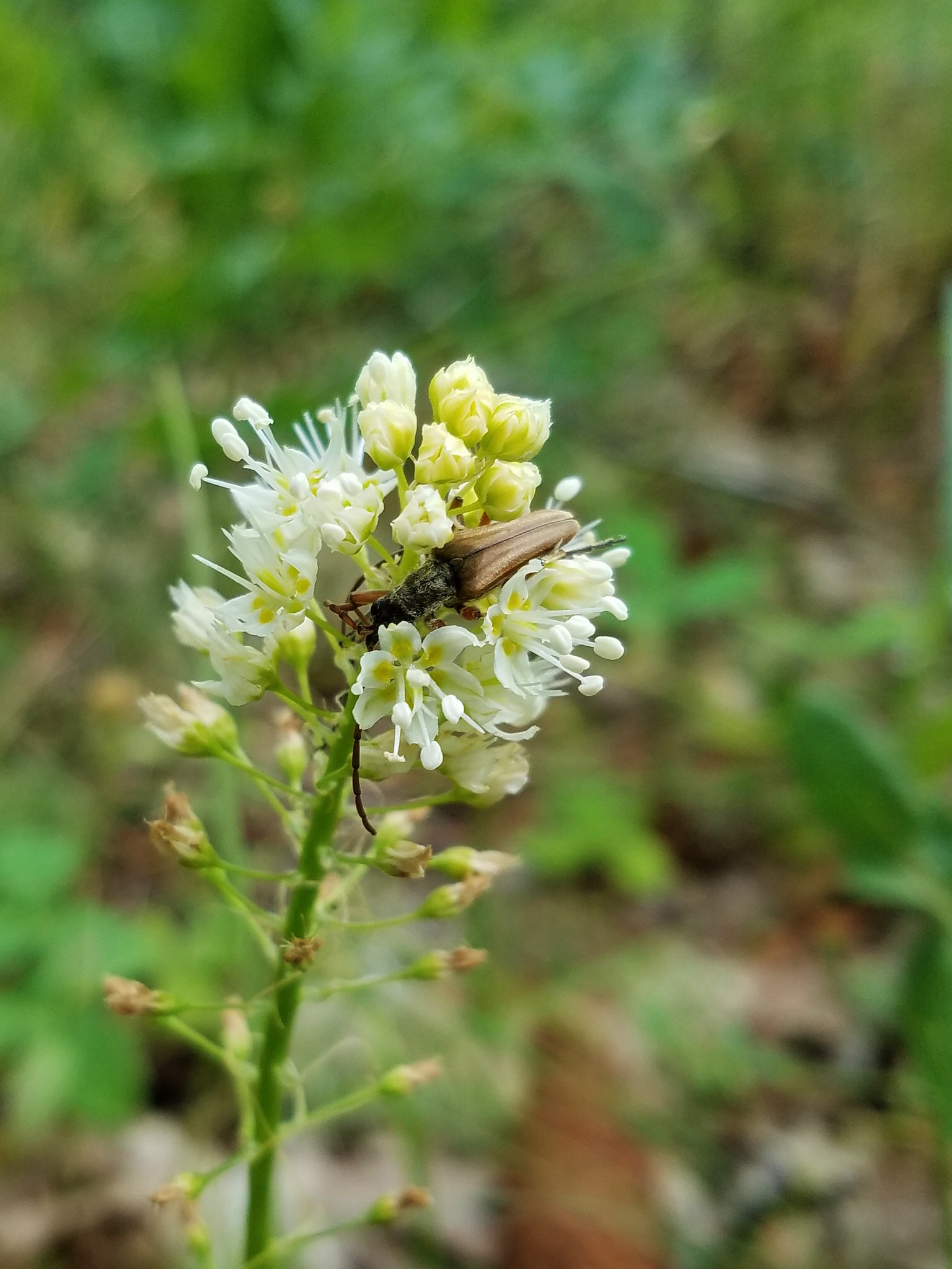
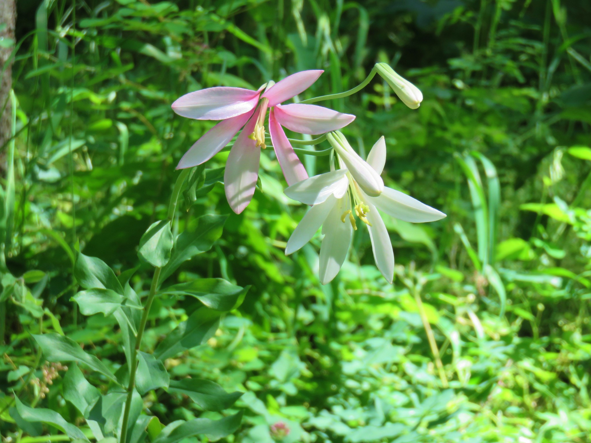
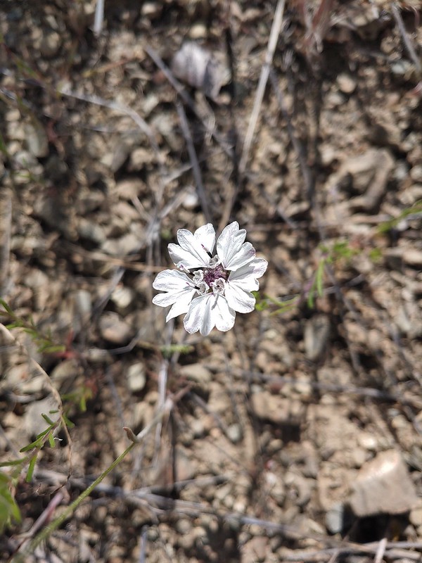
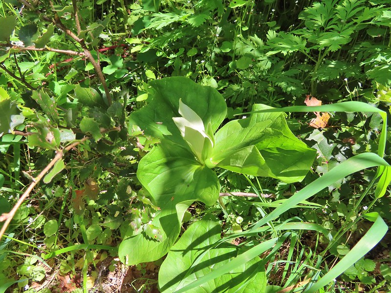 Giant white wakerobbin
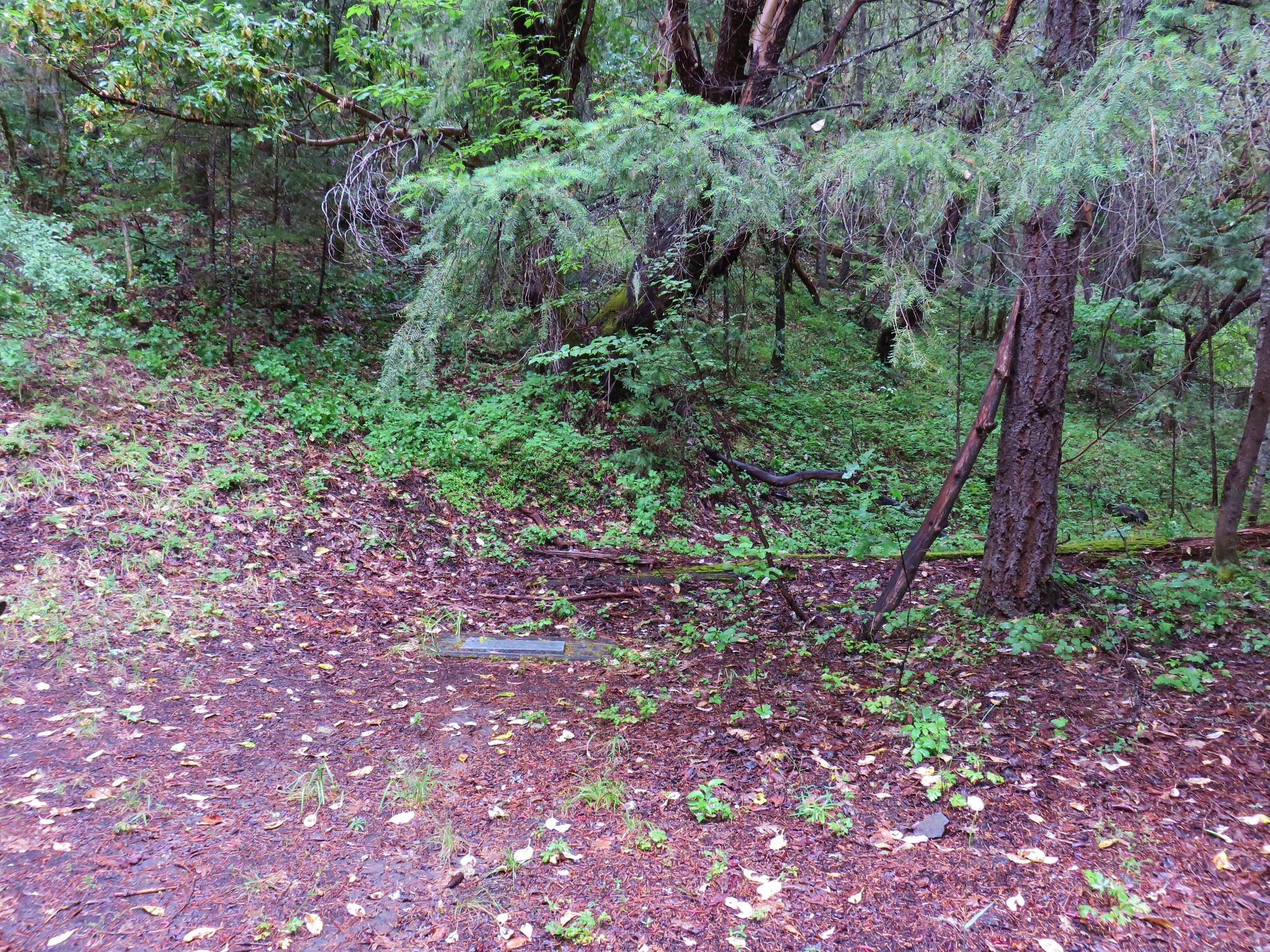
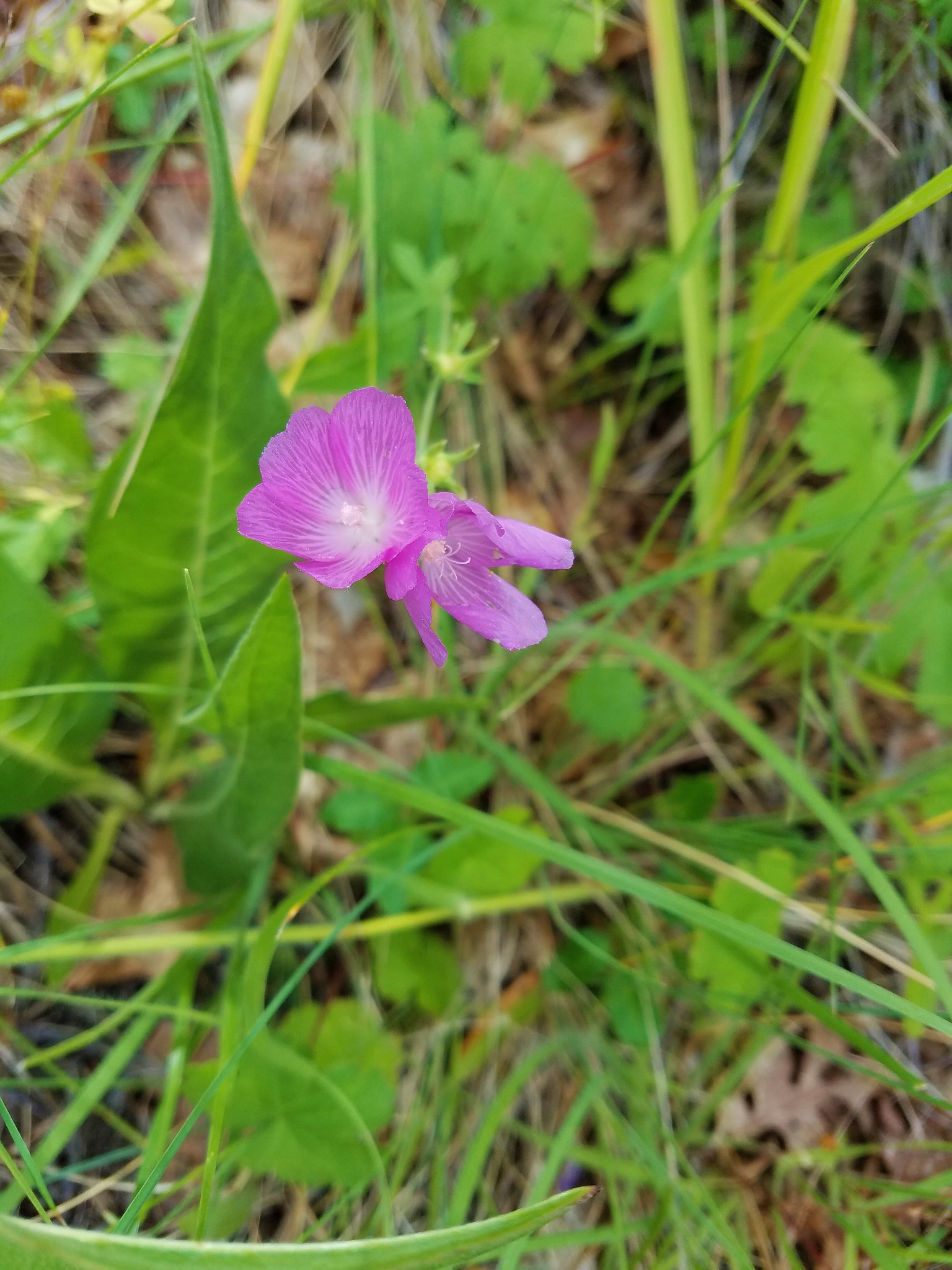
 Some flagging on the left and bleeding heart on the right.
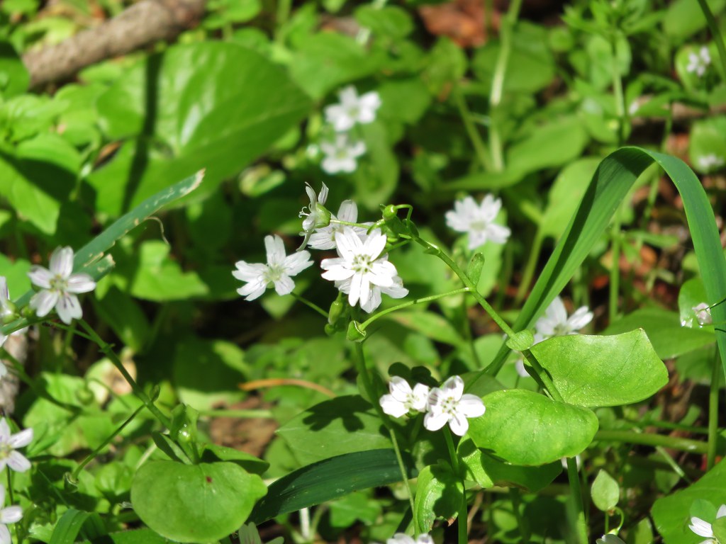
 Star flower
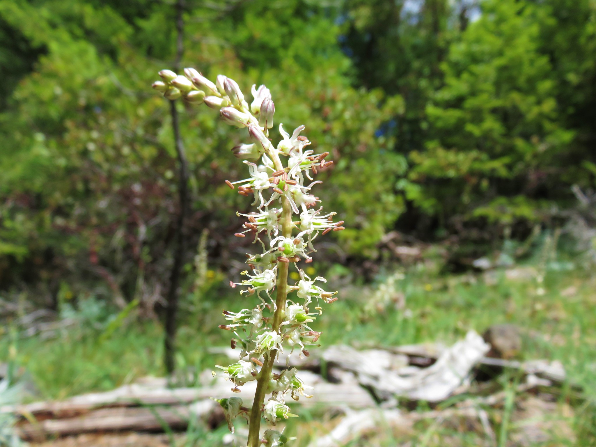
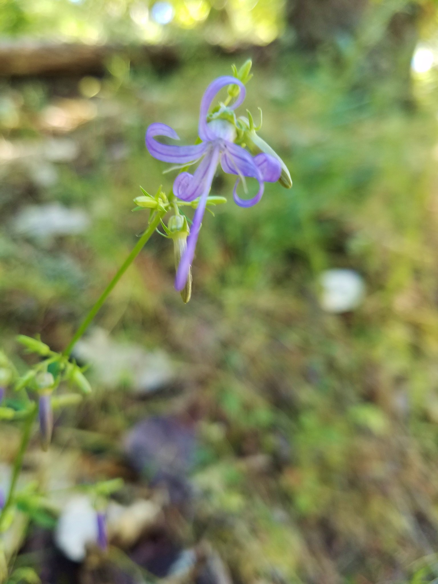
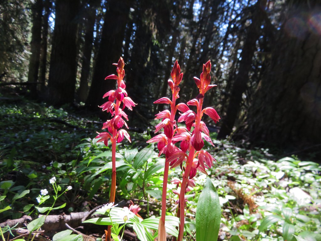
 Striped coralroot
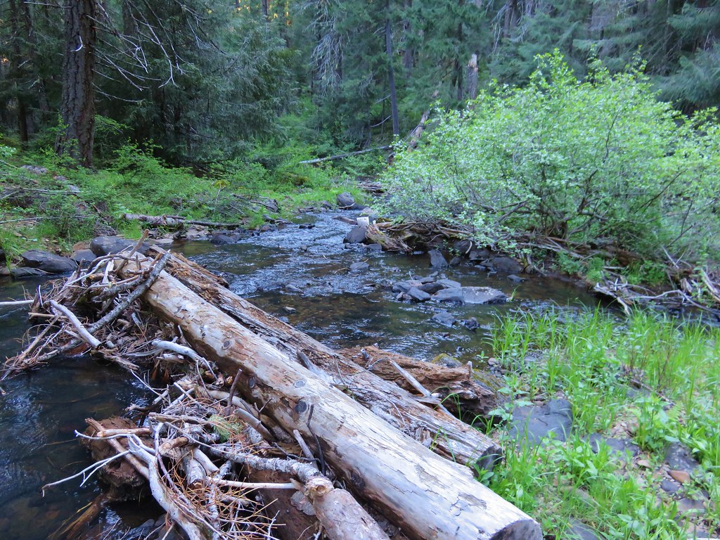
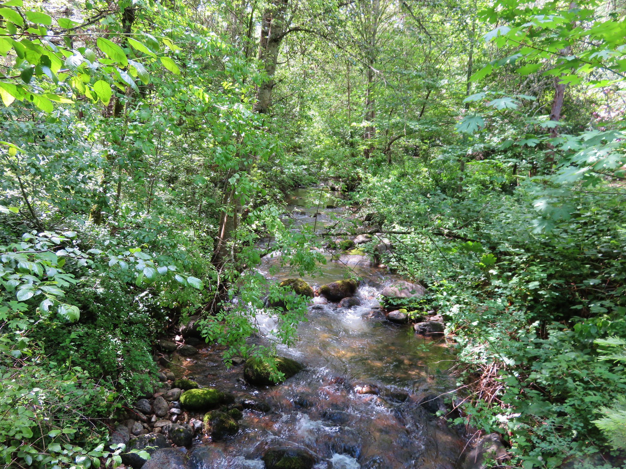
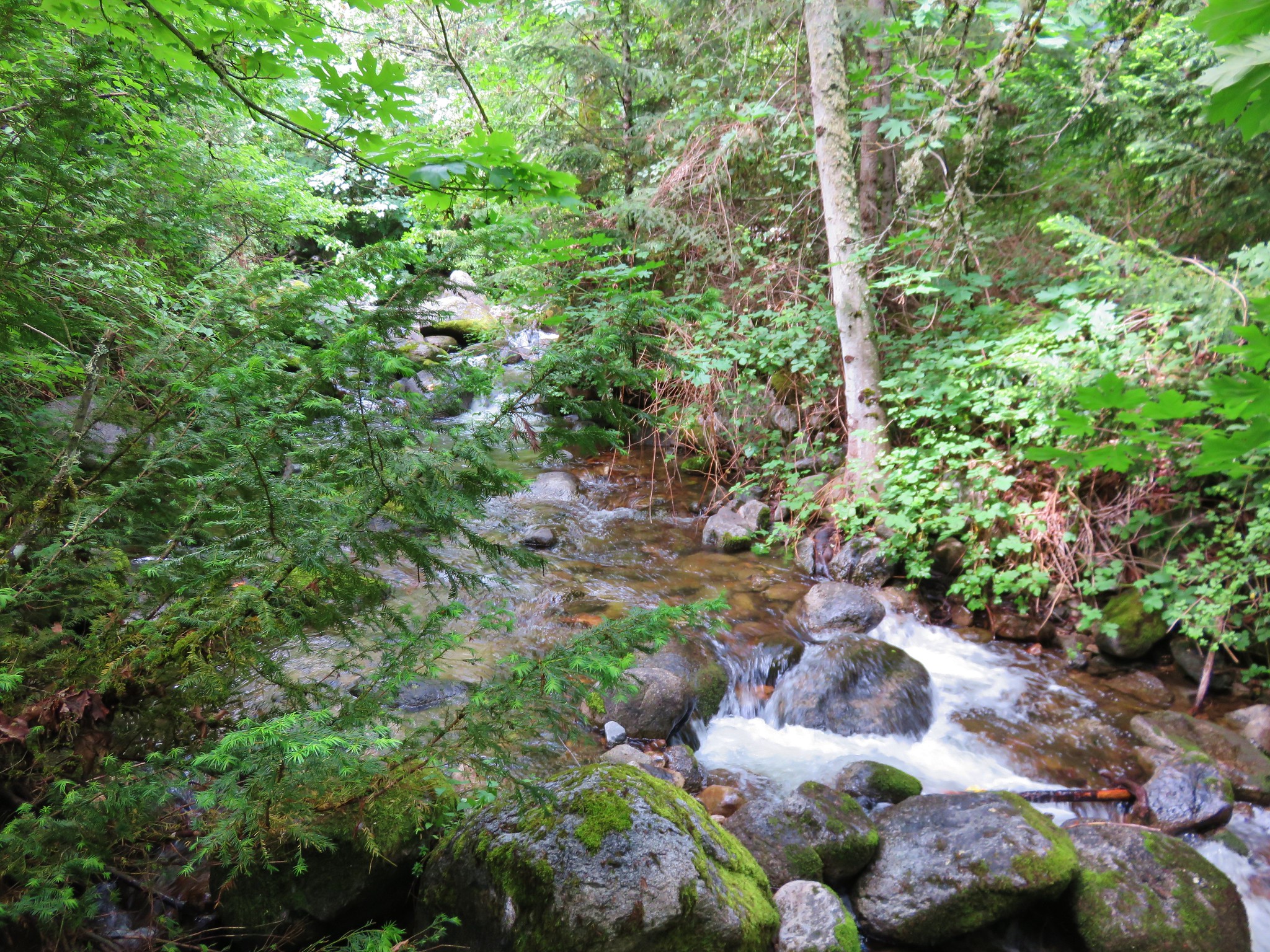
The trail crossed Mule Creek several times, sometimes there was water and other times it was dry. We were so busy trying to dodge poison oak though that we didn’t think to check our water supply and refill if necessary.
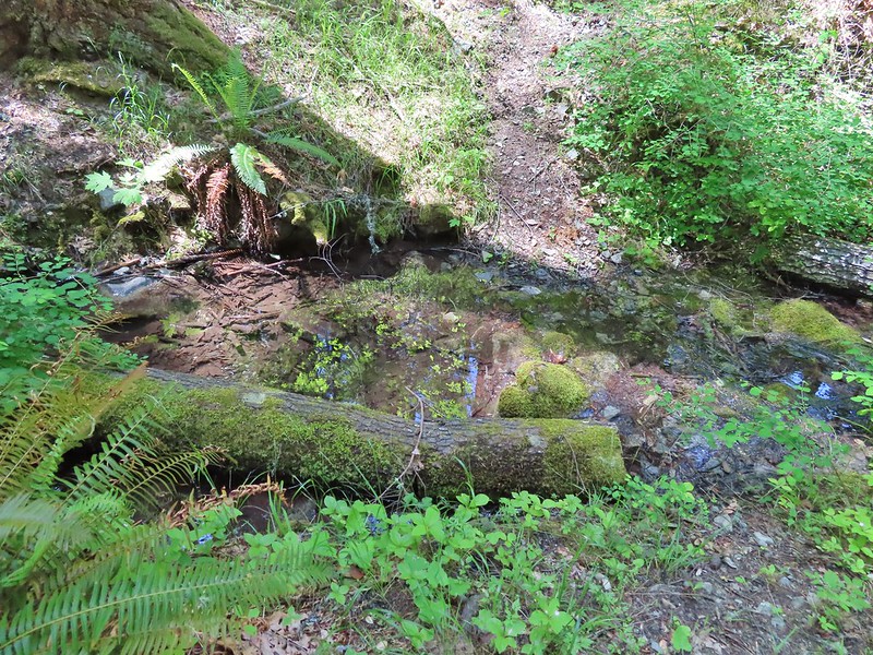 There was a good pool at this crossing where we could have gotten water.
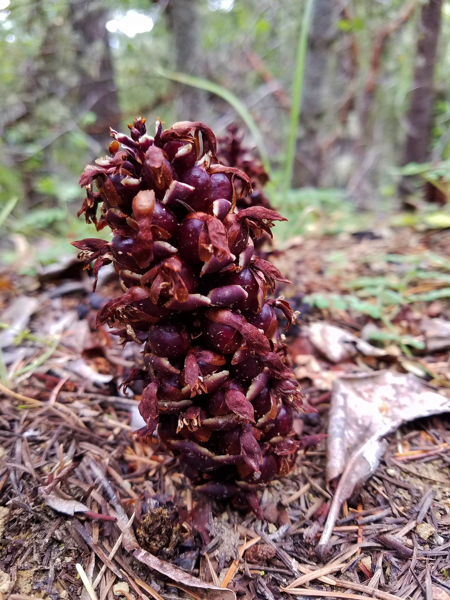
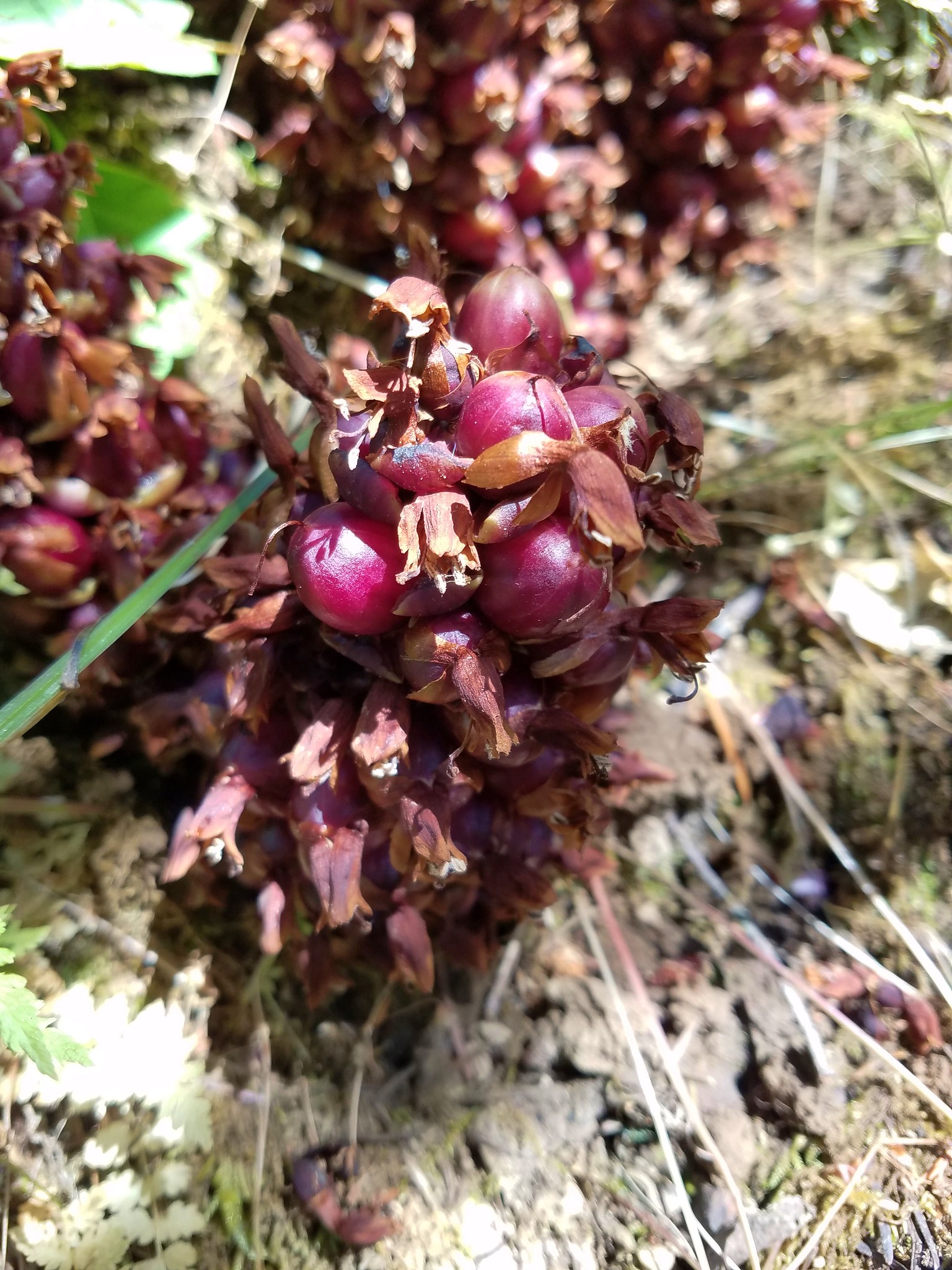
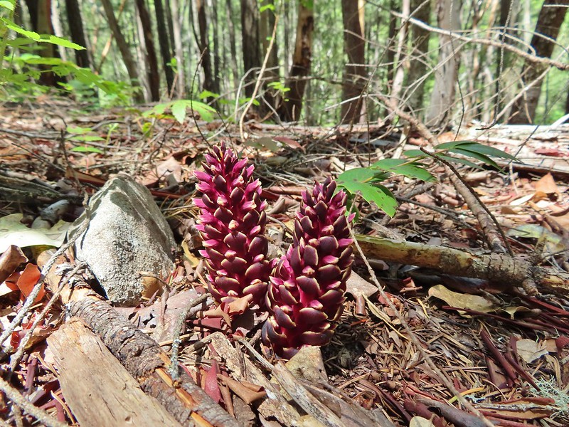 California ground cones.
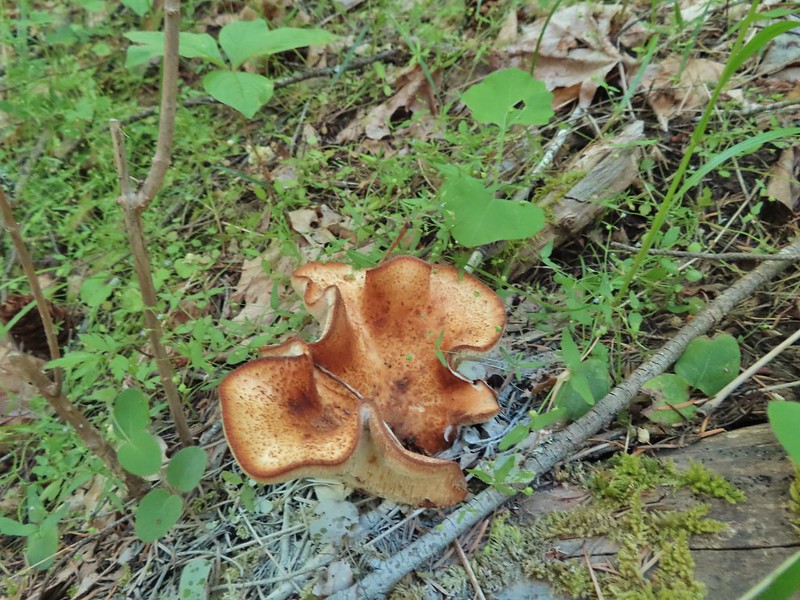 A folded up mushroom.
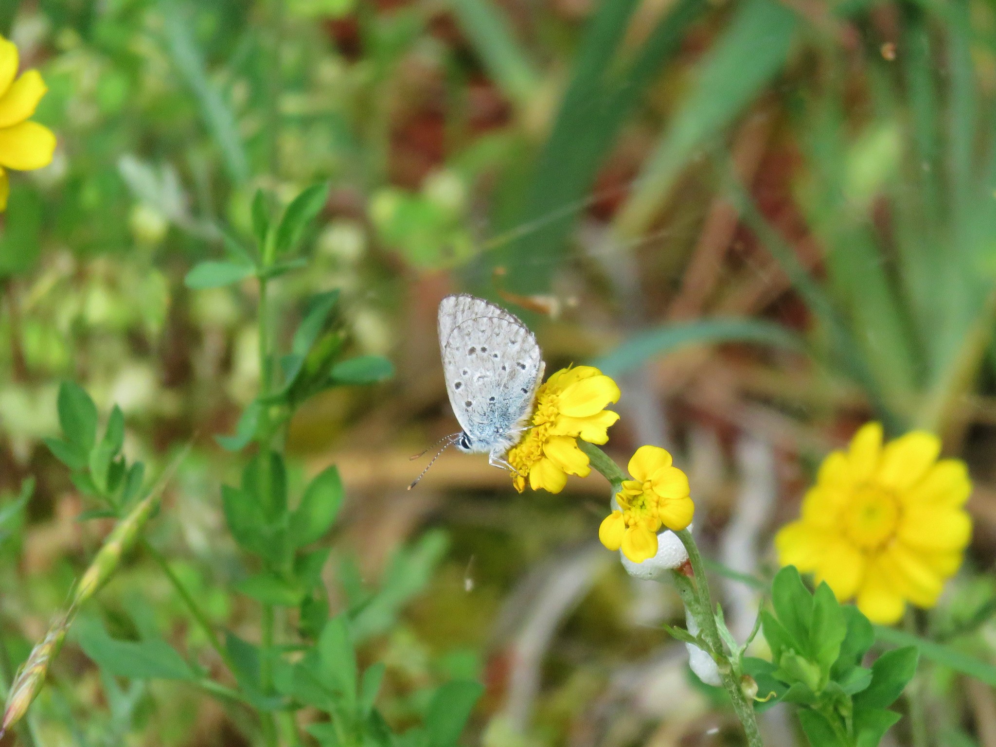
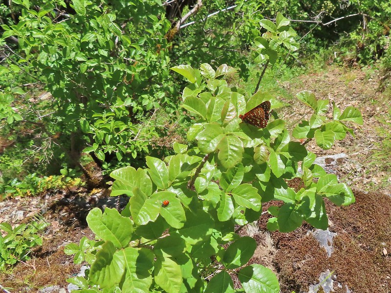
 A butterfly
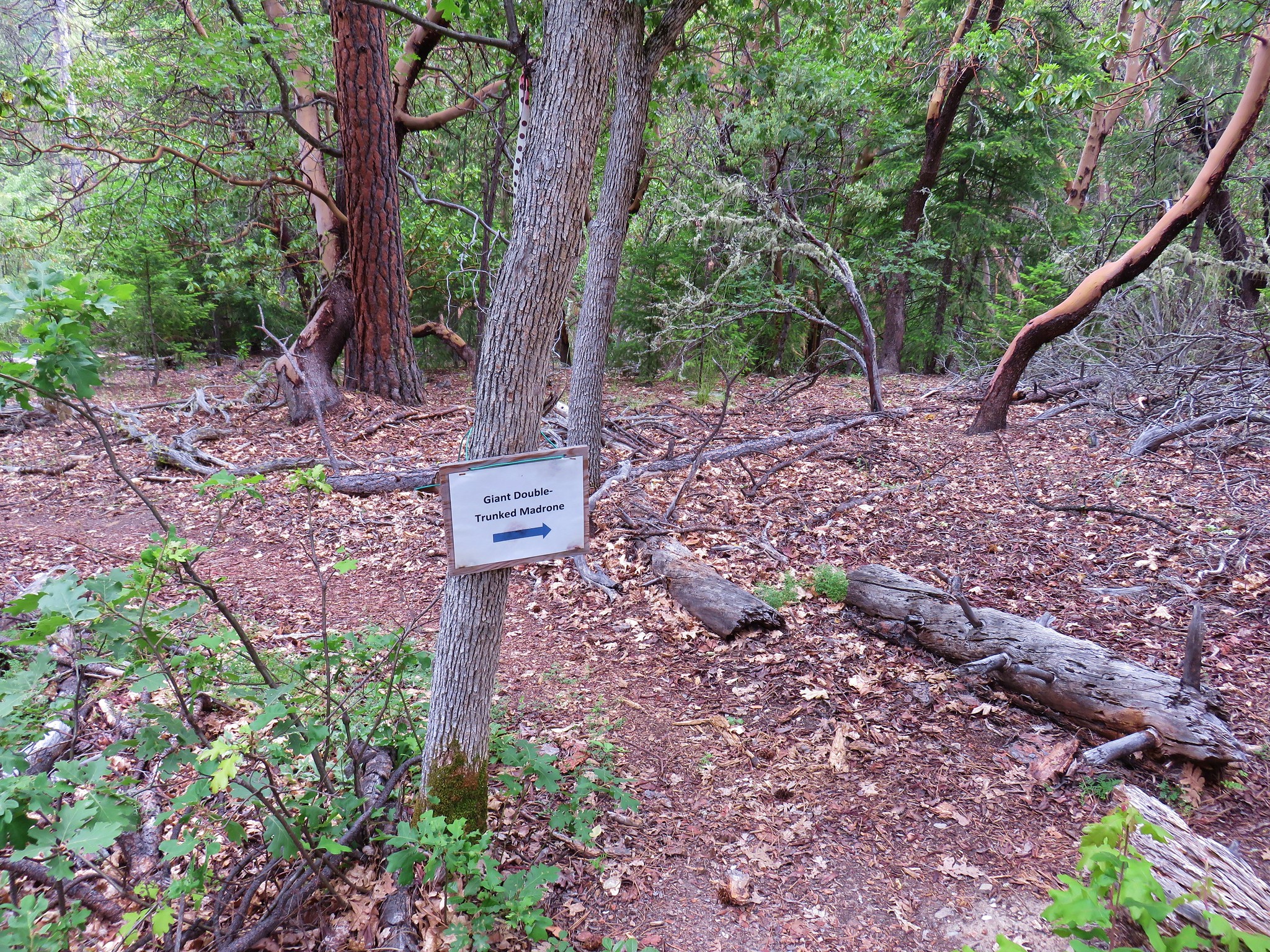
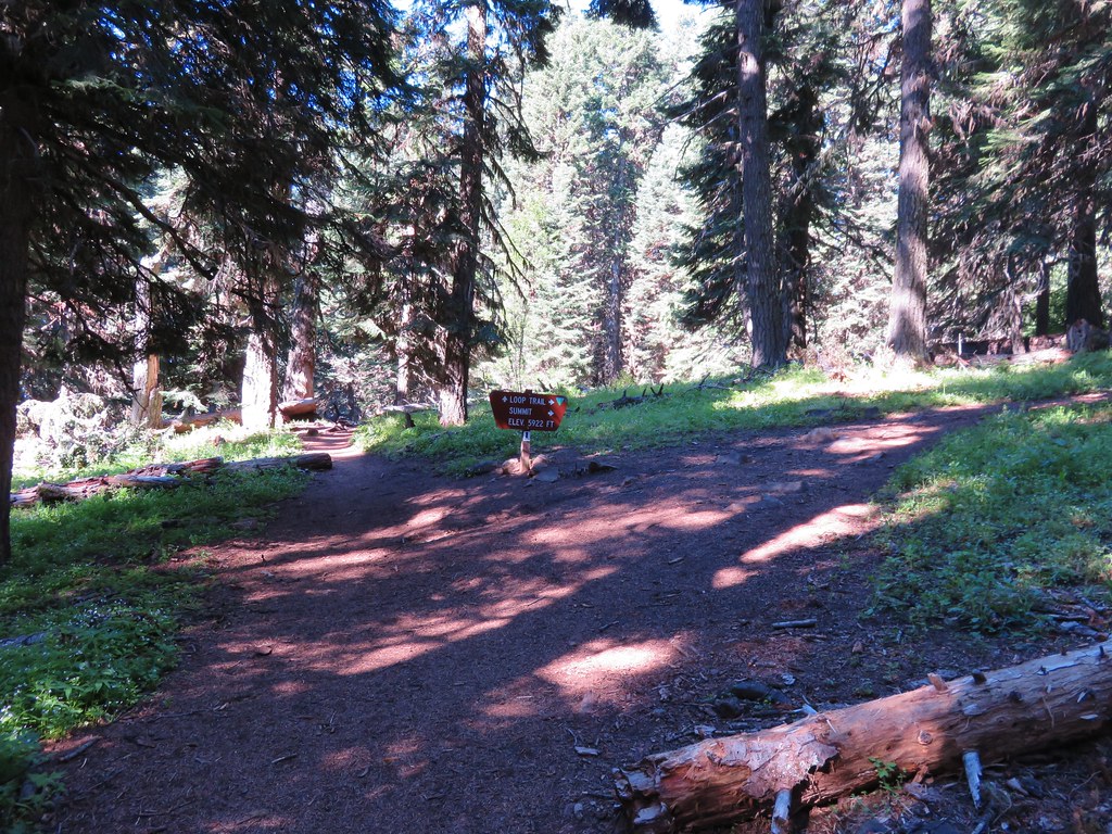
After almost three and a half miles following the creek the trail turned north and gradually climbed 250′ over the next three quarters of a mile to a junction with the Mule Mountain Trail.
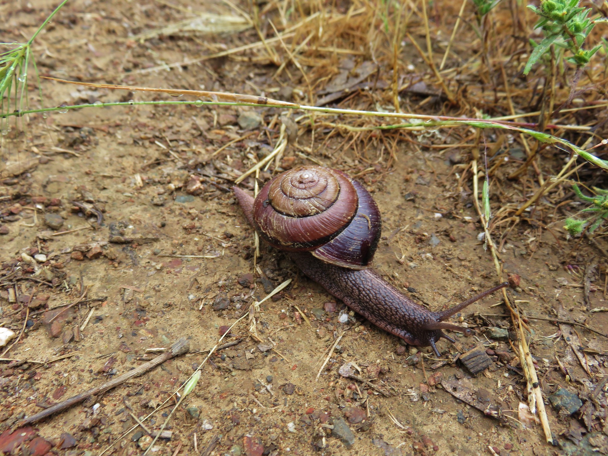
 Apparently lady bugs and butterflies don’t care about poison oak.
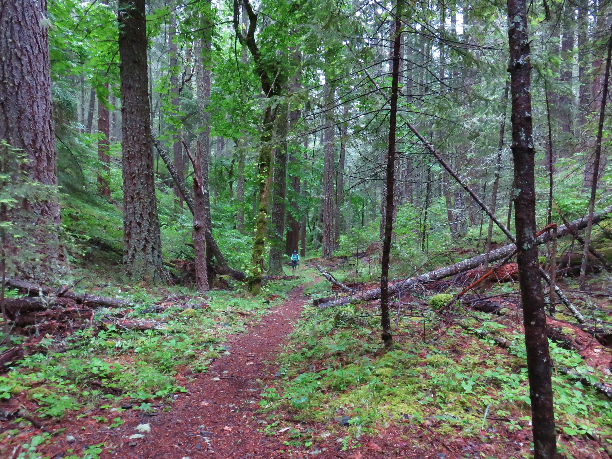
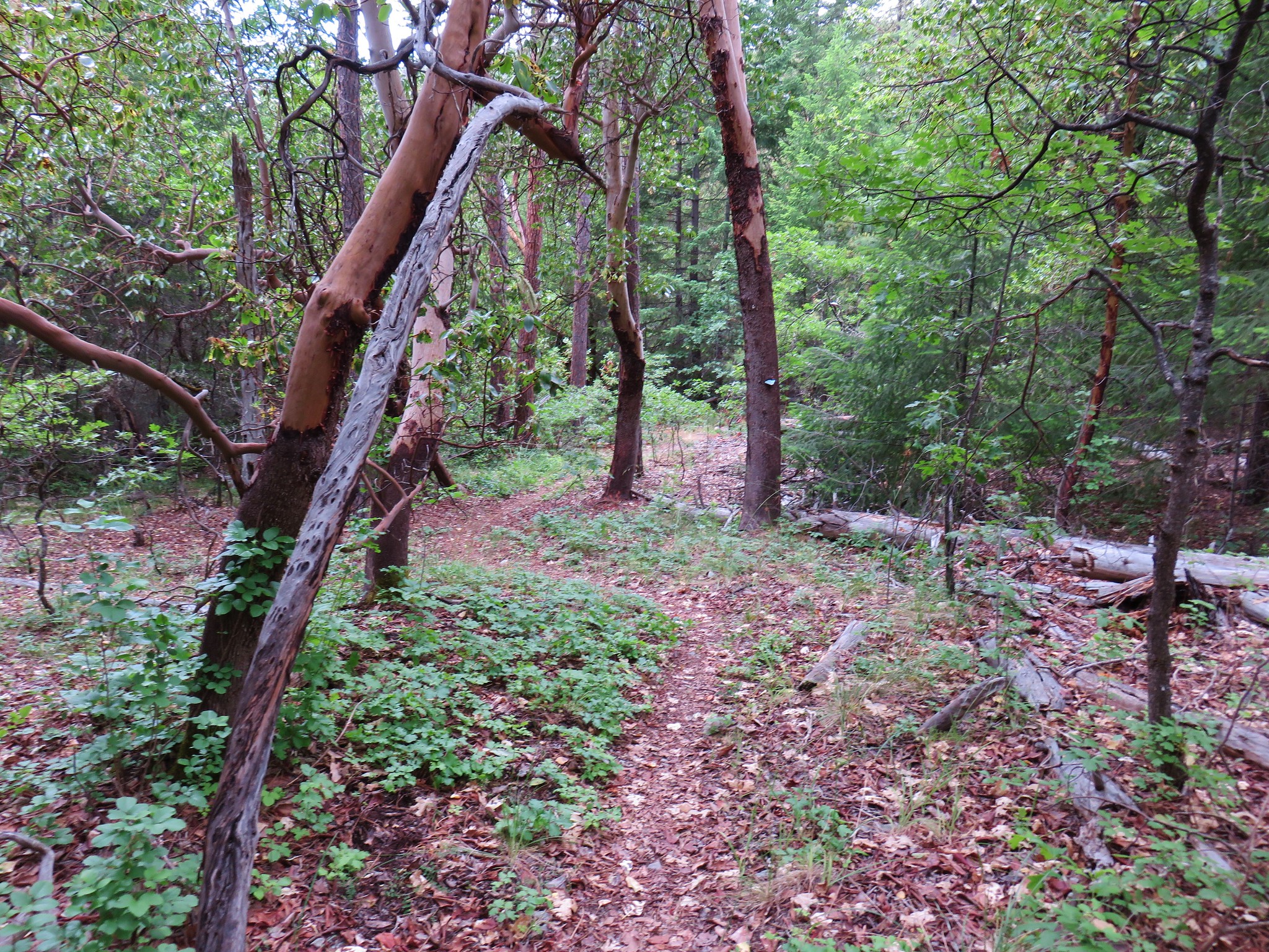
 The trail got pretty faint at times.
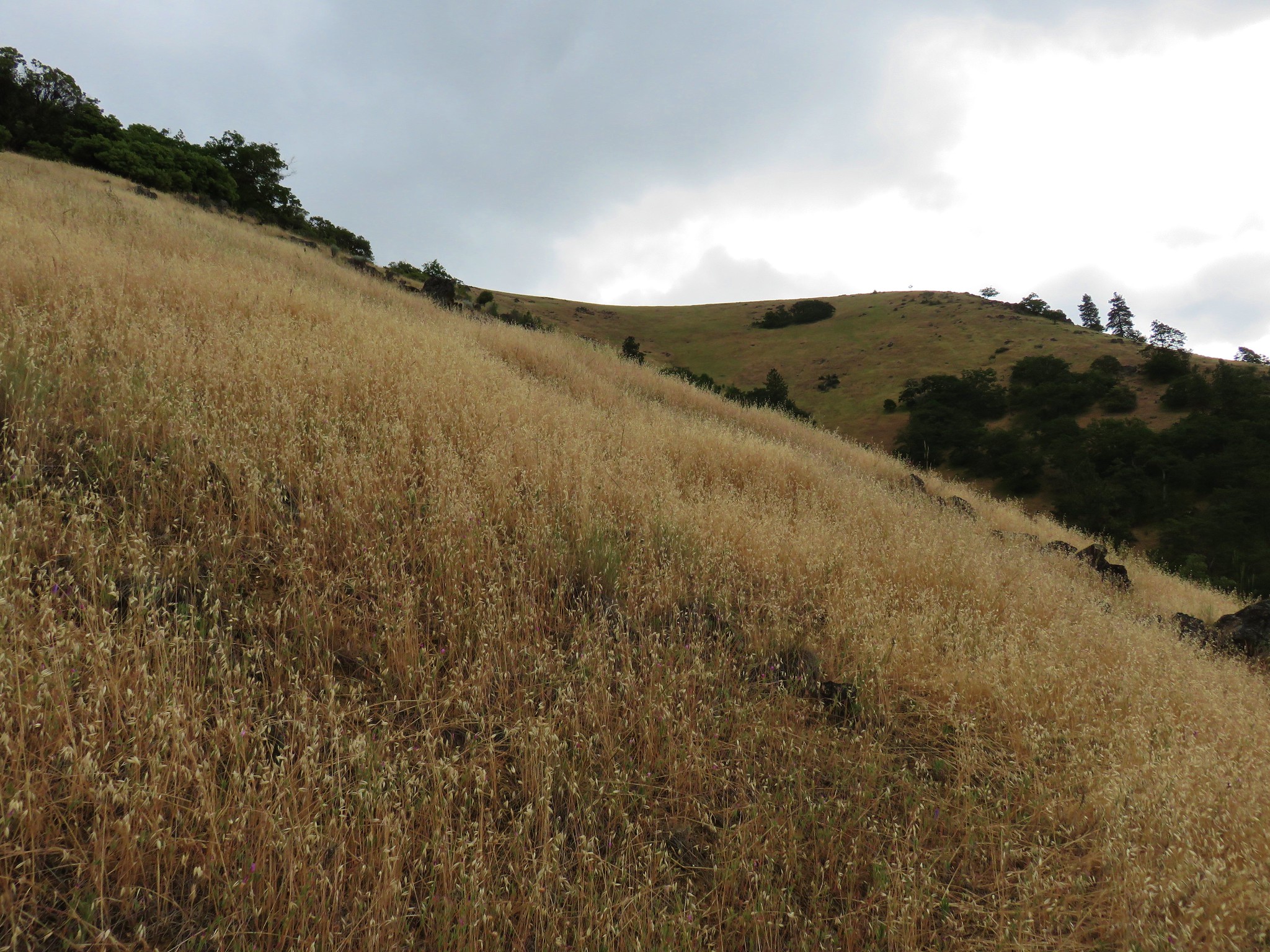
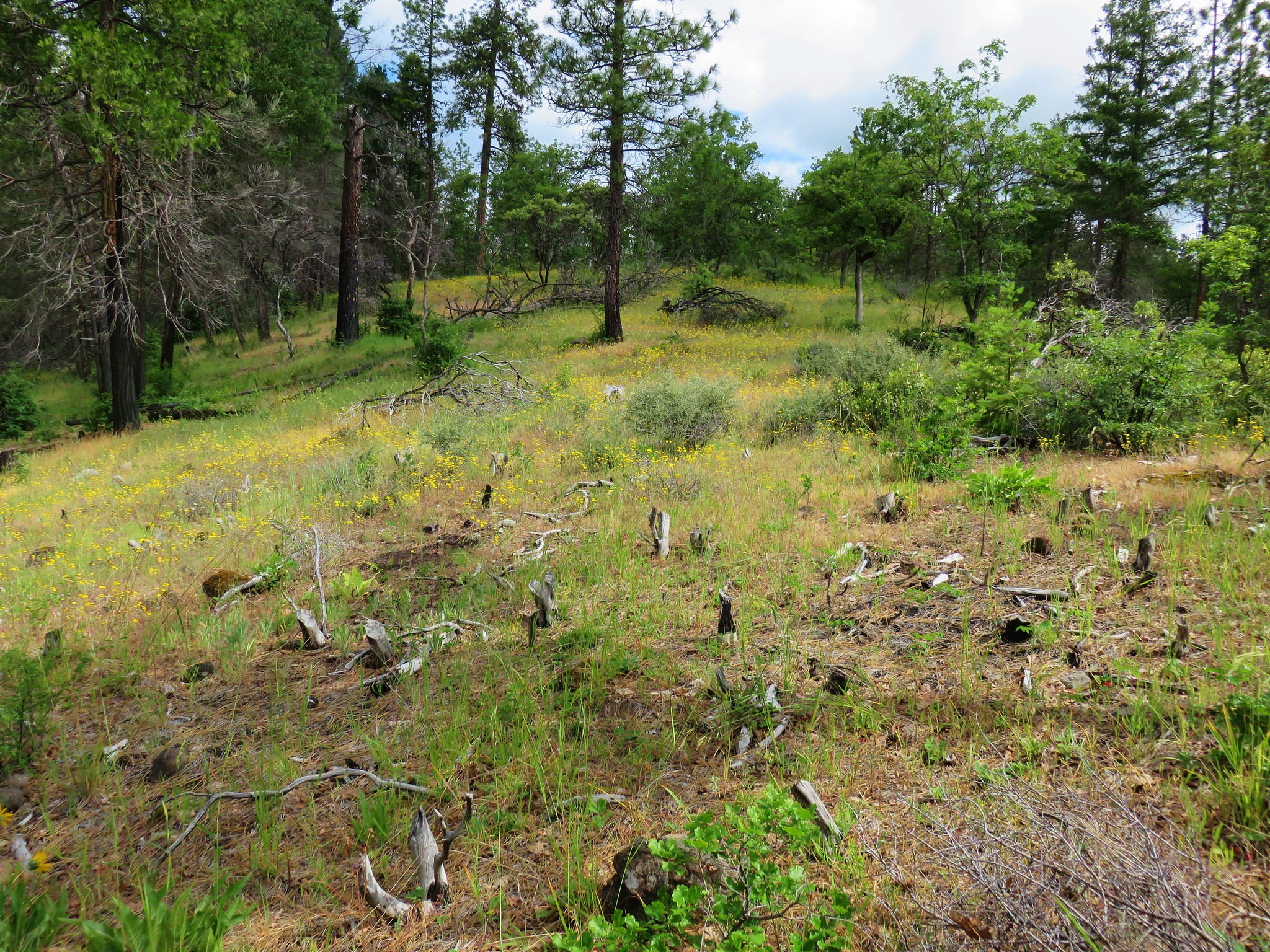
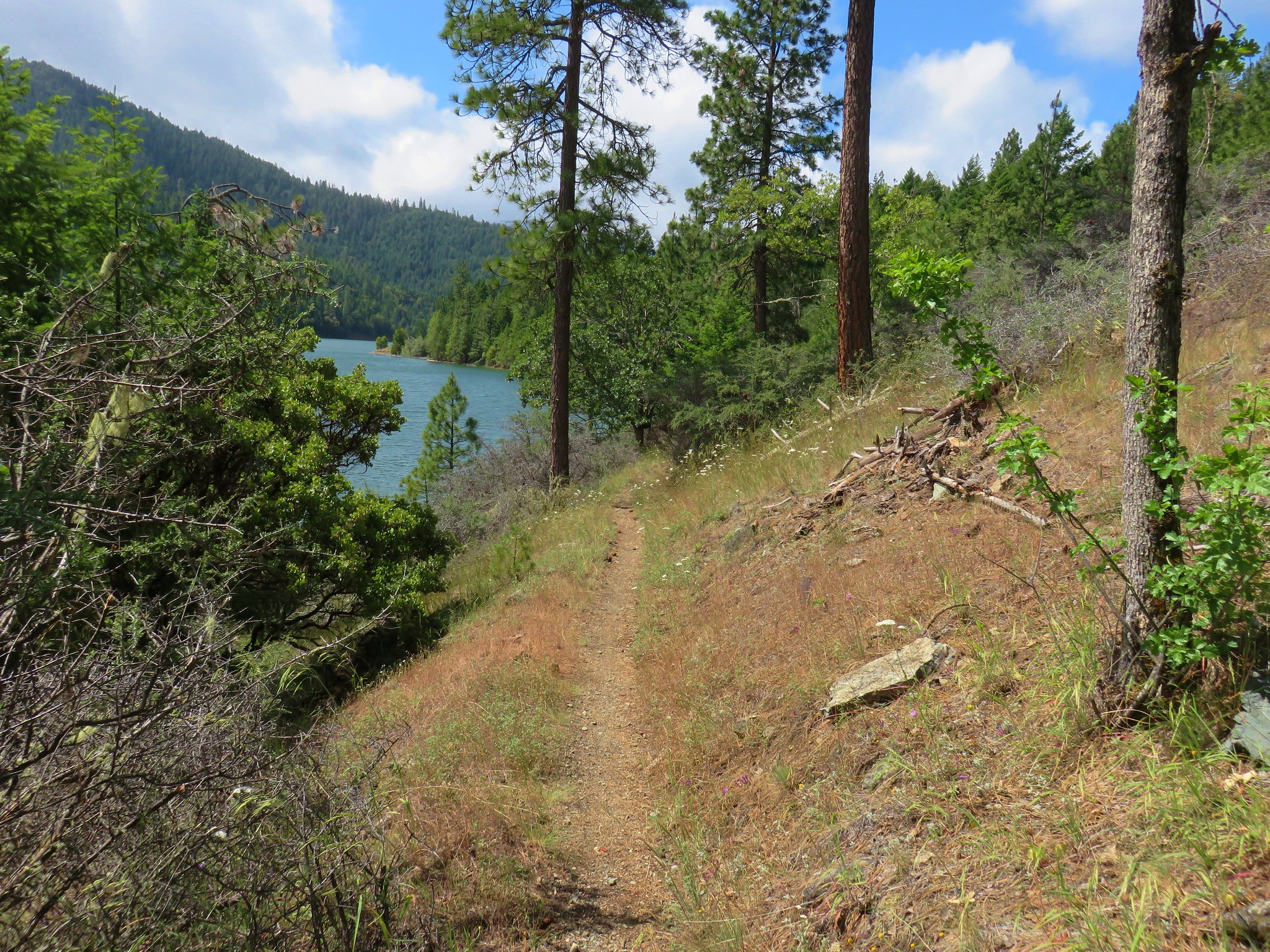
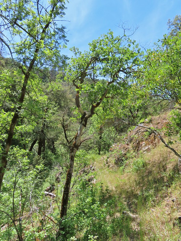
We eventually popped out of the forest into an oak grassland on a hillside overlooking Upper Applegate Road.

The heat blasted us with the Sun beating down and Heather realized that despite the water and electrolyte tablets she wasn’t going to be able to make the climb back up to the shoulder of Baldy Peak. She decided that when we reached the Mule Mountain Trail she would head to the decommissioned trailhead and plead mercy if anyone questioned why she was trespassing.
 Arriving at the Mule Mountain Trail.
While I too was warm I felt pretty good when we reached the junction so we decided to split up and I would retrieve the car and drive down to pick her up. It was about 0.8 miles downhill to Upper Applegate Road and I was a little concerned that Heather might pass out on her way down but said she would take it real slow. I was facing the 3.5 mile 2000′ climb back up and after we split the electrolyte tablets between us we went our separate ways. I set off at a slow but steady pace gradually climbing what was a forested hillside.

 White lupine
 Grand collomia
As I neared Mule Mountain I lost what little cover the trees were providing though.
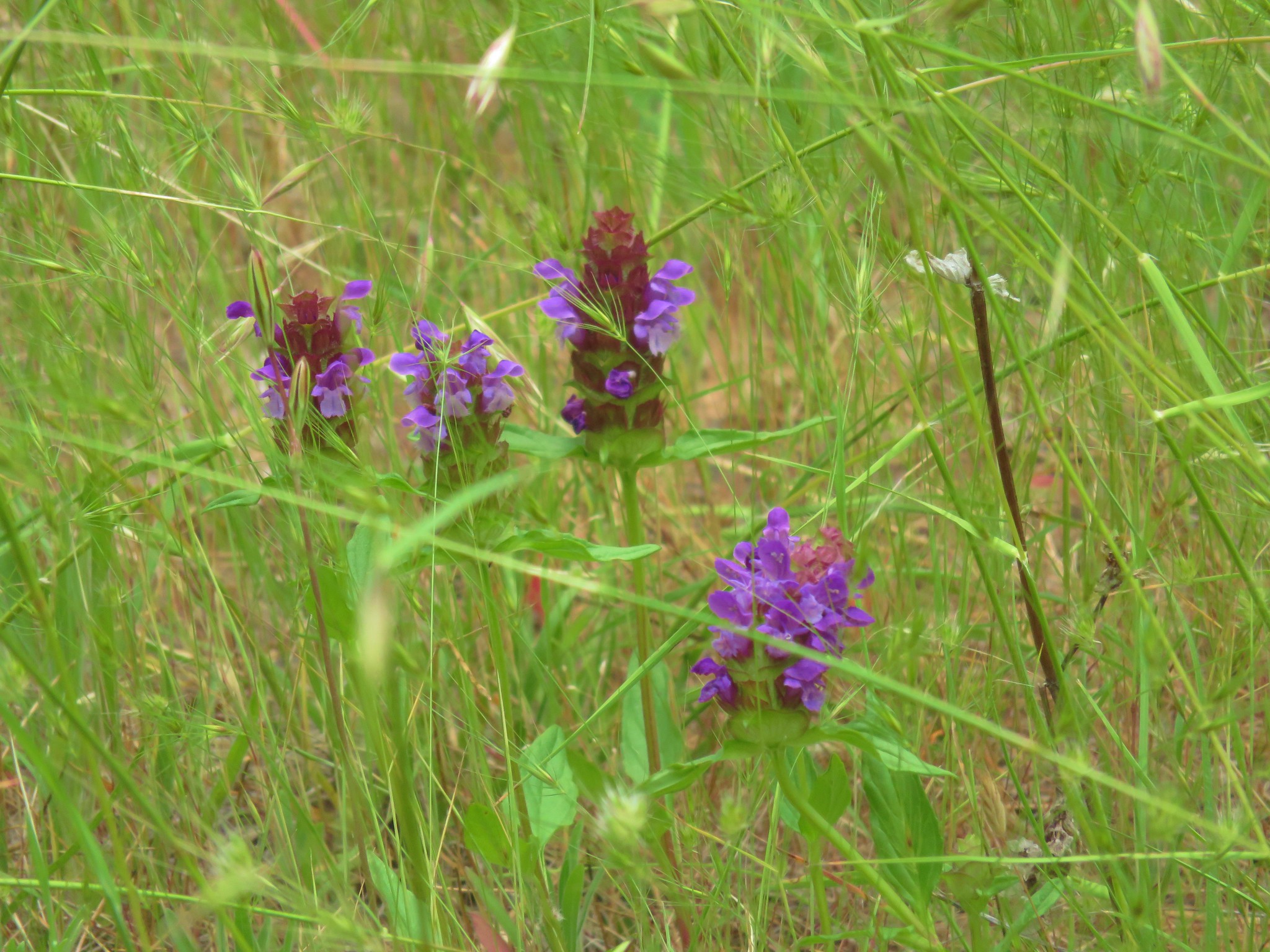
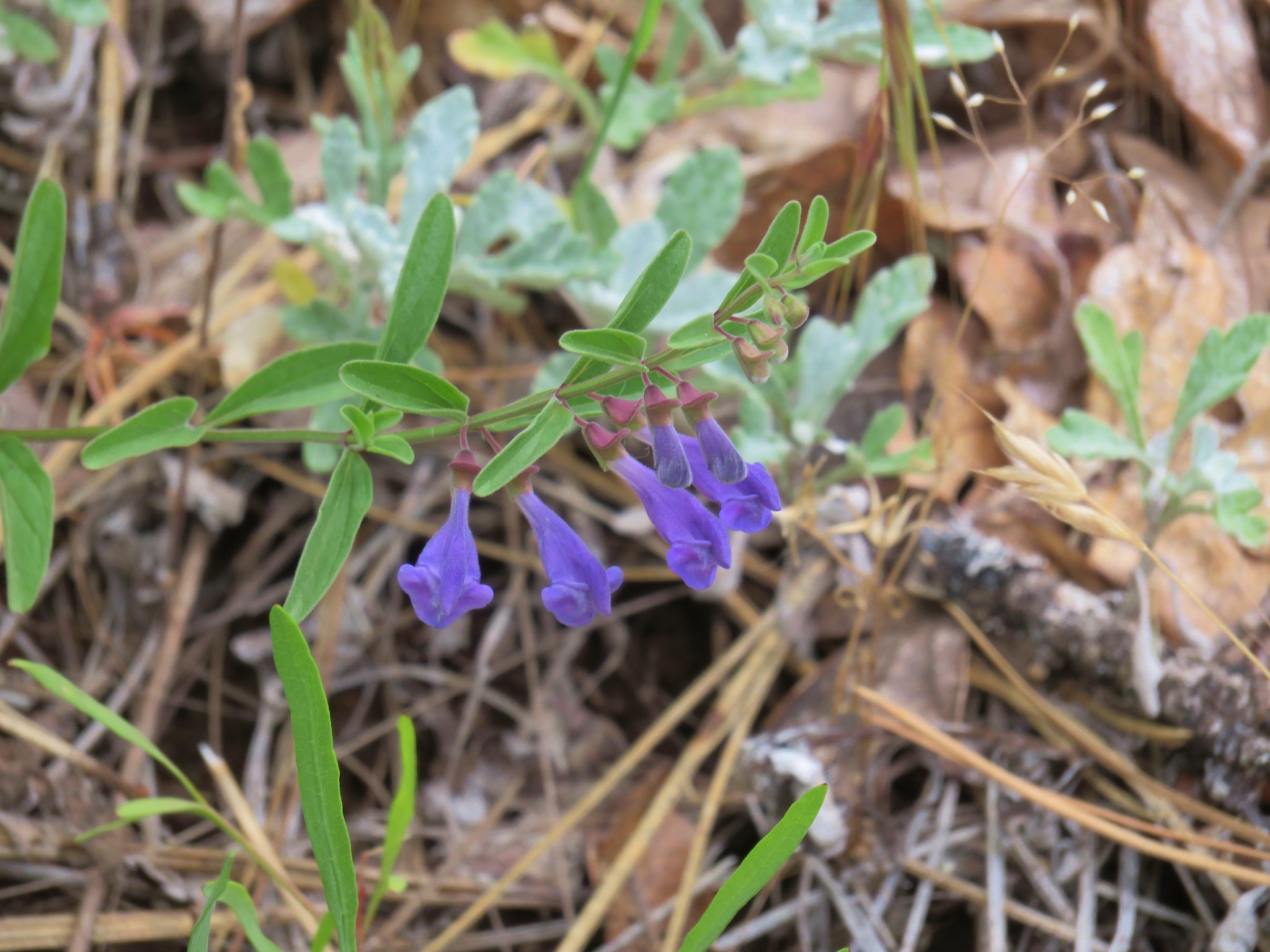
 Penstemon

 A brief section of shade.
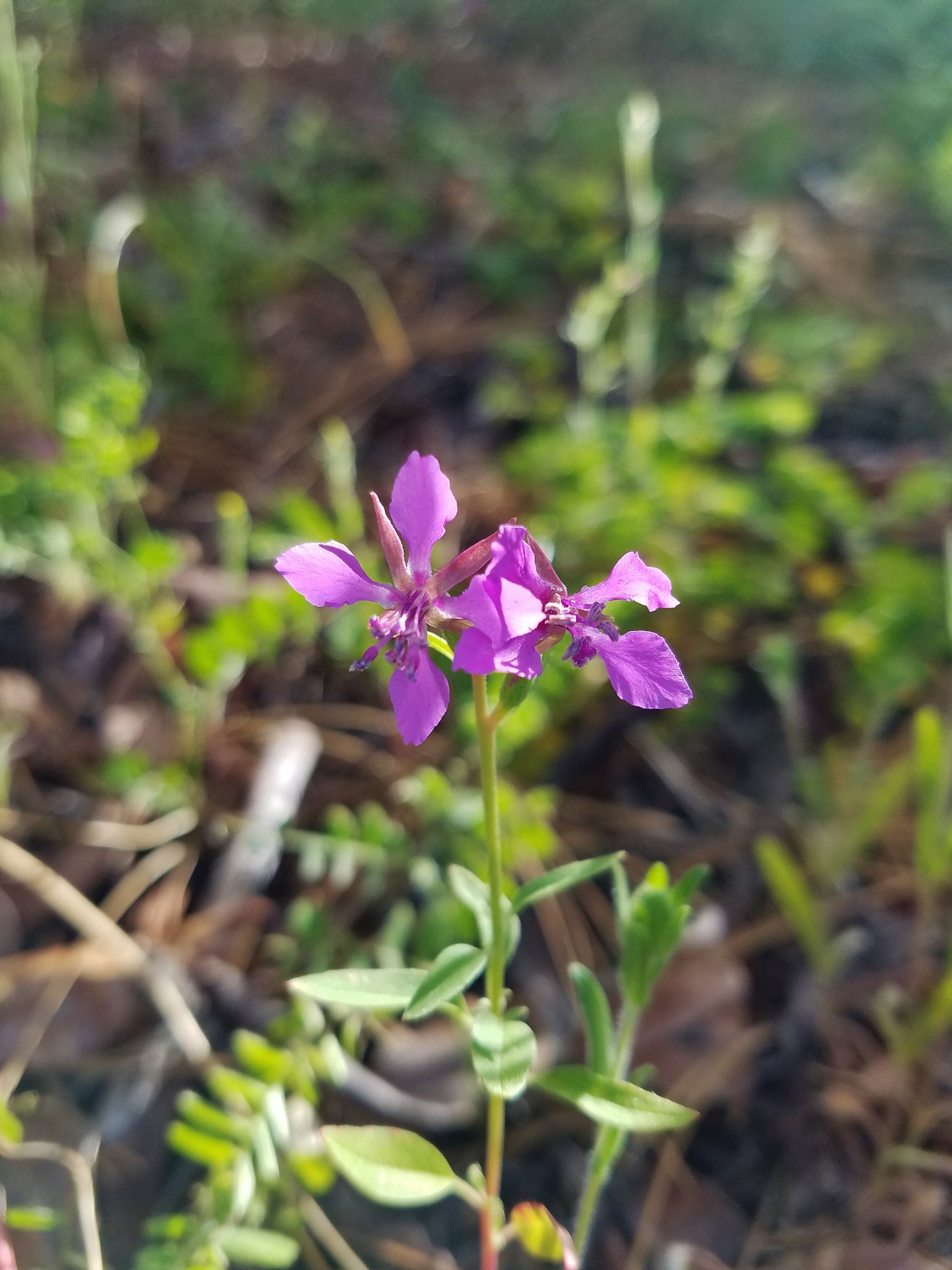
 Dwarf purple monkeyflower
Approximately 2.5 miles into the climb I hit a wall. I still had water that I was sipping on and the electrolytes but between the climb and all the sweat I had already lost I really began to struggle. I managed to make it another quarter of a mile or so to a small tree that was providing a bit of shade on a section of trail that was free from poison oak. I sat down in the shade in the middle of trail thinking that this might be where I waited for SAR. I had been praying for Heather to make it out safely and now I added my own safety to the list. I knew I was close to running out of water but I had plenty of food, extra clothing and a small pad that I could sit/sleep on if needed. I didn’t have cell service or an SOS beacon though so I sat, waited and prayed. While I waited for my hands and feet to stop tingling I flicked a lone tick off my pant leg, fought of a cramp behind my left knee, and worried about passing out and rolling down the hillside. I didn’t want that to happen and I knew I couldn’t sleep there if it came to that due to the same risk so after what felt like at least an hour (it was actually just over 20 minutes) I stood up and decided to make an attempt at the ridge where I knew I could spend the night. I was a little under three quarters of a mile from the ridge and a little over 400′ below it. My body had noticeably cooled down so I proceeded out of my shady spot and slowly climbed toward the ridge.
 I needed to get just below the lone tree on the ridge in the distance.

I pretty much had given up on pictures at that point and could only laugh at the thought of trying to climb Baldy Peak. Once I had gained the ridge I considered my next plan of action. It as a fairly level 0.4 traverse below Blady Peak to the other ridge where there were better spots to spend the night and I was feeling okay so I kept going. Miraculously my water held out until I had made the ridge even though I was sure every sip was going to be the last of it. It wasn’t until I was traversing below Baldy Peak that it was gone. Once I was on the western ridge I was only a mile from the car where I knew there was a cold powerade and some gatorades waiting. I wasn’t sure if my legs were strong enough though to handle the steep descent but I wanted to know if Heather had made it so after eating a little something I started downhill relying heavily on my poles. I made it back to the car half expecting to either find Heather there (if she had managed to find a ride) or SAR or both. It was just our car though so I grabbed a cold drink and started the drive down FR 940 to Beaver Creek Road (FR 20). When I got to Beaver Creek Road I promptly turned the wrong way, chalk that up to a deteriorated mental state, but almost immediately questioned myself so I pulled over and reread Sullivan’s driving direction and discovered my mistake. I drove back past FR 940 hoping I didn’t miss Heather or anyone heading up to the trailhead. Not long after passing FR 940 though I spotted Heather hiking up the road. She appeared to be doing a lot better than I was. As it turns out she had made it to the closed trailhead without incident and then made here way toward FR 940 stopping a few times to rest against fences. A little way up Beaver Creek Road she came to the Twin Pear Farm which had a small stand/store where she was able to buy some rations including a Popsicle which she ate while sitting in a chair there.
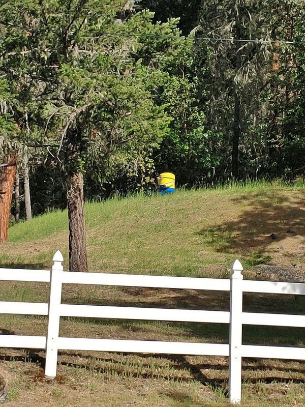 A random Minion in a field.
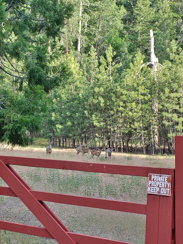 Deer along the road.
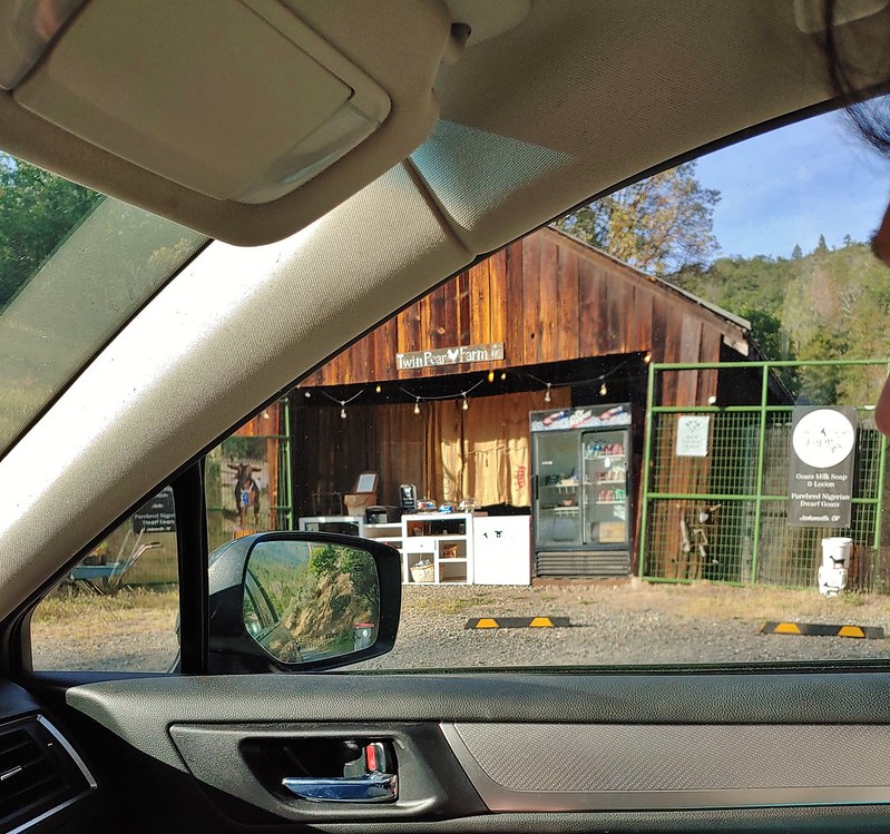 The Twin Pear Farm on the way back by.
Heather wisely took over the driving duties and got us to our motel in Medford then ran out for some food from the DQ across the street. It was after 8pm and we were exhausted. We decided that we would plan on taking it easy the next day and probably skip the hike in lieu of recovery. It was an unnerving experience and a good reminder of how easily things can go wrong no matter how prepared you try to be. We did some things right including listening to our bodies and stopping/bailing when needed and had almost everything we needed aside from a rescue beacon. On the other hand we should have taken the opportunity to replenish our water at Mule Creek when we had a chance. That wouldn’t have helped Heather but it might have helped me a bit and definitely would have if I’d have had to spend the night out there. We also should be carrying a rescue beacon/satellite communicator but every year we talk about getting something then fail to be able to choose and wind up with nothing so any recommendations you have please leave in the comments. The good news was neither of us did get hit by poison oak so that was a big positive. Happy and safe Trails!
Flickr: Mule Mountain