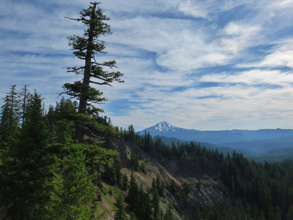
We woke up to the news of military action in Iran, a somber reminder of the state of the world today. Our prayers are with all the families across the globe impacted. We’re thankful to still have the opportunity to step away and enjoy the outdoors.
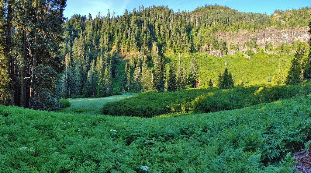
We had picked a pair of hikes near Lebanon, OR McDowell Creek Falls and Cheadle Lake. We had visited the former in February 2014 (post) while the latter would be new for us as a hike. (We had run part of this route in the early 2010’s as part of the Runaway Pumpkin half marathon races.)
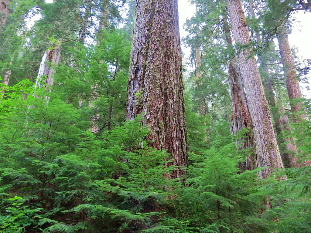
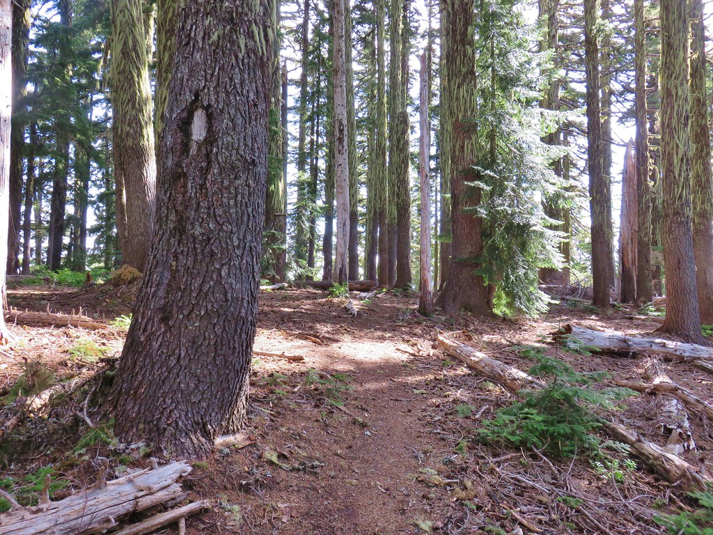
We started our morning at McDowell Creek County Park for the relatively short loop that visits four named waterfalls. We parked in the lower (western most) parking lot which is referred to as the Royal Terrace Falls Trailhead in the Oregon Hikers Field Guide.


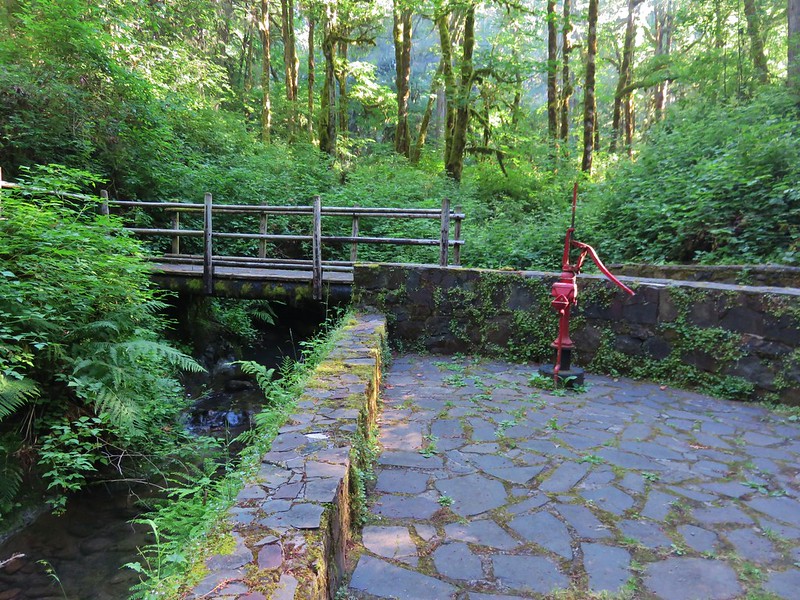
There are restrooms and picnic tables available at the trailhead.
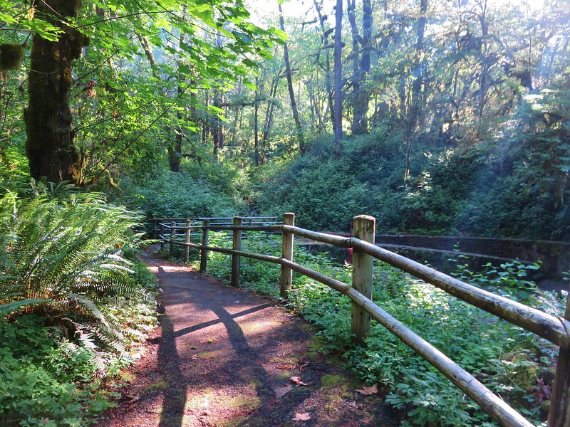
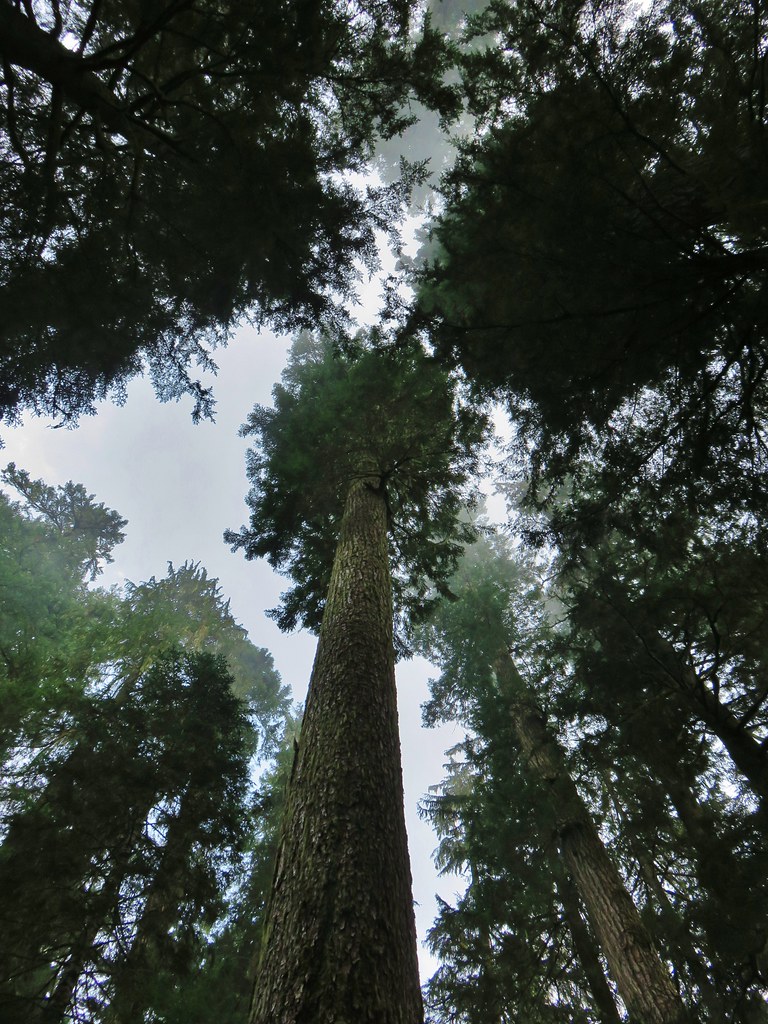
After double checking the map, we set off on the trail across McDowell Creek.


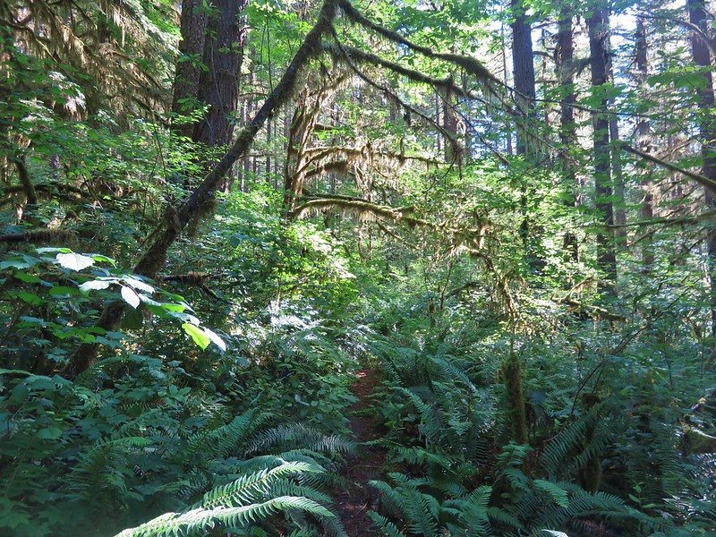
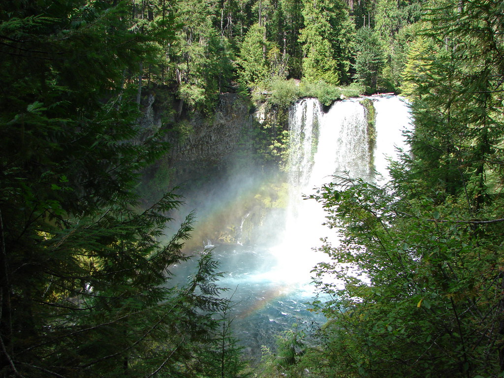
After 0.2-miles we came to the start of the loop and opted to go left for a view of Royal Terrace Falls from the footbridge across Fall Creek.


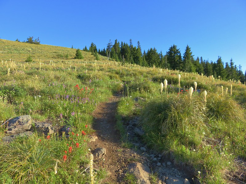
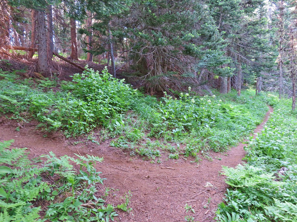
The start of the loop.


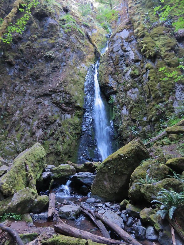
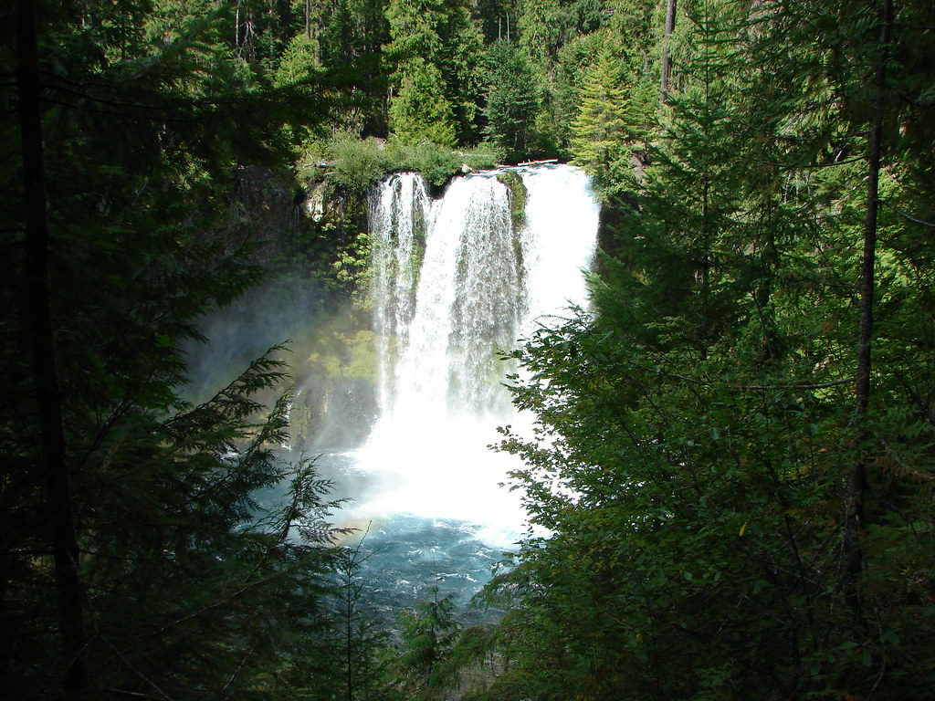
Royal Terrace Falls

Bench of the far side of the bridge.
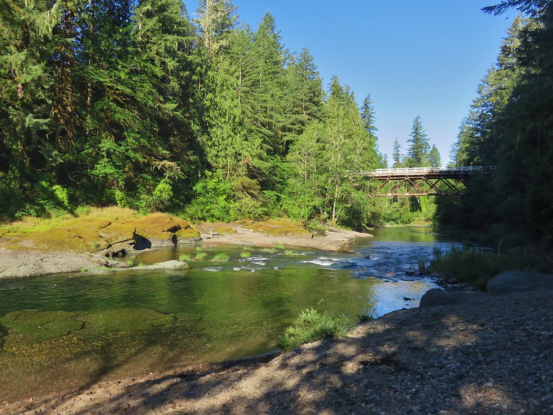
Beyond Royal Terrace Falls the trail recrossed McDowell Creek then crossed McDowell Creek Road before arriving at Crystal Falls aka Crystal Pool a third of a mile from Royal Terrace Falls.


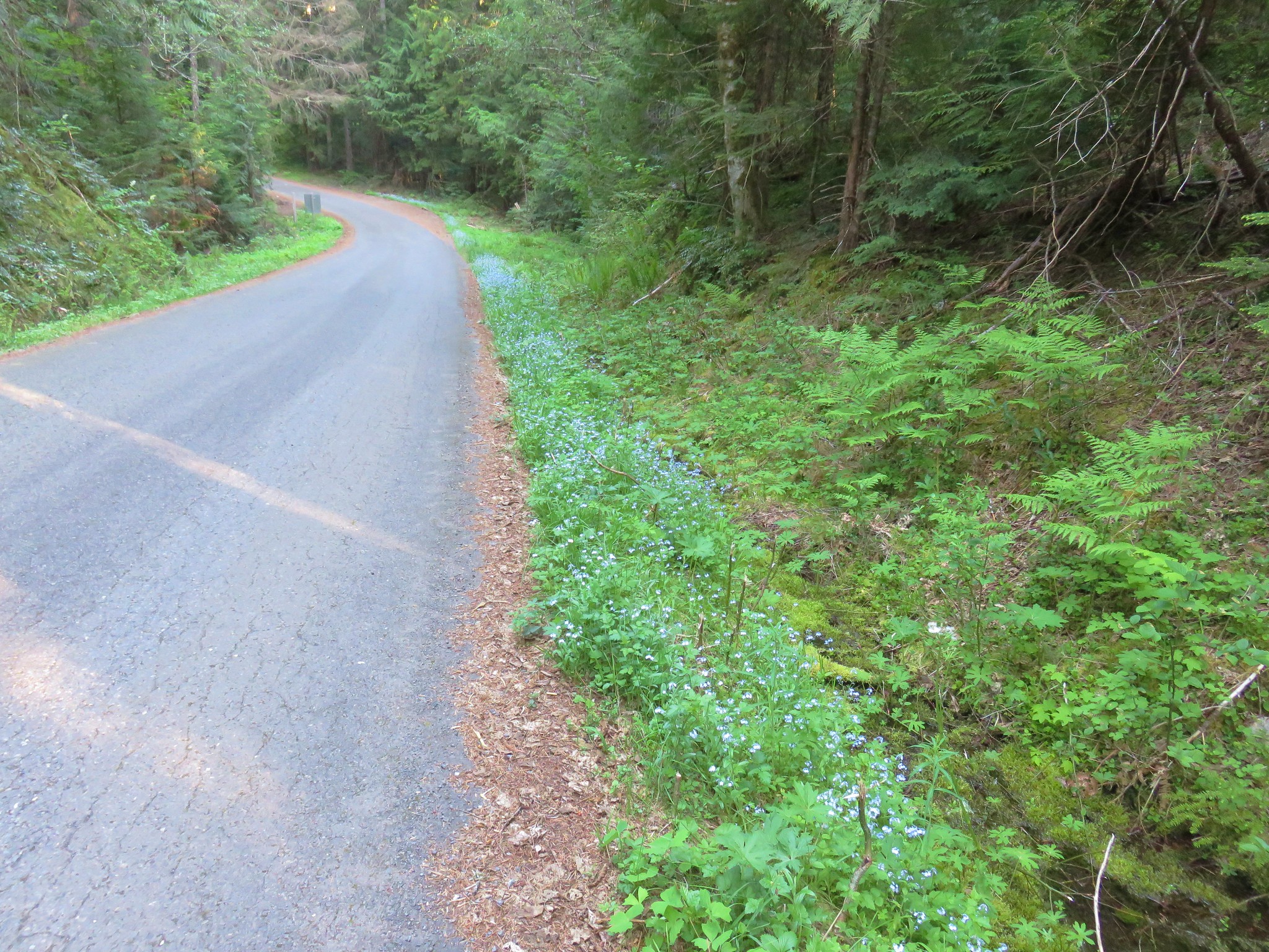
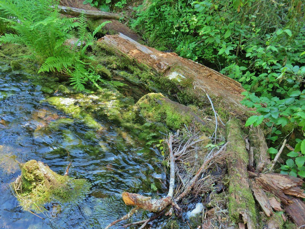
McDowell Creek


McDowell Creek Road from the crossing.

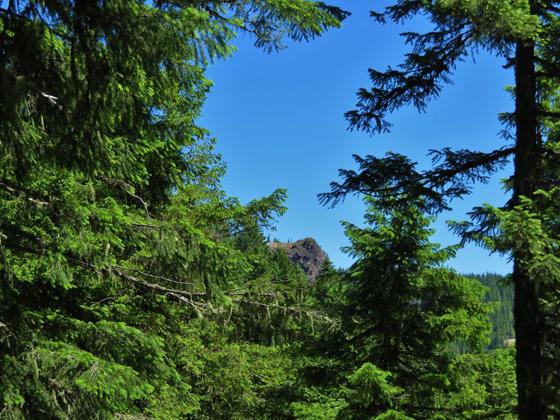
Crystal Falls ahead through the trees.
A use trail led down to the creek for a better view of the falls.

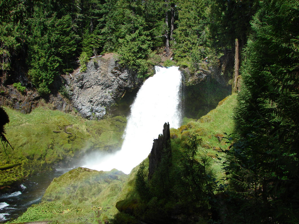
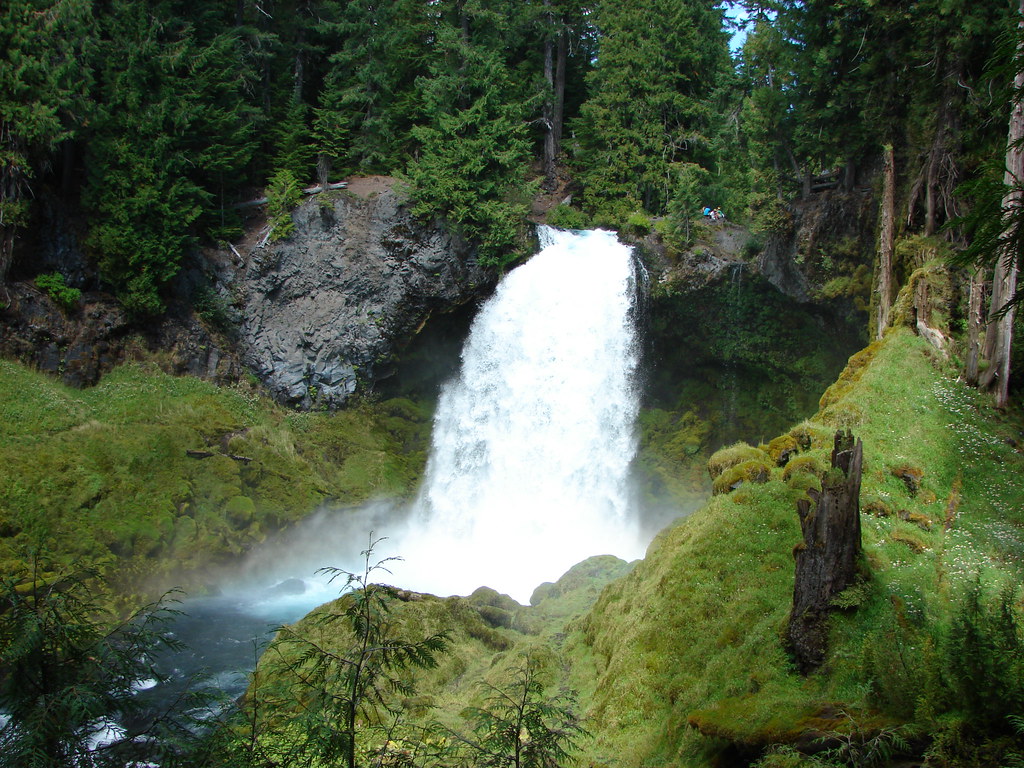
Just over a tenth of a mile past Crystal Falls the trail arrives at an impressive wooden walkway near Majestic Falls.


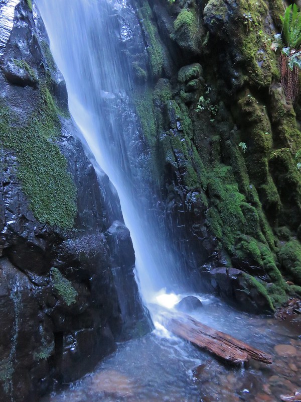
Majestic Falls
Stairs led up from Majestic Falls to a viewpoint platform at the top of the waterfall.


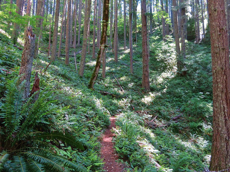
From the upper viewpoint we faced a choice of going directly uphill to the upper parking lot or taking a slightly longer route by swinging out along the creek for a short distance. We had gone directly up in 2014 so this time we chose to swing out along the creek.


Stairs up to the upper lot.

Robin near the upper lot.
We crossed the road near the upper parking lot and in 0.3-miles
recrossed McDowell Creek Road.


Pointer for Royal Terrace Falls at the crossing of McDowell Creek Road.
In another 0.3-miles we arrived at Fall Creek above Royal Terrace Falls.


Viewing platform above Royal Terrace Falls

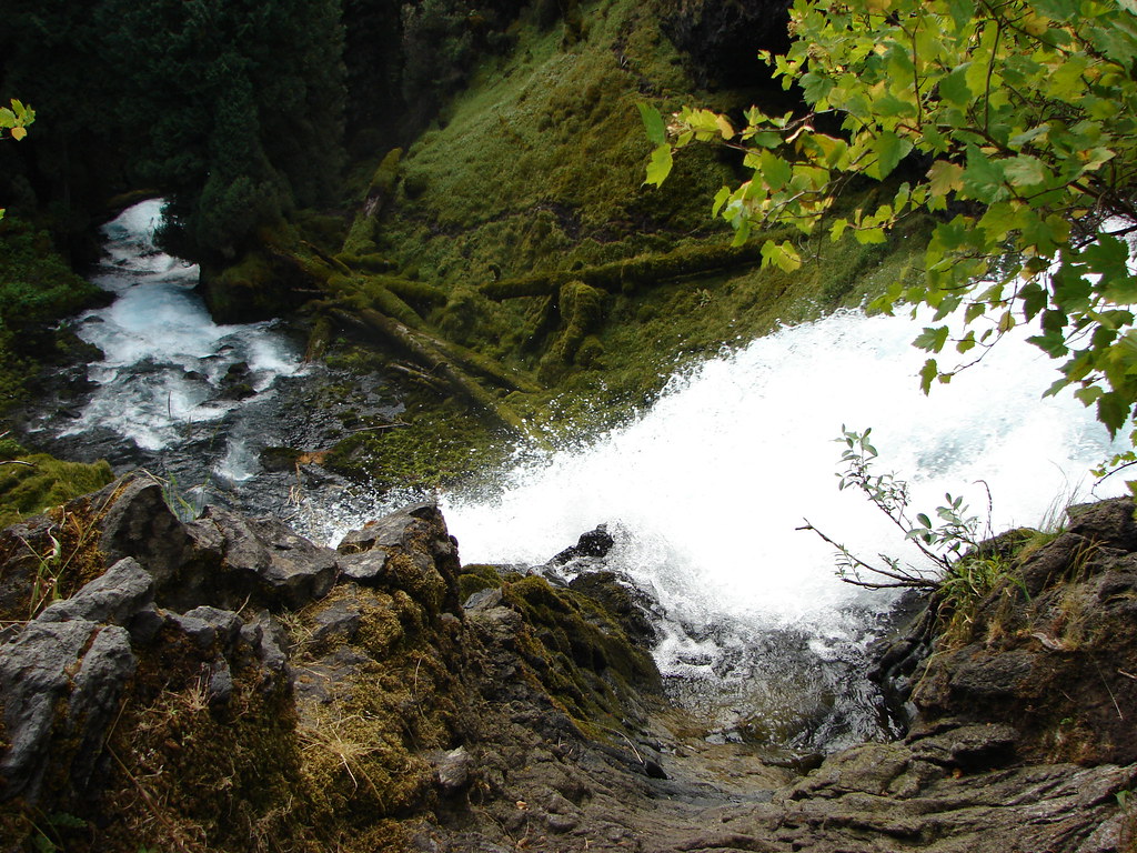
Looking down at the bridge below Royal Terrace Falls.
We took a short detour up a use trail along Fall Creek which didn’t lead anywhere of note then headed down the stairs along Fall Creek to complete the loop.

Fall Creek along the use trail.


Royal Terrace Falls from the stairs.
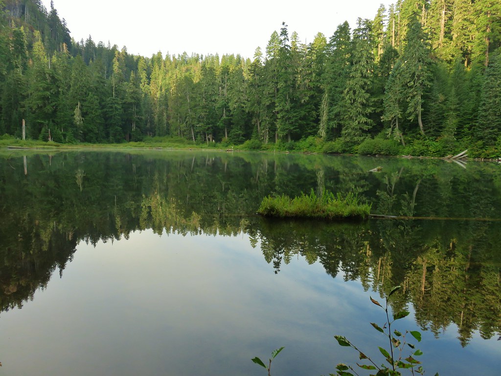
When we were back at the lower parking lot we followed a short trail downstream to a view of Lower McDowell Falls.

The hike here was just 2.2-miles with a little over 200′ of elevation gain leaving us plenty of energy for a second stop.

It was less than a 20-minute drive from McDowell Creek to Cheadle Lake in Lebanon. We had initially planned on parking at Cheadle Lark Park however there was quite a bit of construction equipment present, and it was unclear if the trails at this end of the area were open, so we shifted to “Plan B” and made our way to nearby Riverview Park.

We stopped at the signboard for the Old Mill Trail and studied the map for a moment and downloaded a digital copy then headed right (south) on a paved path. (It was unclear if this was the Old Mill Trail or the West River Trail, nevertheless it would take us to Cheadle Lake.)


The South Santiam River from the trail.
This trail led us into a neighborhood and to Mountain River Drive.


Here the pointers refer to the West River Trail.
We followed the sidewalk for 100 yards to a crosswalk at River Drive then continued another tenth of a mile to Cheadle Lake Park’s boat ramp parking area.


From this parking lot the paved North Shore Trail passes along the northeastern shore of Cheadle Lake between the lake and the Lebanon Santiam Canal. We were on the lookout for waterfowl and other birds as we started off.


Mallards


Geese

Ring-necked duck

American wigeon


Ridgeway Butte beyond a farm across the canal.

American wigeons and domestic ducks on the farm.
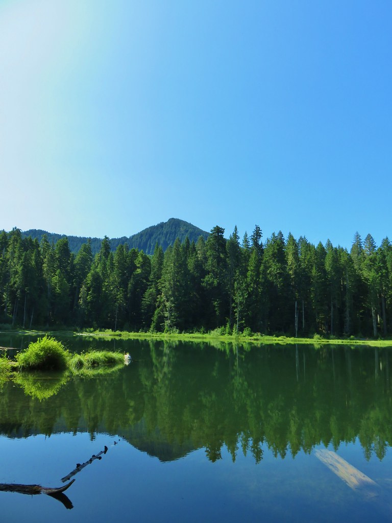
After four tenths of a mile we arrived at the Island Loop Trails which are a series of fingers in the middle of the lake.


We hiked out-and-back on the eastern most finger before returning to the North Shore Trail.


Pied-billed grebe

Bench at the end of the finger.

Gadwall
Back on the North Shore Trail we continued SE and spotted a pair of hooded mergansers in the canal.


Spotted towhee


Song sparrow
At the far end of the lake, we arrived at a 4-way junction within sight of the parking lot we had originally planned on starting from.

The park map showed a dashed (proposed) Southshore Trail heading right from this junction. The proposed trail would loop around the lake to the boat ramp. We had not paid attention to the “proposed” verbiage when we decided to turn right and try the loop. Initially the trail was paved with benches but the pavement soon ended and was replaced by a dirt trail through the grass.


California scrub jay.

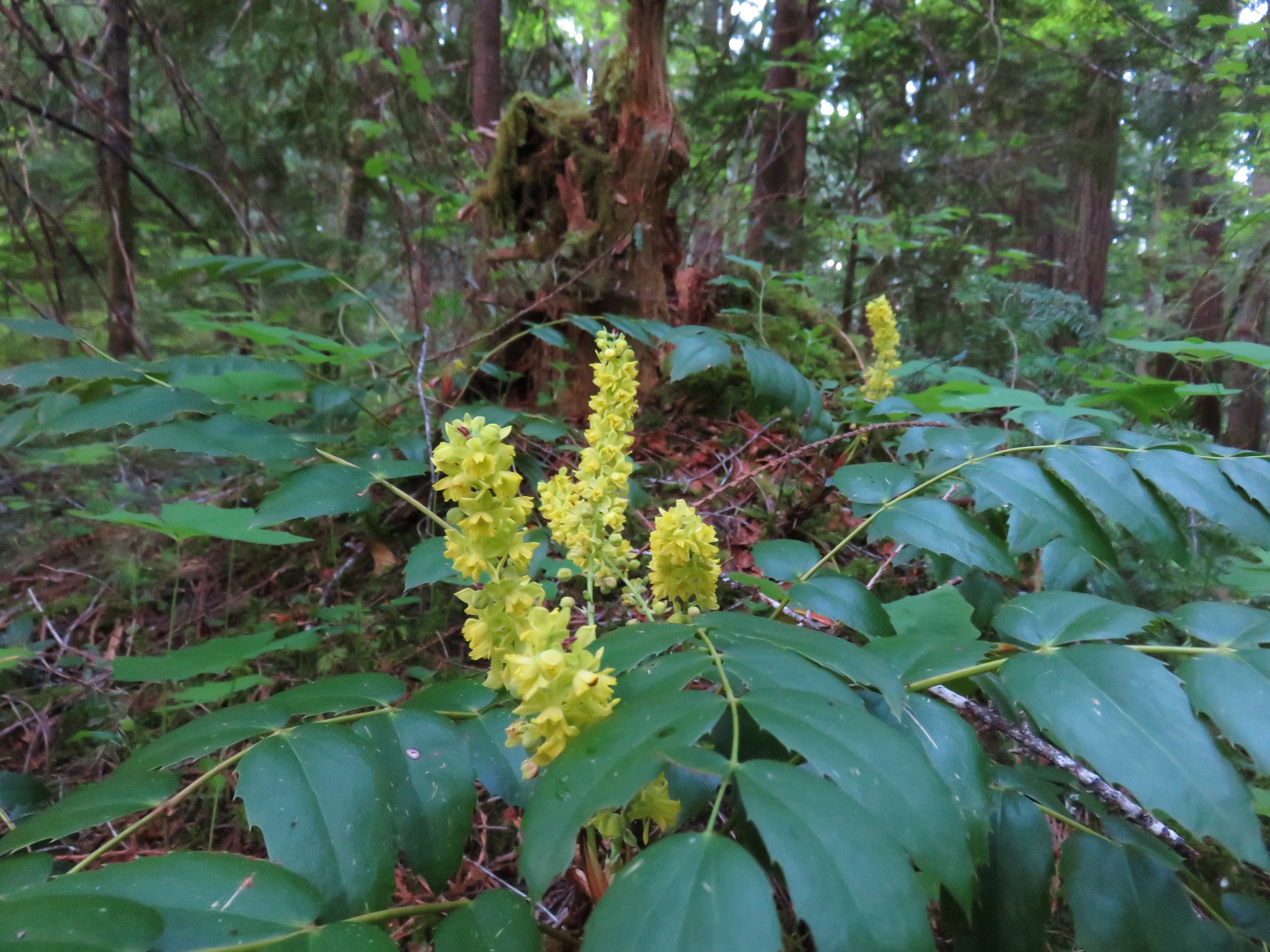
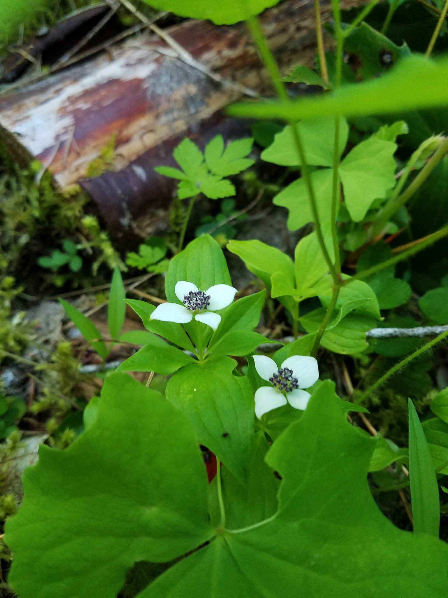
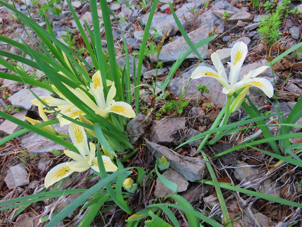
Oregon grape

The finger that we had hiked out earlier.
The trail lasted a little over half a mile before petering out on the north side of a soccer field at a marsh. It was at this point that we noticed the “proposed” label on the map. Since looping around the lake wasn’t an option, we looped around the soccer field and headed back the way we’d come.

The soccer field is to the left with Ridgeway Butte ahead.

Heading back on the North Shore Trail.
We had discussed being surprised at having not seen a bald eagle on our first pass along the lake. That changed as we passed the Island Loops.

Bald eagle spotted.


Cormorants
From the boat ramp we headed back toward Riverview Park and took the gravel fork at the southern end of the park.


Heather had a blister starting so she headed back to the car while I continued around the park to the Eagle Scout Trail.


I turned on the Eagle Scout Trail and followed this dirt path 0.8-miles to the paved Old Mill Trail near Gill’s Landing


Indian plum

Bewick’s wren

Old Mill Trail near Gill’s Landing.
I returned to Riverview Park on the Old Mill Trail completing a 6.4-mile hike with minimal elevation gain.


Old mill site.

Riverview Park

This was a nice pair of hikes. We knew that McDowell Creek Falls was a great hike, but Cheadle Lake was surprisingly quite for an in-town hike and the birding turned out to be pretty good. Happy Trails!
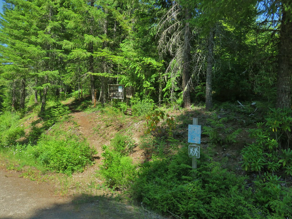
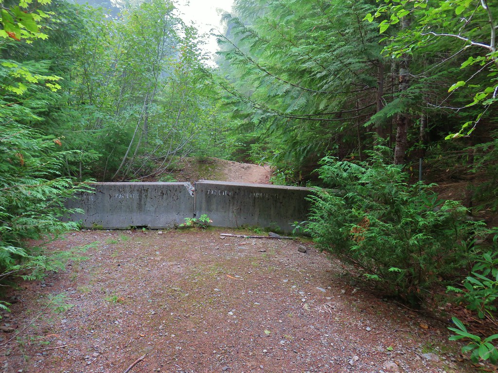
 I actually parked on the shoulder of Forest Road 1142 and walked a tenth of a mile down a spur road to the start of the trail.
 A note stating that access from the eastern side of the wilderness was still closed due to the Pyramid Fire.
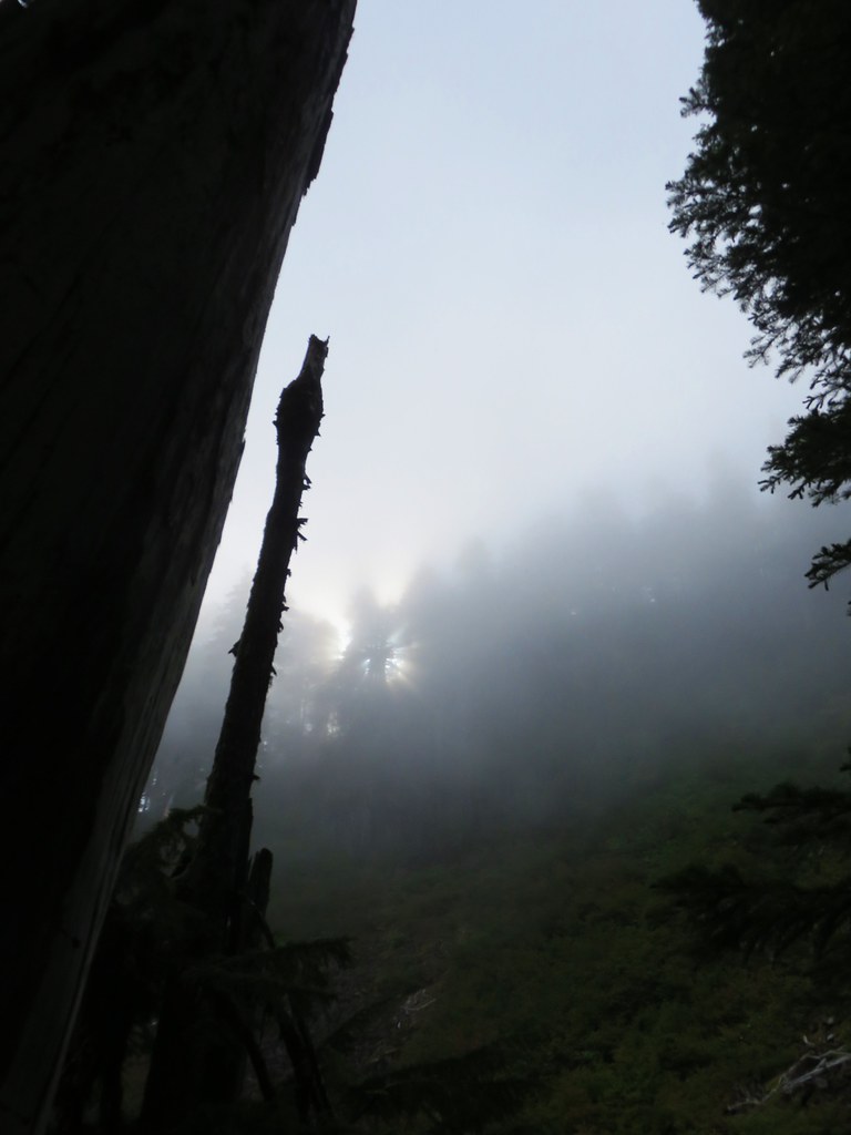
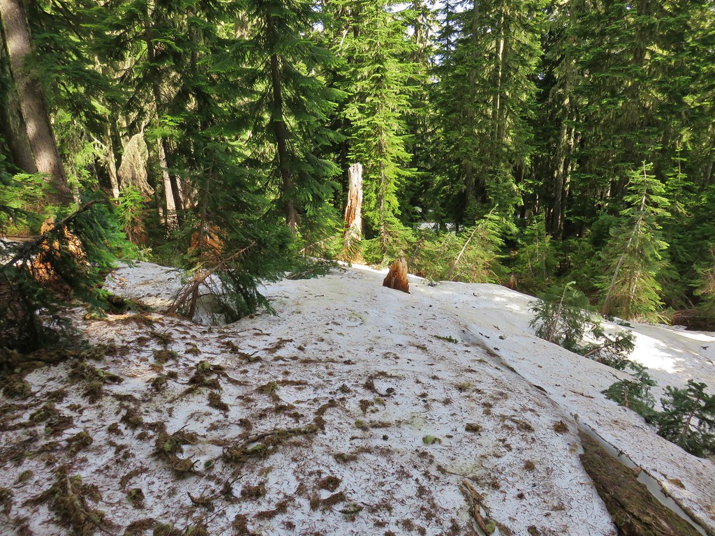
 It was early when I started so there wasn’t a lot of light and even on the way back there was a lot of shade.
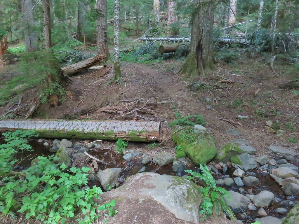
 A short distance from the trailhead is a crossing of West Fork McQuade Creek.
 A third of a mile from the West Fork the trail crosses McQuade Creek.
 Reportedly this crossing can be quite tricky early in the year, but there wasn’t much water this time of the year.


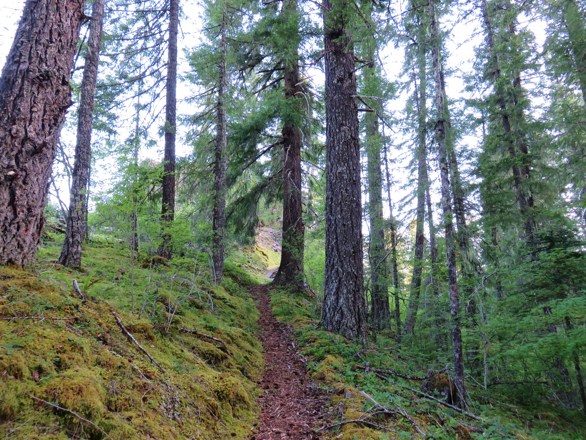
 Based on trip reports from 2023 and recent cuts seen along the trail it appears that a trail crew passed through this year.


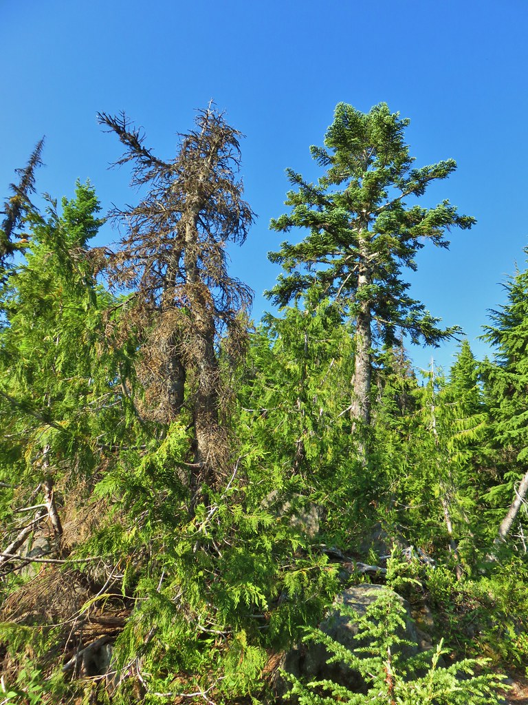
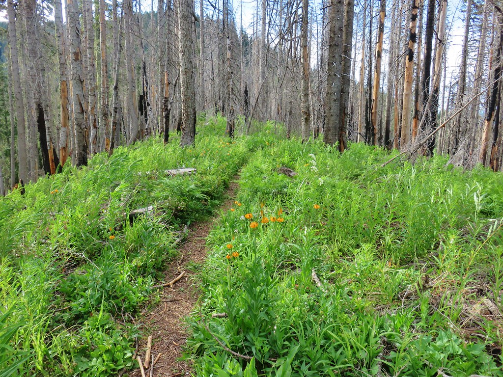
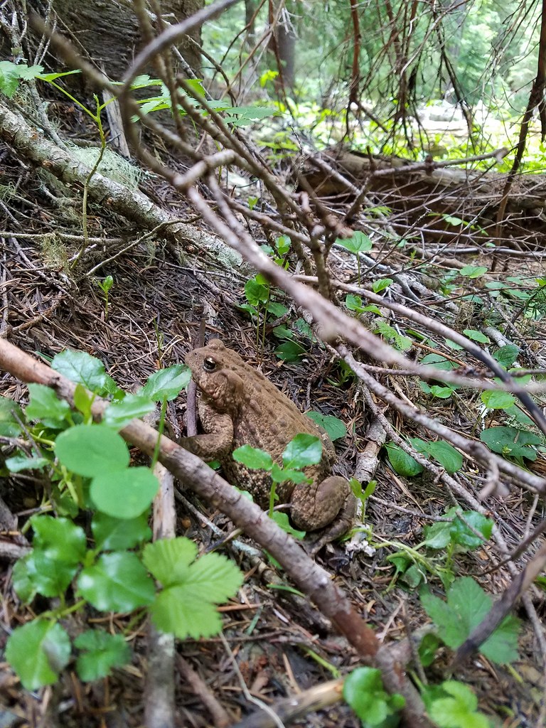
 A reminder that Fall is here.
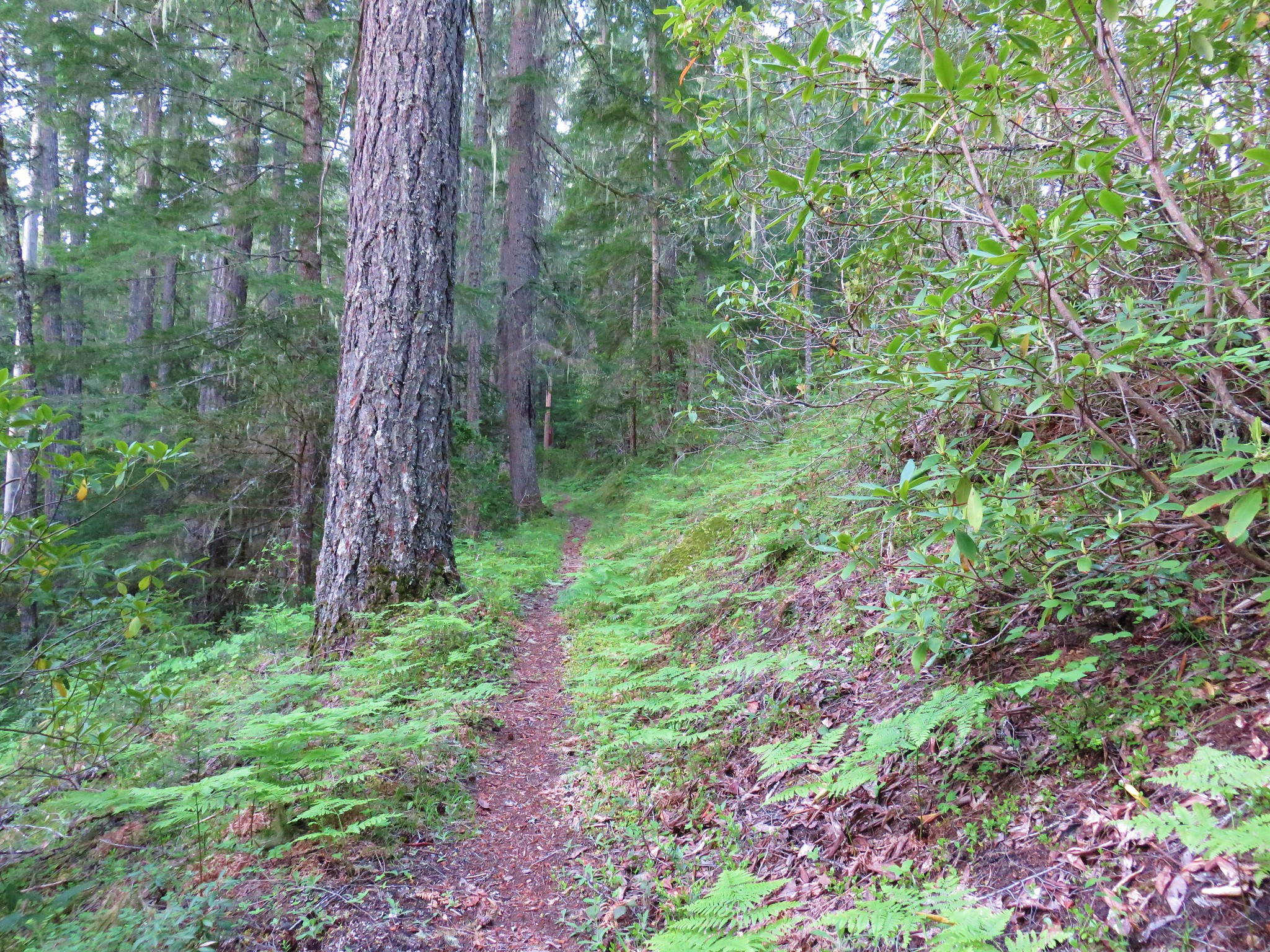
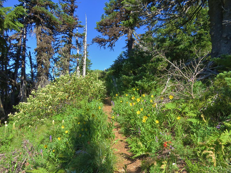
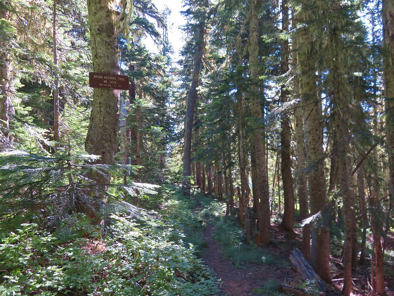
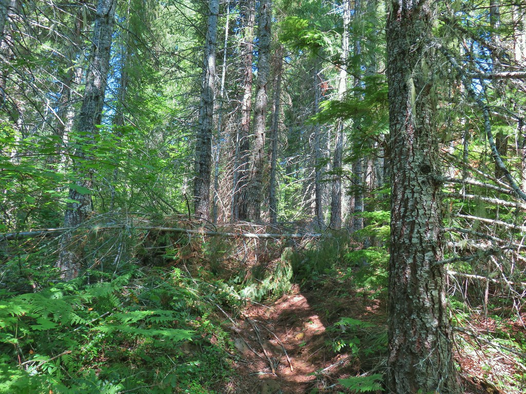
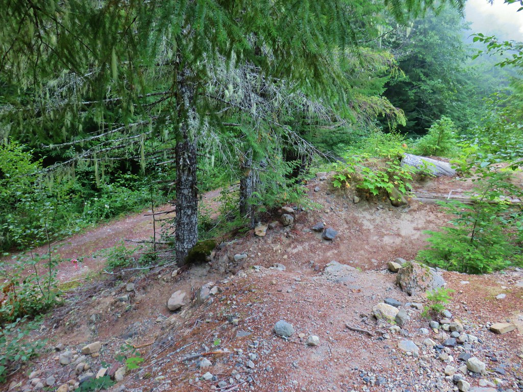
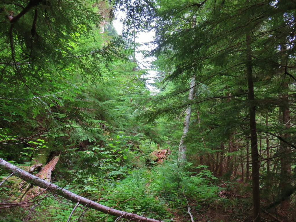
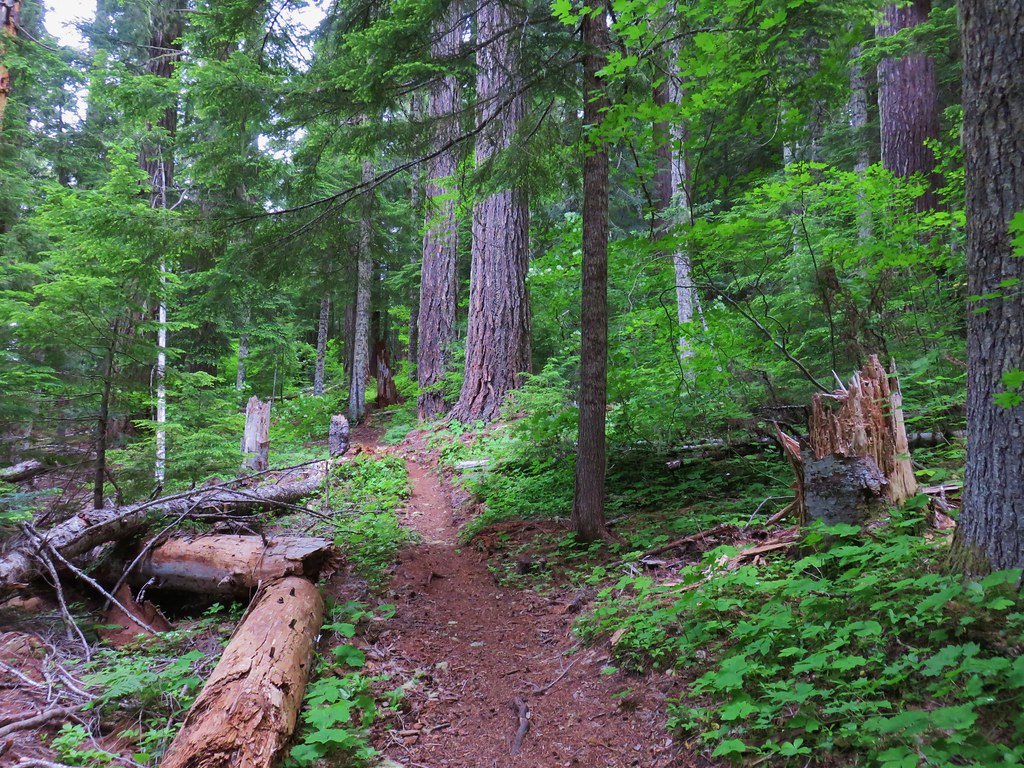
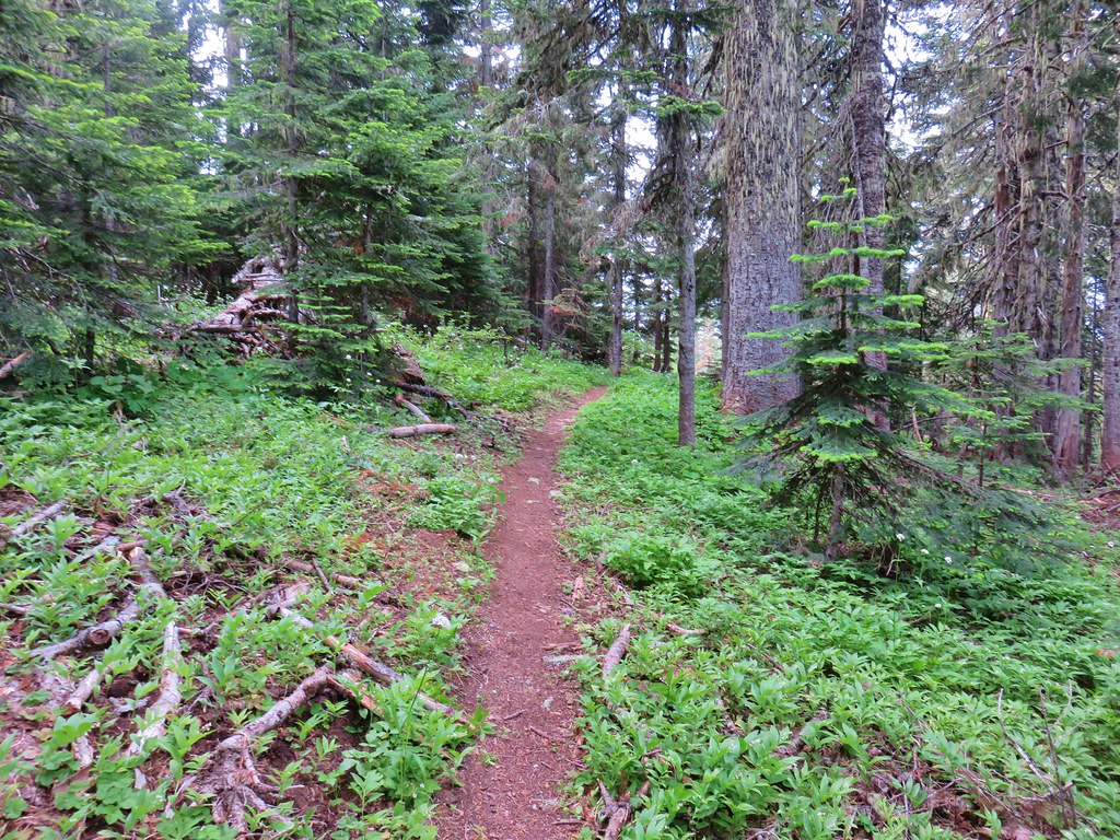
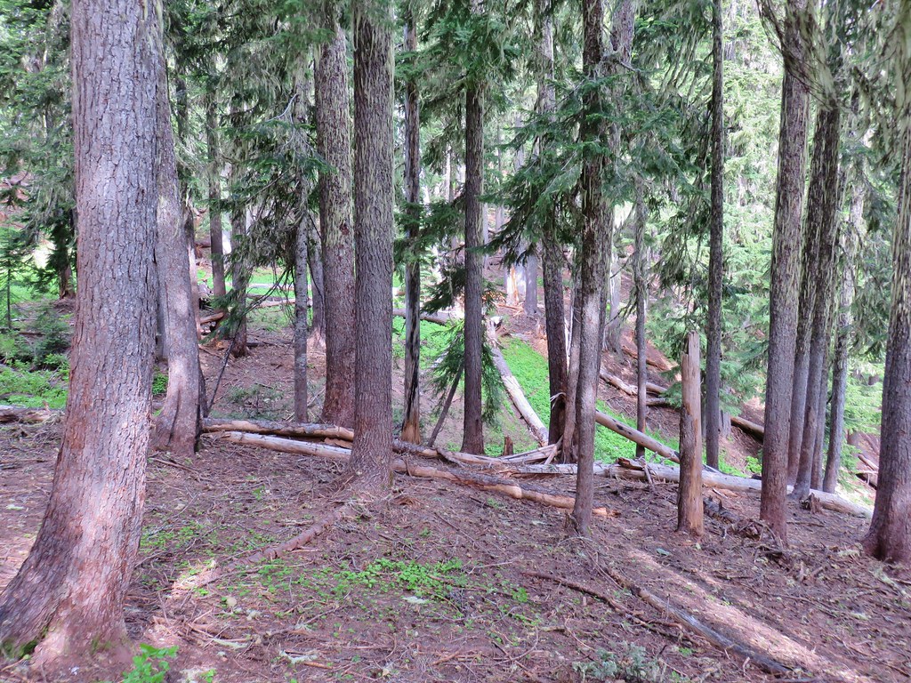
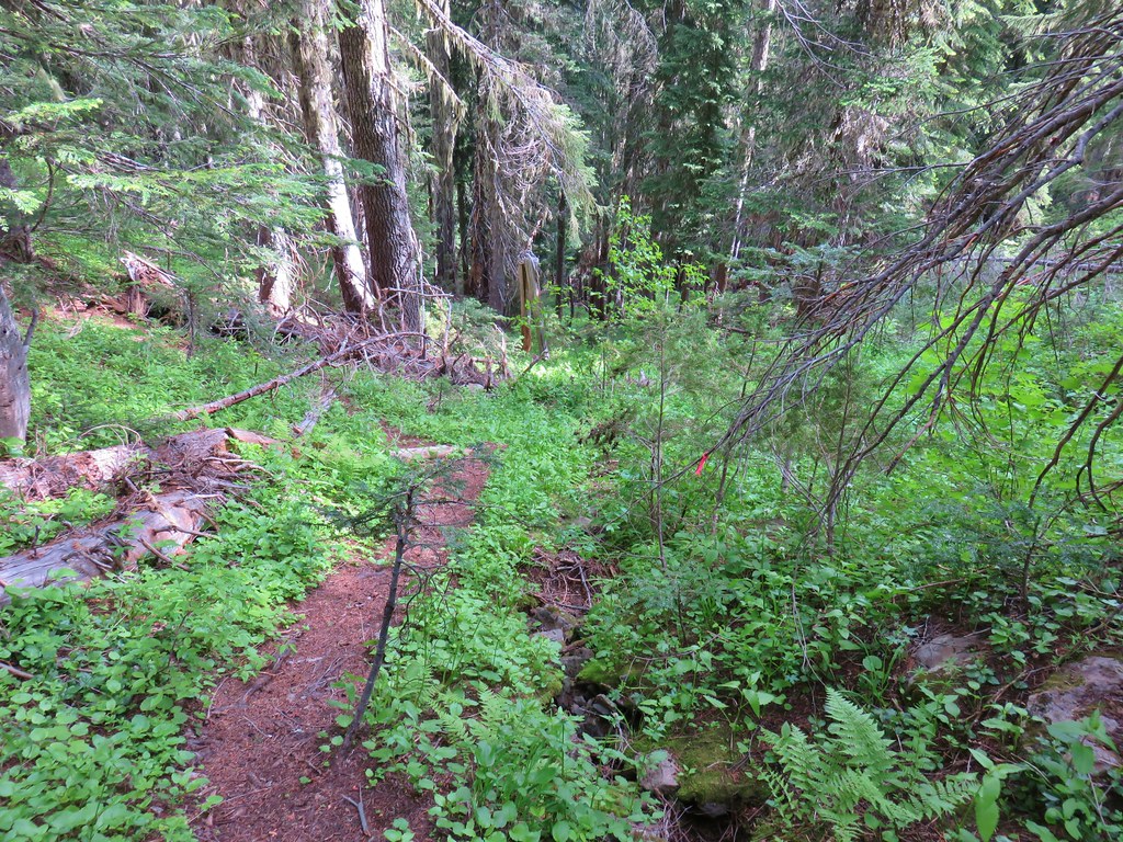
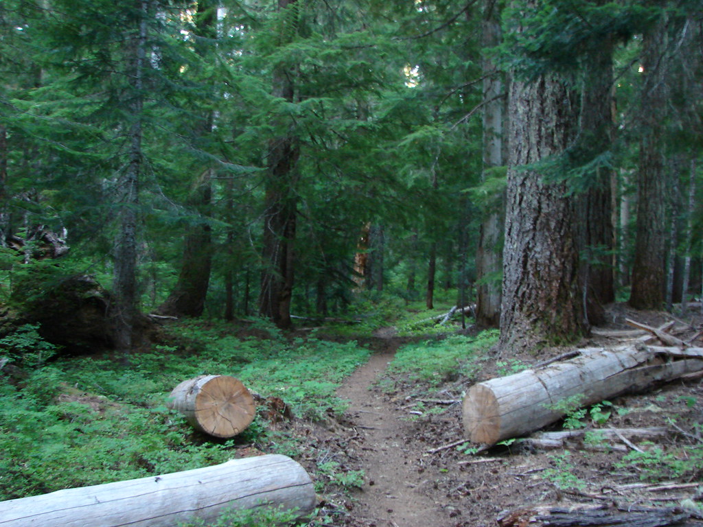
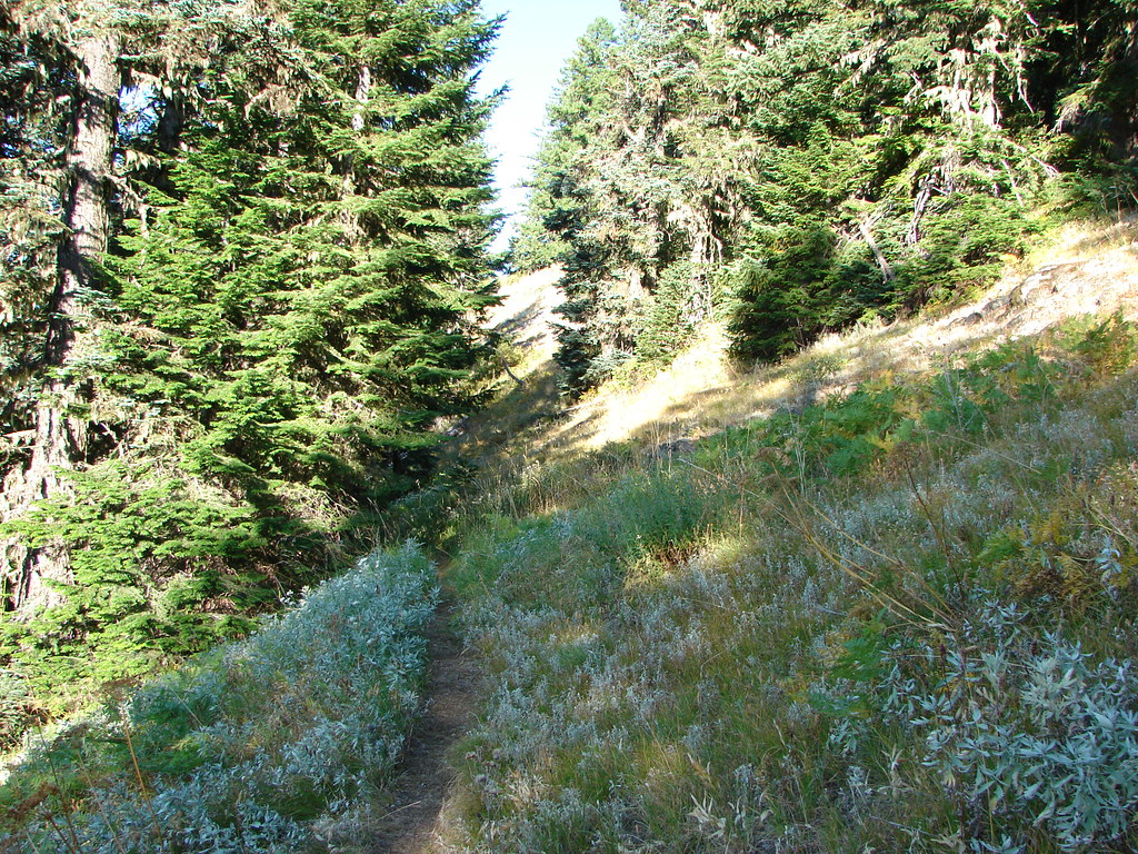
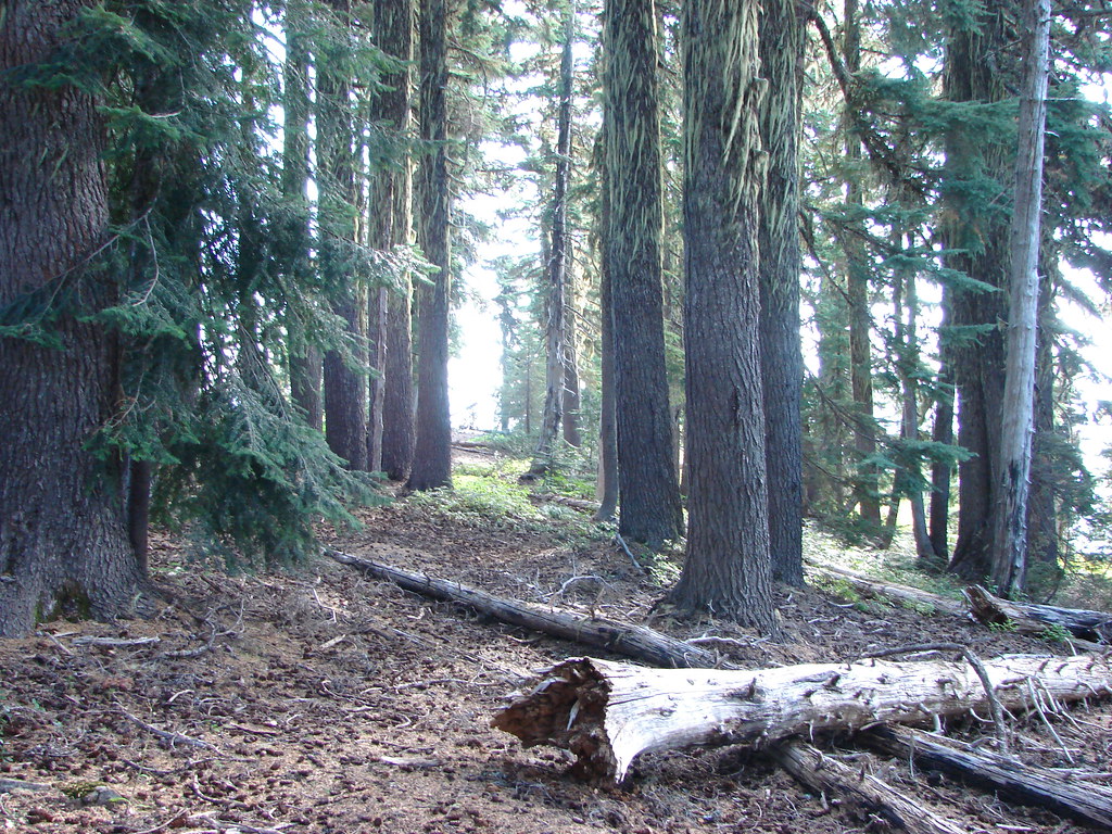
 The McQuade Creek Trail hidden by the underbrush.
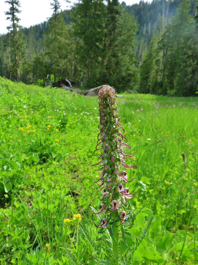
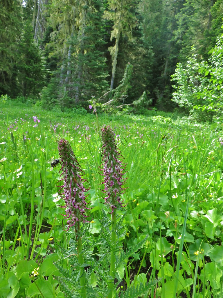
 Lousewort
 Huckleberries
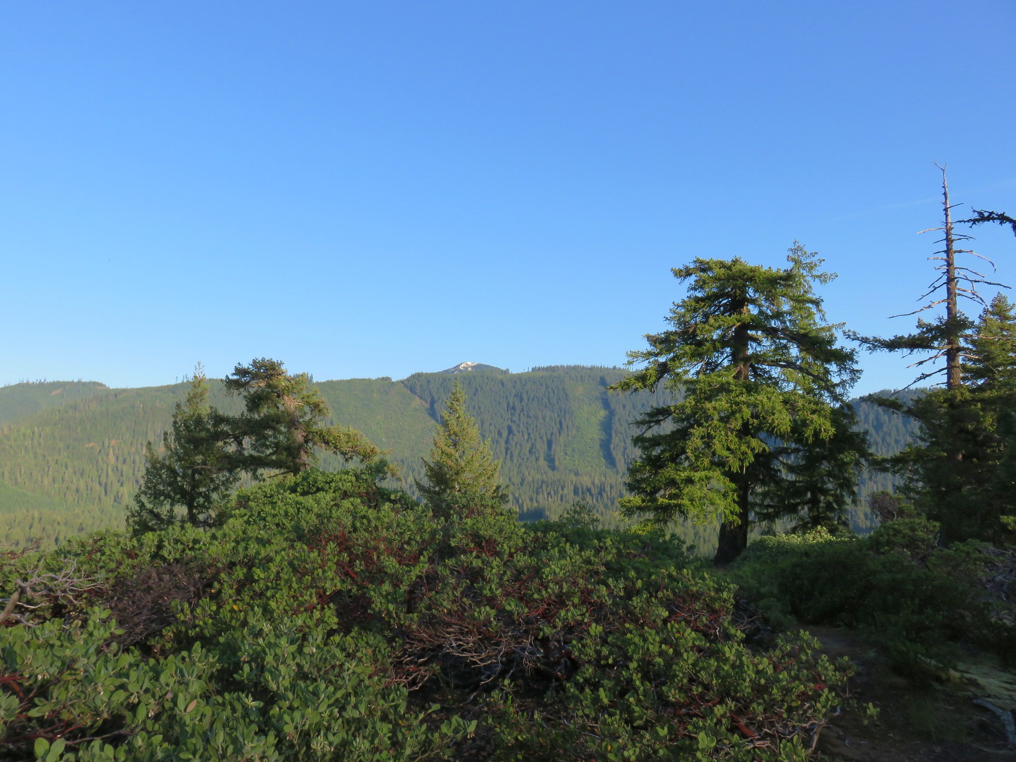
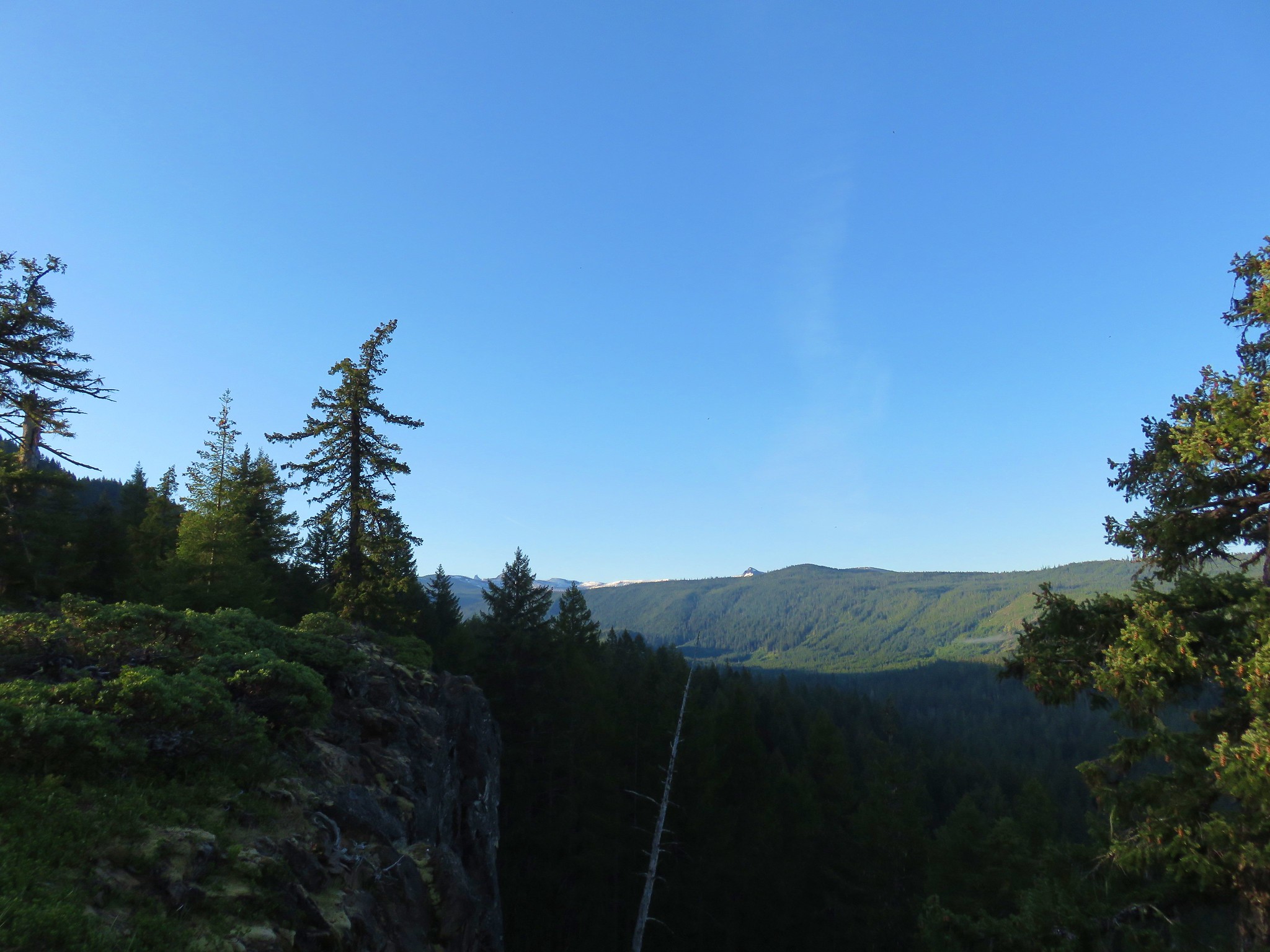
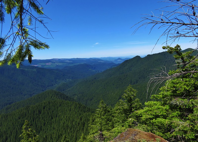
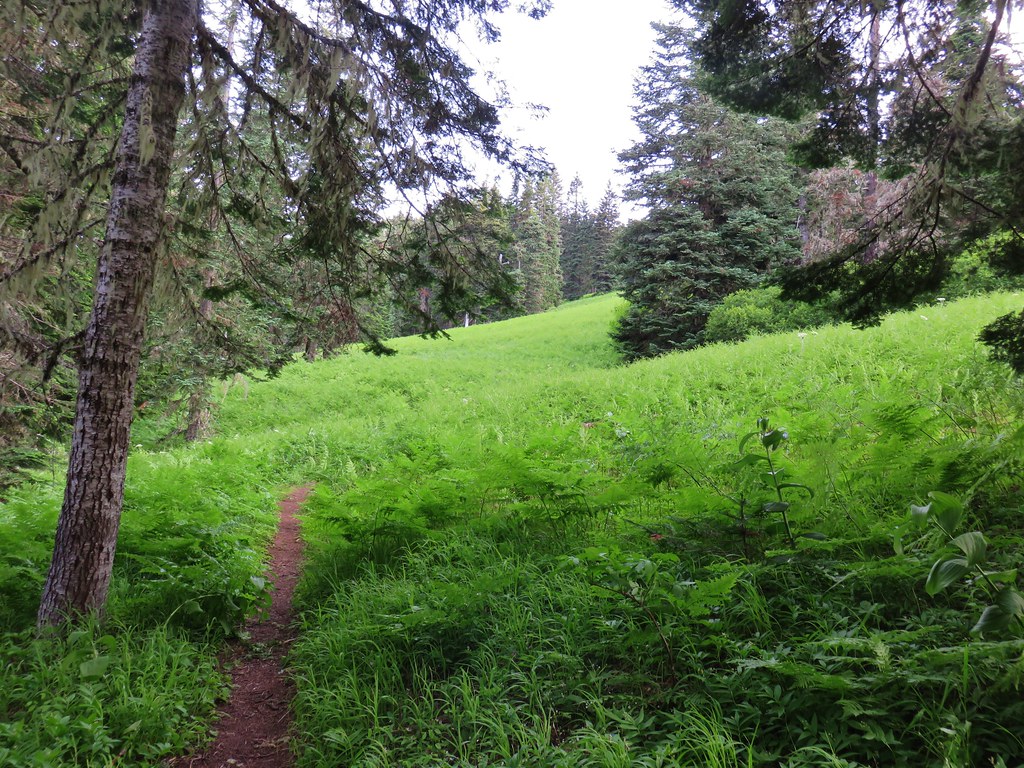
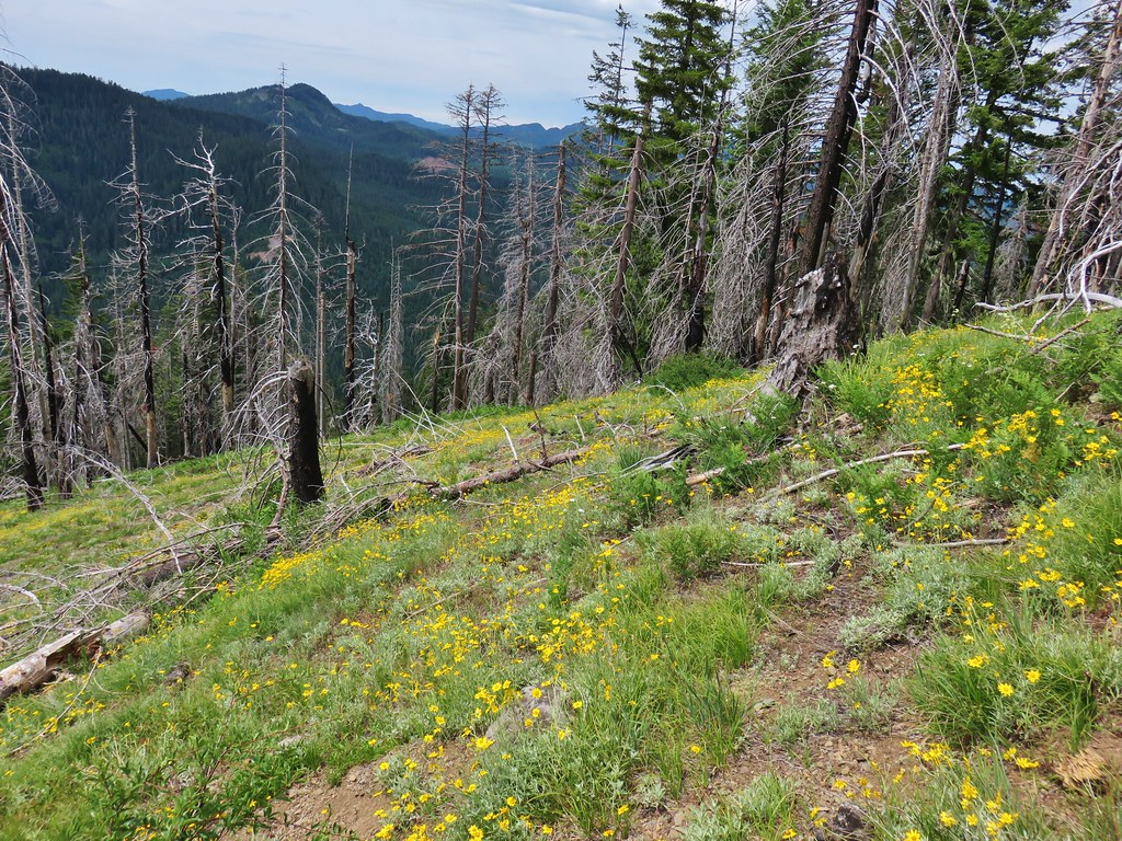
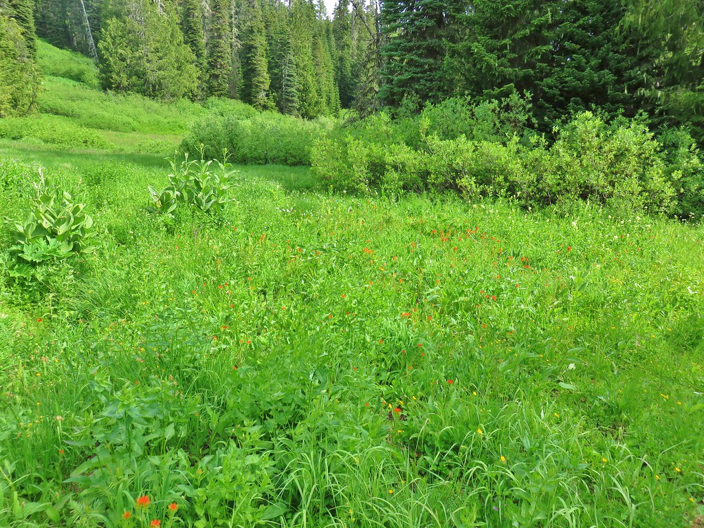
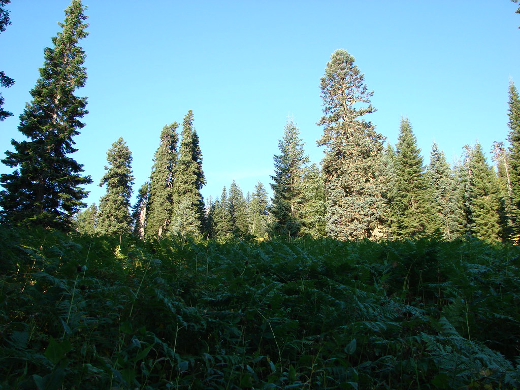
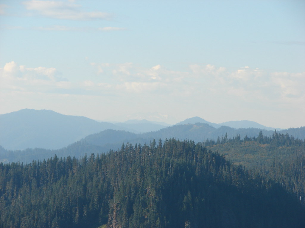
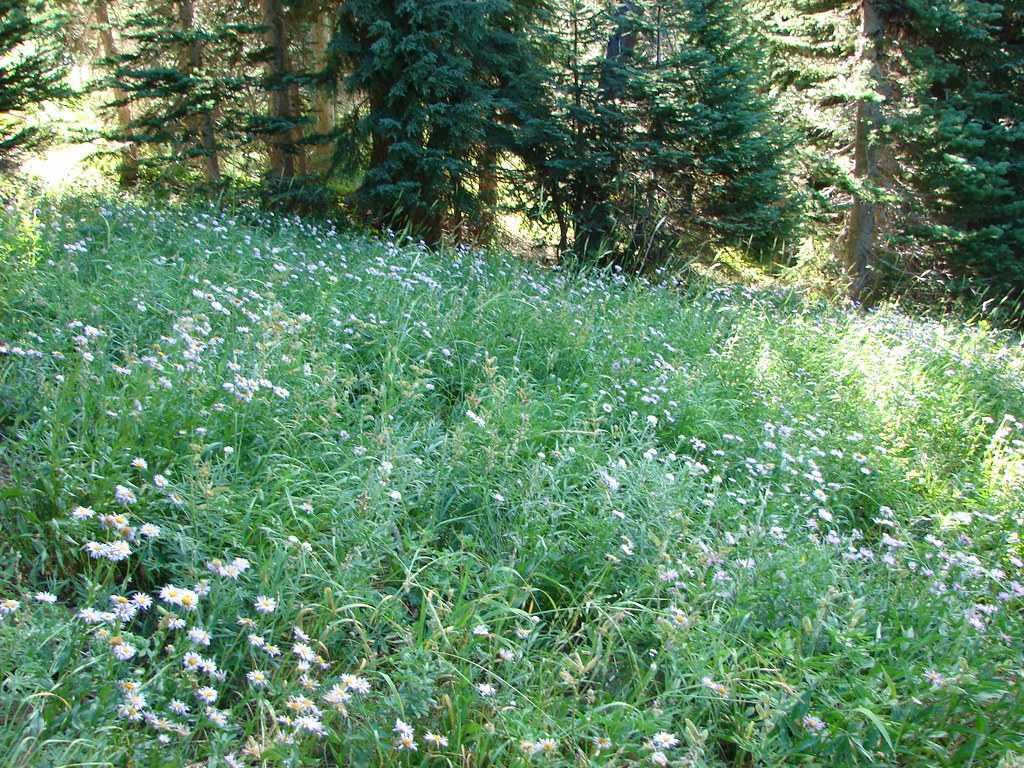
 Views were limited to the nearby ridges and hillsides.
 Vine maple along a rocky slope.
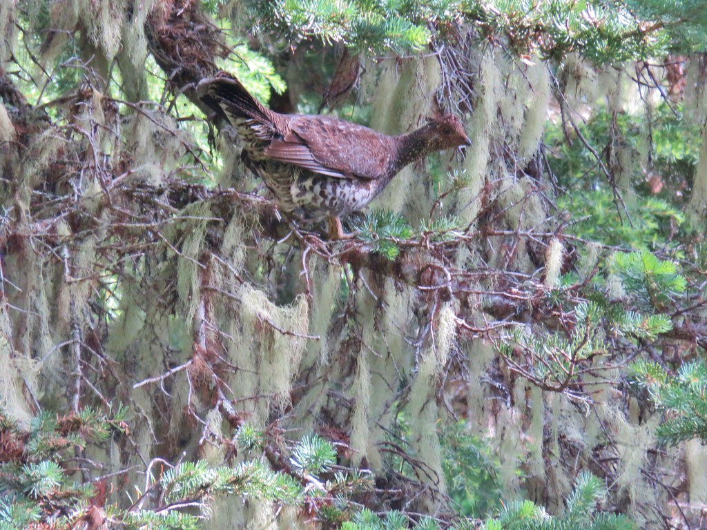
 Pika watching me from behind some cover.
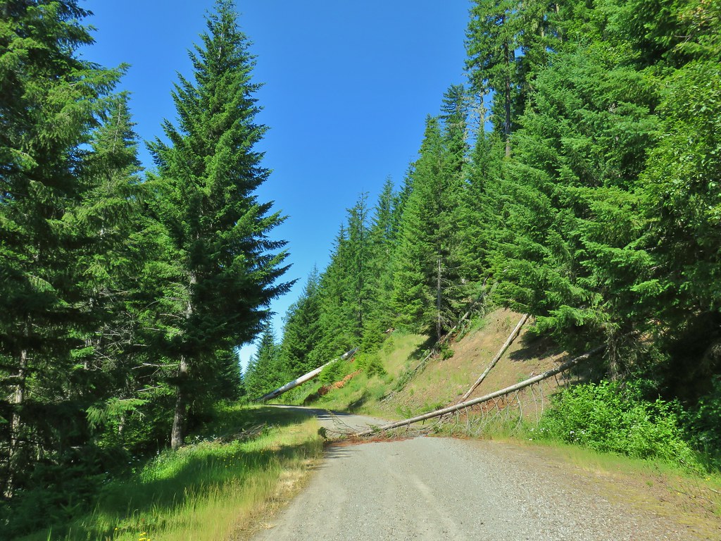
 Flagging along a bit of a washout.


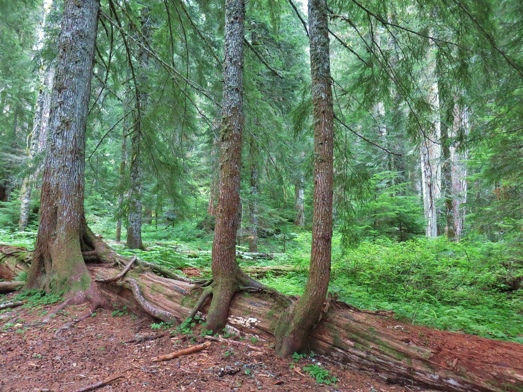
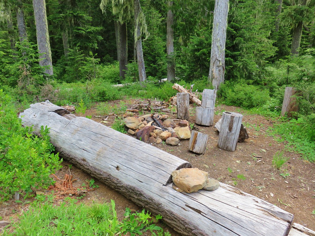
 The McQuade Creek Shelter used to be located near here, but it had collapsed years ago, and I didn’t see any signs of the remains.
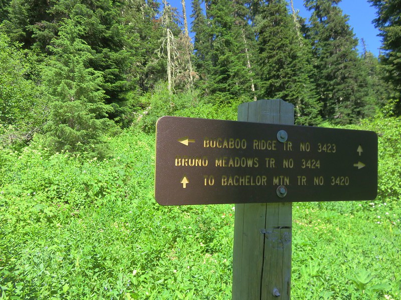
 Pointer for Chimney Peak.
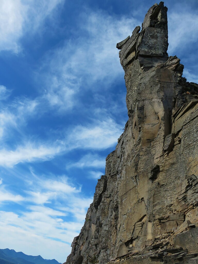
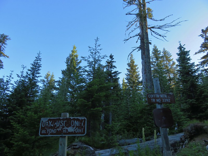
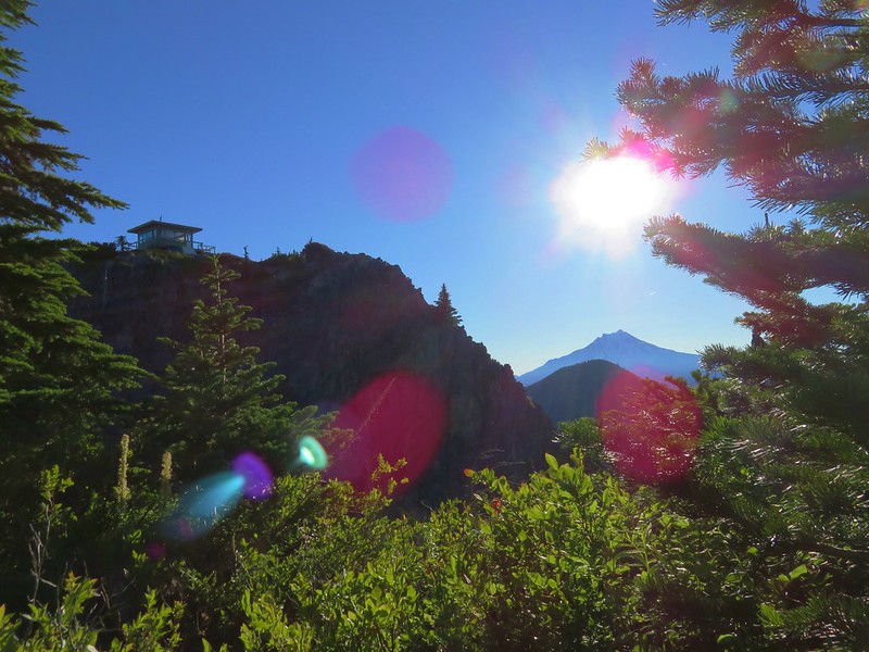
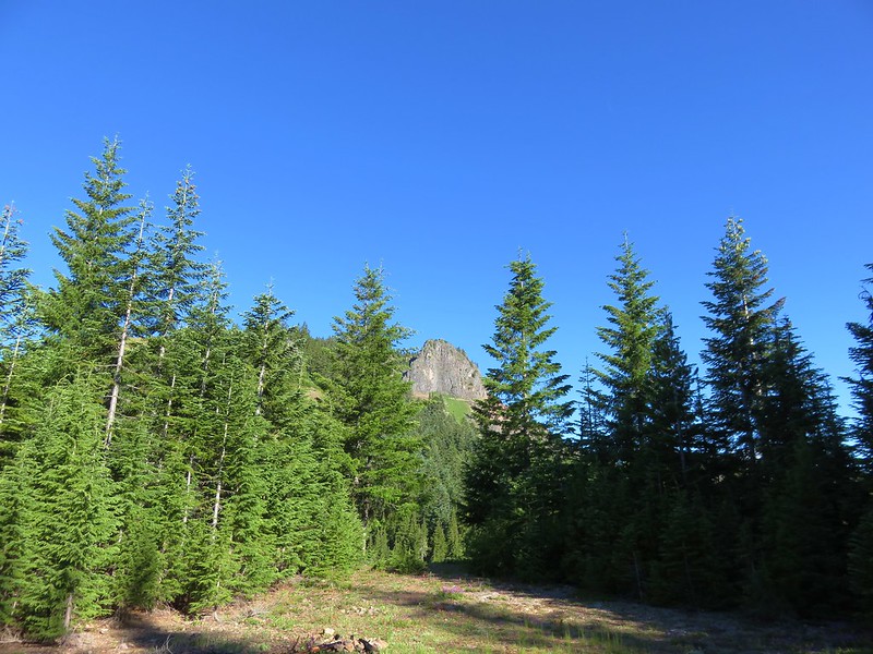
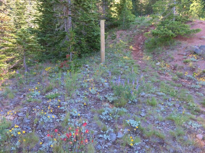
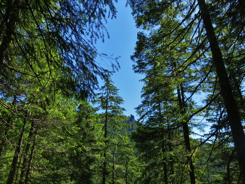
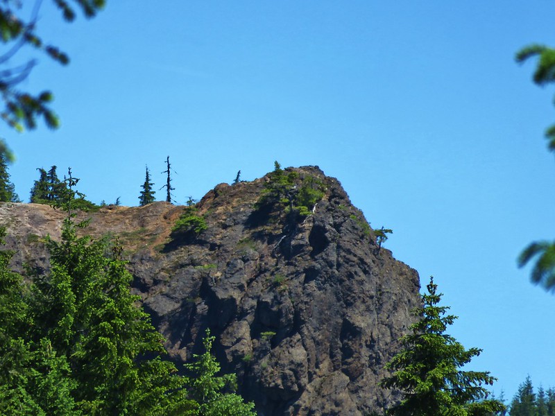
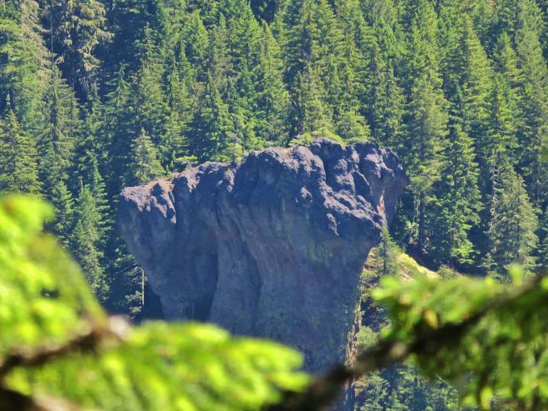
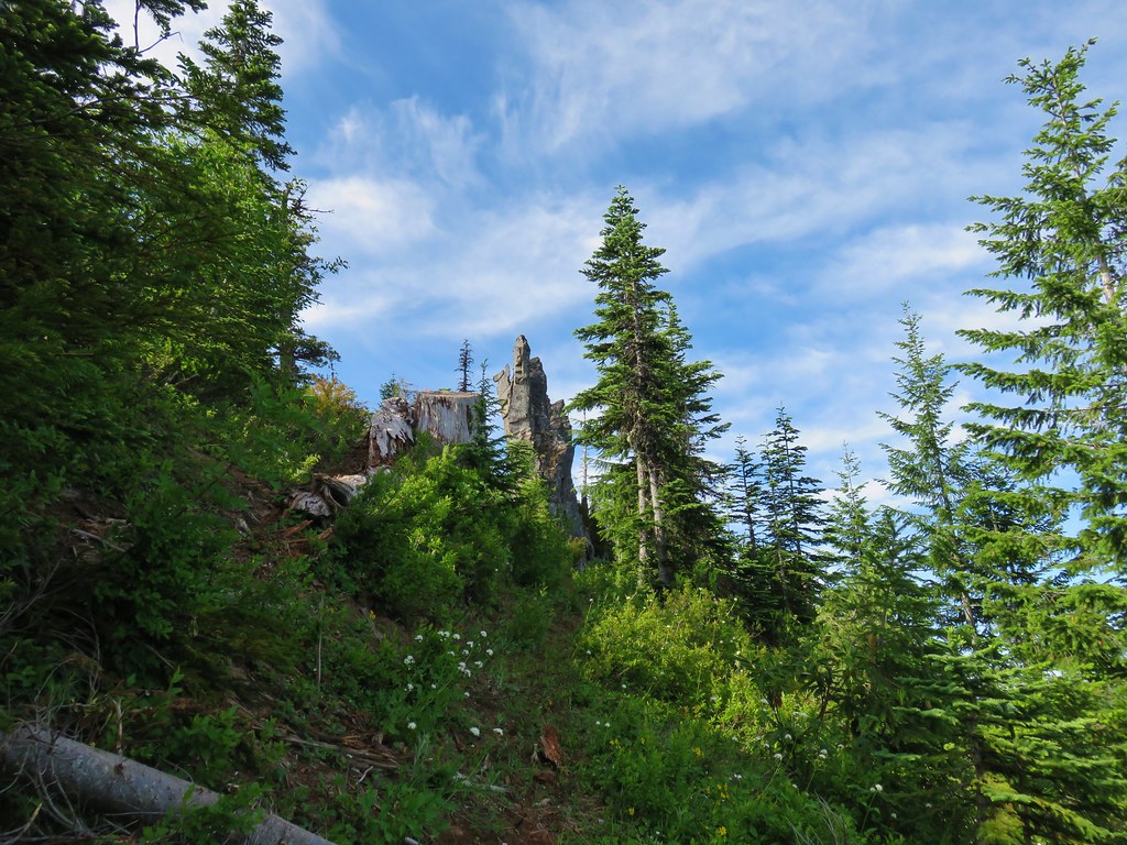


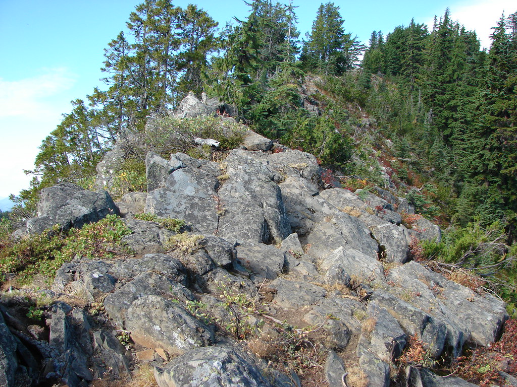
 Initially I forked right here because the left hand fork didn’t appear to go anywhere.
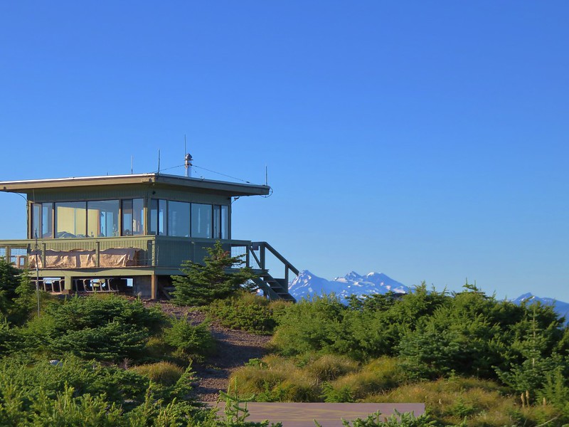
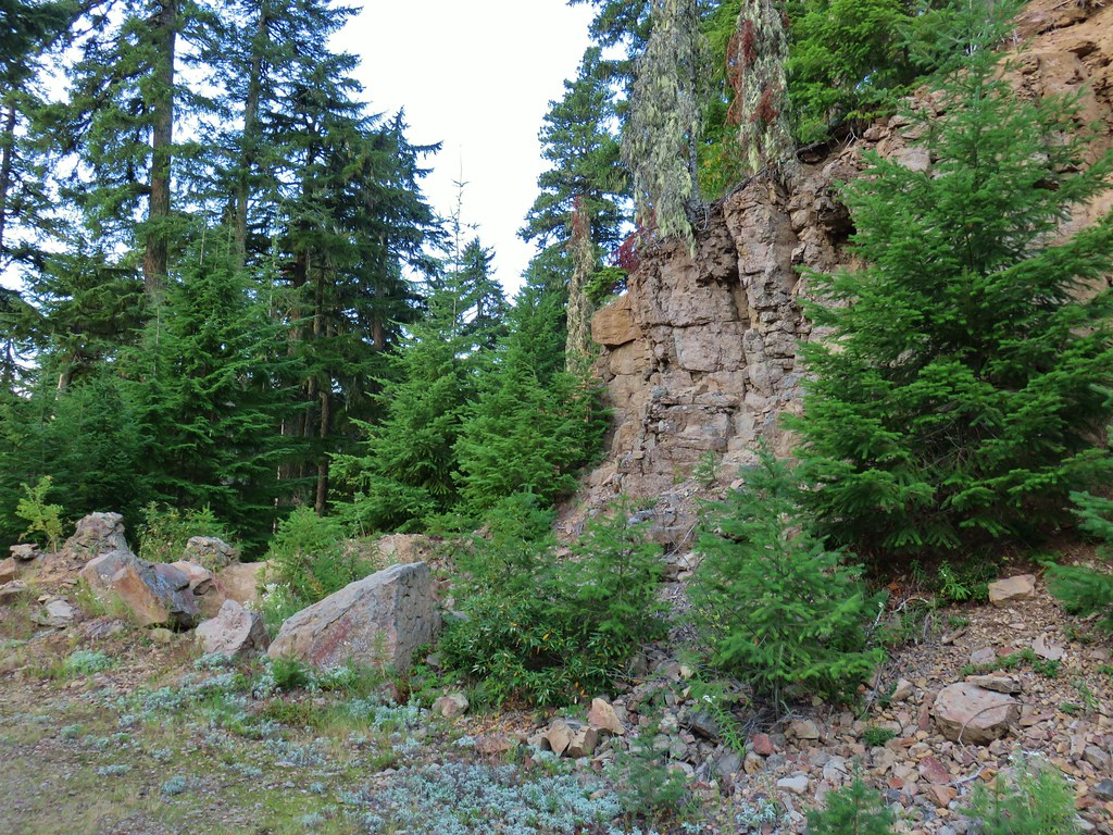
 I assume these are remains from the former lookout.
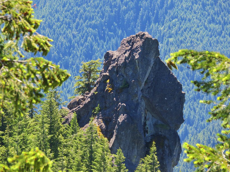
 The start of the scramble route. The crack was too narrow to use but once I got to the top of this rock the route became much clearer.
 Looking down at the first part of the route from above.
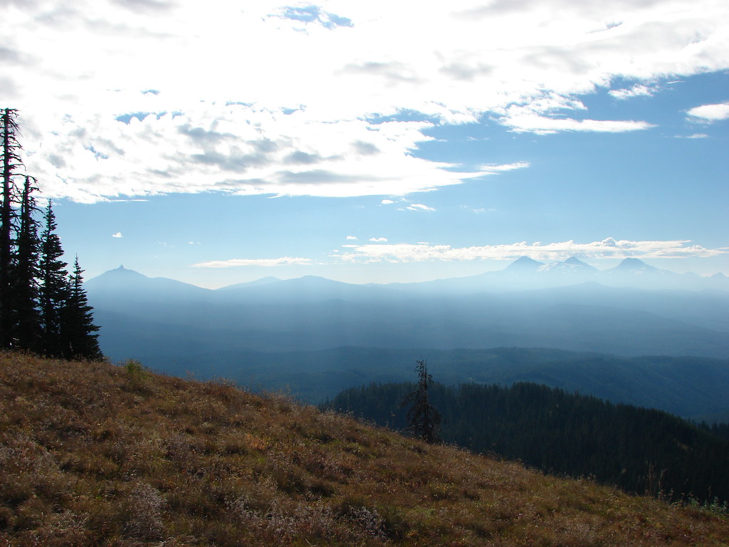
 The top is in sight.
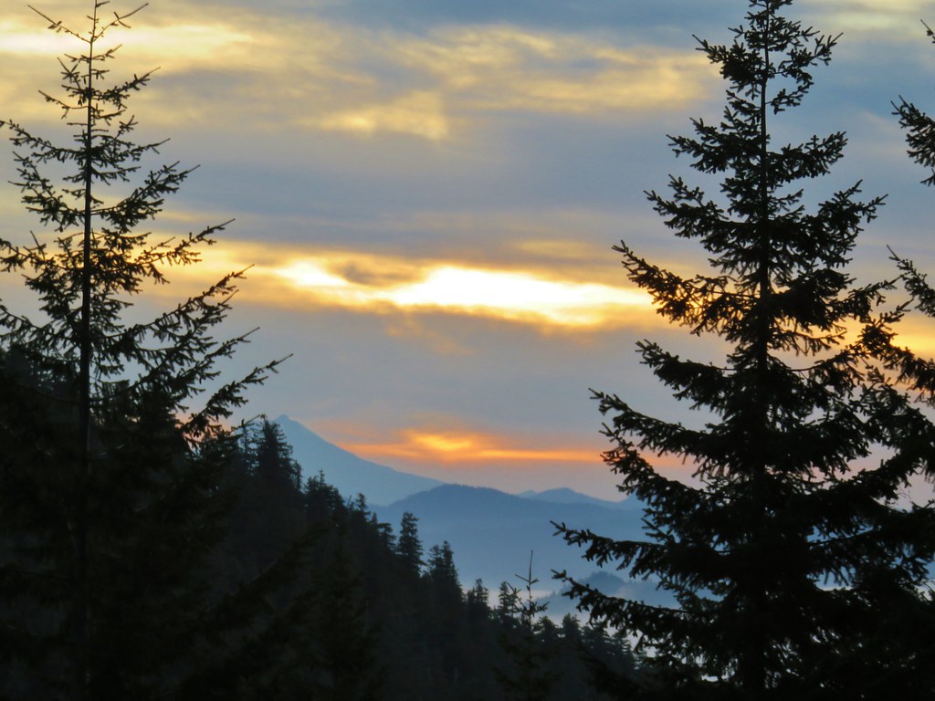
 Clouds over Green Peter Lake.
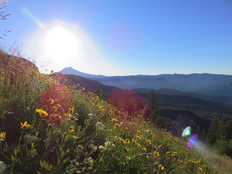
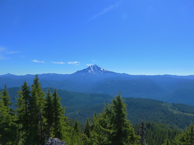
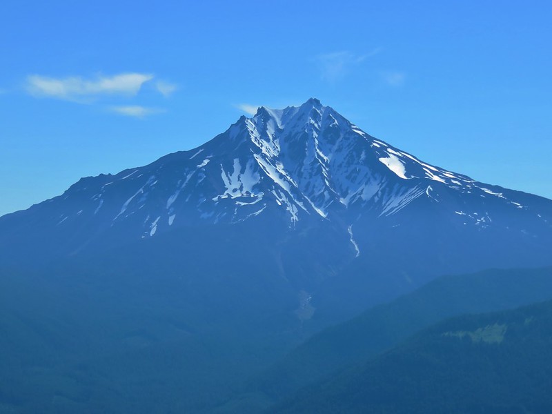
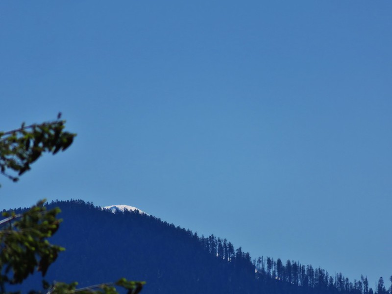
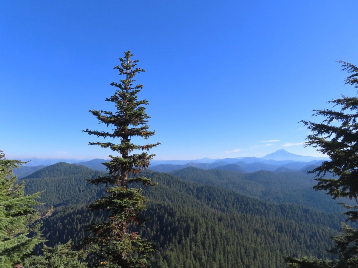
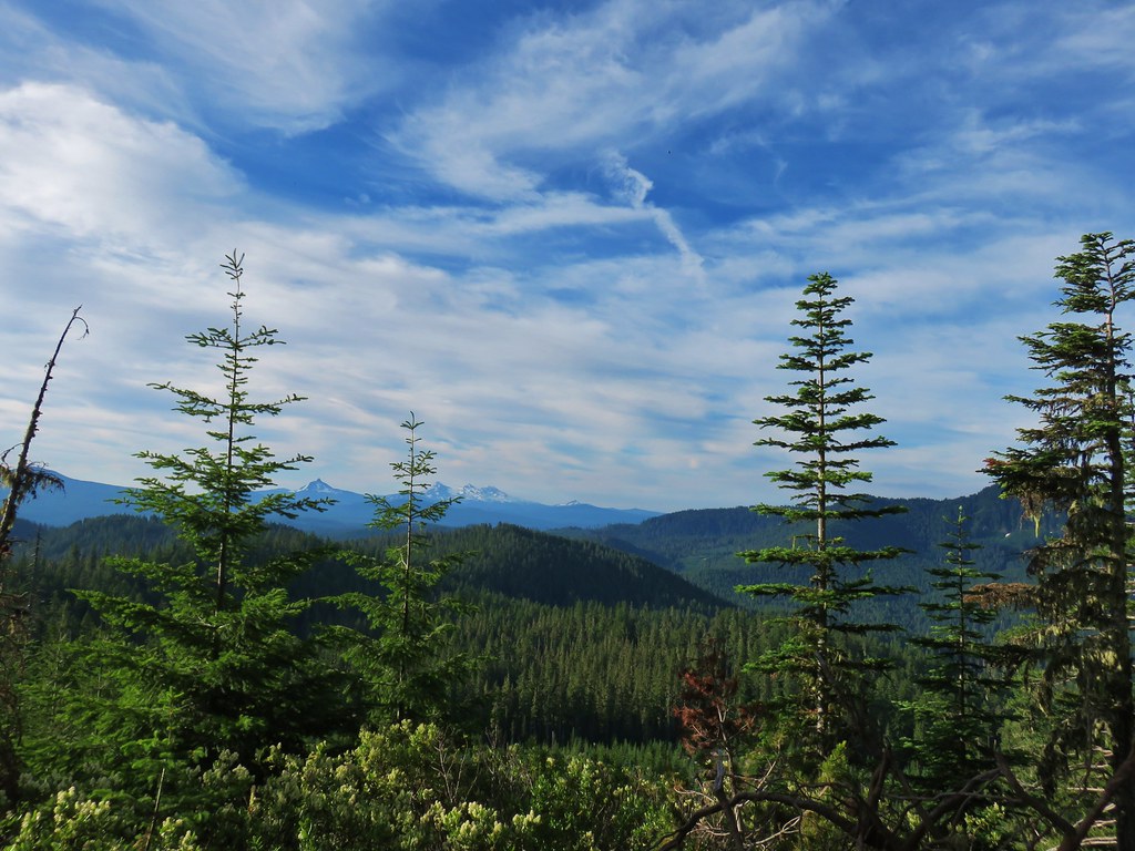
 Mt. Hood in the distance.
 Zoomed in on Mt. Hood and some haze.


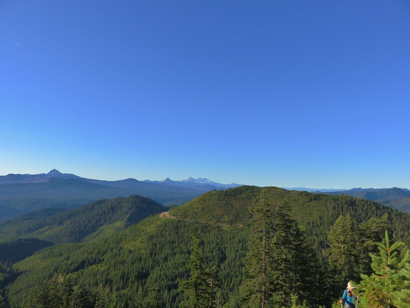
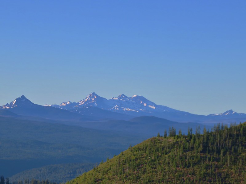
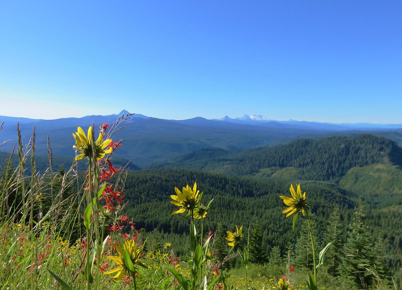
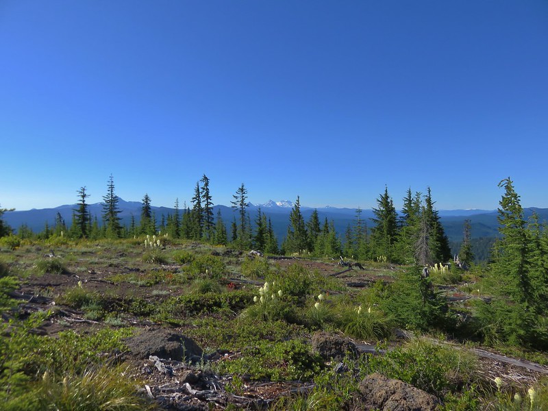
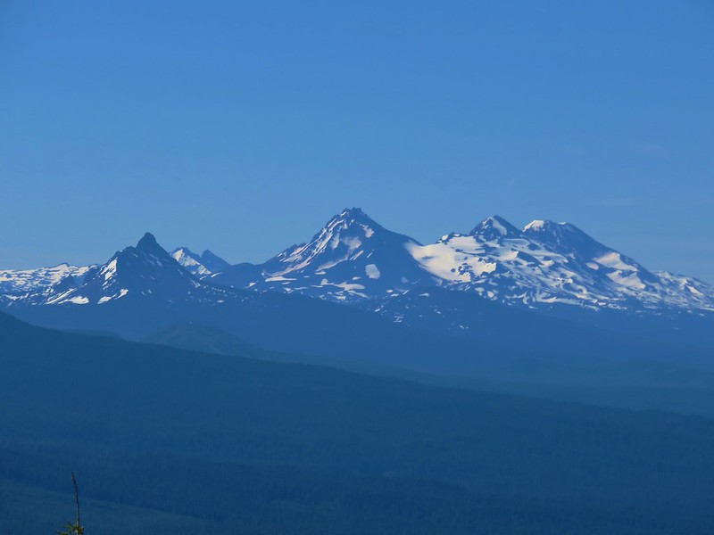
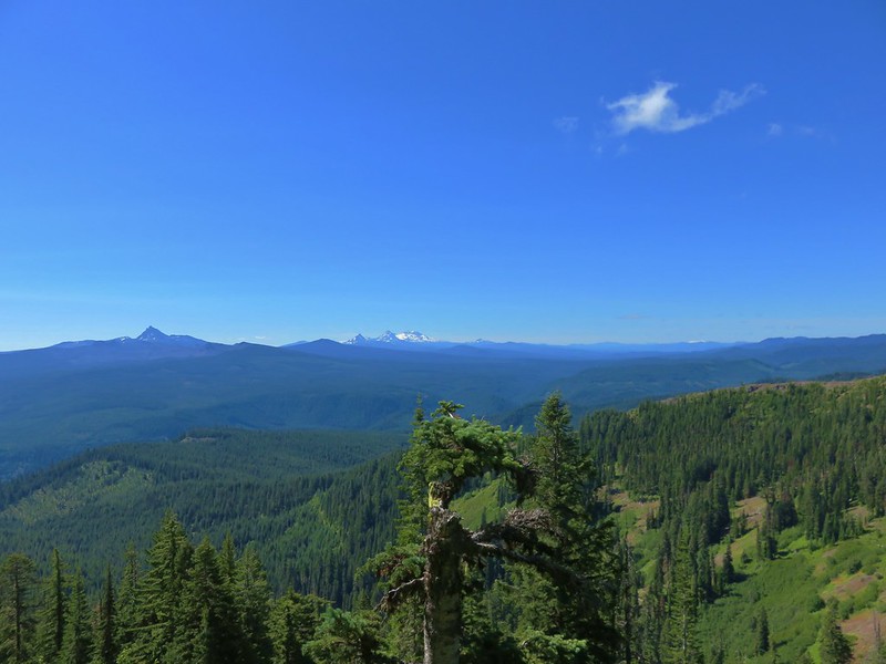
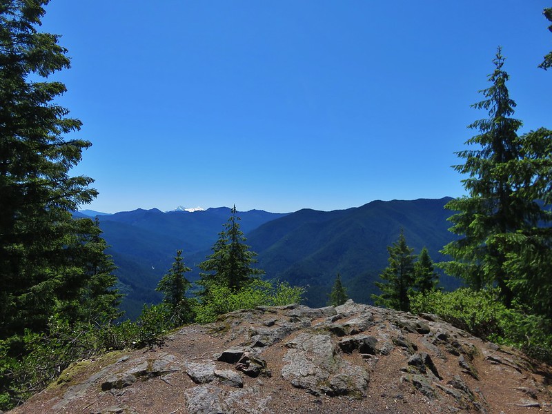
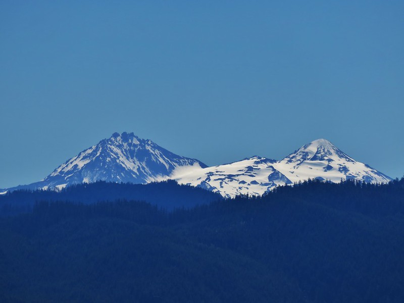
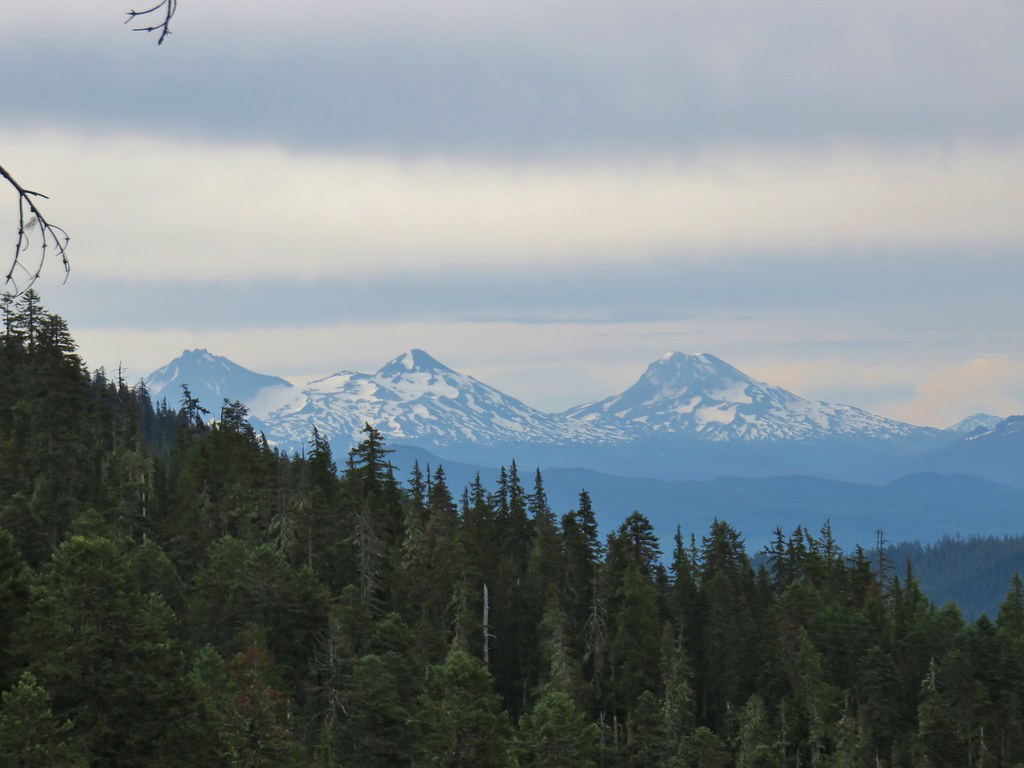
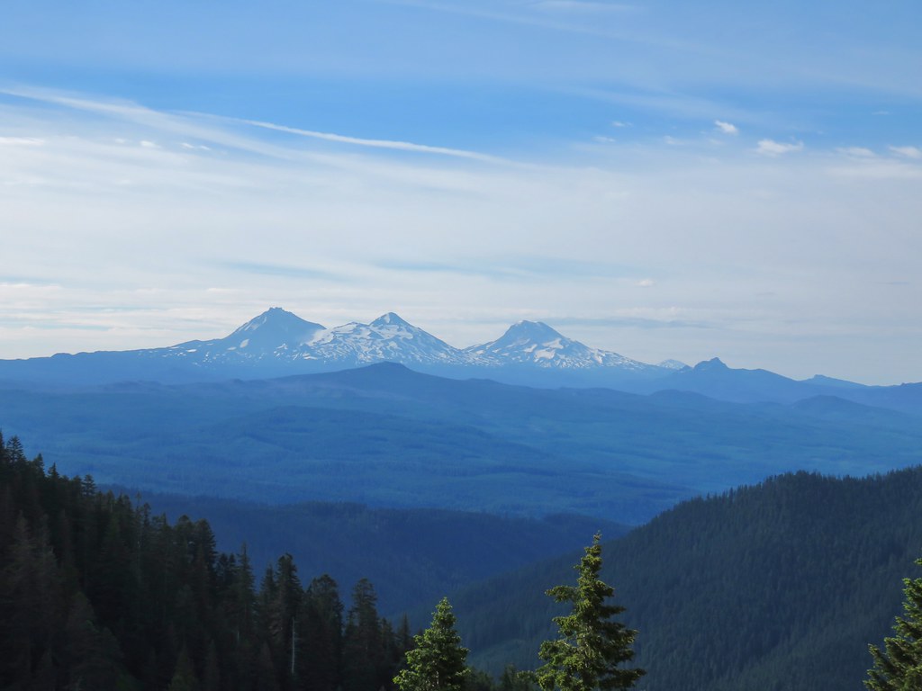
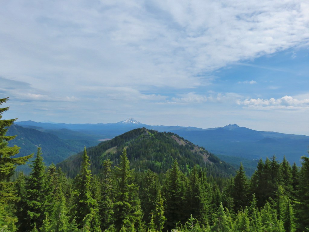
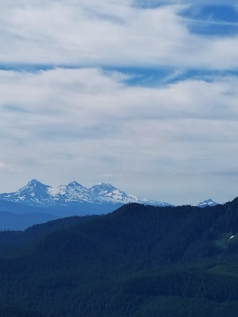
 The Three Sisters
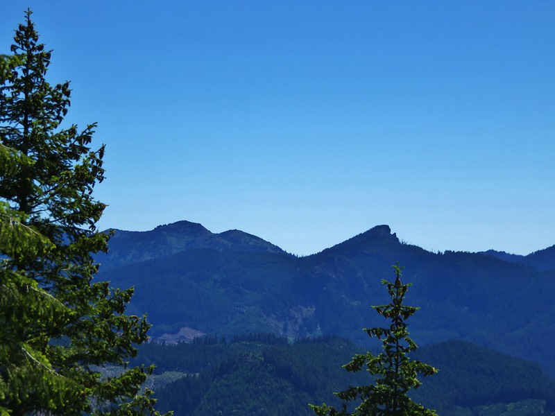
 Three Fingered Jack to the left behind the Three Pyramids (
 Mt. Jefferson zoomed.


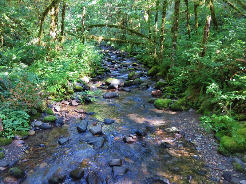
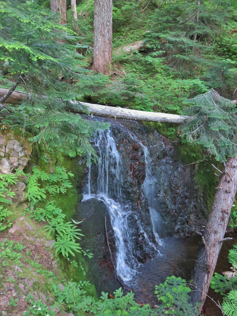
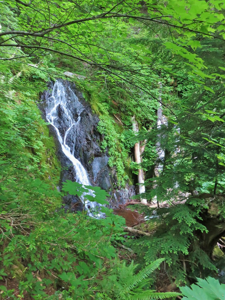
 West Fork McQuade Creek
 Back at the trailhead.


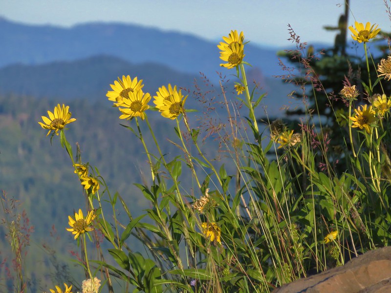
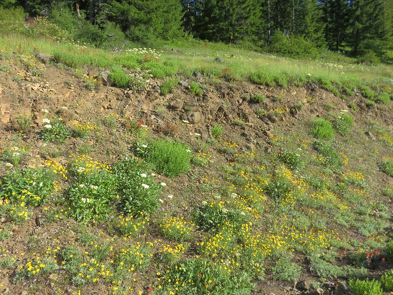
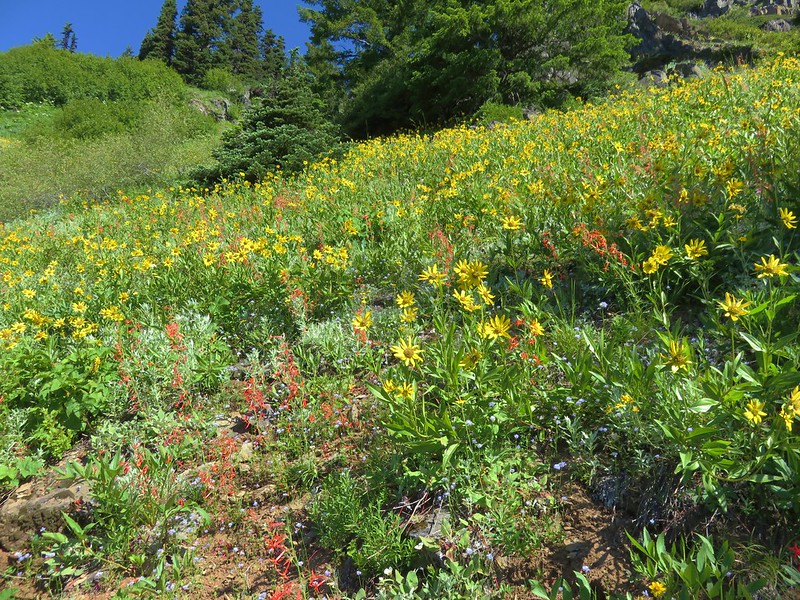
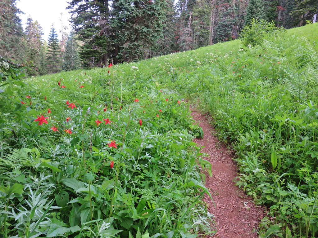
 Coneflower
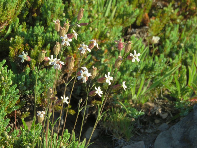
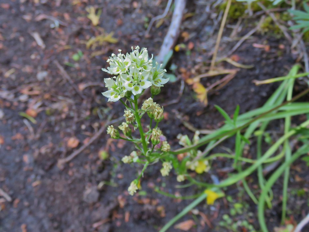 Death camas


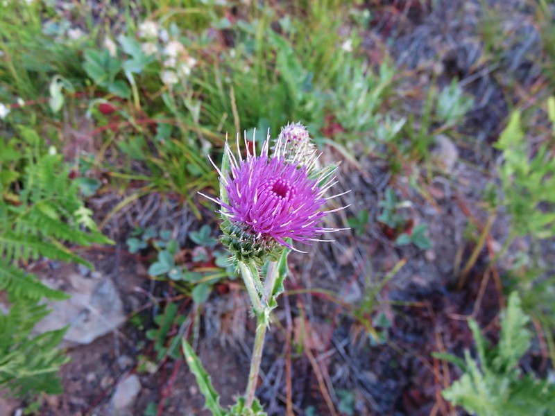
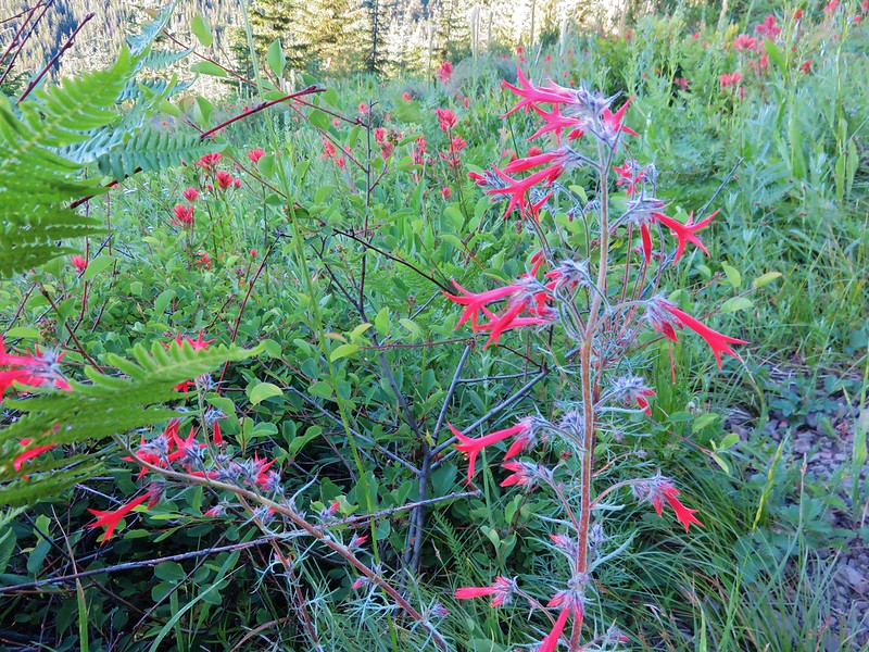
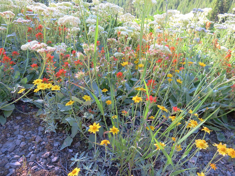
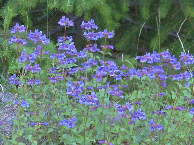
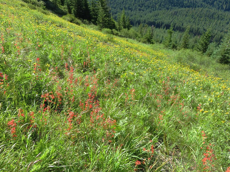
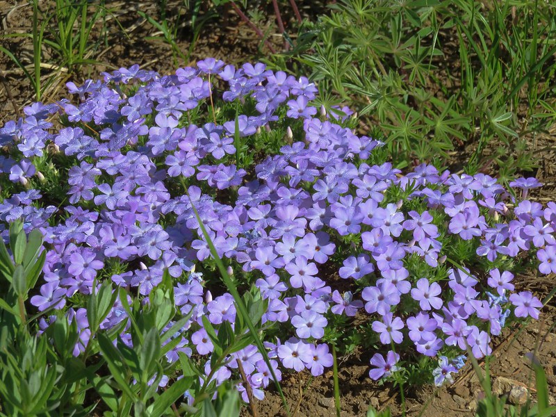
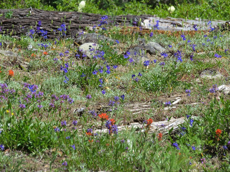
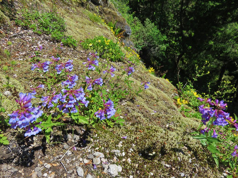
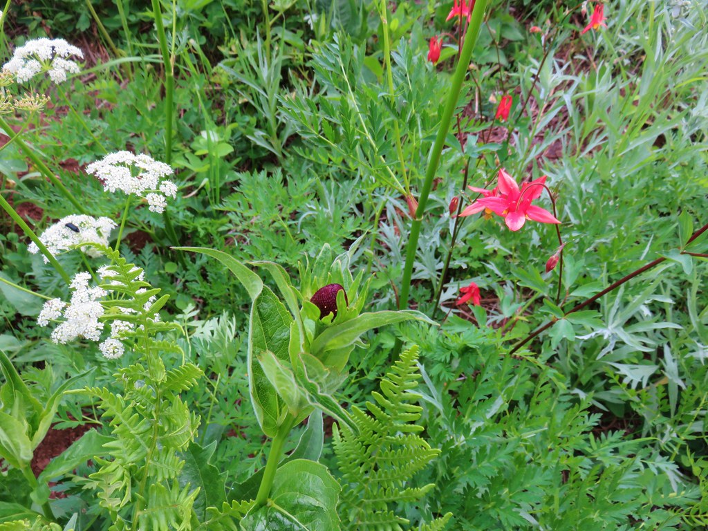
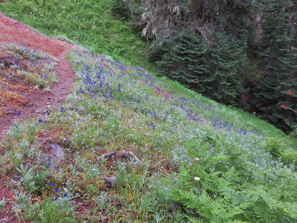
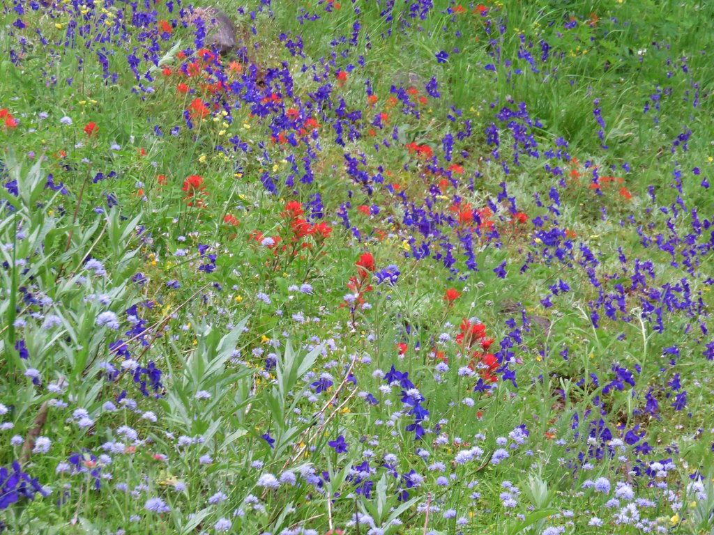
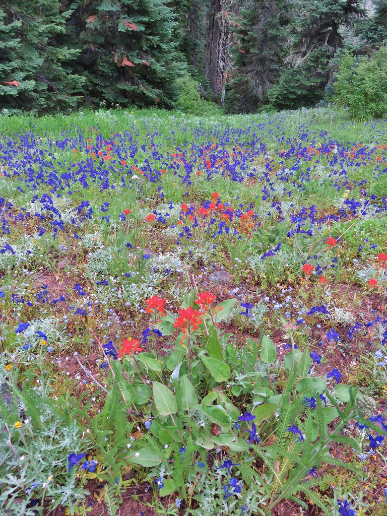
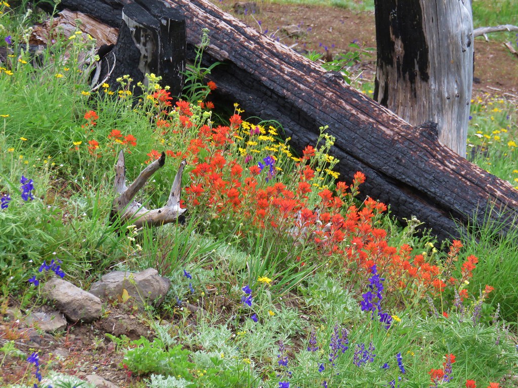
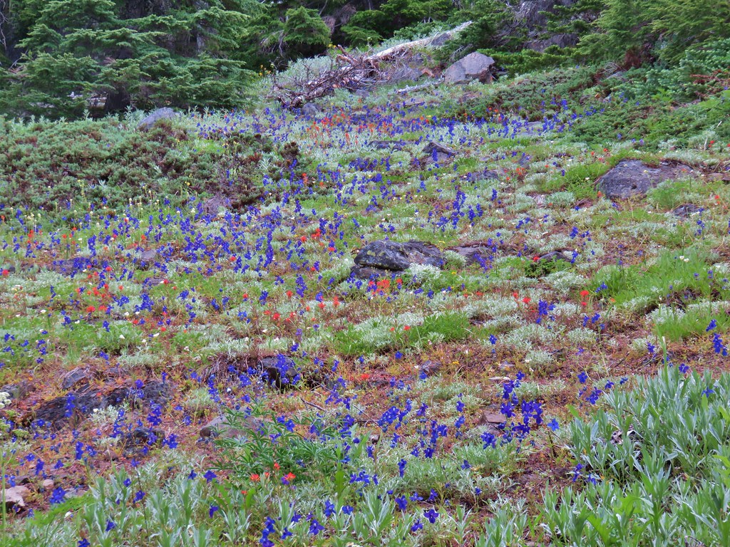
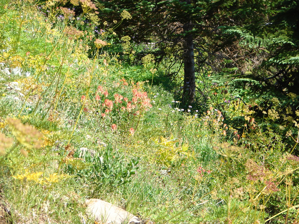
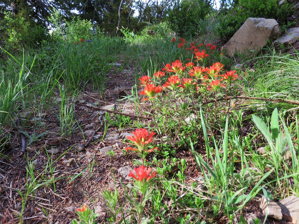
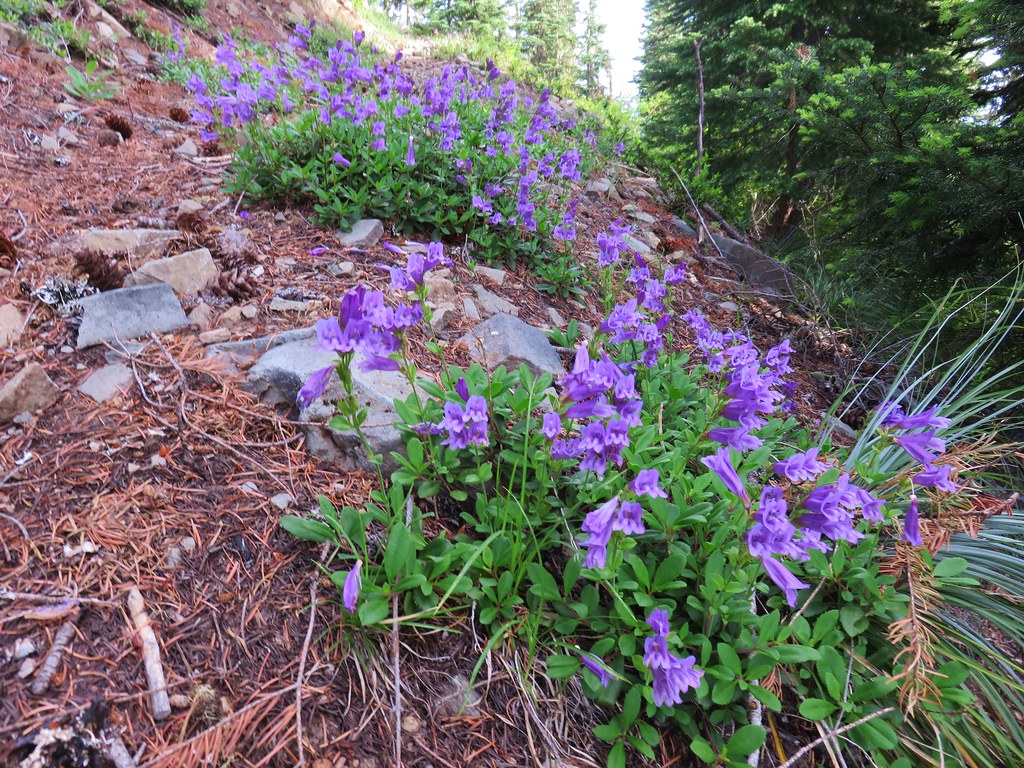
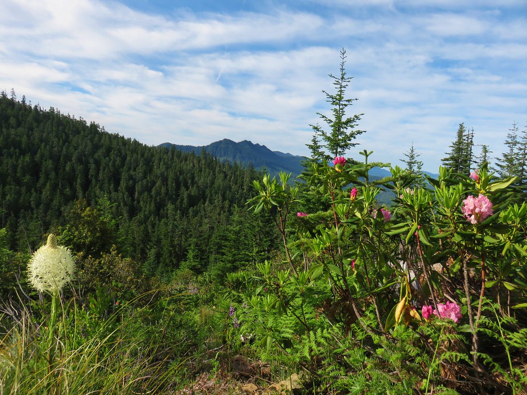
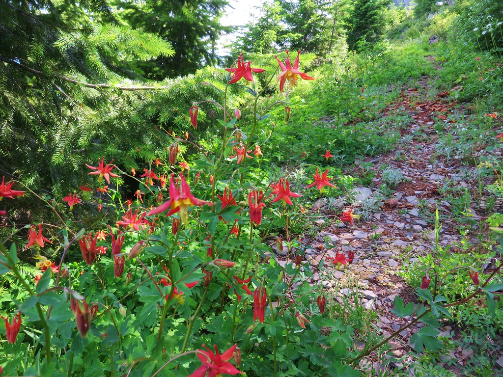
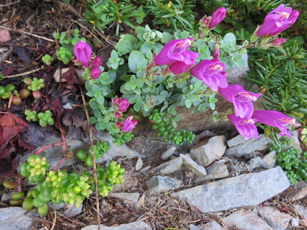
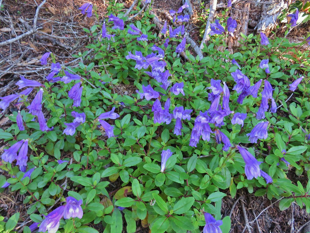 Penstemon
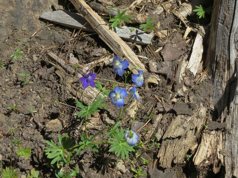
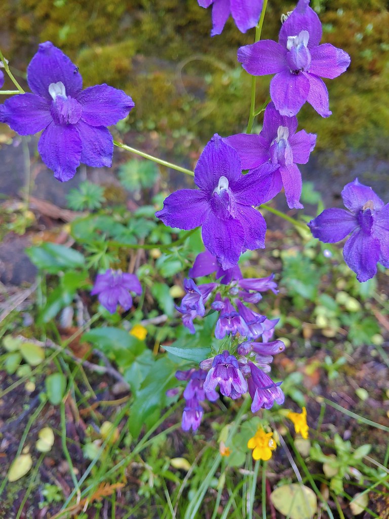 Larkspur and penstemon

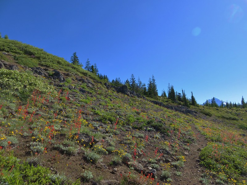
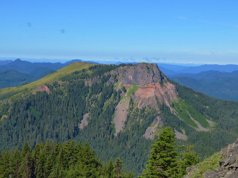
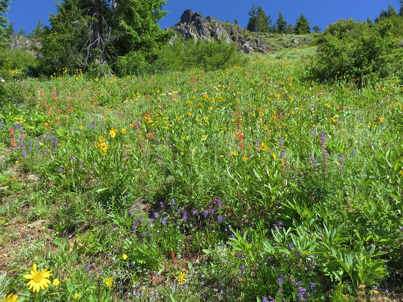
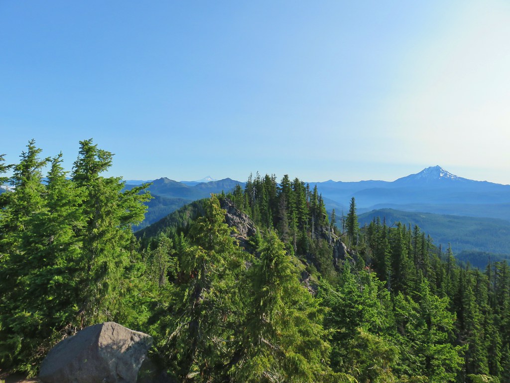
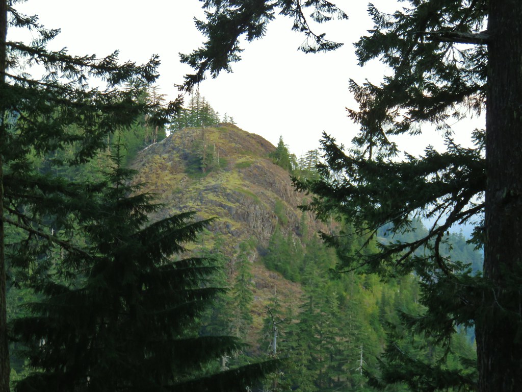
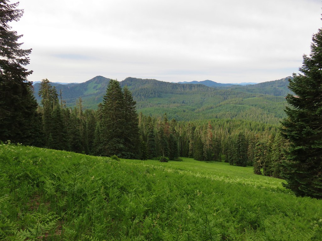
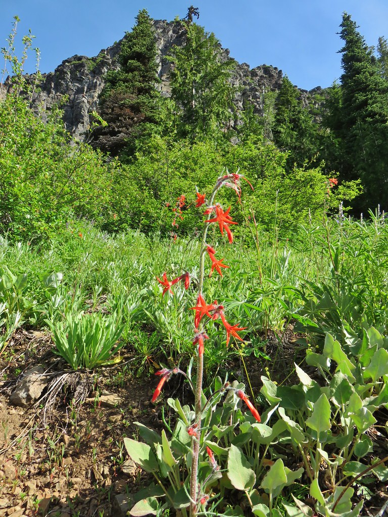
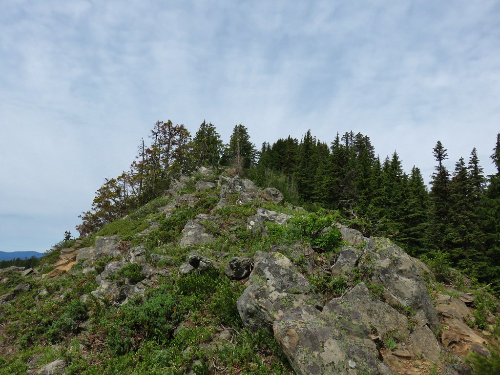
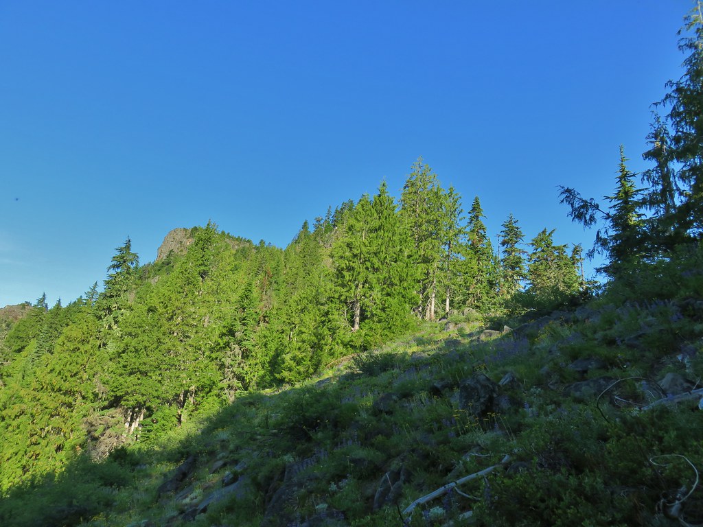 Middle Pyramid from the ridge.
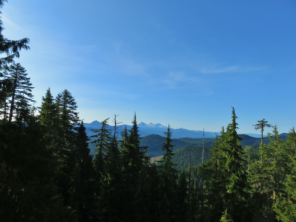 Mt. Washington and the Three Sisters

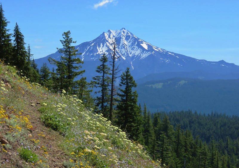
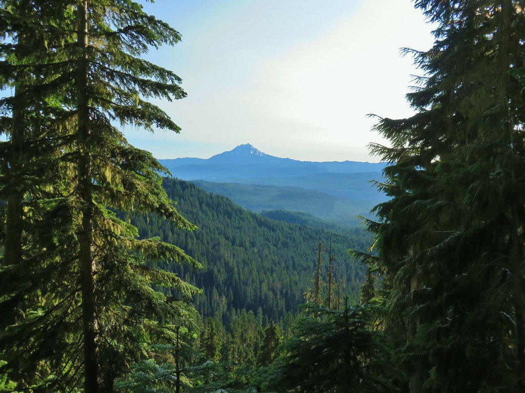 Mt. Jefferson
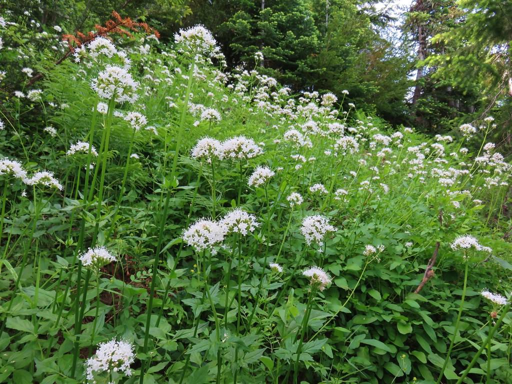
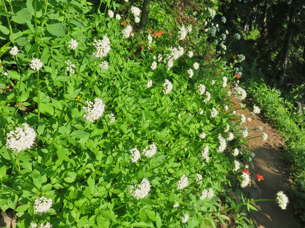 Valerian and columbine
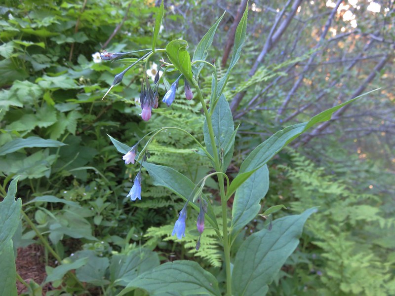
 Mountain bluebells

 Looking up toward the summit from the saddle.
 Mt. Washington and the Three Sisters
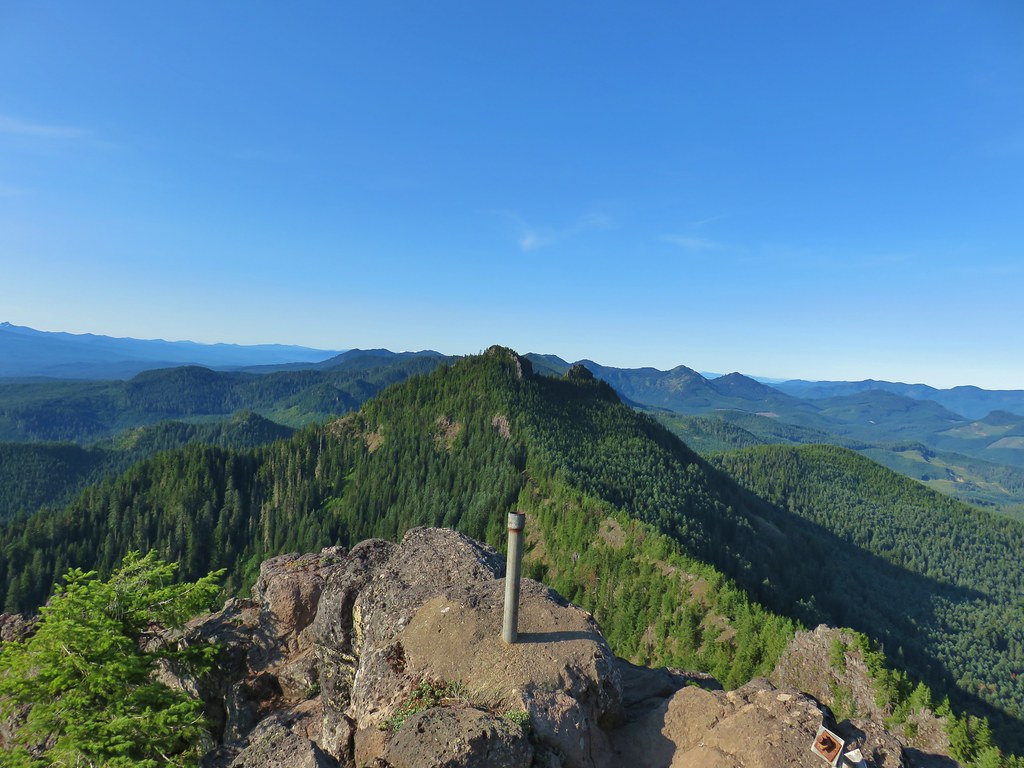 South Pyramid with snowy Diamond Peak to the left in the distance.
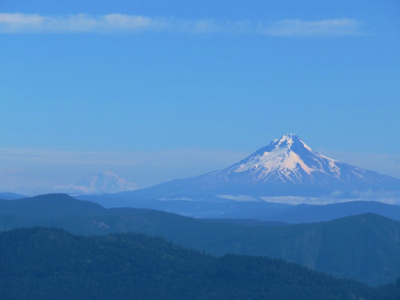
 A faint Mt. Adams to the left of Mt. Hood
 Meadow from the summit.
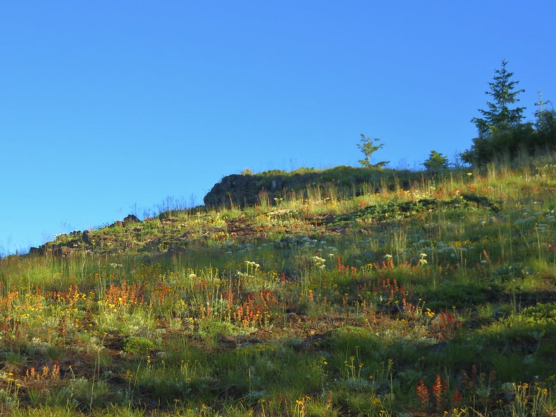
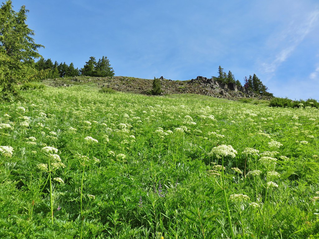
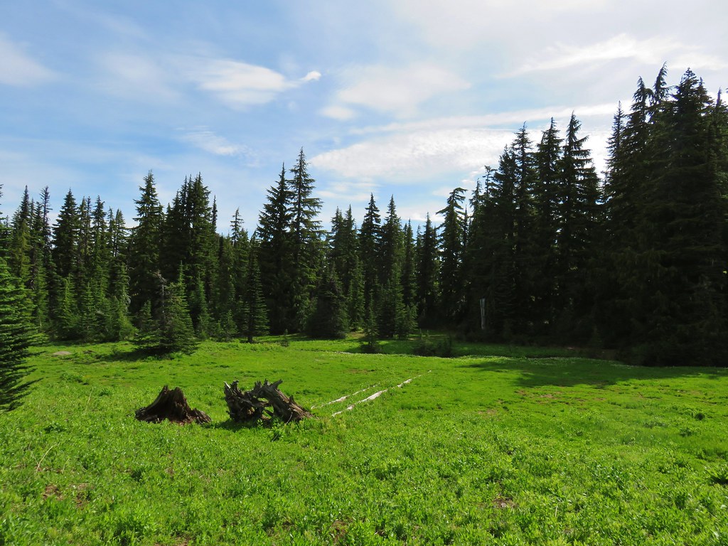
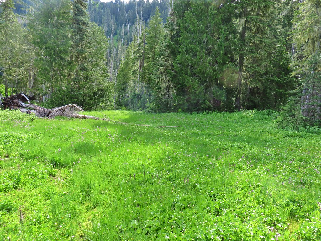
 North Pyramid
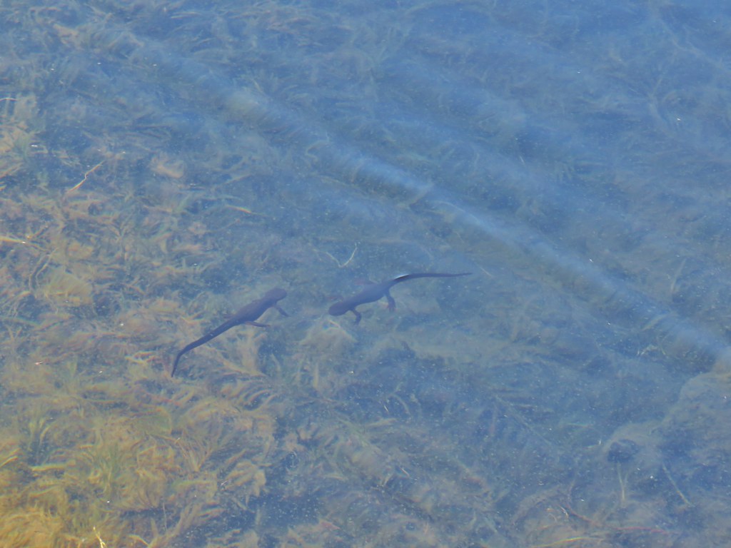 Rough skinned newts


 Crab spider on prince’s pine
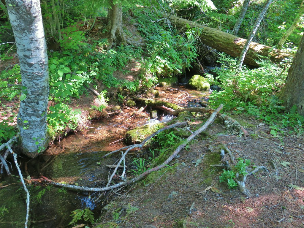 The trail used to continue on the other side of the inlet creek.

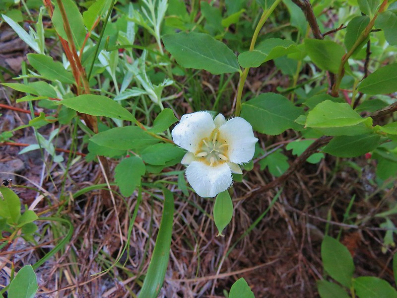
 Washington lilies
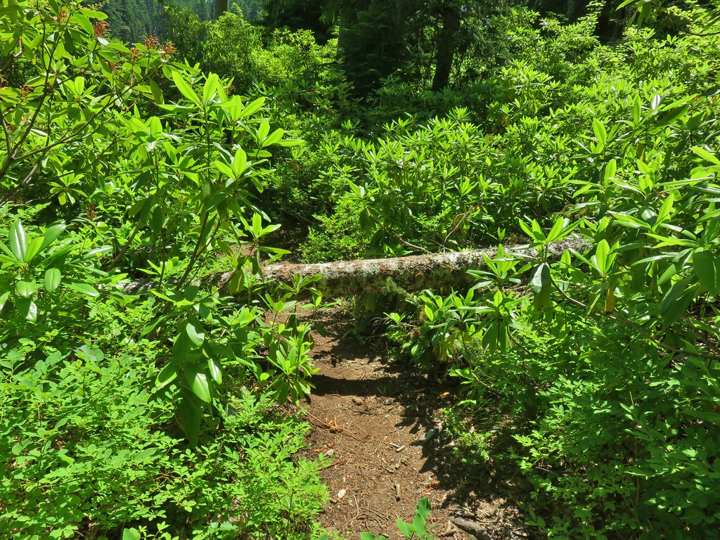
 Crossing on the outlet creek.
 Marsh at the outlet creek.
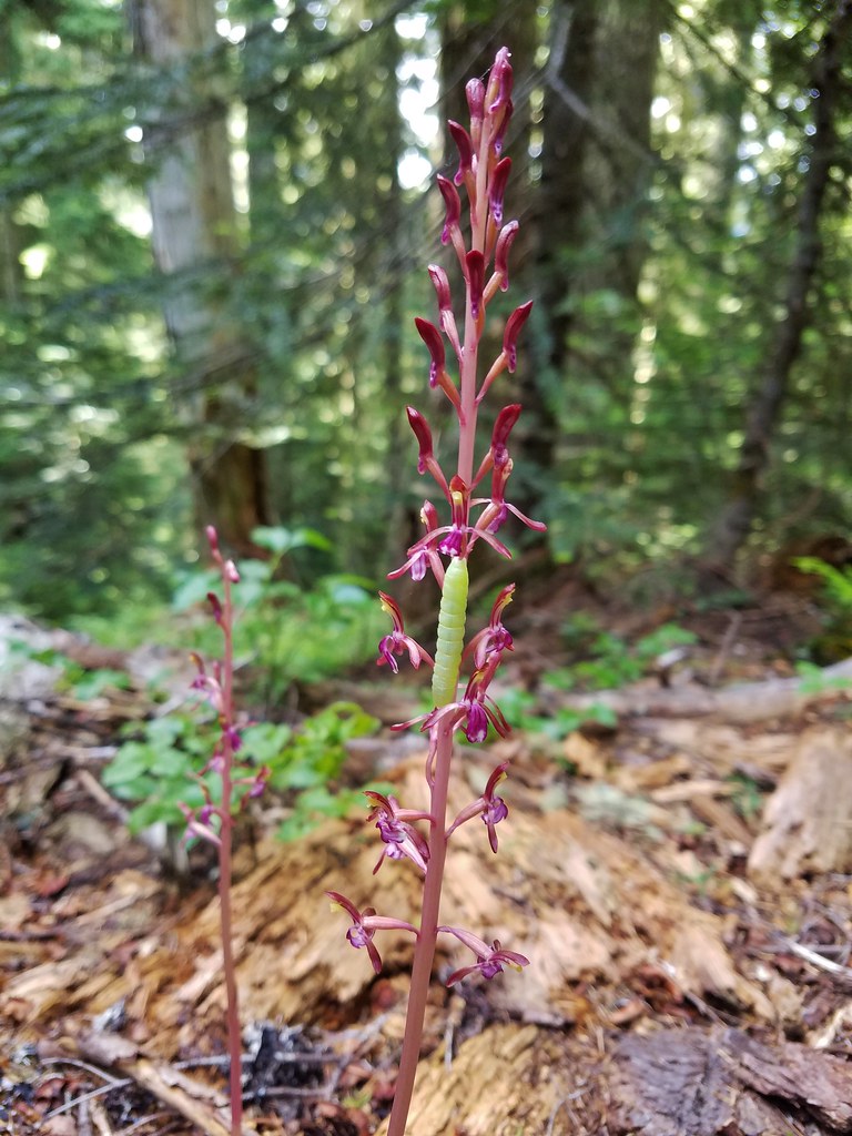
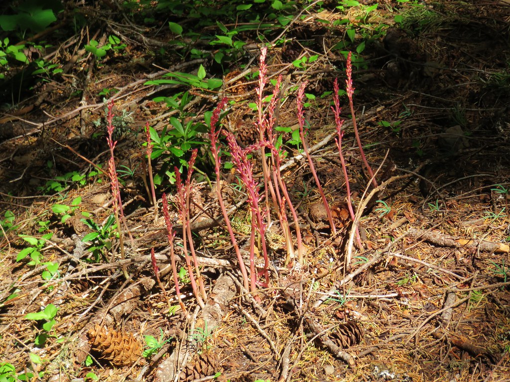
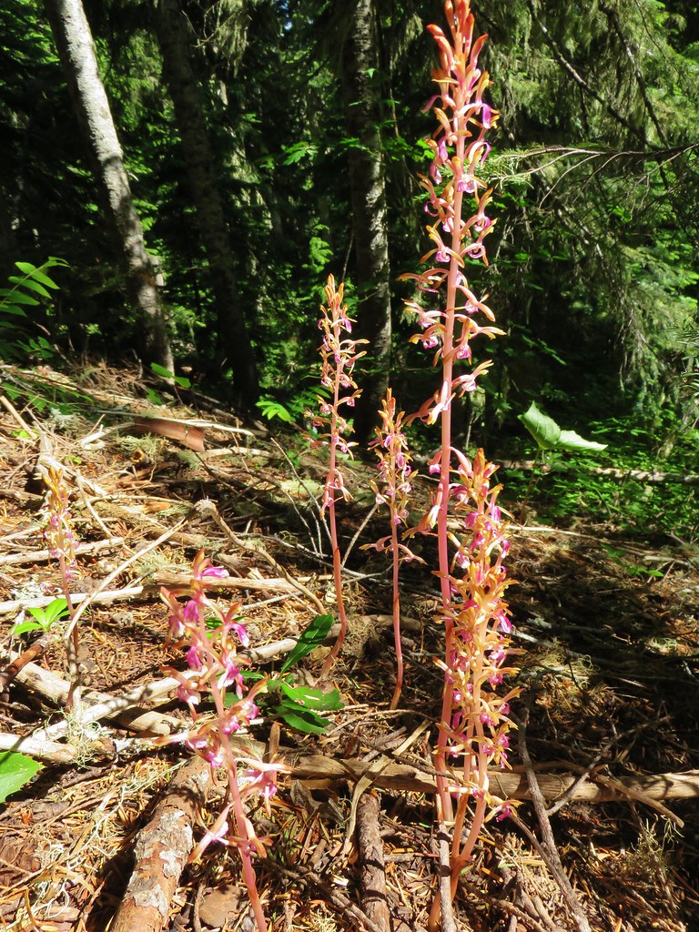
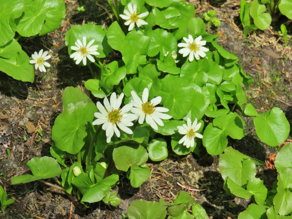
 Bog orchid
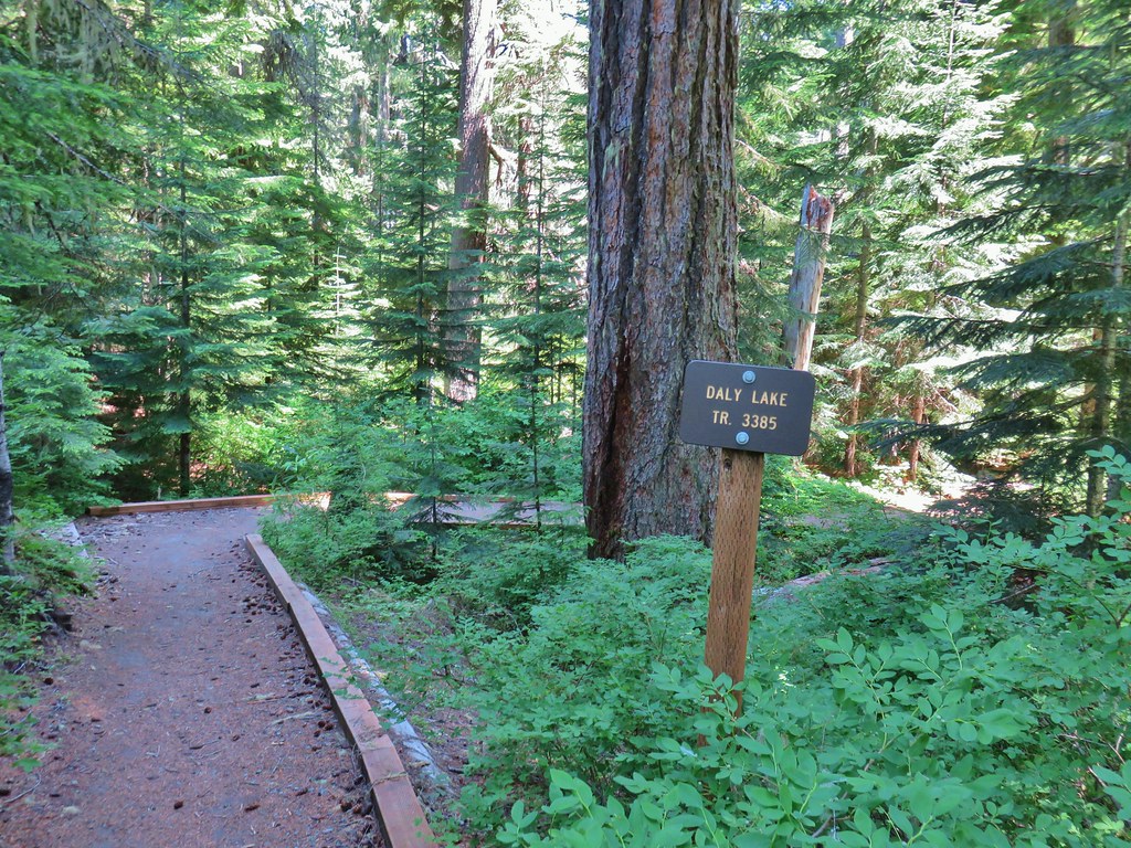
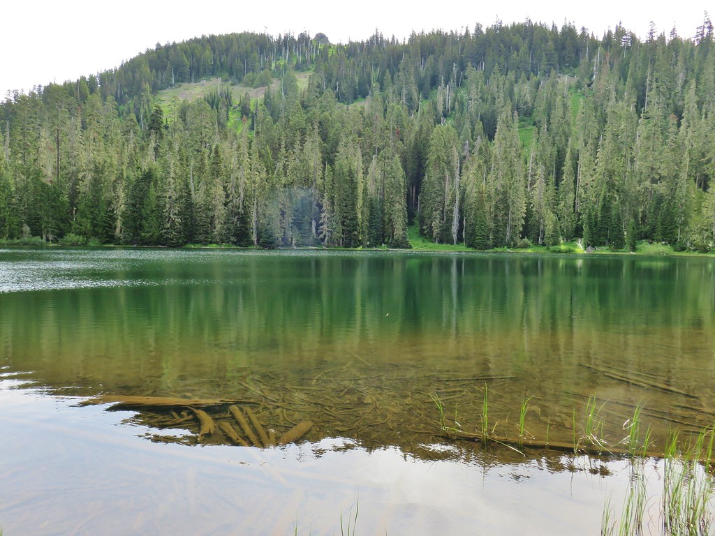
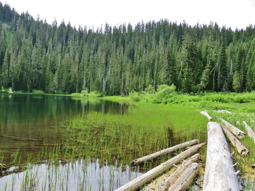
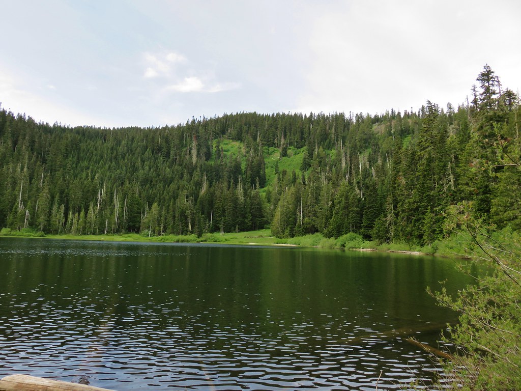
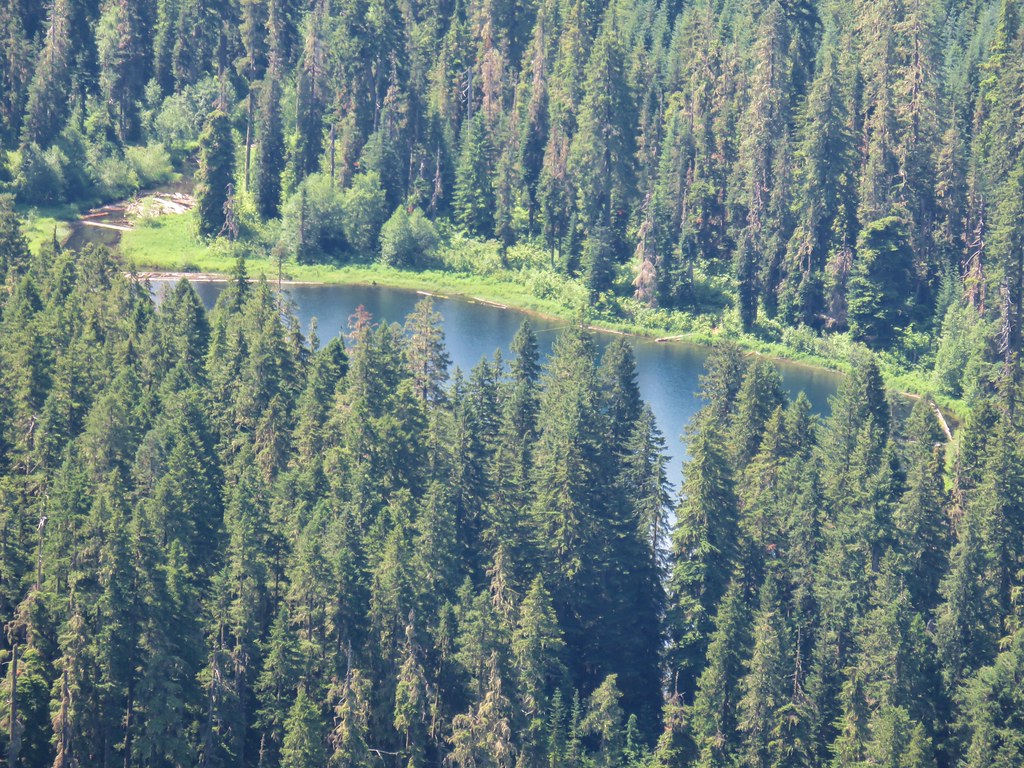
 The North Pyramid from Daly Lake
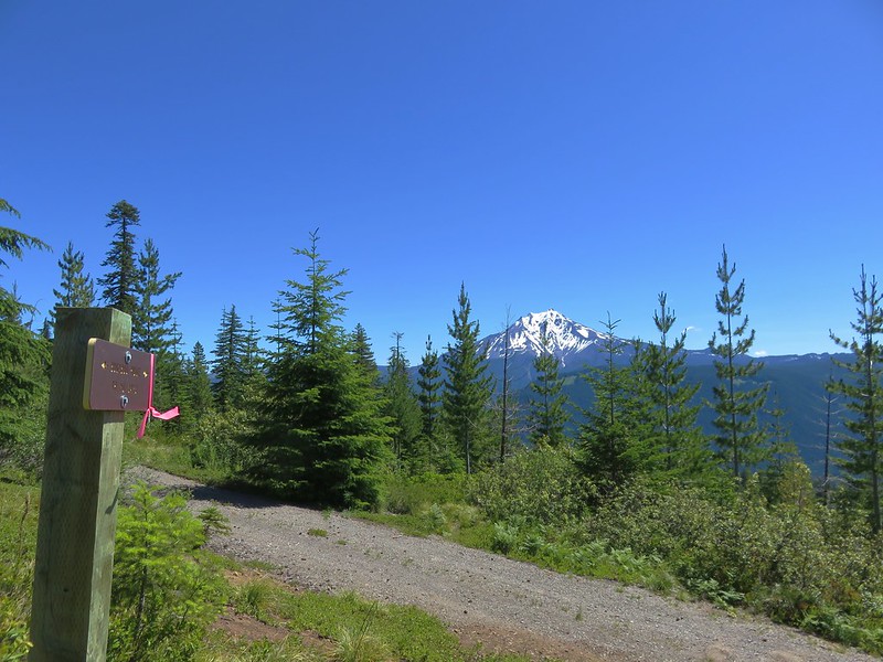
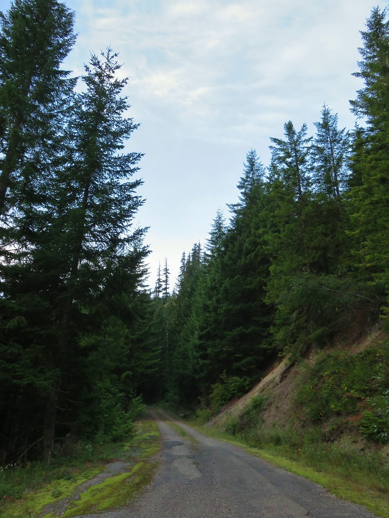 The gravel road from the junction.


 Coming up on the viewpoint.
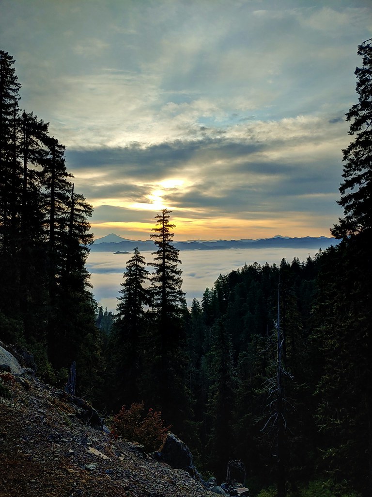
 Mt. Jefferson
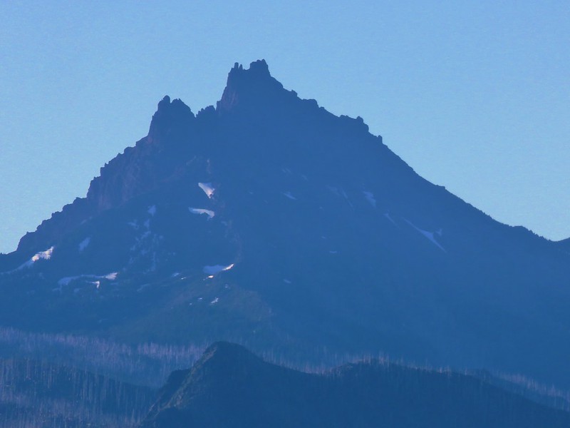
 Three Fingered Jack
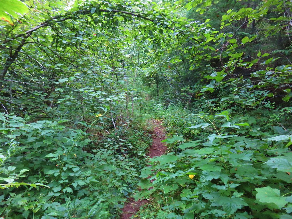
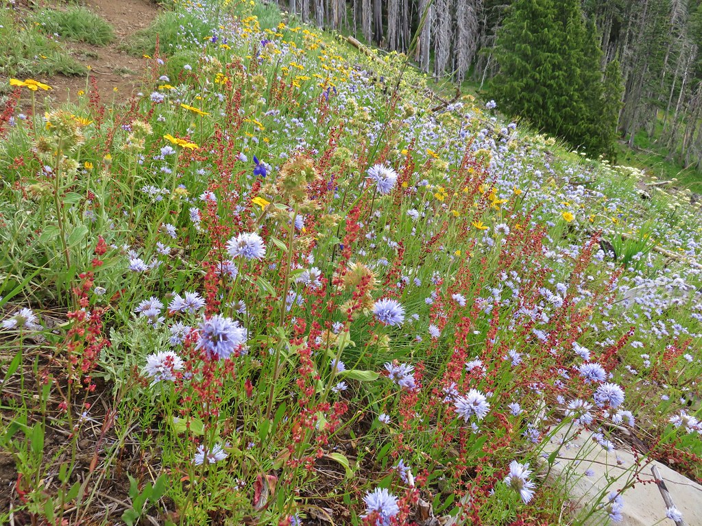
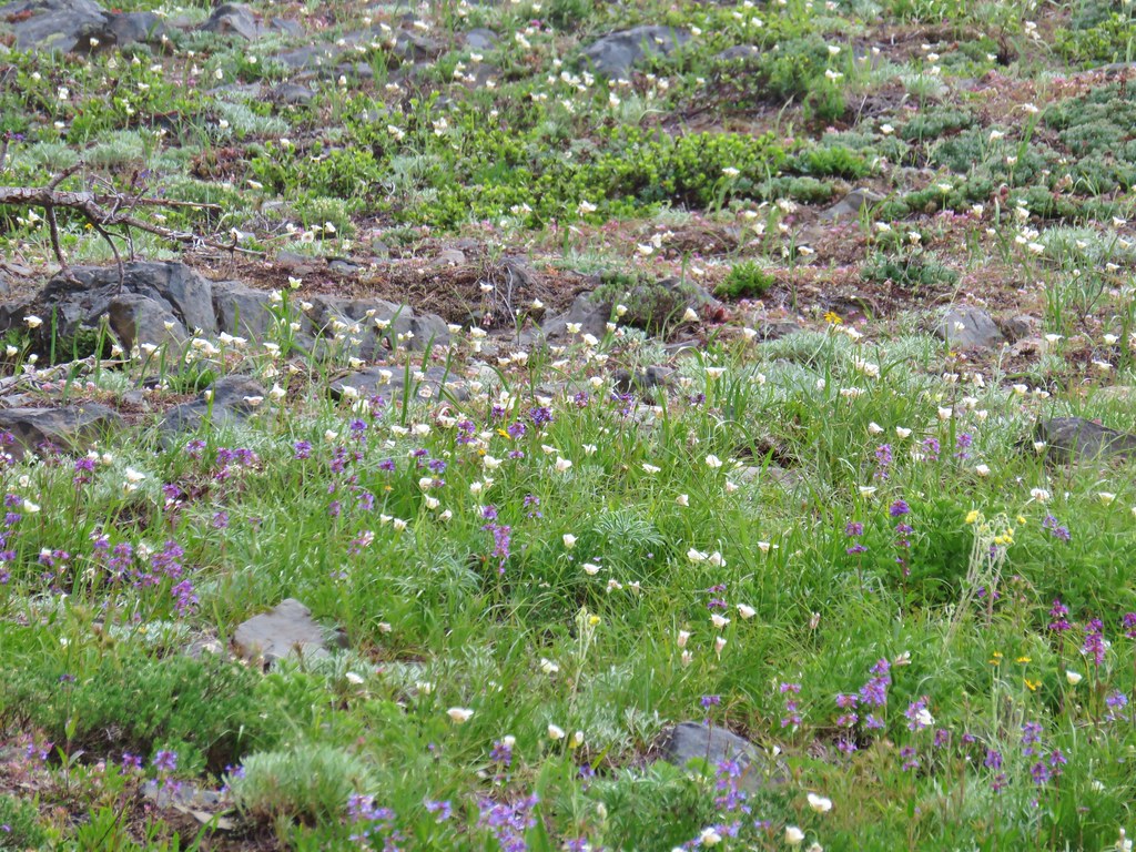
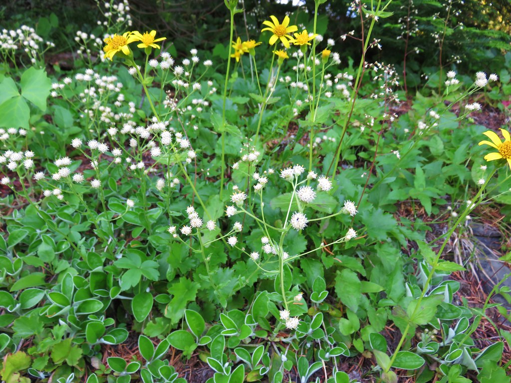
 Maybe a ragwort?
 Yarrow
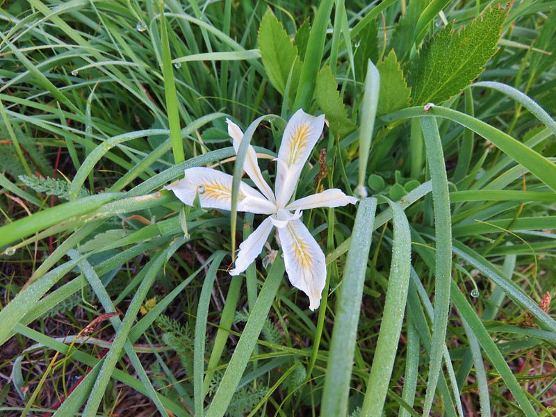
 St. John’s wort
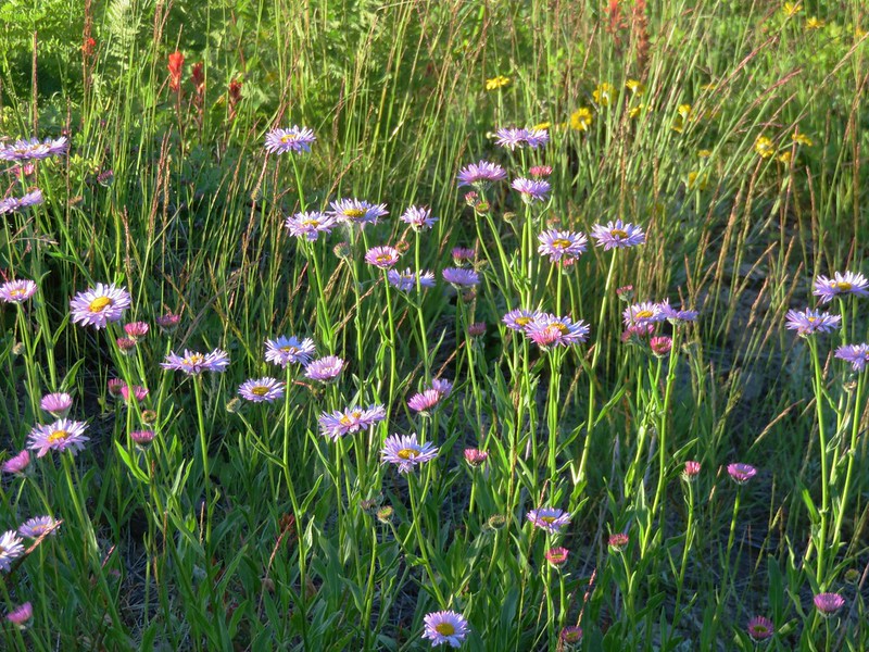
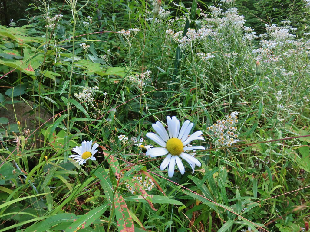 Daisy and pearly everlasting
 Beardstongue
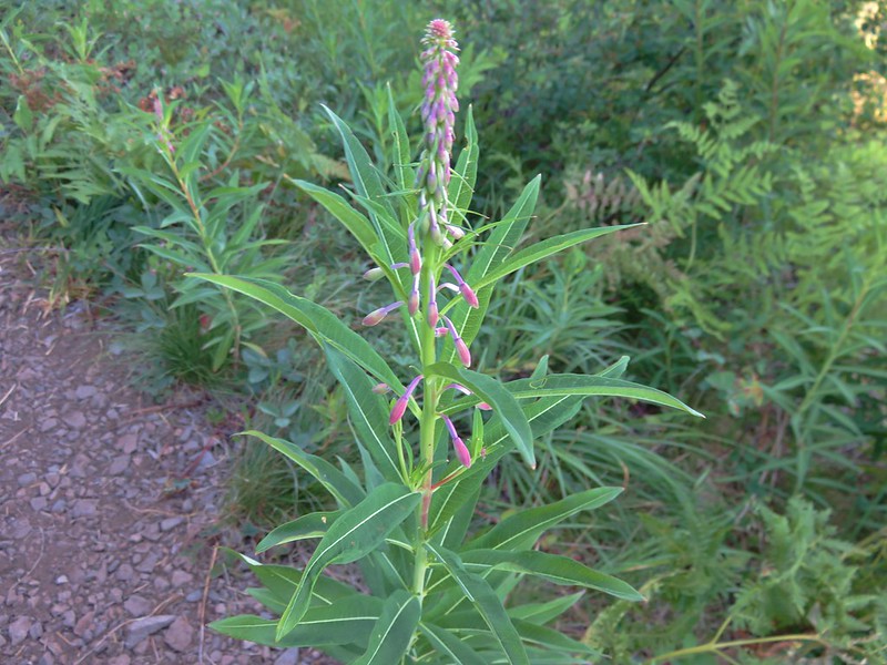
 Fireweed
 Not a flower but colorful maple leaves.
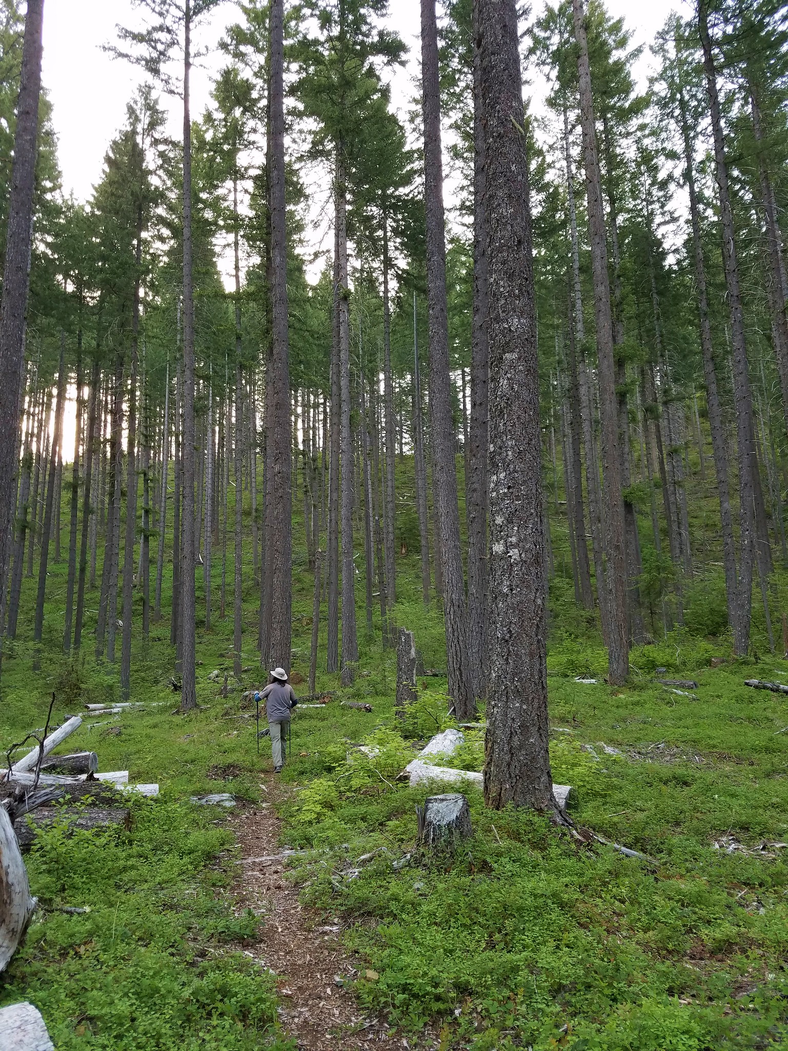
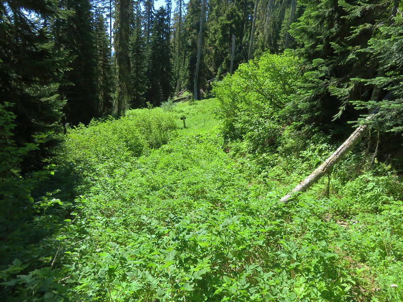
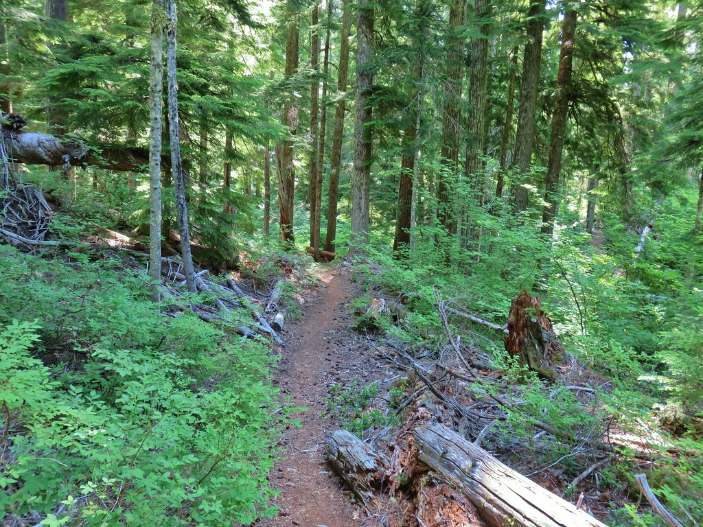
 A common sight on the trail.
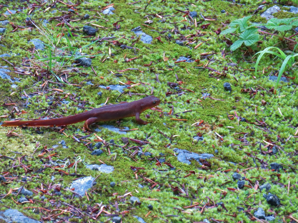 Rough skinned newt


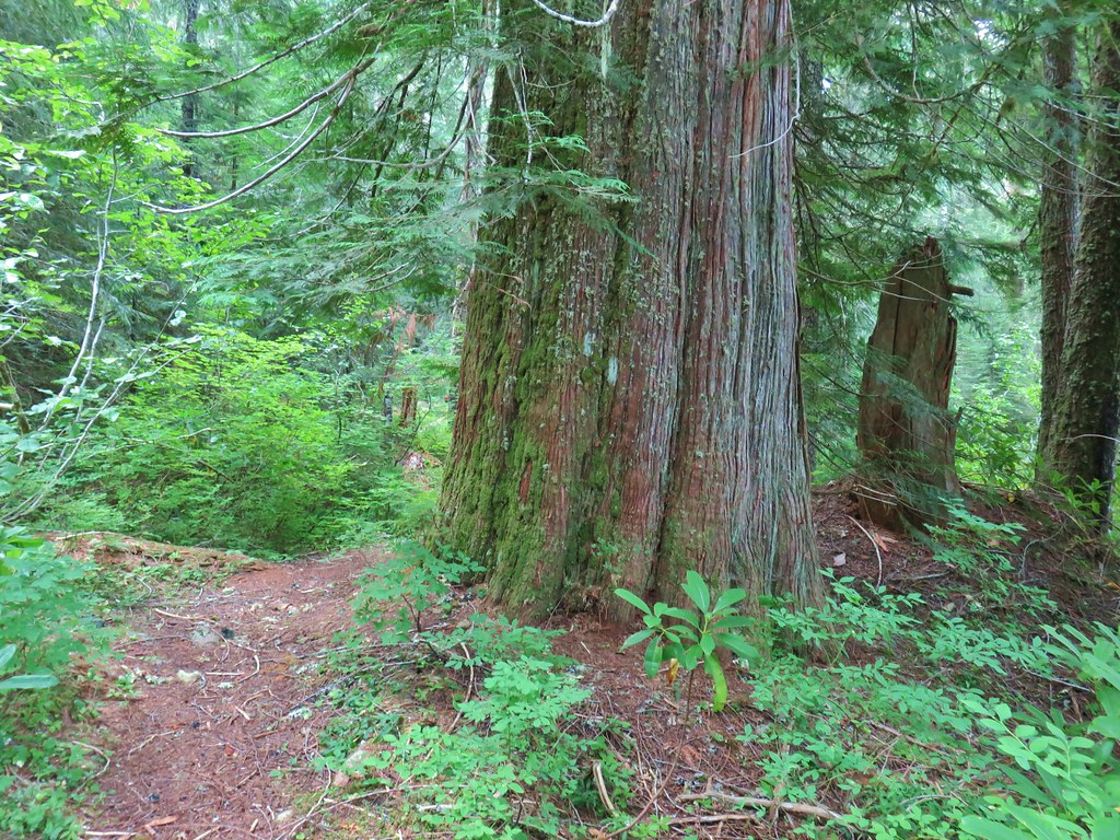 Old growth cedar
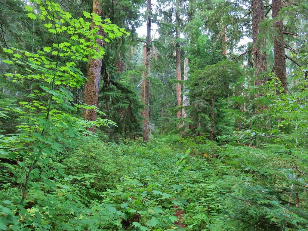


 The cedar trunk through some branches.

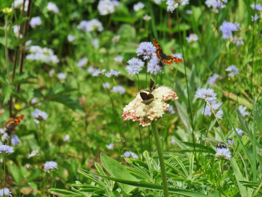
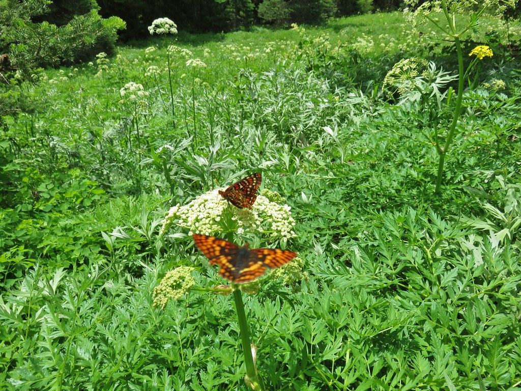
 Fritillary butterfly
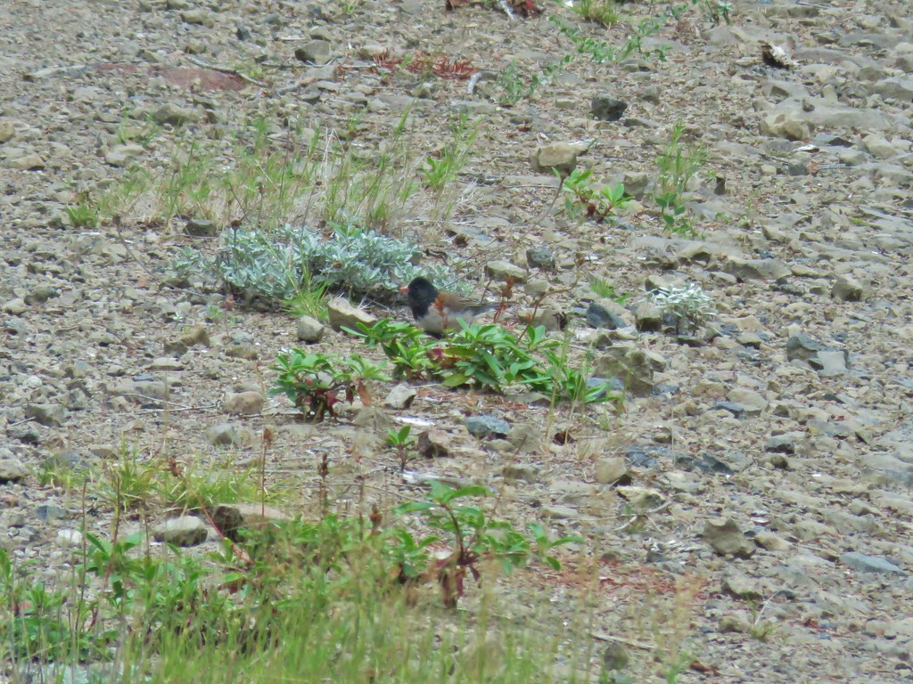 Dark eyed junco
 Bumble bee
 Back at the viewpoint.

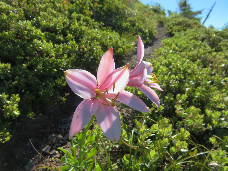
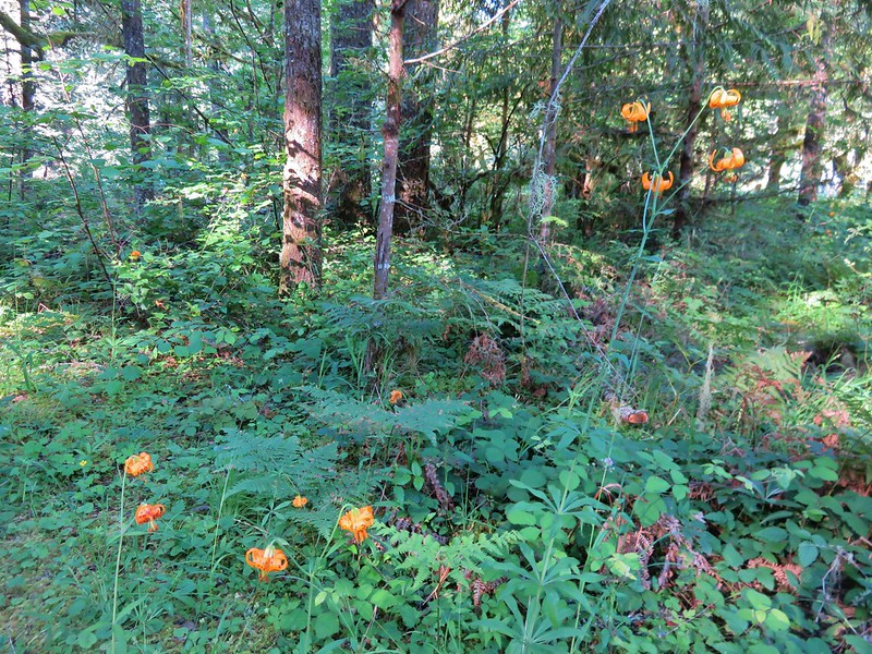
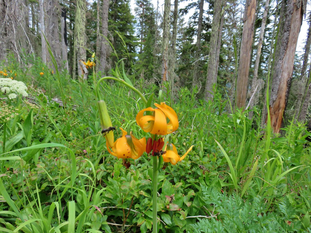
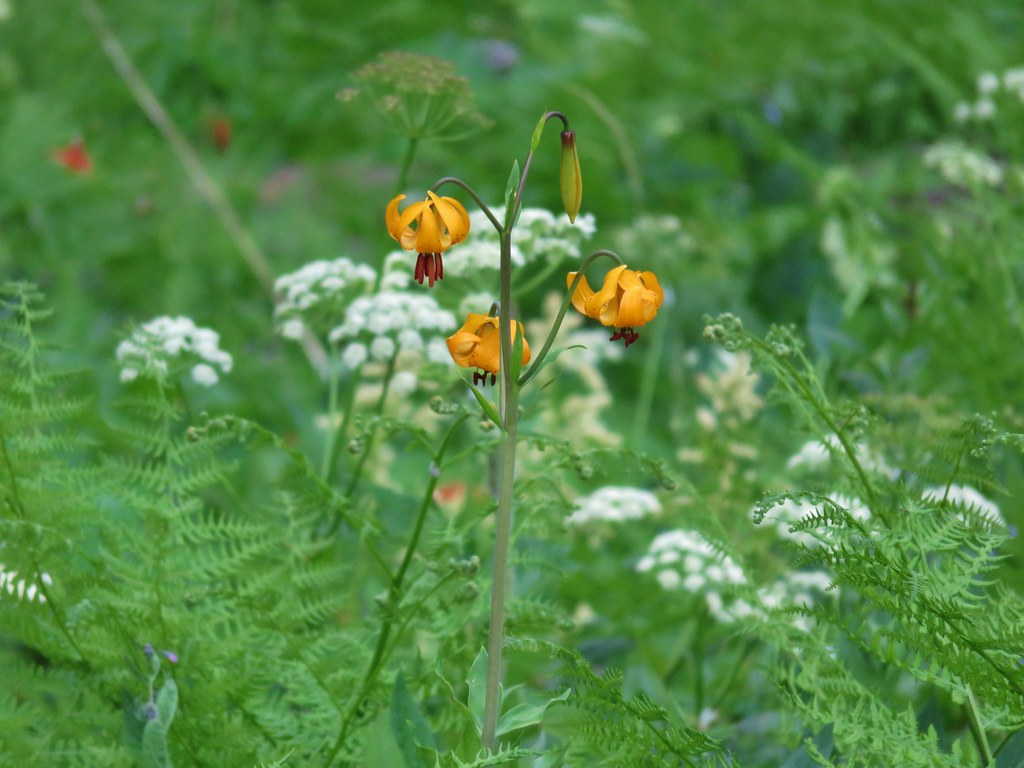 Tiger lily
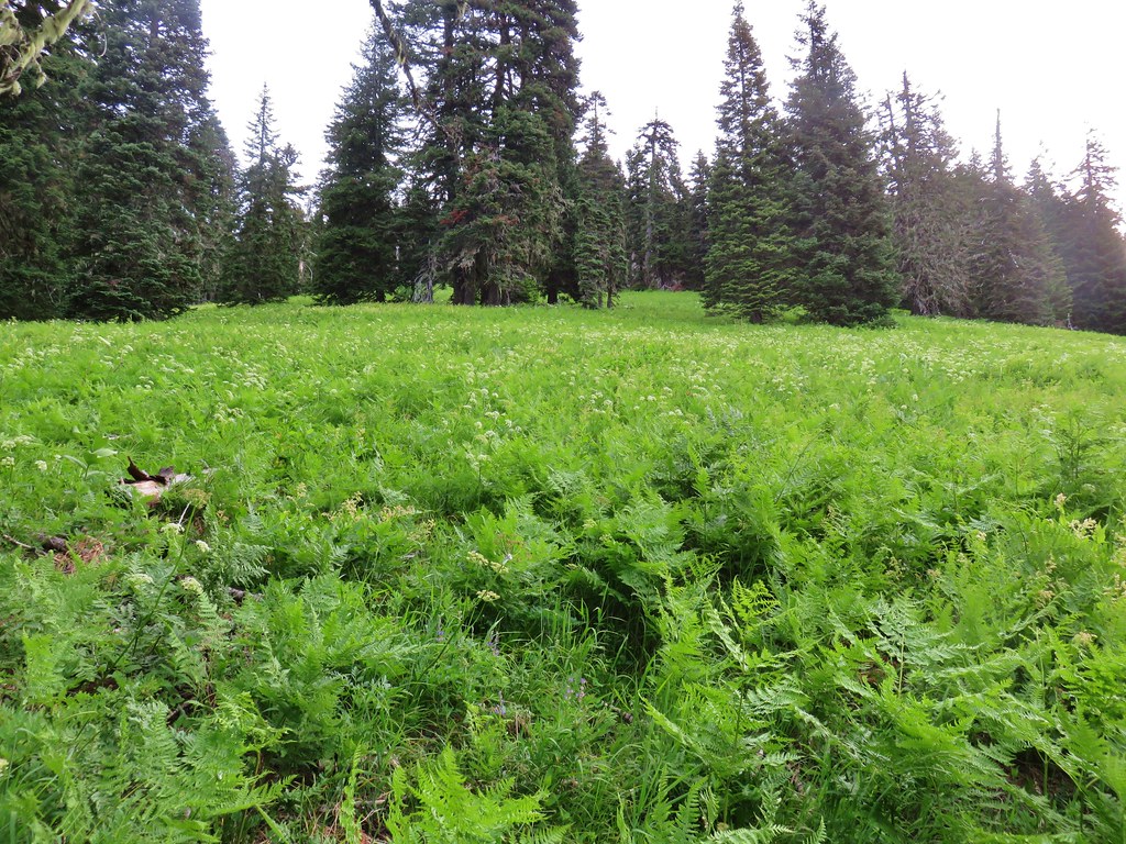


 Mt. Hood, Mt. Jefferson and Three Fingered Jack
 Mt. Jefferson
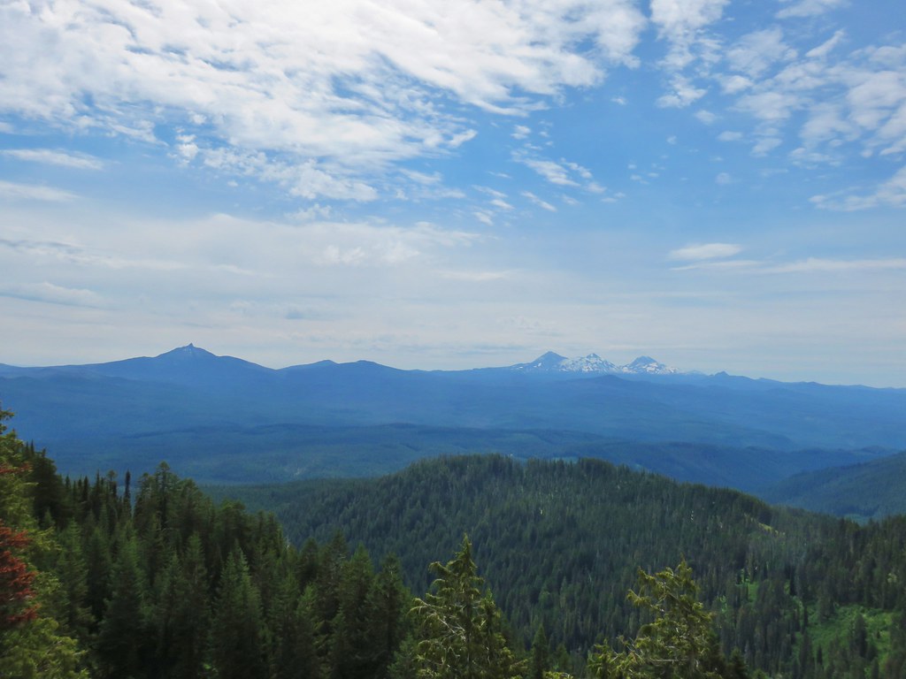 Mt. Washington, the Three Sisters, and Mt. Bachelor
 Diamond Peak to the south
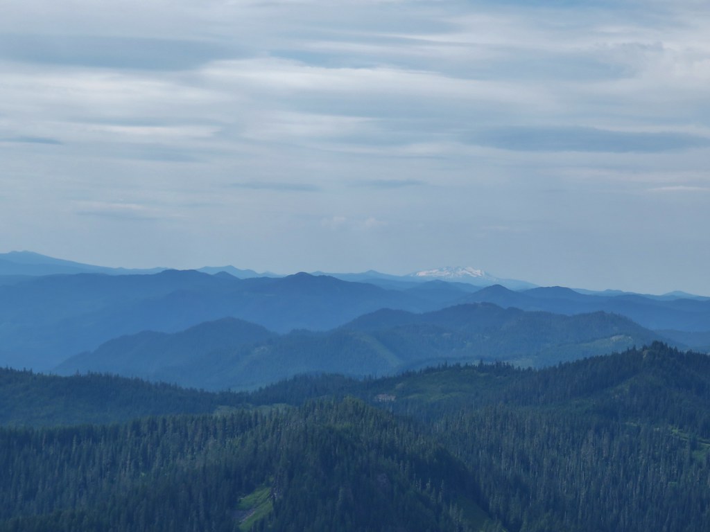 Diamond Peak
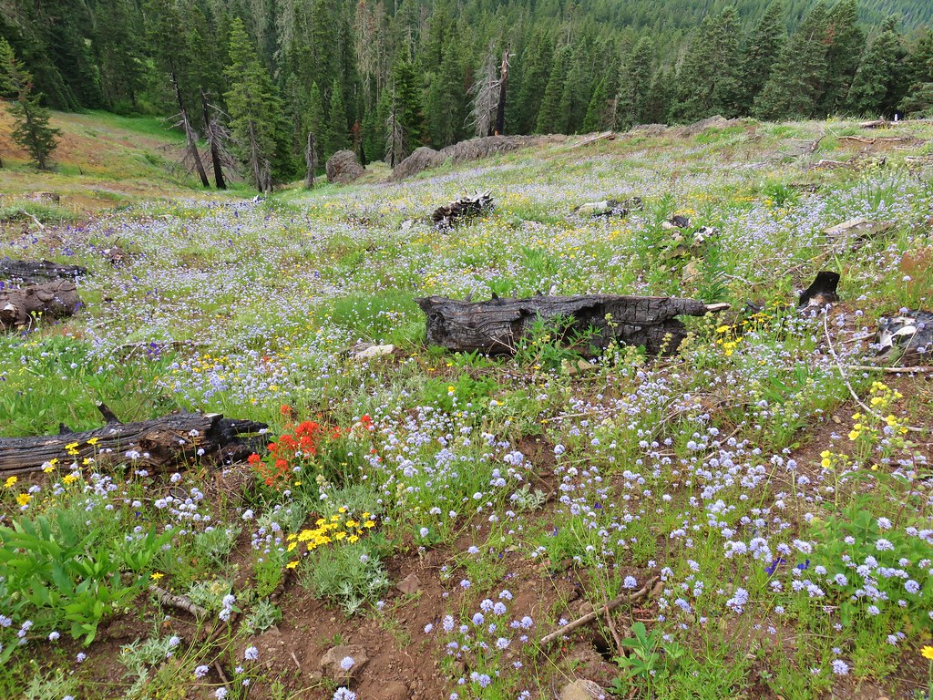
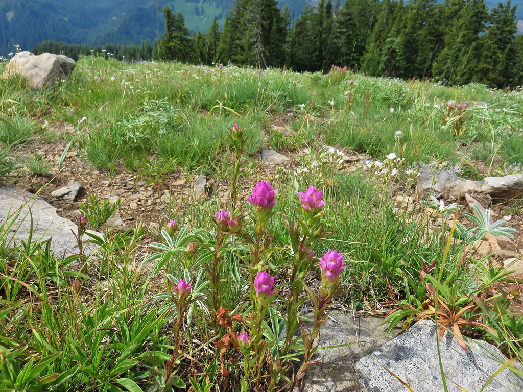 Owls clover
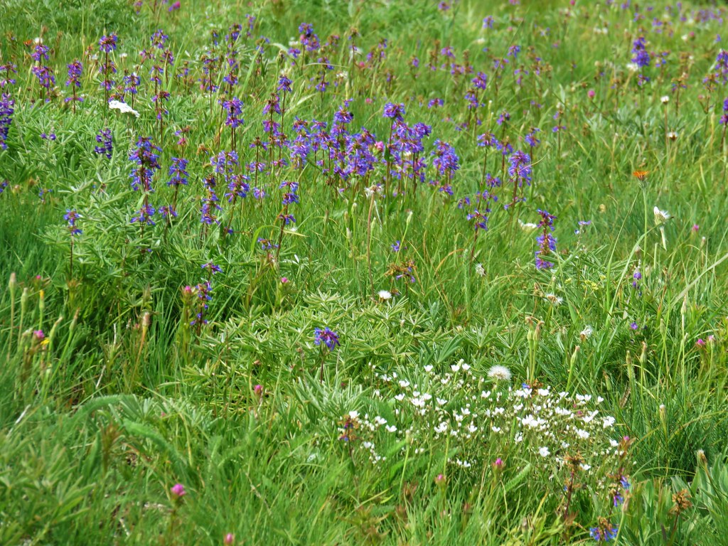 Penstemon
 Orange agoseris
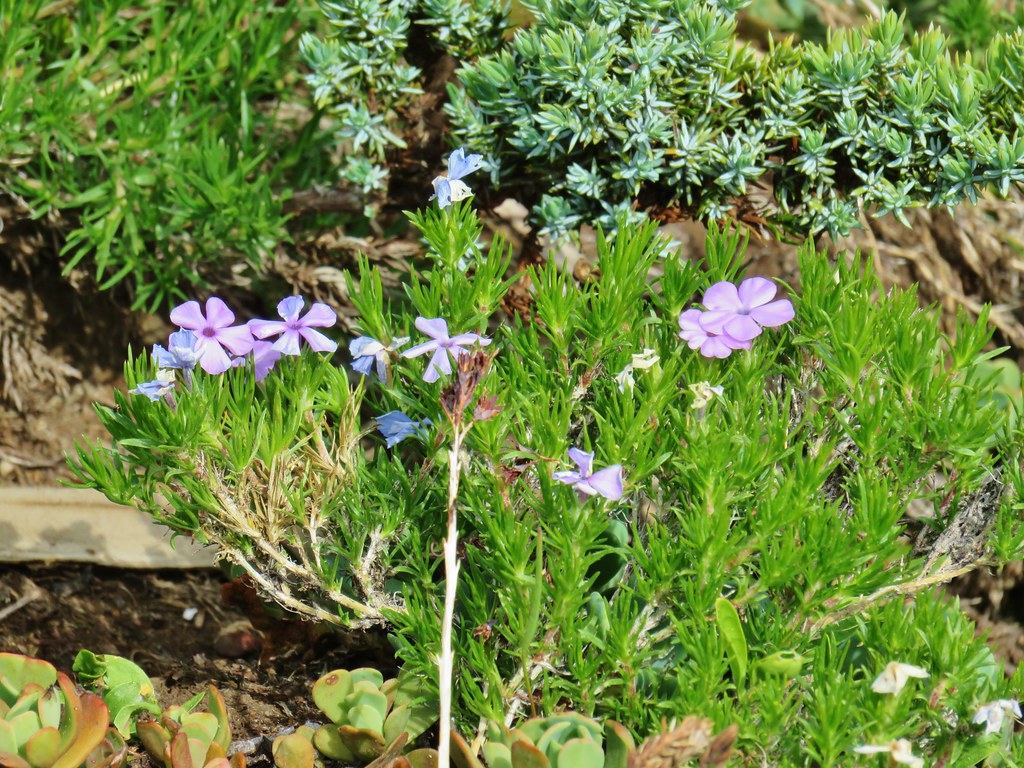 Phlox
Phlox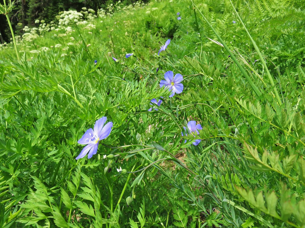 Lewis flax
 Jacob’s ladder
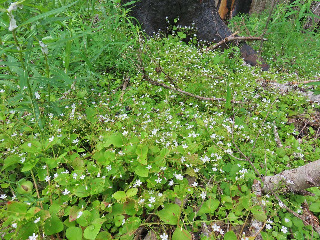 Candyflower
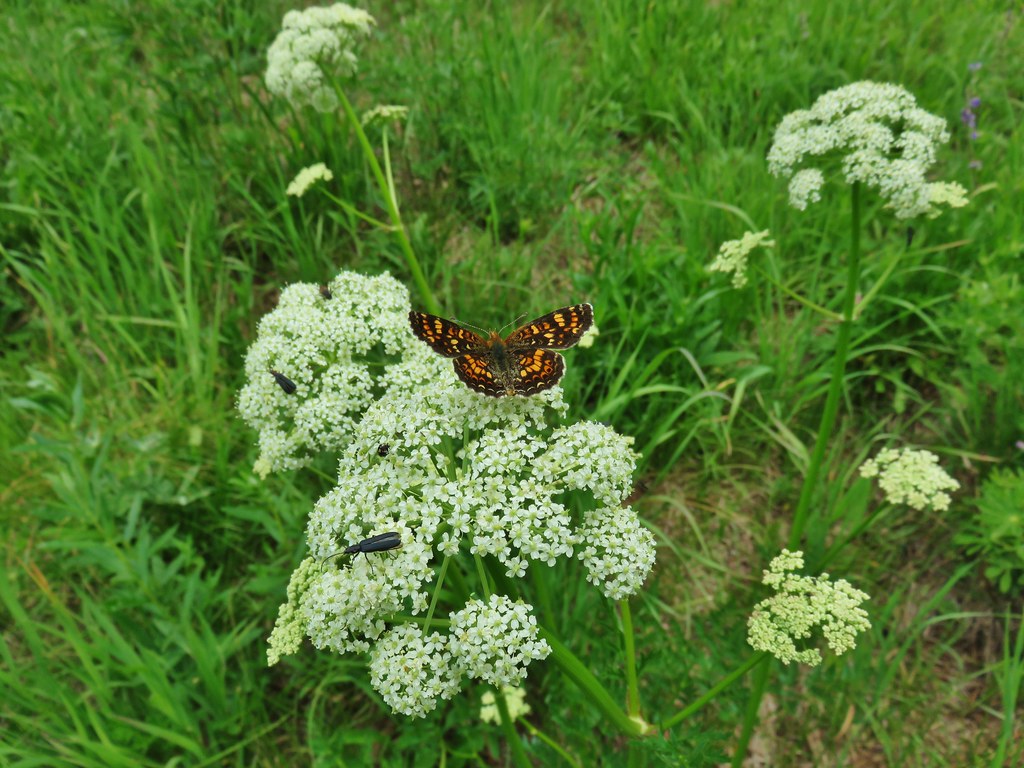

 Mt. Jefferson and Three Fingered Jack
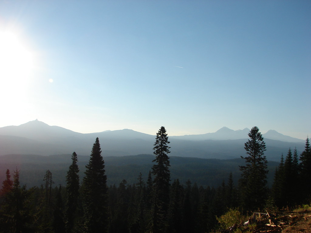 Mt. Washington and the Three Sisters
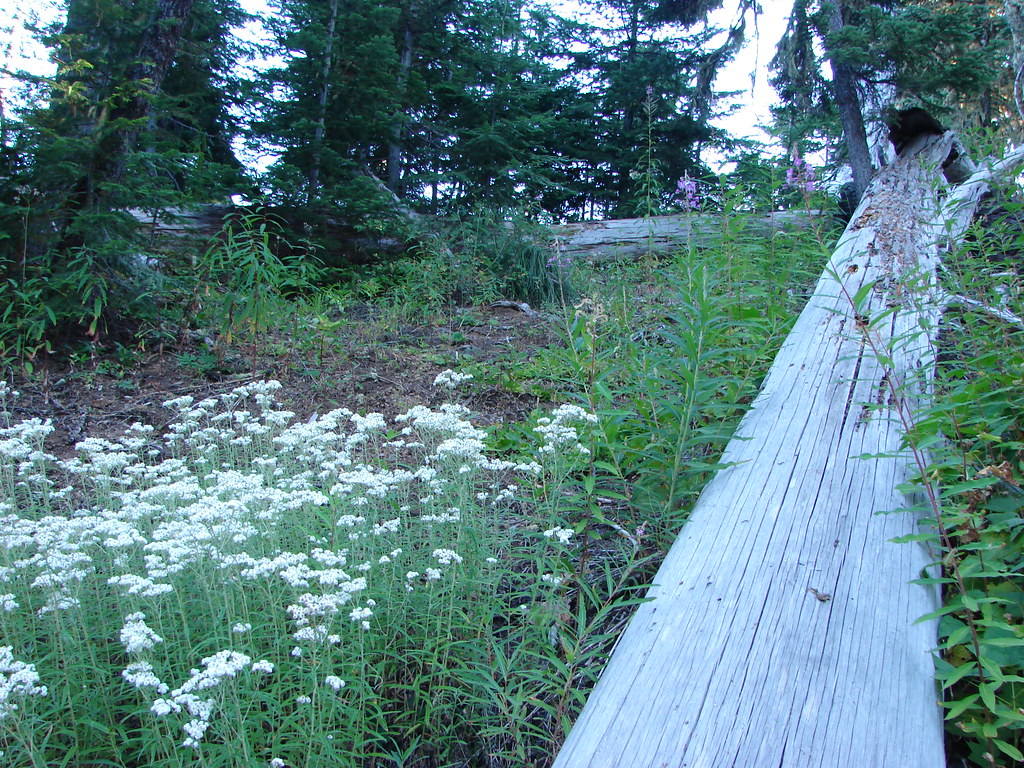


 Mt. Washington, the Three Sisters and the Husband
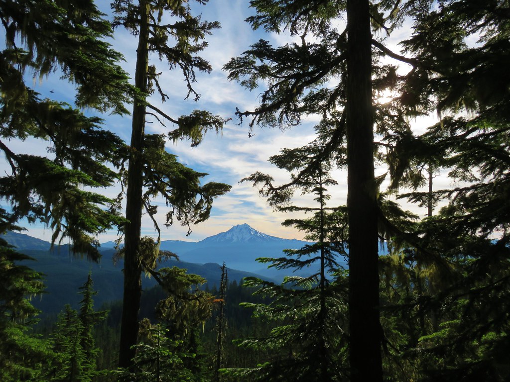 Mt. Jefferson
 Coffin and Bachelor Mountains


 Mt. Jefferson
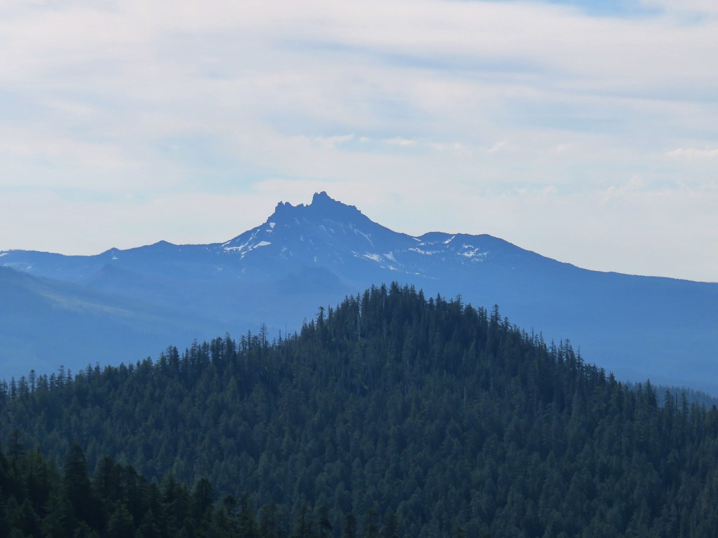 Three Fingered Jack
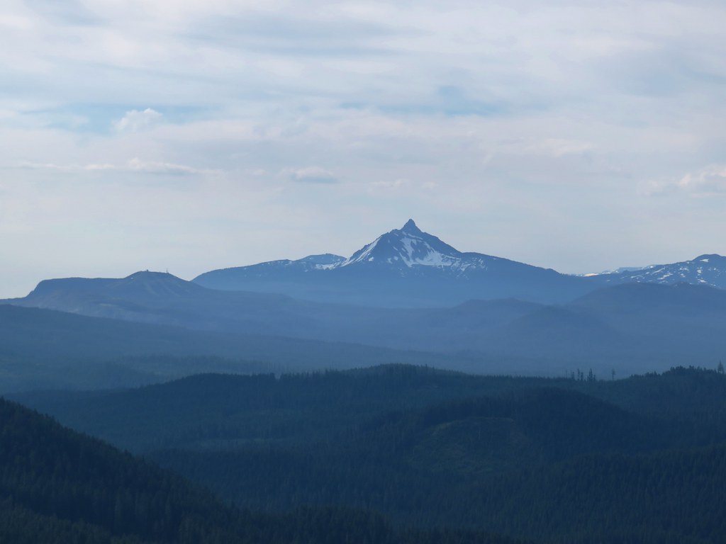
 The Three Sisters and the Husband
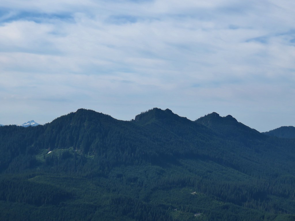 The Husband behind the Three Pyramids
 North Peak, Echo Mountain, South Peak, Cone Peak, and