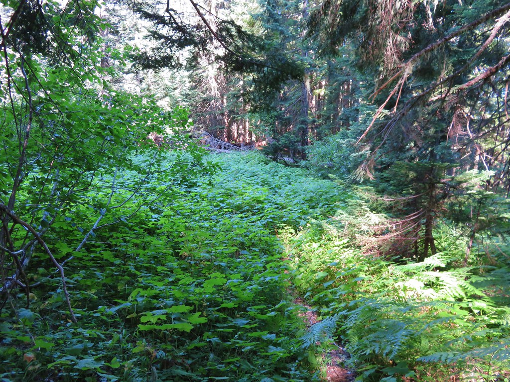
Categories
Hiking Middle Santiam Old Cascades Oregon Trip report

Coffin Mountain, Bachelor Mountain, and Bugaboo Ridge

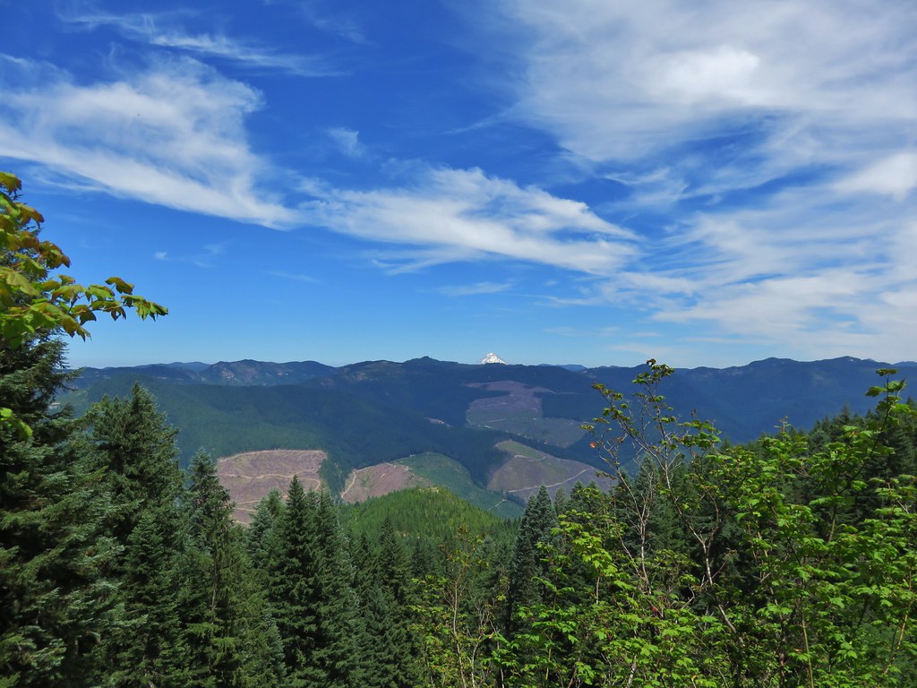
For the 4th of July we spent our day off revisiting Coffin and Bachelor Mountains and discovering the Bugaboo Ridge Trail. Our previous hike up Coffin and Bachelor Mountains was on a cloudy day in early August, 2013. We hadn’t experienced any mountain views that day and it was past peak for the wildflowers so we had added it to the list of hikes to redo. In addition to revisiting the two mountains we also planned on checking out the Bugaboo Ridge Trail which intersects the Bachelor Mountain Trail.

A recent presentation by Matt Reeder at Salem Summit Company had prompted us to pick up a copy of his book “101 Hikes in the Majestic Mount Jefferson Region” which provided some additional details on the Bugaboo Ridge Trail. After reading his description it seemed well worth the additional mileage to check it out.

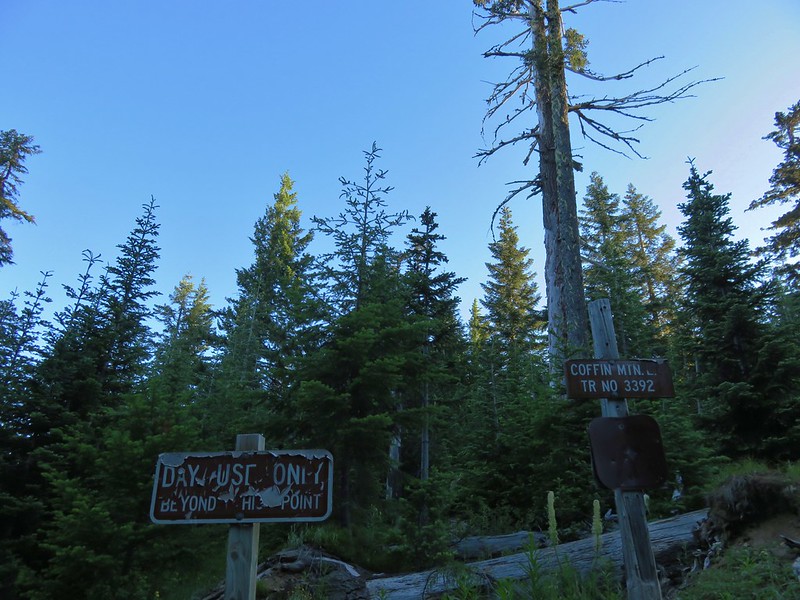
We parked at the Coffin Mountain Trailhead which is accessed via Straight Creek Road found 2.9 miles south of Marion Forks.
IMG_0871

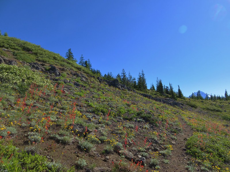
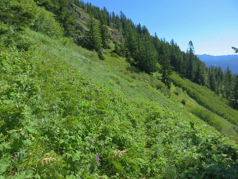
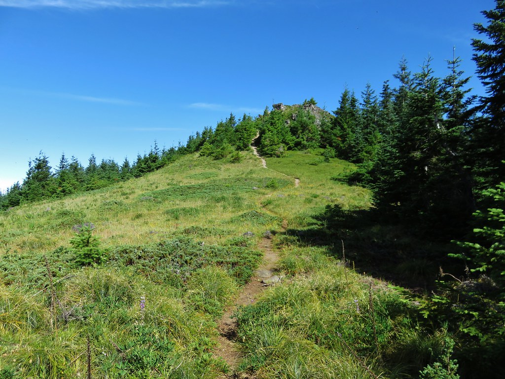
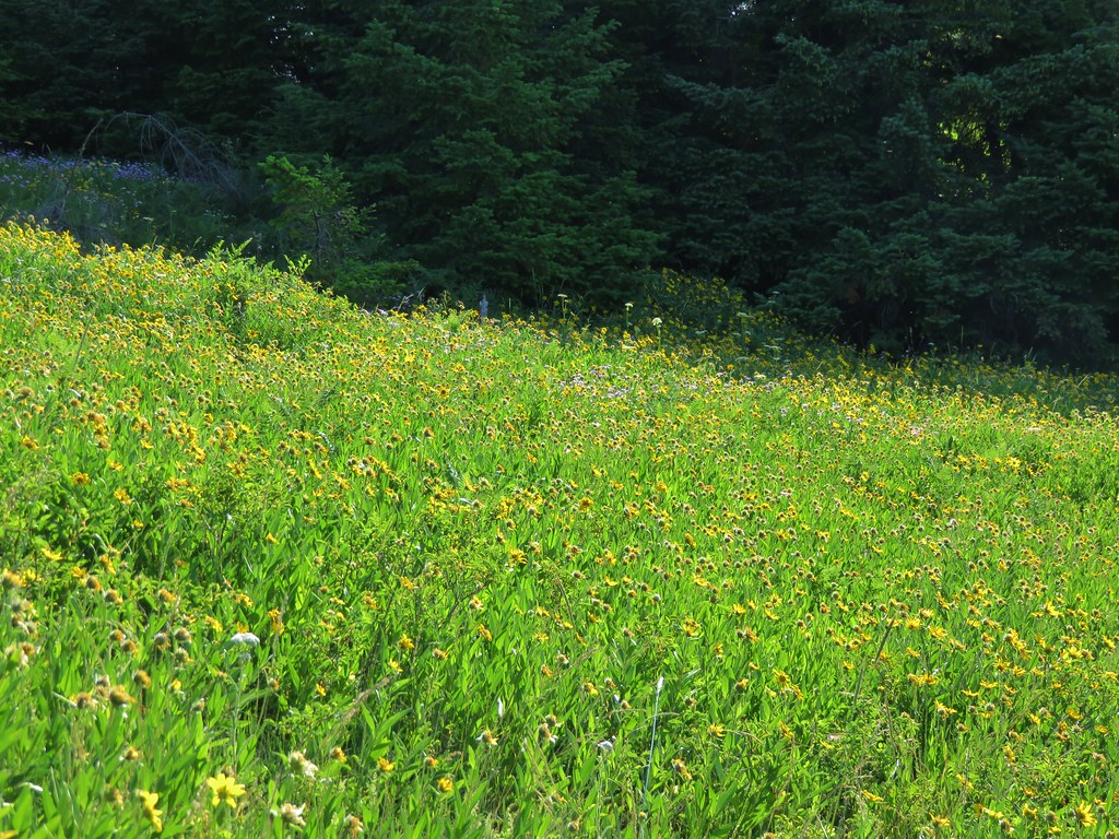
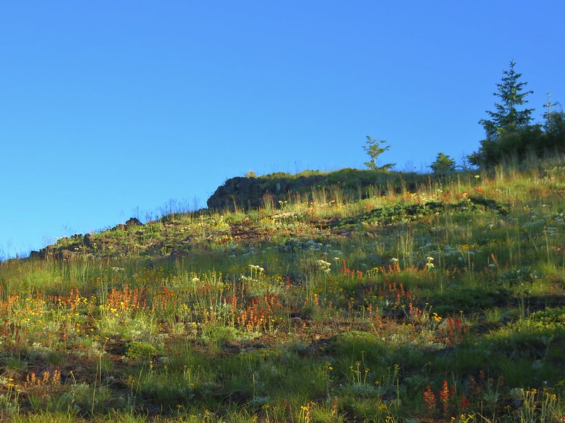
On our previous visit we had parked here and started by walking 1.2 miles further along forest roads to the Bachelor Mountain Trailhead and hiking to that summit before returning and heading up Coffin Mountain. To change things up this time we headed up Coffin Mountain first. Most of the Coffin Mountain Trail passes through open wildflower meadows.
IMG_0874

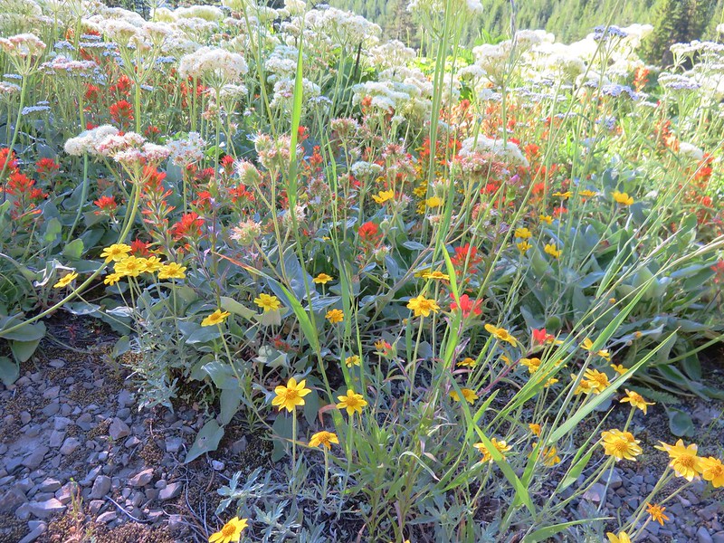
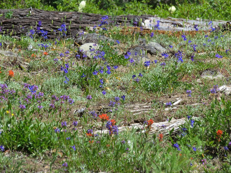
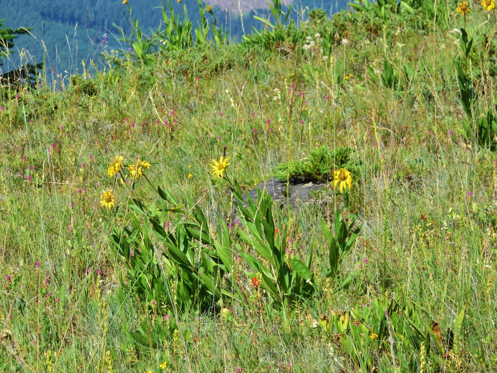
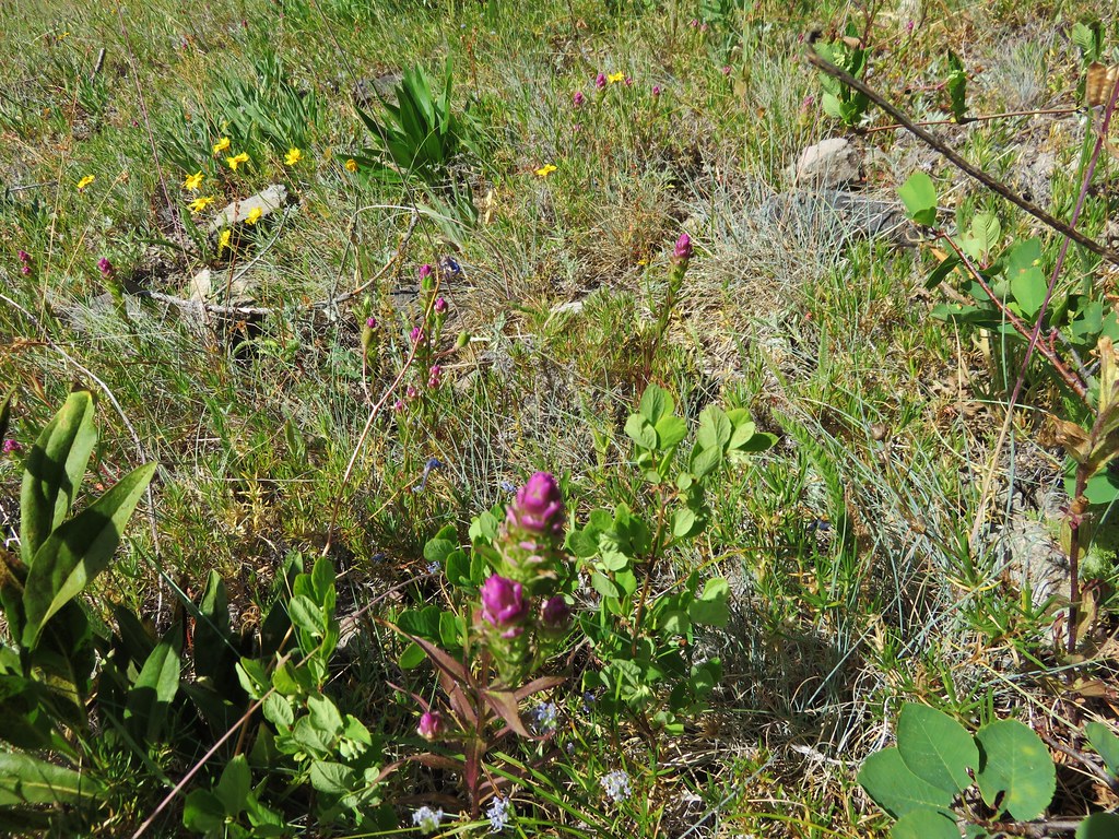
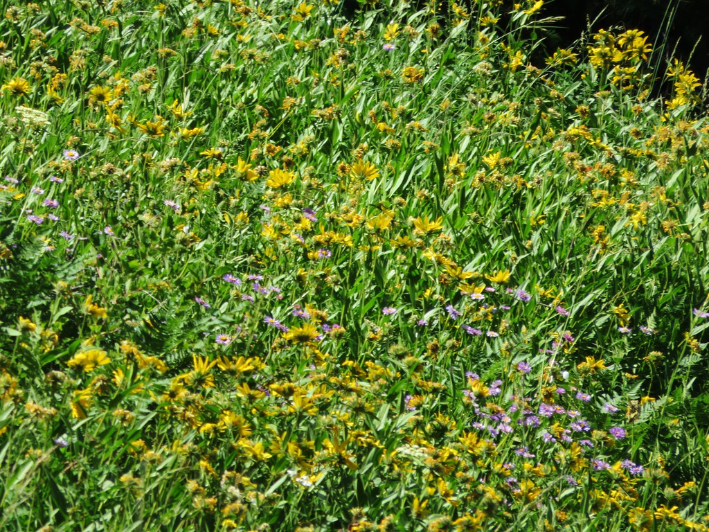
Our timing was much closer to peak for the wildflowers and there was a wide variety in various stages of bloom.
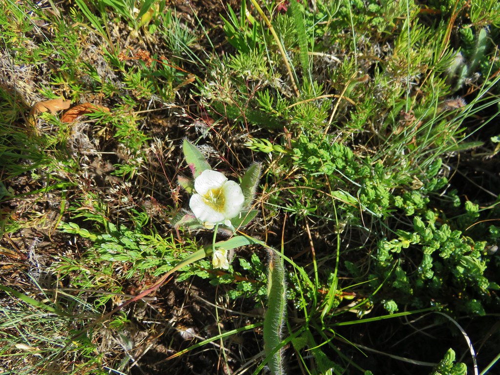
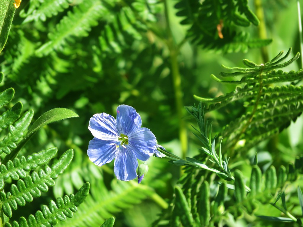
Chaparral false bindweed
chaparral false bindweed

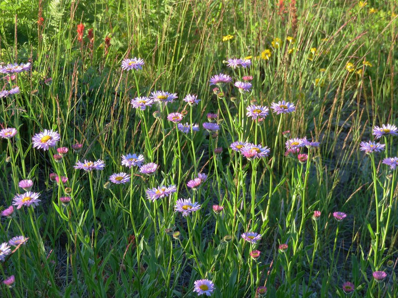
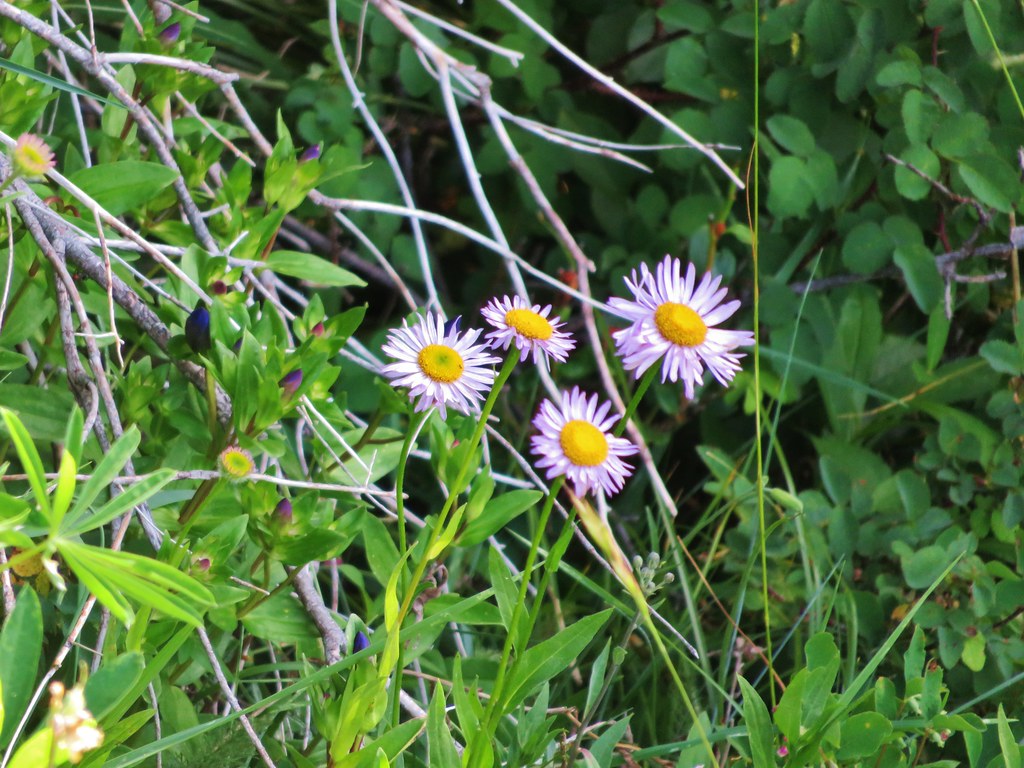
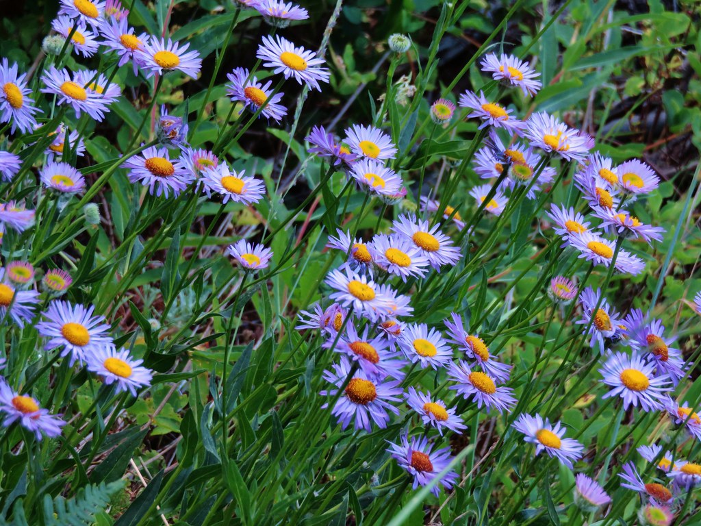
Aster
IMG_0882

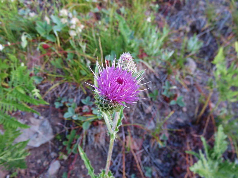
Thistle
IMG_0889

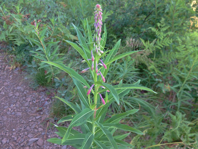
Fireweed
IMG_0890

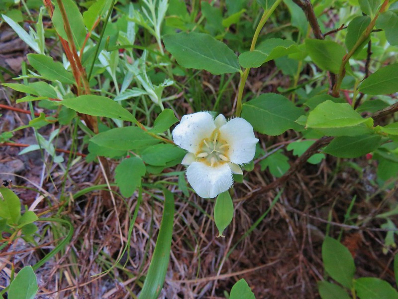
Cat’s ear lily
IMG_0895

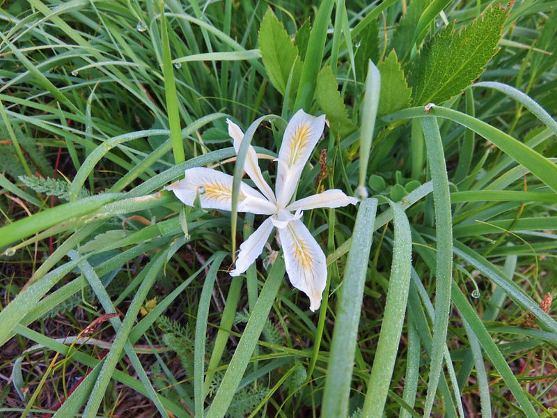
Yellow leaf iris
IMG_0906

False sunflower and blue gilia
IMG_0911

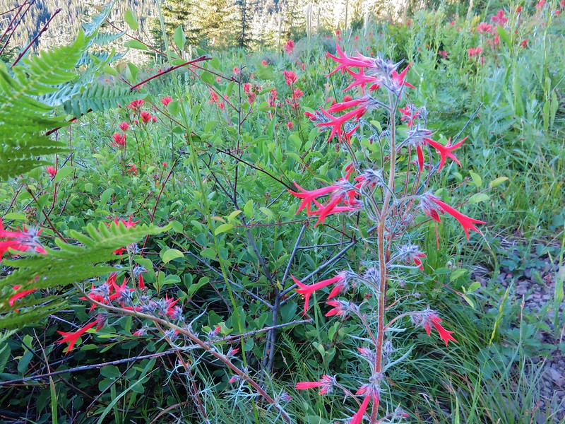
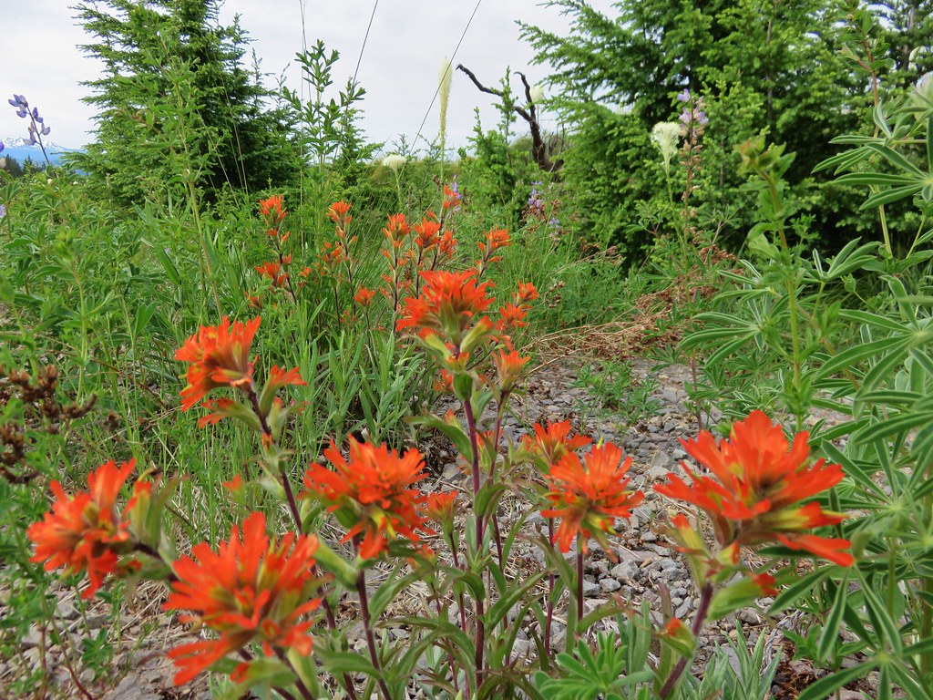
Scarlet gilia and paintbrush
IMG_0913

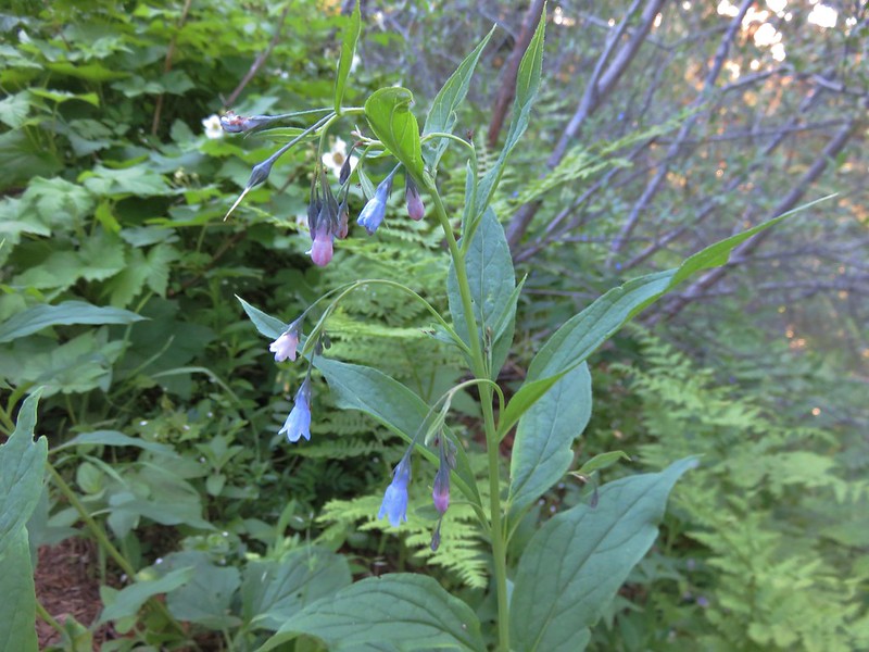
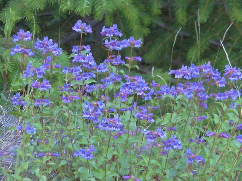
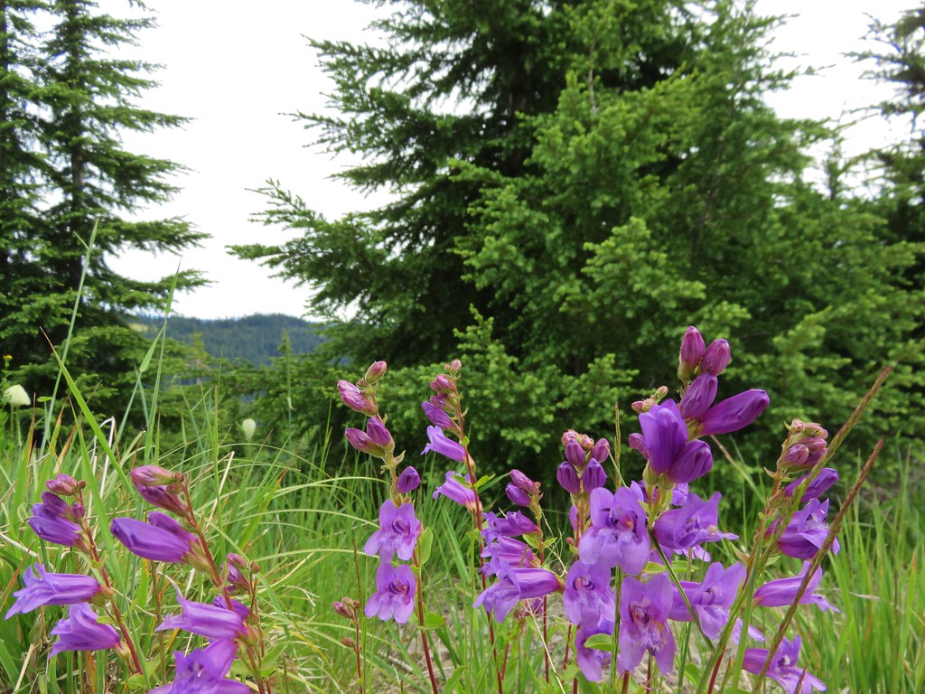
Tall bluebell
IMG_0918

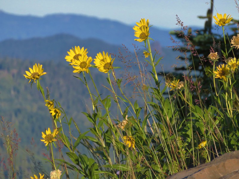
False sunflower
IMG_0929

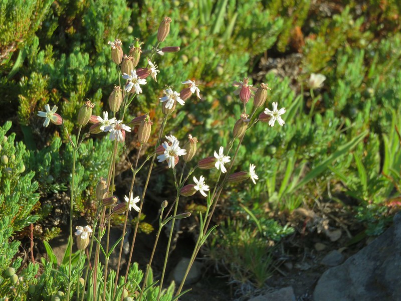
Catchfly
IMG_0930

Mountain owl’s clover
IMG_0936

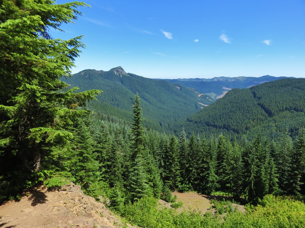
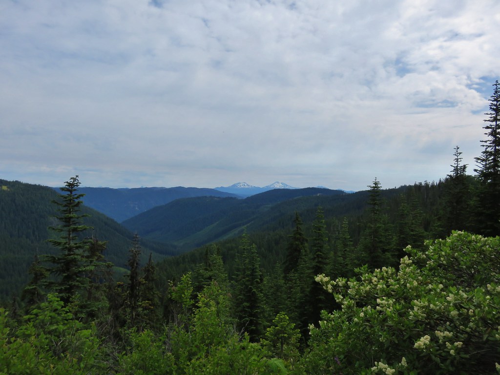
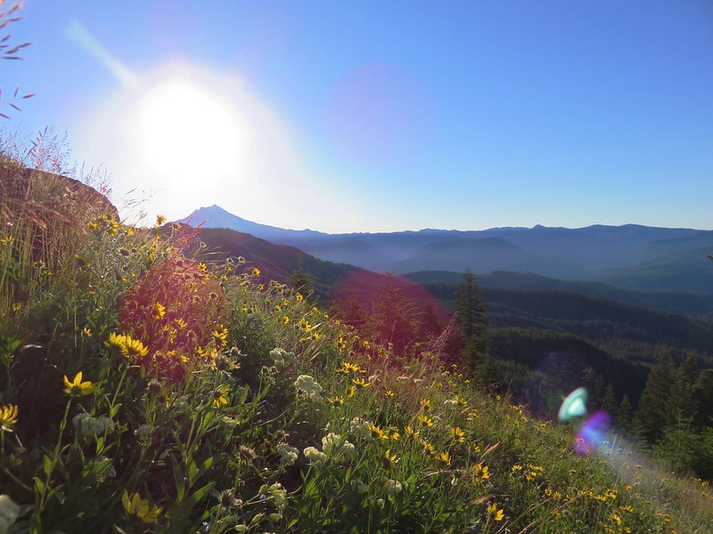
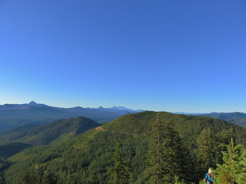
As the trail climbs views of the Cascades get increasingly better.
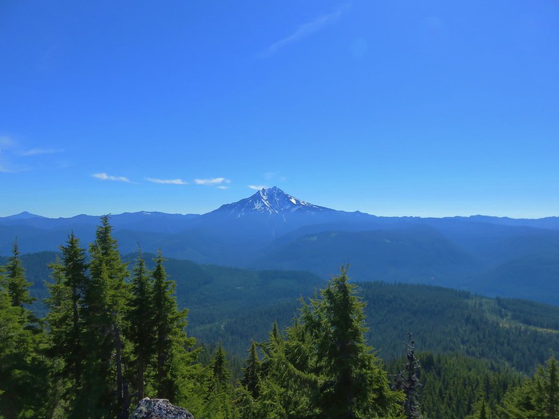
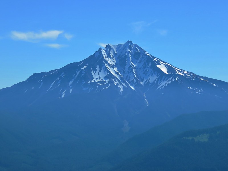
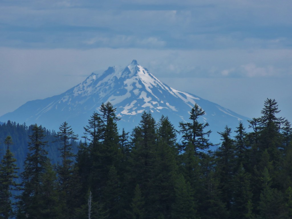
Mt. Jefferson
IMG_0927

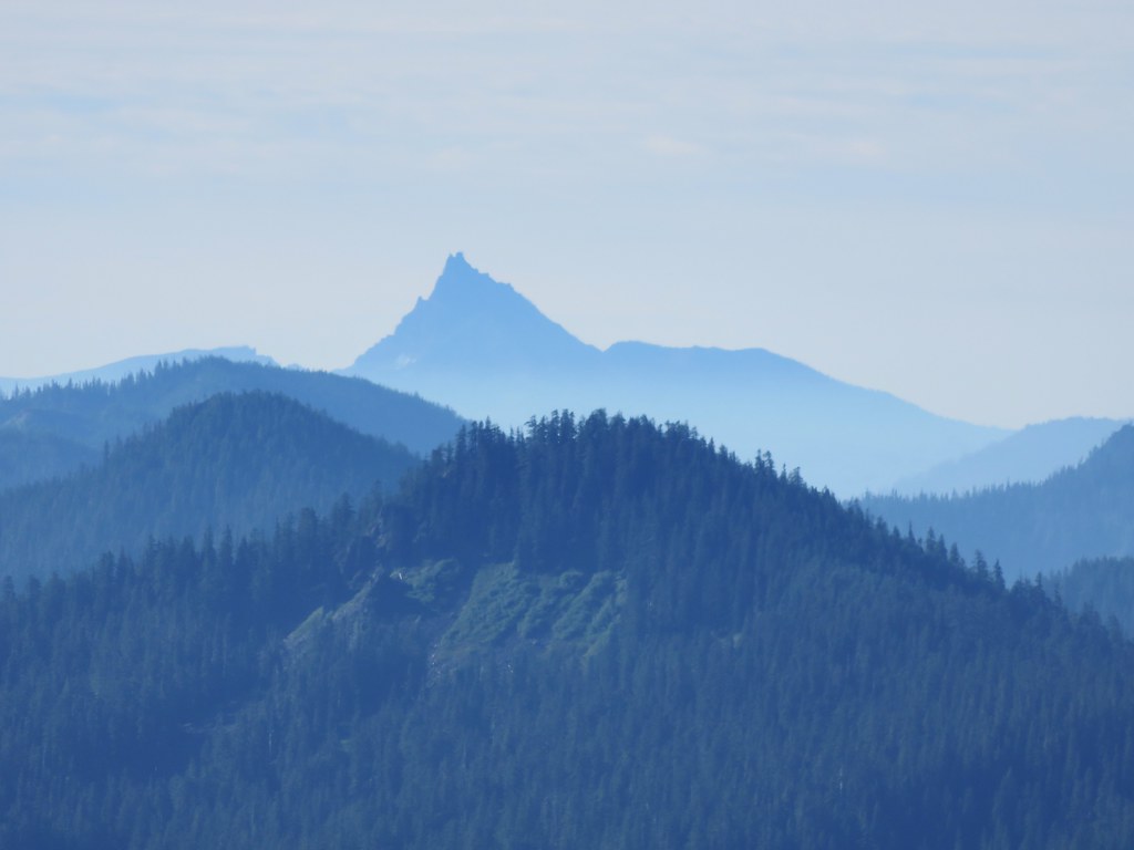
Three Fingered Jack, Mt. Washington, Broken Top, The Three Sisters, The Husband and Diamond Peak
IMG_0932

Diamond Peak
IMG_0933

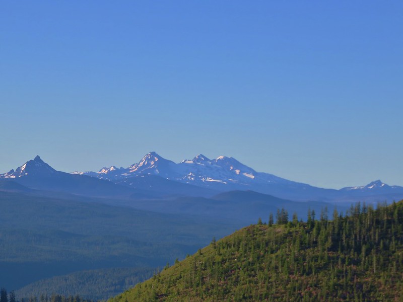
Mt. Washington, Broken Top, The Three Sisters and The Husband
IMG_0934

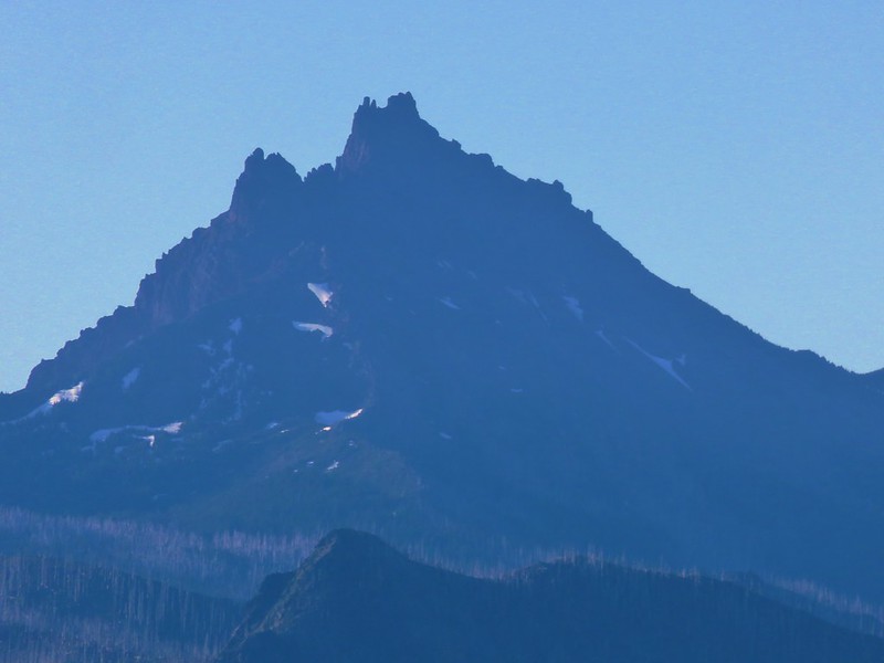
Three Fingered Jack
IMG_0945

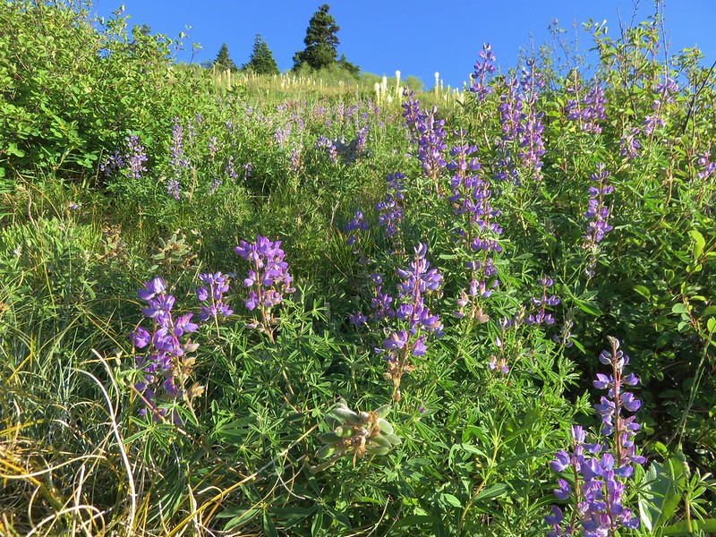
The number of flowers increased the higher we got in the meadows.
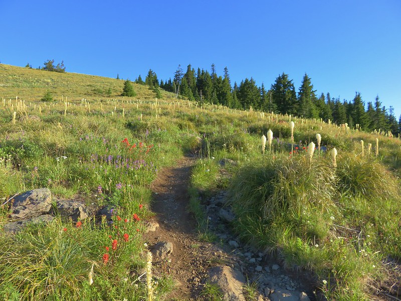
IMG_0954

IMG_0949

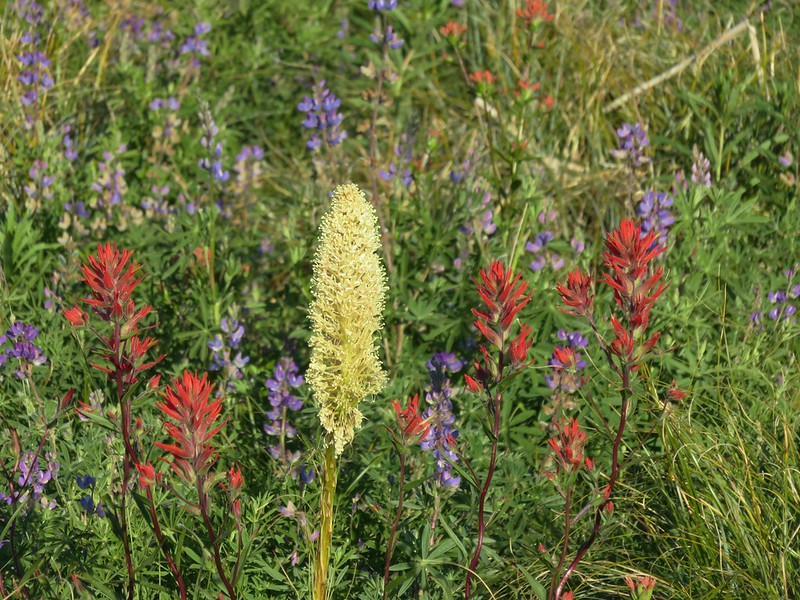
Red, White, and blue for the 4th
IMG_0956

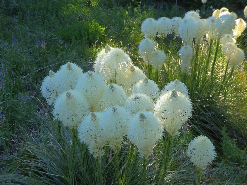
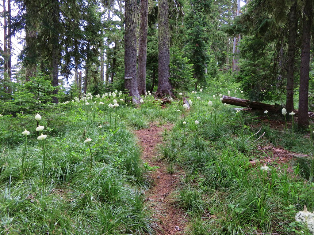
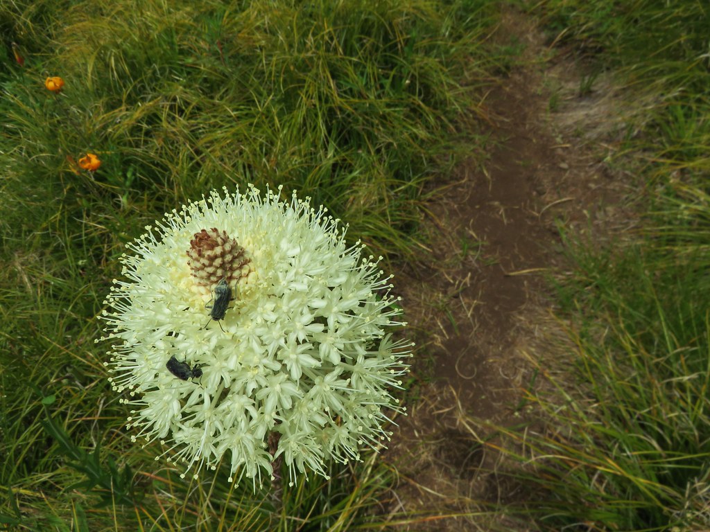
Beargrass
IMG_0961

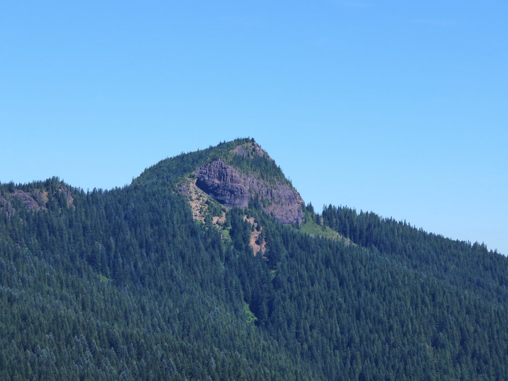
The trail enters a short section with trees where the Coffin Mountain Lookout is visible on the cliffs above.
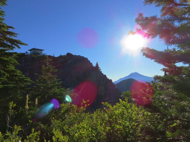
IMG_0972

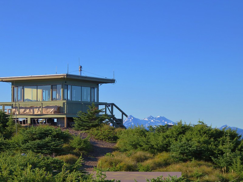
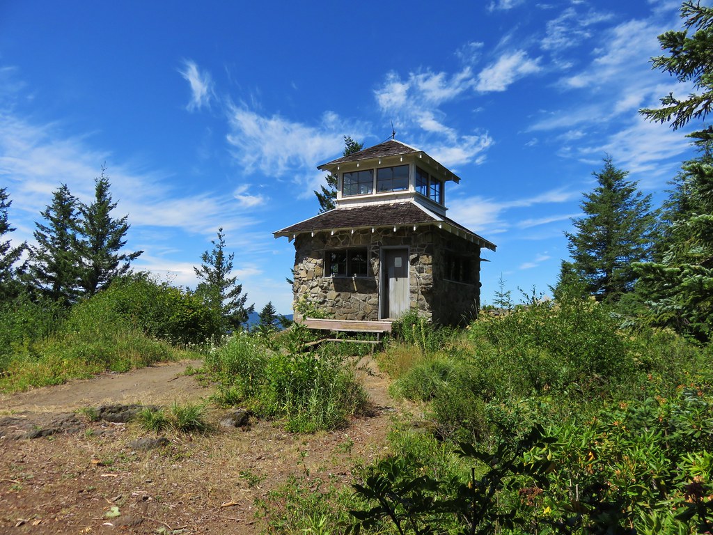
A final push uphill leads to the staffed lookout tower and helipad.
IMG_0976

It was a little different view than we’d had in 2013.
Coffin Mountain lookout

IMG_0990

We returned to the trailhead then set off on the road toward the Bachelor Mountain Trailhead. Although it’s possible to drive the 1.2miles we’d rather enjoy the scenery along the way.
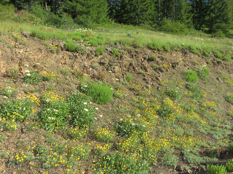
IMG_1020

IMG_1022

IMG_1023

IMG_1030

Coffin Mountain Lookout from the road to the Bachelor Mountain TH.
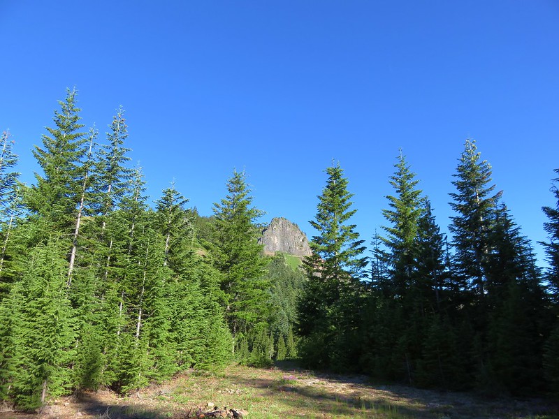
IMG_1032

The unsigned trail begins at the end of Road 430.
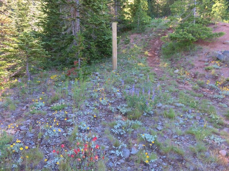
IMG_1039

The trail climbs fairly steeply through a forest in two long switchbacks before losing the trees and gaining views as it rounds a ridge end.
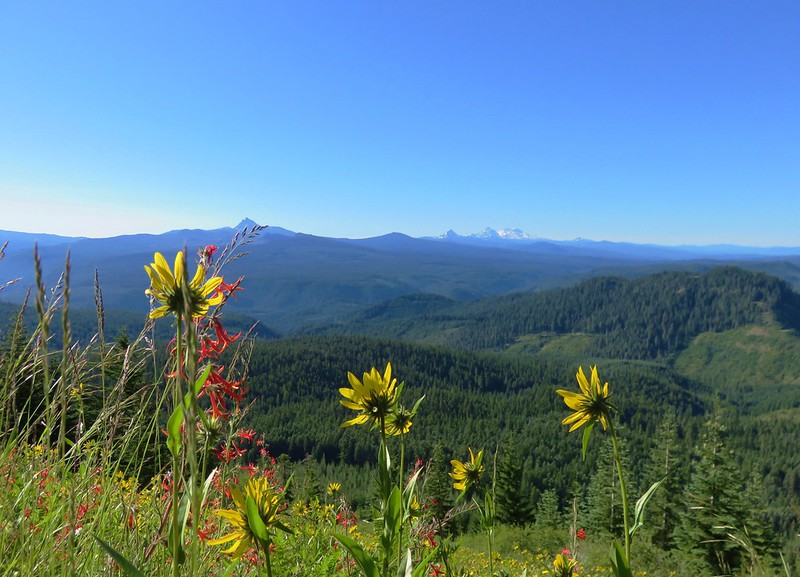
IMG_1051

The wildflowers on Bachelor Mountain rivaled those on Coffin although Bachelor Mountain is drier and rockier.
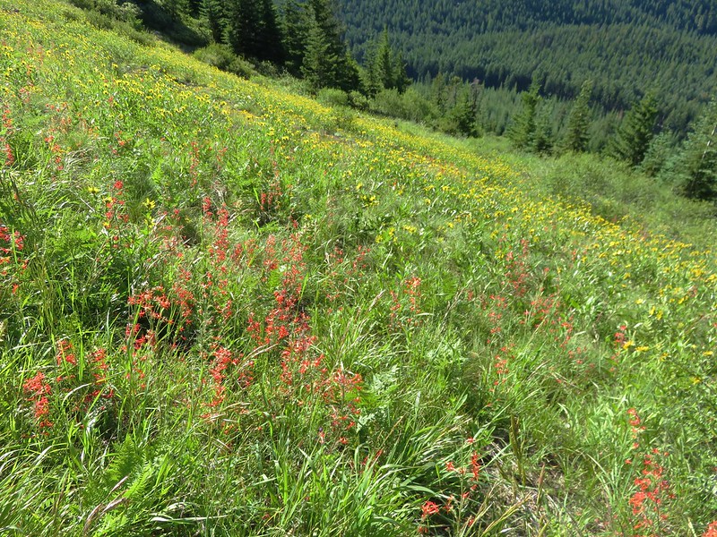
IMG_1048

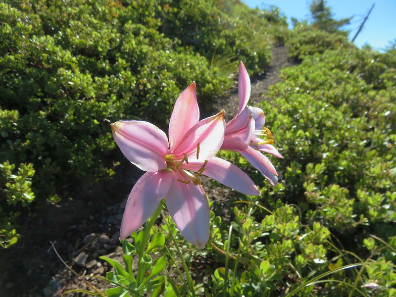
Washington lily
IMG_1057

IMG_1070

IMG_1072

After the initial climb the trail leveled out along a plateau with views.
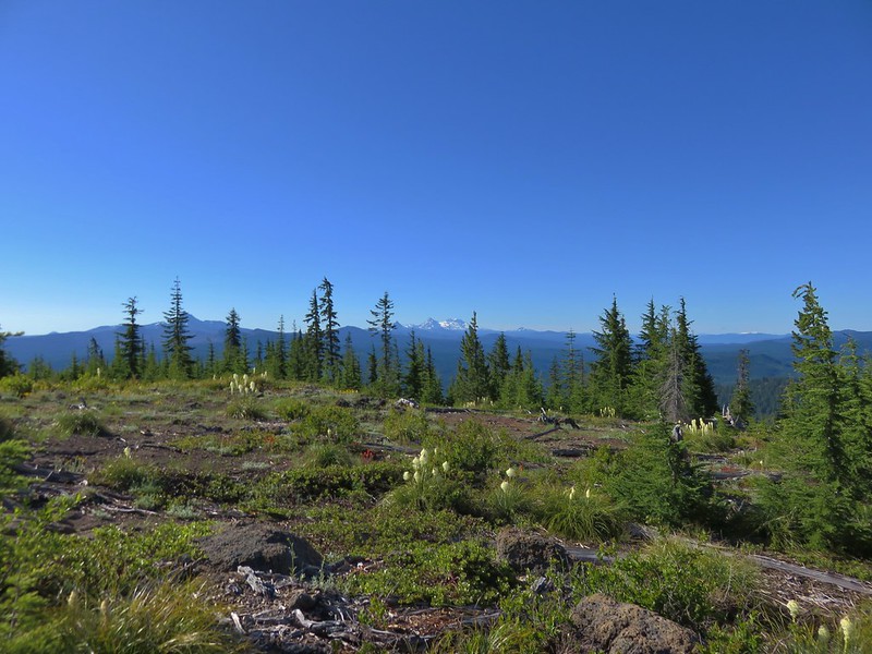
IMG_1074

IMG_1079

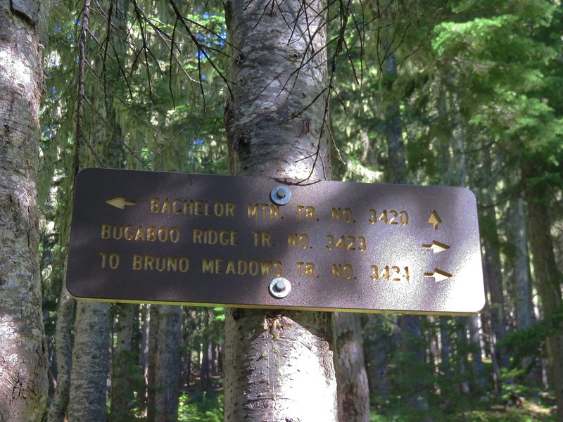
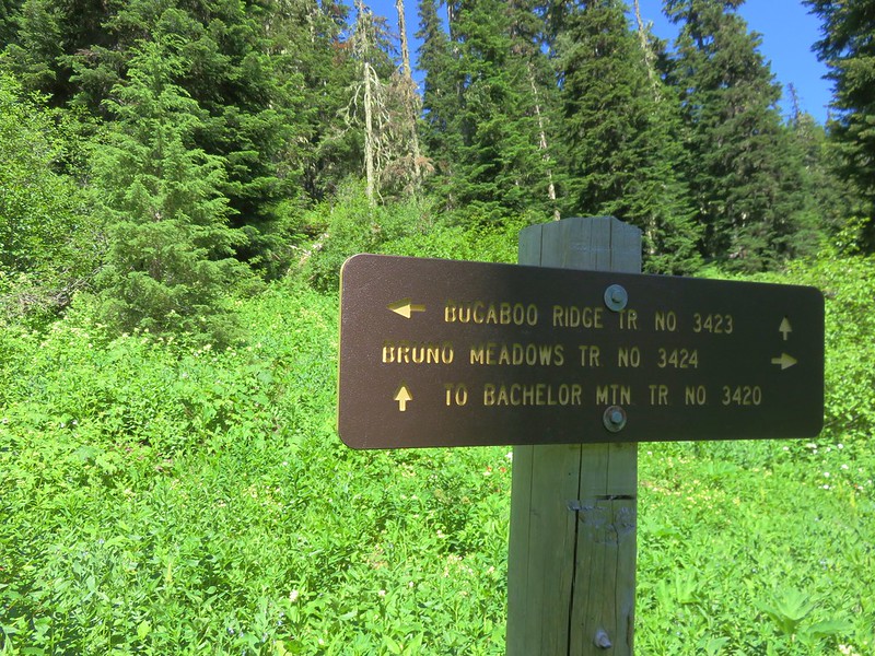
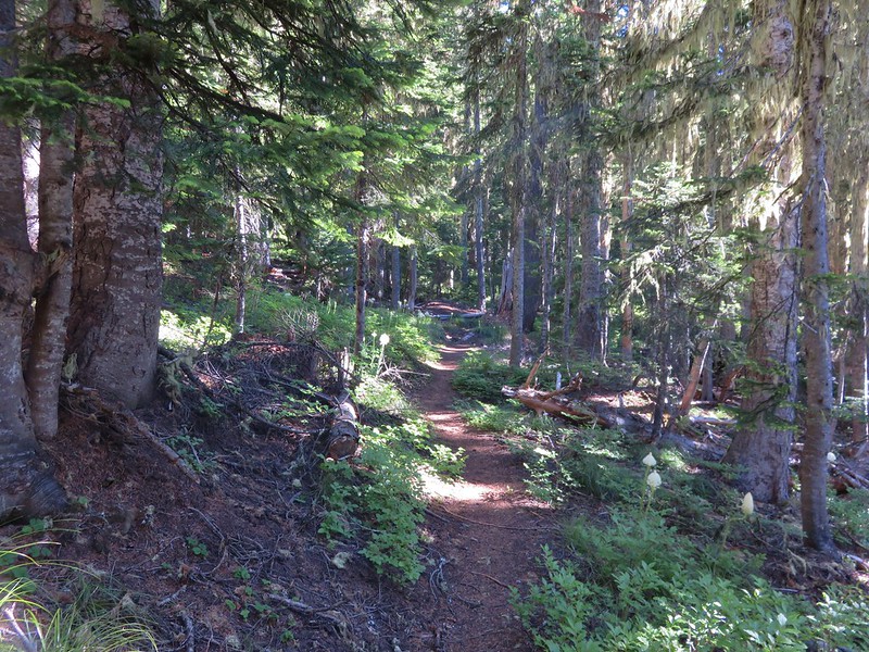
The trail then reentered the forest shortly before arriving at a junction with the Bugaboo Ridge Trail.
IMG_1083

IMG_1084

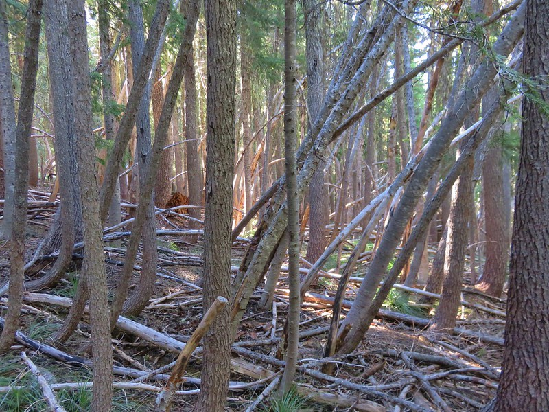
We kept to the Bachelor Mountain Trail and headed uphill toward the summit. This section of trail passed though a forest of small tightly packed trees, many of which were bent by the weight of winter snows.
IMG_1086

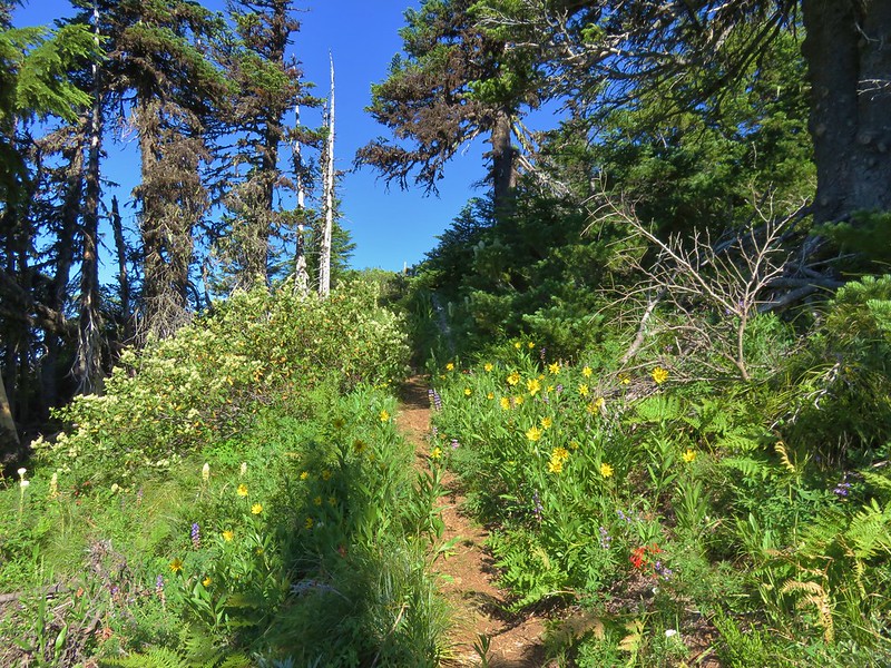
Once we were above the trees the wildflowers and views returned.
IMG_1090

IMG_1098

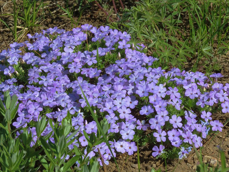
Phlox
IMG_1094

Wallflower
IMG_1107

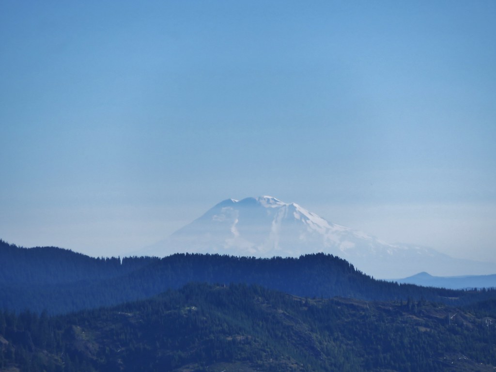
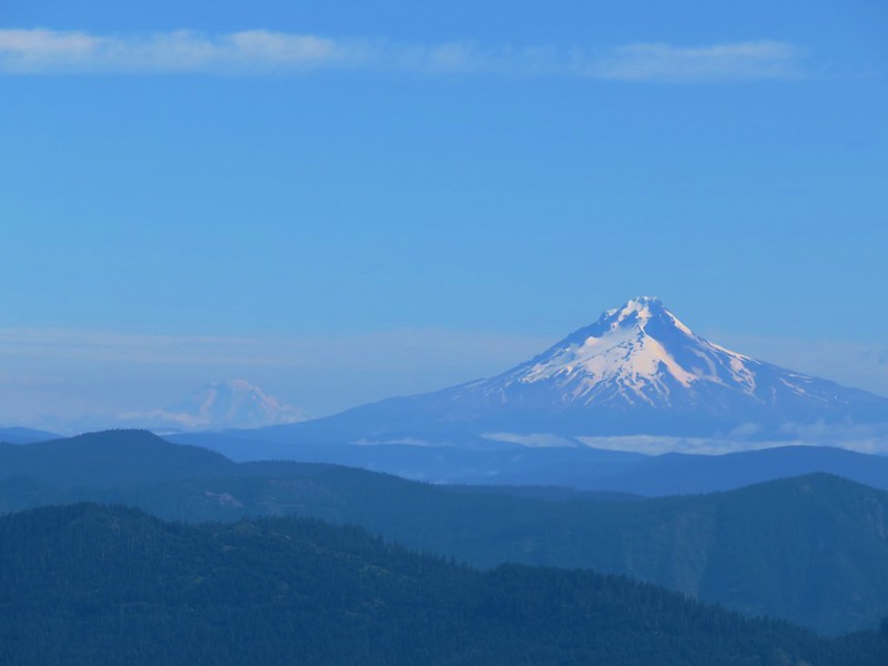
Another lookout used to sit atop Bachelor Mountain but it was burnt by the Forest Service years ago just leaving the views. To the north Mt. Adams was visible over Mt. Hoods shoulder.
IMG_1110

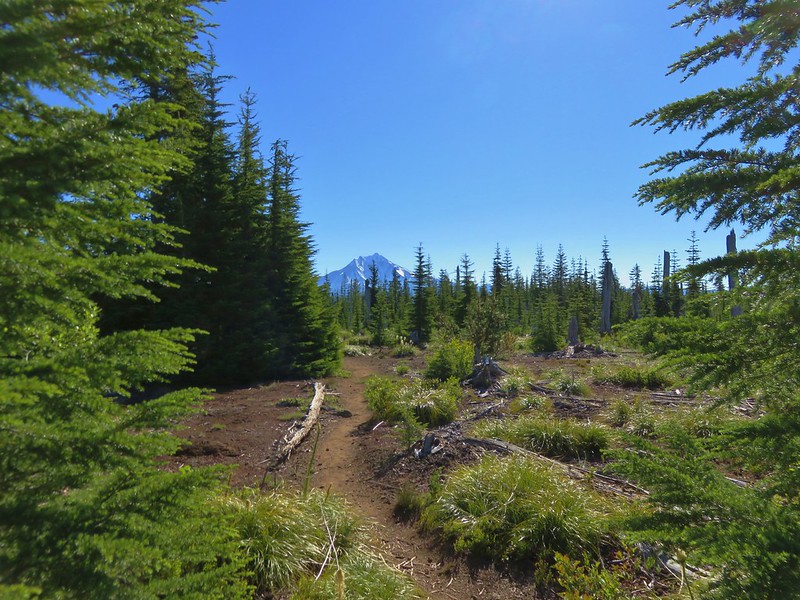
Mt. Jefferson loomed to the east.
IMG_1114

A little further south was Three Fingered Jack and the scars of the B & B Fire.
IMG_1119

Then came a clump of Cascade Mountains, Washington, Broken Top and the Three Sisters.
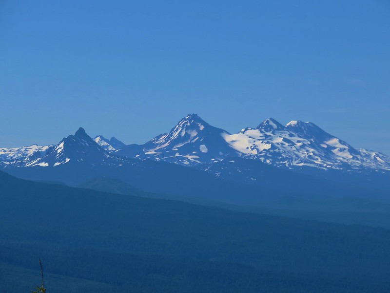
IMG_1118

Because Bachelor Mountain is taller than its neighbor there was also a nice view of Coffin Mountain.
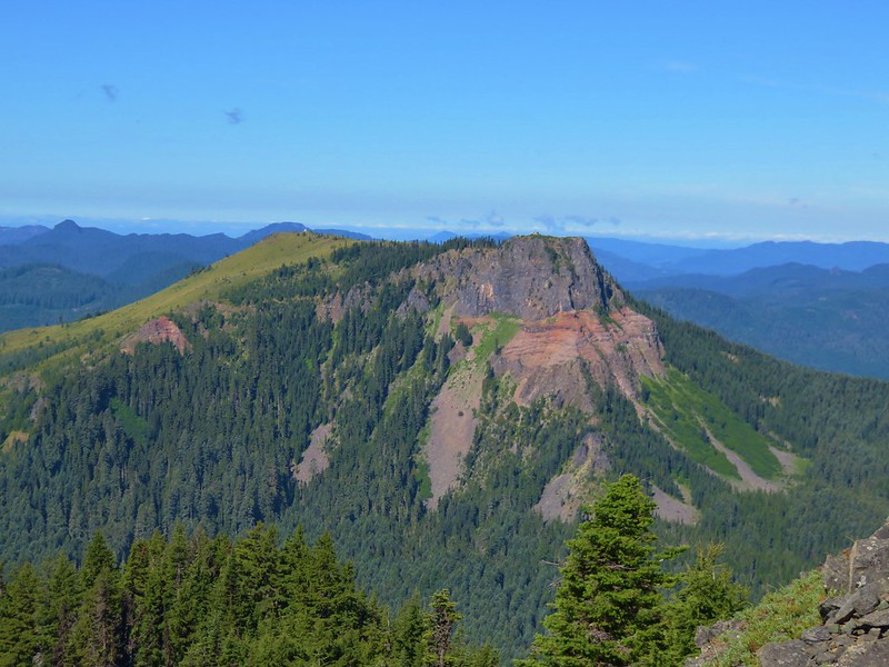
IMG_1135

We headed back down the Bugaboo Ridge Trail junction and unlike our last visit this time we turned onto that trail and headed east through the forest.
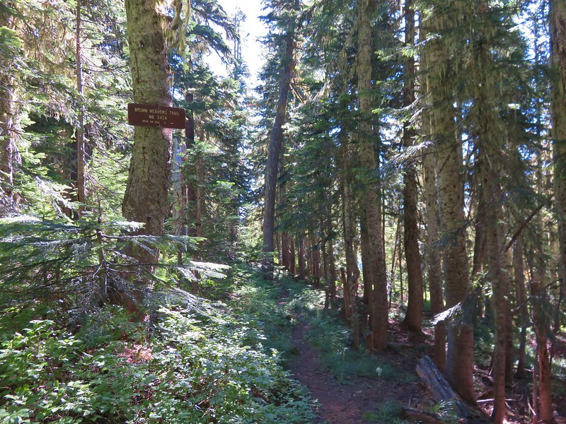
IMG_1139

The Bugaboo Ridge Trail is a longer approach to Bachelor Mountain and it was evident that it sees much lighter usage based on the narrower tread and encroaching vegetation in places. We found it to be a great trail though. The trail left the trees and entered a series of rock gardens and meadows filled with wildflowers.
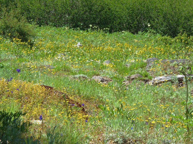
IMG_1142

IMG_1147

IMG_1148

IMG_1156

IMG_1158

IMG_1166

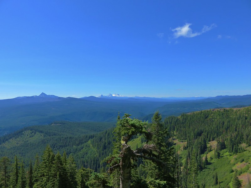
The views were pretty darn good too.
IMG_1160

IMG_1172

IMG_1202

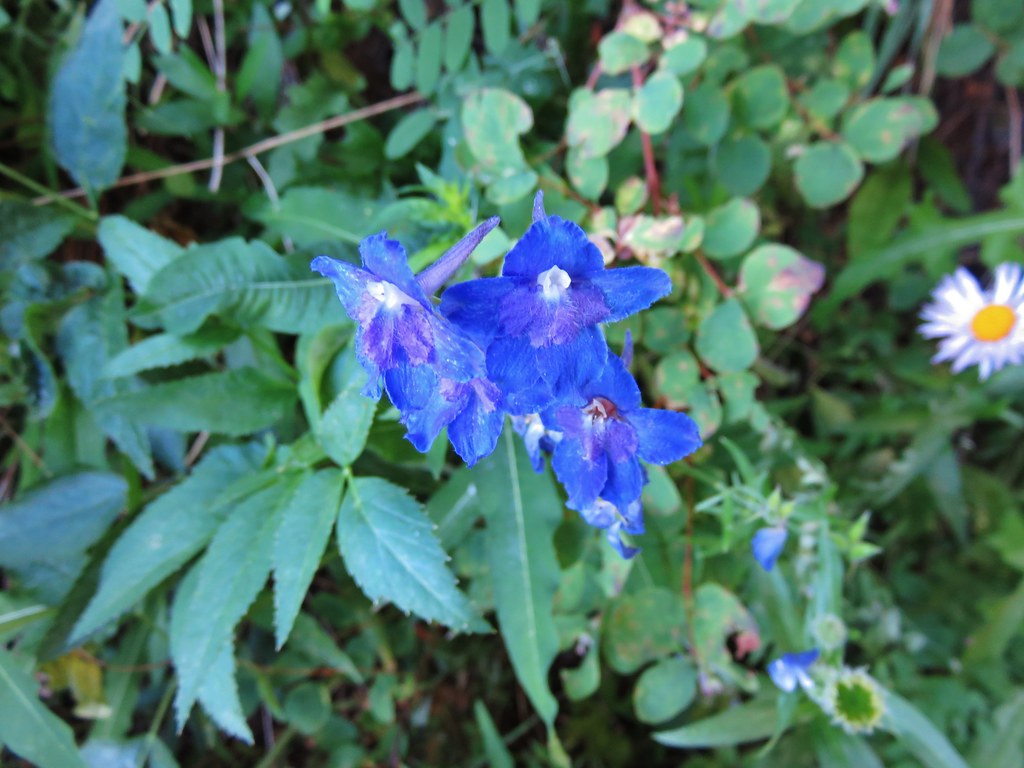
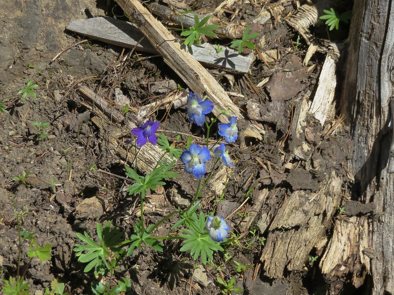
Heather spotted an interestingly colored larkspur along the trail, it was the only one we could find.
IMG_1216

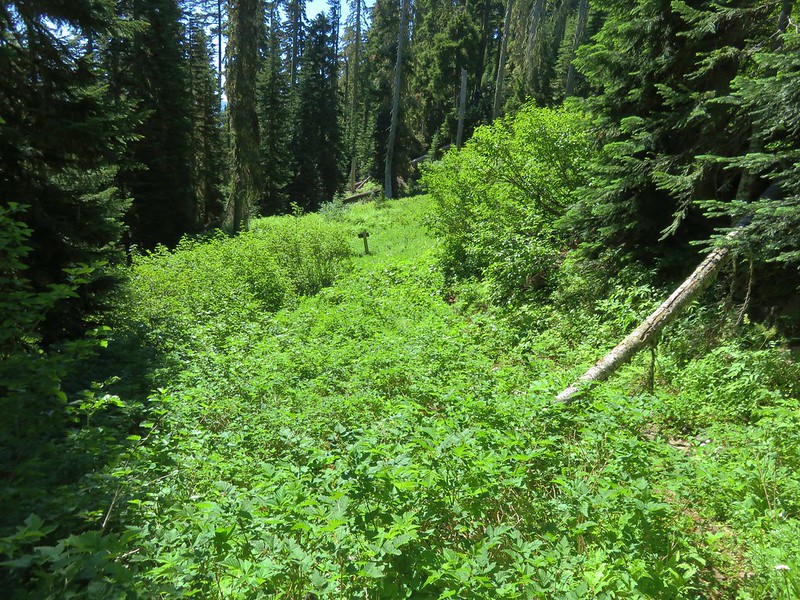
The meadows and gardens began to give way to forest as the trail descended to the Bruno Meadows Trail junction.
IMG_1224

IMG_1228

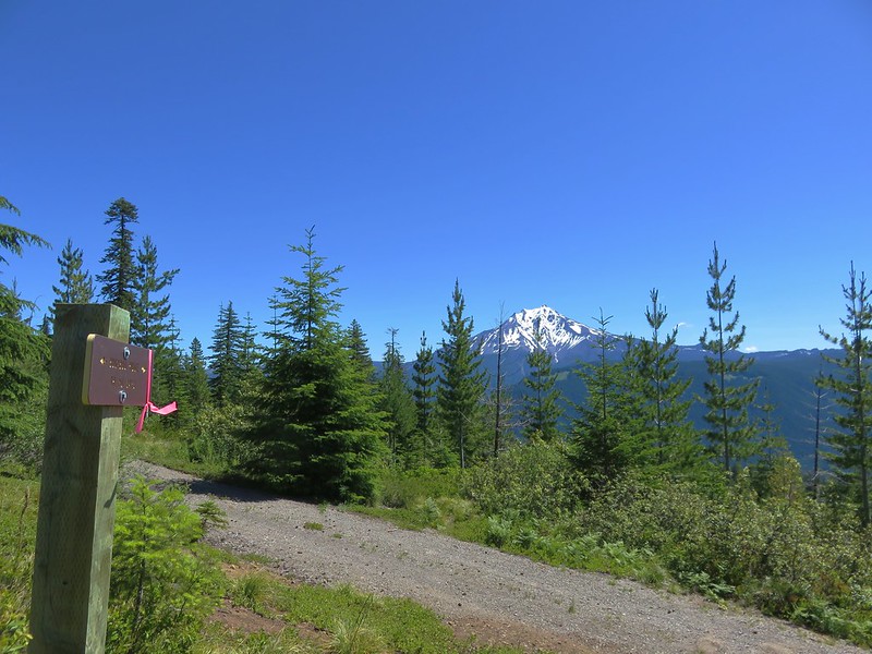
The Bruno Meadows Trail is yet another option to reach Bachelor Mountain, but we ignored that trail and continued to descend on the Bugaboo Ridge Trail. The descent was gentle except for a short section above the Bruno Meadows junction although there was a fair amount of blowdown to navigate. We decided to turn around at a logging road that the trail crossed in an old clear cut.
IMG_1245

The detour along the Bugaboo Ridge Trail to the road was just under 2.5 miles adding nearly 5 miles to the days hike but it had been worth the extra effort. This visit had been a vastly different experience from our visit in 2013. It was fun to be able to see what we had not been able to on that first trip, and it was a great way to spend the 4th. Happy Trails!

Flickr: https://www.flickr.com/photos/9319235@N02/albums/72157670004507771

Categories
Hiking Middle Santiam Old Cascades Oregon Trip report

Cascadia State Park and Rooster Rock

Once again we found ourselves rearranging our scheduled hikes after we had to cancel a planned visit to Central Oregon. We needed to stay home and finish giving our cat Buddy medication after he had a tooth extraction. We settled on a pair of hikes along Highway 20 east of Sweet Home, OR beginning at Cascadia State Park.

Cascadia State Park is less than 15 miles from Sweet Home and offers one year round picnic area and a camground, group tent site, and a second picnic area open from May 1st – September 30th. It also offers some short hiking trails which is what prompted our visit. After turning into the park and crossing the South Santiam River we parked at the west picnic area. The first trail we set our sights on was the Soda Creek Falls Trail. This trail began from the road to the group camps and day use area just before it crossed Soda Creek.
Soda Creek Falls Trailhead

The trail was a bit muddy in spots as it followed the creek up to the falls. The falls were set in a scenic canyon tumbling over and down basalt.
Soda Creek Falls

An easy path went down to the base of the falls and the low volume of water made it possible to walk right up to them.
Soda Creek Falls

Soda Creek Falls

We returned to where we had parked and walked across the entrance road to a sign for the Soda Springs Trail.
Soda Springs Trail - Cascadia State Park

This trail led down to a footbridge over Soda Creek and then on to Soda Springs.
Trail down to Soda Springs

Soda Springs

We followed the trail up from the spring site and then took a right hand path down some stairs to the South Santiam River.
Stairs in Cascadia State Park down to the South Santiam River

South Santiam River

We spent some time exploring on the exposed river rock where we spotted some aquatic bugs and small minnows.
South Santiam River

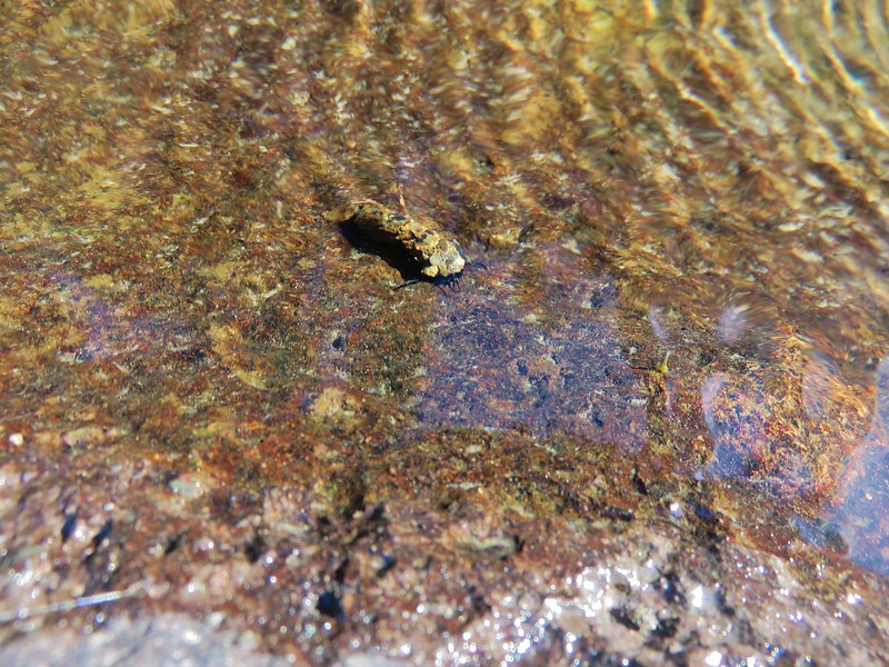
Bug in the South Santiam River

Minnows in the South Santiam River

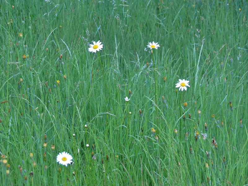
After climbing back up from the river we continued through the east picnic area and walked along a service road which passed through a large meadow with a few flowers.
Daisies in Cascadia State Park

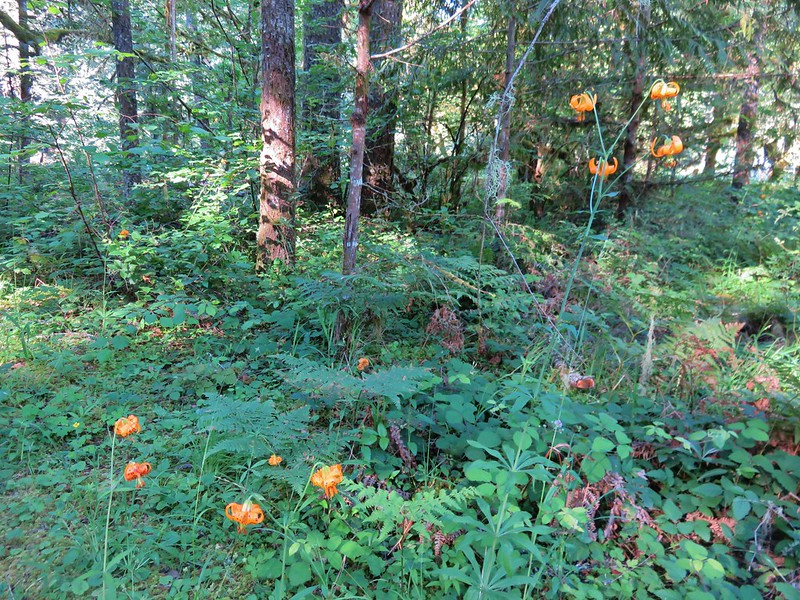
At the far end of the meadow we left the service road and passed through an off-leash area for pets where we found lots of tiger lilies.
Tiger lilies

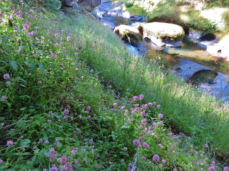
From the off-leash area we picked up the River Trail which began at the group camp parking lot and led east along the South Santiam River. We took a couple of side trails, one to a meadow of plectritis and a second down to the river.
Plectritis along the South Santiam River

South Santiam River

Although there were no signs posted the trail eventually left the State Park and passed onto private land at the start of a series of bends in the path. We turned around here and headed back to the west picnic area and our car.

From Cascadia State Park we drove another 7 miles east to a pullout across from Trout Creek Campground. A pair of trails began here, the short Walton Ranch Interpretive Trail and the more strenuous Trout Creek Trail.
Walton Ranch Interpretive Trail Trailhead

Trout Creek Trail Trailhead

We began with the Walton Ranch Trail which crossed Trout Creek and climbed a little over a quarter mile to a viewing platform. From Winter to early Spring an elk herd winters in the meadow across Highway 20 from the platform but being June the only things we spotted were flowers.
Trout Creek

Interpretive sign along the Walton Ranch Interpretive Trail

Walton Ranch meadow

It was now time for the most difficult hike of our day. The Trout Creek Trail gains approximately 2400′ in 3.4 miles to the site of two former cabins near Rooster Rock in the Menagerie Wilderness. The wilderness contains several large rock pinnacles/formations which are volcanic in origin and popular with rock climbers.

To be honest this was a hike that had not been high on our list to do. Although it was included in all our guidebooks for the area none of them seemed to be all that enamored with this hike. It was described as being “short on highlights”, “a good conditioning hike”, and “the least interesting hike in the Old Cascades”. Having low expectations may have been a good thing in the end because we wound up enjoying the hike even though it did suffer from a lack of highlights, and it was quite a workout.

The trail climbed steadily the entire time. It was never overly steep but it was relentless and it never left the forest so there were no good views along the way. There were also no creeks or streams to cross along the route.
Trout Creek Trail

Trout Creek Trail - Menagerie Wilderness

Best view of Rooster Rock from the Trout Creek Trail
Rooster Rock from the Trout Creek Trail

There were a few flowers including lots of candy sticks along the way and some ripe red huckleberries too.
Madia
Madia

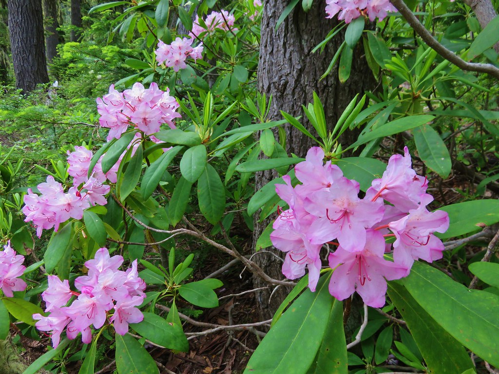
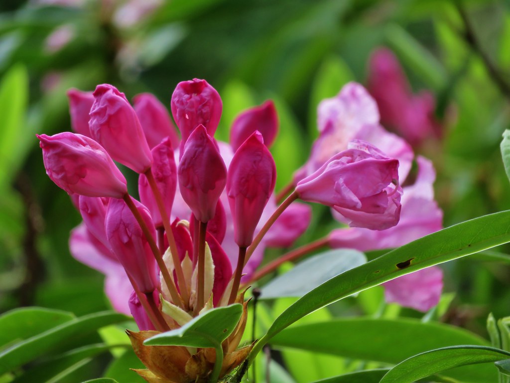
Rhododendron and huckleberries
Rhododendron and red huckleberries

Candy sticks
Candy sticks

Candy sticks

Candy sticks

There was effectively no view of Rooster Rock at Rooster Rock. A large boulder sat at its base and trees hid the rock.
Boulder near Rooster Rock

Rooster Rock from below

Rooster Rock behind a tree

We continued uphill from Rooster Rock forking right to the site of the former cabins that were used by the lookouts who staffed a lookout that had sat atop Rooster Rock once upon a time. The view from the former cabin site was better than we had expected. Rooster Rock was still out of view, but the view east extended up the South Santiam River canyon to the snowy peaks of North and Middle Sister.
North and Middle Sister from the former lookout site near Rooster Rock

North and Middle Sister from the former lookout site near Rooster Rock

Other familiar peaks included Cone Peak and Iron Mountain.
Cone Peak and Iron Mountain from the former lookout site near Rooster Rock

The rocks around the viewpoint were dotted with purple penstemon and yellow stonecrop.
Penstemon

Penstemon

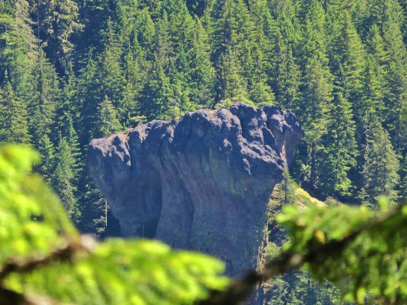
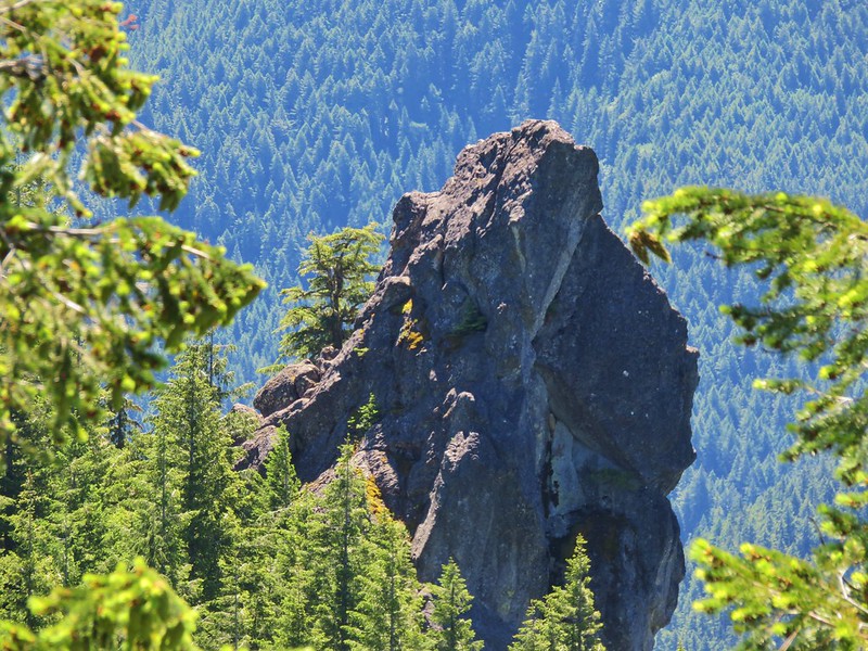
From the cabin site a climbers trail continued deeper into the Menagerie Wilderness. The climbers trail would have eventually taken us to a forest service road on the north side of the wilderness and made it possible to visit Panorama Point, a viewpoint atop a large rock cliff. To get there the trail passes through a section of the wilderness that is closed annually from 1/15 – 7/31 to protect endangered species so we only went a little ways further into the wilderness in an attempt to find a better view of some of the other rock features. We turned around at some pink flagging that was in the area of the closure never having found a decent view. Panorama Point was visible for a moment through some trees as was another odd shaped pinnacle.
Panorama Point

Panorama Point

Rock pinnacle in the Menagerie Wilderness

Rock pinnacle in the Menagerie Wilderness

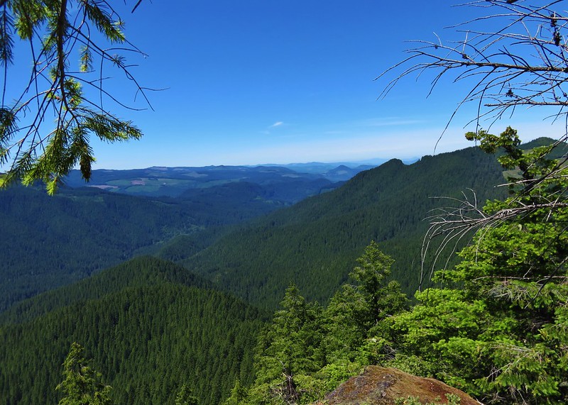
Heather did manage to find a spur trail that led to a view of Rooster Rock and to the west toward the Willamette Valley.
Rooster Rock from a viewpoint in the Menagerie Wilderness

Rooster Rock from a viewpoint in the Menagerie Wilderness

Looking west from a viewpoint in the Menagerie Wilderness

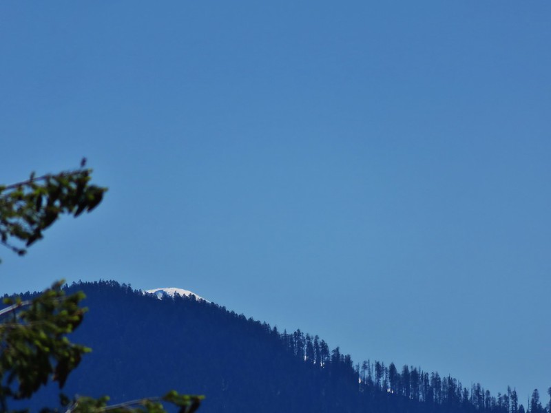
She also spotted the summit of South Sister barely rising above one of the foothills.
The snowy summit of the South Sister

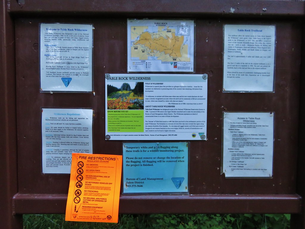
On our way back to the car we were on the lookout for a wilderness sign. As we visit the various wildernesses I try and get a picture of a wilderness sign for each one and I needed one for the Menagerie Wilderness. We had started looking on the way up but not until we were well into the wilderness so as we neared the edge of the area we began looking back at the trees as we passed. We never did see an official sign so I took a picture of the wilderness regulation sheet on the information board at the trailhead instead.
Menagerie Wilderness sign

Someday we may have to try the Rooster Rock Trail (a shorter,steeper approach to Rooster Rock) in hopes that there is a fancier sign along that trail but until then we can at least mark off one more wilderness area we’ve visited. Happy Trails!

Flickr: https://www.flickr.com/photos/9319235@N02/albums/72157669592127776

Categories
Cottage Grove Hiking Old Cascades Oregon Trip report

Parker Falls and Adams Mountain Way

**Note the 2024 Adam Mountain Fire burned over a very small portion of the Knott Trail and a fire break was created that extends along the ridge between the Crawfish and Adams Mountain Way Trails.**

Our 2016 hiking season officially started with a pair of hikes in the Umpqua National Forest. Both trailheads are located along Brice Creek, SE of Cottage Grove, OR. We had visited the area in 2014 to hike the more popular Brice Creek and Trestle Falls Trails https://wanderingyuncks.wordpress.com/2014/05/09/brice-creek-trestle-falls/ and were back now to tackle some of the other nearby trails.

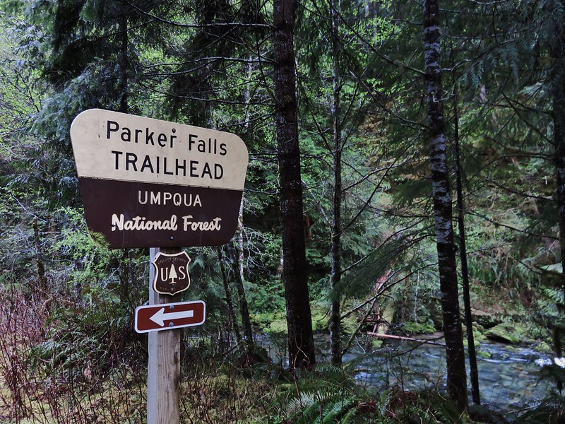
We began the day at the Parker Falls Trailhead which is 2.3 miles beyond the Upper Brice Creek/Trestle Falls Trailhead.
IMG_4033

The trail runs along Parker Creek up to Lower Parker Falls and finally Upper Parker Falls. Spring wildflowers lined the trail.
Fawn lillies
IMG_4037

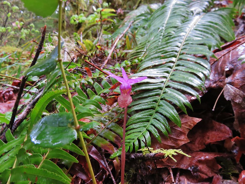
Fairy slipper
IMG_4050

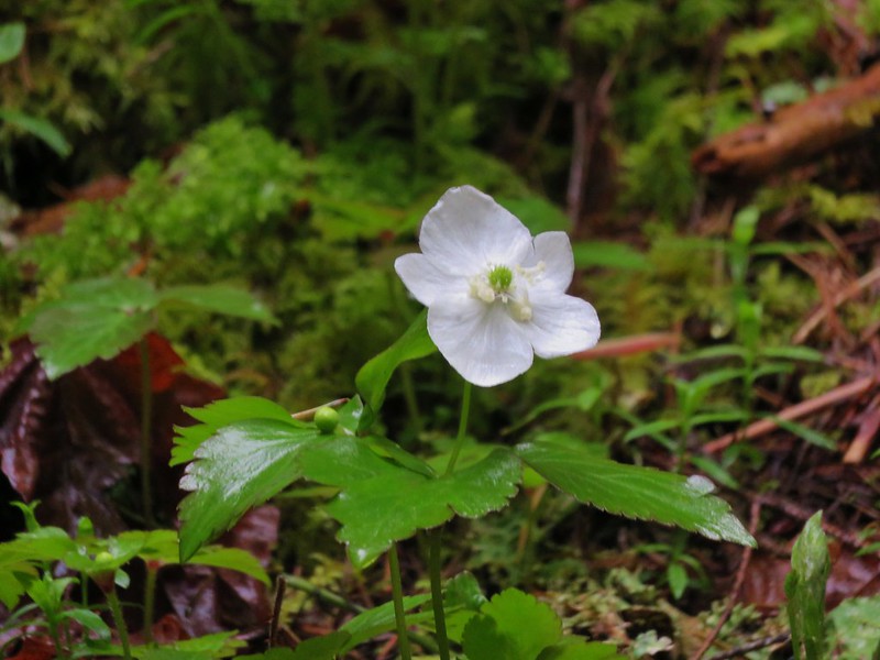
Anemone
IMG_4082

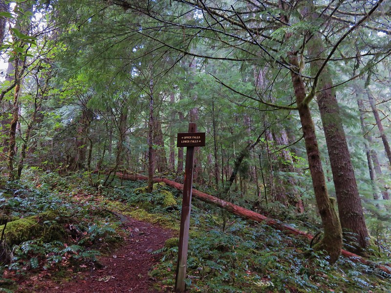
At a signed junction we took a short path down to Lower Parker Falls.
IMG_4053

IMG_4058

IMG_4060

After admiring the lower falls we went back to the junction and headed for the upper falls. The upper falls were more of a slide and the trail stayed up along the canyon wall above them.
IMG_4074

We were not entirely certain that this was indeed the upper falls as the trail continued on so we kept going. It led to the creek bank above the upper falls. At this point I checked our GPS and it appeared that the trail should have continued a short distance up the creek. There was a faint path leading further but it quickly vanished beneath debris that had fallen into the canyon. We were only able to go a short distance before facing the choice of getting wet or turning back. I decided to hop into the creek and continue. I had gone about a hundred yards when I came to a small slide in a narrow mossy drop.
IMG_4068

IMG_4069

I was on a small gravel bar inhabited by some coltsfoot.
IMG_4071

I could see a little way upstream and saw no signs of any additional falls and didn’t see an easy way past the small cascade ahead so I headed back to Heather and we returned to the car. We decided that Upper Parker Falls must indeed have been the slide we had passed before reaching the creek (That was confirmed by waterfallsnorthwest.com).

The signed mileage is 1/2mi to the lower falls and 3/4 to the upper falls while the Forest Service website lists it as 1.1 miles. Our GPS registered a round trip of 2.4 miles which, given my short excursion up the creek, makes the 1.1 miles more likely.

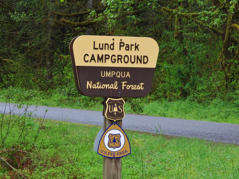
From the Parker Falls Trailhead we drove back the way we’d come to Lund Park which was about 10 minutes away.
IMG_4083

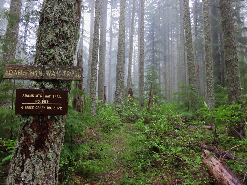
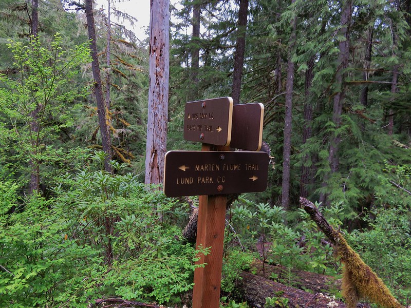
Our loop hike started here and we faced a choice. We could begin on any one of three trails- Adams Mountain Way, Marten Flume, or the Crawfish Trail. The Adams Mountain Way Trail started on the opposite side of Brice Creek Road just east of Lund Park while the Marten Flume Trail started just west of Lund Park and connected to Adams Mountain Way after .6 miles. The Crawfish Trail was 1.2 miles further west along Brice Creek Road meaning we would either start or end our hike with a road walk. We decided to start with the road walk thinking we were less likely to run into traffic since it was still before 9am and a road walk at the end of a hike is never very exciting.

As road walks go this one wasn’t too bad passing Hobo Creek on the left and having Brice Creek off to our right.
IMG_4085

Brice Creek
IMG_4096

There were also plenty of wildflowers along the way.
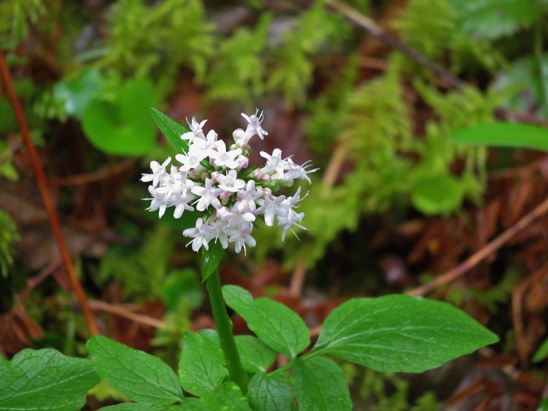
Valerian
IMG_4086

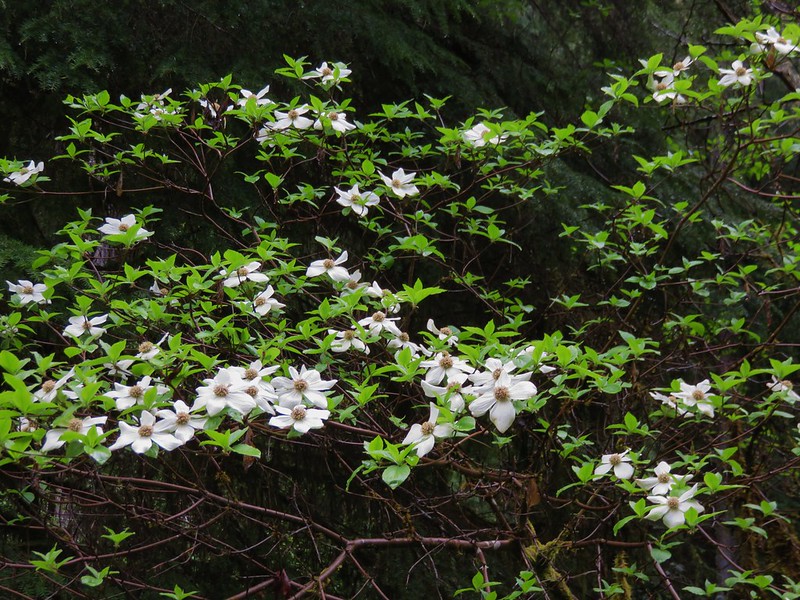
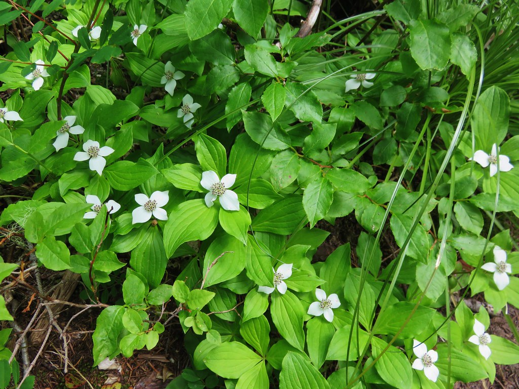
Dogwood
IMG_4088

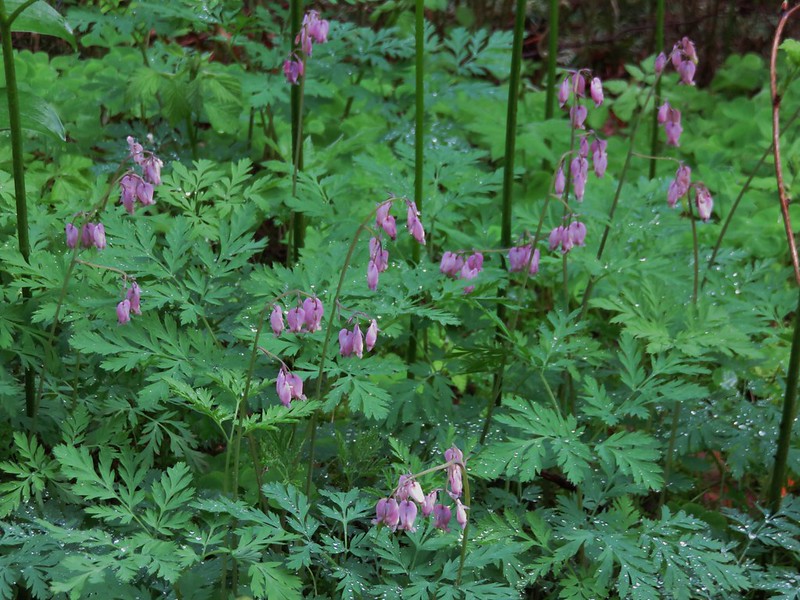
Bleeding heart
IMG_4090

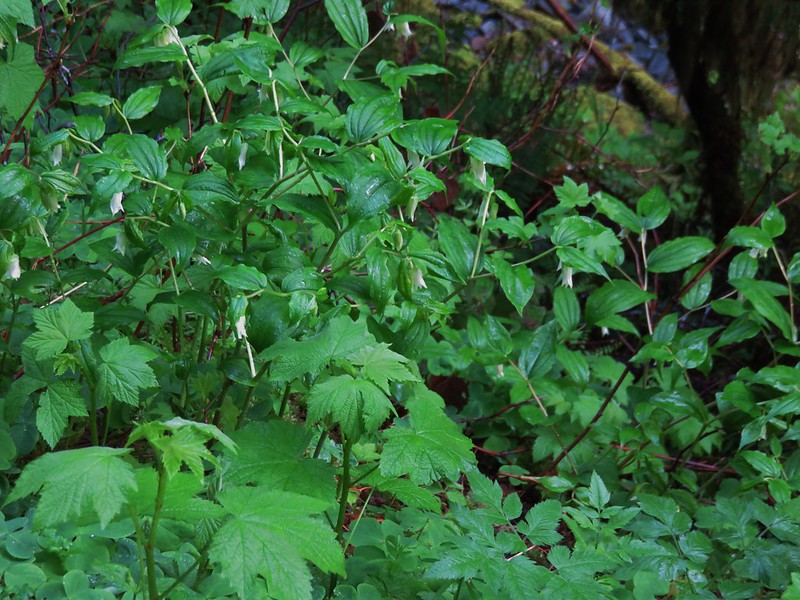
Fairybells
IMG_4091

Skunk cabbage
IMG_4094

Red flowering currant
IMG_4095

Big leaf maple
IMG_4099

We made it to the Crawfish Trail without encountering any vehicles and began a 5.5 mile climb to the Knott Trail.
IMG_4103

IMG_4106

It was obvious that the lower portion of the Crawfish Trail is popular with mountain bikers as there were more tire tracks than footprints along the way. It probably is not a trail one would want to hike when bikes were barreling down the trail at you, but we were early enough in the day and season to not encounter anyone; hiker or bicyclist.

The trail was well signed along the way as it crossed a couple of roads (or the same road multiple times).
Crawfish Trail

IMG_4119

IMG_4120

There weren’t many places along the trail with opportunities for views but when the trail passed over a saddle to the SW side of a ridge there would have been some if not for the low clouds that were present.
IMG_4128

IMG_4129

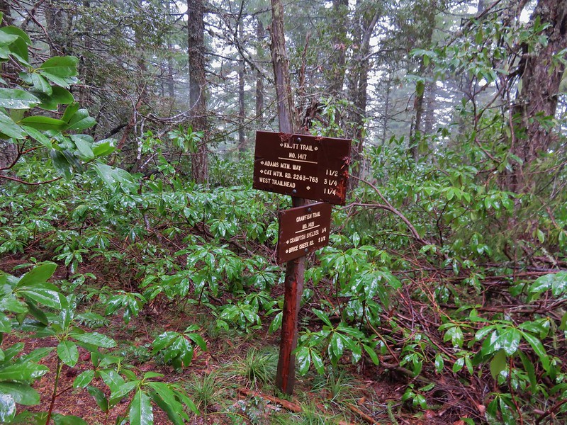
Things got a little confusing when we came to National Forest Road 2234 where a trail sign pointed three different directions for the Knott Trail which was to be our connector between the Crawfish Trail and Adams Mountain Way.
IMG_4132

After consulting our map we decided that we wanted to follow the .7mi Knott Trial pointer and cross NF 2234. The other pointers were for the road itself which would have led us back to the Knott Trail in either direction but not after some needless travel.

As we continued on the Crawfish Trail time seemed to move backwards and the flowers of Spring gave way to chilly winds and patches of snow.
IMG_4133

IMG_4137

IMG_4139

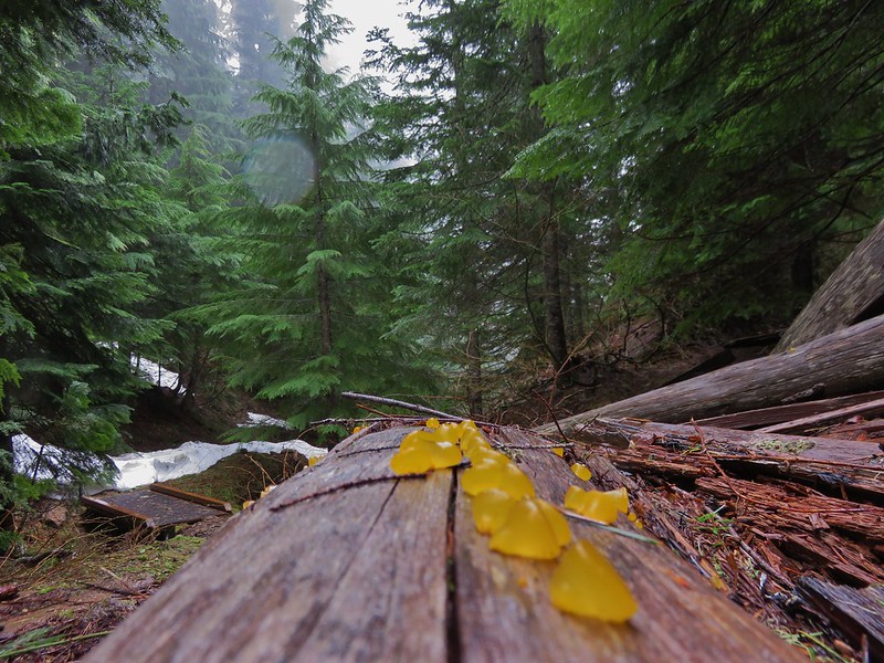
Orange jelly fungus
IMG_4140

When we finally reached the Knott Trail Junction we turned left and climbed some more.
IMG_4145

The trail led up to open meadow that might have had a decent view on a clear day and probably some nice flowers in a month or two.
IMG_4147

IMG_4149

IMG_4150

Beyond the meadow the trail began to descend along a ridge toward the Adams Mountain Way junction. On this side we encountered more snow.
IMG_4153

The trail was in decent enough shape with some blowdown and debris along the way, nothing too difficult to get around, but in several sections it needed to be brushed out.
IMG_4151

We reached the Adams Mountain way junction in a forested saddle.
IMG_4160

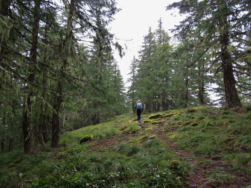
The Adams Mountain Way Trail began gently enough traveling along a ridge towards Brice Creek Road.
IMG_4164

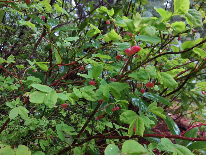
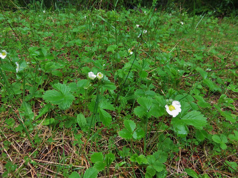
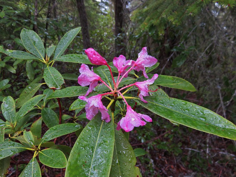
Signs of Spring began to pop up again in the form of huckleberry blossoms, wild strawberry blooms, and even a pink rhododendron.
IMG_4162

Strawberry blossoms

IMG_4166

When the trail finally decided to head down, it did so with a vengeance. The descents rivaled some of the steepest trails we’d been on making us glad we hadn’t chosen to come up that way. We were feeling the elevation loss in our legs when we reached the Marten Flume Trail junction just a few hundred yards from Brice Creek Road.
IMG_4195

I had not been able to find much information on this trail so we were curious about it and decided to go ahead and check it out. It headed up Hobo Creek and then forked. There was no sign at the fork and we weren’t sure which way to go so we took the right hand fork down toward the creek thinking that the flume might be down there. We had chosen poorly and would have needed to stay left at the fork to see the flume. At that point we were down at the creek where the loop trail crossed.
IMG_4196

We decided not to climb back up to the fork and waded the creek to finish up the loop.
IMG_4202

Trillium and Wood Sorrel bloomed along the path.
IMG_4200

IMG_4205

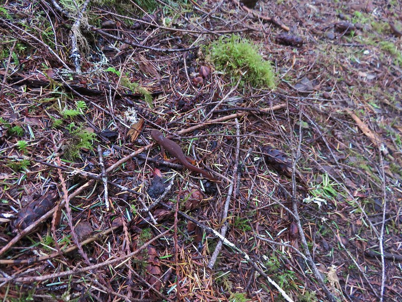
Near the end of the loop we encountered the only other trail users we’d seen all day. A pair of rough skinned newts.

One of the newts.
IMG_4208

This was a good conditioning hike given the 11.7mi distance and 3000+ feet of elevation gain/descent. It is definitely not a hike for those looking for big views or extensive wildflowers, and depending on the mountain bike traffic it could be a little dangerous given the steep narrow tread in sections. For our visit though we were able to enjoy the solitude of spending five and a half hours completing the loop without running into anyone else.

Happy Trails!

Flickr: https://www.flickr.com/photos/9319235@N02/albums/72157667500424465

Categories
Hiking Middle Santiam Old Cascades Oregon Trip report

Gordon Lakes Trail

We continued our recent trend of choosing our hikes based on the weather forecast and wound up picking the Gordon Lakes Trail for our most recent hike. We chose this trail because it stayed mostly in the forest with very limited view opportunities that wouldn’t be spoiled by the rainy forecast. The Gordon Lakes Trail covers a little over 7 miles between eastern and western trailheads. We began our hike at the west trailhead located on Forest Service Road 325 outside of Sweet Home. There was some disagreement on how to reach road 325 between our field guide, the Forest Service, and Google Maps. They all agreed that from Sweet Home we needed to drive Highway 20 east 19 miles to milepost 46 and turn right on a forest service road for approximately 5 miles. Our field guide gave this road the number 2031 while the Forest Service numbered it 2044. Google Maps showed 2032 as the number which was the number we found on the stake as we turned onto this road. We managed to follow this winding road fairly easily to a hiker symbol on the right across from road 325. The signless parking area was 100 yards uphill to the left on road 325.
Gordon Lakes Trailhead//embedr.flickr.com/assets/client-code.js

Our next bit of confusion came as we got ready to set off. There were no signs indicating the location of the trail. Two old roads led off from the parking area in the same general direction, one downhill and the other uphill and the hiker sign was back downhill across road 2032. The road leading uphill looked like it was a trail, but the map I had looked at for the trail appeared to show a trail switchbacking downhill from the trailhead which I later realized was my misreading the topographic map. After several minutes of exploring the uphill road and consulting the GPS we decided that it was in fact the trail and began climbing.
IMG_1436//embedr.flickr.com/assets/client-code.js

The trail left the road behind and began switchbacking uphill through a previously logged area where we could see a little of the valley below.
IMG_1441//embedr.flickr.com/assets/client-code.js

IMG_1443//embedr.flickr.com/assets/client-code.js

Thimbleberry leaves lined the path with color.
IMG_1442//embedr.flickr.com/assets/client-code.js

After the switchbacks the trail entered older forest and crossed a pair of roads where there were still no signs indicating where or what the trail was.
IMG_1444//embedr.flickr.com/assets/client-code.js

IMG_1446//embedr.flickr.com/assets/client-code.js

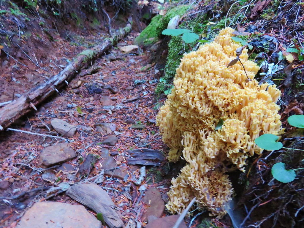
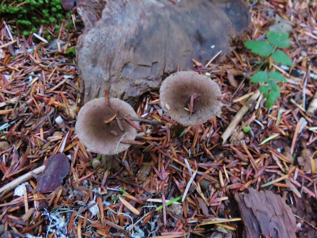
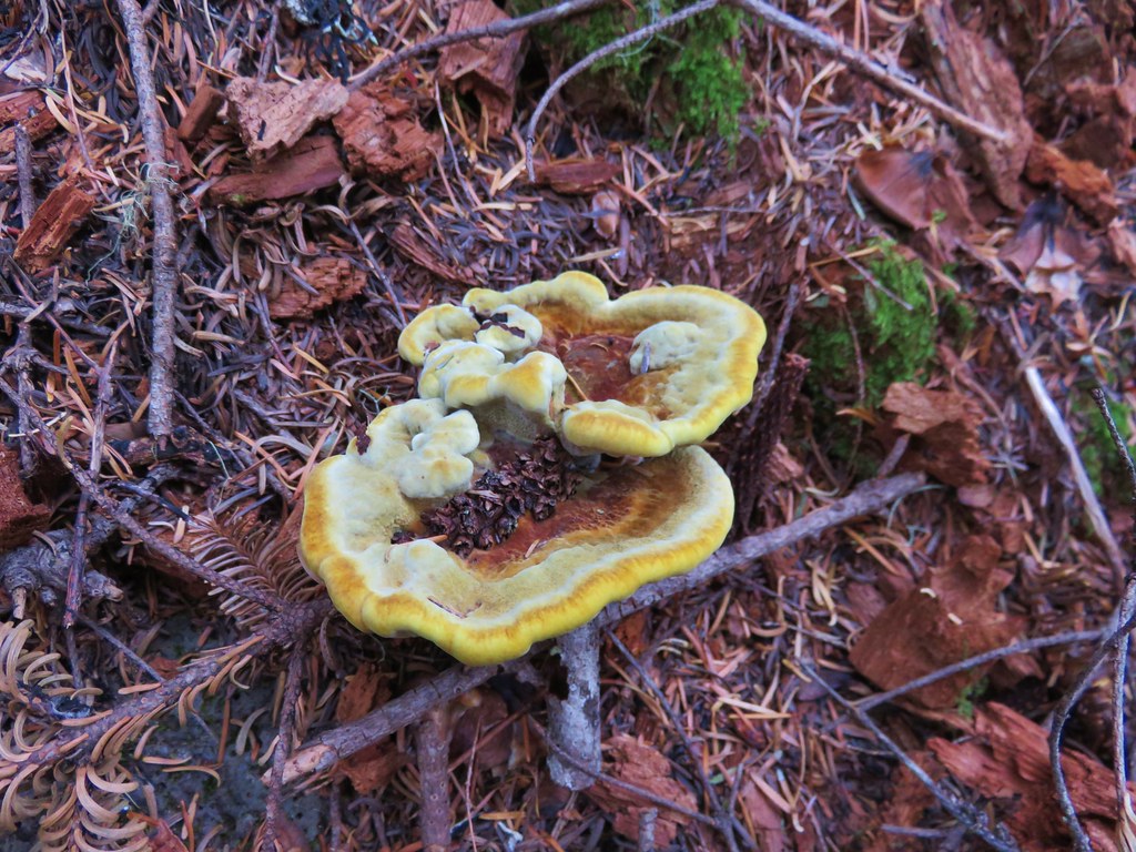
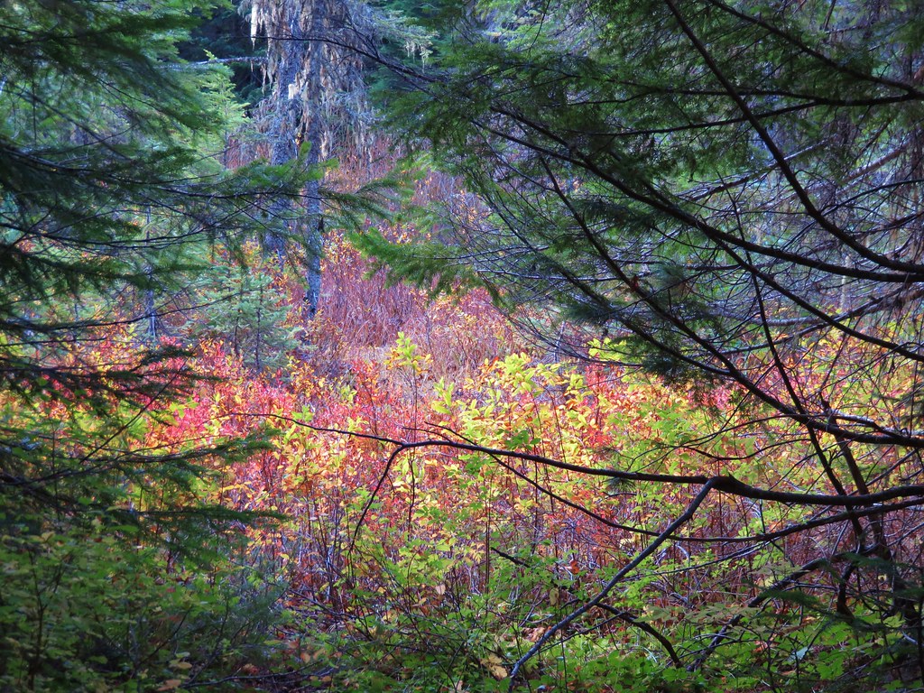
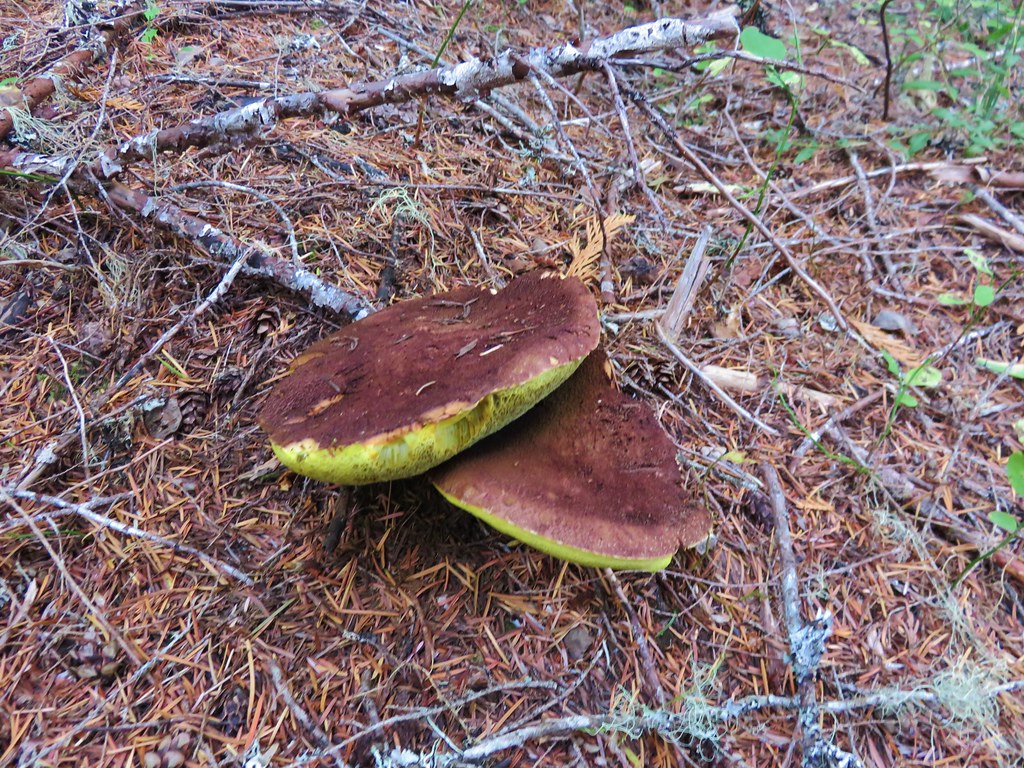
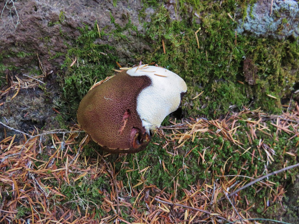
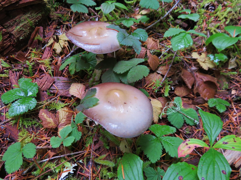
The first feature we were looking for was Falls Creek which the trail would parallel much of the way. There wasn’t much water in the creek but it was still pleasant and the fall colors and various mushrooms and fungi along the trail made it feel very much like Autumn.
IMG_1455//embedr.flickr.com/assets/client-code.js

IMG_1447//embedr.flickr.com/assets/client-code.js

IMG_1459//embedr.flickr.com/assets/client-code.js

IMG_1460//embedr.flickr.com/assets/client-code.js

IMG_1457//embedr.flickr.com/assets/client-code.js

IMG_1454//embedr.flickr.com/assets/client-code.js

IMG_1462//embedr.flickr.com/assets/client-code.js

IMG_1452//embedr.flickr.com/assets/client-code.js

IMG_1449//embedr.flickr.com/assets/client-code.js

Yellow mushrooms//embedr.flickr.com/assets/client-code.js

IMG_1461//embedr.flickr.com/assets/client-code.js

IMG_1463//embedr.flickr.com/assets/client-code.js

Chocolate and vanilla mushroom//embedr.flickr.com/assets/client-code.js

IMG_1514//embedr.flickr.com/assets/client-code.js

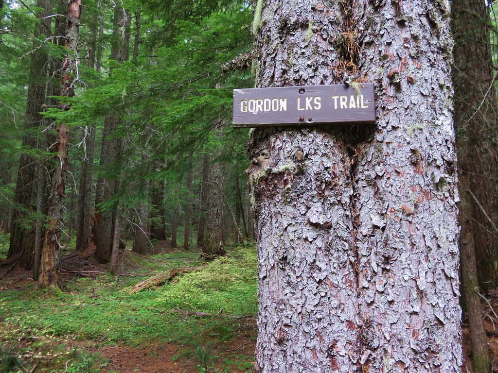
We finally saw our first trail signs right around the 3.5 mile mark at a junciton.
IMG_1464//embedr.flickr.com/assets/client-code.js

IMG_1465//embedr.flickr.com/assets/client-code.js

Shortly after the first junction we came to a second junction at the edge of Gordon Meadows.
IMG_1469//embedr.flickr.com/assets/client-code.js

Described as “marshy” in our field guide the meadows were much larger than we had expected. Being late in such a dry year the meadows seemed rather dry as we passed by on the trail.
IMG_1477//embedr.flickr.com/assets/client-code.js

IMG_1476//embedr.flickr.com/assets/client-code.js

The trail had been climbing very gradually since leaving the switchbacks behind near the beginning of the hike but we began encountering some steeper climbs beyond the meadows. The trail climbed up and over a series of ridge ends as we headed for Gordon Lakes. Just over 3 miles from Gordon Meadows we arrived at a fork in the trail near the lakes.
IMG_1489//embedr.flickr.com/assets/client-code.js

The signs pointed us toward the right hand fork while the GPS unit showed the left hand fork as the official trail. We went right following the signs to the northern Gordon Lake.
IMG_1490//embedr.flickr.com/assets/client-code.js

The rain that had been in the forecast had not materialized and we were enjoying some sun breaks in the clouds as the trail crossed the small outlet creek that flowed down into the lower southern lake.
Cloud in the creeklet between the Gordon Lakes//embedr.flickr.com/assets/client-code.js

IMG_1492//embedr.flickr.com/assets/client-code.js

We spent a little time on a log at the edge of the lake watching dragonflies zoom about.
IMG_1500//embedr.flickr.com/assets/client-code.js

Northern Gordon Lake//embedr.flickr.com/assets/client-code.js

IMG_1498//embedr.flickr.com/assets/client-code.js

After having a snack we left the northern lake and passing over the ridge between the two lakes and heading down toward the southern lake.
IMG_1501//embedr.flickr.com/assets/client-code.js

IMG_1502//embedr.flickr.com/assets/client-code.js

Southern Gordon Lake//embedr.flickr.com/assets/client-code.js

We crossed the creek between the lakes and picked up the trail shown on our Garmin on the opposite side.
IMG_1505//embedr.flickr.com/assets/client-code.js

We followed the path uphill where we discovered that there were a few downed trees across the trail which may have been why the signs had pointed to the other fork of the trail, but we made our way past the blowdown and climbed back up to the fork. We headed back making our way over the ridge ends, past Gordon Meadows, and started back down the switchbacks. We still hadn’t experienced any rain but the clouds in the valley were on the move.
IMG_1516//embedr.flickr.com/assets/client-code.js

IMG_1519//embedr.flickr.com/assets/client-code.js

It finally started to rain when we were back on the old roadbed heading down to the parking area less than 5 minutes away. Our total mileage clocked in at 15.4 miles, but Gordon Lakes can be reached from the eastern end of the trail in less than half a mile by starting at the trailhead on Forest Service Road 230. Happy Trails!

Flickr: https://www.flickr.com/photos/9319235@N02/albums/72157659570476059

Categories
Bull of the Woods/Opal Creek Hiking Old Cascades Oregon Trip report

Dickey Creek Trail

**Note a portion of this hike burned in the 2021 Bull Complex.**

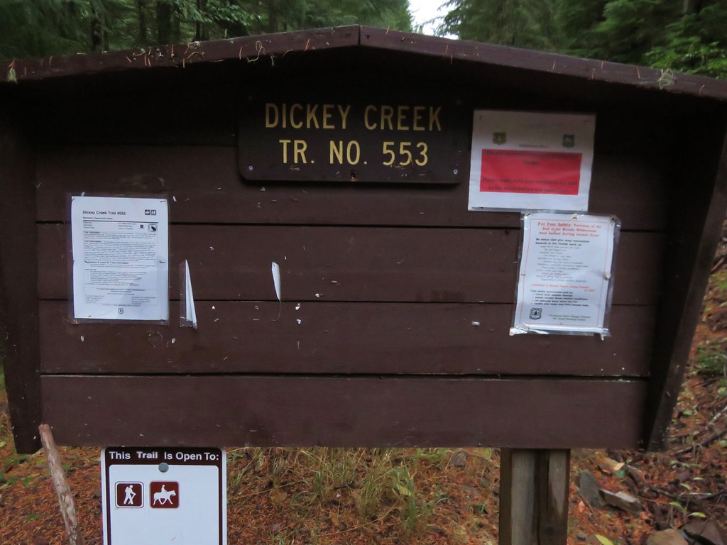
Once again the weather wasn’t cooperating with our overnight plans so we turned to plan B for our latest hike. Plan B wound up being the Dickey Creek Trail in the Bull of the Woods Wilderness on what turned out to be a great hike on a beautiful day. We began our hike at the Dickey Creek Trailhead located in forest service road 140 near Ripplebrook, OR.
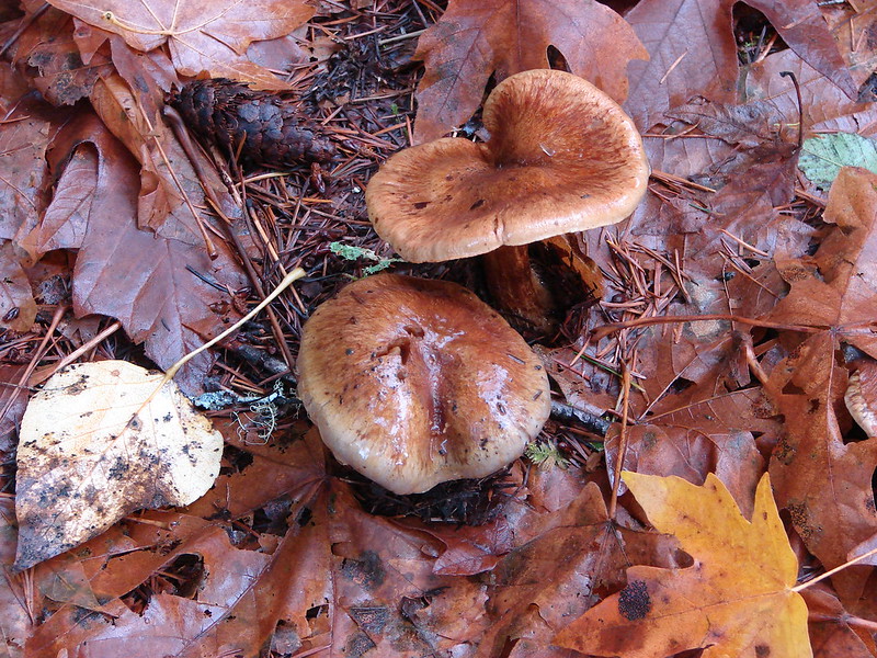
IMG_1183//embedr.flickr.com/assets/client-code.js

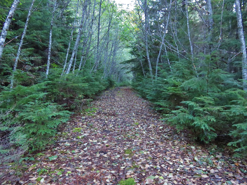
The Dickey Creek Trail followed a decommissioned road for about half a mile to the former trailhead parking area.
IMG_1434//embedr.flickr.com/assets/client-code.js

IMG_1188//embedr.flickr.com/assets/client-code.js

The trail continued to follow the old roadbed for .3 miles and then suddenly heads downhill.
IMG_1192//embedr.flickr.com/assets/client-code.js

IMG_1195//embedr.flickr.com/assets/client-code.js

IMG_1196//embedr.flickr.com/assets/client-code.js

The descent was steep for the next half mile and included several sections of steps. It was one of the most fun sections of trail we’ve been on as it twisted and turned on it’s way down toward the creek. When the trail leveled out we were within earshot of the creek but the trail remained in the forest with the creek out of sight. The old growth forest in the valley was beautiful. Green moss carpeted the ground while large trees towered above. Rough skinned newts seemed to be everywhere and we had to step carefully to make sure we didn’t harm any.
IMG_1201//embedr.flickr.com/assets/client-code.js

IMG_1203//embedr.flickr.com/assets/client-code.js

IMG_1217//embedr.flickr.com/assets/client-code.js

IMG_1215//embedr.flickr.com/assets/client-code.js

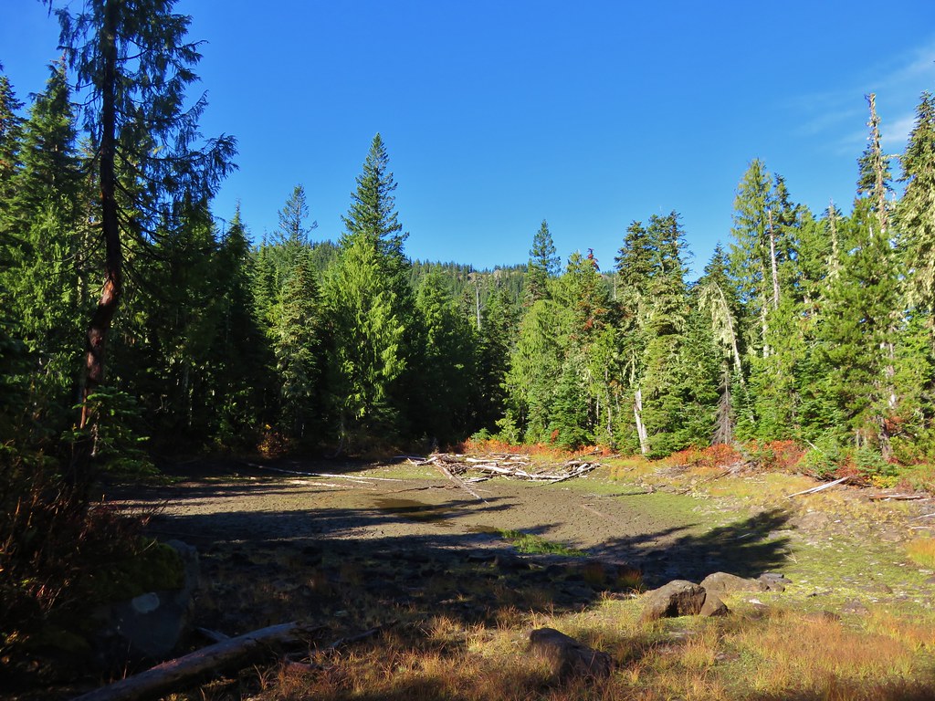
The old growth forest briefly opened up near a dry pond. The fall colors were on display around the pond and made a nice contrast to the green ground left over from where the pond water had been.
IMG_1206//embedr.flickr.com/assets/client-code.js

IMG_1209//embedr.flickr.com/assets/client-code.js

IMG_1210//embedr.flickr.com/assets/client-code.js

IMG_1212//embedr.flickr.com/assets/client-code.js

We arrived at the bridgeless crossing of Dickey Creek after almost 3.5 miles.
IMG_1218//embedr.flickr.com/assets/client-code.js

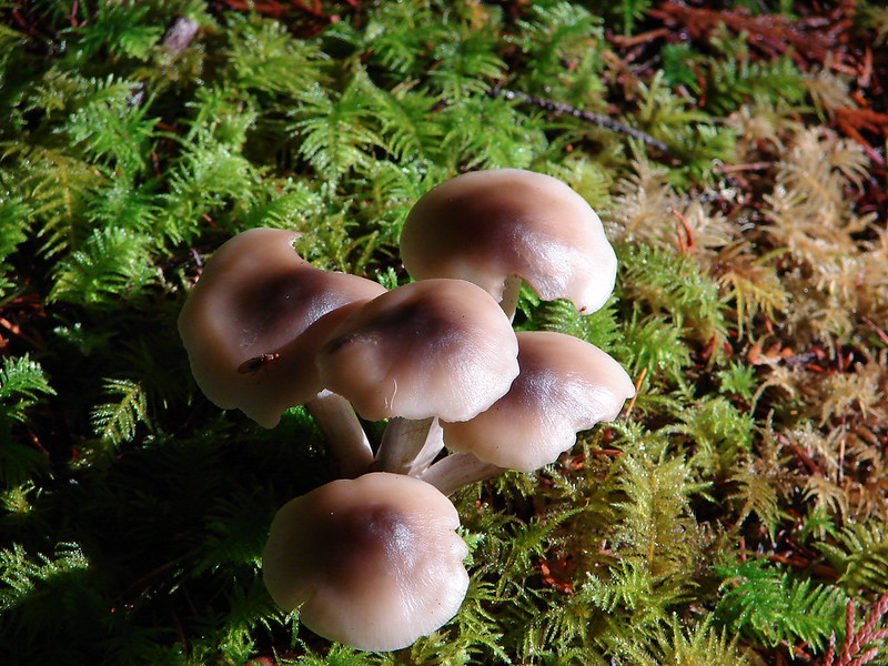
On the far side of the creek we spotted some interesting fungi.
IMG_1220//embedr.flickr.com/assets/client-code.js

IMG_1223//embedr.flickr.com/assets/client-code.js

We were heading for Big Slide Lake which was a little over 2.5 miles from Dickey Creek. From there we would decide whether we would continue on to Big Slide Mountain or turnaround depending on how clear the skies were. After a few switchbacks the trail climbed gradually up the valley toward the lake. Views opened up across the valley to North and South Dickey Peak. Ahead were the cliffs of Big Slide Mountain and the lookout tower on Bull of the Woods, the wilderness’s namesake.
IMG_1224//embedr.flickr.com/assets/client-code.js

IMG_1228//embedr.flickr.com/assets/client-code.js

IMG_1231//embedr.flickr.com/assets/client-code.js

IMG_1237//embedr.flickr.com/assets/client-code.js

After crossing a large rock field the trail split. We headed downhill to the right to visit Big Slide Lake where we encountered the only other people we’d see the entire day.
IMG_1238//embedr.flickr.com/assets/client-code.js

IMG_1241//embedr.flickr.com/assets/client-code.js

IMG_1242//embedr.flickr.com/assets/client-code.js

It was approximately 6 miles to Big Slide Lake from the trailhead so turning around here would have made for a decent enough hike, but the weather was great and there were only a few clouds in the sky so we decided to head up to Big Slide Mountain to see how the view was. We climbed back up to the Dickey Creek Trail from the lake and continued uphill toward a saddle on the ridge between Bull of the Woods and Big Slide Mountain. After about a half mile of good climbing we arrived at the saddle and a trail junction.
IMG_1243//embedr.flickr.com/assets/client-code.js

We turned left past a nearly dry pond.
IMG_1244//embedr.flickr.com/assets/client-code.js

IMG_1245//embedr.flickr.com/assets/client-code.js

IMG_1246//embedr.flickr.com/assets/client-code.js

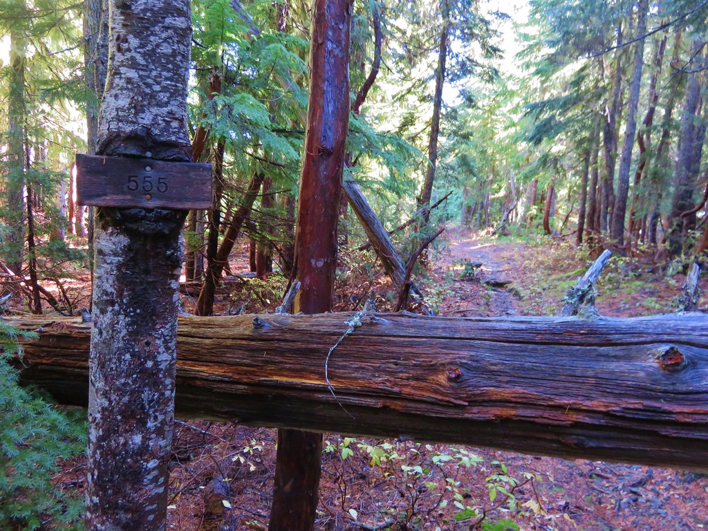
On the far side of the pond was a second trail junction. We stayed to the left on trail 555 and began to gradually climb Big Slide Mountain. Views opened up almost immediately on this section of trail. Mount Jefferson was the first of the Cascade peaks to come into view.
IMG_1248//embedr.flickr.com/assets/client-code.js

IMG_1255//embedr.flickr.com/assets/client-code.js

Followed by Three Fingered Jack.
IMG_1260//embedr.flickr.com/assets/client-code.js

Then came Broken Top, Mt. Washington, and the North and Middle Sisters.
IMG_1266//embedr.flickr.com/assets/client-code.js

Finally the South Sister made an appearance.
IMG_1271//embedr.flickr.com/assets/client-code.js

IMG_1272//embedr.flickr.com/assets/client-code.js

After almost a mile and a half of climbing the trail crested at a saddle between the summit of Big Slide Mountain and Knob Peak. The trail then headed over the saddle and downhill to its end at Lake Lenore a half mile away. In order to get to the summit of Big Slide Mountain we needed to do some cross country climbing. From the saddle we headed uphill along the ridge toward the summit making our way up as best we could. We managed to find sections of faint trail and pick our way up the rocky slope to the summit. The views from the summit were great. Big Slide Lake lay below us to the West.
IMG_1288//embedr.flickr.com/assets/client-code.js

To the North was Lake Lenore, Schriner Peak, Mt. Hood, and the shy Mt. Adams.
IMG_1290//embedr.flickr.com/assets/client-code.js

IMG_1308//embedr.flickr.com/assets/client-code.js

IMG_1341//embedr.flickr.com/assets/client-code.js

IMG_1294//embedr.flickr.com/assets/client-code.js

To the southeast cascade peaks dotted the horizon while Welcome Lakes lay below in the wilderness.
IMG_1356//embedr.flickr.com/assets/client-code.js

The peaks of the Bull of the Woods Wilderness rose to the south including Battle Ax and Bull of the Woods.
IMG_1314//embedr.flickr.com/assets/client-code.js

Table Rock rose above the Table Rock Wilderness to the southwest.
IMG_1330//embedr.flickr.com/assets/client-code.js

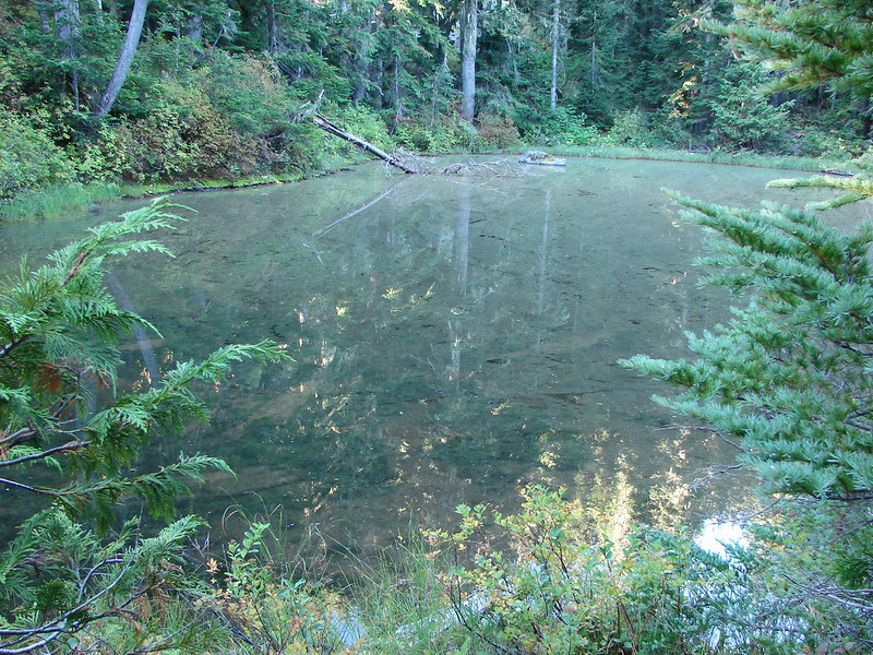
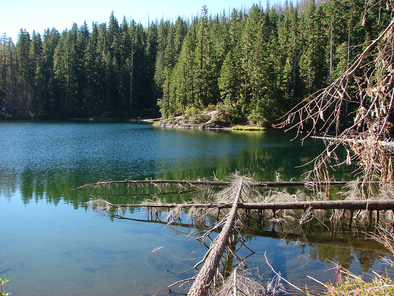
We took a long break on the summit watching the clouds in the sky and soaking in the sun before heading back downhill. On the way back we had one final stop to make. We wanted to check out an unnamed lake that lay off-trail below Big Slide Mountain. A short steep climb through some thick rhododendron bushes brought us to the edge of the small lake.
IMG_1381//embedr.flickr.com/assets/client-code.js

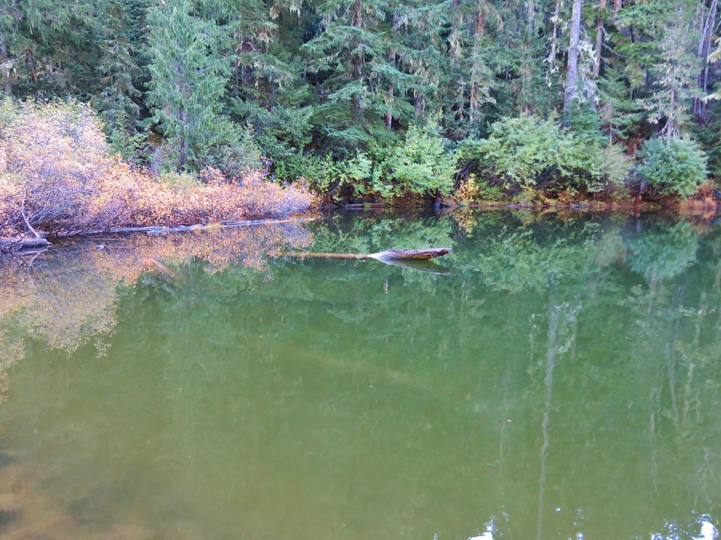
The water was crystal clear with some excellent reflections of Big Slide Mountain.
IMG_1389//embedr.flickr.com/assets/client-code.js

After fighting our way back through the rhododendrons we regained the trail. On our way back we stopped to check out a few interesting mushrooms, one complete with a newt.
IMG_1372//embedr.flickr.com/assets/client-code.js

IMG_1374//embedr.flickr.com/assets/client-code.js

IMG_1414//embedr.flickr.com/assets/client-code.js

When we arrived back at the dry pond the sunlight was lighting up the deciduous trees.
IMG_1418//embedr.flickr.com/assets/client-code.js

IMG_1419//embedr.flickr.com/assets/client-code.js

IMG_1420//embedr.flickr.com/assets/client-code.js

IMG_1422//embedr.flickr.com/assets/client-code.js

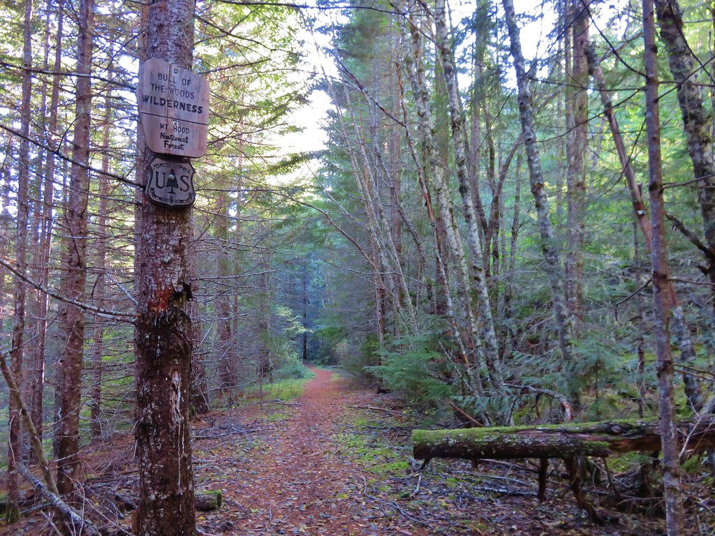
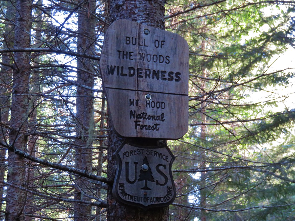
As we neared the end of our hike the only disappointment was having not seen a wilderness sign that morning. I try and get a picture of a wilderness sign for every wilderness we visit and I had been unsuccessful on our first two visits to the Bull of the Woods Wilderness. After making the steep climb away from the creek and back up to the old roadbed we began watching for signs that we may have missed on our way by earlier. Just before reaching the former trailhead we spotted the sign up on a tree.
IMG_1429//embedr.flickr.com/assets/client-code.js

IMG_1432//embedr.flickr.com/assets/client-code.js

It was a great end to a great hike. Happy Trails!

Flickr: https://www.flickr.com/photos/9319235@N02/albums/72157659338785890

Categories
Hiking Mollala Old Cascades Oregon Trip report

Table Rock to Pechuck Lookout

**Note the 2020 Beachie Creek Fire burned a portion of this hike.**

We have two lists of “To Do” day hikes within a reasonable driving distance. One list is the hikes we have yet to do, and the second list is hikes we want to try again for one reason or another. Table Rock was one of the hikes on the later list having first visited in October of 2012. During that hike smoke from the Pole Creek fire in the Three Sisters Wilderness had limited the views and being fall it was too late for many flowers. We had seen enough on that visit to think it would be worth a second visit in early summer to see if we could catch the views and see what flowers there might be. I put it down on our schedule as our annual 4th of July hike thinking the timing might be good for wildflowers plus the drive avoided much time on freeways or busy highways.

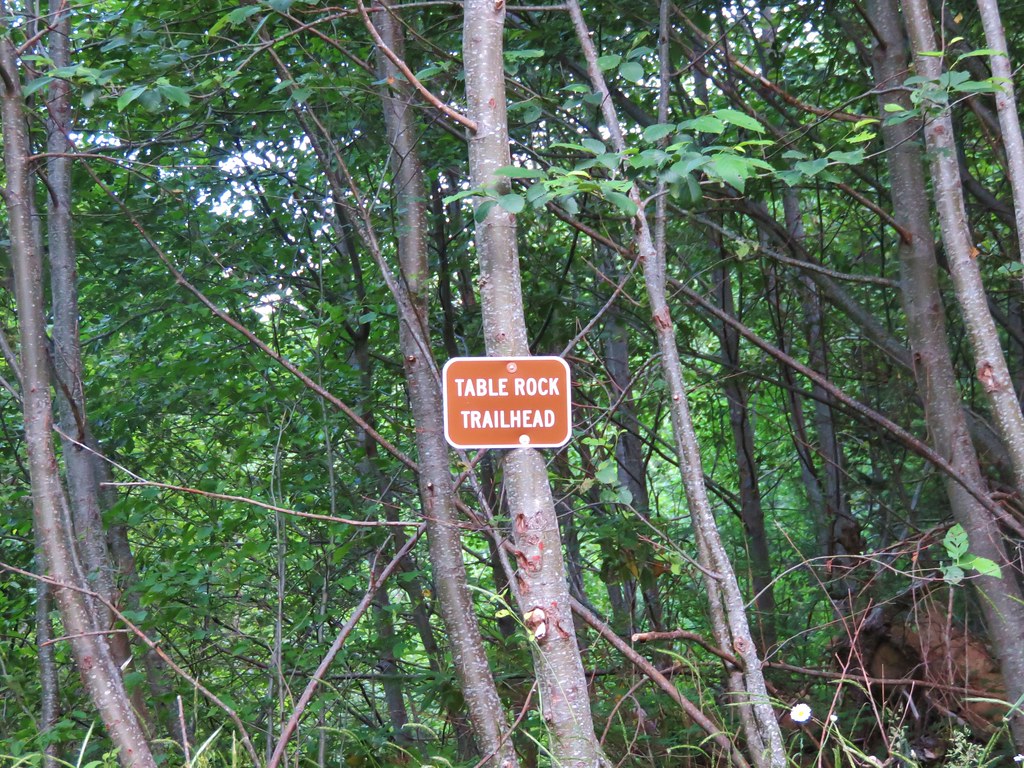
The Table Rock Wilderness consists of 6028 acres designated in 1984 as wilderness and is managed by the Bureau of Land Management. Several trailheads access the 16 miles of trails in the area. For our hike we started at the Table Rock Trailhead which happens to be the shortest route to the summit of Table Rock, the highest point in the wilderness.
IMG_5256

IMG_5257

When we redo a trail I try to find some way to differentiate the hike from the earlier visit. Only 13 of our 172 hikes so far had been “re-hikes” and only 3 of those had we done the same exact trails. Three other times we added other short hikes on different trails, and on the remaining 7 we extended the hike visiting new places further along the trail. The plan to make this visit unique was to continue on past Rooster Rock, where we had turned around on our first visit, and continue on to Pechuck Lookout.

We set off on an old roadbed that is now the Table Rock Trail after rocks slides closed the road, the first at the current trailhead. We reached the second slide after .3 miles where the trail briefly entered the forest to bypass the slide.
IMG_5262

IMG_5263

Beyond the second slide the old road again becomes the trail for nearly another mile. Small trees and flowers now line the gravel road making it a pleasant walk.
IMG_5267

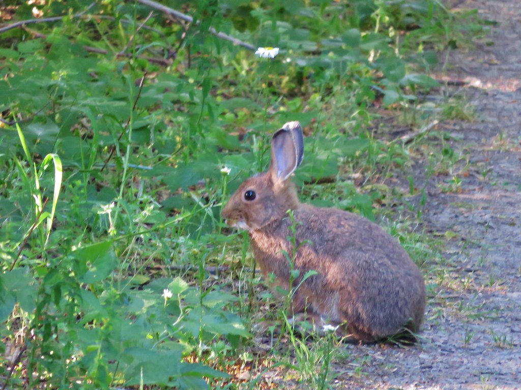
Rabbit along the road.
IMG_5269

At the 1.3 mile mark the trail leaves the road for good at the site of the former trailhead. Shortly after reentering the forest the Image Creek Trail joins from the right. A nice sign that had not been there in 2012 pointed to the Table Rock Trail.
IMG_5272

From this junction the trail passes below a large rock field that extends from the base of Table Rock then swings out and around a rocky ridge before turning back toward Table Rock and entering the rock field going the opposite direction of the earlier pass below.
IMG_5277

The rock field offers a close up look at Table Rocks columnar basalt cliffs. Numerous pikas were calling out from the rocks all around us but we weren’t able to spot any.
IMG_5292

IMG_5294

IMG_5300

There were also a few flowers managing to bloom in the rocks.
IMG_5285

IMG_5293

IMG_5295

IMG_5310

IMG_5497

The trail then reenters the forest and climbs to a trail junction in a saddle. We turned left and followed the Table Rock Summit trail .4 miles to the tilted plateau of Table Rock.
IMG_5322

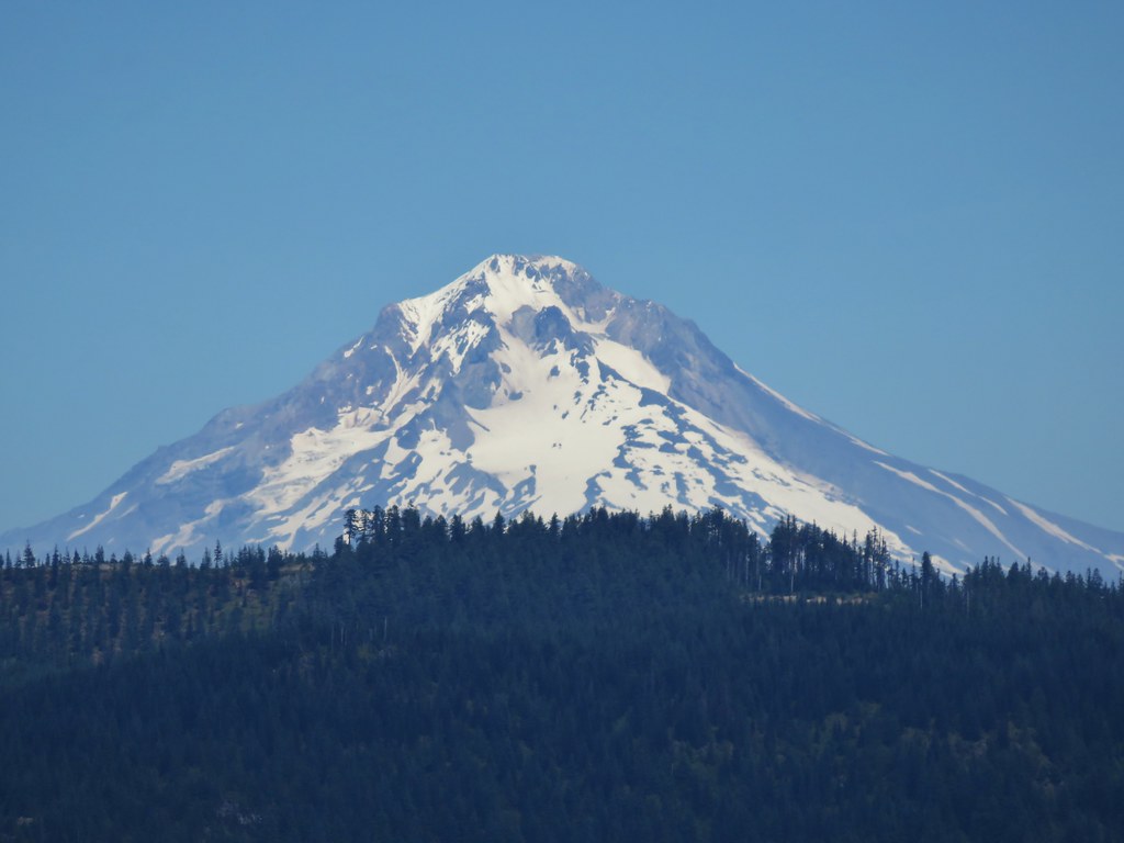
The view was indeed better than it had been on our previous visit despite a fire that had broken out on Mt. Adams the day before. We could just make out Mt. St. Helens and Mt. Rainier along with Mt. Adams in Washington and had good views of Mt. Hood, Mt. Jefferson, Three Fingered Jack, Mt. Washington, and the Three Sisters in Oregon.

Mt. Jefferson to the Three Sisters
IMG_5330

Mt. Hood
IMG_5331

Mt. Jefferson
IMG_5332

Three Fingered Jack
IMG_5334

Three Sisters
IMG_5335

Mt. Adams
IMG_5350

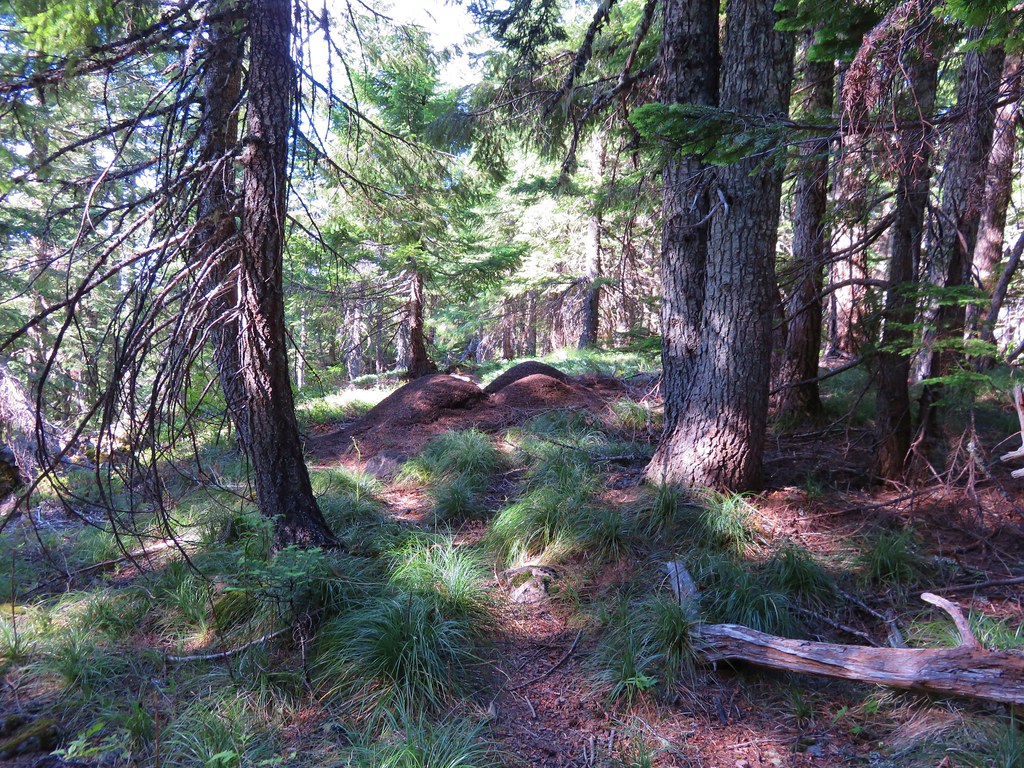
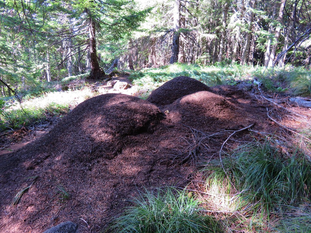
After exploring the plateau we returned to the junction and took the unsigned Saddle Trail toward Rooster Rock. Two things stand out about this trail. First is the ants which were everywhere. They were all over the trail and there were several large anthills right next to it.
IMG_5363

IMG_5364

The second thing that made an impression is the steepness of this trail as it dips down and then back out of a thimbleberry meadow at the head of Image Creek. The trail all but disappeared in the thimbleberry bushes but it wasn’t too hard to follow. The nice thing about thimbleberry is that the plants do not have thorns so they are not bad to walk through. We did have to maneuver around a couple of devil’s club plants though.
IMG_5373

IMG_5374

The steep climb up from Image Creek ends at a saddle below Rooster Rock. Trees here block the view of Rooster Rock but a short path to the right goes up through a small meadow to a rocky viewpoint.
IMG_5385

I had thought this small meadow might be a good wildflower spot, and there were some but not in any large amounts.
IMG_5378

IMG_5392

IMG_5409

IMG_5413

IMG_5414

IMG_5415

IMG_5418

The view toward Rooster Rock was better this time too.
IMG_5396

IMG_5398

IMG_5399

After a short rest we were ready to head for Pechuck Lookout. From the saddle we needed to drop down on the other side of the ridge to the High Ridge Trail. We were now starting the portion of the hike that we had not done before and we were in for a surprise. Just on the other side of the saddle was a meadow full of wildflowers.
IMG_5423

IMG_5422

IMG_5425

IMG_5426

IMG_5429

IMG_5433

IMG_5437

IMG_5439

Many of the flowers were past their prime succumbing to the heat, but there were still enough to make it an impressive sight. In most years our timing would likely have been spot on but the hot dry weather we’d been having has all the flowers at least two weeks ahead of schedule. On the far side of the meadow the trail again entered the trees.
IMG_5440

The High Ridge Trail was far more gentle with its ups and downs than the Saddle Trail had been. After .7 miles the Rooster Rock Trail joined from the right coming up from the trailhead on Rooster Rock Rd.
IMG_5442

We continued going up and down along the ridge leaving the wilderness and arriving at another former trailhead along the gated road near Pechuck Lookout.
IMG_5446

The trail continued on the far side of the road passing a nice view of Table Rock along the way.
IMG_5448

IMG_5449

This short section of trail was another steep one before ending at the lookout.
IMG_5450

Pechuck Lookout was staffed from 1918/19 until 1964 with the current structure having been built in 1932. It is now available for overnight stays on a first come first serve basis. There was no one staying there so we went inside to take a look around and sign the log book.
IMG_5453

IMG_5454

IMG_5455

It was too warm to stay inside for long so we headed back out into the shade and had anther bite to eat while watching the many butterflies flitting about.
IMG_5459

IMG_5464

IMG_5466

Aside from the view of Table Rock only Mt. Jefferson was visible and that mountain could only be seen in a couple of spots between some trees so it wouldn’t be a good place to stay if you’re hoping for mountain views.

We returned the way we’d come, skipping the side trips to the rocky viewpoint and the summit of Table Rock. The views to the south had become increasingly hazy, but Mt. Hood looked much clearer now that the sun had passed over.
IMG_5489

IMG_5491

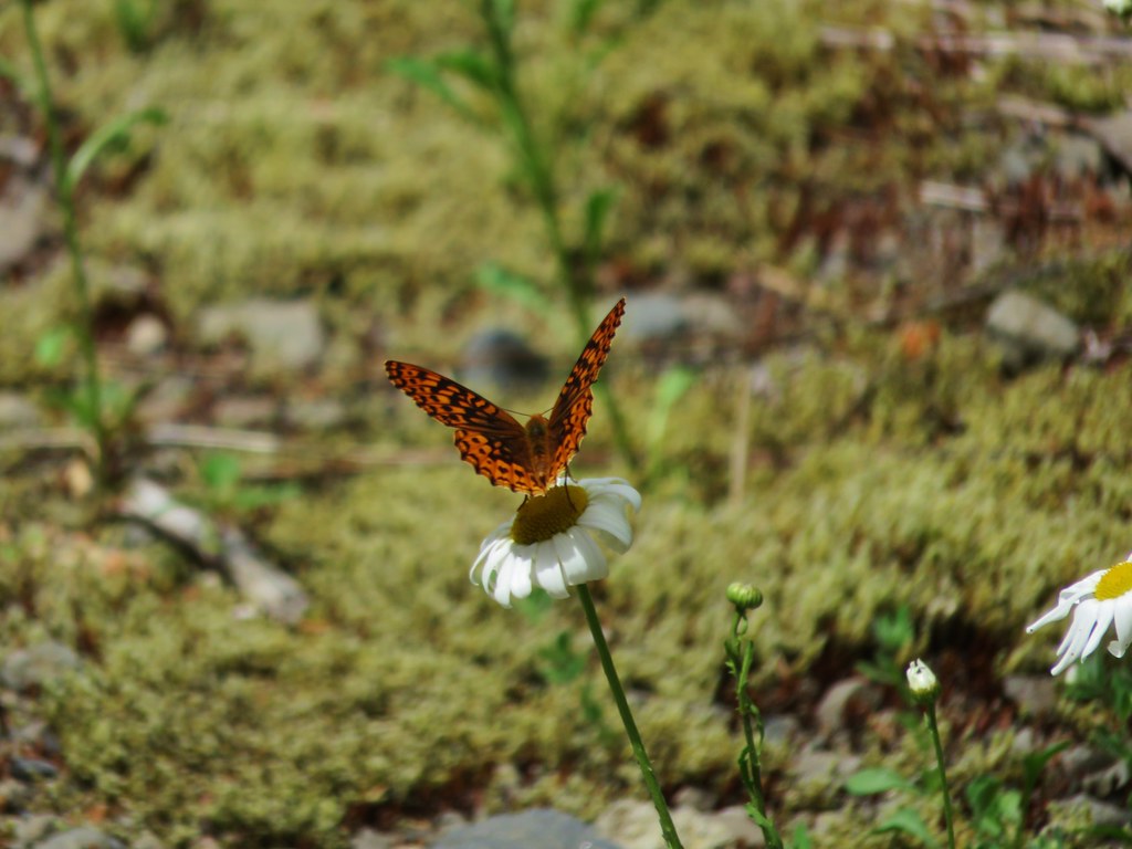
The only other hikers we saw all day were between the summit trail junction and the old road on the way back to our car and that was only two other couples. The final stretch along the old road felt really long after all the climbing we’d done. I spent part of the final 1.3 miles chasing an orange butterfly that wouldn’t sit still long enough for me to get a picture. It took awhile but Warren (as I named him) finally gave me some shots.
IMG_5507

IMG_5510

It wound up being a longer hike than we expected. Everything we looked at indicated we’d be doing 14.8 miles but the final GPS reading was 15.7. With the various trailheads available this could have easily been split up into several shorter hikes for more sensible hikers. The Table Rock Wilderness is certainly a place worth visiting, and there should be plenty of ripe thimbleberries come August. Happy Trails!

flickr: https://www.flickr.com/photos/9319235@N02/sets/72157655417439836

Categories
Hiking Oakridge Area Old Cascades Oregon Trip report

Blair Lake Trail

**Note a portion of this hike burned in the 2022 Cedar Creek Fire.**

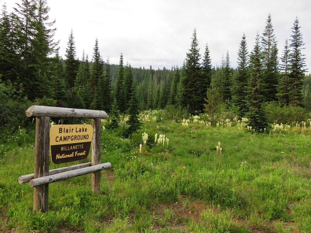
On Fathers day we headed to Blair Lake outside of Oakridge, OR hoping to see some wildflowers. My parents had done this hike two years before on June 11th. In 2013 there were still patches of snow in the area and the majority of flowers were still a few weeks away. With the low snow pack we had this year we were hoping that we weren’t going to be too late. As it turned out the beargrass was spectacular and there were quite a few other flowers along the way. We encountered a few mosquitoes (most of them found Heather), but they were not too bad. There were a few people camped at Blair Lake Campground and another group set near the meadow at Spring Prairie but we didn’t see any other hikers on the trail.

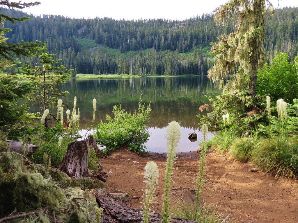
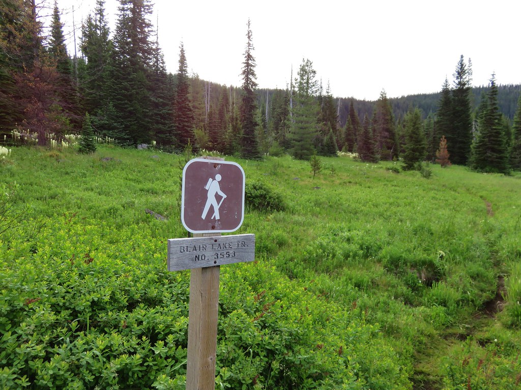
We parked at the campground and took the short trail to Blair Lake first then walked back .4 miles along roads to the start of the Blair Lake Trail.
IMG_4434

IMG_4418

IMG_4419

IMG_4427

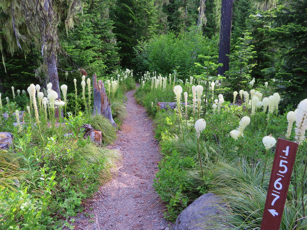
The trail starts in a damp meadow where we spotted a large variety of flowers.
IMG_4454

IMG_4451

IMG_4458

IMG_4459

IMG_4469

IMG_4479

IMG_4476

IMG_4487

IMG_4484

IMG_4494

IMG_4495

IMG_4497

IMG_4853

IMG_4856

IMG_4850

IMG_4833

IMG_4859

Additional flowers appeared as we left the meadow and entered the forest.
IMG_4500

IMG_4505

IMG_4510

IMG_4523

IMG_4826

After climbing for about a mile and a half we arrived at a rocky viewpoint and our first good look at Diamond Peak for the day.
IMG_4532

IMG_4533

IMG_4819

IMG_4529

IMG_4537

IMG_4820

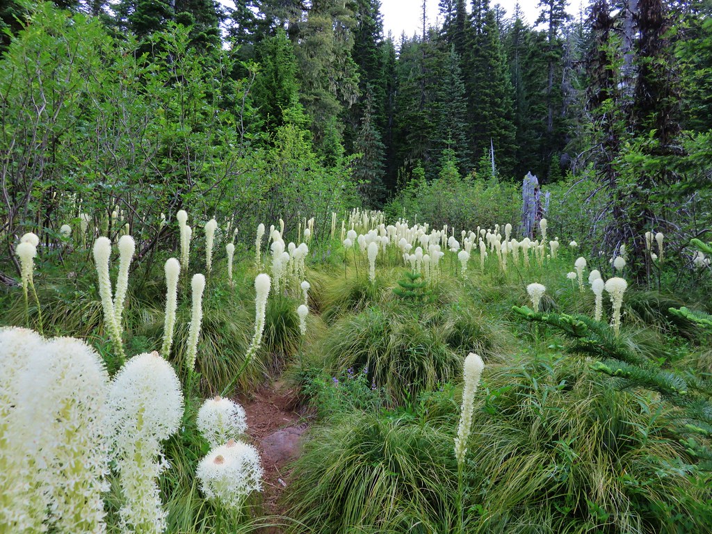
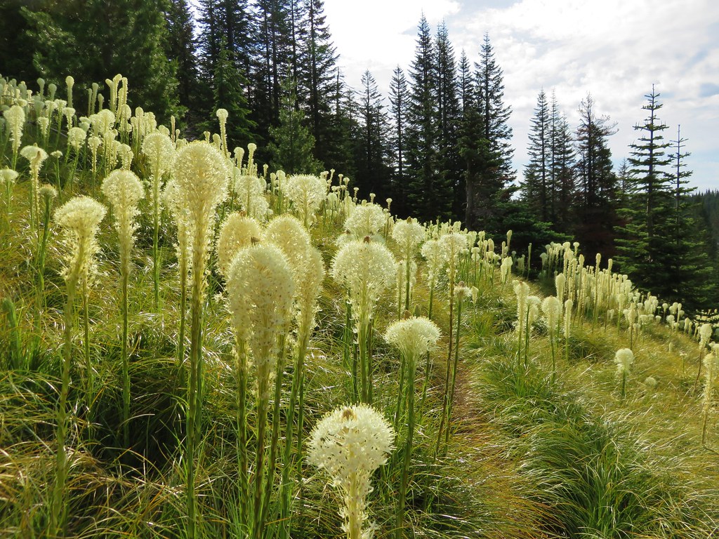
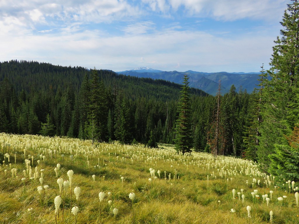
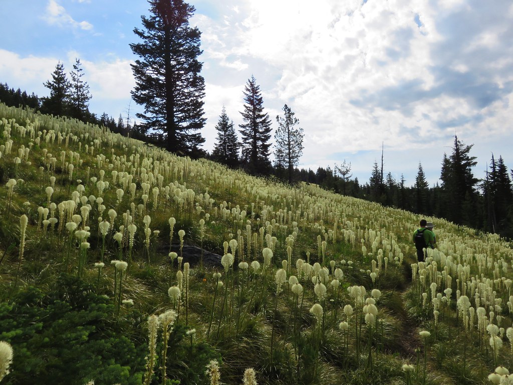
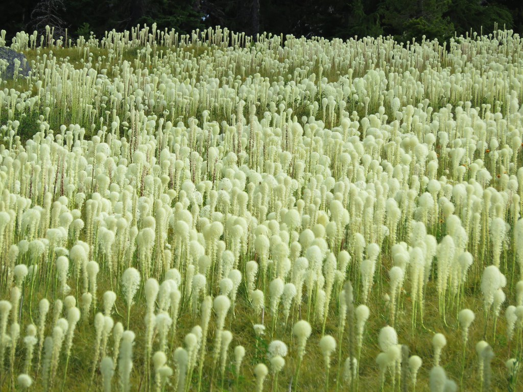
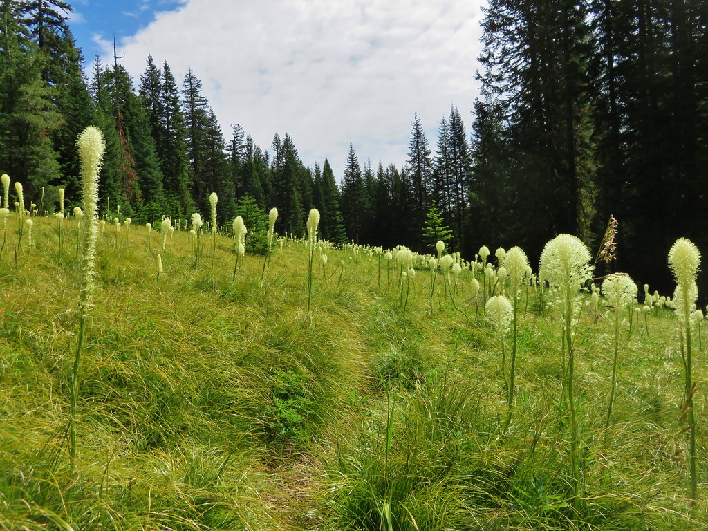
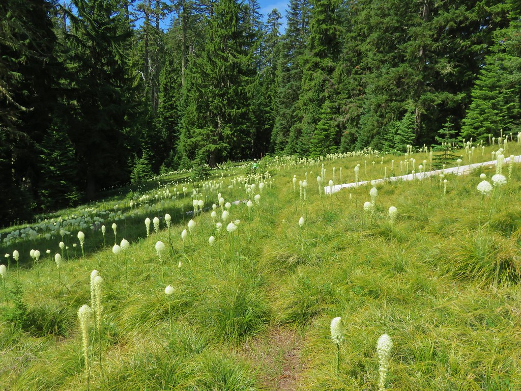
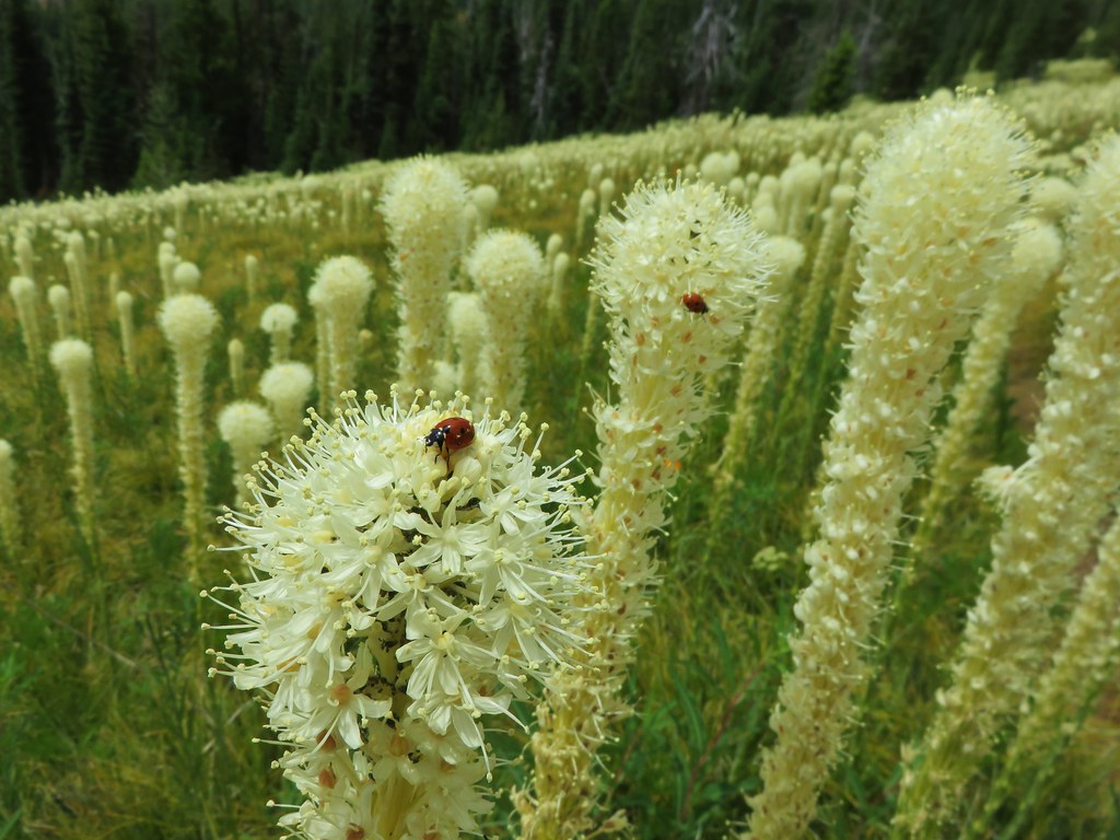
Just after the rocky viewpoint the trail entered one of the best beargrass meadows we’d seen. Beargrass blooms in cycles so it could be several years before the meadow looks like this again, but we seemed to have chosen the right year and right time as most of the stalks were either in full bloom or nearly there.
IMG_4545

IMG_4546

IMG_4559

IMG_4565

IMG_4567

IMG_4576

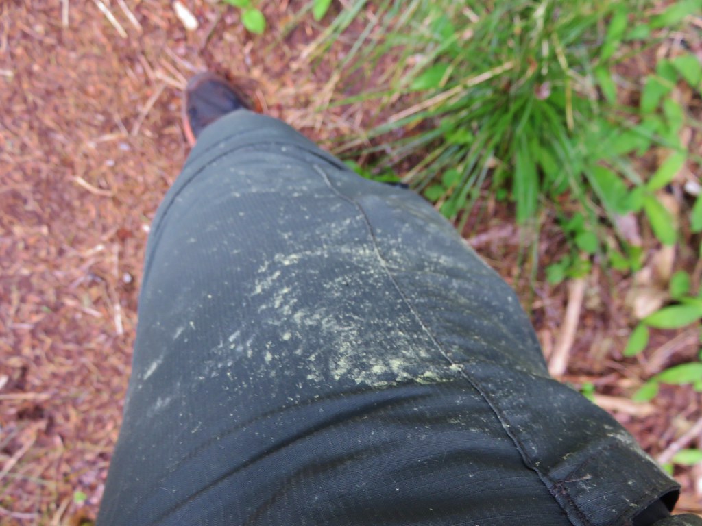
We came out of the meadow with a light coating of pollen.
IMG_4590

IMG_4591

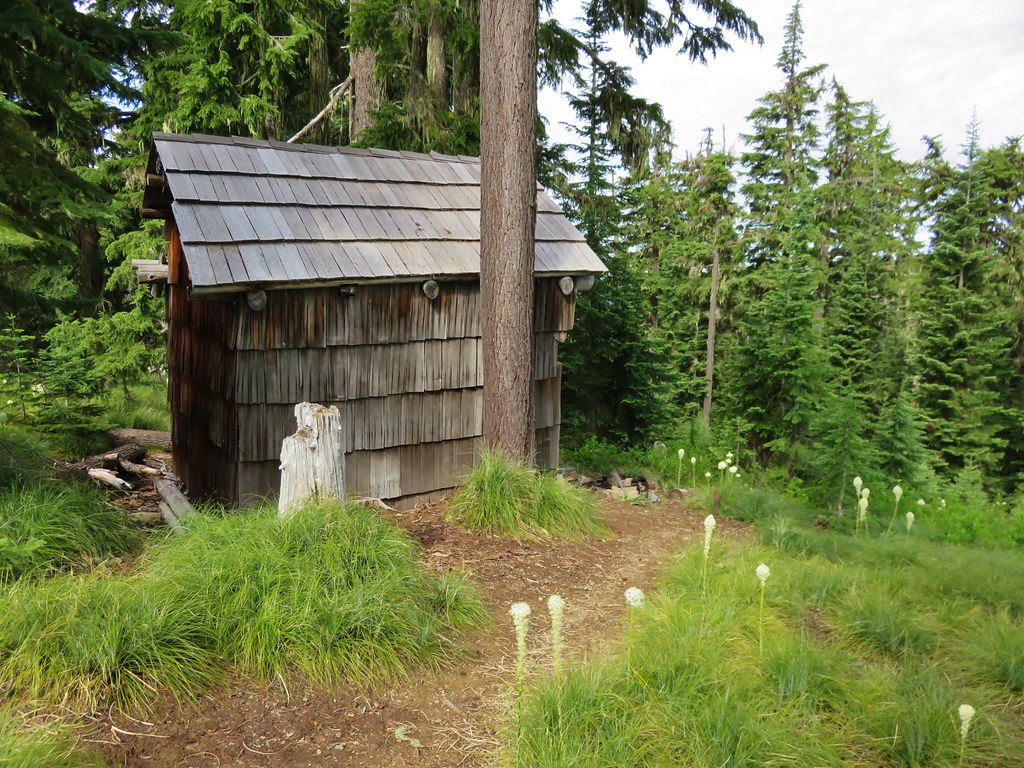
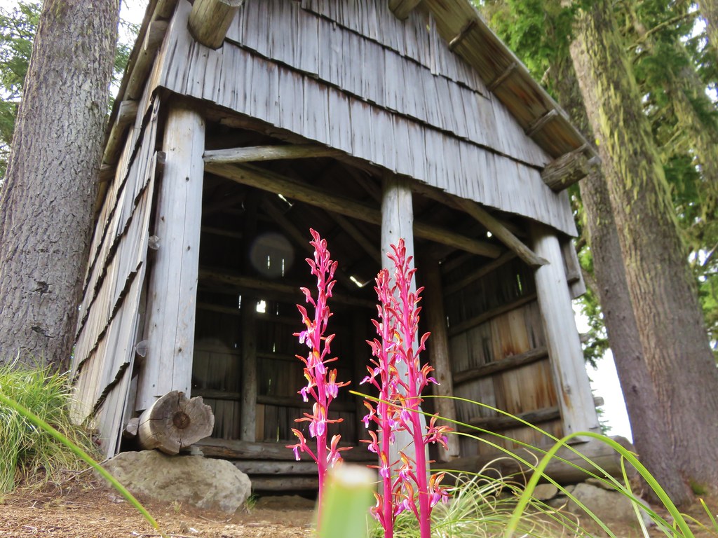
After the amazing beargrass display we climbed another mile to road 730 at Spring Prairie and the old Mule Mountain Shelter. We could have driven here just like the group camping had, but then we wouldn’t have passed through either wildflower meadow.
IMG_4600

IMG_4602

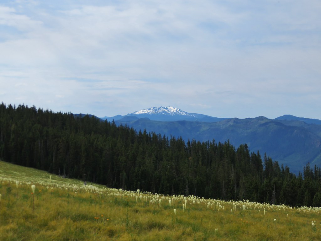
The views from Spring Prairie included a string of Cascade peaks from Diamond Peak to Mt. Jefferson and more beargrass.
IMG_4608

IMG_4612

IMG_4614

Mt. Bachelor
IMG_4615

Broken Top
IMG_4616

The Three Sisters
IMG_4617

Mt. Washington
IMG_4618

Three Fingered Jack
IMG_4619

Mt. Jefferson
IMG_4620

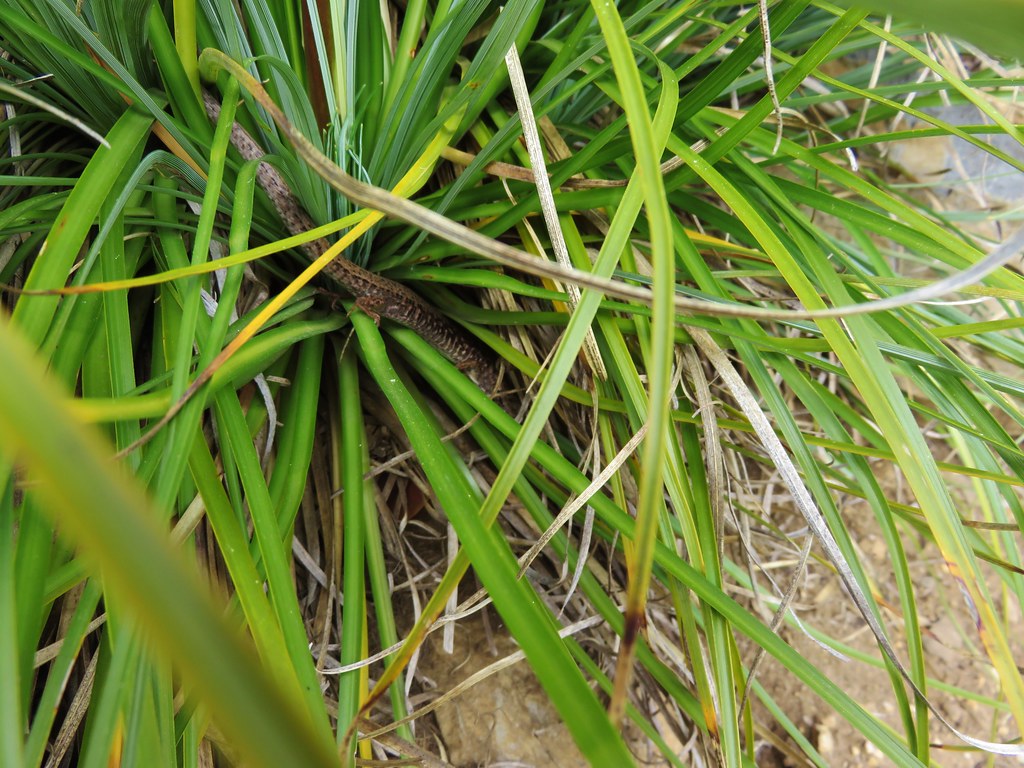
There were a few more flowers here and as we were looking around I spotted a lizard that scurried into a clump of beargrass. It was one we had not seen before, a northwestern alligator lizard. He was hiding in the grass which made it difficult to get a decent picture but still a neat find.
IMG_4636

IMG_4640

Northwestern Alligator Lizard

We continued past Spring Prairie on Road 730 to the continuation of the Blair Lake Trail then at a fork headed right to visit the site of the former lookout which was .6 miles away.
IMG_4754

We found some different flowers along this path including bleeding heart and yellowleaf iris, but the views were inferior to those at Spring Prairie.
IMG_4648

IMG_4649

IMG_4650

IMG_4660

IMG_4652

When we got back to the fork we decided to continue on the Blair Lake Trail for another couple of miles just to see what it was like. The trail itself continues all the way into the Waldo Lake Wilderness and connects with trails near the Eddeeleo Lakes. The trail lost quite a bit of elevation in the first 3/4mi before leveling out somewhat. We were now in a rhododendron filled forest.
IMG_4667

IMG_4669

IMG_4672

IMG_4674

IMG_4677

IMG_4676

IMG_4679

IMG_4685

We went about 2 miles along this portion of trail before deciding to turn around. The trail was beginning to descend a bit to another road crossing and we didn’t want to have anymore elevation to gain. The highlight of the 2 mile extension was another beargrass meadow. This one was much smaller but still very nice.
IMG_4692

IMG_4693

On our way back the butterflies and other insects were out giving us something new to look for as we returned to the trailhead.
IMG_4727

IMG_4736

IMG_4746

IMG_4750

IMG_4757

IMG_4758

IMG_4760

IMG_4784

IMG_4800

IMG_4804

IMG_4809

IMG_4858

IMG_4844

We wound up covering 12.6 miles but shorter hikes would still yield plenty of flowers and longer hikes could lead to backpacking trips into the Waldo Lake Wilderness. The variety of flowers in the first meadow make this a worthy wildflower hike and if you happen to hit a beargrass year as we did then it’s like hitting the jackpot. Happy Trails!

Categories
Hiking Mollala Old Cascades Oregon Trip report

Butte Creek & Abiqua Falls

While much of the country is dealing with a winter that just doesn’t seem to want to end the Pacific Northwests never really started. Another beautiful weekend was being forecast and we decided we just couldn’t miss another one so we headed out to check out a couple of short waterfall hikes. The trailheads for Butte Creek Falls and Abiqua Falls are less than 5 miles apart a short distance outside of Scotts Mills, Oregon. Both trailheads are located on roads accessed by taking Crooked Finger Road from Scotts Mills.

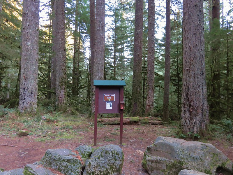
We started at the Butte Creek Falls Trailhead in the Santiam State Forest.
1.2

The trail set off from a small parking area (with an outhouse) passing to the left of the trail sign and descending .2 miles to a signed junction.
5.1

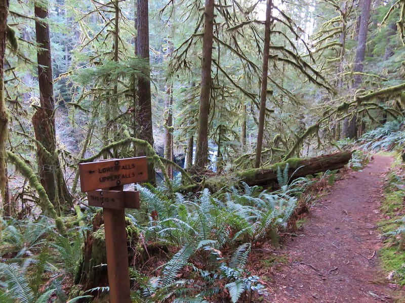
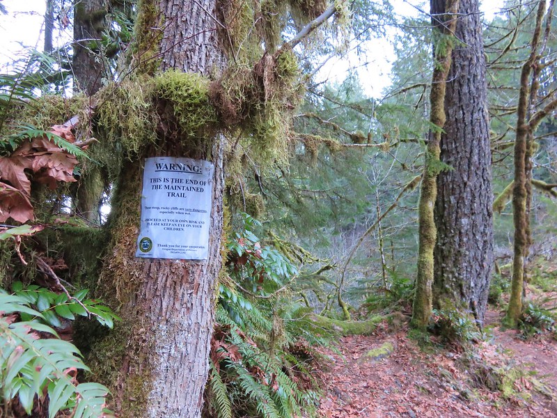
The right hand fork would lead us past Upper Butte Creek Falls on a loop back up to the parking area so we turned left first and headed toward Lower Butte Creek Falls. In just another .2 miles we arrived at a rocky ridge and the end of the maintained trail.
15.1

A well worn trail led out onto the ridge which provided a front row view of the falls high above Butte Creek.
19.6
19.5

After enjoying the lower fall we headed back to the junction and started the return loop. Upper Butte Creek Falls had been visible through the trees from the junction and we were quickly on our way down to its base.
21.2
27
33.2

Shorter and wider than its counterpart Upper Butte Creek Falls offers close up views and a path behind the falls into a good sized cavern.
36.1
34.6

While we were exploring around the splash pool we noticed that the salmonberries were beginning to bloom.
36.6
41.1

From the upper falls it was a short .3 mile climb back up to the parking area. The hike to these two waterfalls had been less than 1.5 miles so why not visit another nearby waterfall – The .5mile trail to Abiqua Falls. To get to Butte Creek Falls we had traveled 11.4 miles on Crooked Finger Road to CF 400, took a left and followed signs to the trailhead. Now we returned to Crooked Finger Road and headed back toward Scotts Mills for .7 miles to CF 300 marked by signs for an ATV staging area on the left. Despite the trailheads only being about 5 miles apart the drive was not quick. The 2.5 miles on CF 300 were slow due to the presence of many good sized rocks and ruts. High clearance, good tires, and 4wd were all helpful.

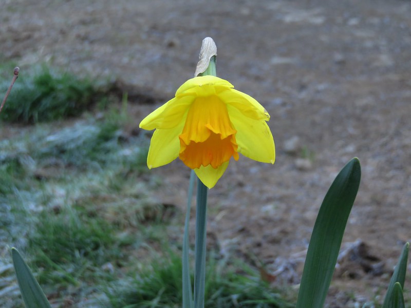
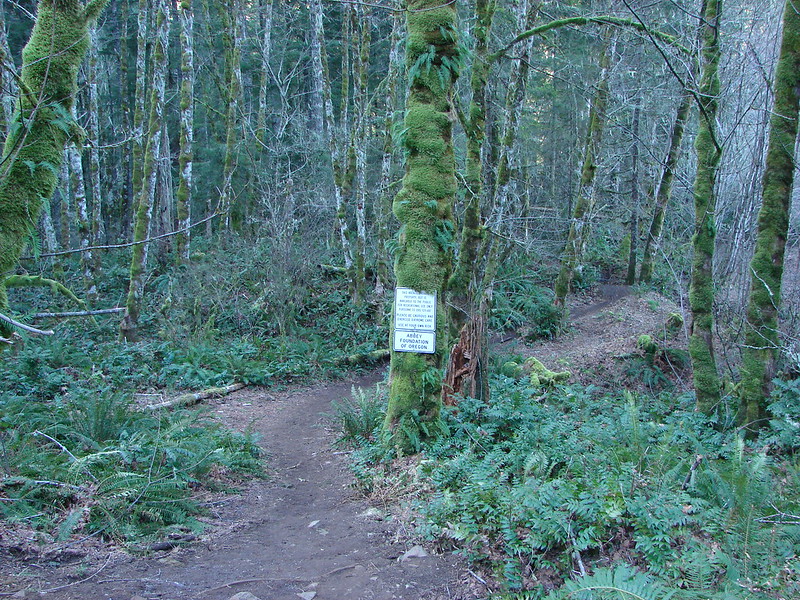
The Abby Foundation of Oregon owns the land where the trailhead, trail and, Abiqua Falls are, but allow the public to use it. A yellow gate marked the end of the tedious drive and the start of the short trail where we were greeted by a lone daffodil.
42.6

To find the correct path down to the falls we needed to walk back up the road a short way passing a first clear path that leads to a grassy clearing to a second worn trail marked by a white sign.
43

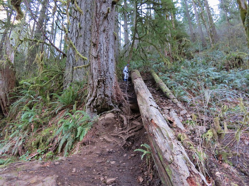
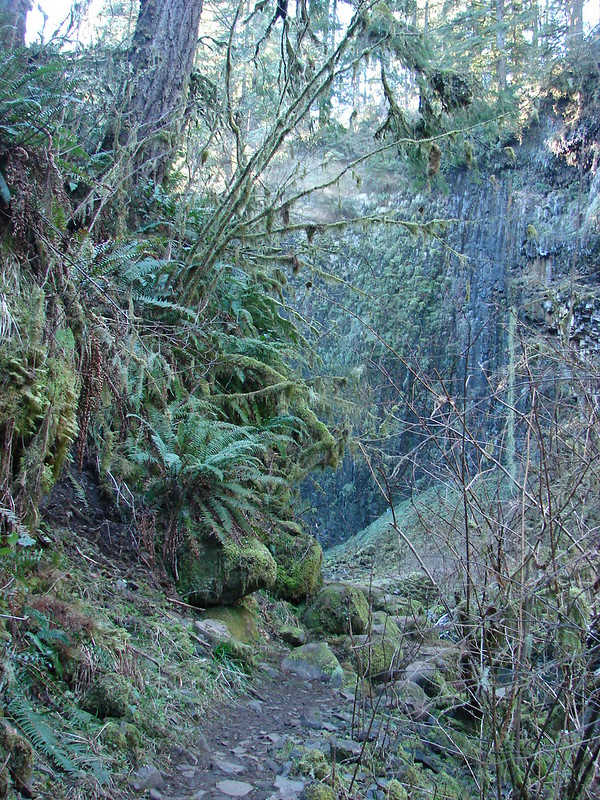
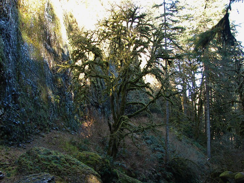
The trail down to Abiqua Creek was fairly steep in places but there were several sections of rope secured along the trail to assist with the climb.
47.1
47.2

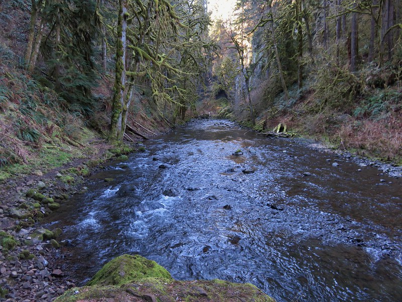
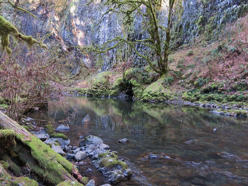
The trail then heads up the creek in a narrow canyon toward the unseen falls.
49.2
56.2

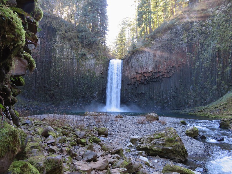
Just as the trail began to curve out and around a rocky outcrop we got our first views of Abiqua Falls.
61
65.1

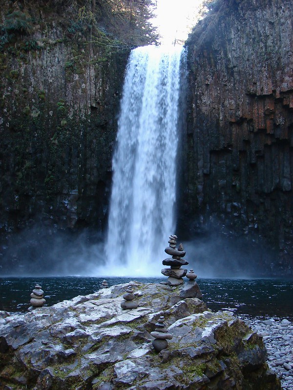
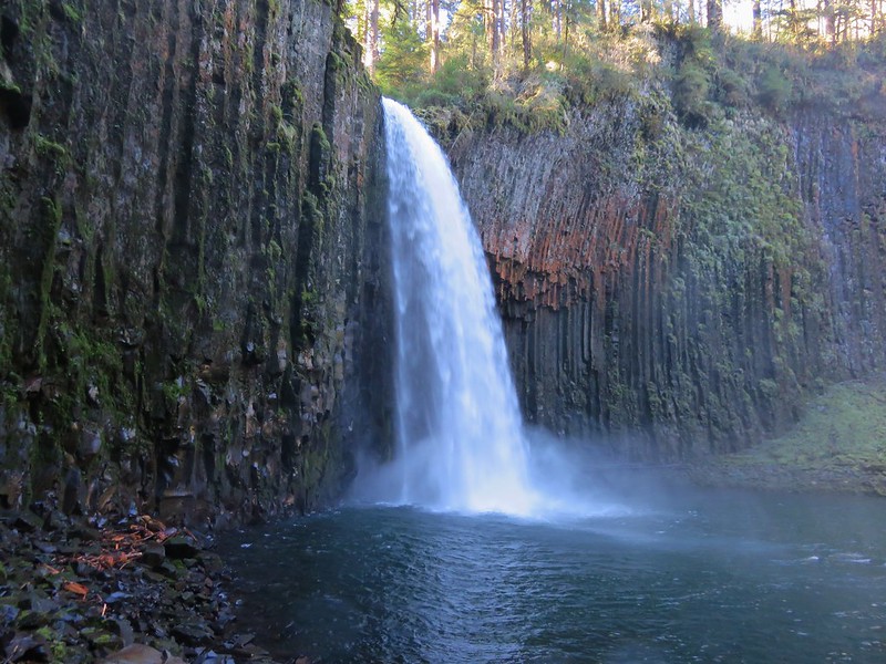
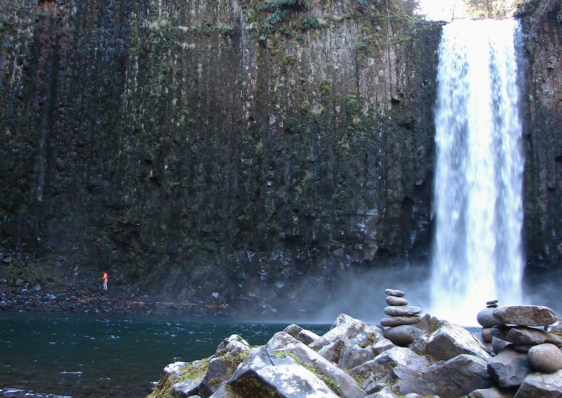
The canyon walls opened up to reveal a large circular bowl lined with columnar basalt colored with mosses and lichens with the falls as its centerpiece.
65.5

We spent some time exploring the rocky beach looking at the various rock cairns stacked about.
76
80

There was also a path around to the left side of the falls which I followed to see how far I could go.
81.3
84

We could have stayed there for hours if it had been warmer but it wasn’t so we headed out just as sunlight began to arrive inside the canyon walls.
88
94

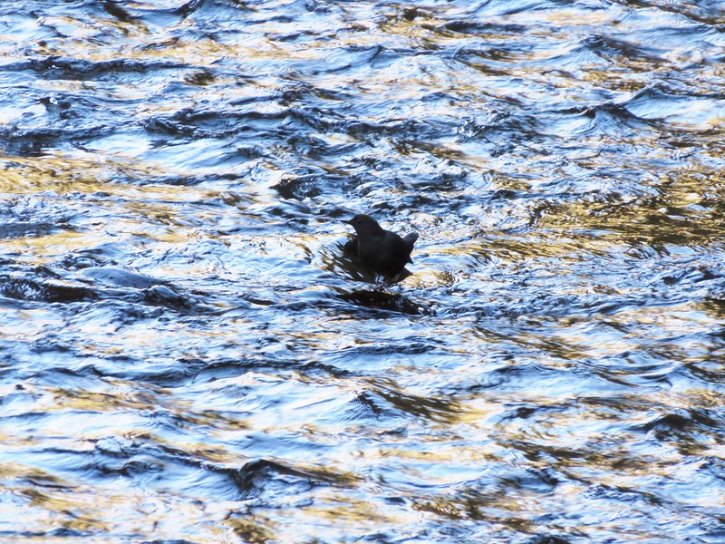
Other than the Ouzels and a few other birds we had had the area all to ourselves.
98
100

We made it back up to the car (with some assistance from the ropes) just as another group of hikers arrived having survived the drive down. It was their turn to visit this special place. Happy Trails!

flickr: https://www.flickr.com/photos/9319235@N02/sets/72157651119420415/

Categories
Hiking Middle Santiam Old Cascades Oregon Trip report

House Rock

We never know what kind of weather to expect in November when we are penciling out our hiking schedule so we typically play it fairly safe by picking a hike on the coast or along a lower elevation river or creek.   This year we selected House Rock along the Old Santiam Wagon Road which was established in 1865 as a main route from the Willamette Valley to Central and Eastern Oregon for many years.  As it turned out the weather was not a concern and it was a beautiful day for a hike.

The wagon road originally extended from Lebanon, OR all the way to Ontario, OR on the Oregon – Idaho border.  For our hike we started at a trailhead just east of the former Mountain House Restaurant (a long time rest stop along the route) on Highway 20 between milepost 52 & 53.  From the small parking area a footbridge led across the South Santiam River to former road.
DSC08008

DSC08009

After crossing the river we turned left onto the wide path covered in a carpet of leaves and made our way through the mossy woods toward House Rock.
Old Santiam Wagon Road

Recent rains had left the creeks and runoff streams flowing nicely which added to the scenic beauty.
DSC08019

DSC08020

At the two-mile mark we arrived at the start of the House Rock loop.
DSC08032

We turned toward the river where another footbridge joined from the House Rock Campground.
DSC08033

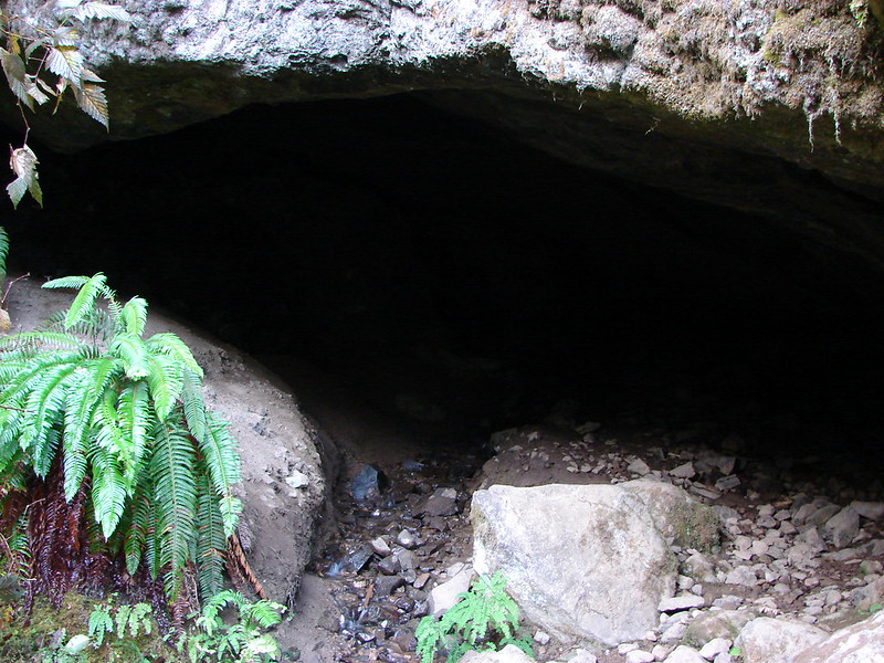
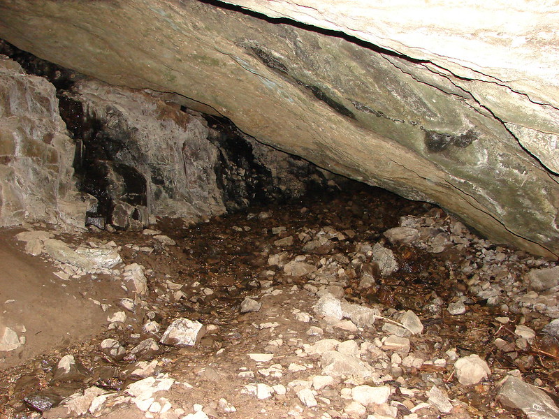
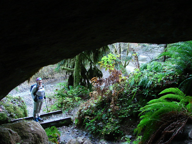
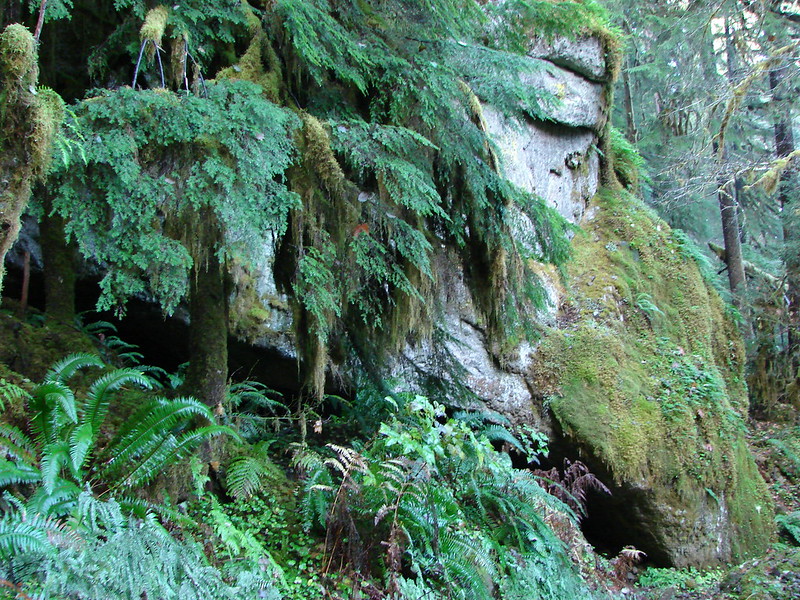
After checking out the bridge we made our way to House Rock.  There really wasn’t a good way to get a picture that adequately showed the size of House Rock and the opening beneath it.  A small stream flowed through the wide cavern where there was enough room for several people.
DSC08038

DSC08039

From beneath House Rock

House Rock

We left House Rock and continued on the loop heading toward House Rock Falls.  A tree had recently fallen creating a bit of an obstacle but we were able to make our way over it.

DSC08052

I emailed the Sweet Home Ranger District when we were home just in case they weren’t already aware of it.

A sign pointed the way to the falls along a .2 mile side trail.
DSC08054

DSC08055

House Rock Falls was just as difficult to get a good picture of.  Boulders and logs partly obscured the view from the trail and the wet rocks made scrambling down to the base an adventure.  Even then the curve of the river combined with the rocks made it impossible to get a clear view without wading out into the river.  It was just cold enough that I didn’t feel like trying that so I settled for the obstructed view and called it good.
House Rock Falls

We headed back to the loop and then continued up to the wagon road where we turned left once again.  Our goal was a viewpoint near the 5 mile marker. After another 1.1 miles we met FS Rd 2044 where we followed signs to the continuation of the wagon road.  In the next couple of miles the trail briefly left the old road and passed through an ever-changing forest where there was a seemingly endless variety of mushrooms on display.
DSC08082

DSC08098

DSC08101

DSC08104

DSC08105

DSC08119

DSC08121

Mushrooms along the Old Santiam Wagon Road

DSC08132

DSC08135

DSC08163

DSC08162

We arrived at the 5 mile marker and took a short trail on the right to  the viewpoint.

DSC08138

It was a nice place to take a short break and have a snack.  The view wasn’t anything spectacular but Jump Off Joe Mountain was across the a valley while Iron Mountain, which we had hiked on July 4th, rose up in the distance.

Jump Off Joe Mountain
DSC08144

Iron Mountain
Iron Mountain from the 5 mile viewpoint along the Old Santiam Wagon Road

DSC08148

We returned the way we had come following the wagon road back past the House Rock loop and ultimately to our waiting vehicle. It had been a wonderful November day for a hike.  Happy Trails!

Categories
Bull of the Woods/Opal Creek Hiking Old Cascades Oregon Trip report

Twin Lakes & Battle Ax Mountain – Bull of the Woods Wilderness

**Note a portion of this hike burned in the 2021 Bull Complex.**

As we transition into Fall our hiking destinations begin to shift away from alpine views and wildflowers in favor of lower elevation viewpoints and lakes. It is a great time for these hikes since the mosquitoes that plague many of the lakes have thinned out and the vine maple and huckleberry leaves have begun to change color. Our most recent hike combined both of these features.

We made our first trip to the Bull of the Woods Wilderness for a 15.4 mile hike visiting Twin Lakes and the summit of Battle Ax Mountain. Before we could set off on the hike though we had to make the drive to Elk Lake which meant enduring five and a half miles of awful gravel roads. We parked at the Elk Lake Campground and once I managed to pry my hands from the steering wheel we made a quick trip down to the lake to have a look.
DSC06598

From the campground we had to walk back up the entrance road .4 miles and then continue another .4 miles on road 4697 to the start of the Bagby Trail #544.
DSC06612

The Bagby Trail wound beneath Battle Ax Mountain passing several ponds and crossing a number of rock fields in the first two miles.
DSC06616
DSC06624
DSC06626
DSC06631
Battle Ax Mountain

At the two mile mark the Battle Ax Mountain Trail joined from the left (our return route). Views of Mt. Jefferson, Three Fingered Jack, and the Three Sisters began to materialize as we continued along the Bagby Trail.
DSC06641
DSC06644

We traveled on a ridge for another 1.5 miles to a junction with the Twin Lakes Trail 573. The Bagby Trail was closed here due to a small fire smoldering in the wilderness between Bagby Hot Springs and this junction. We were headed toward Twin Lakes though so we turned down trail 573 and began the 1.9 mile section to Upper Twin Lake.
DSC06649
DSC06650

The colors and reflections of Upper Twin Lake were impressive.
DSC06667
Upper Twin Lake

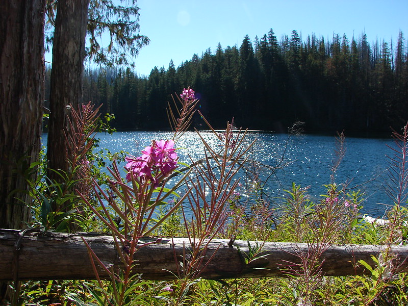
We passed around the lake and headed toward the former trail 573A that used to go to Lower Twin Lake. The trail was overrun by the Mother Lode Fire in 2011 and was subsequently left unmaintained by the Forest Service. We located the old trail and began following it the best we could. As we approached the lake the fireweed was profuse and although most of it was finished blooming it still made for an interesting sight.
DSC06670
DSC06671

Although the side of the lake we were on had burned in the fire the far side had been spared.
DSC06675
Lower Twin Lake

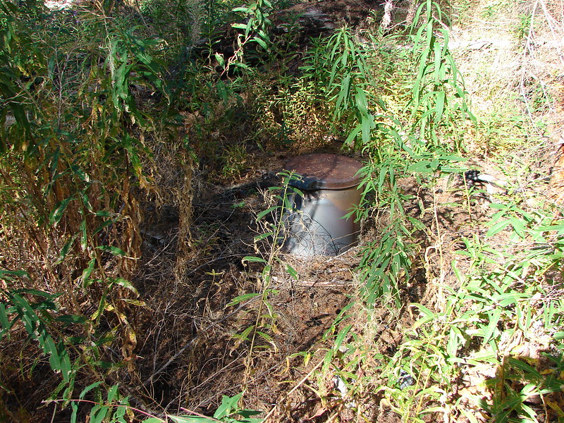
We noticed some flagging tape when we were ready to leave and hoped it would lead us to a better path back to trail 573. Instead we found an old toilet.
DSC06678

We then came to a dry creek bed which the map showed leading back to almost the same point we left trail 573 so we decided to try following it back up to the trail.
DSC06679

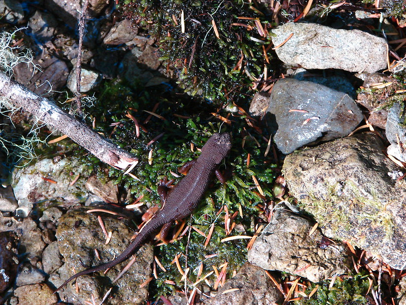
As we made our way up the creek bed we began to encounter some water and some of the local residents.
DSC06682

The water increased just as the creek was squeezing between two hillsides which forced us to abandon that route and head cross country up the hill on our left. We managed to relocate the abandoned trail and follow it back to 573. We then headed back the way we’d come until we reached the Battle Ax Mountain Trail. At that point we forked up hill to the right and began the fairly steep climb to the former lookout site.
DSC06690
DSC06694

One of the reasons we saved Battle Ax for the return trip was to allow the Sun to move overhead which would hopefully give us better views of the mountains to our east. That plan paid off and as we climbed we added more and more mountains to the view.
Mt. Jefferson:
DSC06696

Mt. Hood behind the lookout tower on Bull of the Woods:
DSC06700

Mt. Rainier behind Silver King Mountain:
DSC06708

Mt. Adams behind Pansy Mountain and South Dicky Peak:
DSC06714

Eventually we had an unobstructed view of Mt. Hood with the Washington Cascades in the background.
Mt. Hood, Mt. Adams and Mt. Rainier from Battle Ax Mountain

To the SE was Mt. Jefferson and Three Fingered Jack.
DSC06718

The ridge began to flatten out as we neared the summit with views all around. From below it hadn’t looked as long and flat on top.
DSC06719

Working our way south along the ridge Elk Lake became visible far below.
View from Battle Ax Mountain

Finally Mt. Washington, Broken Top and the Three Sisters joined Three Fingered Jack in the view to the South.
DSC06730

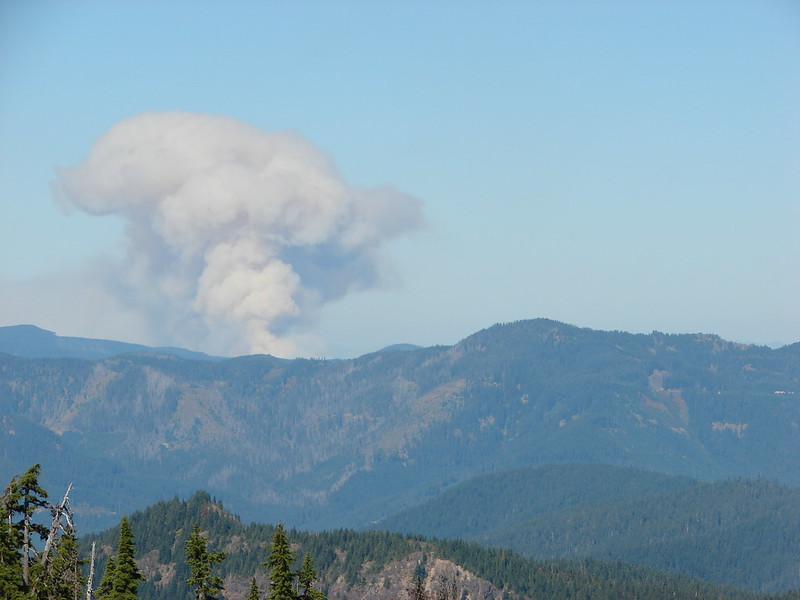
We could also see smoke from the 36 Pit fire near Estacada, OR but the wind was blowing it to the East and there hadn’t been much of a plume until a little after 1:00 when it suddenly picked up.

Smoke from the 36 Pit fire prior to 1pm:
DSC06703

Plume around 1:30:
DSC06761
Smoke plume from the 36 Pit fire and Mt. Hood

We learned later that the fire had jumped across the South Fork Clackamas River due to the strong winds.

After a nice rest at the old lookout site we began our descent down the South side of the mountain.
DSC06771

The trail switchbacked down through open, rocky terrain, with plenty of views of Mt.Jefferson.
DSC06774
DSC06787
DSC06777
Mt. Jefferson

After a mile and a half descent we arrived at Beachie Saddle.
DSC06790

From the saddle trails lead to Jawbone Flats in the Opal Creek Wilderness, Mt. Beachie and French Creek Ridge in that same wilderness, and back to Elk Lake on an abandoned road which is the path we took.
DSC06791
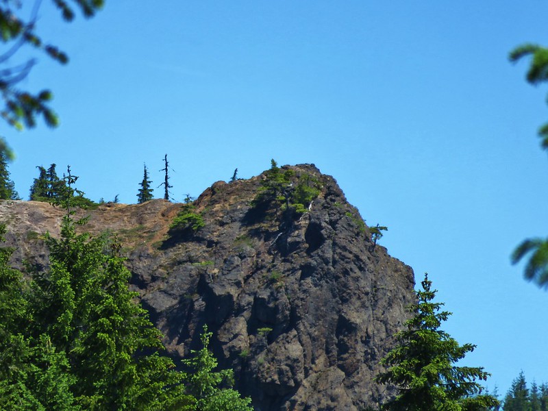
DSC06793

Back at the campground it was hard to imagine the long summit ridge looking back up at Battle Ax Mountain.
DSC06794

It was a good early start to our Fall hiking season and it put us over 500 miles for the year. Now we just had to make it back out over the horrible gravel roads. Happy Trails!

Flickr: https://www.flickr.com/photos/9319235@N02/sets/72157647848590435/
Facebook: https://www.facebook.com/media/set/?set=a.10205055412852172.1073741909.1448521051&type=1