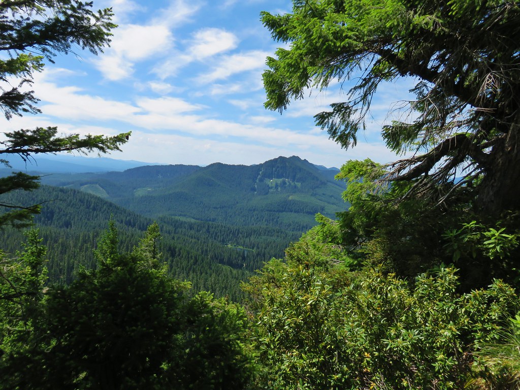
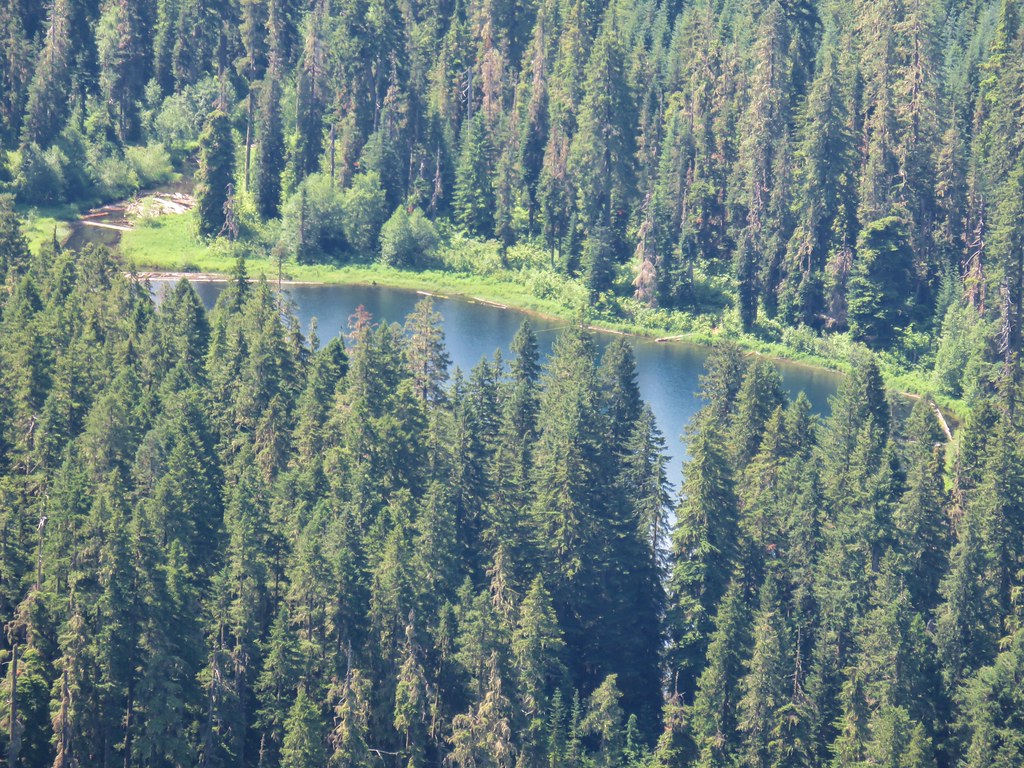
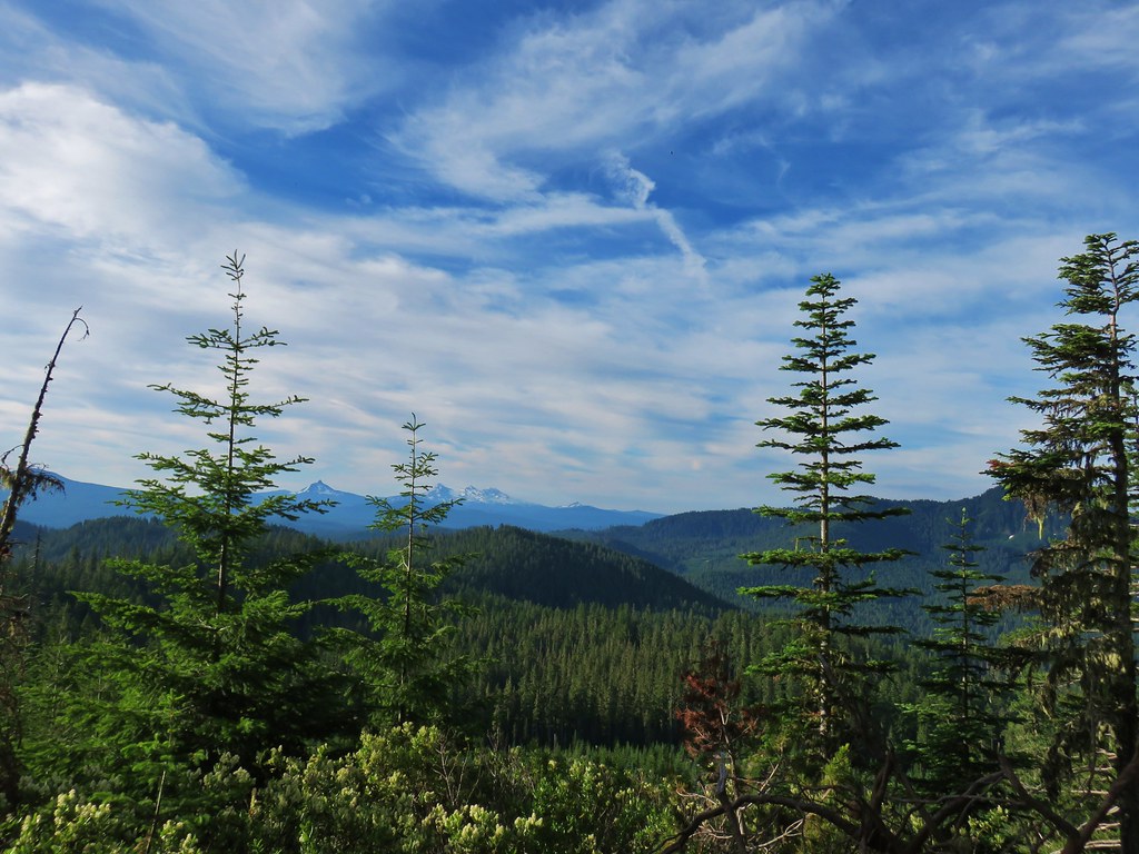
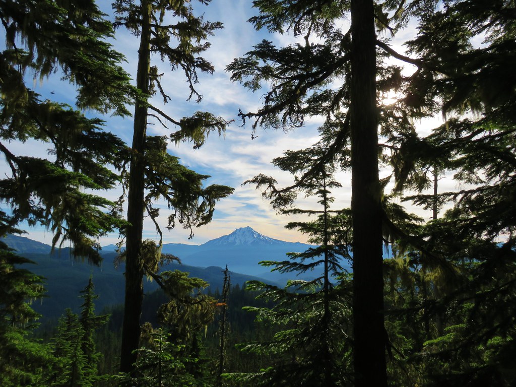
Categories
Hiking McKenzie River Middle Santiam Old Cascades Oregon Throwback Thursday Trip report

Throwback Thursday – Browder Ridge and Sahalie & Koosah Falls

This week we are revisiting a pair of hikes we took on 9/8/12. A pair of Heather’s running buddies were going to be running the McKenzie River 50k that day and we wanted to be a the finish line to greet them so we found a hike in the area that we thought would make that possible. The 8.5 mile up Browder Ridge seemed to be a perfect fit.

We started at the Gate Creek Trailhead just 4.5 miles off of Highway 20 via Hackleman Creek Road and Road 1598.
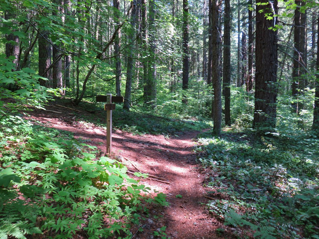
Gate Creek Trail sign at the trailhead

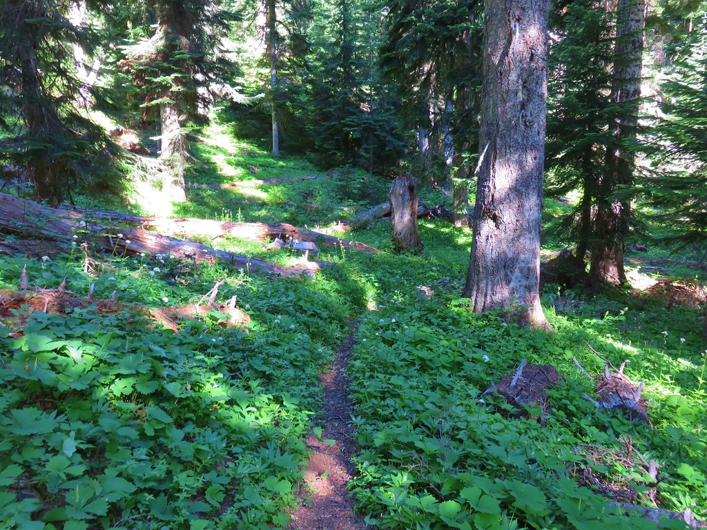
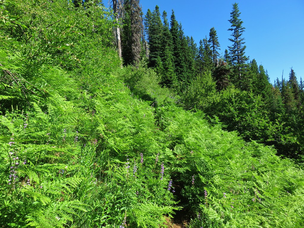
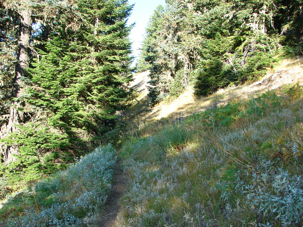
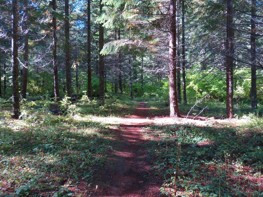
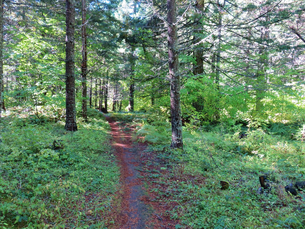
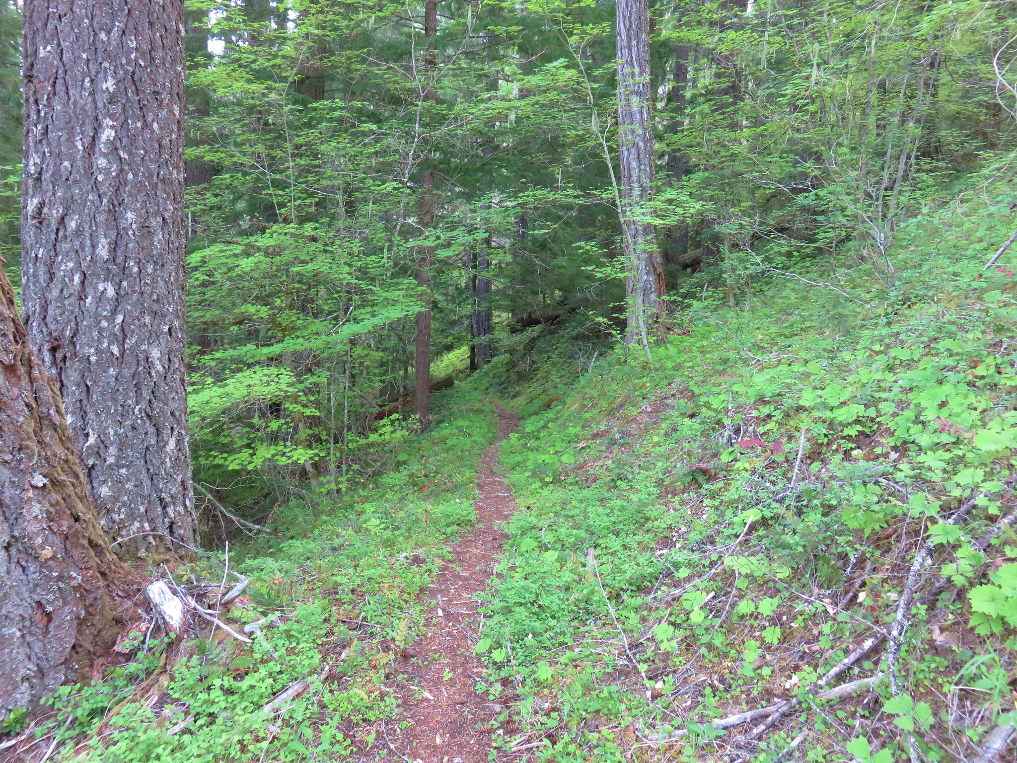
The trail never really got close to Gate Creek as it climbed through forest and fern filled meadows.
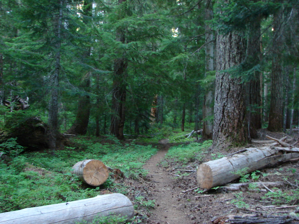
Gate Creek Trail

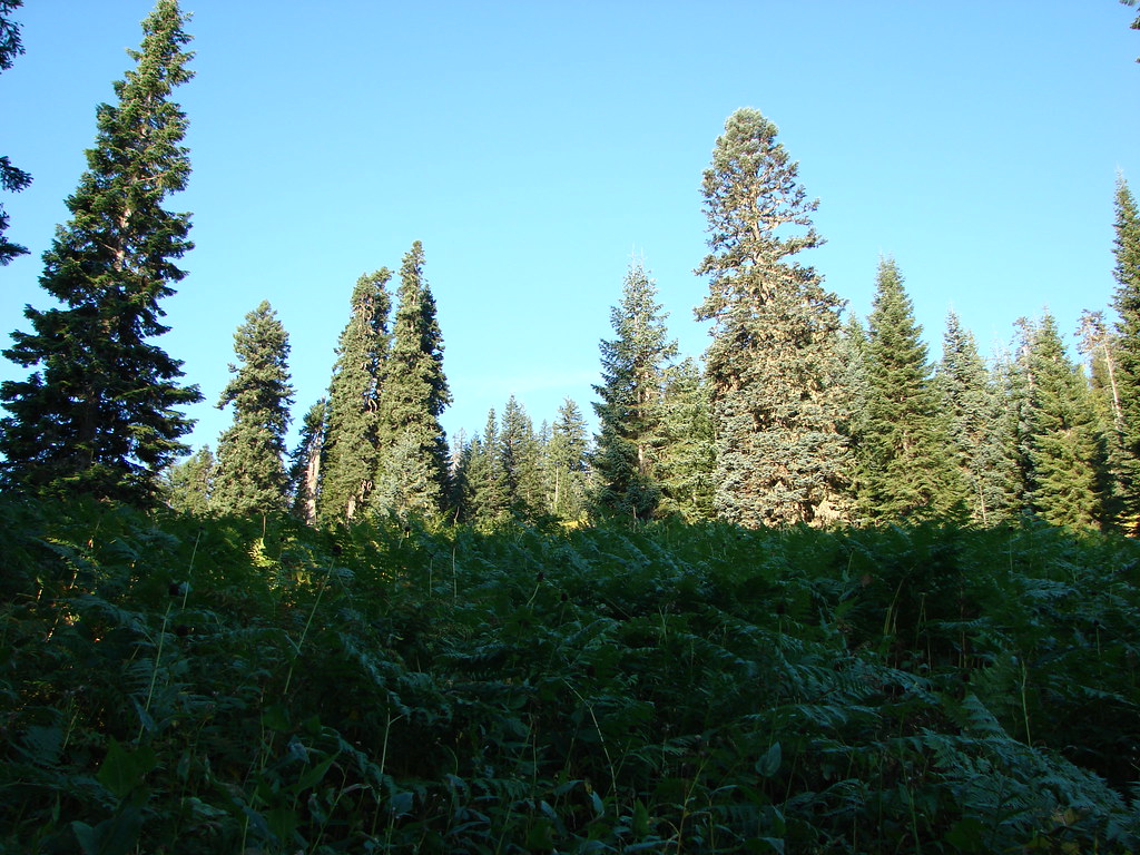
Meadow along the Gate Creek Trail

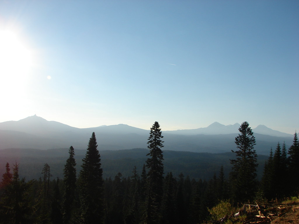
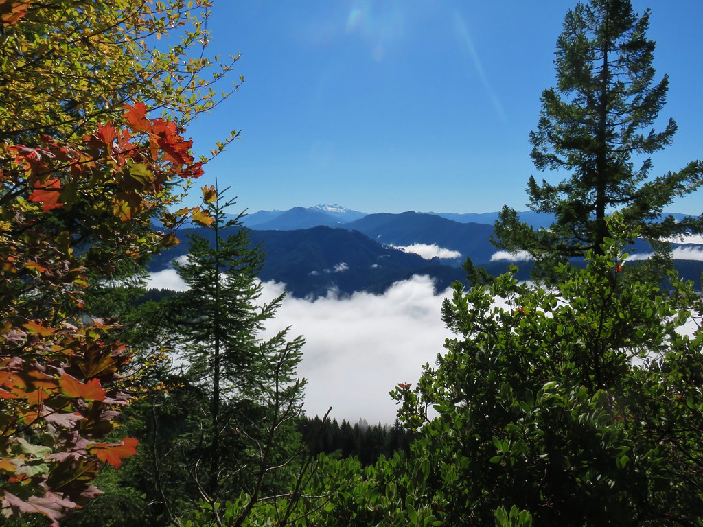
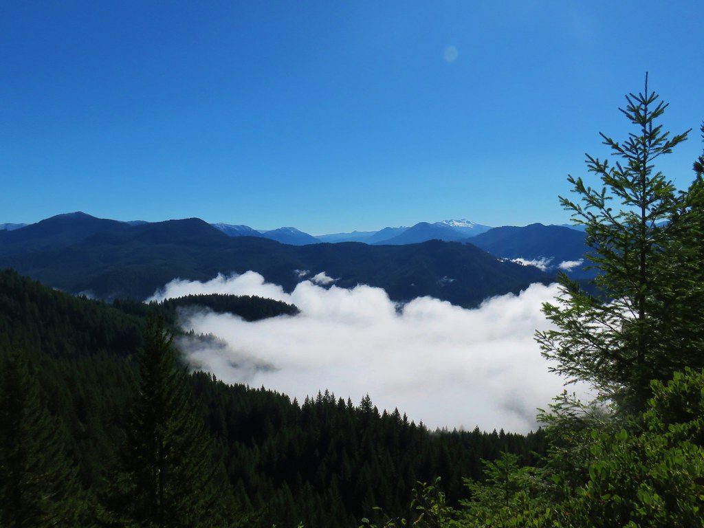
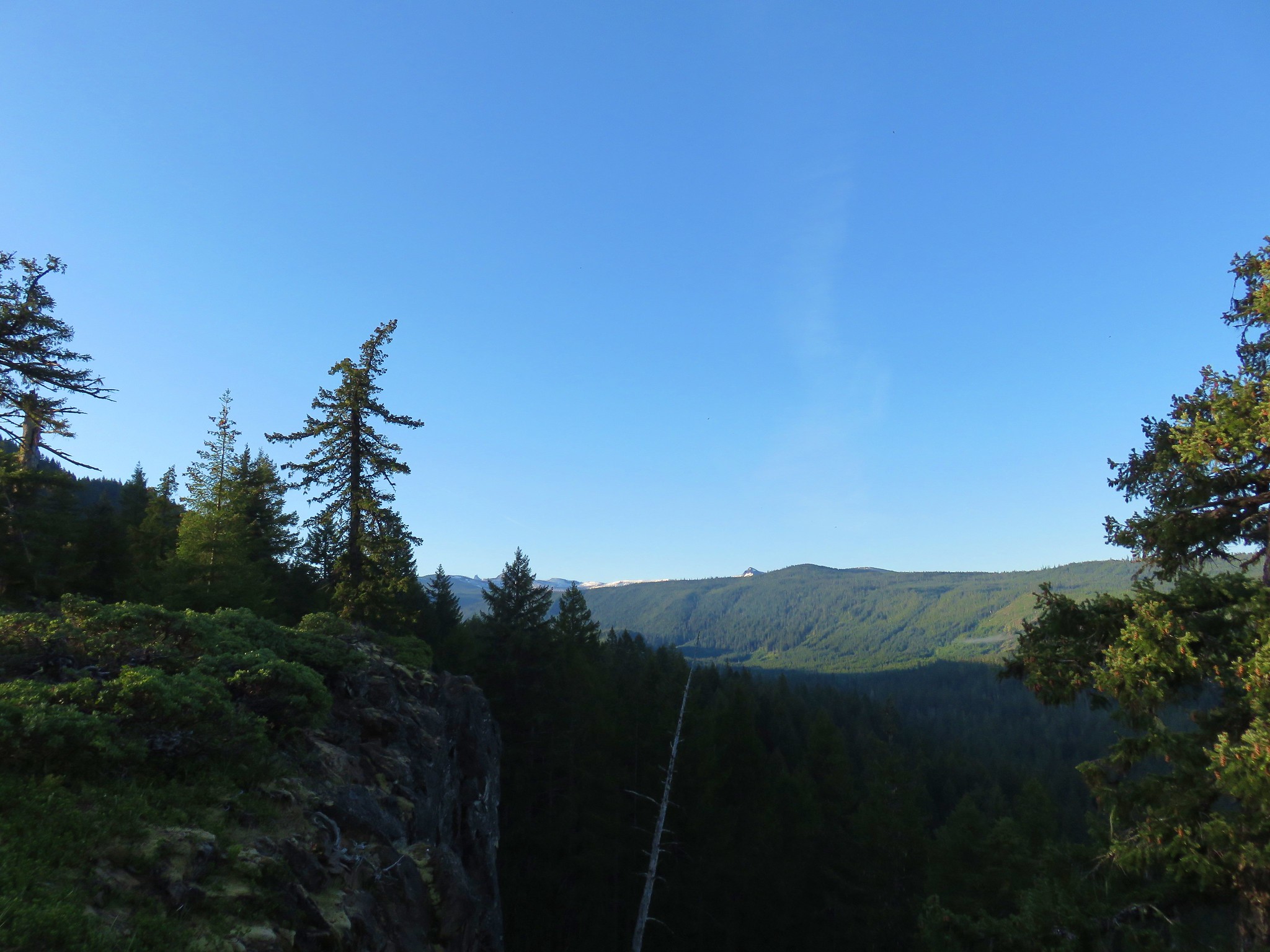
Just over a mile and a half from the trailhead we arrived at a viewpoint which provided views of the Cascade Mountains from Mt. Jefferson south to the Three Sisters. It was an unfortunately hazy view due to the sun still rising in the east and the presence of smoke from the Pole Creek Fire.
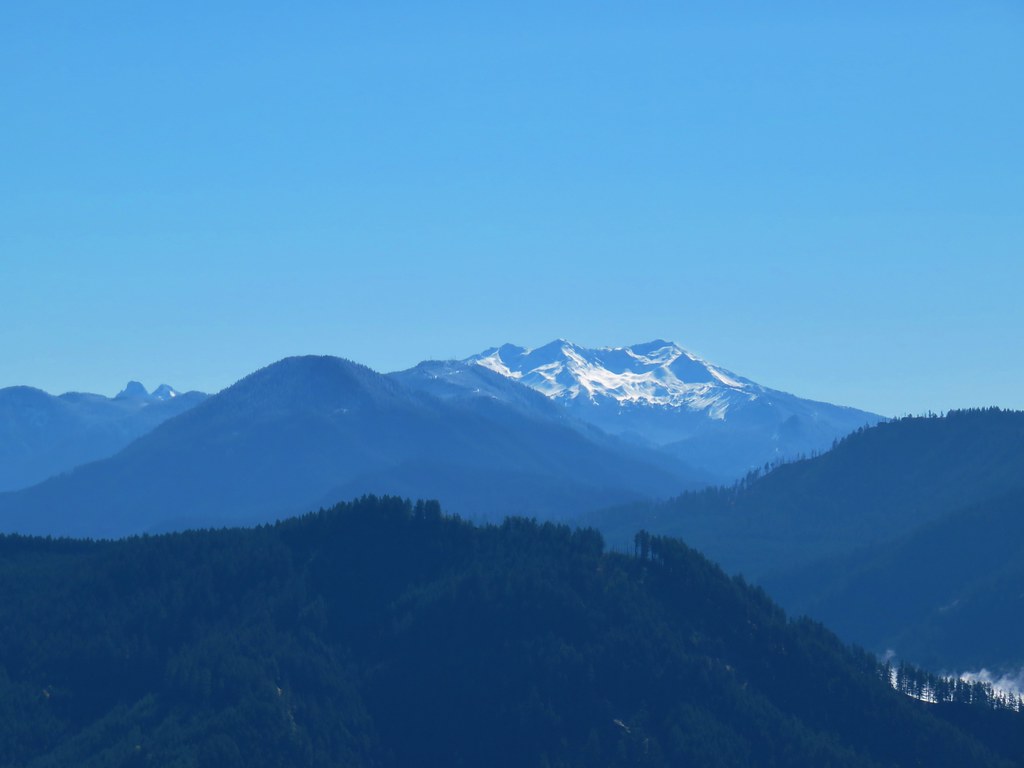
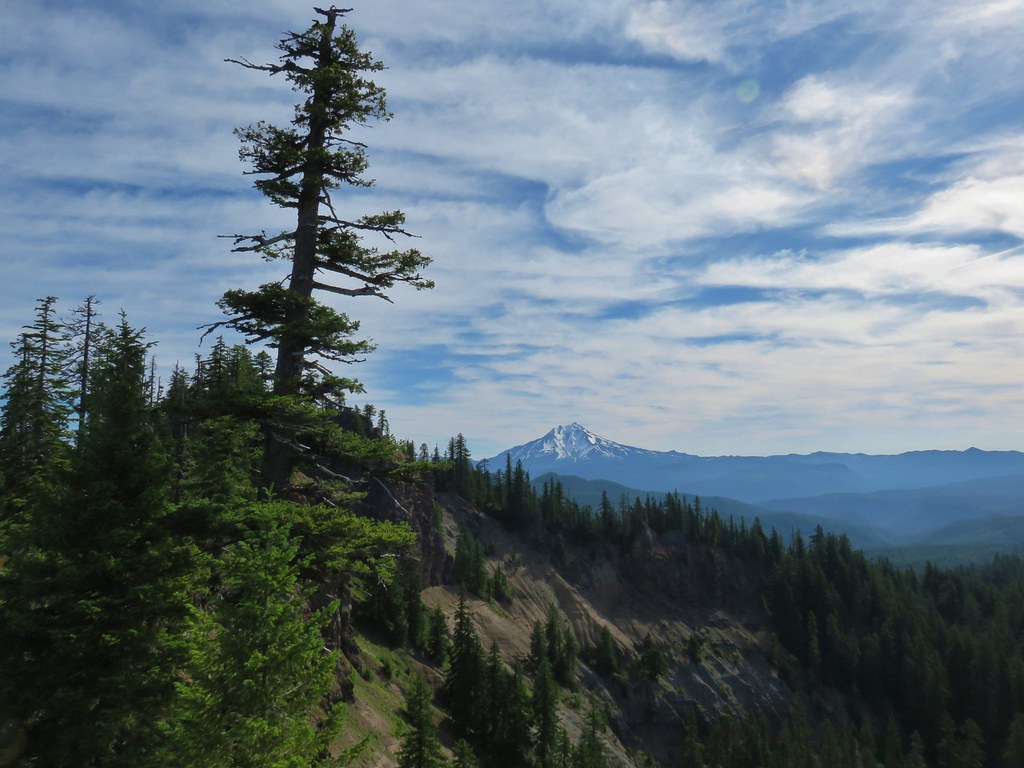
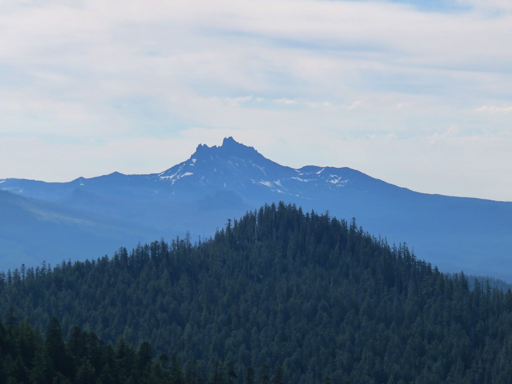
Mt. Jefferson and Three Fingered JackMt. Jefferson and Three Fingered Jack

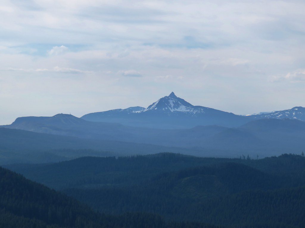
Mt. Washington, Black Crater, Belknap Crater and the Three SistersMt. Washington and the Three Sisters

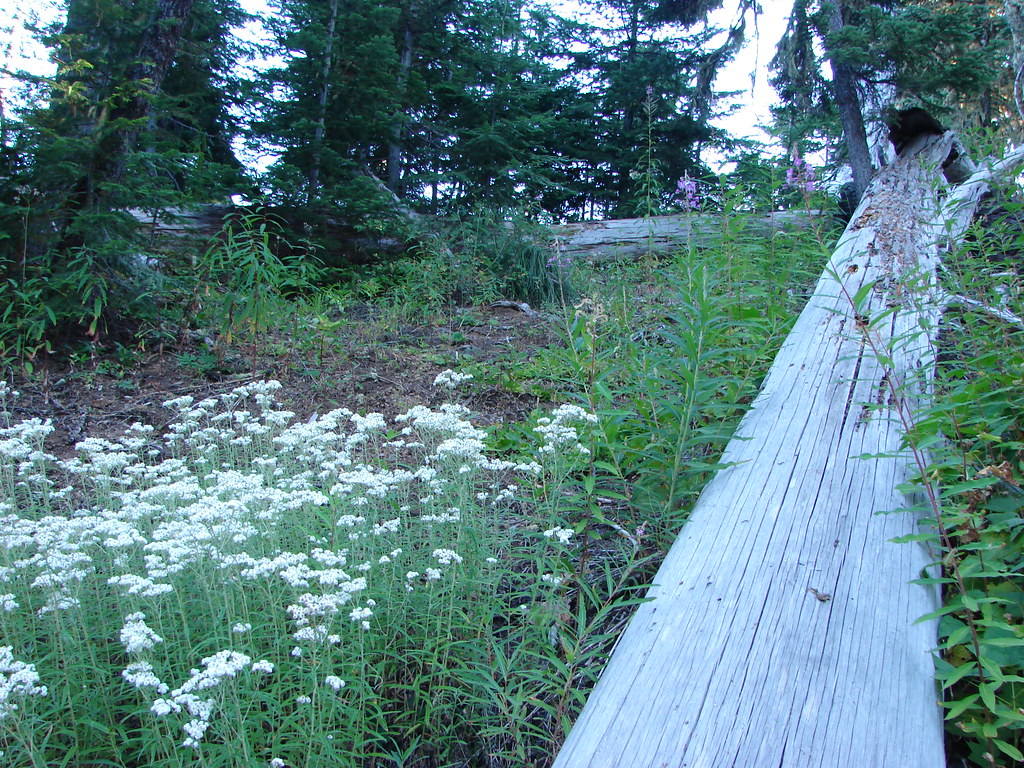
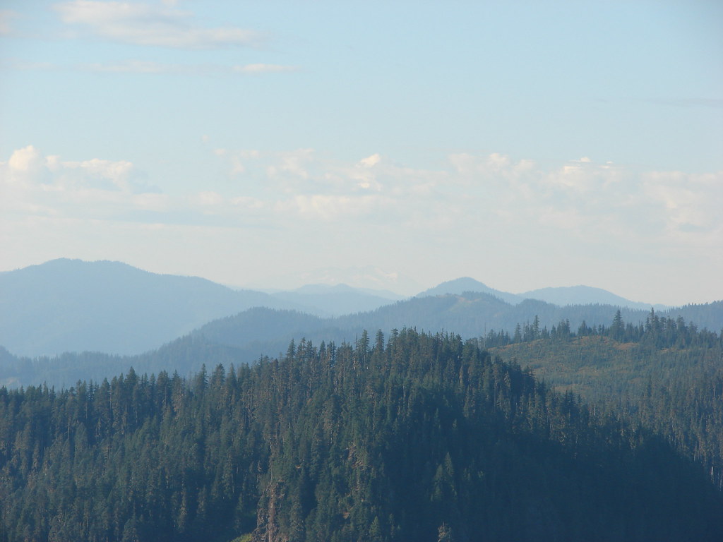
We continued on climbing gradually for another 1.5 miles to a junction. White pearly everlasting and pink fireweed could be seen along the trail. More hazy mountain views greeted us along the way with Diamond Peak joining the line of Cascade peaks.
Pearly everlasting

Gate Creek Trail

View from the Gate Creek Trail

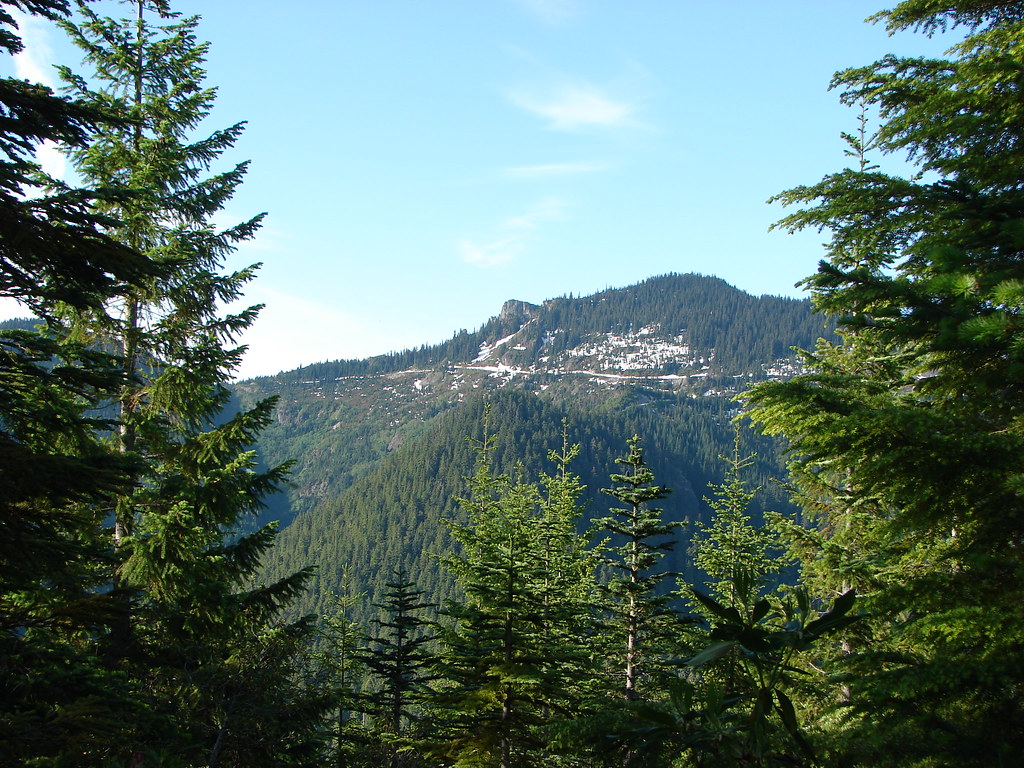
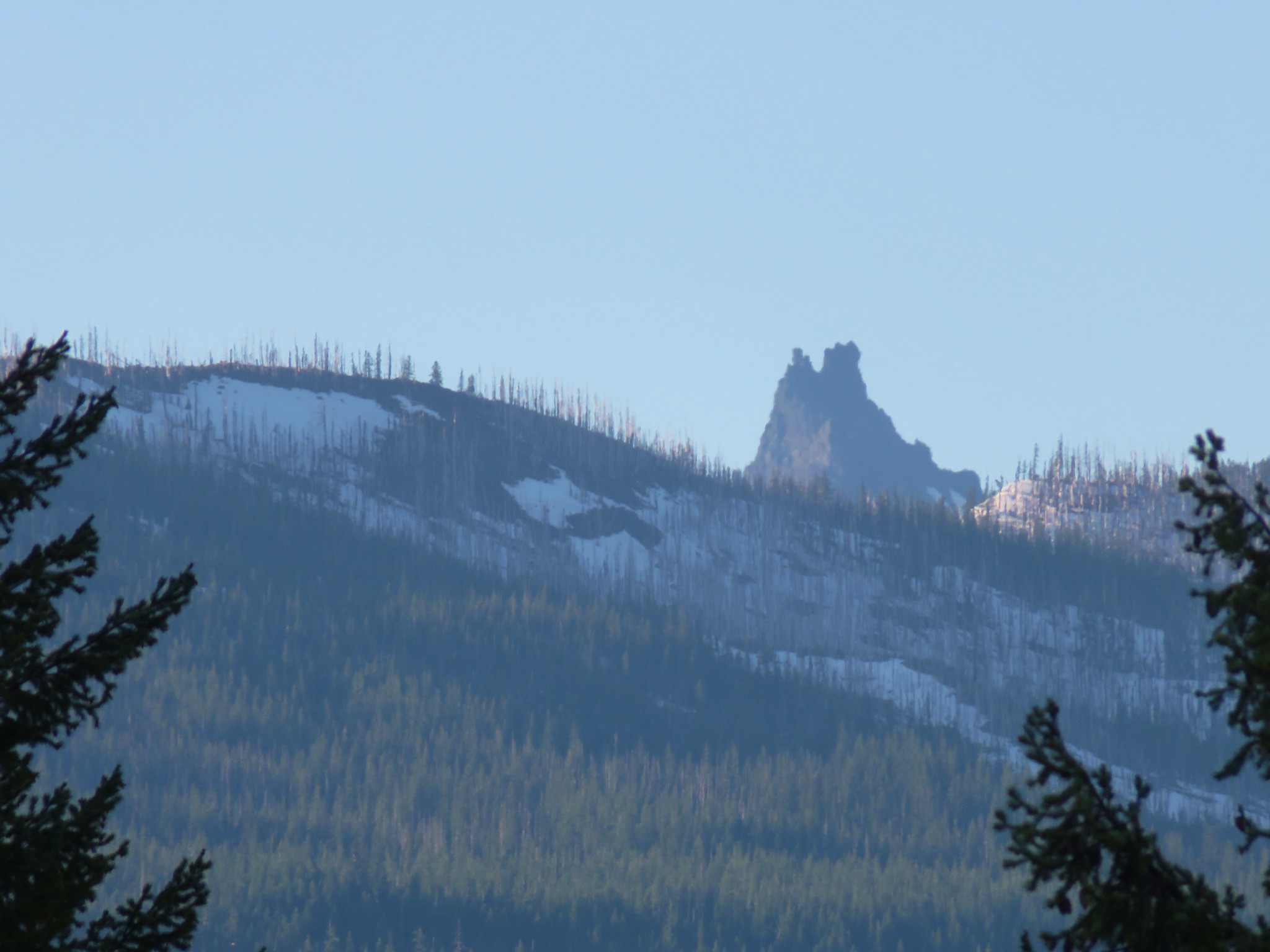
We also had a nice view of our ultimate goal – Browder Ridge.
Browder Ridge

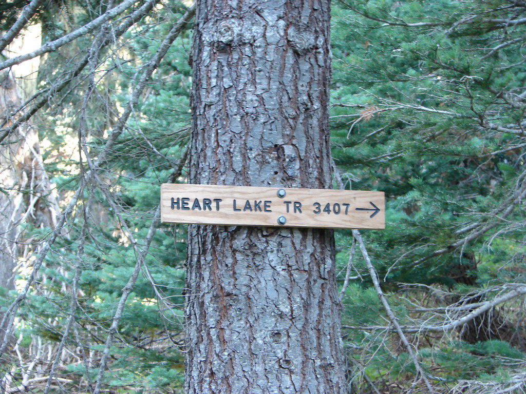
At the junction we turned right onto the Heart Lake Trail.
Sign for the Heart Lake Trail

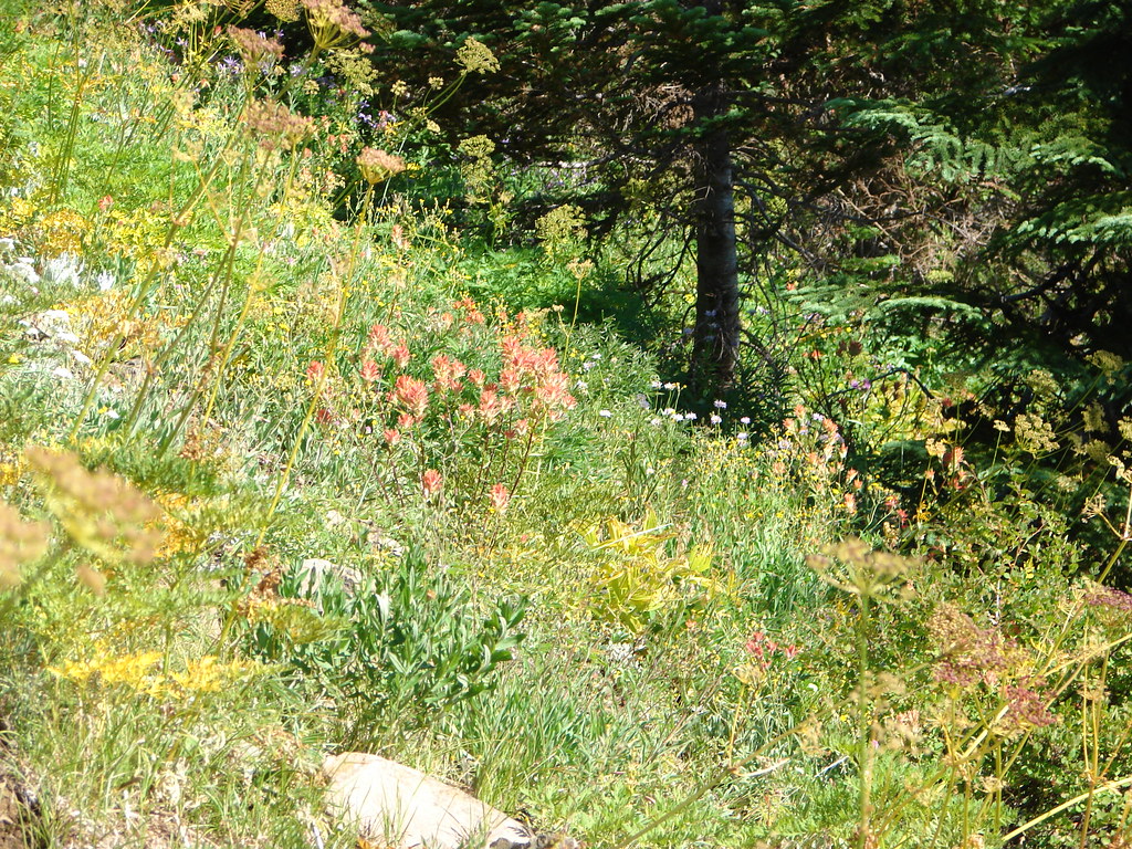
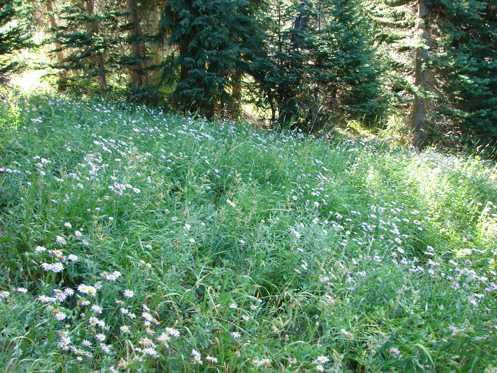
This trail passed below the rocky cliffs of Browder Ridge passing through the remains of an early summer wildflower meadow before reentering the forest.
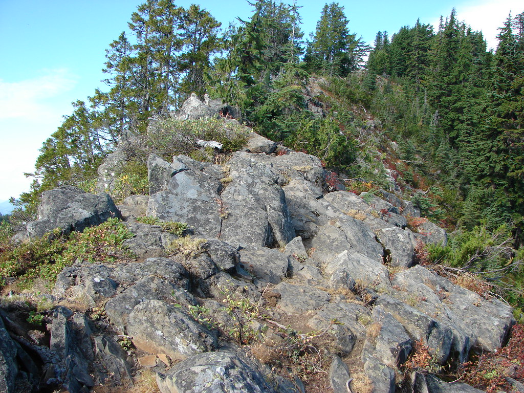
Rock outcrop on Browder Ridge

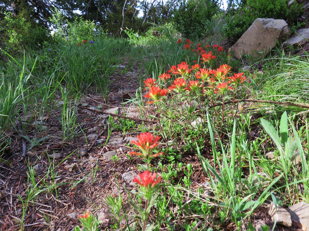
Paintbrush

Aster

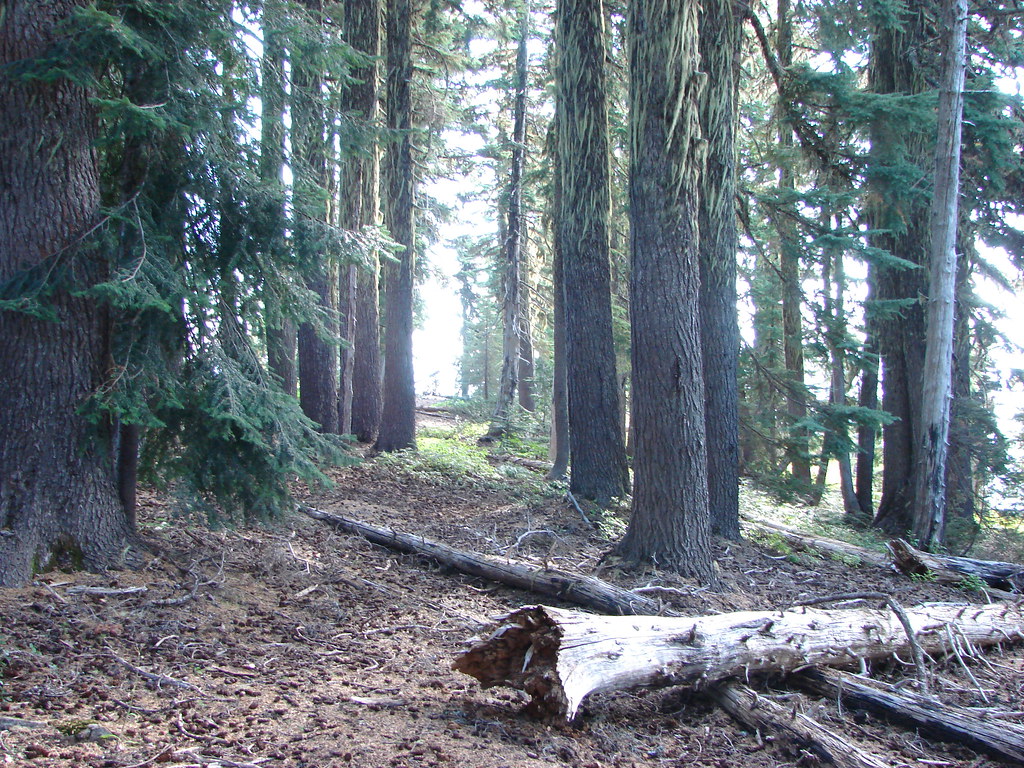
Heart Lake Trail

As the trail reentered the trees we left the Heart Lake Trail turning uphill along the rocky ridge.
Browder Ridge

A .2 mile scramble along the ridge brought us to the 5760′ summit of Browder Ridge.
Black Butte, Mt. Washington, Black Crater, and Belknap Crater from Browder Ridge

Despite the haze from the Pole Creek Fire the views were pretty good.
View from Browder Ridge

View from Browder Ridge

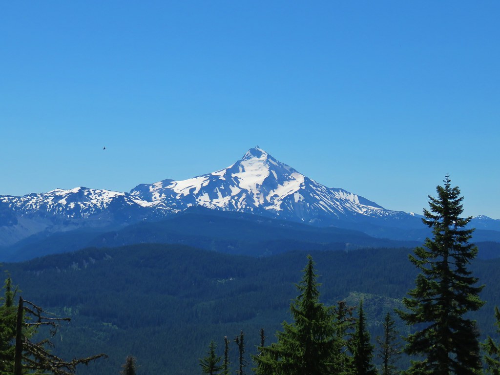
Mt. Jefferson and Three Fingered Jack

Mt. Jefferson

Black Crater, Belknap Crater, the Three Sisters, Mt. Bachelor and The Husband

View from Browder Ridge

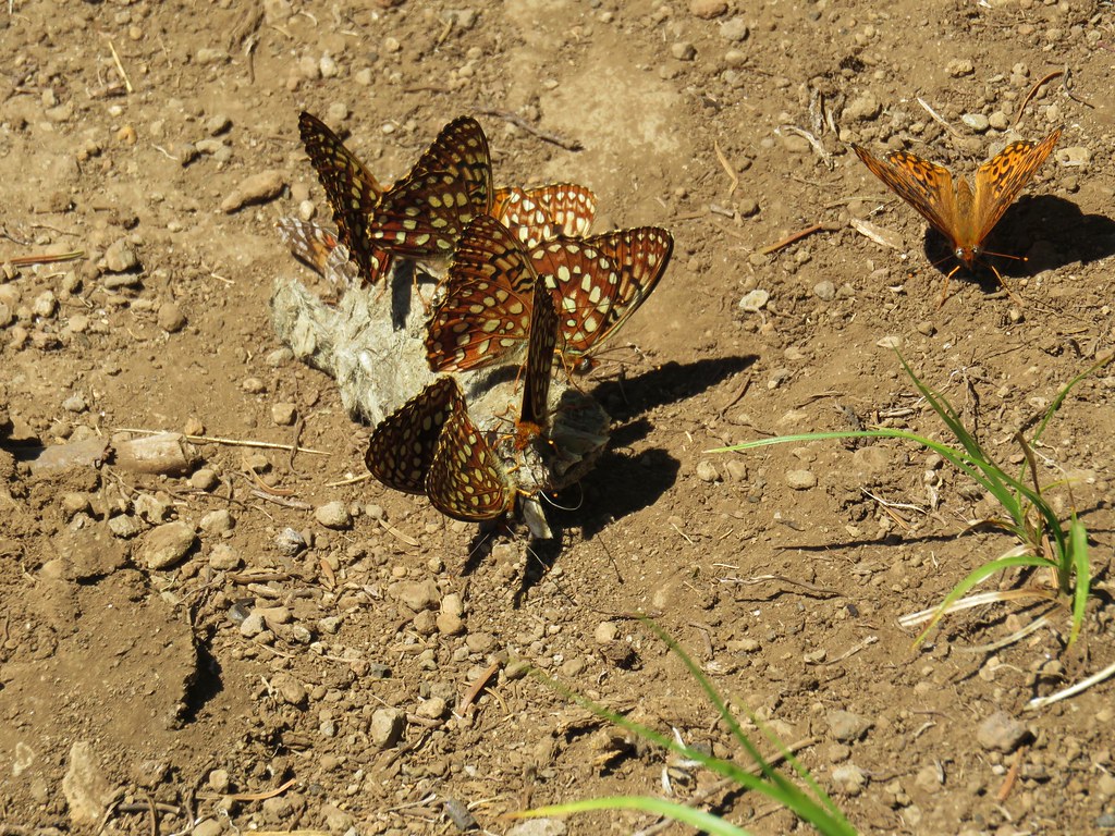
After enjoying the view we headed back down to the trailhead. Butterflies had begun to come out as we made our way back.
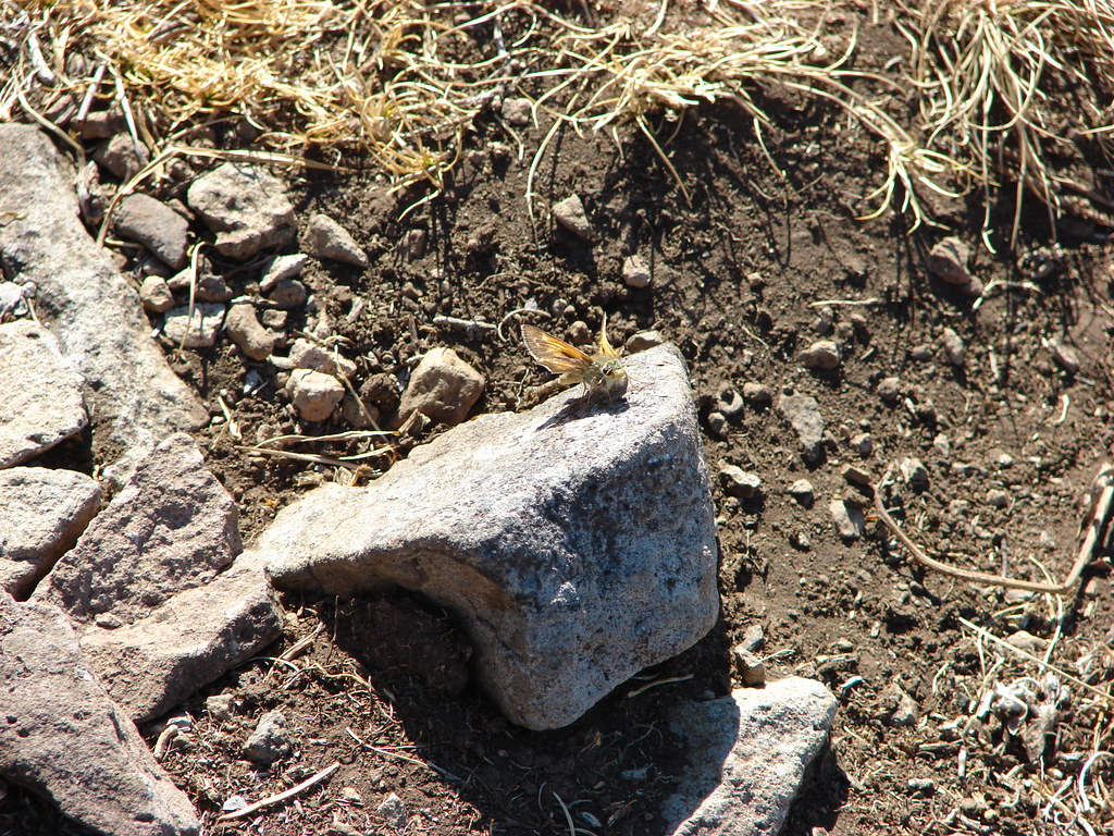
Some sort of Skipper butterfly

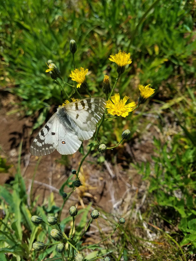
Pine white butterfly on pearly everlasting

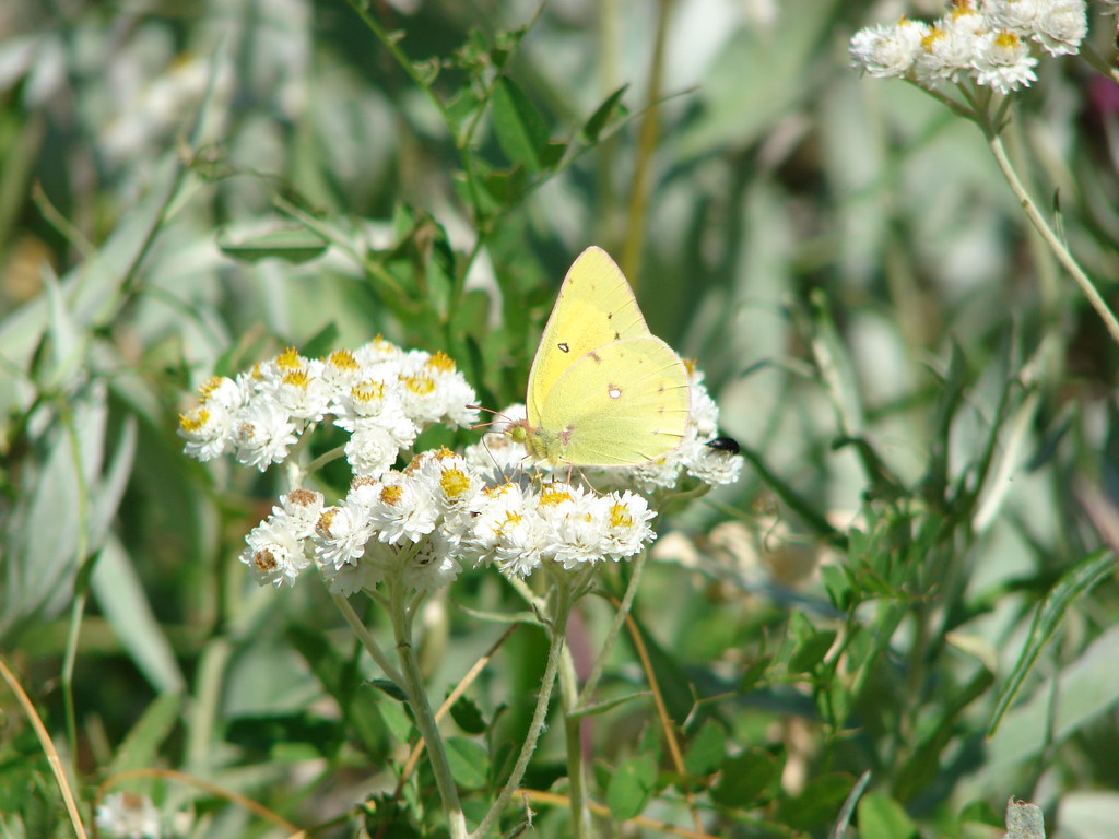
Orange sulpher butterfly on Pearly Everlasting

We got back to the car with time to spare before the end of the race so we made a second stop on the way to the finish line. We drove east on Highway 20 to its junction with Highway 126 where we turned right for 5.2 miles to the Sahalie Falls Trailhead.

A half mile segment of the Waterfalls Loop Trail runs between Sahalie and Koosah Falls along the McKenzie River here. It’s possible to complete a 2.6 mile loop incorporating the McKenzie River Trail, but we wanted to make sure we didn’t miss the end of the race so we did an out and back past Sahalie Falls to Koosah Falls.

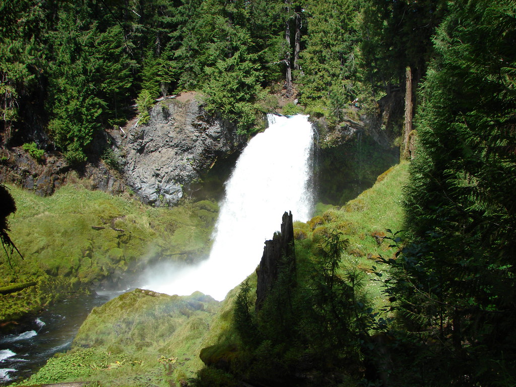
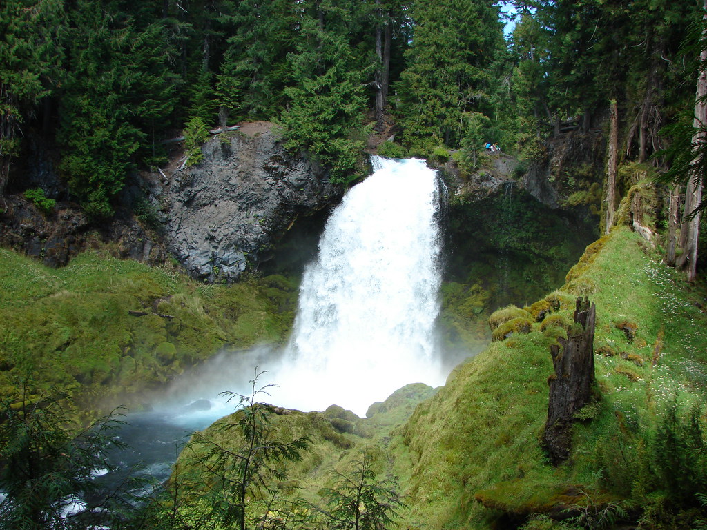
Sahalie Falls was not far at all from the parking area.
Sahalie Falls

Sahalie Falls

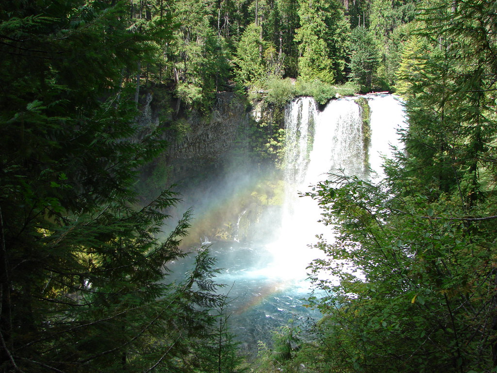
We headed downstream following the beautifully blue McKenzie River to Koosah Falls.
McKenzie River

McKenzie River

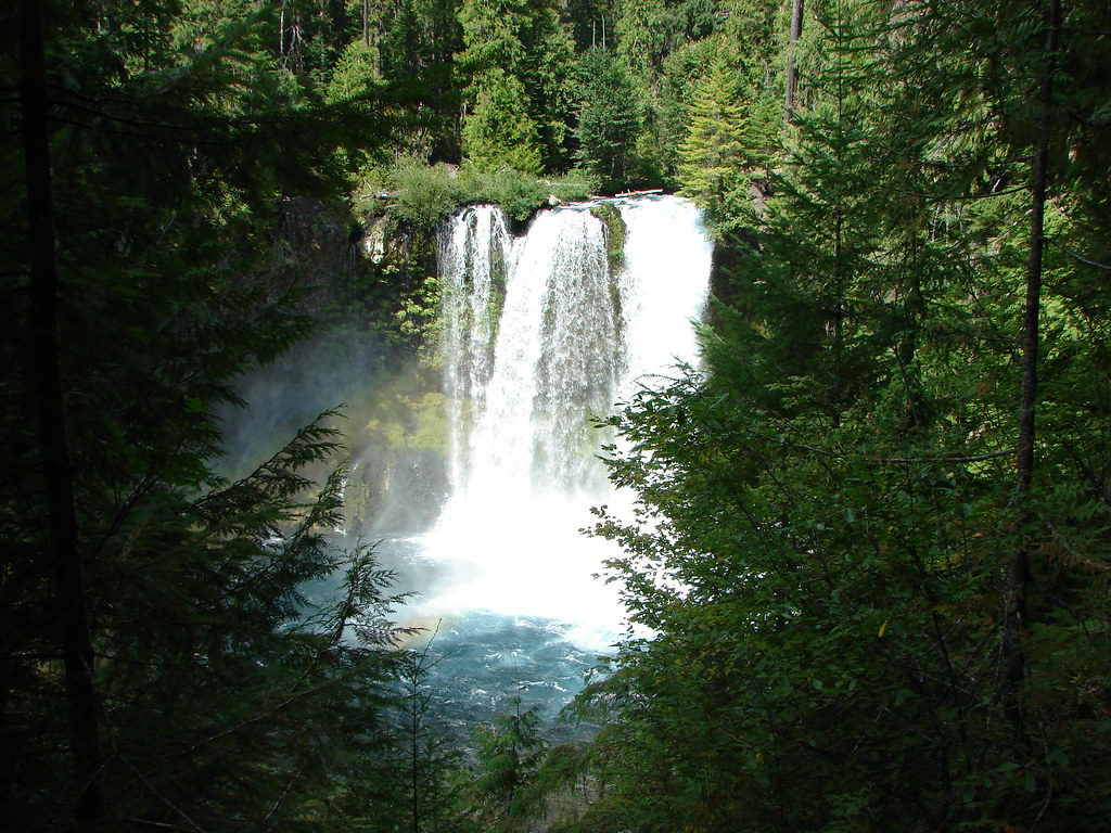
Koosah Falls

Koosah Falls

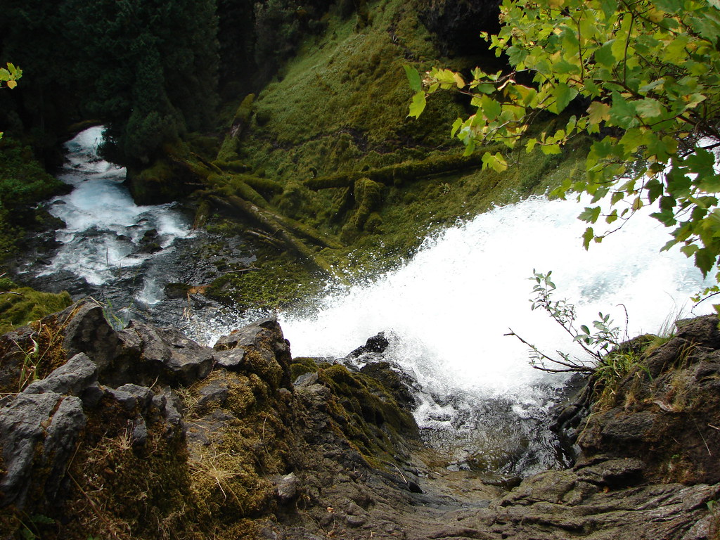
We returned the way we’d come but instead of returning to the car we had just enough time to visit the top of Sahalie Falls.
Sahalie Falls

These are two really nice and easily accessed waterfalls. We returned to Koosah Falls in 2013 along the McKenzie River Trail but have yet to be back to Sahalie Falls.

We made it to the finish line of the race in plenty of time to see Heather’s friends finish their 50k making it a successful day.

We are planning on heading back to Browder Ridge this year to see what the meadows look like earlier in the Summer. If all goes well we will be coming from the other end of the Browder Ridge Trail and may even make an attempt to reach Heart Lake along an unmaintained portion of the Heart Lake Trail. Happy Trails!

Flickr: Browder Ridge and Sahalie & Koosah Falls

Categories
Bull of the Woods/Opal Creek Hiking Old Cascades Oregon

Throwback Thursday – Elkhorn Ridge Trail

**Note the 2020 Beachie Creek Fire burned the area covered in this hike.**

Today’s Throwback Thursday hike is the last of the hikes we did prior to starting this blog that are currently not on our schedule of future hikes. On July 10, 2011 we made our second attempt to visit Phanton Bridge (post).

This hike wasn’t included in any of our guide books (we would discover why) and only came to our attention as I was researching possible routes to reach Phantom Bridge. On the Willamette National Forest website I noticed that it appeared possible to follow the Elkhorn Ridge Trail east to the natural bridge. The route appeared a bit longer than the others I knew of but the road to the trailhead was open unlike Forest Service Road 2223 which was closed by a washout at the time.

The shot up remains of a trail sign marked the beginning of the trail as it set off along a forested ridge line with views of Rocky Top and Henline Mountain.
Elkhorn Ridge Trailhead

Rocky TopRocky Top

Henline MountainHenline Mountain

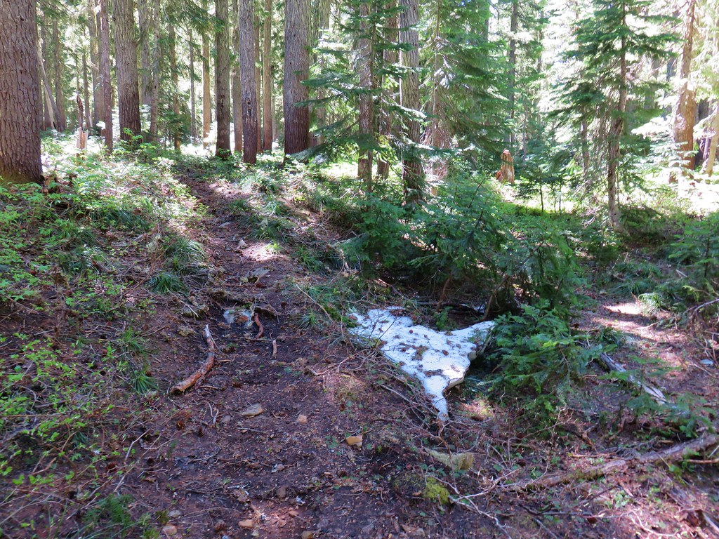
The trail was a bit faint with occasional patches of snow remaining from an unusually late melting snowpak that year.
Elkhorn Ridge Trail

Snow along the Elkhorn Ridge Trail

As we continued to make our way along the ridge we spotted Mt. Hood and Mt. Jefferson through the trees.
Mt. HoodMt. Hood

Mt. JeffersonMt. Jefferson

The further along we went the fainter the trail got and we found ourselves relying on pink flagging to mark the way. We had a map but it wasn’t an adequate map and even if we’d had a proper topographic map we were not yet experienced enough to have been able to use it properly. We also didn’t have a GPS unit yet. Shortly after the trail emerged from the trees and began to drop along the north side of the ridge we wound up losing it.
Elkhorn Ridge Trail

After a couple of minutes searching from the next flagging we decided to call it and turned around. This was one of several outings in 2011 that really helped hammer home just how important having the proper tools and knowledge of how to use them was going to be if we were serious about this hiking thing.

We estimate that we only went a little over a mile of the approximate 3 miles to Phantom Bridge before turning back. I have no doubt that if we were to attempt this hike with the experience we have now we’d have no trouble reaching Phantom Bridge, but turning around that day was the right call. Happy Trails!

Flickr: Elkhorn Ridge Trail

Categories
Clackamas Hiking Old Cascades Oregon Throwback Thursday Trip report

Throwback Thursday – Clackamas River Trail

**Note the 2020 Riverside Fire burned a most of this hike.**

It’s time for another throwback Thursday hike. This week we’re covering our 6/30/2012 visit to the Clackamas River Trail. This was a strange hike for us. For some reason we were really dragging on this hike. Of the hikes where we’ve had our GPS with us our average moving speed for this one was our 9th slowest. All eight of the slower hikes had extenuating circumstance such as snow or extended off-trail stretches which contributed to the slower pace but this hike had none of that.

We began our hike at the Fish Creek Trailhead. The steep hillsides in the Clackamas River Canyon are prone to slides and rockfall which close the trail from time to time so as always it pays to double check the trail status before heading out.
Fish Creek Trailhead

The trail contoured along the hillside above the Clackamas River often within sight of Highway 224 on the opposite side. A half mile from the trailhead the trail spent some time near the riverbank before climbing away through a 2003 fire zone.
Clackamas River

Foggy forest along the Clackamas River Trail

Clackamas River

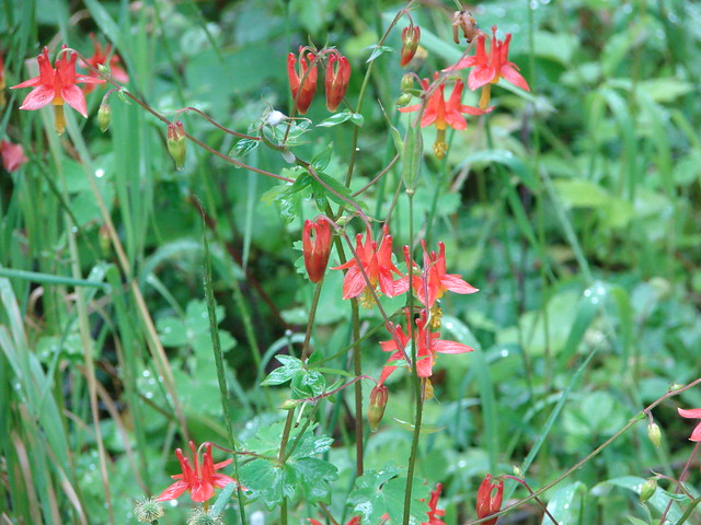
June flowers bloomed along the way including orange tiger lilies, purple penstemon, and red columbine.
Columbine

The trail left the 2003 fire zone after 2 miles and entered a lush green forest passing several small side streams.
Stream along the Clackamas River Trail

Waterfall back in the trees

Skunk cabbage

Creek along the Clackamas River Trail

Rhododendrons were blooming along this section.
Rhododendron

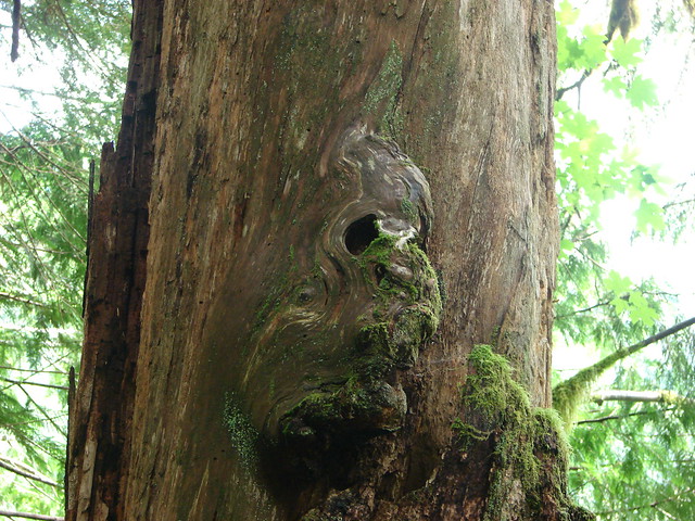
There was also a unique feature on a tree trunk, what appeared to us to be a face coming out of the wood.
Face in a tree

Just over 3.5 miles from the Fish Creek Trailhead we arrived at Pup Creek where a pointer to the right led us on side trail to 100′ Pup Creek Falls.
Pup Creek Falls

Pup Creek Falls

We had lunch by the falls before continuing. Our original plan had been to hike to Indian Henry Campground and back for a 15.6 mile round trip but the bridge at Pup Creek was out. We contemplated fording the creek but we had both felt pretty lethargic and knew we were dragging so we turned around and headed back leaving the other section for another time. Happy Trails!

Flickr: Clackamas River

Categories
Hiking Oakridge Area Old Cascades Oregon Trip report

Deception Butte and Dead Mountain Trails

Our latest outing was a microcosm of our year so far. Several days of rain and snow coupled with overnight temperatures in the mid 20’s had our plans in flux until the night before our hike. In the end we wound up having a great time but the planning and process were anything but smooth.

In the end we decided to try the Deception Butte Trail . The trailhead elevation was low enough that we didn’t need to worry about icy roads in the morning which was our biggest concern in determining our destination.

We weren’t sure what to expect from the Deception Butte Trail. In 2014 the Deception Fire had closed and burned some of the trail. The trail description on the Forest Service page didn’t say anything about the trail still being closed, but it did contain a map from 2014 showing the closure. The map description states “This map shows the open and closed sections of the trail resulting from damage from the Deception Fire in 2014.” It was unclear whether that was just to let the reader know that the map was old and that was why there were red and green sections of the trail or if it was to inform the reader that the trail remained closed. Spoiler alert it was the latter.

We started our morning at the Lower Deception Butte Trailhead which is located 3 miles west of Oakridge, OR one hundred yards up Deception Creek Road.
Deception Butte Trailhead

We were encouraged by the lack of any signage to indicate that part of the trail remained closed as we set off into the forest.
Deception Butte Trail

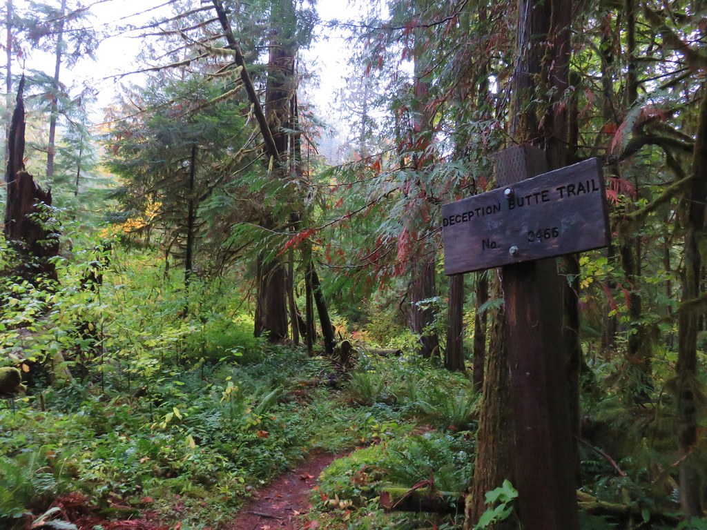
We followed the Deception Butte Trail sign.
Deception Butte Trail

The trail passed through a lush forest as it bent around a hill where it began to follow along Deception Creek.
Deception Butte Trail

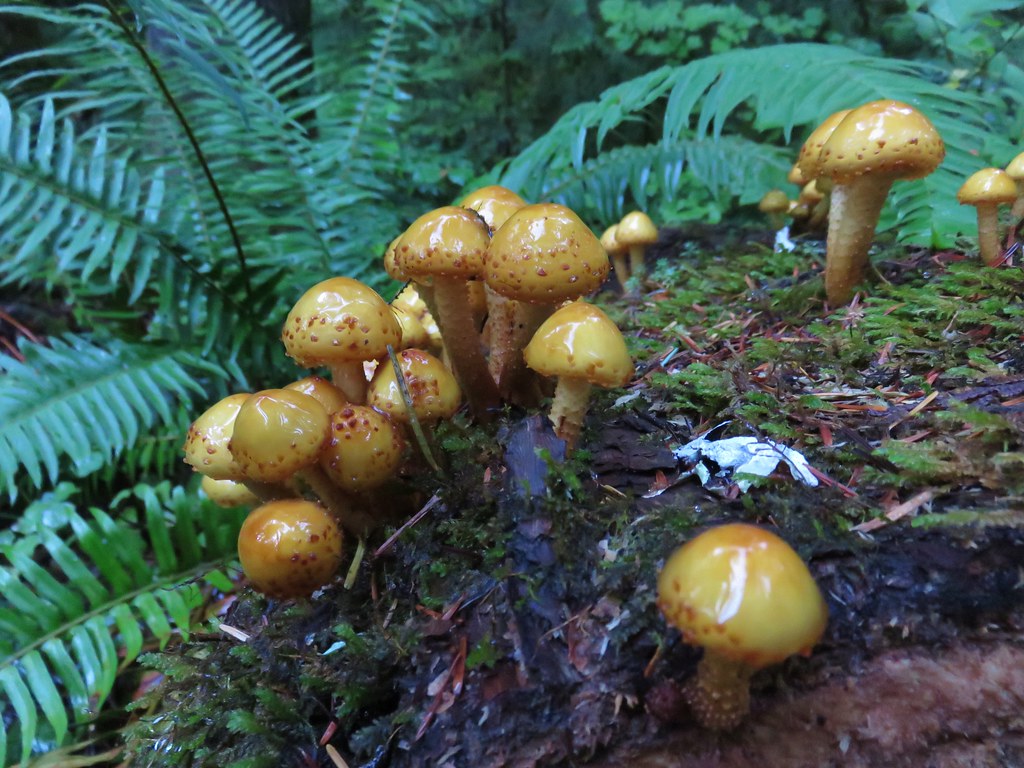
Mushrooms on a log

Forest along the Deception Butte Trail

Deception Creek from the Deception Butte Trail

The trail dropped a bit to the creek which was flowing fairly well due to all the recent precipitation.
Deception Creek

Deception Butte Trail

Signs of the 2014 fire could be seen on the hillside above the trail.
Burned forst above the Deception Butte Trail

At the 1.75 mile mark we came to a footbridge over Deception Creek.
Footbridge along the Deception Butte Trail

Deception Creek

There still had been no signs warning of a trail closure so we crossed the bridge and continued on. Not even a tenth of a mile beyond the bridge we came to a rocky ridge and entered the burn area.
Deception Butte Trail

Vine maple

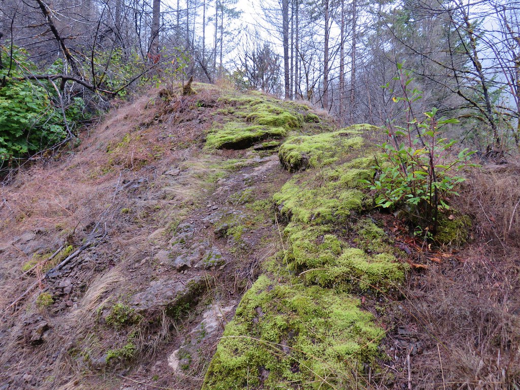
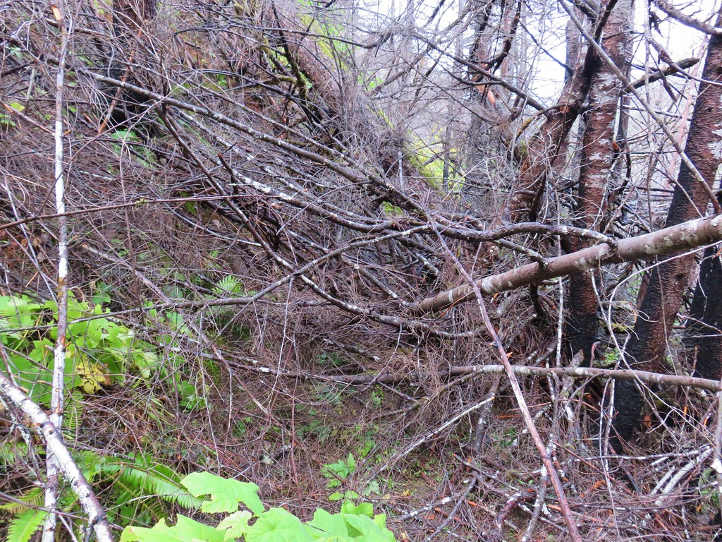
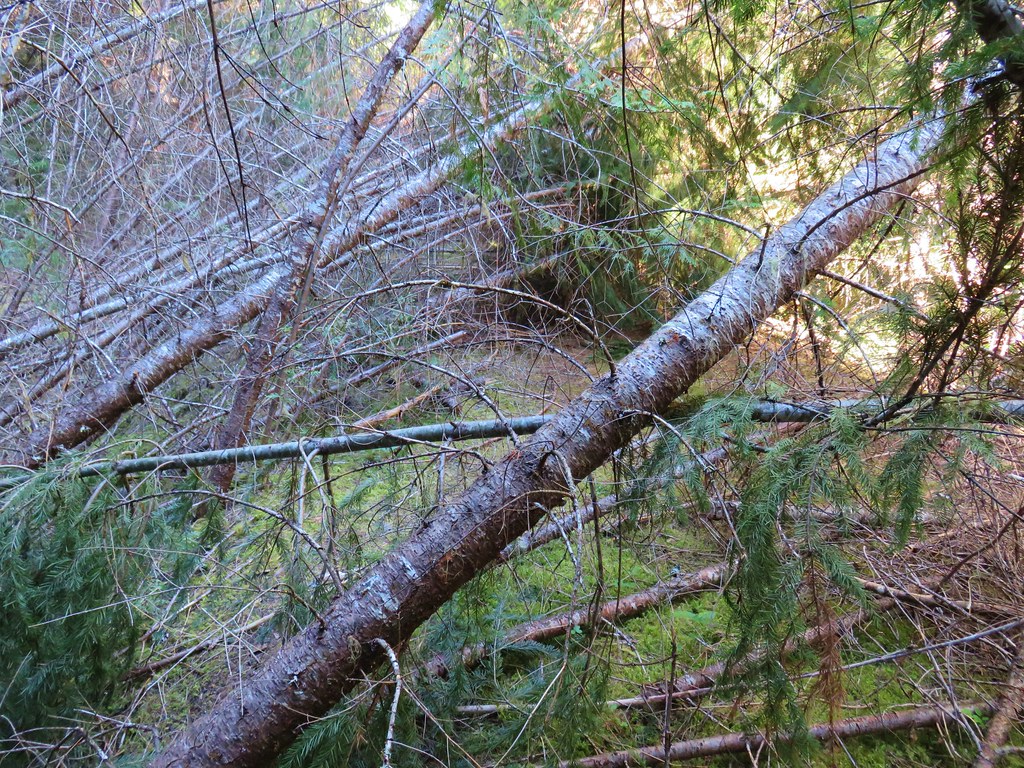
We began to encounter blowdown almost immediately. The first couple of obstacles were navigable but then we came to this.
Blowdown over the Deception Butte Trail

The steepness of the hillside made going around the jumble of debris impossible so we turned back. Even though there had been no notices of the trail being closed it clearly wasn’t being maintained. We had made it 1.8 miles before heading back making this a 3.6 mile round trip. The forest along Deception Creek was nice and so was the creek so the trail is still good for a quick leg stretcher or easy day hike.

For us the hour and a half hike wasn’t going to be enough to justify the hour and forty five minute drive each way so we turned to our contingency plan, the Dead Mountain Trail.

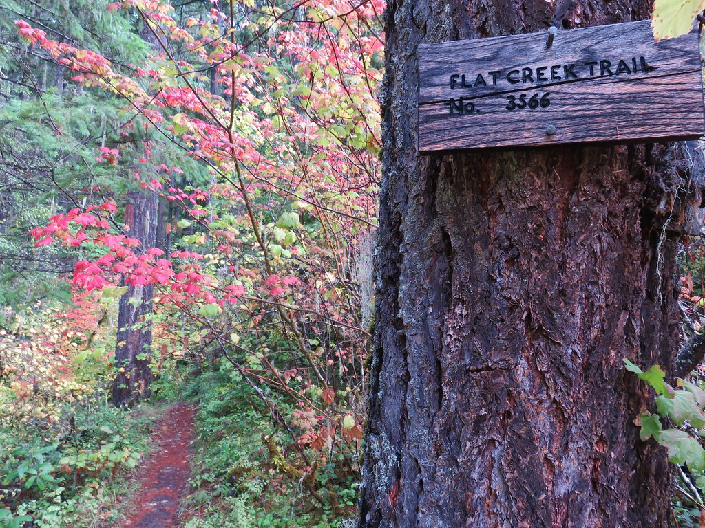
Formerly the Flat Creek Trail, the trail and name were changed in 2015 when it was extended from 4.3 miles to 6.3 miles. Sections were added at both ends to connect the trail from the Salmon Creek Trail up to the summit of Dead Mountain. Our guidebook was written prior to the trail extension so instead of parking at the new lower trailhead 2 miles outside of Oakrdige on Forest Service Road 24 (Salmon Creek Road), the hike description we had said to start .7 miles along Forest Road 2404 (Flat Creek Road) which was only 1.75 miles outside of Oakridge.

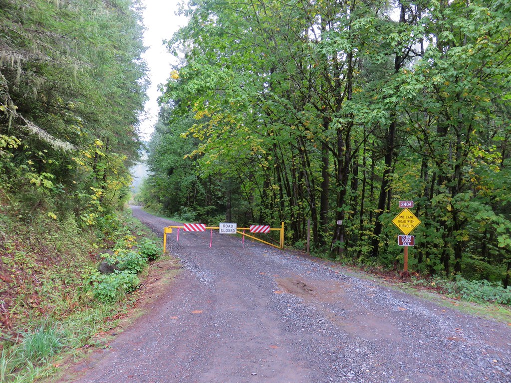
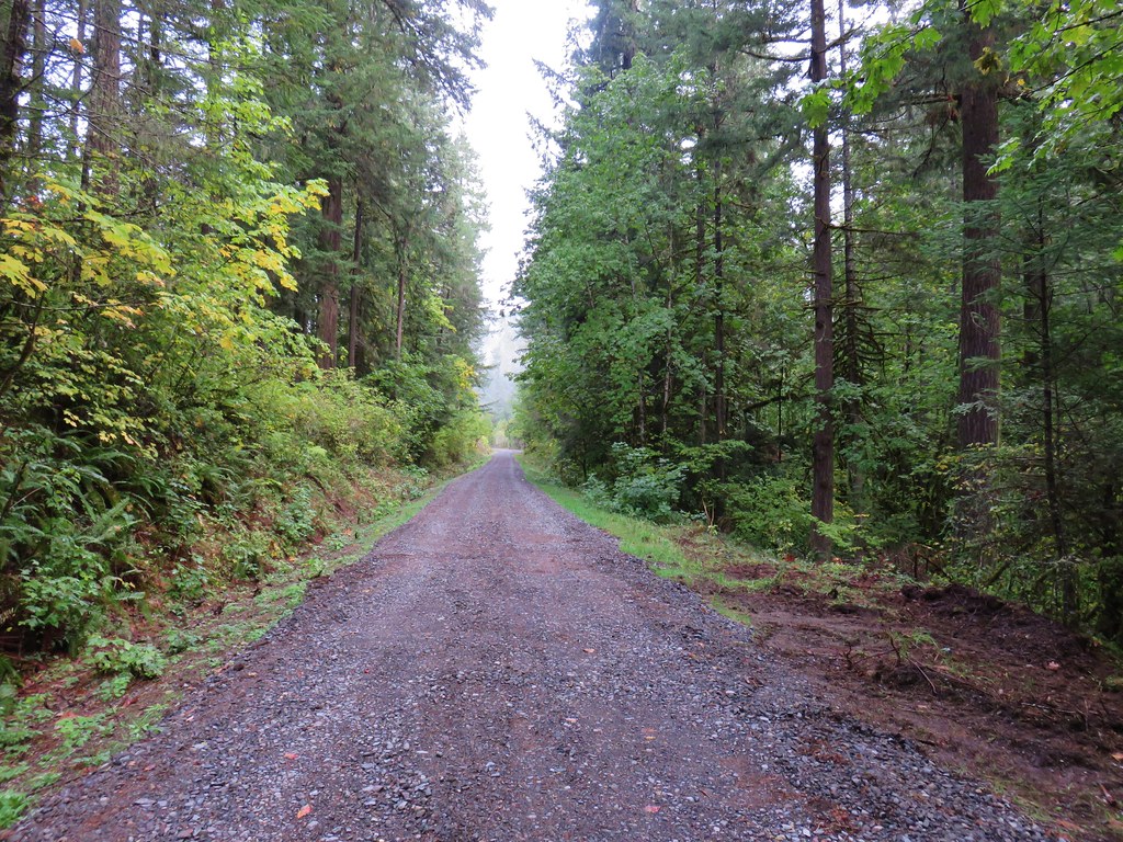
Flat Creek Road was gated shut so we parked on the shoulder and began hiking up the road.
Flat Creek Road

Flat Creek Road

As we were walking up the road we spotted a runner cross the road from the left to the right then recross the road a short time later. We were about a half mile from the gate when we came to the spot where the runner had crossed. A trail was visible on both sides of the road but it was unsigned and not shown on the GPS leaving us to wonder what it was and where it went. We continued on the road for another .2 miles where we came to the former Flat Creek Trailhead marked by a hiker symbol on a tree.
Dead Mountain Trail at Flat Creek Road

We had noticed other runners on a trail that was running parallel with the road which helped us realize that the trail we had crossed back on the road was an extension of the Flat Creek/Dead Mountain Trail. We began to suspect there was some sort of trail race happening since they were wearing numbered bibs. We joined that trail and turned right heading uphill.
Dead Mountain Trail

Dead Mountain Trail

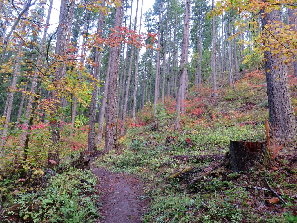
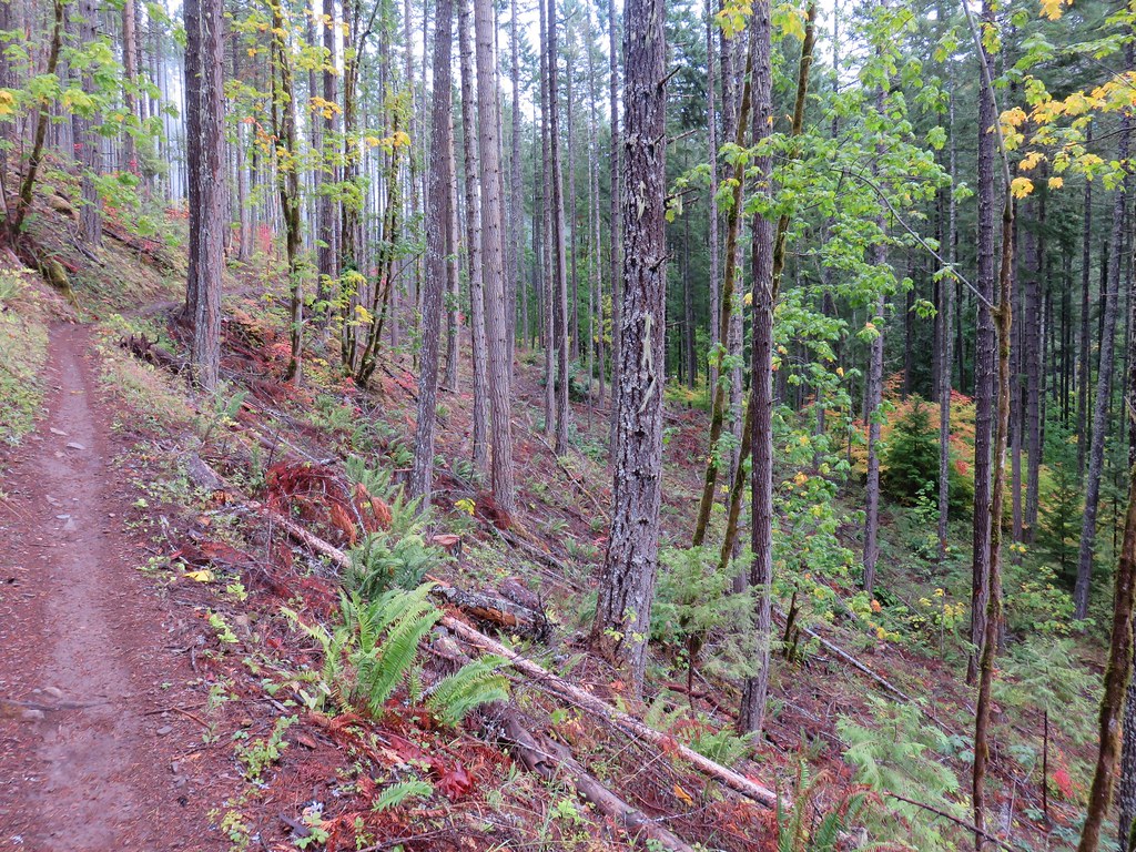
The trail is open to hikers, equestrians, mountain bikes and motorcycles and is heavily used so it was in really good shape as it climbed through a thinned forest full of fall colors.
Dead Mountain Trail

Dead Mountain Trail

Dead Mountain Trail

Dead Mountain Trail

There were also a few madorne trees along the trail.
Dead Mountain Trail

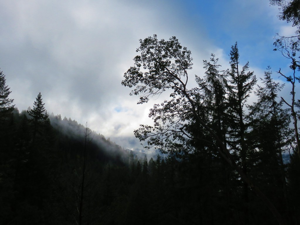
The forecast had been for sun but we had been stuck under low clouds or in fog on both trails. As the morning wore on signs pointed to clearing skies.
Clouds breaking up from the Dead Mountain Trail

About two miles from the gate as we neared the end of the thinned forest we finally broke out of the fog.
Dead Mountain Trail

The trail then promptly entered a denser forest.
Dead Mountain Trail

Dead Mountain Trail

Dead Mountain Trail

The trail crossed an old road before arriving at another road junction a quarter of a mile later where an aid station was set up for the trail race. We asked the volunteers what race it was and they explained that it was the Oakridge Triple Summit Challenge, a three day event where runners make three different summit ascents.

Our guidebook would have had us turn uphill to the right on Dead Mountain Road at this junction but with the extension of the trail we crossed the road and continued on a path that had been clearly designed to be a mountain bike trail.
Dead Mountain Trail

Dead Mountain Trail

The trail had many ups and downs and hairpin corners as it climbed toward the summit.
Dead Mountain Trail

Just over 1.75 miles from the road junction the trail crossed Dead Mountain Road.
Dead Mountain Trail

After another tenth of a mile of climbing we arrived at the broad flat summit of Dead Mountain.
Dead Mountain Trail

Dead Mountain Trail

The trail wound around the summit to the Upper Dead Mountain Trailhead at the end of Dead Mountain Road.
Dead Mountain Trail

Several radio and cell towers were located near the upper trailhead and it was in this area where we were finally able to get a mountain view.
Diamond Peak

Diamond Peak
Diamond Peak

We did a little exploring and headed downhill on a road track which led to a path that headed out onto a narrow ridge with even better views. It was a great view but definitely not a spot for anyone with a fear of heights.
Ridge on Dead Mountain

View from Dead MountainLooking SW

View from Dead MountainHills Creek Reservoir (behind the tree)

Diamond Peak

Diamond PeakMount Yoran and Diamond Peak

Waldo MountainWaldo Mountain

We decided to follow Dead Mountain Road down for a bit which was the route that the runners had followed.
Dead Mountain Road

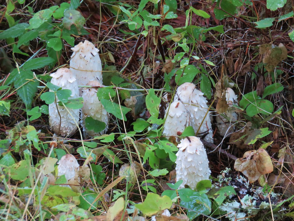
There were some interesting white mushrooms along the road.
Mushrooms on Dead Mountain

We followed the road for approximately three quarters of a mile passing a “Road Work Ahead” sign along the way.
Road work sign on Dead Mountain Road

After the three quarters of a mile we forked right on another old road bed then took a short trail which had been marked for the race back to the Dead Mountain Trail.
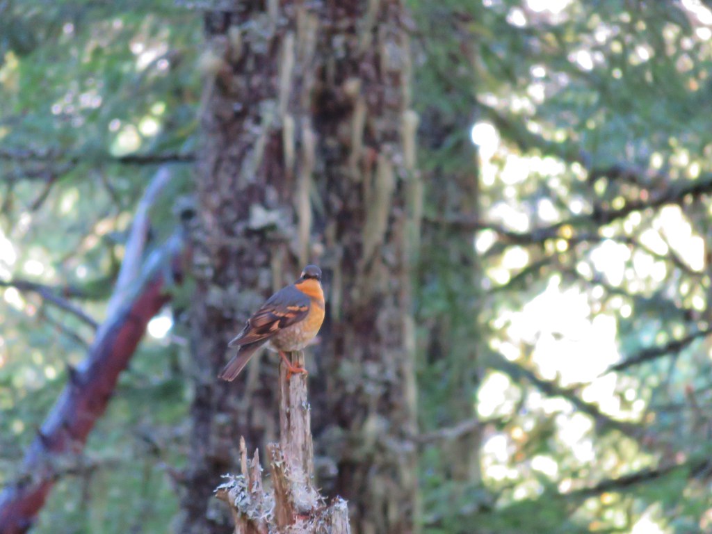
Along the way we had an encounter with my old nemesis, the varied thrush. We see quite a few of these colorful birds on the trails but I am rarely able to get an even remotely decent photo. They move around a lot and they always seem to be in poorly lit areas. After a couple of attempts at this particular thrush it finally sat still long enough for a slightly blurry photo.
Varied thrush

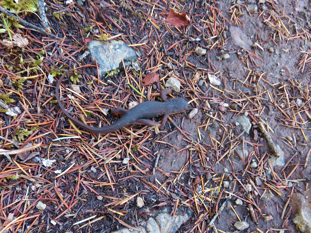
The aid station had been packed up and removed by the time we arrived back at the road junction and the runners on the trail had been replaced by other hikers and mountain bikers (and one speedy newt) as we made our way down.
Rough skinned newt

With the fog gone the fall colors were on full display in the thinned area.
Fall colors along the Dead Mountain Trail

Vine maple

Dead Mountain Trail

Vine maple

We followed the Dead Mountain Trail past where we had joined it from Flat Creek Road earlier but didn’t take the portion between Flat Creek Road and Salmon Creek Road due to not knowing for sure how long it was nor how far it might leave us from our car.
Dead Mountain Trail

Our route for this hike wound up being a total of 10.7 miles with over 2000′ of elevation gain. The trail made for a nice hike but given it’s design as a mountain bike trail and heavy use might not always be the most peaceful hike.

As our hiking season winds down we’ve done few of the hikes we’d planned on but those that have taken their places have turned out well and today was no different. Happy Trails!

Flickr: Deception Butte and Dead Mountain Trails

Categories
Hiking Oakridge Area Old Cascades Oregon Trip report

Chucksney Mountain to Grasshopper Meadow – Overnight

**Note the 2024 Young Grasshopper Fire burned over a portion of this hike including Grasshopper Meadow.**

After cancelling our first two planned backpacking trips in June we finally got out for an overnight trip. Originally on the schedule for the last week in June, we moved our visit to Grasshopper Meadow back three weeks to let the snow finish melting off, we just hoped we hadn’t waited too long to see the wildflowers.

Our plan for this trip was to start at Box Canyon Horse Camp and hike to Grasshopper Meadow via the Chucksney Mountain and Grasshopper Trails.

Box Canyon Horse Camp is located just off paved Forest Road 19 (Aufderheide Road) and can be reached by driving south from Highway 126 (4 miles east of Blue River) or north from Highway 58 (3 miles west of Oakridge).

After turning at a sign for the Horse Camp we forked right and parked in a large unmarked parking area where a post marked the start of our trail.
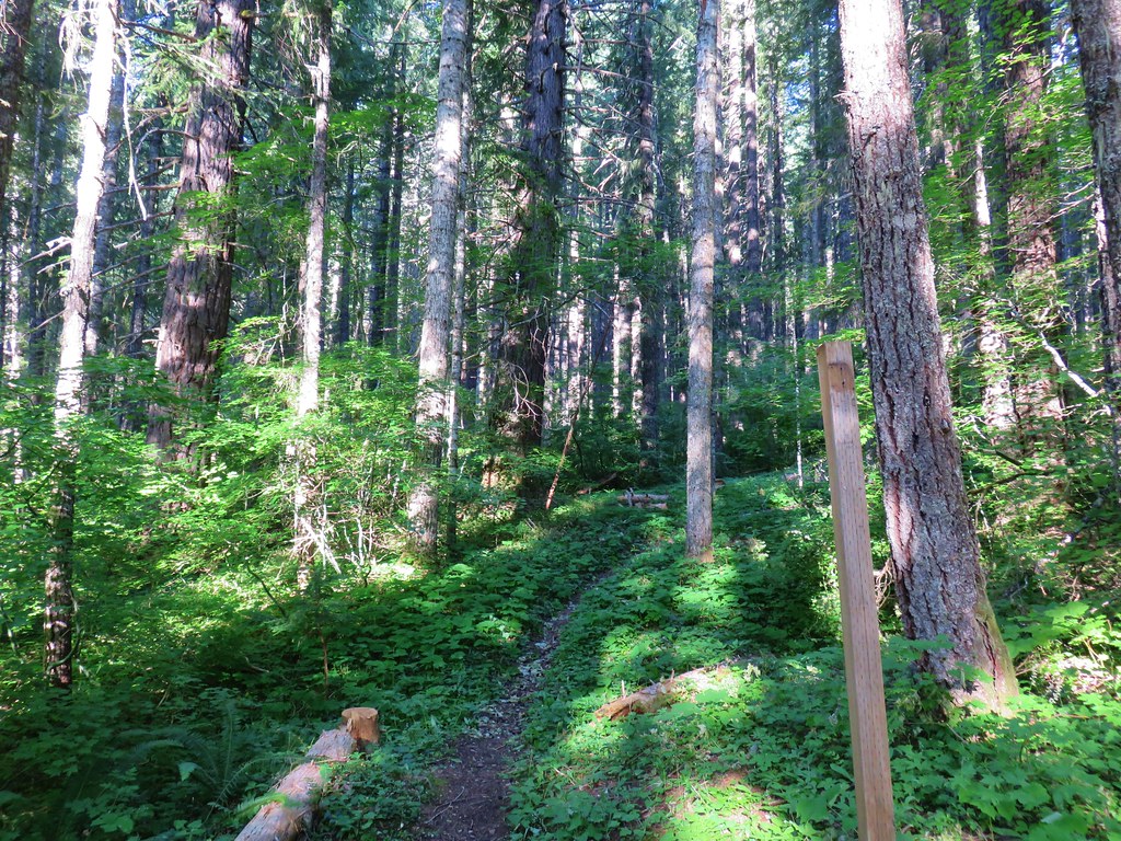
Trail from the car parking at Box Canyon Horse Camp

The trail led uphill and left to a signed trail junction just above the corral at the horse camp where we picked up the Grasshopper Trail.
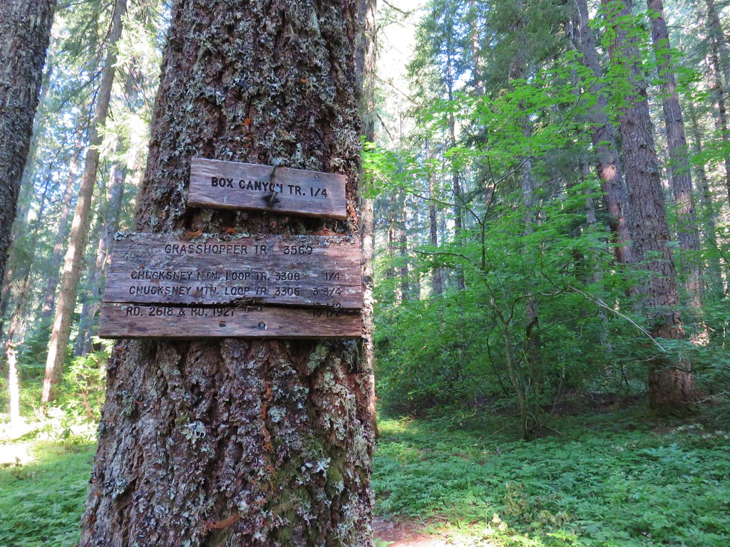
Grasshopper Trail

Mosquitoes were a bit of a nuisance here, and they would be so off and on for the entire trip. We turned uphill passing the Box Canyon Trail which forked to the left before arriving at the signed junction with the Chucksney Mountain Tail. Here we turned right onto the Chucksney Mountain Trail which would lead us to the 5756′ summit in a little under 5 miles. The trail passed through a variety of scenery as it climbed.
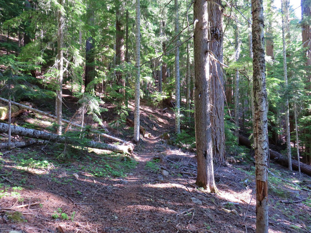
Chucksney Mountain Trail

Chucksney Mountain Trail

Chucksney Mountain Trail

Beargrass and a small burn along the Chucksney Mountain Trail

Chucksney Mountain Trail

In the first 3.5 miles from the trailhead we’d climbed about 1500′ reaching an elevation of 5200′ then the trail dropped a bit and leveled out for about a half mile. The level area held a couple of snow melt ponds and some green meadows which gave rise to plenty of mosquitoes so there wasn’t much stopping for photos as we zipped through. When the trail began climbing again we were approximately 600′ below the summit of Chucksney Mountain.

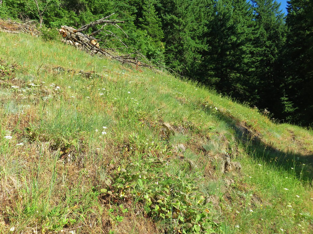
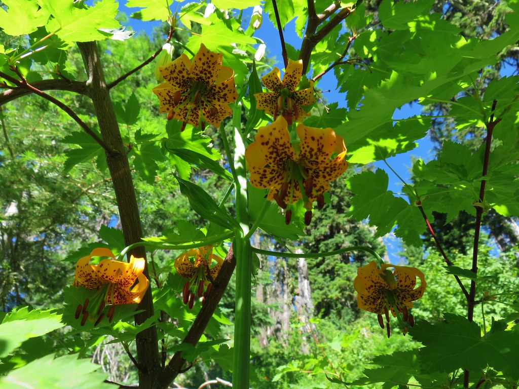
The trail made up the elevation in a half mile by using a long switchback. As we climbed the number of trees lessened and we passed an increasing number of wildflowers.

Lupine along the Chucksney Mountain Trail

Tiger lilies

Tiger lilies along the Chucksney Mountain Trail

The trail crested a ridge below the summit in an old burn area which left plenty of exposure for wildflowers as well as open views.
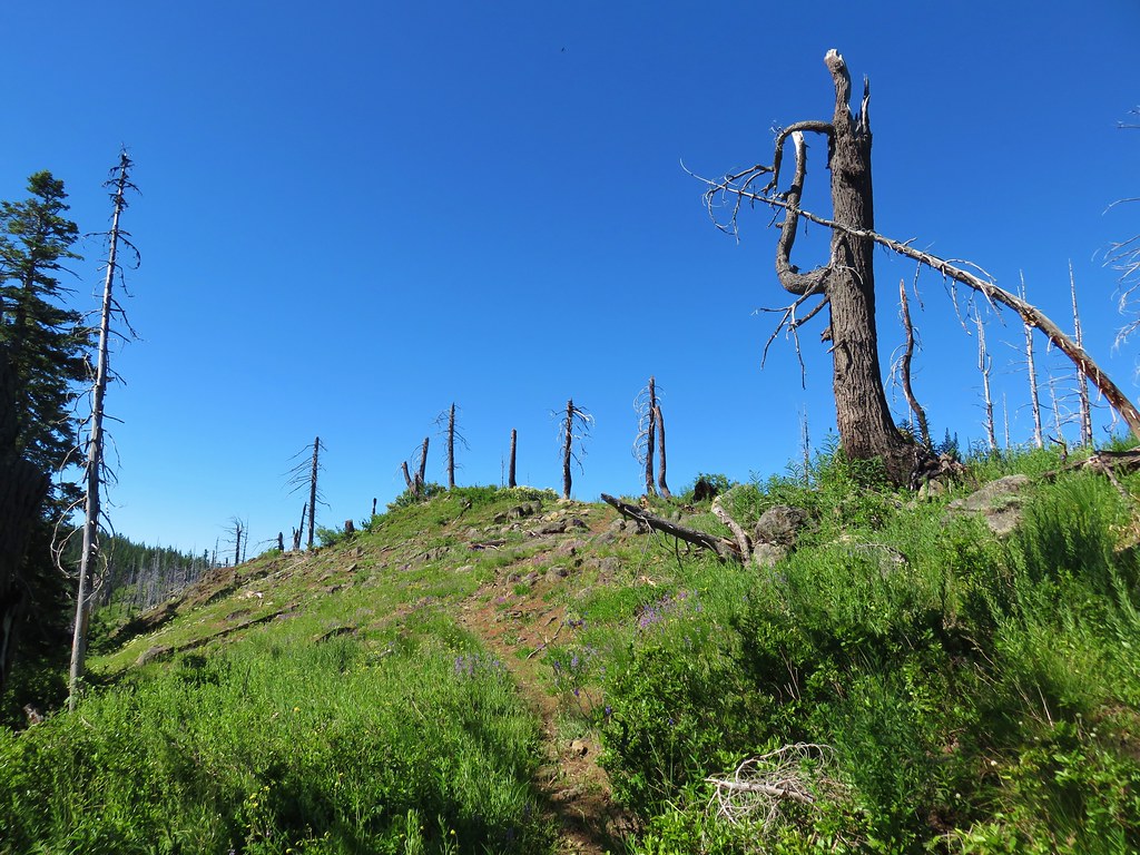
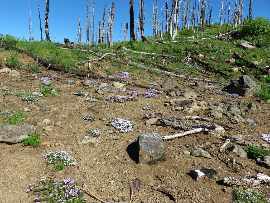
Chucksney Mountain Trail

Phlox

View from Chucksney Mountain Trail

The Three Sisters, Broken Top and Mt. Bachelor

The Chucksney Mountain Trail didn’t actually reach the summit but an easy .1 mile climb along the ridge brought us to the summits survey marker.

Wildflowers on Chucksney Mountain

Survey marker on Chucksney Mountain

A nice variety of wildflowers covered the ridge.

Owl's head clover

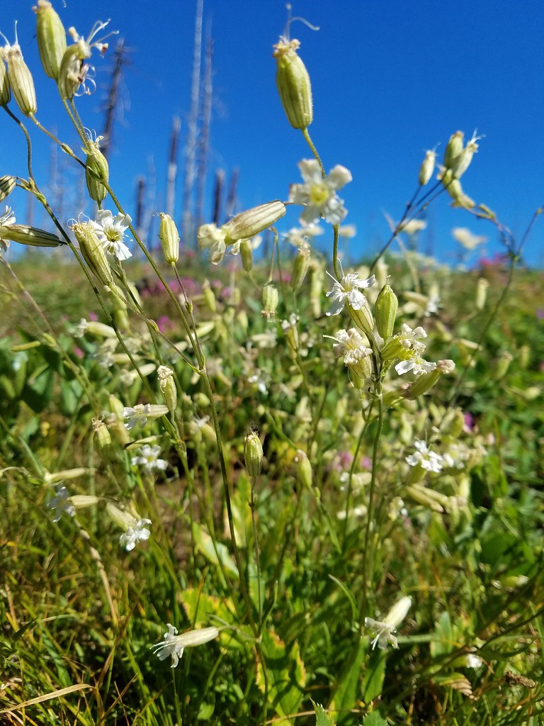
Catchfly

Wildflowers on Chucksney Mountain

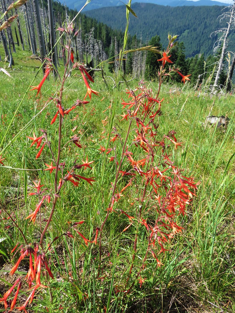
Scarlet gilia

From the summit we could see eight of the Cascade volcanoes from Mt. Jefferson in the north to Diamond Peak in the south.

Mt. Jefferson and Three Fingered Jack from Chucksney MountainMt. Jefferson & Three Fingered Jack

The Three Sisters, Broken Top and Mt. Bachelor from Chucksney MountainThe Three Sisters, Broken Top, and Mt. Bachelor

Diamond Peak from Chucksney MountainDiamond Peak

After a short break at the summit we returned to the trail which turned south along a long ridge where the tread became faint as it passed through a meadow.
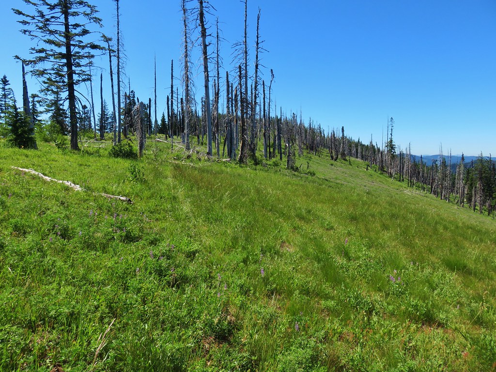
Chucksney Mountain Trail

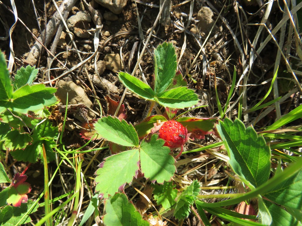
We spotted some other types of wildflowers along the ridge as well as some nice ripe strawberries.
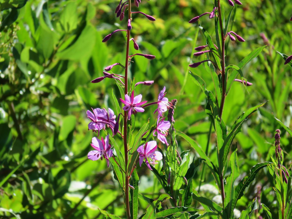
Fireweed

Grand collomia

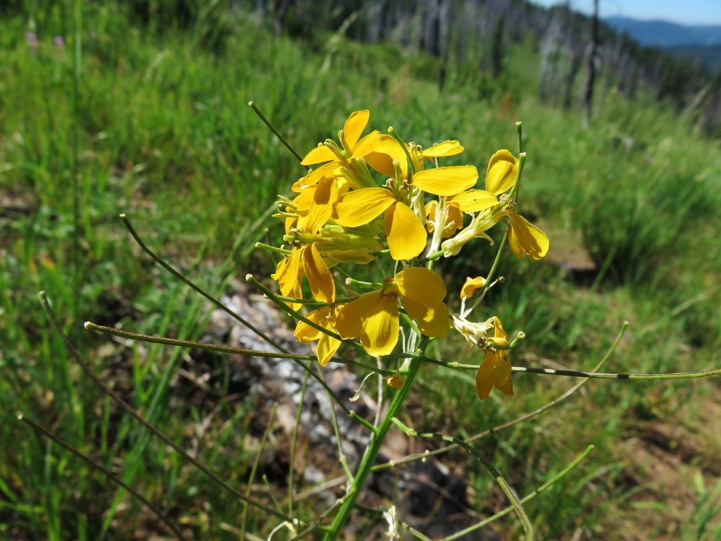
Wallflower

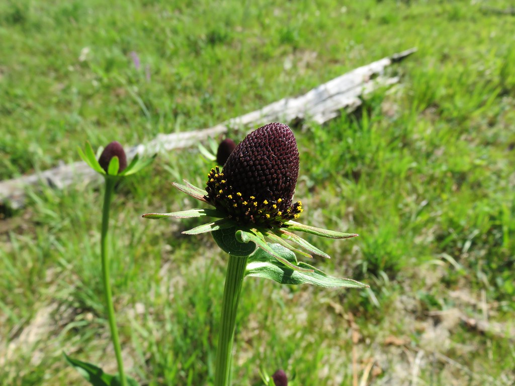
Coneflower

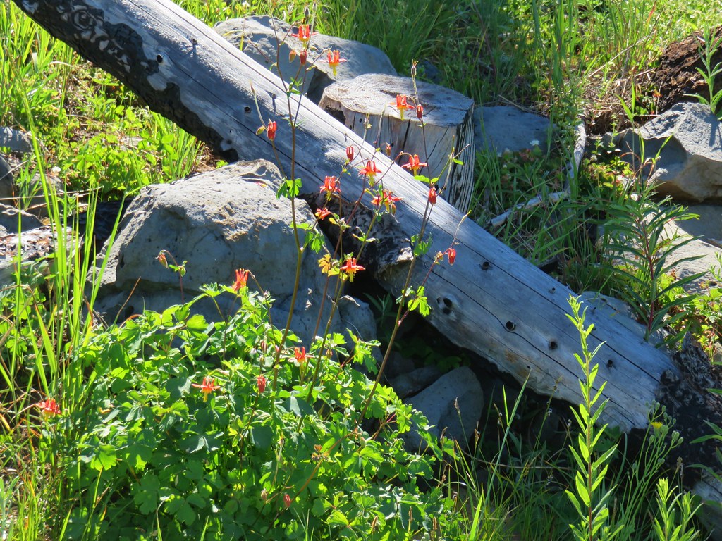
Columbine

Strawberry

The trail reentered the trees as it began a hillside traverse to its end at the Grasshopper Trail.
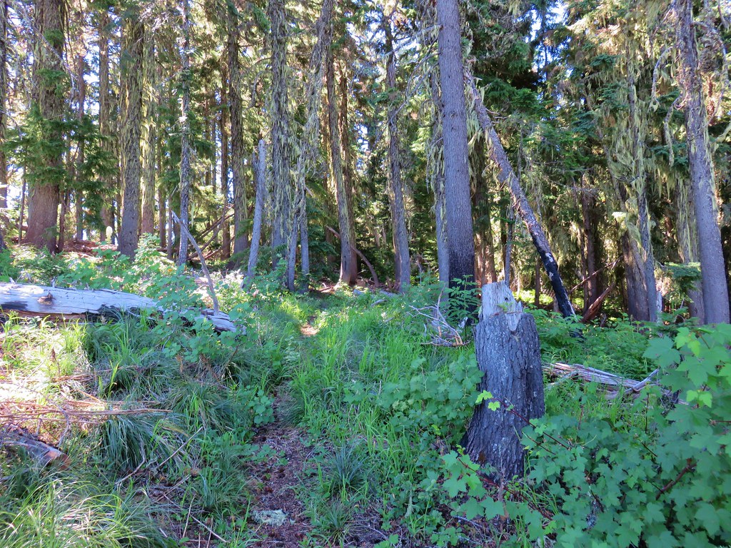
Chucksney Mountain Trail

The trail passed along another section of burned forest just before reaching the signed junction.

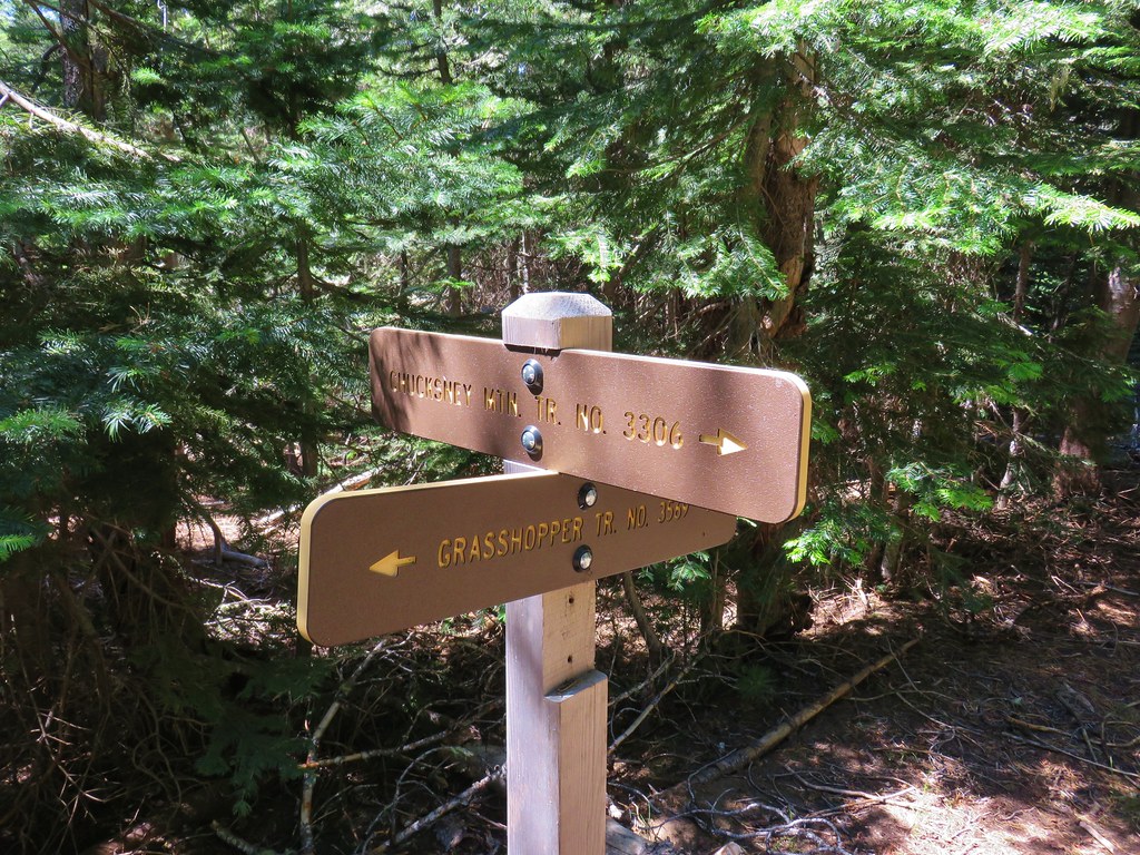
Meadow along the Chucksney Mountain Trail

Chucksney Mountain Trail junction with the Grasshopper Trail

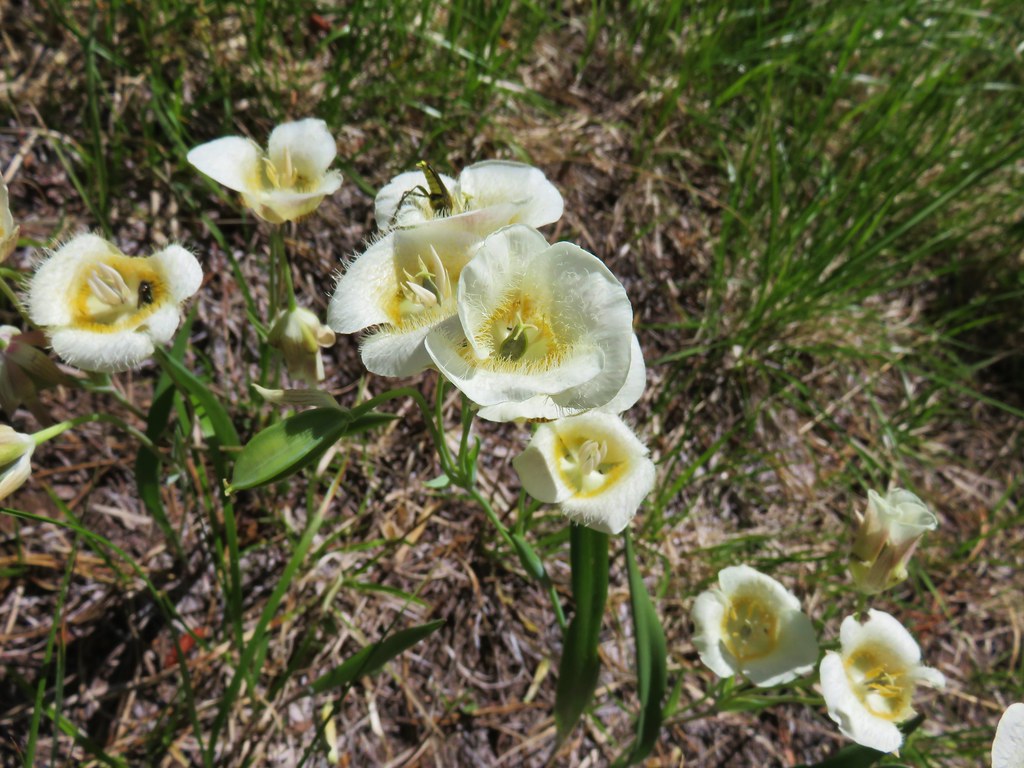
Turning left here would have led us back to the down to the Box Canyon Trailhead in 3.9 miles but we were saving that section of trail for our return the next day. We turned right and headed east along the Grasshopper Trail which promptly began to descend through and then along a meadow with lots of cat’s ear lilies and a view of Diamond Peak.

Meadow along the Grasshopper Trail

Cat's ear lilies

Cat's ear lilies

Diamond Peak

Diamond Peak

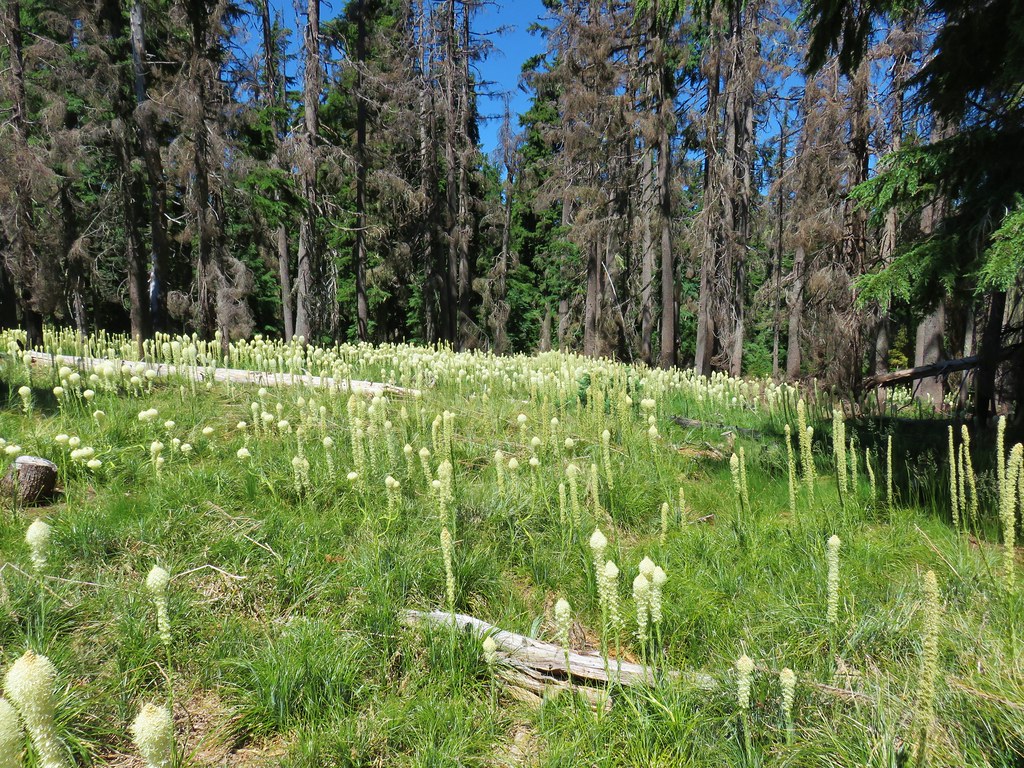
The trail lost a little over 500′ of elevation as it followed the forested ridge east. A little over a mile from the junction we finally hit the low point in a saddle just under 5000′ in elevation. We then began regaining nearly all of the elevation we had lost in the next mile. This climb contained the steepest section of the hike and ended in a beargrass filled meadow.
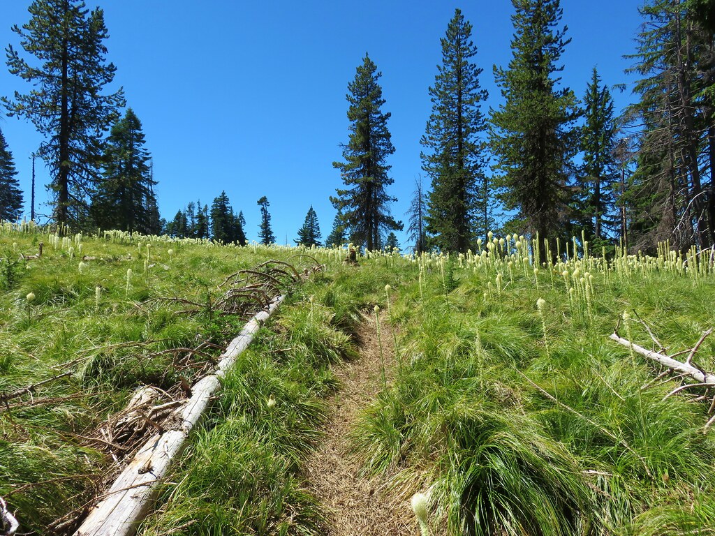
Grasshopper Trail

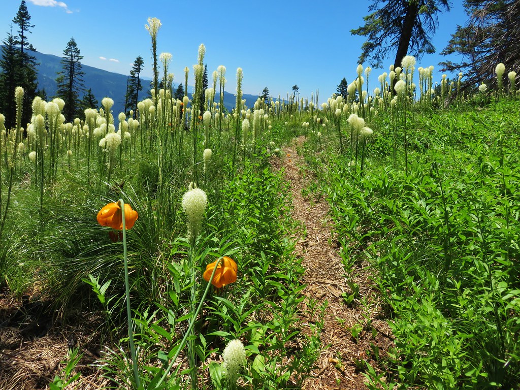
Beargrass

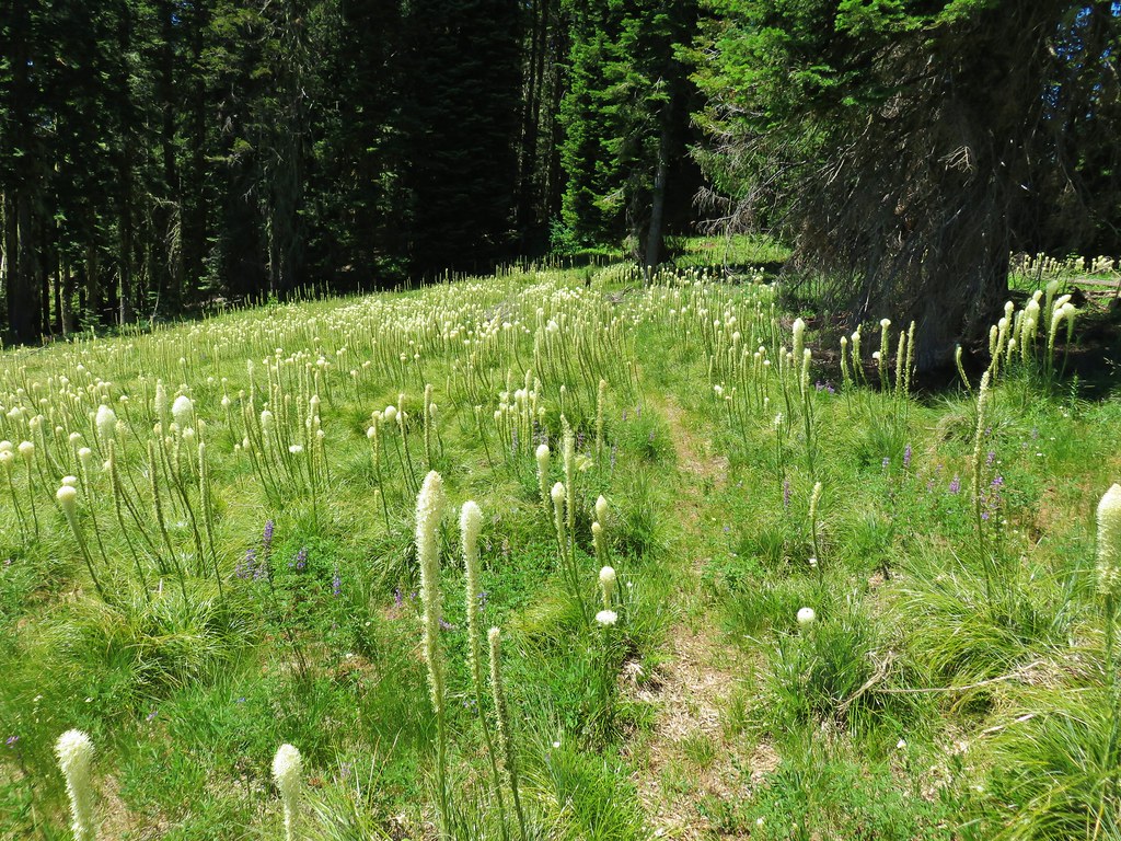
Beargrass meadow along the Grasshopper Trail

Grasshopper Trail

A brief exploration of the meadow revealed some blocks in the ground of unknown origin.

Blocks in a meadow along the Grasshopper Trail

We also spotted a fairly good sized and very colorful moth which we later identified as a common sheep moth thanks to some help from the folks at Oregonhikers.org.
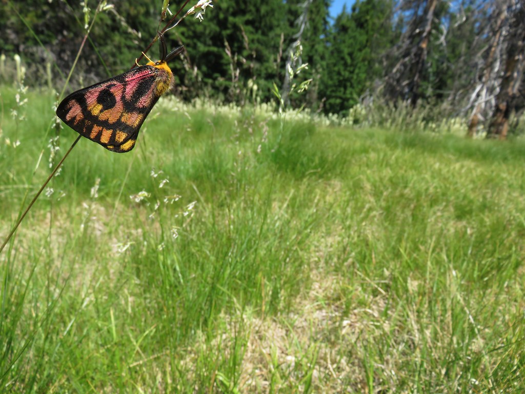
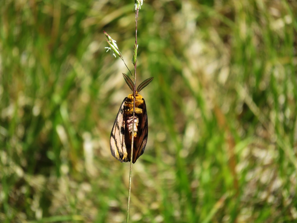
Sheep Moth

Sheep Moth

We had thought this meadow might be Grasshopper Point but after consulting the map it was clear we had a way to go yet before we’d reach that feature. We continued on the trail, which for the next quarter mile traveled along some rocky cliffs offering more views of Diamond Peak.
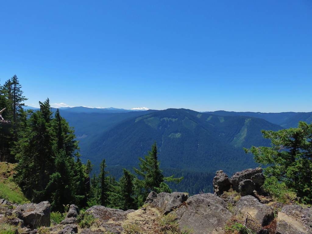
Diamond Peak

Beyond the cliffs the trail turned north as it began to contour around a creek drainage. Up until this point the the trail had been in good shape with signs of recent maintenance where logs had been cut. The Chucksney Mountain Trail had been a bit faint through the meadow along the ridge but it had still been relatively easy to follow. Here we came to a large meadow with signs of another fire but no sign of the trail at first.

The Grasshopper Trail was not visible through this meadow, a few Forest Service flags helped mark the way.

We finally spotted a small orange flag in the middle of the grass and made our way towards it.
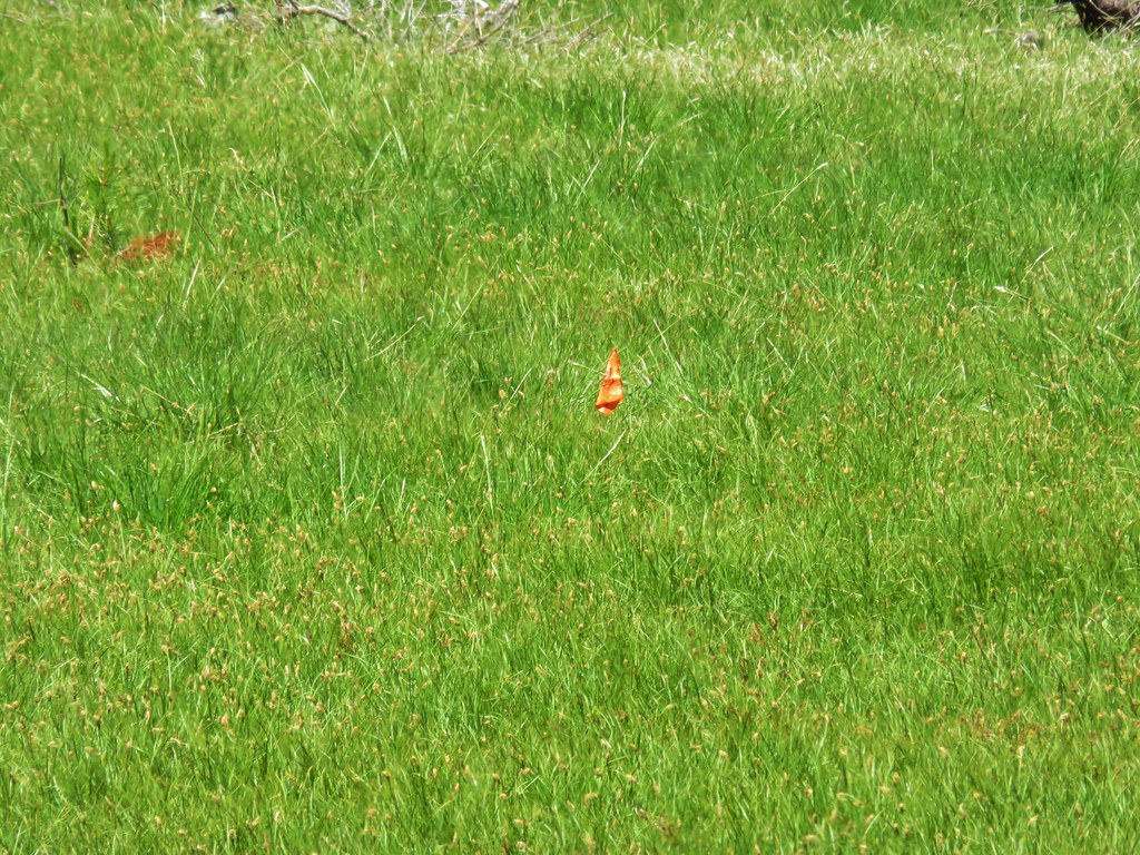
Forest Service Flag marking the Grasshopper Trail

It was a Forest Service “Trail” Flag so we looked for a second one. We did spot one, but it was next to a small tree next to the trail we’d just come from. We scanned for any signs of a trail: flagging, cairns, blazes but there was nothing. Time for the maps. The Garmin, Forest Service, and topographic maps all showed the trail swinging around to the NE so we began using the GPS to stick close to where it showed the trail was supposed to be. We spread out a bit in hopes of rediscovering the trail. We both spotted different flags at about the same time.

Forest Service Trail flag

There wound up being three flags at the lower end of the meadow which led us to the continuation of the trail as it reentered the trees. After a short stint in the trees the trail began to climb out of the valley into another meadow.
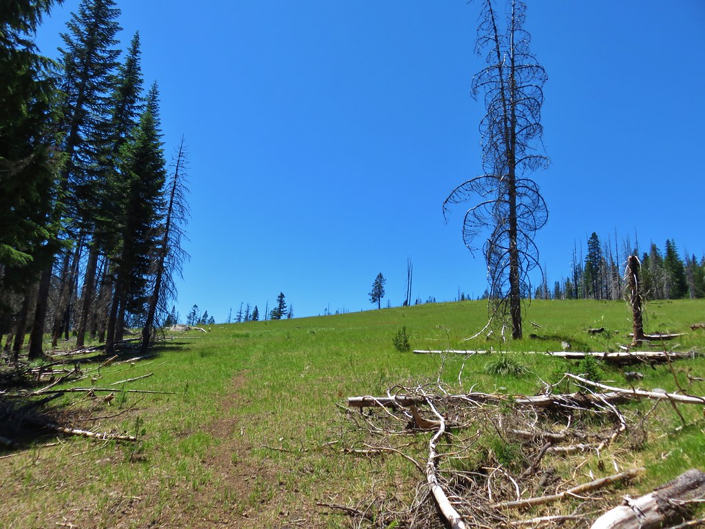
Grasshopper Trail

The trail was faint at times in this meadow as well, but there were large rock cairns to help guide us this time.

Grasshopper Trail

Looking back from this meadow gave us a good look at another meadow across the valley.

Meadows along the Grasshopper Trail

The meadow gave way to a wildflower rock garden as the trail regained the ridge.
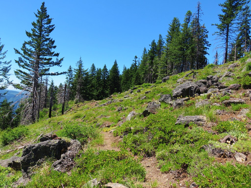
Grasshopper Trail

Owl's head clover

Scarlet gilia

Wildflowers along the Grasshopper Trail

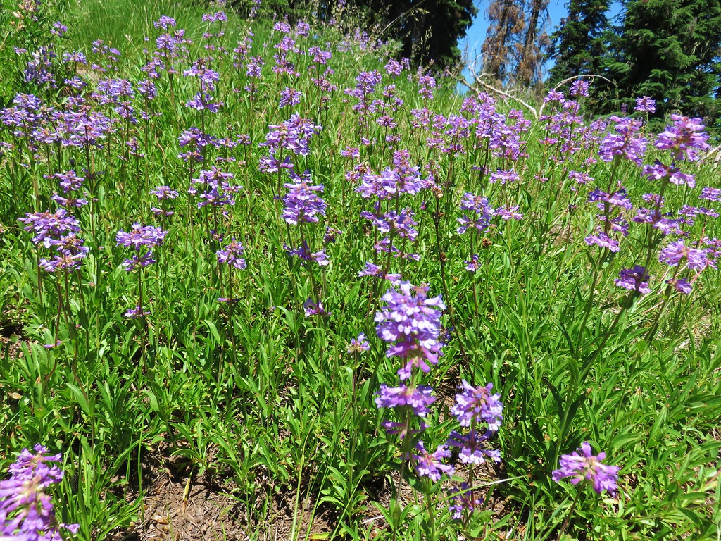
Penstemon

In the next half mile the trail passed through two small meadows, the first filled with lupine and the second more beargrass. The trail was once again very faint in the lupine meadow.
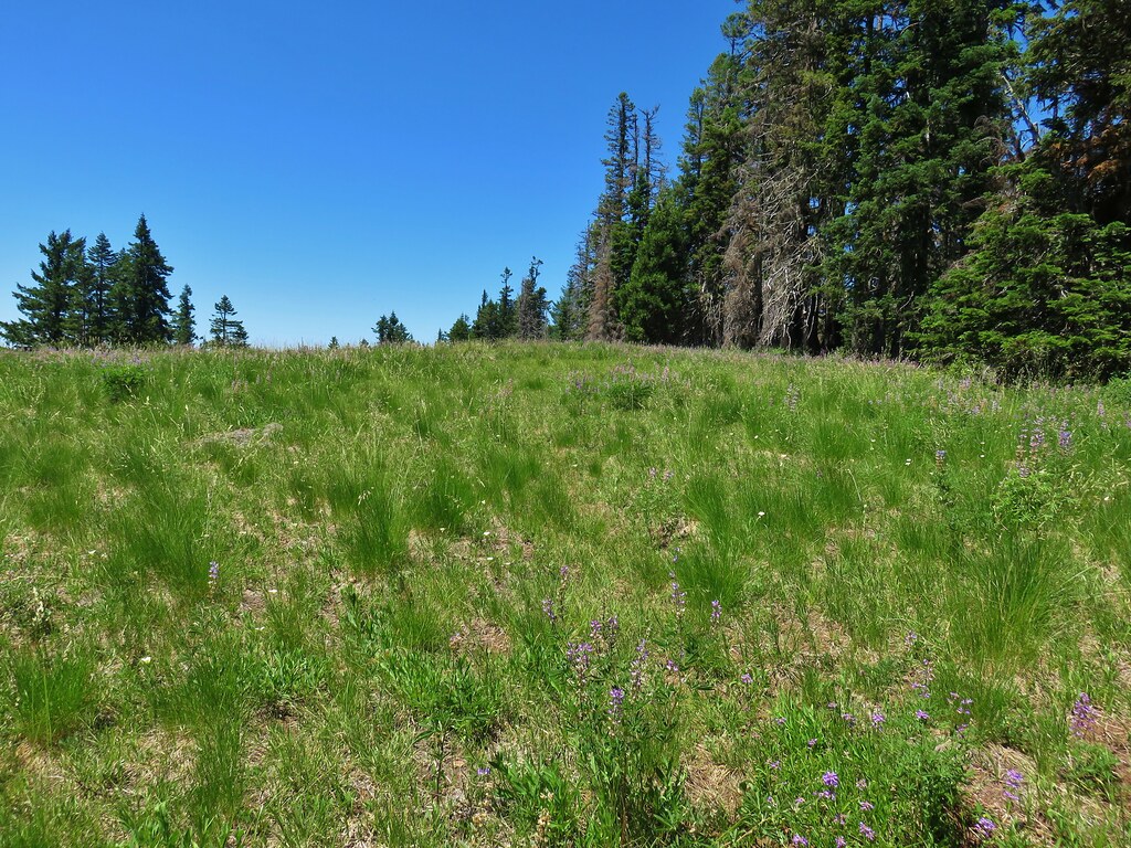
Grasshopper Trail

Lupine

Grasshopper Trail

Grasshopper Trail

The trail then dipped off the ridge, first on the north side, then after climbing back up to a saddle, to the south side to avoid some rock outcrops.
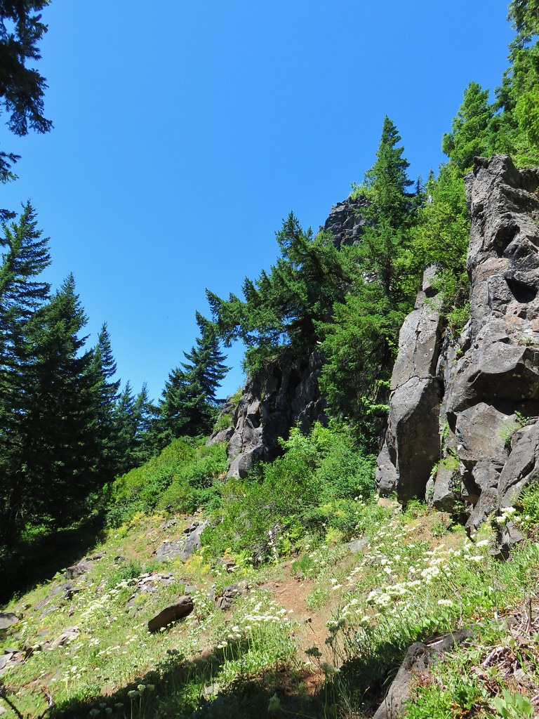
Grasshopper Trail

Beyond the outcrops was a short forested section of the ridge where some fragrant Washington lilies were in bloom.
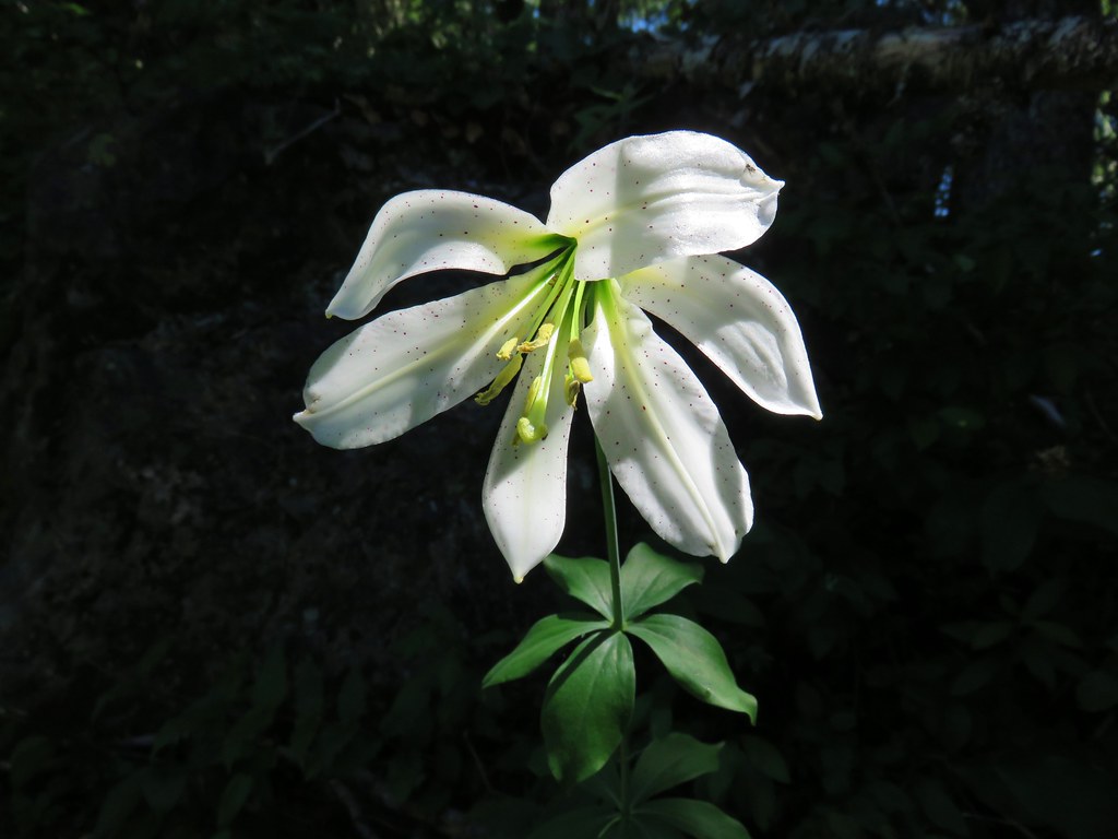
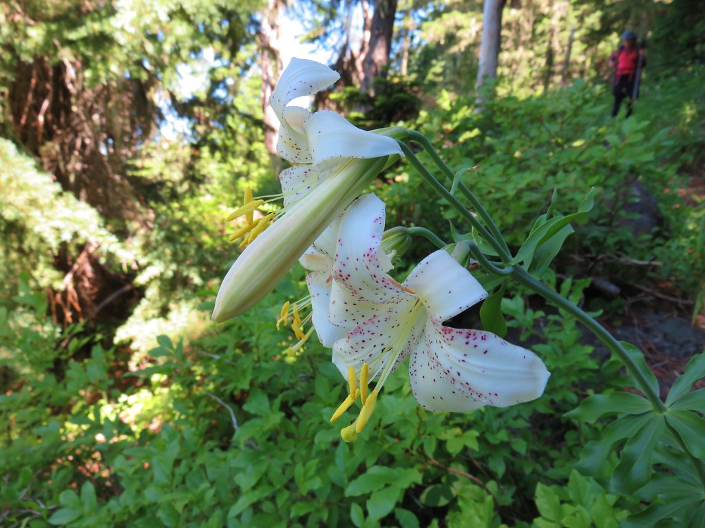
Washington lily

Washington lily

A total of 5.2 miles from the Chucksney Mountain Trail junction we arrived at the meadow near Grasshopper Point.
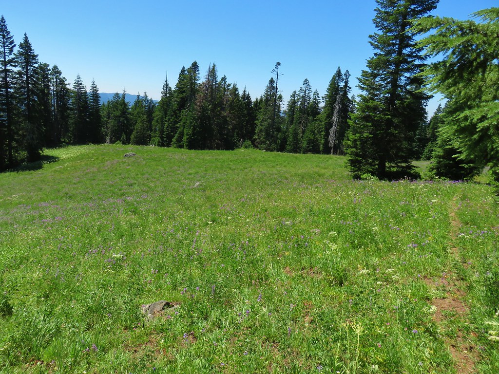
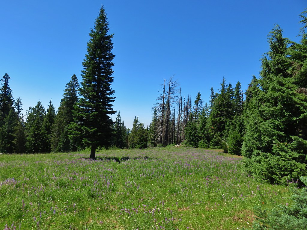
Grasshopper Trail

Grasshopper Trail

We spotted a patch of bare ground at the edge of the meadow near the trees where we decided to set up camp.
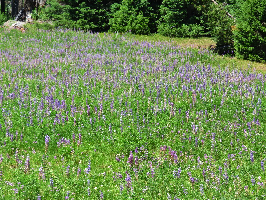
Lupine meadow

Camp site along the Grasshopper Trail

The meadow was filled with flowers and provided views of Diamond Peak, especially on the rocks of Grasshopper Point.

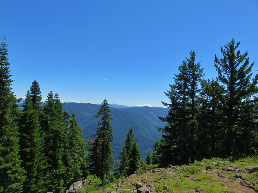
Wildflower meadow along the Grasshopper Trail

Diamond Peak

After setting up camp and taking a nice break at Grasshopper Point we continued east on the Grasshopper Trail to the large Grasshopper Meadow.
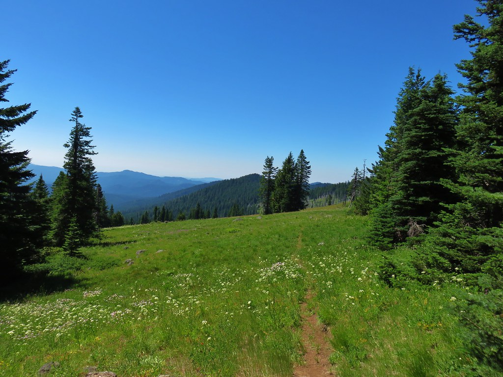
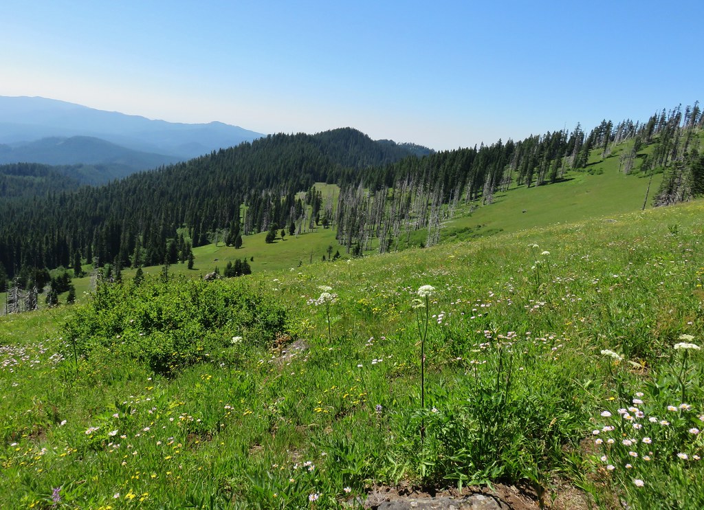
Grasshopper Trail

Grasshopper Meadow

Grasshopper Meadow (and Grasshopper Point for that matter) lived up to their name as dozens of grasshoppers jumped with every step. The number of grasshoppers was impressive but more impressive was the variety of butterflies we were seeing.

Checkerspot butterfly

Swallowtail on tiger liliy

Mountain parnassian

Butterfly in Grasshopper Meadow

Fritillary butterflies

Butterflies in Grasshopper Meadow

Blue copper

There was even another common sheep moth.
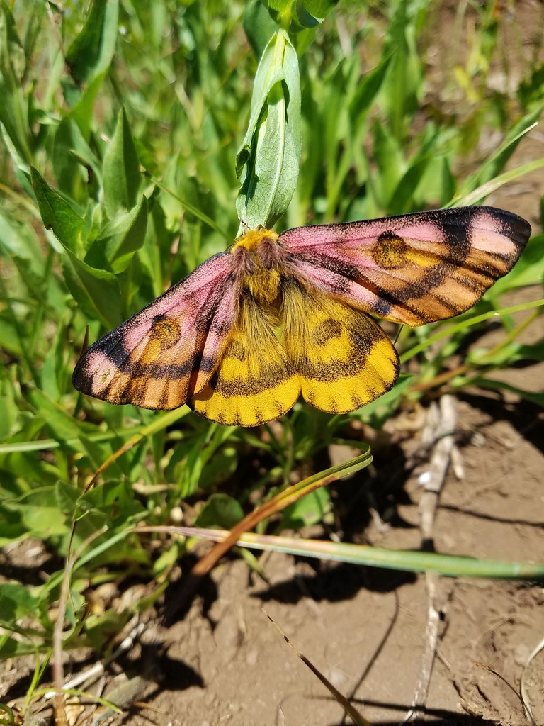
Sheep moth

We were so busy looking at the butterflies and flowers we missed the fork in the trail that would have led down to a spring which is where we had planned on heading. We had brought our dinner with us and had planned on finding a place to eat near the spring so we could refill our water afterward since it was the only source of water around. When we reached a saddle where the trail began to descend to the north of Grasshopper Mountain we realized our mistake. From the saddle the Grasshopper Trail follows Hiyu Ridge for 4 miles to the Grasshopper Trailhead.

The view from the saddle included Diamond Peak to the SE and the Three Sisters, Broken Top, and Mt. Bachelor beyond Chucksney Mountain to the NE.
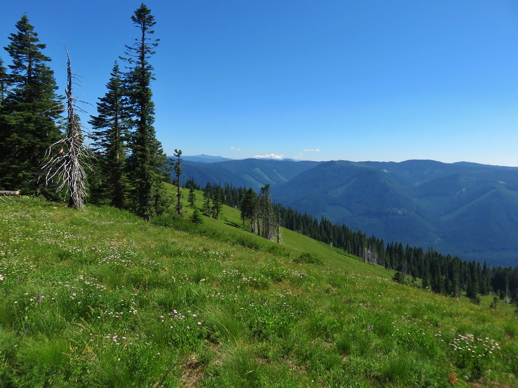
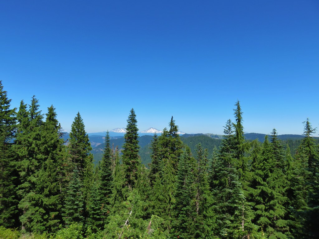
Diamond Peak from Grasshopper Meadow

The Three Sisters and Broken Top

We momentarily considered attempting to bushwack up to the former lookout site atop Grasshopper Mountain but the brush near the summit looked thick and in the end we decided not to exert the effort.
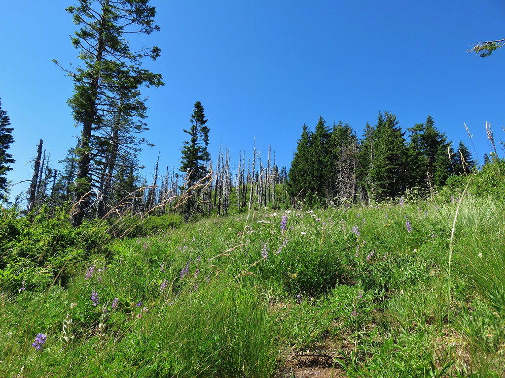
Grasshopper Mountain

Instead we decided to head cross country downhill and use the GPS to locate the spring.
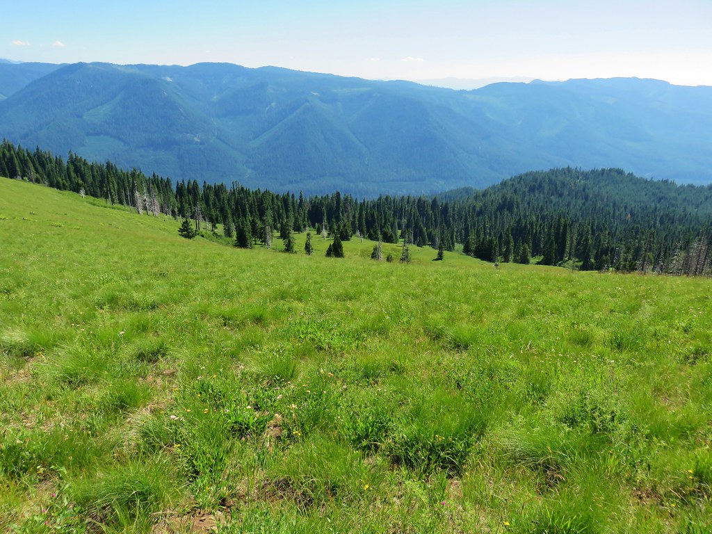
Grasshopper Meadow

From higher up in the meadow we’d seen something near a boulder below and on our way to the spring we took a closer look.
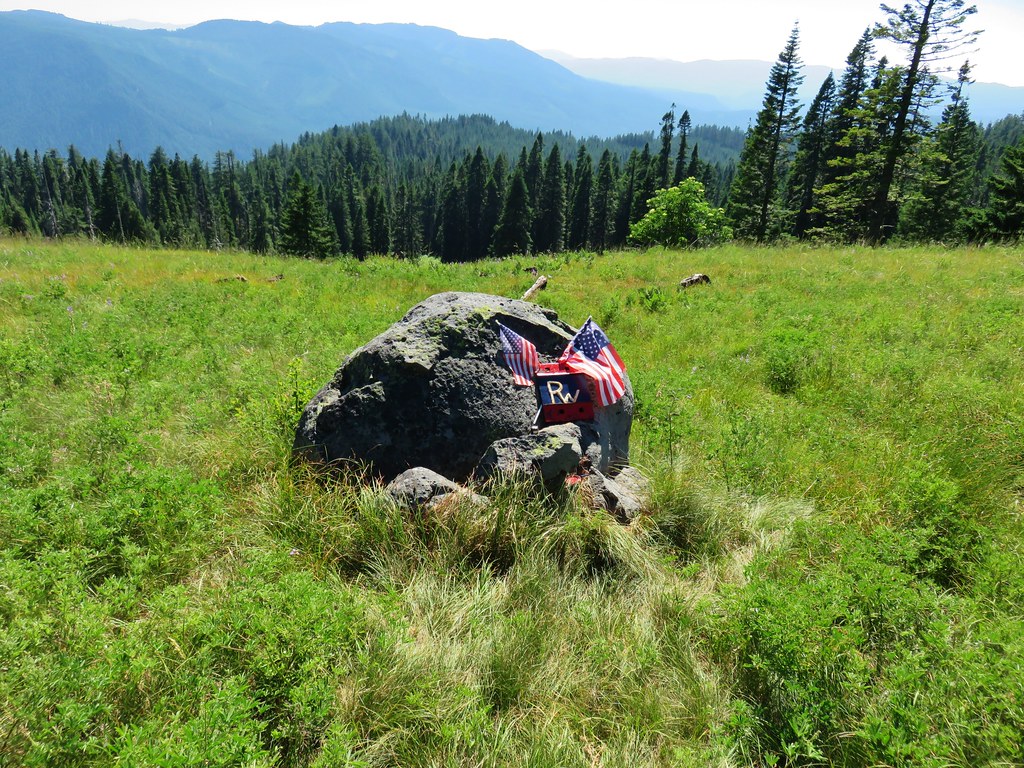
Some sort of memorial in Grasshopper Meadow

Not sure if it was some sort of memorial or what but after satisfying our curiosity we continued steeply downhill to the SE where we managed to find the spring flowing out of a pipe amid a clump of yellow monkey flower and a swarm of blue copper butterflies.

Spring in Grasshopper Meadow

Blue copper butterflies

We filled all our containers from the spring and then picked up a trail just a few feet east of the spring climbing steeply uphill. This trail starts just .7 miles from the spring along Forest Road 1929 and is the described route in William Sullivan’s 4th edition “100 Hikes in the Central Oregon Cascades”.

The terrain was too steep to provide any place for us to fix dinner so we began climbing back up toward the Grasshopper Trail. The trail was faint but visible as we climbed. Along the way we spotted a huge Washington lily blooming in the meadow.

Washington lily in Grasshopper Meadow

Washington lily

Washington lily

We were curious to find out where we’d missed this trail earlier when we passed by. It turned out that the path led over a rocky area where the tread vanished leaving a lone post and small rock cairn as it’s only identifiers.
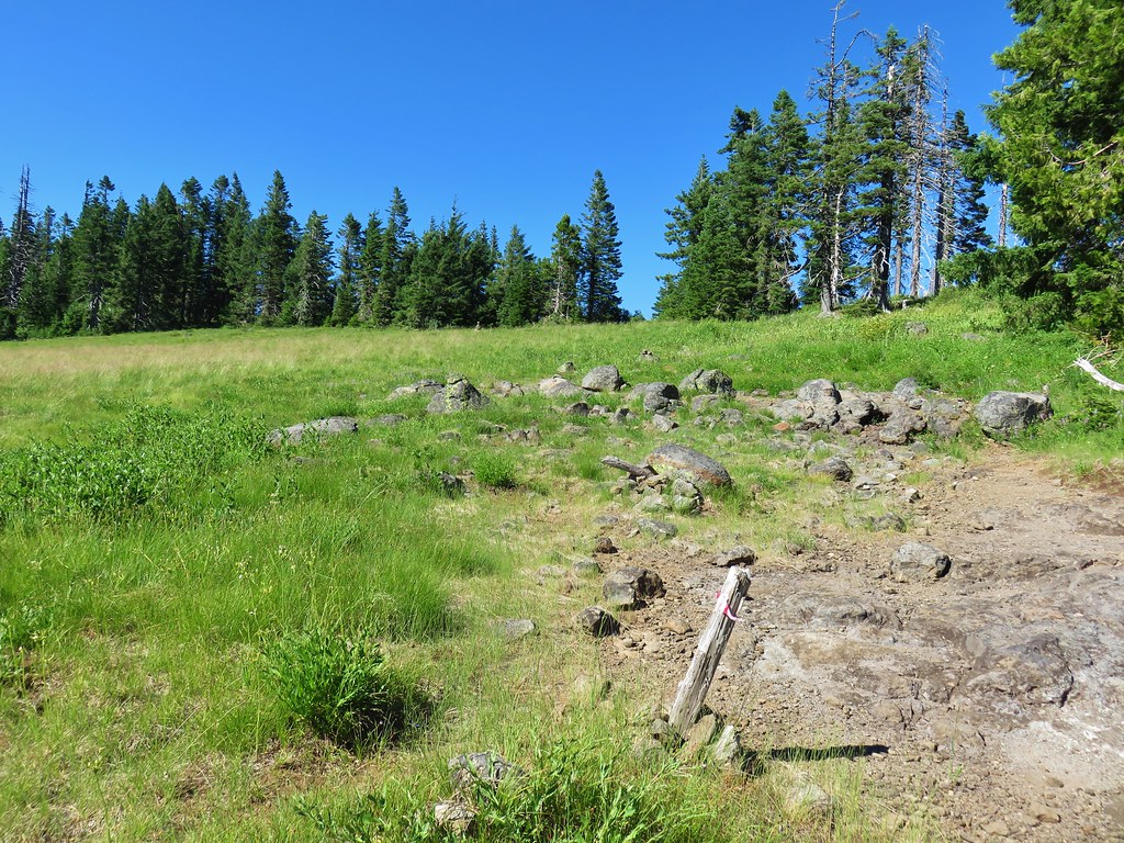
Grasshopper Trail

We decided to return to Grasshopper Point and set up our stove on the rocks there. We fixed dinner then relaxed as we enjoyed the view and listened to the birds.
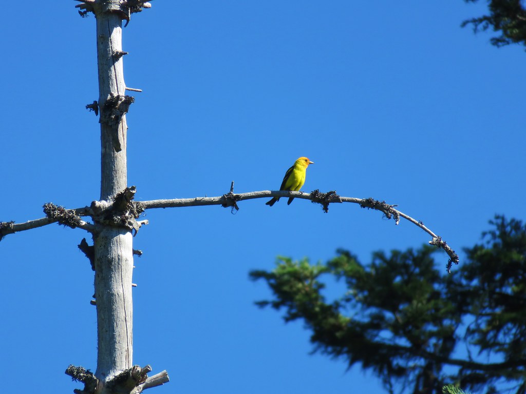
Western tanager

White crowned sparrow

We turned in for the night after having put in a little over 15 miles for the day. After a good nights sleep we awoke early and began preparing to depart. The mosquitoes were out in force, (they had been mostly absent in the meadows during the heat of the previous day) and we were dealing with a fair amount of condensation due to setting up next to the meadow.

Lupine in the morning light

After packing up and applying some DEET we headed back. We had talked about the possibility of seeing some sort of animals in the meadows that morning and sure enough we did spot three deer just as we entered one of the meadows, but they quickly retreated into the trees.

While we hadn’t seen anyone else yet on this trip we did spot some fresh mountain bike tracks as we neared the junction with the Chucksney Mountain Trail. We reached that junction after a little over five miles. We passed that trail and continued straight on the Grasshopper Trail.

Our shoes were soaked from the dew in the meadows and the mosquitoes were ready to pounce whenever we paused, so even though the next 3.6 miles of the Grasshopper Trail was new for us, we kept a brisk pace. The trail wound it’s way downhill through the forest where there were still many of the typical white flowers found amid the trees; bunchberry, anamone, queen’s cup, twin flower, and we even spotted a pair of trillium still in bloom.

Trillium

After a wide switchback we crossed a stream flowing down Box Canyon and in another quarter mile arrived back at the lower junction with the Chucksney Mountain Trail.
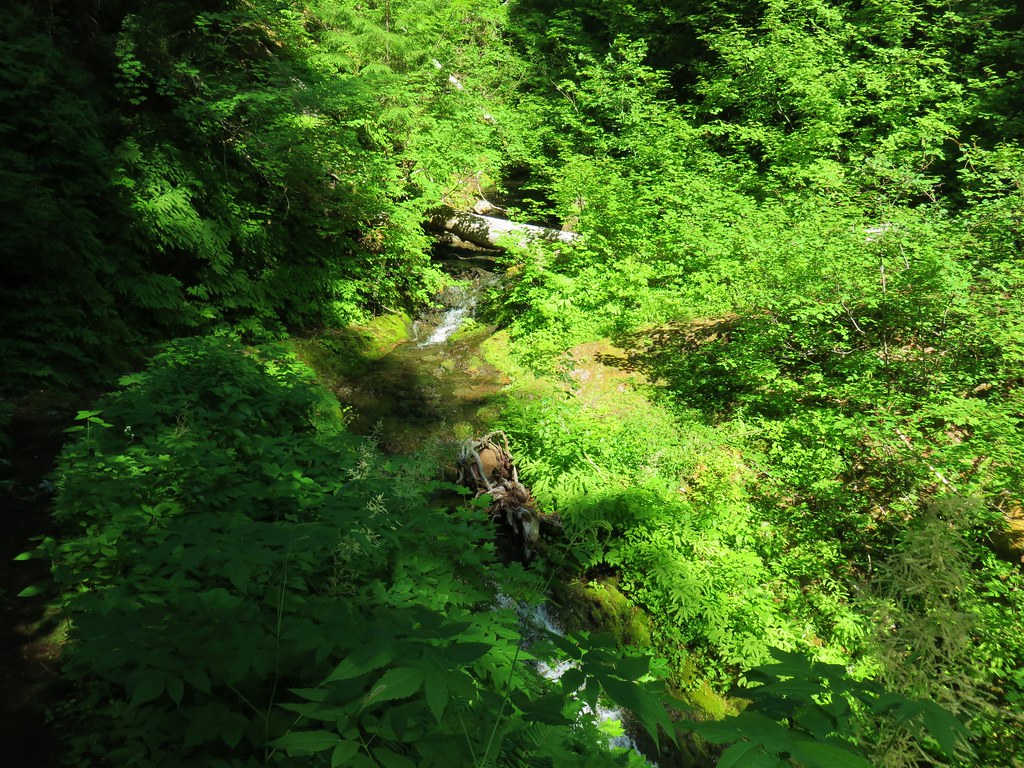
Stream in Box Canyon

Grasshopper Trail junction with the Chucksney Mountain Trail

A final .3 miles brought us back to our car which was being patrolled by a squadron of mosquitoes. We quickly tossed our packs in the back of the car and hopped inside to change. We never did wind up seeing anyone else on the trails which made the fourth hike in a row where we didn’t see another person on the trails.

The trails had been amazingly clear of debris, we only stepped over two logs and one young bent tree, but the faint sections through the meadows required some navigational skill. The relative lack of water along the route make it an unlikely backpacking destination but it worked out well for us. That being said the views and the wildflowers make either Chucksney Mountain or Grasshopper Meadow a worthy early summer day hike destination. Happy Trails!

Flickr: https://www.flickr.com/photos/9319235@N02/albums/72157683128711132

Categories
Clackamas Hiking Old Cascades Oregon Trip report

Big Bottom (Clackamas Wilderness) & Rho Ridge Trail

**Note the 2021 Bull Complex burned around Hawk Mountain, but the lookout survived.**

For the second outing in a row we turned to Matt Reeder’s “101 hikes in the Majestic Mount Jefferson Region” as our guide. A number of the hikes in this book are lesser known and therefor less popular which means fewer people and most likely more challenging due to spoty trail maintenance.

We began our day with a short hike into one of Oregon’s wilderness areas that we had yet to visit, the Clackamas Wilderness. This particular wilderness is broken up into five separate tracts of land, one of which is Big Bottom. The Big Bottom tract protects an old growth forest along the Clackamas River. Although there are no official trails in Big Bottom a decommissioned logging road allows for a mile long walk down to the wilderness boundary where a use trail continues north for a little over half a mile before vanishing in brush.

To reach the decommissioned road we drove Forest Road 46 north from Detroit for 28.6 miles to Fores Road 4670 where we turned left crossing the Clackamas River. Just beyond the bridge we turned right on FR 4671 for .7 miles and parked on the right at the old road.
Closed road 120 which leads to the Big Bottom unit of the Clackamas Wilderness

We followed the roadbed downhill through a previously logged forest.
Heading down to Big Bottom

Just prior to reaching the wilderness boundary the road bed became choked with downed trees which we simply detoured around.
Trees leaning over old road 150

At a junction with an even older roadbed we turned left (north) and followed what became a clear user path into the old growth of Big Bottom.
Big Bottom

Big Bottom

There were a few downed trees to navigate but the path was easy enough to follow until we neared a creek where the ground became marshy and the underbrush extremely thick.
Big Bottom

We turned around at that point returning to the car to complete a 3.4 mile hike. That was our warm-up for the day before a longer hiker on the nearby Rhododendron (Rho) Ridge Trail. Our plan was to start at Graham Pass and follow the trail south 4.8 miles to the Hawk Mountain Trail and take the .4 mile trail up to the Hawk Mountain Lookout.

To reach Graham Pass we followed FR 4670 for 13.9 miles to FR 6530 where a large parking area was visible. There was no signage visible at the parking area, just a blank signboard along an old logging road.
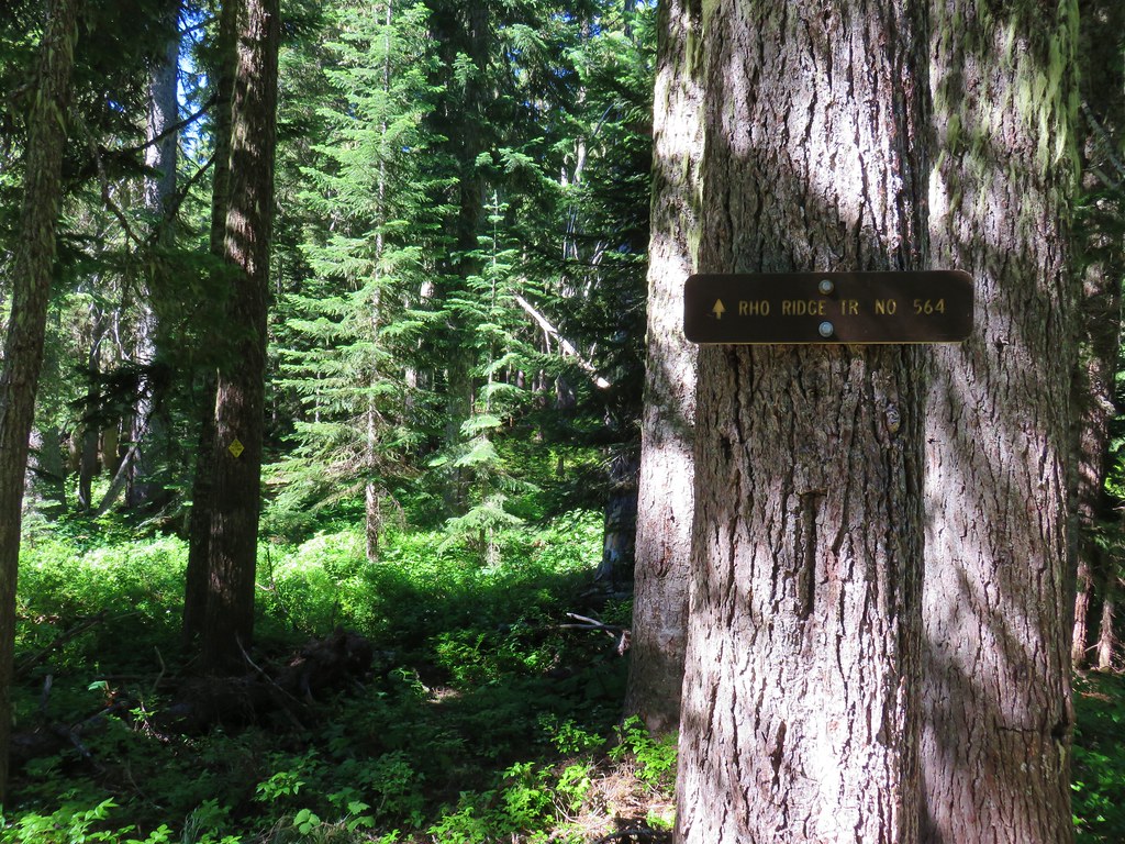
Rho Ridge Trailhead

With no obvious trail visible we turned to the forest service map and our GPS to try and see if we could tell where the trail was supposed to be. Both of these indicated that the trail lay just east of the parking area so we headed into the trees and began to hunt for any sign of it.
Beargrass near Graham Pass

After a few minutes of climbing through the brush and crossing the location of the trail as shown on the GPS several times we decided to head toward the logging road. The GPS showed it curving back to the east further uphill where the Rho Ridge Trail would cross it and we figured the worst case scenario was we’d have to walk the road up to the crossing where we would hopefully be able to identify the trail. We were also beginning to suspect that the location of the trail on the maps was incorrect which is not all that uncommon. Sure enough we found the trail before reaching the road.
Rho Ridge Trail

We turned uphill following this obvious trail through beargrass filled meadows.
Rho Ridge Trail

Beargrass along the Rho Ridge Trail

The trail was brushy at times with lots of huckleberry bushes encroaching on the trail.
Rho Ridge Trail

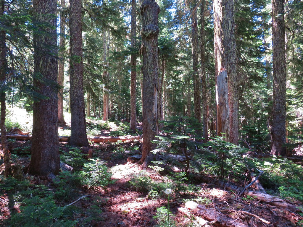
The tread was faint through most of the meadows and blowdown was common along the way but old blazes and yellow diamonds on trees helped identify the trail.
Rho Ridge Trail

Blowdown over the Rho Ridge Trail

Rho Ridge Trail

The trail had several road crossing and shortly after the third we arrived at Fawn Meadow where a small stream flowed through a meadow of wildflowers.
Meadow along the Rho Ridge Trail

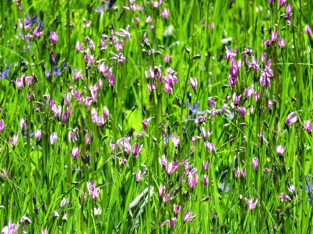
Shooting star

Wildflowers along the Rho Ridge Trail

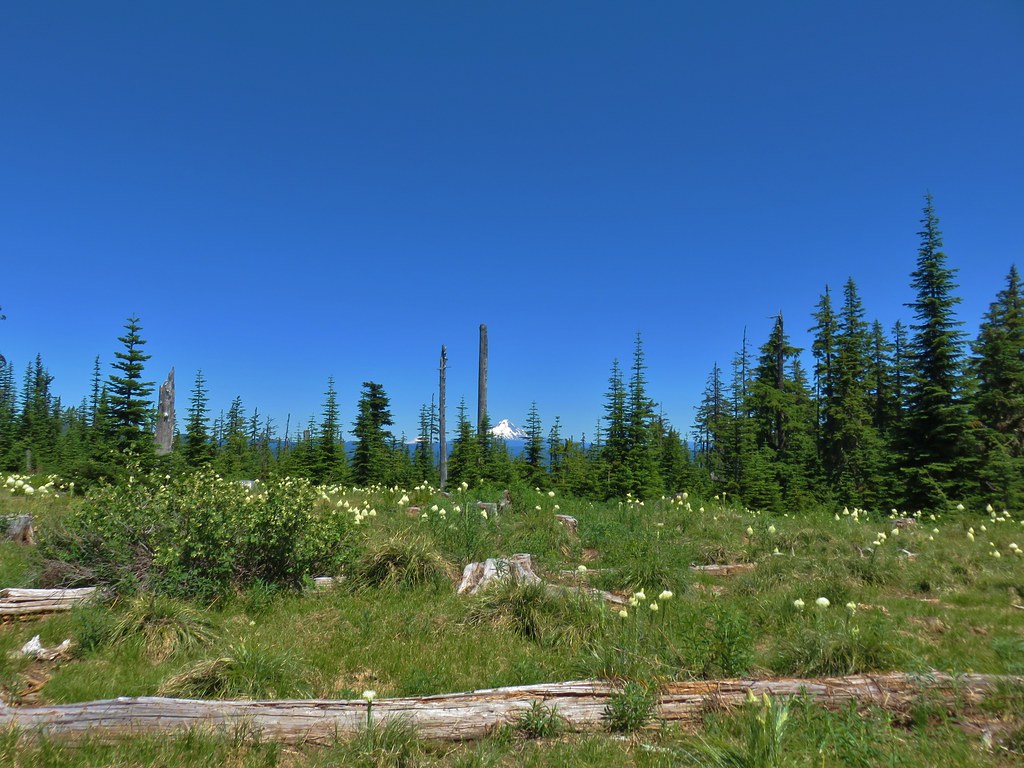
After a fourth road crossing the trail entered another beargrass meadow with a partial view of Mt. Hood and Mt. Adams.
Penstemon lined road crossing

Mt. Hood and Mt. Adams from a beargrass meadow along the Rho Ridge Trail

The brush was particularly thick as we exited the meadow which required us to really pay attention to the trail which was hard to see through all the green. We reentered the forest where we crossed one final old logging road before spotting the first snow along the trail. (There was actually a larger patch lower that we’d notice on the way back down but somehow we both missed it on the way up.)
Rho Ridge Trail

Snow along the Rho Ridge Trail

The little patch of snow was near Round Creek which was flowing on this day. The sound of the creek was nice but we didn’t dare stop to admire it due to the many blood thirsty mosquitoes that were present. Just under half a mile later we spotted the sign for the Hawk Mountain Trail.
Rho Ridge Trail jct with the Hawk Mountain Trail

We turned uphill here climbing approximately 300′ in .4 miles to the summit meadow and the Hawk Mountain Lookout.
Hawk Mountain Trail

Snow along the Hawk Mountain Trail

Hawk Mountain Lookout and Mt. Jefferson

Hawk Mountain Lookout

The view from the summit is a good one especially of Mt. Jefferson.
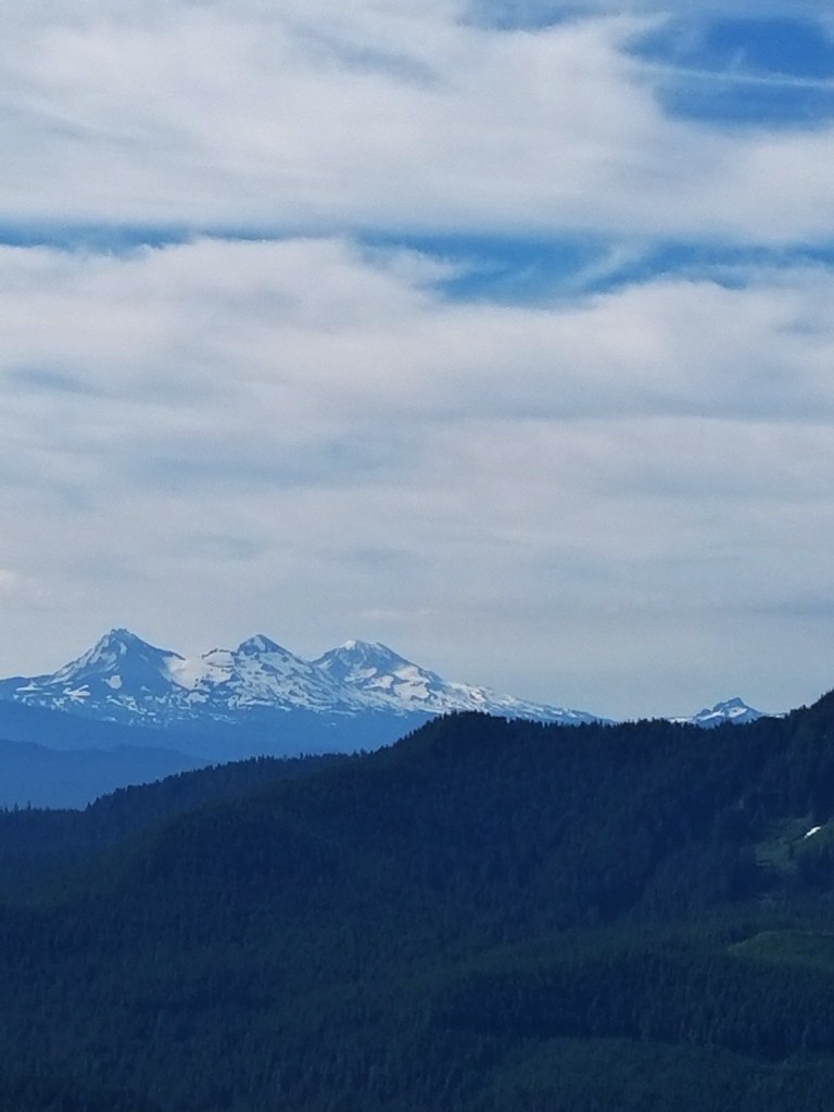
Mt. Jefferson, Three Fingered Jack, The Three Sisters and Mt. Washington from Hawk Mountain

Mt. Jefferson

Additionally Three Fingered Jack, The Three Sisters, and Mt. Washington were visible further south with the very top of Broken Top poking up above the ridge north of Three Fingered Jack.
Three Fingered Jack, The Three Sisters, an Mt. Washington

The view wasn’t the only attraction at the summit. An impressive display of wildflowers was underway which had attracted a wide variety of pollinators.
Wildflowers on Hawk Mountain

Wildflowers on Hawk Mountain

Wildflowers on Hawk Mountain

Wildflowers on Hawk Mountain

Butterfly on penstemon

After a nice break it was time to head back.
Mt. Jefferson from Hawk Mountain

On the way down the Hawk Mountain Trail we stepped off the trail briefly to get a view to the north since trees on the summit had not allowed us to see in that direction. Mt. Rainier, Mt. Adams, and Mt. Hood were all visible.
Mt. Rainier, Mt. Adams and Mt. Hood

On the way back we managed to follow the trail all the way down where we discovered that the official start of the trail was just a few feet up the logging road from the blank signboard. The Rho Ridge Trail sign had been just out of sight.
Rho Ridge Trail sign

The hike from Graham Pass to Hawk Mountain was 10.7 but a shorter option exists by starting at the southern end of the Rho Ridge Trail. From this end the hike up to Hawk Mountain is just 4.2 miles round trip. This was the second straight outing that we didn’t encounter a single other hiker along the trails. As overcrowded as some of the popular trails have become it’s nice to know that there are still some out there that offer a little more solitude. Happy Trails!

Flickr: Big Bottom & Rho Ridge

Categories
Hiking Middle Santiam Old Cascades Oregon Trip report

Scar Mountain

We’ve developed a tradition of using the day off of work provided by the 4th of July holiday to take a hike. One of our go to areas in the first part of July is the Old (Western) Cascades. The Old Cascades are older than the volcanic peaks of the High Cascades and rise only half as high meaning they melt out much sooner than their younger companions. These highly eroded volcanoes are home to old growth forests and top notch wildflower meadows.

This year we decided to visit the Scar Mountain Trail. The hike is listed in our usual guidebook, William L. Sullivan’s “100 Hikes in the Central Oregon Cascades” as hike #111. Due to it not being a featured hike the description in that book is brief so we turned to another excellent resource, “101 Hikes in the Majestic Mount Jefferson Region” by Matt Reeder.

We followed his directions to the North Pyramid Trailhead where we parked then crossed Forest Road 2266 to the signed Scar Mountain Trail.

North Pyramid Trailhead

Scar Mountain Trail

The Scar Mountain Trail is part of the approximately 30 mile long Old Cascades Loop. We had done another section of this loop in 2014 when we started at the Pyramids Trailhead and hiked to Donaca Lake for an overnight stay.

The trail climbed through a nice forest,gradually at first then more steeply as it switchbacked up toward a ridge top.

Scar Mountain Trail

The switchbacks ended after just over a mile and the trail began to traverse along the hillside below the ridge. There were occasional glimpses of the Three Pyramids to the south and Daly Lake in the valley below.

Daly Lake below the Three Pyramids

Daly Lake

For the next mile and a half the trail continued to gain elevation via a series of ups and downs as it gained the ridge top and alternated between its west and east sides providing views of several of the High Cascades to the SE, Mt. Jefferson to the NE, and Coffin & Bachelor Mountains to the north.

Mt. Washington, The Three Sisters, and the Husband Mt. Washington, the Three Sisters and the Husband

Mt. JeffersonMt. Jefferson

Coffin and Bachelor MountainsCoffin and Bachelor Mountains

A few small patches of snow lingered on and along the trail.

Snow on the Scar Mountain Trail

The trial began to climb steeply again at the 2.5 mile mark as it headed up Trappers Butte. The forested summit offered some similar views to what we had seen on the way up but one big difference was the presence of some non-white wildflowers near the top.

Paintbrush

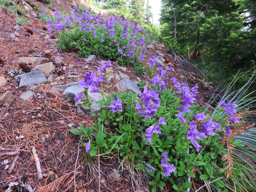
Penstemon

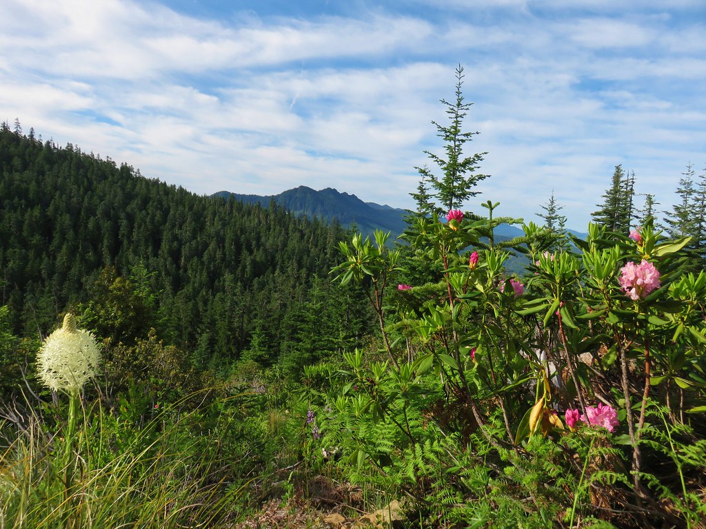
The trail then descended roughly 400′ in .8 miles to a saddle where it crossed an old roadbed in a clearing with blooming beargrass and rhododendron and view of the Three Pyramids.

The Three Pyramids

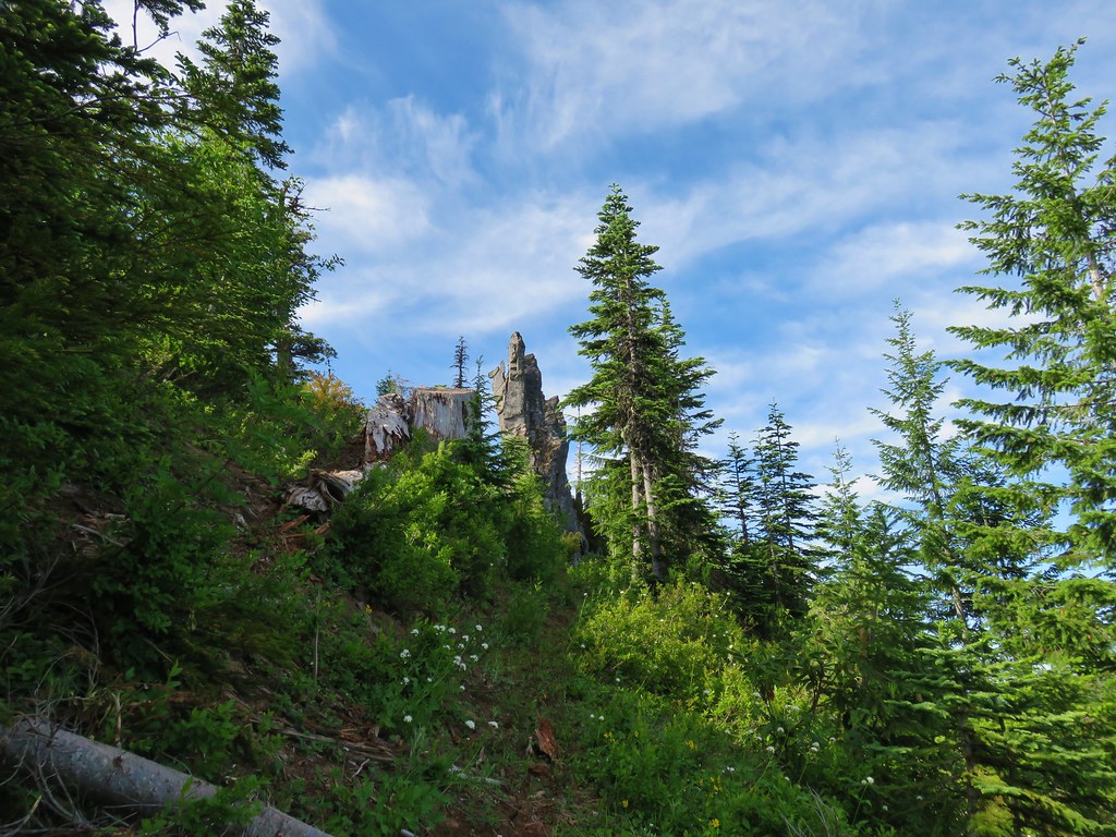
Another one and three quarter miles of ups and downs had us nearing our goal, a dramatic rock pinnacle on Scar Mountain. The trail had been in reasonably good shape with some minor blowdown and a few brushy spots which became a bit more frequent as we climbed Scar Mountain.

Scar Mountain Trail

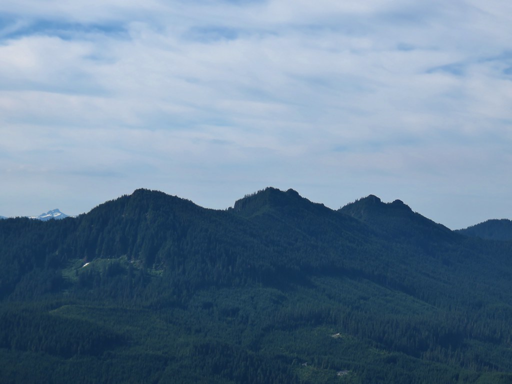
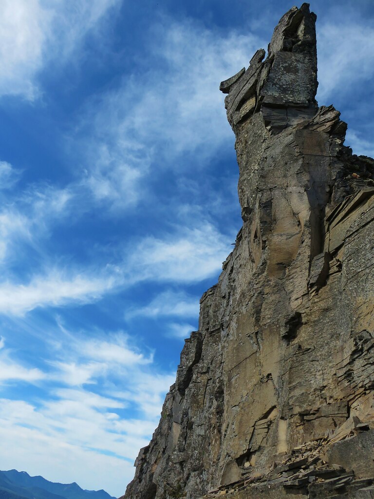
Rock pinnacle on Scar Mountain

The flowers on and around the pinnacle might not have been as impressive as the meadows on some of the other nearby peaks but there were still some nice displays.

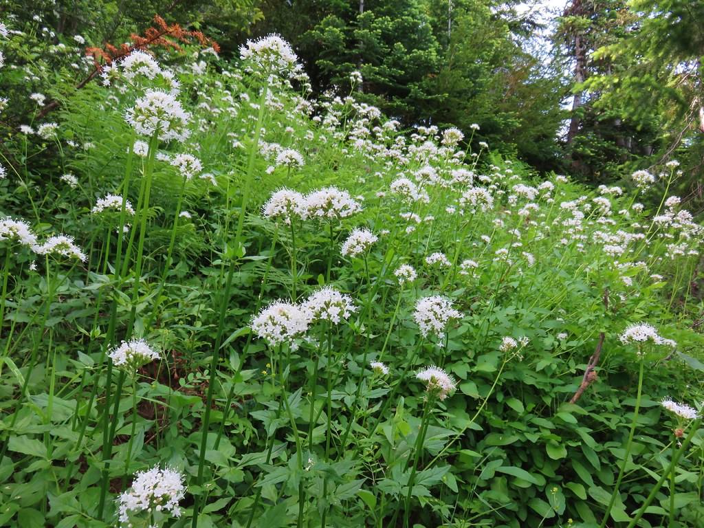
Valerian along the Scar Mountain Trail

Wildflower on Scar Mountain

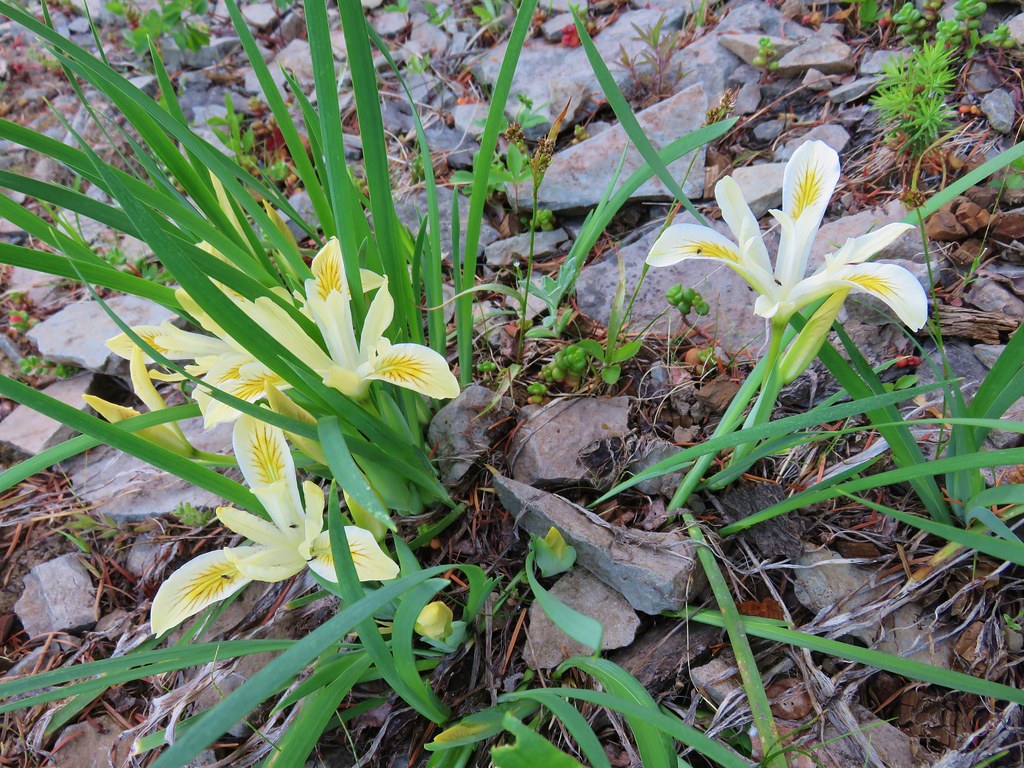
Yellowleaf iris

Paintbrush along the Scar Mountain Trail

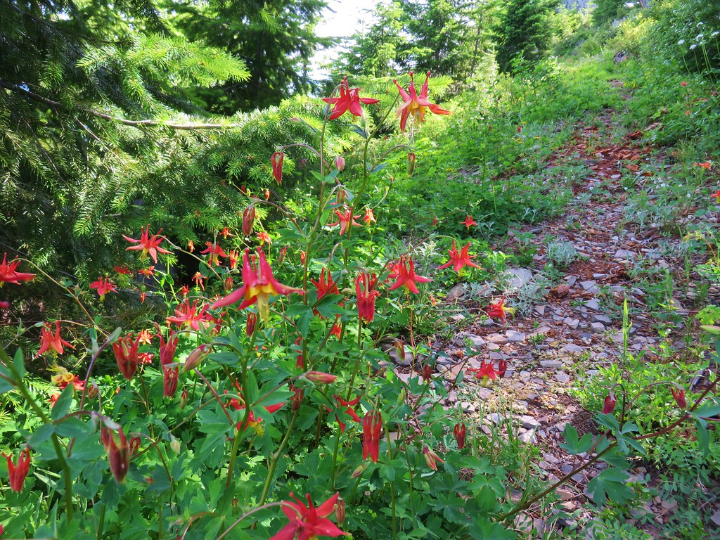
Columbine

Wildflowers along the Scar Mountain Trail

Stonecrop and penstemon

The real reward for this hike were the views from Scar Mountains cliffs.

Mt. Adams and Mt. Hood

Mt. Adams peaking over a ridge and Mt. Hood

Mt. Jefferson from Scar MountainMt. Jefferson

Three Fingered JackThree Fingered Jack

Mt. Washington

Mt. Washington

The Three Sisters and the HusbandThe Three Sisters and the Husband

The Husband and the Three PyramidsThe Husband behind the Three Pyramids

Crescent Mountain, North Peak, Echo Mountian and South PeakCrescent Mountain, North Peak, Echo Mountain, and South Peak

North Peak, Echo Mountain, South Peak, Cone Peak, and Iron MountainNorth Peak, Echo Mountain, South Peak, Cone Peak, and Iron Mountain.

We took a nice break near the pinnacle where there seemed to be less mosquitoes. They hadn’t been too noticeable but with the snow still melting there were more around than we realized given the number of bites we discovered later.

Rock pinnacle along the Scar Mountain Trail

Looking down from cliffs along the Scar Mountain Trail

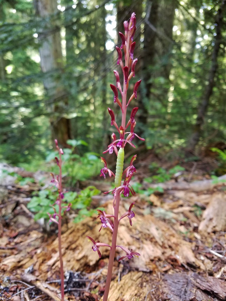
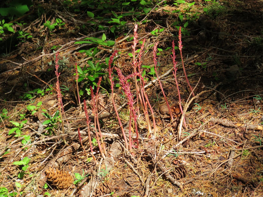
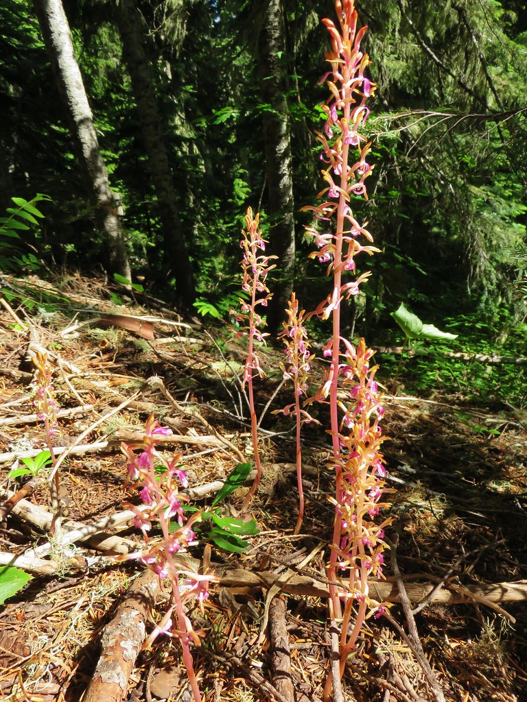
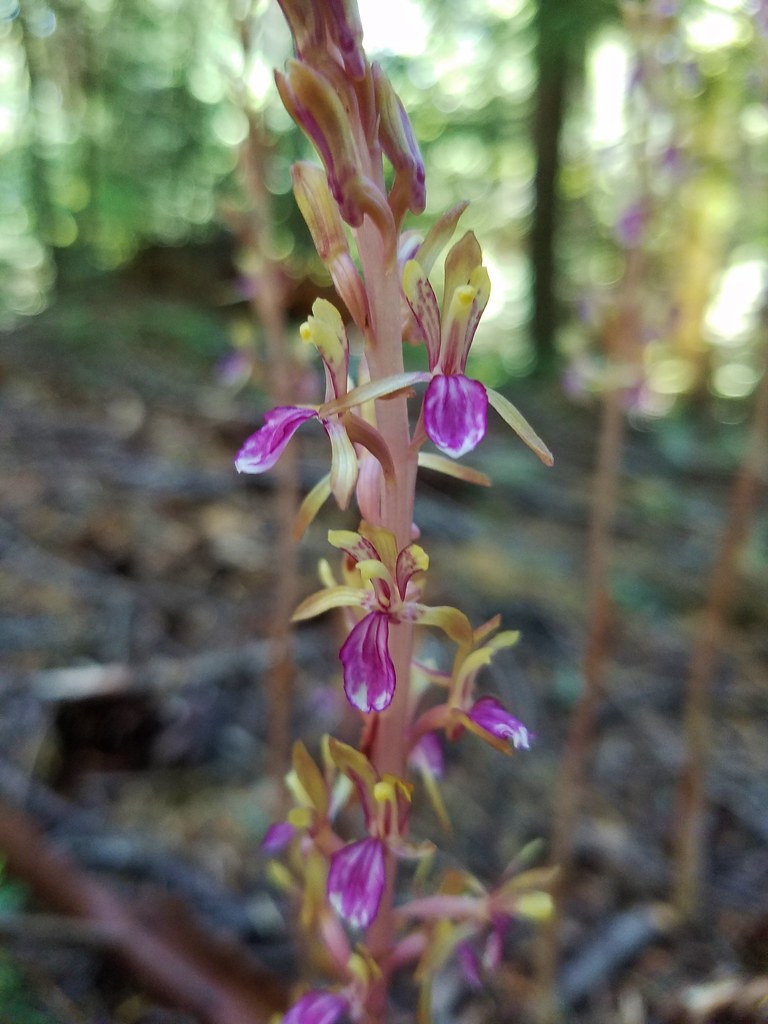
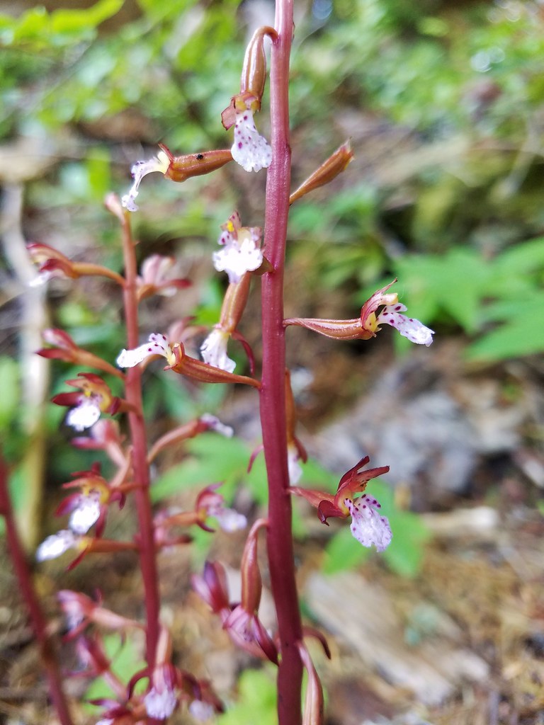
We returned the way we’d come passing the time on the ups and downs by admiring the many different flowers in the forest including large numbers of coralroots.

Caterpillar on coralroot

Coralroot

Coralroot

Coralroot

Coralroot

Round trip was just under 12 miles with a good amount of elevation gain overall but broken up enough to never feel too daunting. Like many of the trails in the Old Cascades the Scar Mountain Trail offered a good dose of solitude. We neither spotted nor heard another person during the hike. Instead we listened for the calls of sooty grouse, the singing of birds, and “meeps” of hidden pikas. Happy Trails!

Flickr: Scar Mountain

Categories
Hiking McKenzie River Old Cascades Oregon Trip report

Castle Rock

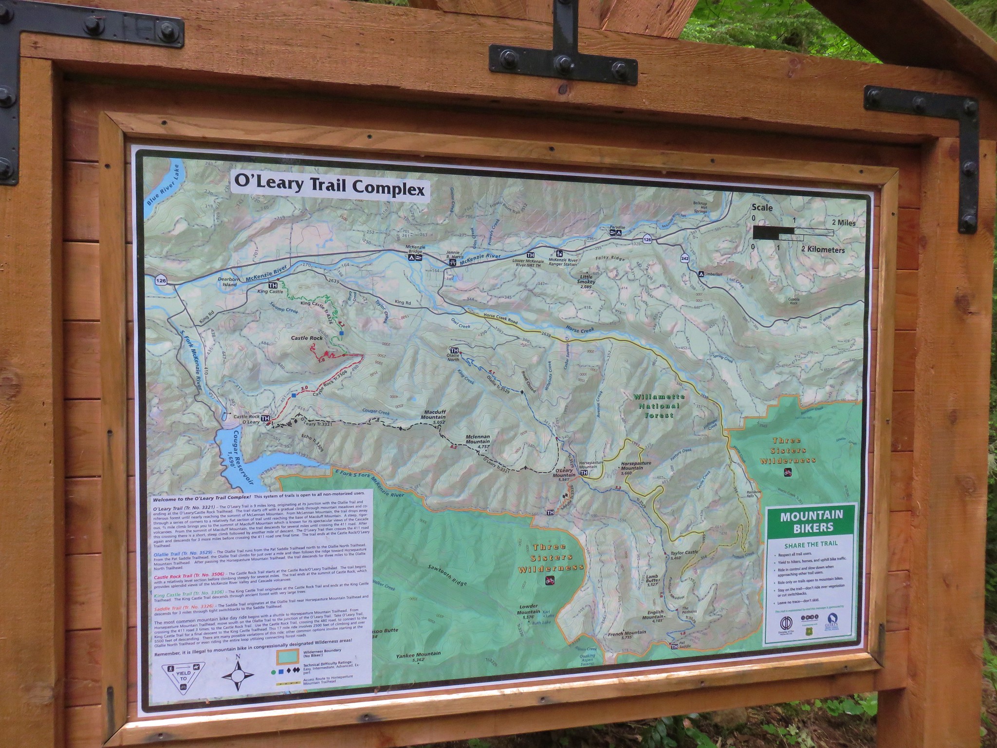
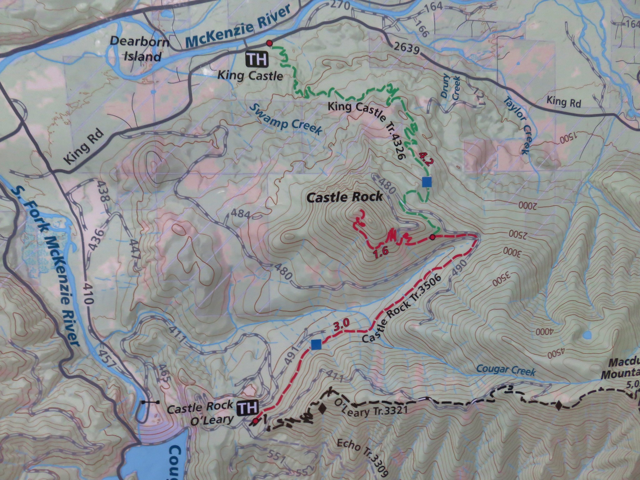
We continue to have to swap out our originally scheduled hikes due to the above normal snow levels and late melt this year. Our most recent hike to Castle Rock was the result of one such switch. Castle Rock it the site of a former lookout tower atop a 3808′ rocky outcrop. Castle Rock is located near the McKenzie River off Highway 126 approximately 5 miles beyond Blue River. There are several possible trailheads that can be used to reach the lookout site including an option at the end of Road 480 that would make the hike less than three miles. For our visit we chose to begin at the King Castle Trailhead. A map at this trailhead showed the entire O’Leary Trail Complex.
IMG_1409

IMG_1410

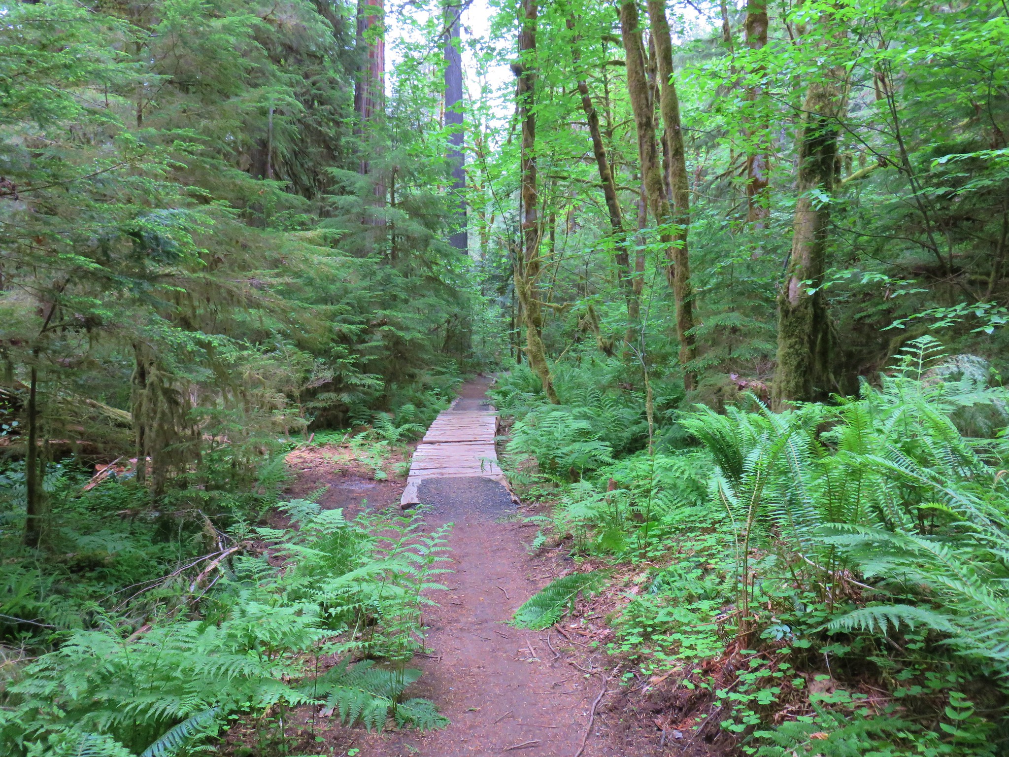
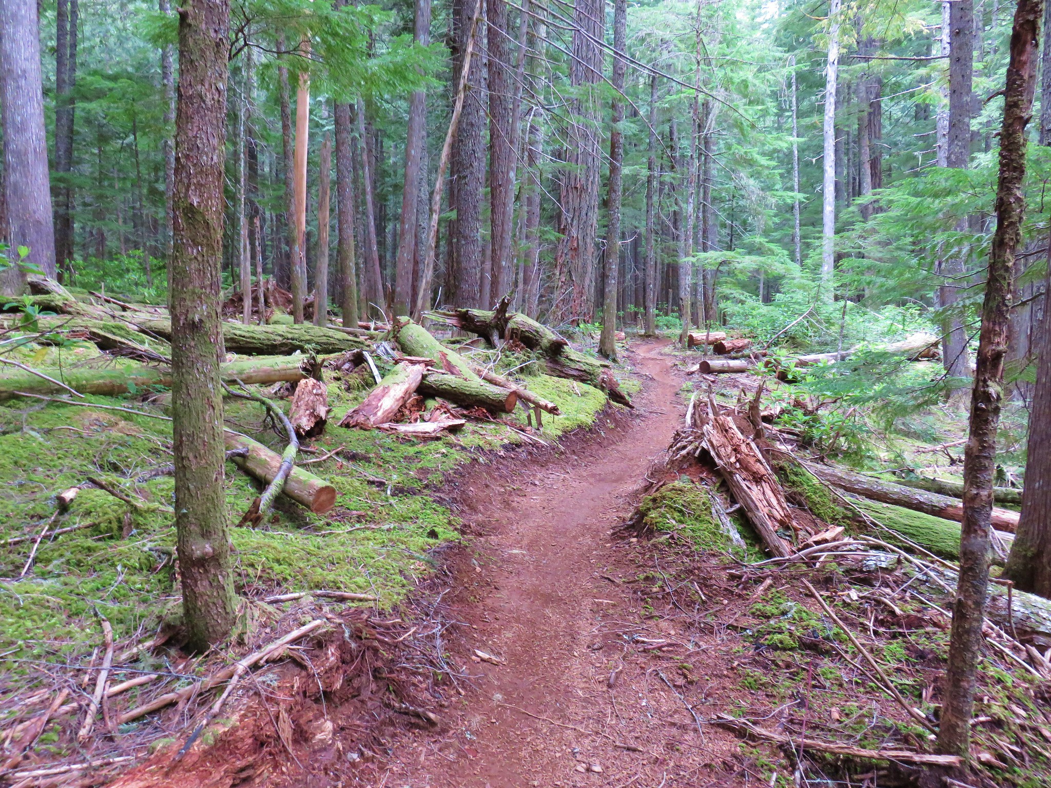
The trails in the area are open to mountain bikes and we did see a handful of riders but not until we were well into our descent. The King Castle Trail was in excellent shape as it passed through the forest.
IMG_1412

IMG_1419

IMG_1443

IMG_1455

There were lots of woodland flowers in bloom.
IMG_1647
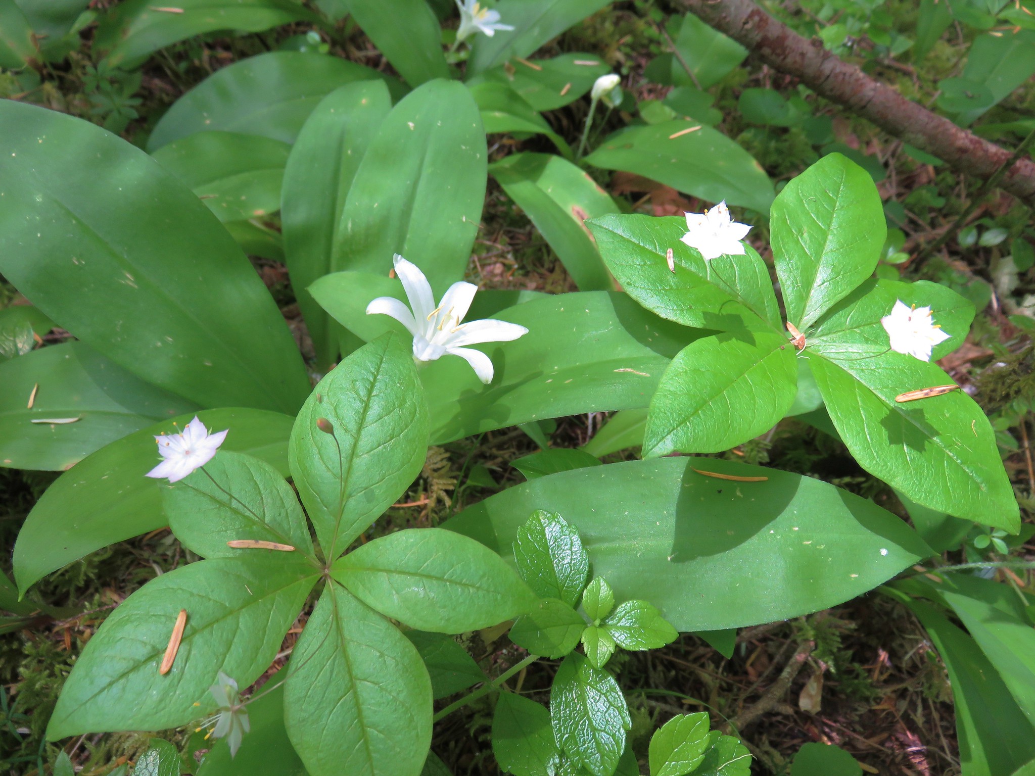
Star flower and queen’s cup

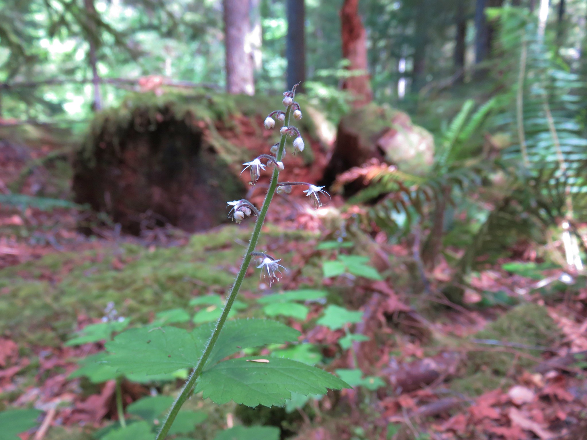
IMG_1642Foam Flower

IMG_1629Inside-out Flower

2017-06-03 12.33.09
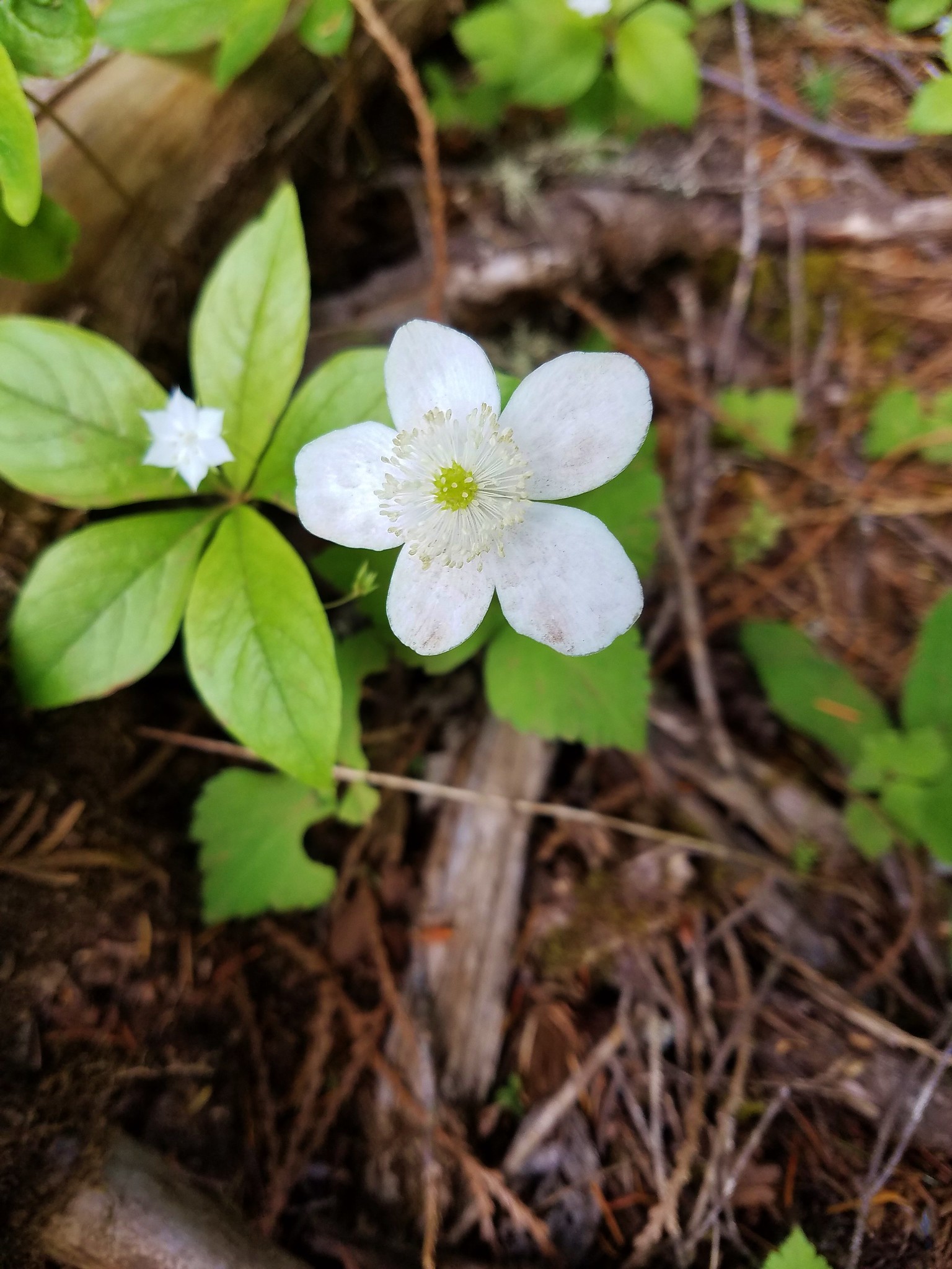
Anemone

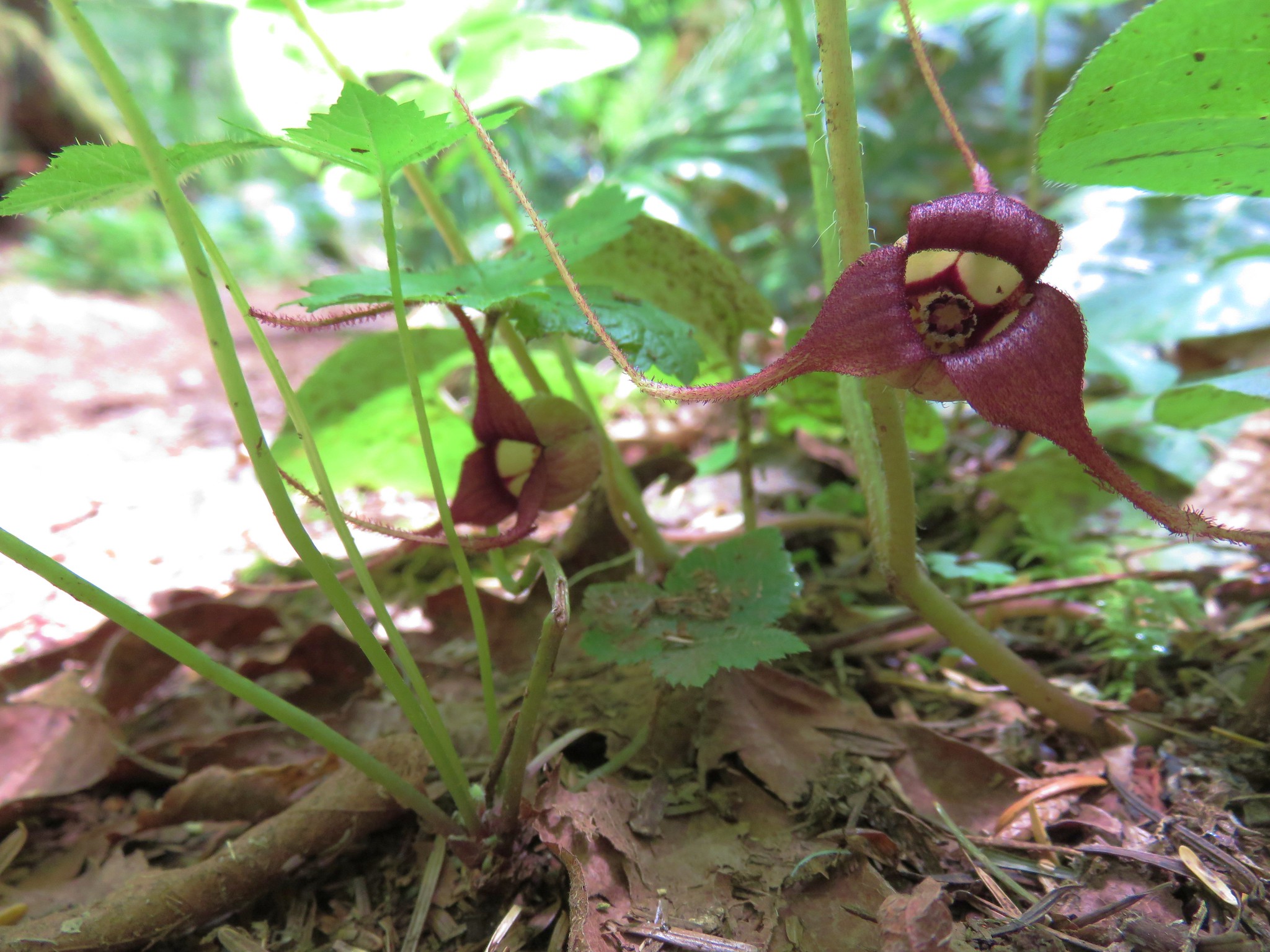
IMG_1635Wild Ginger

2017-06-03 12.25.06 Wintergreen

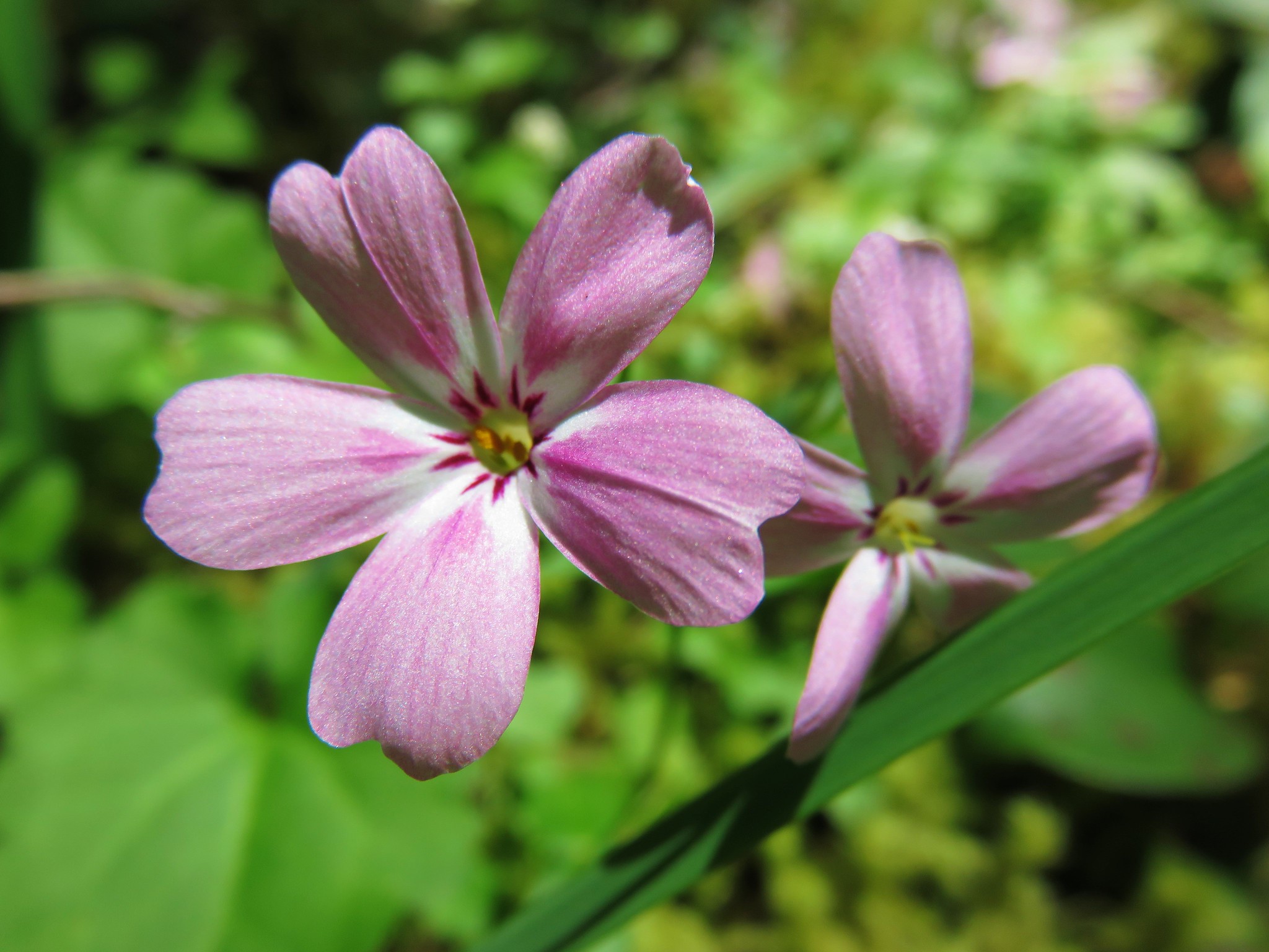
IMG_1648 Northern Phlox

IMG_1613
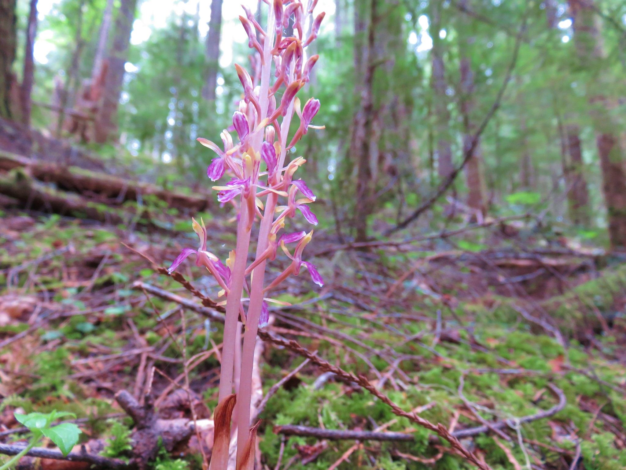
Striped coralroot

2017-06-03 12.07.50
Spotted coralroot

IMG_1600
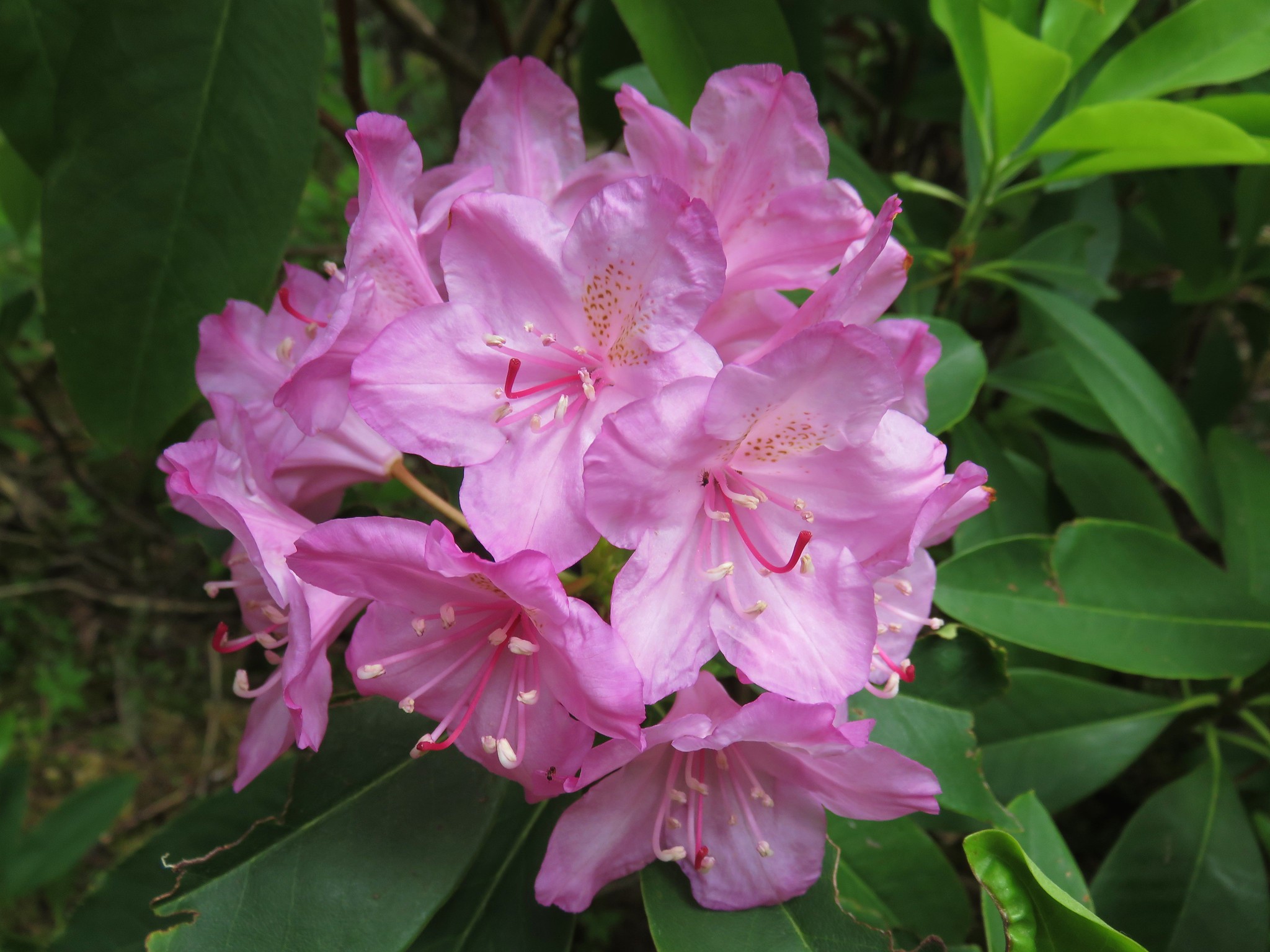
Rhododendron

2017-06-03 12.24.03
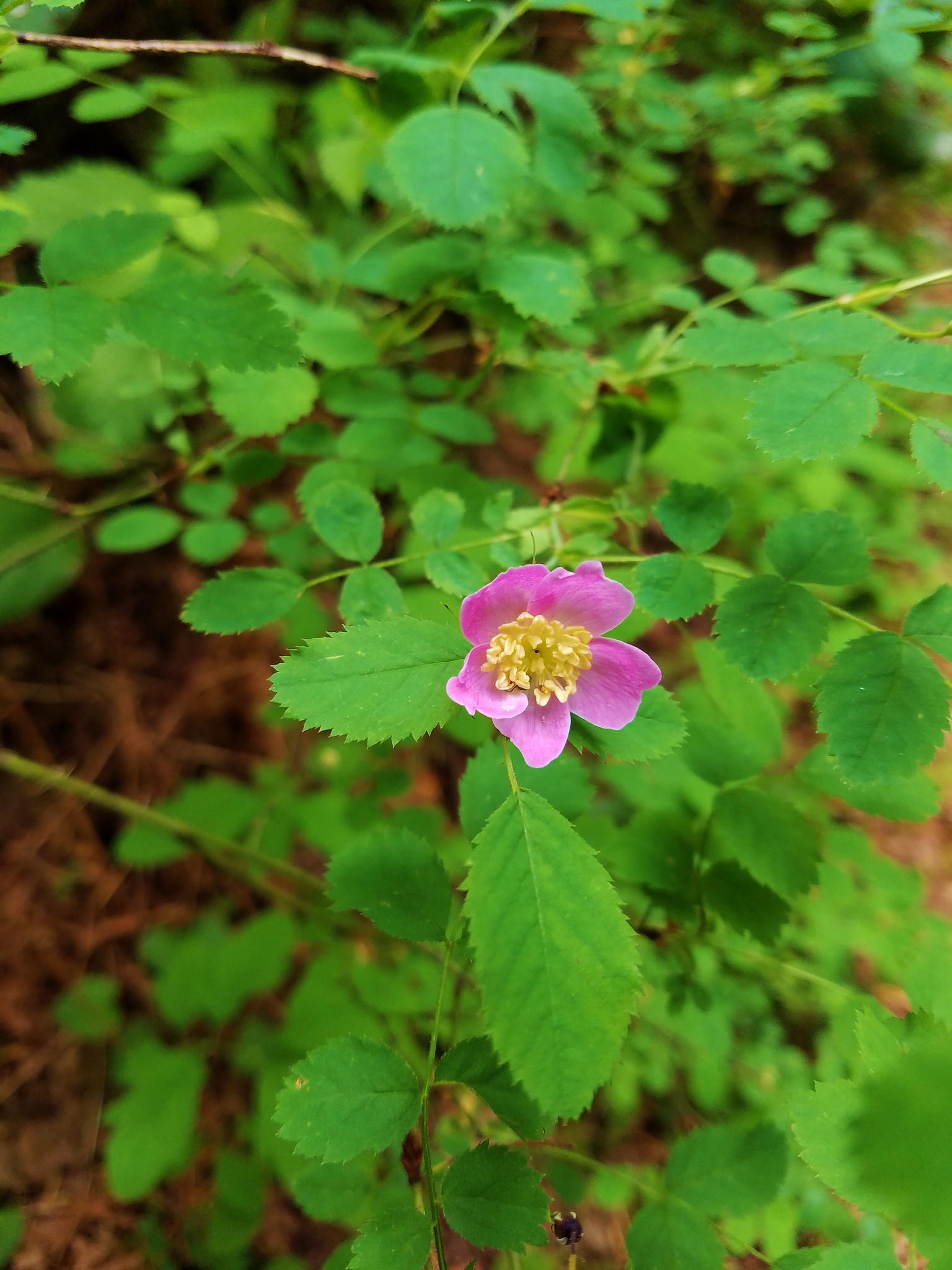
Wild rose

The trail climbed approximately 1500′ in almost 4 miles to a crossing of Road 480.
IMG_1457

The trail continued on the far side of the road where it climbed for a bit before dropping slightly to a junction with the Castle Rock Trail.
IMG_1458

IMG_1465

A dogwood tree was in full bloom near this junction.
IMG_1466

IMG_1467

We turned right onto the Castle Rock Trail which climbed for another half mile to a junction with a trail from the upper trailhead along Road 480.
IMG_1476

None of the climb had seemed particularly steep considering we knew we had a total of 2600′ to gain from the trailhead. We were expecting the final mile to seem quite a bit steeper but the trail made great use of switchbacks leaving the final 700′ to feel only slightly harder than the earlier 1900′. The flowers along the final mile had changed from those we had seen at the lower elevations. Here fairy slippers and vanilla leaf were still blooming.
IMG_1481

IMG_1485

It had been an overcast morning and now we were climbing up into the clouds.
IMG_1473

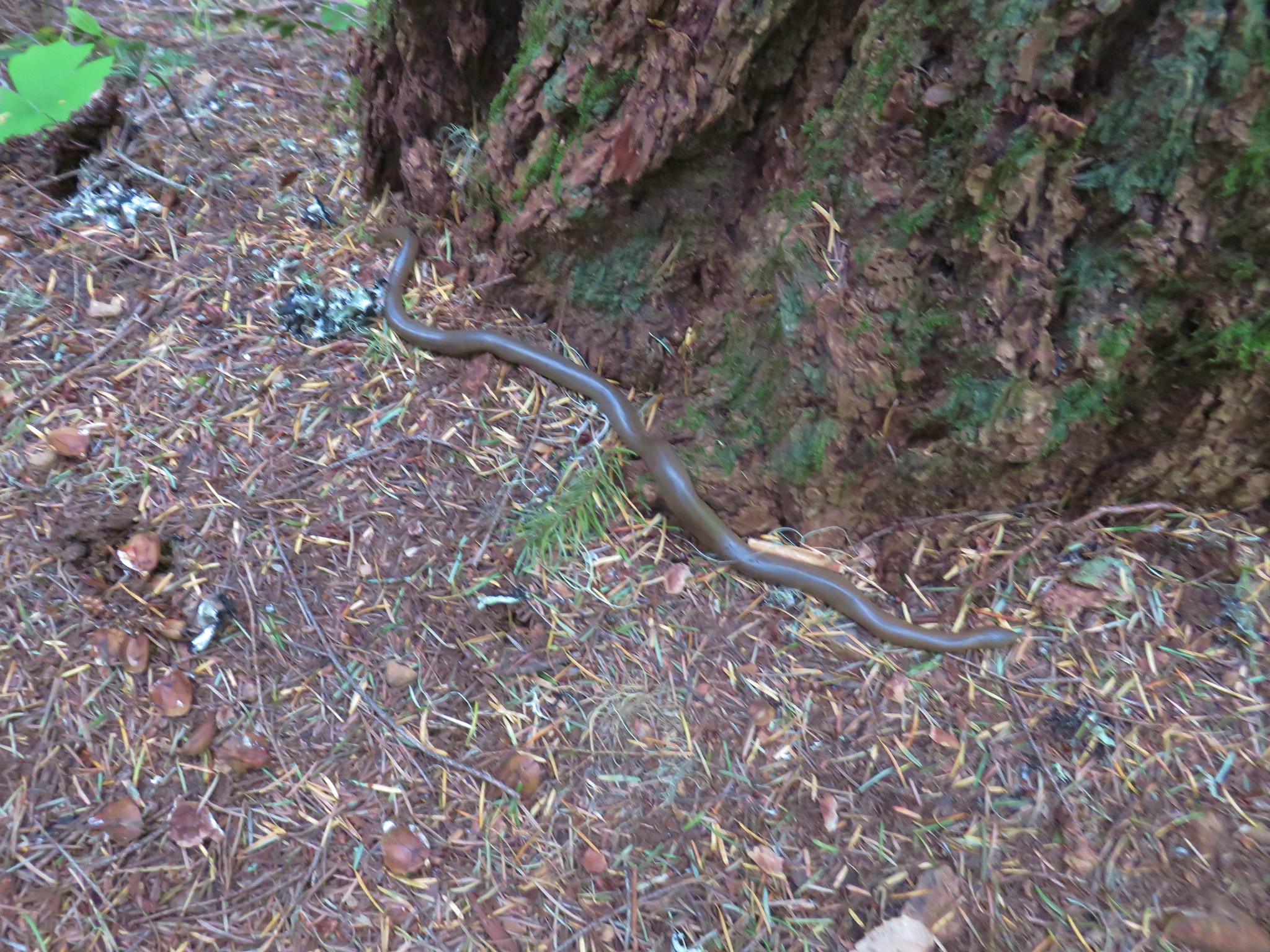
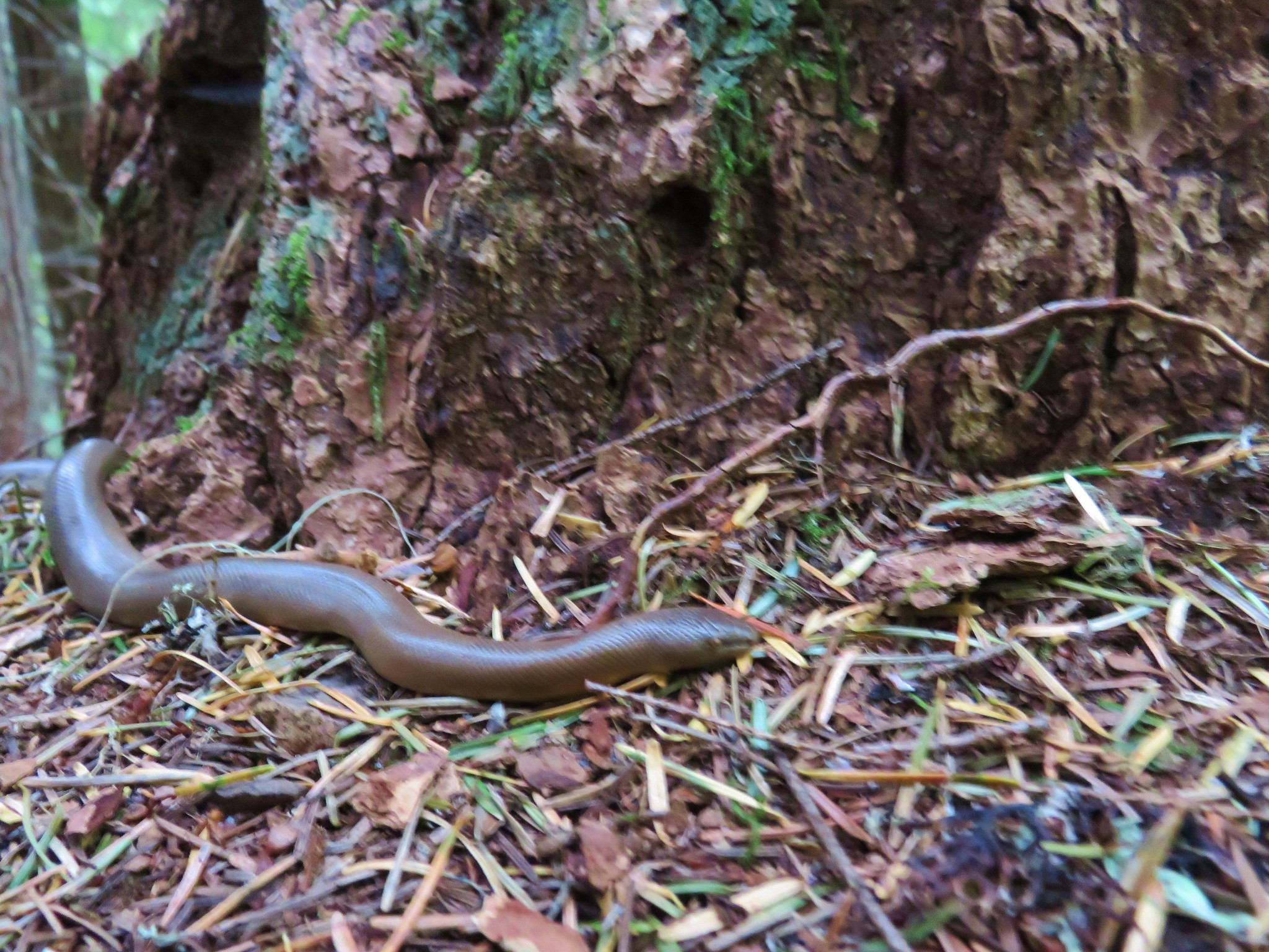
It was cool but not cold. Although, for a rubber boa, that we spotted next to a tree along the trail, it was way to chilly.
IMG_1477

IMG_1479

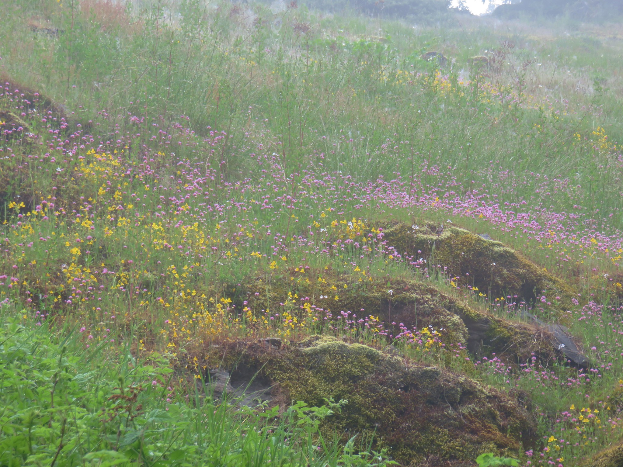
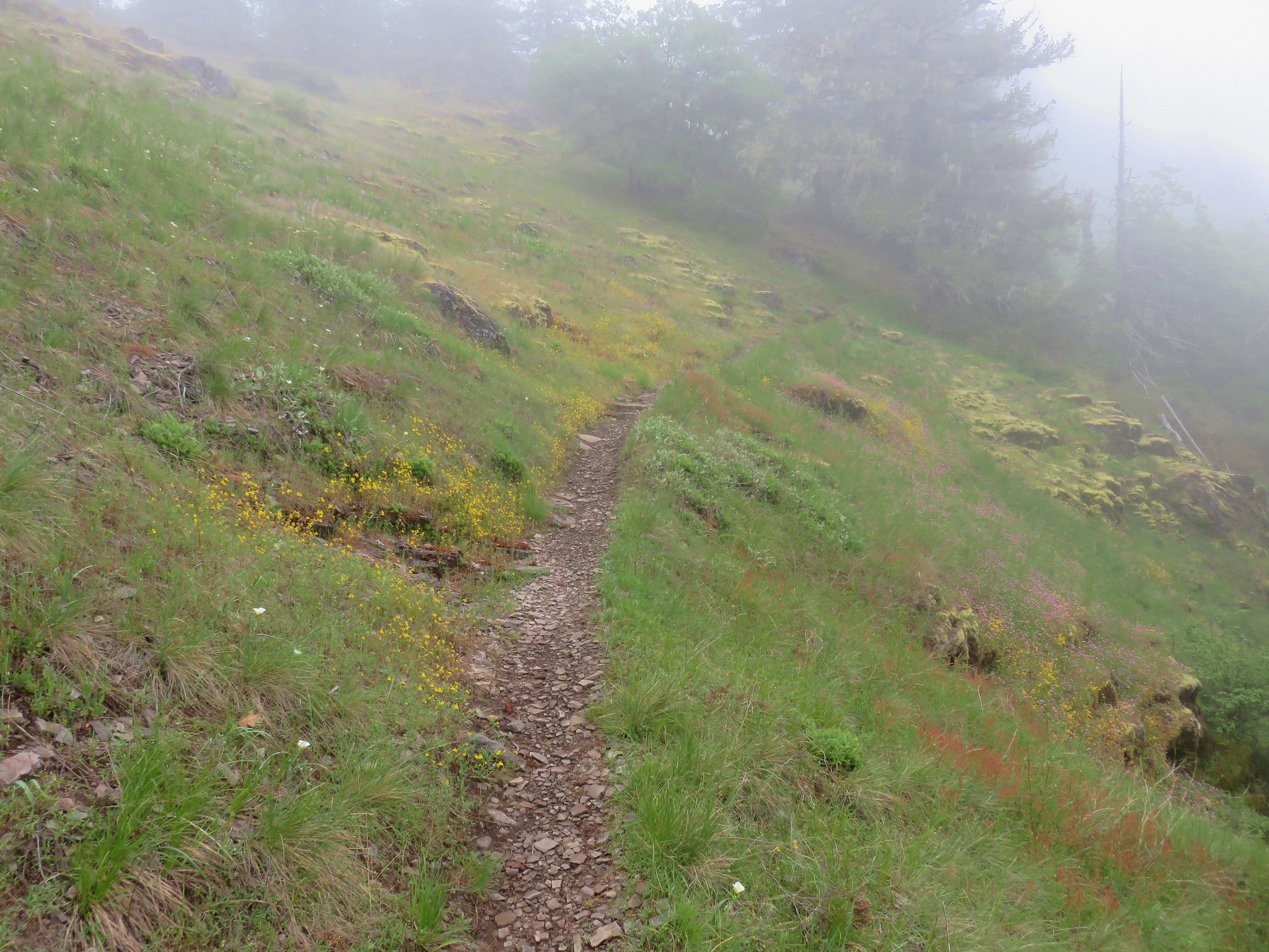
The trail switchbacked up to a meadow near some rocky cliffs where we found a surprisingly nice display of wildflowers.
IMG_1487

IMG_1490

IMG_1503

IMG_1501
Bindweed

IMG_1523
A saxifrage

IMG_1559Cat’s ear lilies

2017-06-03 10.40.16Annual agoseris

IMG_1574Prairie star and plectritis

IMG_1583Monkeyflower

IMG_1581Butterflies on buckwheat

IMG_1585 Ookow getting ready to bloom

2017-06-03 10.51.14Yellowleaf iris

2017-06-03 10.49.54Sorrel

At the top of the meadow there was a viewpoint to the NE (with no view today) where several other flowers stood out.
2017-06-03 10.52.14Parsley

IMG_1529
Larkspur

IMG_1525Penstemon

IMG_1567Paintbrush

The trail then climbed past some black oaks, chinkapin trees and a madrone to the old lookout site.
IMG_1530

IMG_1534

IMG_1533

With the clouds surrounding us we weren’t going to be getting a view of the Three Sisters so we explored the rocks looking for more wildflowers before taking a break at the lookout site.
IMG_1537

IMG_1544

IMG_1550

IMG_1555

After resting and eating lunch, we headed back down through the little meadow. Here we noticed that there were little beetles on one particular type of plant.
IMG_1576

2017-06-03 10.45.45

Neither of us had noticed them on the way up but they were on every one of those plants. It’s amazing how much we miss even when we think we are paying close attention. 🙂

Another example of that were the many candy sticks we noticed on the way back to the car. We had seen one a little ways off the trail on our way up to Castle Rock, but on the return trip we noticed at least a dozen others popping up along the trail.
IMG_1589

The sun came out near the end of our hike leaving us to wonder if there would be a view at the top in the afternoon. One of the few drawbacks of starting first thing in the morning is that we often reach viewpoints before the morning clouds have burned off.
2017-06-03 12.32.33

Even without the view though this had been a really nice 12.2 mile hike. It’s certainly one that we’d do again, especially since we didn’t get the view, and given it’s relatively low elevation it’s a good option when there is still snow higher up.
Happy Trails!

Flickr: Castle Rock

Categories
Hiking Middle Santiam Old Cascades Oregon Trip report

Independence Rock

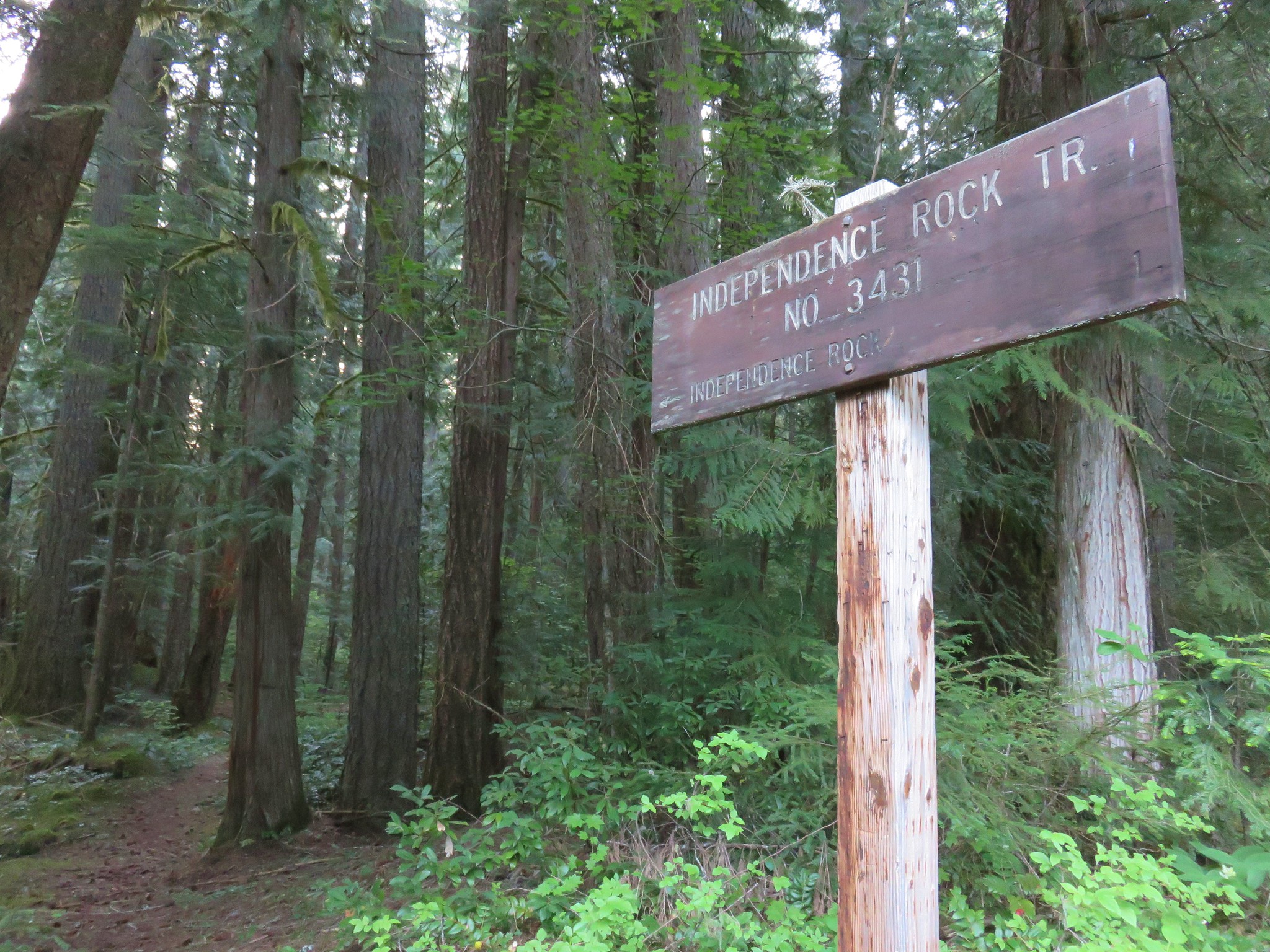
After spending Saturday and Sunday of Memorial Day weekend in Bend we were hoping to get home fairly early on Monday. We wanted to beat the holiday traffic and needed to run a couple of errands but we also wanted to sneak a quick hike in. The 2.3 mile Independence Rock loop was a perfect fit. The trail starts on Marion Creek Road just a hundred yards after turning off of Highway 22 across from the restaurant at Marion Forks. We parked on the shoulder of the road across from the trail sign for the Independence Rock Trail.
IMG_1345

The trail started off in a green forest filled with yellow Oregon grape and various white woodland flowers.
IMG_1354

IMG_1357

IMG_1360

2017-05-29 06.16.00

2017-05-29 06.16.27

IMG_1361

2017-05-29 06.19.00

2017-05-29 06.19.17

2017-05-29 06.19.58

2017-05-29 06.22.37

The trail then passed through an area that had been previously logged.
2017-05-29 06.23.05

The trail then headed uphill via a series of switchbacks and worked its way around to the backside of the hill.
IMG_1373

Near the 1 mile mark Independence Rock, a basalt outcrop, came into view up to our right.
IMG_1374

The trail arrived at the base of the rock on the far end where a unmarked trail to the right led up to the top of the rock.
IMG_1377

IMG_1383

The view from the top wasn’t anything spectacular but we could see the tip of Three Fingered Jack rising above a snowy ridge in the Mt. Jefferson Wilderness.
IMG_1387

IMG_1389

It was only 6:45am but we weren’t the first ones up on the rock.
IMG_1380

IMG_1392

After descending from the rock we continued on the loop briefly following a ridge which had also been logged before descending back into thicker forest.
IMG_1399

IMG_1402

The trail ended at Marion Creek Road .4 miles from the where we had started. We simply followed the road back to our car and were back on our way before 7:30.
IMG_1404

We did indeed beat most of the traffic and we also arrived back in Salem before the stores we needed to go to opened so we did a little impromptu shopping until their doors opened at 10. It may not have had the most breathtaking views but it made for the prefect quick leg stretcher if you find yourself driving between Salem and Central Oregon. Happy Trails!

Flickr: Independence Rock

Categories
Bull of the Woods/Opal Creek Hiking Old Cascades Oregon Throwback Thursday Trip report

Throwback Thursday – Phantom Bridge & Opal Lake

**Note the 2020 Beachie Creek Fire burned the area covered by this hike.**

This week were covering a 8/14/2011 visit to Phantom Bridge and Opal Lake located at the southern end of the Opal Creek Wilderness. Our main focus on this hike was to finally make it to Phantom Bridge. We had tried twice before having failed first in 2010 to find an alternate trailhead due to washouts along the roads to the trailhead we would use on this hike. A month prior to this hike we attempted to come from the west along the Elkhorn Ridge Trail, a trip that will be covered in a later throwback post.

The third time was the charm though as Road 2207 had been reopened and we were able to drive from Detroit, OR to the French Creek Ridge Trailhead.
French Creek Ridge Trailhead

The French Creek Trail extended to both the east and west from the trailhead. Phantom Bridge lay to the west so we crossed Road 2207 and picked up the trail at a downed trail sign.
French Creek Ridge Trail sign

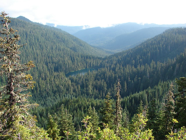
We followed the trail for 1.3 miles to small forest Cedar Lake passing Dog Tooth Rock and views of Opal Lake and the Opal Creek Wilderness.
Dog Tooth Rock

View from the French Creek Ridge Trail

Opal Lake

Cedar Lake

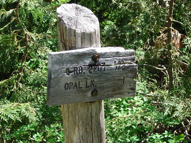
Near Cedar Lake a connector trail from Road 2207 near Opal Lake was marked by a trail sign.
Trail sign for Opal Lake

We decided that on the way back we’d take that trail down to visit Opal Lake before heading back to our car. For now though we continued west on what had become the Elkhorn Ridge Trail.
Elkhorn Ridge Trail

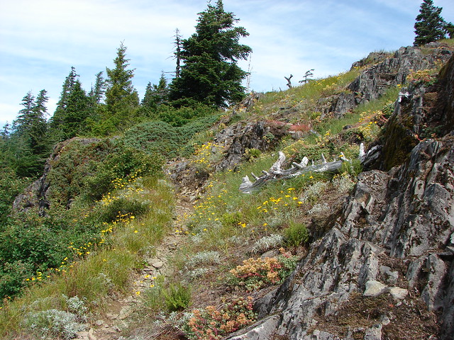
We came to a second possible trailhead .7 miles from Cedar Lake on Road 2223. This trailhead just a quarter mile from Phantom Bridge the road has a reputation for being a nasty drive so the 2 mile hike from the French Creek Ridge Trailhead was preferable to us. Along this stretch wildflowers lined the trail and views extended from Mt. Hood to the Three Sisters.
Elkhorn Ridge Trail

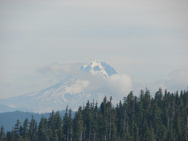
Mt. Hood

Mt. Jefferson, Three Fingered Jack and The Three Sisters
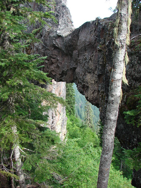
Phantom Bride spanned a 50′ wide chasm to the right (north) of the trail.
Phantom Bridge

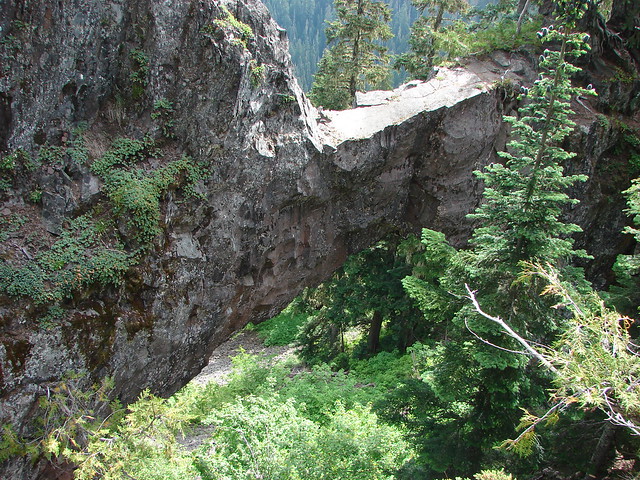
A short side path led out to the rock arch (on the right hand side in the photo below).
Phantom Bridge

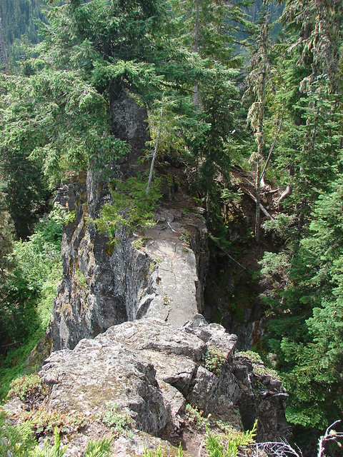
I walked out onto the arch and took a picture looking back toward the side path.
Phantom Bridge

After admiring this geologic feature we returned to Cedar Lake and headed steeply downhill toward Road 2207 at the trail sign we’d passed earlier. The steep trail was rather brushy and we decided not to return up it after visiting Opal Lake opting instead to walk Road 2207 up to the trailhead. From the road Phantom Bridge was visible high up on the hillside.
Phantom Bridge form road 2207 near Opal Lake

Phantom Bridge

Blank signboards marked the half mile trail down to Opal Lake.
Opal Lake Trail

The trail was basically a runoff stream bed which made it rather rocky and uneven.
Opal Lake Trail

Opal Lake Trail

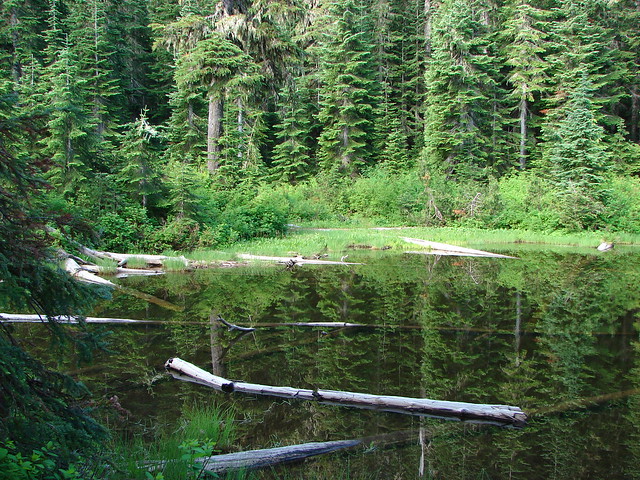
The brush rimmed lake was very pretty and it teemed with activity.
Opal Lake

Opal Lake

Swallowtail butterfly on a bog orchid

Lorquin's admiral butterfly

Dragonfly

Rough skinned newt in Opal Lake

After watching the butterflies, dragonflies and newts at the lake we returned to the road and followed it uphill to our waiting car. It was a fairly steep walk but not as steep as it would have been going back up to Cedar Lake and the road was lined with wildflowers which made it a little nicer than some road walks.
Paintbrush and penstemon
Happy Trails!

Flickr: Phantom Bridge & Opal Lake