Categories
Hiking Middle Santiam Old Cascades Oregon Trip report

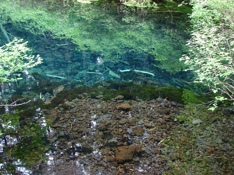
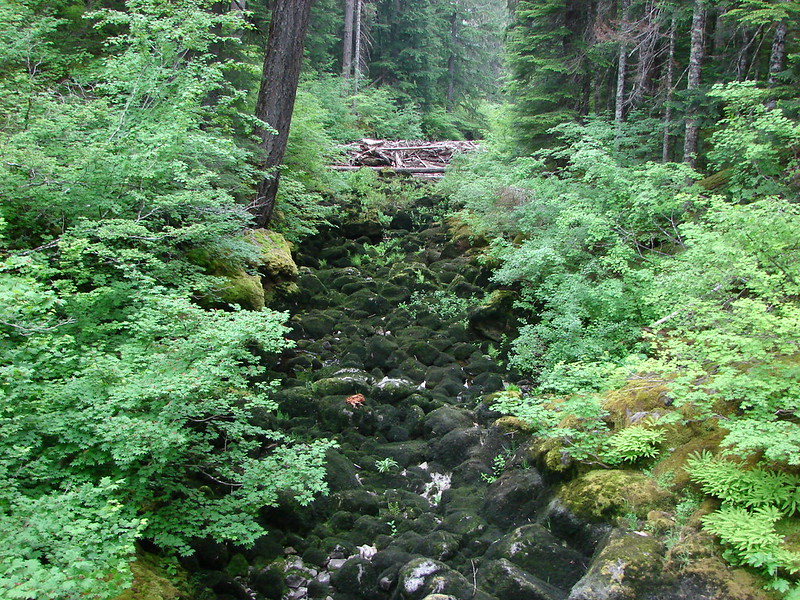
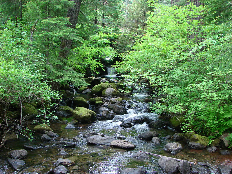
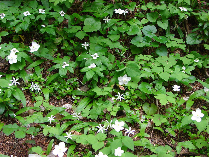
Donaca Lake – Middle Santiam Wilderness

**Note the 2024 Pyramid Fire burned a portion of this hike.**

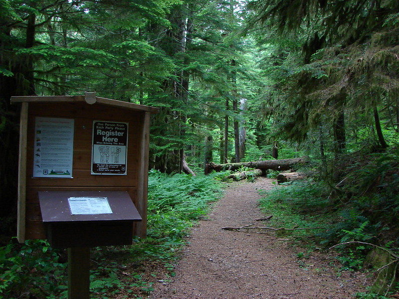
We recently returned from our final overnight backpacking “test run”. Our destination for this round was Donaca Lake in the Middle Santiam Wilderness. The wilderness, established in 1984, consists of 8900 acres in the Willamette National Forest. There were several potential trailheads that we could have started at and we chose to park at the Pyramids Trail. http://www.fs.usda.gov/recarea/willamette/null/recarea/?recid=4334&actid=64
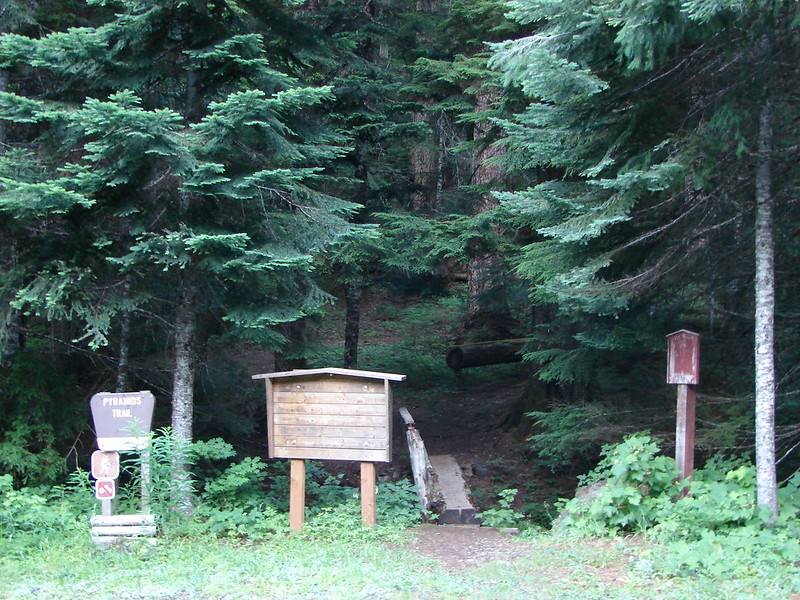
DSC01797

This trailhead left us with the least amount of driving time, but it was by no means the shortest hike to Donaca Lake. That was okay with us since we were wanting the extra distance to get used to hiking with our packs over 12 miles at a time, and coming from this trail we would be able to do the majority of the Middle Santiam River hike described in William L. Sullivan’s 100 Hikes in the Central Oregon Cascades. After crossing a little footbridge we turned left on the South Pyramid Creek Trail which traversed the SE flank of the South Pyramid for 1.5 miles where it briefly joined road 572 at a trail junction. On the opposite side of the road was the Crescent Mountain Trail. This was the opposite end of the trail we had taken up to the top of Crescent Mountain earlier in the month. The South Pyramid Creek Trail picked up about 10 yards down the road reentering the trees on the same side that we had just exited.

DSC01822

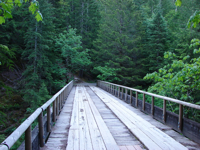
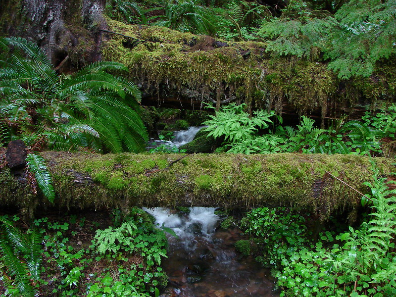
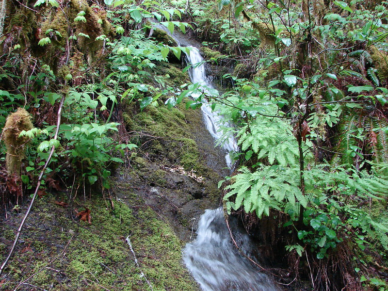
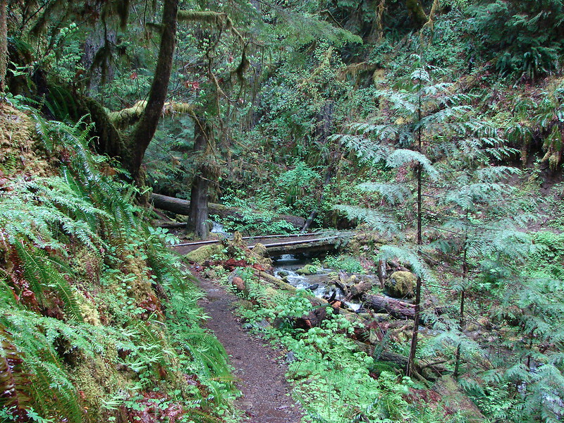
The trail soon began following an unnamed stream downhill toward South Pyramid Creek. We crossed over this stream a couple of times, sometimes on a bridge and other times not.
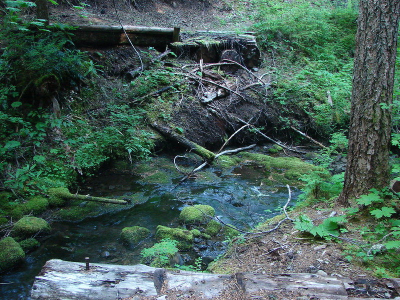
DSC01828
DSC01833

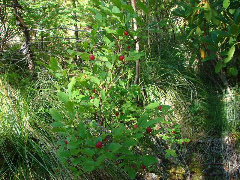
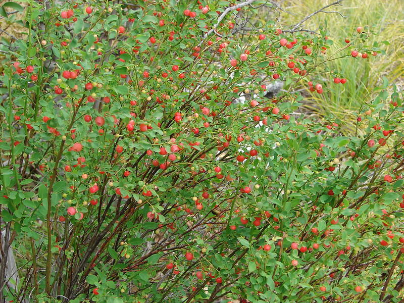
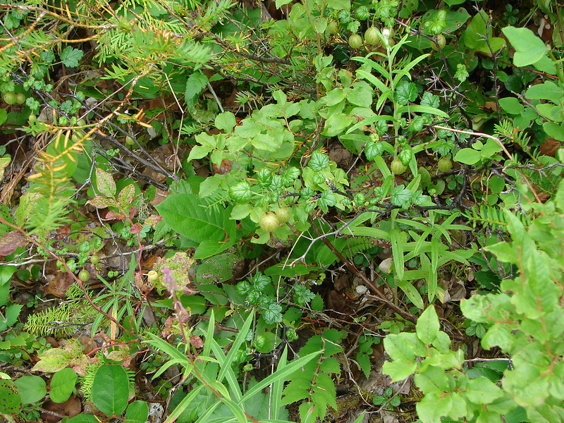
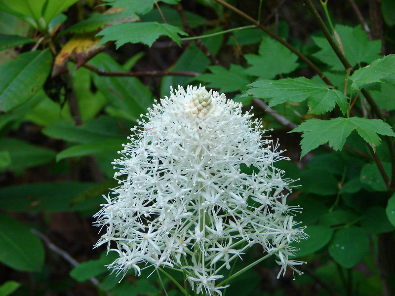
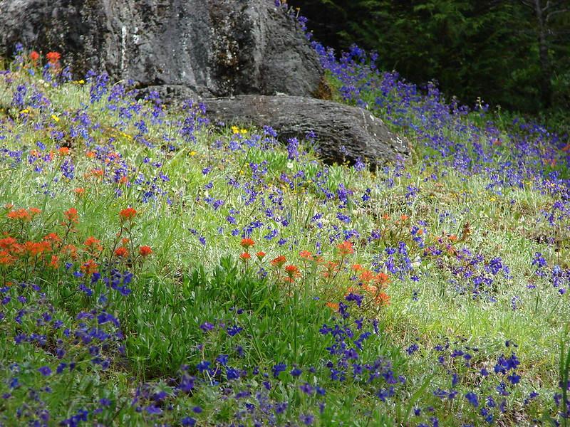
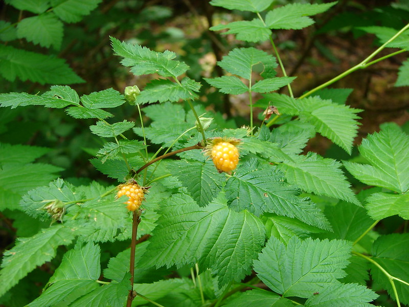
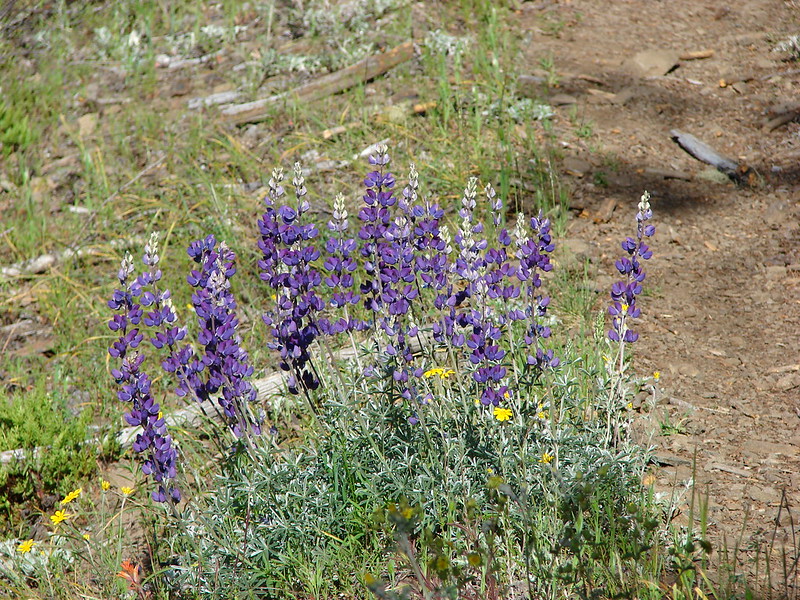
As we neared South Pyramid Creek the forest showed signs of logging activity on our left. This meant a lack of trees and shade, but it also meant there were tons of berries that had taken advantage of the sunlight and disturbed soil. We noticed several different varieties of huckleberries/blueberries, trailing blackberries, and what turned out to be Gooseberries.
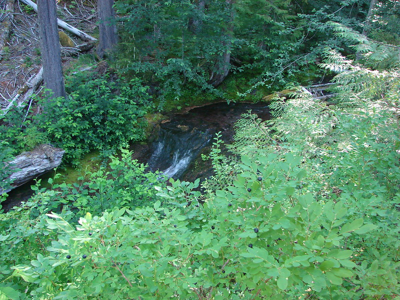
DSC01834
DSC01844
DSC02030
DSC01847
Gooseberry

Since we didn’t know what they were for sure we didn’t sample the gooseberries, but the rest of the berries were thoroughly tested. 🙂

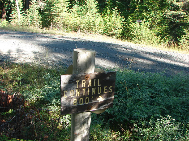
The trail crossed road 2047 where a sign indicated it’s continuation 800′ to the right.
DSC01846
We turned up the road, passed over the creek and started looking for the continuation. We hadn’t really thought out just how far 800′ was and at first we thought we’d passed by the trail since we felt like we’d gone plenty far. We backtracked looking for an sign of the trail and tried pushing through some trees thinking that we might have seen it. Once we stopped for a minute and really considered that 800′ is nearly three full football fields we realized we hadn’t gone far enough so we headed back up the road. I spotted a sign ahead just around a bend and announced that I’d found it, then looked to my left to see I was standing next to a trail and hiker sign. What I had seen was actually a sign for the South Pyramid Horse Camp and I had completely missed the trail.
DSC01848
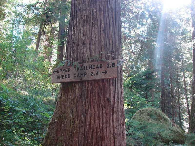
The trail was much fainter and overgrown in this section. It appeared that the trail had been rerouted at some point which would explain why my maps and Garmin did not show the 800′ road walk and instead showed the trail continuing directly across the road. It would also explain the trail junction that we came to not far from the road. It wasn’t on the Forest Service Topographical Maps I had nor was it shown on the Garmin (in fact both showed that the South Pyramid Creek Trail ceased to exist before reaching the Chimney Peak Trail which was the one we needed. Sullivan’s map showed the trail connecting and so did the Willamette National Forest trail description, but standing at this junction we became a bit confused. There was only one sign at the junction.
DSC01852
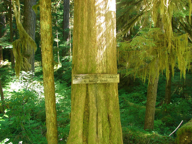
It was on a tree facing away from the direction we’d come. It was a “Y” junction so one trail went up and away to the right and the other headed down to our left. The distances didn’t match up with anything I had seen or read about but I knew we wanted to head toward Shedd Camp. The map in Sullivan’s book showed the South Pyramid Creek Trail intersecting the Chimney Peak Trail .3 miles from the Middle Santiam River and the Shedd Camp Shelter and we had planned to turn left at that point to visit a small waterfall on the river. The 2.4 mile distance listed on this sign just didn’t make any sense though. We headed left wondering if we would magically arrive at the river in .3 miles but after walking for awhile it became apparent that that would not be the case. After approximately 1.5 miles we spotted what I thought was a really random sign pointing back up the trail we’d just come down identifying the trail as the South Pyramid Creek Trail.
DSC02010
After a moment pondering why there would be a sign here we noticed another trail and sign. We had finally arrived at the Chimney Peak Trail.
DSC01867

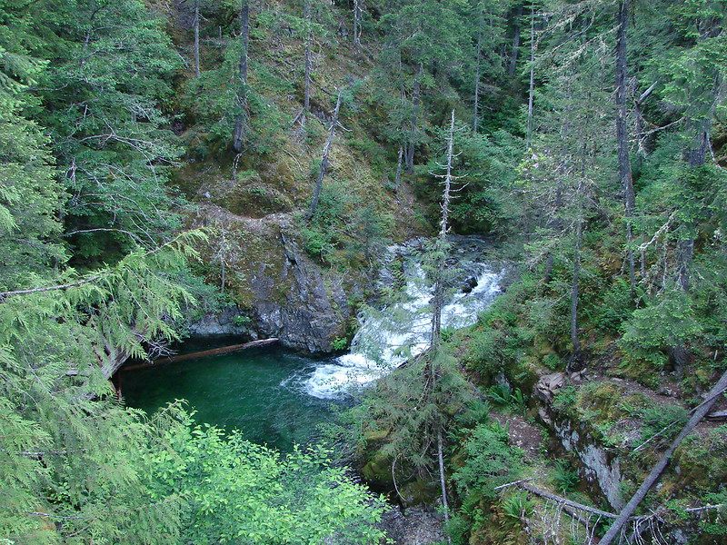
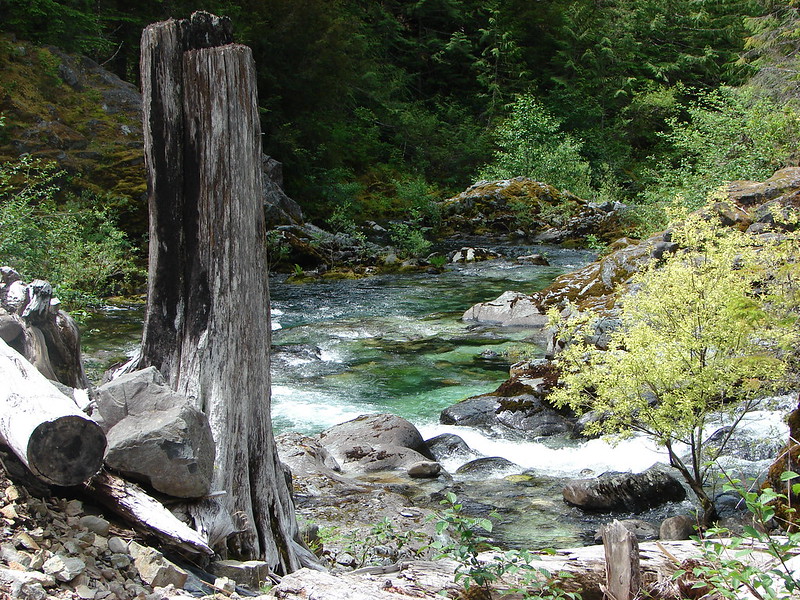
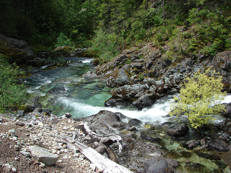
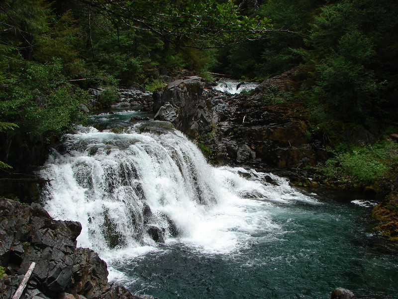
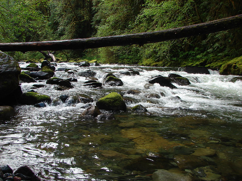
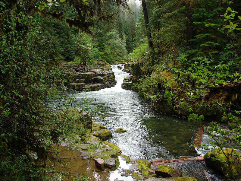
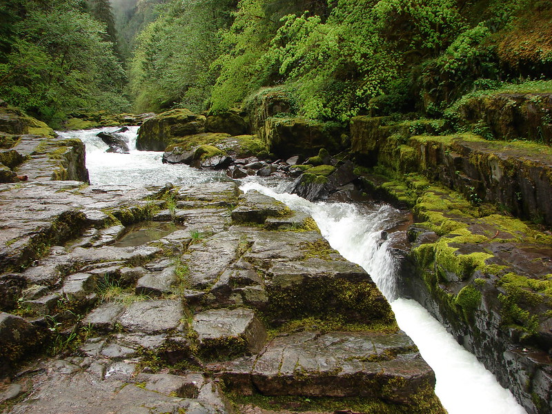
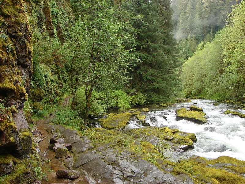
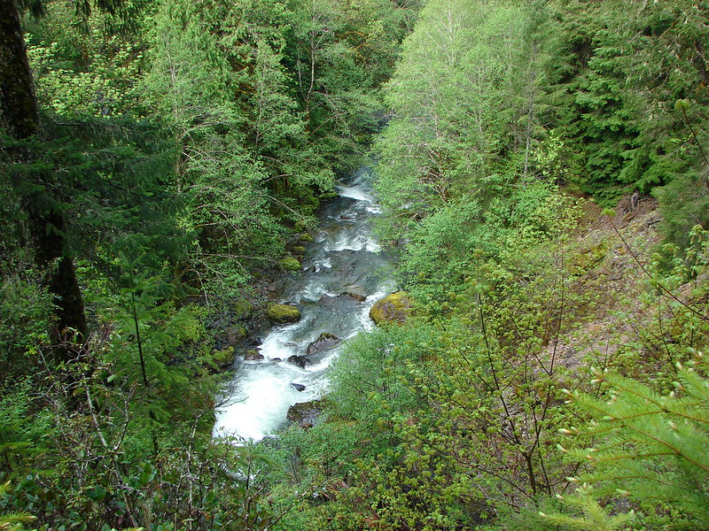
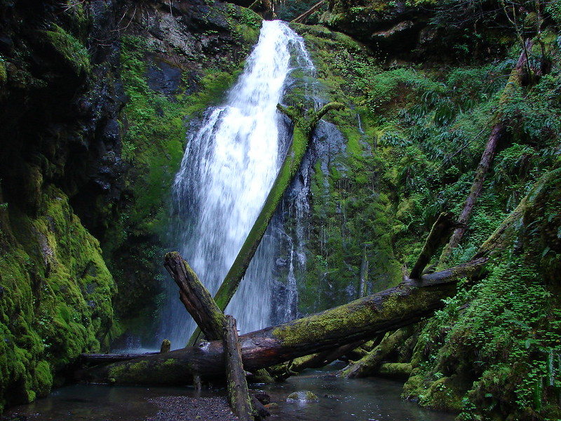
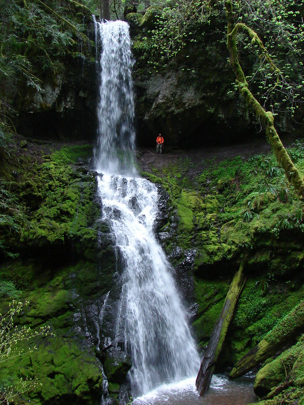
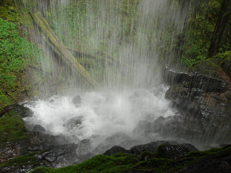
This time there really was only .3 miles to the Middle Santiam River. We took a break there to look at the falls and enjoy the river.
DSC01870
DSC01873

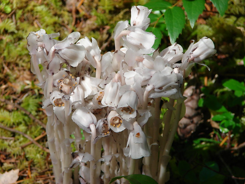
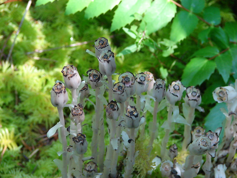
After the break we headed back up to the trail junction and took the Chimney Peak Trail. We were now following the route described in our 100 Hikes book which put an end to the trail surprises. It was 2 miles from the junction to our next marker, Pyramid Creek. Along the way we spotted a couple of very interesting patches of Indian Pipe.
DSC01881
DSC01882

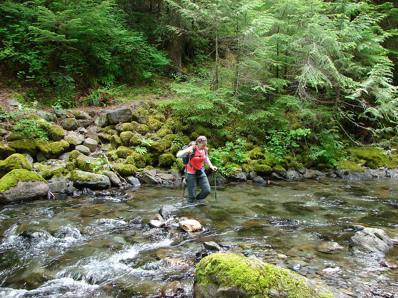
There was a nice camp site at Pyramid Creek which was my backup plan just in case there were no sites available at the lake. The creek itself was fairly wide with no bridge, and there was no way we were going to get across dry.
DSC01890

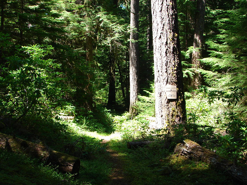
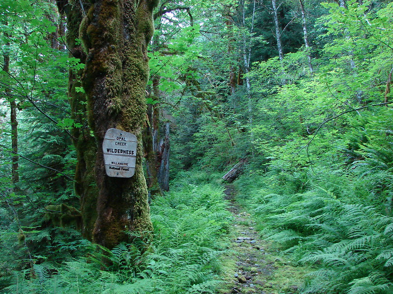
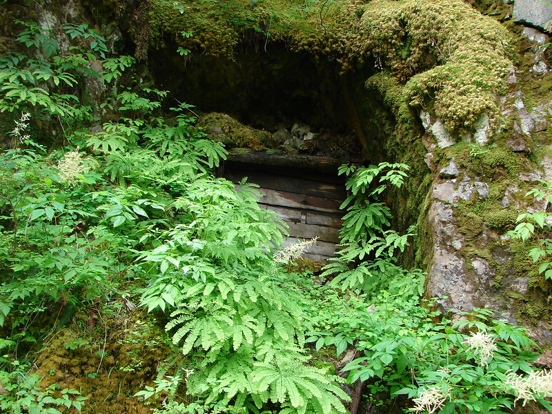
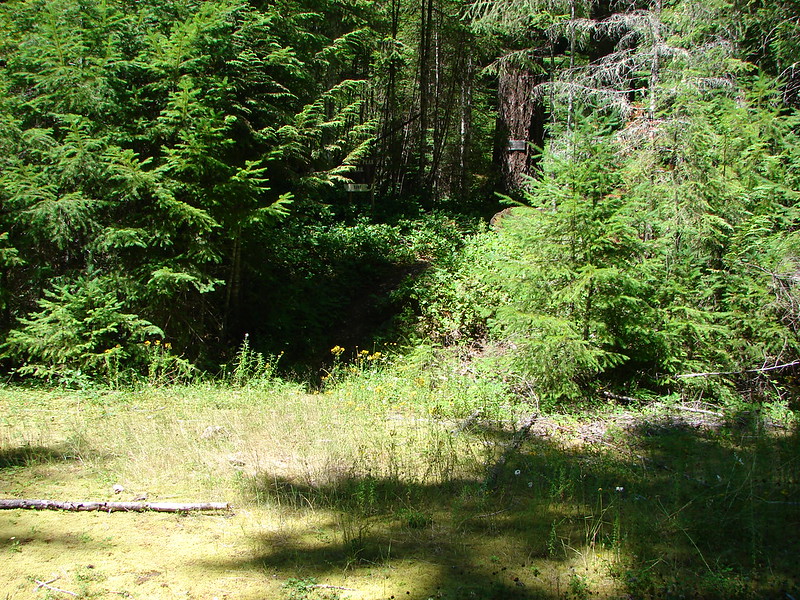
After fording the creek we crossed road 2041 which was abandoned years ago due to numerous washouts and entered the Middle Santiam Wilderness.
Road 2041:
DSC01896

Edge of the wilderness:
DSC01899

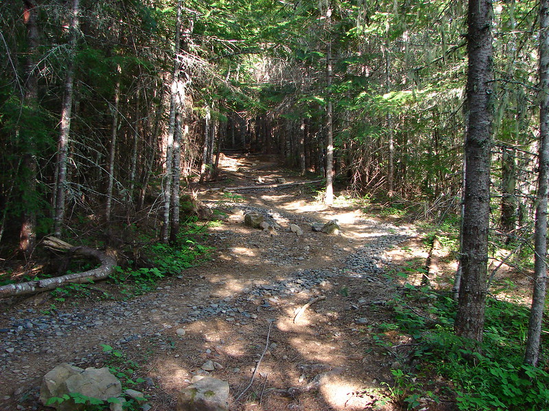
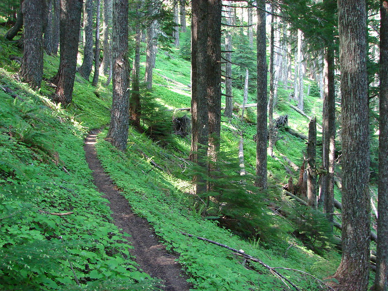
It was obvious that the trail doesn’t get a lot of use as the vegetation was encroaching on most of it.
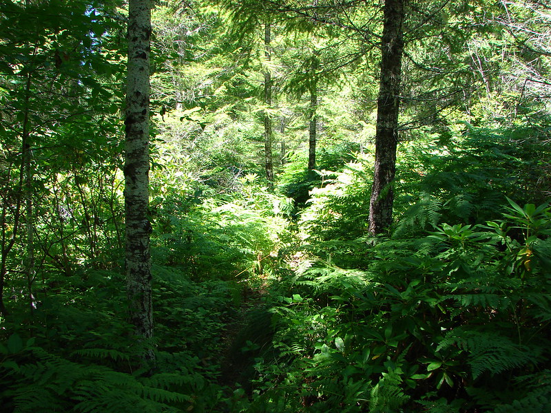
DSC01914

The trail was joined by the Gordon Peak Trail 2.3 miles from Pyramid Creek and shortly after we came to Swamp Creek. I had expected a swampy bog here given the name but found a nice little creek that required another fording.
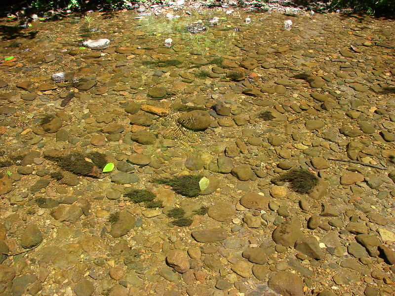
DSC01916

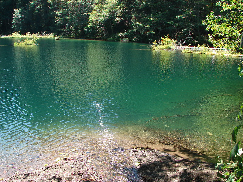
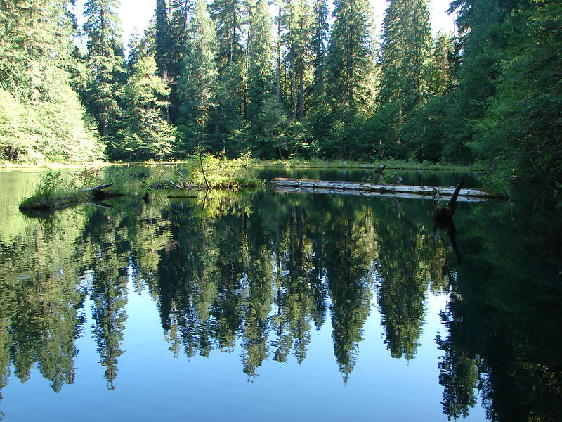
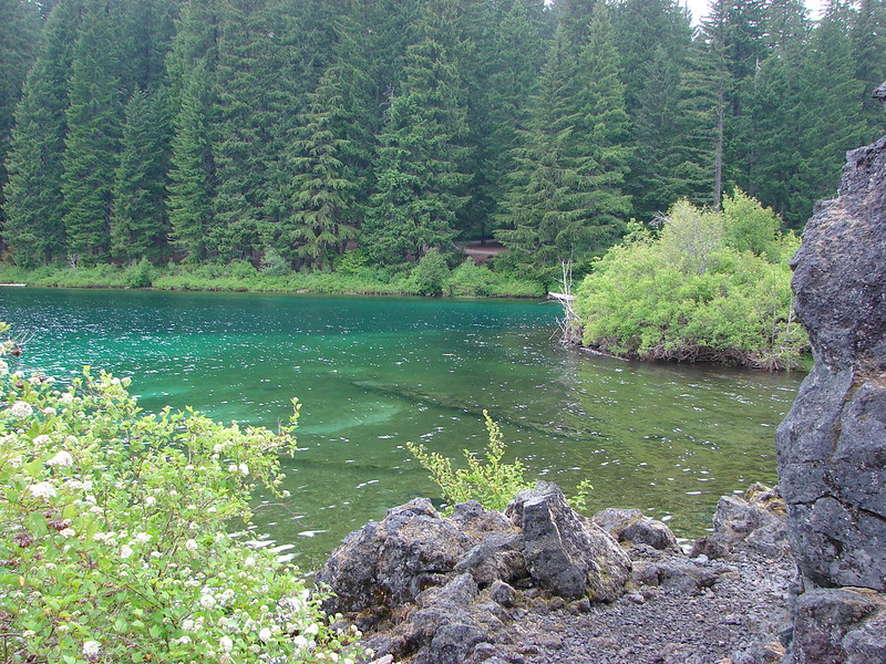
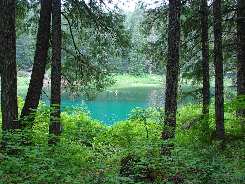
After crossing Swamp Creek we were only about three quarters of a mile from Donaca Lake. I had read somewhere that there was only one camp site at the lake and we had just passed a couple who had been staying at the lake so we were anxious to get there to make sure we could get a tent site. They told us the lake was lovely and it did not disappoint. From the first view through the trees we could see it was a very pretty little lake.
DSC01919
DSC01920

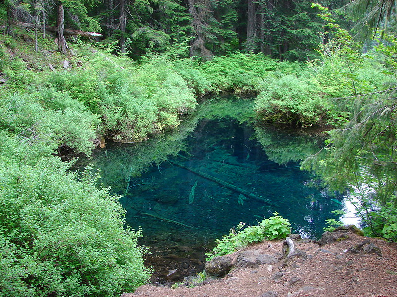
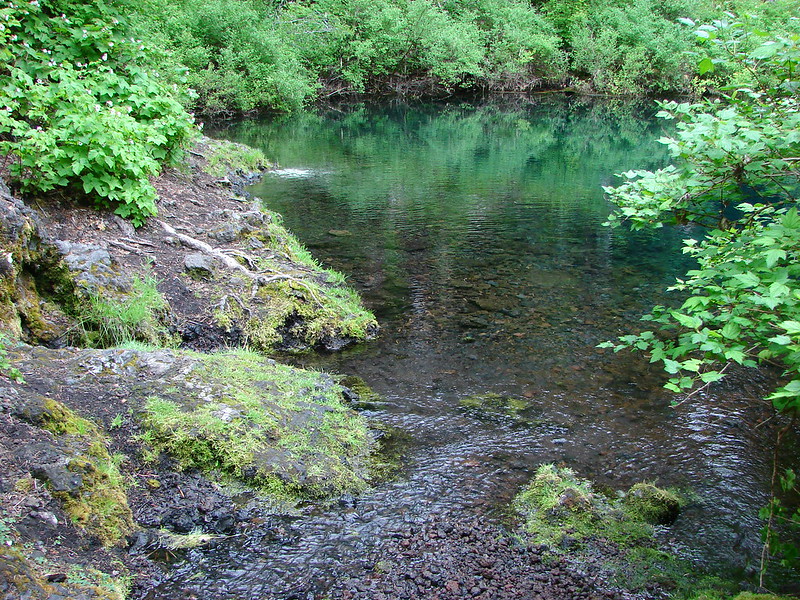
As we were passing along the lake we spotted a trail up to a small camp site away from the lake so we headed up and claimed our spot. After dropping off our gear we headed back down to the trail to explore the rest of the lake. The trail came to an inlet creek where we found another bigger campsite and a nice little gravel beach.
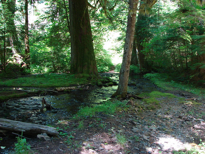
DSC01921
DSC01922

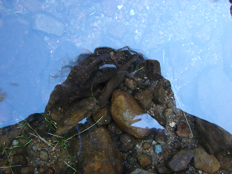
Just a little further up the trail was a third campsite but we decided to stay where we had dropped our packs because we didn’t want to be in the path of the lake access. Before going back and setting up camp though we sat on the gravel beach and watched as Newts and fish swam around in the lake while birds and bugs zoomed over the water.
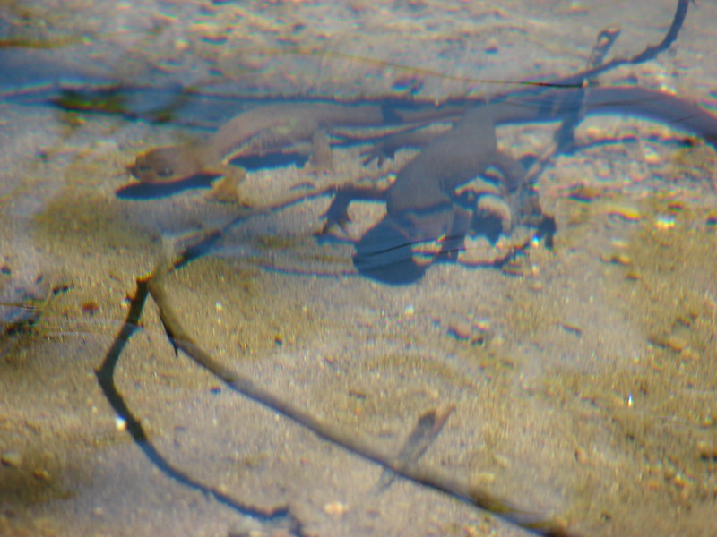
DSC01941
DSC01942
DSC01952

After watching the wildlife for awhile we headed back to our packs and set up camp.
DSC01968

While we were setting up another group arrived and settled down at the big site so when we were ready to go back down to the lake we took our dinner and headed to the third site we’d found and followed a little path to a different gravel beach. After dinner we hung out for awhile before turning in for the night.
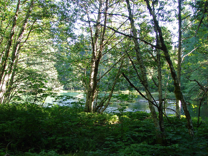
DSC01973
DSC01980

I woke up a little before 5AM and headed down to the lake to see if I could get any sunrise pictures. There wasn’t enough light for my camera to pick up much but there was a colorful stump that Heather had remarked on after dinner. It’s reflection in the water was eye catching.
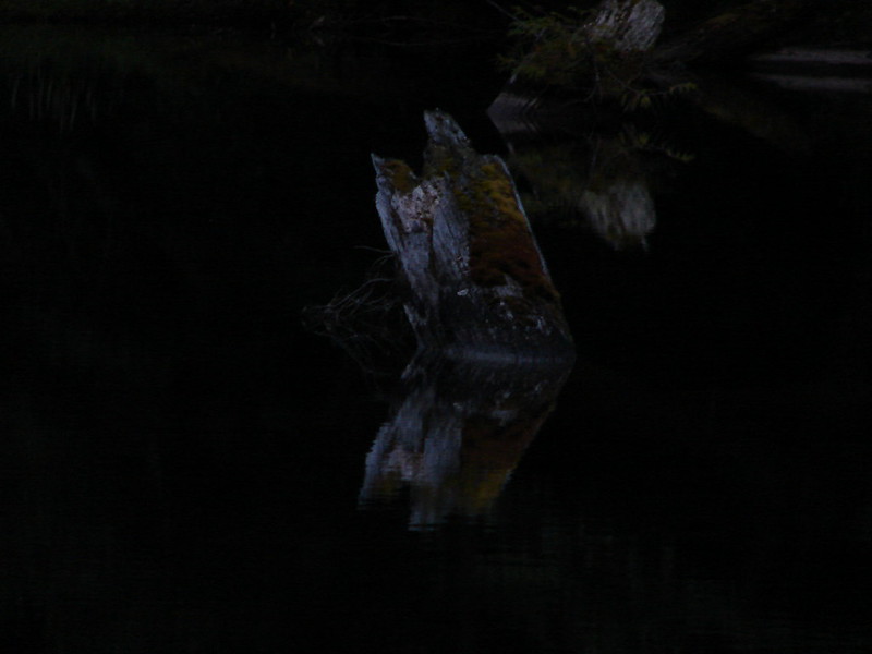
DSC01994

After Heather woke up and we’d eaten breakfast we packed up and started our return trip. It was going well until we hit the 3.8 mile sign. It was the longest section of trail I can remember hiking. We kept thinking we were going to arrive at road 572 and the Crescent Mtn. Trail junction but instead we just kept climbing. Even when we finally spotted the road it seemed as though we paralleled it for miles. We had a mini celebration when we did finally pop out on the road before tackling the final mile and a half. The final stretch went much quicker as it was primarily downhill and we eventually arrived back at the Pyramids Trailhead.
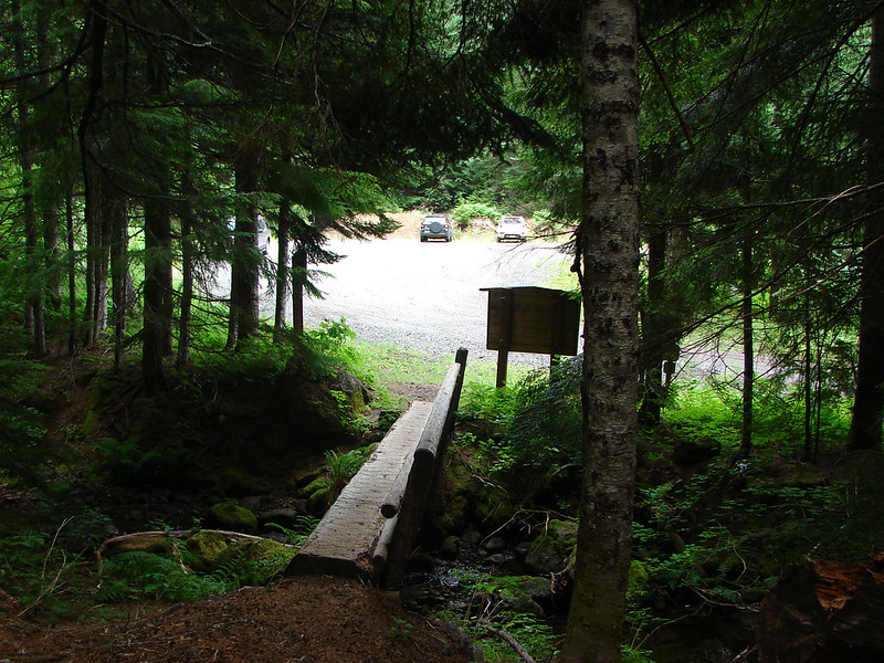
DSC02053

In 27.7 miles of hiking we had seen only the two groups totaling five people over the two days. If you’re looking for a nice quite forest where you can have the trail to yourself the Middle Santiam Wilderness may just be the place for you. Happy Trails!

Flickr: https://www.flickr.com/photos/9319235@N02/sets/72157645981978735/
Facebook:https://www.facebook.com/media/set/?set=a.10204556986191817.1073741895.1448521051&type=1

Categories
Hiking Middle Santiam Old Cascades Oregon Trip report

Crescent Mountain

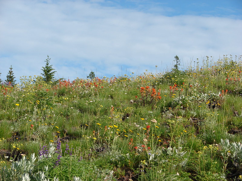
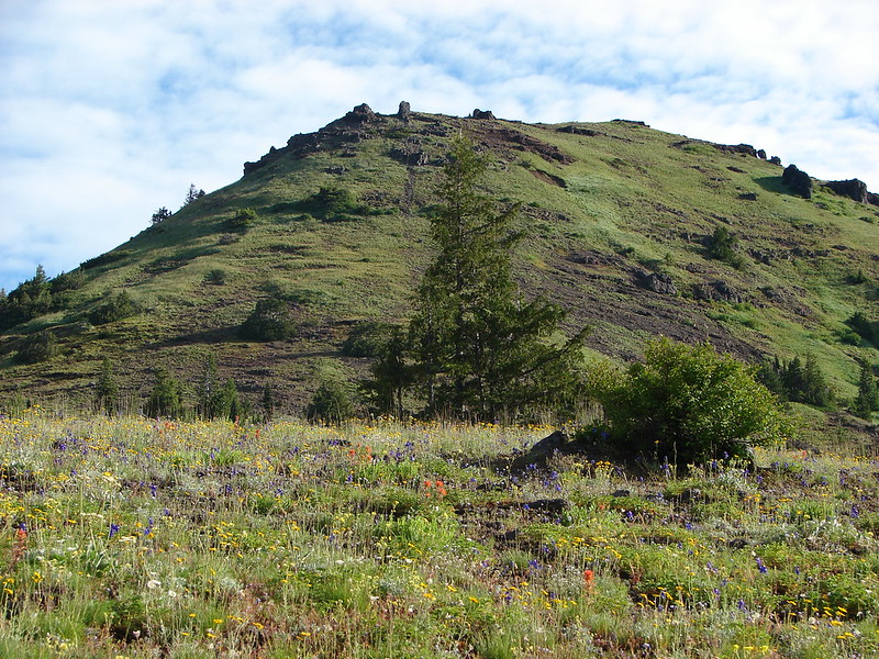
Our wildflower adventure in the Old Cascades continued on our way home from Bend on July 6th. The hike we’d chosen was Crescent Mountain which is less than five miles from Iron Mountain as the crow flies. A 4.5 mile trail climbs up the SE ridge of this crescent shaped mountain through a series of meadows to another former lookout site.

The first 2.5 miles climbed through a nice forest with a crossing of Maude Creek at the 1.3 mile mark.
DSC00434

The trail then entered the first meadow which was full of bracken fern and some wildflowers.
DSC00480
DSC00496
DSC00498
DSC00502
DSC00504

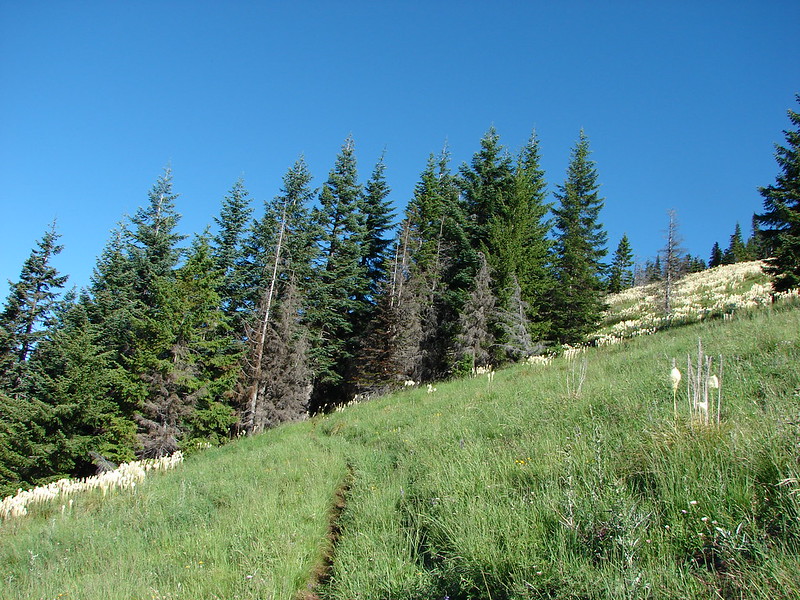
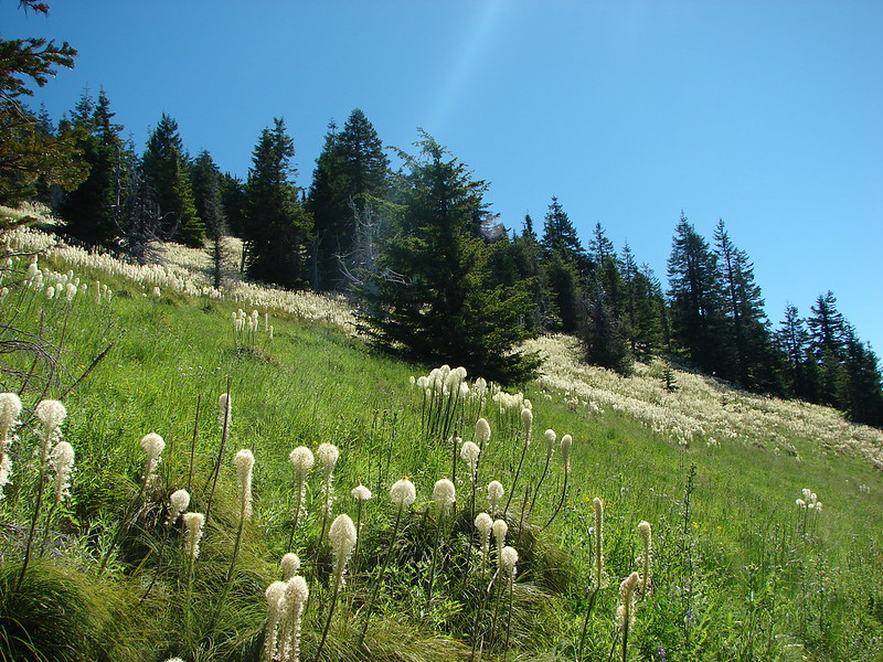
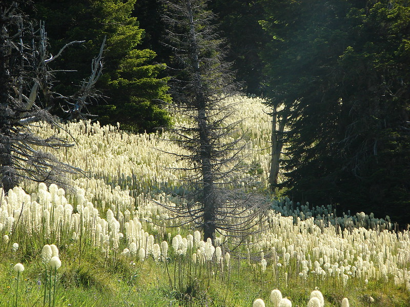
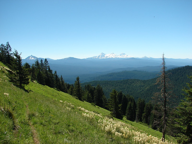
The ferns gave way to more wildflowers as the trail continued to climb. Then we spotted a field of beargrass ahead. It turned out to be the most densely packed we’d ever seen.
DSC00539
DSC00719
DSC00720

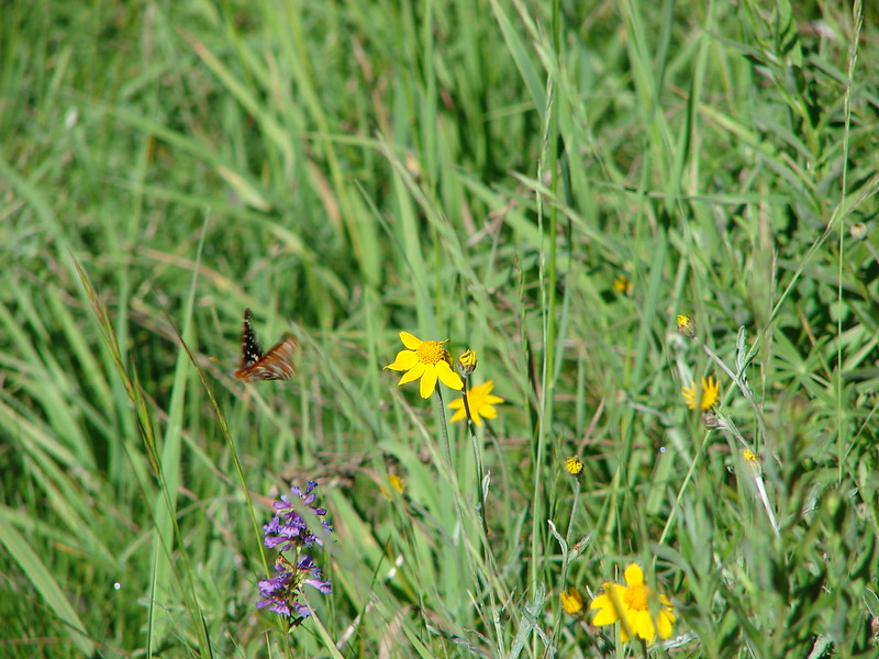
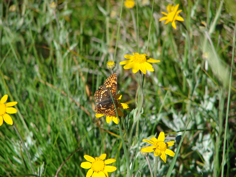
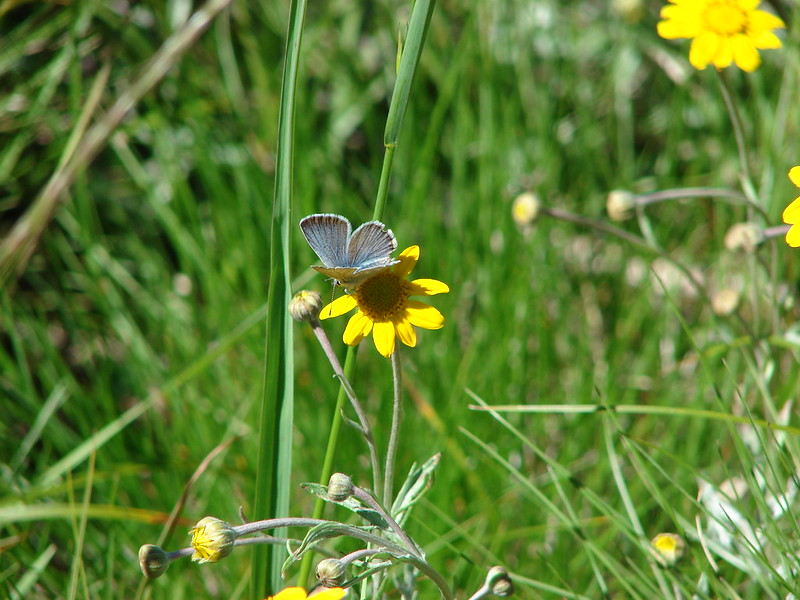
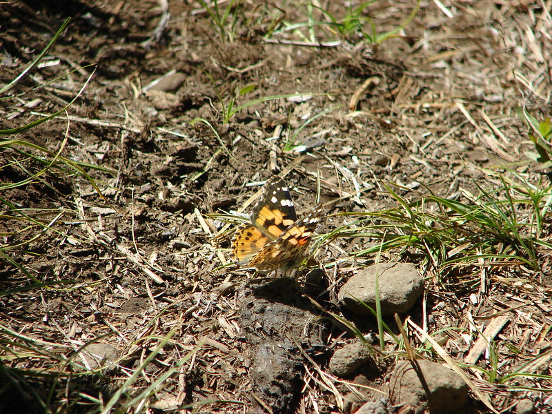
Butterflies and birds could be seen flying about in all directions. Behind us a view of Mt. Washington and The Three Sisters opened up across the open hillside.
DSC00551
DSC00555
DSC00557
DSC00560
DSC00718
DSC00724
DSC00564
DSC00721

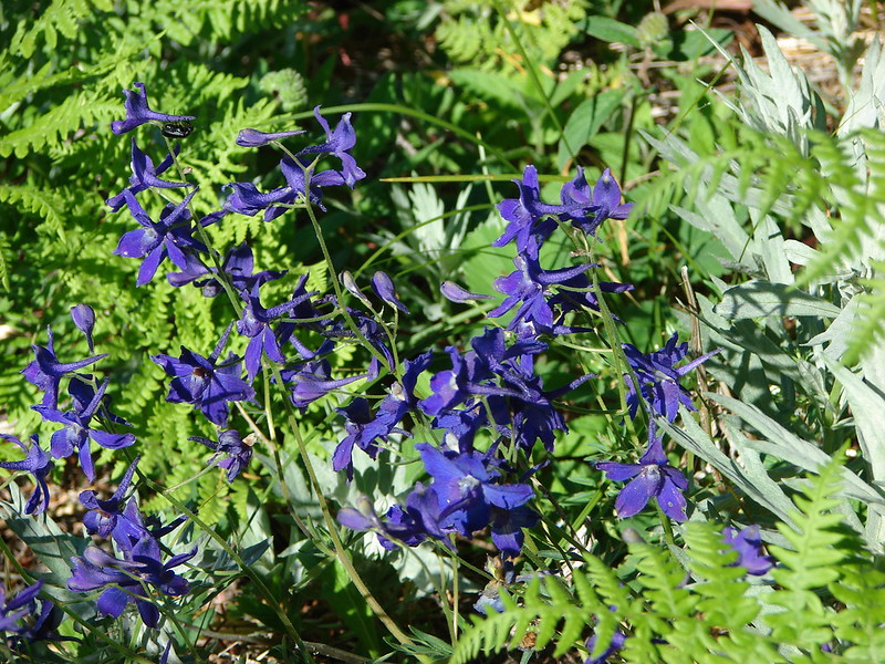
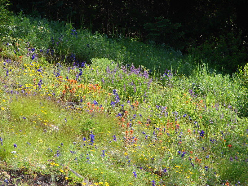
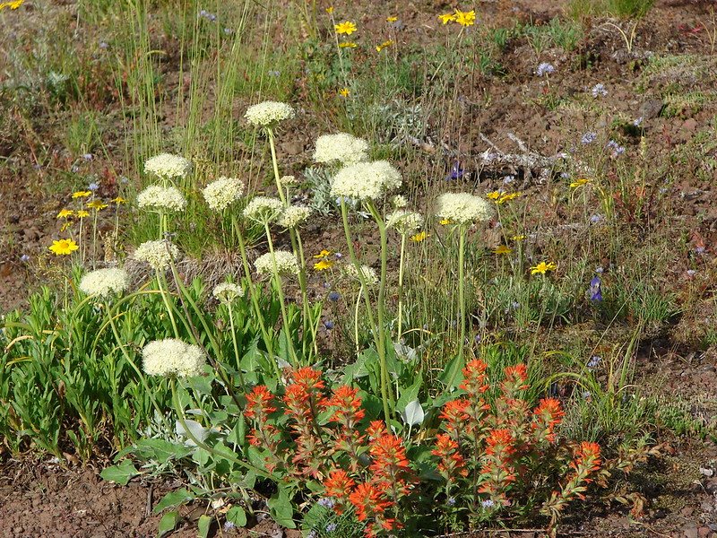
There was a nice variety of flowers in bloom.
DSC00727
DSC00744
DSC00741
DSC00714
DSC00694
DSC00693
DSC00559
DSC00574
DSC00579

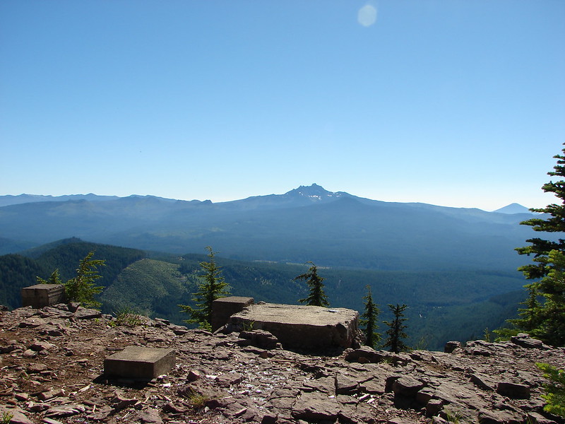
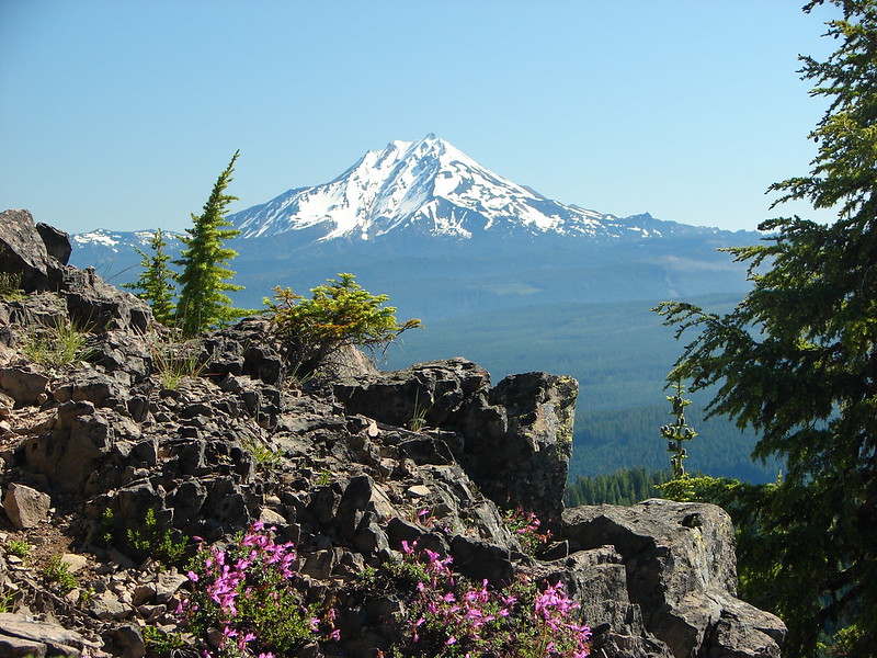
The meadows lasted for about a mile before the trail reentered the forest and climbed a ridge to a trail junction. Taking the uphill fork to the right we quickly popped out on the rocky summit where the former lookout had stood. The view here was better than Iron Mountain with Three Fingered Jack unobstructed and Crescent Lake below nestled in the curve of the mountain.
Mt. Jefferson
DSC00591
Mt. Washington and The Three Sisters
DSC00592
Three Fingered Jack and Black Butte
DSC00593
Diamond Peak
DSC00594
Mt. Hood & Mt. Adams
DSC00619
Crescent Lake
DSC00634

There were more flowers, butterflies and birds up at the summit and despite a brief encounter with mosquitoes when we left the meadows we were left alone to enjoy the scenery.
DSC00651
DSC00645
DSC00653
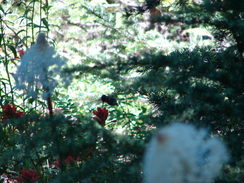
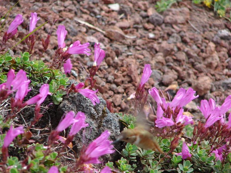
Hummingbird enjoying the paint
DSC00672
DSC00642
DSC00652
DSC00658

Coming down we ran into a pair of hikers passing through the meadow who were equally impressed with the flowers. We agreed that we’d probably timed it as well as could be hoped. It was a great way to end the holiday weekend. Happy Trails!

Flickr: https://www.flickr.com/photos/9319235@N02/sets/72157645550800815/
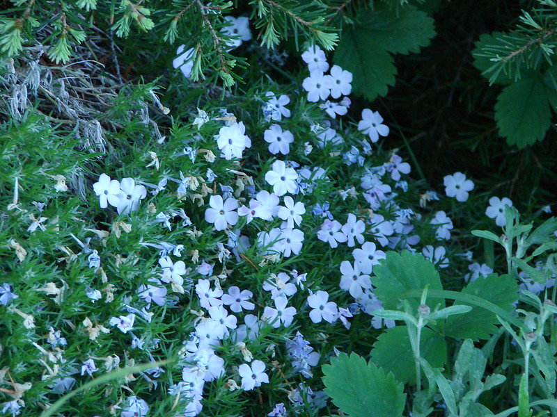
Facebook: https://www.facebook.com/media/set/?set=a.10204403365071385.1073741892.1448521051&type=1
Categories
Hiking Middle Santiam Old Cascades Oregon Trip report

Iron Mountain and the Meadows of Cone Peak

July means wildflowers in the Old Cascades, the eroded peaks that are now the western foothills of the Cascade Mountains. We were headed over to Bend, OR for the 4th of July weekend so we seized the opportunity to check out a couple of the hikes on the way over and back. On the way over to Bend we decided to revisit Iron Mountain, a hike we had done in 2010 during the final week of July. We missed the wildflower peak that year by a couple of weeks so we hoped we would be hitting the area at a better time this visit.

On our previous visit we did the loop clockwise by starting at the trailhead located on road 15 and heading up Iron Mountain first then through the meadows on Cone Peak. This time around we parked at Tombstone Pass and headed counter-clockwise in order to hopefully have the meadows to ourselves before the trail got crowded.
DSC00001
We took a short detour on the Tombstone Nature Trail that circled around a meadow with flowers and a view of Iron Mountain.
DSC00010
DSC00013
DSC00017
DSC00034

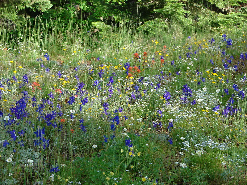
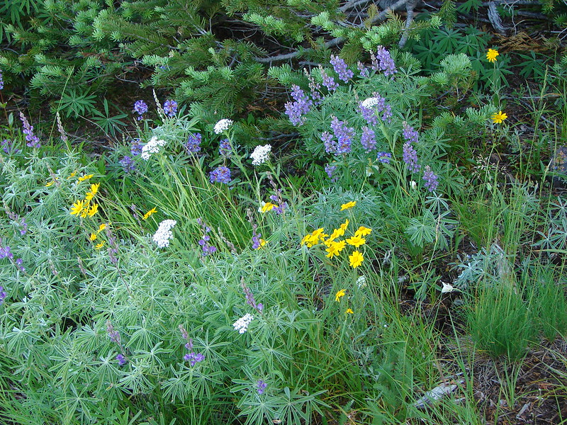
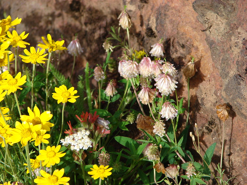
After finishing the nature trail we crossed Highway 20 and started climbing up the Cone Peak Trail. We started seeing flowers almost immediately. It seemed every open area had an assortment of different flowers.
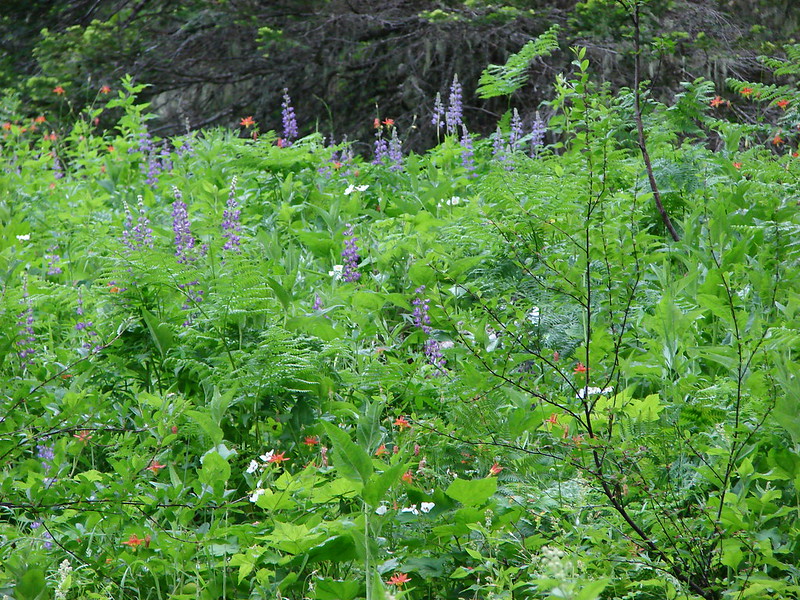
Lupine, Columbine & Thimbleberry
DSC00053
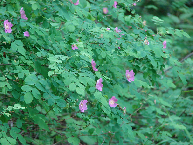
Wild Rose
DSC00055
Columbine
DSC00049
Larkspur
DSC00056
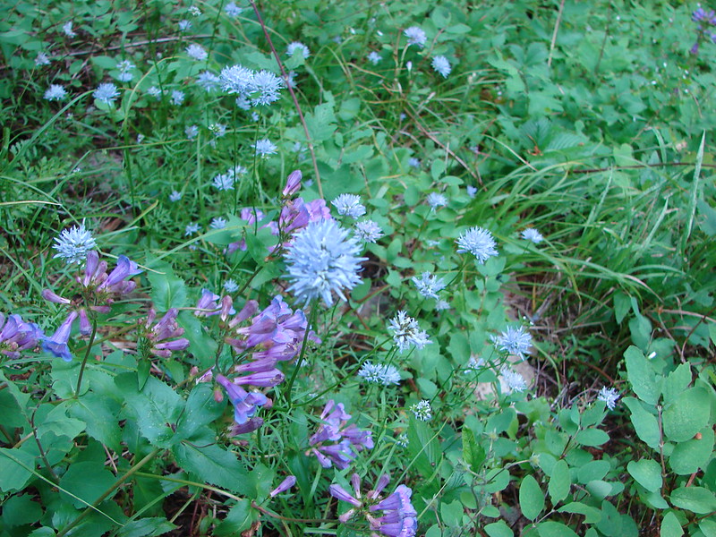
Penstemon & Blue Gilia
DSC00061
Cat’s Ear Lily
DSC00067
Woolly Sunflower
DSC00079
Flower variety
DSC00085
DSC00103
Columbia Windflower
DSC00046
Wallflower
DSC00132
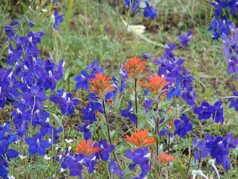
Paintbrush & Larkspur
DSC00136
More variety packs
DSC00137
DSC00138
DSC00195
DSC00214
DSC00234

We’d already lost count of the number of different flower types we’d seen by the time we got to the main meadow 1.2 miles from the highway crossing. In the meadow we found even more types of flowers as well as views of Cone Peak and Iron Mountain.
DSC00150
Cone Peak
DSC00151
DSC00156
DSC00172
DSC00173
DSC00175
DSC00180
Cone Flower
DSC00182
Giant Blue-eyed Mary
DSC00187
DSC00191
Iron Mountain
DSC00158
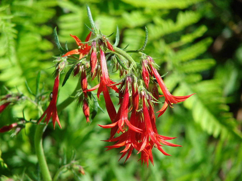
Scarlet Gilia
DSC00250

We’d been hearing some elk off and on while we were in the meadow and as we were exploring a rocky outcrop Dominique noticed some brown spots in a meadow up on Iron Mountain. There were 7 elk moving through the brush grazing on the vegetation as they went.
DSC00220
DSC00221

We left the meadow and reentered the forest as we wound our way around Iron Mountain to the junction with the Iron Mountain Lookout Trail. There were still flowers everywhere and now we were starting to get views of the snowy Cascade Mountains.
DSC00300
DSC00312
Mt. Hood
DSC00313
Mt. Jefferson
DSC00314
The Three Sisters
DSC00319
DSC00321
DSC00331

At the site of the former lookout is a railed observation deck and bench which allowed for a relaxing rest as we took in the 360 degree view which spanned from Mt. Adams to Diamond Peak.
Mt. Adams & Mt. Hood
DSC00379
Mt. Jefferson beyond Cone Peak and the top of Three Fingered Jack behind Crescent Mountain
DSC00388
Mt. Washington
DSC00377
The Three Sisters, Mt. Bachelor & The Husband
DSC00382
Diamond Peak
DSC00375

The view was so good even a hummingbird took a break from the penstemon to take it in.
DSC00361
DSC00367

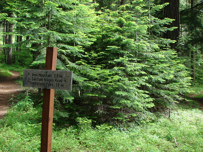
We headed back down to the trail junction and continued on our loop passing more flowers, recrossing Highway 20, and returning to Tombstone Pass on the Old Santiam Wagon Road.
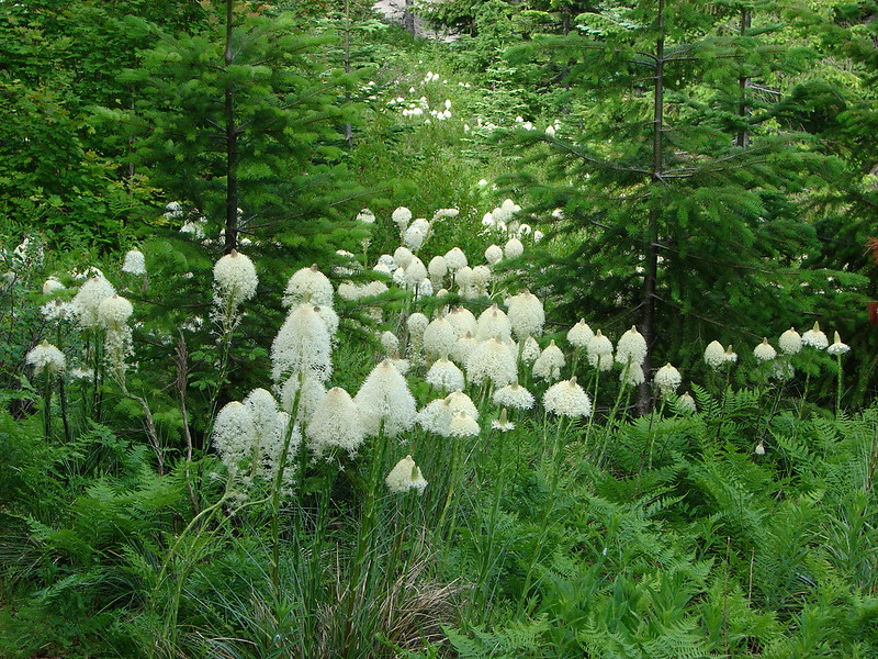
Beargrass
DSC00409
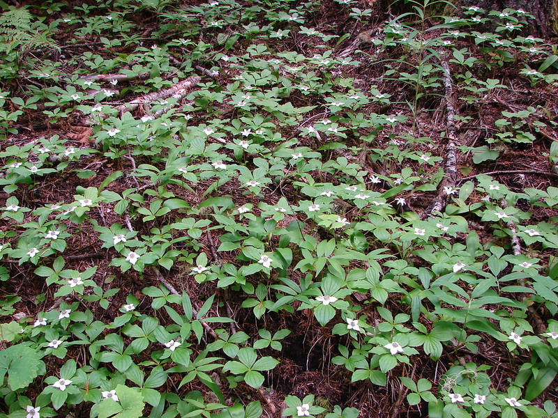
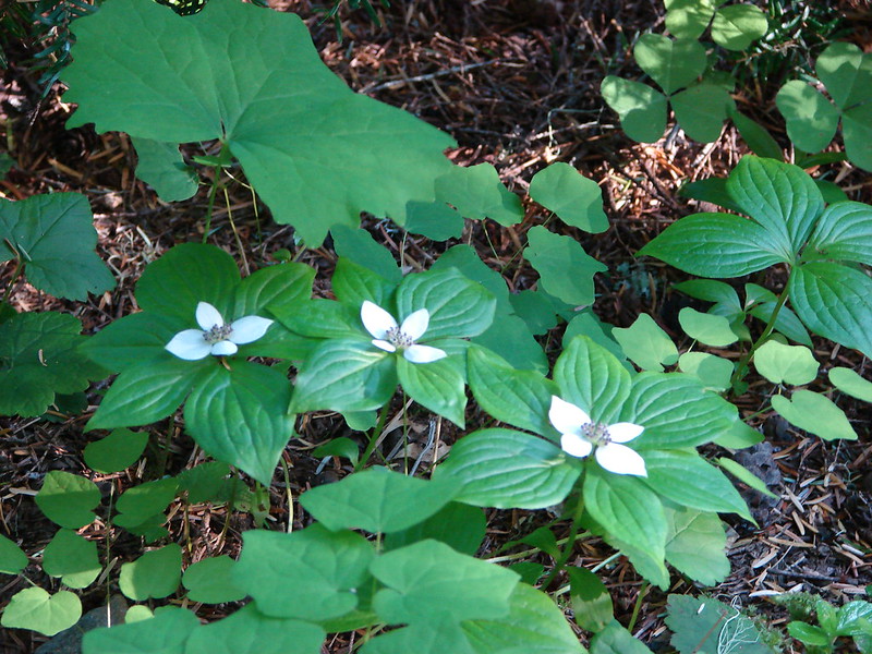
Bunchberry & Queens Cup
DSC00414
DSC00416
DSC00422

The flowers had certainly been better than on our previous visit and it looked like they would be pristine for another week or two. It was a great way to start a holiday weekend. Happy Trails!

flickr:https://www.flickr.com/photos/9319235@N02/sets/72157645515763015/
Facebook:https://www.facebook.com/deryl.yunck/media_set?set=a.10204403291949557.1073741891.1448521051&type=3

Categories
Bull of the Woods/Opal Creek Hiking Old Cascades Oregon Trip report

Whetstone Mountain

**Note the 2020 Beachie Creek Fire burned the area covered by this hike.**

One of the hikes we wanted to do this year was a repeat of a hike we’d done back in 2010 when we were just getting into hiking. The goal of that hike was Whetstone Mountain. When we were done with that hike we had no idea how far we’d gone, we just knew that it kicked our derrieres. We wanted to revisit this hike to find out just how far it was and to also see how we would fare now being more prepared and experienced.

The previous hike had ended with Heather and I jogging down the closed portion of forest service road 2209. We weren’t jogging for fun, we were jogging because we couldn’t walk any longer and we desperately wanted to be back at our car. We were heading back now armed with 4 years of experience and a Garmin to find out just how difficult this hike really was. The starting point for this loop was the Opal Creek trail head which was already full of cars when we pulled up at 6am. The trail head is the main gateway into the Opal Creek Wilderness and Jawbone Flats a former mining camp turned ancient forest center. A gate at the trail head blocks any unauthorized vehicles from reaching the center.

We set off down road 2209 and followed it across Gold Creek.
DSC09374
DSC09375

Shortly after the bridge a sign and wilderness registration box announced the Whetstone Mountain Trail heading up on our left. We turned up it and quickly entered the Opal Creek Wilderness.
DSC09377
DSC09385

The trail climbed steadily through rhododendrons and beargrass. Neither Heather nor I remembered much about this portion of the hike from our first visit. It may be that we suppressed the memory of this difficult climb :). It wasn’t until we reached a small saddle with an open view of Mt. Hood to the north that anything looked familiar.
DSC09401
DSC09407
DSC09434

Another notable item that we remembered was an anvil shaped rock outcrop that could be seen through the trees as well as view of Mt. Jefferson.
DSC09468
DSC09471

On our first visit we had been disappointed with the mountain views. We had been told to look for a trail that forked off to the left and led to a nice view, but we never found it that first trip. We had our eyes open again this time determined to find this trail to a view, but this time we didn’t need to look very hard. A nice new sign had been put up pointing directly at a well maintained trail. It’s hard to believe either was there on our previous visit. The sign was surely new and we couldn’t believe we would have missed such an obvious trail.
DSC09474

The views kept getting better as we climbed toward the former lookout site. The trail passed a nice meadow below the rocky summit before winding up on top where a 360 degree view awaited.
DSC09546

Olallie Butte, Mt. Jefferson and Battle Ax Mountain
DSC09497

Mt. Hood
DSC09528

Broken Top, Coffin Mountain and the Three Sisters
DSC09522

Three Fingered Jack
DSC09515

Diamond Peak
DSC09520

Mt. Rainier
DSC09540

Mt. Adams
DSC09538

We would have liked to have stayed up on the summit for awhile but it was crowded up there. Mosquitoes were beginning to swarm us and there was no breeze to keep them at bay so we didn’t stick around very long and headed back down to the Whetstone Mountain trail to continue our loop. Not far from the summit we passed another lovely meadow filled with larkspur and paintbrush.
DSC09550
DSC09551

The trail down the east side of Whetstone Mountain had a gentler grade than the side we had come up. We didn’t remember this section either until we reached the bridge less crossing of Battle Ax Creek. On our last visit we removed our shoes and socks and made sure our pant legs would stay dry. Our attitudes about creek crossings have changed since then and this time we just plunged in.
DSC09594

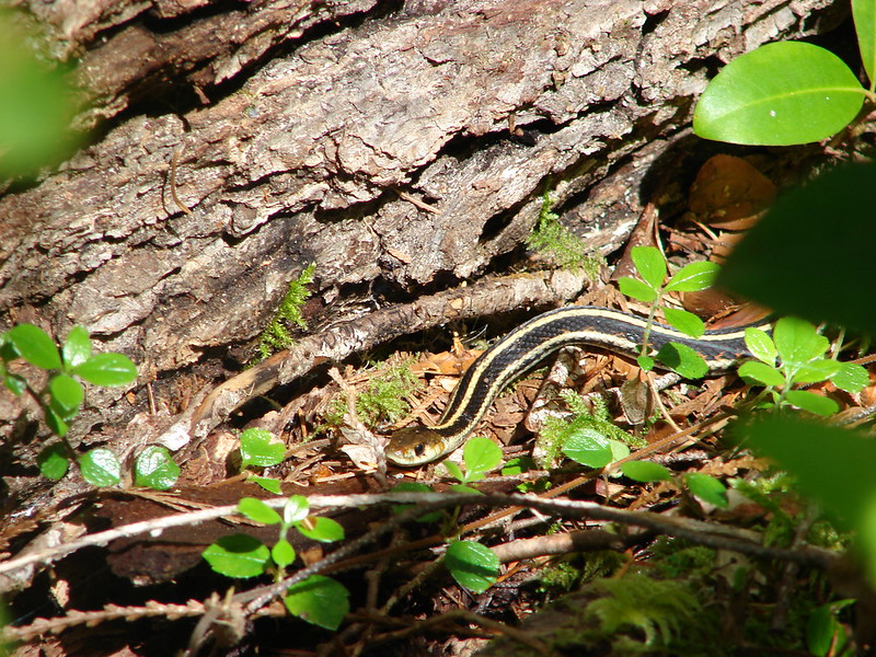
Shortly after crossing the creek we popped back up on the old road 2209 at a trail junction. We turned toward Jawbone Flats and headed down the abandoned mining road. As we were walking I spotted a snake trying to get out of the way. It didn’t seem too concerned with us and posed for several pictures. Nique and I moved on and soon realized we’d lost Heather. When she caught back up she told us that the snake had come over to check her out.
DSC09616

About a mile from Jawbone Flats are the remains of the Ruth Mine. We took a moment this time to check out the old equipment and shafts.
DSC09627
DSC09628
DSC09638

Just before Battle Ax Creek reaches Jawbone Flats there is a nice open rocky area where we could get an up close view of the clear water that the Opal Creek Wilderness is known for.
DSC09652
DSC09655
DSC09673
DSC09674

We had gone straight through Jawbone Flats crossing Battle Ax Creek on a footbridge on our previous visit but we had made other plans this time. The bridge had recently collapsed so there was no direct route through the old camp. Instead we would take the Kopetski Trail which would take us across the Little North Santiam River and by the Opal Pool.

Closed bridge:
DSC09681

Old mining equipment:
DSC09682

Little North Santiam River:
DSC09690

Opal Pool:
DSC09704

Despite the number of cars in the parking lot that morning we had only seen one group of people up until we reached the Opal Pool. From that point on we were passing another group every couple of minutes. Since we had hiked this trail in 2012 and we’d already been hiking for over 6 hours we didn’t bother with exploring all the possible access points to the river. After a mile and a half we recrossed the river on another bridge and were back on road 2209. We had one last stop to make. There was a waterfall that we had yet to find along the trail. We knew it was somewhere behind the old Merten Mill but we had yet to actually see it. Determined to finally see Sawmill Falls we turned off the road at the old mill and followed a path next to the building. This time we found the falls easily and it was worth the side trip.
DSC09715
DSC09717
DSC09722

After a brief rest we returned to the road and began the home stretch. Nique and I began snacking on the Salmonberries that were ripening along the trail (Heather finds them too sour) and we passed a good patch of flowers growing in an exposed rocky section.
DSC09730
DSC09736

We ended up with the Garmin showing a 16.3 mile hike which would explain why it had seemed so hard 4 years ago, it was hard :). We’d probably gone closer to 15 that day since we hadn’t found the summit trail or taken time to explore the Ruth Mine, Opal Pool, or Sawmill Falls but up until then 7.1 had been our longest hike.

It is really a beautiful area with lots of options, but if you don’t like crowds avoid weekends, especially nice ones. When we got back to the parking area the number of cars had more than doubled. If we were to ever do this loop again I’d go the opposite direction to minimize crowds and to take advantage of a more gradual climb. Happy Trails!

flickr: https://www.flickr.com/photos/9319235@N02/sets/72157645240344216/
facebook: https://www.facebook.com/media/set/?set=a.10204293169716570.1073741888.1448521051&type=1

Categories
Hiking McKenzie River Old Cascades Oregon Trip report

Clear Lake

We wanted to get one last hike in on the way home from Central Oregon. Originally we’d planned on hiking up to the summit of the Middle Pyramid on the Three Pyramids Trail, but we were greeted with clouds and rain as we came to Santiam Pass. Knowing there wouldn’t be any views we changed our plans and headed to Clear Lake 10 miles south of the Santiam Jct. on Highway 126.

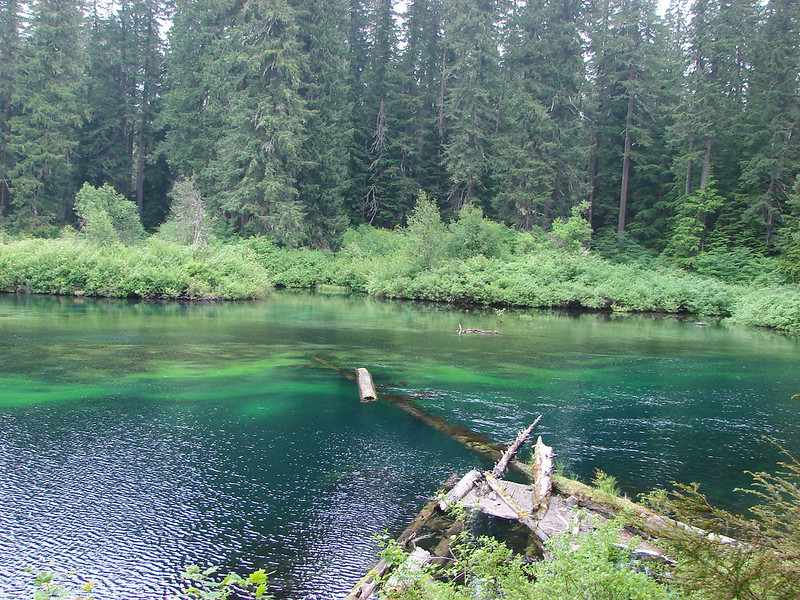
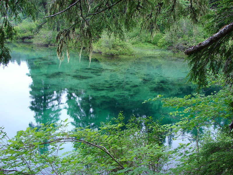
The McKenzie River begins at Clear Lake where old lava flows created the lake by covering and damming the river. On a clear day The Three Sisters and Mt. Washington can be seen from various points around the lake but with the clouds we would be content with the clear, colorful water of the lake.

We began our counter-clockwise loop at a picnic area near the Clear Lake Resort.
DSC09121

The trail passed through a nice Douglass Fir forest with glimpses of the lake to our left where we spotted our first on trail beargrass of the year.
DSC09122

At about the one mile mark on an arm of the lake which feeds the McKenzie we got our first taste of the draw of Clear Lake.
DSC09141

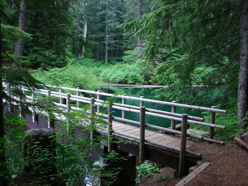
A footbridge led us over the outlet of the McKenzie River to the eastern shore of Clear Lake.
DSC09151
DSC09152
DSC09171

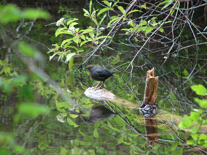
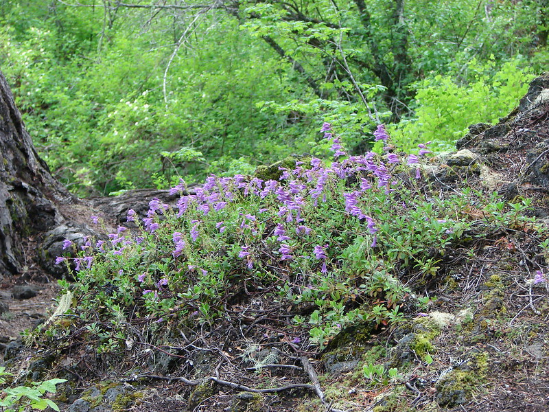
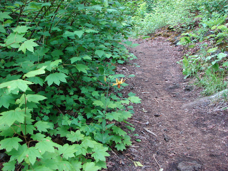
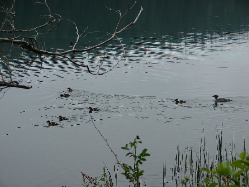
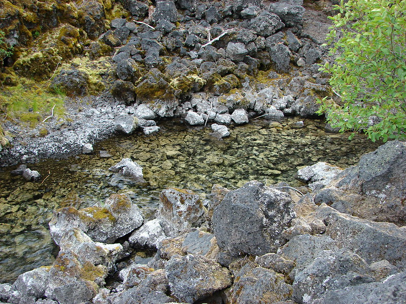
The trail on the eastern side spent more time in the open and closer to the lake as it crossed over several lava flows. Here we spotted several birds, ducks, and colorful wildflowers.
Ouzel
DSC09189
Penstemon
DSC09182
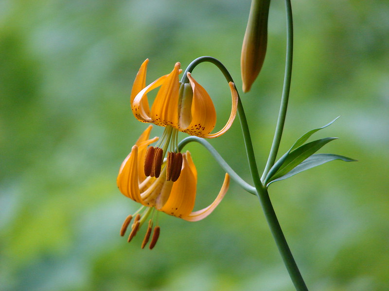
Tiger Lily
DSC09191
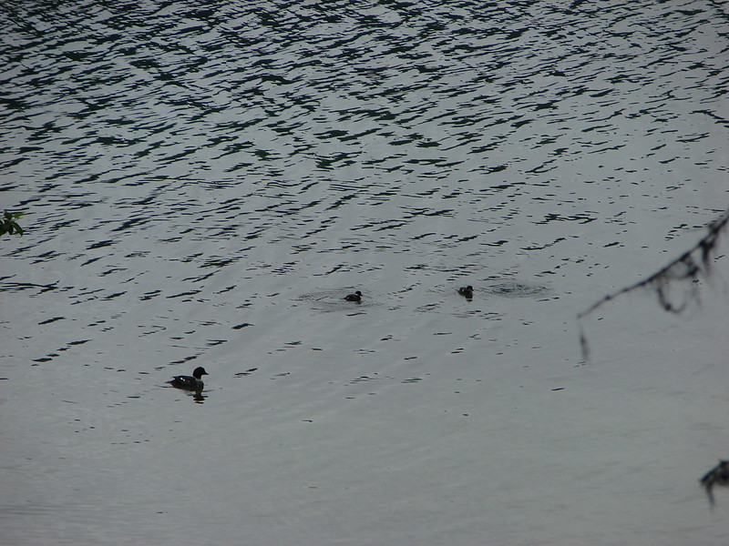
Merganser and her ducklings
DSC09197
Wild Rose
DSC09242
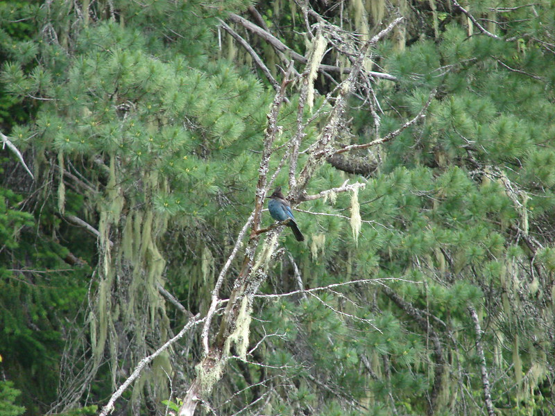
Stellars Jay
DSC09247
Barrow’s Goldeneye
DSC09255
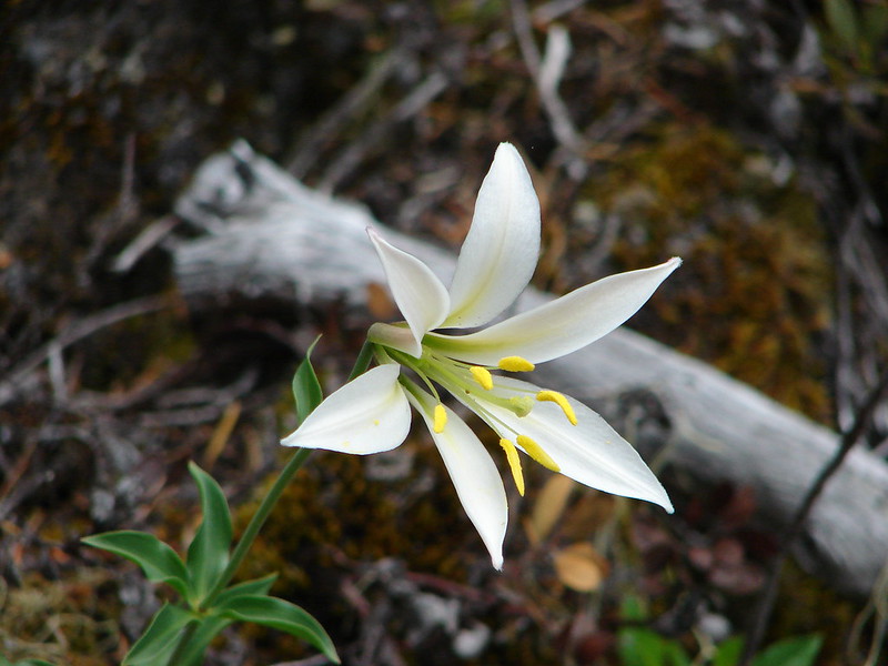
Washington Lily
DSC09271
Another family of ducks
DSC09273

The water in the lake became more colorful as we arrived across the lake from the resort.
DSC09281
DSC09291
DSC09298
DSC09299

Shortly after passing the resort on the far shore we came to the Great Springs which feed the lake with 38 degree water allowing the lake to remain unfrozen all year. They emptied into a beautiful small pool reminiscent of the Tamolitch Pool which lies further down the McKenzie.
DSC09308
DSC09316
DSC09328

After the Great Springs the trail crosses Fish Lake Creek on a footbridge. This creek only flows during the Spring snow melt.
DSC09340

Finally we swung out around an arm of the lake where Ikenick Creek flows into the lake.
DSC09355

Back on the west side of the lake we were again in the fir forest where many white woodland flowers were in bloom.
DSC09360

We quickly reached the resort area which was busy with campers. The picnic area was just on the other side and before we knew it our Central Oregon hiking tour was over (for now). Happy Trails!

flickr: https://www.flickr.com/photos/9319235@N02/sets/72157644778548280/
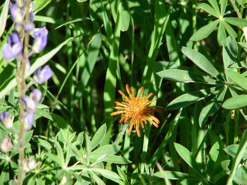
Facebook: https://www.facebook.com/deryl.yunck/media_set?set=a.10204239083124439.1073741887.1448521051&type=1
Categories
Hiking Oakridge Area Old Cascades Oregon Trip report

Tire Mountain

**Note the 2024 Tire Mountain Fire burned over a small portion of this hike.**

June wildflowers and a “possible” waterfall were are goal for our recent trip to Tire Mountain near Oakridge, OR. Our guidebook showed a 7.6 mile hike starting from the Alpine Trailhead, linking up to the Tire Mountain trail, and turning around after reaching the summit of Tire Mountain. Looking at the forest service maps of the area I noticed that the Tire Mountain trail continued west beyond the junction with the summit trail to a trailhead on road 5824. Along that portion of the trail was a creek crossing where it appeared there might be a waterfall. Thinking that a 7.6 mile hike was a little short for a 2 1/2 hour drive I thought we could investigate the possible waterfall for a little extra exercise.

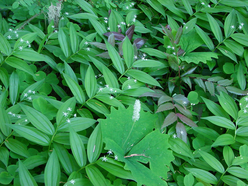
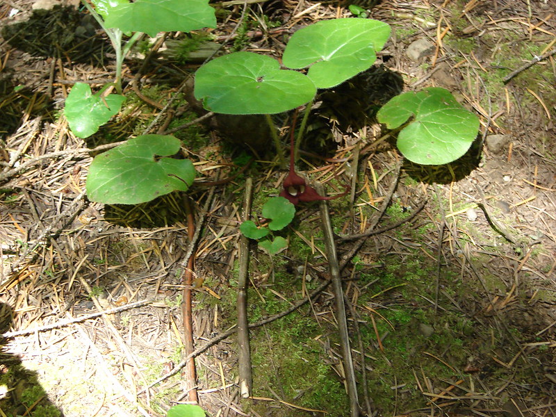
The Alpine trail started off uphill on a forested ridge where the path was lined with small rocks. The usual woodland flowers were present including vanilla leaf, solomonseal, candyflower, and bunchberry. We also spotted some wild ginger.
DSC07135
DSC07137
DSC07688
DSC07136
DSC07729

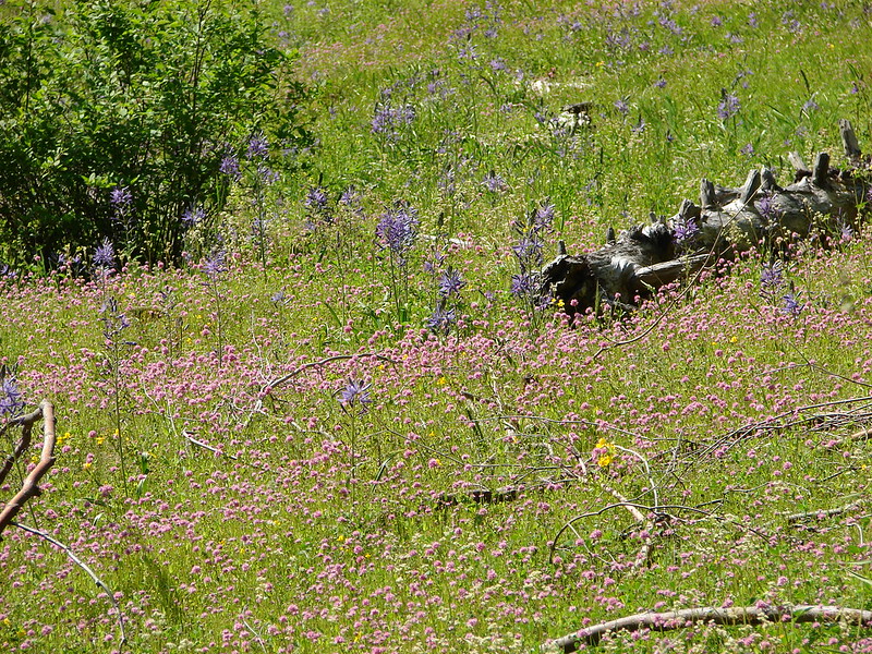
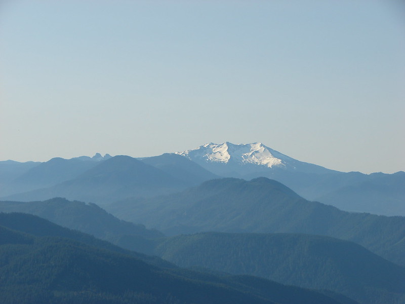
Just a bit over half a mile in the trail entered the first of the meadows. The flowers did not disappoint and as an added bonus several cascade peaks were visible from this meadow.
DSC07156
DSC07149
Diamond Peak
DSC07165
Mt. Bachelor
DSC07158
Broken Top
DSC07160

The flower show continued as we passed through more meadows on the way to the junction with the Tire Mountain trail. Along the way The Three Sisters joined the view.
DSC07191
DSC07204
DSC07179
DSC07190

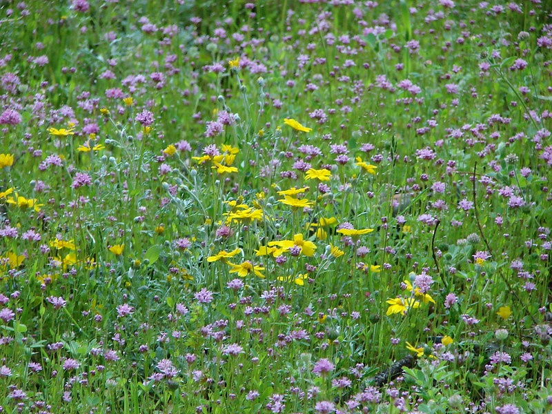
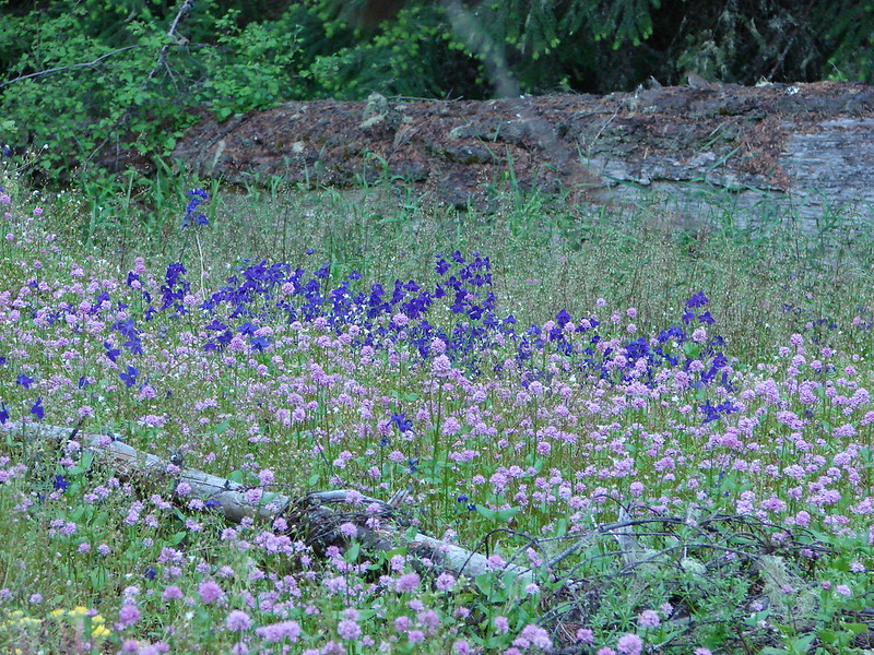
At the 1.2 mile mark we found the Tire Mountain trail and turned right. We passed through several smaller meadows which were home to a variety of different flowers, some of which were unknown to us.
Columbine
DSC07233
Plectritis & Larkspur
DSC07235
Plectritis & Yellow Monkeyflower
DSC07236
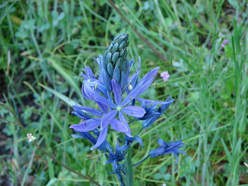
Camas
DSC07249
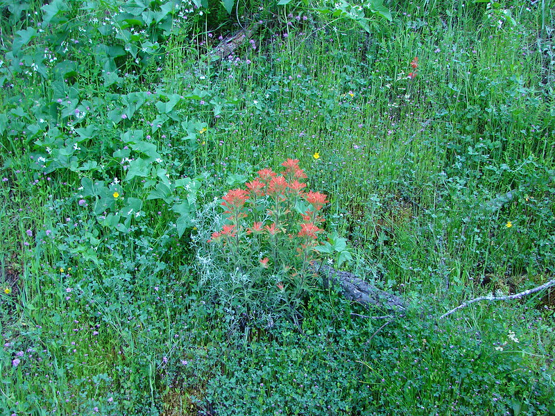
Paintbrush
DSC07261
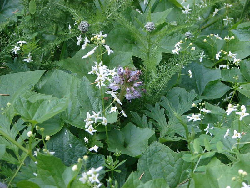
Coastal Manroot & ?
DSC07263
Cat’s Ear Lily
DSC07265
Another unknown
DSC07267
Possibly Oregon Sunshine
DSC07270
Giant Blue-Eyed Mary, Plectritis & unknown
DSC07306
Buttercups
DSC07296
Wild Iris
DSC07241

We were amazed at the number of flowers and we could see that there were even more higher up on the hillsides.
DSC07253
DSC07291

After the series of smaller meadows the trail entered the largest meadow of the day. Here balsamroot joined the flower bonanza.
DSC07649
Ookow
DSC07647
Wallflower
DSC07655
Unknown
DSC07613
Blue Gilia
DSC07362

When we left the meadow I remarked that we hadn’t seen any lupine at all. As soon as we hit the next small meadow that was no longer the case.
DSC07468
From this meadow we also got a good view of Tire Mountain and Diamond Peak again.
DSC07462
DSC07498

The trail then entered the forest before splitting. To the left was the 1/2mi path to the summit while the right fork headed down toward road 5824. We headed up to the summit to check out the former lookout site. The trail was nice despite there being a few downed trees to maneuver around.
DSC07504
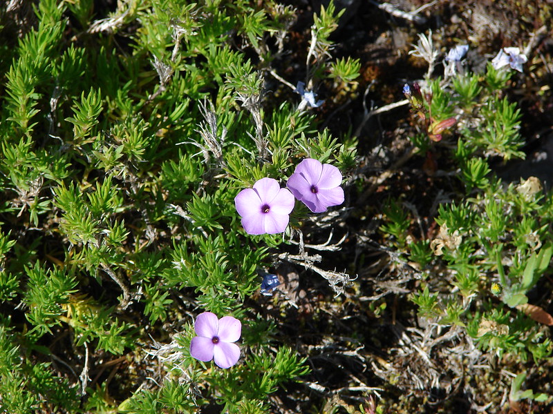
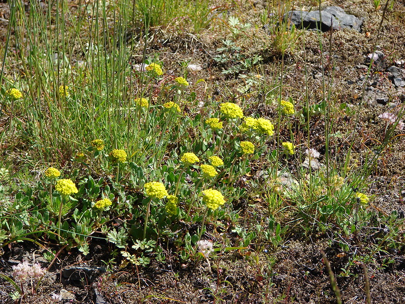
When we reached the brushy summit we found a number of additional flower types.
DSC07509
Unknown
DSC07507
Fawn Lily
DSC07514
Unknown
DSC07518
Wild onion
DSC07519
Phlox
DSC07521
Buscuitroot
DSC07522

Despite being a former lookout site there was no view from the summit. In fact the lookout had been placed up in a tree in order to have a view of the surrounding area. We explored a bit before heading back down to the trail split and starting our search for the waterfall.

From the split, the Tire Mountain trail descended fairly quickly through a series of switchbacks. Several bridges crossed seasonal streams amid the large trees.
DSC07529
DSC07536

It was a lot further down to the creek I was looking for than I had anticipated and we were all dreading the climb back up. We finally rounded a ridge end and spotted the bridge that crossed the creek I was looking for. There was indeed a waterfall but after seeing it we knew why the guidebook doesn’t mention continuing on to it. It was a pretty sad display lol.
DSC07546

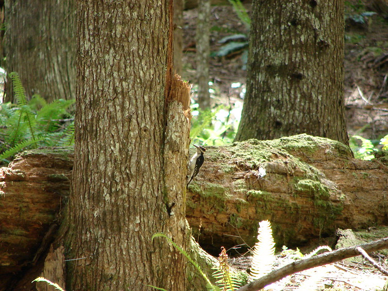
After soaking in the torrent we started our climb. We did our best to focus on the ever present bird song as we trudged along. Grey jays, varied thrushes, and at least one woodpecker flew from tree to tree. The woodpecker was the only one that stayed still long enough for me to get a picture.
DSC07549

The meadows were just as impressive on the return trip. The only real bummer for the day was seeing a layer of smoke over the Three Sisters and Mt. Bachelor. Alas the fire season started early this year with the Two Bulls Fire burning near Bend, OR. 😦
DSC07717
Hopefully it isn’t a sign of things to come. Happy (and fire free) trails!

flickr:https://www.flickr.com/photos/9319235@N02/sets/72157644669235877/
Facebook:https://www.facebook.com/media/set/?set=a.10204185599747388.1073741882.1448521051&type=3

Categories
Cottage Grove Hiking Old Cascades Oregon Trip report

Brice Creek & Trestle Falls

A few posts ago I mentioned that the trail was a classroom. It seems as though we always learn something out on a hike, and our recent trip to Brice Creek was no different. During the hike we learned that rough-skinned newts love to play hide-and-seek, and they stink at it. 😀 We’ll get to that later, but first a little about the trail.

Brice Creek is located to the east of Cottage Grove, OR and flows into the Row River which in turns empties into the Willamette. There are several trailheads located along the creek in the Umpqua National Forest making it possible to choose the length of your hike. We chose to start at the West Brice Trailhead and hike to the other end of trail at the Champion Creek Trailhead. From there we could visit a pair of waterfalls on Trestle Creek.

It was a little misty and cloudy as we set off on the trail.
DSC03803

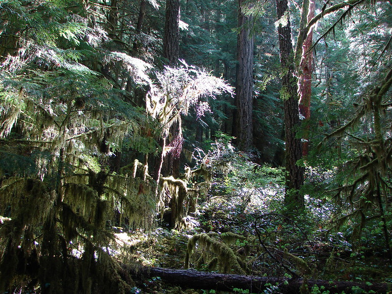
After a brief stint on an exposed hillside the trail entered an old growth forest with plenty of lush green moss on the ancient trees. We also crossed several small but scenic streams.
DSC03841
DSC03859
DSC03880

There were a few flowers blooming, mostly white varieties that are typical in older/denser forests.
Anemone
DSC03886
Vanilla Leaf
DSC03900
Solomonseal
DSC04022
Most of the trillium was already finished but from the leaves and the few we did see it was clear they were very large in this area.
DSC04037

The trail had been up above Brice Creek until coming down to the bridge for the campground. From there the trail stayed closer to the creek for awhile providing a number of chances to get to the creek and get an up close view.
DSC03917
DSC03920
DSC03926
DSC03938

At one point the trail disappears along a bedrock section. The wet weather made for some slipper footing but the exposed rock was home to the most colorful flowers we would see all day.
DSC03951
Larkspur
DSC03962
Larkspur

The creek had many moods in this section and the clear water made it easy to see what was underneath the surface.
DSC03977
DSC03985
DSC04006

We then climbed up and away from the creek again before descending to another footbridge 2.6 mi from the last, this time to Lund Park.
DSC04017
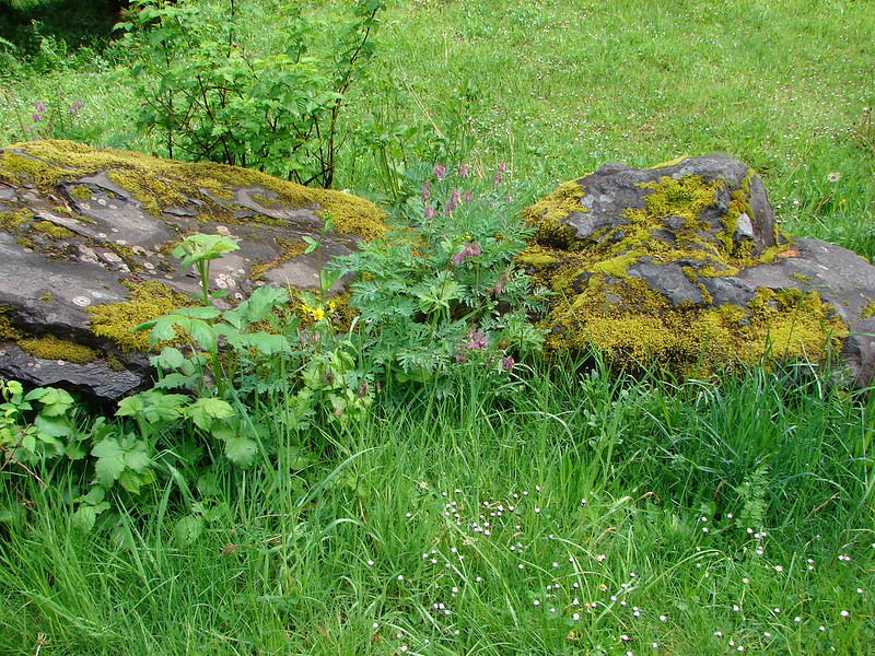
We’d read that there was a meadow at Lund Park and were hoping that it might have some good wildflowers. We were a little disappointed when we arrived to find a couple of yellow flowers, some bleeding heart, and a lot of white wild strawberry blooms was all there was.
DSC04046
DSC04045
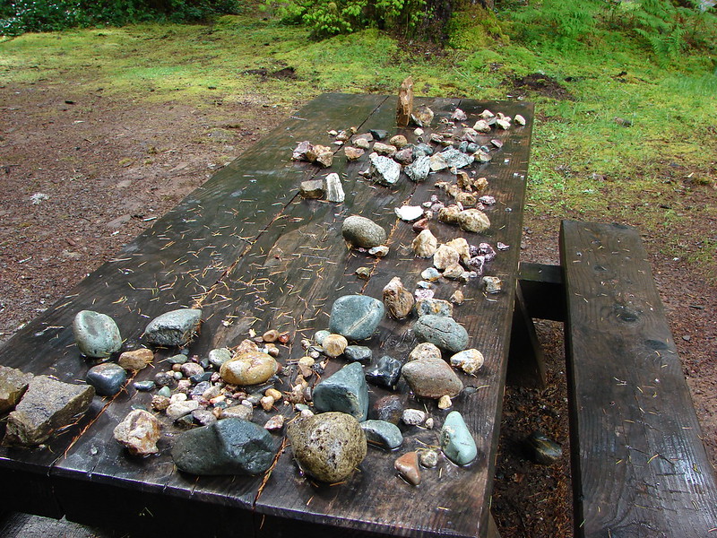
Someone had put together a somewhat substantive rock collection on one of the picnic tables though.
DSC04049

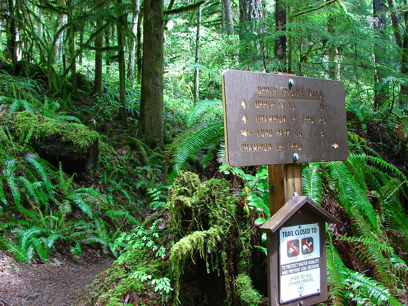
We started getting a few sun breaks after reaching Lund Park and in just another .5mi we reached a trail junction with Upper Trestle Falls trail. We would be returning down this trail after visiting the lower falls and taking the Upper Falls trail from the other end at the Champion Creek Trailhead. Before we get to that though this is where the hide-and-seek lesson comes in.
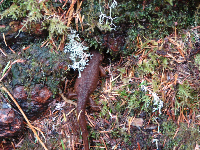
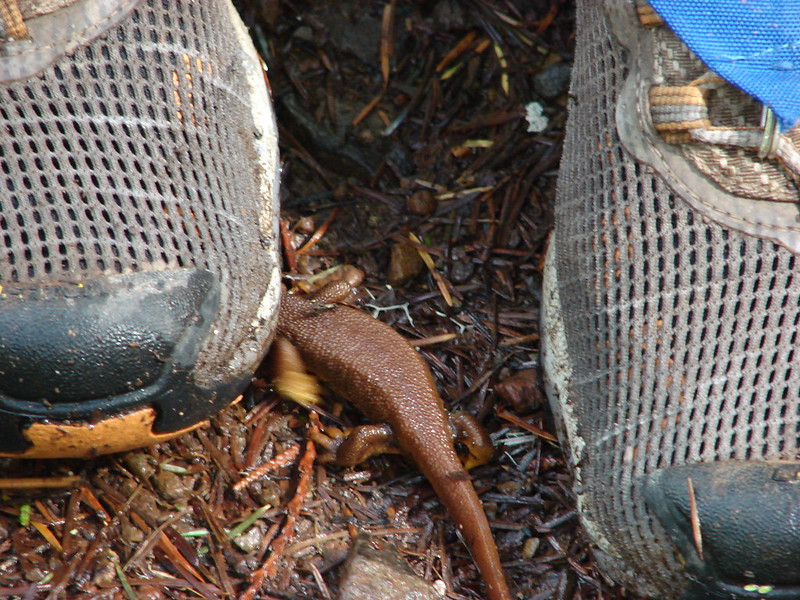
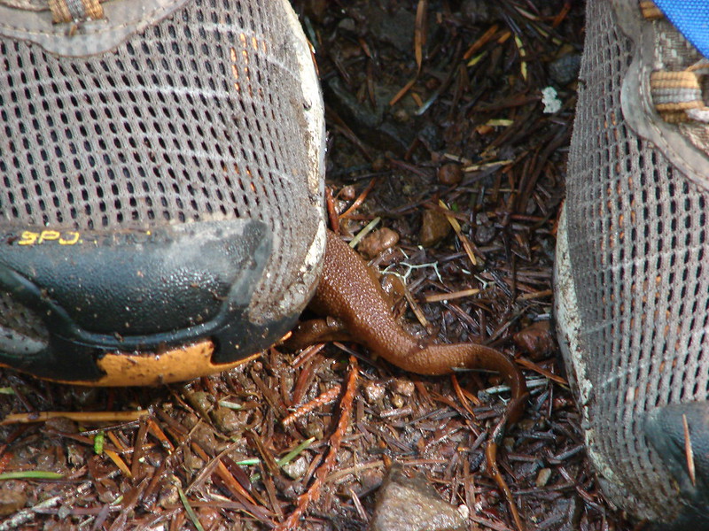
We had been seeing a lot of newts on the trail and noticed that when they were trying to get our of our way they tend to stick their head into or under something.
DSC04028
This wasn’t the first time we’d observed this behavior. From a 2011 hike:
Rough-skinned Newt
Just after leaving Lund Park I passed by one of them and turned to Heather to have her stop to make sure it didn’t get stepped on. When we stopped it headed for the first thing it could stick it’s head under – Heather’s shoe 😀
DSC04052
DSC04053
All I could think of is a toddler playing hide-and-seek. Apparently if they can’t see us we can’t see them. Heather was able to move and leave the newt unharmed and we’d discovered natures worst hide-and-seek players.

Back to the trail junctions and sun breaks.
DSC04055
DSC04058
DSC04172

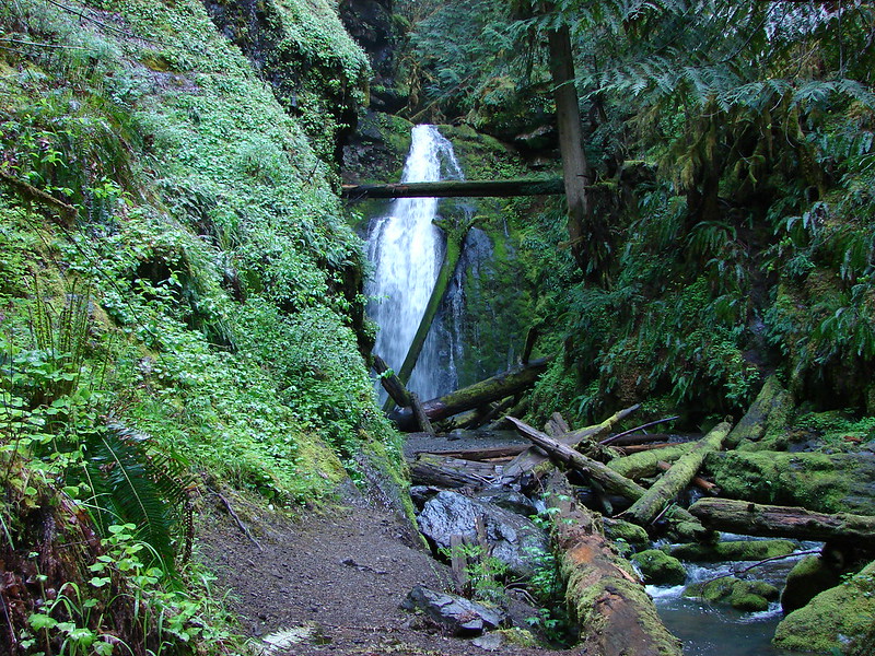
In another .5mi we had reached Trestle Creek Falls trail which would take us to the lower falls. After a brisk quarter mile climb we could see our destination.
DSC04080
I got to the end of the trail where a pile of debris had collected and took another picture but the log was still interfering with the view.
DSC04081
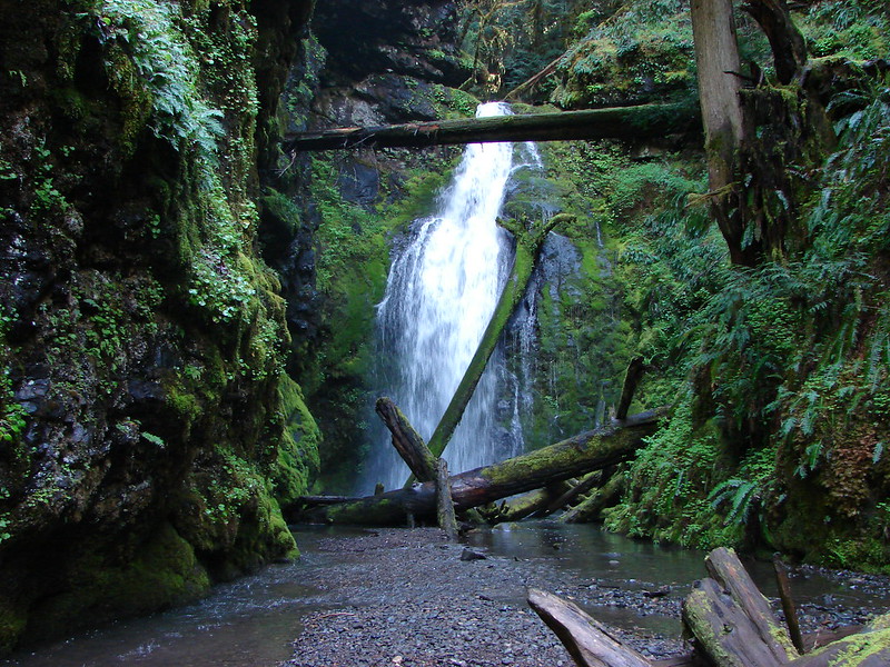
Some careful log walking got me to the gravel bar on the other side of the debris where I was able to get an unobstructed photo.
Lower Trestle Creek Falls
There was another little island of exposed rocks just before the next set of logs but a 15 to 20 foot gap lay between them and my rocks. I decided that wet socks were worth a look at the splash pool and dashed across the water to the other set of rocks. I was getting over this set of logs so I declared victory there and did the splash and dash back and carefully picked my back to the trail.
DSC04088

As we were preparing to leave the falls we met a group of hikers coming up the trail. They were lamenting the fact that they had not brought their trekking poles with them and asked about the loop to the upper falls. We had both expected to see them again on the loop but never did. Returning to the Brice Creek trail we crossed Trestle Creek on a nice footbridge and finished the last half mile to the Champion Creek TH. The Upper Falls Trail starts just a bit down the road from the trailhead and climbs stiffly 1.4 miles to the Upper Falls. We both thought it was a pretty challenging 900′ climb but the reward at the top was well worth it. The upper falls was located in a wide bowl and was split into two levels. The trail wound around the bowl and behind the falls allowing us to experience the full force of the falls up close.
DSC04126
DSC04147
Behind Upper Trestle Creek Falls

The Sun was out for our return trip which we made in pretty good time since I’d taken most of the pictures on the way by the first time. We had been discussing the lack of colorful flowers along the way, and when we got back to first exposed area we noticed that we had completely missed a field of plectritis. There was also a patch of what I believe to be giant blue eyed mary.
DSC04236
DSC04233
There was also a lone yellow flower.
DSC04237

It took us a lot longer than I had figured to complete the hike, but when we got home and looked at the GPS it had us going a couple of miles further than I had calculated. I’m not entirely sure what made up the difference, but it explained the extra time so we decided to just go with it since it made us feel better about getting back later than expected.

Happy Trails
flickr: https://www.flickr.com/photos/9319235@N02/sets/72157644537861295/
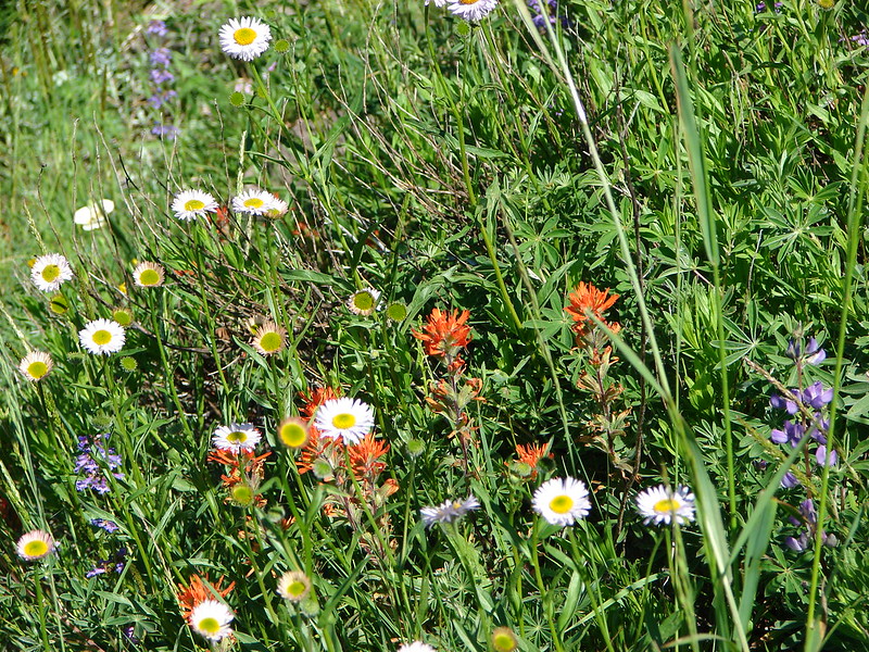
facebook: https://www.facebook.com/media/set/?set=a.10203927284889678.1073741873.1448521051&type=1
Categories
Hiking Middle Santiam Old Cascades Oregon Trip report

McDowell Creek Falls

It seems like it has been forever since our last post. We’ve been busy training for our marathon and also dealing with some overdue Winter weather. We had originally planned on hiking along the Salmon River near Zig Zag, OR but wound up changing our minds and decided on a much shorter, closer hike. The state had gotten a lot of snow during the prior weekend and then snow level rose to around 7000′ causing much of that snow to melt. We’ve also had a good amount of rain in addition to the snow melt so many of the rivers and creeks swelled with all the additional water. We felt too fatigued from our training for a 12+ mile hike but we still wanted to get out and do something so we chose McDowell Creek Falls in hopes that the extra water would mean extra good falls.

McDowell Creek County Park is located about 15 miles from Lebanon, OR along McDowell Creek. An approximately 2 mile loop passes several falls crossing the creek a number of times on footbridges. We parked at the west end of the park and set off across the creek on a bridge just up stream from Lower McDowell Creek Falls.
DSC02761

Just .2 miles from the trailhead we came to the start of the loop and also the first view of Royal Terrace Falls which is actually not on McDowell Creek but a side stream that feeds into the creek. The falls were roaring with all the extra water and were really spectacular.
Royal Terrace Falls
Turning left on the loop we crossed the stream below the falls where a bench offers a great front row view of the falls.
Royal Terrace Falls

The storms that had brought the rain and snow had downed a lot of trees and limbs but this portion of trail had been cleared already. A fairly level .4 miles brought us to Crystal Falls above Crystal Pool. The water flow was so strong that Crystal Pool was not identifiable, but Crystal Falls was putting on a good show.
Crystal Falls

Beyond Crystal Falls .2 we came to a pretty impressive footbridge across the creek.
DSC02802
As we approached the bridge Majestic Falls came into view around a bend in the creek.
Majestic Falls
Majestic Falls

Stairs led up to the top of the falls where an observation deck is located. A downed tree had smashed the railing and was blocking the deck entrance but it appeared the deck itself was okay. The trail then came to the eastern parking lot and continued on the far side. Unlike the earlier section of trail this portion had not been cleared yet of the storm debris. We picked our way over, under, and around several messy sections before reaching the stream above Royal Terrace Falls. Another footbridge brought us across the stream and directly above the falls.
DSC02819

A series of stone steps led to the trail junction and the end of the loop, but first I decided to check out a narrow trail that looked to lead to the “terrace” of Royal Terrace Falls. Wary of the wet conditions I carefully made my way along the trail and to the base of the upper section of the falls.
Royal Terrace Falls (Upper portion)

After completing the loop we had one more fall to check out. We returned to the parking area and picked our way down stream through some more blow down and found a good view of Lower McDowell Creek Falls.
Lower McDowell Creek Falls
The tree hanging out in front of the falls looked to have fallen during the storm, but the green moss made for a nice contrast to the white water of the falls in the background.
We couldn’t have picked a better day to visit these falls. Not only were they flowing full force but we had mostly dry conditions and even saw the Sun once or twice.

This coming weekend we’ll be taking a route finding and navigation class put on by the local outdoors group The Chemeketans. We’re looking forward to getting more comfortable with our map & compass skills as we are hoping to do a little more off trail exploration this year. The best way to enjoy the trails is to stay safe on them and this should help keep us that way. Until next time – Happy Trails!

photos: Flickr http://www.flickr.com/photos/9319235@N02/sets/72157641077965535/
facebook https://www.facebook.com/media/set/?set=a.10203367105045532.1073741868.1448521051&type=1

Categories
Hiking Oakridge Area Old Cascades Oregon Trip report

Goodman Creek to Eagles Rest

500 miles! Heather and I reached that hiking milestone for 2013 this past weekend. We hadn’t started out with that accomplishment in mind but as the year progressed added hikes and added distances (What’s down that trail?) made it a reachable goal. It’s amazing to us to think that all that hiking isn’t even 1/5 of what it would take to complete the entire 2,650 miles of the Pacific Crest Trail. Even so it was a nice feeling to hit that mark before the year was over.

On to the hike that put us over the top. We headed back down to the Eugene area for another creek hike. We had hiked both Larison and Fall Creek in the same area back in March, and this time we had our sights set on Goodman Creek in the Willamette National Forest. This trail offered a chance to climb up Eagles Rest to a viewpoint overlooking the Lost Creek Valley. We woke up to some pretty heavy morning fog and weren’t sure what we would find at the trail head, but shortly after leaving Eugene on Highway 58 we rose above the fog to a nice bright morning. The Goodman Creek Trail actually starts on the Hardesty Mountain Trail near milepost 21 on Hwy 58.

The trail set off in an old growth forest full of moss and mushrooms and soon split with the left fork heading up to Hardesty Mt. and the right fork to Goodman Creek.

005

The trail slowly climbed at a distance from Goodman Creek for 2 miles where a small creek joined the main branch of Goodman Creek. Just before the confluence there was a side trail at the back of a campsite leading down to the small creek and a pair of scenic small falls.

022

034

After visiting the falls we crossed Goodman Creek on a log footbridge and continued another 2.2 miles to another trail head on Goodman Creek Rd.

Goodman Creek Crossing
Trail leading to a log crossing on a branch of Goodman Creek

From the road the trail then continued to climb through the forest to the Ash Swale Shelter. We saw several rough skinned newts in this section. The shelter was in good shape and offered a nice spot to sit and have a bite to eat.

Approaching the shelter
View from the Ash Swale Shelter

From the shelter it was another mile to the former lookout site atop Eagles Rest. The trail crossed paved Eagles Rest Road just .3mi from the shelter. The forest changed dramatically after crossing the road. Until then the forest had been damp and full of moss, ferns, and various mushrooms and fungus. On this side of the road the forest was much drier and the undergrowth more sparse. Sunlight began filtering through the trees and soon we reached a viewpoint overlooking the Lost Creek Valley.

108

109

We continued up the trail to the better viewpoint atop Eagles Rest. Here we could see Hardesty Mountain and Mount June to the east (A hike we had done at the beginning of June). To the west the valley still appeared to be fogged in. There were several burns taking place in what looked to be clear cut areas in the valley leaving a bit of a haze but it remained a decent view.

Hardesty Mountain and Mount June (from left to right)
Valley clouds
Valley clouds
Lost Creek Valley
Lost Creek Valley

We hadn’t seen any people all day and the forest had been full of peace and quiet up until the target shooting began down in the valley. With that we decided it was time to head back down the trail and make our back to the car. The forest had brightened as the Sun passed overhead making the forest colors even more striking.

139

140

The trail was in good condition and well used although we didn’t run into very many people until the final two miles. Given it’s low elevation (starting @ 1000′ and topping out @ 3024′) and easy trail head access this hike is an option much of the year making it a good choice for late fall or early spring.

Our other goal for the year was to do at least one hike a month (January was lost due to our passing the flu around) so we’re hoping to get out at least once more this year. Until then Happy Trails.

Facbook Photos: https://www.facebook.com/media/set/?set=a.10202612354697245.1073741864.1448521051&type=3
Flickr: http://www.flickr.com/photos/9319235@N02/sets/72157637535657125/

Categories
Clackamas Hiking Old Cascades Oregon Trip report

Shellrock, Serene, and the Rock Lakes

We headed out on the first day of Autumn for our first post Summer hike and boy did Fall arrive in full force. We headed to the Roaring River Wilderness to check out several lakes on a loop hike. There was a possible view of Mt. Hood and several Washington snow peaks, but it was obvious from the forecast that any views were unlikely. The Roaring River Wilderness is part of the Mt. Hood National Forest and one we had yet to visit. We began our hike at the Shellrock Lake trail head under cloudy skies and a light mist.

After donning our rain gear for the first time in months we decided to do a “warm up” hike to Hideaway Lake in the opposite direction of our planned hike. The trail to Hideaway Lake started on the opposite side of the road from the Shellrock Lake trail. A short .5 miles path brought us to the lake which we then circled on a 1 mile loop. After completing the loop we returned to the parking area and set off toward Shellrock Lake.

The Shellrock Lake trail quickly entered the Roaring River Wilderness and just a short while later we arrived at Shellrock Lake. Fog drifted over the water at this peaceful lake which had plenty of campsites but no campers.

Shellrock Lake
Shellrock Lake

We passed by the lake and began climbing at a sign for the Frazier Turnaround. This portion of the trail was fairly steep and rocky and also full of rough skinned newts. After 1.3 miles of climbing we arrived at Frazier Turnaround where we could have parked if we’d been willing to try the terrible access road.

From Frazier Turnaround the loop portion of our hike started. We followed a sign pointing to Serene and the Rock Lakes. Our first destination was Middle Rock Lake. We took the quarter mile path to the lake where we spotted numerous crawdads and a frog.

Crawdads in Middle Rock Lake
Frog in Middle Rock Lake

The trail continued along Middle Rock Lake and was supposed to take us to Upper Rock Lake. We ran into a little bit of an issue as we attempted to follow this portion of the trail when it appeared to veer away from the lake. We followed this faint path uphill where it was becoming increasingly overgrown until it finally disappeared at several fallen trees. Thinking the trees had blocked the path we worked our way around them and picked up what appeared to be the continuation of the faint path which quickly ended below a rock slide with no lake in sight. It was time to break out the Garmin (again) which revealed that we were too far to the right of Upper Rock Lake so we set off cross country through the wet brush. We passed a pair of scenic lily pad ponds before finally reaching Upper Rock Lake and finding a good trail leading to it’s shore.

Pond near Upper Rock Lake
Upper Rock Lake
Upper Rock Lake

We followed the good trail down and discovered the source of our confusion. A tree had fallen along the shore of Middle Rock Lake which had hidden the trail and obscured the view of the single pink flagging that indicated the correct path. We had turned right at the uprooted base of this tree on the only visible path to us at the time.

We had one more of the Rock Lakes to visit, Lower Rock Lake, which was on the other side of the loop trail so we returned the way we came and went down to visit this last one. There wasn’t much to see there, just a nice little forest lake so we quickly returned to the Serene Lake trail and continued our loop. The trail had dropped down to the Rock Lakes but now we were climbing up through a nice forest. After several switchbacks the trail leveled out and arrived at Serene Lake. This was the deepest lake of the day and was surrounded by rocky slopes and forest. Clouds drifted up over the hillsides surrounding the lake while we had a snack on it’s shore.

Serene Lake
Serene Lake

We left Serene Lake and headed for our last point of interest, Cache Meadow. The trail continued to climb as we continued on until finally leveling off on a plateau above Serene Lake. Here would have been the mountain views with Serene Lake below but the weather had not cooperated and only Serene Lake was barely visible below.

Serene Lake from the viewpoint

The rain began to pick up as we approached Cache Meadow. The meadow was larger than I had expected and the remains of a vast display of flowers covered the ground. Now only a few aster held some lingering petals. A small unnamed lake filled one end of the meadow but we didn’t explore much due to the increasing rain.

Cache Meadow
Cache Meadow

The next four plus miles was through the rain as we completed the loop back to Frazier Turnaround and then descended back to Shellrock Lake. The rain did let up as we left the wilderness area long enough for us to change into dry clothing before driving home. The only thing missing was a cup of hot chocolate 🙂 Happy Trails

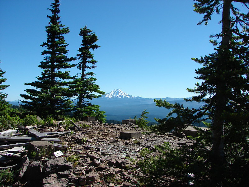
Facebook photos: https://www.facebook.com/deryl.yunck/media_set?set=a.10202227553437454.1073741858.1448521051&type=1
Flickr: http://www.flickr.com/photos/9319235@N02/sets/72157635784902576/