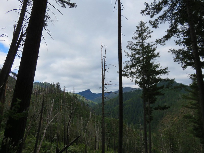
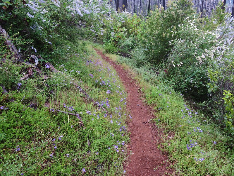
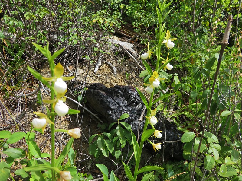
**Note a portion of the Grassy Knob hike burned in the 2023 Anvil Fire.**
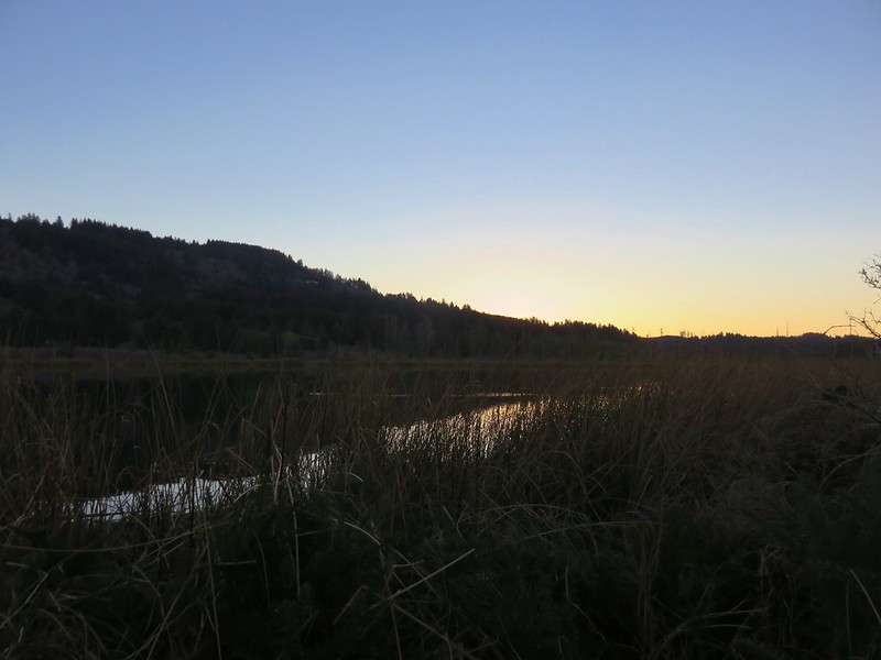
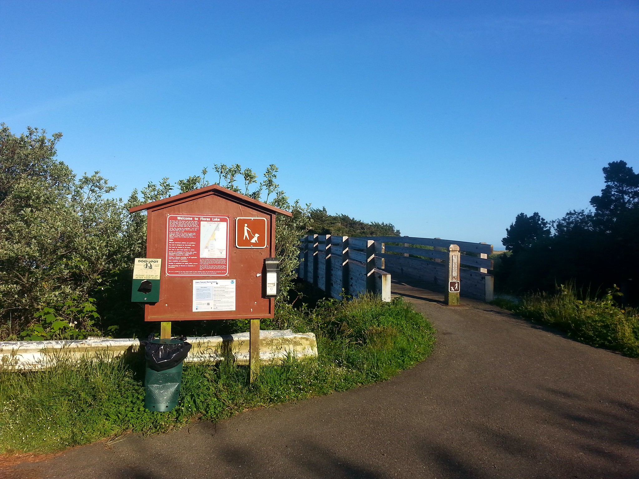
We spent the third day of our vacation hiking in the Port Orford area. We started the morning at Floras Lake.
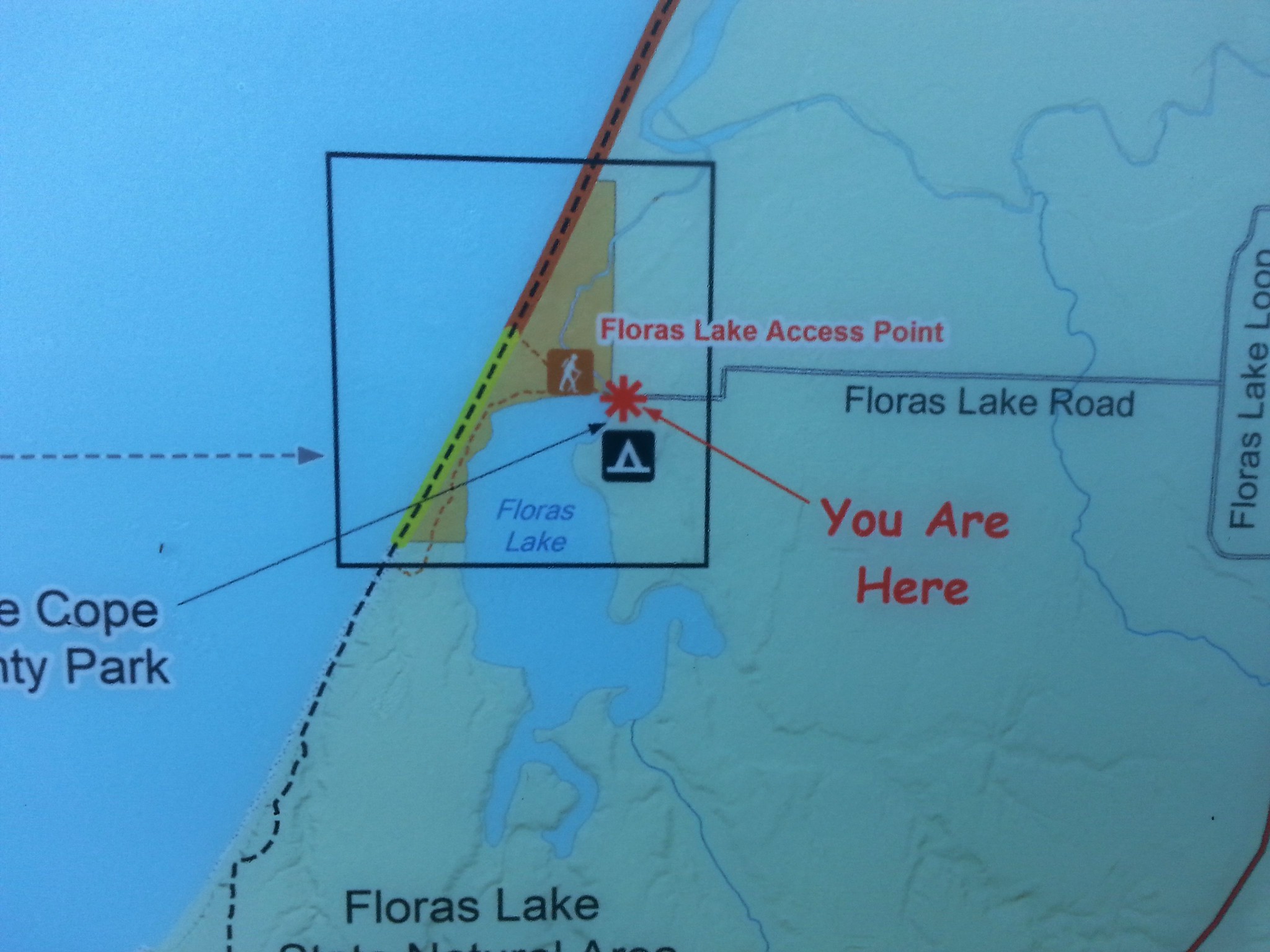
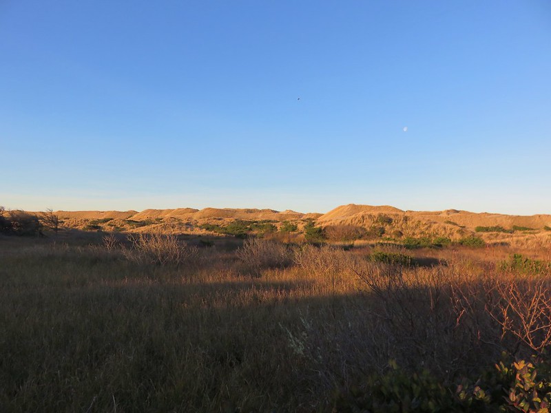
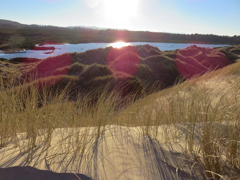
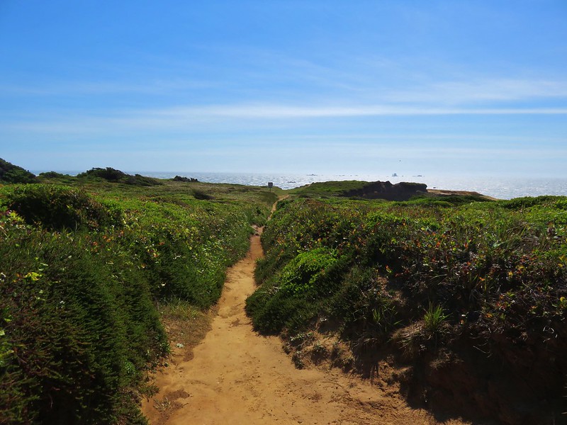
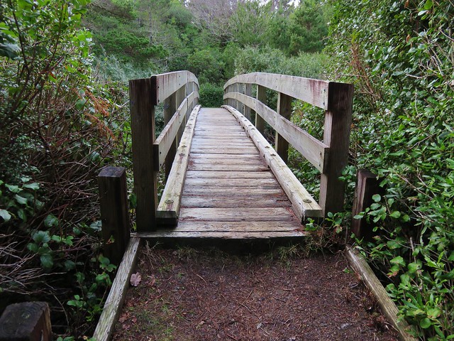
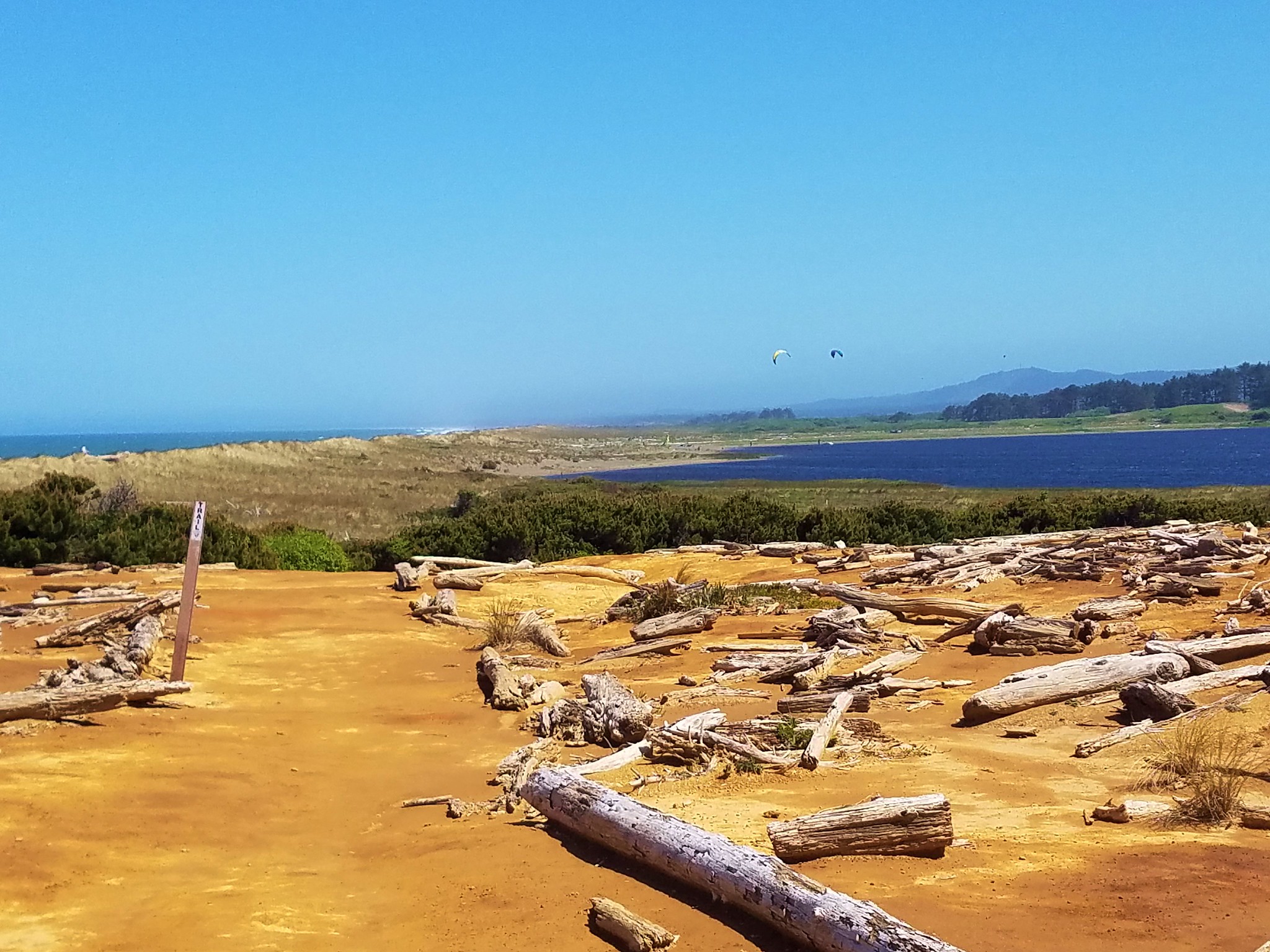
Our plan here was to complete a 9 mile loop while visiting Blacklock Point. We crossed the New River on a footbridge and followed a sandy (and difficult to walk on) path along the north shore of Floras Lake.
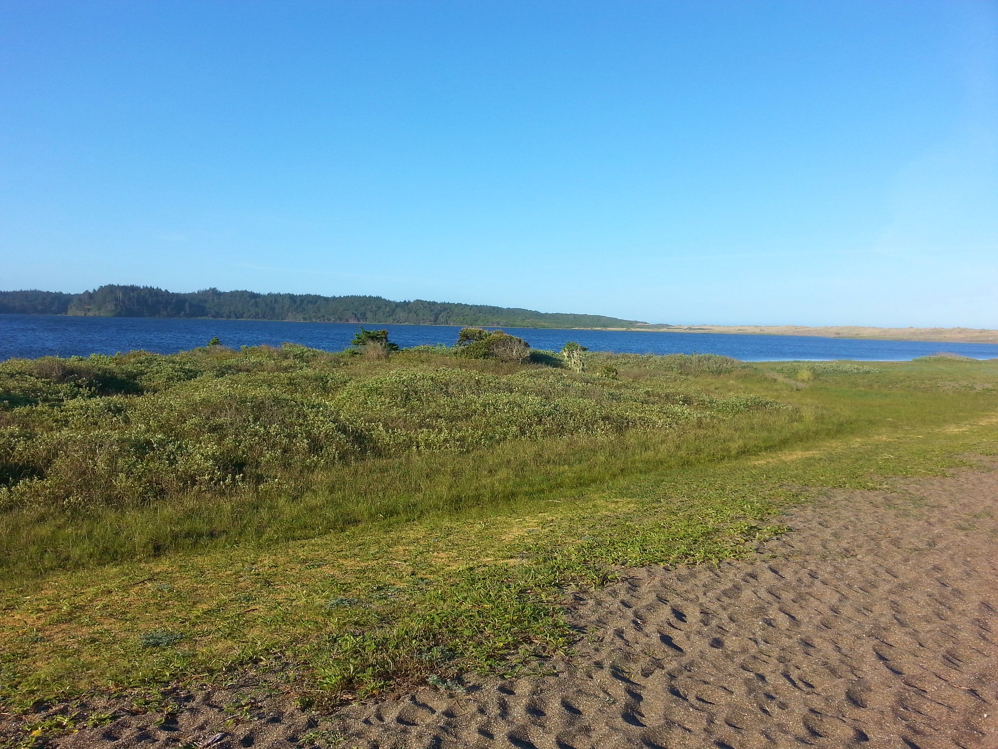
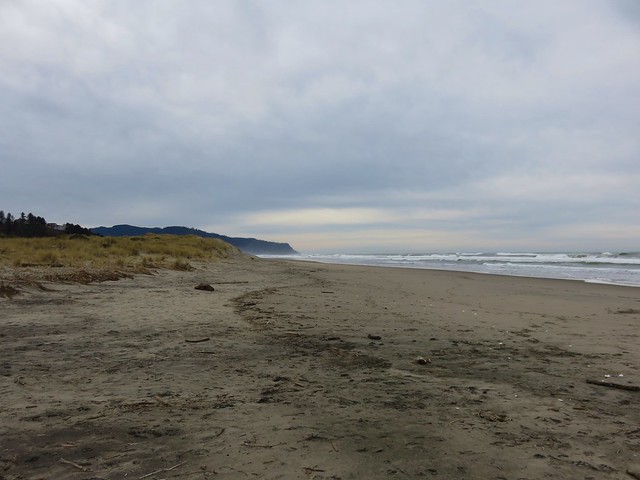
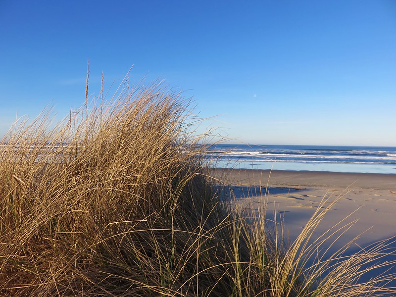
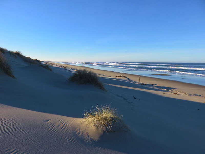
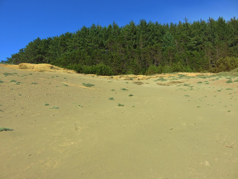
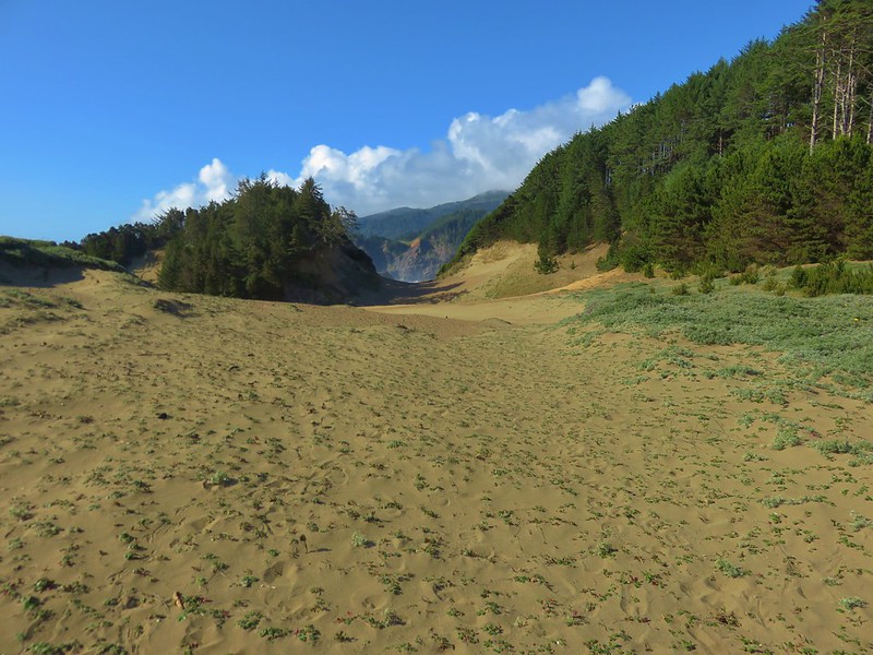
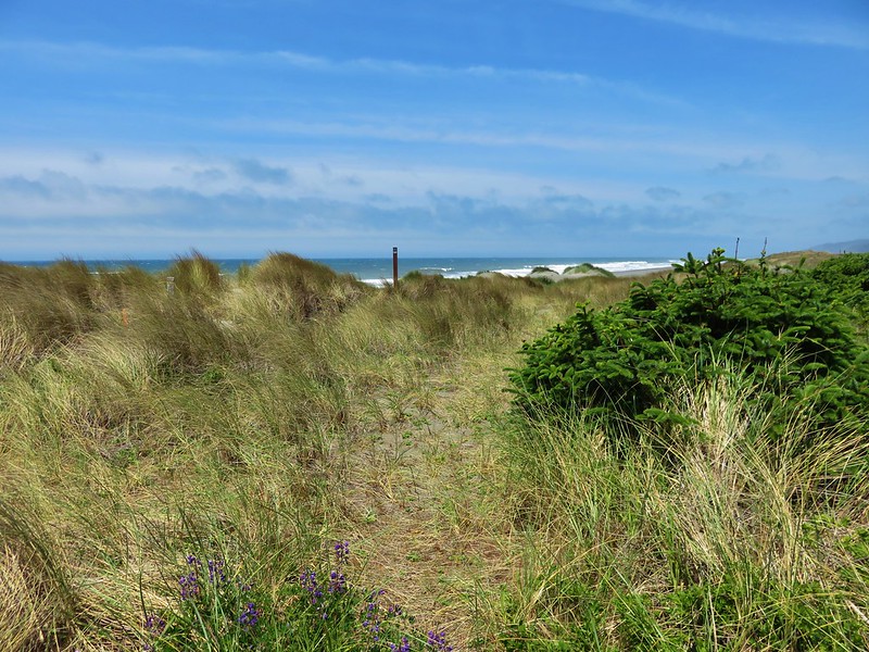
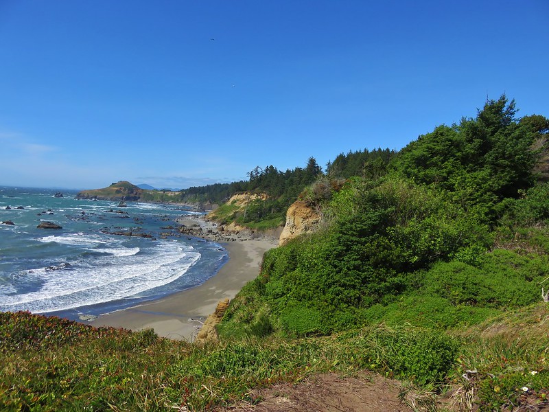
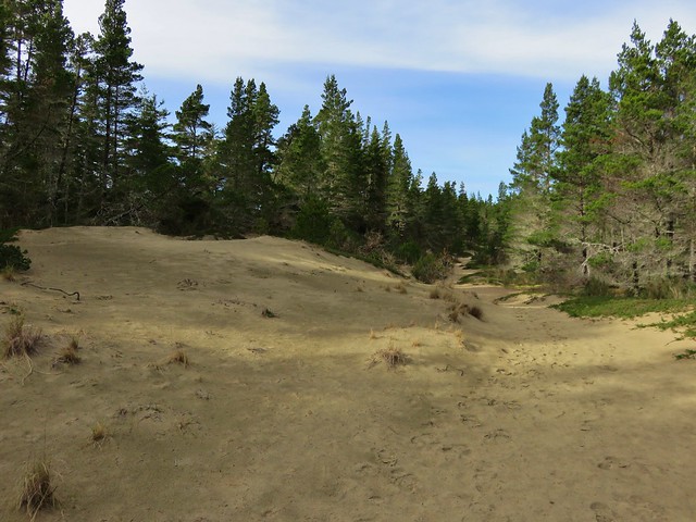
We made our way around the lake to a gap in the foredune, which we passed through, and onto the beach.
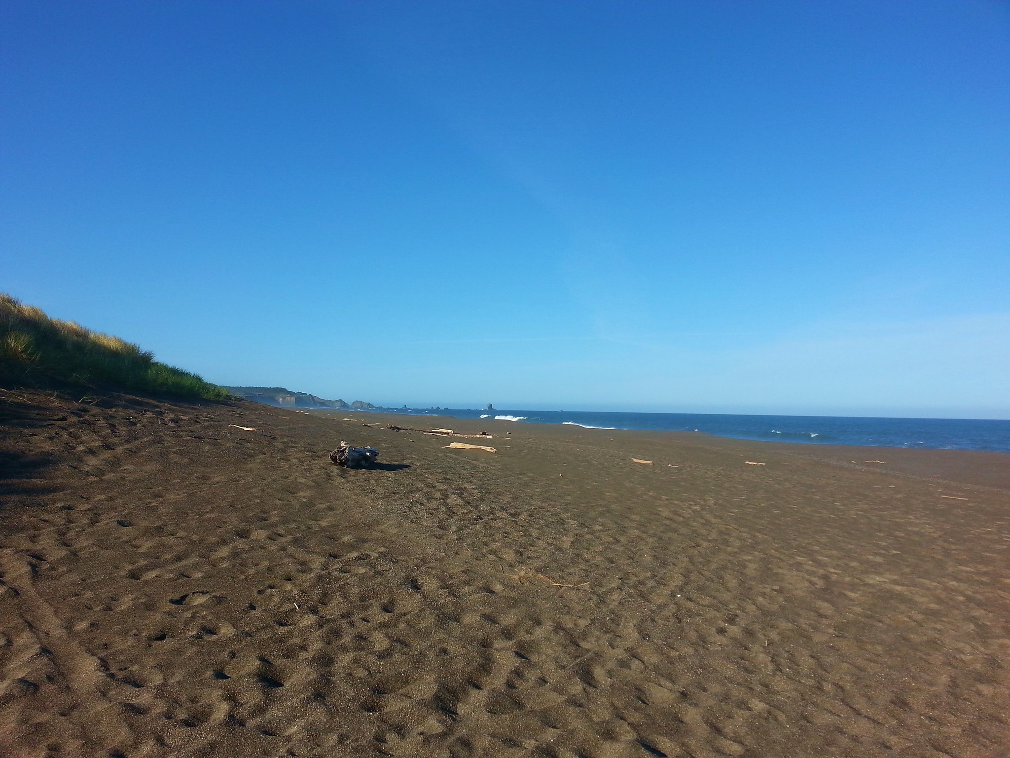
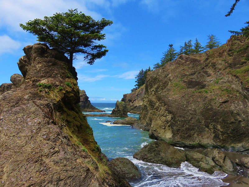
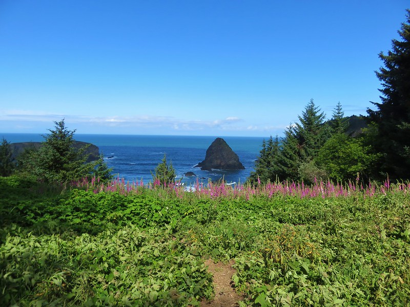
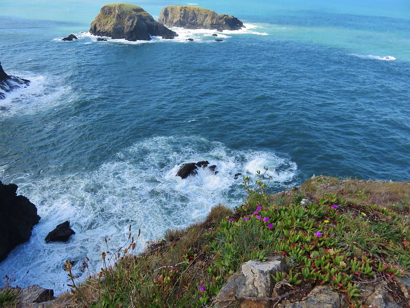
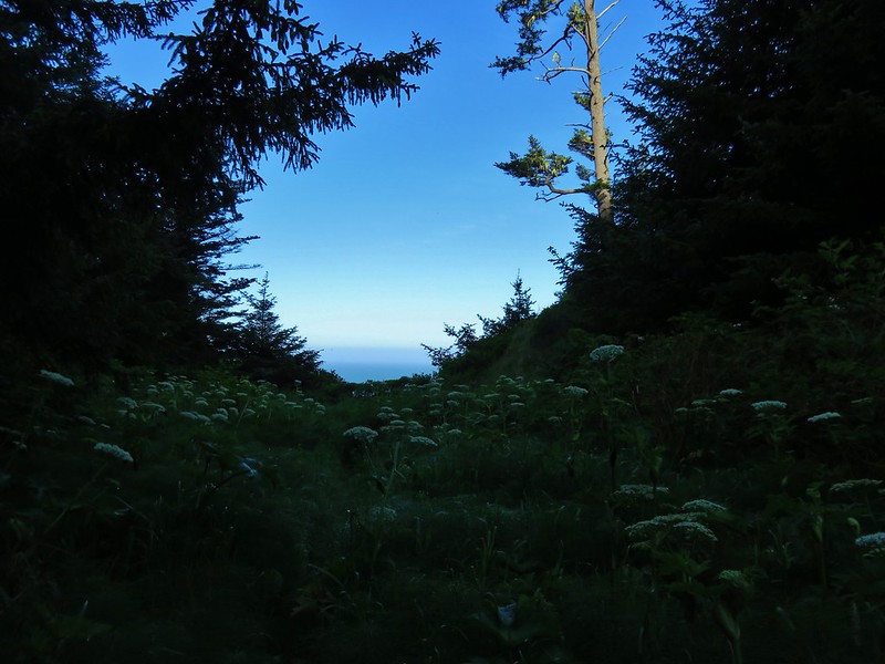
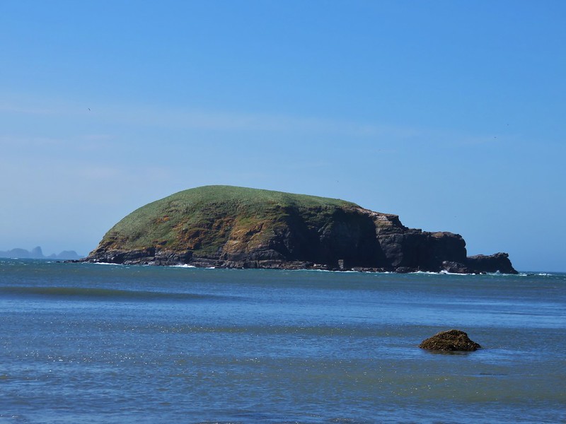
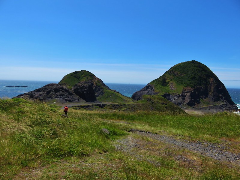
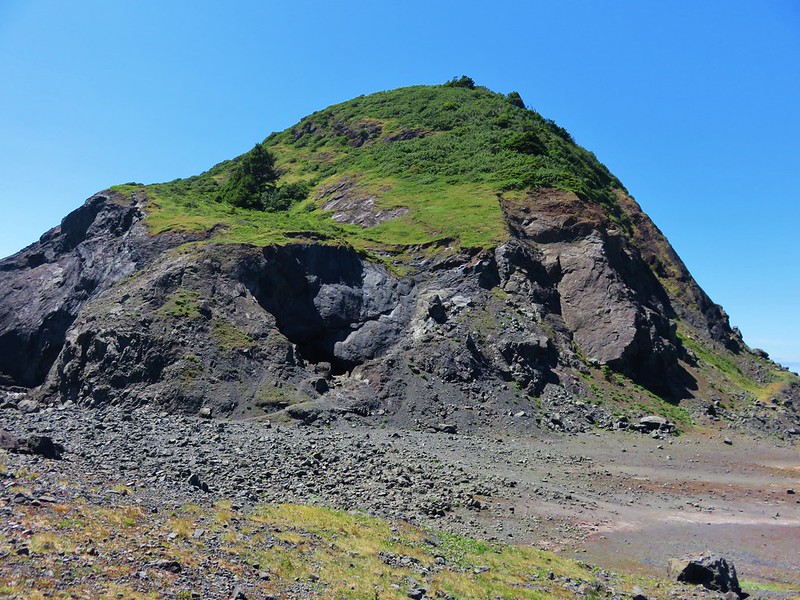
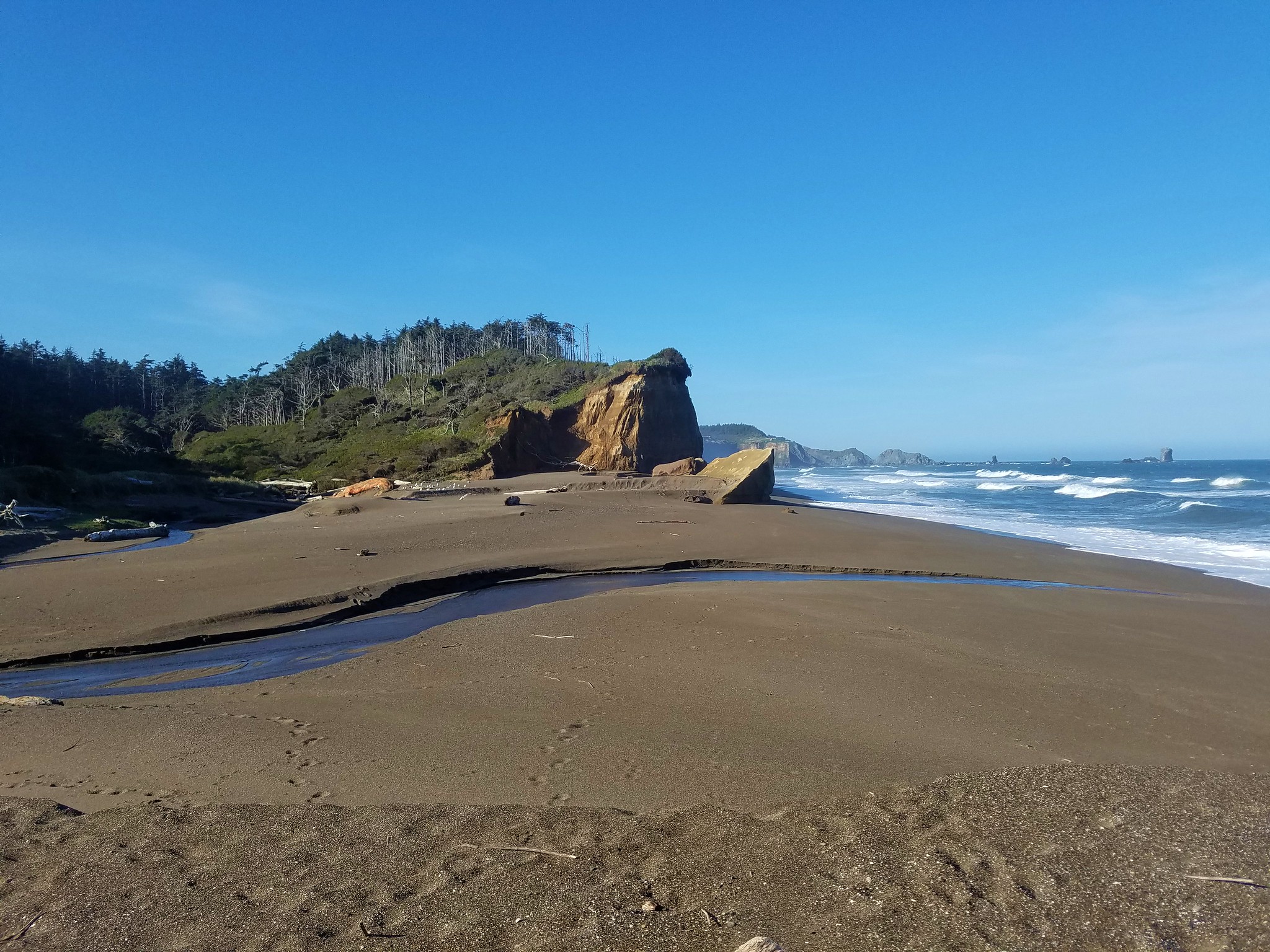
Our goal, Blaclock Point, jutted out into the Pacific to the south.
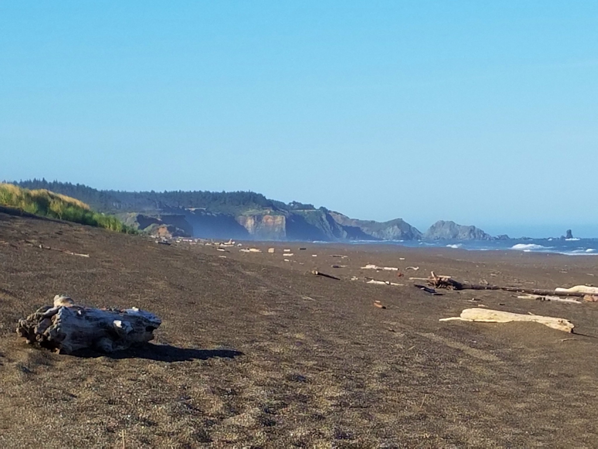
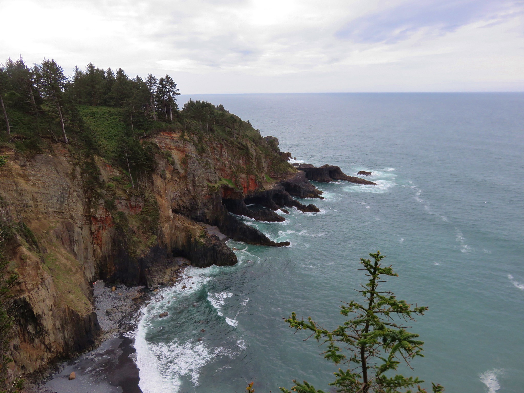
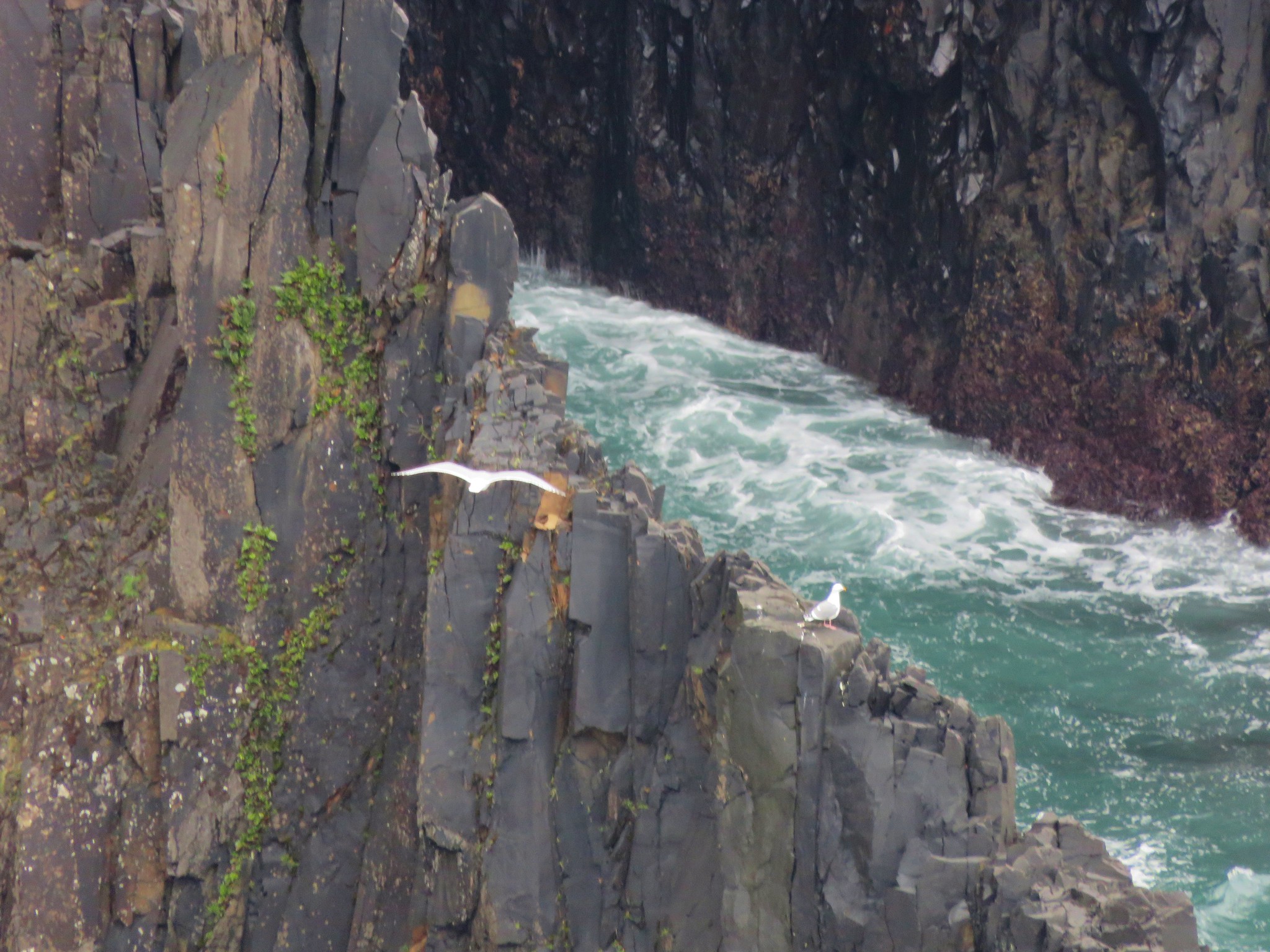
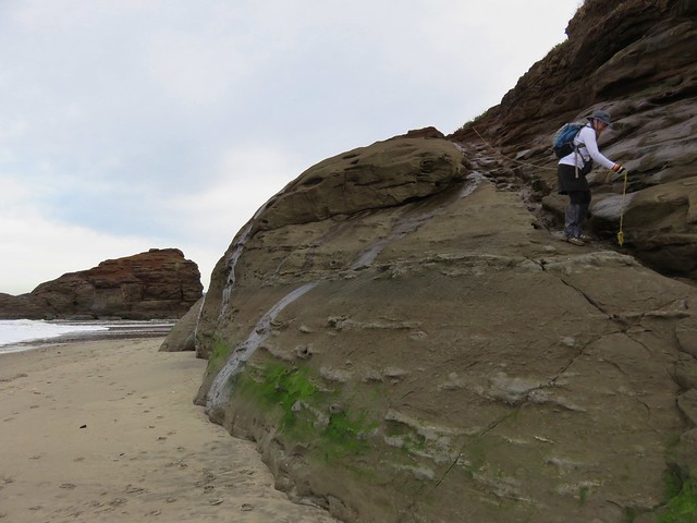
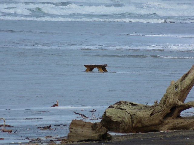
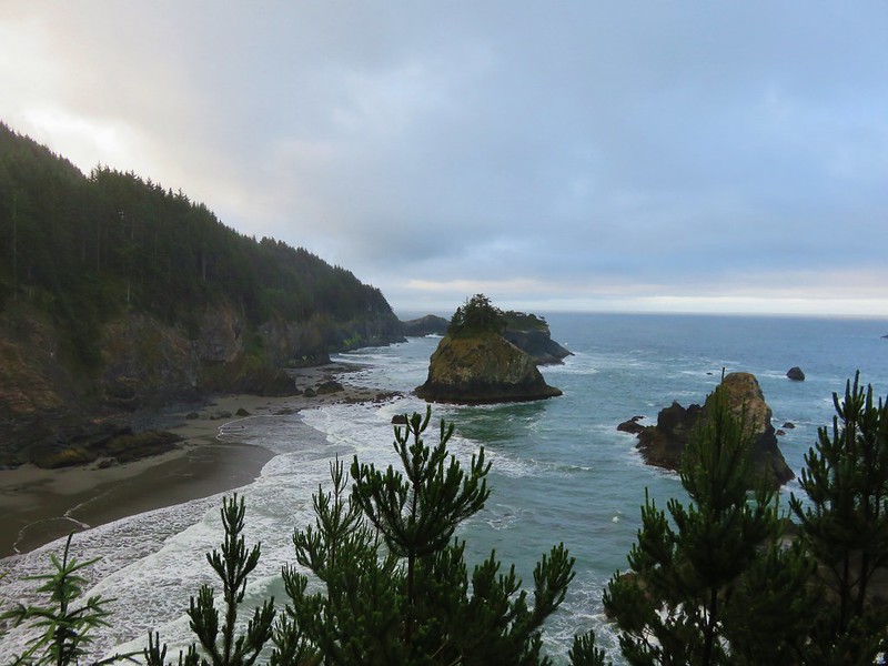
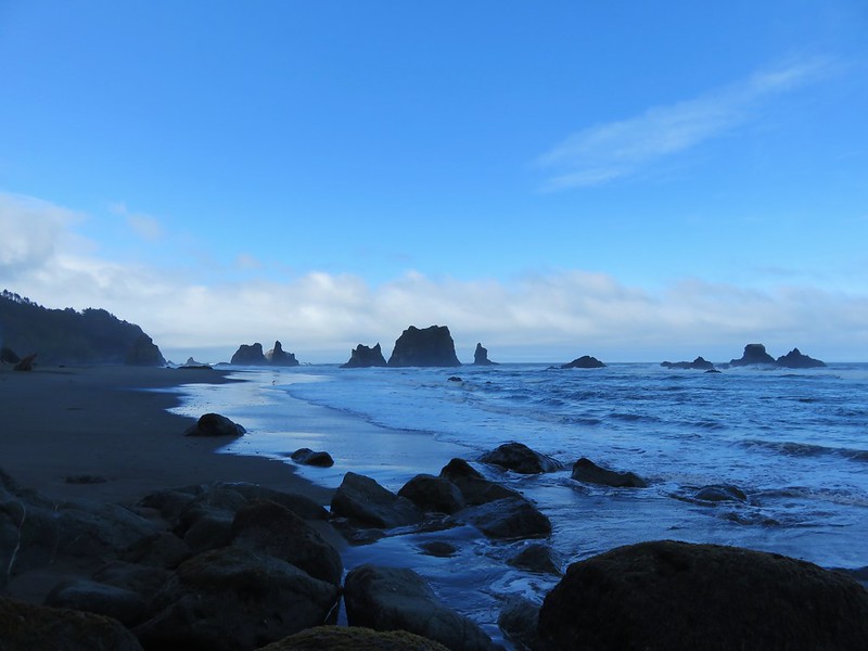
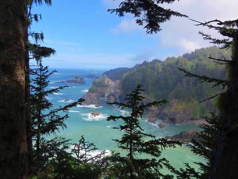
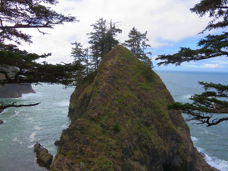
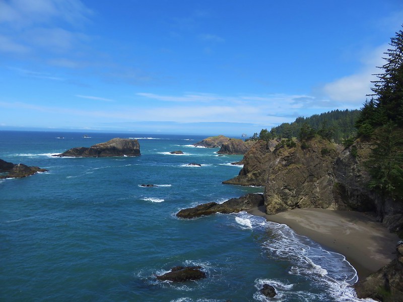
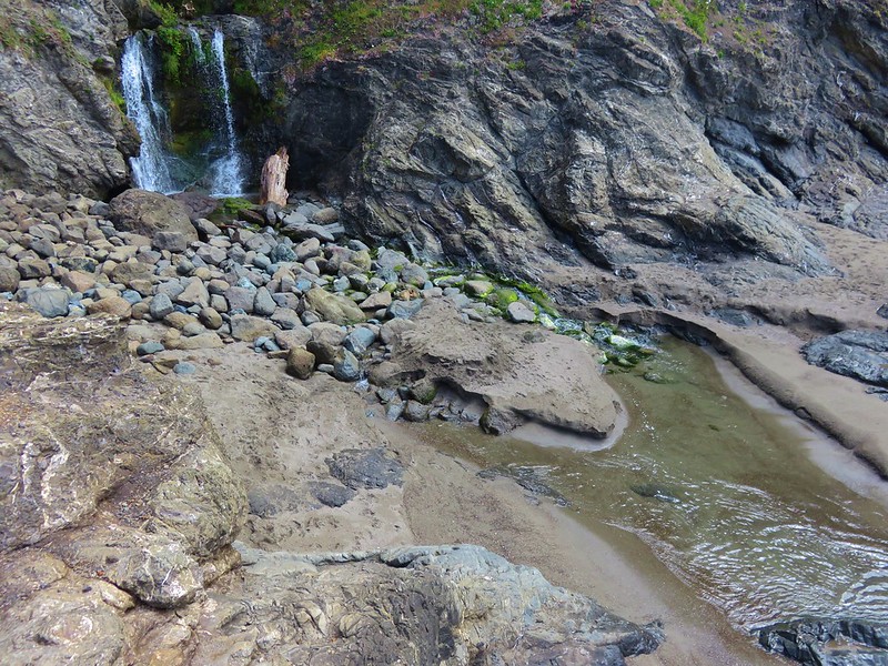
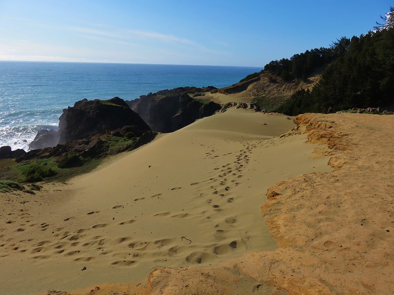
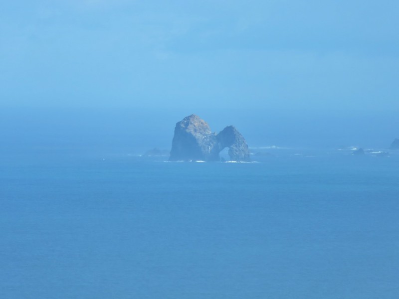
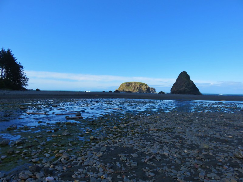
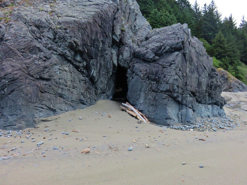
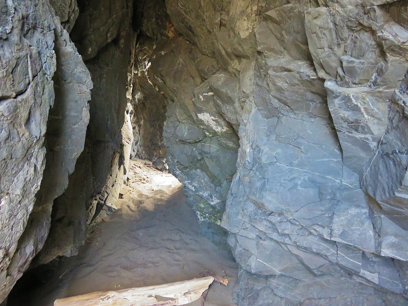
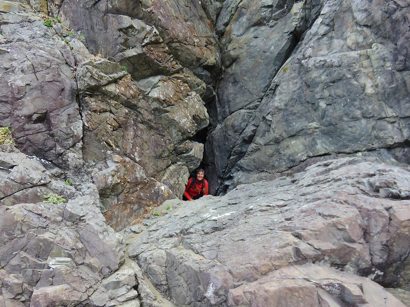
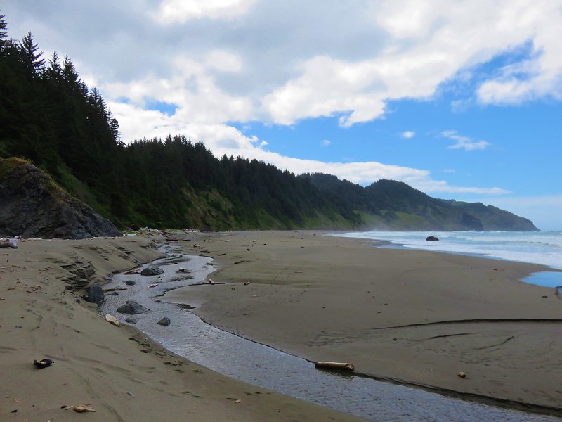
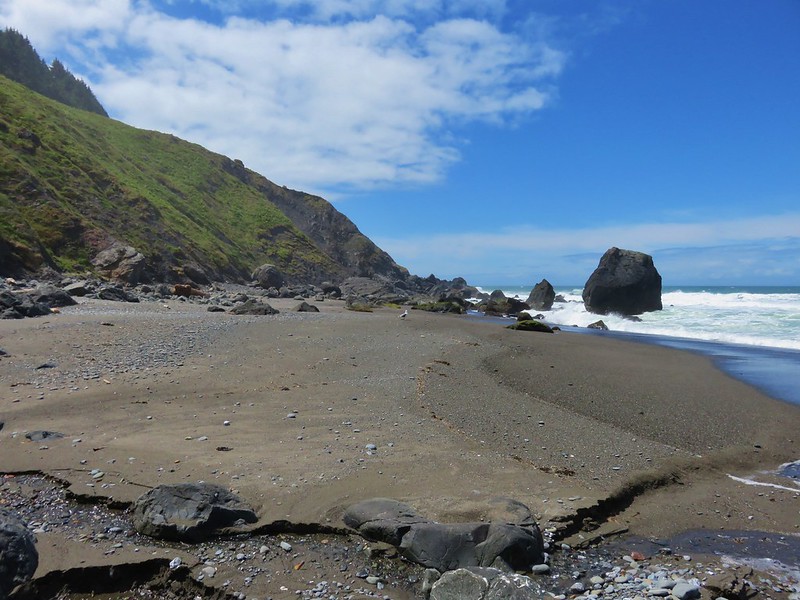
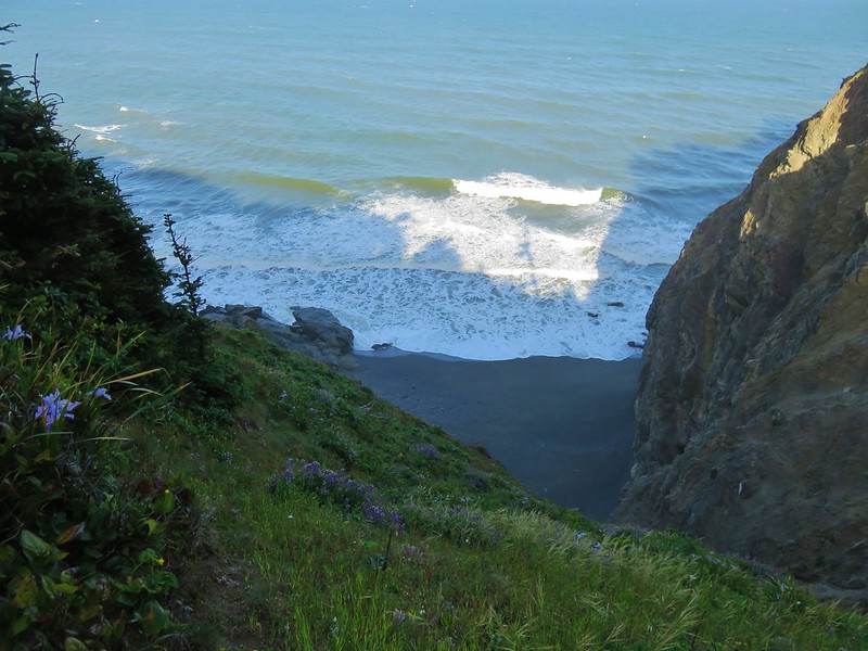
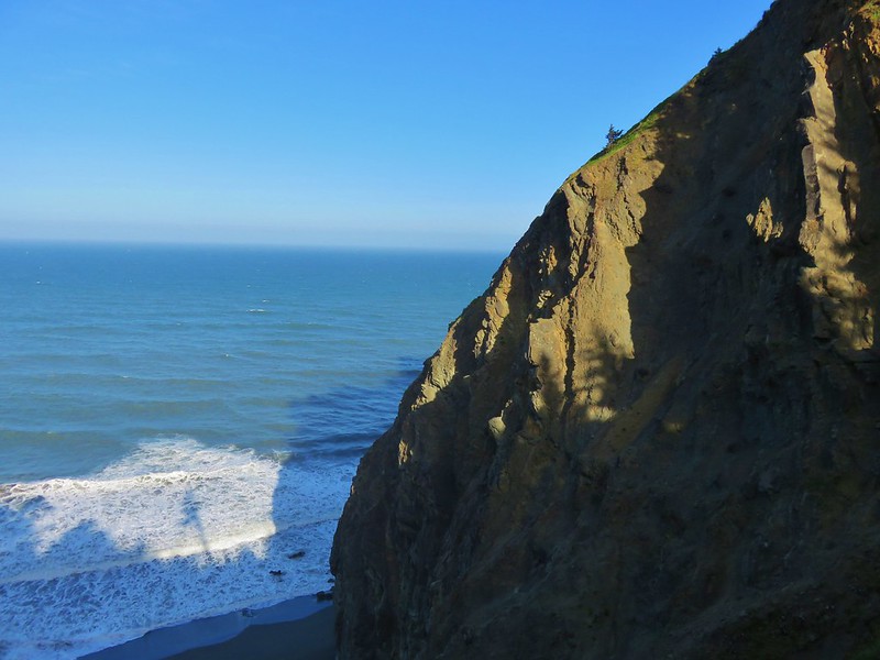
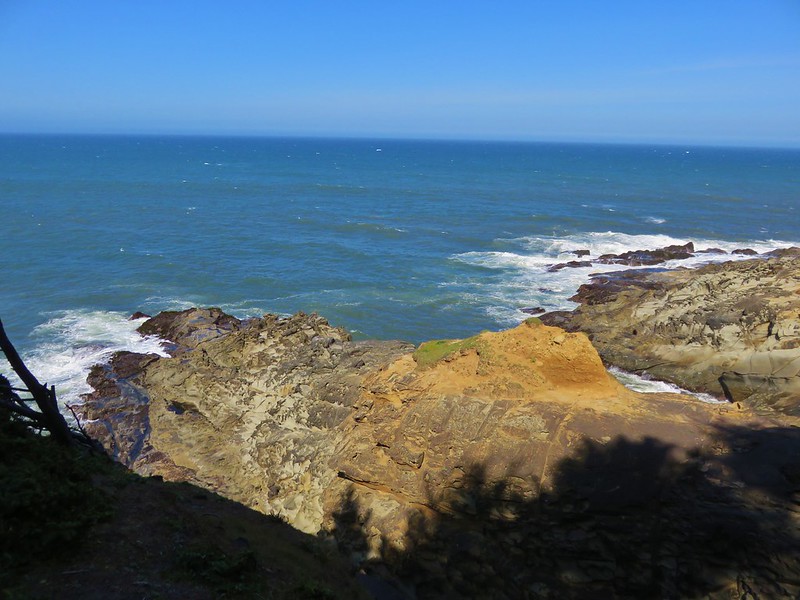
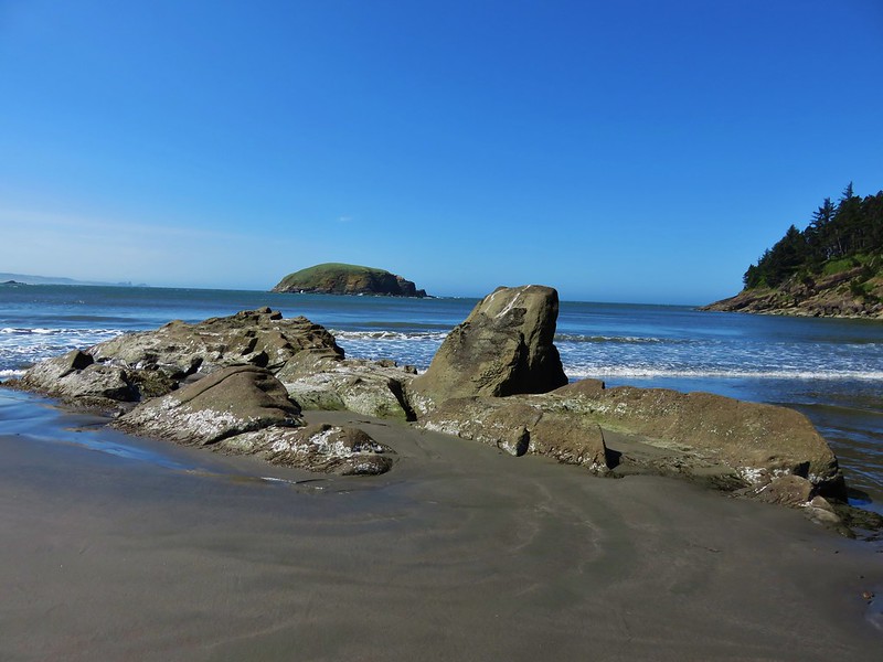
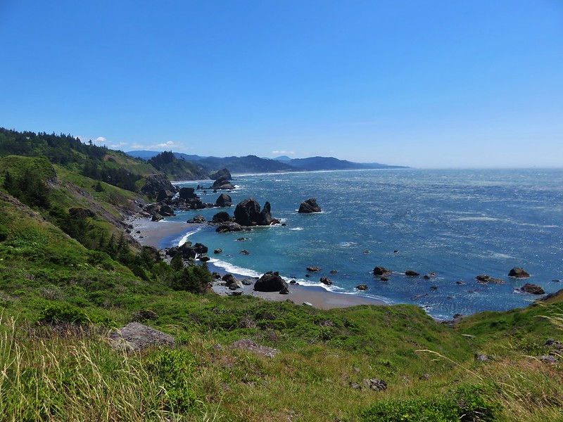
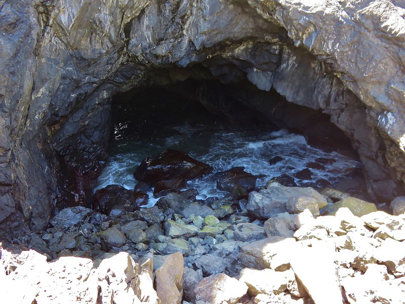
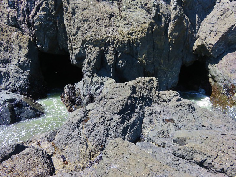
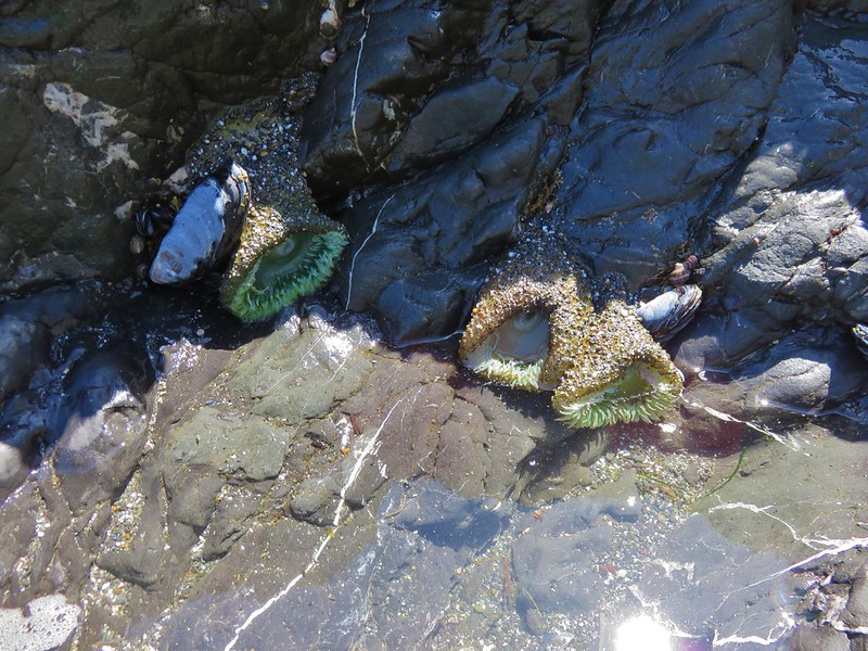
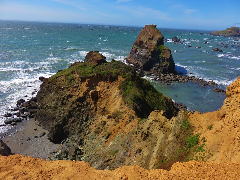
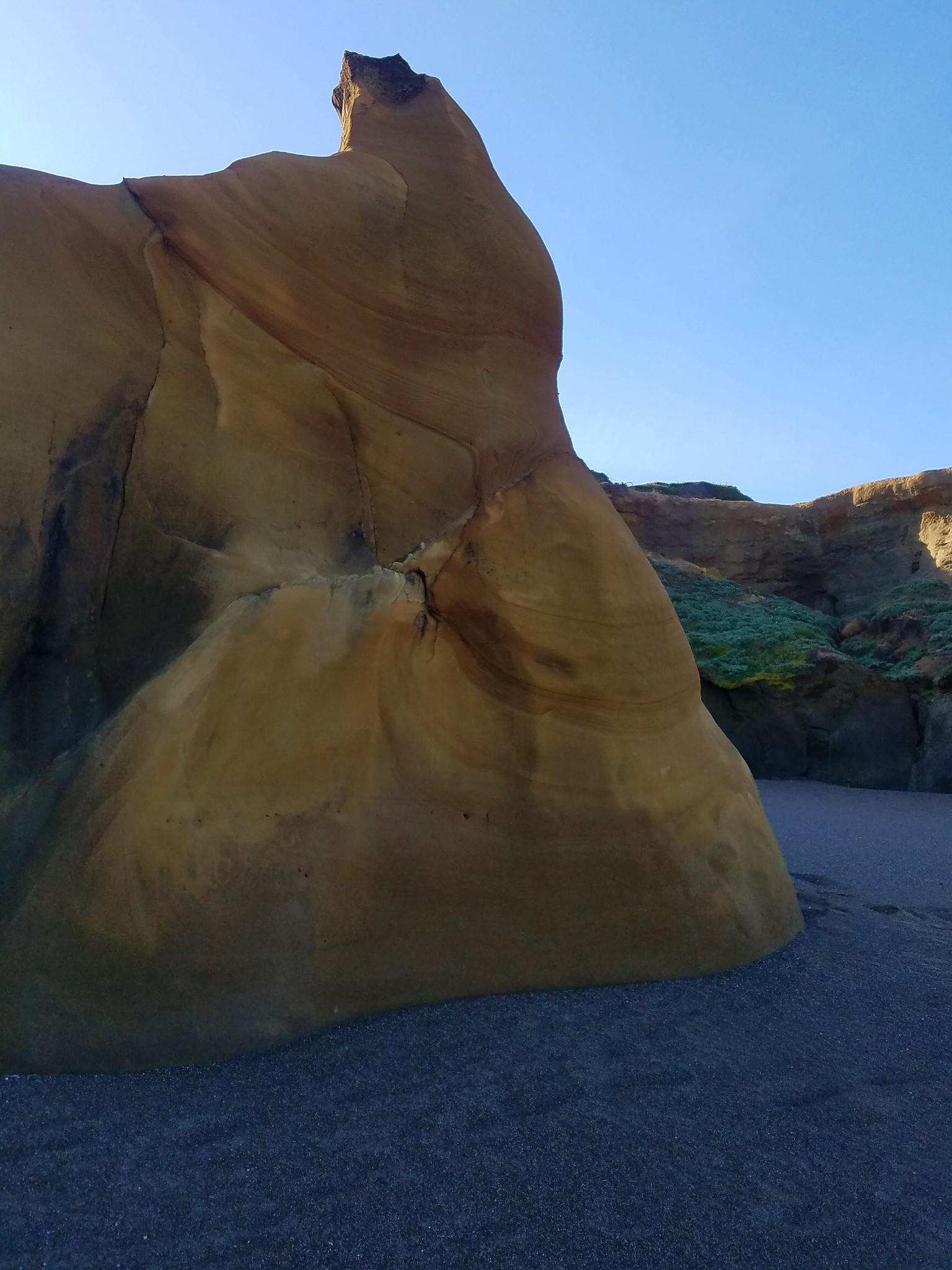
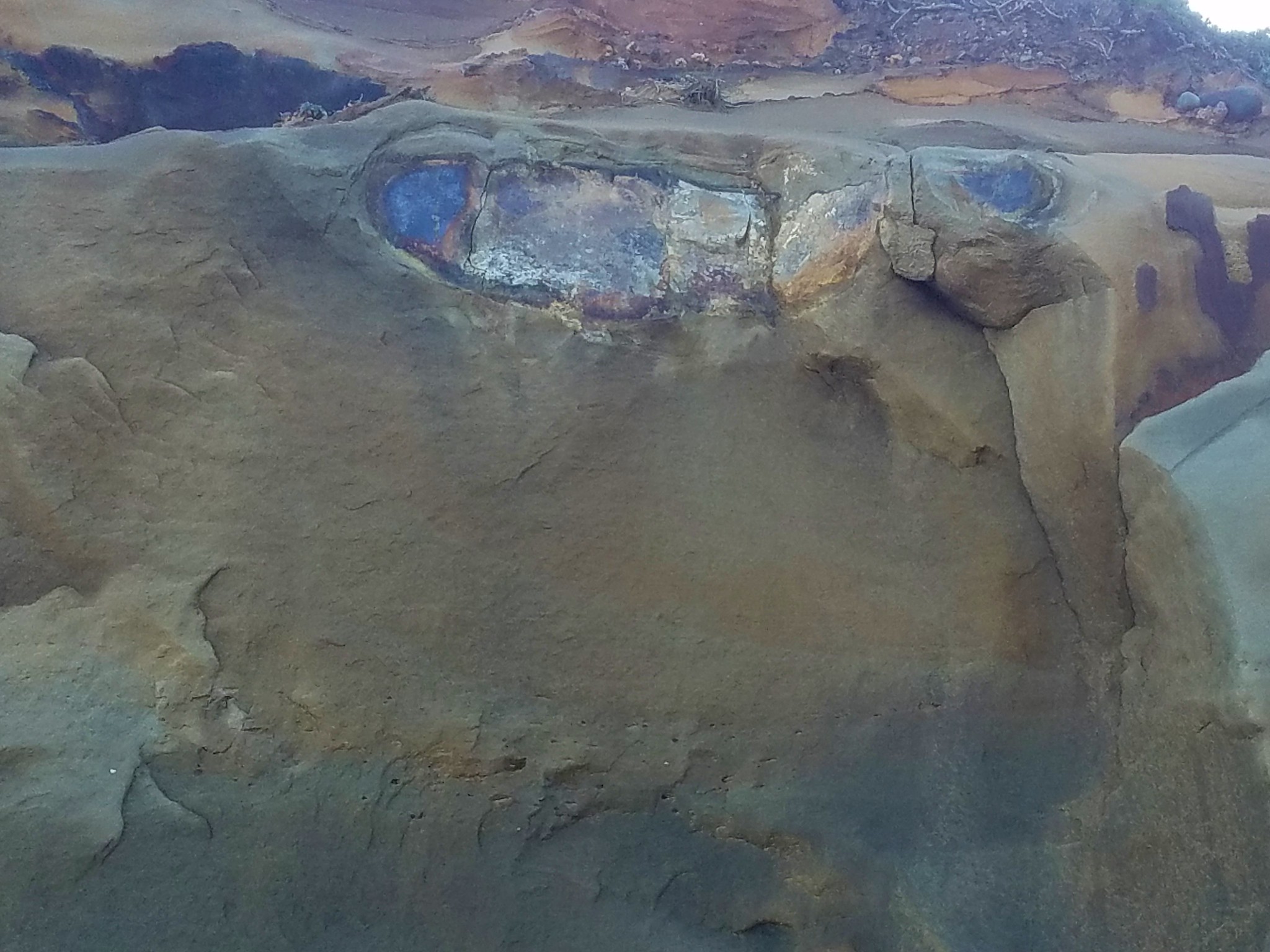
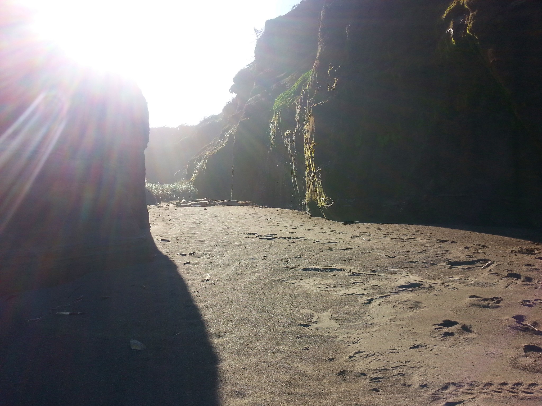
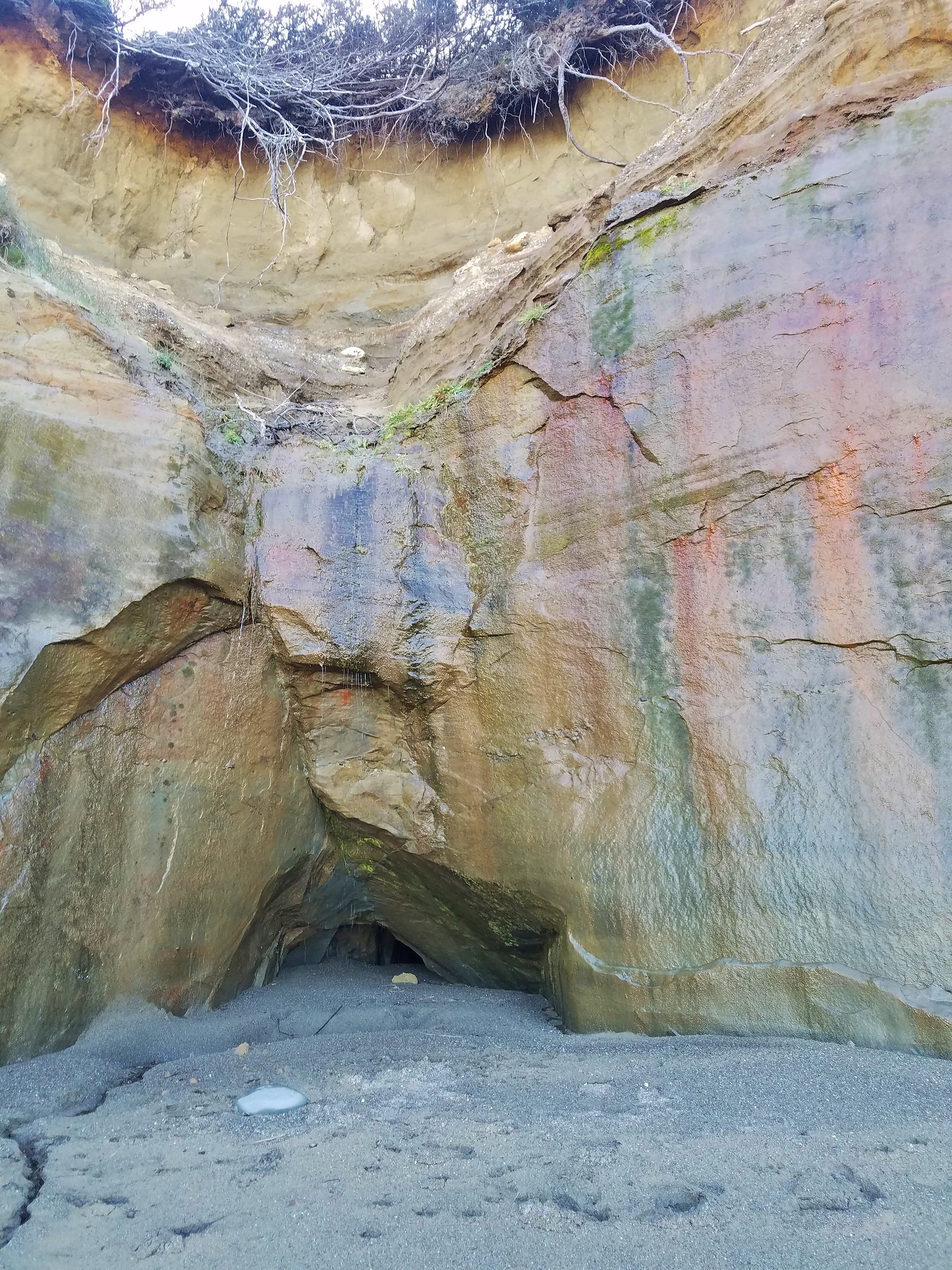
After about a quarter of a mile walking south along the beach we reached a series of interesting orange bluffs. High tide could make passage impossible but we were several hours from that and had no problem passing between them and the ocean for a mile. The bluffs were extremely interesting with various designs, alcoves, caves, and layers.


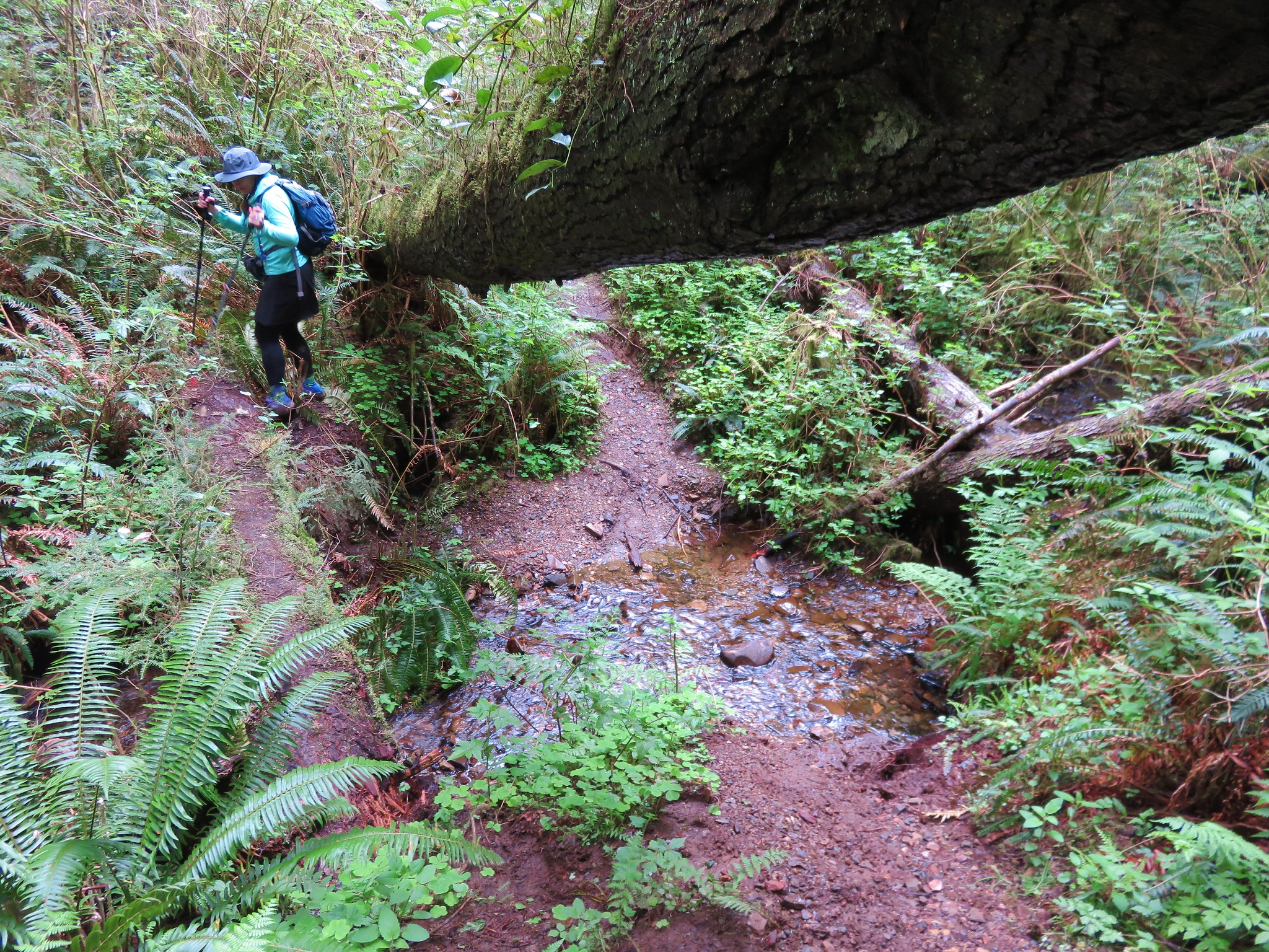
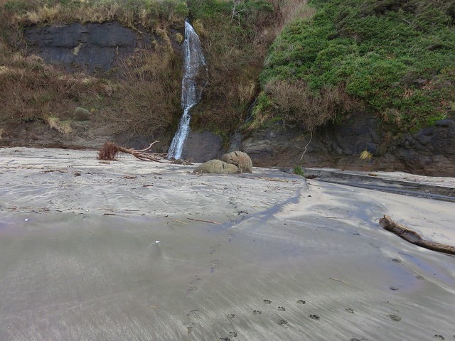
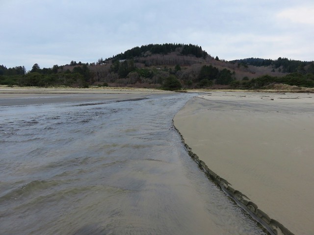
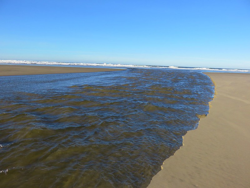
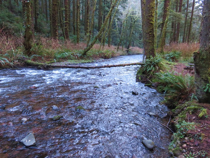
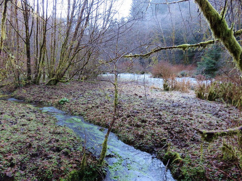
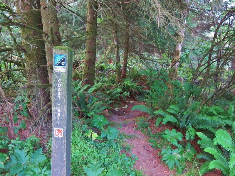
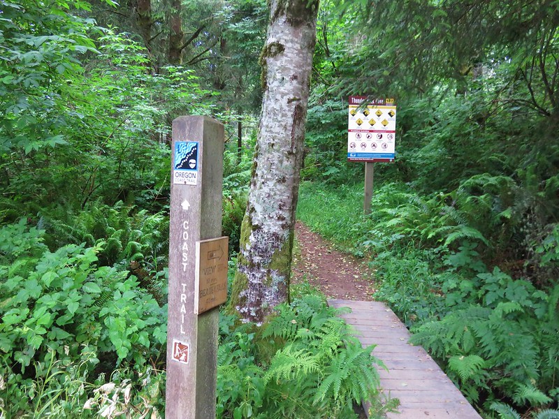
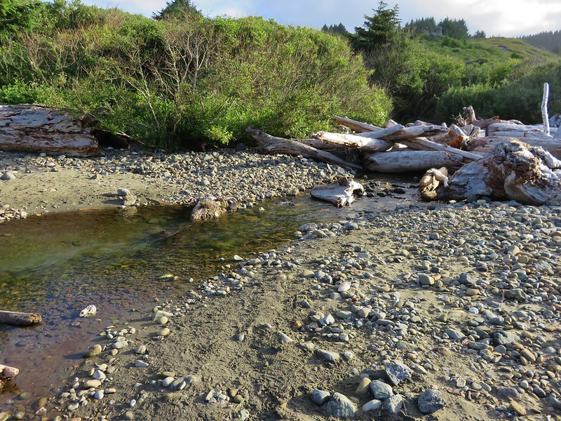
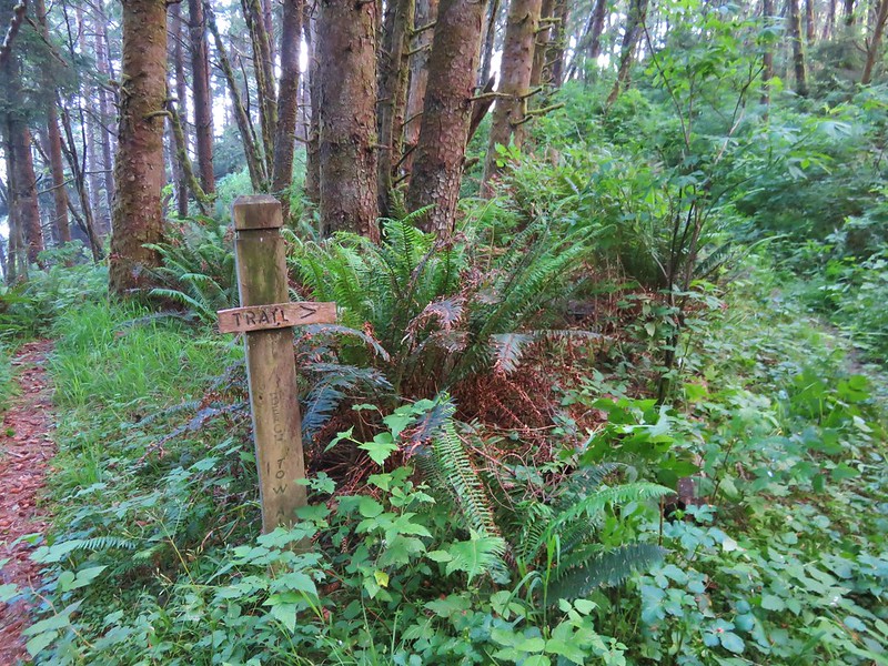
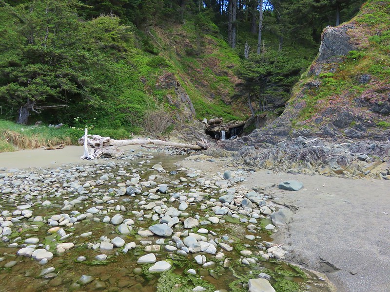
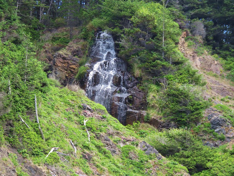
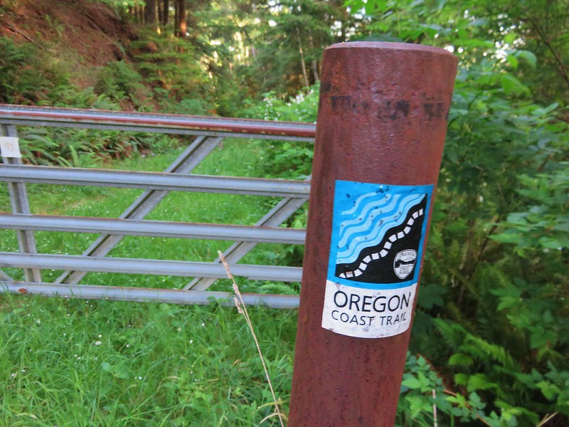
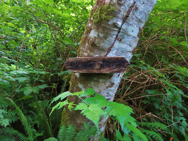
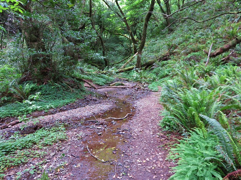
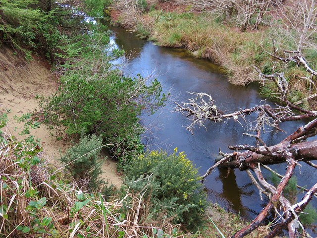
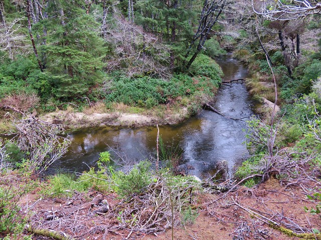
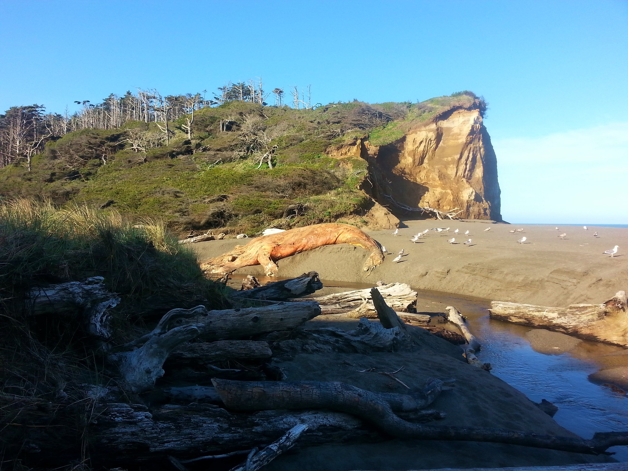
Beyond the bluffs we came to a creek which we needed to follow inland to pick up the Oregon Coast Trail (OCT).
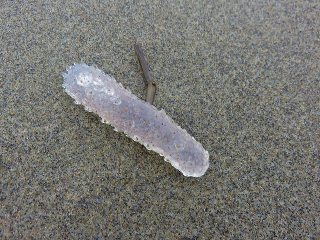
We noticed that there was a decomposing whale carcass on the far bank of the creek which was a bit disgusting but also very interesting.
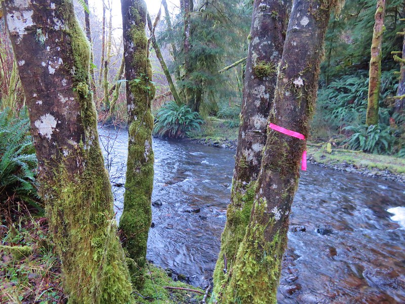
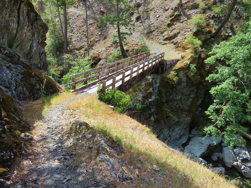
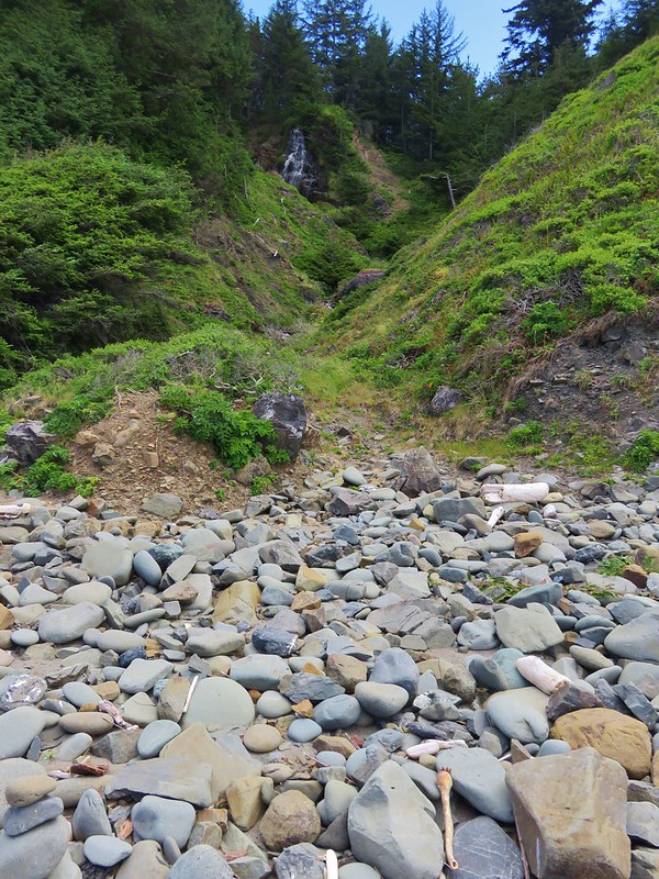
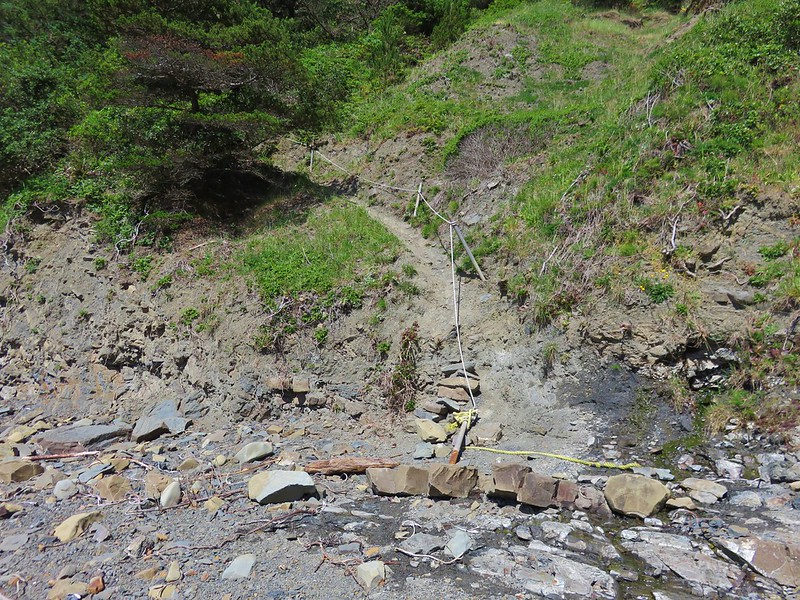
It was interesting that is, until we got downwind from it while attempting to bushwack along the creek to the OCT. The stench was putrid and we wanted to get away from it as quickly as possible but it took us a bit to figure out out to navigate the driftwood and swampy areas. It was only two tenths of a mile to the trail but it seemed a lot longer before we picked it up at a bridge? across the creek.
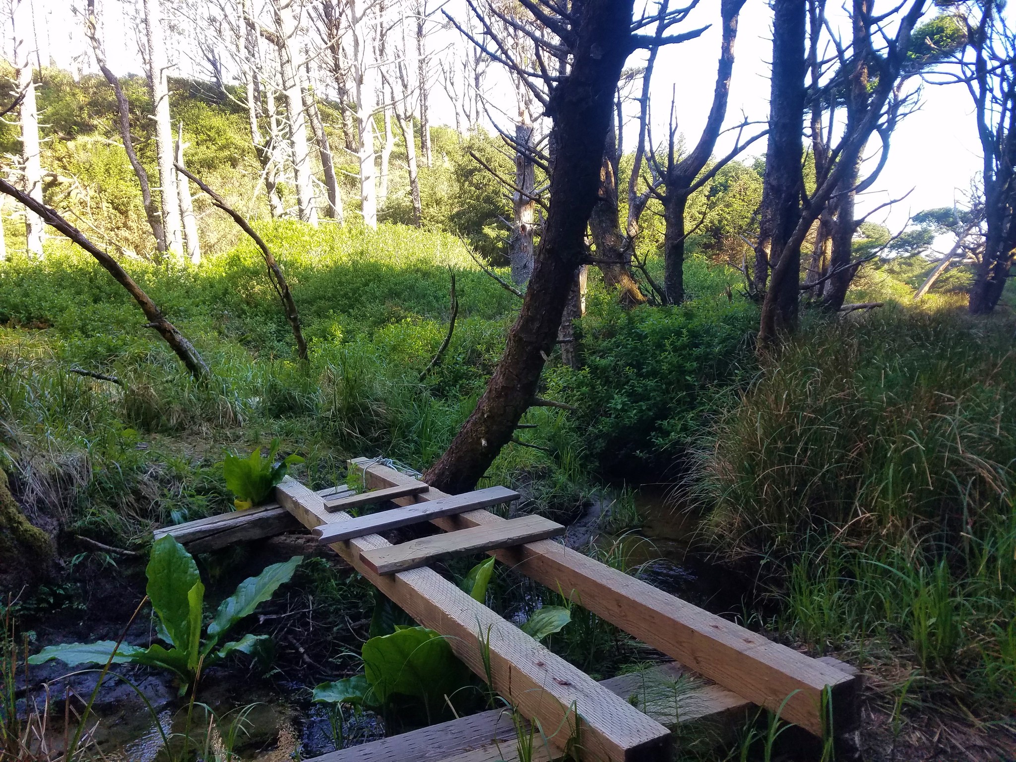
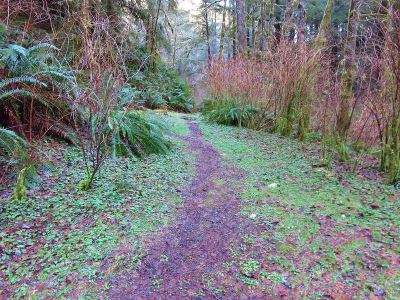
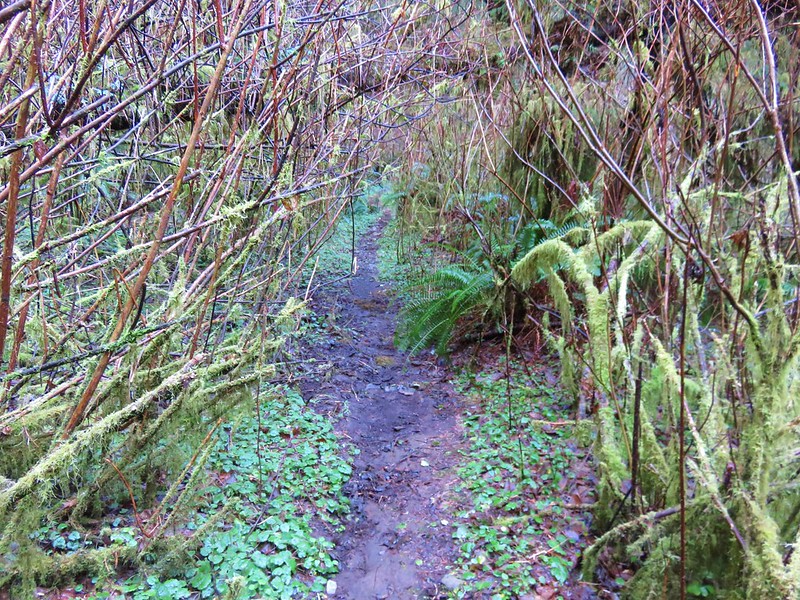
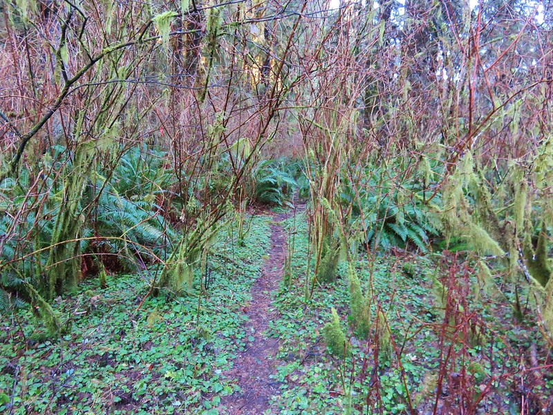
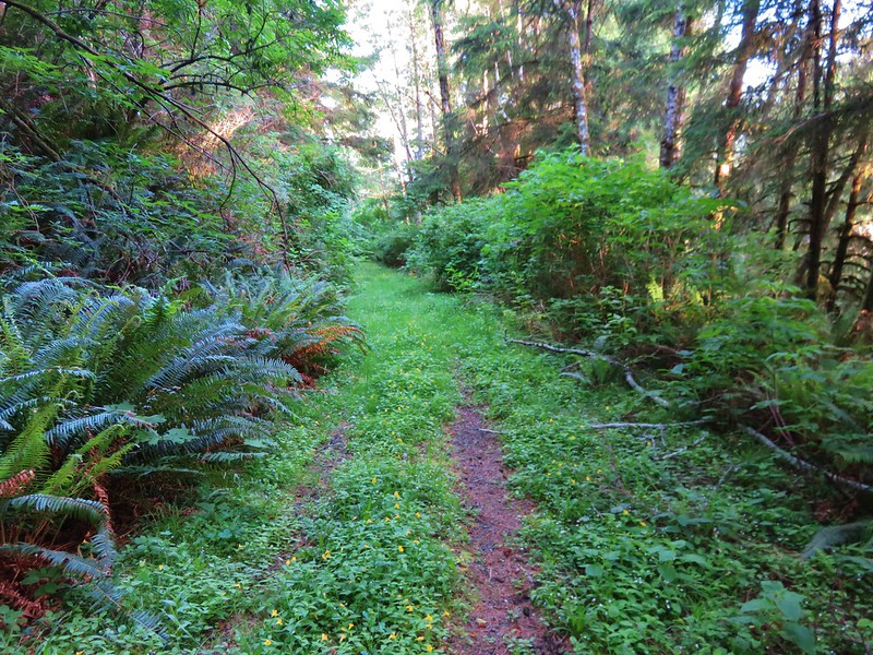
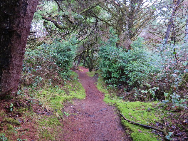
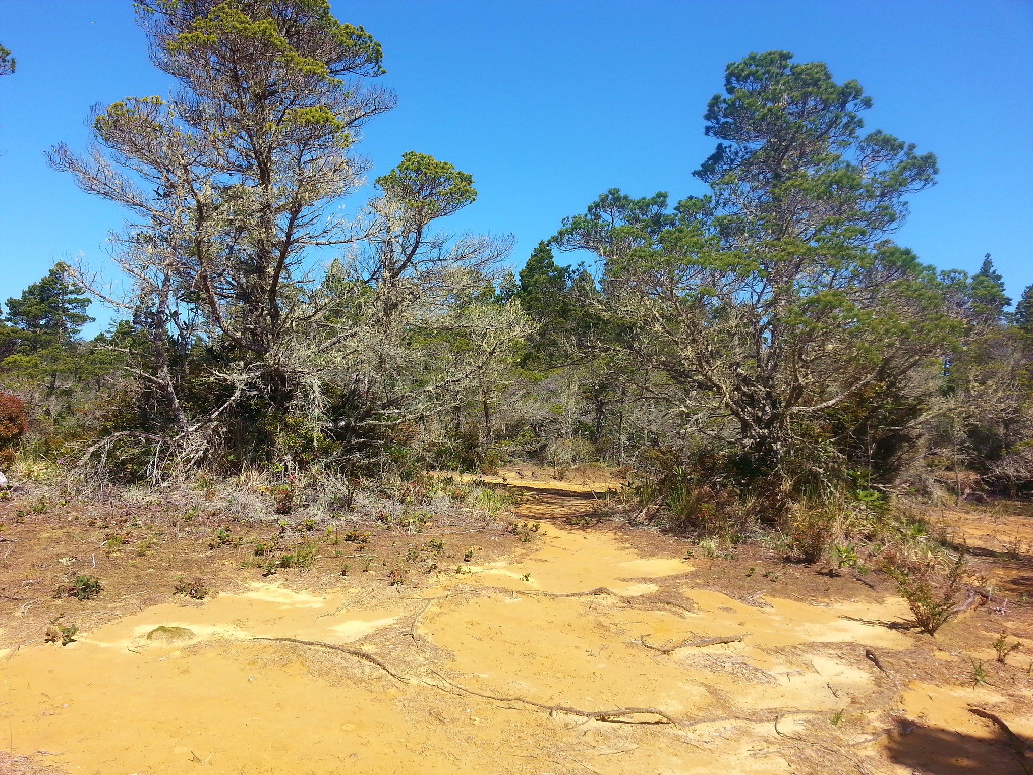
After a bit more mud on the far side of the creek the trail climbed a small hill where things dried out.
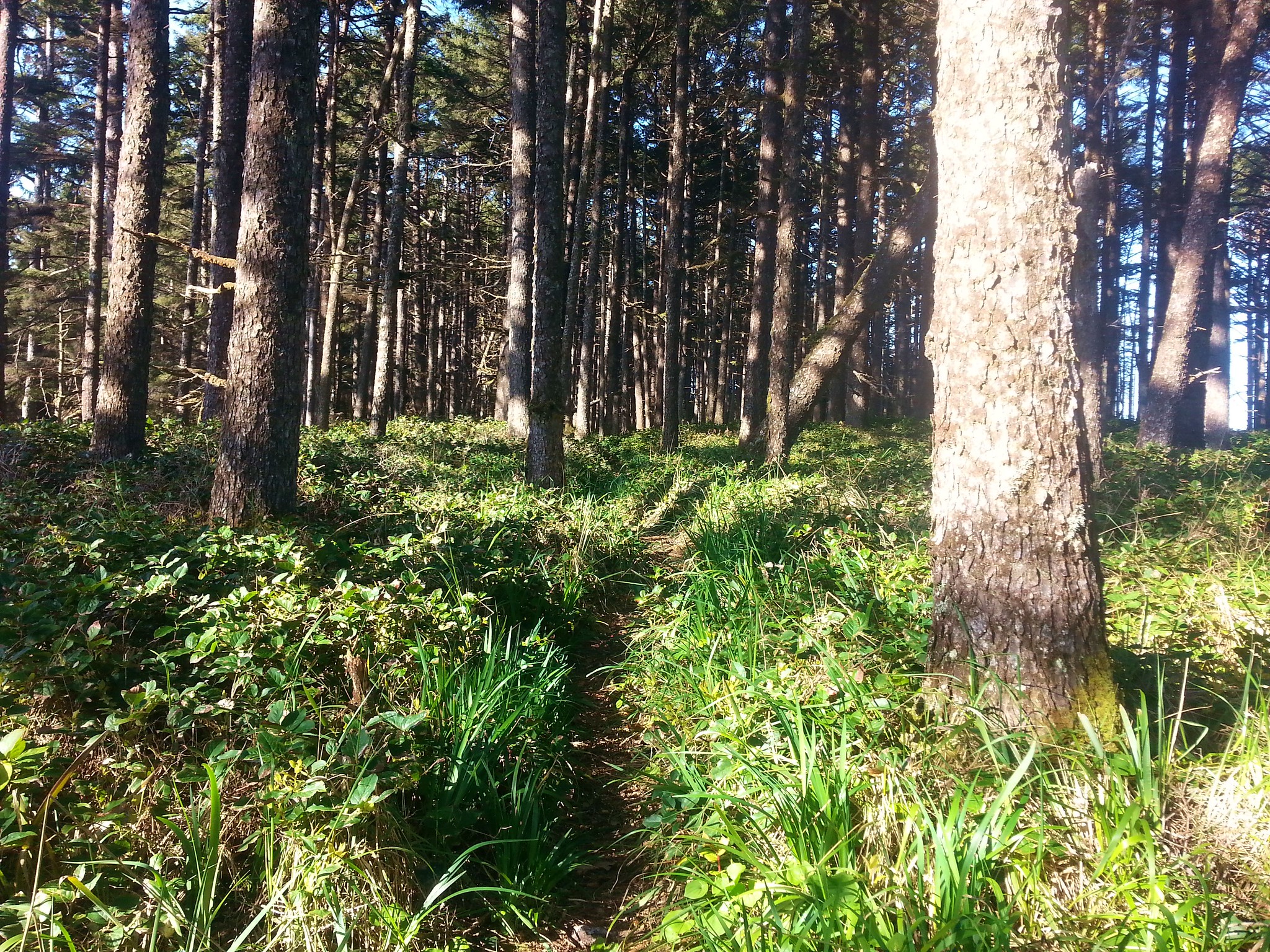
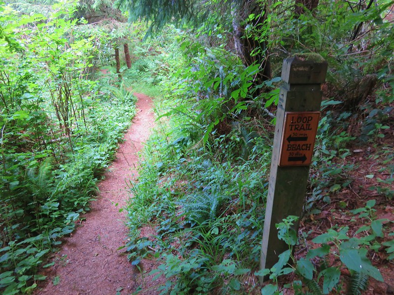
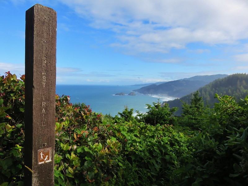
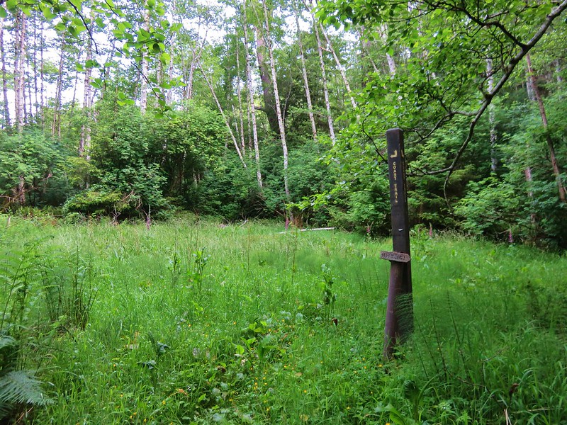
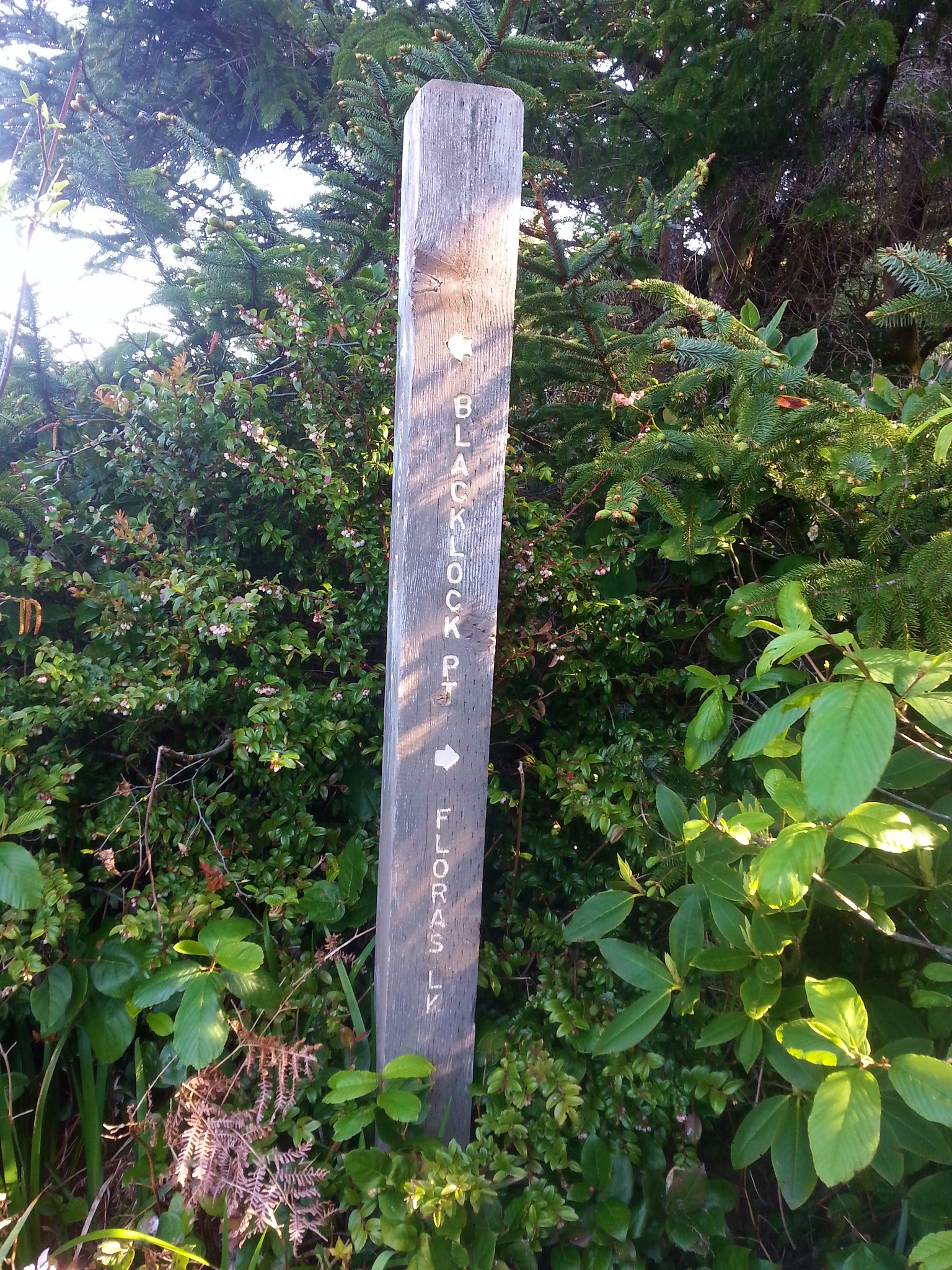
A little over three quarter miles from the creek crossing we came to a trail junction where we followed a pointer for Blacklock Point.
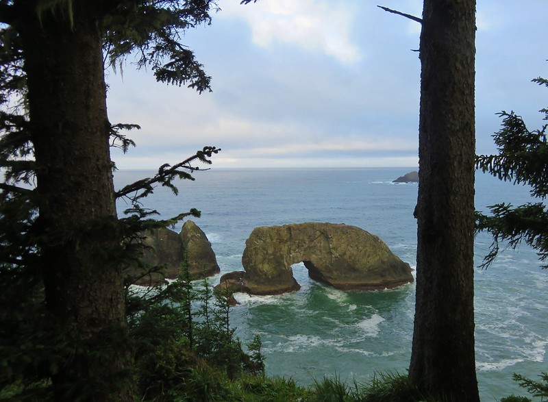
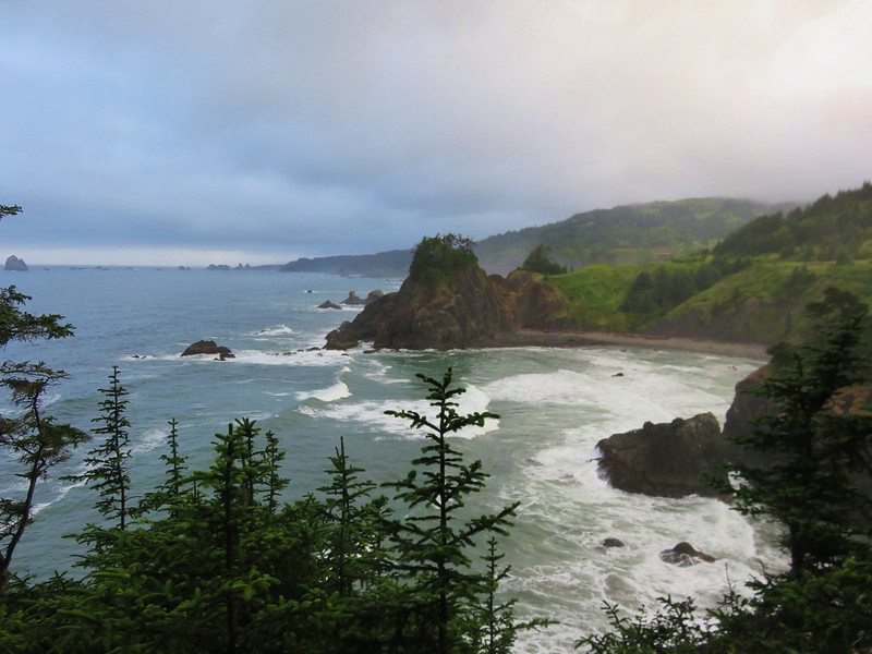
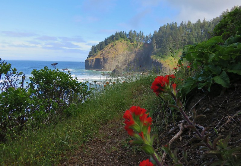
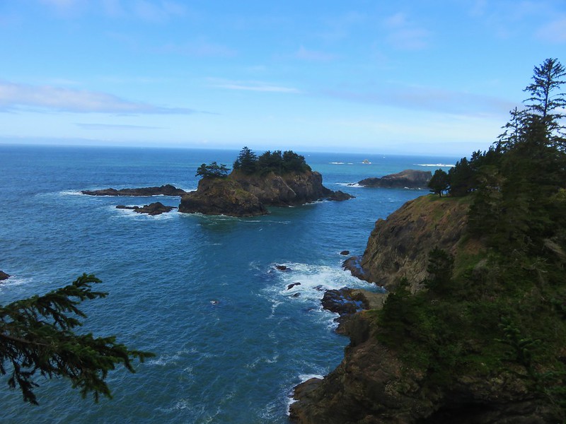
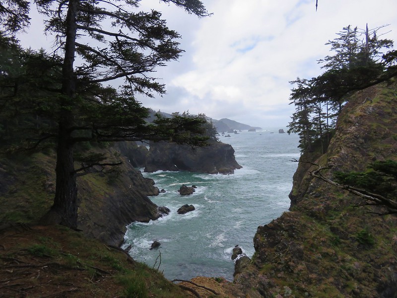
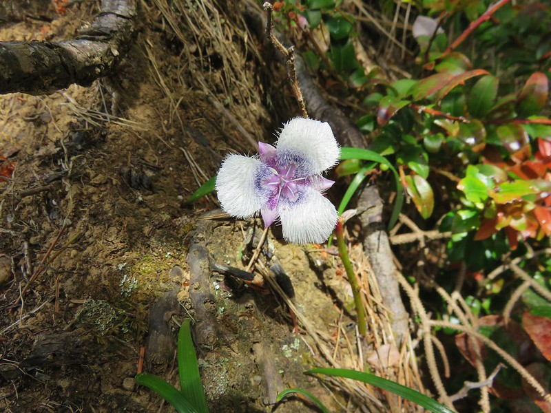
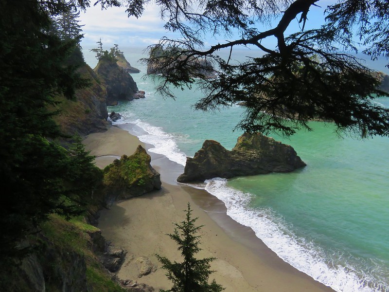
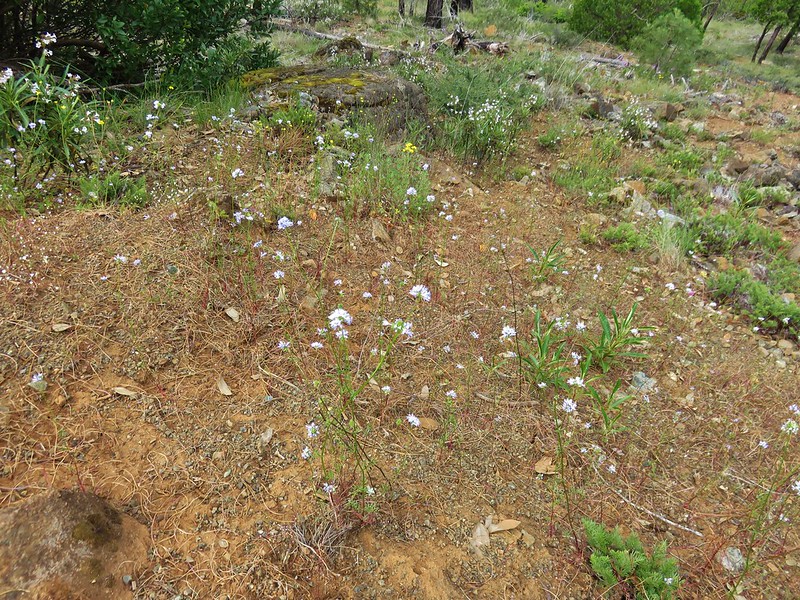
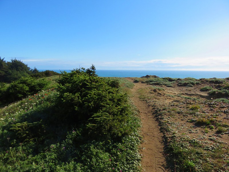
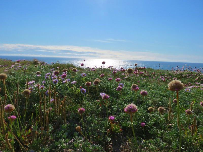
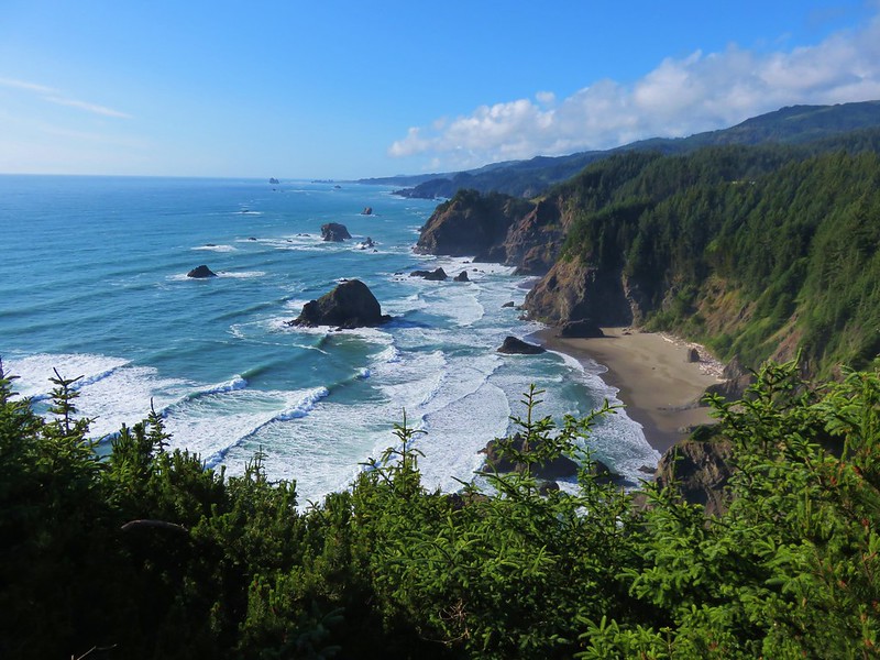
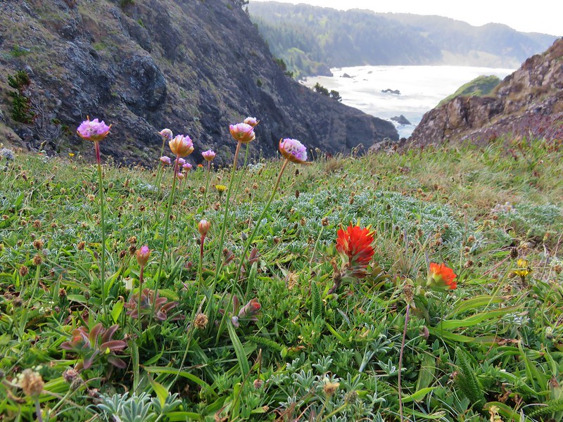
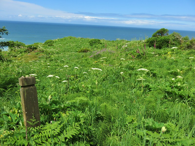
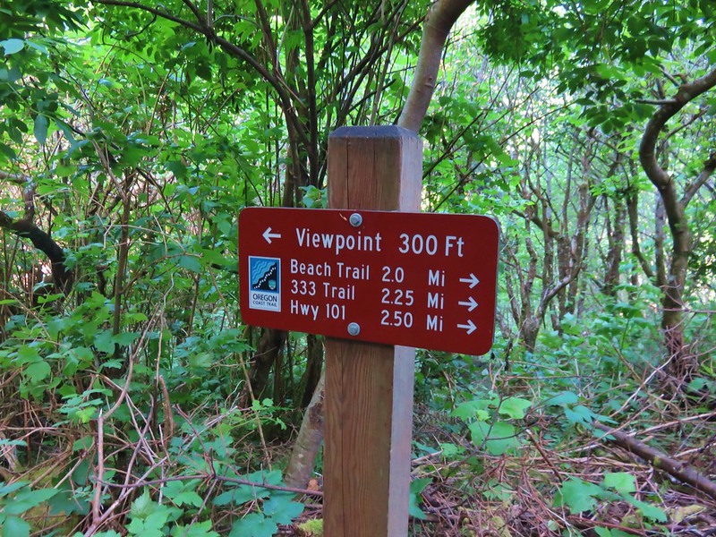
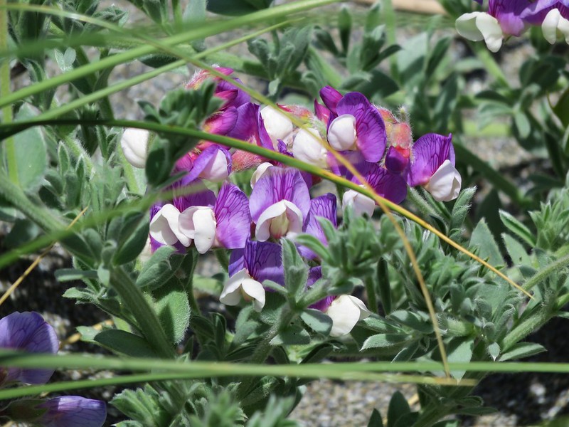
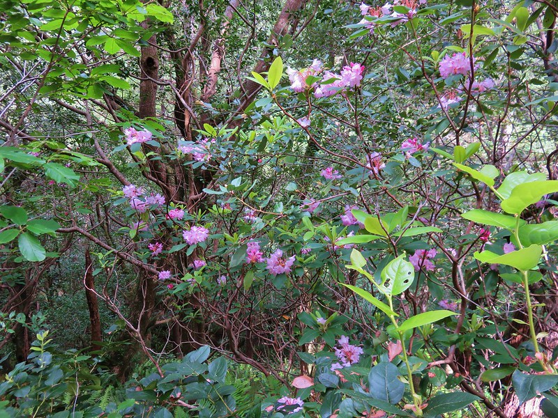
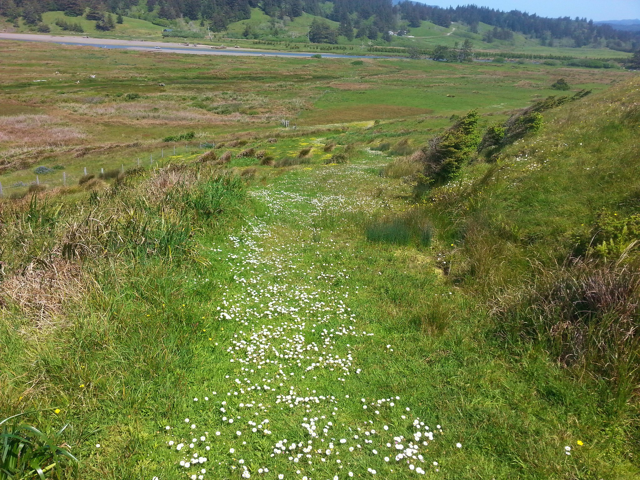
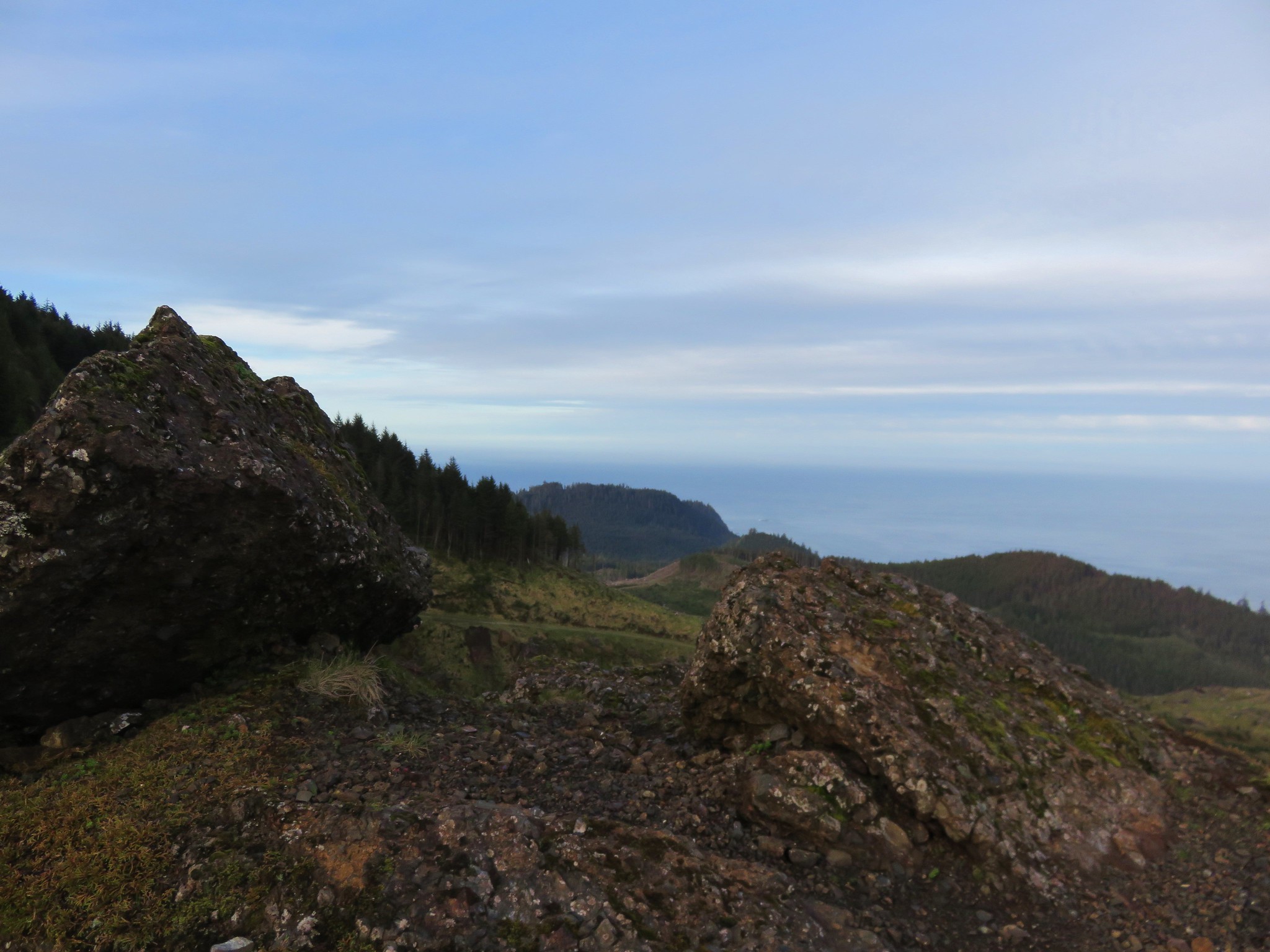
This path passed a couple of nice viewpoints in the next mile before arriving at another junction.
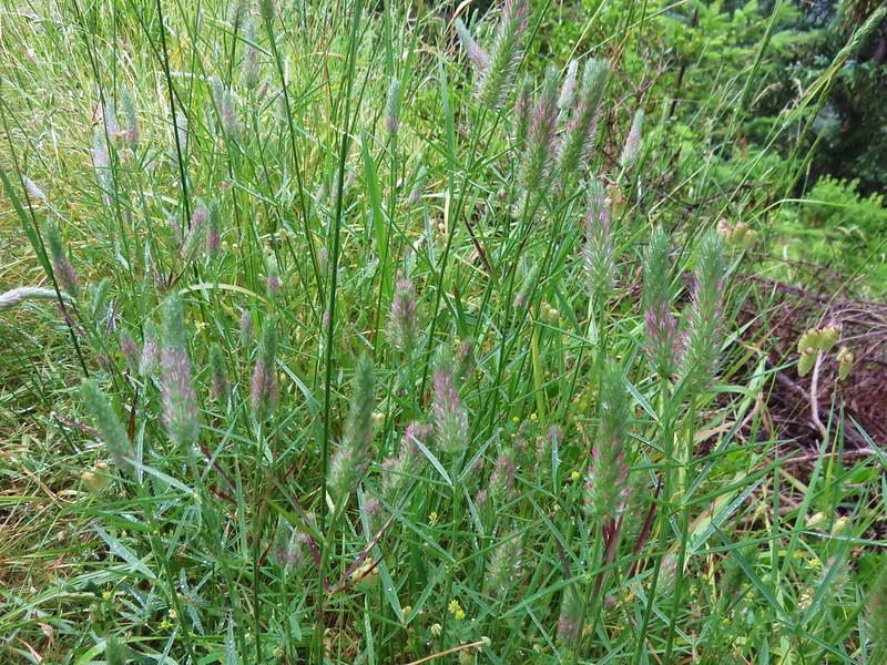
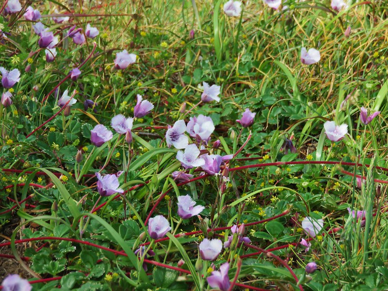
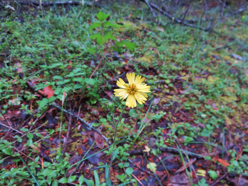
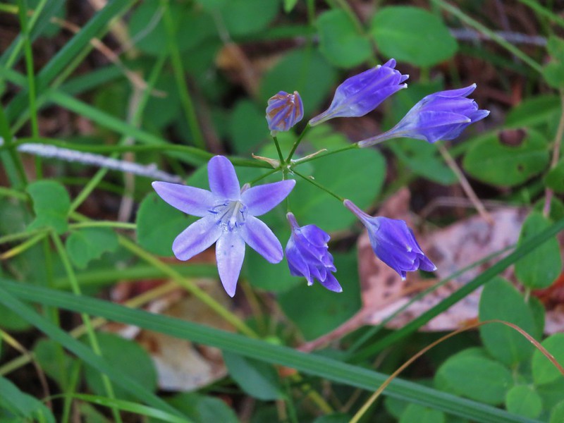
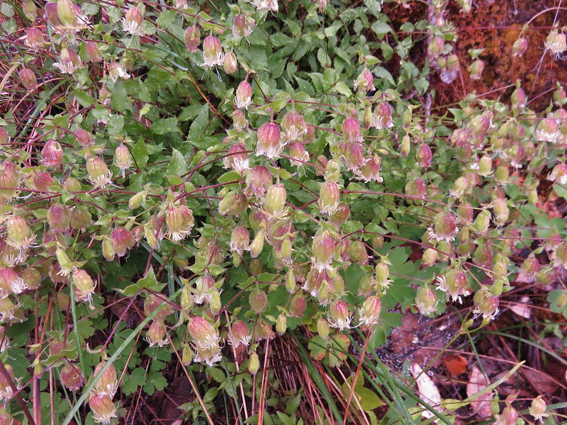
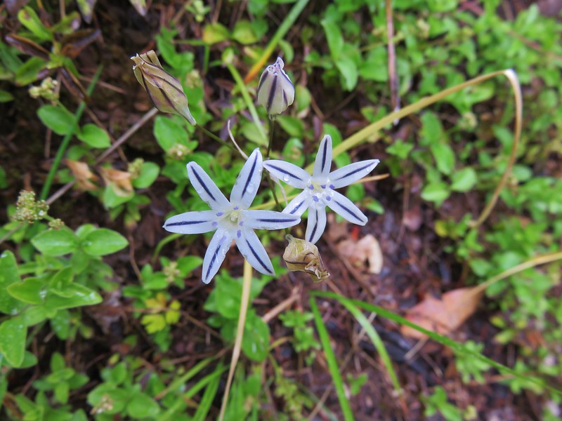
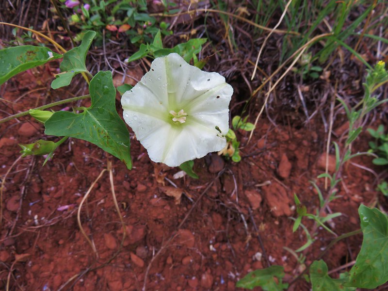
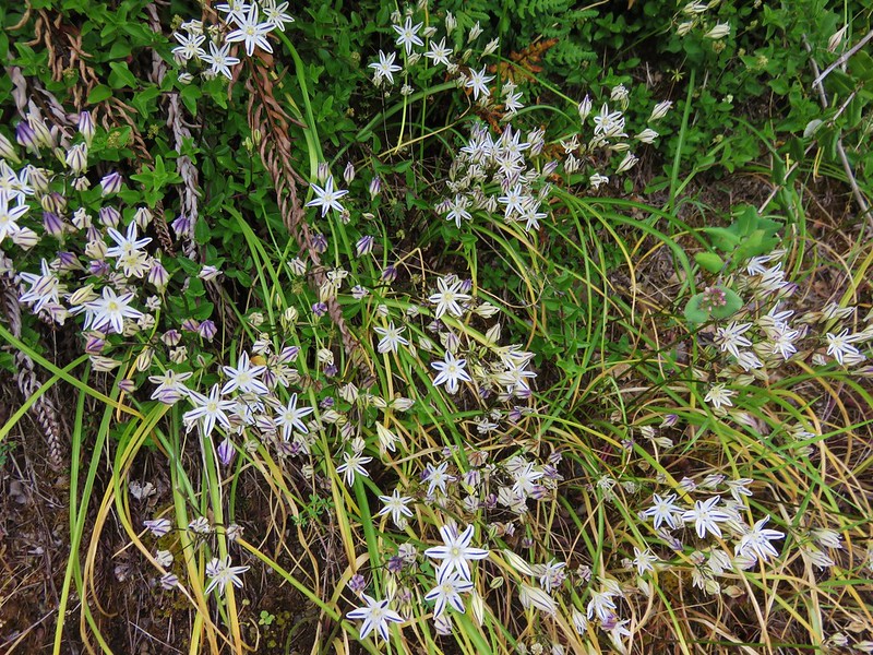
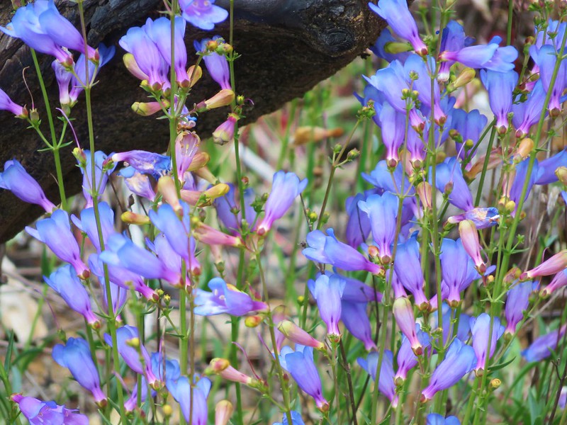
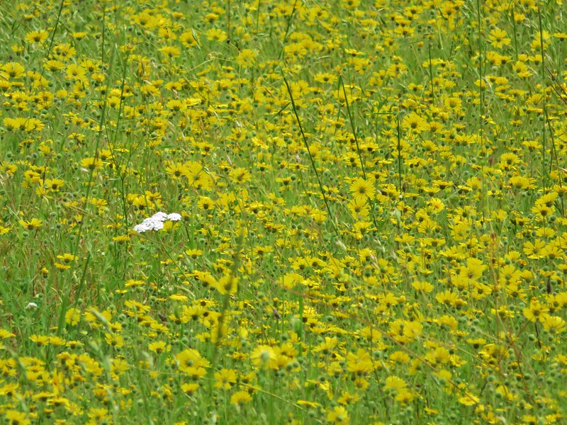
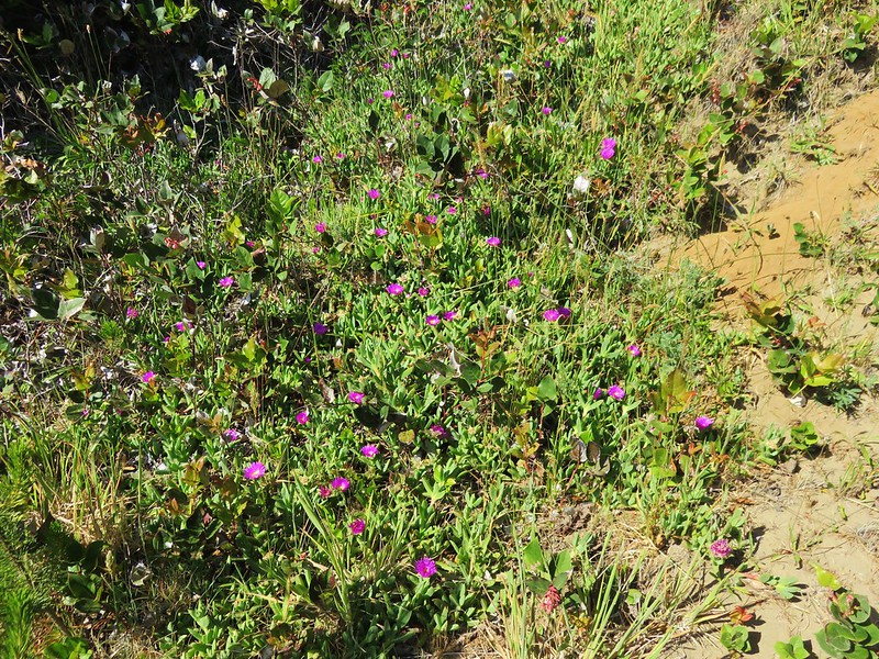
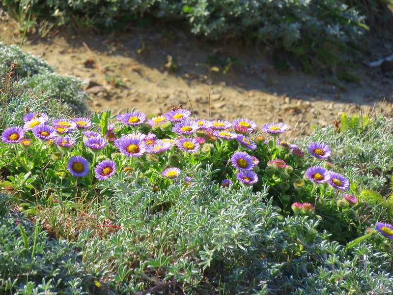
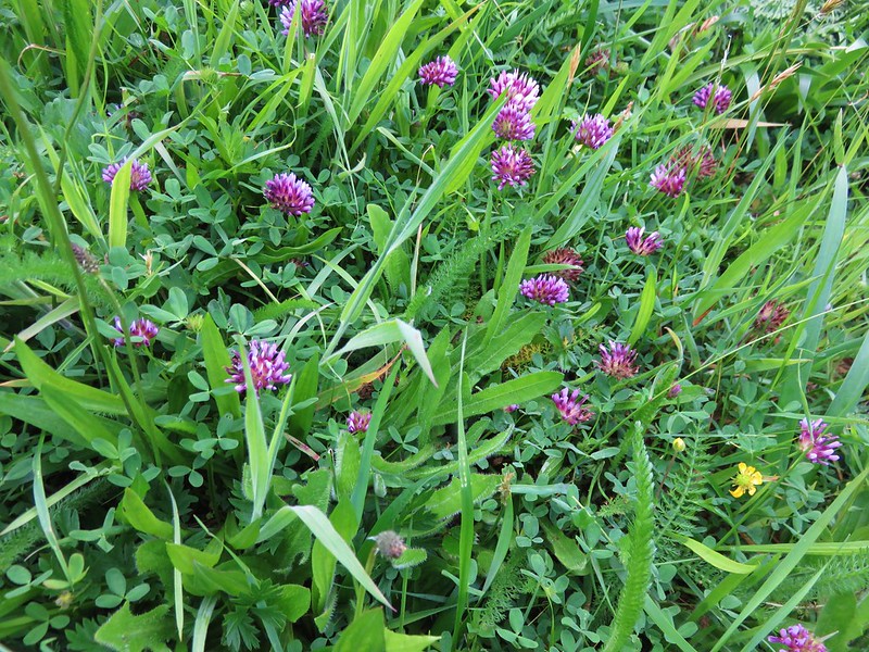
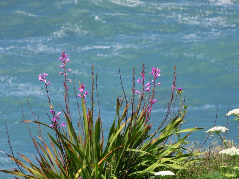
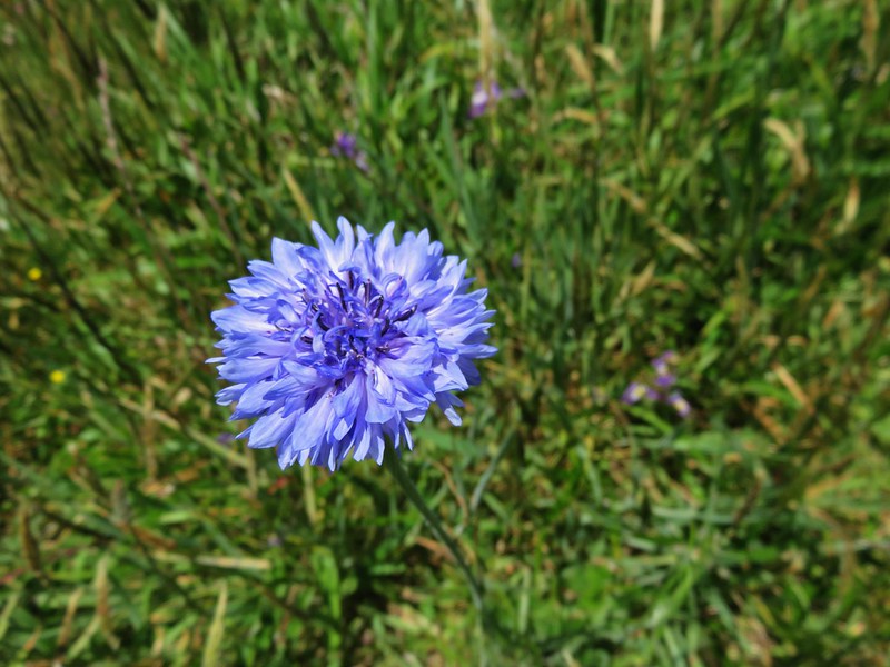
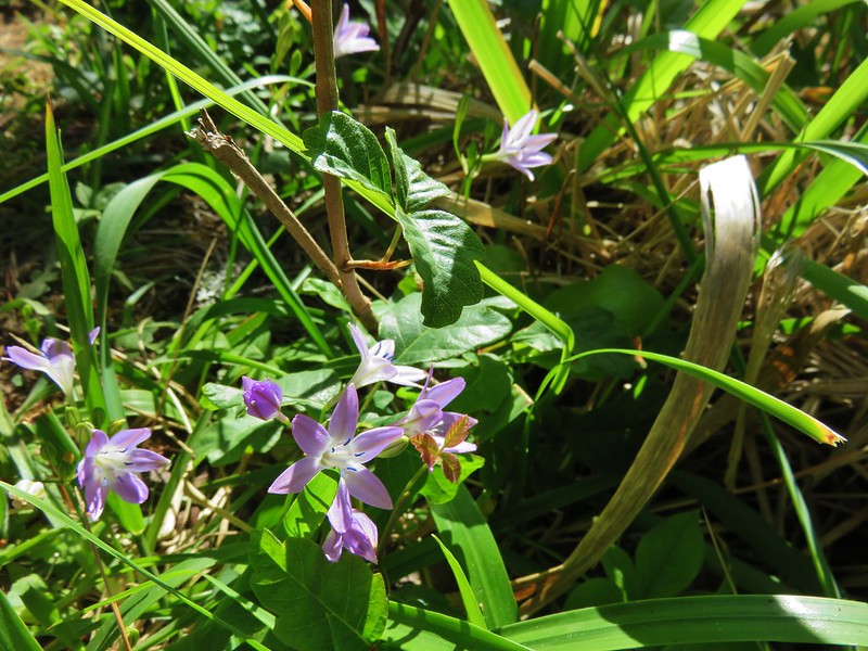
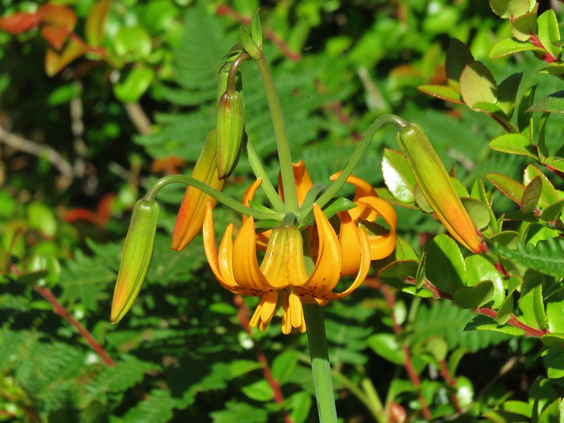
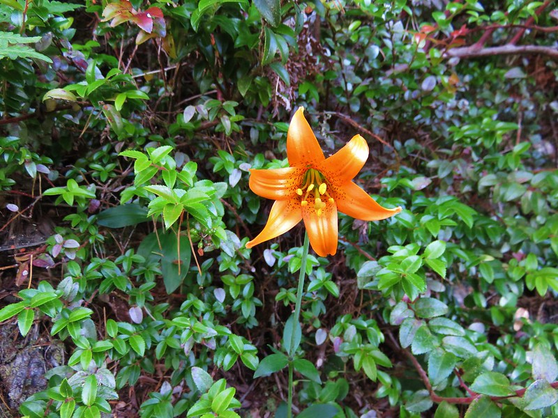
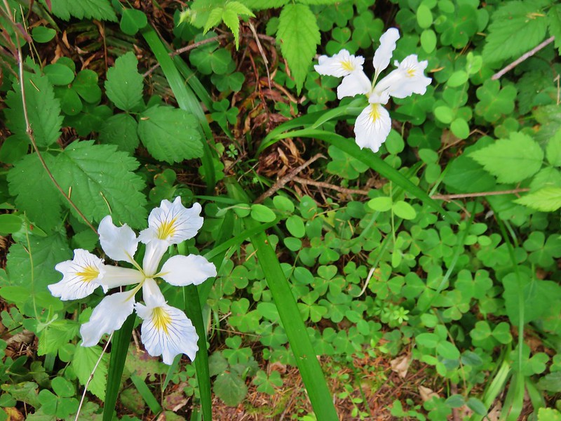
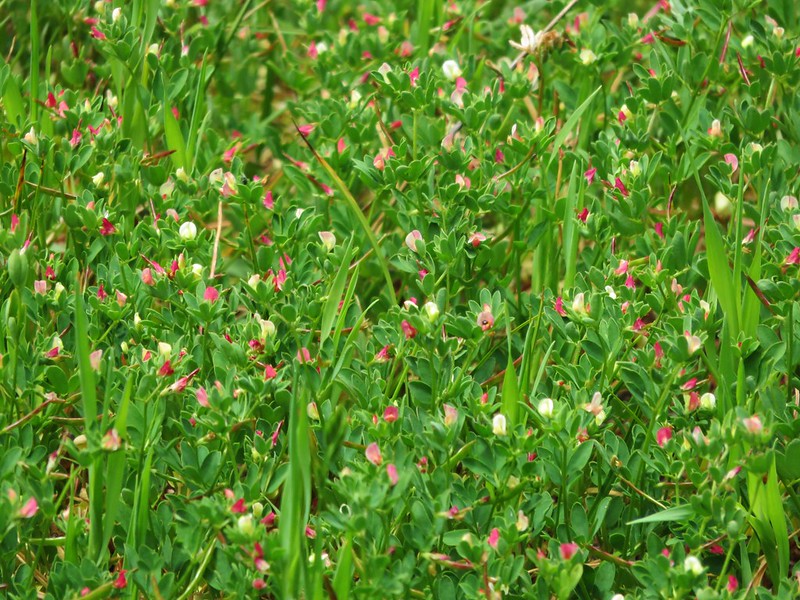
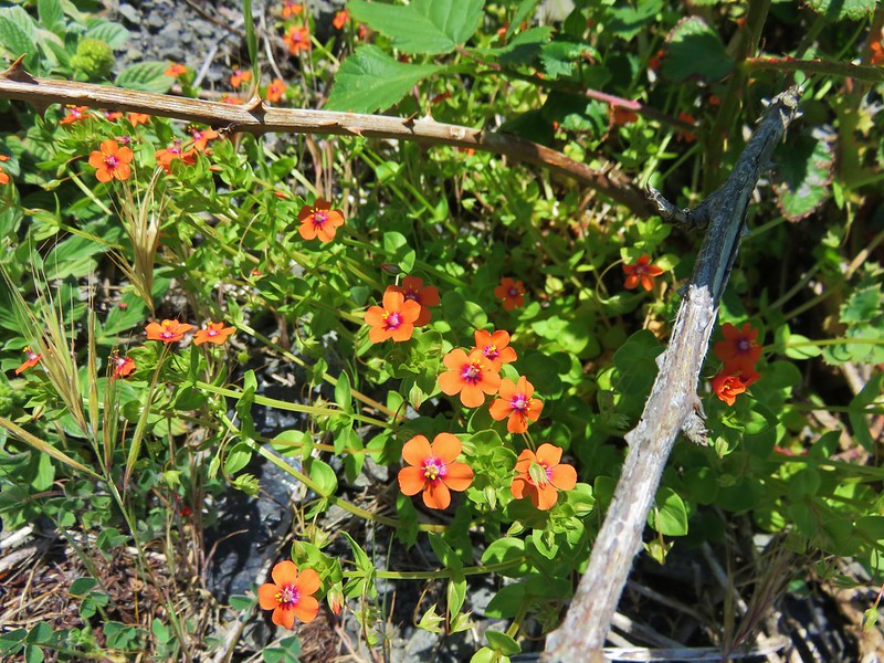
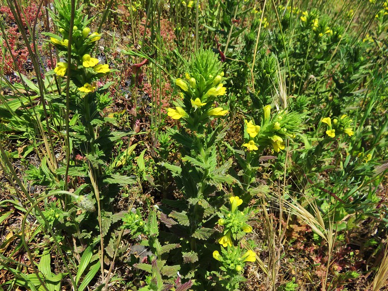
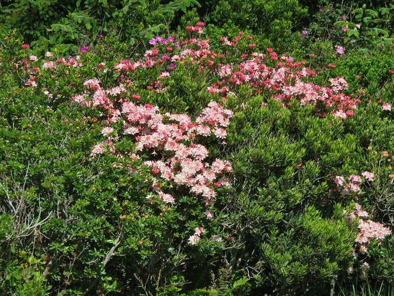
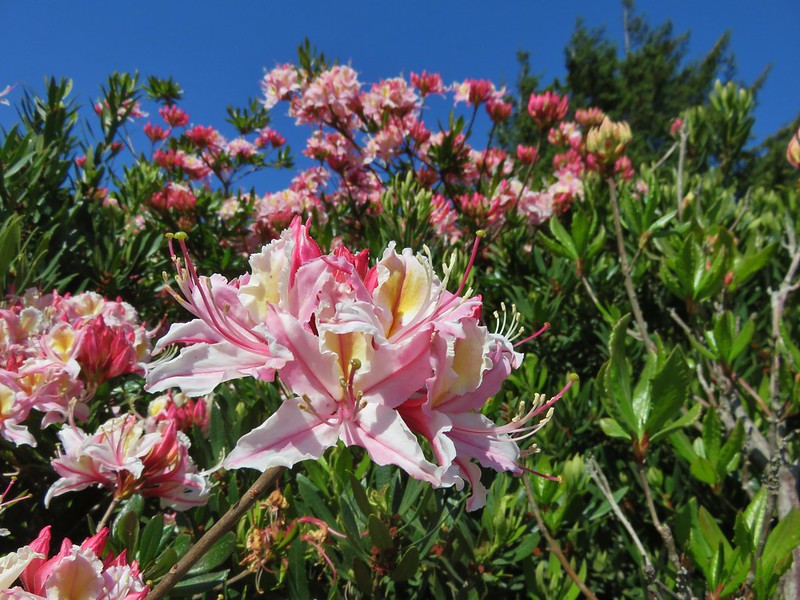
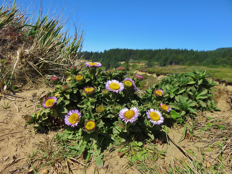
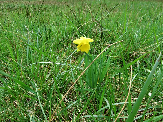
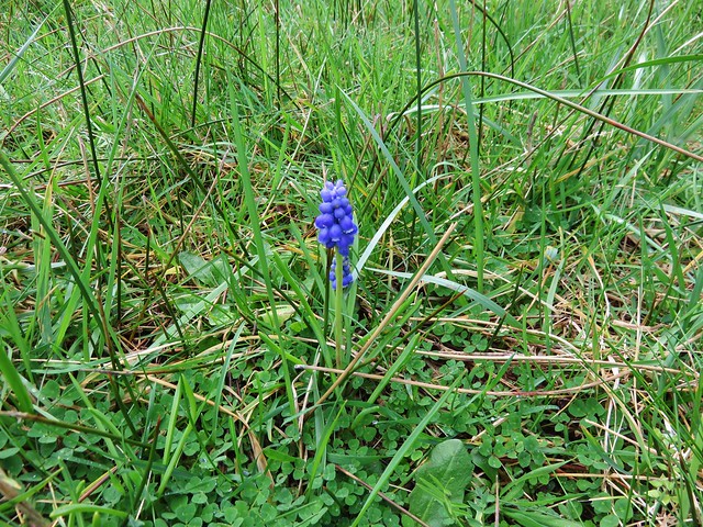
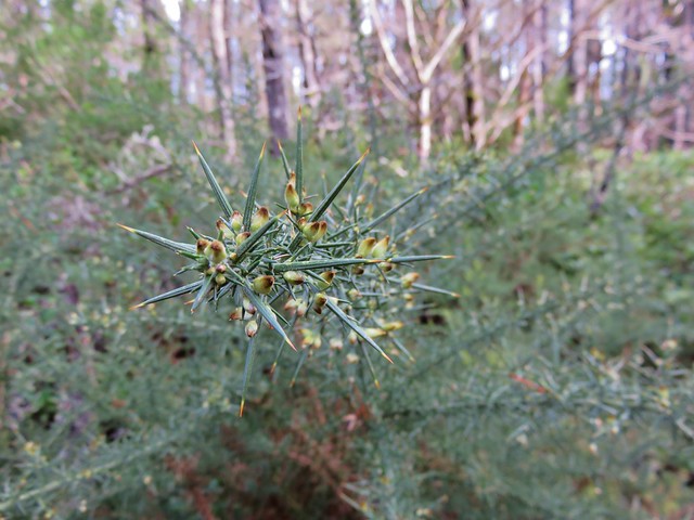
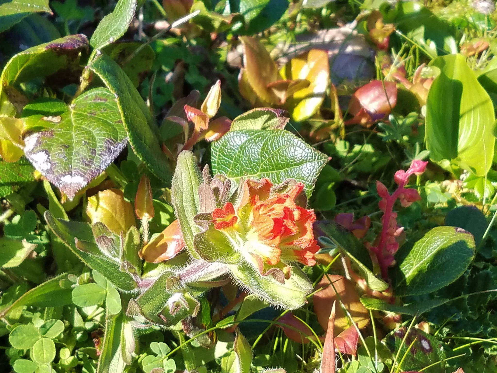
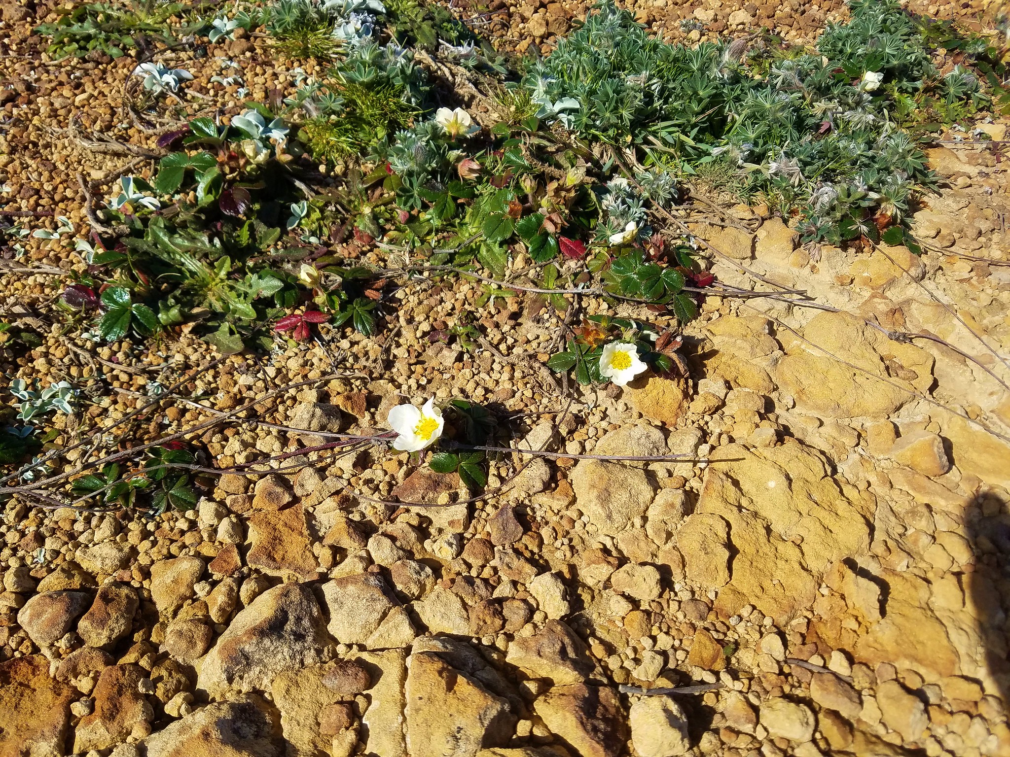
Despite the steady winds several wildflowers had managed to make the viewpoints home.

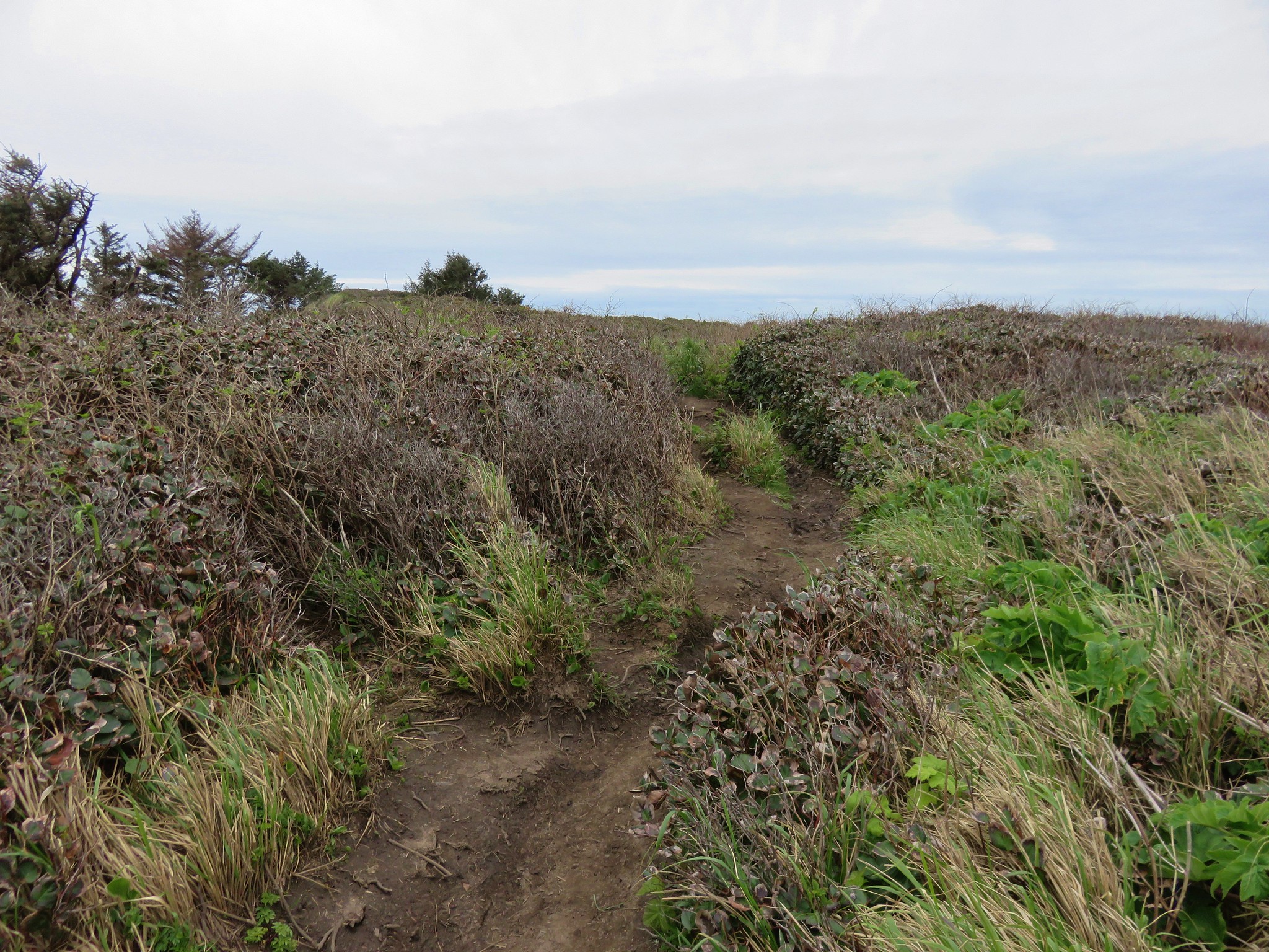
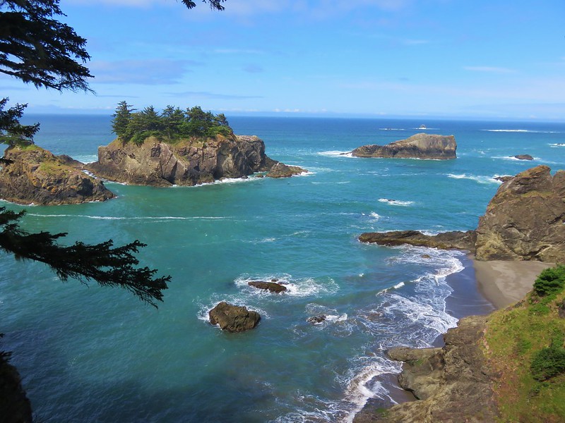
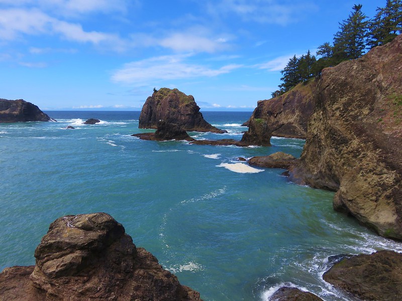
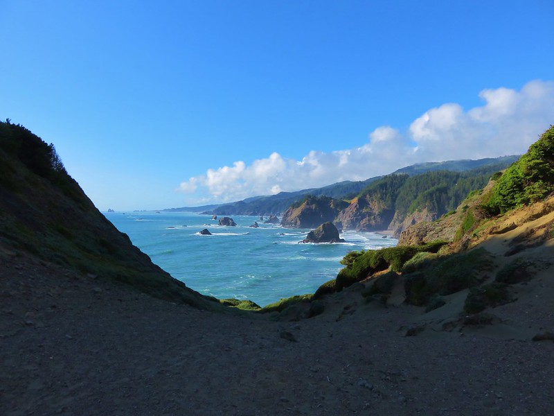
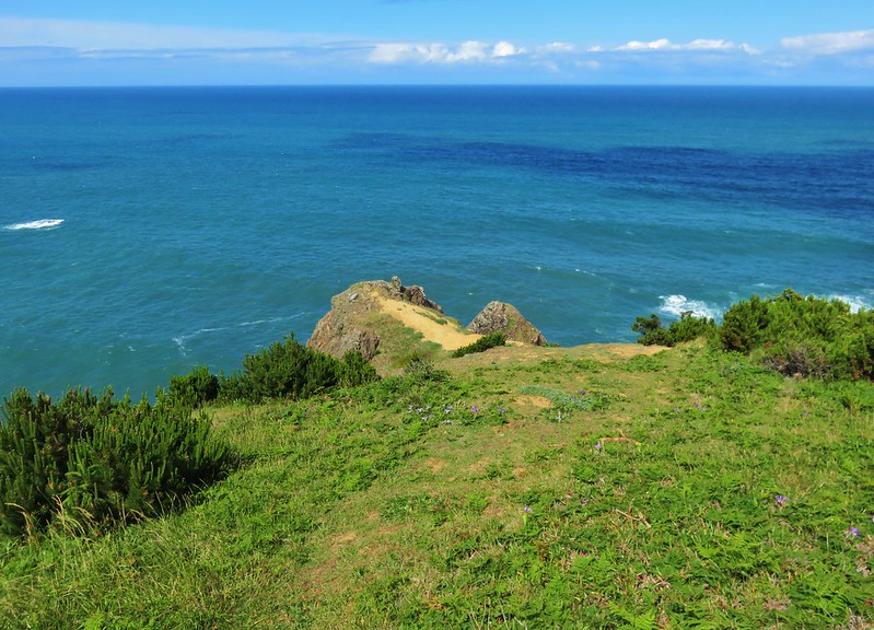
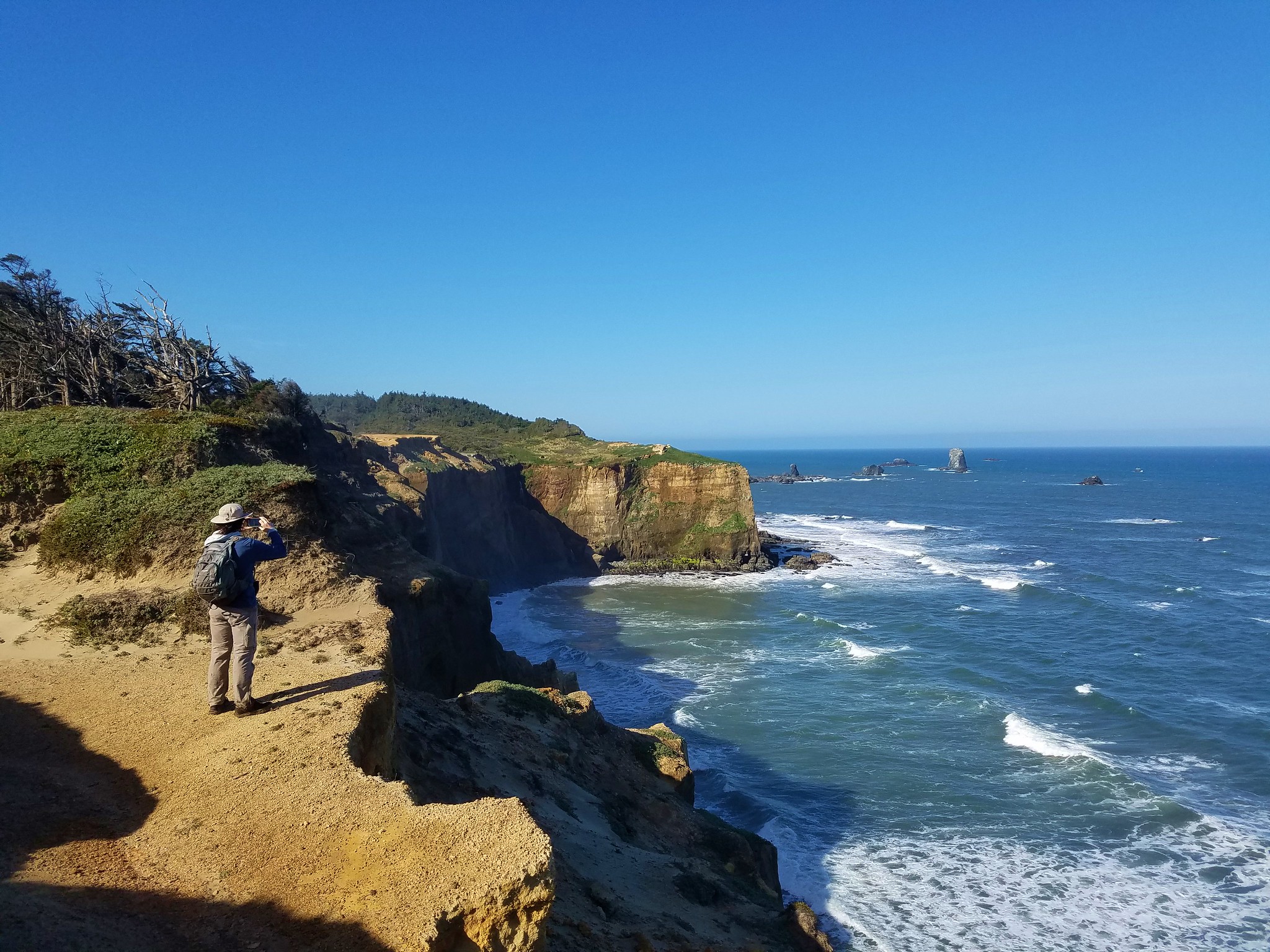
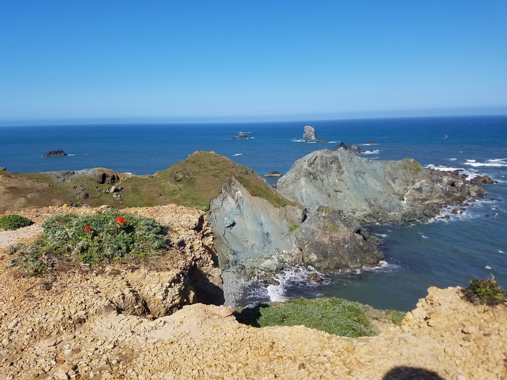
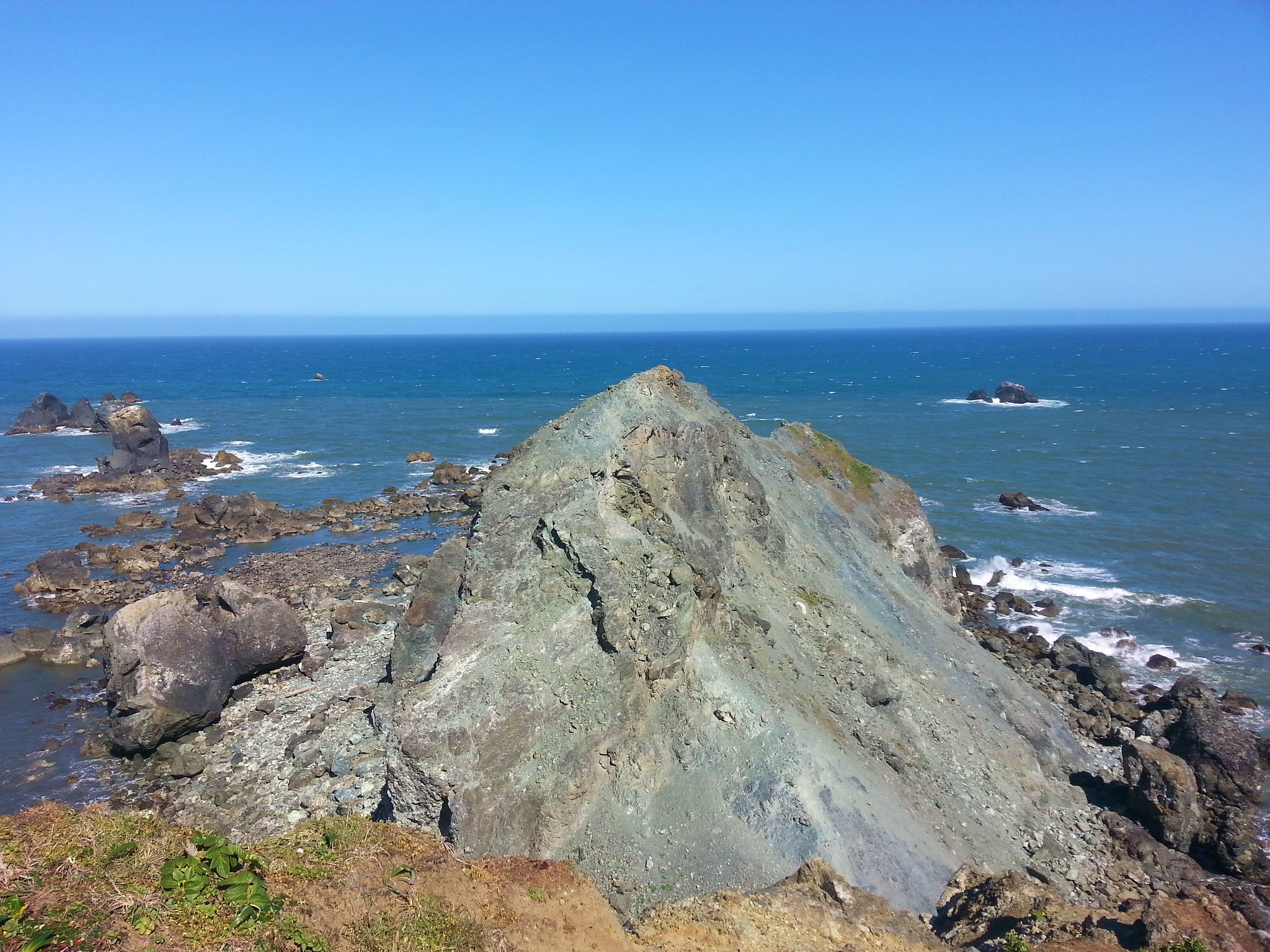
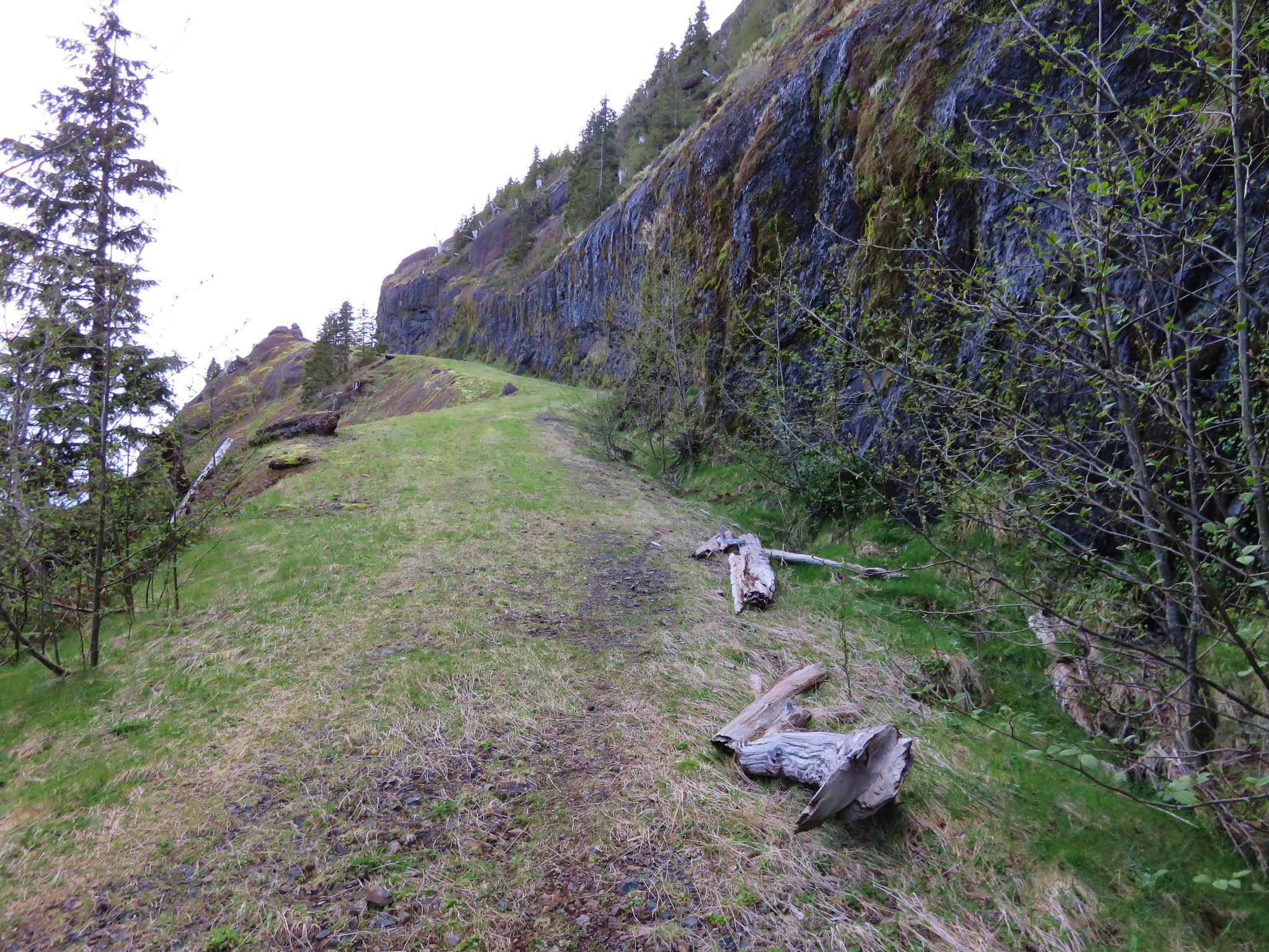
At the junction we turned right heading out toward Blacklock Point itself.
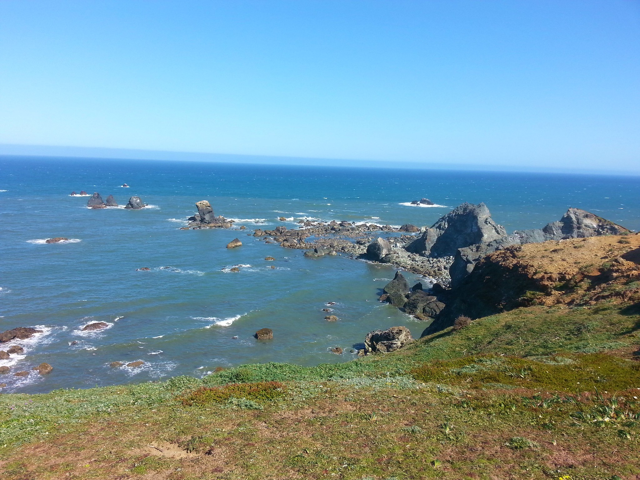
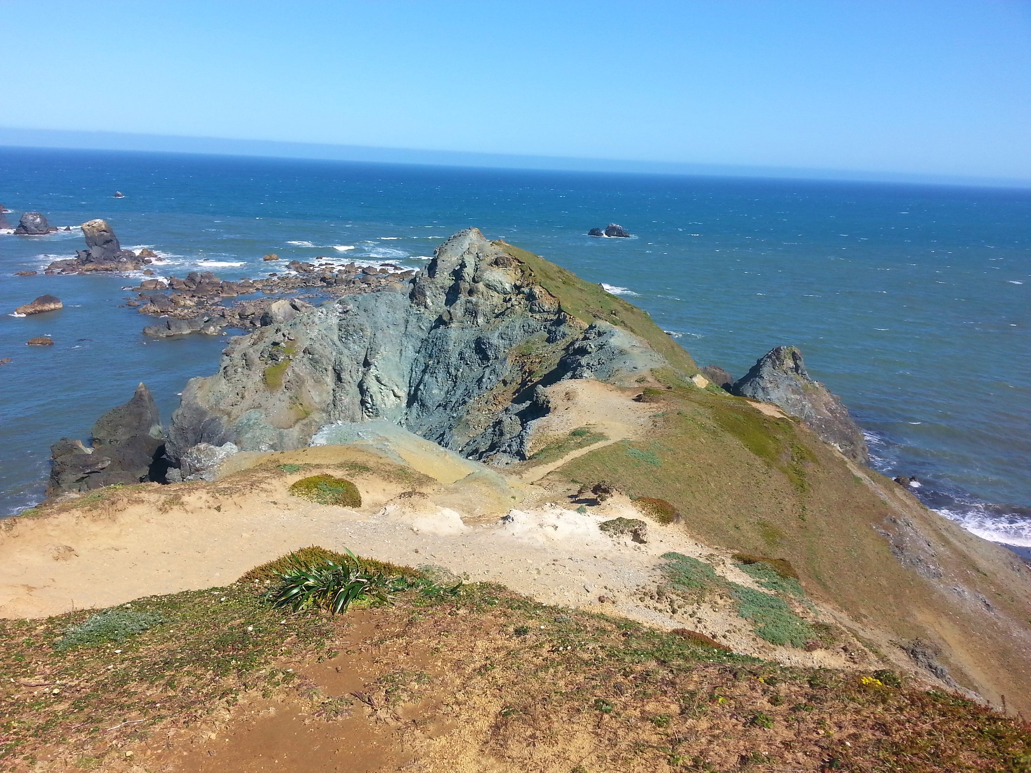
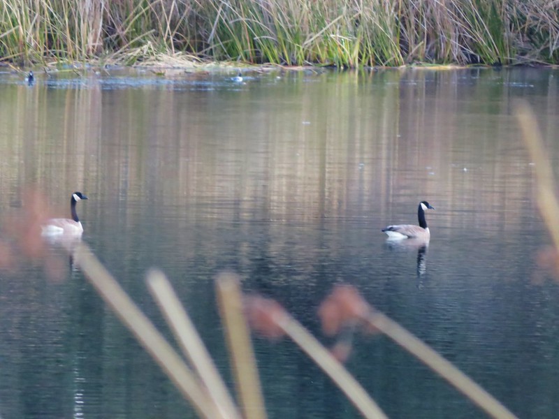
We followed the path across a windy catwalk to its end.
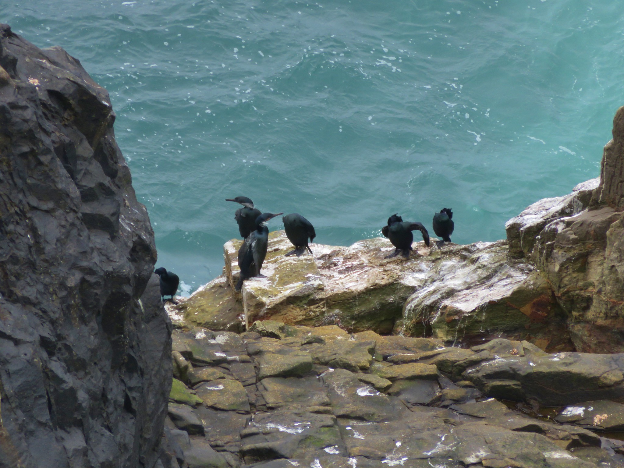
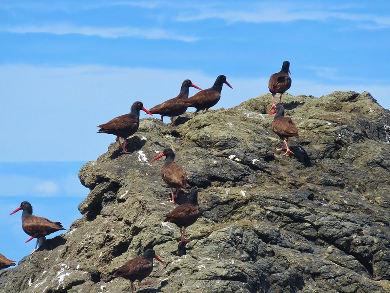
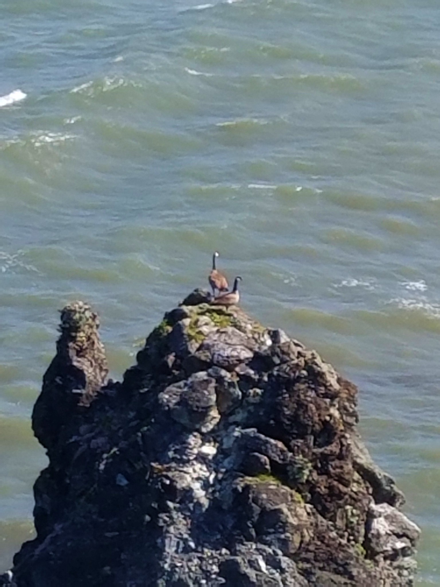
A pair of geese on a nearby rock were less than thrilled with our presence.
We’d come about a half mile from the junction and after returning we continued on our loop by following an old road another half mile to yet another junction. Turning left would have led 1.2 miles back to the junction we’d come to after climbing up from the creek crossing. This would mean passing back through the whale stench, so we turned right for a short distance staying left at a fork to the edge of the Cape Blanco Airport.
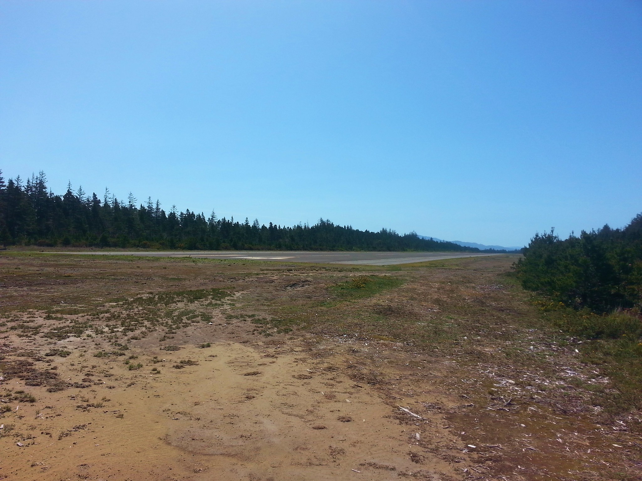
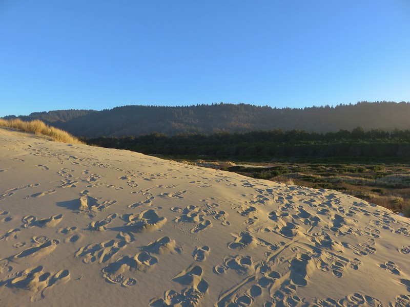
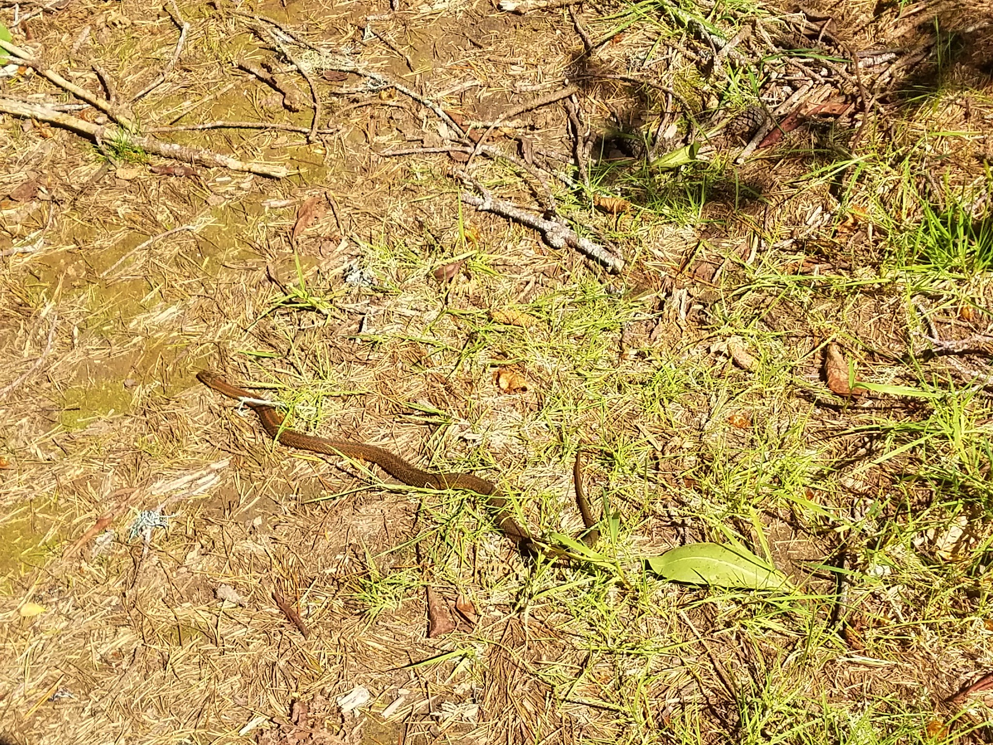
We followed the old road bed which brought us back to the SW end of Floras Lake in 3 miles.
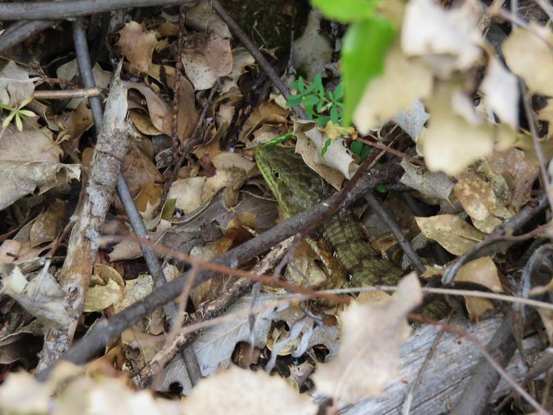
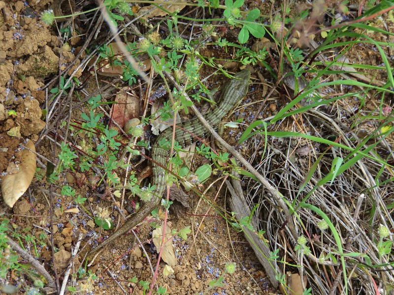
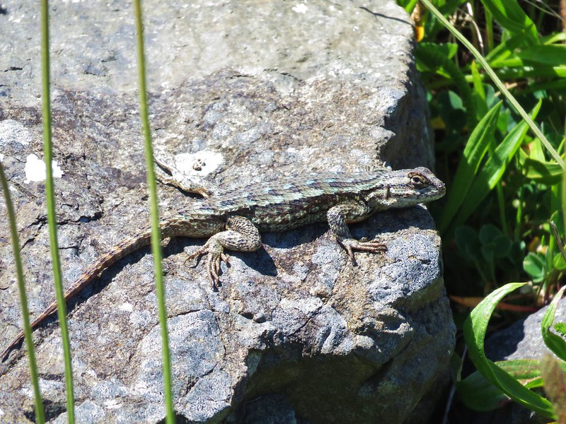
We spotted several frogs and a snake along this section.

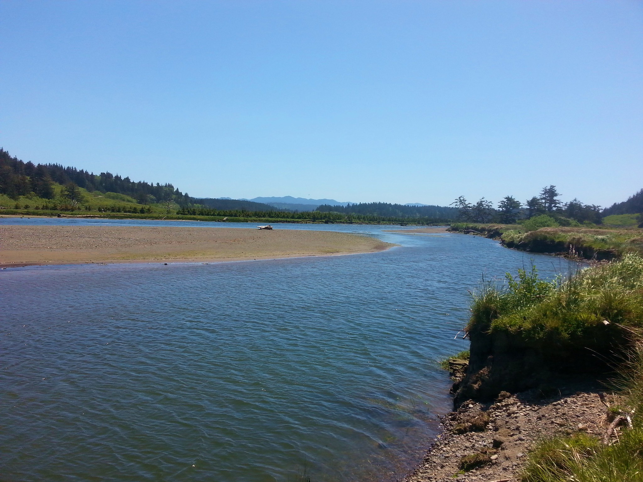
We simply followed the lake shore back to the bridge over New River to our car. We then drove south on Highway 101 to Cape Blanco State Park. For our hike here we began at the Sixes River boat ramp.
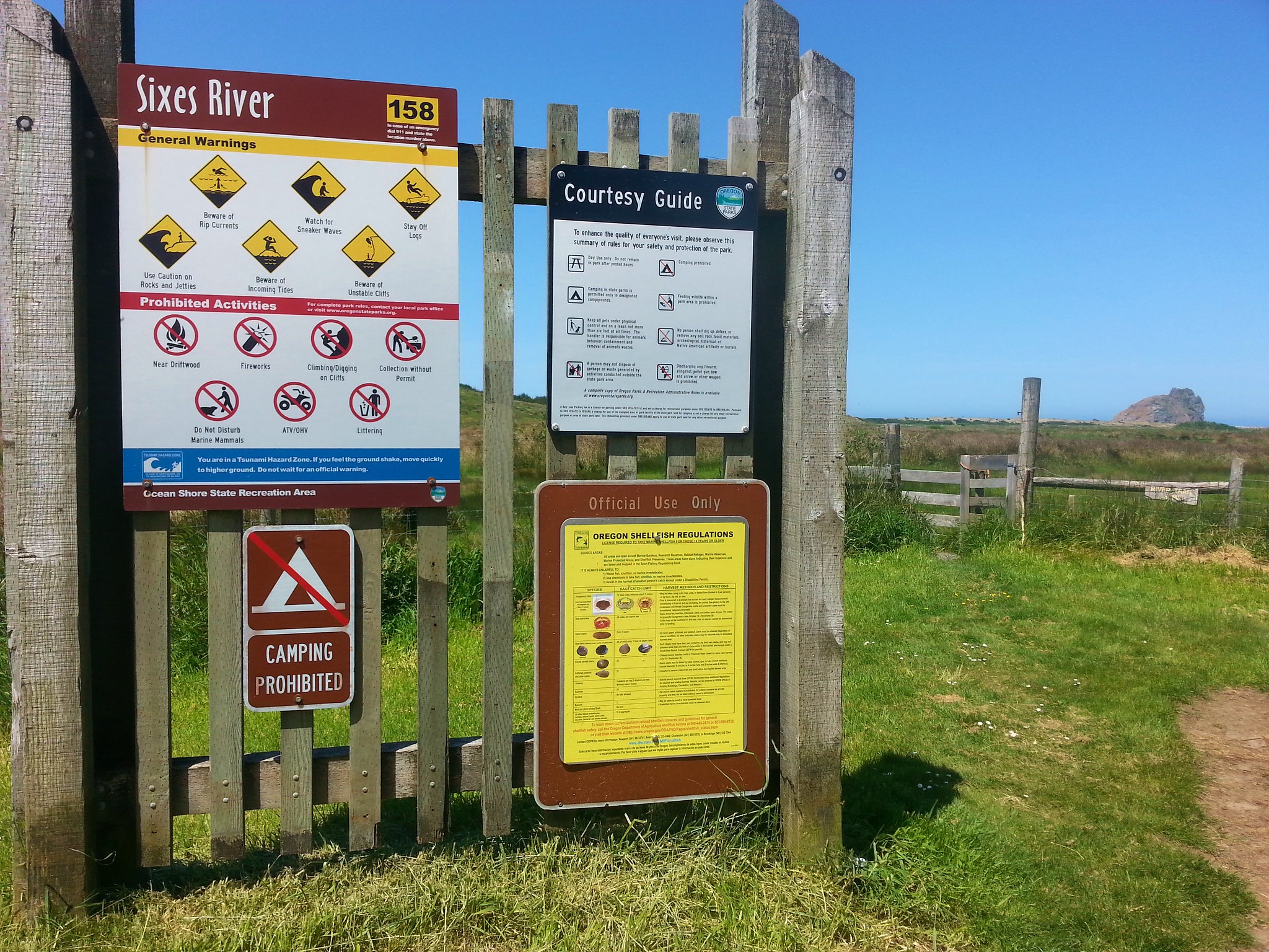
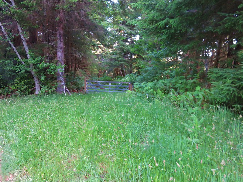
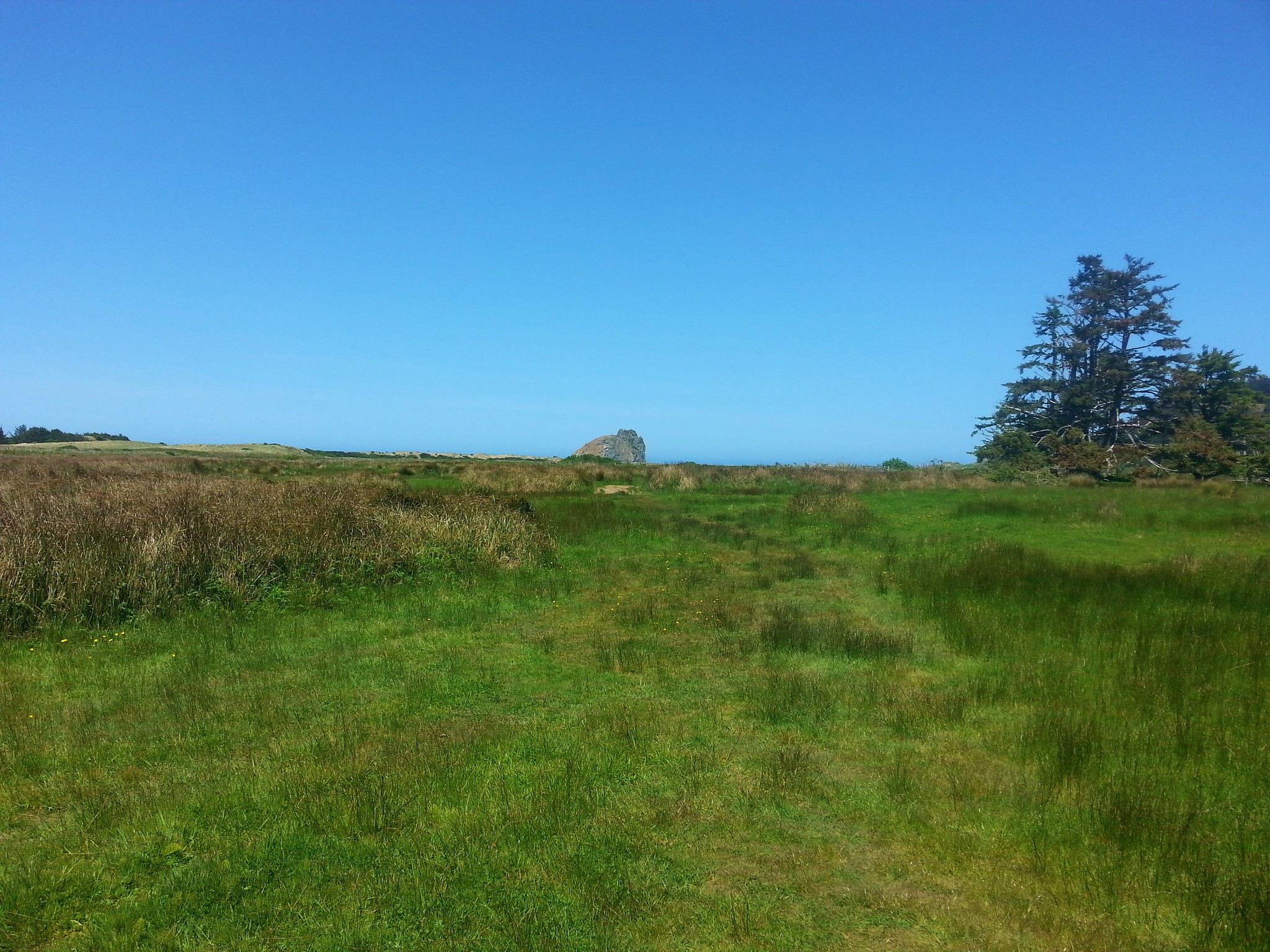
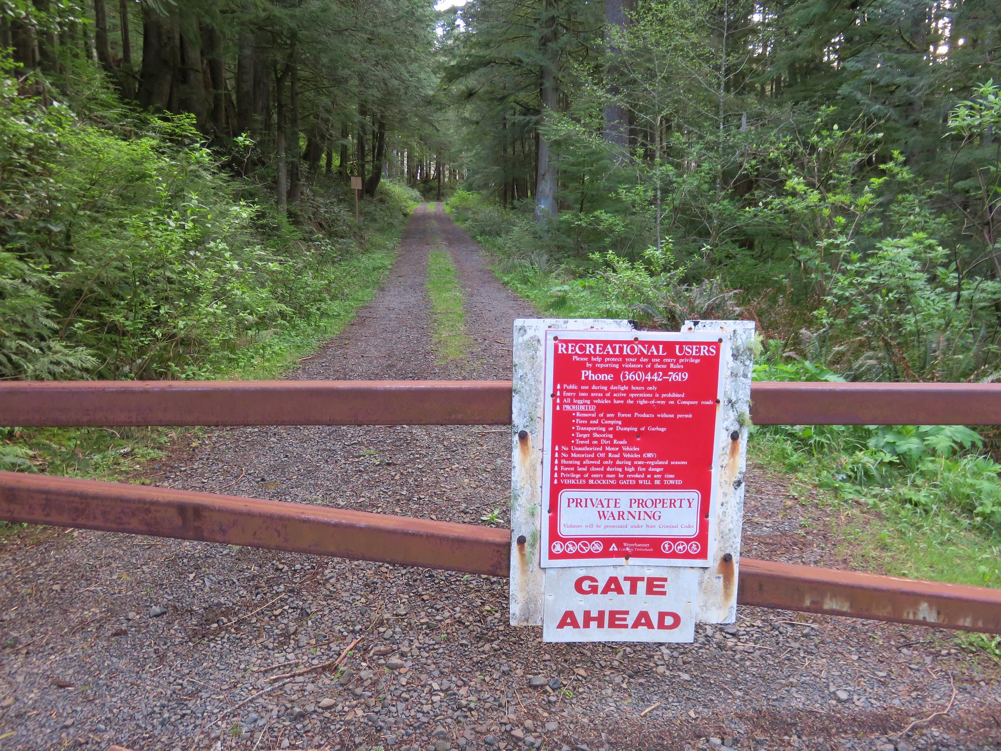
We passed through a gate and followed a faint path through pasture along the Sixes River.
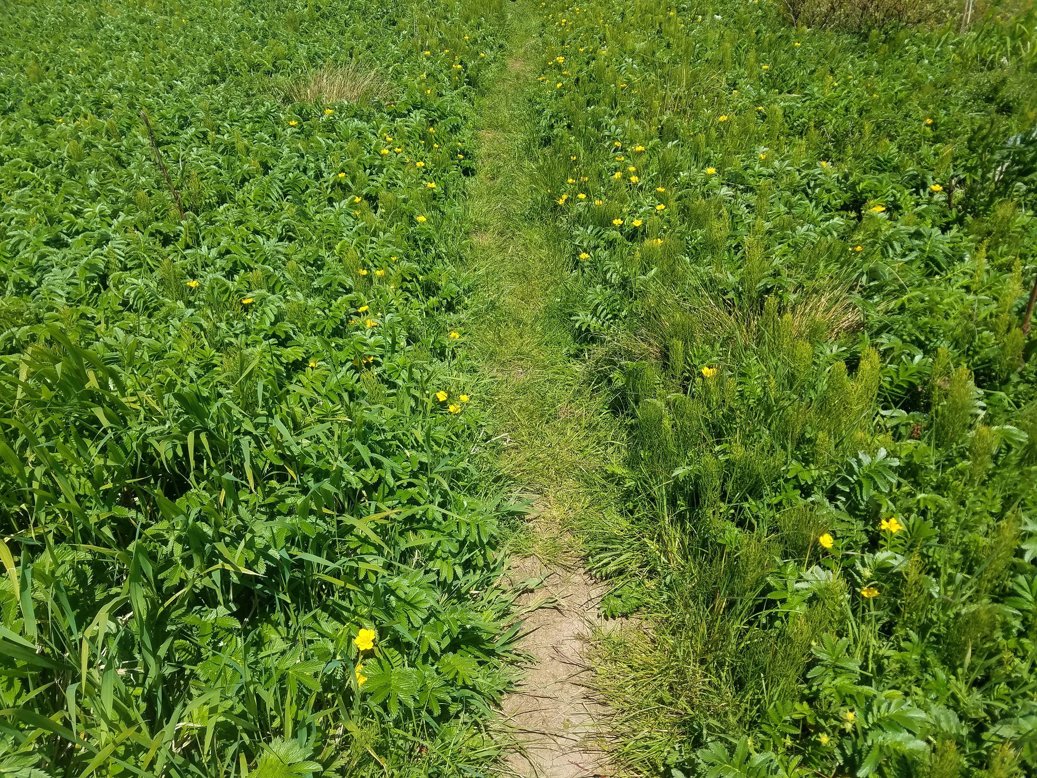
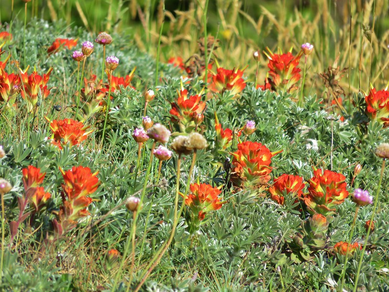
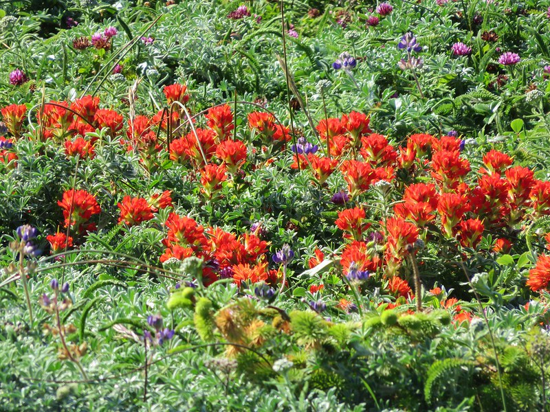
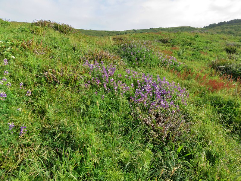
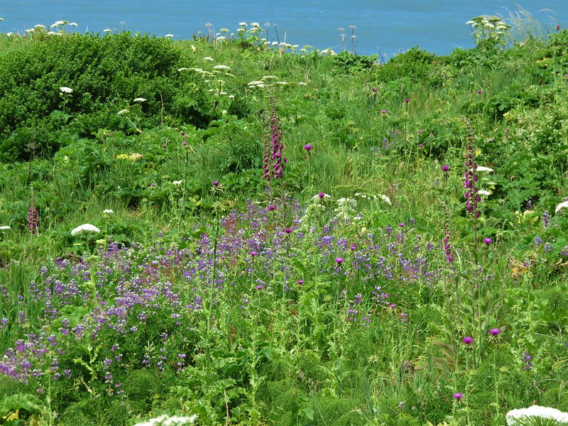
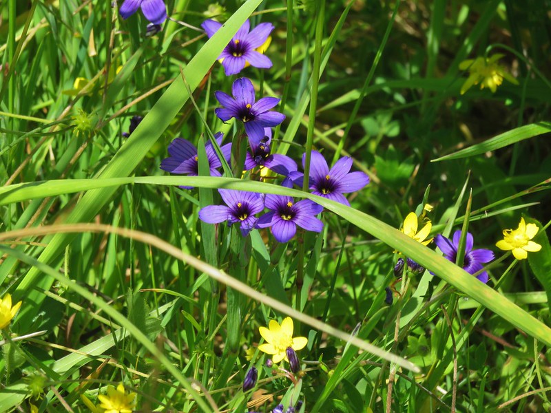
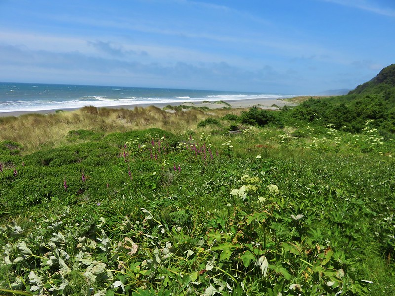
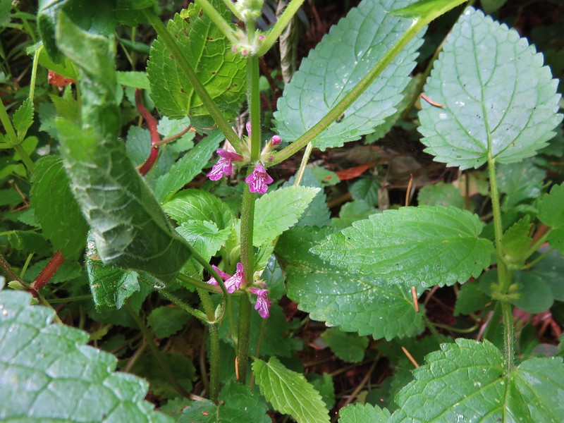
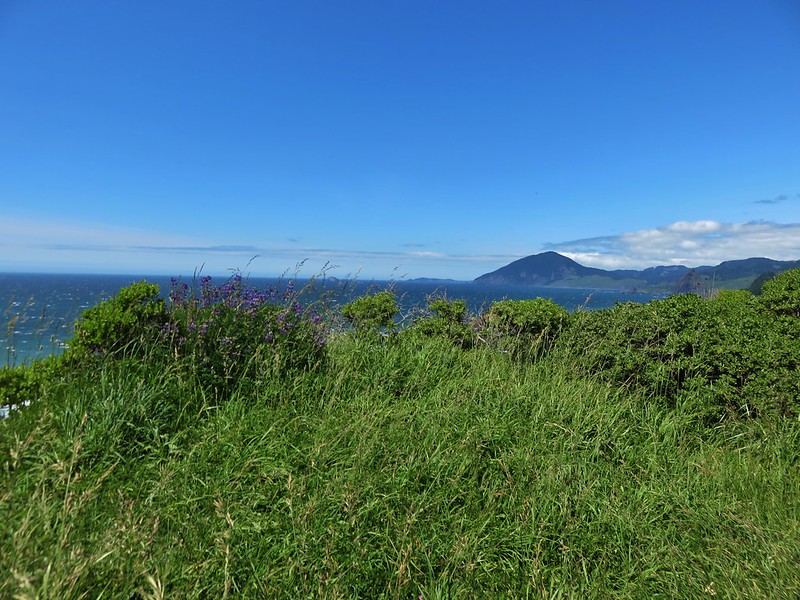
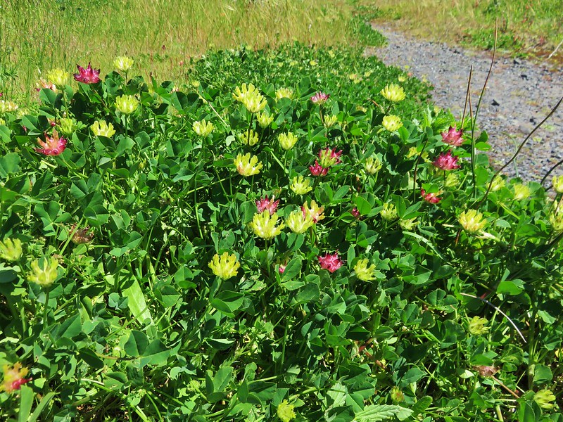
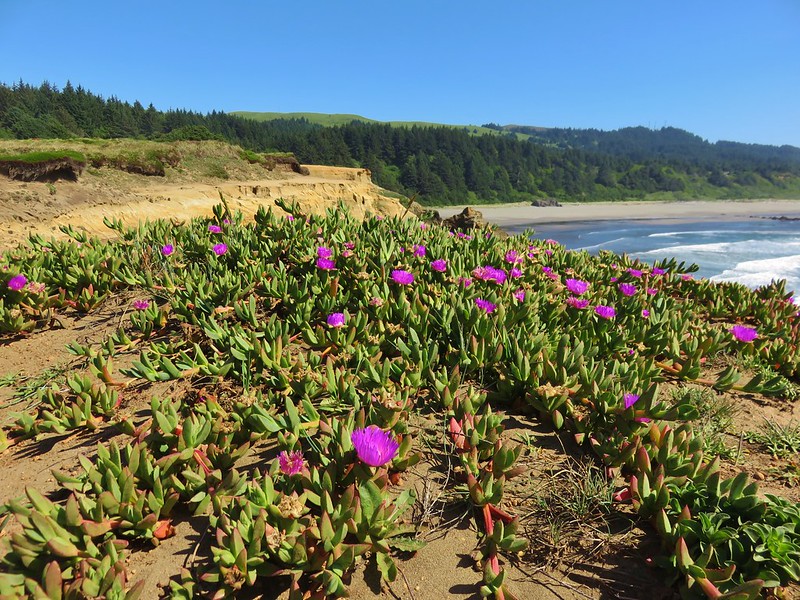
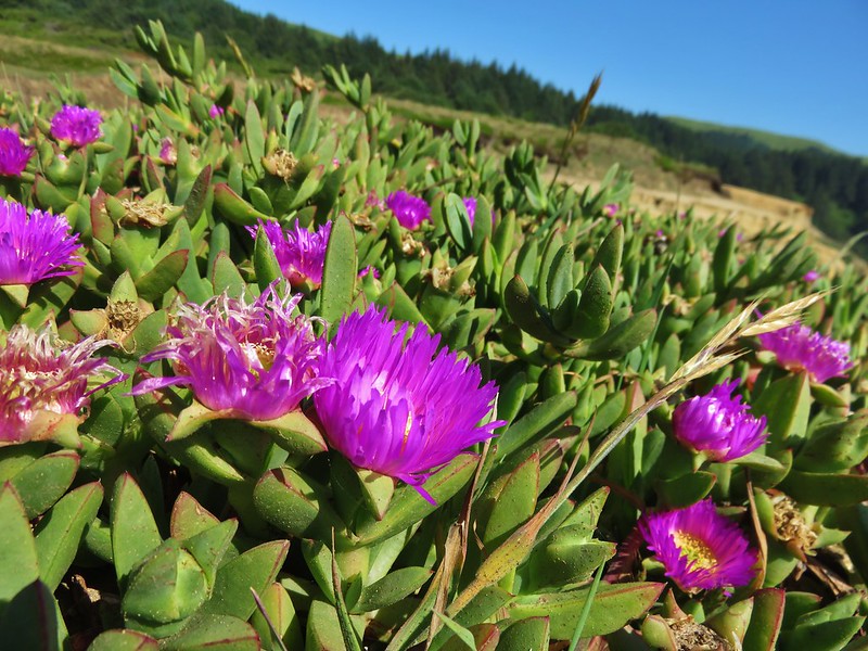
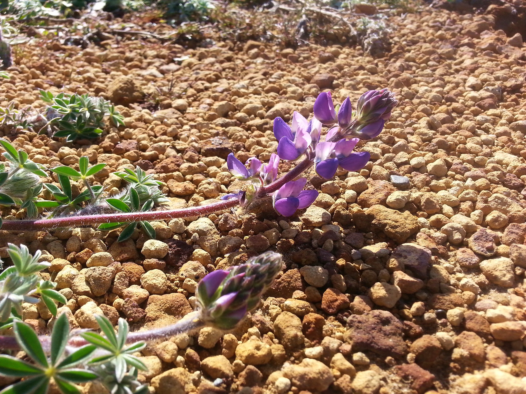
Purple lupine and red sorrel added color to the green pasture.
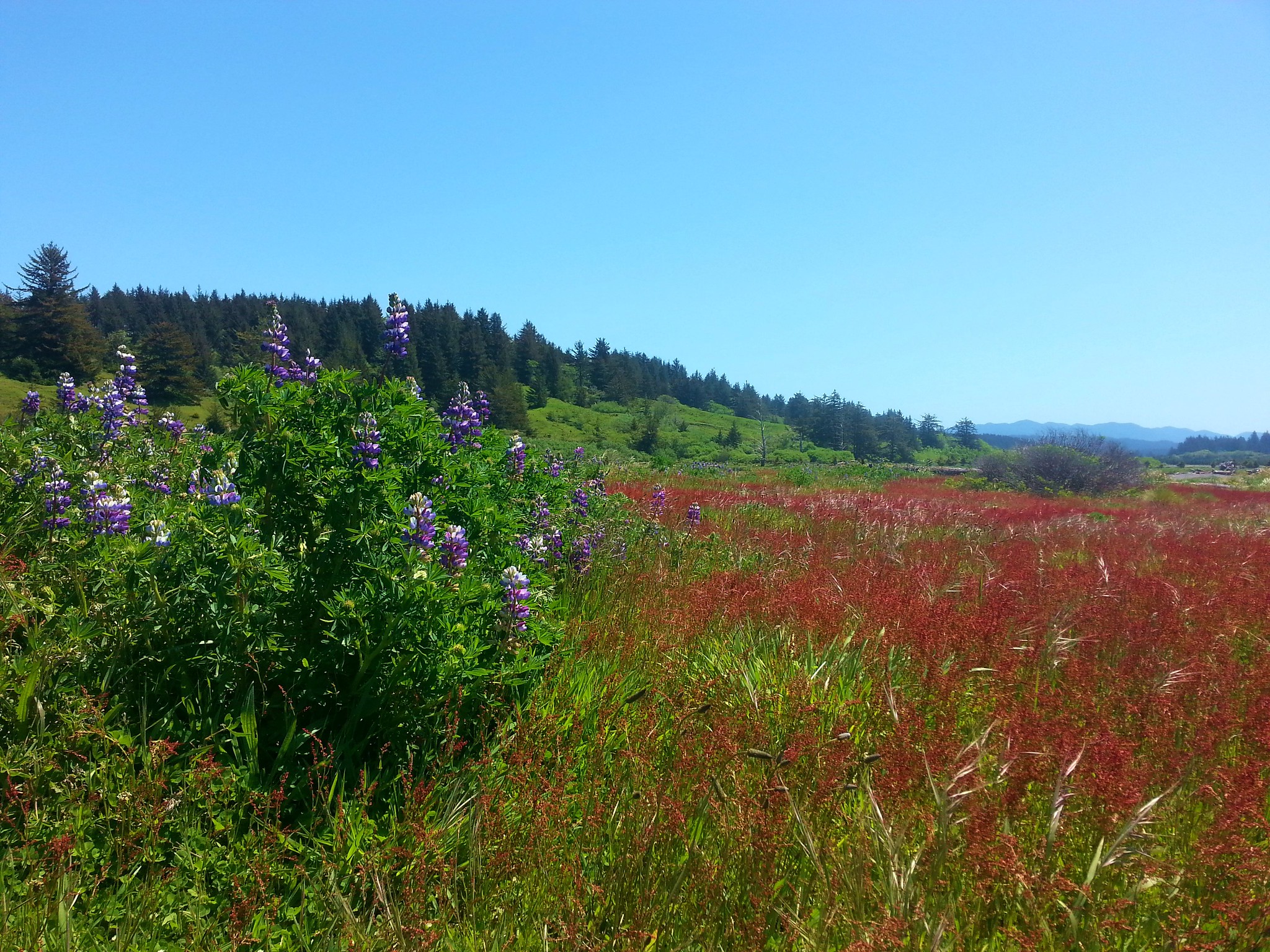
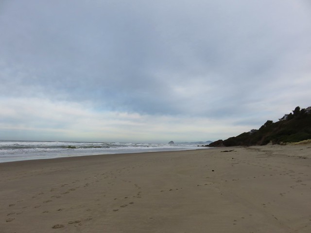
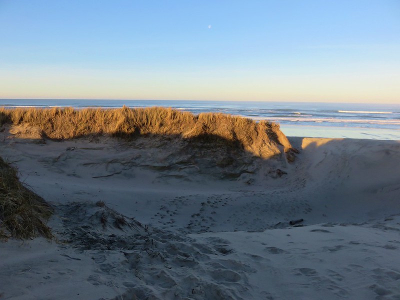
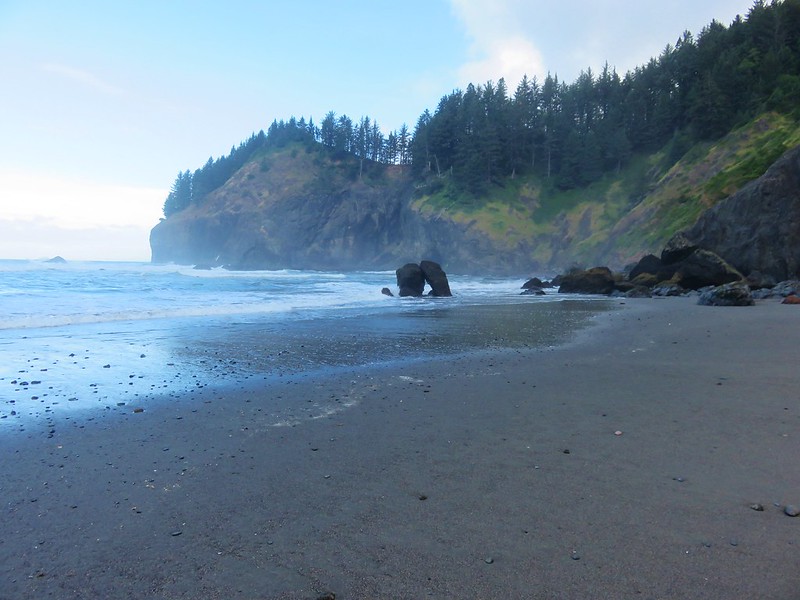
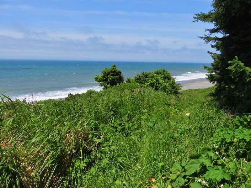
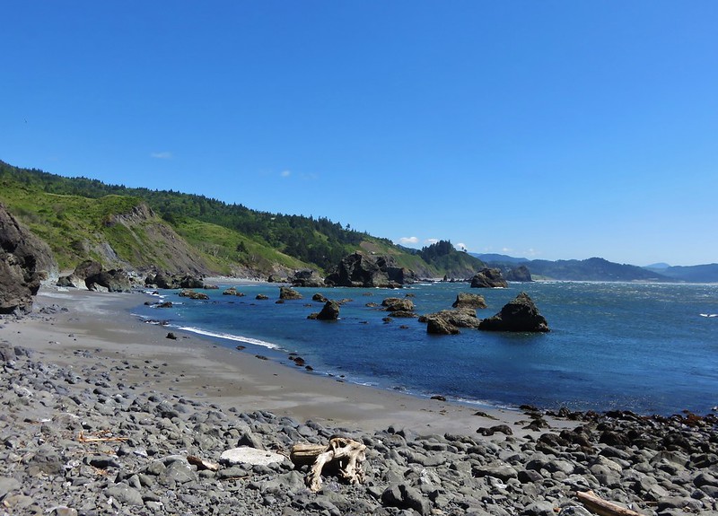
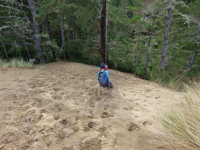
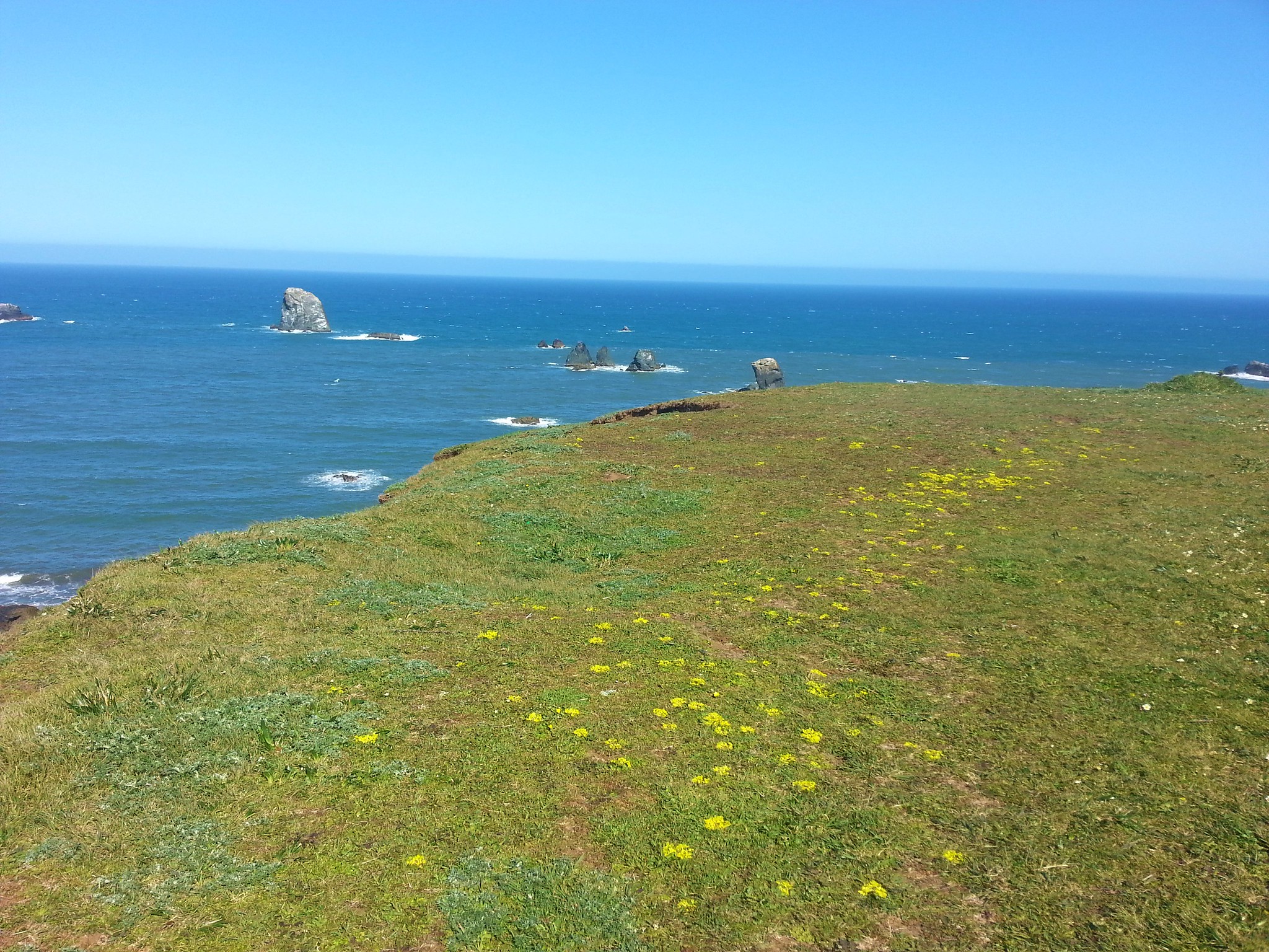
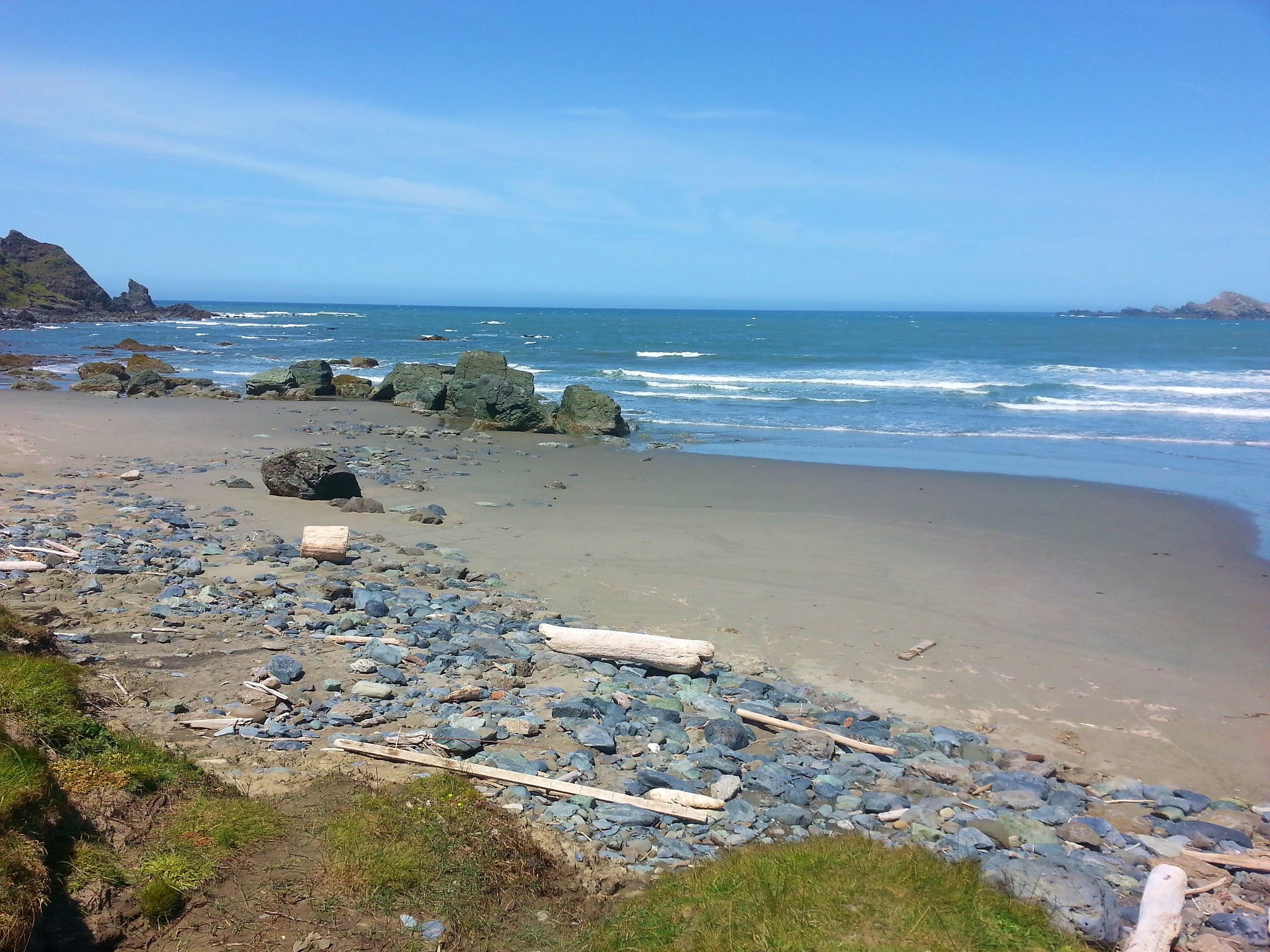
A little after 3/4 of a mile we crossed over a short foredune onto the beach and turned south.
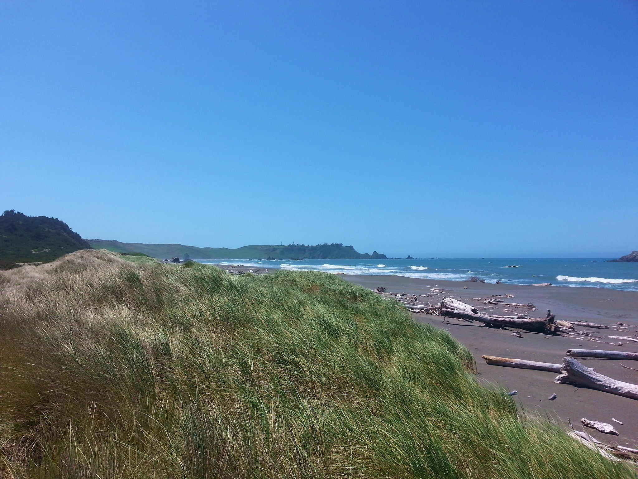
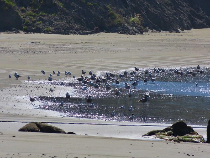
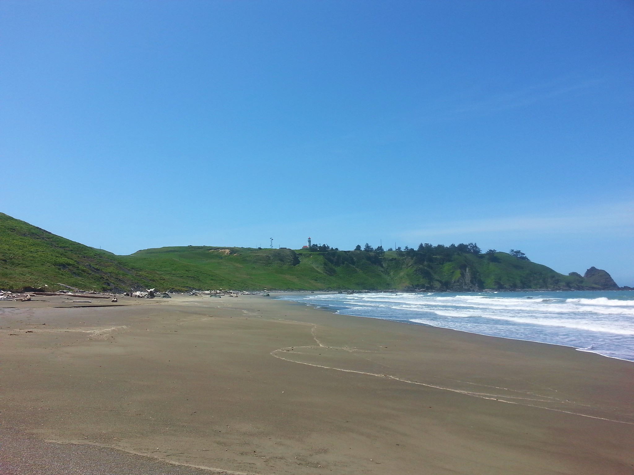
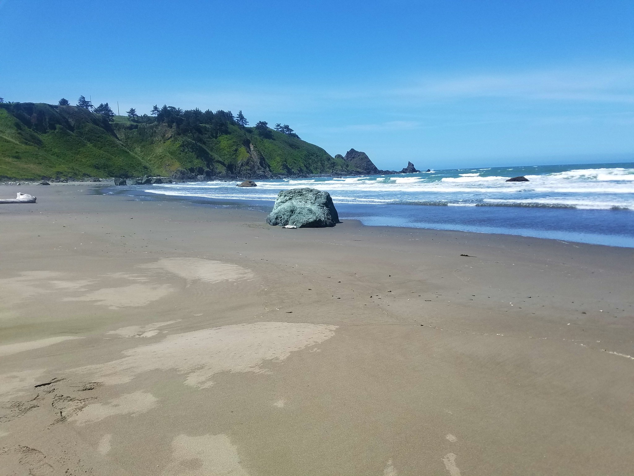
We followed the beach nearly a mile and a half to an unmarked trail below the Cape Blanco Lighthouse.
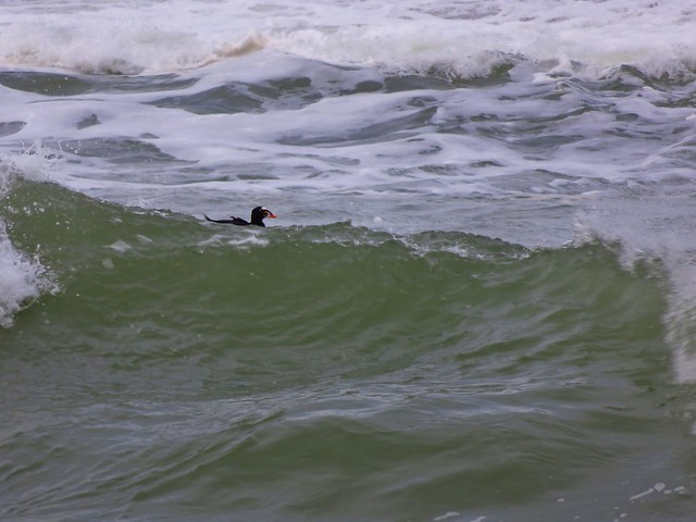
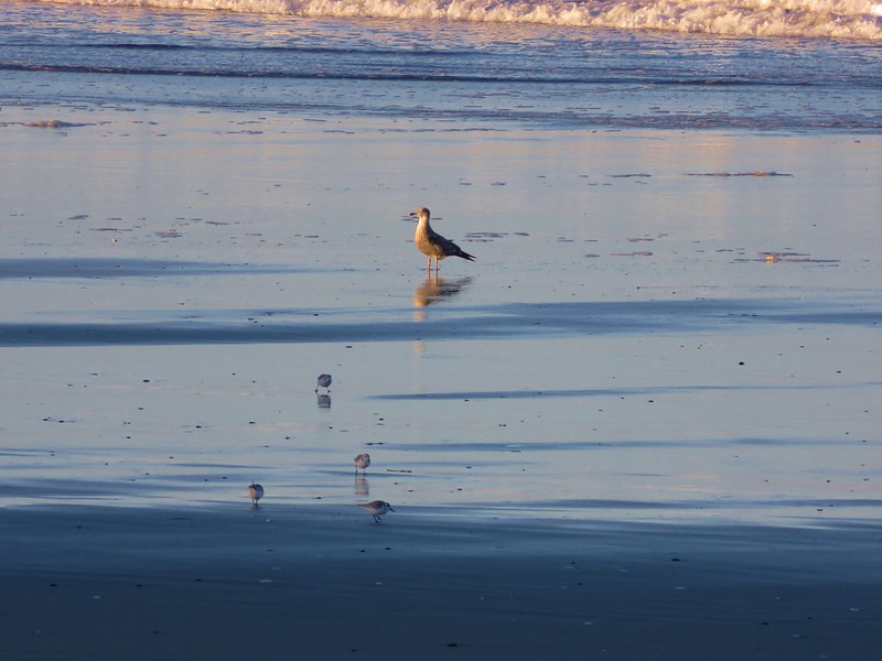
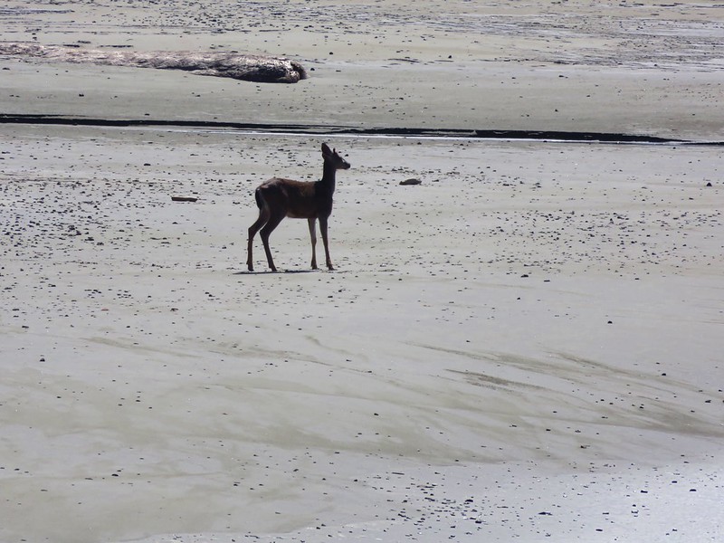
Near the end of the beach Heather noticed a seal pup near a rock.
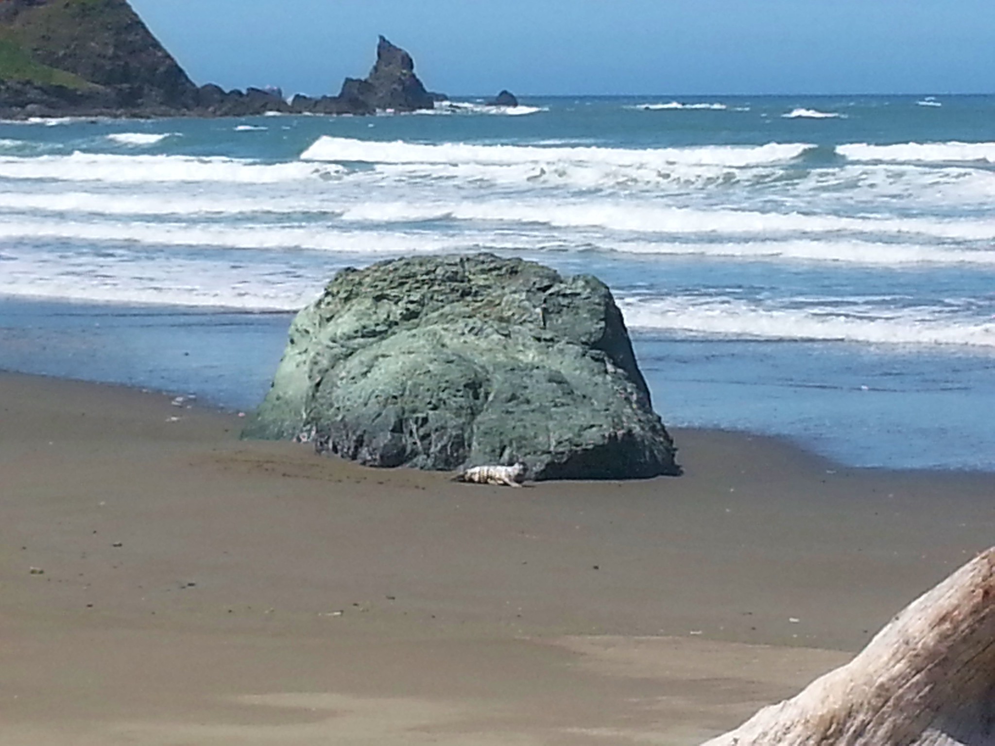
Her first instinct was to try and “help” it because it seemed distressed but I was able to convince her that it was normal for the pups to be left on the beach at times while the mothers look for food and that getting to close could cause the mother not to return. We were downwind and kept as far away as possible. We spotted a second pup from the junction where we began climbing up toward the lighthouse road.

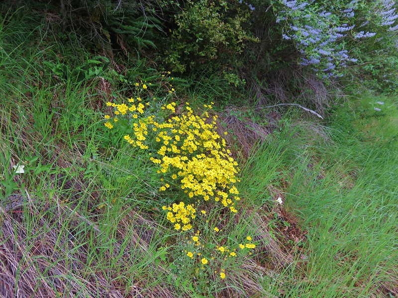
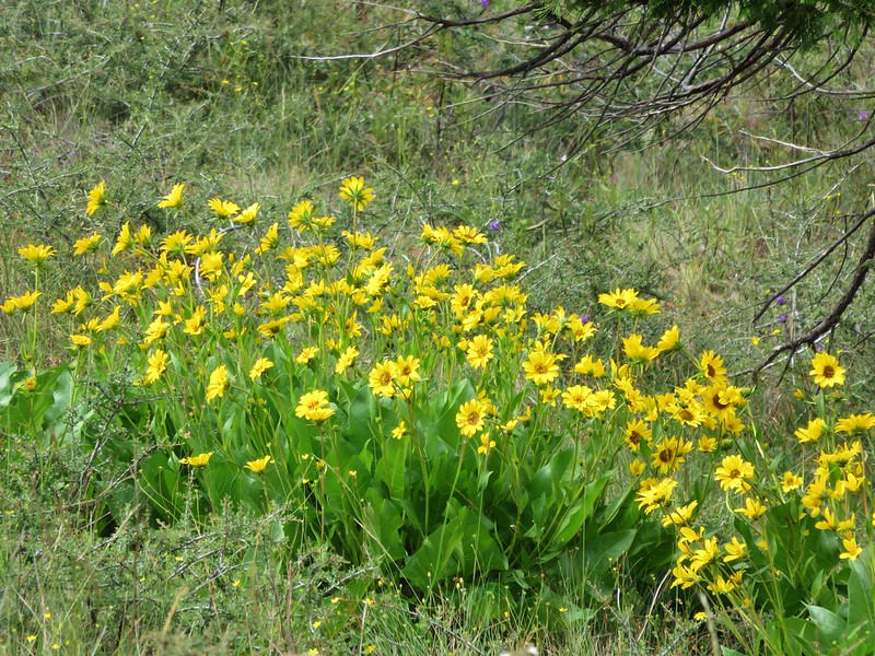
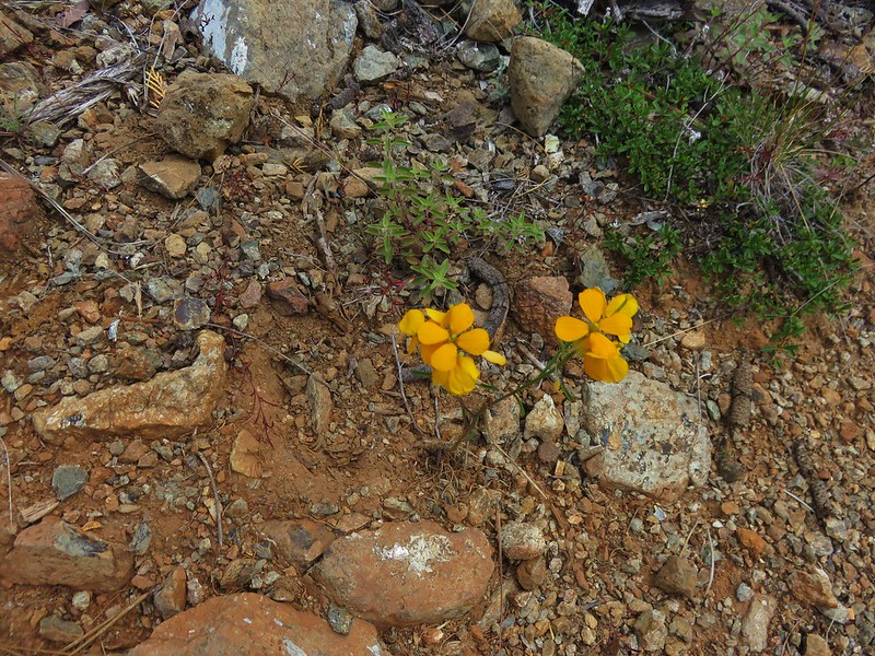
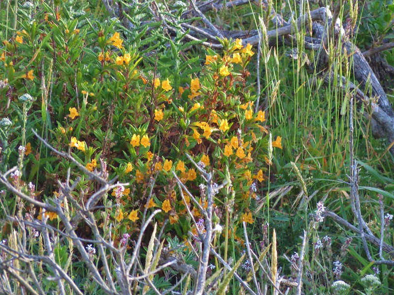
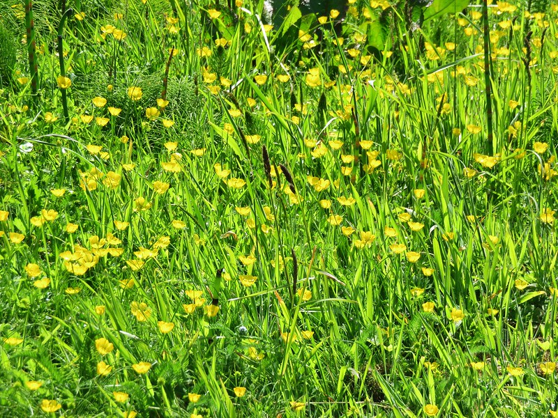
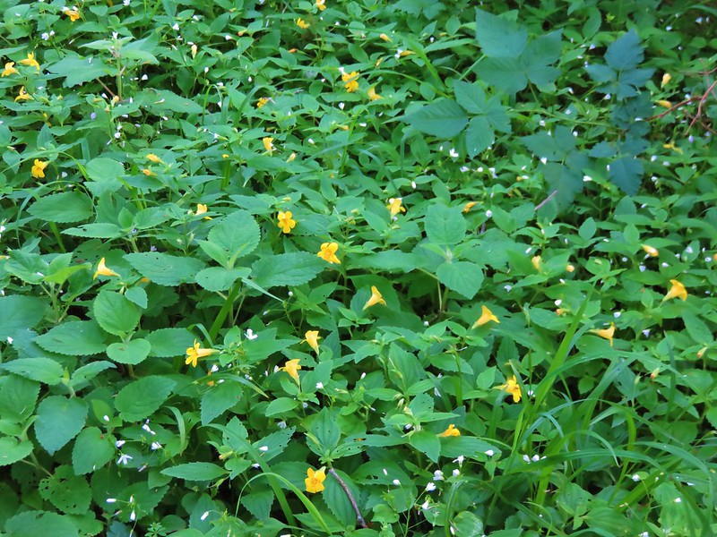
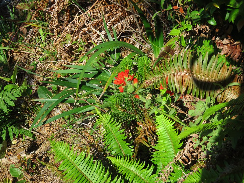
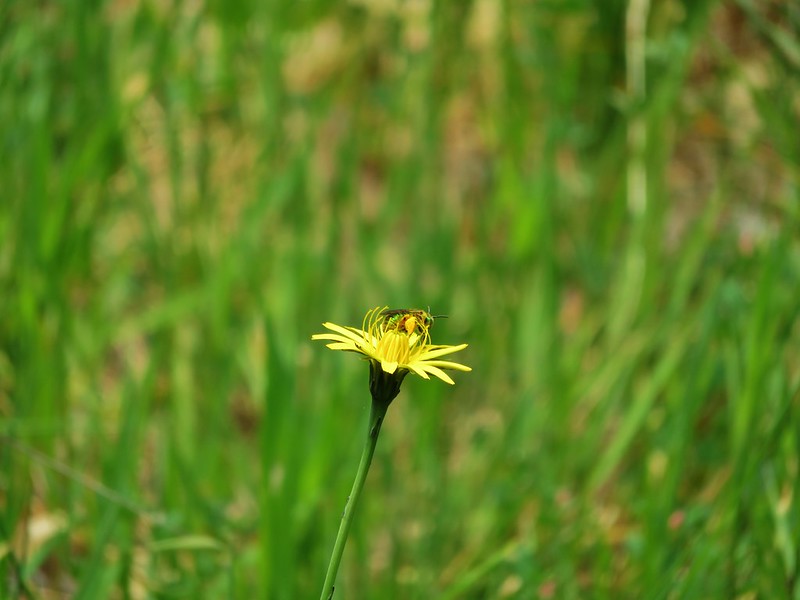
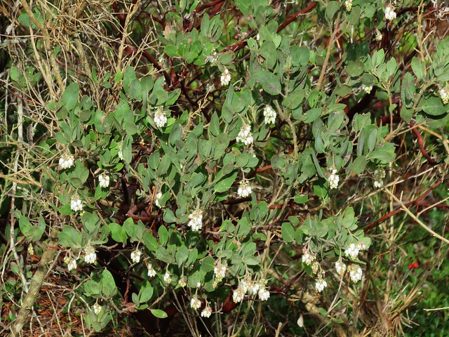
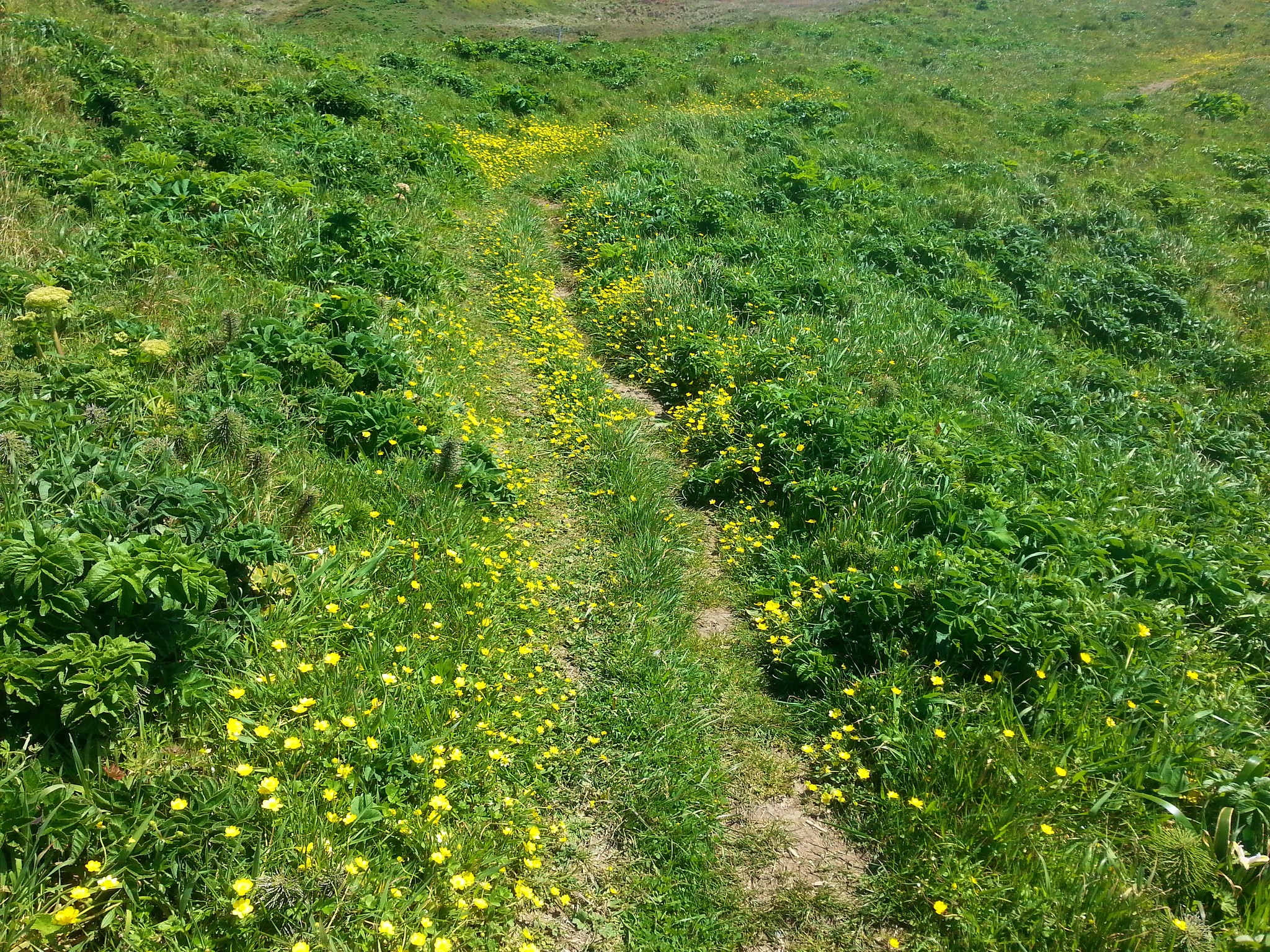
The .3 mile path up to the lighthouse road was lined with yellow flowers.
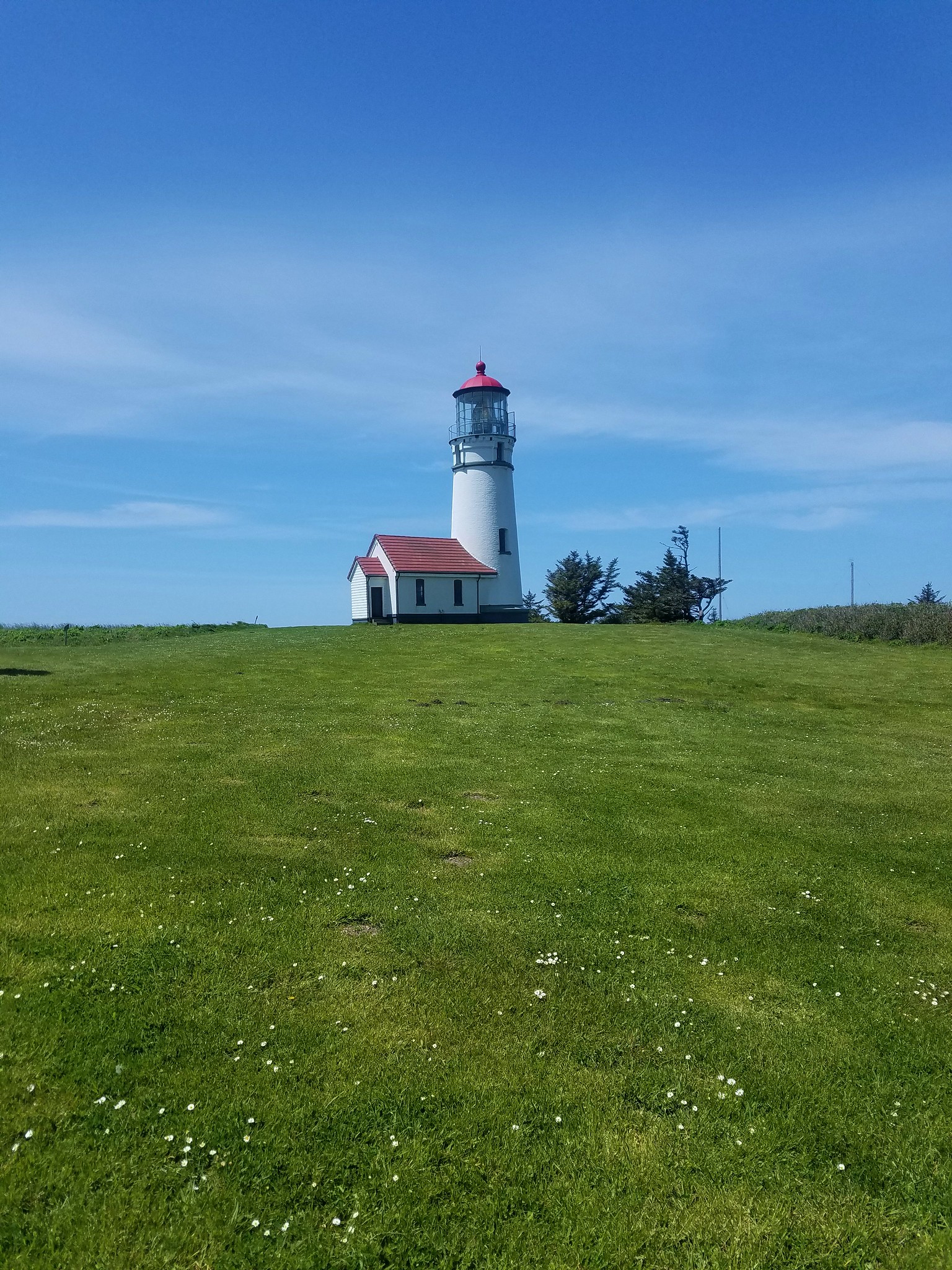
Four tenths of a mile of road walking brought us to the lighthouse.
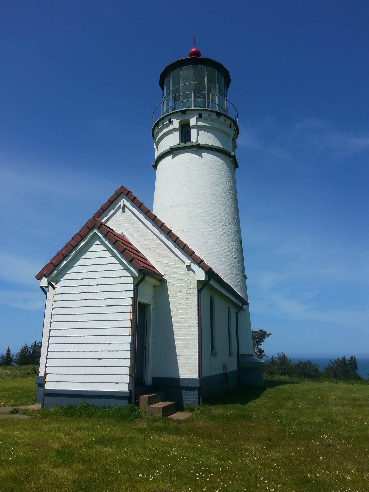
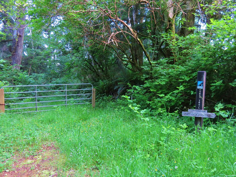
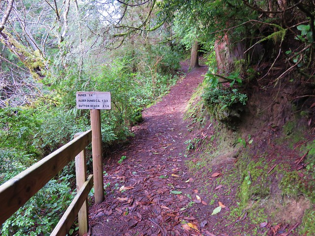
After visiting the lighthouse we followed the road back past where we’d come up from the beach another .2 miles to an Oregon Coast Trail sign on the left.
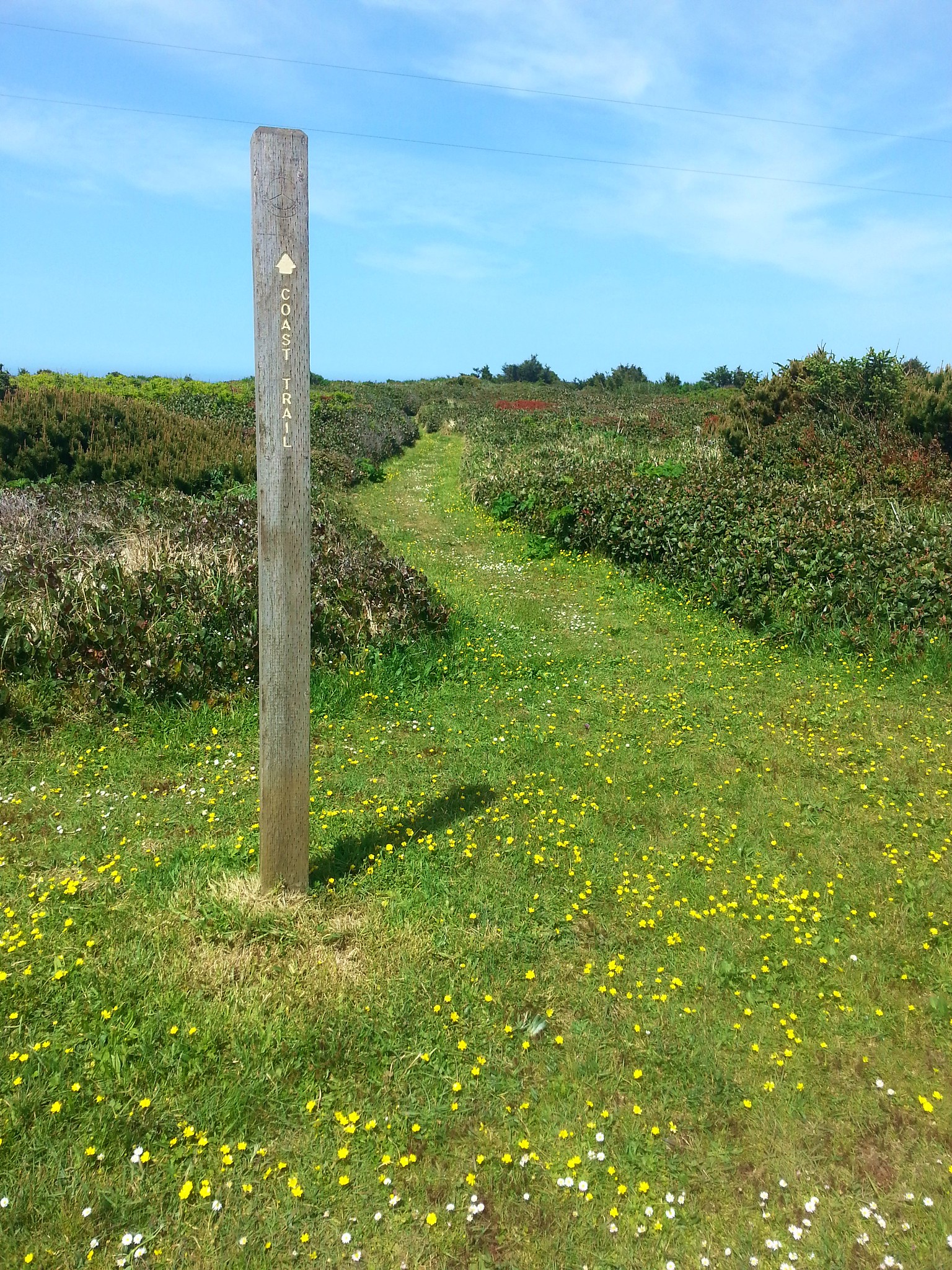
We followed the Oregon Coast Trail 1.3 miles, staying left at junctions, back to the pasture by the Sixes River boat ramp.

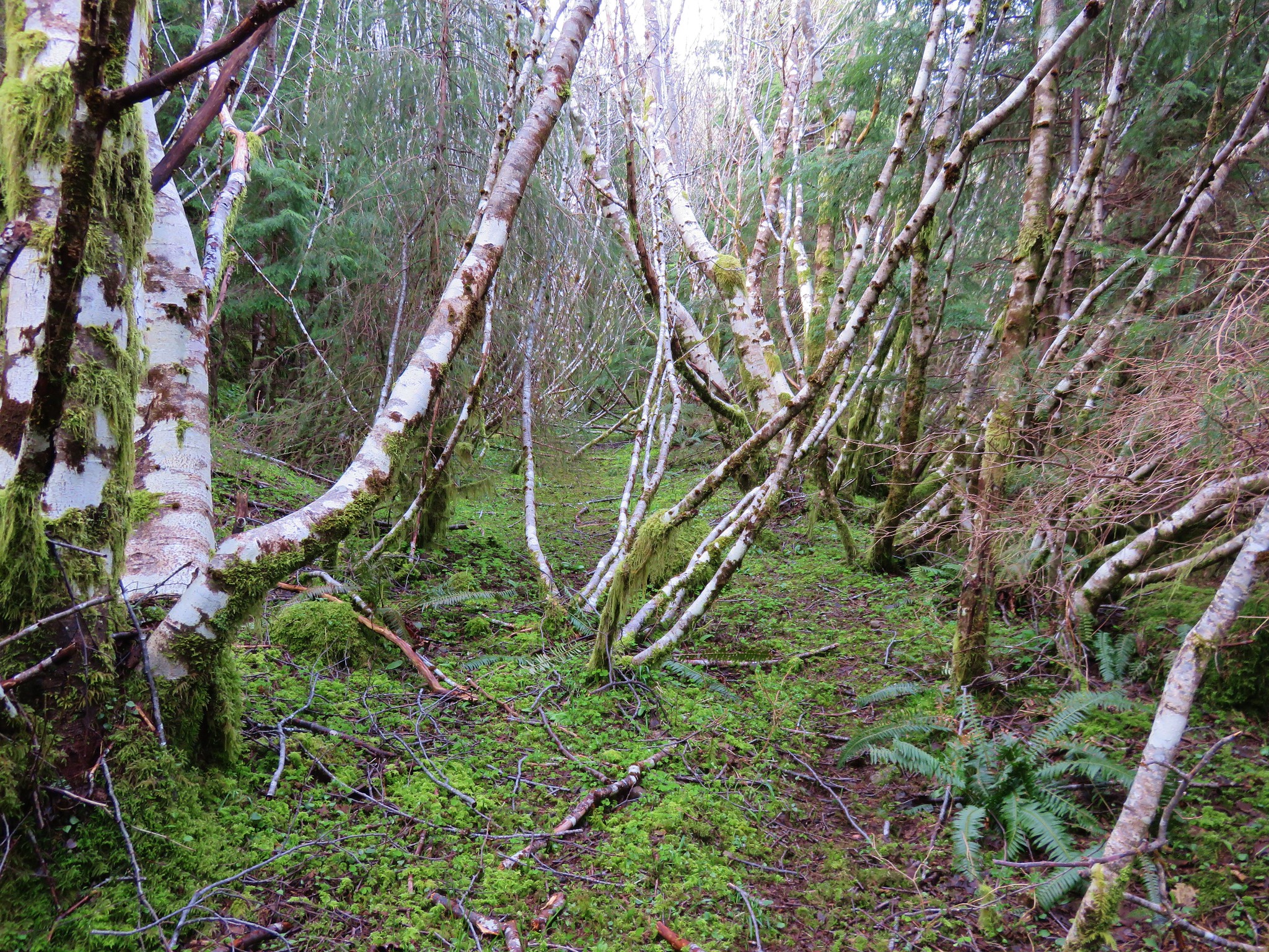
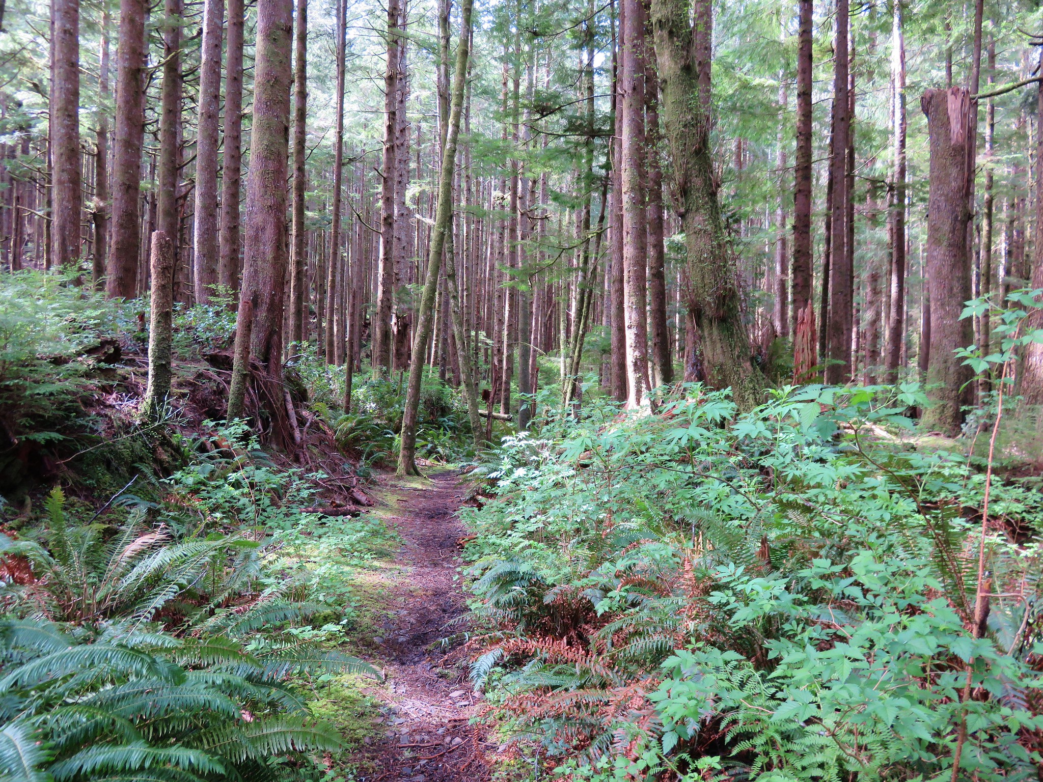
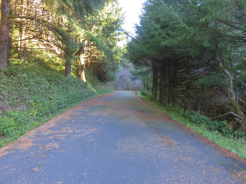
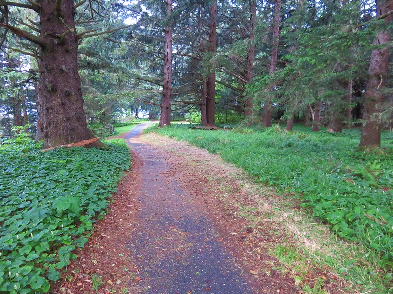
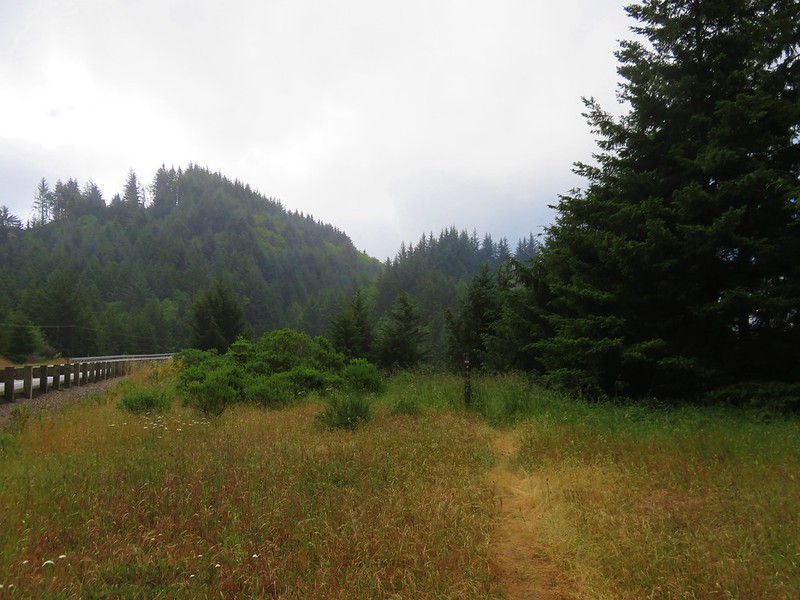
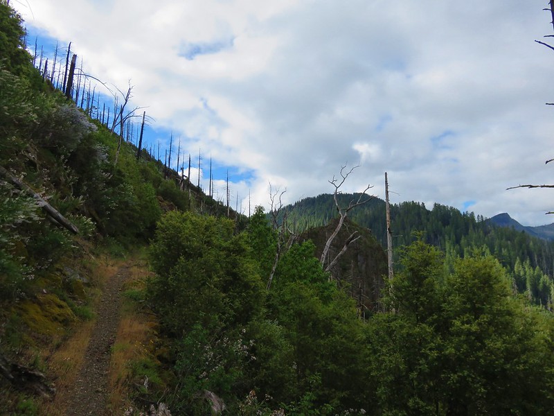
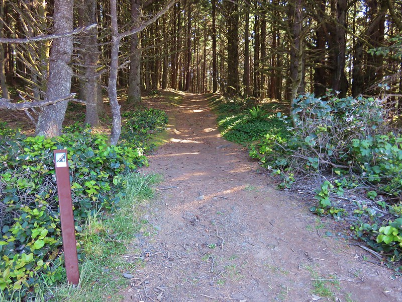
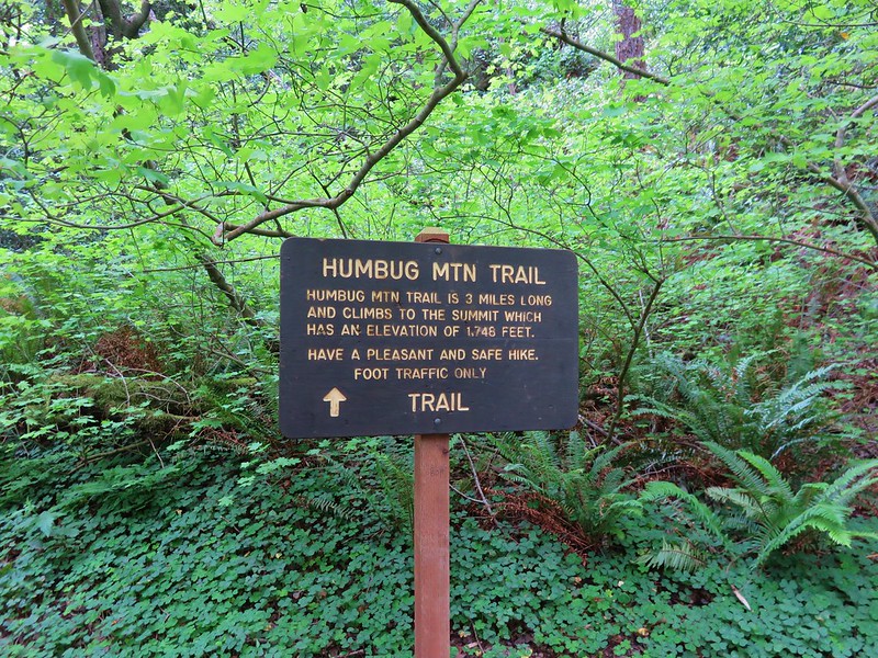
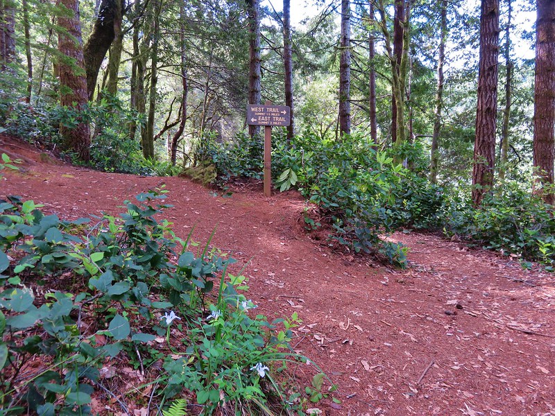
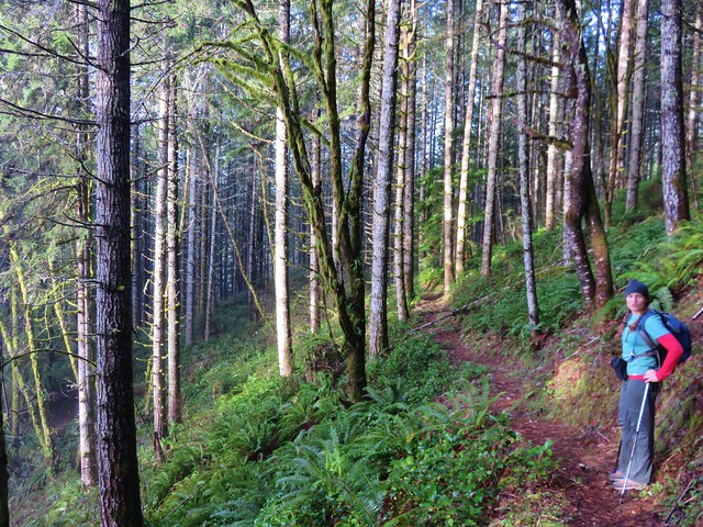
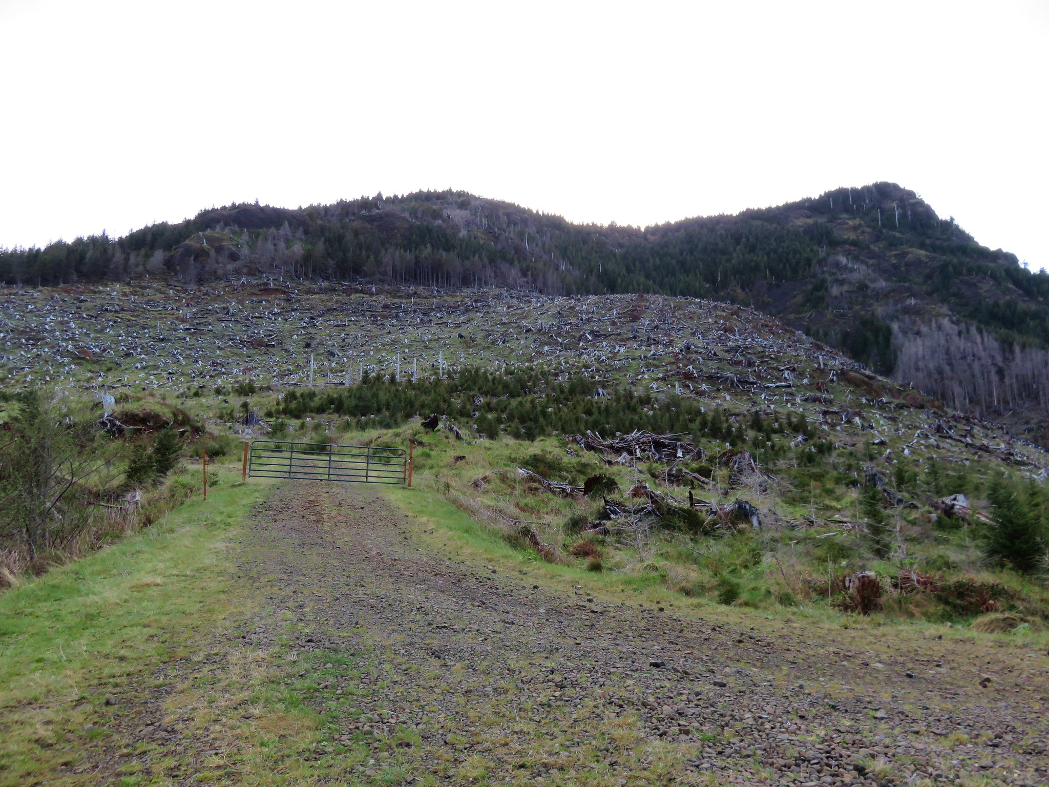
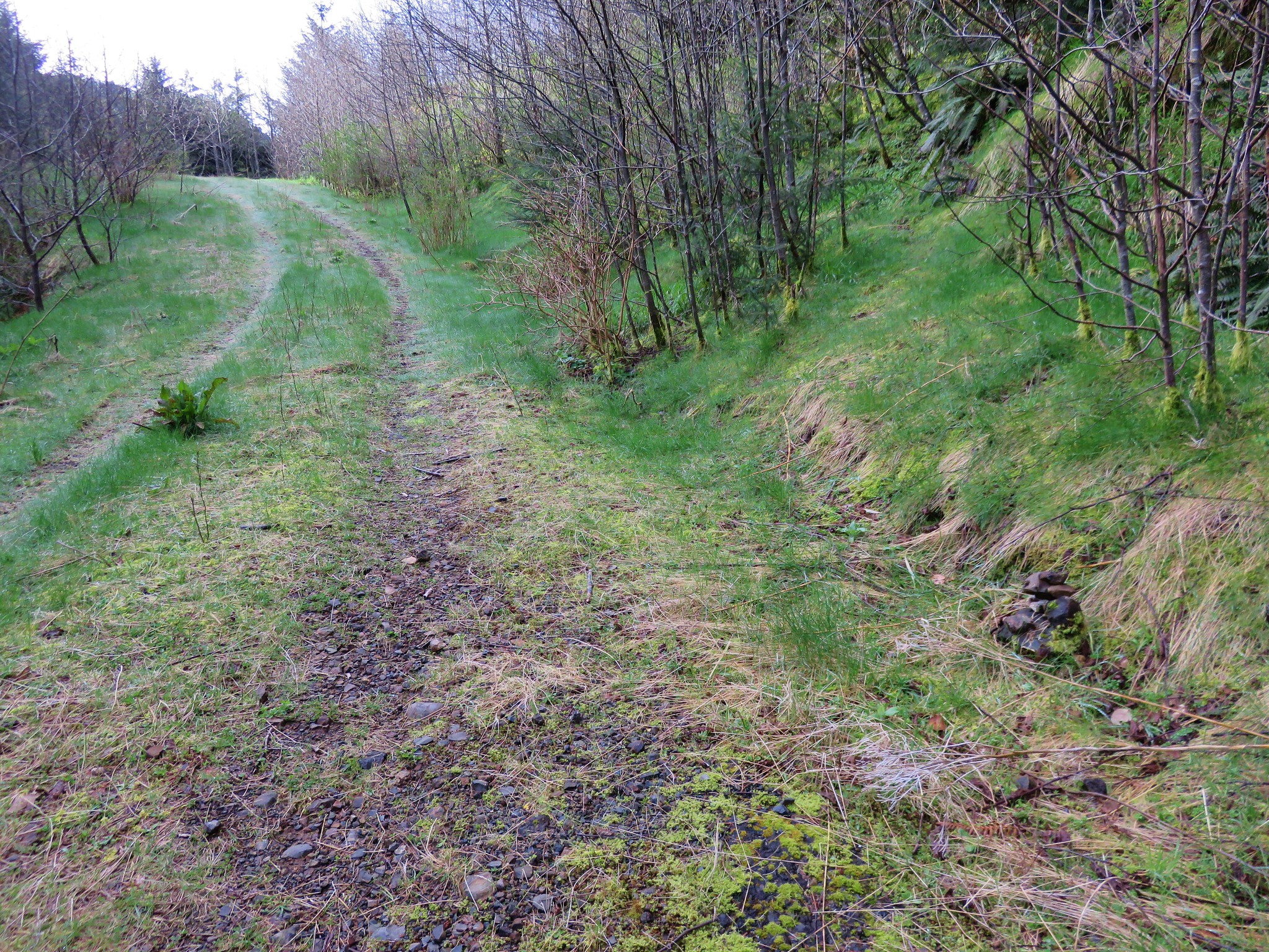
We crossed the pasture back to our car then headed for our next hike – Grassy Knob. To reach this trailhead we headed south toward Port Orford on Highway 101 turning left on Grassy knob Road 4 miles north of town. This 7.7 mile road began as a paved two lane road but about halfway along turned to a gravel logging road which was in pretty bad shape. It was bad enough that we actually parked a little under a half mile from the trialhead instead of attempting to go any further (as it turned out the final stretch wouldn’t have been that bad).
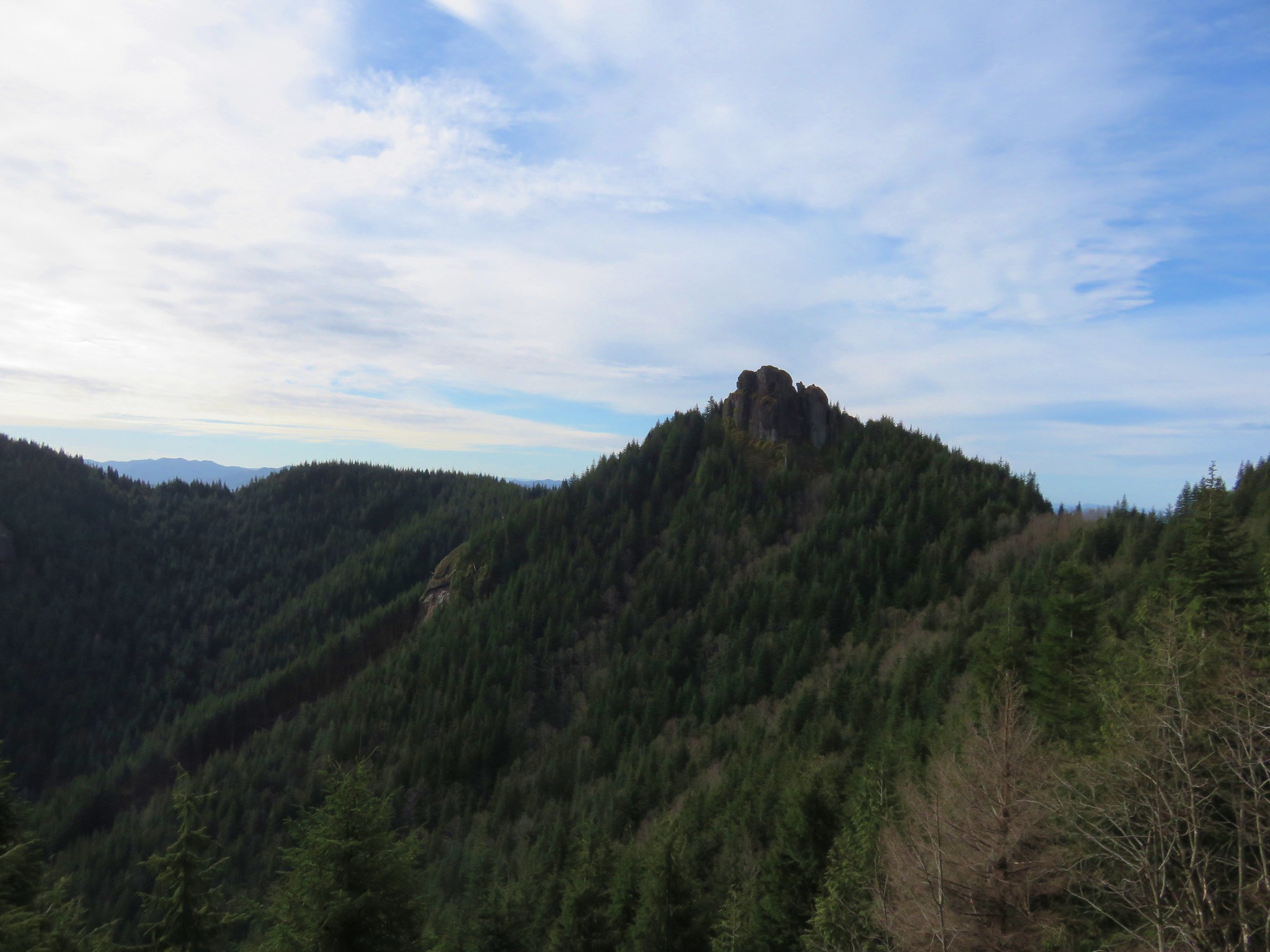
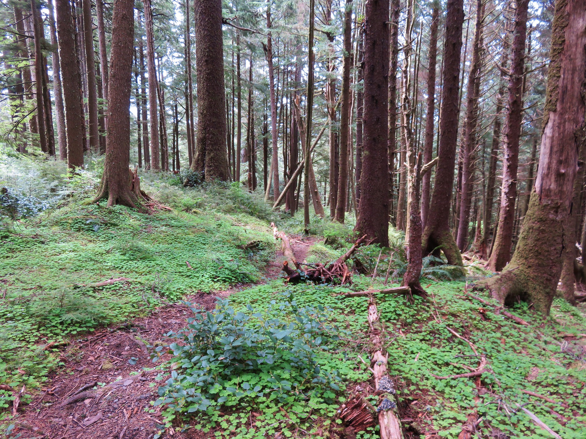
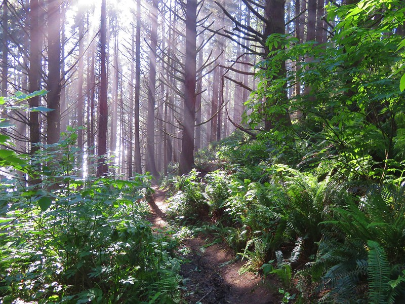
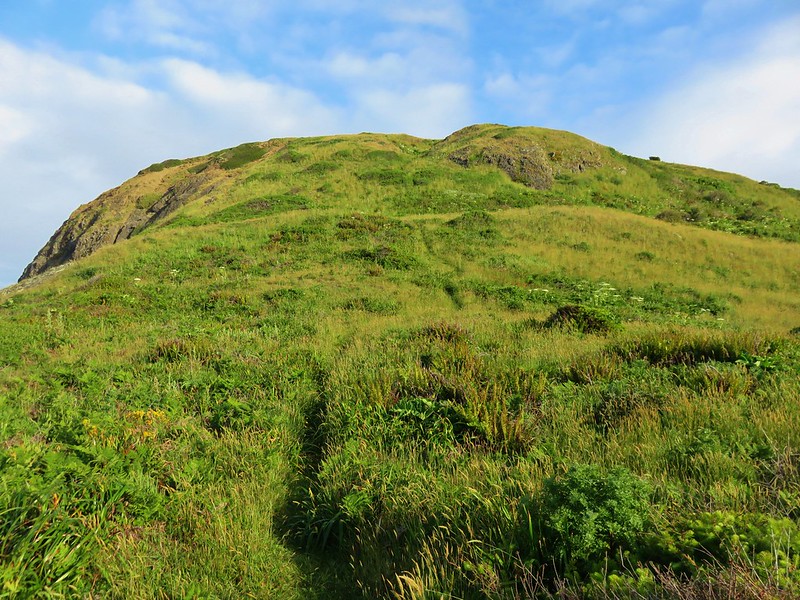
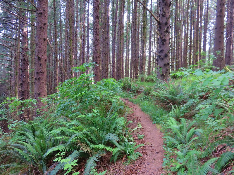
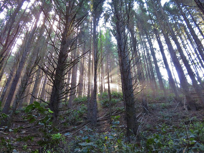
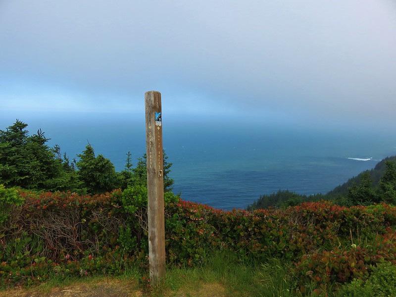
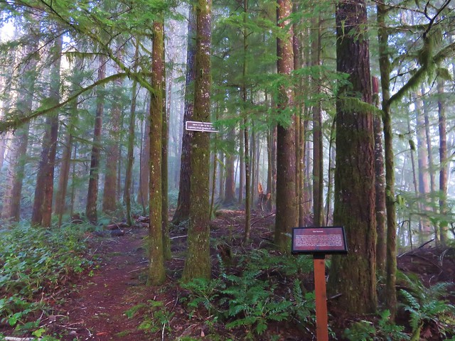
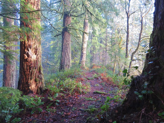
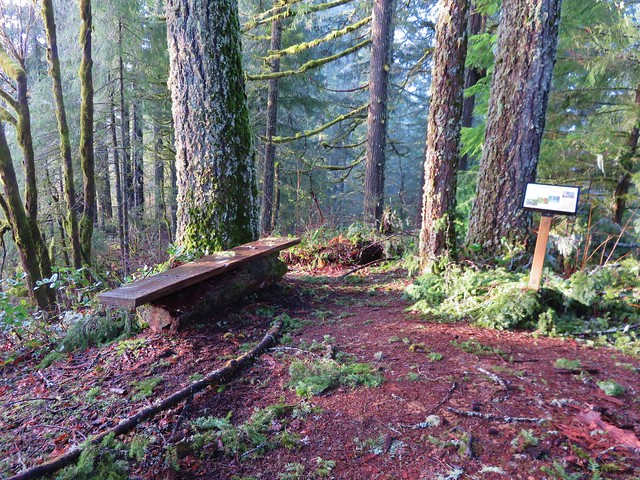
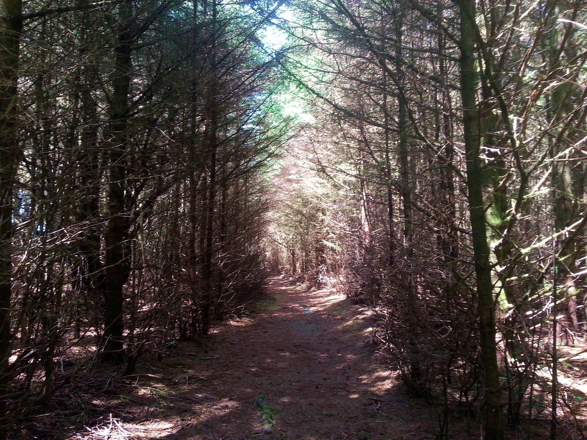
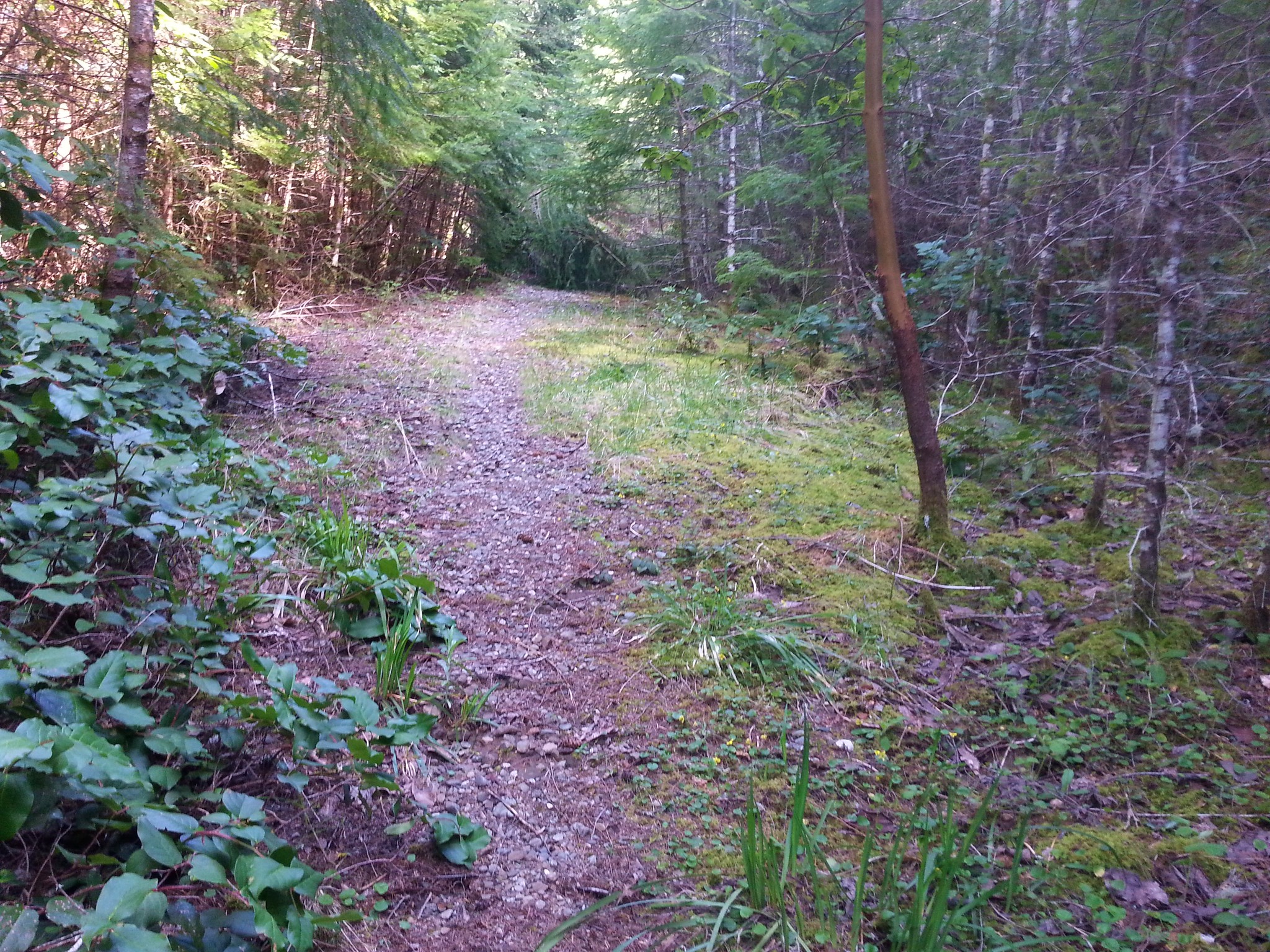
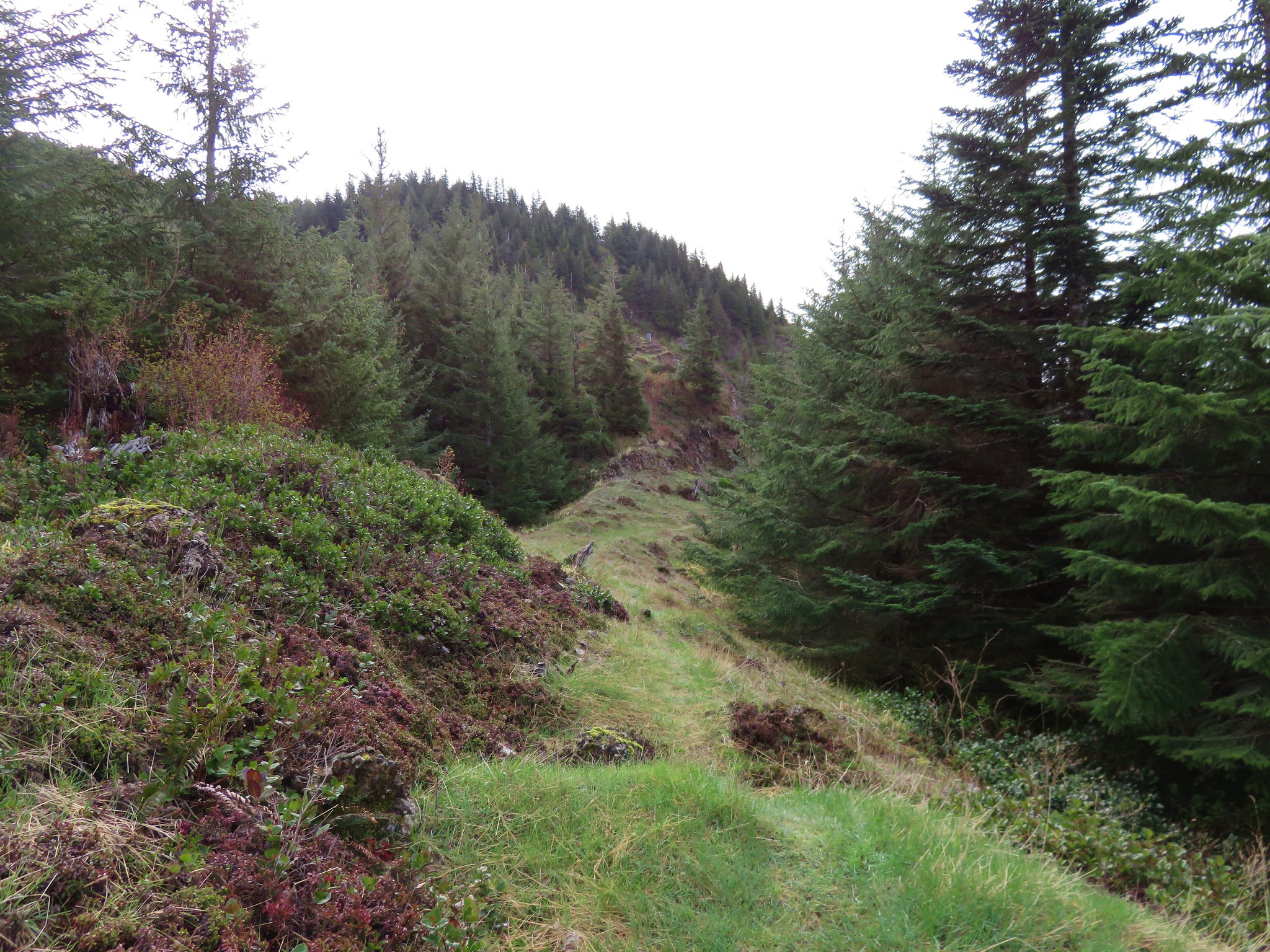
We hiked to the roads end and the start of the Grassy Knob Trail.
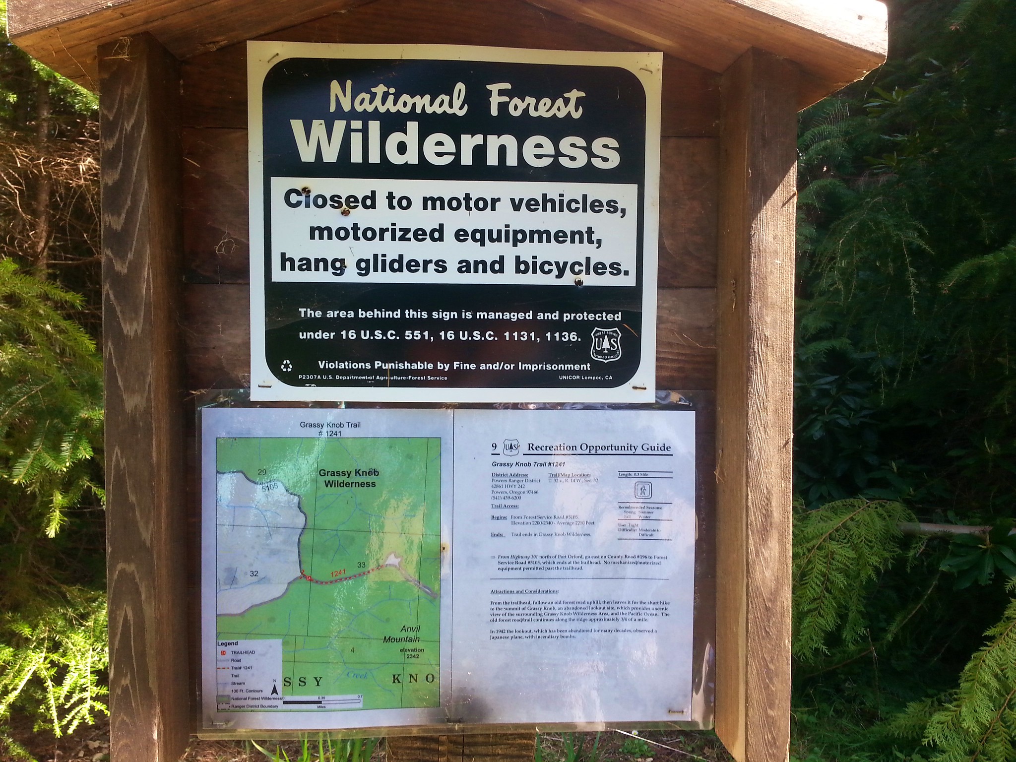
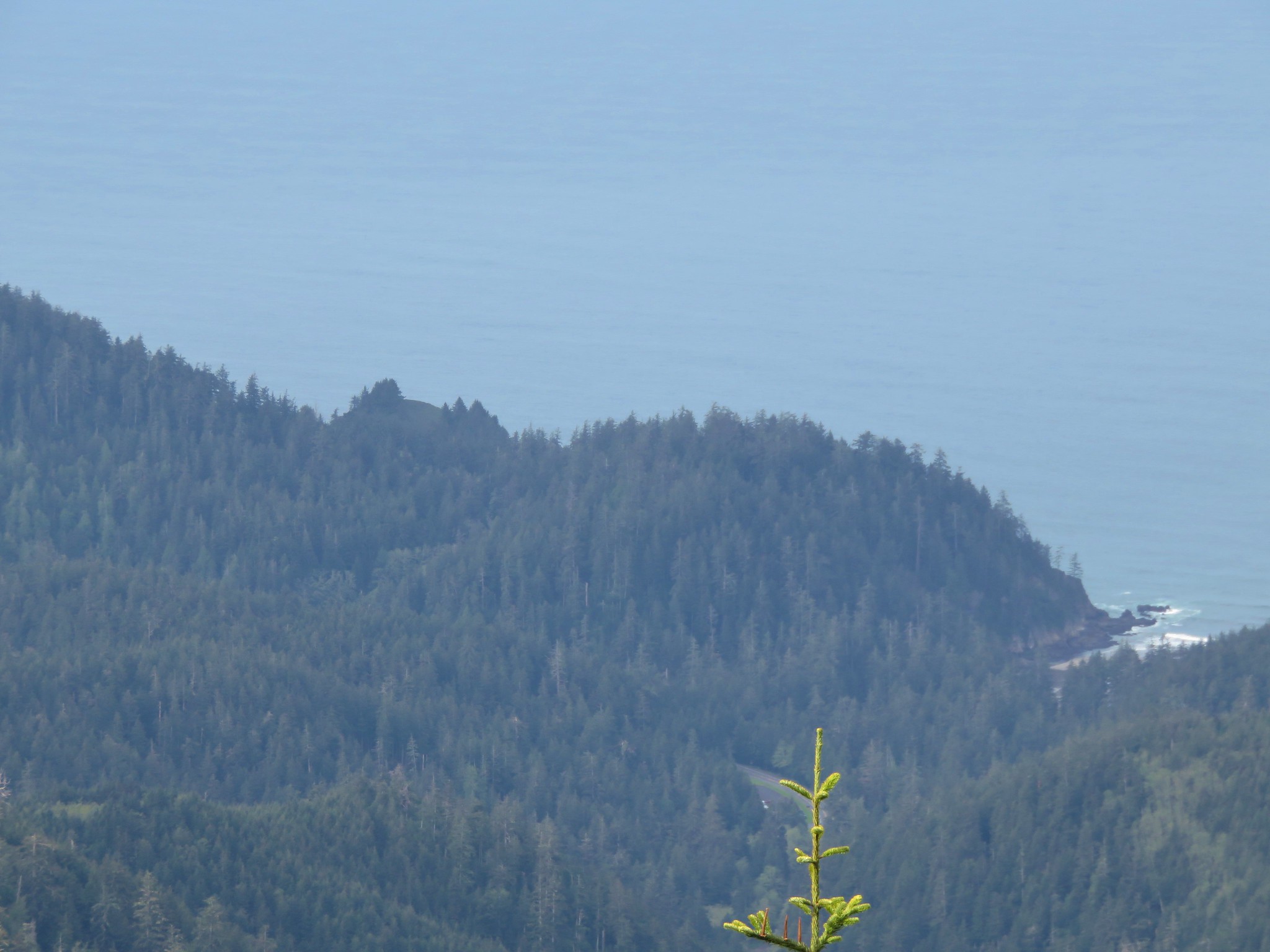
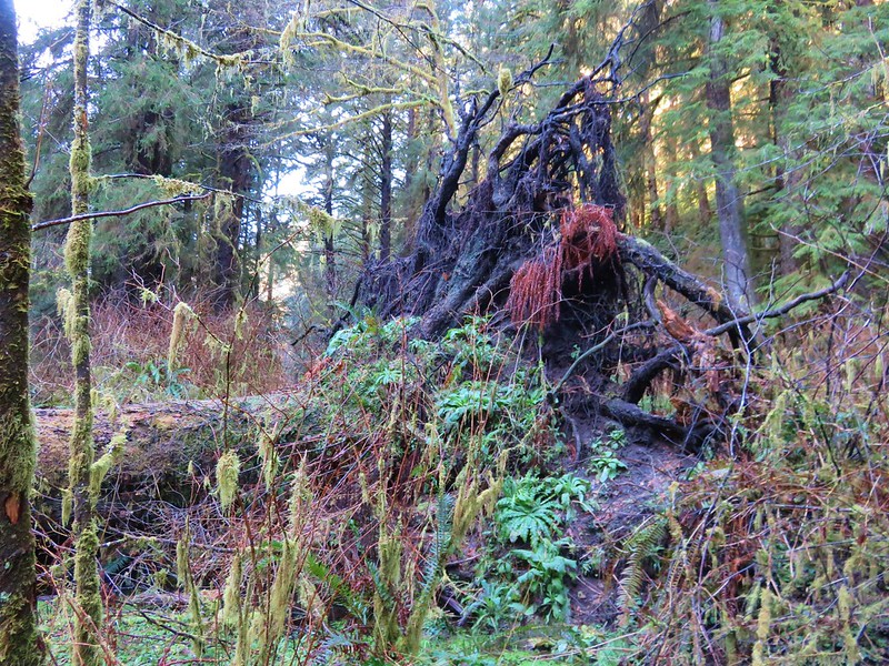
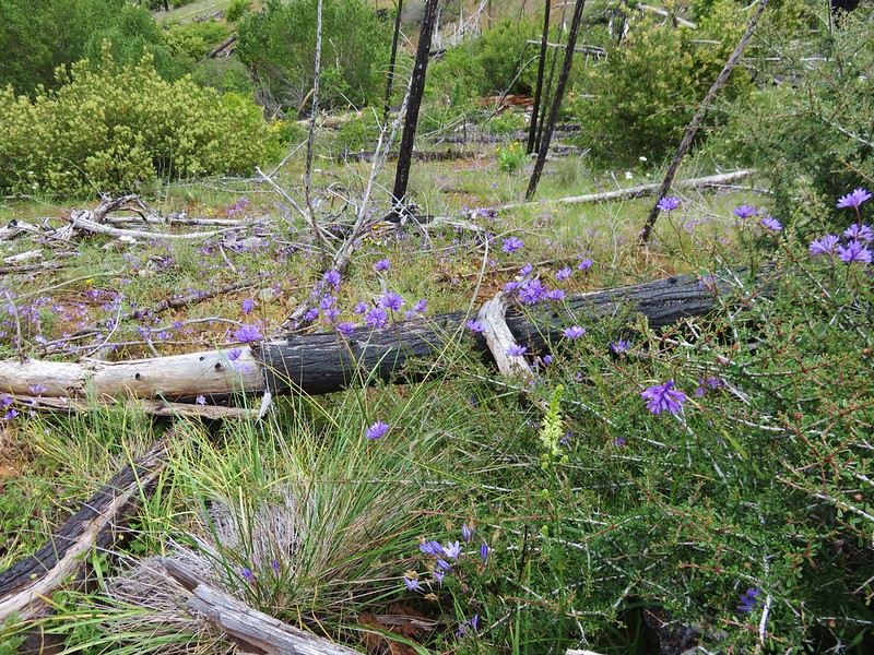
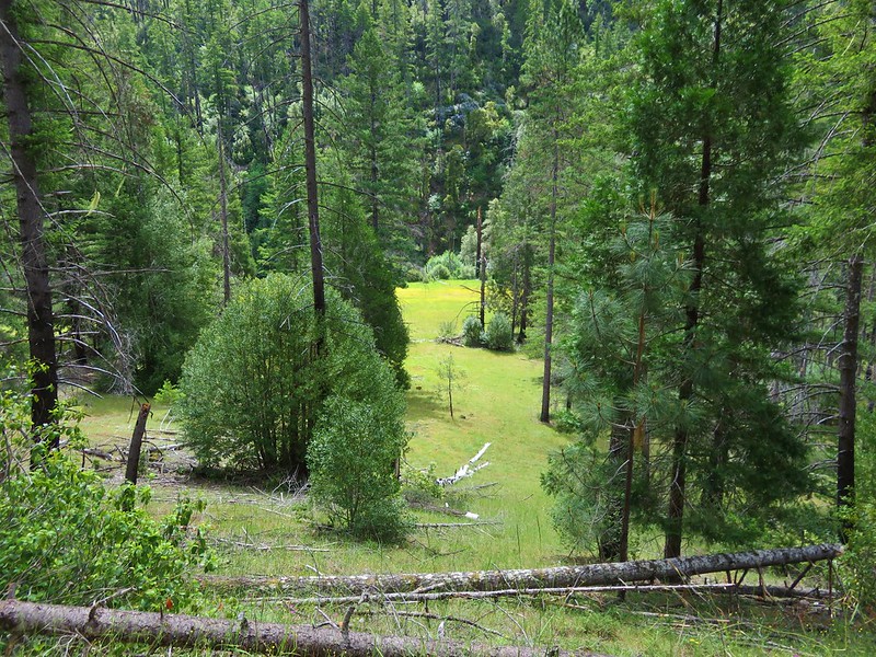
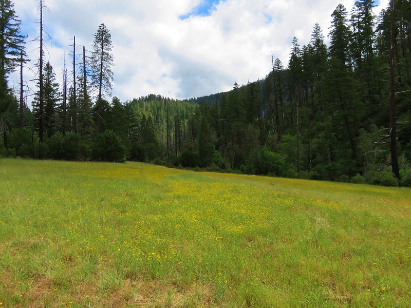
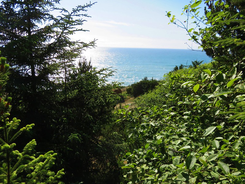
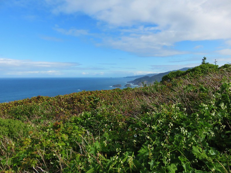
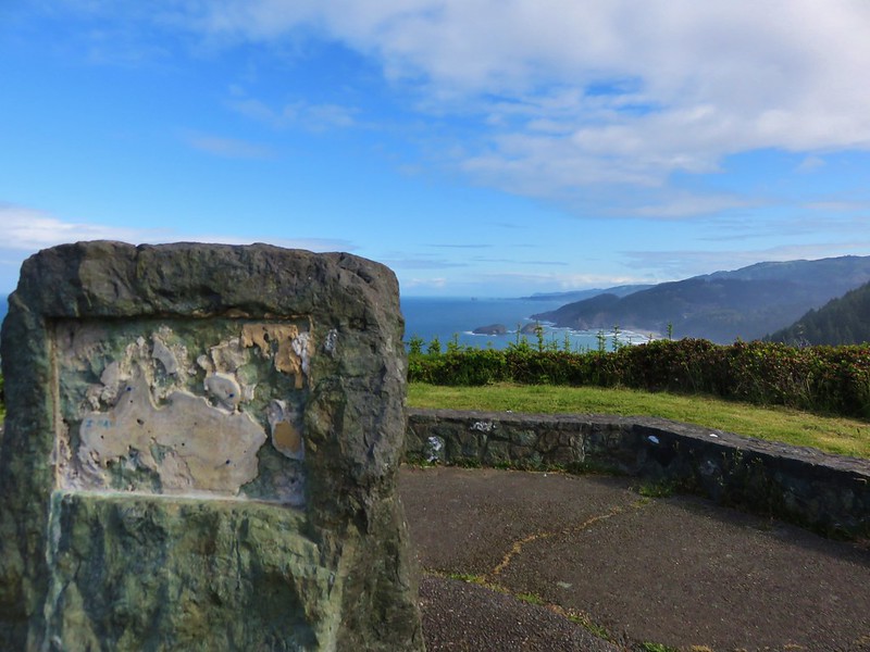
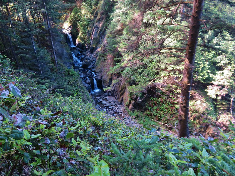
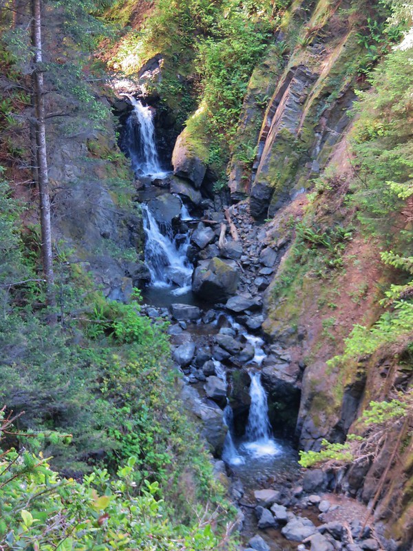
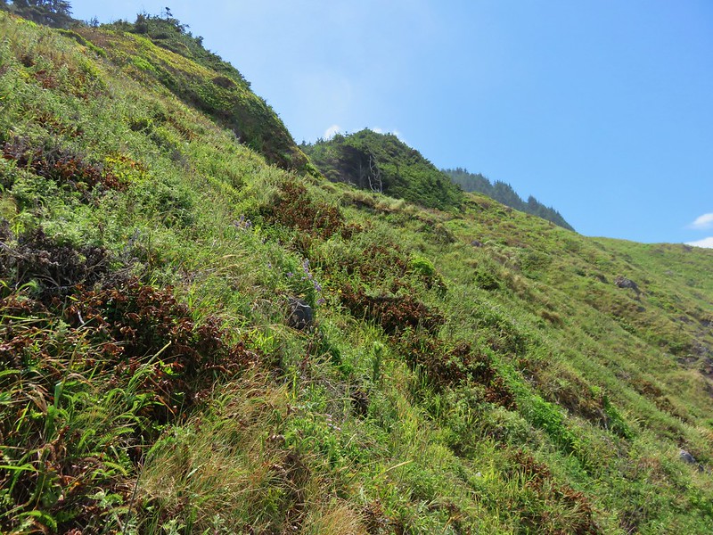
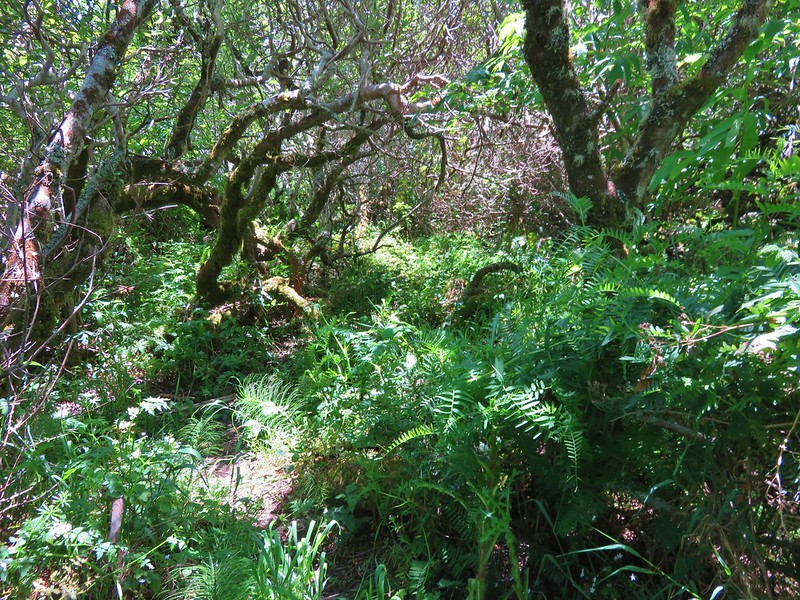
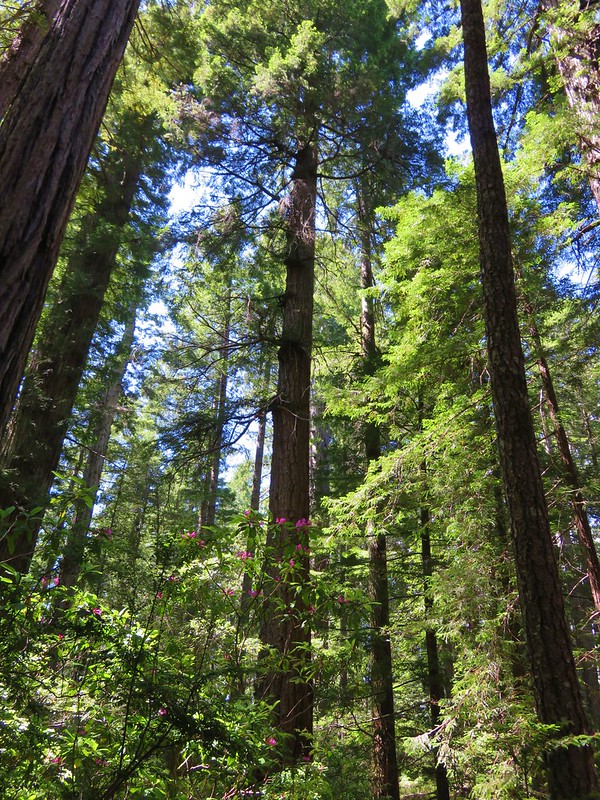
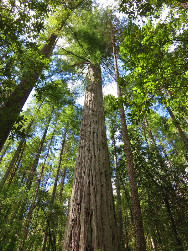
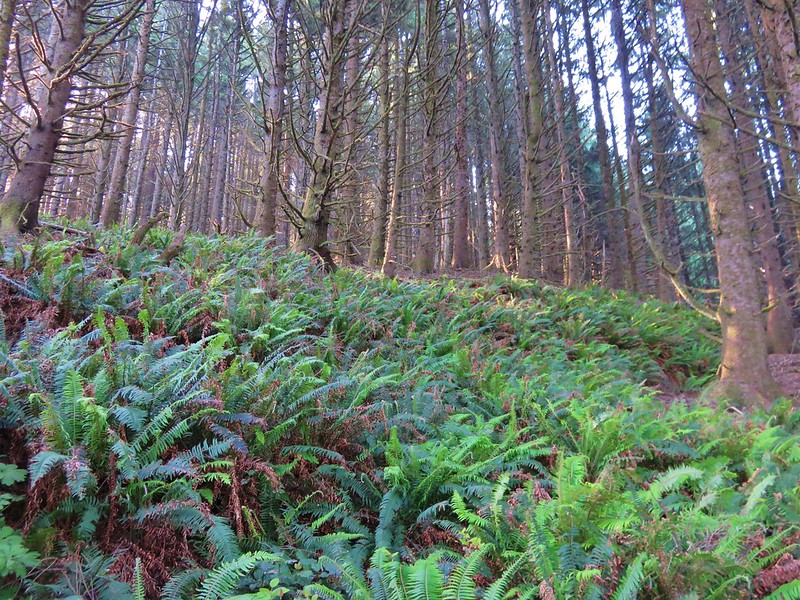
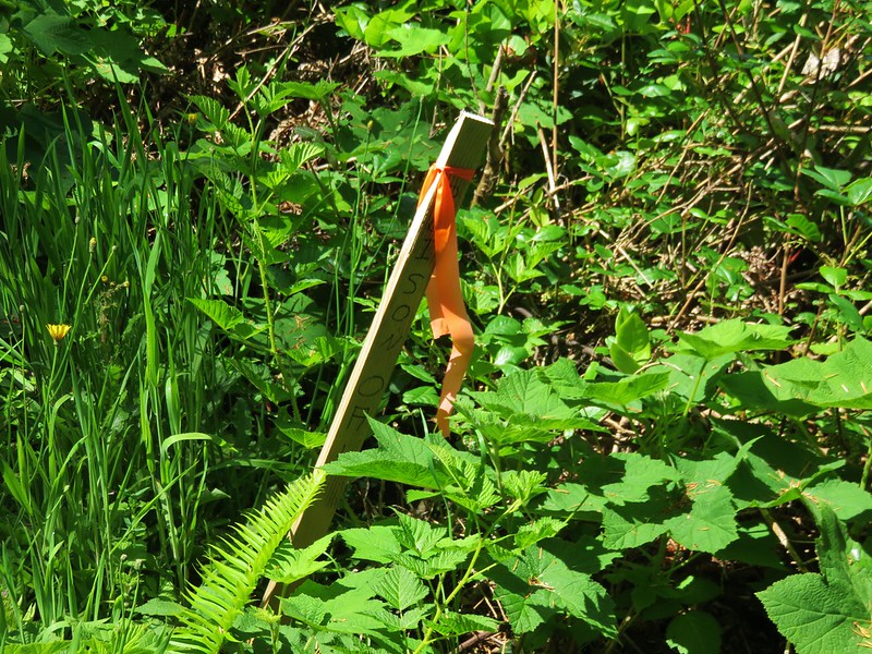
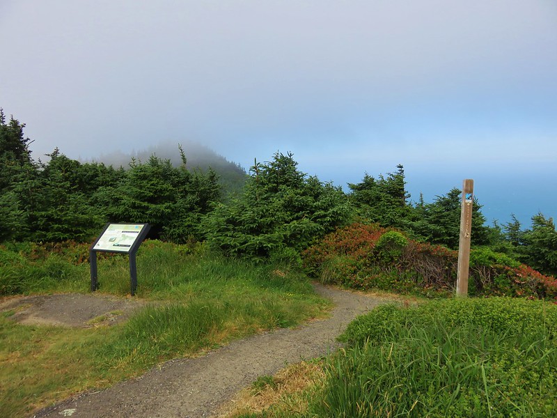
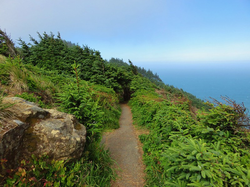
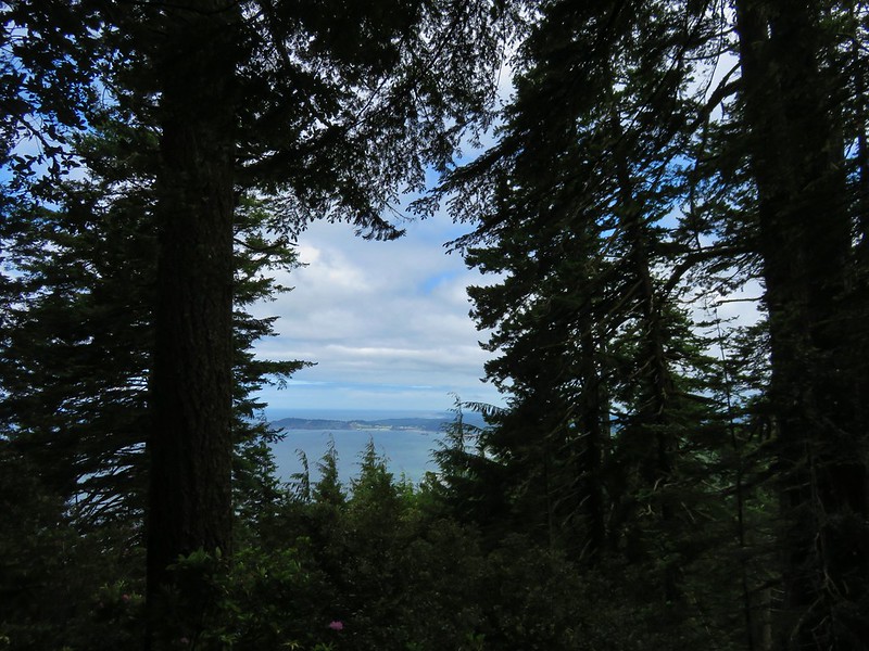
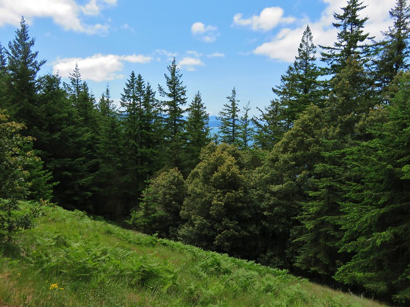
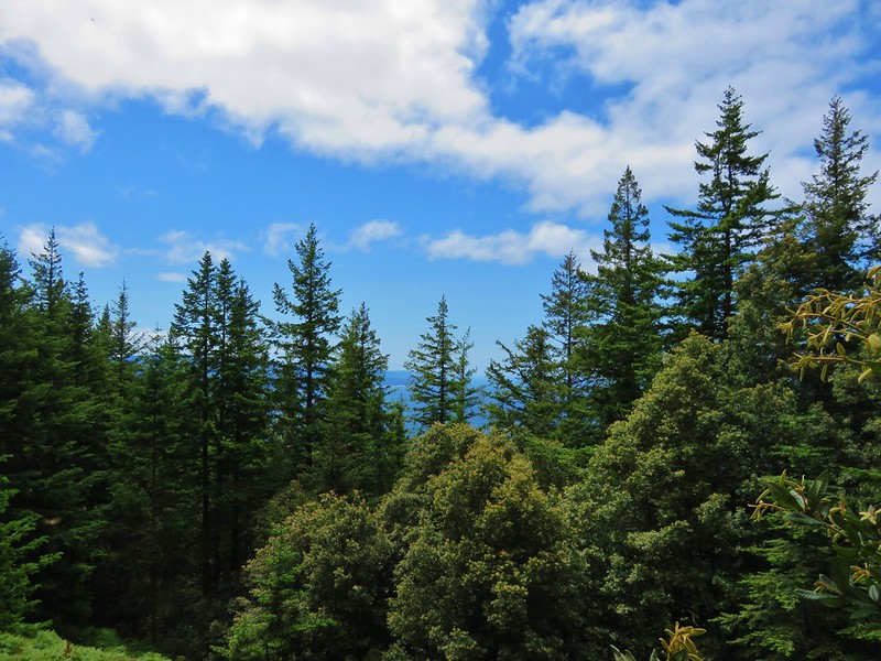
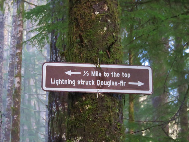
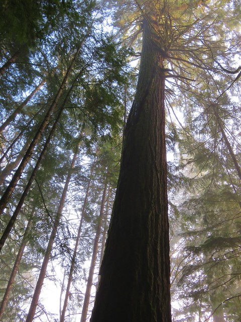
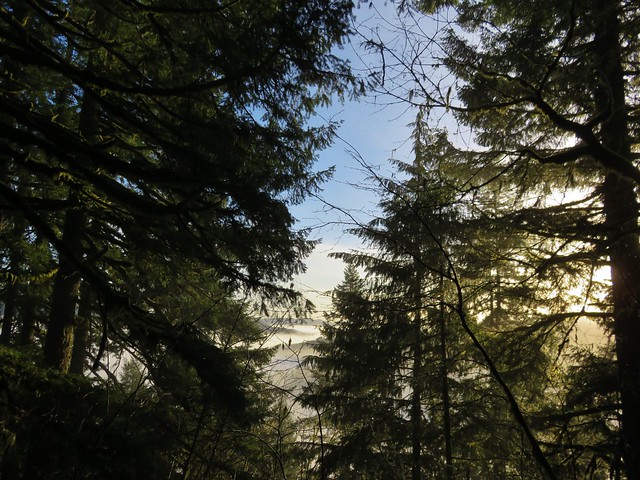
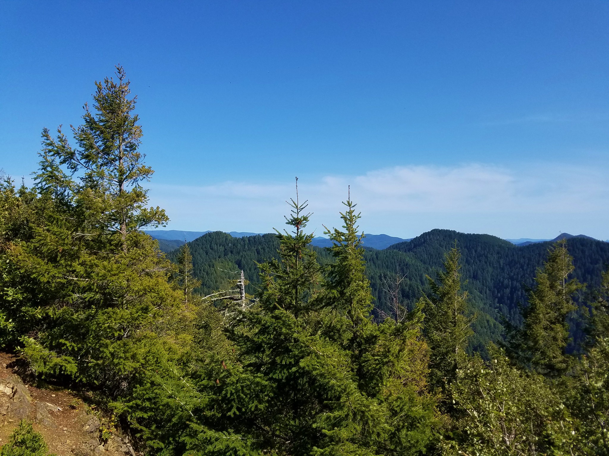
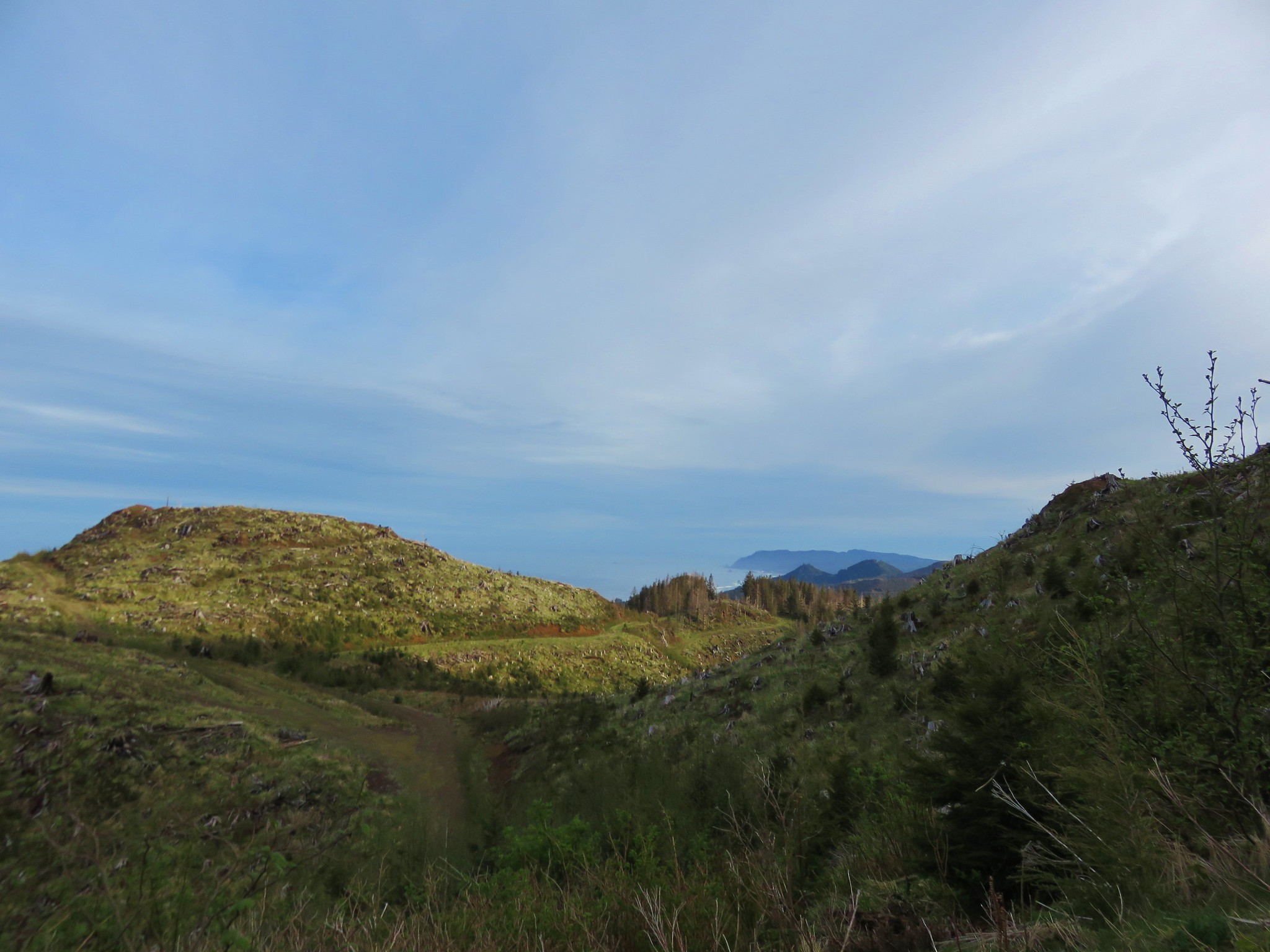
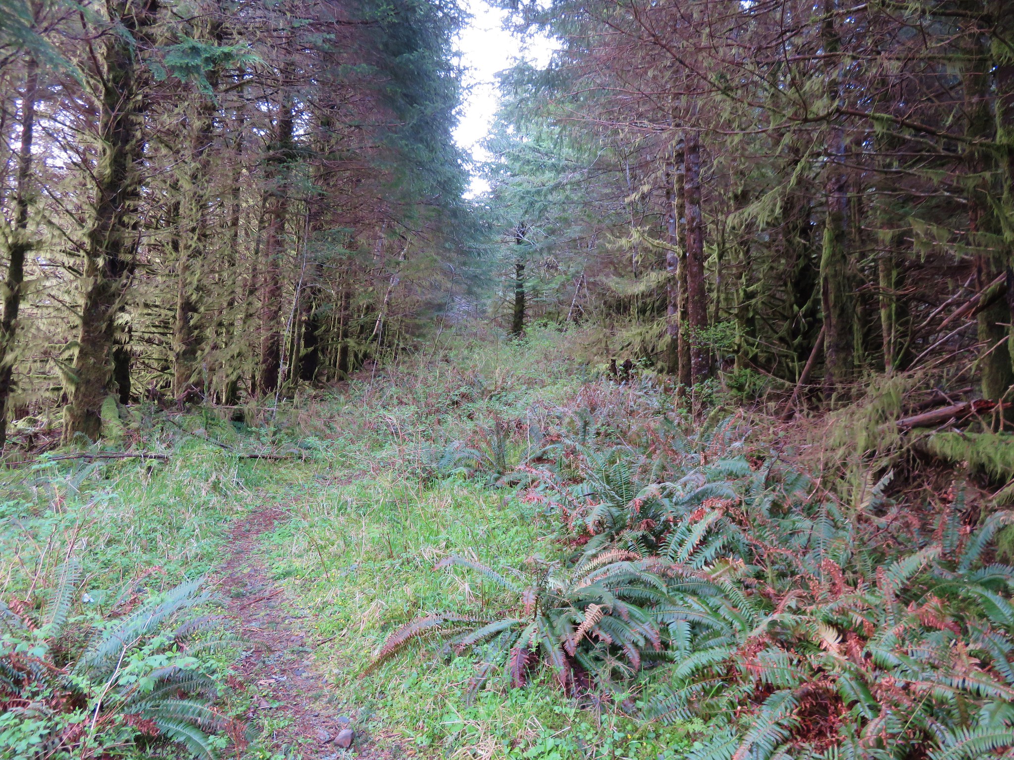
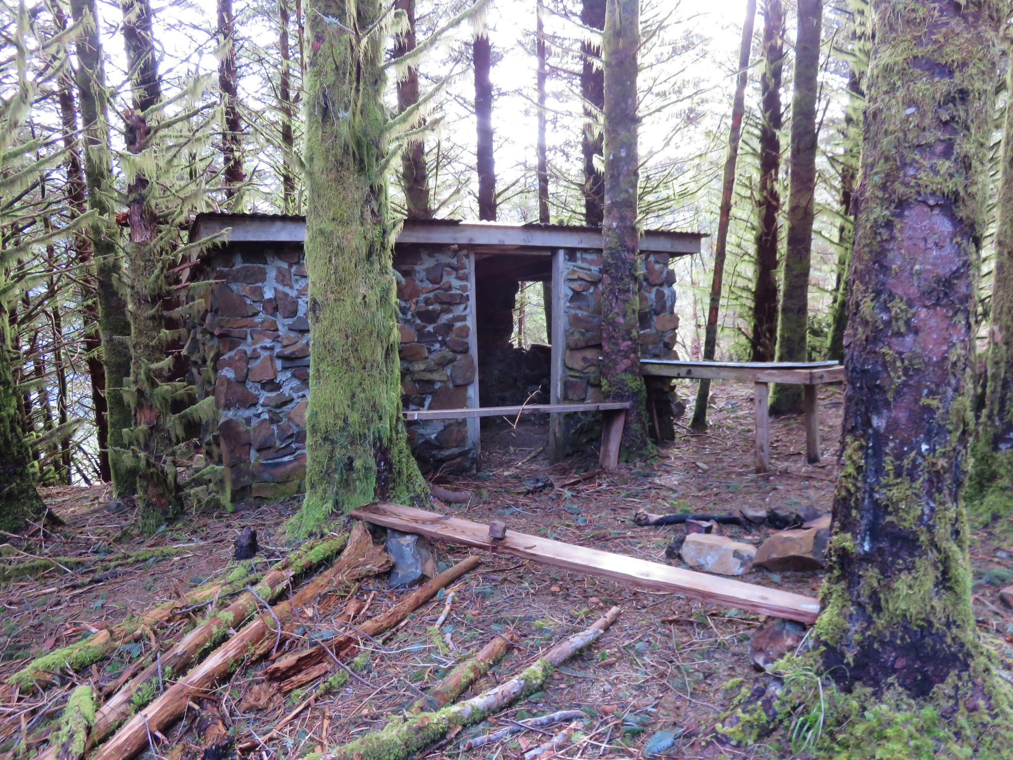
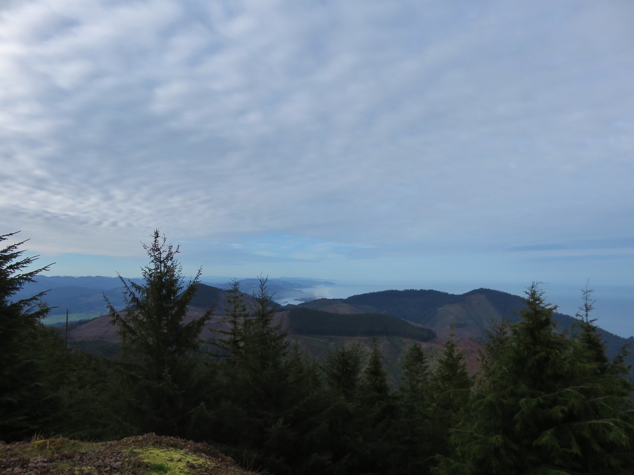
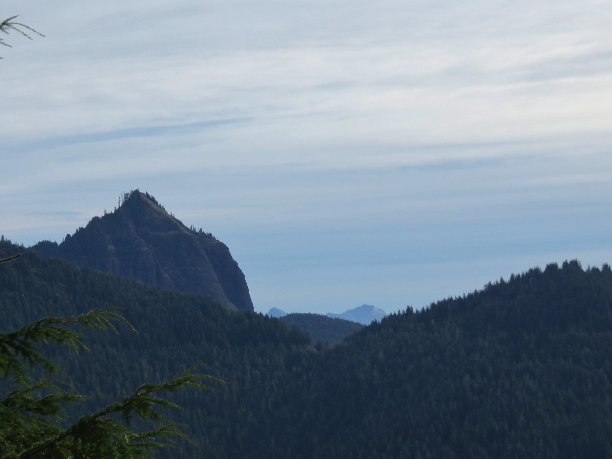
The trail followed the old road bed for nearly a half mile then forked uphill to the site of a former lookout tower.
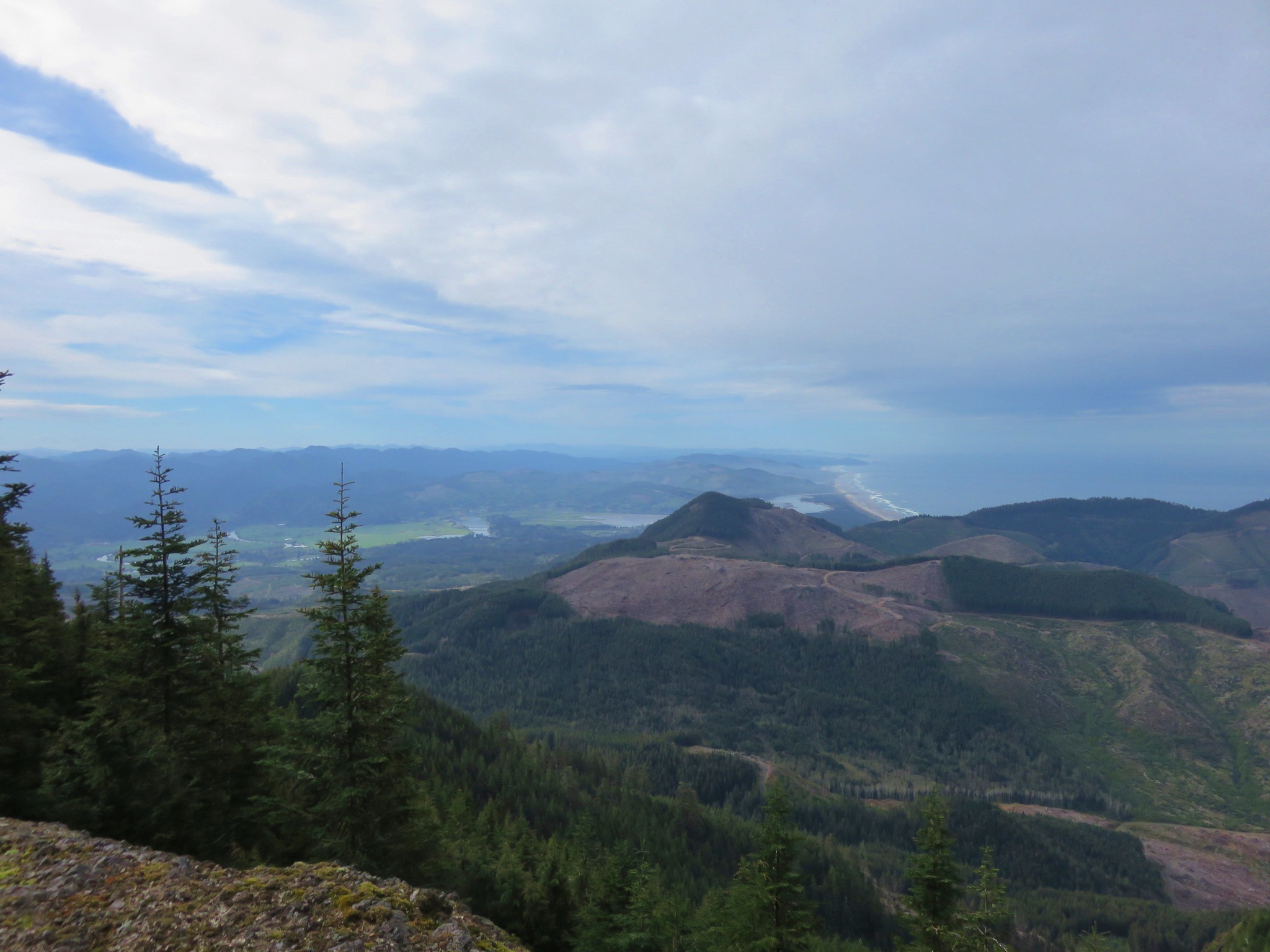
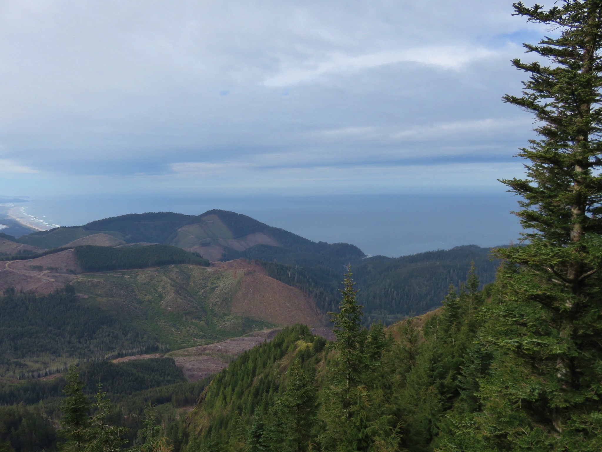
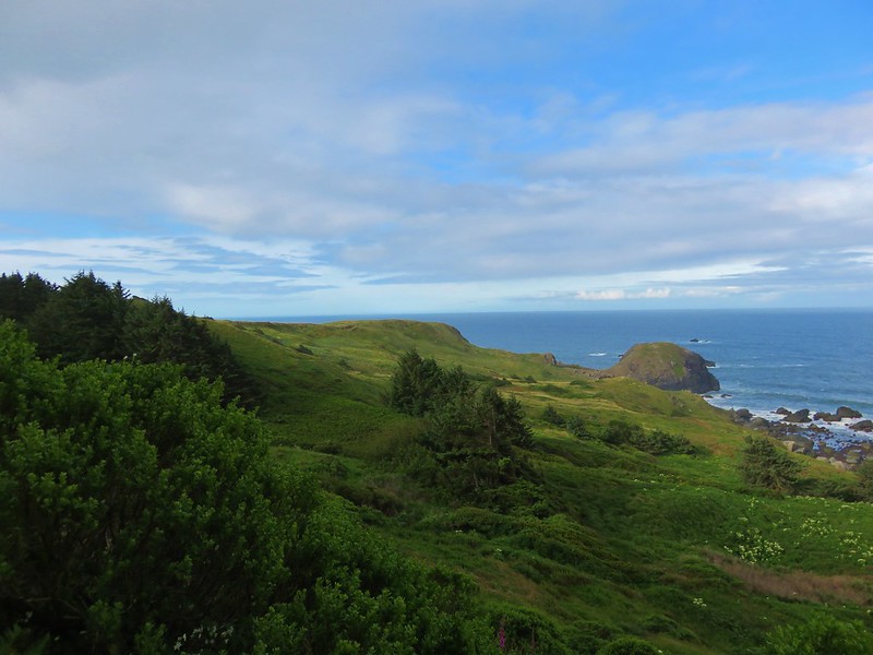
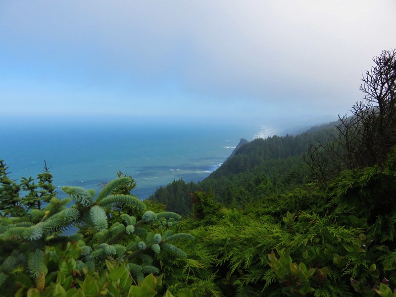
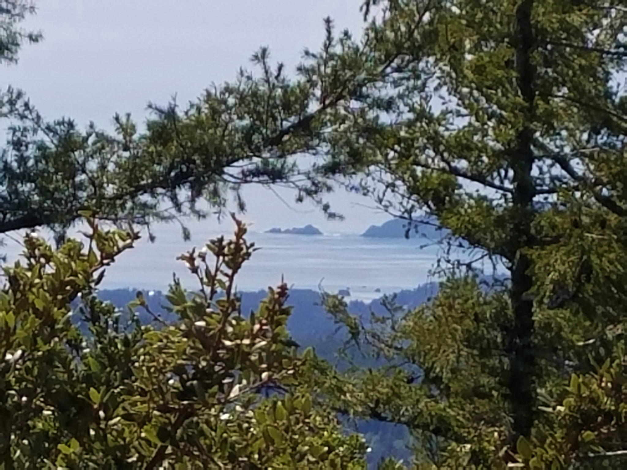
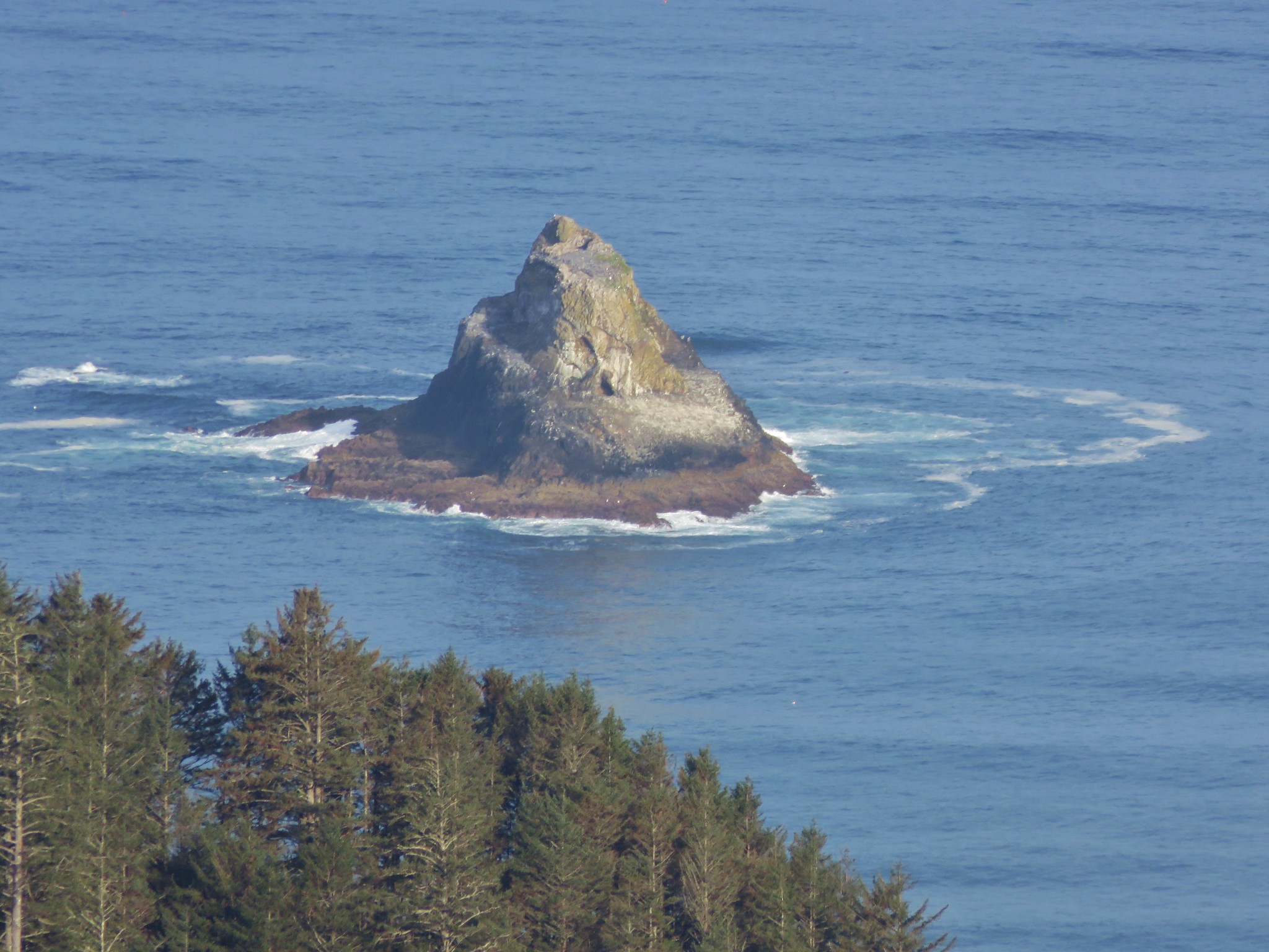
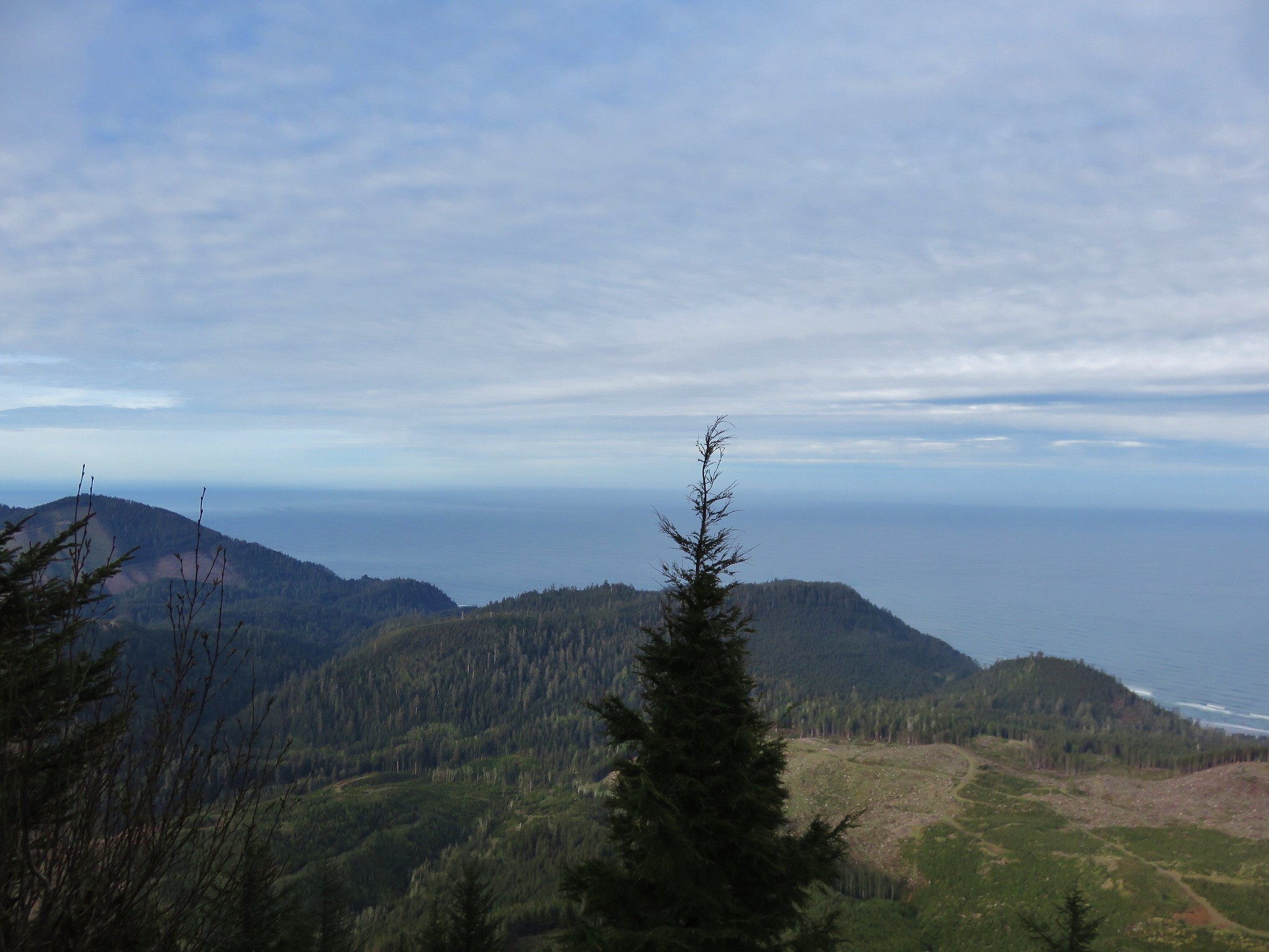
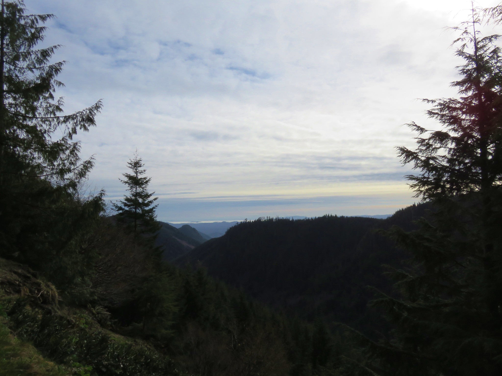
The view was fine but not spectacular with the Pacific Ocean visible through the trees. The main thing was we could check another wilderness area off our list.
We drove back to Highway 101 and continued south into Port Orford turning at a sign for Port Orford Heads.
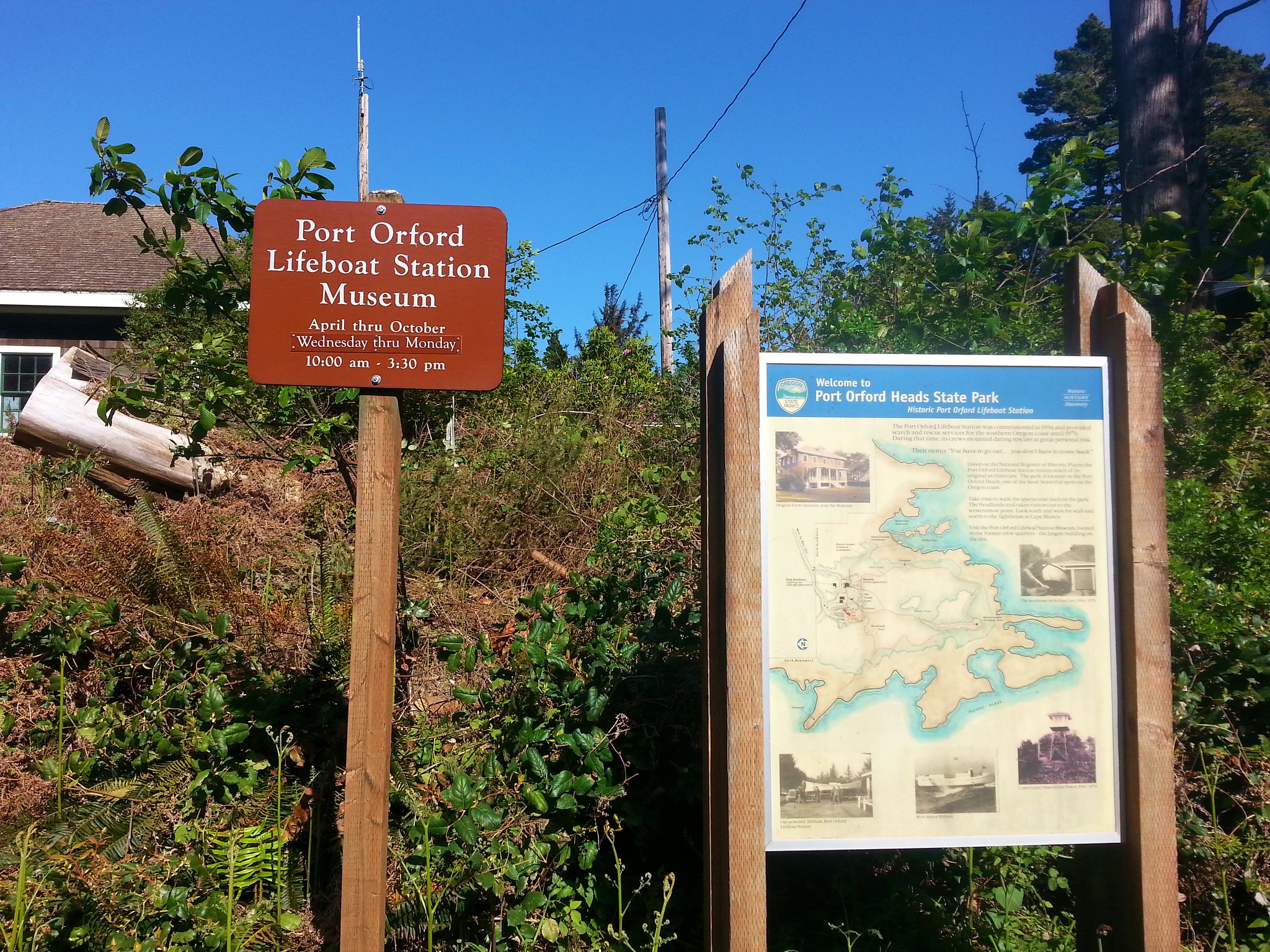
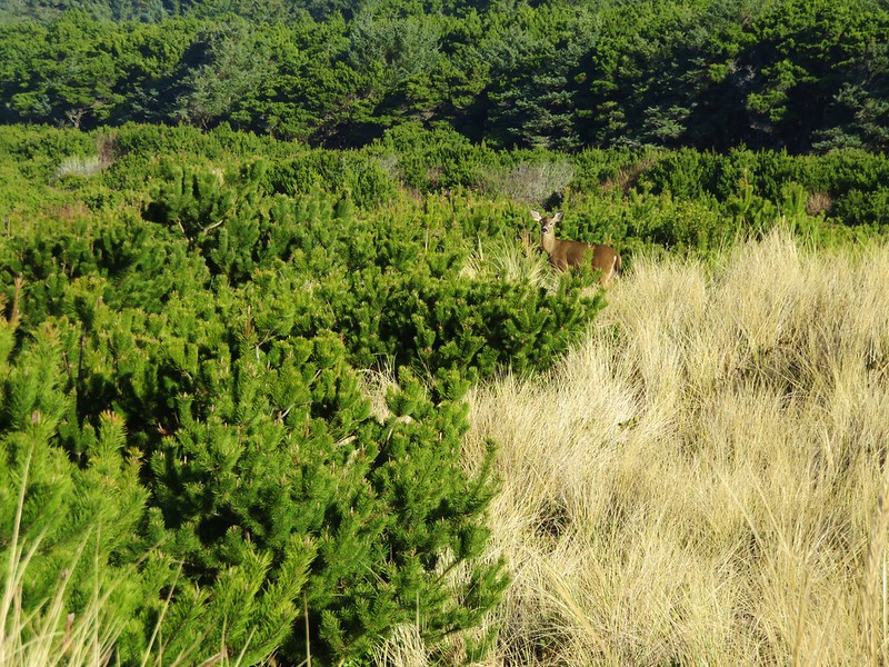
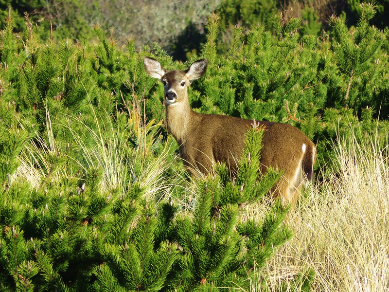
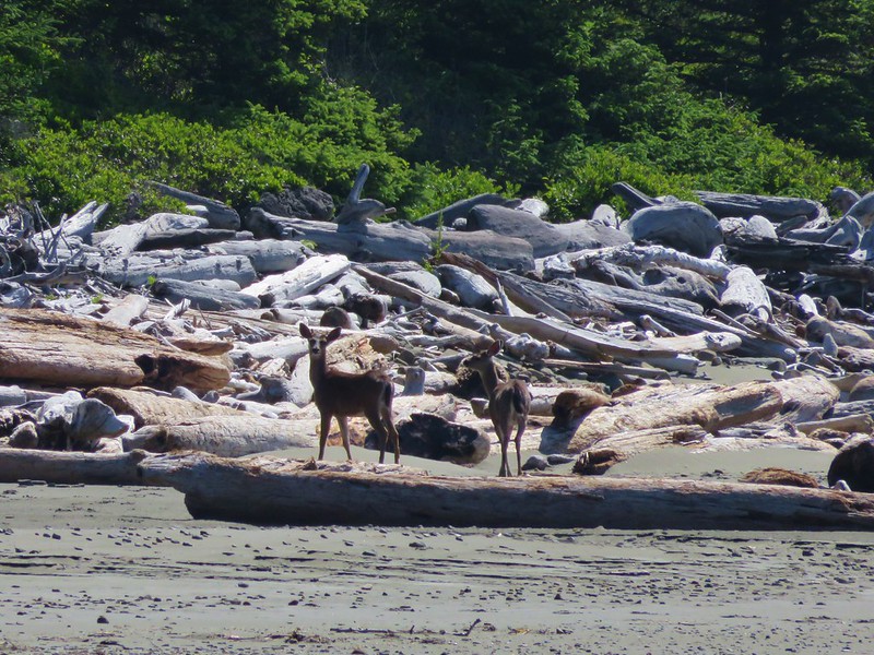
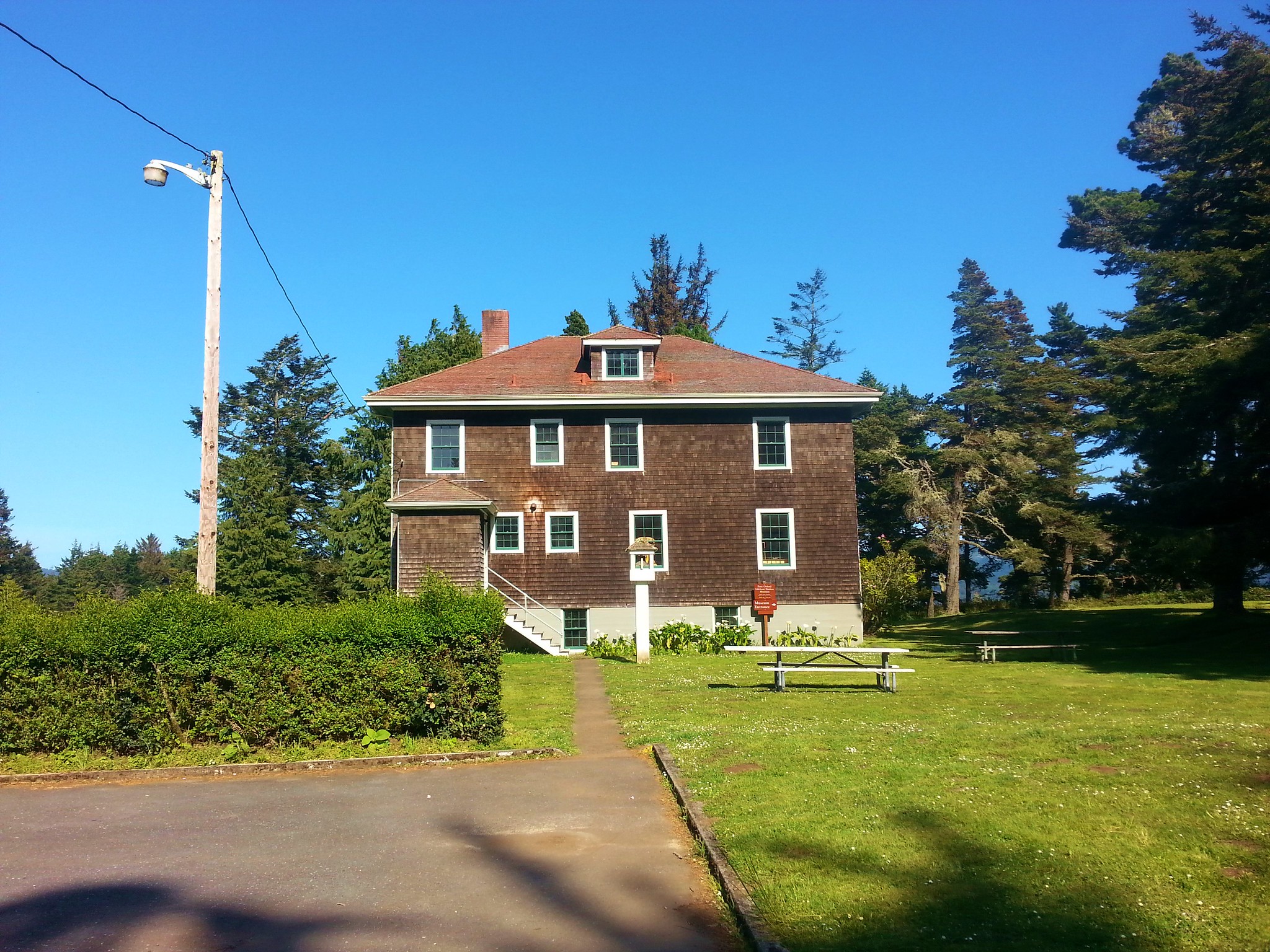
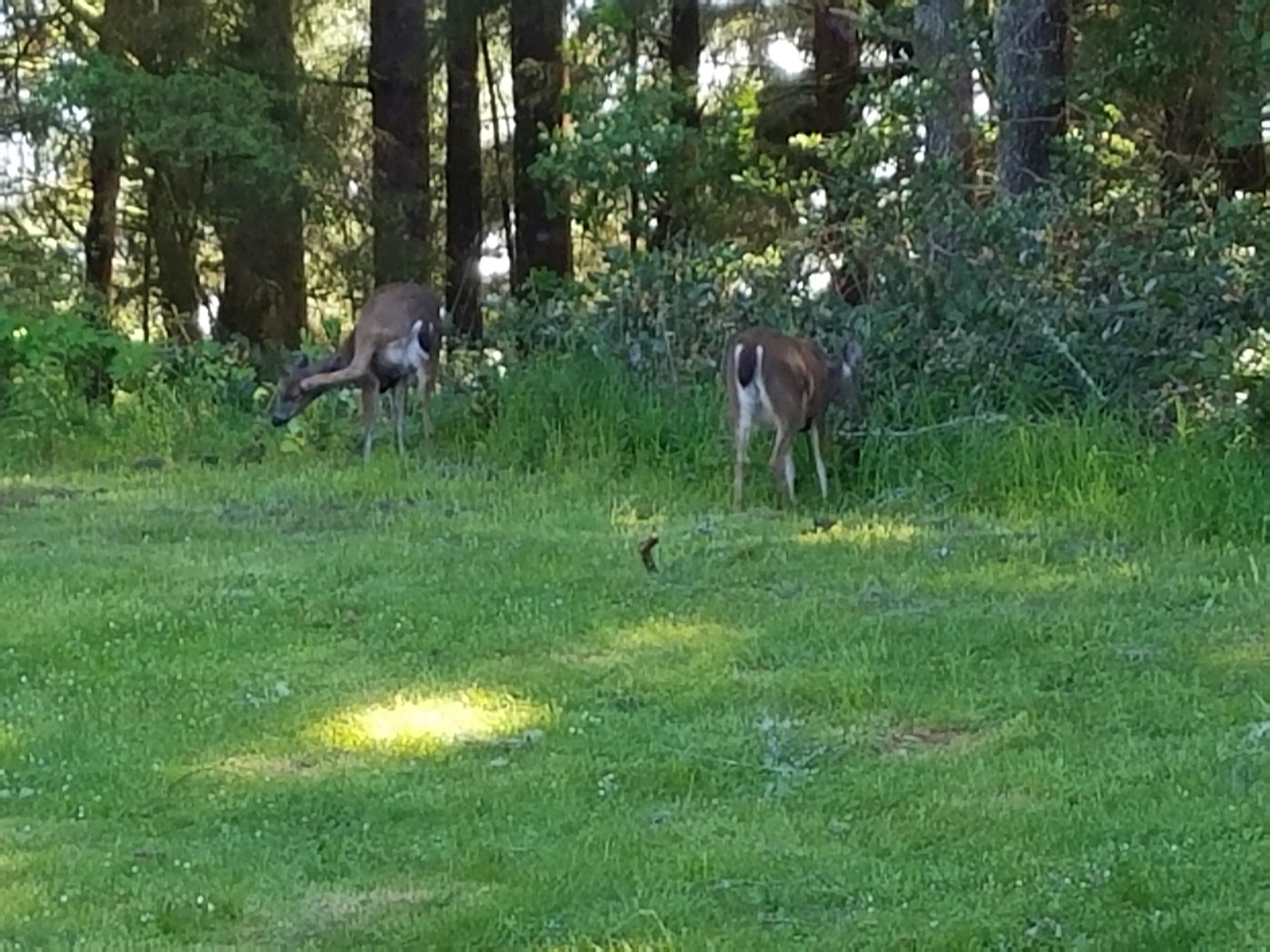
The Coast Guard Barracks museum was closed for the day but we were able to look at the lifeboat along with a pair of deer.


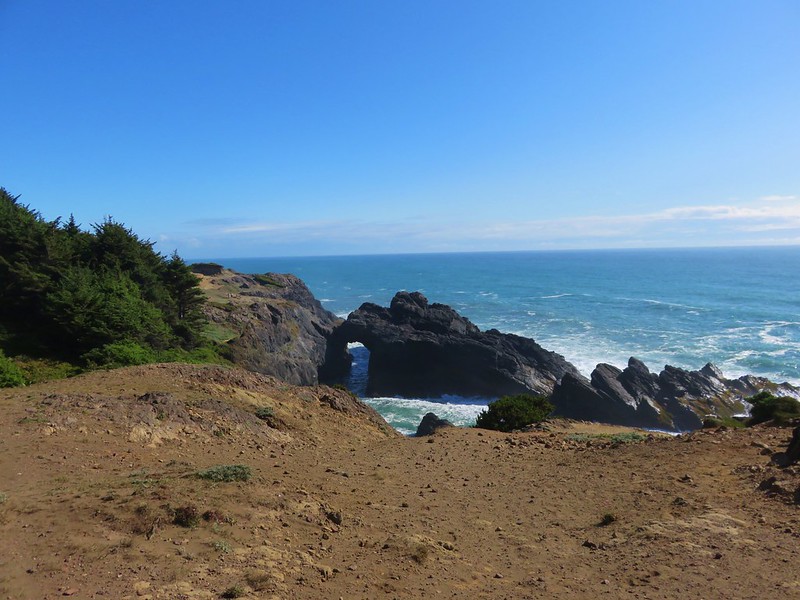
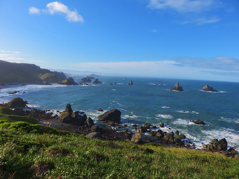
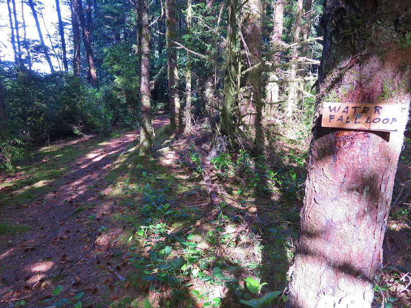
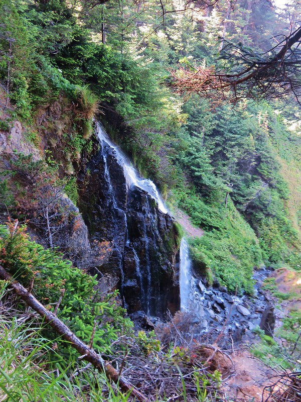
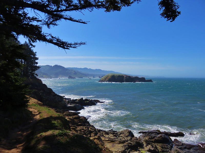
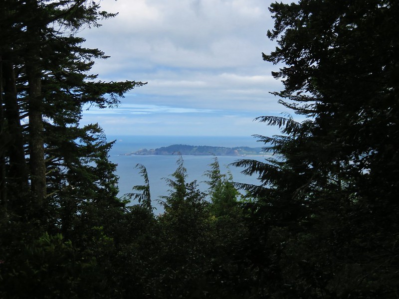
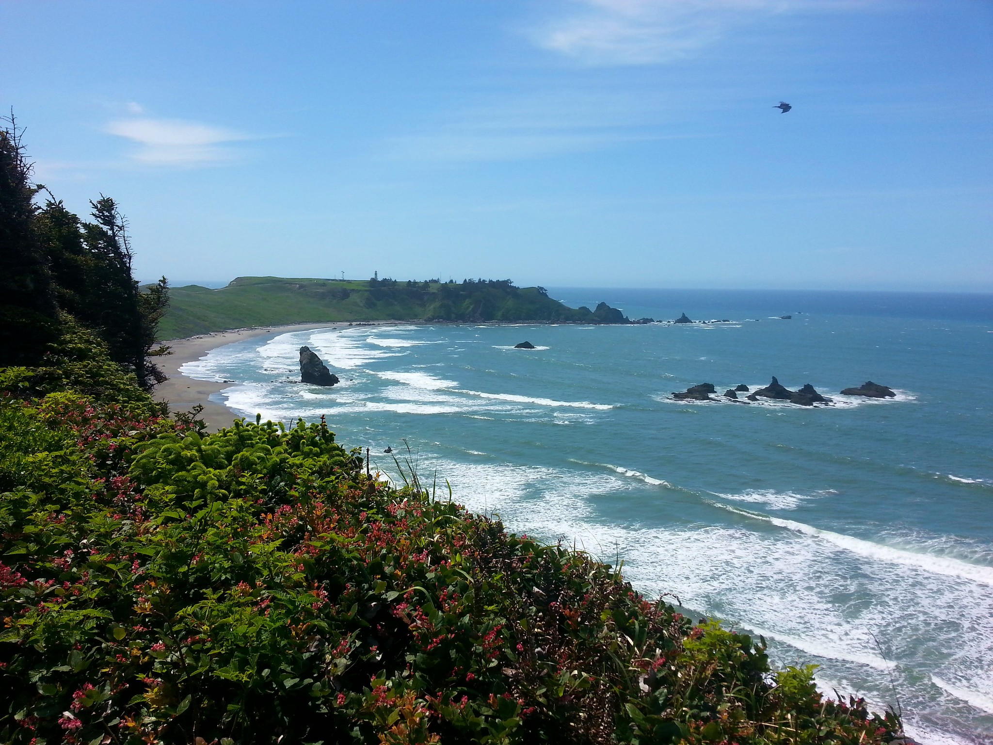
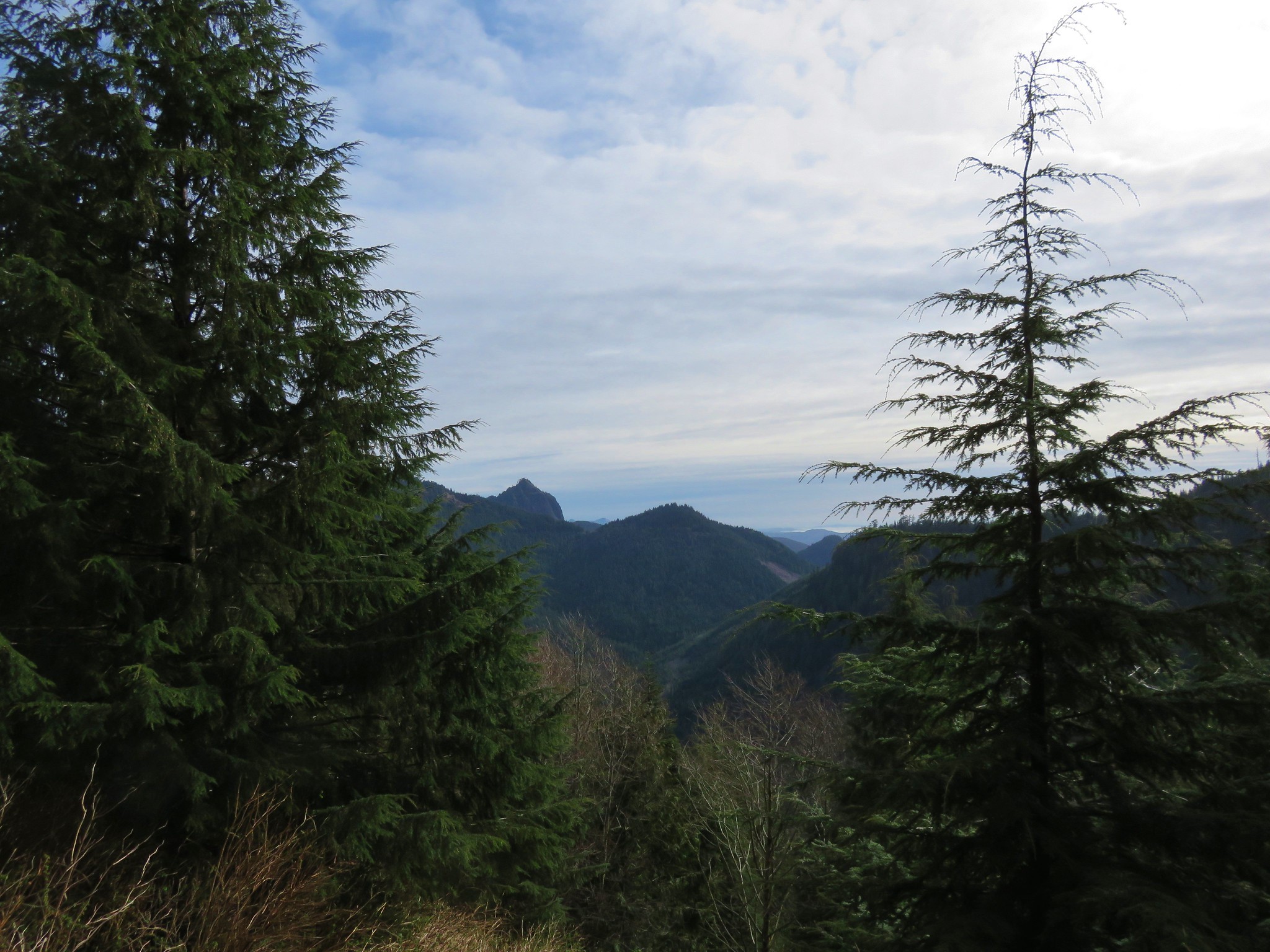
We took the Cove Trail behind the Museum to an overlook of the site of a former Coast Guard boathouse.

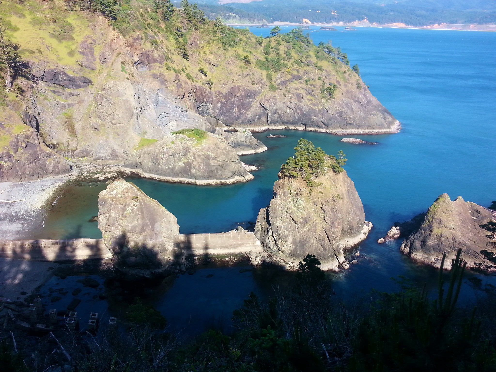
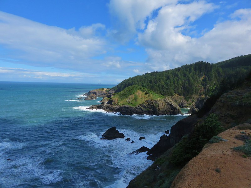
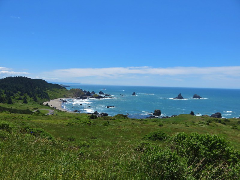
The view to the south included Humbug Mountain.

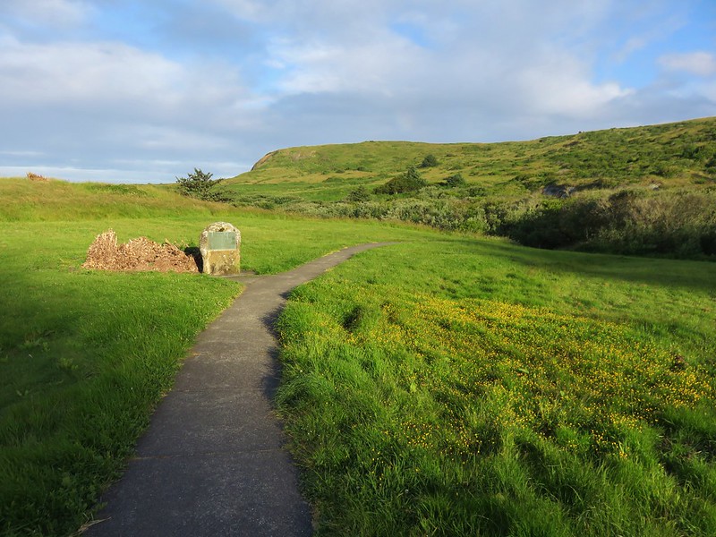
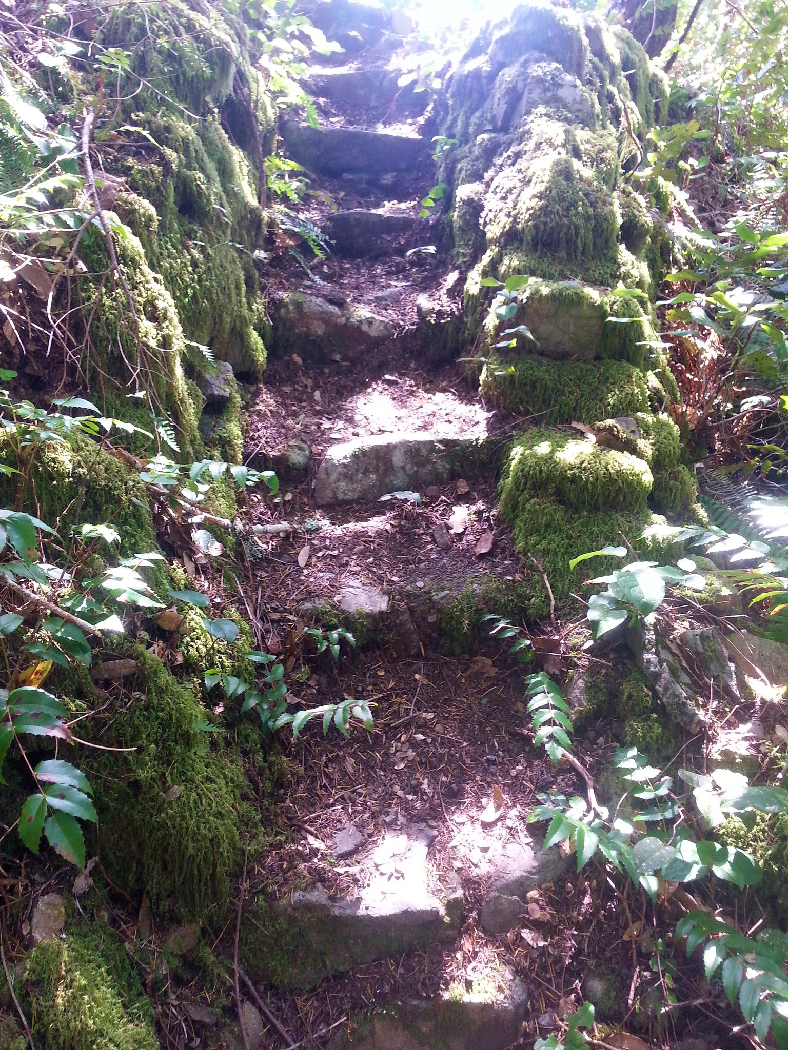
We continued on the Cove Trail to its end at a junction with the Tower Trail at the site of a former WWII lookout tower.
From the lookout site we followed the tower trail a short distance before forking left for .2 miles to the Headland Trail where we turned left for another .2 miles to the end of this trail.

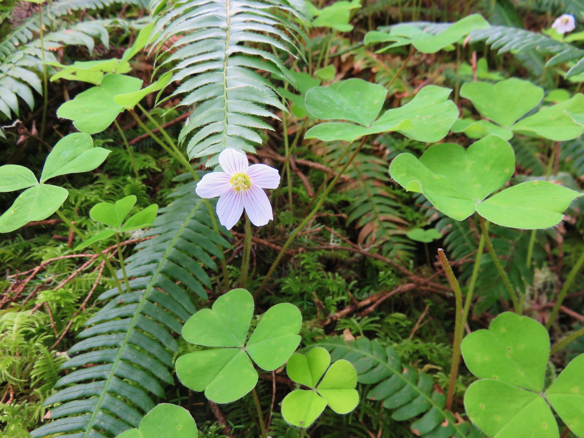
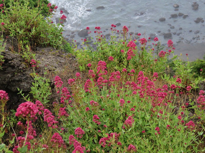
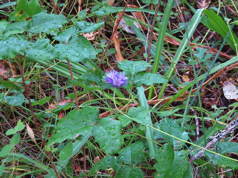
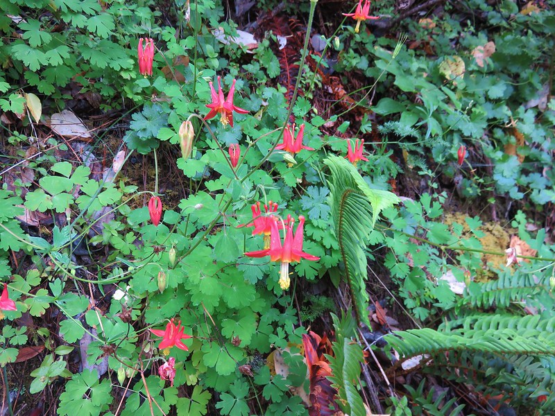
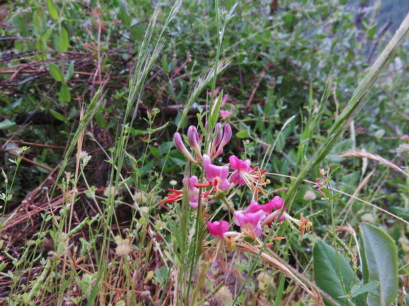
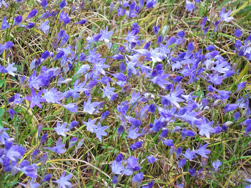
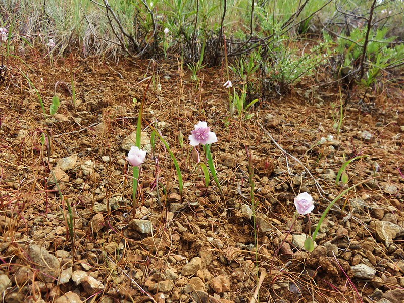
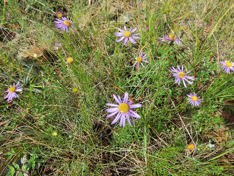
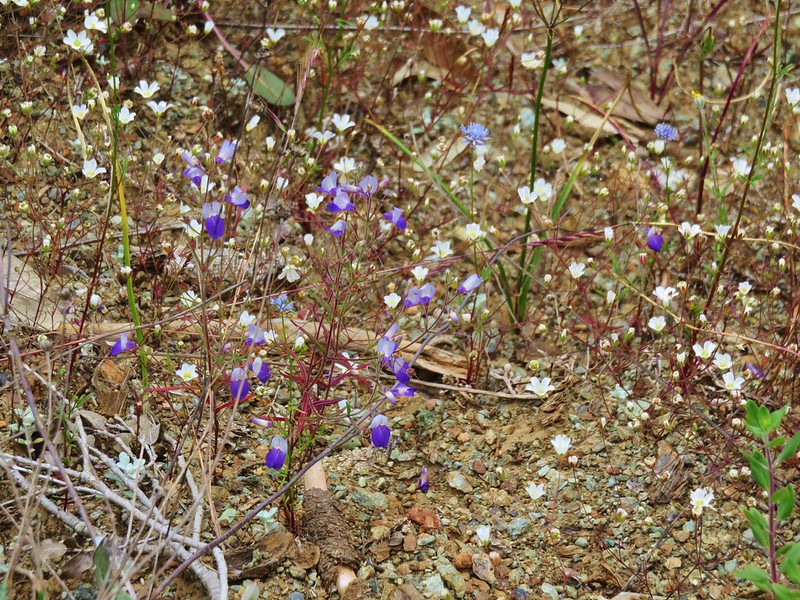
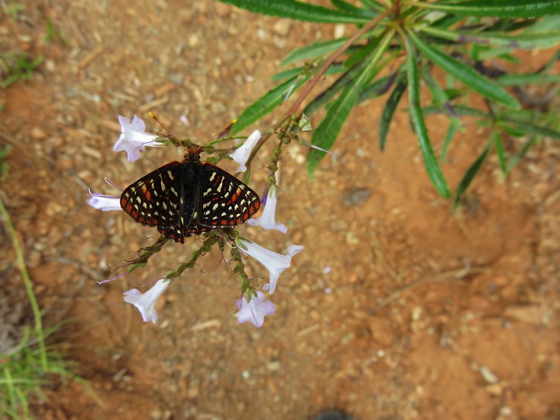
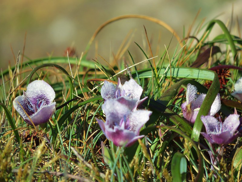
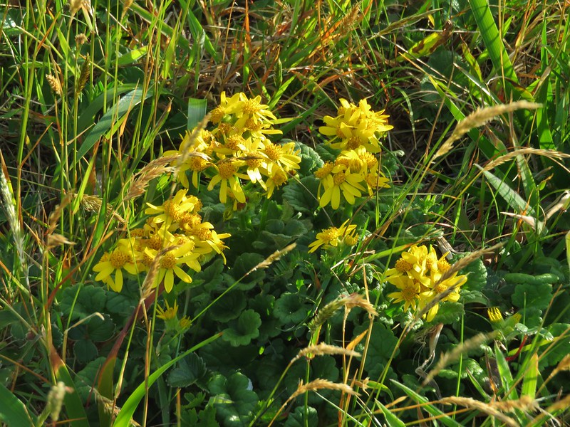
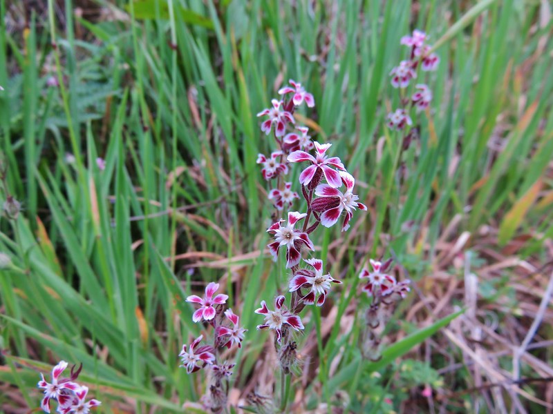
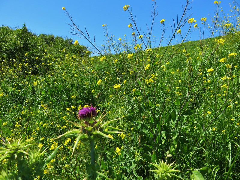
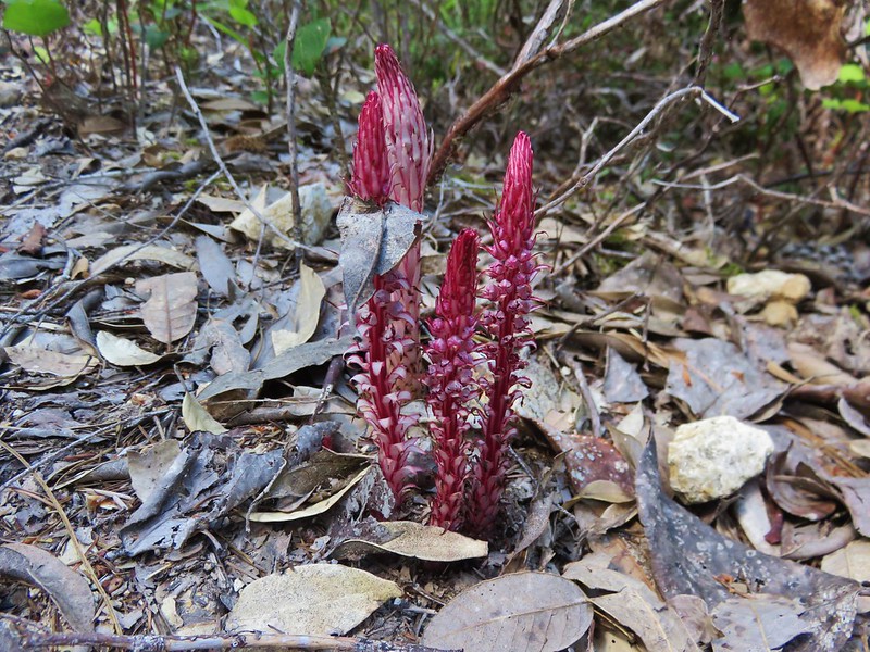
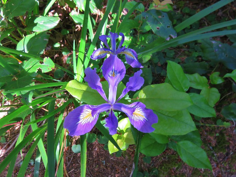
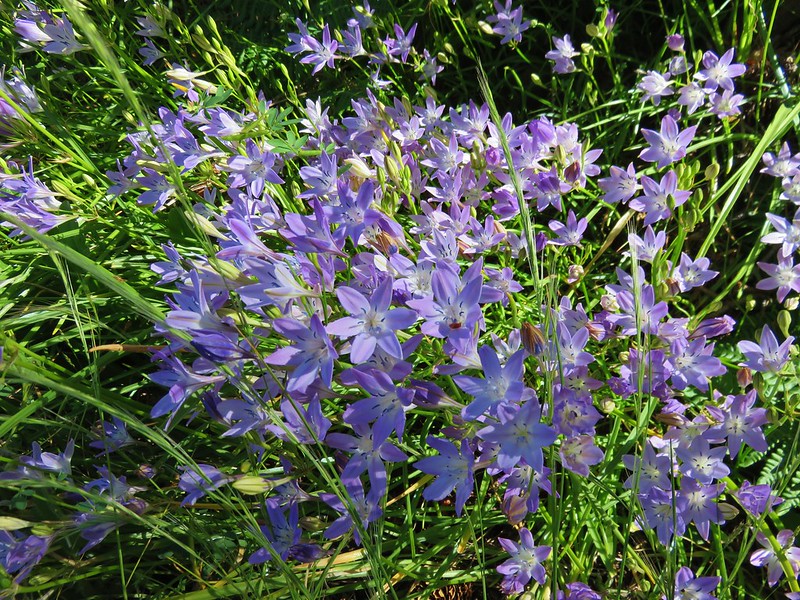
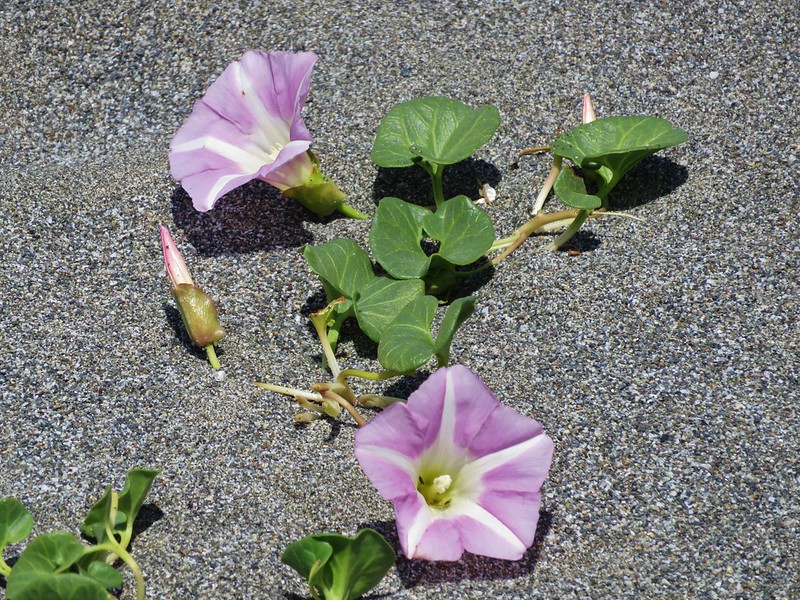
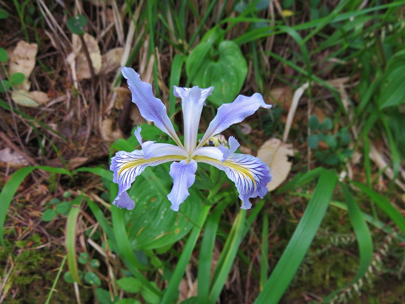
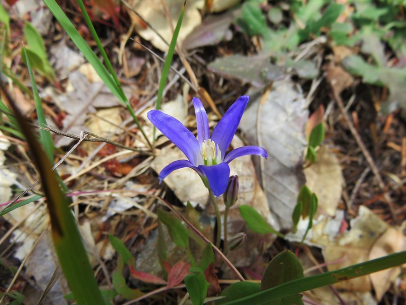
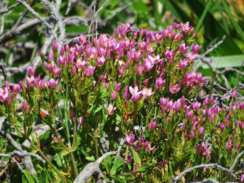
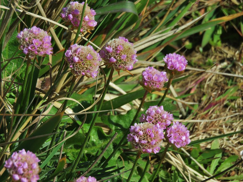
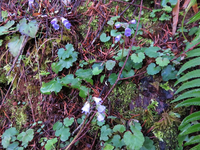
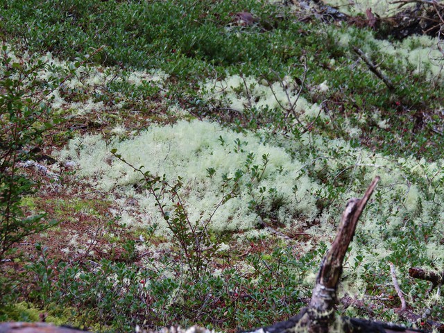
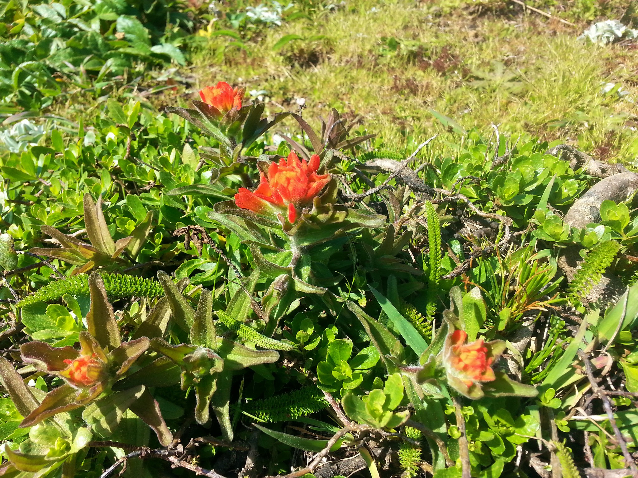
There were quite a few flowers on the protected north side of the headland.


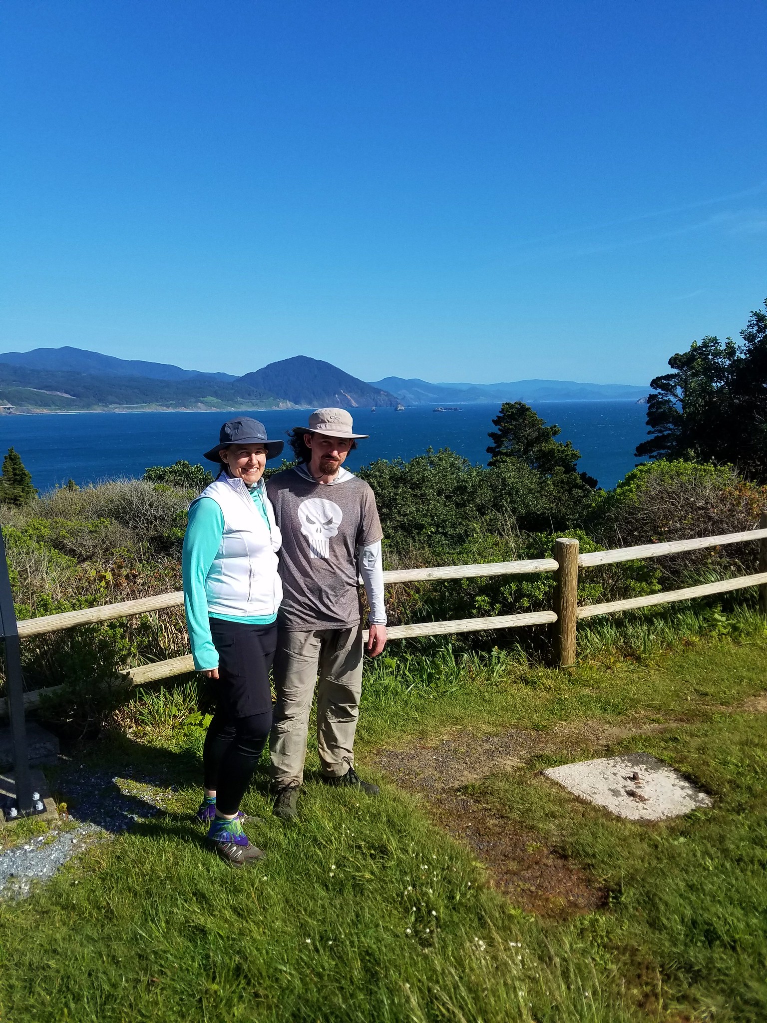
We completed our 1.3 mile loop by following the Headland Trail back to the museum parking lot. It had been an interesting day of hiking with a lot of variation between our four destinations. The whale smell had been bad and the road to Grassy Knob a little harrowing but all in all it had been a really good day. Happy Trails!
Flickr: Port Orford Area hikes


 Tillamook Head
 Tillamook Rock and Tillamook Head
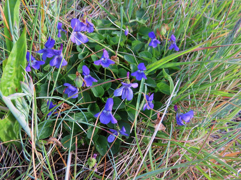
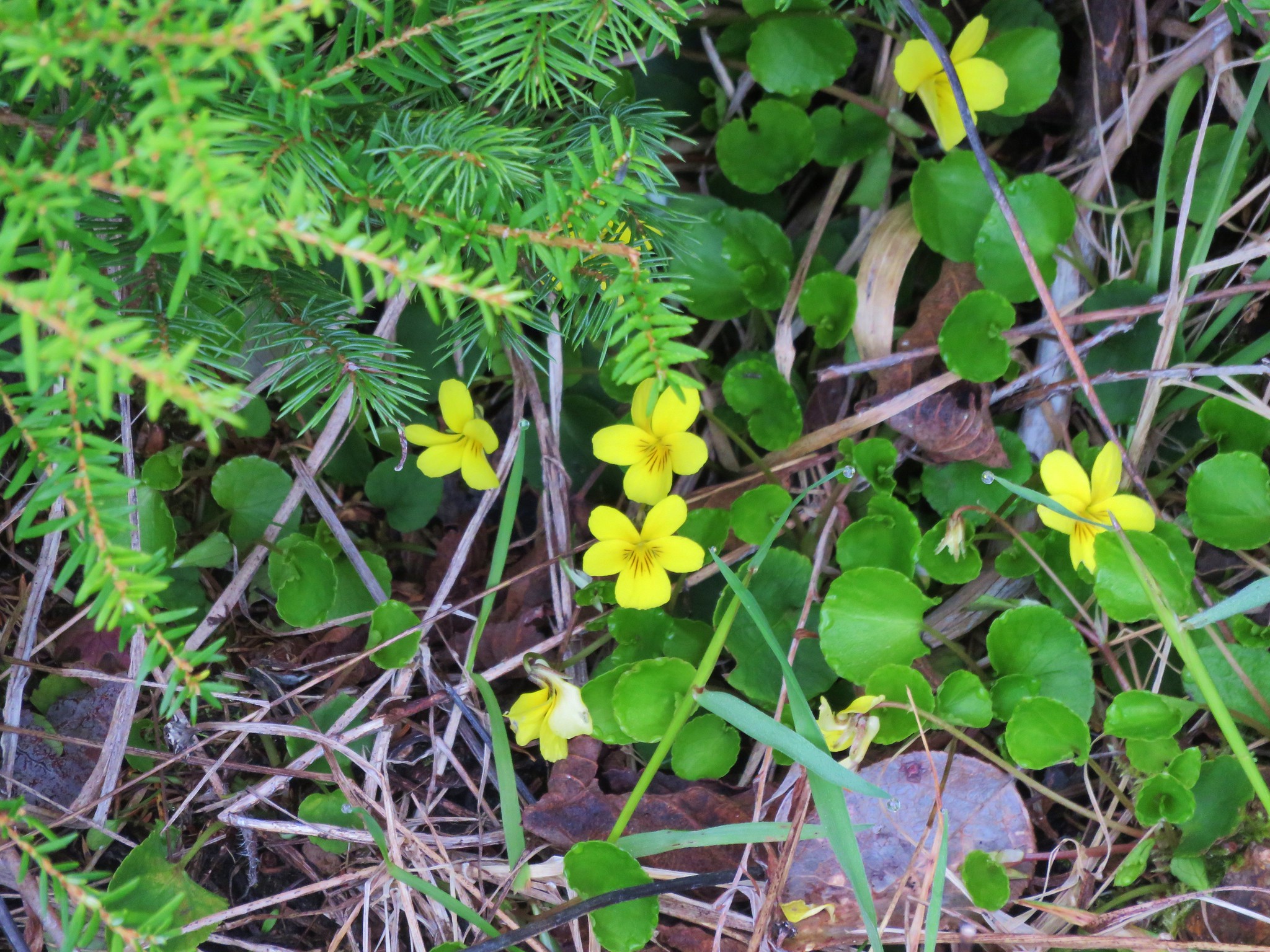 Violets
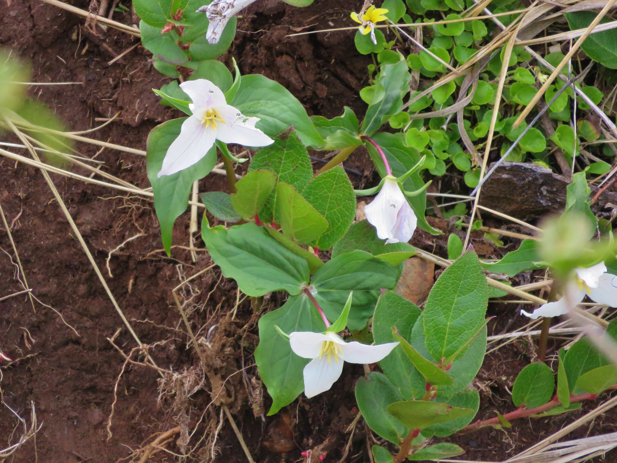 Trillium
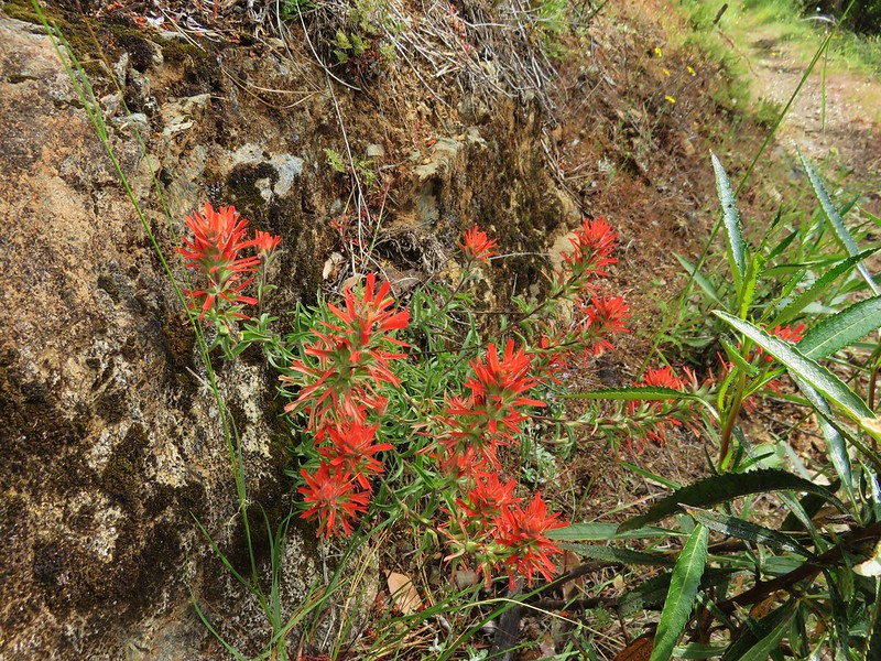
 Paintbrush
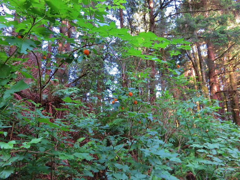
 Salmonberry
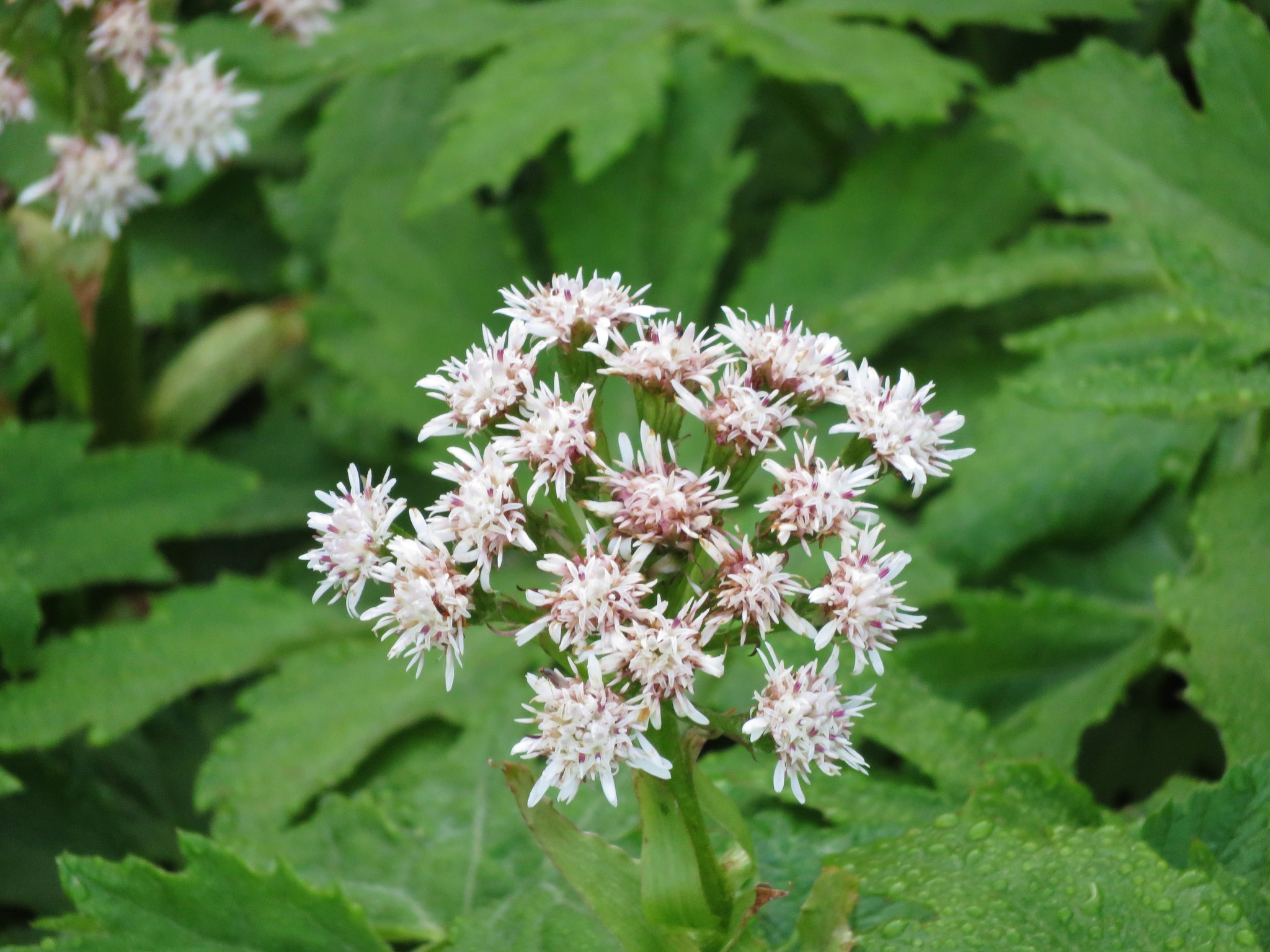 Coltsfoot
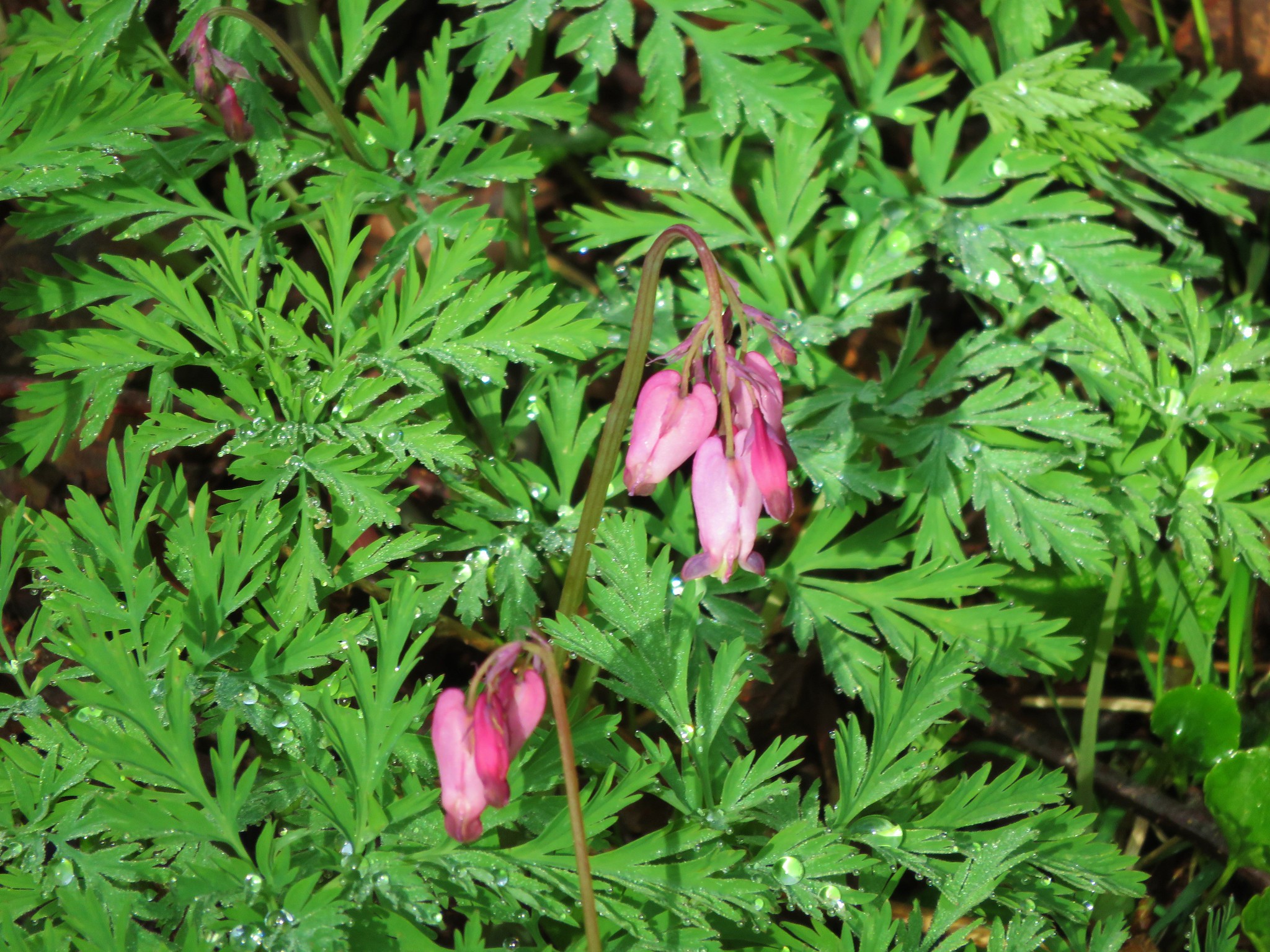 Bleeding heart
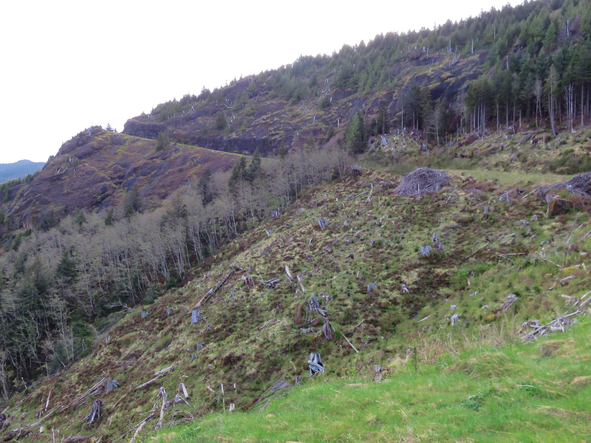


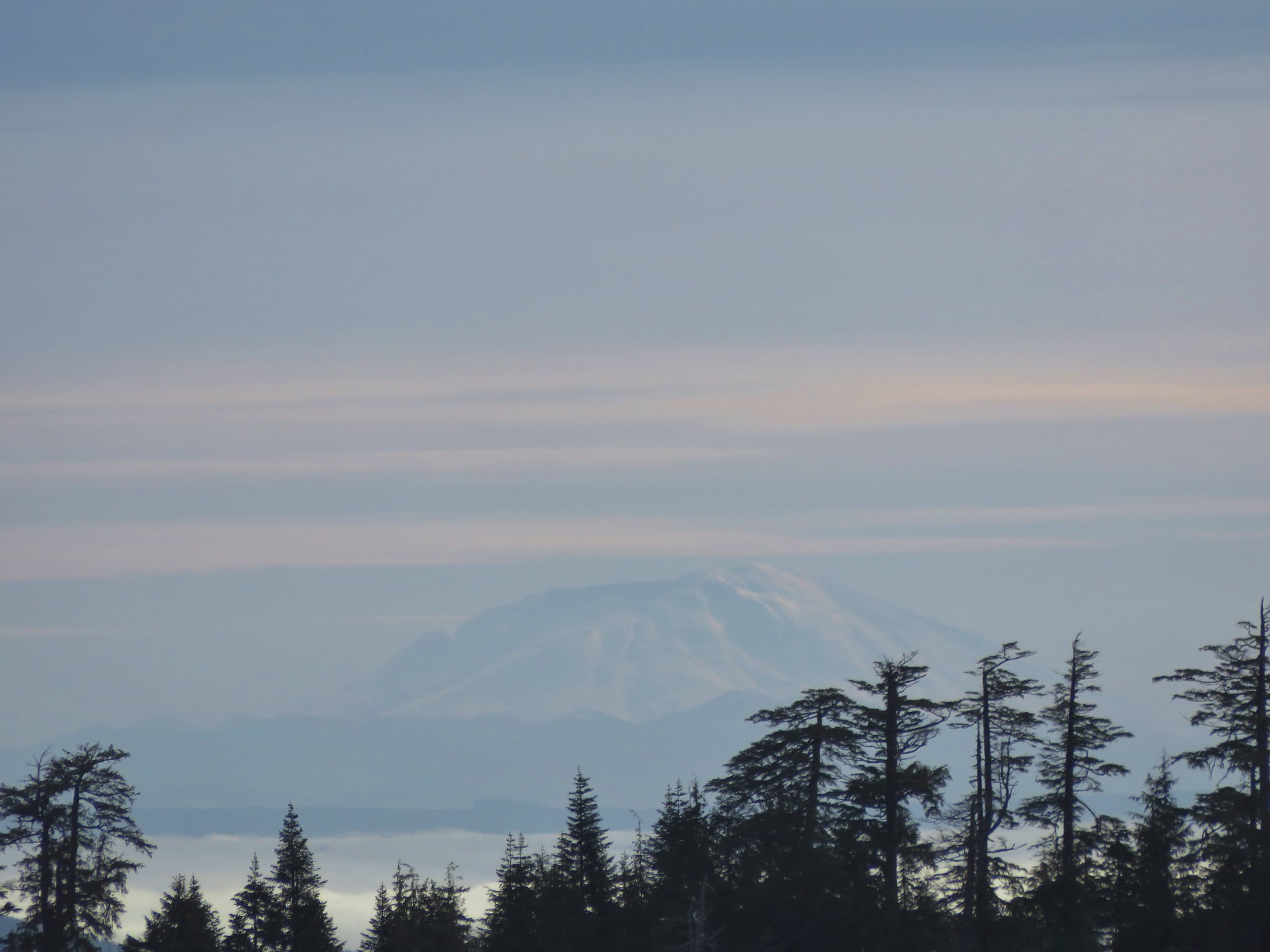 Mt. St. Helens