Categories
Hiking Klamath/Siskiyou Mountains Oregon Oregon Coast Southern Coast Trip report

Illinois River Trail and Indian Sands

Our wildest hike came Friday. We had planned on a 17.2 mile hike along the Illinois River Trail going 8.6 miles to Silver Creek and back. The description in our guidebook said to look out for poison oak and to check for ticks at the end so we were prepared for a bit of an adventure. Our hike began at a trailhead near the end of Oak Flat Road. To get there we took Jerrys Flat Road from Gold Beach 27 miles then turned right on Oak Flat Road road for another 3.1 miles.
IMG_7225

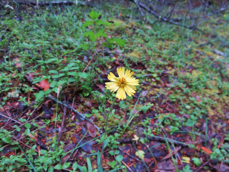
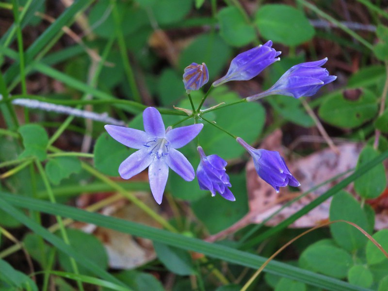
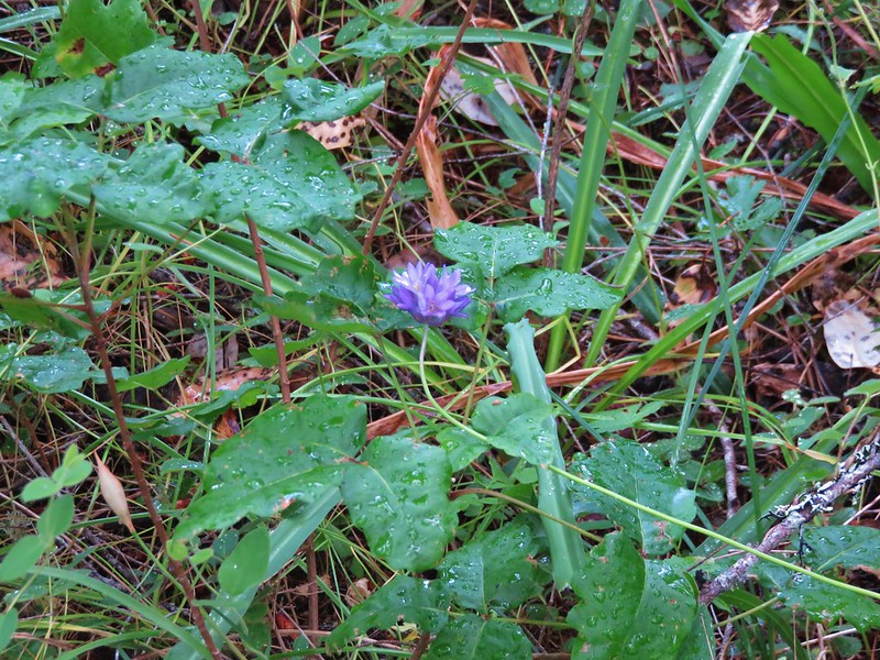
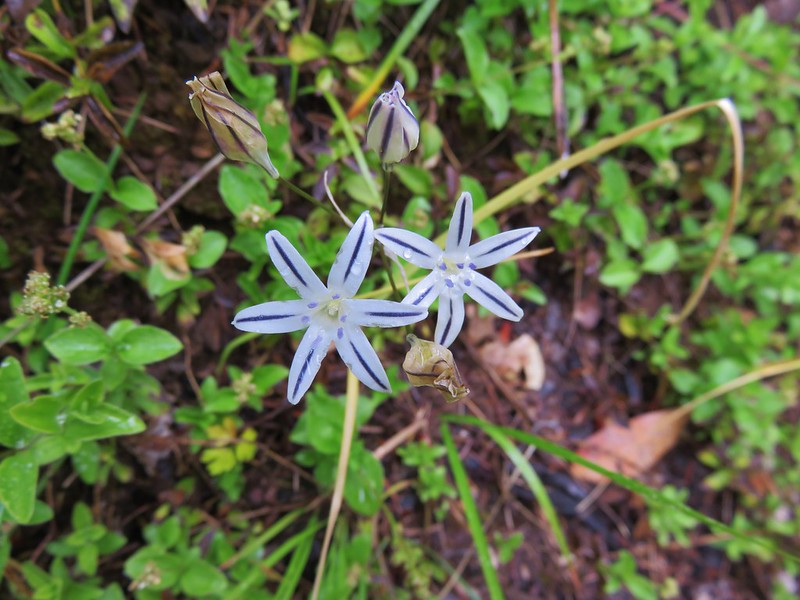
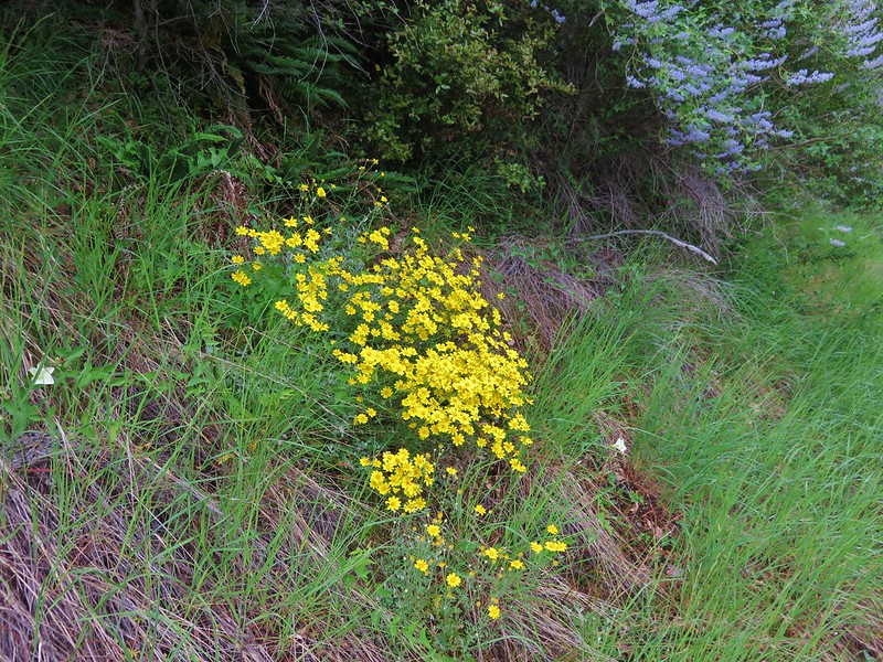
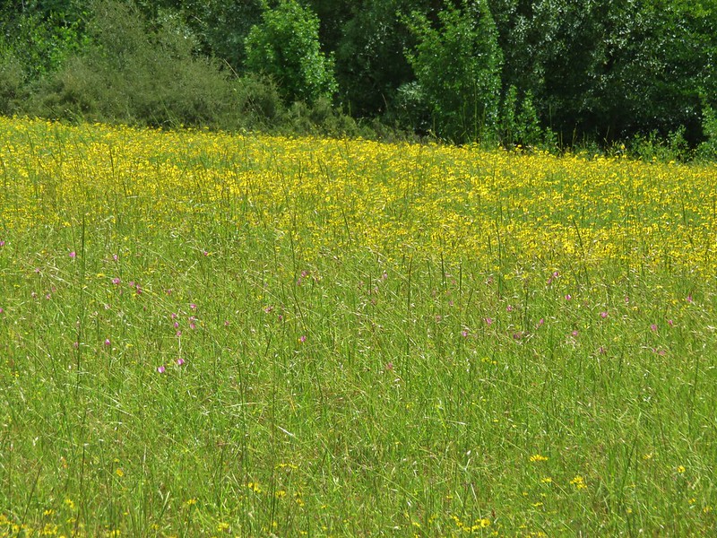
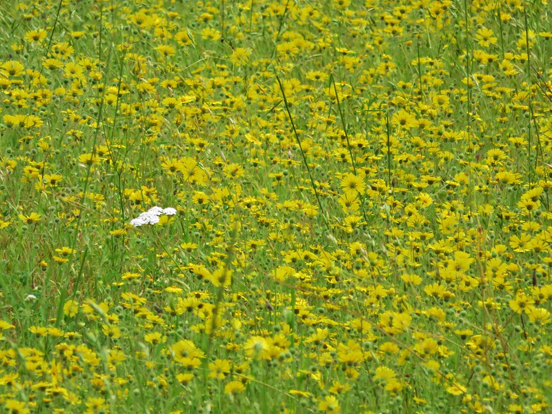
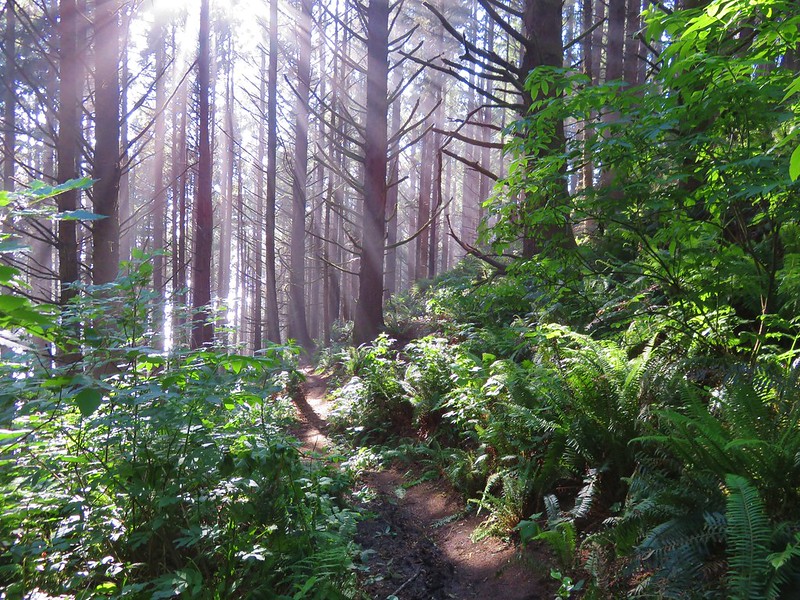
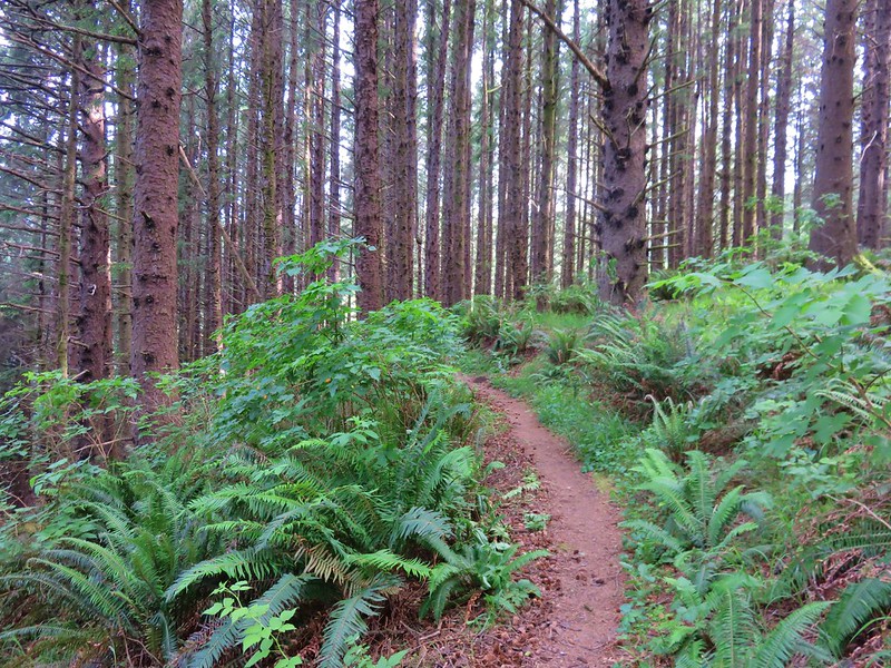
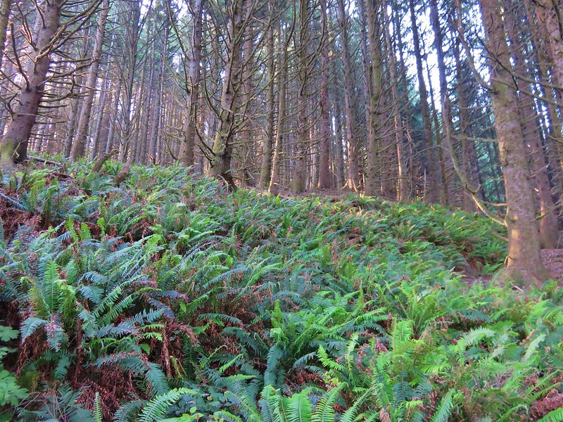
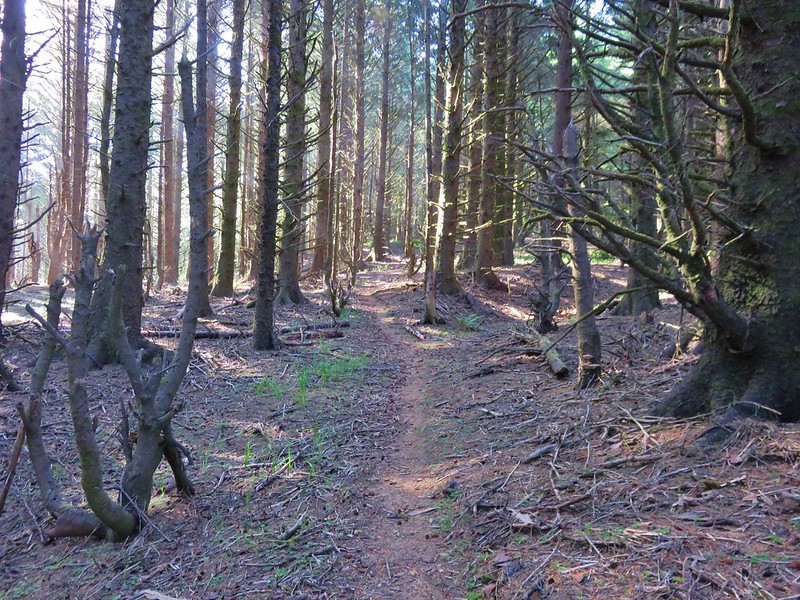
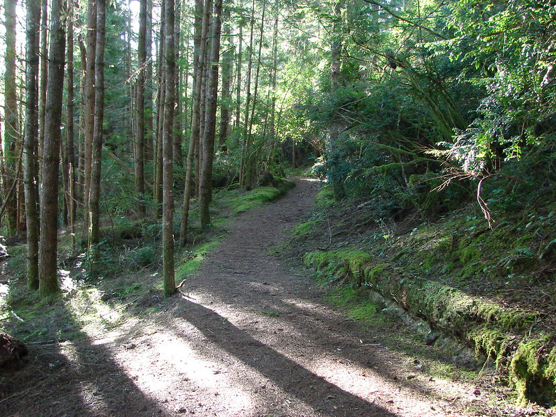
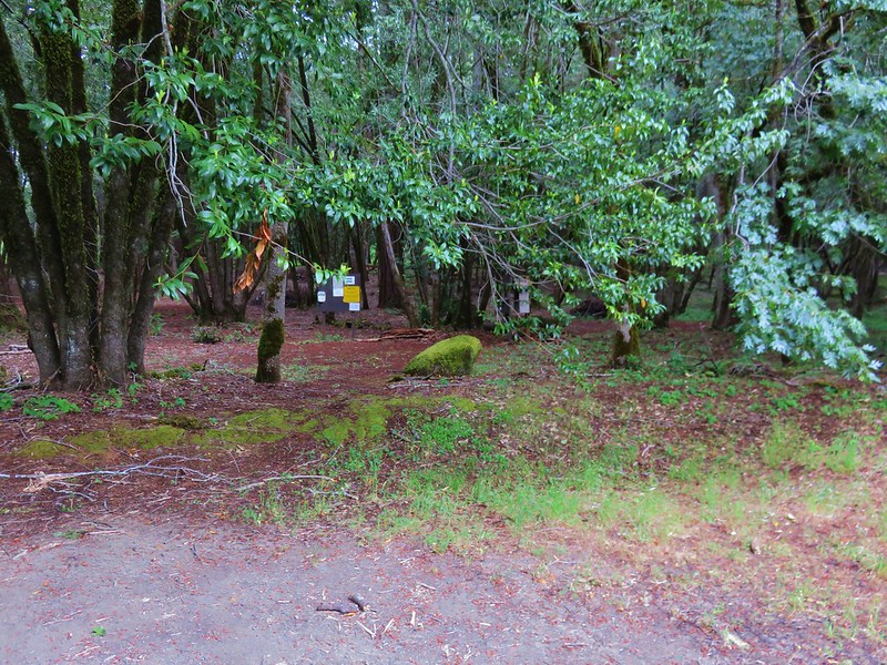
The trail set off through an open forest with lots of yellow and purple wildflowers and some poison oak.
IMG_7242

IMG_7234

IMG_7240

IMG_7241

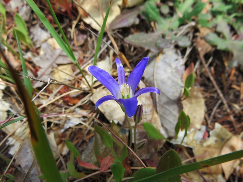
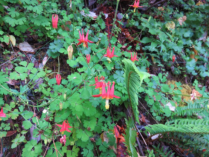
As we neared our first marker, Nancy Creek, we spotted a pair of deer that had already seen us and were heading back into the forest. Just beyond Nancy Creek we came upon a nice patch of columbine flowers. The only ones we would see during our vacation.
IMG_7247

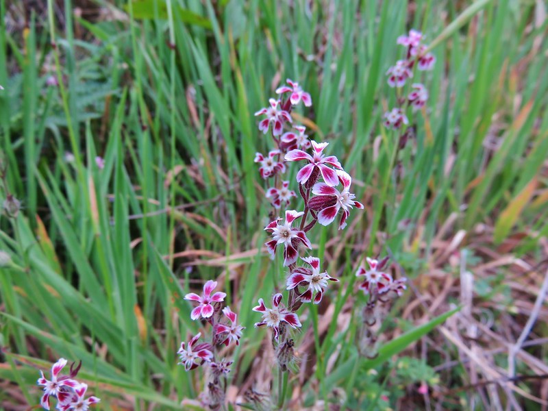
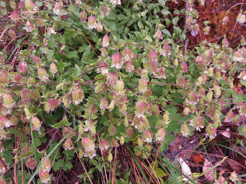
Other flowers here included catchfly and henderson’s stars.
IMG_7251

IMG_7264

The next creek up was Rattlesnake Creek. A short distance before reaching this small stream we spotted a black bear in the woods below the trail. It saw us at about the same time and promptly turned around. For some reason I failed to even reach for the camera as we watched it go back downhill through the trees.

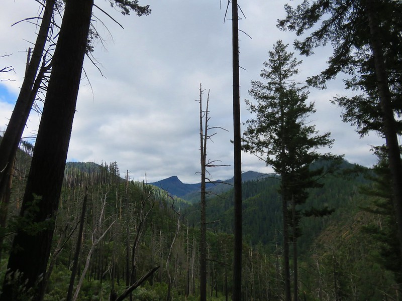
Beyond Rattlesnake Creek the trail entered an area where the trees had been lost to the 2002 Biscuit Fire.
IMG_7279

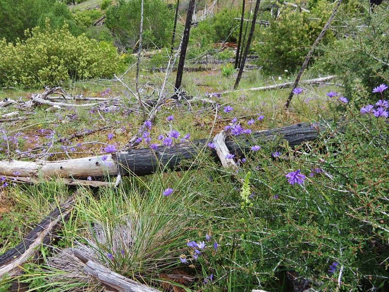
There continued to be a lot of flowers as well as the occasional patch of poison oak.
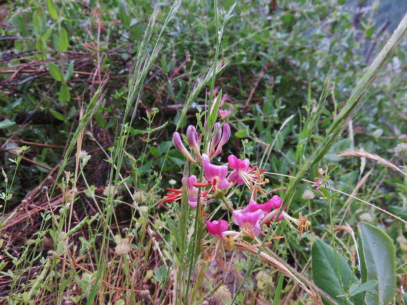
Pink honeysuckle
IMG_7284

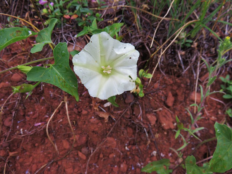
chaparral false bindweed

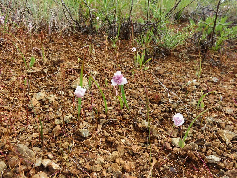
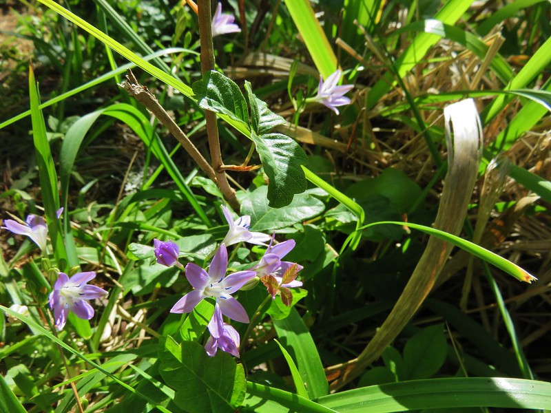
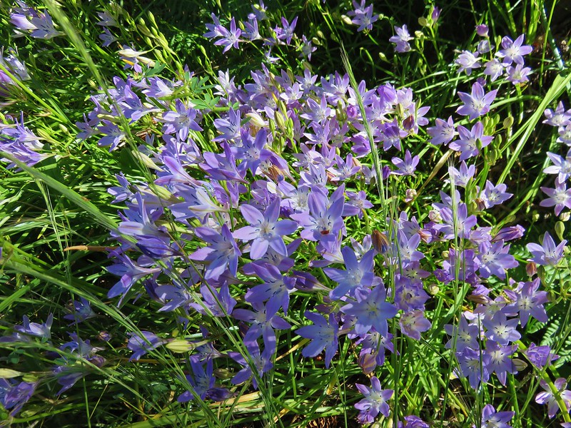
Bridges’ brodiaea
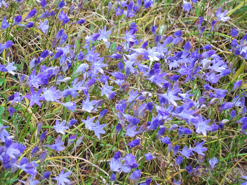
Bridges' brodiaea

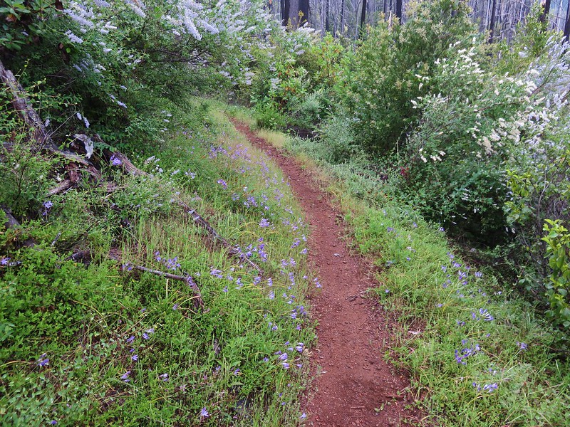
With the trees mostly burned this section of trail was crowded by brush.
IMG_7286

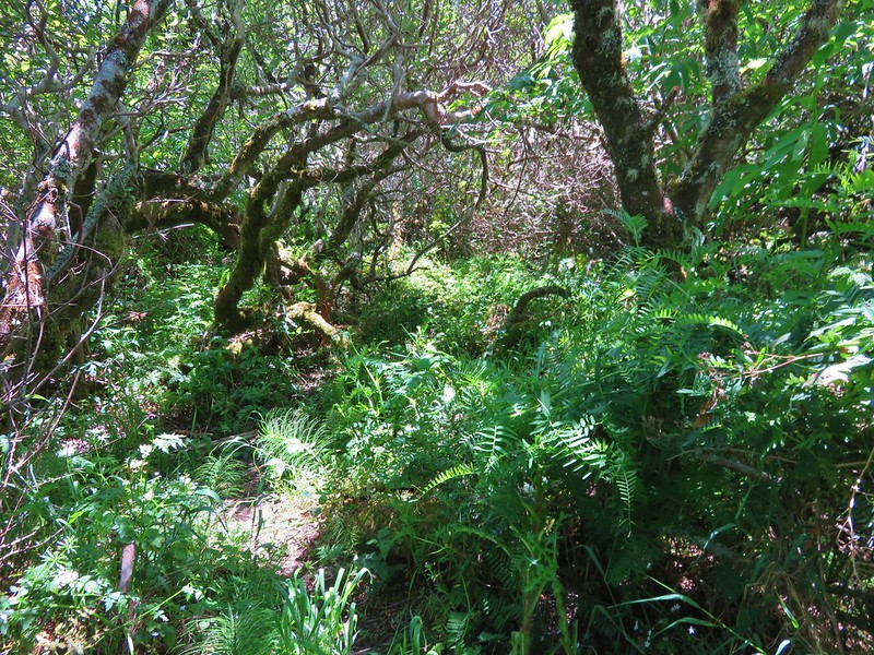
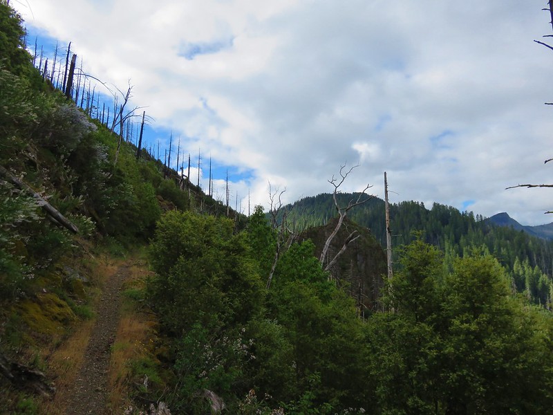
The amount of poison oak increased in the area of Ethels Creek and we started picking up ticks. Heather was the first to notice. She made an alarmed sound behind me and I turned around to see several ticks climbing up her legs. Looking down at my own I immediately spotted three. We brushed them all off and started to hike again. We had not gone far at all before Heather exclaimed again. We both had multiple ticks on our legs again. This had gone on for about a mile when we reached the Buzzards Roost, a rocky outcrop, at the 2.5 mile mark of our hike.
IMG_7311

A short scramble path went out onto the Buzzards Roost but we could see poison oak along that path and were too preoccupied with looking for and knocking off any additional ticks. We were discussing what to do as the number of ticks that we’d already brushed off was more than we could have imagined and it was giving us the willies. Things didn’t get any better when one of my trekking poles slid off the log I had propped it on. I had made the mistake of leaning it on the log without checking the area around the log. We watched it fall and bounce on some little poison oak plants. We used some wipes to pick it up (along with yet another tick) and then wiped it down as best as we could. I had also left my gloves in the car which would have come in handy since it was the grip that had made contact with the poison oak.

After a thorough cleaning we decided to at least try and go another 2 miles to Indian Flat and Indigo Creek and see if the tick and poison oak situation got any better.

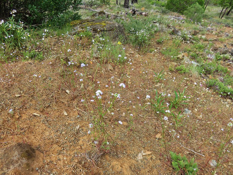
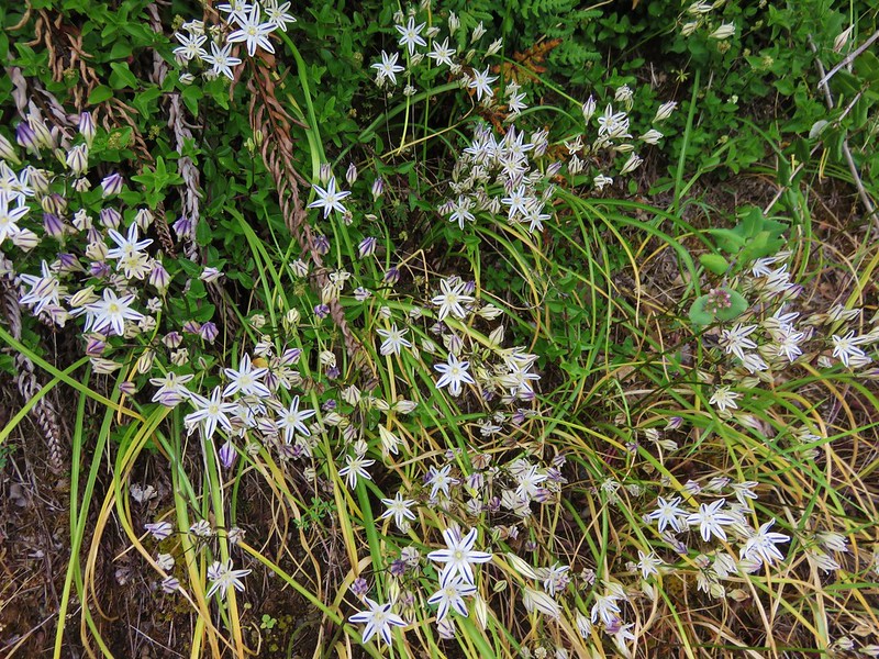
It did improve some beyond the Buzzards Roost where the trail had rounded the hillside and was now on the southern facing slope which was drier with less brush crowding the trail. The flower display along this section was impressive.
Henderson’s Stars
IMG_7314

IMG_7318

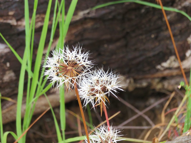
Silver puff
IMG_7320

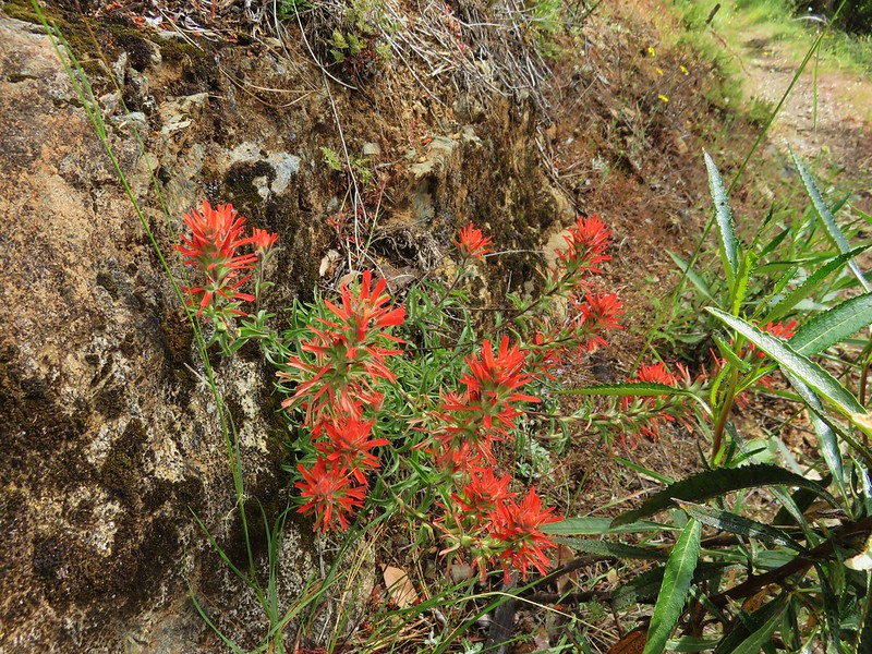
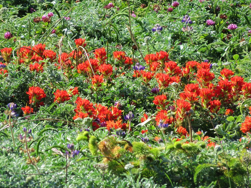
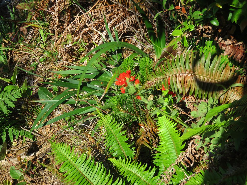
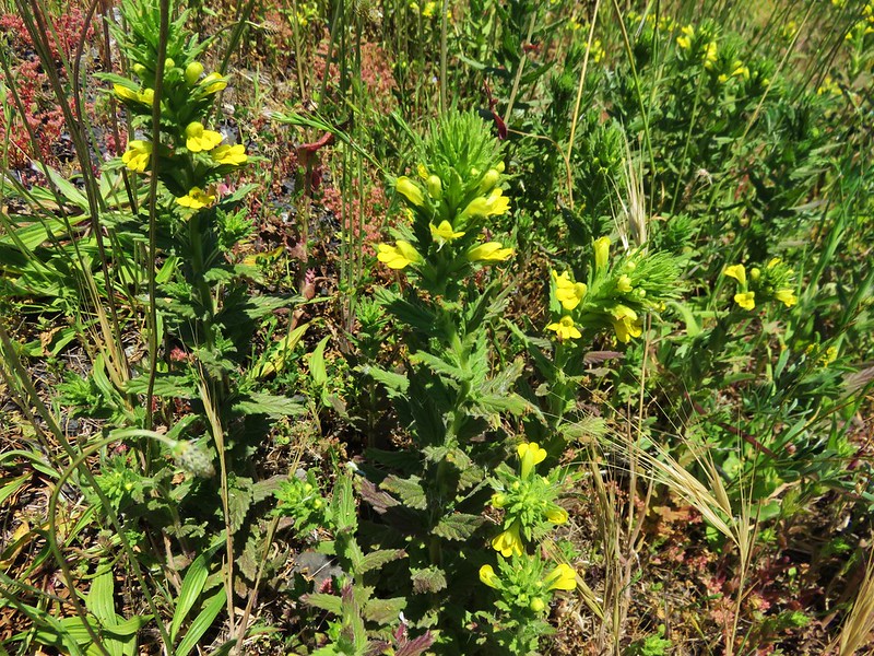
Paintbrush
IMG_7325

Blue gilia in the foreground
IMG_7329

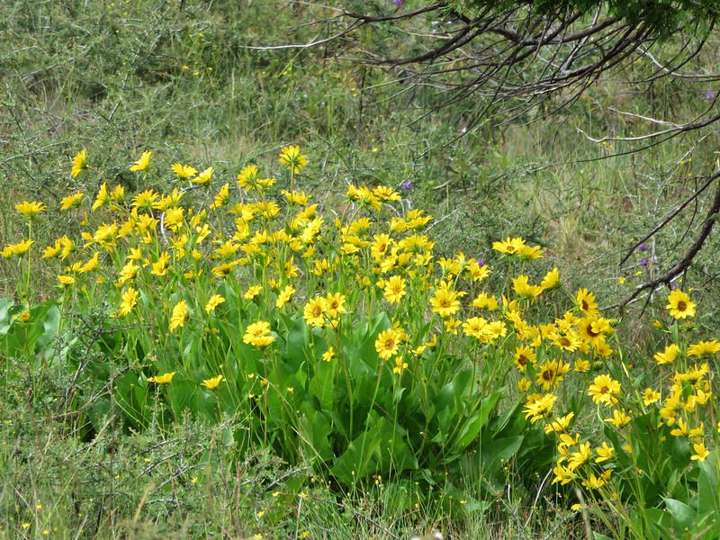
Balsamroot
IMG_7332

Mariposa lily
IMG_7333

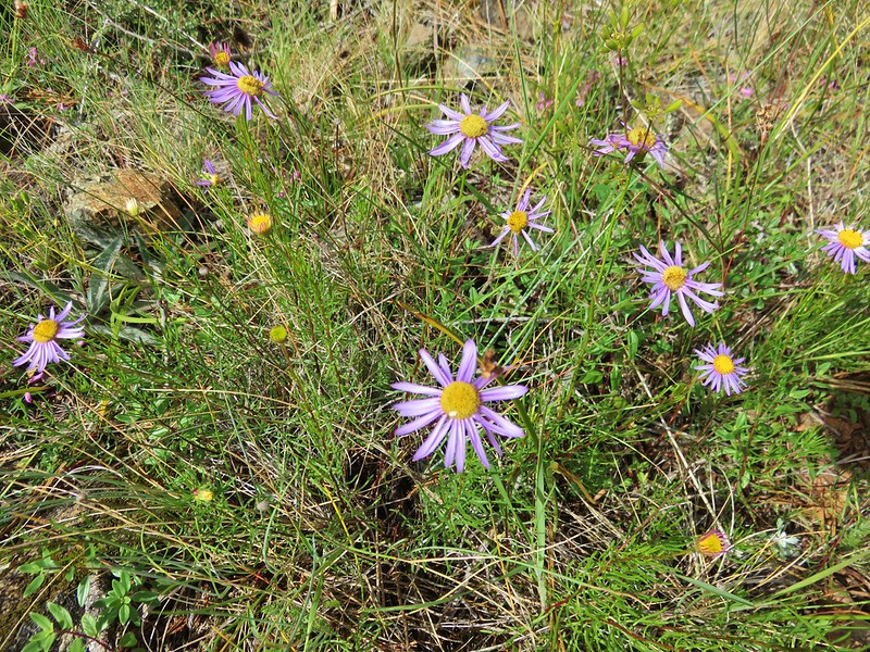
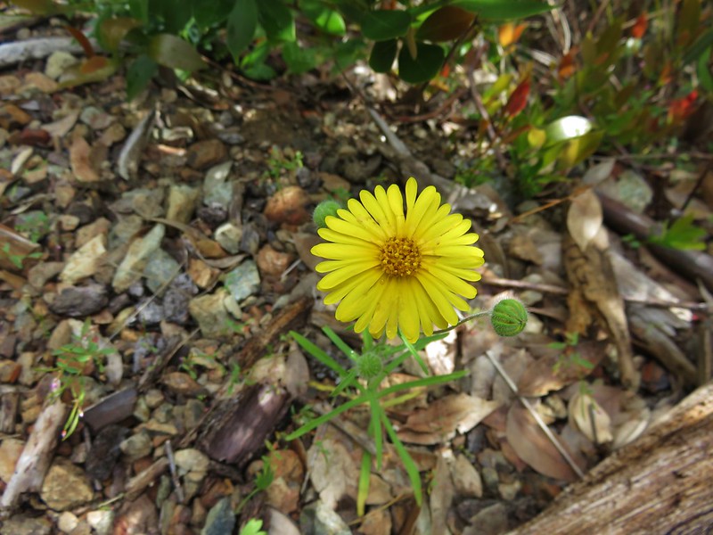
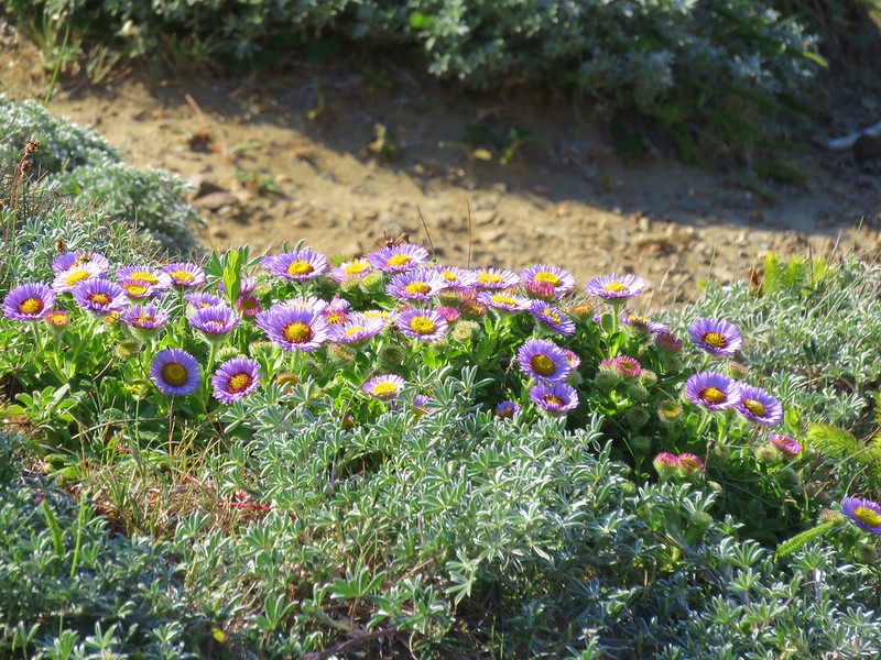
Fleabane
IMG_7344

Madia
IMG_7357

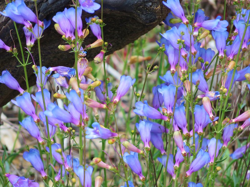
Penstemon
IMG_7428

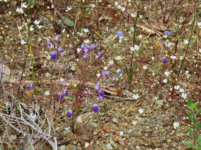
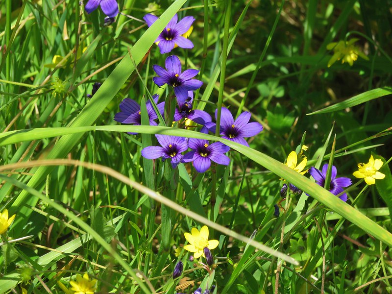
Narrowleaf blue eyed mary
IMG_7429

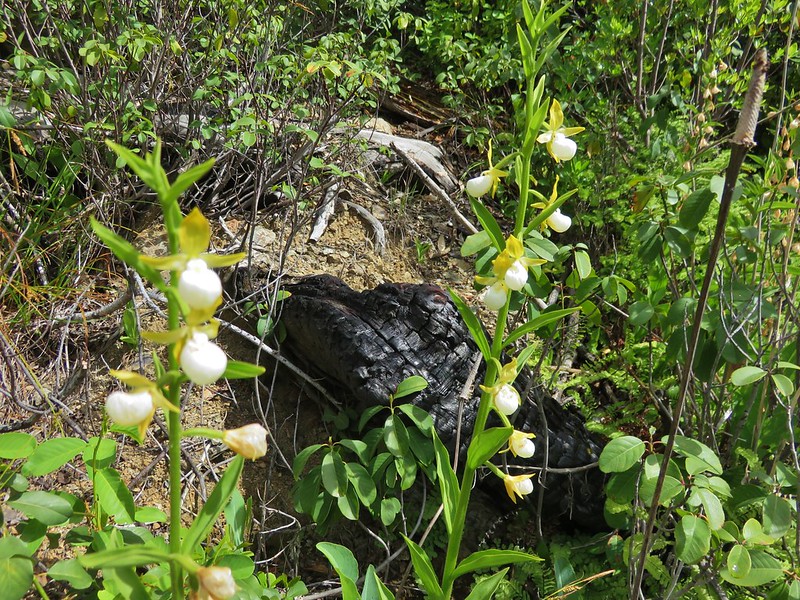
California lady-slippers
IMG_7373

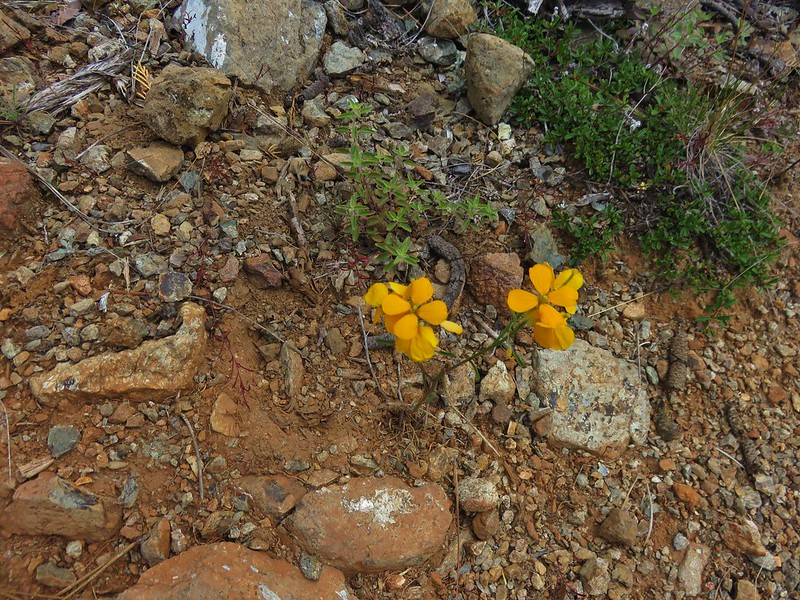
Western wallflower
IMG_7377

Ookow
IMG_7437

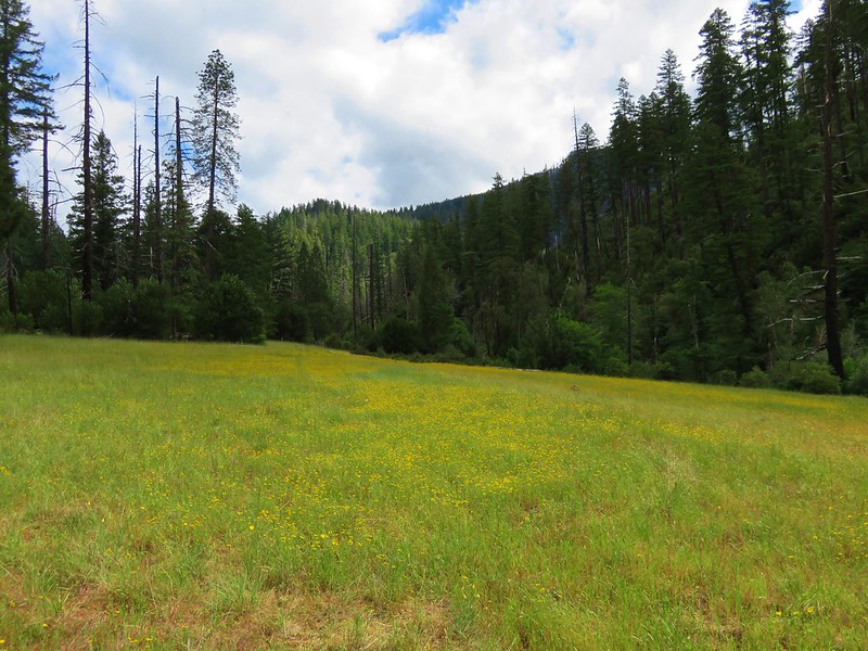
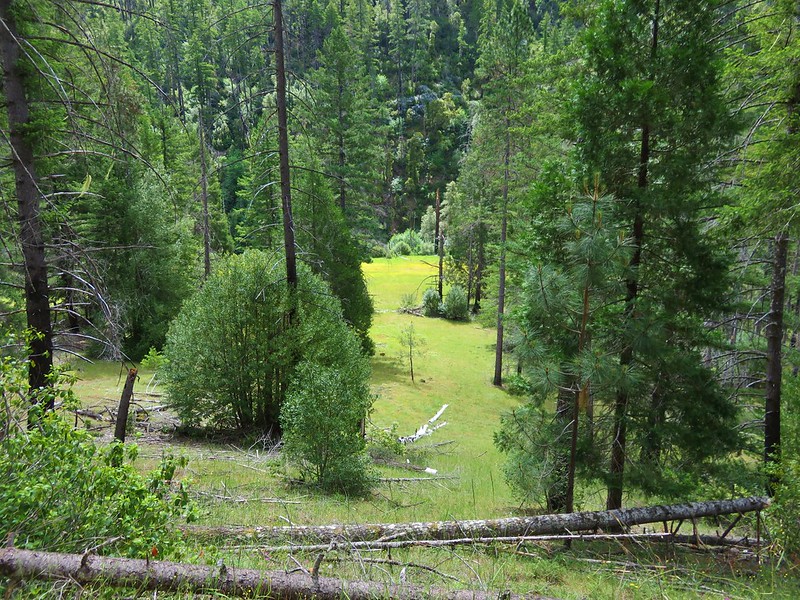
About 1.7 miles from the Buzzards Roost an old roadbed split off to the left. This led .2 miles to the meadow at Indian Flat.
IMG_7380

IMG_7389

IMG_7388

IMG_7391

IMG_7392

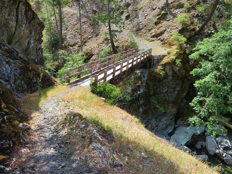
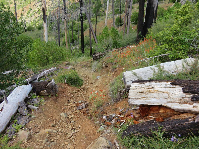
We continued on the Illinois River Trail and descended to the bridge across the lovely Indigo Creek.
IMG_7399

IMG_7405

IMG_7408

IMG_7411

On the far side of the creek we stopped to do a more intensive tick check. There were just a couple of stragglers to knock off and we decided to try and continue at least another .7 miles to Fantz Ranch. The trail began to climb uphill to reach a saddle above the ranch. As we climbed the switchbacks the amount of poison oak began to increase again. When it appeared that there was going to be no way past one patch without going through it we finally gave in and decided to call it. We’d made it a little over 5 miles and had seen a lot of neat stuff despite everything.

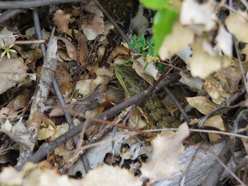
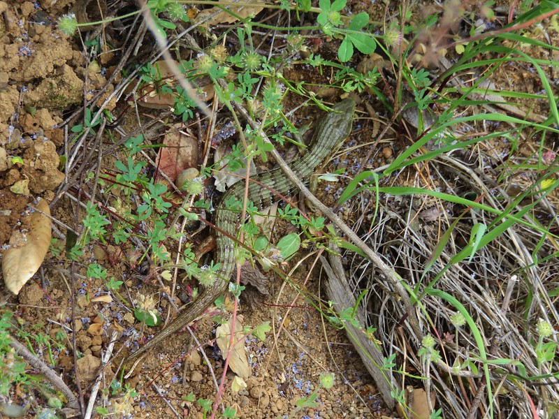
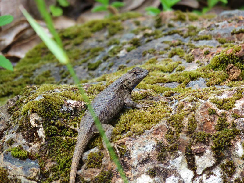
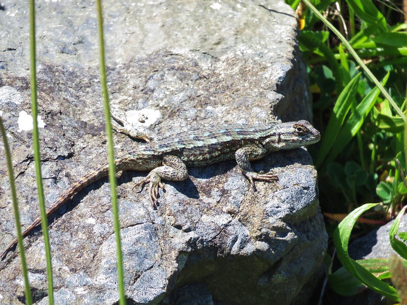
As we made our way back we stopped regularly to brush off the inevitable ticks. There were other more enjoyable critters out along the trail as well including a large number of alligator lizards. We hoped that they were filling up on the little blood suckers. 🙂
IMG_7435

IMG_7448

IMG_7451

IMG_7458

IMG_7397

IMG_7474

Back at the trailhead we wiped everything down in an attempt to remove an urushiol we might have picked up from contact with poison oak and did a final tick check before heading back to Gold Beach. We stopped by our room to shower and soak in the hot tub to try and relax.

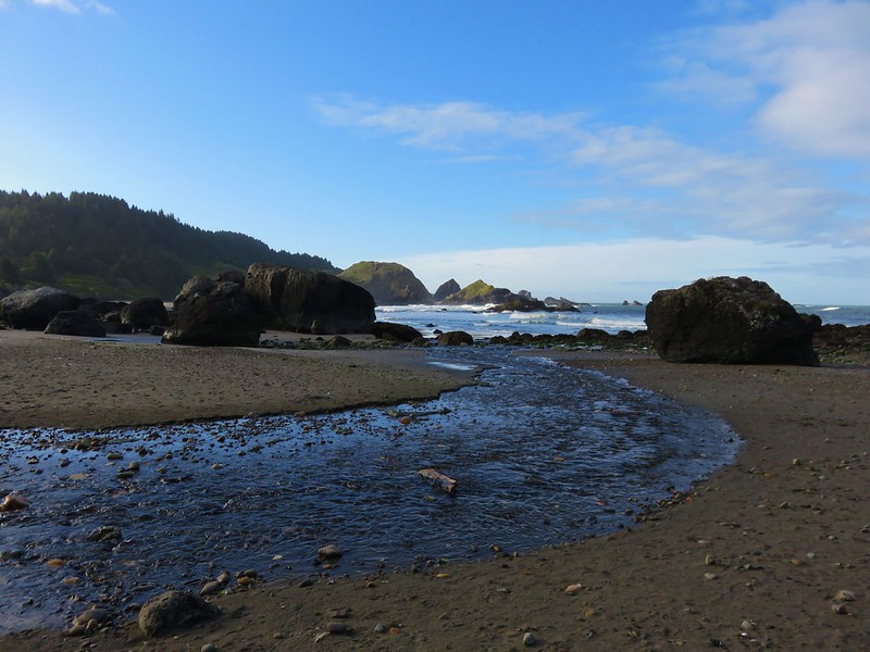
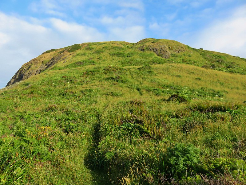
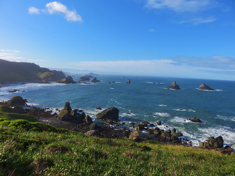
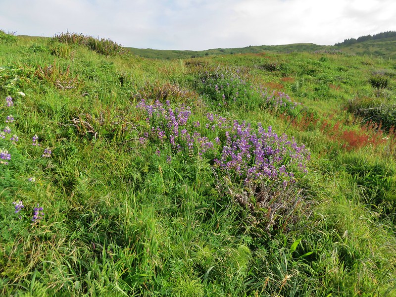
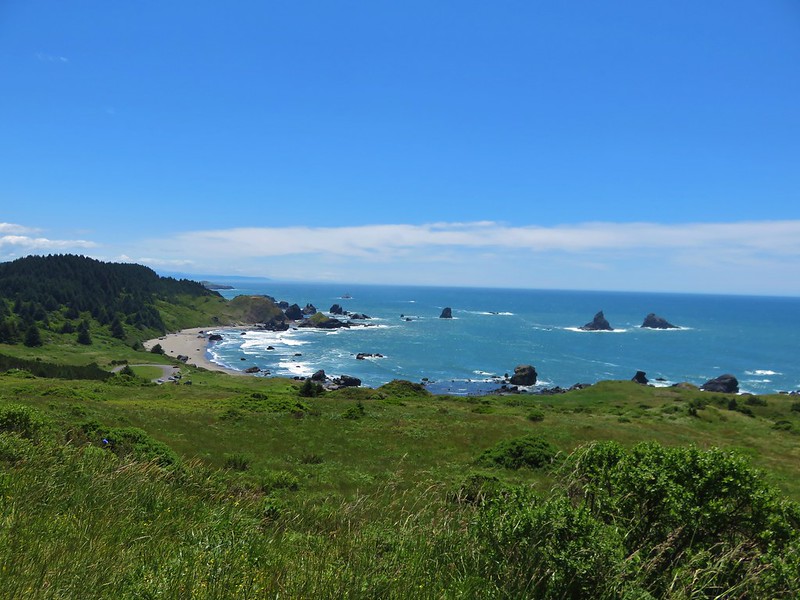
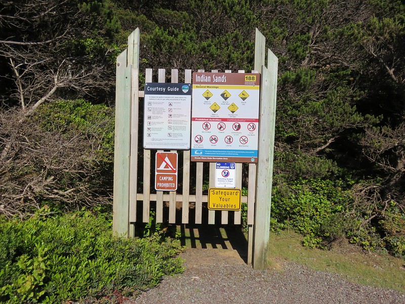
We decided that since we had cut our hike short we should go back out in the evening to check out Indian Sands in the Samuel H. Boardman State Scenic Corridor. We had not gone that far on Thursday when we were hiking in the southern portion of the park so we drove back down and parked at the Indian Sands pullout.
IMG_7478

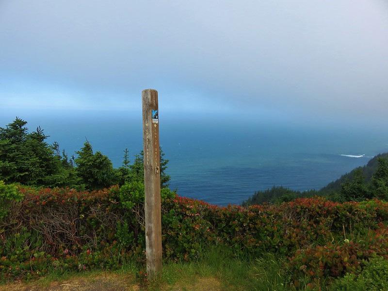
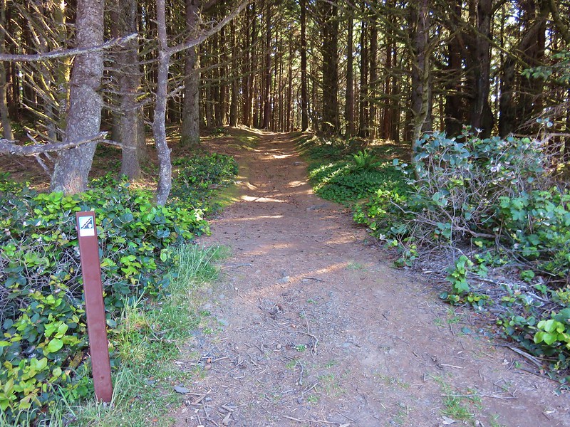
We set off on the wide Oregon Coast Trail.
IMG_7479

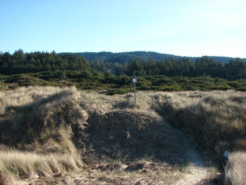
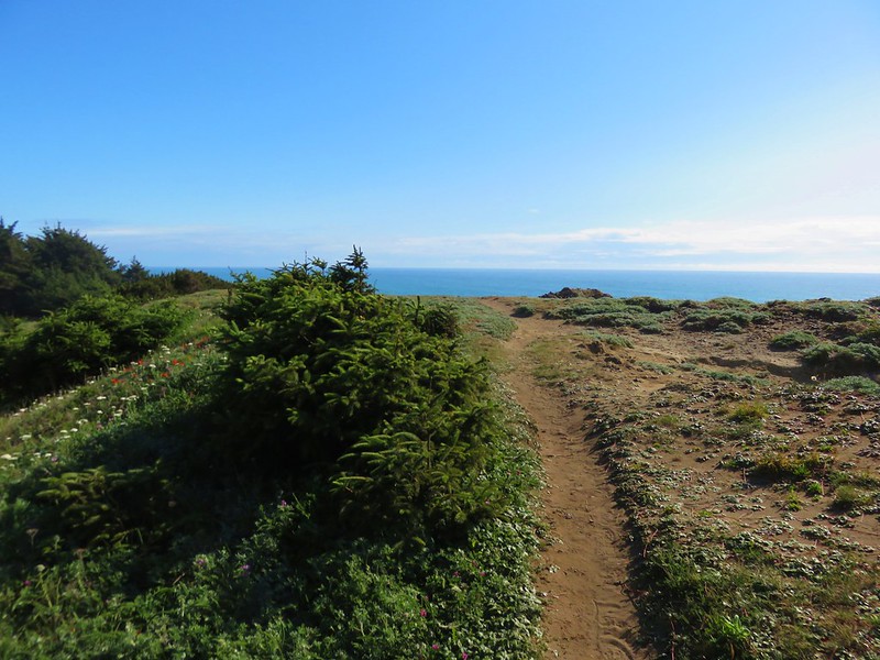
A confusion of paths led off toward the ocean and the dunes of Indian Sands from the trail. We weren’t sure which was the “correct” one but we just kept heading toward the Pacific until we could see sand and then headed for that.
IMG_7482

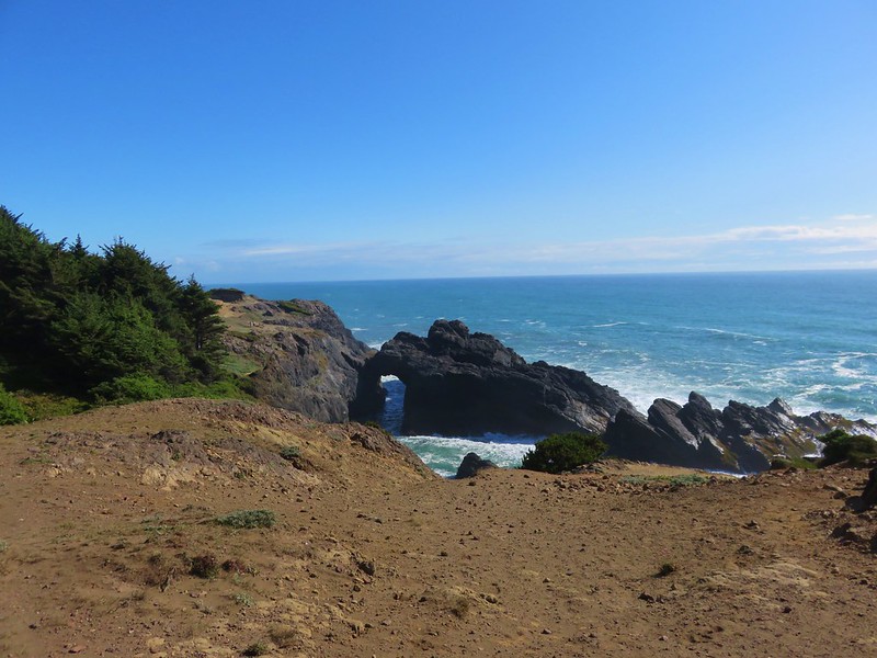
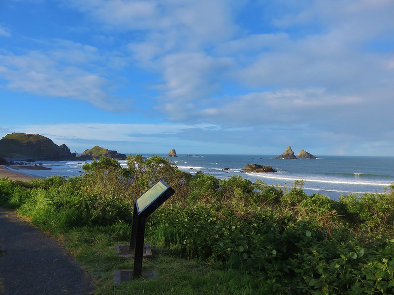
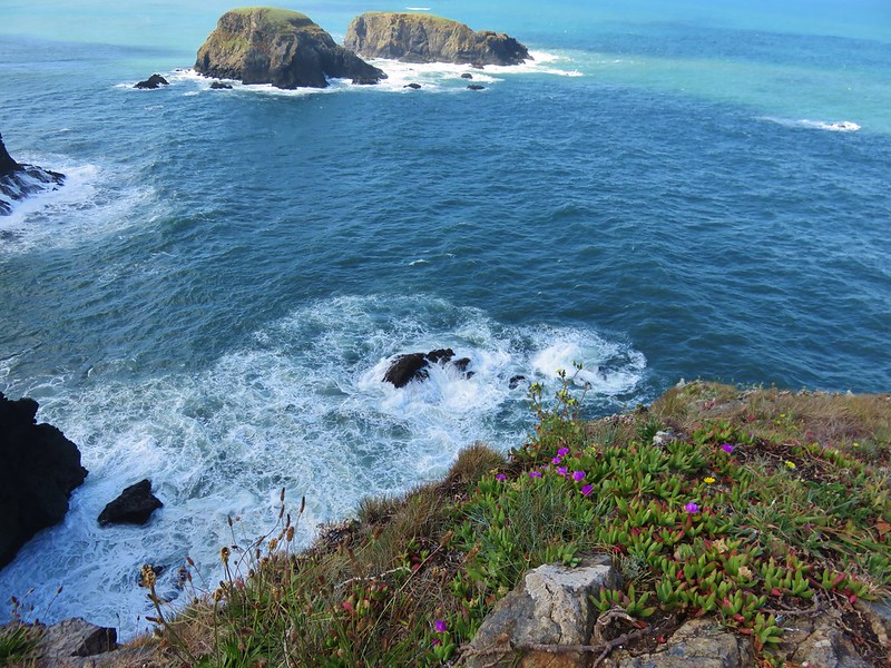
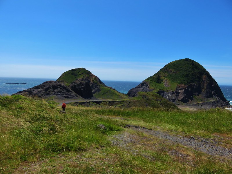
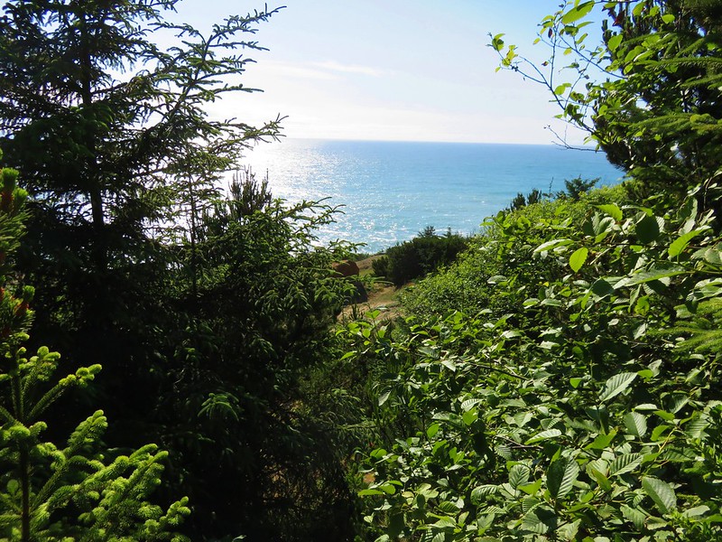
We followed a path out to a wildflower covered viewpoint of a rock arch.
IMG_7492

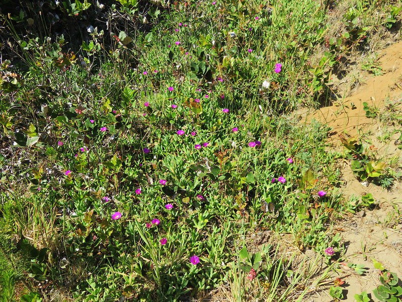
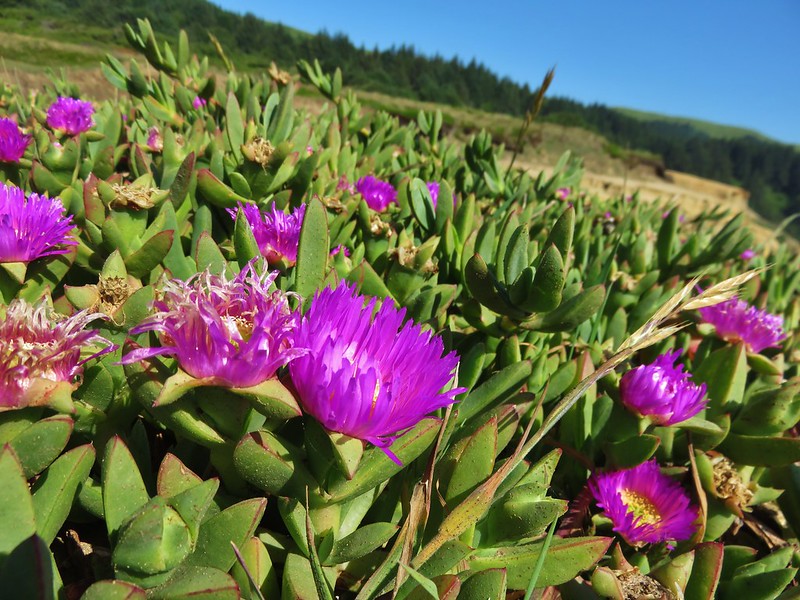
Sea figs
IMG_7484

IMG_7485

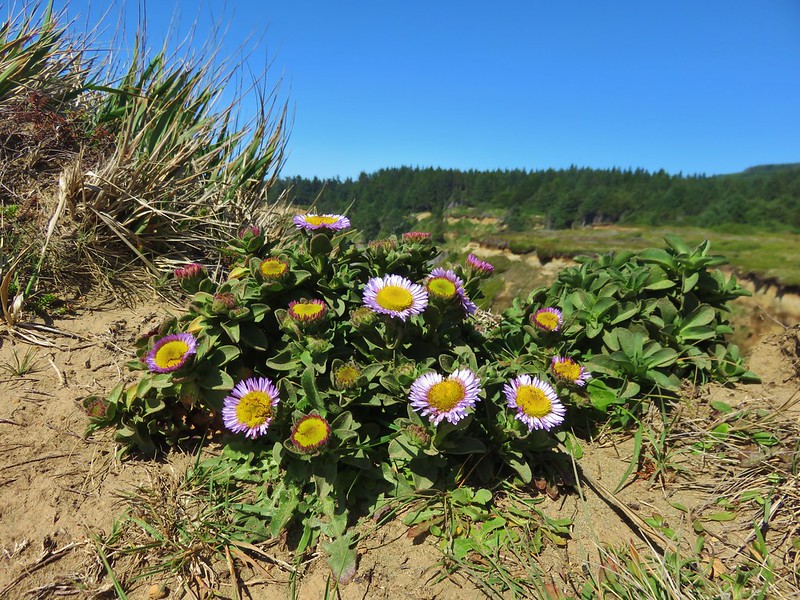
Seaside daisy
IMG_7495

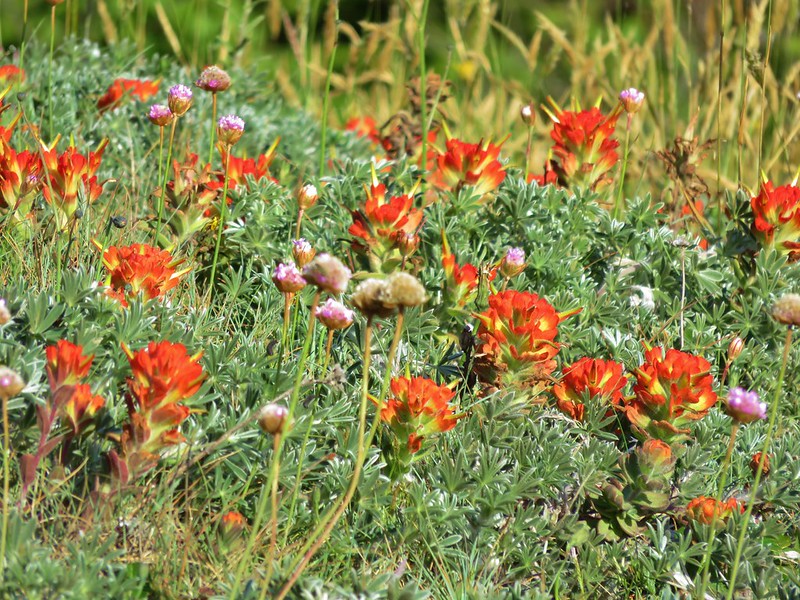
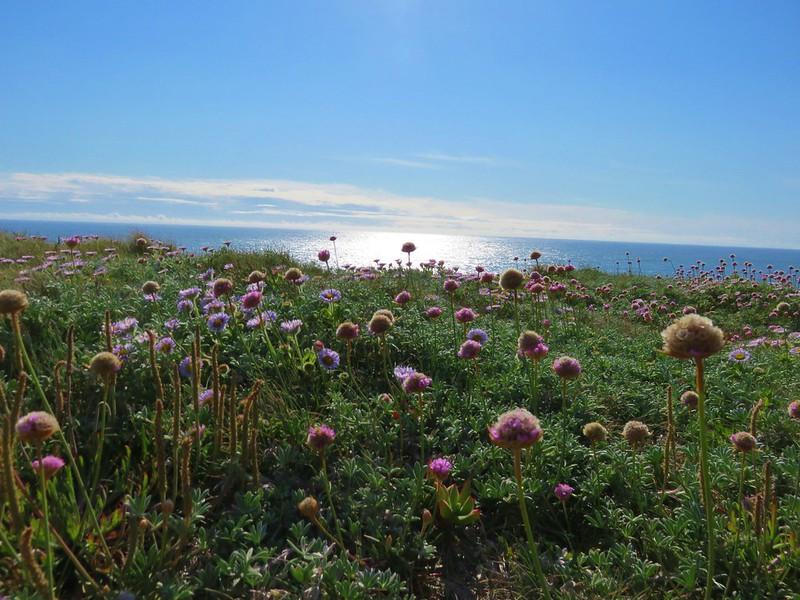
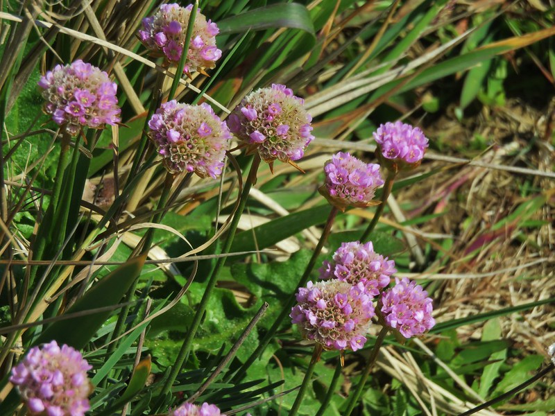
Sea thrift and paintbrush
IMG_7497

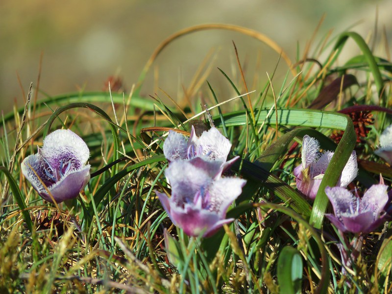
Mariposa lilies
IMG_7500

IMG_7498

IMG_7506

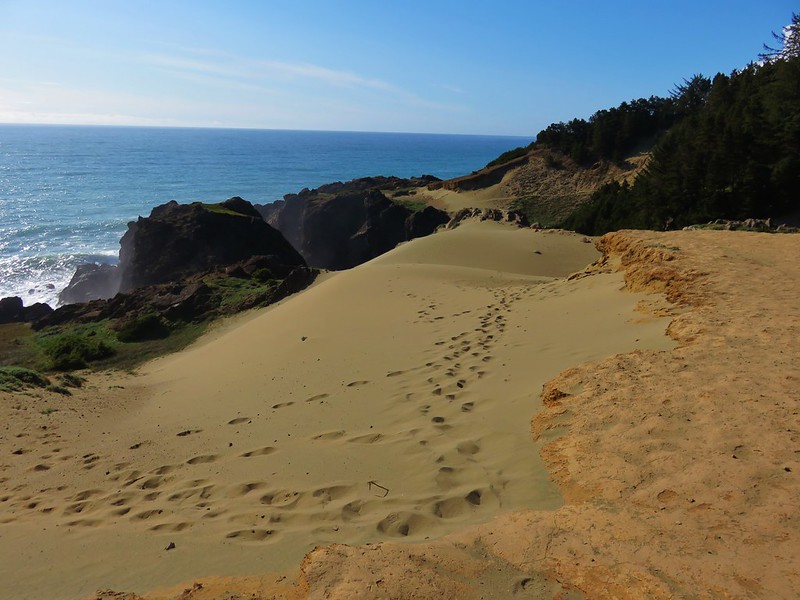
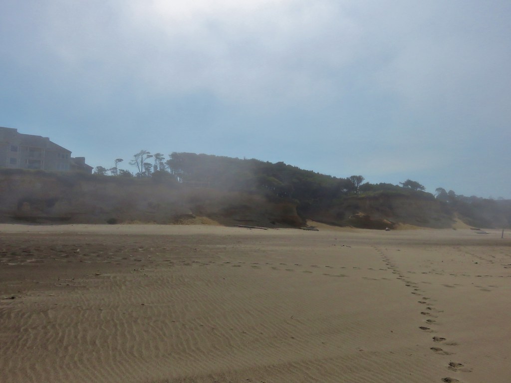
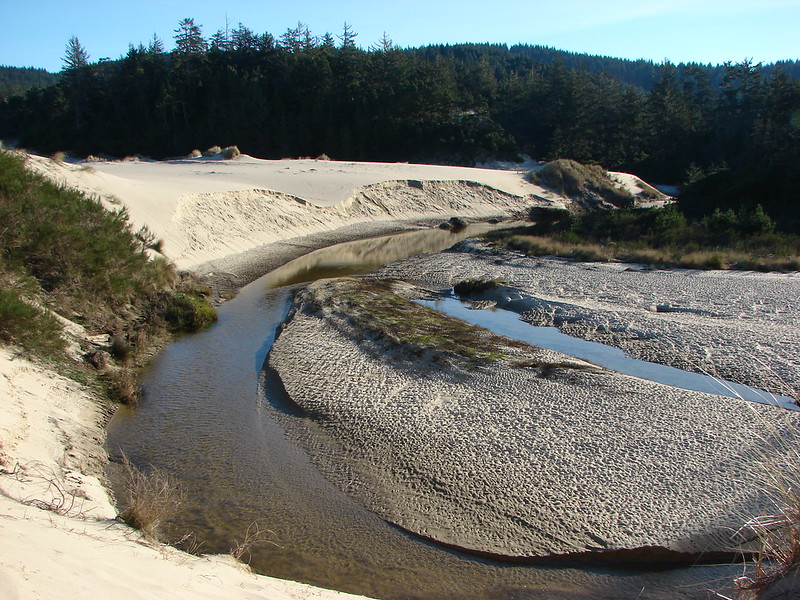
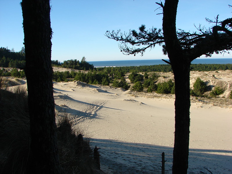
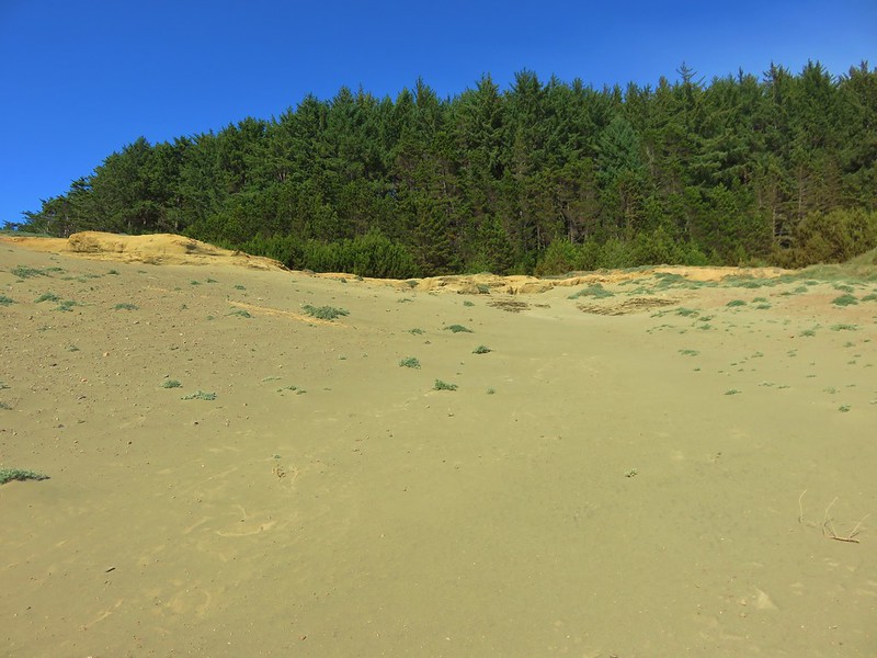
The sandstone cliffs here create the dunes making it an interesting area unlike anything else we’d seen in the park.
IMG_7513

IMG_7514

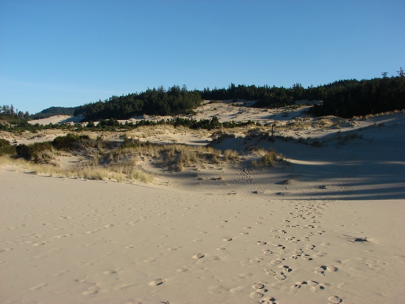
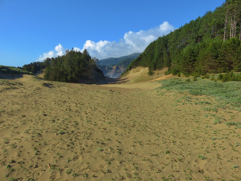
We made our way north following footprints in the sand.
IMG_7516

IMG_7521

IMG_7519

IMG_7527

IMG_7528

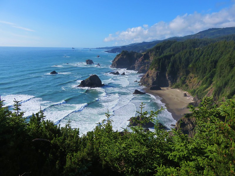
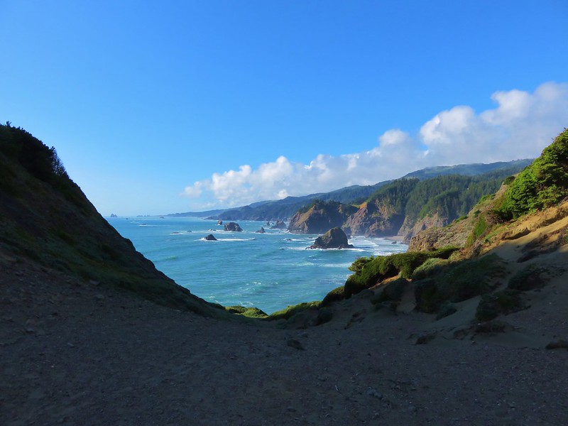
We came to a saddle with a great view where a trail to the right led up through a brush covered slope back into the forest and onto the Oregon Coast Trail.
IMG_7532

IMG_7536

IMG_7541

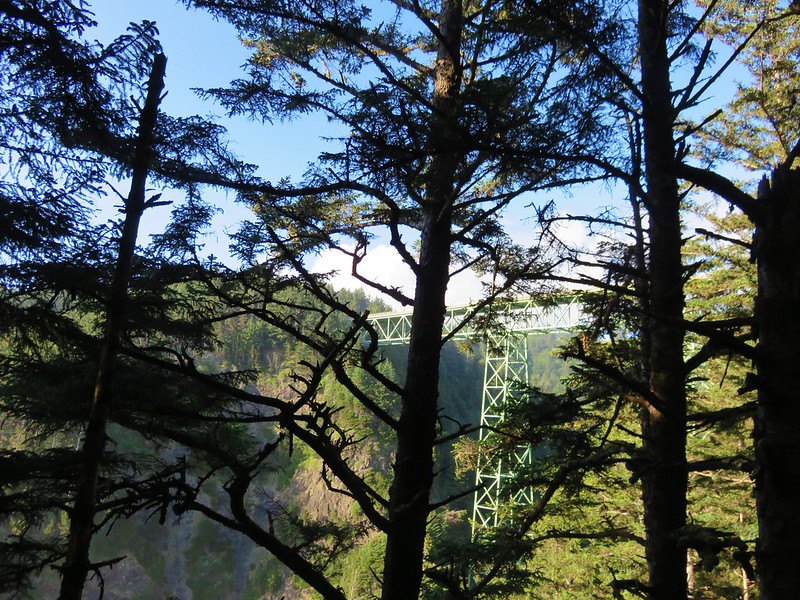
Turning right on the Oregon Coast Trail would have taken us back to the car but we decided to turn left and check out the Thomas Bridge Viewpoint. We’d driven over the bridge multiple times already and read that it was the highest bridge in Oregon at 345′. We left the Oregon Coast Trail at a split in the trail where it headed uphill toward the parking area for the viewpoint. We headed downhill to the left to find the viewpoint. The first viewpoint we came to was partly blocked by trees.
IMG_7543

The trail continued out along a ridge so we followed it looking for a better view. We noticed another trail along the right that hopped over the ridge and headed steeply down into the trees. We ignored that and continued heading for the ocean. No view of the bridge had appeared as we rounded the end of the ridge but the trail kept going now heading downhill back inland. It did wind up leading to a better, but not great, viewpoint.
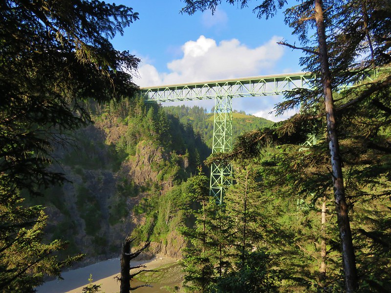
IMG_7547

From this viewpoint we followed a path uphill that wound up being the same trail we had seen going over the ridge and down into the trees. When we crested the ridge we met another couple looking for the viewpoint. We pointed them in the right direction before heading back to Indian Sands.

In the end it worked out really well to have turned back on the Illinois River Trail in time for us to get the hike in at Indian Sands. It was definitely worth the visit. We appear to have escaped the poison oak without any ill effects (at least not yet) and haven’t had to brush off any ticks since leaving the Illinois River Trail. Happy Trails!

Flickr: https://www.flickr.com/photos/9319235@N02/sets/72157666245754163
Categories
Hiking Oregon Oregon Coast Southern Coast Trip report

Samuel H. Boardman State Scenic Corridor South and Wheeler Ridge Bomb Site

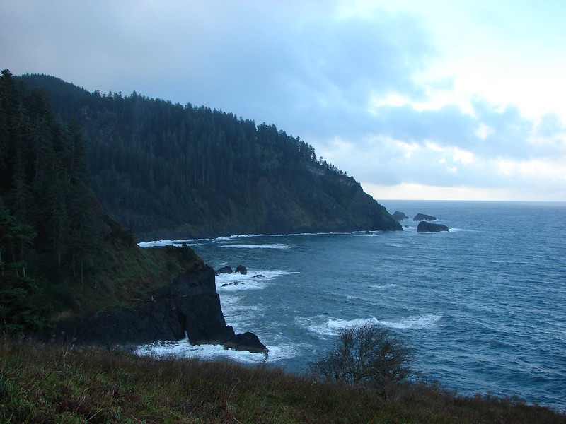
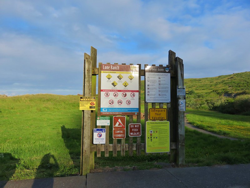
On Thursday we headed for another State Park south of Gold Beach. The Samuel H. Boardman State Scenic Corridor covers a 12 mile long stretch along the Pacific Ocean. Numerous day use areas and trails including the Oregon Coast Trail make the area very easy to explore. We planned on spending two days hiking in the park starting near the southern end at the Lone Ranch Picnic Area.
IMG_6901

IMG_6902

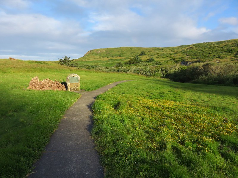
From the parking area we headed north on a paved path toward Cape Ferelo.
IMG_6904

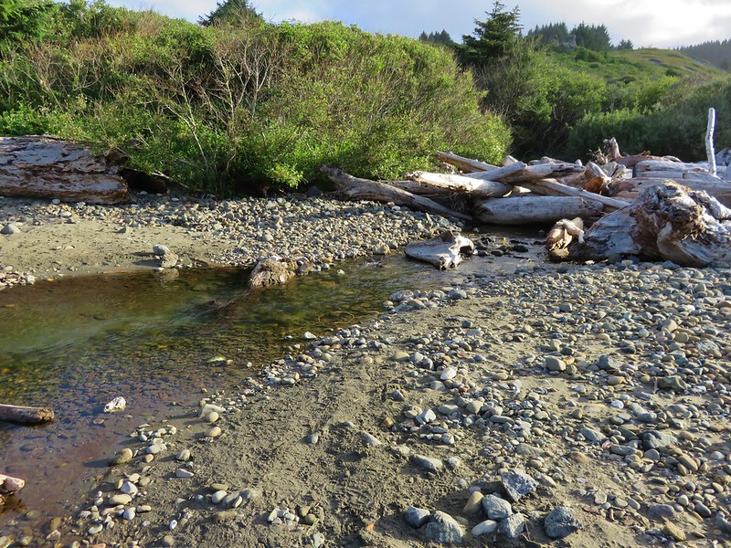
The Oregon Coast Trail crossed Lone Ranch Creek and headed up through the meadows of Cape Ferello before reaching the beach. We opted to visit the beach and take a different path up to Cape Ferrelo. We walked along the creek crossing on some drift wood nearer to the ocean.
IMG_6911

IMG_6910

IMG_6912

We found the path leading up and followed it along the cape’s edge.
IMG_6920

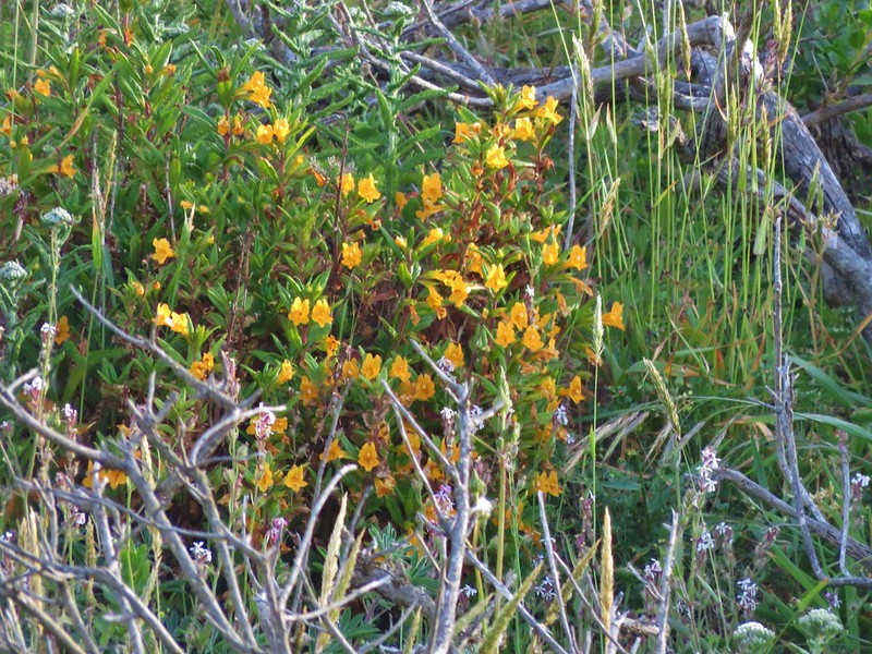
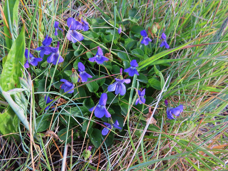
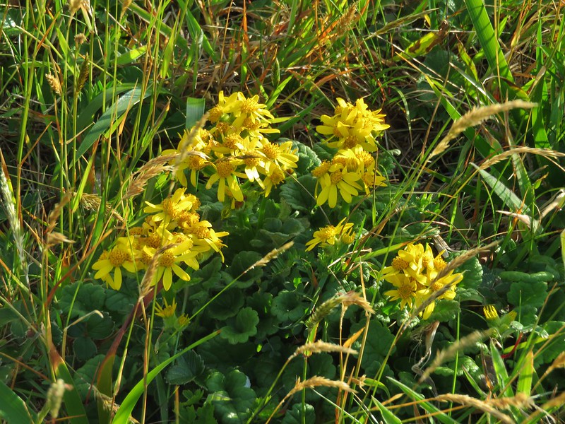
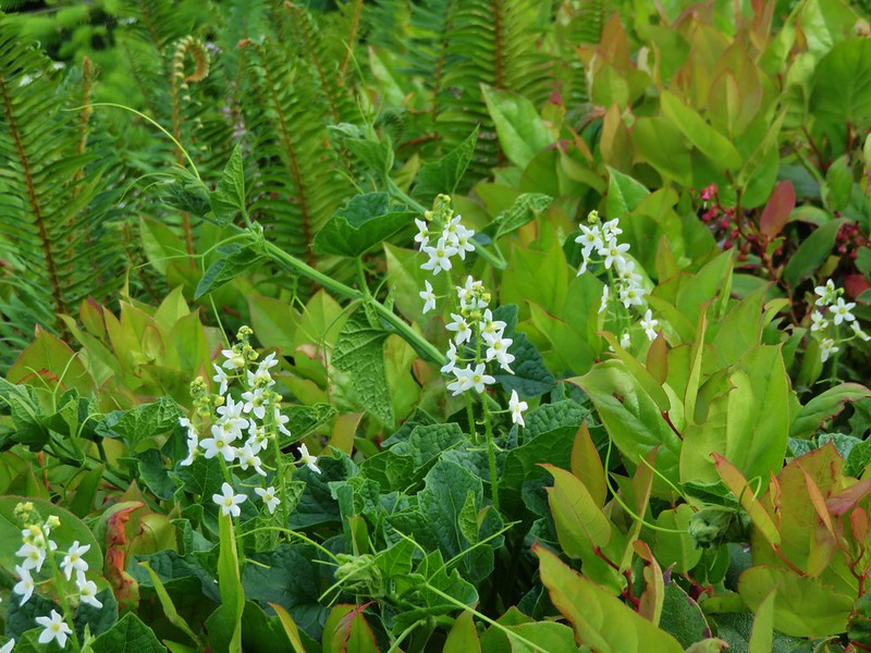
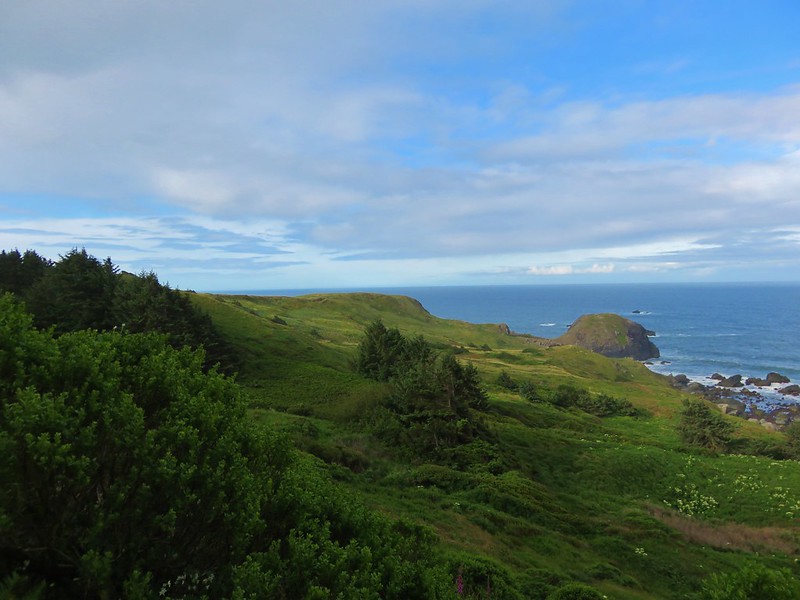
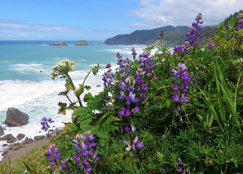
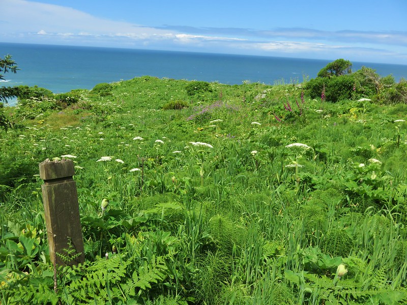
The open meadow allowed for great views to both the north and south and wildflowers dotted the grassy hillsides.
IMG_6935

IMG_6929

Lupine
IMG_6918

sticky monkey-flower
IMG_6924

Violets
IMG_6927

Possibly a ragwort
IMG_6931

Coastal manroot
IMG_6938

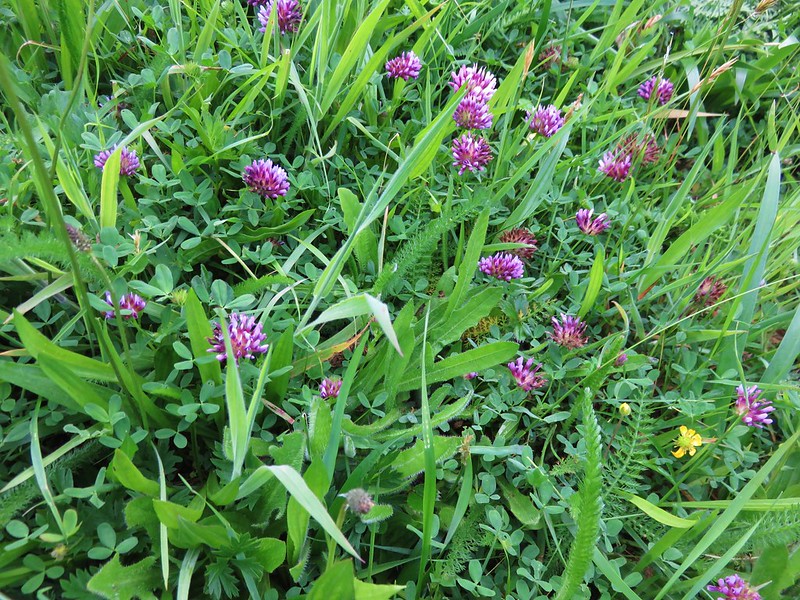
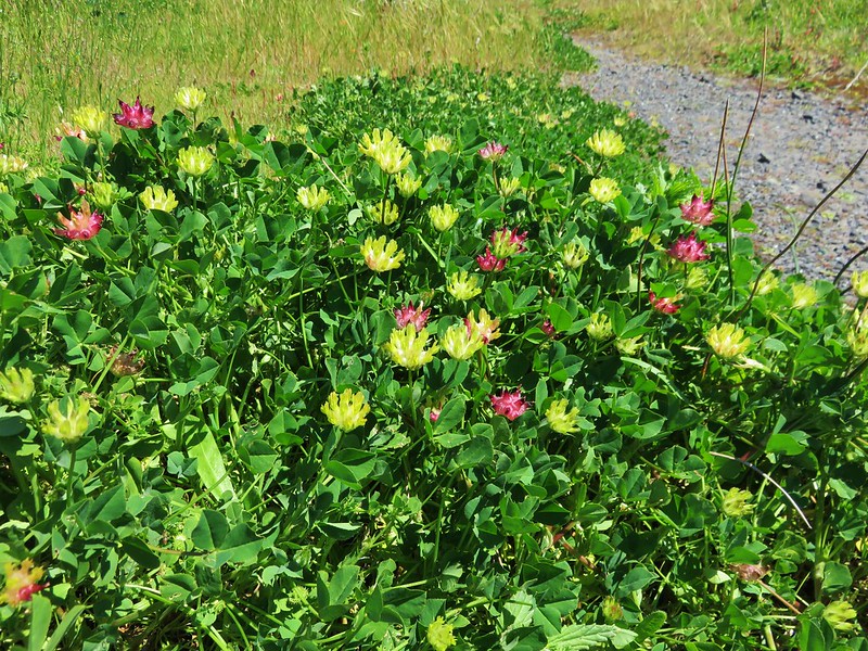
Clover
IMG_6940

Catchfly
IMG_6952

The path we were following rejoined the Oregon Coast Trail on Cape Ferrelo which then brought us to the Cape Ferrelo Viewpoint.
IMG_6962

From that parking area, the Oregon Coast Trail passed through a more forested section of the park.
IMG_6969

IMG_6973

The views opened up again as we approached the House Rock Viewpoint (We never were sure which was House Rock).
IMG_6982

IMG_6985

IMG_6984

Continuing from the House Rock Viewpoint the next .9 miles of the Oregon Coast Trail passed through a surprising variety of forest scenery.
IMG_6987

IMG_6989

IMG_6990

IMG_6991

The trail then split with a sign pointing us to the right.
IMG_6993

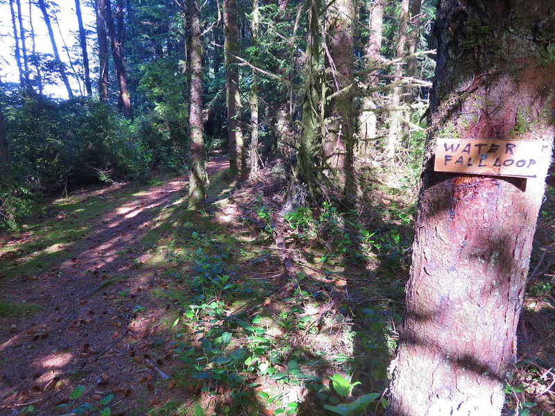
We suspected that the left fork led down to the beach which we planned on walking along on our return trip so we made a mental note to see if this was indeed the spot where we would rejoin the Oregon Coast Trail later. A little further along was a sign for a “Waterfall Loop”.
IMG_6997

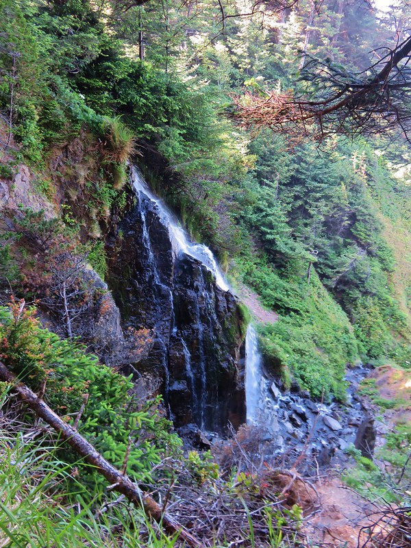
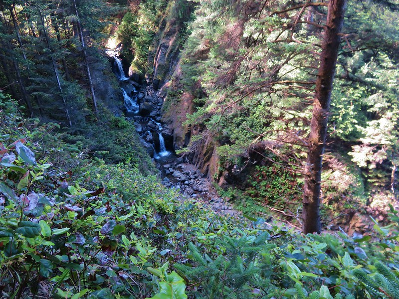
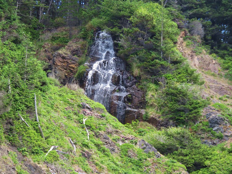
We like waterfalls so we turned onto the loop trail. The first fall we passed was a bit hard to see from the trail but we wondered if we would have a better view when we were down on the beach.
IMG_6998

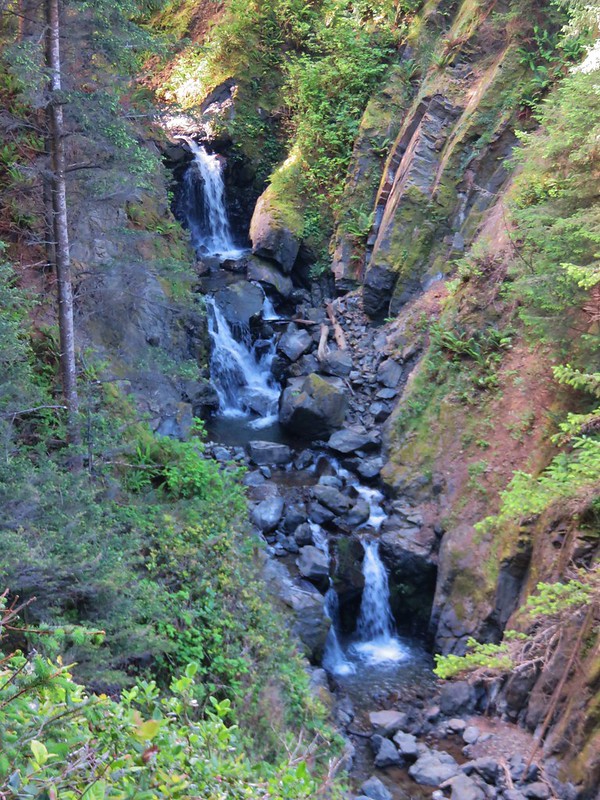
The next waterfall was actually a series of three small cascades. These were more visible from a short side trail.
IMG_7004

IMG_7007

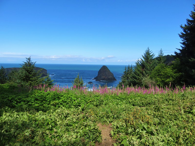
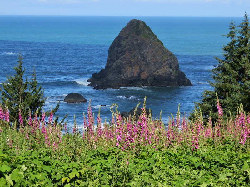
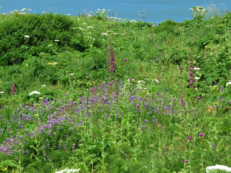
Next up was Whaleshead Viewpoint where an amazing field of foxglove was blooming.
IMG_7013

IMG_7015

IMG_7018

From this viewpoint the trail dropped steeply down .2 miles to Whaleshead Beach.
IMG_7019

IMG_7025

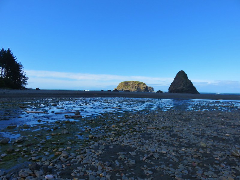
We kept heading north passing through the Whaleshead Beach Picnic Area in .3 miles, crossing the entrance road to the picnic area in another .2 miles, and finally stopping at a viewpoint overlooking Whaleshead Island.
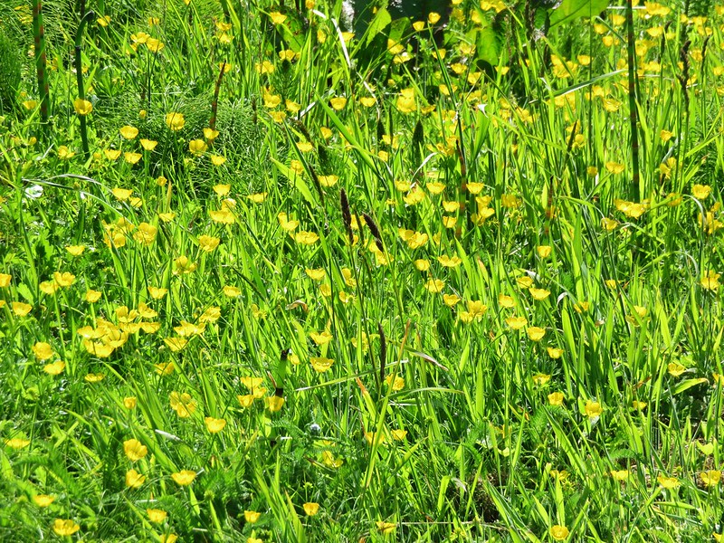
Buttercups in the picnic area.
IMG_7028

Approaching the entrance road crossing.
IMG_7031

The viewpoint.
IMG_7035

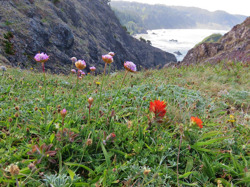
Sea thrift and paintbrush
IMG_7038

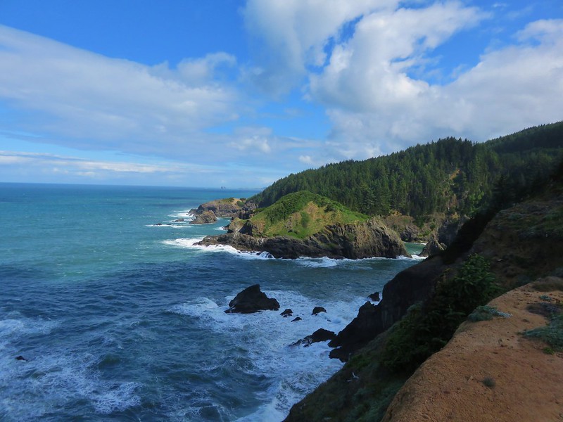
Looking north from the viewpoint.
IMG_7042

Whaleshead island and sea figs
IMG_7043

We headed back to Whaleshead Beach and headed south through the sand.
IMG_7072

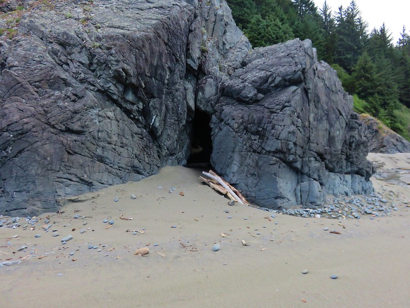
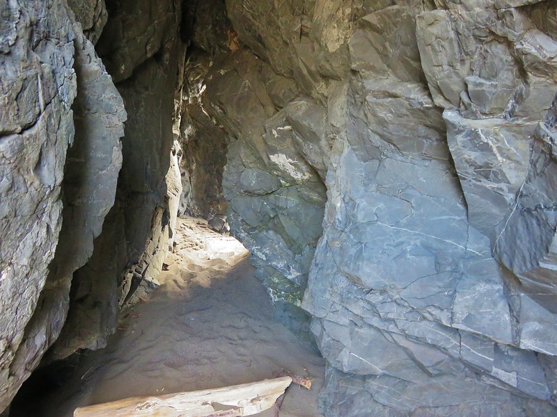
There were several highlights on the beach walk starting with a small opening passing through some rocks.
IMG_7079

IMG_7080

IMG_7081

Then we followed Bowman Creek along the beach.
IMG_7084

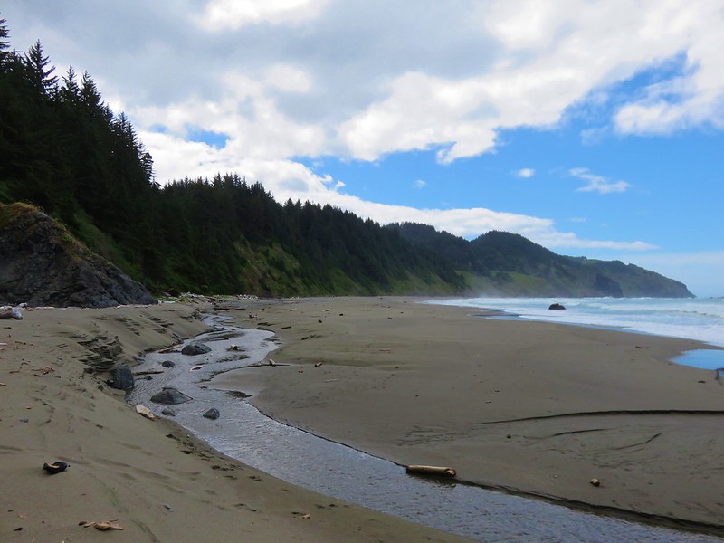
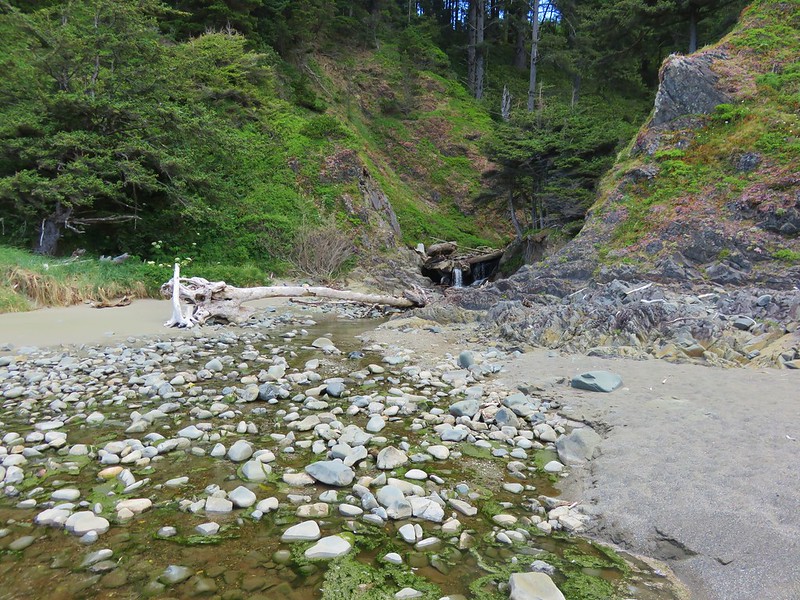
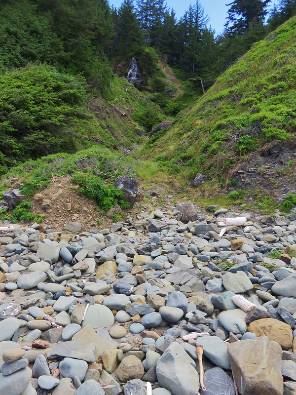
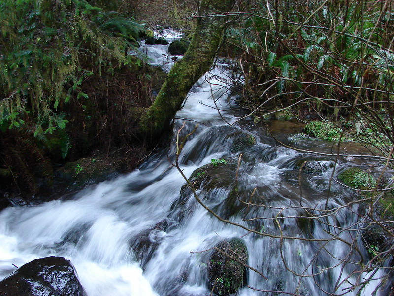
The first fork of the creek coming out of the forest was where the smaller cascades were located. We couldn’t see them from the beach but it looked like a more determined person could have hiked up the creek to a view.
IMG_7088

At the second fork the larger waterfall that we hadn’t had a good view of was clearly visible.
IMG_7094

IMG_7093

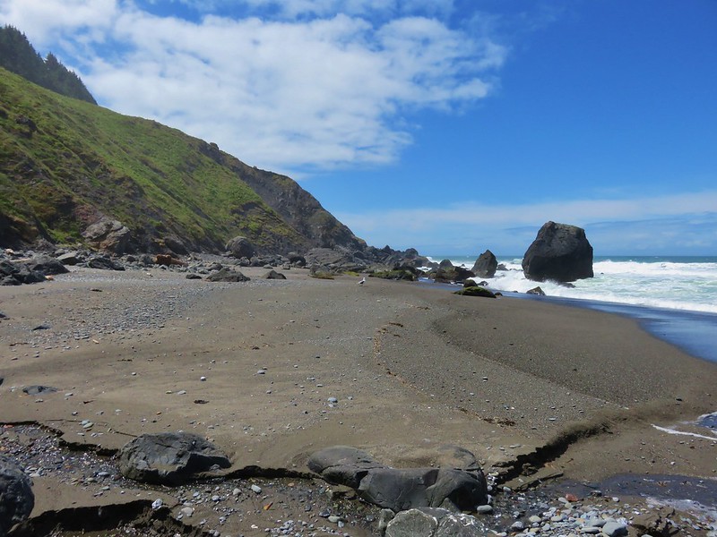
The beach ended shortly after the third creek coming down to the ocean.
IMG_7097

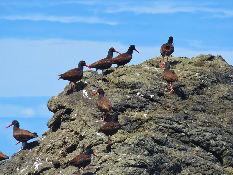
There were a bunch of oyster catchers on a rock here.
IMG_7099

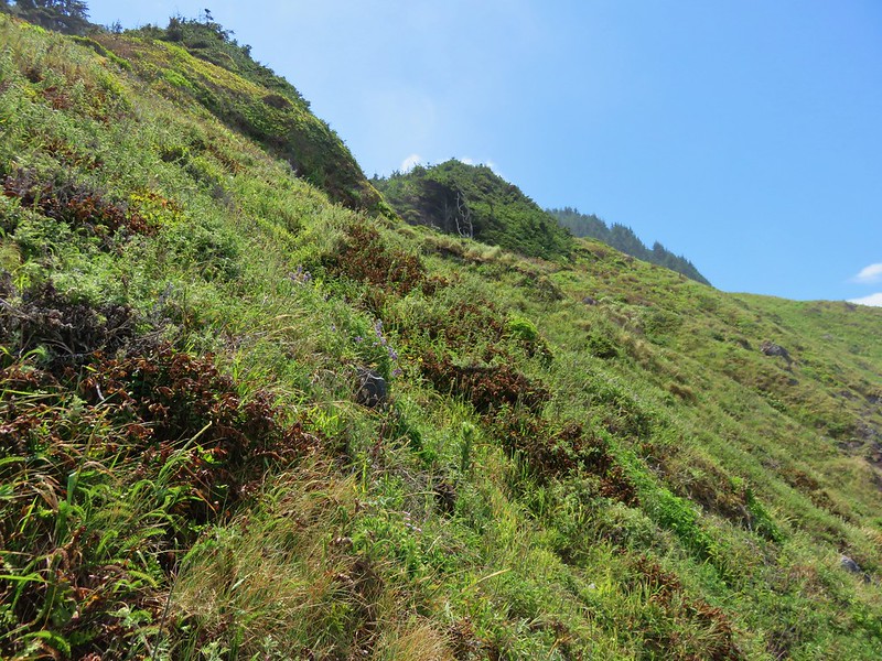
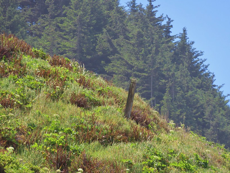
A post on the hillside on the far side of this creek marked the trail that would take us back up to the Oregon Coast Trail.
IMG_7099

We hiked up the creek a bit to pick up the faint overgrown trail.
IMG_7105

IMG_7110

We just kept aiming for the posts as we passed some pretty wildflower displays.
IMG_7111

IMG_7117

IMG_7123

IMG_7129

IMG_7139

IMG_7141

We did wind up back on the Oregon Coast Trail at the junction we had suspected earlier and headed back toward Cape Ferrelo. This time we followed the Oregon Coast Trail over the cape. This led us to another viewpoint with a bench and some flowers we hadn’t seen along the other portion of trail.
IMG_7147

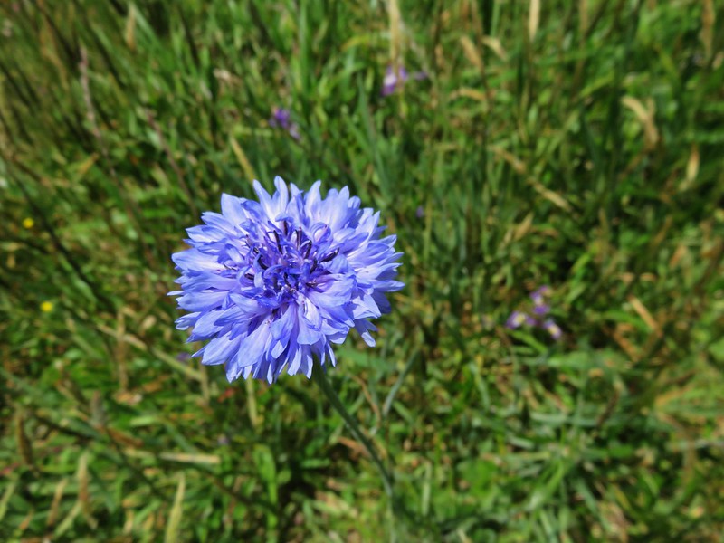
Bachelor button
IMG_7150

brodiaea
IMG_7172

IMG_7177

We had a little trouble finding the correct route through the vegetation near Lone Ranch Creek and wound up popping out in between the Oregon Coast Trail and the route we had taken that morning.
IMG_7179

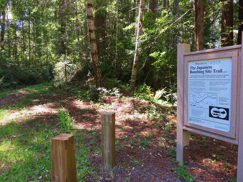
After returning to the car we drove into Brookings and headed for our second hike of the day at the site of a WWII bomb dropped by a Japanese pilot on Wheeler Ridge. To reach the trailhead we took South Bank Road for 5.2 miles and turned right following a pointer on Mt. Emily Road (road 1205) for 3.7 miles forking left at that point to stay on road 1205 until we reached the signed trailhead.
IMG_7193

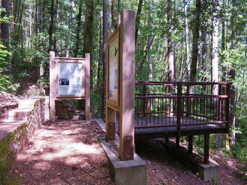
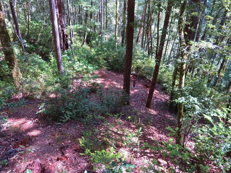
The trail is only a mile long but the interesting history behind the site makes the trip well worth it. The pilot, Nobou Fujita, took off from a Japanese submarine on September 9th, 1942 and flew inland to drop two bombs in hopes of starting a forest fire. One of the bombs did start a small fire that was spotted by the lookout,Howard Gardner, stationed on nearby Mt. Emily. He and a couple of other forest service staff located the fire and extinguished it finding the bomb crater and remnants of the ordinance.

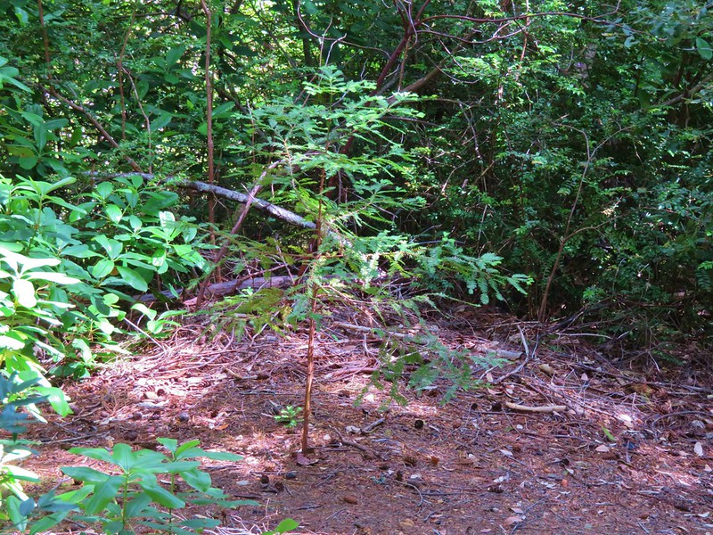
Nobou Fujita traveled to Brookings in 1962 for the town’s Azalea Festival and presented his family’s samurai sword to the citizens as a token of peace. In 1992 he returned to plant a redwood seedling which unfortunately did not survive due to trampling by visitors. After his death a group of Japanese naval veterans planted a second tree at the site which still survives today.
IMG_7212

IMG_7216

IMG_7217

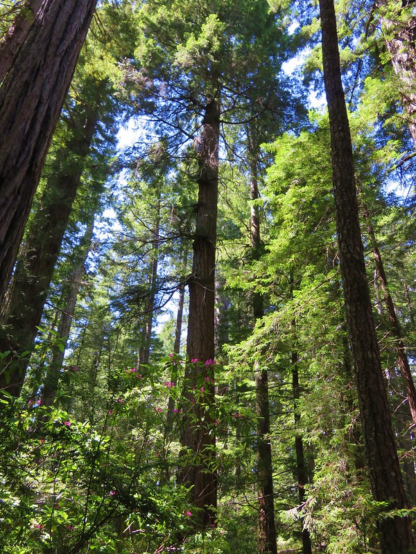
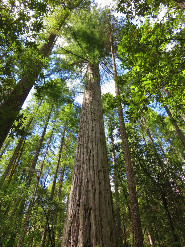
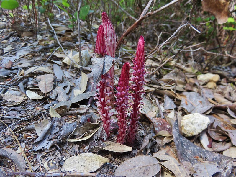
The highlight of the trail was the bomb site and interpretive signs but there were also some big redwoods and a nice set of candysticks along the trail.
IMG_7201

IMG_7208

IMG_7220

When we got back to Brookings we stopped for dinner at Kuhn Thai. We really enjoyed the food here once we finally settled on some choices. Another tasty end to a day. Happy Trails!

Flickr: https://www.flickr.com/photos/9319235@N02/albums/72157666232501494

Categories
Hiking Oregon Oregon Coast Southern Coast Trip report

Cape Sebastian

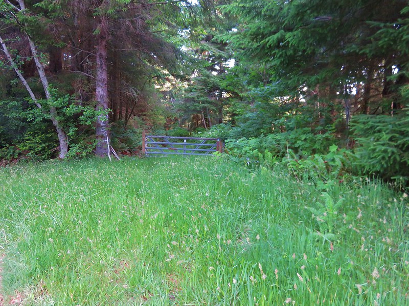
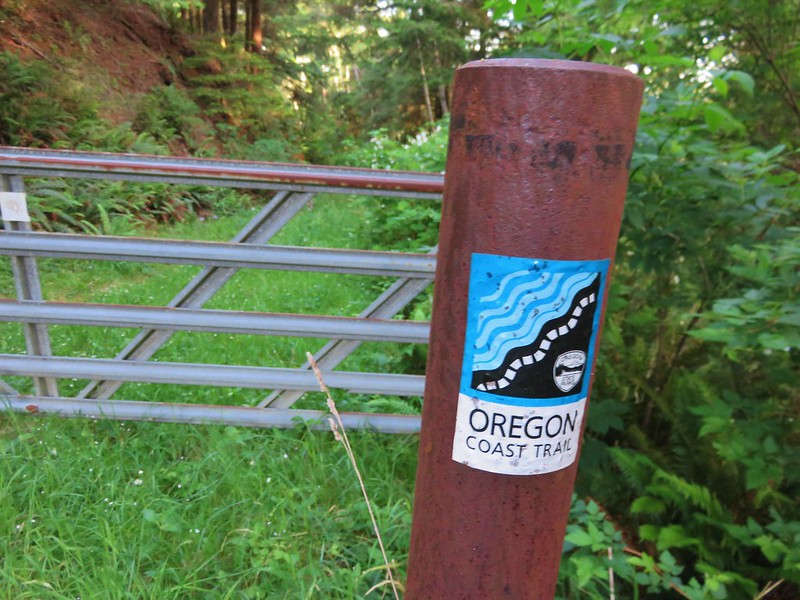
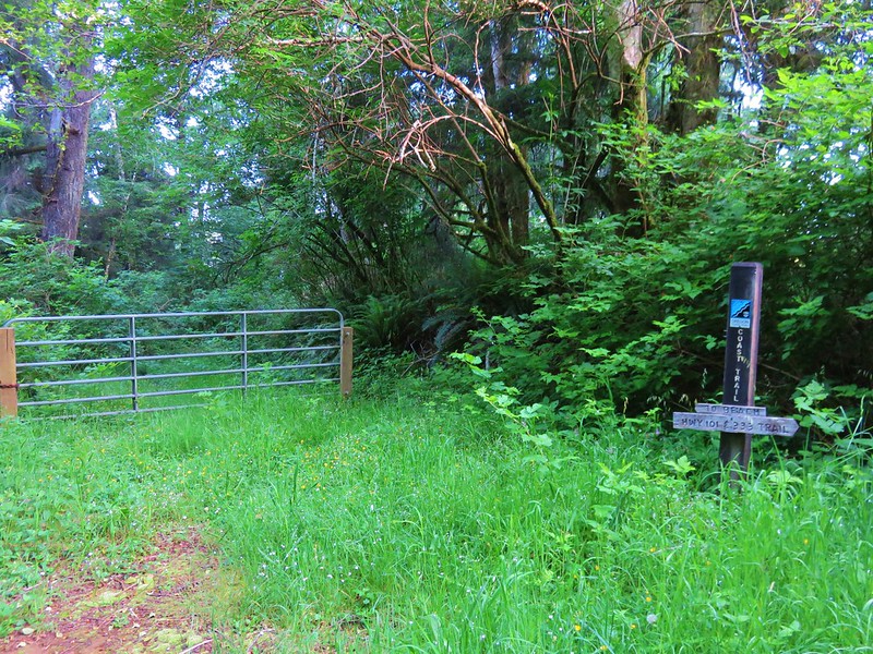
After our slow, bumpy drive to the Kalmiopsis Wilderness on Tuesday, Wednesdays hike was only about five minutes from our hotel in Gold Beach. We would be following a section of the Oregon Coast Trail through Cape Sebastian State Park. We began our hike at a gravel parking lot just off Highway 101 along Bellview Lane. A gate and sign for the Oregon Coast Trail were located just across Bellview Lane from the parking area.
IMG_6688

IMG_6690

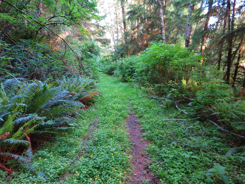
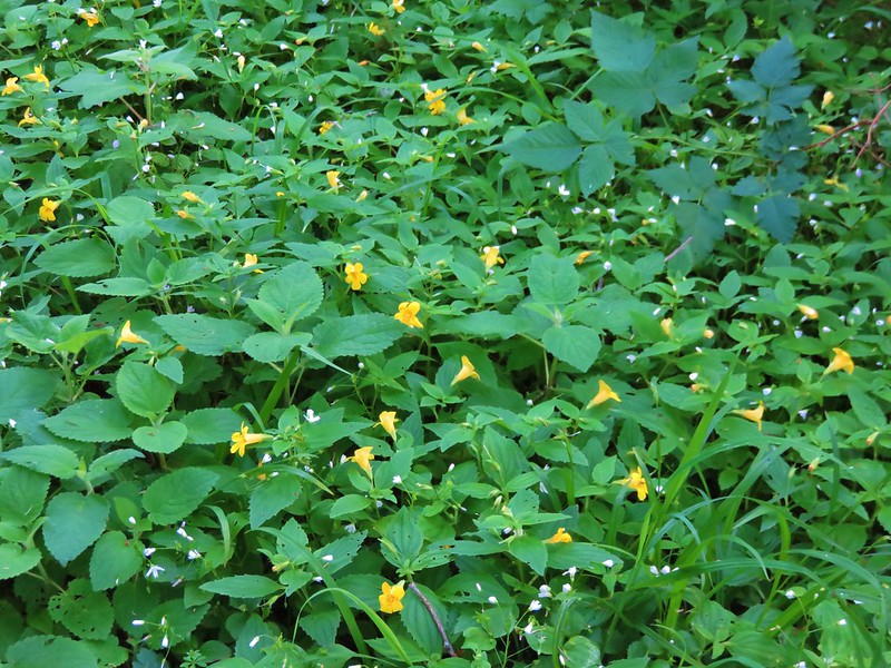
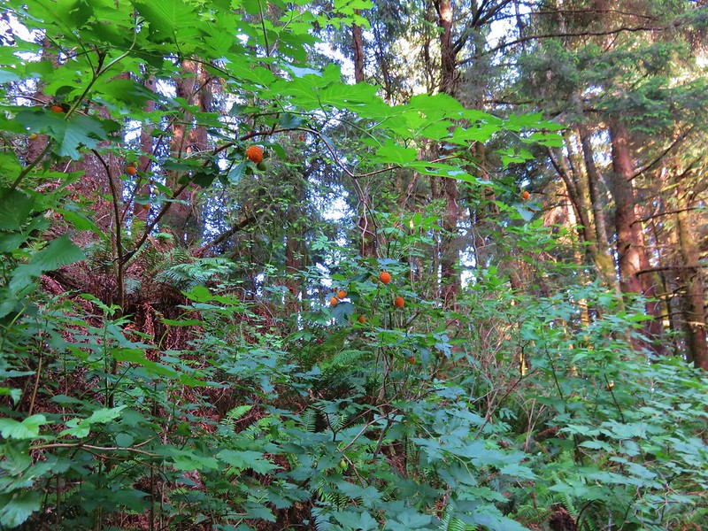
The trail was a grass and flower covered roadbed with some of the best salmonberries ever along the sides.
IMG_6698

IMG_6697

IMG_6699

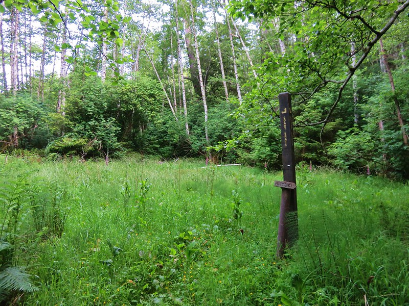
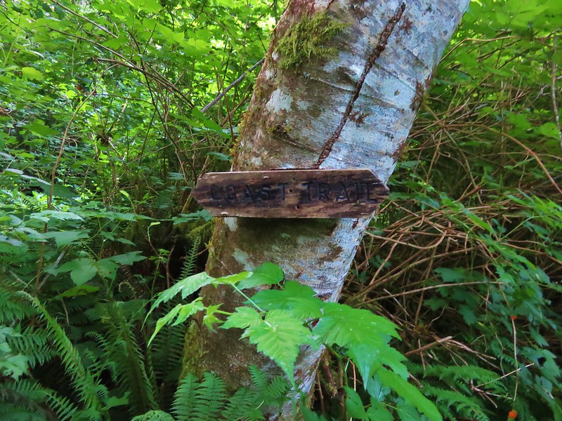
This section of the Oregon Coast Trail was well signed (we would discover later in the week this wasn’t the case for other sections).
IMG_6702

This side path led 1.1 miles to a beach that we would visit on our way back.
IMG_6703

IMG_6704

At the 2.3 mile mark a sign directed us to our first viewpoint.
IMG_6716

IMG_6718

IMG_6724

IMG_6726

Beyond the viewpoint the Oregon Coast Trail climbed for .8 miles through the trees to a parking lot in Cape Sebastian State Park.
IMG_6740

IMG_6741

IMG_6751

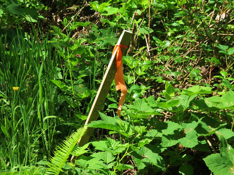
A 0.4 mile trail connected this parking lot with an upper parking lot with a better view, although we arrived just as a cloud was passing over. There was a small patch of poison oak marked with a stake along this stretch.
IMG_6869

IMG_6760

IMG_6761

From this second viewpoint the trail passed through a windswept meadow then into a forest following an interesting ridge that ran parallel to the Pacific Ocean.
IMG_6756

IMG_6763

There was a viewpoint along they way with lichen covered rocks.
IMG_6774

After .6 miles the trail began to descend through more open woods where a good number of flowers were blooming. Along with the flowers came a fair amount of poison oak.
Wild iris
IMG_6777

Bridges’ brodiaea and poison oak
IMG_6785

Paintbrush
IMG_6787

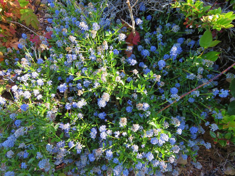
Blueblossom
IMG_6791

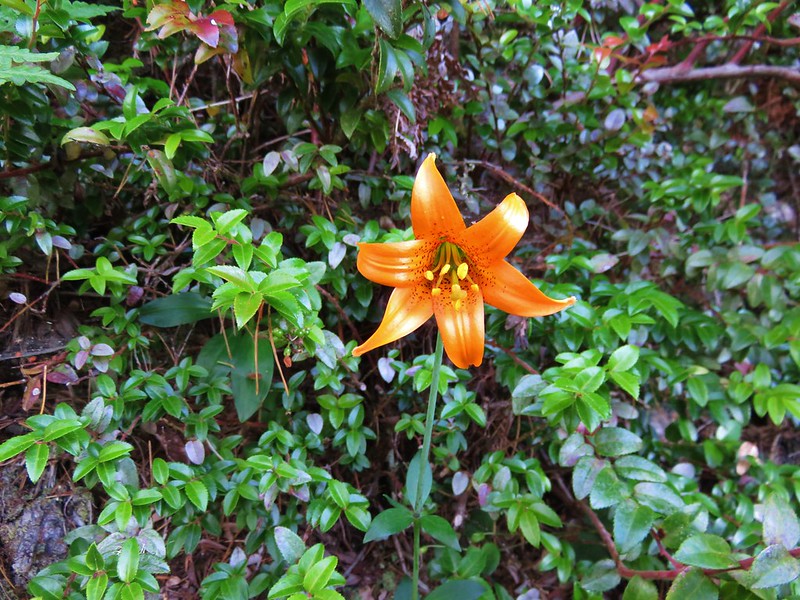
Columbian lily
IMG_6793
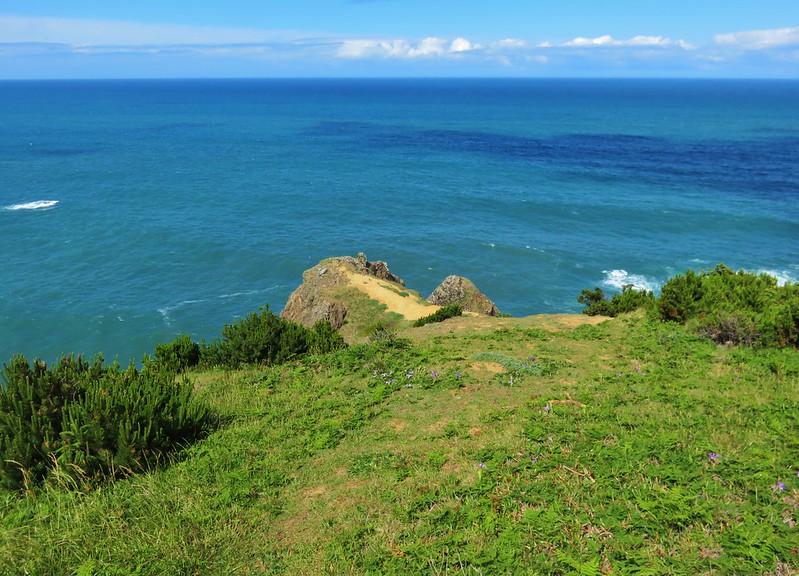
Another lily
IMG_6794

More Bridges’ brodiaea
IMG_6808

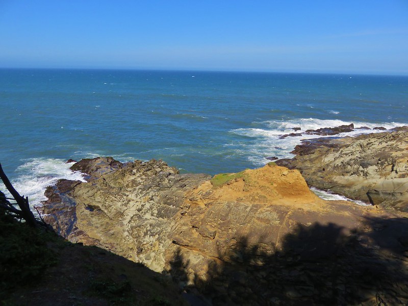
There were also some nice views along this 1.3 mile section of the trail.
IMG_6825

IMG_6815

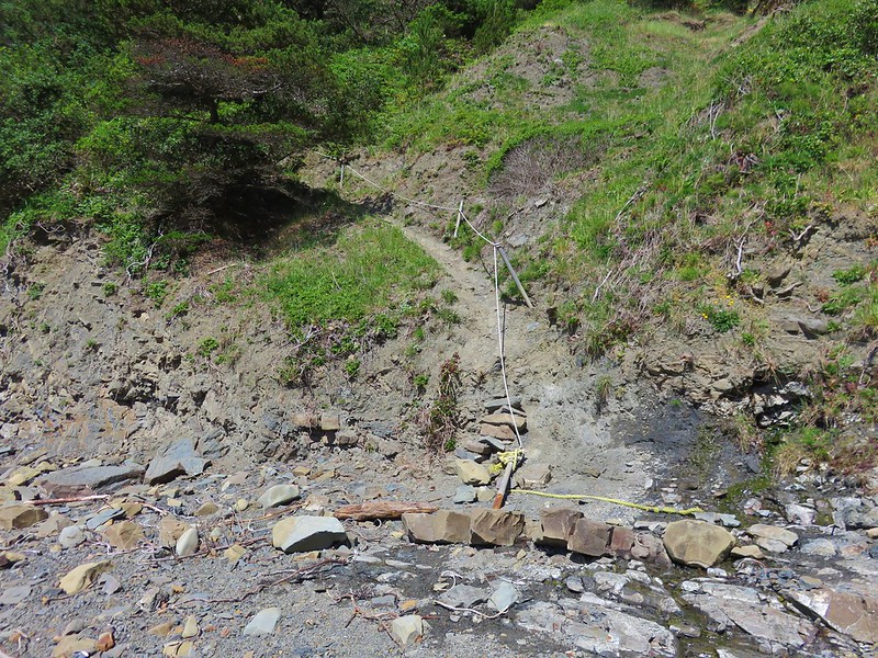
The trail eventually arrived at Hunters Beach but the final drop down to the actual beach was down a steep slope. Much of it had been worn away by the elements and a rope had been set up for assistance. To complicate the descent there was poison oak on both sides of the trail.
IMG_6834

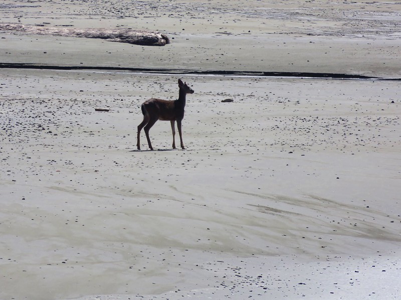
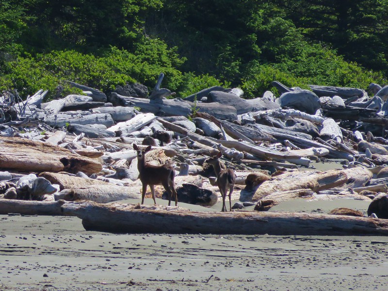
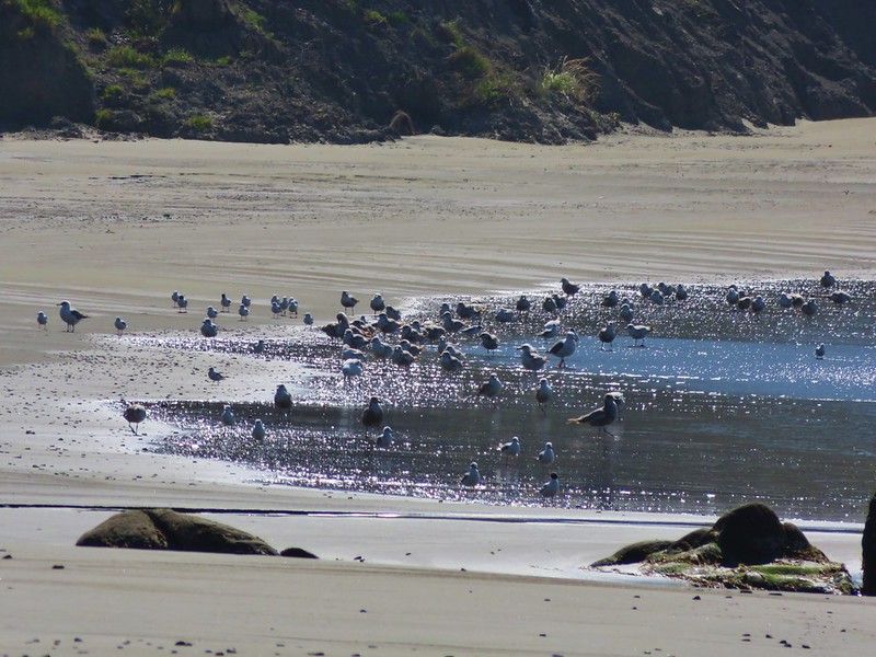
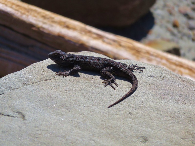
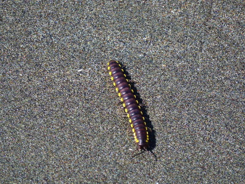
We made it down to the sandy beach where we joined a pair of deer, some birds, lizards, and a millipede.
IMG_6830

IMG_6836

IMG_6845

IMG_6859

IMG_6850

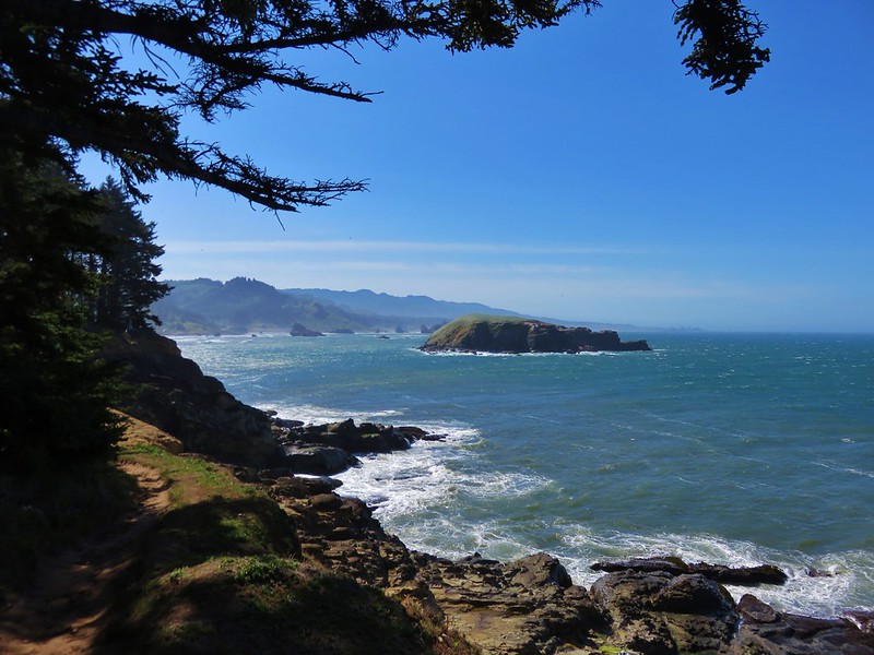
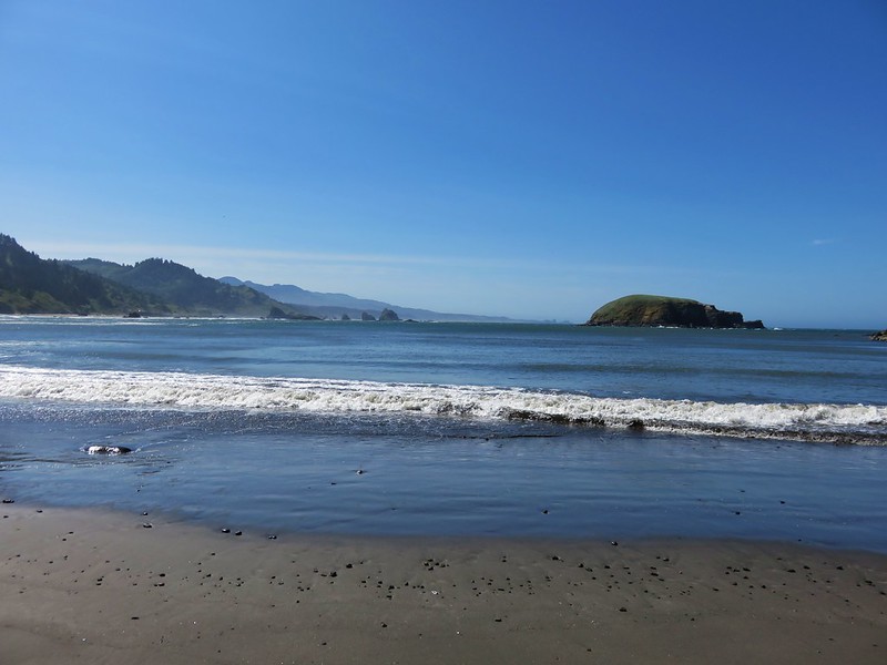
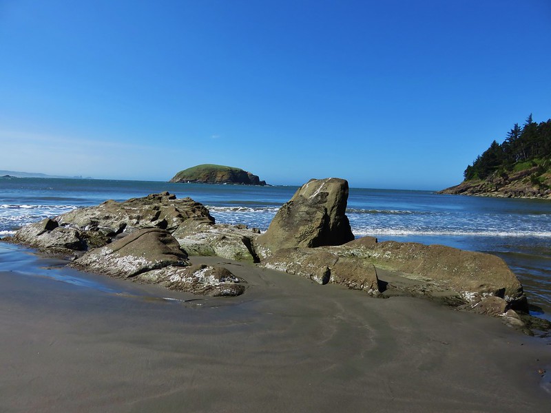
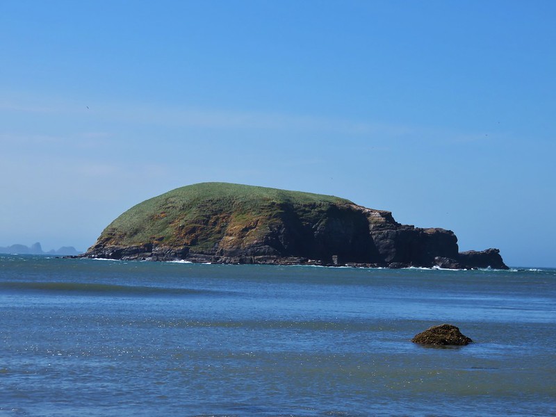
Hunters Island dominated the view from the beach.
IMG_6842

IMG_6847

IMG_6839

We returned the way we’d come being careful to avoid the poison oak retracting our steps all the way to the 1.1 mile side trail to a beach just a half mile from Bellview Lane. This path was along another old road that led down to an overgrown meadow.
IMG_6899

IMG_6876

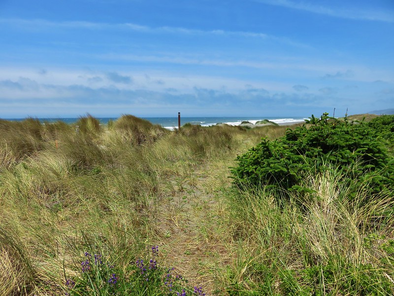
A faint path led through the vegetation to a post on the beach.
IMG_6878

IMG_6880

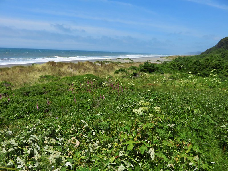
On this beach we found several new types of flowers.
yellow sand-verbena
IMG_6883

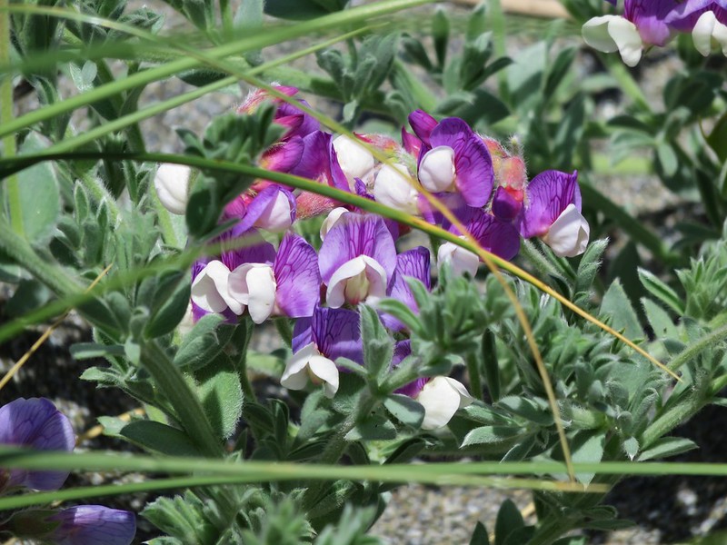
silky beach pea
silky beach pea

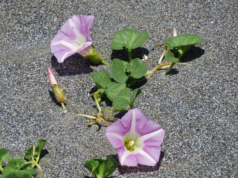
beach morning-glory
IMG_6891

It was pretty windy and there wasn’t much cover to be found so after a brief stay we headed back up to Bellview Lane and our car. We picked this as our evening to find a local restaurant to try and picked the Barnacle Bistro in Gold Beach. The food was great and we each enjoyed a beer from Arch Rock Brewing Company.  I had the Pistol River Pale while Heather tried the State of Jefferson Porter. It was a great cap to the day. Happy Trails!

Flickr: https://www.flickr.com/photos/9319235@N02/sets/72157666235841743

Categories
Hiking Oregon Oregon Coast Southern Coast Trip report

Humbug Mountain, Sisters Rock, and Otter Point

With our vacation plans changed due to the potential for rain in SE Oregon we had returned home after hiking in the Oregon Badlands Wilderness to regroup. We swapped guide books and some or our supplies and headed for Gold Beach on the southern Oregon coast on Monday morning. We took our first set of hikes on the way down Highway 101 starting with a climb up Humbug Mountain.

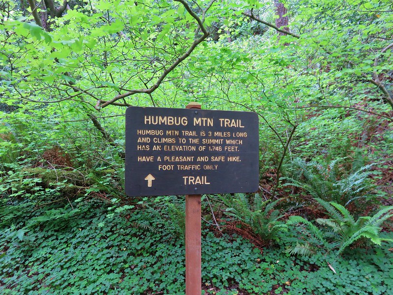
The Humbug Mountain Trail begins at the signed Humbug Mountain Trailhead across from the state park campground.
IMG_5870

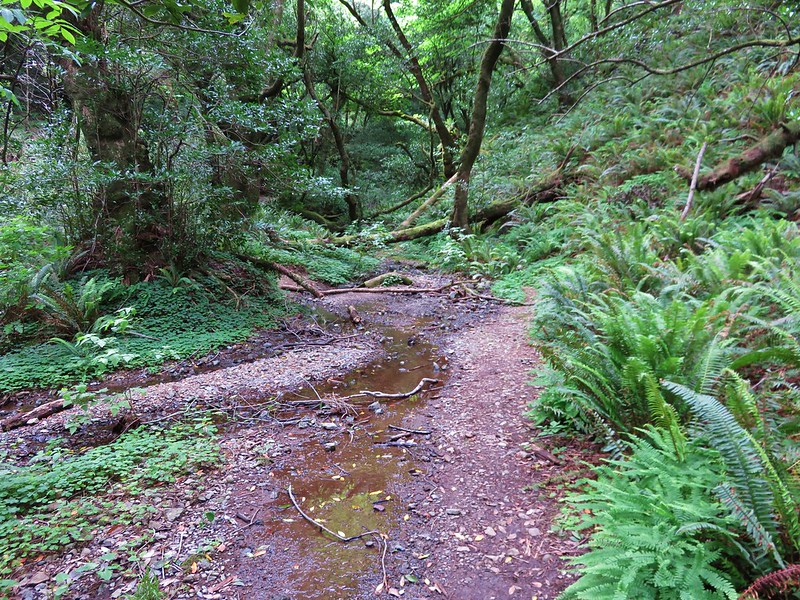
The trail promptly crosses a creek then climbs through the forest for a mile to a split in the trail.
IMG_5871

IMG_5896

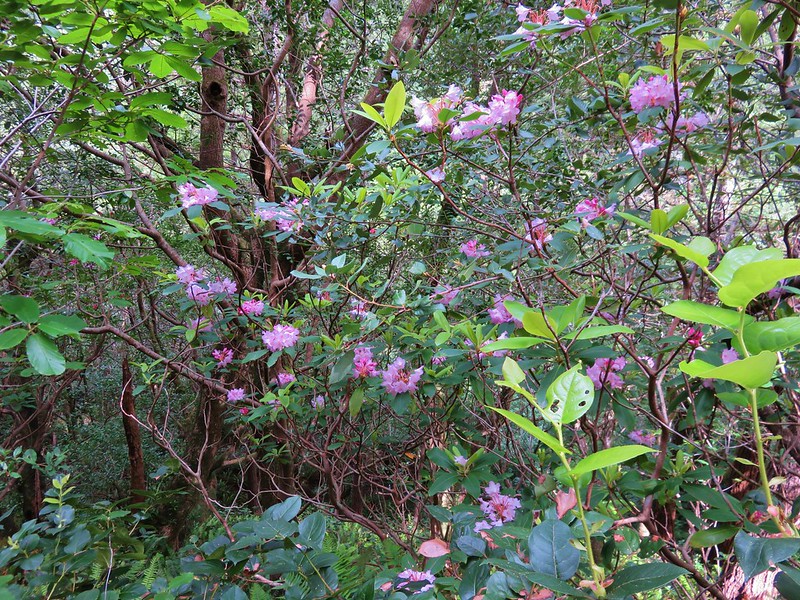
Rhododendron
IMG_5891

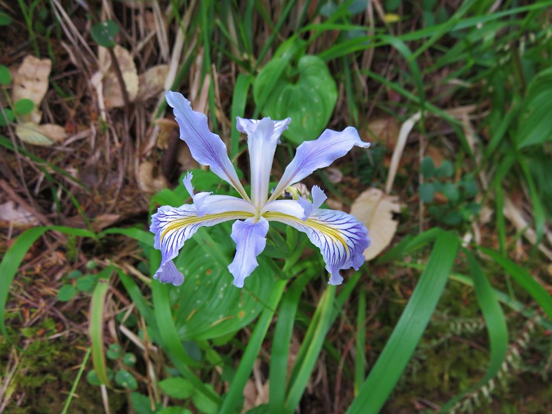
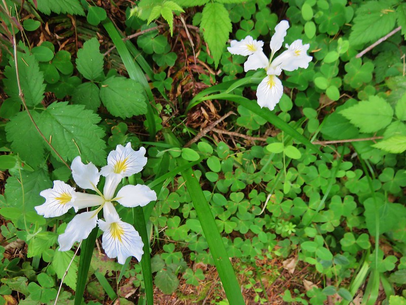
Wild iris
IMG_5903

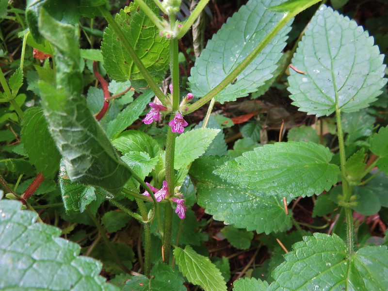
Hedge nettle
IMG_5907

Wild iris
IMG_5908

IMG_5918

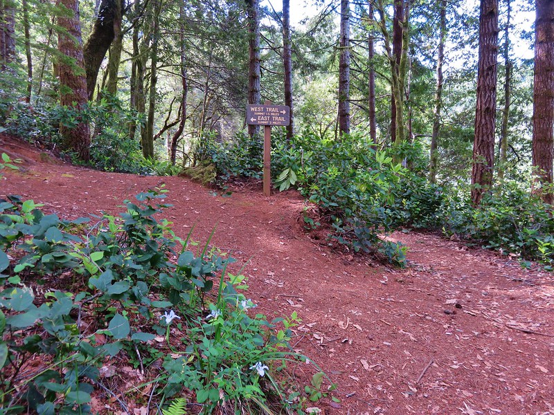
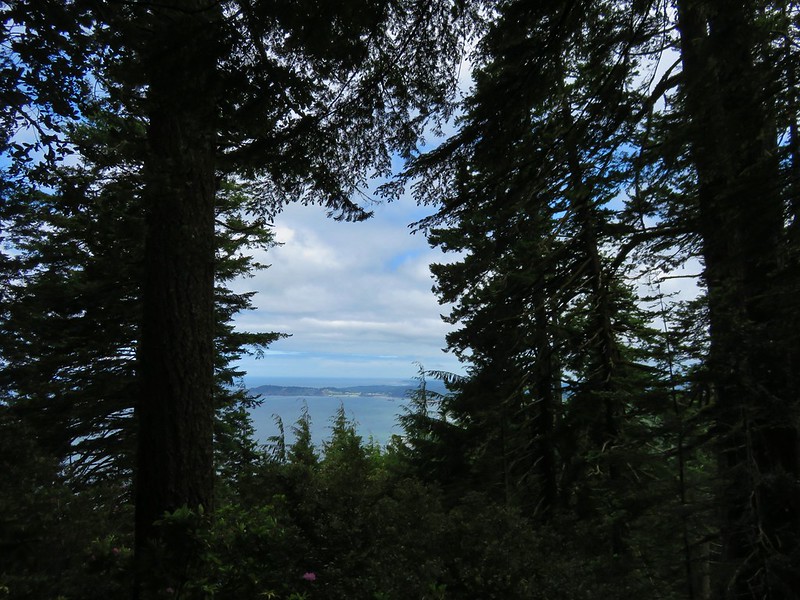
Two routes led to the summit, the 1.4 mile West Trail and the 1.9 mile East Trail, allowing for a loop. We took the shorter West Trail to the right which offered limited ocean views.
IMG_5935

IMG_5933

When the trails rejoined we took the short .1 mile trail to the right up to the small meadow at the summit of Humbug Mountain.
IMG_5960

IMG_5963
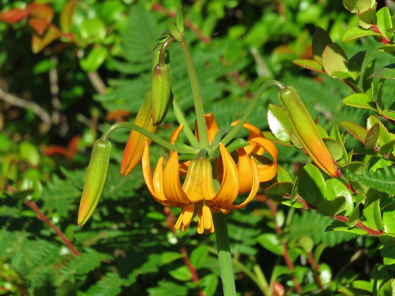
A few flowers dotted the meadow which was mostly filled with bracken ferns and trees obscured much of the view.
IMG_5977

Common catchfly
IMG_5974

IMG_5989

Elegant brodiaea
IMG_5979

IMG_5975

We took the East Trail down completing the loop and returning to the trailhead. The 5.5 mile hike was nice enough and a good climb, but the lack of views was a little disappointing albeit fitting for a mountain named Humbug.

From Humbug Mountain we continued driving south on HWY 101 to our next stop, Sisters Rock State Park. If not for our guide book describing the pullout between milepost 314 & 315 we would likely have driven right by. There was no sign for the park prior to the little pullout along the highway and the sign at the park was set back off the road making it difficult to spot while driving.
IMG_6011

The wind was really strong whenever we were exposed to the north but the half-mile path down to the Sisters Rocks was full of views and flowers. Humbug Mountain was visible to the north and to the south was scenic Franklin Beach.
IMG_6009

IMG_6020

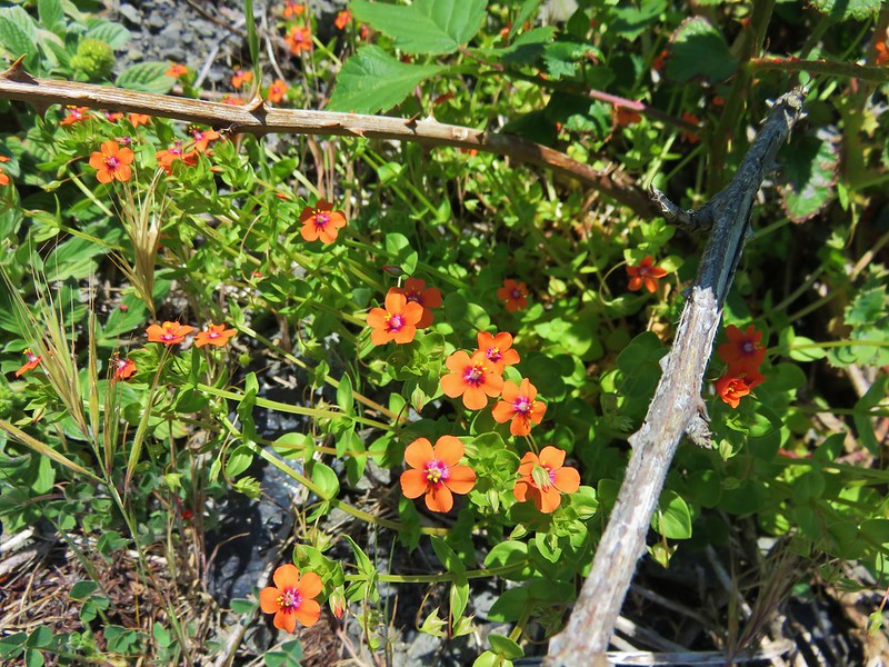
Scarlet pimpernel
IMG_6025

IMG_6027

Cows clover
IMG_6028

IMG_6073
Lupine
IMG_6095

We headed for the largest of the rocks where a trail brought us to the mouth of a sea cave.
IMG_6017

IMG_6031

IMG_6046

We found a spot on the rocks between the largest Sisters Rocks where we were protected from the wind. Here there were more caves and some small tide pools.
IMG_6032

IMG_6058

IMG_6067

IMG_6054

IMG_6060

IMG_6063

We then made our way to Franklin Beach which we shared with a lizard.
IMG_6077

IMG_6094

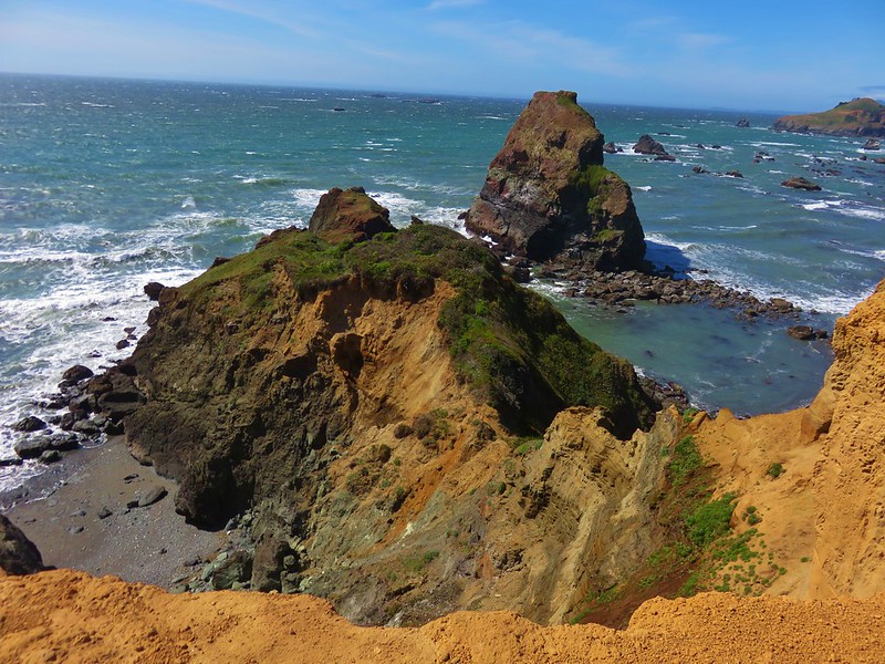
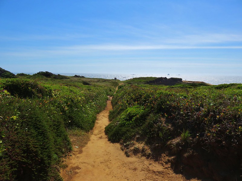
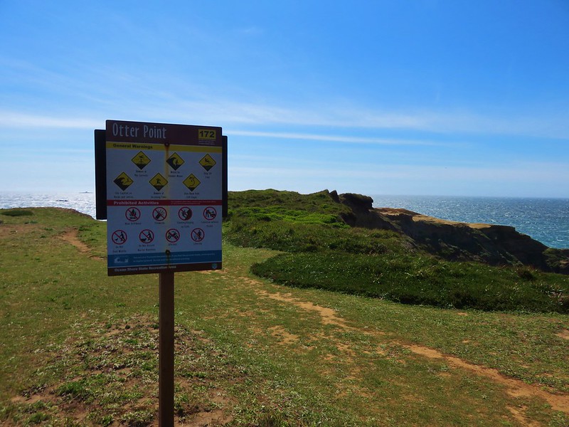
Our final stop for the day was at Otter Point State Park. This was another somewhat hidden park located along Old Coast Road 3 miles north of Gold Beach. Again signage was lacking for the park until we were at the entrance which took us some time to locate. It was worth the effort to find this little gem though. The parking area was lined with azaleas and wild roses and the trail to Otter Point had big views.
IMG_6206

IMG_6210

IMG_6131

IMG_6133

IMG_6150

IMG_6156

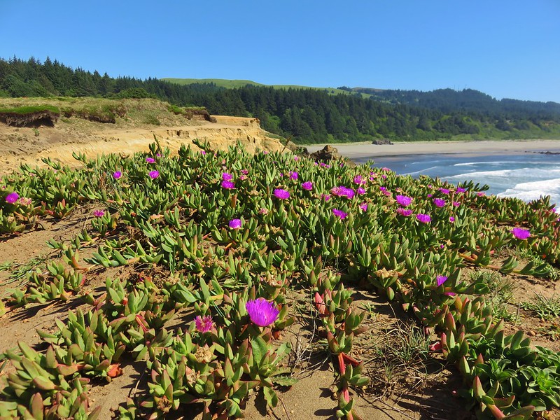
In addition to the views several types of flowers were present.
Sea Figs
IMG_6158

IMG_6161

Seaside daisy
IMG_6189

Wild iris
IMG_6196

Sea thrift
IMG_6198

We were pleasantly surprised by both Sisters Rock and Otter Point and were glad we took the time to stop and check them out. These were short hikes (1.4 & 0.7 miles receptively)that really paid off. It was a nice start to the vacation and they set the bar for the rest of the weeks hikes. Happy Trails!

Flickr: https://www.flickr.com/photos/9319235@N02/albums

Categories
Central Coast Coastal Range Hiking Oregon Oregon Coast Trip report

Florence Area Trails

It’s been over a month since our last hike and I was beginning to go a bit stir crazy so when the forecast called for a mostly sunny Saturday we jumped on the chance and hit the trails.  We try and make sure our hikes are long enough so that we spend as much or more time hiking rather than driving.  On this day we did this by visiting several shorter trails near Florence, OR.

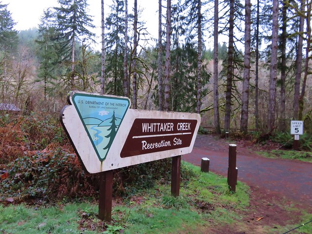
We started the day at the Whittaker Creek Recreation Site just off Highway 126.
Whititaker Creek Recreation Site sign

From there we walked through the campground and headed across Whittaker Creek on a footbridge.
Footbridge over Whittaker Creek

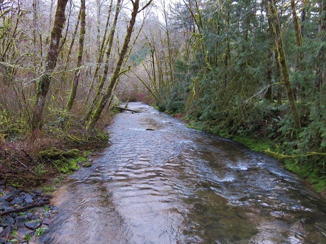
Whittaker Creek

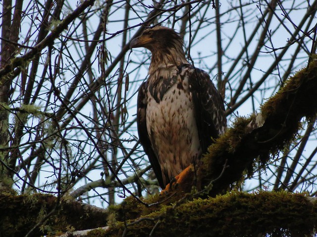
A young bald eagle had flown over our heads and landed in a tree along the creek and allowed us to get fairly close before taking flight again.
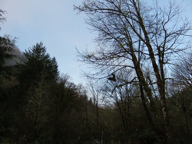
Bald Eagle flying over Whittaker Creek

Bald Eagle

Bald Eagle taking off

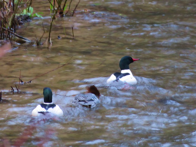
Meanwhile some common mergansers were floating the creek.
Mergansers

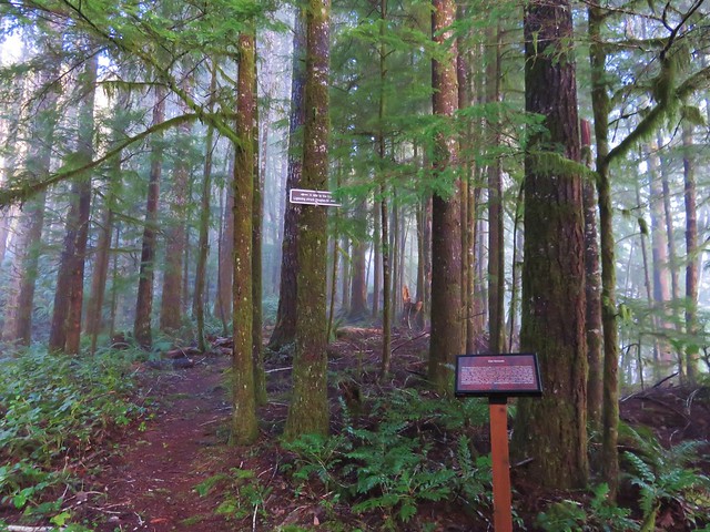
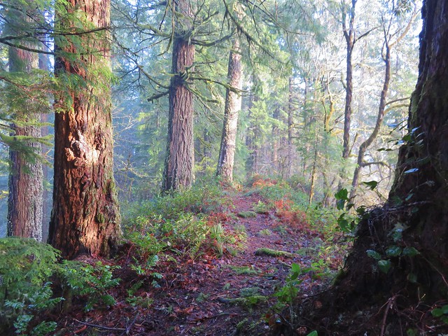
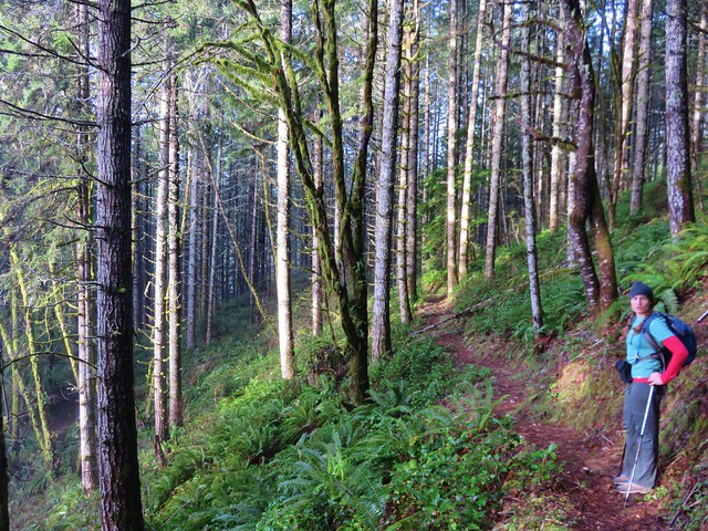
From the NW end of the campground we took the Old Growth Trail 1.2 miles up to the summit of the ridge. A mix of sunlight and morning fog created some interesting lighting in the forest.
Old Growth Ridge Trailhead sign

Old Growth Ridge Trail

Old Growth Ridge Trail

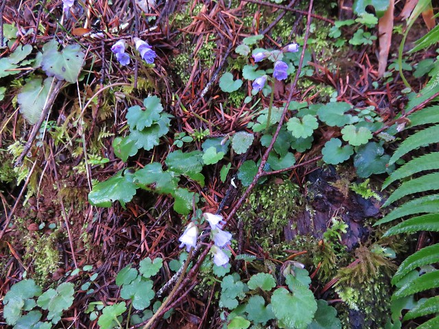
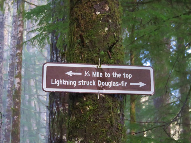
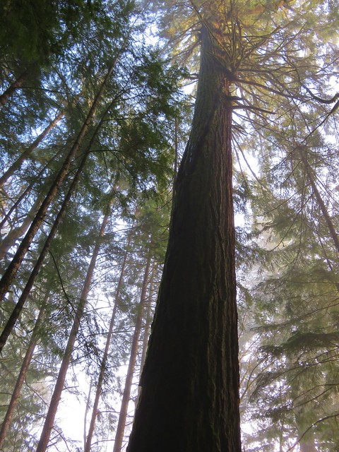
Along the way up we spotted a number of little snow queen flowers and stopped at a tall Douglas fir tree that had been struck by lighting at some point.
Snow Queen

Sign along the Old Growth Ridge Trail

Lightning struck Douglas fir

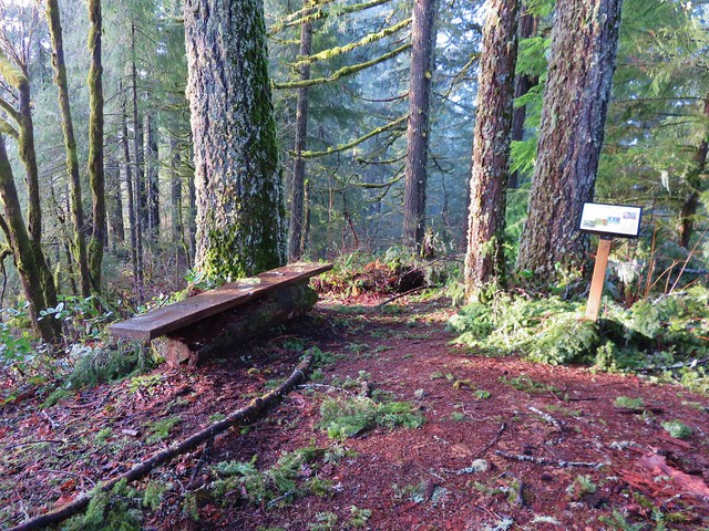
At the summit were benches and a sign giving the history of the trail. The low clouds and fog hid much of the view on this day.
Summit of the Old Growth Ridge Trail

Interpretive sign at the summit of the Old Growth Ridge Trail

View from the summit of the Old Growth Ridge Trail

On the way back down we turned on the signed Armantrout Loop Trail which led back to the campground in 1.5 miles.
Armantrout Loop Trail

There were a few spots of blowdown along this trail that were easily passed and numerous interpretive signs to stop and read.
Just a little blowdown along the Armantrout Loop Trail

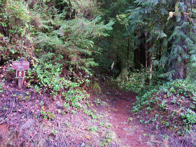
After returning to our car we continued west on Highway 126 to Mapleton and turned west on Sweet Creek Road for 10.2 miles to the Homestead Trailhead.
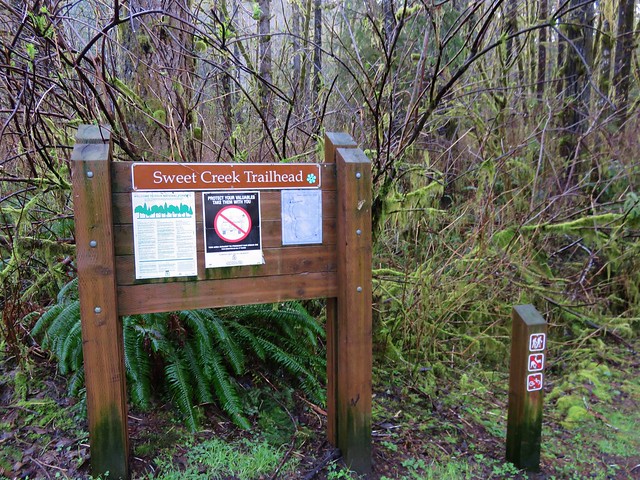
Swee Creek Trailhead

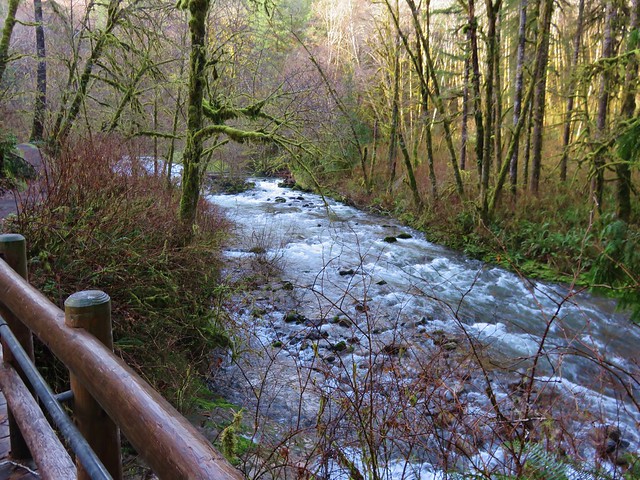
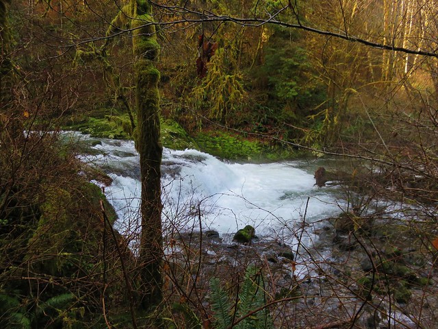
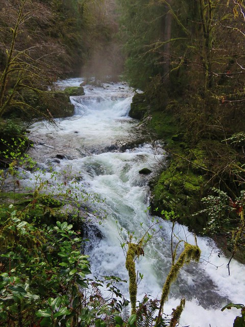
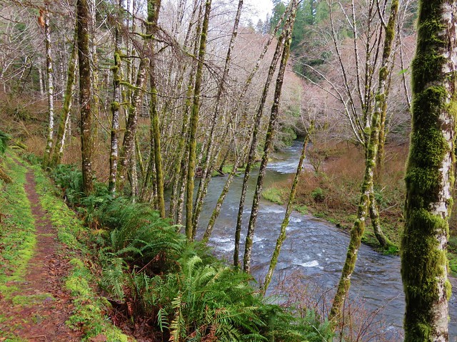
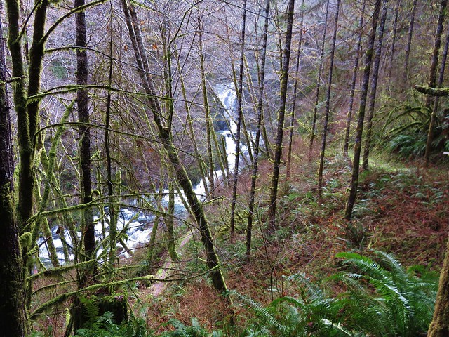
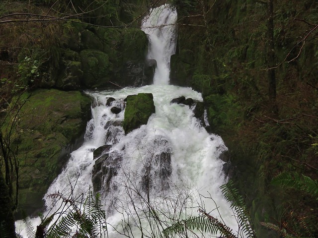
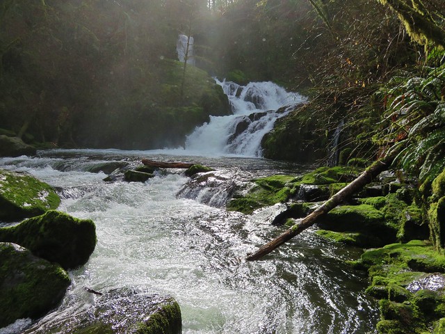
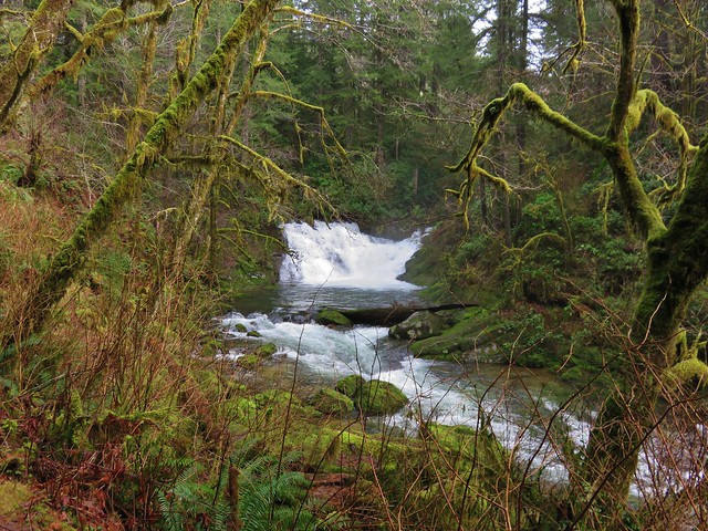
There are a total of four trailheads that access the Sweet Creek Trail with the Homestead Trailhead being the most northerly. From there we followed the Sweet Creek Trail south for .9 miles to a junction with the connector trail from the second trailhead. Both the creek and surrounding forest were beautiful. A series of small falls and cascades line this section of Sweet Creek and on this day there was plenty of water flowing over them.
Sweet Creek

Small fall on Sweet Creek

Sweet Creek

Sweet Creek

Sweet Creek Trail

Sweet Creek Trail
Annice Falls
Sweet Creek and Annice Falls

Sweet Creek

Small cascade along Sweet Creek

Unnamed waterfall (possibly seasonal) on the far side of Sweet Creek

Unnamed waterfall (possibly seasonal) on the far side of Sweet Creek

Elk Wallow Falls
Elk Wallow Falls

Trail sign along the Sweet Creek Trail

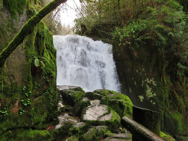
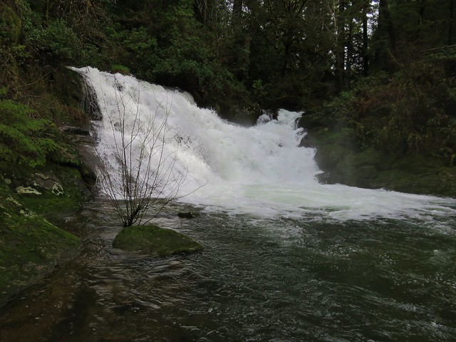
From the junction another scenic half mile of the Sweet Creek Trail brought us to Sweet Creek Falls and the end of the trail.
Sweet Creek Falls

Sweet Creek Falls

A short trail leads up to an upper viewpoint.
Sweet Creek Falls from the upper viewpoint

It is possible during lower flow times to cross the creek below the falls and pick up the continuation of the Sweet Creek Tail on the far side, but that wasn’t going to happen given the volume of water that was currently flowing over the falls. After returning to the Homestead Trailhead we drove to the Wagon Road Trailhead 1.3 miles further south along Sweet Creek Road.
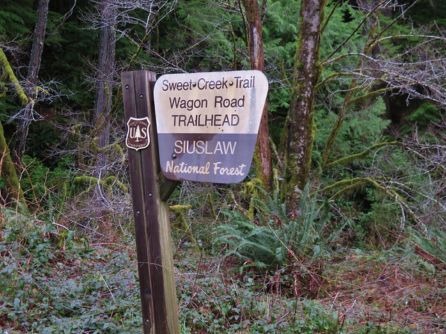
Wagon Road Trailhead for the Sweet Creek Trail

The Sweet Creek Trail heads away from the road in both directions from this trailhead. We began with the segment on the west side of Sweet Creek Road which would lead bus back down to Sweet Creek Falls on the opposite side of the creek.
Sweet Creek Trail

Sweet Creek Falls

Sweet Creek Falls

Sweet Creek Falls

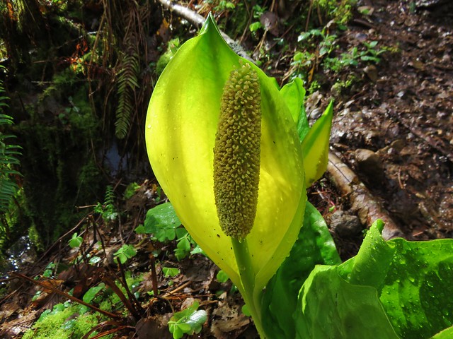
Near the bottom of this trail were a number of skunk cabbage flowers.
Skunk cabbage

After visiting the base of Sweet Creek Falls we returned to the Wagon Road Trailhead and took the .6 mile segment of the Sweet Creek Trail to Beaver Creek Falls.
Sweet Creek Trail

Beaver Creek Falls

Beaver Creek Falls

We left the Wagon Road Trailhead and headed back to Highway 126 and headed toward Florence. We made a quick stop at Florence Yamaha to pick up a Northwest Forest Pass which we needed for our final hike at the Holman Vista Day Use Area just north of Florence.
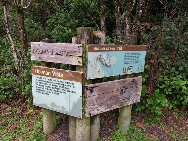
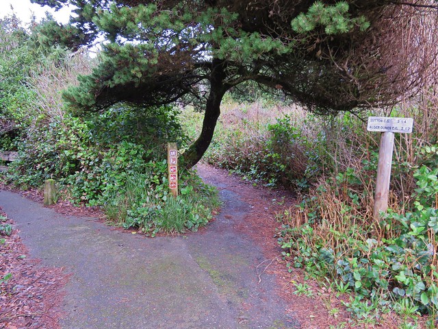
Sutton Creek Trailhead

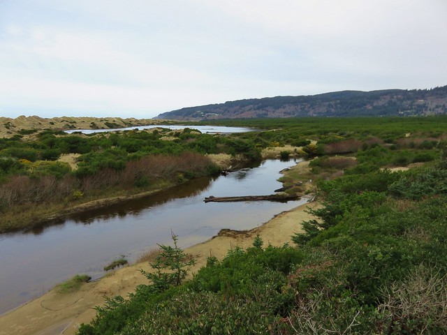
We started this hike by taking a short paved path to an overlook of Sutton Creek and a glimpse of the Pacific Ocean.
Sutton Creek

Sutton Creek and the Pacific Ocean

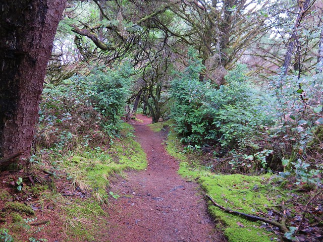
Next we set off on the Sutton Creek Loop Trail which led along Sutton Creek through a coastal forest .8 miles to a trail junction near Bolduc’s Meadow.
Sutton Creek Trail

Sutton Creek Trail

Crazy tree along the Sutton Creek Loop Trail.
Crazy tree along the Sutton Creek Trail

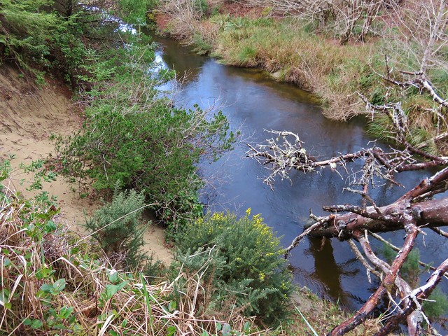
Sutton Creek

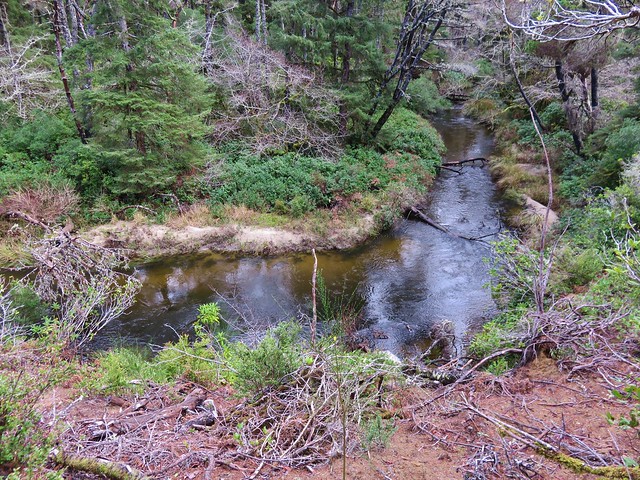
Sutton Creek

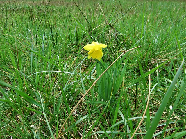
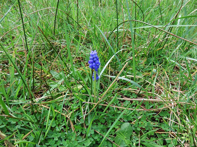
We kept straight at the junction passing Bolduc’s meadow where we spotted a lone daffodil and a single grape hyacinth.
Bolduc's Meadow

Daffodil in Boluduc's Meadow

Grape Hyacinths

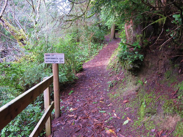
We were now on the South Sutton Creek Trail which continued to follow the creek for 1.5 miles of short ups and downs. This trail brought us to the Sutton Campground where we picked up the continuation of the trail at a footbridge near site B16.
Footbridge across Sutton Creek

After crossing the footbridge we had the option to go left or right on the North Sutton Creek Trail. The left hand trail led a quarter mile to a dune while the right and would have brought us to the same dune on a .6 mile loop.
Sutton Creek Trail

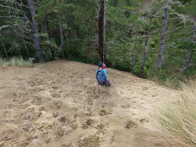
At the dune we found a swing which Heather made use of.
Sutton Creek Trail

Dune along the Sutton Creek Trail

Swing break along the Sutton Creek Trail

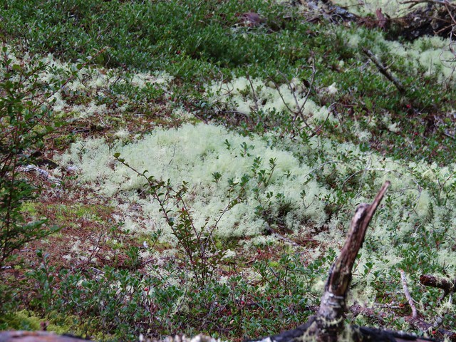
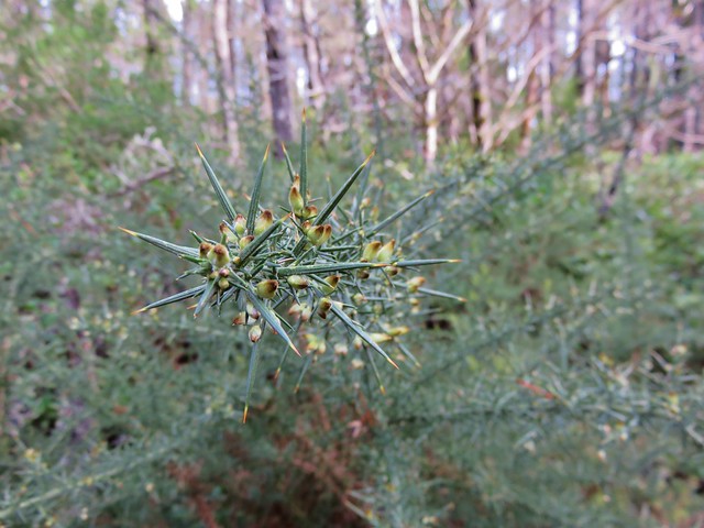
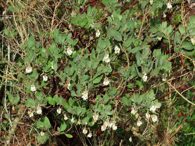
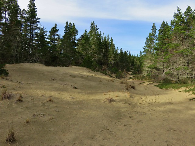
From the swing we followed the North Sutton Creek Trail for 1.3 miles back to the trail junction near Bolduc’s Meadow. This section of trail passed dunes with a less dense forest. Common gorse and manzanita was beginning to bloom along the trail and some areas were covered in a light green moss that reminded us of snow.
Sutton Creek Trail

Moss

Common Gorse
common gorse

common gorse//embedr.flickr.com/assets/client-code.js

Common manzanita
Common manzanita

Sutton Creek Trail

Bearberry
Bearberry

Dunes along the Sutton Creek Trail

Footbridge across Sutton Creek to the trail junction near Buldoc’s Meadow
Fottbridge over Sutton Creek near Buldoc's Meadow

After crossing the footbridge we turned right and then quickly turned left on an unsigned trail which led us .5 miles back to the parking lot at the Holman Vista Day Use Area.

We had a great time on these trails and it was nice that they were all very different from one another. We wound up doing a little over 13 miles of hiking but each of these trails are worthy of doing on their own. The Old Growth Ridge/Armantrout Loop hike was approximately 3.5 miles with about 800′ of elevation gain. Our first hike along Sweet Creek from the Homestead Trailhead was a little under 2.5 miles with 350′ of elevation gain while the segments from the Wagon Road Trailhead totaled just under 3 miles and 300′ of elevation gain. The hike on the Sutton Creek Trails was 4.5 miles with only about 100′ of total elevation gain. Happy Trails!

flicker: https://www.flickr.com/photos/9319235@N02/albums/72157662585681453

Categories
Hiking Northern Coast Oregon Oregon Coast Trip report

Fort-To-Sea Trail – Fort Clatsop

We have officially started our 2016 hikes. As we have done for the past several years we headed to the Oregon Coast for our first hike of the year. Our goal this time was to hike the Fort-To-Sea Trail following a route initially blazed by Lewis and Clark in 1805 from Fort Clatsop to the ocean. Fort Clatsop was built near what is now the Lewis and Clark River and the Fort-To-Sea Trail was used by the expedition to gather salt by boiling saltwater. The area is now part of the Lewis and Clark National Historic Park complete with a replica of the original fort.

We decided to start our hike at the Sunset Beach Recreation Site near the ocean north of Gearhart, OR. From there we would take the trail to Fort Clatsop and back. Things got off to a rocky start at the trailhead when we found the restrooms devoid of toilet paper and discovered that I had not yet switched our toiletry supplies from my backpack to my daypack. After a quick trip back to Gearhart for supplies we were back at the trailhead and ready to begin.
IMG_2837

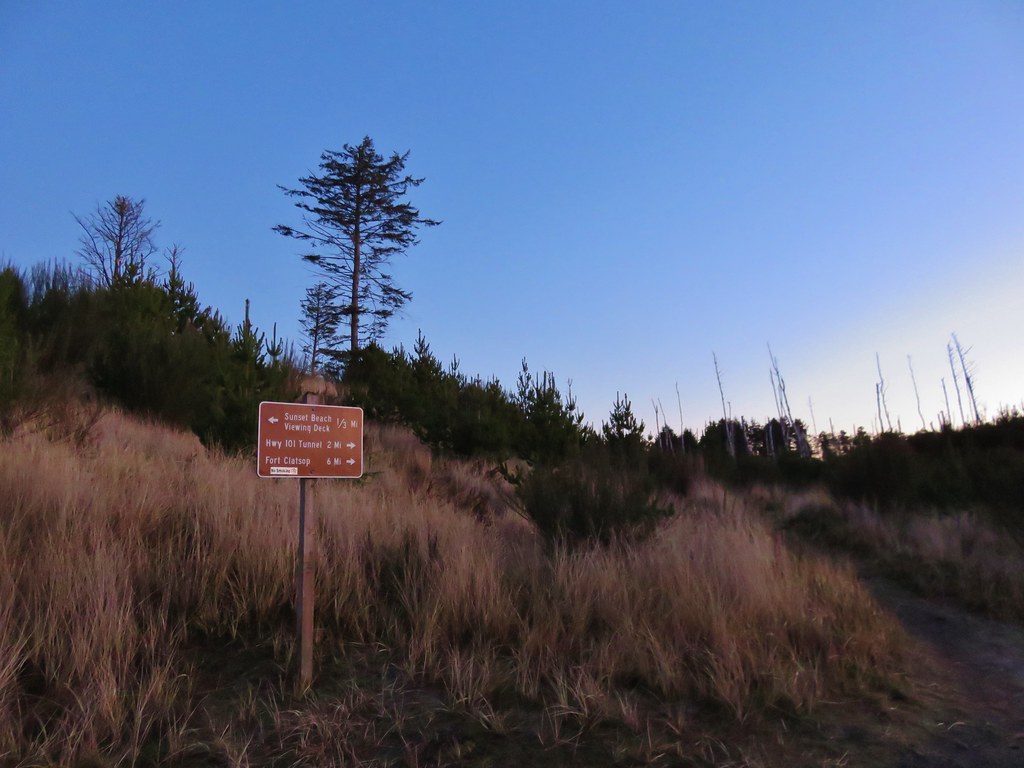
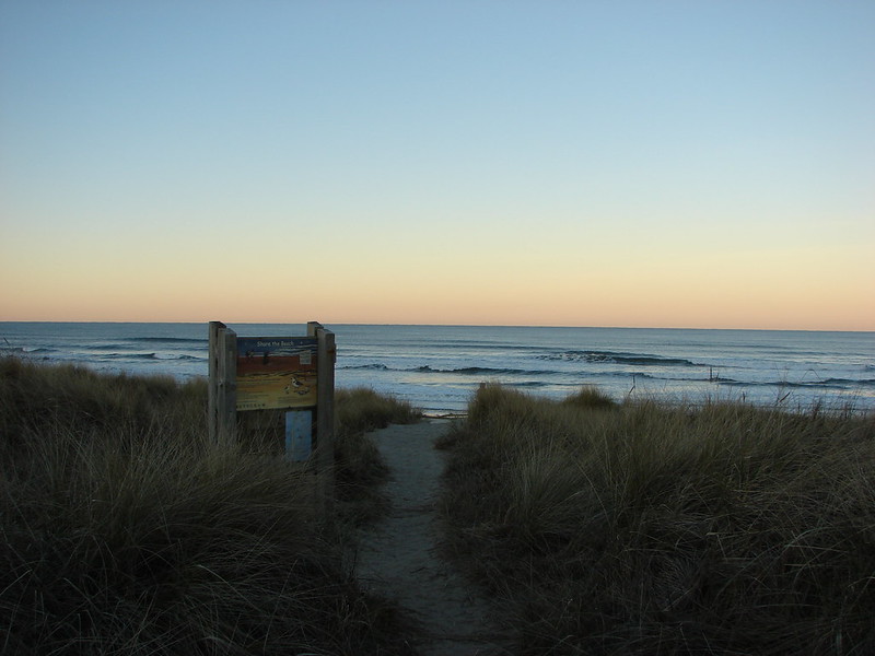
Before heading to Fort Clatsop we headed toward the ocean on the Fort-To-Sea Trail. There used to be a viewing deck overlooking the ocean 1/3 of a mile from the parking area but it has been removed leaving a sandy circle on the grassy dune.
IMG_2842

IMG_2846

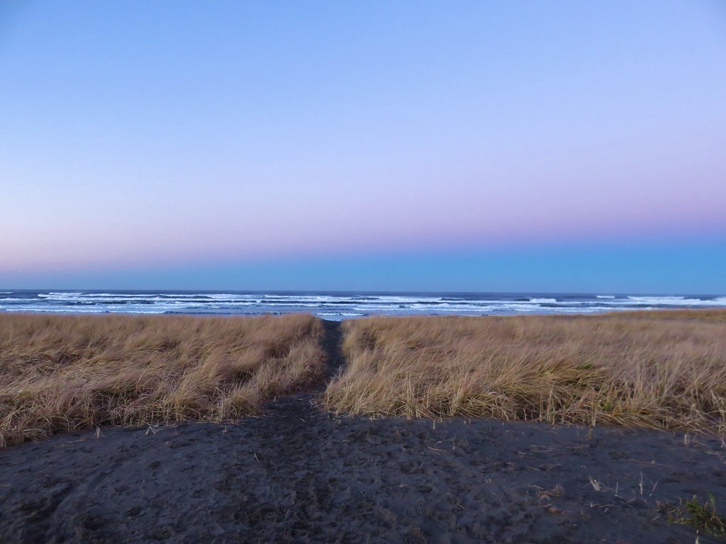
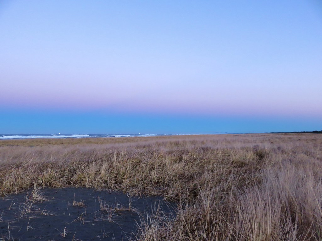
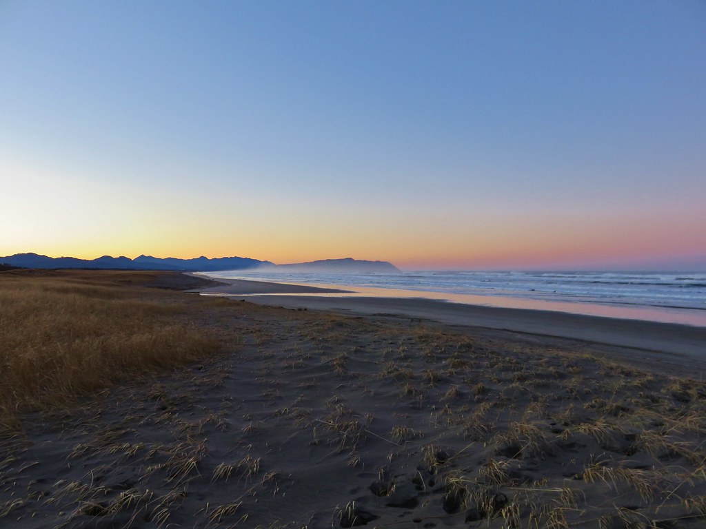
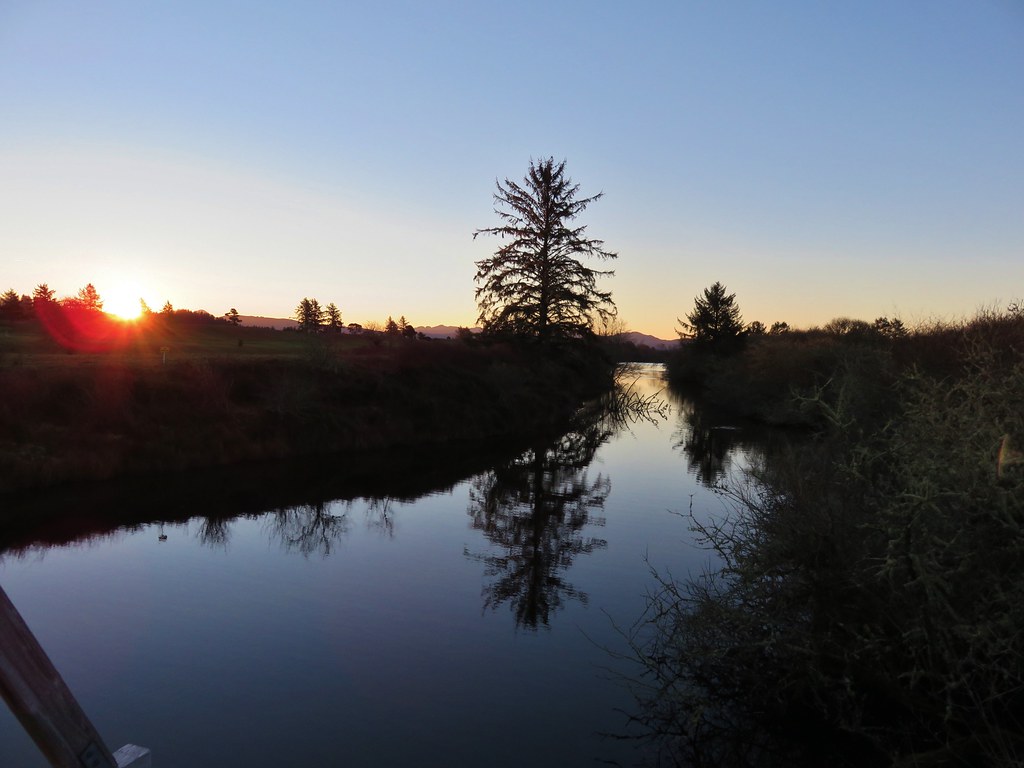
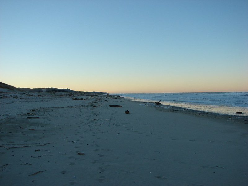
The Sun was still rising behind us creating some nice colors on the western horizon.
IMG_2847

IMG_2851

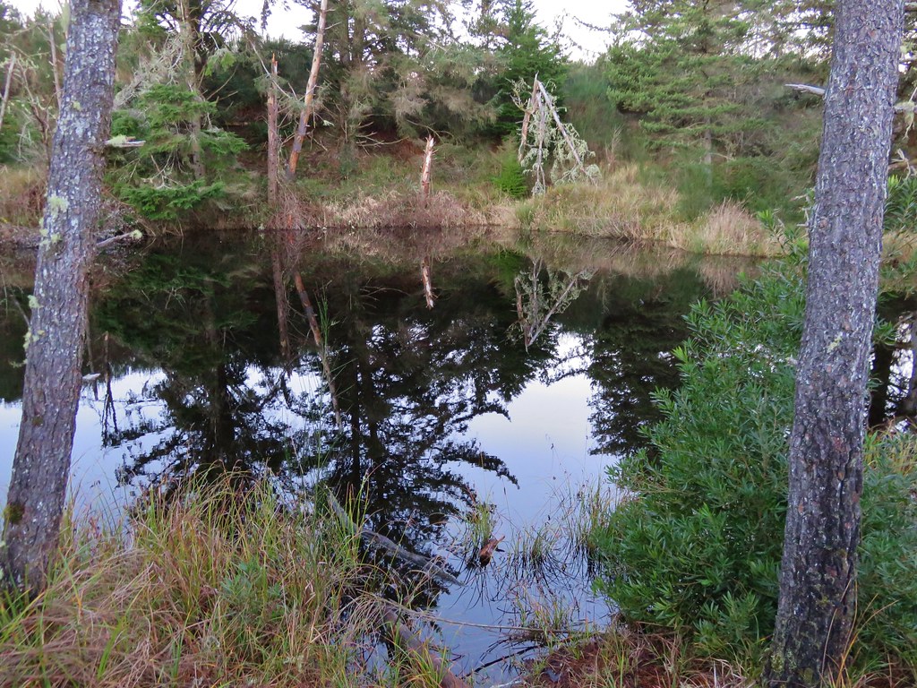
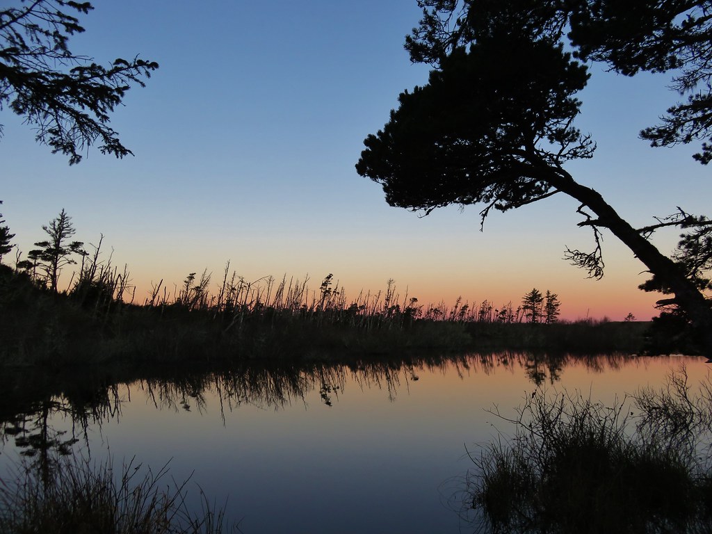
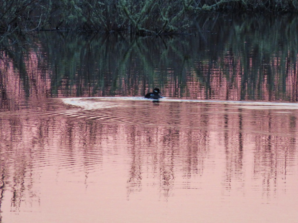
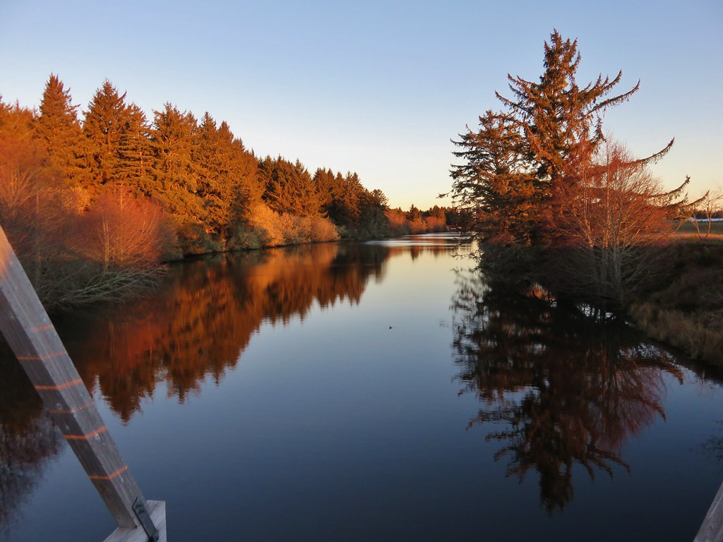
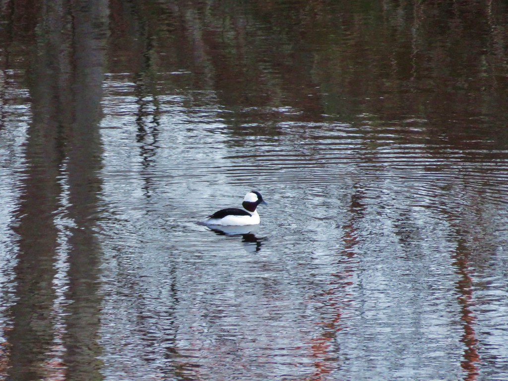
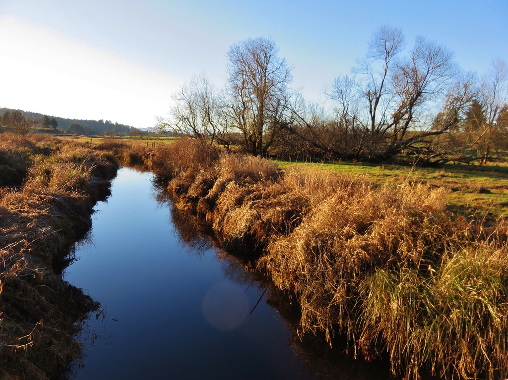
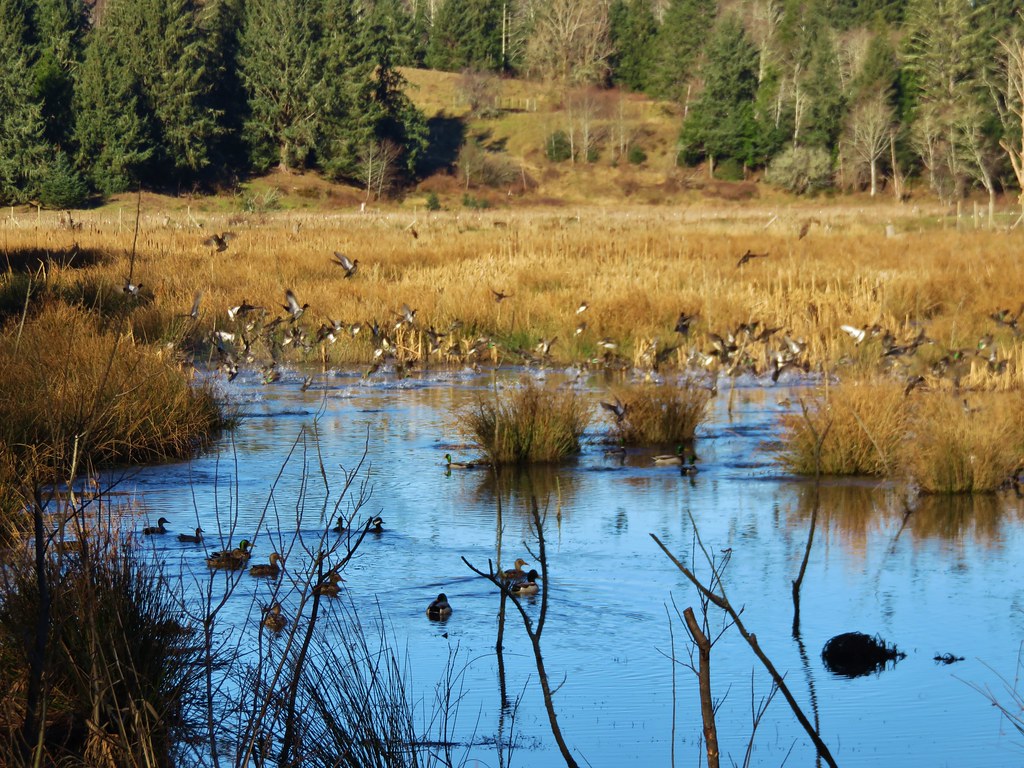
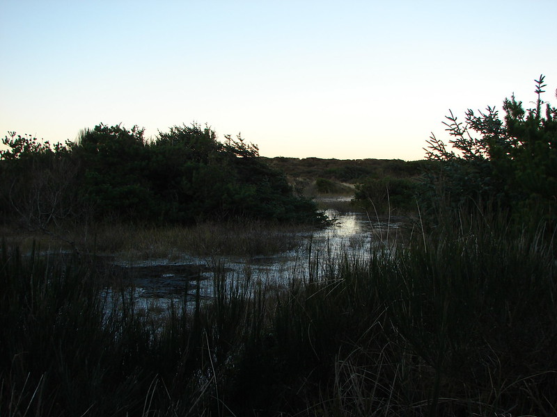
After returning to the trailhead we headed inland toward Fort Clatsop which was 6.2 miles away. The first portion of the trail passed through storm damaged trees skirting several bodies of water. Ducks paddled about on the water as it reflected the colors of the sunrise.
IMG_2861

IMG_2865

IMG_2864

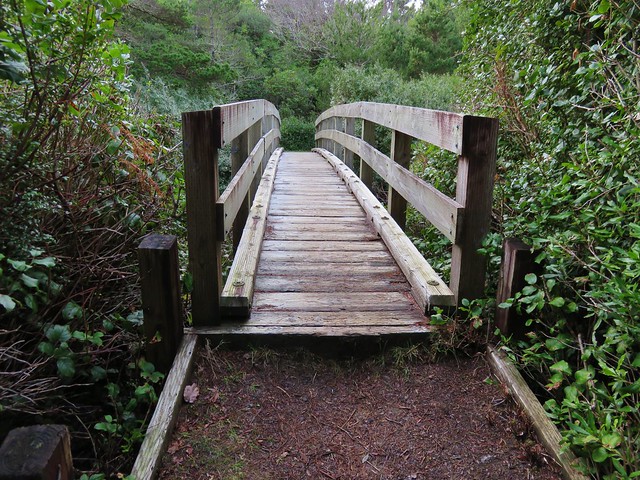
The path then led up and over a small sandy hill and down to an arched bridge over Neacoxie Lake.
IMG_2870

IMG_2876

IMG_2877

IMG_2874

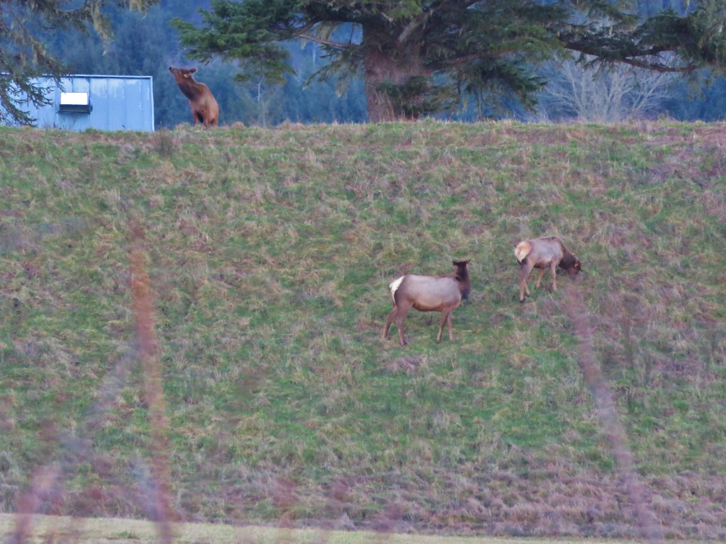
To the SE of the lake was the Astoria Country Club’s golf course, a popular morning stop for elk. We hadn’t seen any elk during our hikes in 2015, but on the far side of the course on a small hill were three.
IMG_2869

We watched them for a bit from the bridge as they made their way along the hillside.
IMG_2885

IMG_2887

Beyond the bridge the trail passed through a mile and a half of pastures. The fenced route was well marked as the trail led to East Neacoxie Lake.
IMG_2890

IMG_2897

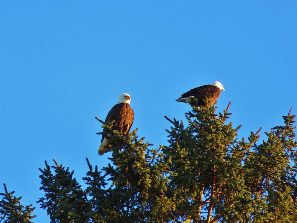
Smaller than Neacoxie Lake, East Neacoxie Lake was full of wildlife. A pair of Bald Eagles watched over the many ducks and small birds enjoying the lake.
IMG_2898

IMG_2906

IMG_2918

The trail crossed this lake on a floating bridge.
IMG_2917

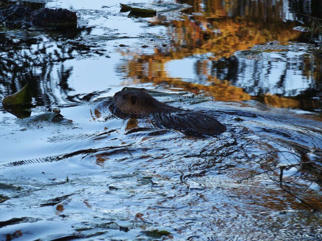
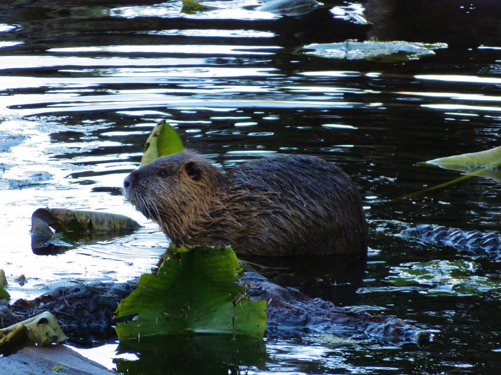
As we were making our way across something swam out from under the bank near the far end of the bridge. Our minds immediately went to otter or beaver, neither of which we have spotted yet during a hike. Instead it turned out to be a nutria, a large rat-like semiaquatic rodent considered an invasive species by the ODFW.
IMG_2921

IMG_2925

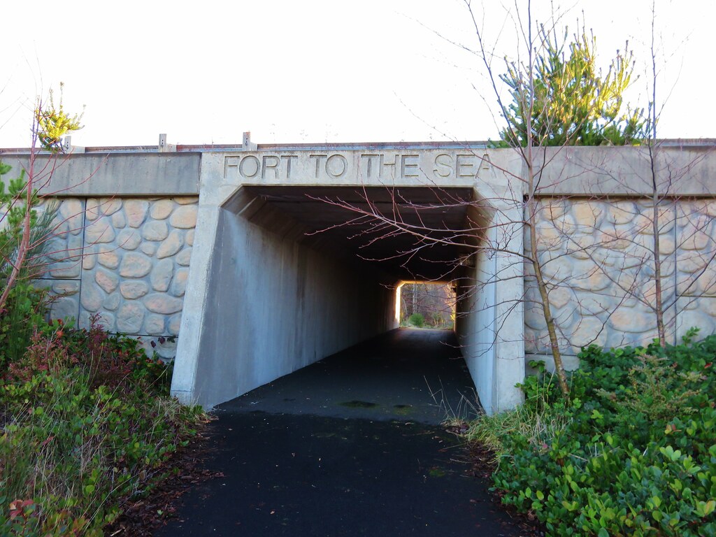
The trail then led past a pioneer church and cemetery to an underpass of Highway 101.
IMG_2928

IMG_2929

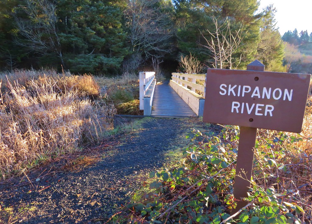
After passing under the highway and skirting another field we crossed the Skipanon River before heading into a forest.
IMG_2932

IMG_2933

IMG_2935

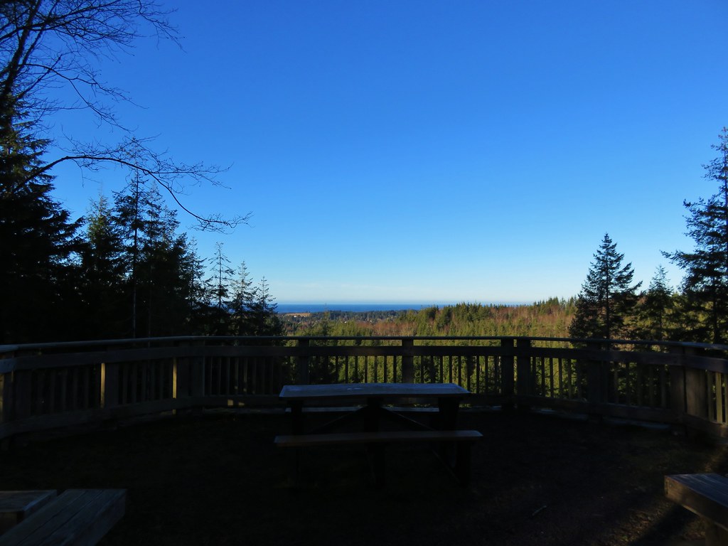
At the 4.7 mile mark we reached the Clatsop Ridge Overlook which was a nice ocean viewpoint with a picnic table and several benches.
IMG_2936

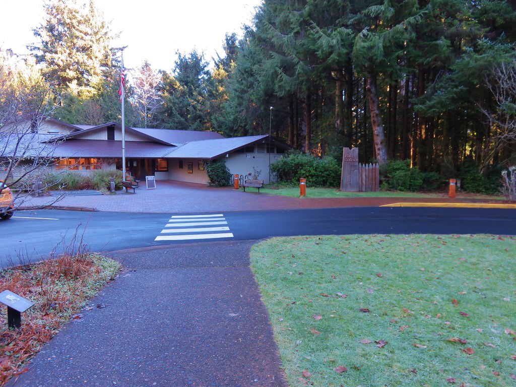
From the viewpoint the trail followed old roads down to the Fort Clatsop Visitor Center.
IMG_2938

IMG_2943

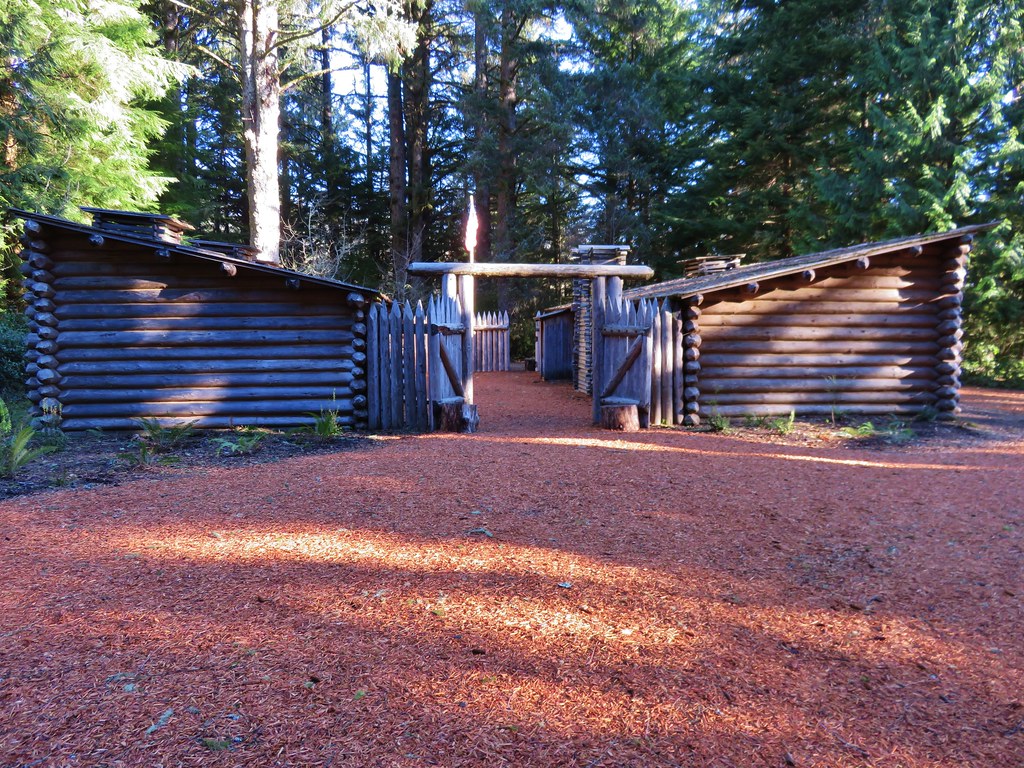
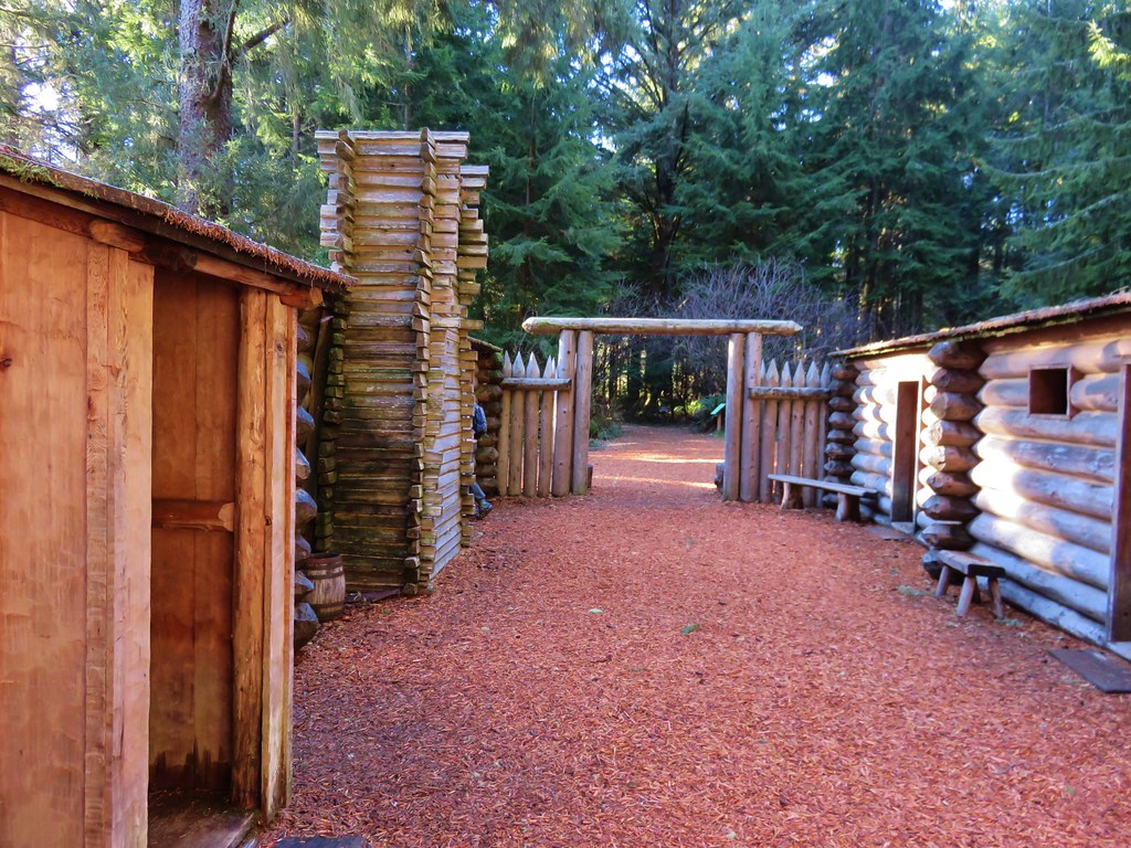
We passed through the center and continued 100 yards to the replica fort.
IMG_2945

IMG_2949

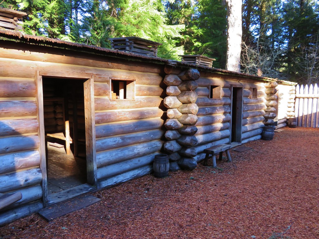
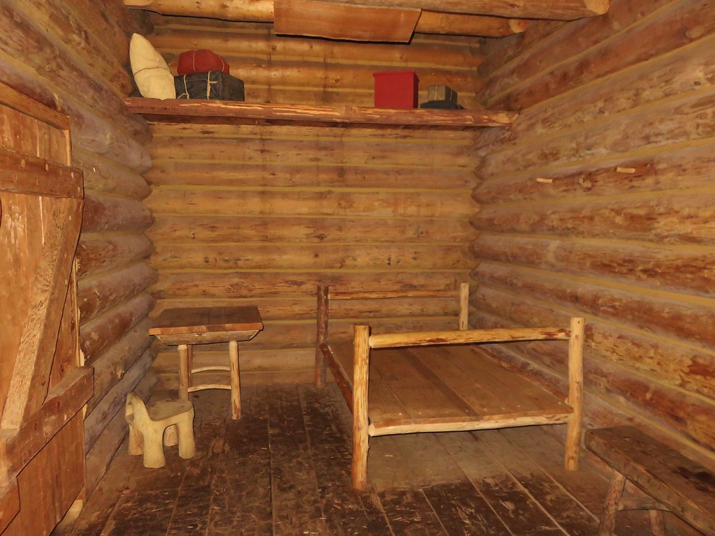
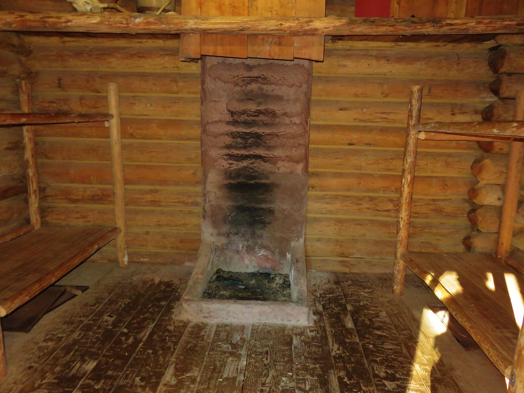
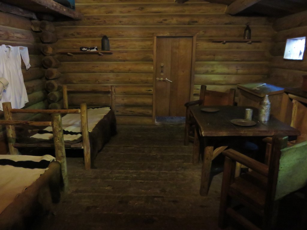
We were surprised at just how small a structure the fort was especially considering it was home to 33 people for 106 days. We spent some time poking around the fort and checking out the other nearby displays.
IMG_2950

IMG_2952

IMG_2953

IMG_2956

IMG_2957

IMG_2958

IMG_2959

IMG_2960

A 200 yard path led from the fort down to the site of the expedition’s canoe landing.
IMG_2962

IMG_2967

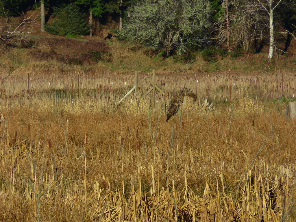
We could have turned back here and retraced our steps, but the park has several other trails which allow for various loop options. From the canoe landing we followed the Netul Trail south along the river. Part of the year a shuttle bus stop along this trail allows hikers to ride back to the fort or back to Sunset Beach. We were heading for the South Slough Trail though which we could take back to the Fort-To-Sea Trail. This trail loop around a slough filled with ducks and a couple of red-tailed hawks.
IMG_2970

IMG_2973

IMG_2978

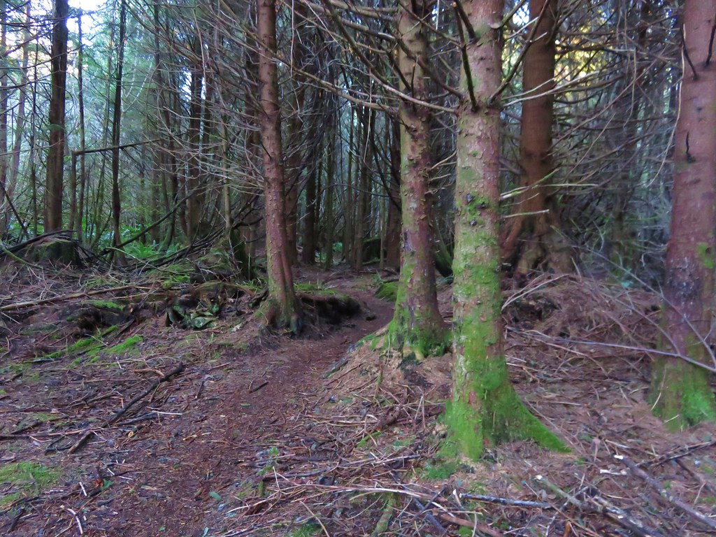
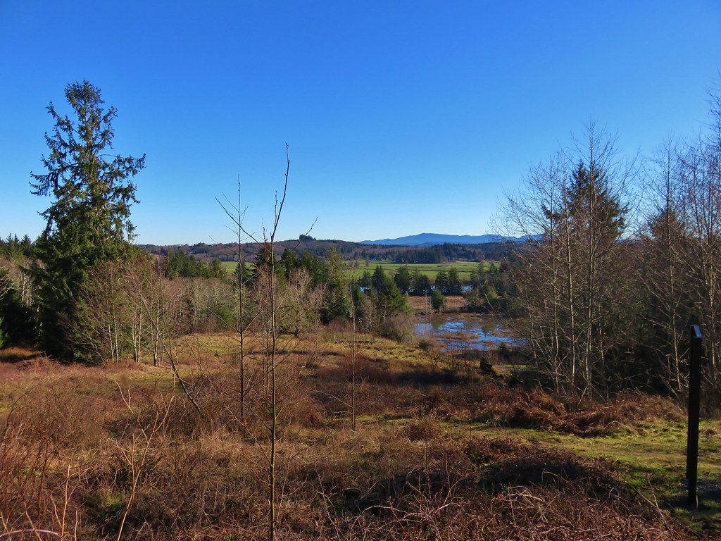
The South Slough Trail was the only trail marked as difficult on the park maps. It headed steeply uphill from the Netul Trail but the climb didn’t last long. The trail wound around the slough to a signed junction with the only real viewpoint of the trail.
IMG_2985

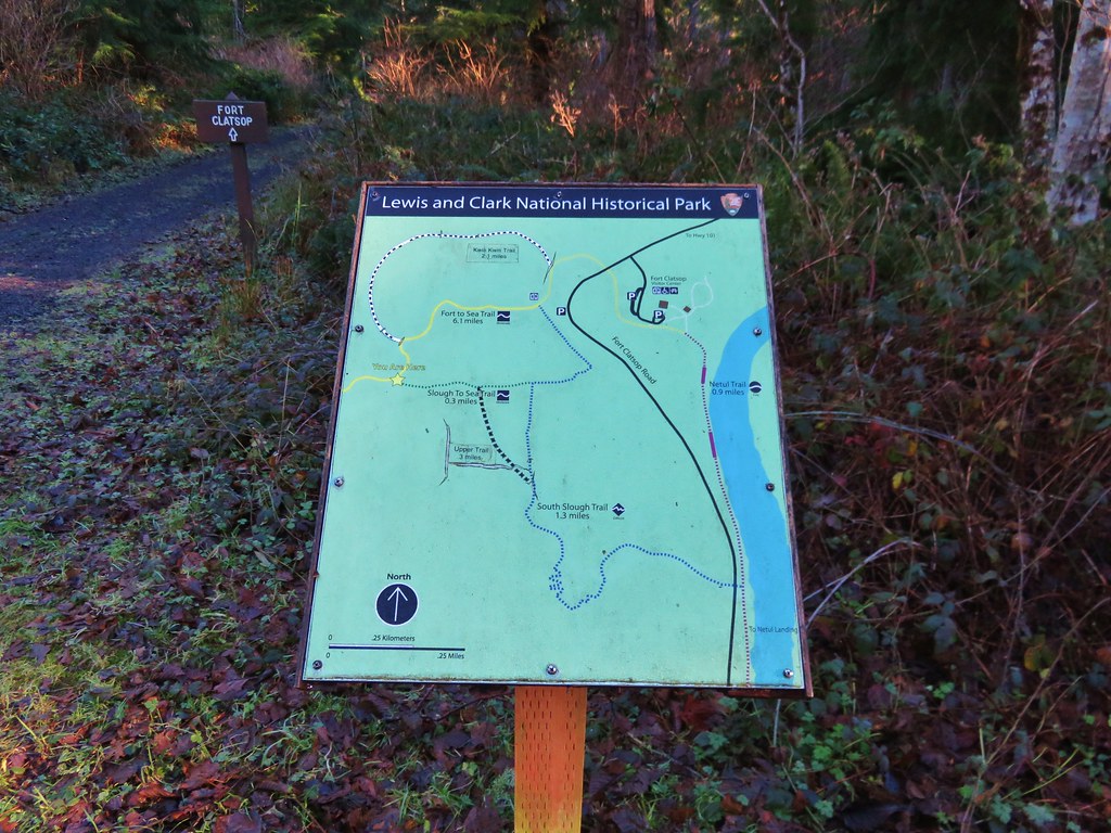
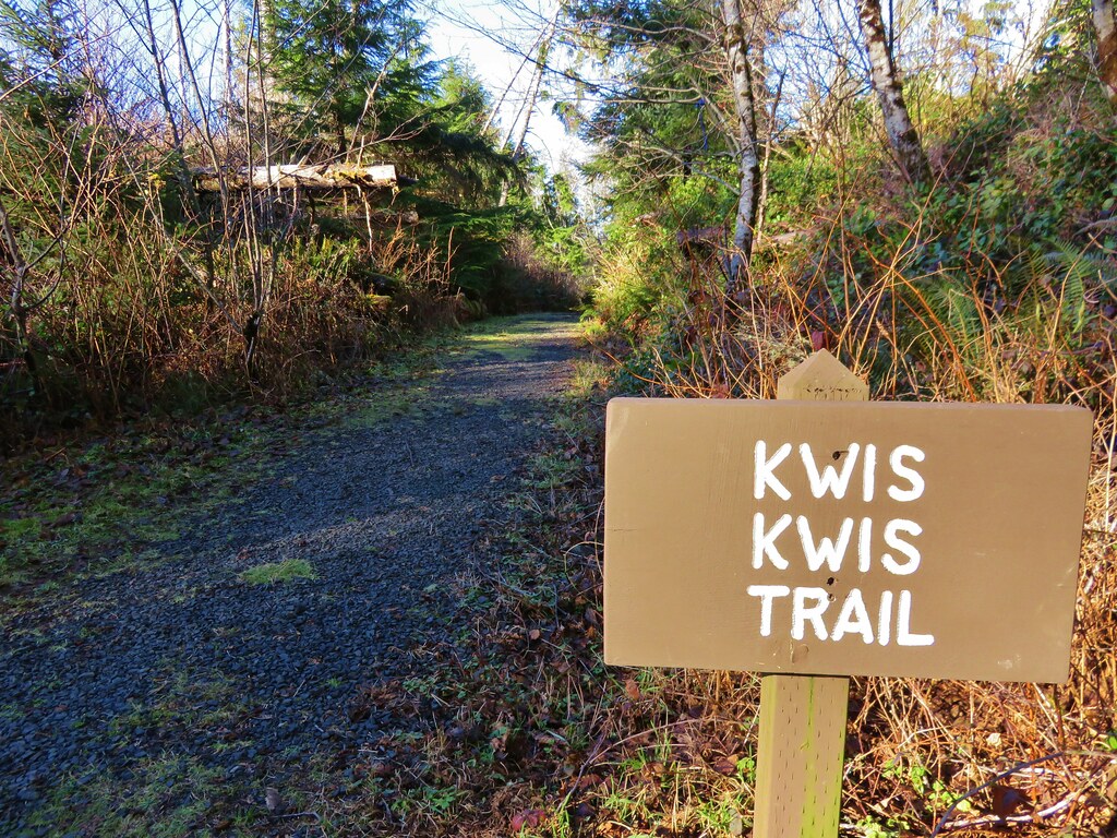
From this junction we could take the Lower South Slough Trail downhill to the Fort-To-Sea Trail about a half mile from the Visitor Center, or the Upper South Slough Trail which would meet the Fort-To-Sea Trail closer to a mile from the center. We took the upper option and made our way back to the Fort-To-Sea Trail and then took a second detour. Earlier that day just after entering the forest there was a signed trail forking left from the Fort-To-Sea Trail. It was named the Kwis Kwis Trail and it wasn’t shown in our guidebook or on any of the park maps we’d seen. The park maps did show a trail by that name but that trail showed as a wide arc leading from the Fort-To-Sea Trail near the junction with the Upper South Slough Trail and rejoining the Fort-To-Sea Trail about a third of a mile from the Visitor Center. Given the name and the fact that the signage for the mystery trail matched those of the park we theorized that it was a newer trail. We had also spotted sections of trail from the Fort-To-Sea Trail on the way up to the overlook which we suspected to be part of this trail.

From the Upper South Slough Trail junction we headed east on the Fort-To-Sea Trail to the signed Kwis Kwis Trail junction.
IMG_2987

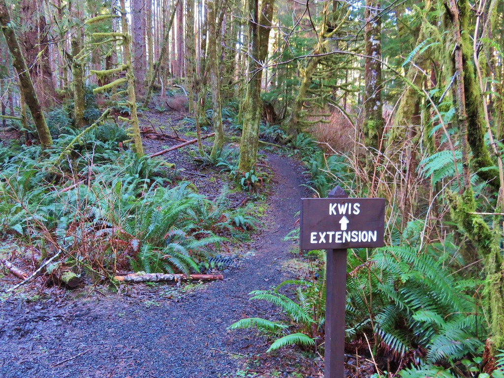
This trail also followed an old roadbed. After winding downhill for a little more than .3 miles we spotted a sign for the Kwis Extension.
IMG_2988

We turned up this path which ran roughly parallel to the Fort-To-Sea Trail at a lower elevation. This was indeed the path we had seen earlier. A nice long boardwalk traversed a large marshy area before rejoining the Fort-To-Sea Trail in the forest near the Skipanon River.
IMG_2991

From there we retraced our steps along the Fort-To-Sea Trail to the Sunset Beach Trailhead. Later we learned the Kwis Kwis Trail Extension was completed in 2014. The scenery and wildlife along the trails were both quite varied, and the history surrounding the area made it a very interesting hike. The various loops and trail distances make this a great option for hikers of any age. Happy Trails!

Flickr: https://www.flickr.com/photos/9319235@N02/albums/72157662826694040

Categories
Central Coast Hiking Oregon Oregon Coast Trip report

Salishan Spit

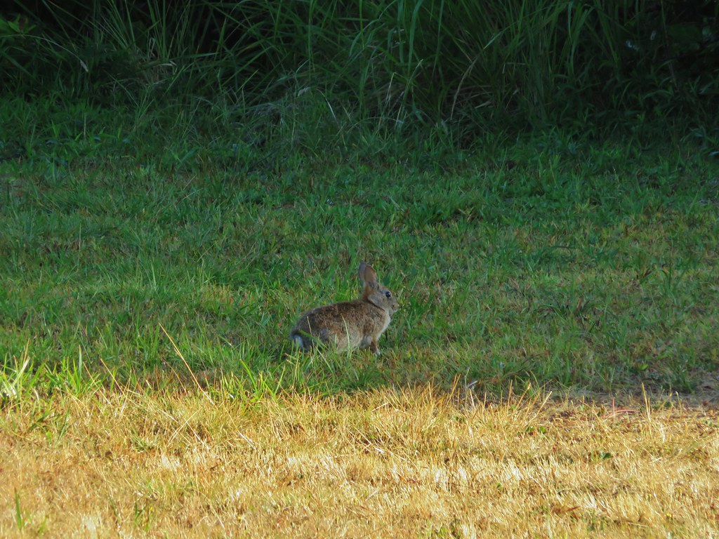
Every August we head to Gleneden Beach for a family reunion, and almost every year we consider hiking Salishan Spit due the starting point being less than a mile from the site of the reunion. We had consistently passed on it though in favor of doing a wildflower hike in the mountains the day after instead. With the wildflower season over early this year it was a perfect time to finally check out the spit. We started at the Gleneden Beach Wayside south of Lincoln City, OR. The wayside consisted of a large parking area, picnic tables, restrooms, and a large gazebo. A rabbit was the only one present when we arrived.
IMG_7066

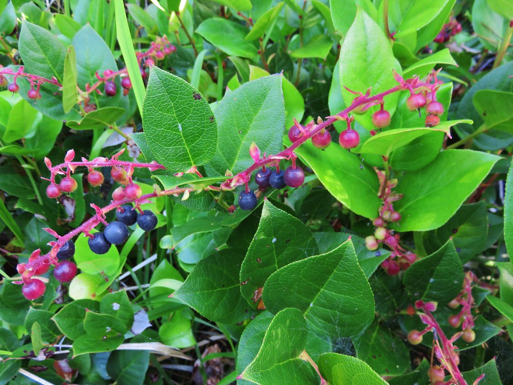
The area was full of salal berries which are edible but not one of our favorites.
IMG_7068

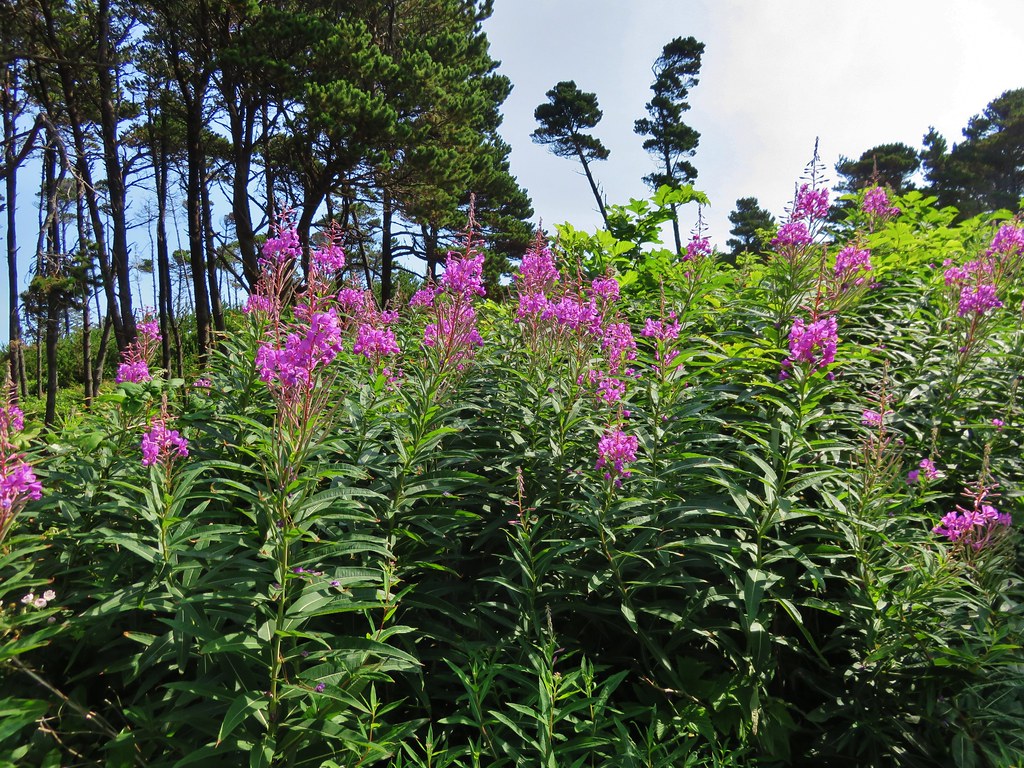
There were a few flowers at the wayside as well.
IMG_7244

IMG_7246

A short path led through a small stand of trees and down to the beach.
IMG_7069

IMG_7071

IMG_7072

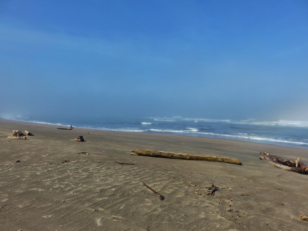
It was a weird day at the beach. We had been having a heat wave in the Willamette Valley with highs over 100 degrees and our drive to the coast had been under bright blue skies. When we had arrived at Lincoln City the sky was still blue but there was a big wall of clouds visible off-shore over the Pacific. As we drove south down Highway 101 toward Gleneden Beach the blue sky was replaced by fog. It was blue sky again at the wayside, but when we reached the beach we saw that we were in a pocket of blue amid the fog. The bank of clouds off-shore was also visible.
IMG_7075

IMG_7076

IMG_7083

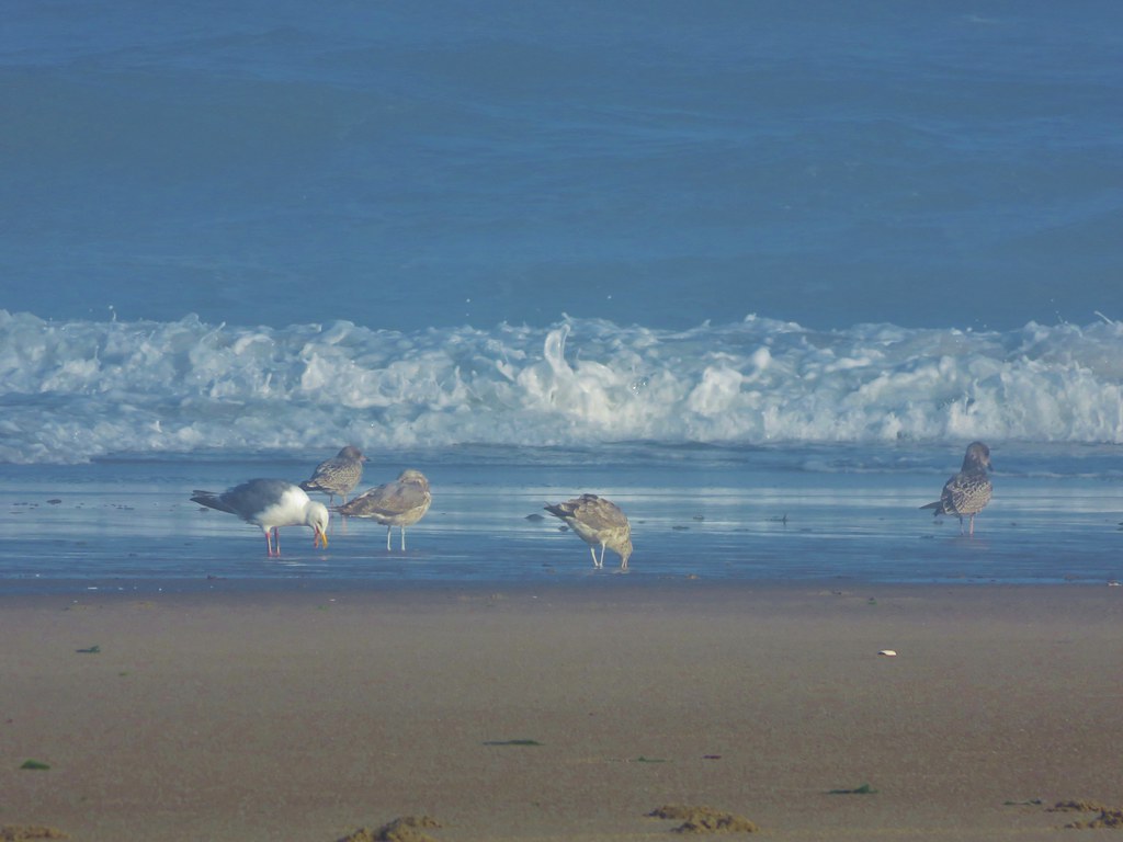
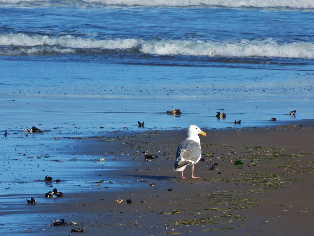
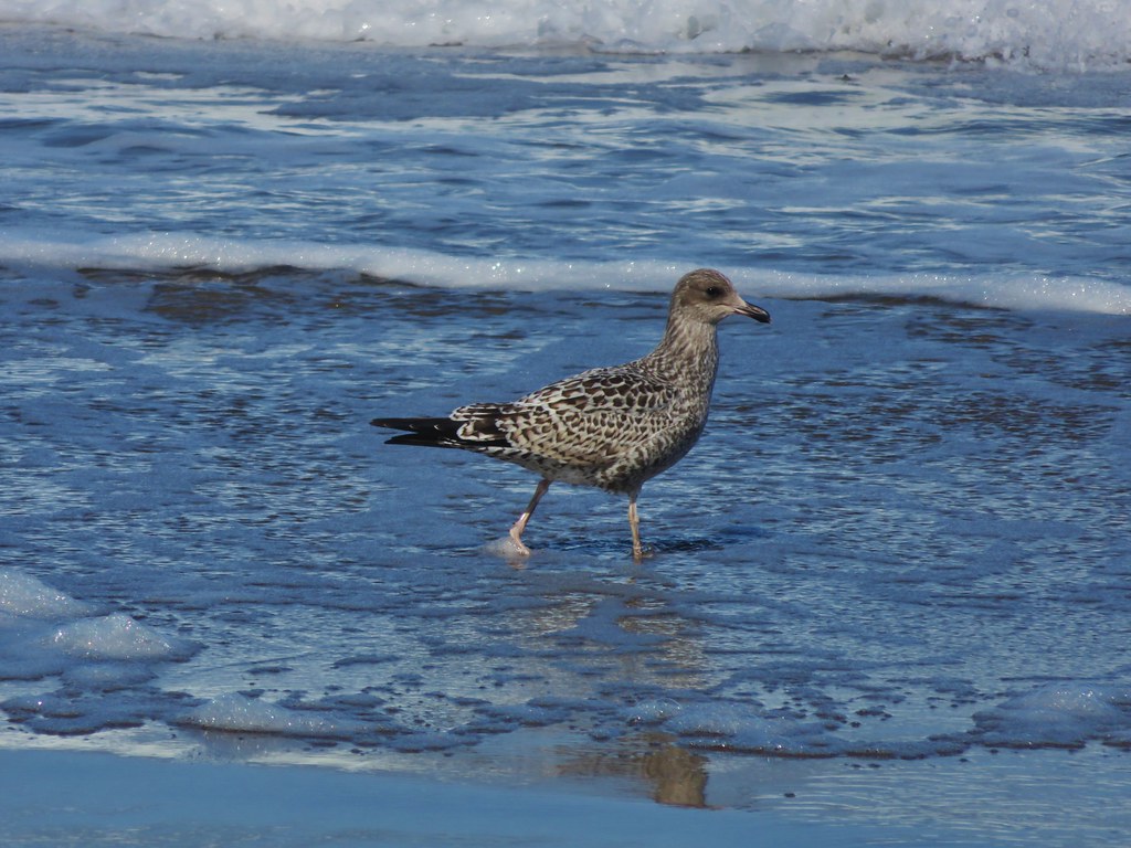
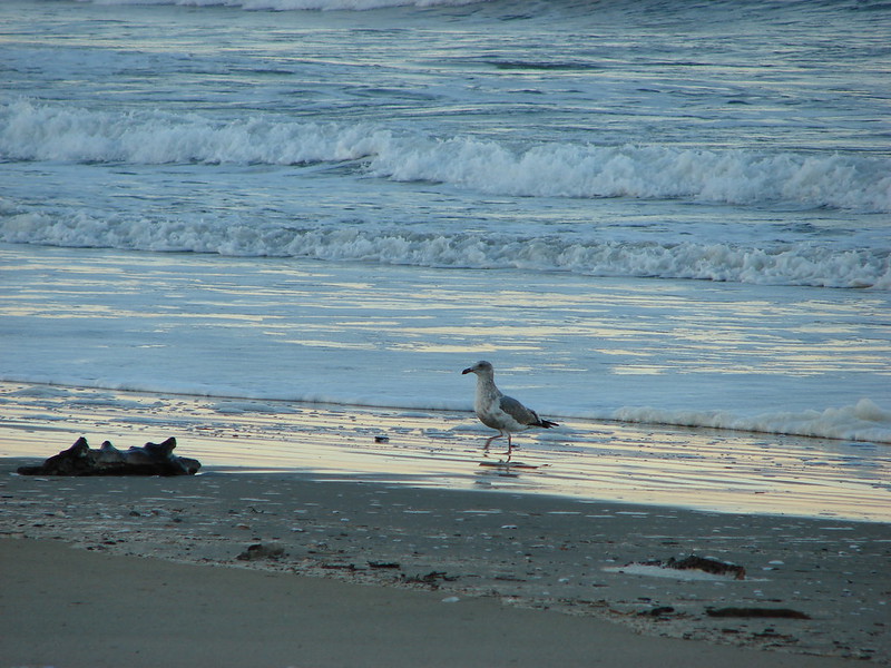
We headed north along the beach. The tide was out as we watched seagulls search for snacks in the surf.
IMG_7087

IMG_7078

IMG_7099

IMG_7097

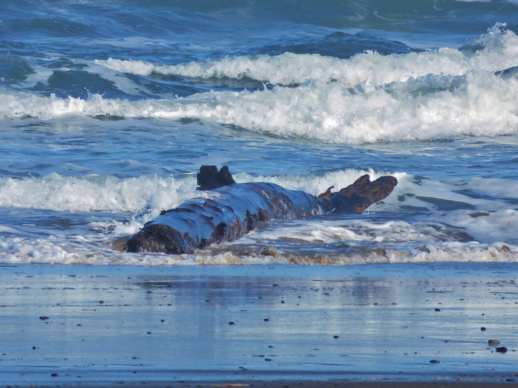
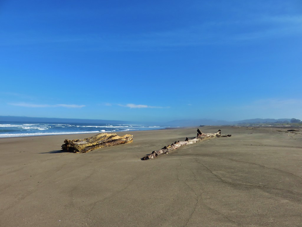
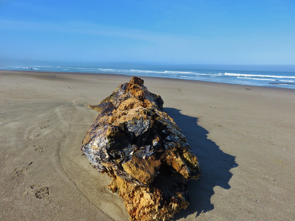
The beach was fairly free of debris but there were a few items to inspect including some nice drift wood.
IMG_7098

IMG_7101

IMG_7103

IMG_7104

IMG_7107

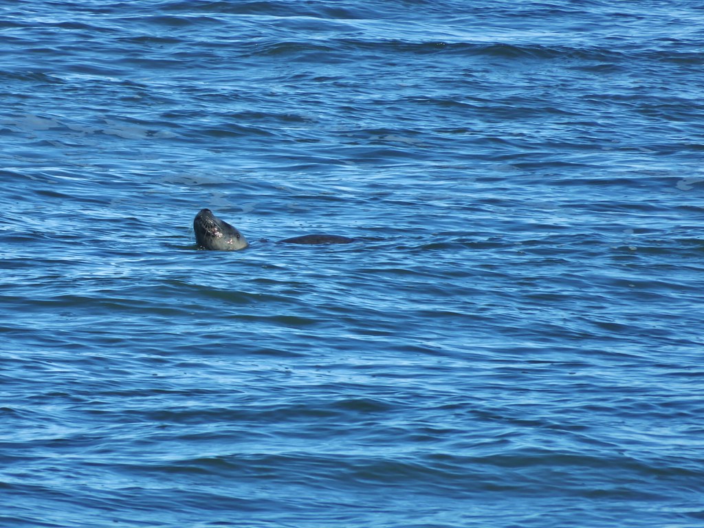
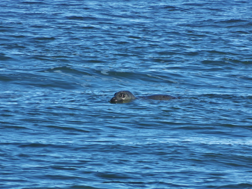
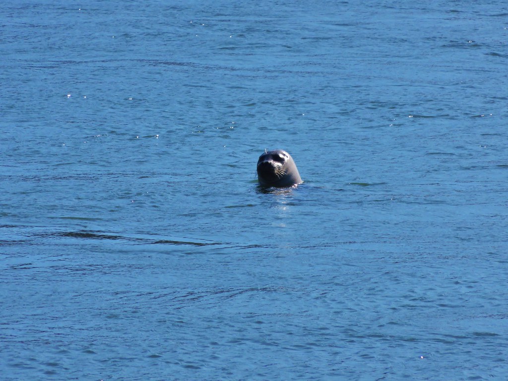
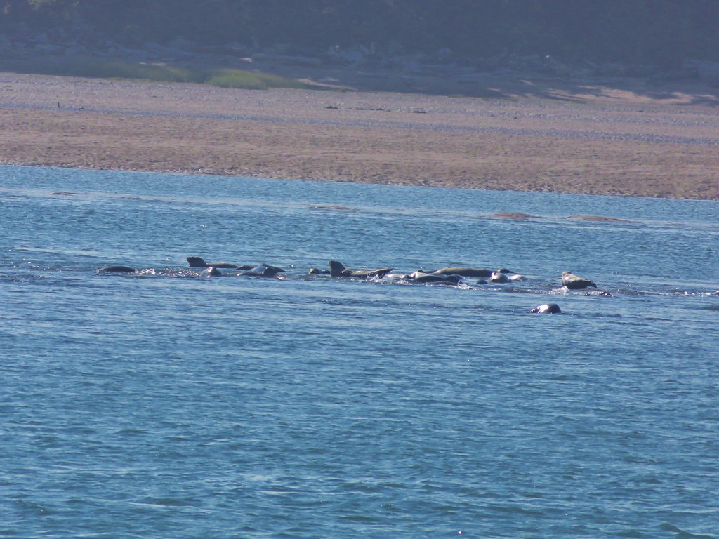
One of the things we were looking forward to on this hike was the possibility of seeing some seals. We spotted the first one of the day in the ocean about half way down the spit.
IMG_7109

IMG_7110

IMG_7113

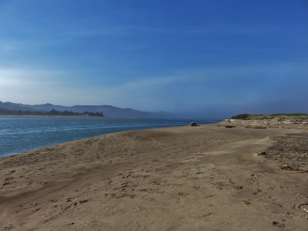
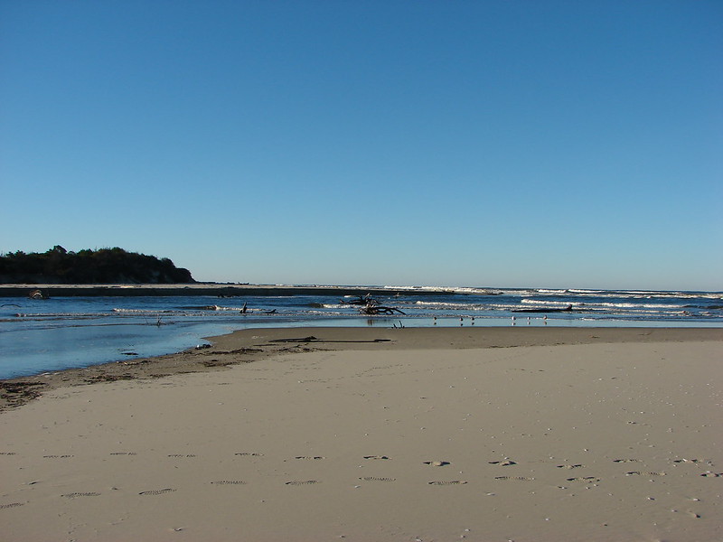
The spit ends where Siletz Bay meets the Pacific Ocean.
IMG_7114

IMG_7128

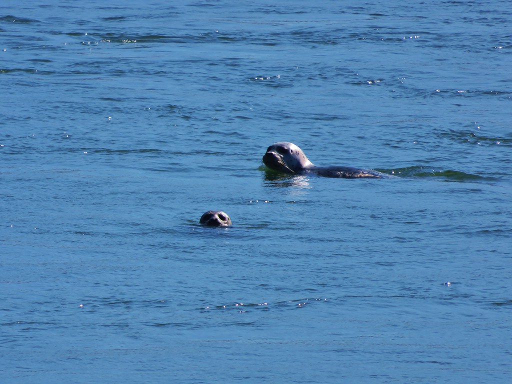
As we walked around the end of the spit we spotted many seals floating past on their way back out to the ocean.
IMG_7135

IMG_7137

IMG_7143

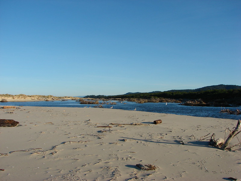
We then turned along the bay.
IMG_7152

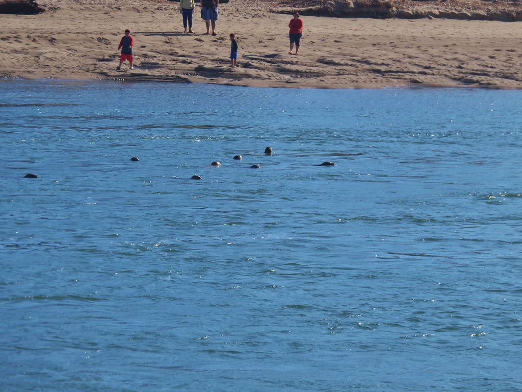
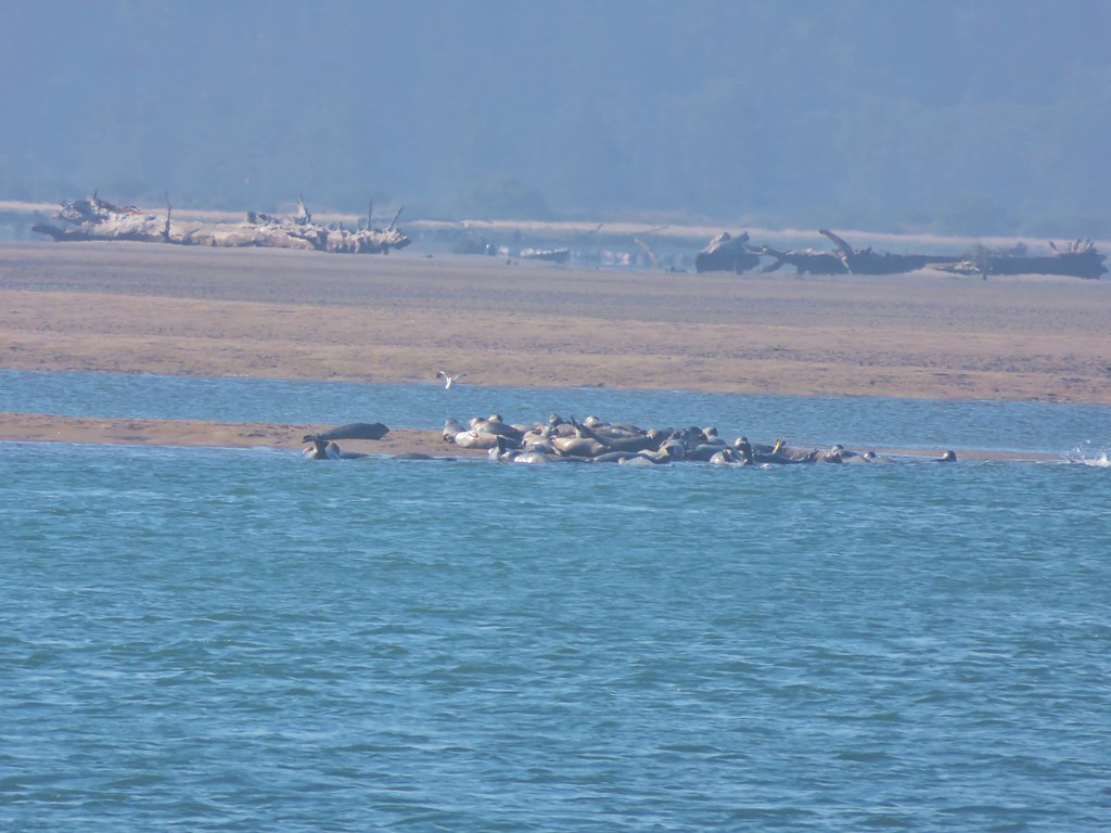
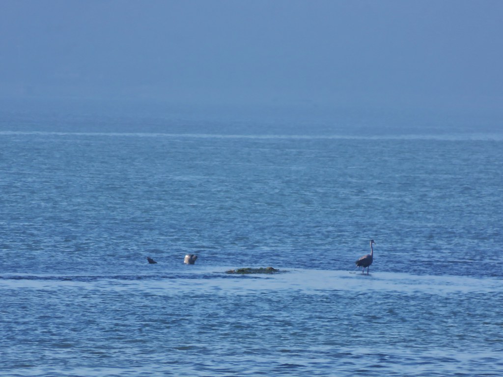
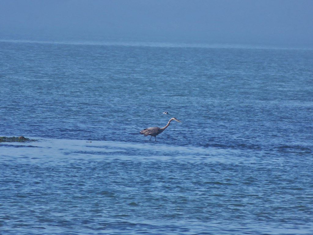
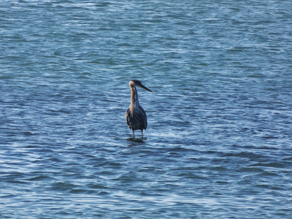
There were several groups of seals lounging in the bay as well as a Great Blue Heron looking for breakfast.
IMG_7148

IMG_7153

IMG_7156

IMG_7158

IMG_7179

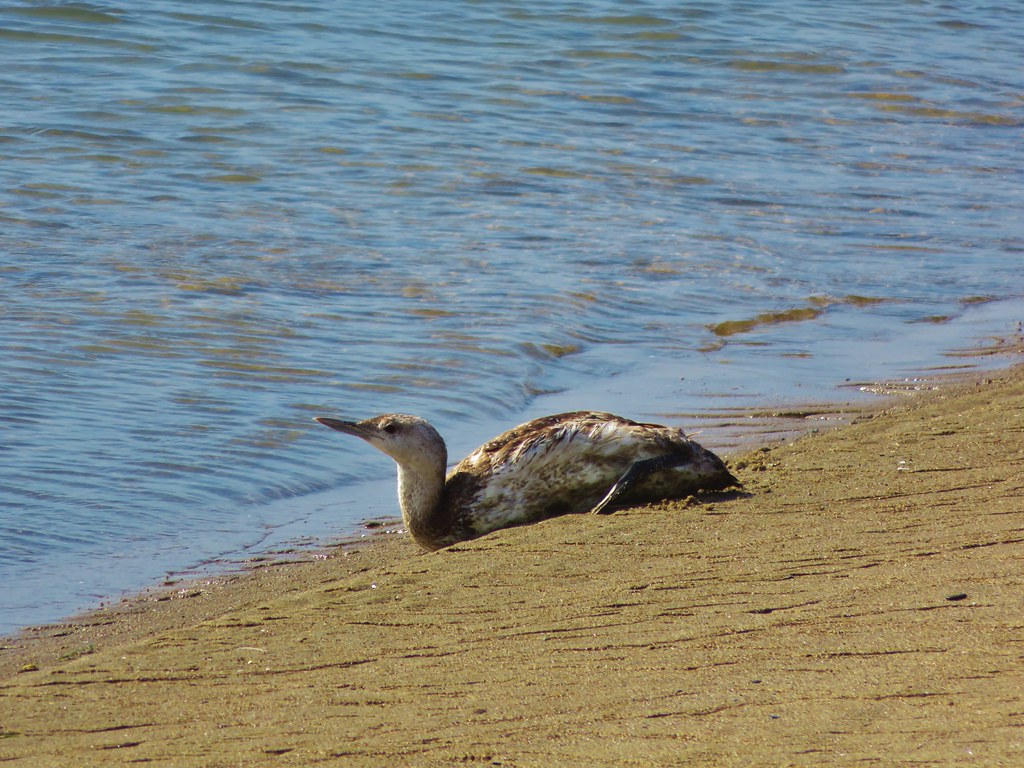
Along the shore we spotted a bird laying in the sand. We weren’t sure if it was injured or just a young bird but we kept our distance so we didn’t disturb it.
IMG_7182

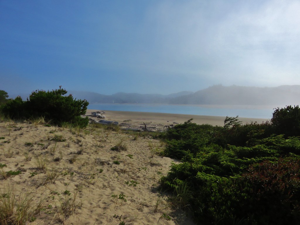
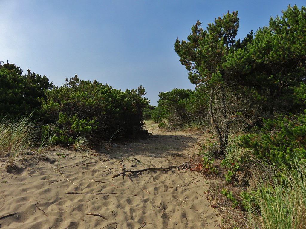
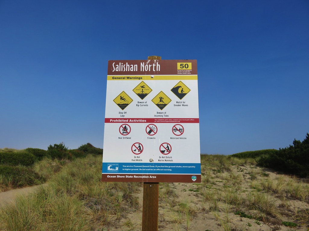
A wide path then led through some stunted pines and grasses to the Salishan North parking area.
IMG_7209

IMG_7195

IMG_7213

From the parking area we crossed back over to the ocean due to the presence of private residences on the bay side of the spit beyond the parking area.
IMG_7218

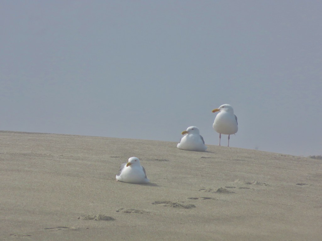
We returned along the beach to the wayside. Many of the seagulls were still hunting for goodies to eat although some were now taking a break.
IMG_7229

IMG_7238

IMG_7240

Our total distance was 7.7 miles making this a relatively short hike for us but we finished with plenty of time to get to the reunion on time. It was a far cry from the previous weeks hikes in the Three Sisters Wilderness but it was great to see so many seals and the mild temperatures made for a really nice hike. Happy Trails!

Flickr: https://www.flickr.com/photos/9319235@N02/sets/72157656249280980

Categories
Hiking Oregon Oregon Coast Southern Coast Trip report

Oregon & Tahkenitch Dunes

Happy New Year. It didn’t take us long to get our first hike of 2015 in. We had planned on visiting the Oregon Dunes National Recreation Area later this month, but a day off from work and a forecast for clear skies on New Years Day was too tempting to pass up. The Oregon Dunes National Recreation Area is nearly 40 miles of dunes, creeks, lakes, and forest along the Oregon Coast between the cities of Florence and Coos Bay.

The area offers numerous hikes, most of which are fairly short. Our plan was to combine three of these shorter hikes into a longer trek. We started off from the Oregon Dunes Day Use Area 10 miles south of Florence.
DSC08330

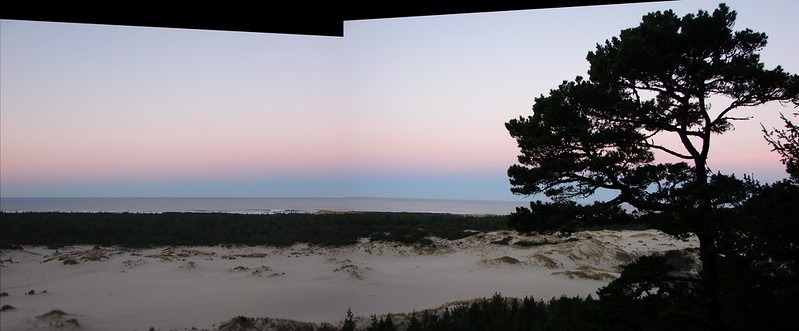
The sun had just risen in the east as we set off creating a colorful scene from the dunes overlook.
DSC08333_stitch

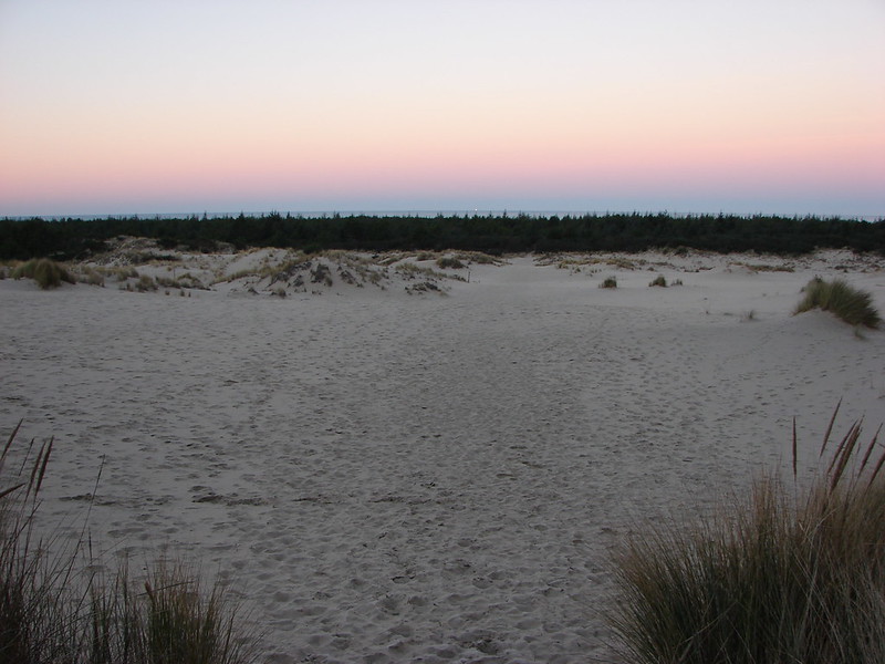
A .3 mile descent brought us to the dunes where we followed footprints and posts toward the ocean.
DSC08336

Between the dunes and the ocean the trail passed through the deflation plain, an area created by a non-native beachgrass introduced in the early 1900s which has cut off the supply of sand to the dunes. In the deflation plain marshes and a forest have formed.
DSC08343
DSC08344

After crossing the plain we arrived at the foredune where the European beachgrass gives way to the beach.
DSC08348

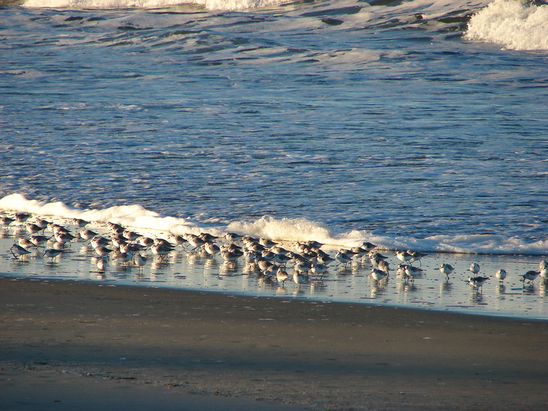
We turned south and headed down the beach. The beach was quite except for the sound of the ocean waves. We were the only people on the beach as far as we could see. Snowy Plovers and gulls were the only company we had.
DSC08354
DSC08367
DSC08361

There was quite a bit of debris on this section of beach. There were plenty of the usual pieces of shell and sand dollars along with many items that may have been washed up from the 2011 tsunami that hit Japan.
DSC08357

Our original plan was to hike the beach to Tahkenitch Creek then cross the creek and pick up another network of trails on the other side. These other trails would take us on a loop past Threemile Lake, through the Tahkenitch Dunes and back across Tahkenitch Creek further inland where we would then finish the Oregon Dunes Loop. We abandoned that plan upon arriving at Tahkenitch Creek. It was wider and deeper than I had anticipated and neither of us were willing to wade across with the temperatures hovering around freezing.
DSC08369
DSC08370

We turned to Plan B which was to backtrack to the continuation of the Oregon Dunes Loop, return to the car and then drive to the Tahkenitch Dunes Trailhead. We turned around and made our way back up the beach to a hiker sign marking the loop.
DSC08375

This section of trail passed by a bend in Tahkenitch Creek before returning to the dunes and completing the loop.
DSC08379
DSC08381

We had wound up hiking a little over 8 miles by the time we reached our car (We didn’t realize we had gone that far until later when I reviewed the GPS information.) and were glad for a short rest while we drove the 3 miles to the next trailhead.
DSC08385

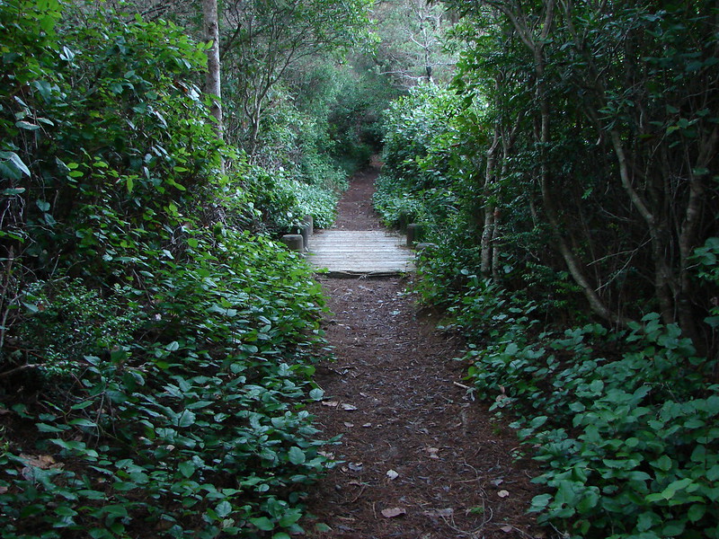
The trail here started in a nice forest leading .2 miles to the start of our next loop.
DSC08387
DSC08388

We went right at the junction and headed for the dunes.
DSC08390

The trail passed over the dunes and then through a more substantial forest before reaching Tahkenitch Creek near the ocean.
DSC08392
DSC08398

The trail led down to the beach where we again turned south for a mile (the final few tenths of beach are open to vehicles) to another sign marking the loop. The sign was a bit hard to spot as it was back away from the foredune a bit. The beach on this side of the creek was much less cluttered.
DSC08400

After heading inland for half a mile we arrived at an overlook of Threemile Lake. The lake was 200 feet below us and we decided not to head down the sandy hill to visit it because neither of us felt like climbing back up that much sand. We opted to take a short snack break above the lake before continuing on our loop.
DSC08402

The loop continued for 2.7 miles passing through an impressive forest before arriving back at the junction .2 miles from the car.
DSC08407
DSC08408

It had been a beautiful day on the beach despite the cold temperatures so we were surprised to have only seen a total of three other people during the day. Two were just heading down on the Oregon Dunes Trail as we finished that loop and the other had driven his pickup down onto the beach south of Tahkenitch Creek. We couldn’t have asked for a better way to start our 2015 hikes. Happy Trails!

flickr: https://www.flickr.com/photos/9319235@N02/sets/72157650068860795/

Categories
Central Coast Hiking Oregon Oregon Coast Trip report

Harts Cove & Drift Creek Falls

It has become a tradition to finish off our hiking year either on the Oregon Coast or in the coast range. This year we targeted a pair of shorter hikes to keep the tradition alive. For the first of these two hikes we traveled to Cascade Head just north of Lincoln City in order to visit Harts Cove where a waterfall spills into the Pacific Ocean. We parked at the Cascade Head Upper Trailhead along road 1861 at a sign post for the Nature Conservancy Trail. A trail here led off for a mile to Cascade Head’s upper viewpoint which we had visited before. In order to find the Harts Cove Trailhead we walked another .9miles down road 1861 where a large parking area with plenty of signs marked the start of the trail. We could have driven here but were contemplating hiking to the upper viewpoint later if the sky cleared so we decided to park at the upper trailhead.
DSC08186

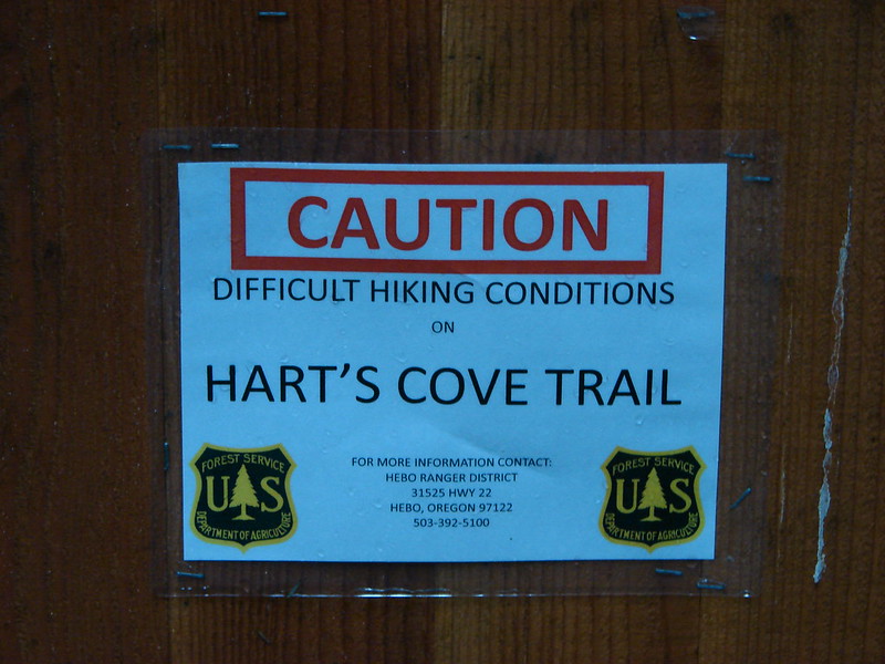
One of the signs warned of difficult hiking conditions on the trail which piqued our interest.
DSC08187

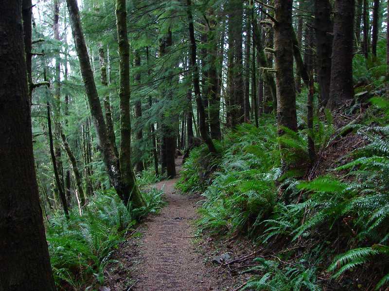
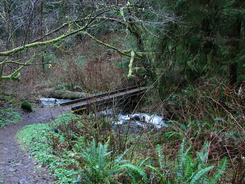
The trail started out by diving fairly steeply downhill through the forest for the first half mile then descended more gradually to a bridge across Cliff Creek.
DSC08192

DSC08193

Cliff Creek

After crossing the creek the trail turned back toward the ocean along a ridge. We could hear a number of sea lions on the rocks below but could only get small glimpses of them across the water through the trees.
DSC08200

As the trail wound around the ridge end there was a bench that offered an obstructed view across Harts Cove to a meadow which was where the trail would end. The trail then bent back leading us around the cove. We crossed Chitwood Creek which appeared to have once had a bridge but it was now in pieces further down the creek.
DSC08207

We had been in clouds and fog for most of the hike but as we came out of the forest into the meadow we could see clearer skies out over the ocean. The trail was steep here also and muddy making it a bit slick.
Looking down the trail:
DSC08210

Looking up from below:
DSC08269

North toward Cape Lookout:
Cape Lookout from the meadow near Harts Cove

South toward Cascade Head:
Cascade Head

The sea lions could still be heard across the way below Cascade Head, and now we could see them better.
Sea Lions and Seagulls

We followed the trail down and around to the left toward Harts Cove so that we could get a view of Chitwood Creek’s waterfall. We were surprised to find a handful of flowers in bloom including a number of Salal bushes.
DSC08234

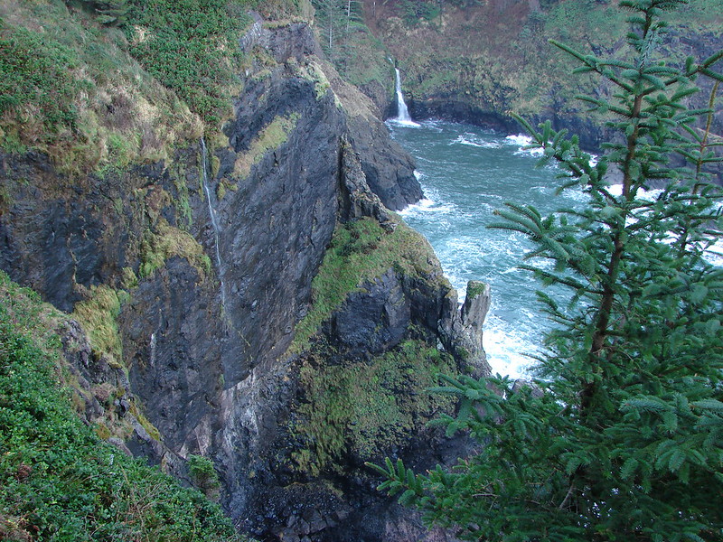
The waterfall turned out to be very picturesque as it fell down into the surging ocean.
Harts Cove and Chitwood Creeks waterfall

Chitwood Creek waterfall

DSC08268

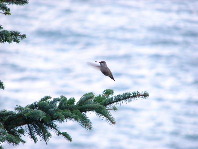
There was a nice open spot below a tree where we stopped for a snack and to remove some of the unnecessary layers of clothes we had on. While we were resting there Heather spotted a hummingbird that was interested in my orange jacket. It was zipping about, landing occasionally and then darting back into the air. I was snapping pictures frantically trying to get some sort of picture before the hummingbird disappeared. I wasn’t sure if I’d managed to get anything until we got home, but I wound up getting lucky with a single shot.
Hummingird in the meadow near Harts Cove

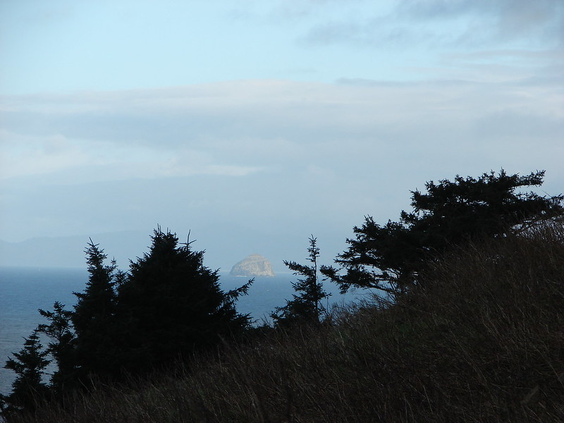
As we headed back up the steep trail we noticed that Haystack Rock near Pacific City was shinning in full sunlight.
DSC08270

We returned the way we’d come and decided to skip the upper viewpoint because it still appeared to be enveloped in the clouds. This hike had been 7.6 miles which included the unnecessary 1.8 miles due to parking at the upper trailhead.

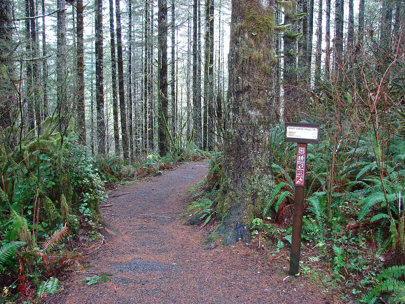
Our next stop was Drift Creek Falls which is located in the Siuslaw National Forest between Hwy 18 & Hwy 101 along Drift Creek Camp Road (Road 17). There was a good sized parking area and restrooms at the trailhead.
Drift Creek Falls Trailhead

The trail leads down through the forest crossing two creeks on footbridges.
DSC08289

DSC08292

DSC08295

DSC08296

At the .7 mile mark the trail forks at a sign for the North Loop, a longer loop option which we planned to take on the way back from the falls. A third of a mile later we came to the other end of the North Loop.
DSC08322

Just a short distance later we arrived at the suspension bridge over Drift Creek.
Suspension Bridge over Drift Creek

The bridge passes over the creek very close to the falls allowing for some nice views.
Drift Creek Falls

DSC08304

The trail continues on the far side of the bridge down to Drift Creek where we could get a different perspective.
Drift Creek Falls

After enjoying the falls for a bit we headed back, this time taking the North Loop which would add about .7 miles to the return trip. This 1 mile section of trail climbed up and wound back through the forest. Aside from the trees and a few mushrooms there wasn’t much to see, but the trail was nice and good for a little extra exercise if wanted.
North Loop - Drift Creek Falls Trail

DSC08327

By taking the North Loop back we wound up with a total of 3.9 miles showing on the Garmin. These two trails were close enough (30 minute drive) and short enough to do in a day but they were also nice enough to stand on their own. As far as the cautions at the Harts Cove Trail we didn’t experience anything that we found too hard or scary but some of that is subjective and the trial was steep in places and the wet conditions caused a lot of mud which was slick at times. We will most likely be back to the coast sometime next month to kick off our 2015 hikes, but until then Happy Trails!

flickr:https://www.flickr.com/photos/9319235@N02/sets/72157649223220159/
facebook:https://www.facebook.com/media/set/?set=a.10205640025507123.1073741919.1448521051&type=1

Categories
Hiking Northern Coast Oregon Oregon Coast Trip report

Neahkahnie Mountain

Happy New Year! A favorable weather forecast encouraged us to kick off our 2014 hiking year a bit sooner than planned. Just as we had done last year we turned to the Oregon Coast to get things started. While most of the country was dealing with frigid temperatures we were off to Oswald West State Park where a Sun filled day and 50 degree temperatures awaited.

For Heather and I this was our second visit to the park. In June 2012 we hiked out and around Cape Falcon where wild flowers and dramatic views were plentiful. (Pictures from that hike can be seen here: http://www.flickr.com/photos/9319235@N02/sets/72157632953462404/ ) For this trip we were set to explore the southern end of the park and follow the Oregon Coast Trail (OCT) up to the summit of 1631′ Neahkahnie Mountain.
Neahkahnie Mountain from Cape Falcon in 2012
Smugglers Cove

We parked in the large beach access parking area on the east side of Highway 101 where the Short Sand Beach trail begins. This was the same trail we had started on for our previous visit, but after a couple of hundred yards we turned left onto the Old Growth trail. Two tenths of a mile on that trail brought us to a trail junction with restrooms where we forked left on the .1 mile Cedar Crossing trail. This path ended at Necarney Creek where it intersected the .3 mile Necarney Creek trail. (As you can tell there are a lot of short trails in the area.)

At the Necarney Creek trail we had an option. According to the park brochure/trail map if we turned left we would find the .4 mile Necarney Falls trail. I had read a trip report from 2012 that indicated there was some bushwhacking involved in reaching the waterfall but the trail was still shown on the online map so left we went. Soon the Necarney Creek trail bent away from the creek which was where we had expected to find the falls trail, but there were no trail signs and we quickly reached the end of the creek trail at a small parking area. After re checking the park map and verifying the location of the supposed trail we returned to the bend to see if we could find it. There was a faint unmarked path leading toward the creek into the underbrush at the bend which we decided must have been what was left of the trail. It was less than .5 miles to the falls so we decided to make an attempt at reaching them and headed into the brush.

The former trail was virtually gone save for a few short sections here and there. We kept as close to the creek as possible as we made our way under the highway and up the narrow canyon. There were several slides and plenty of downed trees to pick our way around. After crossing a small side stream the canyon narrowed even more and we were forced down to the creek bed. Luckily the water level was low enough that we were able to stay dry by rock hopping until we reached Necarney Falls. The reward was worth the efforts.
Necarney Falls

We retraced our steps (as best as we could) and returned to the maintained trails where we followed the Necarney Creek trail to a foot bridge which crossed the creek and led to the Elk Flats trail.
Suspension bridge over Necarney Creek
We took a quick trip down to Short Sand Beach before for a photo-op before setting off on the Elk Flats trail.
Smugglers Cove
We then followed the 1.3 mile Elk Flats trail through the park passing several nice ocean views before entering a meadow near the Devils Cauldron overlook.
Meadow along the Elk Flats Trail

After taking in the view from the overlook we climbed east through the meadow to yet another small parking area along Hwy 101. Across the highway was the North Neahkahnie Mountain trail. Both the Neahkahnie Mountain and Elk Flats trail are part of the OCT which extends 360 miles from the Washington border to California. Less than 100 miles of the OCT are actual trail though, with the majority of rest of the miles being on beaches and the remainder on the shoulder of Highway 101.

After crossing the highway we quickly began climbing, needing to gain 1200′ in 2 miles of trail. The first section of the trail led up through an open meadow via a series of switchbacks. We guessed the meadow would be full of flowers in Spring and early Summer, but for this hike we were content with the views which extended from Cape Falcon in the north to Cape Mears and Cape Lookout to the south.
Looking up the meadow:
Meadow along the North Neahkahnie Mountain Trail
Cape Falcon from the meadow:
Cape Falcon from the North Neahkahnie Mountain Trail

At the top of the meadow the trail entered an old growth forest where it remained until we were just below the rocky summit. The view from the summit was excellent and the clear skies and lack of a significant breeze made it a perfect spot for lunch.
Entering the forest:
North Neahkahnie Mountain Trail
Summit view:
Nehalem Bay, The Pacific Ocean, Cape Mears, and Cape Lookout
Lunch:
Lunch on Neahkahnie Mountian

After lunch we returned they way we had come (minus the side trip to Necarney Falls 🙂 ). We decided to make one final stop though before leaving the coast. Dominique had not been with us in October when we hiked at Cape Kiwanda in Pacific City, so he had not had the experience of dining at the Pelican Pub. This was as close as our hiking schedule would bring us to Pacific City this year so we took a short detour and stopped in for an early dinner. The food was a good as we’d remembered and we were fortunate enough to be there as the Sun set over the Pacific which was a perfect way to end the first hike of the new year. Happy Trails!

<img src="DSC02702” alt=”” />

The rest of the photos on flickr: http://www.flickr.com/photos/9319235@N02/sets/72157639463787314/ or Facebook: https://www.facebook.com/media/set/?set=a.10203069673009917.1073741867.1448521051&type=1