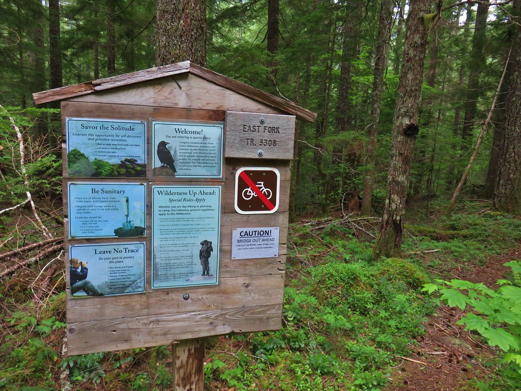
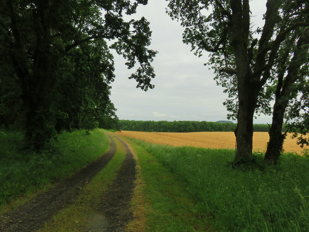
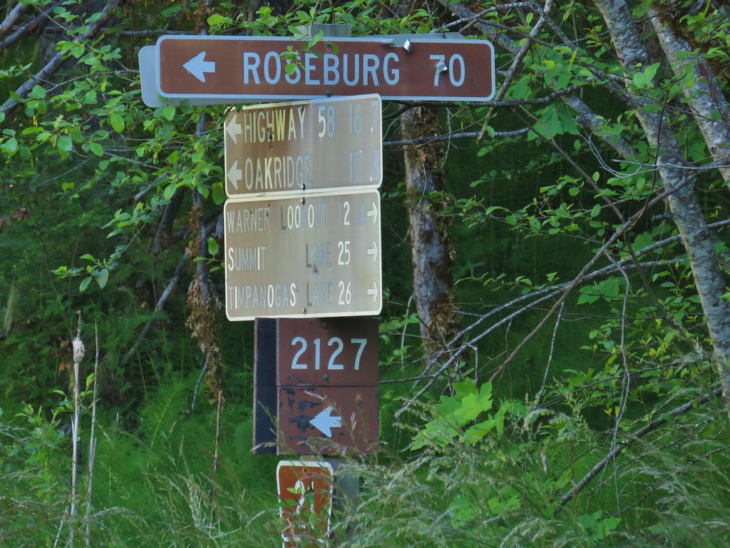
Our vacation week had a theme going, multiple stop days, and we continued that on Friday with a three stop day to check off another of Sullivan’s featured hikes – Echo Basin. Actually the hike was no longer one of Sullivan’s 100 featured hikes in the most recent edition of his Central Oregon Cascades guidebook, but it was a featured hike in the 4th edition which is the one that we are using in our attempt to hike all of his featured hikes (post).
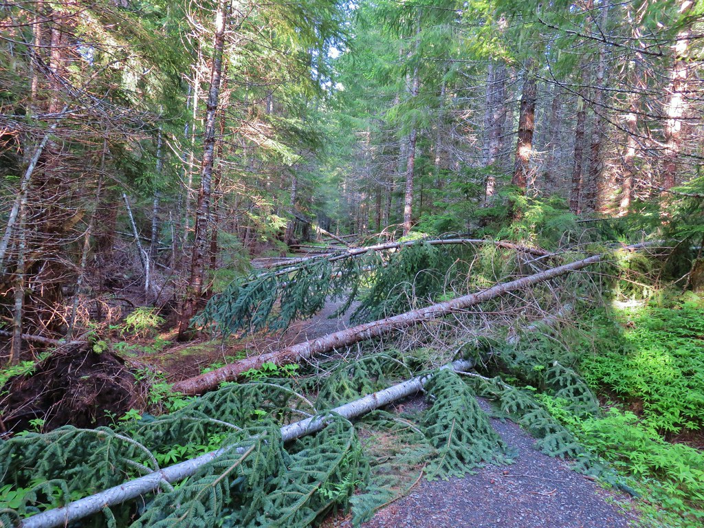
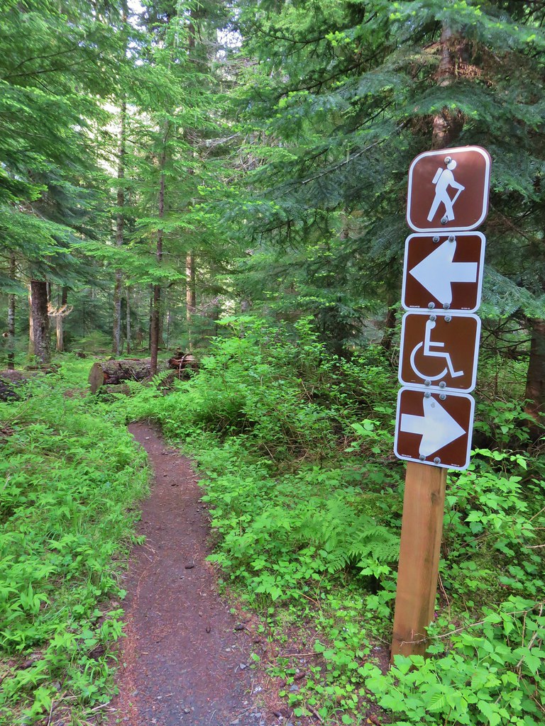
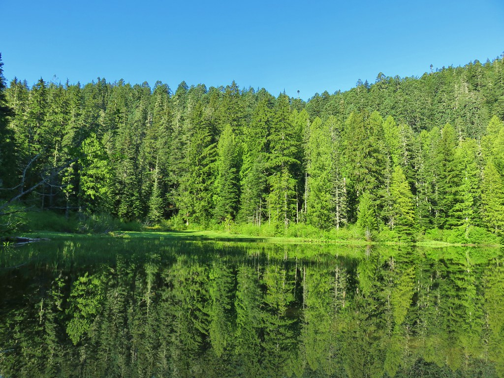
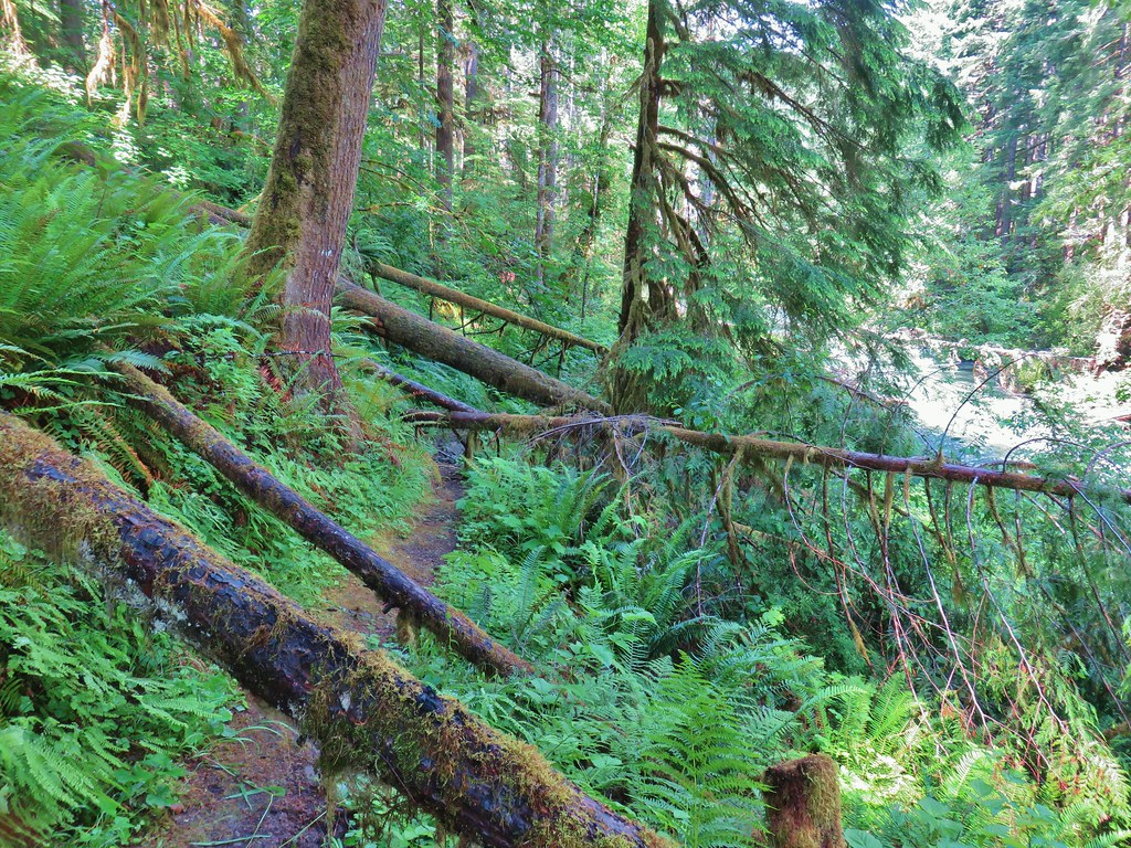
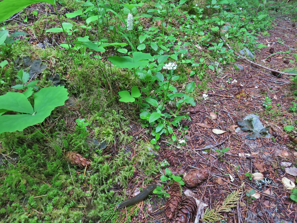
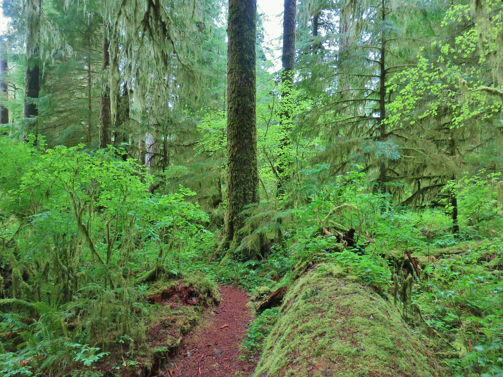
We began our day by stopping at the Hackleman Old Growth Grove Trail for a short 1 mile loop. The convenient trailhead is right off of Highway 20 near milepost 67. There is also a loop option that is marked as wheelchair friendly although on our visit there were a number of downed trees that said otherwise.


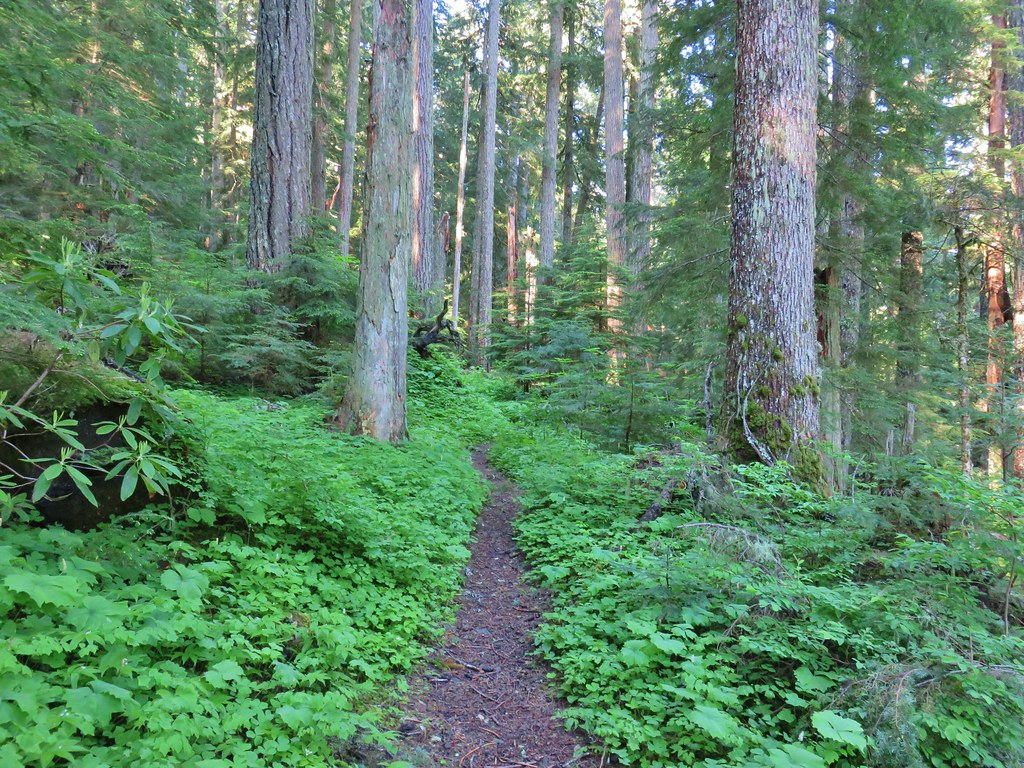
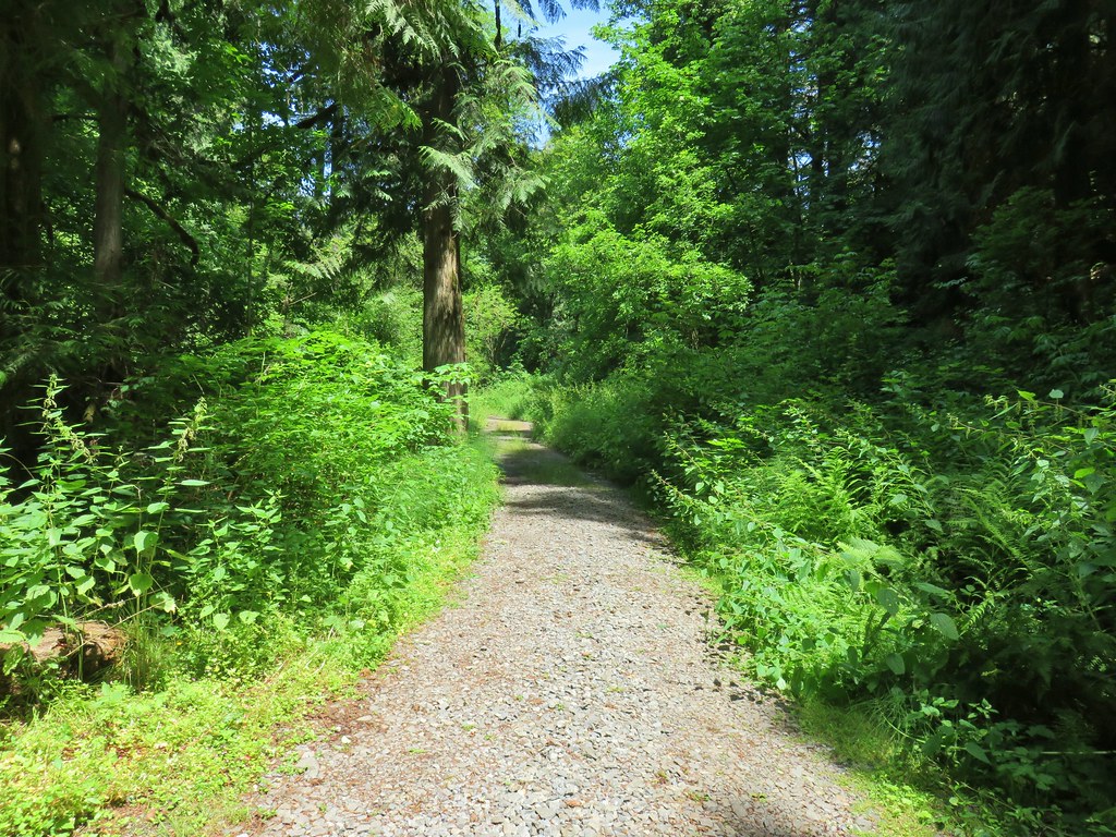
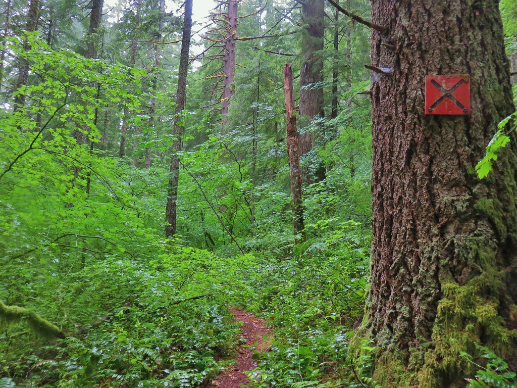
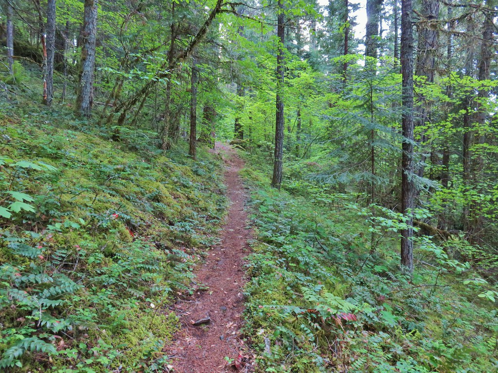
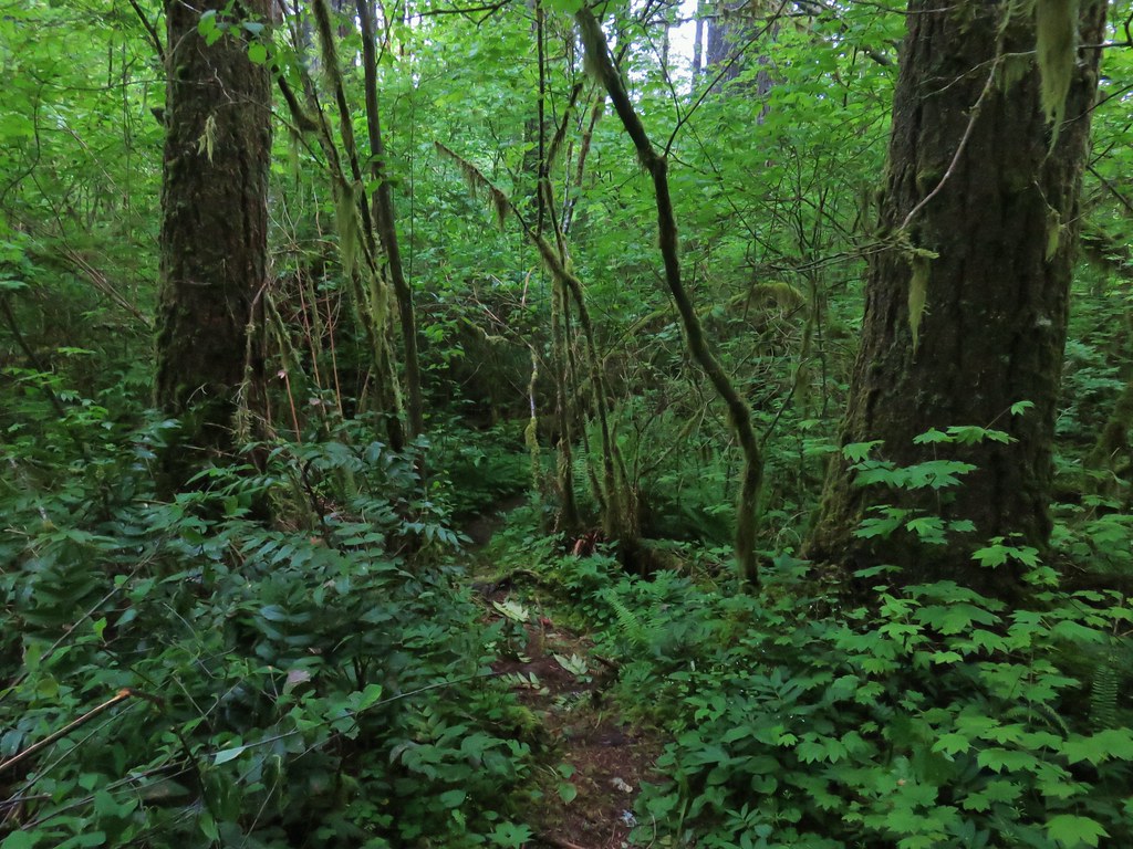
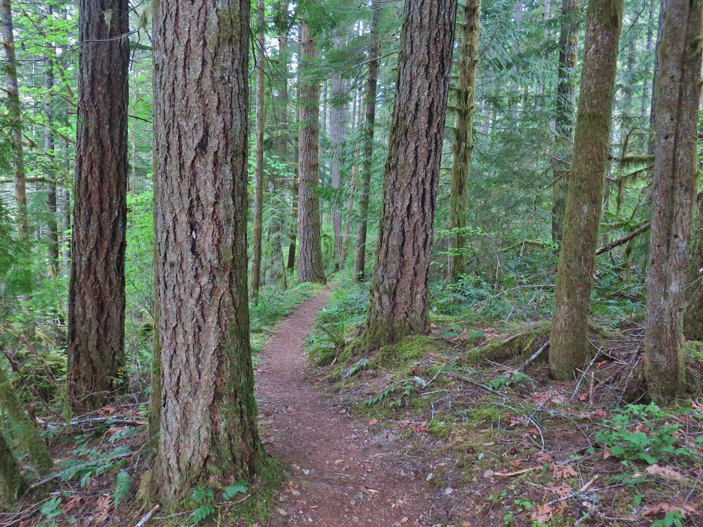
The wide trail led into the forest and quickly split.
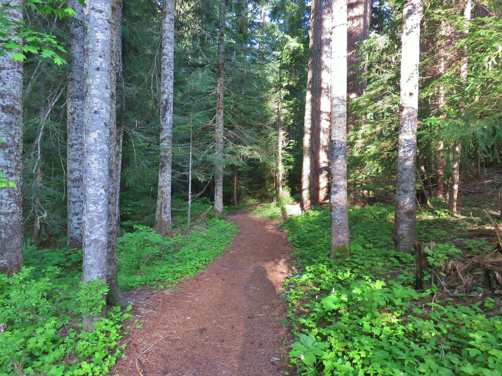

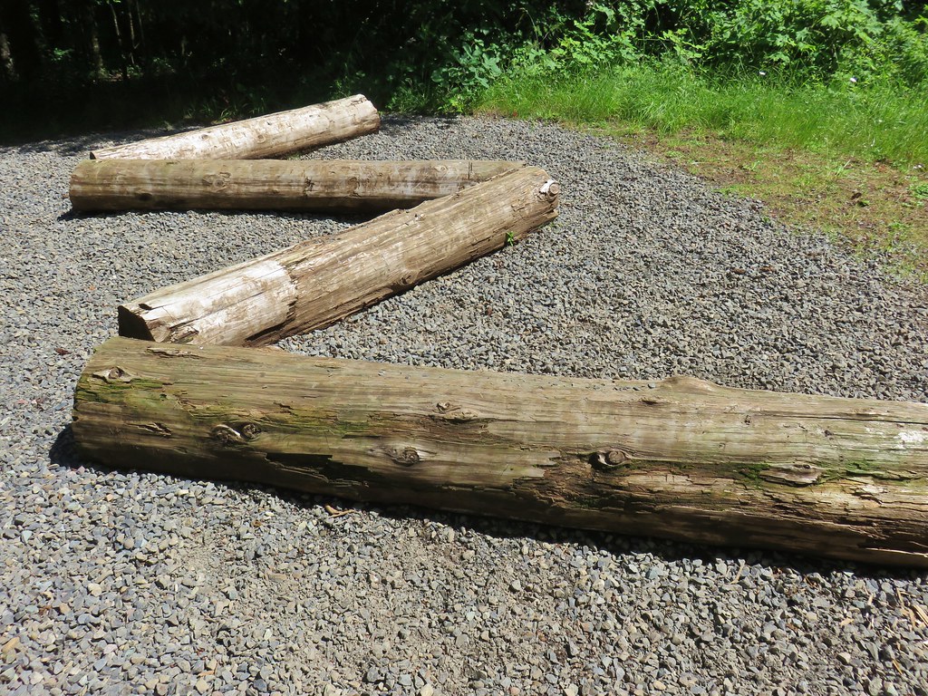
We stayed right here and soon encountered our first downed trees.
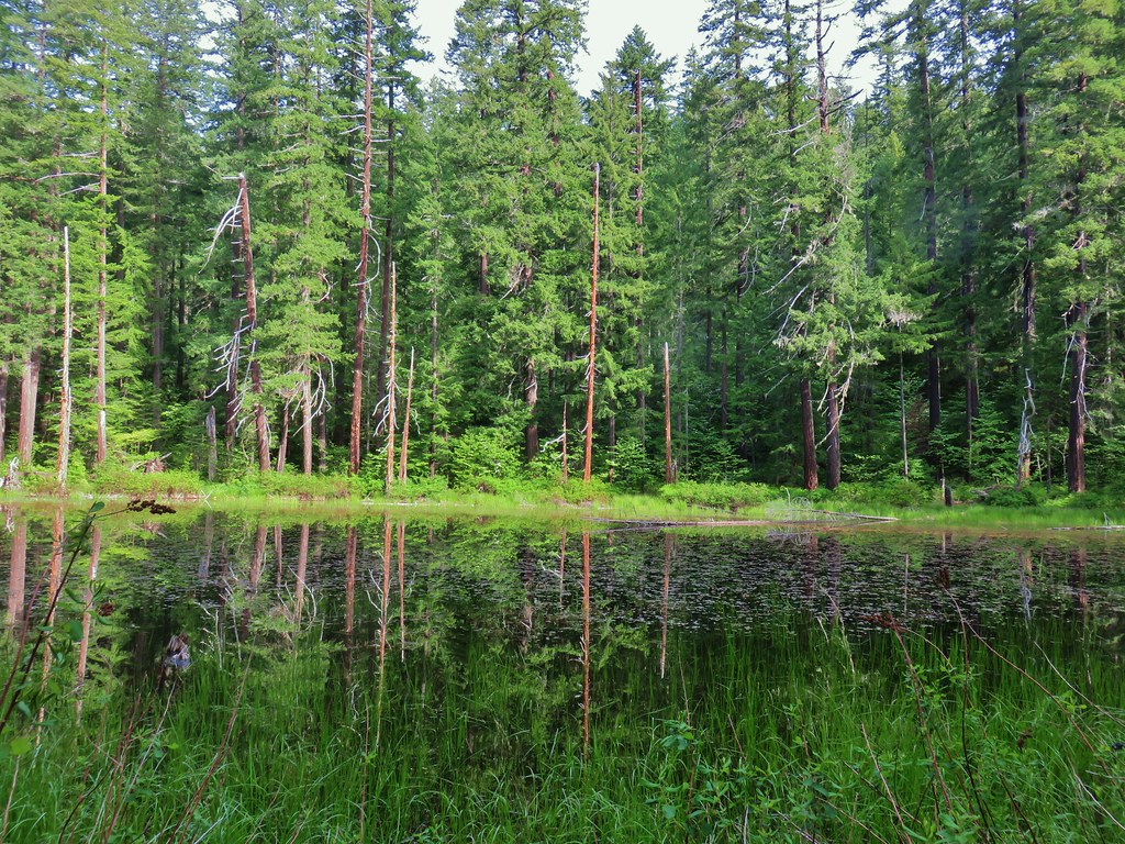
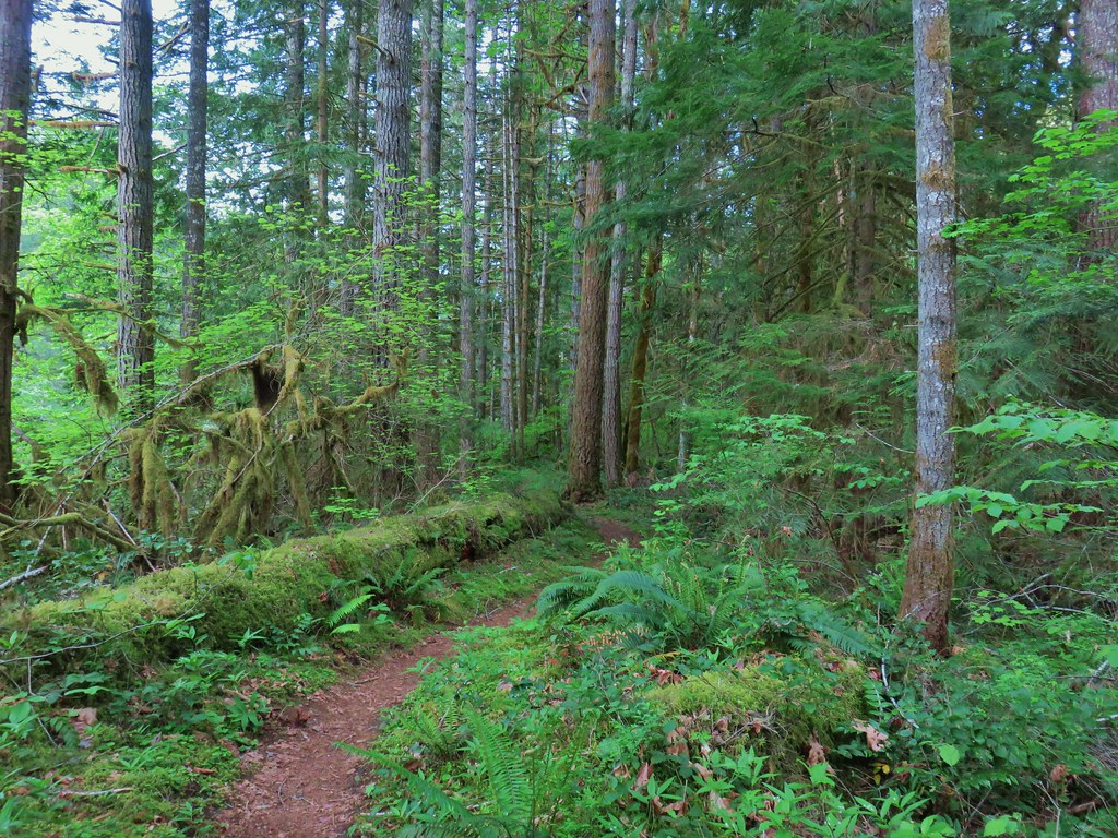
The trail descended a bit toward Hackleman Creek to a junction where two trails joined from the left. The first was the wheelchair accessible continuation and the second was not.
 The wheelchair friendly path.
 The hiker path.
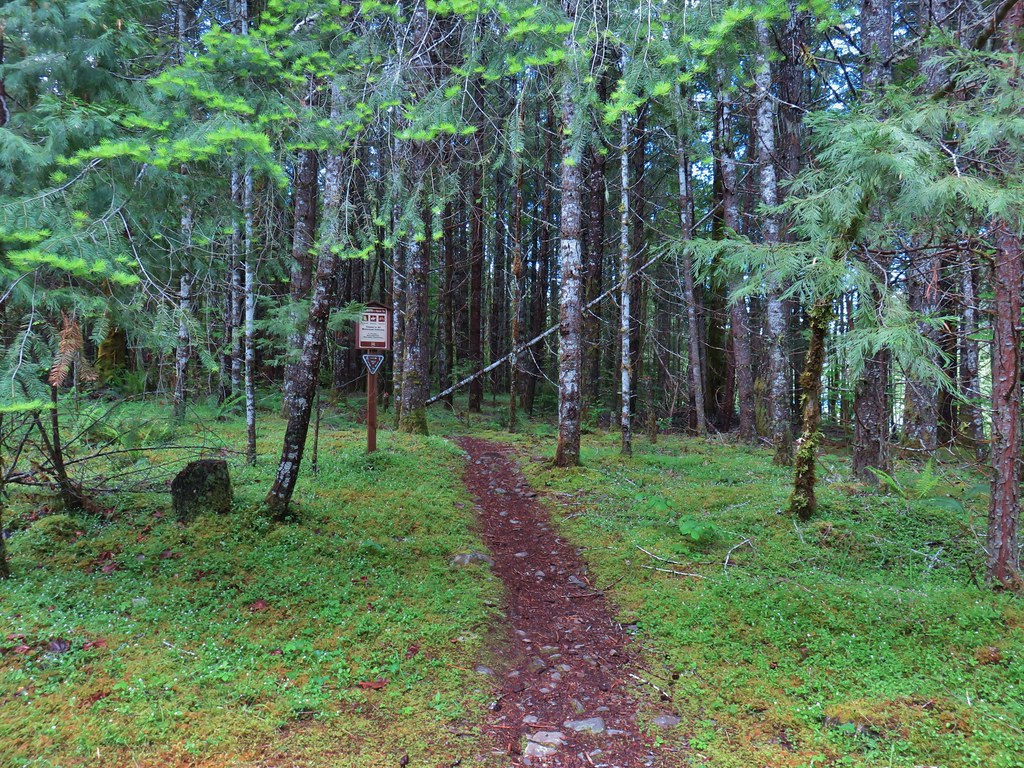
It was at this point that we realized that we probably shouldn’t have stayed right at the first junction. As we turned onto the hiker path we began seeing numbered posts for an interpretive trail. (There were no brochures or anything to tell us what the numbers represented.)
 The hiker trail.
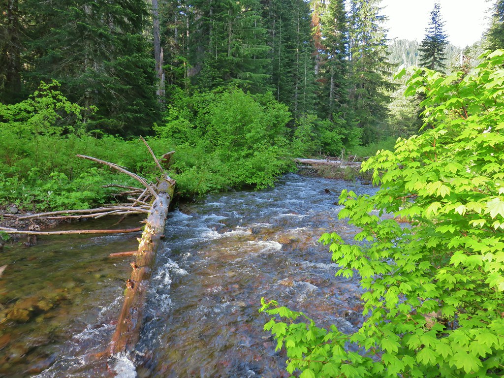
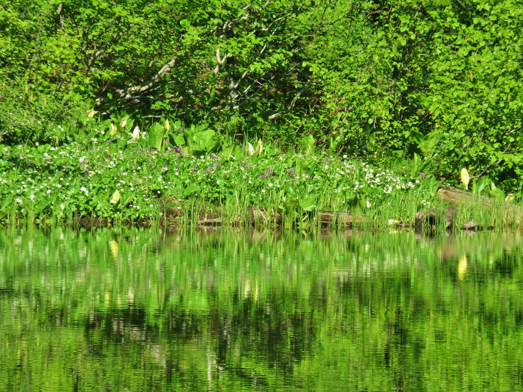
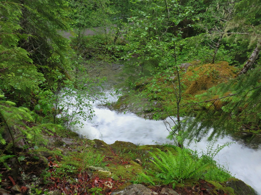
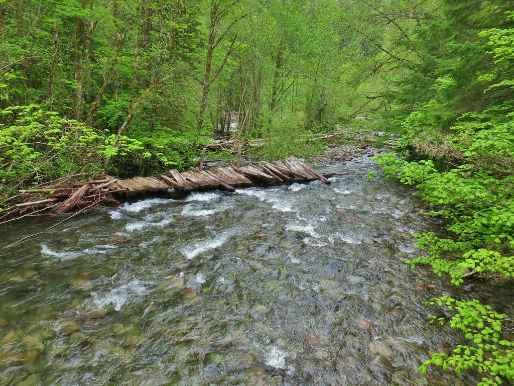
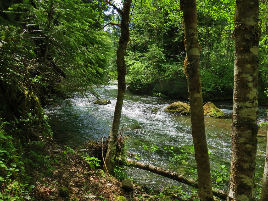
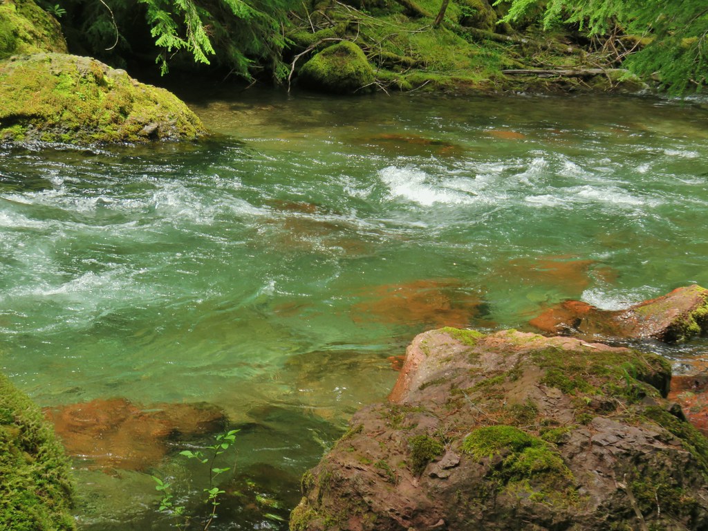
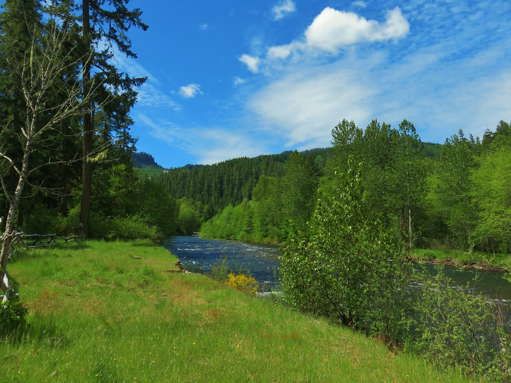
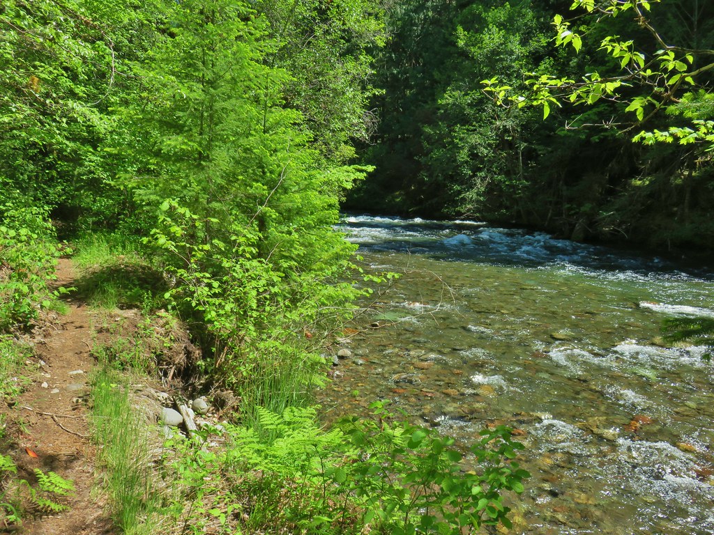
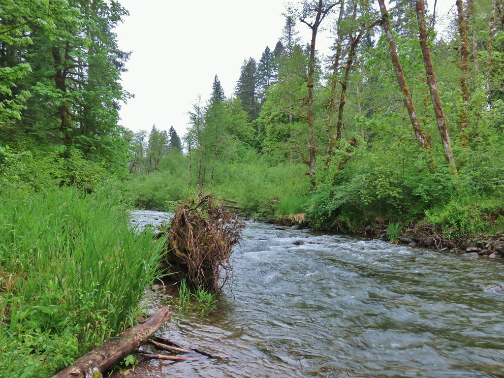
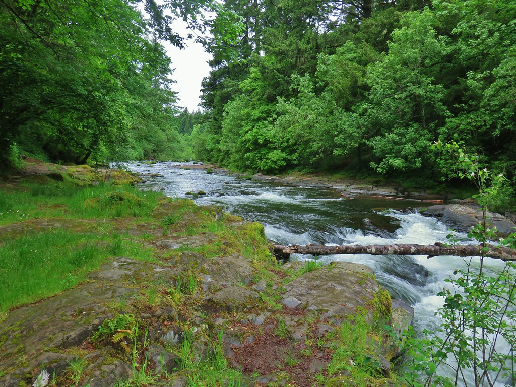
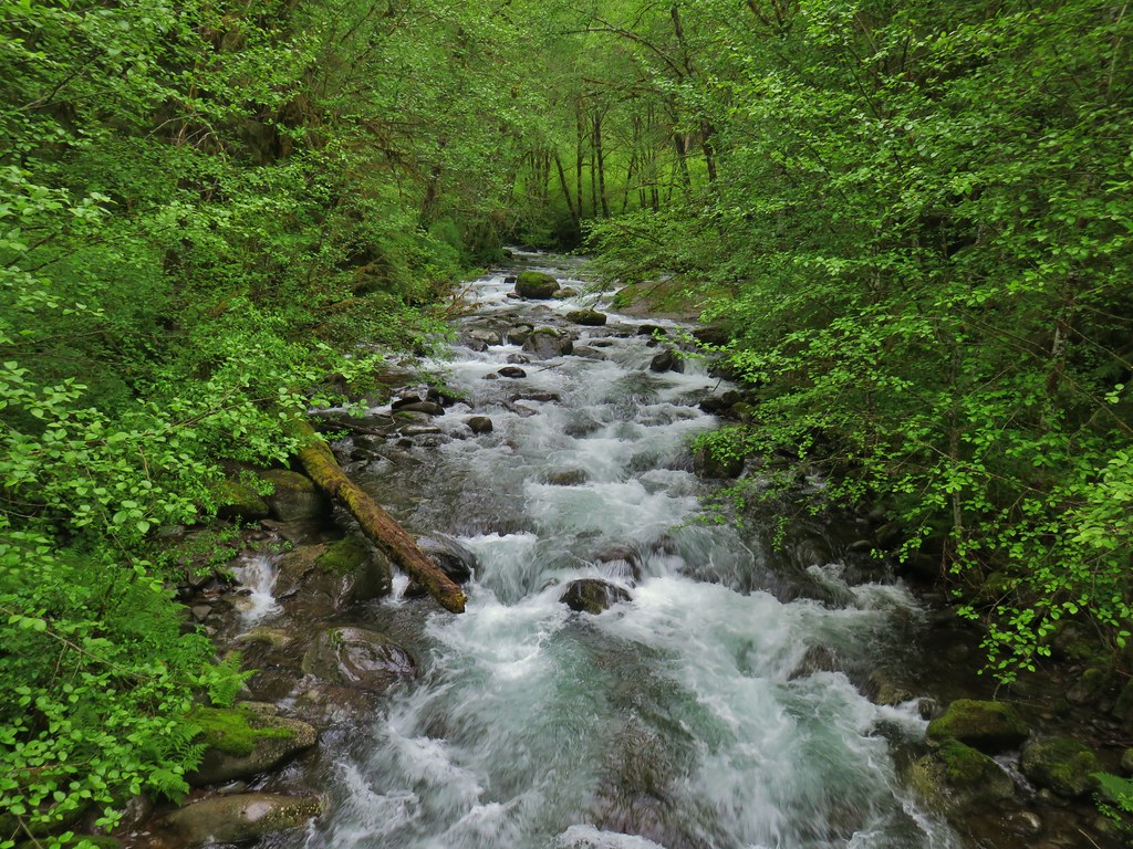
A short side path took us to the bank of Hackleman Creek.
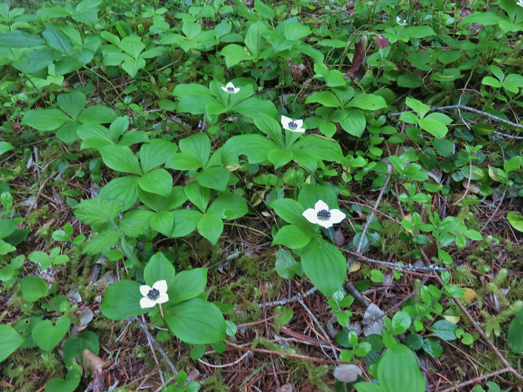
 Western meadowrue
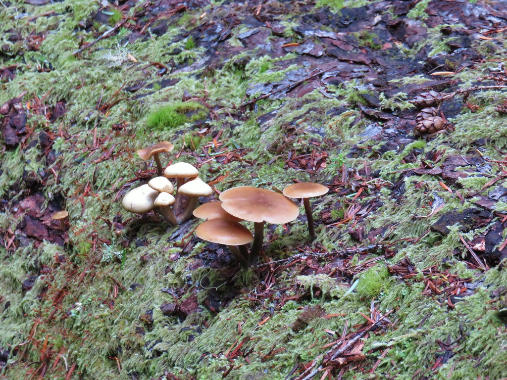 Mushrooms on a log.
We met back up with the middle trail at another signpost and could see more numbered posts down that trail which reinforced the idea that we should have taken the middle trail and returned on the hiker trail (based on the numbers of the posts we passed).
In any event it was a nice little hike and a good leg stretcher/warm up for our next stop at Echo Basin.
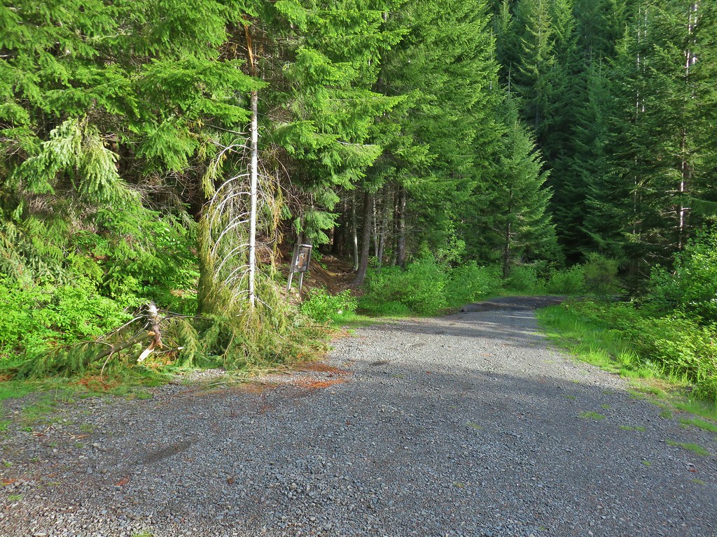
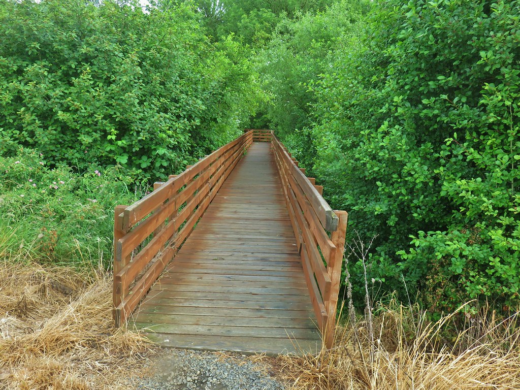
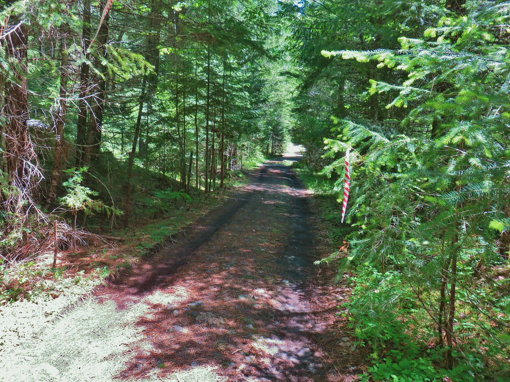
The Echo Basin Trailhead was 2 miles up Forest Road 055 which was just .3 miles east of the Hackleman Grove Trailhead. There was a fairly deep channel in the road a tenth of a mile or so from the actual trailhead that could prove difficult for lower clearance vehicles (we saw one car parked at a pullout just before it on our drive out).
 Echo Basin Trail at FR 055.
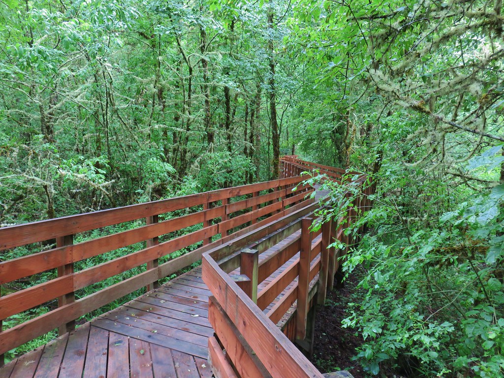
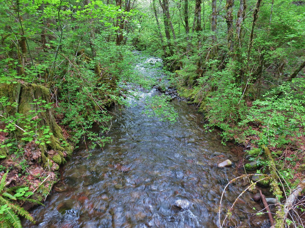
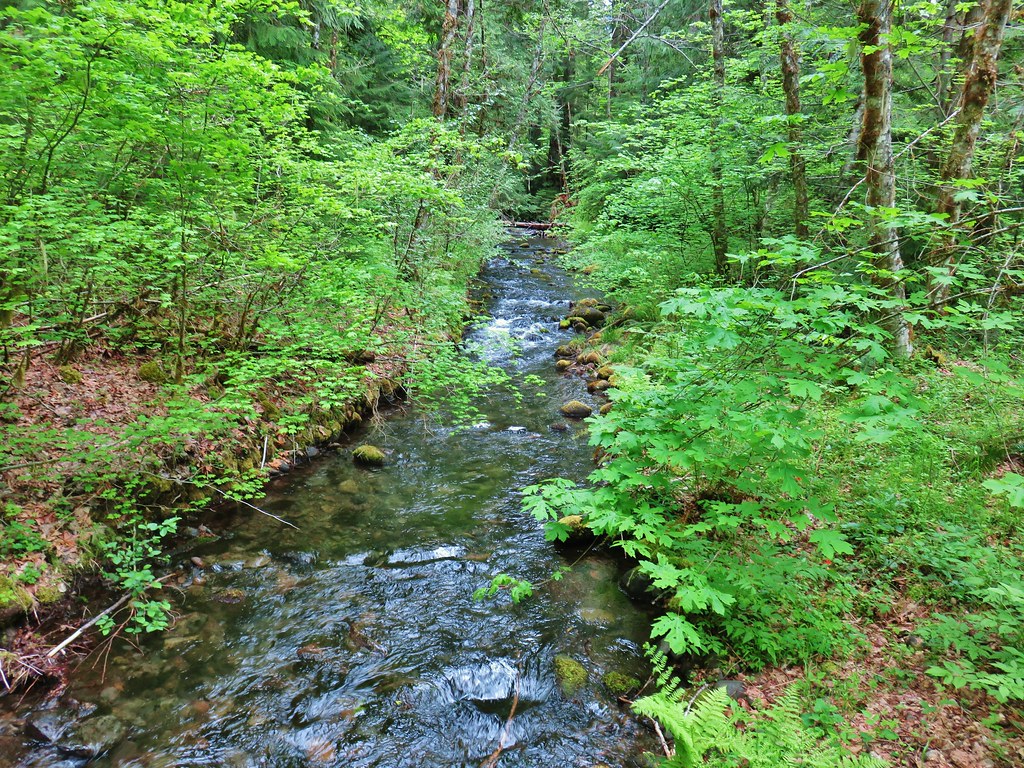
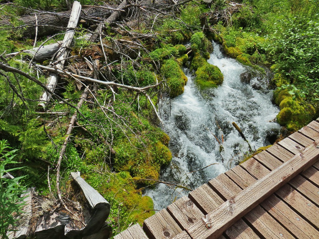
This hike is a lollipop climbing an old logging road for a half mile then starting the loop at the .7 mile mark at a foot bridge over Echo Creek.
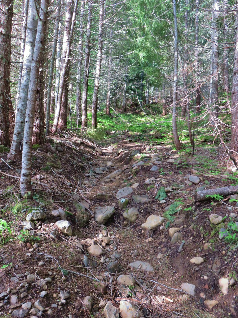 Rocky start to the trail.
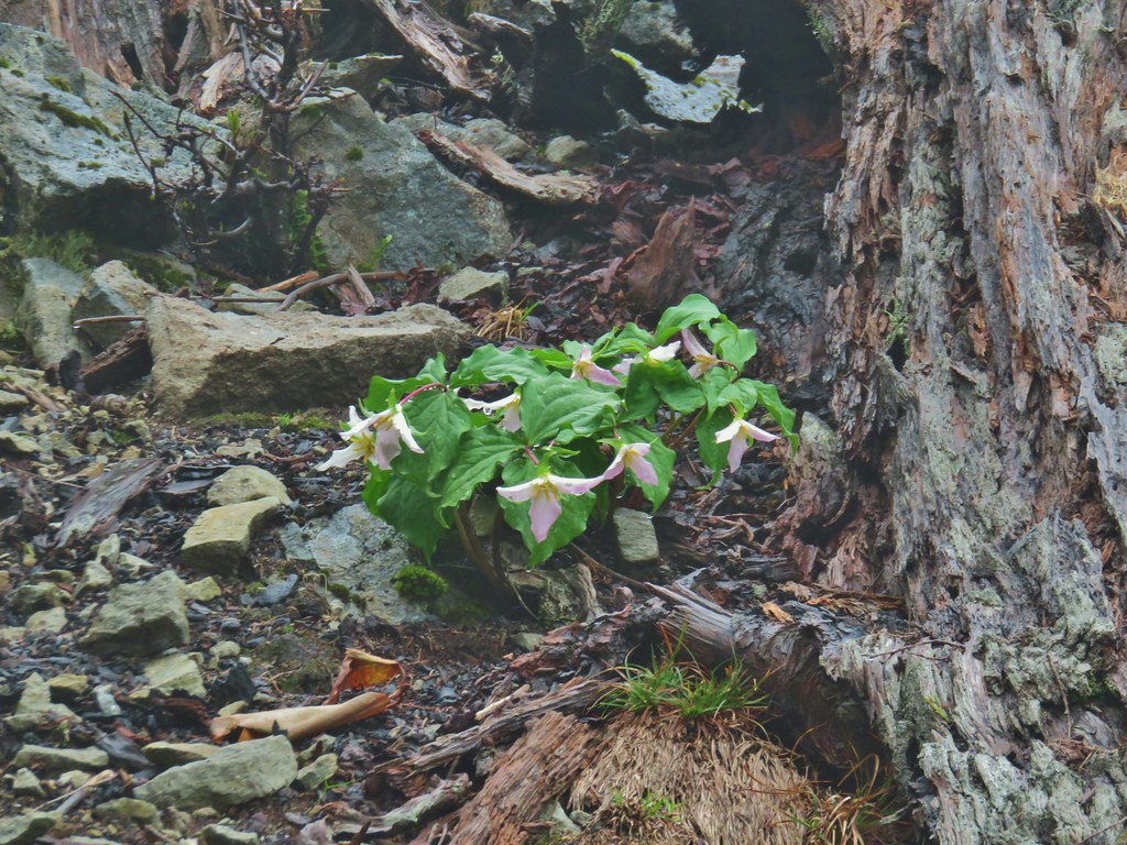
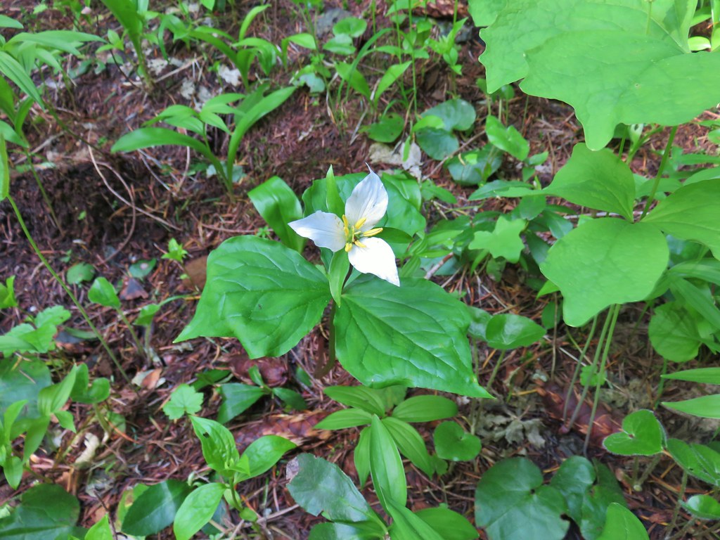 Trillium
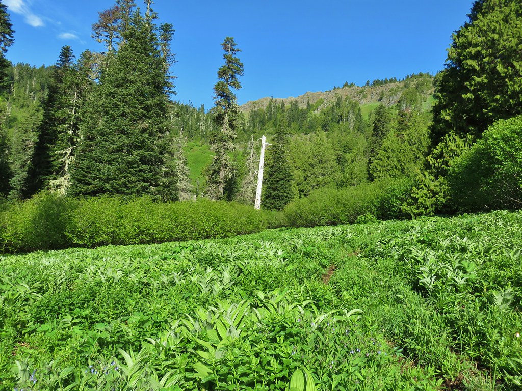
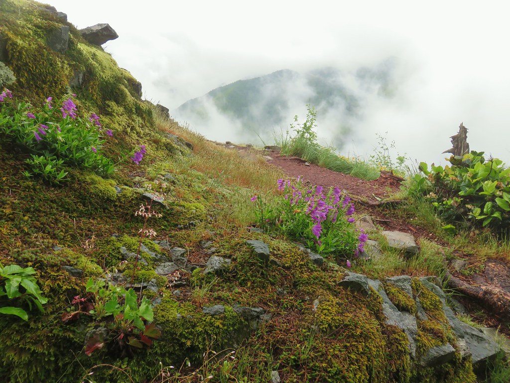
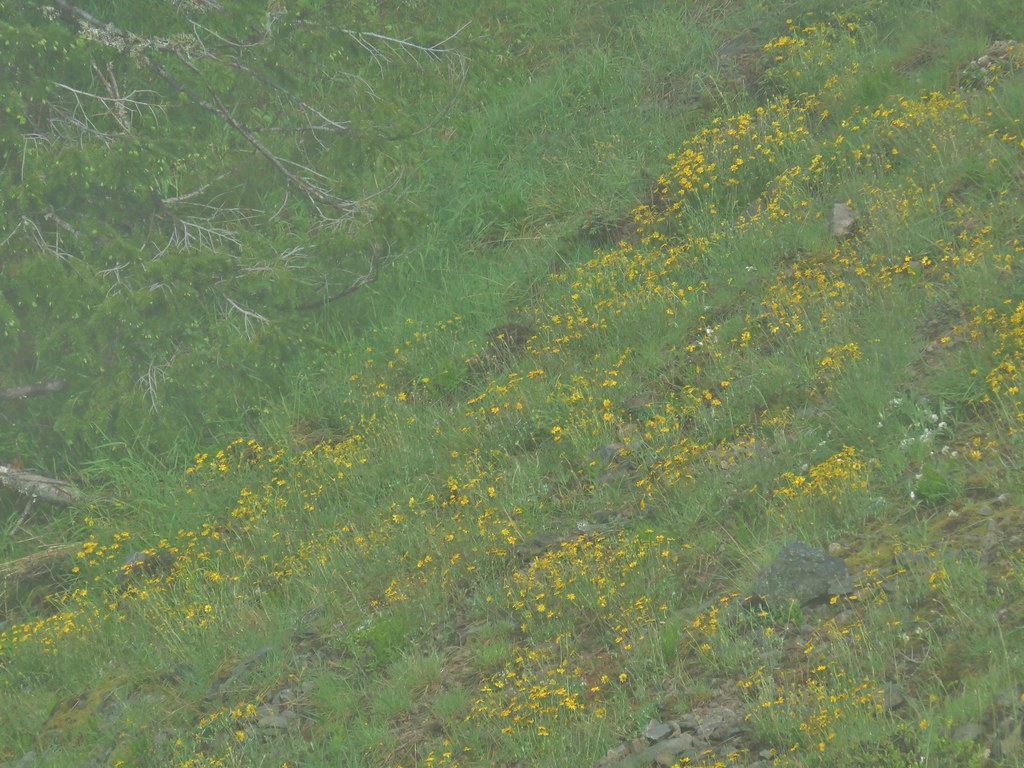
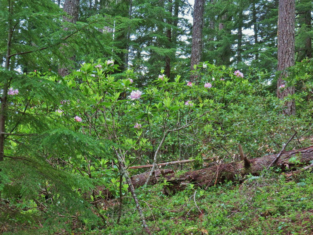
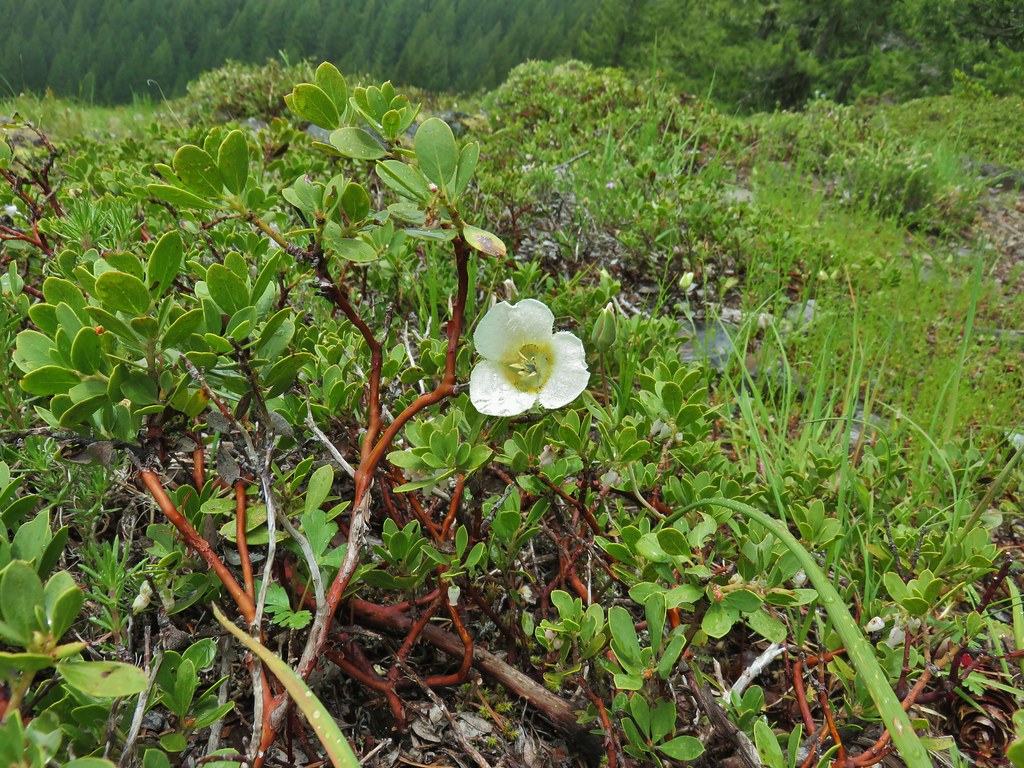
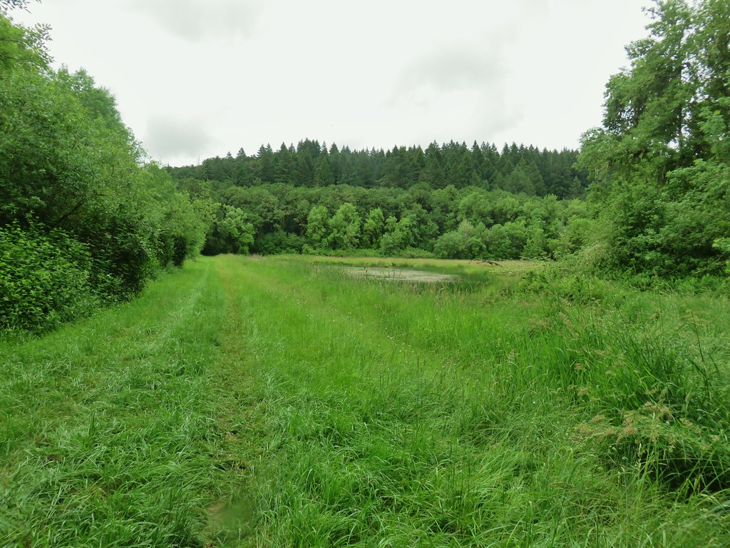
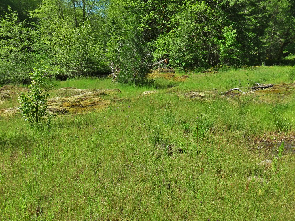
Just before the start of the loop we arrived at a green meadow that wasn’t very far along with most of the plants still early in their growth cycle.

We worried that we had come too early for the wildflowers higher in the basin.
 More trillium along the meadow.
 Swallowtail on salmonberry blossoms.
 Start of the loop.
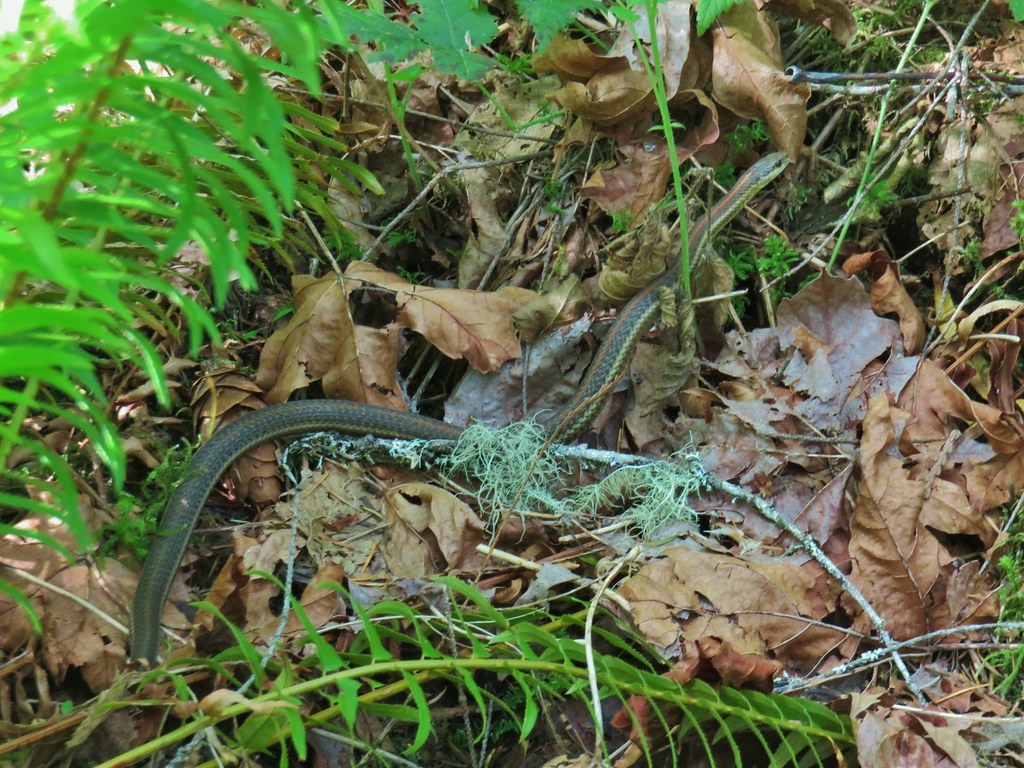
We crossed the creek and spotted a rabbit hiding in the brush.

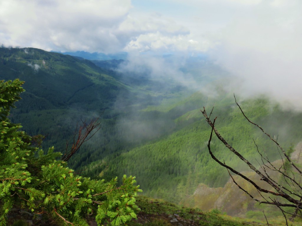
The trail climbed and entered the start of the meadow that fills Echo Basin.
 Orange tip butterfly
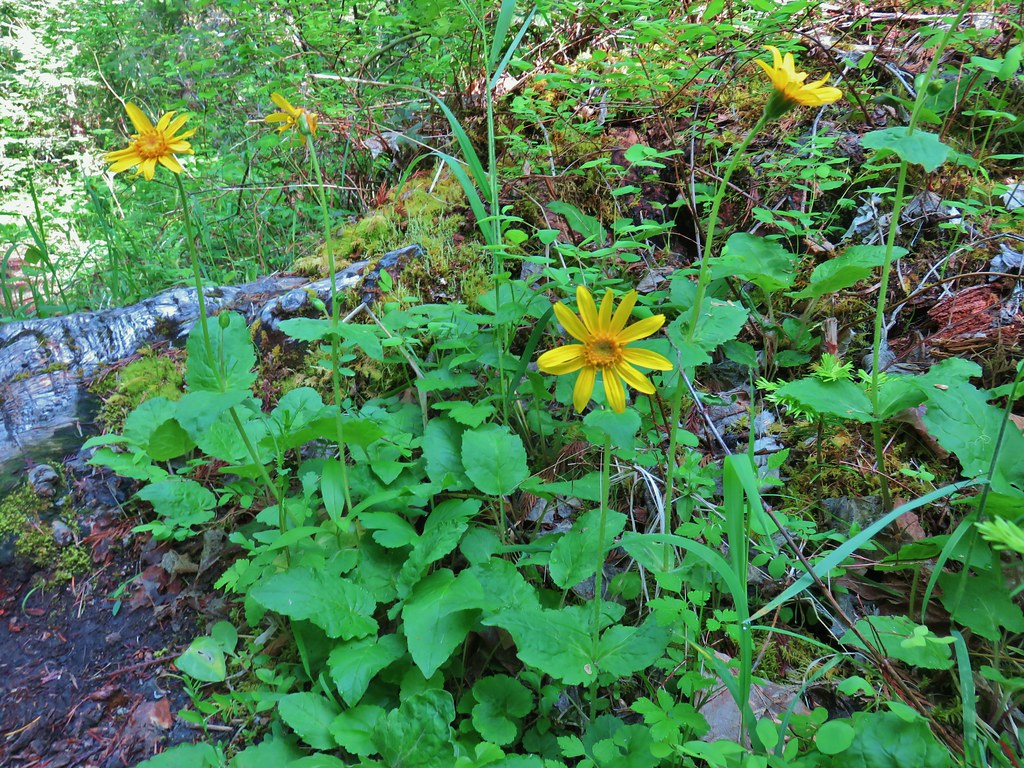
We were starting to see a few more flowers as we began to get into the meadow.
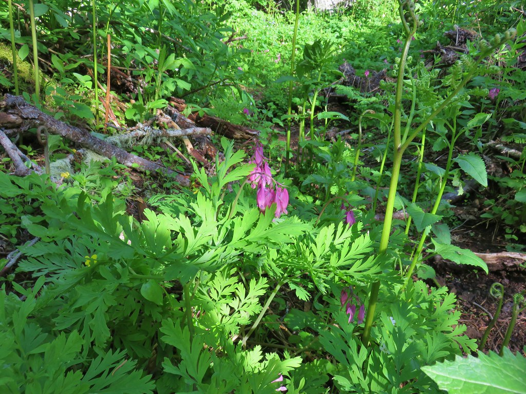 Bleeding heart
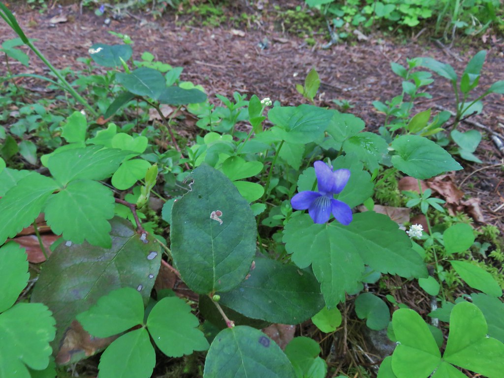
 Violets
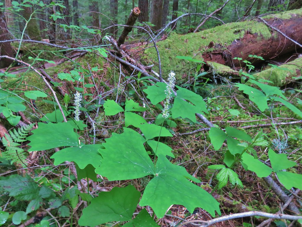
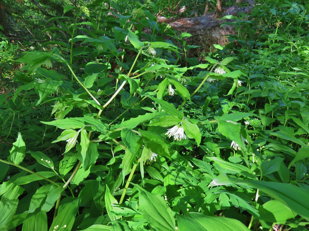 Fairybells
 Royal Jacob’s ladder

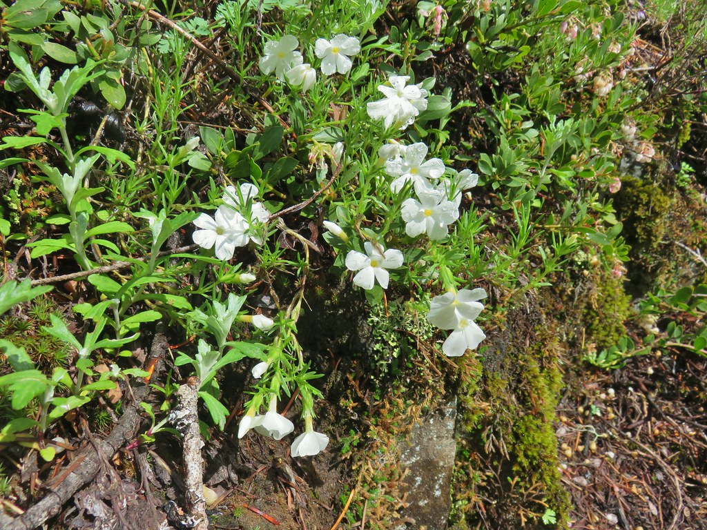
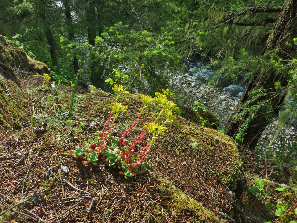
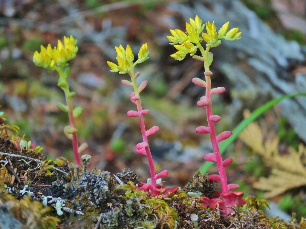
 Western meadowrue
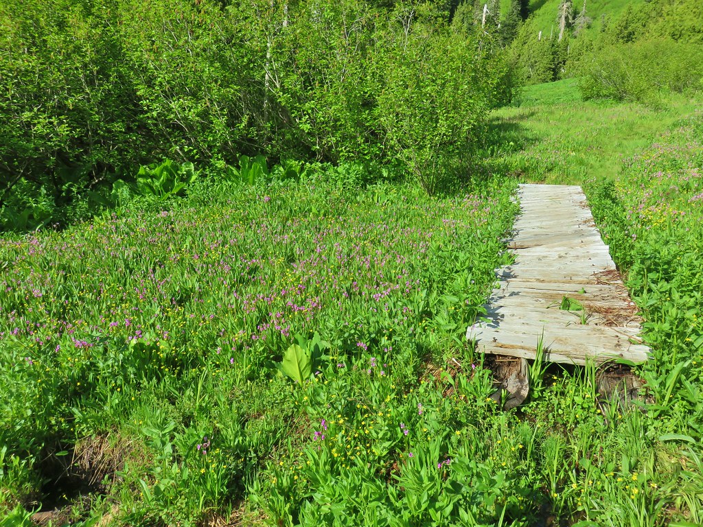
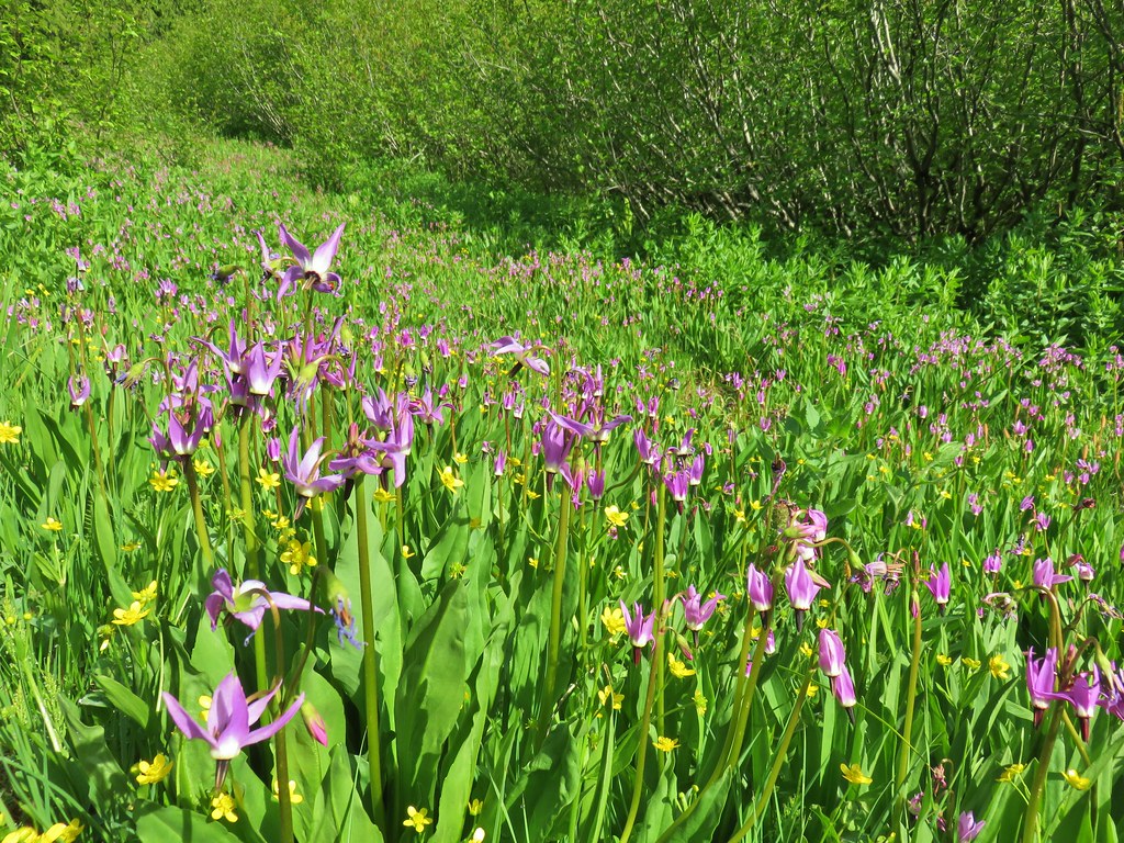
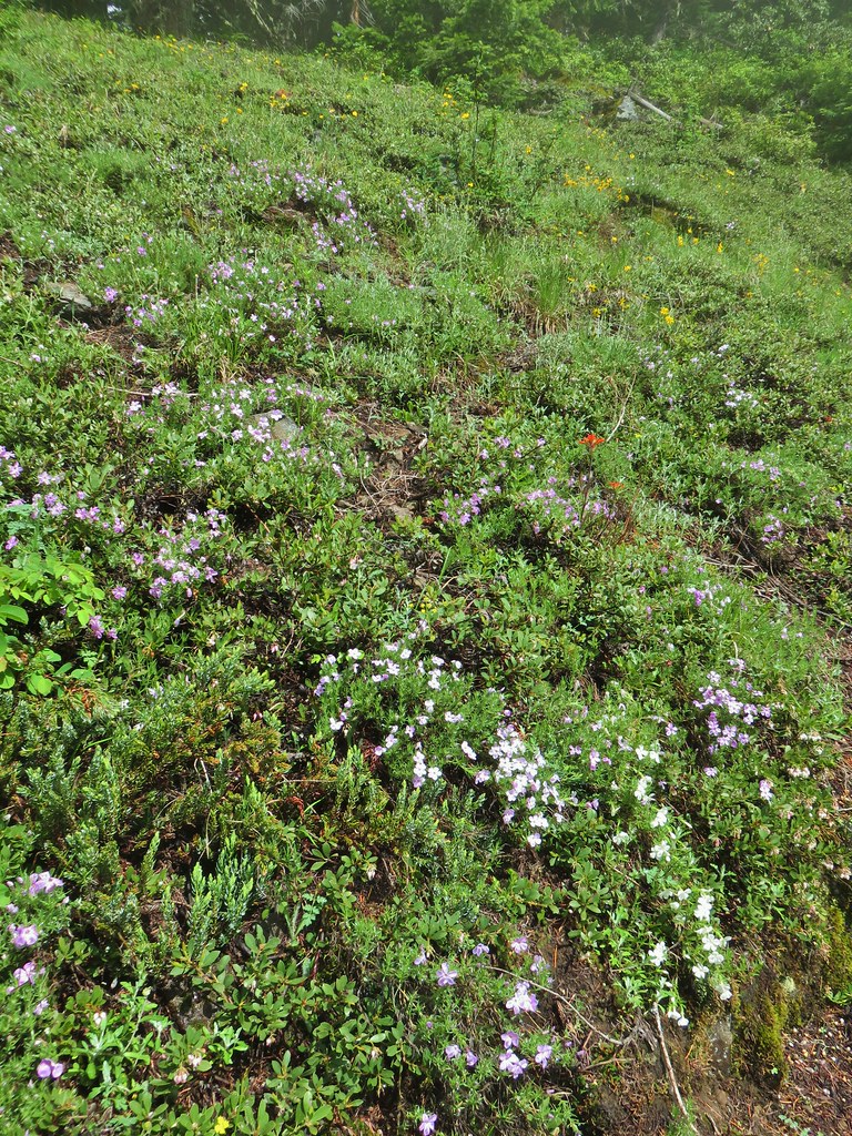
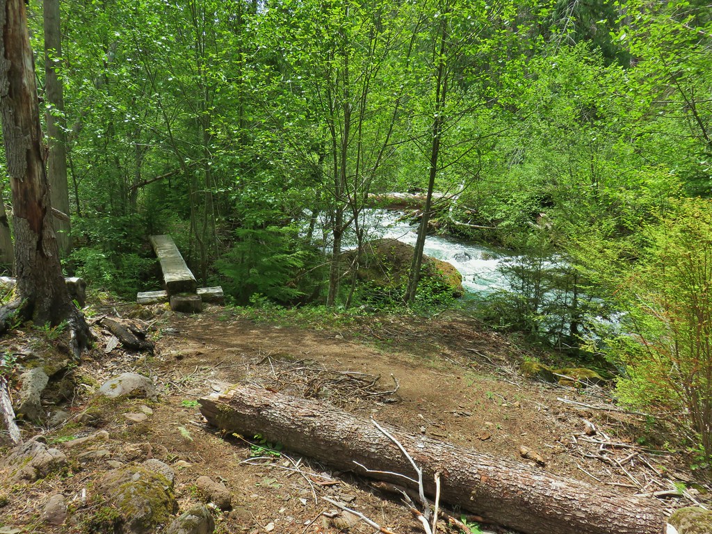
The further into the meadow that we got the wetter the ground became. Near the first of a series of short boardwalks there was a great display of shooting stars and buttercups.

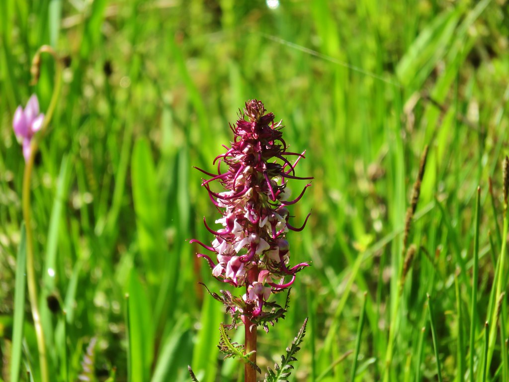
There were also a number of elephants head beginning to bloom.

The boardwalks helped a bit but in between the gaps the ground was muddy and wet. A perfect mixture for frogs.

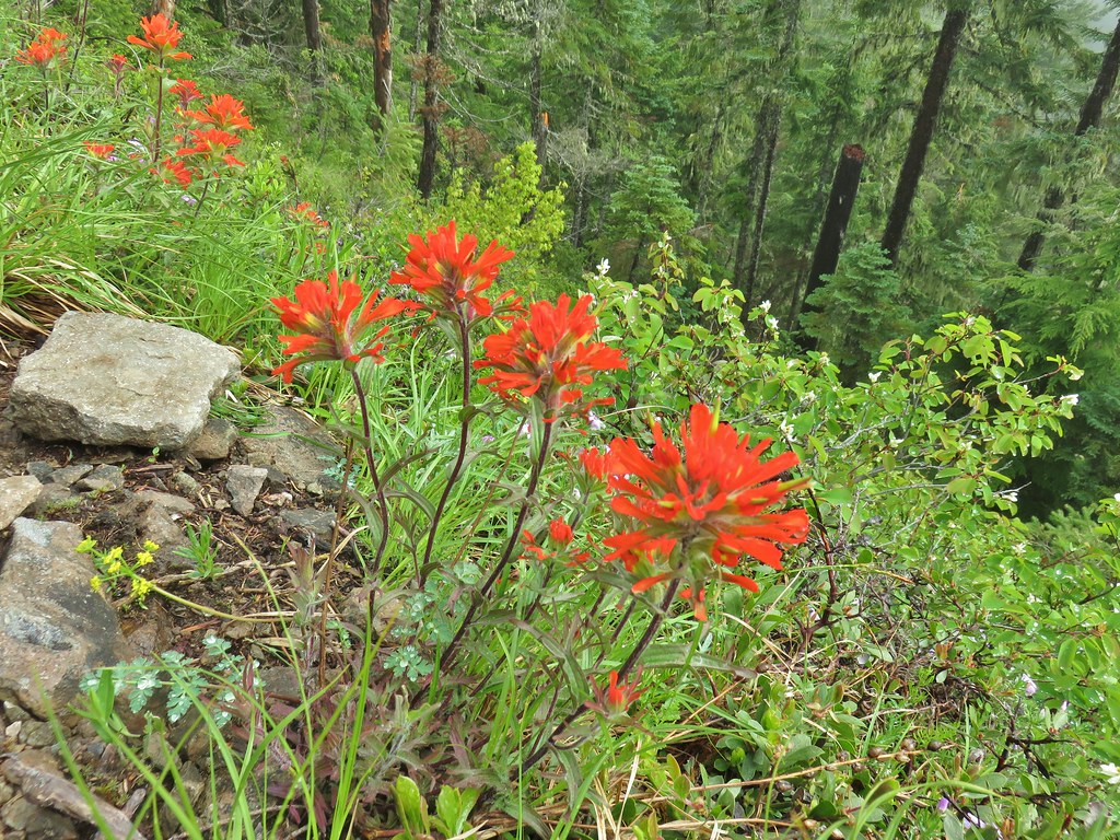
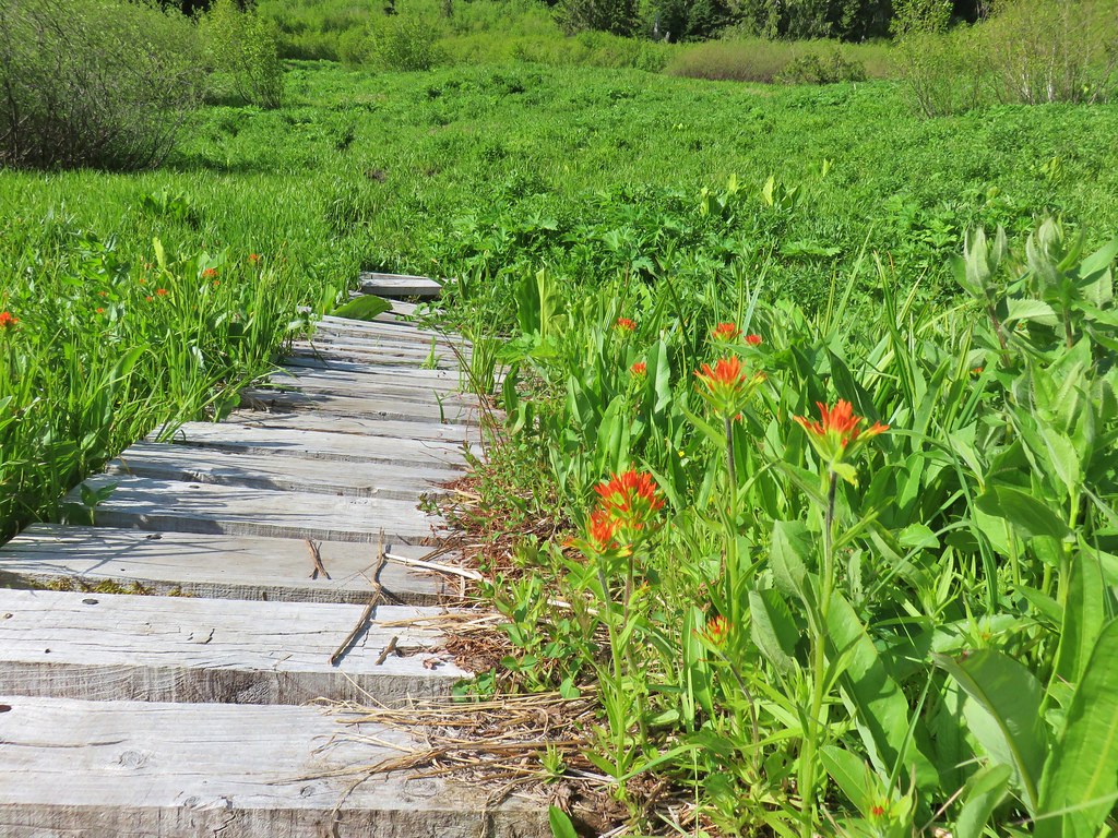 Paintbrush
 Frog
Frog
 Looking back at the route through the meadow.
We left the meadow and dropped down to the footbridge to complete the loop then returned to the car. We passed a few hikers on their way up to the basin and these would be the only people we would encounter all day.
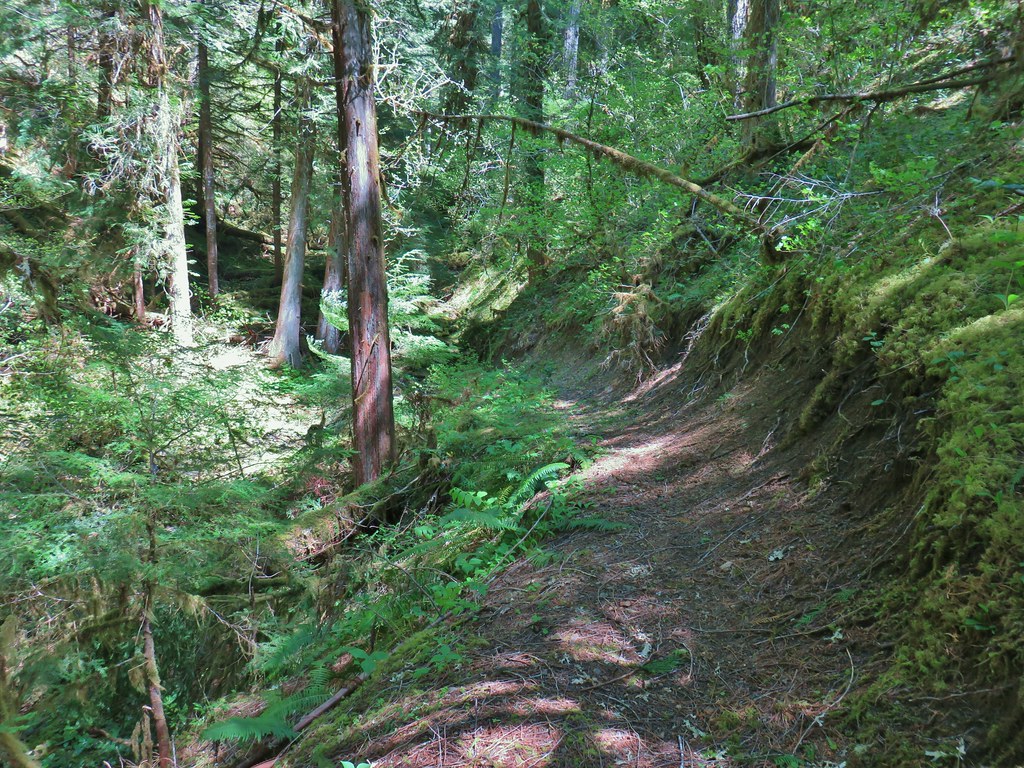
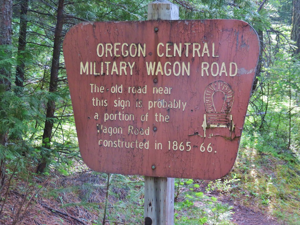
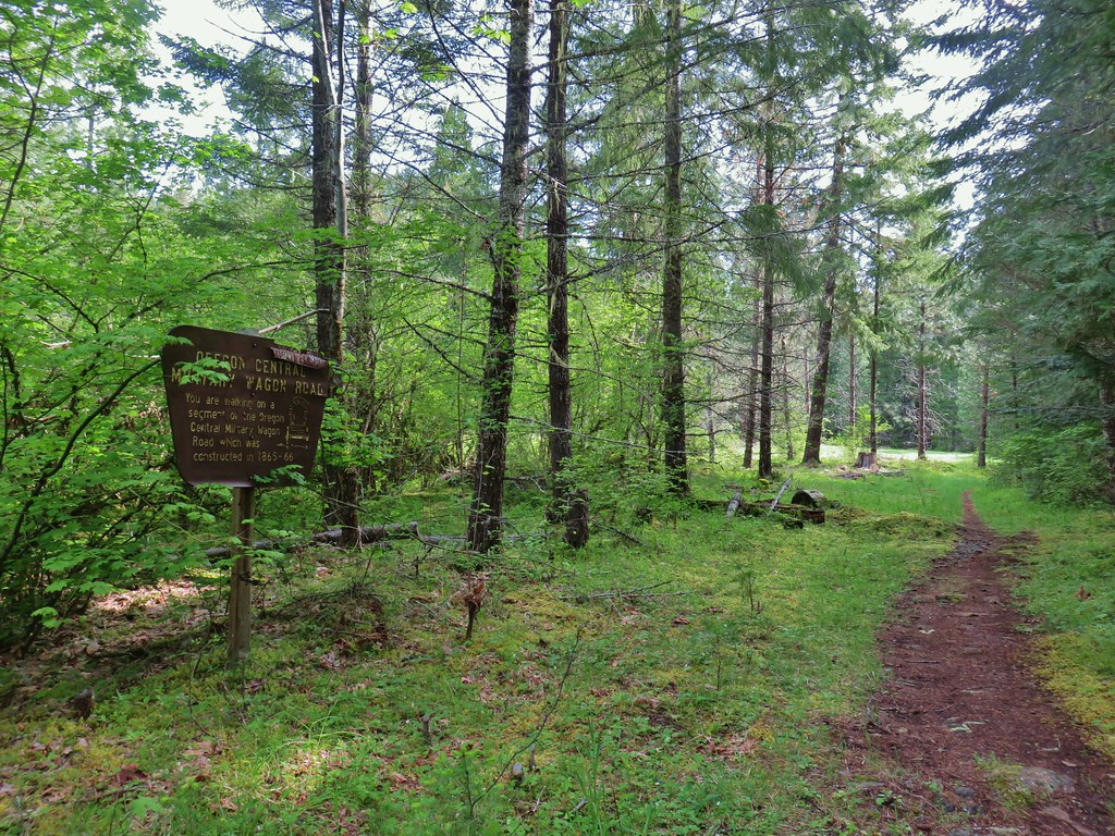
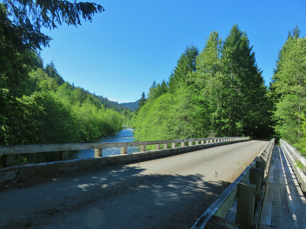
From the Echo Basin Trailhead we returned to Highway 20 and continued east 2.2 miles to Hackleman Creek Road (FR 2672) on the right for our third stop of the day along the Old Santiam Wagon Road. The wagon road crosses FR 2672 about a hundred feet from the highway and there is an unmarked trailhead down a short dirt road on the left.
 The trailhead off of FR 2672.
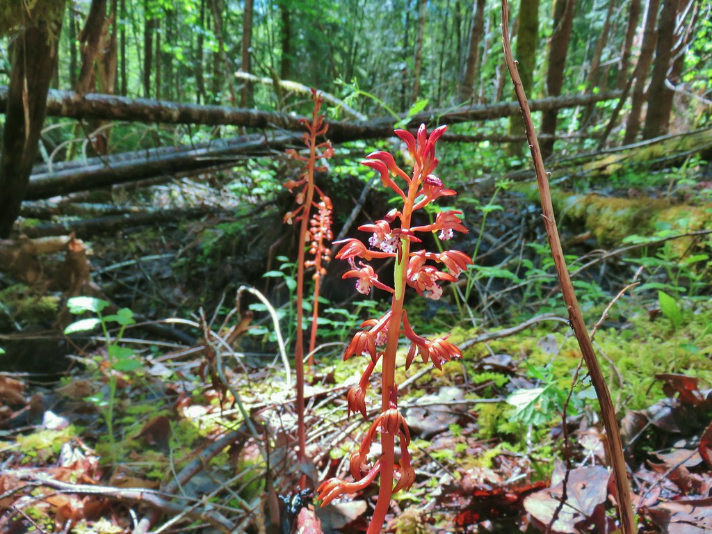
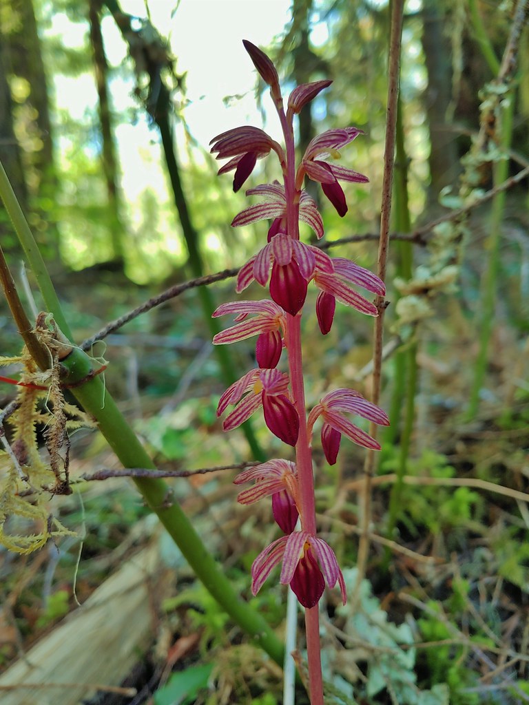
There was an amazing patch of coral root at the trailhead.

We walked past a green gate and found a post indicating that this was the Old Santiam Wagon Road.

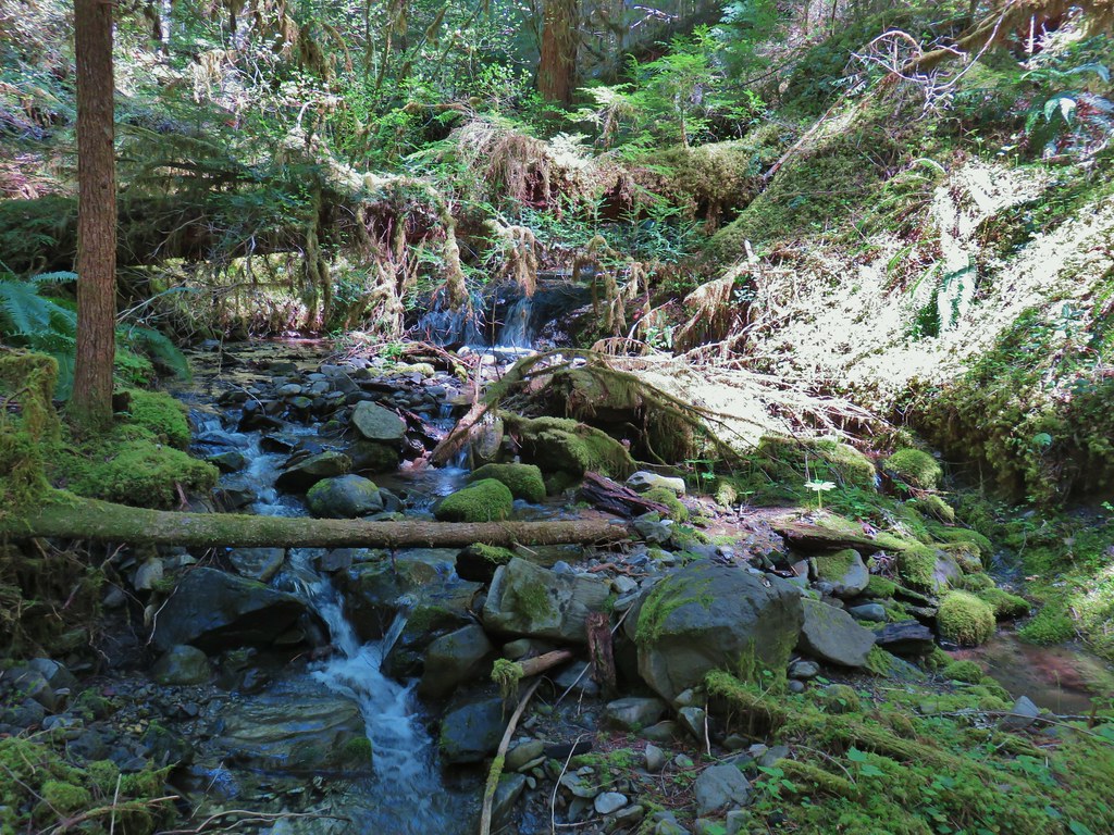
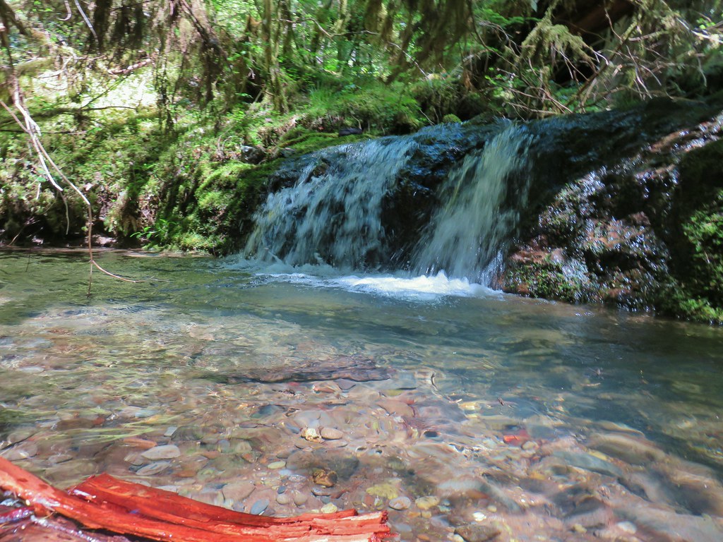
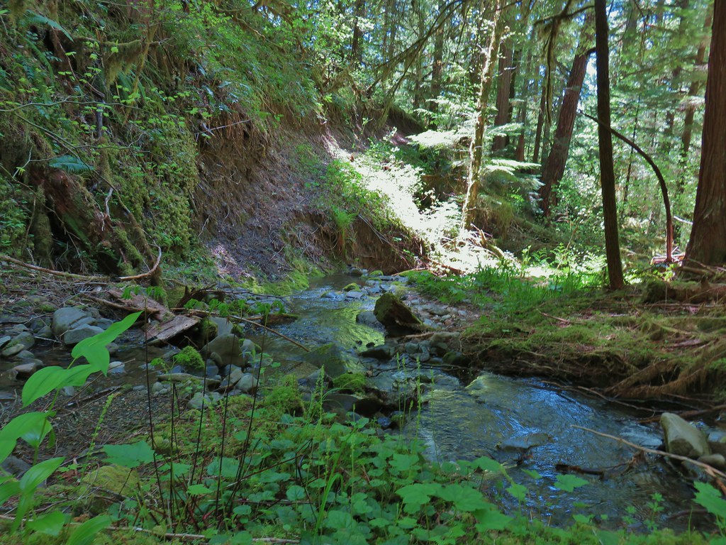
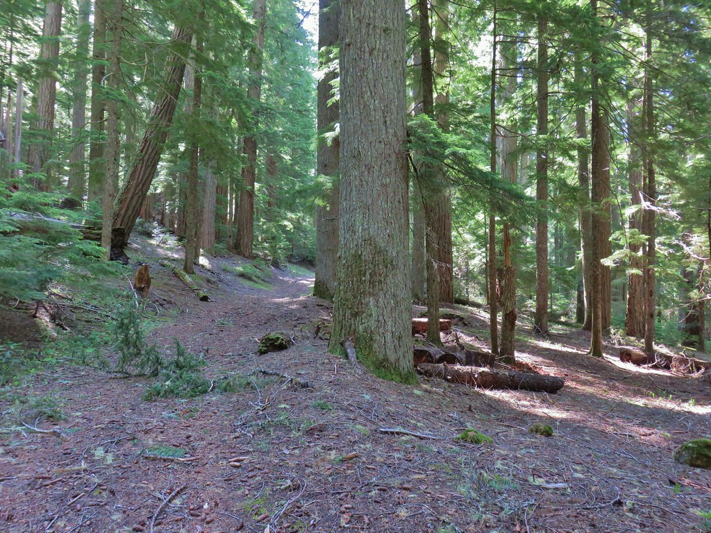
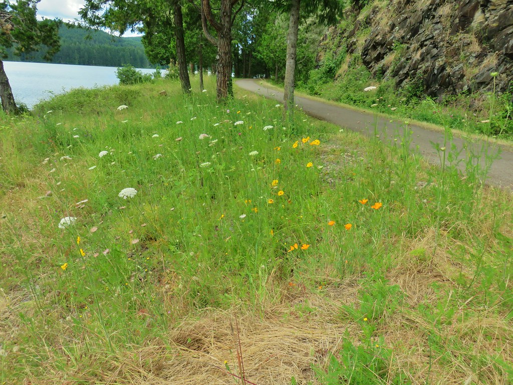
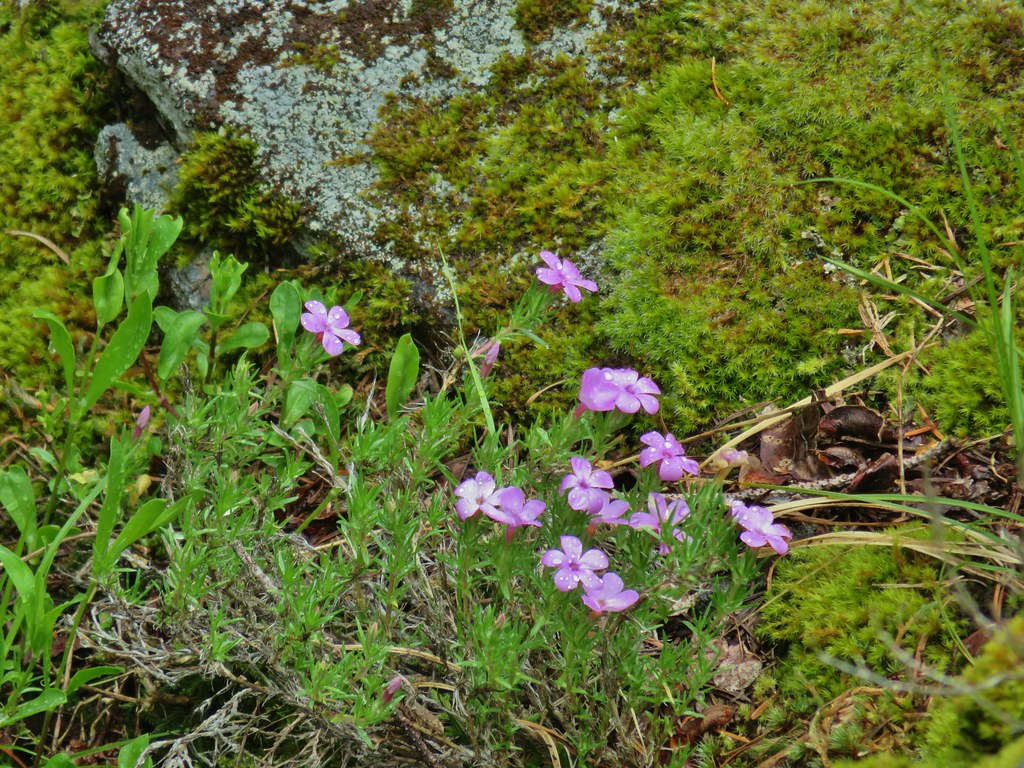
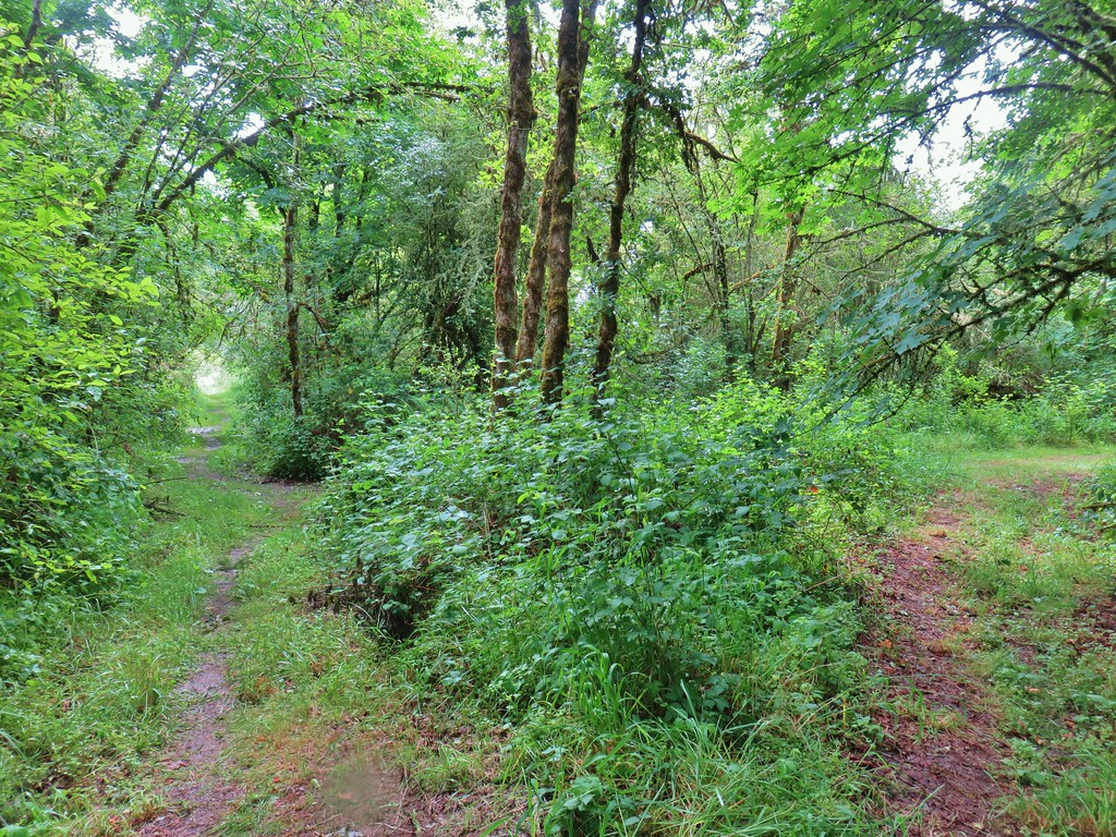
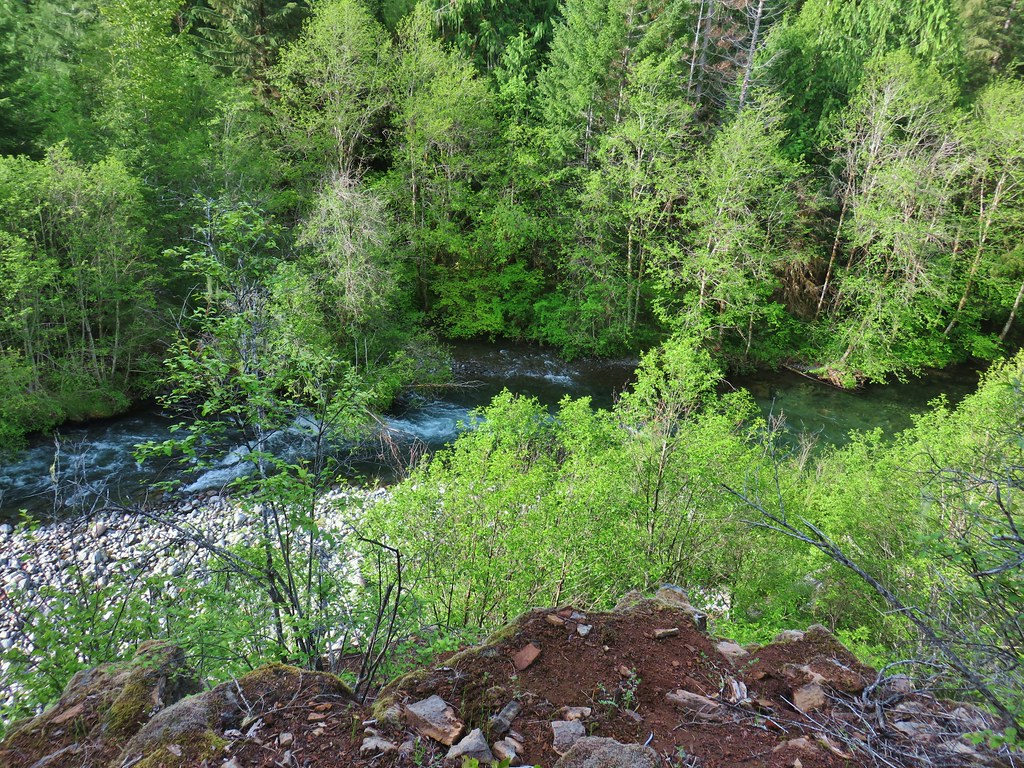
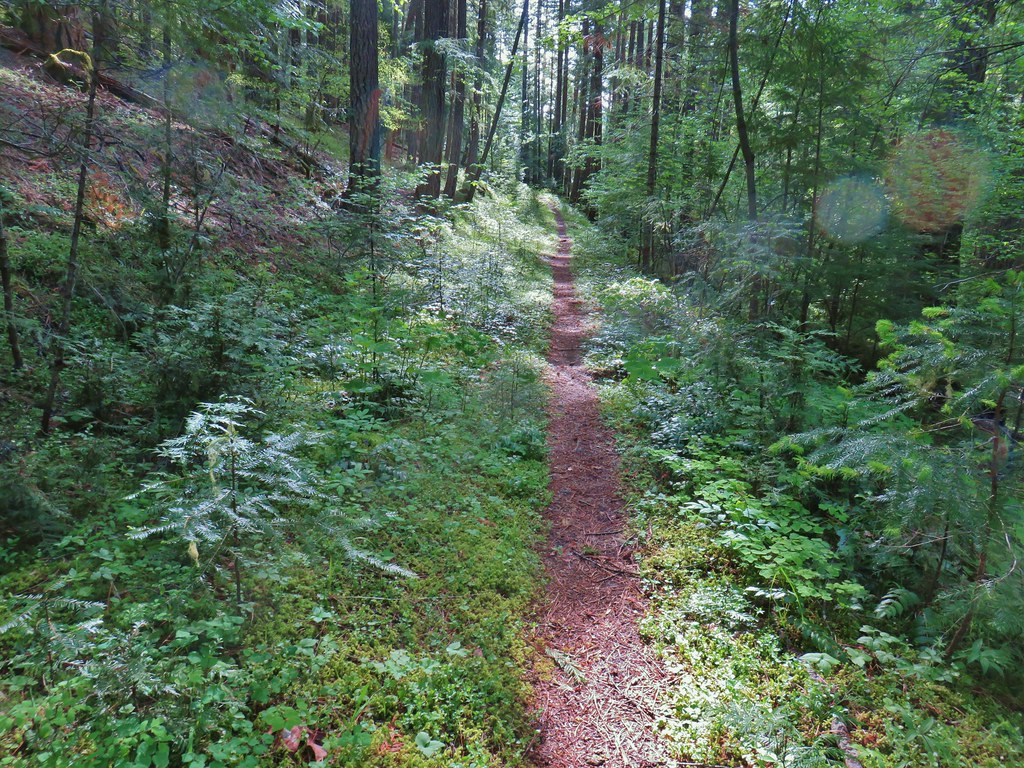
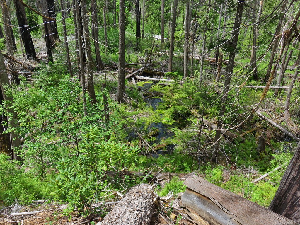
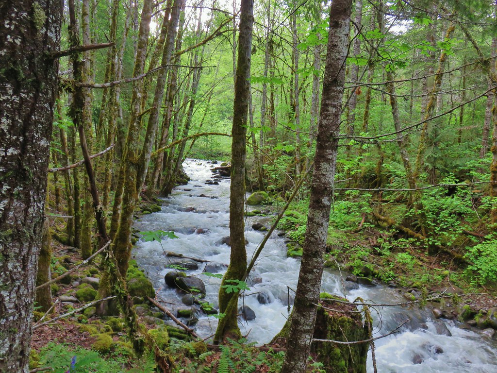
This was a deviation for Sullivan’s hike description as he would have you start at the Fish Lake Day Use Area but the entrance to the day use area remains gated due to COVID-19. From this trailhead we could follow the wagon road 2.2 miles to the Pioneer Grave and Fish Lake. There wasn’t a lot to see along the way, a few scattered flowers was about it. The road was in fairly good shape with a few downed trees near the beginning but as we got closer to Fish Lake it was obvious that there had been some clearing done.
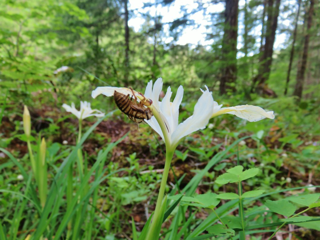
 Iris
Iris
 Beargrass
 Santiam Wagon Road
 Bunchberry
 Musk monkeyflower
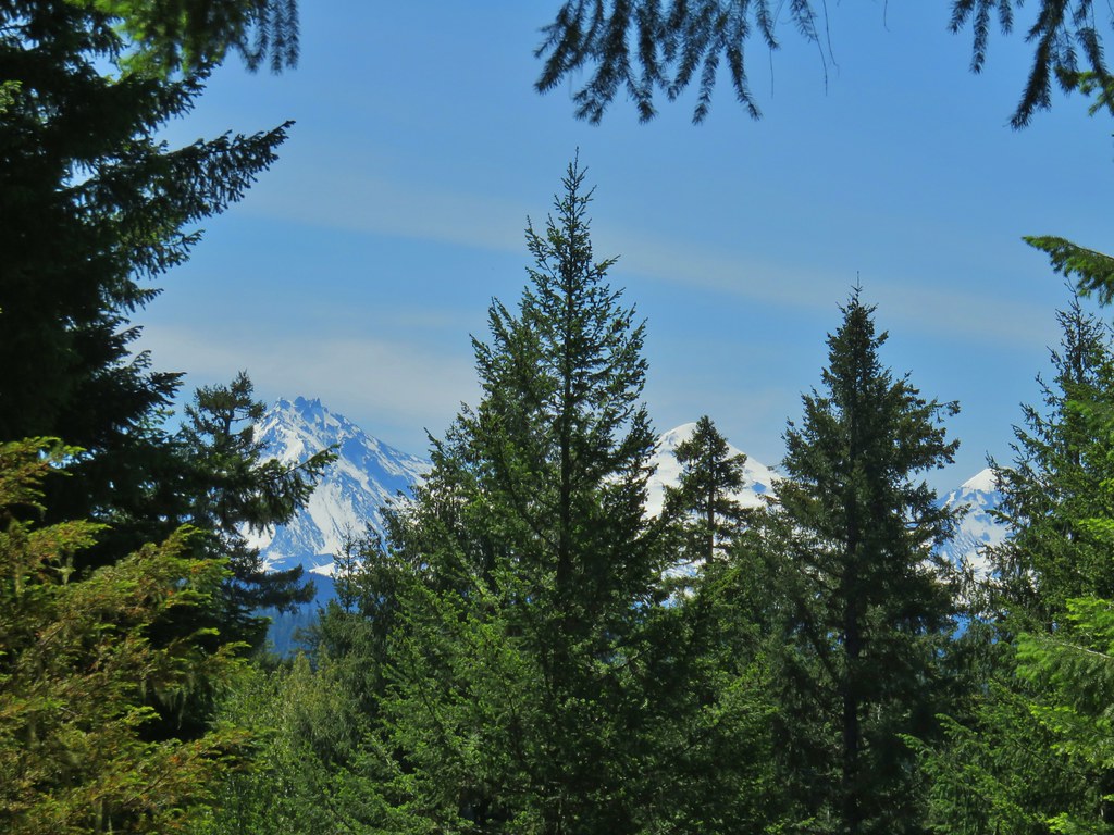
We stopped at the grave site where there is a semi-obstructed view of the Three Sisters.
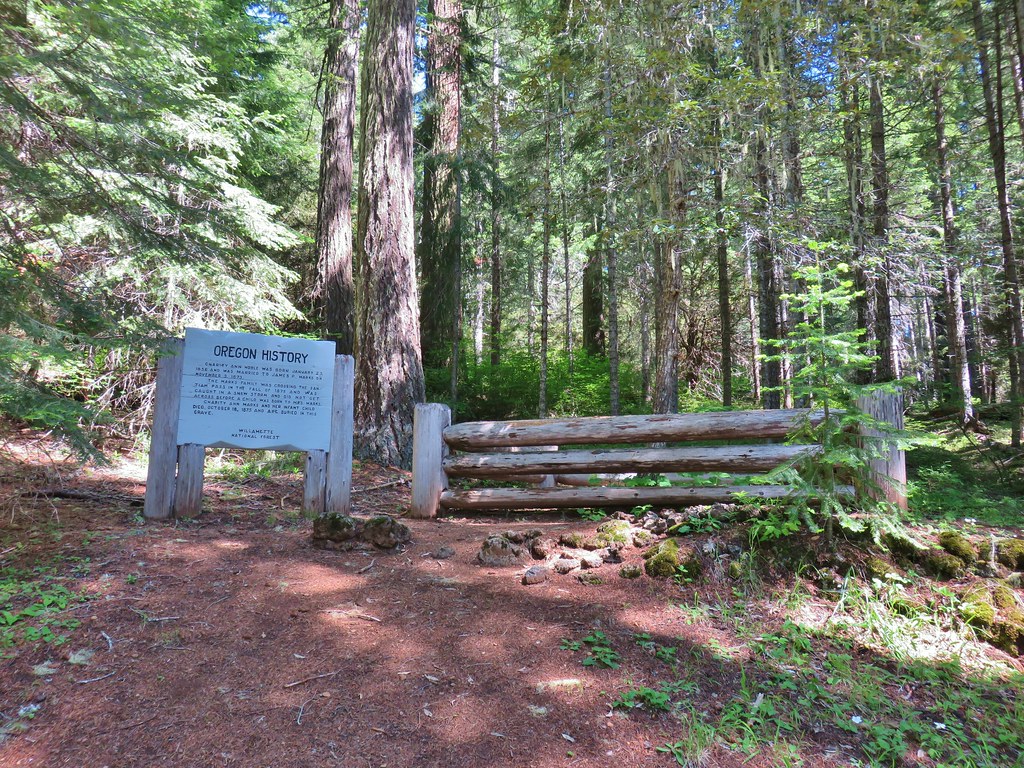

Just beyond the grave site is the Fish Lake Remount Station which served as the headquarters of the Santiam National Forest in the 1910’s. Two cabins are available for reservations in Winter. We were not entirely sure of the status of the area as I mentioned before the Forest Service website mentioned that the Day Use are gate was still closed, but the Day Use Area was .4 miles from the grave site and there were no signs indicating that the remount station was off-limits. We followed the wagon road through the station but avoided using or touching any facilities.
 Hall House
 Commissary Cabin
 Commissary Cabin innkeeper?
 More from the remount station
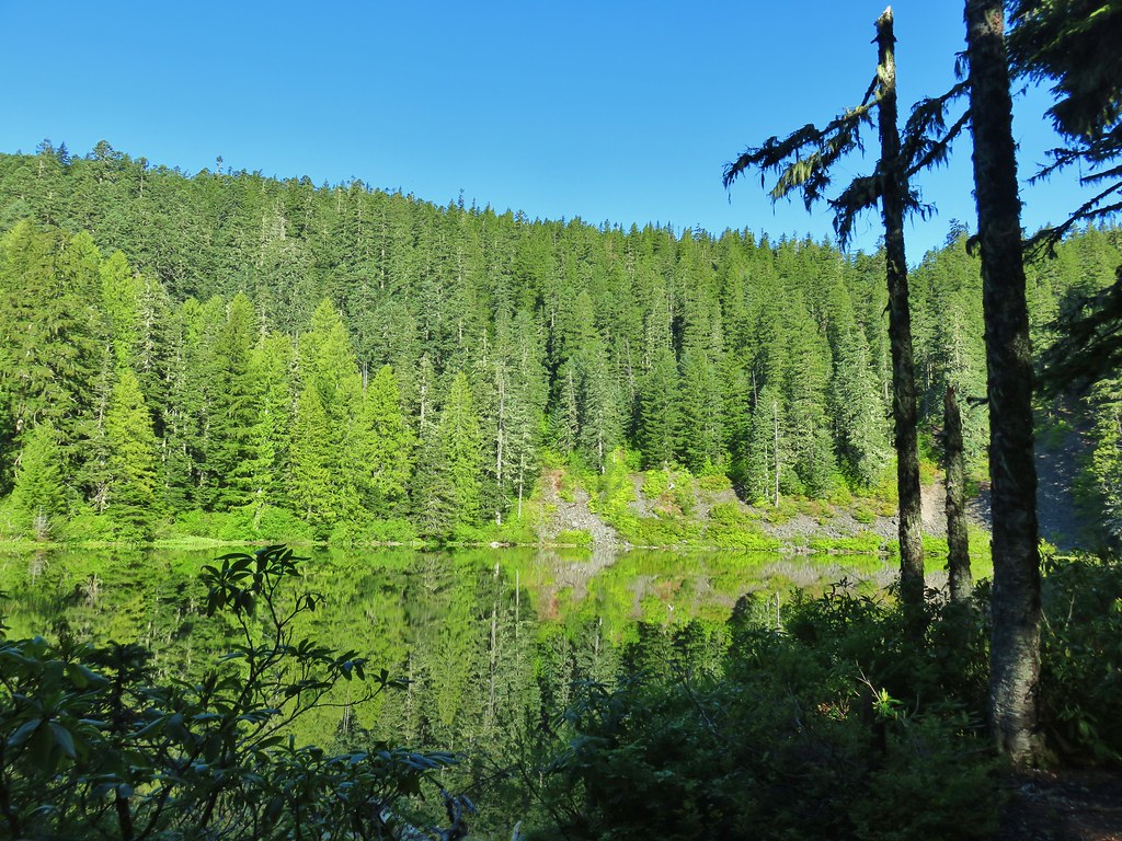
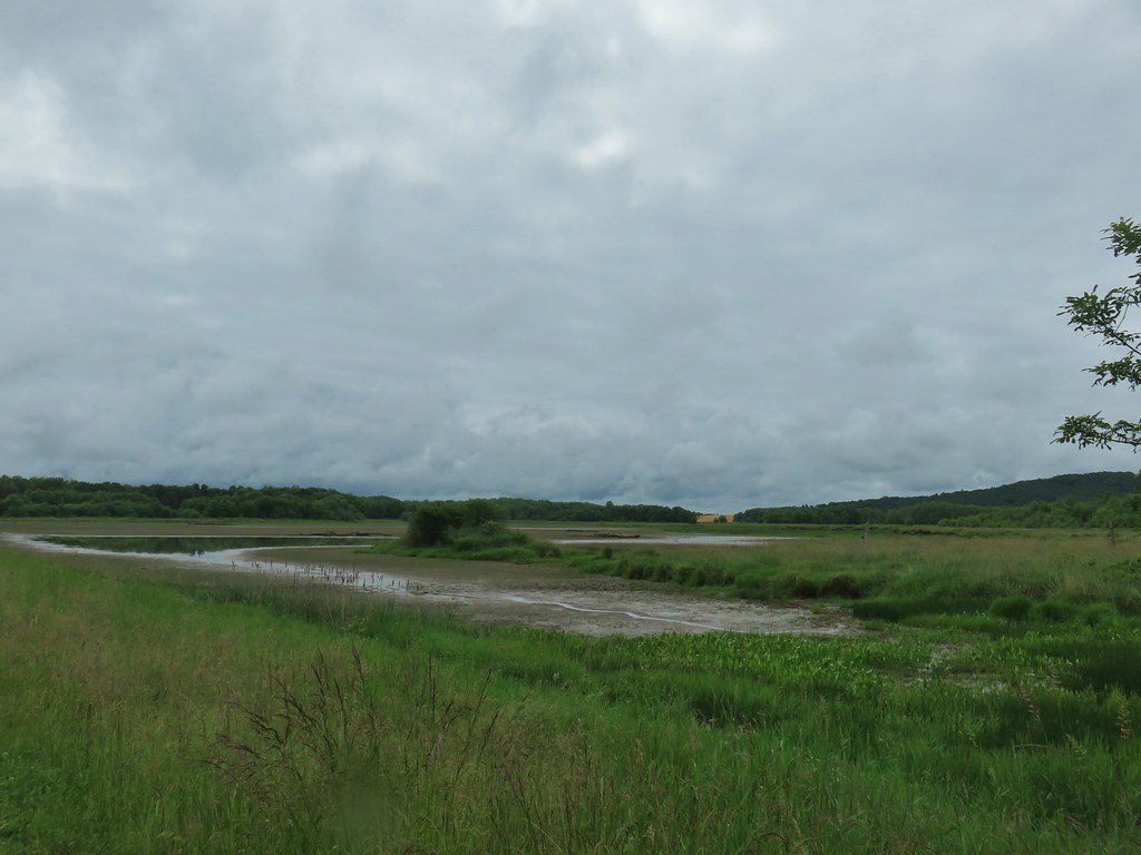
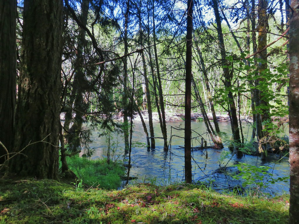
Fish Lake dries up annually leaving a meadow but there was a good amount of water present and we spotted a couple of kayaks or paddle boards across the water.
 Browder Ridge (post) looming above Fish Lake.
 Interpretive signs for the remount station.
An old lava field sits between the station and the day use area which we walked through until we could see the day use area (where there was at least one car and no gate, curious.


We returned the way we’d come for a 5.2 mile out-and-back giving us a grand total of 8.6 miles for the day (1.1 at Hackleman Grove and 2.1 at Echo Basin). Despite the hikes being very close to one another they each had a different feel making for a fun and interesting day. Happy Trails!


 Bunchberry
 Salmonberry
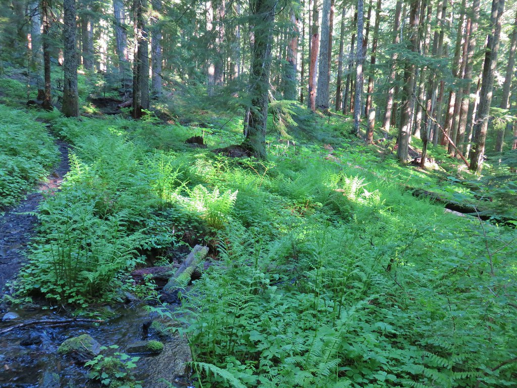 First little stream crossing.
 Another stream crossing, this one with skunk cabbage.
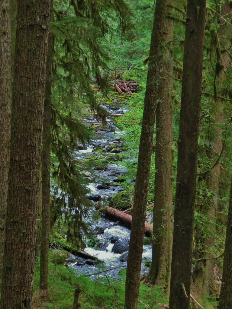
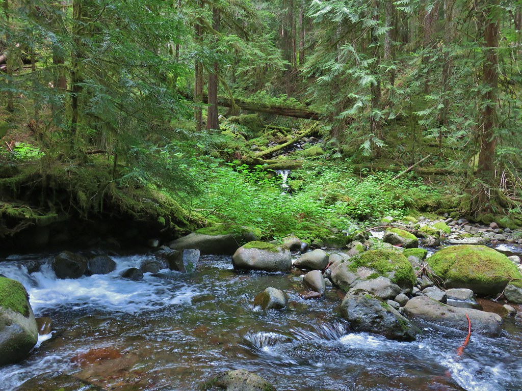
 Memaloose Creek crossing.
 Memaloose Creek above the crossing.
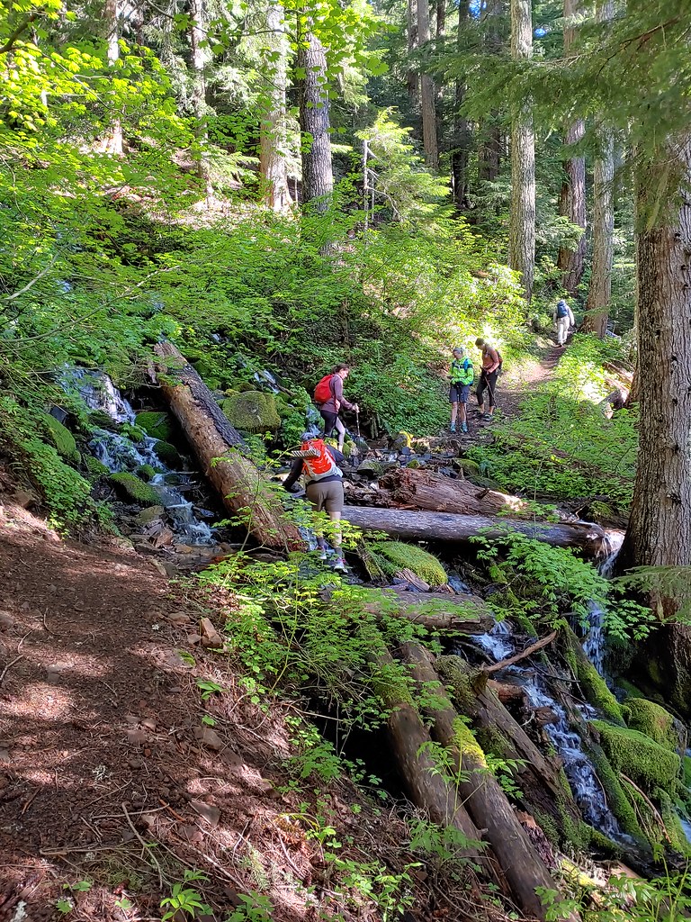
 Skunk cabbage, shooting stars, and marsh marigolds across the lake.


 Typical obstacles for the trail.
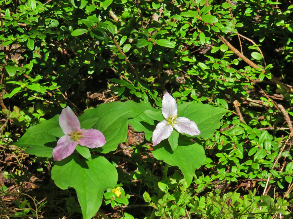 Trillium
 Mt. Rainier, Mt. Adams (with Goat Rocks the snowy patch just to the left), and Mt. Hood
 Mt. Rainier
 Goat Rocks to the left with Mt. Adams
 Mt. St. Helens
 Mt. Hood
 Mt. Jefferson, Three Fingered Jack, Broken Top, Mt. Washington, and the Three Sisters.
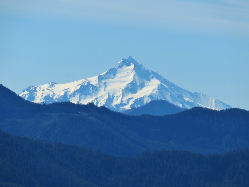 Mt. Jefferson
 Three Fingered Jack
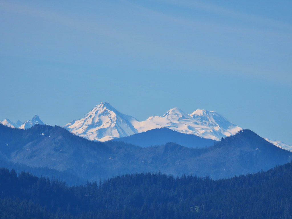 Broken Top, Mt. Washington, and the Three Sisters


 Red elderberries
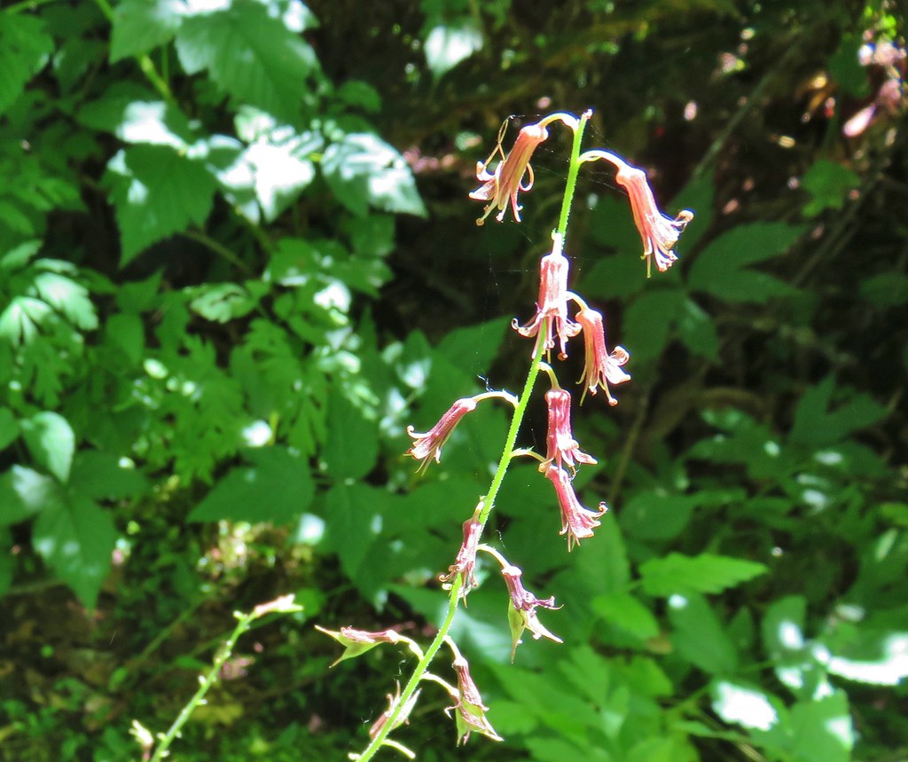 Youth-on-age
 A phacelia
 Hedgenettle
 Tiger lily
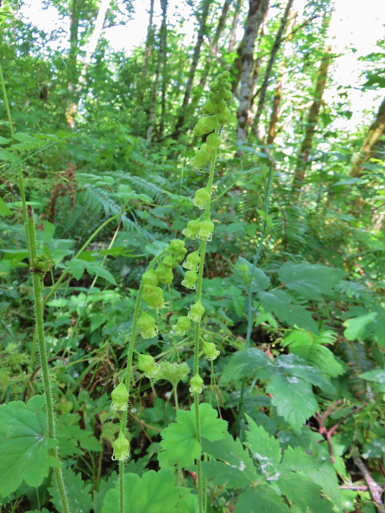 Fringecup
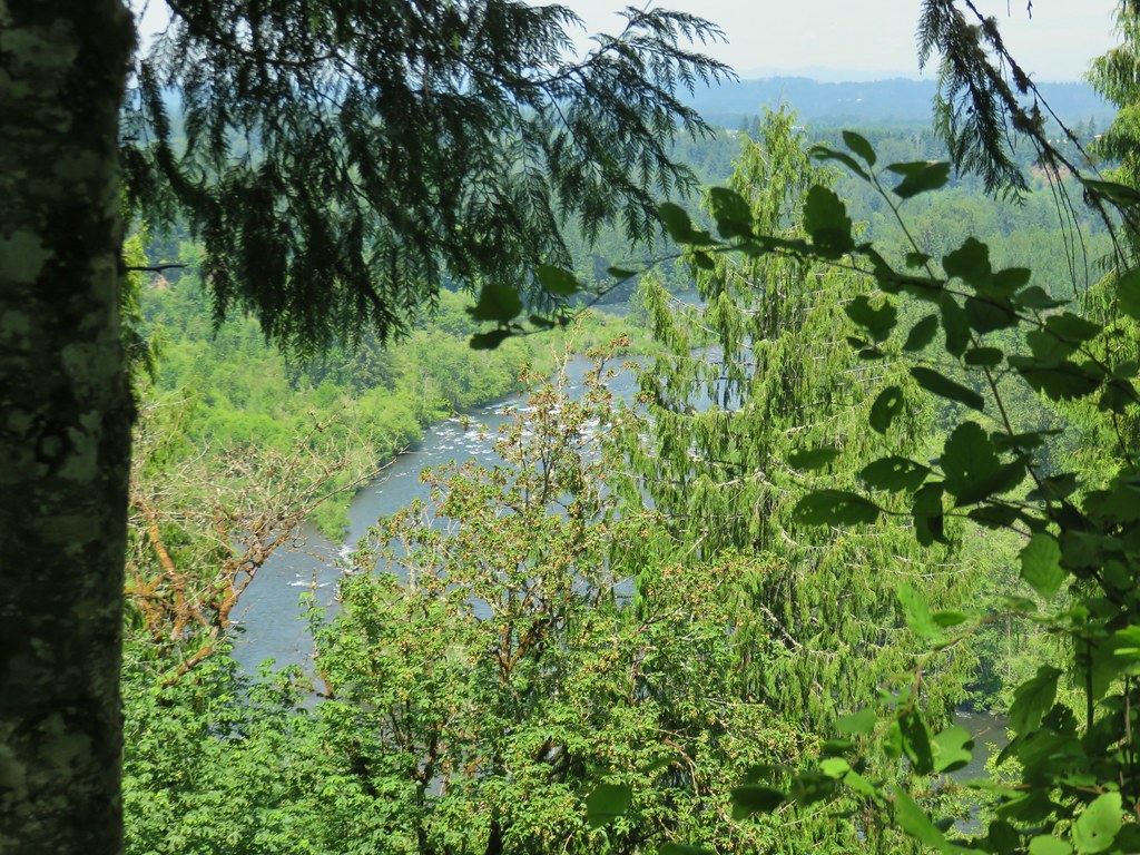


 Dragonfly near the pond.


 Downed tree across the road.


 Looking back at some of the obstacles.
 More obstacles ahead.
 Ferns along the Swordfern Trail.


 Self heal
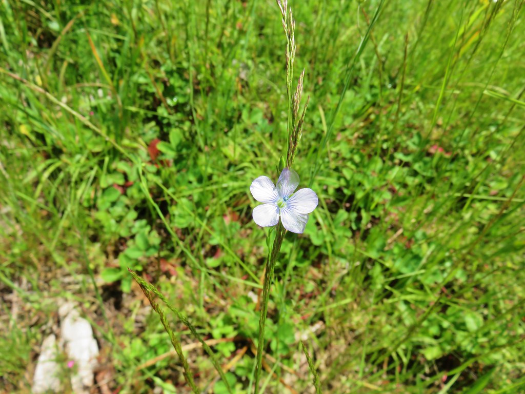 Pale flax
 Poppy
Poppy Looks like something in the mallow family.
 Red beetle
 Sneaky poison oak


 Approaching Dorena Lake
 Bachelor button
 No idea what this is, possibly non-native.
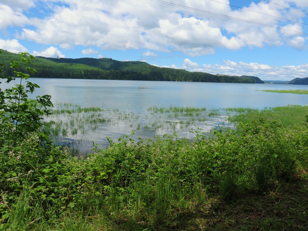


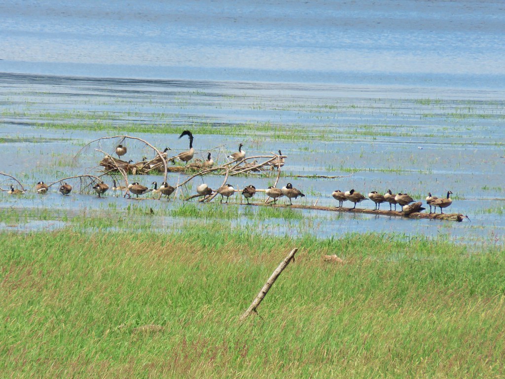 Canada geese
 A great blue heron with at least one duck in the grass.

 You can see a bit of the rocks on the opposite side of the trail.
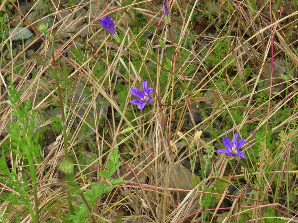 Brodiaea
 Poppy
Poppy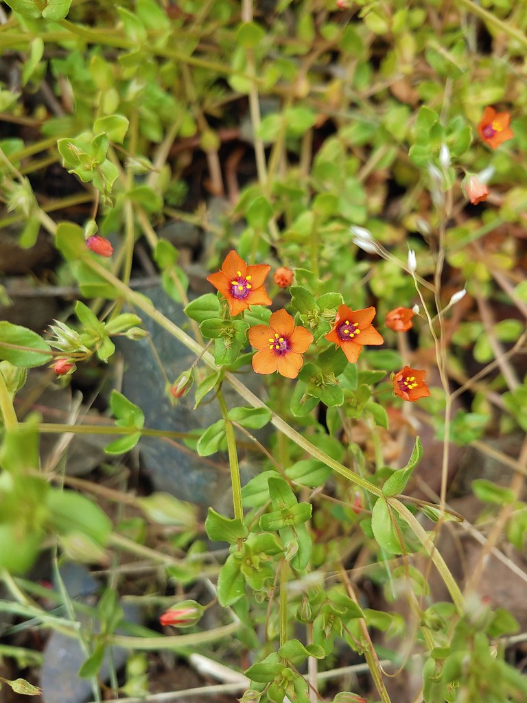 Scarlet pimpernel
 Dorena Lake from Rat Creek
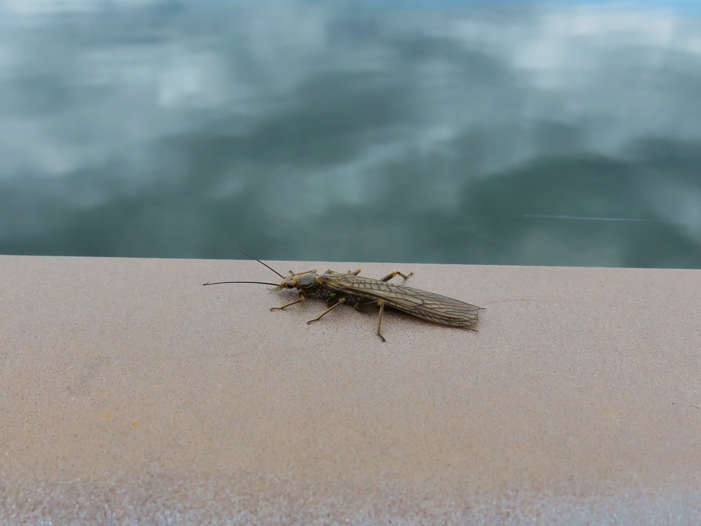 Bug on the Rat Creek bridge.


 The scramble trail.

 Not the Ogle Mountain Trail.
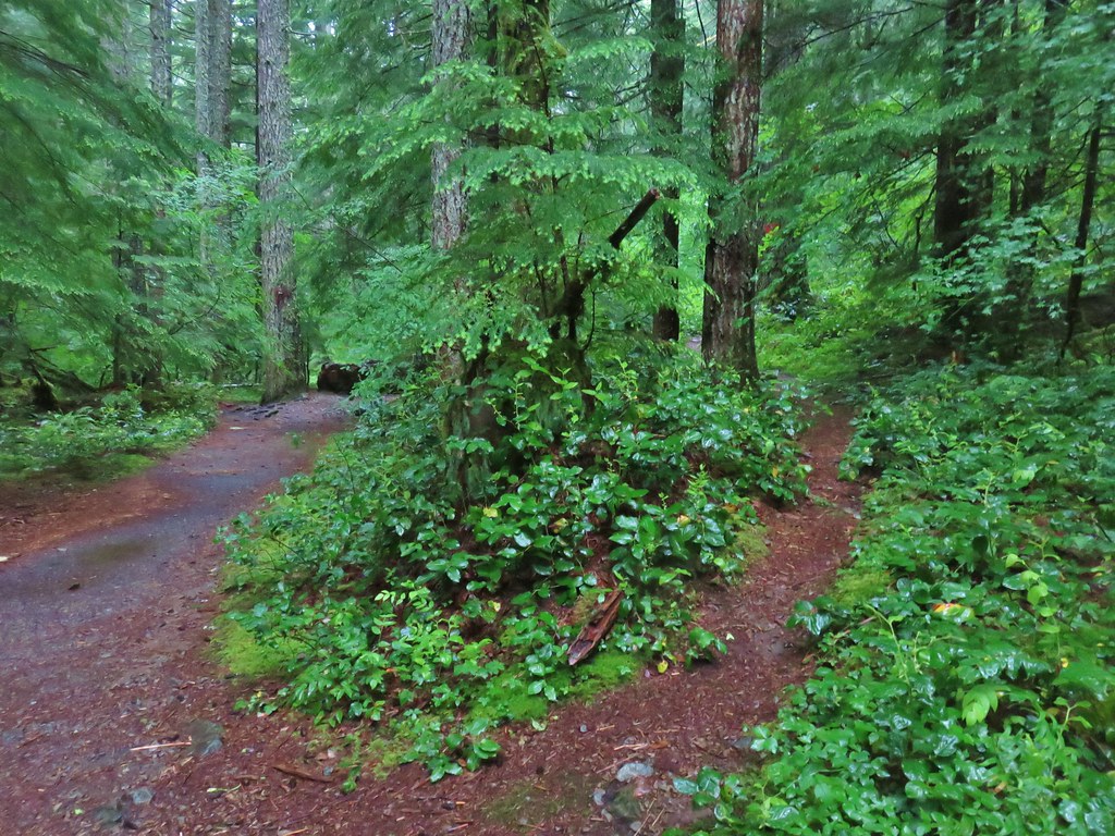 The Ogle Mountain Trail on the right.


 Penstemon with poison oak in the background along the trail near the trailhead.
 Little prince’s pine
 Twinflower
 Looking up at the viewpoint from the talus slope.
 Spur trail to the viewpoint.
 The trail passing through the talus slope below.
 Penstemon at the viewpoint.
 Oregon sunshine
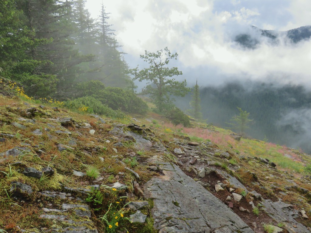
 I believe that is Rocky Top behind the clouds.
 Blue sky to the west.

 Northwestern twayblade
 Penstemon
 Paintbrush
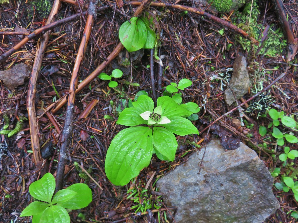 Bunchberry
 Trillium
 Penstemon (cliff beardtongue)
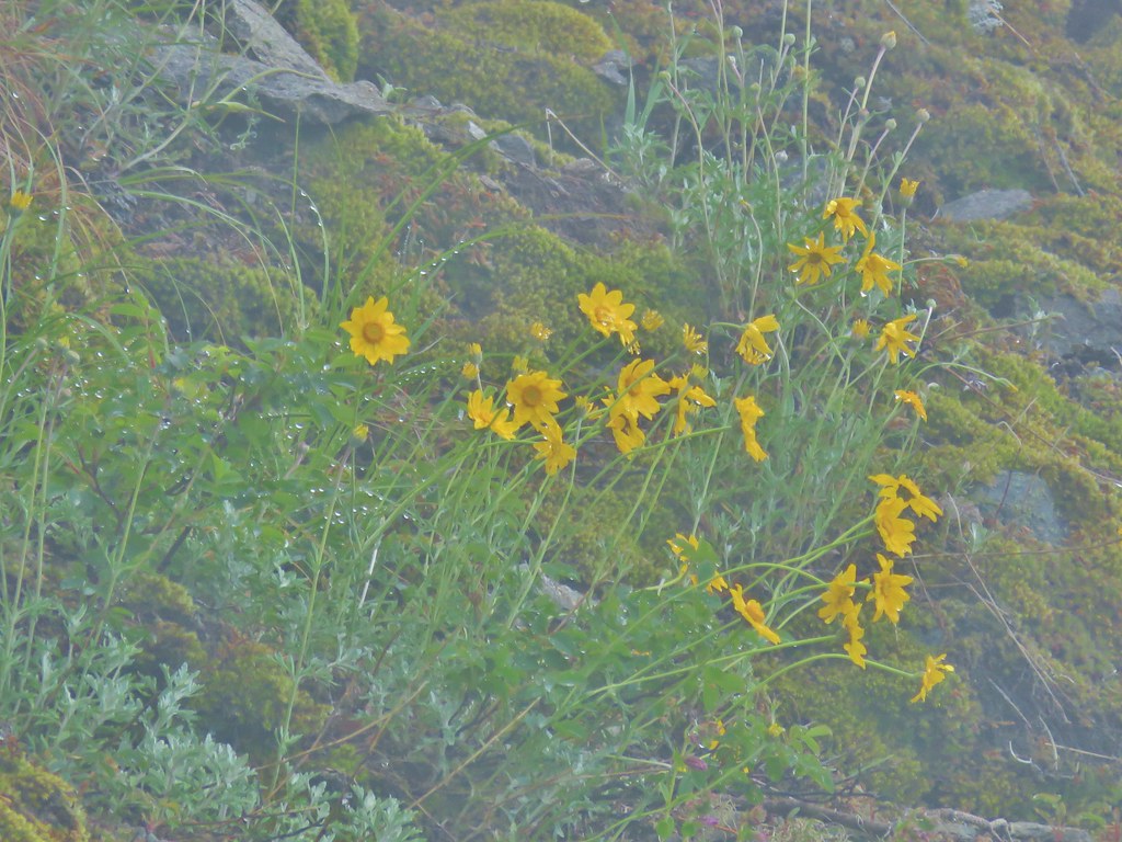 Oregon sunshine
 The ridge end beyond where the lookout was.
 Looking back toward the summit of Henline Mountain (it is beyond and above the visible trees).
 The falls are obsucred here by the clouds to the lower left.
 Elkhorn Mountain Falls
 Sub-alpine mariposa lily
 Mountain Ash
 Oregon sunshine and cat’s ear lilies
 Phlox
Phlox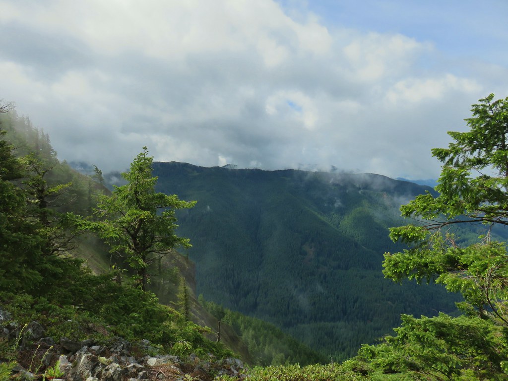
 Raceme pussytoes
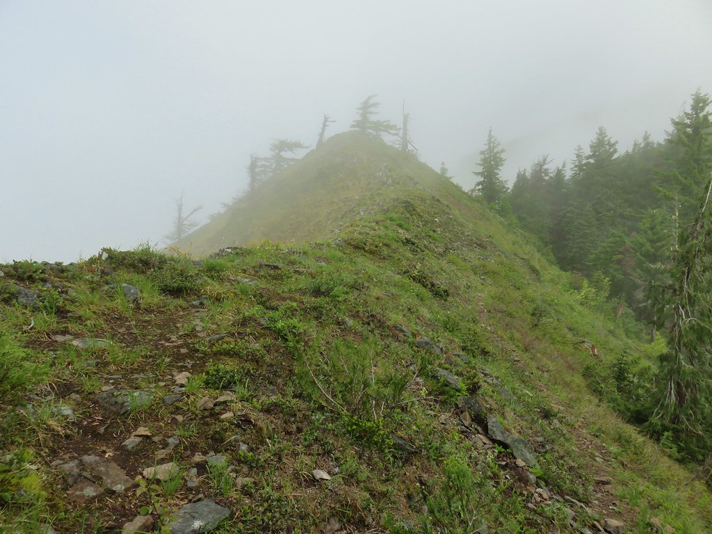
 Paintbrush
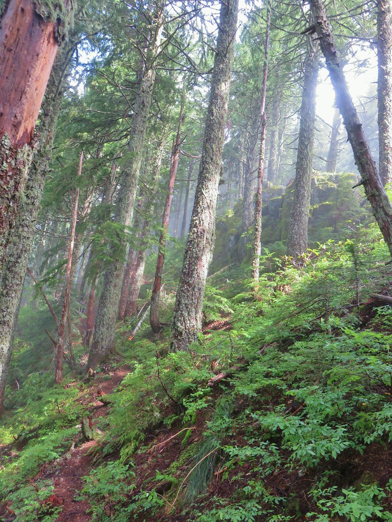


 Heading uphill after the little meadow.
 Snow in a basin below the trail.
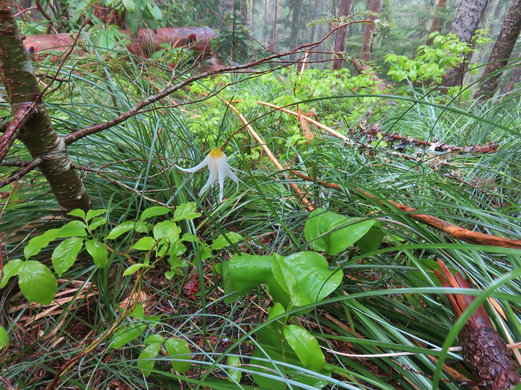 Fawn lily
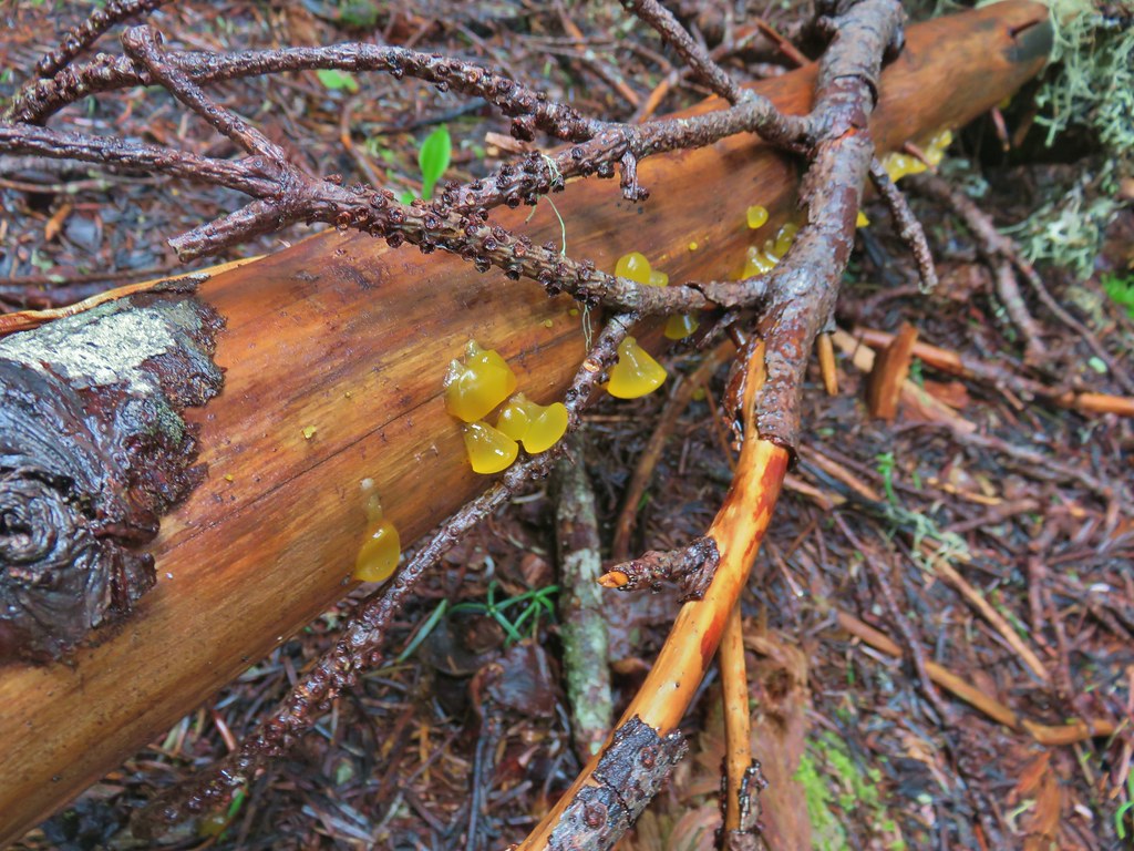 Jelly fungus
 Heading down to the saddle below the summit.
 The end of the trail.
 Bleeding heart near the end of the trail.

 Looking west down the Little North Santiam River.
 The high point to the left is Whetstone Mountain (
 Closer look at Battle Ax Mountain.
 Rocky Top still with a little cloud and Elkhorn Mountain in the foreground.
 Looking back at Henline Mountain’s summit.
 Whetstone Mountain (center high point) with Bull-of-the Woods (
 Looking west
 Yellow rumped warbler at the lookout site.
 Looking up at the ridge end of the former lookout site from below.
 Chipmunk drying out on the rocks.
 Looking east
 Looking south
 Looking west
 Rusty saxifrage at the viewpoint.


 Vanilla leaf
 False solomonseal
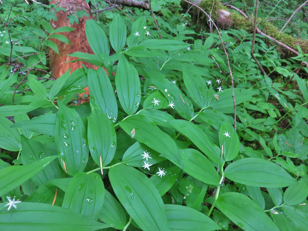 Star-flowered solomonseal
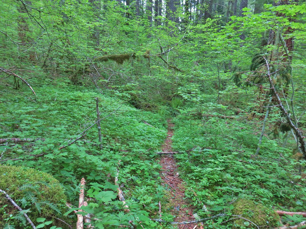
 Junco
Junco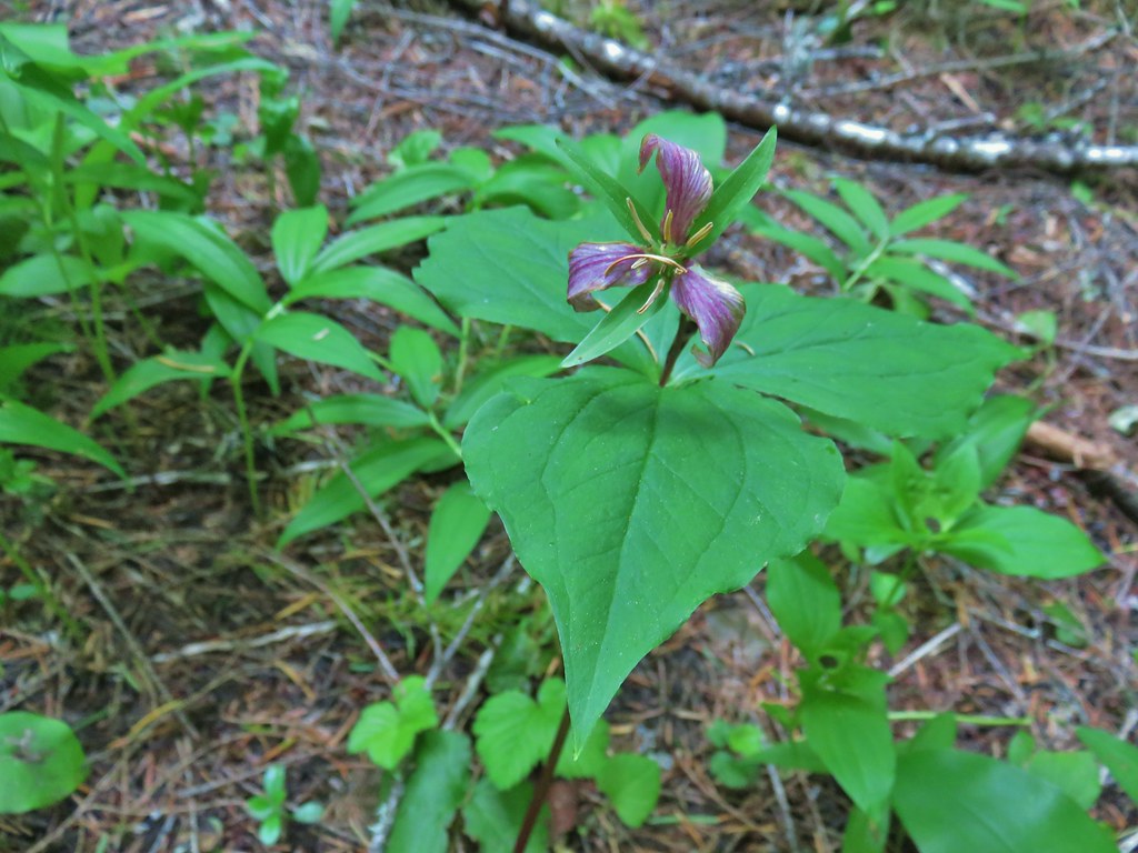 Trillium
 We saw a lot of this type of mushroom.
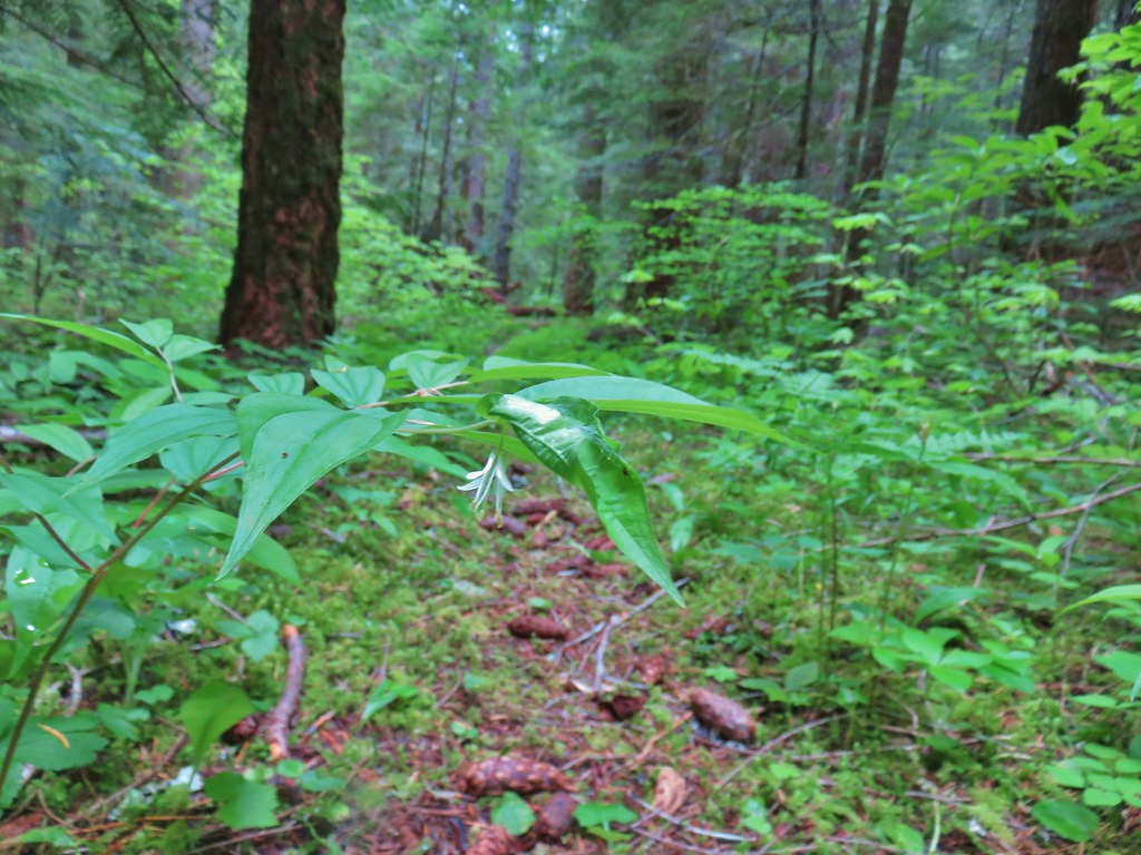 Fairybells
 East Fork South Fork McKenzie River
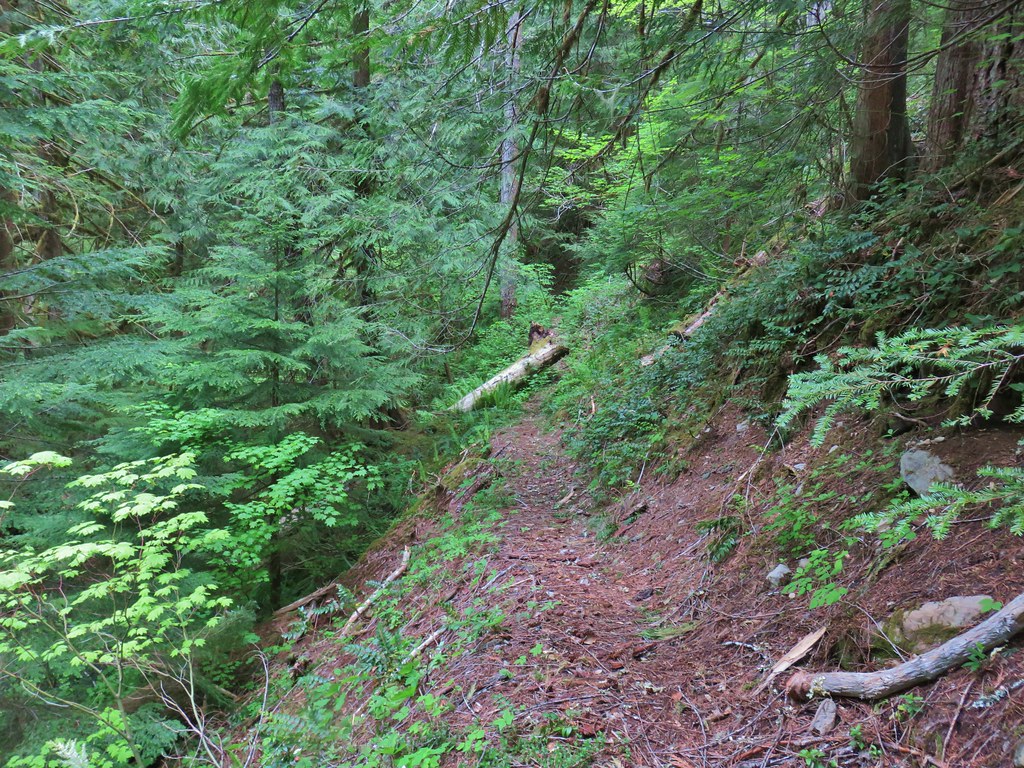


 Vanilla leaf, valerian, and a slug.
 Oregon grape
 Salmonberry
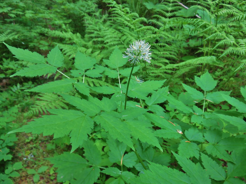 Baneberry
 Violets
 Sour grass
 Queen’s cup
 Fern unfolding
 Mushrooms
 Maidenhair ferns
 We also watched out for the nasty Devil’s Club and its thorns.


 The grouse is the blurry brown thing ahead and to the left of the trail.
 Start of the Saddle Trail at FR 1993


 A penstemon starting to bloom
 A line of paintbrush
 Rhododendron
 Rhododendron
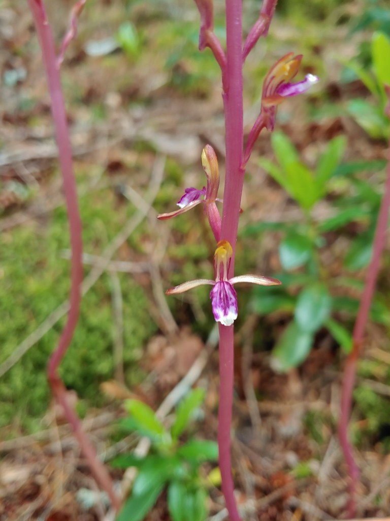 Pacific coralroot
 Northern phlox
 Pinesap (I think)
 Oregon grape
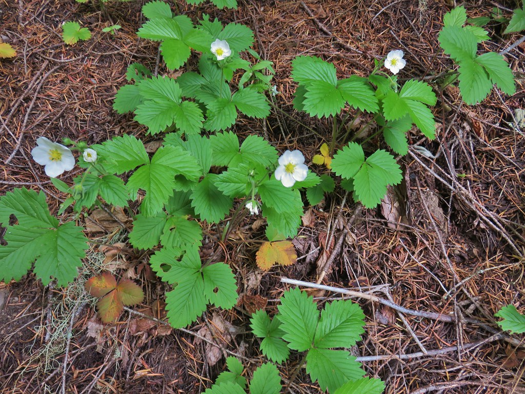 Strawberry
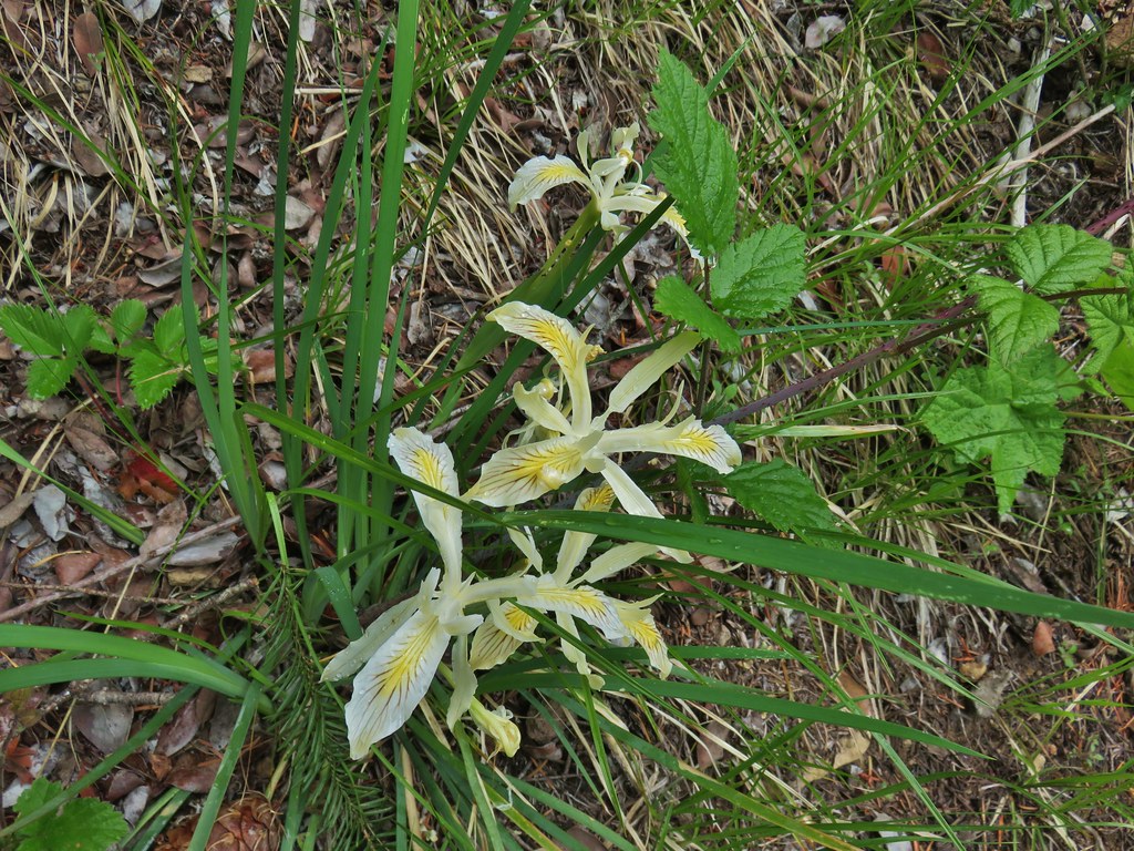 Yellowleaf iris
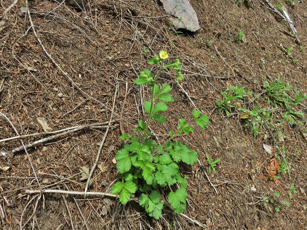 Sticky cinquefoil
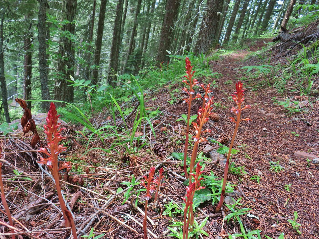 Spotted coralroot
 Nightblooming false bindweed
 Largeleaf sandwort
 Subalpine mariposa lily
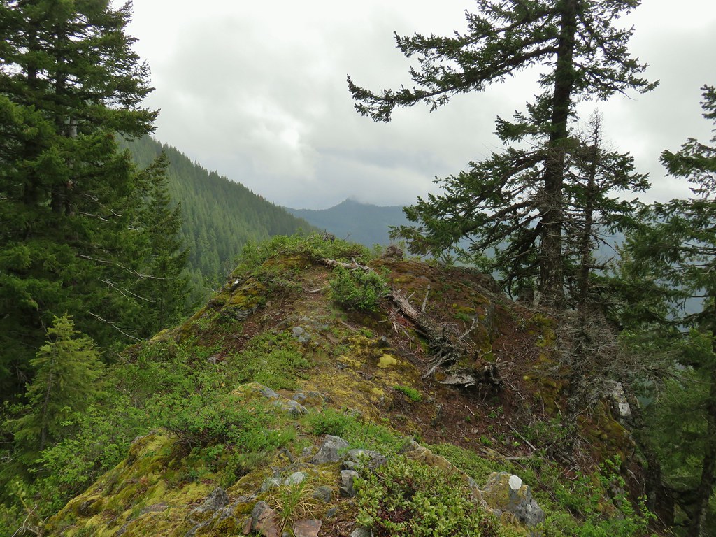
 Phlox
Phlox Rosy pussytoes

 Larkspur
 Biscuitroot
 Blue-eyed Mary
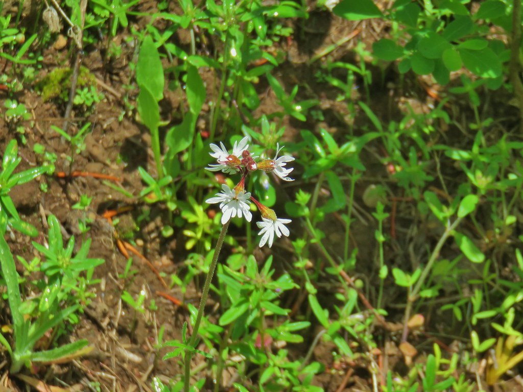 Woodland star
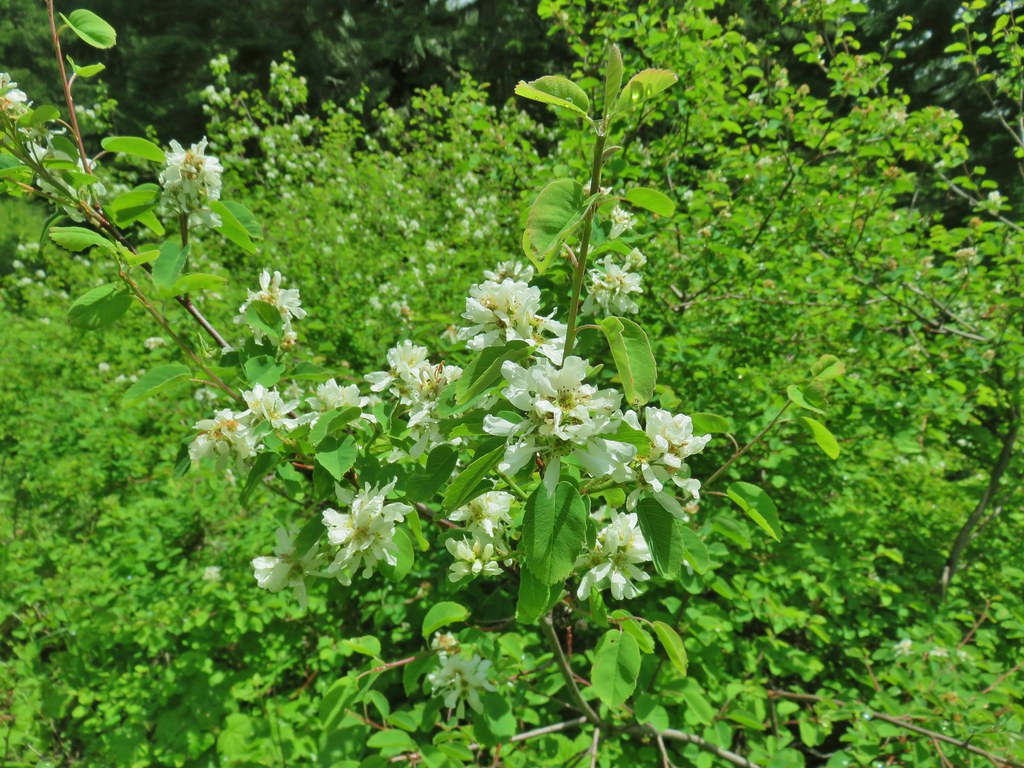 Serviceberry
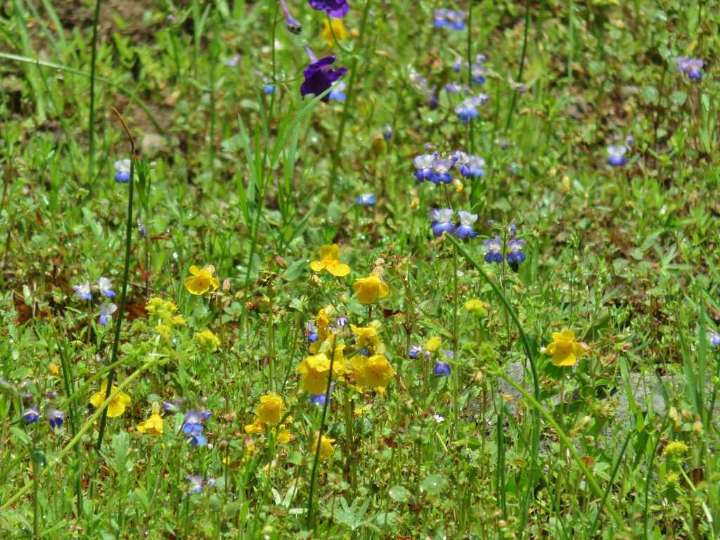 Monkeyflower
 Royal Jacob’s ladder
 Something in the pea family.
 Alpine pennycress
 Junco amid the flowers.
 Bear scat in the meadow.
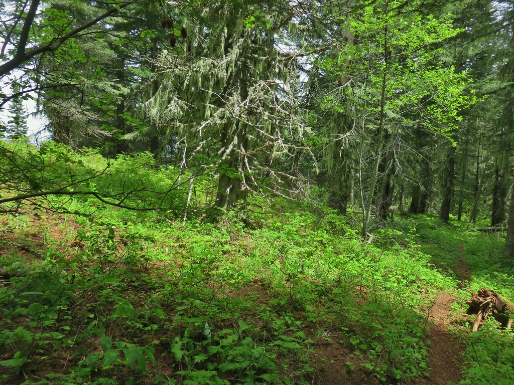
 Tall bluebells
 Trillium
 Wild ginger
 Bleeding heart and tall bluebells.
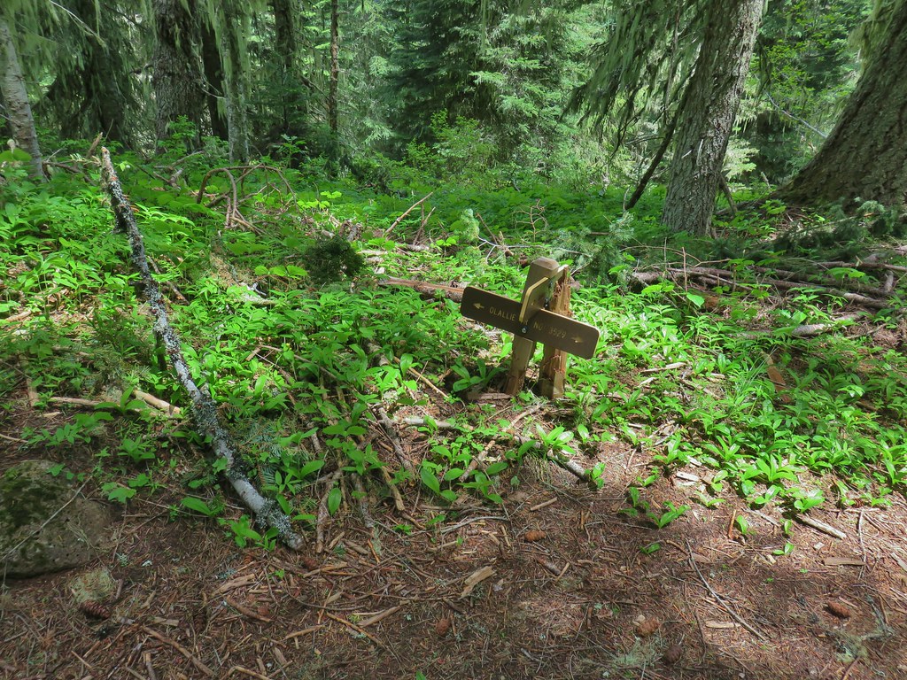 The Olallie Trail


 Lupine along McFadden’s Marsh
 Small bird in the grass.
 I am almost never sure on yellow flowers like these which one it actually is.
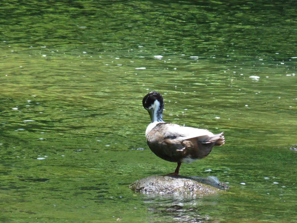
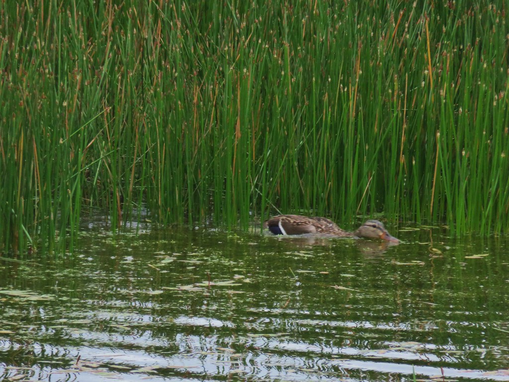
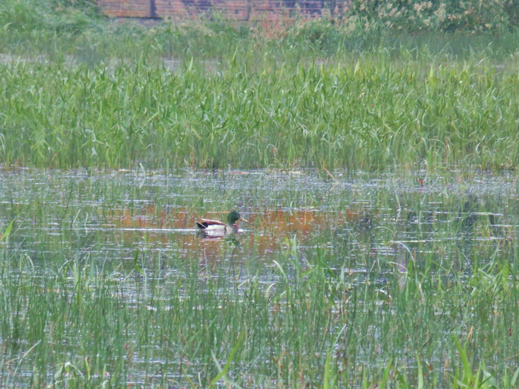 Mallard at McFadden’s Marsh.
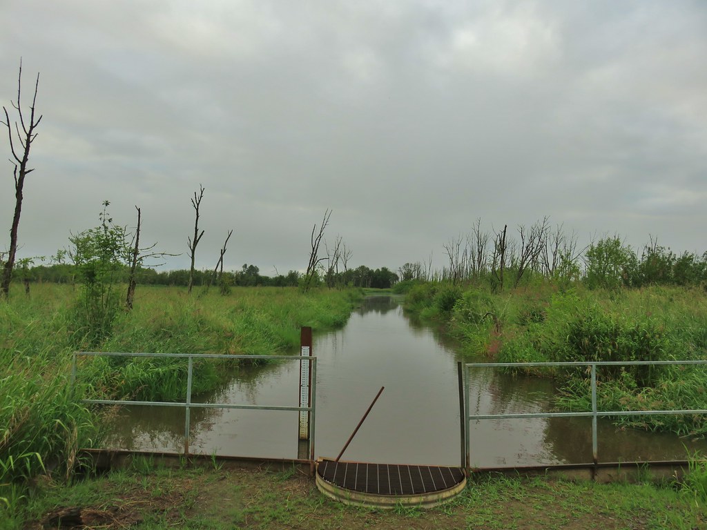 Ditch draining into the marsh.
 Wood duck and duckling speeding away down the ditch.
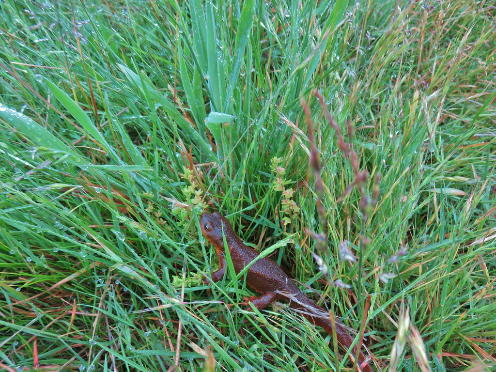 Watch your step in the grass!
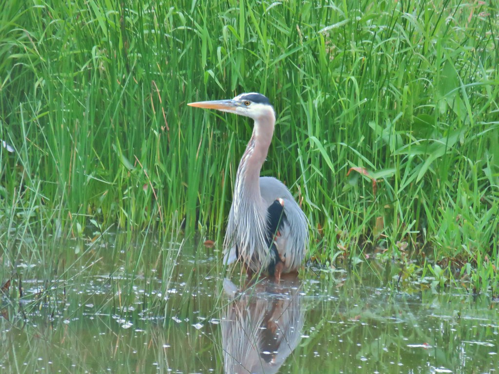
 Another heron standing in the marsh.
 Walking over Muddy Creek on Bruce Road.
 A pair of California quail and a rabbit on Bruce Road near the Cheadle Marsh Trailhead.
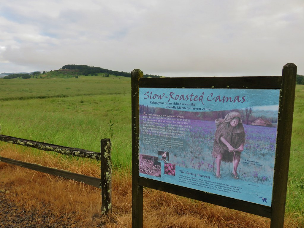


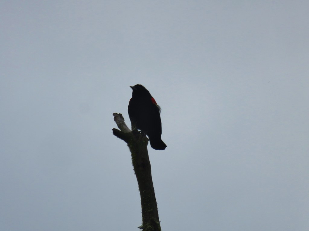 Red-winged blackbird that did pose for a moment.
 Note the rabbit in the foreground, this was a theme on the day.
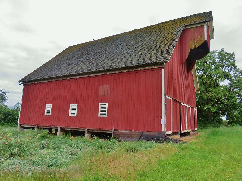
 The pond and Cheadle Barn.
 Pied-billed grebe family at the pond.
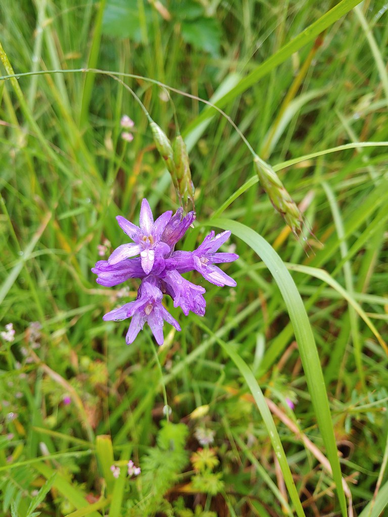 Ookow
Ookow Heading toward Pigeon Butte.
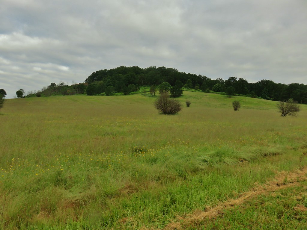
 Snail on a stick.
 Rough-skinned newt
 Spotted towhee that wouldn’t look at us.
 Quail on the road near the quarry.

 The trail is on the right of the mass of vetch blooming.
 Checkermallow


 With so little water there wasn’t really a reason to visit the blind.
 Three rabbits at the parking area.
 Rabbit #1
 Rabbit #2
 Rabbit #3
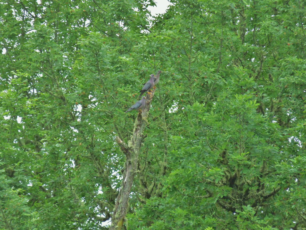 Band-tailed pigeons
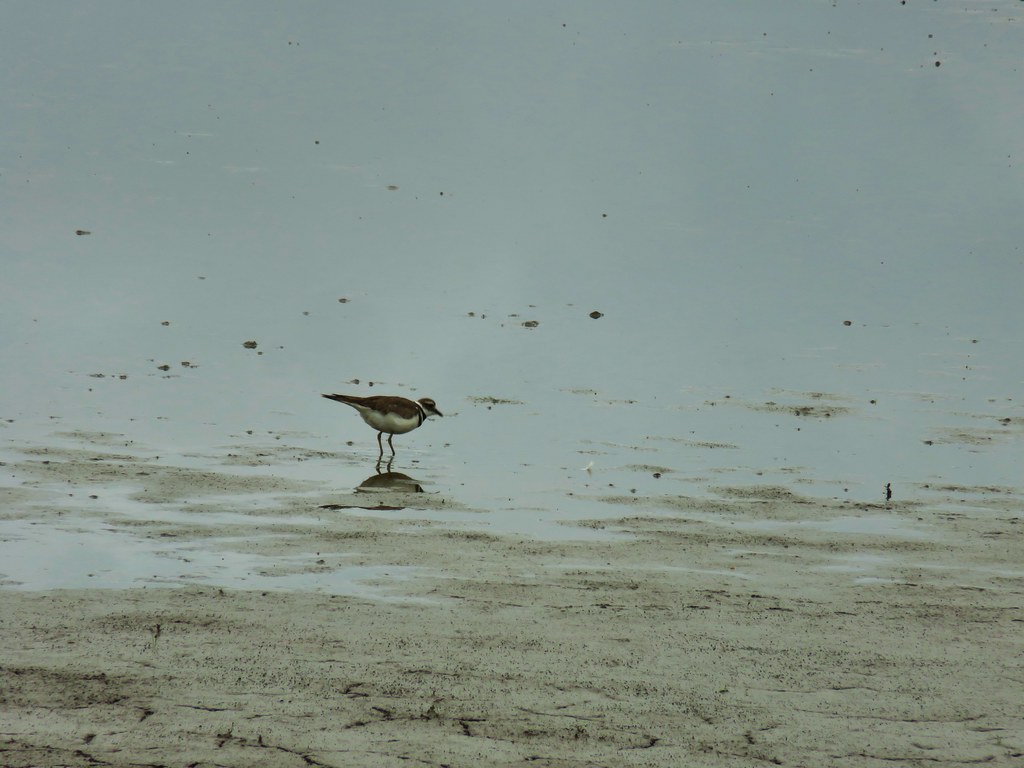 Killdeer
 One of several male American goldfinches we spotted along this stretch.
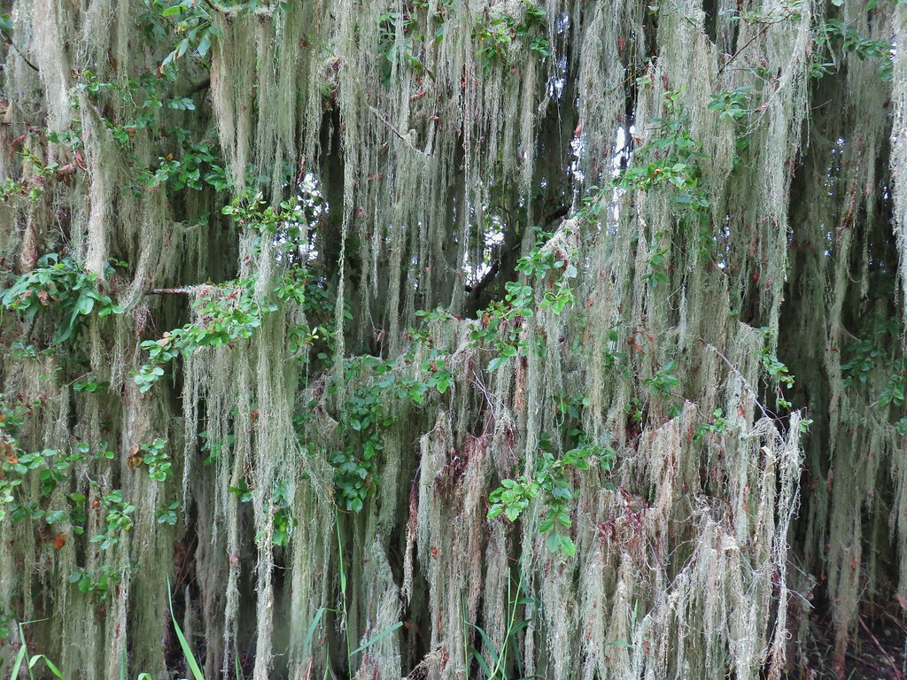 Vegetation along Gray Creek.
 Mushrooms
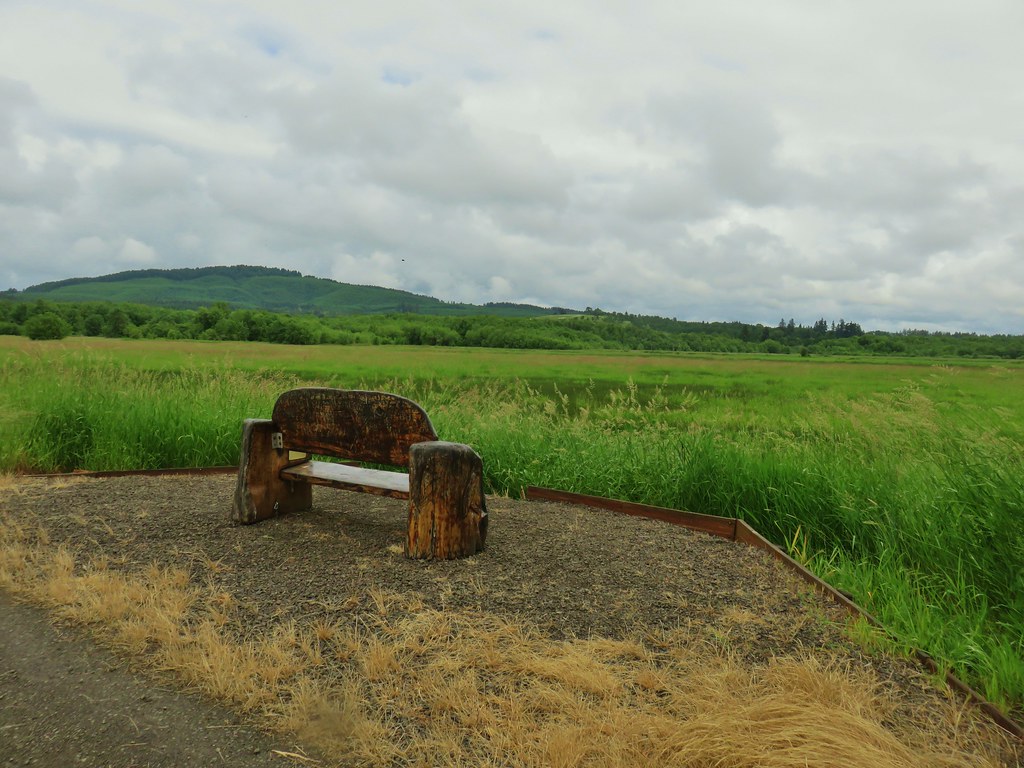
 Roses along the roadbed.
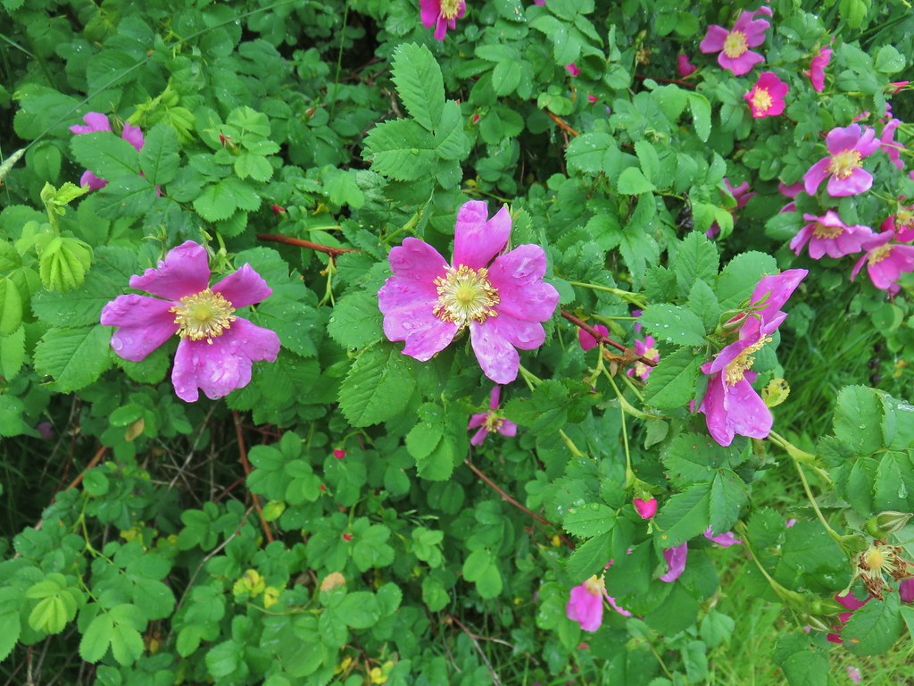
 Slug
Slug Yep, another rabbit.
 We started to think this rabbit wasn’t going to hop into the brush like all the others had.
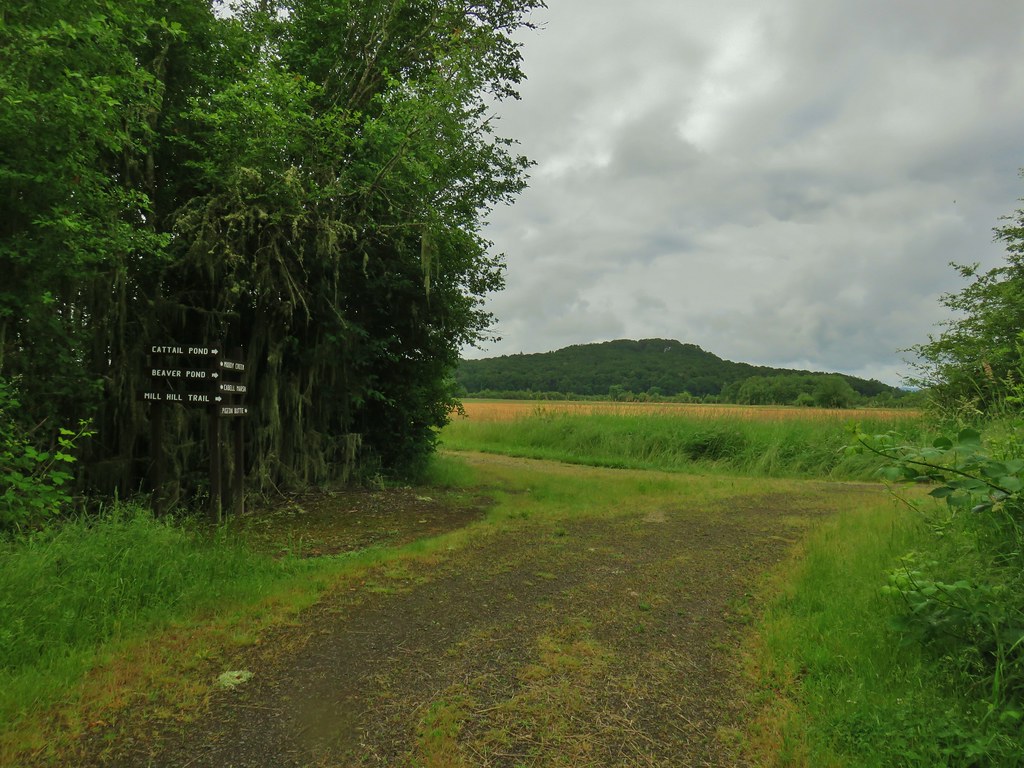
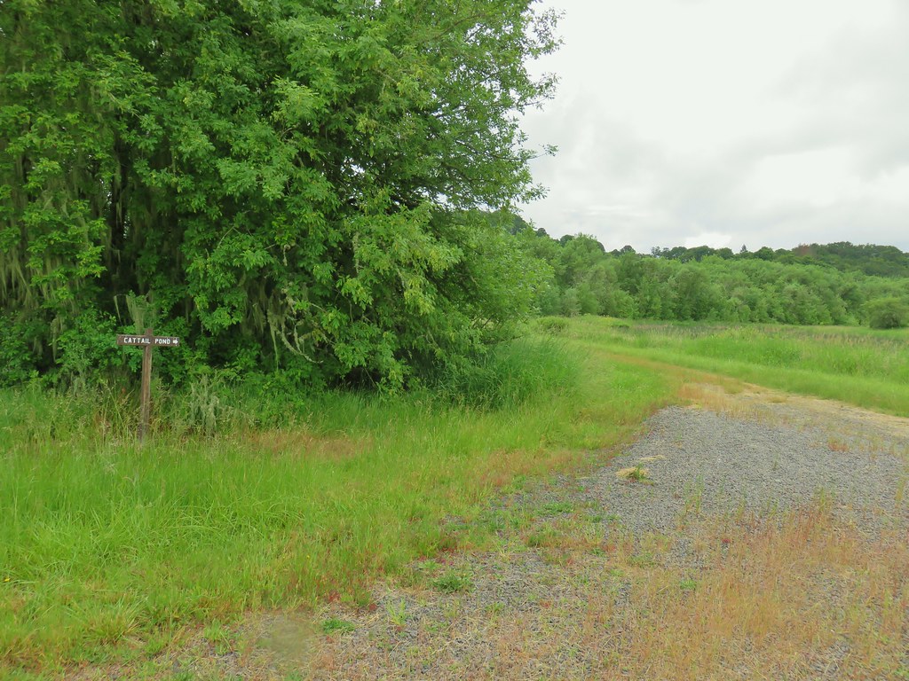 Sign for the Cattail Pond.
 Cattail Pond from the roadbed.
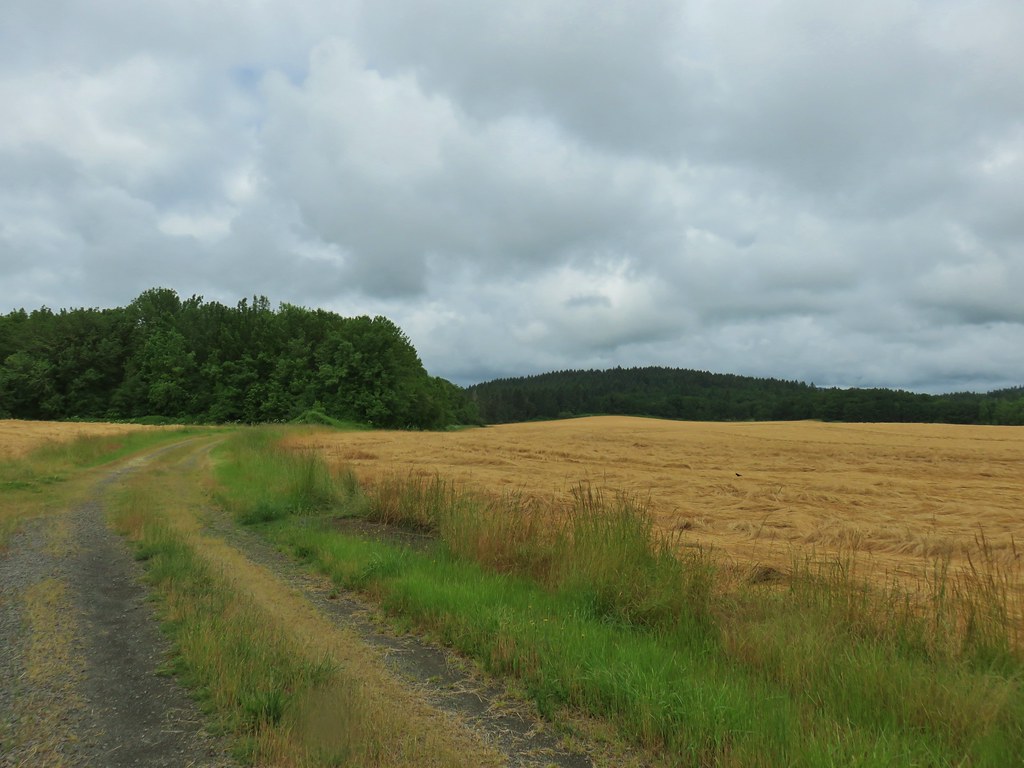
 Common yellowthroat


 The junction.
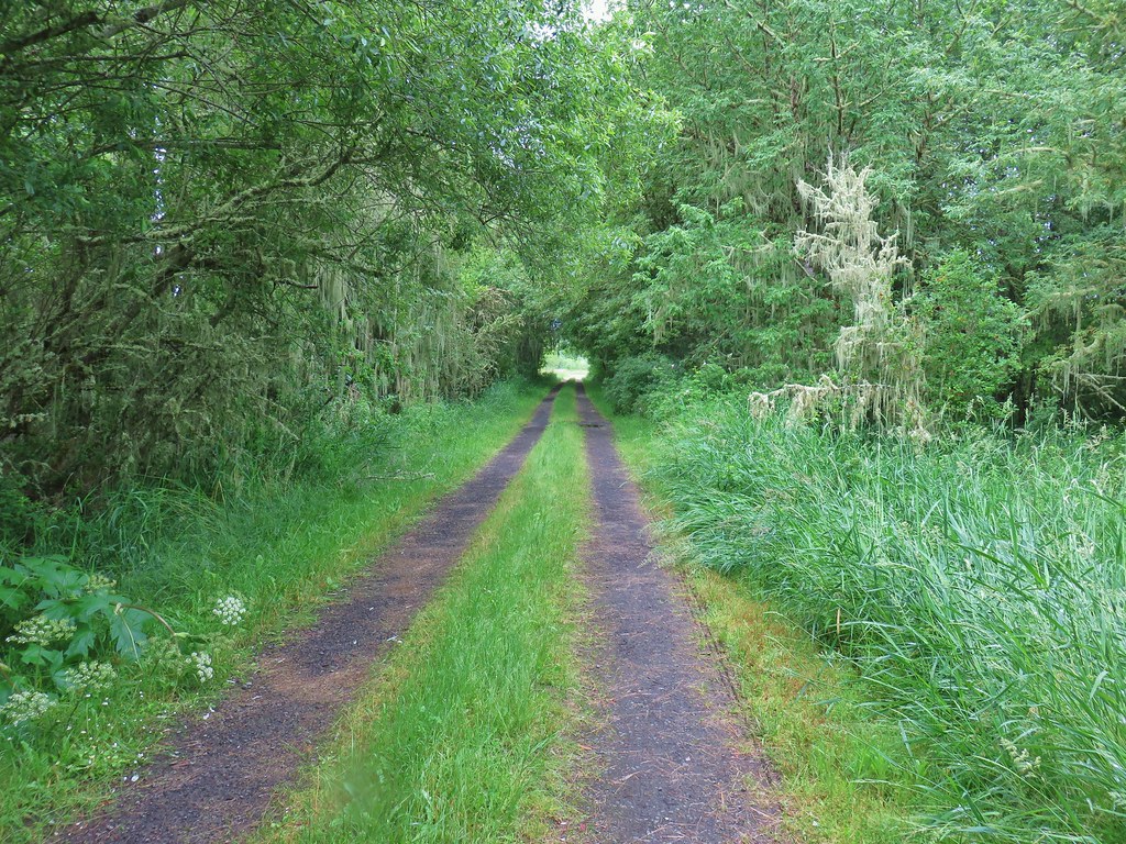
 Forest on Maple Knoll’s hillside.
 Pinesap


 It’s the one peaking out from behind the stump that had us the most concerned.
 Northern flicker
 Sparrow
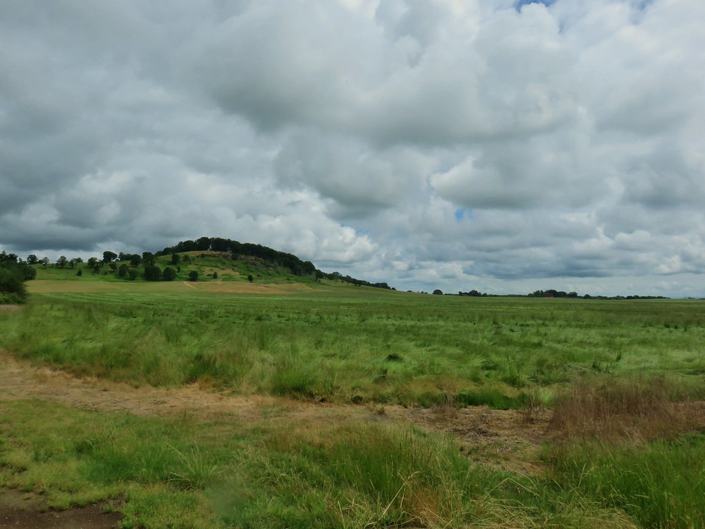 Pigeon Butte
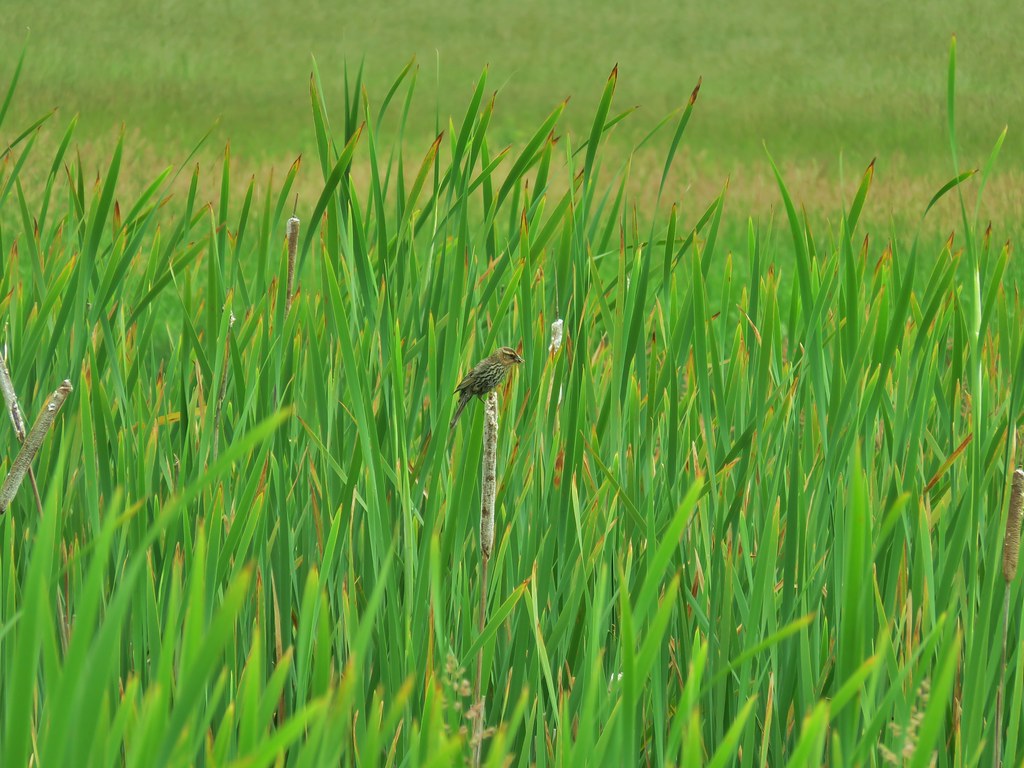
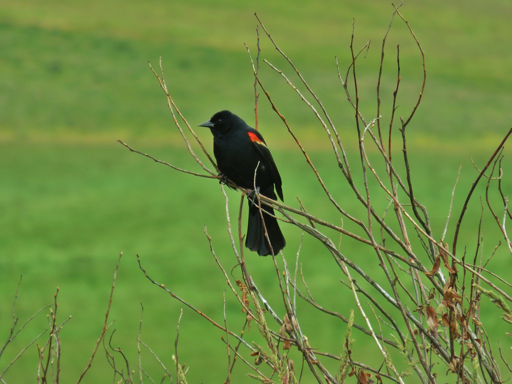 Red-winged blackbird

 Pollinators in a poppy.
 Turkey vulture
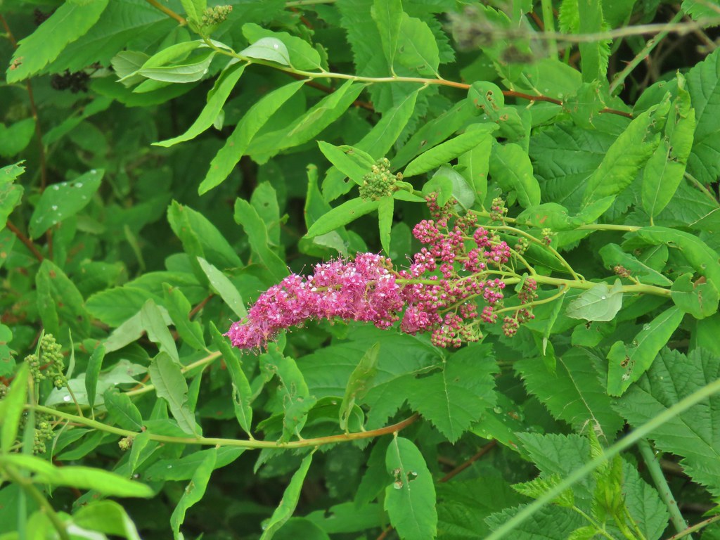 Douglas spirea
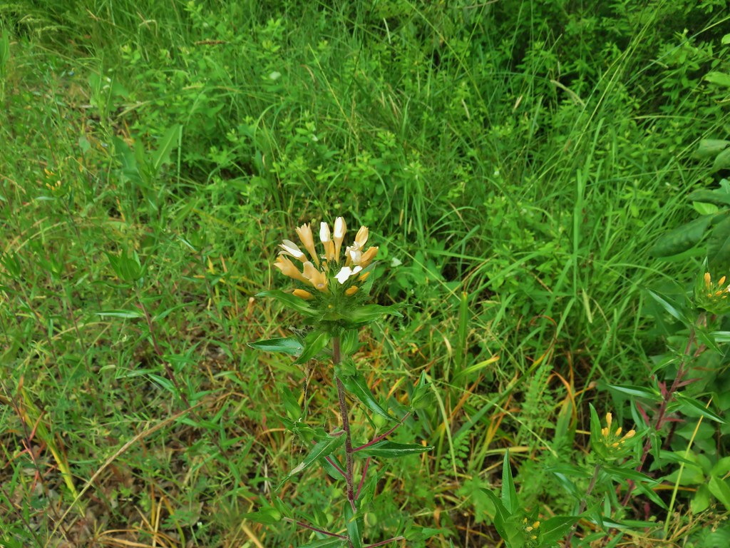 Grand collomia


 Camas and buttercups at Rigdon Meadows.


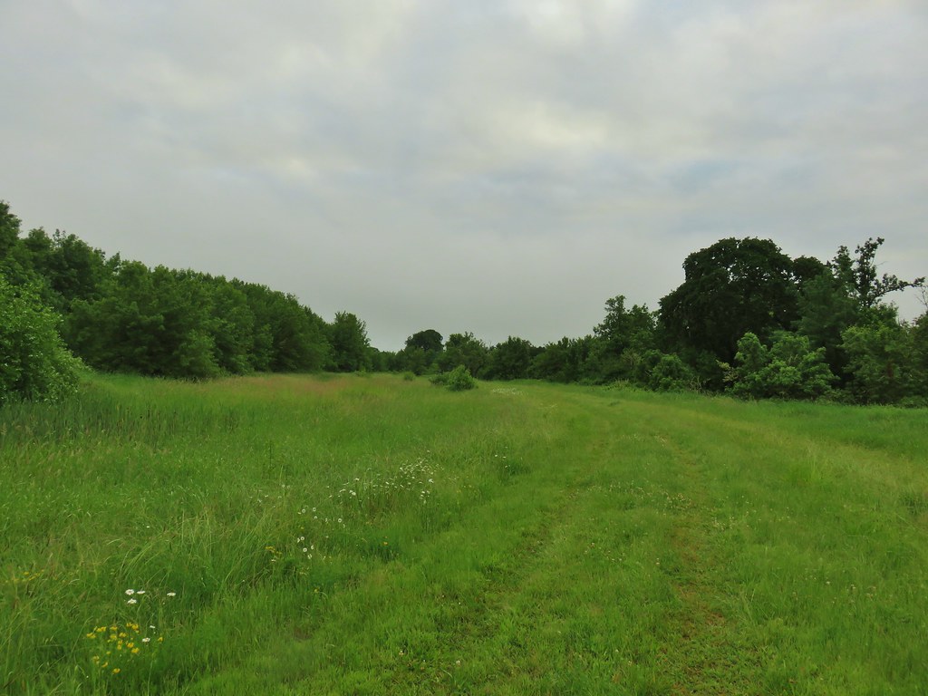
 Middle Fork Trail along FR 21.
 One of only a couple of spots where we were able to get to the river.
 Orange flagging on the left after crossing a gravel road.
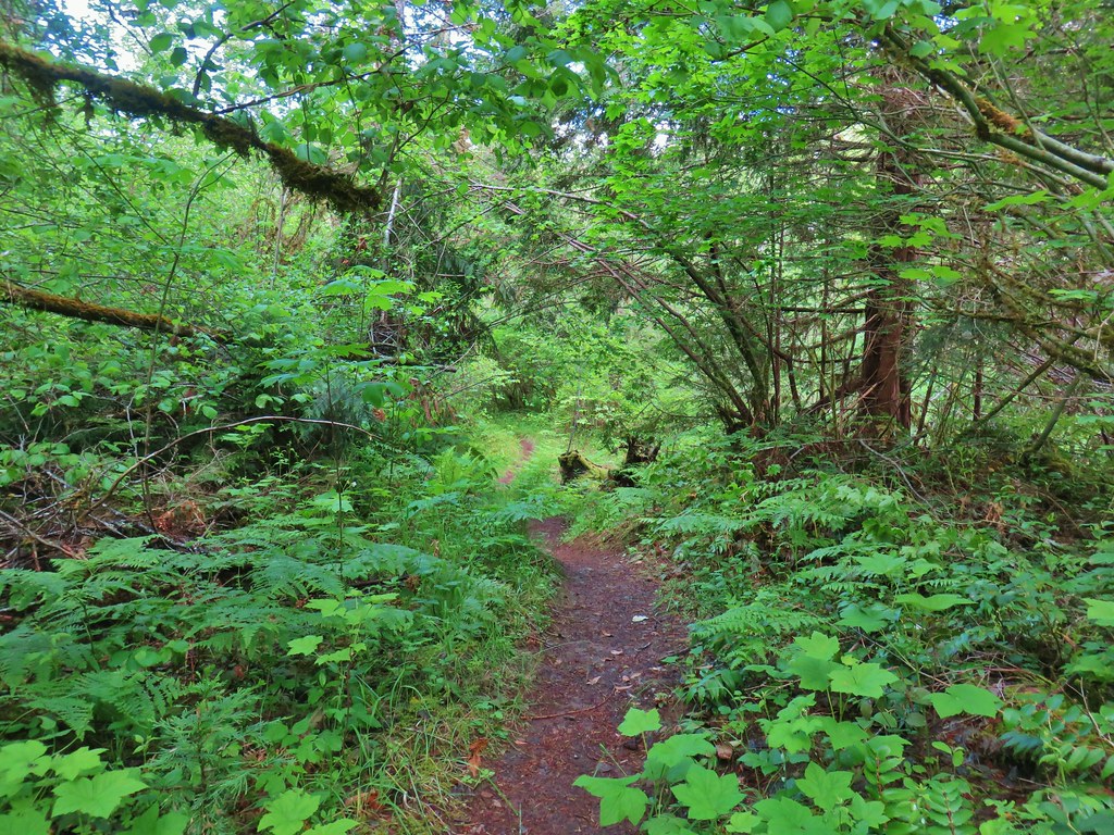
 Thimbleberry
 Cone Creek
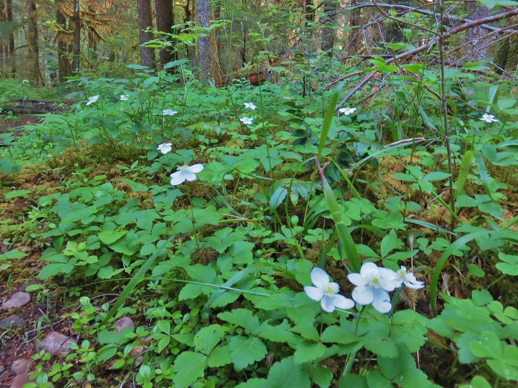 Anemones
 Footbridge over Bills Creek
 Queen’s cup

 Columbine
 Yellowleaf iris along the Middle Fork Trail.
 Pine Creek – At first it looked like they put the bridge in the wrong spot, but there was another branch to the creek.
 Small meadow along the trail.


 Common merganser on the river below the bridge.
 Sign at the
 Mossy stump along the trail.
 Lots of grass along portions of the trail, one of these areas was probably where the tick hopped on.

 The ookow wasn’t quite blooming yet.
 Tolmie’s mariposa lily
 Monkeyflower and tomcat clover
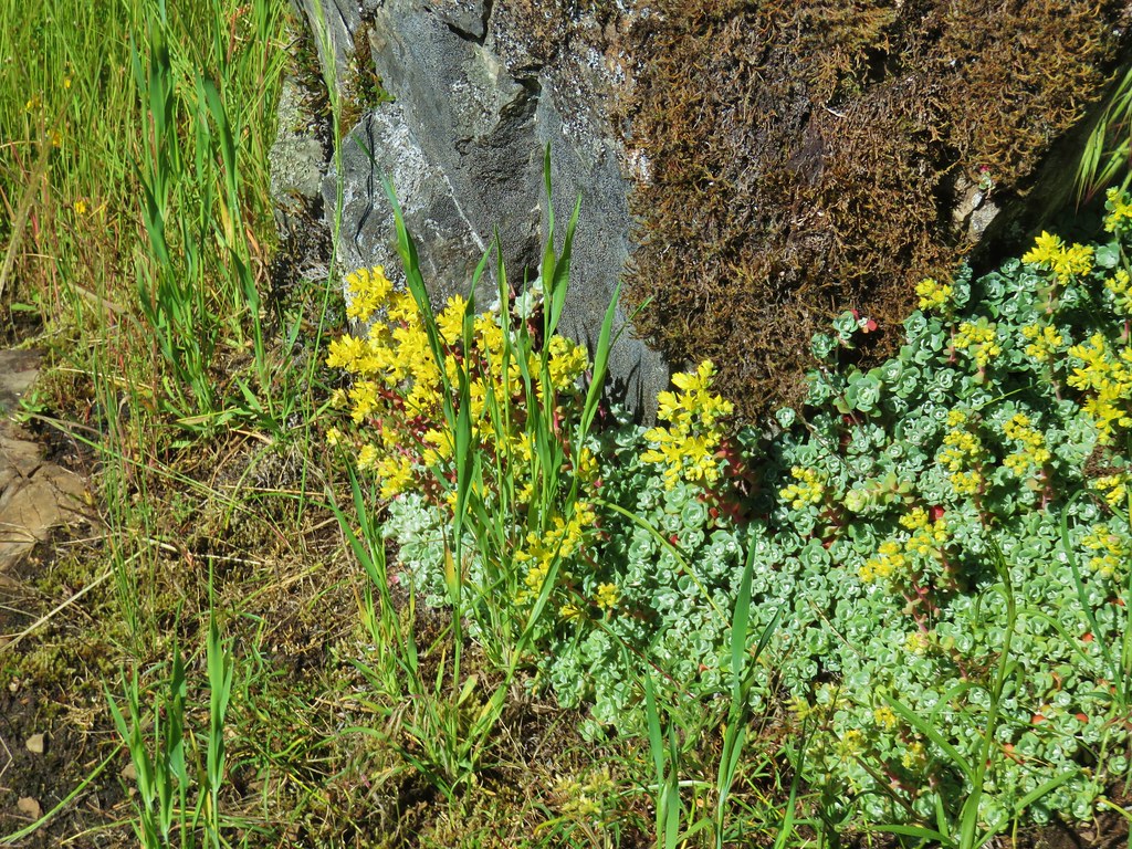 Stonecrop
 Plectritis and giant blue-eyed Mary
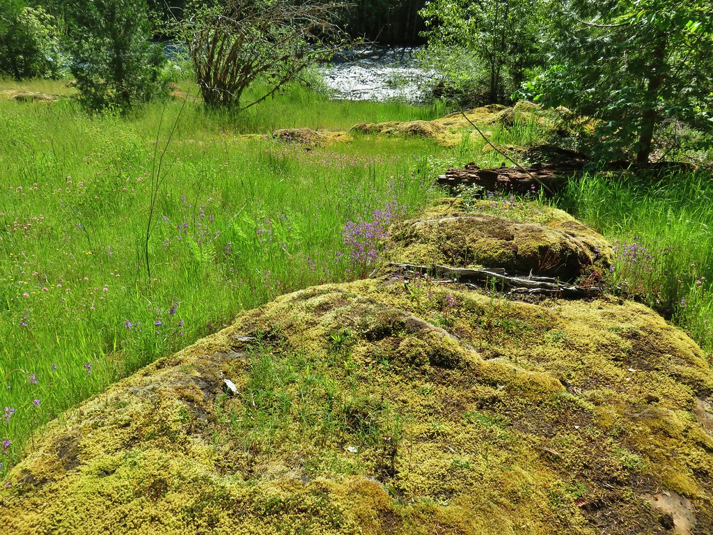
 Giant blue-eyed Mary
 Buttercups
 Spotted coralroot (with a caterpillar)
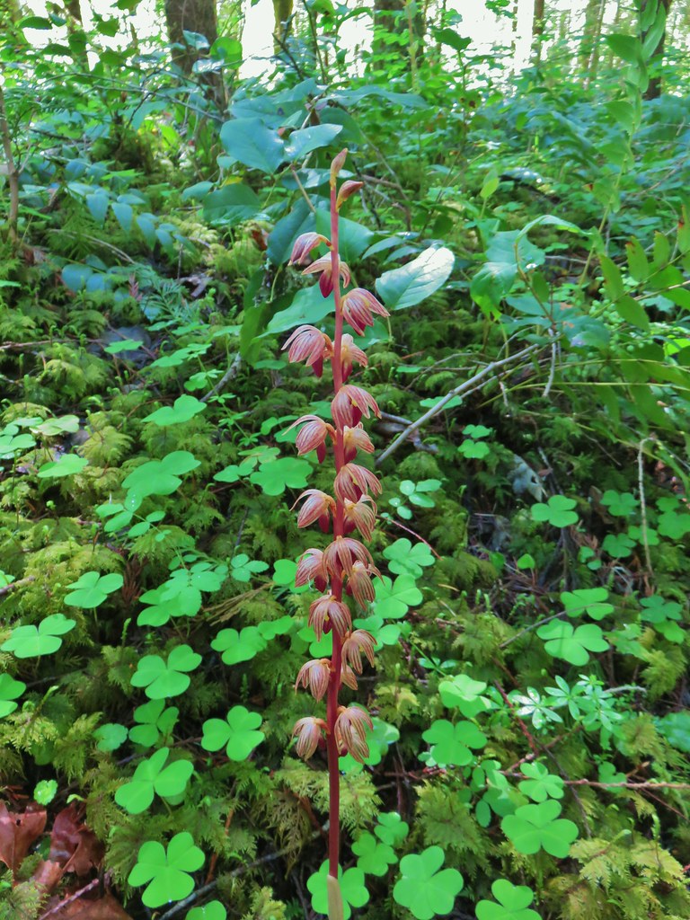 Striped coralroot


 Chocolate lilies
 Completed section of the reroute.
 More signs at FR 201
 FR 201 crossing Coal Creek.
 Coal Creek
 Road walking on FR 2133


 Simpson Creek
 Northern phlox
 Don’t know what type of fungus this is but it looked neat.
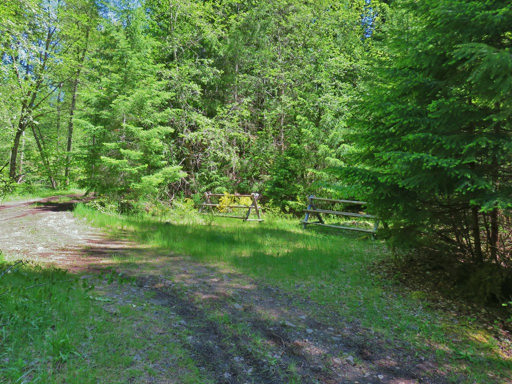


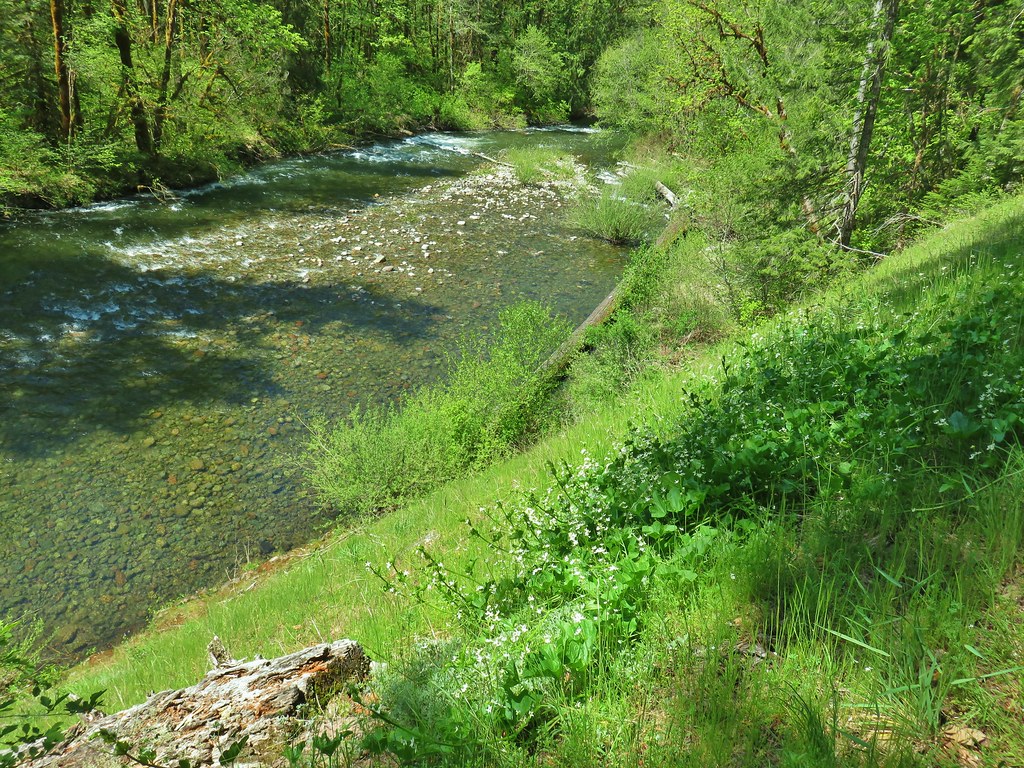
 Little Luckiamute River from the bridge.

 Salmonberry blossoms along the river.
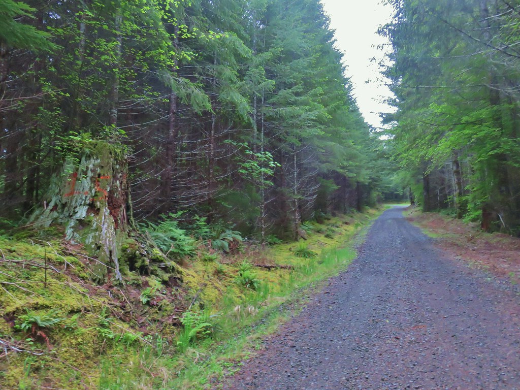 Our turnaround spot.
 Cinquefoil and youth-on-age
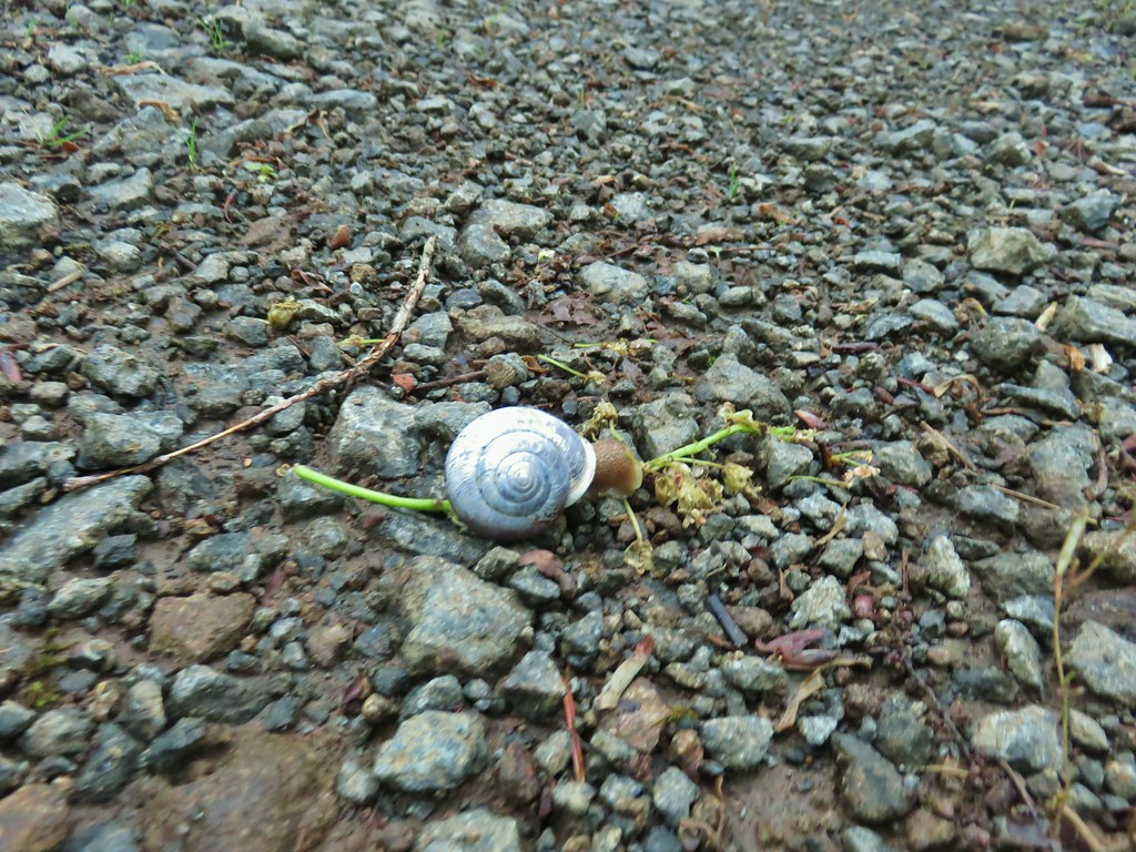
 One of several little creeks along the road.
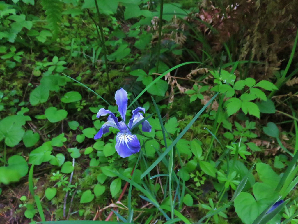 Iris
Iris Fairybells
 Forest along the road.
 Bleeding heart
 Rough skinned newt escaping into the grass.
 Lupine
 Columbine
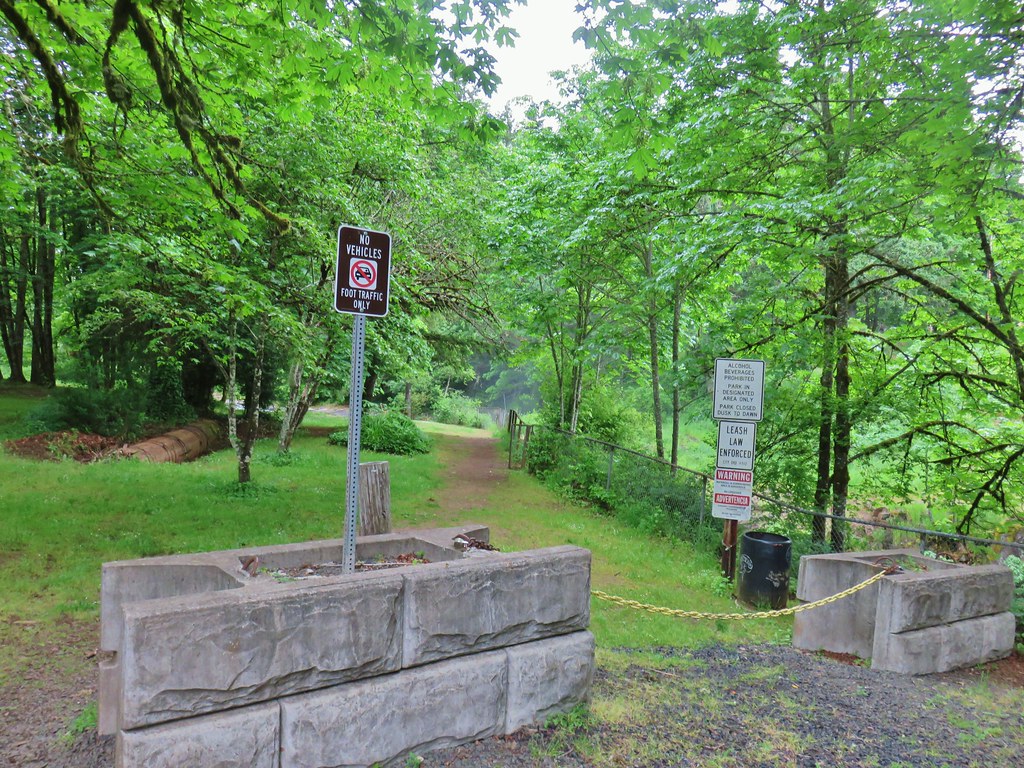
 Little Luckiamute above the falls.
 Falls City Falls
 Lower end of Falls City Falls.
 South Fork Siletz River along Valsetz Road.
 Confluence of the North and South Forks of the Siletz River.
 North Fork Siletz River.
 Bleeding heart
 Fairybells
 Star flowered solomonseal and false lily of the valley getting ready to bloom.


 Old growth giants.
 Another huge Douglas fir.
 Standing among the giants.
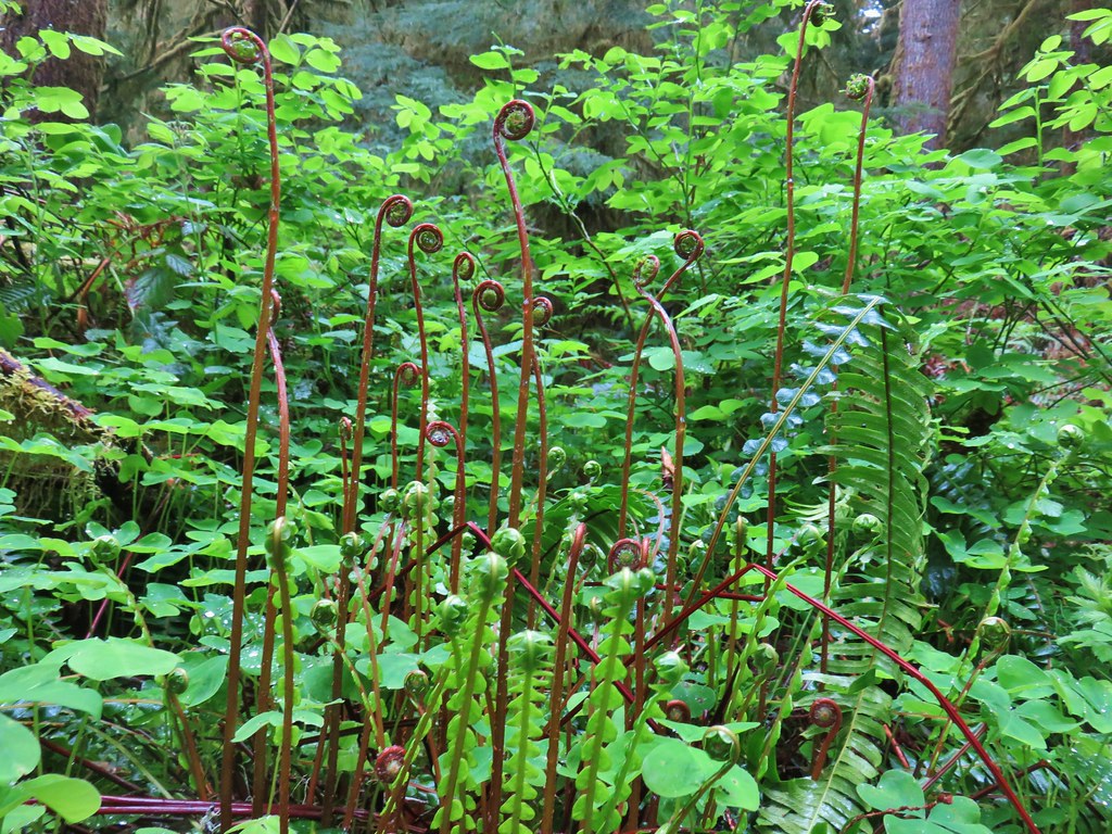 Unfurling ferns.
 “Big Guy”
 Standing in between a cut in “Big Guy”. For reference I am a little under 5’9″.
 Bench at “Big Guy”
 Oregon grape
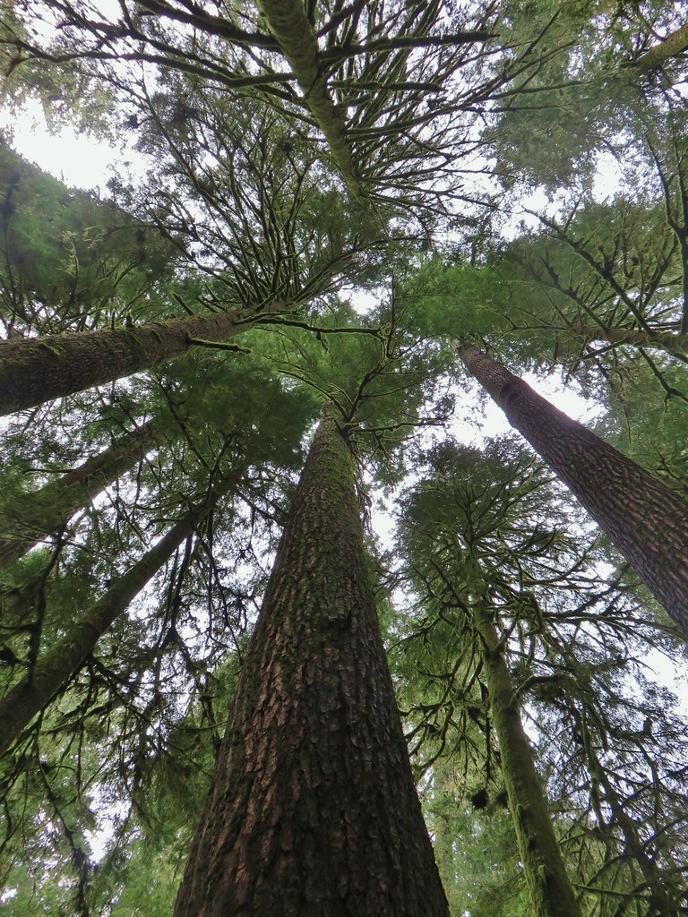
 The only trillium we saw all day that still had any petals.

 Star-flowered solomonseal
 Anemone
 Trillium
 Oregon grape
 Starflower
 Yellowleaf iris
 Looking back at FR 1910’s bridge over the River.

 Valerian
 Spotted coralroot
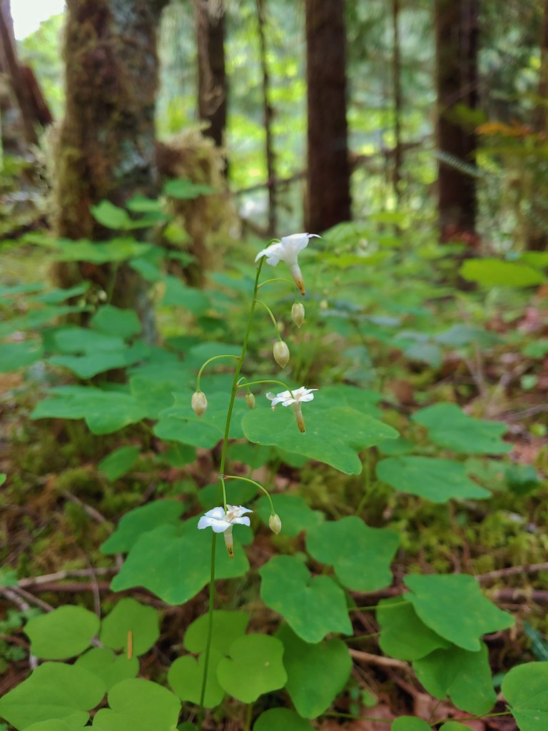 Inside-out flower
 Hookedspur violet
 Fairy slipper
 Dogwood blossom
 Buck brush
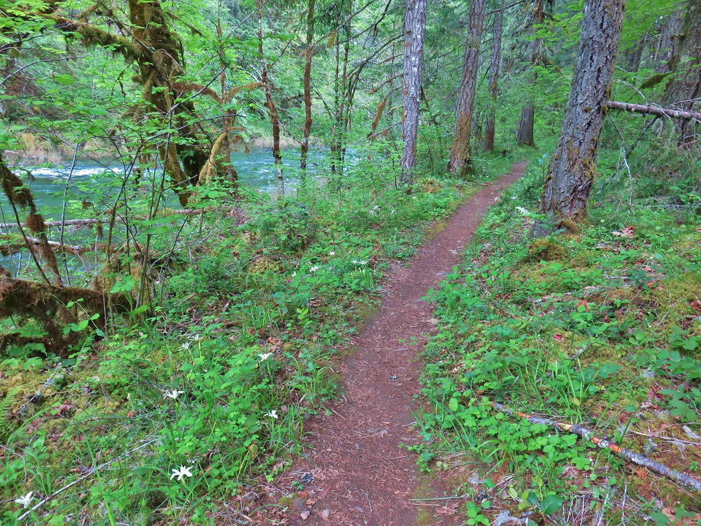

 Shed cicada skin
 Wood rose
 Fairy bells
 Northern phlox
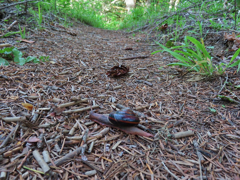 Trail snail
 Honeysuckle
 Columbine
 Lupine
 Youth-on-age
 Rock ledge along the river.
 View from the rock ledge.
 Monkey flower
 Camas
Camas
 Concrete tower
 Pale flax
 Roadbed near the trailhead.
 Vanilla leaf
 Wild ginger
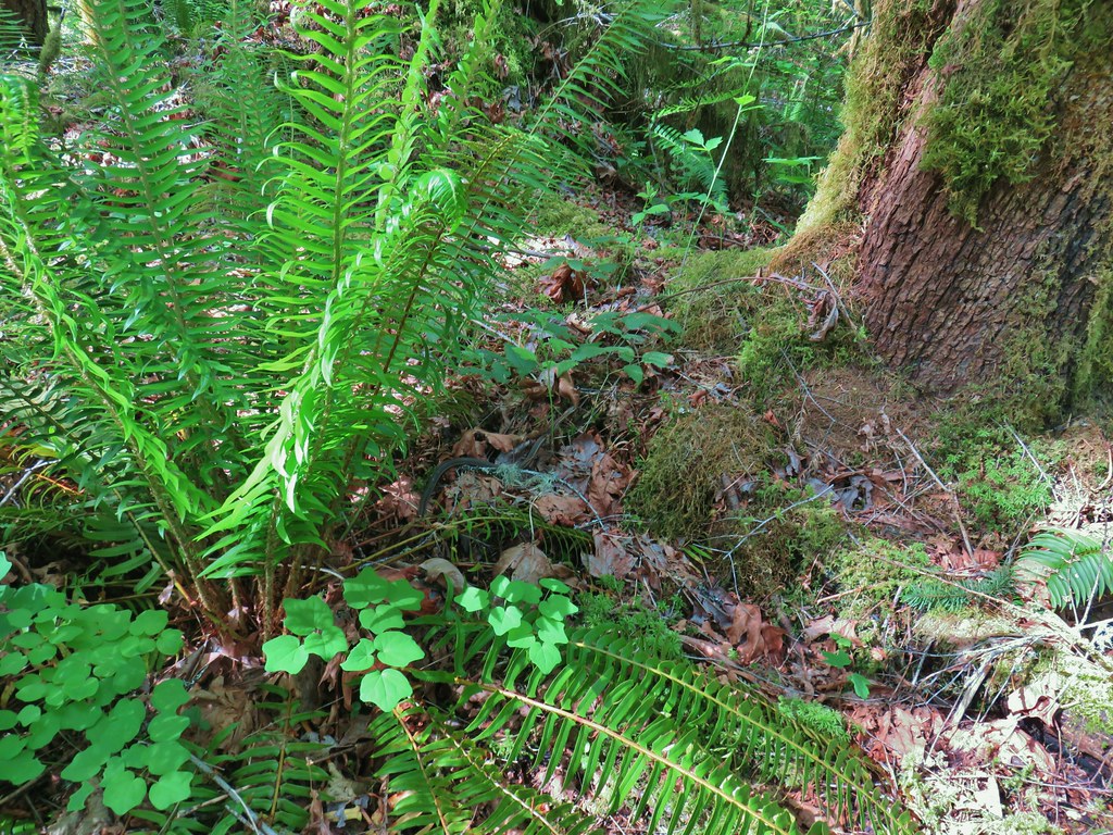


 Candy flower growing out of a mossy tree trunk.
 Western meadowrue
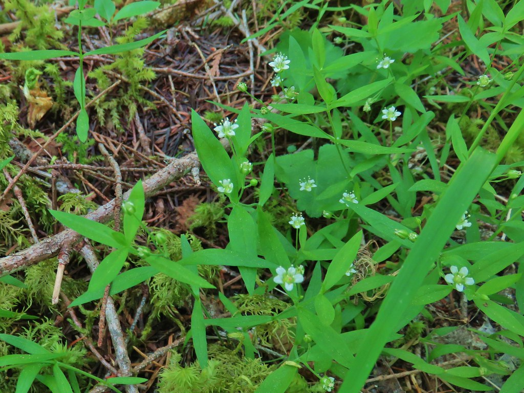 Largeleaf sandwort
 Striped coralroot
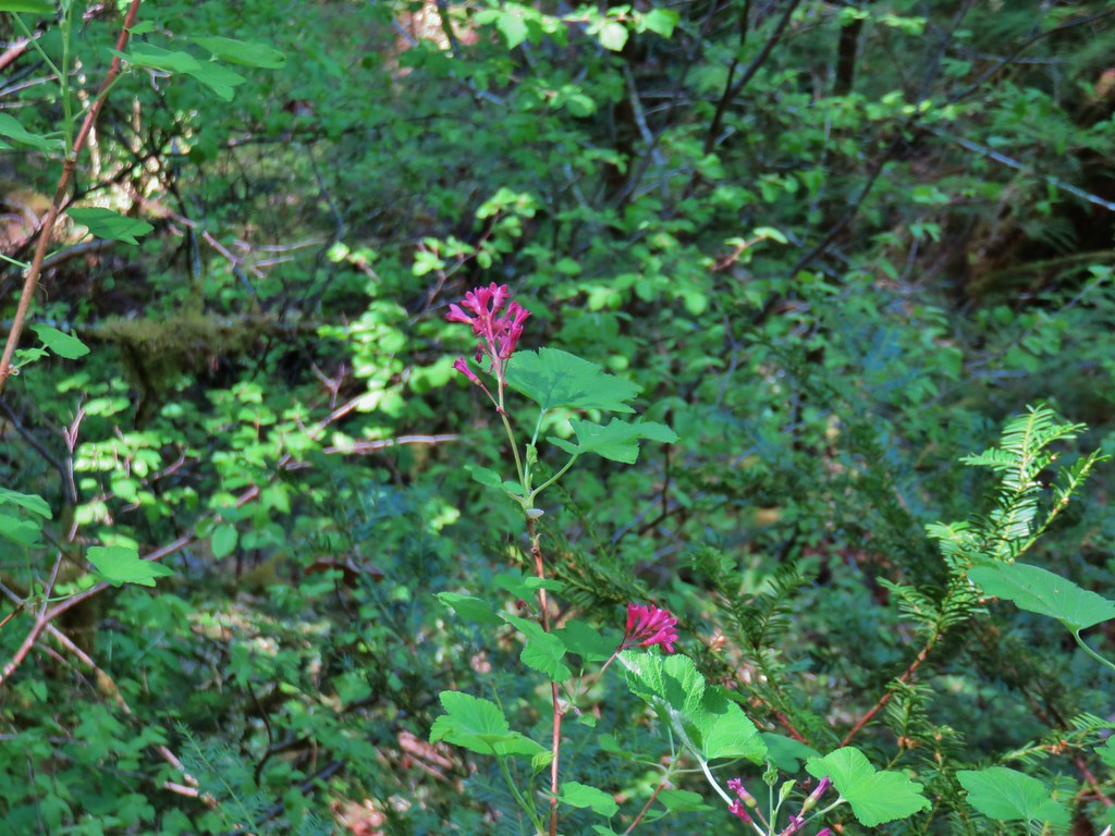 Red flowering currant
 The second creek crossing.
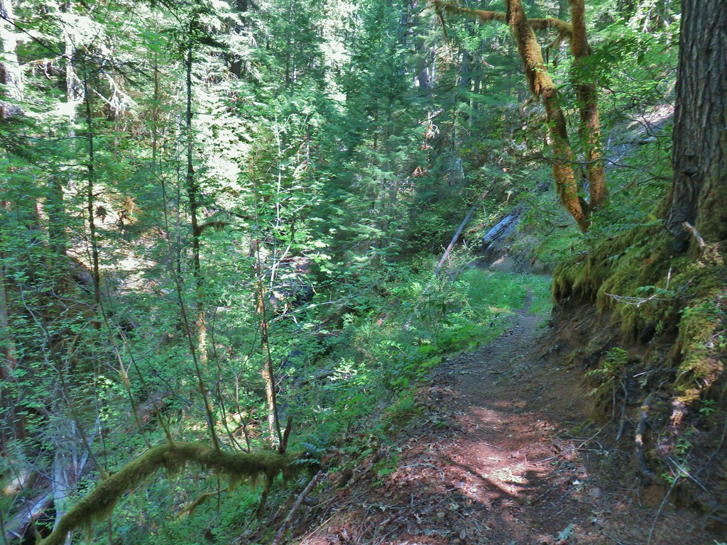


 Coastal manroot
 Sticky cinquefoil
 Popcorn
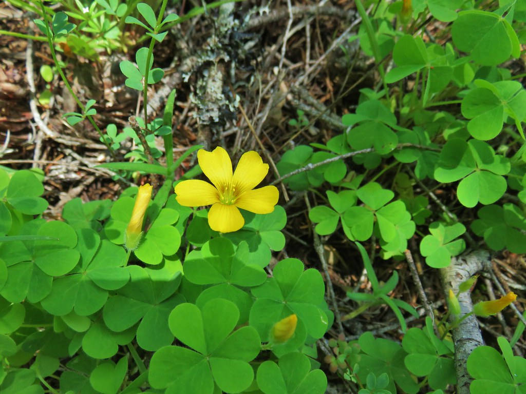 Western yellow oxalis
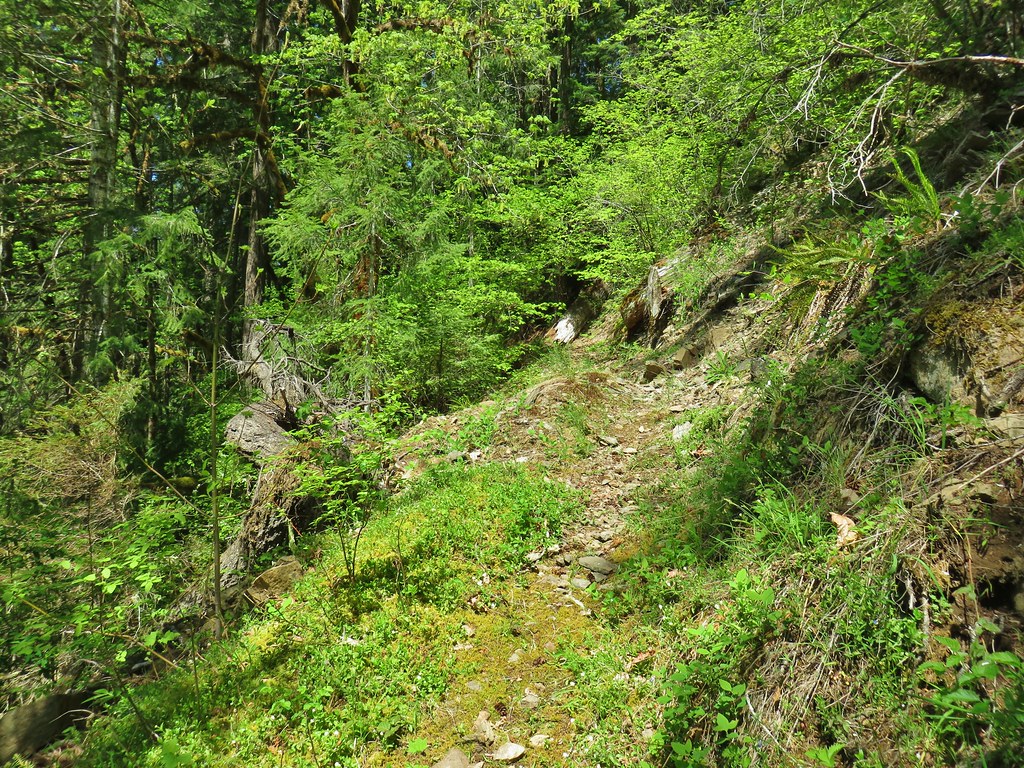

 Variable collomia
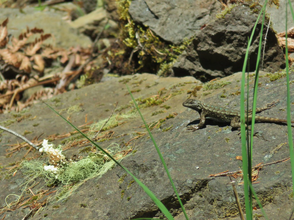 Western fence lizard
 Giant blue-eyed Mary
 Larkspur
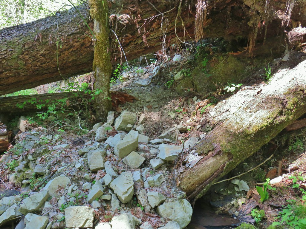
 Had to climb over this on the left side by the standing tree.
 The only choice here was to use this tree as the trail.
 Minor debris on the trail.
 Cuts most likely from the original establishment of the trail.
 This one required a detour to the right around the end of the tree.
 Forest reclaiming the trail tread.