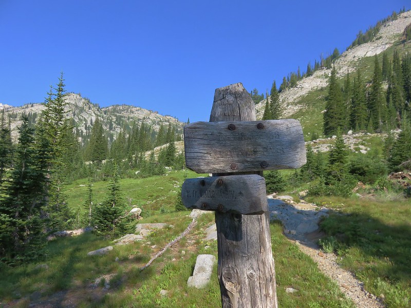
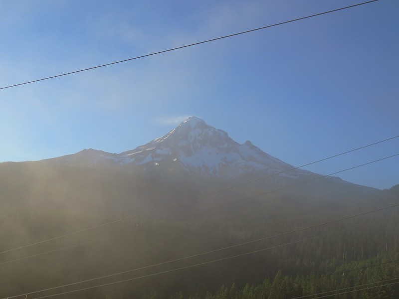
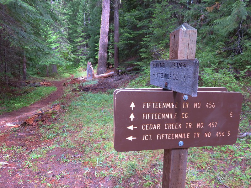
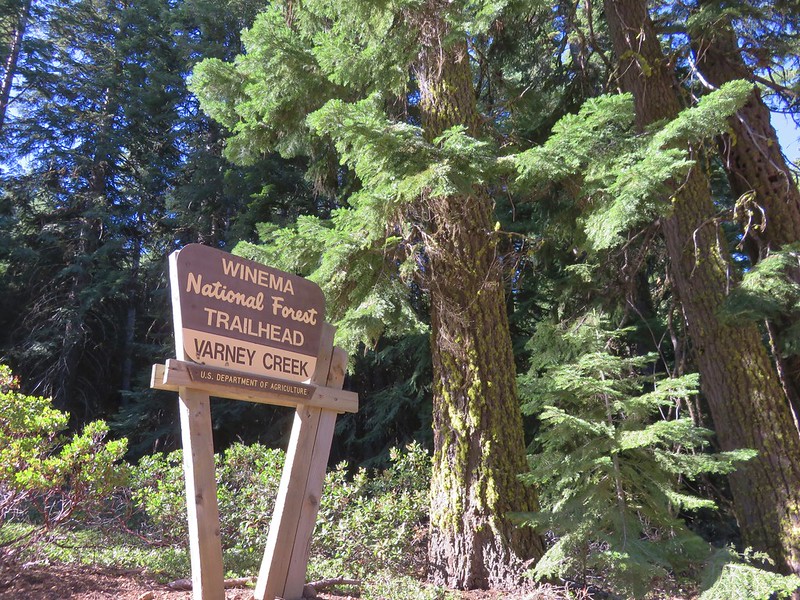
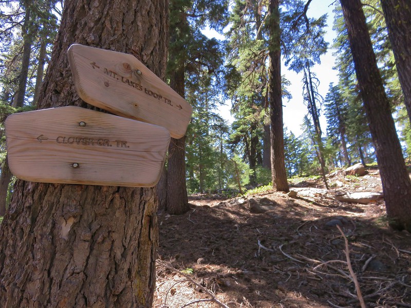
We used a long weekend to take a trip down south to visit a pair of wilderness areas between Medford and Klamath Falls. We started our trip at the Varney Creek Trailhead located at the end of Forest Road 3664. To reach the trailhead we turned off of Highway 140 on Forest Road 3637 near milepost 36 for 1.8 miles before turning left on road 3664 for another 1.9 miles.
Our plan was to take the Varney Creek Trail to the Mountain Lakes Loop and set up camp at either Eb or Zeb Lake then complete the loop using our daypacks.
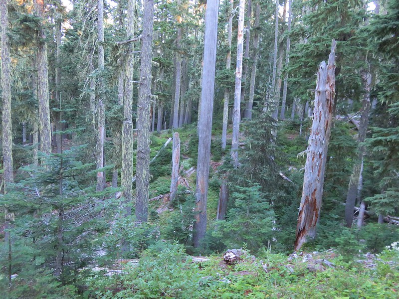
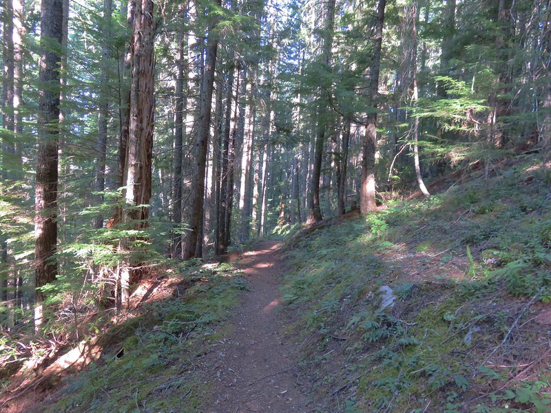
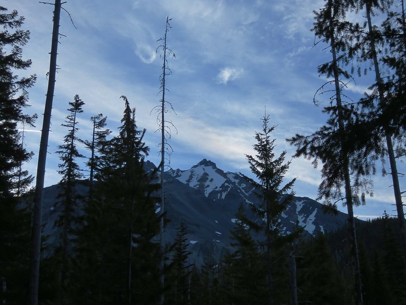
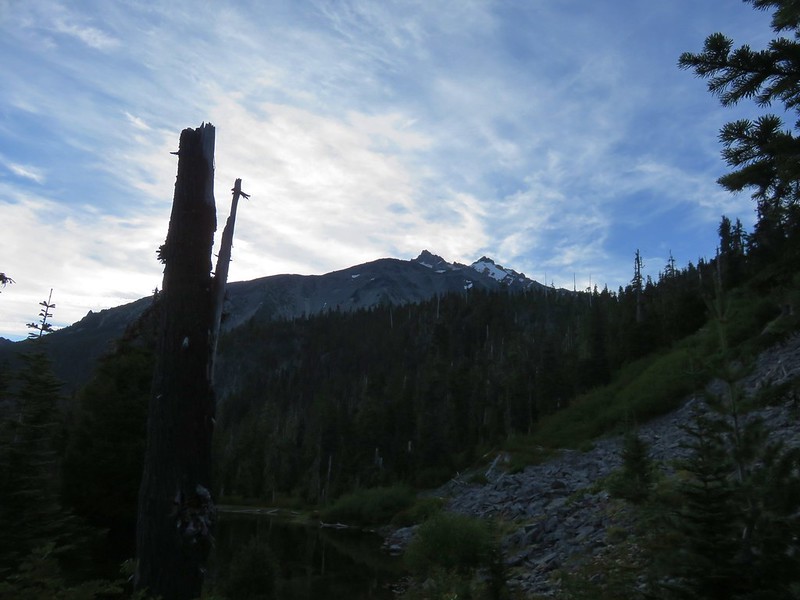
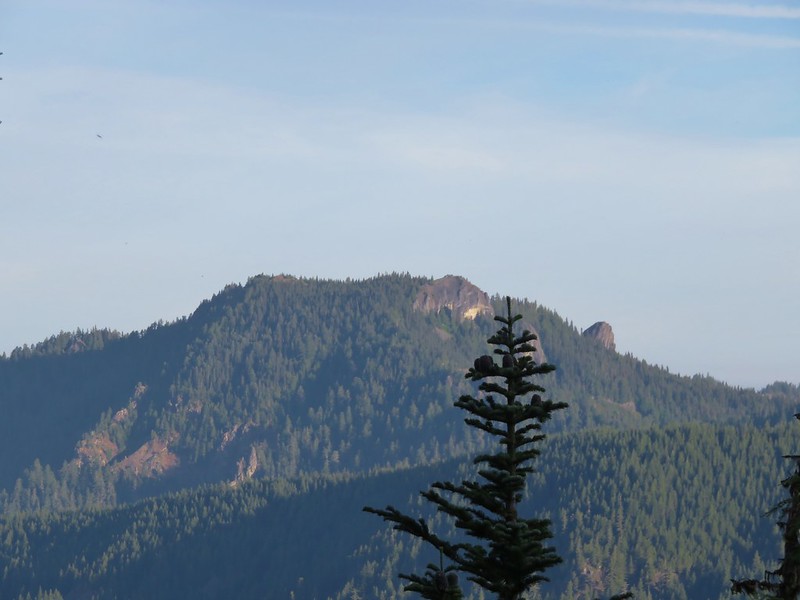
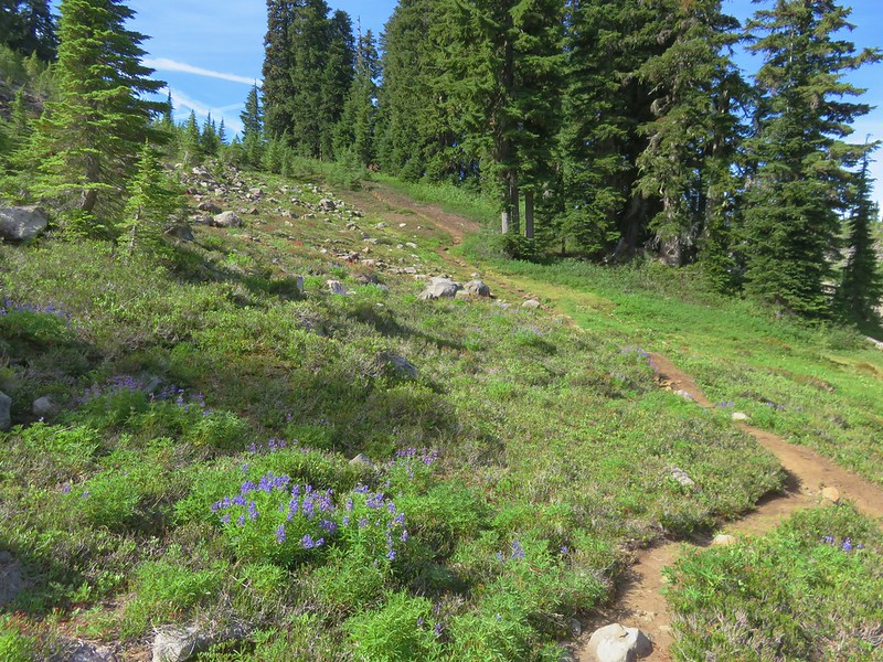
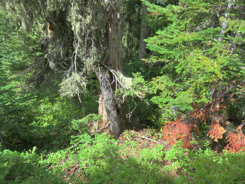
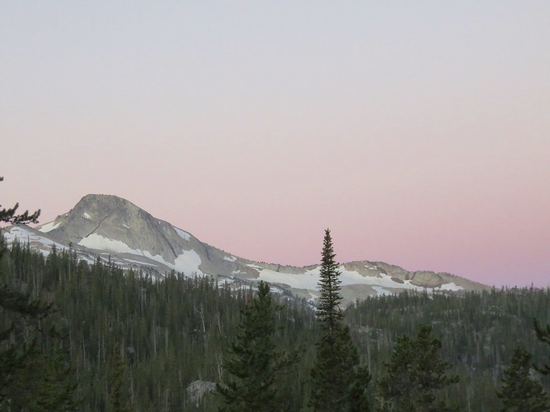
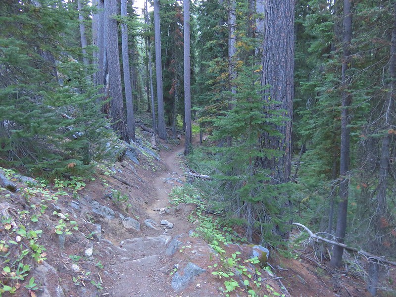
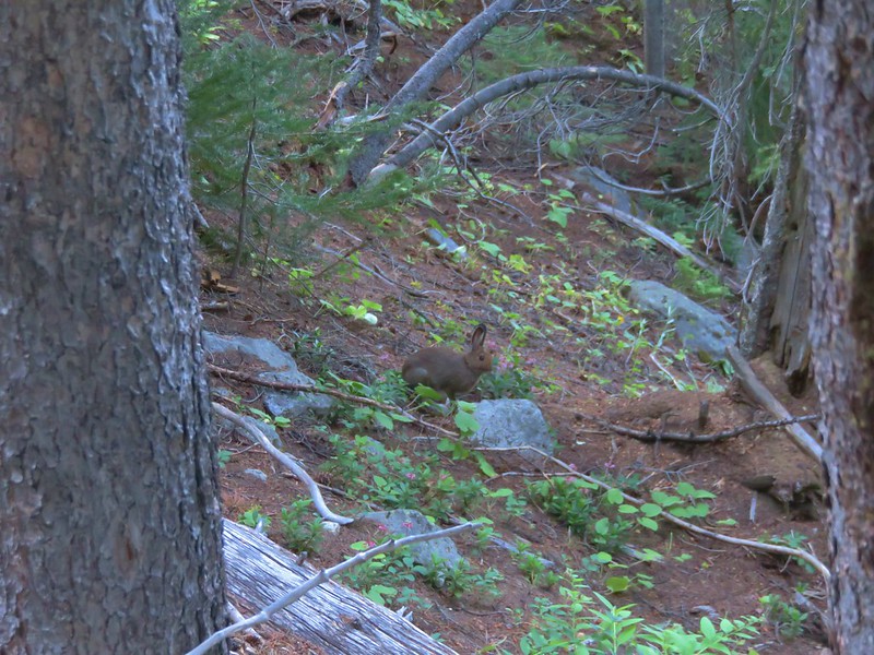
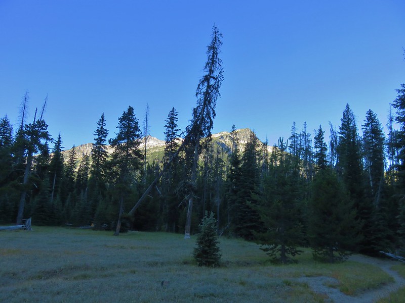
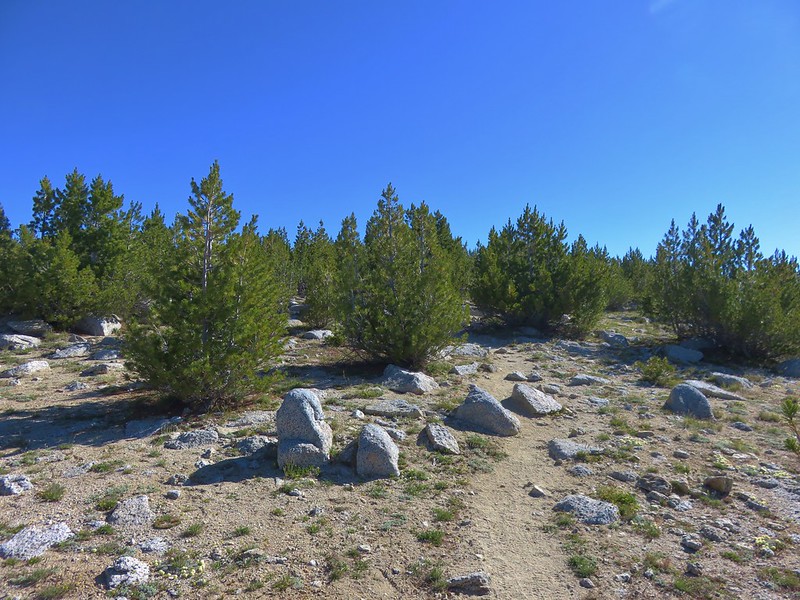
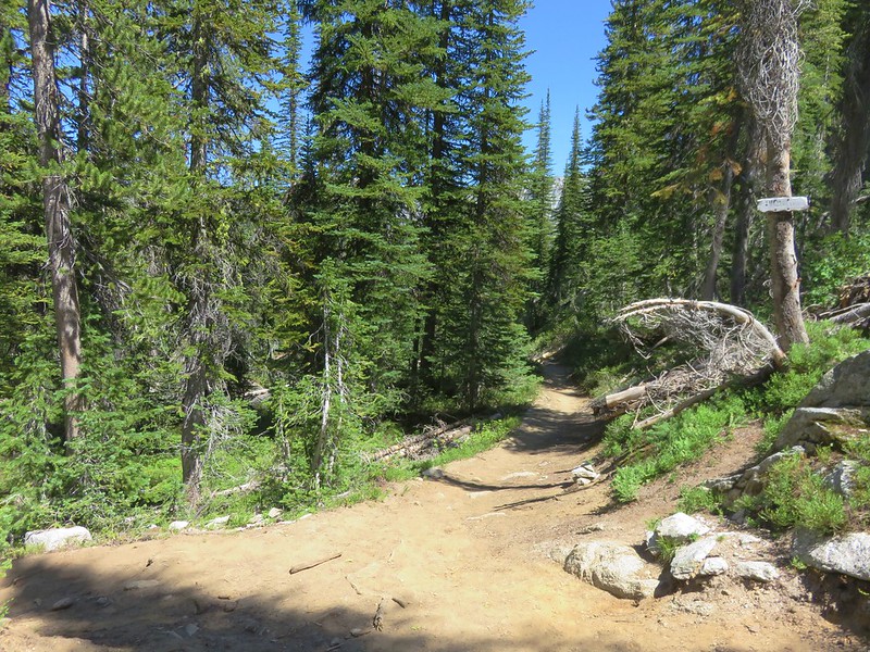
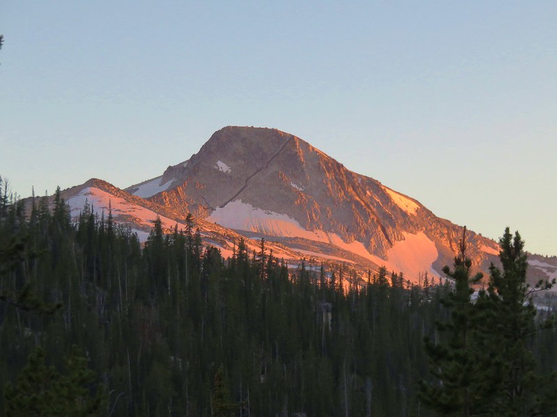
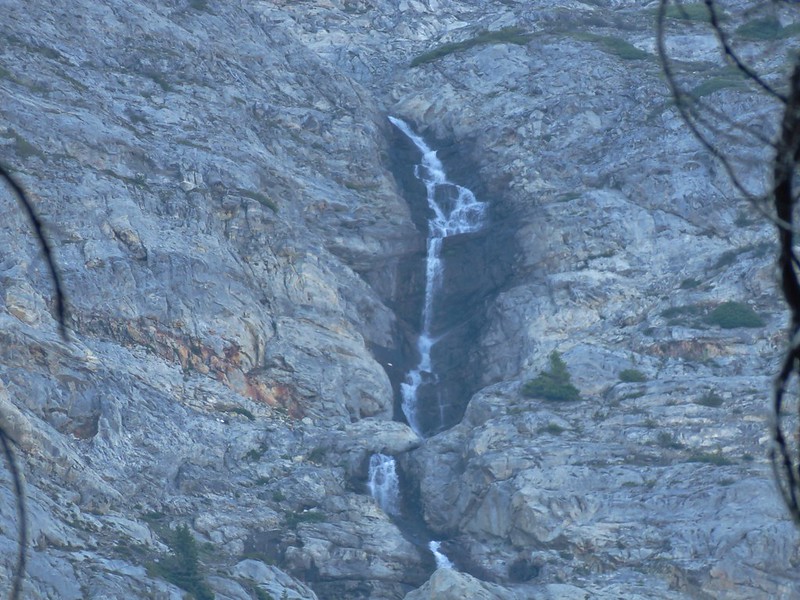
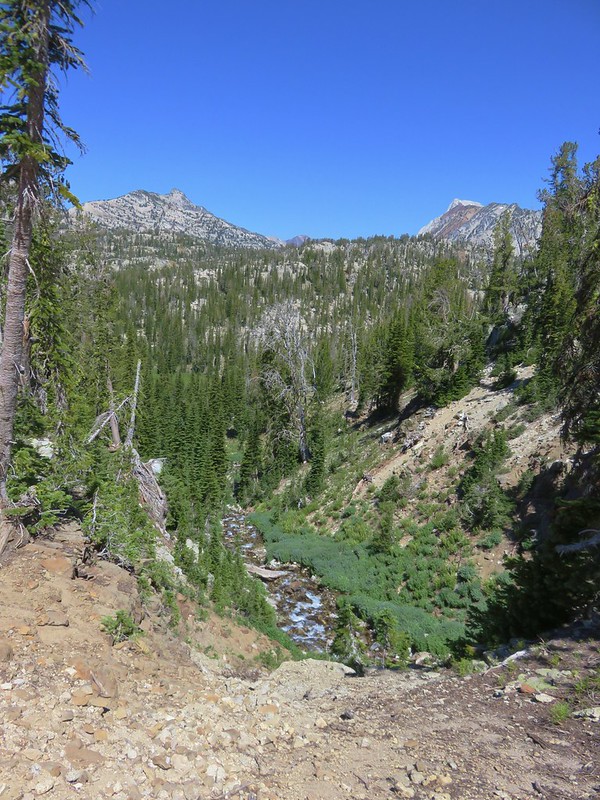
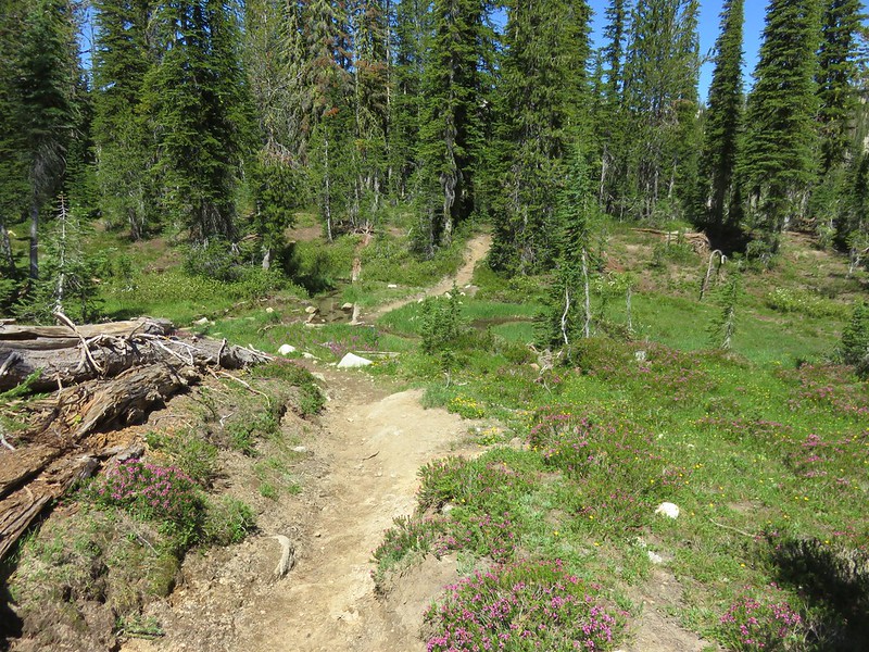
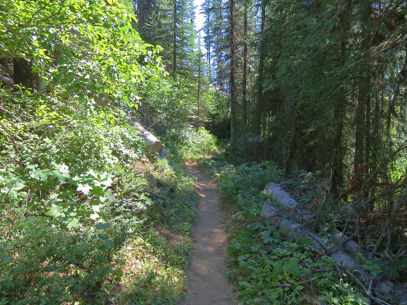
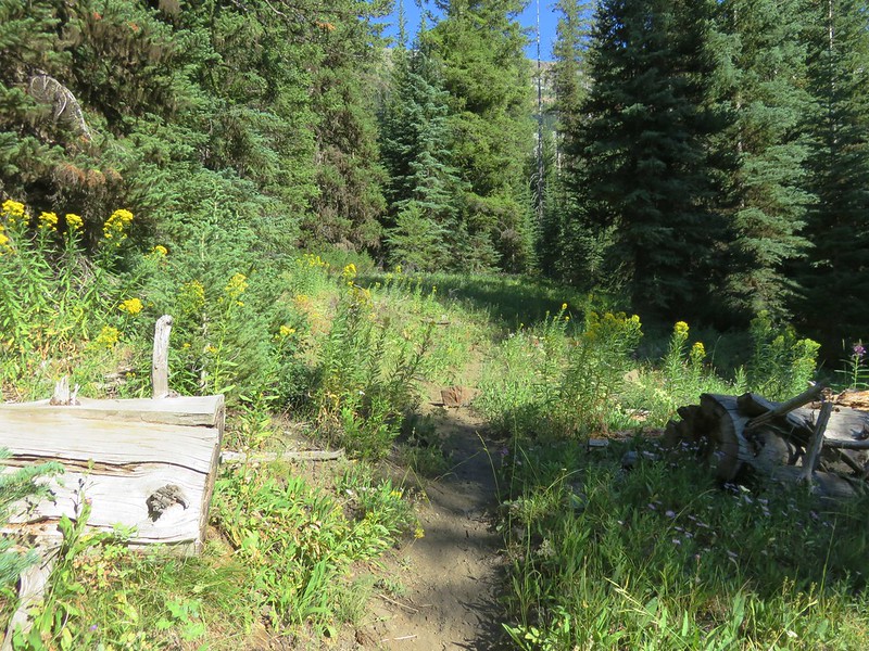
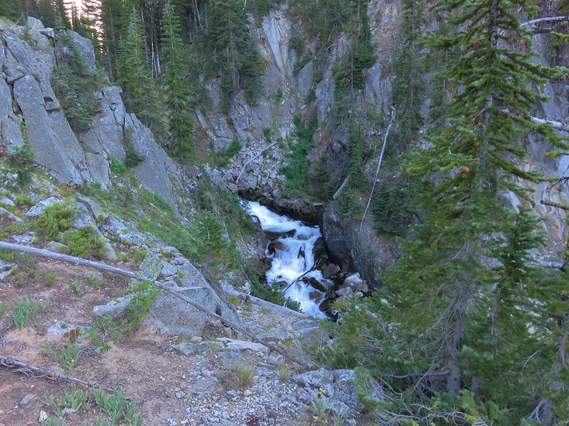
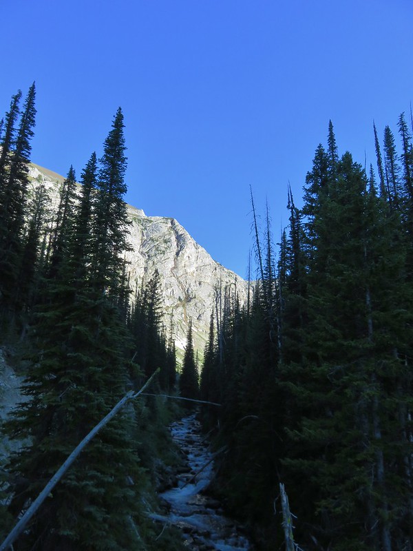
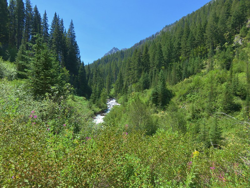
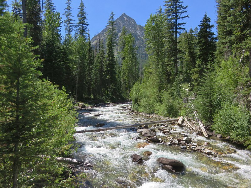
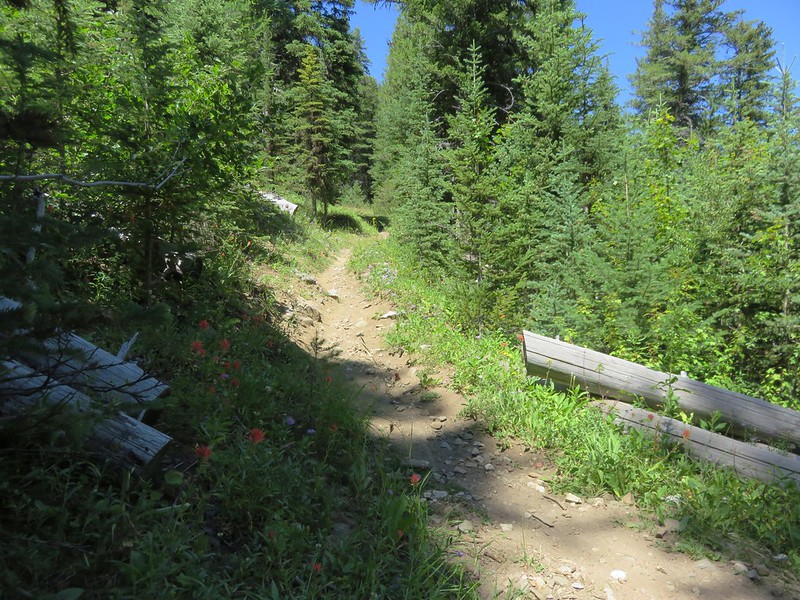
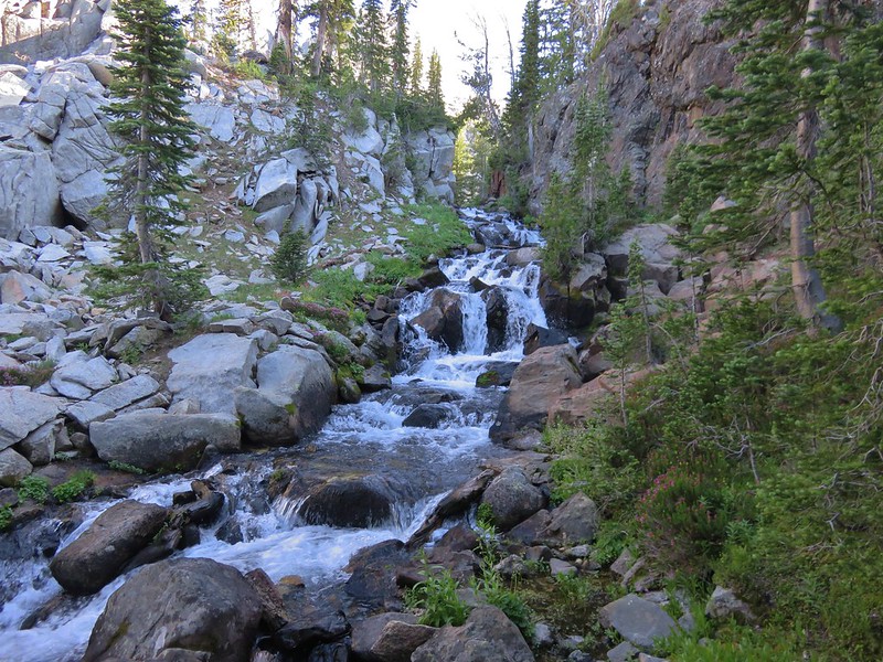
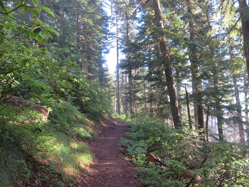
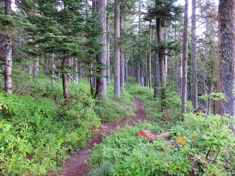
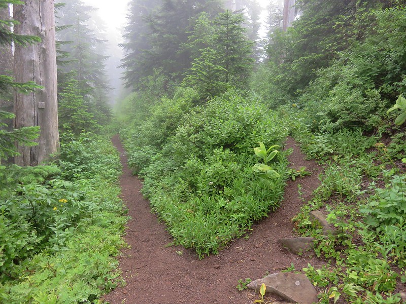
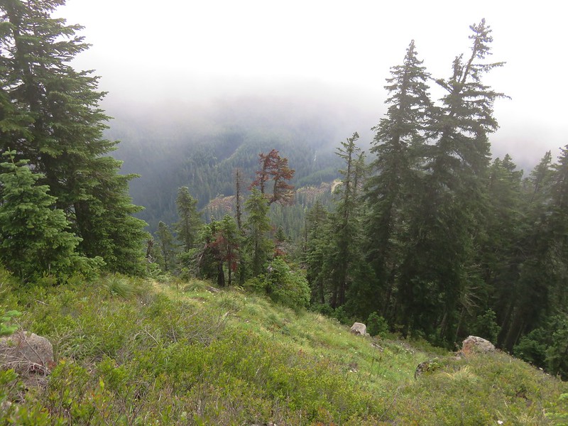
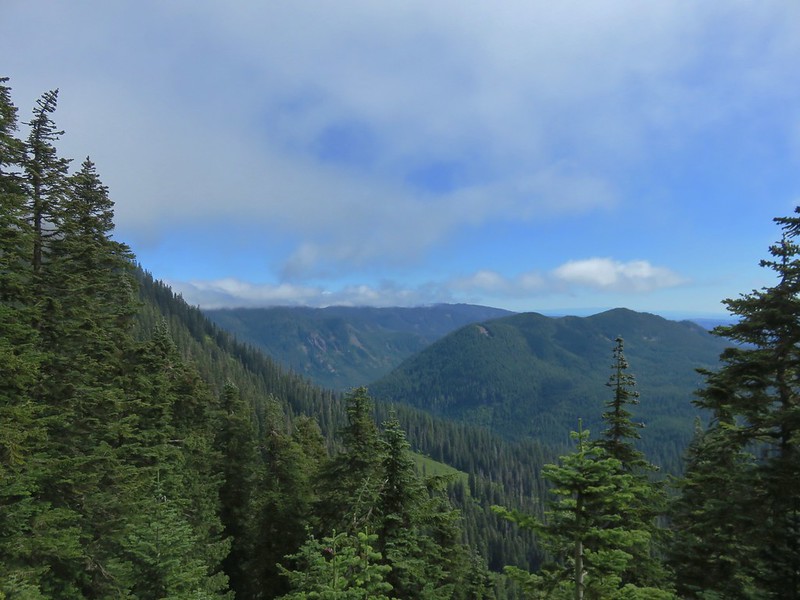
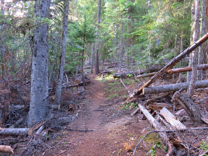
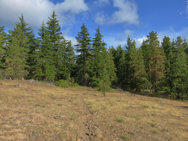
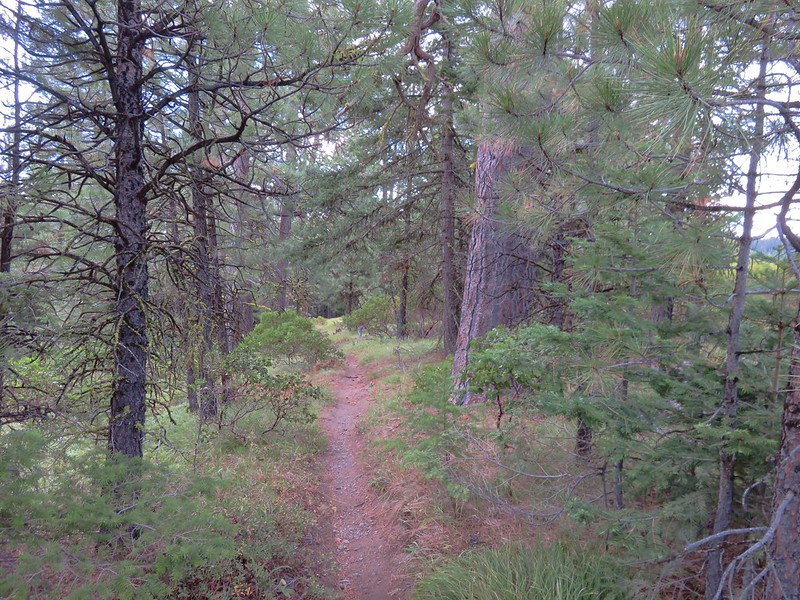
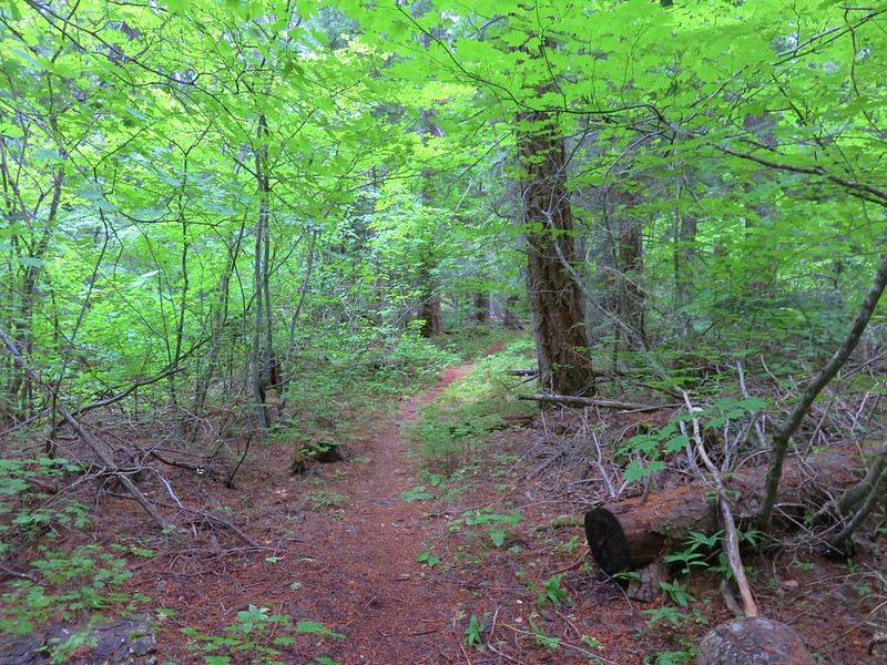
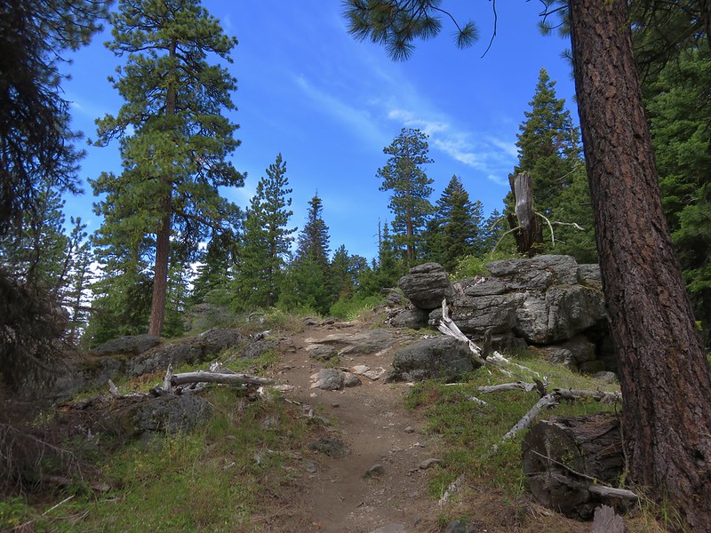
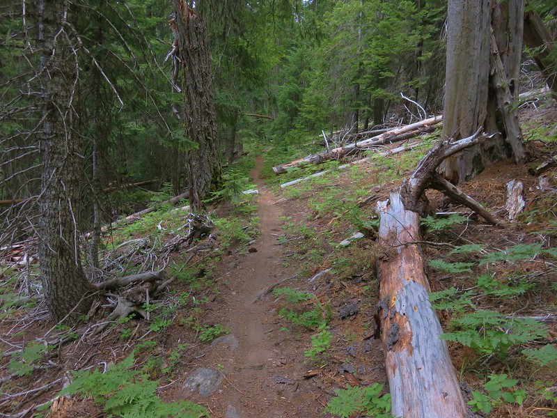
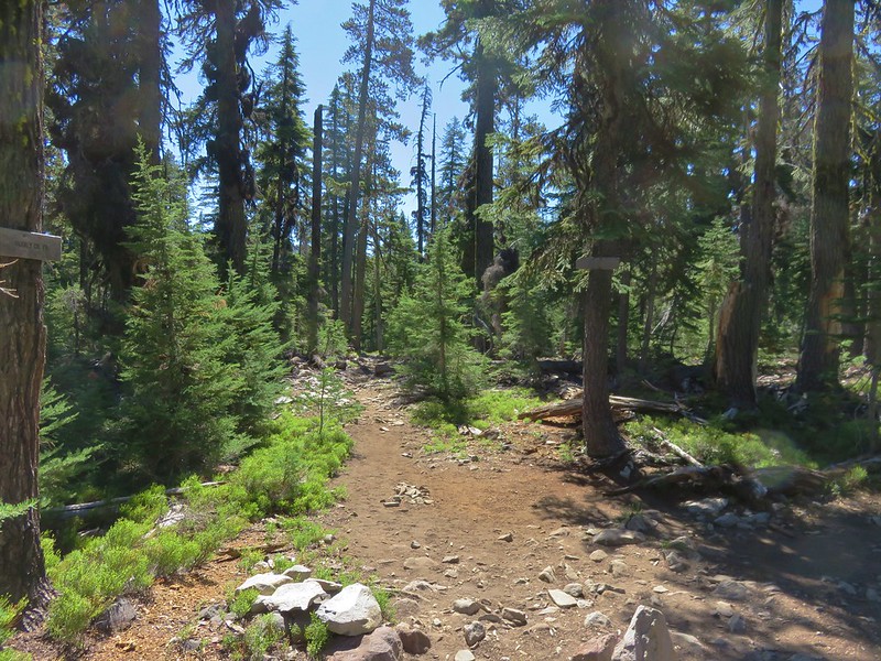
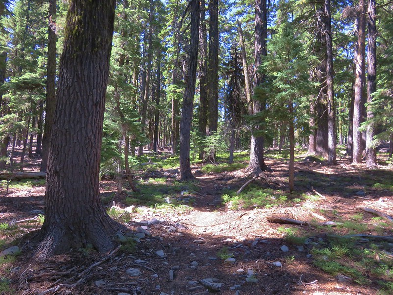
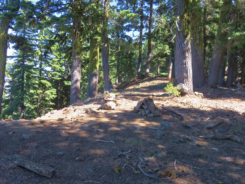
The Varney Creek Trail begins in a fairly dense forest as it slowly climbs between Mt. Harriman and Varney Creek (which we could not see or hear).

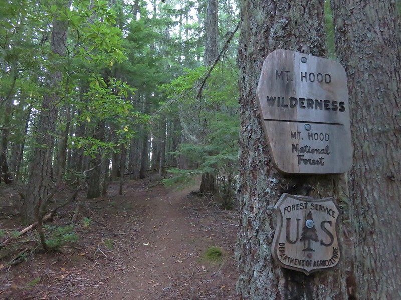
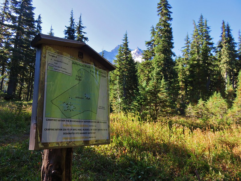
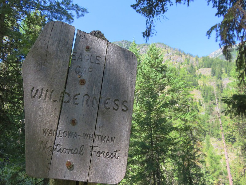
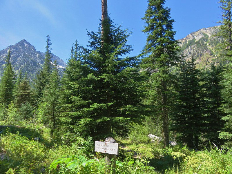
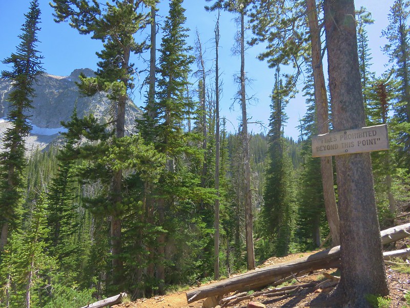
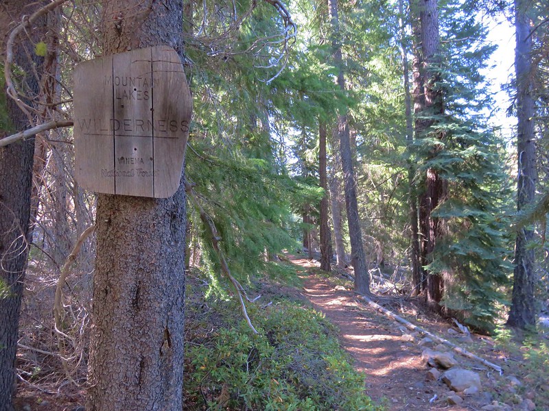
A little over a mile along the trail we entered the 36 square mile Mountain Lakes Wilderness. One of the 8 original wilderness areas in Oregon created by the 1964 Wilderness Act.
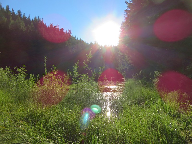
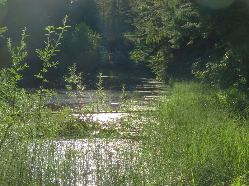
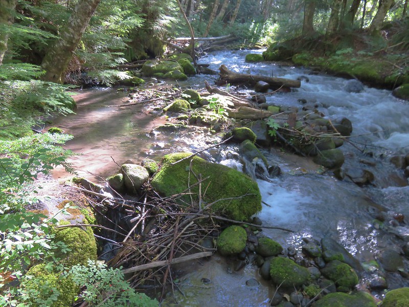
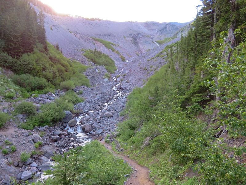
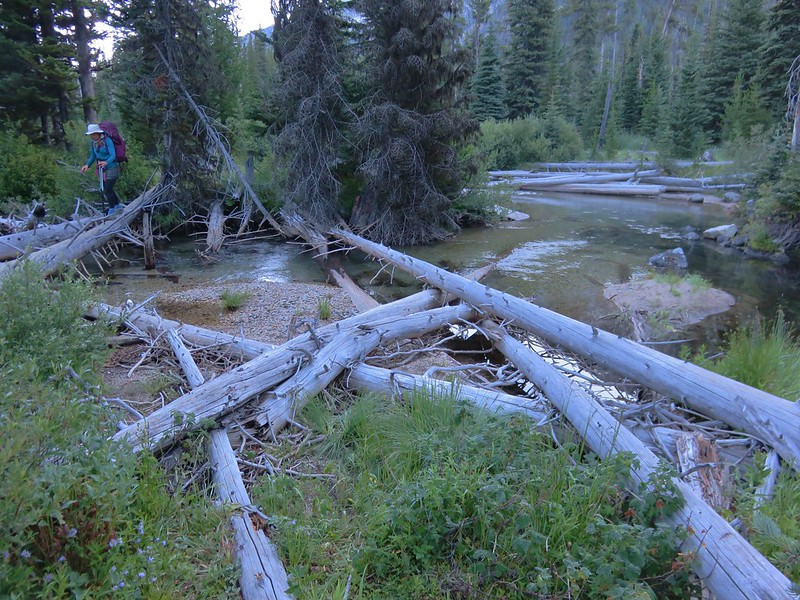
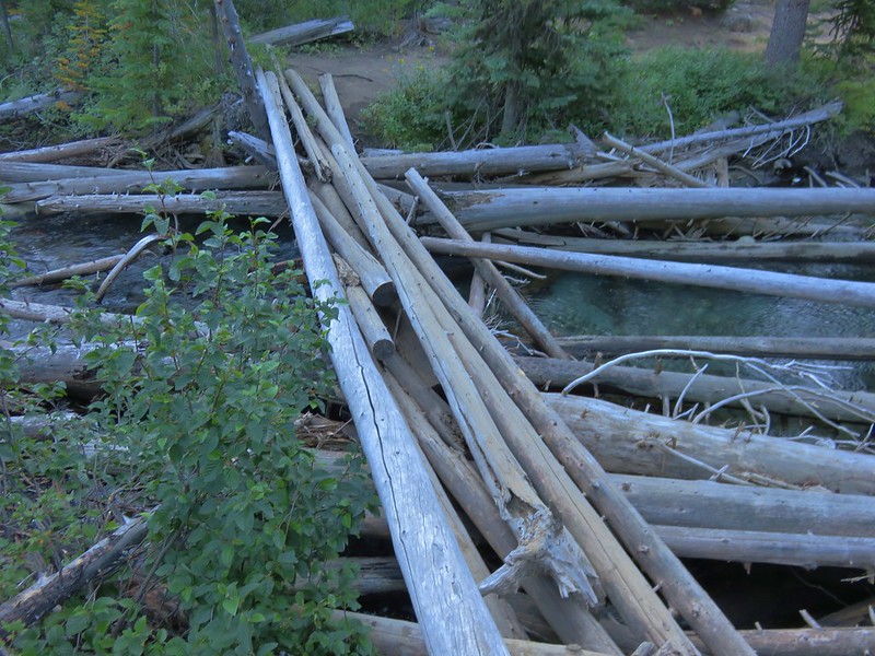
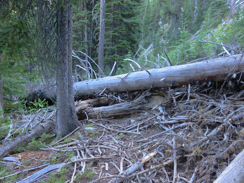
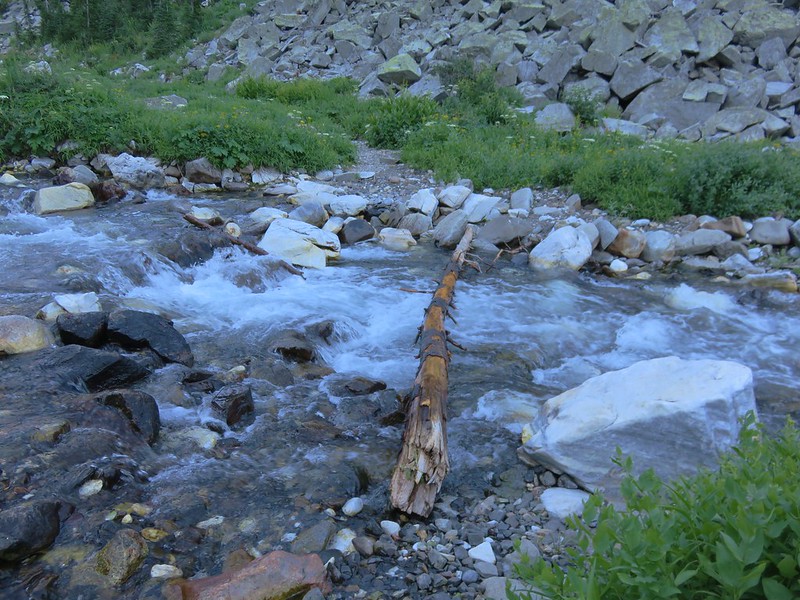
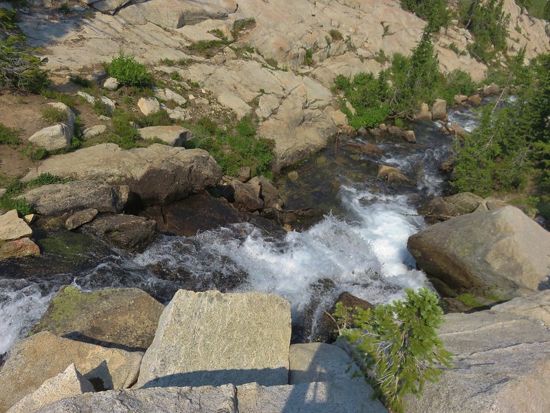
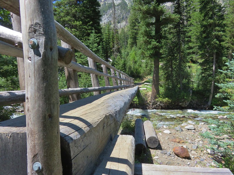
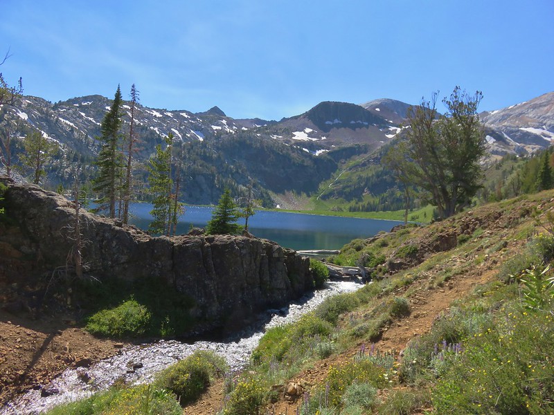
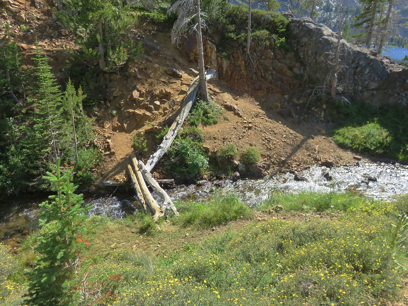
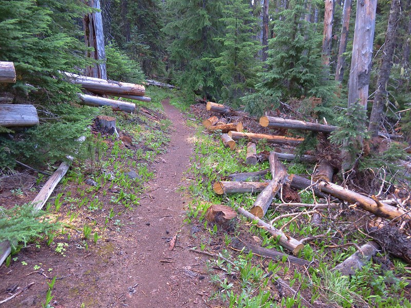
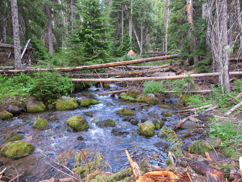
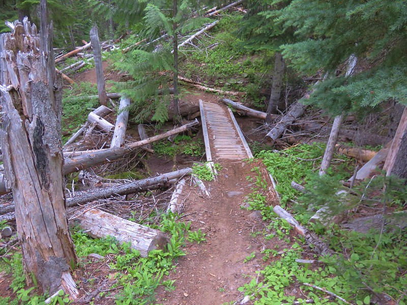
At the 1.4 mile mark we came to an wet area that had seen a lot of blowdown. A pair of bridges helped keep us out of the mud created by some trickles of water.
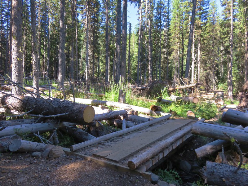
It was on our way out the next day when we realized that this was actually a crossing of Varney Creek.
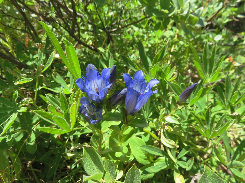
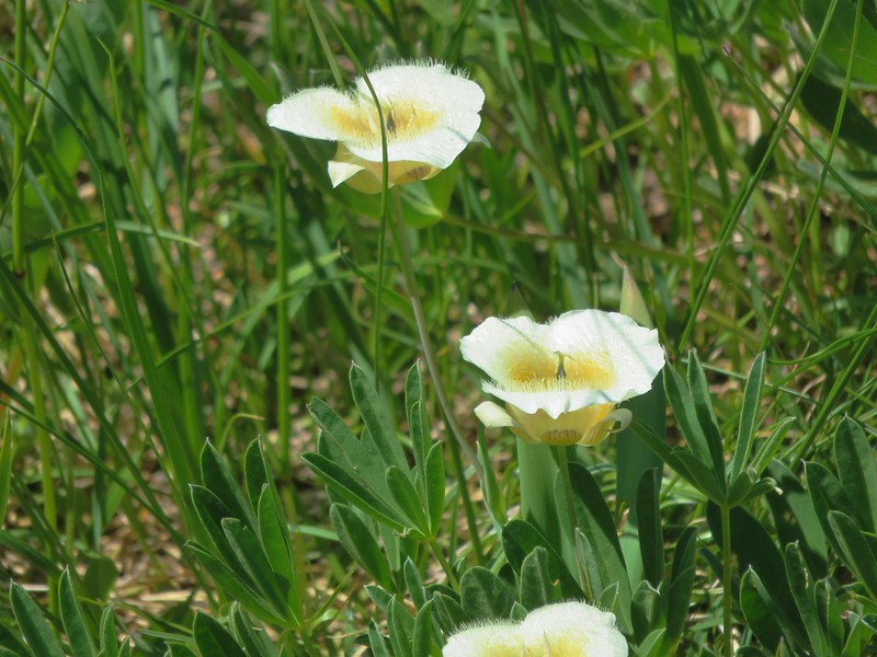
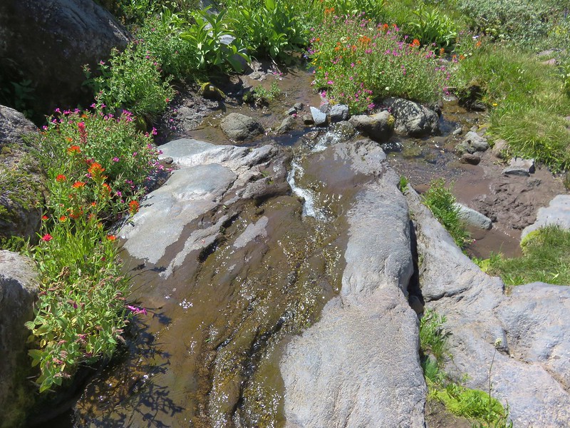
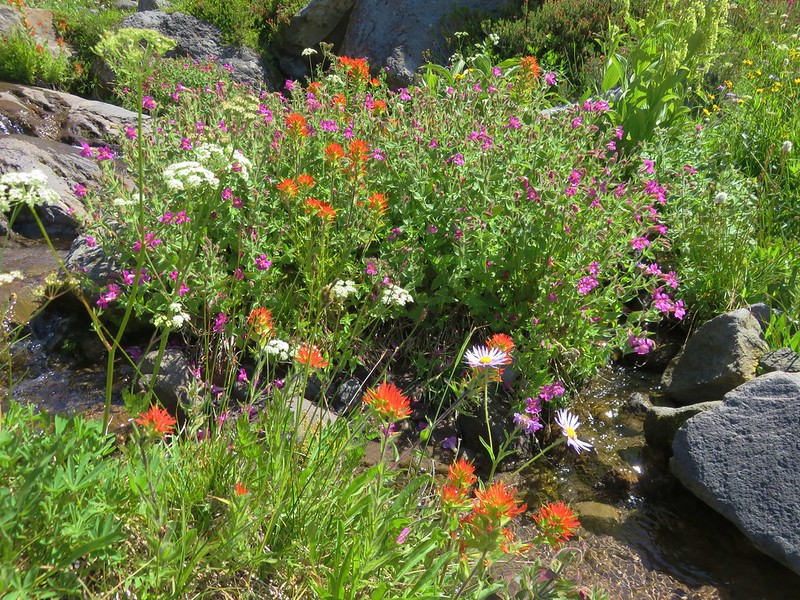
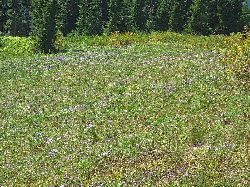
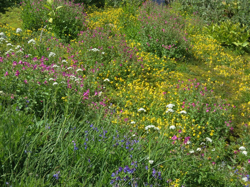
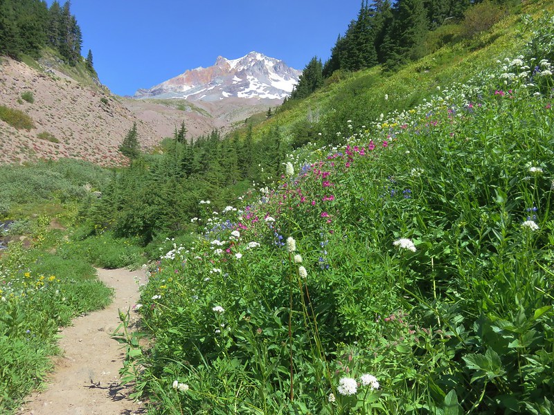
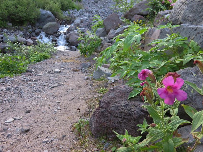
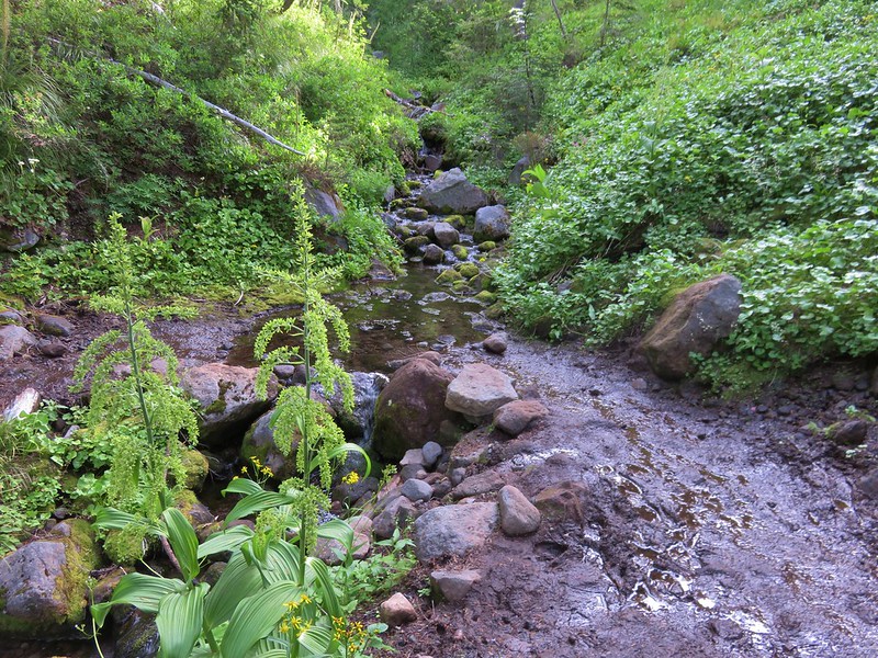
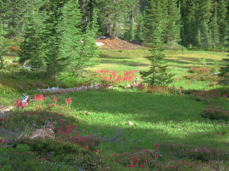
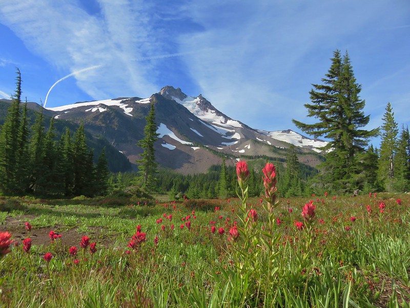
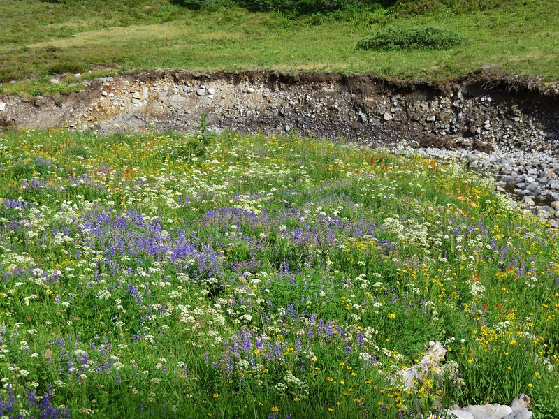
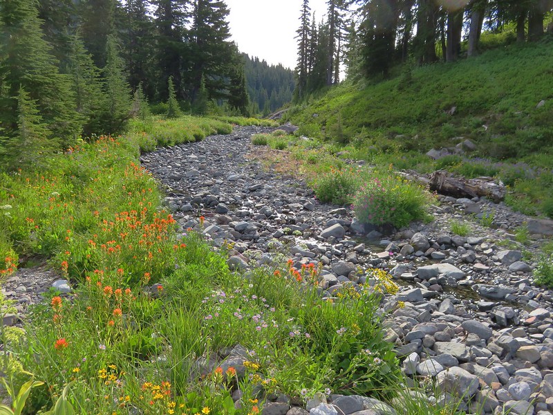
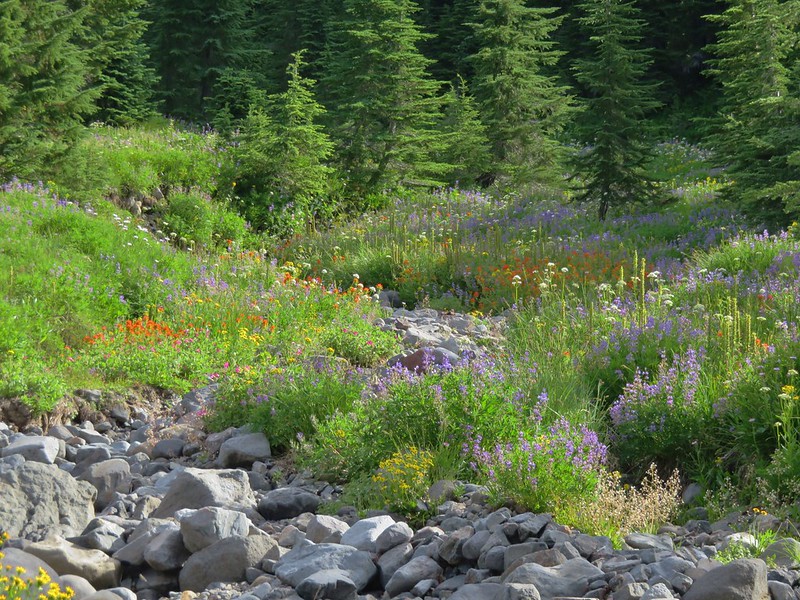
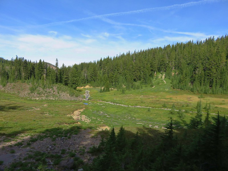
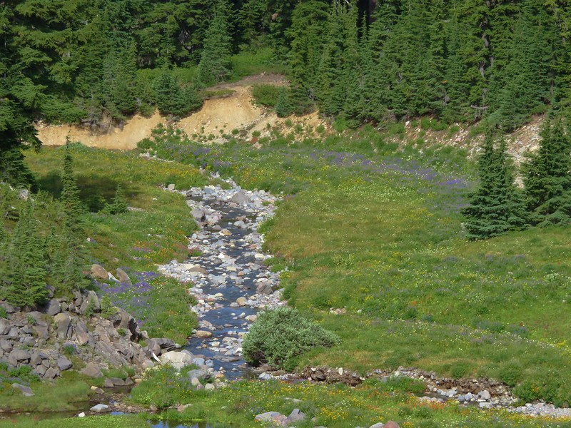
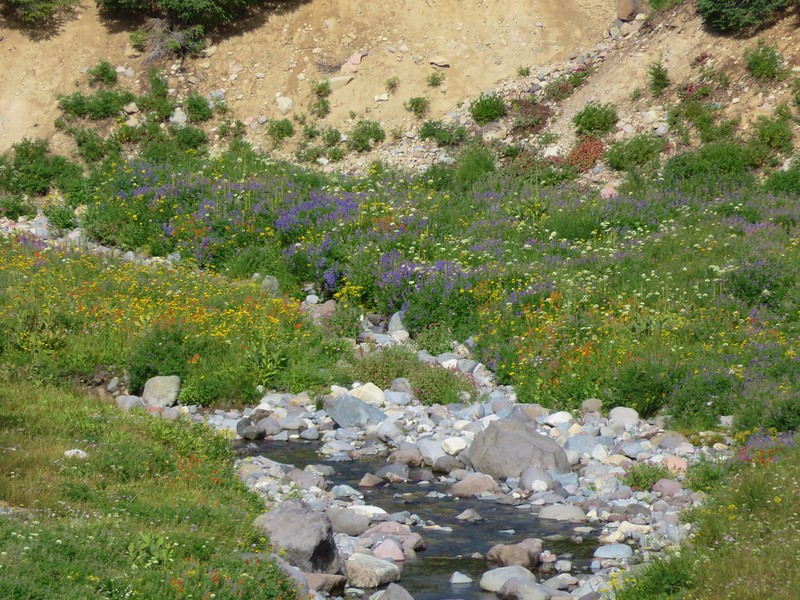
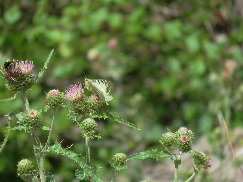
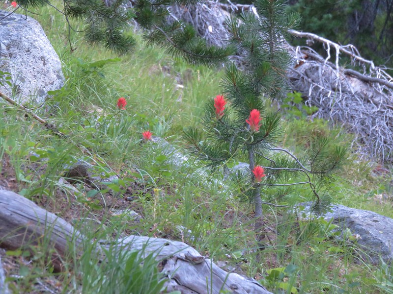
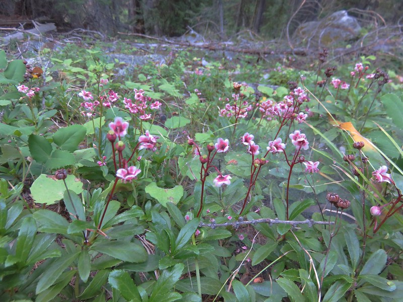
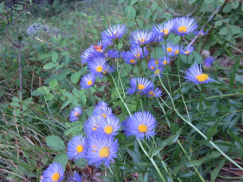
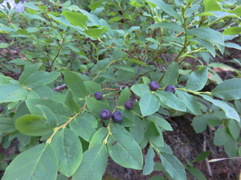
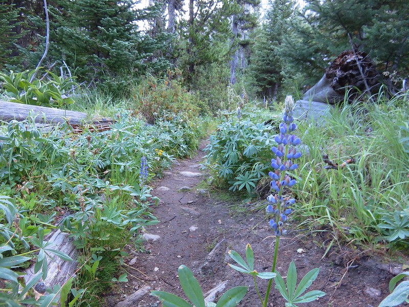
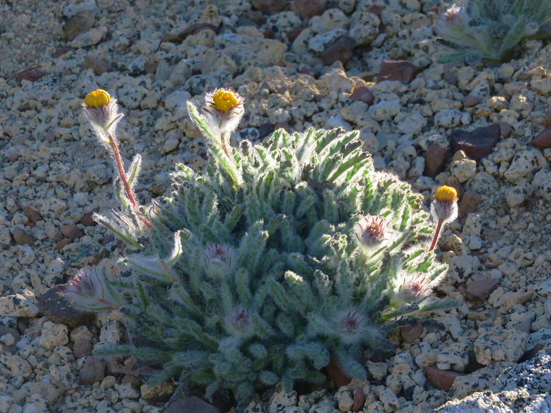
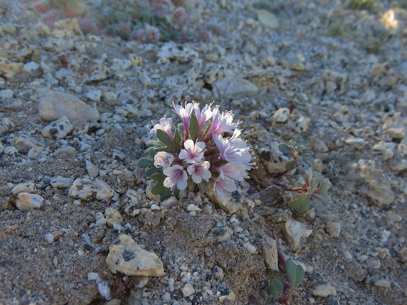
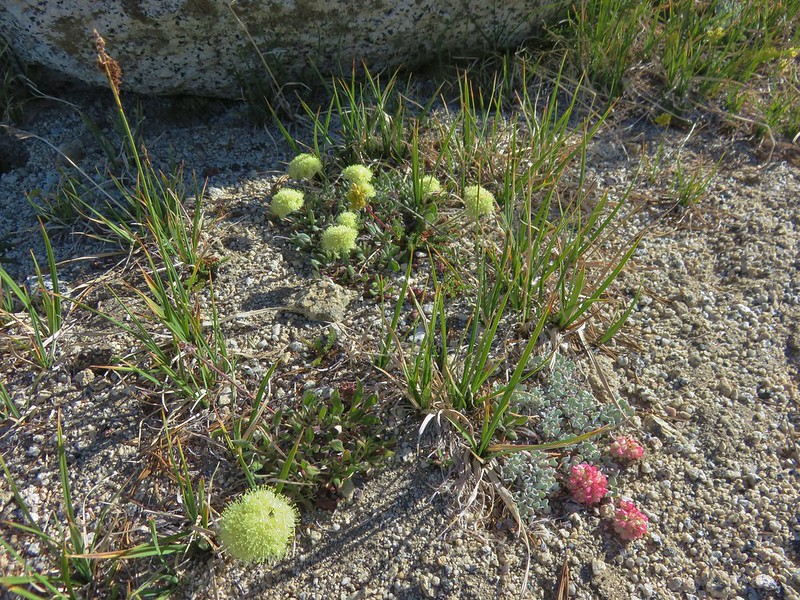
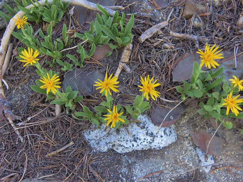
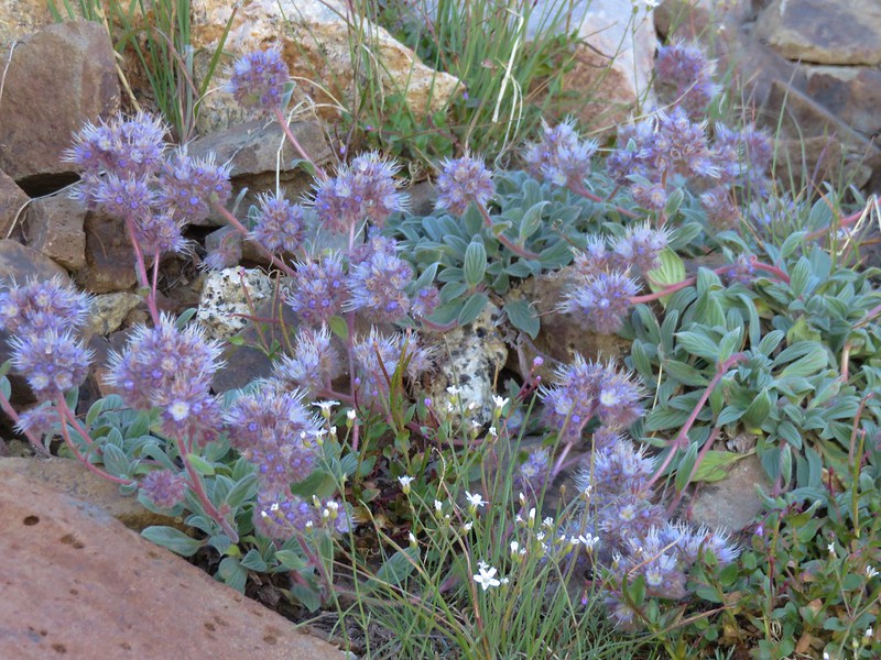
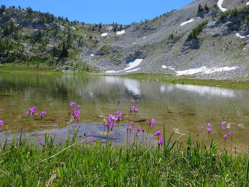
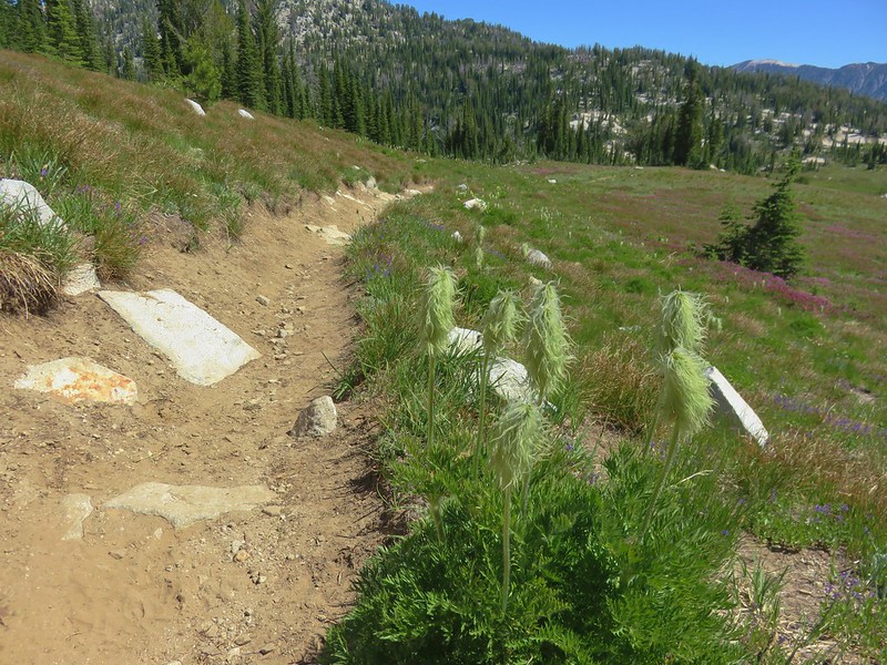
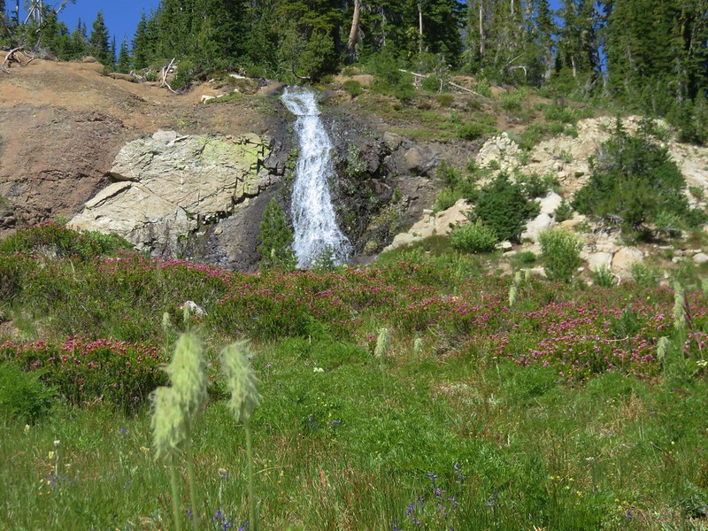
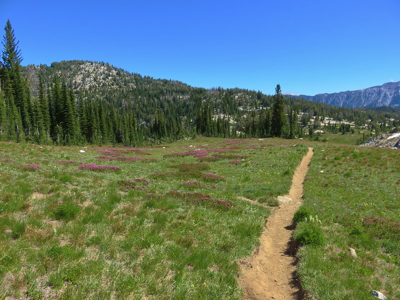
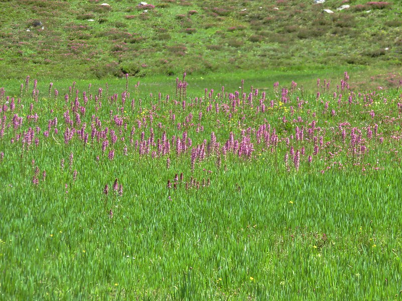
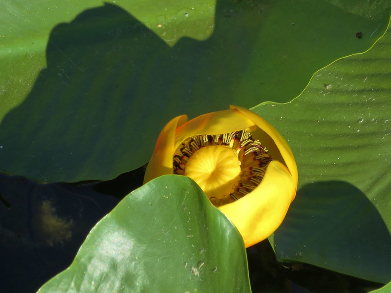
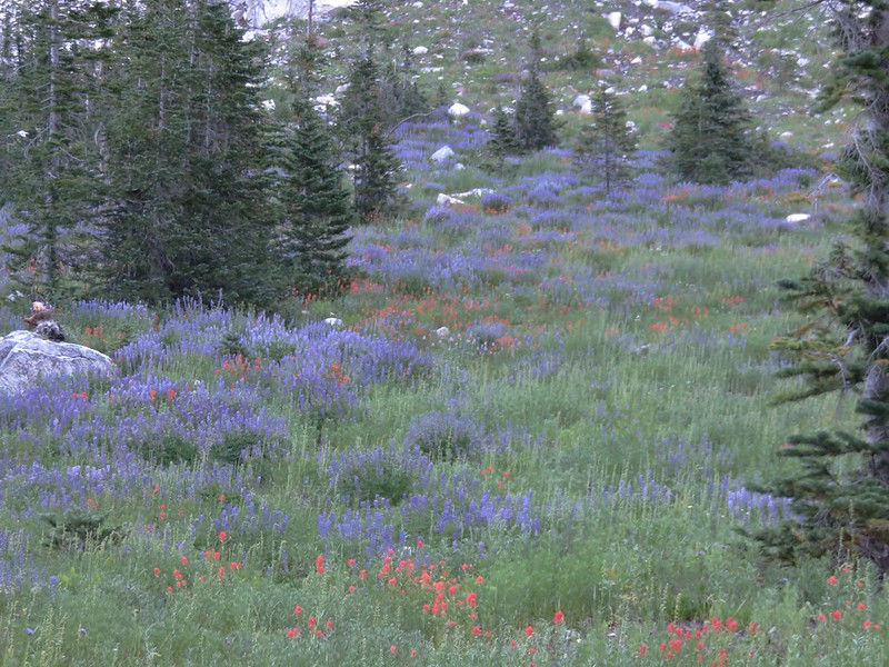
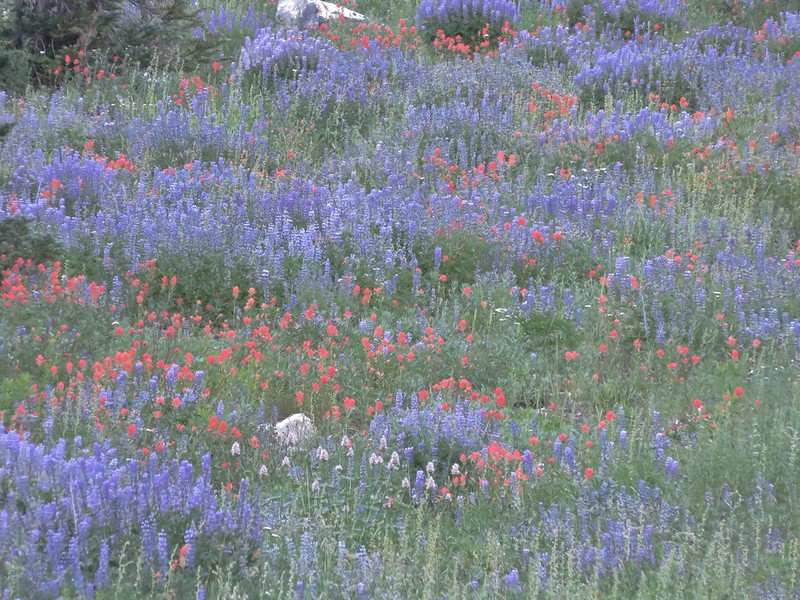
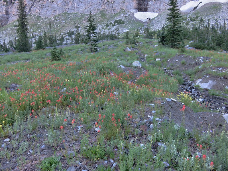
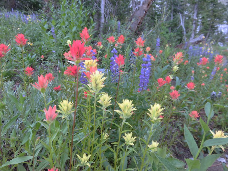
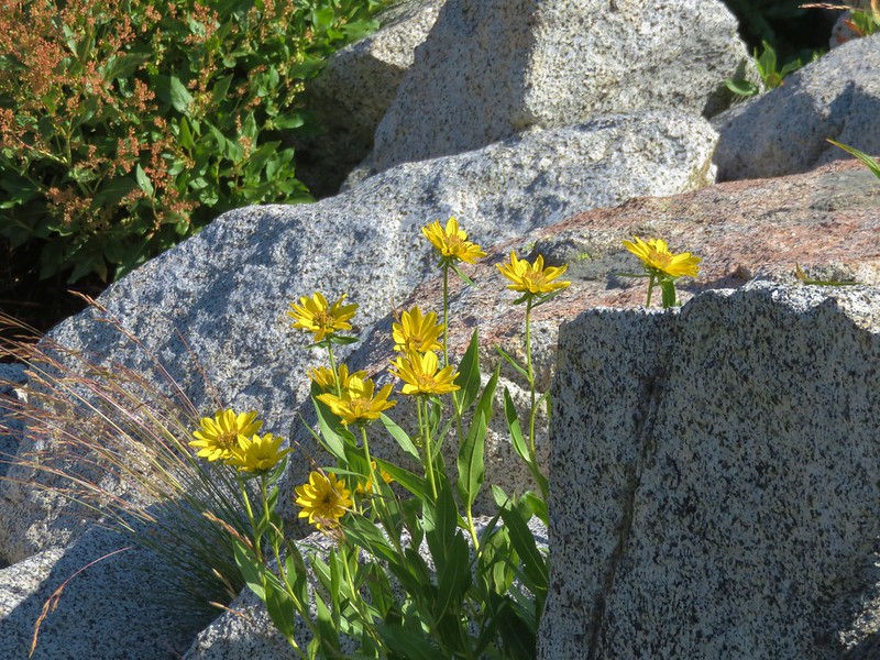
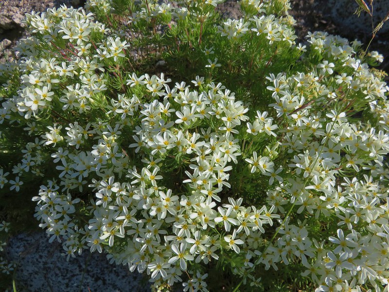
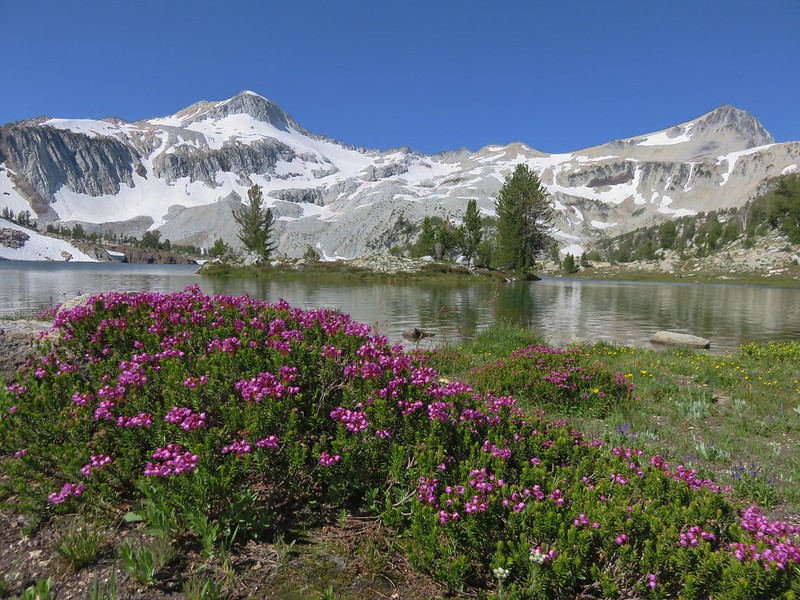
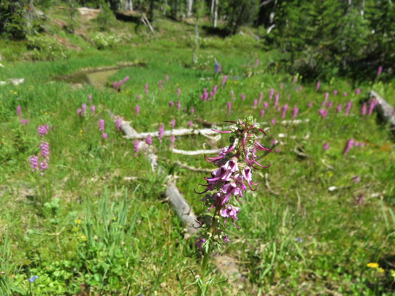
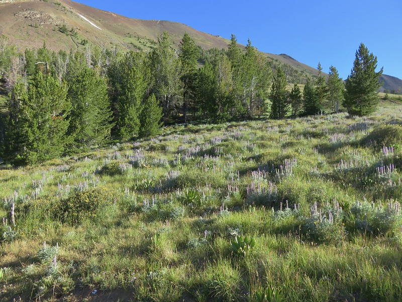
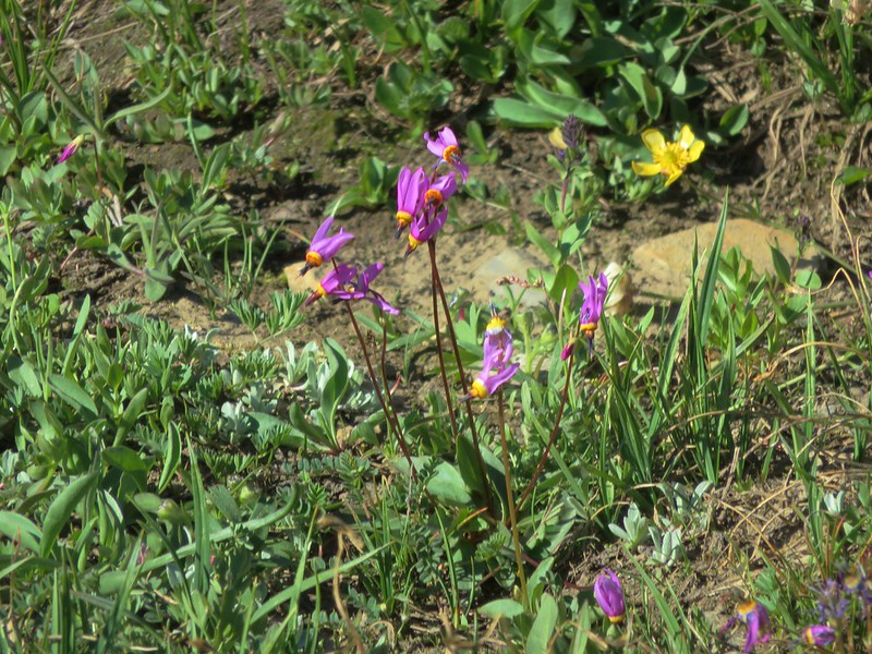
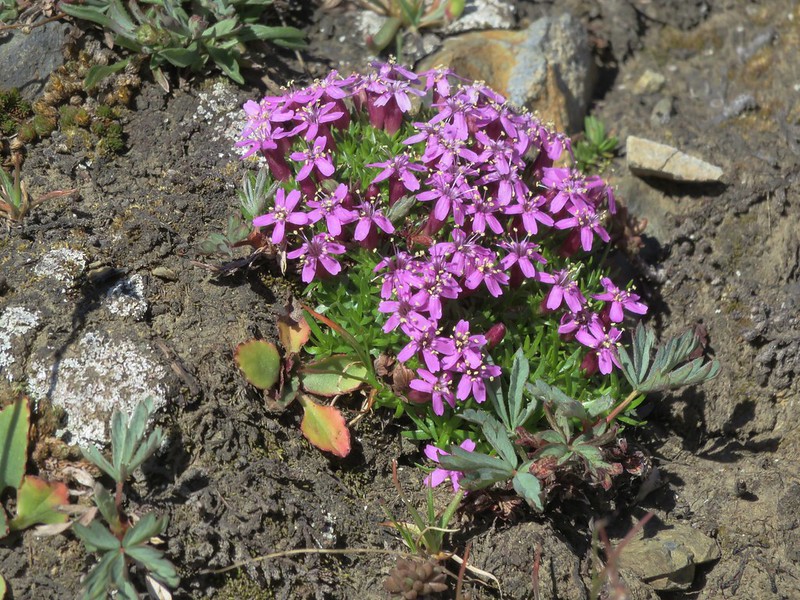
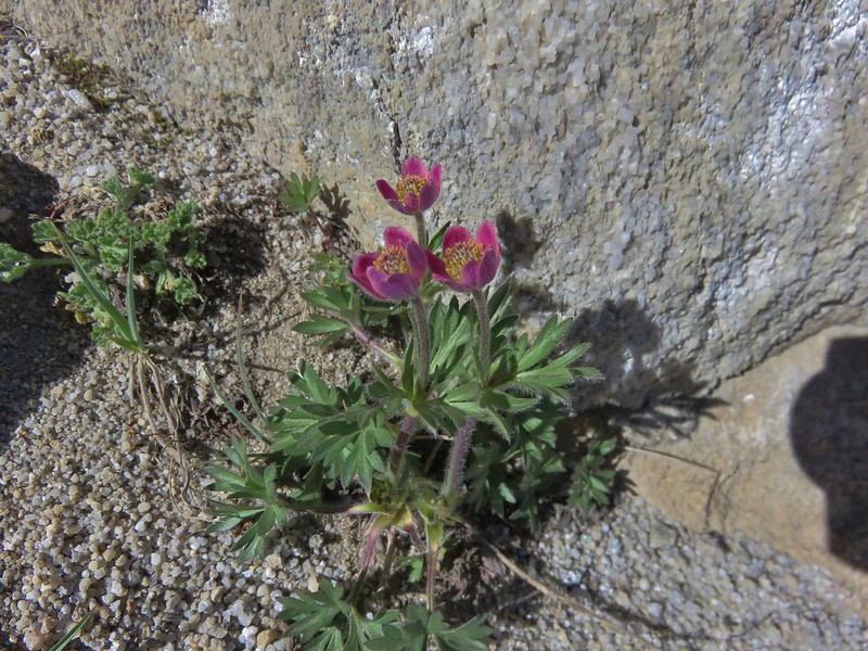
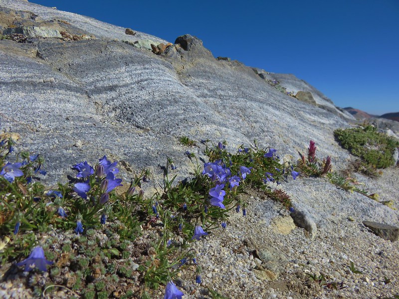
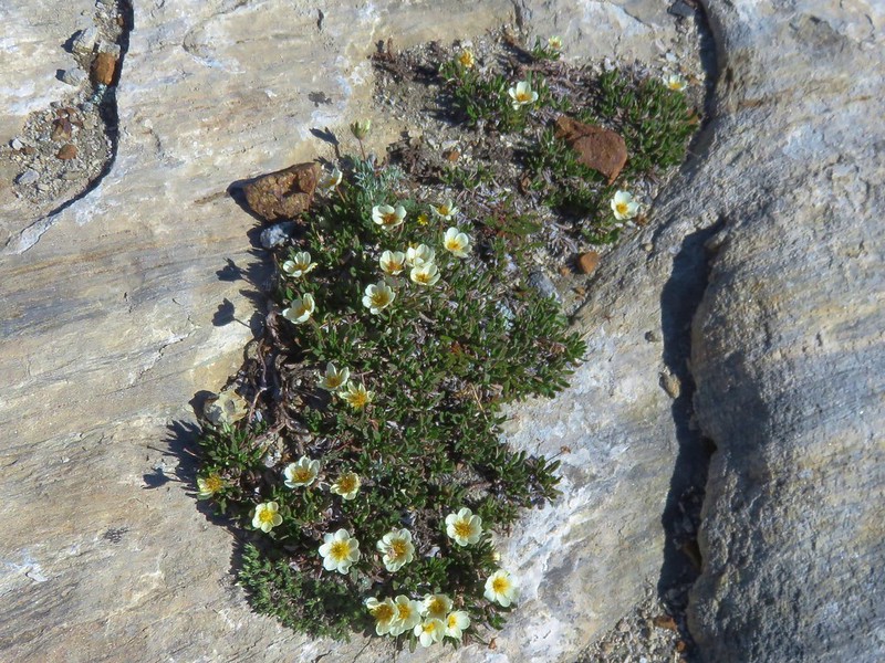
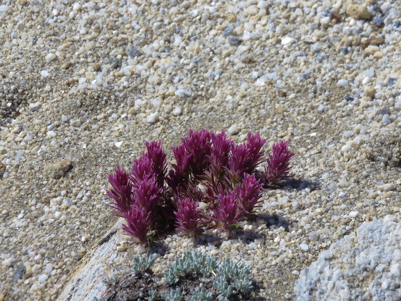
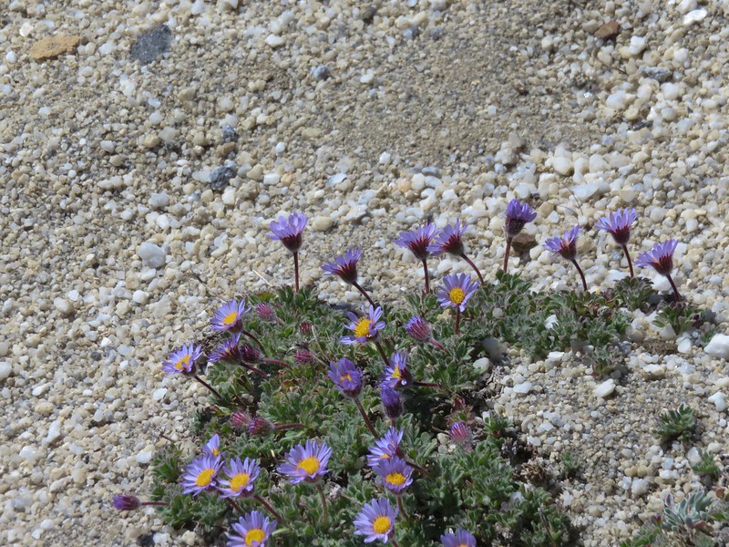
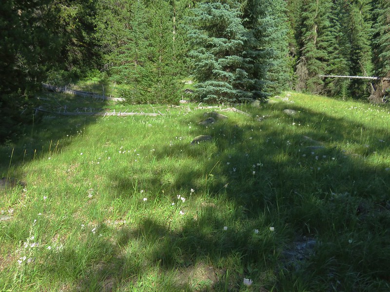
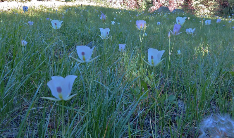
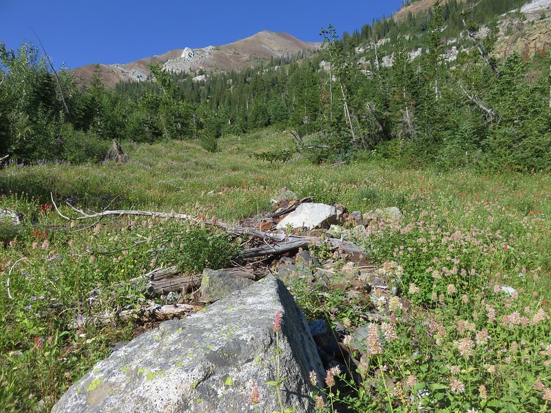
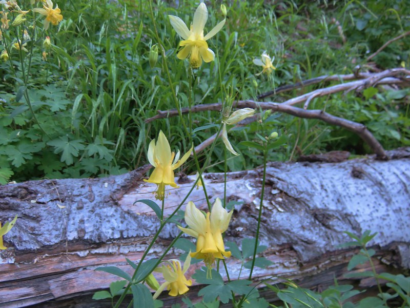
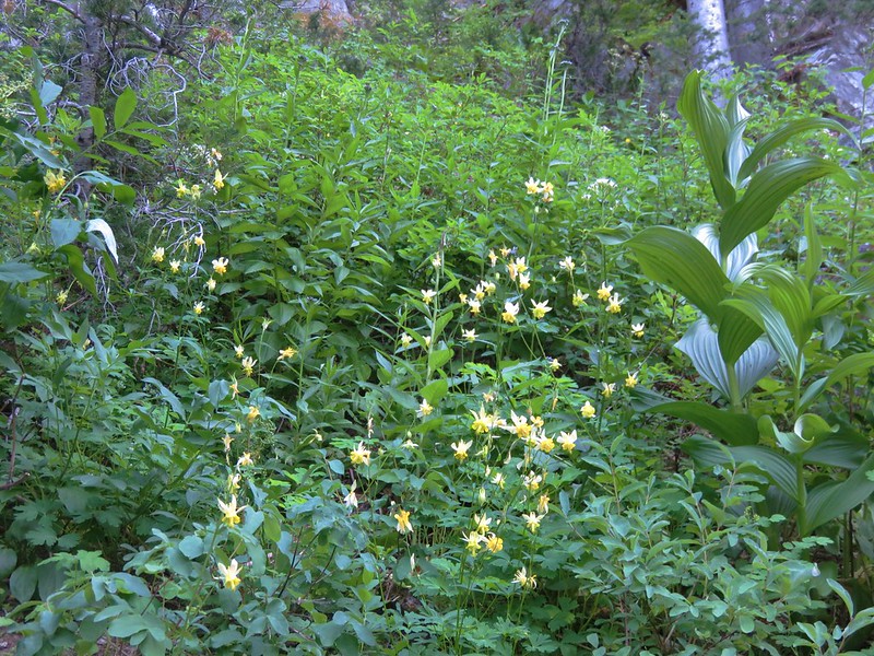
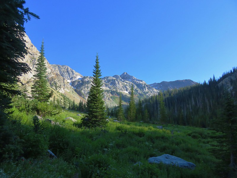
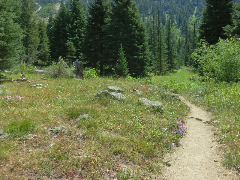
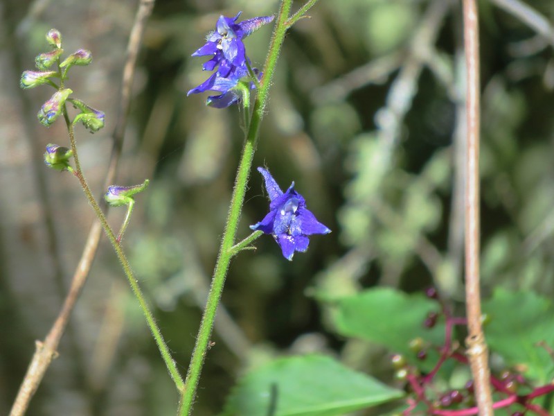
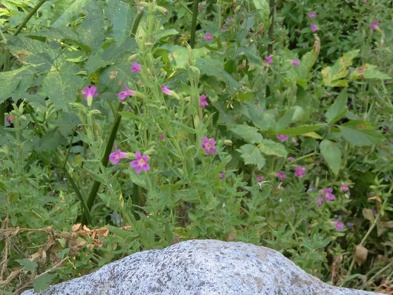
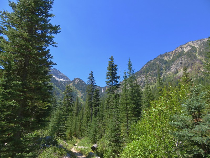
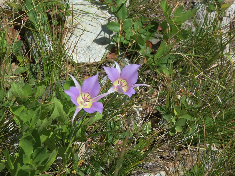
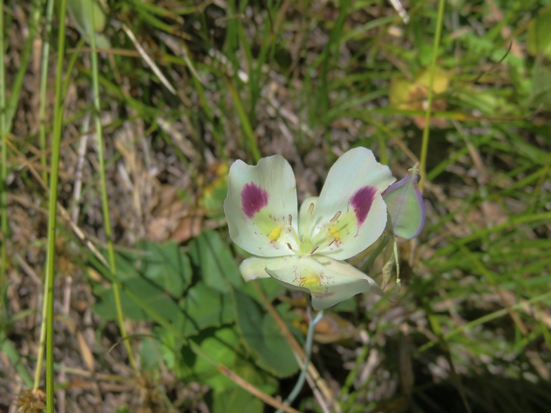
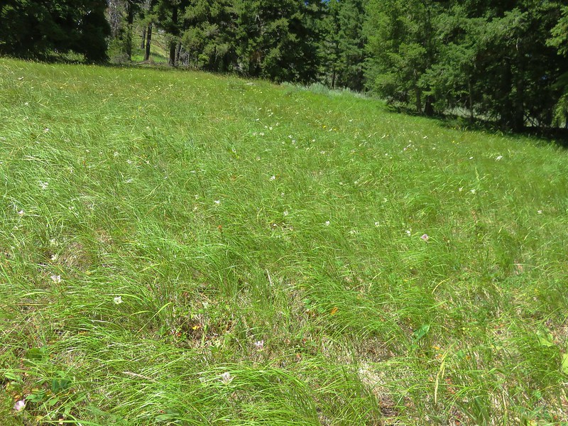
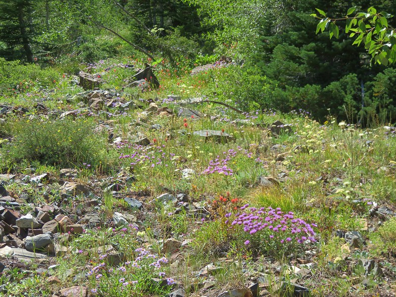
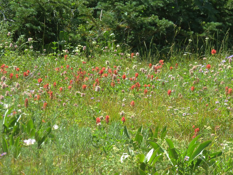
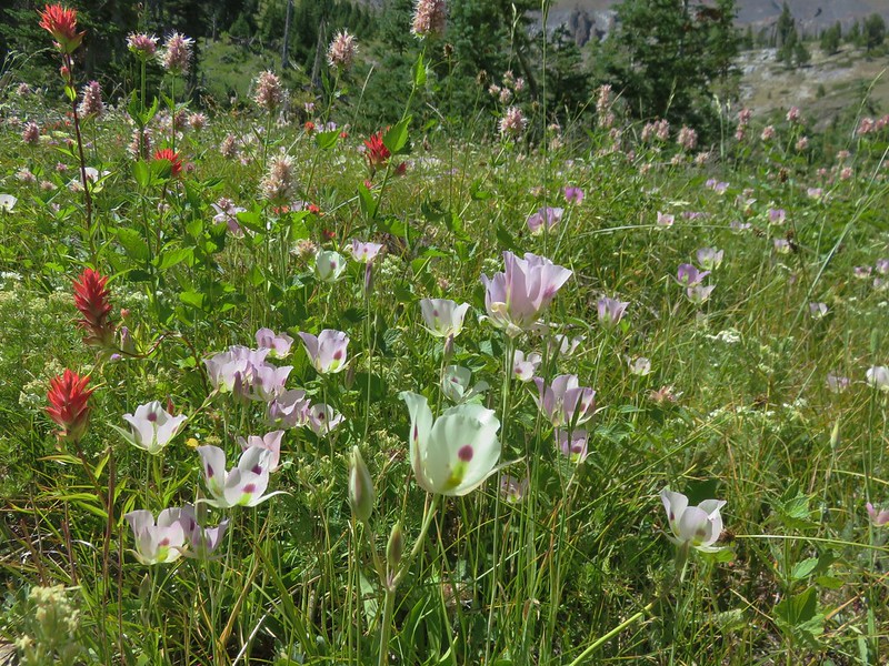
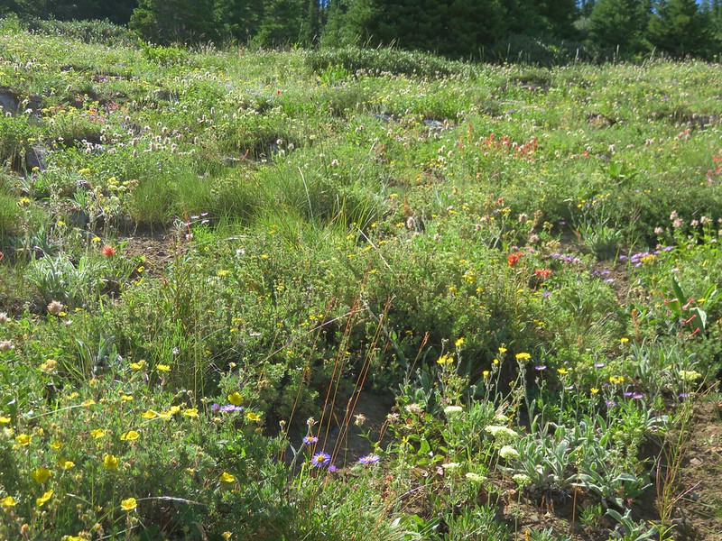
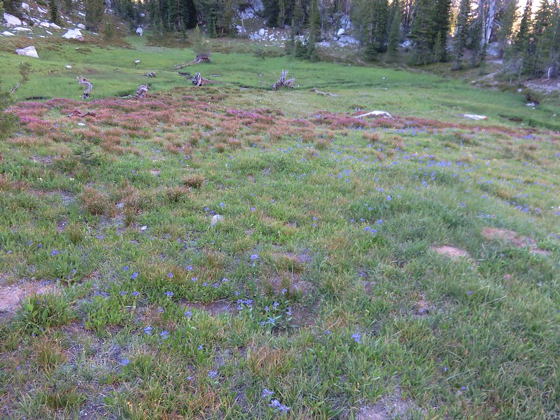
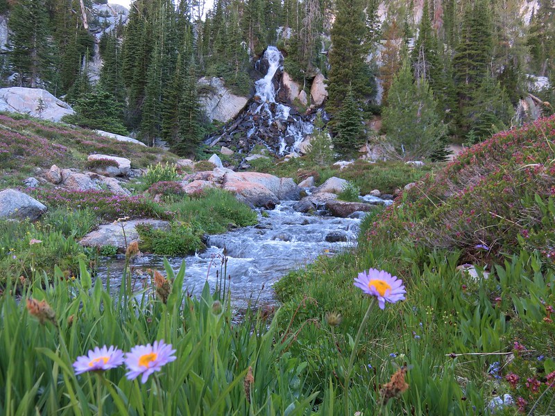
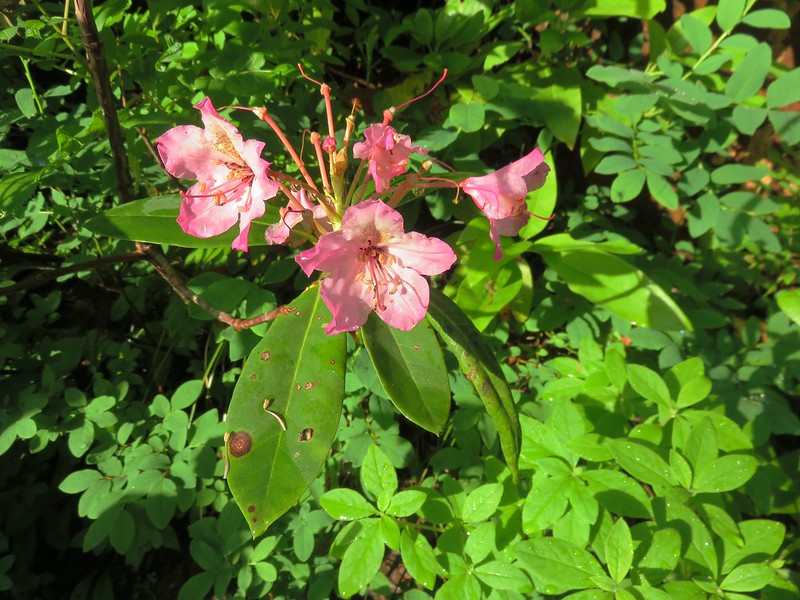
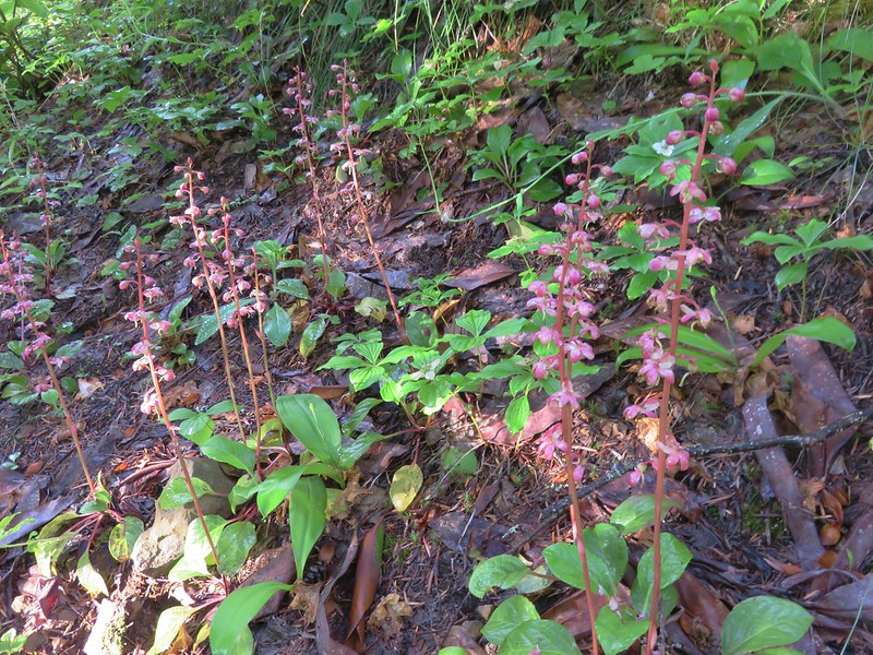
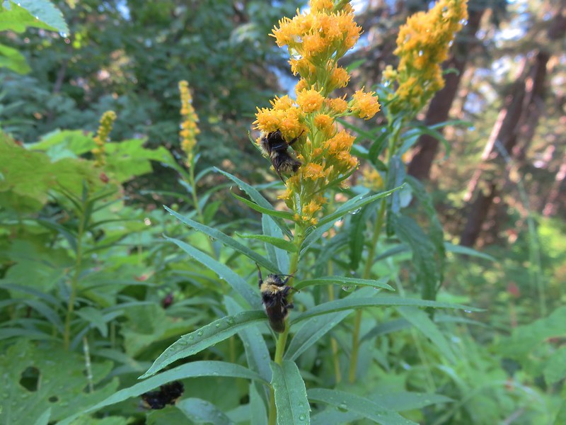
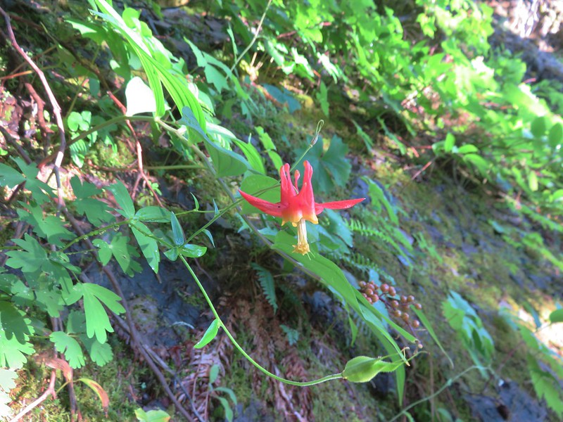
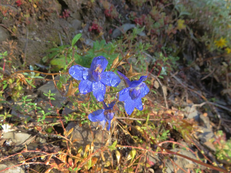
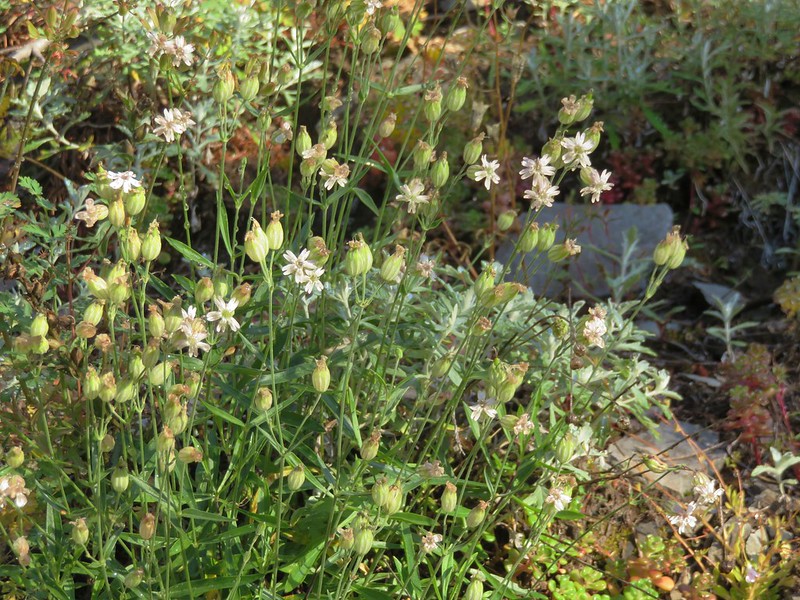
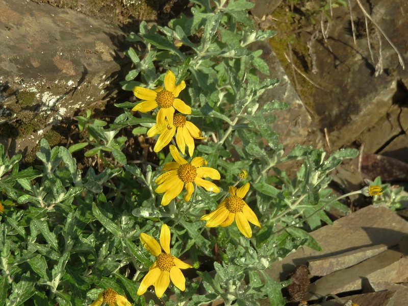
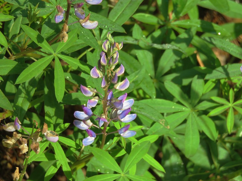
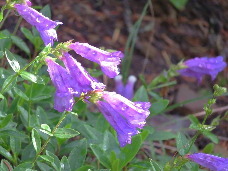
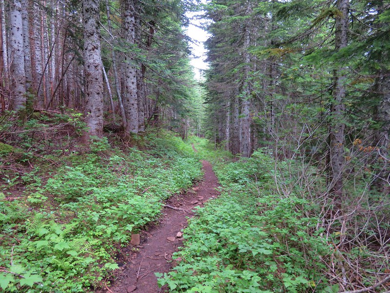
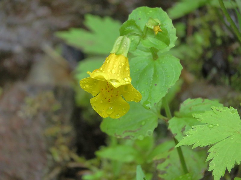
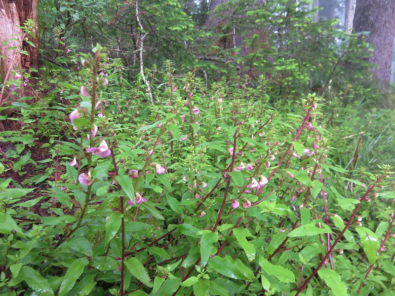
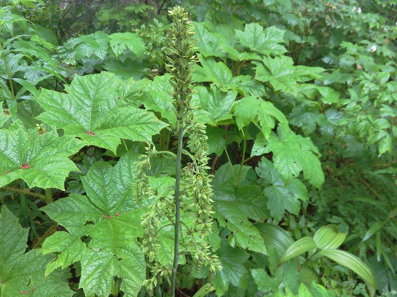
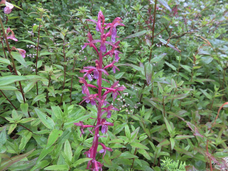
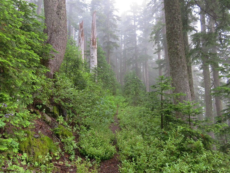
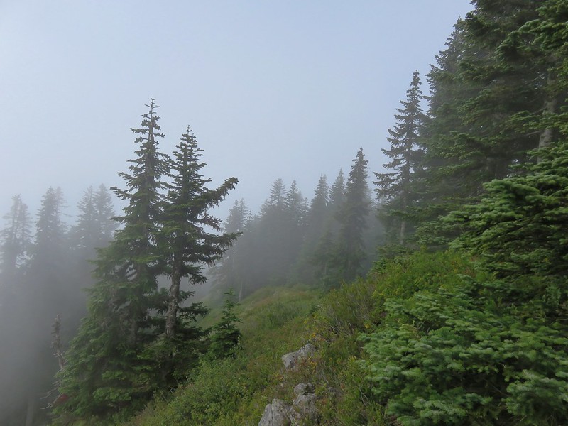
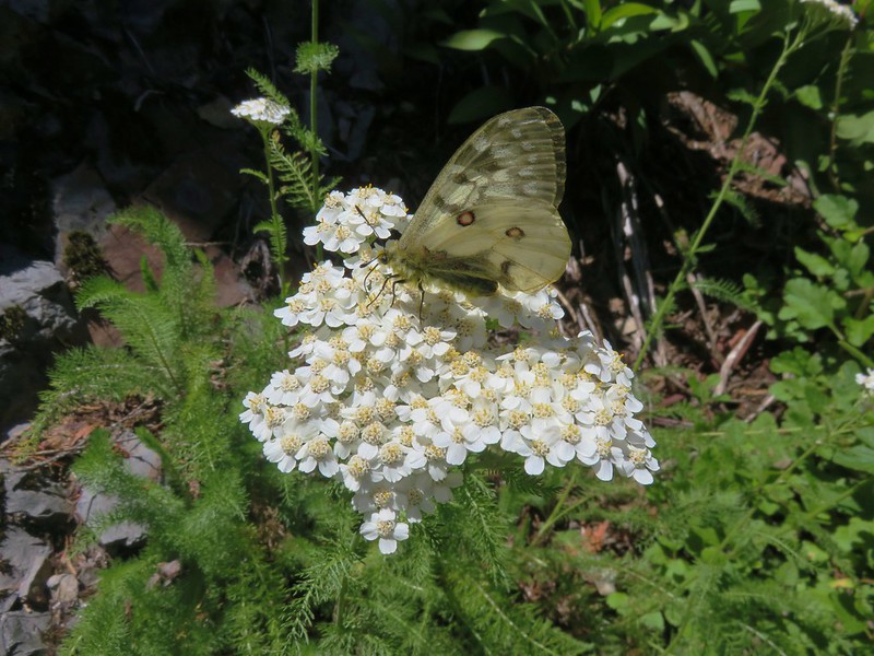
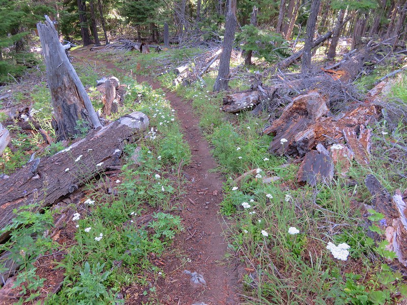
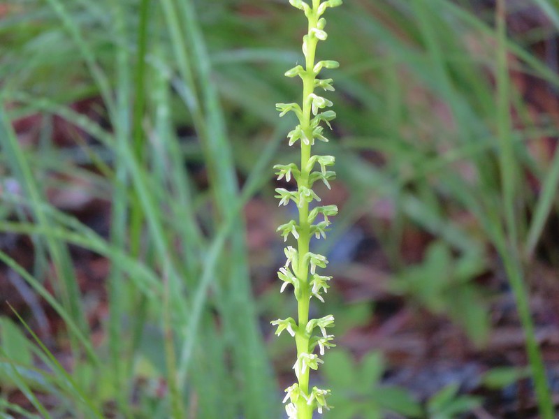
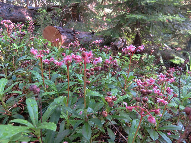
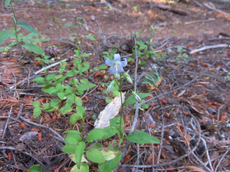
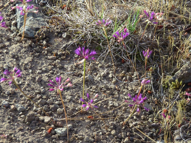
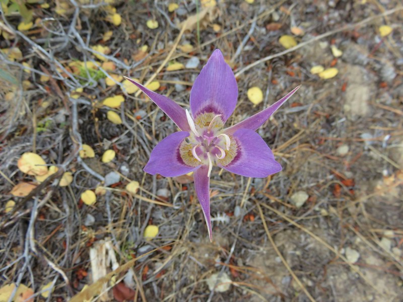
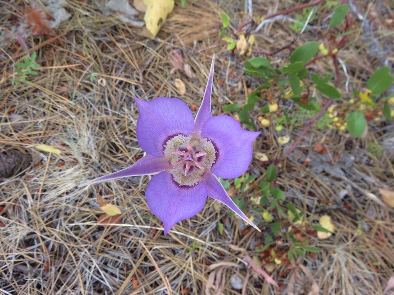
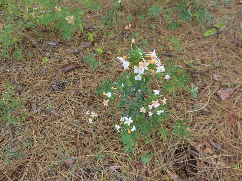
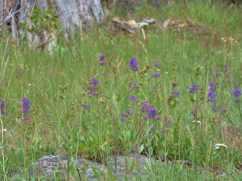
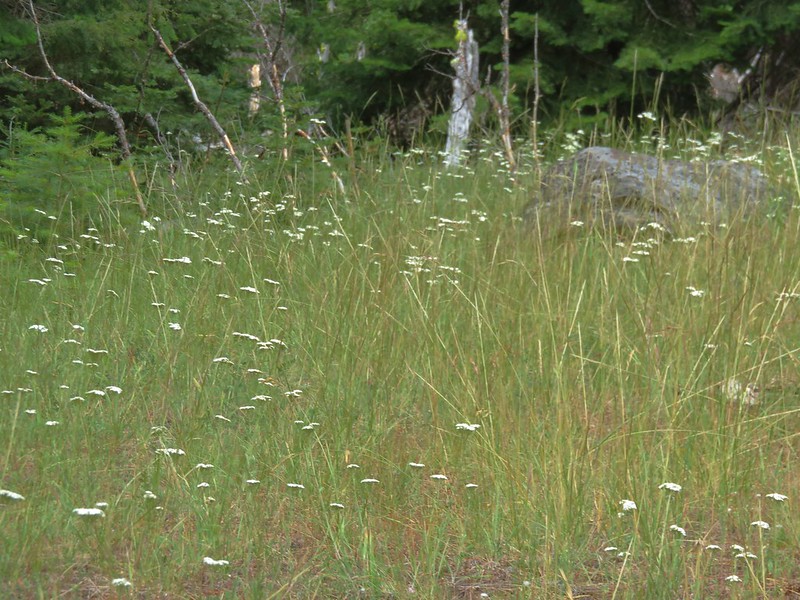
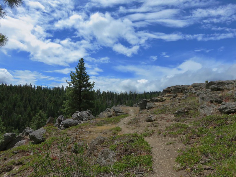
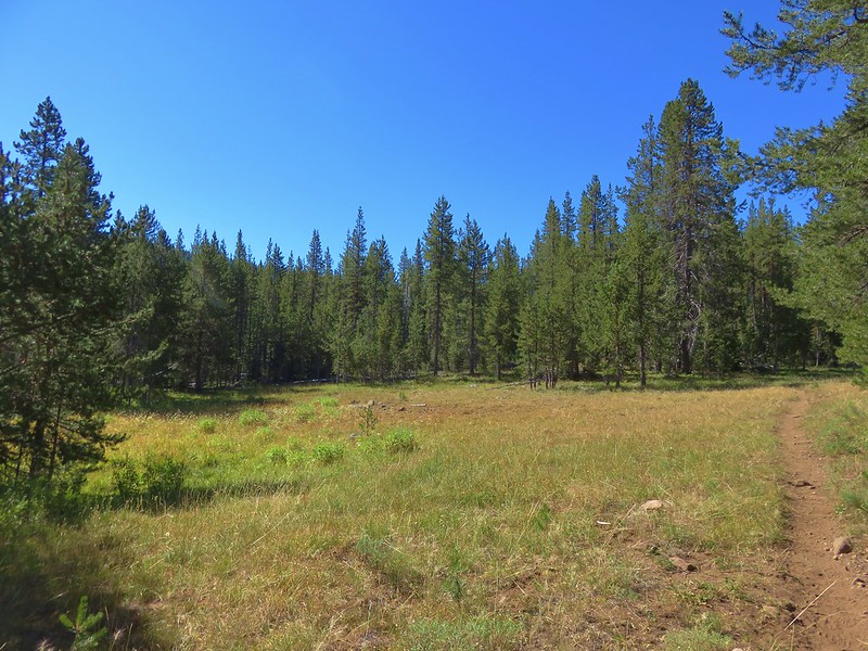
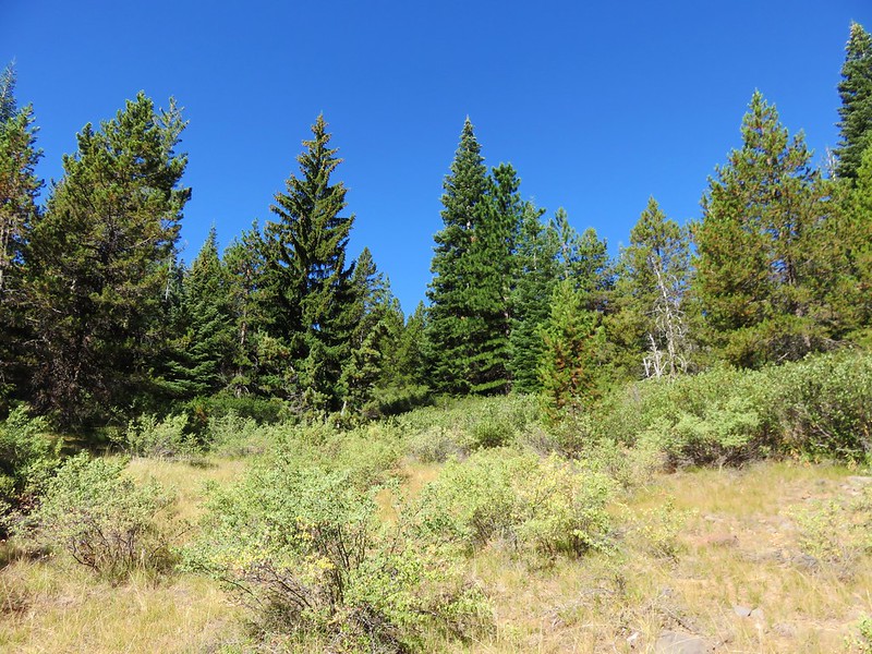
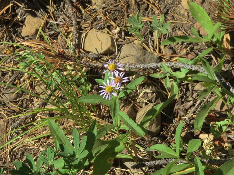
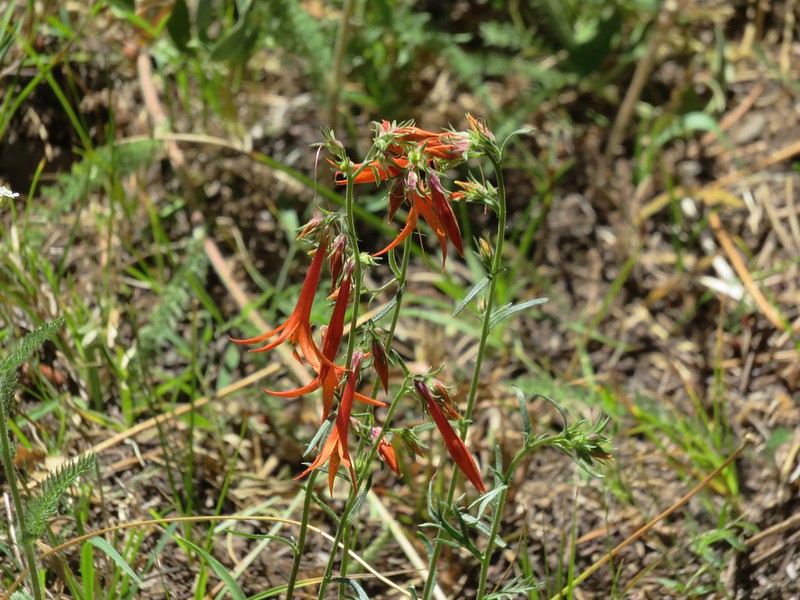
We were now on the west side of the creek and for the next couple of miles the trail passed by a series of meadows to the left and dry, open slopes on the right. The majority of the wildflowers were finished but a few stragglers remained.
Aster
Fireweed

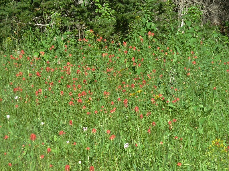
Paintbrush

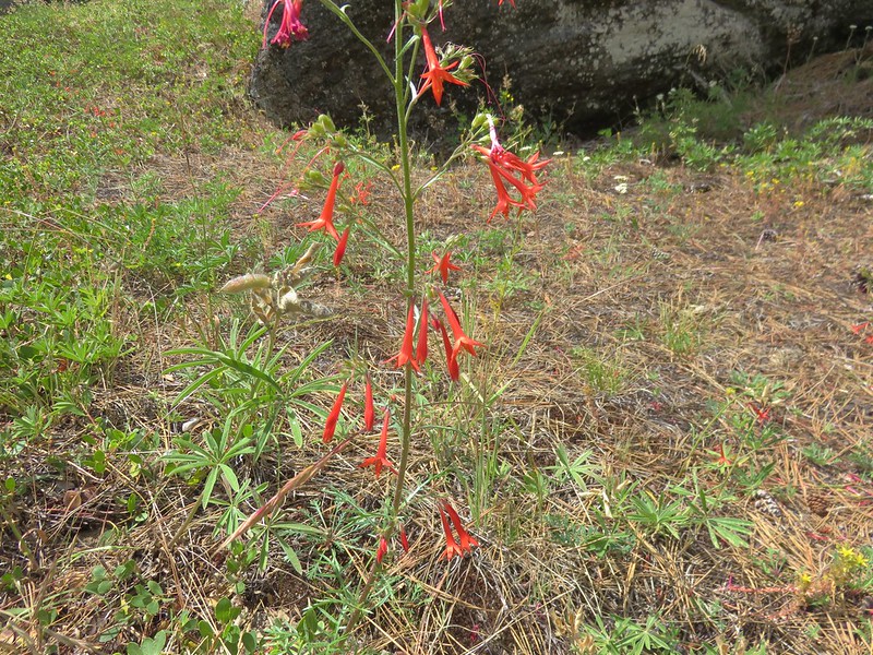
Scarlet gilia
Larkspur

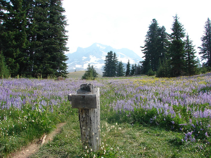
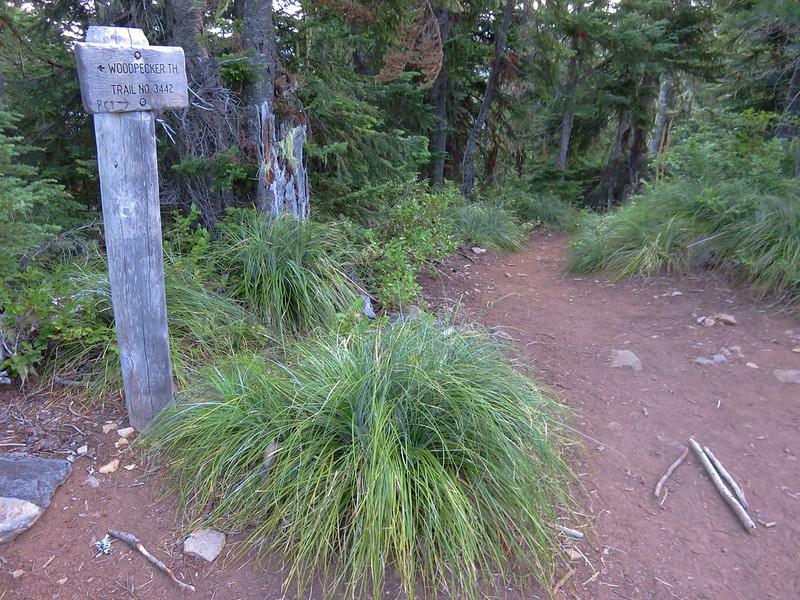
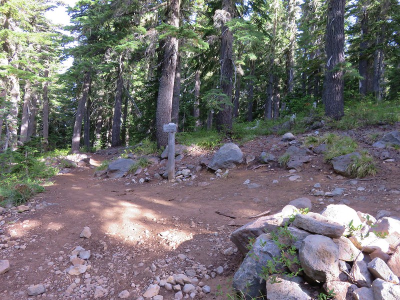
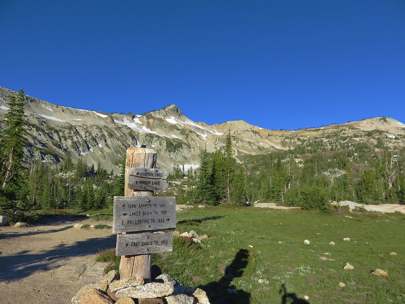
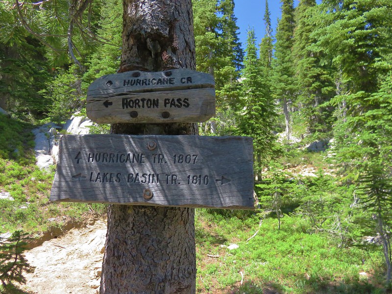
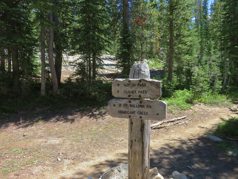
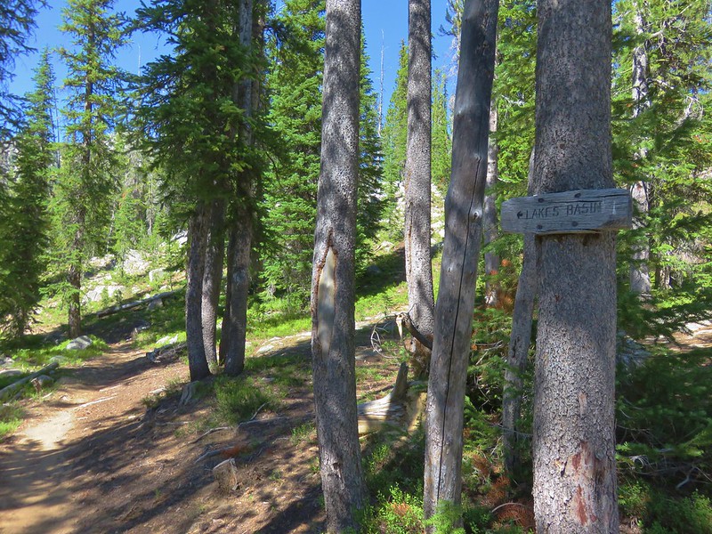
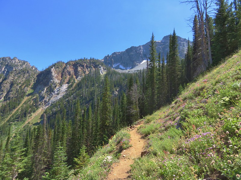
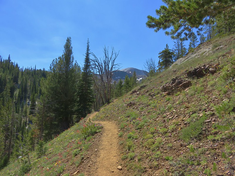
Near the four mile mark the trail began to climb a little more steeply up toward the Mountain Lakes Loop junction which we reached after a total of 4.4 miles.
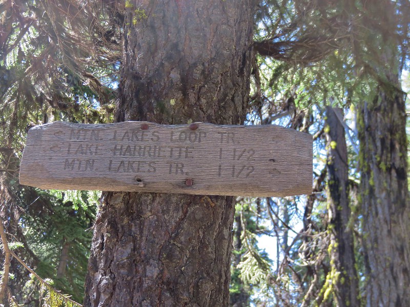
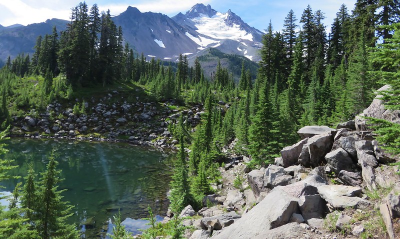
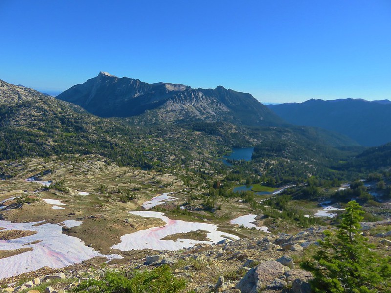
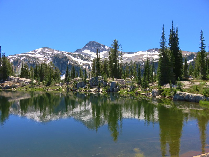
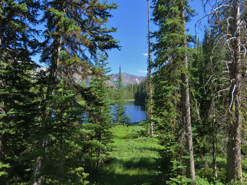
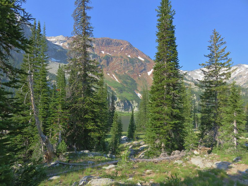
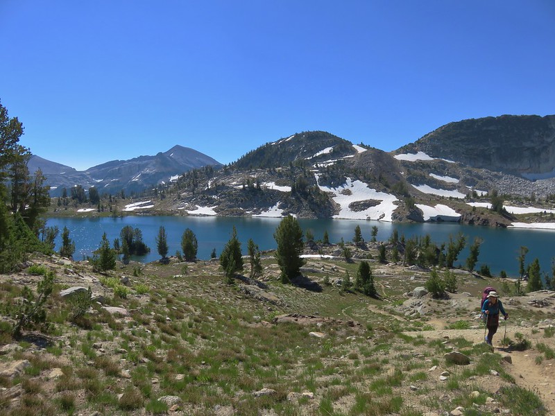
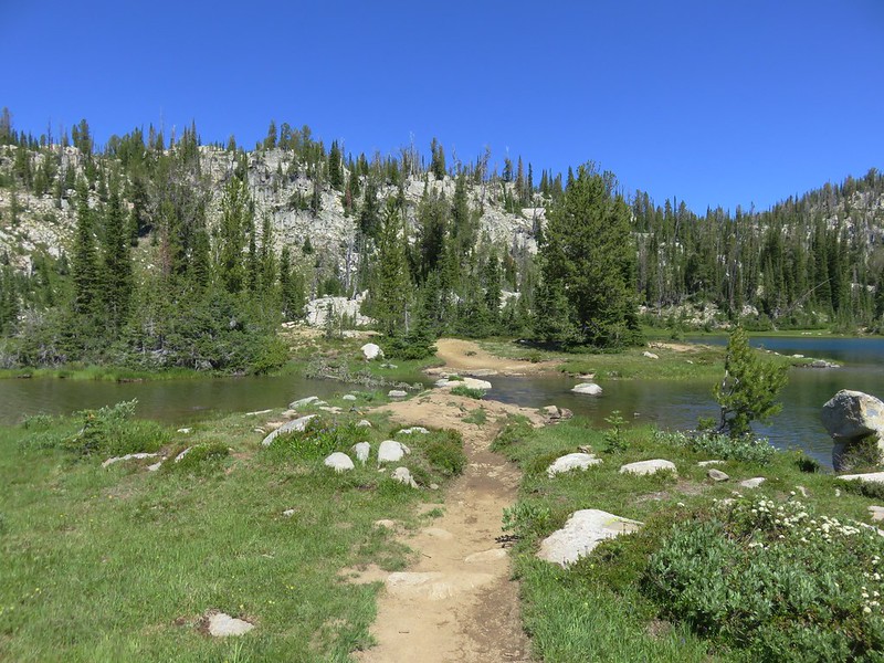
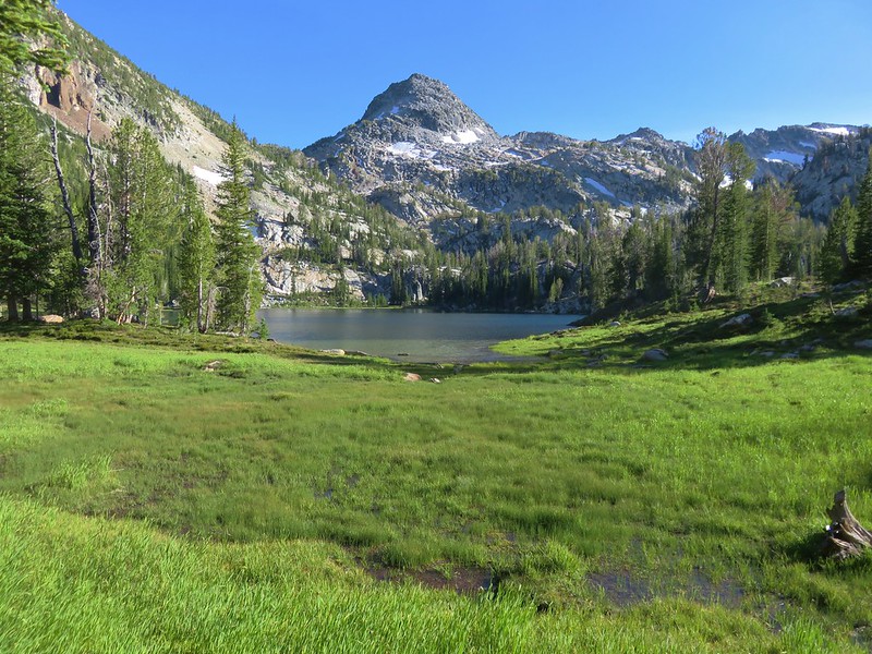
At the junction we turned right heading toward Eb and Zeb Lakes which were just under a half mile away. This section of trail climbed a little more steeply at first before leveling out some as it neared the lakes.
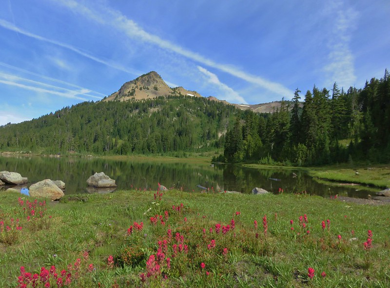
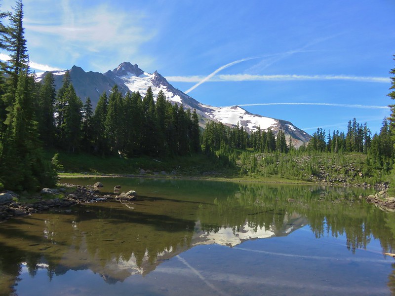
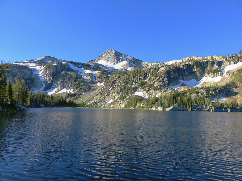
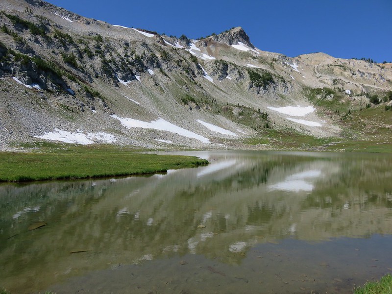
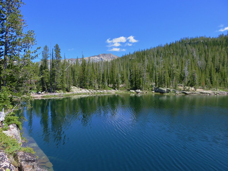
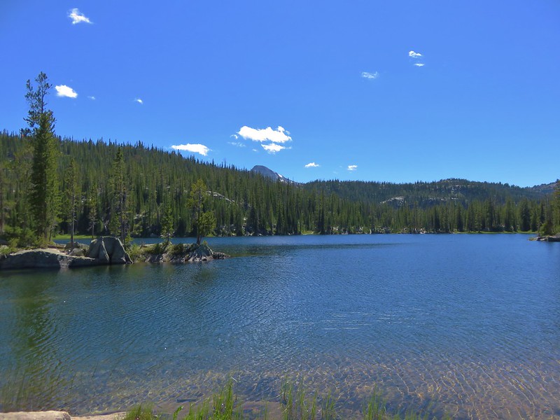
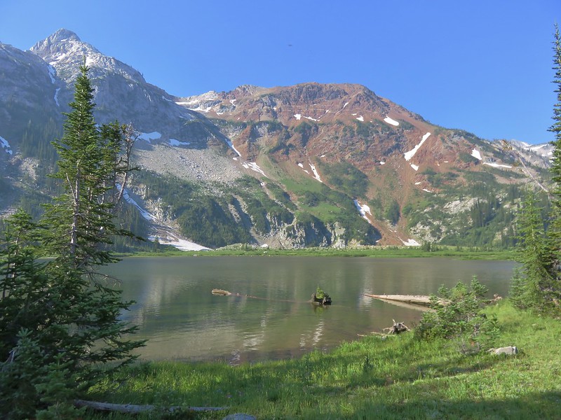
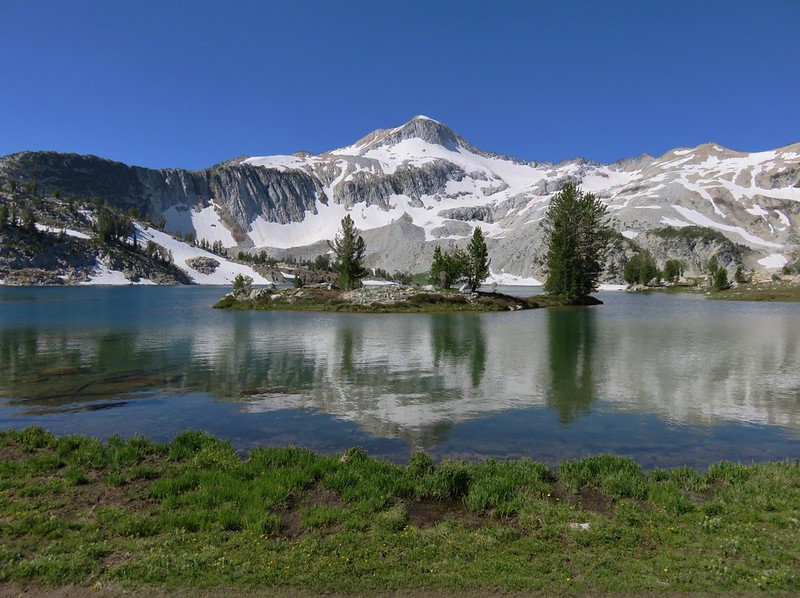
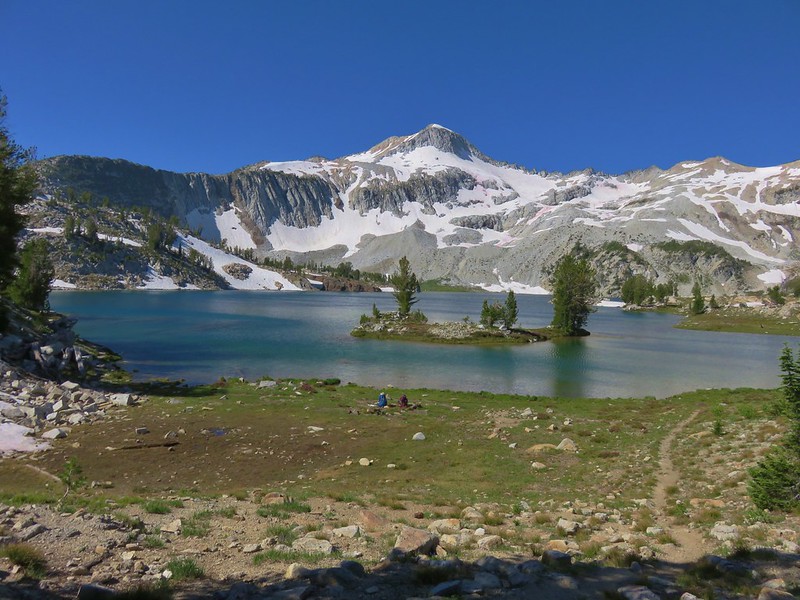
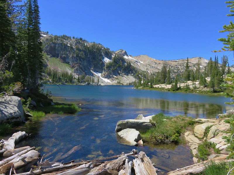
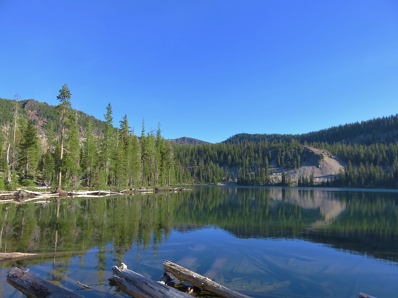
The lakes are across from one another on either side of the trail. We noticed Eb Lake on our right first and headed over to see if we could find a good campsite.

We hiked all the way around Eb Lake seeing a few possibilities but nothing that we were in a hurry to claim so when we arrived back at the trail we crossed over to check out Zeb Lake.
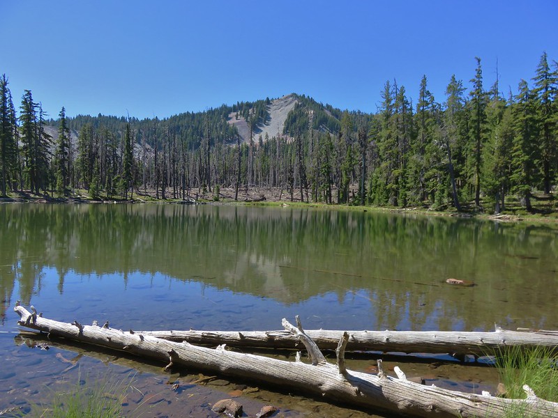
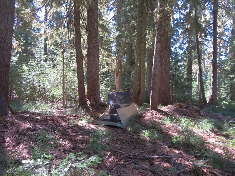
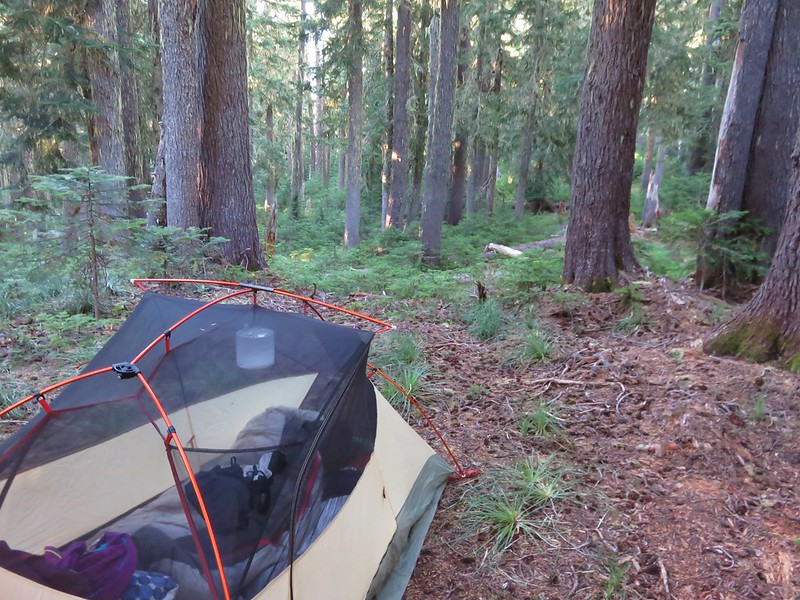
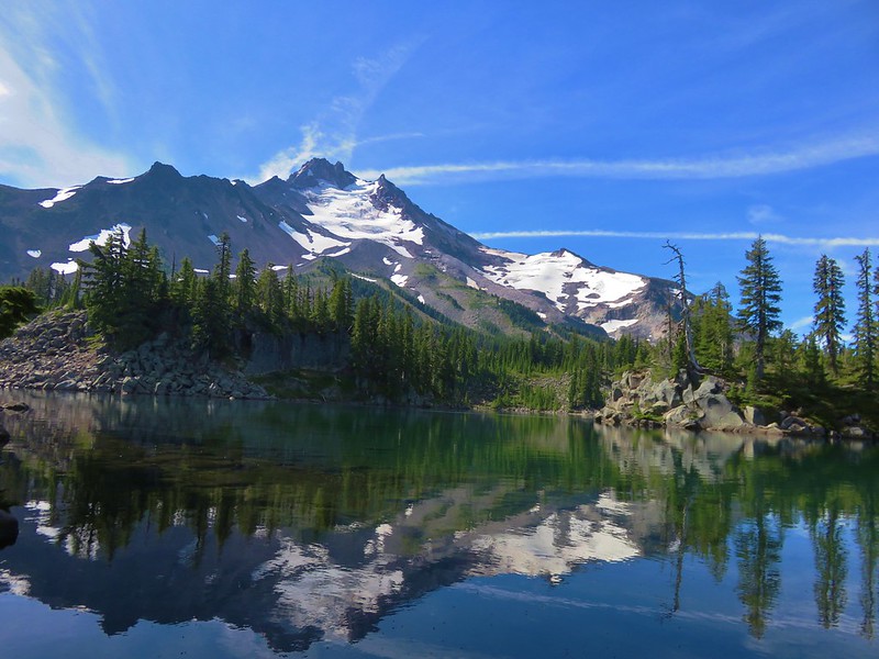
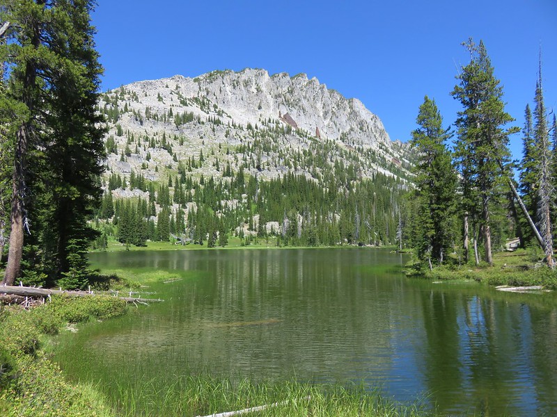
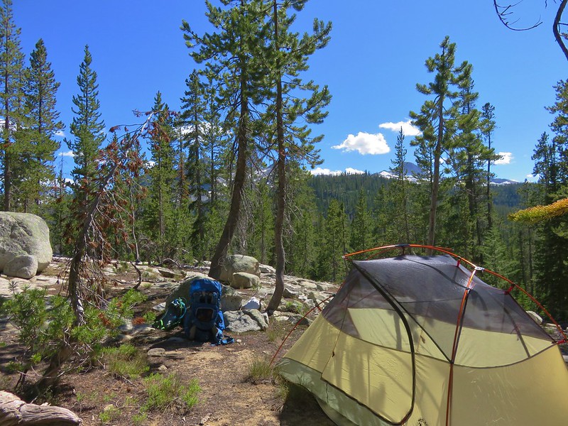
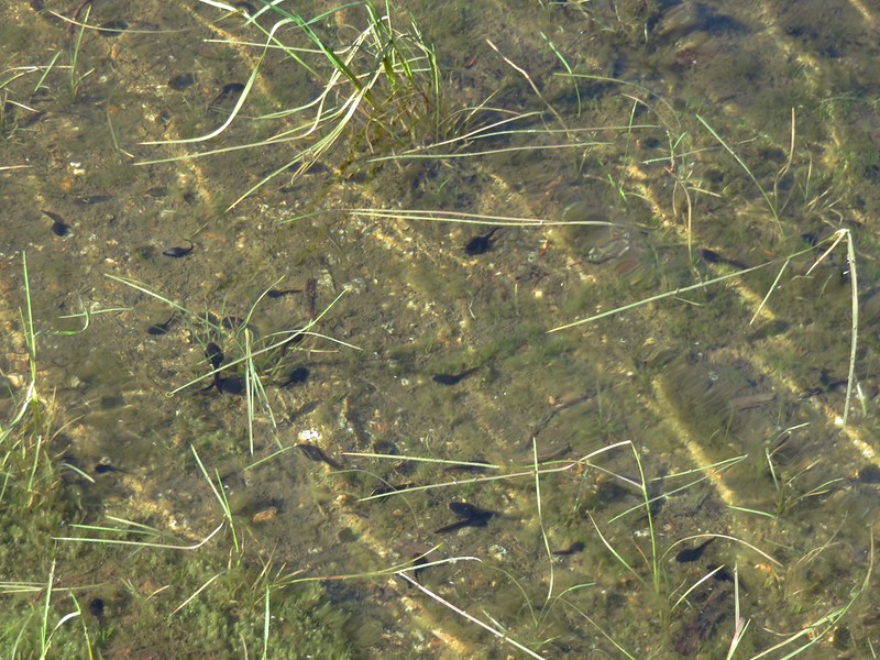
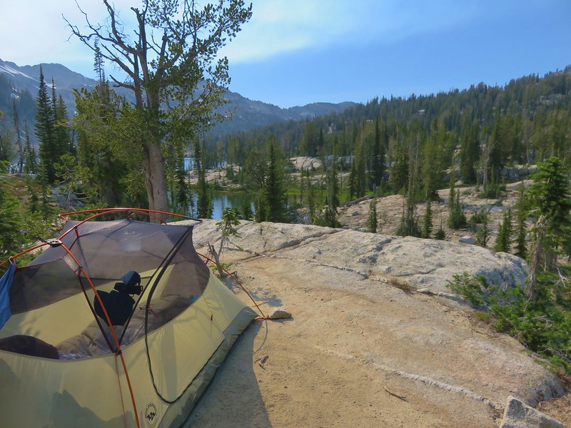
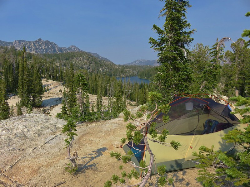
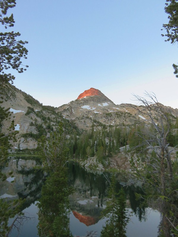
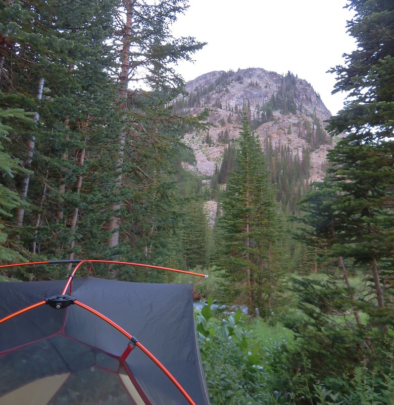
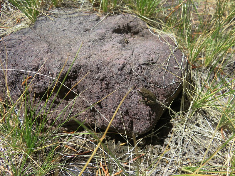
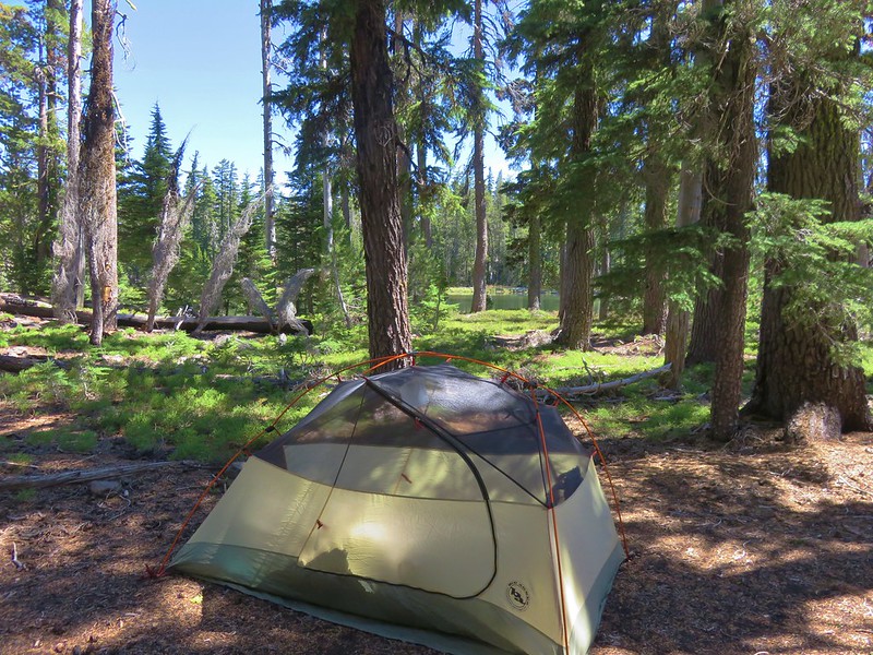
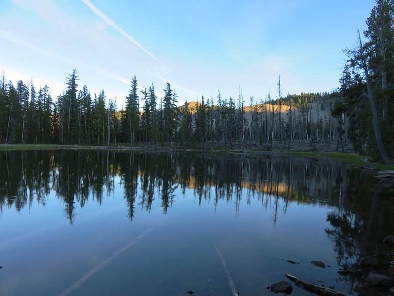
We found a decent looking spot at the edge of a small burned area at the SW end of the lake. We set our packs down and decided to go counter-clockwise around the lake to see if there were any better locations. Along the way we encountered a grassy area full of small frogs.
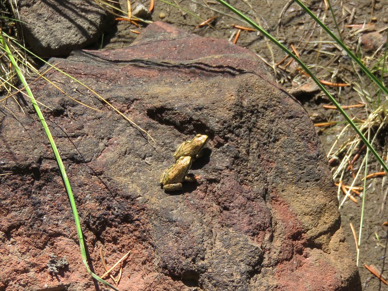
We swung out wider to avoid accidentally stepping on any of the little guys. After working our way around and passing through the burnt area we arrived back at our packs and decided that this would be our campsite for the night.
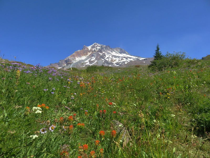
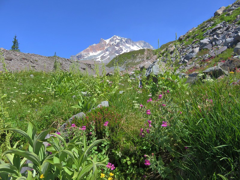
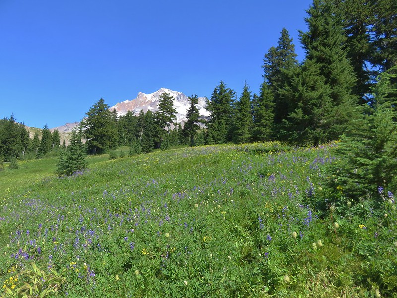
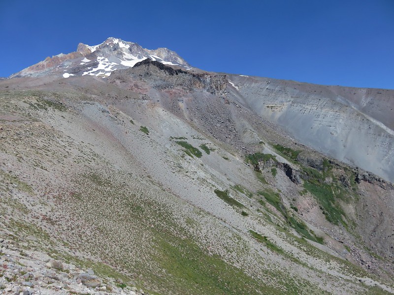
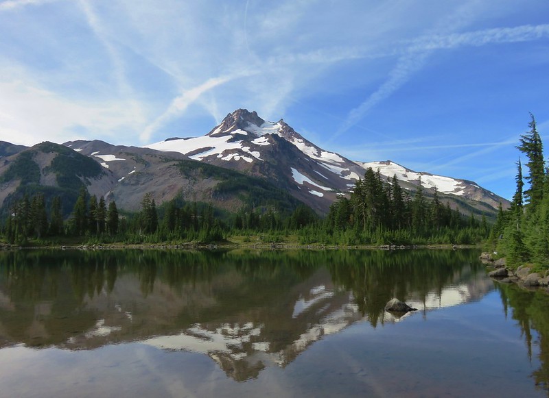
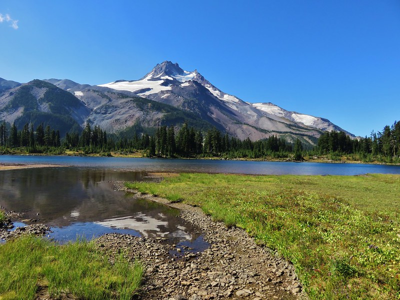
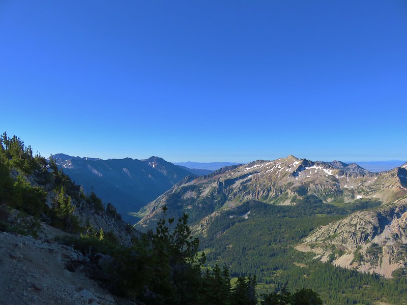
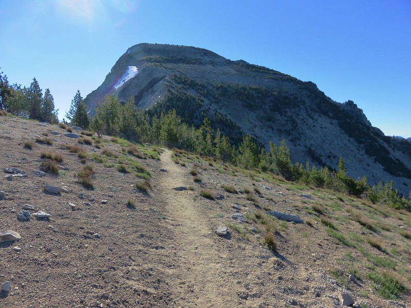
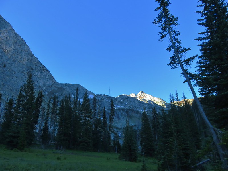
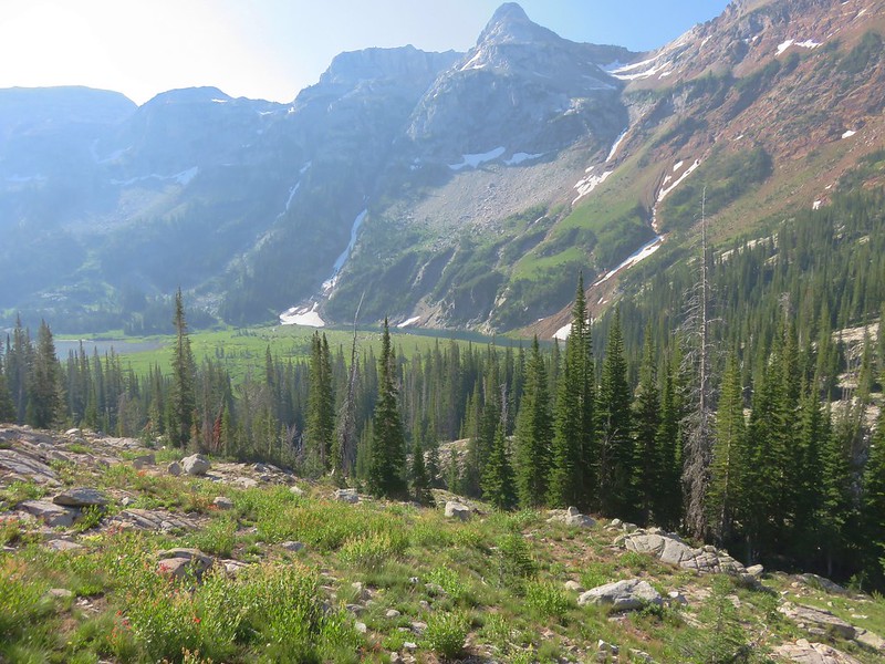
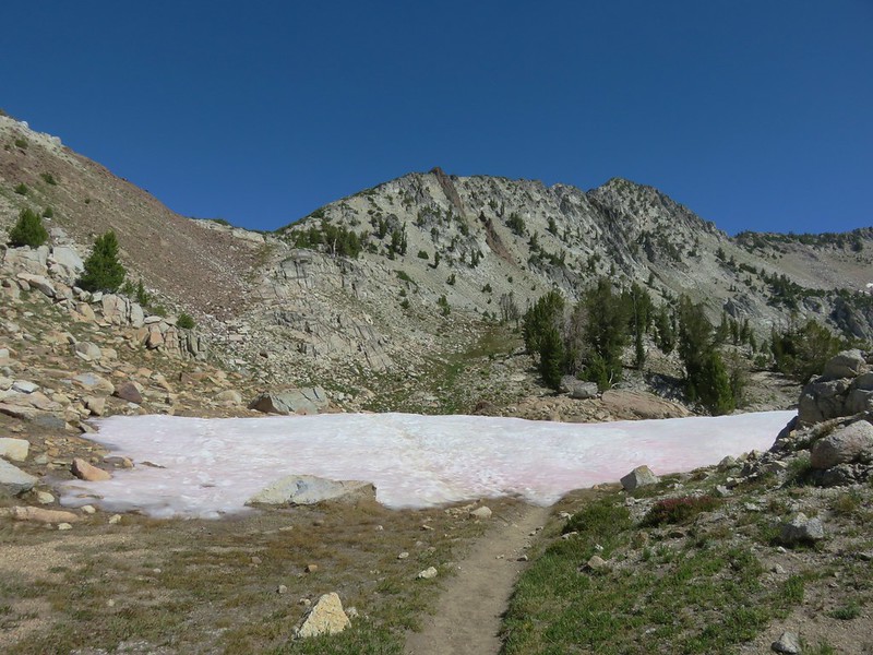
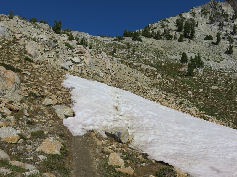
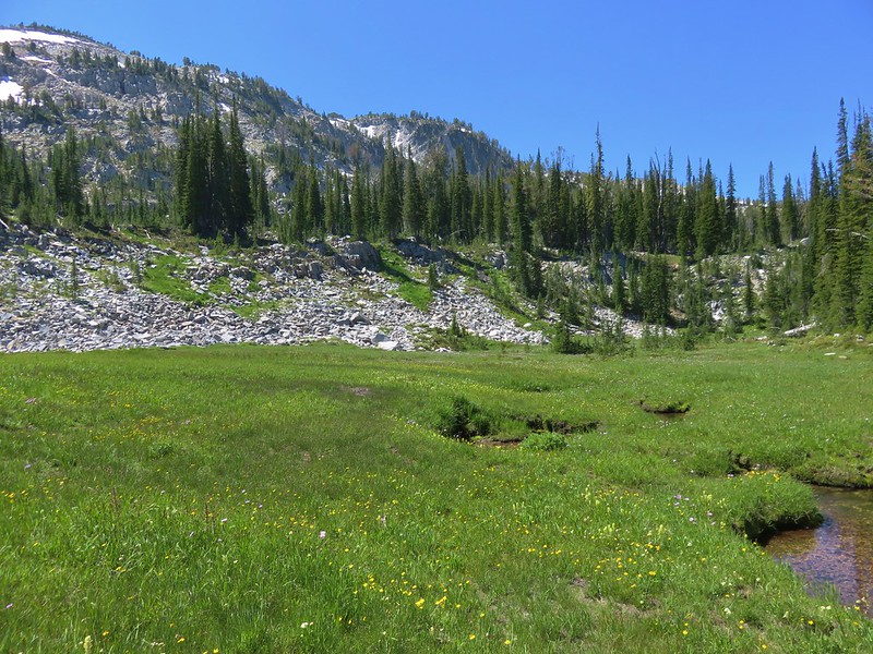
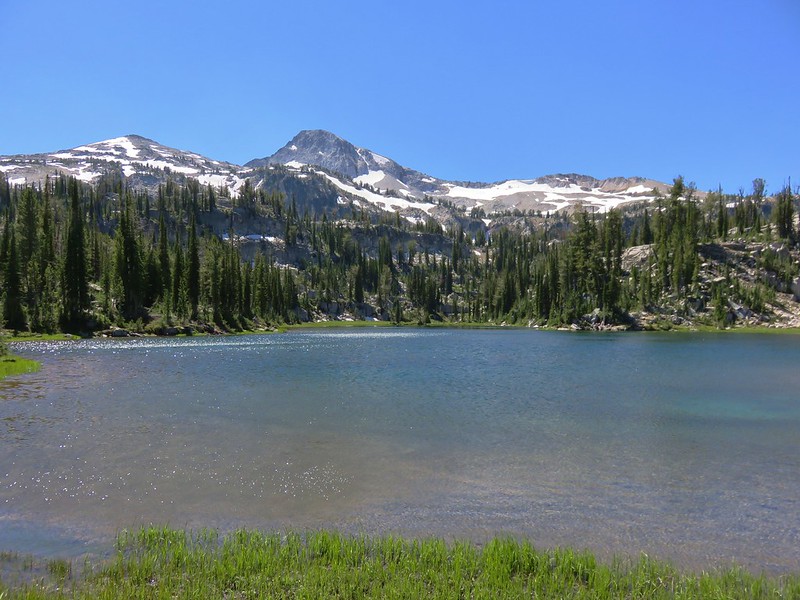
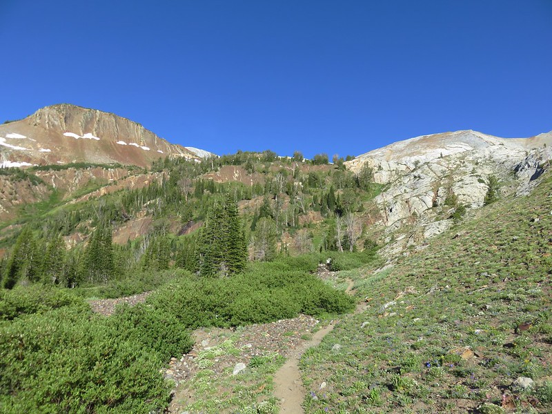
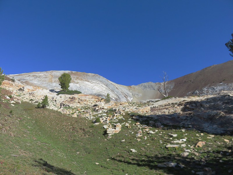
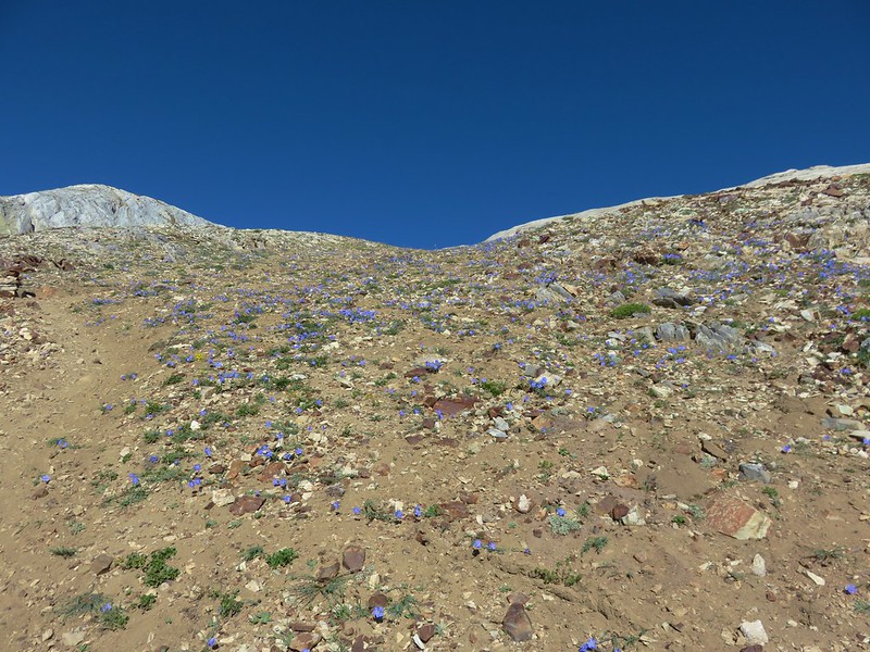
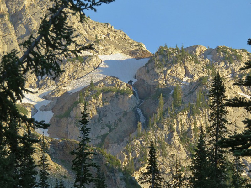
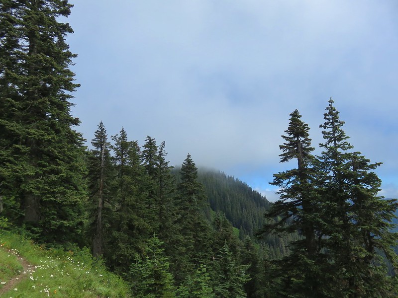
After setting up camp we threw on our daypacks and continued on the loop. Beyond the lakes the trail steepened as it climbed out of the valley to a saddle between Whiteface Peak and an unnamed point.

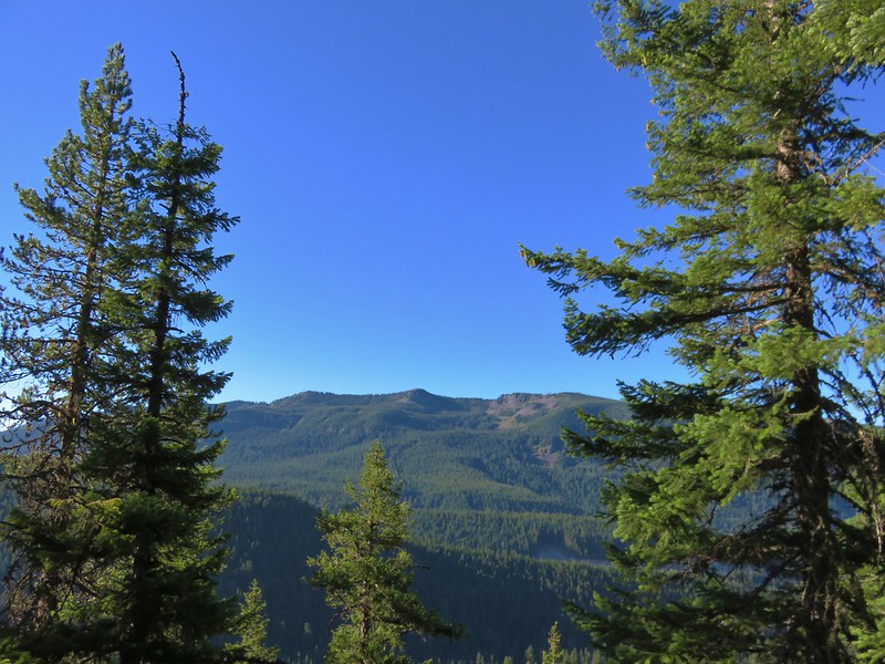
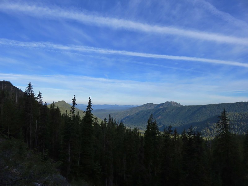
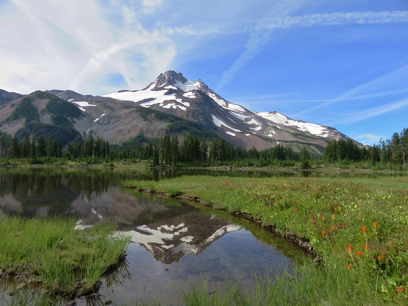
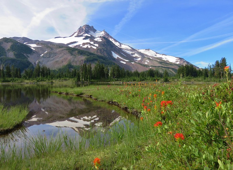
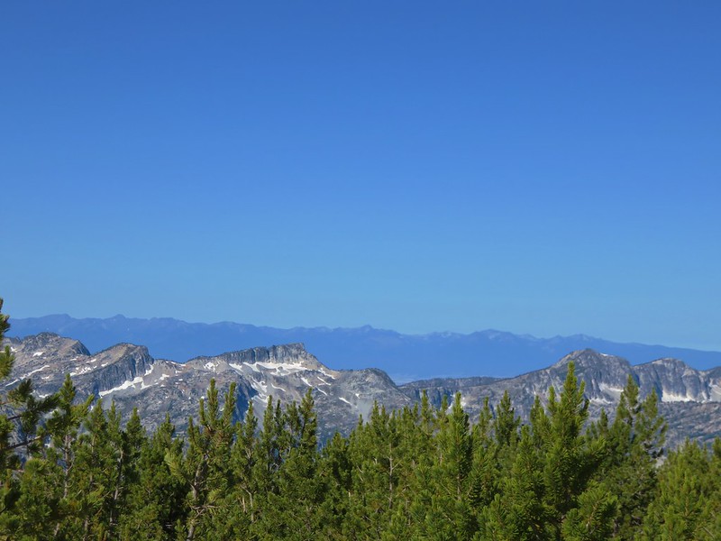
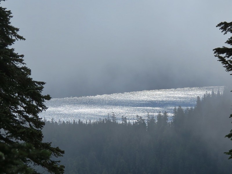
From the saddle the view included Klamath Lake to the east and Brown Mountain & Mt. McLoughlin to the NW.
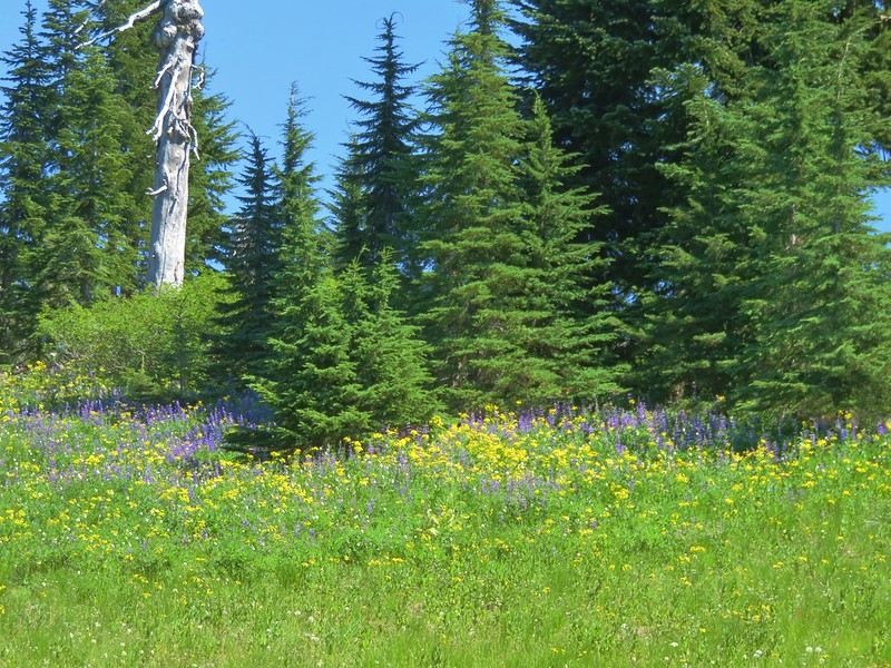
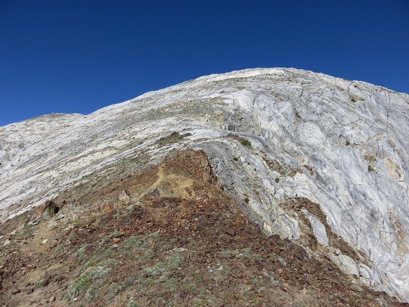
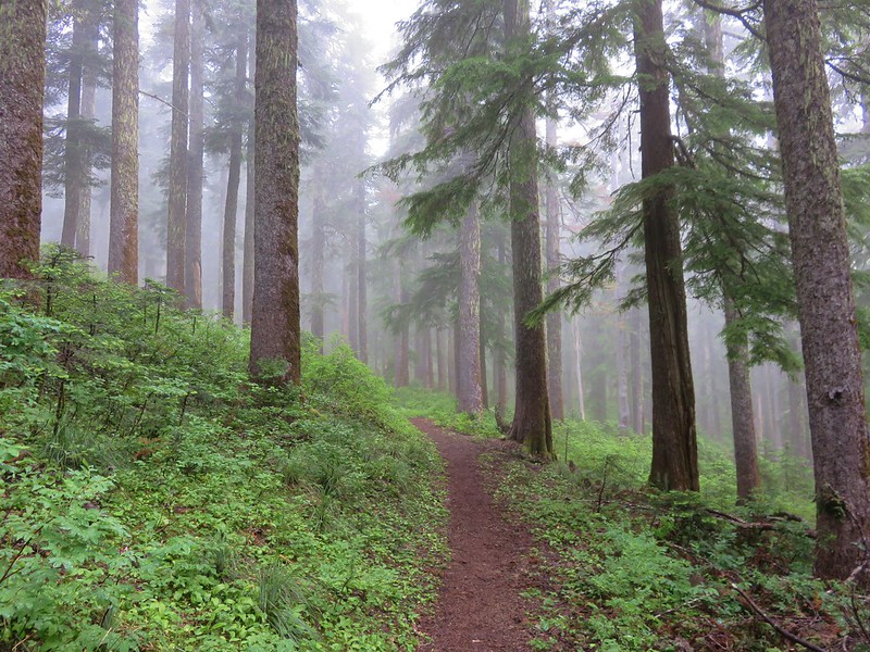
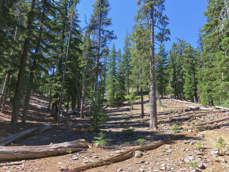
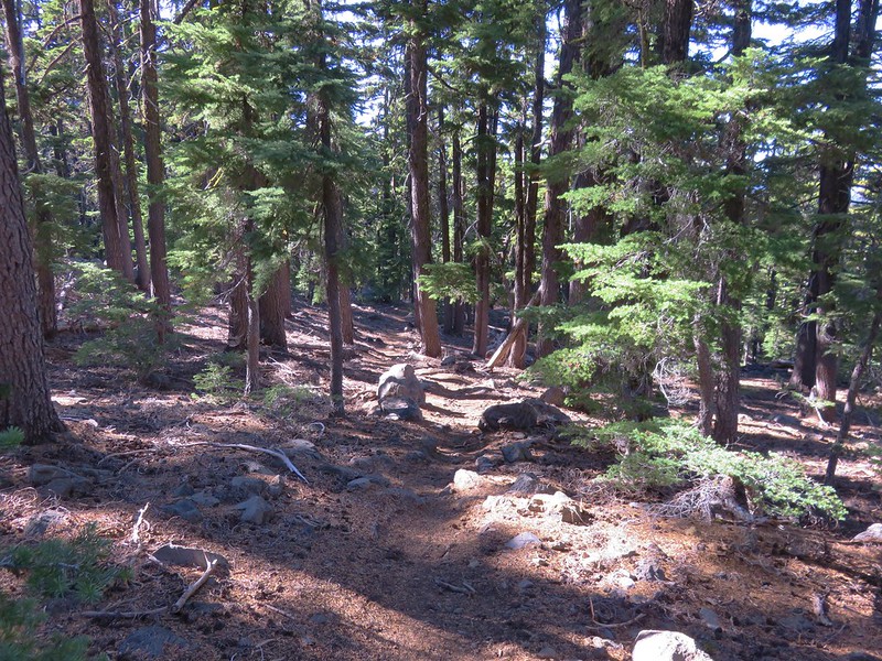
From the saddle the trail passed around Whiteface Peak through drier forest.

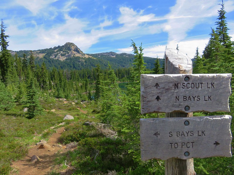
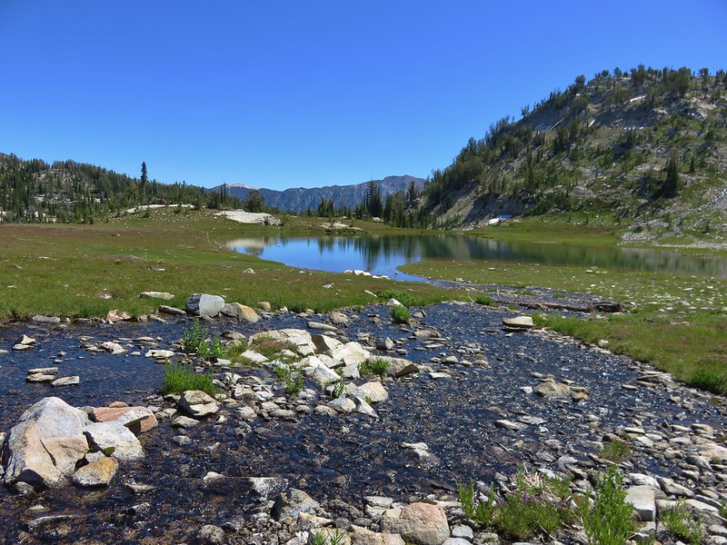
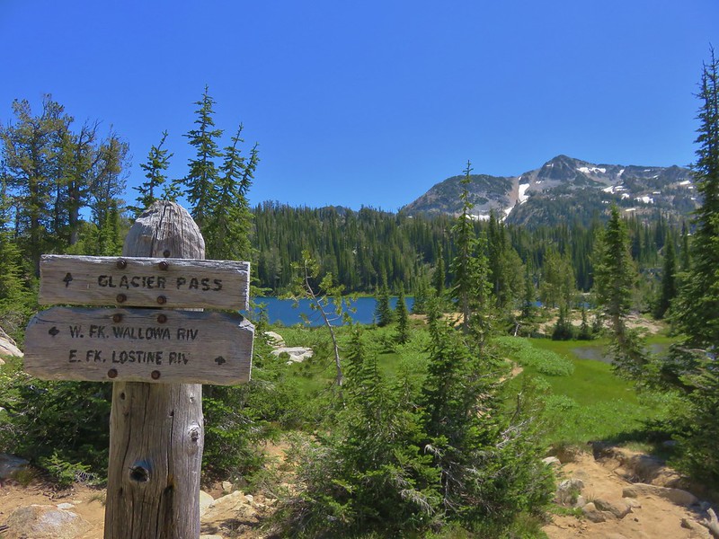
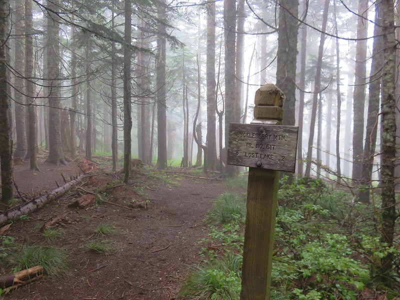
Almost a mile and a half from the lakes we arrived at trail junction with the Mountain Lakes Trail.

We headed left to continue the loop arriving at a second junction in another .7 miles.

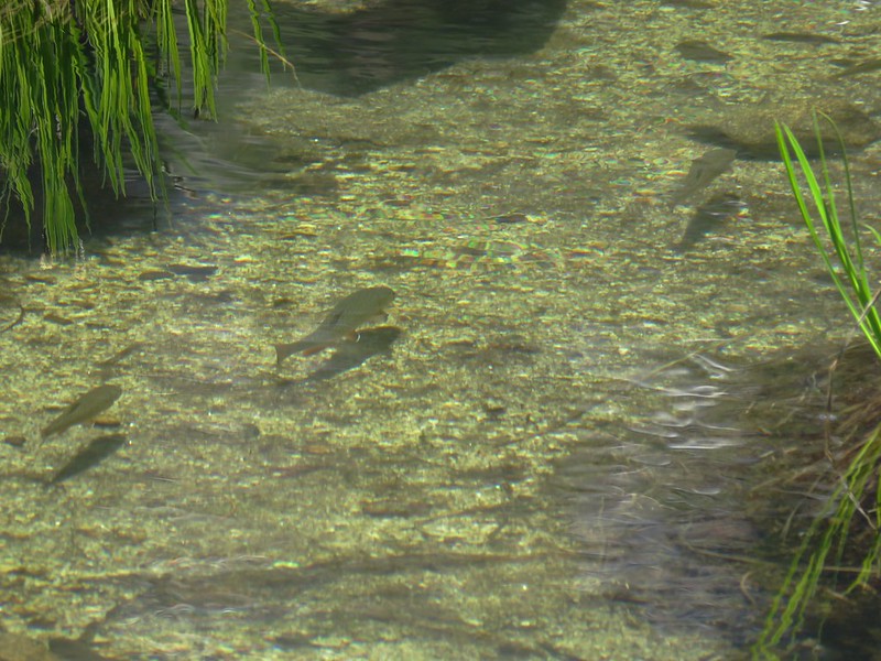
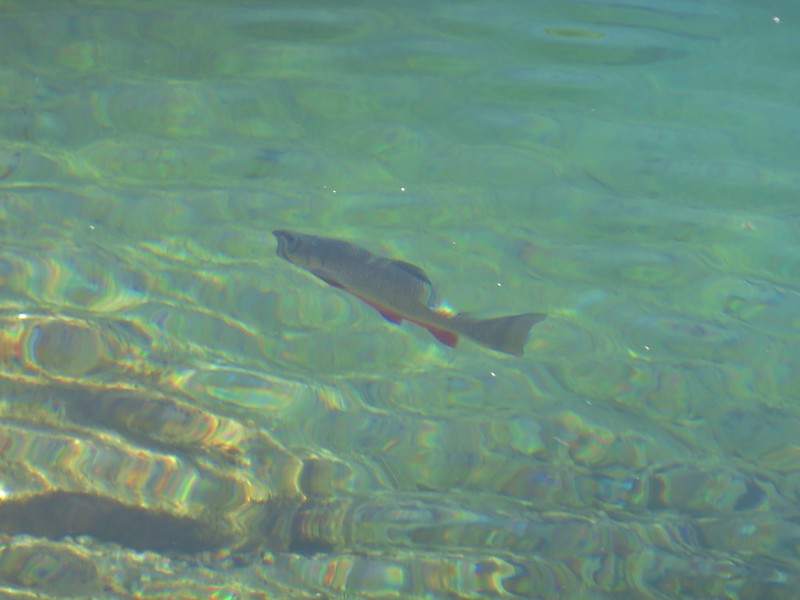
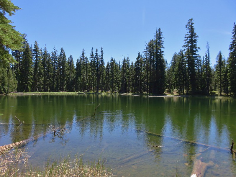
The right hand fork headed downhill a mile to Clover Lake and the Clover Creek Trail. We were feeling pretty good and since one of the reasons we take these trips is to explore the area we headed down toward the lake. The relatively small lake was full of activity. Dragonflies darted through the air and fish seemed to constantly be breaking the surface of the lake feeding on insects.

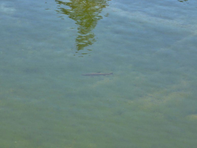
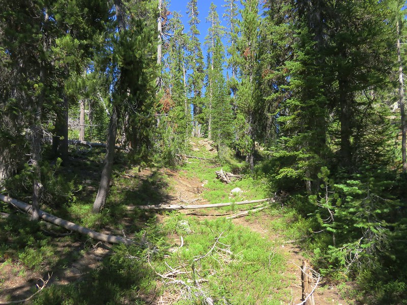
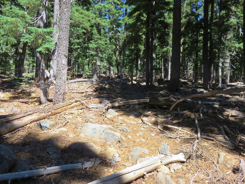
We sat by the lake enjoying the action while we had a snack. When it was time to continue we took a look at our maps to locate an old trail that was no longer maintained. This abandoned trail would lead us back up to the Mountain Lakes Loop Trail about a mile from where we had left it. We had to continue downhill past Clover Lake for just a bit and almost missed the turn but a small rock cairn and an old blaze in a tree helped us locate it.


Despite the trail no longer being maintained there weren’t too many obstacles and between the blazes and cairns, following it wasn’t difficult.
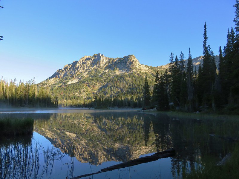
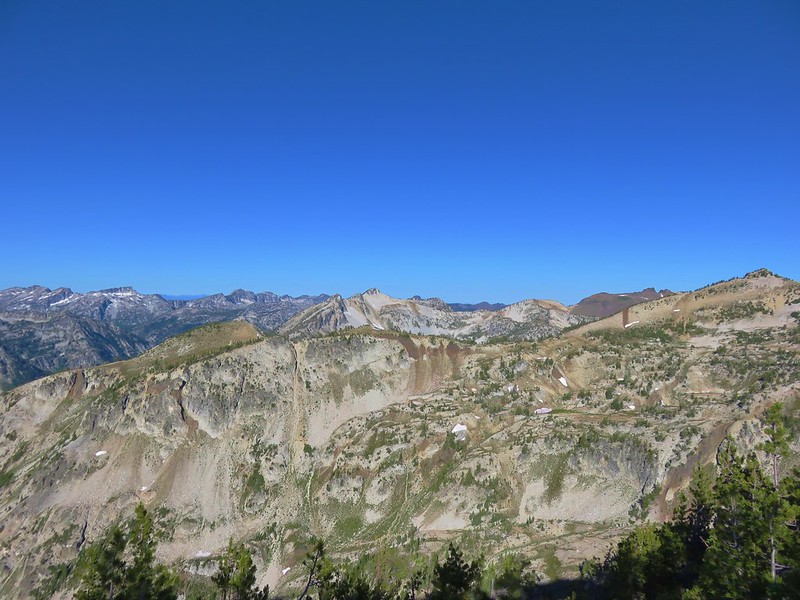
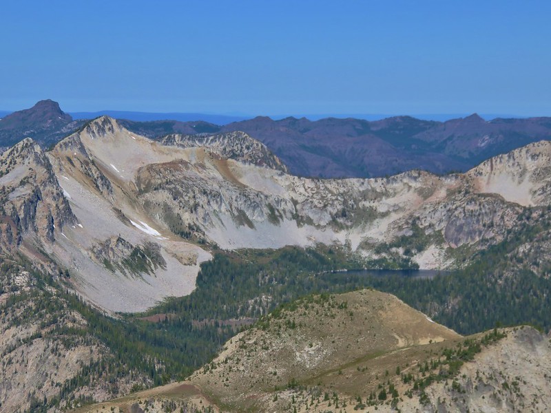
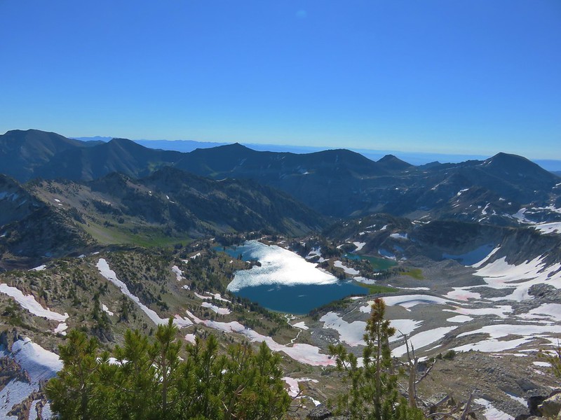
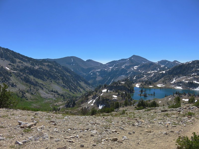
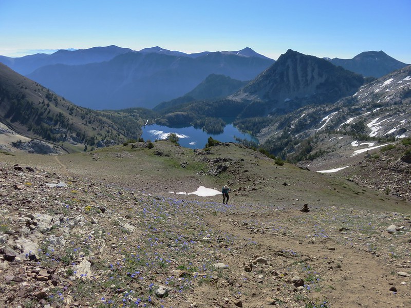
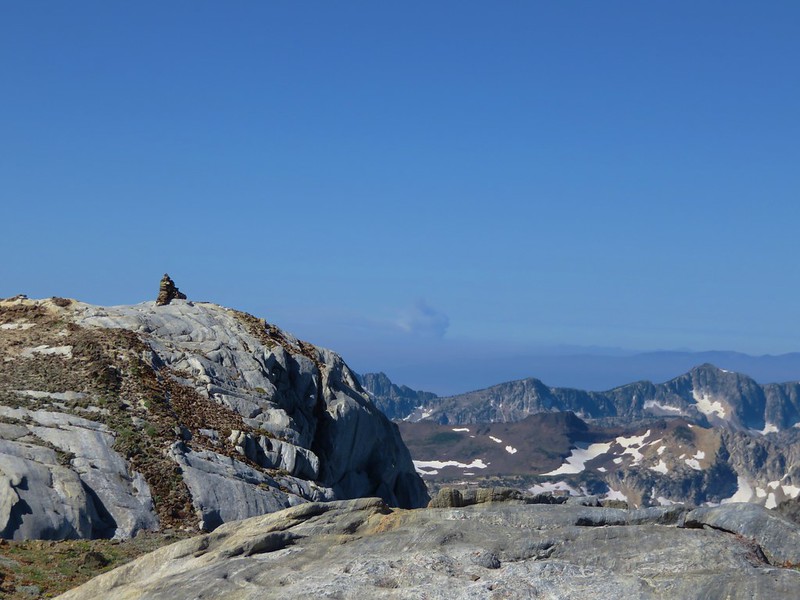
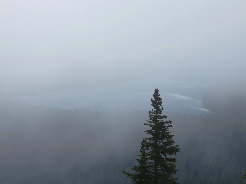
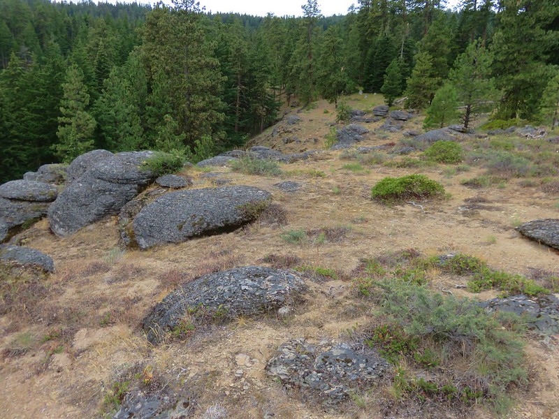
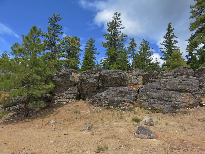
After making it back to the Mountain Lakes Loop Trail we continued on quickly arriving at a viewpoint along the rim above Lake Harriette.


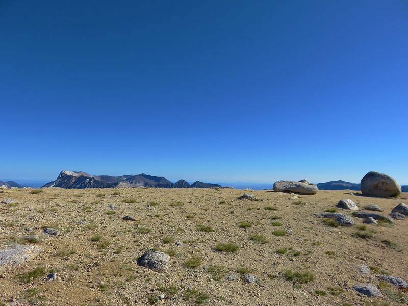
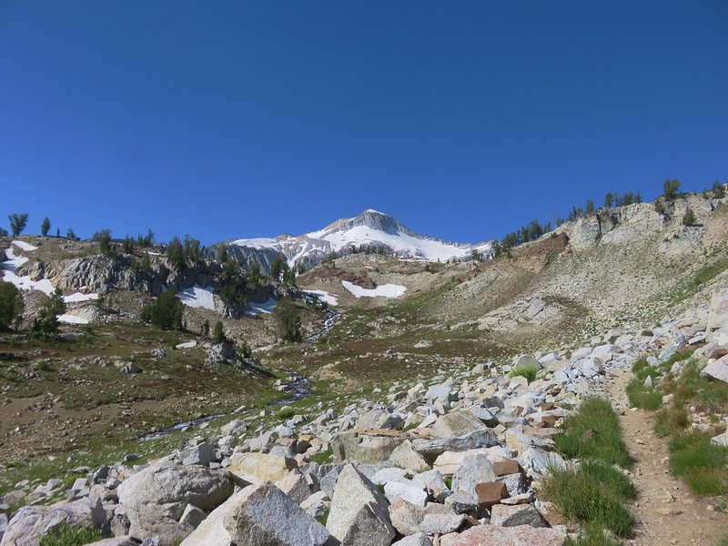
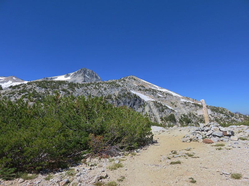
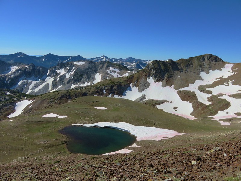
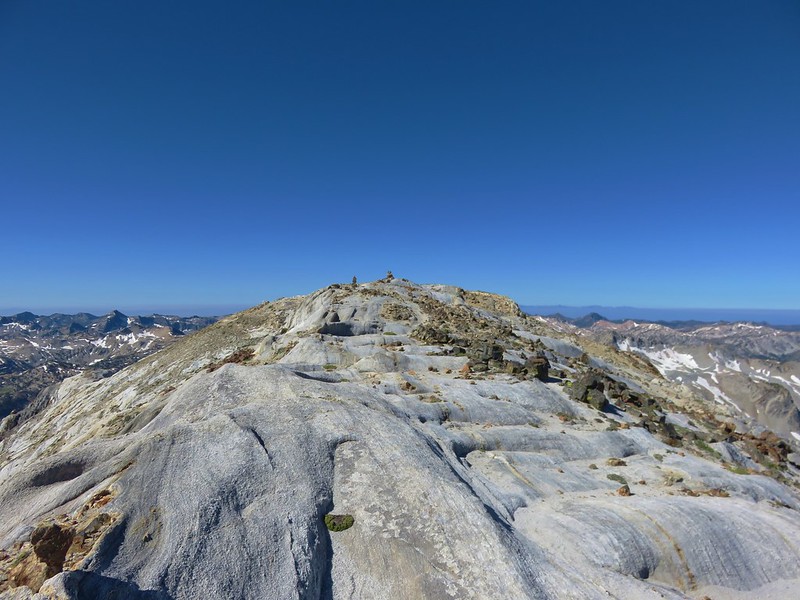
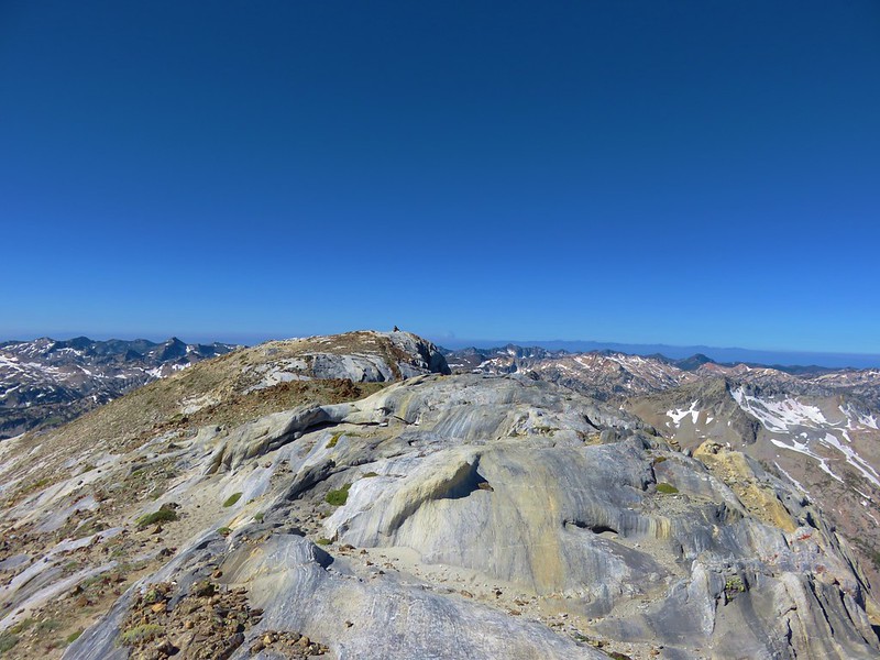
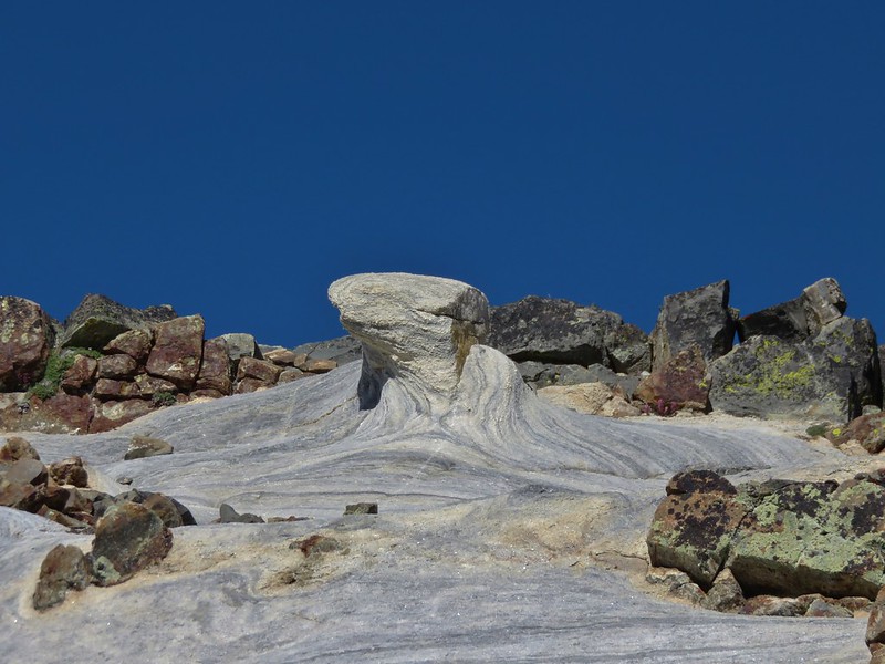
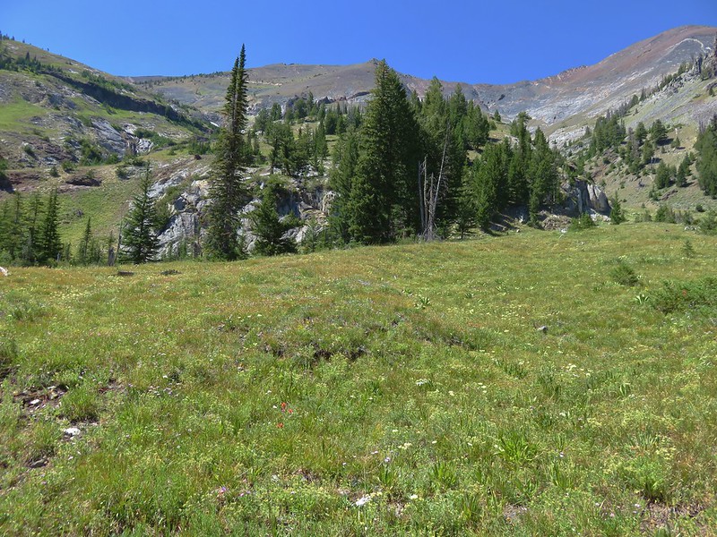
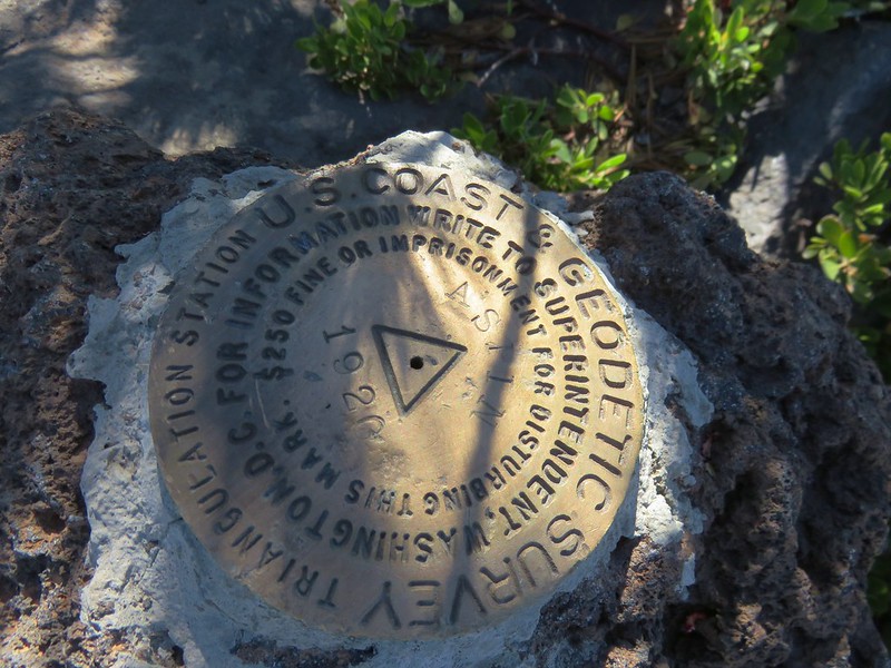
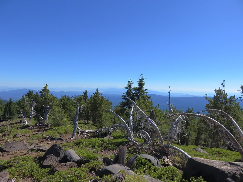
Approximately a mile from where we had rejoined the loop trail a pair of large rock cairns marked a use trail to the summit of 8208′ Aspen Butte.
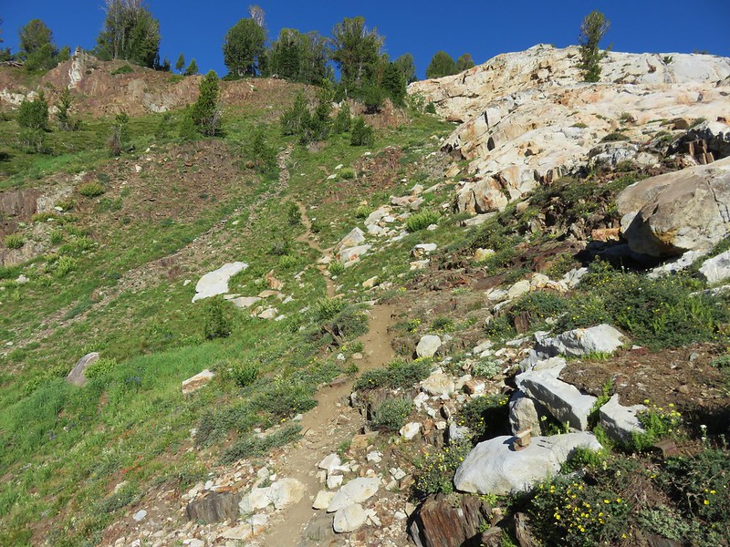
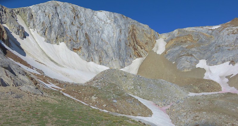
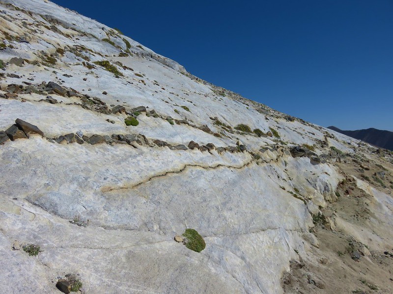
The mile long use trail began up a wooded ridge before views opened up of our goal.
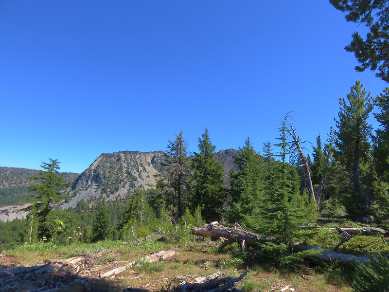
The trail followed the ridge SE before heading up more steeply up the butte.
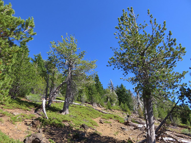
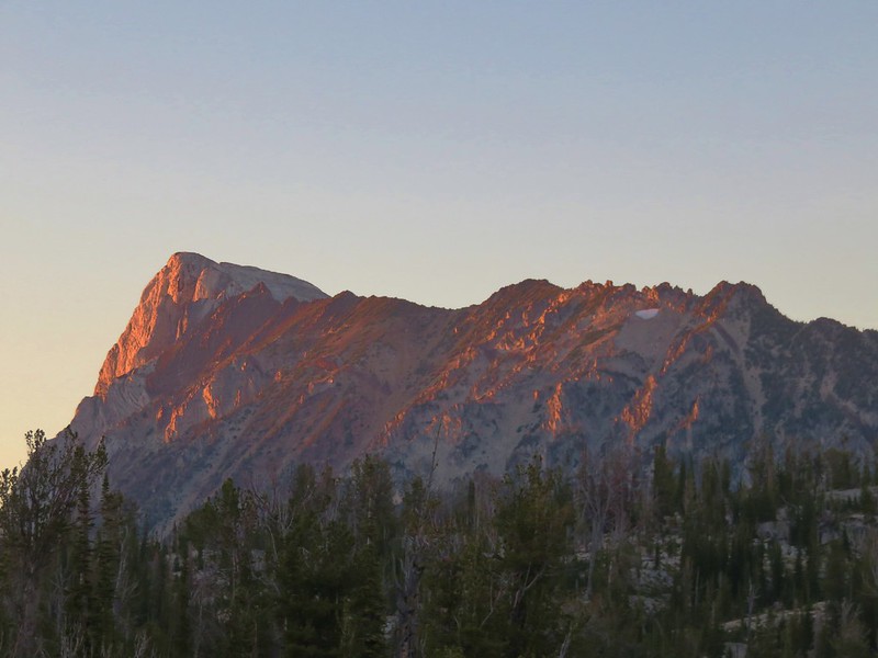
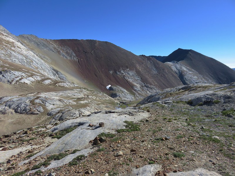
It was in the mid 70’s and we were feeling the heat going up the exposed trail and we welcomed a little shade and breeze at the summit.
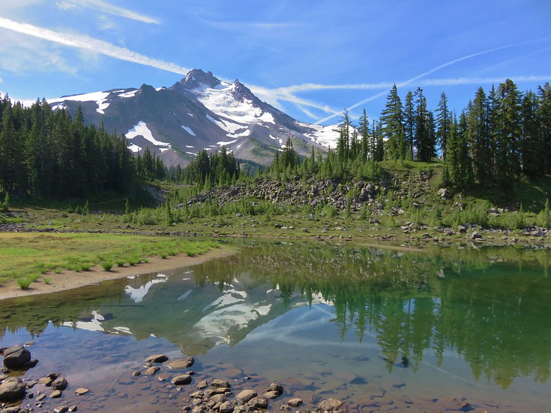
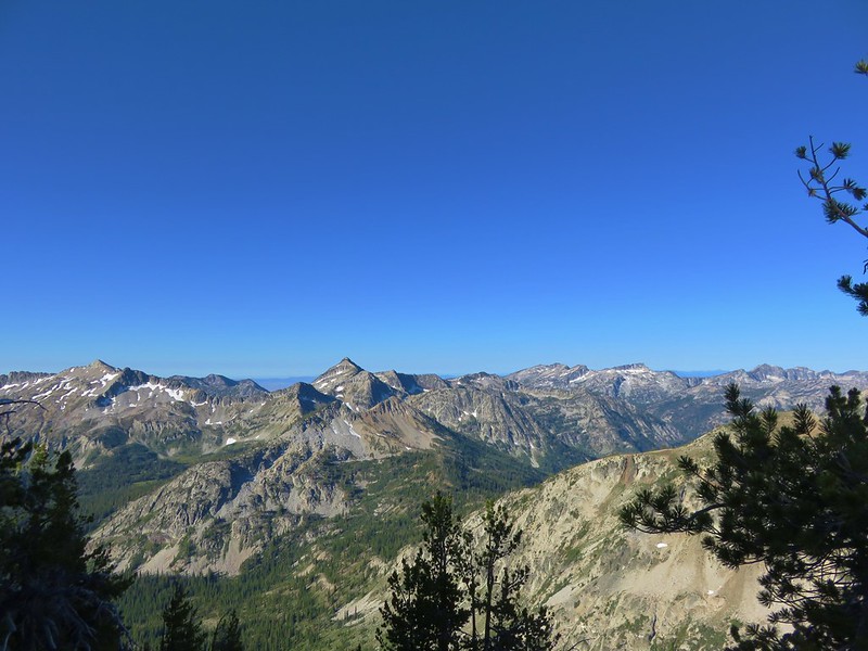
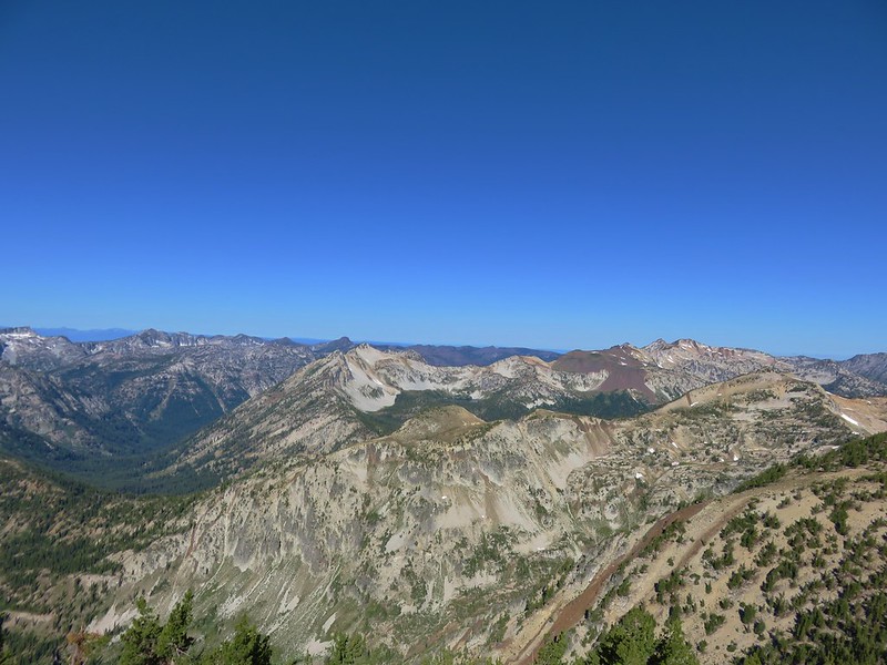
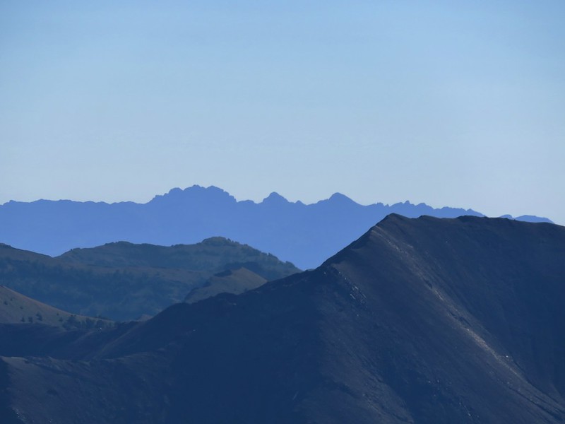
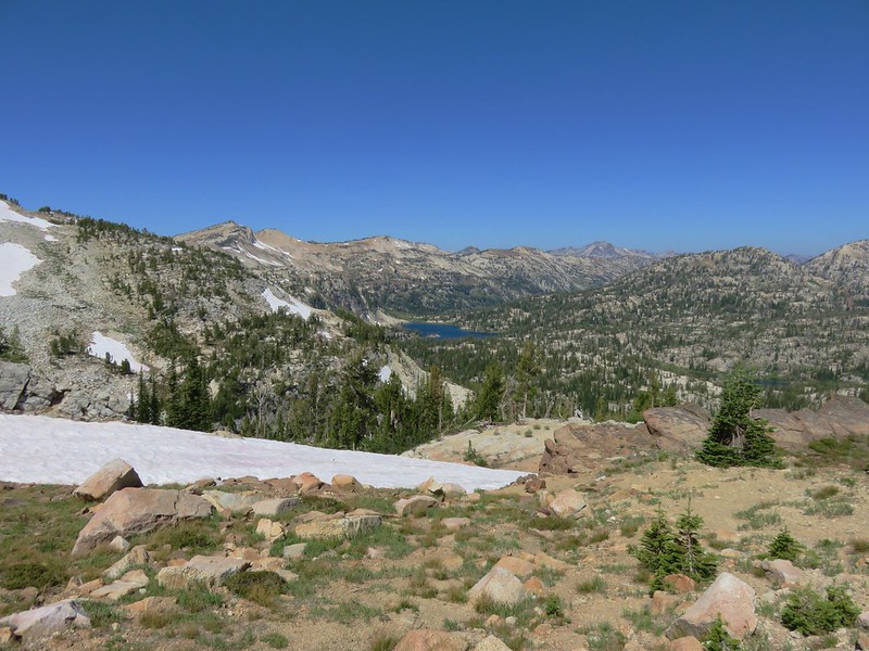
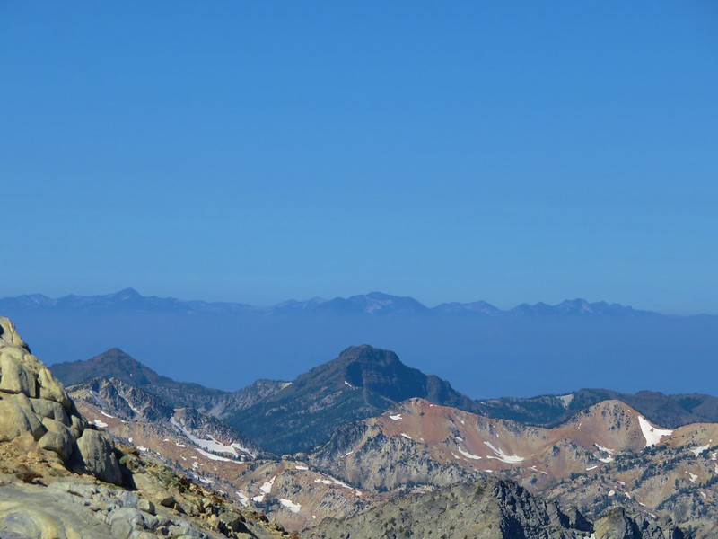
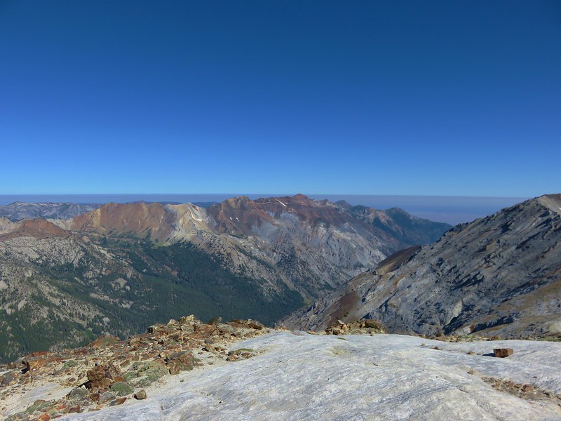
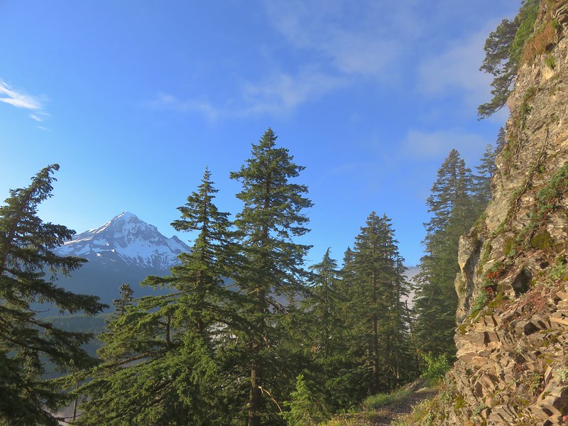
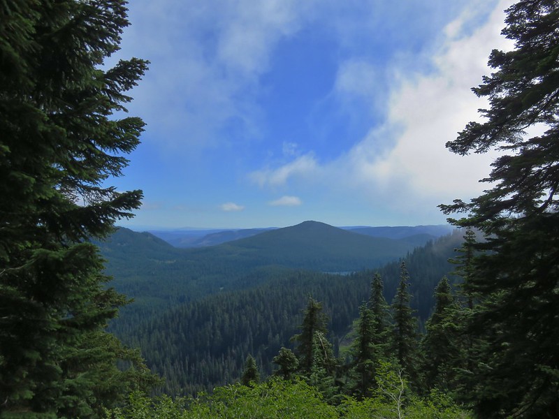
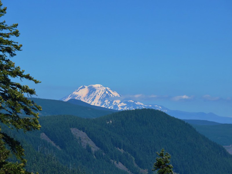
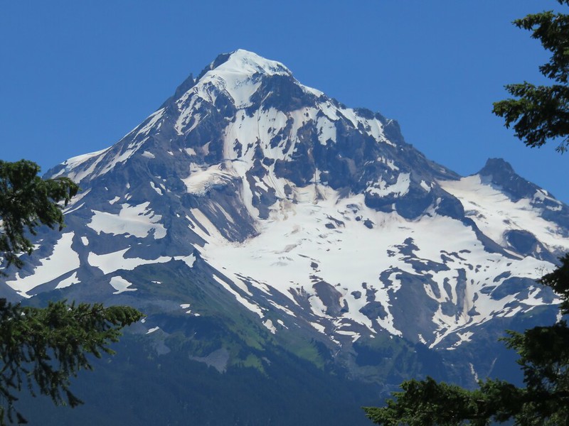
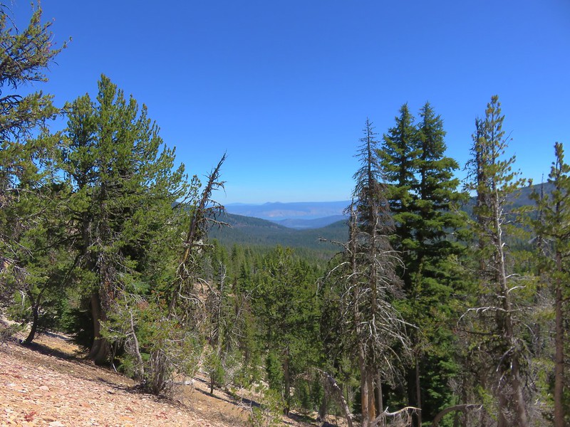
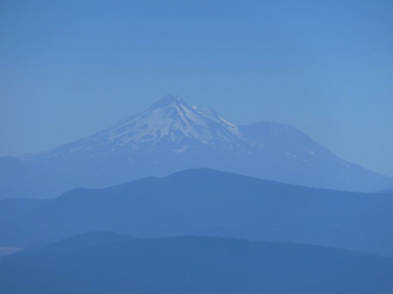
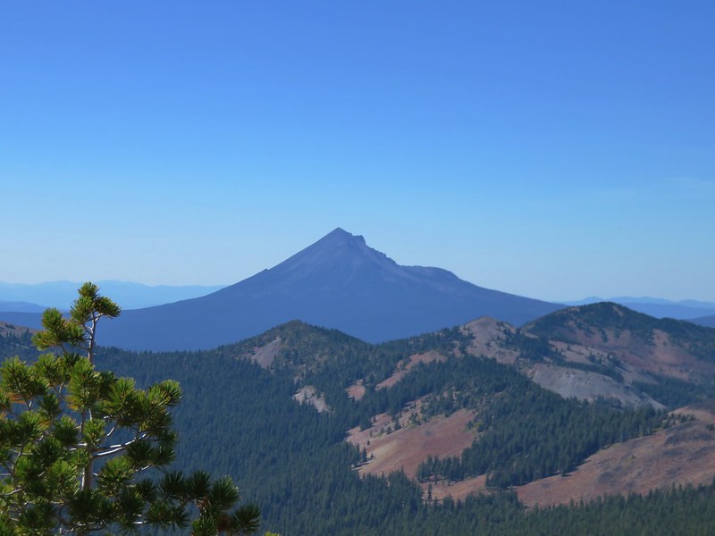
The horizon was hazy in all directions but it was all blue skies above the wilderness. To the south was snowy Mt. Shasta.
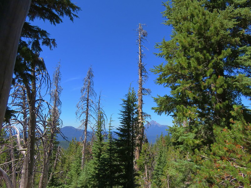
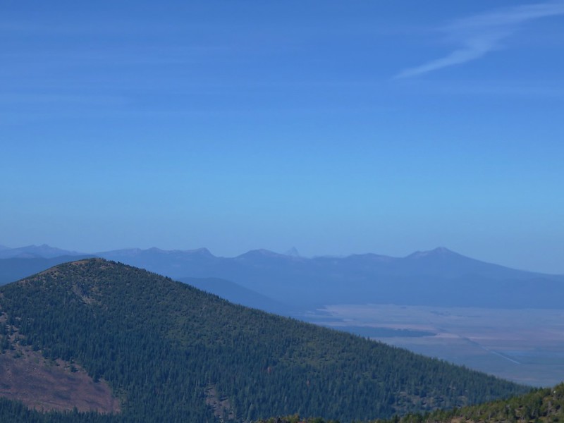
To the north the Sky Lakes Wilderness, the peaks around Crater Lake, and Mt. Thielsen lay beyond the Mountain Lakes Wilderness.

To the northwest Mt. McLoughlin rose above the Sky Lakes Wilderness.
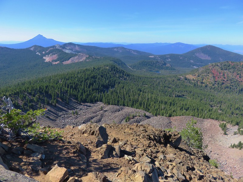
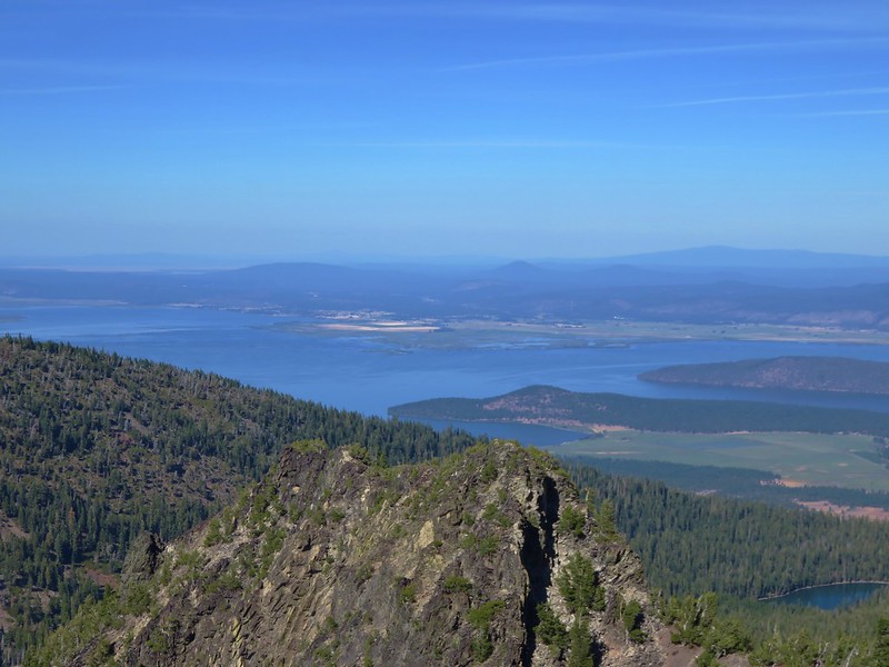
Klamath Lake lay to the east.
After another nice break we returned once again to the Mountain Lakes Loop which almost immediately began descending toward a junction with a trail down to South Pass Lake.
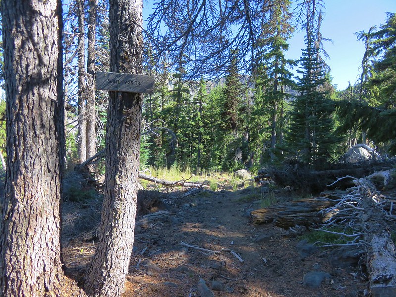
We actually skipped this one since it would have added another 3.2 miles to what was already going to be a long hike. From this junction the trail gradually descended through open forest toward Lake Harriette.
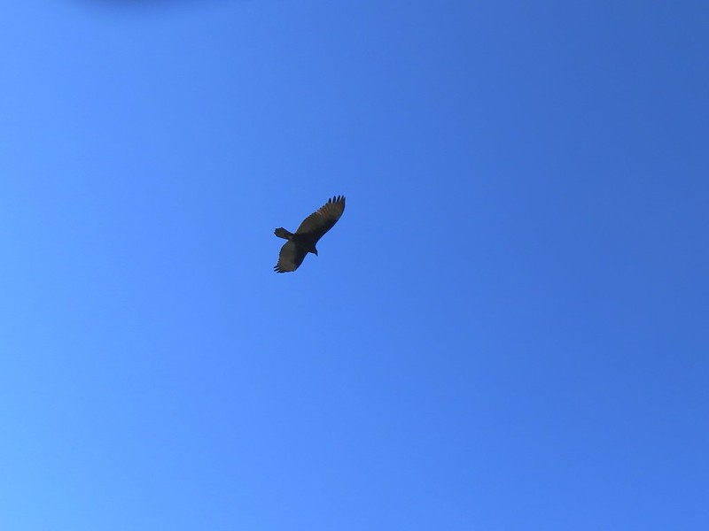
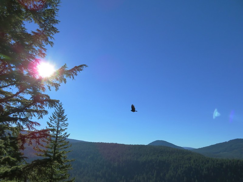
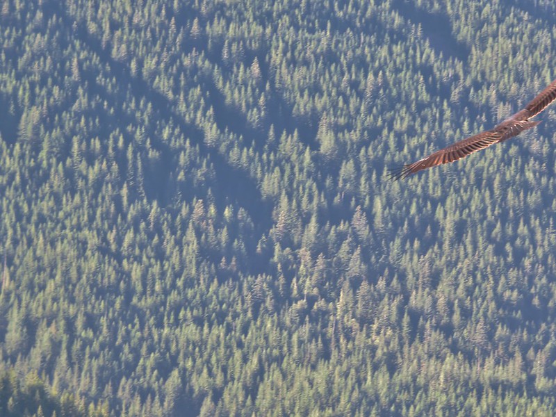
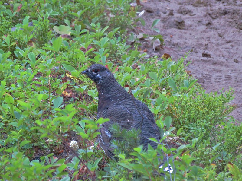
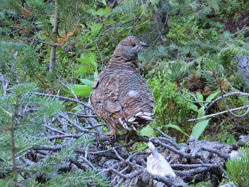
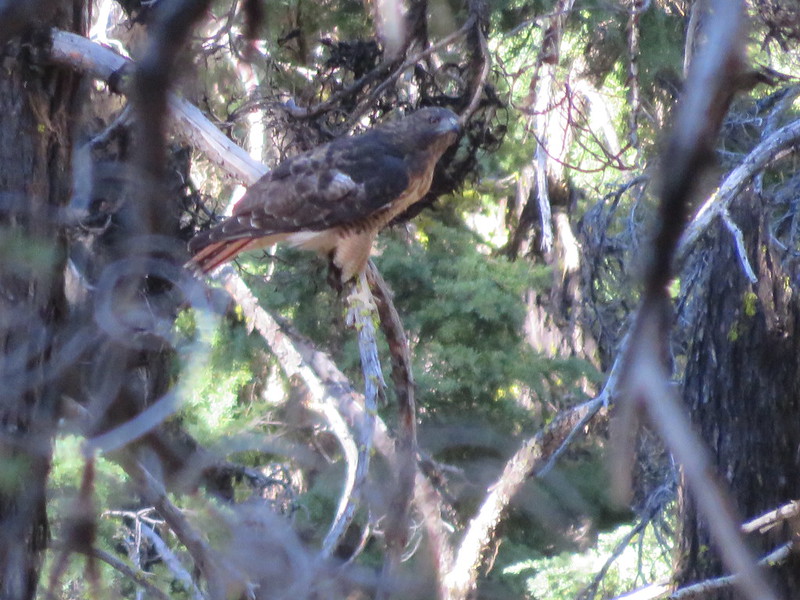
We had seen a number of hawks already when a large red-tailed hawk flew into a nearby tree.
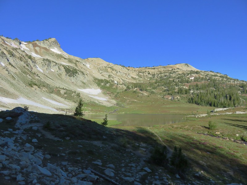
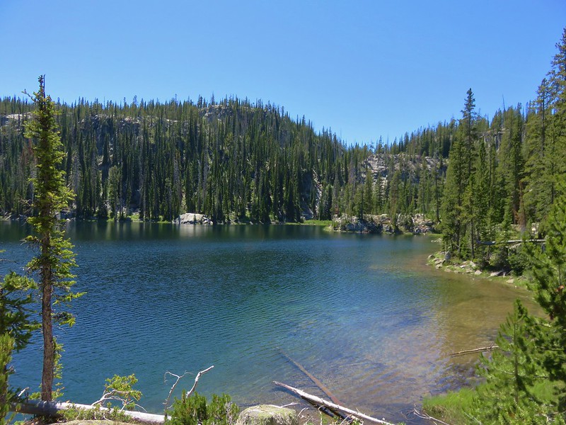
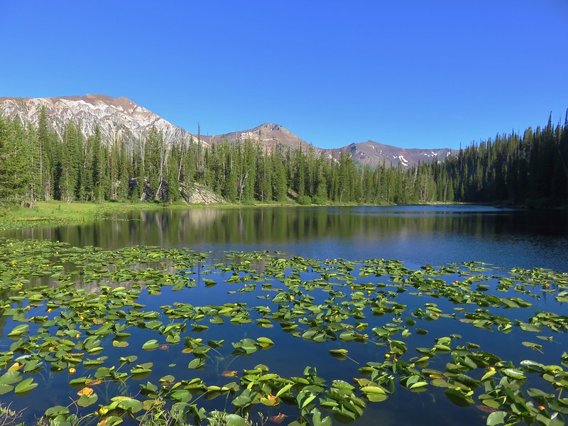
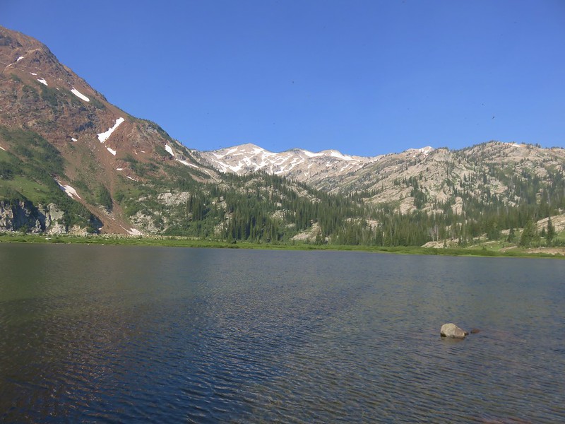
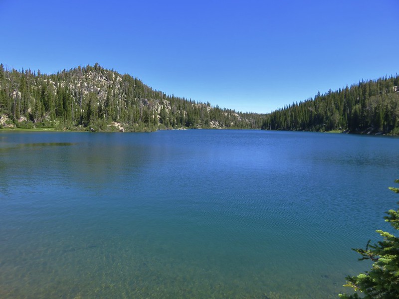
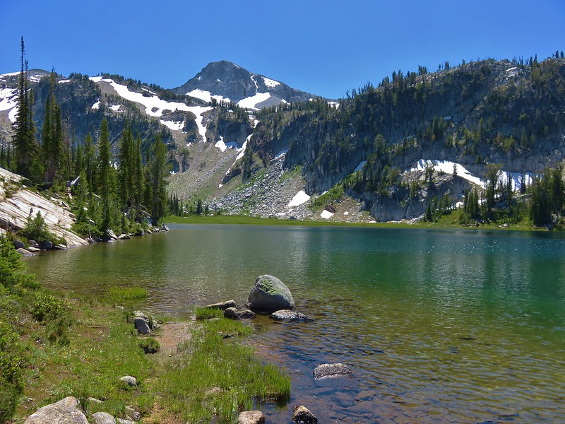
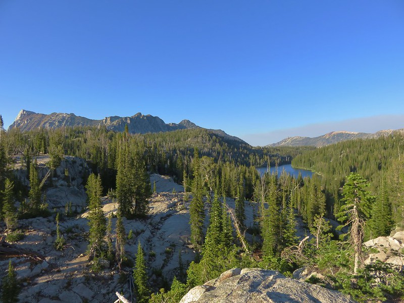
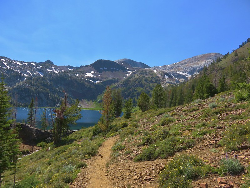
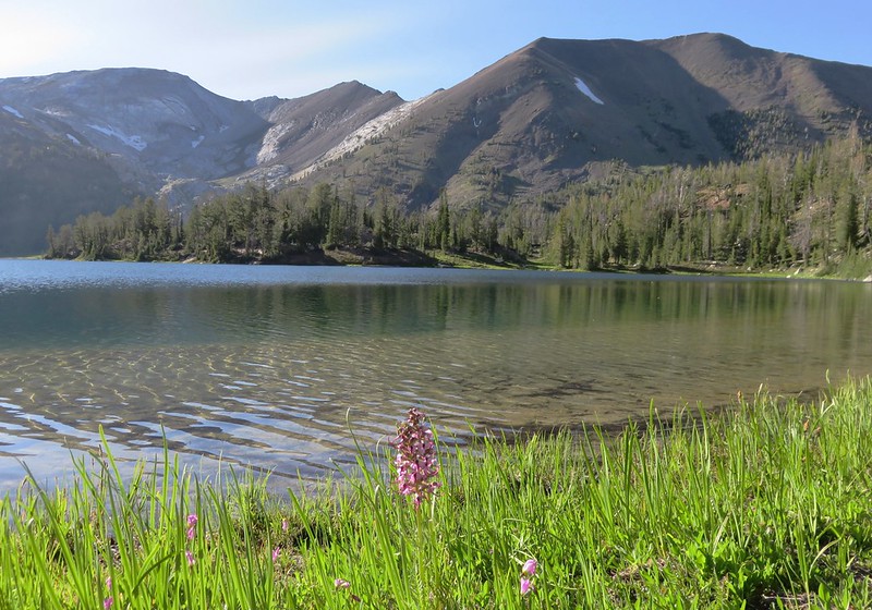
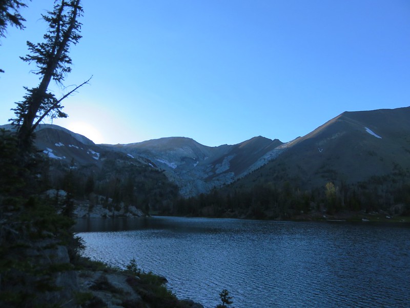
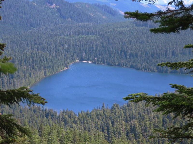
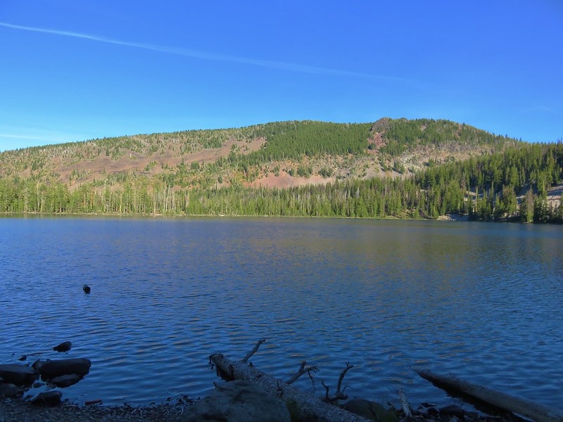
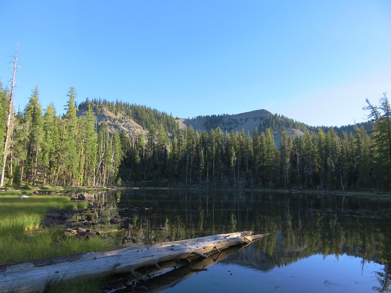
Just under two miles from the South Pass Trail we arrived at large Lake Harriette.
We were looking for a place to filter some water and have dinner but there were two other groups of hikers at this part of the lake so we decided to check out another nearby lake. Echo Lake was just down a hill on the other side of the trail. We bushwacked down to this smaller lake only to find the shore a bit muddy. It was a pretty little lake but not what we were looking for in dinner spot.

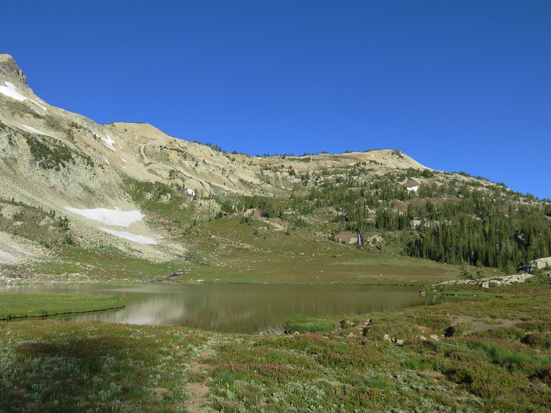
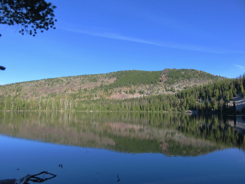
We headed back up to the trail and continued along Lake Harriette. At the west end of the lake an area had been closed to camping. This proved to be the perfect spot for dinner with a nice view of the lake which at times had a good reflection.
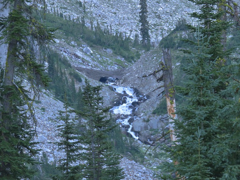
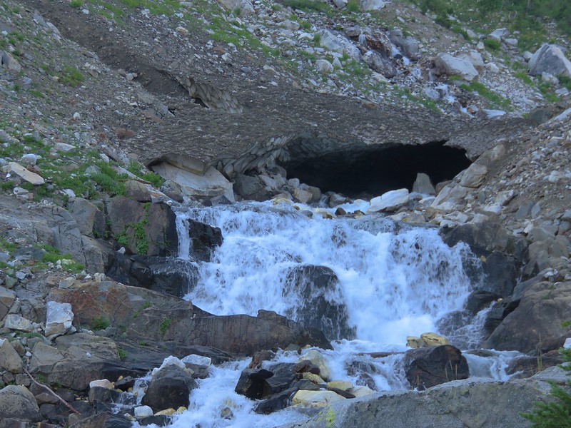
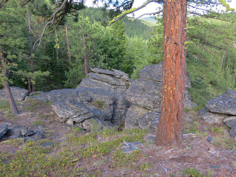
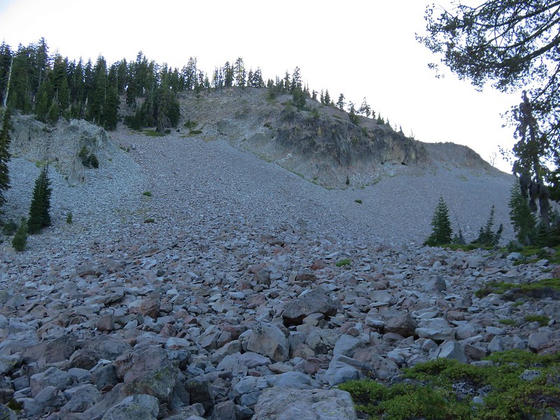
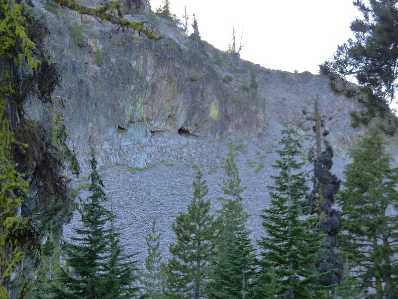
Next to the lake here was a large rock covered slope with a couple of what appeared to be small caves.
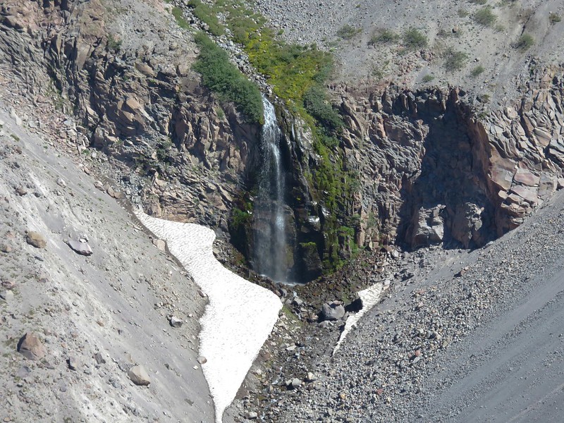
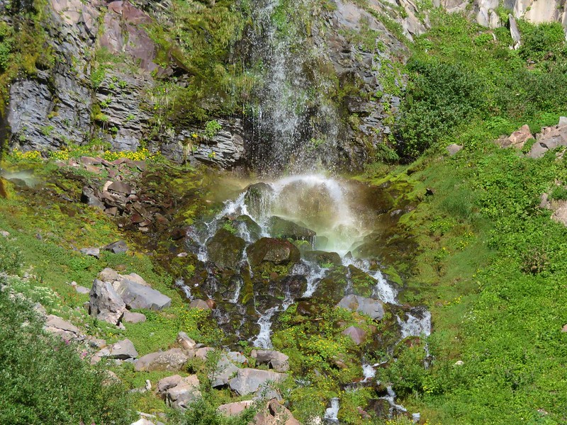
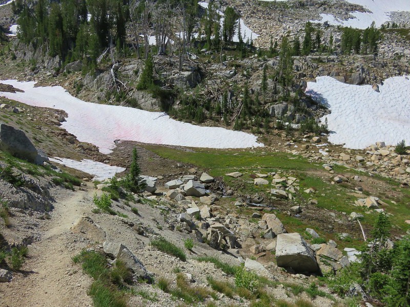
After having dinner and filtering some water we left Lake Harriette and passed over a low saddle heading toward Lake Como. Along the way we passed a small unnamed lake on the left which I somehow failed to get any photos of. A little over a mile from Lake Harriette we arrived at Lake Como.
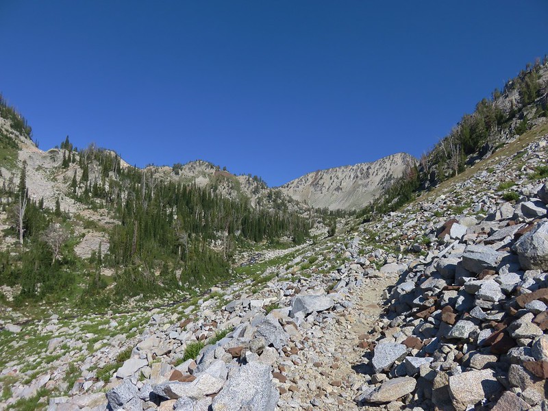
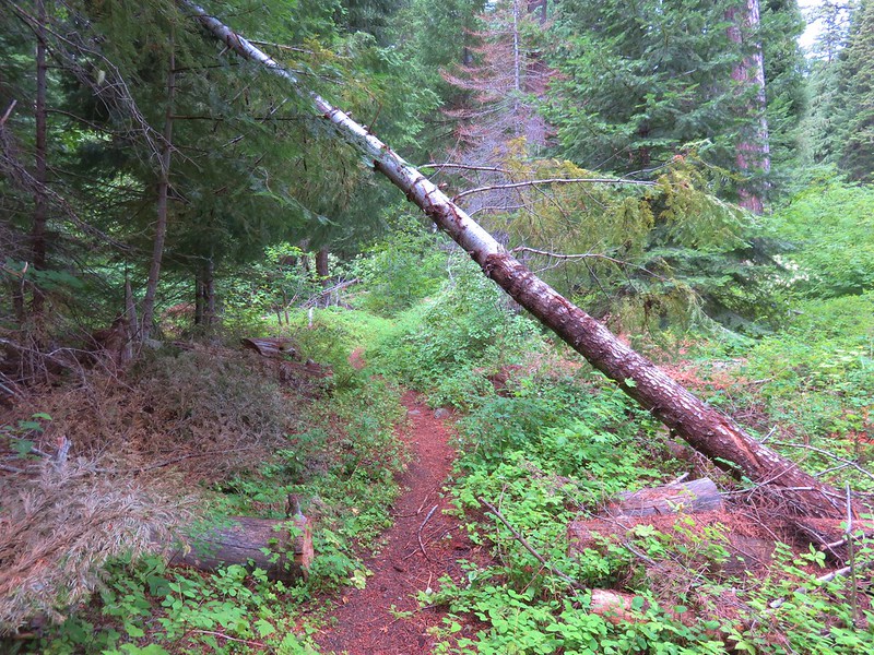
It was another .7 miles from Lake Como back to the junction with the Varney Creek Trail where we had begun the loop earlier that day and another .4 miles back to our campsite at Zeb Lake. We arrived back at our tent just before 7:30pm. The days hike had been approximately 17.4 miles and taken us just under 10 hours but we’d managed to see quite a bit of the area. One thing we noticed was that many of the area was very rocky and a lot of the trail had small to medium sized rocks in them making the ground uneven. Otherwise the official trails were all in good shape with little blowdown to navigate.
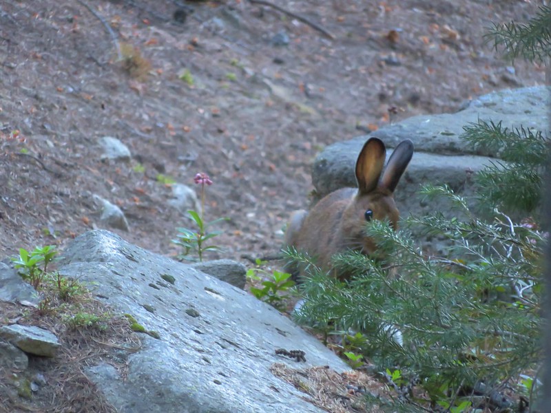
We had seen a handful of other hikers during the day but the only other people we had seen camping had been at Lake Harriette so we had Zeb Lake all to ourselves as we turned in for the night.
Happy Trails!
Flickr: https://www.flickr.com/photos/9319235@N02/sets/72157673010323616