**Note the 2017 Whitewater Fire burned a portion of this hike.**
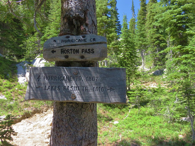
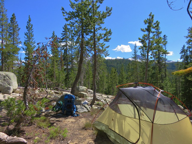
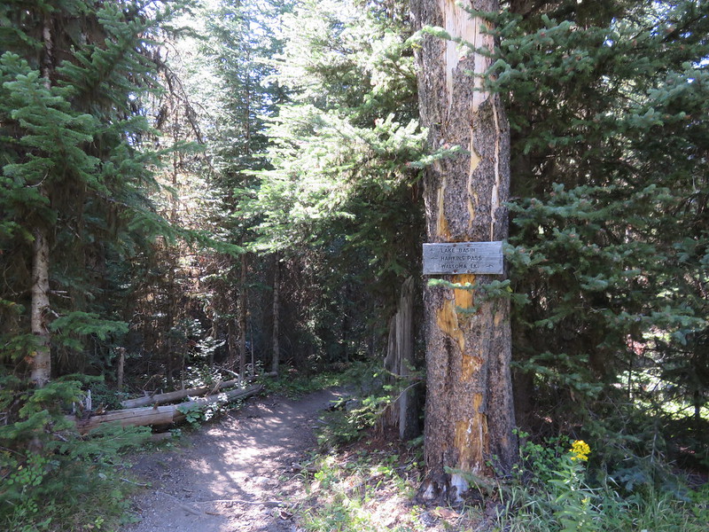
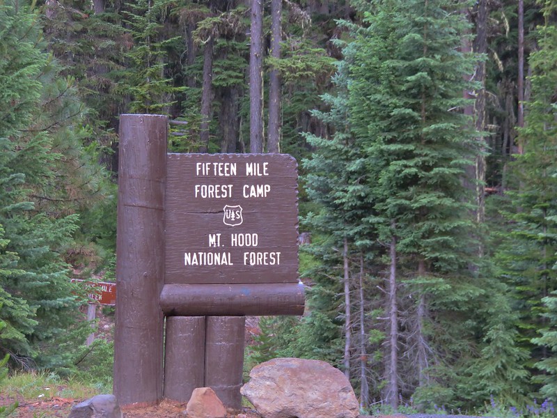
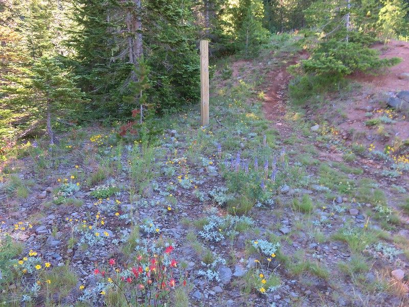
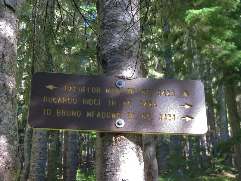
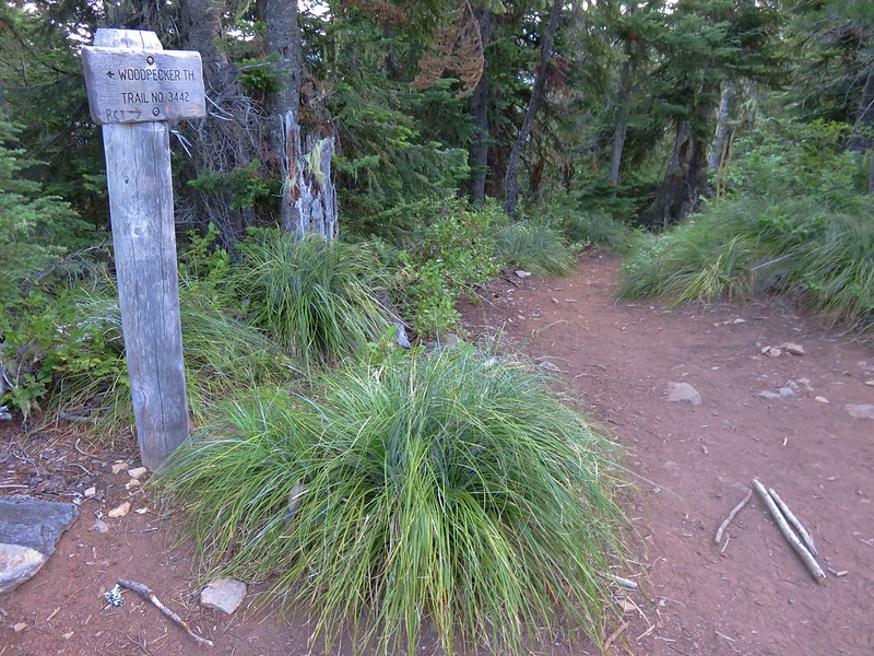
We deiced to try a new approach this year for our annual trip to Jefferson Park. Our plan was to hike the Woodpecker Ridge Trail to the Pacific Crest Trail and then on to Jefferson Park with a possible bushwack to see Russell Creek Falls on the way back. We parked at the Woodpecker Ridge Trailhead which is a little over 5 miles along Forest Road 040.

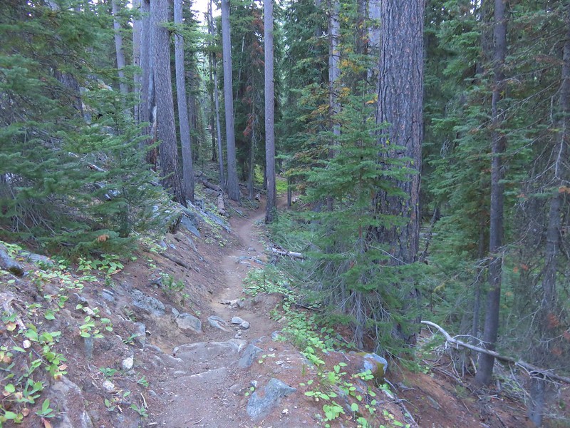
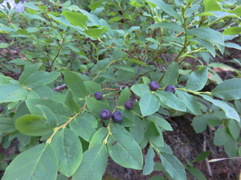
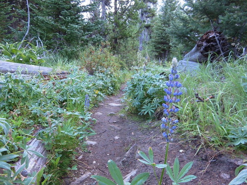
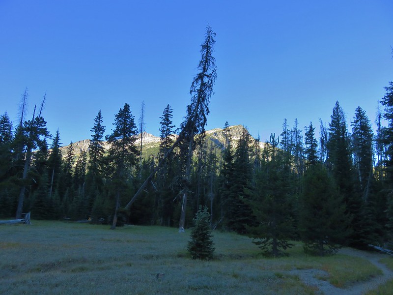
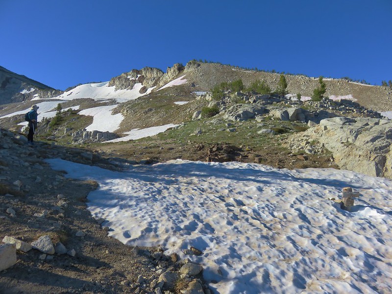
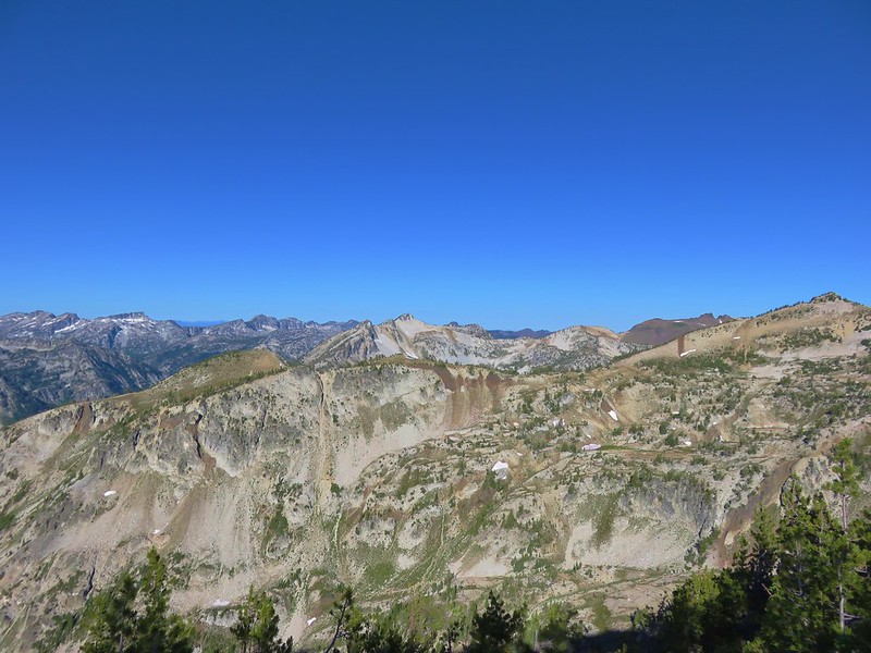
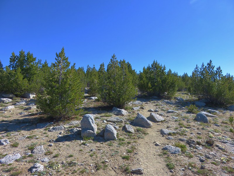
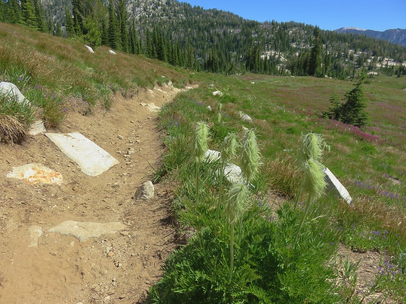
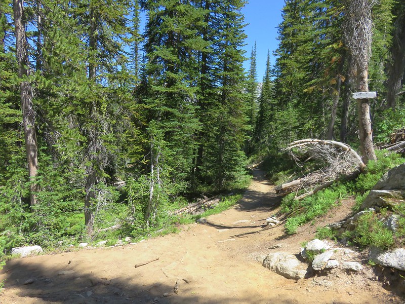
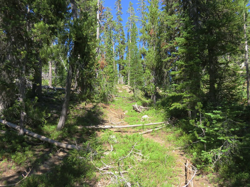
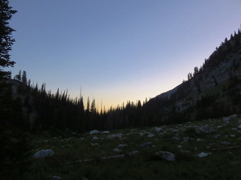
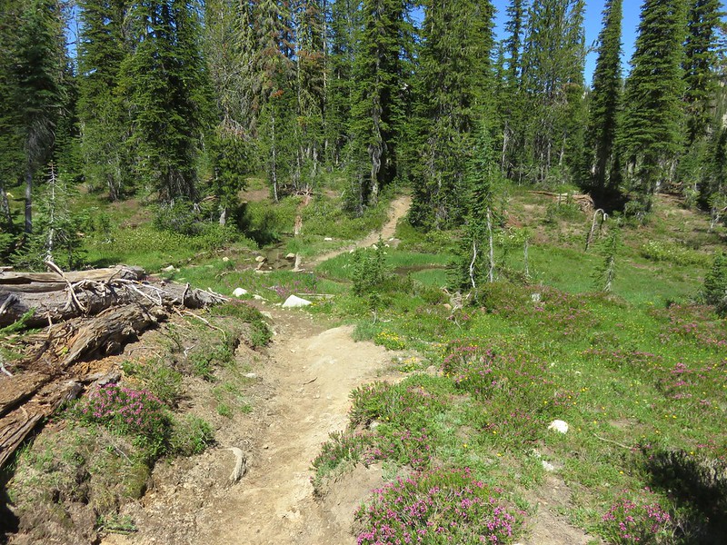
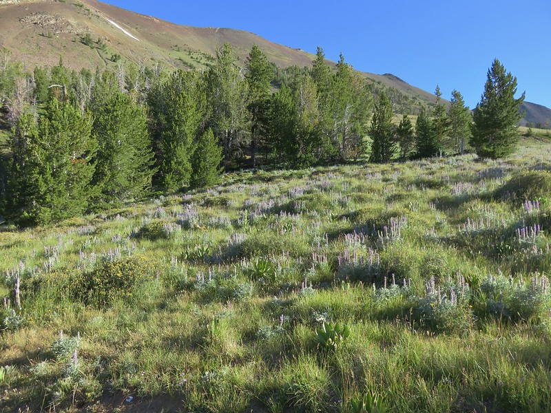
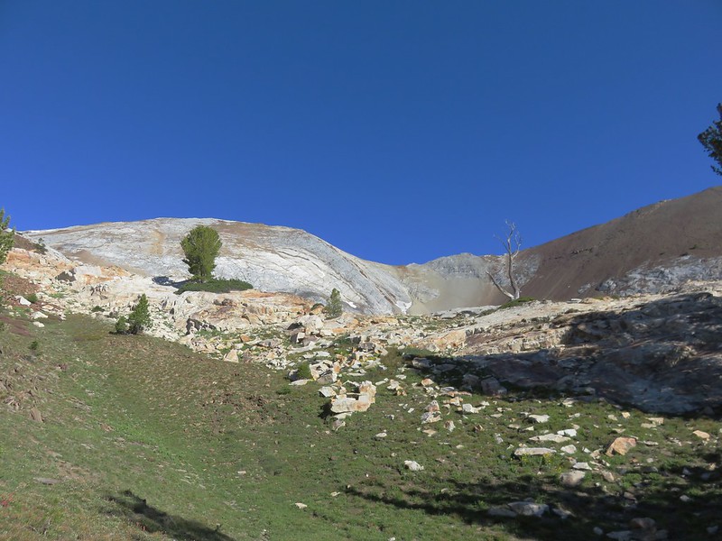
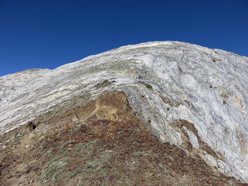
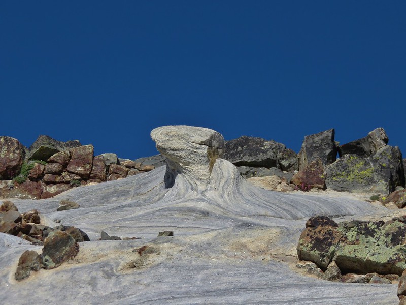
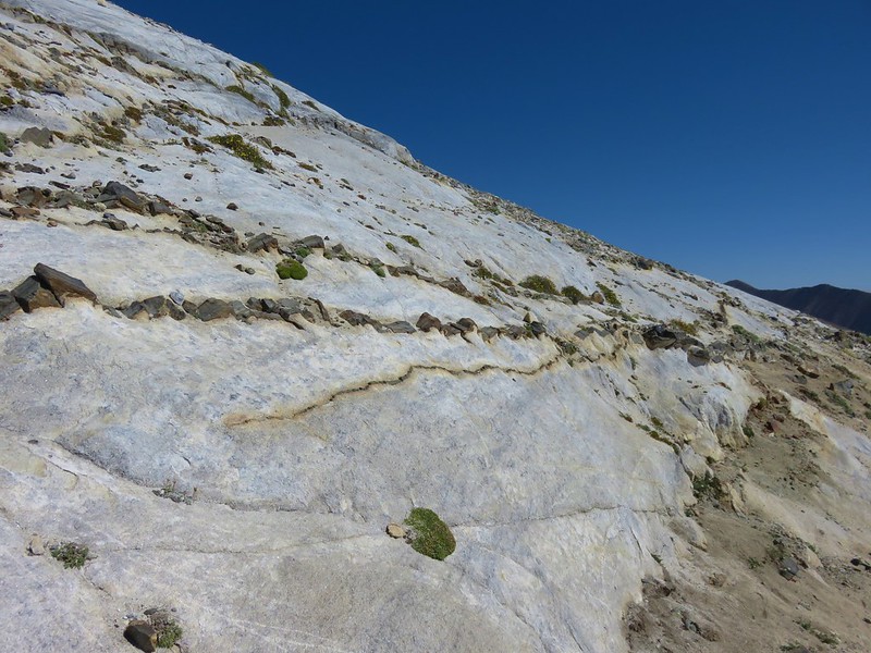
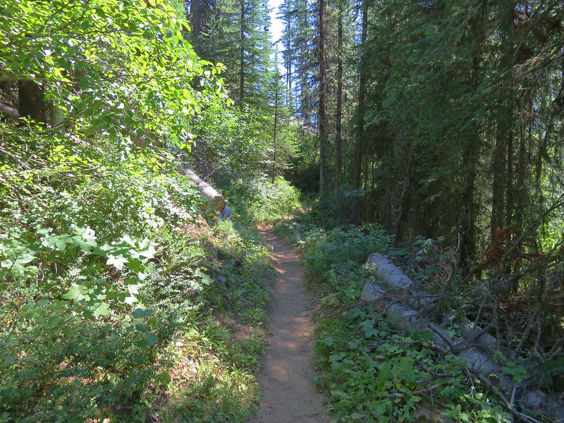
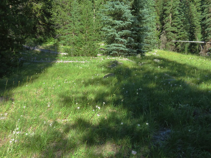
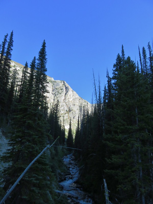
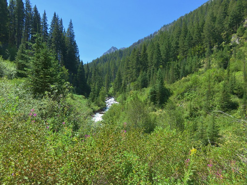
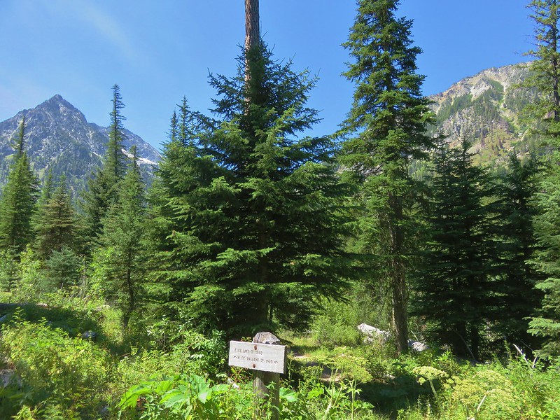
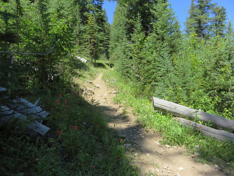
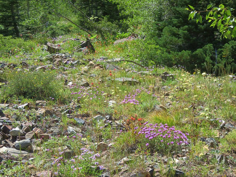
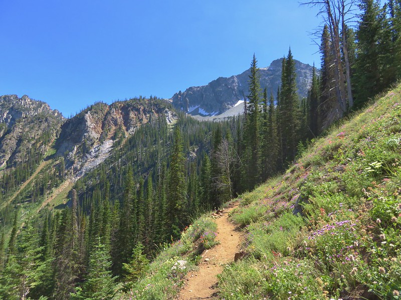
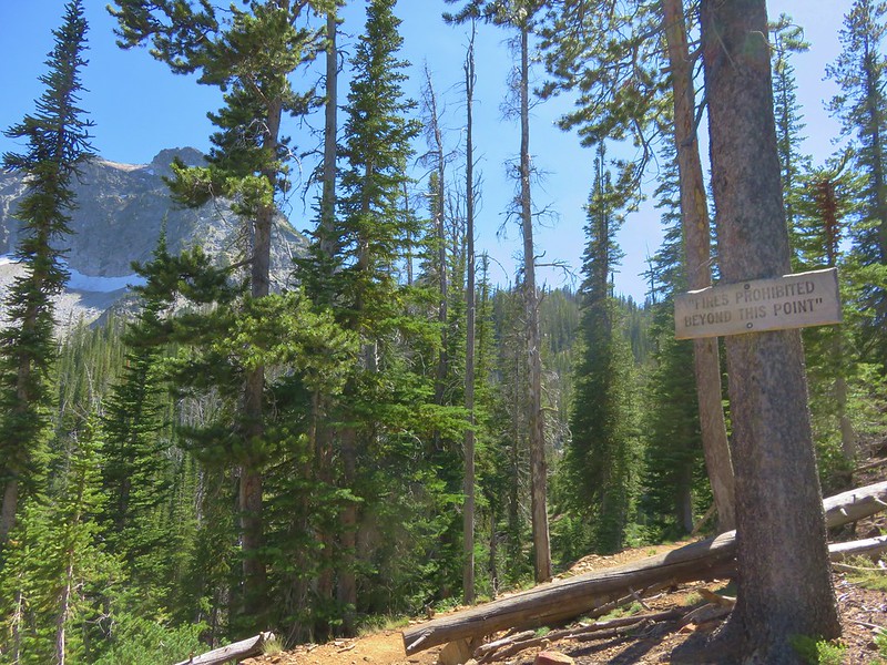
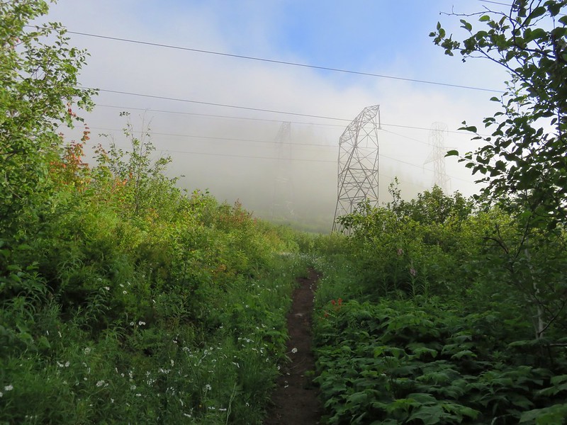
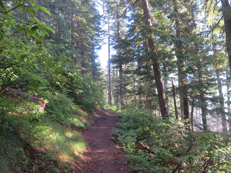
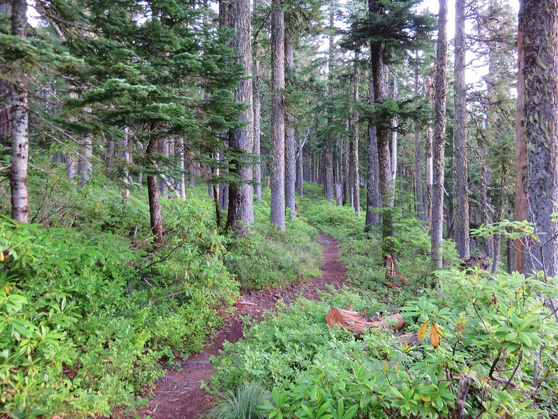
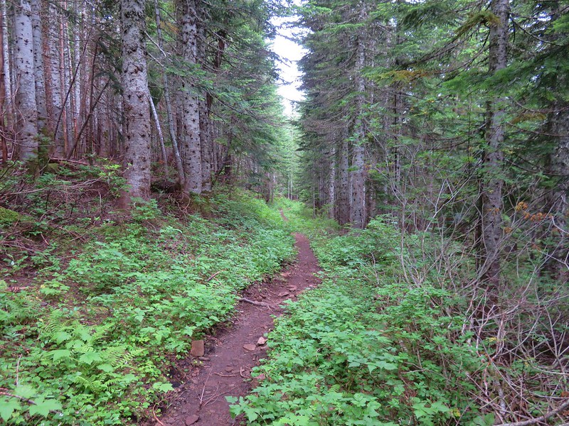
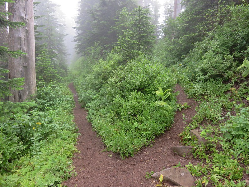
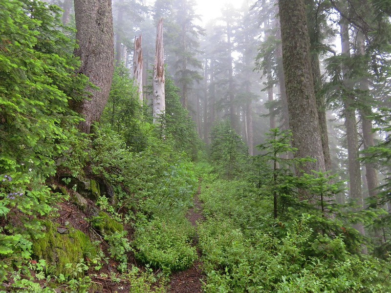
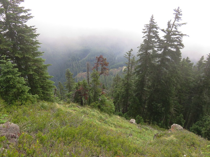
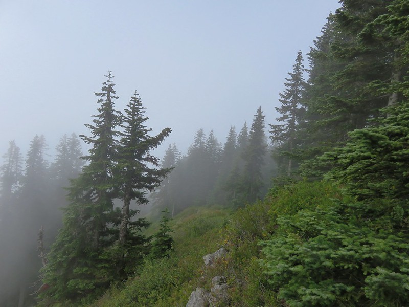
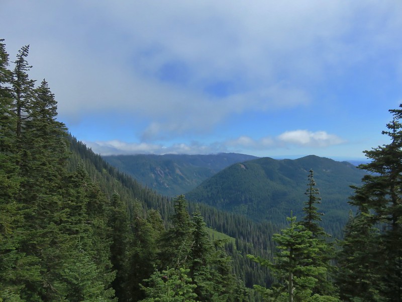
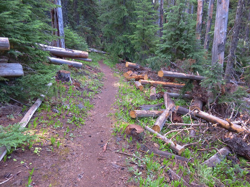
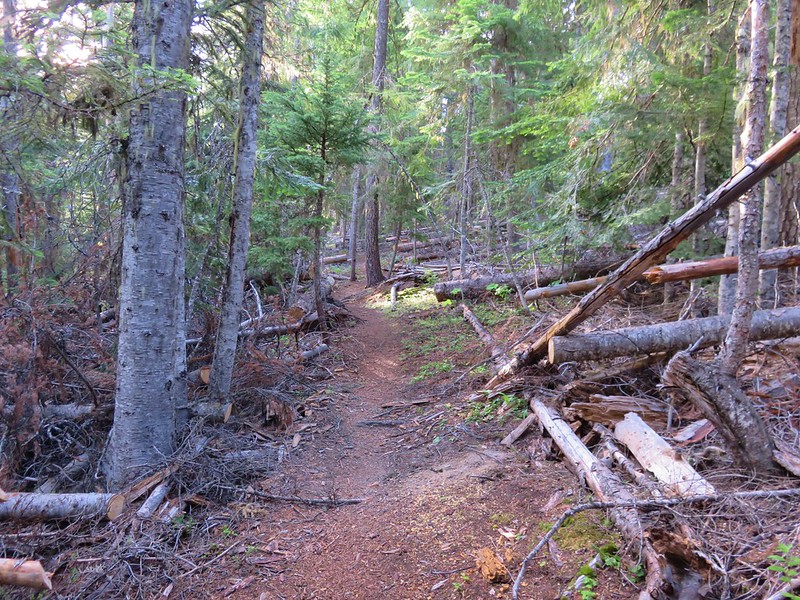
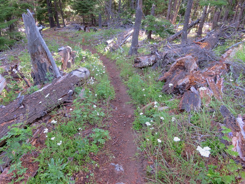
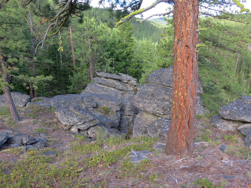
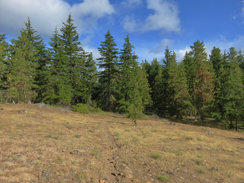
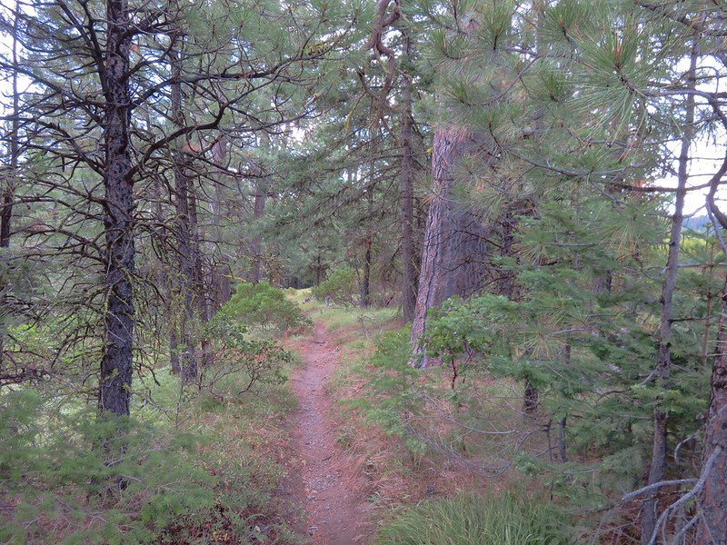
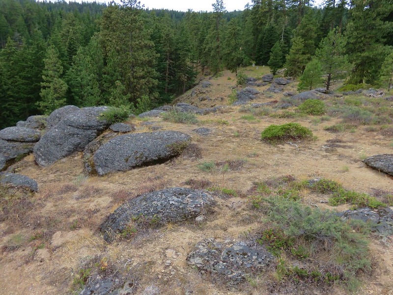
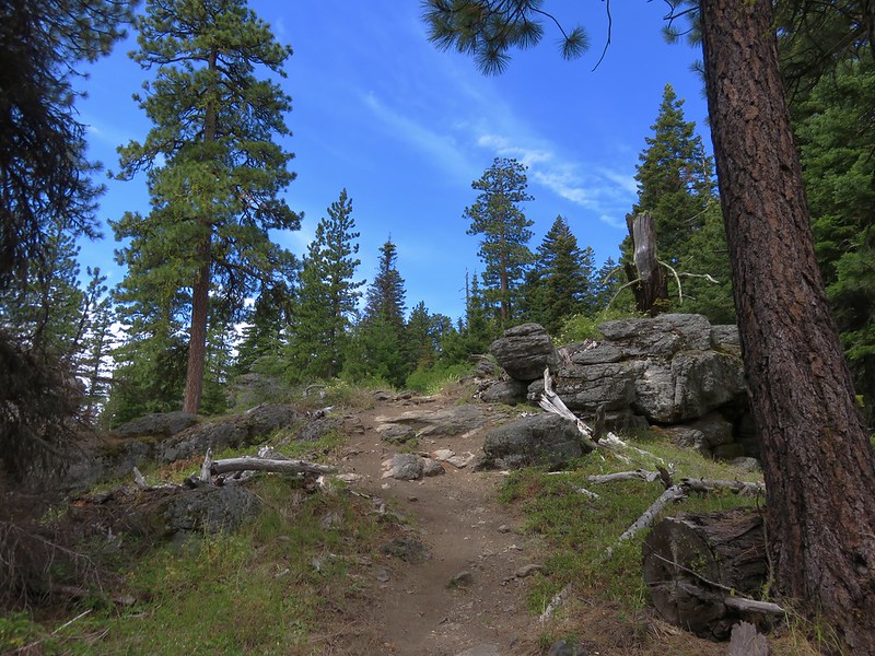
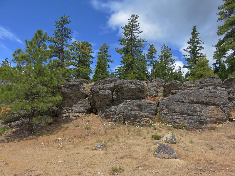
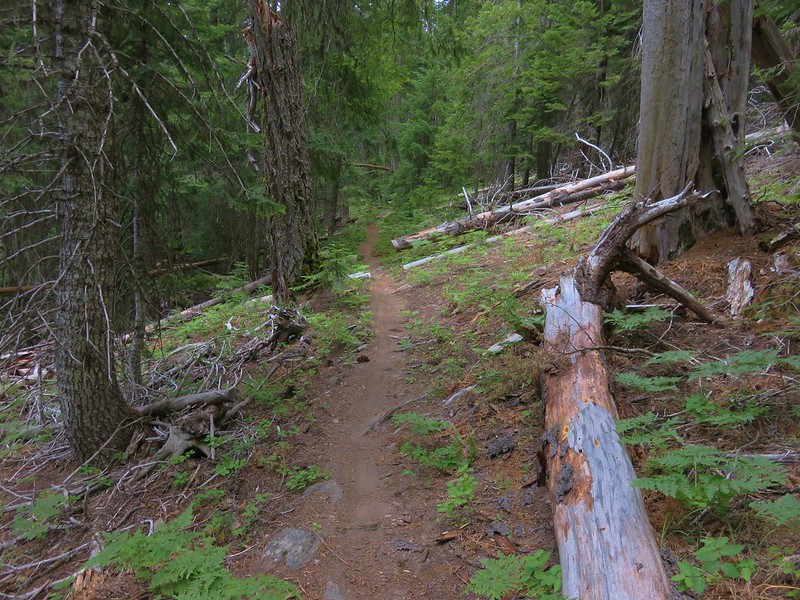
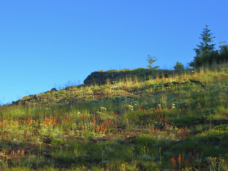
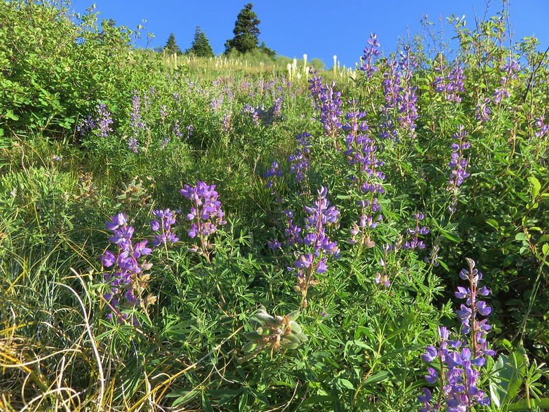
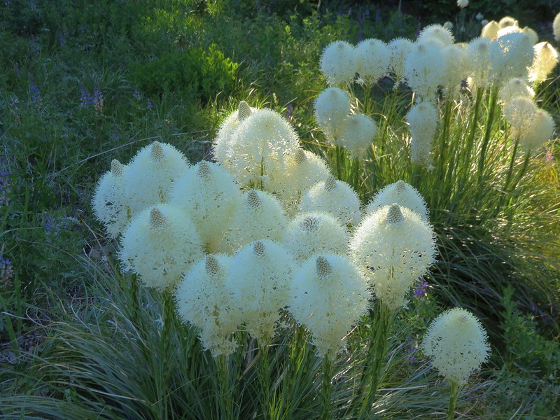
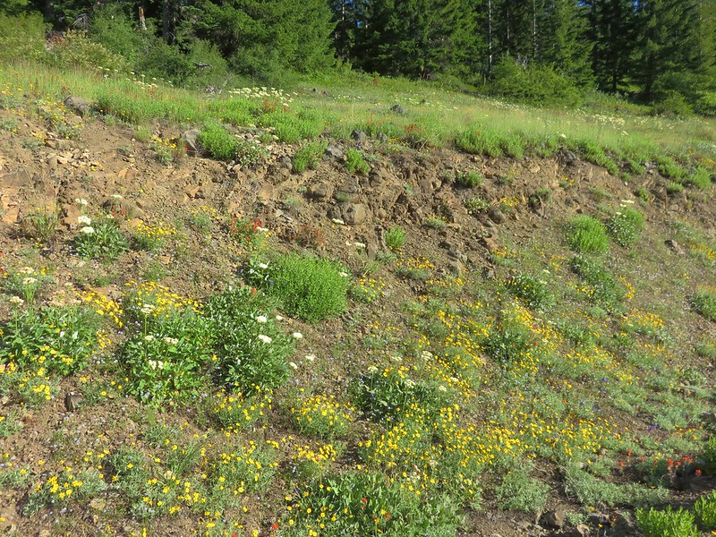
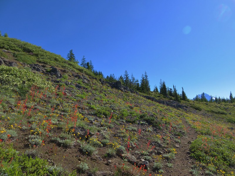
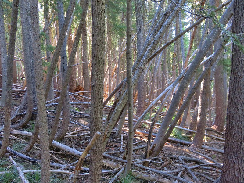
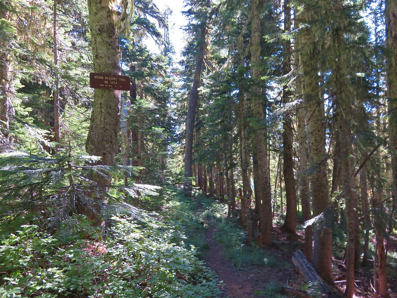
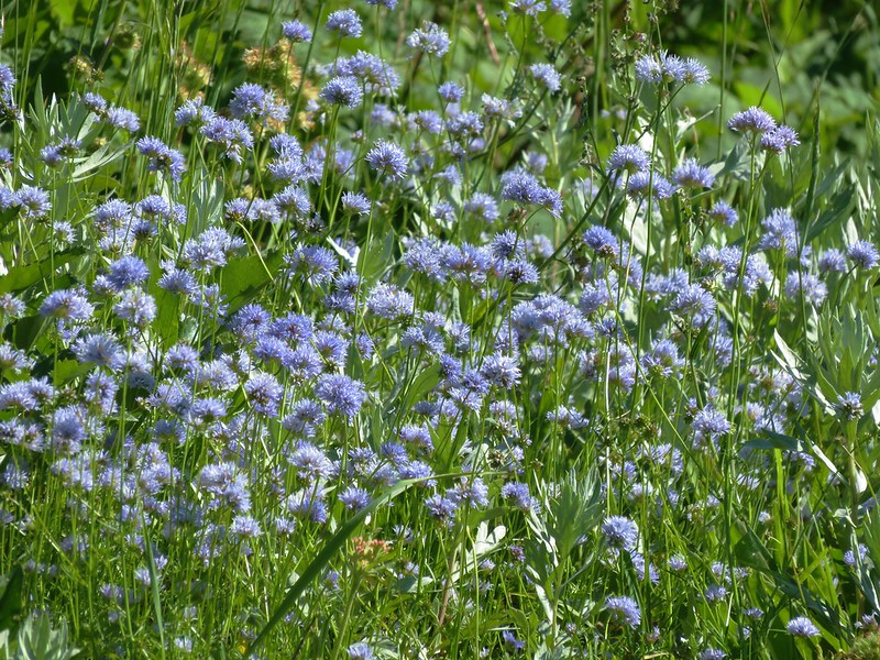
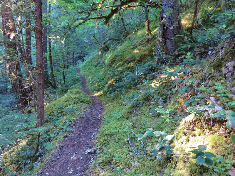
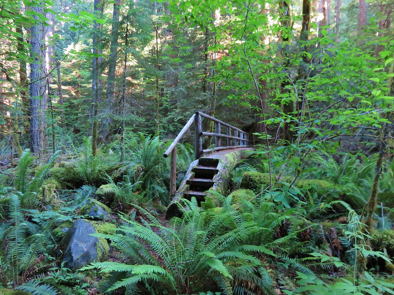
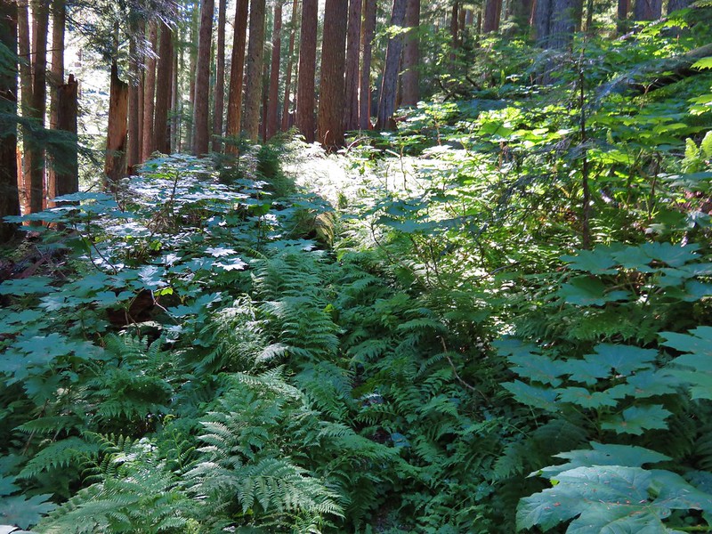
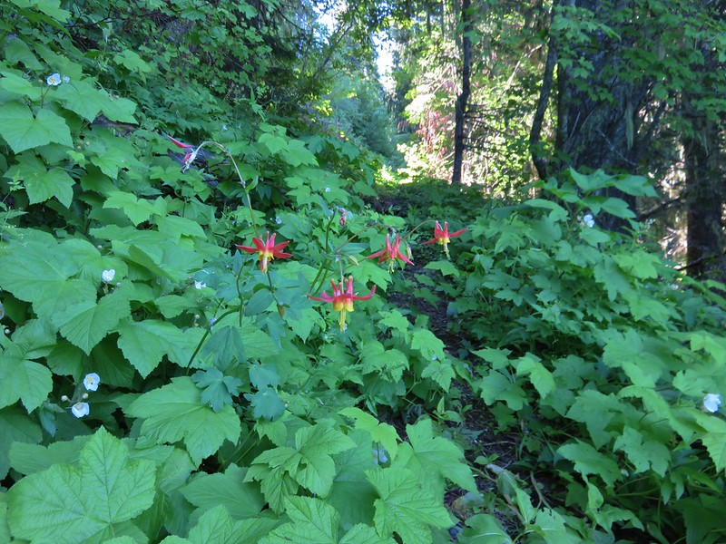
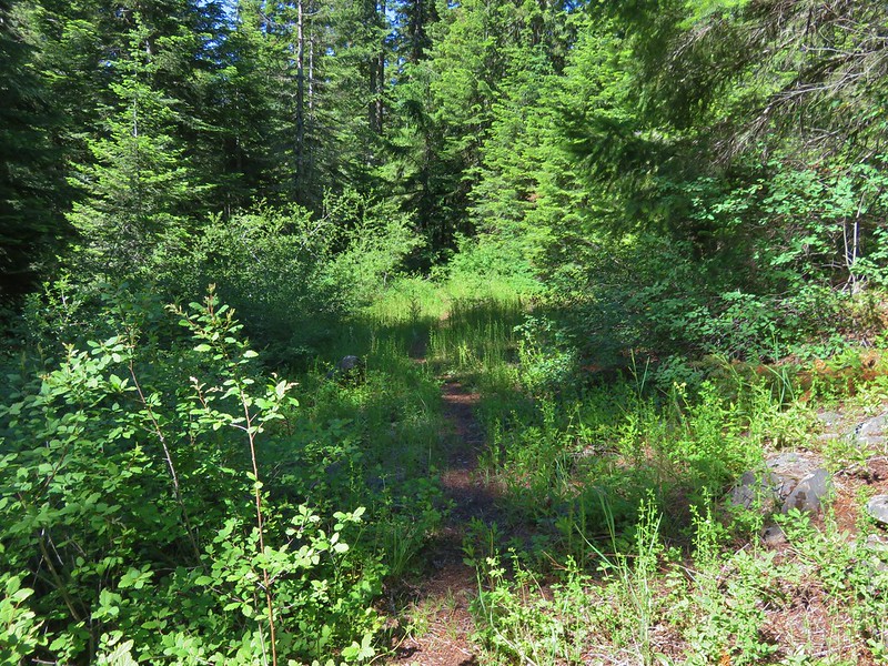
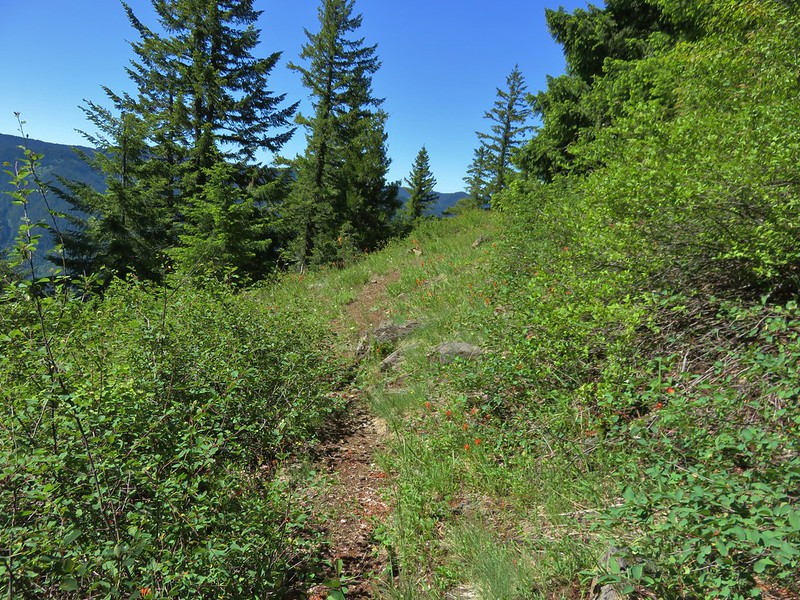
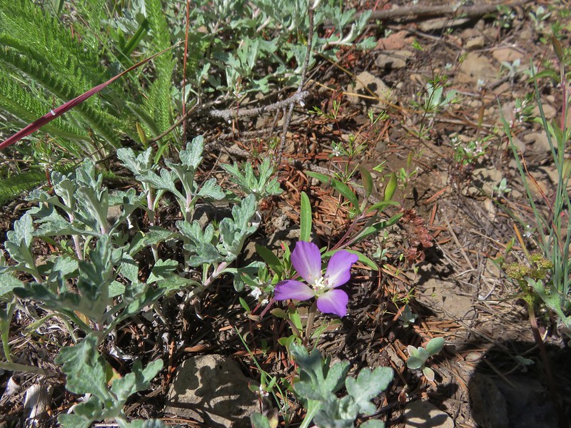
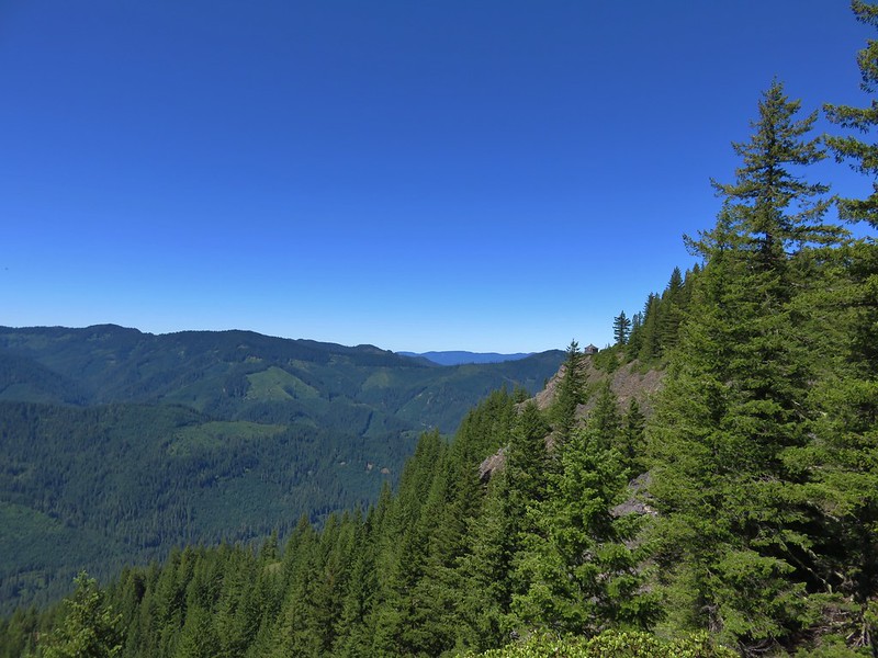
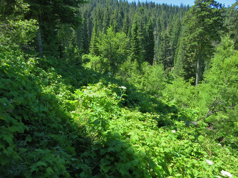
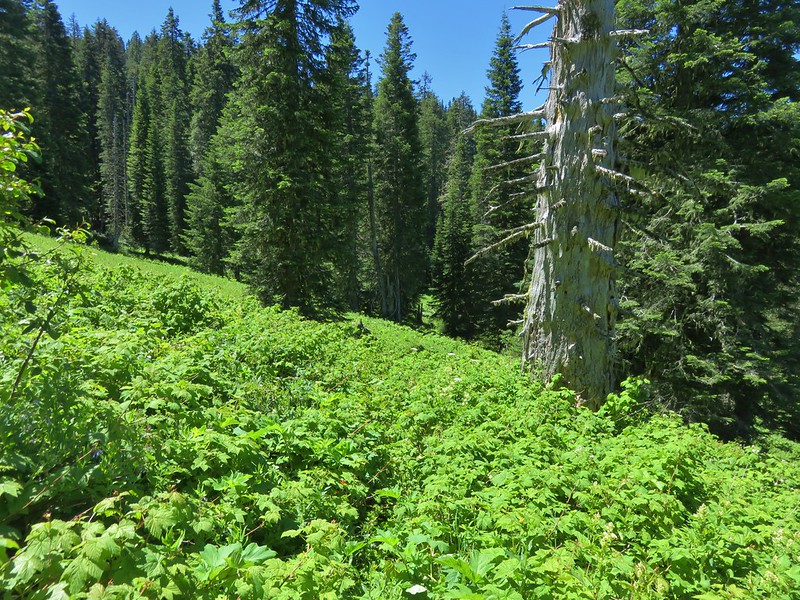
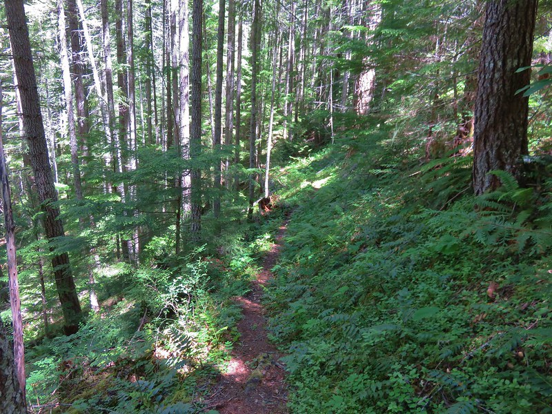
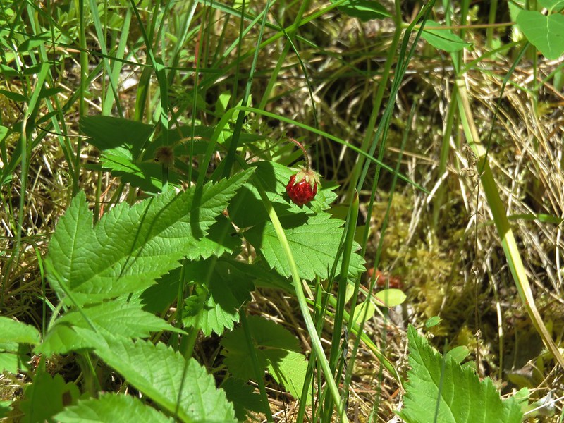
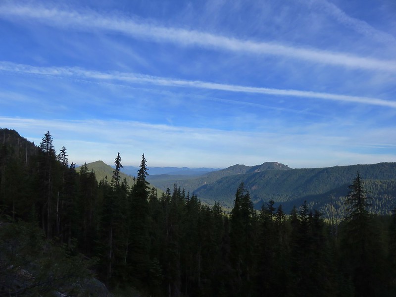
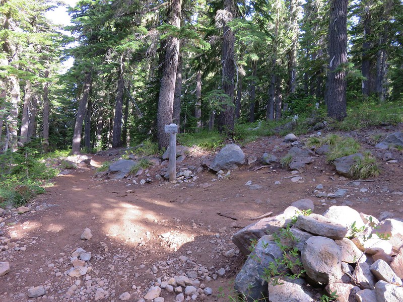
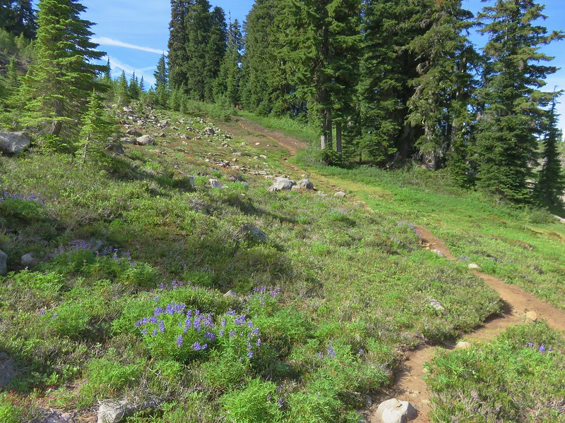
The Woodpecker Ridge Trail extends approximately 1.8 to the Pacific Crest Trail in the Mt. Jefferson Wilderness. The trail starts off with a steep climb through the forest before gaining the ridge and leveling out. There were lots of juicy ripe huckleberries along this section. As we hiked along the ridge we entered the Mt. Jefferson Wilderness.

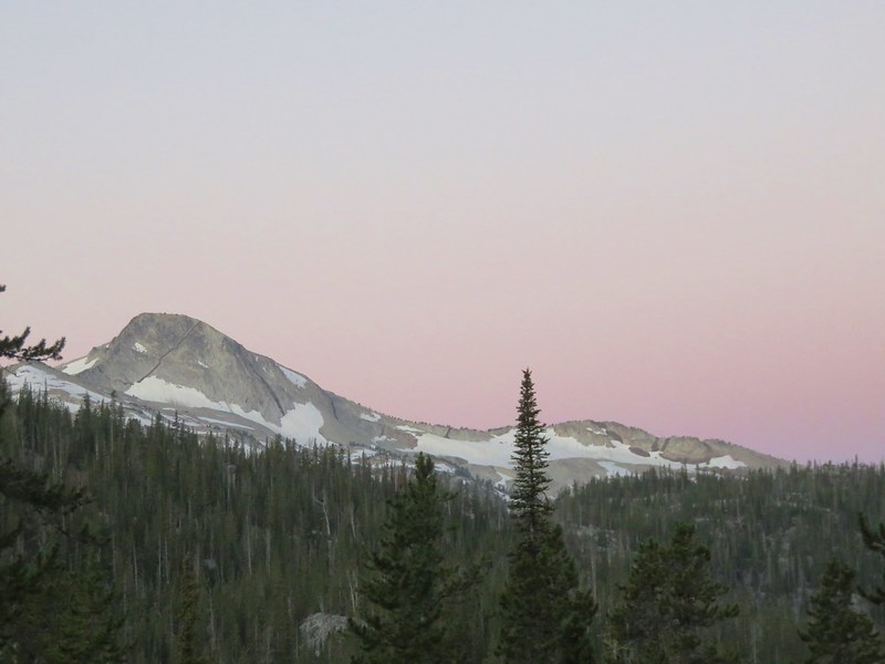
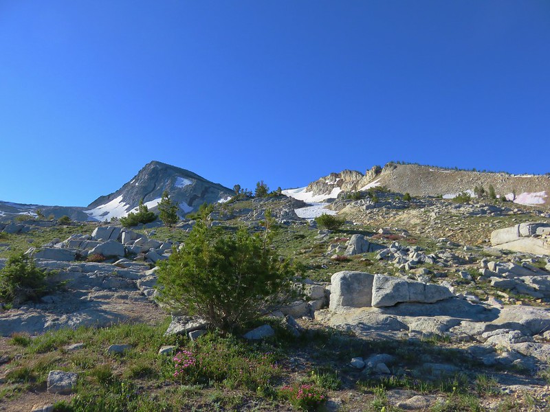
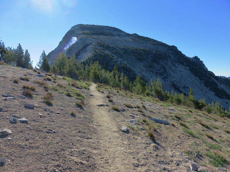
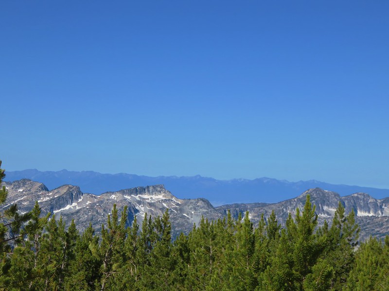
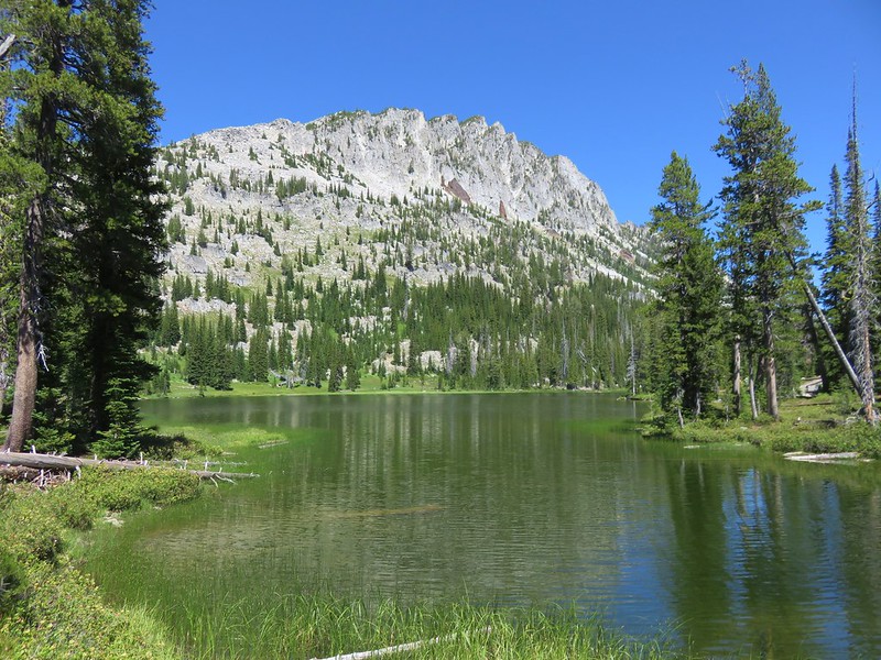
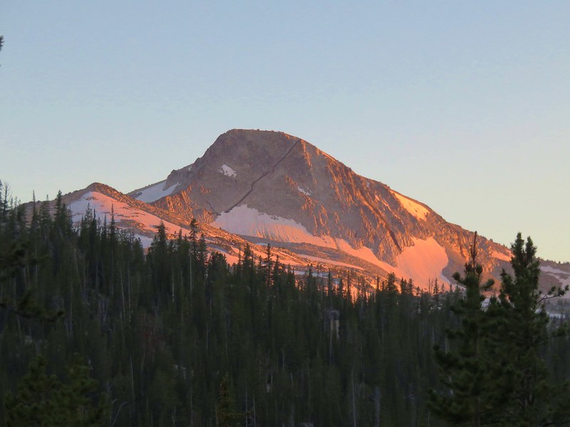
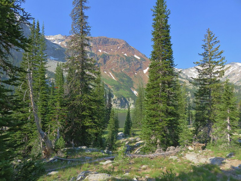
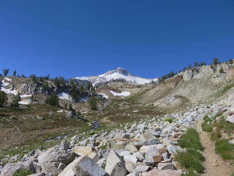
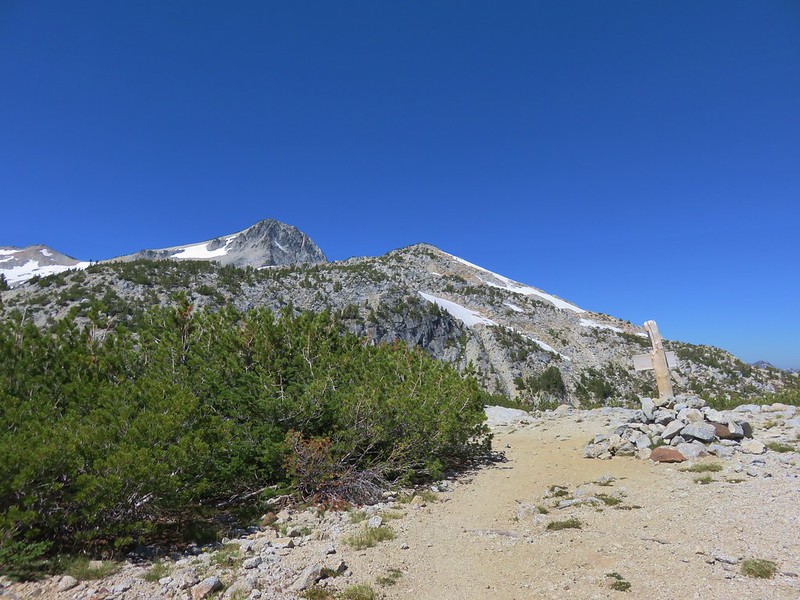
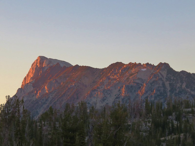
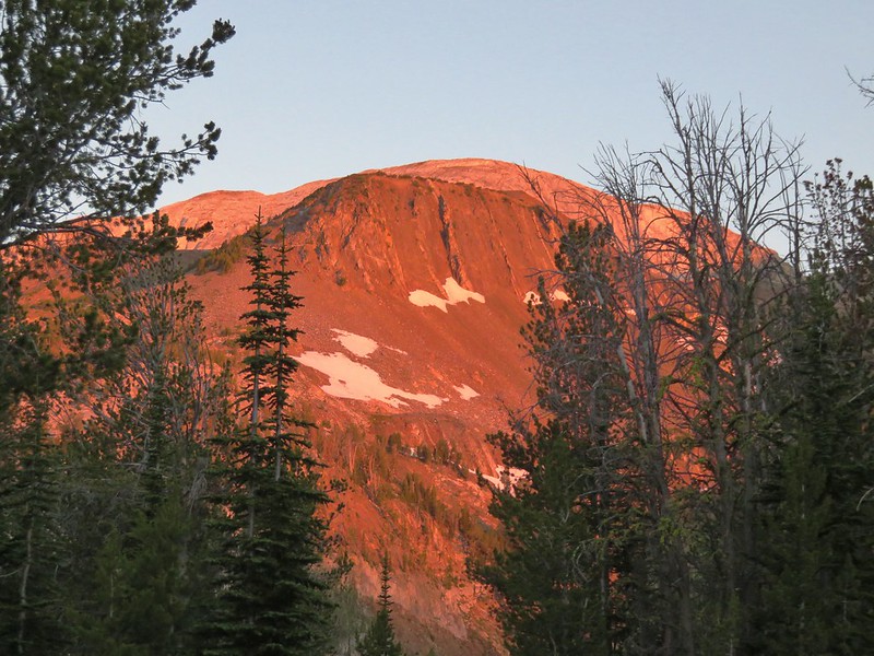
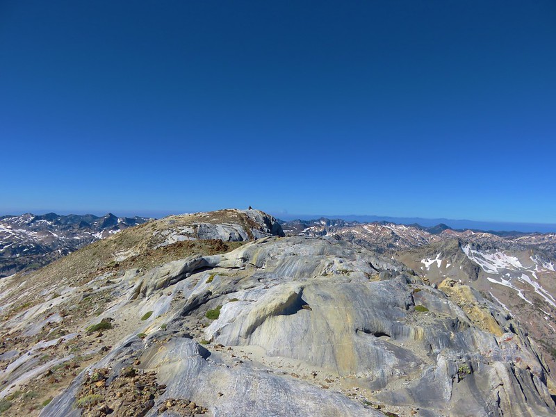
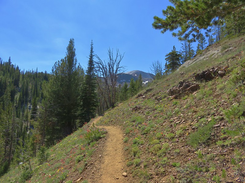
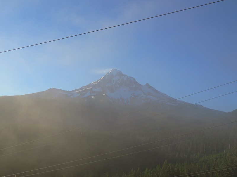
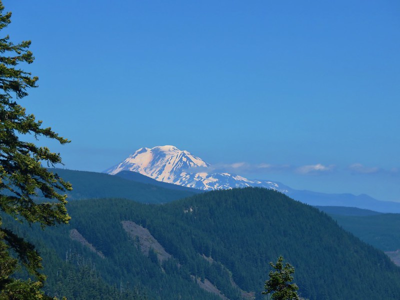
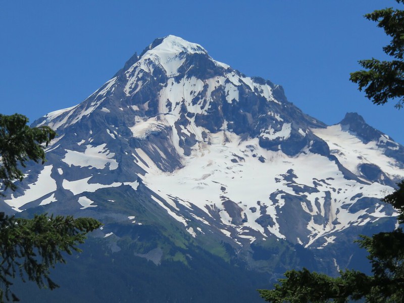
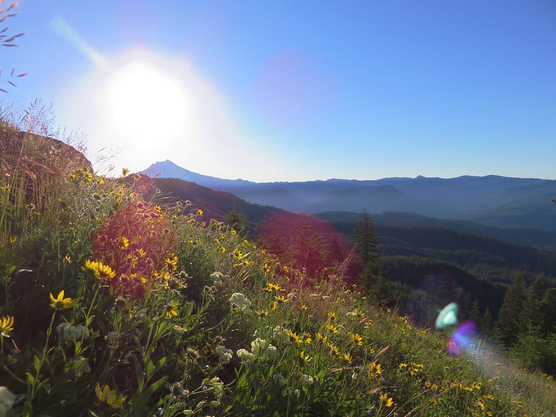
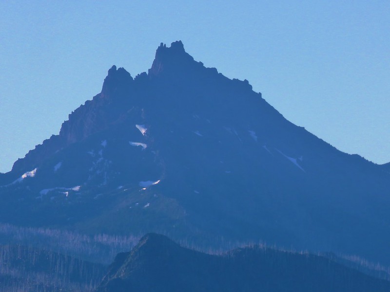
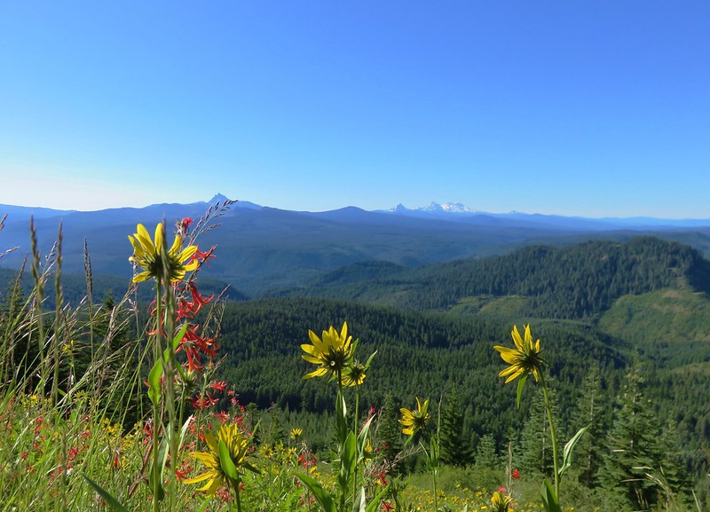
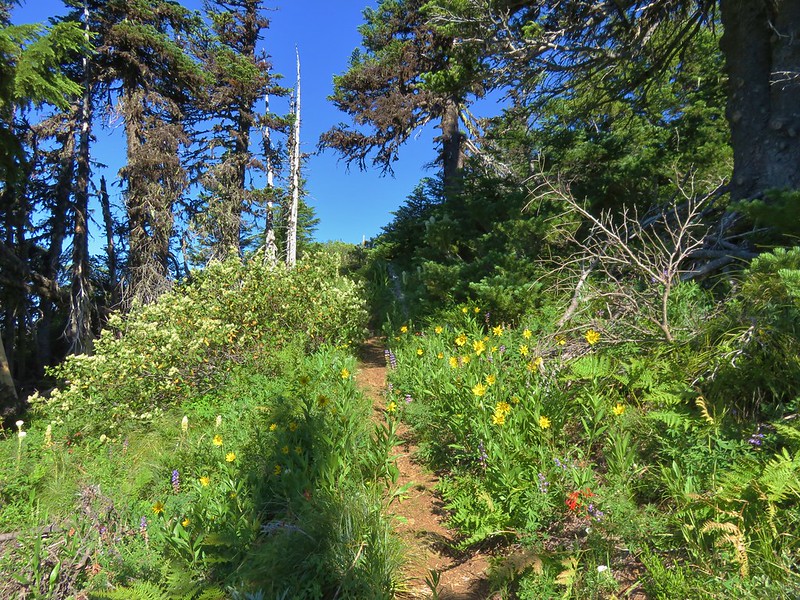
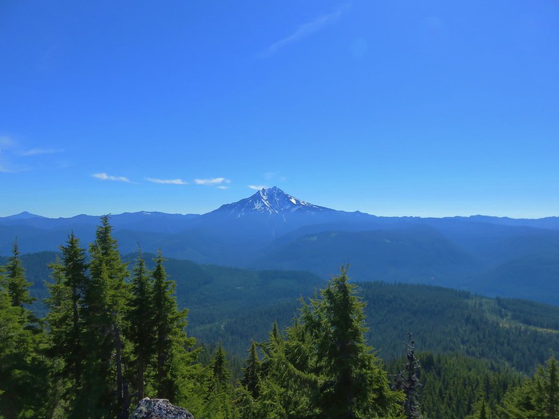
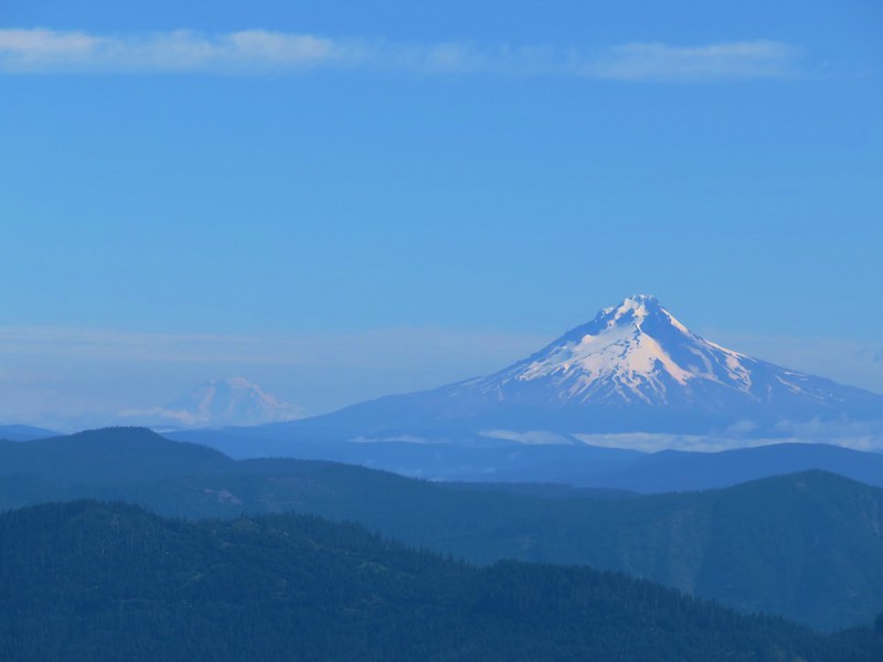
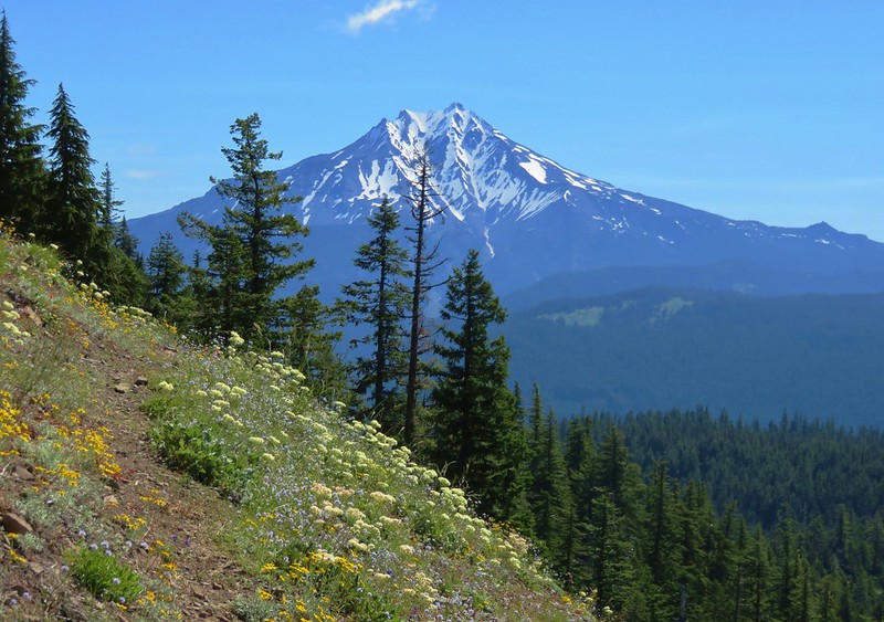
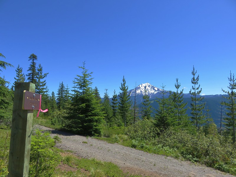
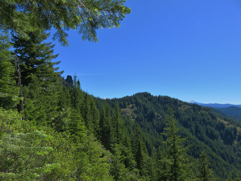
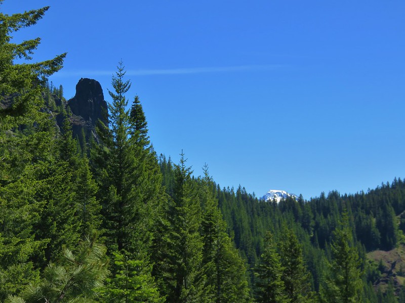
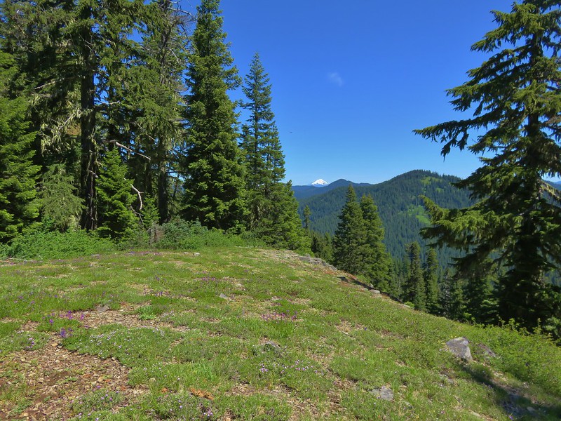
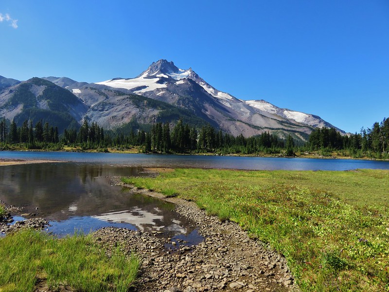
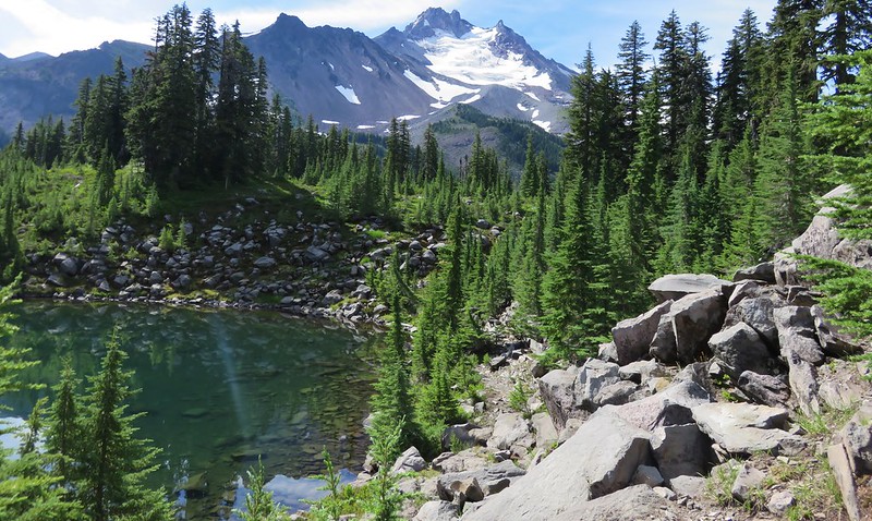
Unlike some of the other trails that lead to Jefferson Park Mt. Jefferson remained mostly hidden from the Woodpecker Ridge Trail. Only near the end did we get a look at the mountain.
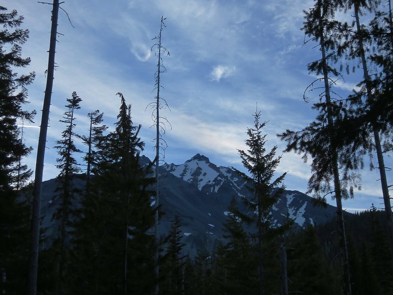
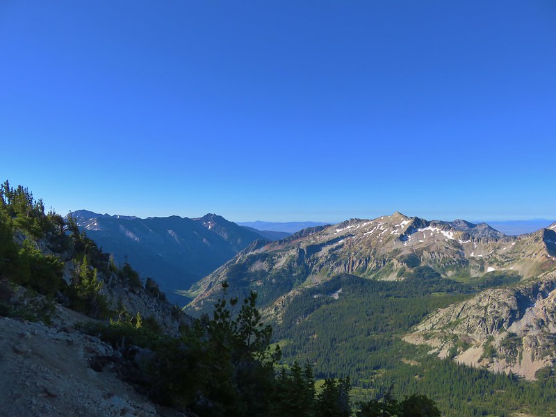
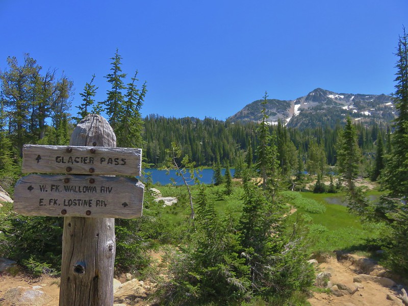
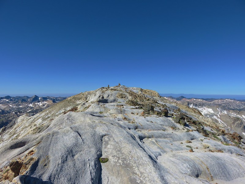
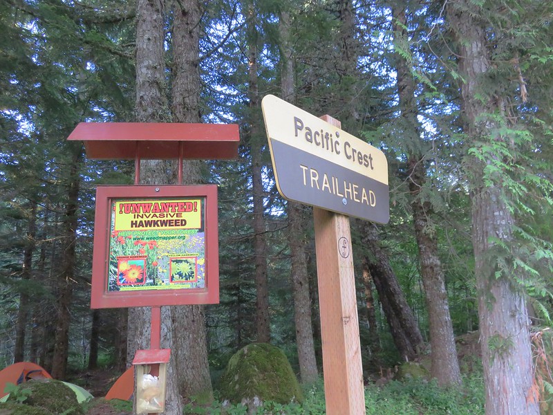
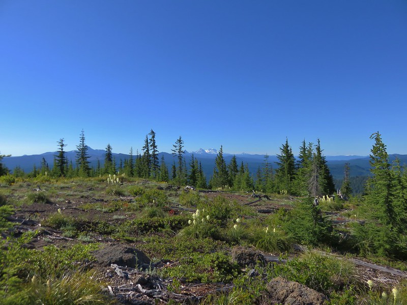
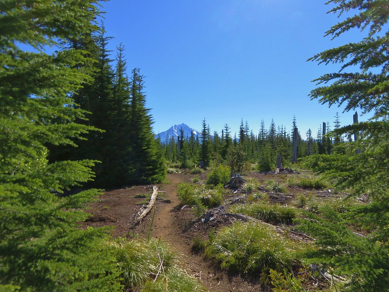
Shortly after getting our first look at the mountain we arrived at the Pacific Crest Trail and turned left.
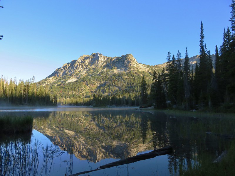
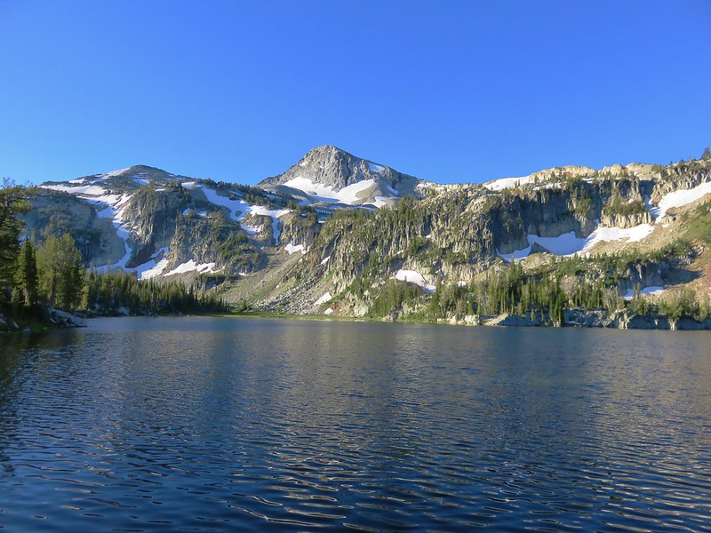
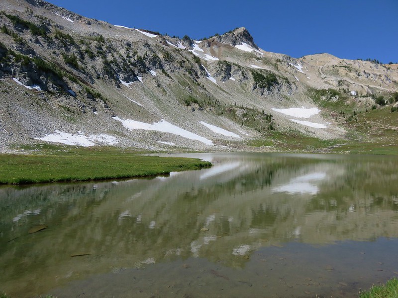
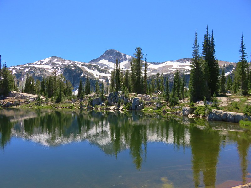
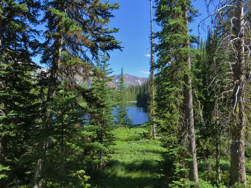
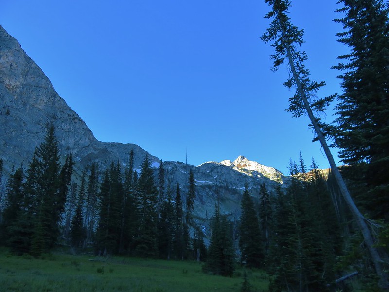
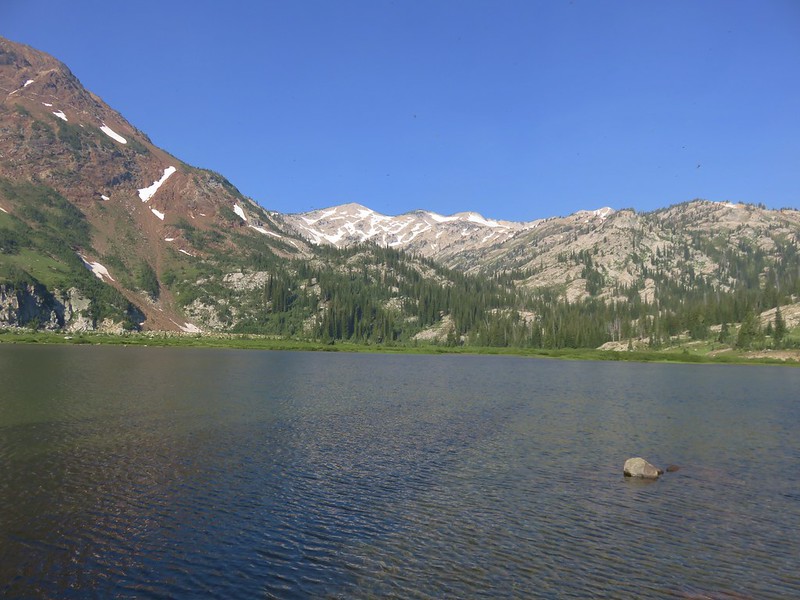
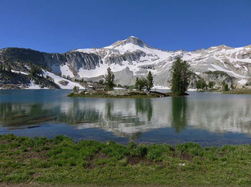
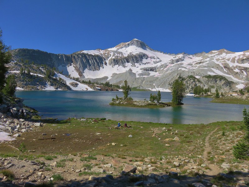
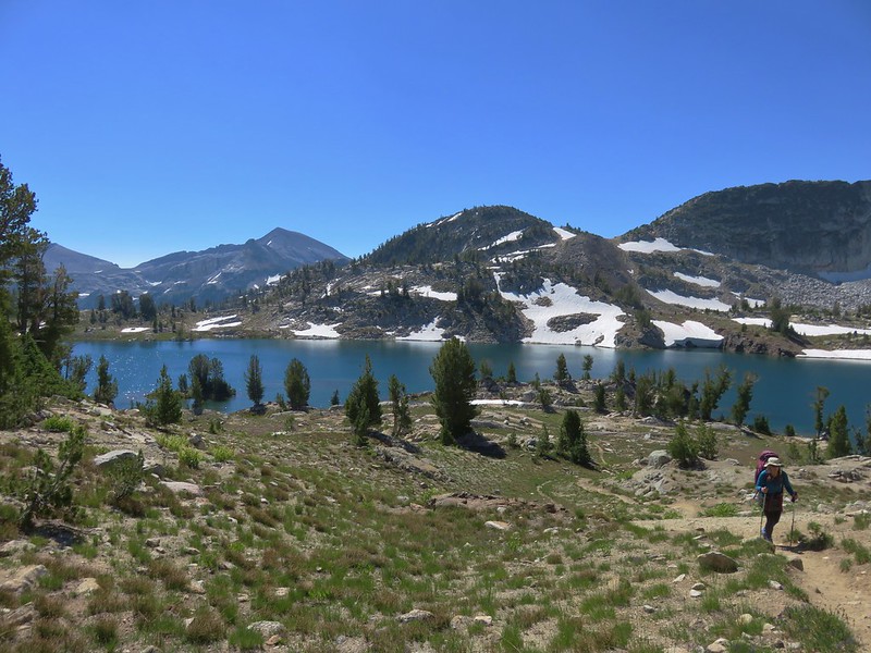
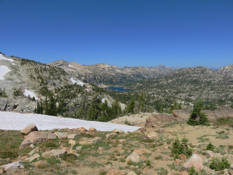
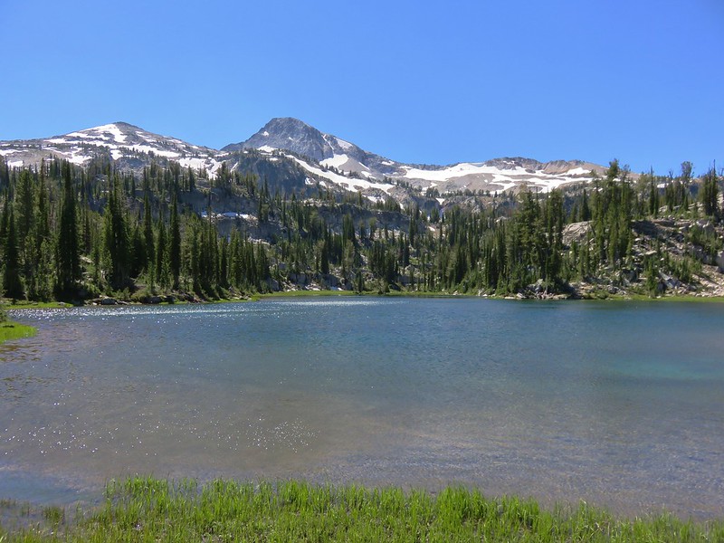
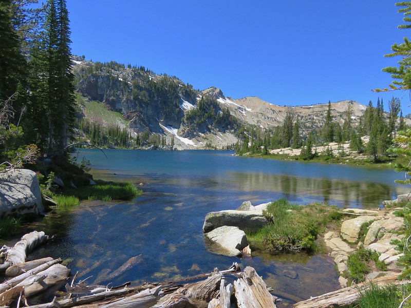
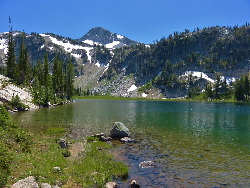
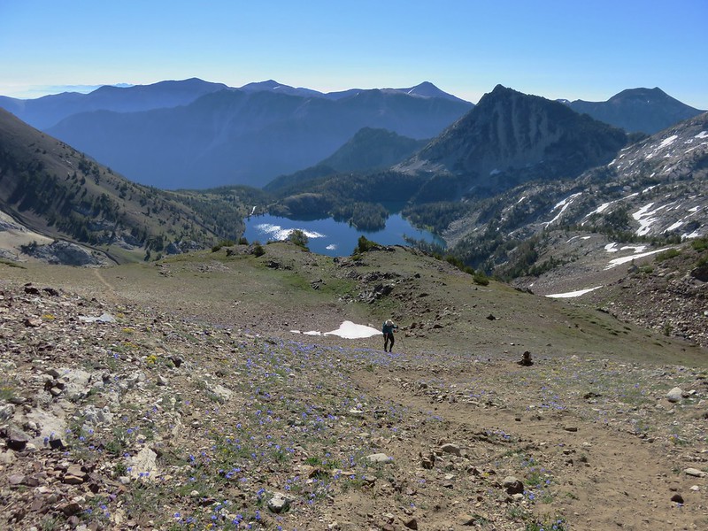
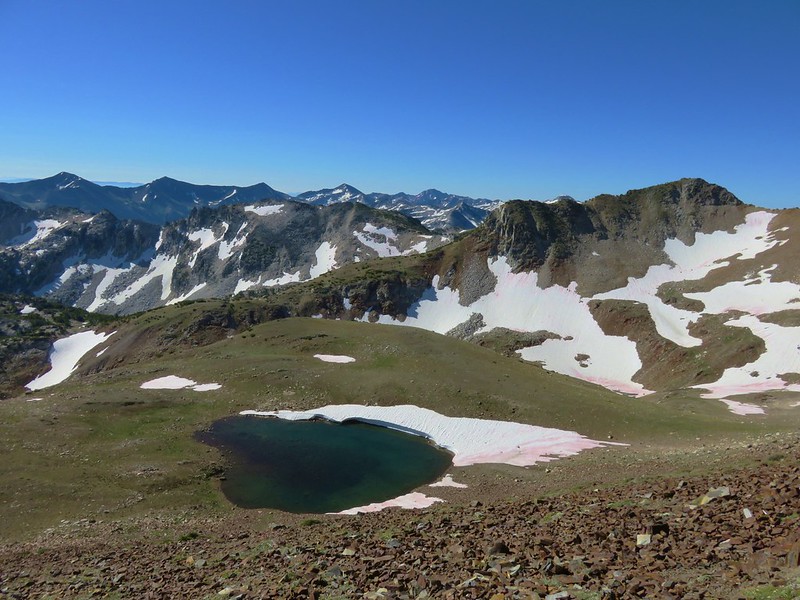
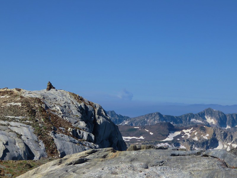
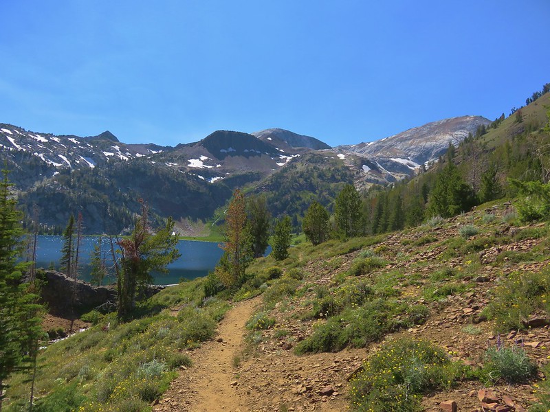
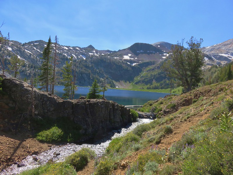
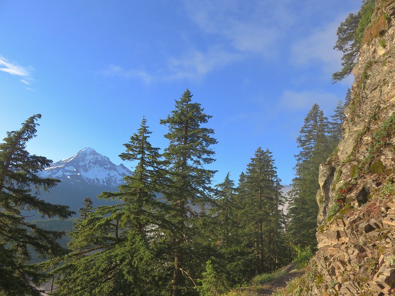
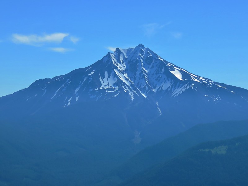
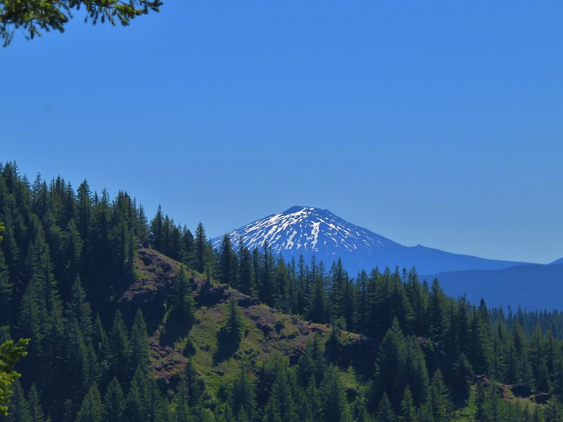
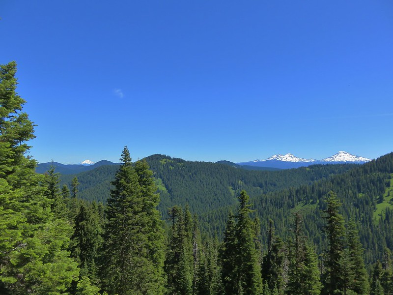
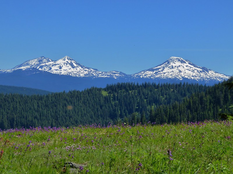
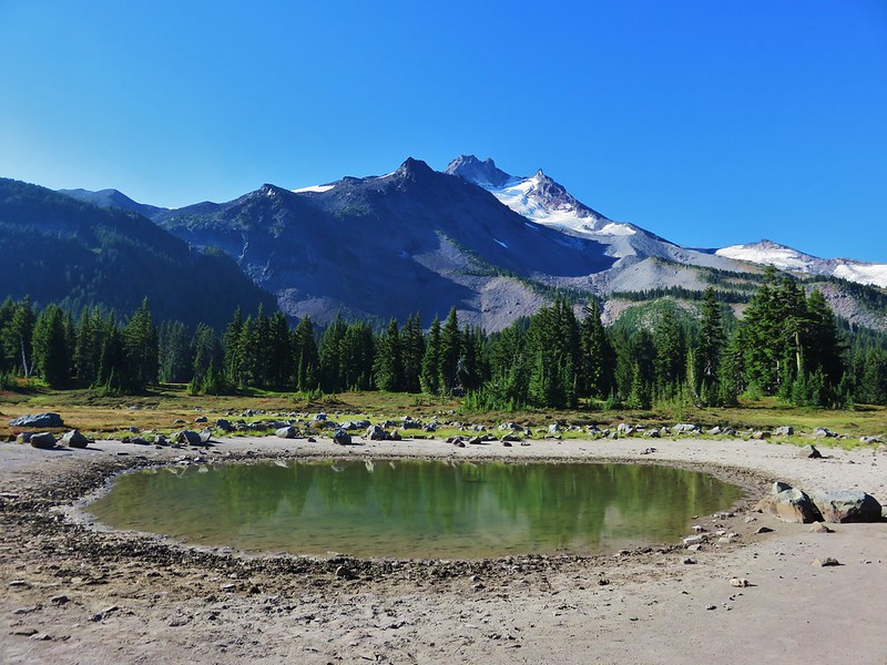
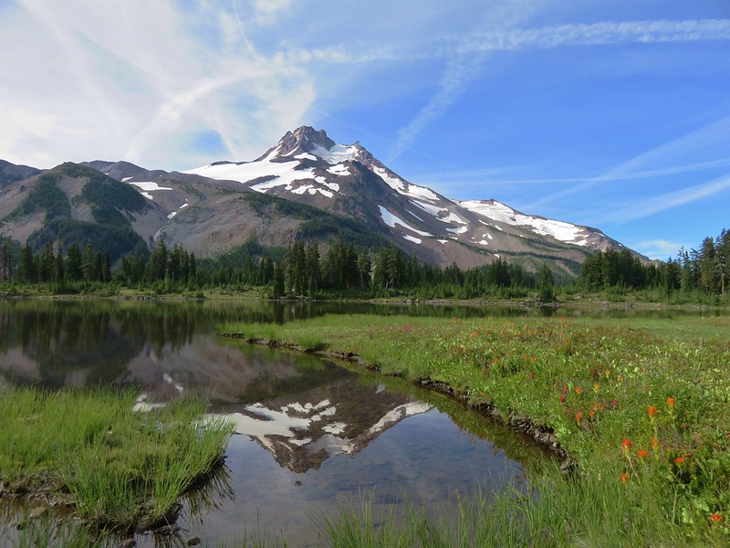
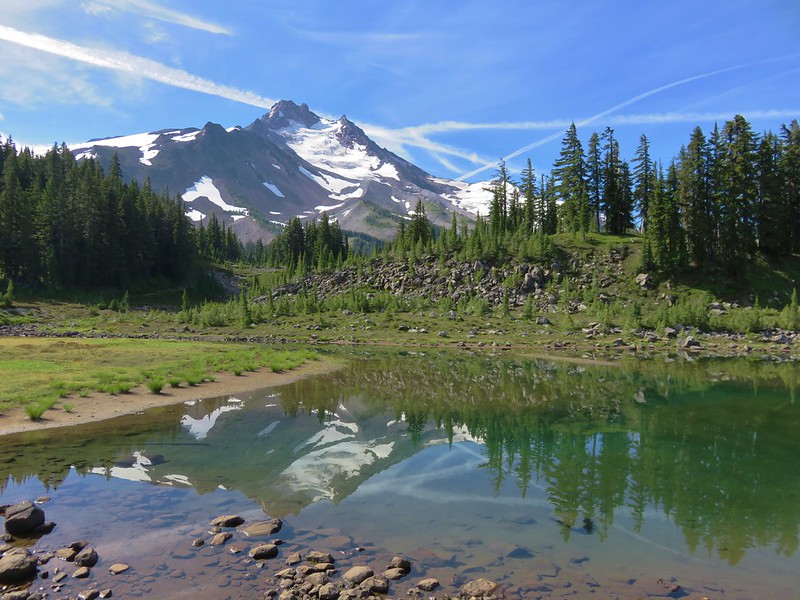
We had another Mt. Jefferson sighting from a pond not far from the junction.
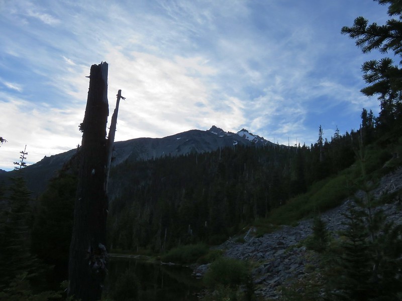
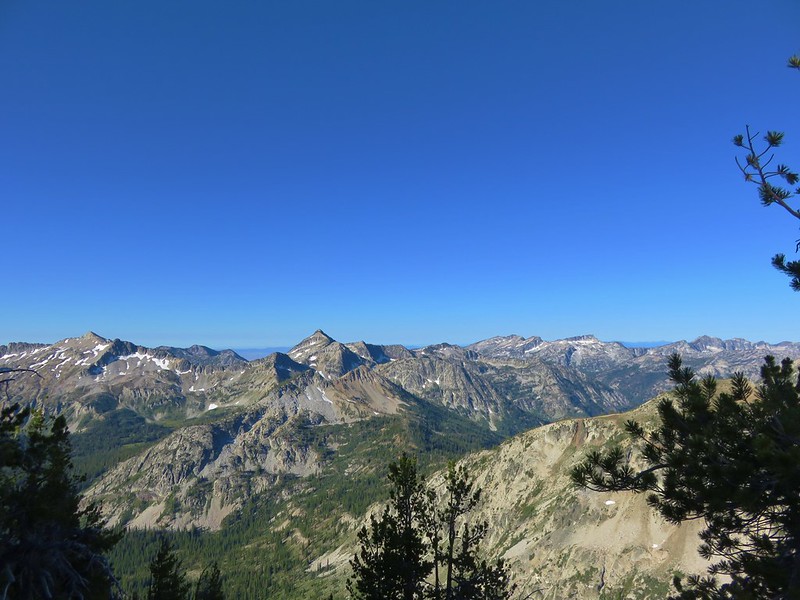
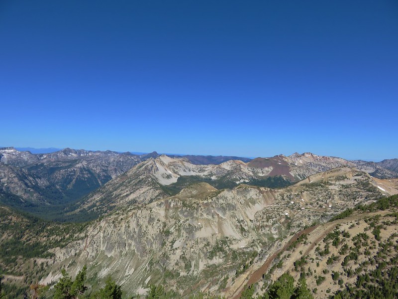
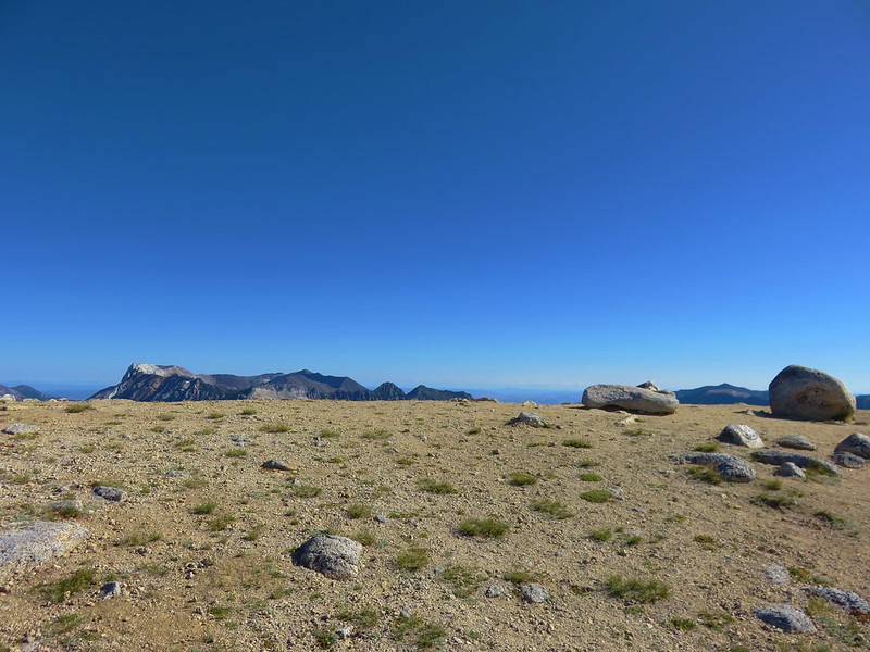
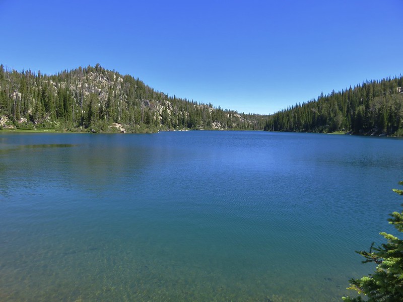
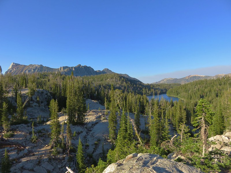
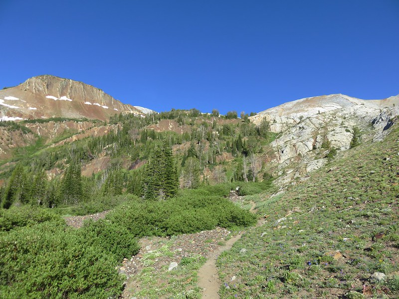
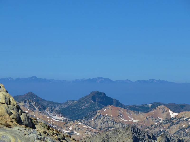
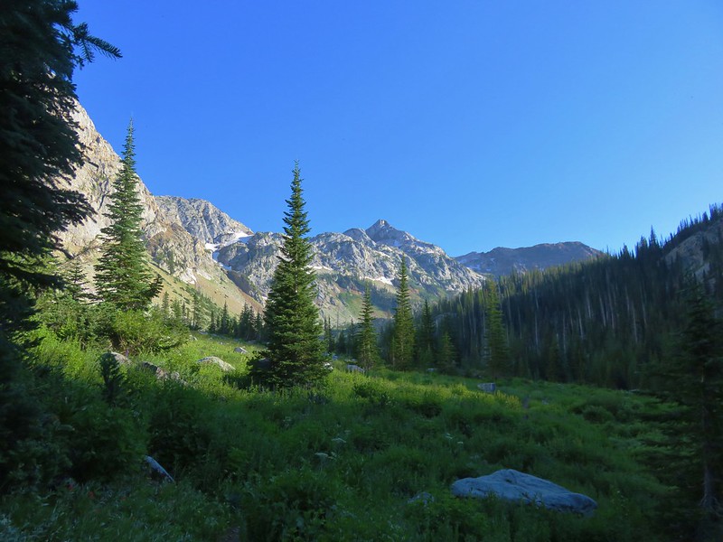
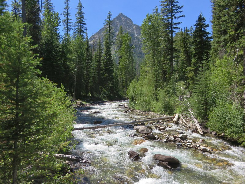
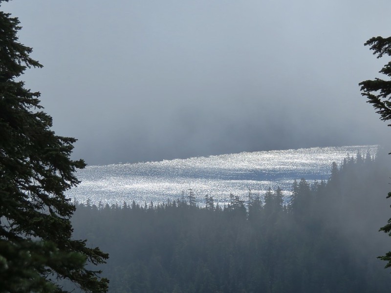
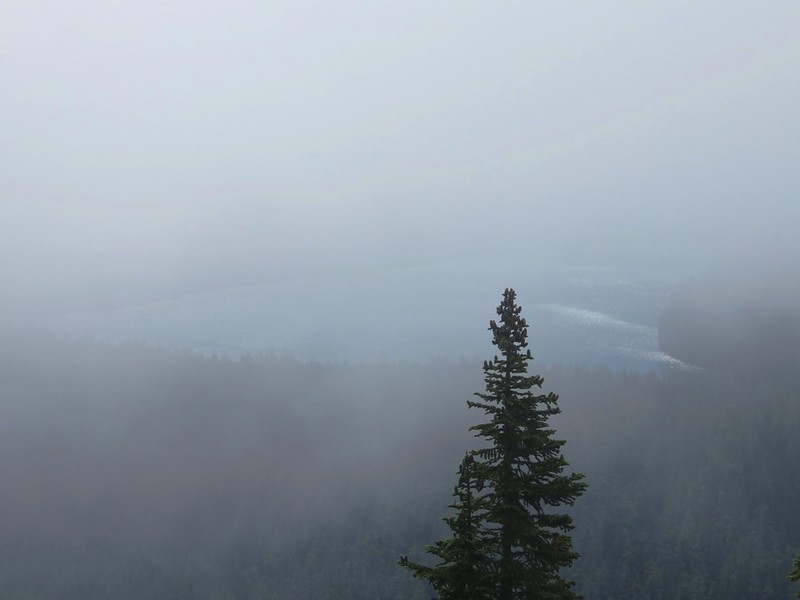
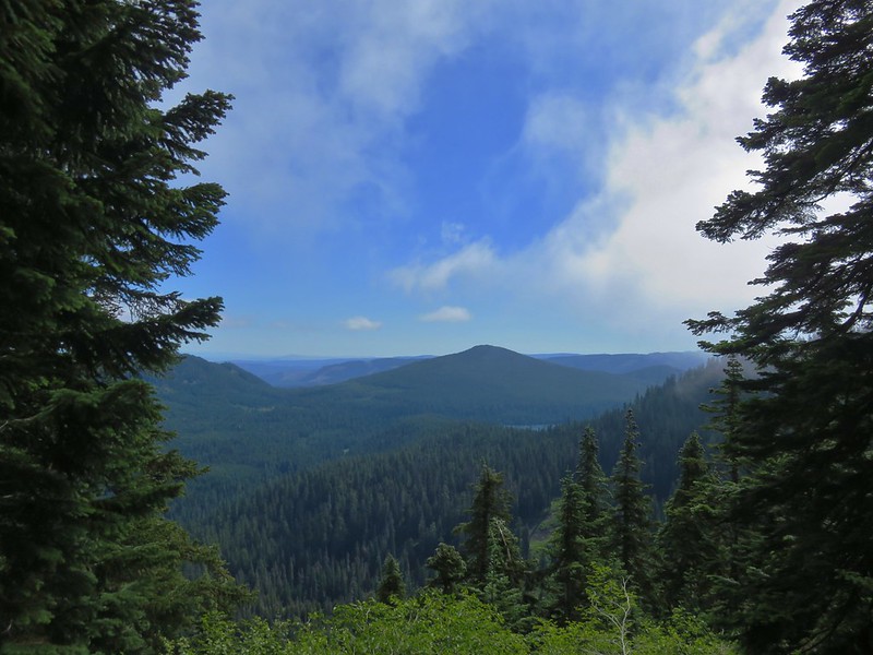
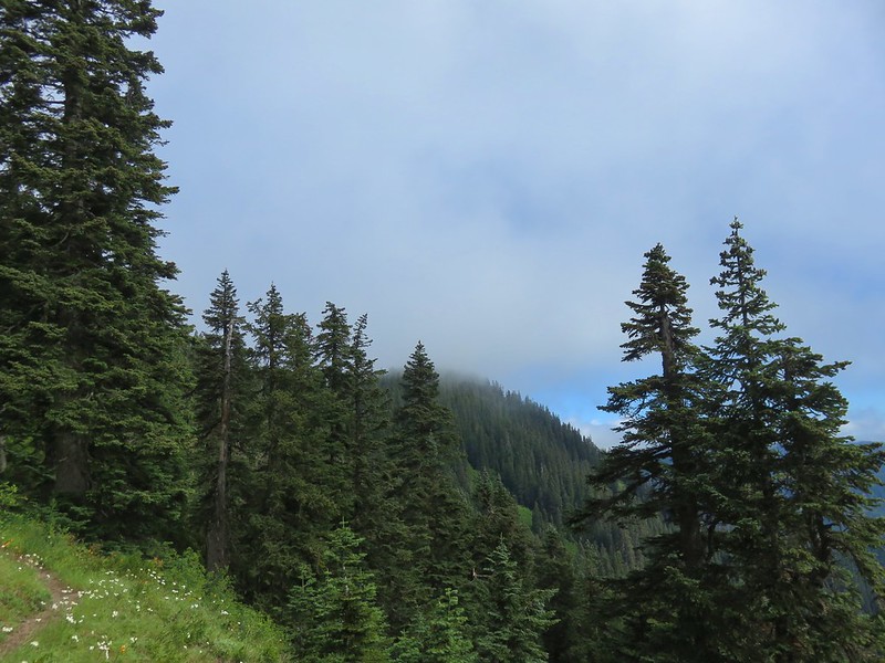
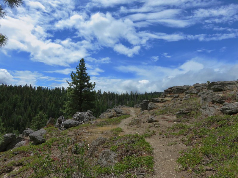
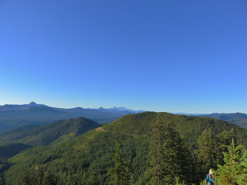
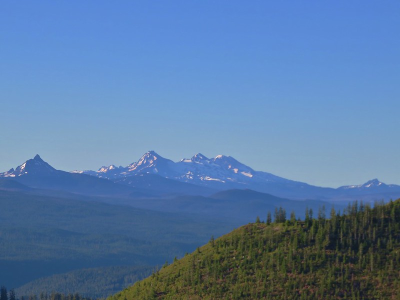
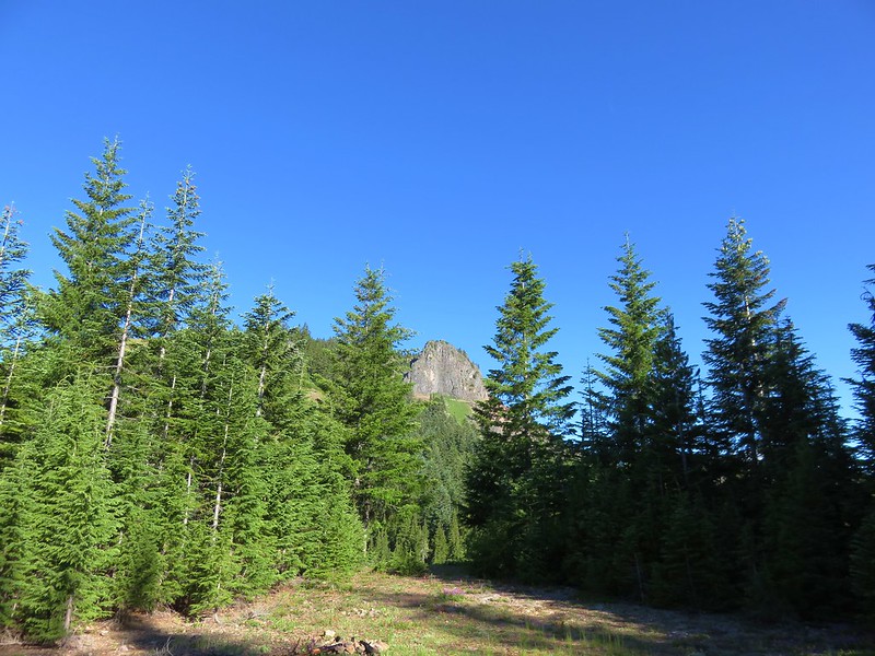
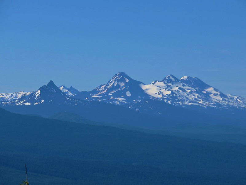
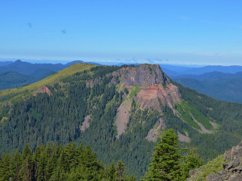
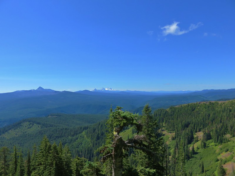
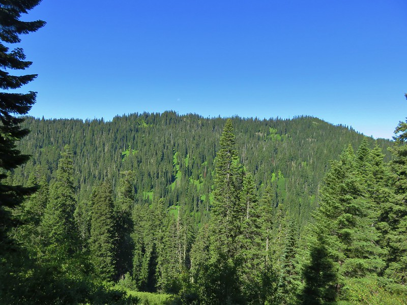
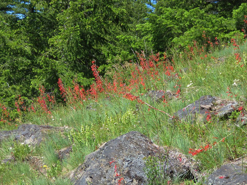
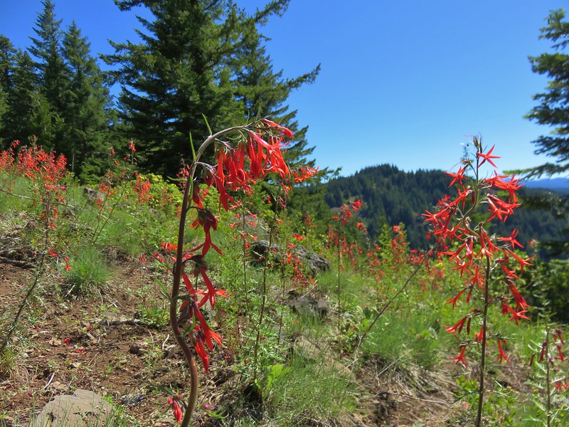
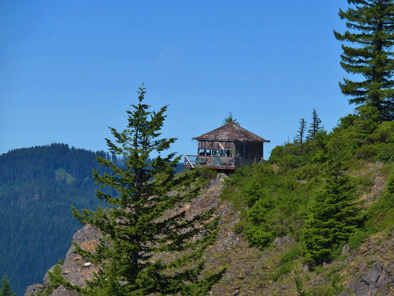
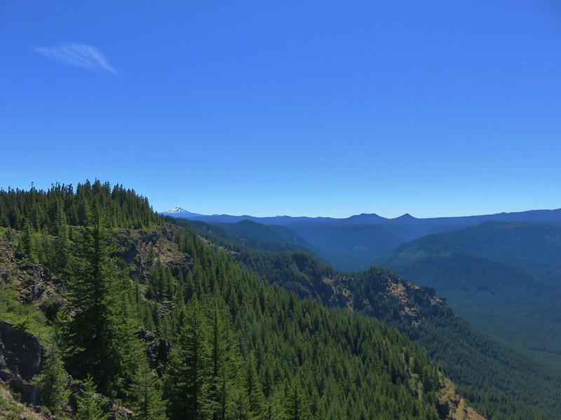
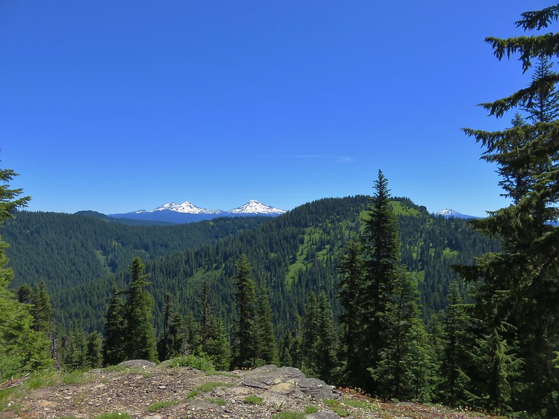
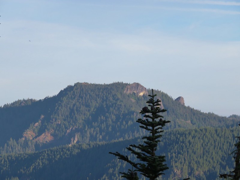
Most of the views along the PCT were to the NW across the Whitewater Creek drainage to Triangulation Peak and Bocca Cave
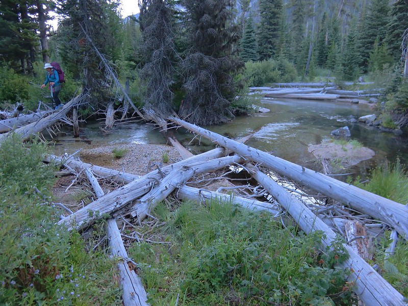
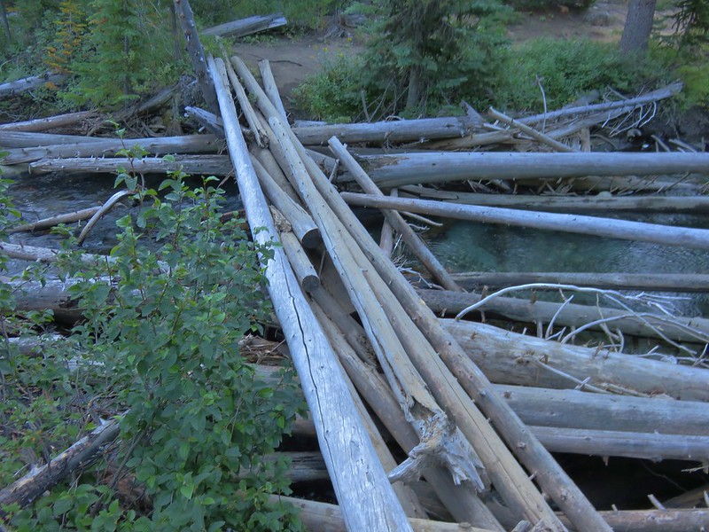
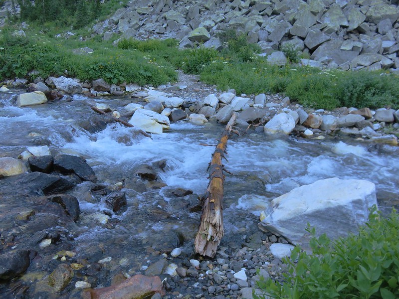
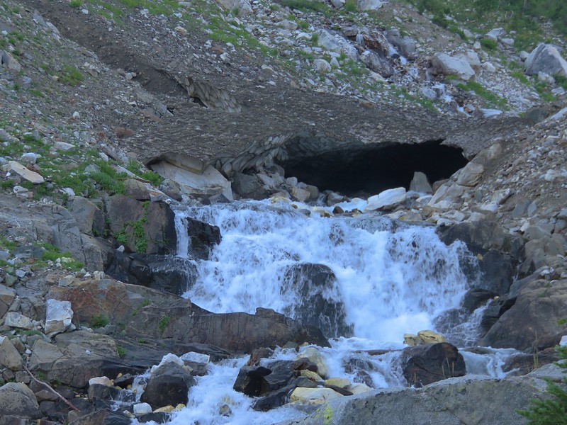
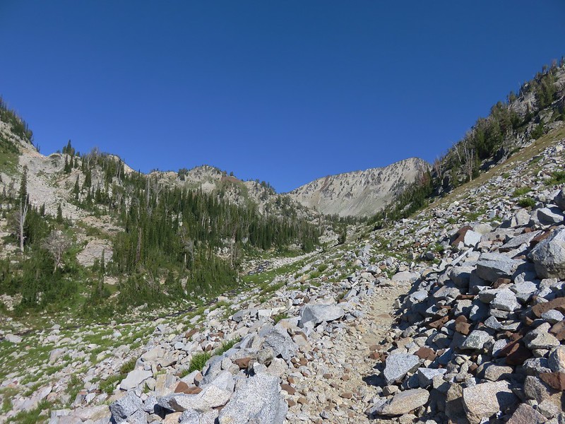
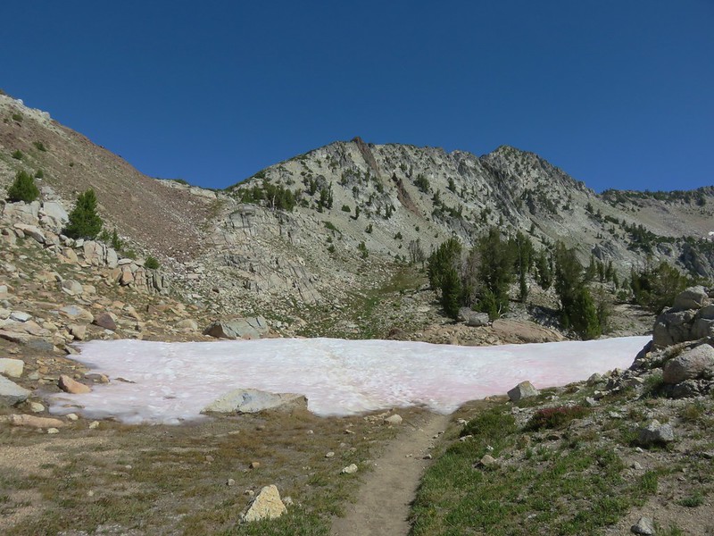
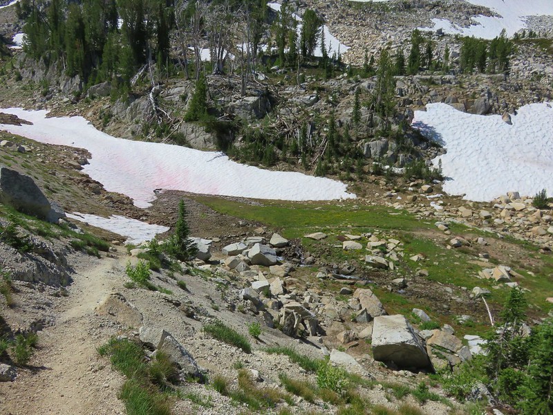
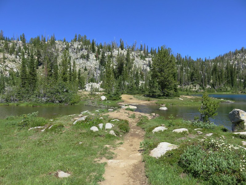
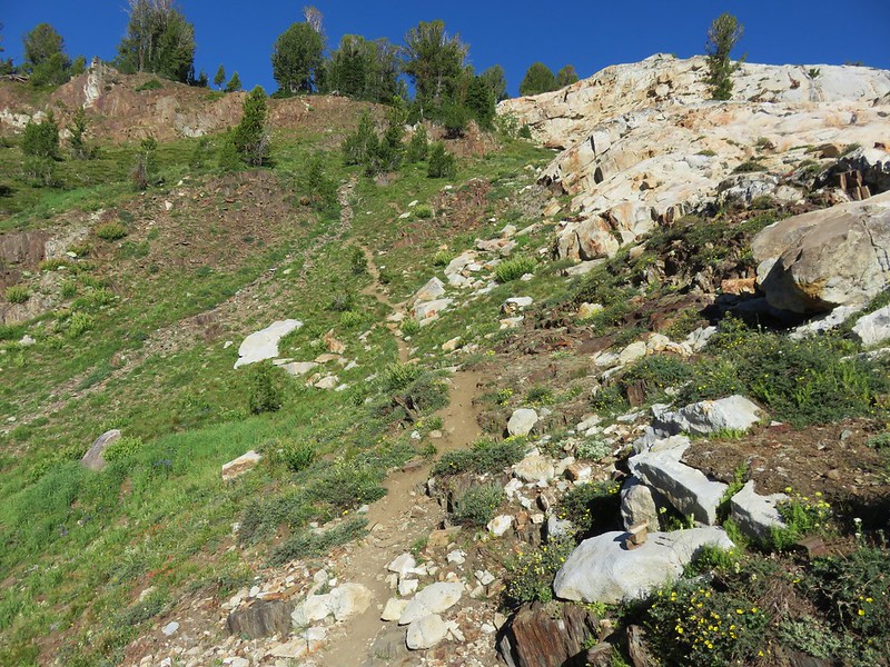
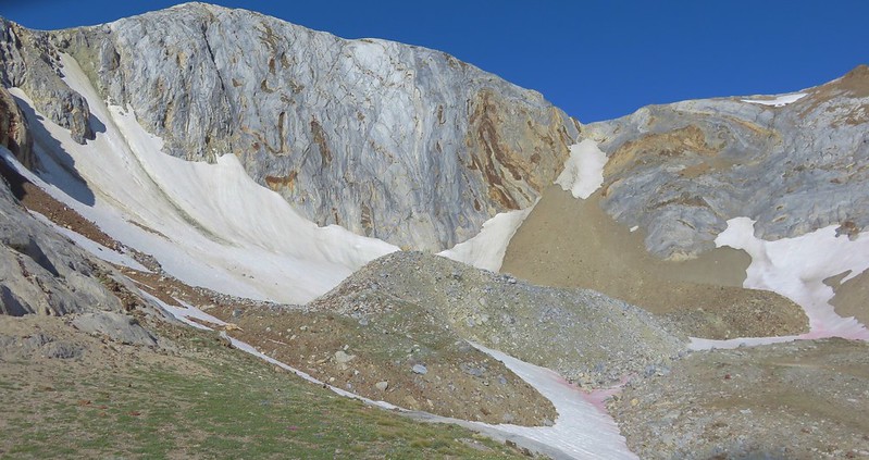
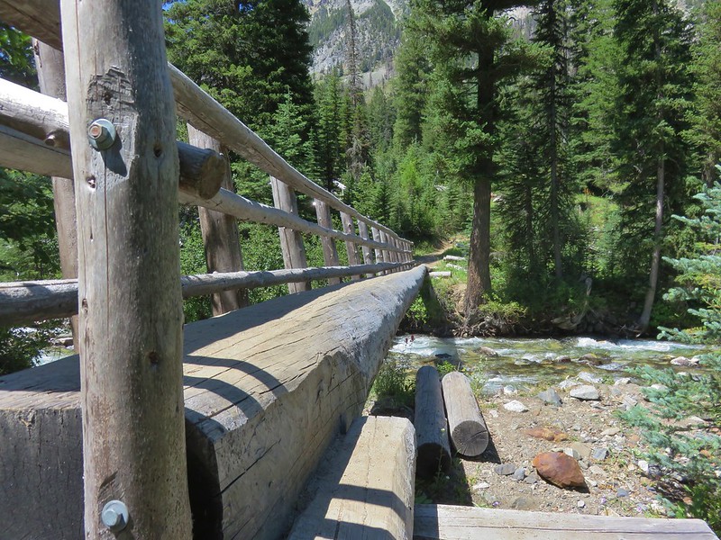
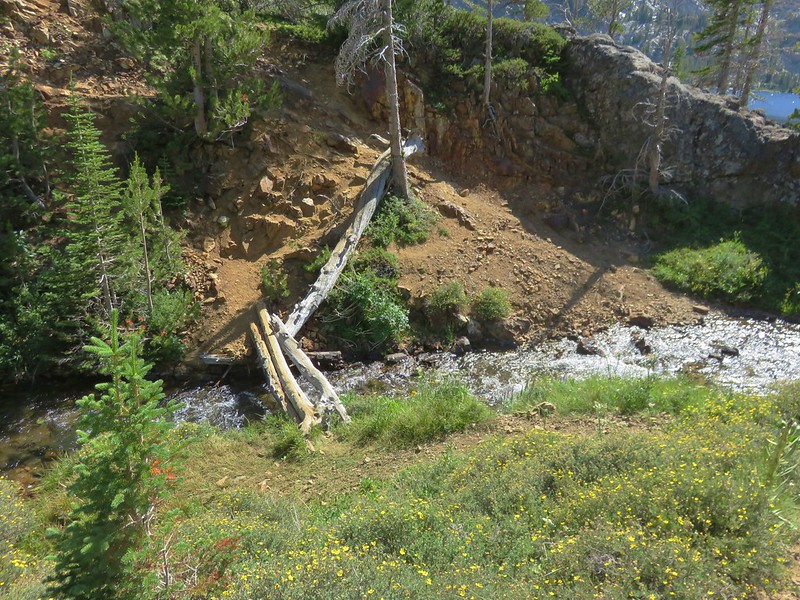
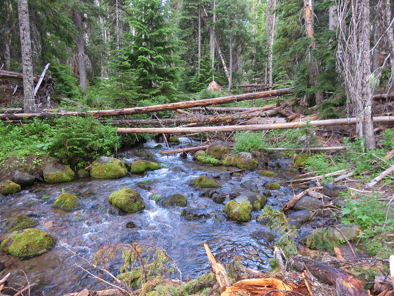
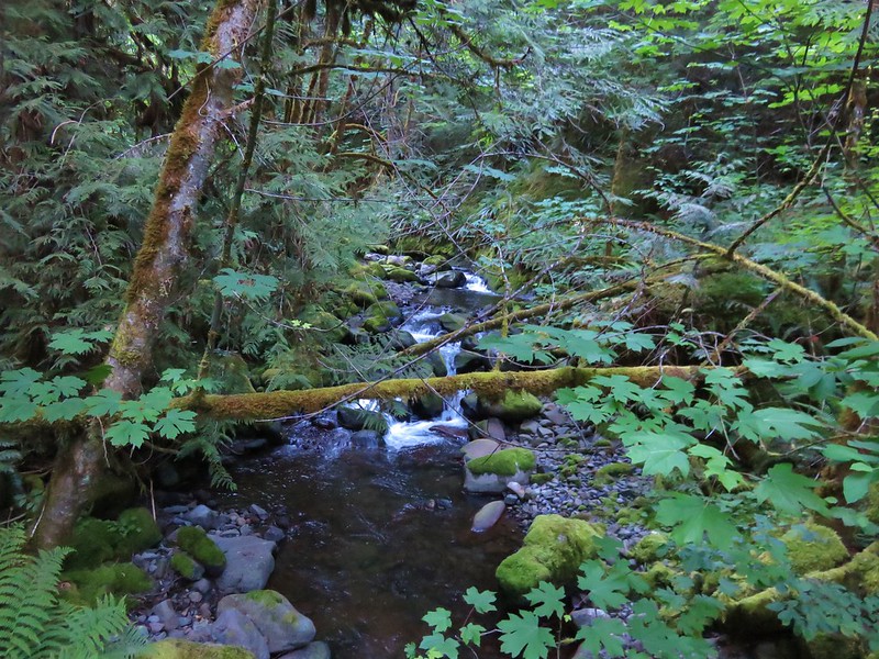
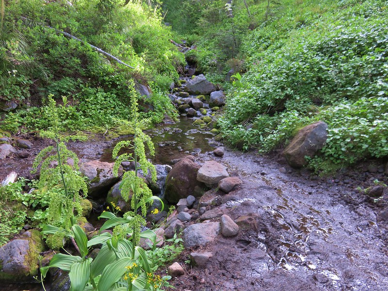
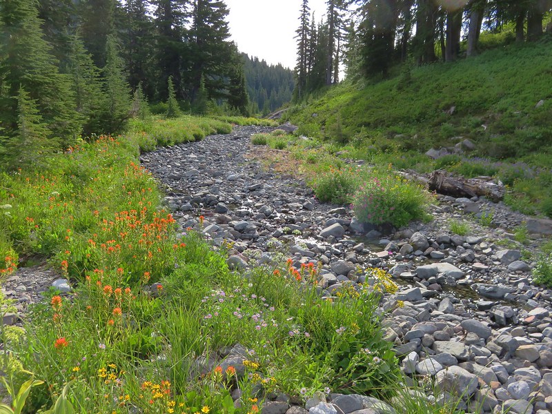
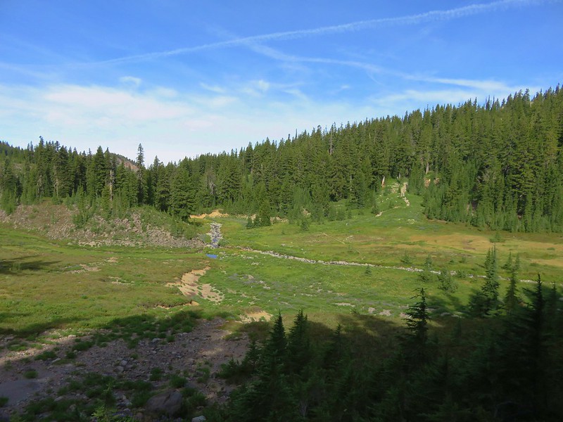
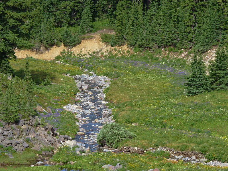
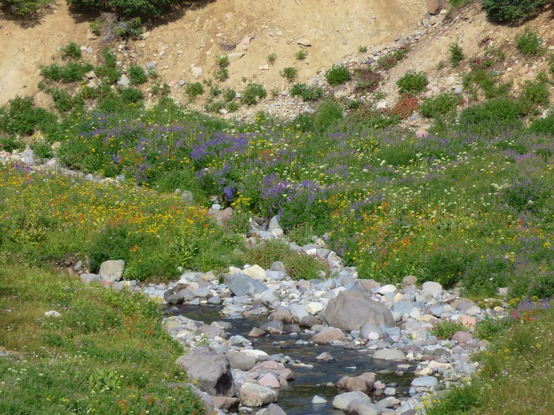
One of the other differences between this approach and the other trails leading to Jefferson Park is the presence of a sometimes tricky creek crossing. The bridge-less crossing of the glacier fed Russell Creek can be dangerous during high water flow. It was a mostly dry crossing on this morning though.
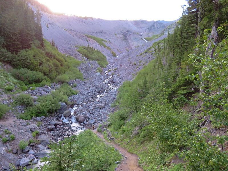

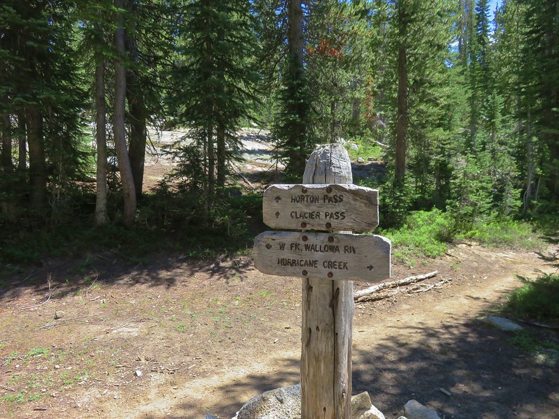
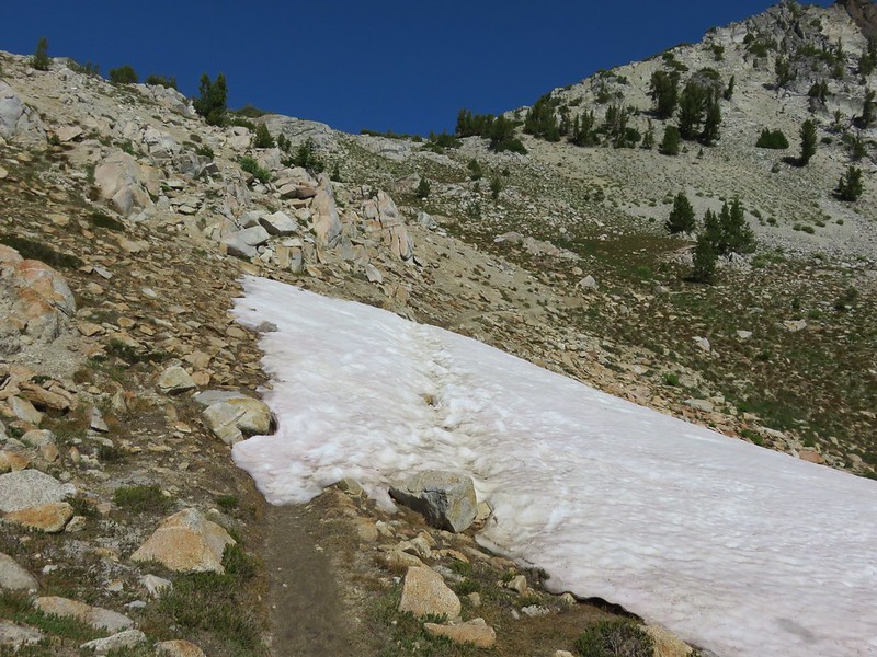
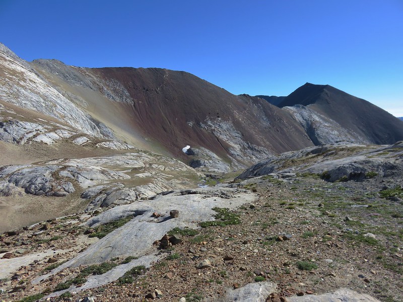
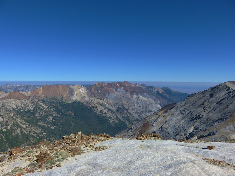
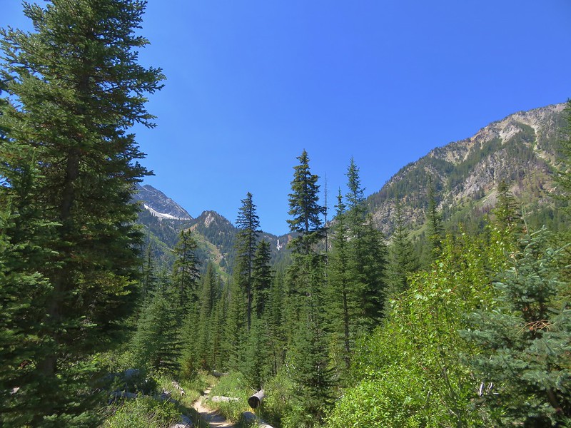
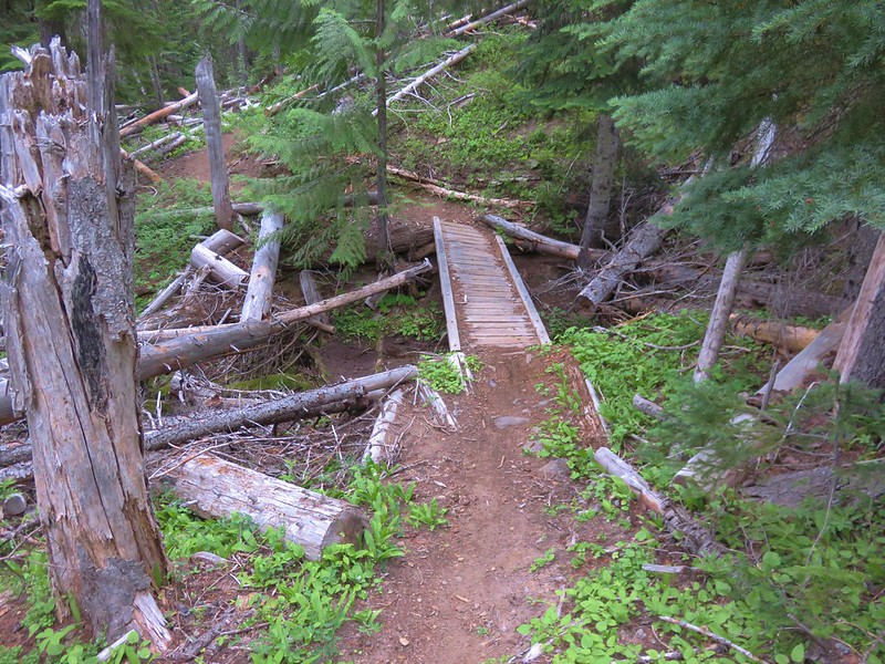
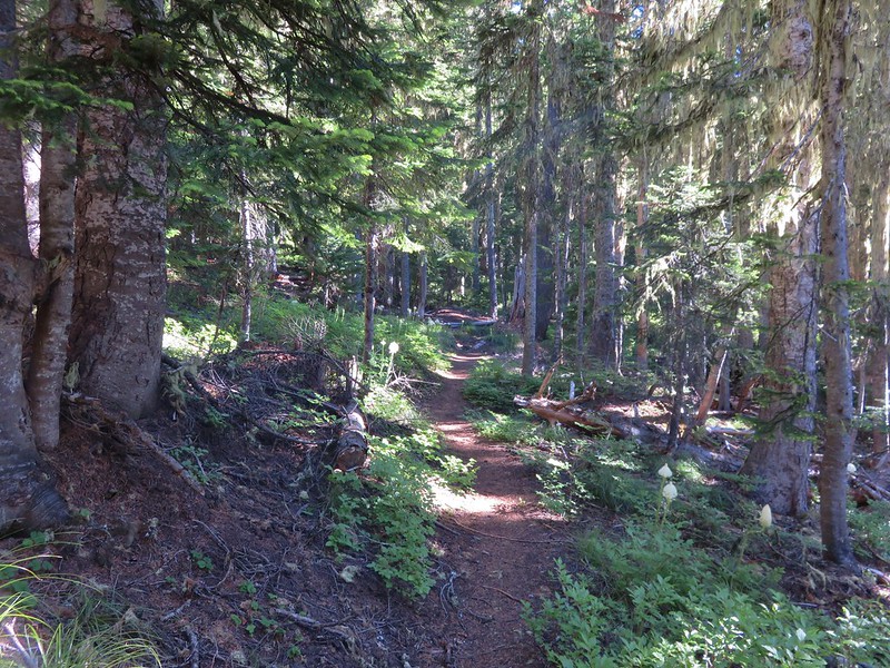
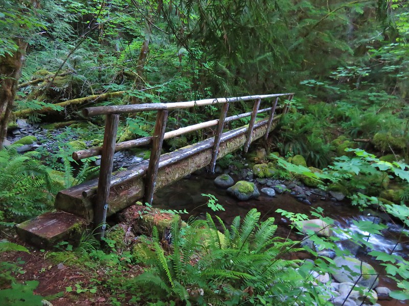
Our plan was to recross the stream before too much additional water was added to the flow as the temperatures rose during the day. A few smaller creek crossings brought us to the familiar junction with the Whitewater Creek Trail after a total of 3.2 miles on the PCT.
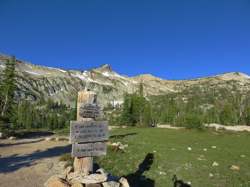
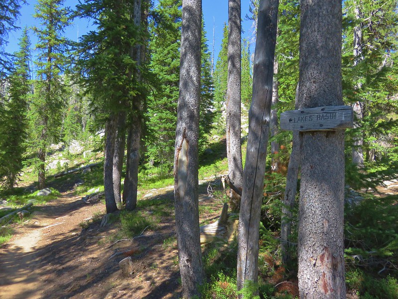
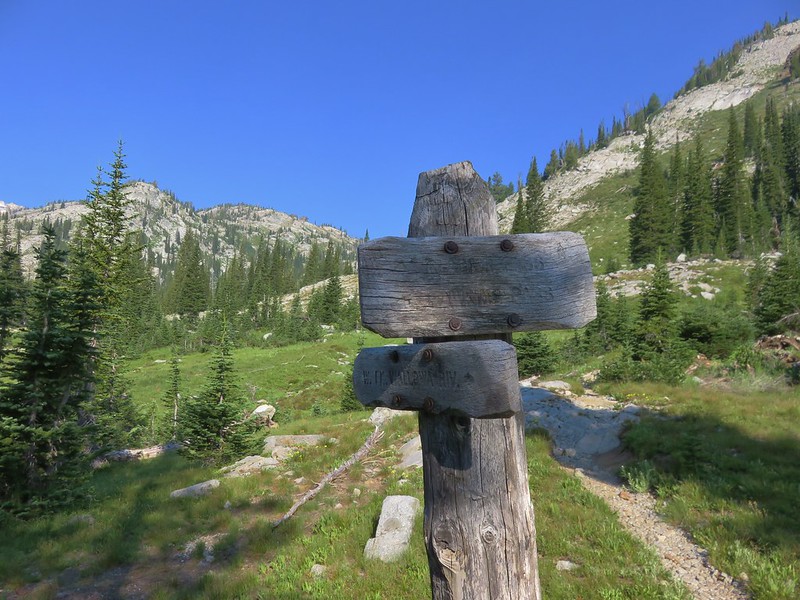
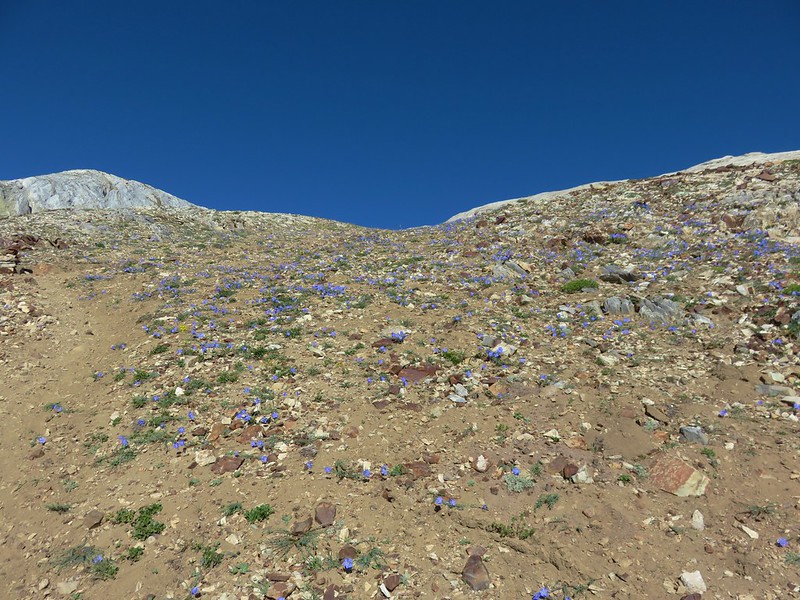
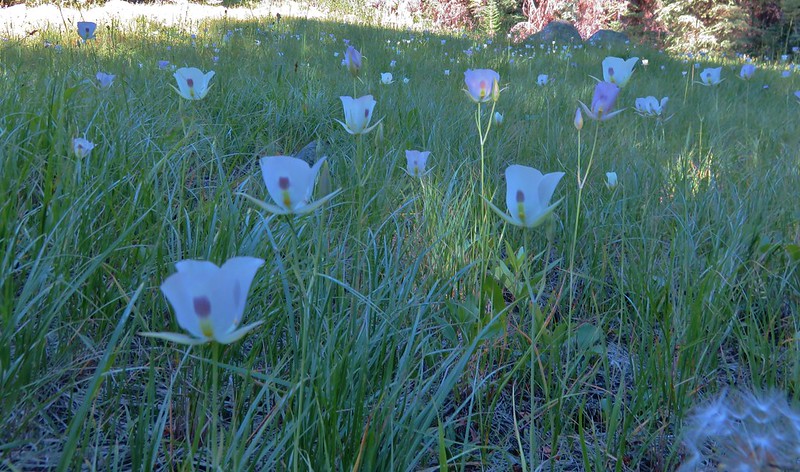
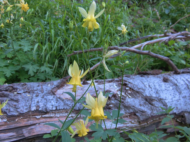
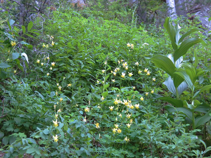
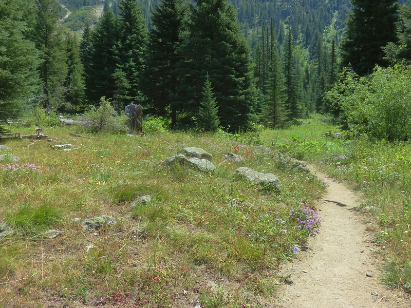
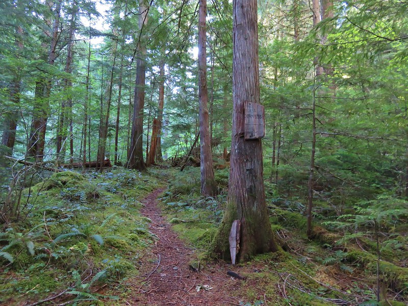
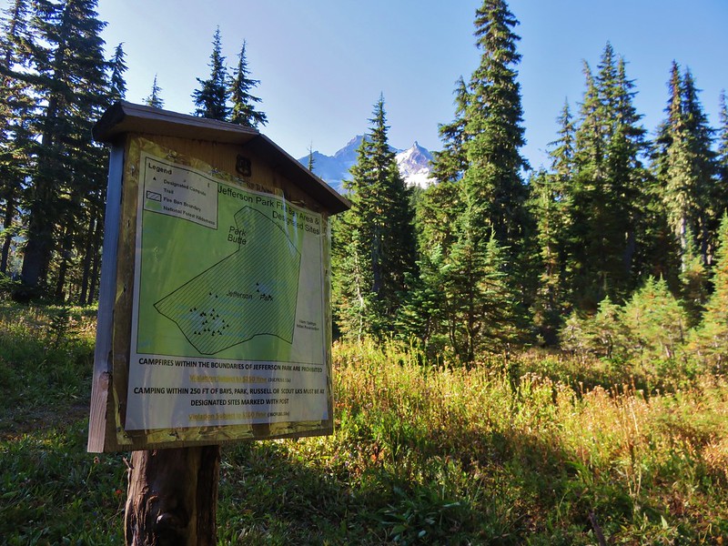
We had come up the Whitewater Trail on our previous visit on 8/8/2015 and were anxious to compare the scenery given how dry the prior year had been. It had looked more like Fall than Mid-Summer on that visit but this year had seen more snow so we were expecting more water, more green, and more flowers. The difference was already noticeable when we arrived at the informational sign for Jefferson Park.
8/8/2015
8/13/2016

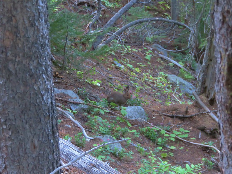
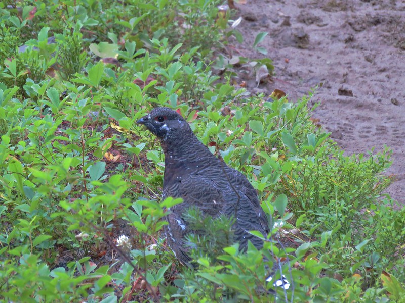
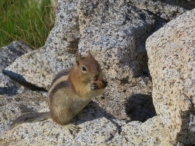
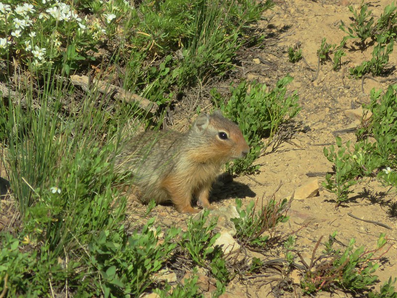
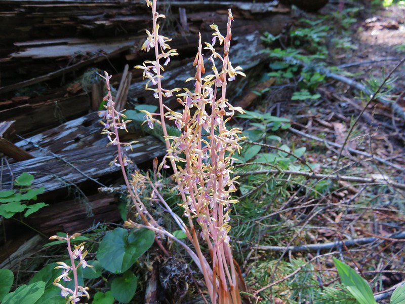
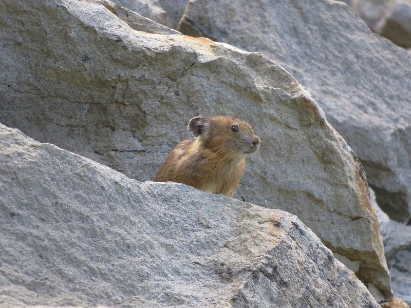
Shortly after passing the sign the trail passes through a small rock field where we had seen a pika the year before. One greeted us this year in almost in the exact same spot.
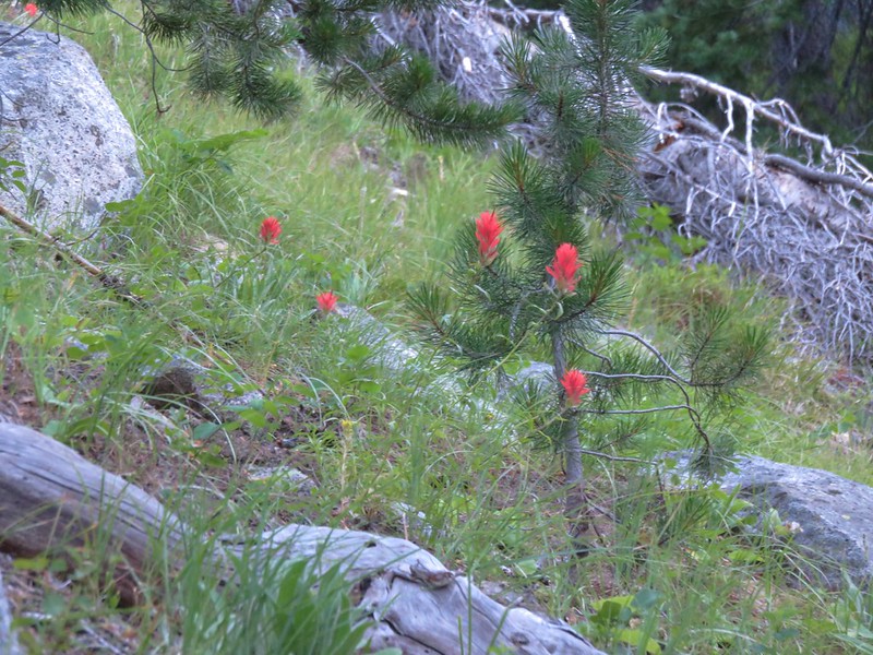
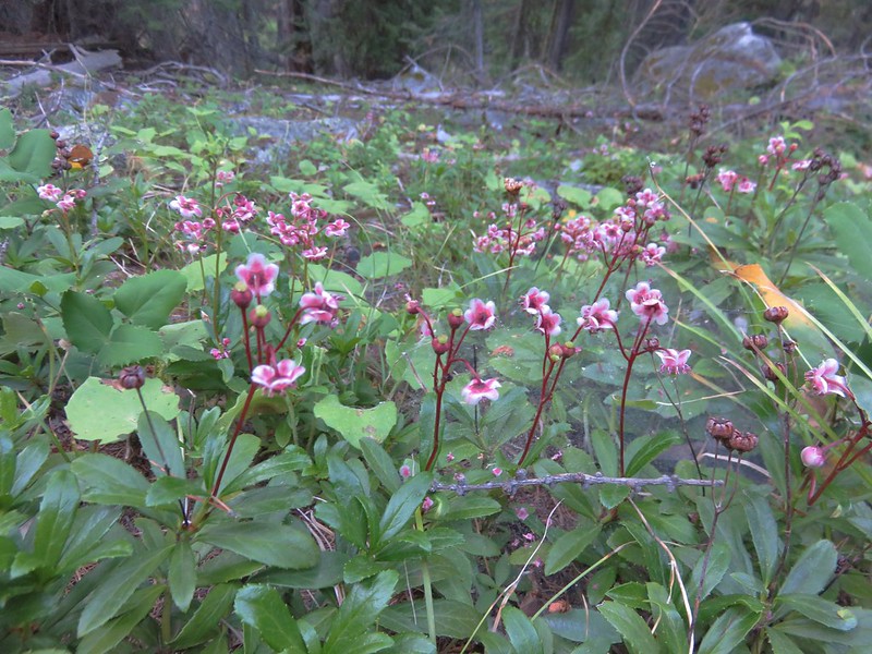
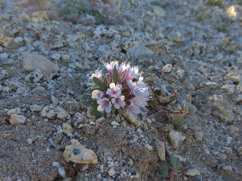
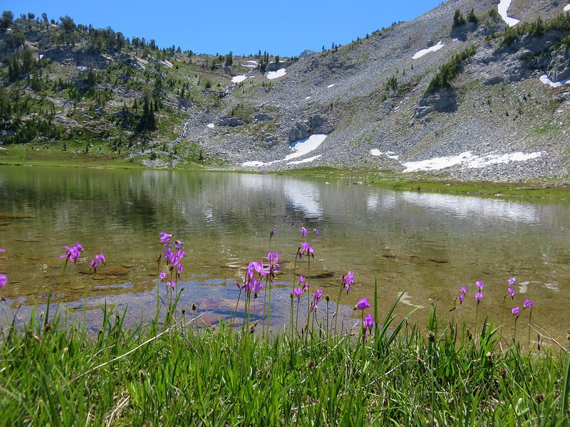
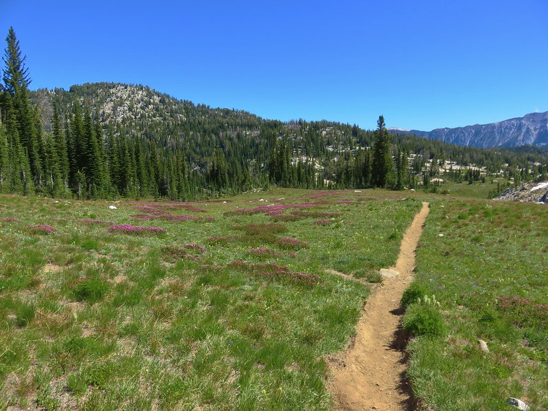
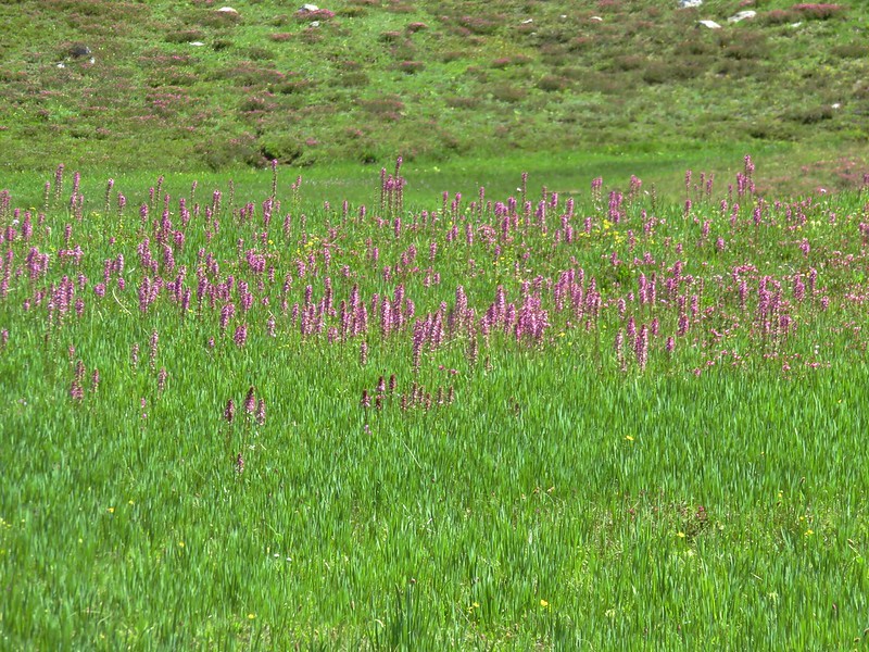
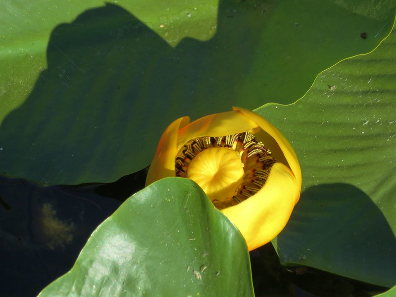
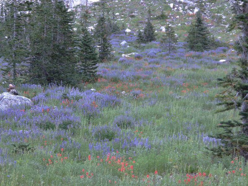
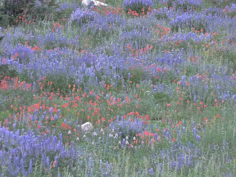
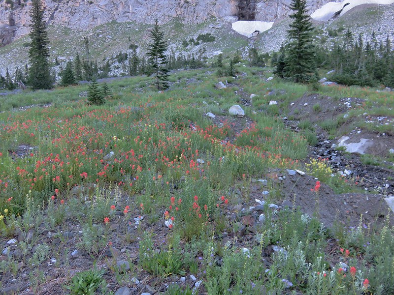
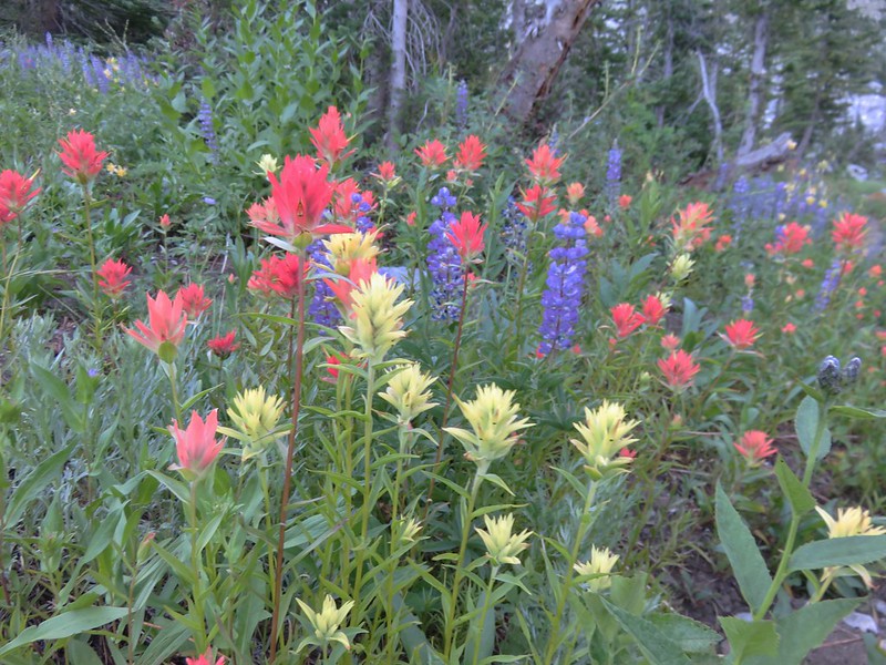
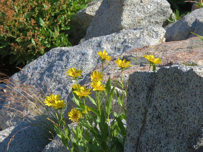
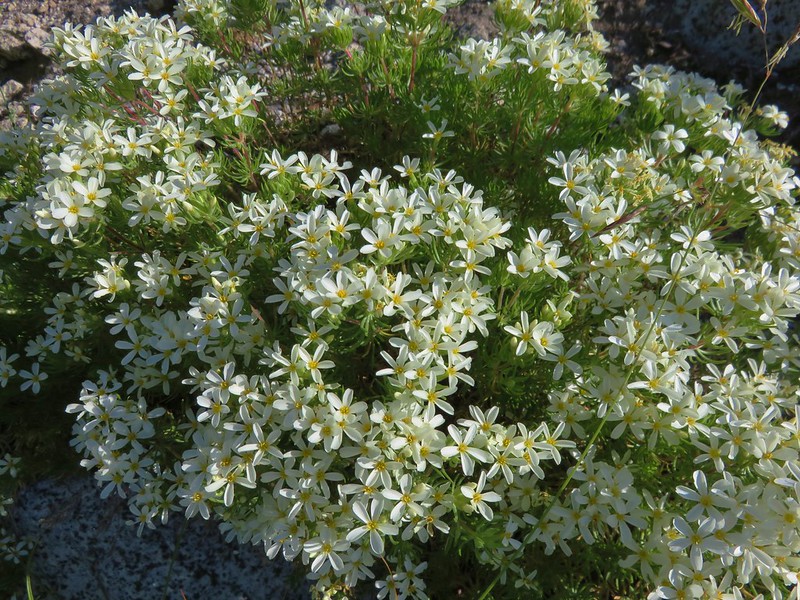
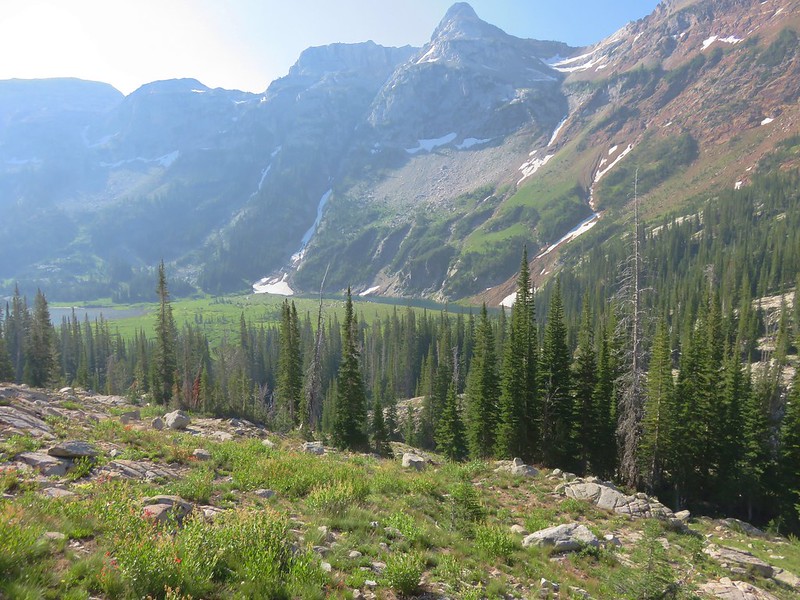
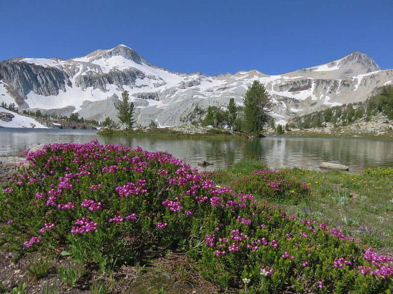
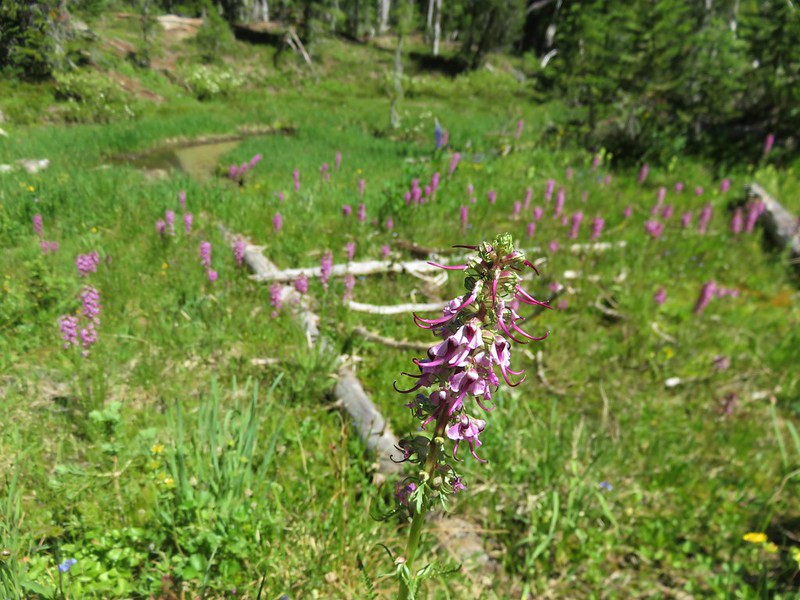
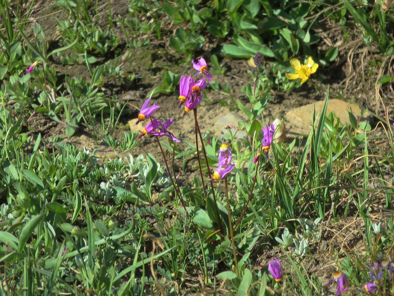
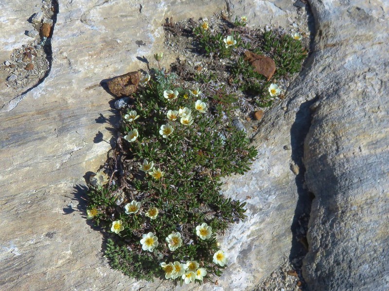
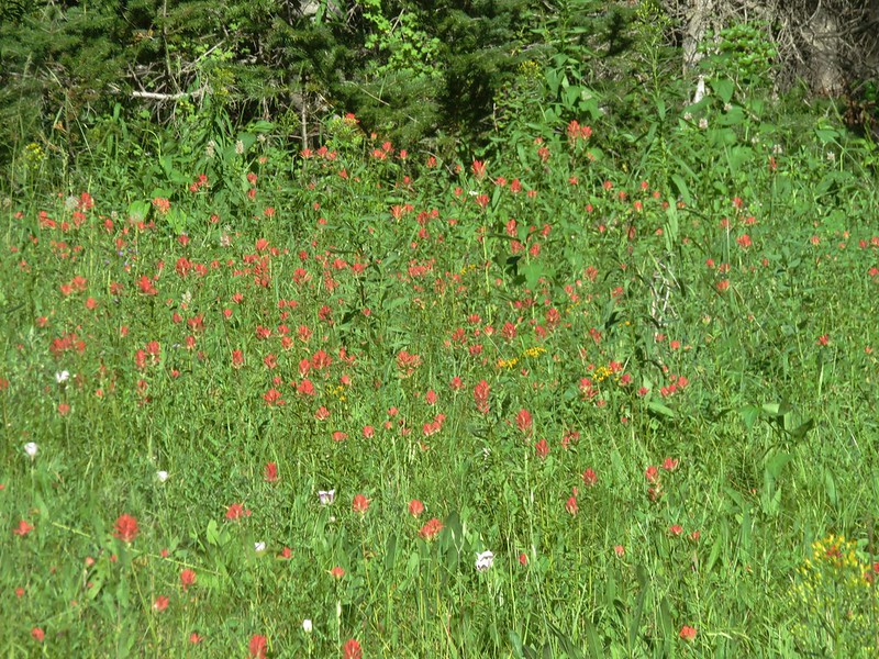
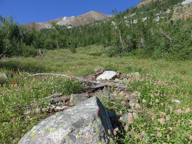
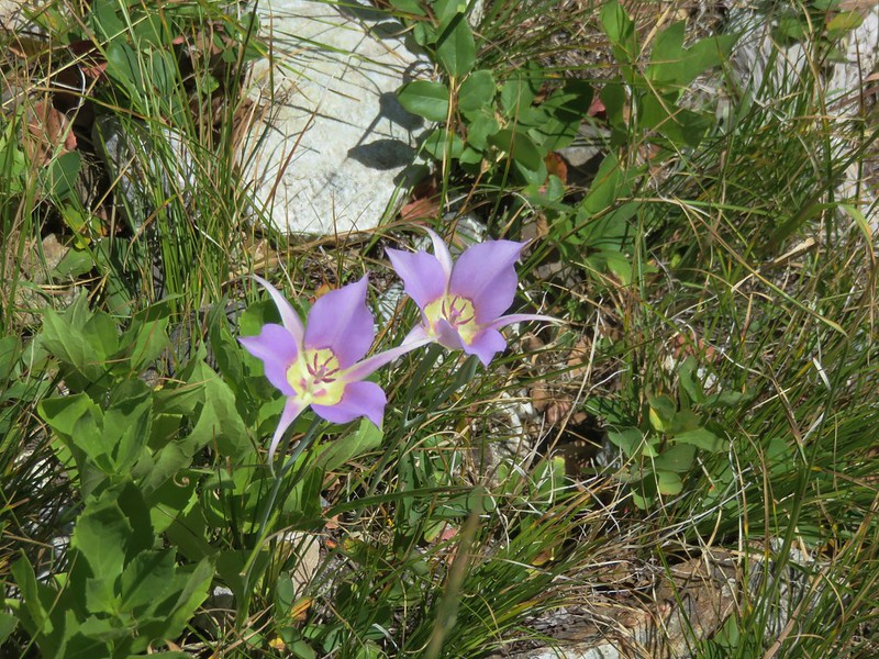
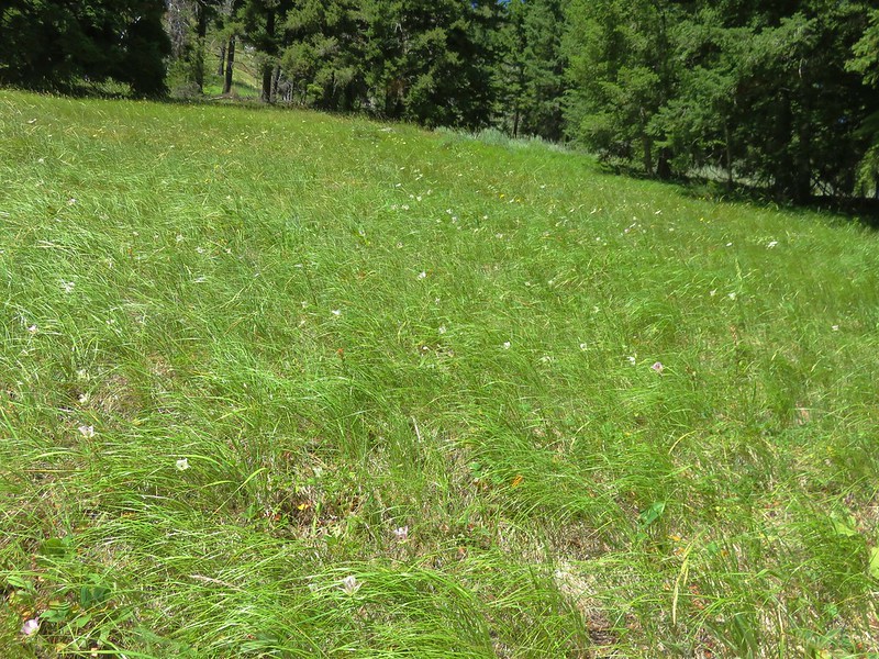
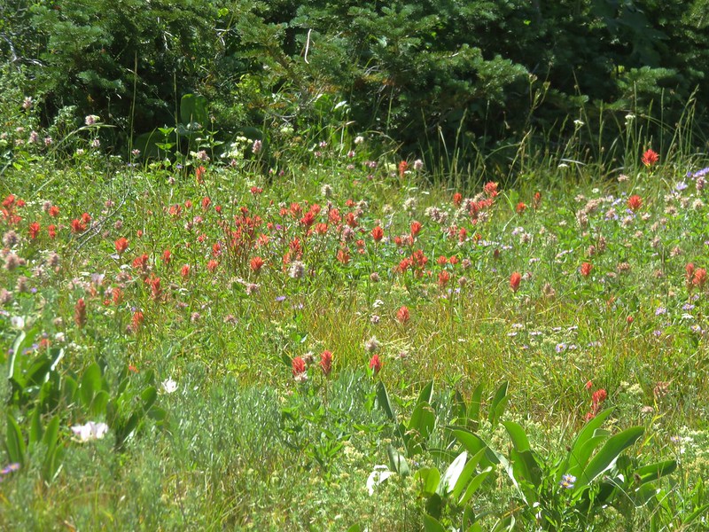
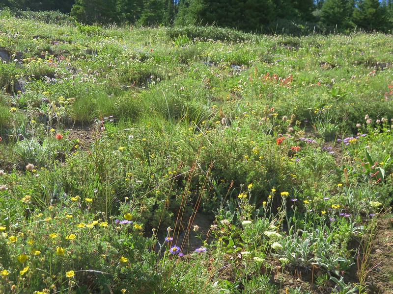
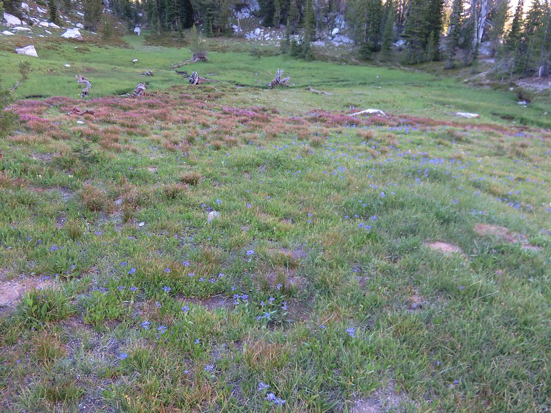
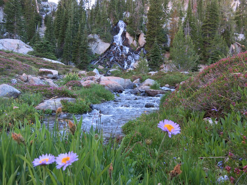
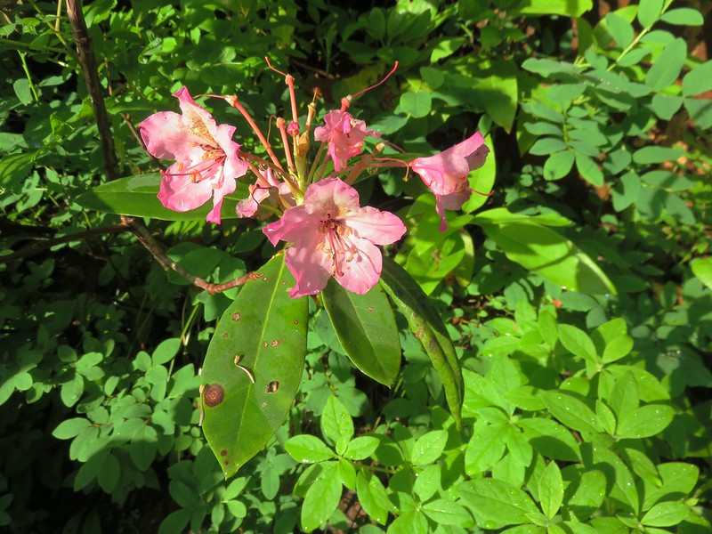
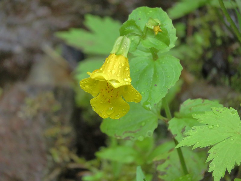
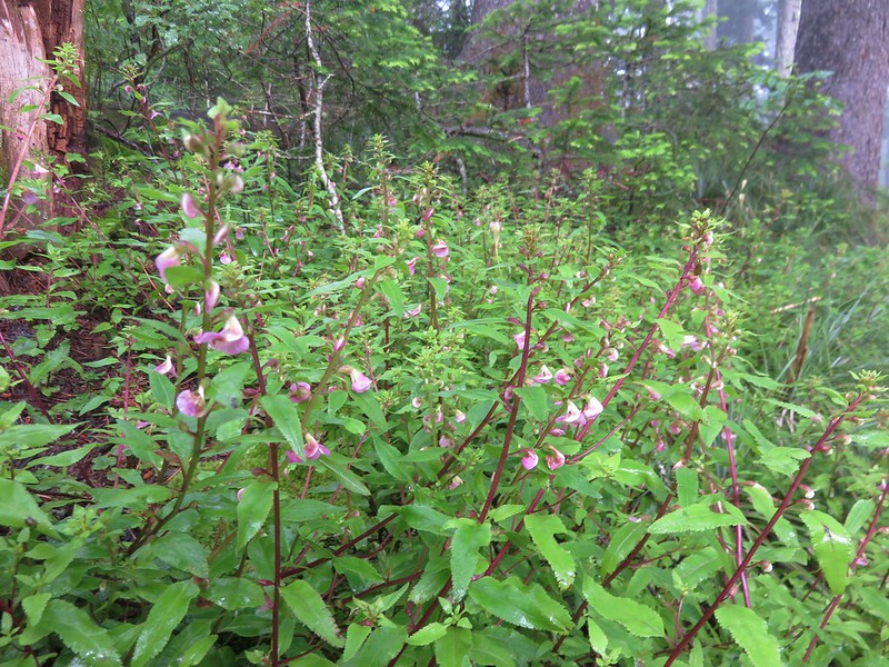
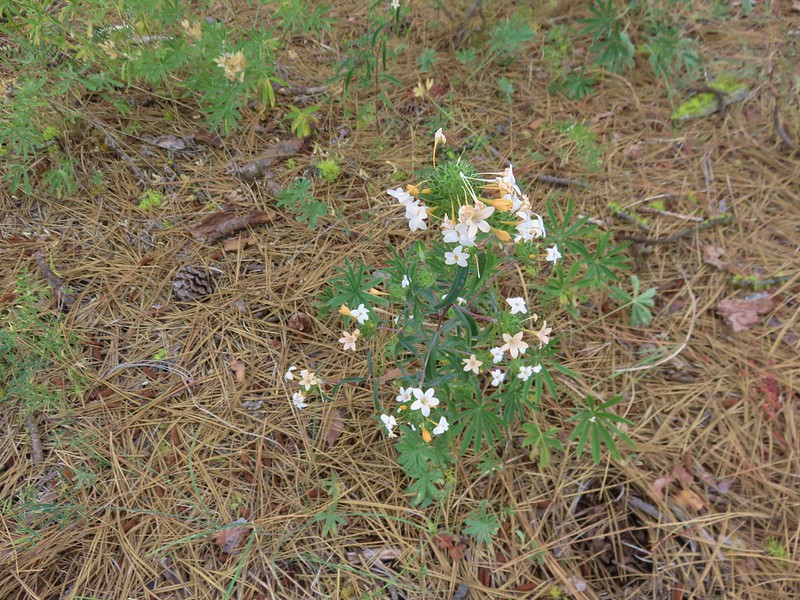
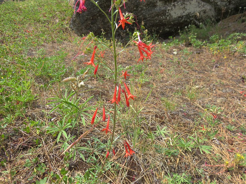
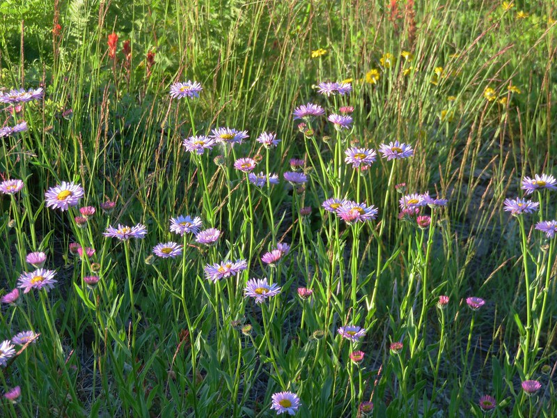
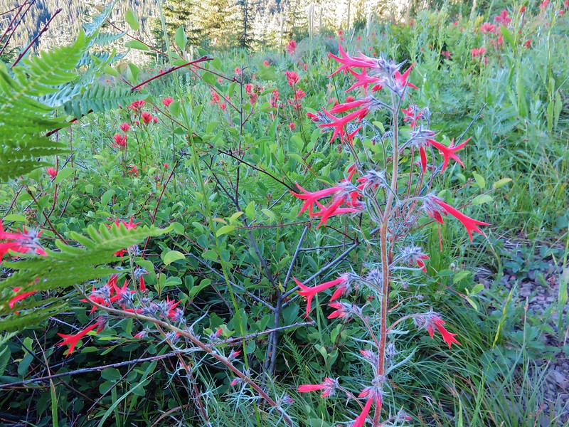
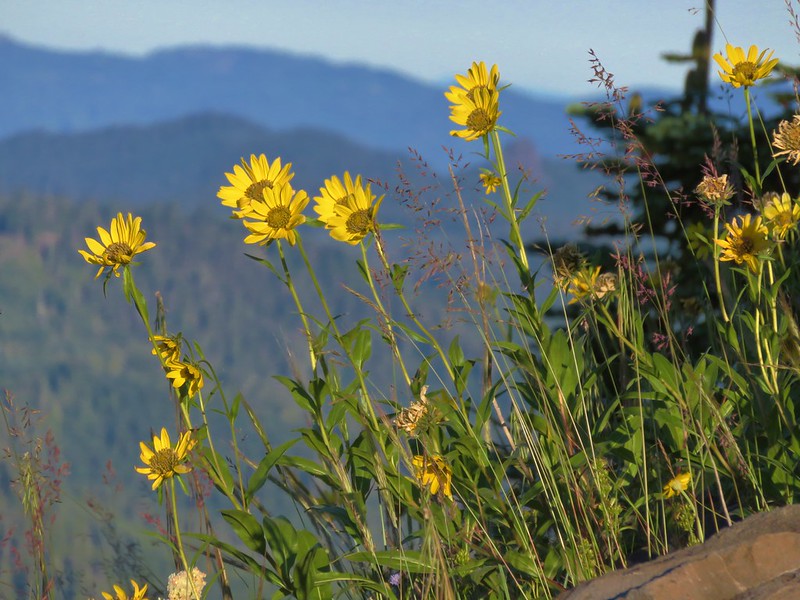
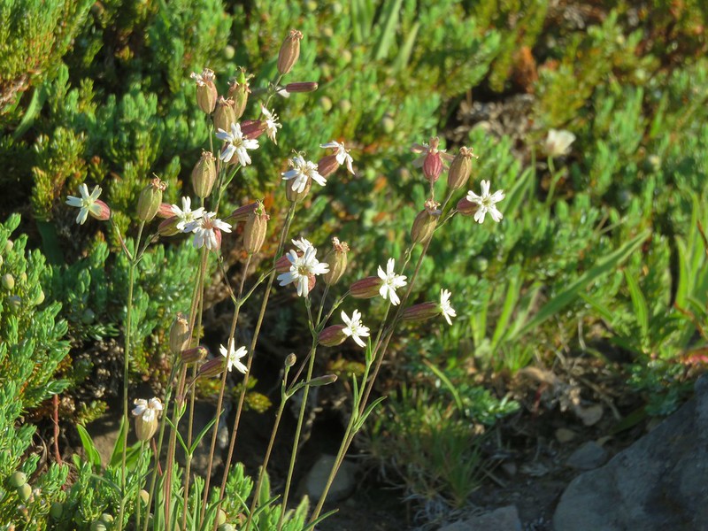
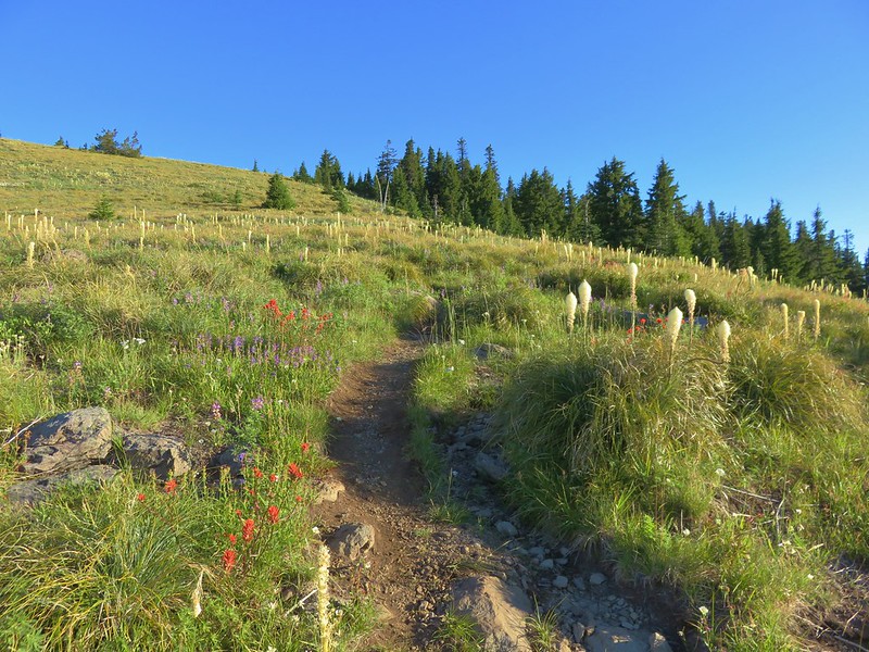
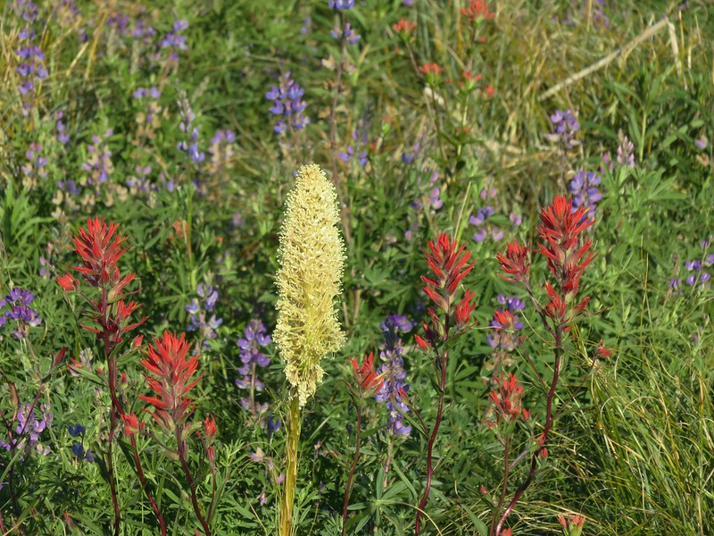
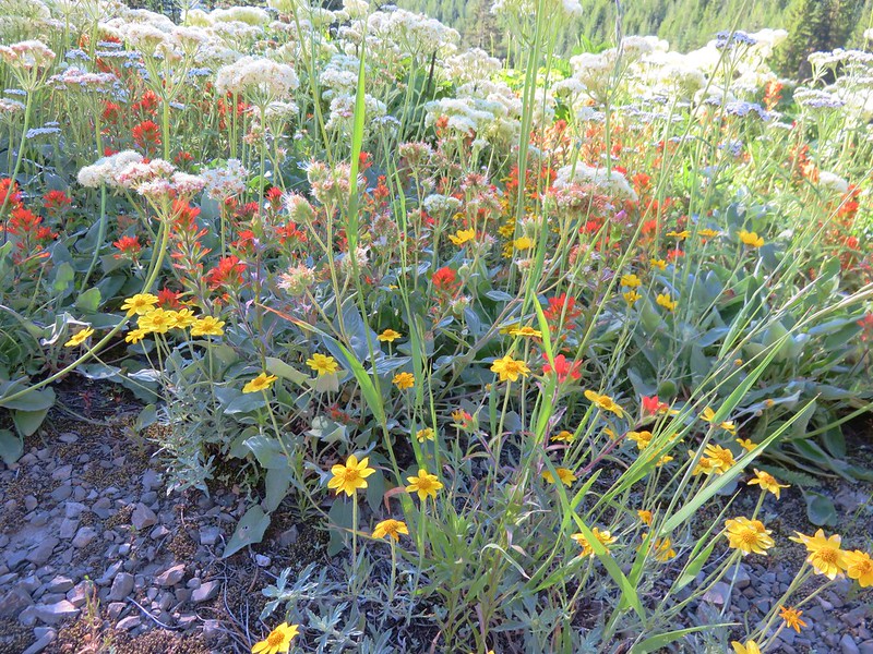
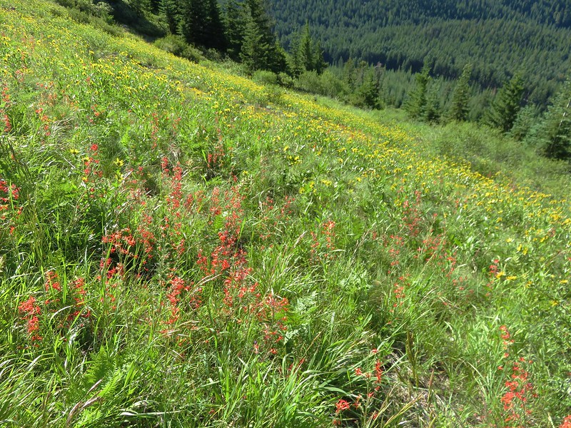
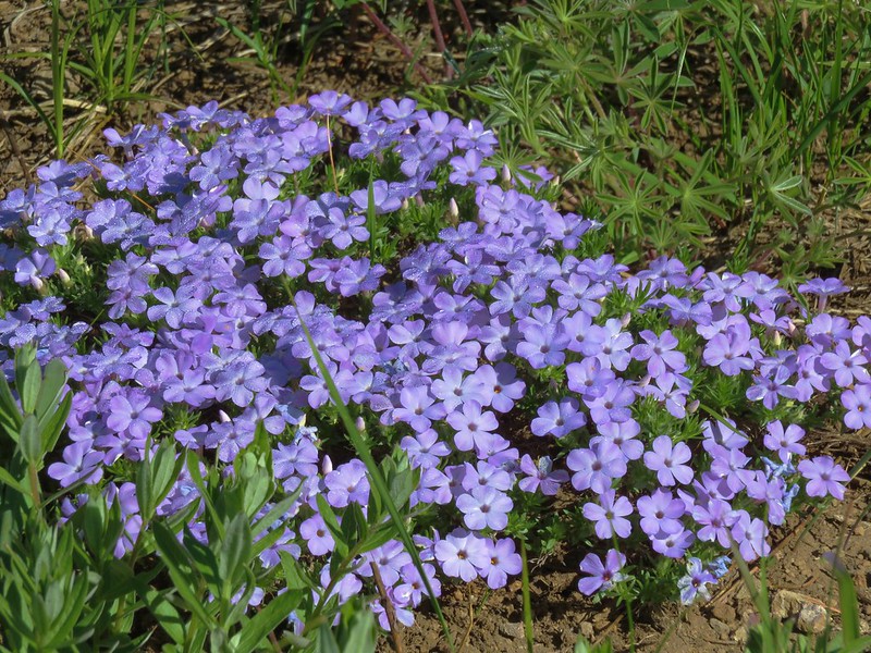
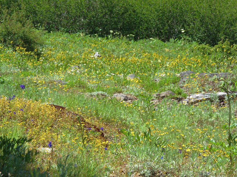
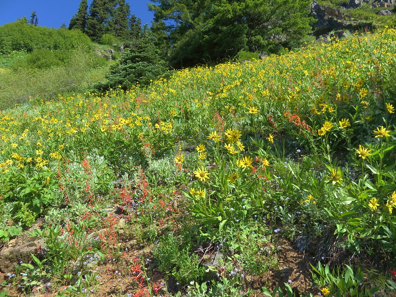
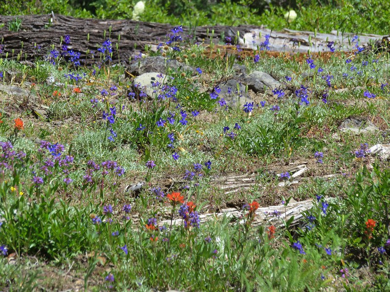
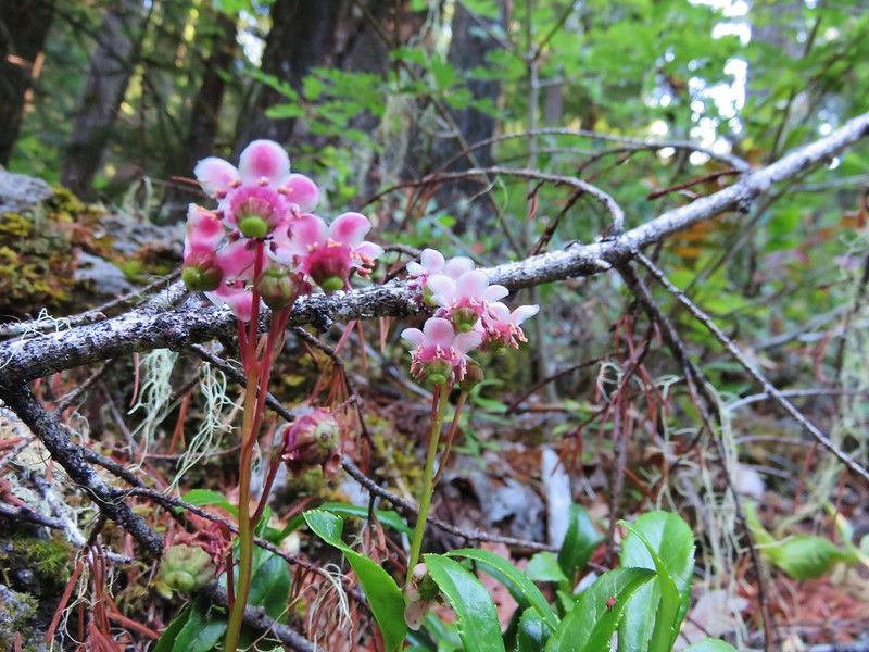
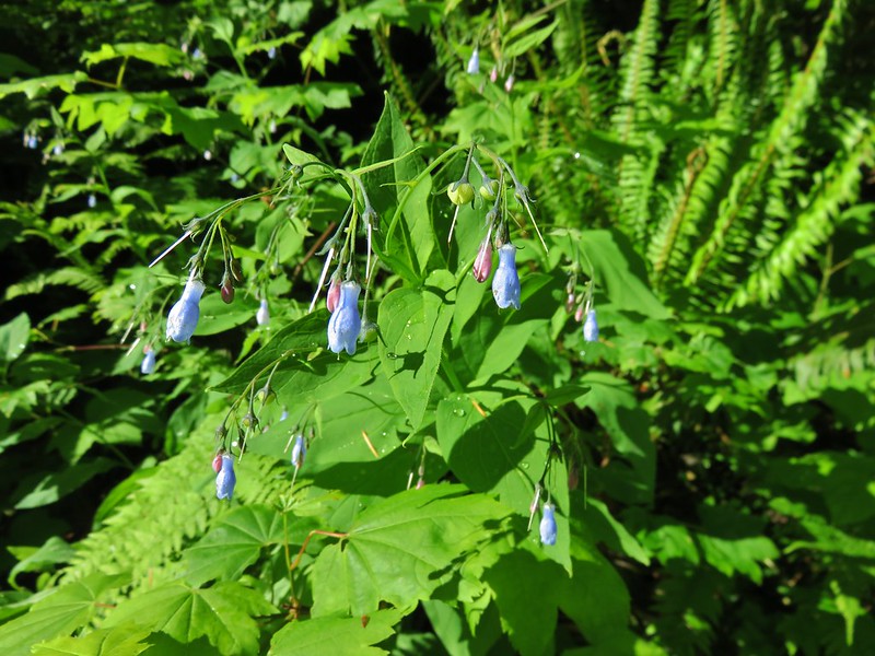
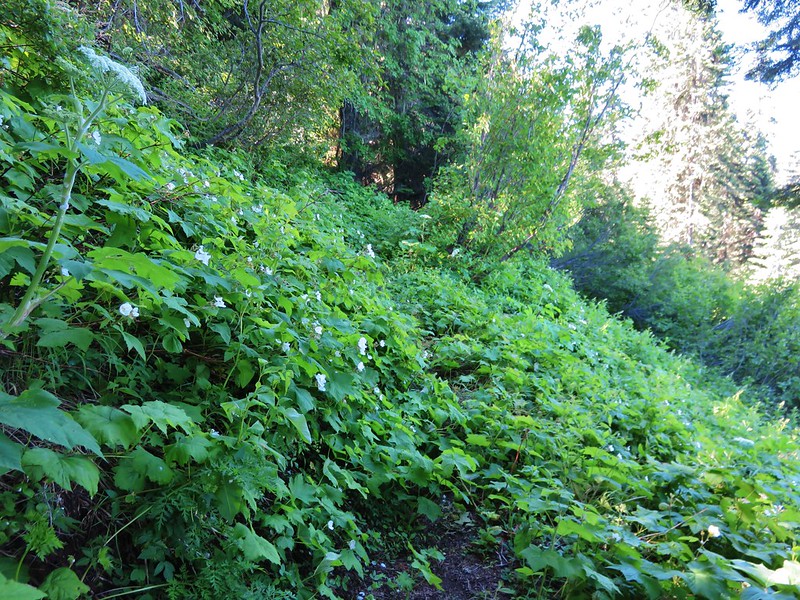
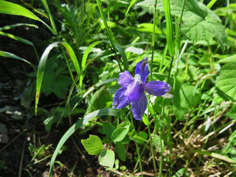
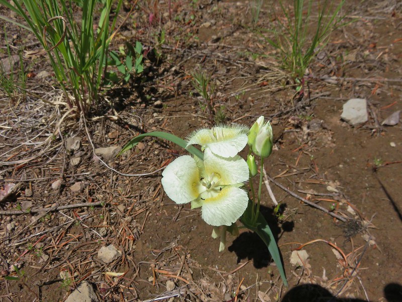
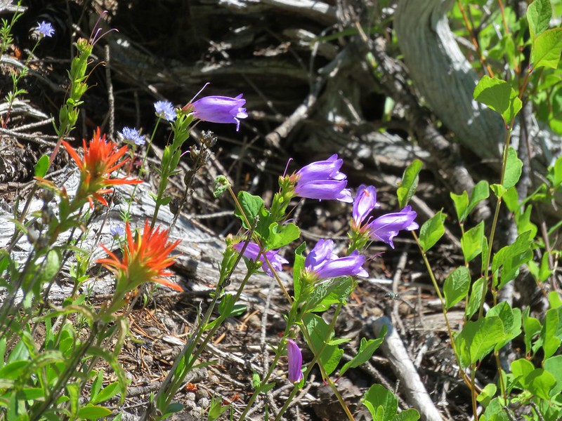
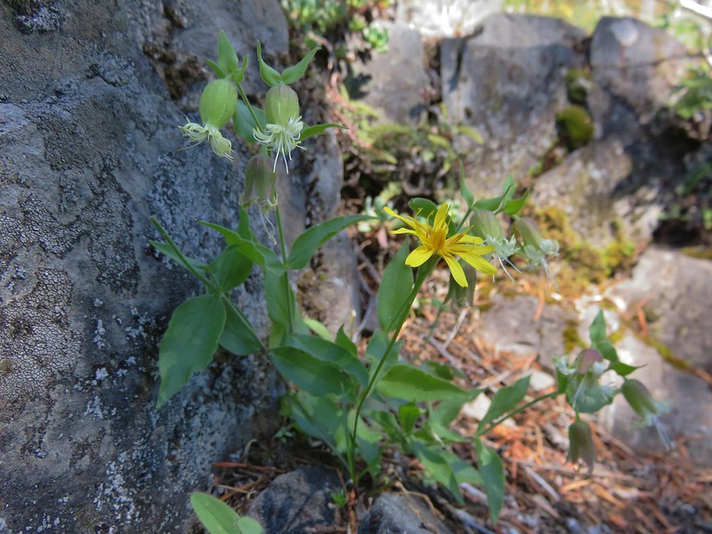
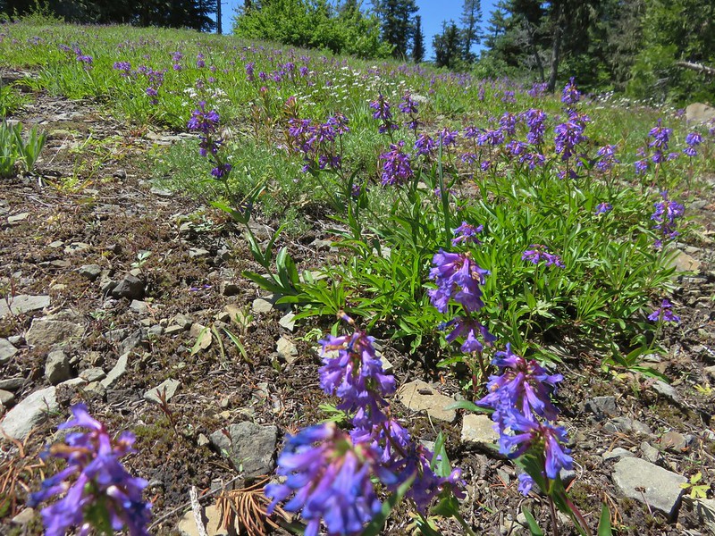
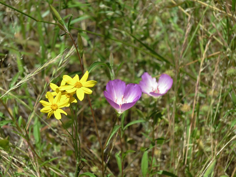
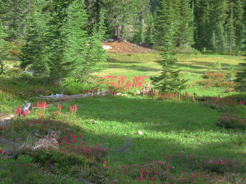
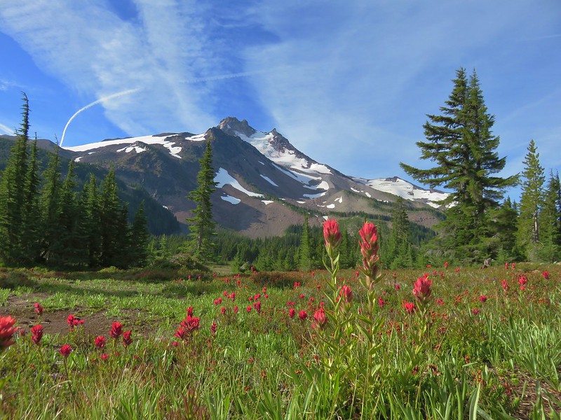
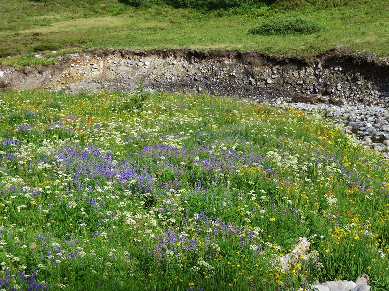
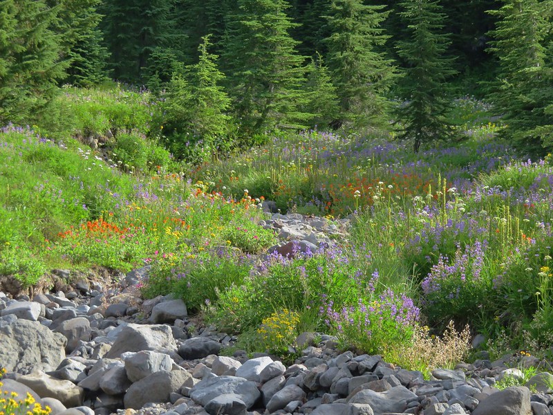
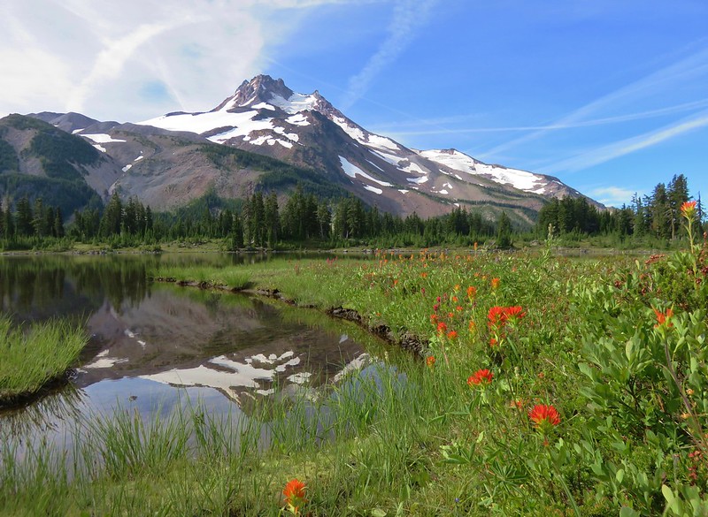
A nice display of paintbrush greeted us as we entered Jefferson Park.
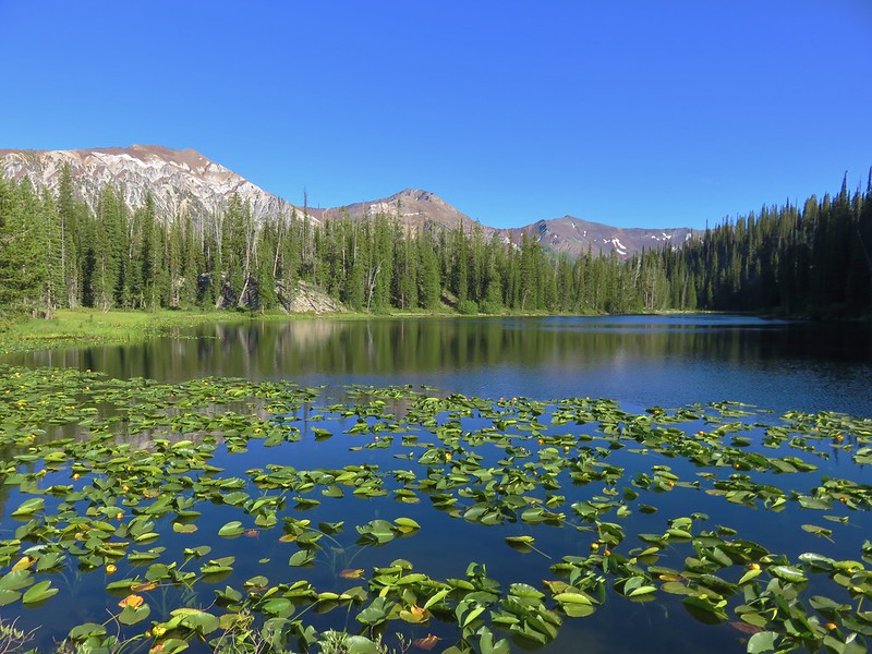
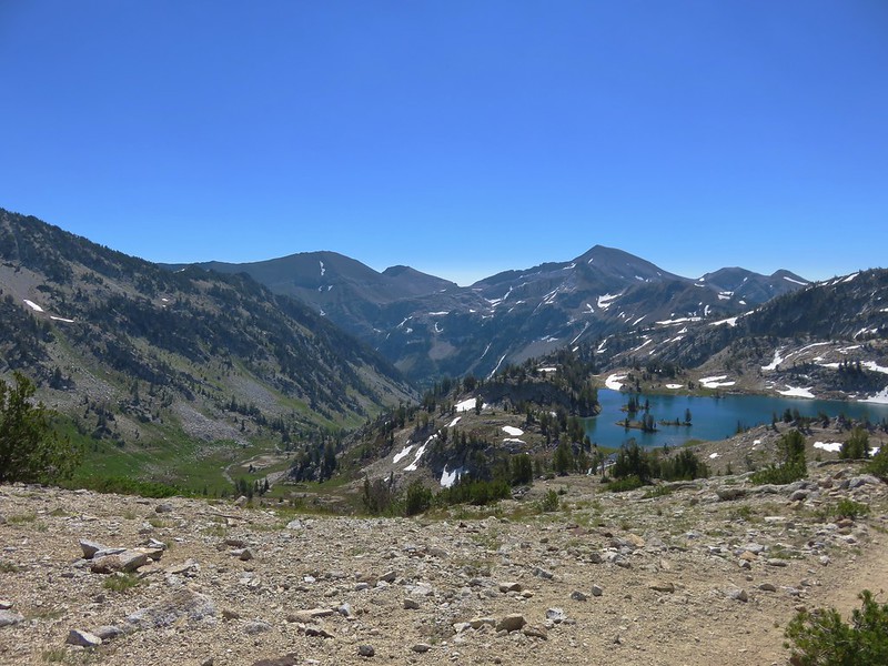
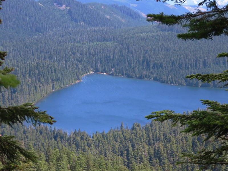
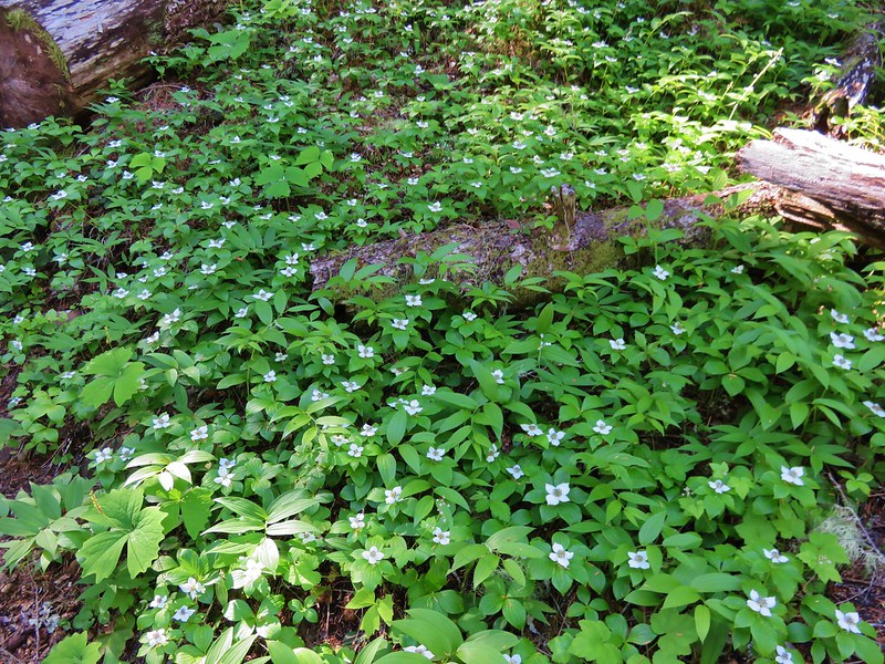
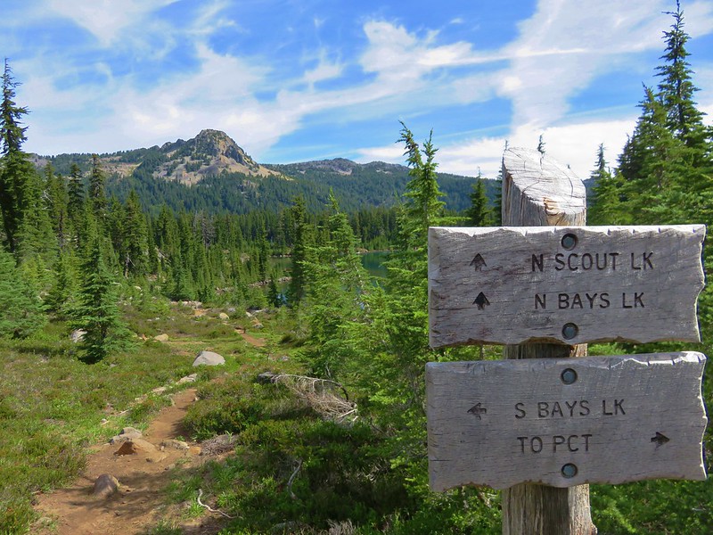
We stuck to the Pacific Crest Trail ignoring the signed trails to Bays and Scout Lakes as we headed for Russell Lake at the far end of Jefferson Park. Along the way we passed a small pond that gave another good example of the difference a year can make.
2015
2016
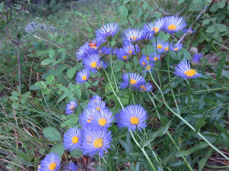
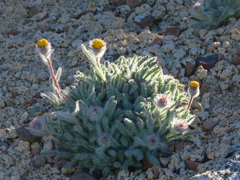
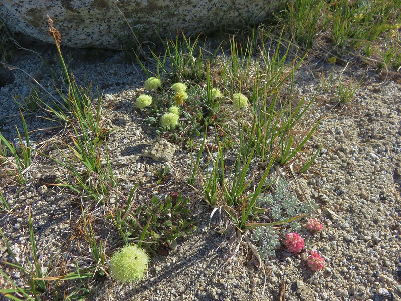
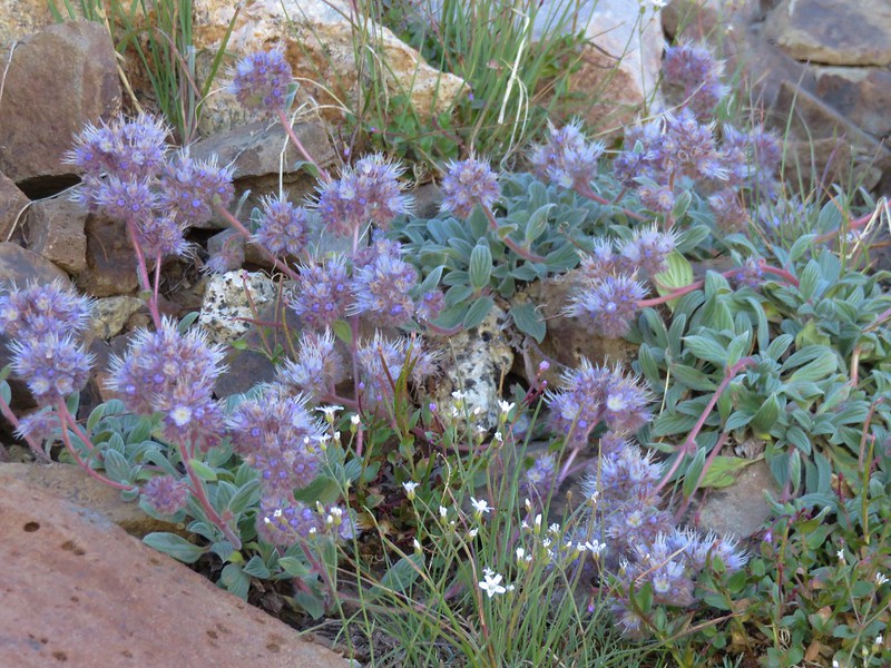
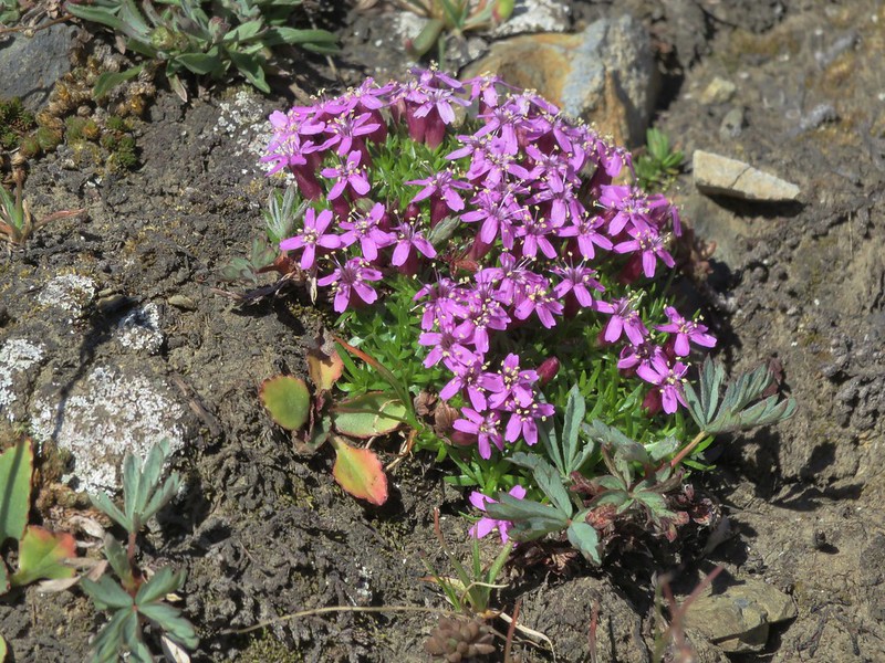
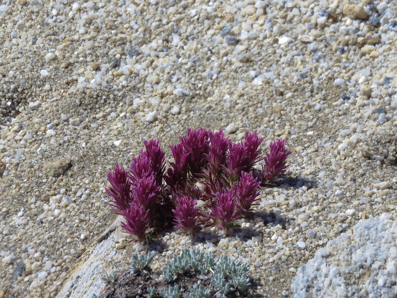
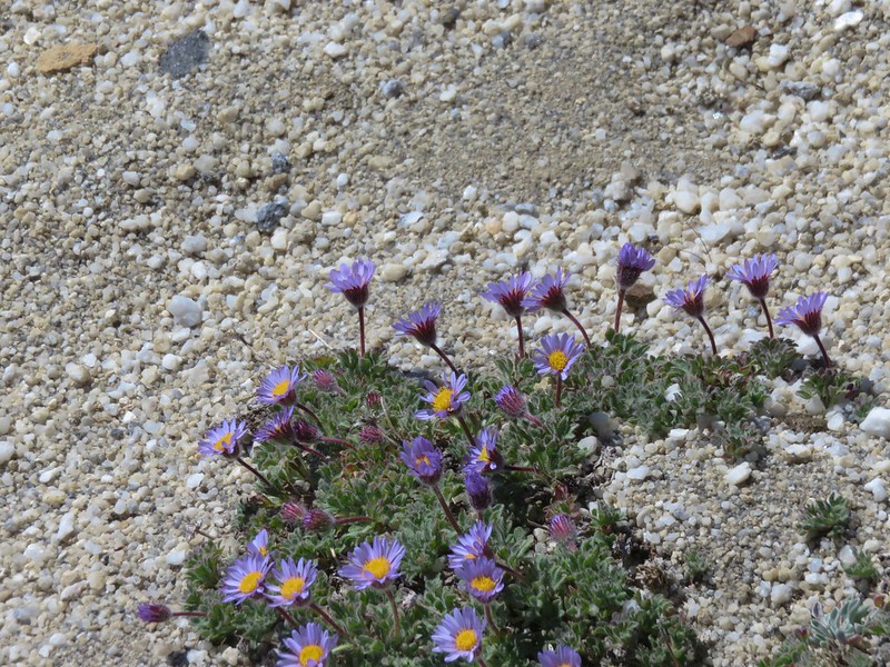
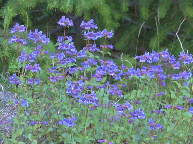
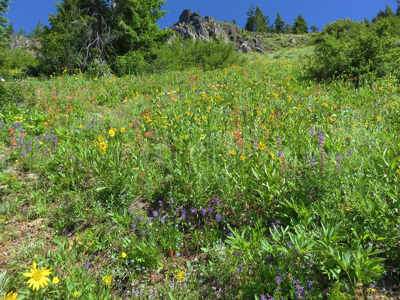
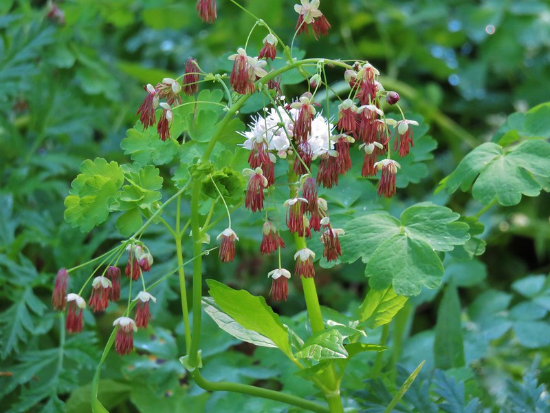
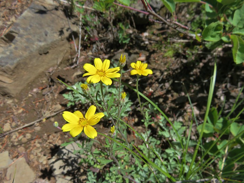
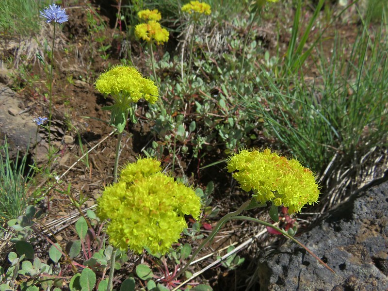
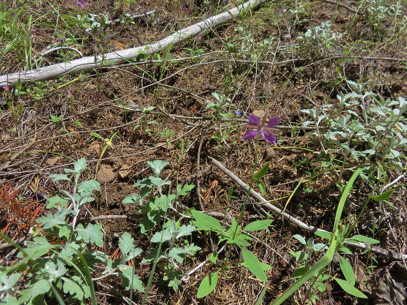
Patches of paintbrush dotted the meadows along the way providing beautiful scenes.
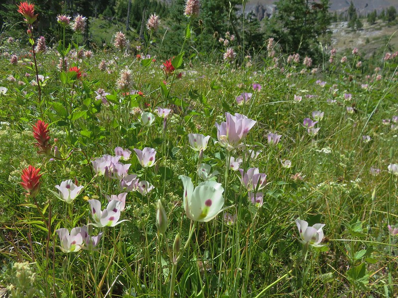
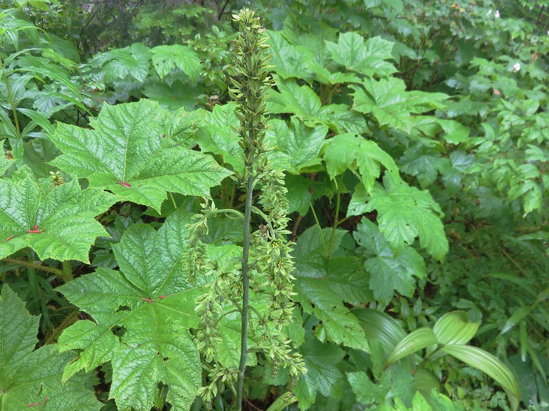
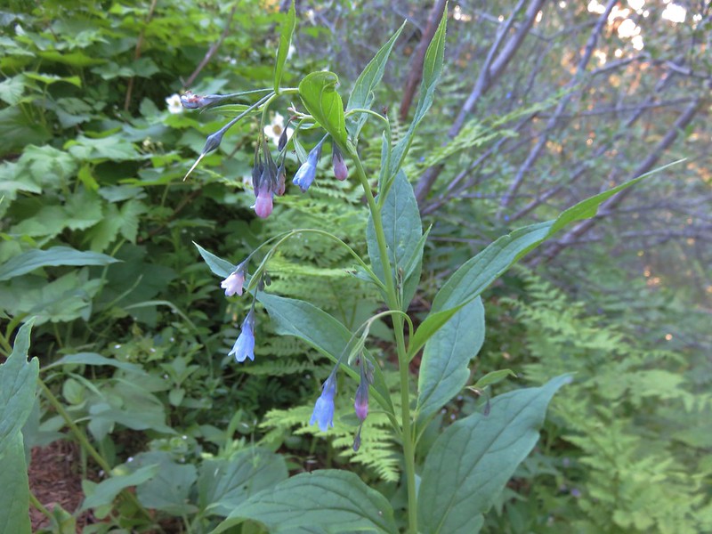
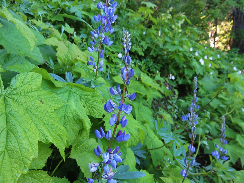
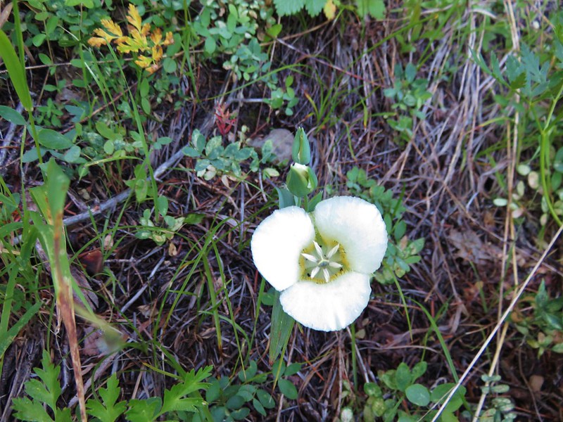
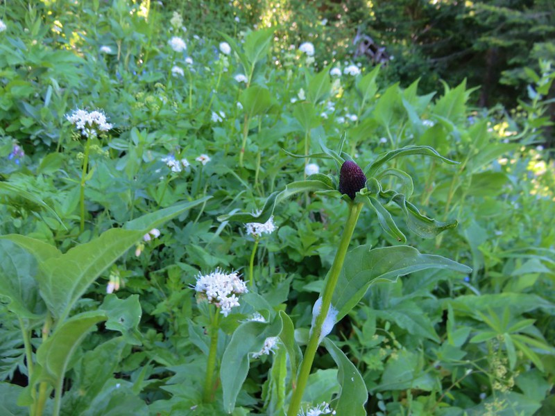
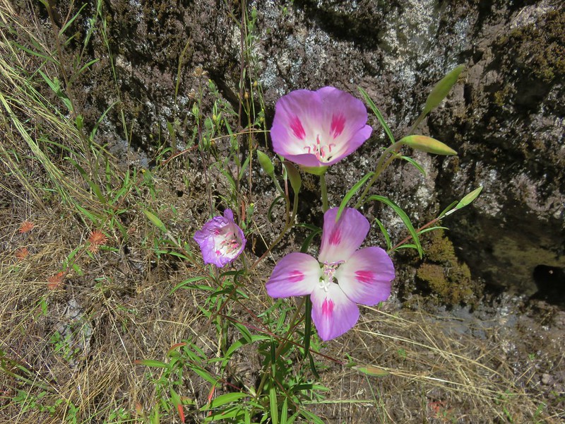
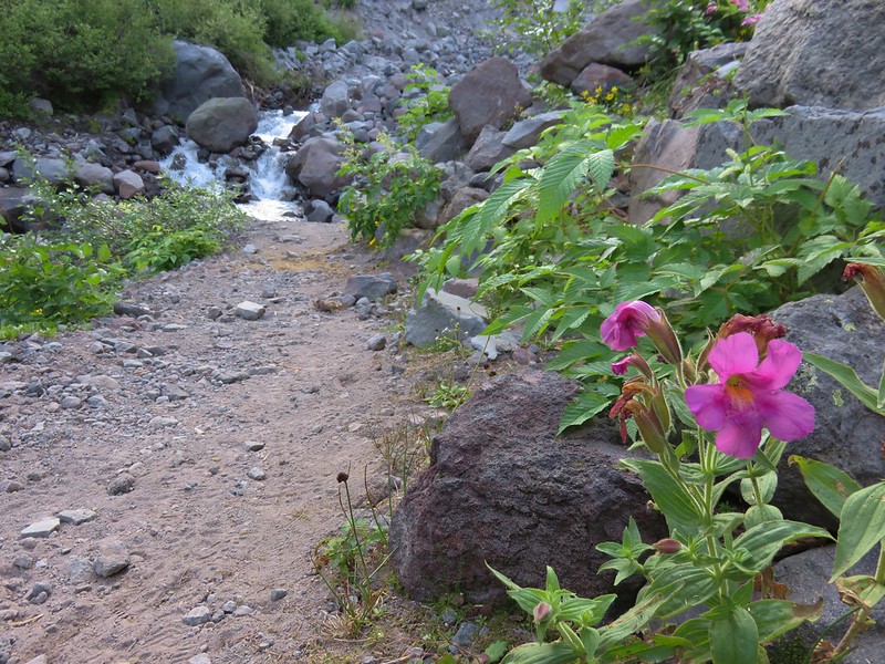
We followed the PCT to the South Breitenbush River which was lined with wildflowers.


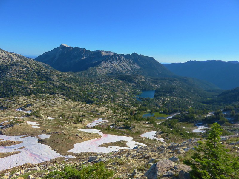
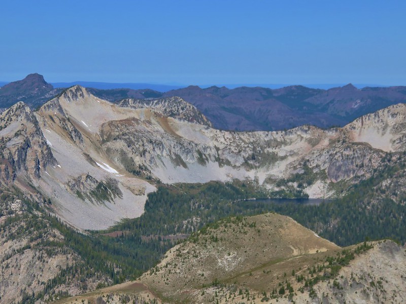
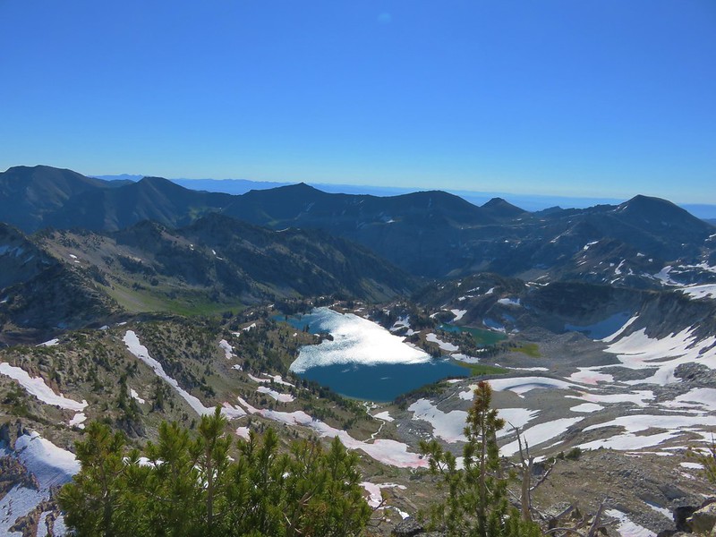
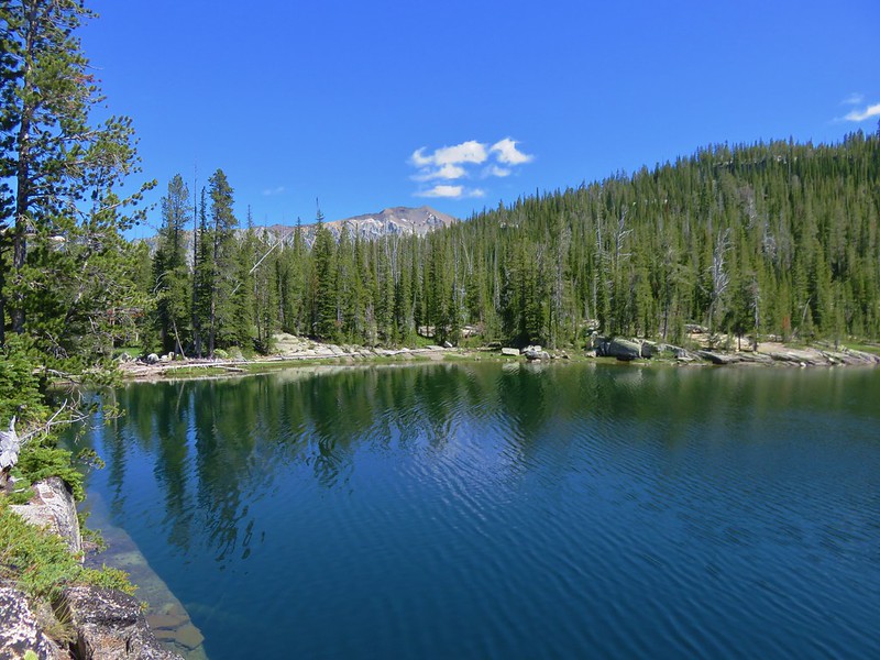
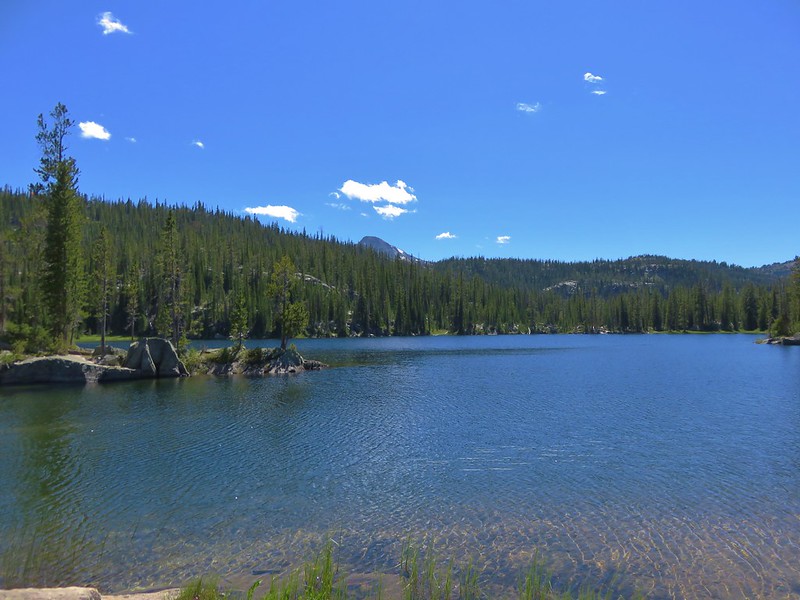
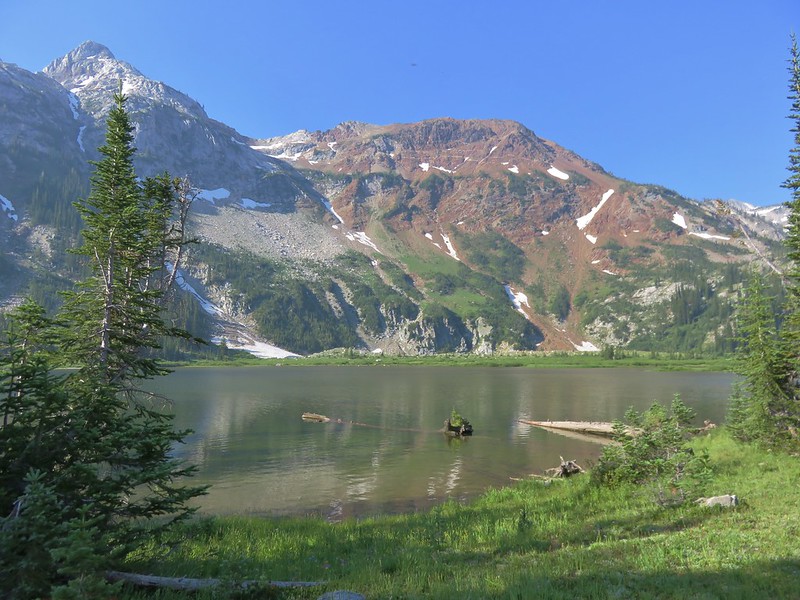
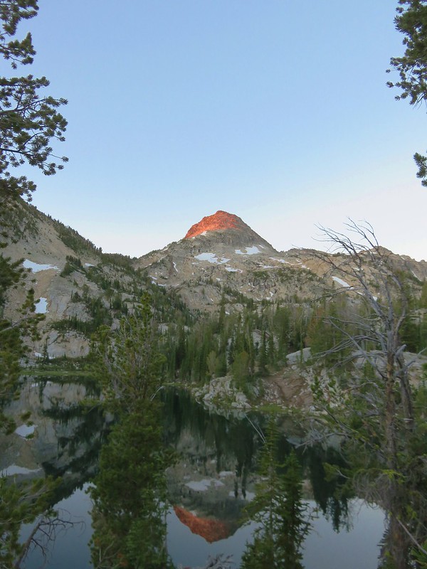
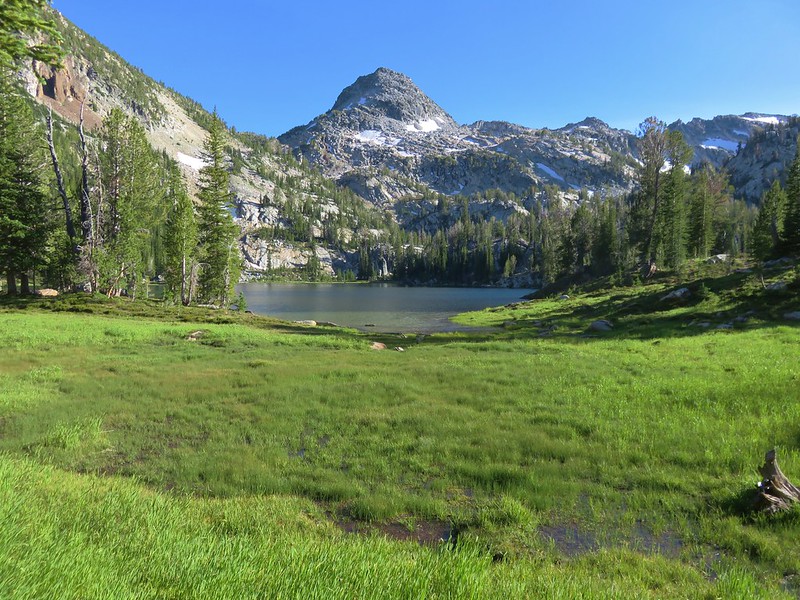
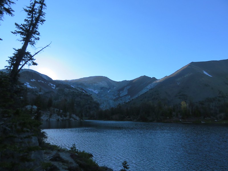
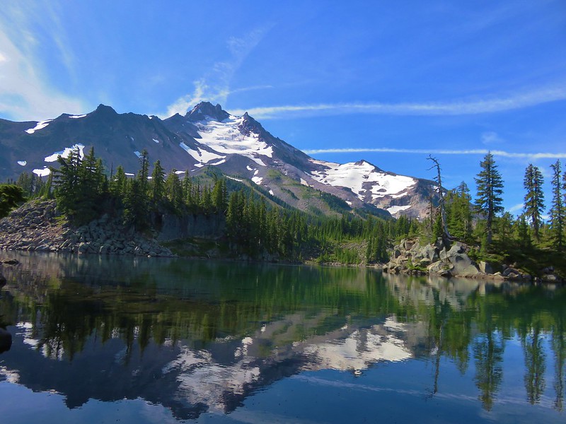
We turned off the PCT and crossed the river to Russell Lake where Mt. Jefferson was reflecting nicely.
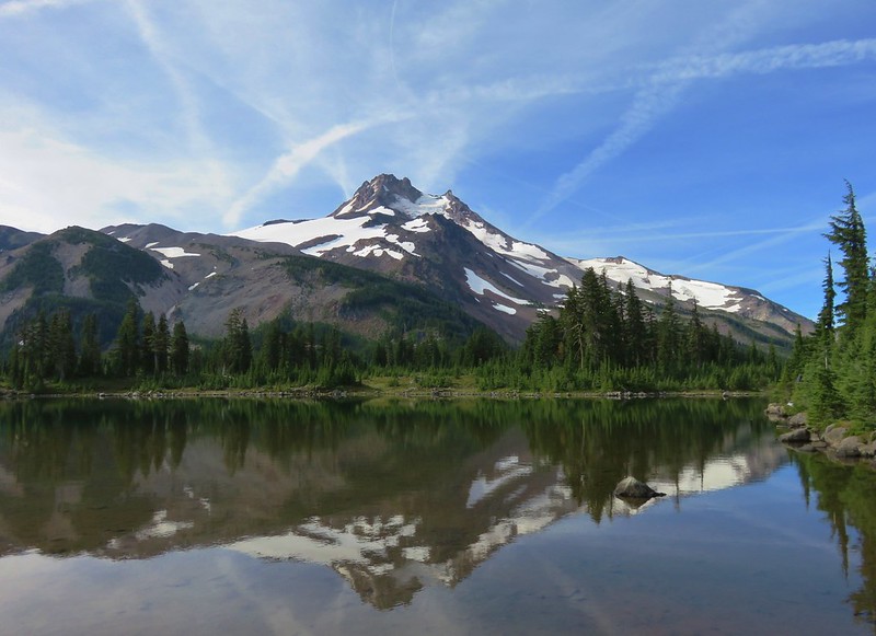
Once again the difference in water level and flowers from the prior year was obvious.
2015
2016
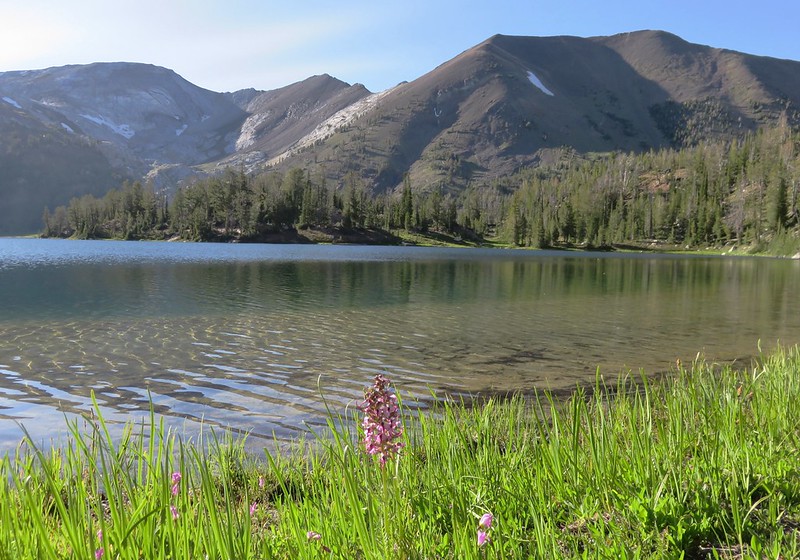
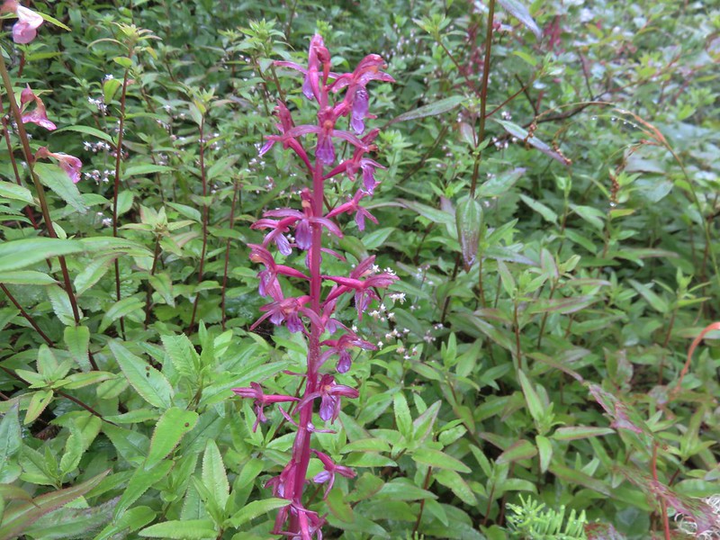
Patches of red paintbrush lined the lake as we made our way around its shore.

After circling Russell Lake we returned to the Pacific Crest Trail and then turned down the South Breitenbush Trail.

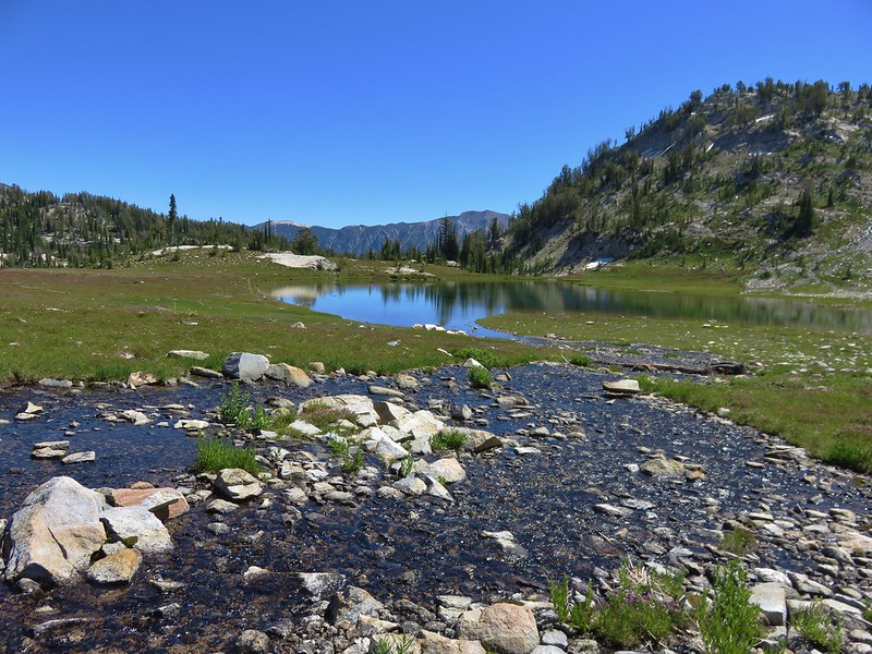
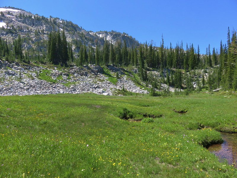
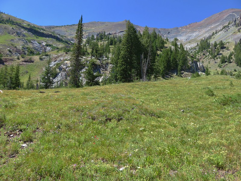
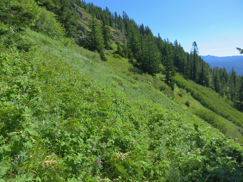
We followed this trail to a meadow overlooking the river.
At a rock cairn in the meadow we turned left and headed up a small hill to Park Lake.
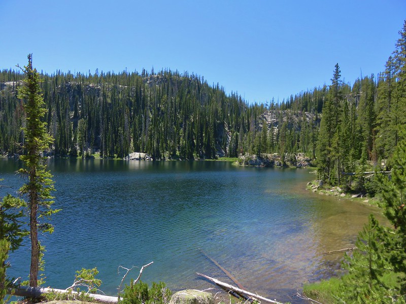
From Park Lake we followed a trail along a dry creek bed up to Rock Lake.
After passing by Rock Lake we crested another small hill and arrived at Bays Lake.
We left Bays Lake after a short rest and headed toward Scout Lake passing a small unnamed lake along the way.

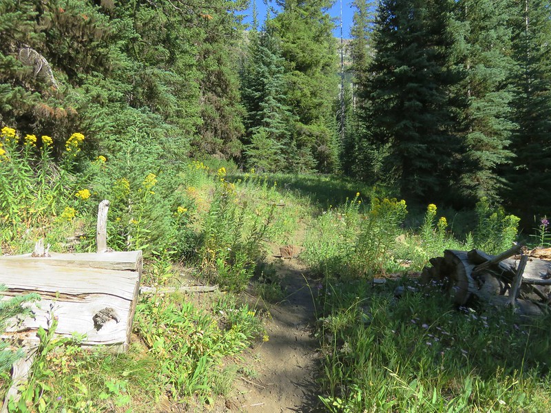
After visiting Scout Lake we returned to the PCT and headed out of Jefferson Park. We arrived back at the Russell Creek crossing at 11:15am and found that there hadn’t been much change in the water level yet.

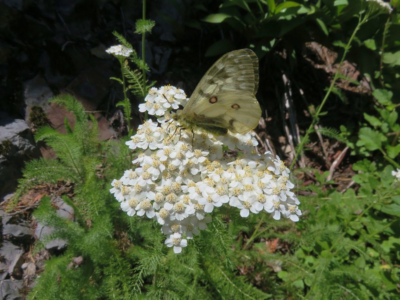
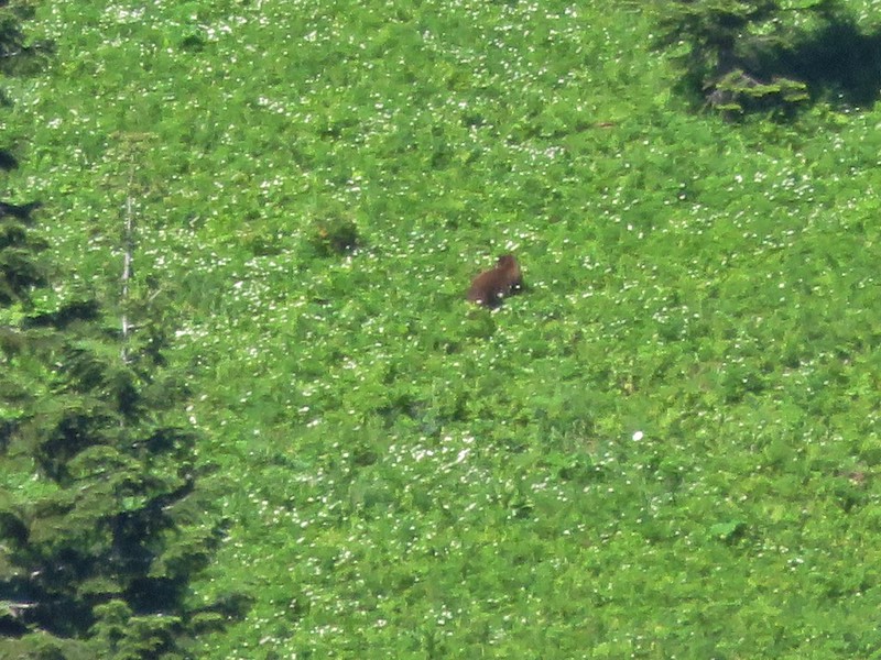
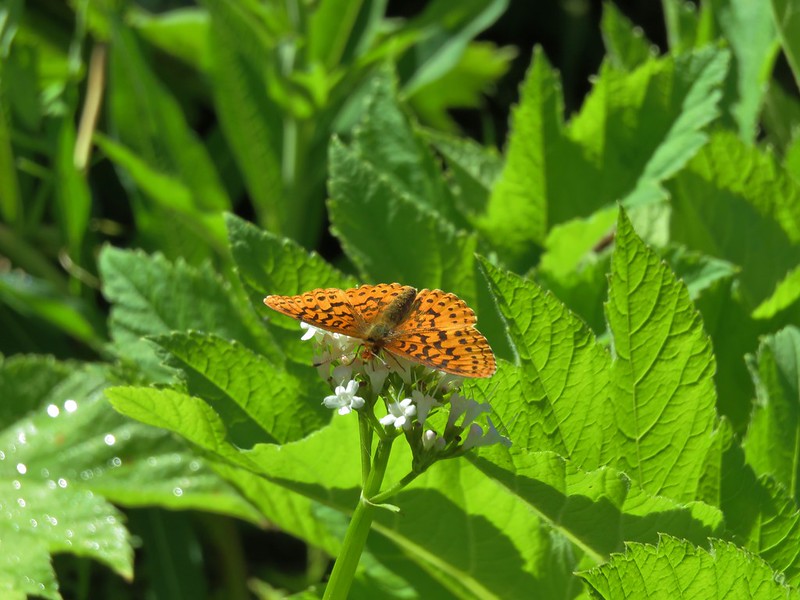
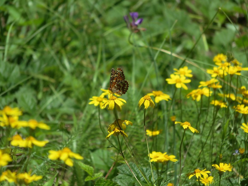
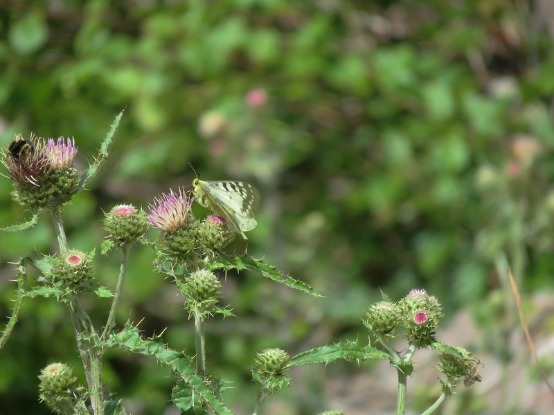
The butterflies were out now though.


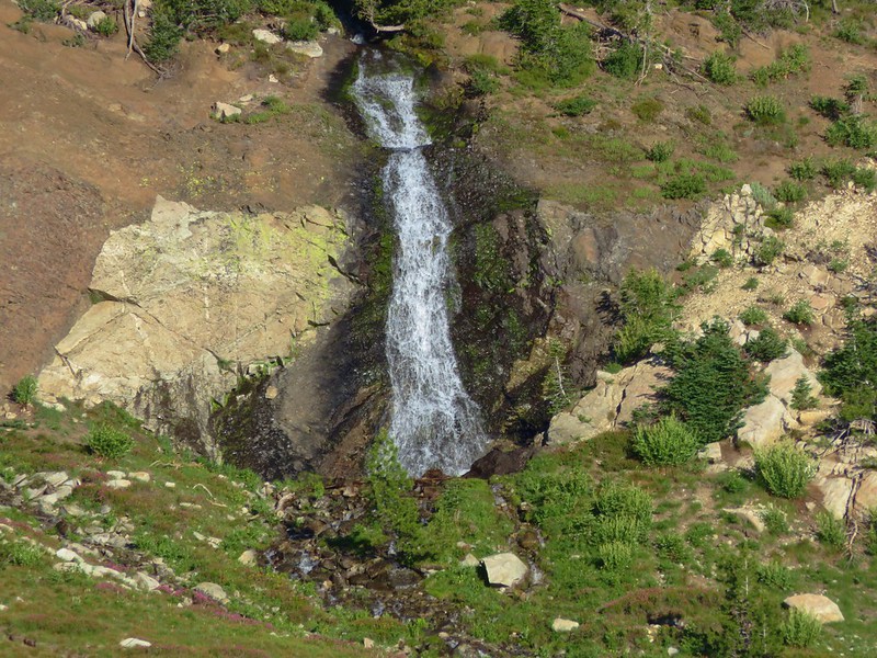
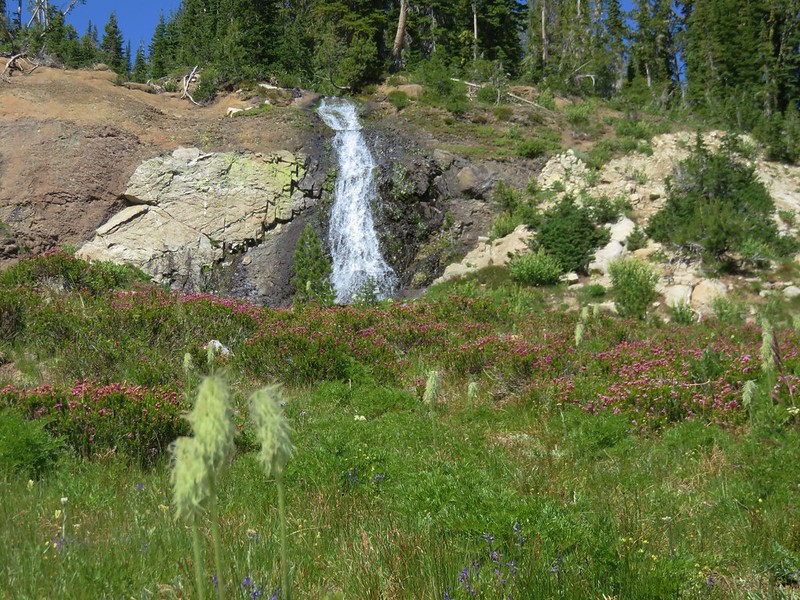
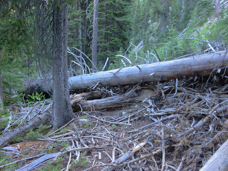
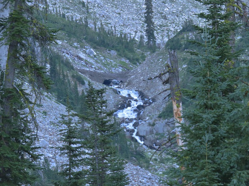
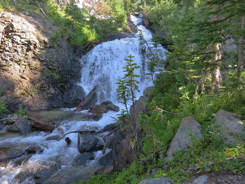
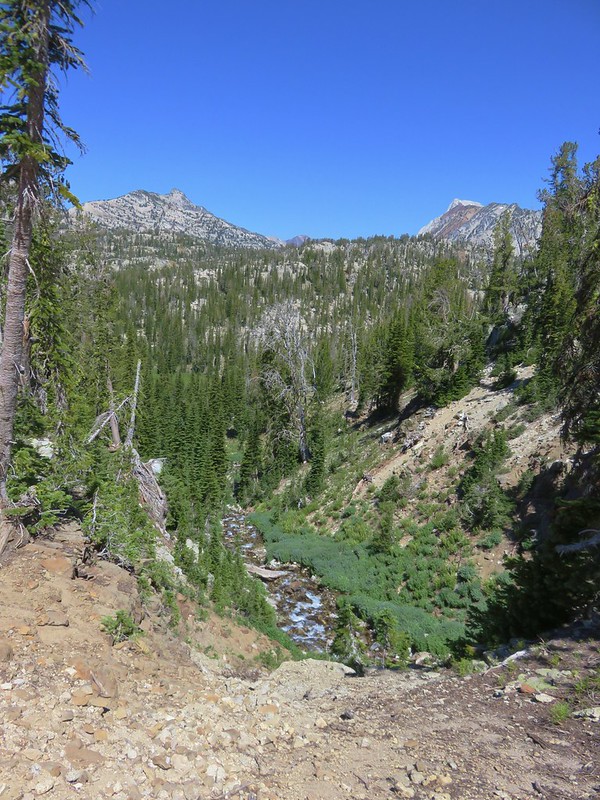
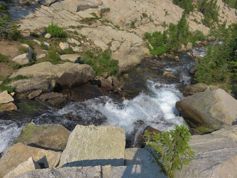
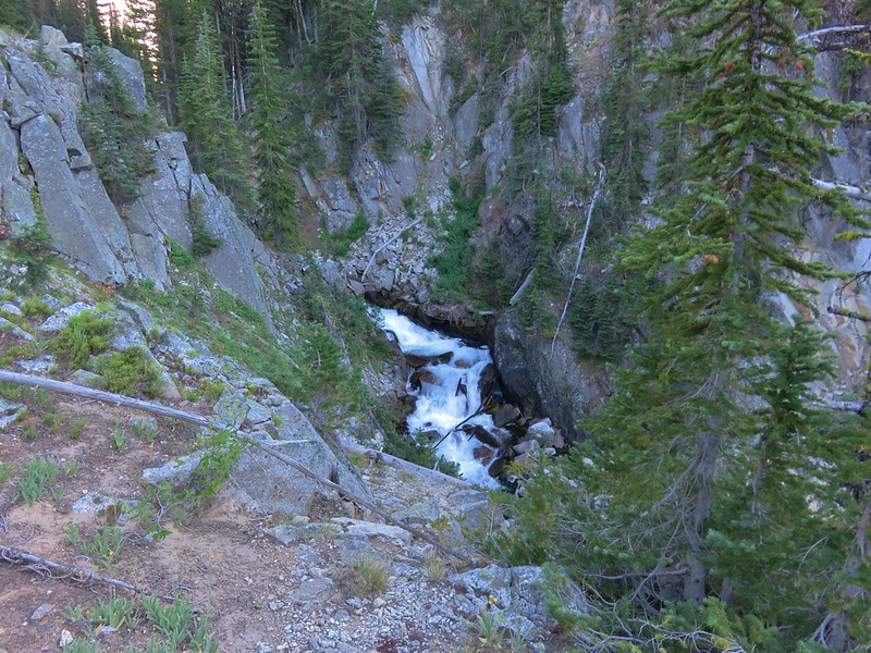
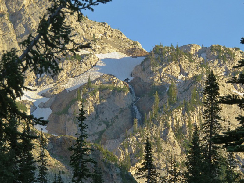
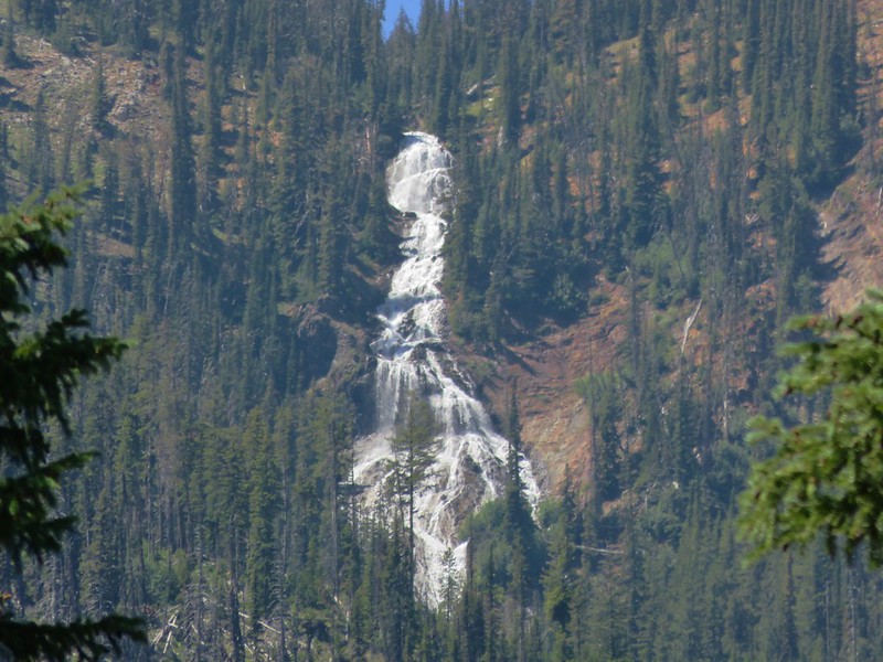
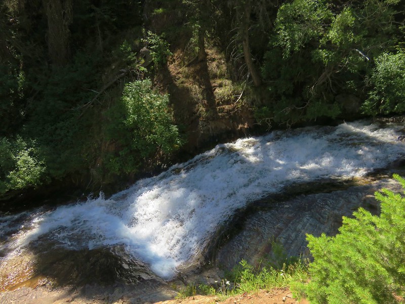
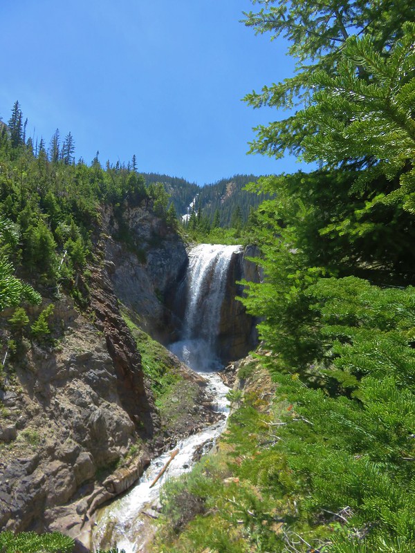
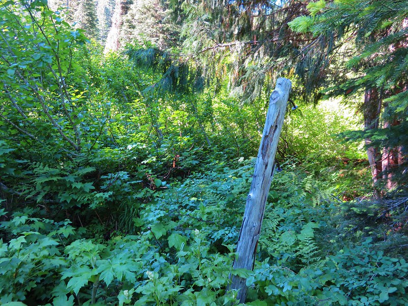
After recrossing the creek we began watching for a spot to leave the PCT in order to bushwack down to a view of Russell Creek Falls. This waterfall was on my radar based on a report by a fellow hiker and avid waterfall hunter. He had warned of a steep cliffy approach so we weren’t sure if we’d be successful or not. I had done some preliminary scouting using Google Maps and a topographic map to find what had looked like the most suitable ridge to head down. Just off the trail we found an old campsite and then plunged into the forest.
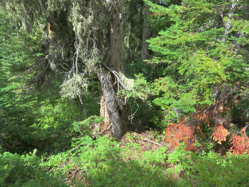
The ridge was indeed extremely cliffy on the Russell Creek side so we began fighting our way through the brush on the opposite side. We were glad that at least there weren’t any rhododendron plants at that elevation. As we continued down we kept looking for a way back toward the creek but the terrain and forest pushed us further away. After getting quite a ways downstream from the falls we found what appeared to be a possible gully. I began to work on finding a way down but it was very steep and after struggling and slipping twice I began looking to see if we could side hill back upstream. That wasn’t going to happen due to the cliffs lining the creek. I climbed back up to where I had left Heather and we adjusted our plan. We headed back upstream sticking as close to the top of the ridge as possible hoping to get some sort of view of the falls. We managed to find another gully closer to the falls where another steep descent brought us to a view halfway down the cliffs.

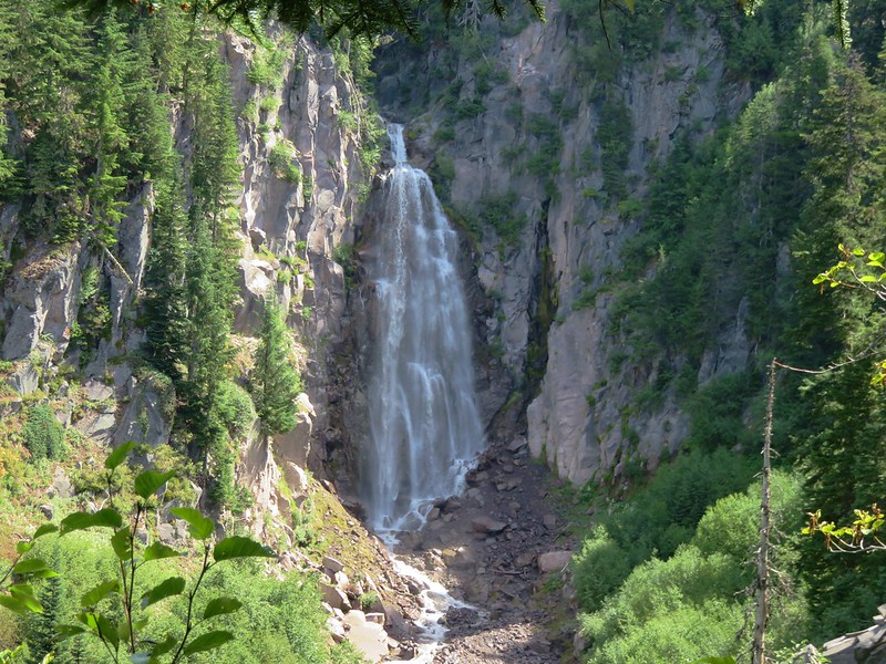
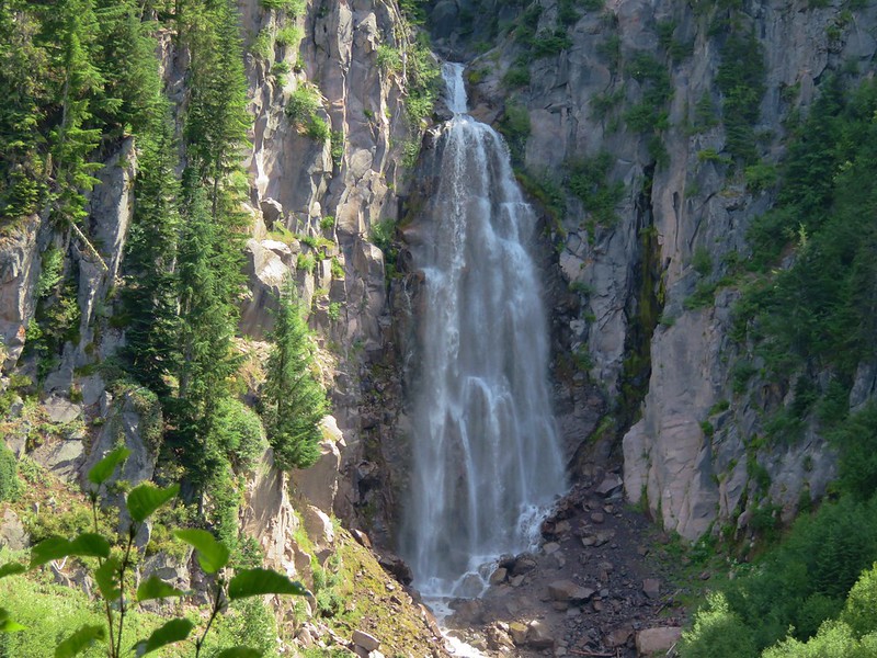
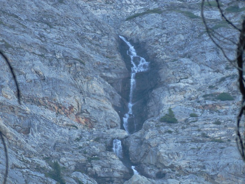
There wasn’t any way down from the view that looked even close to safe so we declared victory here and took a break before climbing back up to the PCT. The 151′ waterfall was indeed impressive but we can’t recommend attempting to see it. The steep slopes and abrupt cliffs make this a difficult and dangerous goal.
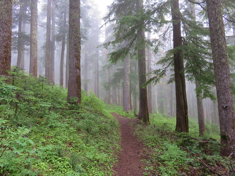
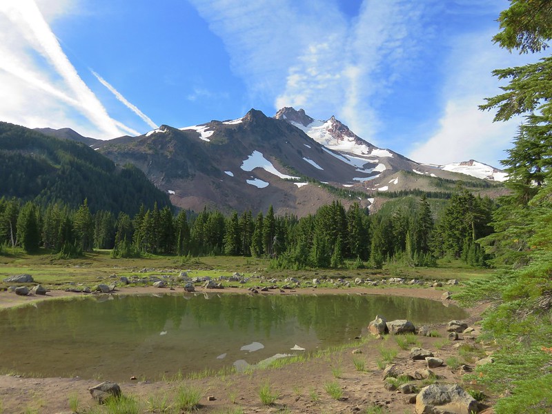
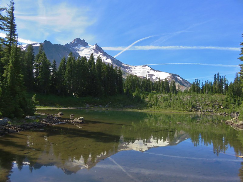
After fighting our way back to the PCT we headed for the Woodpecker Ridge Trail saying goodbye to Mt. Jefferson as we passed the pond.

We made it back to the car after a total of 15.5 miles. I thought I had escaped relatively unscathed after the bushwacking adventure but after changing into a pair of shorts I was ambushed by an evil yellow jacket (or jackets) and received a pair of stings on my leg. Those things are just plain mean.
Happy (yellow jacket free) Trails!
Flickr: https://www.flickr.com/photos/9319235@N02/albums/72157672410754435