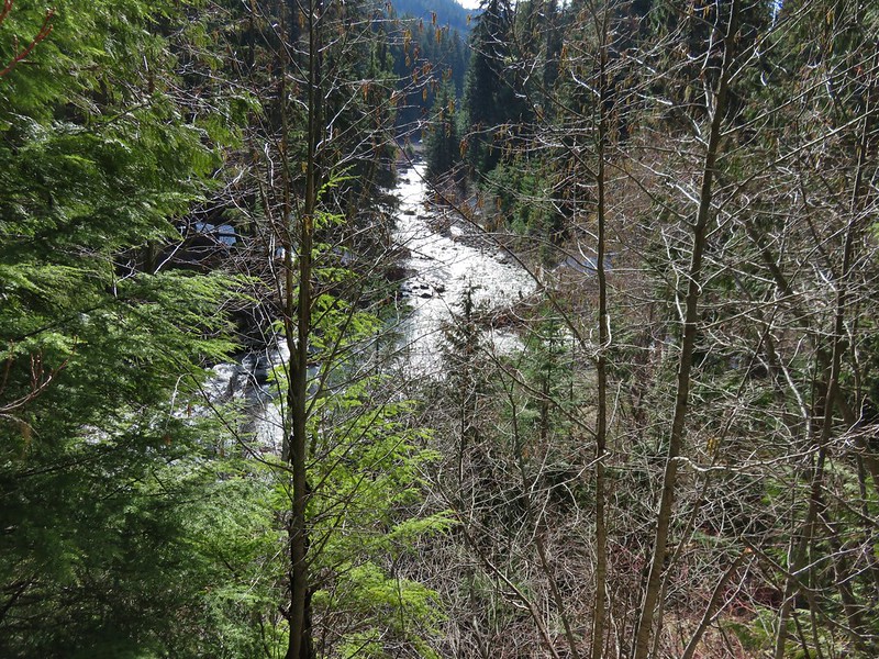
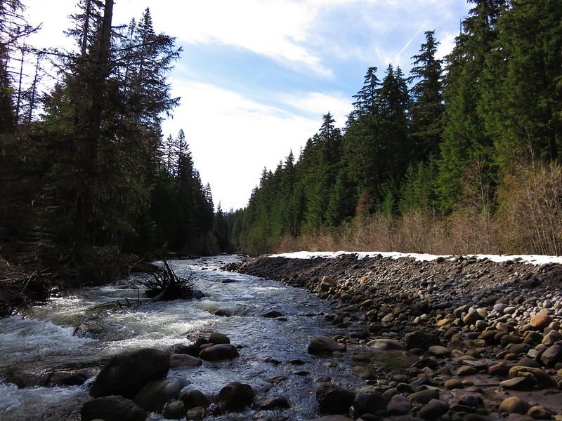
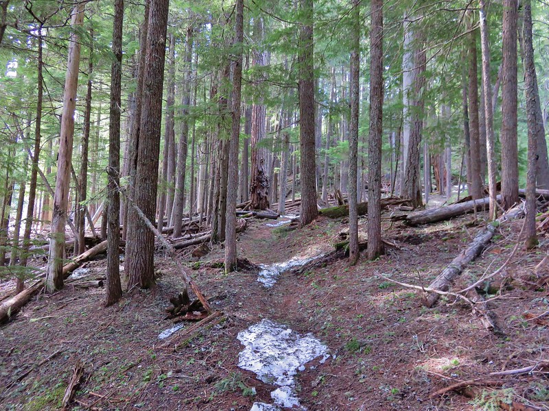
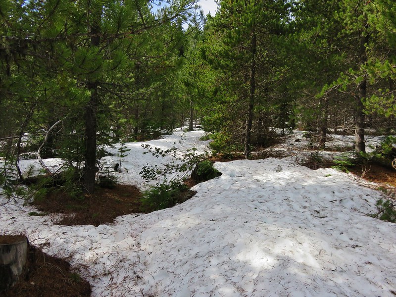
Categories
Cottage Grove Hiking Old Cascades Oregon Trip report

Parker Falls and Adams Mountain Way

**Note the 2024 Adam Mountain Fire burned over a very small portion of the Knott Trail and a fire break was created that extends along the ridge between the Crawfish and Adams Mountain Way Trails.**

Our 2016 hiking season officially started with a pair of hikes in the Umpqua National Forest. Both trailheads are located along Brice Creek, SE of Cottage Grove, OR. We had visited the area in 2014 to hike the more popular Brice Creek and Trestle Falls Trails https://wanderingyuncks.wordpress.com/2014/05/09/brice-creek-trestle-falls/ and were back now to tackle some of the other nearby trails.

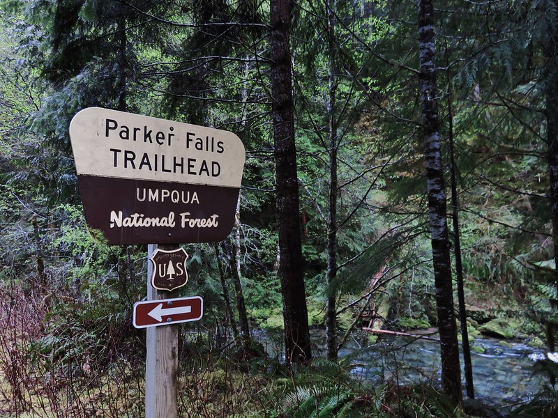
We began the day at the Parker Falls Trailhead which is 2.3 miles beyond the Upper Brice Creek/Trestle Falls Trailhead.
IMG_4033

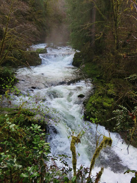
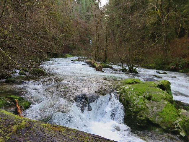
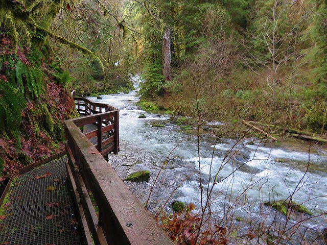
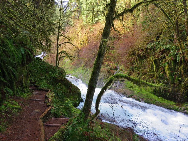
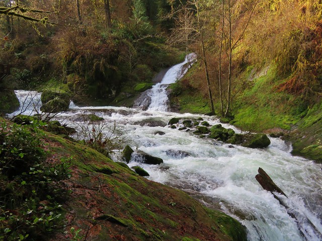
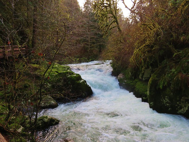
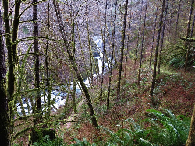
The trail runs along Parker Creek up to Lower Parker Falls and finally Upper Parker Falls. Spring wildflowers lined the trail.
Fawn lillies
IMG_4037

Fairy slipper
IMG_4050

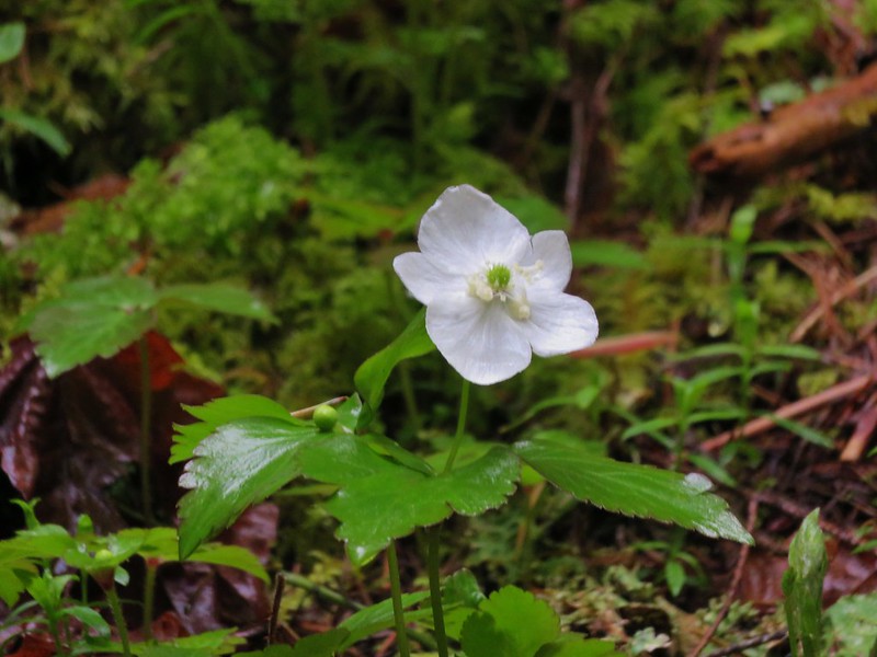
Anemone
IMG_4082

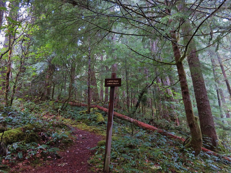
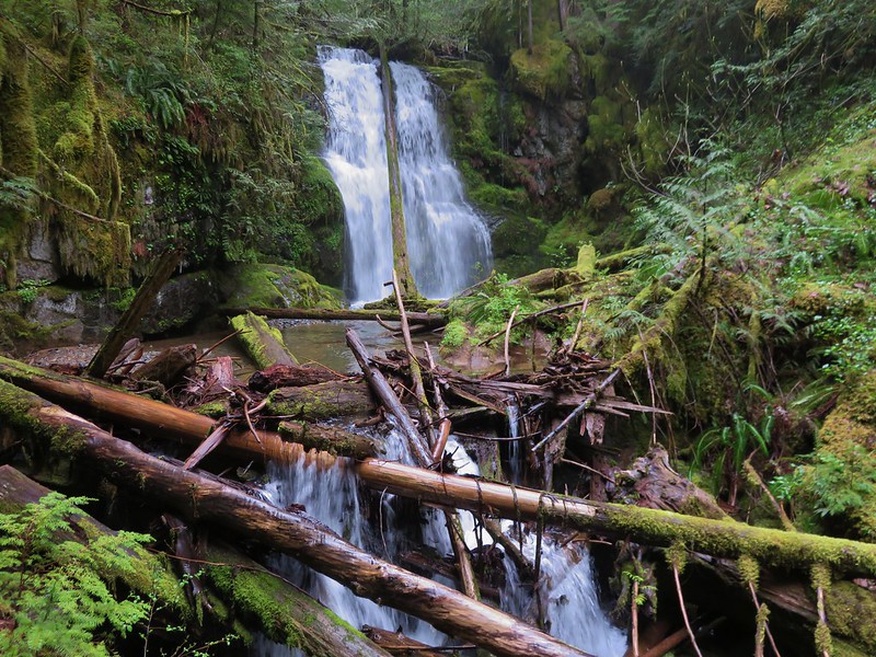
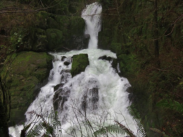
At a signed junction we took a short path down to Lower Parker Falls.
IMG_4053

IMG_4058

IMG_4060

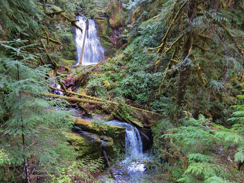
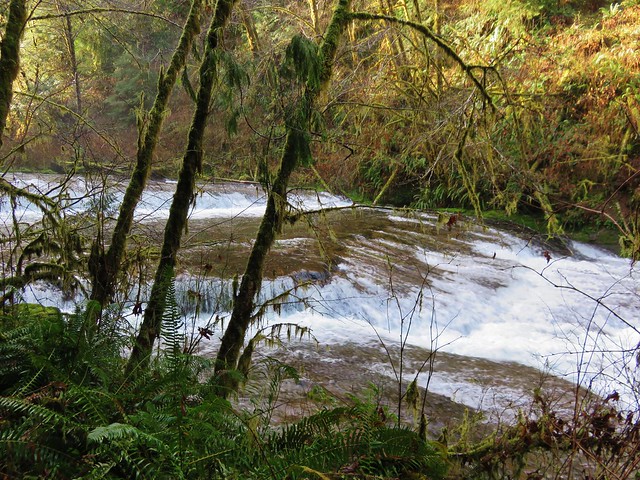
After admiring the lower falls we went back to the junction and headed for the upper falls. The upper falls were more of a slide and the trail stayed up along the canyon wall above them.
IMG_4074

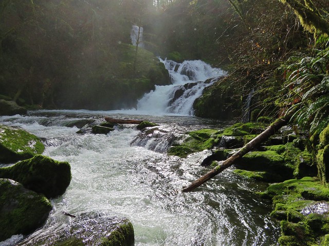
We were not entirely certain that this was indeed the upper falls as the trail continued on so we kept going. It led to the creek bank above the upper falls. At this point I checked our GPS and it appeared that the trail should have continued a short distance up the creek. There was a faint path leading further but it quickly vanished beneath debris that had fallen into the canyon. We were only able to go a short distance before facing the choice of getting wet or turning back. I decided to hop into the creek and continue. I had gone about a hundred yards when I came to a small slide in a narrow mossy drop.
IMG_4068

IMG_4069

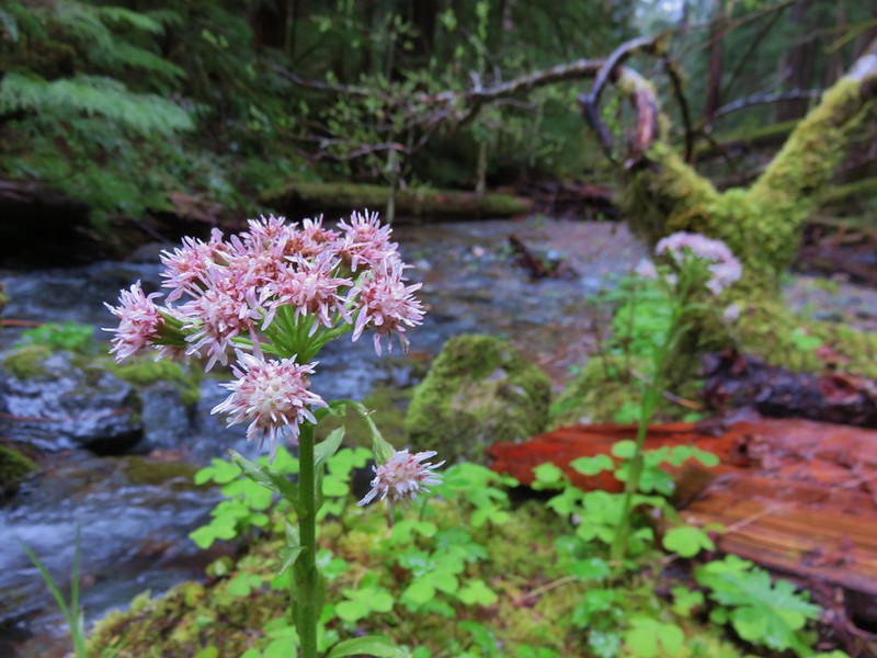
I was on a small gravel bar inhabited by some coltsfoot.
IMG_4071

I could see a little way upstream and saw no signs of any additional falls and didn’t see an easy way past the small cascade ahead so I headed back to Heather and we returned to the car. We decided that Upper Parker Falls must indeed have been the slide we had passed before reaching the creek (That was confirmed by waterfallsnorthwest.com).

The signed mileage is 1/2mi to the lower falls and 3/4 to the upper falls while the Forest Service website lists it as 1.1 miles. Our GPS registered a round trip of 2.4 miles which, given my short excursion up the creek, makes the 1.1 miles more likely.

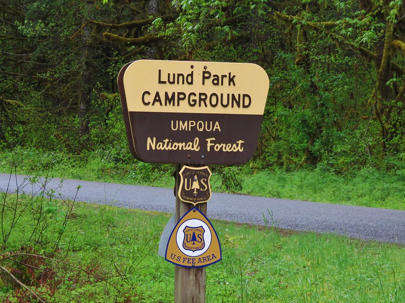
From the Parker Falls Trailhead we drove back the way we’d come to Lund Park which was about 10 minutes away.
IMG_4083

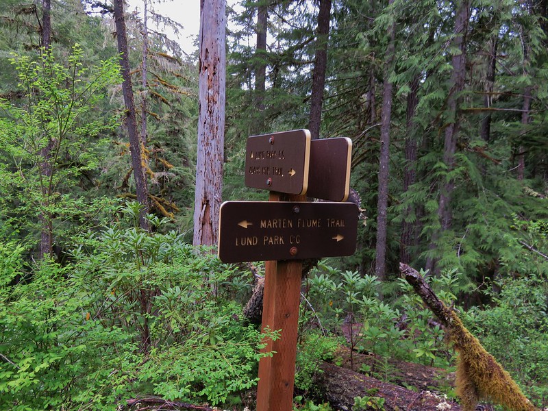
Our loop hike started here and we faced a choice. We could begin on any one of three trails- Adams Mountain Way, Marten Flume, or the Crawfish Trail. The Adams Mountain Way Trail started on the opposite side of Brice Creek Road just east of Lund Park while the Marten Flume Trail started just west of Lund Park and connected to Adams Mountain Way after .6 miles. The Crawfish Trail was 1.2 miles further west along Brice Creek Road meaning we would either start or end our hike with a road walk. We decided to start with the road walk thinking we were less likely to run into traffic since it was still before 9am and a road walk at the end of a hike is never very exciting.

As road walks go this one wasn’t too bad passing Hobo Creek on the left and having Brice Creek off to our right.
IMG_4085

Brice Creek
IMG_4096

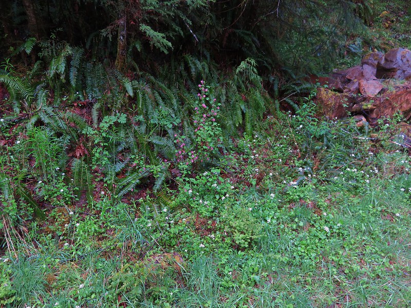
There were also plenty of wildflowers along the way.
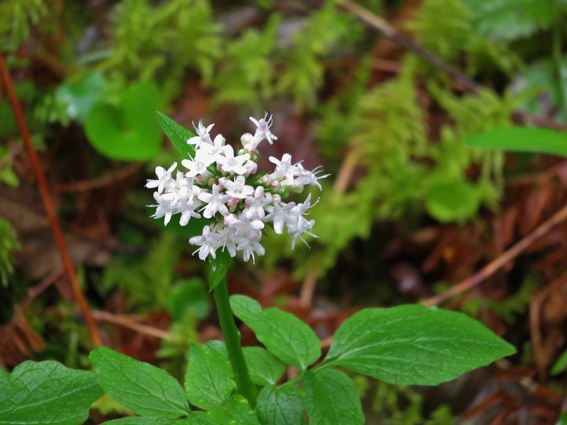
Valerian
IMG_4086

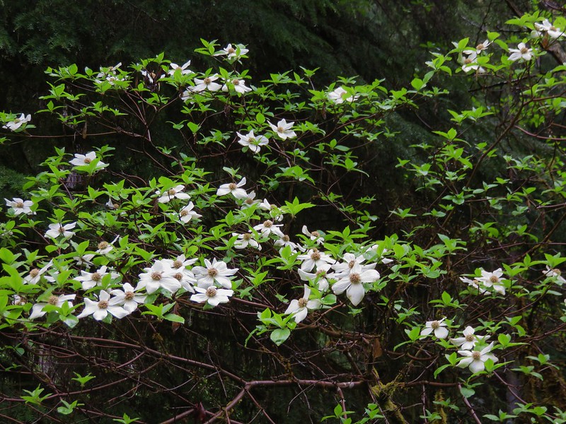
Dogwood
IMG_4088

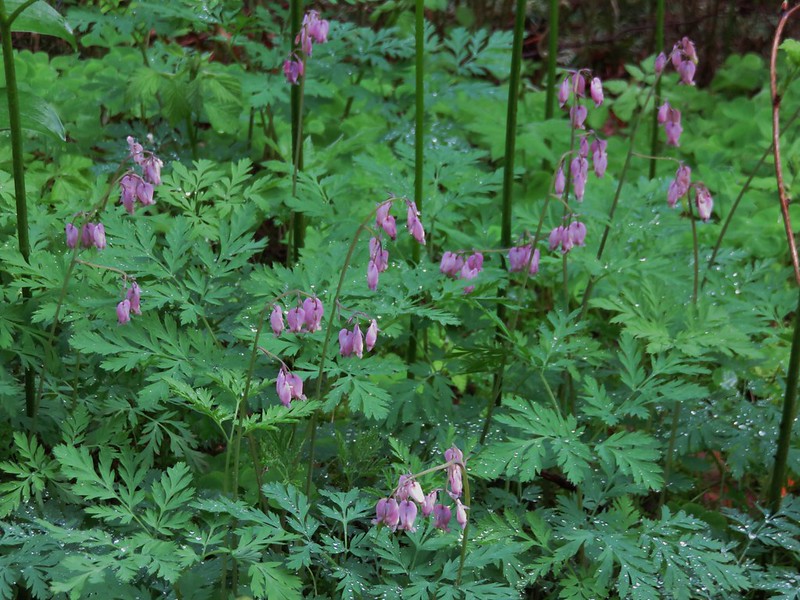
Bleeding heart
IMG_4090

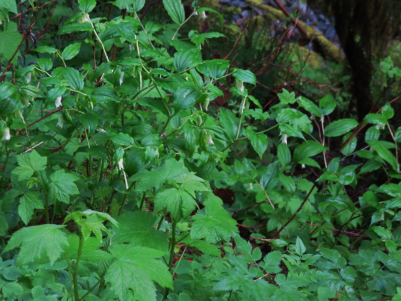
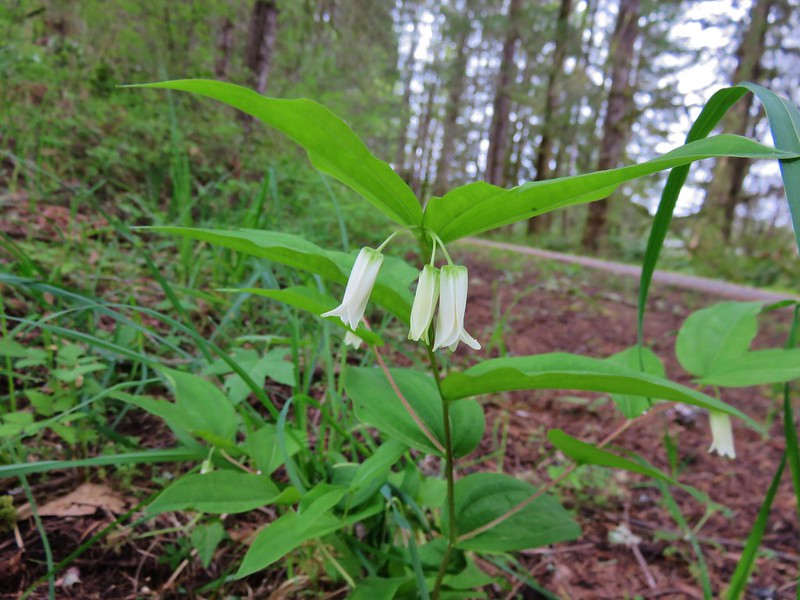
Fairybells
IMG_4091

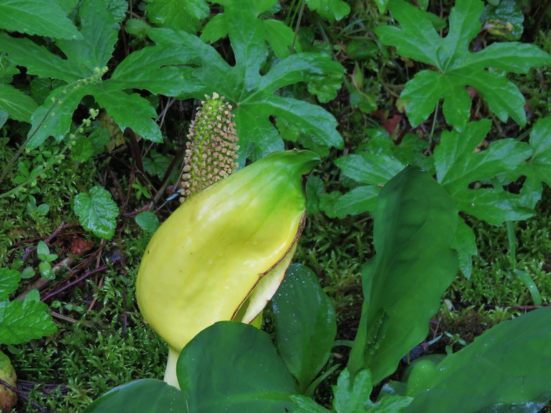
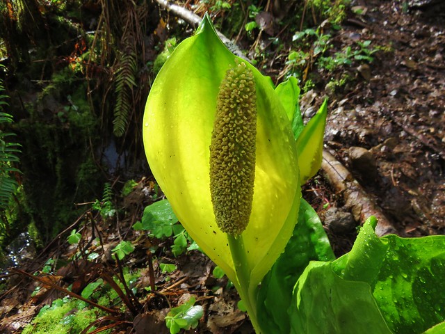
Skunk cabbage
IMG_4094

Red flowering currant
IMG_4095

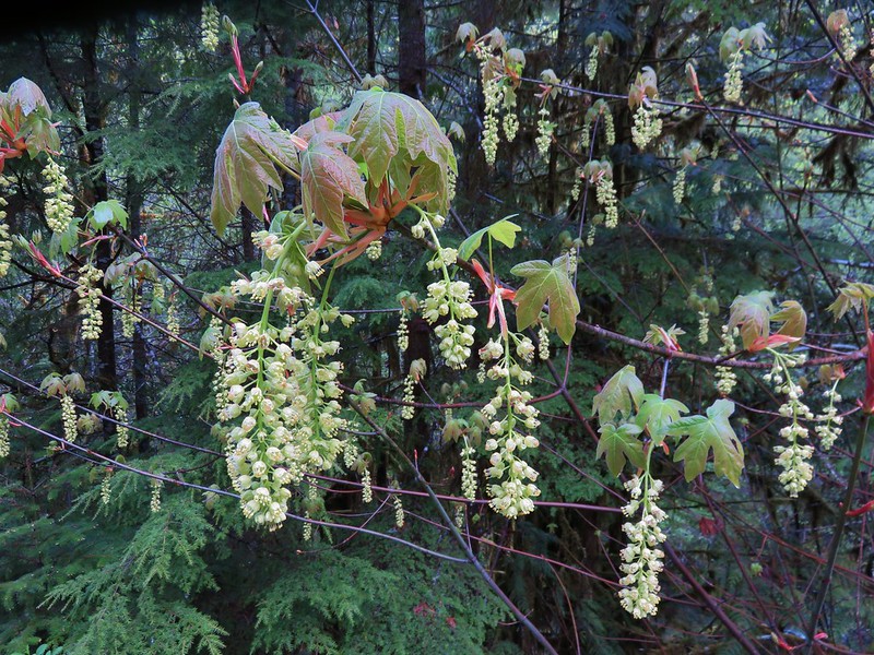
Big leaf maple
IMG_4099

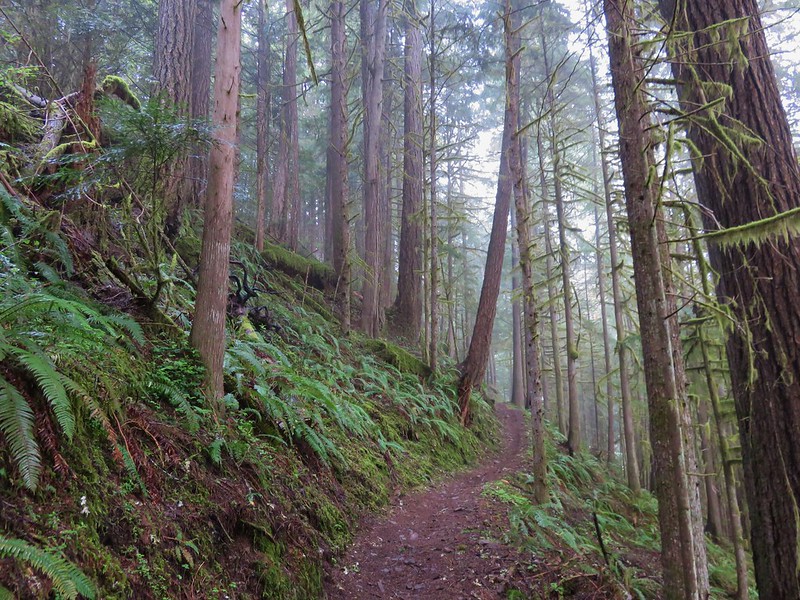
We made it to the Crawfish Trail without encountering any vehicles and began a 5.5 mile climb to the Knott Trail.
IMG_4103

IMG_4106

It was obvious that the lower portion of the Crawfish Trail is popular with mountain bikers as there were more tire tracks than footprints along the way. It probably is not a trail one would want to hike when bikes were barreling down the trail at you, but we were early enough in the day and season to not encounter anyone; hiker or bicyclist.

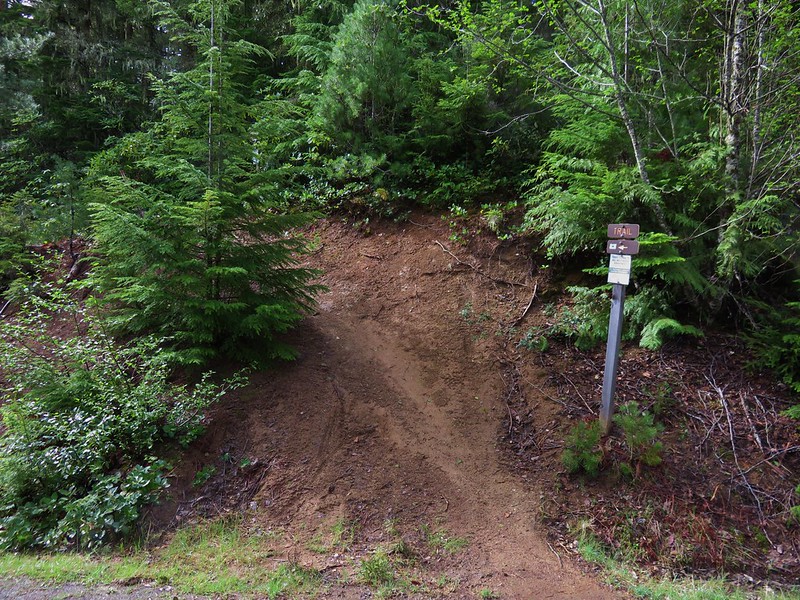
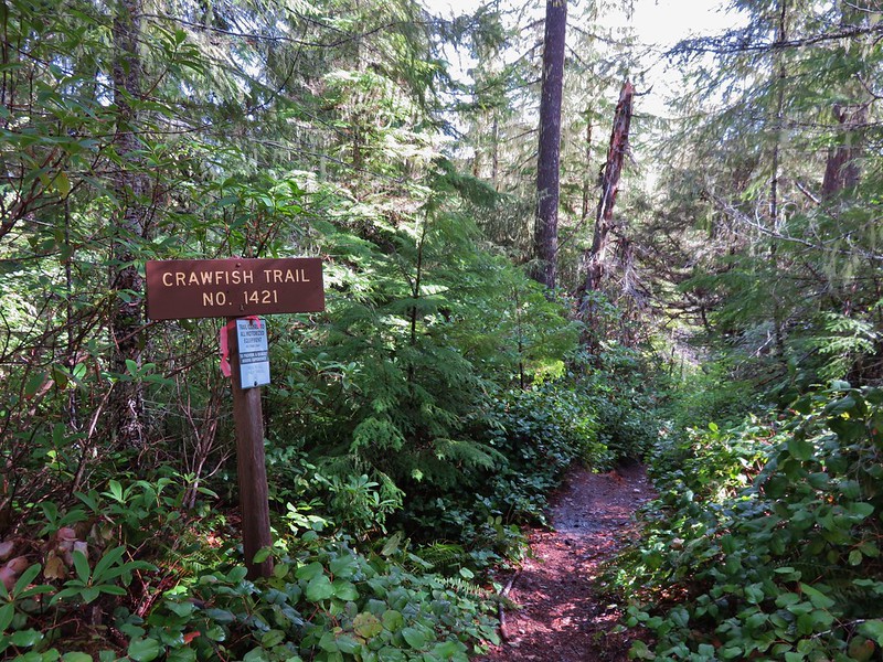
The trail was well signed along the way as it crossed a couple of roads (or the same road multiple times).
Crawfish Trail

IMG_4119

IMG_4120
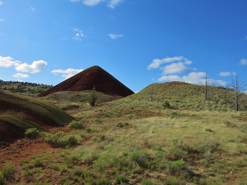
There weren’t many places along the trail with opportunities for views but when the trail passed over a saddle to the SW side of a ridge there would have been some if not for the low clouds that were present.
IMG_4128

IMG_4129

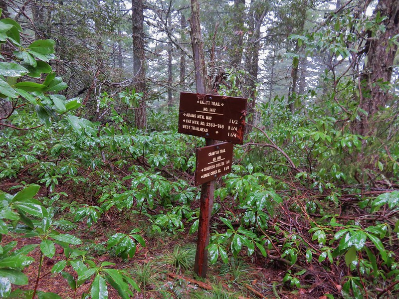
Things got a little confusing when we came to National Forest Road 2234 where a trail sign pointed three different directions for the Knott Trail which was to be our connector between the Crawfish Trail and Adams Mountain Way.
IMG_4132

After consulting our map we decided that we wanted to follow the .7mi Knott Trial pointer and cross NF 2234. The other pointers were for the road itself which would have led us back to the Knott Trail in either direction but not after some needless travel.

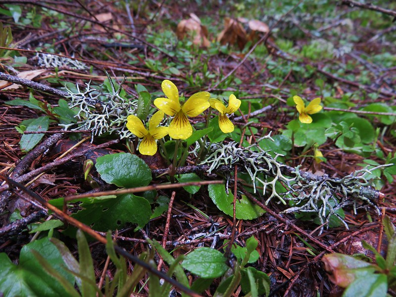
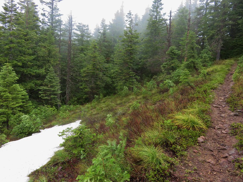
As we continued on the Crawfish Trail time seemed to move backwards and the flowers of Spring gave way to chilly winds and patches of snow.
IMG_4133

IMG_4137

IMG_4139

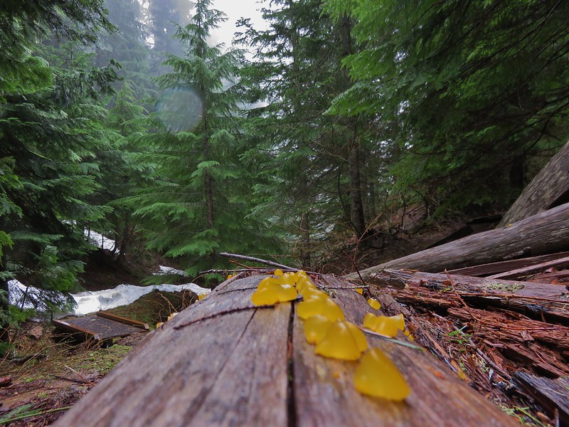
Orange jelly fungus
IMG_4140
When we finally reached the Knott Trail Junction we turned left and climbed some more.
IMG_4145

The trail led up to open meadow that might have had a decent view on a clear day and probably some nice flowers in a month or two.
IMG_4147

IMG_4149

IMG_4150

Beyond the meadow the trail began to descend along a ridge toward the Adams Mountain Way junction. On this side we encountered more snow.
IMG_4153

The trail was in decent enough shape with some blowdown and debris along the way, nothing too difficult to get around, but in several sections it needed to be brushed out.
IMG_4151

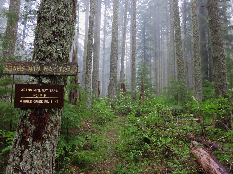
We reached the Adams Mountain way junction in a forested saddle.
IMG_4160

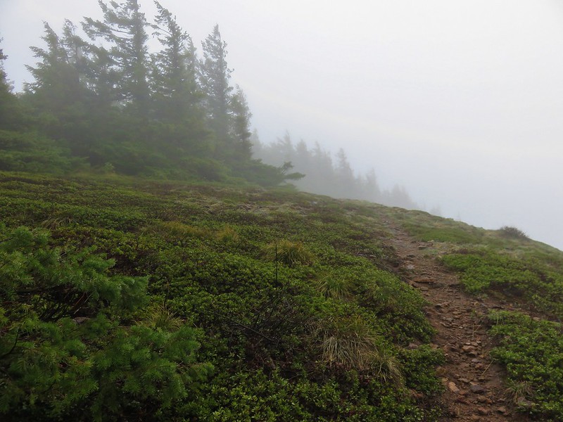
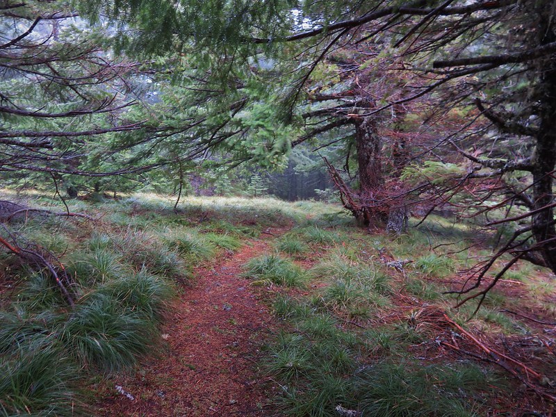
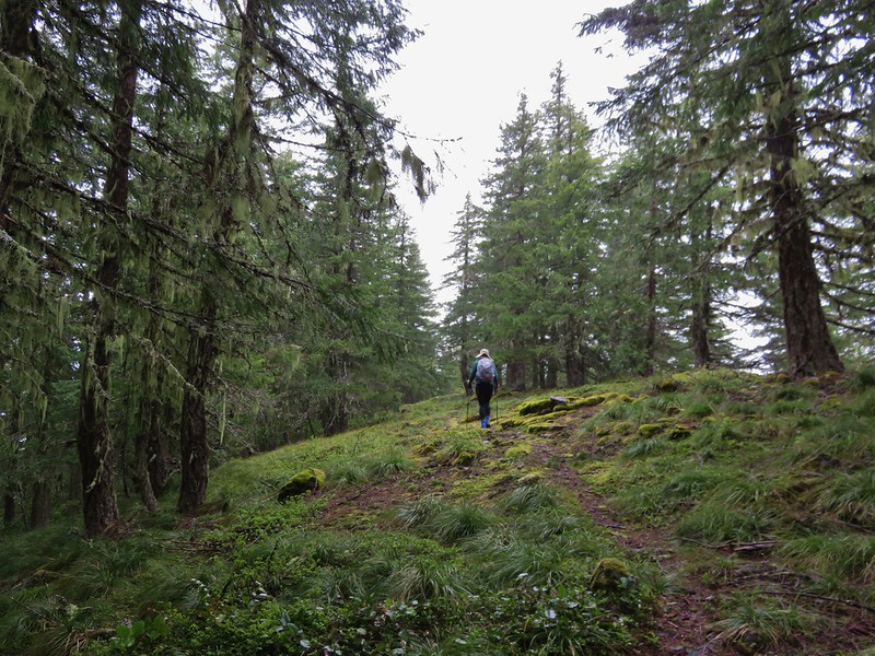
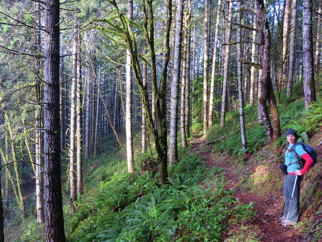
The Adams Mountain Way Trail began gently enough traveling along a ridge towards Brice Creek Road.
IMG_4164

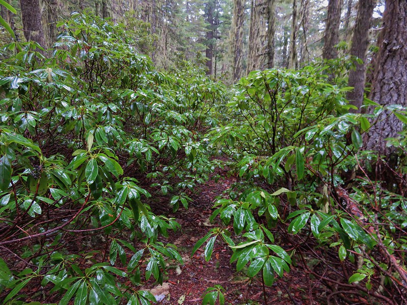
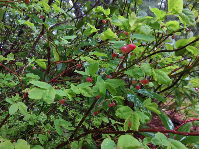
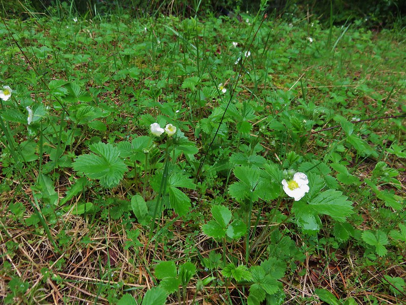
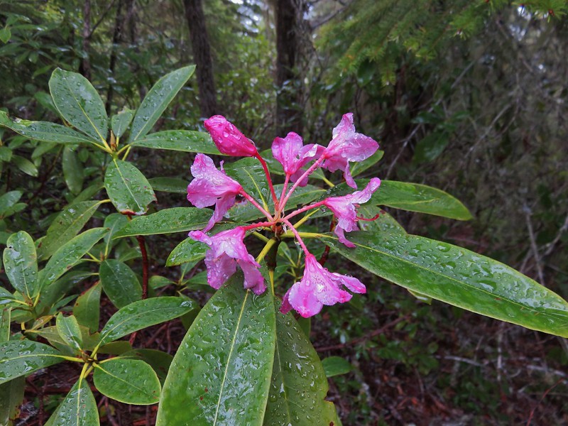
Signs of Spring began to pop up again in the form of huckleberry blossoms, wild strawberry blooms, and even a pink rhododendron.
IMG_4162

Strawberry blossoms

IMG_4166

When the trail finally decided to head down, it did so with a vengeance. The descents rivaled some of the steepest trails we’d been on making us glad we hadn’t chosen to come up that way. We were feeling the elevation loss in our legs when we reached the Marten Flume Trail junction just a few hundred yards from Brice Creek Road.
IMG_4195

I had not been able to find much information on this trail so we were curious about it and decided to go ahead and check it out. It headed up Hobo Creek and then forked. There was no sign at the fork and we weren’t sure which way to go so we took the right hand fork down toward the creek thinking that the flume might be down there. We had chosen poorly and would have needed to stay left at the fork to see the flume. At that point we were down at the creek where the loop trail crossed.
IMG_4196

We decided not to climb back up to the fork and waded the creek to finish up the loop.
IMG_4202

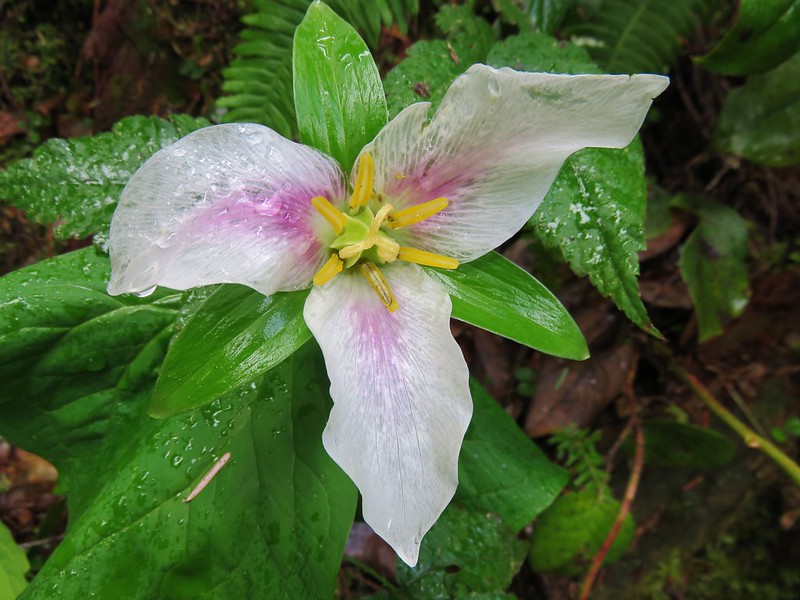
Trillium and Wood Sorrel bloomed along the path.
IMG_4200

IMG_4205

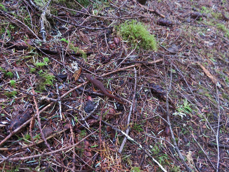
Near the end of the loop we encountered the only other trail users we’d seen all day. A pair of rough skinned newts.

One of the newts.
IMG_4208

This was a good conditioning hike given the 11.7mi distance and 3000+ feet of elevation gain/descent. It is definitely not a hike for those looking for big views or extensive wildflowers, and depending on the mountain bike traffic it could be a little dangerous given the steep narrow tread in sections. For our visit though we were able to enjoy the solitude of spending five and a half hours completing the loop without running into anyone else.

Happy Trails!

Flickr: https://www.flickr.com/photos/9319235@N02/albums/72157667500424465

Categories
Coastal Range Hiking Oregon Salem/Albany Trip report Willamette Valley

Minto-Brown Island Park and the Banks-Vernonia State Trail

We didn’t have any hikes planned for awhile after our visit to Tamanawas Falls due to Heather having a half-marathon to run on April 10th. Her half-marathon wound up being an opportunity for a pair of short hikes on race weekend though.

On the day before the race we made the short trip to Salem’s Minto-Brown Island Park for a short walk to help make sure Heather stayed loose. We’ve spent quite a bit of time in the park, sometimes walking and other times passing through on runs. This was the first time I’d brought the camera along to get some photos though.

The area used to be islands in the Willamette River but flooding changed the course of the river so that the former islands are connected to the rest of Salem. At more than 1200 acres, the park contains 19 miles of trails, a playground, a 30 acre off-leash dog area, and fishing opportunities.

The paths are a mix of paved and soft surface trails making the park a popular place to run, walk, or bike. High water does close some of the trails at times but there is almost always a few that remain passable. Later this year a footbridge connecting this park to Salem’s Riverfront Park will make it possible to visit both of these parks as well as Wallace Marine Park without setting foot on a road.

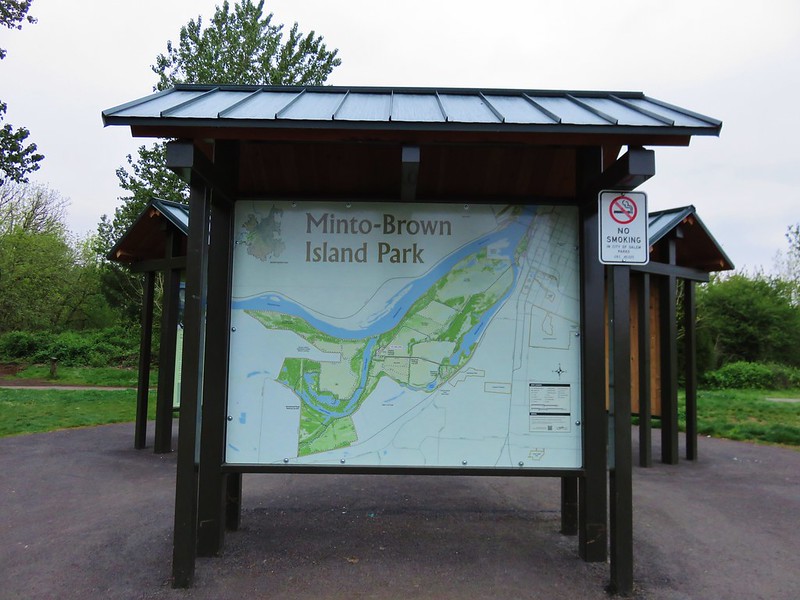
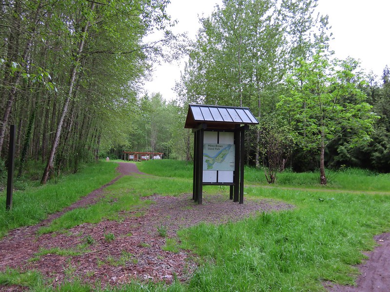
We parked at the Shelter Parking Lot at the end of Minto Island Road SW and set off toward the shelter following signs for the Blue Heron Loop. The park has plenty of signboard maps as well as trail pointers throughout.
Signboards at the parking lot near the gazeebo.

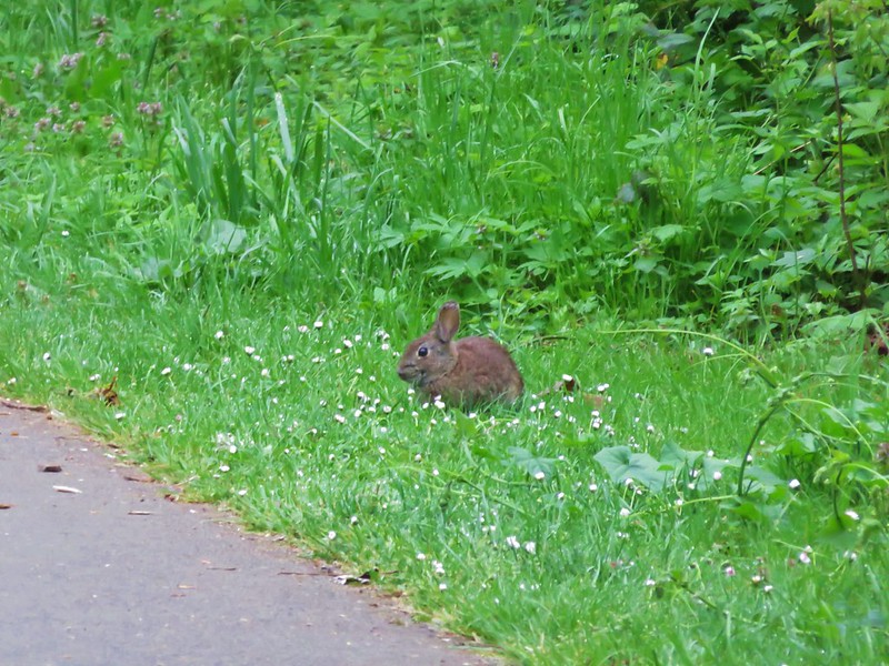
Rabbits are plentiful and often spotted in the strips of grass along the paths.
Lots of little rabbits in the park

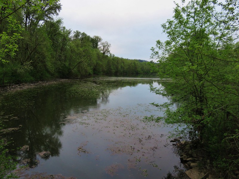
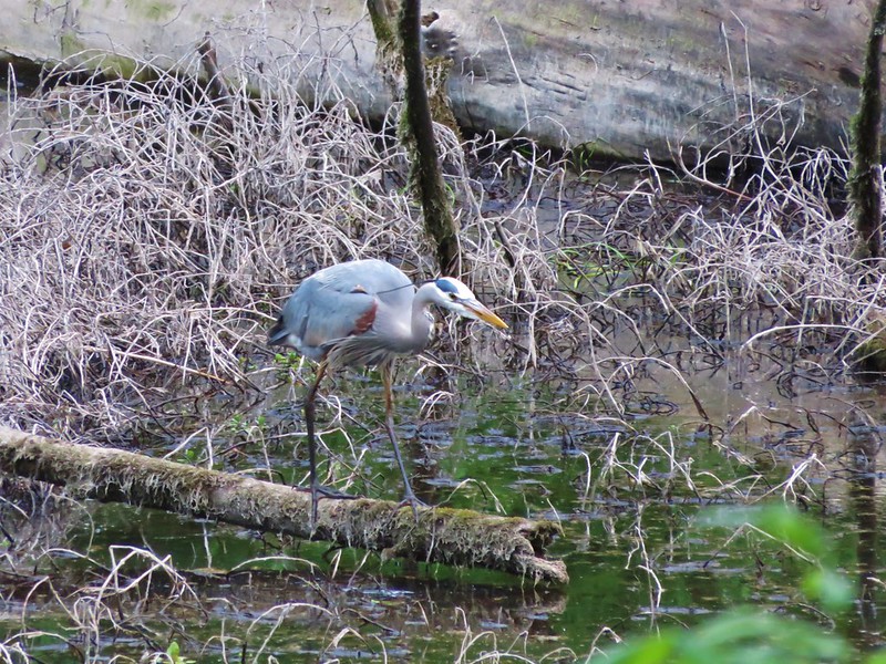
The Blue Heron Loop leads across a footbridge between a pair of sloughs where we spotted a Great Blue Heron searching for snacks.
Slough in Minto-Brown Island Park

Great Blue Heron

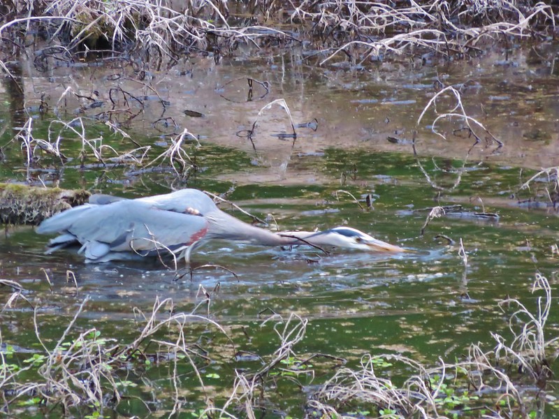
Great Blue Heron going after a treat

Shortly after crossing the bridge a sign for the Blue Heron Loop led us off the paved path and onto one of the parks soft surface trails.
Trail in Minto-Brown Island Park

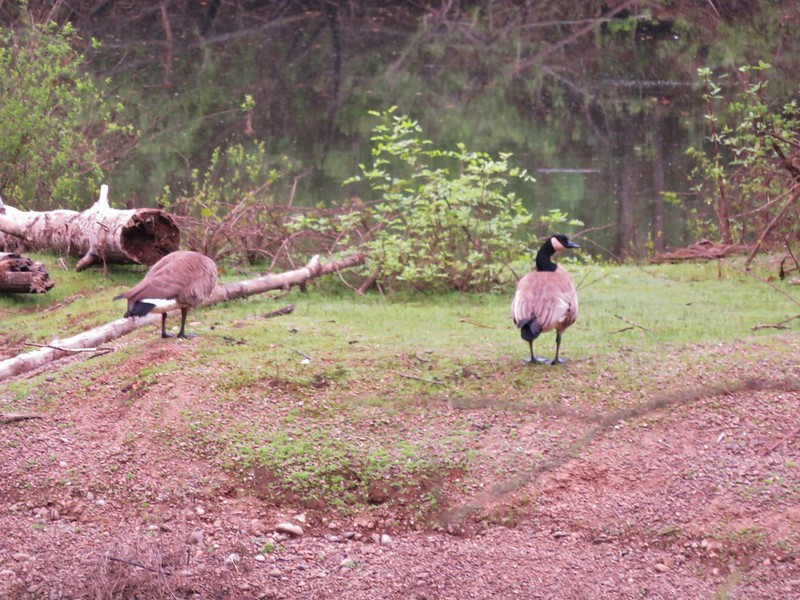
This portion of trail passed another slough on the right where we spotted Canadian Geese, a pair of wood ducks (not pictured due to fast swimming), and an Osprey sitting in its nest.
Canada Geese

Osprey in its nest

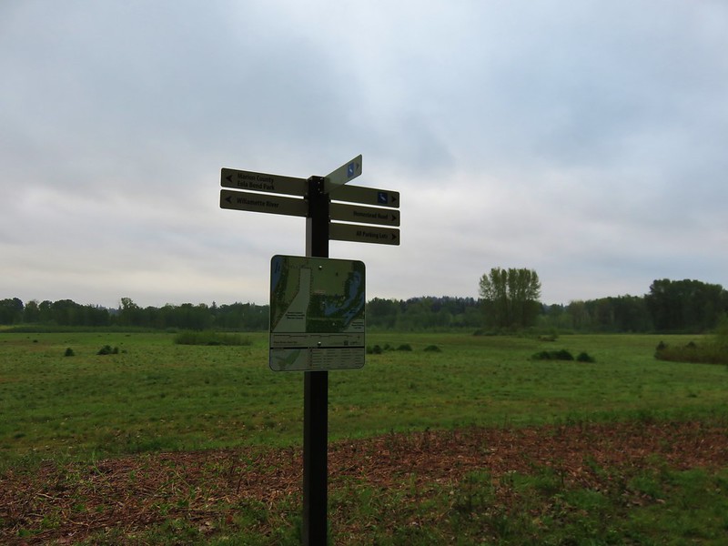
We left the wooded path and came to a trail sign at a junction near one of the many fields in the park.
Trail signs in Minto-Brown Island Park

We left the Blue Heron Loop here and headed for the Brown Island Landfill (the park has a little of everything it would seem). We skirted around it to pick up the Turtle Loop running along the north side of the landfill.
There are several connector trails running between the Turtle Loop trails making several different distances possible. We took one of these through the field to rejoin the Turtle Loop along the Willamette River. Here we found some recent beaver work.
Minto Brown Island Park

Recent beaver work

We followed the Turtle Loop back along the river to the shelter parking lot and our car. Even though the park is in Salem its size and the variety of trails makes it a nice spot to “get away” and you are almost certain to see some wildlife along the way.

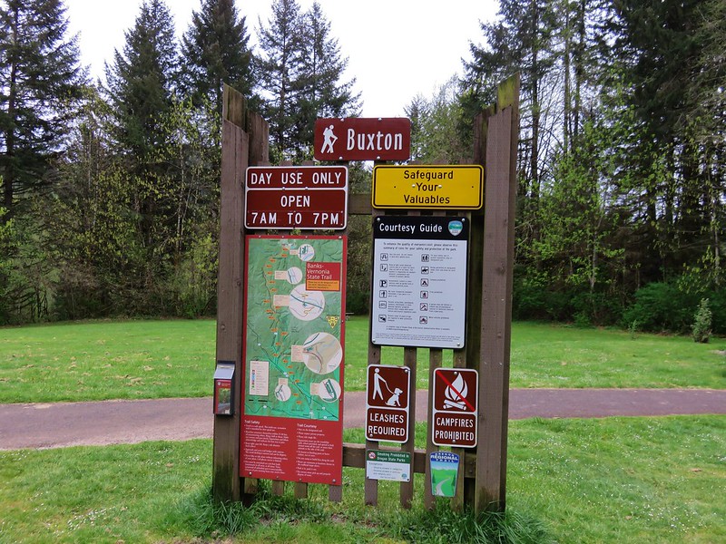
On race day we headed to the Banks Middle School in Banks, OR where Heather’s race would finish and she would catch a bus up to the starting line at L.L. Stub Stewart State Park. The race would follow the Banks-Vernonia State Trail which is a converted rail bed, Oregon’s first rail-to-trail. Heather hopped on a bus at 7am and I had a couple of hours to kill before the race would start at 9am. So I took the opportunity to hike a section of the trail. I had decided to be at the Buxton Trailhead, one of several possible traileheads to access the trail, which was near the 6 mile mark of the half-marathon.

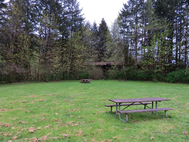
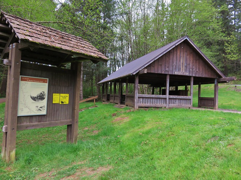
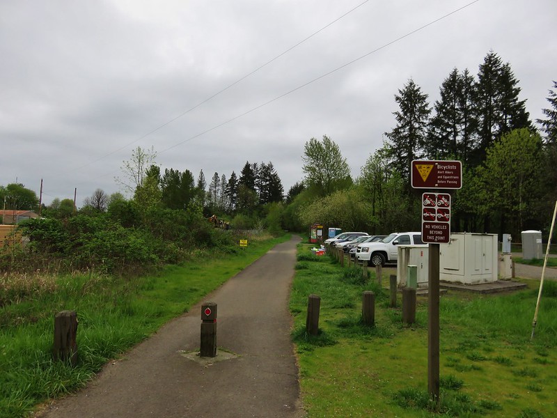
The trailhead had a large parking area with picnic tables, and a shelter.
Buxton Trailhead

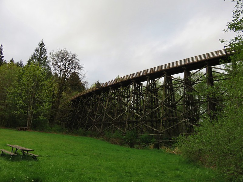
Buxton Tressel from the trailhead

Building and sign at the Buxton Trailhead

I had calculated that Heather would be passing by that spot a little before 10am so I had about 2 1/2 hours available to hike. I took a path to the left of the parking lot down to a creek crossing below the Buxton Trestle.
Footbridge over Mendenhall Creek

Mendenhall Creek

Buxton Trestle

The path then led uphill joining the Banks-Vernonia State Trail just beyond the trestle.
Trail heading up to the Buxton Trestle

My plan was to head east toward the Banks end of the trail for an hour and then head back to the trestle to wait for Heather, but before I headed down the trail I wandered out onto the trestle.
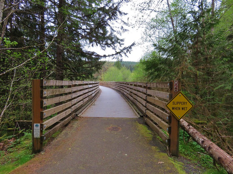
Buxton Trestle
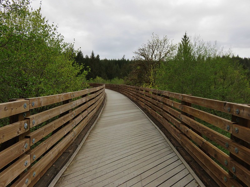
Buxton Trestle

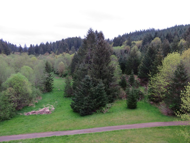
View from the Buxton Trestle

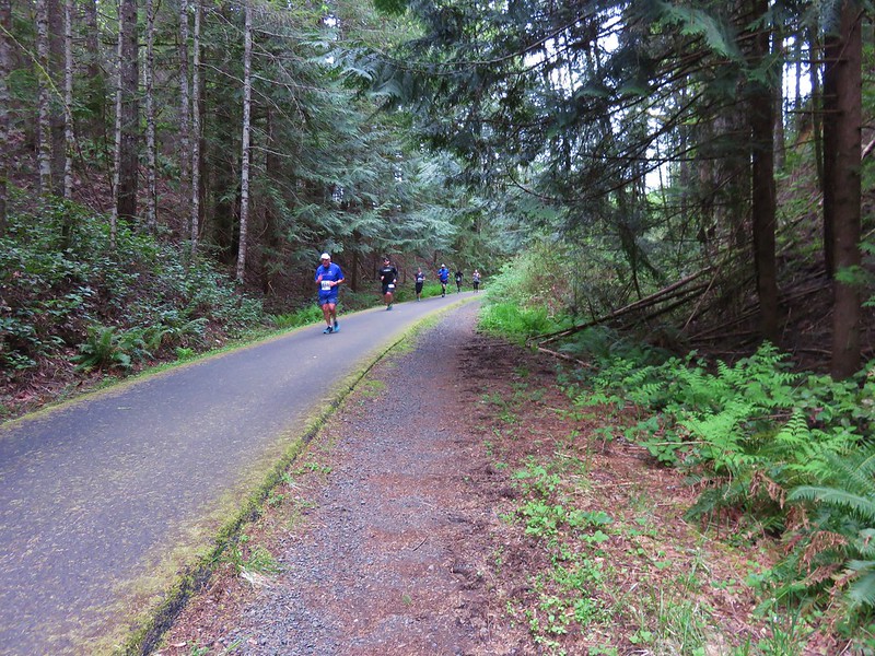
The entire 21 miles of the trail are paved which makes it popular with bicyclists, runners, walkers, and it also sees some equestrian traffic. It was still pretty early though so for the first 45 minutes I saw more wildlife than people.
Starling

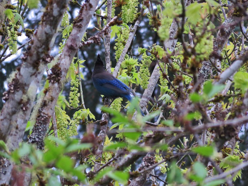
Stellars Jay

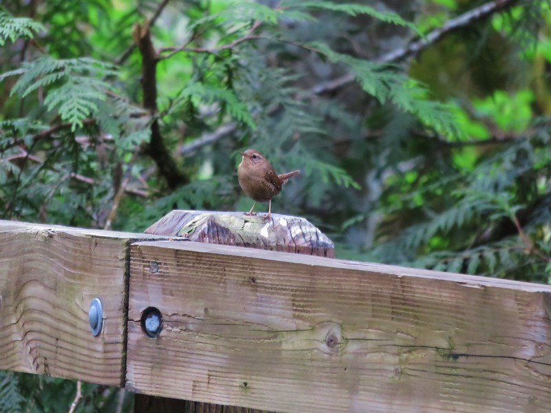
Wren

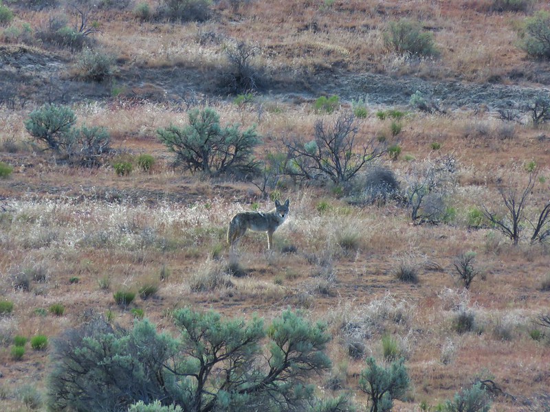
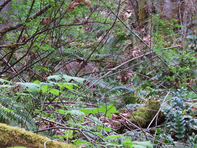
The highlight happened as I passed a draw to my left and noticed something moving up the hillside through the brush. It was a decent size but it had its head down making it hard to tell what I was seeing. When it finally raised its head I could see it was a coyote. It blended really well with the brush and wouldn’t stop moving making it extremely difficult to get a decent picture. I finally made a little noise to get its attention hoping it would pause long enough for a photo, but it was quicker than I was and darted off as soon as we made eye contact.
Coyote

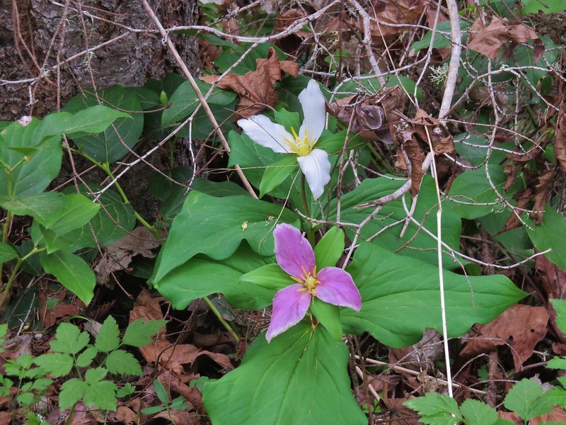
In addition to the wildlife there were plenty of Spring wildflowers along the trail. The forested hillside was dotted with trillium, bleeding heart, pioneer violets, and a few fairy bells.
Trilliuims

Bleeding heart

Violet

Fairybells

From the trestle the trail had gradually descended to a gravel road crossing where it left the trees and leveled out as it began to pass between pastures.
Banks-Vernonia State Trail

Birds were abundant, mostly sparrows, swallows, and robins but across one of the fields I spotted a bald eagle flying between trees.
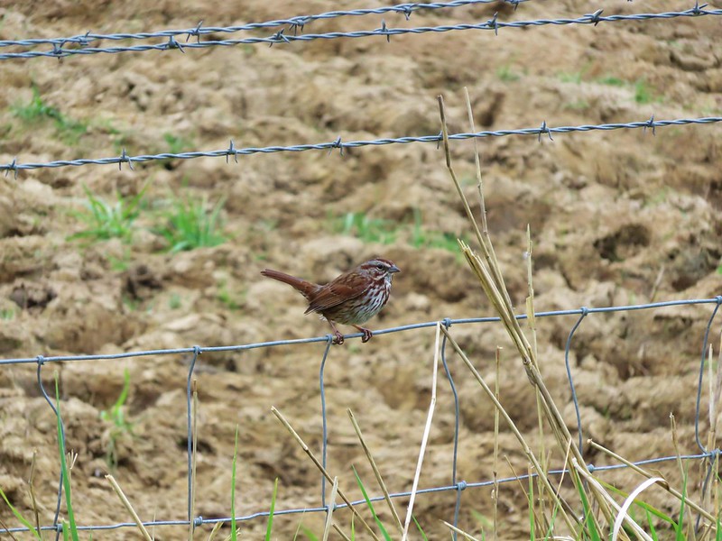
Sparrow

Sparrow

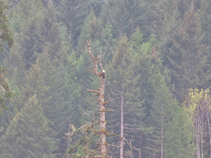
Bald Eagle

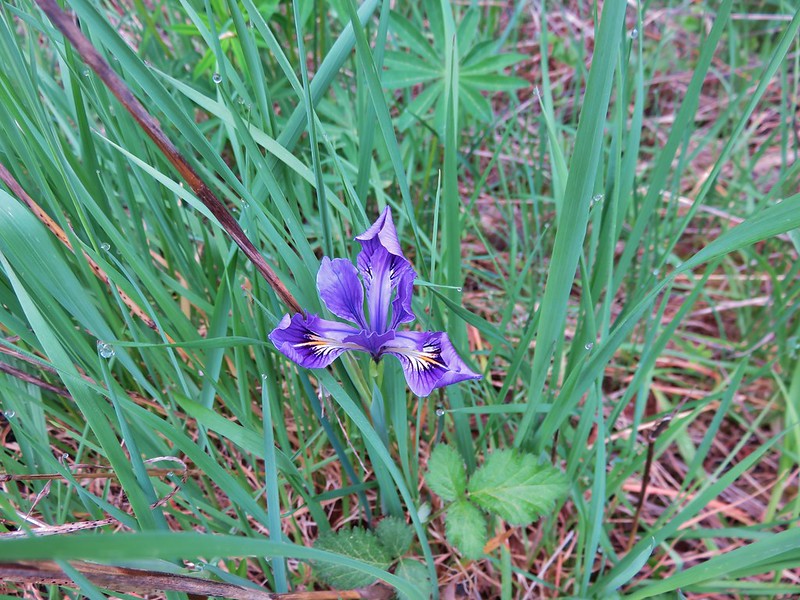
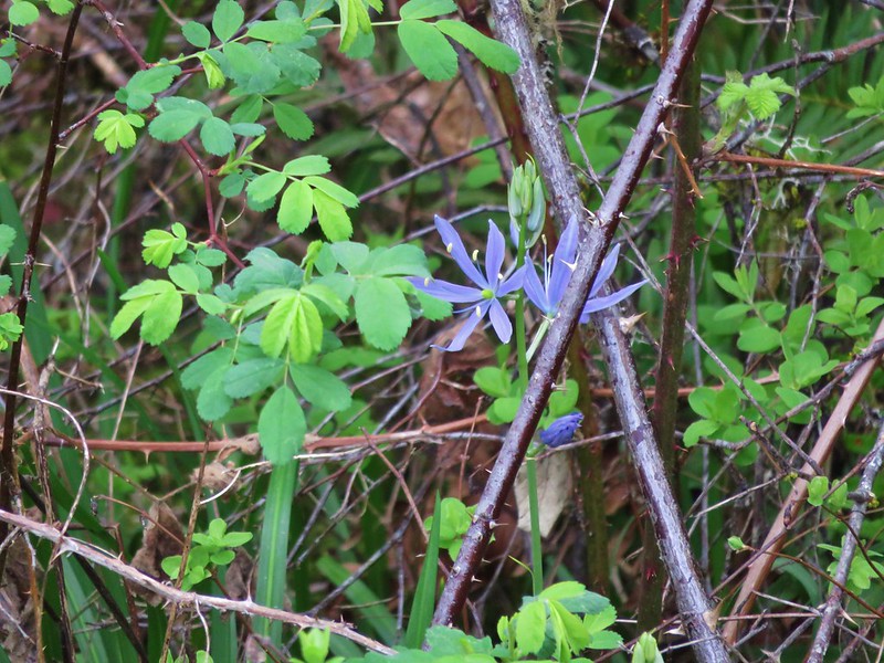
I also spotted a single tough leafed iris and a couple of camas blossoms.
Wild iris

Camas

By 8:30am the trail had become quite a bit busier, especially as I neared the Manning Trailhead which I reached just as it was time to turn around and head back.
Manning Trailhead

I had just crossed the Buxton Trestle when the first runners passed by on their way to Banks. These were the sub 6 minute milers so I figured I had about 15 to 20 minutes before Heather would be passing by. I grabbed a snack and waited along the trail for her to pass by which she did right on schedule.
IMG_4015

After cheering her on I hopped back in the car and headed for the finish line to meet her. Her goal for this racing season was to break 2hrs in a half-marathon which she managed to do finishing in 1:52:42. With the race completed and her goal accomplished our attention now turns to our hiking season which will last for the next 6+ months. Happy Trails!

Flickr: Minto-Brown- https://www.flickr.com/photos/9319235@N02/sets/72157666808908512

Banks-Vernonia – https://www.flickr.com/photos/9319235@N02/albums/72157666857451492

Categories
High Cascades Hiking Mt. Hood Area Oregon Trip report

Tamanawas Falls

It is our goal to eventually visit each of the featured hikes in William L. Sullivan’s “100 Hikes” series of guide books.  One of the things that I have been working on during our current off-hiking season is figuring out how to accomplish this.  One of the difficulties is that some of the hike distances are such that the amount of time we would spend on the trail is quite a bit less than the amount of time we’d spend driving to and from the trailhead.  At first glance the hike to Tamanawas Falls fell into this category for us.  At a little over two hours away the 3.8 mile round trip was too short and an alternate return route suggested by Sullivan would only extend the hike to 5.9 miles which was still likely too short to balance out the driving time. While rereading the description in the book and reviewing the accompanying map I found the solution which was to extend the hike along the East Fork Trail southward.
This trail incurred heavy damage during a flood event and no longer  ties into the Robin Hood Campground to the south.  It continues as far south as the Nottingham Campground but there is no bridge at that point making it the unceremonious end of the trail. We just needed some extra distance on a trail though so this would give us the ability to hike south at least a mile or two and increase our hiking time enough to top our driving time.

Now that the we had a plan that fit this hike into our hike-to-drive ratio requirement we needed to figure out when to visit.  The hike to Tamanawas Falls is very popular given its shorter length and its location along Highway 35 on the east side of Mt. Hood. We decided that early Spring might be our best bet when the wildflowers had begun blooming in the Columbia Gorge and there would still be some snow along the Tamanawas Falls Trail.

We arrived at the Tamanawas Falls Trailhead just before 7am (our other trick for avoiding crowds) on what promised to be a beautiful mostly sunny day.

Tamanawas Falls Trailhead

It was a crisp 37 when we arrived and the remaining snow was packed and a little slick on the way down to a footbridge across the East Fork Hood River.

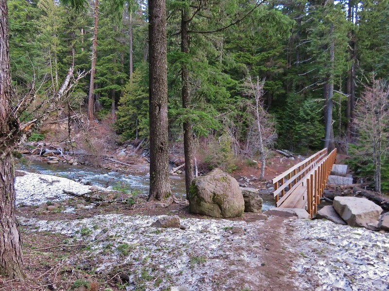
Footbridge over the East Fork Hood River

Footbridge over the East Fork Hood River

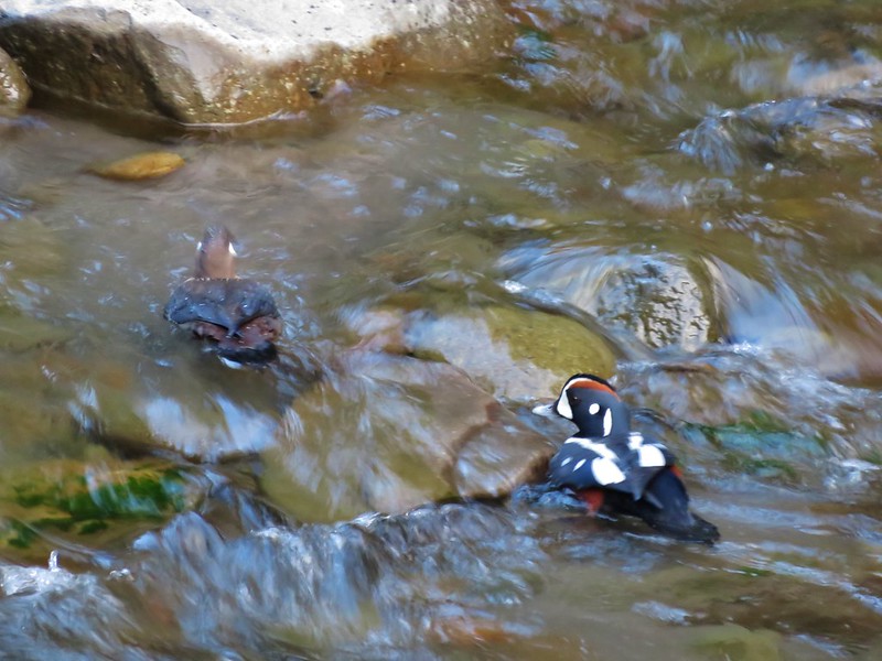
From the bridge a small waterfall cascaded down into the river and a pair of Harlequin Ducks paddled about along the far bank.
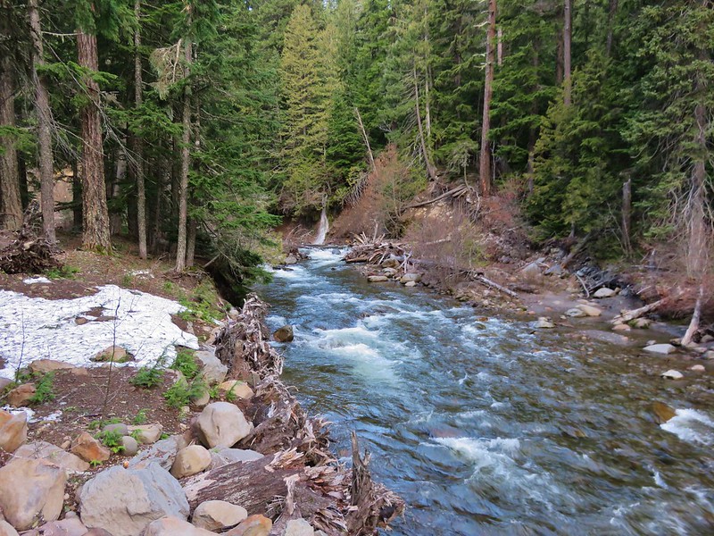
East Fork Hood River

Harlequin Ducks

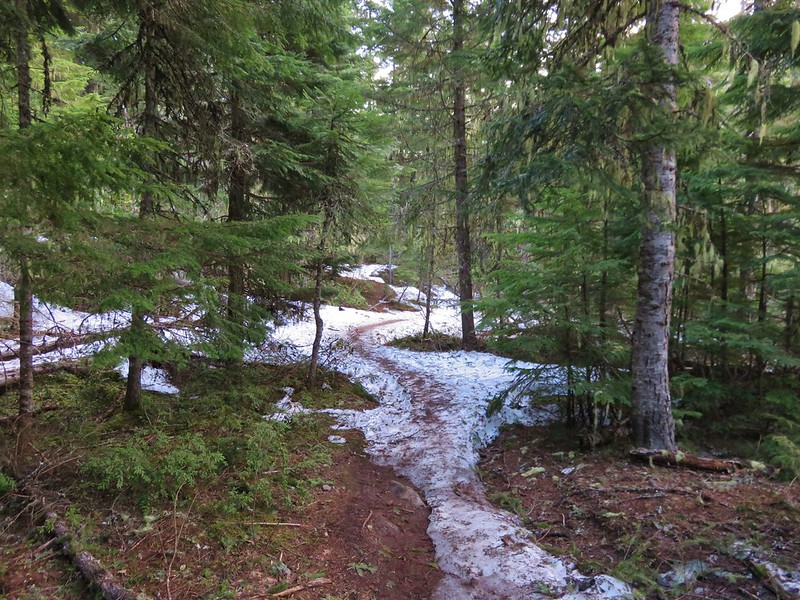
We were headed north on the East Fork Trail toward a junction with the Tamanawas Falls Trail. The trail climbed a bit and was still covered in snow in sections.
East Fork Trail

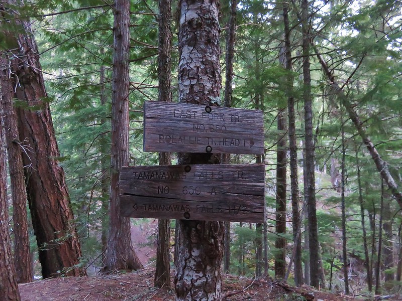
After .6 miles we reached the signed trail junction and turned left on the Tamanawas Falls Trail.
East Fork Trail junction with the Tamanawas Falls Trail

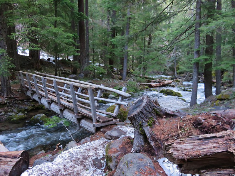
We were now heading downhill toward Cold Spring Creek and another footbridge.
Footbridge over Cold Spring Creek

We then followed the trail up along picturesque Cold Spring Creek for almost a mile to a trail fork.
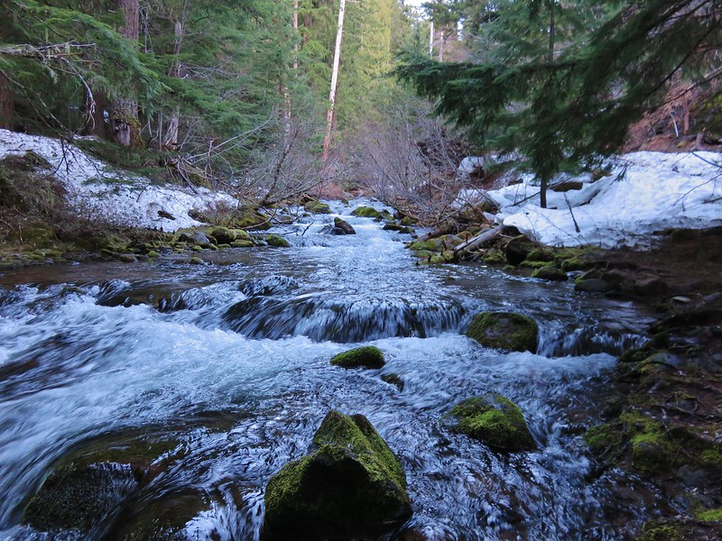
Cold Spring Creek

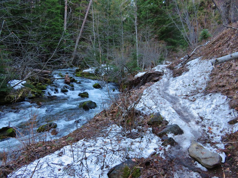
Tamanawas Falls Trail and Cold Spring Creek

Cold Spring Creek

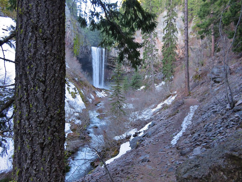
The Tamanawas Falls Trail continued straight ahead at the fork, passing through a rock field while the Tamanawas Tie Trail headed uphill to the right. We would be taking the tie trail on our return trip but first we headed into the rock field and onto the slickest portions of trail we’d encountered.
View from the junction

The snow had been packed down to ice in sections and we were glad to have had our trekking poles with us. We also had brought along some traction devices for our shoes which Heather used in this section on the way back.
Tamanawas Falls Trail

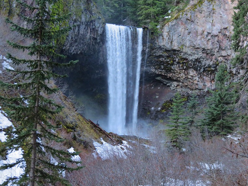
We felt the falls before we could see them. As we made our way up the trail a faint breeze met us. The air had the unmistakable feel of waterfall, cool and containing a hint of moisture. I admit to not expecting much from the falls themselves. For some reason the pictures I’d seen had left me with the impression that the falls were smaller than what they turned out to be. I was pleasantly surprised when they first came into view.
Tamanawas Falls

Tamanawas Falls

We hung around for awhile exploring and having a snack. We were the only people at the falls but we were joined by an Ouzel.
Tamanawas Falls

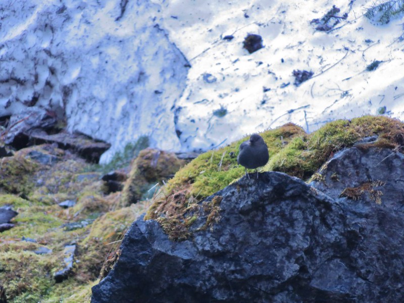
Ouzel

After admiring the falls we made our way back to the junction with the Tamanawas Tie Trail. We turned uphill on this trail and began the short climb up to the Elk Meadows Trail.
Tamanawas Tie Trail

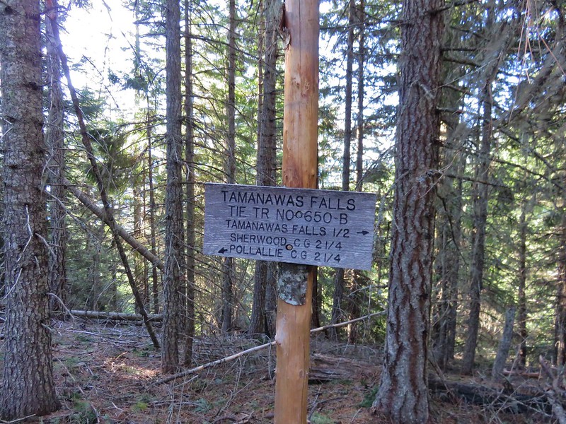
Sign at the junction with the Elk Meadows Trail

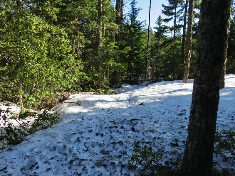
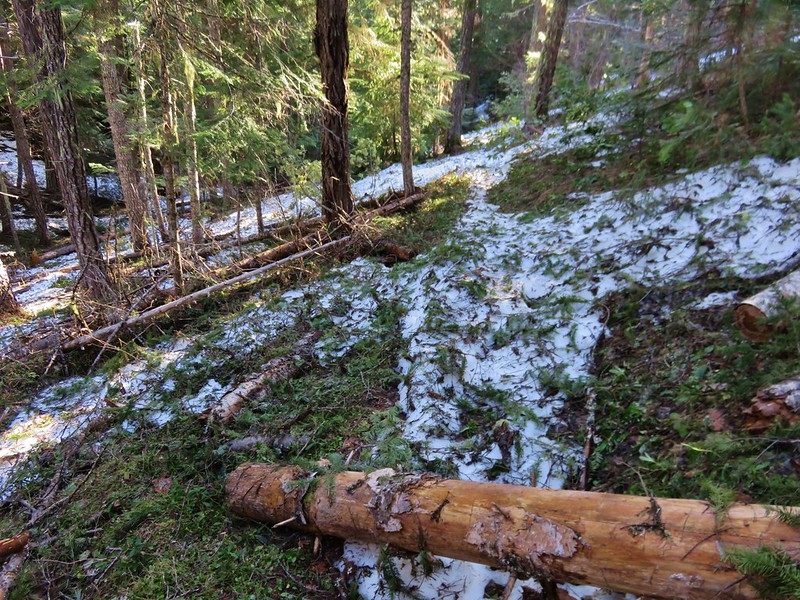
We followed the signs for the Polallie Campground and began descending a forested ridge. The Elk Meadows Trail had obviously seen less traffic and some sections still had a decent amount of snow. There was also some light blowdown to step over or around and lots of small pine tree limbs on the trail.
Elk Meadows Trail

Elk Meadows Trail

Although the ridge was forested we did get our only glimpses of Cascade peaks along this trail.

Mt. Adams
Mt. Adams

Mt. Hood
Mt. Hood

The trail had gradually made its way toward the Polallie Creek Canyon and we headed off trail just before the trail took a sharp right-hand turn around the ridge end to check out it out. A reported 80 foot deep flash flood scoured the canyon and washed out miles of Highway 35 in 1980 but there was no sign of that kind of power in the creek now.
Polallie Creek

After a brief descent we arrived at yet another trail junction. This was the East Fork Trail that we had been on before turning up the Tamanawas Falls Trail earlier in the morning.
Elk Meadows Trail junction with the East Fork Trail

We turned right to complete our loop. Along this 1.1 mile stretch we could often see the highway below, but it wasn’t without its sights including a neat little spring that flowed out of the ground into a small pool then quickly disappeared once again.
Spring along the East Fork Trail that disappeared back underground after a couple of feet

The trail had a few ups and downs before finally dropping down to Cold Spring Creek.
Cold Spring Creek

We crossed the creek on a footbridge and climbed back up to the junction with the Tamanawas Falls Trail that we had passed earlier. We had not seen anyone else on the trail yet that day but now that we were back on the main route we began to see a handful of others. When we arrived back at the East Fork Hood River crossing we stayed on the West side of the river and continued on the East Fork Trail to get our needed time in.

This section of the East Fork Trail alternated between being along the river and above it in the forest.
East Fork Hood River

East Fork Hood River

East Fork Trail

After about a mile the trail headed further uphill away from the river and entered an old snowy clear cut where the trees were much younger.
East Fork Trail

When the trail reentered older forest it switchbacked up just below an abandoned road. We had decided that we would continue on from here until the trail began to drop back down toward the river because we didn’t want to have to climb back up. We left the stand of older trees and entered another old clear cut where the trail did begin to head downhill. From this area we had a nice view of the Lookout Mountain area across Highway 35 to the East.
Looking toward Lookout Mountain from the East Fork Trail

A quick glance at the time told us that by the time we were back at the car we’d have hiked long enough to surpass our driving time so we declared victory and headed back. The parking area at the trailhead was packed but we’d encountered less than a dozen others on the trails.

All in all it was a great final off-season hike and the next time we head out our 2016 hiking season will be officially under way. Happy Trails!

Flickr: https://www.flickr.com/photos/9319235@N02/albums/72157666743878315

Categories
Central Coast Coastal Range Hiking Oregon Oregon Coast Trip report

Florence Area Trails

It’s been over a month since our last hike and I was beginning to go a bit stir crazy so when the forecast called for a mostly sunny Saturday we jumped on the chance and hit the trails.  We try and make sure our hikes are long enough so that we spend as much or more time hiking rather than driving.  On this day we did this by visiting several shorter trails near Florence, OR.

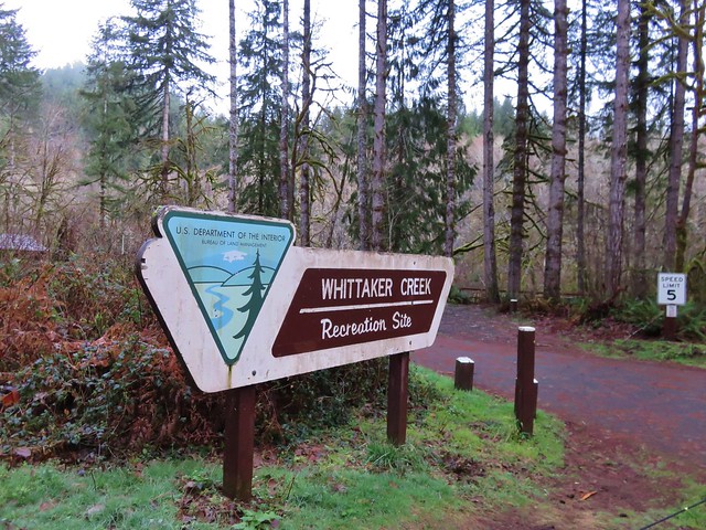
We started the day at the Whittaker Creek Recreation Site just off Highway 126.
Whititaker Creek Recreation Site sign

From there we walked through the campground and headed across Whittaker Creek on a footbridge.
Footbridge over Whittaker Creek

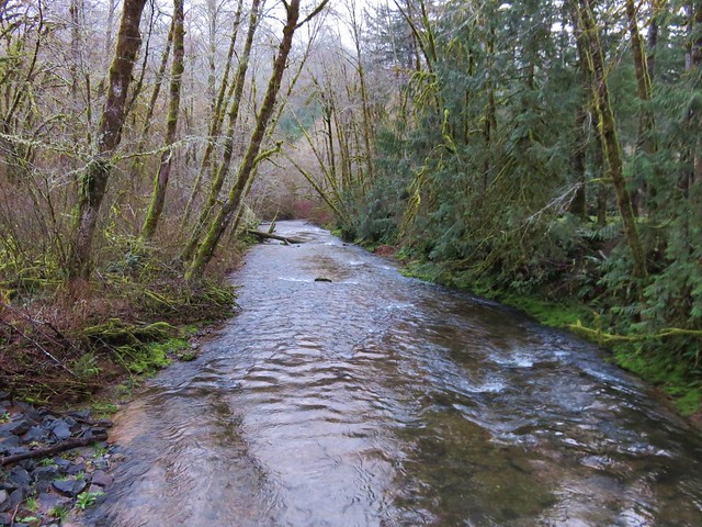
Whittaker Creek

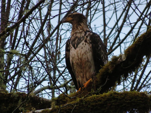
A young bald eagle had flown over our heads and landed in a tree along the creek and allowed us to get fairly close before taking flight again.
Bald Eagle flying over Whittaker Creek

Bald Eagle

Bald Eagle taking off

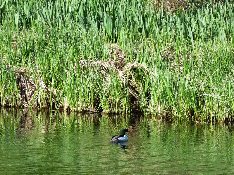
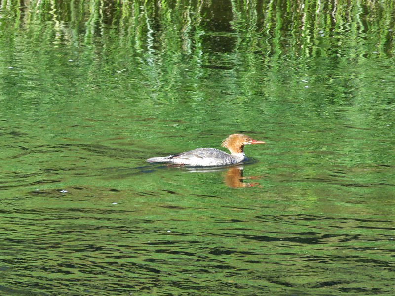
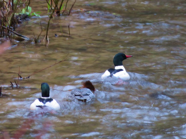
Meanwhile some common mergansers were floating the creek.
Mergansers

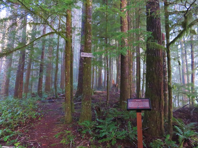
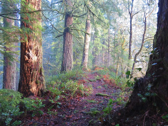
From the NW end of the campground we took the Old Growth Trail 1.2 miles up to the summit of the ridge. A mix of sunlight and morning fog created some interesting lighting in the forest.
Old Growth Ridge Trailhead sign

Old Growth Ridge Trail

Old Growth Ridge Trail

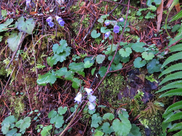
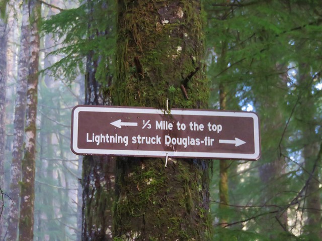
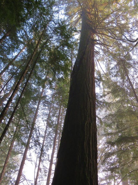
Along the way up we spotted a number of little snow queen flowers and stopped at a tall Douglas fir tree that had been struck by lighting at some point.
Snow Queen

Sign along the Old Growth Ridge Trail

Lightning struck Douglas fir

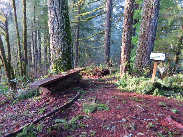
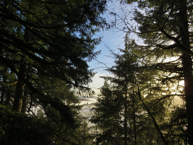
At the summit were benches and a sign giving the history of the trail. The low clouds and fog hid much of the view on this day.
Summit of the Old Growth Ridge Trail

Interpretive sign at the summit of the Old Growth Ridge Trail

View from the summit of the Old Growth Ridge Trail

On the way back down we turned on the signed Armantrout Loop Trail which led back to the campground in 1.5 miles.
Armantrout Loop Trail

There were a few spots of blowdown along this trail that were easily passed and numerous interpretive signs to stop and read.
Just a little blowdown along the Armantrout Loop Trail

After returning to our car we continued west on Highway 126 to Mapleton and turned west on Sweet Creek Road for 10.2 miles to the Homestead Trailhead.
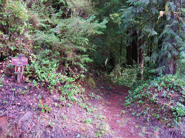
Swee Creek Trailhead

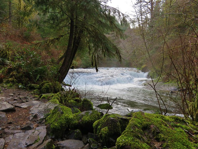
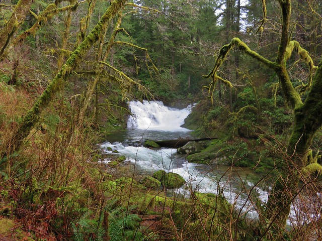
There are a total of four trailheads that access the Sweet Creek Trail with the Homestead Trailhead being the most northerly. From there we followed the Sweet Creek Trail south for .9 miles to a junction with the connector trail from the second trailhead. Both the creek and surrounding forest were beautiful. A series of small falls and cascades line this section of Sweet Creek and on this day there was plenty of water flowing over them.
Sweet Creek

Small fall on Sweet Creek

Sweet Creek

Sweet Creek

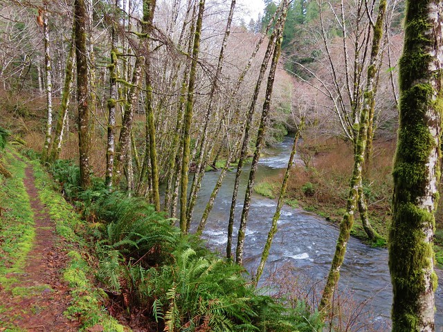
Sweet Creek Trail

Sweet Creek Trail
Annice Falls
Sweet Creek and Annice Falls

Sweet Creek

Small cascade along Sweet Creek

Unnamed waterfall (possibly seasonal) on the far side of Sweet Creek

Unnamed waterfall (possibly seasonal) on the far side of Sweet Creek

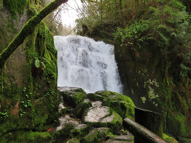
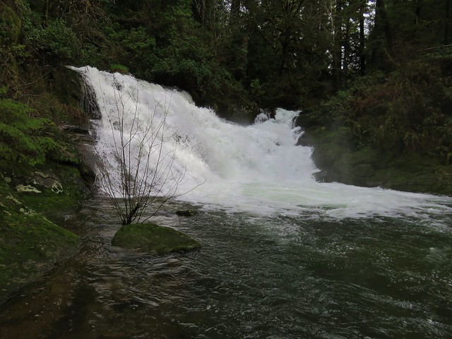
Elk Wallow Falls
Elk Wallow Falls

Trail sign along the Sweet Creek Trail

From the junction another scenic half mile of the Sweet Creek Trail brought us to Sweet Creek Falls and the end of the trail.
Sweet Creek Falls

Sweet Creek Falls

A short trail leads up to an upper viewpoint.
Sweet Creek Falls from the upper viewpoint

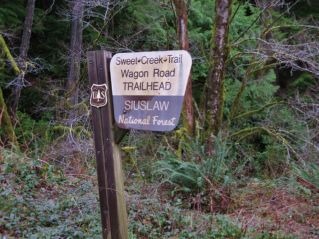
It is possible during lower flow times to cross the creek below the falls and pick up the continuation of the Sweet Creek Tail on the far side, but that wasn’t going to happen given the volume of water that was currently flowing over the falls. After returning to the Homestead Trailhead we drove to the Wagon Road Trailhead 1.3 miles further south along Sweet Creek Road.
Wagon Road Trailhead for the Sweet Creek Trail

The Sweet Creek Trail heads away from the road in both directions from this trailhead. We began with the segment on the west side of Sweet Creek Road which would lead bus back down to Sweet Creek Falls on the opposite side of the creek.
Sweet Creek Trail

Sweet Creek Falls

Sweet Creek Falls

Sweet Creek Falls

Near the bottom of this trail were a number of skunk cabbage flowers.
Skunk cabbage

After visiting the base of Sweet Creek Falls we returned to the Wagon Road Trailhead and took the .6 mile segment of the Sweet Creek Trail to Beaver Creek Falls.
Sweet Creek Trail

Beaver Creek Falls

Beaver Creek Falls

We left the Wagon Road Trailhead and headed back to Highway 126 and headed toward Florence. We made a quick stop at Florence Yamaha to pick up a Northwest Forest Pass which we needed for our final hike at the Holman Vista Day Use Area just north of Florence.
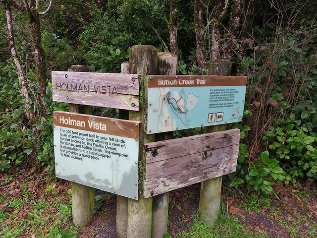
Sutton Creek Trailhead

We started this hike by taking a short paved path to an overlook of Sutton Creek and a glimpse of the Pacific Ocean.
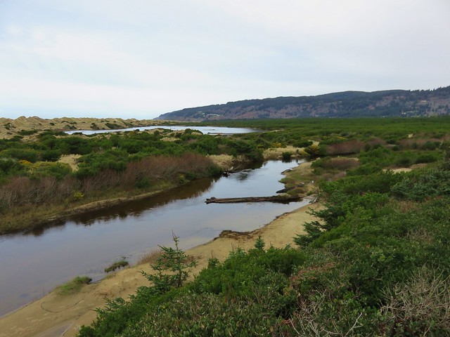
Sutton Creek

Sutton Creek and the Pacific Ocean

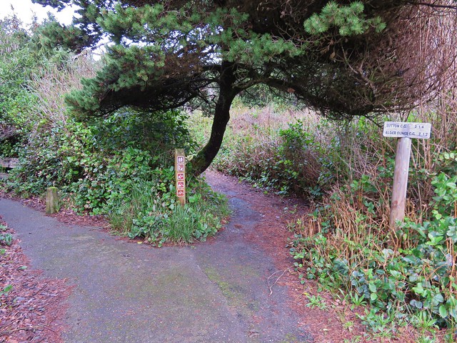
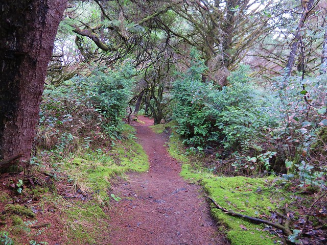
Next we set off on the Sutton Creek Loop Trail which led along Sutton Creek through a coastal forest .8 miles to a trail junction near Bolduc’s Meadow.
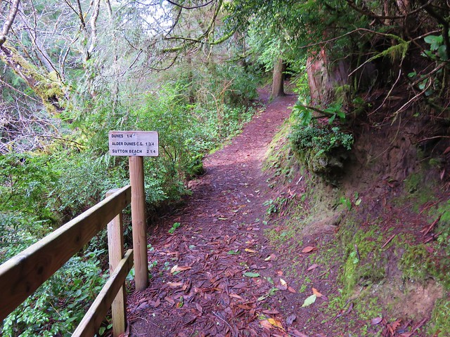
Sutton Creek Trail

Sutton Creek Trail

Crazy tree along the Sutton Creek Loop Trail.
Crazy tree along the Sutton Creek Trail

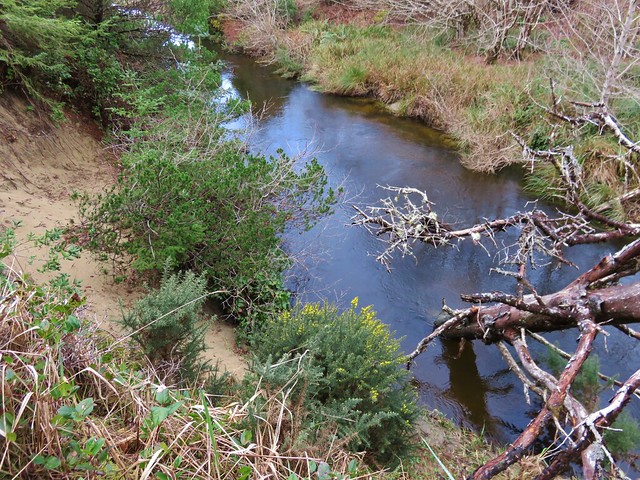
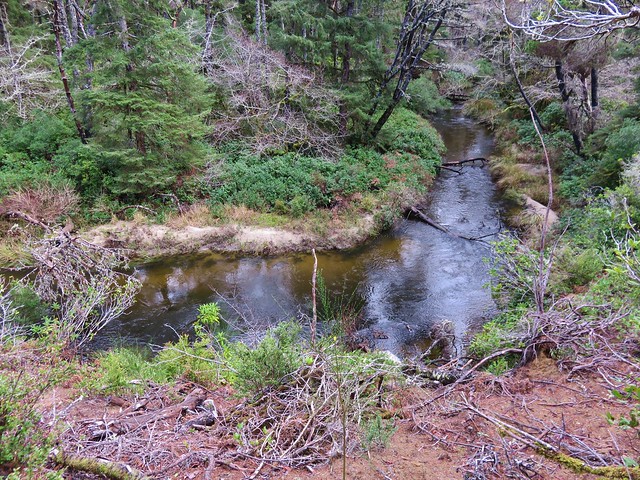
Sutton Creek

Sutton Creek

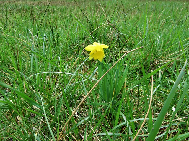
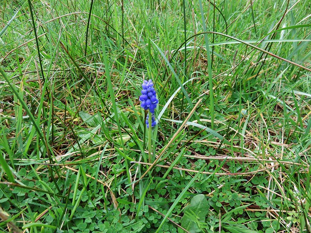
We kept straight at the junction passing Bolduc’s meadow where we spotted a lone daffodil and a single grape hyacinth.
Bolduc's Meadow

Daffodil in Boluduc's Meadow

Grape Hyacinths

We were now on the South Sutton Creek Trail which continued to follow the creek for 1.5 miles of short ups and downs. This trail brought us to the Sutton Campground where we picked up the continuation of the trail at a footbridge near site B16.
Footbridge across Sutton Creek

After crossing the footbridge we had the option to go left or right on the North Sutton Creek Trail. The left hand trail led a quarter mile to a dune while the right and would have brought us to the same dune on a .6 mile loop.
Sutton Creek Trail

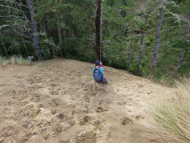
At the dune we found a swing which Heather made use of.
Sutton Creek Trail

Dune along the Sutton Creek Trail

Swing break along the Sutton Creek Trail

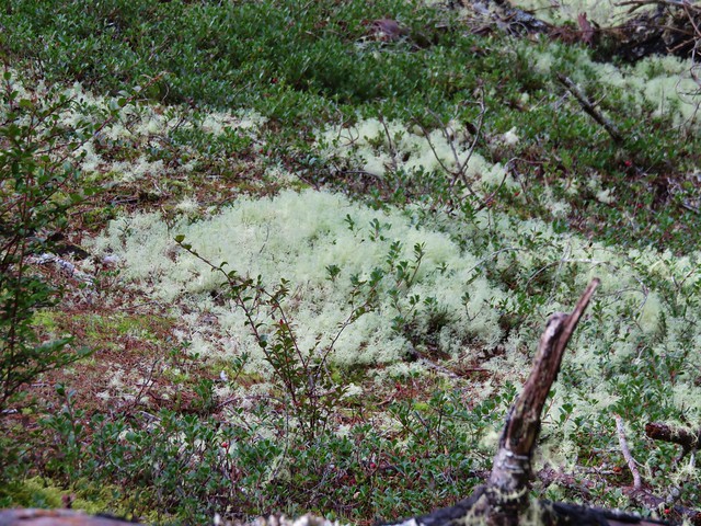
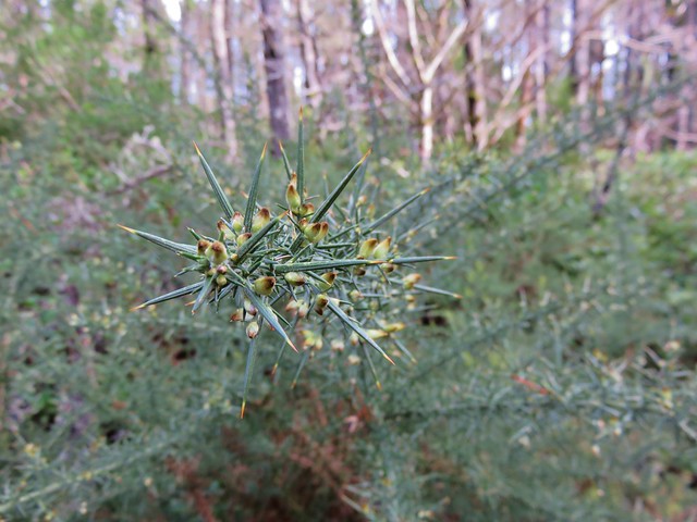
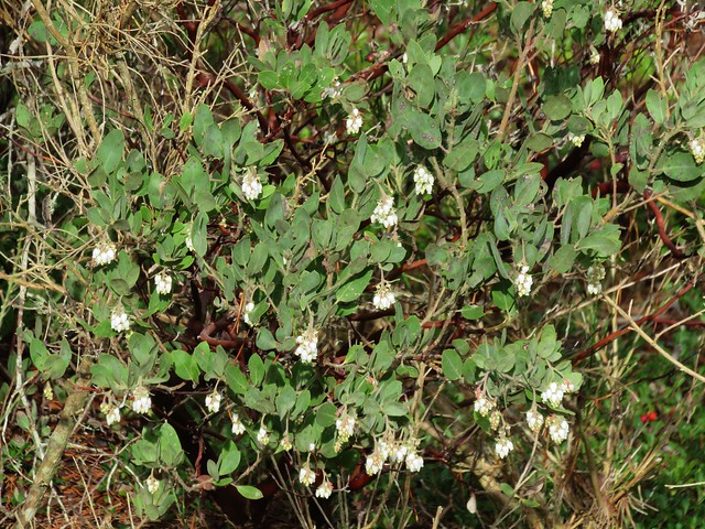
From the swing we followed the North Sutton Creek Trail for 1.3 miles back to the trail junction near Bolduc’s Meadow. This section of trail passed dunes with a less dense forest. Common gorse and manzanita was beginning to bloom along the trail and some areas were covered in a light green moss that reminded us of snow.
Sutton Creek Trail

Moss

Common Gorse
common gorse

common gorse//embedr.flickr.com/assets/client-code.js

Common manzanita
Common manzanita

Sutton Creek Trail

Bearberry
Bearberry

Dunes along the Sutton Creek Trail

Footbridge across Sutton Creek to the trail junction near Buldoc’s Meadow
Fottbridge over Sutton Creek near Buldoc's Meadow

After crossing the footbridge we turned right and then quickly turned left on an unsigned trail which led us .5 miles back to the parking lot at the Holman Vista Day Use Area.

We had a great time on these trails and it was nice that they were all very different from one another. We wound up doing a little over 13 miles of hiking but each of these trails are worthy of doing on their own. The Old Growth Ridge/Armantrout Loop hike was approximately 3.5 miles with about 800′ of elevation gain. Our first hike along Sweet Creek from the Homestead Trailhead was a little under 2.5 miles with 350′ of elevation gain while the segments from the Wagon Road Trailhead totaled just under 3 miles and 300′ of elevation gain. The hike on the Sutton Creek Trails was 4.5 miles with only about 100′ of total elevation gain. Happy Trails!

flicker: https://www.flickr.com/photos/9319235@N02/albums/72157662585681453

Categories
Hiking Northern Coast Oregon Oregon Coast Trip report

Fort-To-Sea Trail – Fort Clatsop

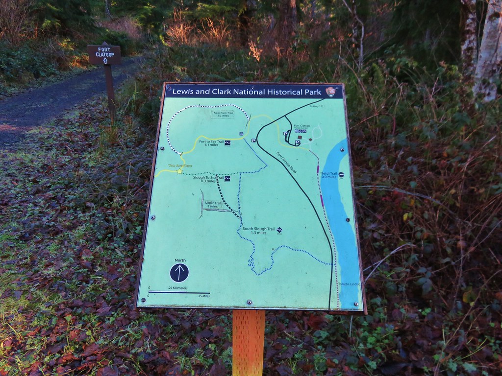
We have officially started our 2016 hikes. As we have done for the past several years we headed to the Oregon Coast for our first hike of the year. Our goal this time was to hike the Fort-To-Sea Trail following a route initially blazed by Lewis and Clark in 1805 from Fort Clatsop to the ocean. Fort Clatsop was built near what is now the Lewis and Clark River and the Fort-To-Sea Trail was used by the expedition to gather salt by boiling saltwater. The area is now part of the Lewis and Clark National Historic Park complete with a replica of the original fort.

We decided to start our hike at the Sunset Beach Recreation Site near the ocean north of Gearhart, OR. From there we would take the trail to Fort Clatsop and back. Things got off to a rocky start at the trailhead when we found the restrooms devoid of toilet paper and discovered that I had not yet switched our toiletry supplies from my backpack to my daypack. After a quick trip back to Gearhart for supplies we were back at the trailhead and ready to begin.
IMG_2837

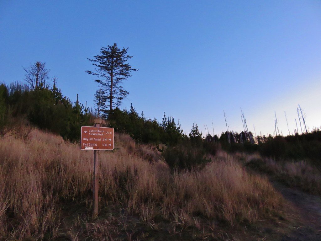
Before heading to Fort Clatsop we headed toward the ocean on the Fort-To-Sea Trail. There used to be a viewing deck overlooking the ocean 1/3 of a mile from the parking area but it has been removed leaving a sandy circle on the grassy dune.
IMG_2842

IMG_2846

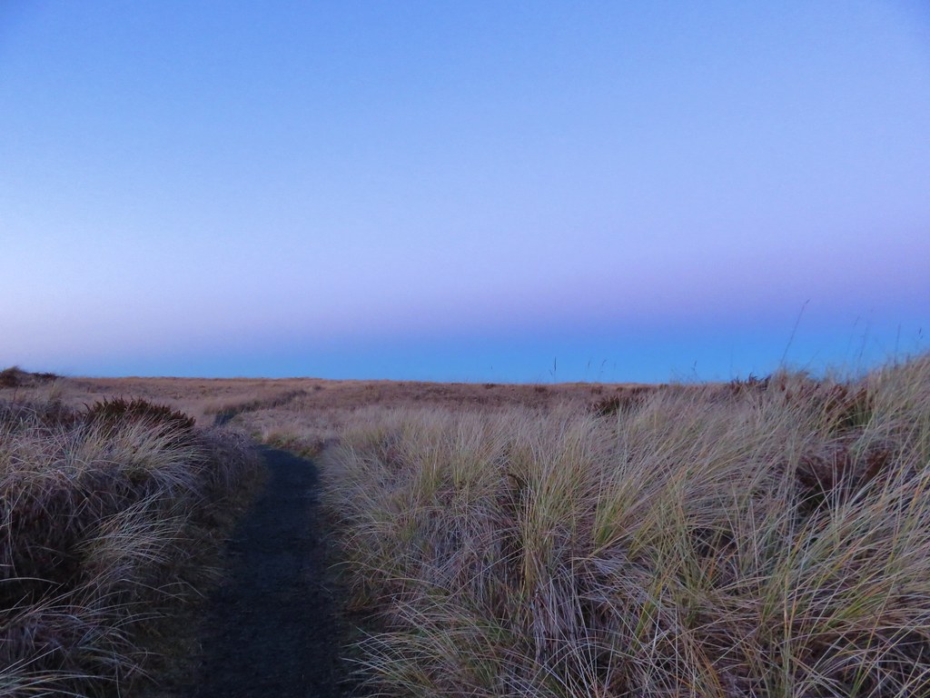
The Sun was still rising behind us creating some nice colors on the western horizon.
IMG_2847

IMG_2851

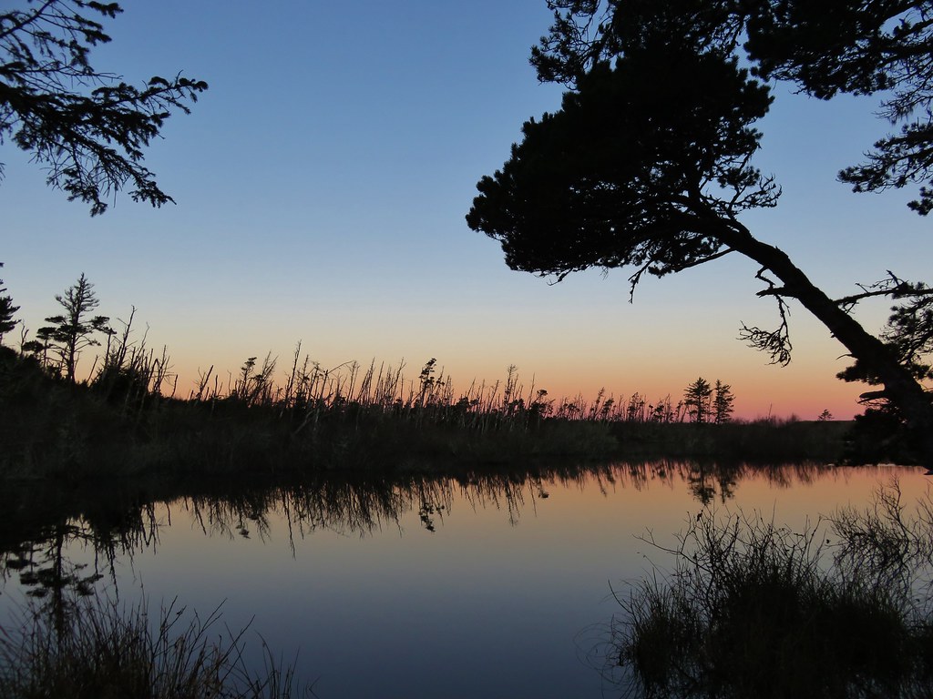
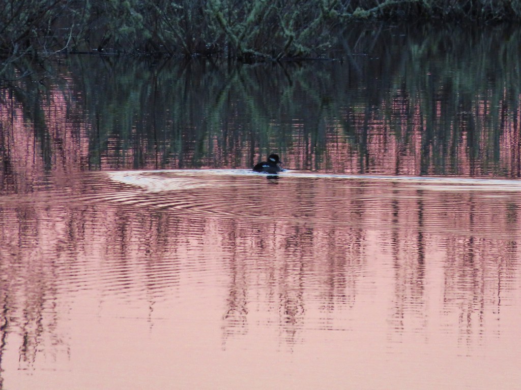
After returning to the trailhead we headed inland toward Fort Clatsop which was 6.2 miles away. The first portion of the trail passed through storm damaged trees skirting several bodies of water. Ducks paddled about on the water as it reflected the colors of the sunrise.
IMG_2861

IMG_2865

IMG_2864

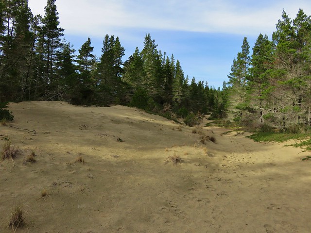
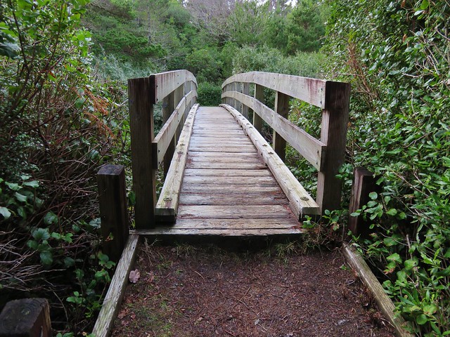
The path then led up and over a small sandy hill and down to an arched bridge over Neacoxie Lake.
IMG_2870

IMG_2876

IMG_2877

IMG_2874

To the SE of the lake was the Astoria Country Club’s golf course, a popular morning stop for elk. We hadn’t seen any elk during our hikes in 2015, but on the far side of the course on a small hill were three.
IMG_2869

We watched them for a bit from the bridge as they made their way along the hillside.
IMG_2885

IMG_2887

Beyond the bridge the trail passed through a mile and a half of pastures. The fenced route was well marked as the trail led to East Neacoxie Lake.
IMG_2890

IMG_2897

Smaller than Neacoxie Lake, East Neacoxie Lake was full of wildlife. A pair of Bald Eagles watched over the many ducks and small birds enjoying the lake.
IMG_2898

IMG_2906

IMG_2918

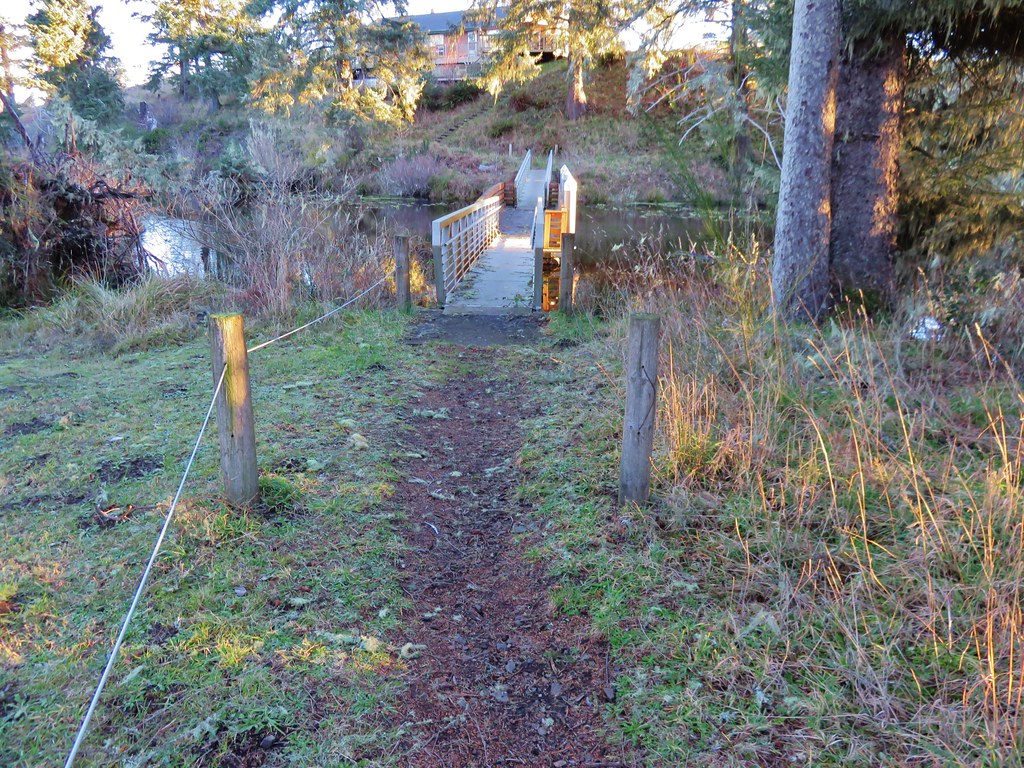
The trail crossed this lake on a floating bridge.
IMG_2917

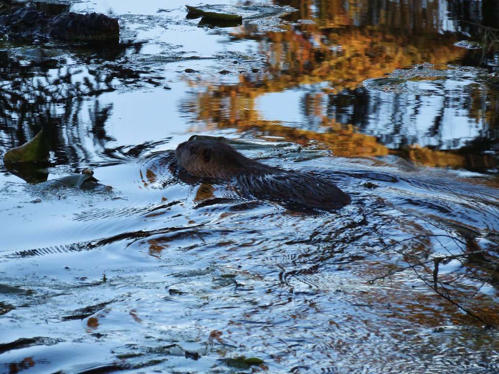
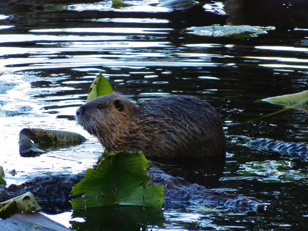
As we were making our way across something swam out from under the bank near the far end of the bridge. Our minds immediately went to otter or beaver, neither of which we have spotted yet during a hike. Instead it turned out to be a nutria, a large rat-like semiaquatic rodent considered an invasive species by the ODFW.
IMG_2921

IMG_2925

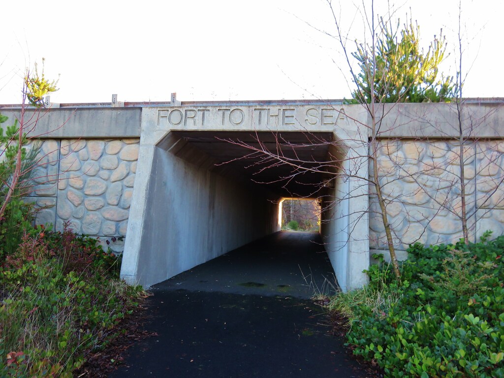
The trail then led past a pioneer church and cemetery to an underpass of Highway 101.
IMG_2928

IMG_2929

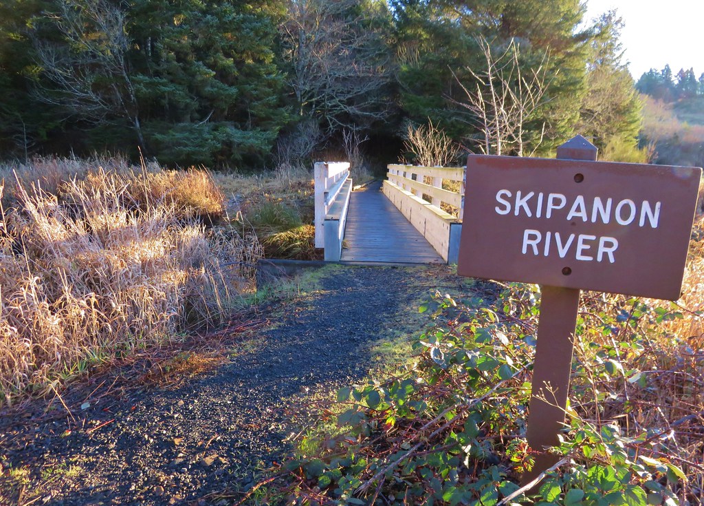
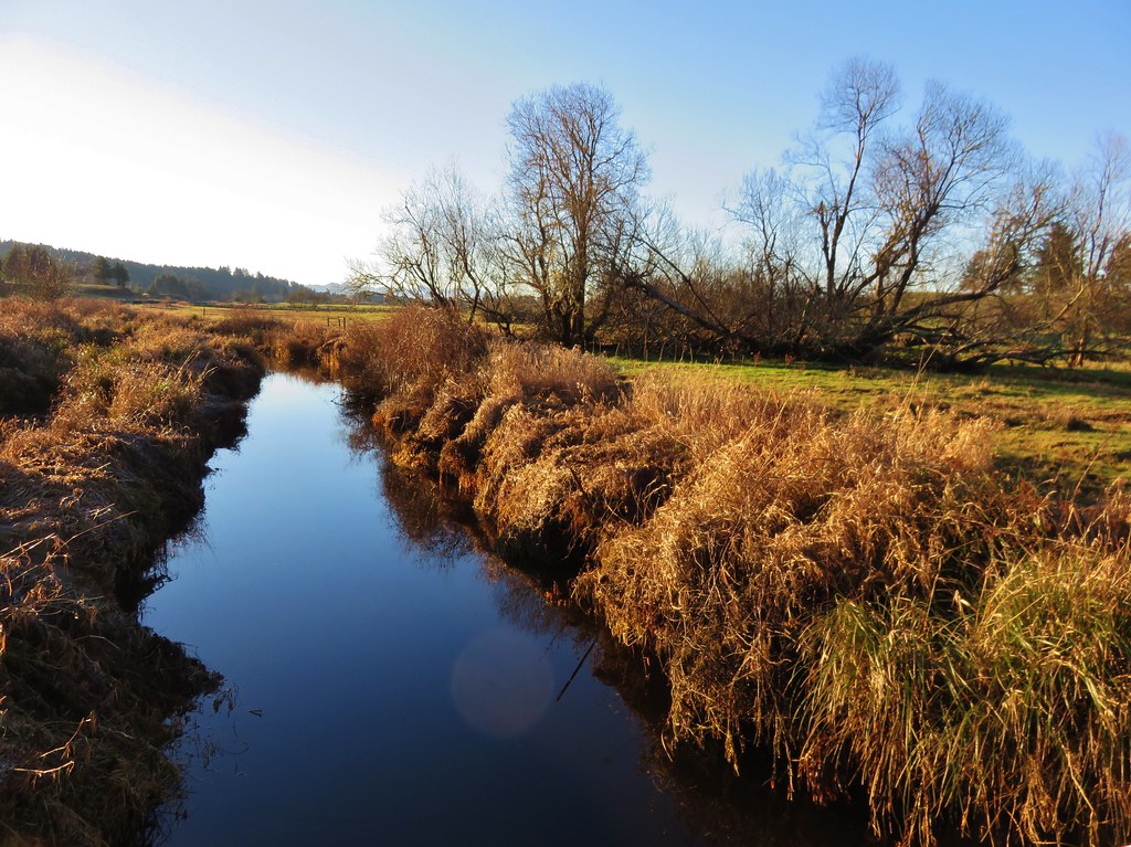
After passing under the highway and skirting another field we crossed the Skipanon River before heading into a forest.
IMG_2932

IMG_2933

IMG_2935

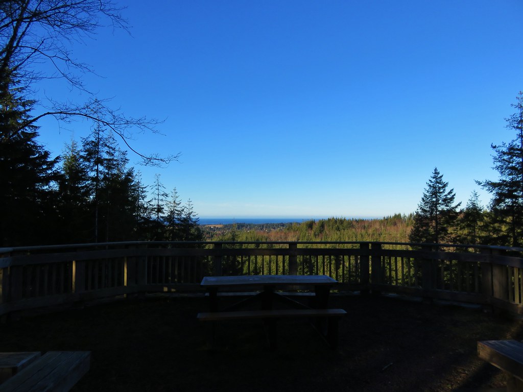
At the 4.7 mile mark we reached the Clatsop Ridge Overlook which was a nice ocean viewpoint with a picnic table and several benches.
IMG_2936

From the viewpoint the trail followed old roads down to the Fort Clatsop Visitor Center.
IMG_2938

IMG_2943

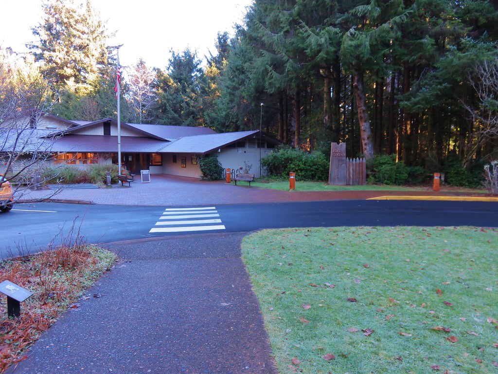
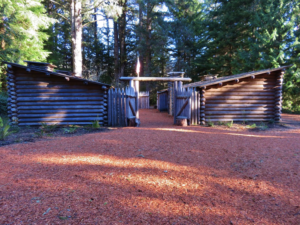
We passed through the center and continued 100 yards to the replica fort.
IMG_2945

IMG_2949

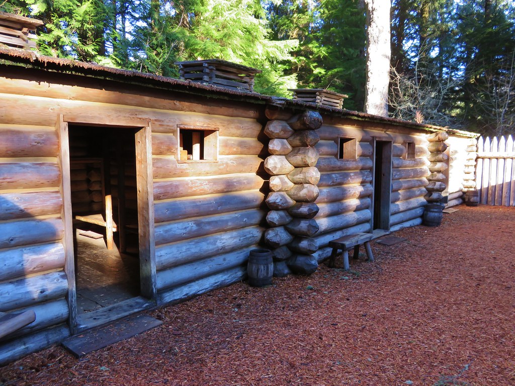
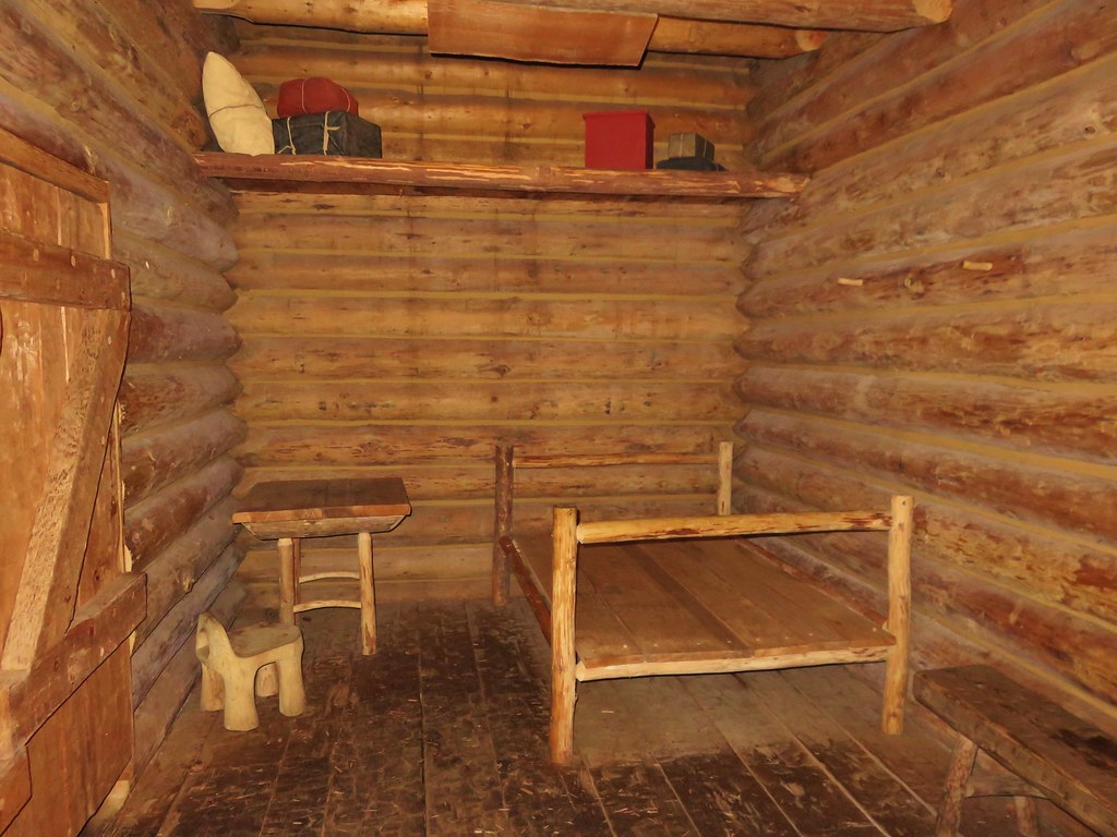
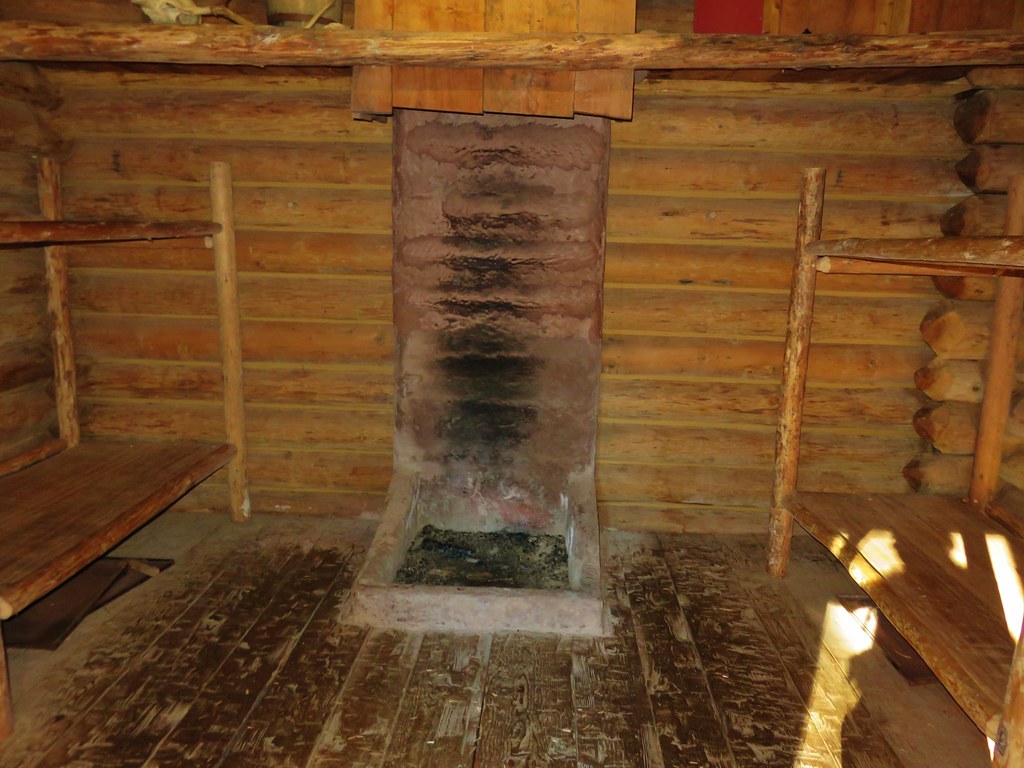
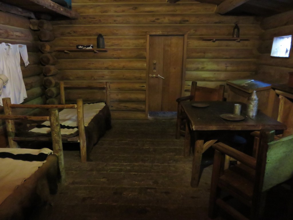
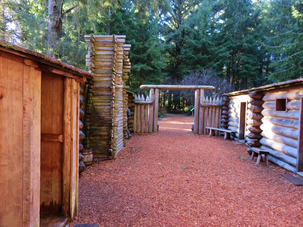
We were surprised at just how small a structure the fort was especially considering it was home to 33 people for 106 days. We spent some time poking around the fort and checking out the other nearby displays.
IMG_2950

IMG_2952

IMG_2953

IMG_2956

IMG_2957

IMG_2958

IMG_2959

IMG_2960

A 200 yard path led from the fort down to the site of the expedition’s canoe landing.
IMG_2962

IMG_2967

We could have turned back here and retraced our steps, but the park has several other trails which allow for various loop options. From the canoe landing we followed the Netul Trail south along the river. Part of the year a shuttle bus stop along this trail allows hikers to ride back to the fort or back to Sunset Beach. We were heading for the South Slough Trail though which we could take back to the Fort-To-Sea Trail. This trail loop around a slough filled with ducks and a couple of red-tailed hawks.
IMG_2970

IMG_2973

IMG_2978

The South Slough Trail was the only trail marked as difficult on the park maps. It headed steeply uphill from the Netul Trail but the climb didn’t last long. The trail wound around the slough to a signed junction with the only real viewpoint of the trail.
IMG_2985

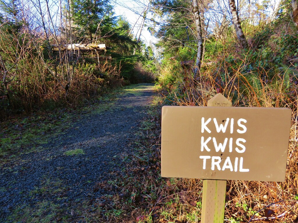
From this junction we could take the Lower South Slough Trail downhill to the Fort-To-Sea Trail about a half mile from the Visitor Center, or the Upper South Slough Trail which would meet the Fort-To-Sea Trail closer to a mile from the center. We took the upper option and made our way back to the Fort-To-Sea Trail and then took a second detour. Earlier that day just after entering the forest there was a signed trail forking left from the Fort-To-Sea Trail. It was named the Kwis Kwis Trail and it wasn’t shown in our guidebook or on any of the park maps we’d seen. The park maps did show a trail by that name but that trail showed as a wide arc leading from the Fort-To-Sea Trail near the junction with the Upper South Slough Trail and rejoining the Fort-To-Sea Trail about a third of a mile from the Visitor Center. Given the name and the fact that the signage for the mystery trail matched those of the park we theorized that it was a newer trail. We had also spotted sections of trail from the Fort-To-Sea Trail on the way up to the overlook which we suspected to be part of this trail.

From the Upper South Slough Trail junction we headed east on the Fort-To-Sea Trail to the signed Kwis Kwis Trail junction.
IMG_2987

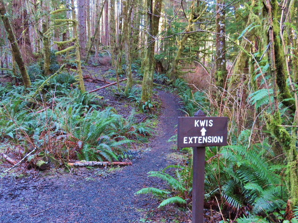
This trail also followed an old roadbed. After winding downhill for a little more than .3 miles we spotted a sign for the Kwis Extension.
IMG_2988

We turned up this path which ran roughly parallel to the Fort-To-Sea Trail at a lower elevation. This was indeed the path we had seen earlier. A nice long boardwalk traversed a large marshy area before rejoining the Fort-To-Sea Trail in the forest near the Skipanon River.
IMG_2991

From there we retraced our steps along the Fort-To-Sea Trail to the Sunset Beach Trailhead. Later we learned the Kwis Kwis Trail Extension was completed in 2014. The scenery and wildlife along the trails were both quite varied, and the history surrounding the area made it a very interesting hike. The various loops and trail distances make this a great option for hikers of any age. Happy Trails!

Flickr: https://www.flickr.com/photos/9319235@N02/albums/72157662826694040

Categories
Hiking Oregon Salem/Albany Trip report Willamette Valley

Champoeg Heritage Area

Since 2010 we have been closing out the year by taking our final hike along the coast or in the coastal mountain range, but this year that streak came to an end. Recent storms and heavy rains that damaged roads and left creeks and rivers swollen caused us to rethink our original plan to visit Fort Clatsop near Astoria Oregon. Instead we decided to put our fallback hike into play and visit Champoeg State Park.

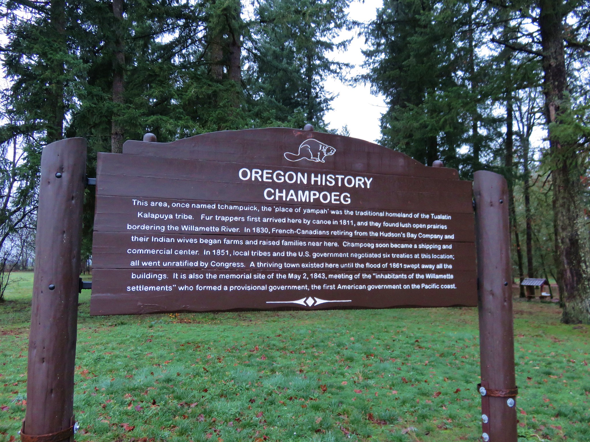
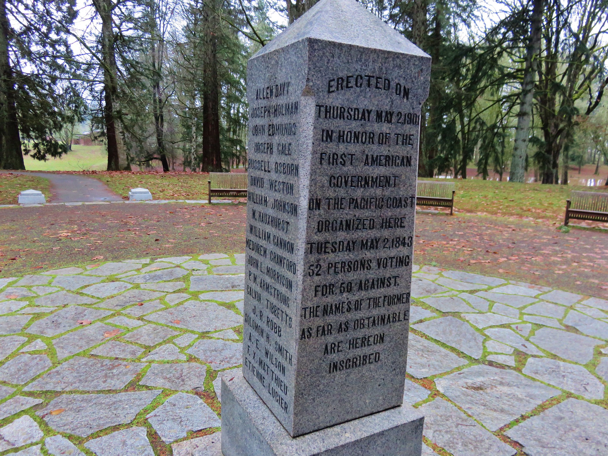
Champoeg State Park is located along the Willamette River less than a ten minute drive from Interstate 5 at the Donald exit between Portland and Salem. The 622 acre park is at the site where Oregon’s first provisional government was formed by vote in 1843. On May 2nd of that year 100 men arrived at the Hudson’s Bay store to decide if they would form an American style government or stay aligned with Britain. The group consisted of Americans, Britons, and French-Canadians. The vote was initially tied 50/50, but two undecided French-Canadians eventually chose to vote with the Americans breaking the tie.

By 1860 Champoeg consisted of 200 buildings but in December of 1861 the river flooded when it rose by 55 feet and effectively wiped out the townsite. No lives were lost in the flood but it marked the end of the bustling town.

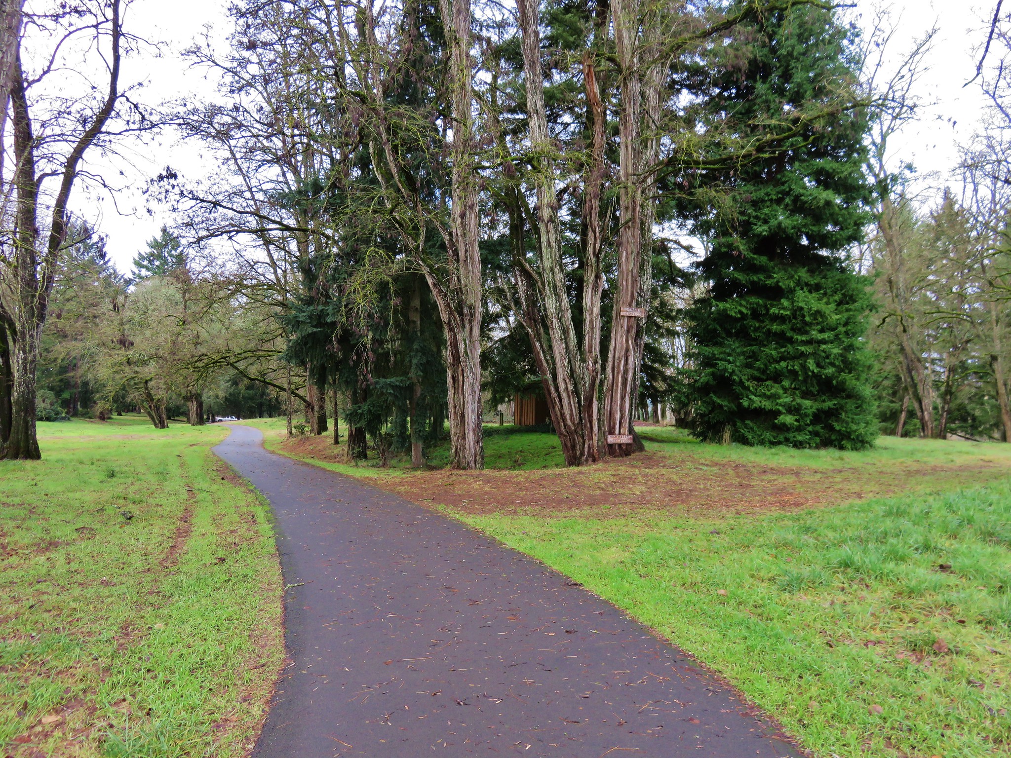
We parked in the Riverside Parking area located at the northeast end of the park planning on starting our hike on the .5 mile riverside loop.
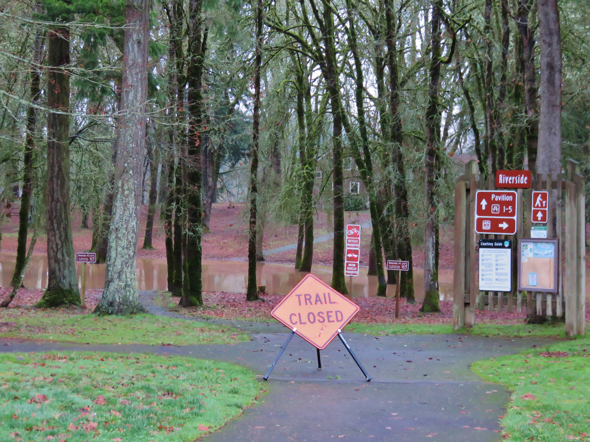
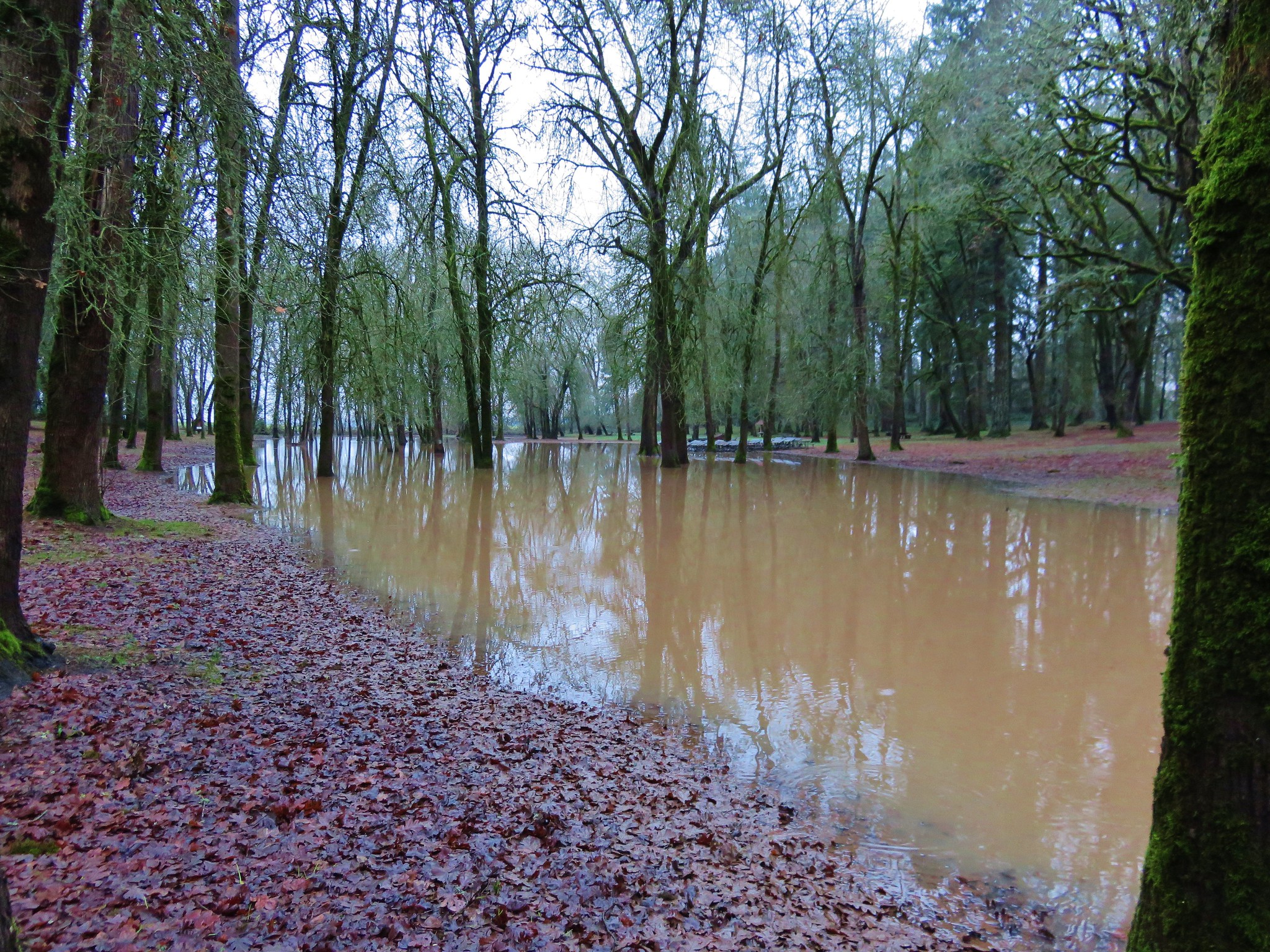
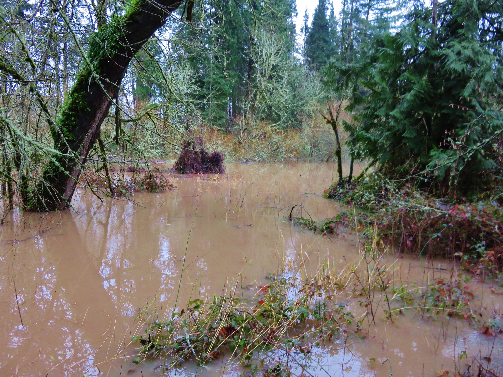
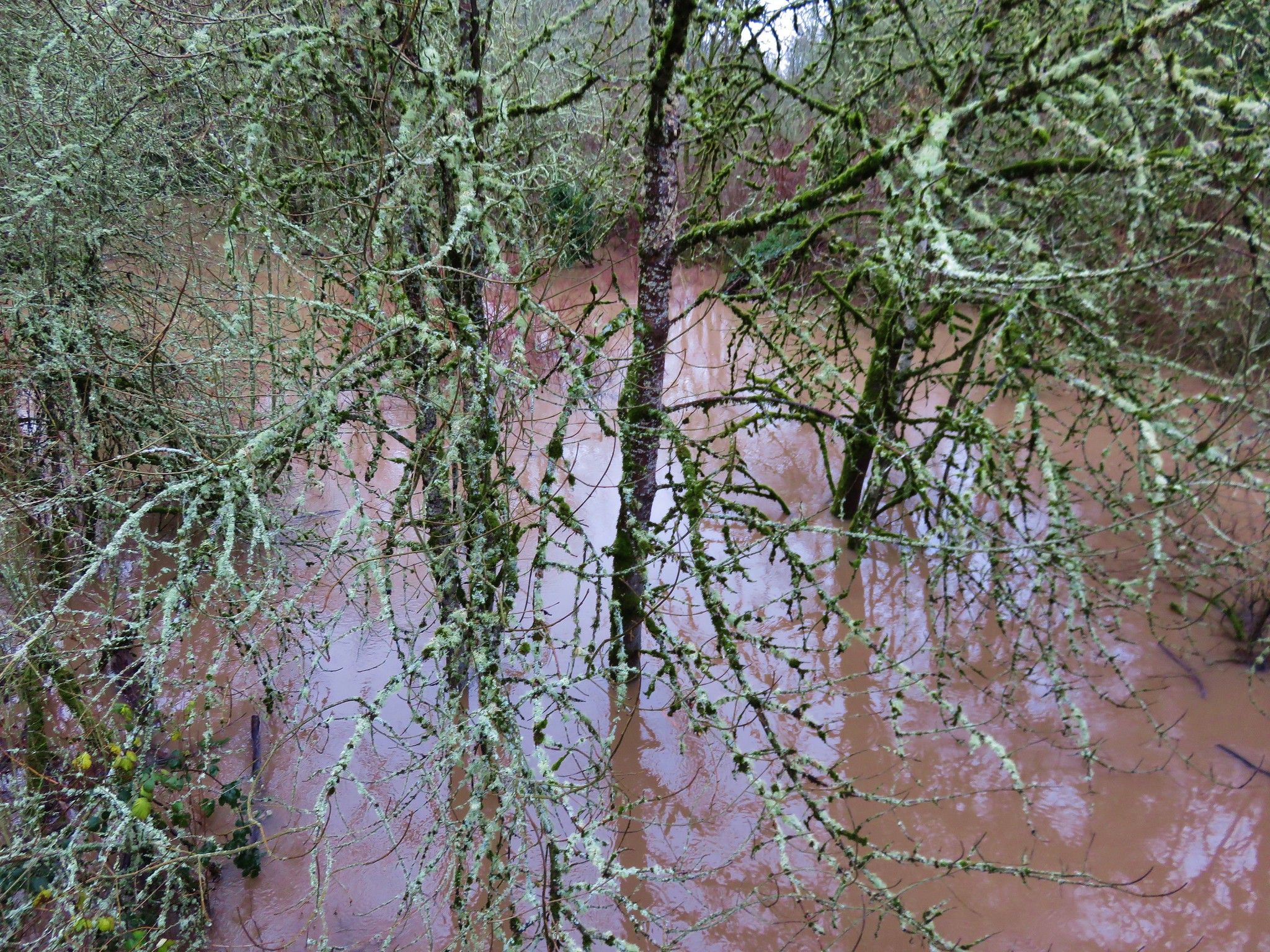
Champoeg Heritage Area Trailhead The recent rains had left the park a bit waterlogged and we found portions of the trail underwater. IMG_2733

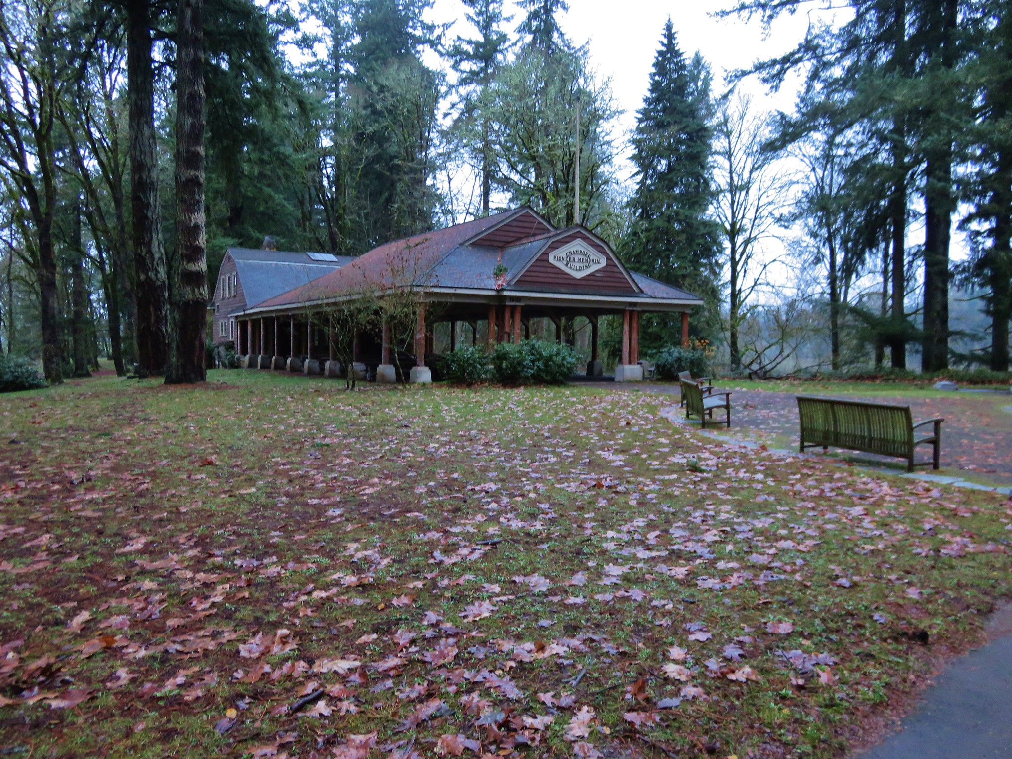
IMG_2734 We made our way around this first obstacle and climbed a small hill to the Pioneer Memorial Building. Champoeg Pioneer Memorial Building

A 1901 memorial commemorating the 1843 vote sits in front of the building.
IMG_2738 We set off on the Riverside Loop next to a muddy and swollen Willamette River. IMG_2745

IMG_2743 The loop wasn’t possible on this day due to several flood portions, but we walked the portions that were accessible. Flooded trail in Champoeg State Park

We returned to the memorial and headed west on the Townsite Trail, a 1.5 mile barkdust path that led to the Park’s campground.
IMG_2754 IMG_2756

Townsite Trail We followed the path to a backed up Champoeg Creek and crossed on the road bridge leading to the campground. IMG_2763

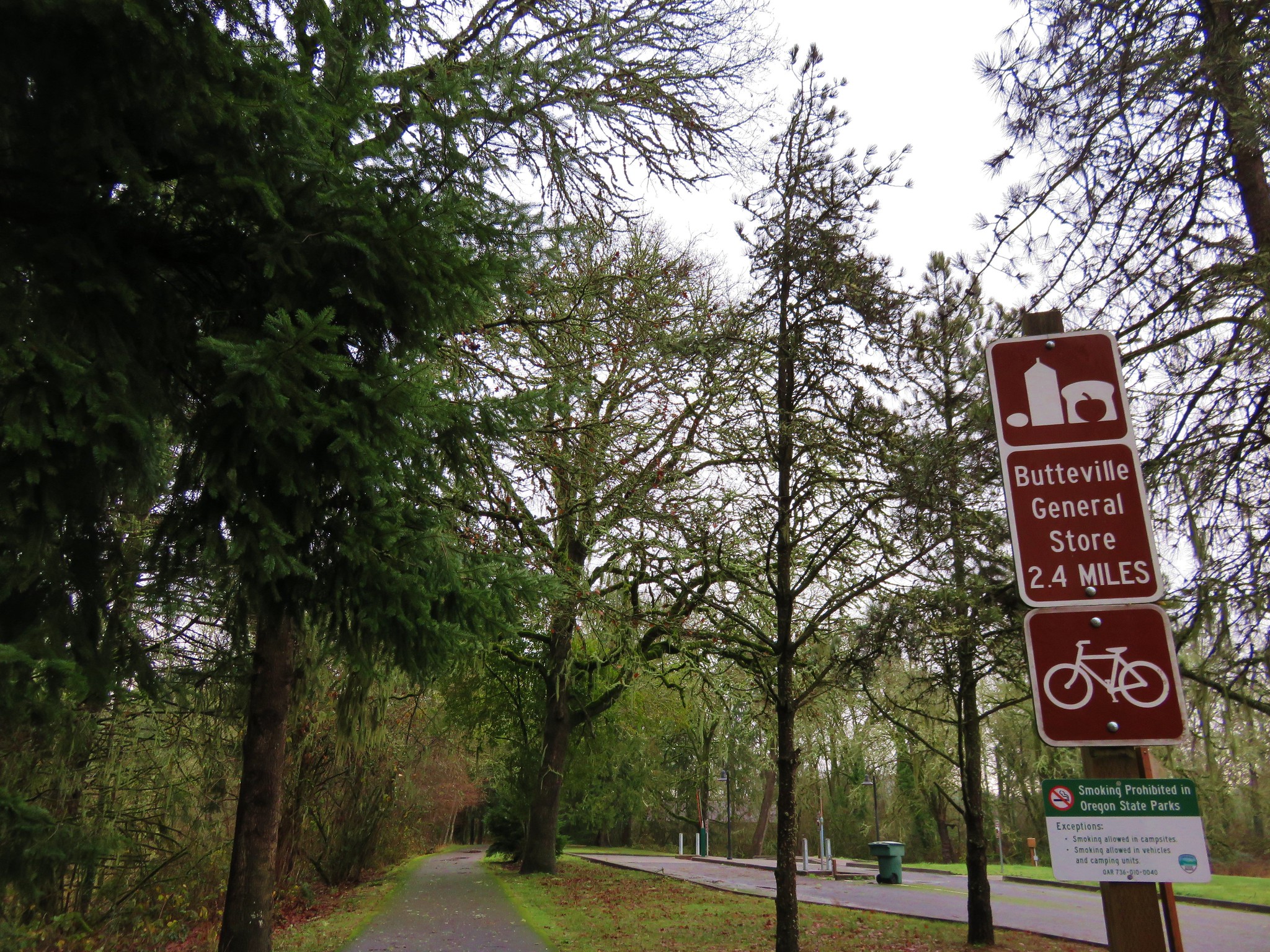
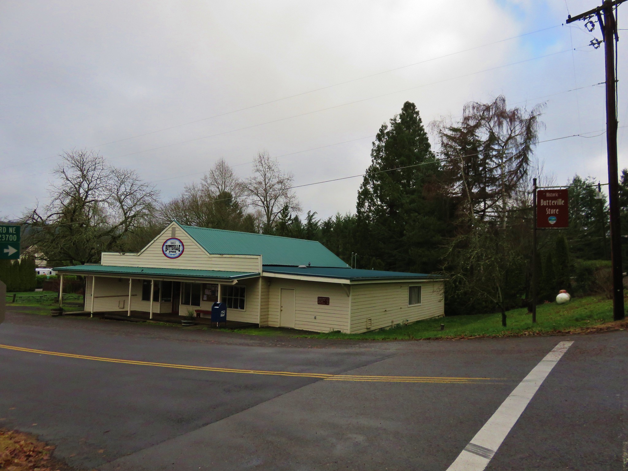
IMG_2765 From the campground a paved bike path leads 2.4 miles to the Historic Butteville Store. Established in 1863 it the oldest operating store in the State although it closes in the winter. IMG_2766

Two short hiker only side trails split from the bike path near the far end of the campground.
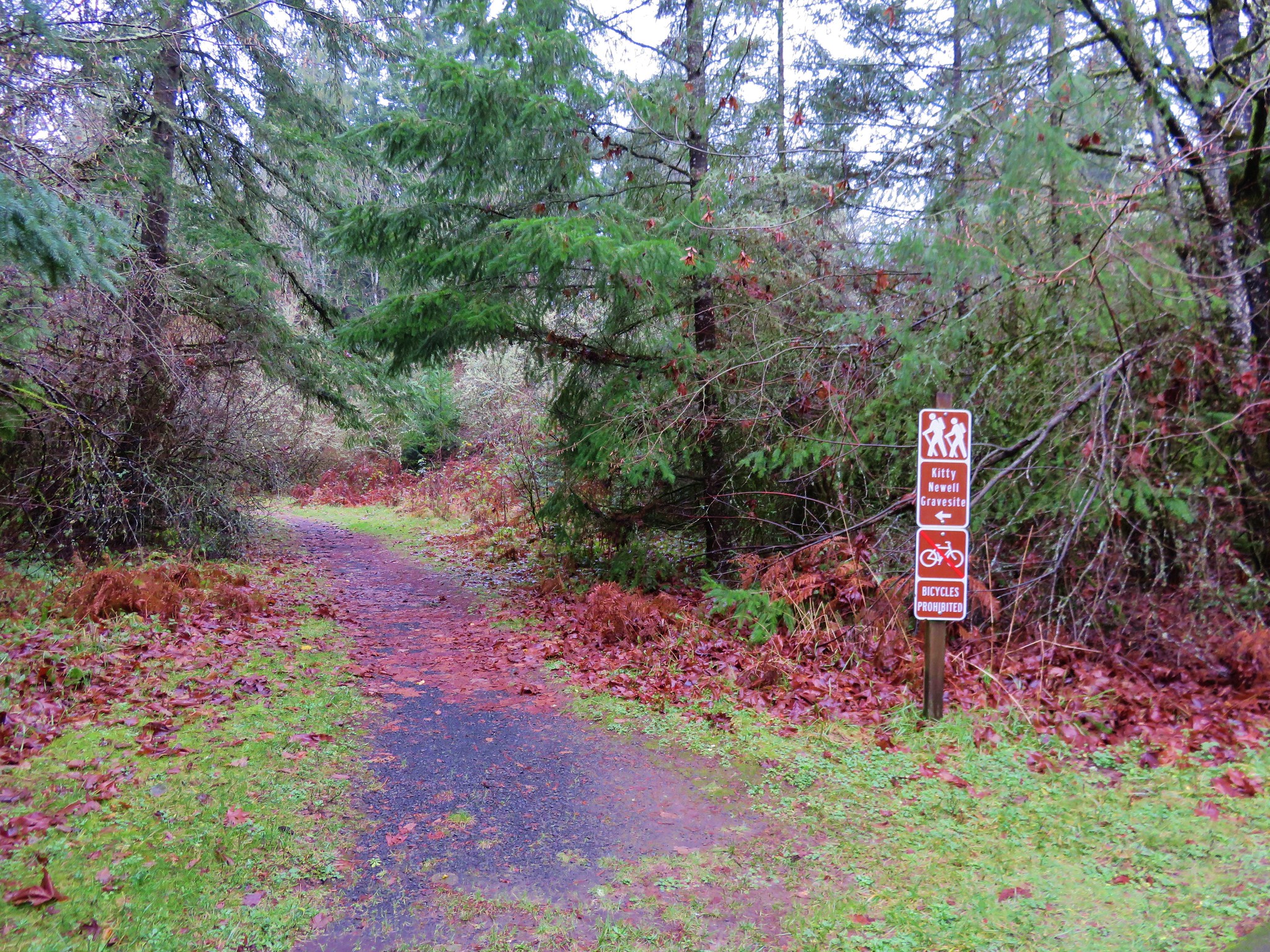
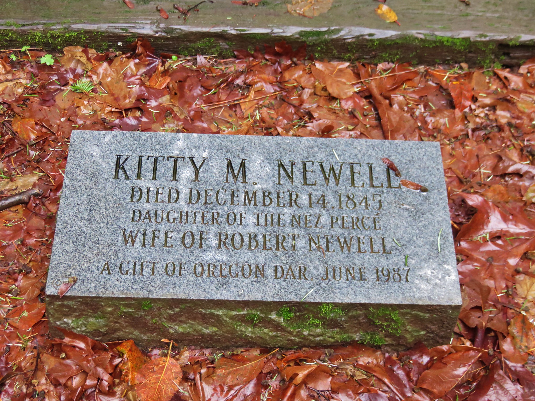
IMG_2769 The first led to the grave site of Kitty Newell while the other was the short .4 mile Nature Trail Loop. IMG_2771

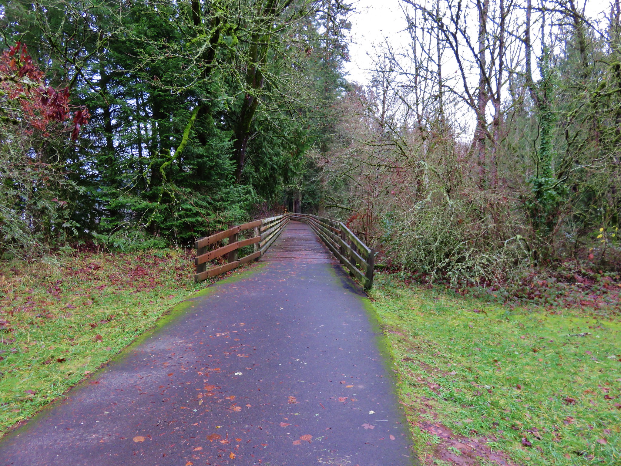
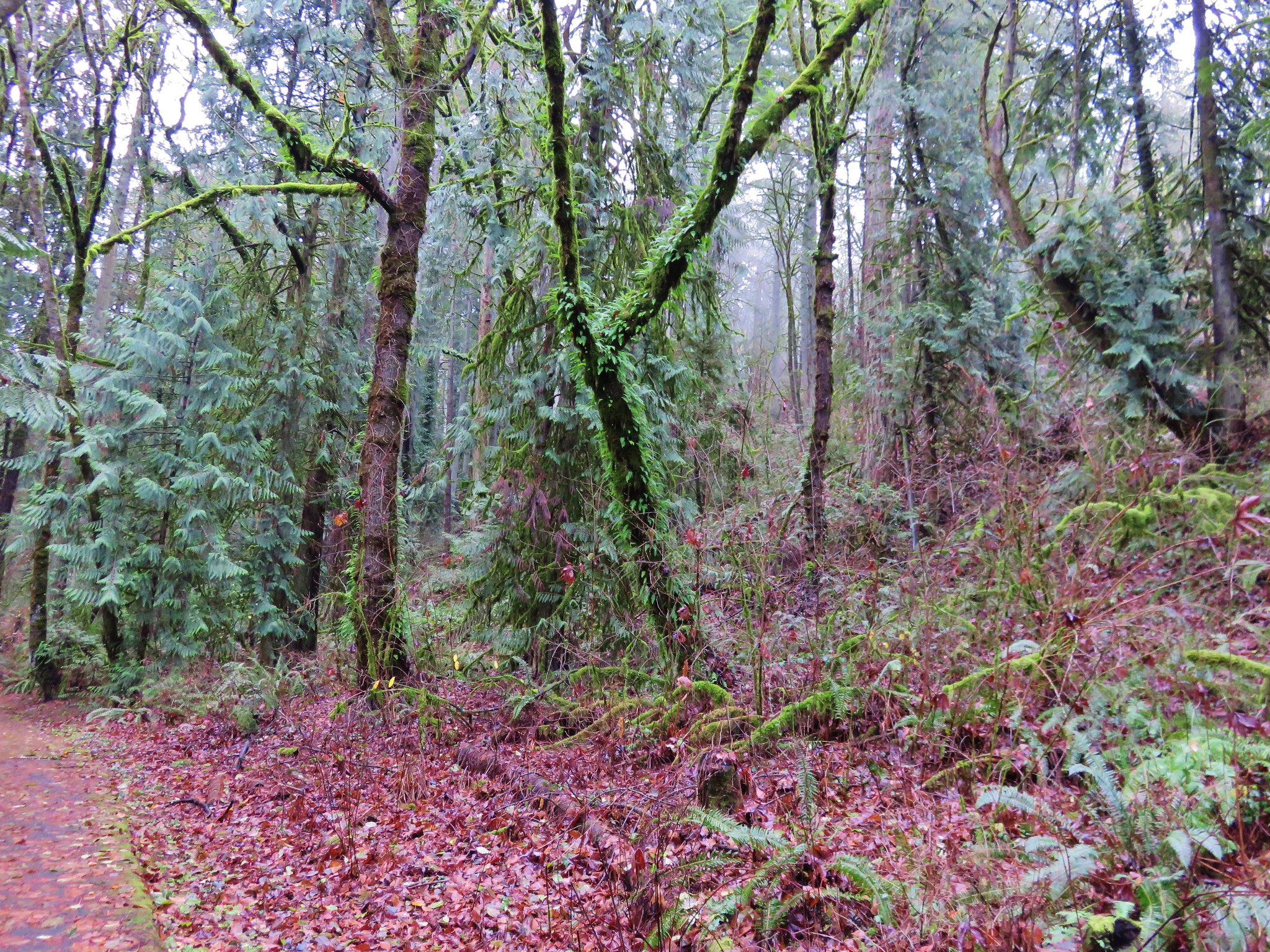
The bike path was clear of water and we followed it along the Willamette. Houses lined the far side of the river, but on our side was a mossy forest.
IMG_2778 IMG_2781

The final .6 miles to the store require some road walking, first along narrow Schuler Rd then downhill on what was a busy Butteville Rd.
IMG_2782 On our way back we remained on the paved bike path after recrossing Champoeg Creek. This route would bring us back on a loop around open farmland and the park’s Frisbee golf course. IMG_2797

We spotted a number of birds along this portion including an Acorn Woodpecker.
IMG_2788 Acorn Woodpecker

IMG_2803 Near the end of the loop we spotted a tree with markers showing the water levels during the 1861 flood and the more recent 1996 flood. IMG_2804

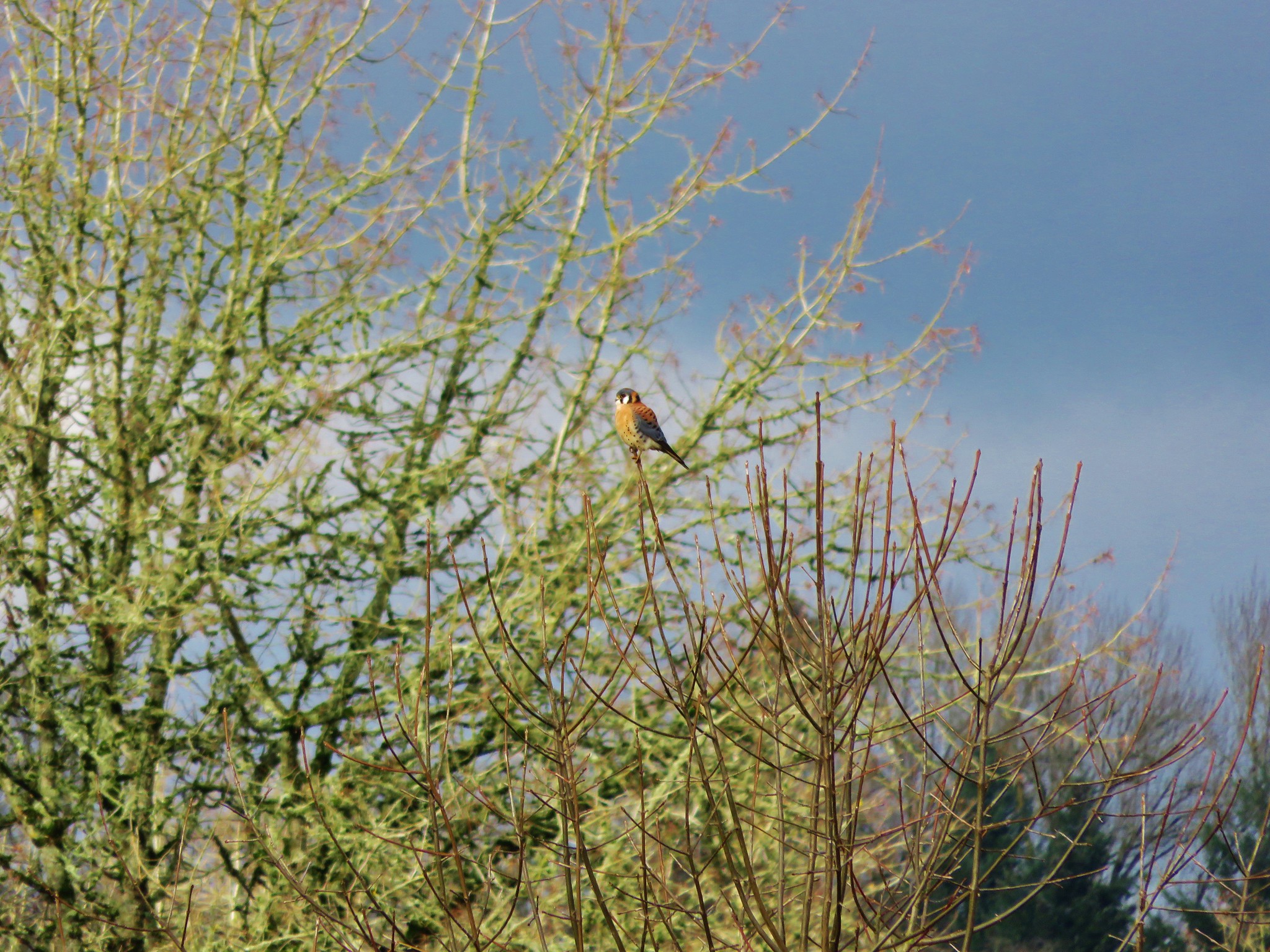
Highwater makers for the 1861 & 1996 floods. We lived in Monmouth, OR in 1996 so we remembered the 1996 event. It was hard to fathom how much more water there would have needed to be to reach that 1861 mark. We finished up our hike and began to drive back out of the park, but as we were sitting at a stop sign I looked out the passenger window to see an American Kestrel sitting in a tree only 10 feet away. I reached back for the camera only to realize I had put it in the back of the car. As a rule I keep it in the back seat because of the amount of wildlife we seem to wind up seeing from the car instead of on the hikes, but I hadn’t this time. The kestrel flew off and landed in another tree a little further away, so I hopped out and got the camera out of the back in hopes of getting a picture. It changed trees one more time before I was able to jog over to the bike path (which just happened to pass near the road here) and get a semi decent photo. Americn Kestrel

This wasn’t one of our typical hikes, but knowing the history of the area made it an interesting hike. If you’re interested in more information on this area or for other historical Oregon hikes check out Hiking Oregon’s History by William L. Sullivan.

Happy Trails and Merry Christmas!
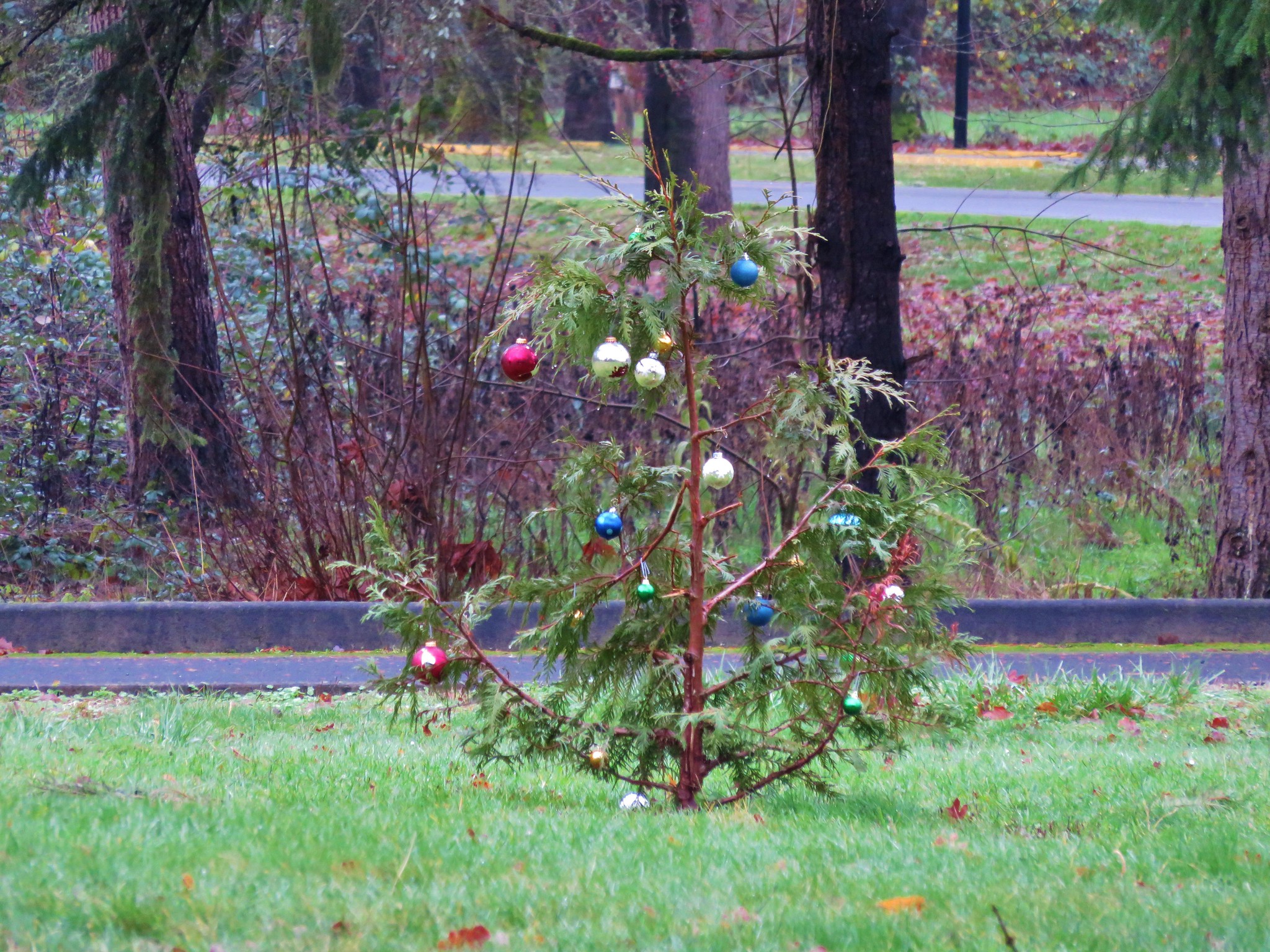
Little Christmas Tree in Champoeg State Park

Flickr: https://www.flickr.com/photos/9319235@N02/albums/72157660242747654


Categories
Hiking Klamath/Siskiyou Mountains Oregon Trip report

Oregon Caves National Monument

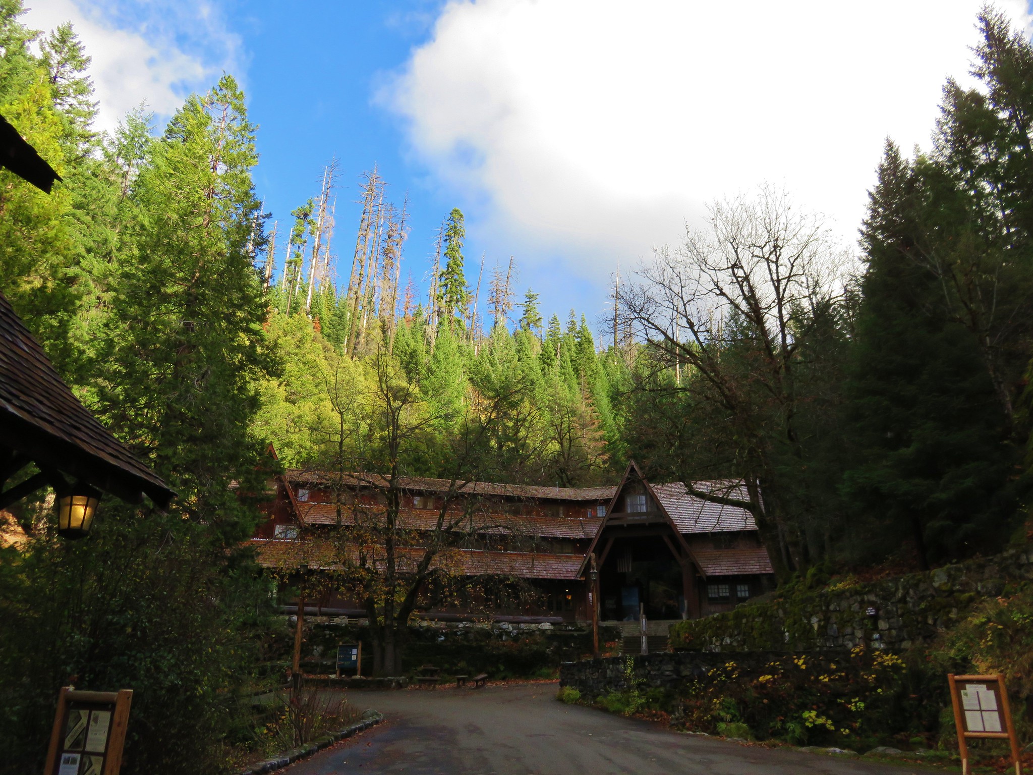
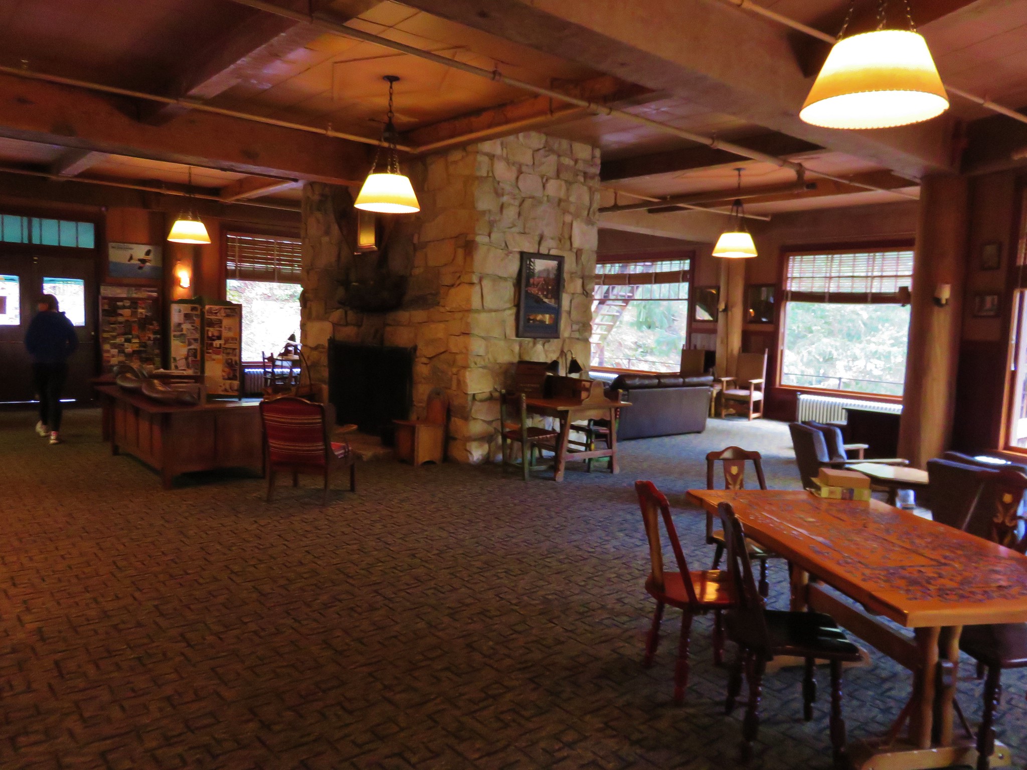
We’d slept well after our dinner in the Dining Room of the Chateau at the Oregon Caves and woke ready for the final hikes of our vacation. We had reserved tickets for the 10am cave tour so we had plenty of time to eat breakfast at the cafe, explore a little of the historic district, and work on the puzzle sitting out in the Chateau’s lobby.
IMG_2430//embedr.flickr.com/assets/client-code.js

IMG_2436//embedr.flickr.com/assets/client-code.js

IMG_2437//embedr.flickr.com/assets/client-code.js

IMG_2435//embedr.flickr.com/assets/client-code.js

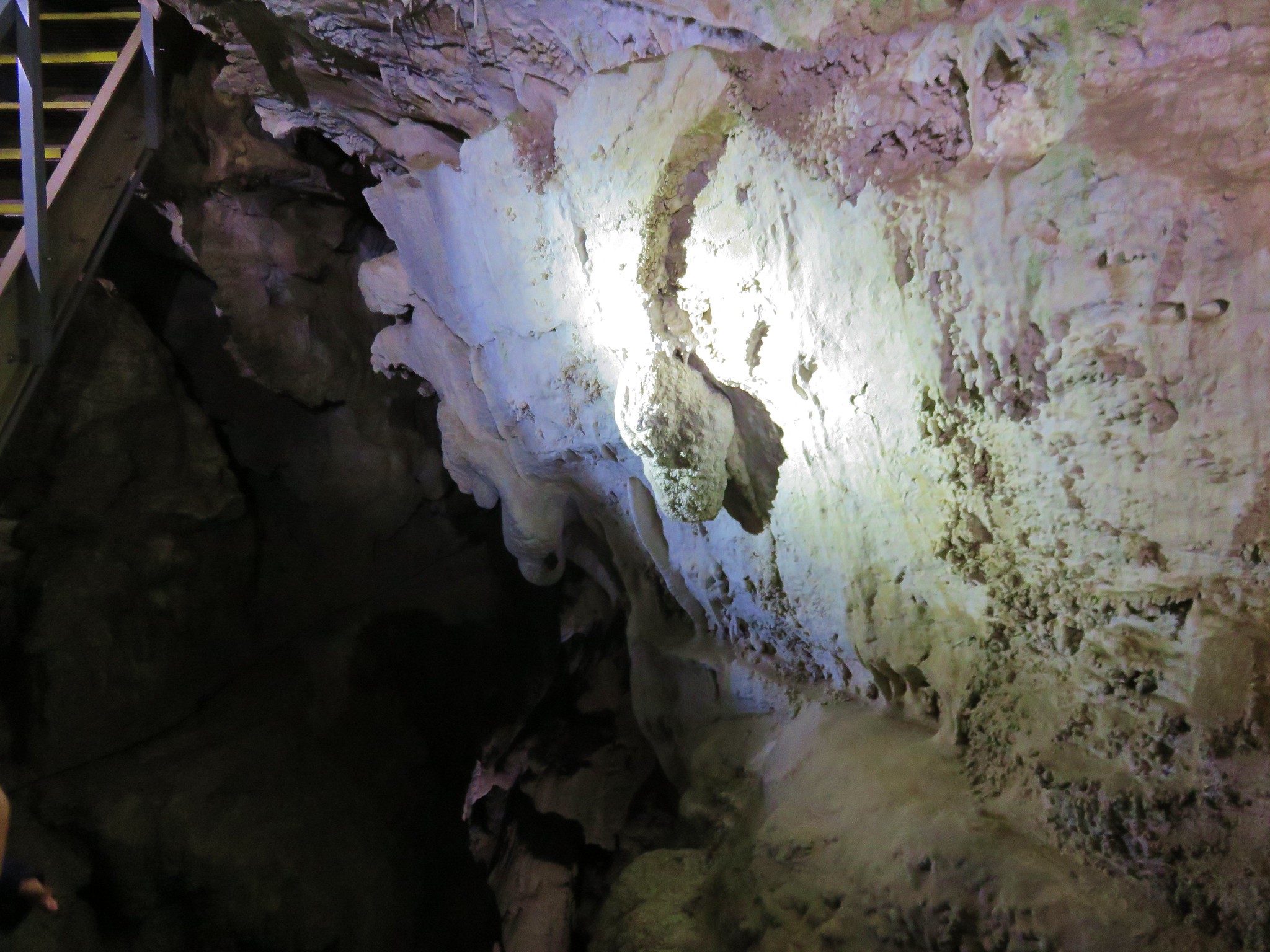
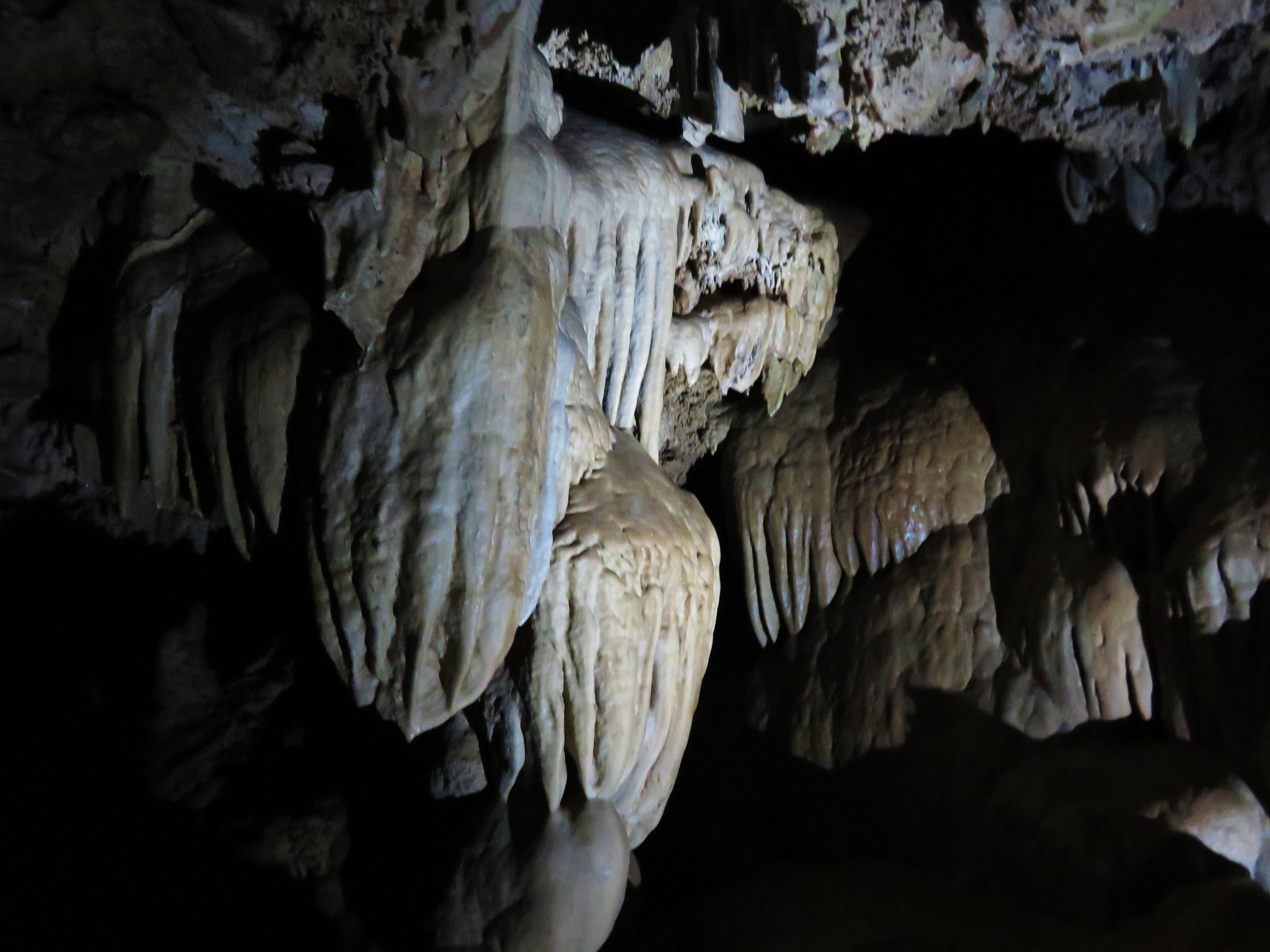
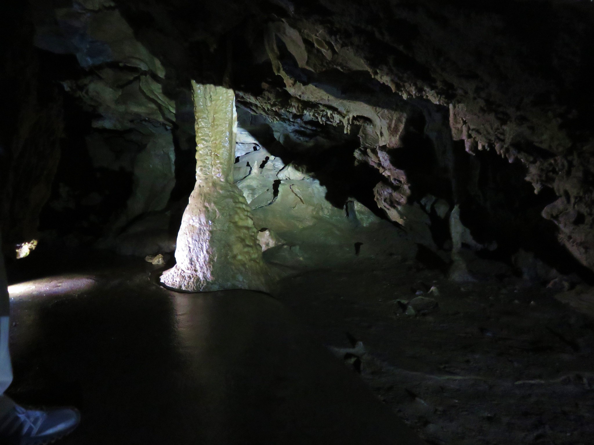
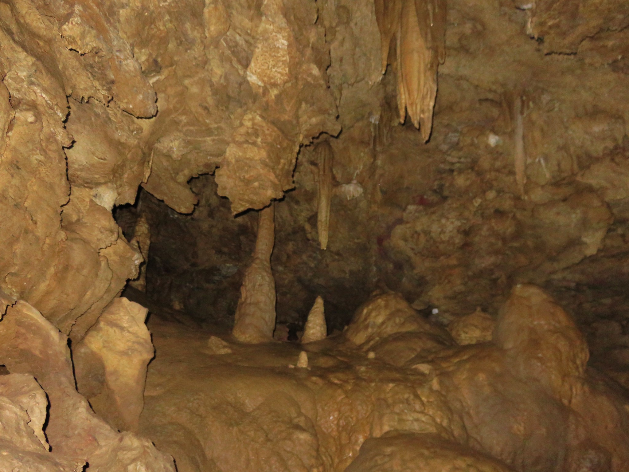
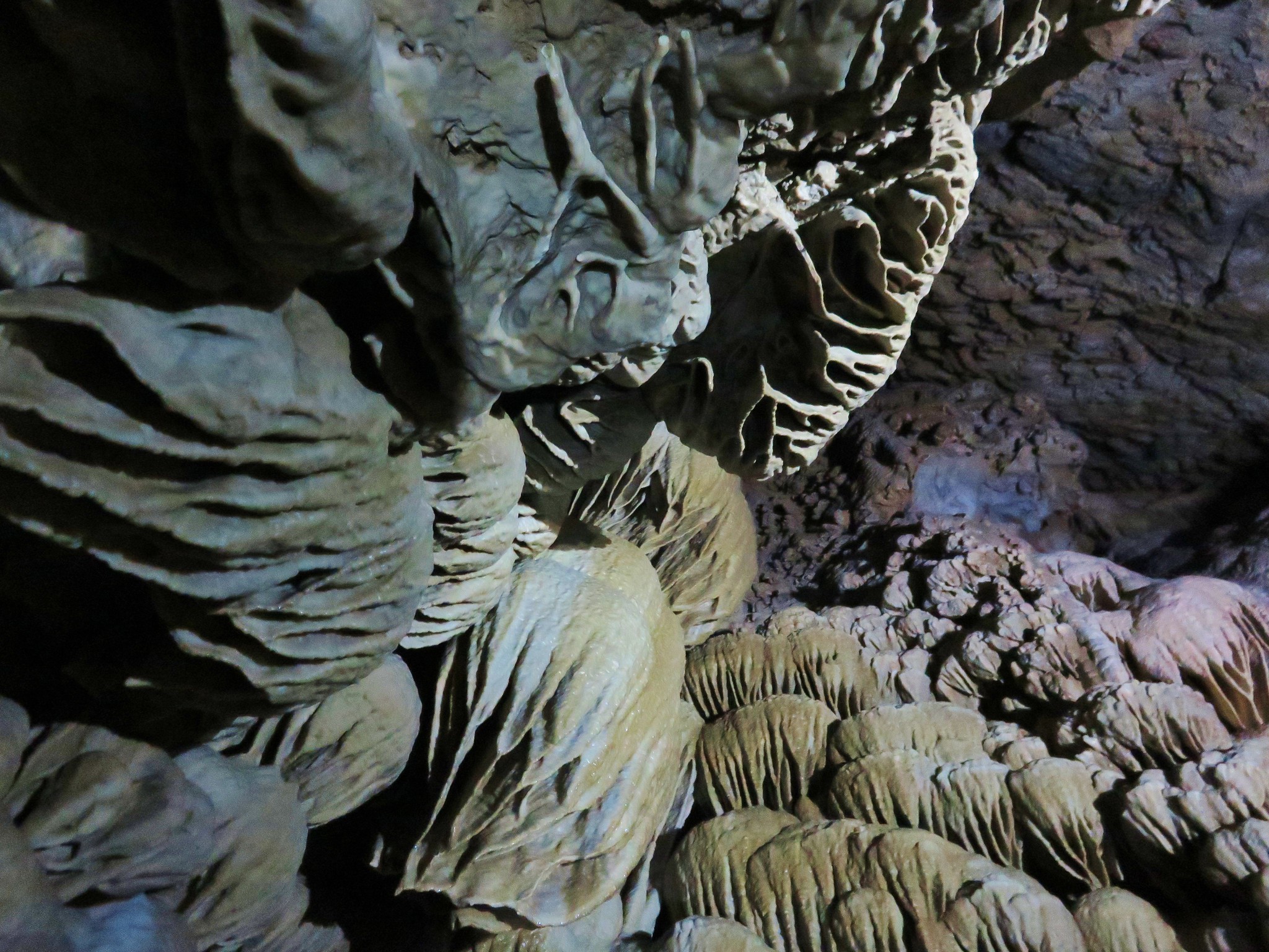
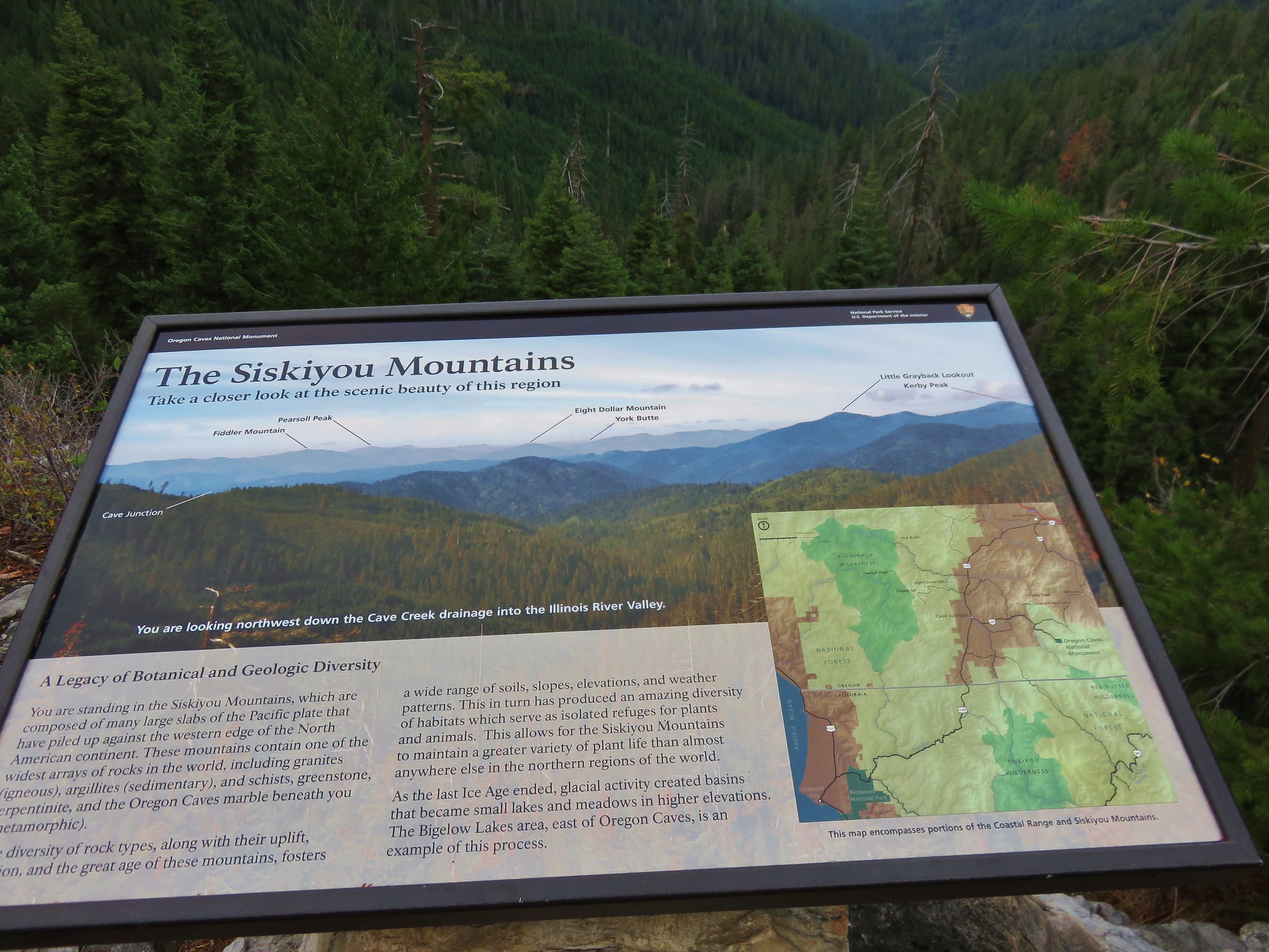
We checked in at the Visitor Information Center at 9:30 and picked up our tickets. The cave tours are limited in size to 15 people and can fill up quickly during the busy summer months, but on this day there would only be 8 of us on the tour. Like the rest of the Siskiyou Mountains the area began as part of the Pacific Ocean seafloor that was later lifted by the North American Plate as it scrapped over the ocean bottom. The Oregon Caves are mostly made up of marble which was formed by the “skeletons” of marine organisms. Later the caves formed as rainwater from the ancient forest above dissolved the surrounding marble and created a special marble cave system.

The tour was led by a ranger who let us know that bats had begun to settle into the cave for the coming winter months and not to use camera flashes where bats were present. We passed several small bats near the entrance to the cave clinging to the rocks.
Bat above the path toward the right hand side of the picture.
IMG_2446//embedr.flickr.com/assets/client-code.js

Harvester spider in the gray triangle (upper left) and a bat directly ahead and above.
IMG_2448//embedr.flickr.com/assets/client-code.js

Lights in the cave made it possible to get some pictures without needing a flash so I experimented with and without using one with varying degrees of success.
IMG_2452//embedr.flickr.com/assets/client-code.js

IMG_2453//embedr.flickr.com/assets/client-code.js

IMG_2466//embedr.flickr.com/assets/client-code.js

IMG_2469//embedr.flickr.com/assets/client-code.js

IMG_2472//embedr.flickr.com/assets/client-code.js

IMG_2475//embedr.flickr.com/assets/client-code.js

IMG_2483//embedr.flickr.com/assets/client-code.js

IMG_2488//embedr.flickr.com/assets/client-code.js

IMG_2491//embedr.flickr.com/assets/client-code.js

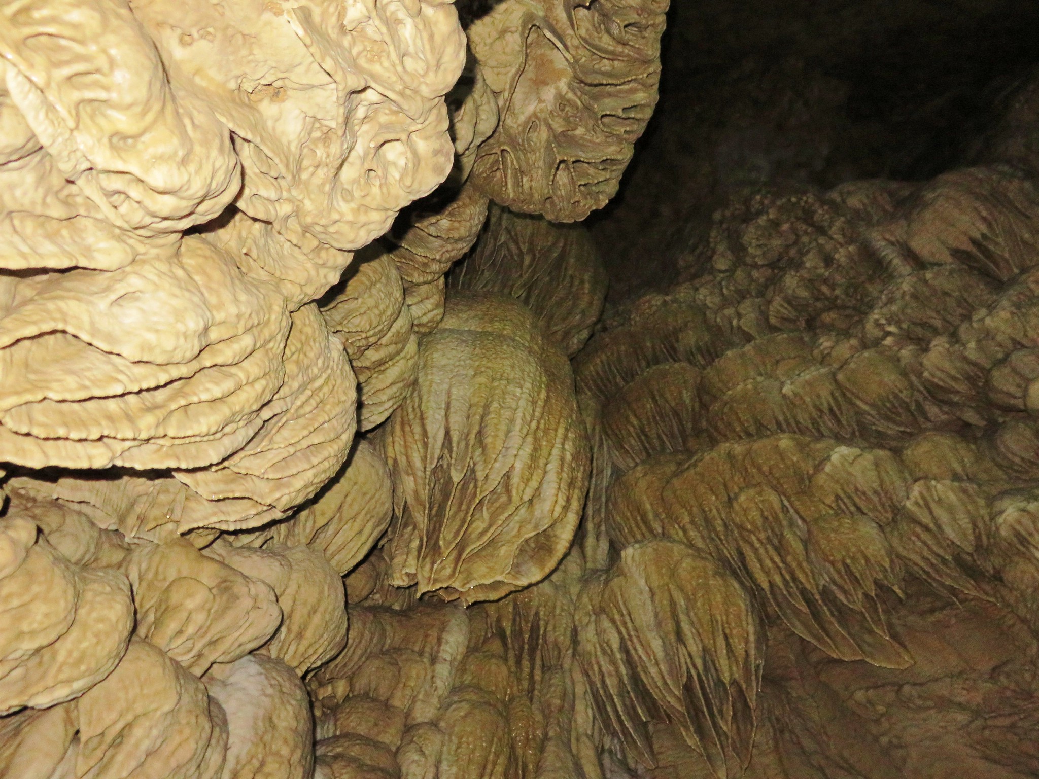
Our favorite part of the tour was a side trip up to a room called Paradise Lost which is only part of the tour when time allows. Luckily we were making good time and the ranger led us up the stairs and into the room.
IMG_2496//embedr.flickr.com/assets/client-code.js

IMG_2504//embedr.flickr.com/assets/client-code.js

IMG_2502//embedr.flickr.com/assets/client-code.js

IMG_2503//embedr.flickr.com/assets/client-code.js

Near the cave exit we were asked if anyone was deathly afraid of spiders. Harvester spiders had also begun moving into the cave and forming clumps on the walls and ceiling.
IMG_2514//embedr.flickr.com/assets/client-code.js

The tour lasts 90 minutes and covers about a mile including the .3 mile walk back down to the Visitor Center after exiting the cave.
IMG_2516//embedr.flickr.com/assets/client-code.js

IMG_2519//embedr.flickr.com/assets/client-code.js

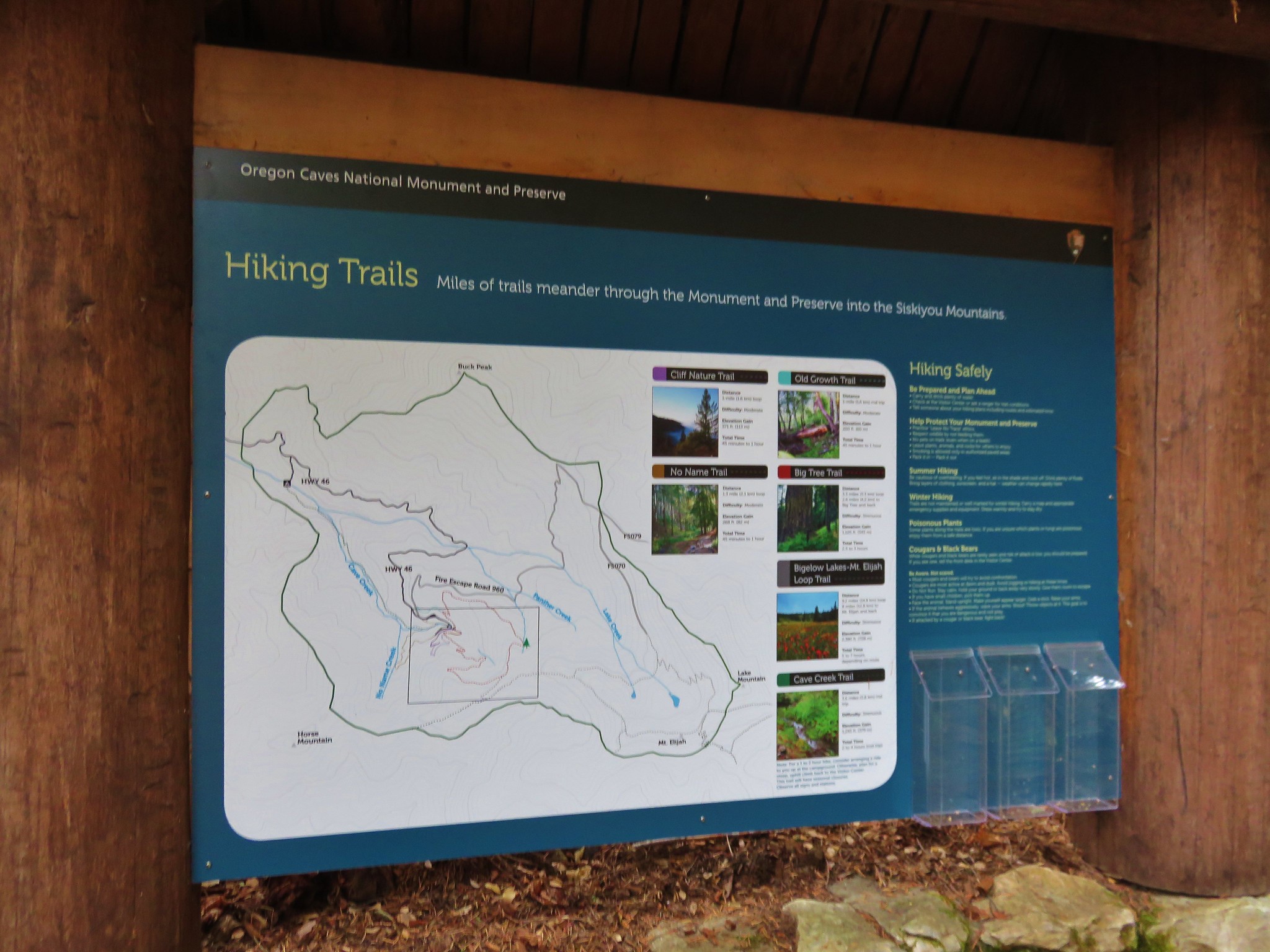
In addition to the cave tour the monument offers a number of other hiking opportunities and we planned on checking out the Big Tree Loop before leaving.
IMG_2526//embedr.flickr.com/assets/client-code.js

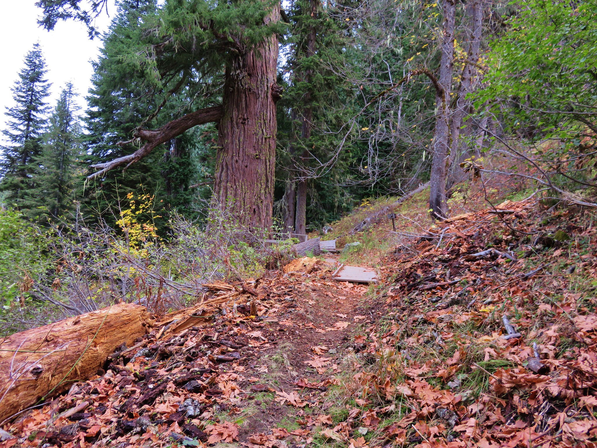
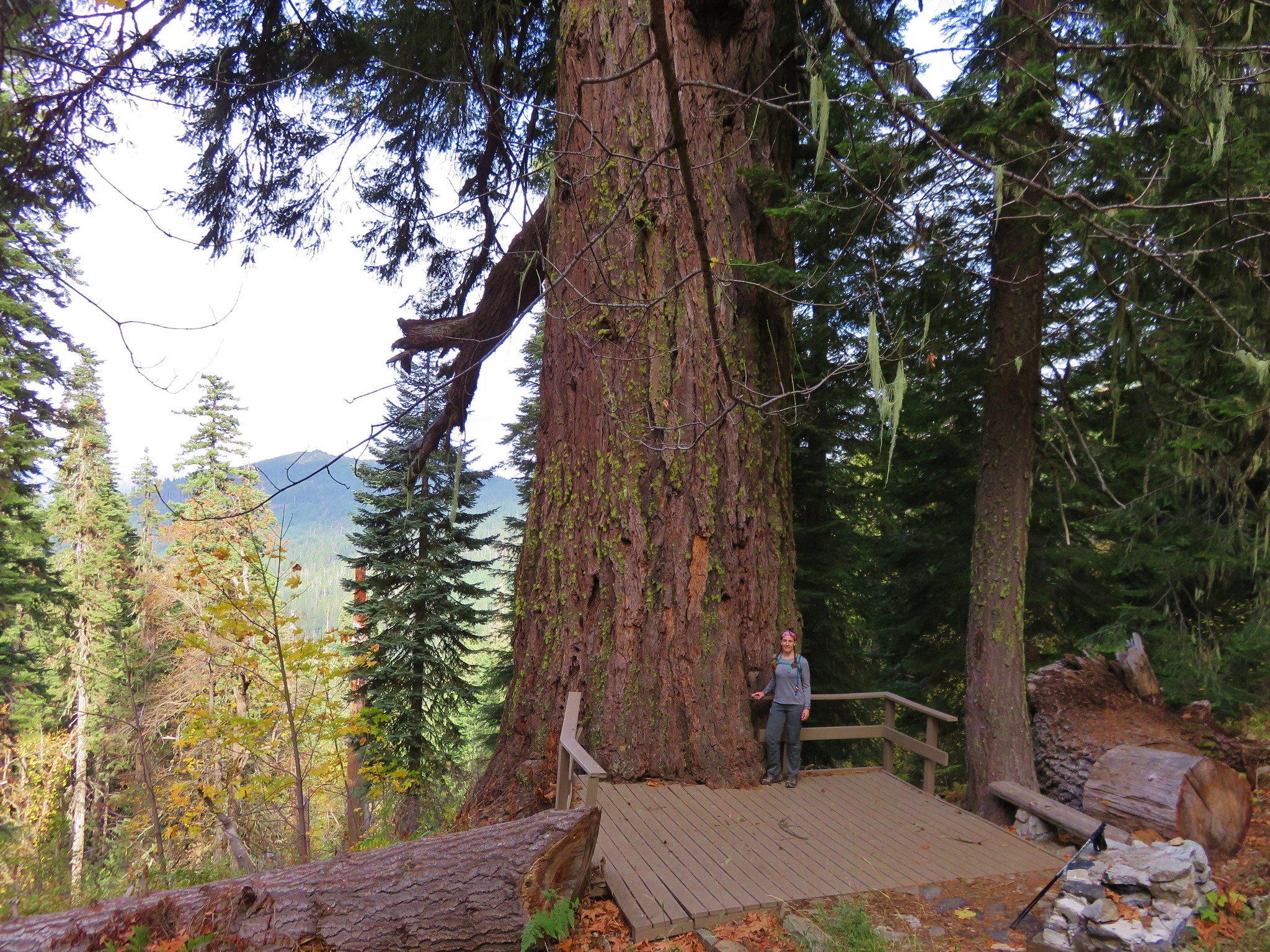
The highlight of the Big Tree Loop is a 14′ diameter Douglas Fir, the widest known to exist in Oregon. The trail gains a good deal of elevation over a fairly short distance making it a moderate hike.
IMG_2531//embedr.flickr.com/assets/client-code.js

As we climbed through the forest we spotted several birds including an owl that silently flew by and landed in a tree ahead of us.
IMG_2527//embedr.flickr.com/assets/client-code.js

IMG_2537//embedr.flickr.com/assets/client-code.js

IMG_2541//embedr.flickr.com/assets/client-code.js

Big Tree may not have been as large as some of the redwoods we’d seen at the beginning of our vacation but it’s size was more emphasized due to the much smaller surrounding trees.
IMG_2548//embedr.flickr.com/assets/client-code.js

IMG_2560//embedr.flickr.com/assets/client-code.js

After a little more climbing we began descending back down toward the Visitor Center. Just over 1.5 miles from Big Tree we arrived at a junction with the Cliff Nature Trail.
IMG_2567//embedr.flickr.com/assets/client-code.js

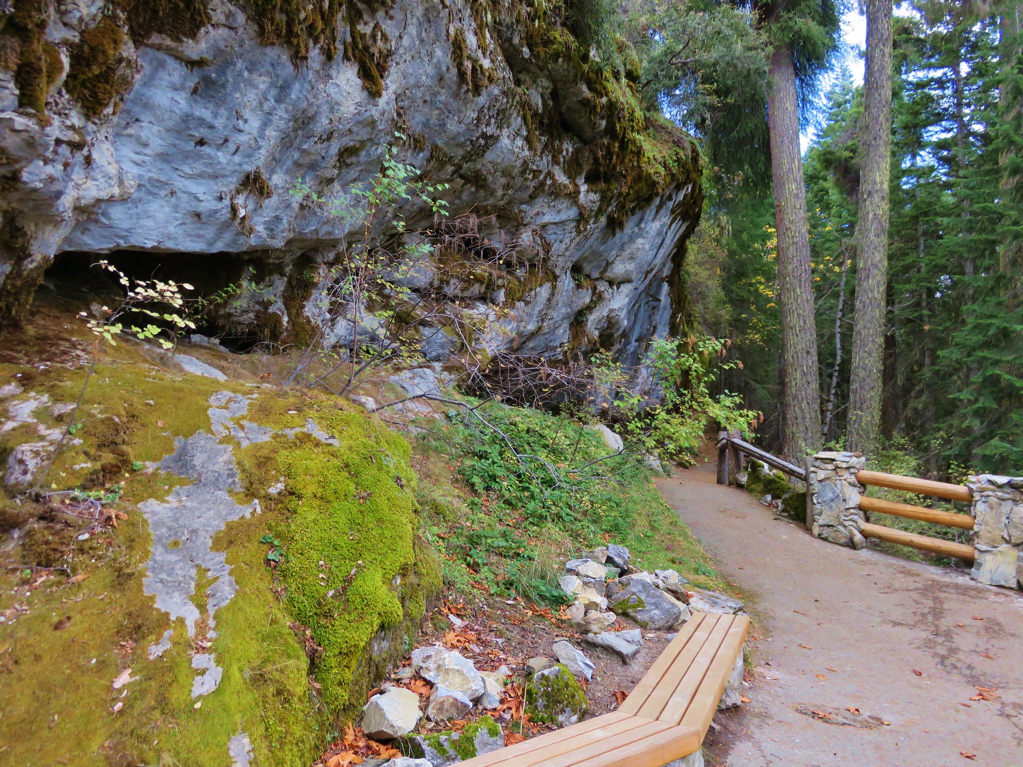
We faced the choice of turning right and ending our hike back at the Visitor Center in .3 miles or taking the Cliff nature Trail .4 miles past a viewpoint and then down to the Cave Exit for the additional .3 miles to the parking area. We chose the nature trail. 🙂

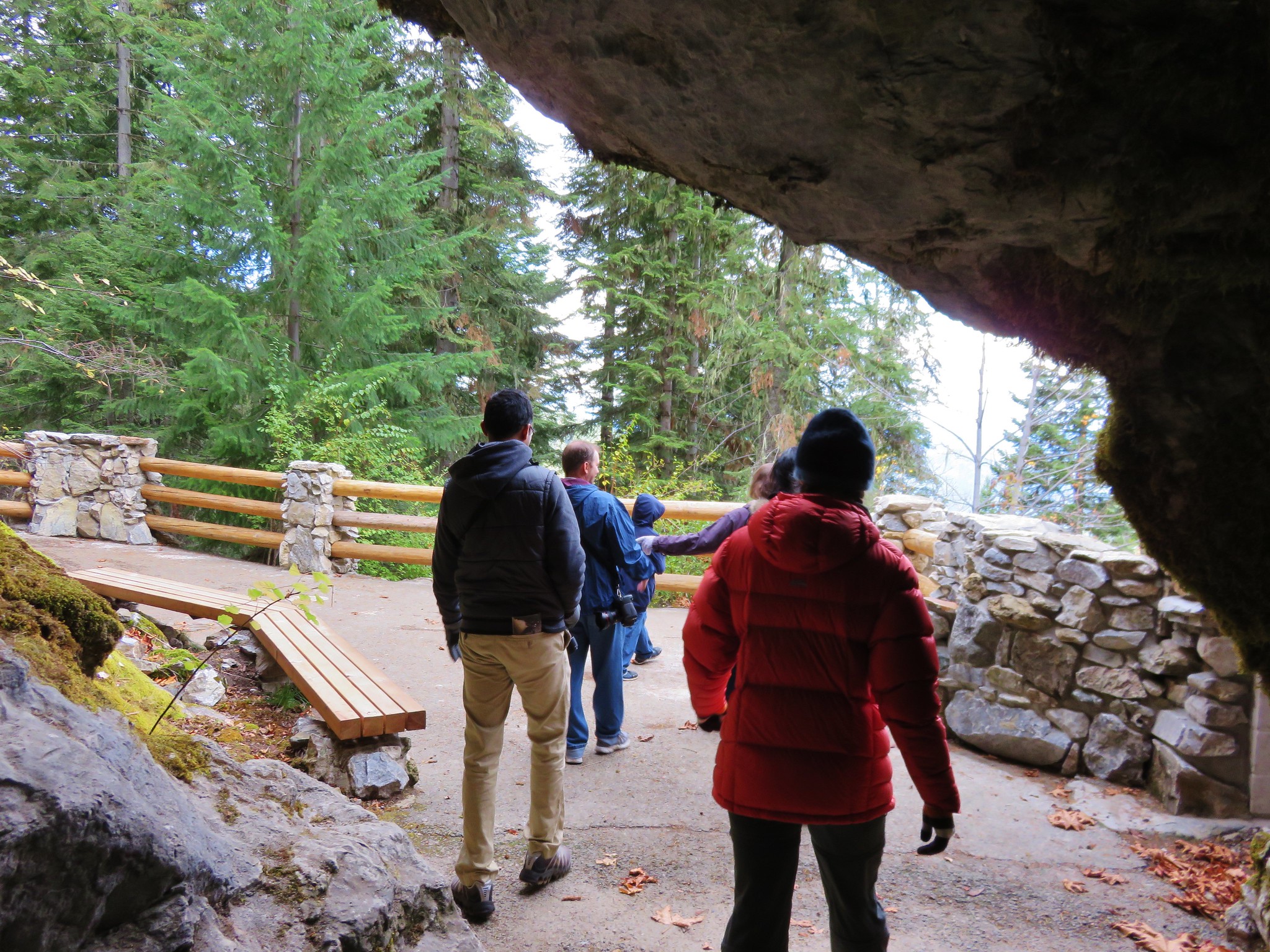
We climbed to the viewpoint and discovered we were not alone.
IMG_2571//embedr.flickr.com/assets/client-code.js

IMG_2576//embedr.flickr.com/assets/client-code.js

IMG_2572//embedr.flickr.com/assets/client-code.js

IMG_2588//embedr.flickr.com/assets/client-code.js

IMG_2577//embedr.flickr.com/assets/client-code.js

We were nearing the end of our trip and we’d seen an amazing variety of animals during the 7 days, but one we had not seen was any black-tail deer. We had expected to see at least one in the Red Buttes Wilderness but had not and we hadn’t even seen one while driving to our various destinations. As we were coming down the paved path from the cave exit for the second time at a switchback there stood a deer.
IMG_2605//embedr.flickr.com/assets/client-code.js

It had taken over 80 miles of hiking but there in the last quarter mile were two black-tail deer. They looked up at us and then went back to grazing as we passed by.
IMG_2609//embedr.flickr.com/assets/client-code.js

IMG_2611//embedr.flickr.com/assets/client-code.js

IMG_2617//embedr.flickr.com/assets/client-code.js

We headed home both tired and refreshed. It had been a wonderful trip full of unique sights and beautiful scenery and was a perfect way to wrap up our main hiking season for 2015. We’ll scale back to one a hike month for a while so Heather can focus on her running and I can work on next years adventures. Happy Trails!

Flickr: https://www.flickr.com/photos/9319235@N02/albums/72157660617381321

Categories
California Hiking Klamath Mountains Klamath/Siskiyou Mountains Oregon Siskiyou mountains Trip report

Red Buttes Wilderness Day 4 – Azalea Lake and beyond.

**Note the 2017 Know Fire burned a portion of this hike.**

We woke up early on the final day of our trip and began packing up under a full moon.
IMG_2390//embedr.flickr.com/assets/client-code.js

We had been having a great time backpacking but we were also looking forward to our reservations for that night at the Chateau at the Oregon Caves. We said goodbye to Azalea Lake and climbed back up to the saddle between Figurehead Mountain and Buck Peak watching the sun color the clouds as it rose.
IMG_2393//embedr.flickr.com/assets/client-code.js

IMG_2394//embedr.flickr.com/assets/client-code.js

IMG_2396//embedr.flickr.com/assets/client-code.js

IMG_2402//embedr.flickr.com/assets/client-code.js

IMG_2399//embedr.flickr.com/assets/client-code.js

Preston Peak
IMG_2403//embedr.flickr.com/assets/client-code.js

IMG_2407//embedr.flickr.com/assets/client-code.js

It was a beautiful morning as we retraced our route from Monday in reverse. We skipped the .1 mile side trip to Cirque Lake and paused at Sucker Gap for a snack.
Swan Mountain from Sucker Gap
IMG_2421//embedr.flickr.com/assets/client-code.js

A little over half a mile beyond Sucker Gap we spotted another pair of hikers making their way up the trail. I don’t know who was more surprised, but we all had shocked looks on our faces. They hadn’t expected to see anyone else on the trails. They were from Medford and on their way up to Sucker Gap and then going to head off-trail up either Swan Mountain or Pyramid Peak. We informed them that they had broken a tie between humans seen and bears making the final 5 to 3 in favor of people. They let us know that they had seen our car at the lower trailhead so we knew it was still waiting for us. We arrived at our car close to 1pm and headed for the Oregon Caves National Monument which was only about 20 miles away.

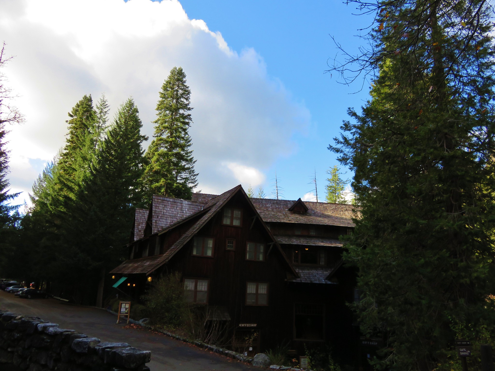
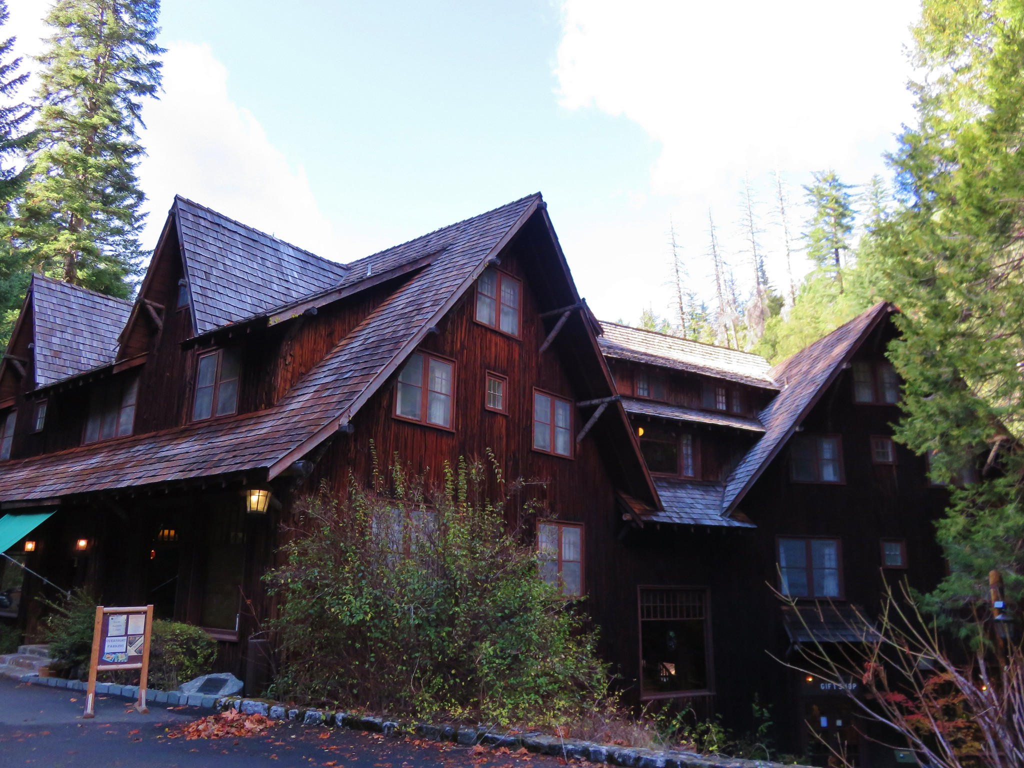
We arrived before check-in (3pm) so we wandered around the gift shop and had a wonderful lunch in the cafe before picking up our room keys. The Chateau was amazing. Considered one of the “Great Lodges” the six story building was originally built in 1934.
IMG_2432//embedr.flickr.com/assets/client-code.js

IMG_2431//embedr.flickr.com/assets/client-code.js

Lobby
IMG_2429//embedr.flickr.com/assets/client-code.js

Our room
IMG_2426//embedr.flickr.com/assets/client-code.js

It really felt like we’d gone back in time in the rustic building and immediately felt at home. The Chateau would be closing for the season after the weekend but the staff was very friendly and helpful and dinner in the Chateau Dining Room was excellent. Oh, and Cave Creek flows right through the building which was the icing on the cake. Happy Trails!

Flickr: https://www.flickr.com/photos/9319235@N02/albums/72157660616631445/with/22658987801/

Categories
California Hiking Klamath Mountains Klamath/Siskiyou Mountains Oregon Siskiyou mountains Trip report

Red Buttes Wilderness Day 1 – Sucker Creek Trailhead to Azalea Lake

After spending two days in Crescent City, CA hiking in the Redwoods we headed up Highway 199 to the Oregon Caves Highway 46 and drove to the Sucker Creek Trailhead. We were planning on spending 4 days and 3 nights backpacking in the Red Buttes Wilderness. The wilderness was established in 1984 and encompasses 20,323 acres mostly in California but with some of that area located in Oregon. Running through the wilderness is the crest of the Siskiyou Mountains which include some of the oldest rocks in the region. These began as ocean bottom sediments eventually becoming metamorphic rock uplifted by the North American Plate scraping the ocean floor as it drifted westward across the Pacific Plate.

The trailhead sign was set back behind some vegetation and at an angle such that we missed it the first time by and very nearly did the same as we came back down the road, luckily my wife spotted it just before we drove past again.
IMG_1911//embedr.flickr.com/assets/client-code.js

The trip had a real wilderness feeling to it right from the start. The trail had the appearance of a less traveled path and the trail signs we did see seemed to have been there for decades.
IMG_1913//embedr.flickr.com/assets/client-code.js

IMG_1917//embedr.flickr.com/assets/client-code.js

IMG_1923//embedr.flickr.com/assets/client-code.js

There were also a few downed trees to navigate our way around or over.
IMG_1920//embedr.flickr.com/assets/client-code.js

After about 2 miles of climbing we entered a series of meadows where the tread became faint.
IMG_1928//embedr.flickr.com/assets/client-code.js

IMG_1931//embedr.flickr.com/assets/client-code.js

IMG_1934//embedr.flickr.com/assets/client-code.js

Just under 3 miles along the trail we spotted the Sucker Creek Shelter in a meadow below us to the left of the trail. We followed a fairly steep path down to the shelter to check it out and take a short rest before continuing on to Sucker Gap.
IMG_1941//embedr.flickr.com/assets/client-code.js

IMG_1945//embedr.flickr.com/assets/client-code.js

Sucker Gap is located at a saddle on a wide ridge with a four way trail junction. We followed the pointer for Steve Fork.
IMG_1946//embedr.flickr.com/assets/client-code.js

Two tenths of a mile beyond Sucker Gap we took a 100 yard side trail to our right and visited Cirque Lake.
IMG_1955//embedr.flickr.com/assets/client-code.js

IMG_1954//embedr.flickr.com/assets/client-code.js

Beyond Cirque Lake the trail began a 2 mile descent to a trail junction where we would head back uphill on the far side of the valley to the Azalea Lake/Fir Glade Trail.
IMG_1957//embedr.flickr.com/assets/client-code.js

IMG_1960//embedr.flickr.com/assets/client-code.js

IMG_1961//embedr.flickr.com/assets/client-code.js

IMG_1966//embedr.flickr.com/assets/client-code.js

We climbed back up out of the valley only to once again begin descending down the opposite side of a ridge. The vegetation was vastly different on this side of the ridge with plenty of manzanita bushes making up the majority of the underbrush.
IMG_1975//embedr.flickr.com/assets/client-code.js

We even spotted a butterfly in the area.
IMG_1973//embedr.flickr.com/assets/client-code.js

We switchbacked downhill for a bit before reaching the junction with the Azalea Lake/Fir Glade Trail where we again took a right.
IMG_1981//embedr.flickr.com/assets/client-code.js

The Azalea Lake Trail climbed to a pass with some great views above Phantom Meadows.
IMG_1997//embedr.flickr.com/assets/client-code.js

IMG_1995//embedr.flickr.com/assets/client-code.js

IMG_2002//embedr.flickr.com/assets/client-code.js

IMG_2006//embedr.flickr.com/assets/client-code.js

After passing around the south ridge of Buck Peak we got even better views including Azalea Lake, Mt. McLoughlin, and our first views of Red Buttes.
Azalea Lake and Mt. McLoughlin in the distance
IMG_2023//embedr.flickr.com/assets/client-code.js

IMG_2024//embedr.flickr.com/assets/client-code.js

IMG_2027//embedr.flickr.com/assets/client-code.js

Red Buttes, Kangaroo Mountain, and Desolation Peak from left to right.
IMG_2050//embedr.flickr.com/assets/client-code.js

IMG_2048//embedr.flickr.com/assets/client-code.js

We followed the trail down to Azalea Lake and headed around the west side of the lake where the designated hiker camps are. (Horse camps or on the east side.) We hadn’t originally planned on staying at Azalea Lake and had intended to continue on to Lonesome Lake which was another 2.3 miles away, but we were running late and after taking a wrong path leading away from one of the campsites we decided to call it a day and set up camp.
IMG_2059//embedr.flickr.com/assets/client-code.js

IMG_2057//embedr.flickr.com/assets/client-code.js

Figurehead Mountain
IMG_2065//embedr.flickr.com/assets/client-code.js

IMG_2060//embedr.flickr.com/assets/client-code.js

It turned out to be a great decision. The lake was very peaceful with small fish occasionally jumping and the pine needle covered ground made for the most comfortable night we’d spent in the tent. It had been 13.1 miles from the trailhead to the lake including our little side trips and we hadn’t seen another person all day. What we had been seeing was a lot of poop, more specifically bear poop but we hadn’t spotted any that day. We went to bed tired but relaxed wondering what the next day’s trails would bring. Happy Trails!

Flickr: https://www.flickr.com/photos/9319235@N02/albums/72157660604852831

Categories
Hiking Middle Santiam Old Cascades Oregon Trip report

Gordon Lakes Trail

We continued our recent trend of choosing our hikes based on the weather forecast and wound up picking the Gordon Lakes Trail for our most recent hike. We chose this trail because it stayed mostly in the forest with very limited view opportunities that wouldn’t be spoiled by the rainy forecast. The Gordon Lakes Trail covers a little over 7 miles between eastern and western trailheads. We began our hike at the west trailhead located on Forest Service Road 325 outside of Sweet Home. There was some disagreement on how to reach road 325 between our field guide, the Forest Service, and Google Maps. They all agreed that from Sweet Home we needed to drive Highway 20 east 19 miles to milepost 46 and turn right on a forest service road for approximately 5 miles. Our field guide gave this road the number 2031 while the Forest Service numbered it 2044. Google Maps showed 2032 as the number which was the number we found on the stake as we turned onto this road. We managed to follow this winding road fairly easily to a hiker symbol on the right across from road 325. The signless parking area was 100 yards uphill to the left on road 325.
Gordon Lakes Trailhead//embedr.flickr.com/assets/client-code.js

Our next bit of confusion came as we got ready to set off. There were no signs indicating the location of the trail. Two old roads led off from the parking area in the same general direction, one downhill and the other uphill and the hiker sign was back downhill across road 2032. The road leading uphill looked like it was a trail, but the map I had looked at for the trail appeared to show a trail switchbacking downhill from the trailhead which I later realized was my misreading the topographic map. After several minutes of exploring the uphill road and consulting the GPS we decided that it was in fact the trail and began climbing.
IMG_1436//embedr.flickr.com/assets/client-code.js

The trail left the road behind and began switchbacking uphill through a previously logged area where we could see a little of the valley below.
IMG_1441//embedr.flickr.com/assets/client-code.js

IMG_1443//embedr.flickr.com/assets/client-code.js

Thimbleberry leaves lined the path with color.
IMG_1442//embedr.flickr.com/assets/client-code.js

After the switchbacks the trail entered older forest and crossed a pair of roads where there were still no signs indicating where or what the trail was.
IMG_1444//embedr.flickr.com/assets/client-code.js

IMG_1446//embedr.flickr.com/assets/client-code.js

The first feature we were looking for was Falls Creek which the trail would parallel much of the way. There wasn’t much water in the creek but it was still pleasant and the fall colors and various mushrooms and fungi along the trail made it feel very much like Autumn.
IMG_1455//embedr.flickr.com/assets/client-code.js

IMG_1447//embedr.flickr.com/assets/client-code.js

IMG_1459//embedr.flickr.com/assets/client-code.js

IMG_1460//embedr.flickr.com/assets/client-code.js

IMG_1457//embedr.flickr.com/assets/client-code.js

IMG_1454//embedr.flickr.com/assets/client-code.js

IMG_1462//embedr.flickr.com/assets/client-code.js

IMG_1452//embedr.flickr.com/assets/client-code.js

IMG_1449//embedr.flickr.com/assets/client-code.js

Yellow mushrooms//embedr.flickr.com/assets/client-code.js

IMG_1461//embedr.flickr.com/assets/client-code.js

IMG_1463//embedr.flickr.com/assets/client-code.js

Chocolate and vanilla mushroom//embedr.flickr.com/assets/client-code.js

IMG_1514//embedr.flickr.com/assets/client-code.js

We finally saw our first trail signs right around the 3.5 mile mark at a junciton.
IMG_1464//embedr.flickr.com/assets/client-code.js

IMG_1465//embedr.flickr.com/assets/client-code.js

Shortly after the first junction we came to a second junction at the edge of Gordon Meadows.
IMG_1469//embedr.flickr.com/assets/client-code.js

Described as “marshy” in our field guide the meadows were much larger than we had expected. Being late in such a dry year the meadows seemed rather dry as we passed by on the trail.
IMG_1477//embedr.flickr.com/assets/client-code.js

IMG_1476//embedr.flickr.com/assets/client-code.js

The trail had been climbing very gradually since leaving the switchbacks behind near the beginning of the hike but we began encountering some steeper climbs beyond the meadows. The trail climbed up and over a series of ridge ends as we headed for Gordon Lakes. Just over 3 miles from Gordon Meadows we arrived at a fork in the trail near the lakes.
IMG_1489//embedr.flickr.com/assets/client-code.js

The signs pointed us toward the right hand fork while the GPS unit showed the left hand fork as the official trail. We went right following the signs to the northern Gordon Lake.
IMG_1490//embedr.flickr.com/assets/client-code.js

The rain that had been in the forecast had not materialized and we were enjoying some sun breaks in the clouds as the trail crossed the small outlet creek that flowed down into the lower southern lake.
Cloud in the creeklet between the Gordon Lakes//embedr.flickr.com/assets/client-code.js

IMG_1492//embedr.flickr.com/assets/client-code.js

We spent a little time on a log at the edge of the lake watching dragonflies zoom about.
IMG_1500//embedr.flickr.com/assets/client-code.js

Northern Gordon Lake//embedr.flickr.com/assets/client-code.js

IMG_1498//embedr.flickr.com/assets/client-code.js

After having a snack we left the northern lake and passing over the ridge between the two lakes and heading down toward the southern lake.
IMG_1501//embedr.flickr.com/assets/client-code.js

IMG_1502//embedr.flickr.com/assets/client-code.js

Southern Gordon Lake//embedr.flickr.com/assets/client-code.js

We crossed the creek between the lakes and picked up the trail shown on our Garmin on the opposite side.
IMG_1505//embedr.flickr.com/assets/client-code.js

We followed the path uphill where we discovered that there were a few downed trees across the trail which may have been why the signs had pointed to the other fork of the trail, but we made our way past the blowdown and climbed back up to the fork. We headed back making our way over the ridge ends, past Gordon Meadows, and started back down the switchbacks. We still hadn’t experienced any rain but the clouds in the valley were on the move.
IMG_1516//embedr.flickr.com/assets/client-code.js

IMG_1519//embedr.flickr.com/assets/client-code.js

It finally started to rain when we were back on the old roadbed heading down to the parking area less than 5 minutes away. Our total mileage clocked in at 15.4 miles, but Gordon Lakes can be reached from the eastern end of the trail in less than half a mile by starting at the trailhead on Forest Service Road 230. Happy Trails!

Flickr: https://www.flickr.com/photos/9319235@N02/albums/72157659570476059