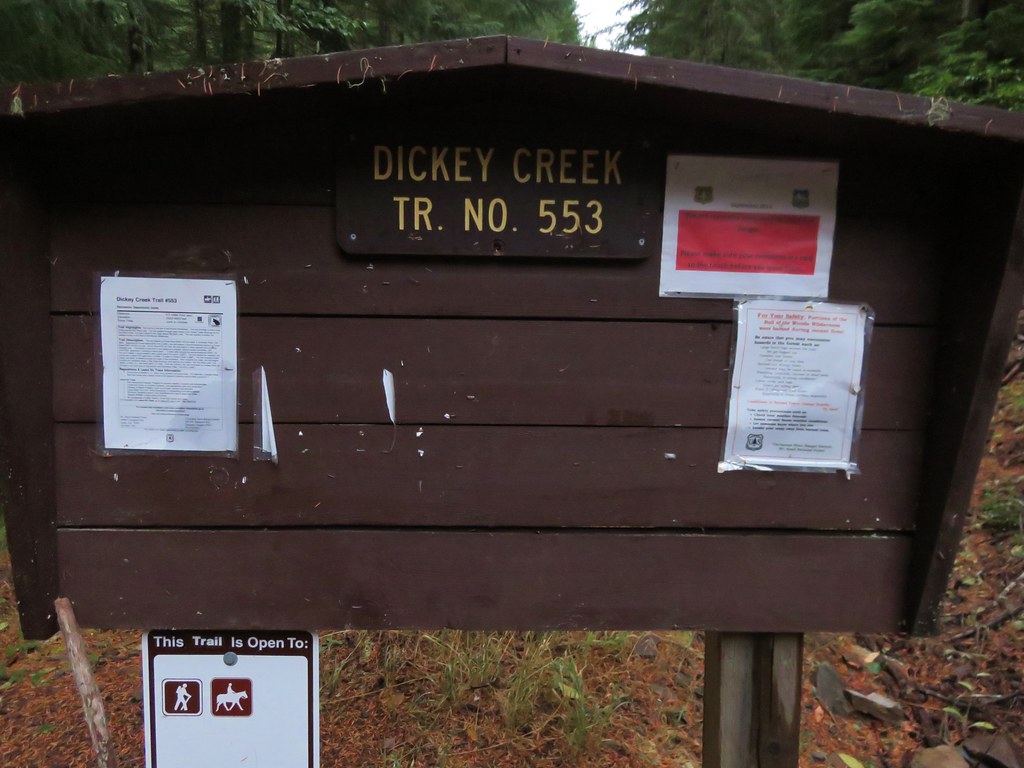
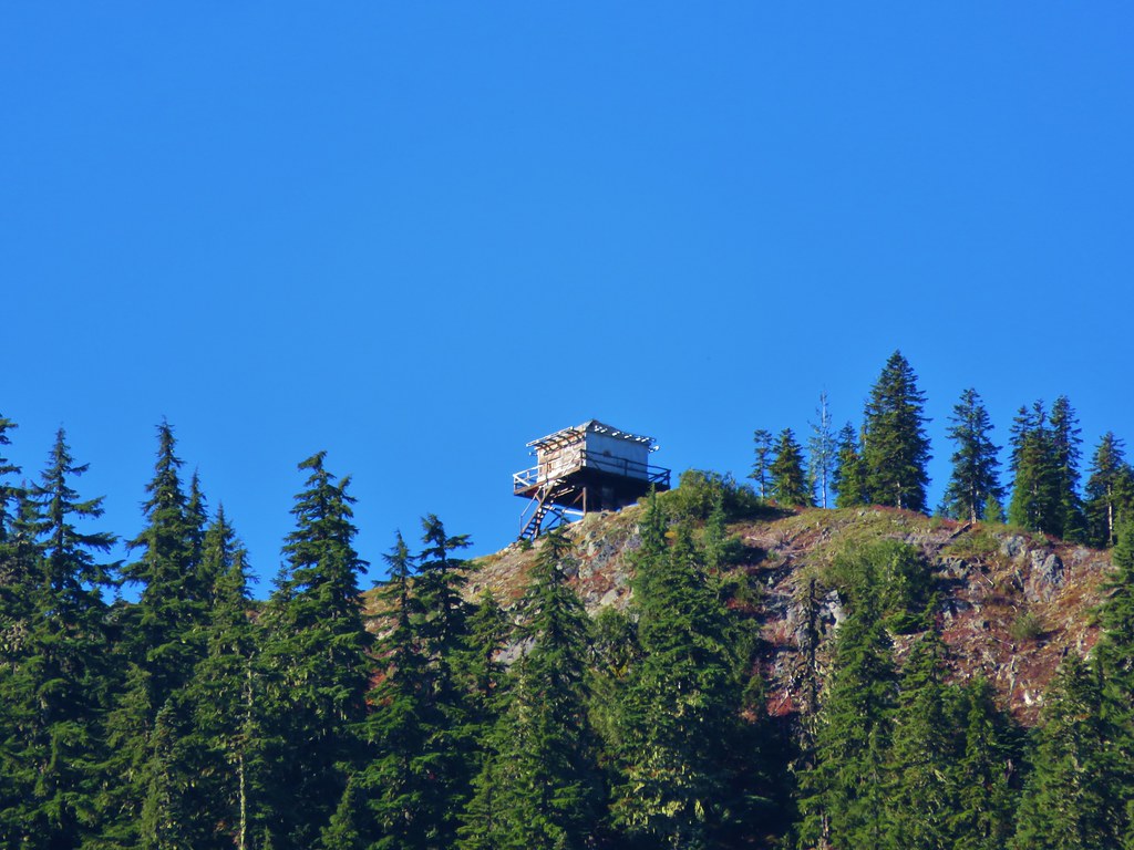
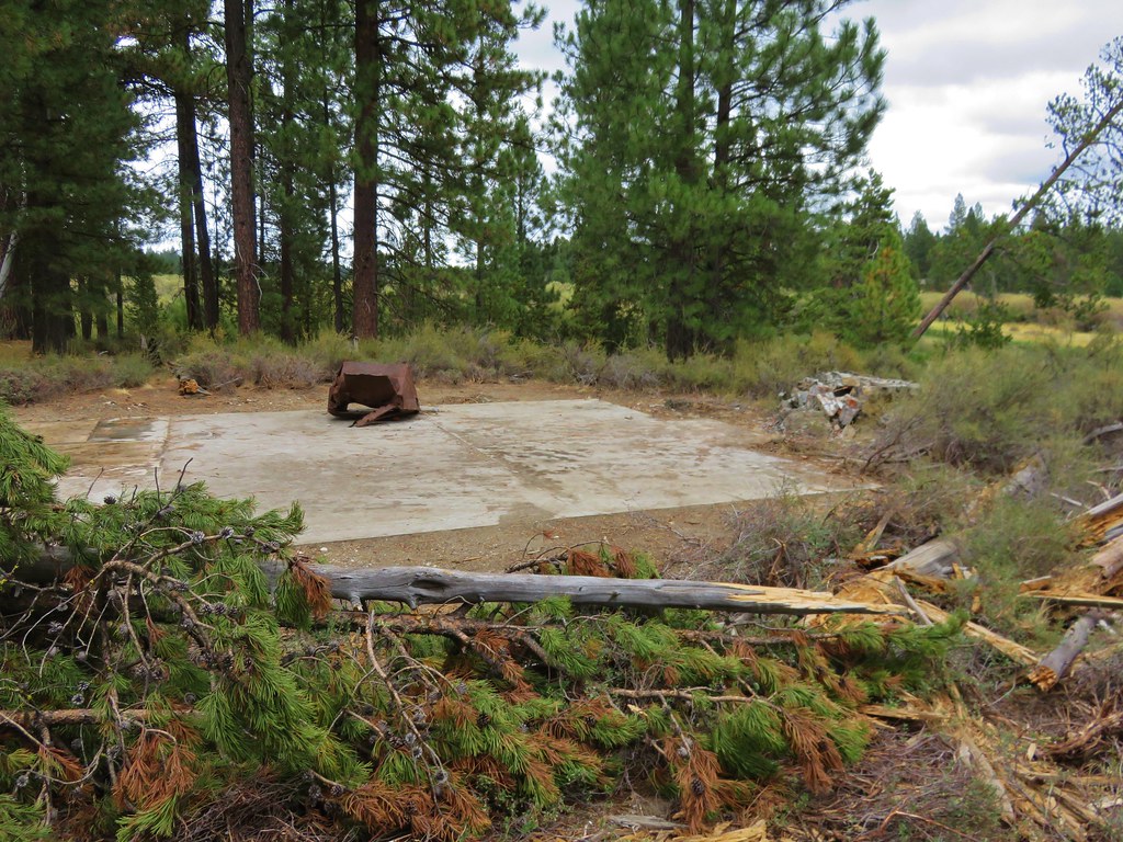
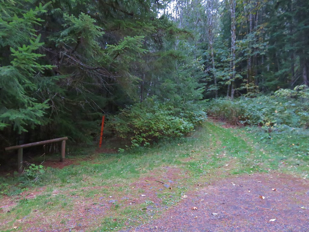
We continued our recent trend of choosing our hikes based on the weather forecast and wound up picking the Gordon Lakes Trail for our most recent hike. We chose this trail because it stayed mostly in the forest with very limited view opportunities that wouldn’t be spoiled by the rainy forecast. The Gordon Lakes Trail covers a little over 7 miles between eastern and western trailheads. We began our hike at the west trailhead located on Forest Service Road 325 outside of Sweet Home. There was some disagreement on how to reach road 325 between our field guide, the Forest Service, and Google Maps. They all agreed that from Sweet Home we needed to drive Highway 20 east 19 miles to milepost 46 and turn right on a forest service road for approximately 5 miles. Our field guide gave this road the number 2031 while the Forest Service numbered it 2044. Google Maps showed 2032 as the number which was the number we found on the stake as we turned onto this road. We managed to follow this winding road fairly easily to a hiker symbol on the right across from road 325. The signless parking area was 100 yards uphill to the left on road 325.
 //embedr.flickr.com/assets/client-code.js
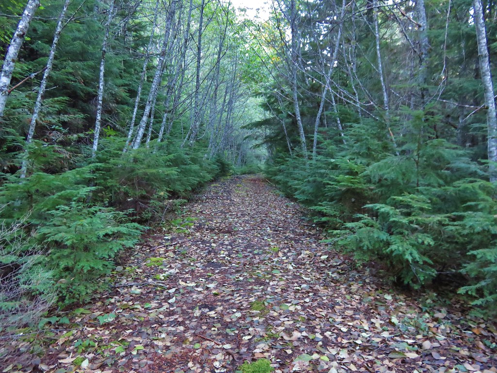
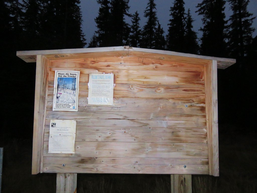
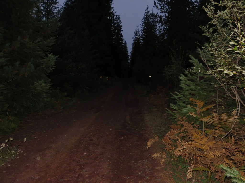
Our next bit of confusion came as we got ready to set off. There were no signs indicating the location of the trail. Two old roads led off from the parking area in the same general direction, one downhill and the other uphill and the hiker sign was back downhill across road 2032. The road leading uphill looked like it was a trail, but the map I had looked at for the trail appeared to show a trail switchbacking downhill from the trailhead which I later realized was my misreading the topographic map. After several minutes of exploring the uphill road and consulting the GPS we decided that it was in fact the trail and began climbing.
 //embedr.flickr.com/assets/client-code.js
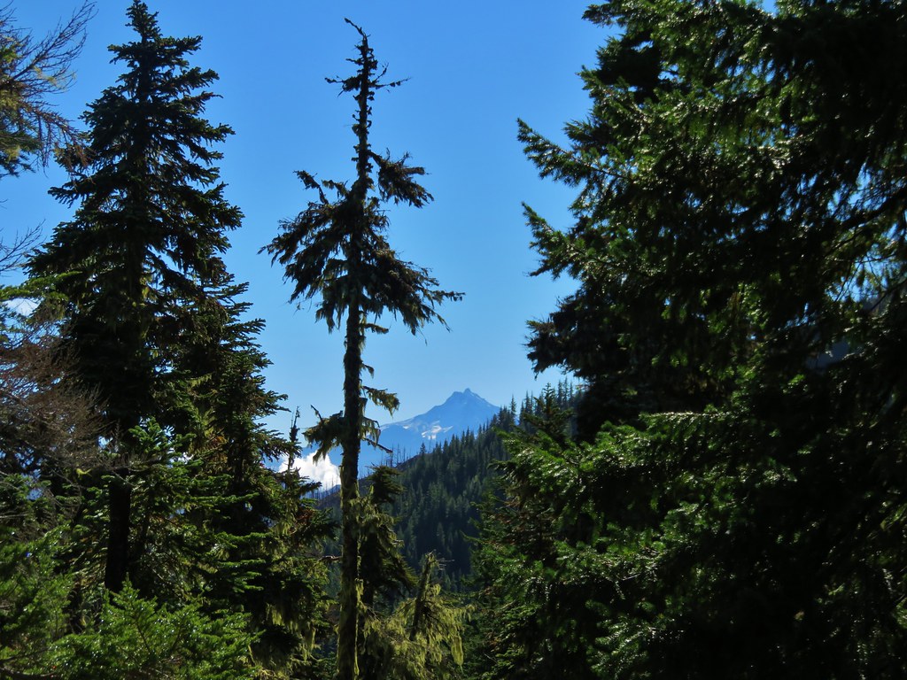
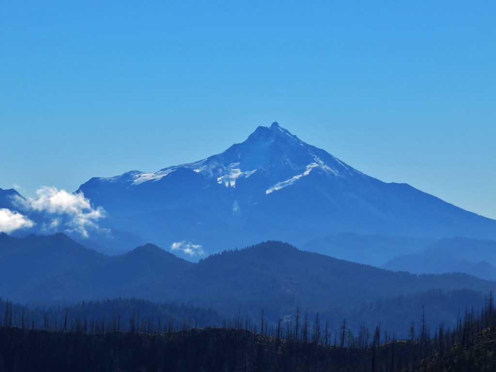
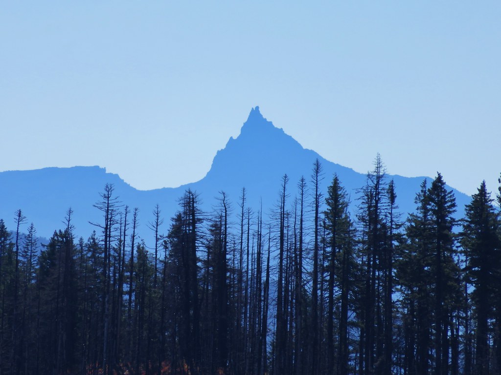
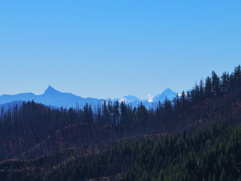
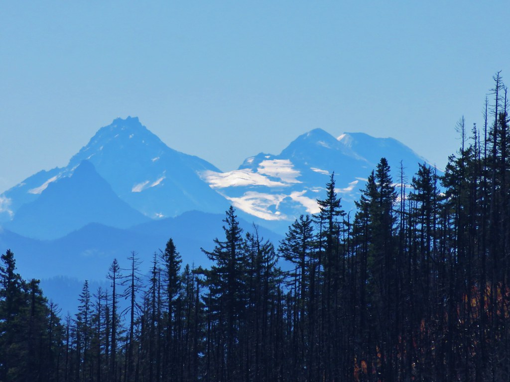
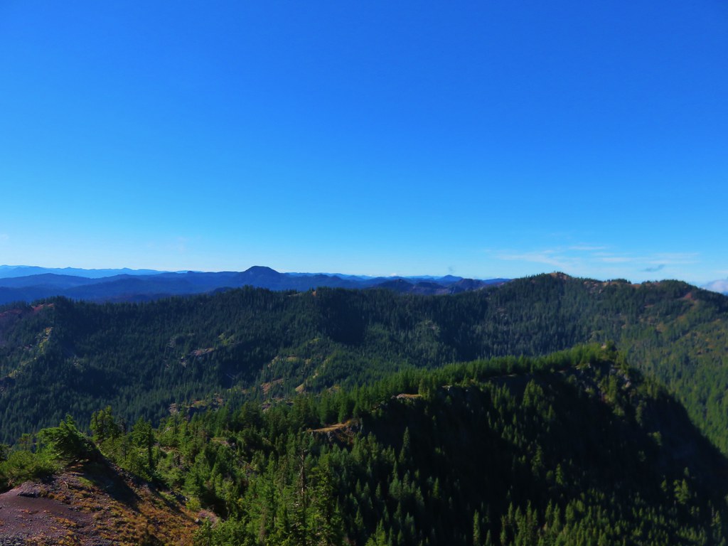
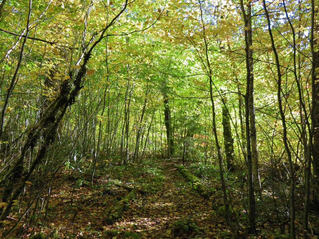
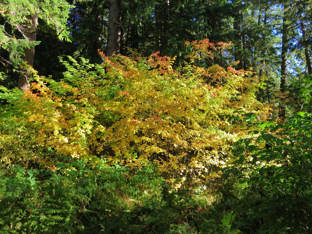
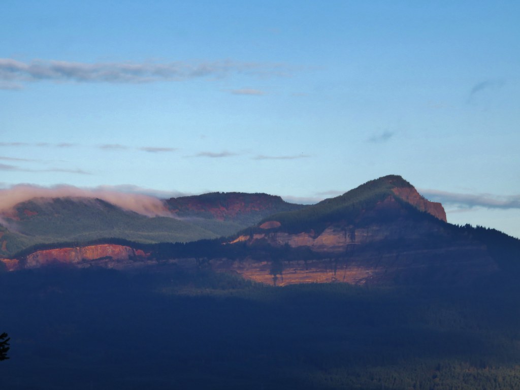
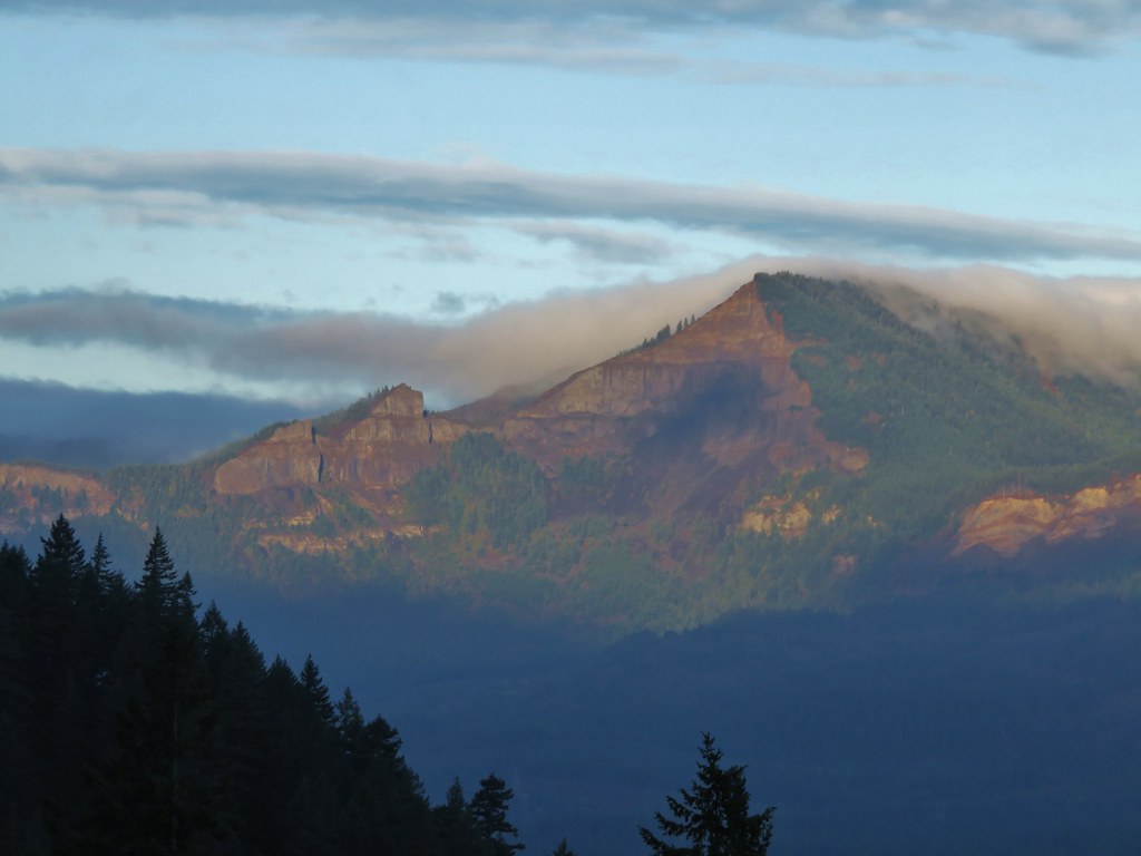
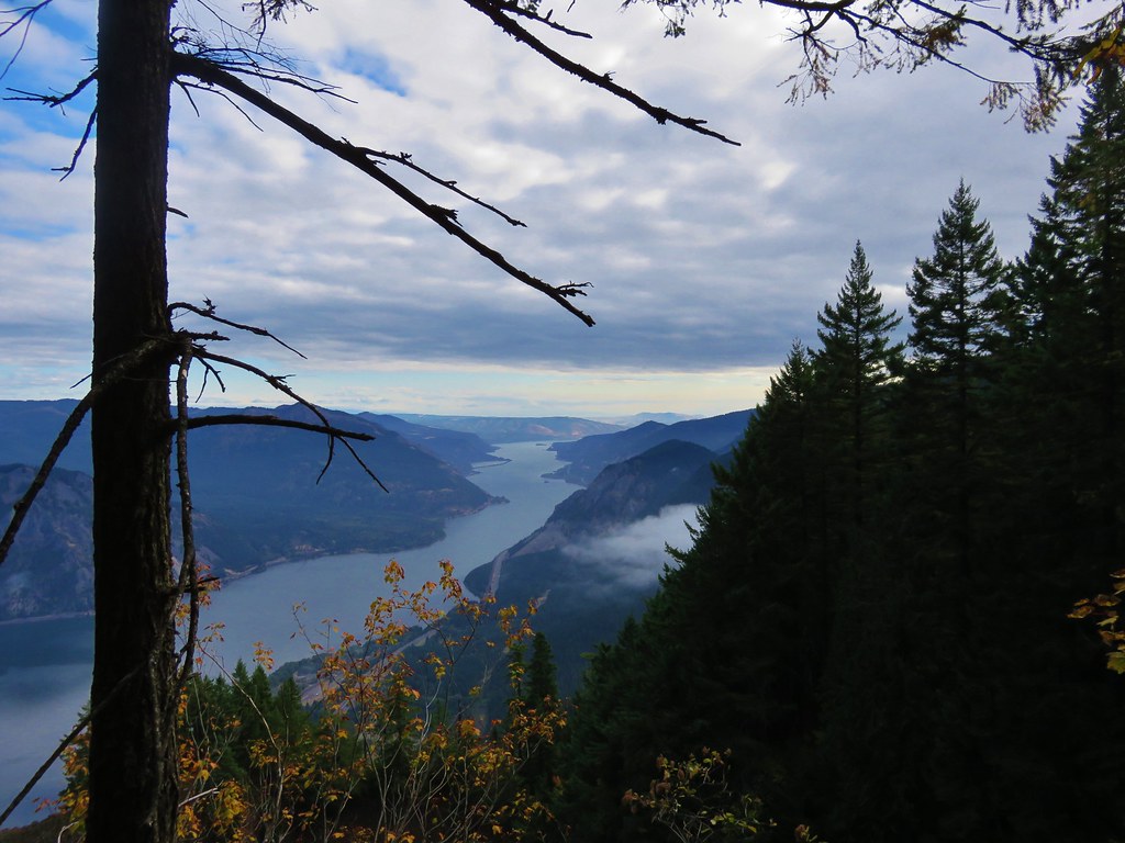
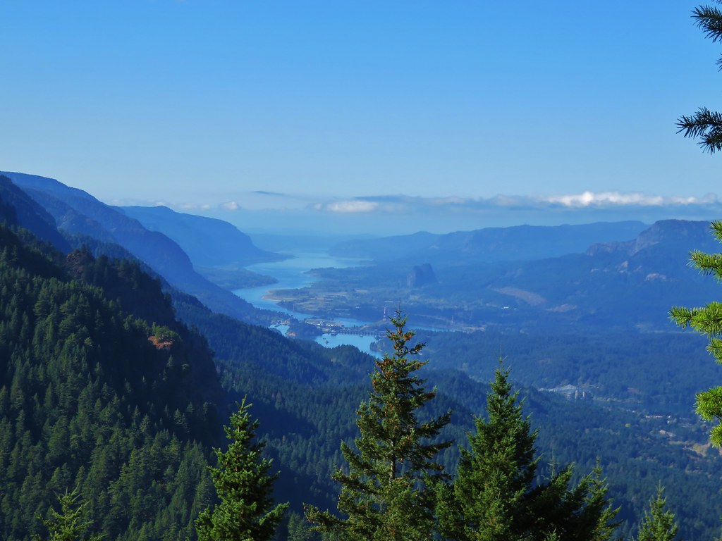
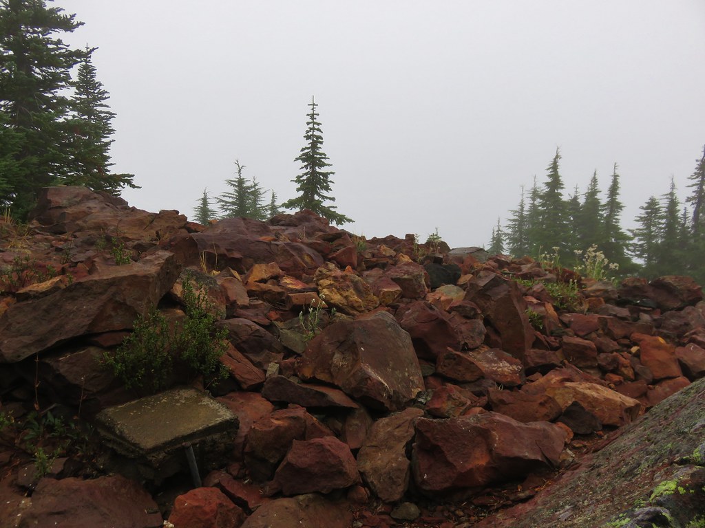
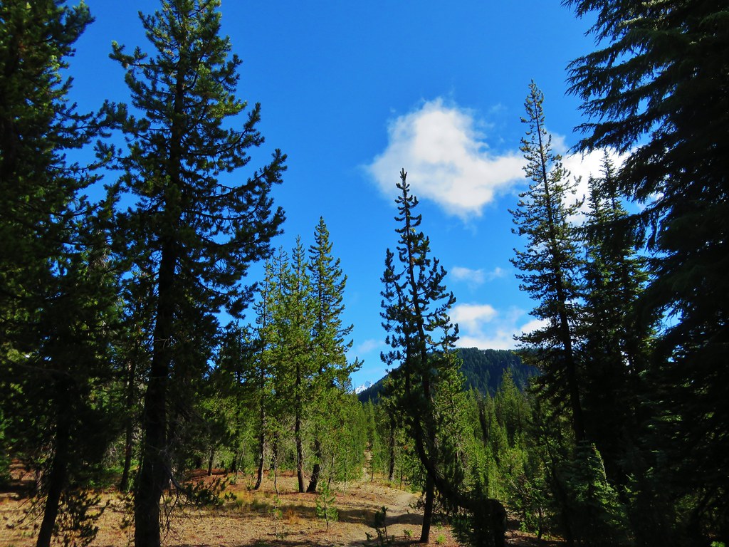
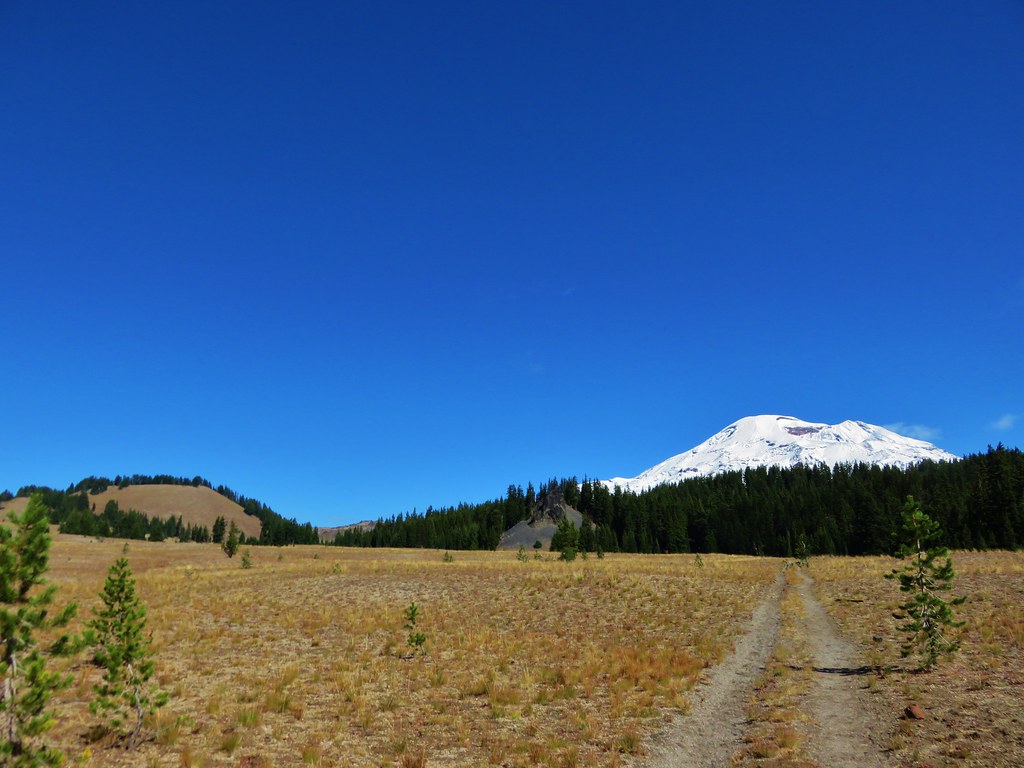
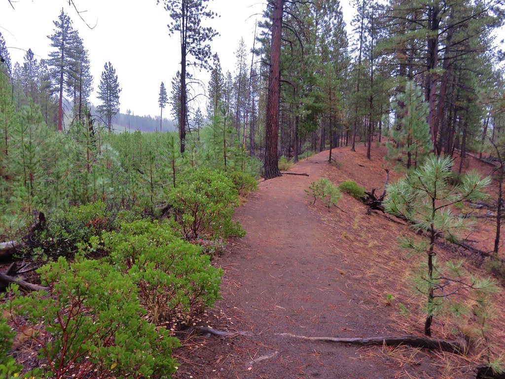
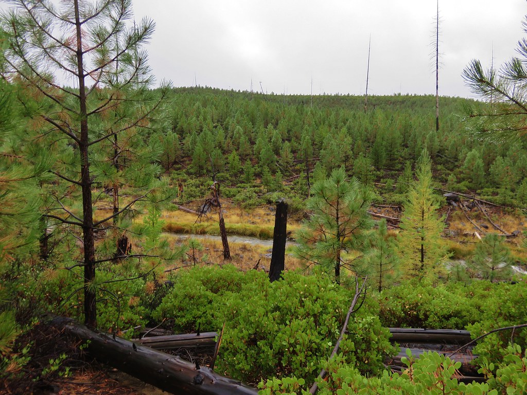
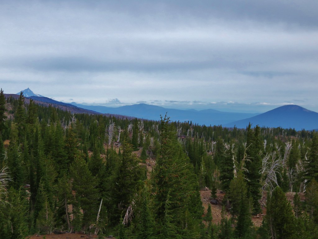
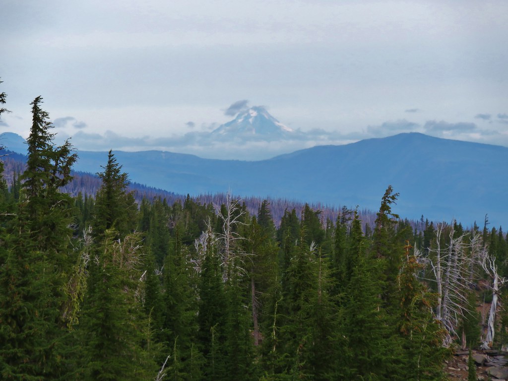
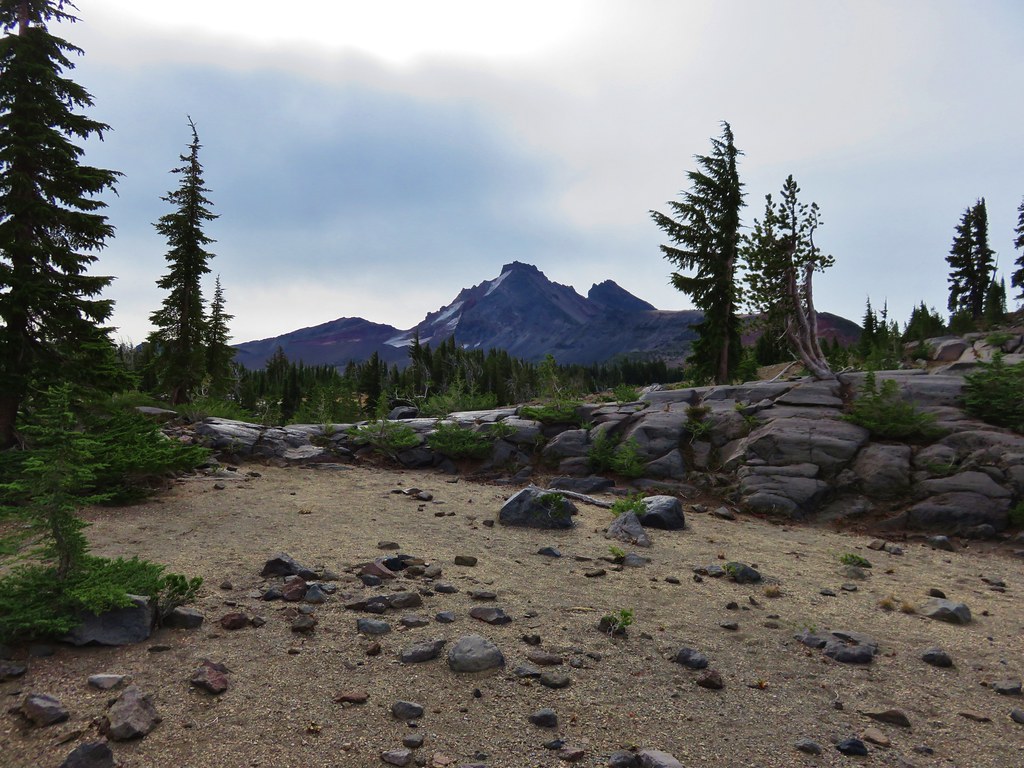
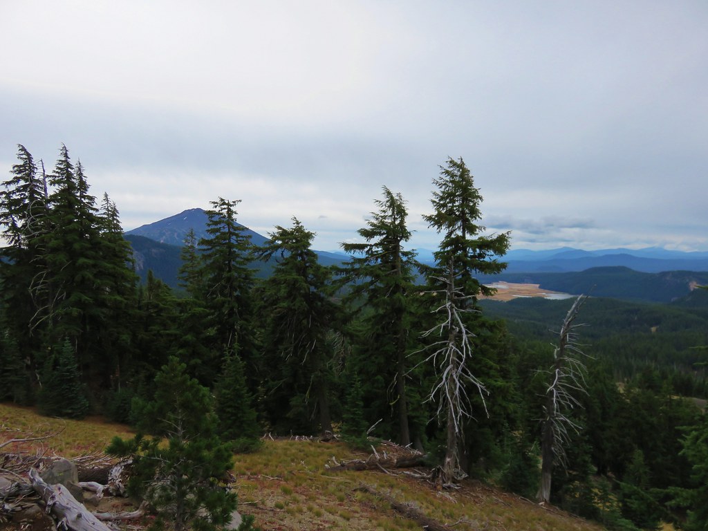
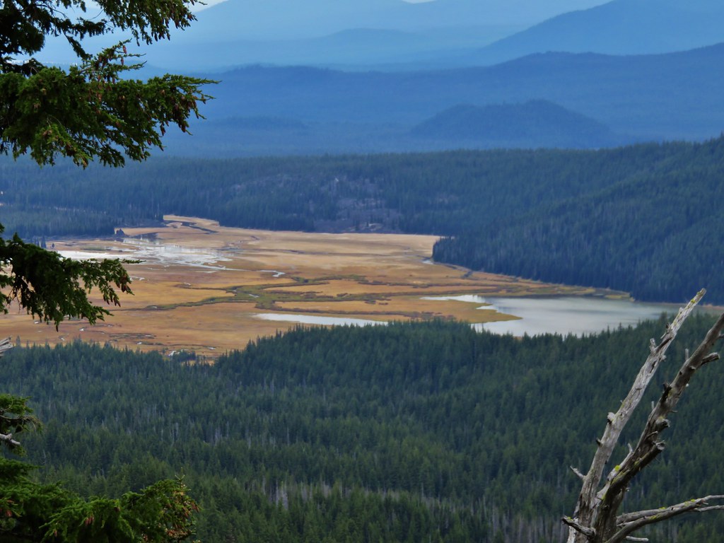
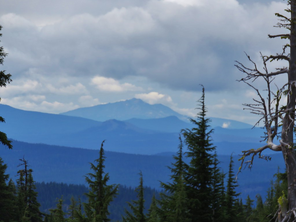
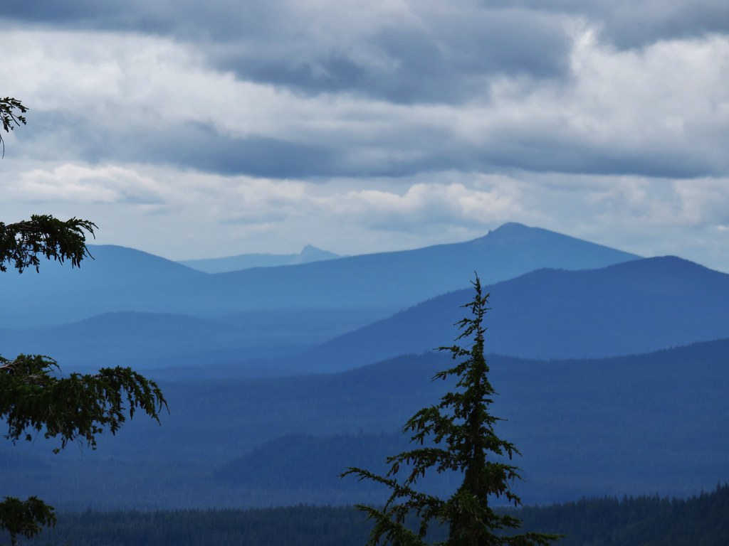
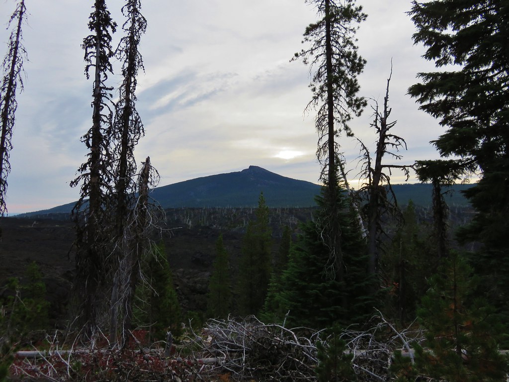
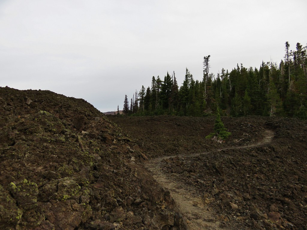
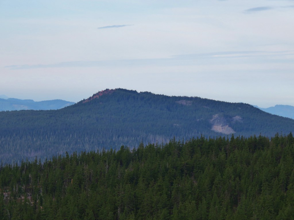
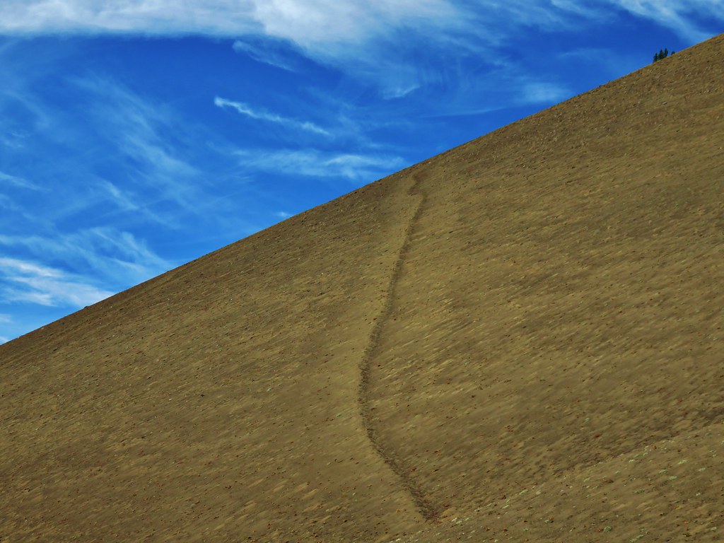
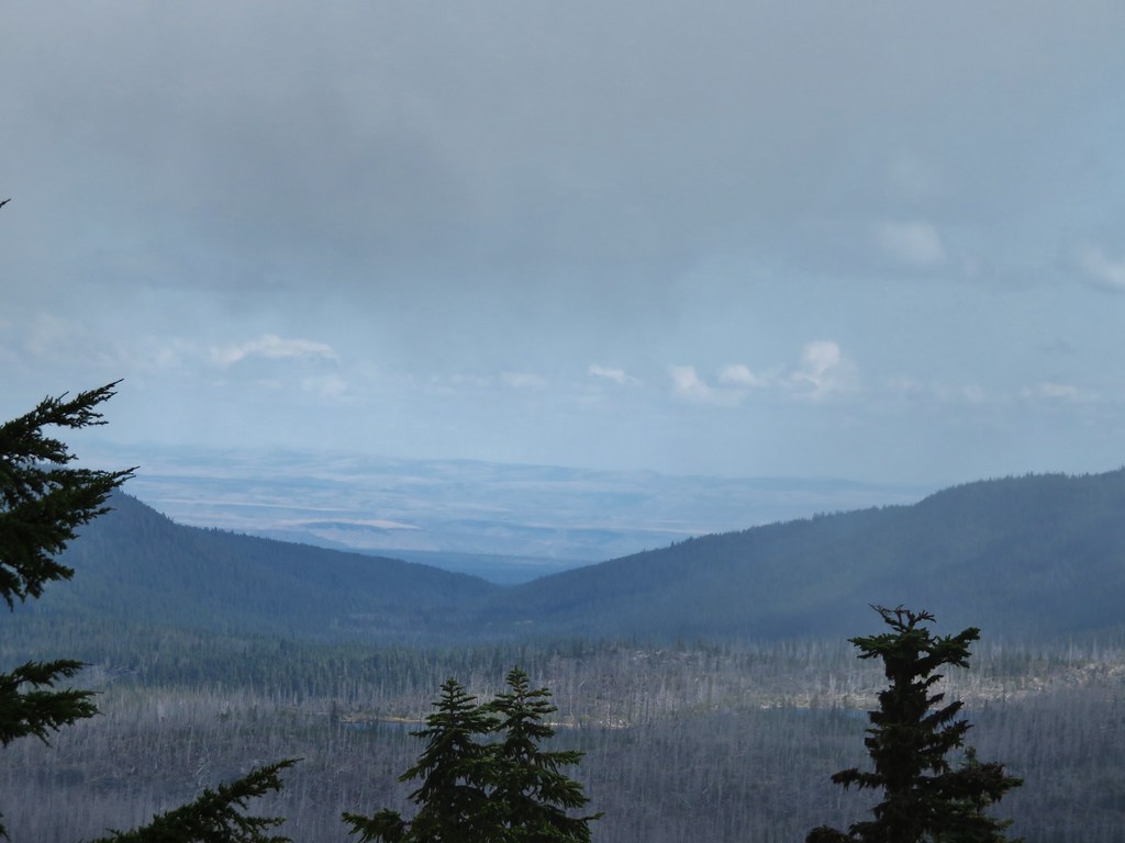
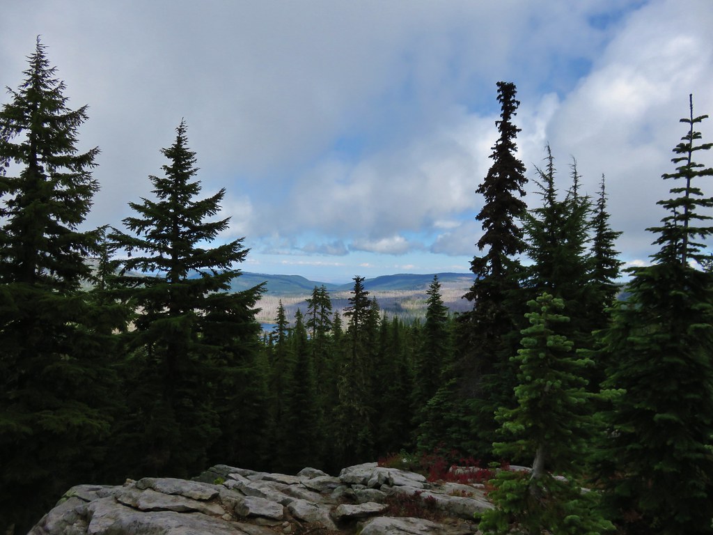
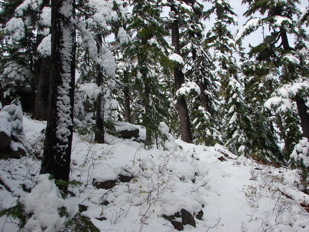
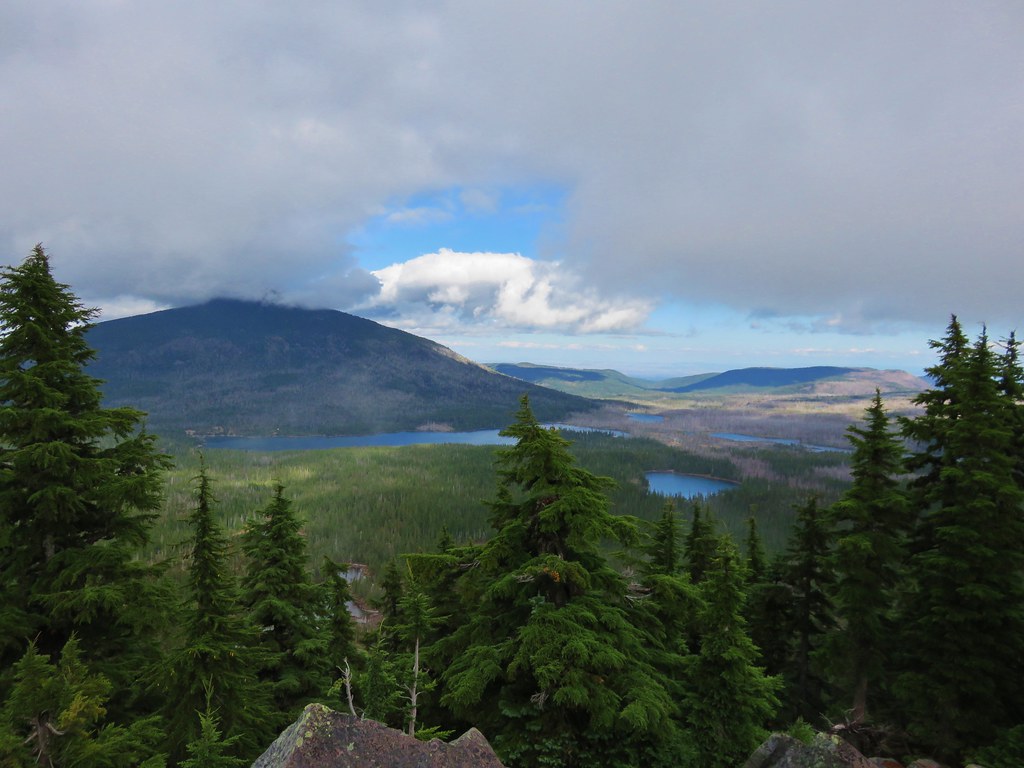
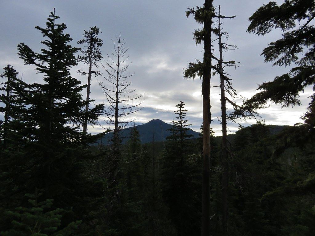
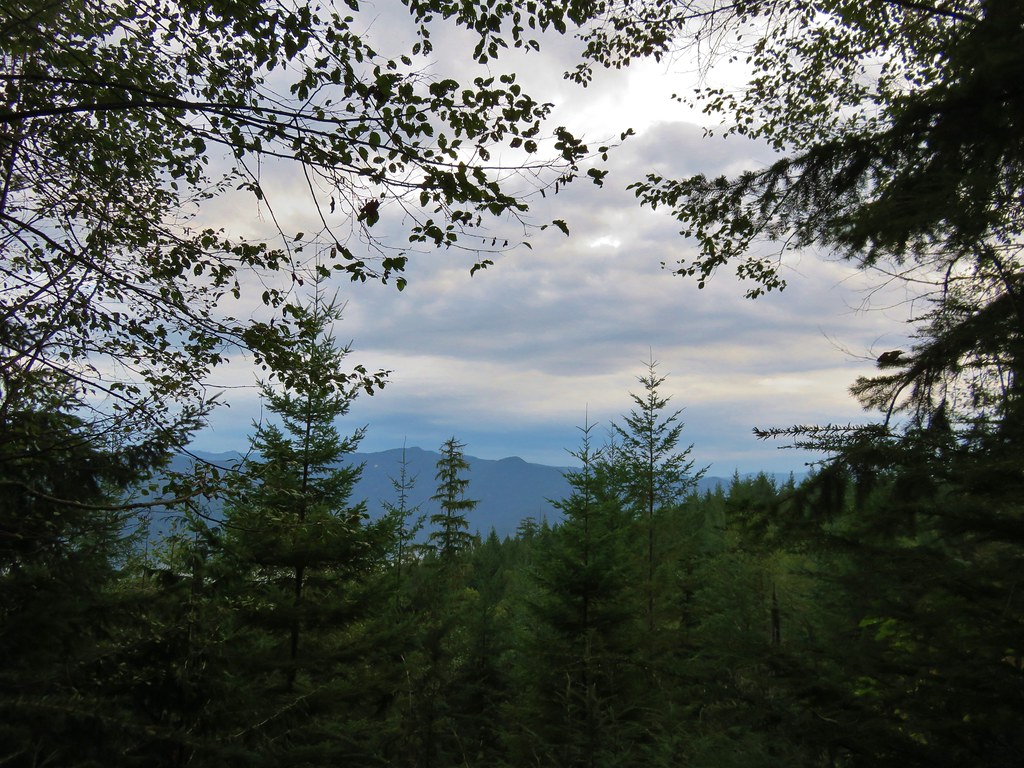
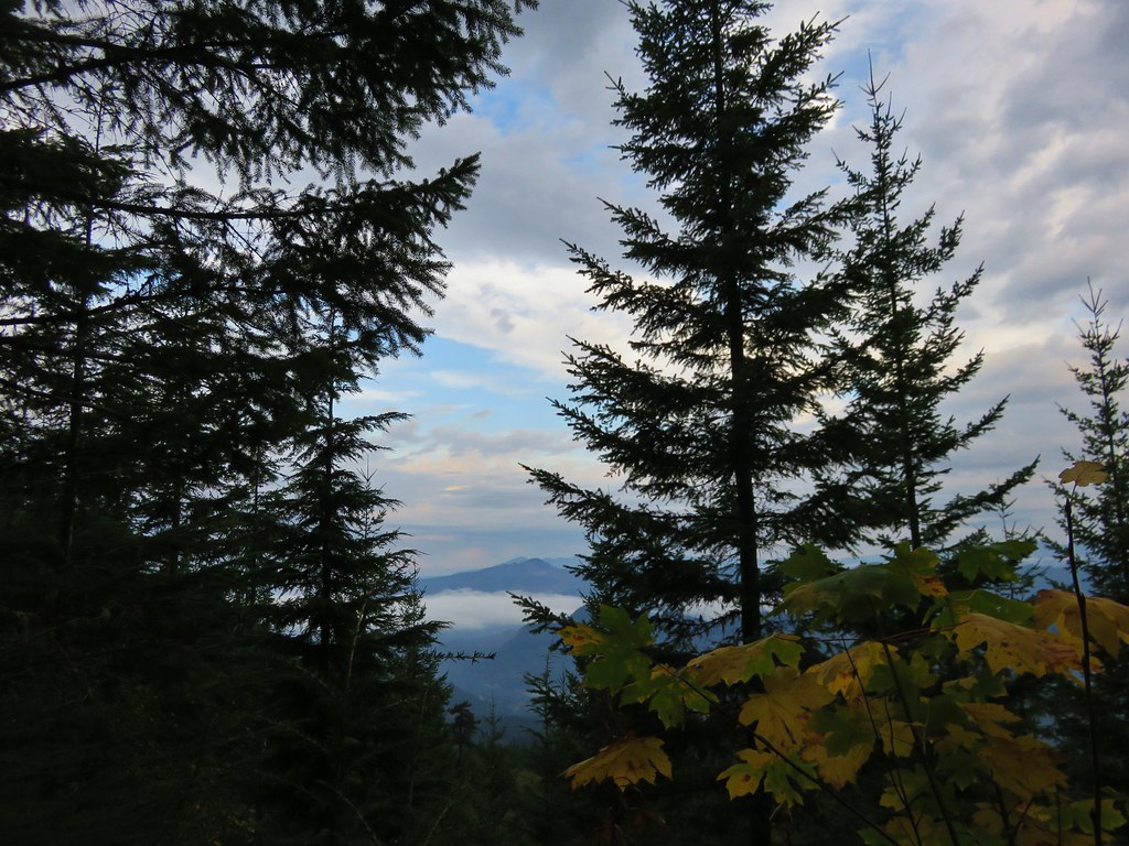
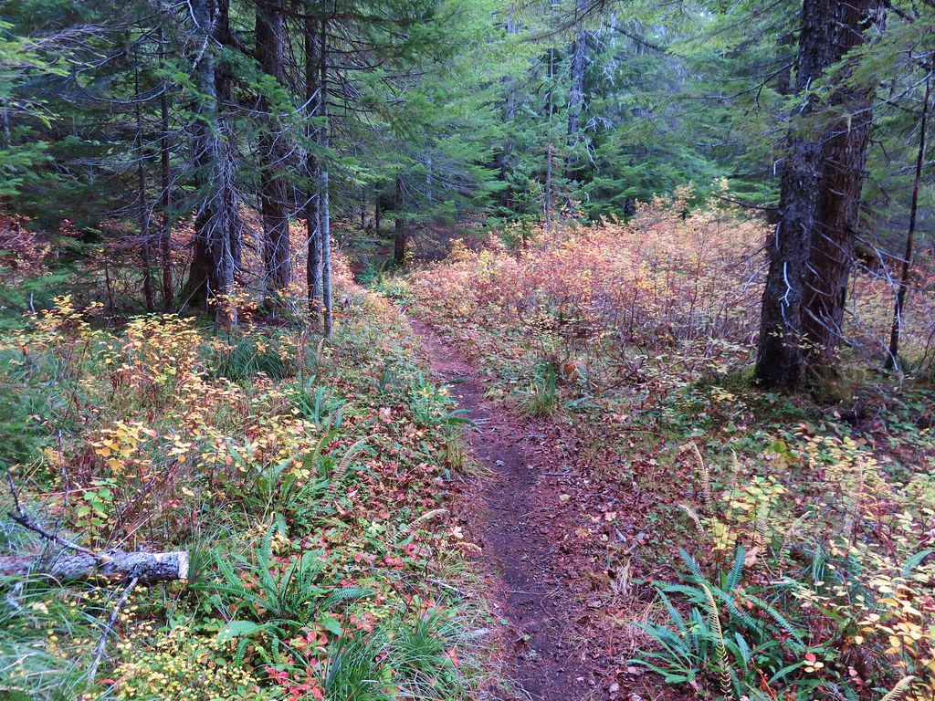
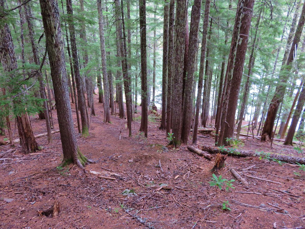
The trail left the road behind and began switchbacking uphill through a previously logged area where we could see a little of the valley below.
 //embedr.flickr.com/assets/client-code.js
 //embedr.flickr.com/assets/client-code.js
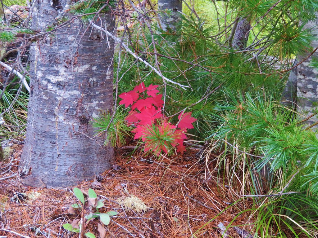
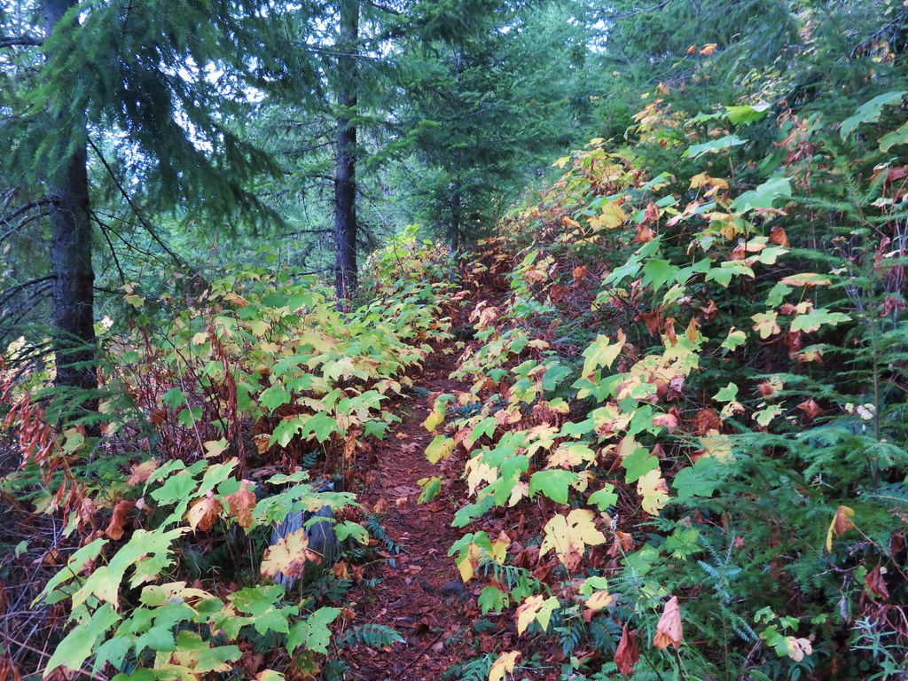
Thimbleberry leaves lined the path with color.
 //embedr.flickr.com/assets/client-code.js
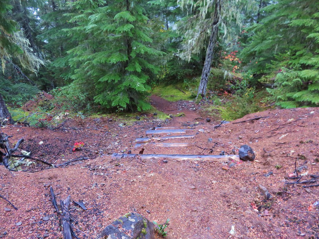
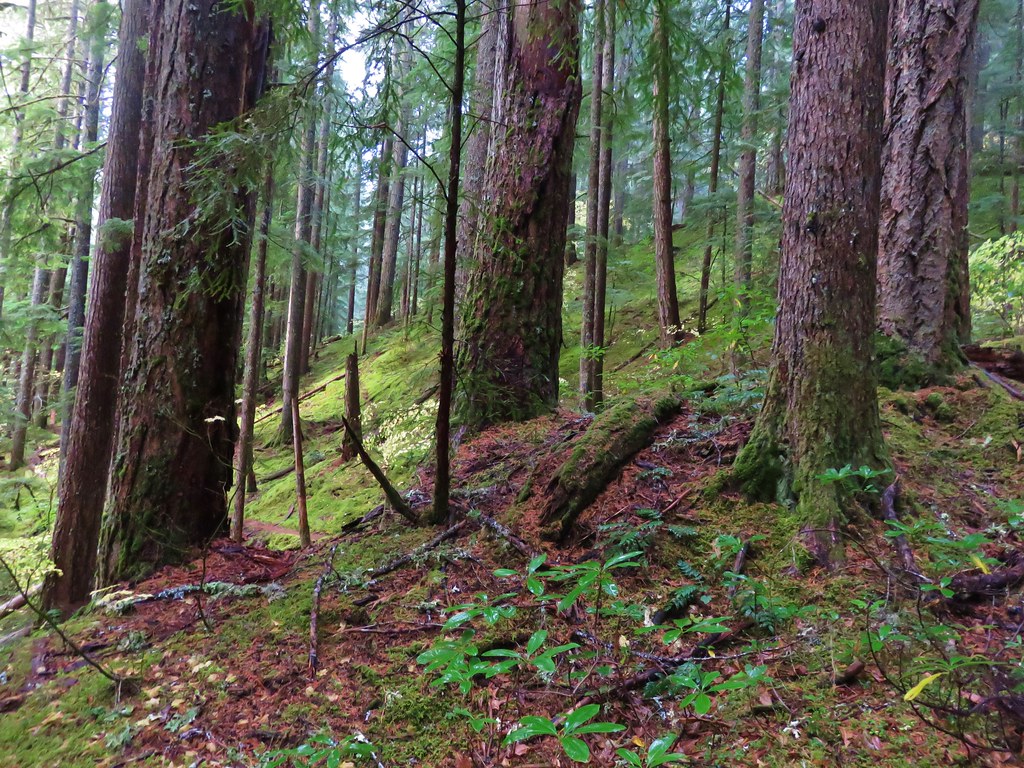
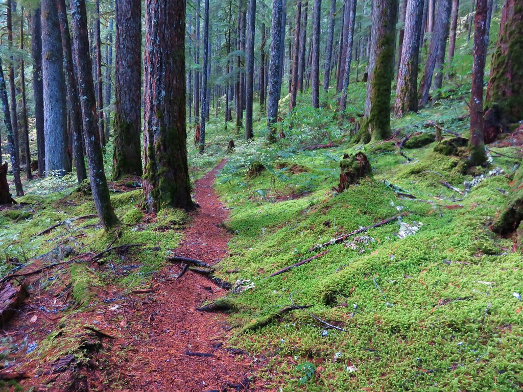
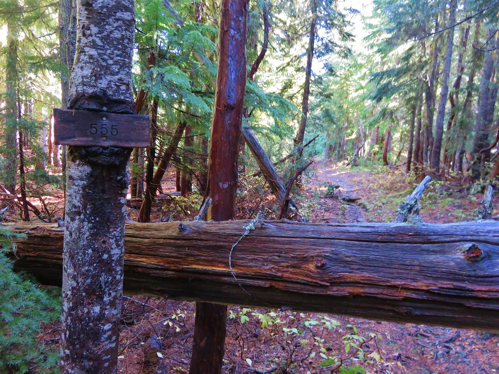
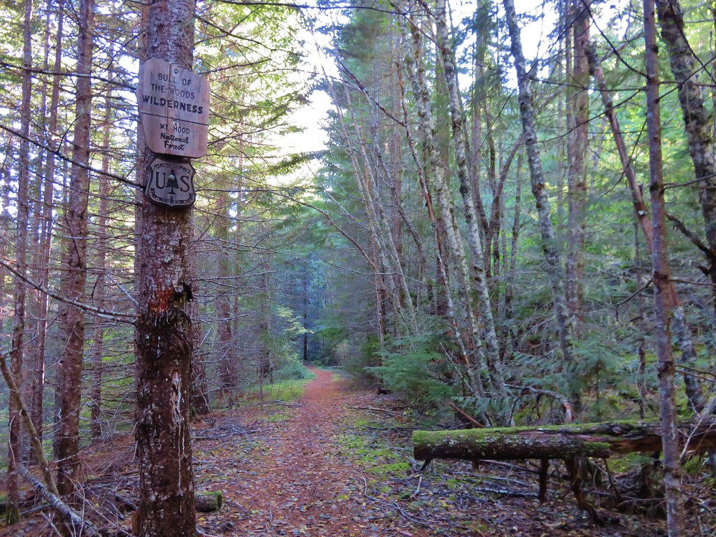
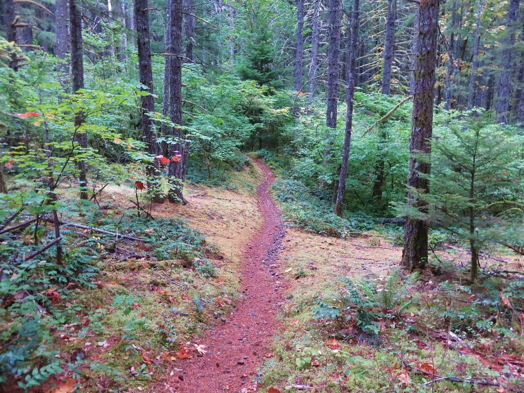
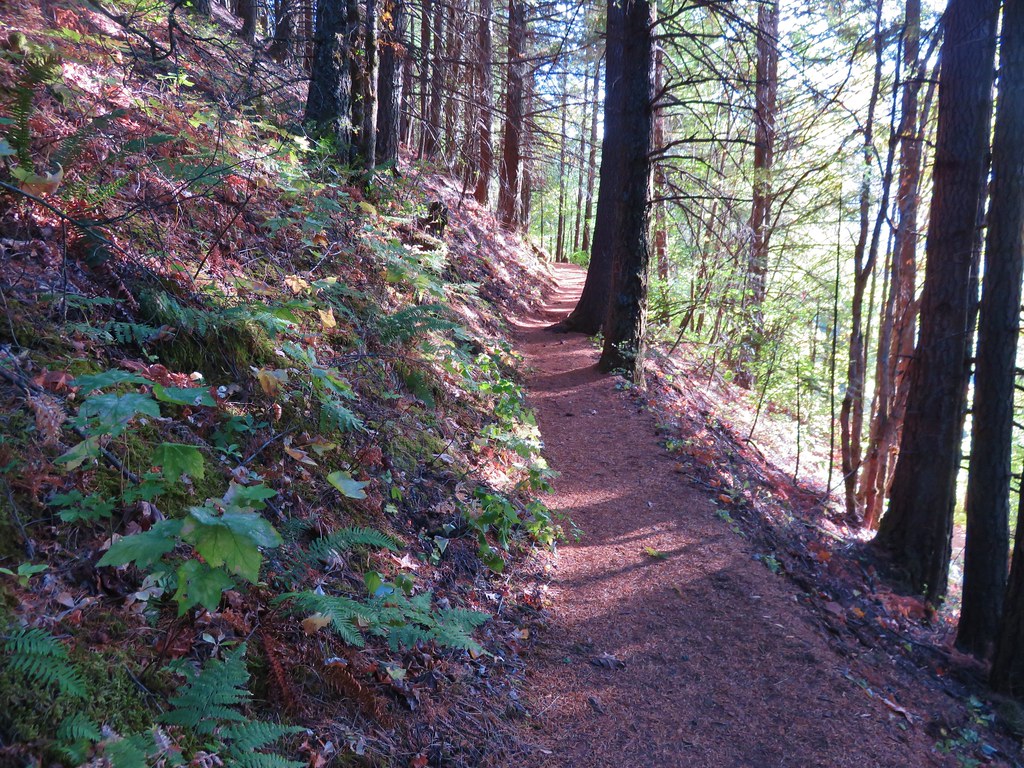
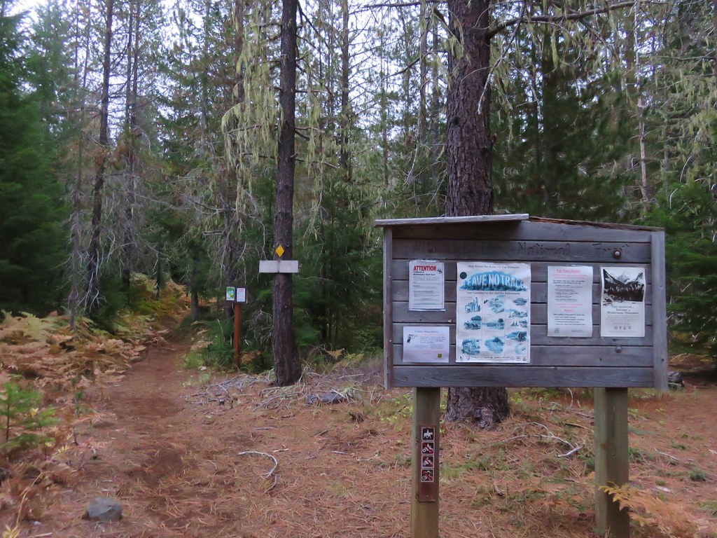
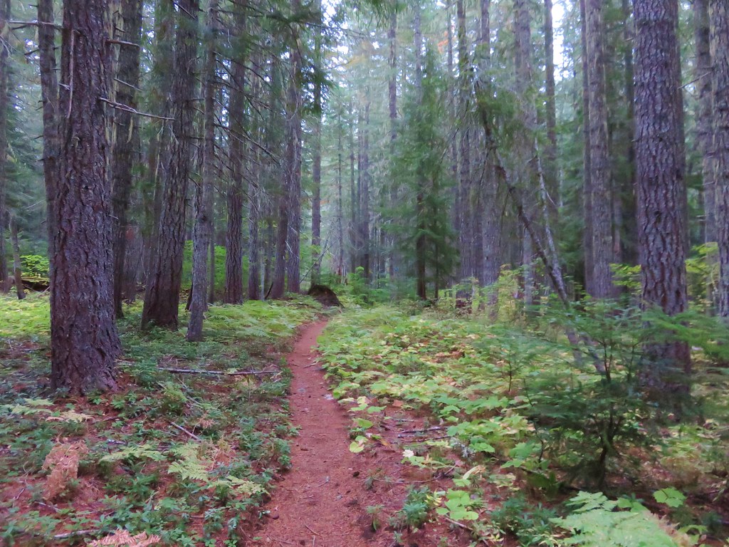
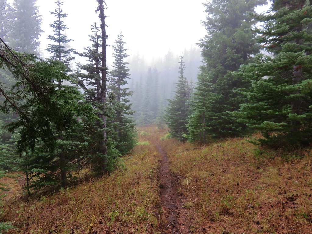
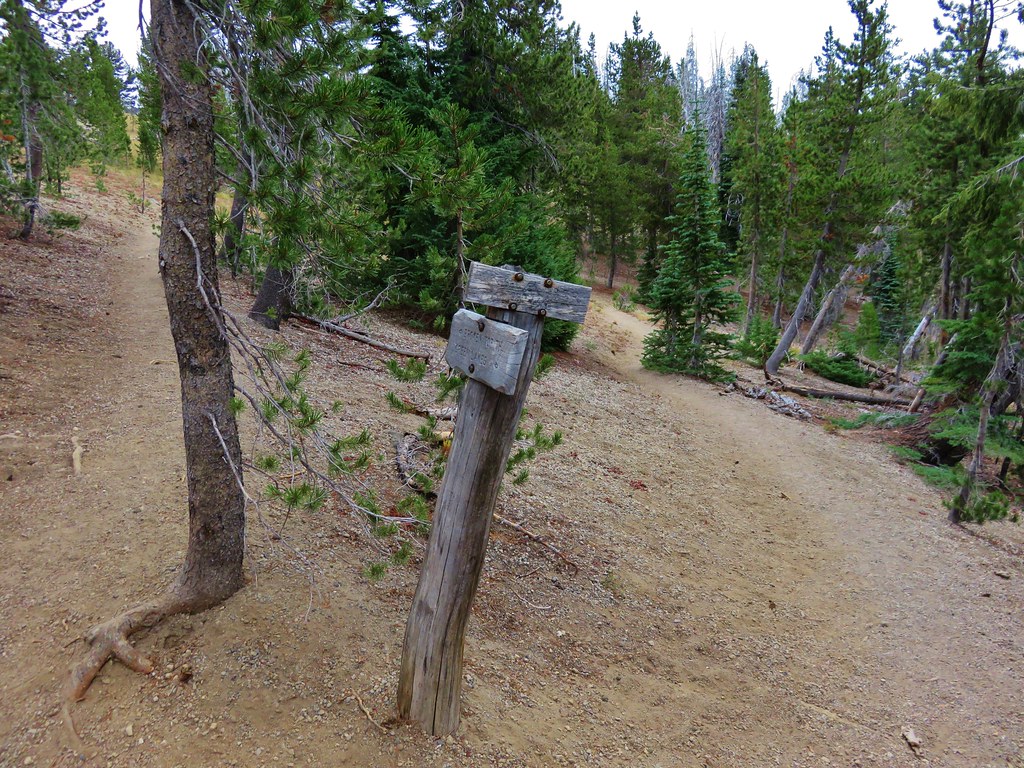
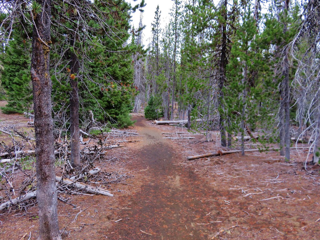
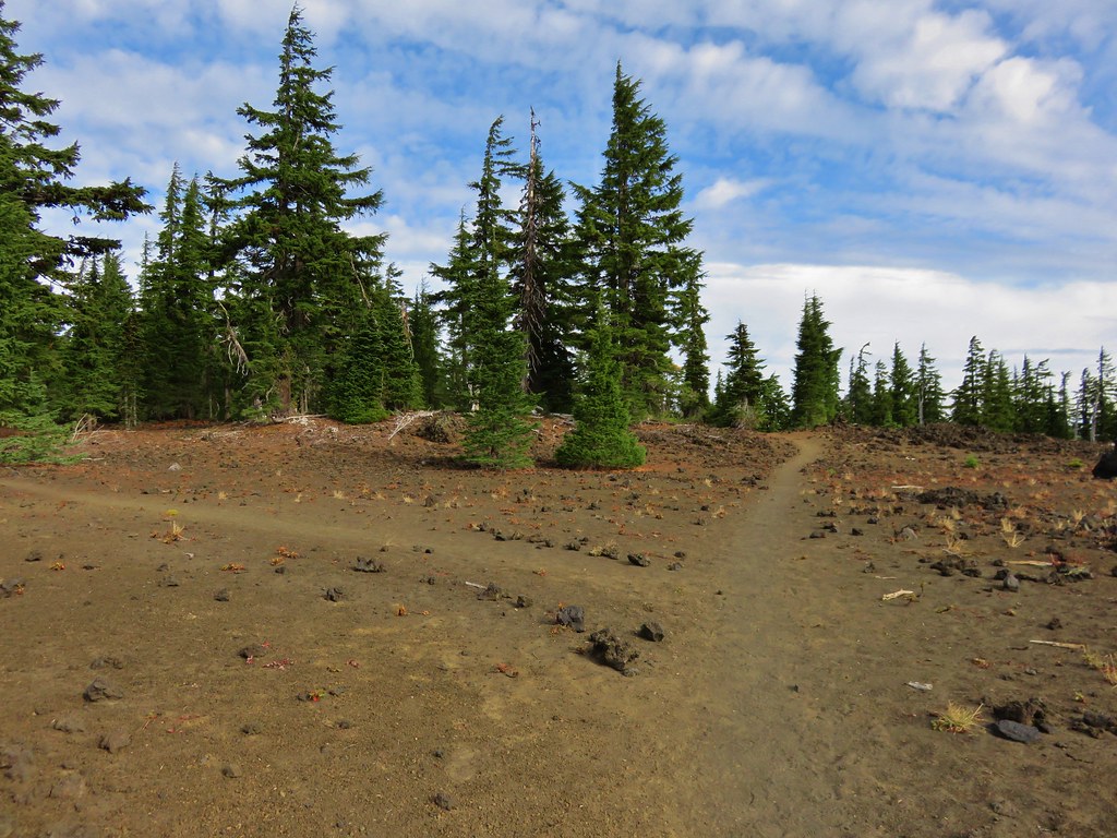
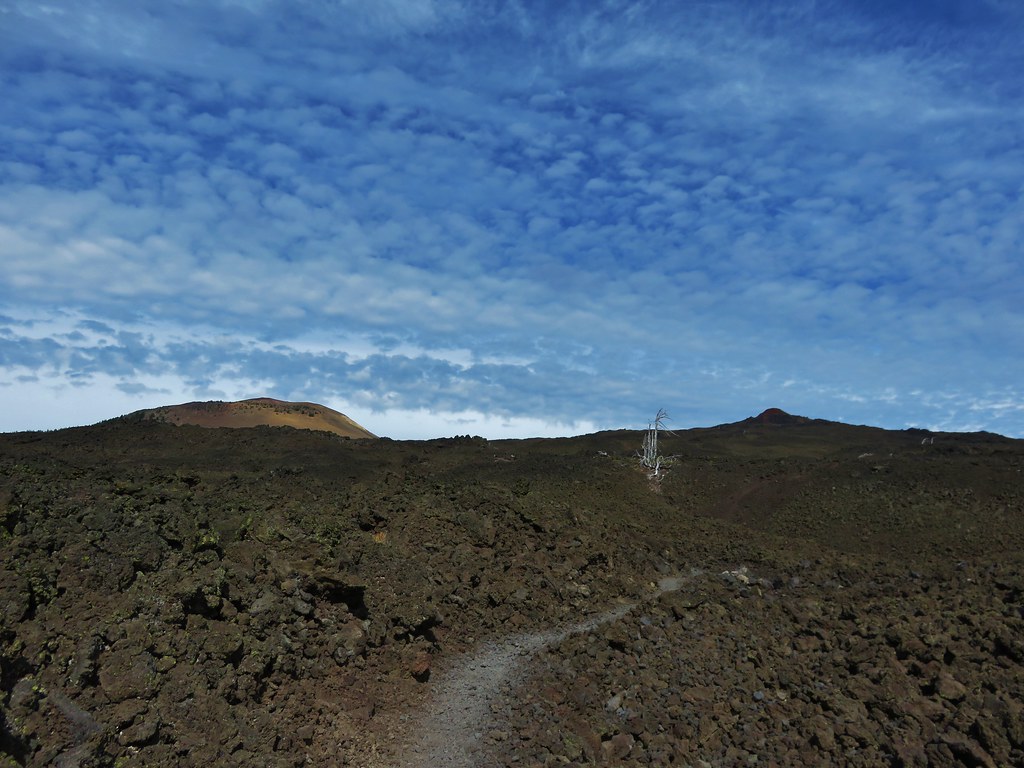
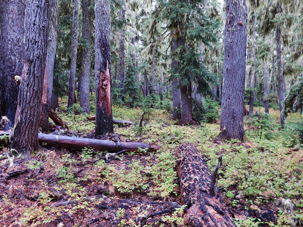
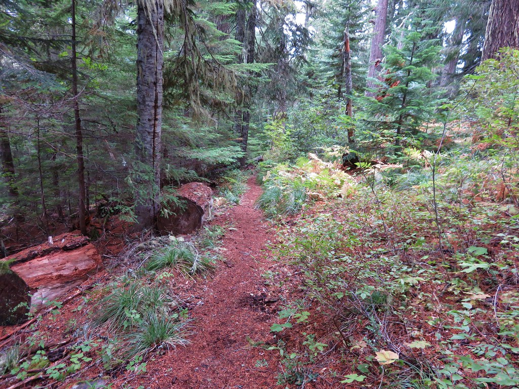
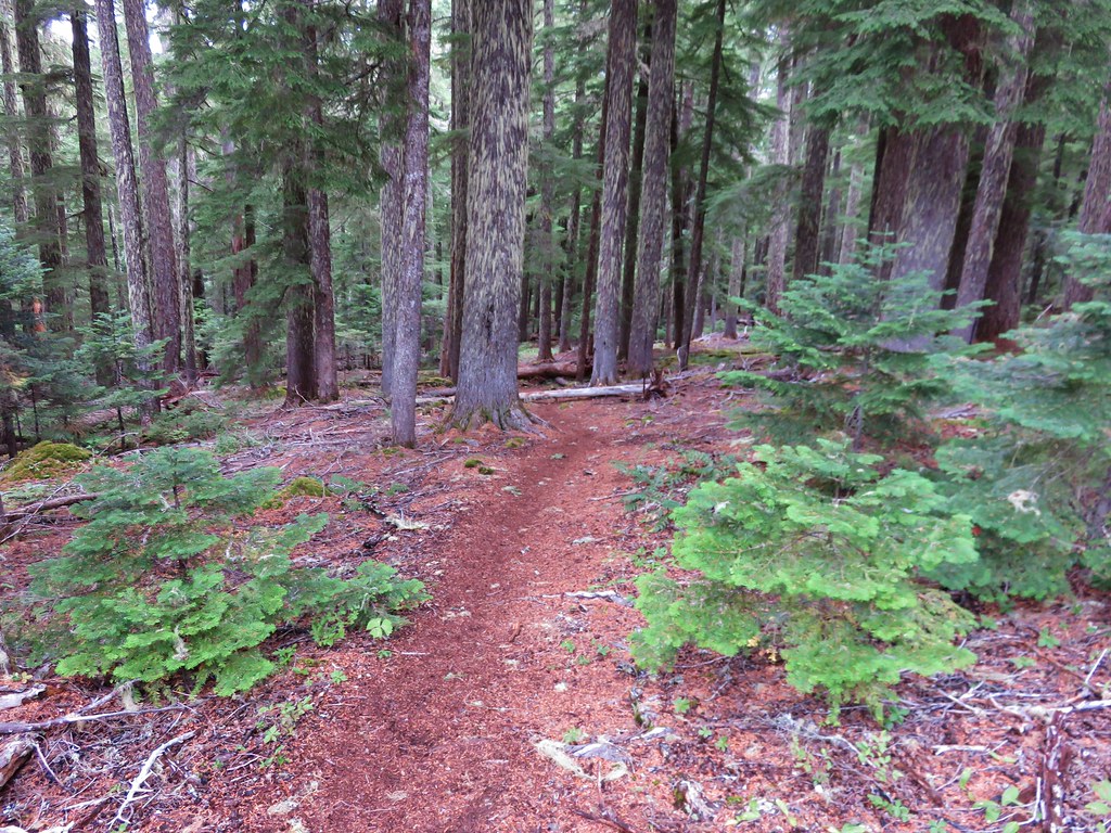
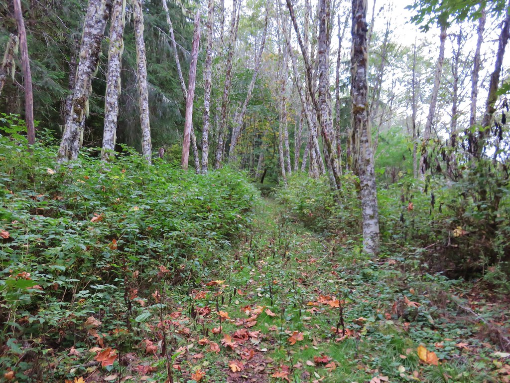
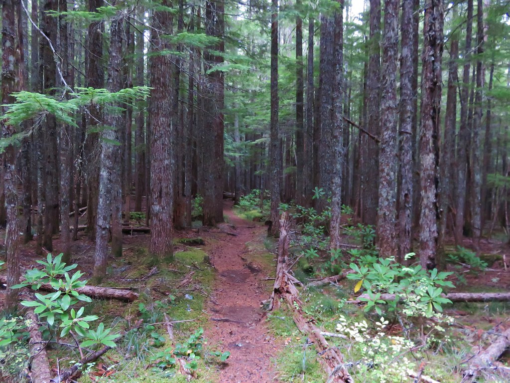
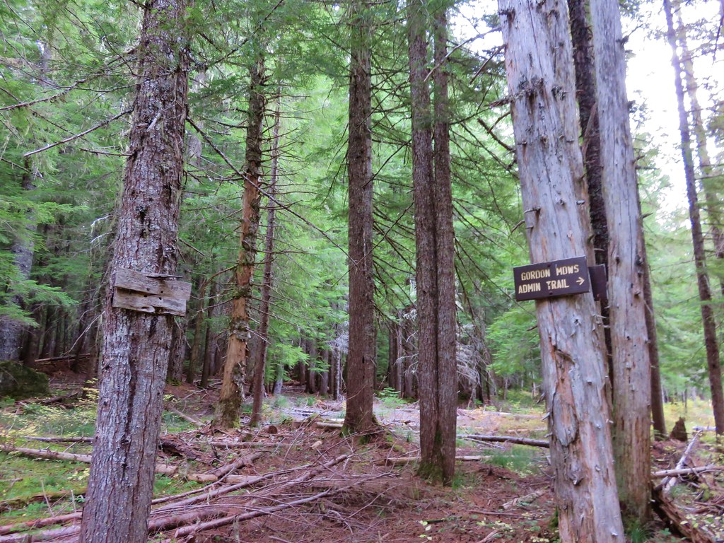
After the switchbacks the trail entered older forest and crossed a pair of roads where there were still no signs indicating where or what the trail was.
 //embedr.flickr.com/assets/client-code.js
 //embedr.flickr.com/assets/client-code.js
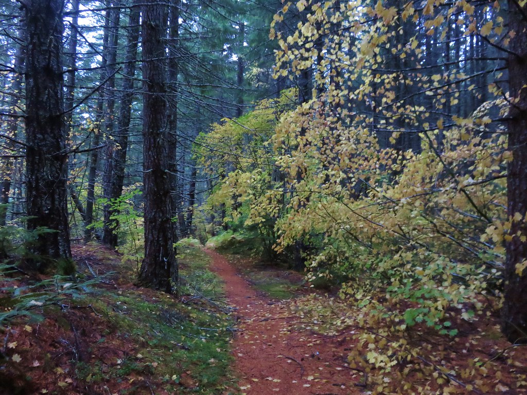
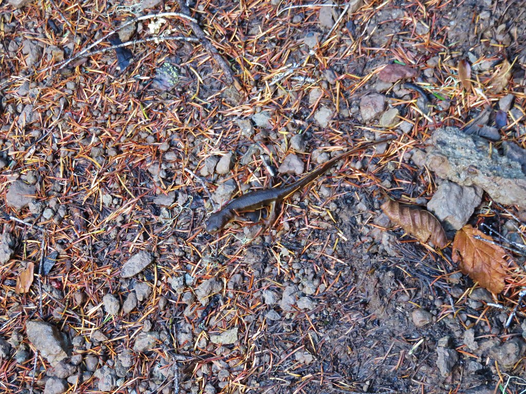
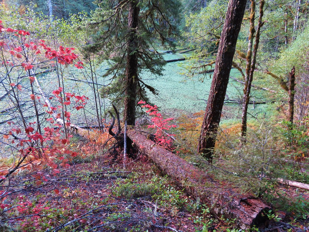
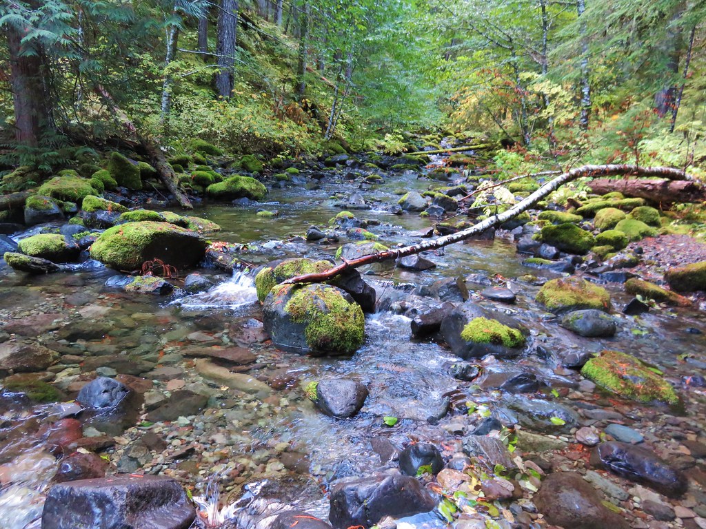
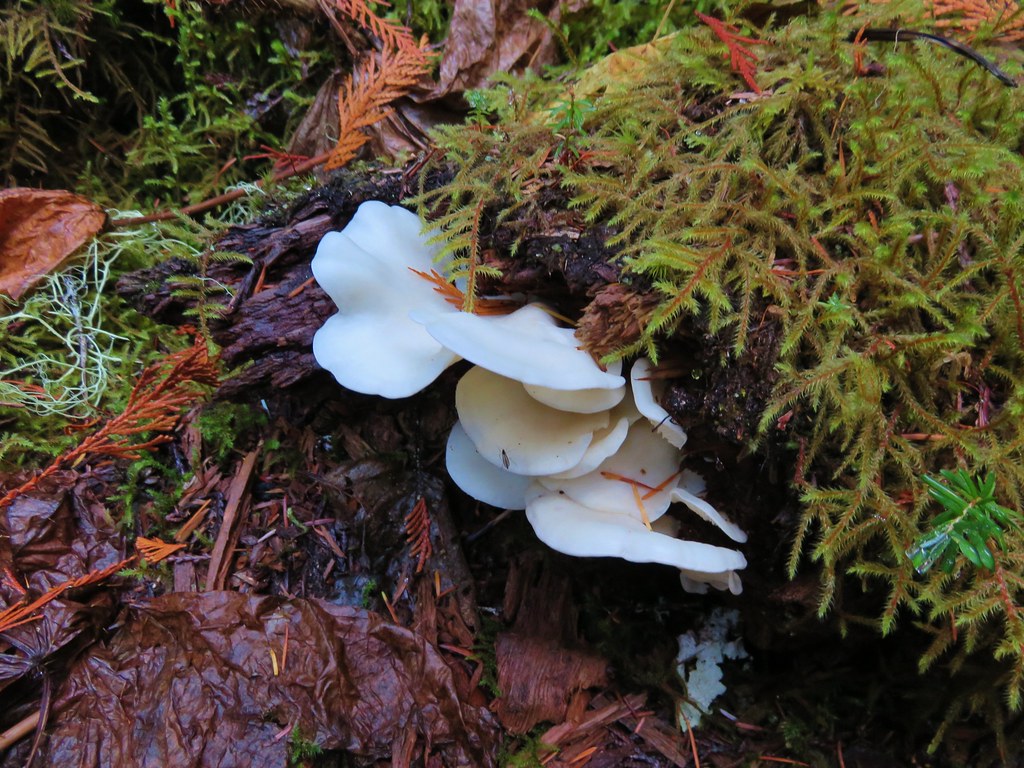
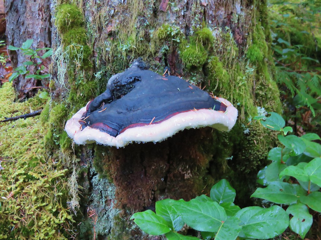
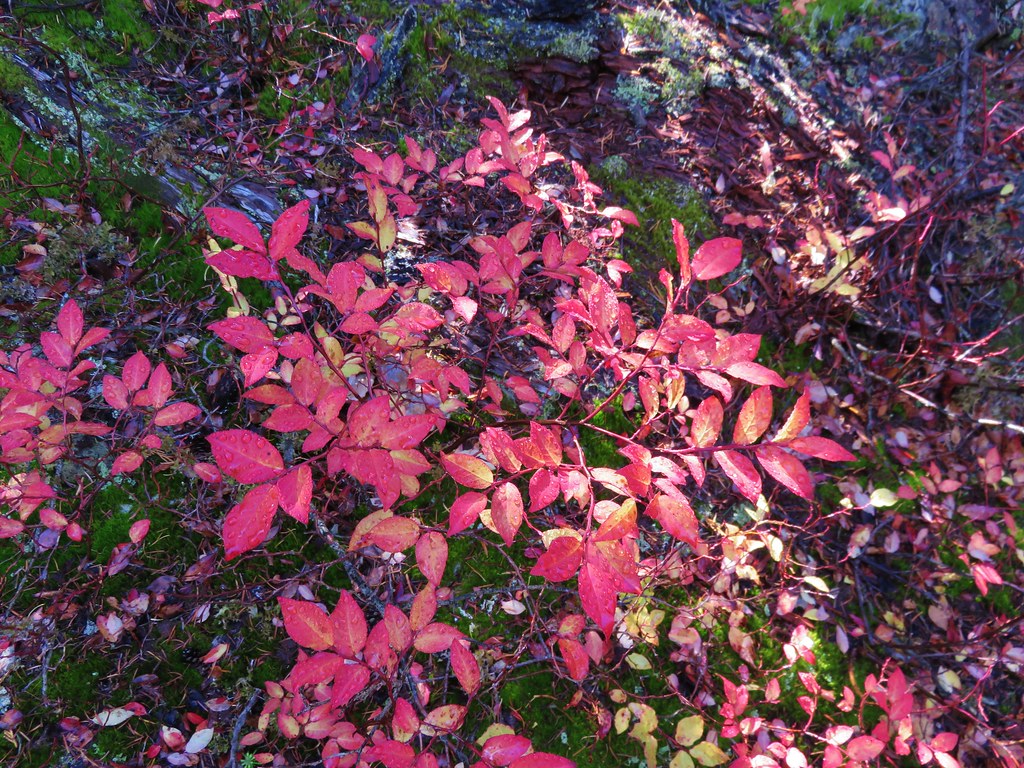
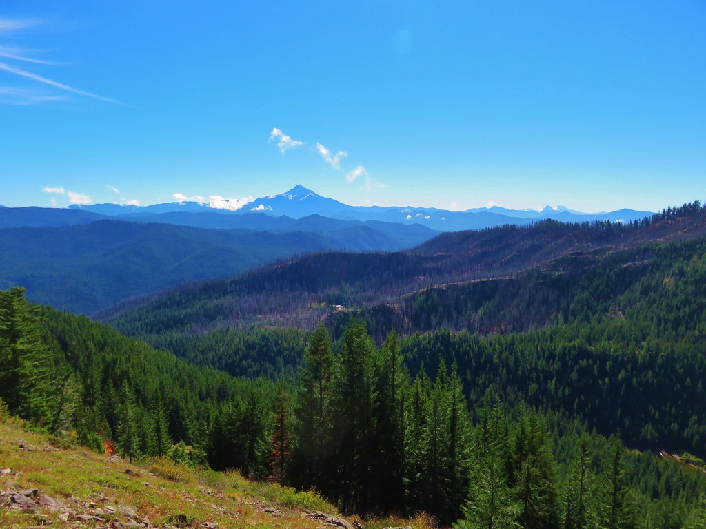
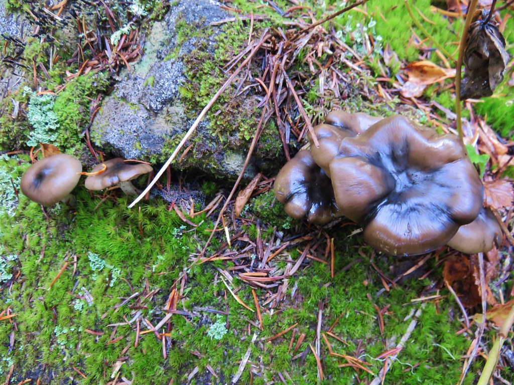
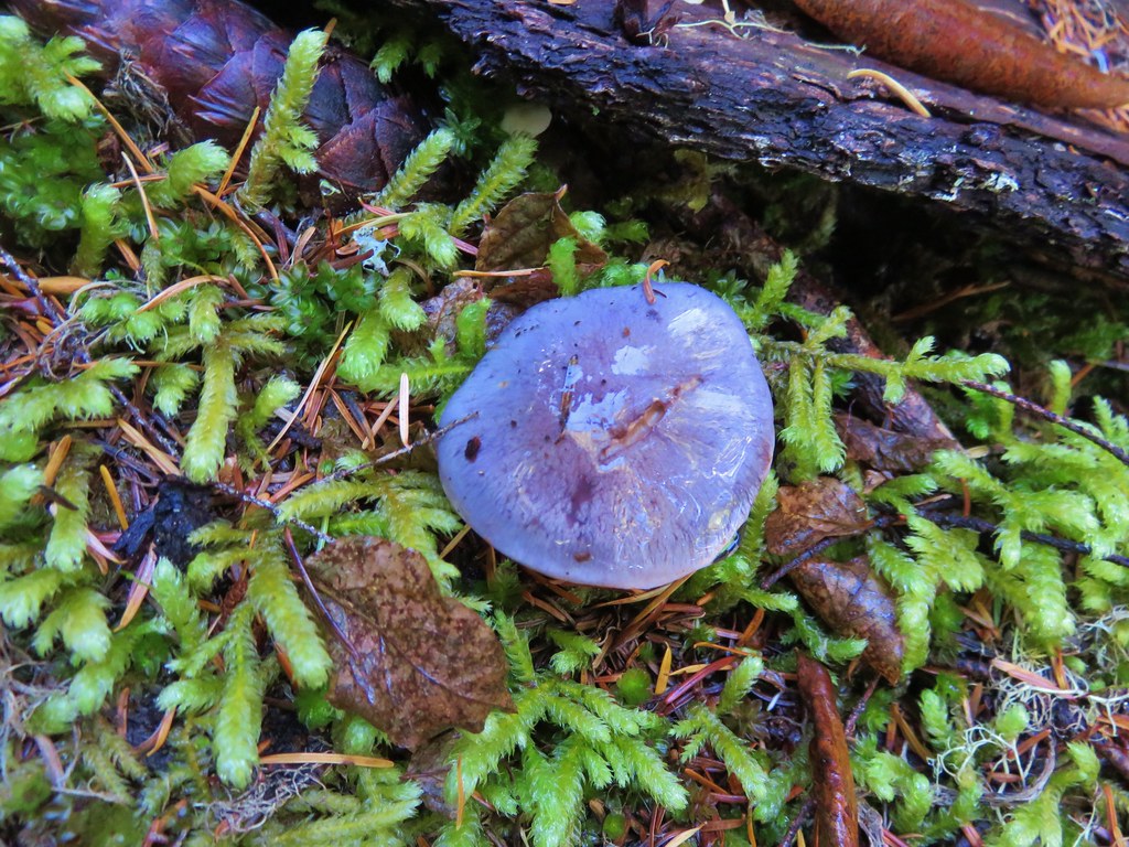
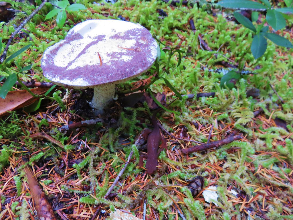
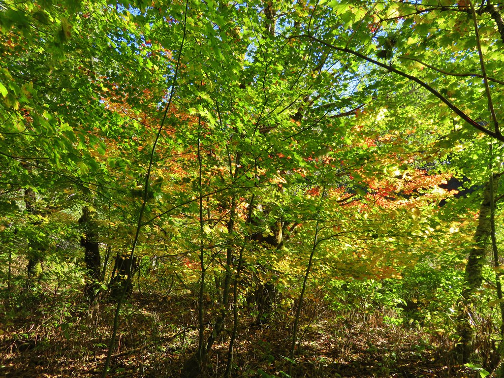
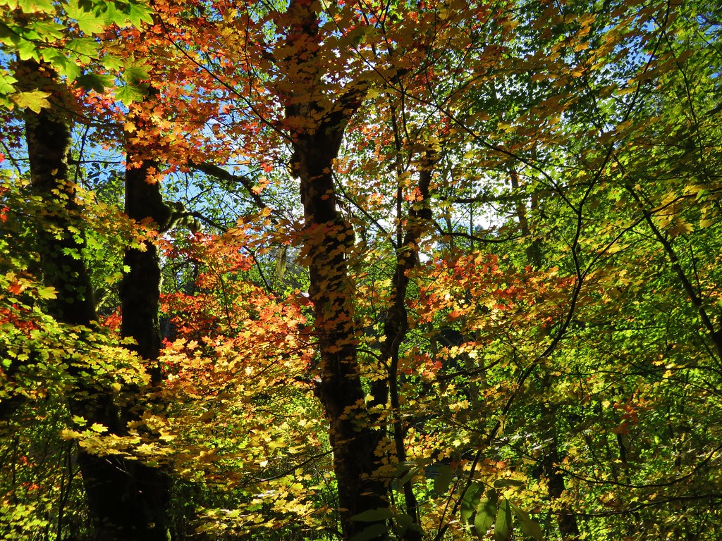
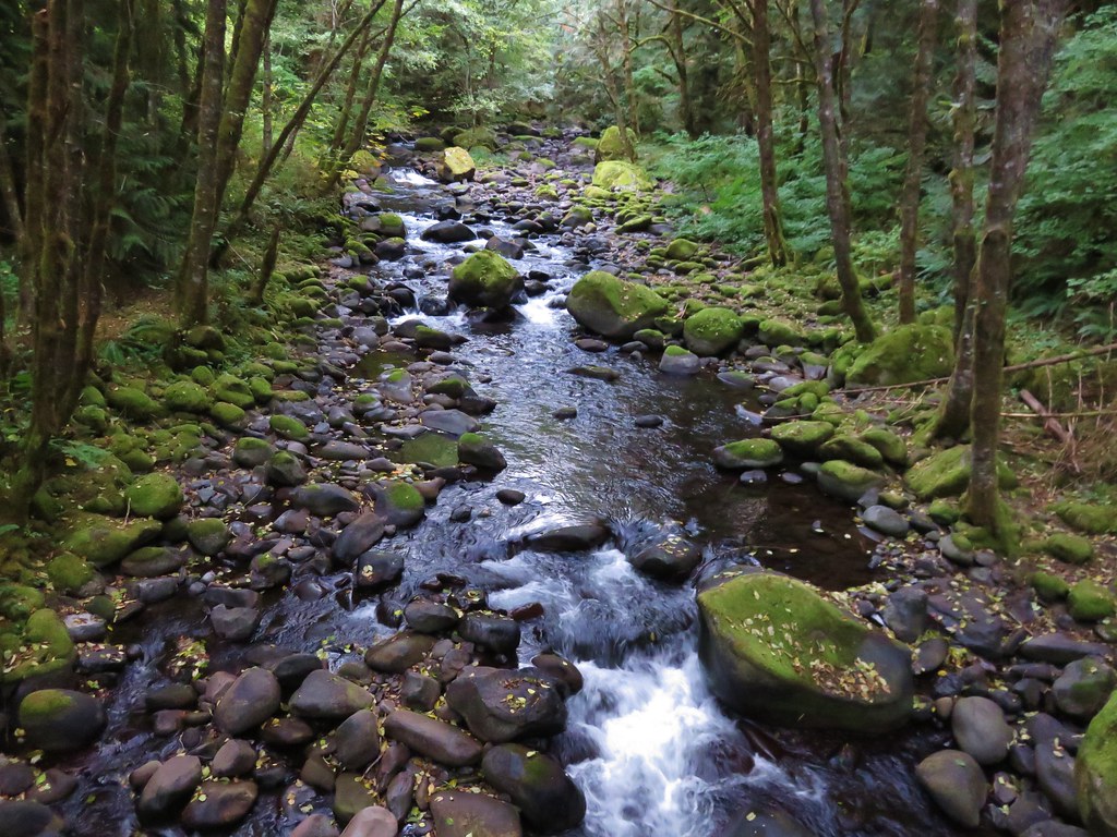
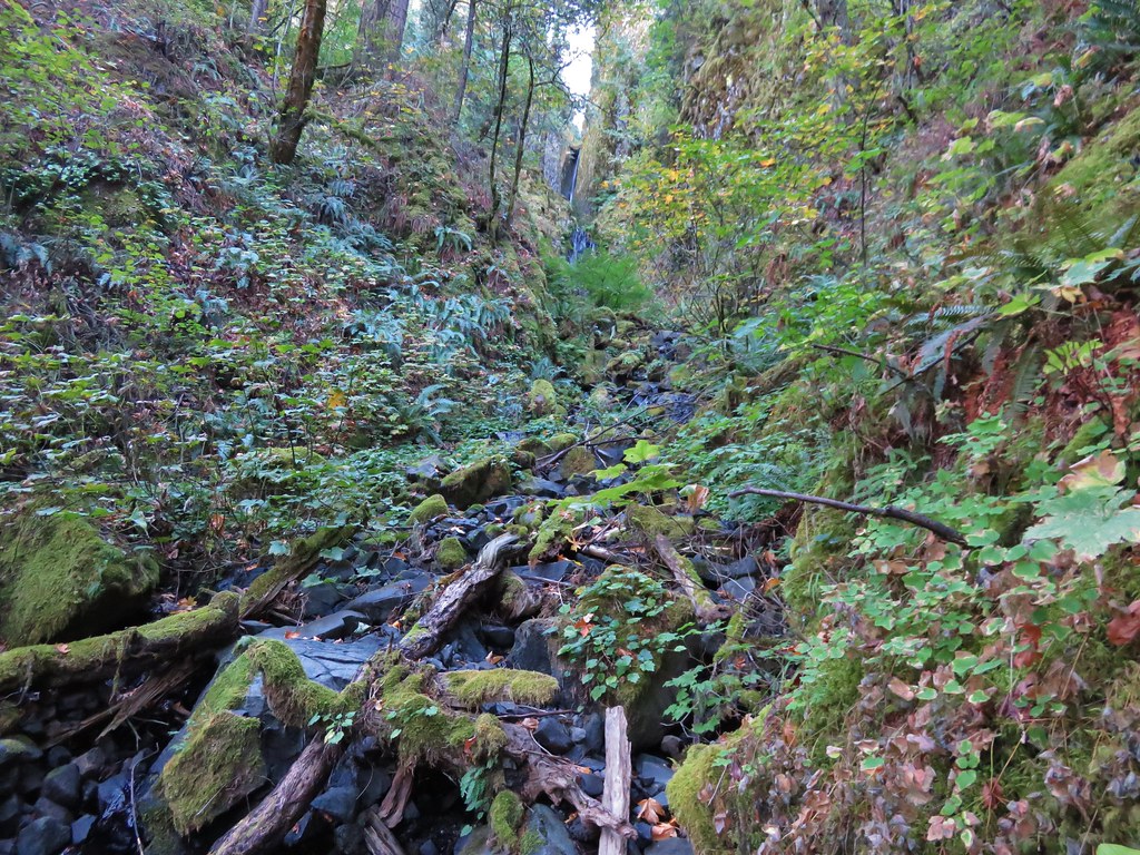
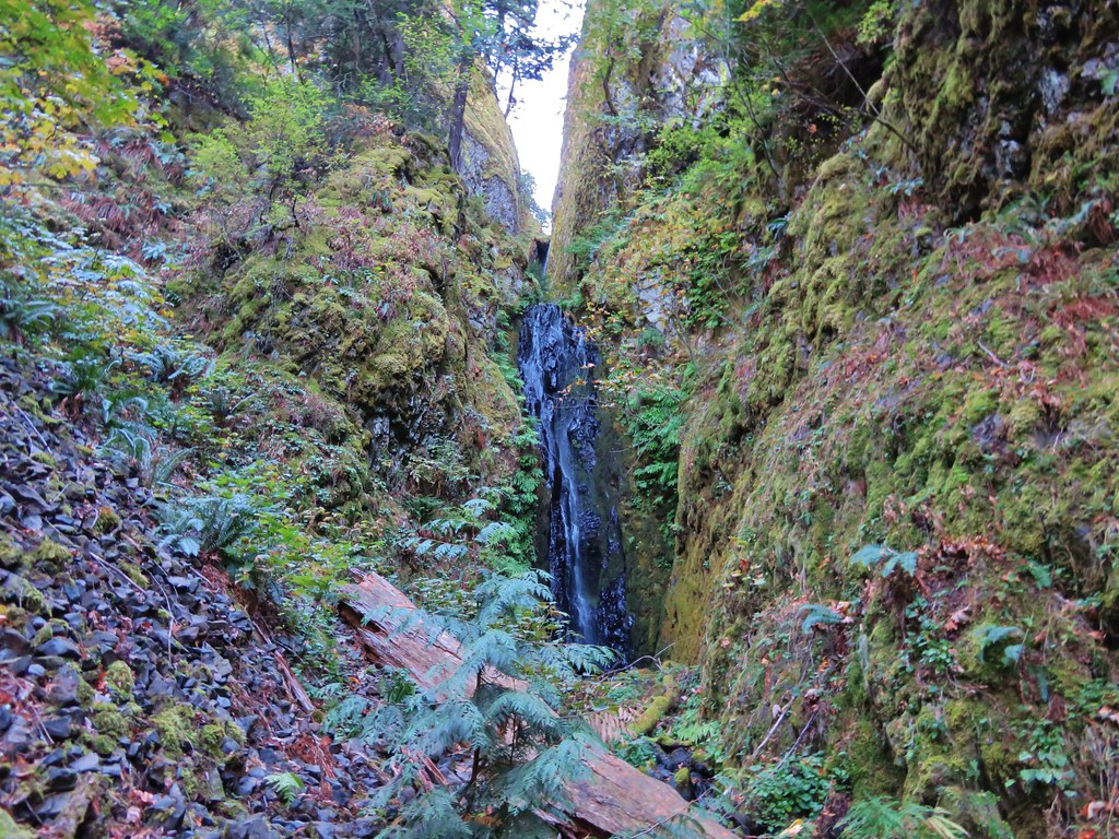
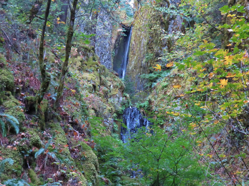
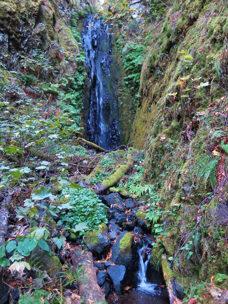
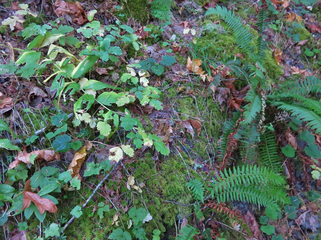
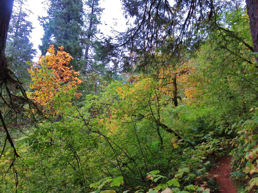
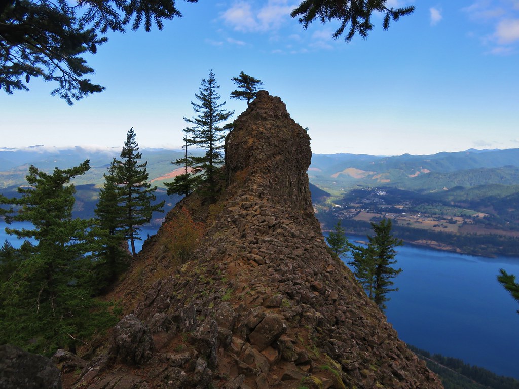
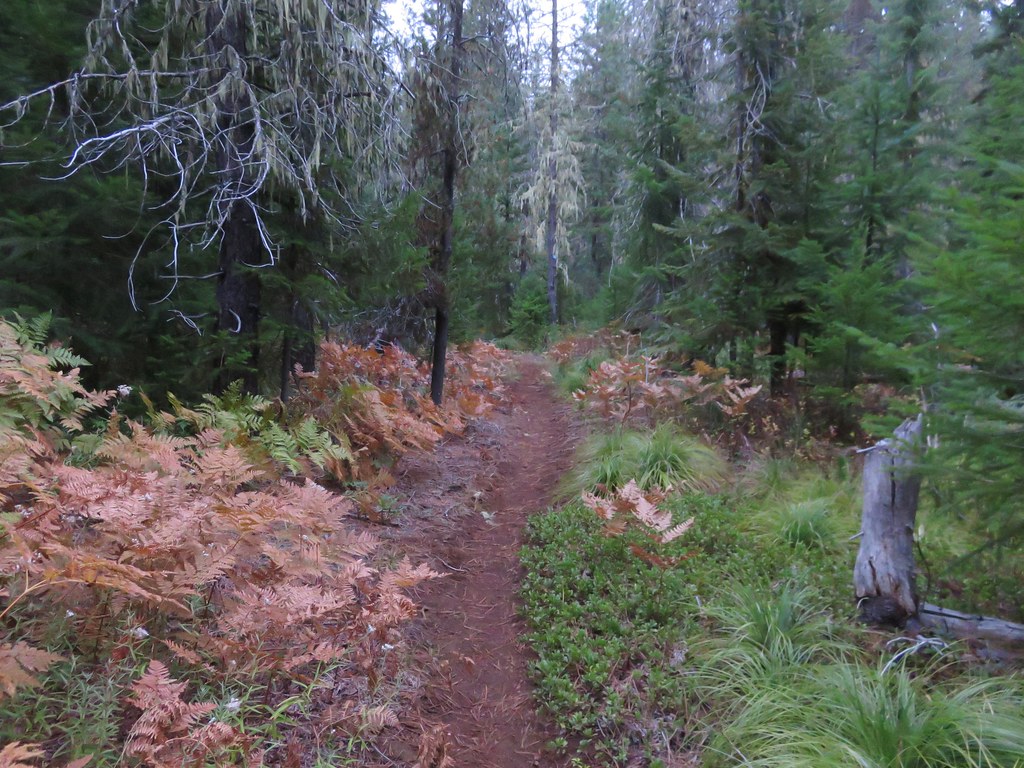
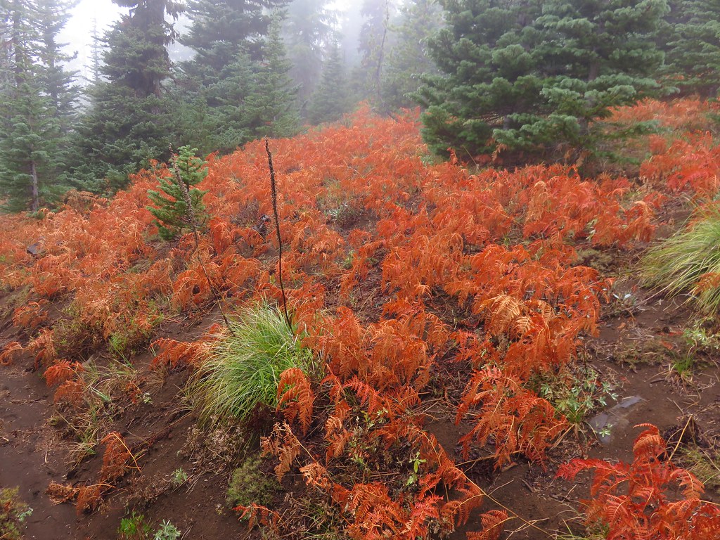
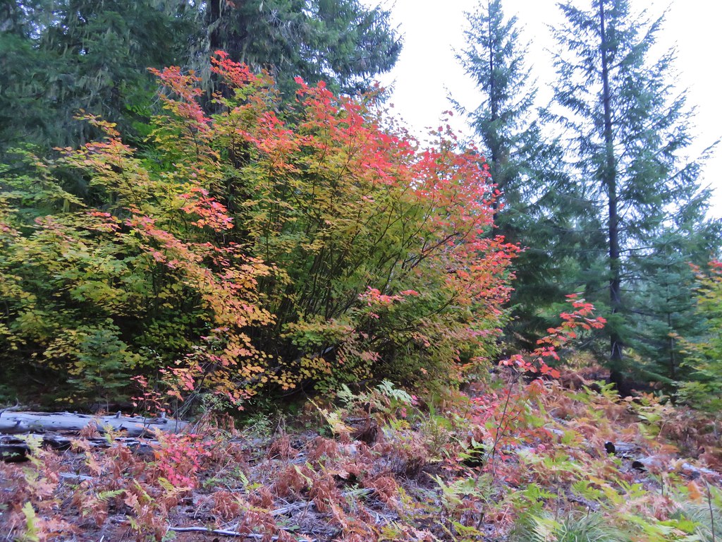
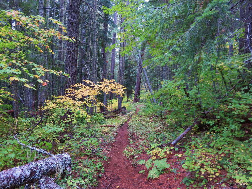
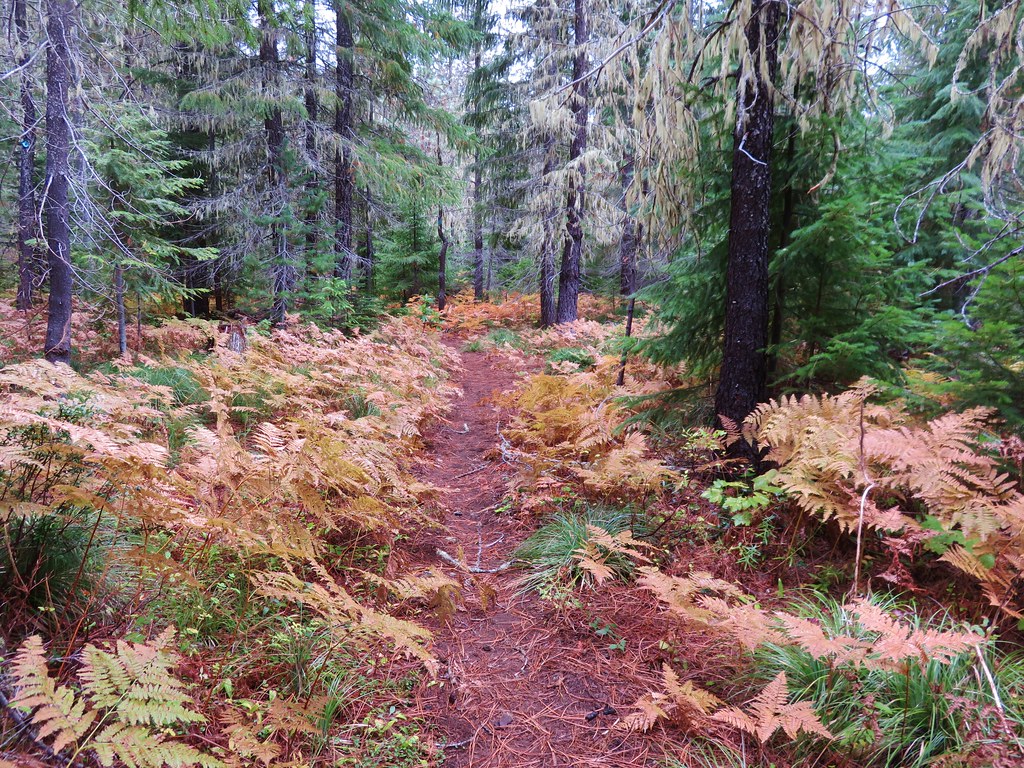
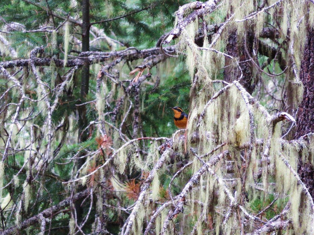
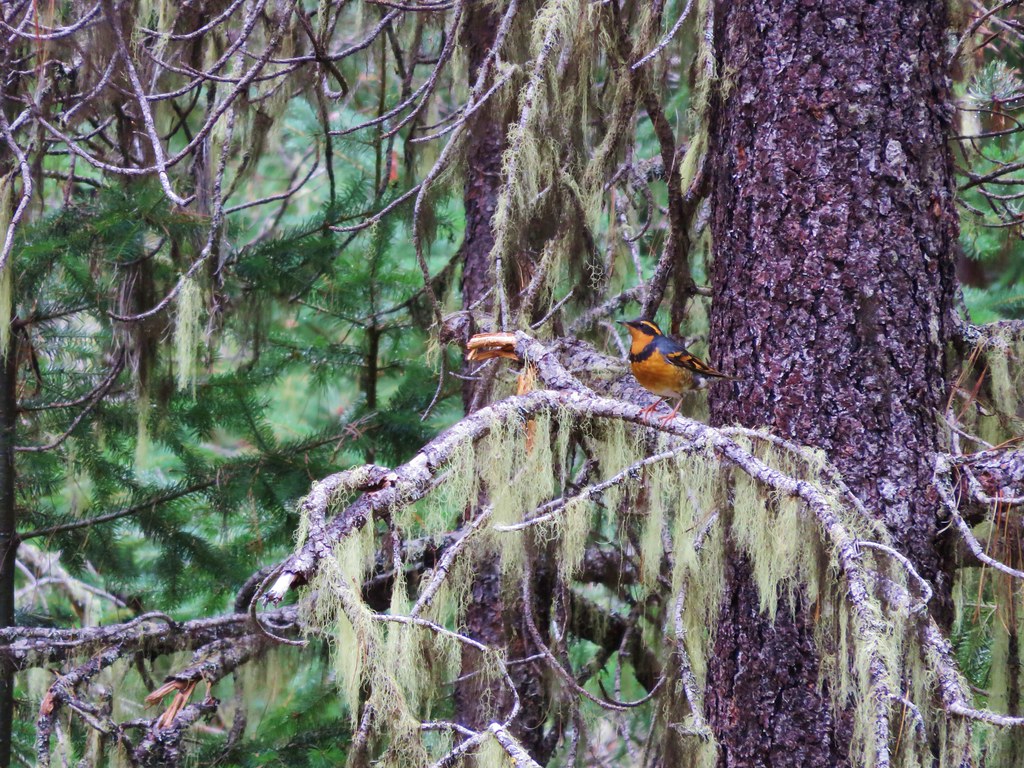
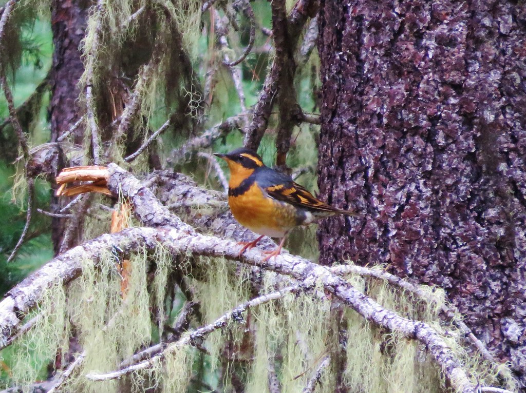
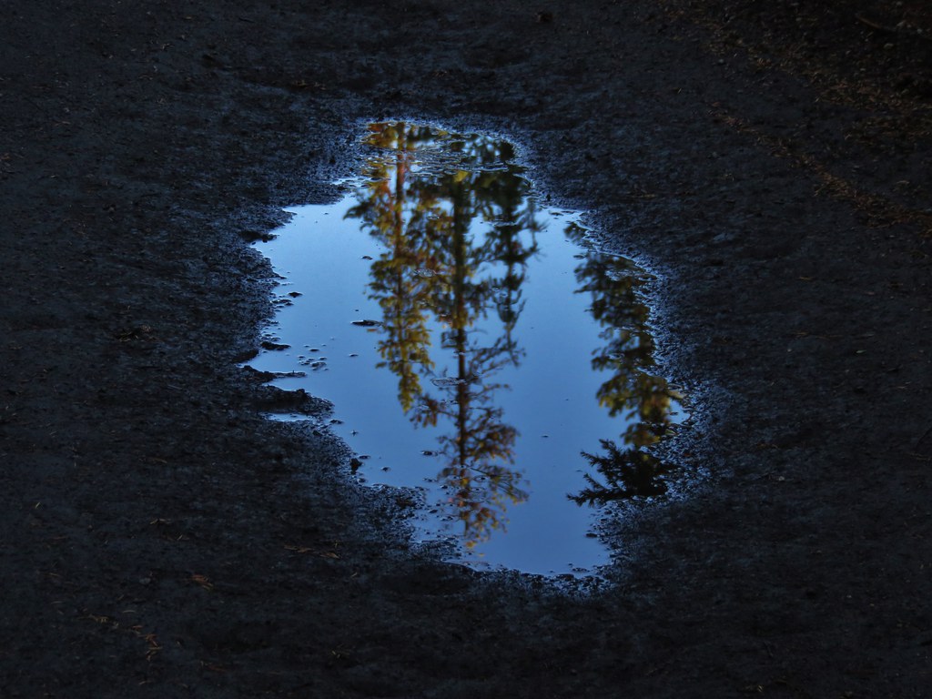
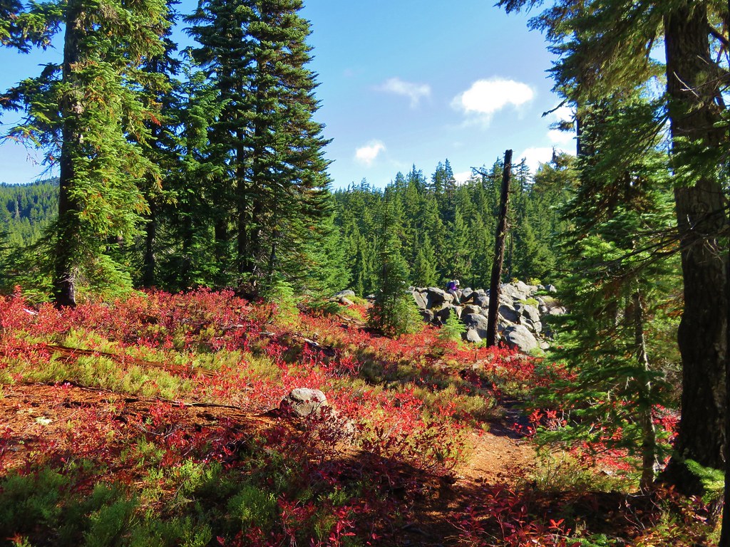
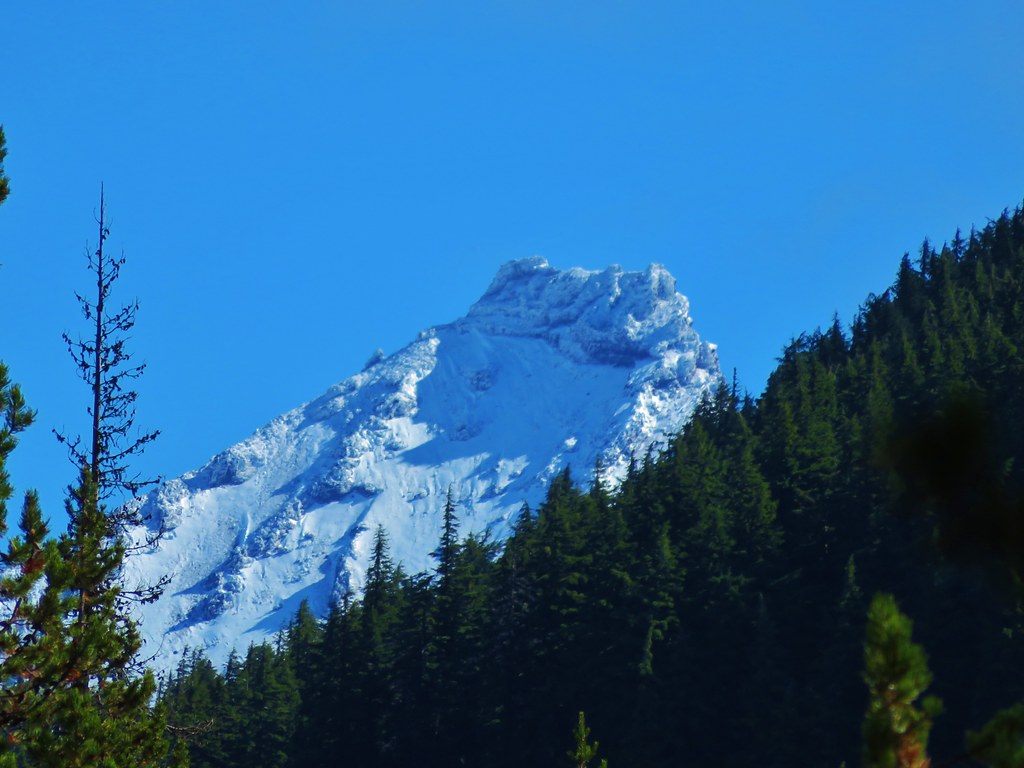
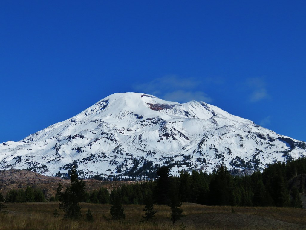
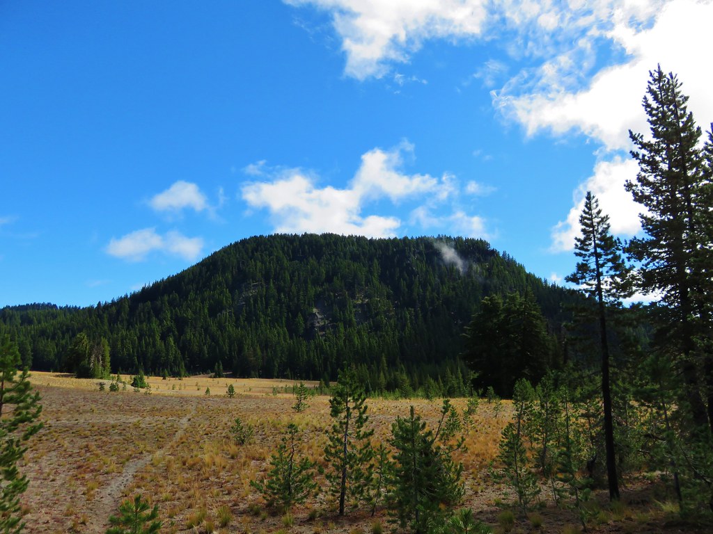
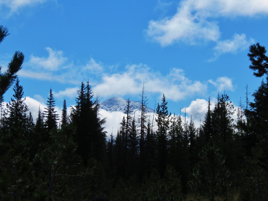
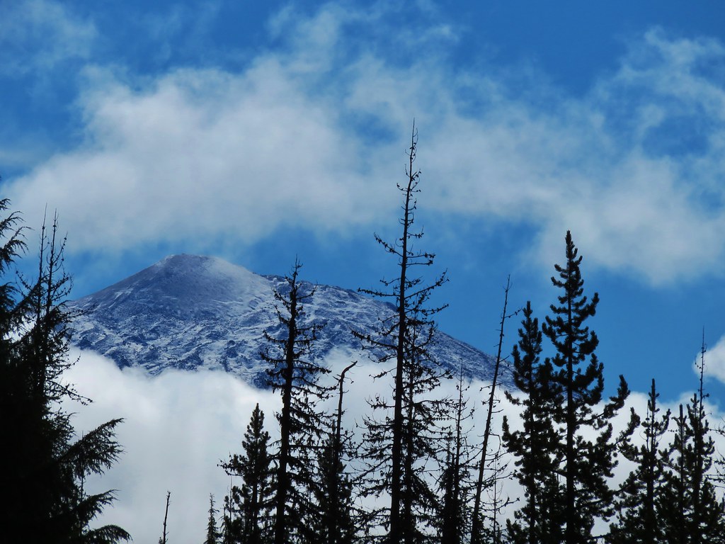
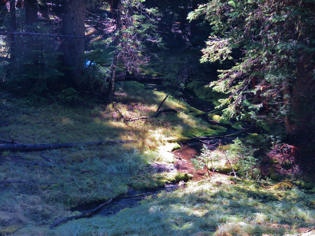
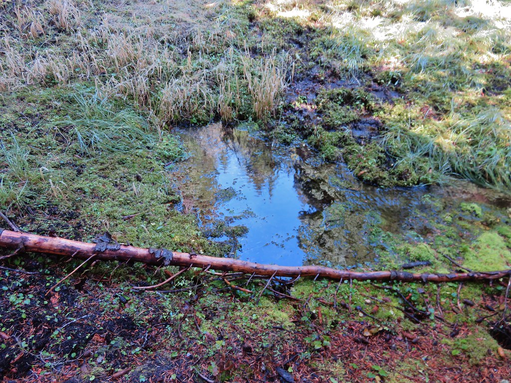
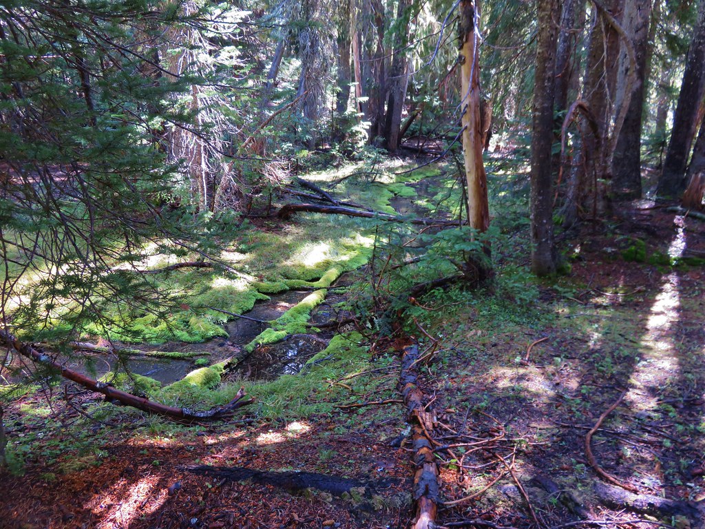
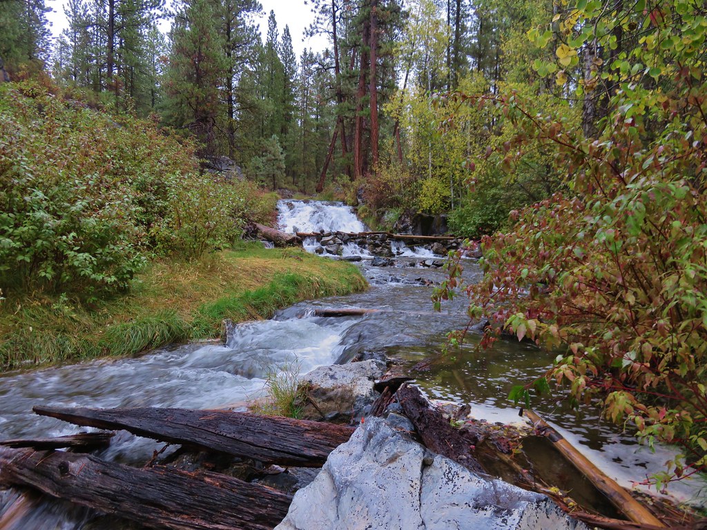
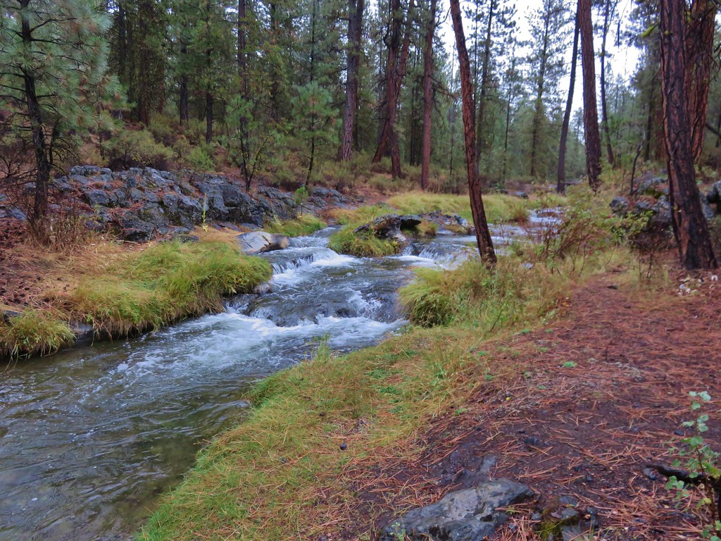
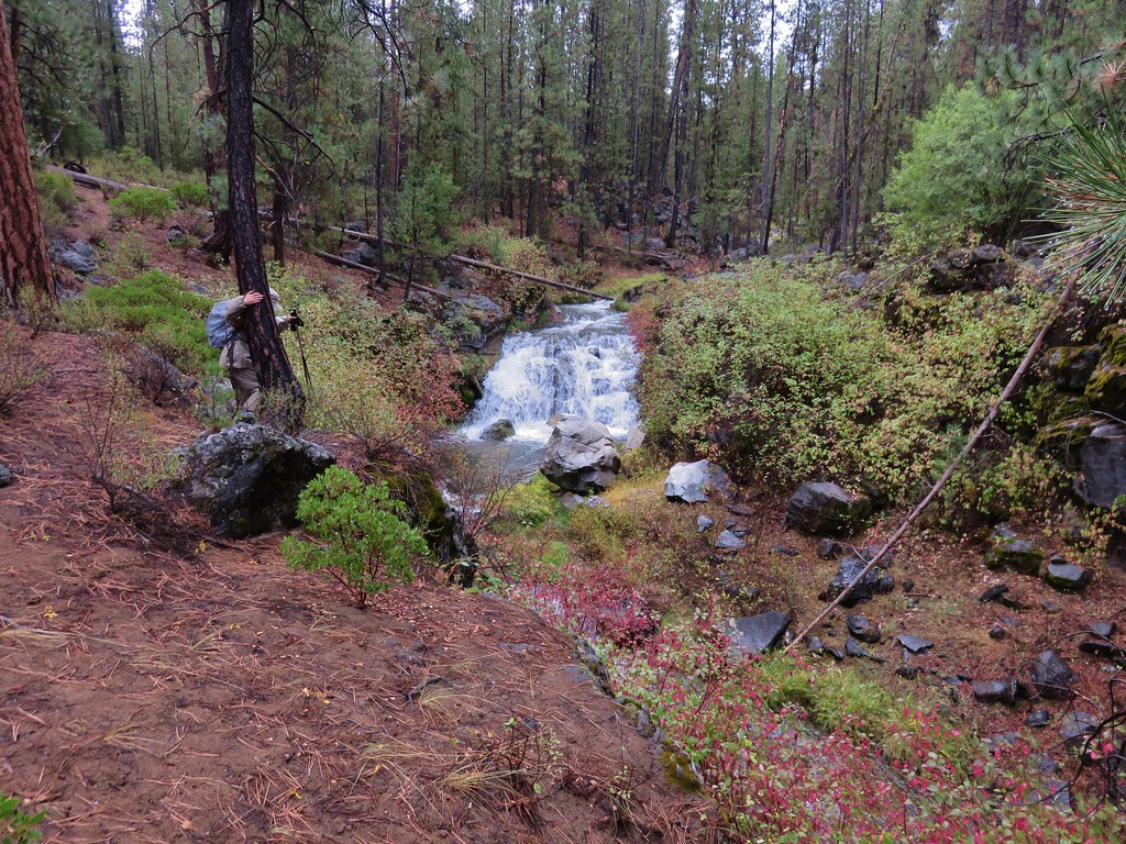
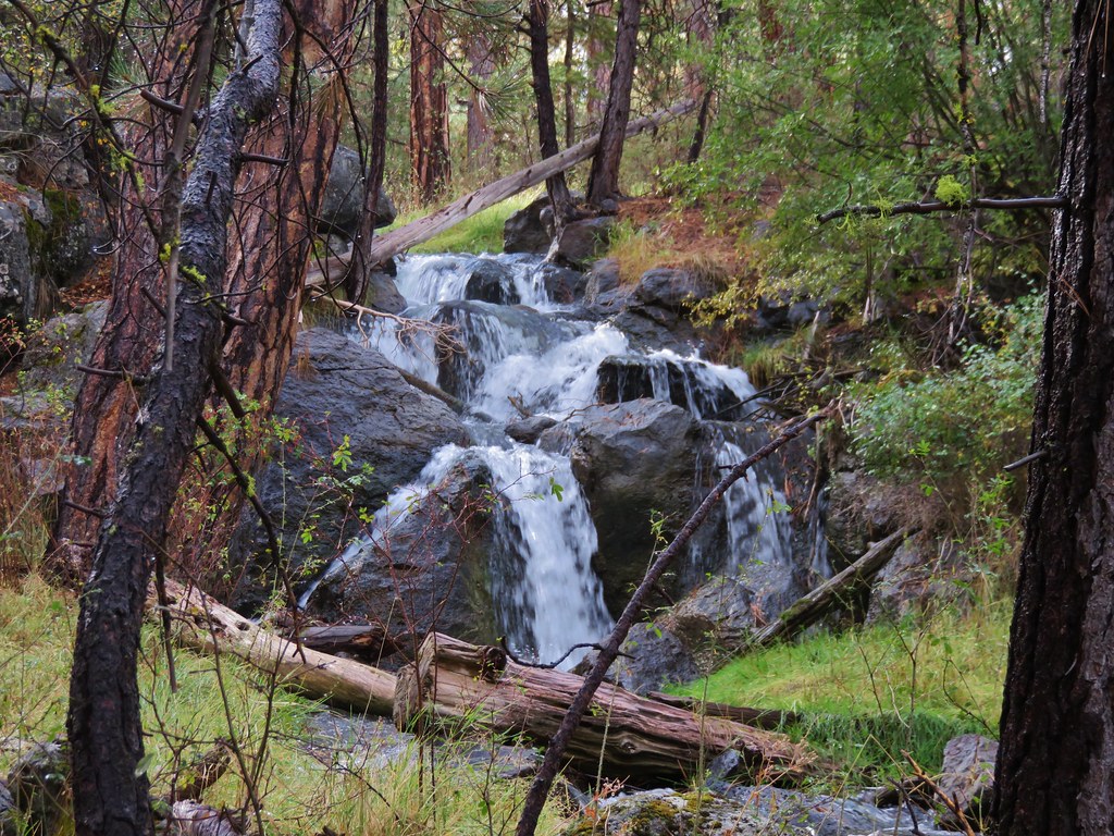
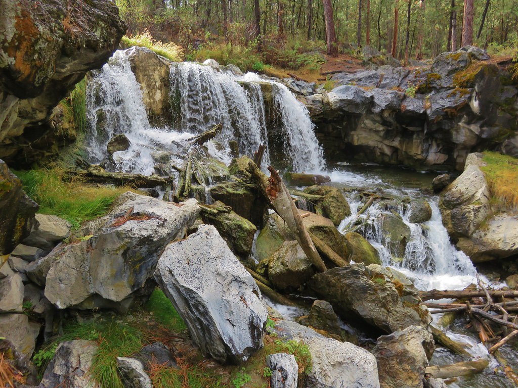
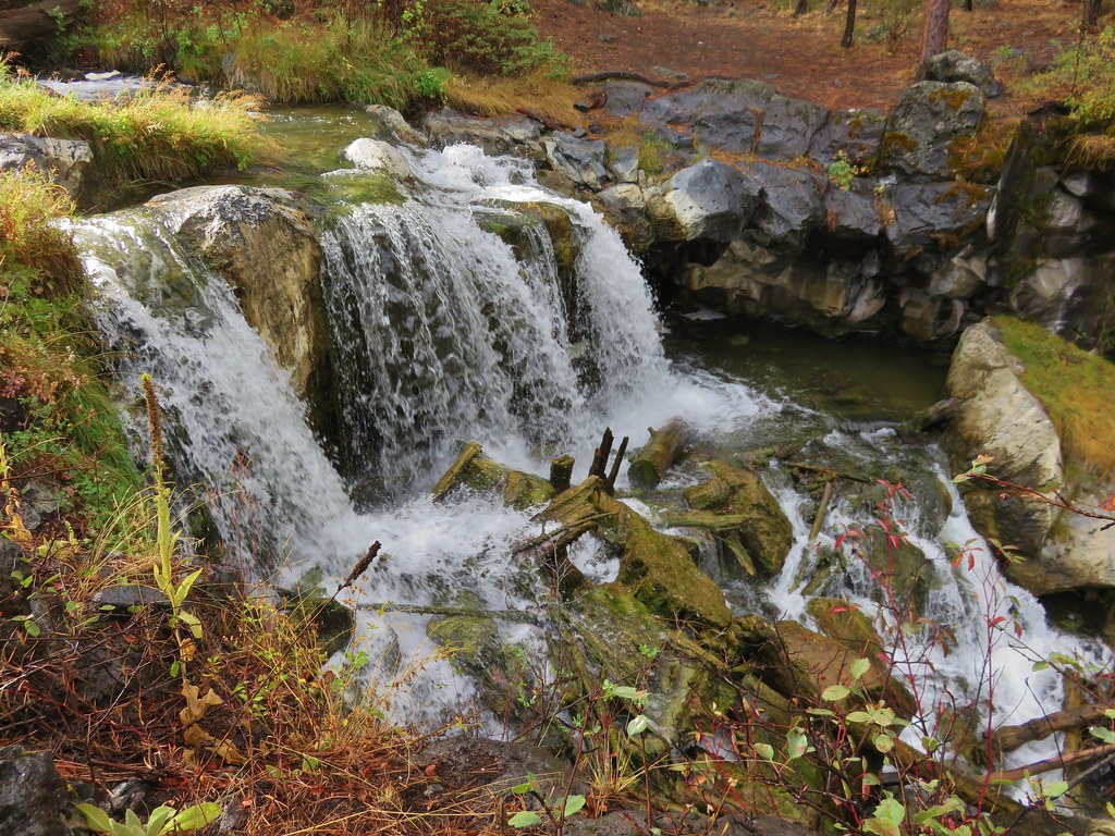
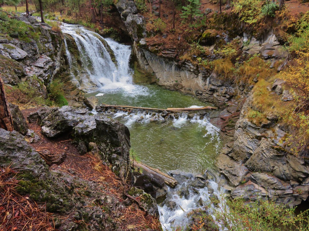
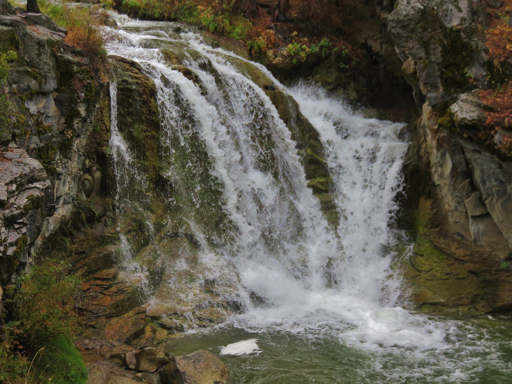
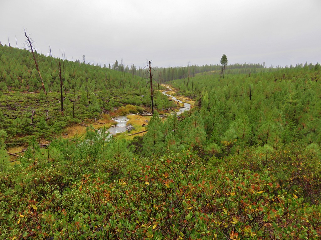
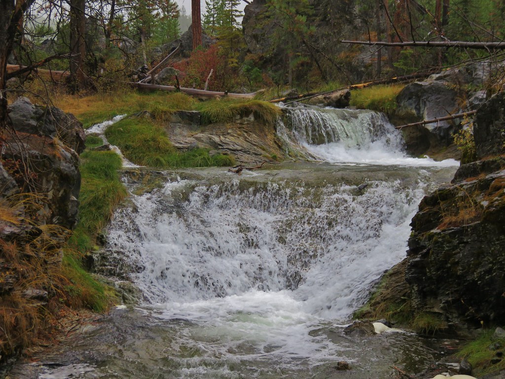
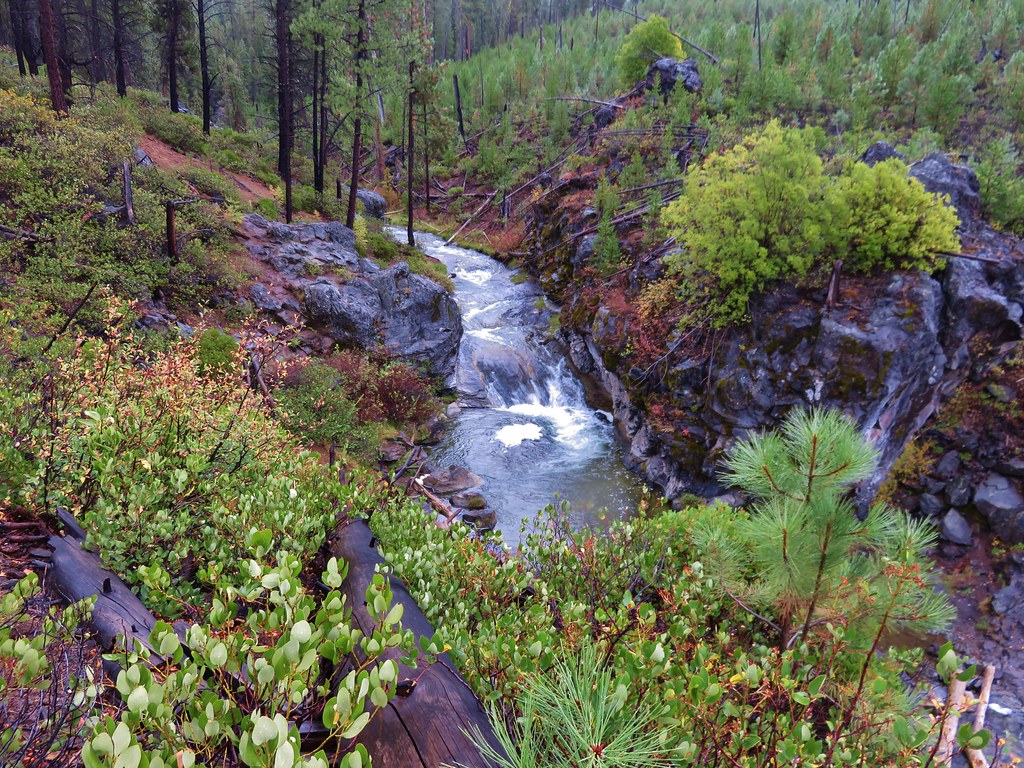
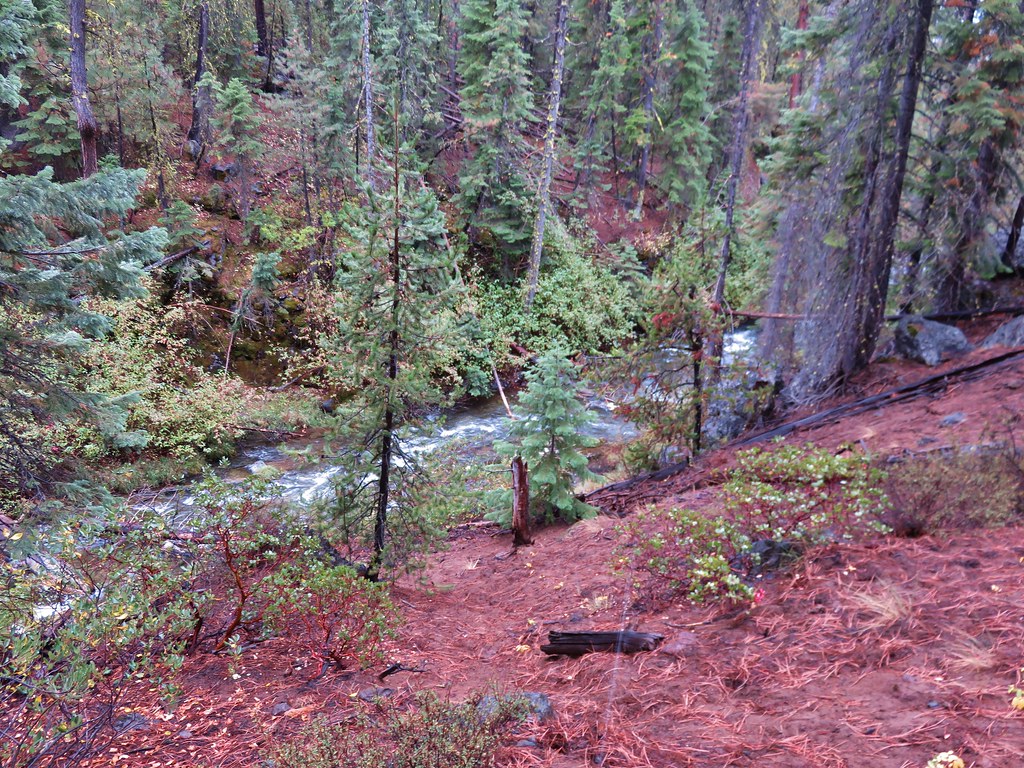
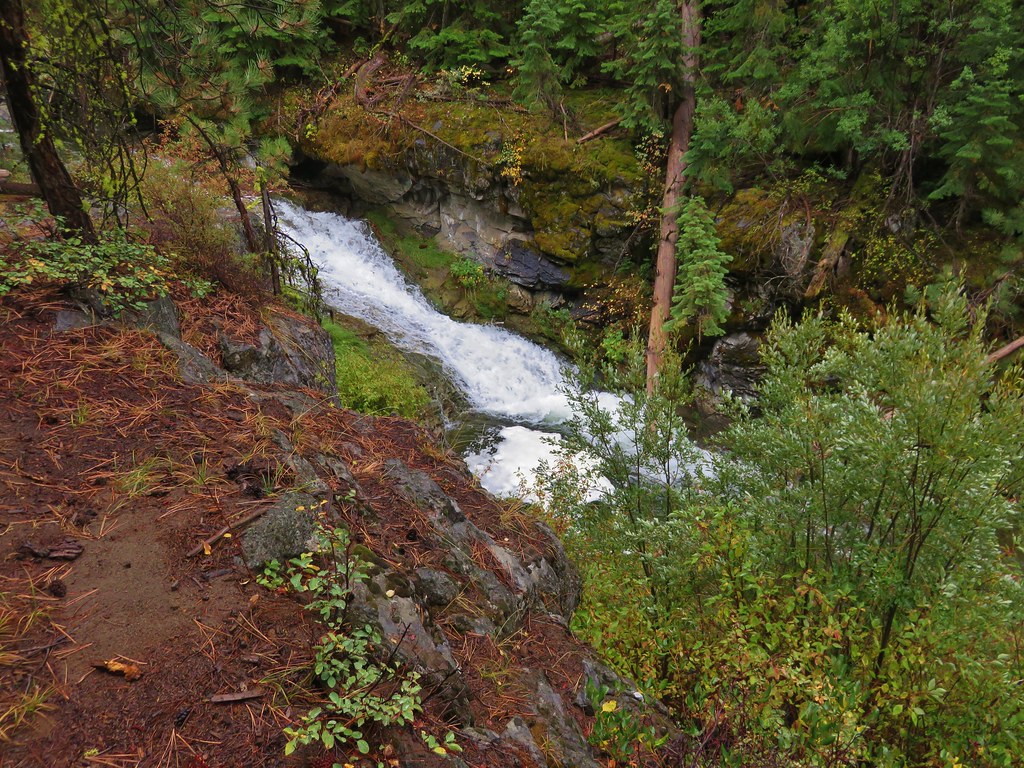
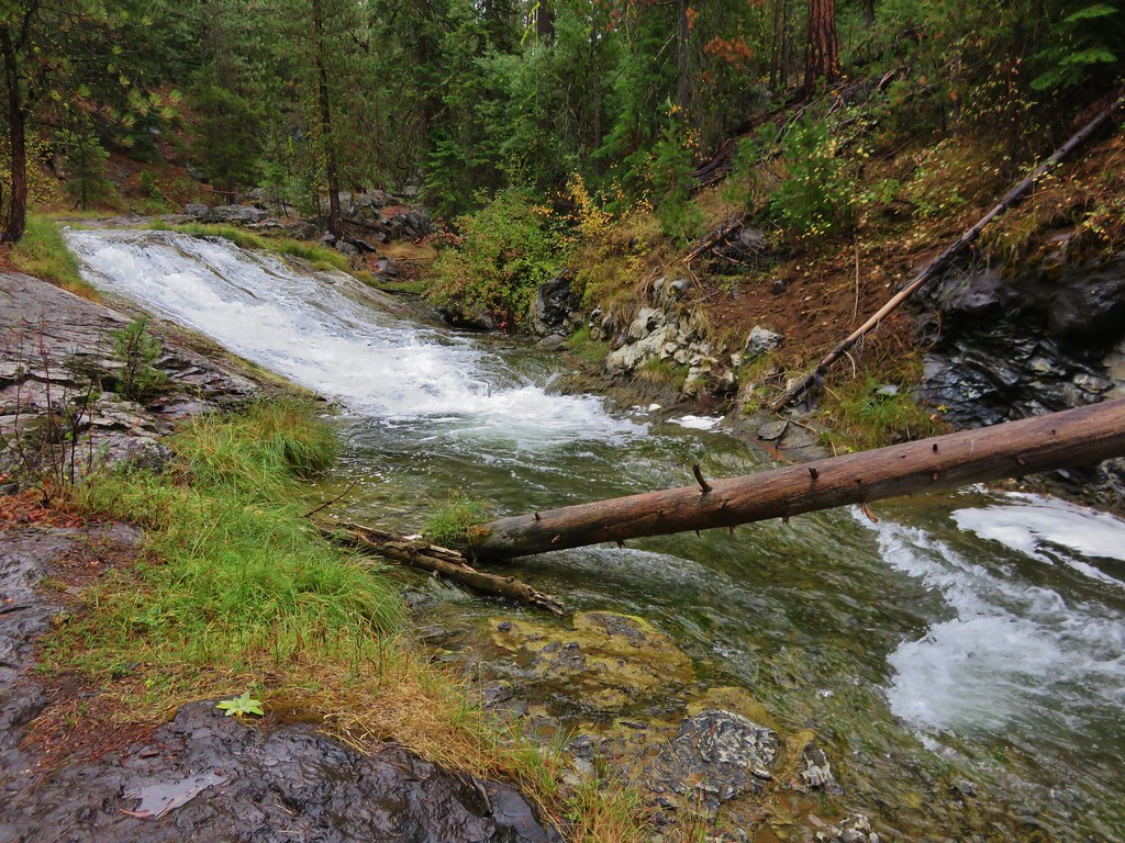
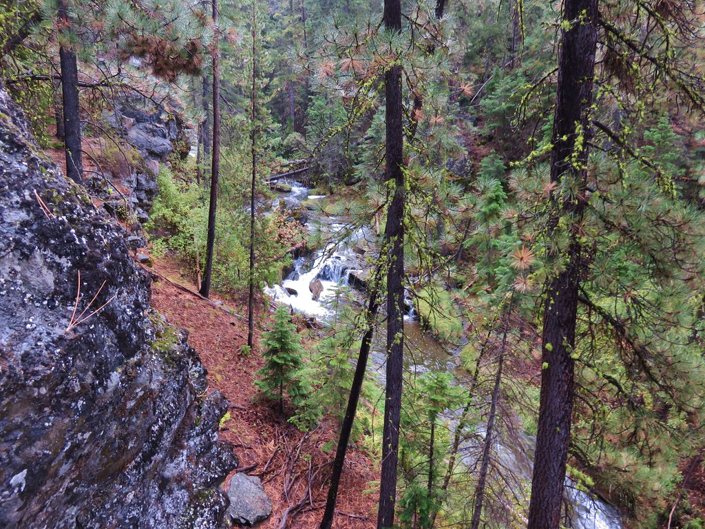
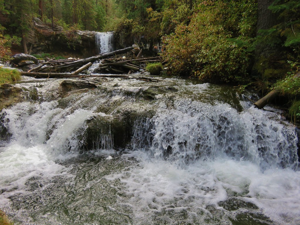
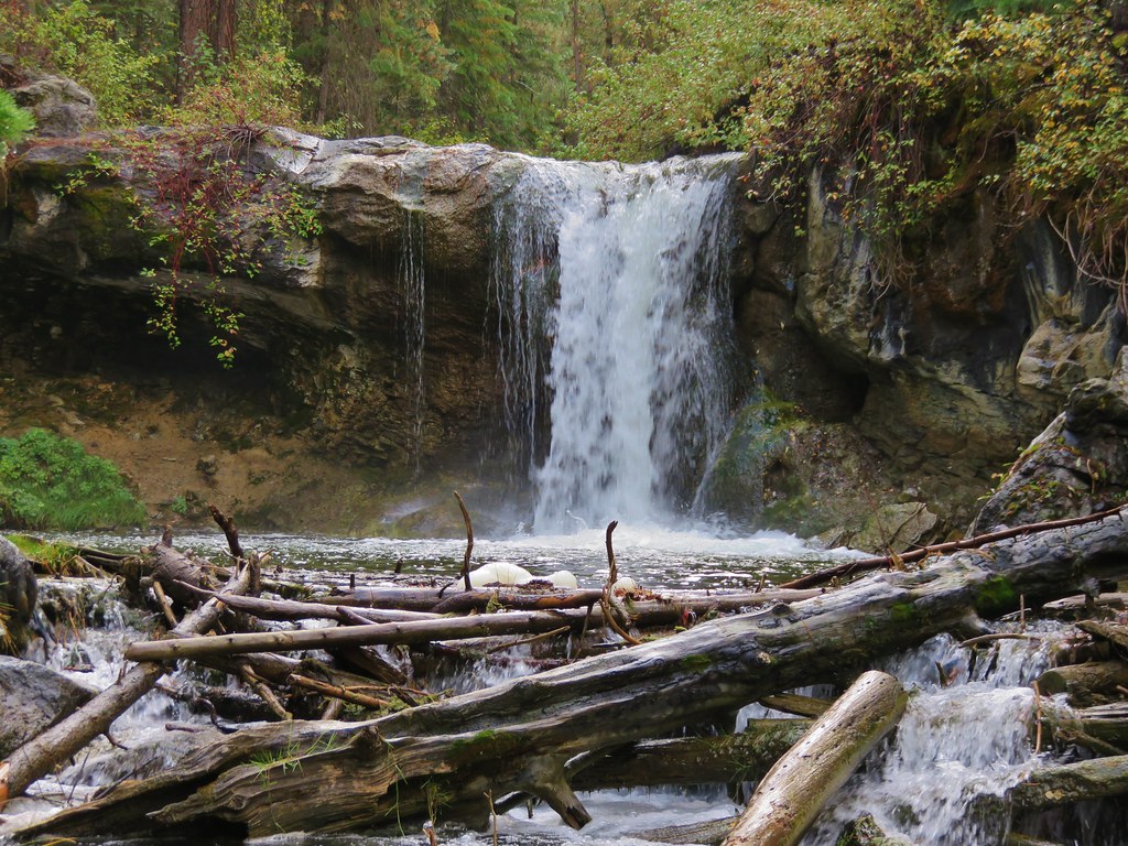
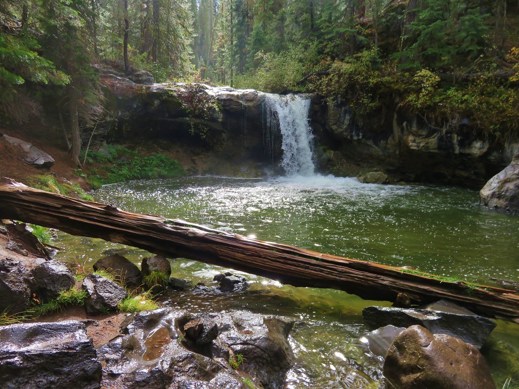
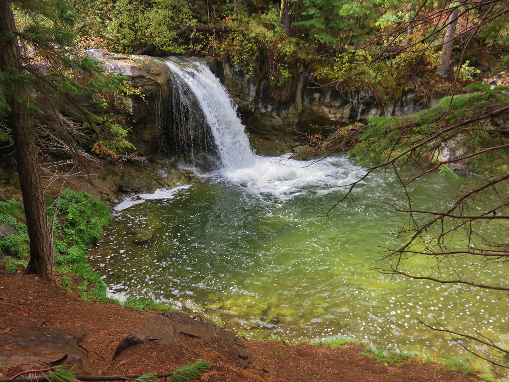
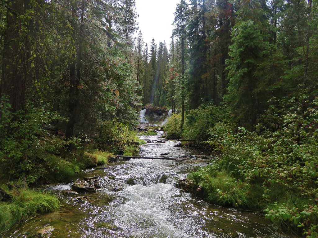
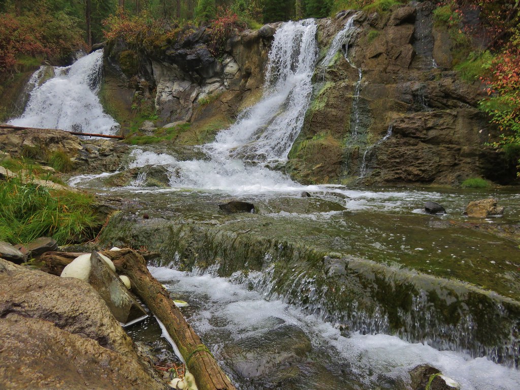
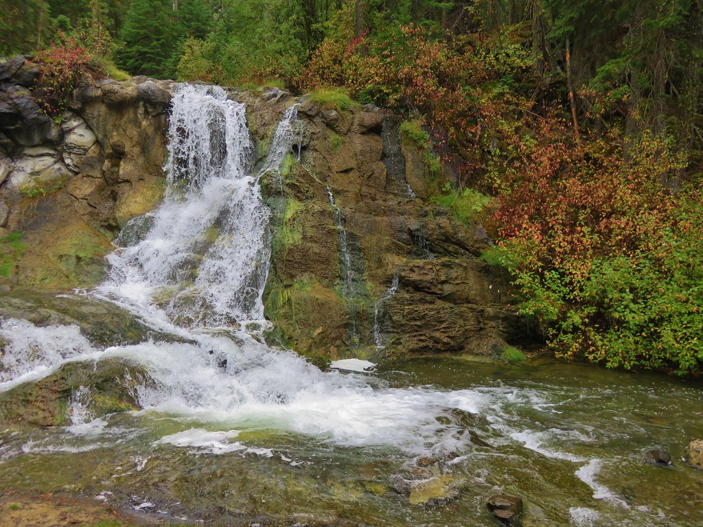
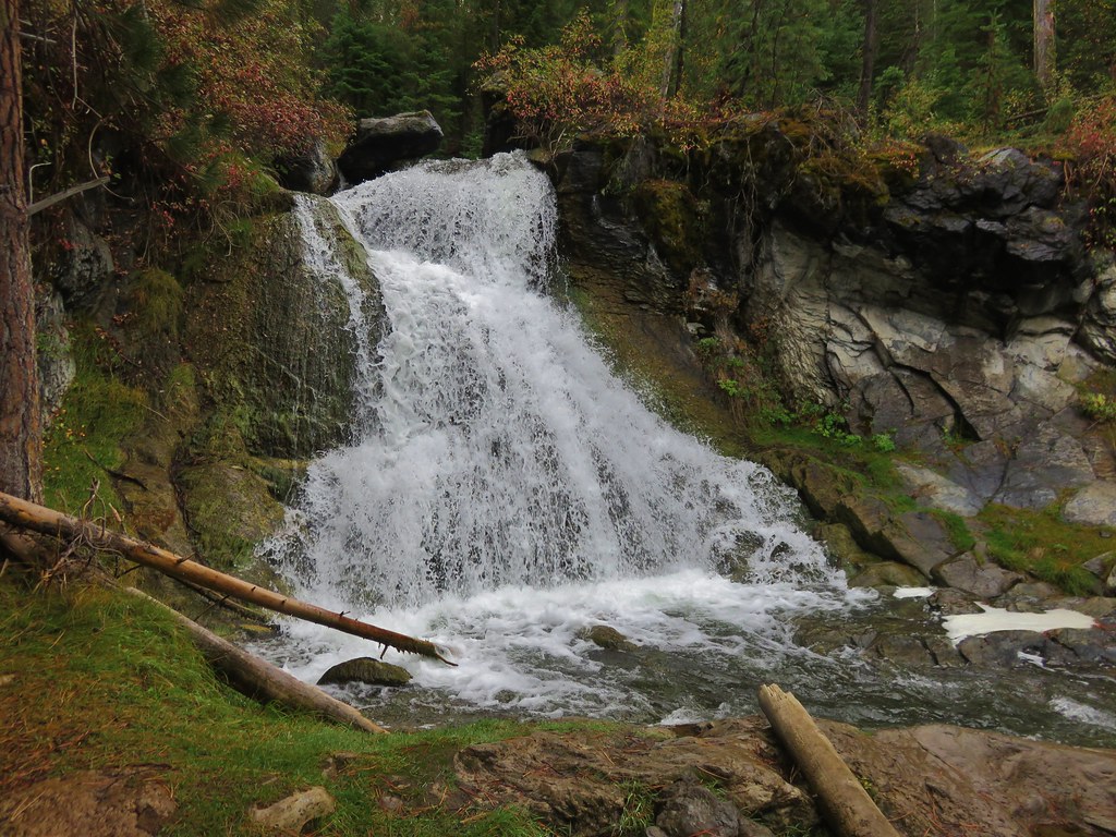
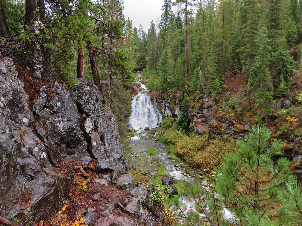
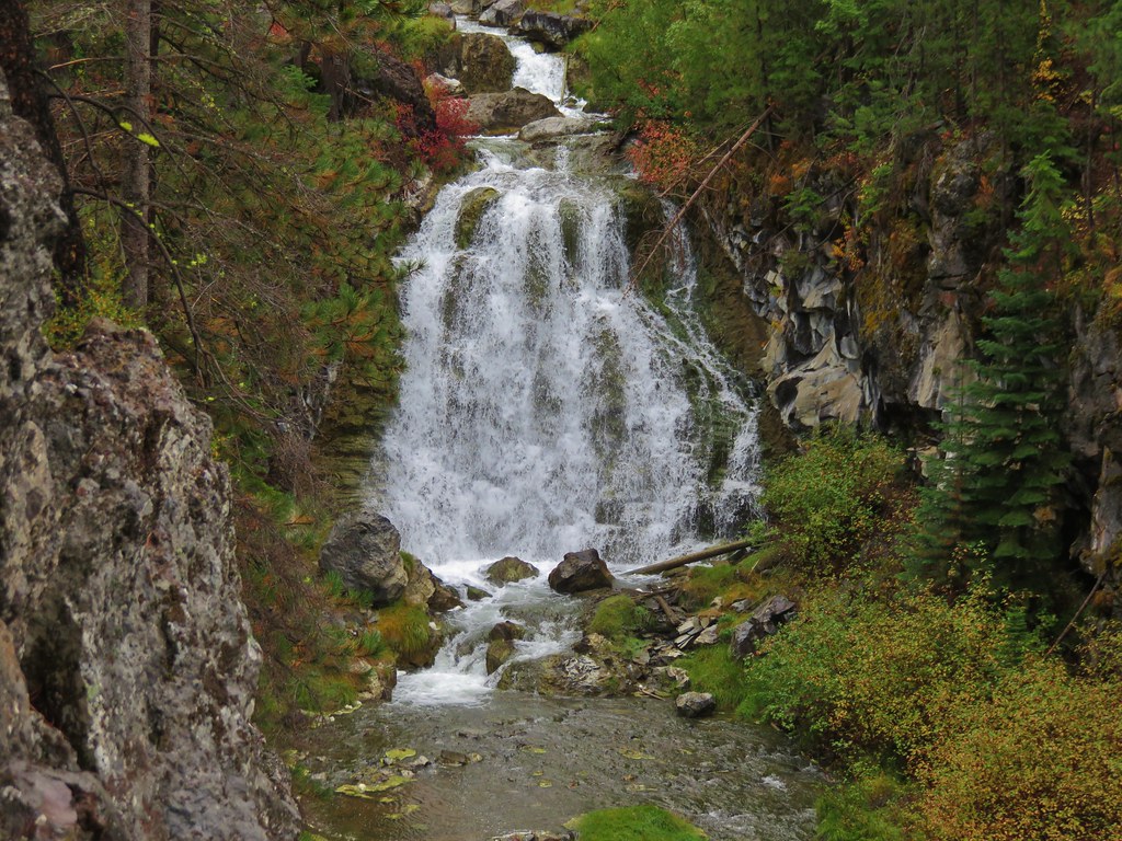
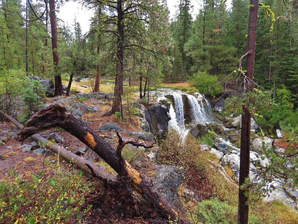
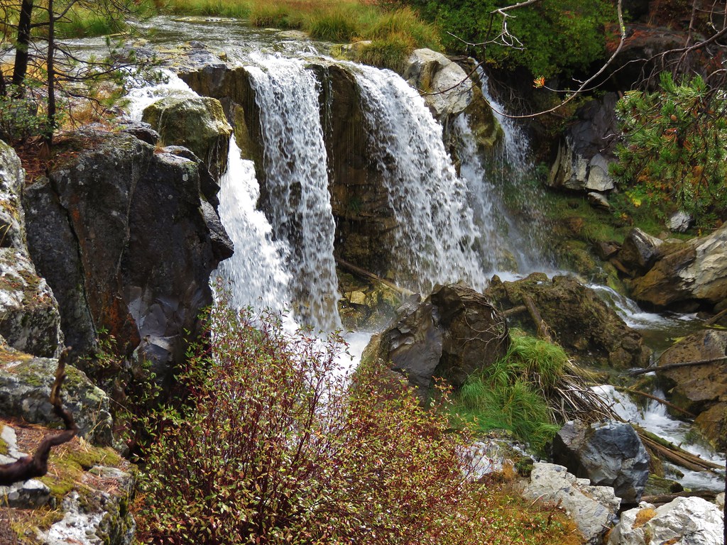
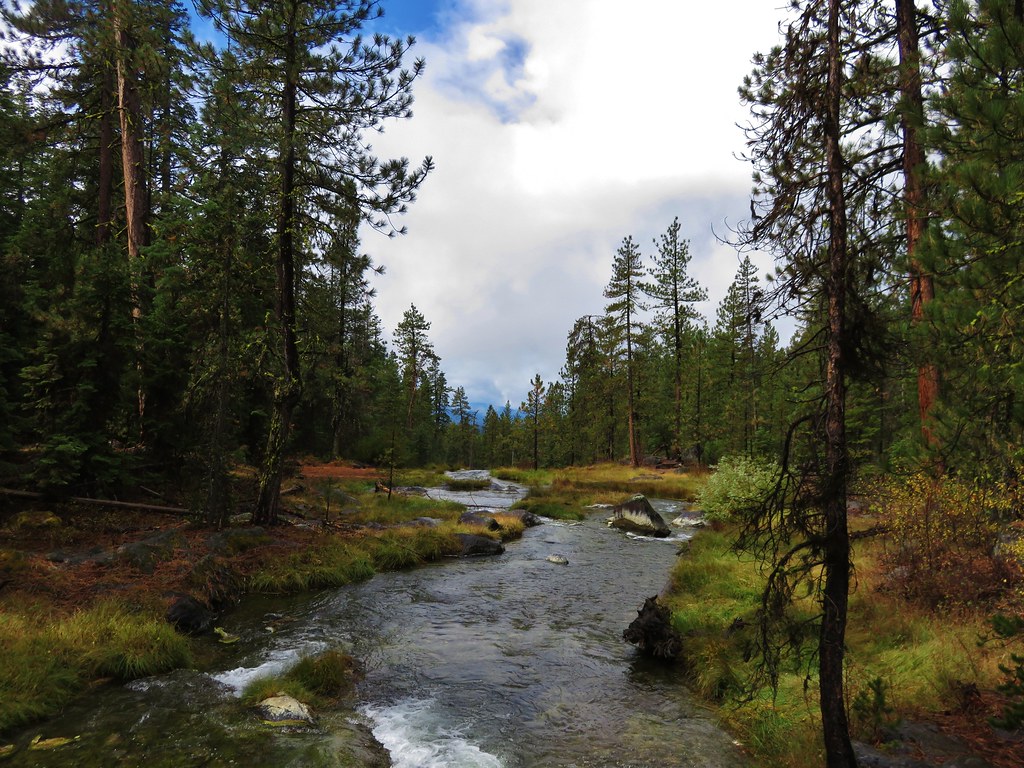
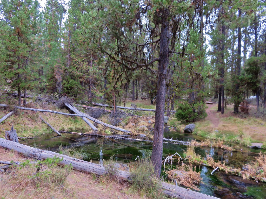
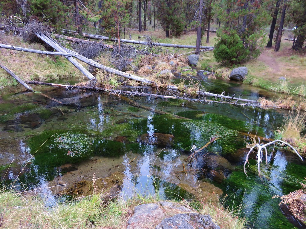
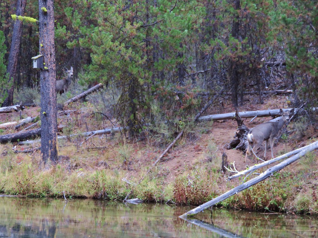
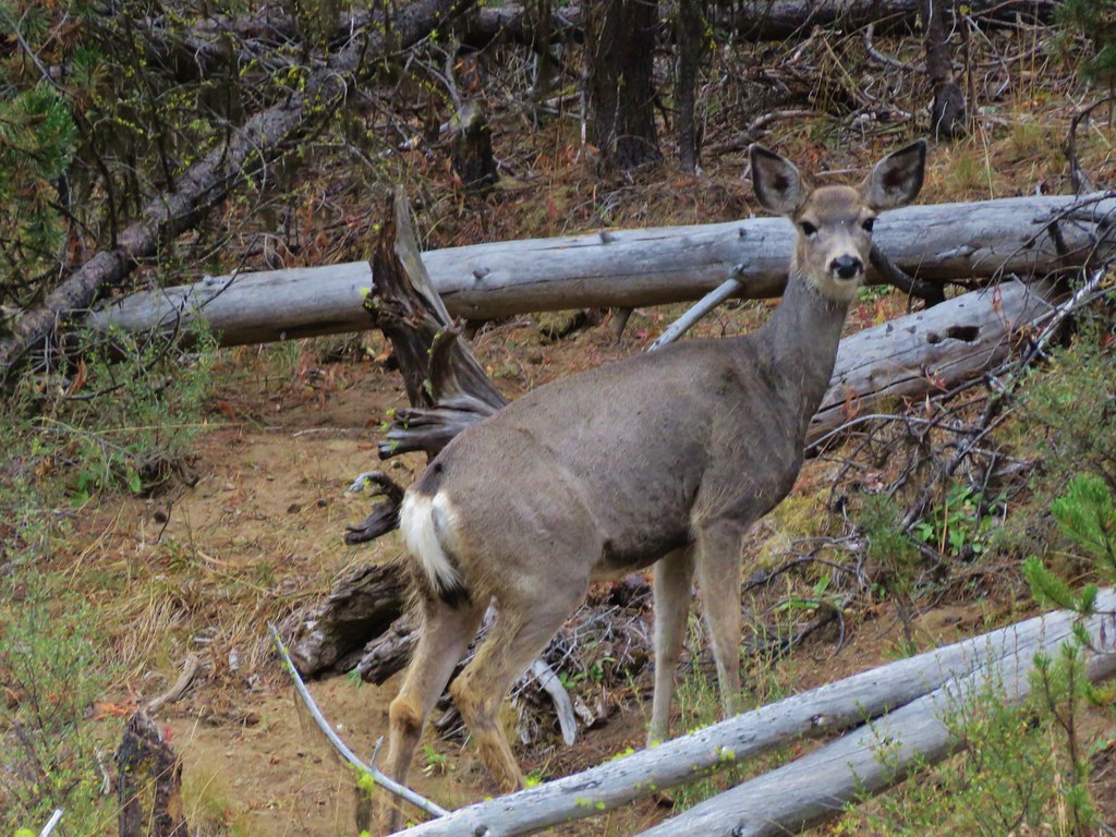
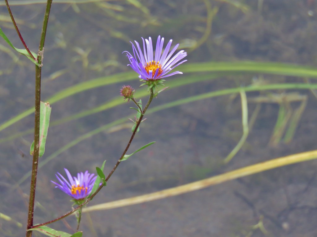
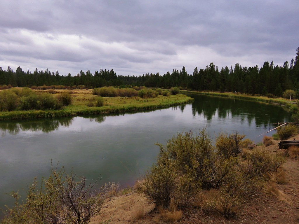
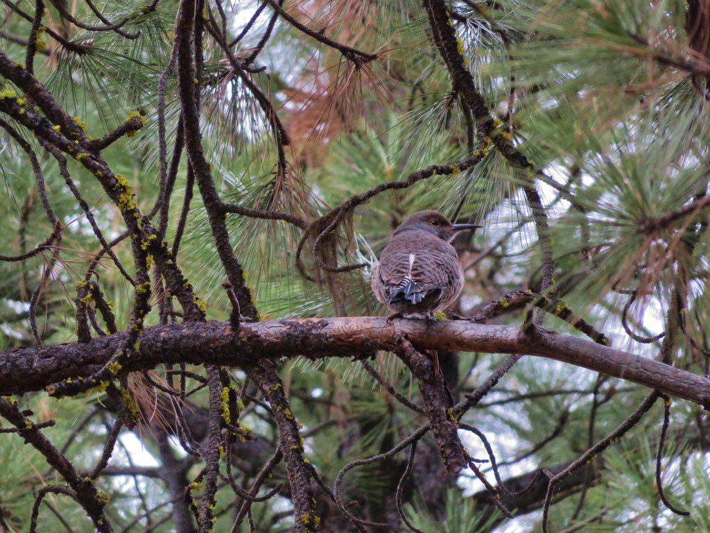
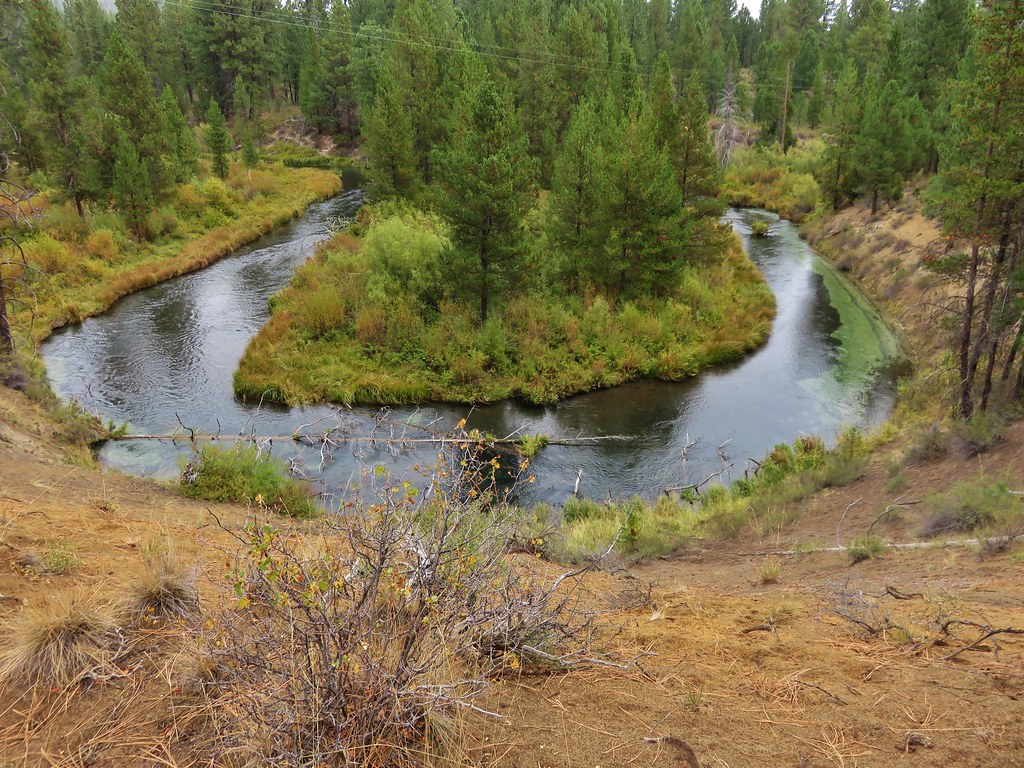
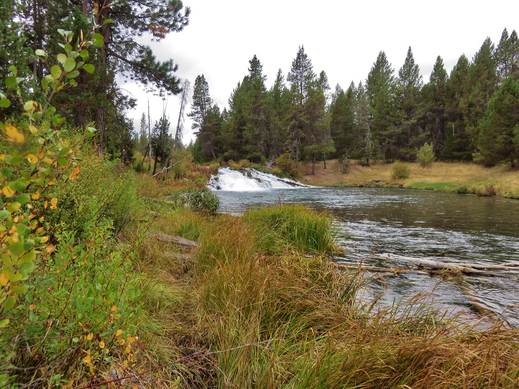
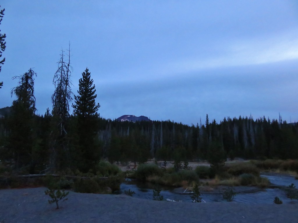
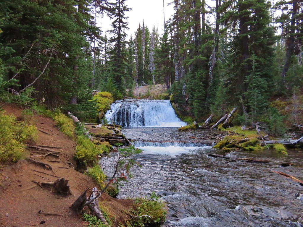
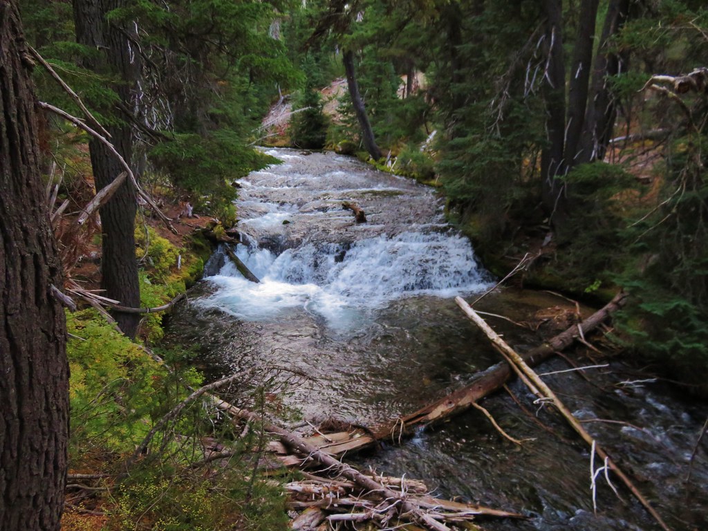
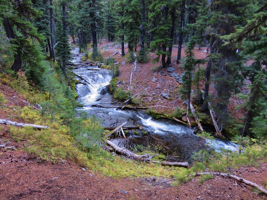
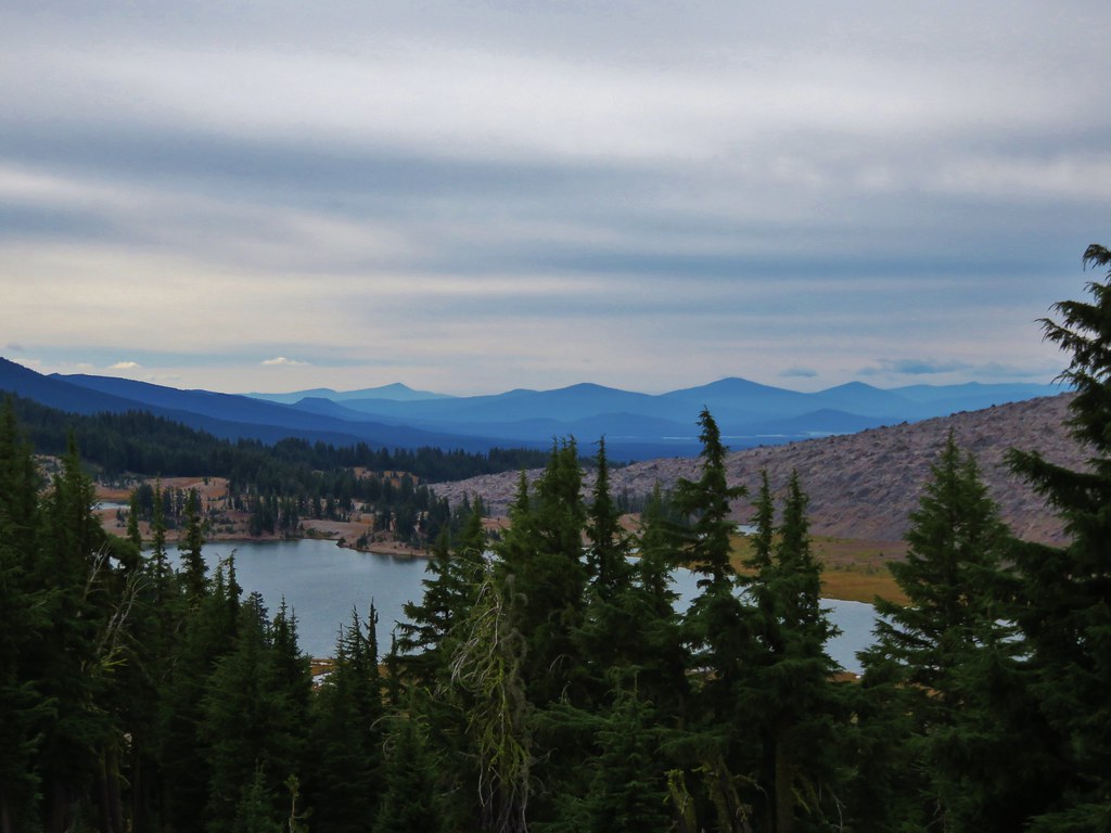
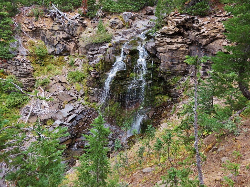
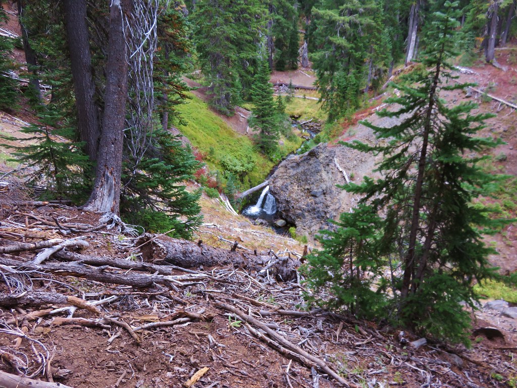
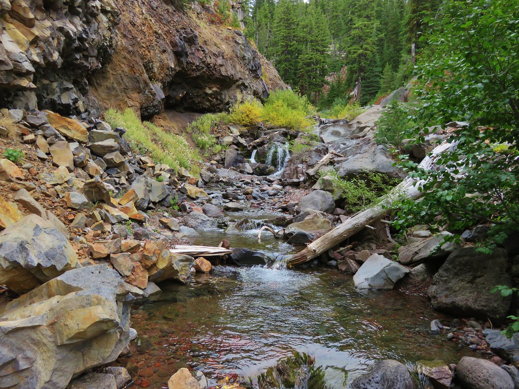
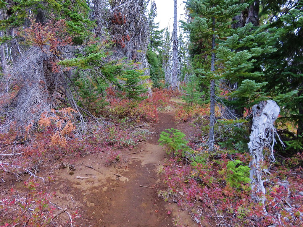
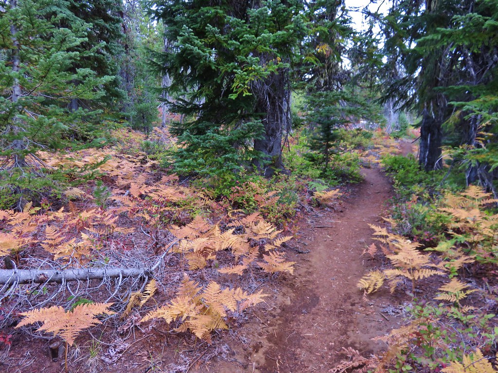
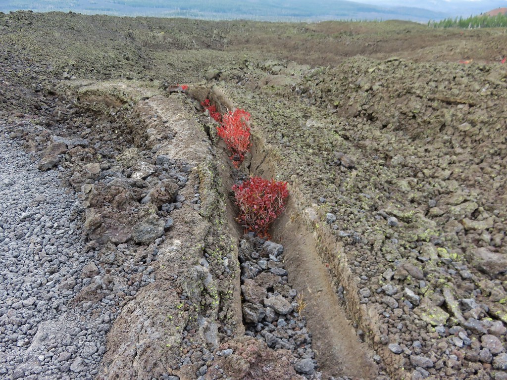
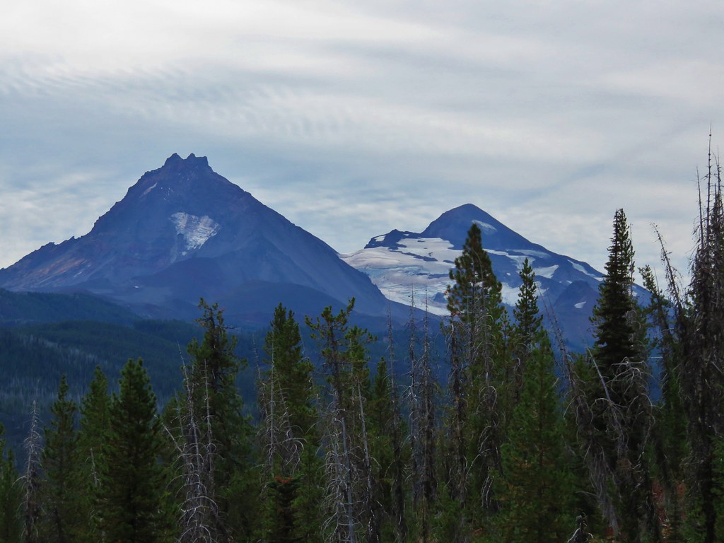
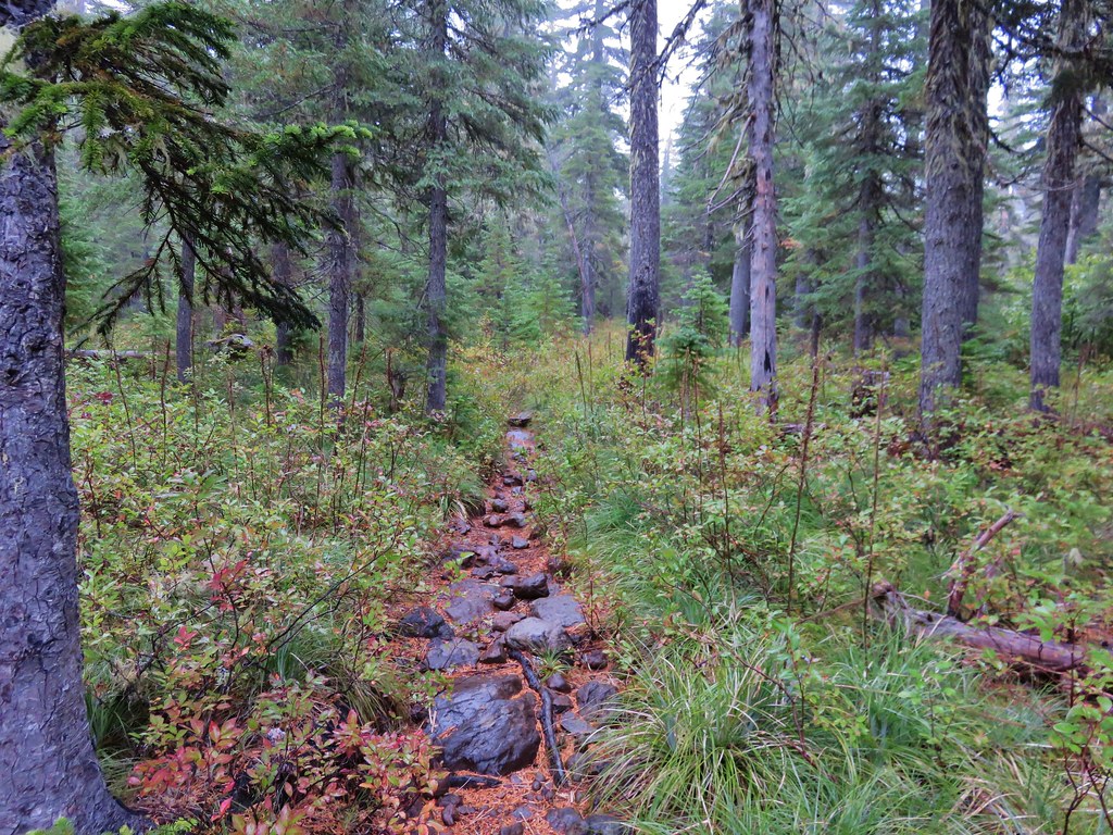
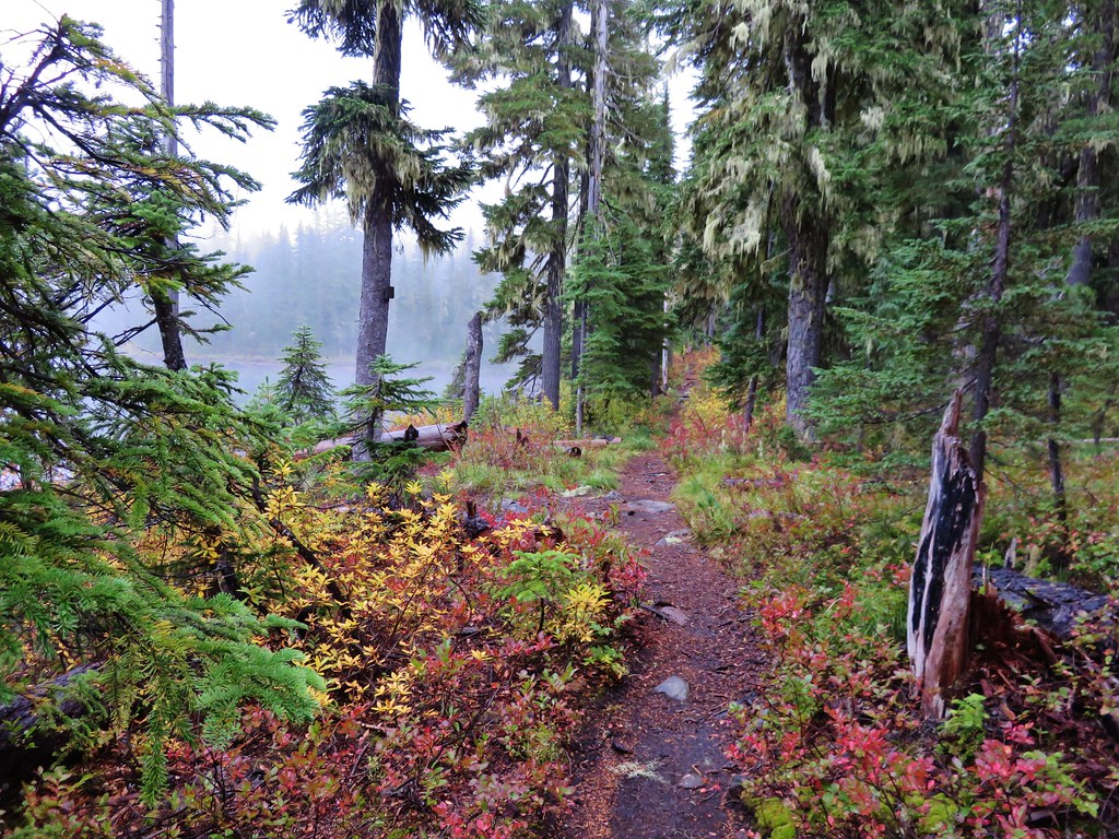
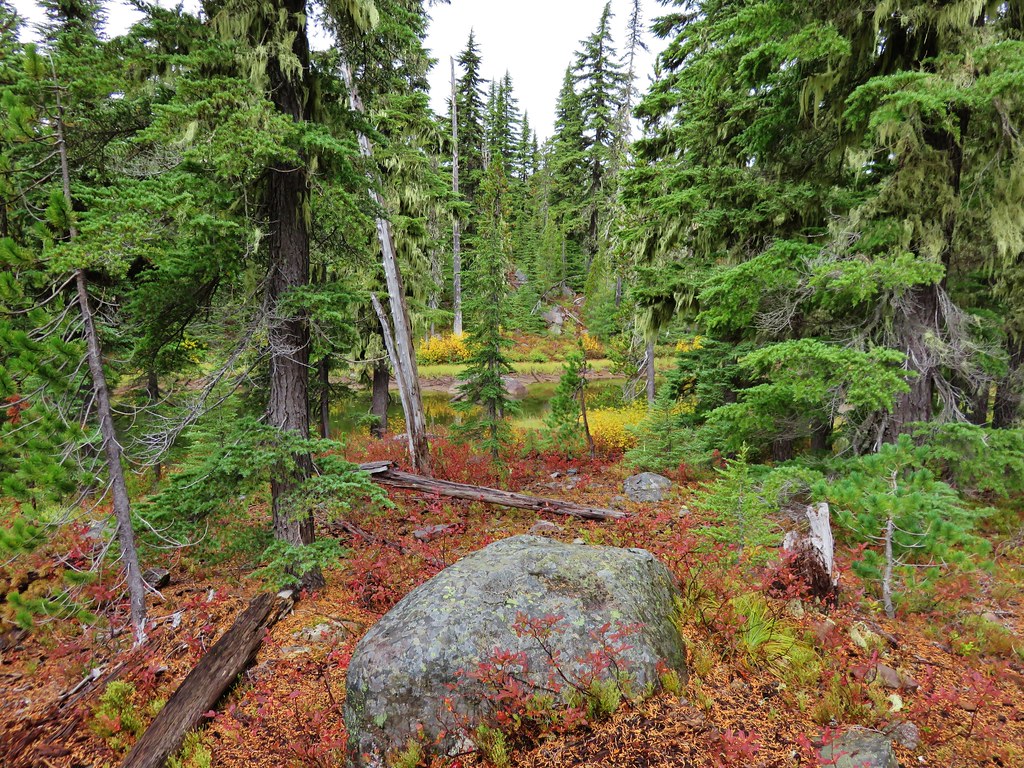
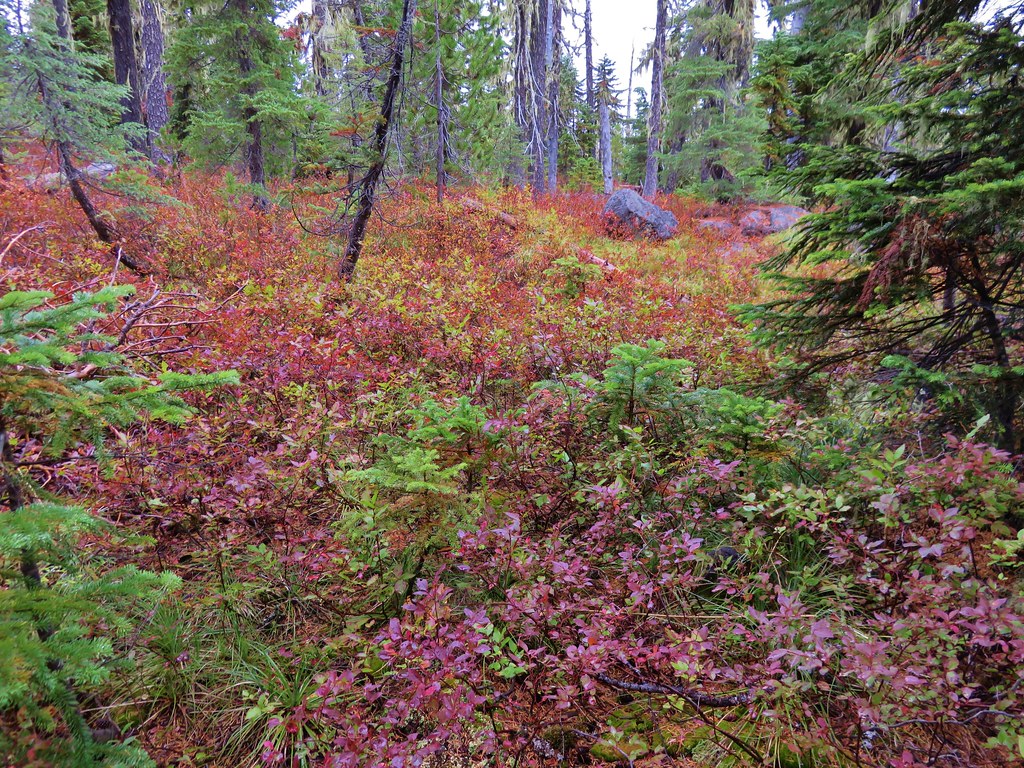
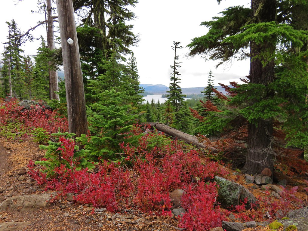
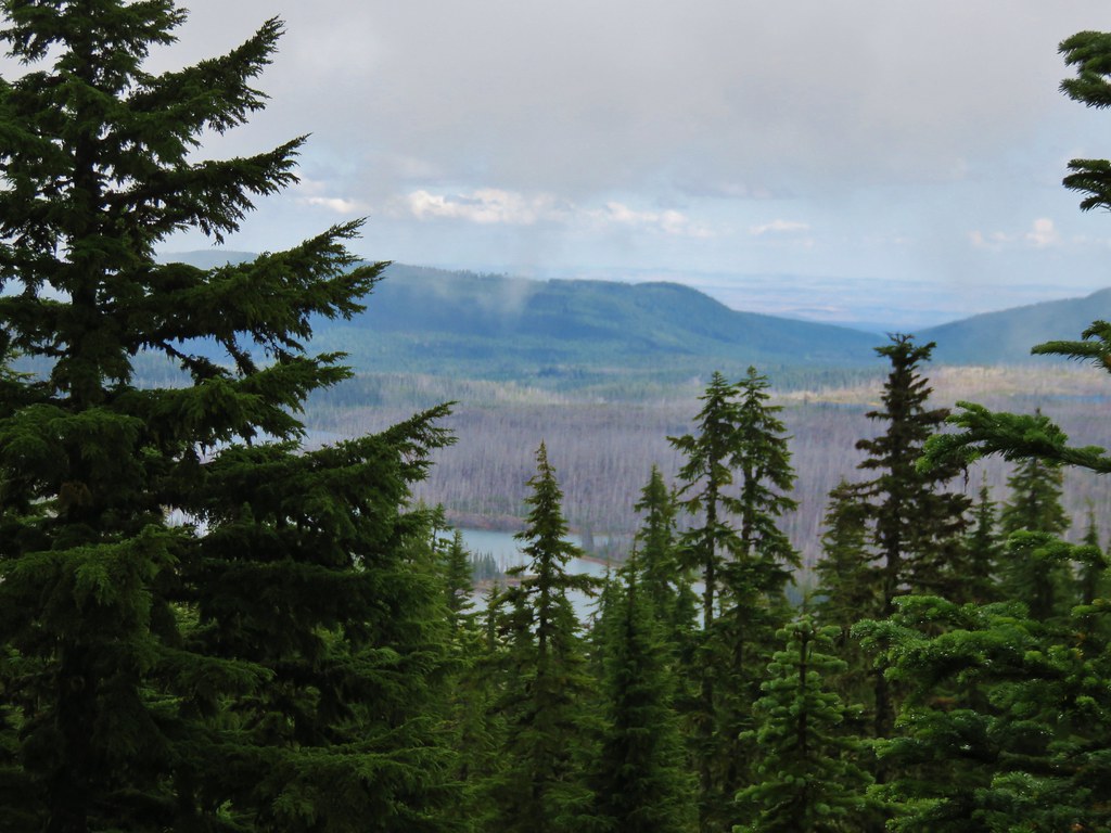
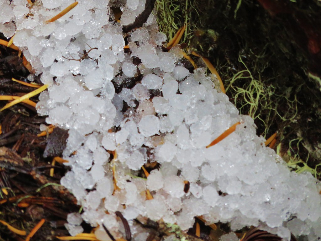
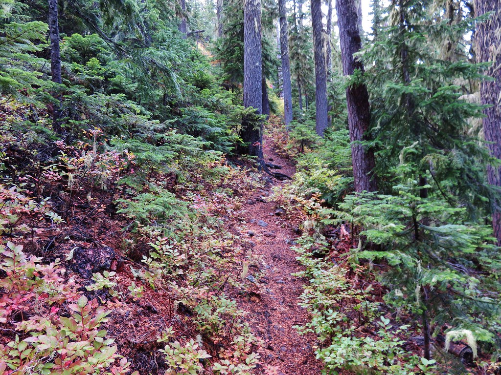
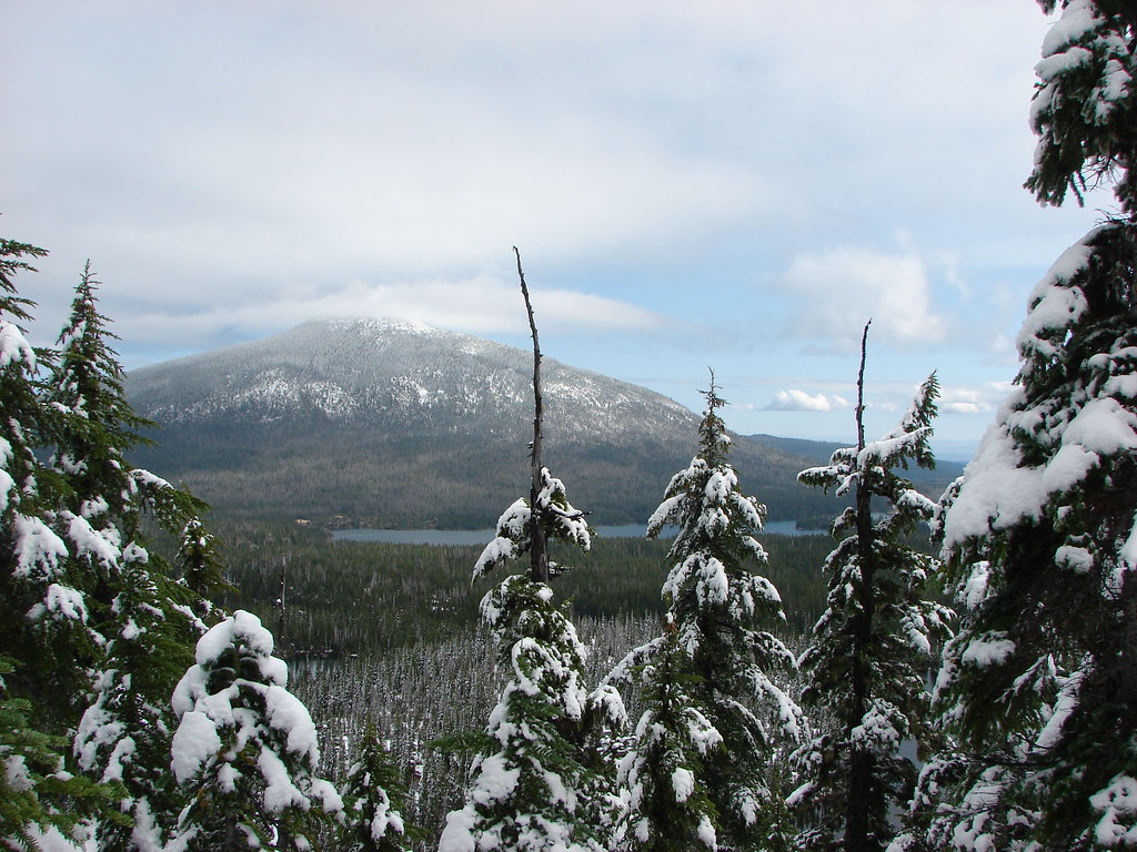
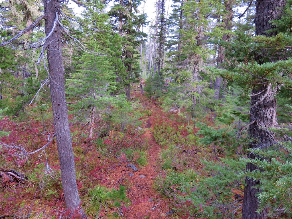
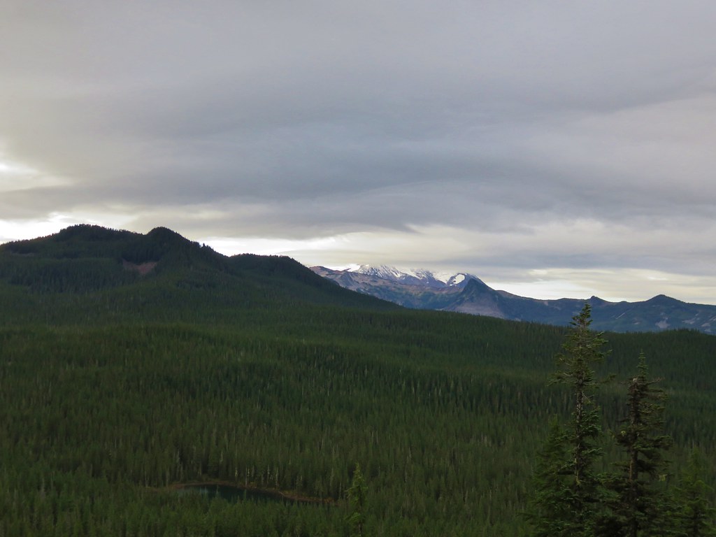
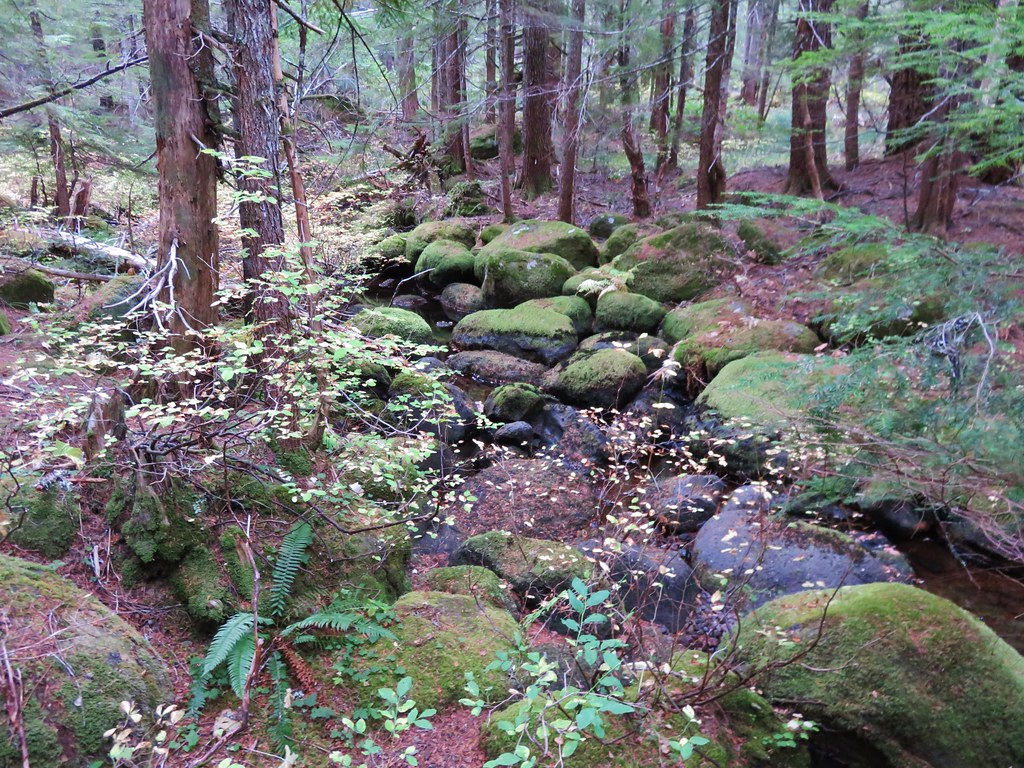
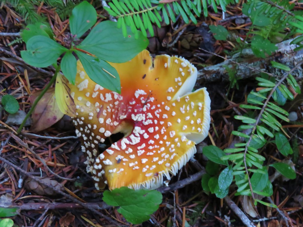
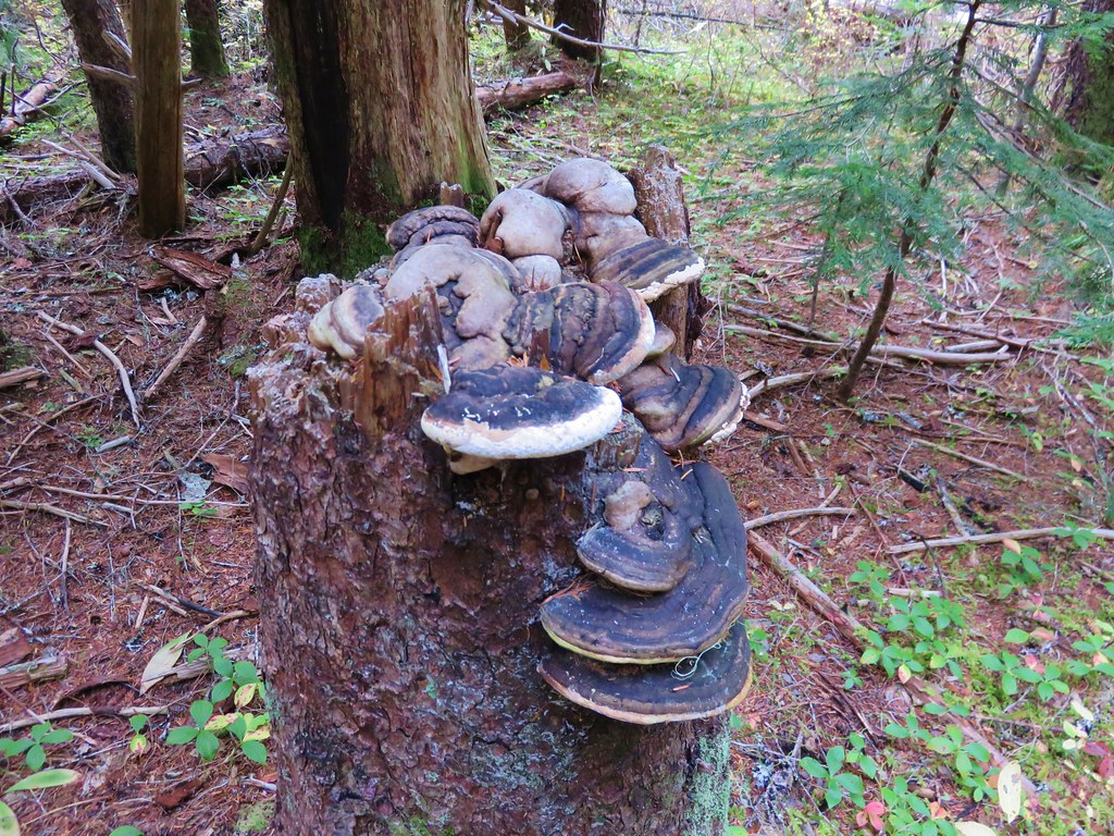
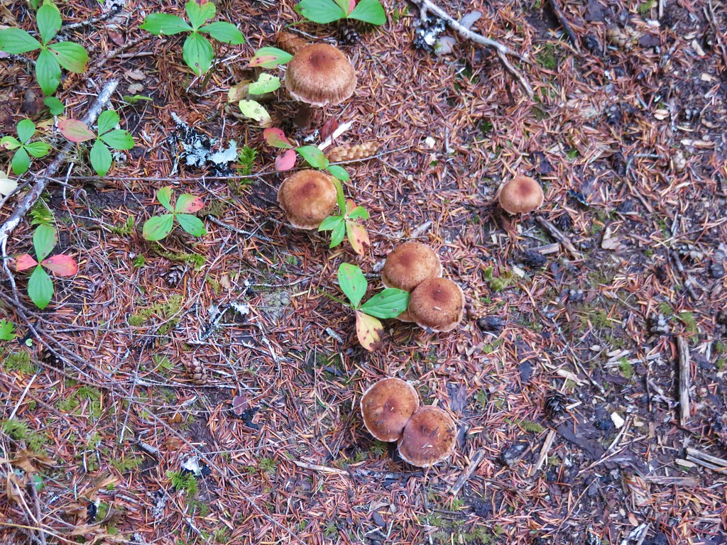
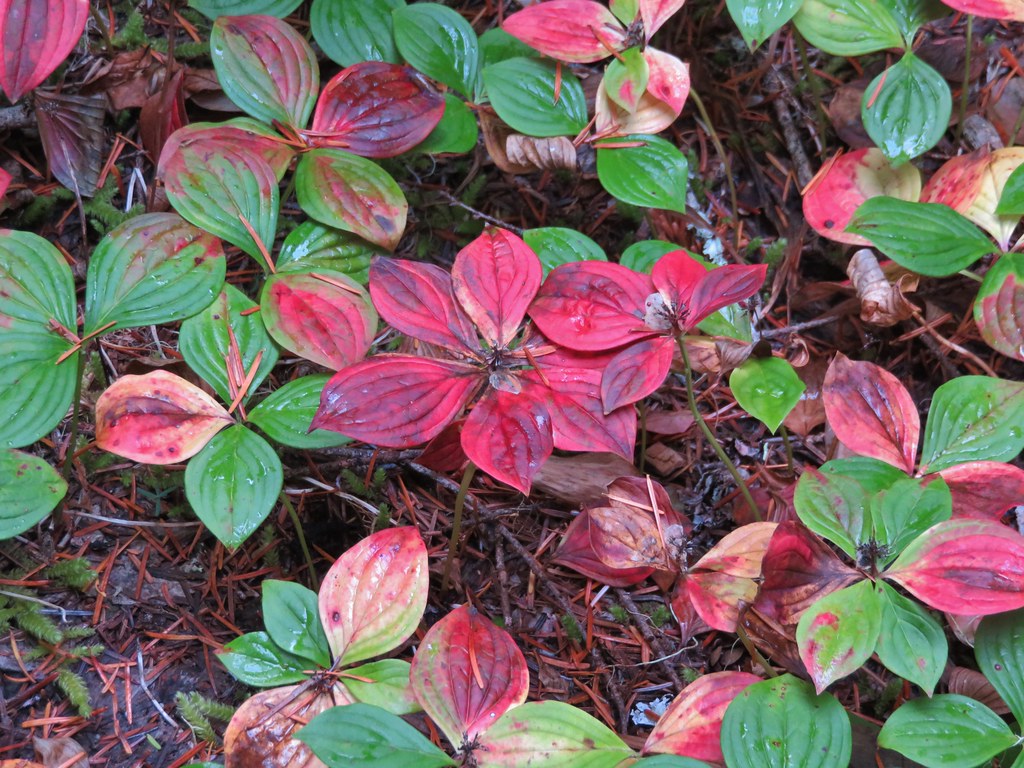
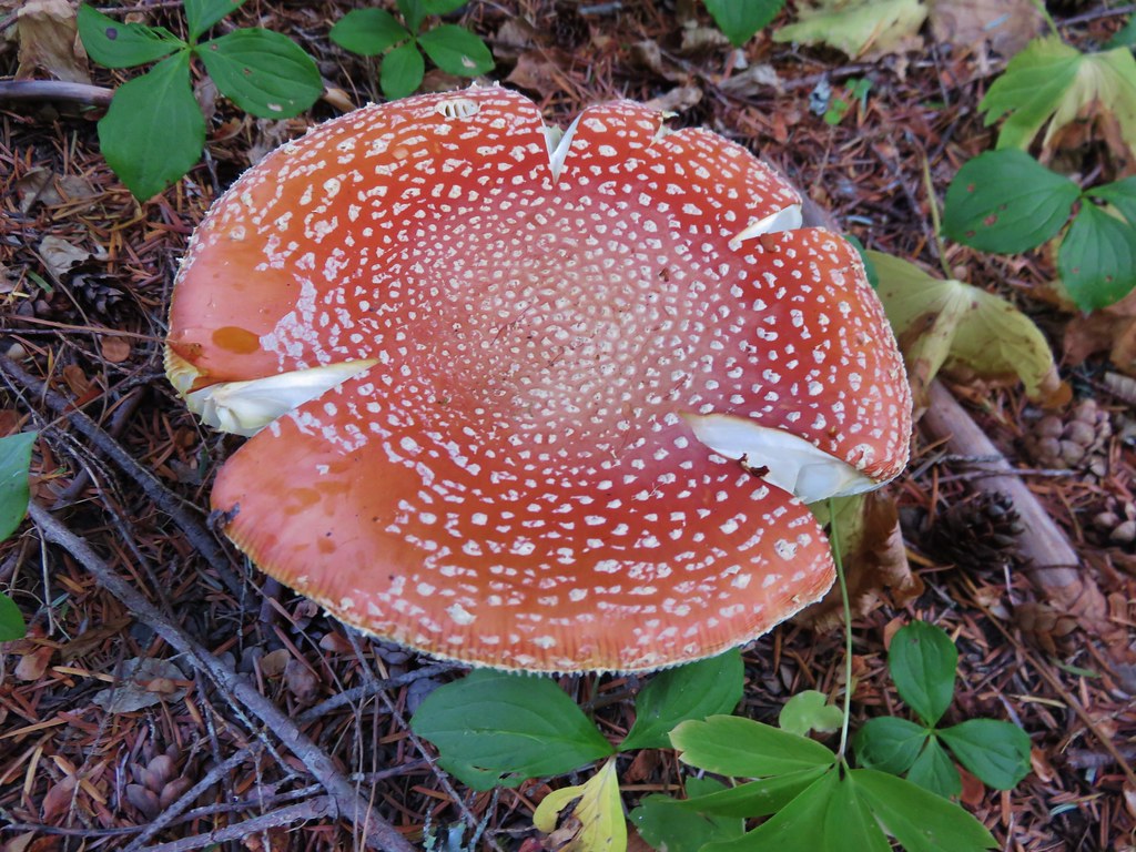
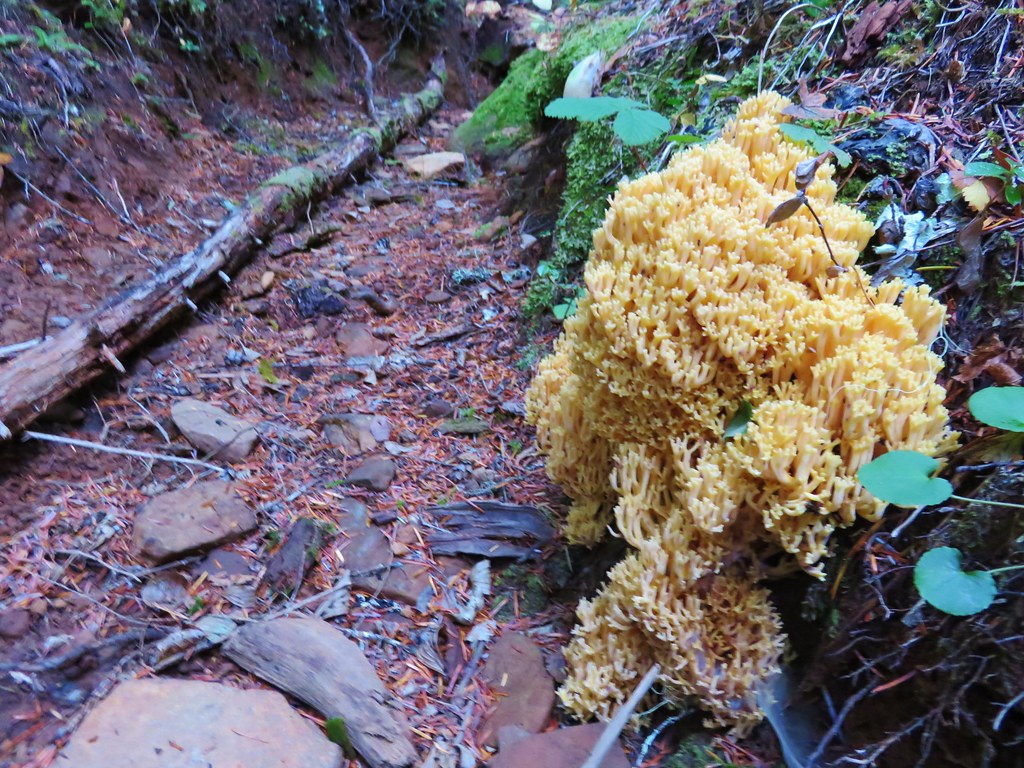
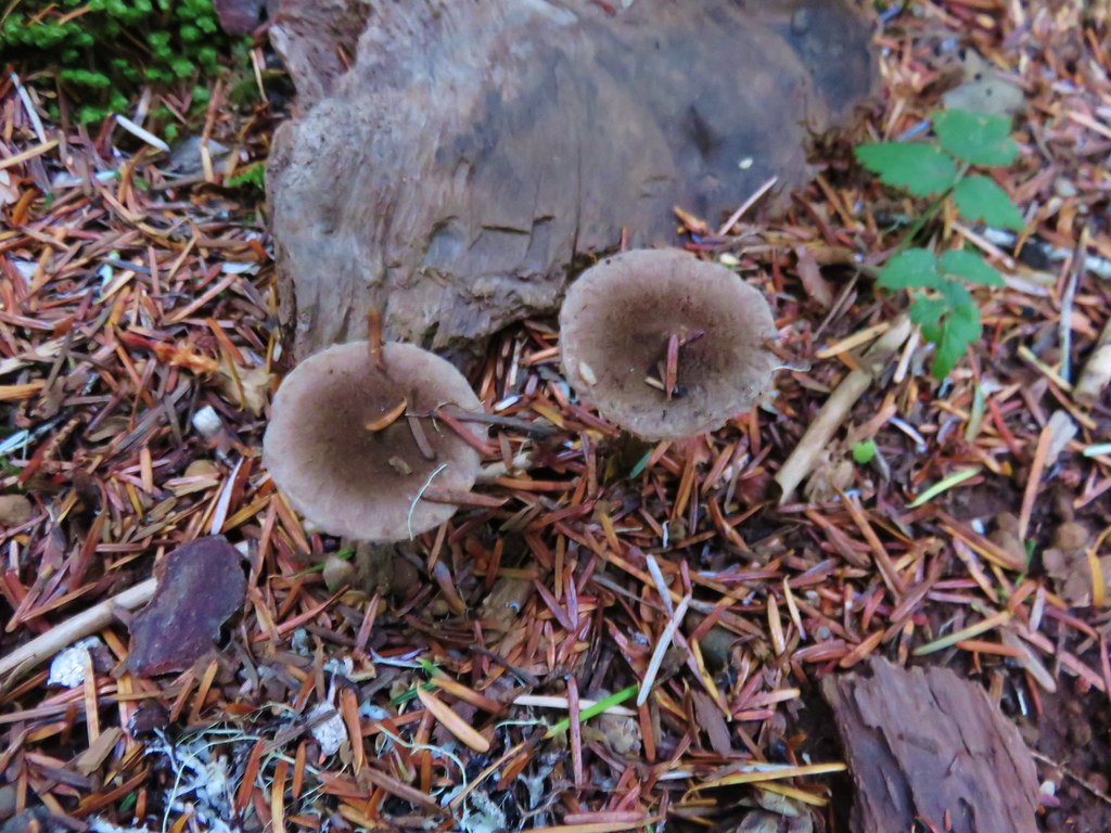
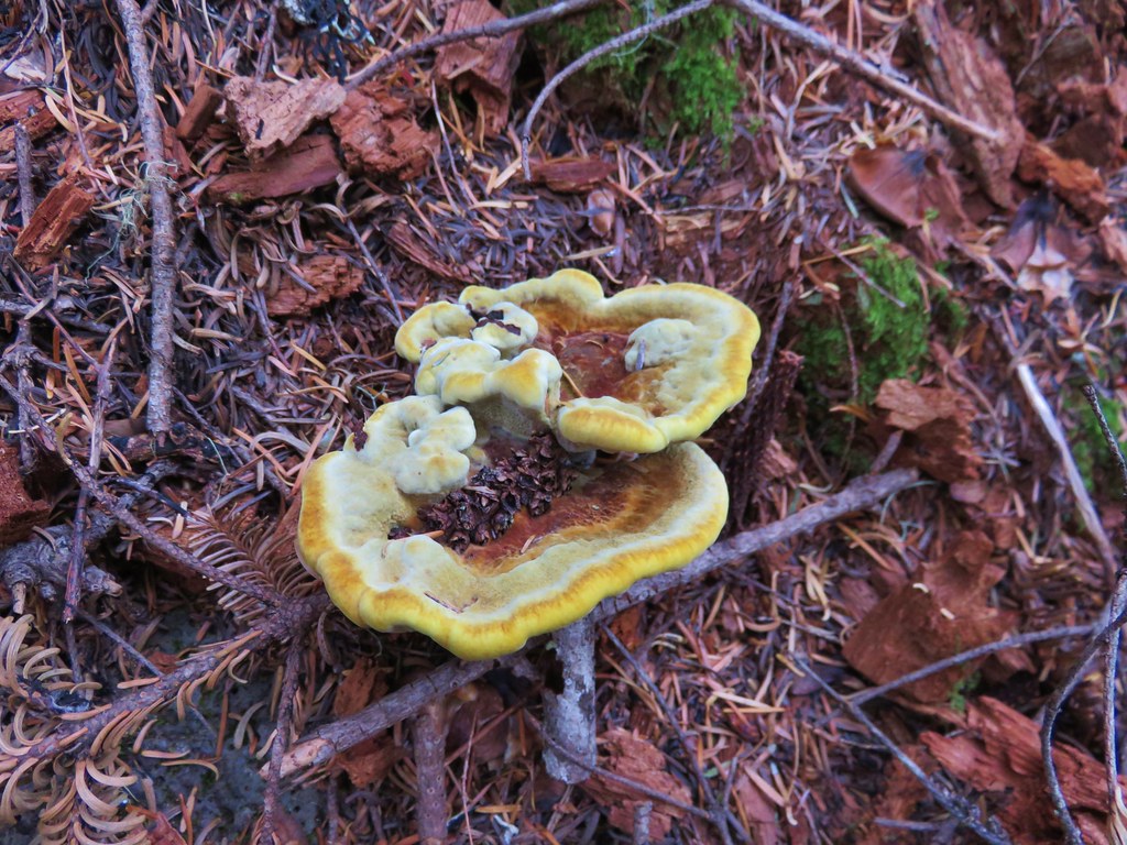
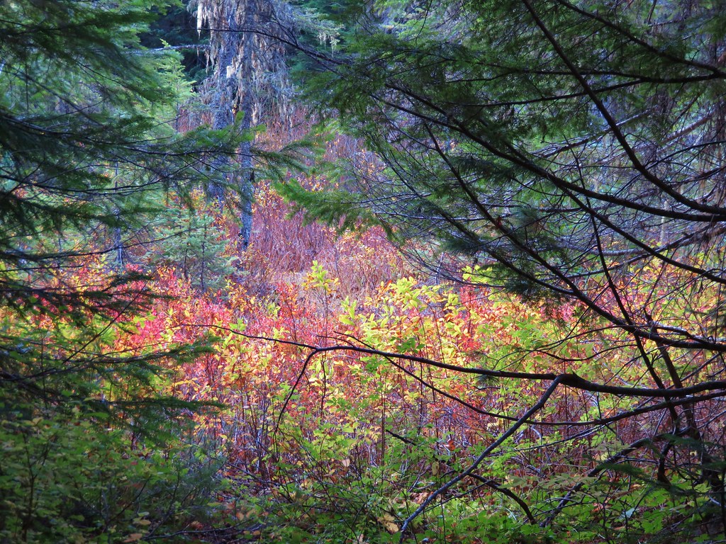
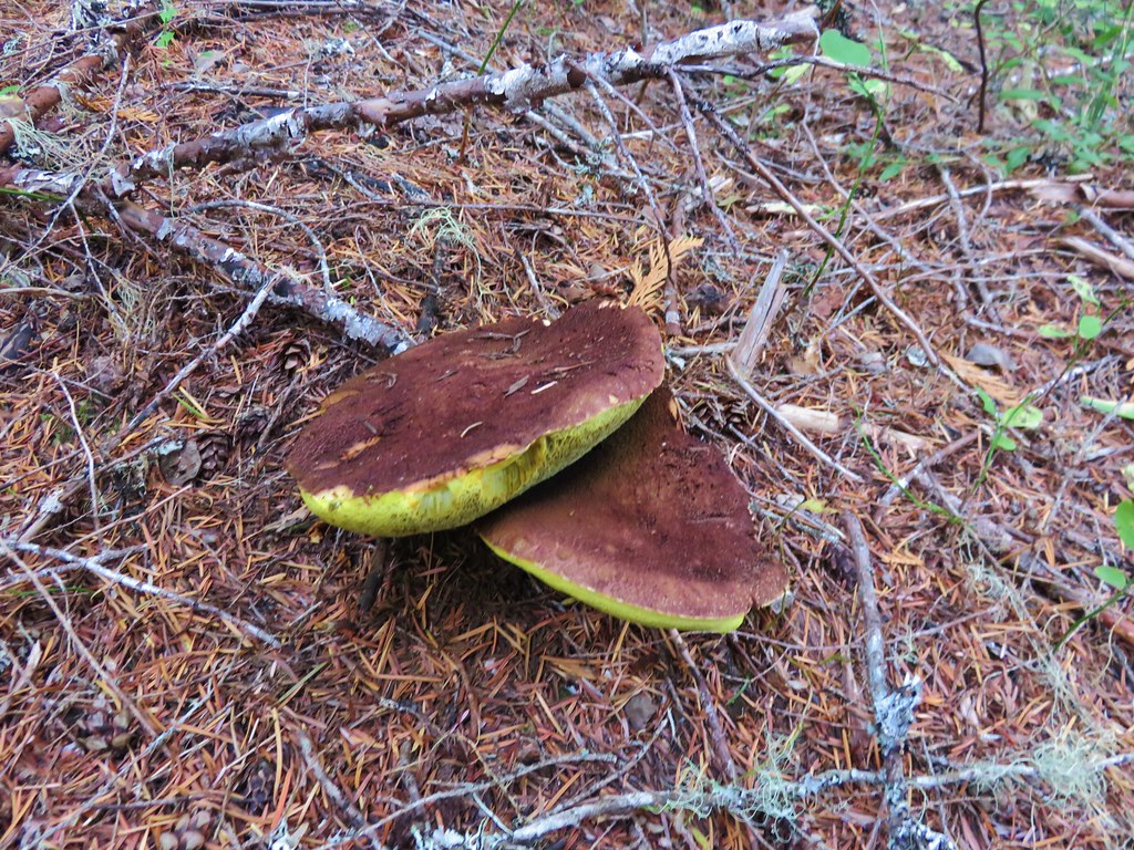
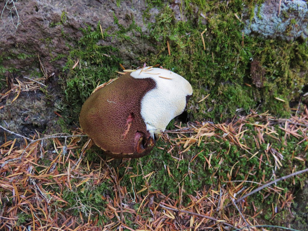
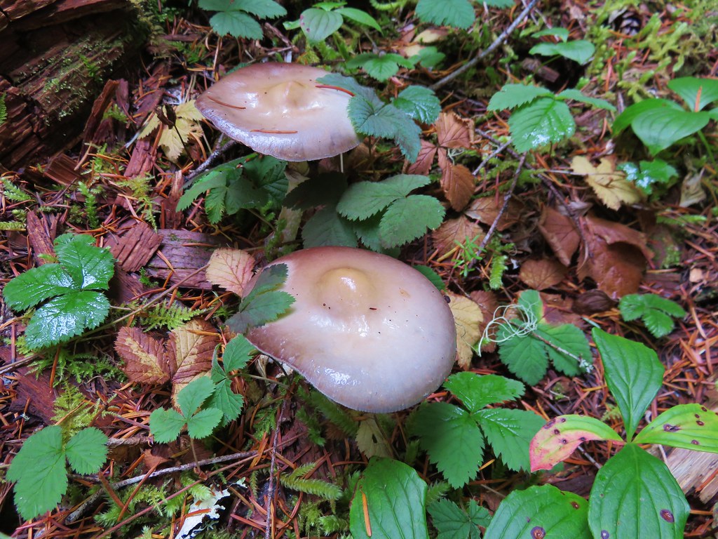
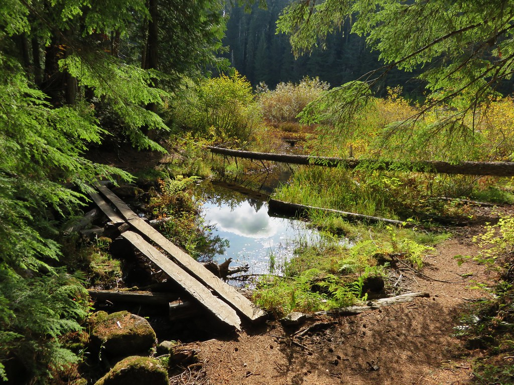
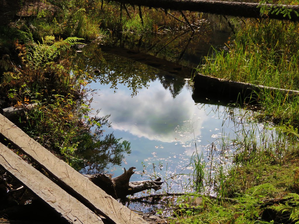
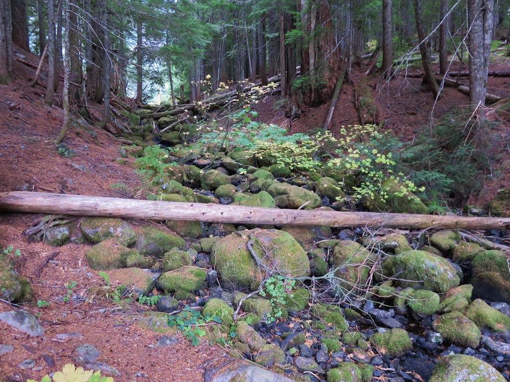
The first feature we were looking for was Falls Creek which the trail would parallel much of the way. There wasn’t much water in the creek but it was still pleasant and the fall colors and various mushrooms and fungi along the trail made it feel very much like Autumn.
 //embedr.flickr.com/assets/client-code.js
 //embedr.flickr.com/assets/client-code.js
 //embedr.flickr.com/assets/client-code.js
 //embedr.flickr.com/assets/client-code.js
 //embedr.flickr.com/assets/client-code.js
 //embedr.flickr.com/assets/client-code.js
 //embedr.flickr.com/assets/client-code.js
 //embedr.flickr.com/assets/client-code.js
 //embedr.flickr.com/assets/client-code.js
 //embedr.flickr.com/assets/client-code.js
 //embedr.flickr.com/assets/client-code.js
 //embedr.flickr.com/assets/client-code.js
 //embedr.flickr.com/assets/client-code.js
 //embedr.flickr.com/assets/client-code.js
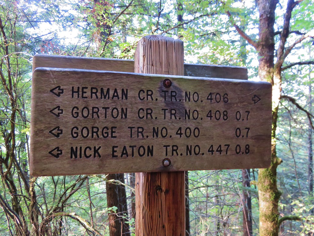
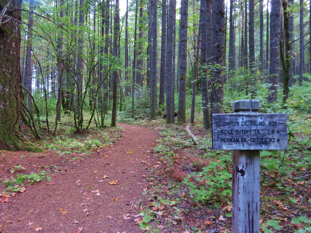
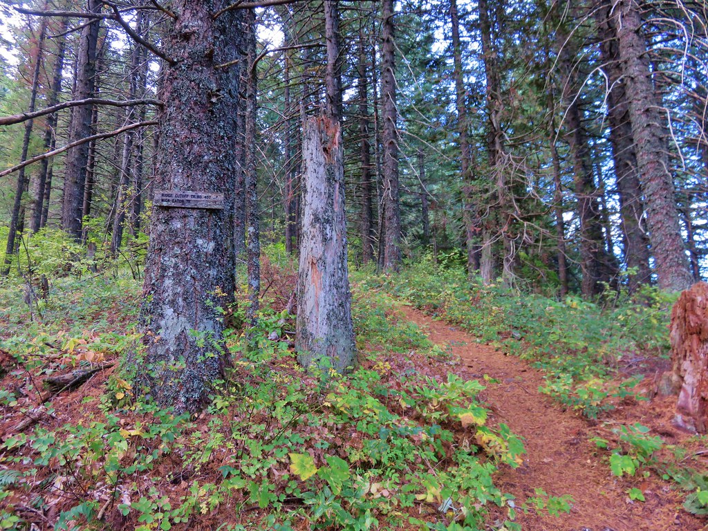
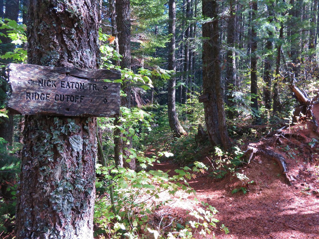
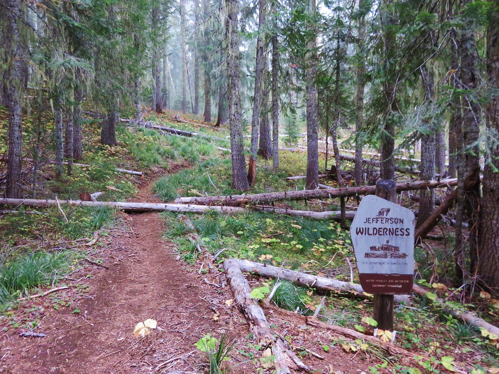
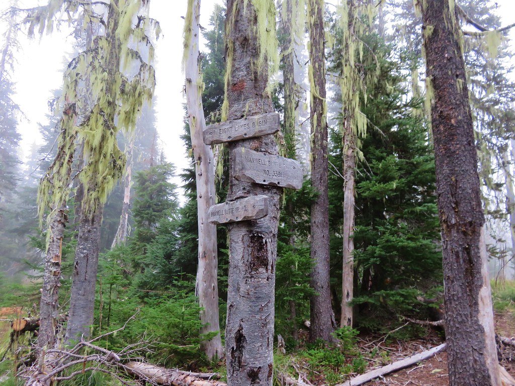
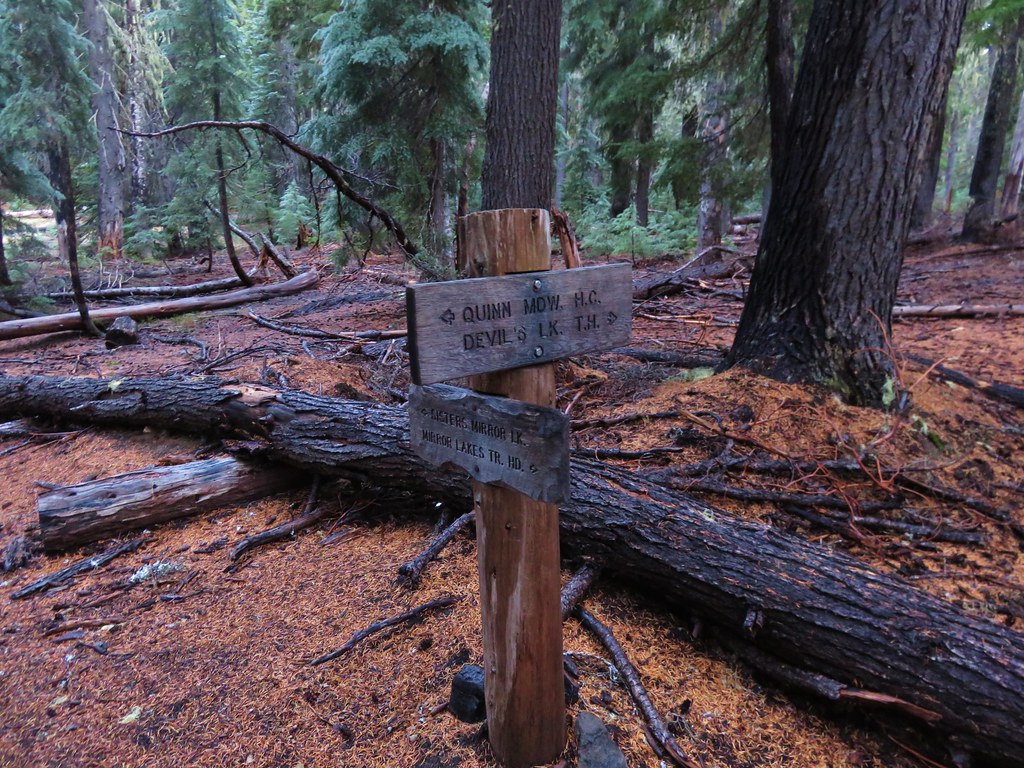
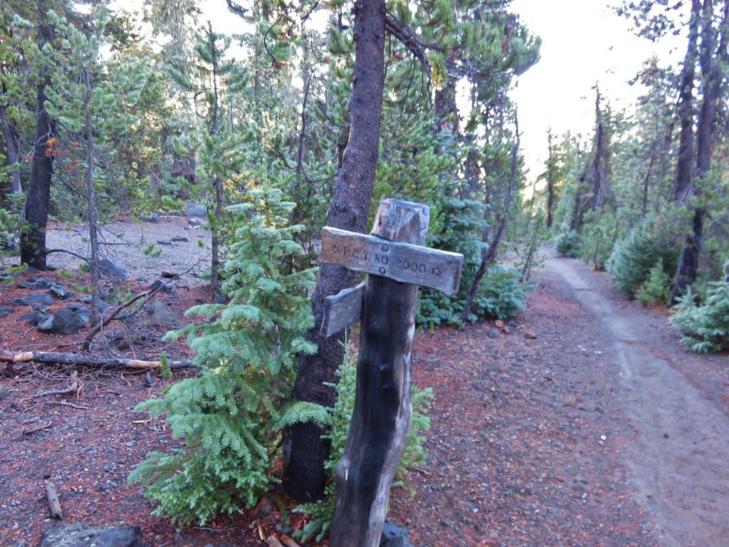
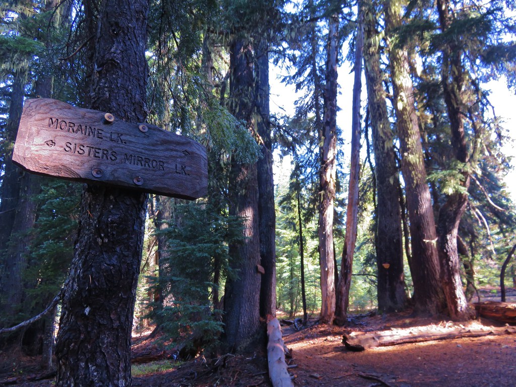
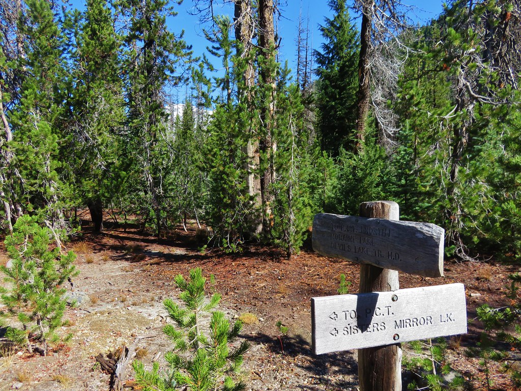
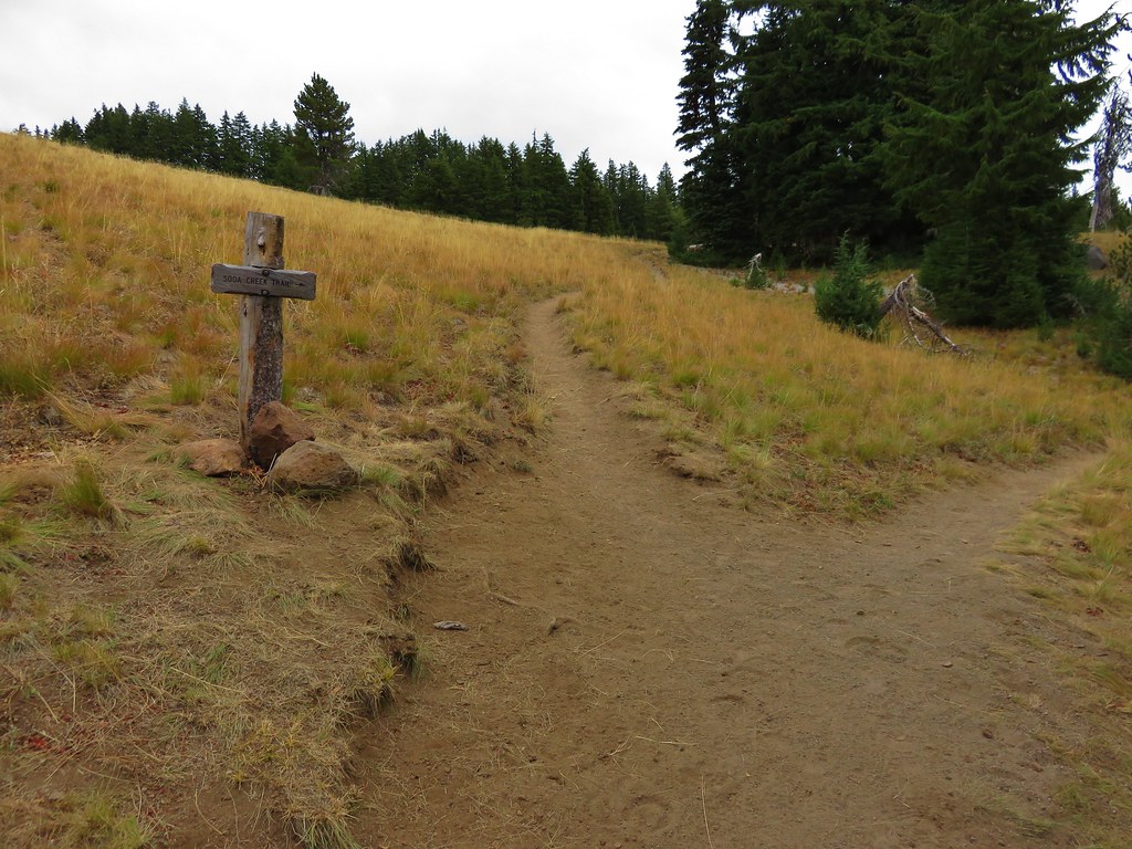
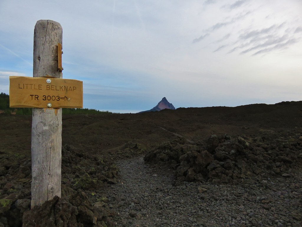
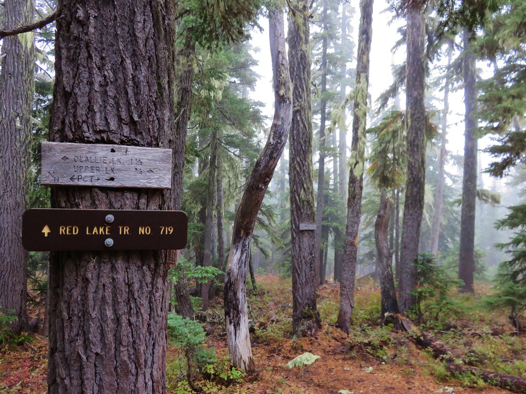
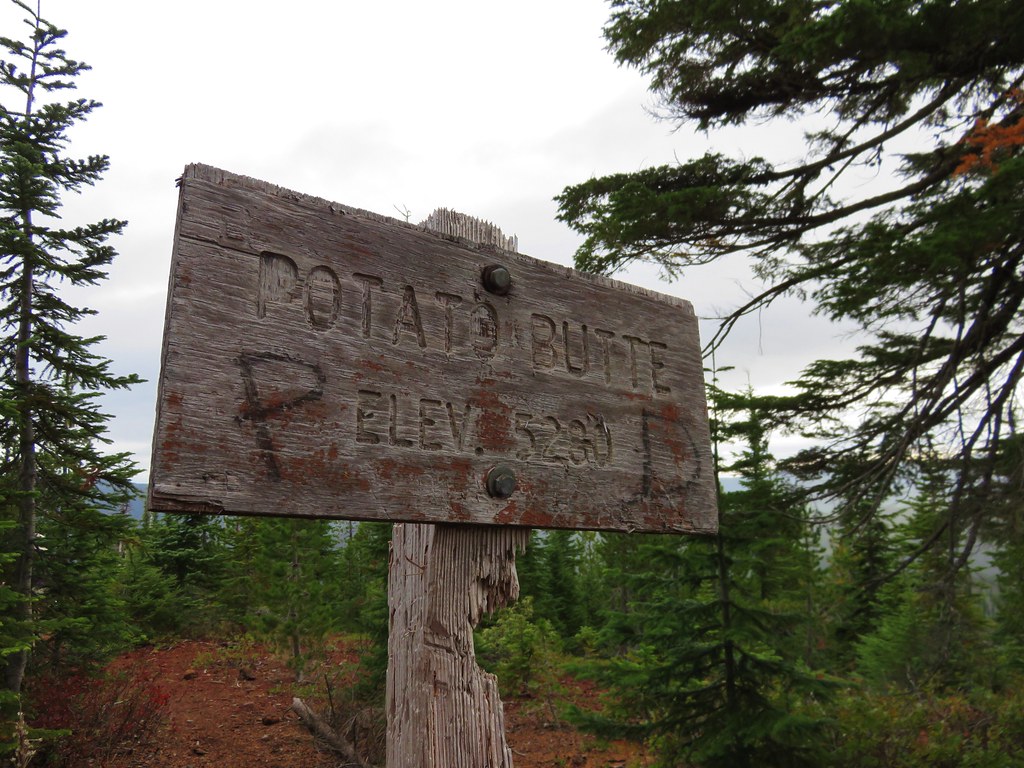
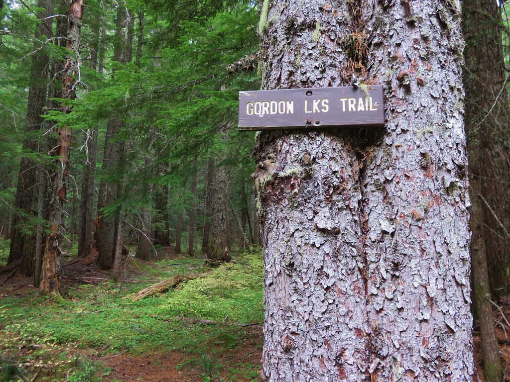
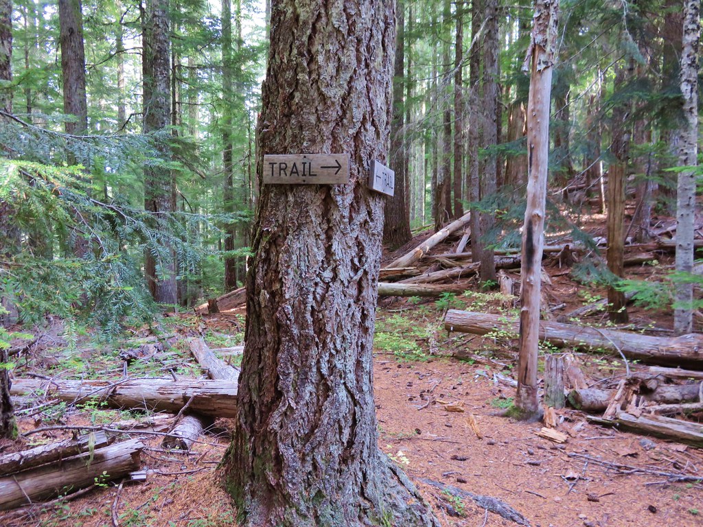
We finally saw our first trail signs right around the 3.5 mile mark at a junciton.
 //embedr.flickr.com/assets/client-code.js
 //embedr.flickr.com/assets/client-code.js
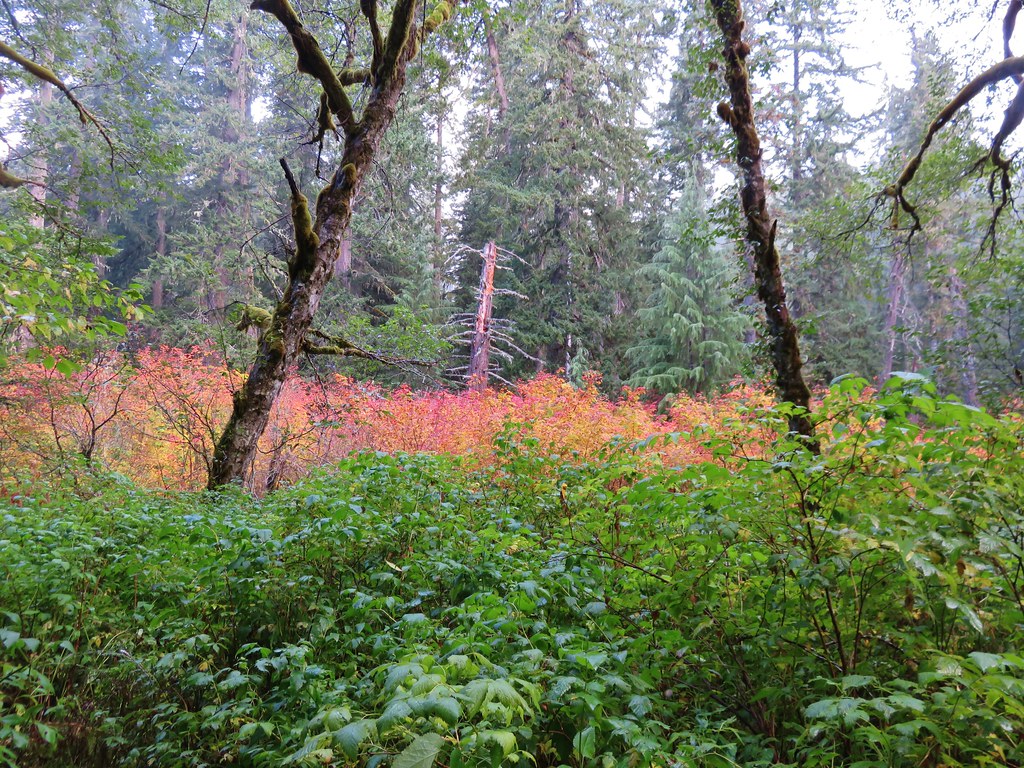
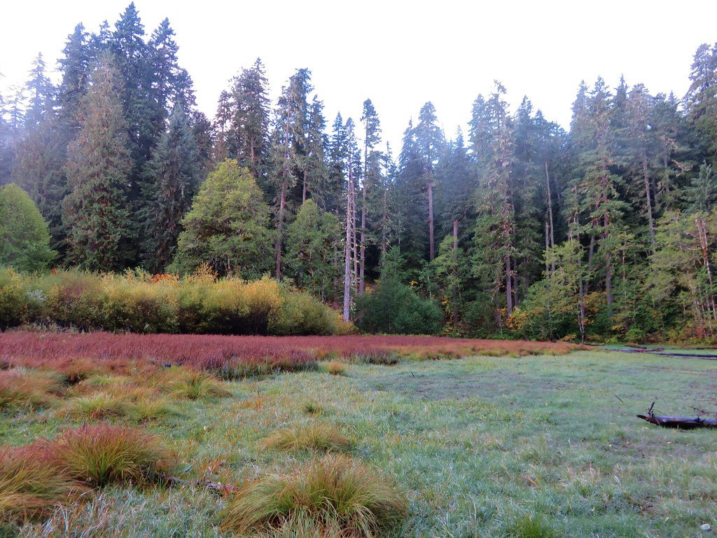
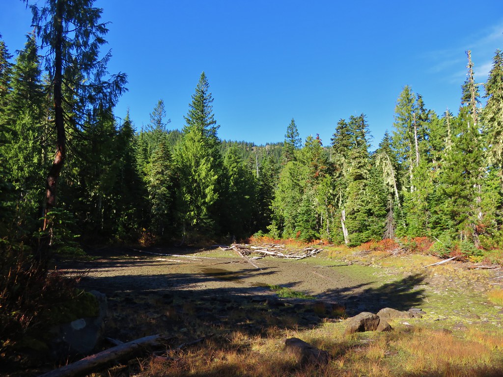
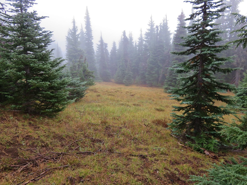
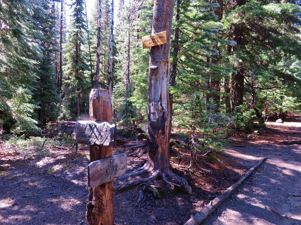
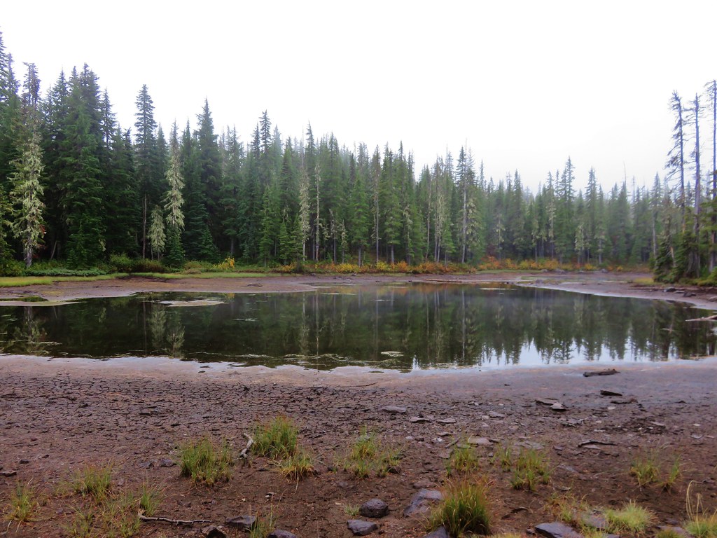
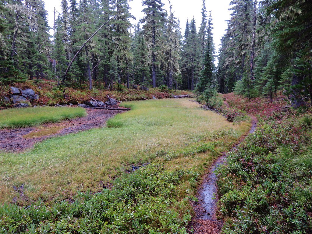
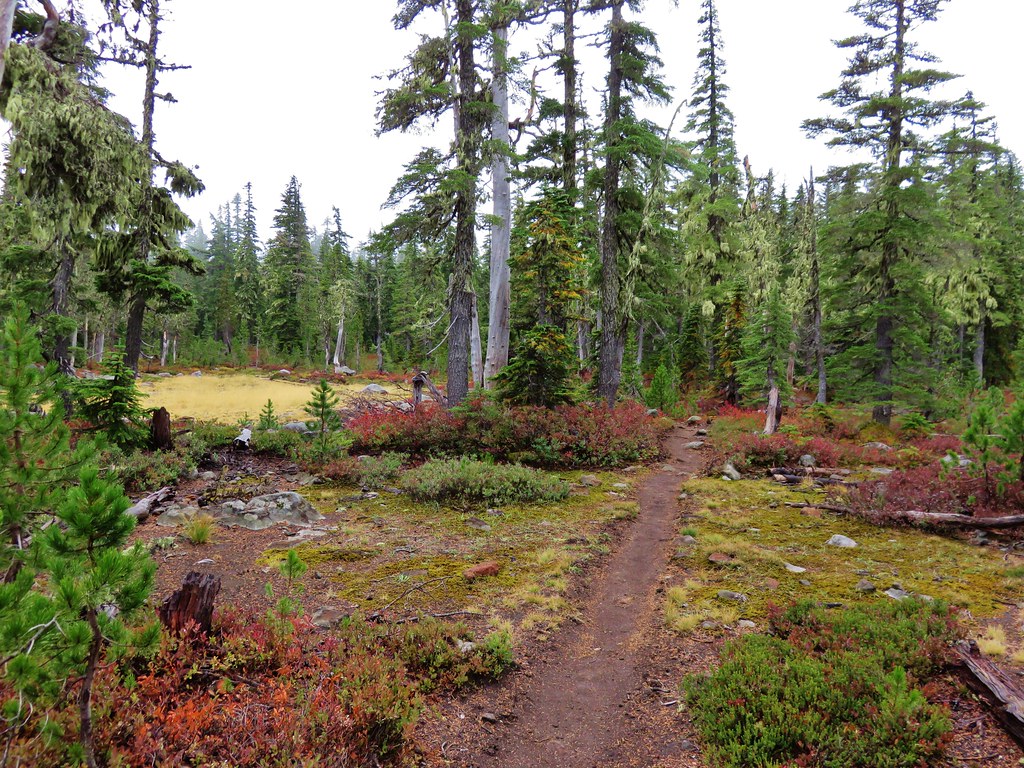
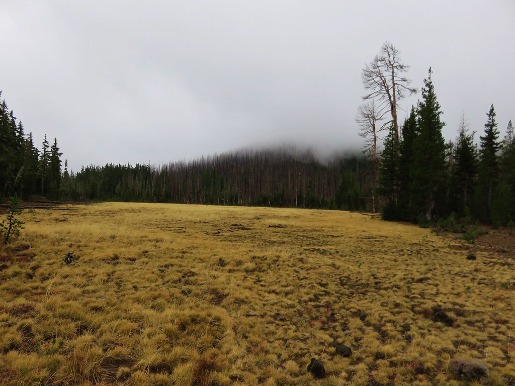
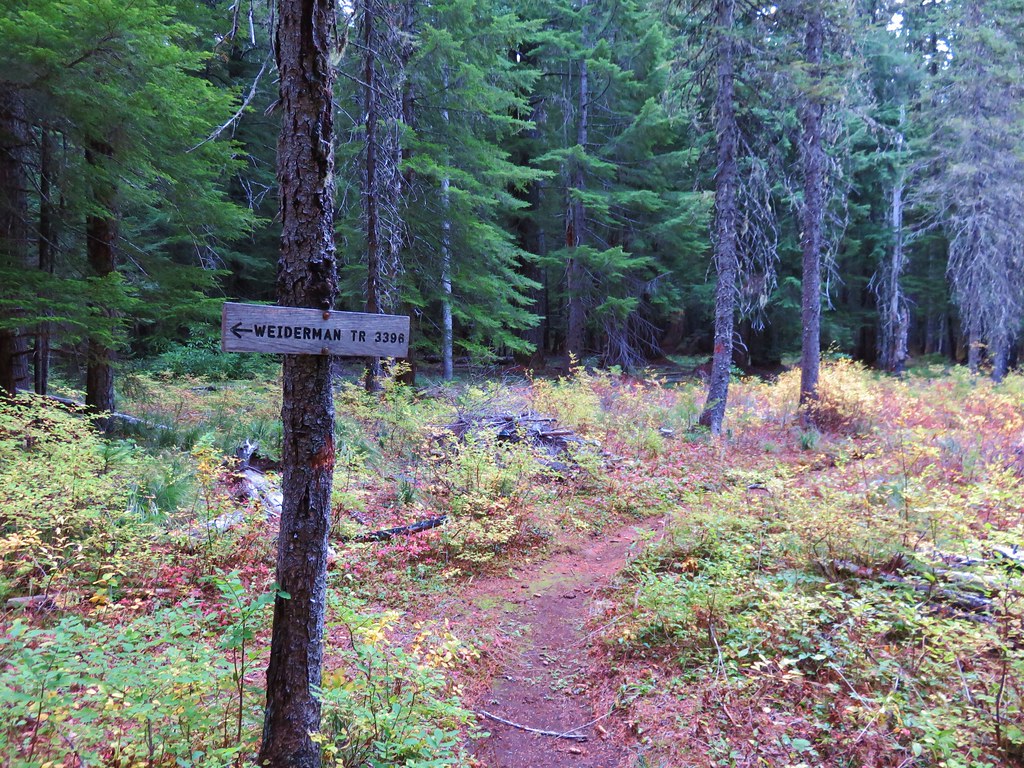
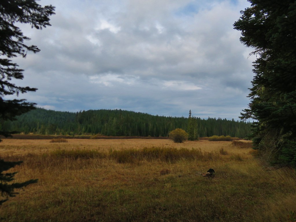
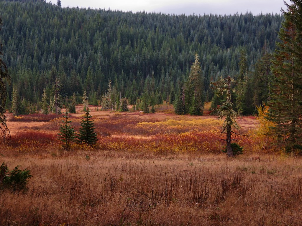
Shortly after the first junction we came to a second junction at the edge of Gordon Meadows.
 //embedr.flickr.com/assets/client-code.js
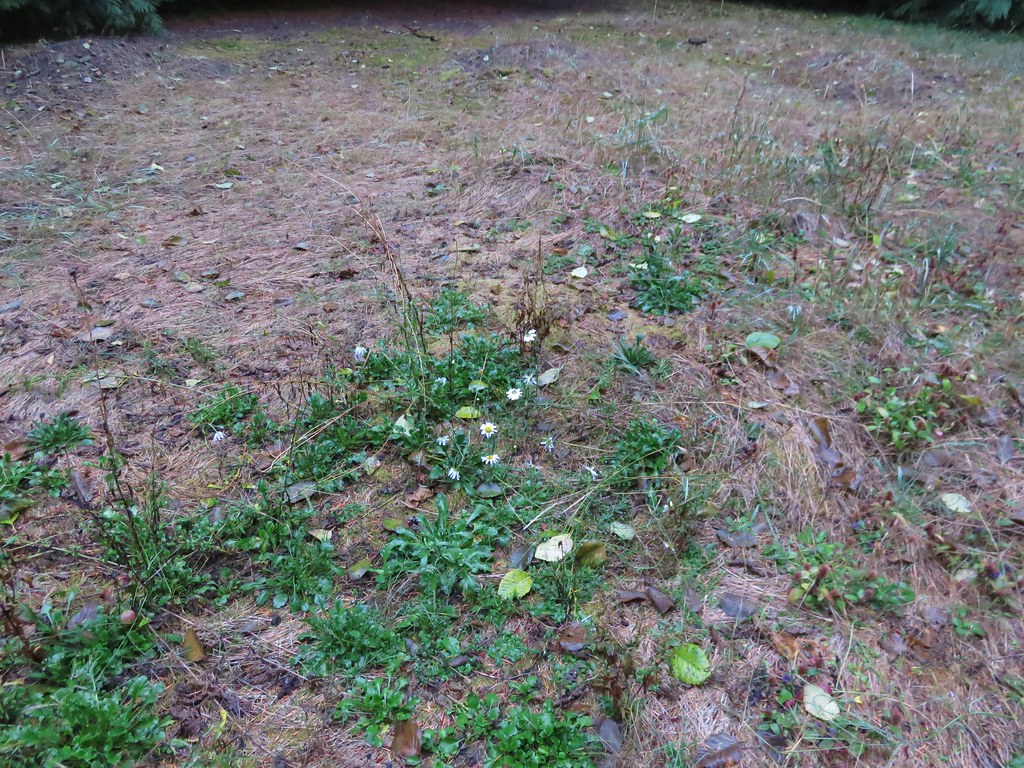
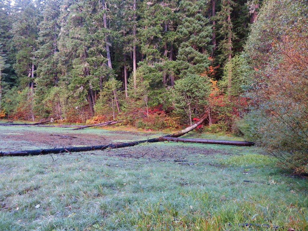
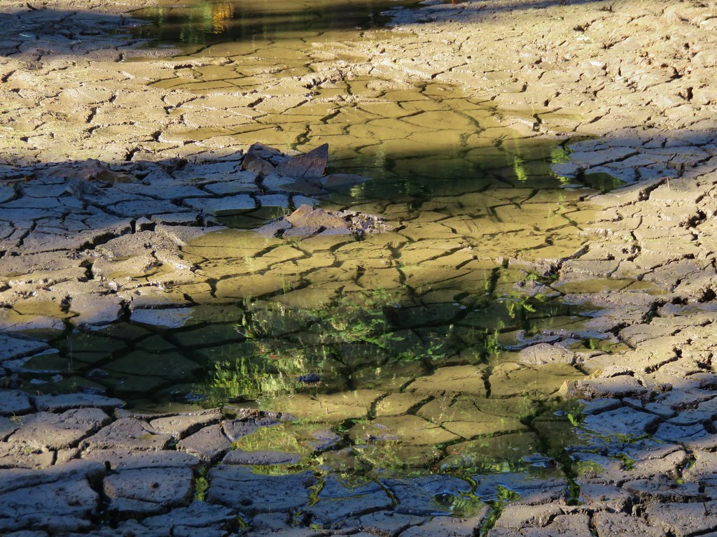
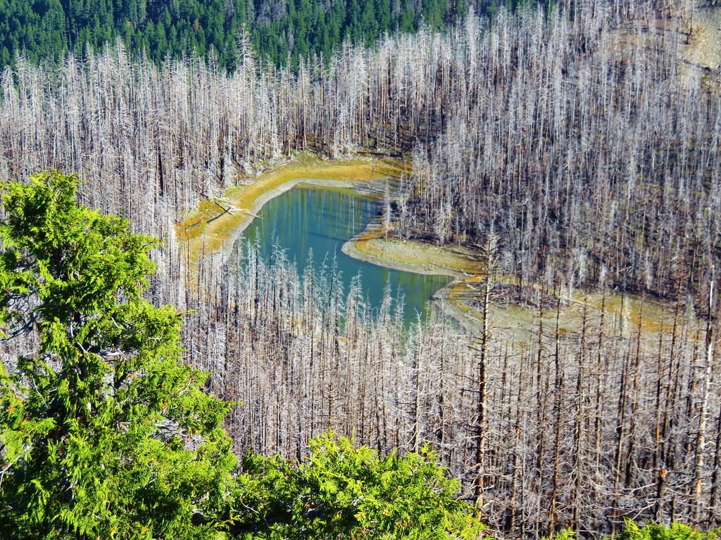
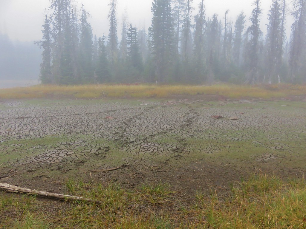
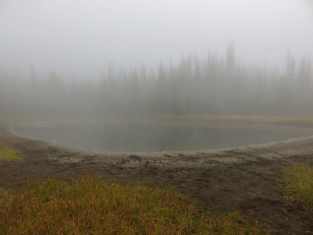
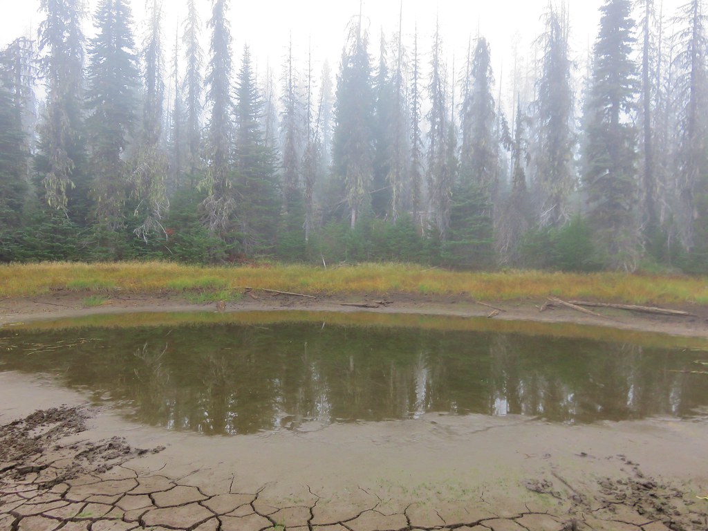
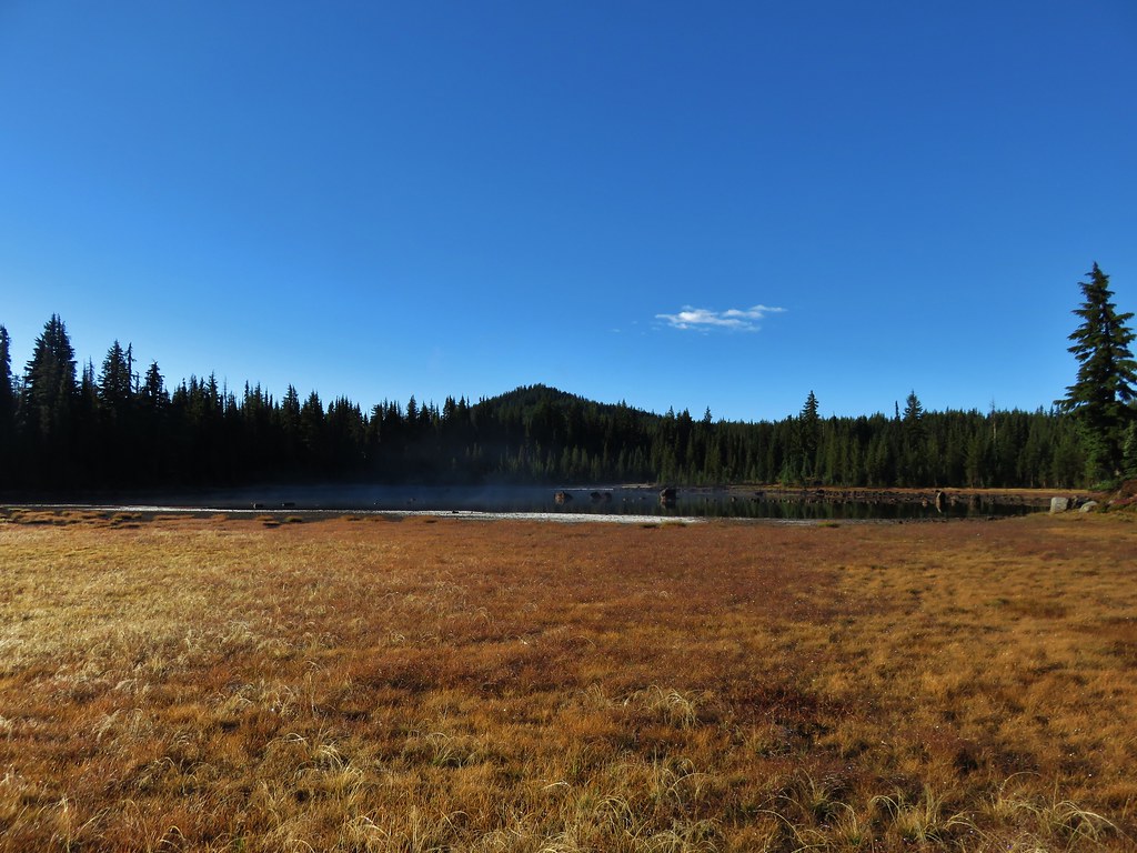
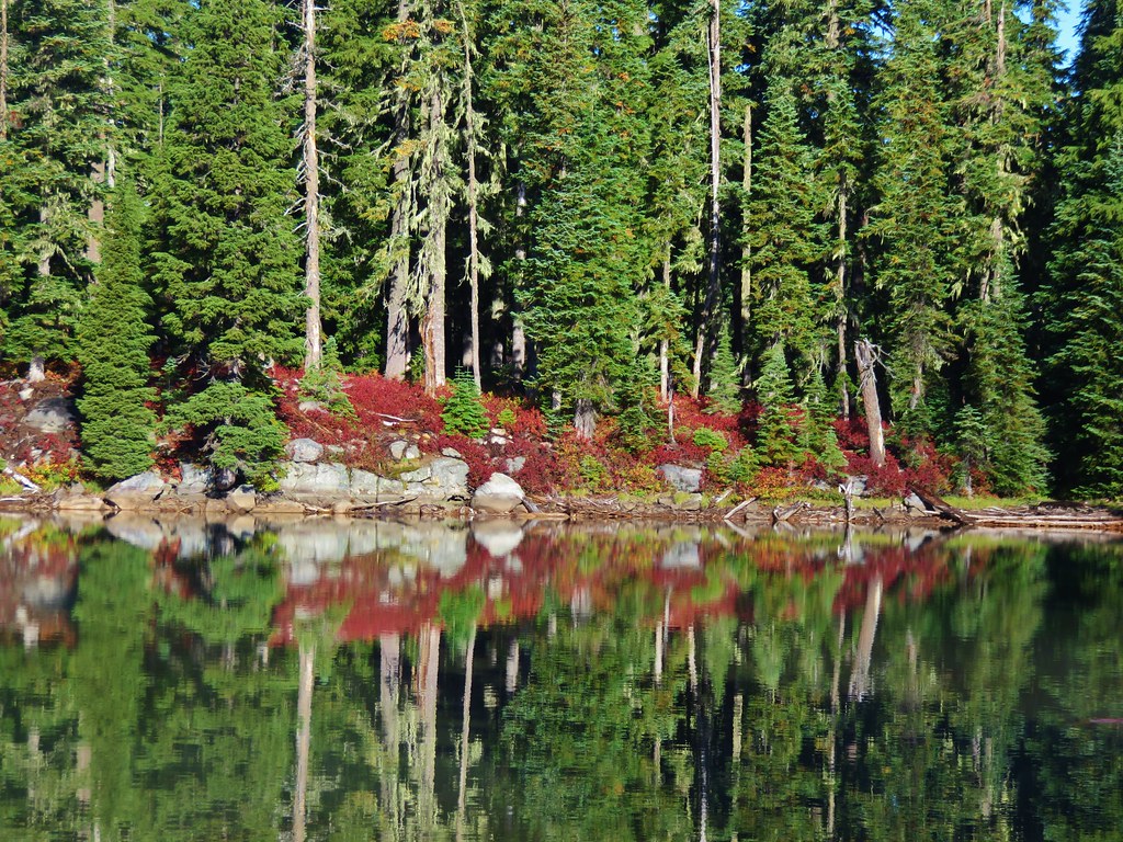
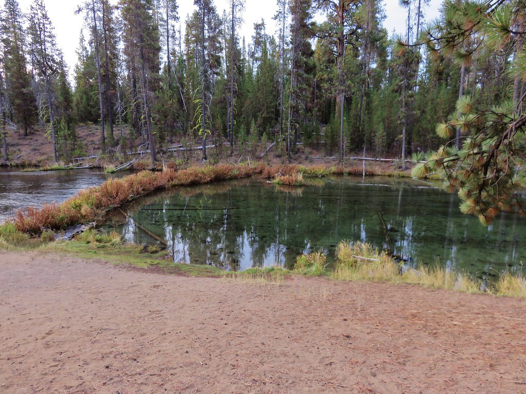
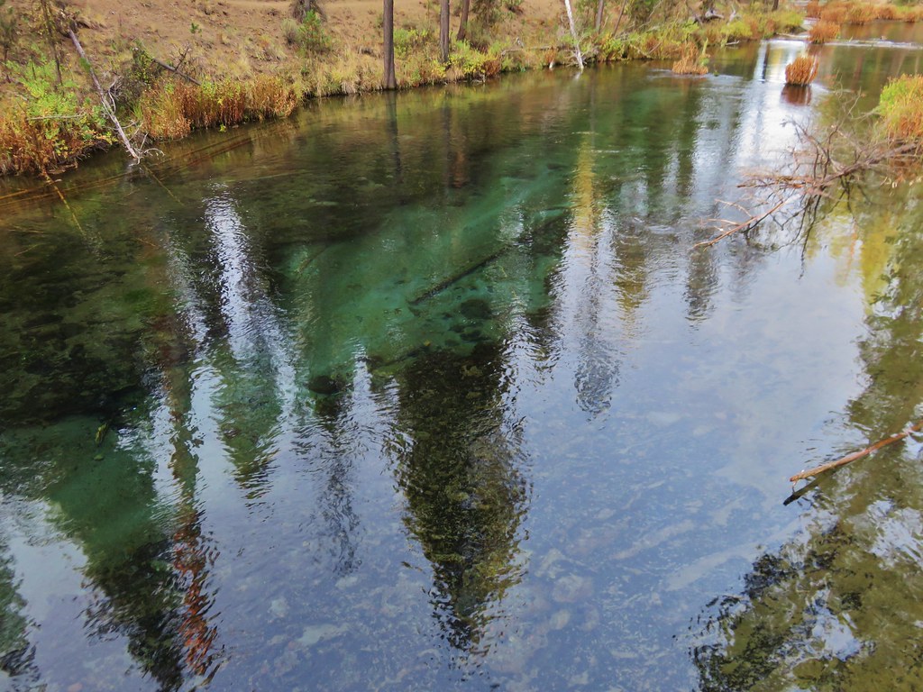
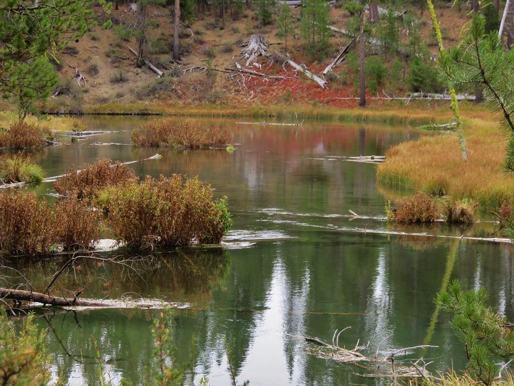
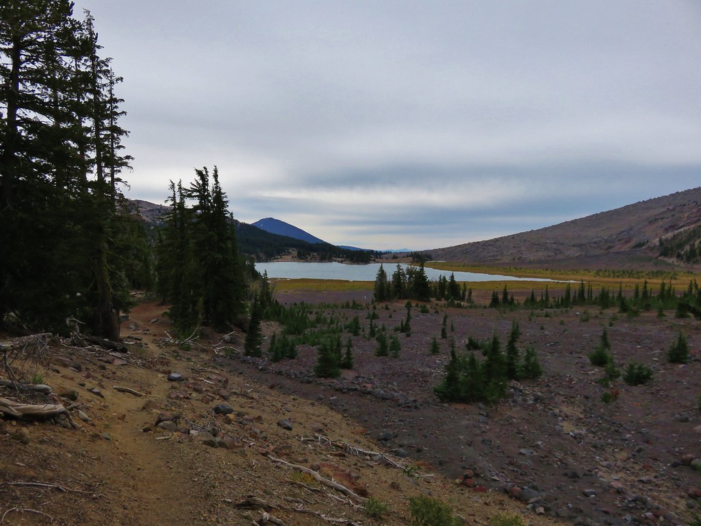
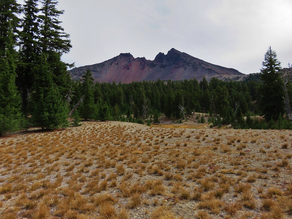
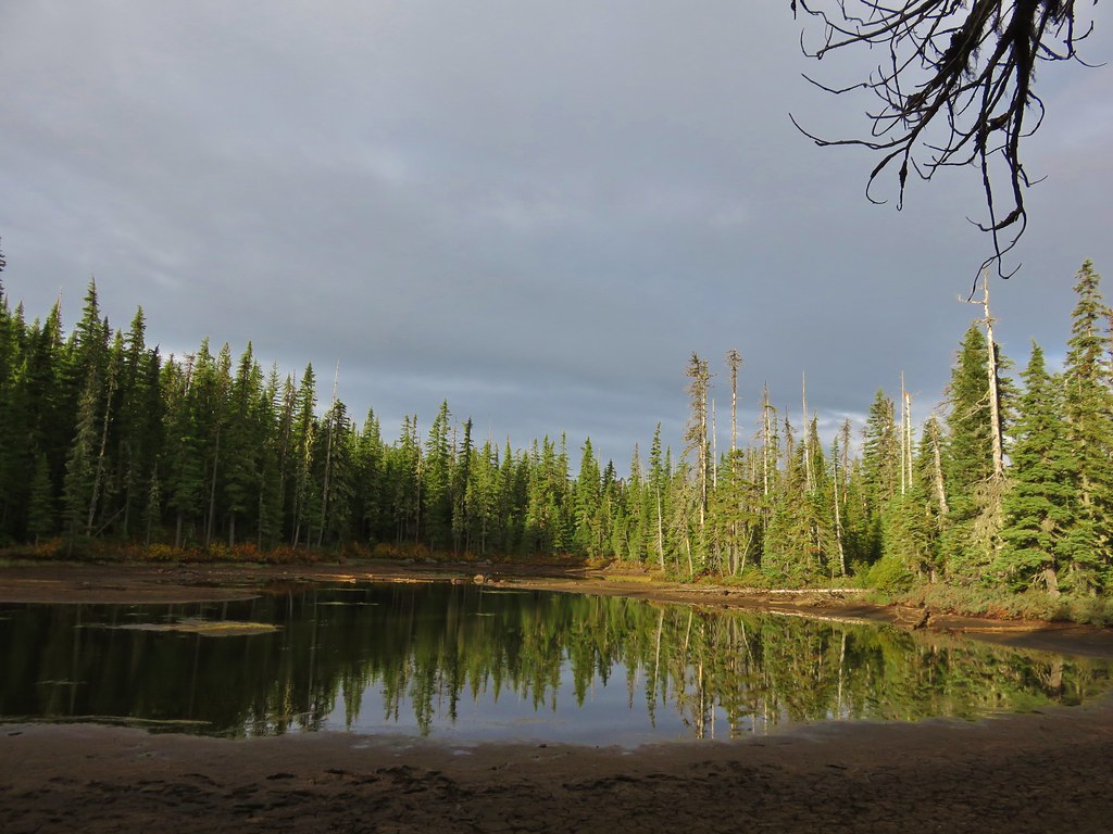
Described as “marshy” in our field guide the meadows were much larger than we had expected. Being late in such a dry year the meadows seemed rather dry as we passed by on the trail.
 //embedr.flickr.com/assets/client-code.js
 //embedr.flickr.com/assets/client-code.js
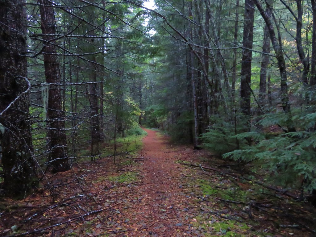
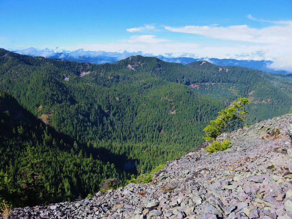
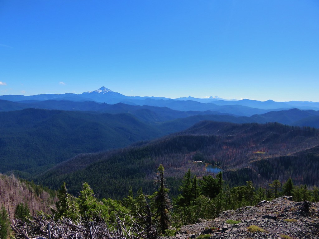
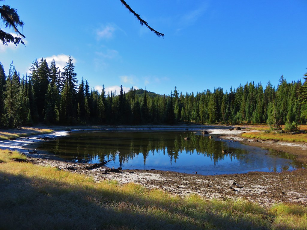
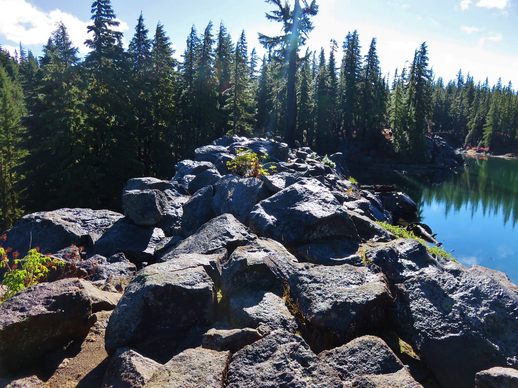
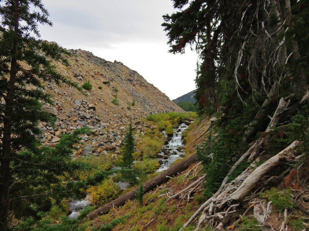
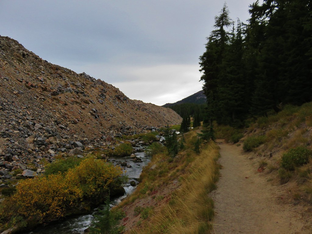
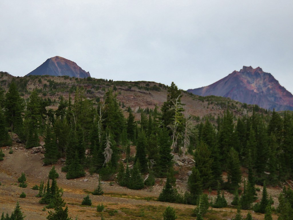
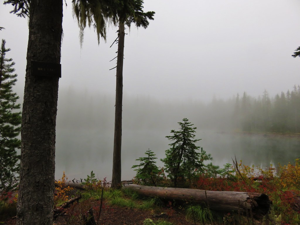
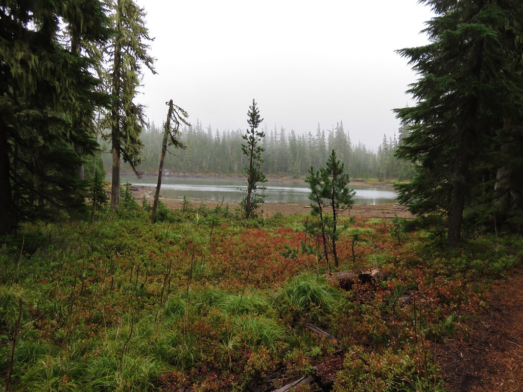
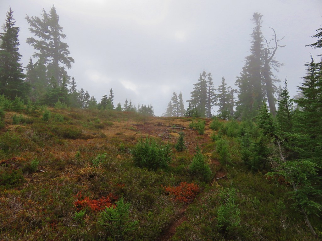
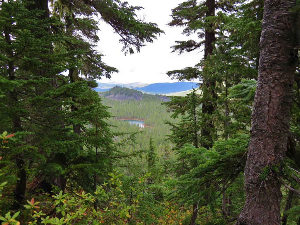
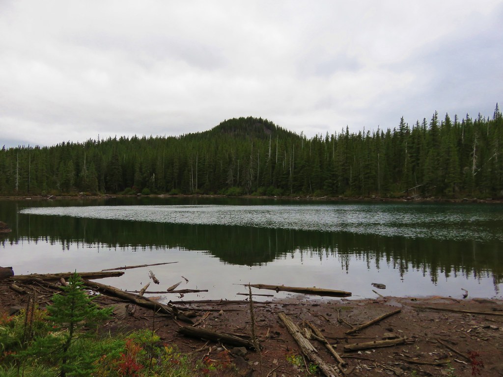
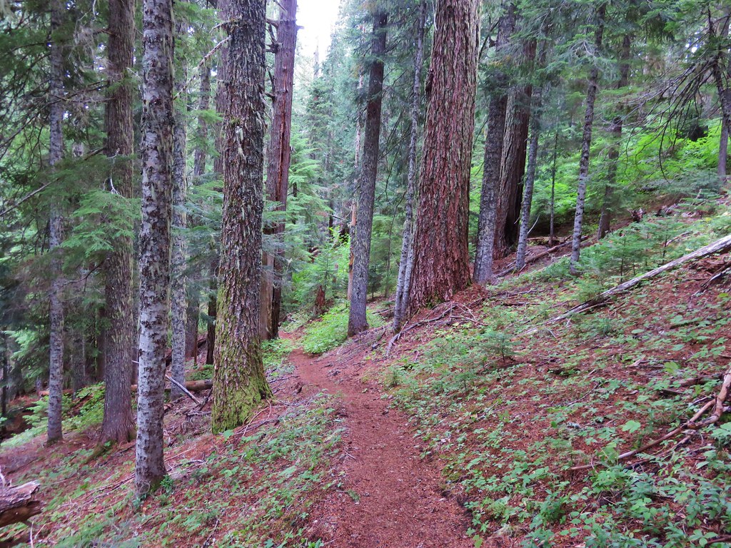
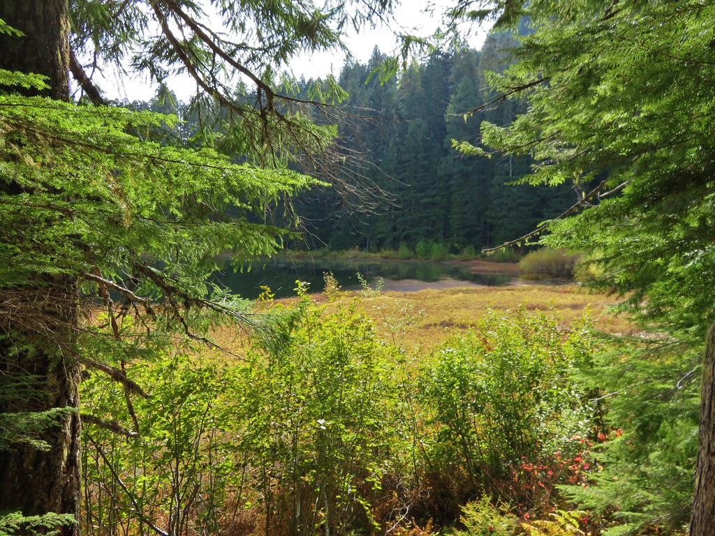
The trail had been climbing very gradually since leaving the switchbacks behind near the beginning of the hike but we began encountering some steeper climbs beyond the meadows. The trail climbed up and over a series of ridge ends as we headed for Gordon Lakes. Just over 3 miles from Gordon Meadows we arrived at a fork in the trail near the lakes.
 //embedr.flickr.com/assets/client-code.js
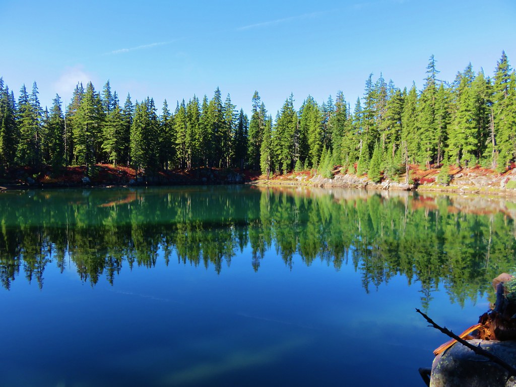
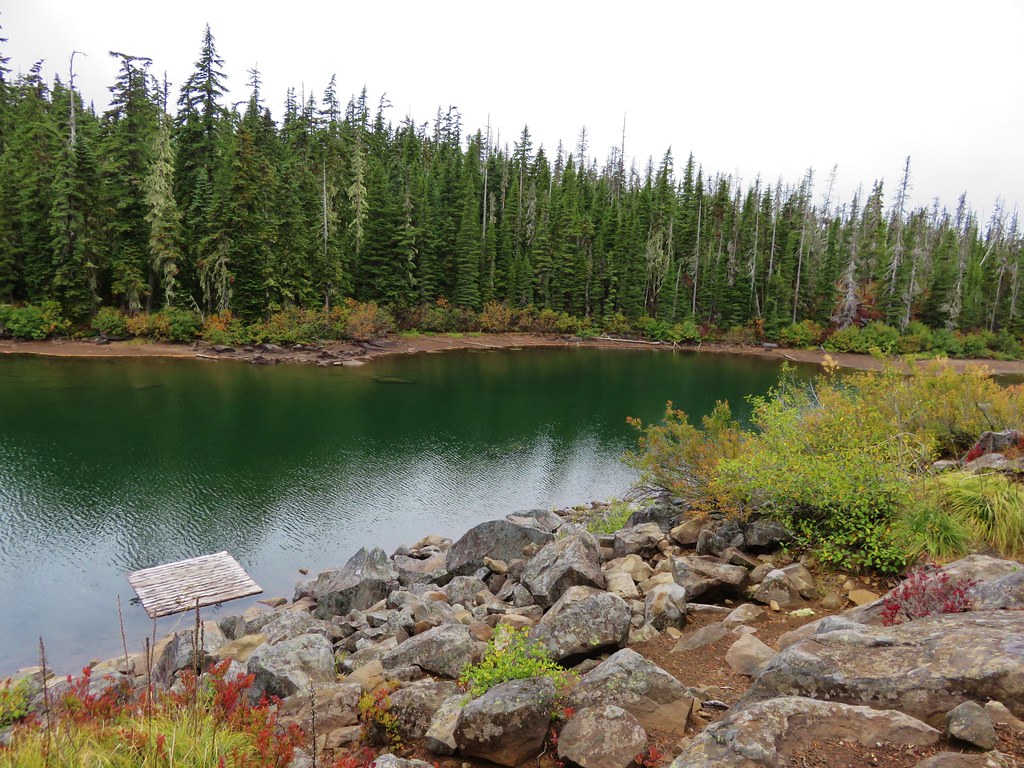
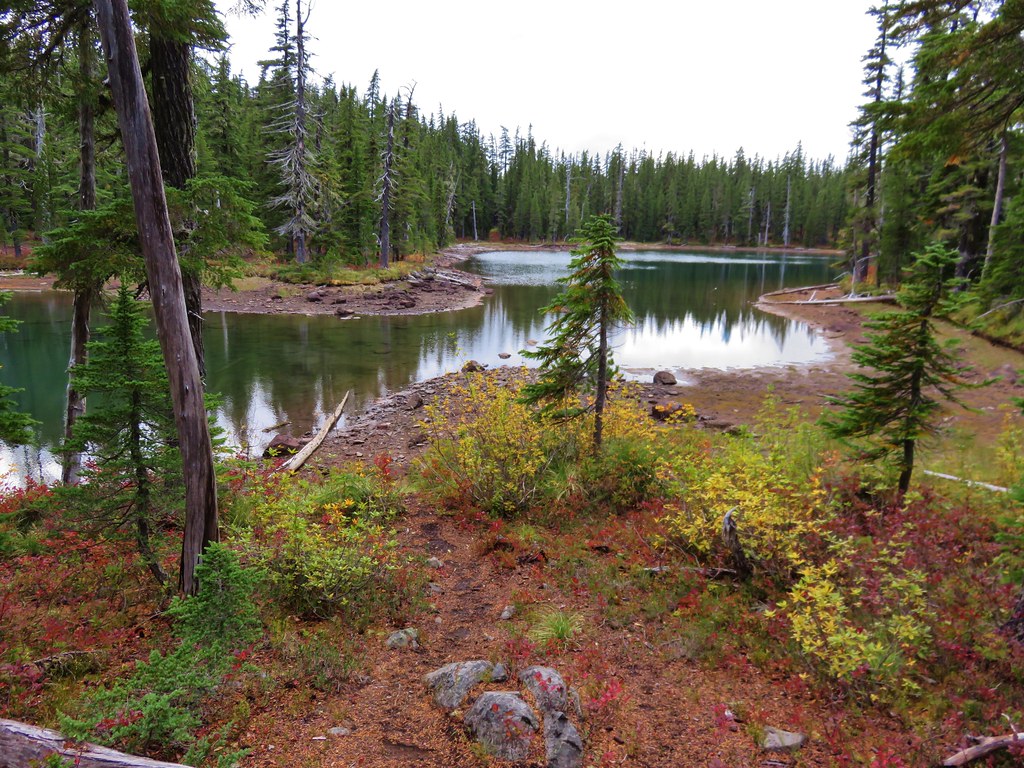
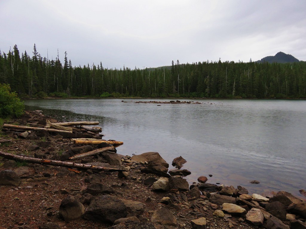
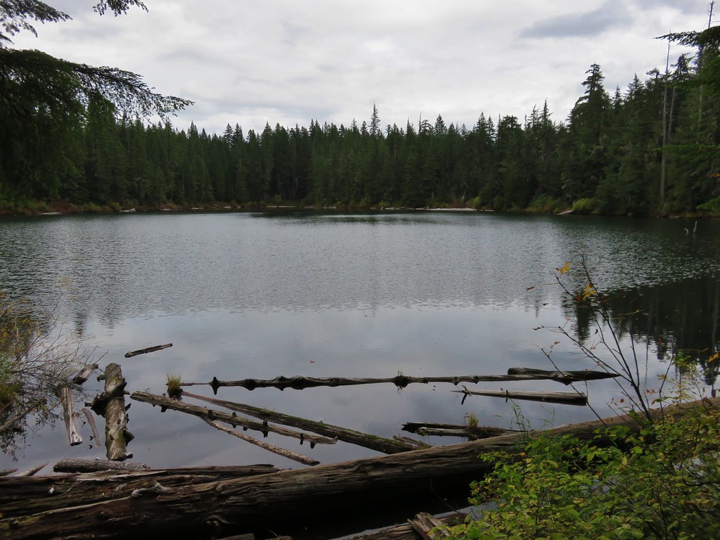
The signs pointed us toward the right hand fork while the GPS unit showed the left hand fork as the official trail. We went right following the signs to the northern Gordon Lake.
 //embedr.flickr.com/assets/client-code.js
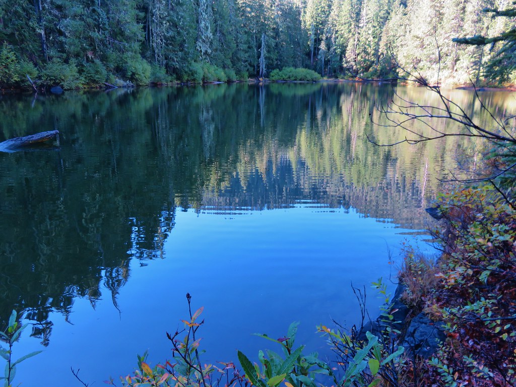
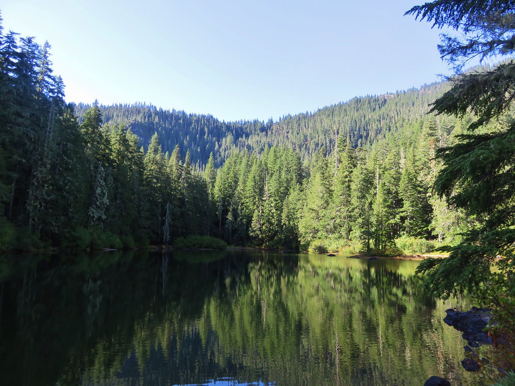
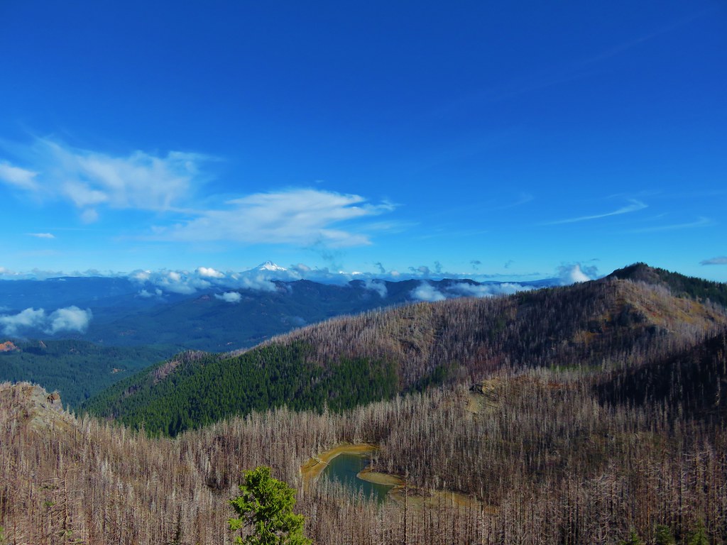
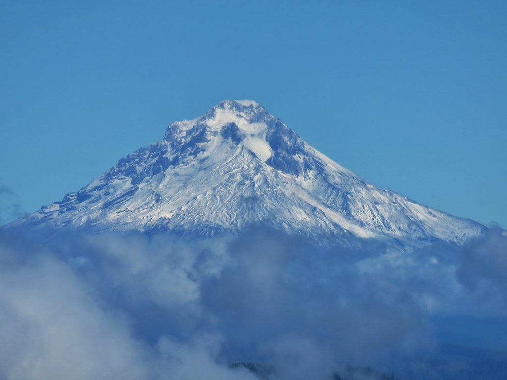
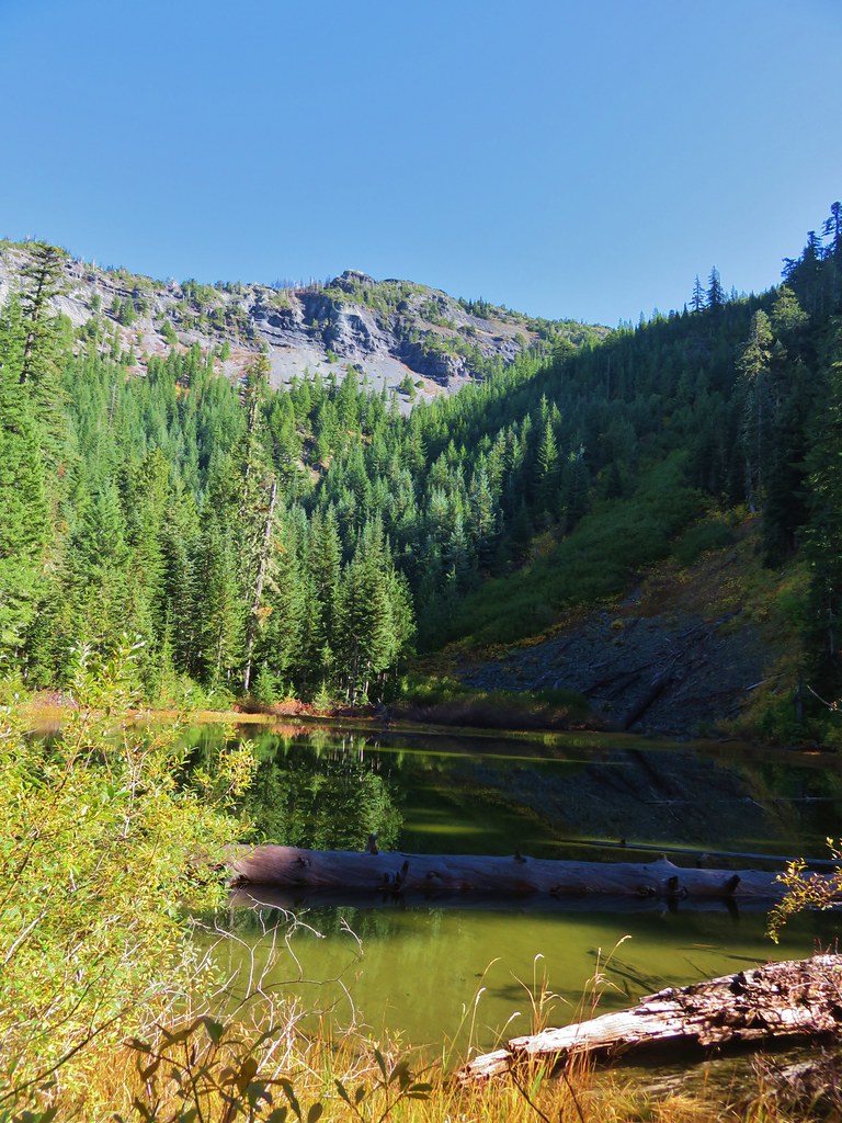
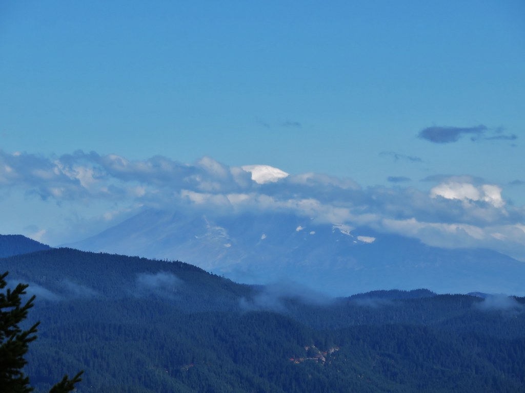
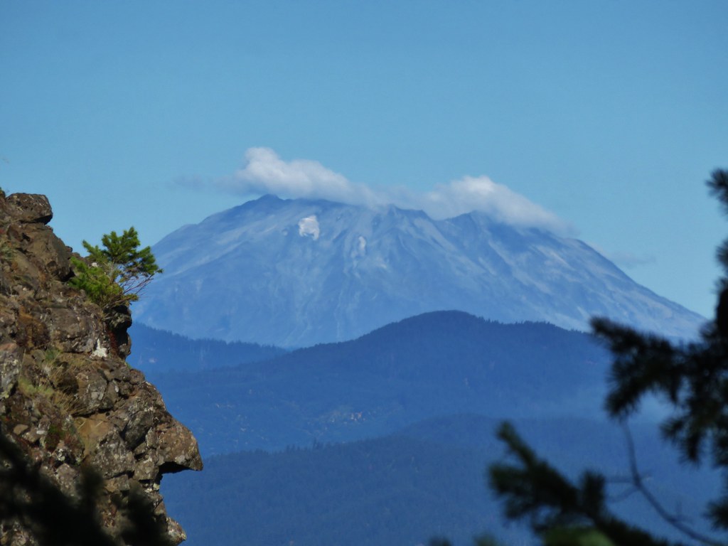
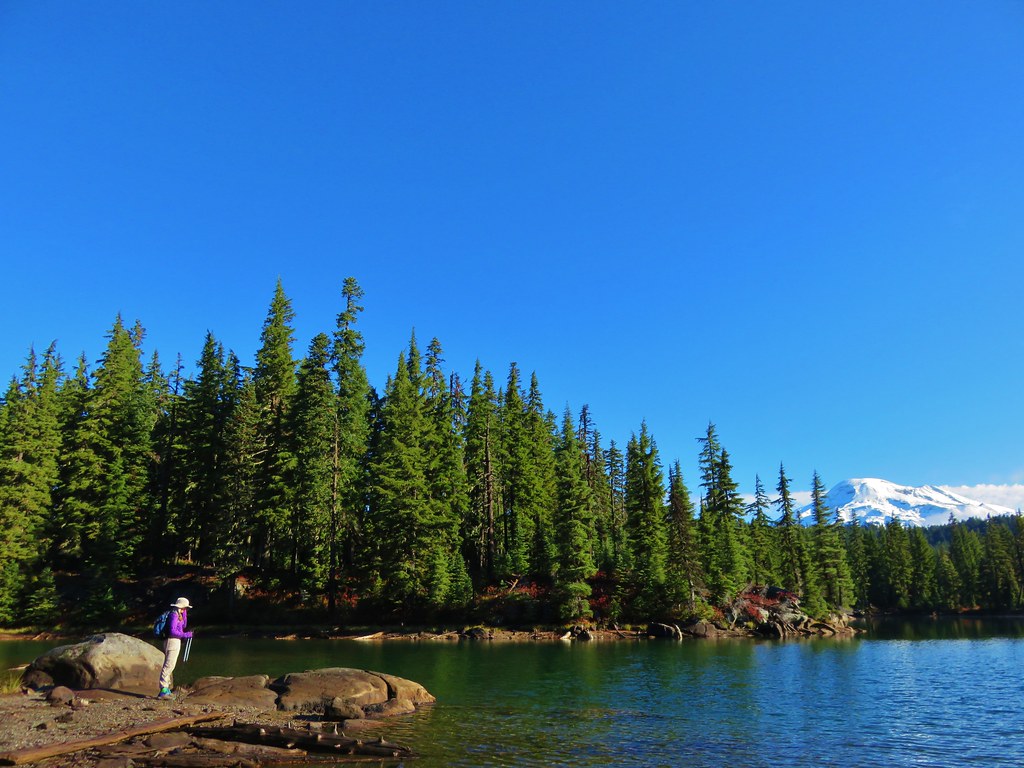
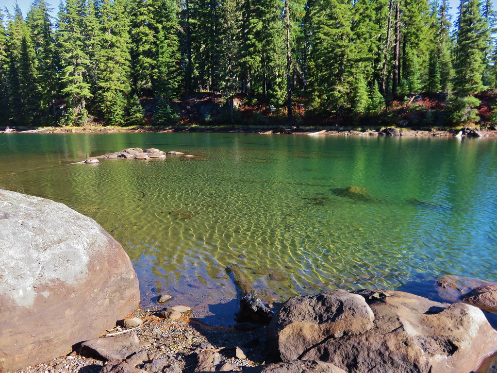
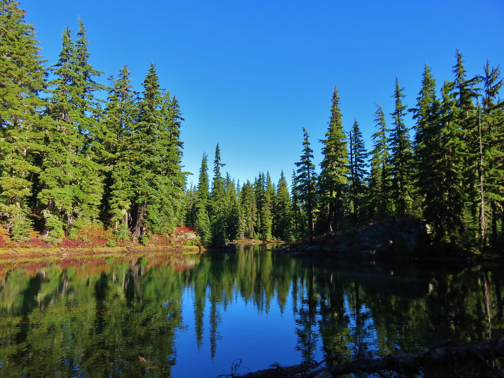
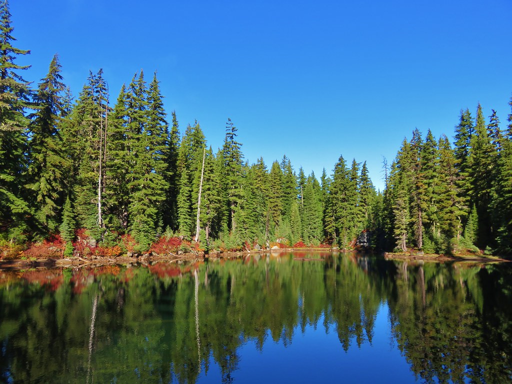
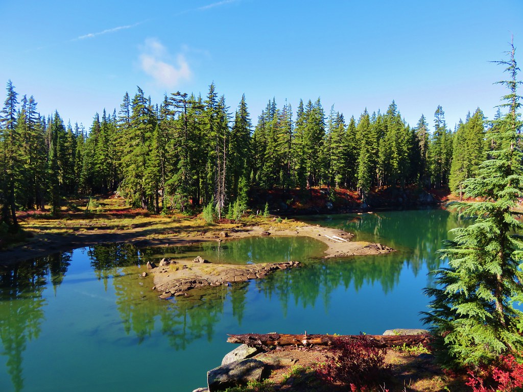
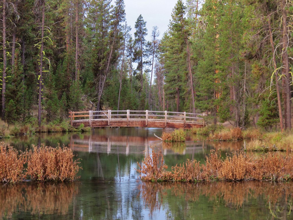
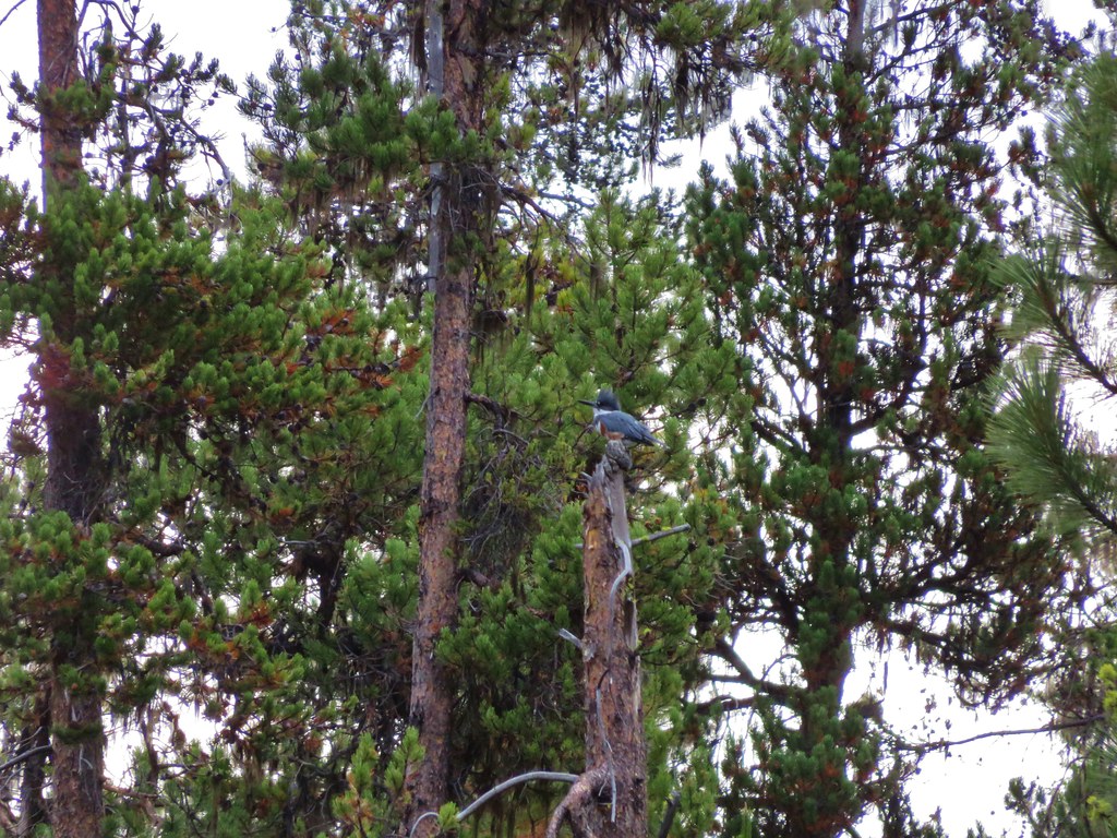
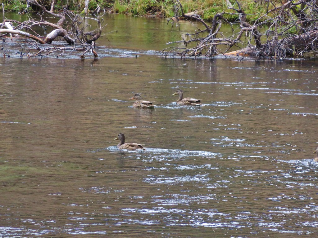
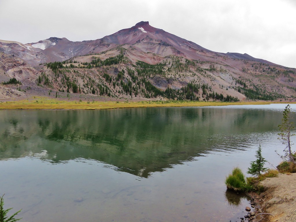
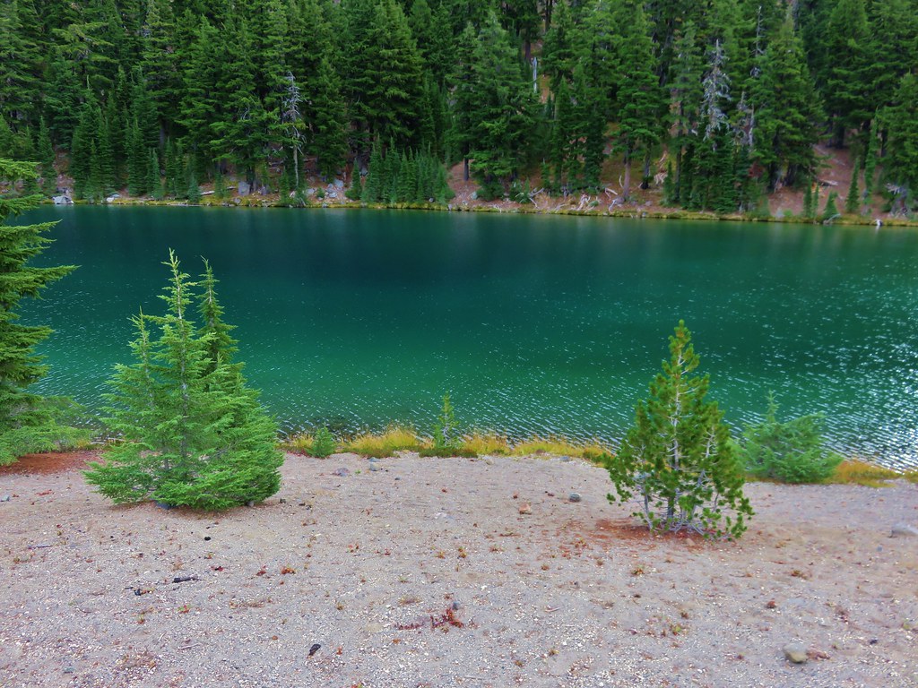
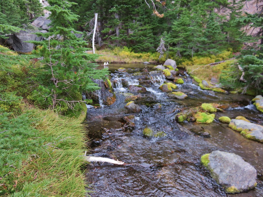
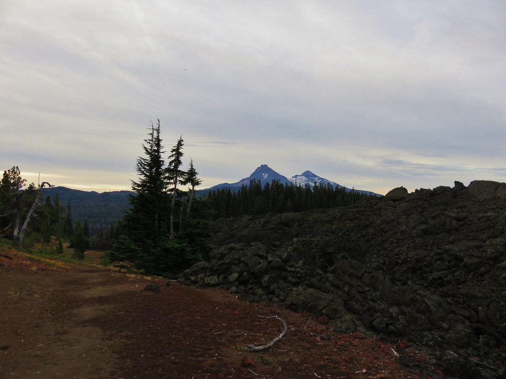
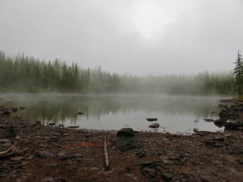
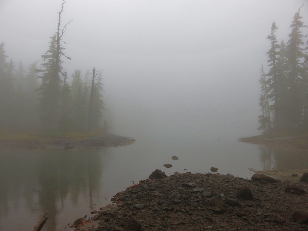
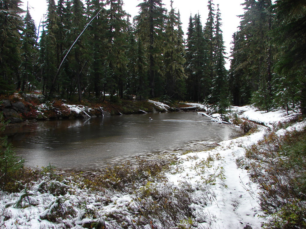
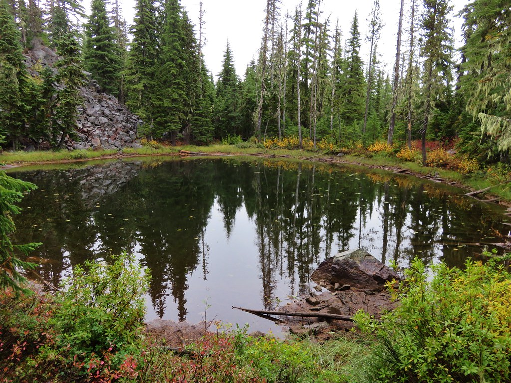
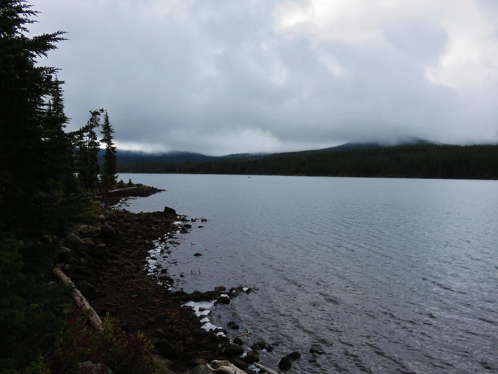
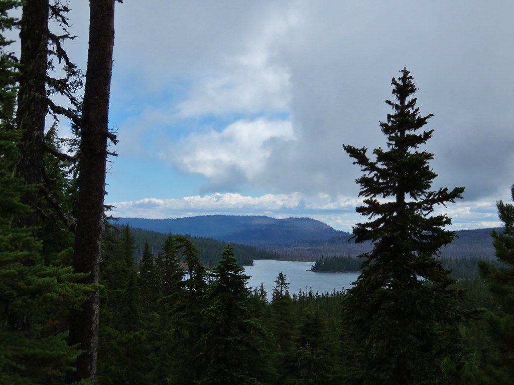
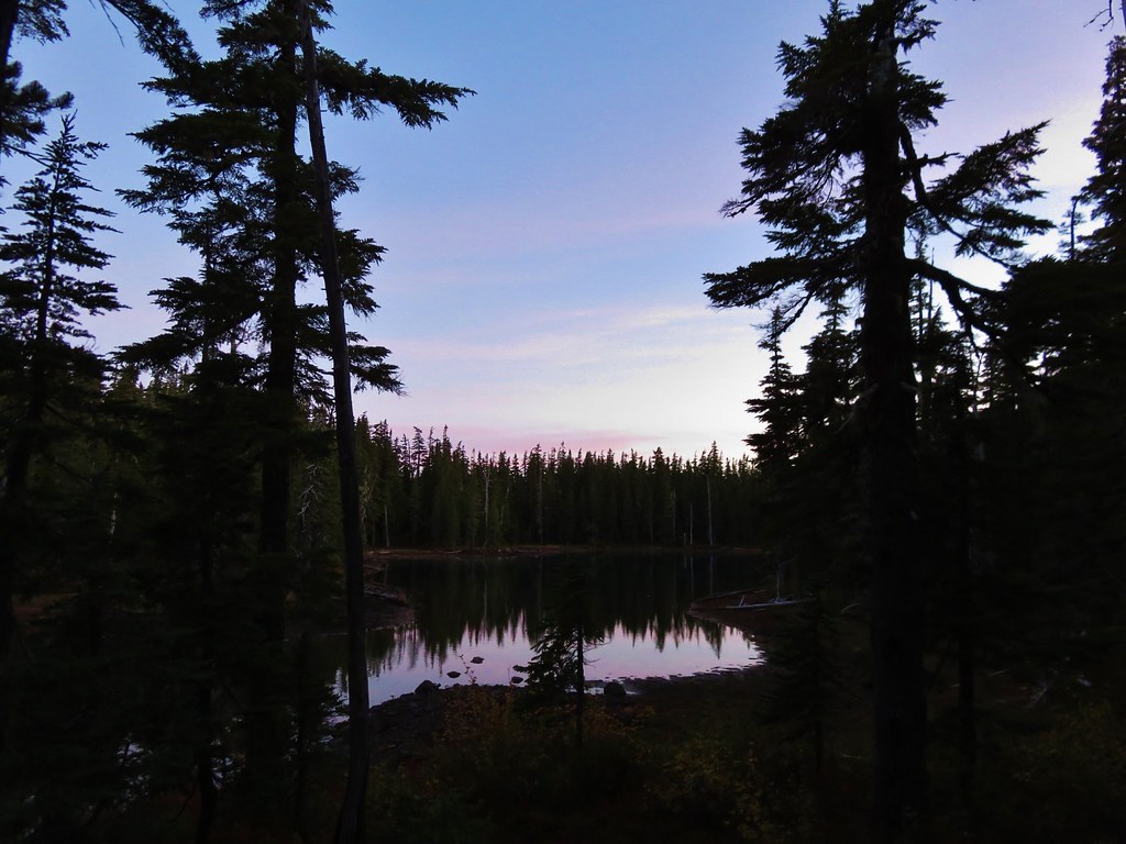
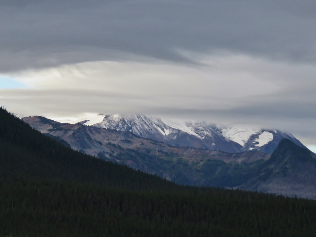
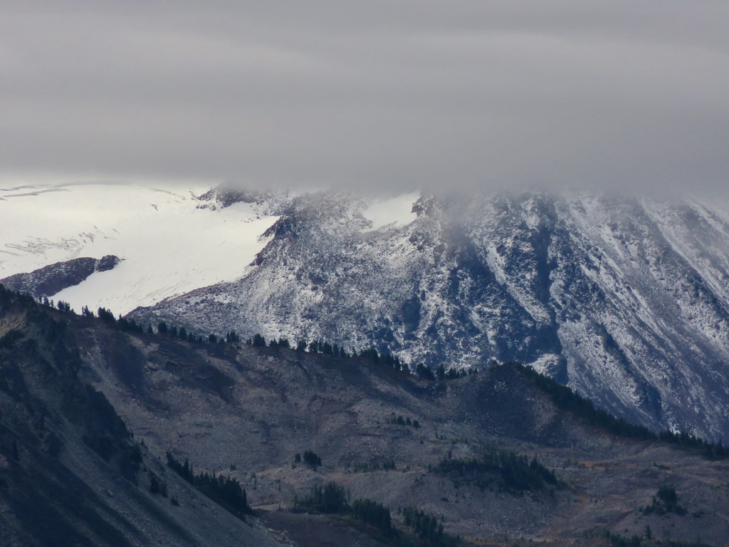
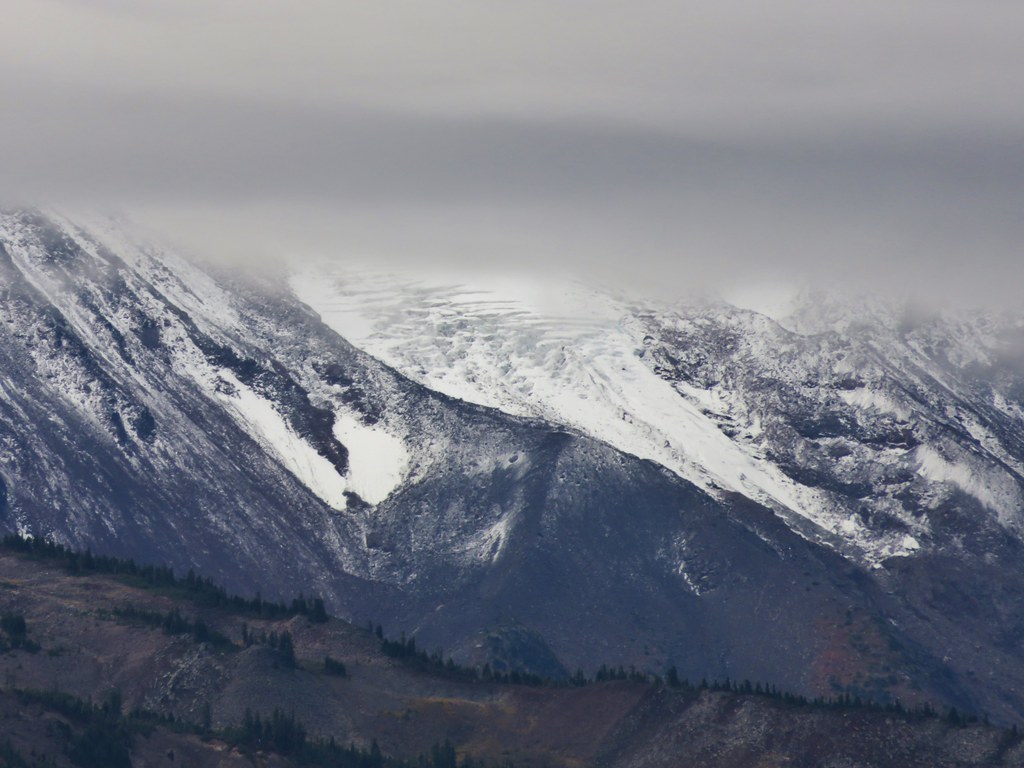
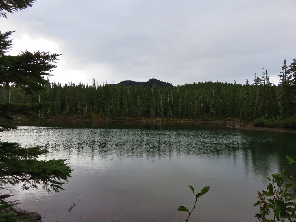
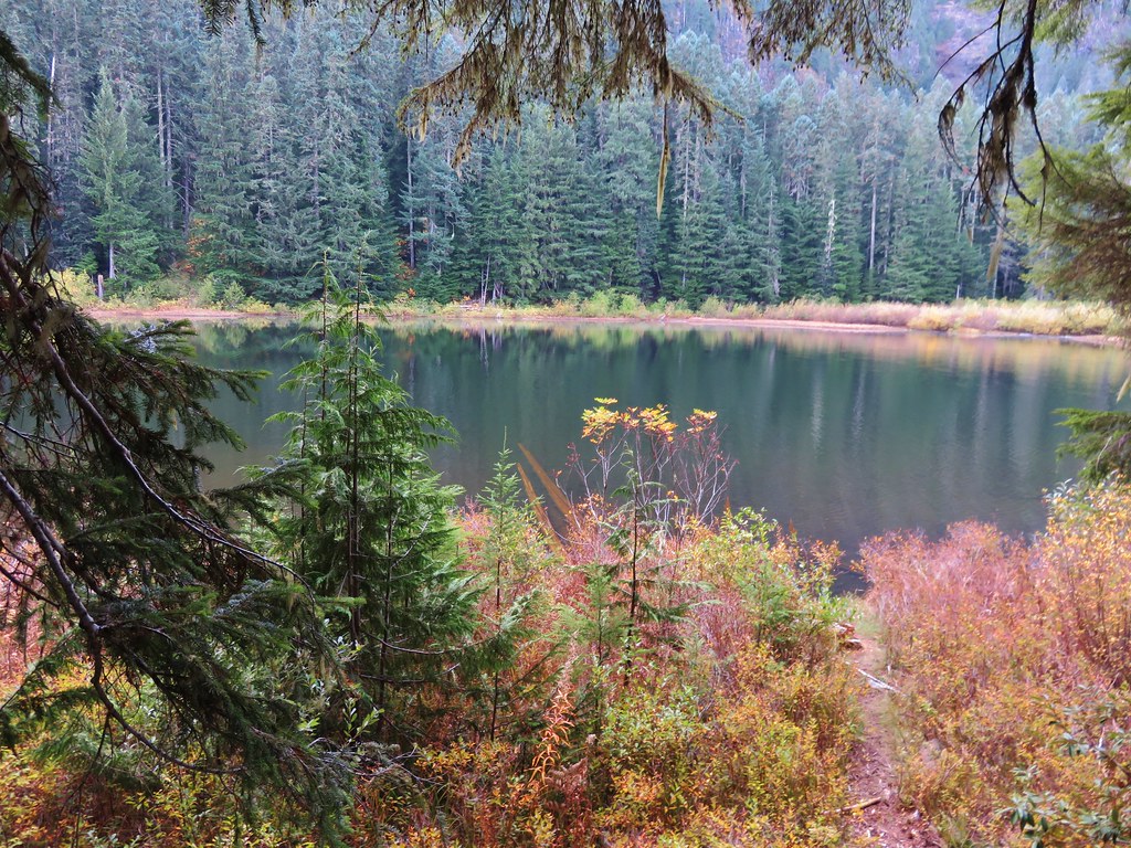
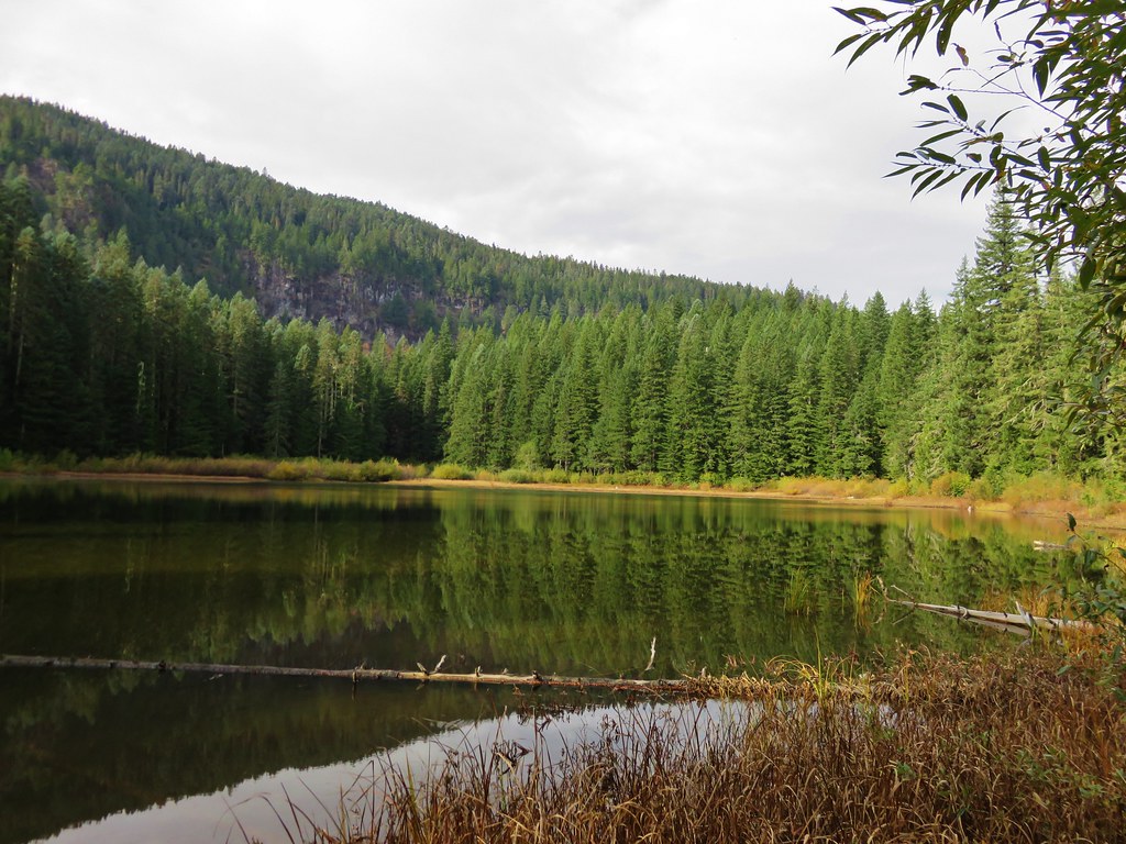
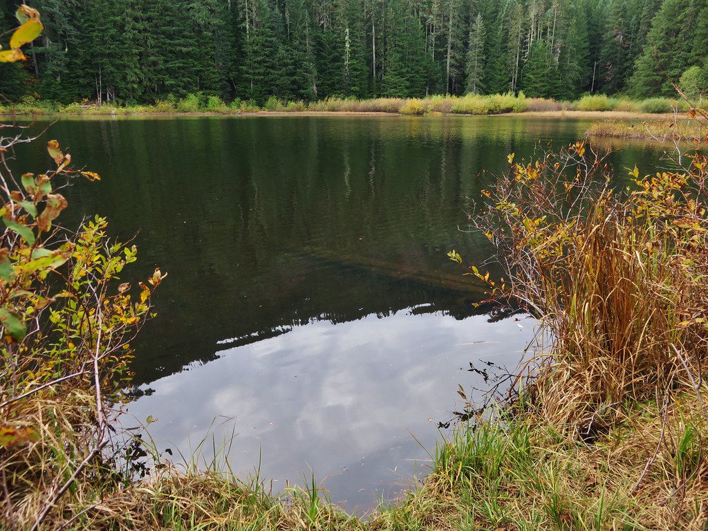
The rain that had been in the forecast had not materialized and we were enjoying some sun breaks in the clouds as the trail crossed the small outlet creek that flowed down into the lower southern lake.
 //embedr.flickr.com/assets/client-code.js
 //embedr.flickr.com/assets/client-code.js
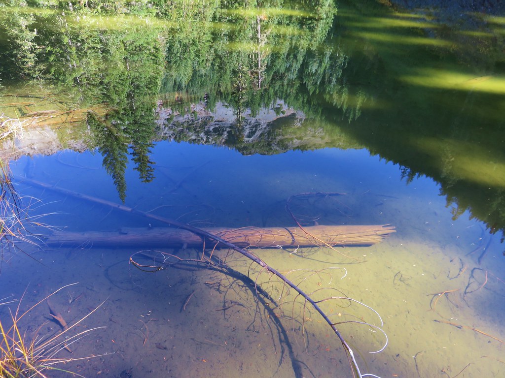
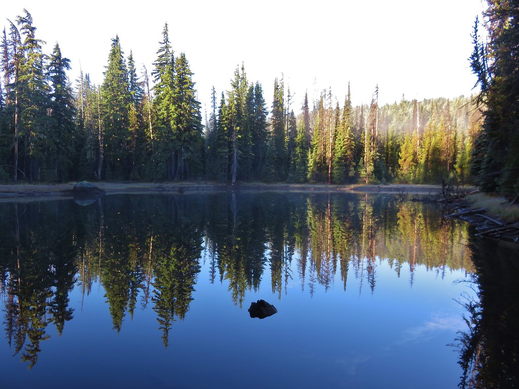
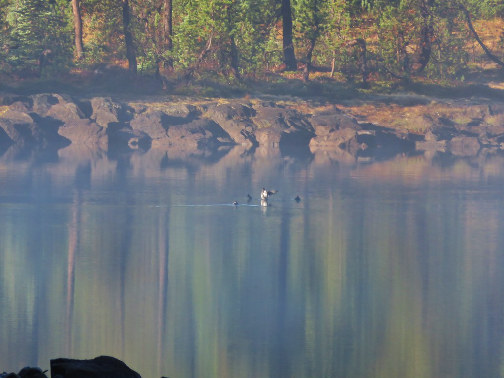
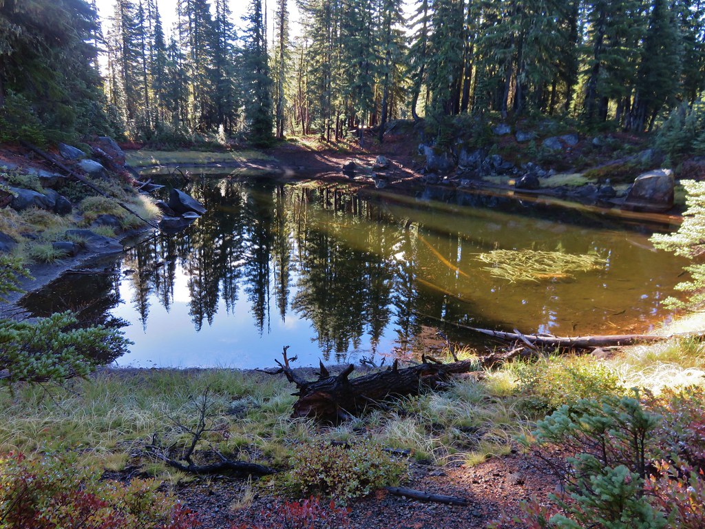
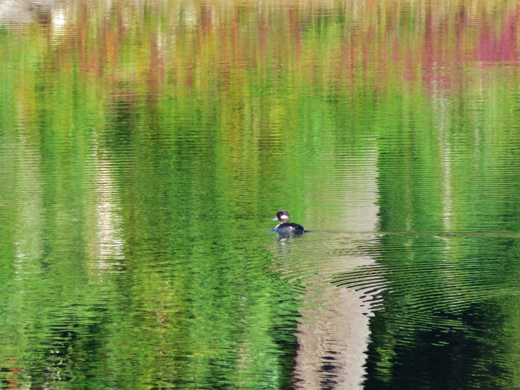
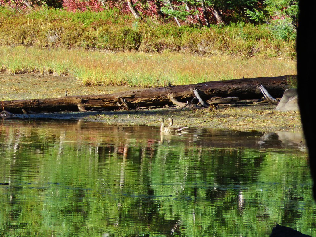
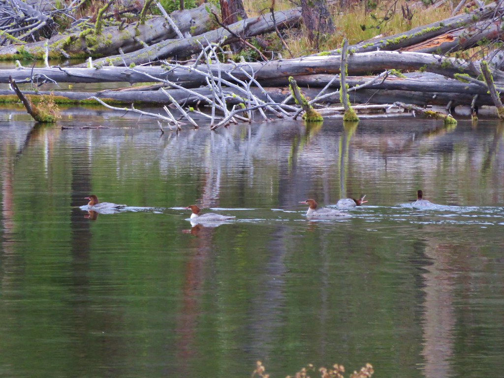
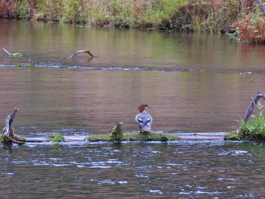
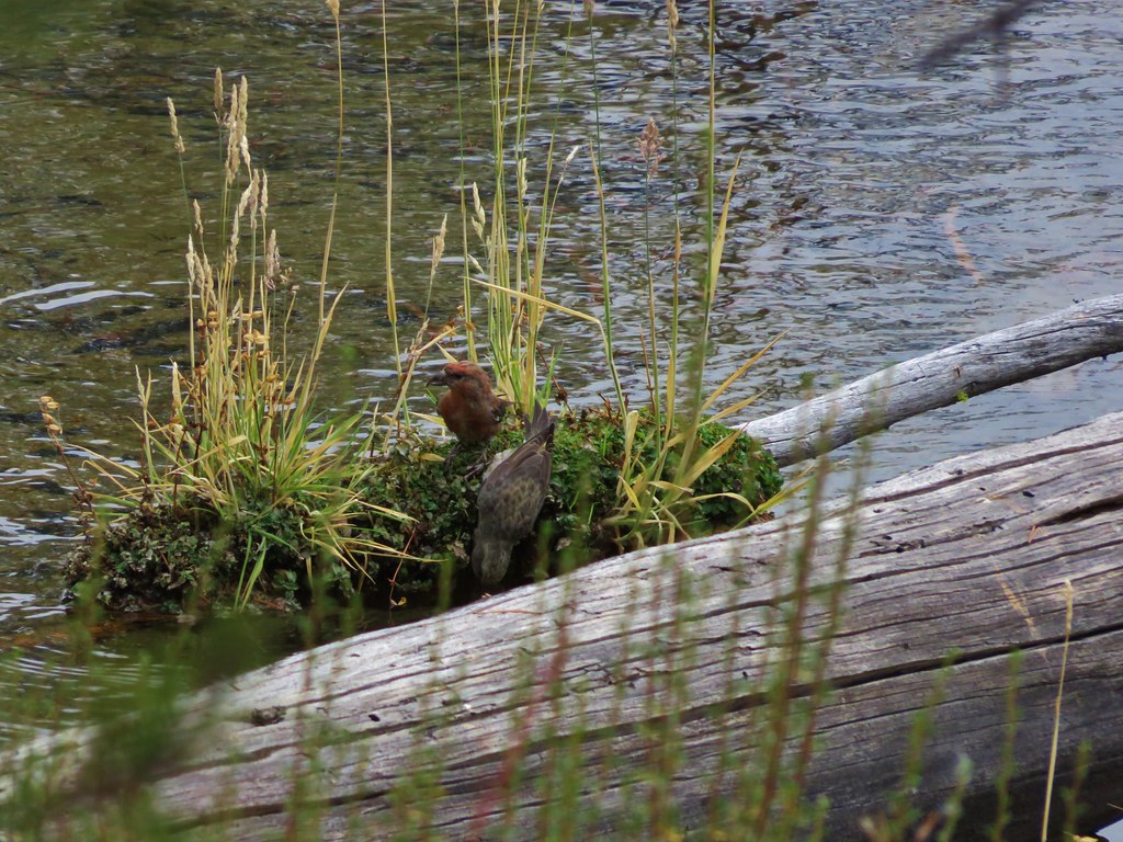
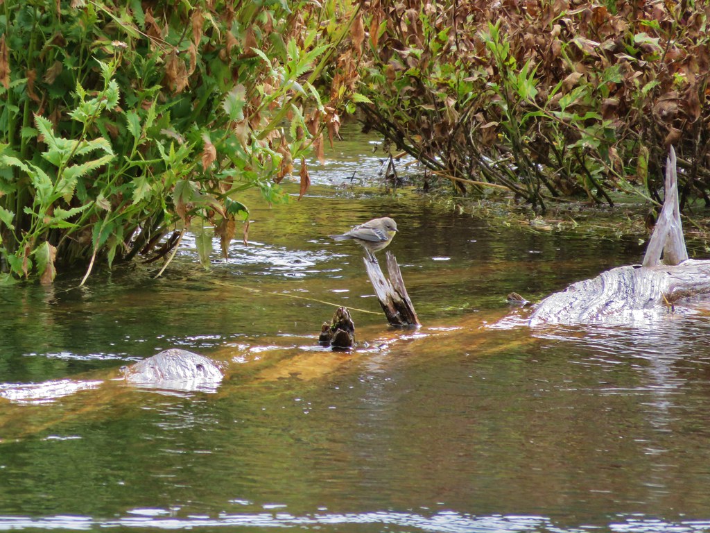
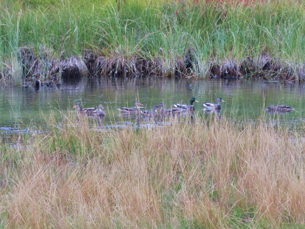
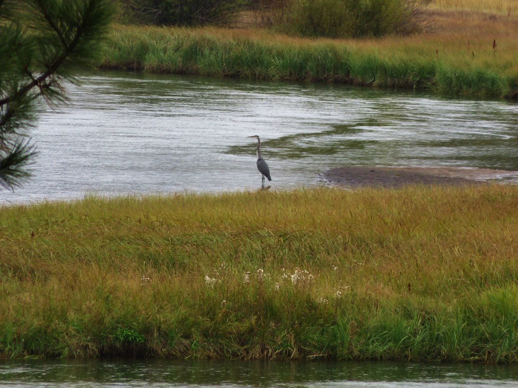
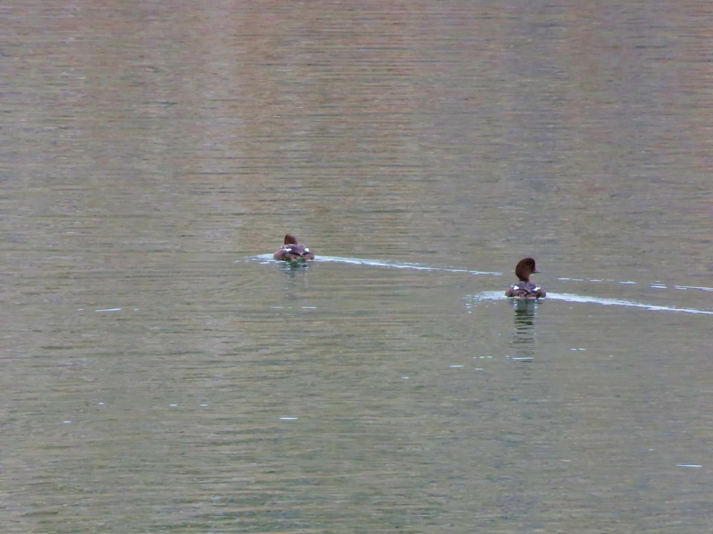
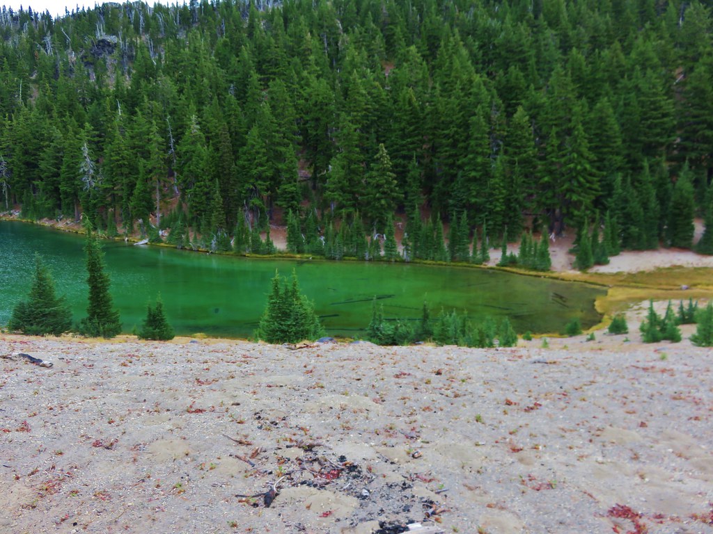
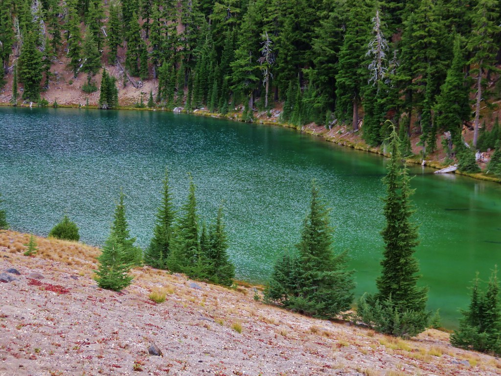
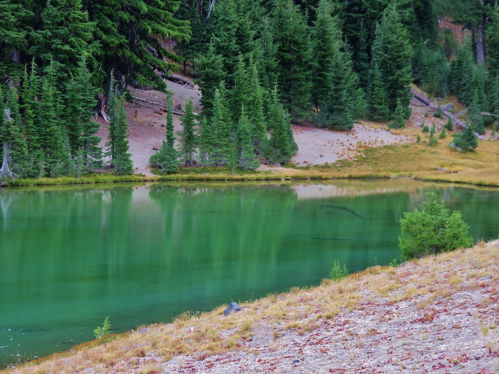
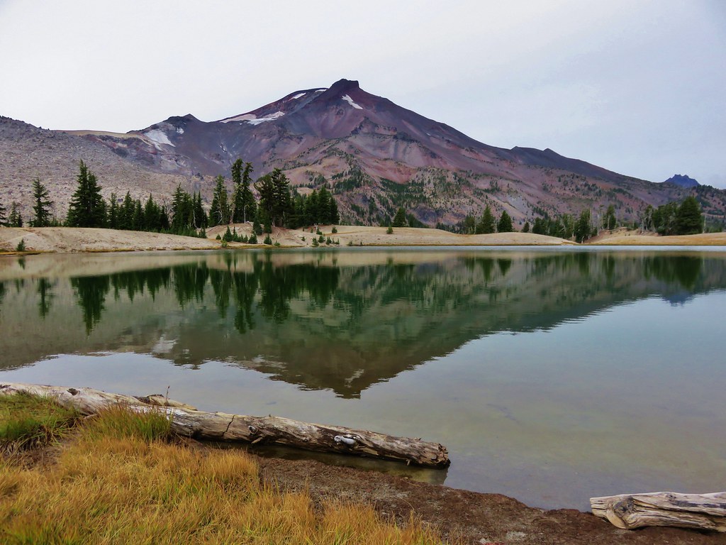
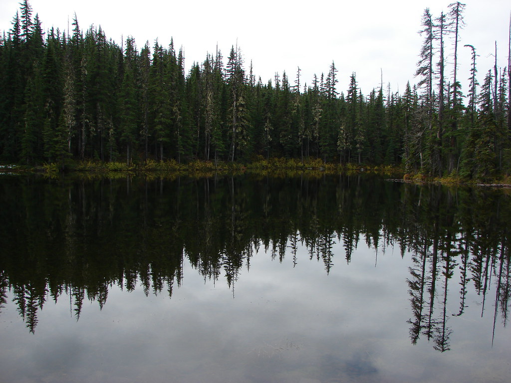
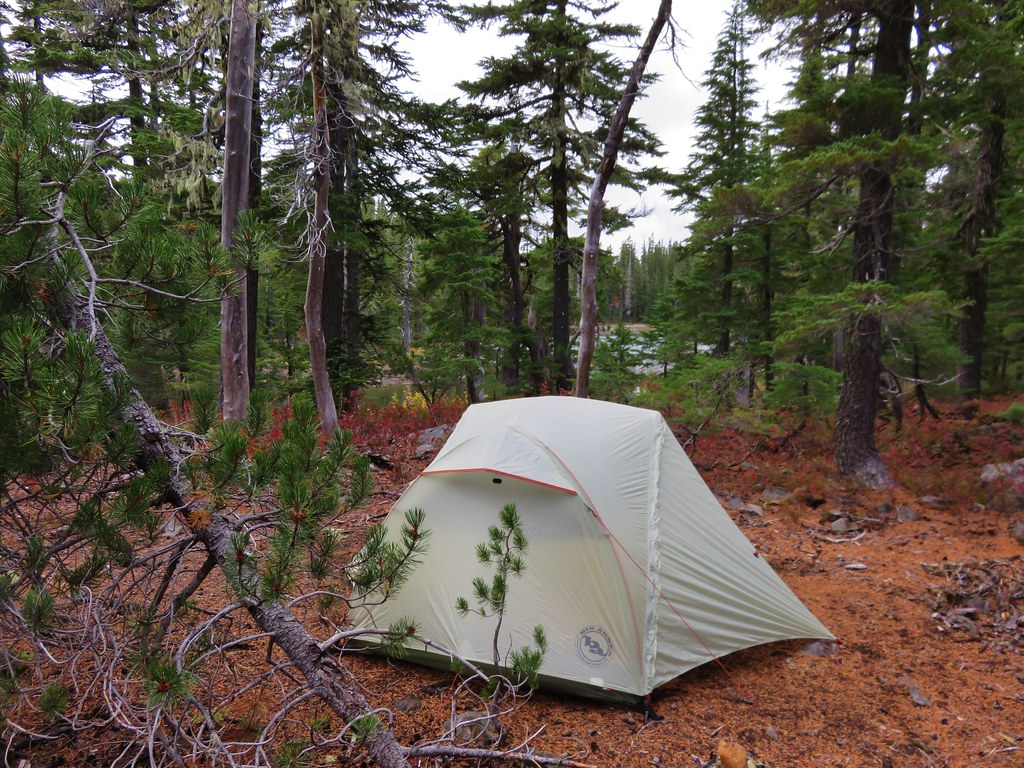
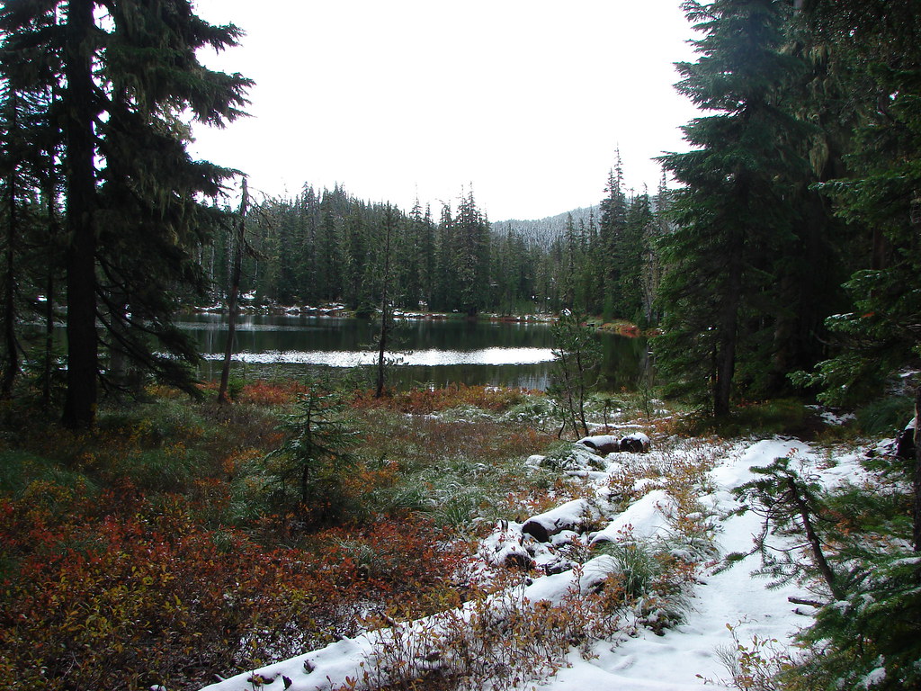
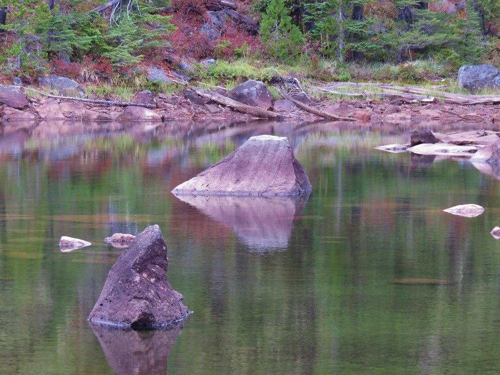
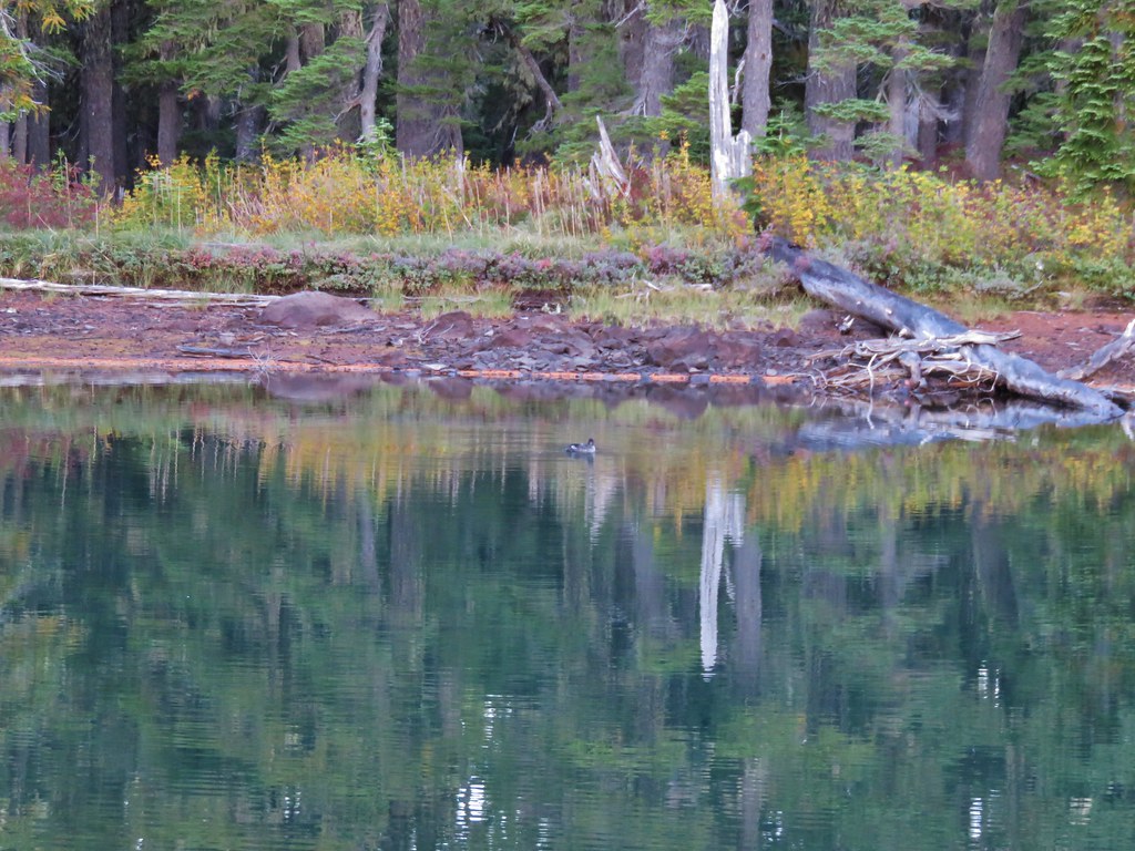
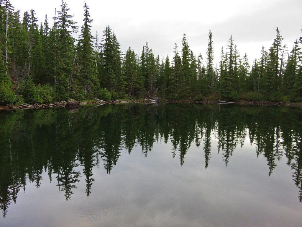
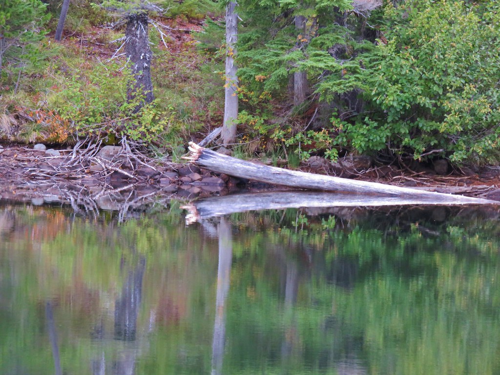
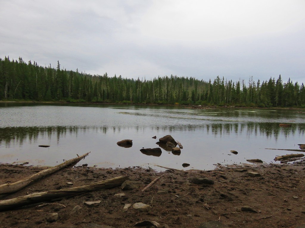
We spent a little time on a log at the edge of the lake watching dragonflies zoom about.
 //embedr.flickr.com/assets/client-code.js
 //embedr.flickr.com/assets/client-code.js
 //embedr.flickr.com/assets/client-code.js
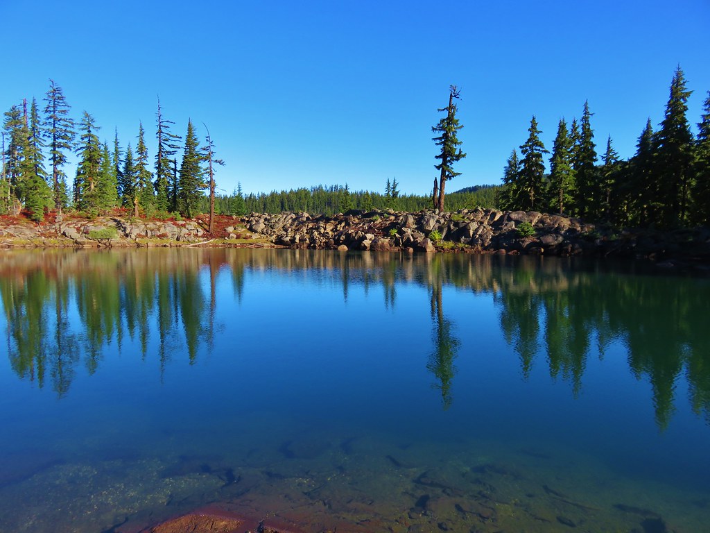
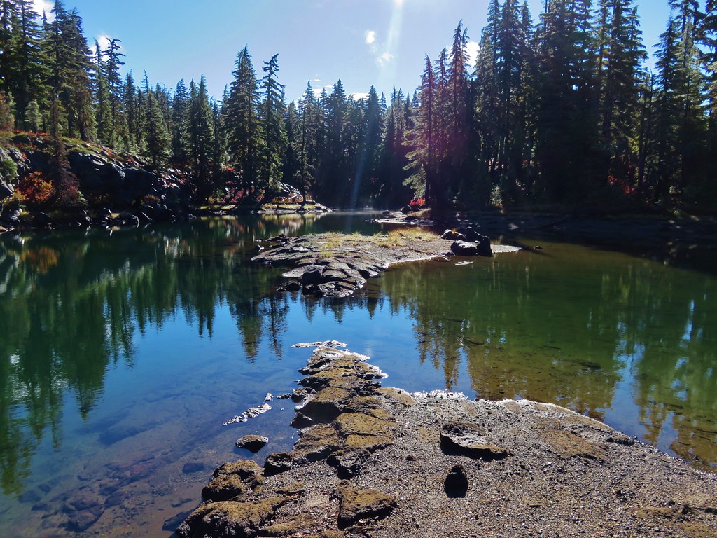
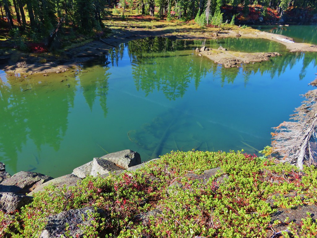
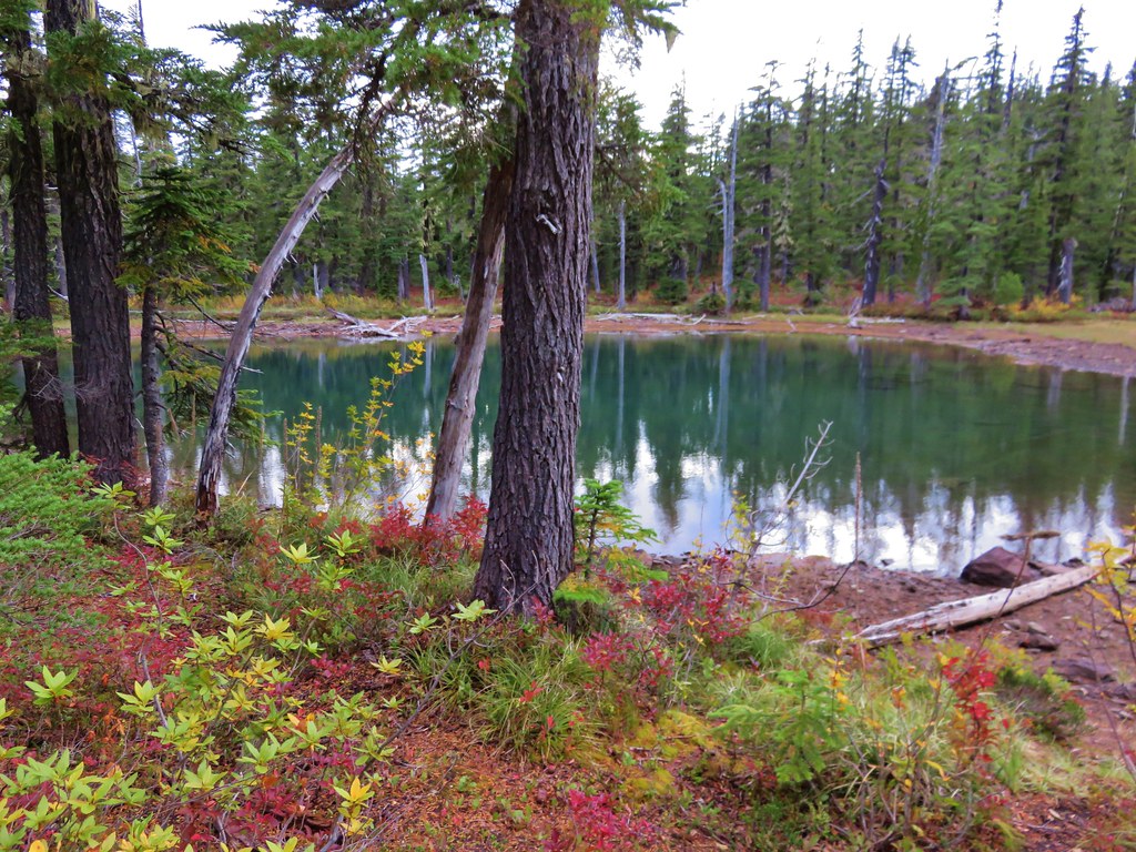
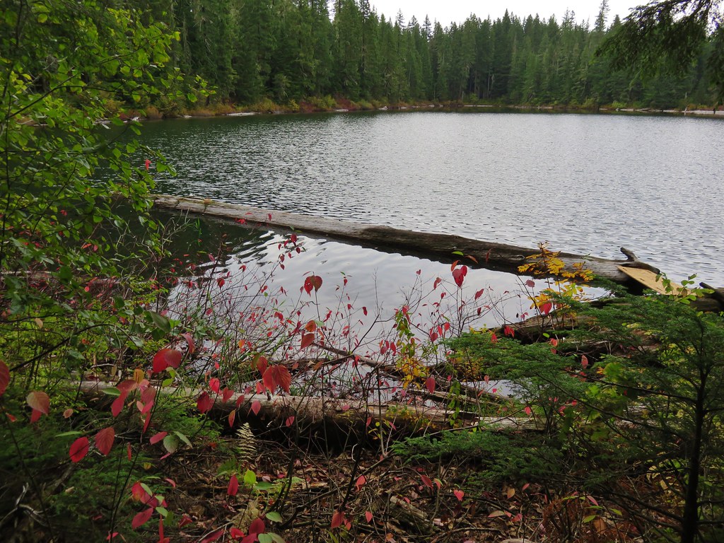
After having a snack we left the northern lake and passing over the ridge between the two lakes and heading down toward the southern lake.
 //embedr.flickr.com/assets/client-code.js
 //embedr.flickr.com/assets/client-code.js
 //embedr.flickr.com/assets/client-code.js
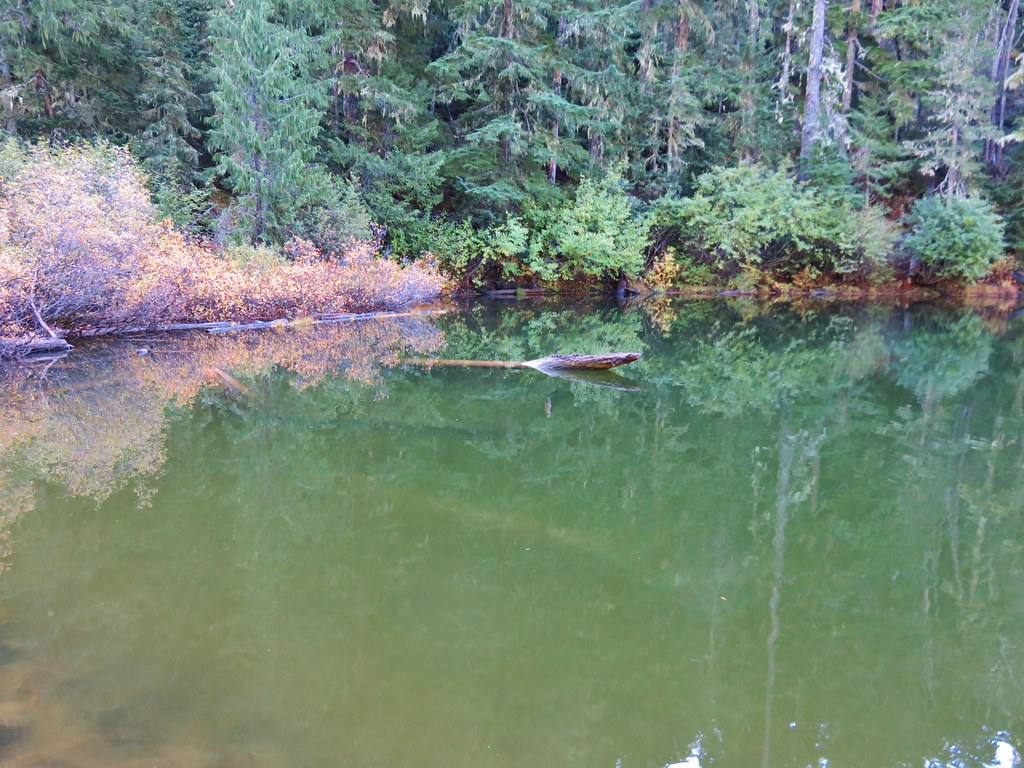
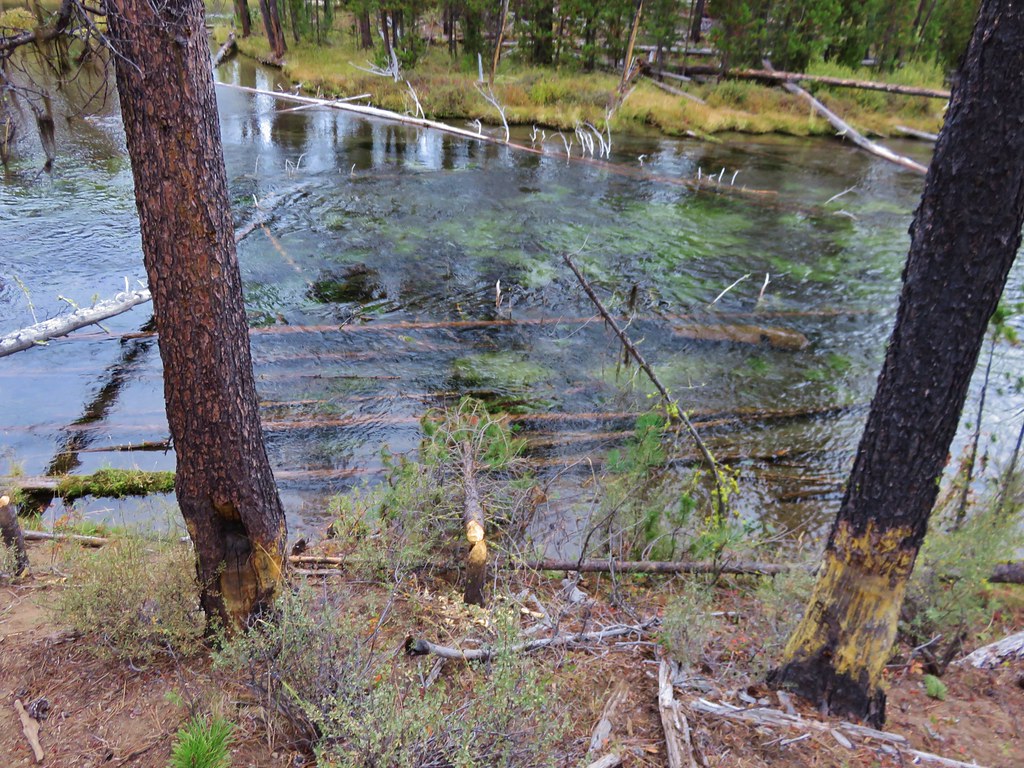
We crossed the creek between the lakes and picked up the trail shown on our Garmin on the opposite side.
 //embedr.flickr.com/assets/client-code.js
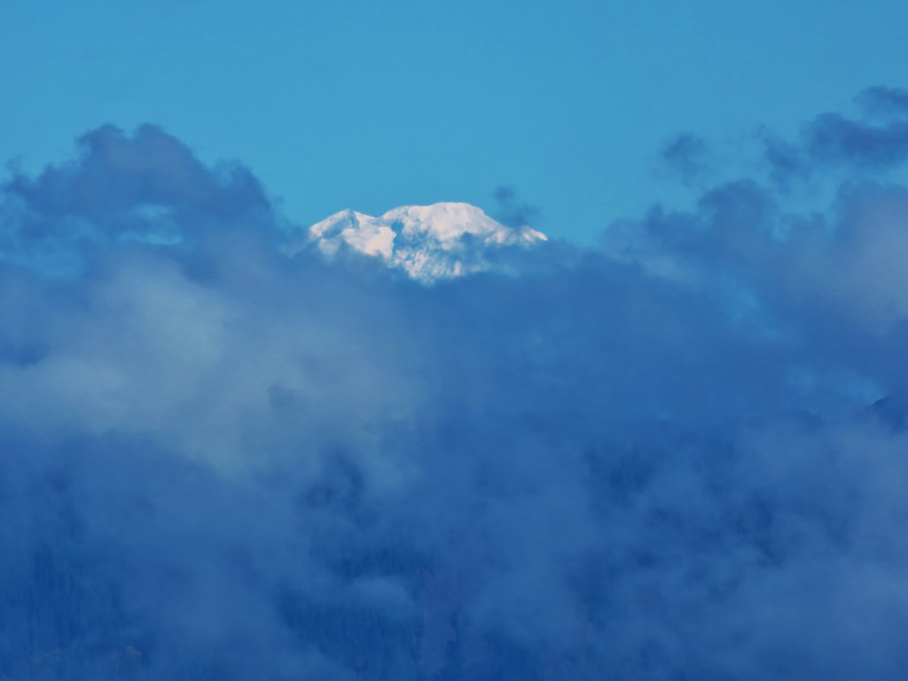
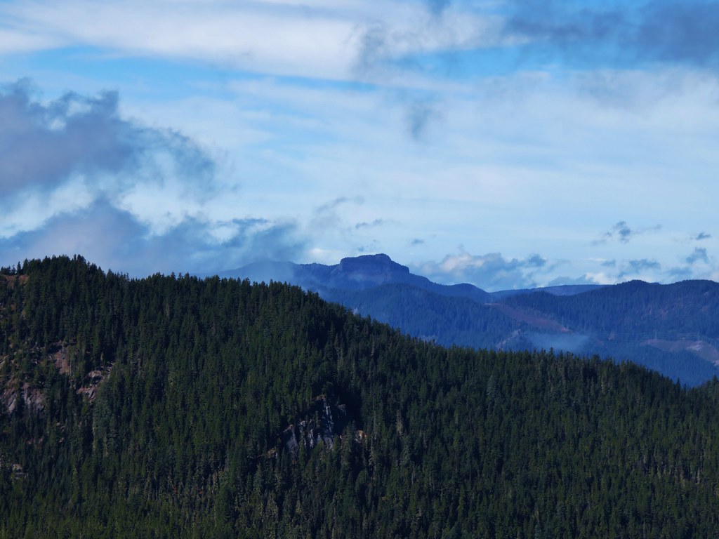
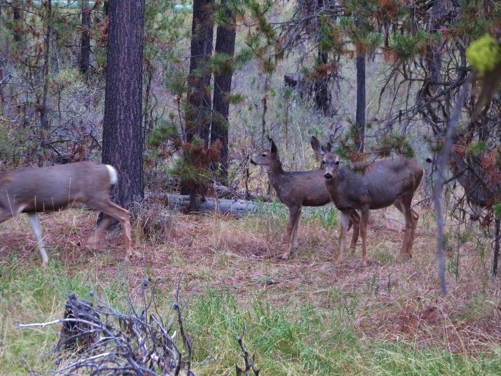
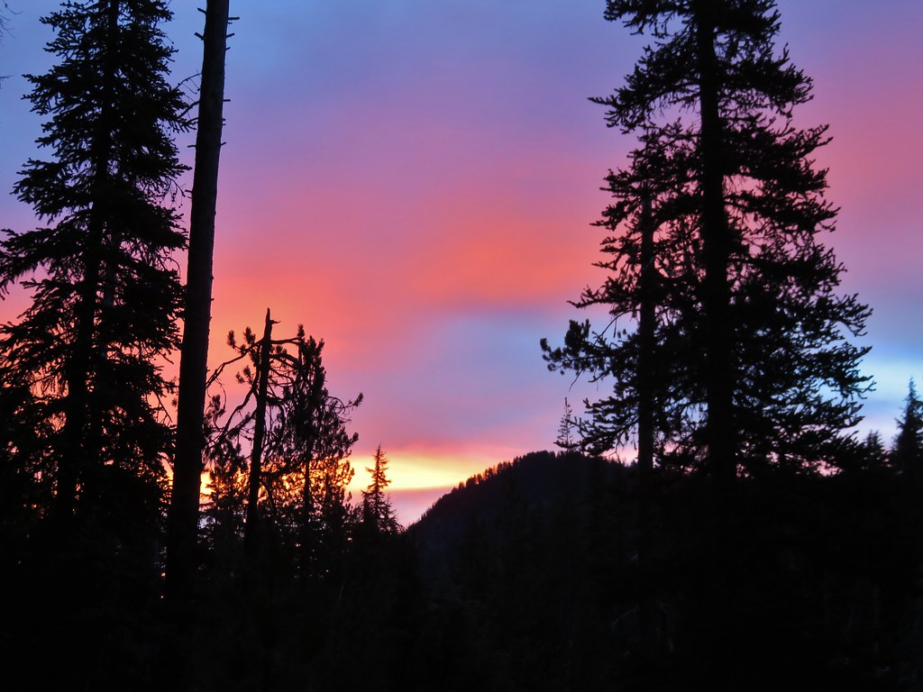
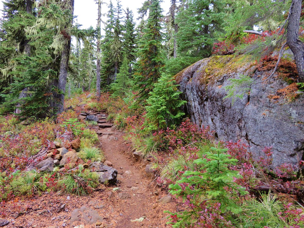
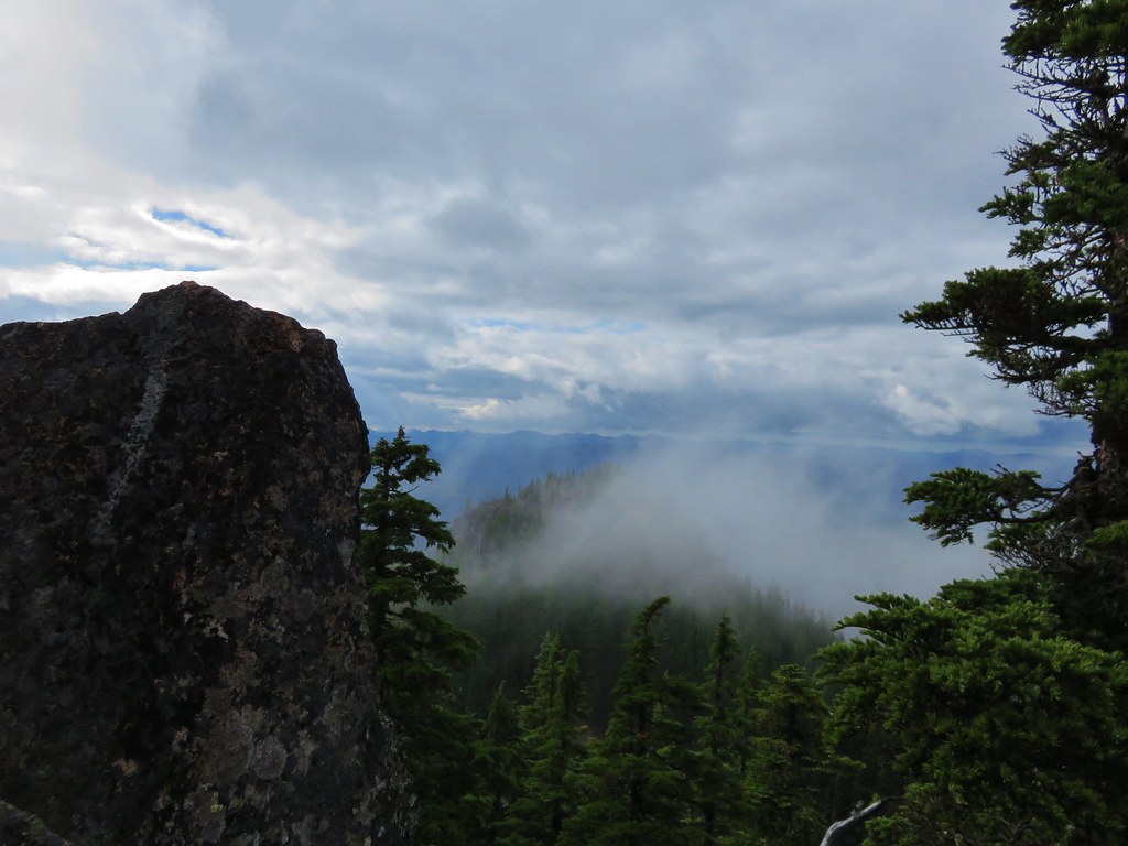
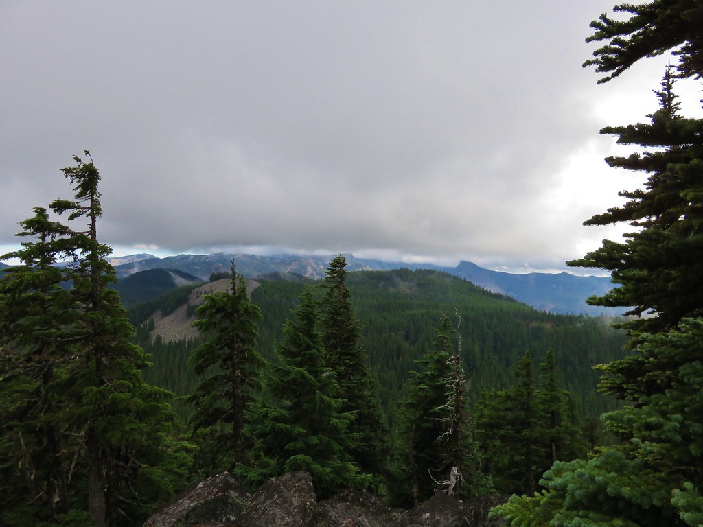
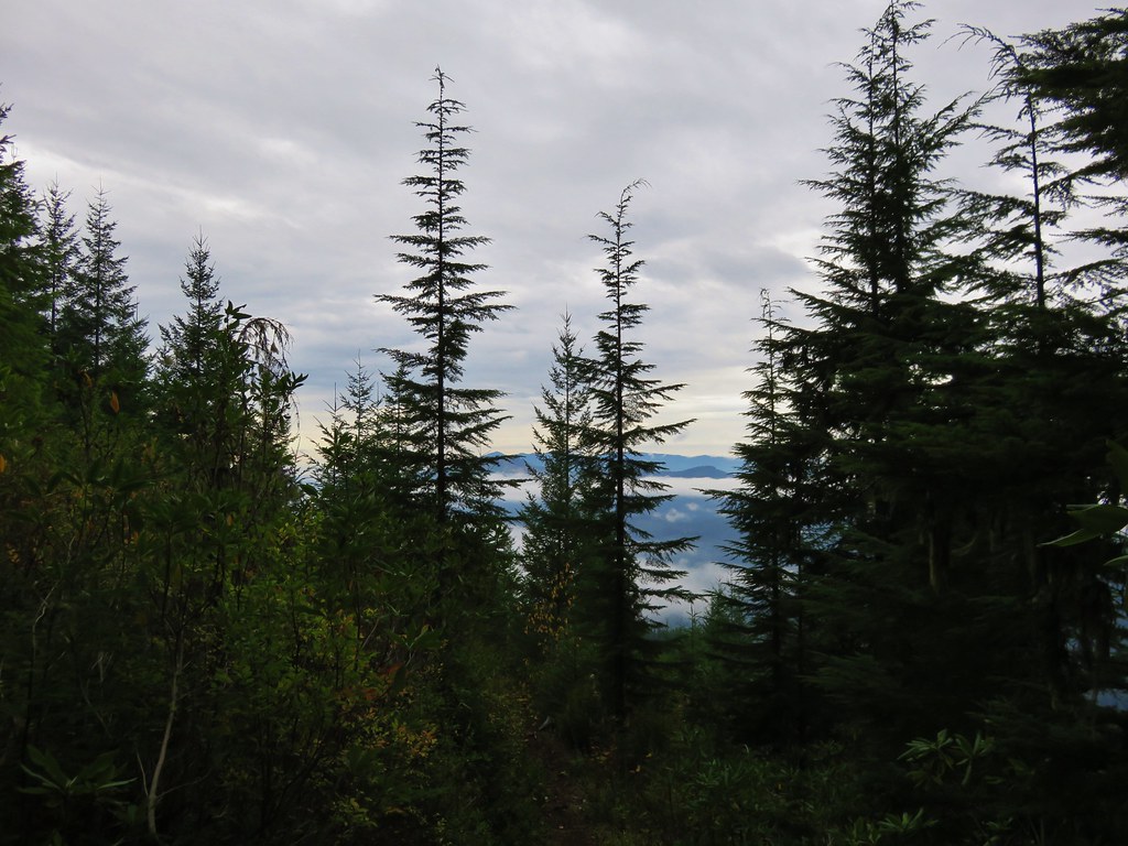
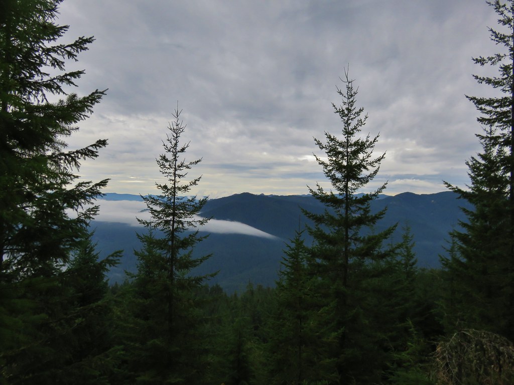
We followed the path uphill where we discovered that there were a few downed trees across the trail which may have been why the signs had pointed to the other fork of the trail, but we made our way past the blowdown and climbed back up to the fork. We headed back making our way over the ridge ends, past Gordon Meadows, and started back down the switchbacks. We still hadn’t experienced any rain but the clouds in the valley were on the move.
 //embedr.flickr.com/assets/client-code.js
 //embedr.flickr.com/assets/client-code.js
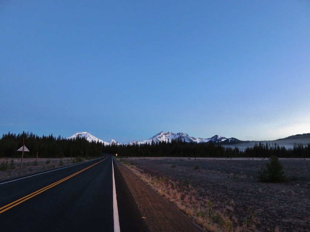
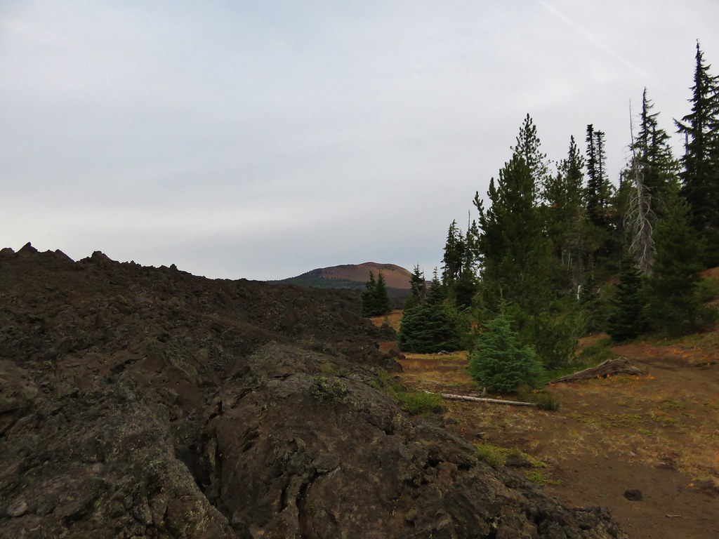
It finally started to rain when we were back on the old roadbed heading down to the parking area less than 5 minutes away. Our total mileage clocked in at 15.4 miles, but Gordon Lakes can be reached from the eastern end of the trail in less than half a mile by starting at the trailhead on Forest Service Road 230. Happy Trails!
Flickr: https://www.flickr.com/photos/9319235@N02/albums/72157659570476059