Categories
Hiking Oregon Portland Trip report Willamette Valley

Three Hikes on Sauvie Island

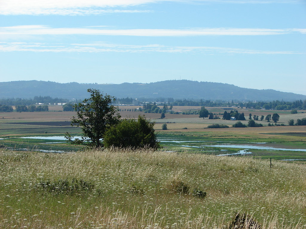
Our latest outing was a three stop trip to Sauvie Island in the Columbia River. After purchasing our $10/day parking permit online from the Oregon Department of Fish and Wildlife we headed for our fist stop at the Wapato State Greenway.
IMG_6537

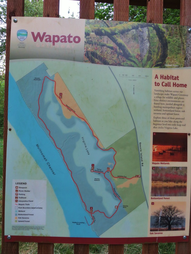
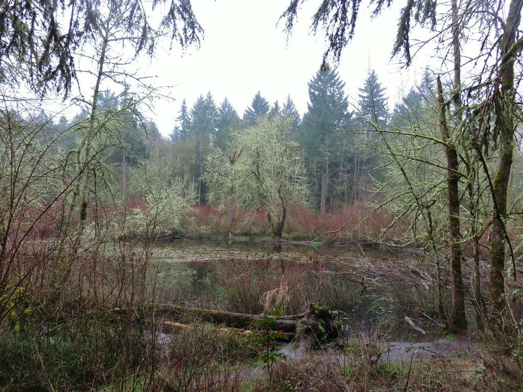
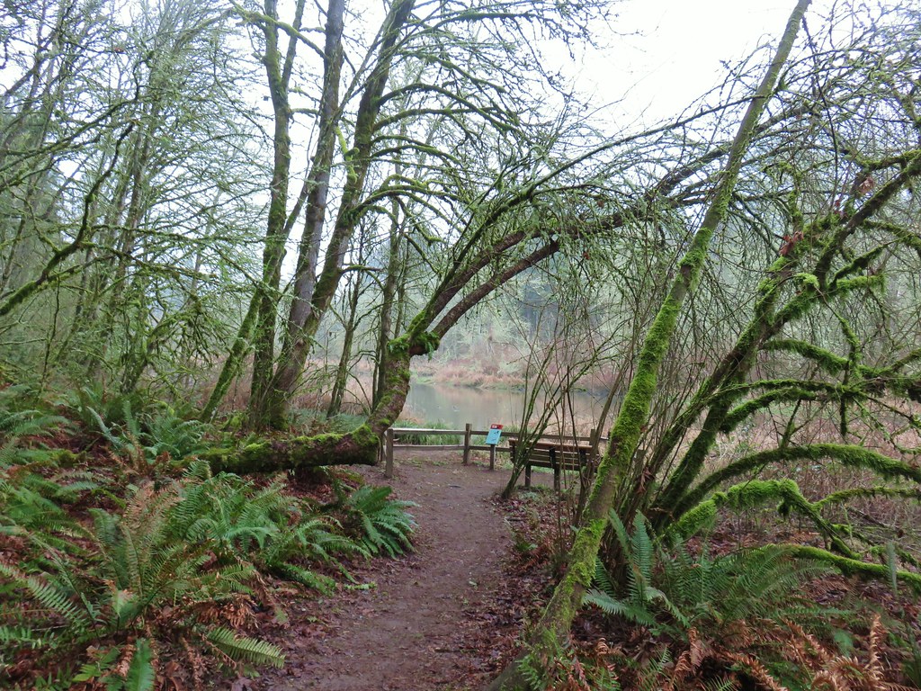
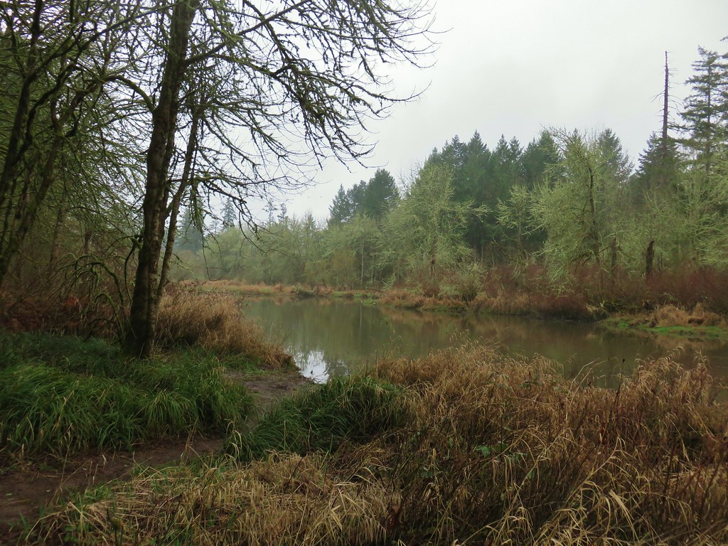
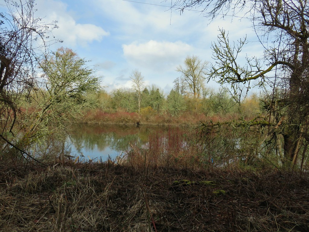
Here a short loop trail passes around Virginia Lake and along the Multnomah Channel.
IMG_6539

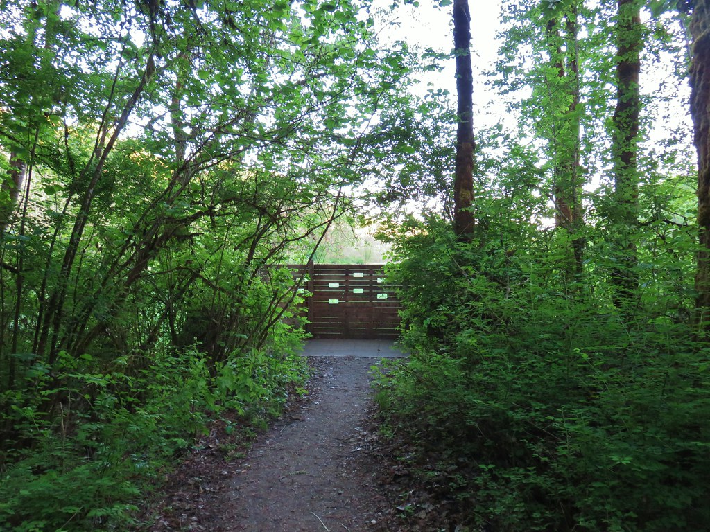
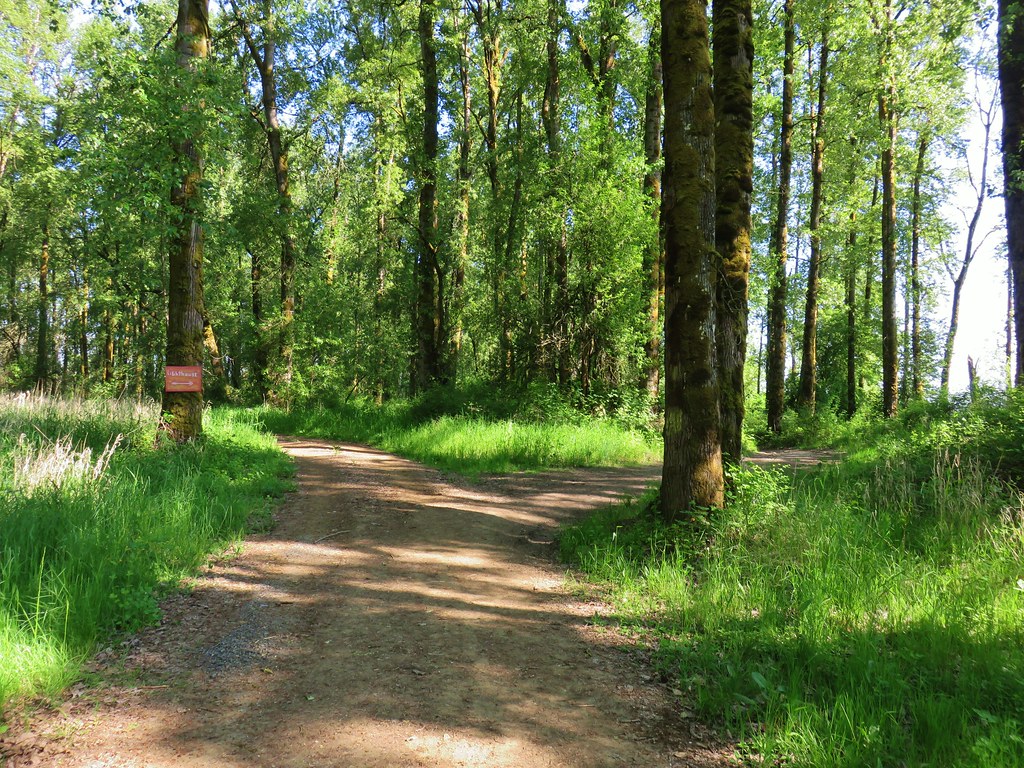
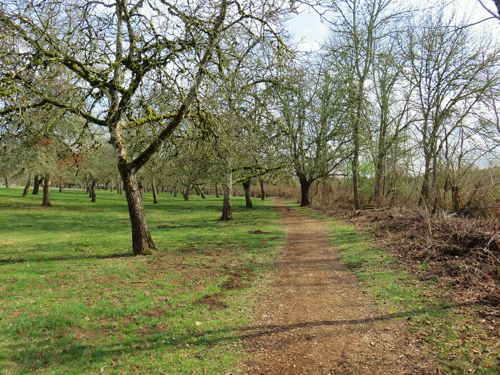
We set off on the entrance trail which quickly split (not shown on the map). We veered left on a mowed path through some grass.
IMG_6542

Our plan had been to visit the viewing platform first thing but this left fork was not the true entrance trail and we wound up joining the loop trail a tenth of a mile south of the side trail to the platform.
IMG_6543

We turned left onto the loop trail deciding to visit the platform near the end of our hike instead.
IMG_6544

We passed a view of Virginia Lake and arrived at a viewing blind after a tenth of a mile.
IMG_6546

IMG_6547

Other than the occasional red-winged blackbird sighting we didn’t see anything from the blind on this morning. We continued on the loop ignoring a spur trail to Hadley’s Landing Dock just before arriving at the Multnomah Channel.
Multnomah Channel

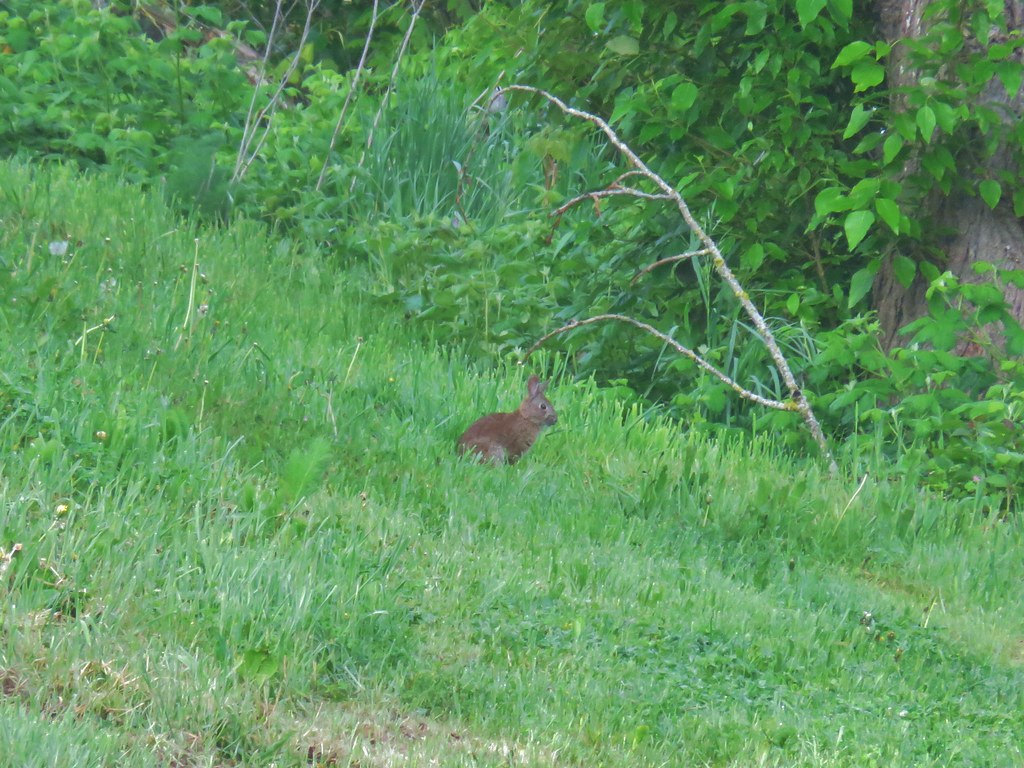
The trail passed through woods with occasional openings to grassy meadows. There were a few woodland flowers here and there but the most interesting thing was the wildlife. We saw a lot of birds and couple of shy rabbits. Most of the birds were busy foraging in the bushes or flitting from tree to tree so we didn’t have a lot of luck with pictures. We did appreciate the many songs they were singing as they made their morning rounds.
IMG_6553

IMG_6557

IMG_6562

IMG_6571

IMG_6573

IMG_6574

IMG_6569Black-headed grosbeak

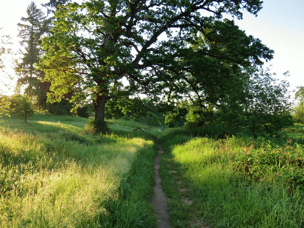
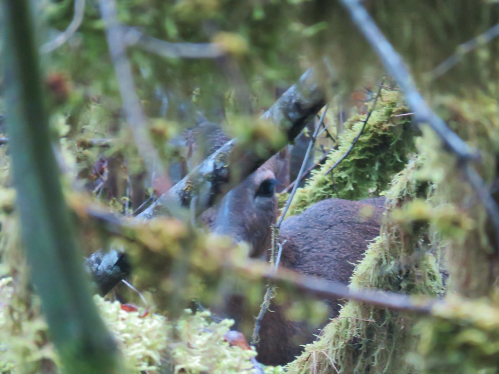
We also spotted what we at first identified as a pair of deer under a large oak.
IMG_6575

IMG_6577

As we watched them disappear into the brush we kept noticing more deer and ended up counting five of them.

After passing the picnic shelter we turned right down the side trial to the viewing platfrom.
IMG_6586

IMG_6587

IMG_6588

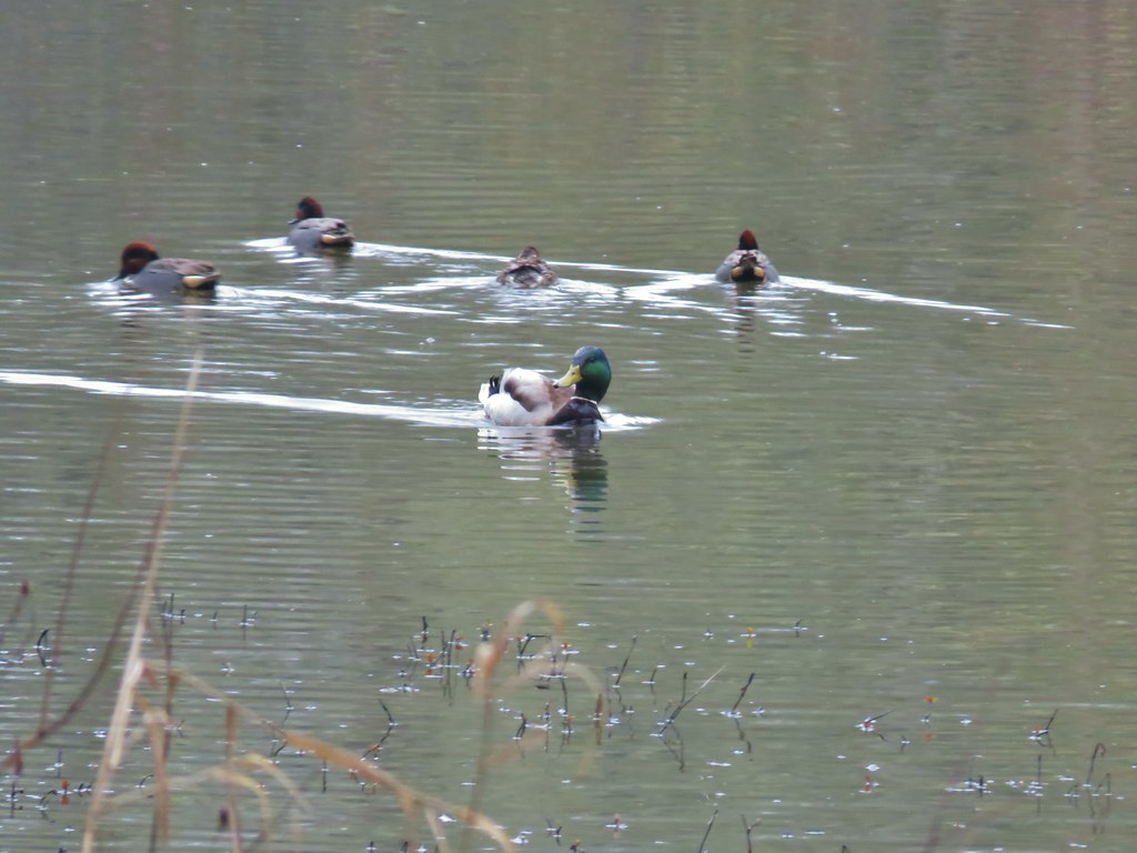
We had more luck with the wildlife from this viewpoint spotting a couple of different types of ducks, a great blue heron, and a pied-billed grebes.

IMG_6593

IMG_6595Mallards with a great blue heron in the distance.
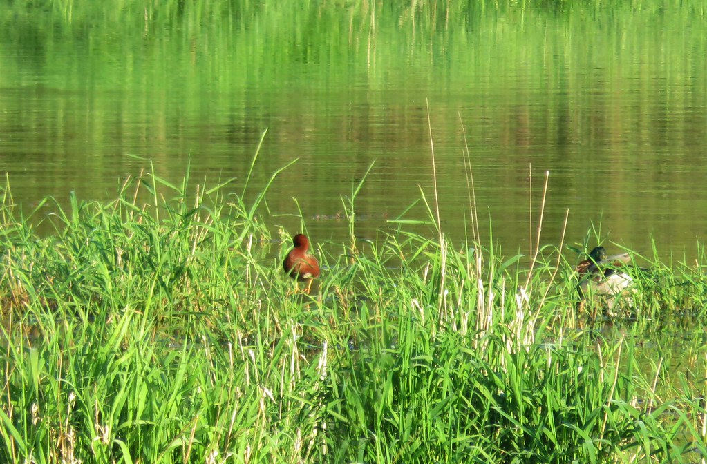
IMG_6608Cinnamon teal and a mallard

IMG_6604Pied-billed grebe

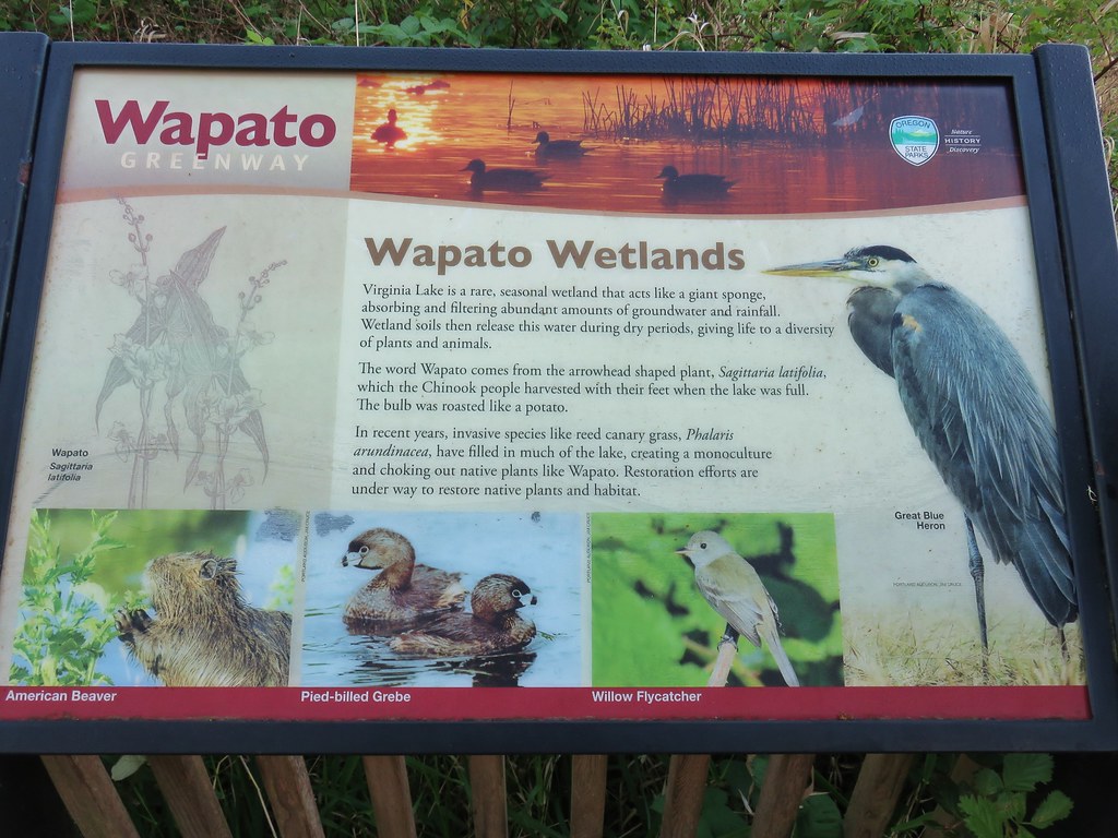
We had never heard of a pied-billed grebe and were wondering what it was. Then we took the time to read the interpretive sign at the platform.
IMG_6611

After leaving the platform we headed back to the car. Along the way we spotted another new bird to us. A Black-throated Gray Warbler. She was hopping around on the trail gathering something for a nest it appeared so the photos are a bit blurry.
IMG_6619

IMG_6626

Our second stop was at Oak Island,technically a peninsula. It is part of the Sauvie Island Wildlife Area and only open to hikers from April 16 through the end of September.
From the parking area a mowed path leads past a large signboard for .3 miles to the start of a loop.
IMG_6627

IMG_6629

The rabbits were a little less shy here.
IMG_6634

We had a few cattle cross our path prior to reaching the start of the loop as well.
IMG_6638

We actually missed the start of the loop which was marked by a post with a hiker symbol on it.
IMG_6639

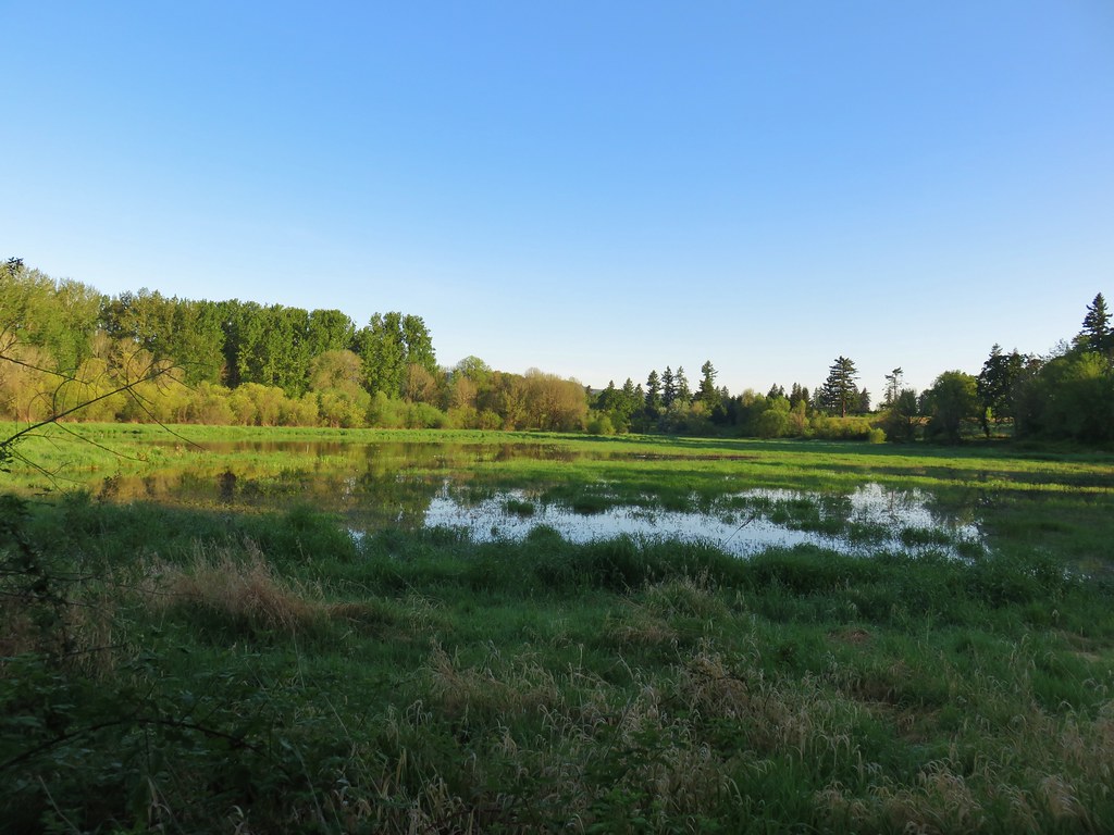
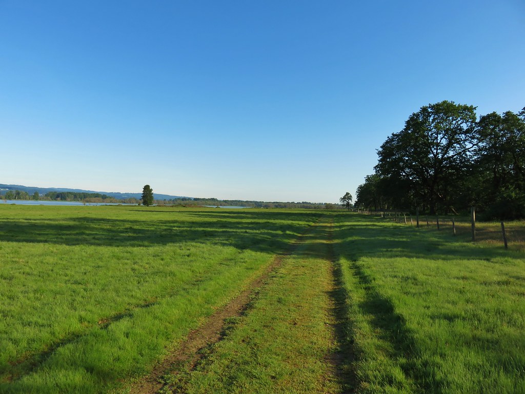
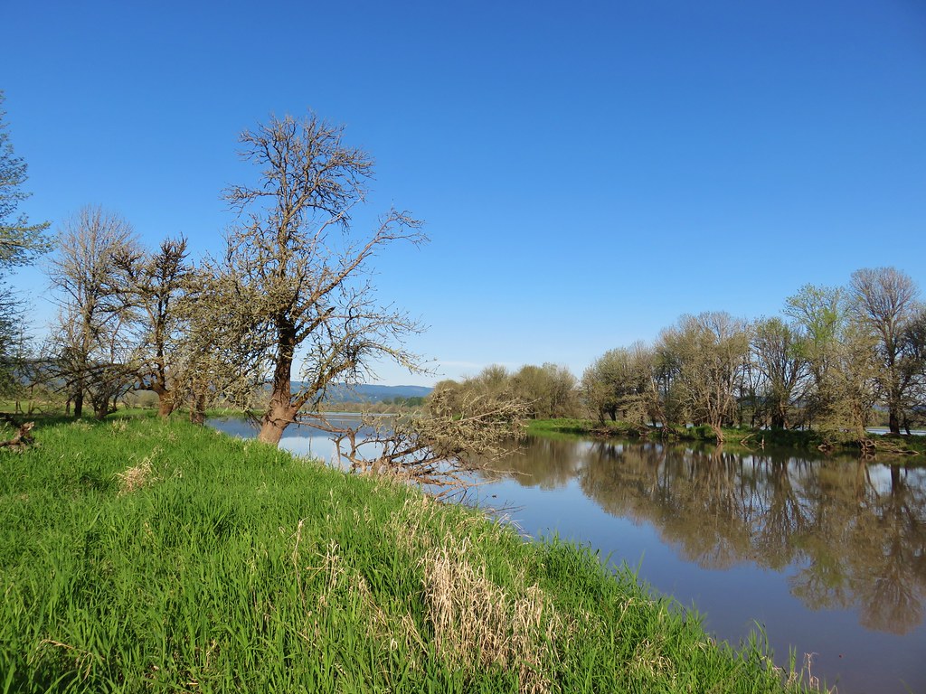
We stayed straight on the obvious track past this sign as the path leading right was so faint we hadn’t noticed it. Continuing in this clockwise direction the trail leads through open grass with Steelman Lake to the west.
IMG_6640

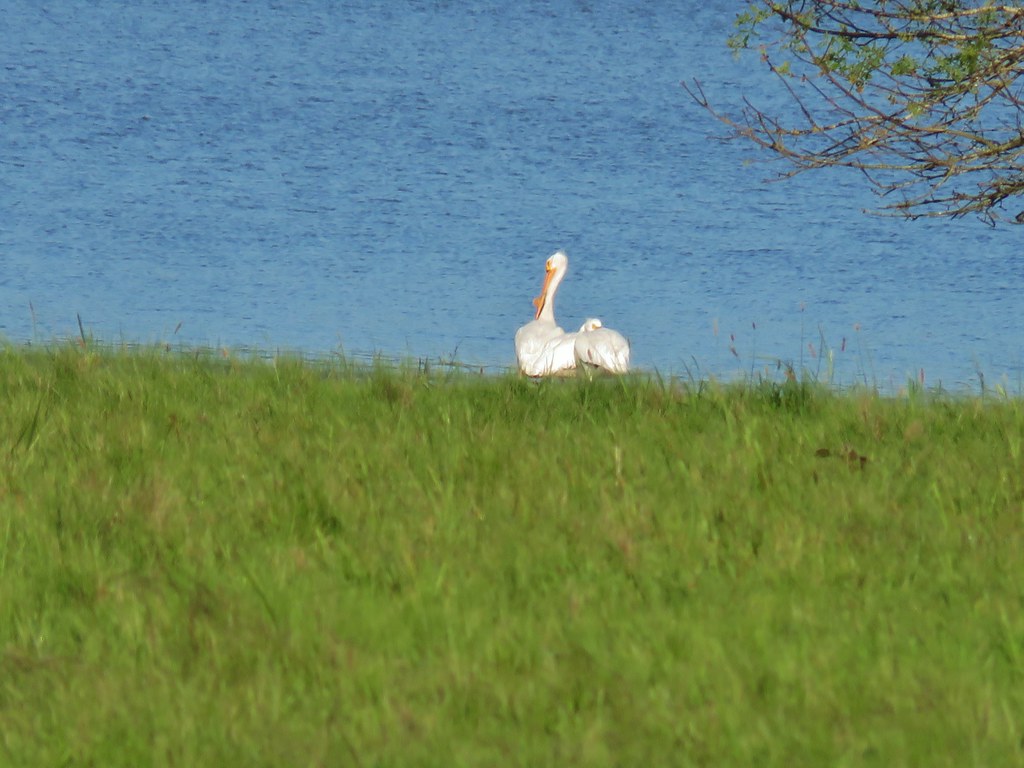
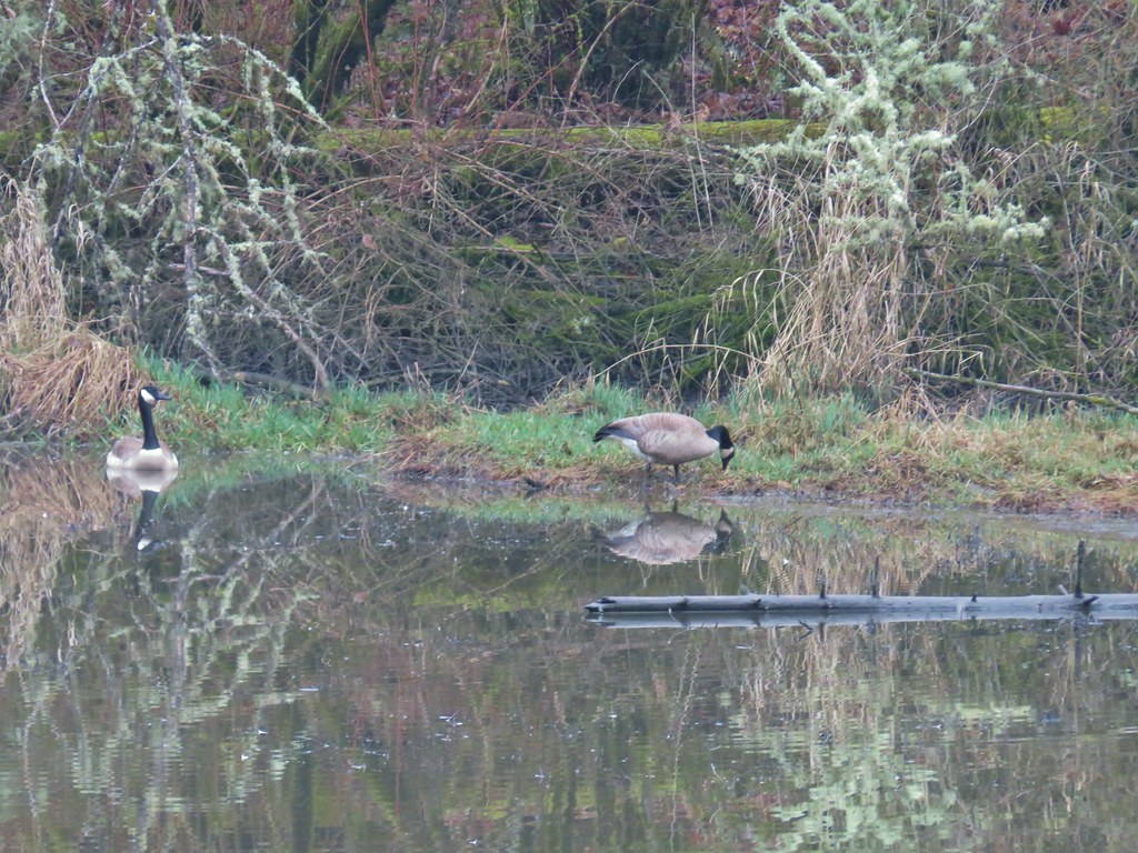
A number of great blue herons could be seen flying over the water and along the lakes shore we spotted a pair of white pelicans and a family of Canada geese.
IMG_6643

IMG_6645

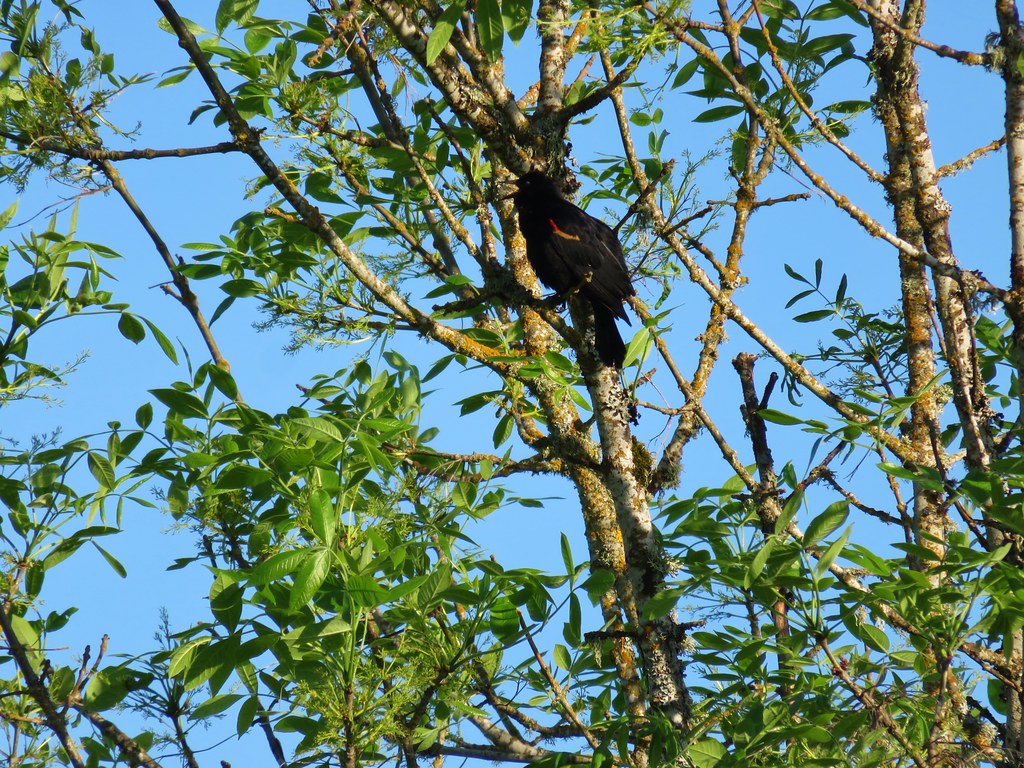
The distinctive call of red-winged blackbirds was prevalent.
IMG_6647

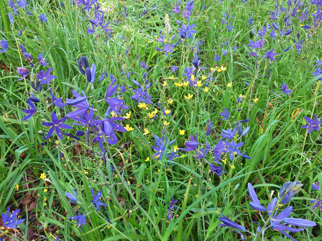
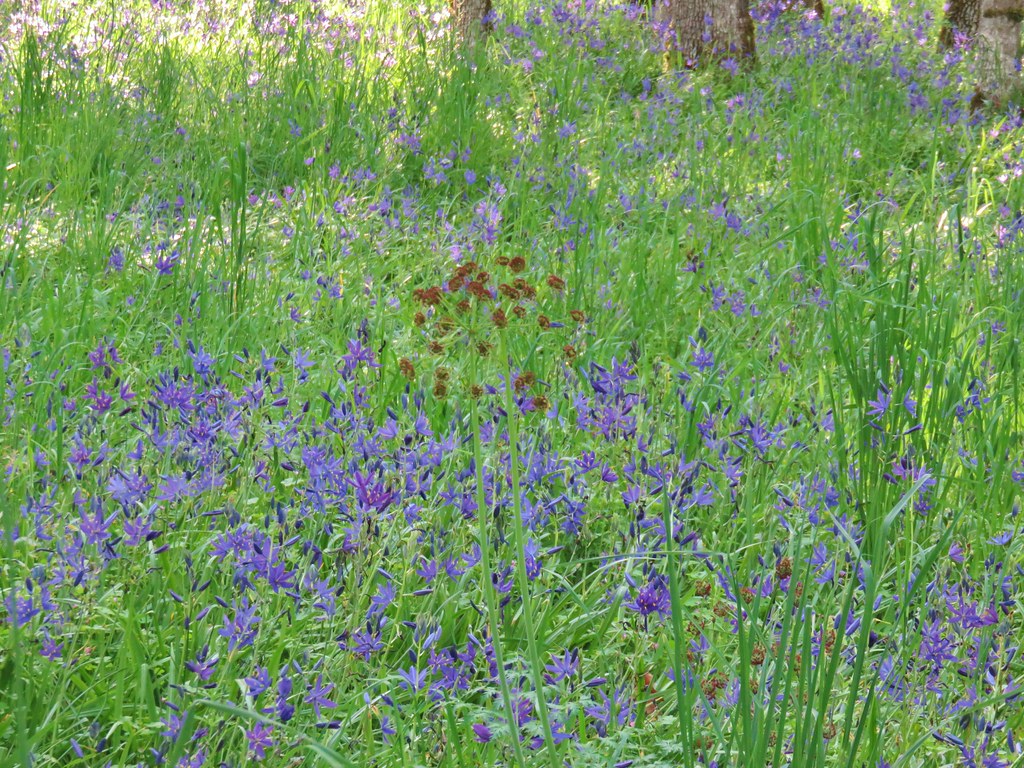
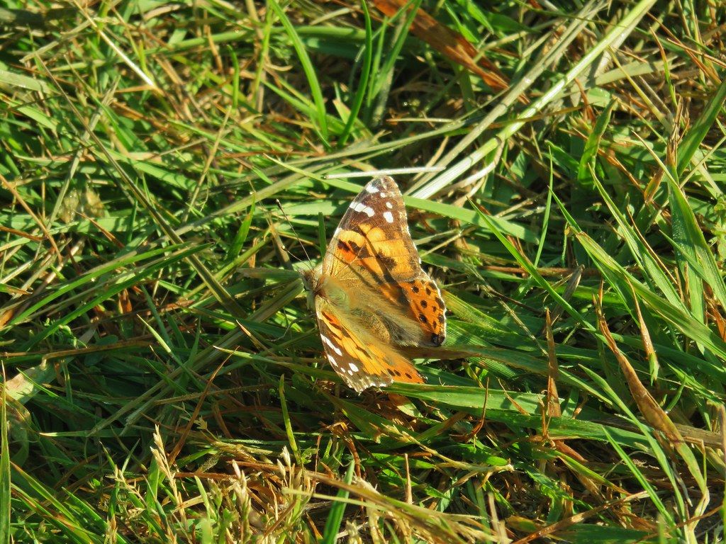
After passing through a gate the grass grew taller and the trail began to turn away from Steelman Lake. Here there were many butterflies and a few blooming camas.
Nature Trial at Oak IslandLooking back at the gate.

IMG_6658

IMG_6653

IMG_6655

Just before turning south near Sturgeon Lake a .1 mile spur path to the left led to the narrows, a narrow channel connecting Steelman and Sturgeon Lakes.
IMG_6661Looking toward Steelman Lake from the Narrows.

IMG_6662The Narrows. Another lake, Mud Lake, is on the other side of the trees.
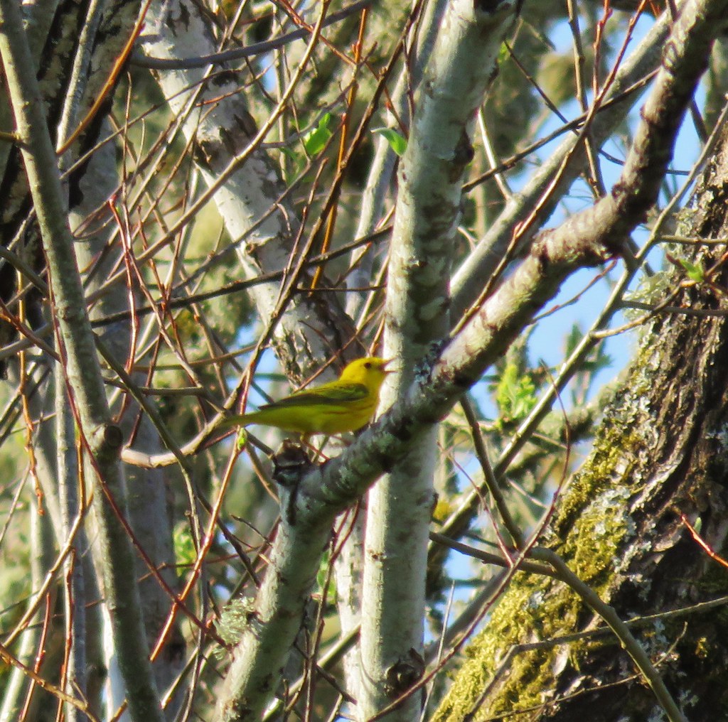
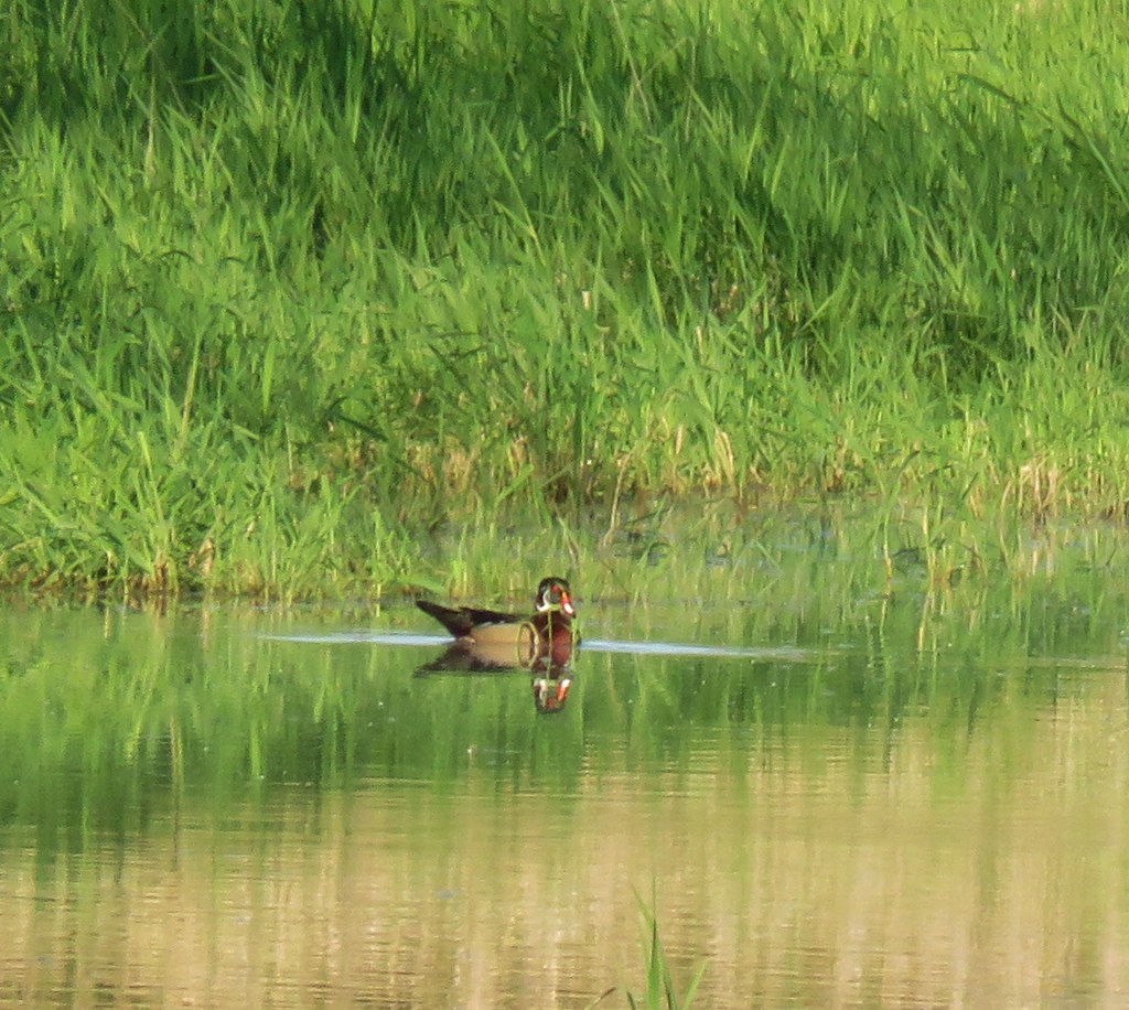
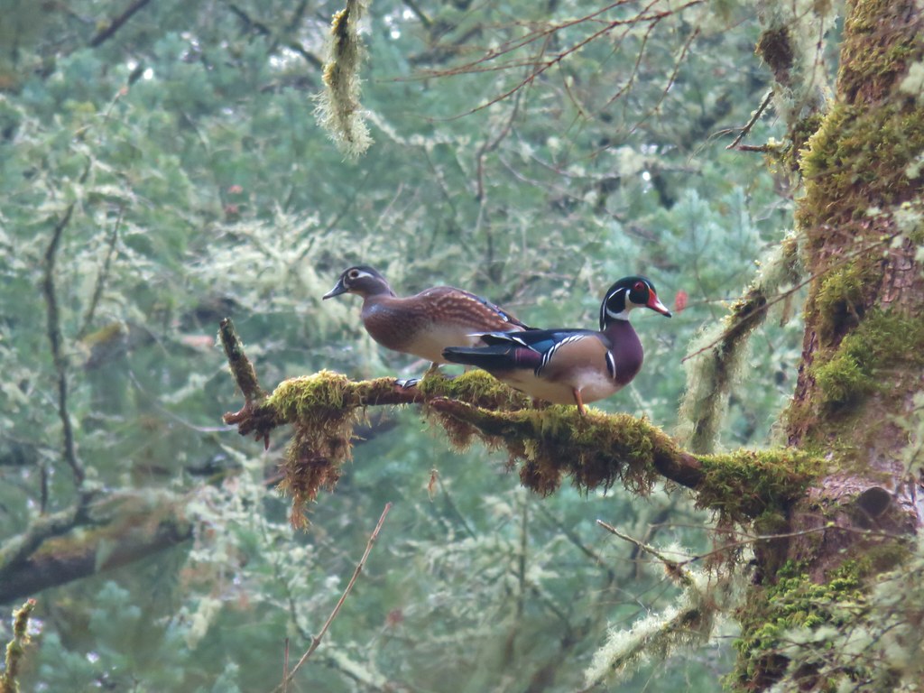
As we were returning to the loop we spotted a pretty yellow warbler and a wood duck.
IMG_6667

IMG_6669

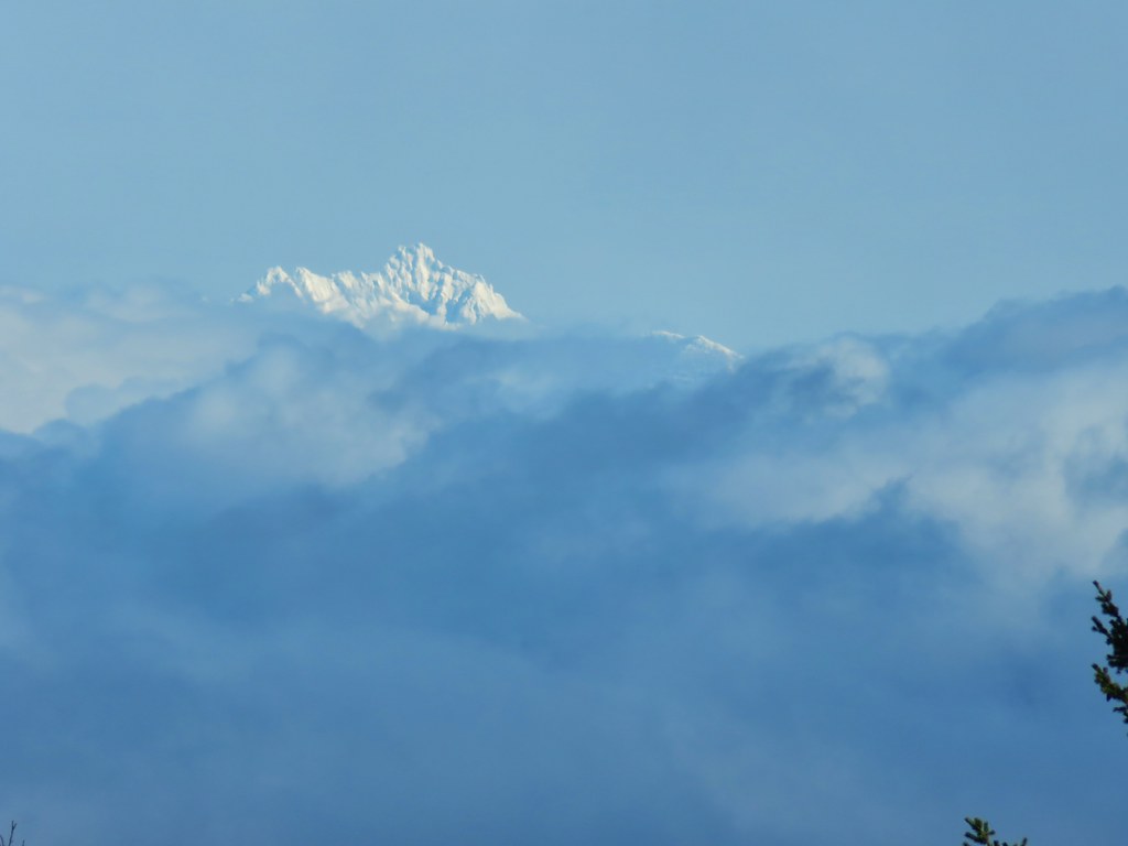
Shortly after rejoining the loop Heather spotted a path down to a small beach along Sturgeon Lake where both Mt. St. Helens and Mt. Adams were visible but due to the lighting very hard to make out.
IMG_6671Mt. Adams (it is really there)

IMG_6676Mt. St. Helens

We had been similarly unsuccessful at getting a picture of Mt. Hood earlier from the Narrows. We finished up the loop and returned to our car ready to head to our final stop at the Warrior Point Trailhead. A coyote raced across the road near the parking are for the clothing optional Collin’s Beach. We’re not sure what it had been up to but it looked like it thought it was being chased. We had some fun imagining it had tried to run off with someones clothes.

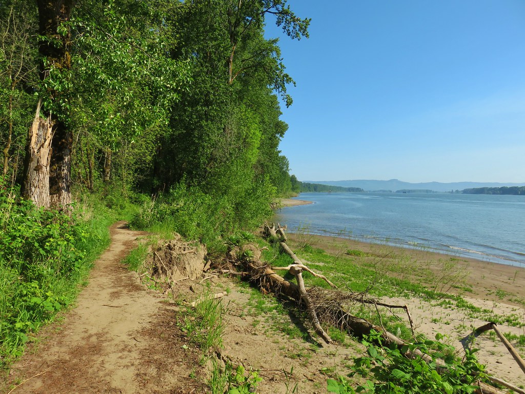
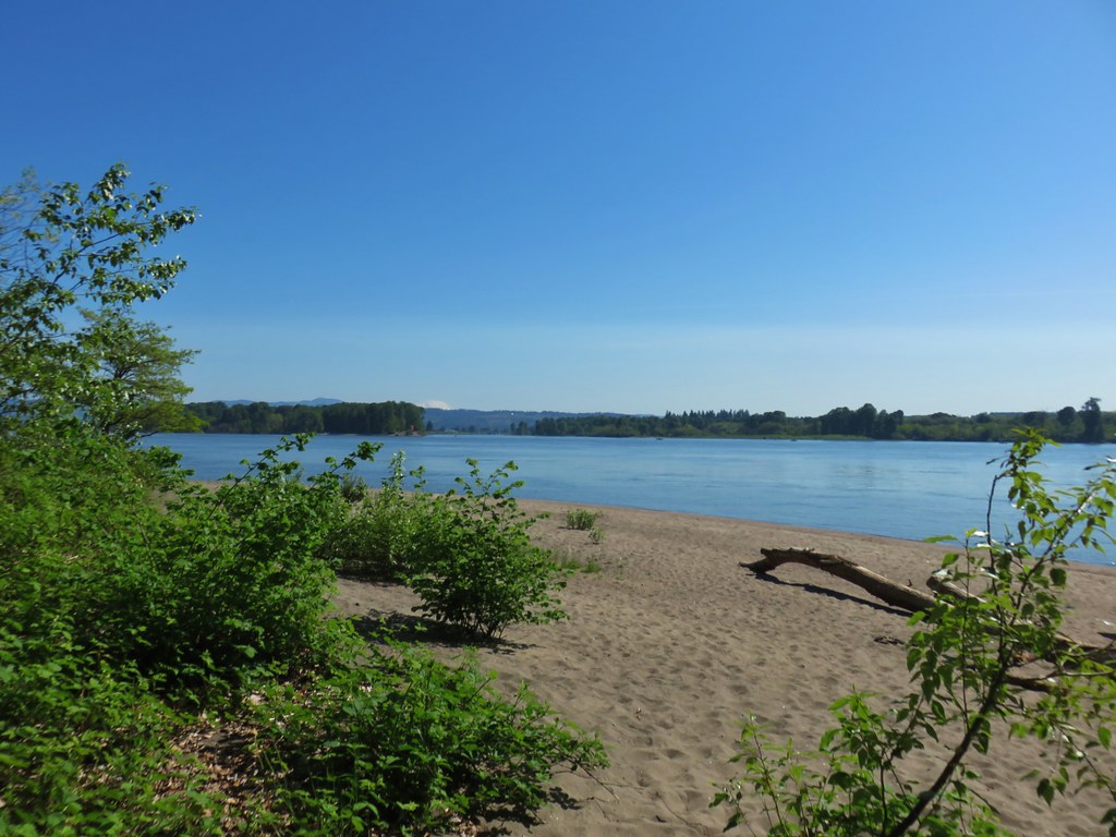
After that excitement we parked at the trailhead and before setting off walked down the the sandy beach along the Columbia River.
IMG_6690

IMG_6692

As we began hiking a bald eagle flew overhead.
IMG_6694

The trail had occasional views of the River as well as Mt. St. Helens which was now a little easier to make out.
IMG_6703

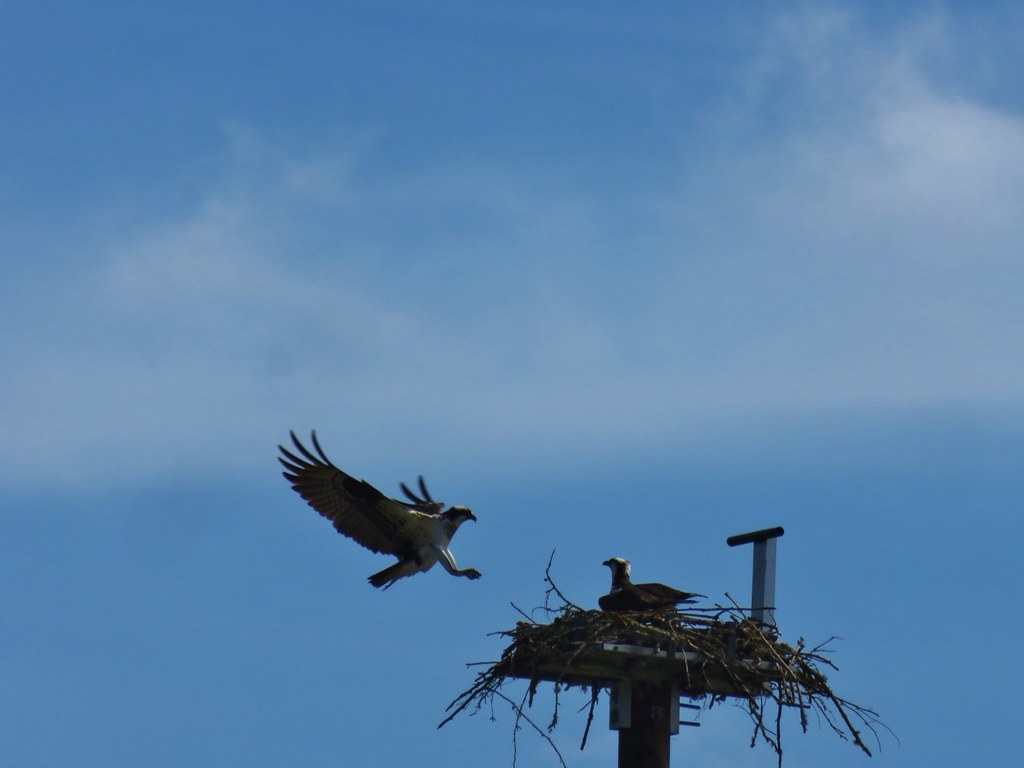
IMG_6699Mt. St. Helens and an Osprey nest.

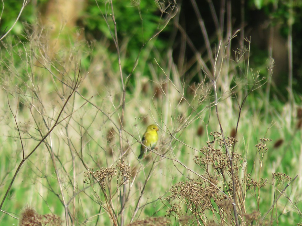
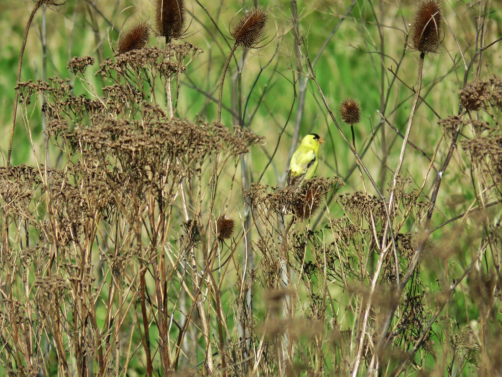
Our visit to the Island had already been on of the most diverse for birds and the Warrior Rock Lighthouse Trail just added to this. After the bald eagle and osprey we spotted a pair of American goldfinches.
IMG_6705Female

IMG_6712Male

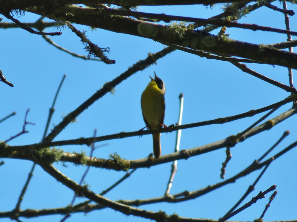
These were followed by a Bullock’s Oriole and a yellow throated warbler.
IMG_6734

IMG_6742

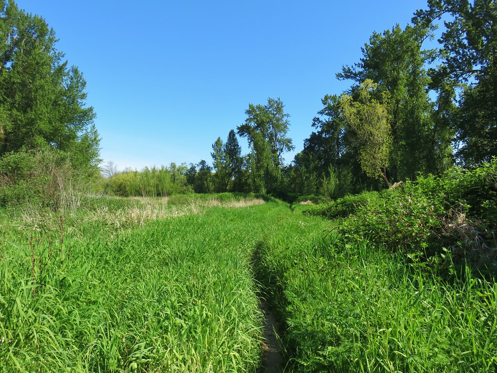
The trail itself varied as it spent some time in the woods, some along the river, and other passing through tall grass.
IMG_6727

IMG_6729

IMG_6747

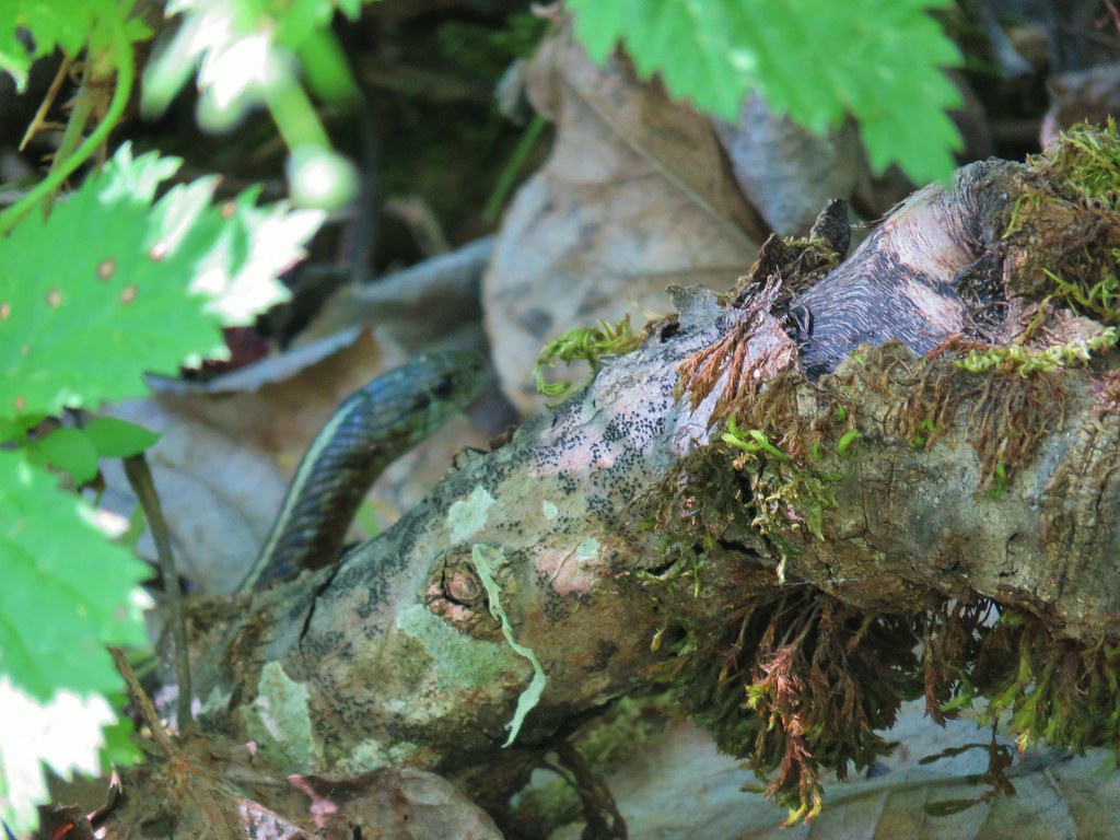
Considering the combination of grass, nearby water, and warm sunshine it seemed like the perfect conditions for snakes but we only spotted one.
IMG_6748

IMG_6752

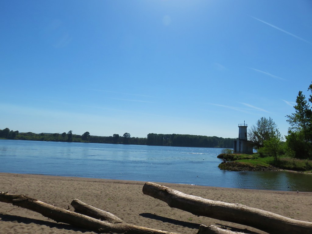
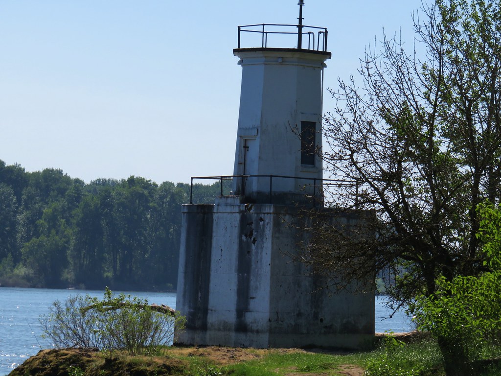
After three miles we arrived at a sandy beach near the Warrior Rock Lighthouse

IMG_6753Mt. St. Helens again.

IMG_6754

IMG_6755

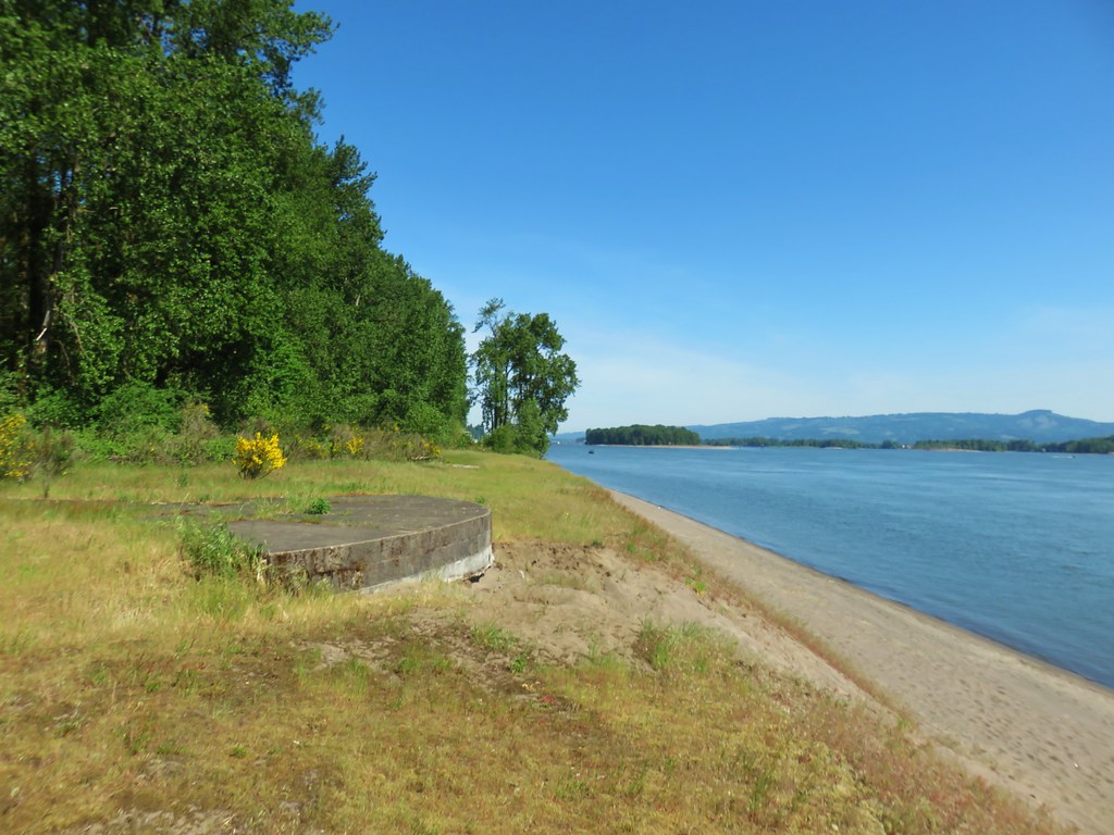
After a short rest on the beach we continued north on the sand to an old concrete gun mount.
IMG_6756

IMG_6759

This is where things got a little interesting. Our guidebook said to turn inland here on a small access road to a T-shaped junction. The map accompanying the description on Oregonhikers.org appeared to show the track continuing north from this point along the river. We couldn’t see any sign of the small access road so we continued north along the beach until it was no longer possible. We faced the choice of backtracking or following a faint path inland to try and connect to an old road bed that would take us to Warrior Point. We headed inland.
IMG_6763

There was a faint path, we’re guessing it was more of a game trail than anything but it wouldn’t have been too hard to follow except for all the blackberry bushes. We managed to push through what turned out to only be a tenth of a mile to arrive at the grassy road bed.
IMG_6768

A brief detour right led us to a viewpoint at Warrior Point of the town of St. Helens.
IMG_6765

IMG_67671905 Columbia County Courthouse

We followed the old road bed back from Warrior Point for a half mile where it met the Warrior Point Trail near the beach at the lighthouse.
IMG_6769

We had only seen a handful of other hikers all day but on the way back to the car (it was only now a little after 11am) we passed a number of people heading toward the lighthouse. We were once again thankful to have gotten an early start.

Our distances for the day were 2.6 miles at Wapato Greenway, 3.3 miles at Oak Island, and 7.3 miles at Warrior Point for a total of 13.2. It had been a great day for wildlife and another enjoyable set of hikes in the Portland area. Happy Trails!

Flickr: Sauvie Island Hikes

Categories
Hiking Oregon Portland Trip report Willamette Valley

Camassia Natural Area, Mary S. Young Park, and Tryon Creek State Natural Area

We continue to be impressed by the number and variety of urban hikes in the Portland-metro area. On our most recent outing we visited three more areas near West Linn and Lake Oswego.

We started our day in West Linn at the Camassia Natural Area just before 7am. Our hike started from the trailhead at the end of Walnut Street.

Camassia Natural Area

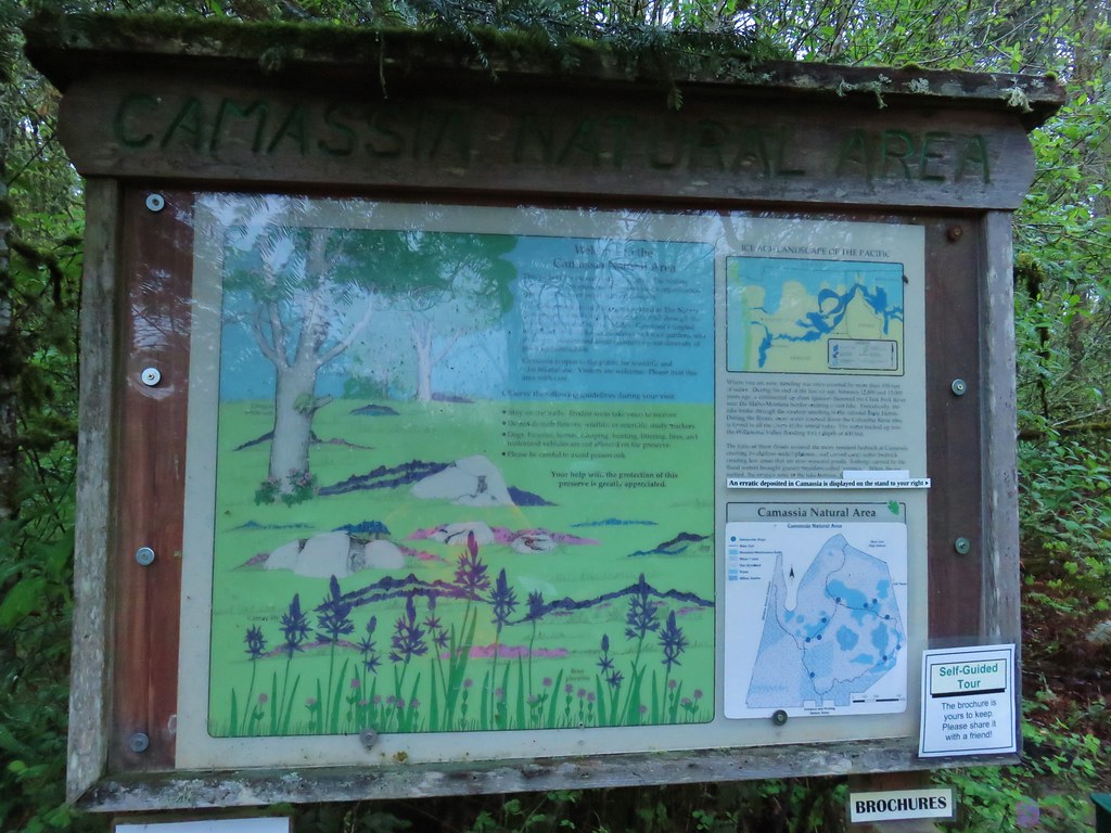
A few feet from the trailhead is a signboard and the start of a loop.

Camassia Natural Area Trailhead

Camassia Natural Area Map

We picked up a guide brochure and started the loop by heading left (clockwise).

Camassia Natural Area

The woodlands here were full of white flowers including trillium, giant fawn lilies, and giant white wakerobin.

Trilium

Giant fawn lilies

Giant white wakerobin

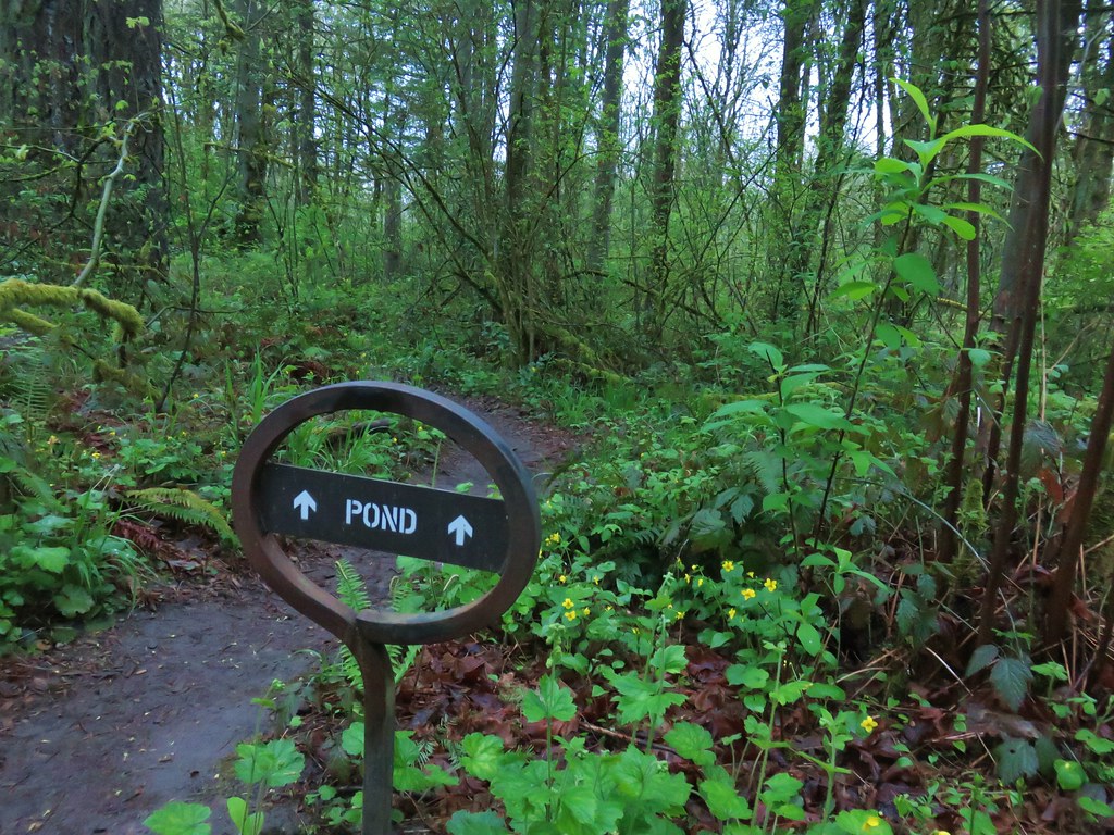
We detoured to the right briefly at a “Pond” sign which led down to a very muddy wet area.

Camassia Natural Area

Pond at Camassia Natural Area

Continuing on the loop the next brief detour was to the left at a pointer for Wilderness Park.

Camassia Natural Area

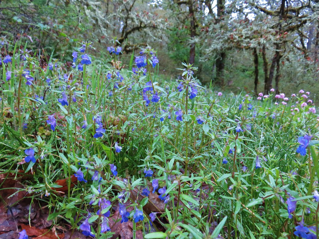
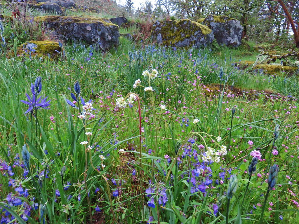
We followed this path a short distance to a small wildflower meadow full of giant blue-eyed mary and rosy plectritis.

Giant blue-eyed mary

Plectritis

As we were returning to the loop trail Heather spotted an animal moving in a meadow below. As we headed toward the meadow on the trail we were excited to find out what was roaming the meadow. As it turned out our first wildlife encounter of the day was a domestic cat.

Camassia Natural Area

Cat at Camassia Natural Area

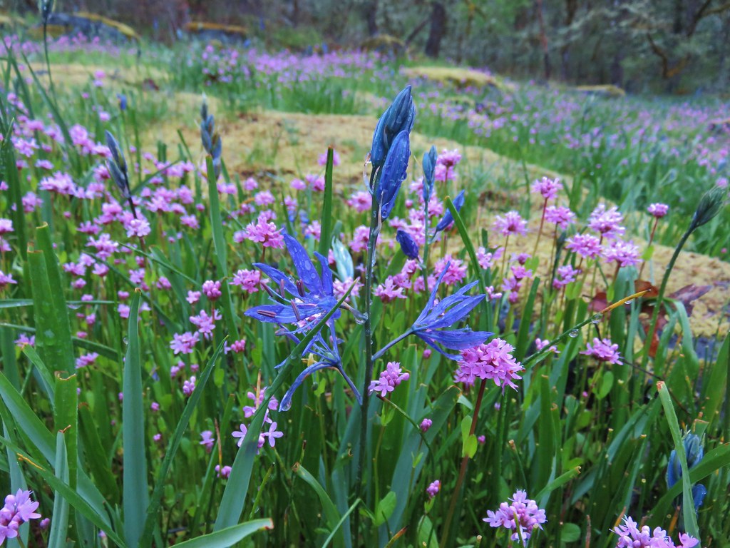
We were still a week or two early for the bulk of the flowers, especially the camas, but again this meadow had a nice showing of the plectritis and blue-eyed mary.

Camassia Natural Area

Camas and plectritis

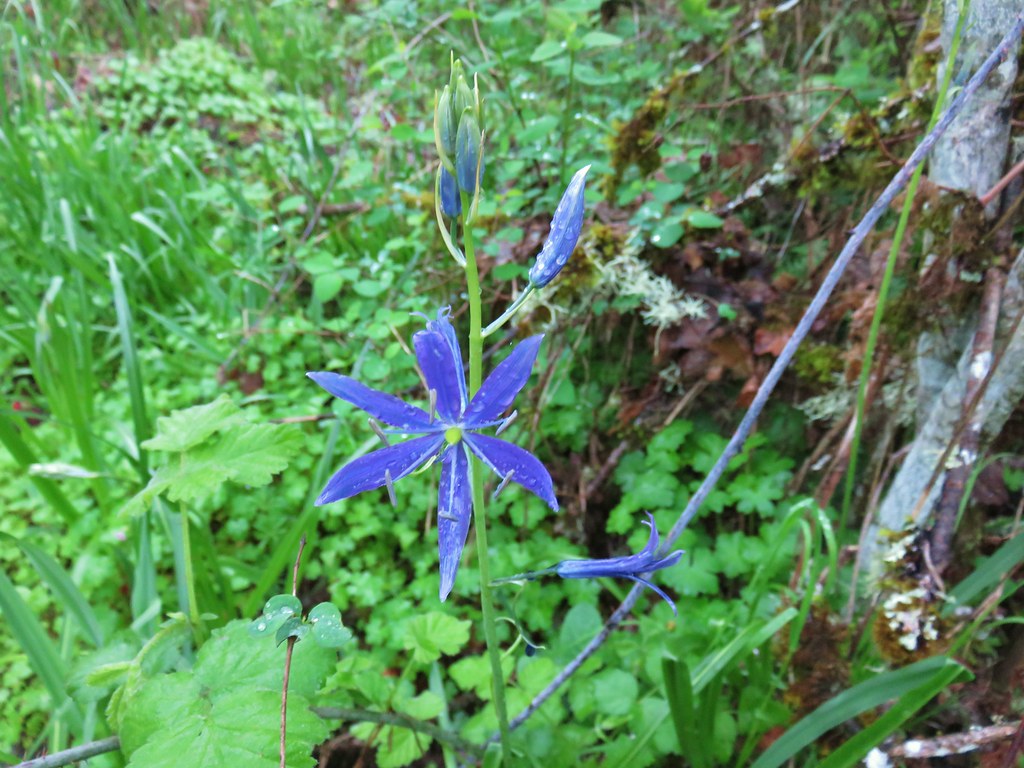
One of the few open camas blossoms.

Plectritis

The trail passed through the meadow and into an open oak woodland where we detoured to the right to an overlook of a large pond.

Camassia Natural Area

Pond in Camassia Natural Area

At a “High School” pointer in another meadow we left the loop trail again.

Camassia Natural Area

This path led past some nice flower displays to a marshy wetland.

Wildflowers in Camassia Natural Area

Plectritis and giant blue-eyed mary

Bog in Camassia Natural Area

The Oregonhiker field guide mentions that this wetland is “one the best areas in the northwest to see Great Camas“. We were too early to see much in the way of camas but we did spot a lone stalk blooming near the far end of the wetland.

Giant camas

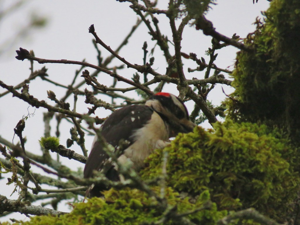
On our way back to the loop trail we spotted a hairy woodpecker working on finding its breakfast.

Hairy woodpecker

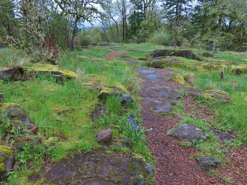
The loop trail descended a set up steps and soon entered a rockier meadow with more flowers including some Oregon saxifrage which was still unfolding.

Camassia Natural Area

Camassia Natural Area

Wildflowers in Camassia Natural Area

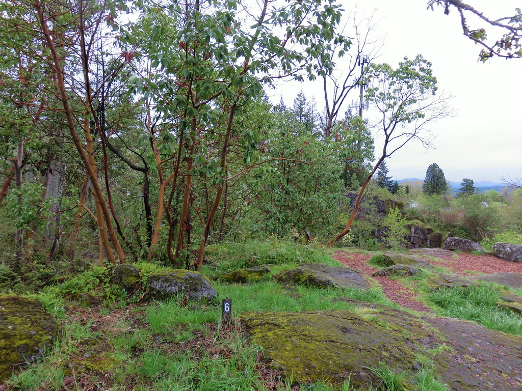
The trail then led to a viewpoint atop a cliff next to some madrones.

Madrones in Camassia Natural Area

Camassia Natural Area

More wildflowers followed before the trail reentered the woods.

Giant blue-eyed mary

Plectritis meadow

Camassia Natural Area

We passed a point for the Bridge Trail which headed downhill toward the high school parking lot and came to a viewpoint of Mt. Hood. Well what would have been a view of Mt. Hood on a clearer day anyway.

Camassia Natural Area

Looking toward Mt. Hood on a cloudy morning

One final patch of camas awaited before we completed our mile loop here.

Camas

For our next stop we headed north on Highway 43 (Willamete Dr.) to Mary S. Young Park. A joint effort between the city of West Linn and Oregon Parks and Recreation Department the park sits on the bank of the Willamette River and offers many activities. We began our hike from the trailhead at the parking lot at the end of the park entrance road.

Mary S. Young Park Trailhead

There were no brochures available with maps so we took a photo of a map off a signboard near the parking lot which turned out to be extremely helpful due to a serious lack of signage along the trails. We set off on the paved Riverside Loop Trail near the northern end of the parking lot. After a few feet we veered left on a wide unpaved path between picnic tables.
Mary S. Young Park

The woods here were filled with large trillium flowers of varying color.

Trillium

Trillium

Trillium

After crossing over the Trillium Trail we turned right at a T-shaped junction on the Turkey Creek Trail. This trail led downhill to Turkey Creek.

Turkey Creek Trail

Turkey Creek Trail

Turkey Creek Trail

After about a quarter mile the Turkey Creek Trail ended at the paved Riverside Loop Trail where we turned left. We stayed right at a fork and headed downhill to the Cedar Island Trail.

Mary S. Young Park

We veered left onto the muddy Cedar Island Trail even though we knew that the recent heavy rains had swollen the Willamette enough that access to Cedar Island itself would be cut off.

Willamette River

Riverside Loop Trail

Rabbit hopping into the brush on the left side of the Cedar Island Trail

Looking at Cedar Island

Cedar Island

After taking a look at Cedar Island we turned around staying right at junctions to pass around a sewer pump station on the Beaver Trail. At the far end of the station we turned left through a fence and dropped back down to the Riverside Loop Trail.
Fringecup and a couple of bleeding heart were blooming in this area.

Fringecup

Bleeding heart

We headed uphill on the Riverside Loop Trail retracing earlier steps to the junction with the Turkey Creek Trail. We passed that trail and continued uphill on the paved path for approximately 500′ where we veered left to a viewpoint bench overlooking the Willamette.

Mary S. Young Park

Willamette River

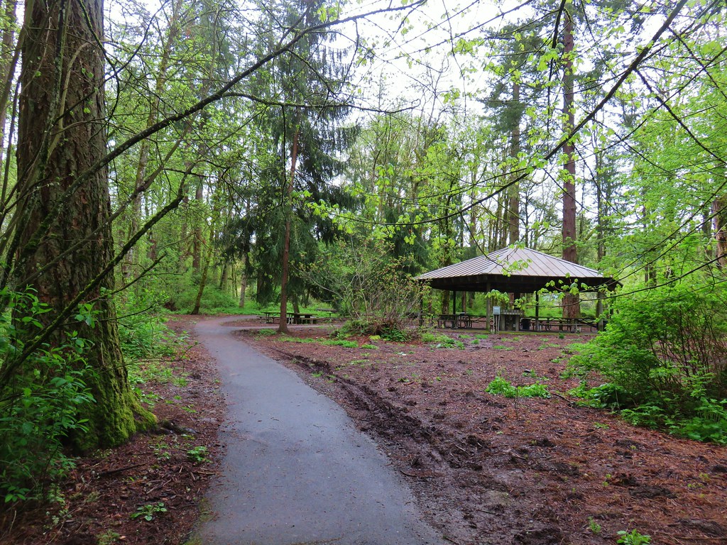
This 0.1mi path looped back to the Riverside Loop Trail which we followed uphill past a picnic shelter.

Mary S. Young Park

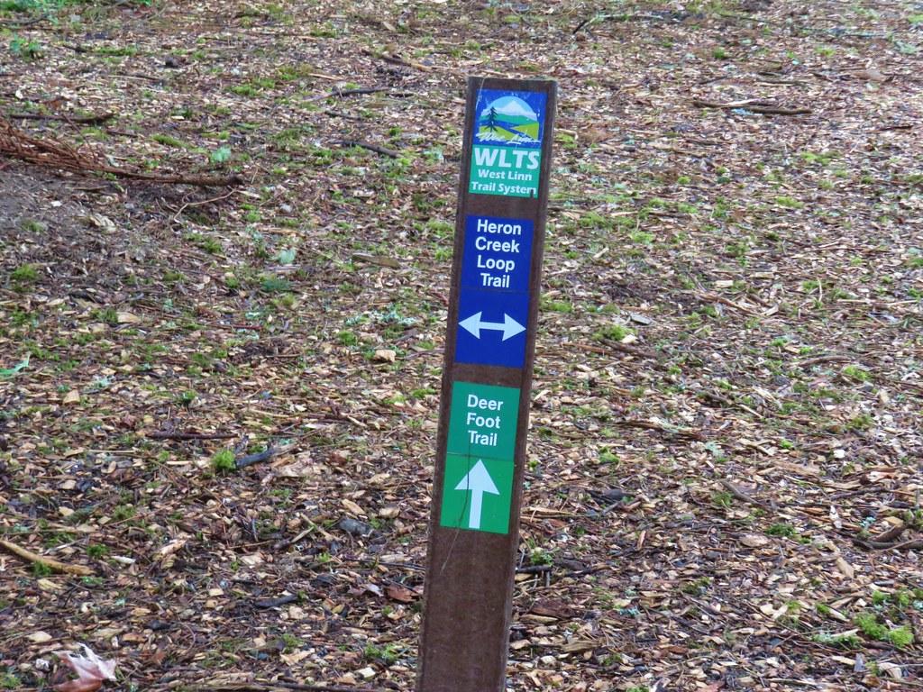
The path continued to the southern end of the parking lot where we had started. Here we veered left onto the unpaved Heron Creek Loop Trail.

Heron Creek Loop Trail

We followed this trail as it passed the parks ball fields and some busy squirrels.

Mary S. Young Park

Squirrel

At the far end of the fields we spotted only the second pointer we had seen along the trails where we stayed on the Heron Creek Loop Trail as it headed back into the woods.

Heron Creek Loop Trail

Heron Creek Loop Trail

Back in the woods we spotted a pair of woodpeckers in the same area. One appeared to be a hairy woodpecker while the other was a red-breasted sapsucker.

Hairy Woodpecker

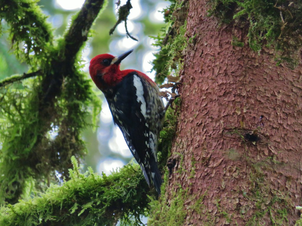
Red-breasted sapsucker

Using the picture of the map on Heather’s phone we stuck to the Heron Creek Loop by staying left at junctions and crossing over both the Trillium Trail and the park entrance road. We stayed right at the next junction opting not to take the short Eagle Scout Loop Trail then stayed straight at a junction with the the Railroad Trail. Beyond that junction the Heron Creek Loop Trail soon began a descent to Heron Creek.

Heron Creek Loop Trail

Heron Creek Loop Trail

Heron Creek

After a second descent and climb past a tributary of the creek the trail leveled out again before arriving at the Turkey Creek Trail where we turned left, crossed Turkey Creek and arrived back at the junction where we had turned onto the Turkey Creek Trial earlier in the morning. We then retraced our earlier steps back to the parking area ending a 3 mile hike through the park.

We then headed for our final stop of the day in Lake Oswego at the Tryon Creek State Natural Area. There are several possible trailheads for the park we chose to start at the large parking area near the Nature Center. (Note the Nature Center and Jackson Shelter are currently closed due to construction but the restrooms are open. No reopening date has been set as of the day of this post.)

Tryon Creek State Natural Area

We stopped by the closed Nature Center to pick up a paper map and also consulted the map on a signboard to plot out our hike. The number of trails and multiple junctions allowed for numerous possibilities. We settled on a loop utilizing the North Horse Loop, Lewis & Clark, Middle Creek, Cedar, Red Fox, and Old Main Trails.

Map for Tryon Creek State Natural Area

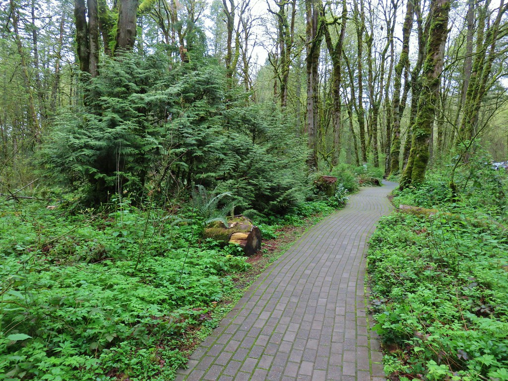
From the Nature Center we followed a brick path right (north) to another map.

Tryon Creek State Natural Area

We stayed straight for a tenth of a mile passing the Maple Ridge Trail on the left just before a junction with the North Horse Loop.

Tryon Creek State Natural Area

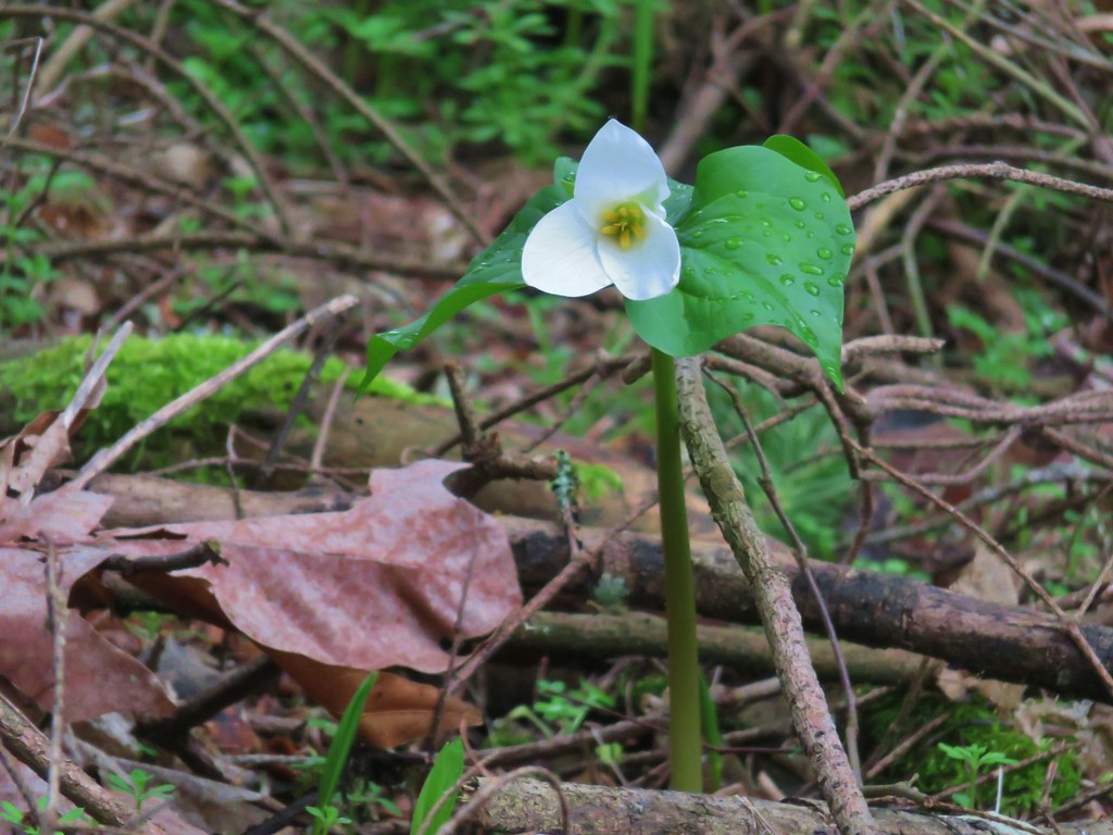
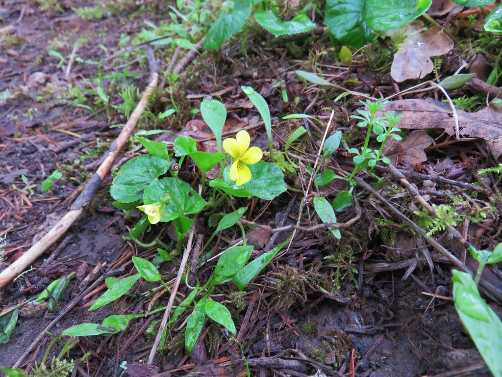
This wide path led through a green forest with violets and trillium.

Tryon Creek State Natural Area

Violets and trillium

After .2 miles we stayed left ignoring the right hand route leading to a bicycle path and then quickly veered right when the North Horse Loop split creating two loop options.

North Horse Loop

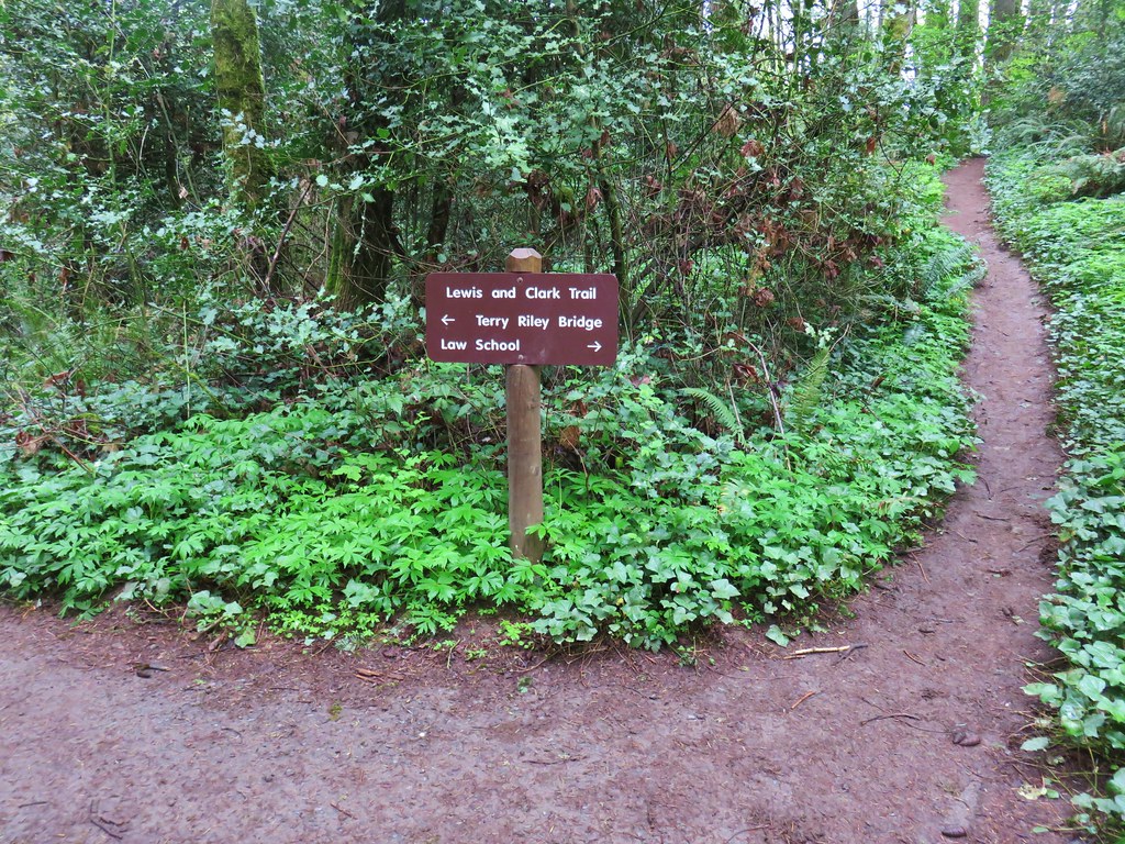
This right hand path swung north another .4 miles to a junction with the Lewis and Clark Trail.

North Horse Loop

Lews and Clark Trail

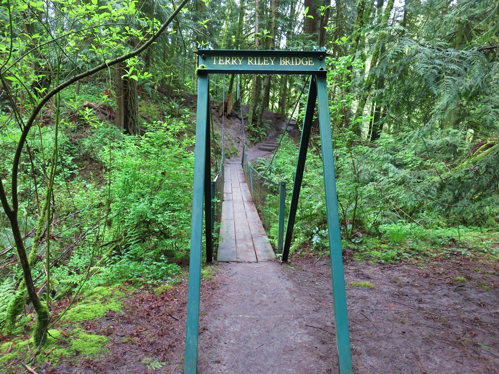
We followed pointers for the Lewis and Clark Trail and Terry Riley Bridge. The trail descended along a hillside above East Fork Tryon Creek to the small suspension bridge which passed over a side stream.

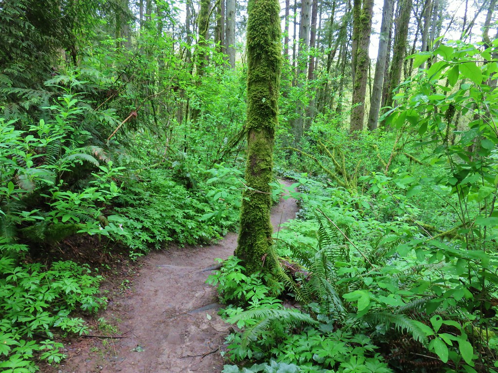
Lewis and Clark Trail

Lewis and Clark Trail

Terry Riley Bridge

Terry Riley Bridge

On our way down we passed a stump hosting a pair of snails. We actually spotted quite a few in the park.

Snails on a stump

Snail

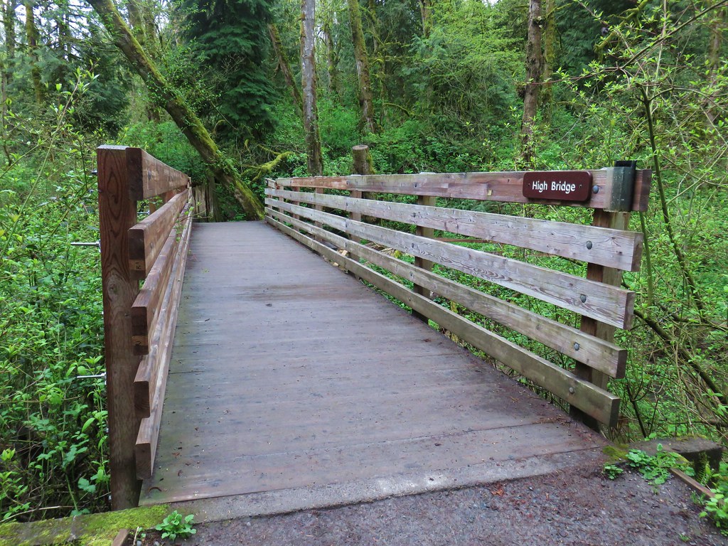
Beyond the suspension bridge .2 miles we rejoined the equestrian trail and crossed over Tryon Creek on High Bridge.

High Bridge

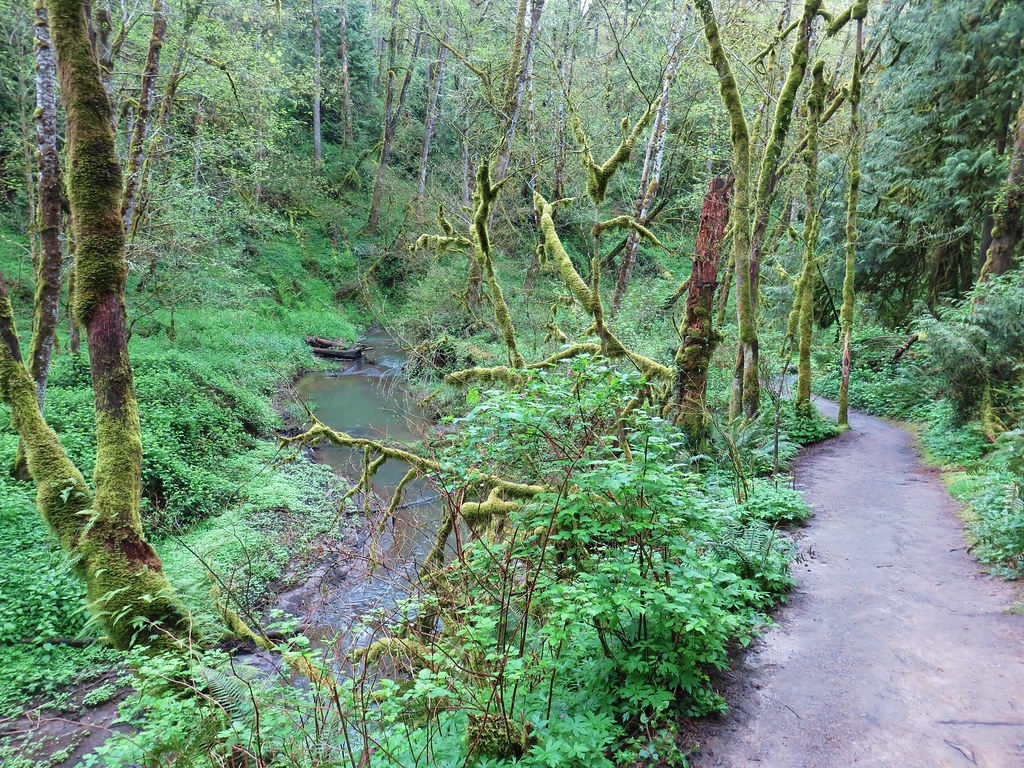
Tryon Creek

The trail split on the far side of High Bridge where we opted to go left on the hiker only Middle Creek Trail.

Tryon Creek State Natural Area

We followed this path for .2 miles across a boardwalk and along Tryon Creek to another trail junction.

Middle Creek Trail

Middle Creek Trail

At this junction we left the Middle Creek Trail crossing over the West Horse Loop and headed up the Cedar Trail.

Cedar Trail

We followed the Cedar Trail through the woods, crossing the West Horse Loop again at the .2 mile mark, then crossing Park Creek on Bunk Bridge, passing a small pond and finally crossing Paget Creek on another bridge before arriving at the Red Fox Trail a mile from the start of the Cedar Trail.

Cedar Trail

Park Creek from Bunk Bridge

Bunk Bridge

looking back at Bunk Bridge

Pond in Tryon Creek State Natural Area

Cedar Trail

Bridge over Paget Creek

Tryon Creek State Natural Area

Red Fox Trail junction.

We turned left onto the Red Fox Trail and in just over a tenth of a mile crossed Tryon Creek on Red Fox Bridge.

Red Fox Bridge

Red Fox Brdige

Tryon Creek

The trail made a brief but steep climb up to a three way junction with the Big Fir and Old Main Trail. We opted for the slightly shorter (but less crowded) Old Main Trail and turned right for .3 miles back to the Nature Center. Our route came in at 3.5 miles.

Although there were a lot of people in the park it never really felt all that crowded which was nice. There are still some trails left too so a return trip may be in order sometime in the future when the Nature Center is back open.

In all we covered 7.5 miles between the three stops and saw quite a few different flowers and a decent amount of wildlife. It had been another nice set of urban hikes. As much as we are looking forward to getting back up into the mountains once the snow melts we’re finding that these types of hikes have a lot to offer. Happy Trails!

Flickr: Camassia Natural Area, Mary S. Young Park, and Tryon Creek

Categories
Hiking Oregon Portland Salem/Albany Trip report Willamette Valley

Tualatin HIlls Nature Park, Tualatin River NWR, and Willamette Mission State Park

For our March outing we decided to stick relatively close to home and visit three nearby hikeable areas. Our first stop, and furthest from Salem at just under an hour away, was at the Tualatin Hills Nature Park in Beaverton.

We started from the large parking lot at the Tualatin Hills Nature Center on SW Millikan Way.
Tualatin Hills Nature Center

The Nature Center is currently open from 8:30am-5pm M-F and 9am-5pm Sat. & Sun. while the park itself is open everyday from dawn to dusk. We arrived at dawn and set off on the paved Vine Maple Trail between the Nature Center and restrooms.
Vine Maple Trail

We quickly turned right onto the signed Oak Trail which was also paved.
Oak Trail

In a third of a mile we detoured briefly at a sign for the Tadpole Ponds.
Tadpole Pond

Although we didn’t see any tadpoles, or other wildlife here, the sounds of birds had not stopped all morning so we knew there were plenty of animals around. We returned to the Oak Trail which passed by Cattail Marsh on the second of three boardwalks.
Oak Trail

Cattail Marsh

Beyond the marsh we soon came to the third boardwalk which crossed over Cedar Mill Creek.
Boardwalk and viewing platforms along the Oak Trail

Cedar Mill Creek

One of the many birds that we’d been listening to was kind enough to pose for a moment as we stood on the boardwalk.
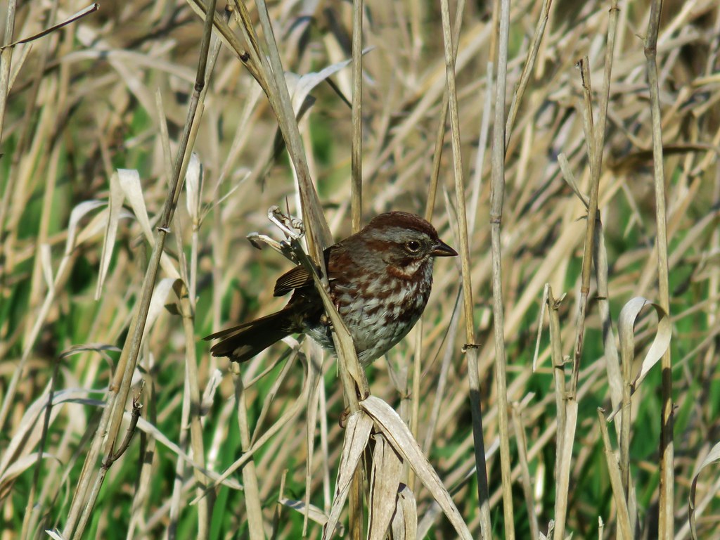
Sparrow

On the far side of the boardwalk was a trail junction where the Oak Trail veered right to the Merlo Rd/158th Ave Max light rail station. To the left was the Old Wagon Trail, a dirt path closed to bikes.
Old Wagon Trail

We followed this trail through a forest that was starting to show signs of Spring for a third of a mile to a junction with the Mink Path.
Old Wagon Trail

Blossoms along the Old Wagon Trail

Old Wagon Trail

Old Wagon Trail junction with the Mink PathTrail pointer at the Mink Path junction. We appreciated the fact that all of the junctions were signed and those signs were easy to read but placed in such a way that they were unobtrusive.

The Mink Path is a .1 mile connector between the Old Wagon Trail and Vine Maple Trail allowing for a shorter loop back to the Nature Center. We opted to stay on the Old Wagon Trail though and continued to the start of another boardwalk where we stopped so I could try and take a photo of a robin that was hopping around on the trail. As I was working on getting a picture Heather spotted a deer just a bit off the trail.
Deer along the Old Wagon Trail (there really is one out ther)Can you see the deer?

I thought she was seeing things but then I noticed it move.
Doe along the Old Wagon Trail (again it is there)How about now?

She turned and watched us as I attempted to get the camera to focus on her and not the branches in the foreground.
Doe in the Tualatin Hills Nature Park

Not far from the deer we spotted a squirrel trying to become one with a limb.
Squirrel

At a “Y” in the boardwalk we veered left keeping on the Old Wagon Trail until we reached a junction with the Vine Maple Trail a total of .4 miles beyond the Mink Path junction. We turned left onto the Vine Maple Trail and then took a right at a pointer for the Lily Pond.

A short path led down to the pond but before we had reached it a pair of wood ducks took flight and landed in a nearby tree.
Wood Ducks

As we were admiring the wood ducks a pileated woodpecker was busy with its breakfast.
Pileated woodpecker

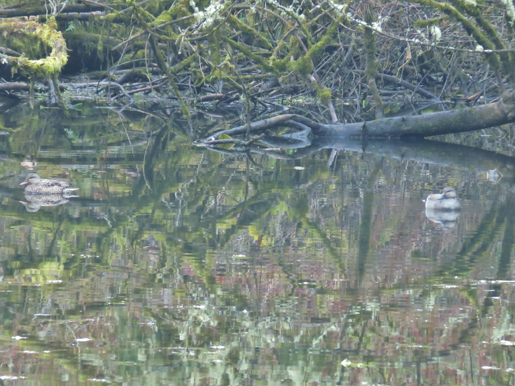
We eventually made it down to the pond where a few ducks remained in the water including what appeared to be a pair of gadwalls.
Interpretive sign at the Lily Pond

Lily Pond

Gadwalls

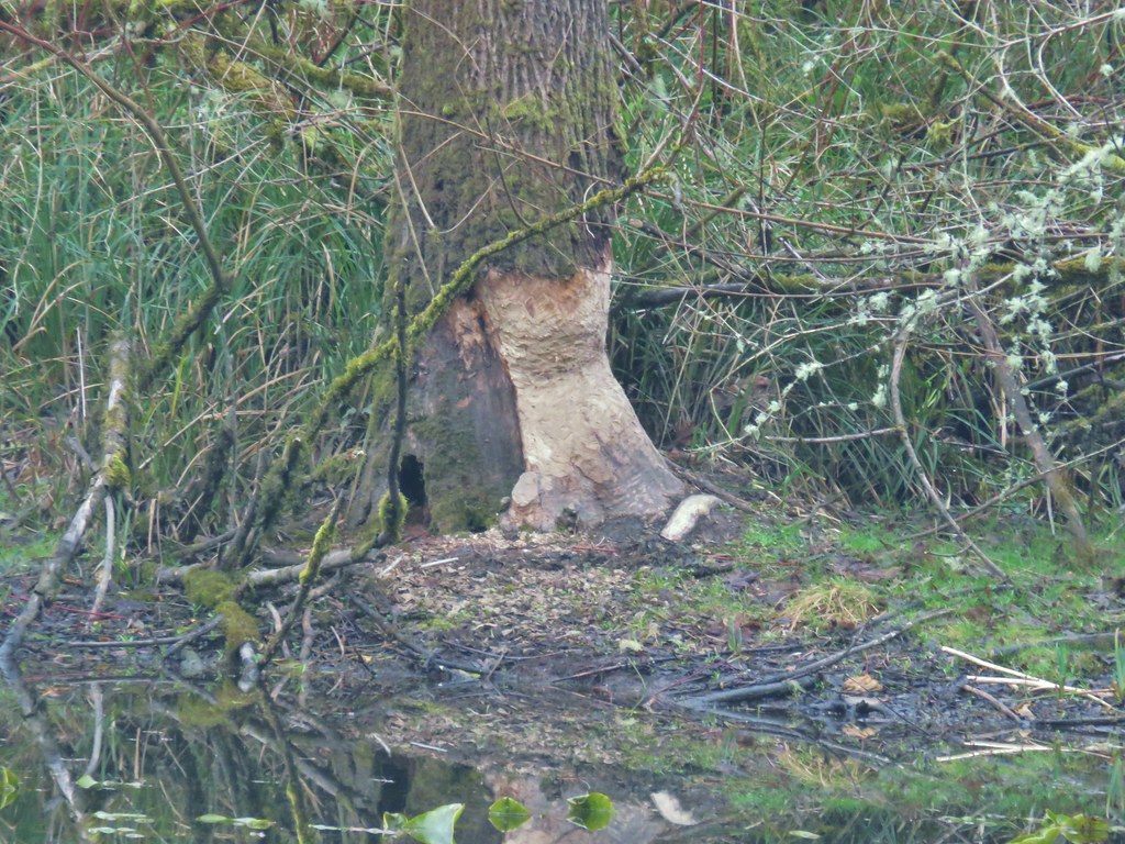
There were also signs of beaver activity but we’ve yet to actually see one in the wild.
Beaver work

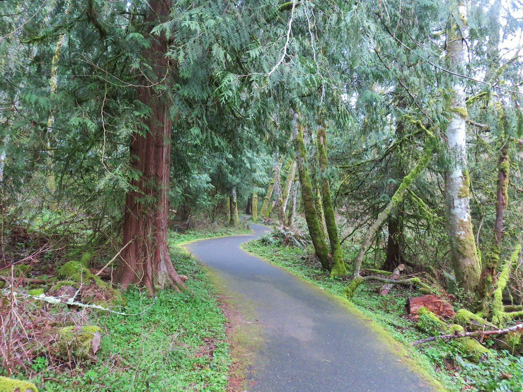
After visiting the pond we returned to the Vine Maple Trail which was now paved and followed it past its junction with the Mink Path and across Cedar Mill Creek.
Vine Maple Trail

Vine Maple Trail crossing Cedar Mill Creek

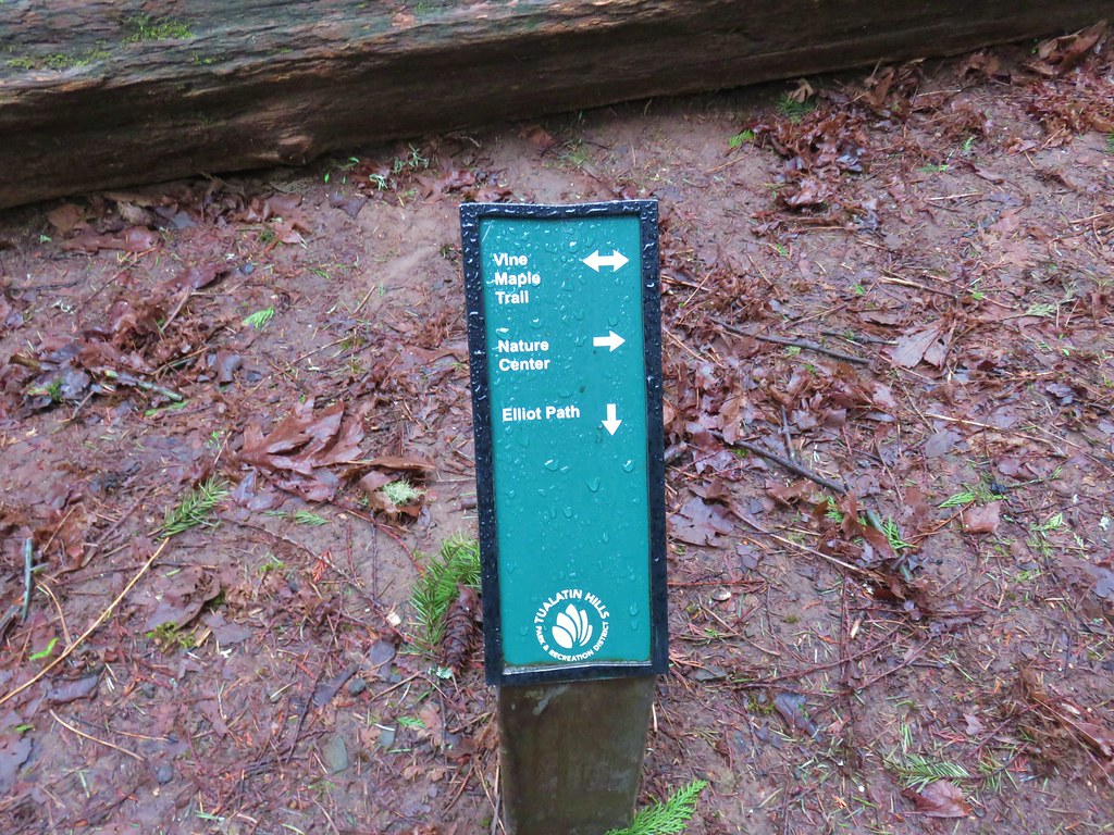
Shortly after crossing the creek we faced another choice. The Nature Center lay a third of a mile away via the Vine Maple Trail but more loop options were available by taking the Elliot Path.
Trail sign in the Tualatin Hills Nature Park

We took the .1 mile Elliot Path to a “T” shaped junction with the Big Fir Trail. Here again was a choice. Left headed back toward the Nature Center while right would take us to the Chickadee and Ash Loops and a short spur to Big Pond. We headed right and then turned left onto the spur to Big Pond.
Big Pond

Big Pond

There were plenty of ducks here as well. It appeared that most were mallards and green-winged teals.
Mallard and Green-winged teals

We returned to the Big Fir Trail and continued on crossing Beaverton Creek before arriving at a four way junction.
Beaverton CreekBeaverton Creek

More choices! The Big Fir Trail kept straight while the Chickadee Loop was to the right and the Ash Loop to the left. We began by heading right on the quarter mile Chickadee Loop which had a nice long section of boardwalk.
Chickadee Loop

After the quarter mile we were back at the Big Fir Trail where we turned right briefly before making a left onto the Ash Loop. The Ash Loop passed some wetlands where a pair of Canada Geese were enjoying the morning.
Wetlands along the Ash Loop

Canada geese

After .3 miles on the Ash Loop we found ourselves back at the four way junction where we turned right and recrossed Beaverton Creek and returned to the junction with the Elliot Path. Staying straight on the Big Fir Trail for just .05 miles we then turned right onto the .2 mile Trillium Loop. Oddly we didn’t see many of signs of trilliums along this short loop but we had seen several beginning to bloom along other trails. After completing the Trillium Loop we turned right again onto the Big Fir Trail for another .1 miles to the start of the half mile Ponderosa Loop.

We took the Ponderosa Loop where we spotted more trillium and our first wood violets of the year.
Trillium

Wood violet

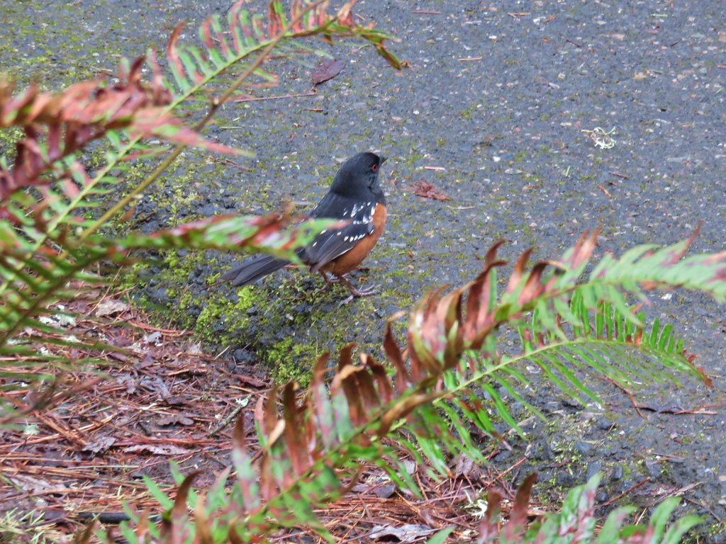
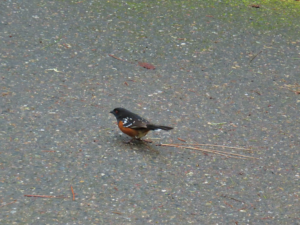
At the end of the Ponderosa Loop we were once again turning right onto the Big Fir Trail. This time it was for less than a tenth of mile and then we were back at the Vine Maple Trail. Several spotted towhees and a couple of chickadees were foraging near this junction. The chickadees wouldn’t sit still but the towhees were a little more cooperative.
Spotted towhee

Spotted towhee

A right turn onto the Vine Maple Trail followed by another .2 miles of hiking brought us back to the parking lot at the Nature Center. The total distance for our hike with all the extra loops was still just 4.2 miles. When we had arrived we were only the second car but the lot was now full as it was just a bit after 9am. We had passed the first volunteer led tour as we were finishing up the along the Ponderosa Trail and another group was preparing to set off shortly.

One of the reasons we had chosen to start our day with this hike was that we knew the park would get busy as the morning progressed which isn’t a bad thing but we always prefer to avoid the crowds when possible. It really was a first rate park though so the popularity is warranted.

We left the nature park and headed for our next stop, the Tualatin River National Wildlife Refuge. I’d found this hike in the Oregon Hikers Field Guide and decided to give it a try.

We parked at the Visitor Center along Highway 99W. The majority of hikeable paths in the refuge are closed from October 1st trough April 30th but the one mile River Trail and the very short Ridge Trail are open year round so we made those the target of this visit.
Tualatin River National Wildlife Refuge Trailhead

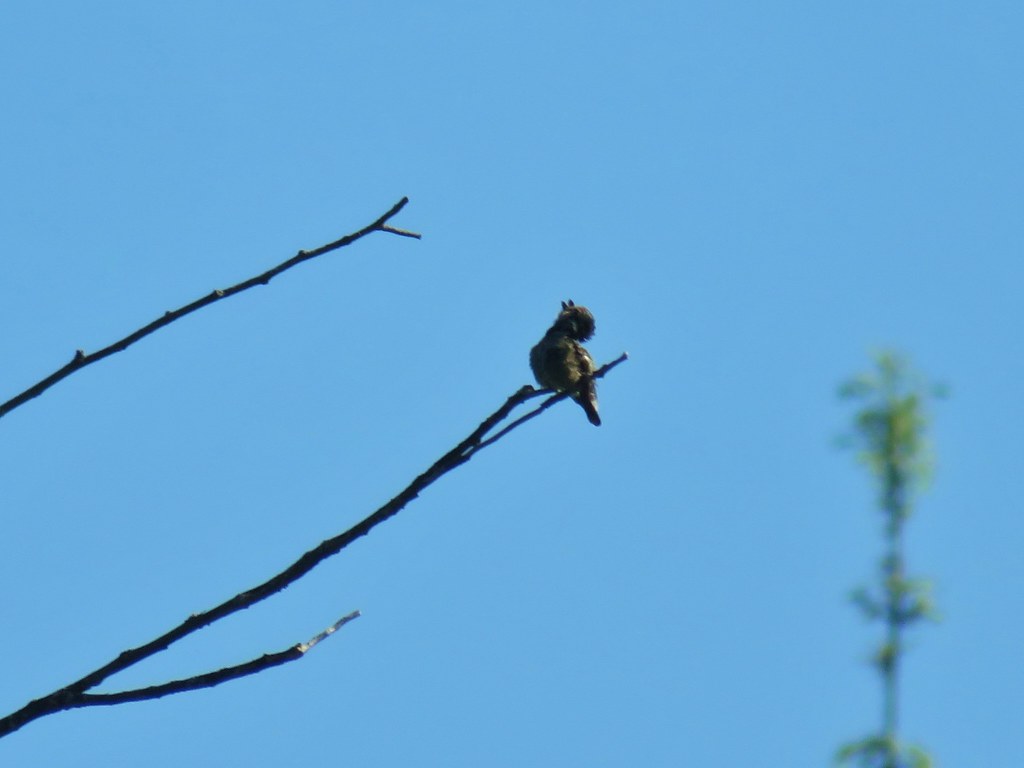
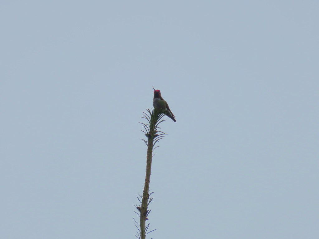
We set off on the River Trail and immediately spotted a hummingbird perched atop a tree.
River Trail

Hummingbird

The trail led downhill between a pair of small ponds.
Tualatin River Natioal Wildlife Refuge

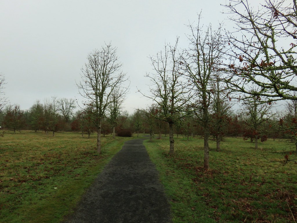
The trail passes through a restored oak savannah before arriving at an observation deck above the Tualatin River a half mile from the parking lot.
River Trail

Viewing Deck along the River Trail

Tualatin River

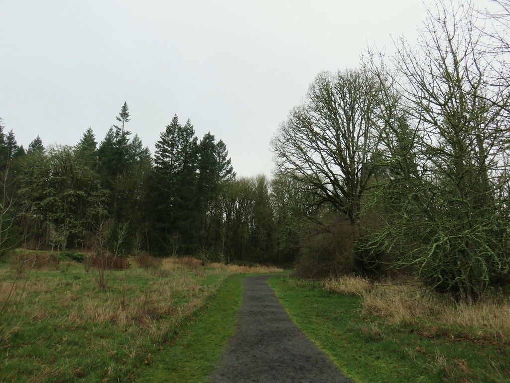
Beyond the deck the trail continues briefly though the restored savannah before entering a forest.
River Trail

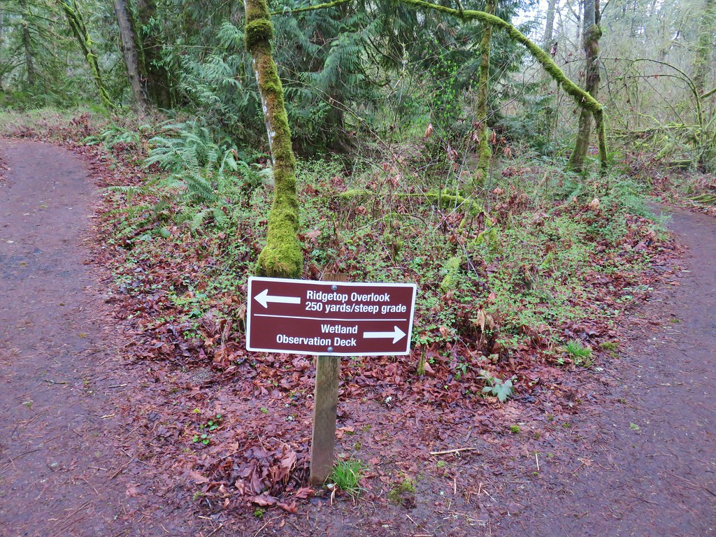
The trail splits in the trees with the Ridge Trail leading left to a viewpoint and the River Trail continuing right to the Wetlands Observation Deck.
River Trail junction with the Ridgetop Trail

We stayed right visiting the observation deck first.
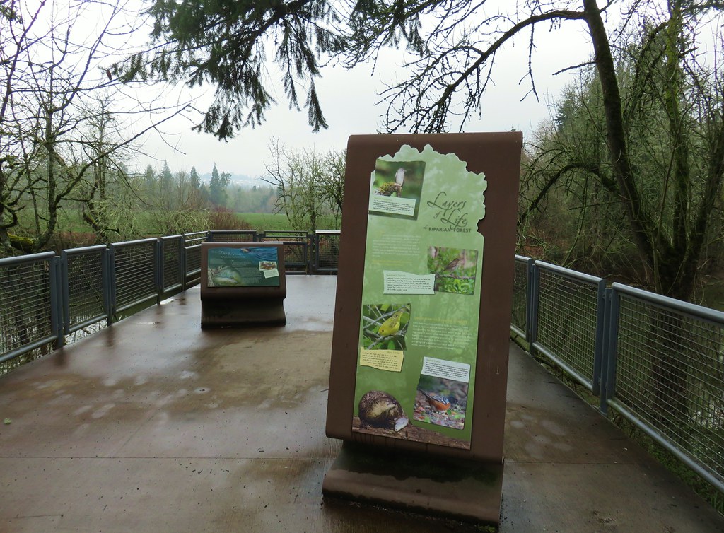
Wetlands observation deck

View from the Wetlands Observation Deck

There were a few geese and ducks visible in the distance and a few robins closer by.
Canada geese in the wetlands

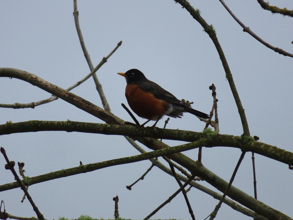
Robin

We returned to the junction with the Ridge Trail and turned right onto it to climb to the viewpoint. The Visitor Center was visible across the refuge and a number of ducks and other birds could be seen in the water below. At least some of the ducks looked to be northern shovelers.
RIdgetop Trail

View from the Ridgetop Overlook

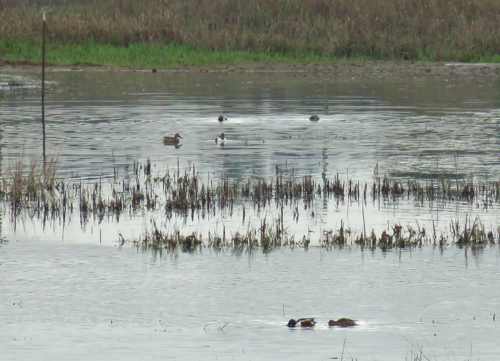
Northern Shovelers

We returned to the parking lot after an easy 2.1 mile hike. We plan on returning in the future when the other trails are open to explore more of the refuge and check out the Visitor Center.

We left the refuge and headed south toward our last stop of the day at Willamette Mission State Park.

The site of the former Willamette Mission the 1600 acre park offers a number of activities besides hiking. The mission was established in 1834 by Rev. Jason Lee and marked the first organized religious enterprise in Oregon.

We had originally intended on a 2.7 mile hike here as described by William L. Sullivan in his “100 Hikes in Northwest Oregon & Southwest Washington” 3rd edition guidebook. Heather had put the book in her pack for the Tualatin Hills Nature Park hike as it was also featured in the guidebook. We hadn’t taken it back out of her pack so we weren’t exactly sure where we were supposed to park for the described hike so after paying the $5 day use fee at the entrance booth we immediately turned right into a parking area with a hiker symbol.

The lot serves as a trailhead for the Willamette Vision Education Trail, which was not where our book called for us to start but we were already parked so we decided to improvise.
Willamette Mission State Park Trailhead

We followed a bark path .1 miles to the start of a loop where we turned right.
Willamette Vision Educational Trail

Interpretive sign along the Willamette Vision Educational Trail

The trail followed a road bed for half a mile around a field before arriving at Mission Lake. Along the way we spotted a coyote that quickly disappeared back into the vegetation.
Mission Lake

A little over a mile from the trailhead we arrived at the nations largest black cottonwood.
Willamette Mission Cottonwood

Interpretive sign for the Willamette Mission Cottonwood

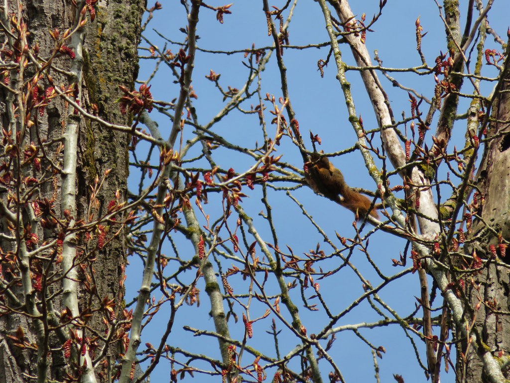
While we were admiring the tree an osprey landed in it and while we were watching the osprey we noticed a squirrel in the upper branches as well.
Osprey in the Willamette Mission Cottonwood

Squirrel in the Willamette Mission Cottonwood

Osprey and a squirrel sharing the Willamette Mission CottonwoodThe osprey and the squirrel (upper right hand corner).

A short distance from the cottonwood the loop crossed the park entrance road. In order to do the hike that we had originally intended to do we turned right and walked along the shoulder of the road for a quarter of a mile to a boat launch and pet exercise area where we picked up the Mission Trail.
Mission Trail

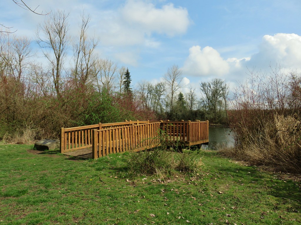
The Mission Trail followed the bank of Mission Lake for .6 miles to the Mission View Site, an observation deck looking across the lake to the site of the former mission.
Mission Trail

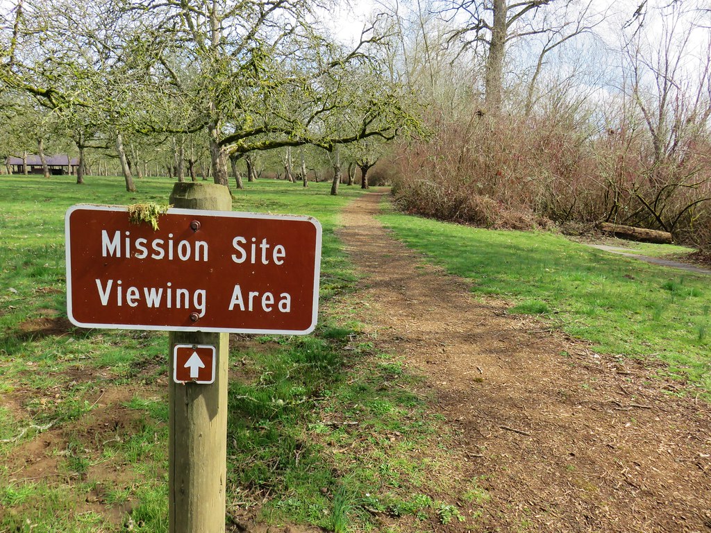
Mission Site viewing platform

Marker for the Willamette Mission

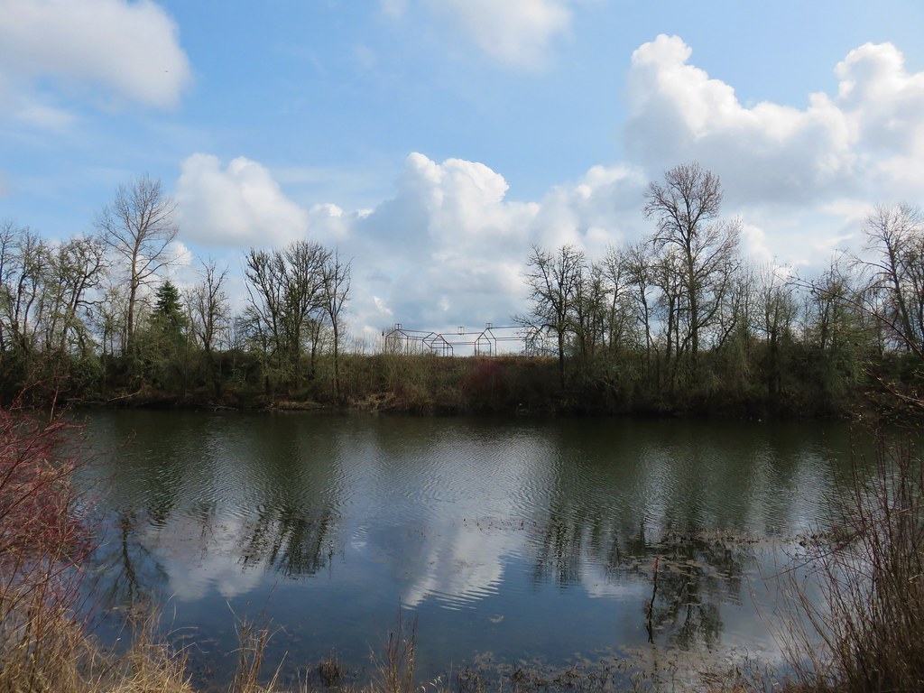
The former Mission Site across Mission Lake

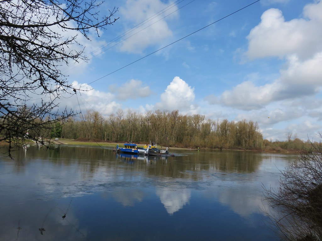
We continued on past the Mission Site for another quarter mile before arriving at a the end of the Mission Trail at a paved bike path. We turned right detouring a quarter mile off the loop to visit the Wheatland Ferry crossing on the Willamette River.
Wheatland Ferry

After watching the ferry cross once we headed back along the bike path and followed it along the Willamette River for almost a mile and a half before veering right onto an equestrian trail. Although the bike path paralleled the river there were no real views to speak of due to a strip of trees and vegetation between the path and the water.
Bike path in Willamette Mission State Park

Bike path in Willamette Mission State Park

We opted to follow the multi-use dirt path instead of the paved bike path since pavement seems to be a lot harder on the feet. Despite being a bit muddy in spots the equestrian trail did finally provide a nice view up and down the Willamette.
Equestrian trail in Willamette Mission State Park

Willamette River

Willamette River

Just prior to reaching the high water channel the equestrian trail came near to the bike path. Staying on the equestrian trail would have taken us to the start of a three mile loop with no opportunity to get back to our car so we hopped back onto the bike path here.
Equestrian trail and the bike path in Willamette Mission State Park

We then followed the bike path back to the park entrance road.
Willamette Mission State Park

On our way back to the car we did complete the Willamette Vision Education Trail loop but that final 1.4 mile segment was fairly uneventful. The trail loops around a field with views back toward the center of the park. By that time we were passing the 13 mile mark for the day (we had planned on doing 9.2) and I was more focused on my feet than taking pictures. Not only had we started at the wrong spot but the guidebook would have had us cut out some of the bike path and all of the equestrian trail. Instead of 2.7 miles for this stop we had flipped the numbers and done 7.2.

We enjoyed all three stops but the Tualatin Hills Nature Park was definitely our favorite. With that being said they all would be suitable for hikers of all ages and abilities and each offers something unique. We’re lucky to have so many options within an hour of Salem and there are many more that we have yet to visit. Happy Trails!

Flickr: Tualatin Hills NP, Tualatin River NWR, Willamette Mission SP

Categories
Hiking Oregon Portland Trip report Willamette Valley

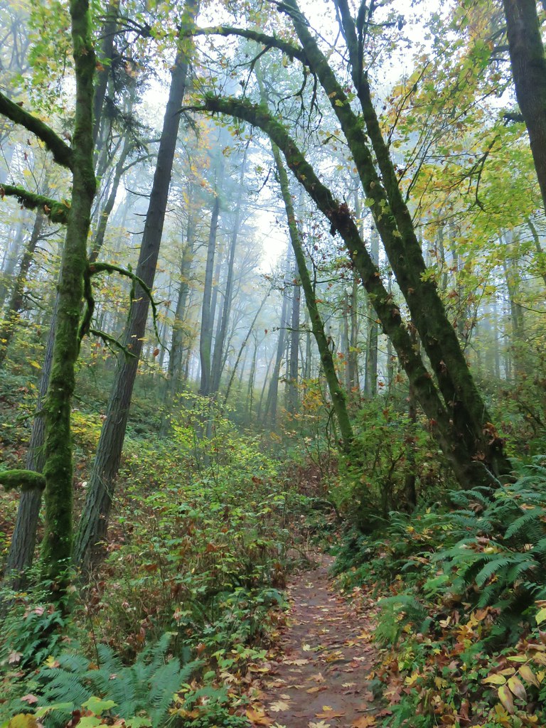
Forest Park – Wildwood Trail & Leif Erikson Drive Loop

Heather and I recently celebrated our 23rd anniversary with a morning hike in Portland’s Forest Park followed by dinner at Sisters Irish Bistro in Salem.

We started our hike at the Germantown Road Trailhead where the Wildwood Trail crosses the road.
Wildwood Trail at Germantown Road Trailhead

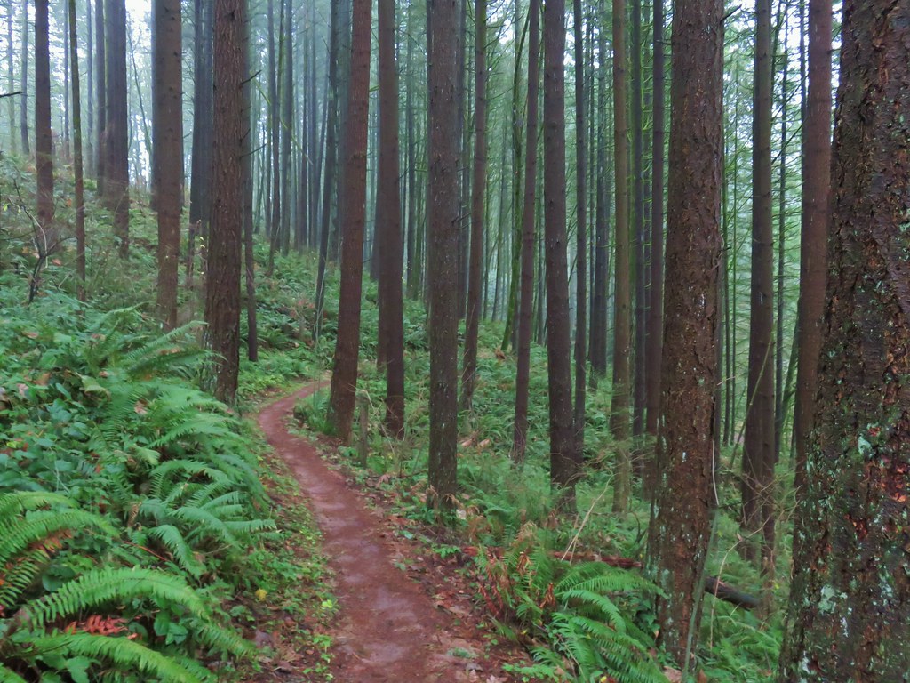
We chose this loop due to the presence of some low clouds. This section of trail didn’t offer the mountain views that some others do so we thought it was a good day for it. From the parking area we headed south on the Wildwood Trail which briefly climbed before leveling out on a hillside.
Wildwood Trail

Wildwood Trail

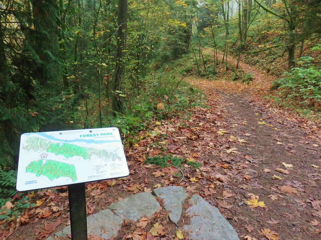
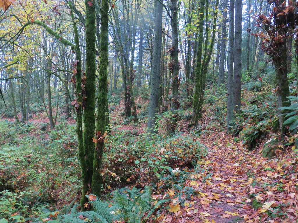
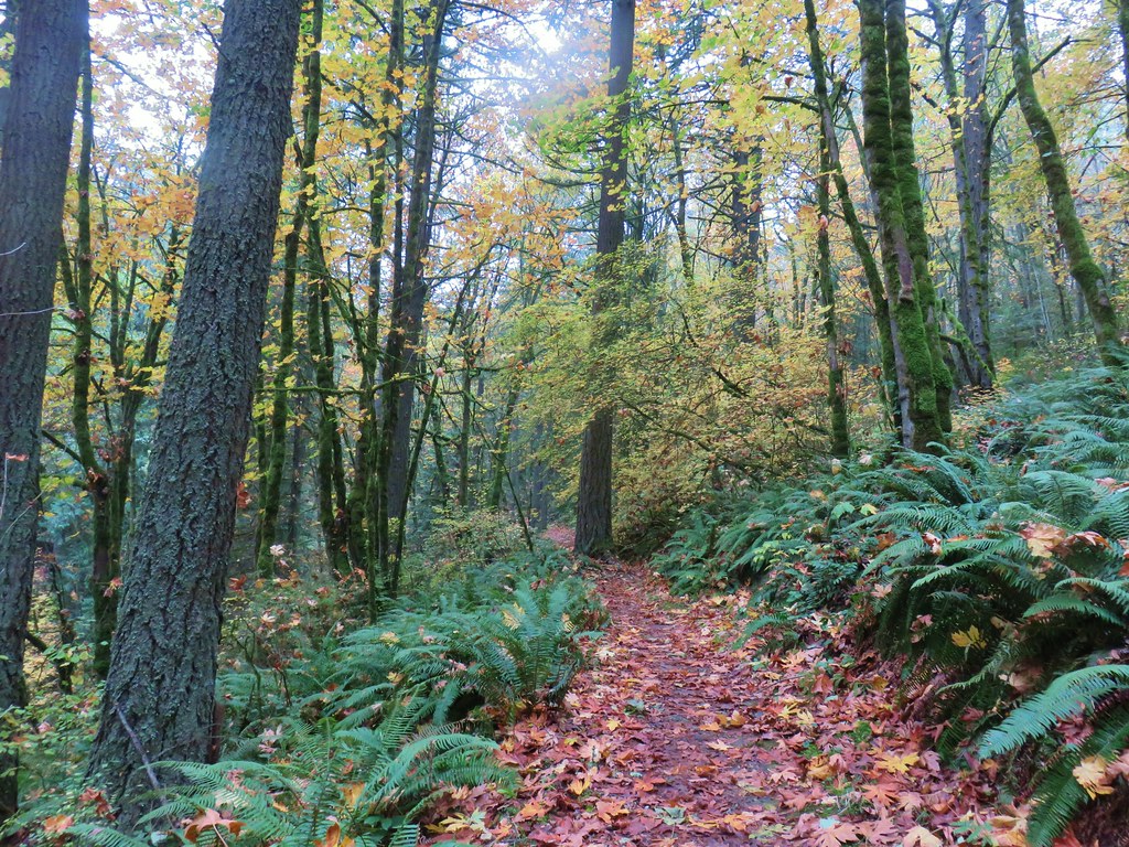
We followed the Wildwood Trail for a little over four and a quarter miles through the foggy forest. Junctions were well marked along the way with maps located at several of them.
Forest Park from the Wildwood Trail

Wildwood Trail junction with the Waterline TrailWaterline Trail junction

Wildwood Trail

Wildwood TrailMap at the Springville Road junction.

Wildwood Trail

Wildwood Trail

Wildwood Trail junction with the Ridge TrailRidge Trail junction

Wildwood Trail

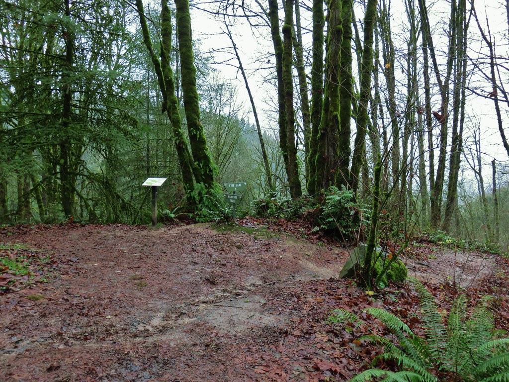
We turned off of the Wildwood Trail at Fire Lane 7A which we followed downhill less than a quarter mile to a pointer for Leif Erikson Drive.
Wildwood Trail junction with Fire Lane 7A

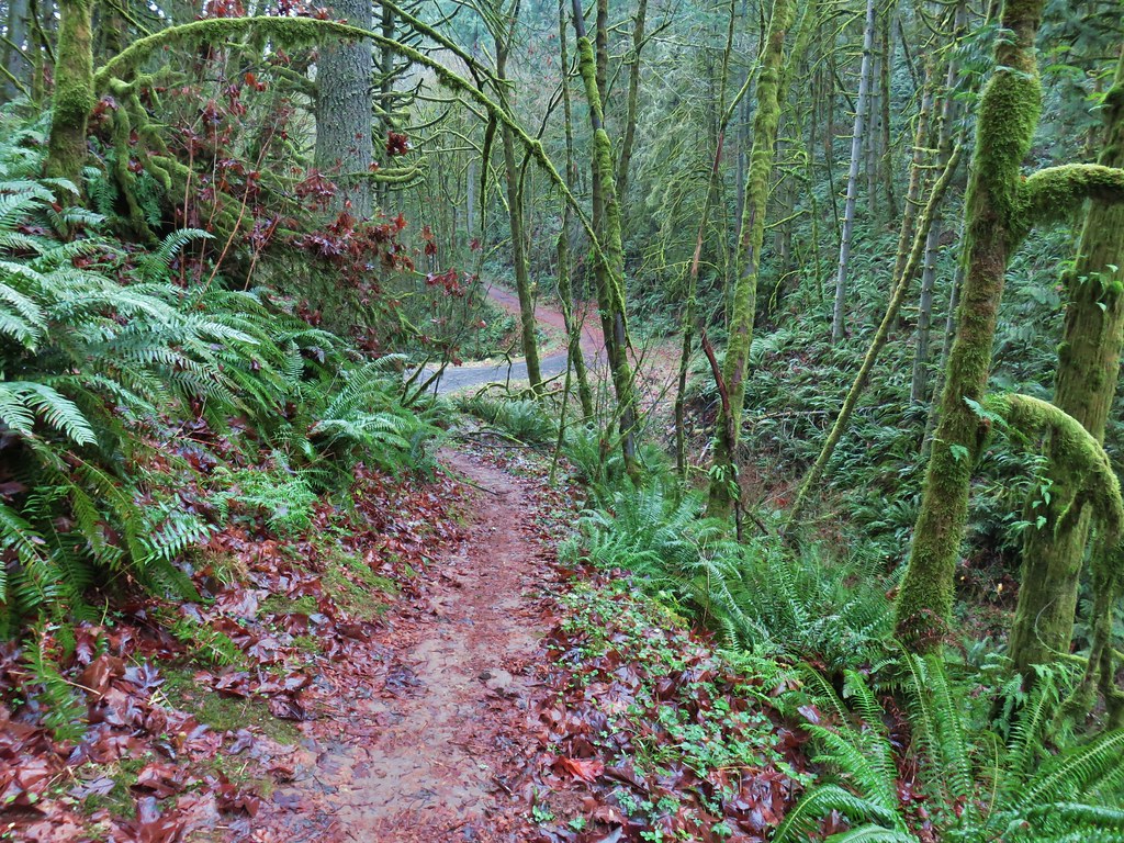
Fire Lane 7A

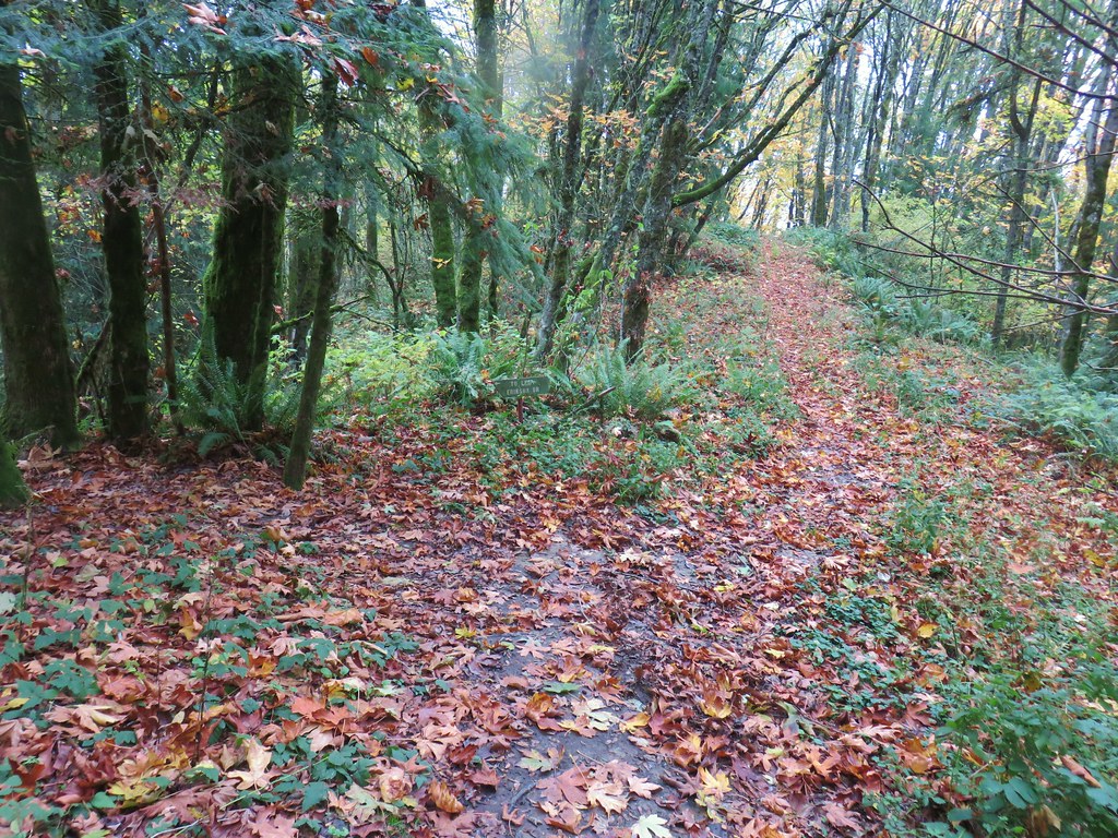
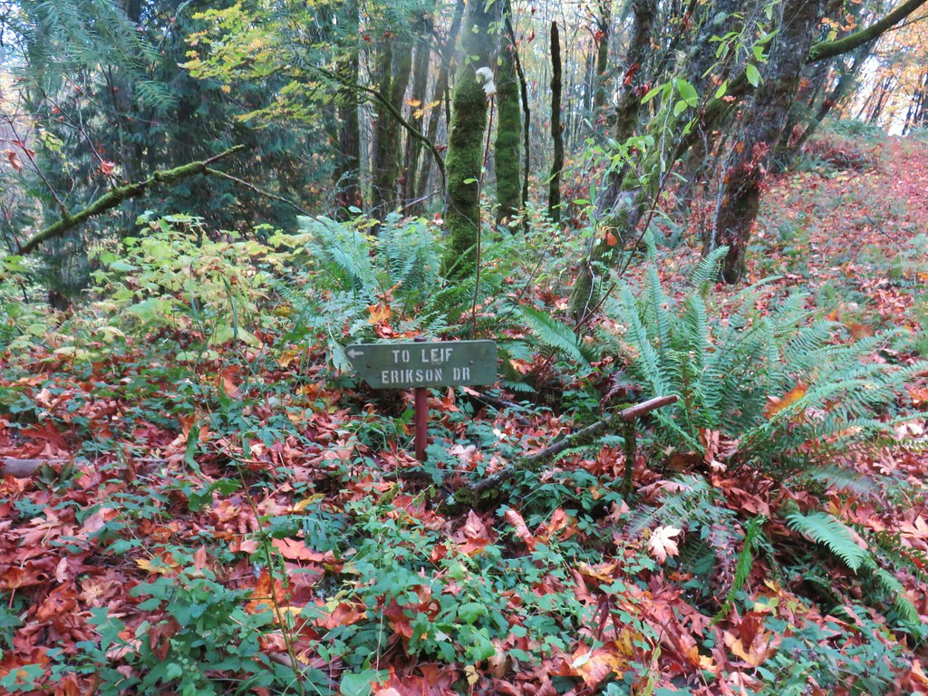
Tie trail to Leif Erikson Dr.

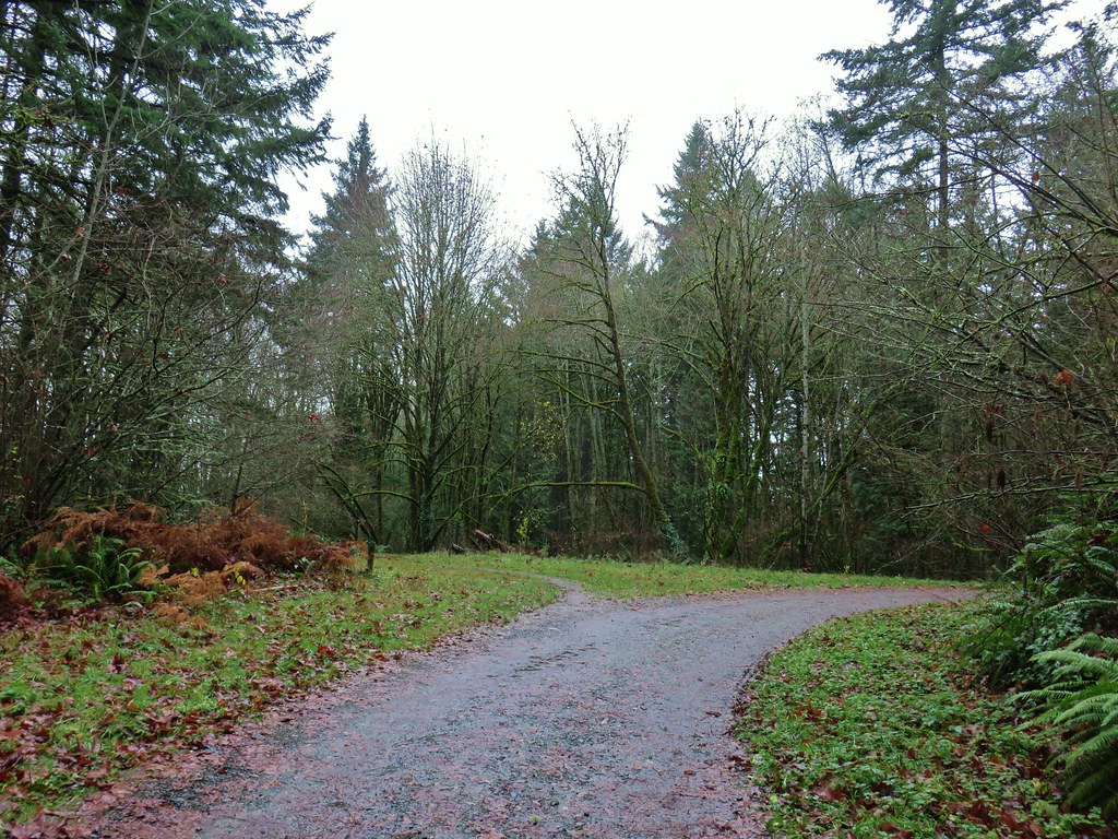
A short path led fairly steeply down to the closed road where we turned left.
Leif Erikson Drive

Leif Erikson Drive

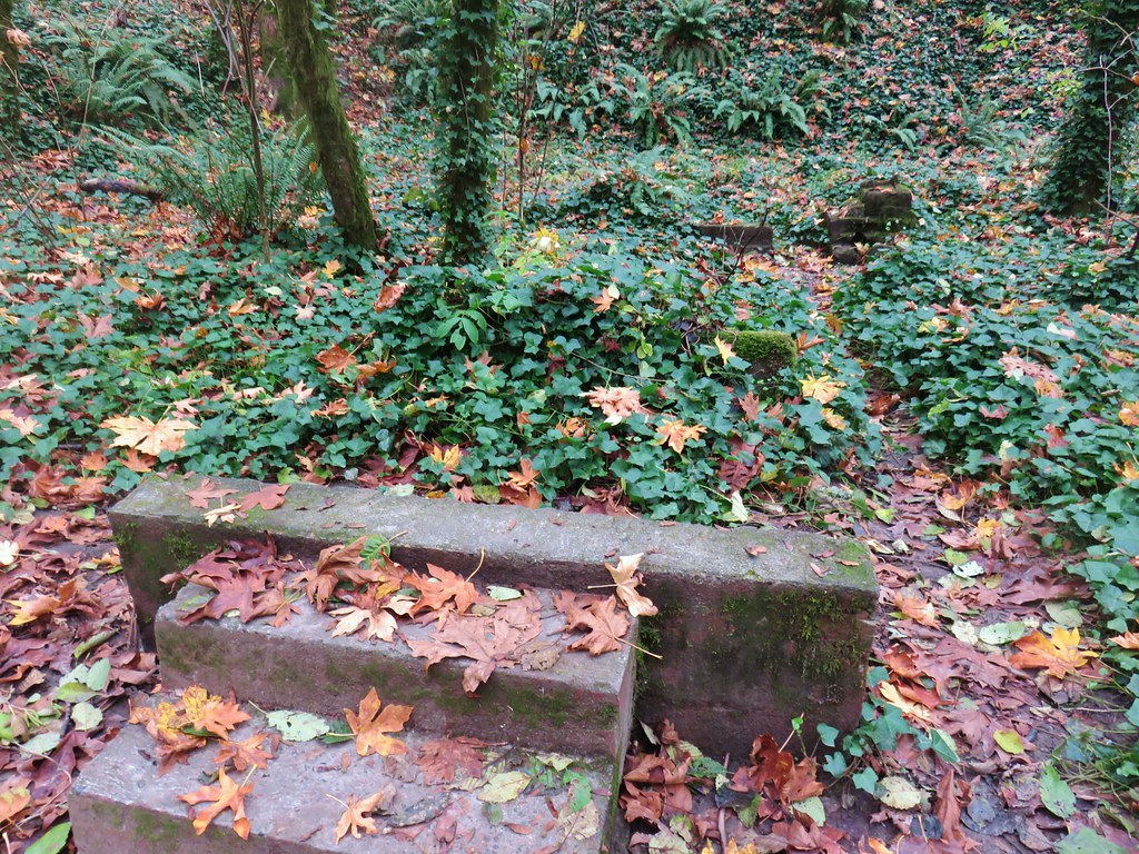
After one and a quarter mile on the road we came to the remains of an old building on the left.
Remains of an old building along Leif Erikson Drive

Remains of an old building along Leif Erikson Drive

A little over three miles after turning onto Leif Erikson Drive we arrived at another small parking lot along Germantown Road.
Leif Erikson Drive Trailhead along Germantown Road

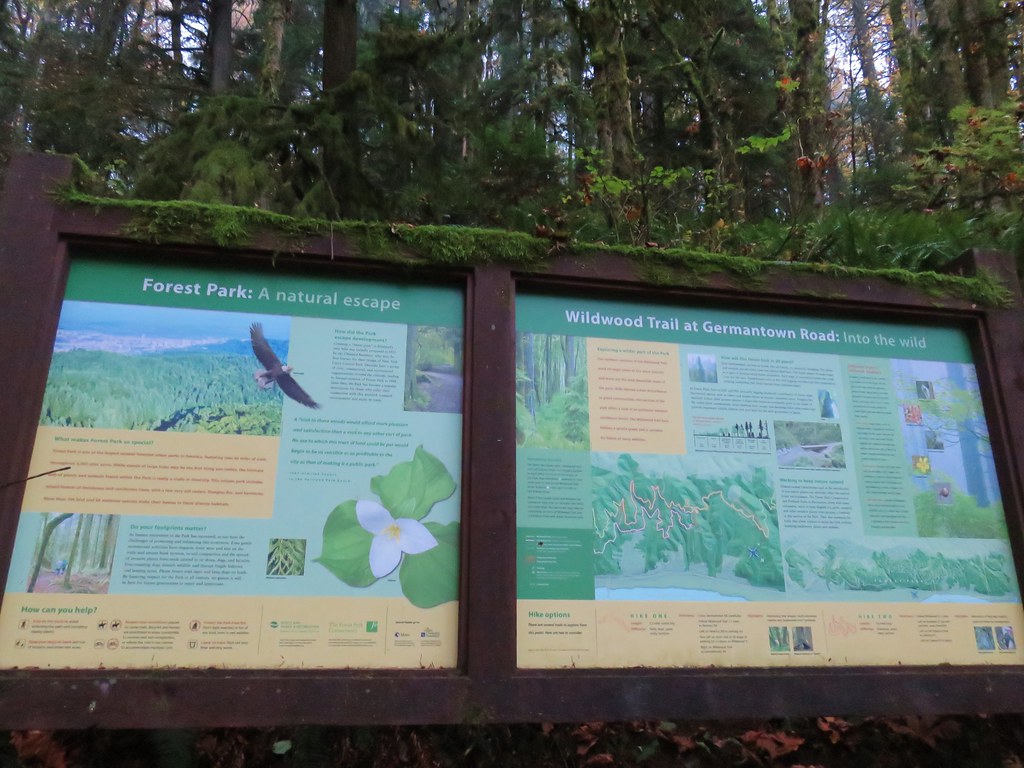
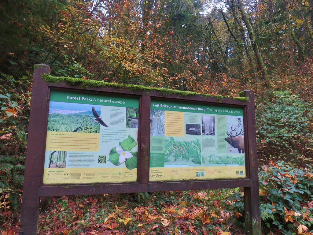
Signboard for Leif Erikson Drive at Germantown Road

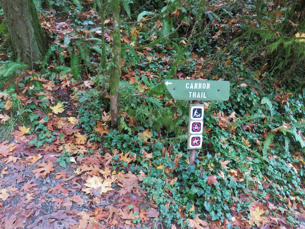
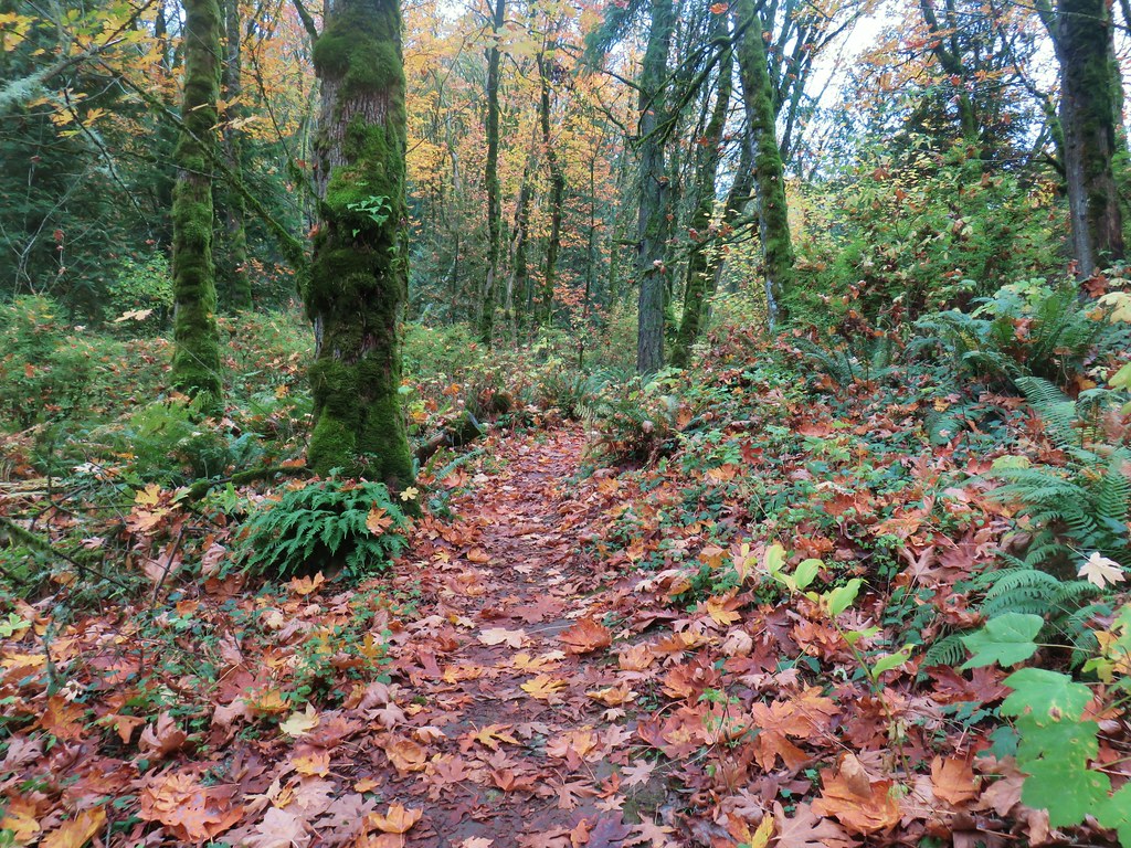
From this trailhead we followed the Cannon Trail uphill for a third of a mile back to the Germantown Road Trailhead and the Wildwood Trail.
Cannon Trail

Cannon Trail

Our loop was approximately 8.4 miles long with about 500′ of total elevation gain. It had been a good day for this particular hike and although we saw quite a few other people it never felt overly crowded. Shorter (or longer) loops could be done using the numerous other trails in the area.

Dinner at Sisters Irish Bistro was a perfect way to end our anniversary celebration, the food was excellent and so was the relaxing atmosphere. Happy Trails!

Flickr: Forest Park

Categories
Hiking Oregon Portland Trip report Willamette Valley

Washington Park & Council Crest

As we continue to work our way through the featured hikes in William L. Sullivan’s 100 Hikes guidebooks we occasionally come to some that call for a little creativity on our part. Often times this is due to the overall distance being short enough that we would likely break our self imposed rule of not spending more time driving than hiking on day trips. One of our solutions for these hikes is to combine them with other nearby hikes. On Mother’s Day weekend that is what we did with the Washington Park and Council Crest hikes described in Sullivan’s “100 Hikes in Northwest Oregon & Southwest Washington” book.

The handy thing about these hikes was that we could start them from the same location, Portland’s Washington Park. The location also gave us a good opportunity to visit the Oregon Zoo for the first time in many years. The zoo was open from 9:30-4:00 so figured we’d have enough time for a tour after our hikes given our typical early start. Our Son joined us for this outing and promptly fell back asleep in the car as we drove up Interstate 5 to Portland.

We arrived at Washington Park just before 6am and parked north of the Max Station near the entrance to the Vietnam Veterans of Oregon Memorial. Our plan was to head north loosely following Sullivan’s suggested Washington Park route to Pittock Mansion then return and head south to Council Crest and back then visit the zoo.

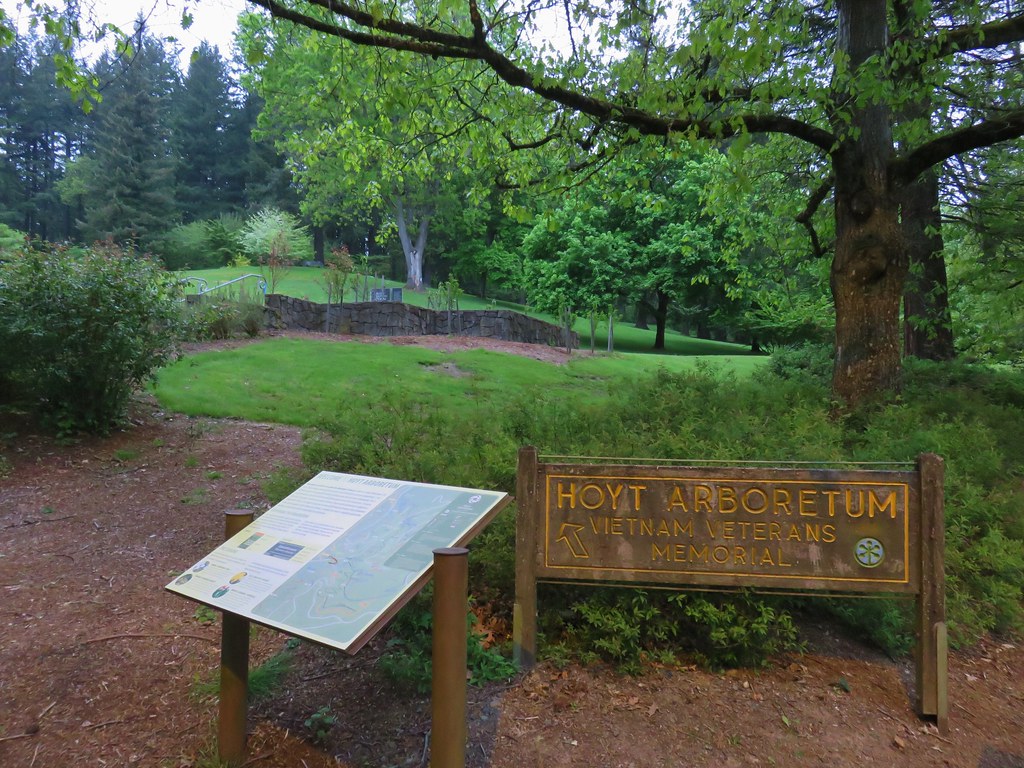
We began our hike at a sign for the Hoyt Arboretum Vietnam Veterans Memorial.
IMG_3140

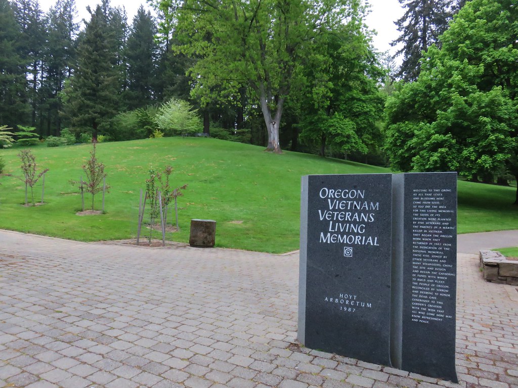
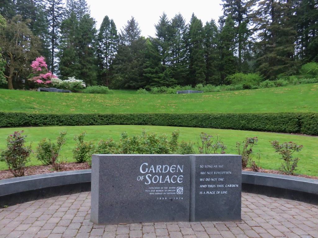
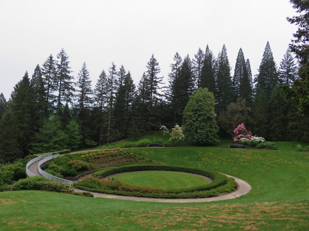
After reviewing a large signboard map we passed through the memorial.
IMG_3142

IMG_3145

IMG_3146

IMG_3147

IMG_3148

I mentioned we loosely followed Sullivan’s route for two reasons. First we were going to do his described loop in the opposite direction in order to cross busy Burnside Road earlier in the morning when we hoped there would be less traffic to dodge. The second reason was that there were far more trail junctions than we had expected and we took a couple of “alternate” routes early on. A connector trail from the end of the memorial led to the Wildwood Trail where we turned left. At the next junction we turned right onto the Maple Trail instead of staying on the Wildwood Trail as our guidebook suggested. Luckily we realized our mistake fairly quickly as we compared the map from the book to the GPS and turned left on another connector trail that led us back up to the Wildwood Trail at SW Knights Blvd.
IMG_3151

We turned left onto the Wildwood Trail.
IMG_3154

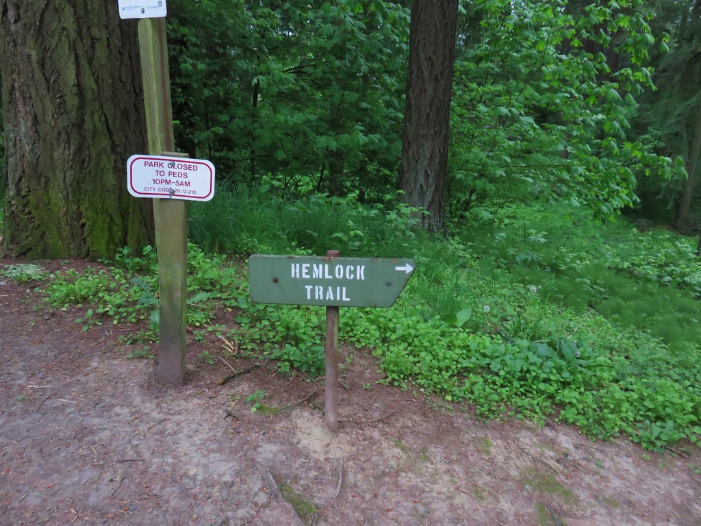
After about a tenth of a mile we came to another junction. Here we turned right and once again left the Wildwood Trail. We quickly climbed to a crossing of SW Fairview Blvd where we found a sign for the Hemlock Trail.
IMG_3155

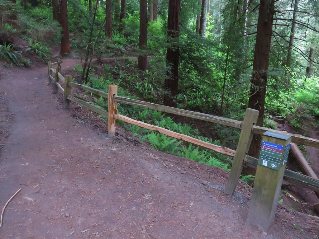
We followed the Hemlock Trail north but turned off of it to the right onto the Fir Trail. The guidebook would have had us continue further on the Hemlock Trail and then turn onto the Creek Trail but we were frankly a bit confused by the number of junctions and were doing our best to match up the GPS track to the path drawn on the map. After a short stint on the Fir Trail we decided it was heading the wrong direction so we turned left onto the Redwood Trail which got us headed back in the correct direction at least. We knew there should be a creek on our left and after crossing SW Fischer Lane it was evident that this was the case. We figured as long as we kept it close by we were at least headed in the right direction. A tenth of a mile from Fischer Lane we finally noticed a trails sign for the Creek Trail.
IMG_3160

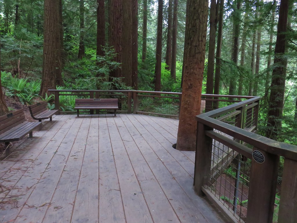
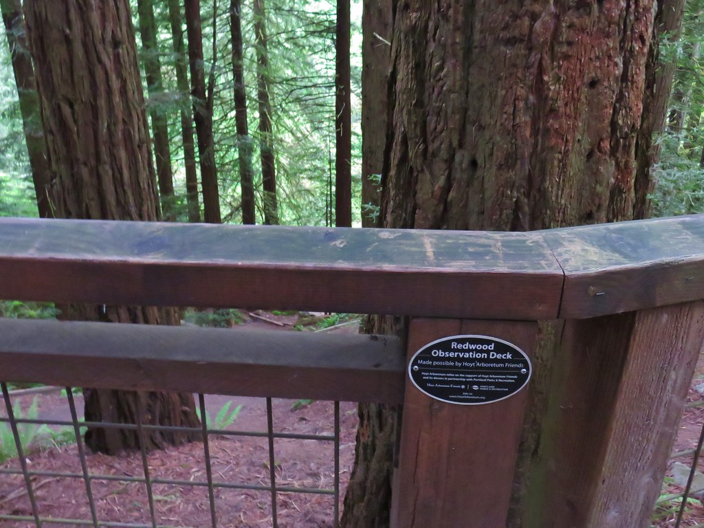
To be fair there had been a good presence of trial signs throughout but there had been so many options that it was overwhelming our not fully awake brains. We followed the pointer down to the Creek Trail where we turned right. We passed a neat display of roots from a tree on the hillside and then below the Redwood Observation Deck before reaching the end of the Creek Trail at another junction with the Wildwood Trail.
IMG_3161

IMG_3164

IMG_3166

We turned left onto the Wildwood Trail following a pointer for the Pittock Mansion.
IMG_3167

From Johnson Creek the Wildwood Trail climbed for just over a quarter mile to W Burnside Road. Burnside is a busy street so it was time for our mad dash. Luckily at 6:40am on Saturday there wasn’t much traffic. I scampered across then two cars stopped for Heather & Dominique.
IMG_3168

There are plans to build a pedestrian bridge over the road as soon as 2019 which seems like a great idea.

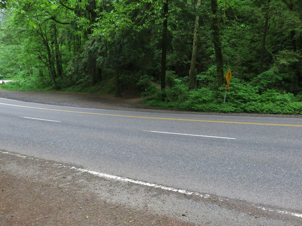
From Burnside the trail climbed over 250′ in just over half a mile to NW Pittock Dr. A sign at the road indicated that a section of the Wildwood Trail beyond was closed due to an active landslide, but it was time for us to leave the trail here anyway.
IMG_3171

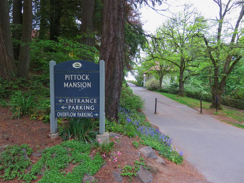
We turned right and followed the road uphill to the Pittock Mansion.
IMG_3175

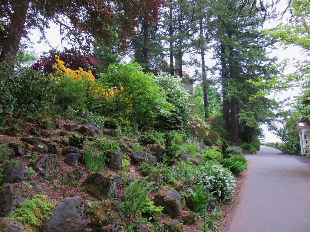
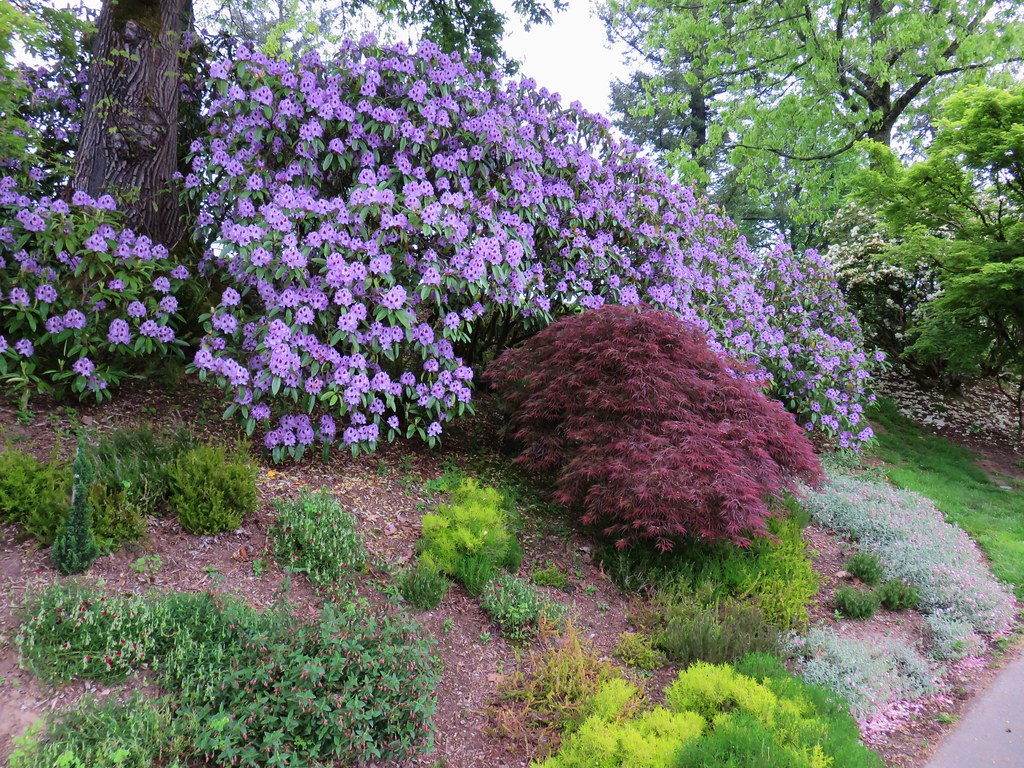
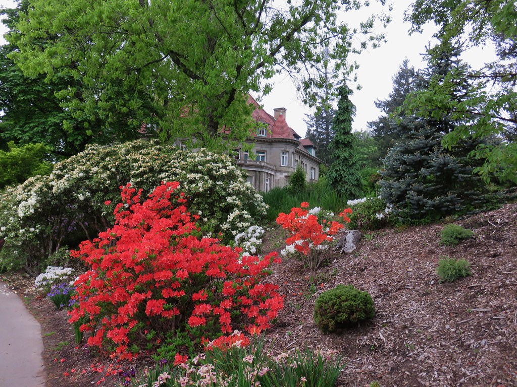
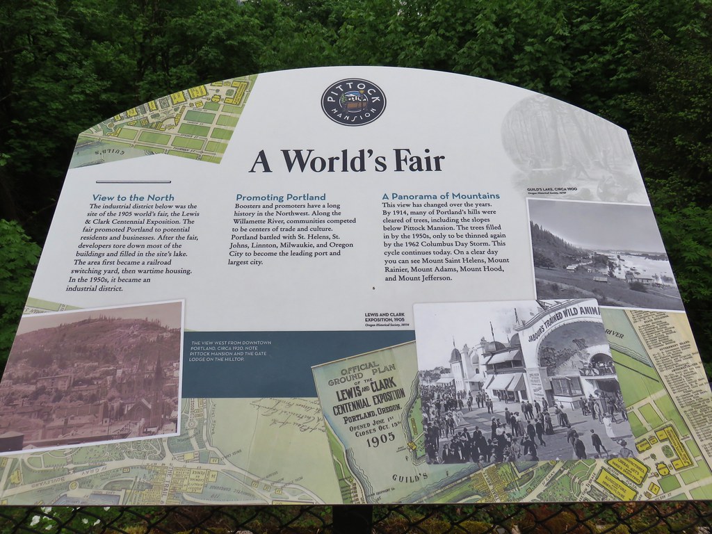
We followed a flower lined path to the right past the Gate Lodge.
IMG_3178

IMG_3181

The path continued beyond the gate house wrapping around the mansion to a viewpoint at the end of a lawn.
IMG_3187

IMG_3188

IMG_3191

IMG_3194

IMG_3195

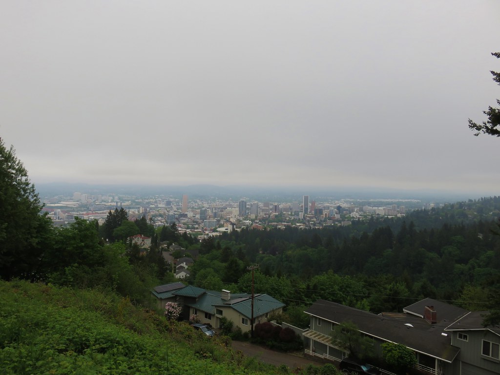
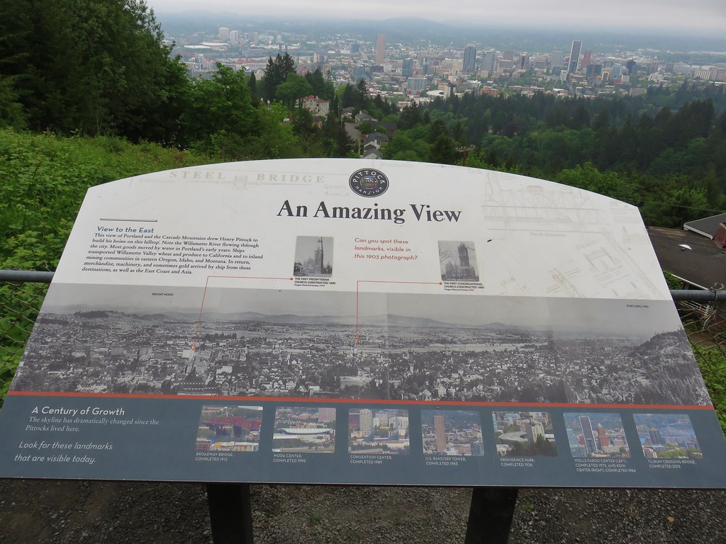
The viewpoint overlooks the city of Portland and on a clear day (which this had been forecasted to be) the view would include Mt. Hood.
IMG_3199

IMG_3201

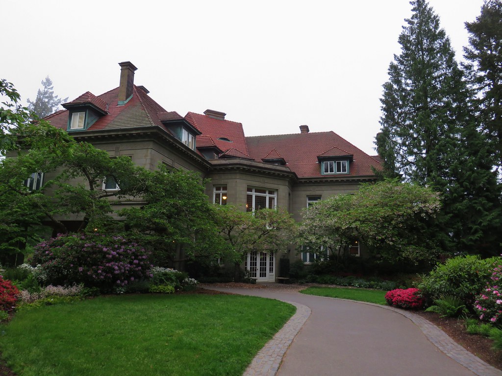
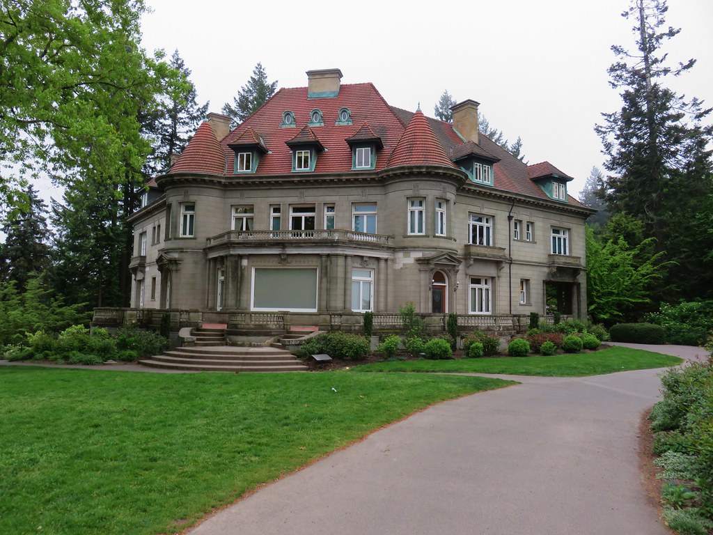
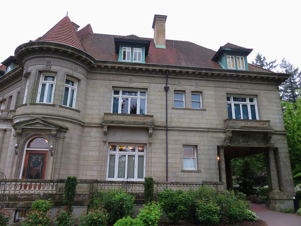
The 16,000 square foot mansion was built in 1914 in the French Renaissance style.
IMG_3203

IMG_3209

IMG_3213

Self-guided and guided tours are available for the mansion but we were far too early for those and will have to save them for another visit.

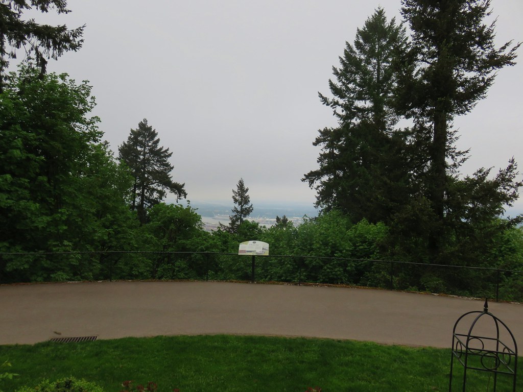
A second viewpoint to the north looks across the Columbia River to what would have been, on a clear day, Mt. Rainier, Mt. St. Helens, and Mt. Adams in Washington.
IMG_3205

IMG_3211

After wandering through the grounds we returned the way we’d come. After another successful crossing of Burnside we arrived back at the junction with the Creek Trail. Here we left our earlier route and kept to the Wildwood Trail which climbed uphill away from the creek past a junction with the Redwood Trail.
IMG_3221

We stuck to the Wildwood Trail and quickly came to the Redwood Observation Deck.
IMG_3222

IMG_3223

We continued on from the deck climbing to a ridge where we crossed SW Fairview Blvd (again) then descended to a signed junction for the Japanese Garden.
IMG_3228

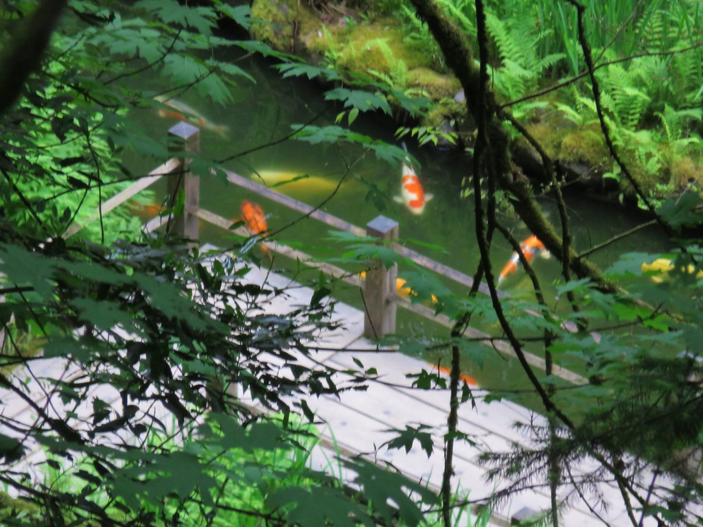
This is another place we’ve yet to get to but will someday. We stayed right the junction remaining on the Wildwood Trail as it passed above the garden which we could see below.
IMG_3232

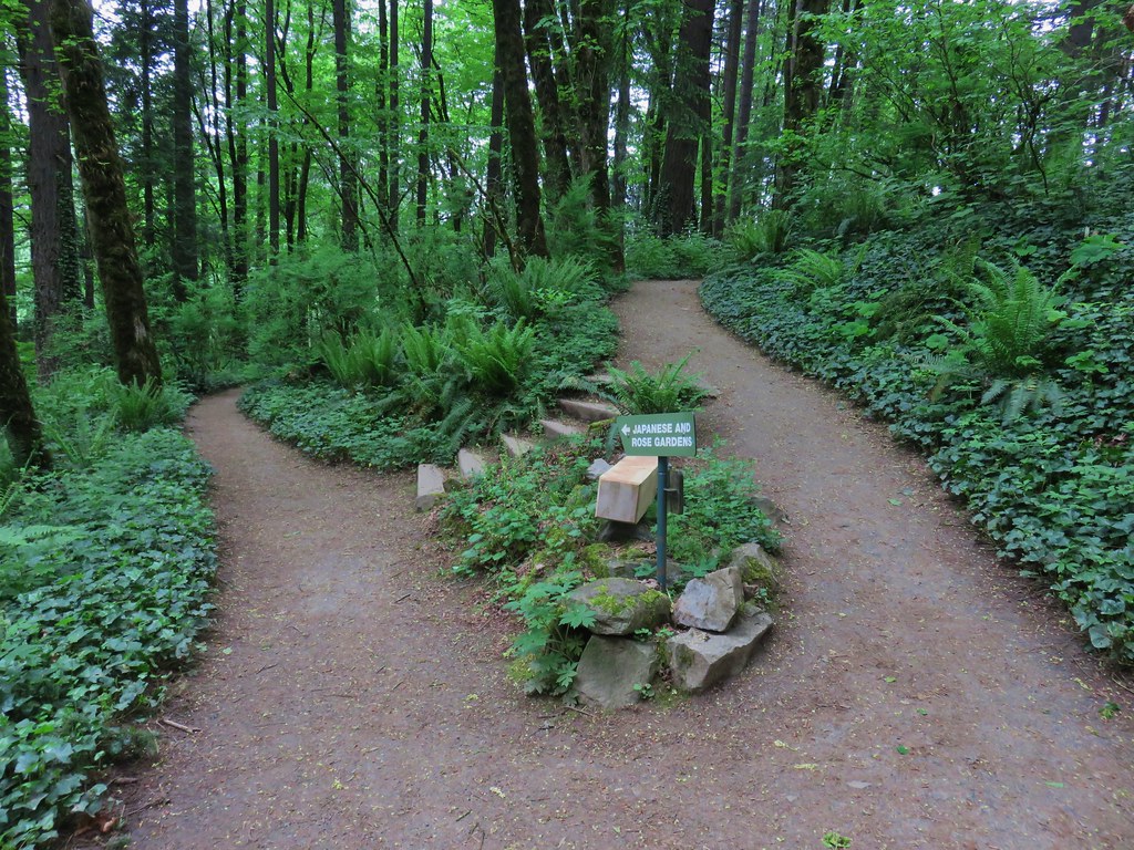
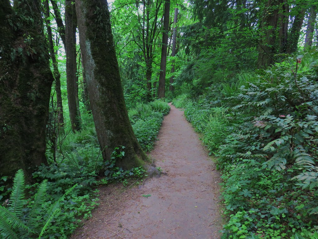
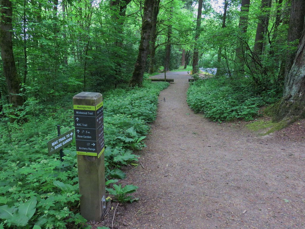
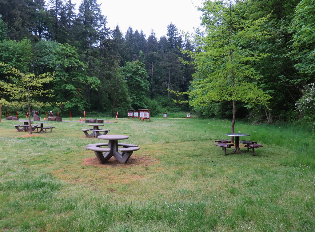
The Wildwood Trail wrapped around the hillside past a junction for the Mac Trail to the Rose Garden and then an archery range.
IMG_3235

IMG_3236

IMG_3238

A section of the trail near the archery range had recently been reopened after being realigned.
IMG_3240

We wound up leaving the Wildwood Trail shortly after passing the archery ranger when we took a left onto the Maple Trail then a right on the Walnut Trail and finally following the Ash Trail from a three way junction of the Maple, Walnut & Ash Trails back to Vietnam Veterans Memorial.
IMG_3241

IMG_3243

IMG_3245

After a brief stop at our car to grab a snack it was time to head to Council Crest so we returned to the memorial entrance where we turned left onto an unmarked path.
IMG_3247

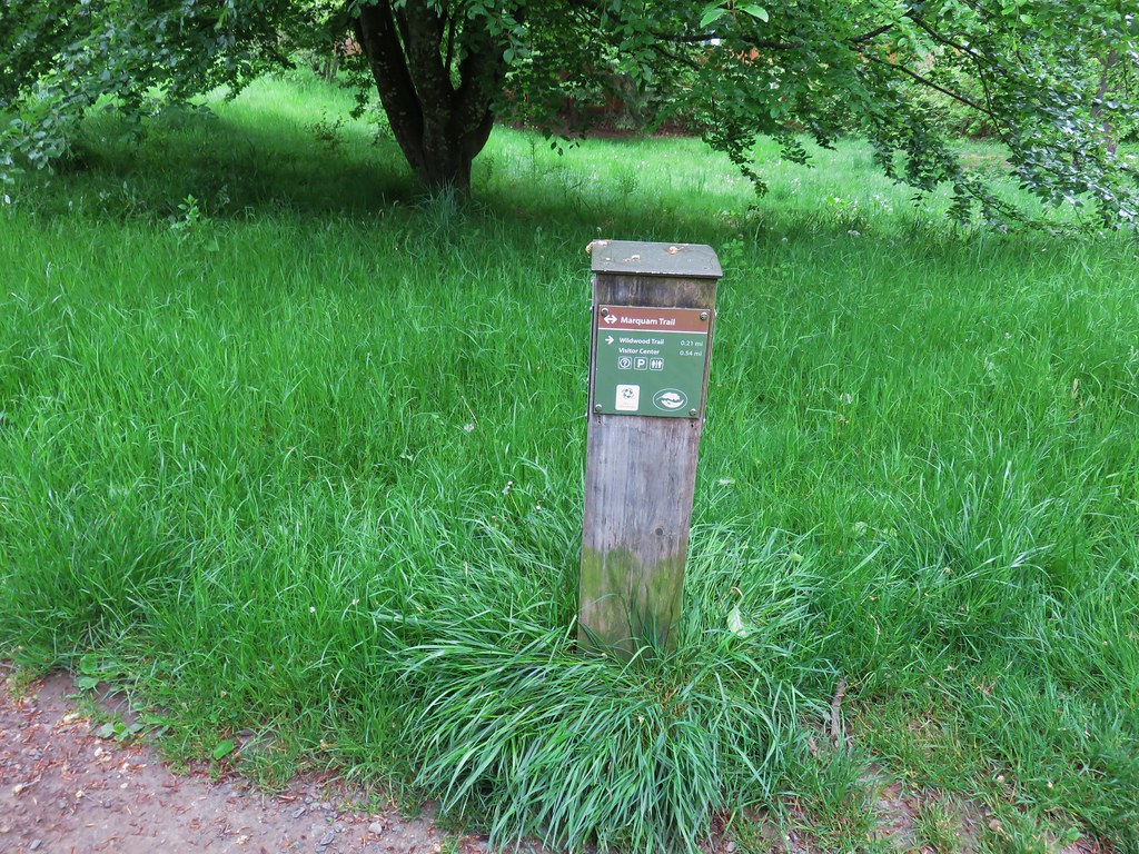
This path quickly joined the Marquam Trail which we followed south behind the World Forestry Center.
IMG_3250

We were hoping the clouds would burn off as the morning progressed but one look toward Council Crest let us know that that was probably wishful thinking.
IMG_3251

The Marquam Trail descended to SW Canyon Rd where we once again had to dash across a road to a freeway bridge which followed over Highway 26. On the far side of the bridge we dashed across the highway on ramp then followed the shoulder downhill to a continuation of the trail.
IMG_3252

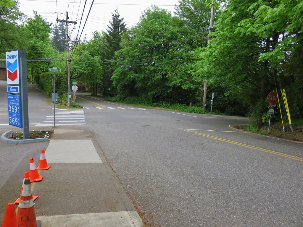
This was one of the strangest maneuvers that we could remember doing on a trail. From the on ramp the Marquam Trail climbed through a nice but noisy forest for a about .6 miles to SW Patton Road. Here the route followed the shoulder of the road right to an intersection. We followed the crosswalk stripes across SW Humphrey Blvd then left across Patton onto SW Talbot Rd.
IMG_3267 View back to the intersection from SW Talbot Rd

We followed the shoulder of Talbot Rd for approximately a tenth of a mile to another intersection.
IMG_3254

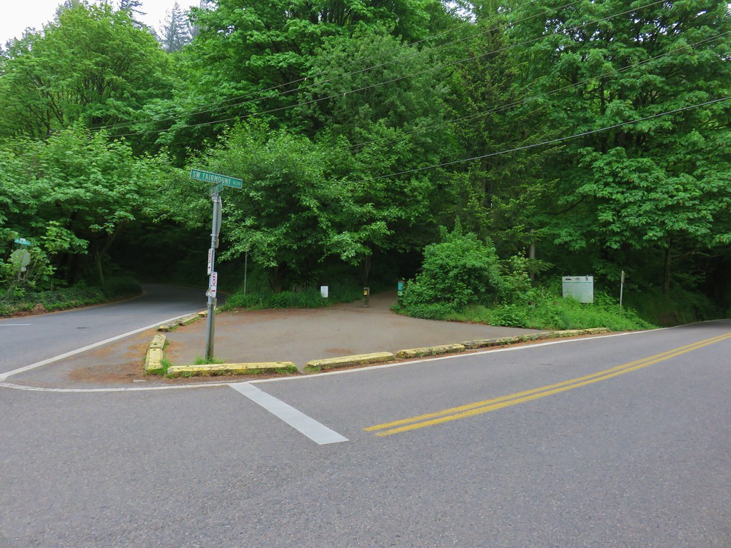
Here we crossed SW Fairmount Blvd and got back onto a proper trail.
IMG_3255

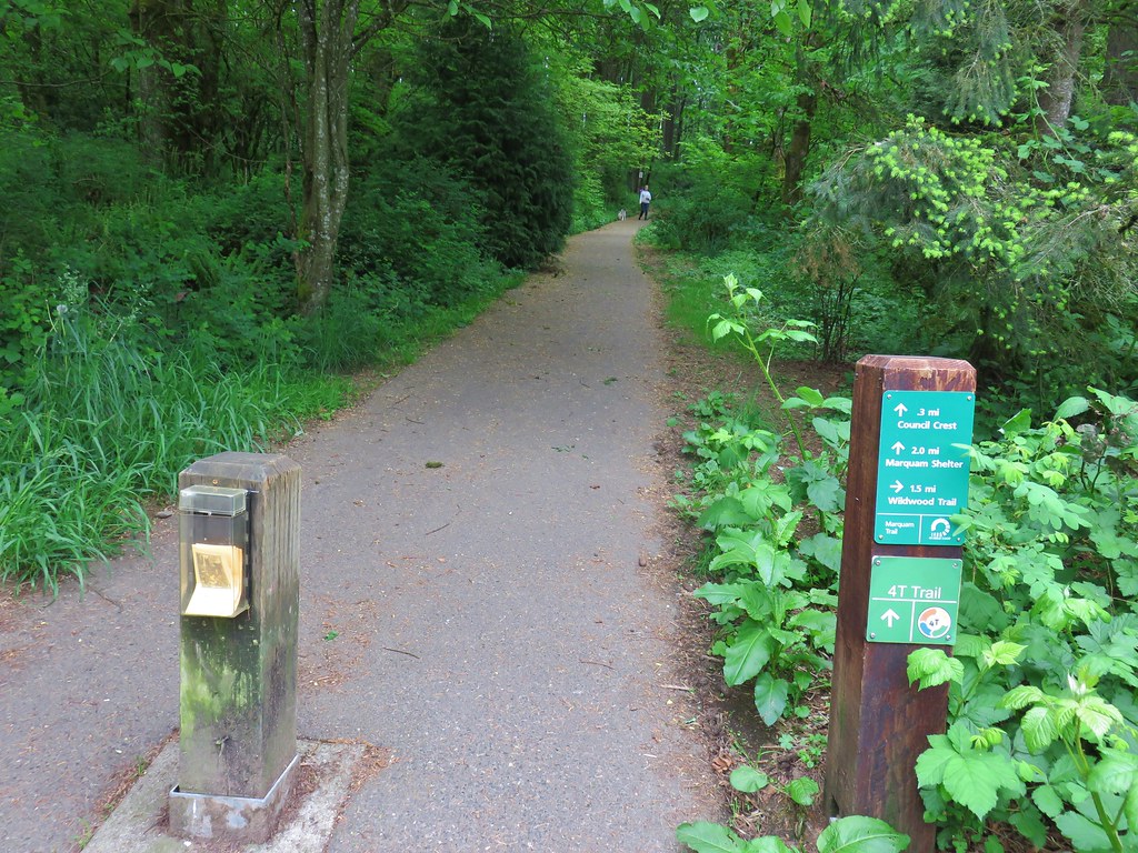
We stuck to the paved path as it wound around the hillside and up to Council Crest, the highest point in Portland at 1073′.
IMG_3256

IMG_3258

IMG_3260

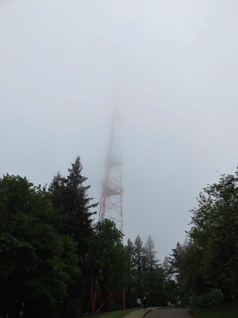
Not only had the clouds not burned off, they were low enough that we were practically in them. On a clearer day the mountains from Mt. Rainier to Mt. Jefferson would have been visible but instead we had a nice view of a green water tower.
IMG_3259

IMG_3261

The views from Council Crest would have to wait for another time. Not only was there no view but the moisture from the clouds made it a little chilly up there. We headed back returning to our car to change and grab our zoo tickets. The hike to Pittock Mansion and back had been just under 6 miles and the out-and-back to Council Crest 3.5 miles. The early start and a crisp pace had gotten us back to the car at 9:45am leaving us more than enough time to enjoy the zoo.
IMG_3272

We spent about 4 hours wandering around there which isn’t really a hike so I wont get into the details here but many of the animals were out and about and it wasn’t long before the clouds did in fact burn off. As we left the zoo a glance up at Council Crest said it would have been a different view up there in the afternoon.
IMG_3694
Happy Trails!

Flickr: Pittock Mansion & Council Crest
Oregon Zoo

Categories
Hiking Oregon Salem/Albany Throwback Thursday Trip report Willamette Valley

Throwback Thursday – Baskett Slough Wildlife Refuge

This will be a brief entry for a short hike we completed in July of 2010. Basket Slough Wildlife Refuge is located less than 15 miles from Salem between Highways 22 and 99W. From April 1 thru September all the trails are open in the refuge otherwise only some are hikeable.

For our visit we parked at the Coville Road parking area and set off on the Rich Guadagno Memorial Loop Trail.
Rich Guadagno memorial plaque in Basket Slough National Wildlife Refuge

We kept right at junctions and after half a mile left the loop trail staying right onto the Morgan Lake Trail. We followed this trail for much of it’s 1.6 mile length before turning left on a path that connected us up to the Moffitti Marsh Trail which was an old roadbed. We followed this trail back up to the Rich Guadagno Loop and again kept right. The loop trail climbed gently up Baskett Butte to a viewing platform. We had seen a couple of deer already and as we headed up to the platform a third deer crossed the trail.
Deer in a meadow at Basket Slough National Wildlife Refuge

Deer

Buck crossing the trail

View from the Basket Slough National Wildlife Refuge

After completing the loop we returned to our car. The total distance was a little under 5 miles. It was only the third hike we’d done since we decided to try out this hiking thing and I had not yet become the crazy picture taking hiker that I am today. Never the less it was a nice place to take a leisurely hike and watch for wildlife. Happy Trails!

Categories
Hiking Oregon Salem/Albany Trip report Willamette Valley

Silver Falls State Park

It’s been a while since we’ve had a recent trip report to post but we finally took our March hike on Heather’s birthday. We are in the midst of training for the Corvallis Half-Marathon so we were looking for something on the shorter end and without too much elevation gain. After our first plan was scrapped due to our most recent snowfall we turned to – Silver Falls State Park.  We had done this hike a couple of times in the past before starting the blog. In fact our first visit to the park happened on a hot day in August, before we had started hiking, and resulted in us thinking we might die of heat stroke causing us to be unable to visit all the waterfalls. We returned slightly more prepared in July of 2006 and completed the hike which we consider our first true hike.  We went back once again on 7/30/2010 when Dominique chose this hike as his pick during our vacation that year.

It turns out we were there a little early. The posted hours for the day use areas were 8am to 8pm which hadn’t been clear on the park website and the entrance to the South Falls day use area was still gated so we began our hike at the North Falls Trailhead.
North Falls Trailhead

There is a $5 day use fee which we attempted to pay but the envelope box had been removed, presumably for the night, so after filling out an envelope we left the stub on our dash along with a note that the box was not in place so we would drop our payment off on the way out. With that taken care of we took a footbridge over North Fork Silver Creek and followed a pointer for Upper North Falls.
North Fork Silver Creek

Sign for Upper North Falls

The trail immediately passed under Highway 214 then in a quarter mile brought us to the 65′ Upper North Falls.
Upper North Falls

Upper North Falls

Upper North Falls

After admiring the fall we returned the way we’d come and after passing back under the highway faced a choice at a junction. To the left the Rim Trail headed uphill and would follow the highway along the canyon rim to the South Falls Day Use area while the right hand fork would lead us on a longer trek through the canyon and the other waterfalls.
Trail junction in Silver Falls State Park

The question was did we want to end with the more scenic trail through the canyon or start with the canyon figuring that there would be fewer people on the trails earlier in the morning. The prospect of fewer people won out and we took the Canyon Trail along the creek (please note dogs are banned on the Canyon Trail). Not far from the junction the trail descends past a sign for North Falls and passes under basalt overhangs.
Sign for North Falls

Trail to North Falls

North Falls came into view as we descended some stairs before turning back towards the falls and ultimately passing them.
North Falls

North Falls

North Falls

View from behind North Falls

The water was roaring as it crashed down into the splash pool. It was a stark difference from our July 2010 visit.
North Falls
July 30, 2010

North FallsMarch 29, 2018

The trail was now on the north side of the creek and remained fairly level for over a mile as it passed through the canyon. We spotted quite a few flowers starting to bloom along this stretch.
North Fork Silver Creek

ToothwortToothwort

Skunk CabbageSkunk cabbage

Salmonberry blossomsSalmonberry

Blossoms along North Fork Silver CreekIndian plum

The next waterfall up on the Trail of Ten Falls was 31′ Twin Falls.
Sign for Twin Falls

Twin Falls

A short distance from Twin Falls (and about 1.5 miles from the North Falls Trailhead) we came to a junction with the Winter Falls Trail.
Footbridge over North Fork Silver Creek

The half mile Winter Falls Trail starts at the Winter Falls Trailhead along Highway 214 passing Winter Falls and ending at the Canyon Trail. We turned left onto a footbridge crossing North Fork Silver Creek and headed for Winter Falls.
Footbridge over North Fork Silver Creek

The trail was fairly level as it led to the 134′ waterfall.
Winter Falls

Winter Falls

Later in the year Winter Falls all but dries up so this was the first time we’d gotten to see this waterfall.
Winter Falls

After checking this fall off our list we returned to the Canyon Trail and continued downstream toward Middle North Falls.
Sign for Middle North Falls

In just .2 miles we came to the side trail down to Middle North Falls.
Middle North Falls

Here there was another opportunity to go behind the waterfall.
Middle North Falls

Trail behind Middle North Falls

View from behind Middle North Falls

View from behind Middle North Falls

The side trail continued on the far side of the fall wrapping around the canyon to a great view of the cascade.
Middle North Falls

Middle North Falls

After oohing and ahhing at this waterfall we returned to the Canyon Trail which also had several nice views of this fall. Of all the waterfalls on this hike this one was probably the most visibly different from our previous visits.
Middle North FallsJuly 7, 2006

Middle North FallsJuly 30, 2010

Middle North FallsMarch 29, 2018

A little downstream from Middle North Falls we came to a viewing platform above little Drake Falls.
Drake Falls

Drake Falls

Less than a half mile from the Winter Falls Trail junction we arrived at another junction. This time with a very short spur trail to Double Falls.
Sign for Double Falls

Here again the difference in water volume was very apparent.
Double Falls

Double FallsJuly 7, 2006

Double FallsJuly 30, 2010

Double FallsMarch 29, 2018

Just beyond the spur trail to Double Falls the Canyon Trail passed 30′ Lower North Falls.
Lower North Falls

Lower North Falls

After the flurry of waterfalls in the three quarters of a mile between Twin Falls and Lower North Falls things settled down. The trail continued on the north side of the creek for about a quarter of a mile before crossing over on a footbridge.
Footbridge over North Fork Silver Creek

The trail then stayed on the south side of the creek passing an unnamed seasonal waterfall.
North Fork Silver Creek

Unnamed waterfall in Silver Falls State Park

The trail soon veered away from North Fork Silver Creek and a mile from the spur trail to Double Falls we arrived at a junction with the Maple Ridge Trail.
Maple Ridge Trail junction

The Maple Ridge Trail allows for a shorter loop option if you start at the South Falls Day Use Area but that loop only passes three waterfalls. It was however our escape route on our first visit when the heat of August and our lack of carrying water forced us to abandon our attempt at the full loop. The Canyon Trail here rejoined a creek but not the North Fork Silver Creek. This was now the South Fork Silver Creek. A short distance upstream we came to Lower South Falls.
Lower South Falls

Lower South Falls

Lower South Falls is another that the trail passes behind but before we headed behind the water a varied thrush landed on a branch just a few feet from us. I’ve mentioned before that these birds are my nemesis as I can rarely get a decent photo of one. This guy was no exception, despite his sitting on the branch for a good 15 seconds or more I could not get the camera to focus on him.
Varied Thrush at Lower South Falls

Having failed to get a clear picture of the bird we headed behind the waterfall and out the other side.
Lower South Falls

View from behind Lower South Falls

Lower South Falls

Again the difference in the appearance from our previous visits to this waterfall was obvious.
Lower South FallsJuly 7, 2006

Lower South FallsJuly 30, 2010

Lower South FallsMarch 29, 2018

Another series of stairs climbed up above Lower South Falls which was probably the most strenuous part of the hike. The trail then leveled out again for about a mile before arriving at South Falls.
South Fork Silver Creek

South Falls

A footbridge over the creek below the falls allows for a short loop from the day use area. We passed by the footbridge opting to pass behind this waterfall as well.
South Falls

South Falls

View from behind South Falls

A comparison of our visits shows the difference that the timing of a visit makes.
South FallsJuly 30, 2010

South FallsMarch 29, 2018

Doing the loop in the direction we’d chosen made South Falls the 10th of the 10 waterfalls along the Trail of Ten Falls but that didn’t mean it was the last waterfall we’d visit on the hike. That honor went to Frenchie Falls. A sign part way up the trail from South Falls pointed toward this little fall.
Sign for Frenchie Falls

Even at this time of the year it wasn’t much more than a wisp of water and it lacks a good vantage point but it’s a named fall none the less.
Frenchie Falls

After checking out Frenchie Falls we completed the climb out of the canyon to a viewpoint above South Falls.
Plaque above South Falls

Looking down from the top of South Falls

We then looped around a picnic area and into the South Falls Historic District.
South Falls Historic District at Silver Falls State Park

South Falls Lodge

South Falls Lodge

Nature Store

Here we passed the cafe, store and theater before arriving at a junction with the start of the Maple Ridge and Rim Trails.
Rim and Maple Ridge Trails

We followed the Rim Trail through a picnic area and into the forest.
Rim Trail

Rim Trail

Rim Trail

The last of the winter snow was melting as the first of the spring flowers were coming to life.
Snow along the Rim Trail

Violet

The Rim Trail passed through the Winter Falls Trailhead parking but offered no views of the waterfall. The only real view of any of the falls came near the end of the 2.1 mile trail when North Falls was visible down in the canyon below.
North Falls from the Rim Trail

The pay box was in place at the trailhead (which was now full of cars) so we dropped off our $5 before driving back home.  With all of our previous visits having come during the summer months it was great to visit when the water levels were higher. A few more weeks will bring out the flowers adding to the beauty of this hike. Happy Trails!

Flickr: 2018
2010
2006

Categories
Corvallis Hiking Oregon Trip report Willamette Valley

Peavy Arboretum – McDonald Forest

We are in the middle of an extremely mild winter. Aside from some freezing rain on Christmas Weekend we’ve experienced no other snow or icy conditions. That of course changed when we decided that we would take our February hike on Presidents Day. After making that decision the weather forecast immediately called for a snow event that same weekend with Sunday night expected to be the worst of it. After double checking the forecast Saturday afternoon we moved our hike up by one day and changed destinations to something closer to Salem, the McDonald Forest. The forest has become our go to destination in inclement weather having visited McCulloch (post) Peak in October 2016 and Dimple Hill (post) in December of that same year.

For this visit we chose the trails around the Peavy Arboretum. The arboretum is located at the northwestern end of the forest and can be reached by driving Highway 99W north of Corvallis 5 miles and turning left on Arboretum Road for .8 miles to the Peavy Arboretum entrance sign on the right. There are several potential parking areas to choose from and we stayed to the left at forks for .3 miles to a trailhead sign where the road ahead was gated.
Peavy Arboretum Trailhead

John H. Beuter Road

After picking up a trail map we headed up John H. Beuter Road for .3 miles to the OSU Forestry Club Cabin.
OSU Forestry Club Cabin

We turned left onto the Section 36 Loop Trail at the start of the lawn and crossed a small stream on a footbridge.
Section 36 Loop Trail

Section 36 Loop Trail

We had woken up to a small amount of snow and as we gained a little elevation on the trail, we began to encounter some on the vegetation. It was a strange mix of Winter and Spring as some of plants were starting to blossom.
Spring blossoms with a dusting of snow on the leaves behind

The trail continued to climb through a foggy forest and past benches to more and more snow covered ground.
Section 36 Loop Trail

Section 36 Loop Trail

Snowy hillside

Snow along the Section 36 Loop Trail

Section 36 Loop Trail

Section 36 Loop Trail

Section 36 Loop Trail

Section 36 Loop Trail

We stuck to the Section 36 Loop ignoring side trails for 1.4 miles. Then we came to a T-shaped junction with the Powder House Trail where we turned left.
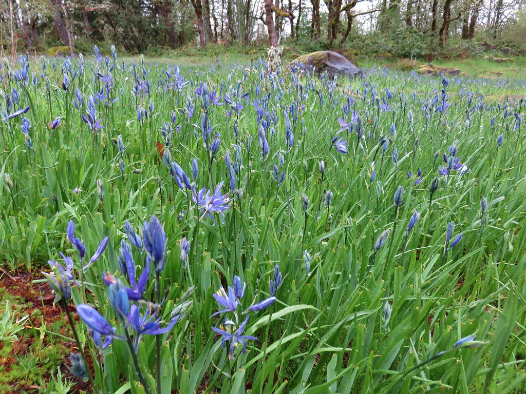
Powder House Trail

About a quarter mile from the junction the Powder House Trail crossed a series of three gravel roads. We had been planning to turn left on the first road (Road 500) and follow it to the Vineyard Mountain Trail and down to a trailhead at Lewisburg Saddle where we would then take a different series of trails and one of the other roads (Road 580) back up to the Powder House Trail. On the far side of Road 500 was a cougar sighting warning.
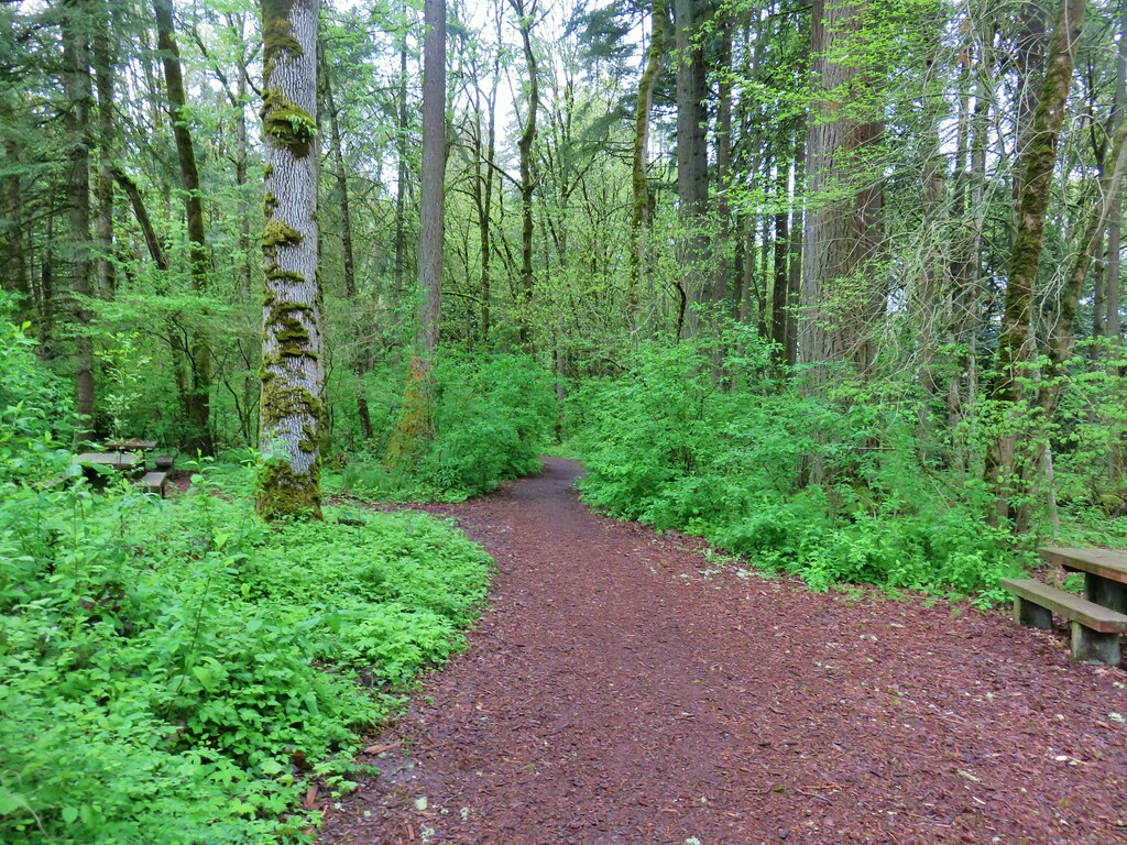
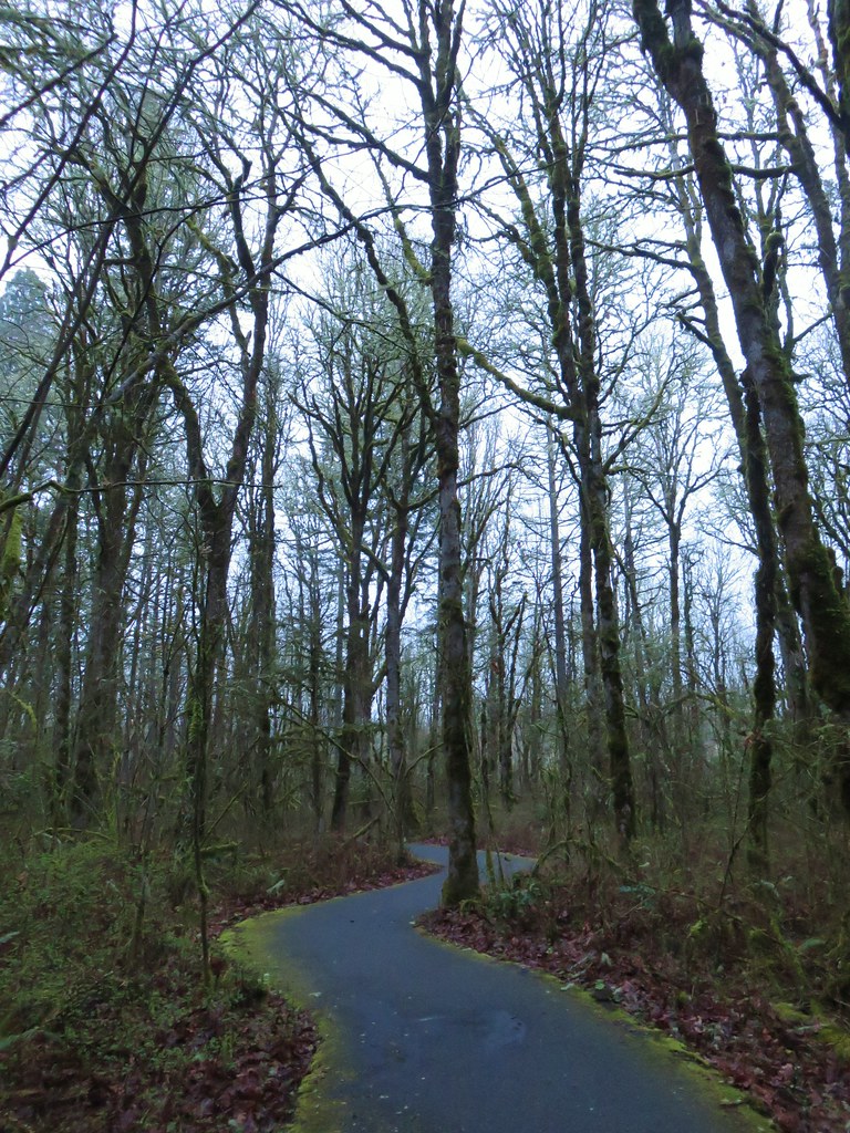
Cougar warning along the Powder House Trail

We were so distracted by the sign and our conversation that we forgot to turn onto the road. It wasn’t until we were about to cross the third road and we were looking at the map that it dawned on us that we should have turned left back on the first road.
Powder House Trail
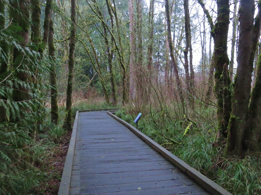
Fortunately we had only passed Road 500 by a tenth of a mile so we backtracked and turned right onto the road.
Road 500

We didn’t see any cougars but we did see a whole bunch of juncos.
Junco invasion

We followed Road 500 for just over a mile and a half to a junction at a saddle.
Road 500

Here the Vineyard Mountain Trail began at a signpost.
Vineyard Mountain Trail

This trail climbed for .4 miles to a point near the some towers at the summit of Vineyard Mountain.
Radio tower on Vineyard Mountain

Vineyard Mountain

The trail then began descending along the southern ridge of Vineyard Mountain.
Vineyard Mountain Trail

Vineyard Mountain Trail

Just under a mile and a half from the summit we arrived at the Lewisburg Saddle Trailhead.

Here we briefly followed William A. Davies Road aka Road 580 before turning left onto the unsigned New Growth Trail.
New Growth Trail

An interpretive sign a little ways down the trail let us know that we were on the right path.
New Growth Trail Sign

The New Growth Trail lost enough elevation that we were soon on a snow free trail. Although snow melting from the tops of the trees made the stretch somewhat wet.
New Growth Trail

New Growth Trail

After a half mile we arrived at a junction. Here the half mile Old Growth Trail lay straight ahead or for a short loop back to the Lewisburg Saddle TH the right fork led back uphill to Road 580.
Old Growth Trail junction with the New Growth Trail

We took the Old Growth Trail which led us back into the snow.
Footbridge along the Old Growth Trail

The Old Growth Trail ended further up along Road 580 where we turned left and continued uphill.
Road 580

And into a decent snow flurry.
Snowing on Road 580

There had been a couple of quick breaks in the clouds earlier in the day but after this snow flurry passed the largest patch of blue sky yet appeared.
View from Road 580

View from Road 580

It just so happened that the section of Road 580 that we were on at the time passed by a clearcut which allowed us a nice view across the valley to peaks on the other side of the McDonald Forest.
View from Road 580

View from Road 580

The road then passed through a brief stand of remaining trees before entering another clearcut where the views had mostly disappeared.
View from Road 580

Approximately 2.5 miles from the end of the Old Growth Trail we arrived back at the Powder House Trail where we turned left.
Powder House Trail

This time we crossed the third road and headed uphill through a clearcut to a bench where we imagined the views would be pretty good on a clearer day.
Powder House Trail

Snow covered bench along the Powder House Trail

View from the snowy bench

The trail then curved back downhill to the Cap House where the Civilian Conservation Corps had once stored blasting caps.
Cap House

Interpretive sign at the Cap House

The trail continued to the right of the Cap House and descended a short distance to rejoin the Section 36 Loop Trail. Along the way we encountered several snow queen plants in bloom.
Snowy snow queen

Powder House Trail

We turned left onto the Section 36 Loop.
Powder House Trail junction with the Section 36 Loop Trail
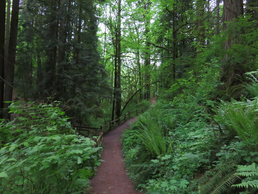
The trail gradually descended as it passed through the forest for almost a mile to Cronemiller Lake.
Section 36 Loop Trail

Signs for the George W. Brown Sports Arena

Cronemiller Lake

Cronemiller Lake

We followed the lake shore all the way around to the right until we reached the signed Calloway Creek Trail.
Calloway Creek Trail

Closed from April to November to bike traffic we followed the Calloway Creek Trail a total of 2.5 miles staying left at most junctions except for the signed trail to Road 547 where we stayed right.
Calloway Creek Trail

Calloway Creek Trail

The trail crossed Calloway Creek twice and passed a small meadow with a bench.
Calloway Creek

Calloway Creek Trail

After the 2.5 miles we turned left onto the Intensive Management Trail.
Calloway Creek Trail junction with the Intesive Management Trail
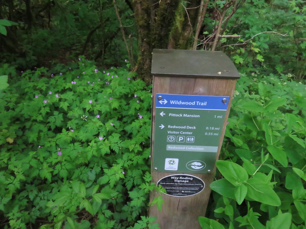
At the next junction was a signboard map which could have been a little more descriptive.
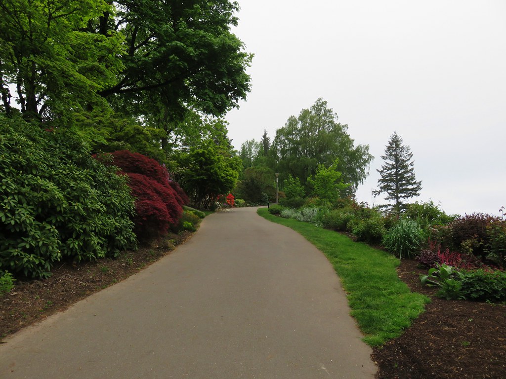
Trail sign along the Intesive Management Trail

We stuck to this trail following pointers for the Arboretum Parking to a different parking lot a tenth of a mile from where we had started.
Intesive Management Trail

From here we took the .1 mile Firefighters Memorial Trail past a nice shelter and back to our car.
Firefighter Memorial Trail

Shelter along the Firefighter Memorial Trail

The hike turned out to be an approximately 14 mile loop with around 2000′ of elevation gain. A little more than we had planned for the day but a nice hike none the less. Alternating between being above and below the snow line added to the variety of the hike. It had turned out to be a good choice and another fun hike in the McDonald Forest. Happy Trails!

Flickr: Peavy Arboretum

Categories
Hiking Oregon Salem/Albany Throwback Thursday Trip report Willamette Valley

Throwback Thursday -Shellburg Falls

**Note the 2020 Beachie Creek Fire burned the area covered in this hike.**

This weeks Throwback Thursday hike features the some lesser known and visited waterfalls near Salem, OR not far from the more famous falls of Silver Falls State Park.

On 5/22/2011 we headed out for a short hike to a pair of waterfalls on Shellburg Creek.  Two trailheads offer access to the falls. The Shellburg Falls Trailhead is open year around while an upper trailhead located at the Shellburg Falls Campground is only open from May 20th through October.  We started at the upper trailhead. To reach the campground from Highway 22 turn north on Wagner Road, which is just east of Mehama, OR, and follow signs for 8 miles to the campground.
Shellburg Falls Trailhead

From there a .8 mile trail crossed Shellburg Creek twice on it’s way to Shellburg Falls and then Lower Shellburg Falls. From the looks of the creek we didn’t expect much from the falls but as is often the case looks can be deceiving.
Shellburg Creek

Shellburg Falls

The trail dropped down and passed behind the falls before continuing downhill to a short side trail to the bottom of the falls.
Shellburg Falls

Shellburg Falls

Shellburg Falls

Less than a quarter mile later we arrived at a closed road (the route up from the lower trailhead)which crossed Shellburg Creek via a concrete bridge. Lower Shellburg Falls lay just on the other side of this bridge.
Lower Shellberg Falls

We turned left (east) on the road and followed it for .3 miles to the August Mountain Trail. The August Mountain Tail climbed just over a mile to junction with the half mile Vine Maple Trail which led us back to the upper trailhead.
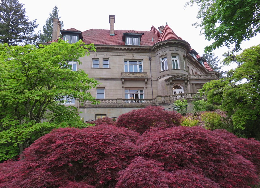
Shellburg Creek Trail sign

Much of these trails crossed logging roads and passed through thinned forests.
View from the Shellburg Creek Trail

From the upper trailhead the loop was right around 3 miles while starting from the lower trailhead would have added about 2.6 miles to the days total. While Silver Falls State Park sees plenty of crowds Shellburg Falls sees far fewer. If you’re in the area and love waterfalls it’s definitely worth the visit. Happy Trails!

Flickr: Shellburg Falls

Categories
Hiking Oregon Portland Trip report Willamette Valley

Oaks Bottom Wildlife Refuge

We made a late addition to our scheduled hikes when it became clear that the weather on the day of the Give and Get Social for Trailkeepers of Oregon (TKO) was going to be too nice to pass up.  We had short two featured hikes in Portland from William L. Sullivan’s 100 Hikes in NW Oregon & SW Washington that we had not been able to work into our future plans.   The TKO event was taking place at Dig a Pony which was conveniently close to one of these two hikes, Oaks Bottom Wildlife Refuge.
We began our hike uncharacteristically late, just after 1:15pm, from the north parking area on SE Milwaukee Ave.

IMG_1291

We followed a paved path downhill to a sign for the Oaks Bottom Bluff Trail.

IMG_1294

IMG_1299

Here the trail split and we stayed left crossing a small footbridge. We would return via the right fork after completing a loop around Wapato Marsh.

IMG_1300

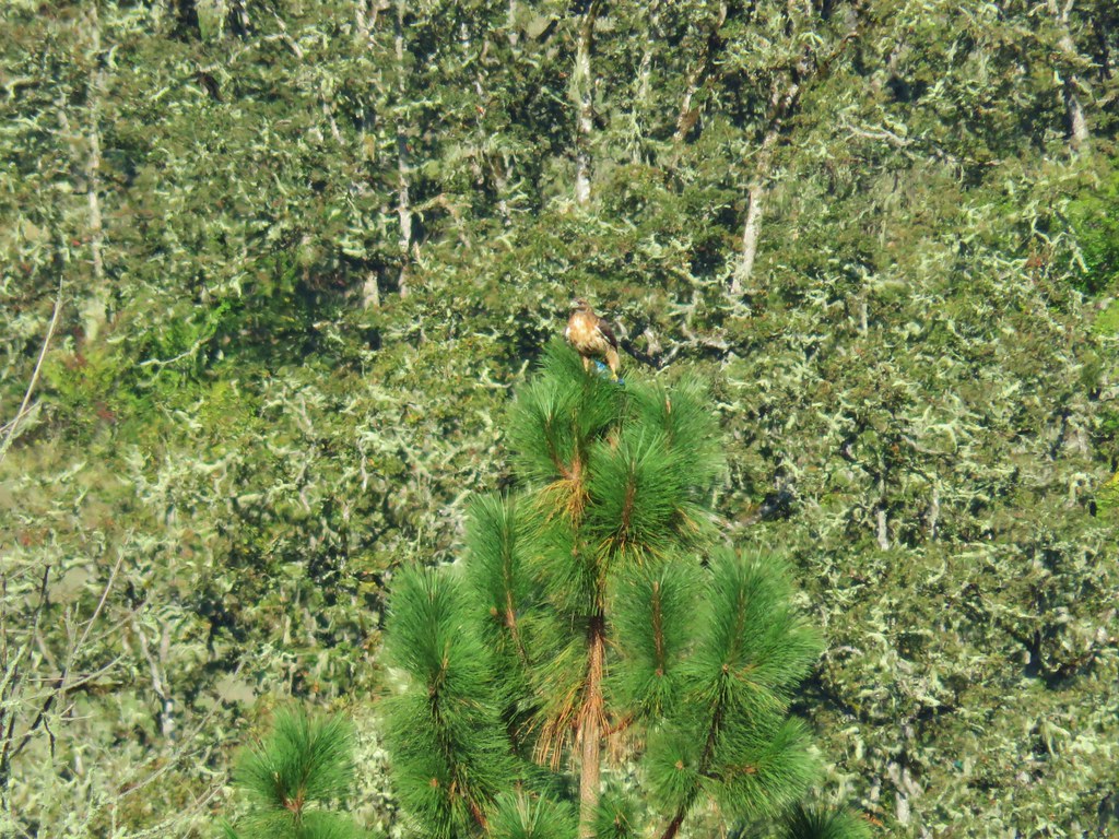
The amount of water in the marsh increased as we went. The first wildlife we spotted were small birds, squirrels and a hawk.

IMG_1313

IMG_1314

IMG_1327

IMG_1326

IMG_1320

IMG_1305

As the amount of water increased we began to see a number of ducks. Several species were present, some of which we were unfamiliar with.

IMG_1332

IMG_1339Green-winged teal

IMG_1349Wood duck

IMG_1377Ring necked duck?

IMG_1354Mallard

IMG_1360Not sure what kind of duck is in the upper left hand corner.

At the far end of the marsh trails from Sellwood Park joined at a meadow. Across the meadow to the west the Holiday Express train was preparing to depart.

IMG_1380

We continued around the marsh passing under the train tracks and turned right on the paved Springwater Corridor. The Holiday Express passed us as we went.

IMG_1385

From this path we spotted some other birds including several herons, a cormorant, and a kingfisher.

IMG_1395

IMG_1392

IMG_1403

We passed a viewpoint of the Willamette River to the west before passing back under the railroad tracks.

IMG_1405

Before passing back under the the tracks we took a short path to the west toward the river where a few pieces of art could be seen amid the trees.

IMG_1408

IMG_1407

We turned off the paved path at a hiker only sign and passed through a wooden fence.

IMG_1410

We were quickly back at the start of the loop and returned uphill to our car. A nice three mile or so stroll with lots of wildlife to watch. We ended our day at Give and Get where we had a good time despite not winning any of the raffles. Happy Trails!

Flickr: Oaks Bottom Wildlife Refuge