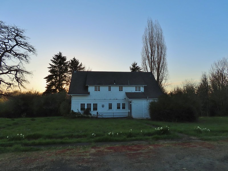
For the last six months we’ve been having projects done around the house and while everything at home has seemed to be in a state of upheaval work has felt just as chaotic. The end of our projects is in sight just barely overlapping with our hiking season. This is the most I’ve looked forward to a hiking season yet. I am a very introverted person and while hiking can be physically exhausting, for me it provides a mental recharge. Spending time relaxing at home is typically another way that I recharge but with all the projects going on I haven’t been able to get that same relaxed feeling this off-season.
Part of being an introvert is that socializing, especially in larger groups, is draining. It’s not that it isn’t enjoyable, it certainly can be, but it is exhausting and I haven’t been in a place where I’ve felt like I had the energy to interact with people beyond work recently (close family excluded). Heather on the other hand is more extroverted than I am. She still has some introvert traits but on a scale of introvert to extrovert she is closer to the extrovert than where I land. Before hiking season started she wanted to have a few friends over to see the progress thus far on the home. I thought it was a great idea but I also didn’t personally feel up to it despite how much I enjoy the group she was planning on inviting. To Heather’s credit she understood so in the interest of mental health I got an early jump on hiking season.
After doing a few last minute chores to help get the house ready for guests I headed out the door a little before 6am to make the 25 minute drive to Ankeny Wildlife Refuge. I had made a solo trip here last April (post) during a vacation week that Heather didn’t share. While I (we) typically don’t revisit places/hikes that close together the opening of the Ankeny Hill Nature Center in February was a good excuse for another visit. The website for the Nature Center listed “dawn to dusk” as the hours but I arrived just minutes before sunrise (6:14am) to find the gate still closed. A lower parking lot along Buena Vista Rd S was also gated closed with a sign stating it was due to ongoing construction. After reading the sign I wasn’t sure if I was too early or if the center was actually closed even though the website indicated it was open. A mystery that I would solve later though as I had some hiking to do.
The trail system at the Nature Center is less than a mile so I had planned on re-hiking some of my routes from the previous year and any areas that had been closed on that visit that might be open this time around. It had been a clear morning at our house and remained that way all the way to the Nature Center but as soon as I passed the lower parking lot I entered a fog bank which covered my first stop at Eagle Marsh.

I could hear geese and ducks on the water but seeing much let alone taking pictures would require the fog to relent a bit. I set off along the dike road around the marsh hoping that the rising Sun would simultaneously take care of the fog and raise the temperature from the mid-30’s.

 Camas
Camas
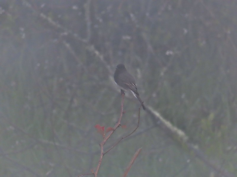 Black phoebe in the fog. It’s the only one seen all day so despite the poor quality I kept the photo.
 Wet spider webs are the best.
 There was a brief respite in the fog before it rolled in again.
 The fog bank waiting to move back in.
The section of the Eagle Marsh Trail on the SE side of Willow Marsh had been closed last year making the lollipop loop showed on the Refuge Map impossible but this year there were no signs indicating it’s closure. Like last year I headed clockwise around Willow Marsh passing between it and Teal Marsh.
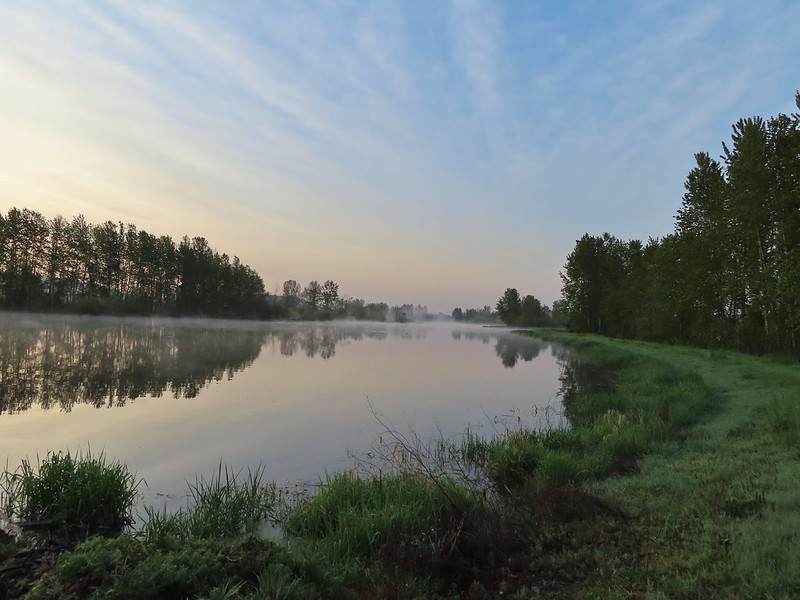 Teal Marsh
The grassy track here was very damp and my feet and lower legs were soon soaked (and cold!) but I distracted myself by watching for birds.
 Northern flicker
 A very grumpy looking spotted towhee
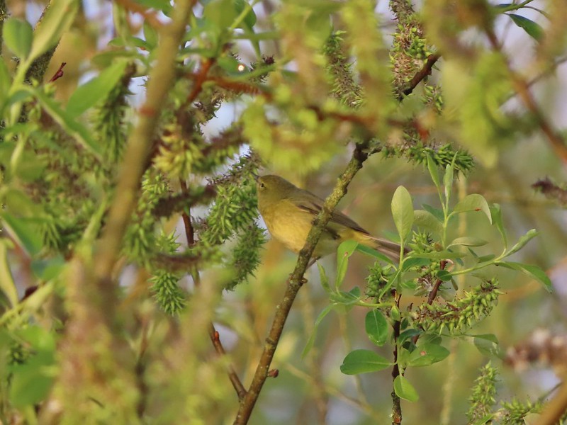 I have a hard time identifying some of these little birds. This one may be an orange-crowned warbler.
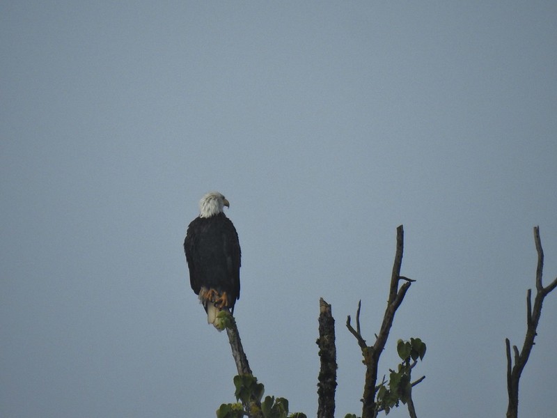 A bald eagle that was across Willow Marsh.
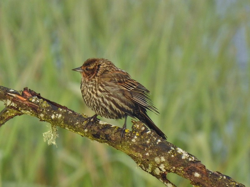 Female red-winged blackbird
 Buffleheads
 A less grumpy looking spotted towhee
As I came around Willow Marsh I took a very short detour to check out the Sidney Power Ditch before continuing around the marsh.

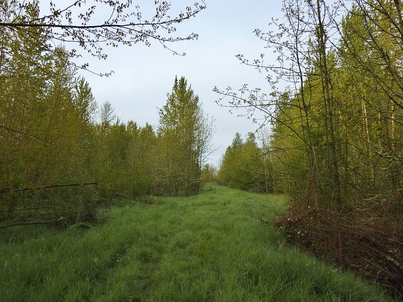 Here comes the fog again.
 Black capped chickadee
 Yellow-rumped warbler (Audubon’s)
 Red-winged blackbird
 Wrens can be tricky too, I think this is a marsh wren.
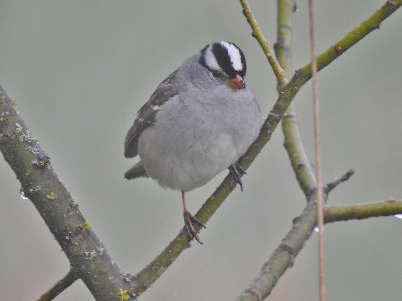 White-crowned sparrow
 Song sparrow
 Eagle Marsh, still can’t see much.
I had considered driving back to the Nature Center to see if it was open but in the end decided to make that my last stop and instead drove to the Pintail and Egret Marshes Trailhead.
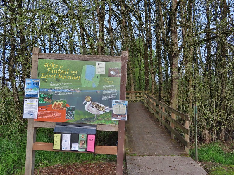
I started by taking the 0.13 mile boardwalk to the blind overlooking Egret Marsh where there wasn’t anything to see at the moment.
 Bashaw Creek
 Egret Marsh from the blind.
After the obligatory boardwalk I walked west along the shoulder of Wintel Road just over 150 yards to a small pullout on its south side where I passed through a green gate to find another damp grassy track. I had passed through the same gate on my prior visit and taken the right hand fork away from the road. This time I went left following the track along the road for three tenths of a mile to the entrance road for the Rail Trailhead.


Up to this point I had encountered a total of 3 people but at this trailhead there were several cars and a half dozen people milling about. I headed out on the rail trail and skipped the boardwalk portion where most of the people were headed and continued straight through more wet grass to the dike near Killdeer Marsh.

 Lots of fringecup along the trail.
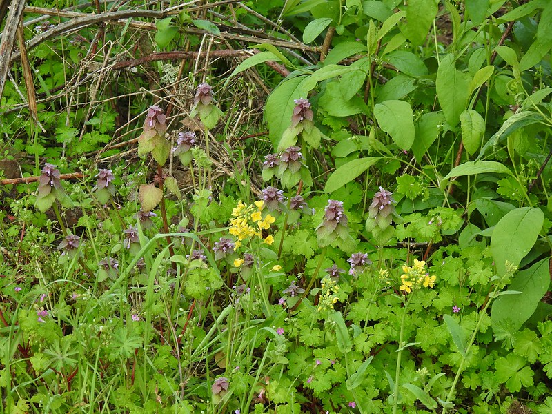 Purple deadnettle and field mustard
 Common yellow-throat
I looped counter-clockwise around Killdeer Marsh forgetting how muddy it was on the western side.
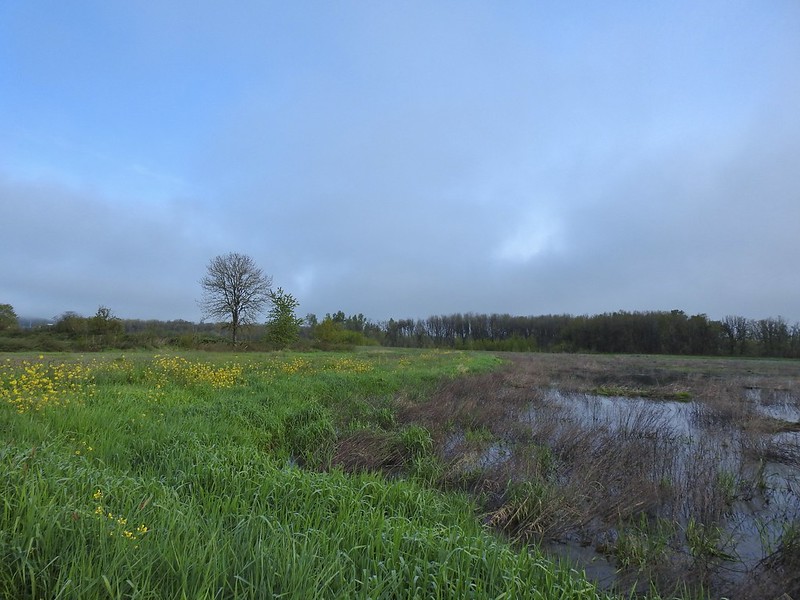 Looking back along the eastern side of the marsh. There was a lot less water this year.
 Water level on 4/13/21.
There were also fewer birds than on either of my previous two visits but I did see the only norther pintails of the day here.
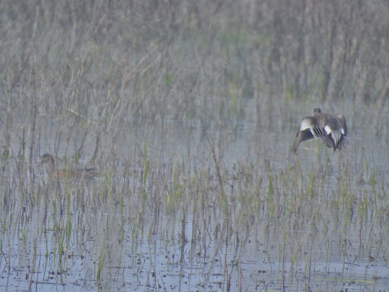 Seeing them was a lot easier than getting photos.
After looping around that marsh I headed east along the dike where again there was a lot less water in Dunlin Pond this year compared to last.

I followed the dike around what was left of Dunlin Pond to the eastern end of the boardwalk.
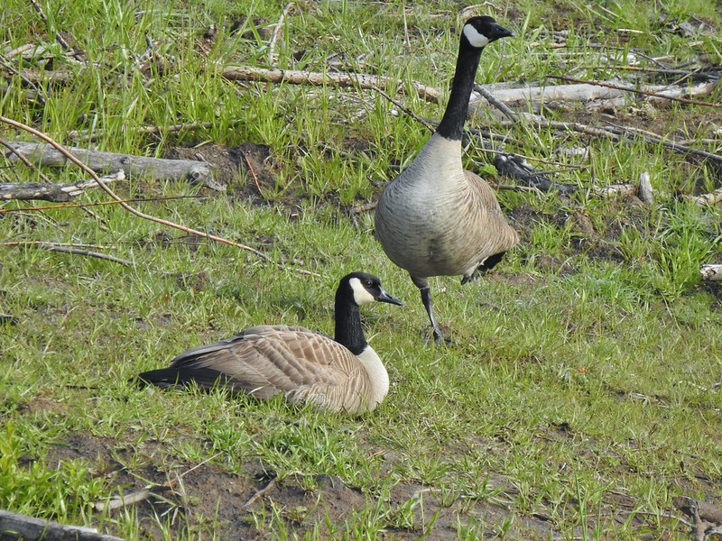 Canada flamingo?
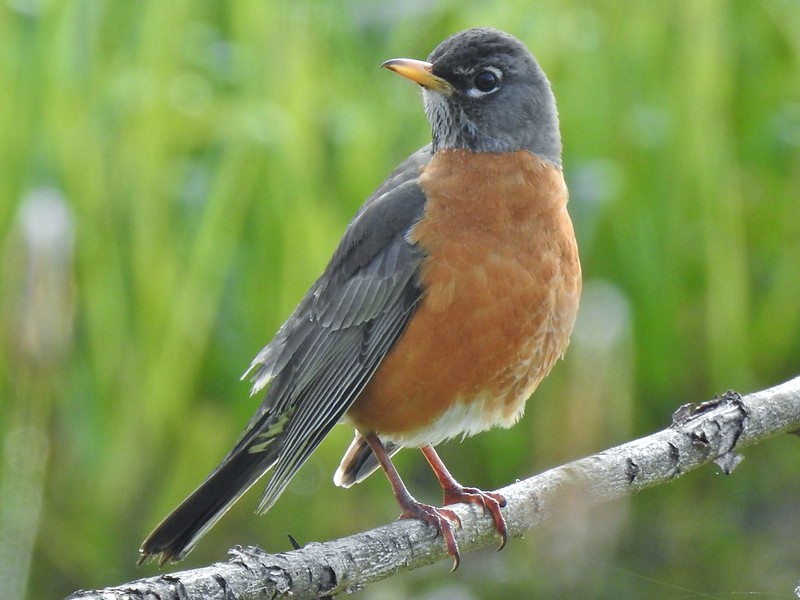 American robin

 Dunlin Pond from the boardwalk.
I could hear people approaching on the boardwalk so after a quick stop I continued north on the grassy track returning to the gate at Wintel Road and followed it back past the Pintail and Egret Marshes Trailhead to the Pintail Marsh Overlook.


I turned right from the parking area following a sign for the seasonal photo blind. On last years hike I had attempted to go around Egret Marsh but had been turned back by a closure sign just beyond the blind and had to return to the parking area via a short loop around Frog Pond. There were no closure signs this time so I continued on past the short loop passing the blind at the end of the boardwalk trail.
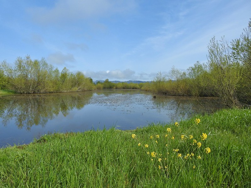 Egret Marsh
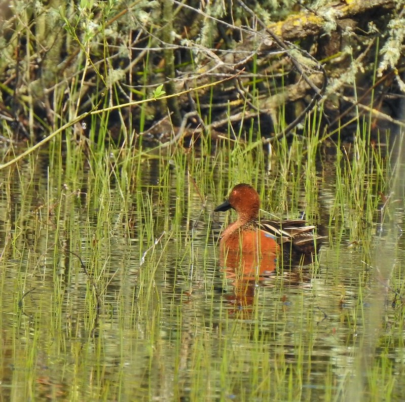
 Ring-necked ducks.
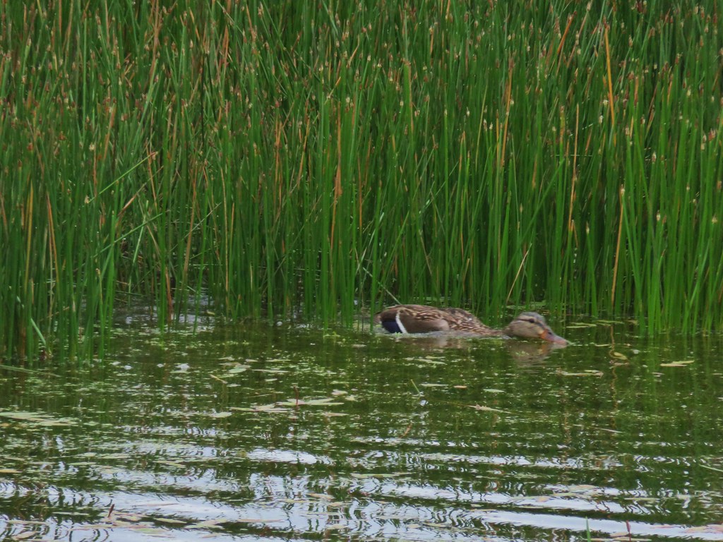
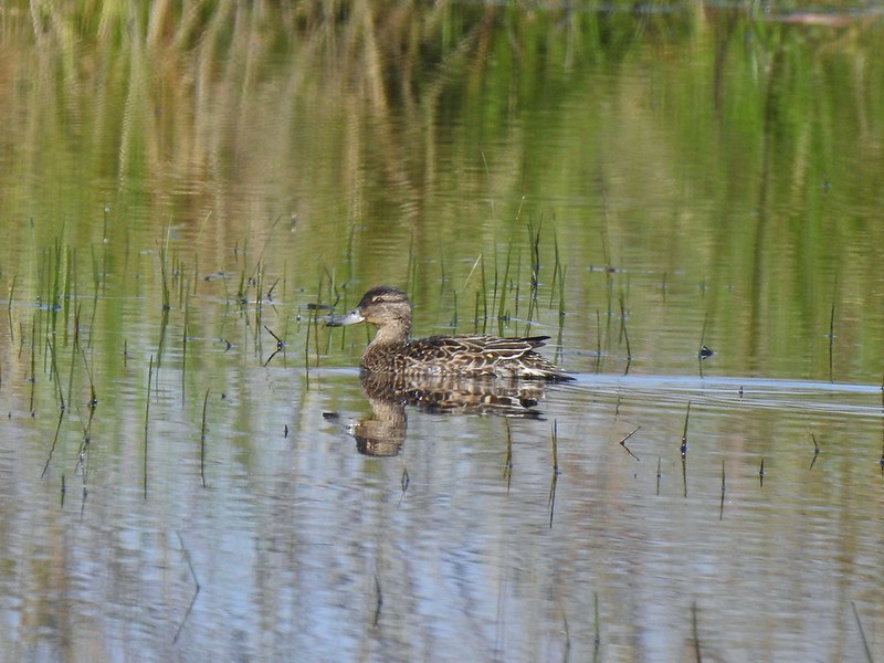 Anyone know if this is a female cinnamon or blue-winged teal?
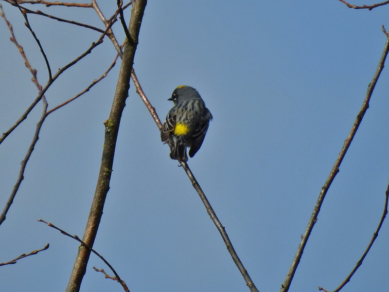 Another yellow-rumped warbler (Audubon’s) showing off its yellow rump.
 Egret Marsh
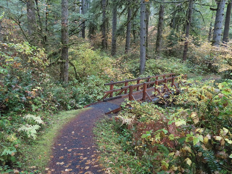
 The trail around Egret Marsh.
When I arrived at the service road between Egret and Mallard Marshes I passed a sign saying the area was indeed closed. I don’t know if that sign was left over or if the sign at the other end had gone missing. In my defense the refuge map shows it as part of the trail system and there is nothing online or posted at Pintail Marsh stating that there is a closure but had I been coming from this end I would have respected the sign. This is not the first time that we’ve been on a trail with no indications of any closure only to pass a closure sign at the other end. For the land managers out there could you please post at both ends of closed sections (or remove the signs from both ends if it has been lifted)? It would sure help those of us that are trying to do the right thing.
Back to the hike though. The service road ended a short distance away to the right in a flooded field.

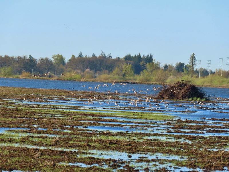
There was a lot of activity near the end of the road.
 I think these might be long-billed dowichters. Please correct me if I’m wrong.
I turned left and then quickly turned right on the dike between Mallard Marsh and Mohoff Pond. There were lots of geese, ducks and coots here but they did there best to keep plenty of distance between themselves and me.
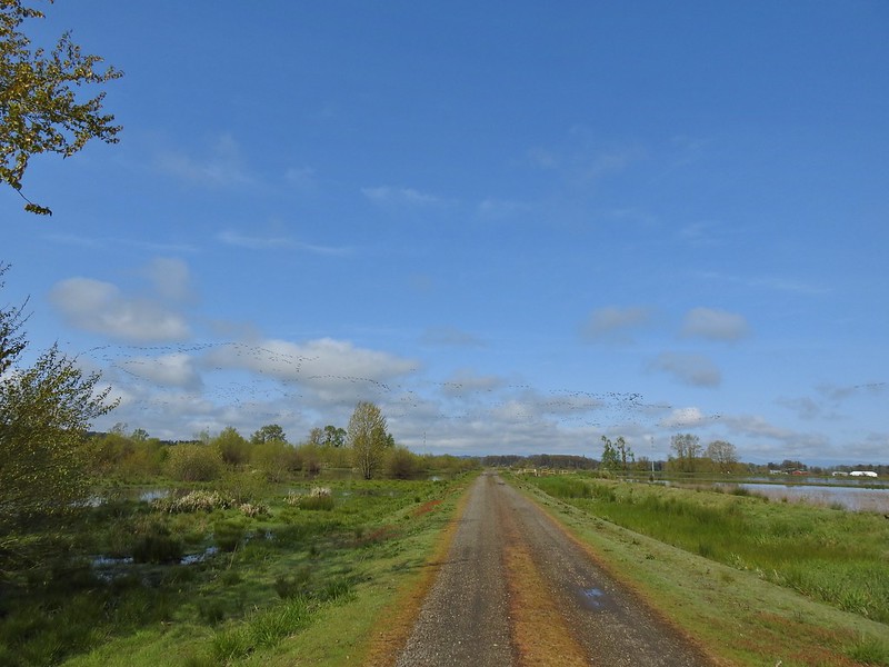 Heading to the right turn. Egret Marsh is on the left and Mallard Marsh on the right. A huge flock of geese had just taken to the sky.
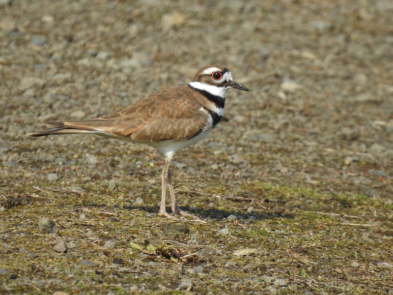 Killdeer
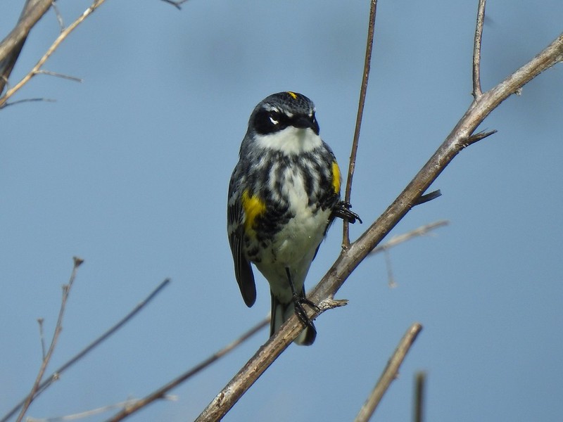 Today I realized that there are two yellow-rumped warblers, this one is a Myrtle, note the white throat compared to the yellow throat of the Audubon’s above.
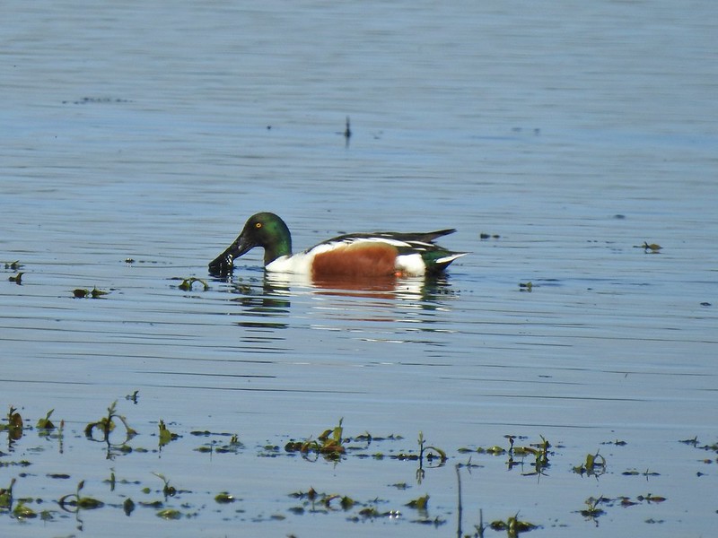 Northern shoveler
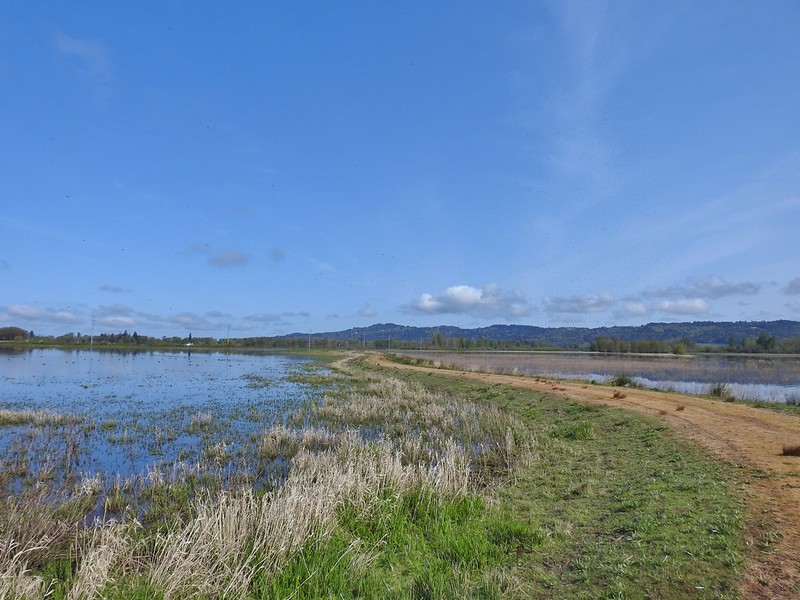 Mohoff Pond and Mallard Marsh
 Canada goose with various ducks in the background. At least one of the ducks is a ruddy duck which is one I hadn’t seen yet (that I know of). They were too far to get clear photos of though.
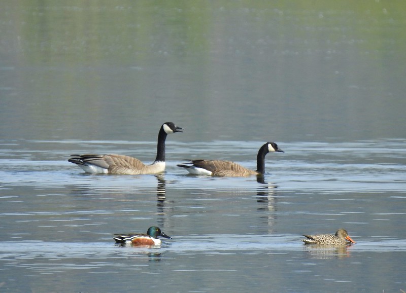 Canada geese and northern shovelers giving a good size comparison.
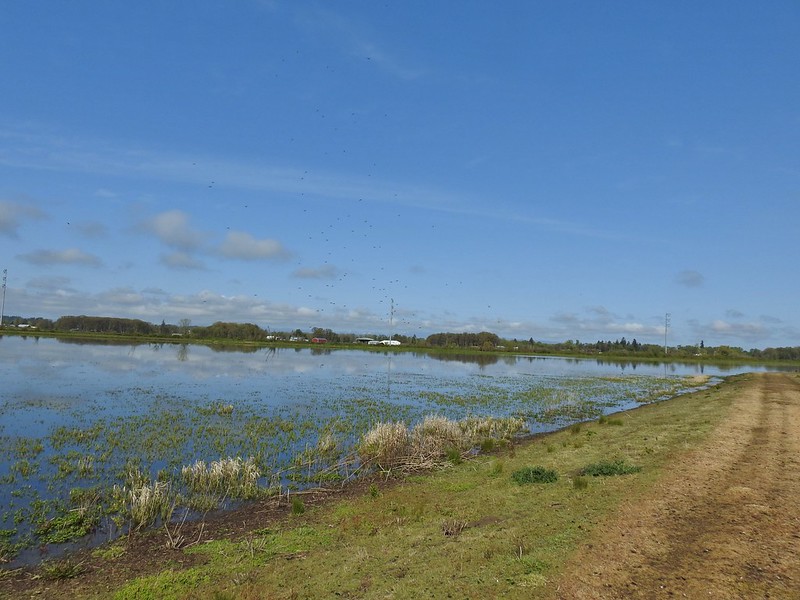 The black dots in the sky here aren’t geese, they are little insects that followed me along the dike.
 Not Canada geese flying over.
 Immature bald eagle.
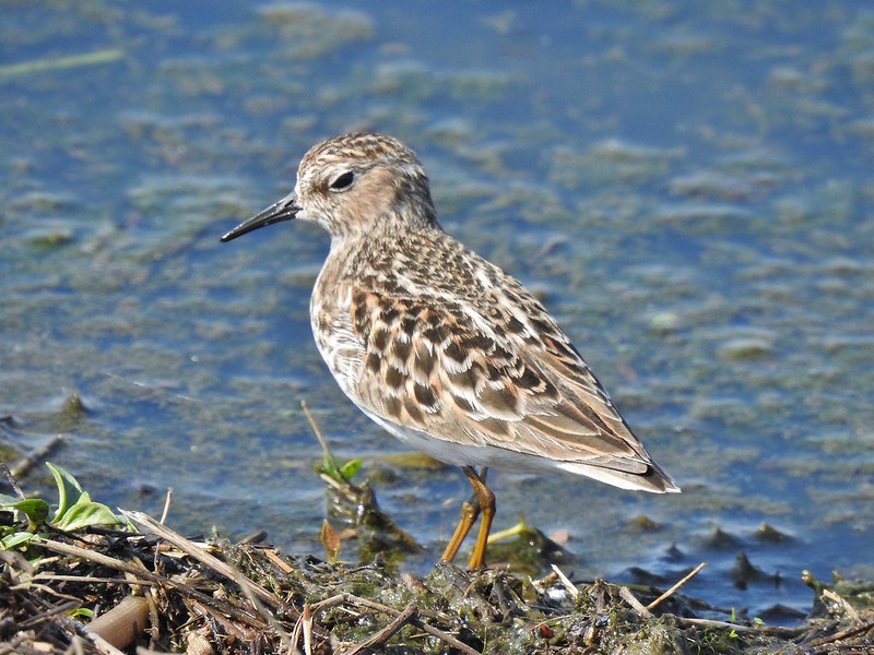 Sandpiper
When I reached the end of Mohoff Pond I turned left around it and headed back toward the Pintail Marsh Overlook.
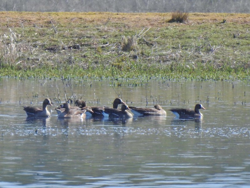 Greater white-fronted geese, another first.
 Bushtit. Several flew in here but I couldn’t make them out once inside so I took a few pictures hoping to get lucky.
On my way back a hawk and an immature bald eagle put on an areal display.
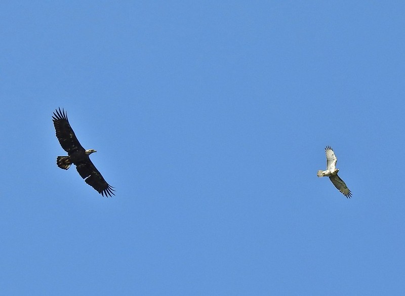 Can anyone ID the hawk? Another thing that I find difficult.
 Swimming lessons, Canada goose style.
From the overlook I walked back along Wintel Road to the Pintail and Egret Marshes Trailhead to retrieve my car then drove back to the Nature Center where I had attempted to start my day. The lower trailhead was still gated but the entrance road along Ankeny Hill Road was no longer gated. There were just a handful of cars here as I set off on the short loop trail.


The loop offered nice views, interpretive signs, and a surprising variety of flowers. As a bonus a pair of great blue herons where stalking the hillside in search of snacks.


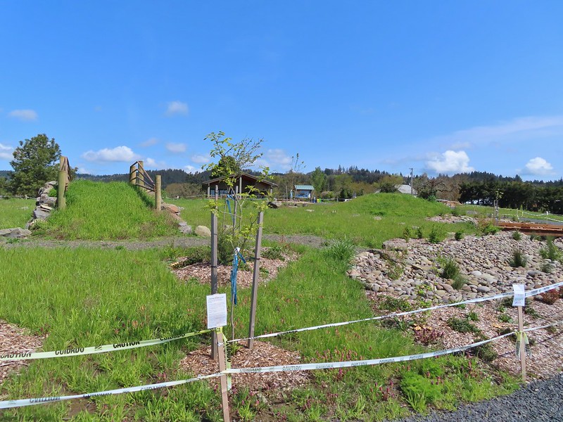
 Buttercups
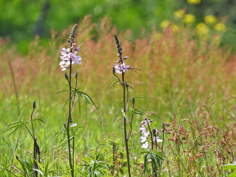 Meadow checker-mallow
 Columbine
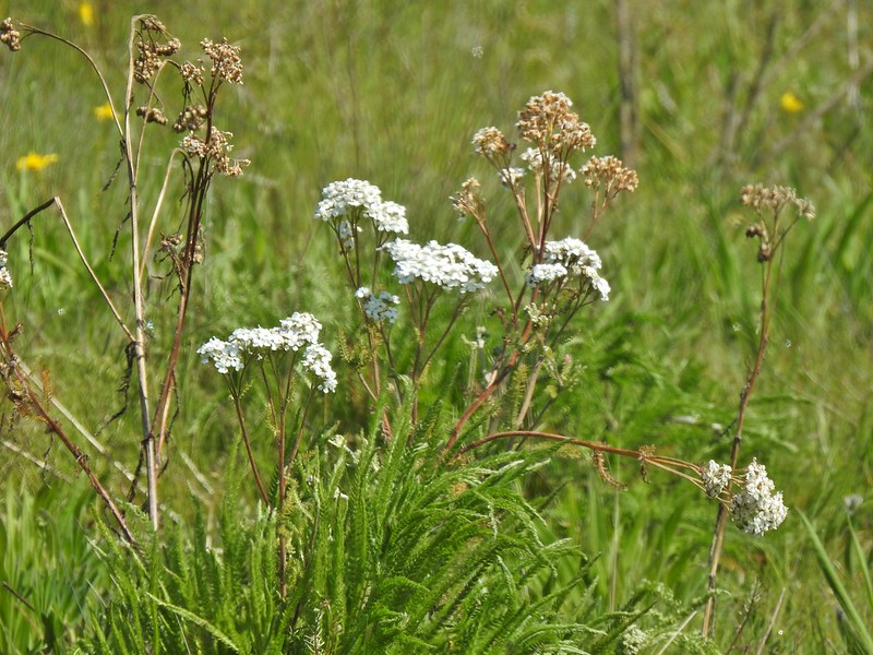 Yarrow
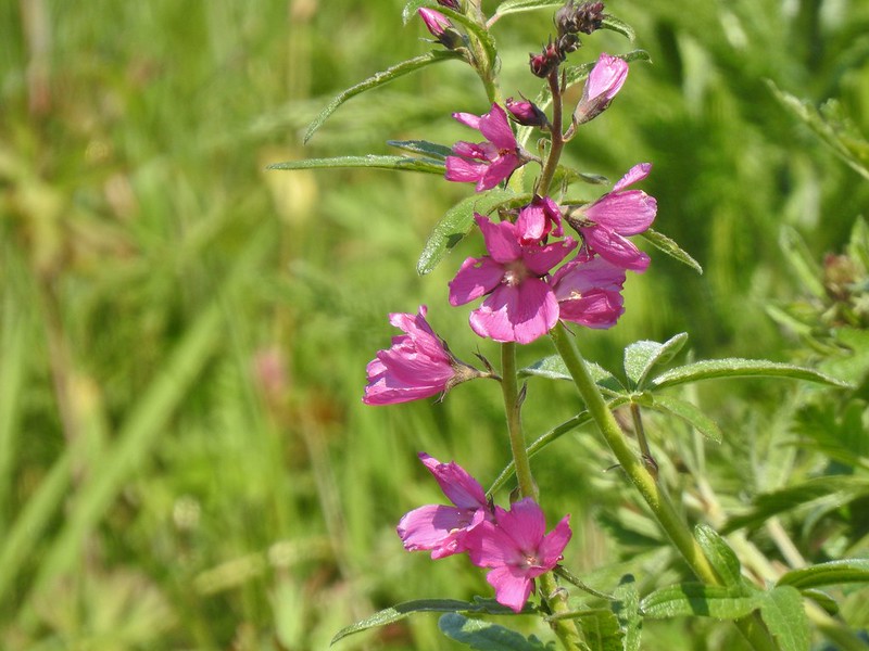 Possibly Nelson’s checker-mallow
 Lupine that will be blooming soon.


 Iris
Iris
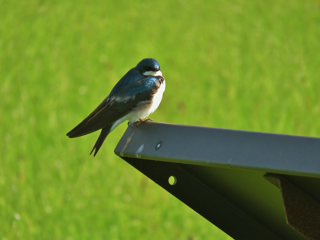
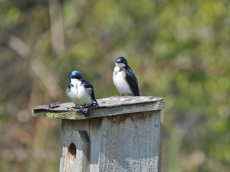 Swallows
 Mary’s Peak (post) in the distance, the highest peak in the Oregon Coast Range.
The Nature Center is a really nice addition to the Refuge providing a great opportunity for kids to get out on a short educational trail. The rest of the refuge as usual did not disappoint, plenty of wildlife and a great variety to boot. The three stop, 11.3 mile day was just what I needed and Heather had a great time entertaining. With any luck the home improvements will be over in a couple of weeks and we will both have started our official hiking seasons. Happy Trails!
Flickr: Ankeny Wildlife Refuge 2022
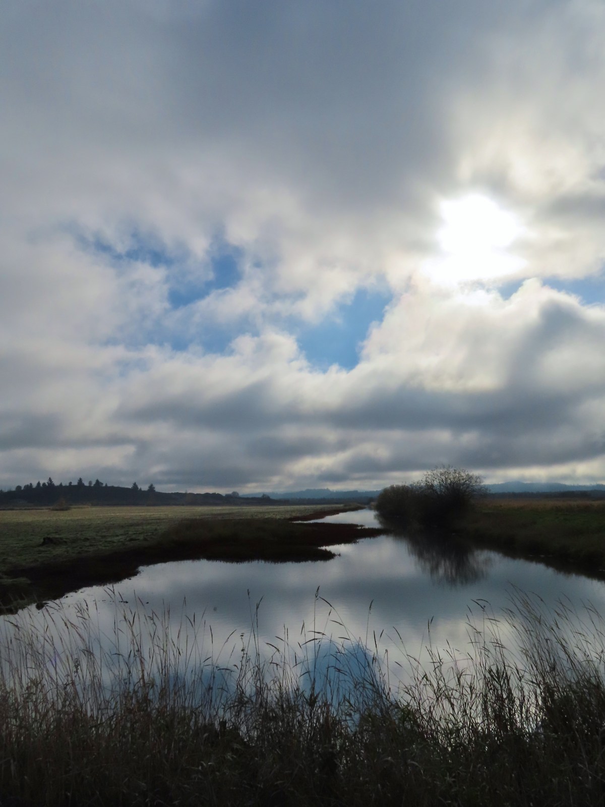
 The trailhead sign for the Clay Creek Trail is ahead on the opposite side of the road.
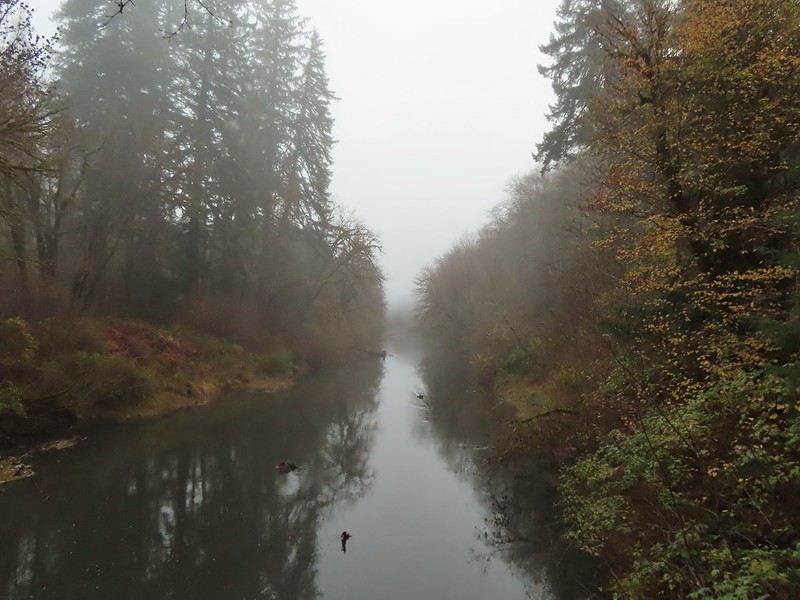 Siuslaw River
 Clay Creek on the left emptying into the Siuslaw.
 Stairs at the Clay Creek Recreation Area across the river.

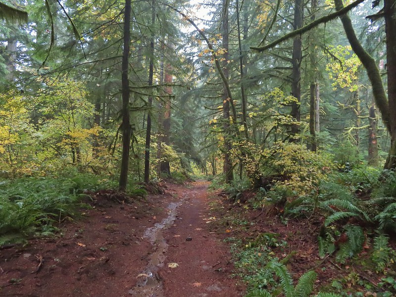
 The Clay Creek Trail climbing above Clay Creek.
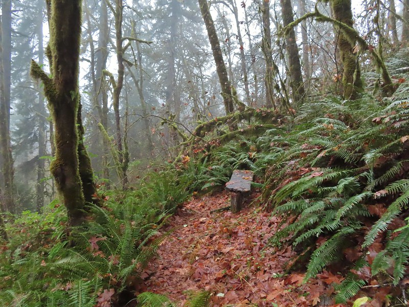
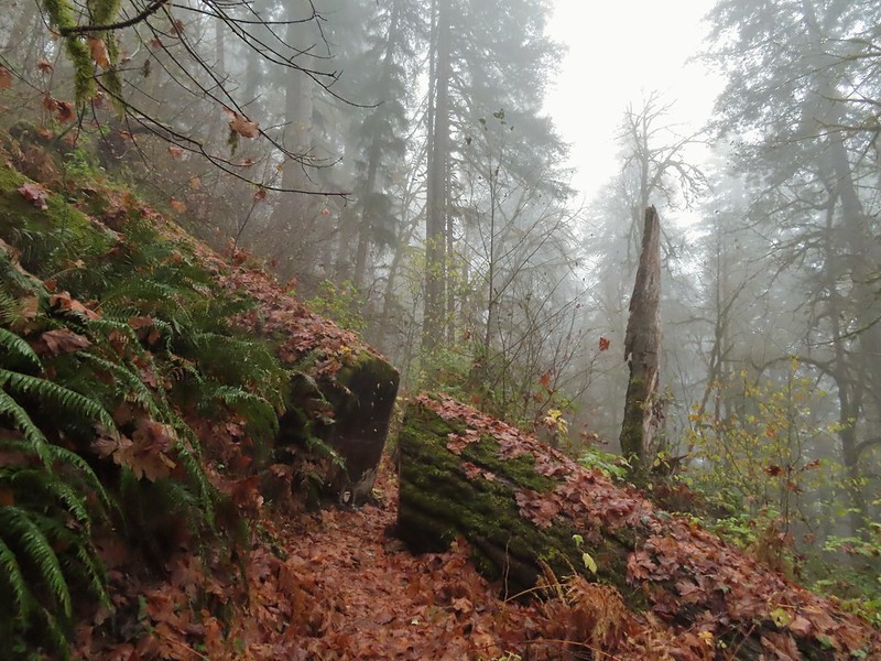 It’s hard to tell size here but the diameter of this tree was well over 5′.
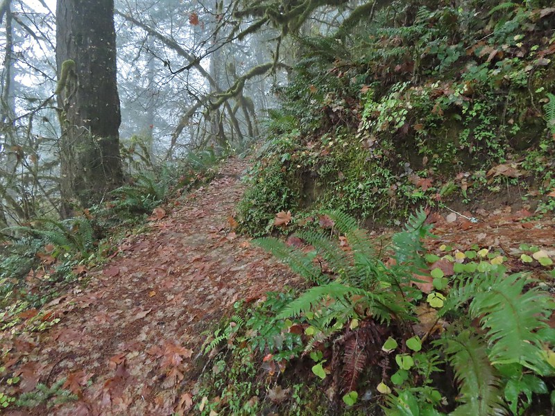 The junction for the loop.
 One of several reroutes we encountered.
 On the ridge top.
 Madrone trunk and bark, always fascinating.
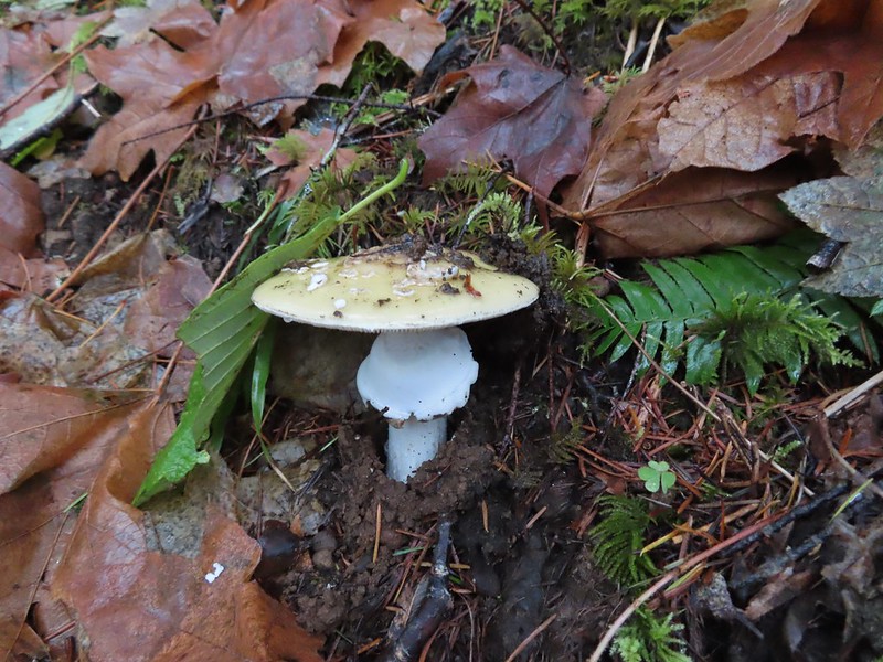
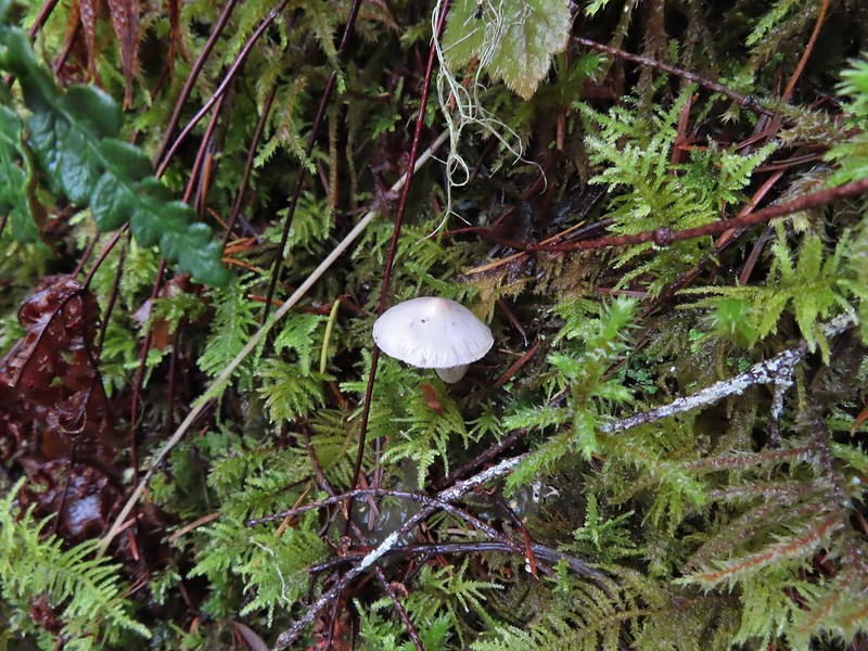
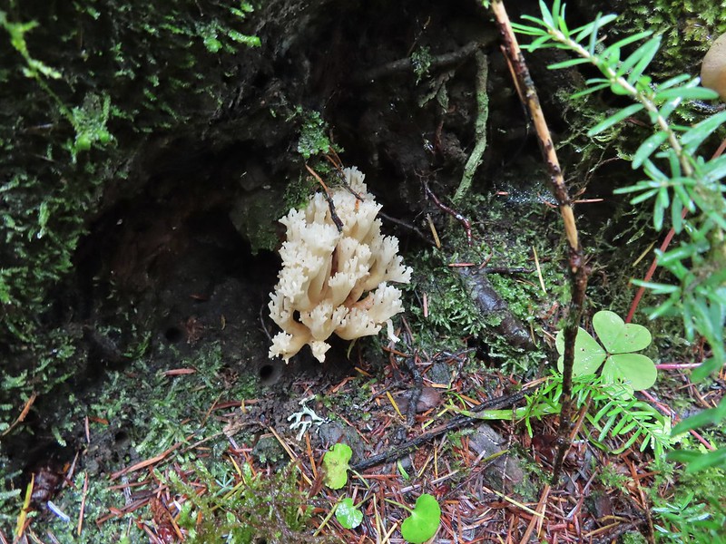
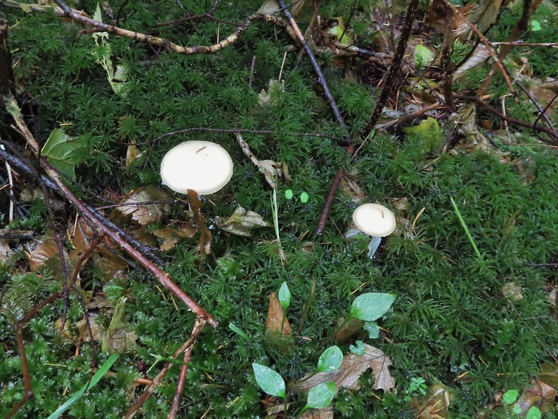
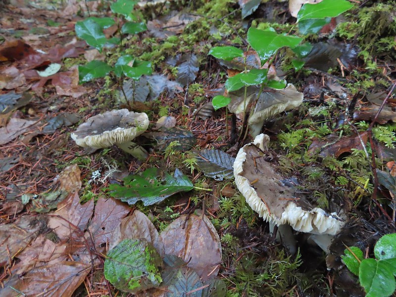 Lots of mushrooms pushing up through the forest floor.
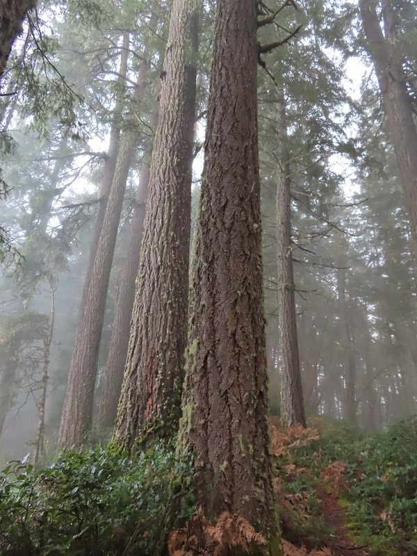 Good sized trees near the high point.
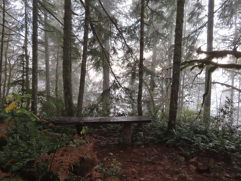 No idea what you might see on a clear day.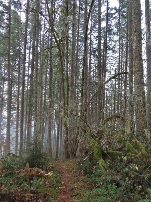

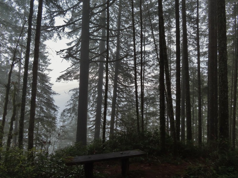 The viewpoint.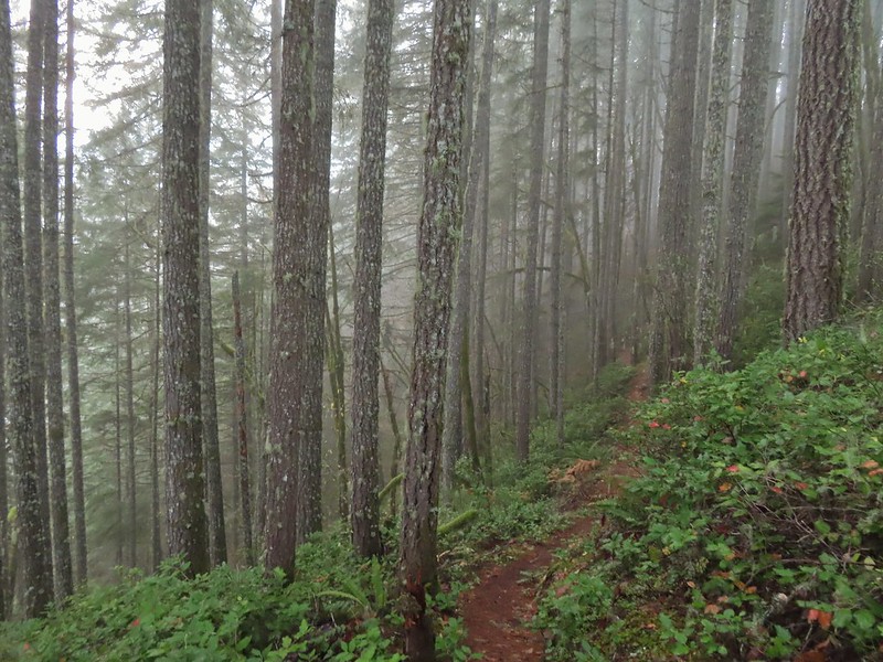

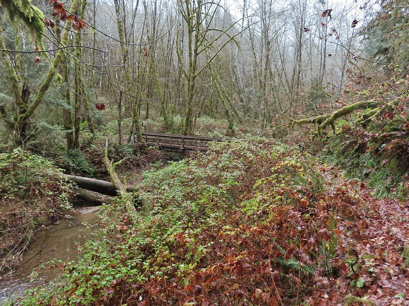 Nearing the footbridge.
 The fog had lifted off the river at least.
 Note that Royal Ave and the trail to the viewing platform are open year around with the other restrictions listed below.
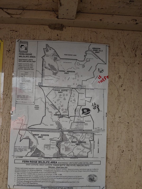 We took a picture of this map to assist us with our route.

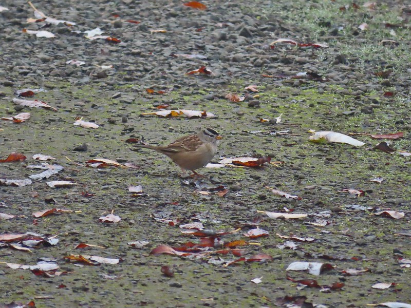 White crowned sparrow
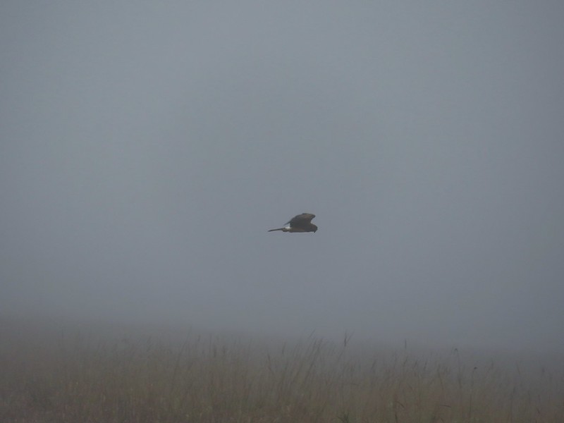 Northern harrier on the hunt.
 Wetlands in the Royal Amazon unit.
 The bittern taking off.
 Not the greatest photo but enough to identify it.
 A hawk on a stump.
 American coots
 Gibson Island (with the eagles in the snag to the far left)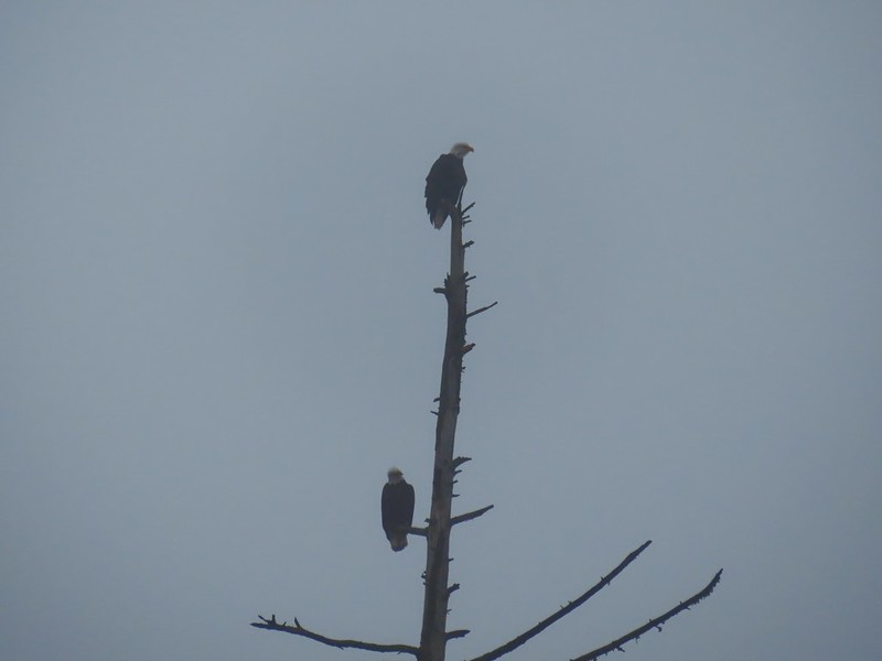



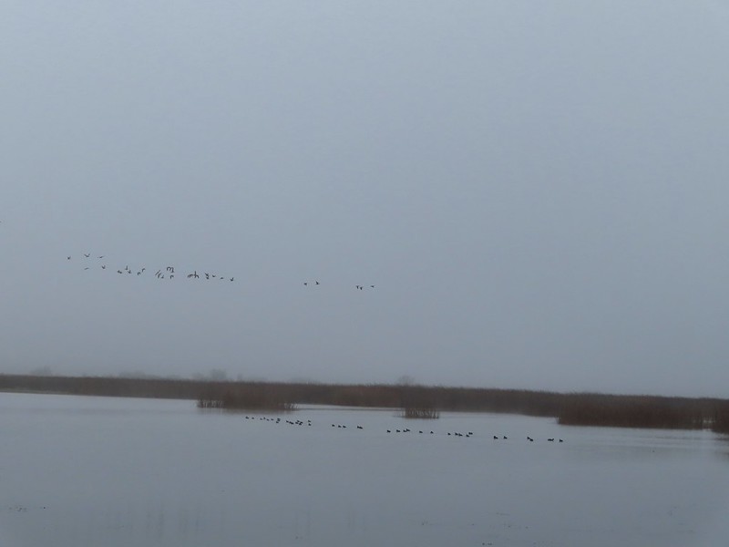 A flock of geese above the coots.
 There were a number of these small birds pecking around in the mud which, with some help from Molly in the comments, are American pipits.
 Continuing west.
 We used the stones to the right to cross the water here.
 Great blue heron (with Highway 126 in the background).
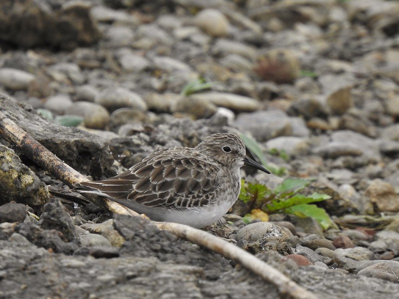 Sandpiper in the roadway.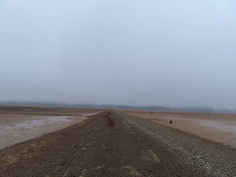
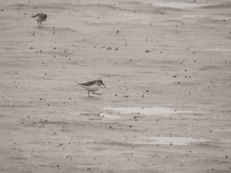
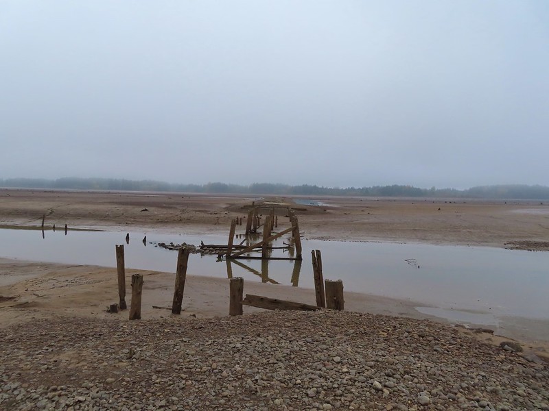 End of the line.

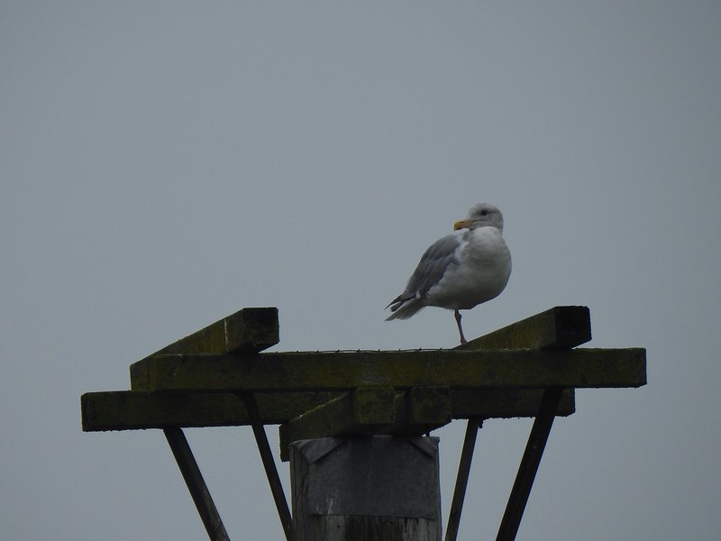 Seagull
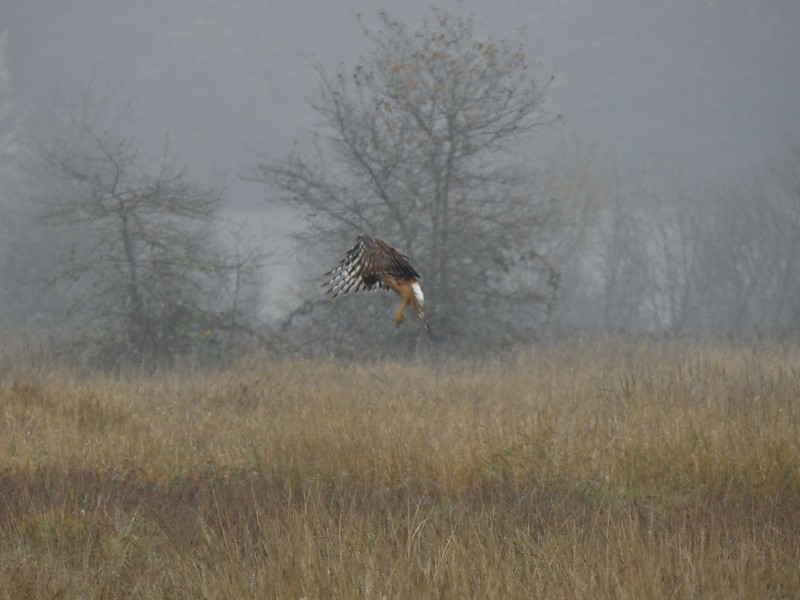 Perhaps the same northern harrier.
 The harrier taking a break.
 The path to the platform.
 Dunlins (thanks again to Molly)
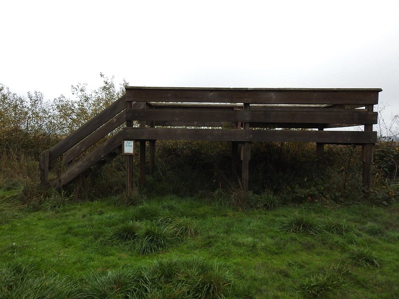 The platform.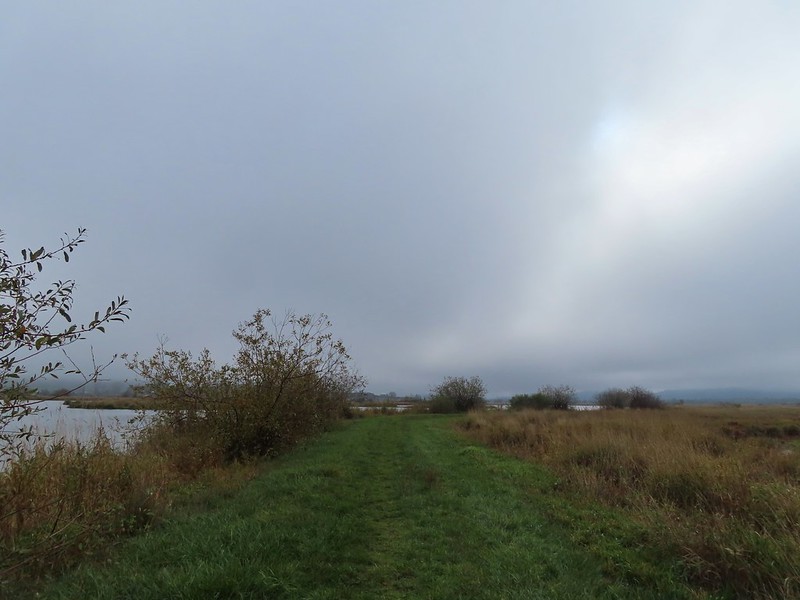
 The first signs that the fog/clouds might be breaking up.
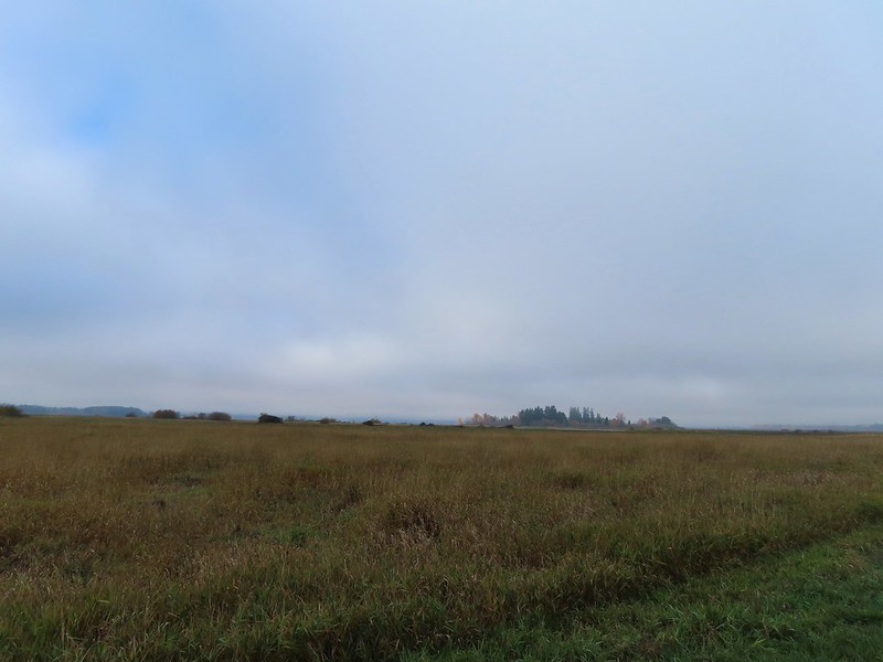 Looking back at a little blue sky and a visible Gibson Island


 Fisher Butte is the low hill ahead to the right.
 Gibson Island was now lit by direct sunlight.
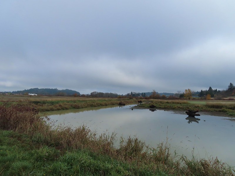 The dike running between Fields 3 & 4.
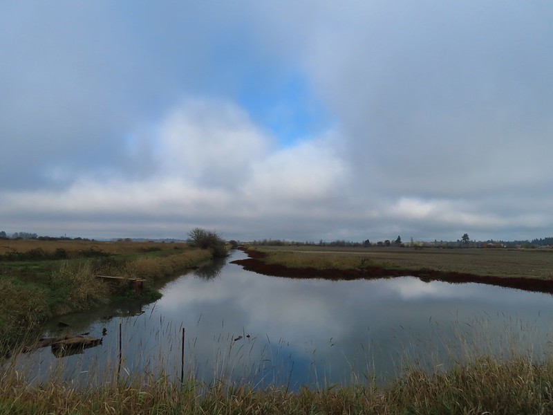 Looking back over the ditch.
 California scrub jay
 Northern shovelers and a bufflehead.
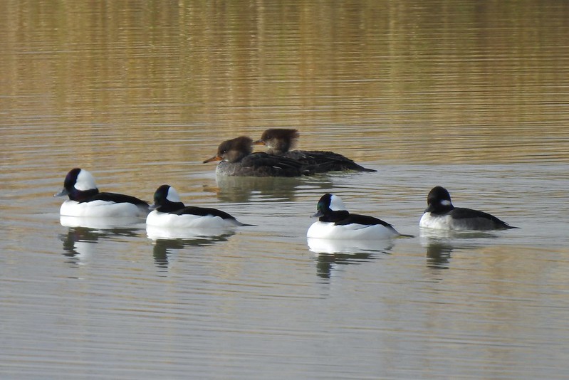 Buffleheads and two hooded merganser females.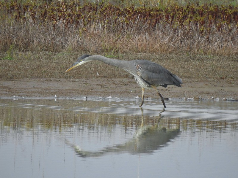
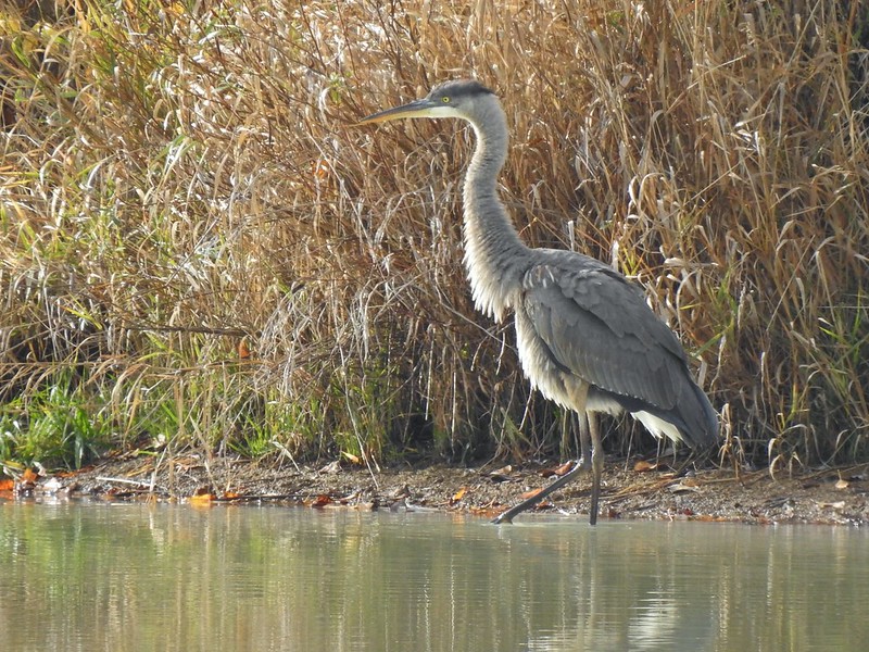
 Kingfisher
 American robin
 The gravel road and another small portion of the wildlife area on the other side.
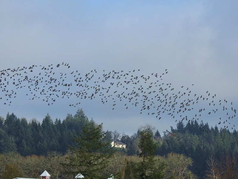 Noisy geese.
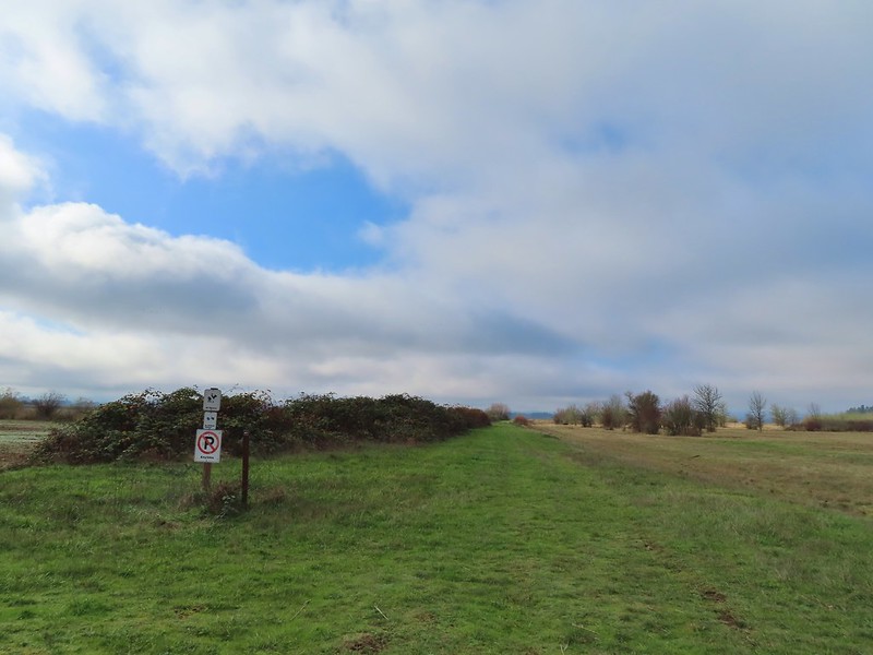 Back on the mowed track.
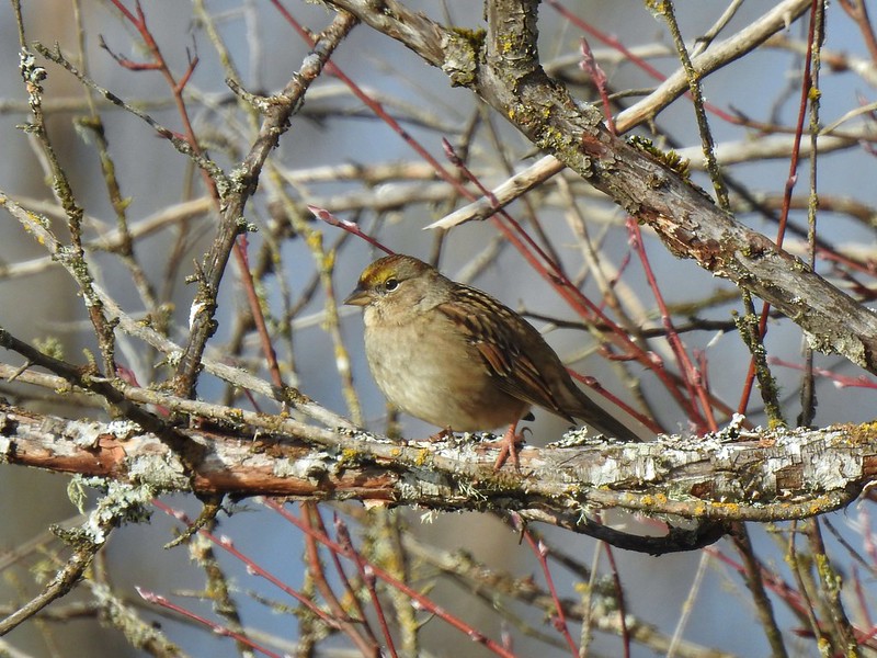 A sparrow
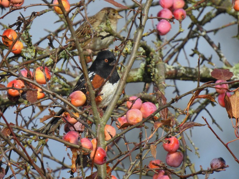 Spotted towhee and friend.
 Finch
Finch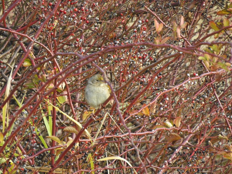 As of yet unidentified little bird.
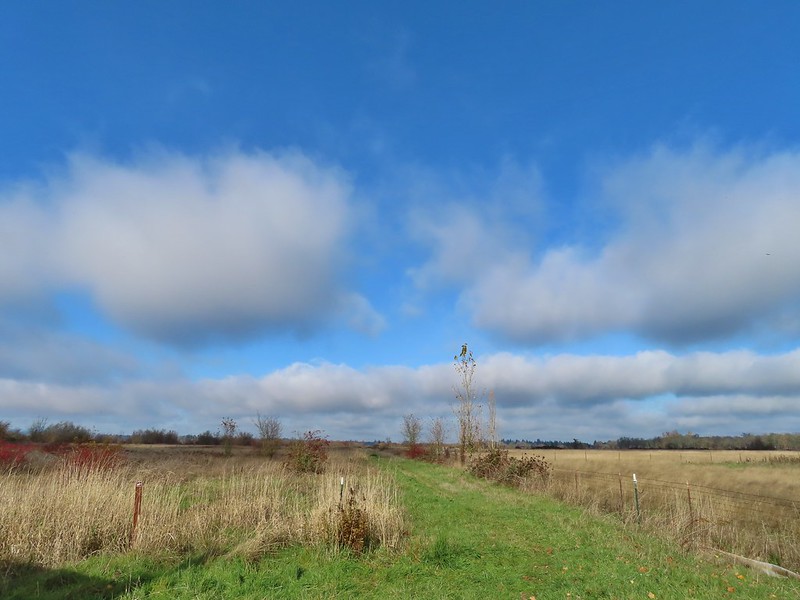 This path headed north from the trailhead, something to explore on our next visit.


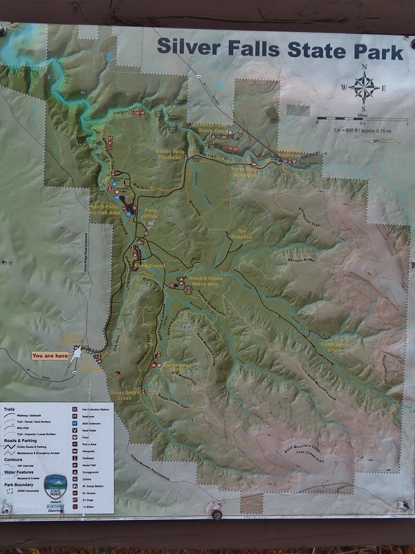 Park map at the viewpoint.
 Willamette Valley
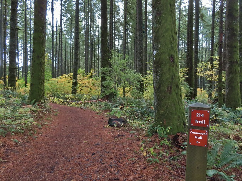

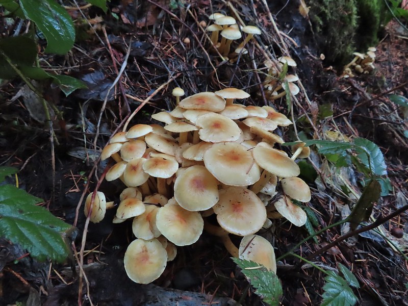
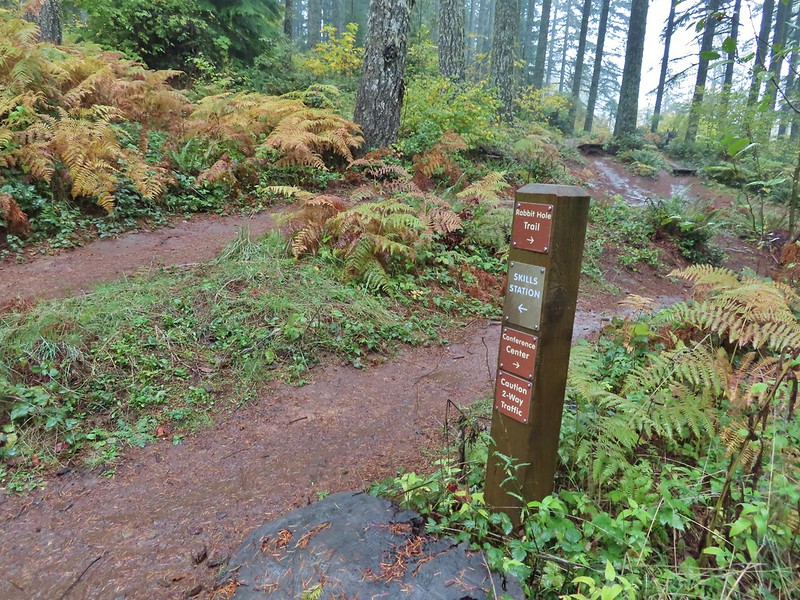
 Sign post for the Newt Loop and mountain biking skills station.
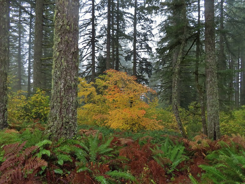
 As much blue sky as we were going to get on this day.
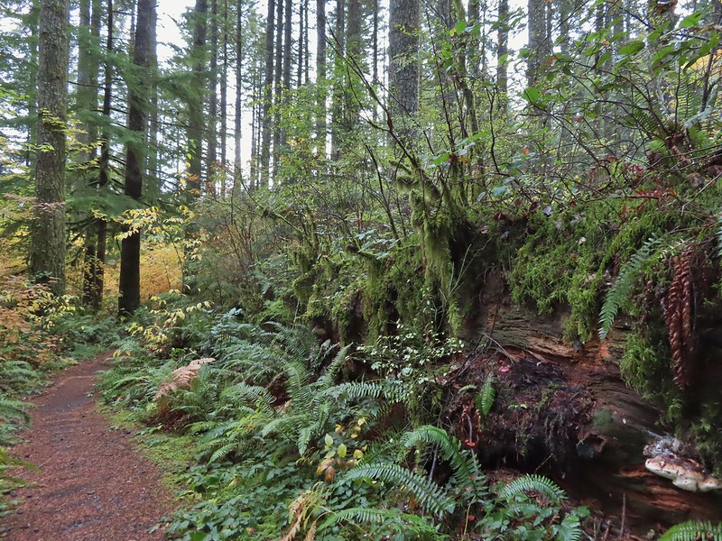 A massive old growth nursery log. The tree stood for hundreds of years and will spend hundreds more slowly decaying and providing nutrients for younger trees.
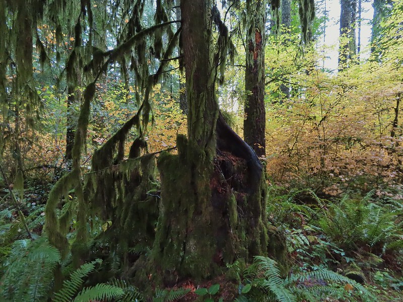 Nursery stump. While some old growth exists in the park it was also logged heavily which was the primary reason it was passed over for National Park status.
 The Smith Creek Trail junction.
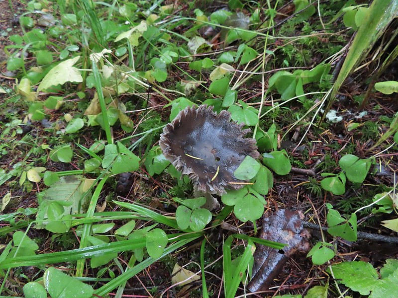
 Does anyone know their salamanders? Not sure what type this one was.
 The Nature Trail junction.
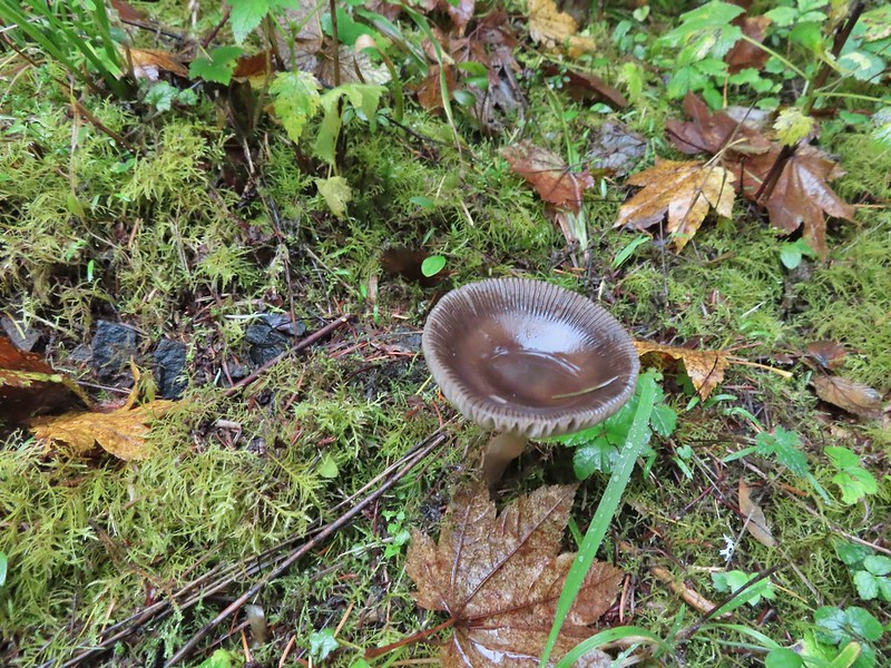



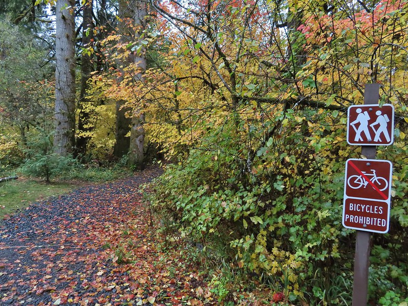
 From the spot that we entered the campground you could just see a hiker sign at the far end of the paved campground road.

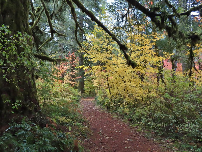

 No wildlife to view today.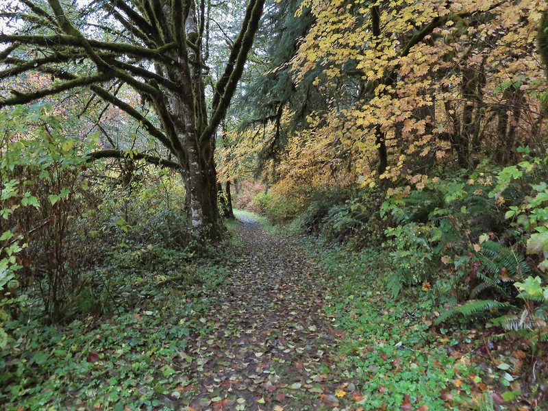

 The Howard Creek Loop Trail.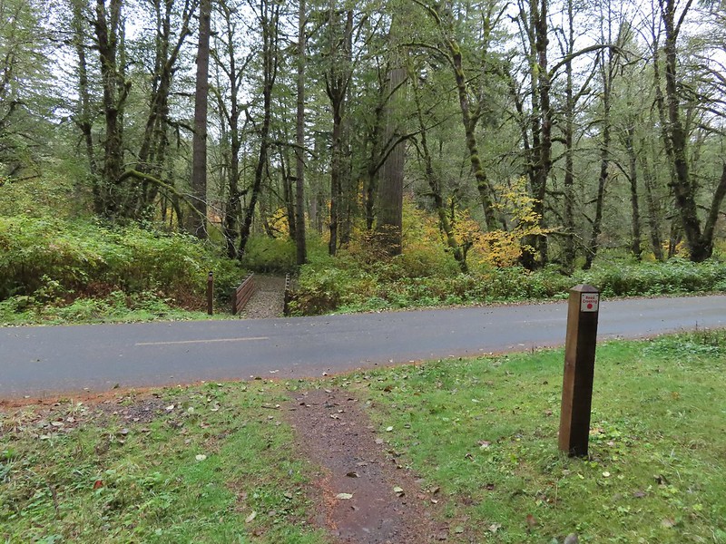
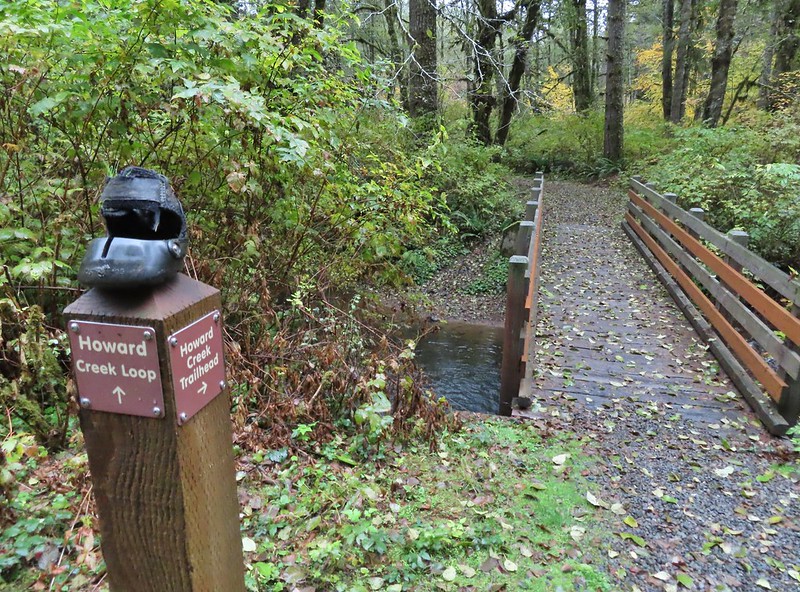
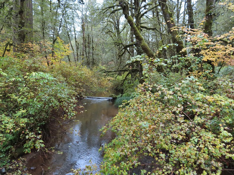 Howard Creek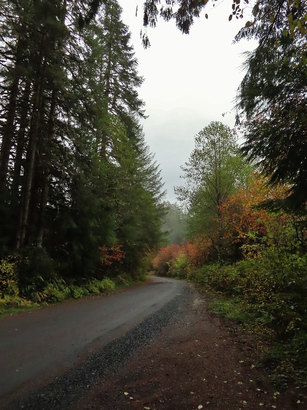
 Sign for the trailhead.


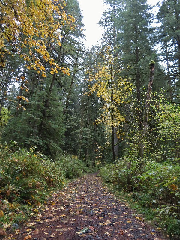
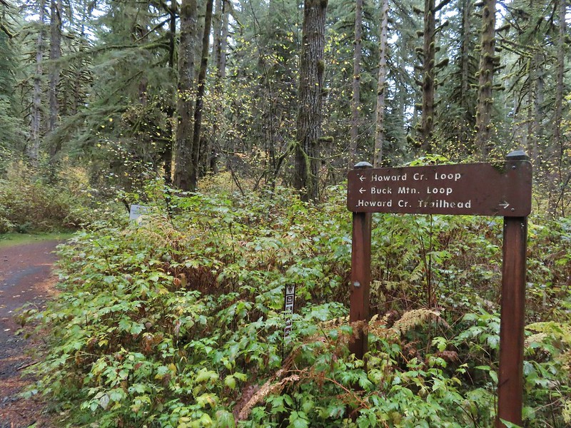
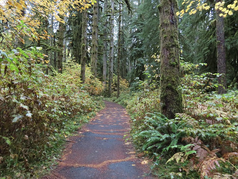

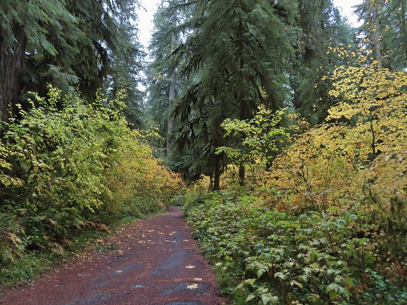
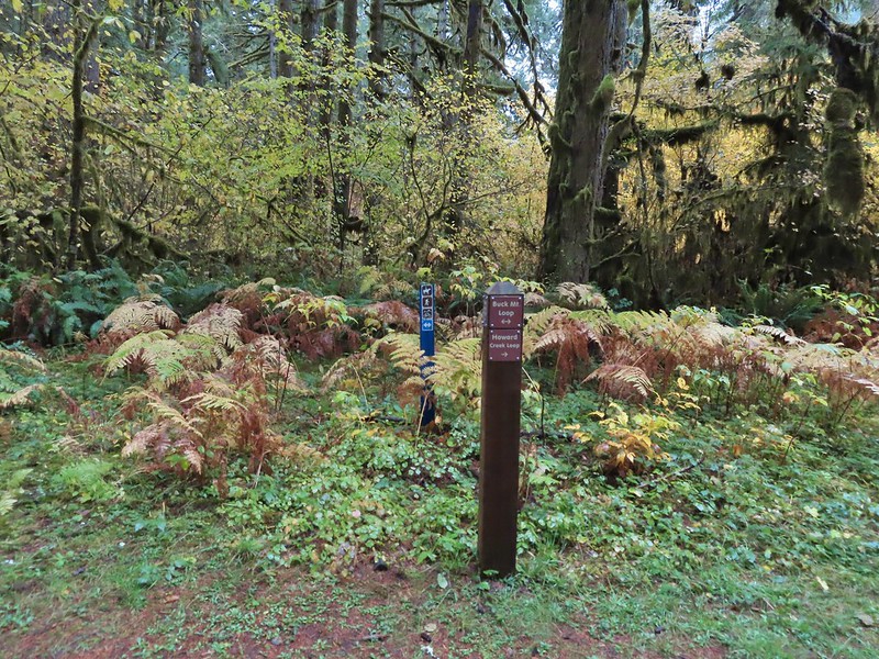


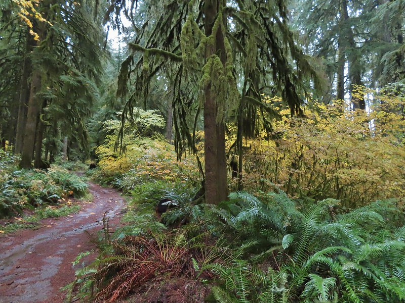

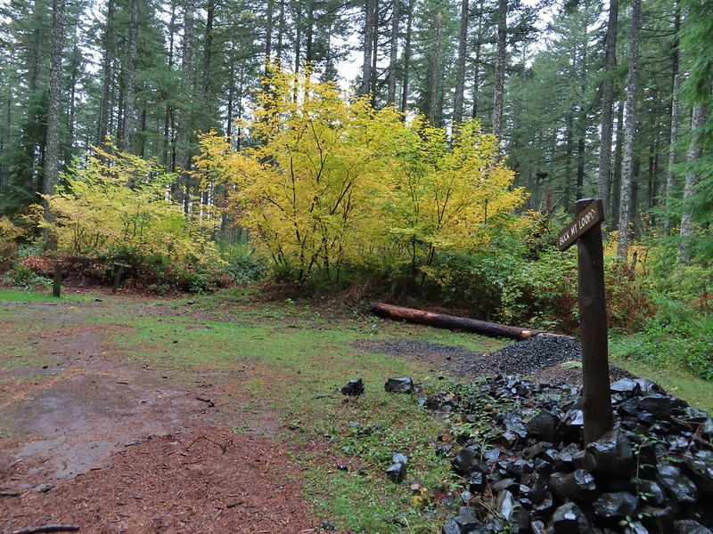
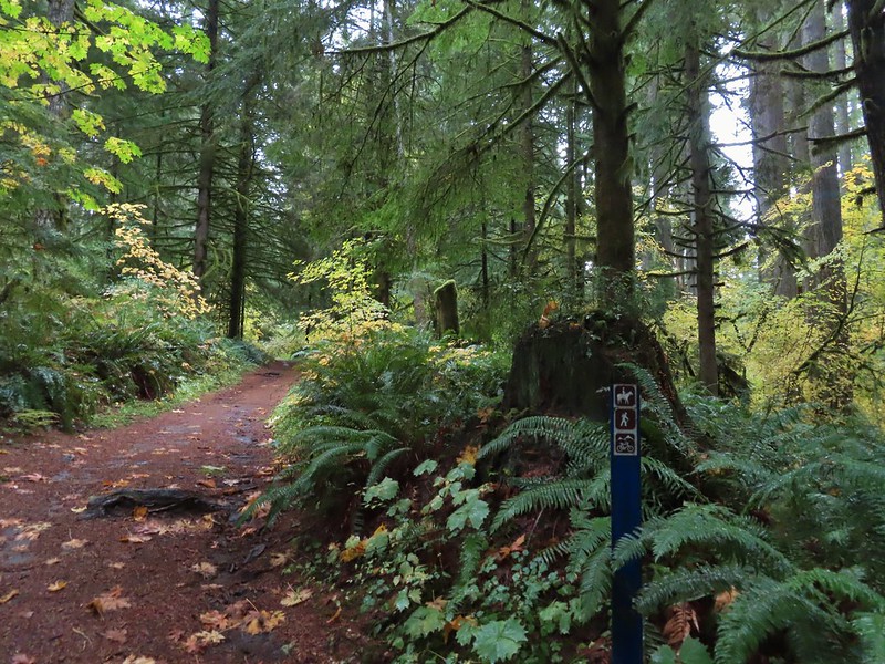 Blue appeared to mean Buck Mountain Loop (the posts along the Howard Creek Loop had been red and later the Smith Creek Trail posts were yellow.)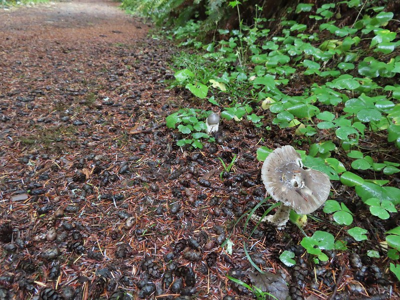

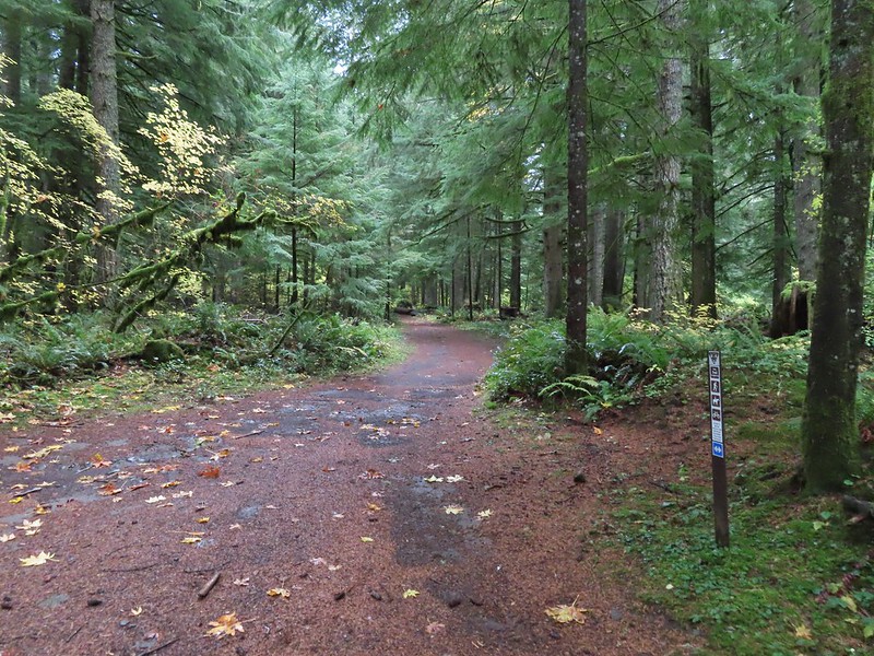
 The mix of tree trunks here caught our eye.
 Approaching the trail junction.

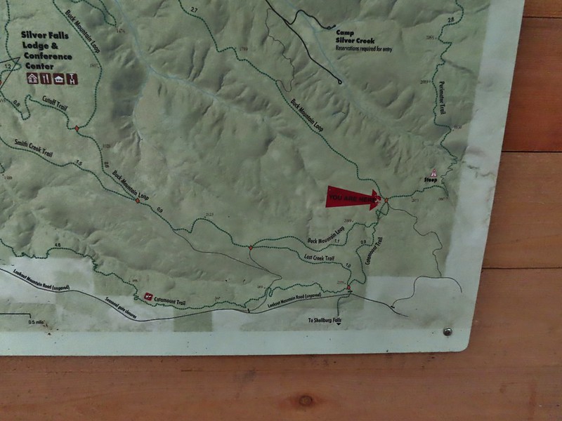
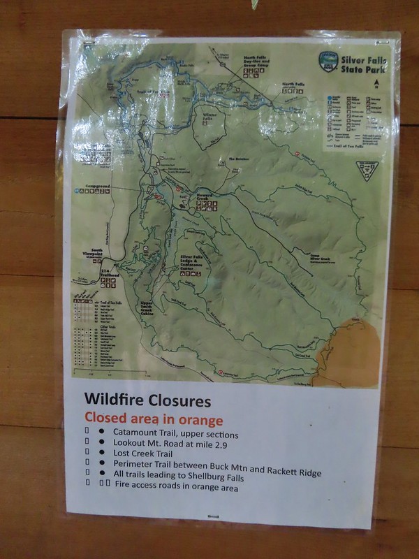 The 2020 Beachie Creek Fire threatened the Park and did in fact burn over nearby Shellburg Falls (
 Orange fence marking the closure of the Catamount Trail.
 The first footbridge which spans Howard Creek. The creek was obscured by brush.
 The second footbridge over a tributary not shown on the topo map.
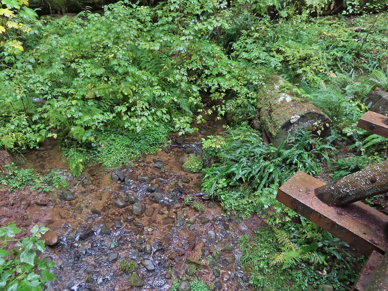 This stream was a little easier to see.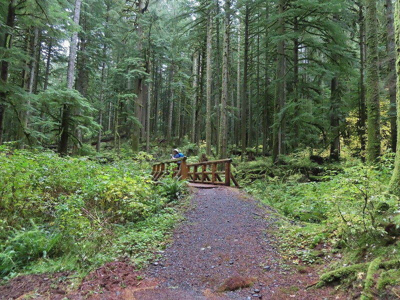
 A reminder of how close the Beachie Creek Fire was.
 The 4-way junction.

 Approaching the Smith Creek Trail junction.




 Ramps in the background at the skills station.
 The Catamount Trail arriving on the left.
 The 214 Trail from the Newt Loop.
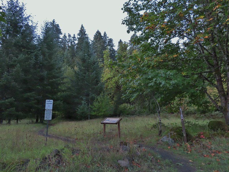


 Sulphur Springs
 Soap Creek near Sulphur Springs.
 Sulphur Springs Road from the pullout.
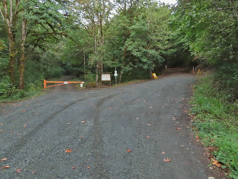 Sulphur Springs Road Trailhead.
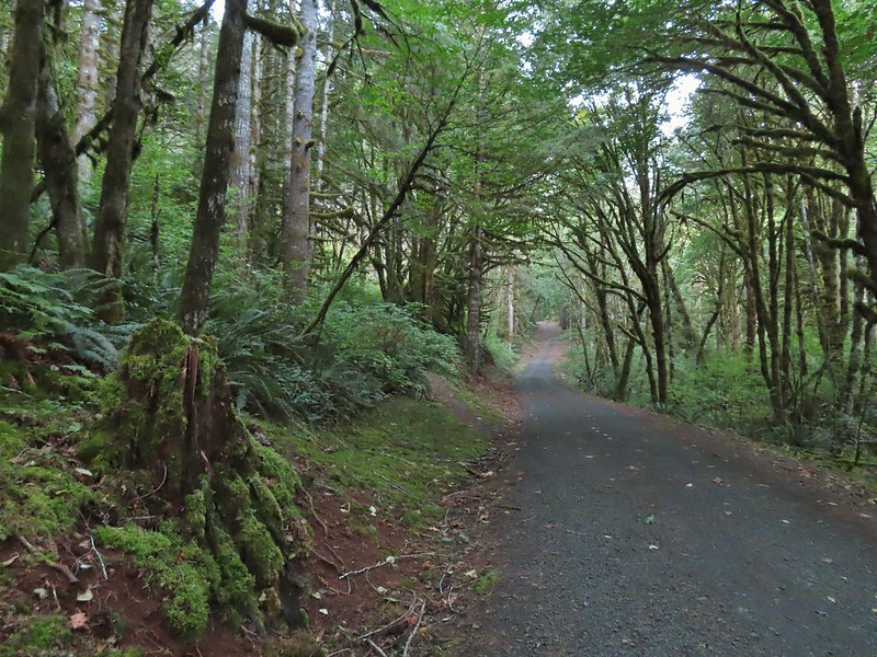

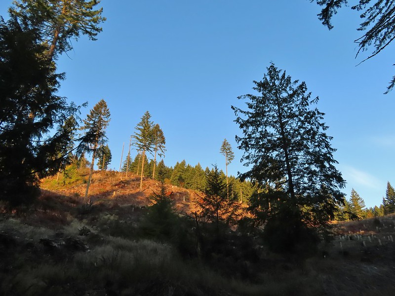
 We stayed right at this junction with Road 761.
 The Rocky Road Trail.
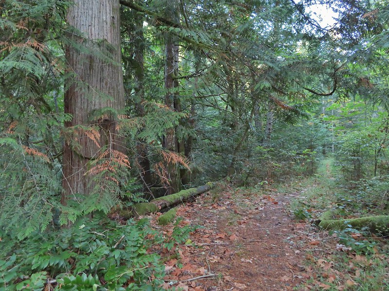 A good sized cedar along the trail.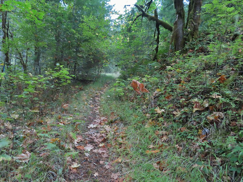
 Road 760 ahead.
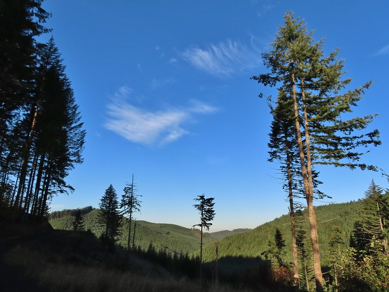
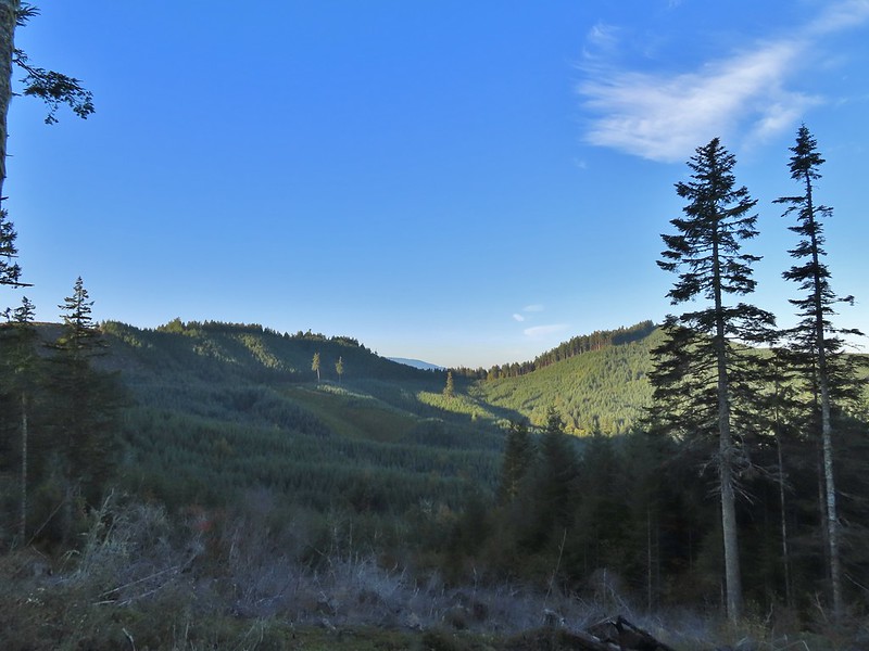 Interesting patchwork of trees. We would have liked to have been able to see when each section had been harvested and replanted.
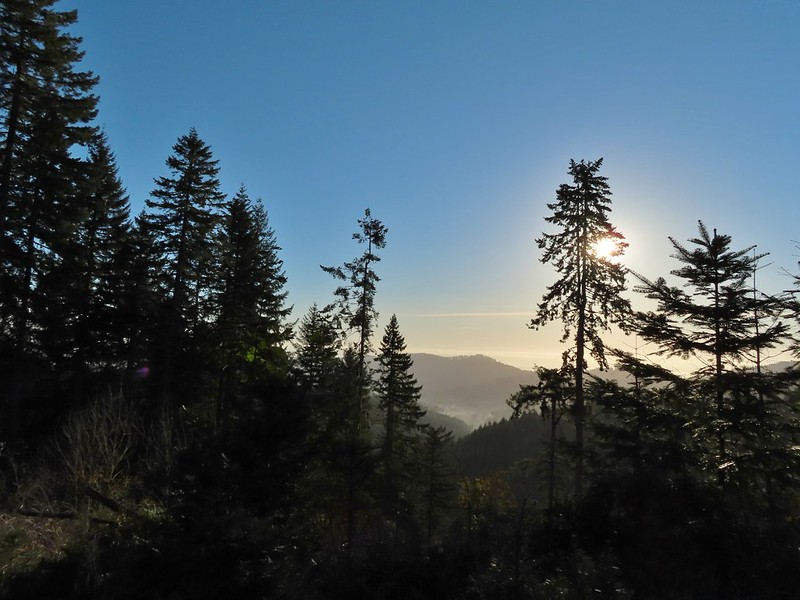 We couldn’t see much to the east due to the Sun’s position.
 Mary’s Peak (
 Road 7040 on the left.
 Pointer for McCulloch Peak at the junction. We had come up from Road 700 on the right.
 The rest of the 4-way junction. After visiting the peak we would head downhill following the pointer for Oak Creek.
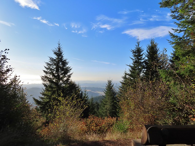
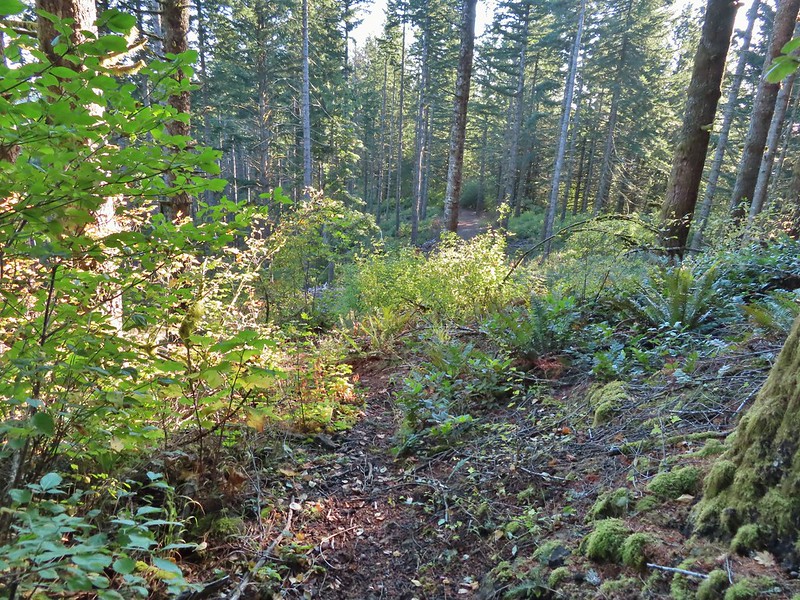 Trail to the spur road.

 Fading pearly everlasting.
 We stayed left here which was the shorter route.
 Madrone
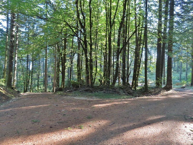 Tree island at the junction with Road 680.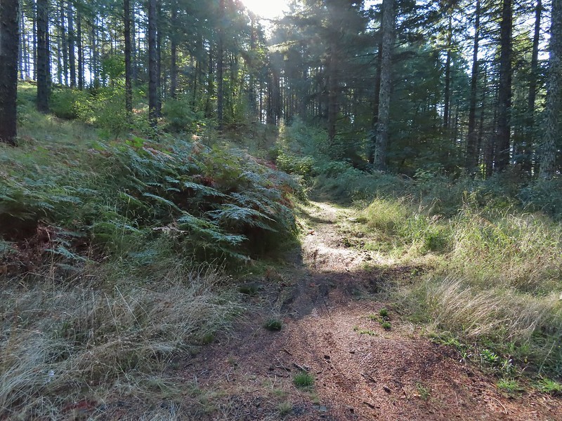
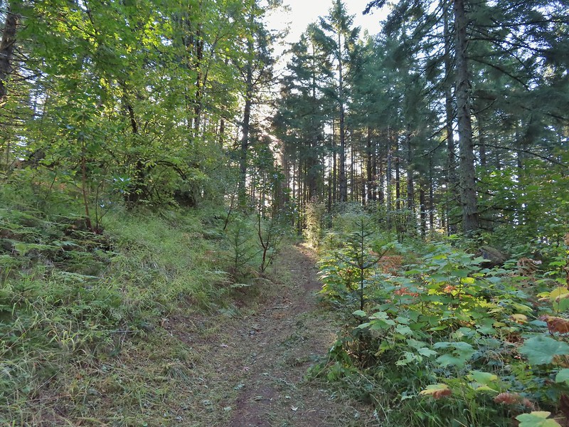


 Nearing the trail junction.
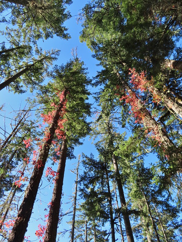 Poison oak climbing trees.
 Signs for the Uproute and Extendo Trails.
 Road 680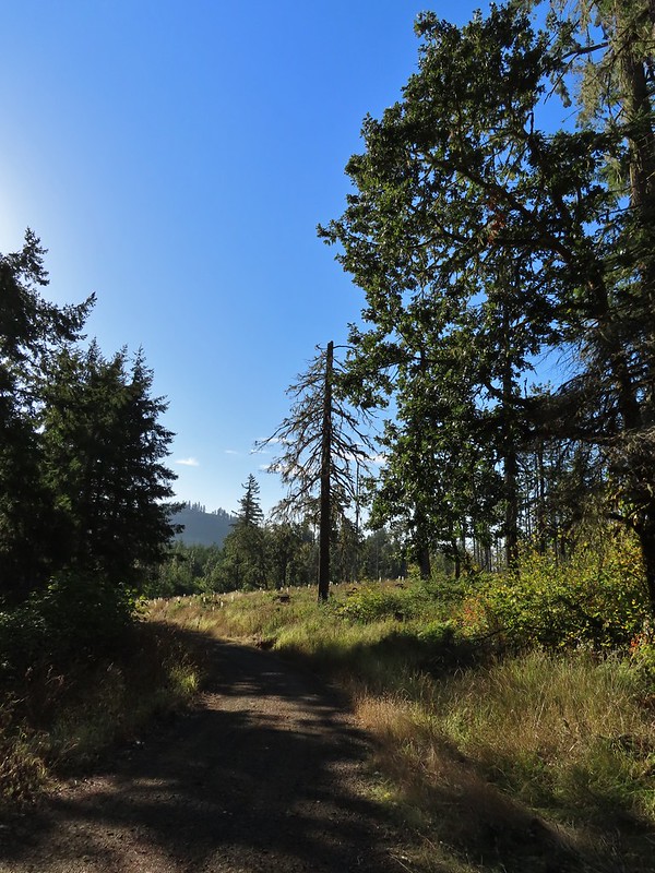
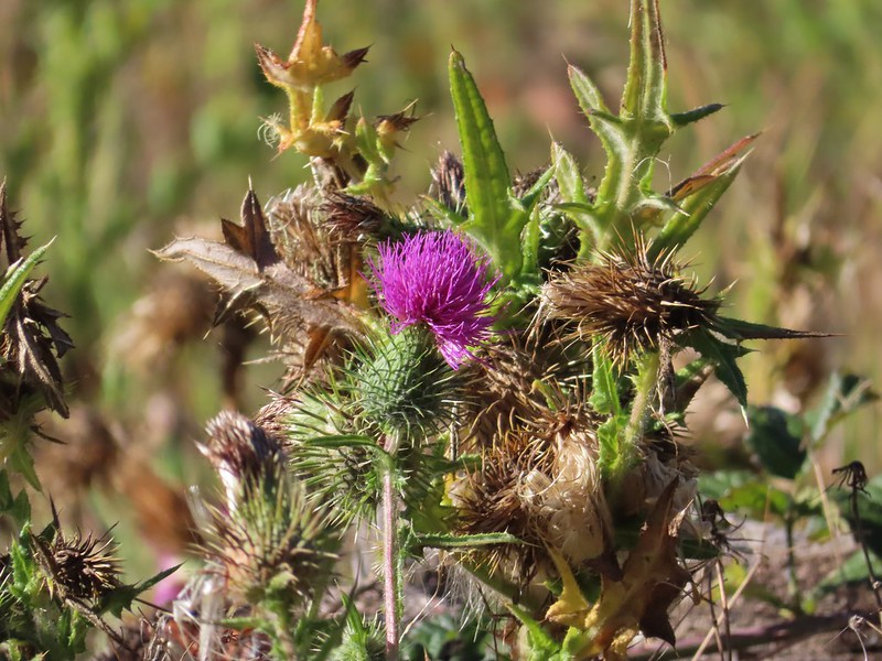


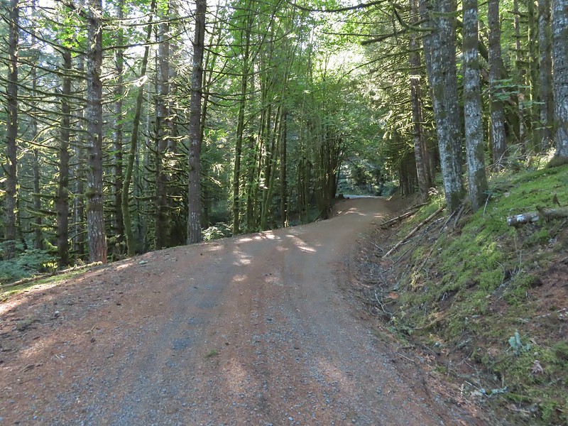
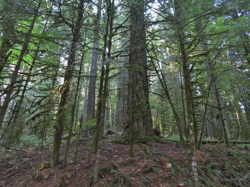 A few larger trees in the forest.
 A sea of green grass.
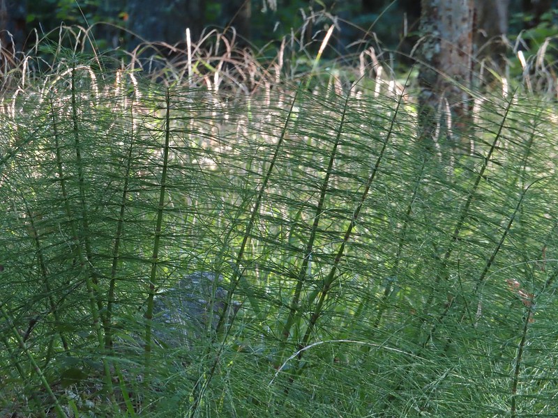 Horsetails
 The 4-way junction.


 Summit of Dimple Hill.
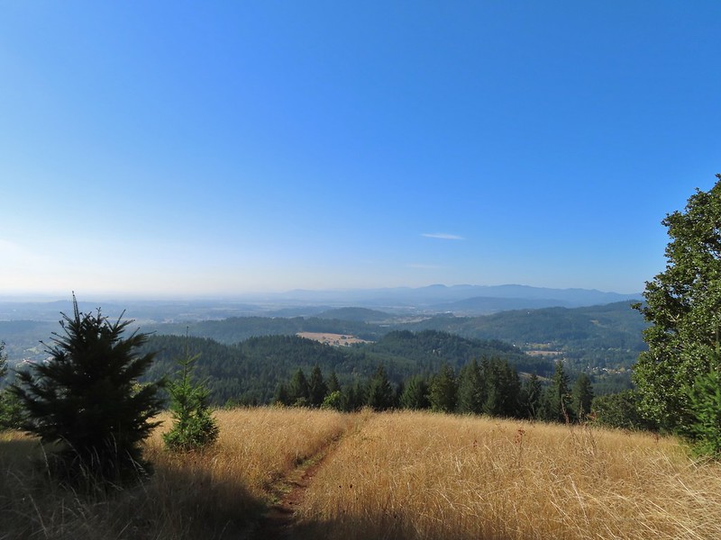
 Mary’s Peak
 Approaching the junction on Road 650.
 Junco
Junco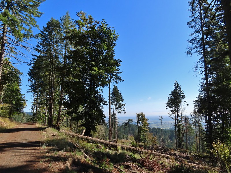
 Mt. Hood
 Mt. Jefferson
 The Three Sisters


 The High Horse Trail and another trail heading uphill at the 4-way junction.
 What we assume is the Bombs Away Trail on the left and the High Horse Trail on the right at the 4-way junction.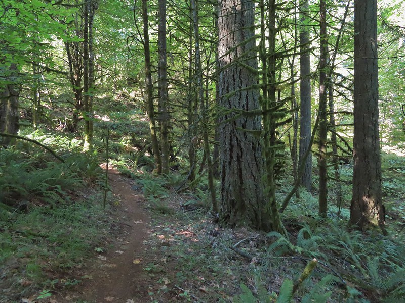

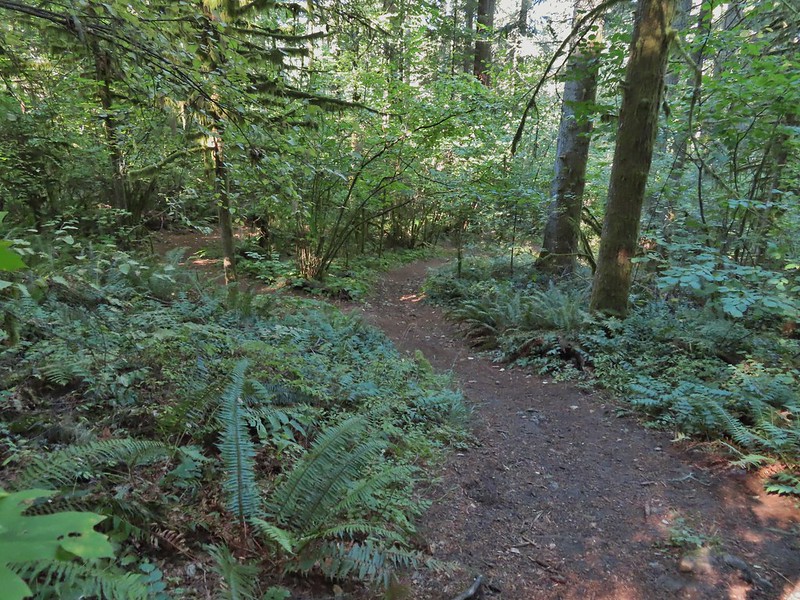 Left or right? More often than not both ended up in the same spot.
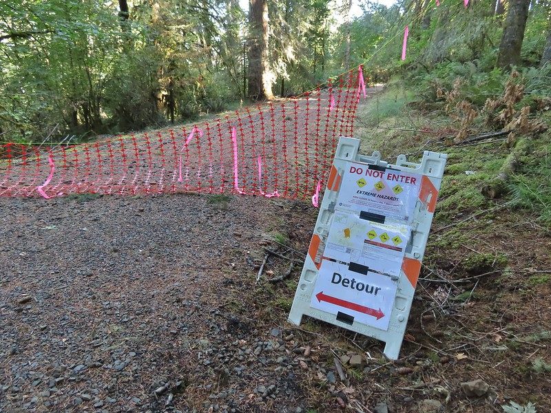 Road 640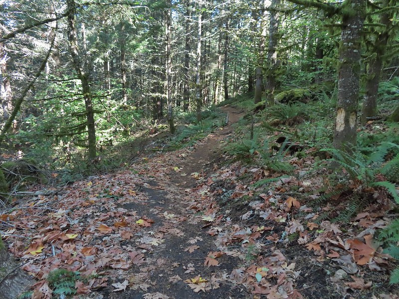


 Junction with the Alpha Trail.


 Looking back at the Alpha Trail from Road 810.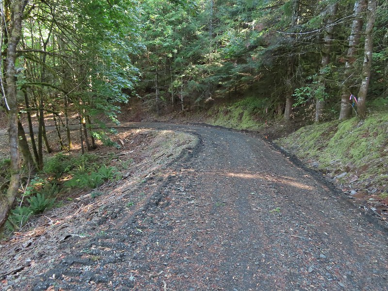

 Road 800 below Road 810.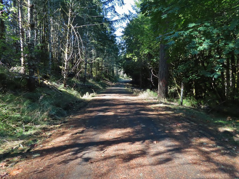
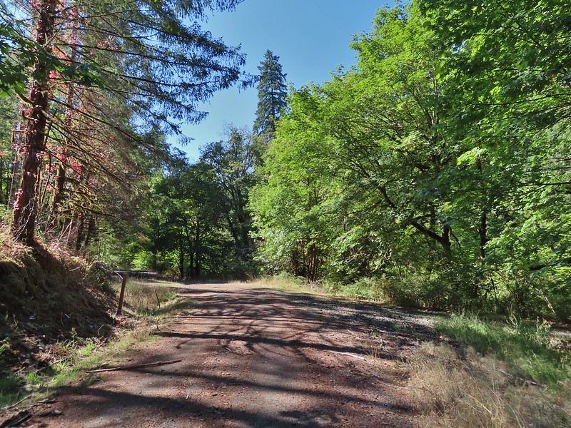 Baker Creek Trail ahead on the right.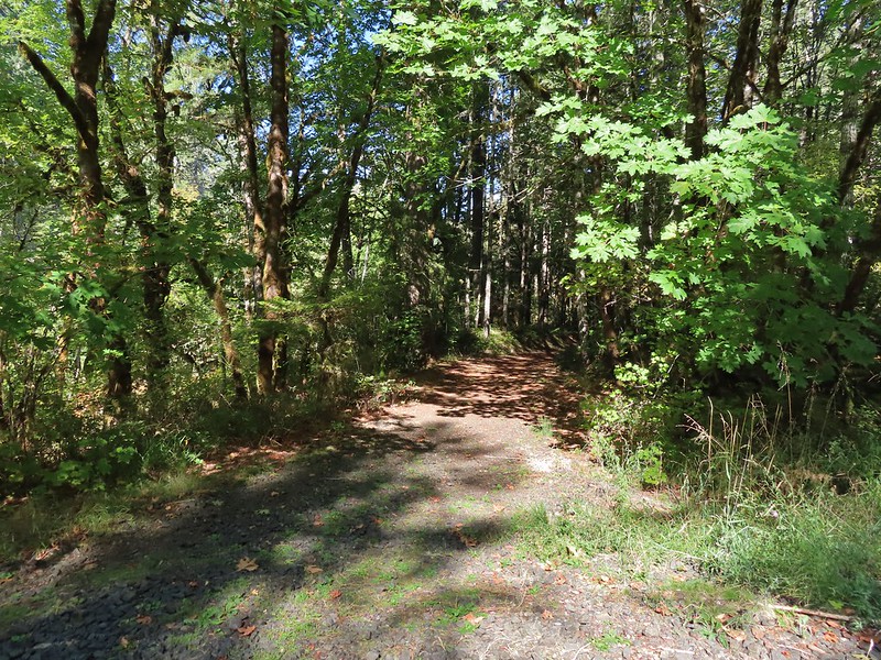
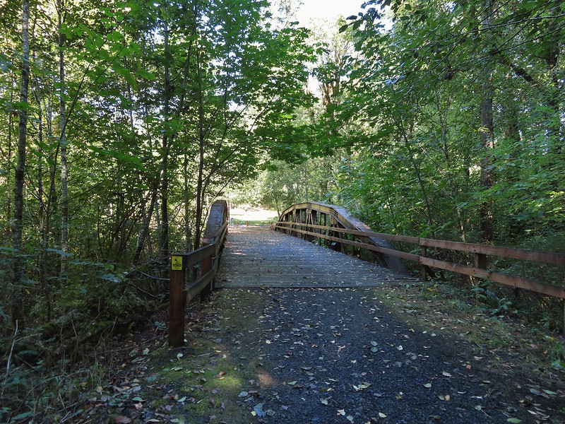
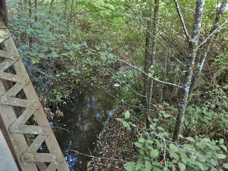
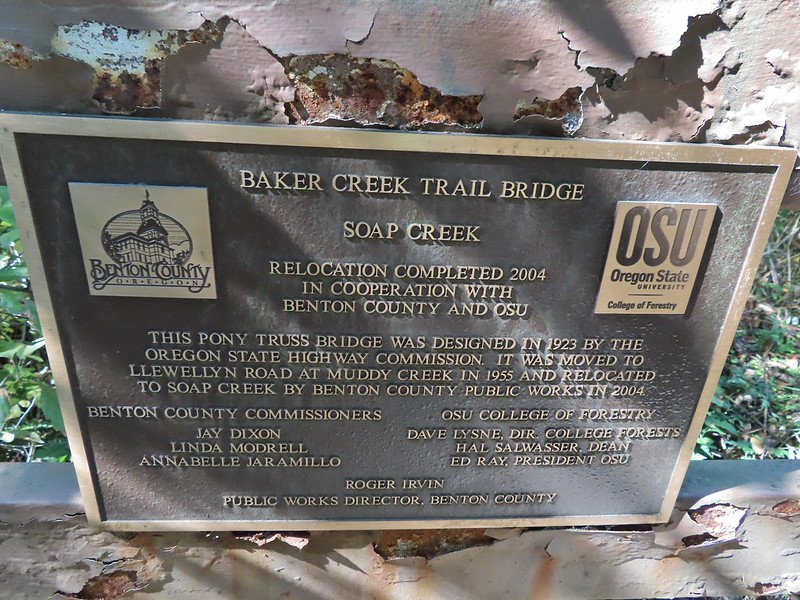

 Private farm along the entrance road from the pullout we parked at.
 Osprey nest above the corn field.
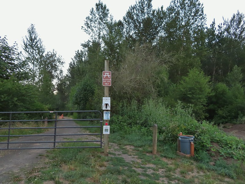 Gated road at the trailhead. There was a second gravel road to the right that was blocked with a log. The gravel road appeared to be fairly new and possibly a reroute of the gated road.
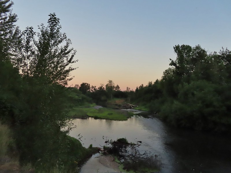

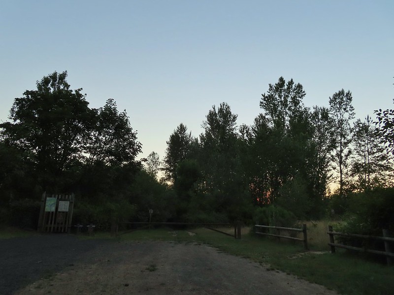 Old trailhead?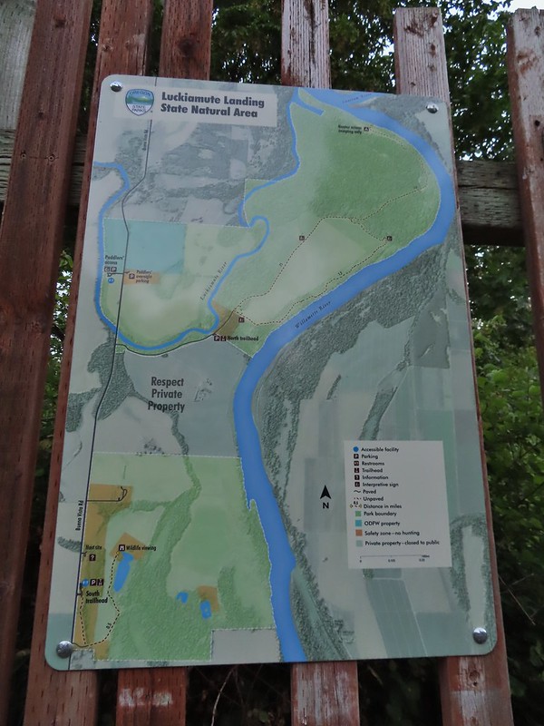

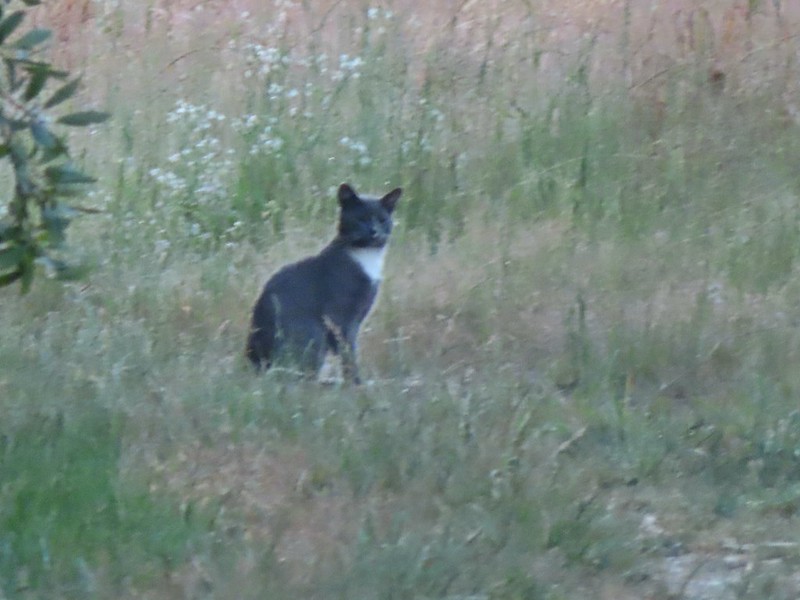 Extreme zoom on the kitty.


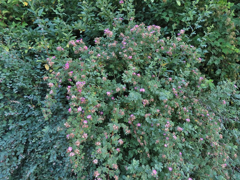 Wild rose
 Vetch
Vetch Oregon grape
 Thimbleberry


 We both initially thought that this was the start of an out and back to campsites along the Willamette River and that the loop continued around the field to the right. In fact there was a blue awning set up at the edge of the field in that direction and at least 3 vehicles (not sure why they were there or how they got through the gate). This was not the case and fortunately for us we were planning on doing the out and back which meant we didn’t make the mistake of turning here. The continuation of the loop was actually 0.2 miles further along the road in the forest.
 The correct right turn for the loop.
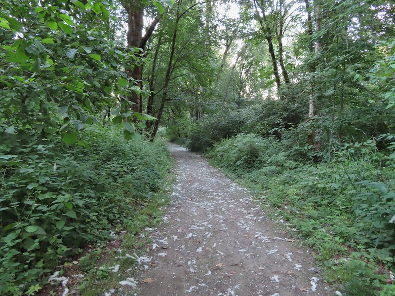 Cottonwood on the road.
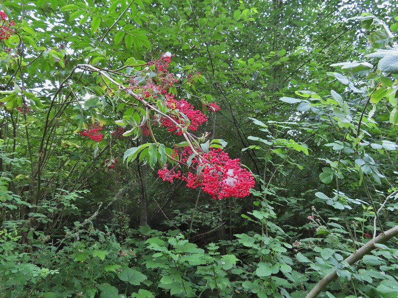 Red elderberry, a favorite of the birds.
 This wren was taking a dirt bath, perhaps an attempt to stay cool?
 A lot of invasive daisies in an opening.
 Native elegant brodiaea
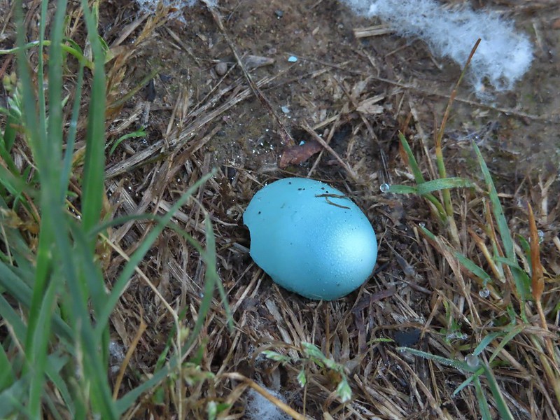 Egg shell
 More ripe berries.
 Poppies
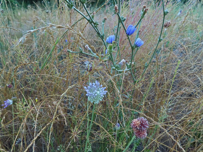 Mostly non-natives – chicory and clovers.
 More non-natives – Moth mullein and cultivated radish
 Slug
Slug Douglas spirea (native)
 The mouth of the Luckiamute on the left was hidden by trees.


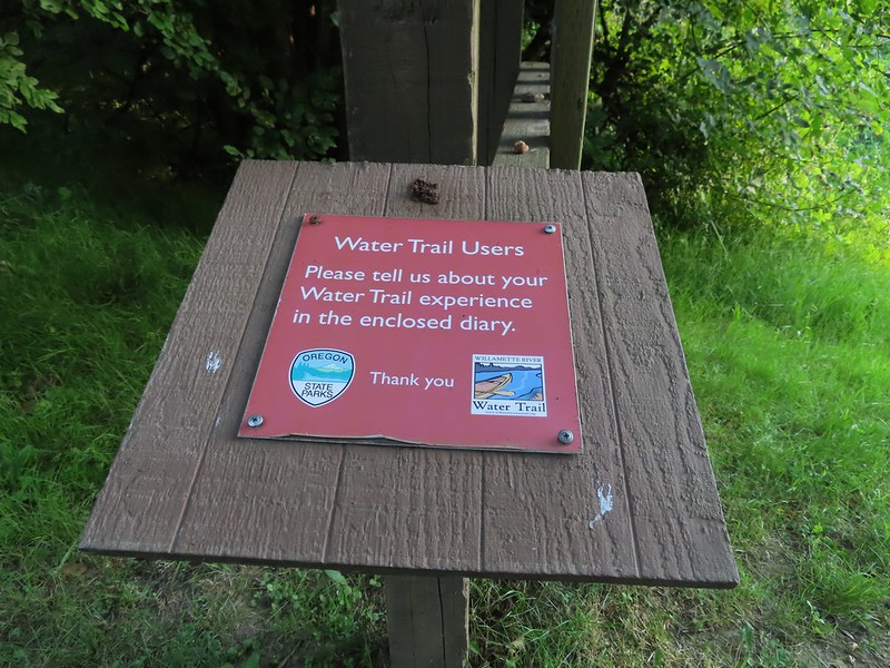

 Willamette River at the landing.
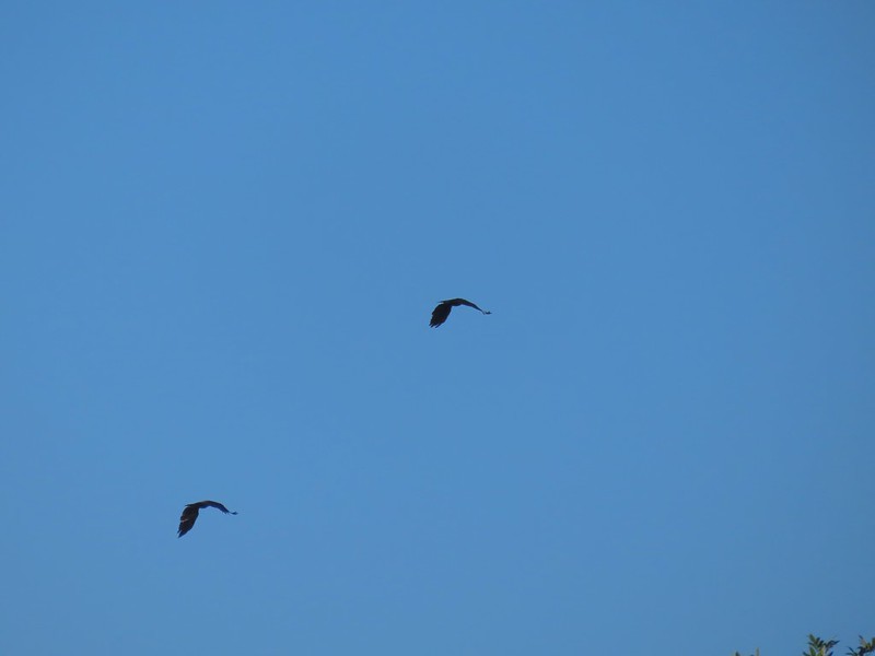 Not sure what type of birds these were.
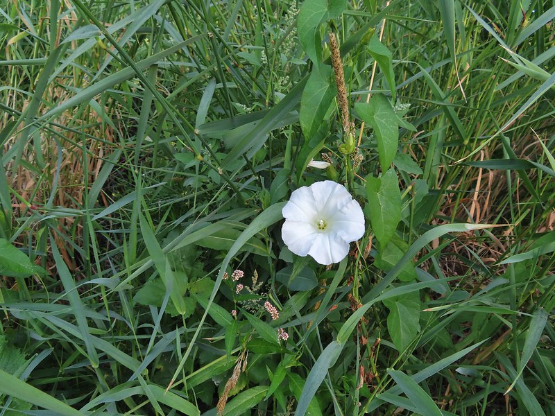 Bindweed at the landing.
 Bunny and a bird (not pictured is the chipmunk that raced across the road here).
 Slug also “racing” across the road. Speed is relative.
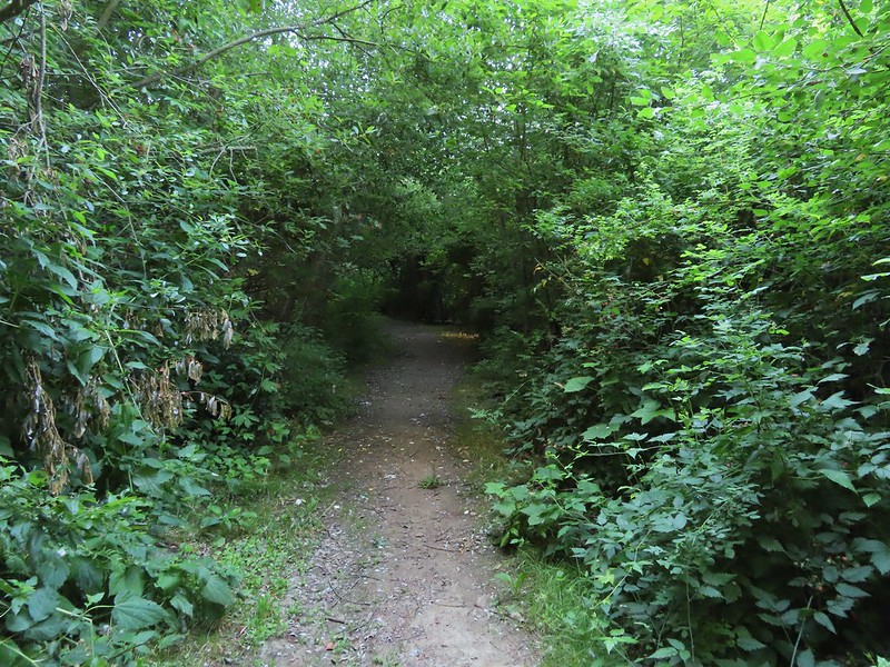 Back on the loop.


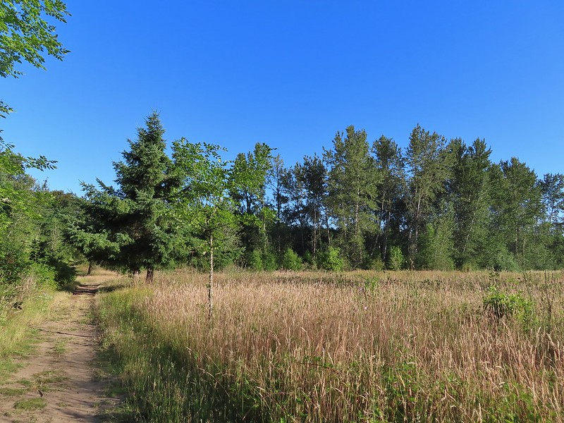 Near the end of the loop the trail passed back along the field.
 White crowned sparrow
 Possibly nelson’s checkermallow.
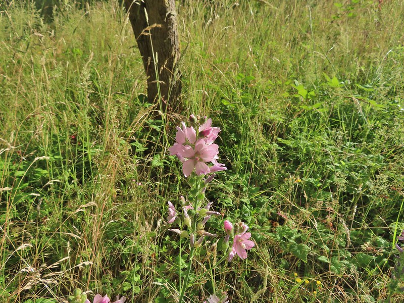 Meadow checkermallow
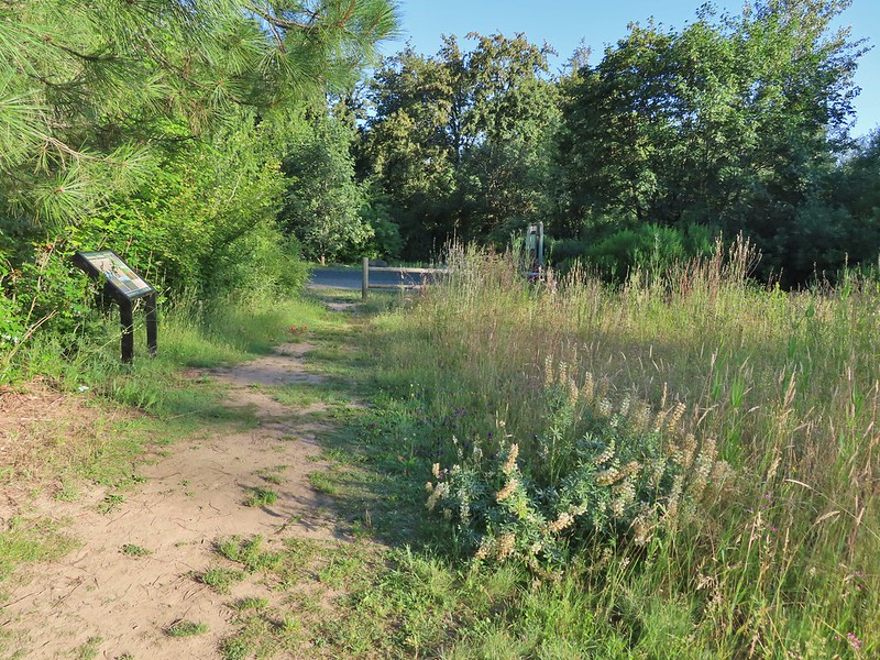 Completing the loop.
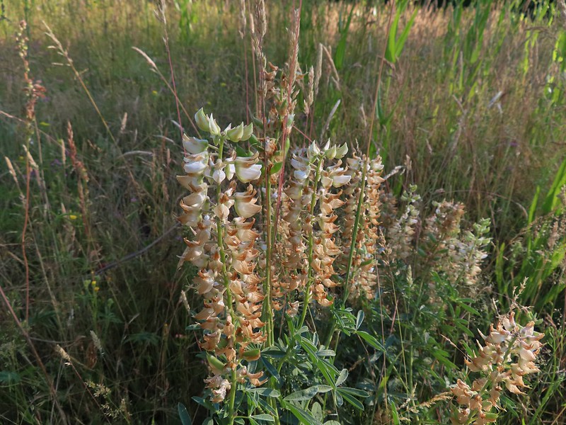 Lupine that is just about finished.
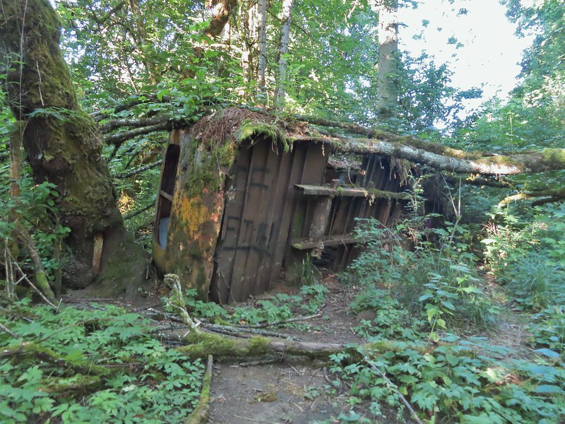 Old bus
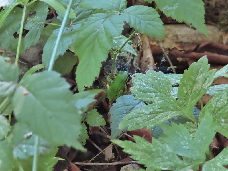 Tree frog
 Luckiamute River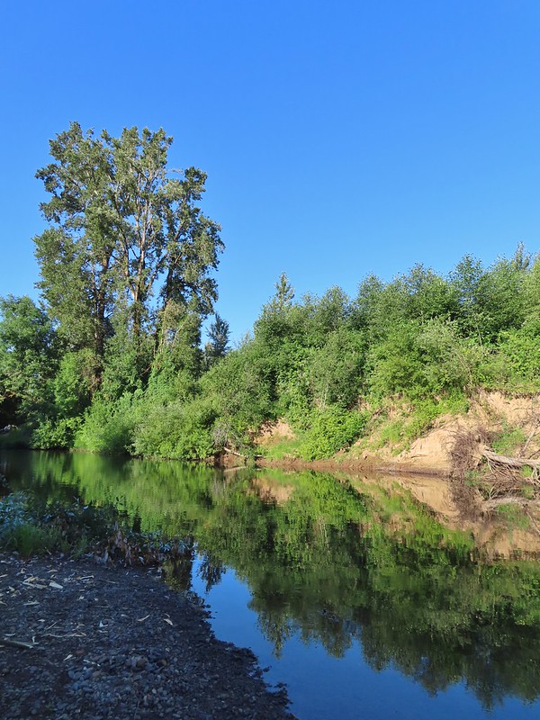
 Waiting for food.

 Old farm equipment with poison oak in the background.
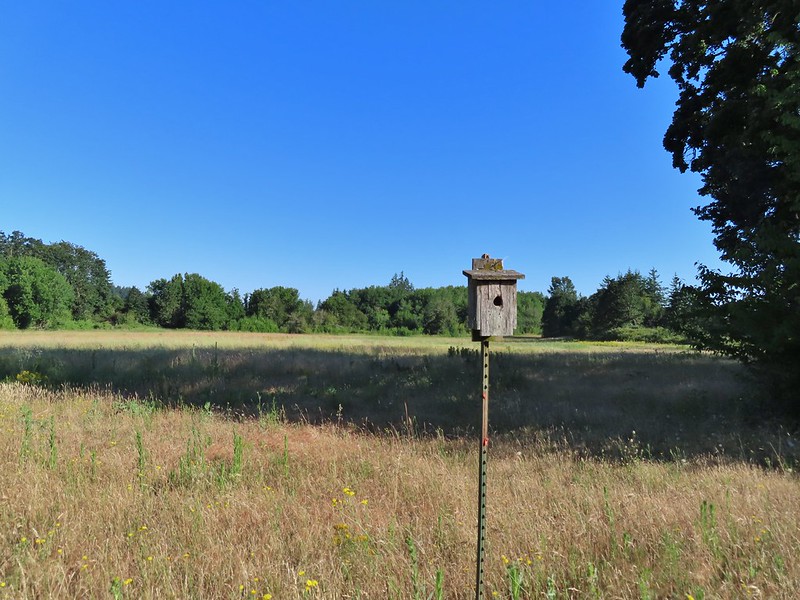 One of several birdhouses along the road.
 North end of the pond.

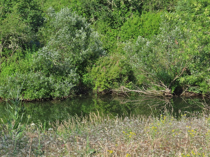 We are both pretty sure a turtle swam off from this area when we came into view.
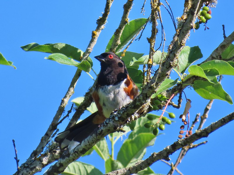 Spotted towhee
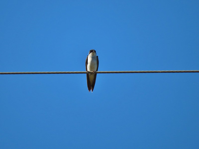 Swallow
 European centaury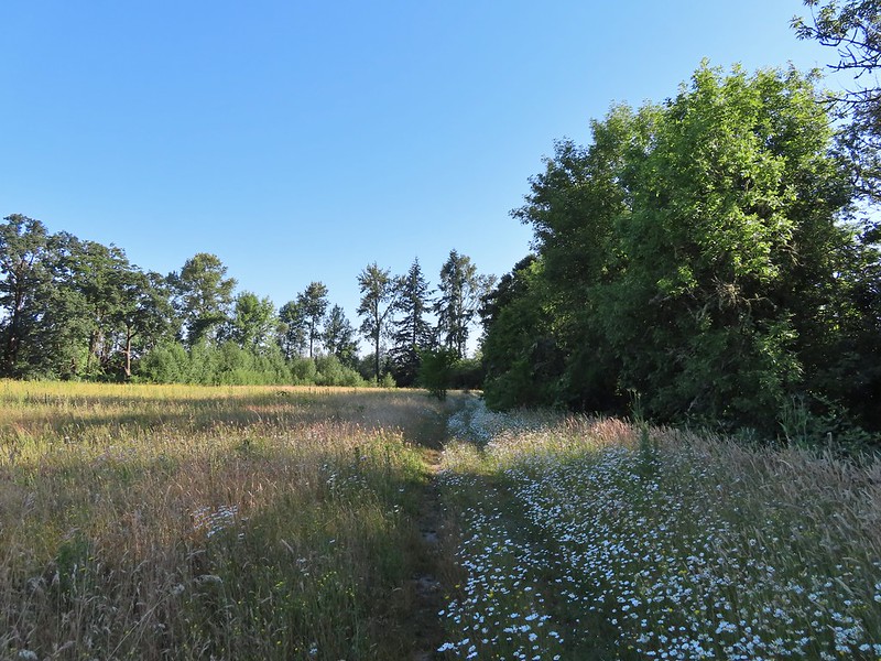

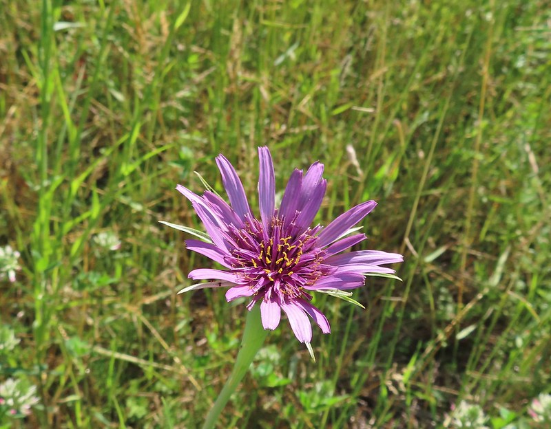 Oyster plant
 Creeping jenny
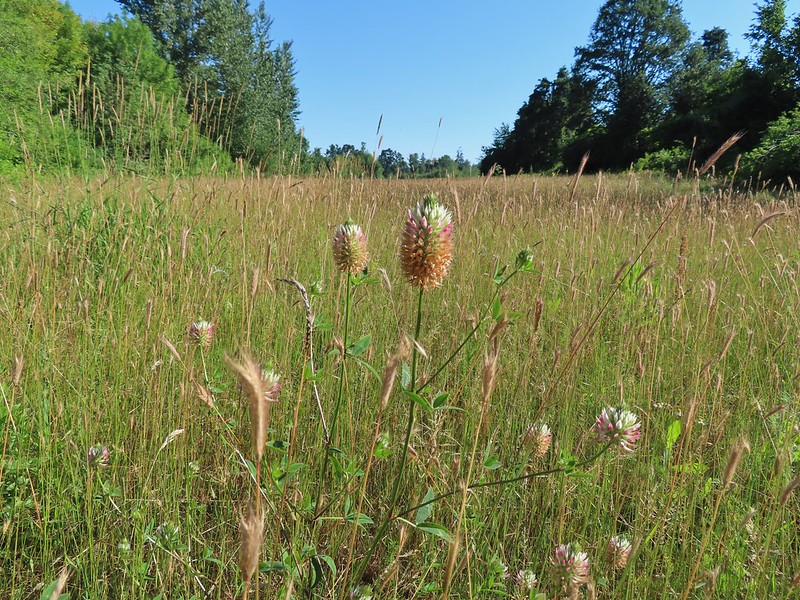 Arrowleaf clover
 Scrub jay
 Corn Chamomile
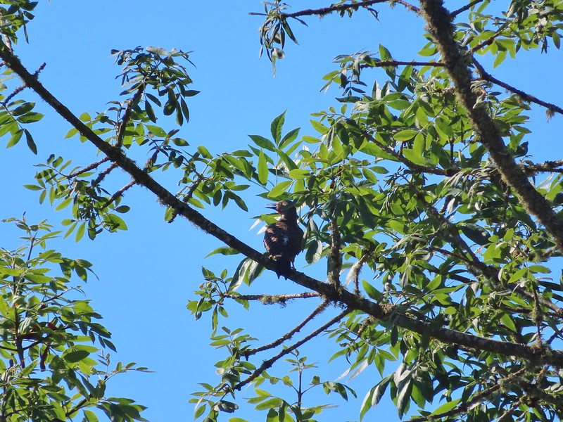 Northern flicker
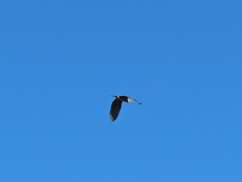 Great blue heron
 American kestral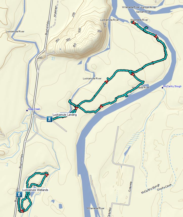


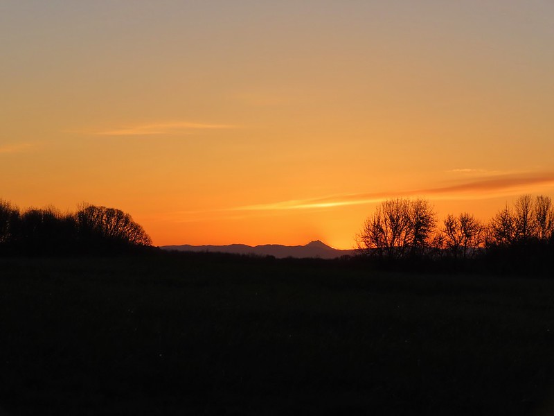
 Mt. Hood from the refuge road
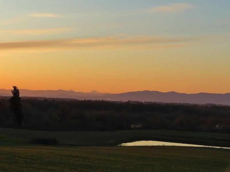 The Three Sisters from the road
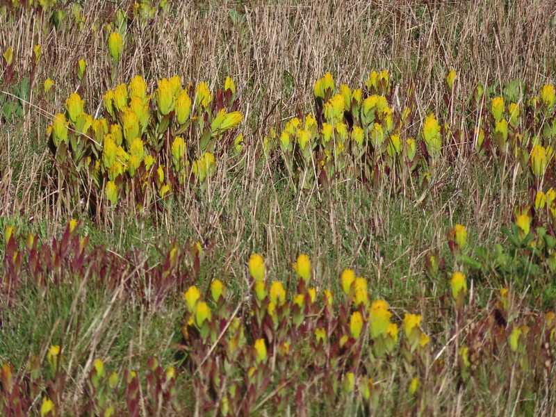
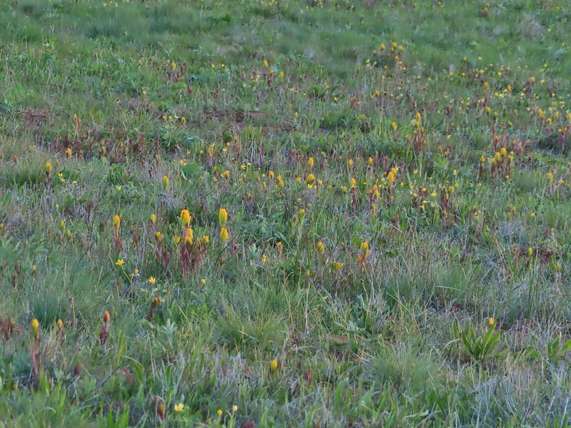 Yellow paintbrush
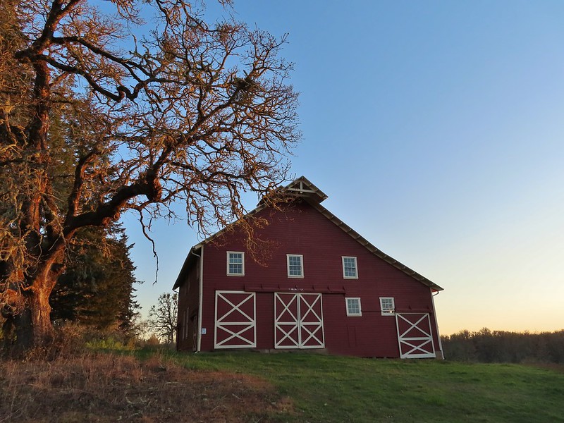 Cabell Barn
 Rabbit at the lodge
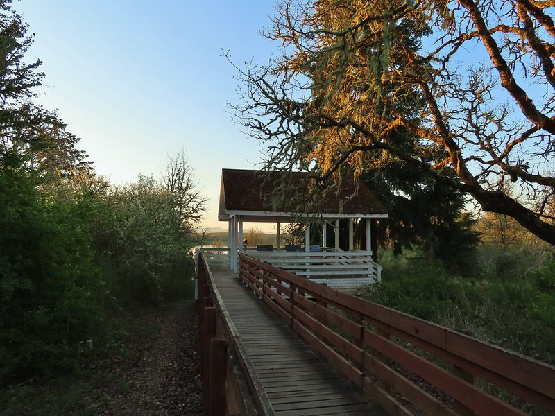 Cabell Marsh Overlook
 White crowned sparrows
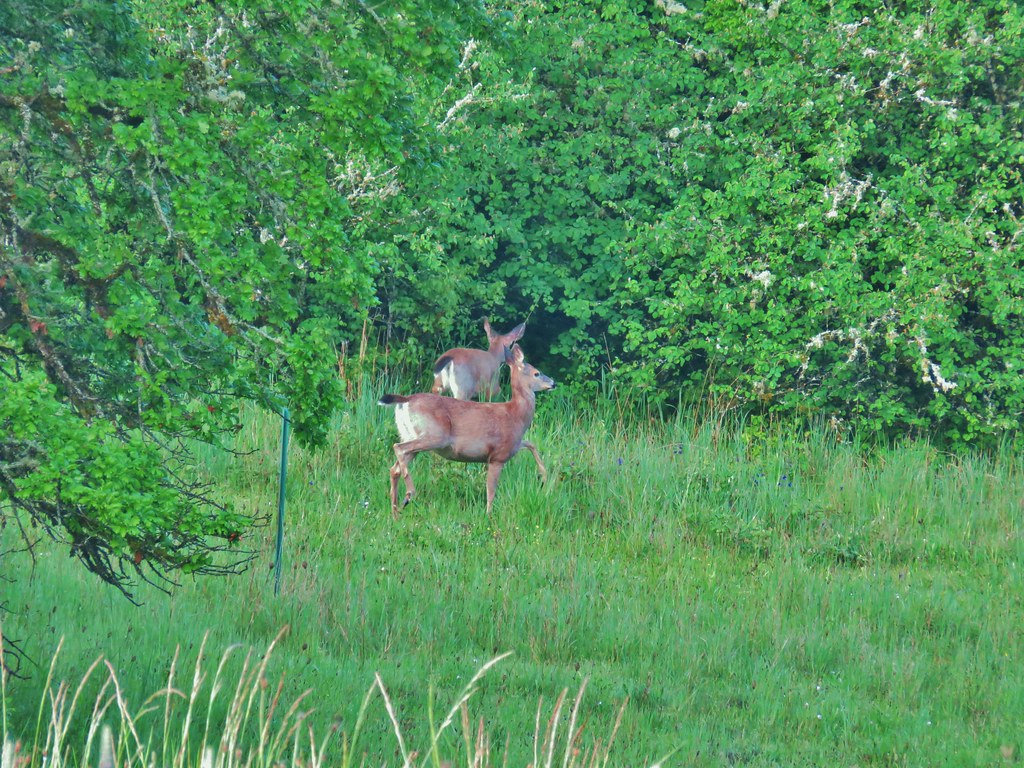
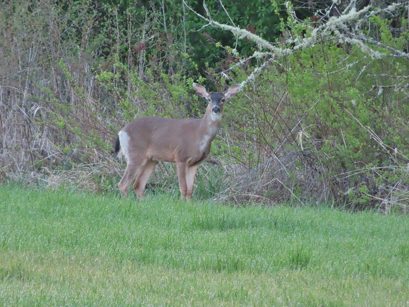 Deer in a field near Cabell Marsh
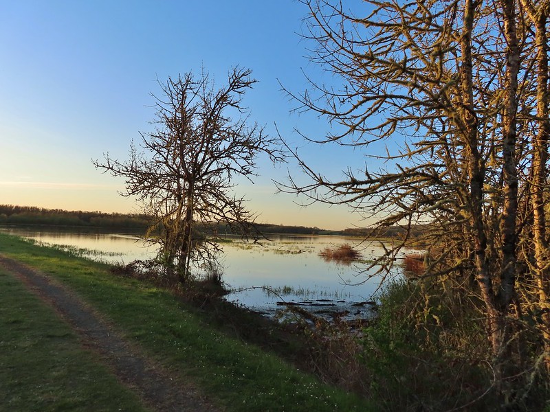 Cabell Marsh (the marsh had been drained when we visited in 2020)
 Norther shovelers
 American coots
 Ring-necked ducks
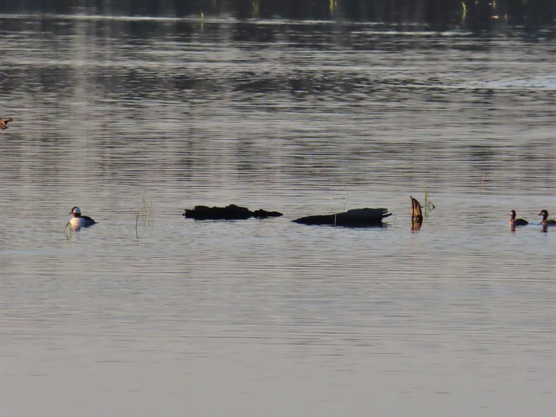 Buffleheads
 Black pheobe
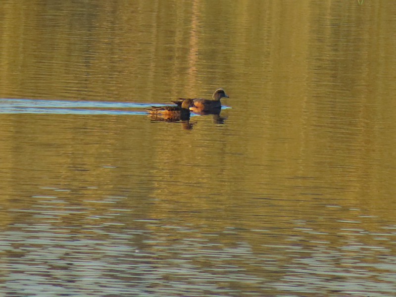 American wigeons
 Cabell Marsh
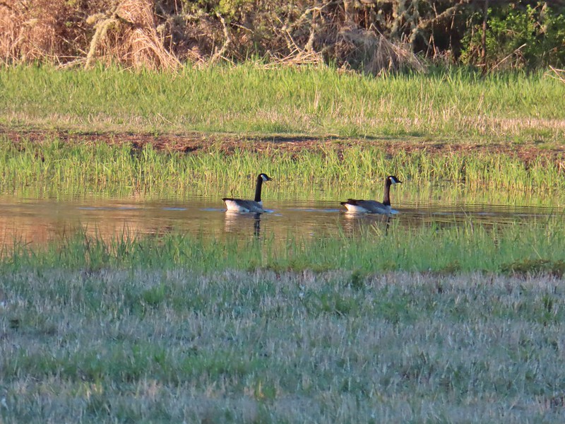 Canada geese
 Wood duck, ring-necked ducks and a pied billed grebe
 More northern shovelers
 Ring-necked ducks
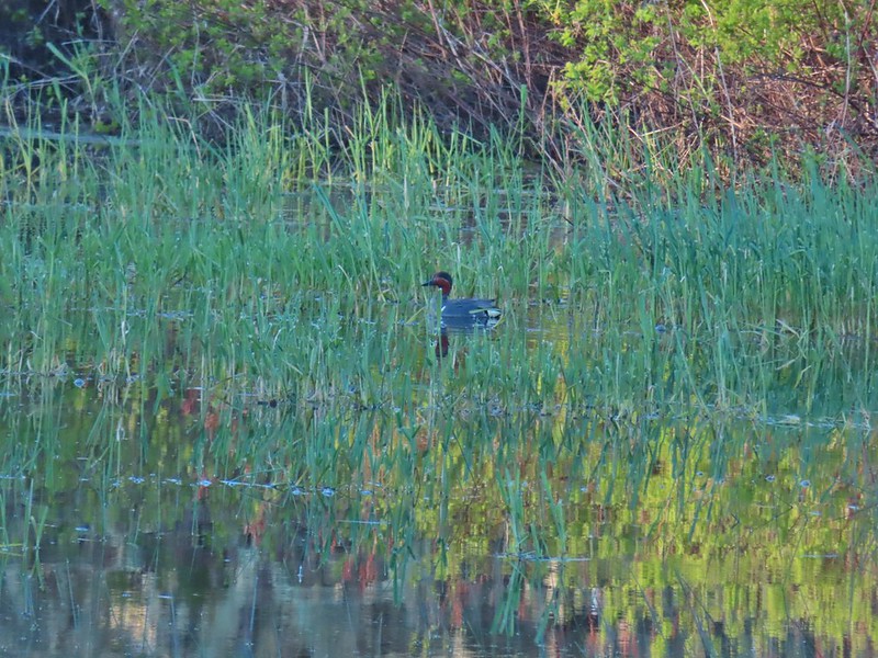 Green winged teal
 Robin
Robin
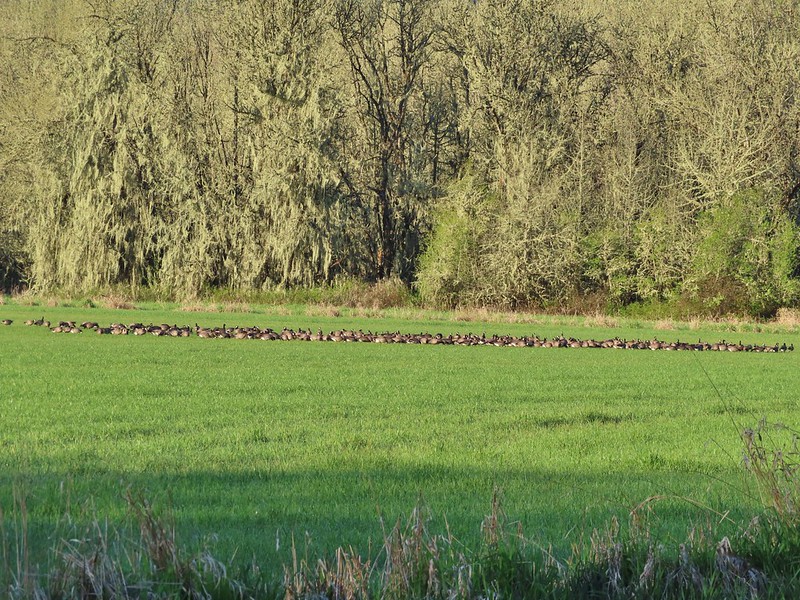

 Killdeer
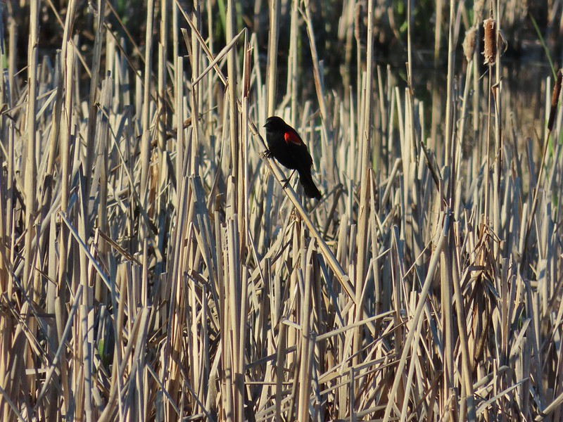 Red-winged blackbird
 Junction with the Pigeon Butte Trail (grassy track heading uphill)
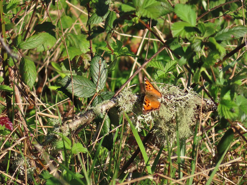 Tortoiseshell butterfly
 Spotted towhee serenade
 Bewick’s wren
 Madrone
 Mourning dove
 Camas blooming near the summit
 View from Pigeon Butte
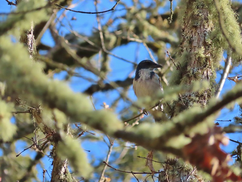 Scrub jay spotted on the way down.
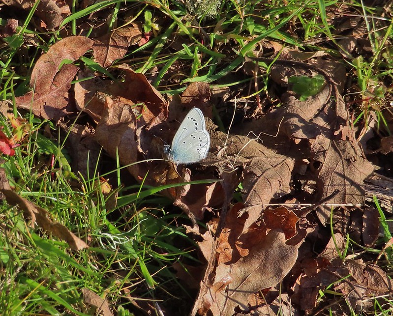 One of the “blue” butterflies, maybe a silvery blue
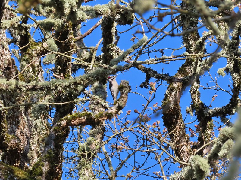 Acorn woodpecker
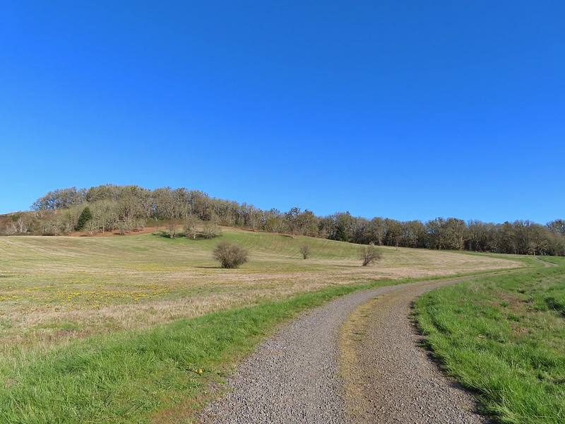 Looking back at Pigeon Butte, the yellow paintbrush was starting its bloom on the hillside.

 Looking back at Pigeon Butte and the Cheadle Barn
 Western bluebird
 Bruce Rd and a sign for the overlook.
 Swallows at the overlook
 Mary’s Peak and Pigeon Butte from the overlook.
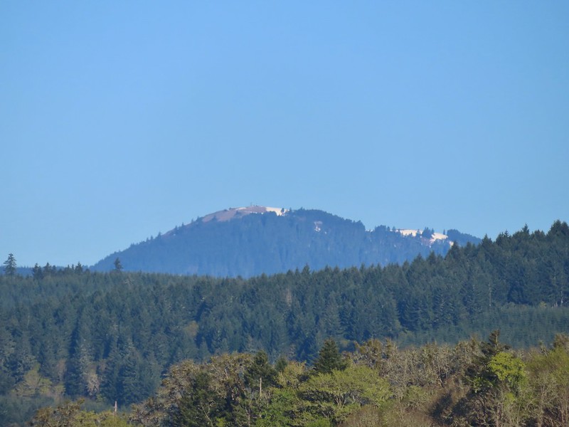 Mary’s Peak (
 Ground squirrel on Bruce Rd.
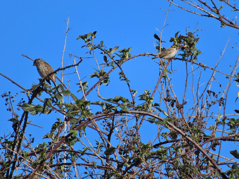 Sparrows
 Western bluebird
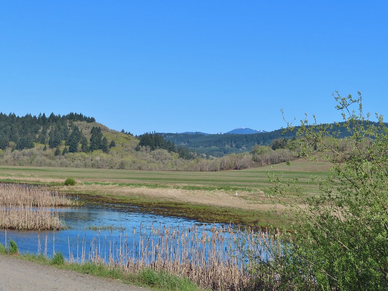 Mitigation Wetland
 Egret
Egret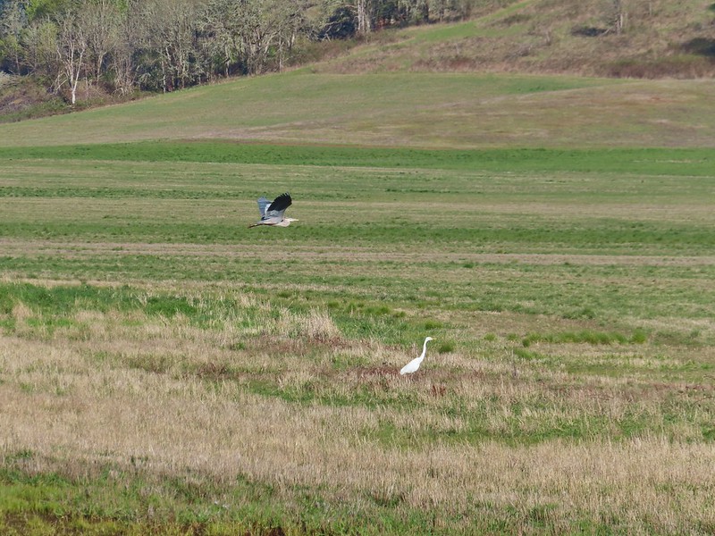 heron flying by the egret
 Northern shoveler
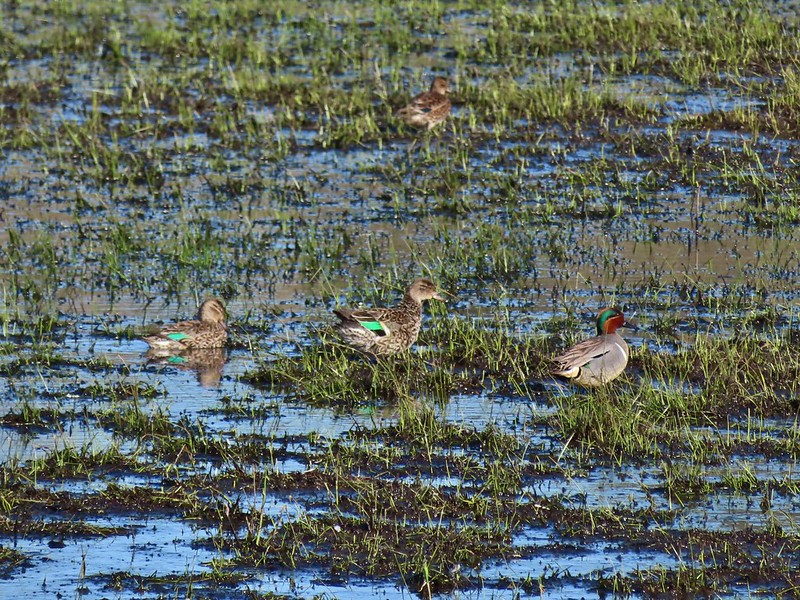 Green winged teals
 Trailhead off of Bruce Road
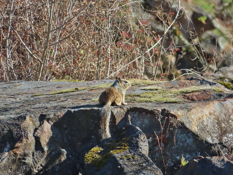 Ground squirrel
 Entering the woods
 Giant white wakerobin
 Fairybells
 Startled heron
 Egret and a cinnamon teal pair and maybe an American wigeon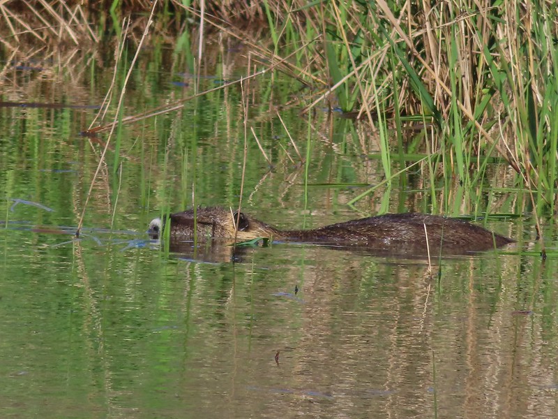
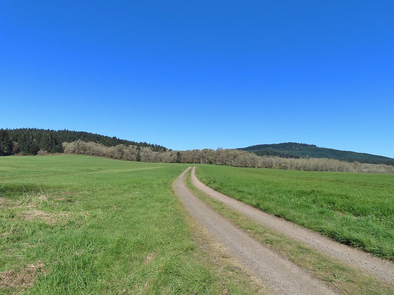
 Candyflower
 The pink turned out to be shooting stars.
 Iris
Iris Bleeding heart
 One of many fairy slippers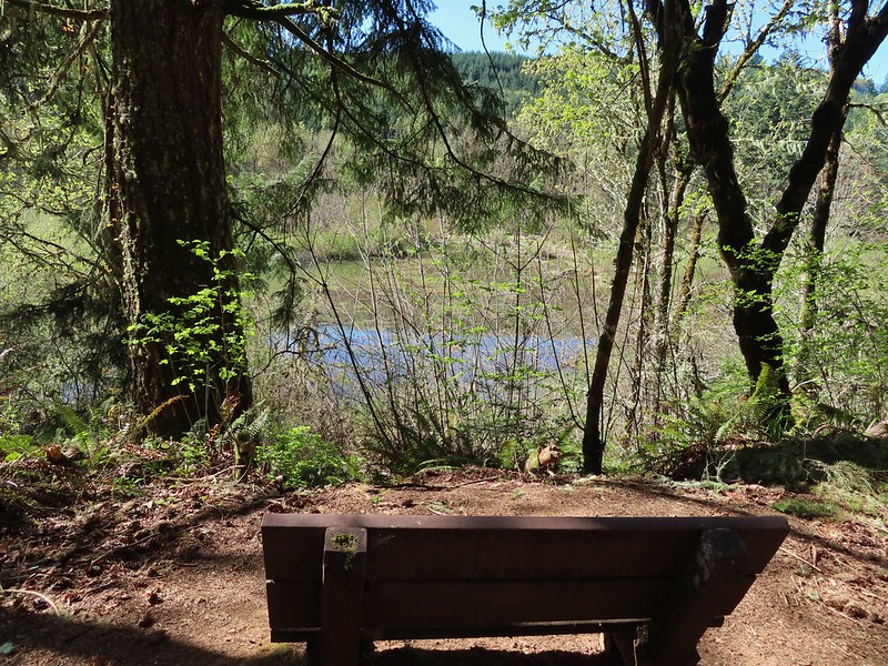
 It took some work to get the camera to stop focusing on the brush in the foreground.
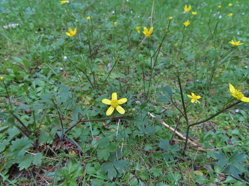 Buttercups
 Violets
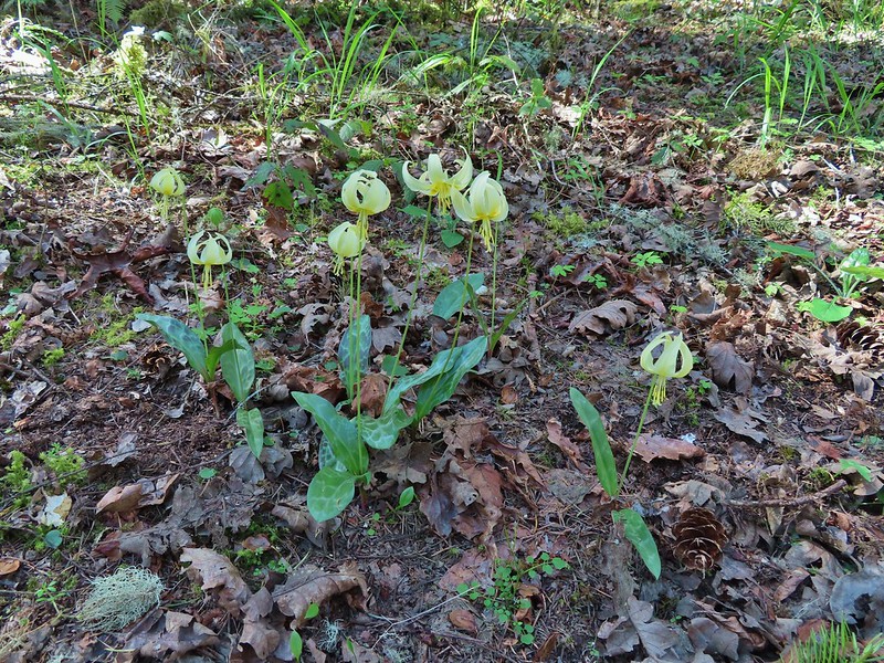 Fawn lilies
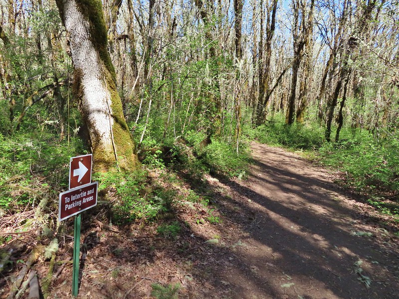 Back at the junction and onto the Intertie Trail

 Service berry
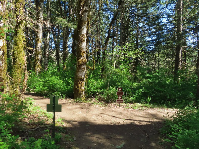 The Woodpecker Loop
 Norther flicker along the Woodpecker Loop
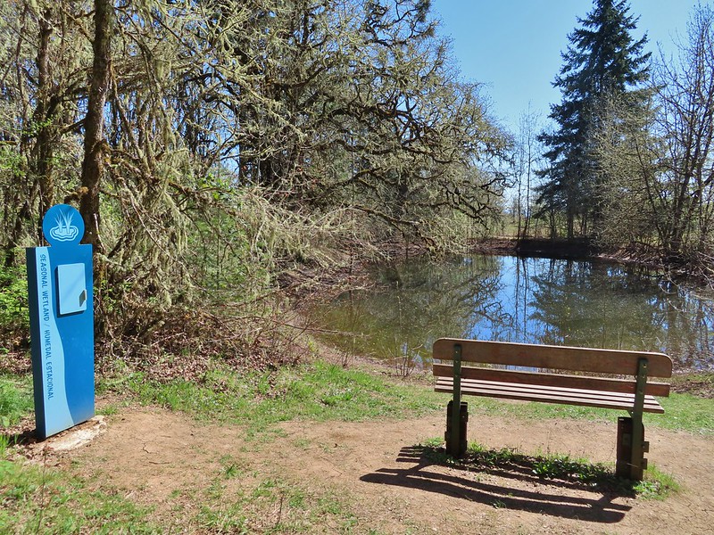 Amphibian pond and interpretive kiosk.
 Viewing structure
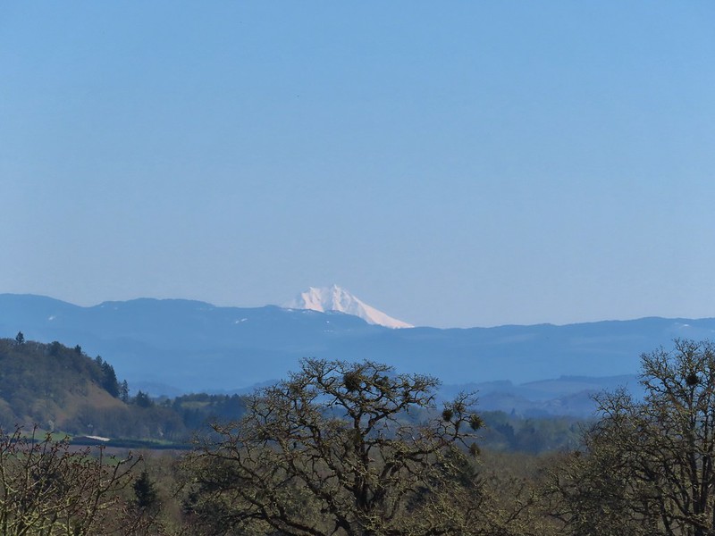 Mt. Jefferson
 The Three Sisters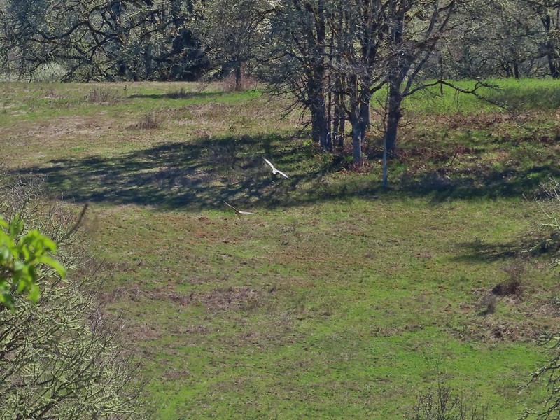
 This was the best shot I could get at 40x zoom with the sun in front of me.
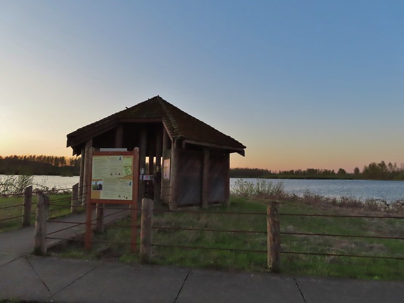


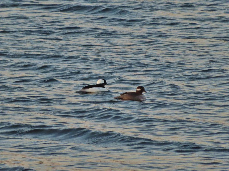 Buffleheads
 Canada goose and mallards
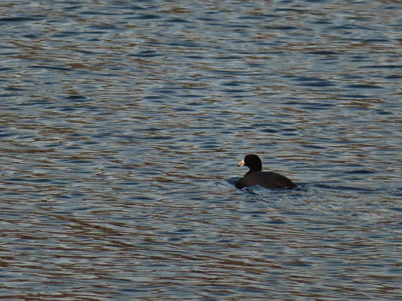 American coot
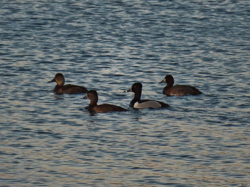 Ring-necked ducks (I’m not sure all the females are the same.)
 Geese flying over Eagle Marsh as the Sun rises.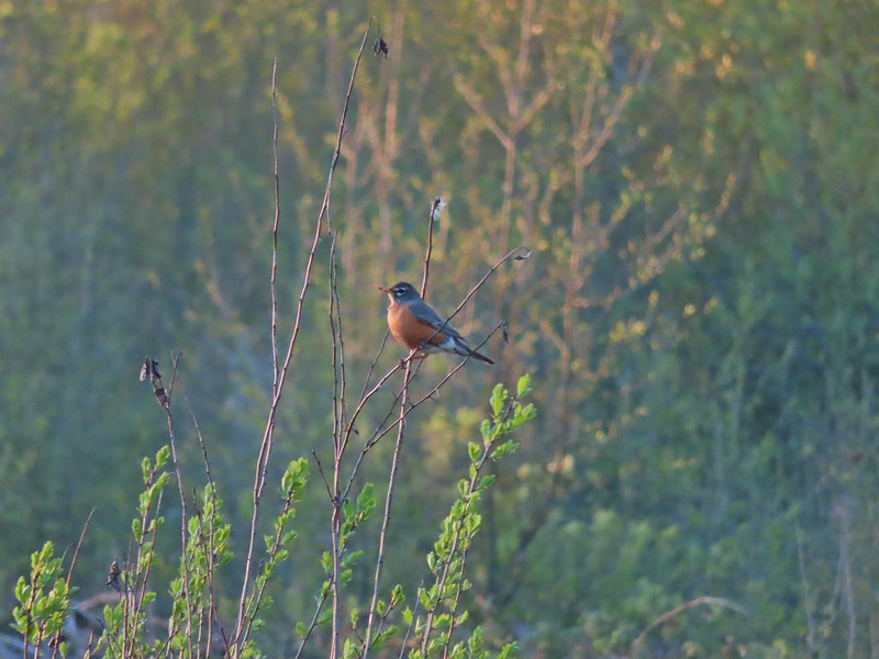

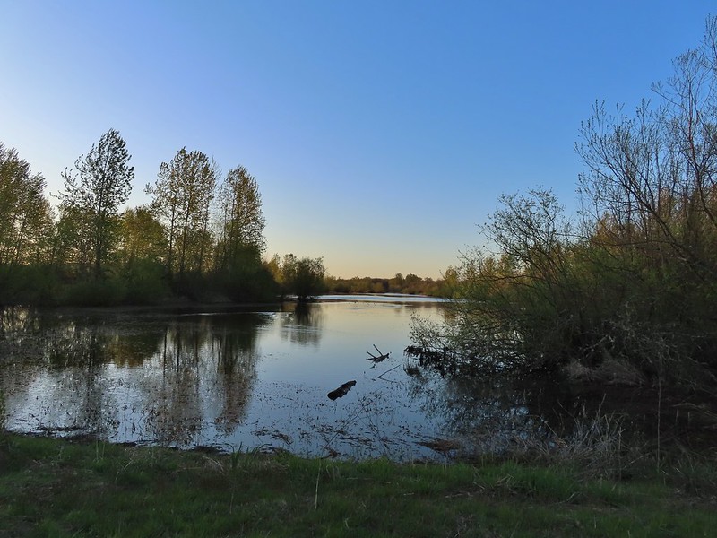 Willow Marsh
 A bufflehead and mallards
 Mallards and ring-necked ducks
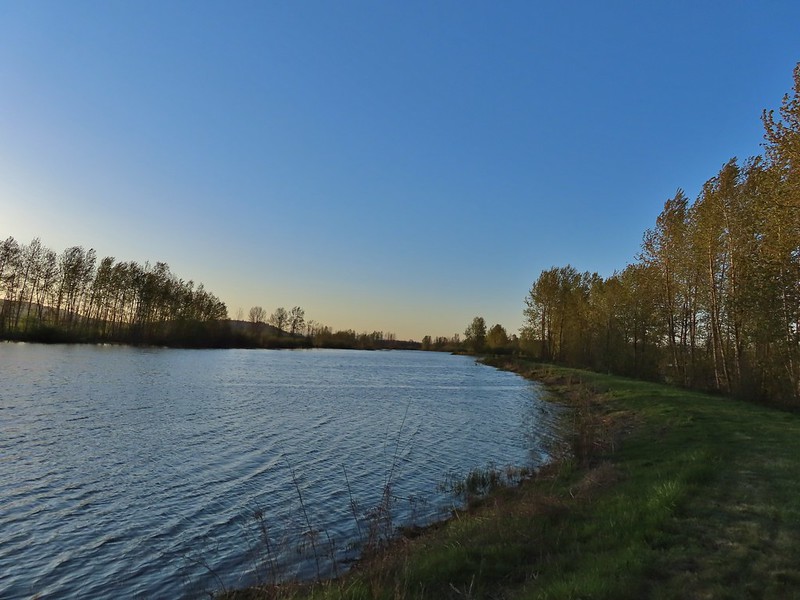 Teal Marsh to the left of the dike.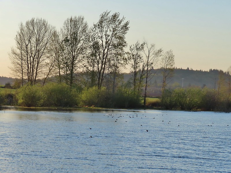
 Mallards an northern shovelers
 Buffleheads
 Spotted towhee
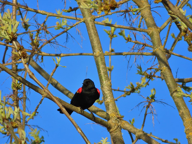 Red-winged blackbird
 Female red-winged blackbird
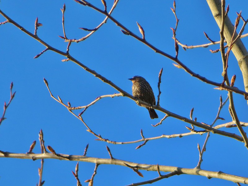 Sparrow
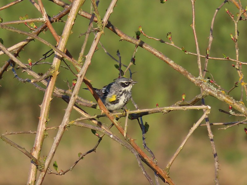 Yellow-rumped warbler
 Geese coming in for a landing on Teal Marsh
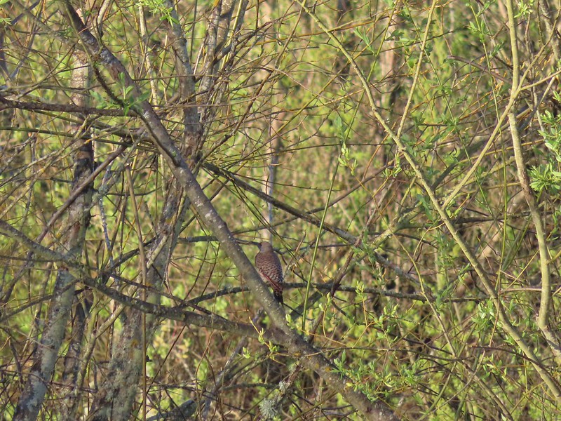 Northern flicker
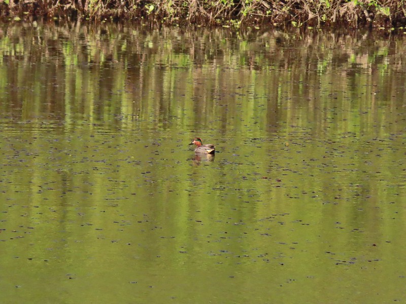 Green-winged teal
 Ring-necked ducks and a bufflehead pair
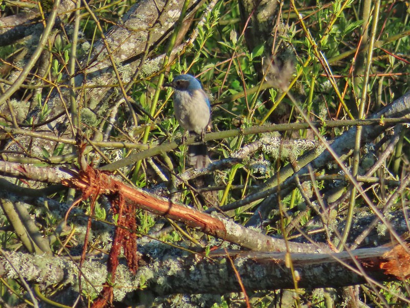 Scrub jay
 Pie billed grebe at Eagle Marsh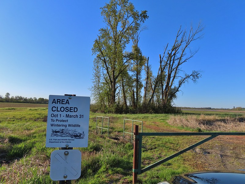


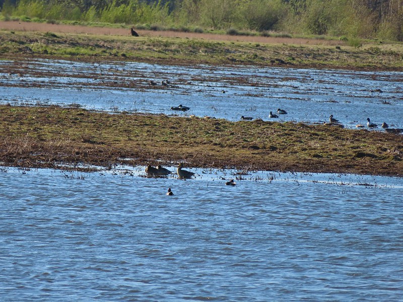 I didn’t see it when I took the picture but it appears there is an eagle on the ground in the distance here.
 One of the egrets taking off.
 Brewer’s blackbird on a tree along the railroad tracks.
 Pintail Marsh ahead on the left.
 The dike between Mohoff Pond and Pintail Marsh.
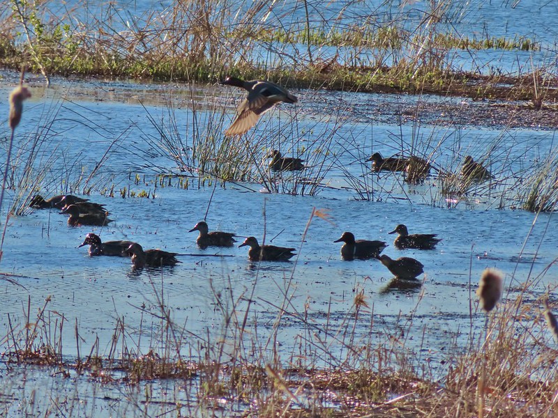 Ducks at Pintail Marsh
 Pintail Marsh
 Looking back at the gate and Wintel Road
 Yellow legs
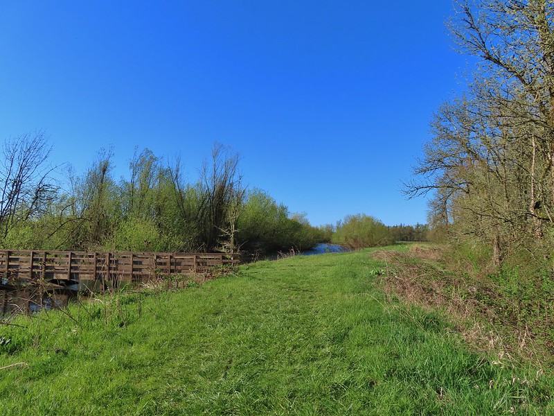
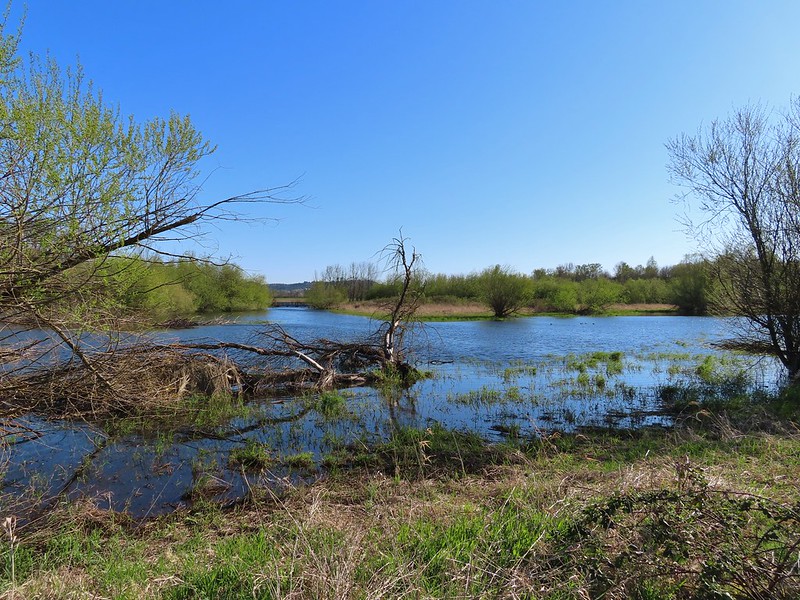 The boardwalk across Dunlin Pond from the dike.
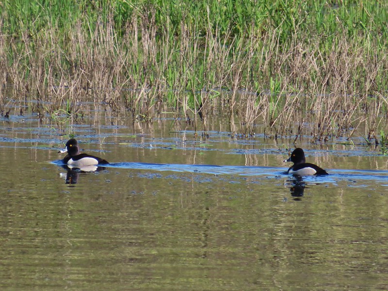 Ring-necked ducks
 Ring-necked ducks taking off.
 Sparrow
 Common yellowthroat
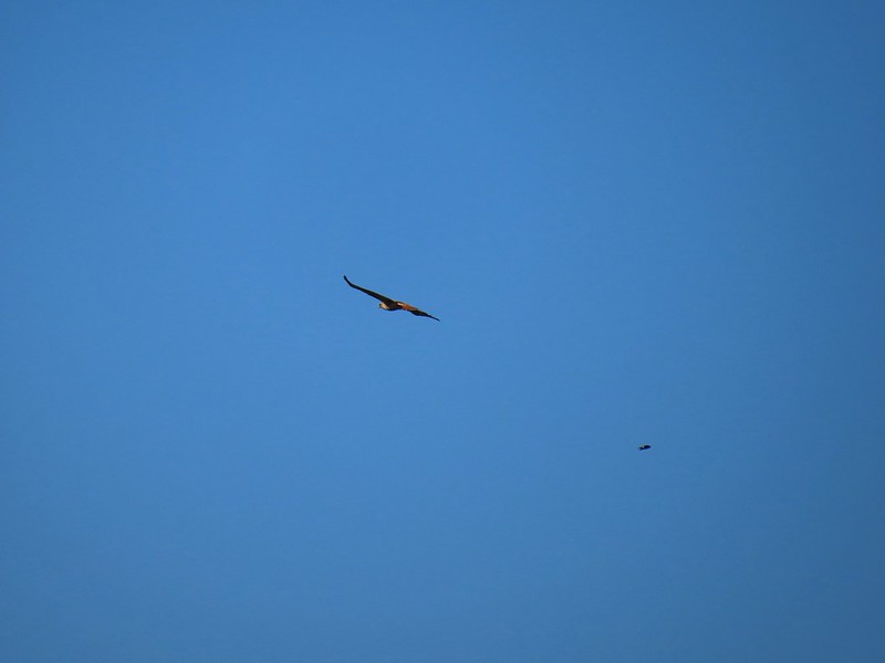 Hawk and a sparrow
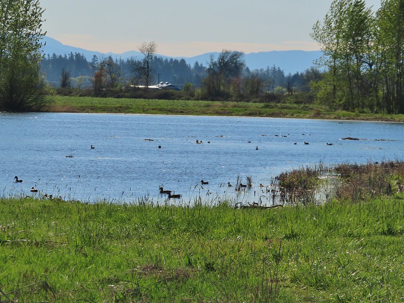 Killdeer Marsh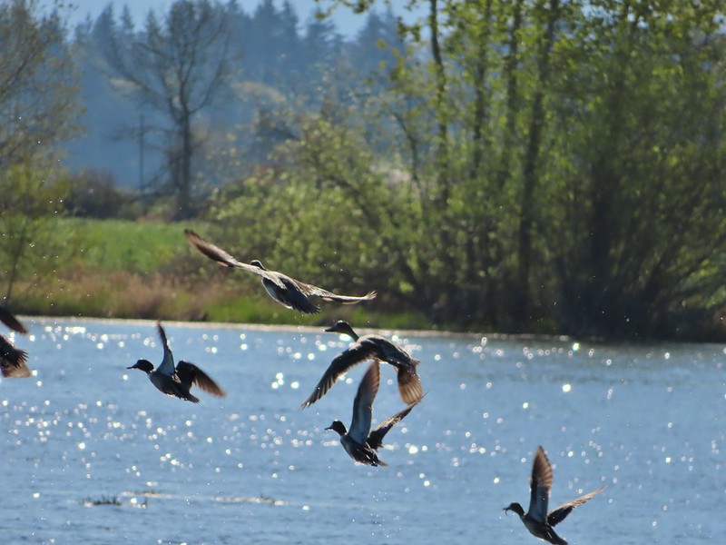
 Another yellow legs?
 A killdeer amid ducks at Killdeer Marsh
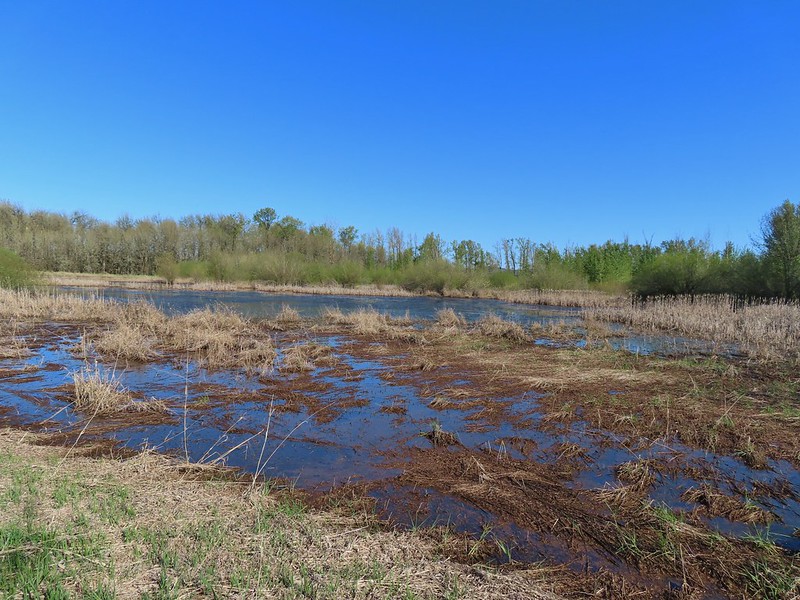 South Pond
 Cinnamon Teal in South Pond
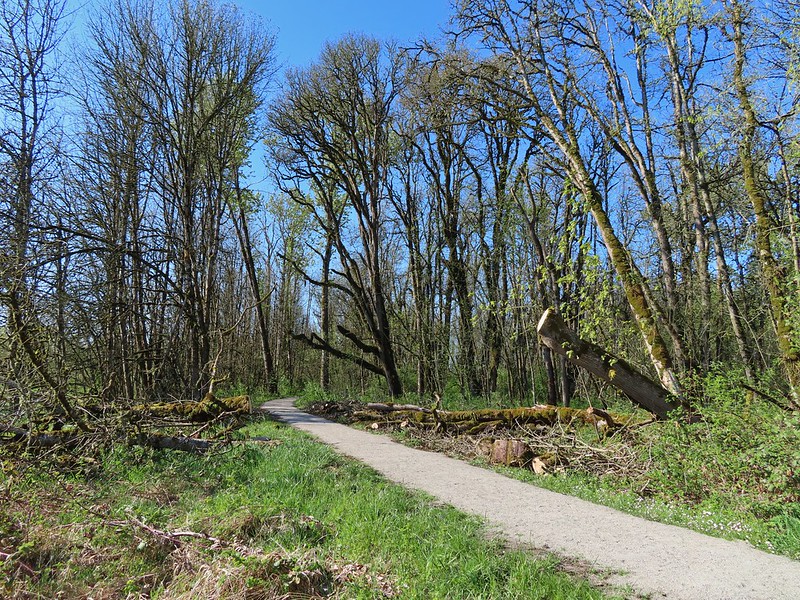 Damaged trees from the ice storm earlier this year.
 Turkey vulture
 Candyflower
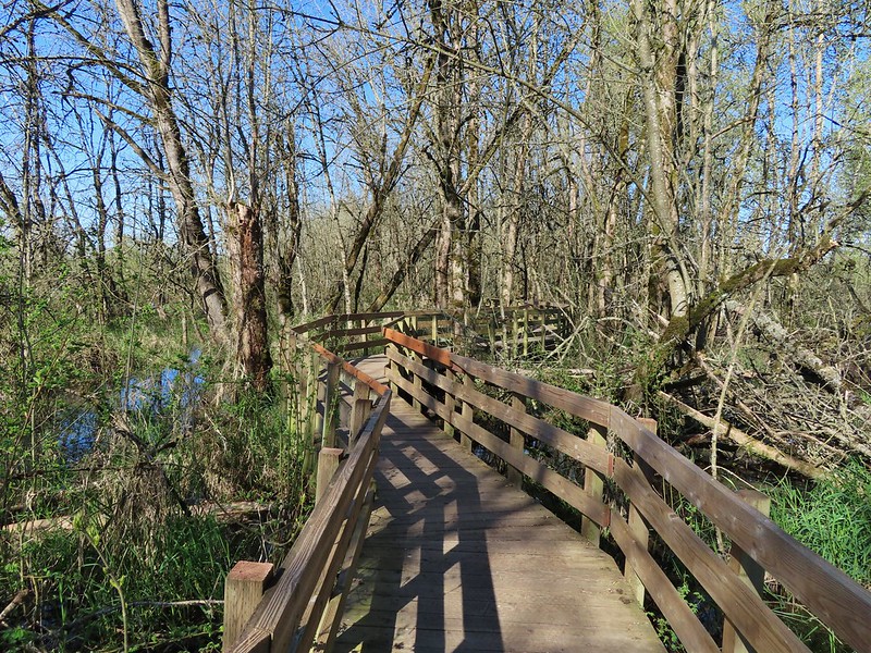

 American coots
 I think this is a ring-necked duck and a lesser scaup.
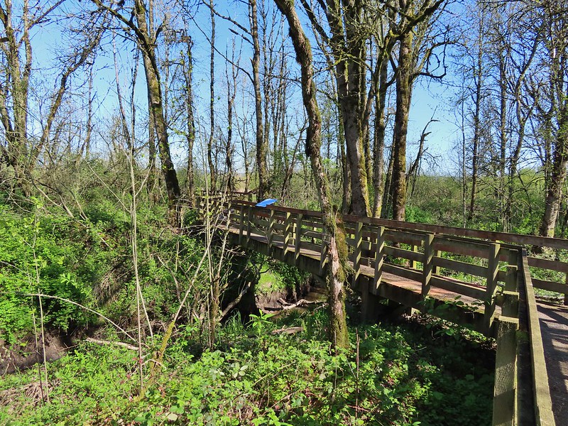
 The dike from the blind.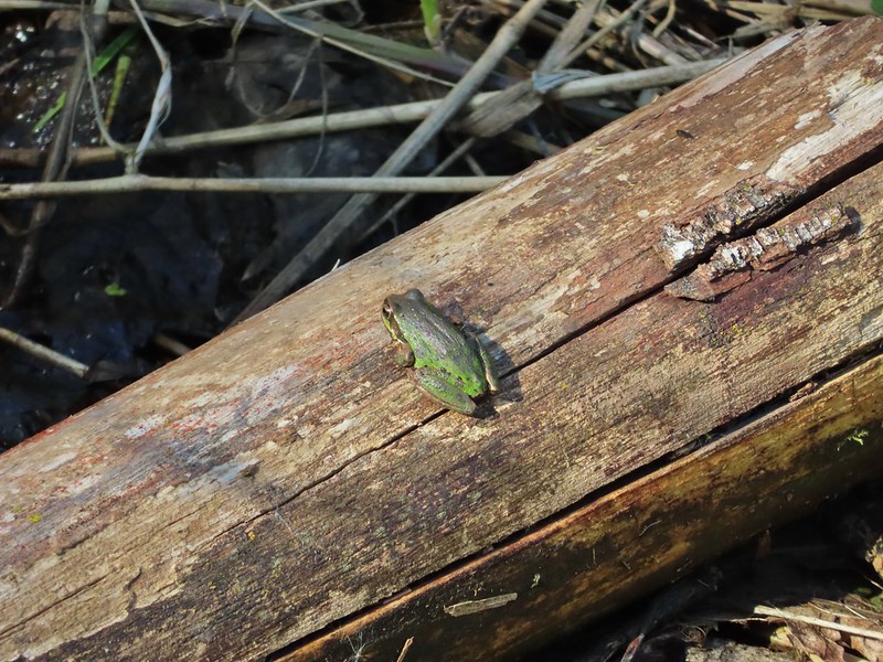


 Killdeer on the dike.
 A whole lot of geese in the air ahead.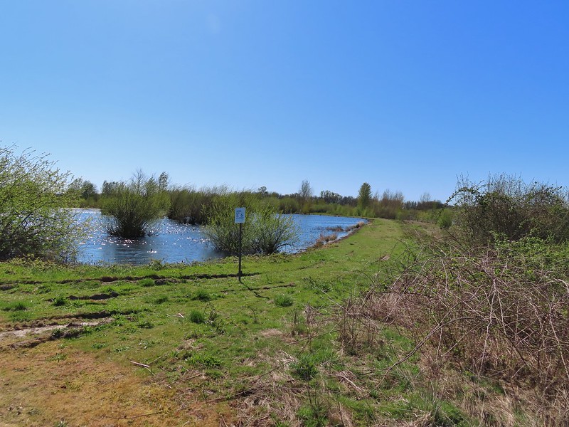

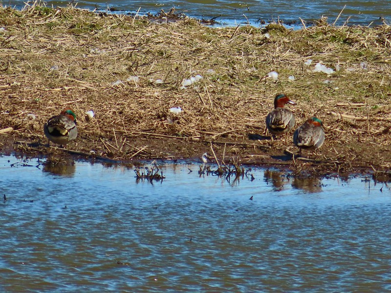 Green-winged teals
 Northern shovelers
 Canada geese
 Another green-winged teal
 Various ducks
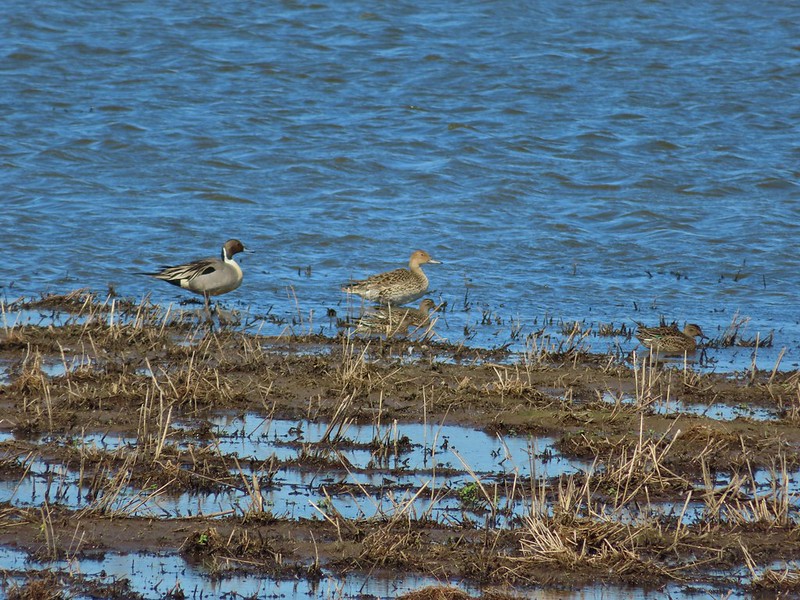 Northern pintails
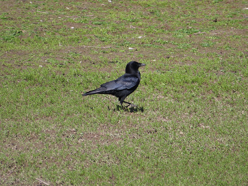 Crow
Crow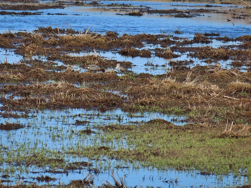 A green-winged teal and a yellow legs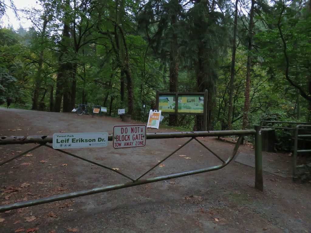
 .
.

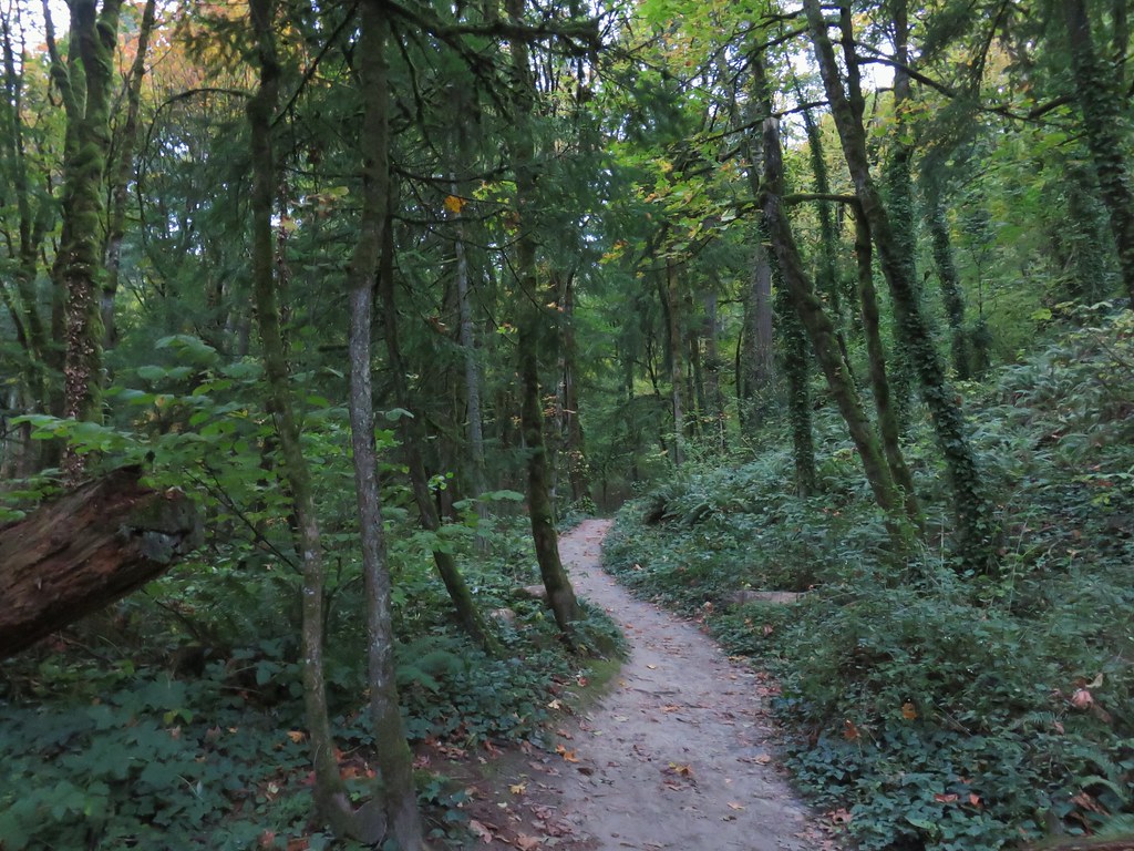
 Switchback along the Wild Cherry Trail.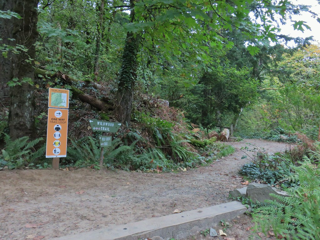


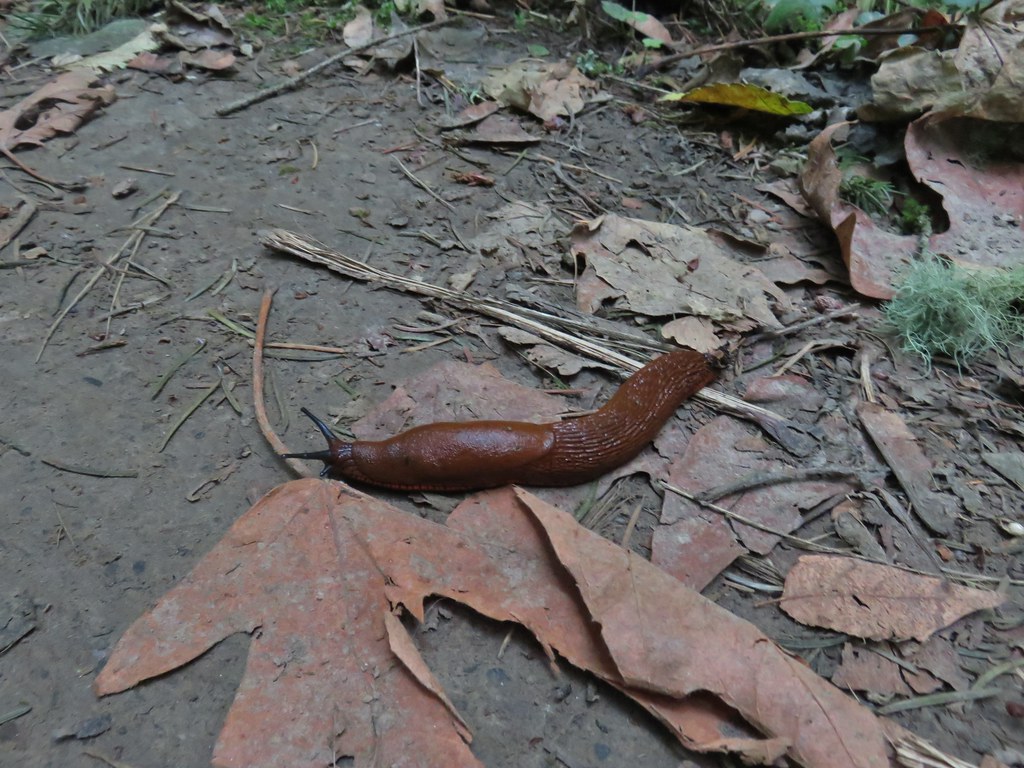 This was the first slug we recall seeing of this color.
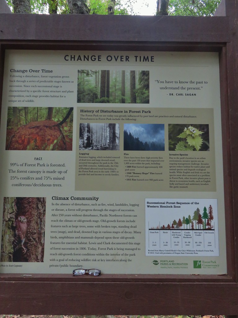 Interpretive sign at the NW 53rd parking area.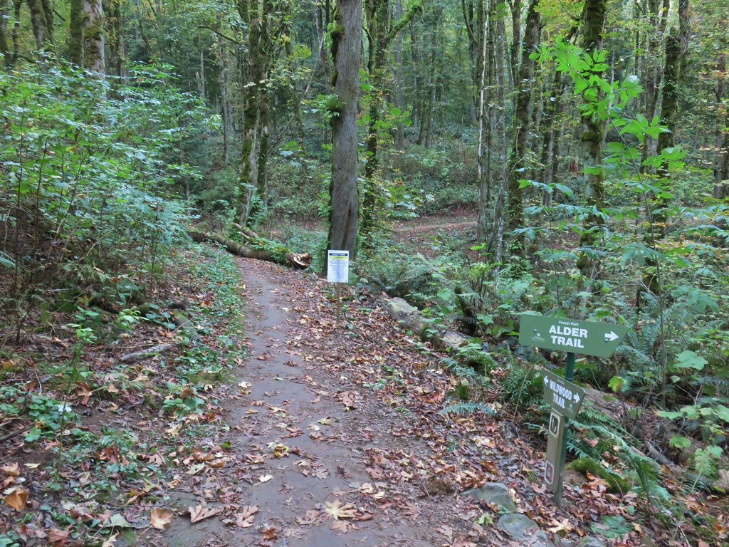


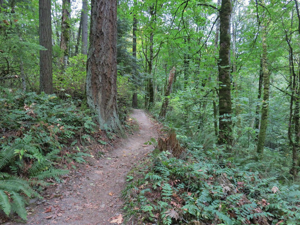
 The bridge damage was not an issue.
 Another bunch of musrhooms.

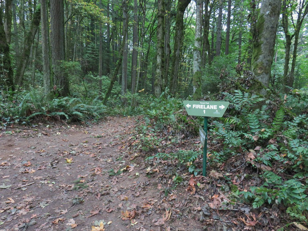 Firelane 1 junction.

 The fork, left was downhill right up.
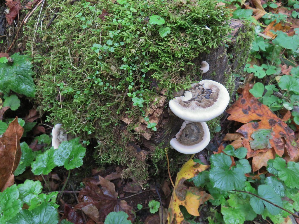


 Firelane 1
 Somewhere along Leif Erikson there was supposed to be a view of Mt. St. Helens, Mt. Adams and Mt. Hood along the way but the clouds never burned off like the forecast had called for.
 The Alder Trail at Leif Erikson Dr.
 An orange one-way marker along Leif Erikson Drive between the Dogwood and Wild Cherry Trail junctions.


 Lupine along McFadden’s Marsh
 Small bird in the grass.
 I am almost never sure on yellow flowers like these which one it actually is.
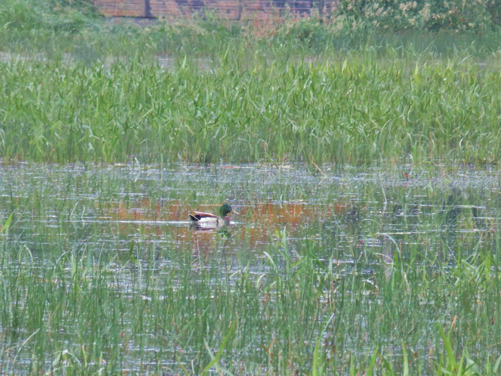 Mallard at McFadden’s Marsh.
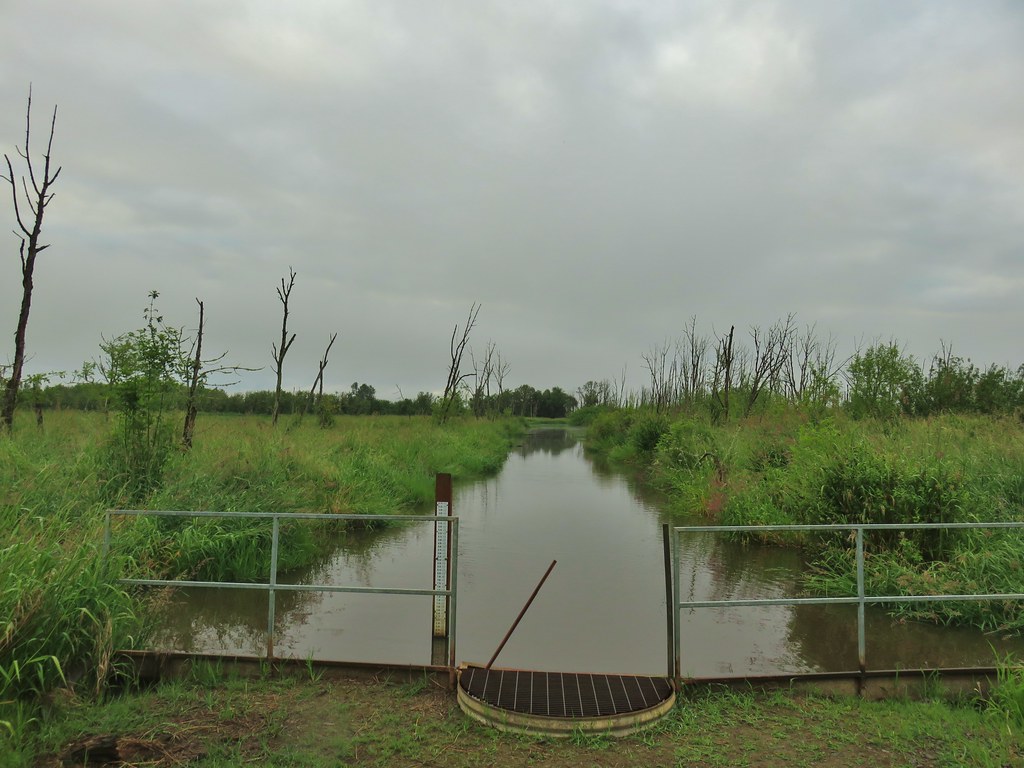 Ditch draining into the marsh.
 Wood duck and duckling speeding away down the ditch.
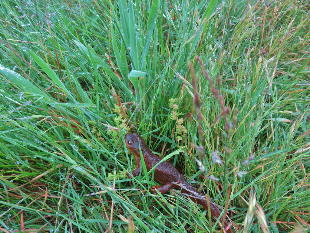 Watch your step in the grass!
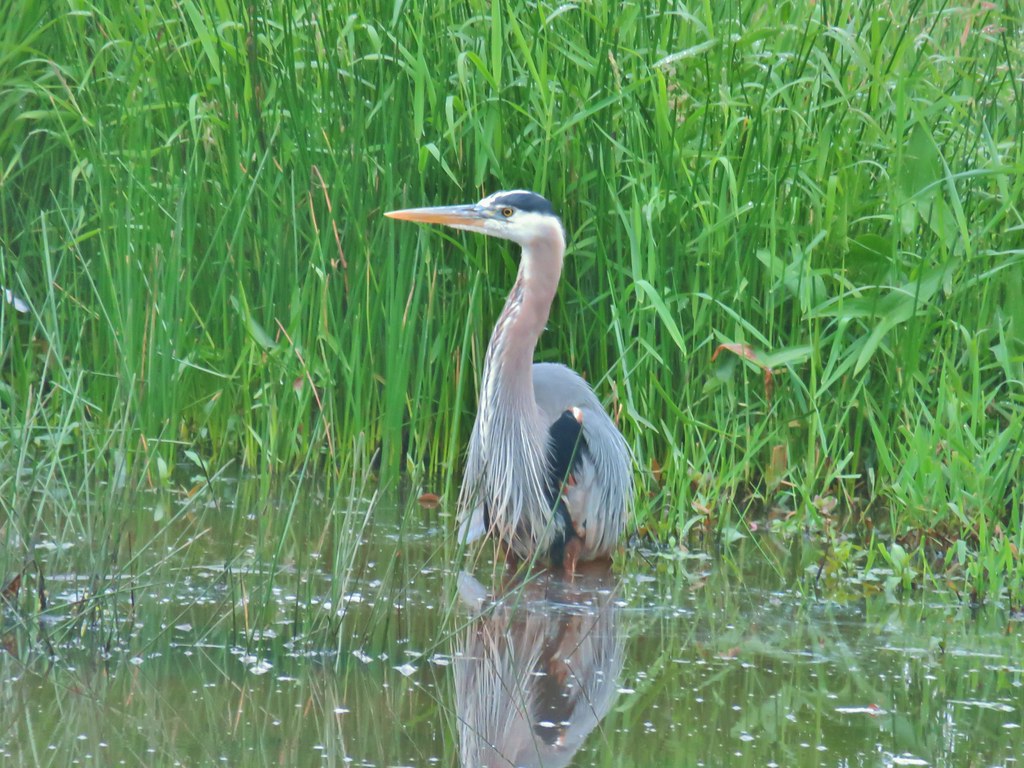
 Another heron standing in the marsh.
 Walking over Muddy Creek on Bruce Road.
 A pair of California quail and a rabbit on Bruce Road near the Cheadle Marsh Trailhead.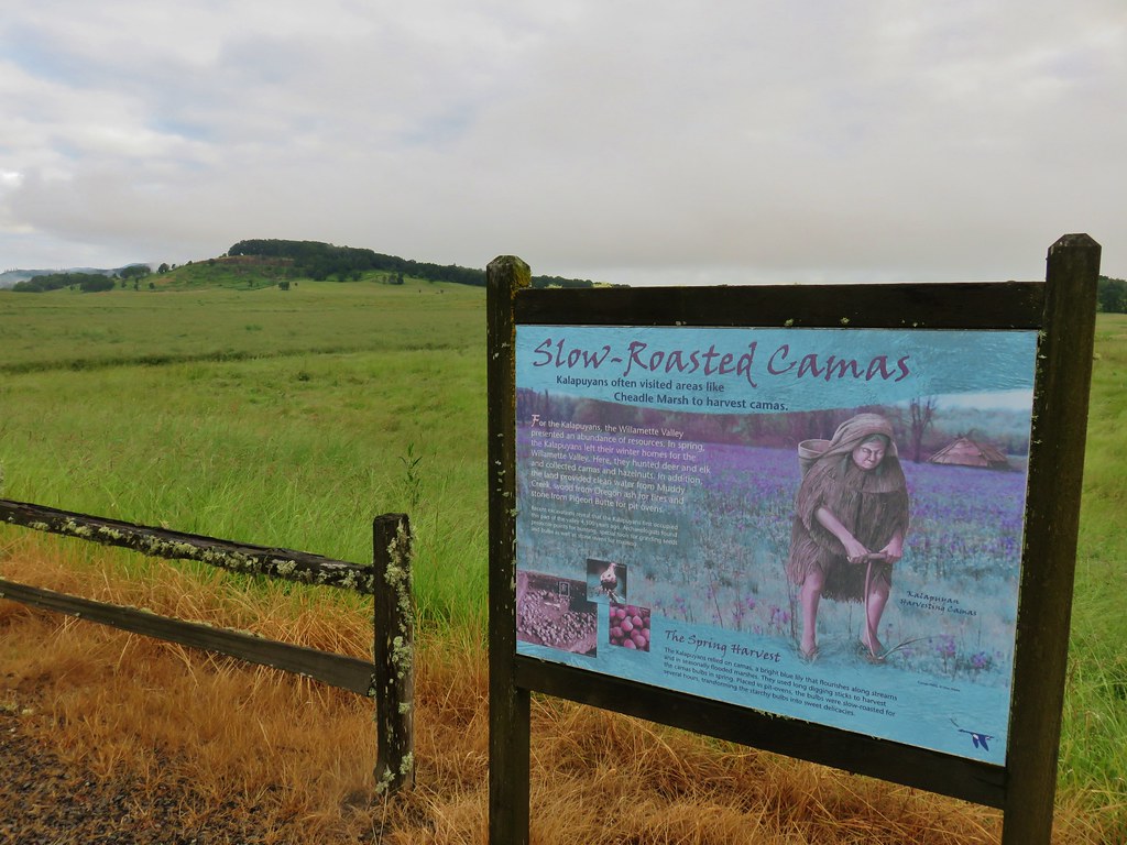

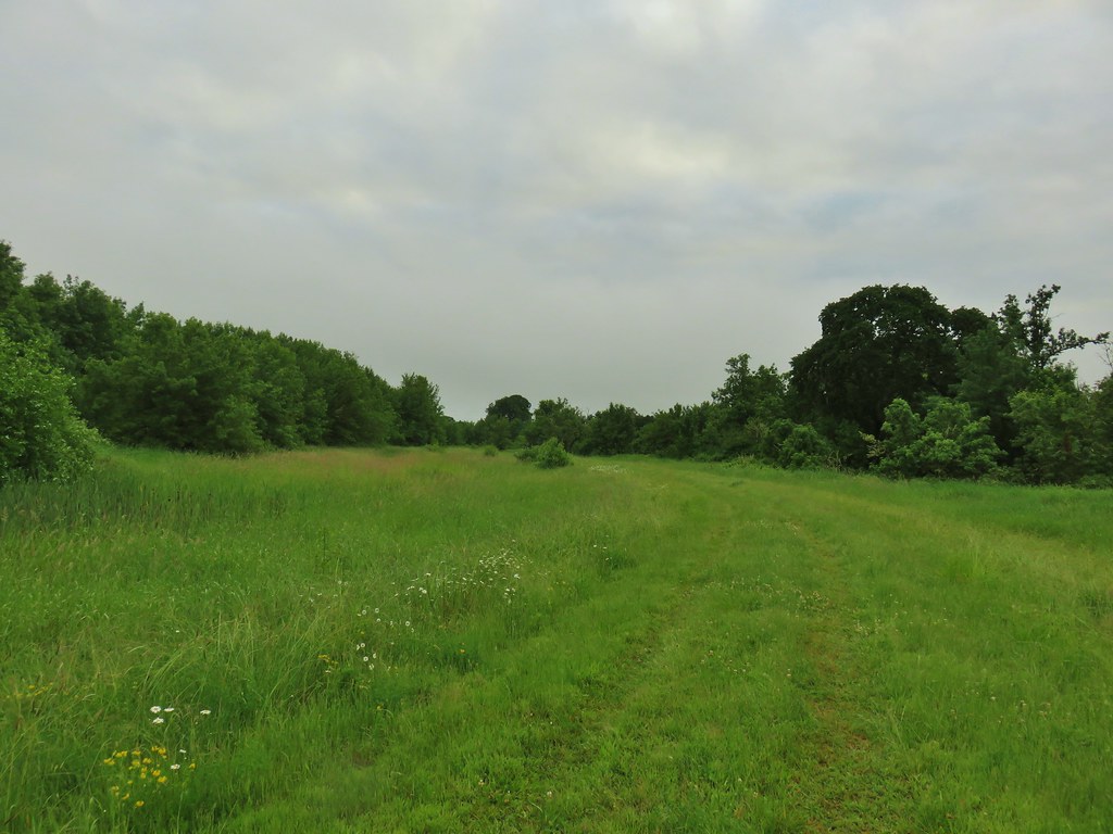

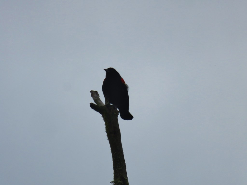 Red-winged blackbird that did pose for a moment.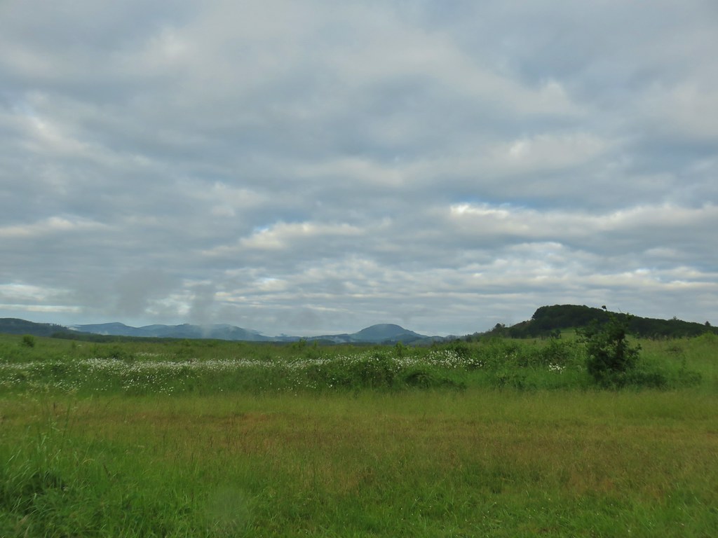
 Note the rabbit in the foreground, this was a theme on the day.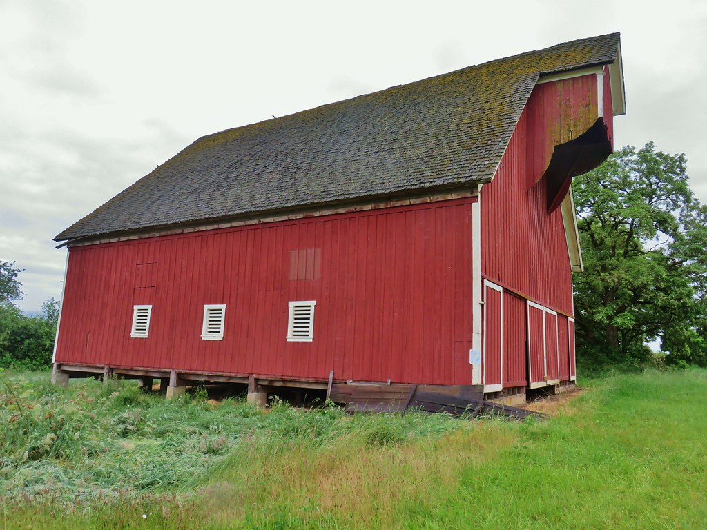
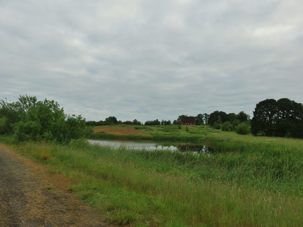 The pond and Cheadle Barn.
 Pied-billed grebe family at the pond.
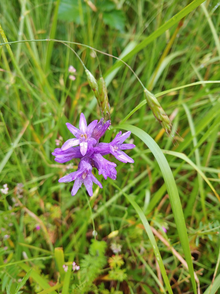 Ookow
Ookow Heading toward Pigeon Butte.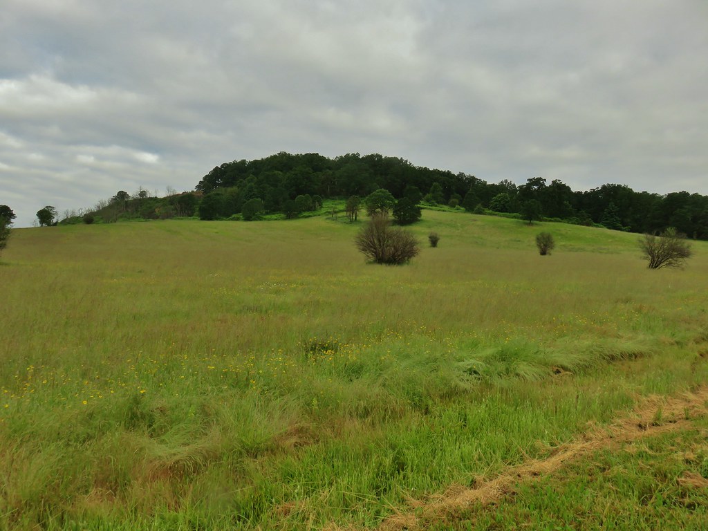
 Snail on a stick.
 Rough-skinned newt
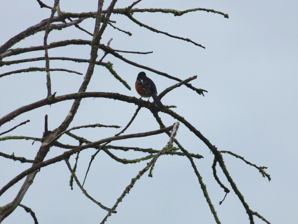 Spotted towhee that wouldn’t look at us.
 Quail on the road near the quarry.

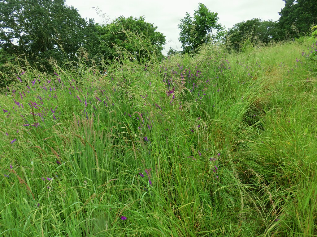 The trail is on the right of the mass of vetch blooming.
 Checkermallow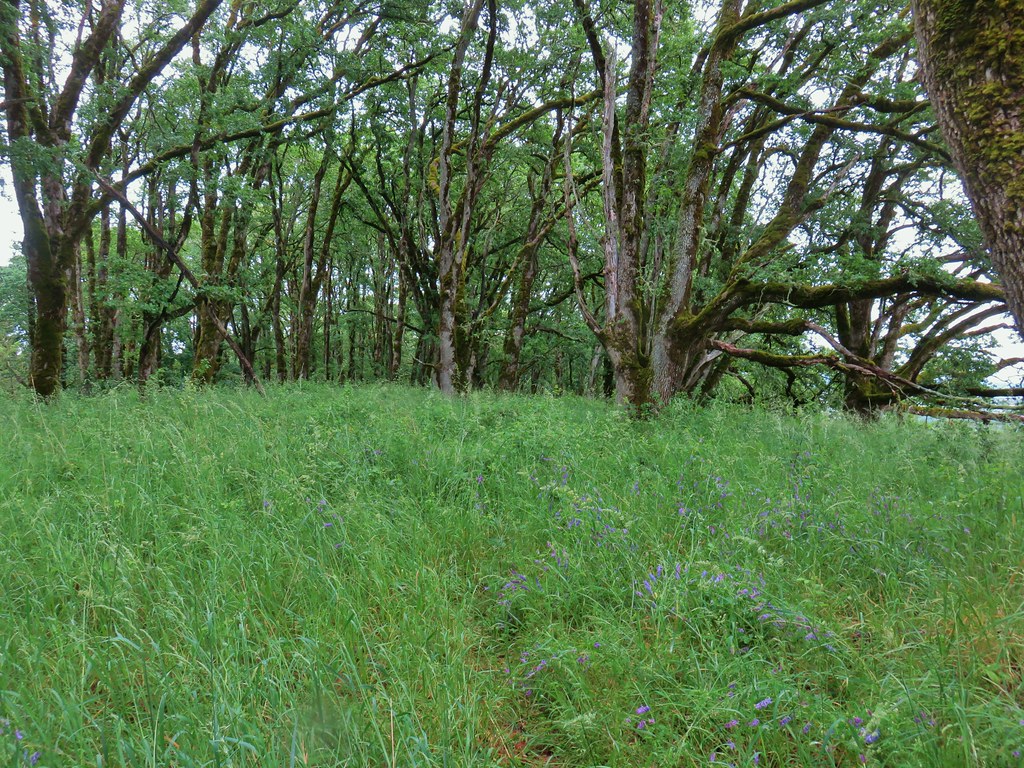
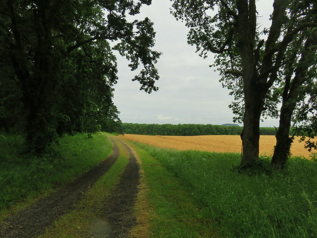

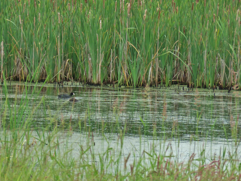
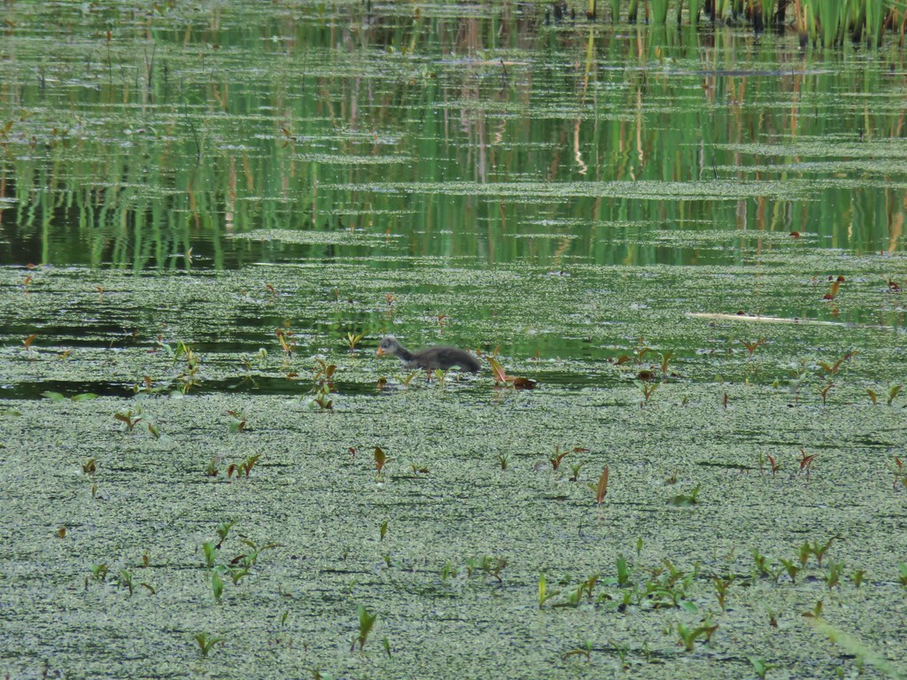


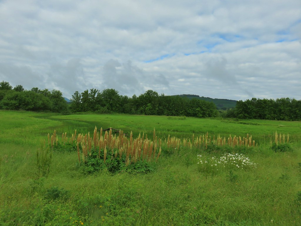


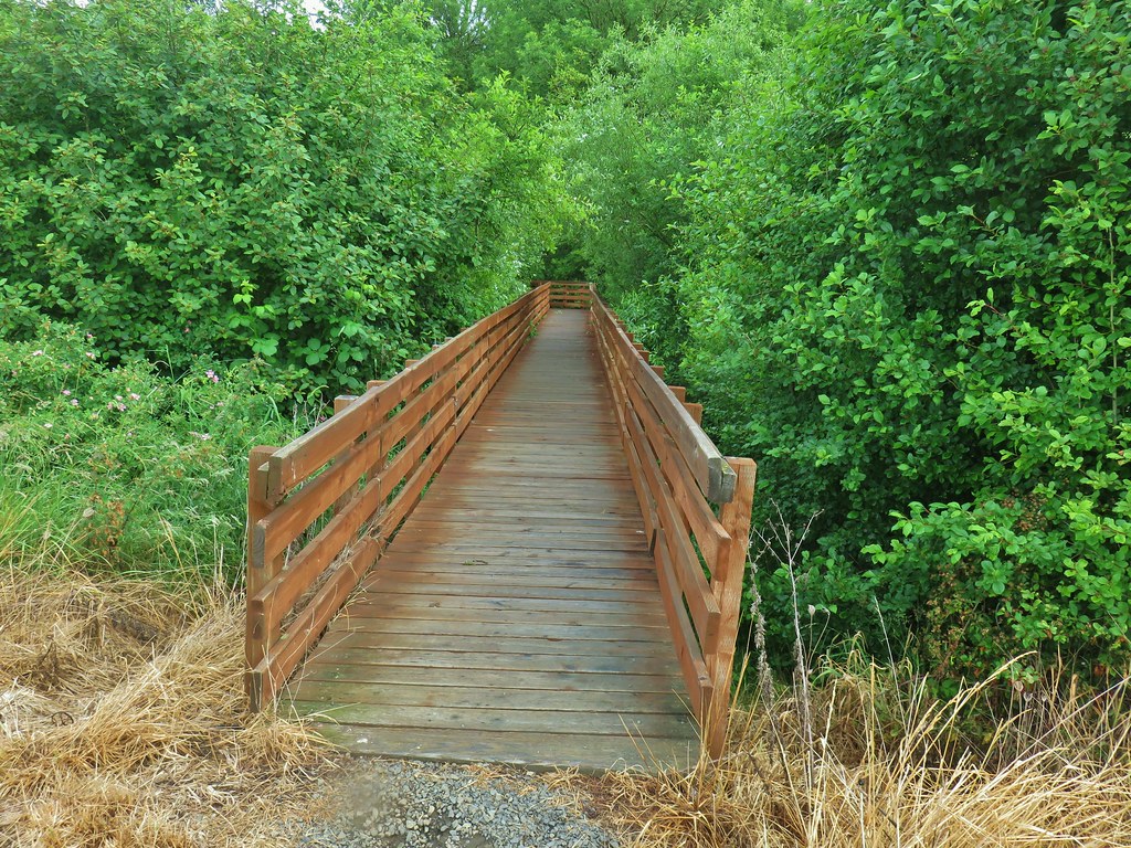
 With so little water there wasn’t really a reason to visit the blind.
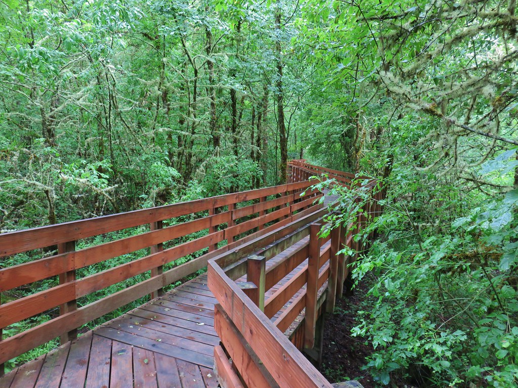
 Three rabbits at the parking area.
 Rabbit #1
 Rabbit #2
 Rabbit #3
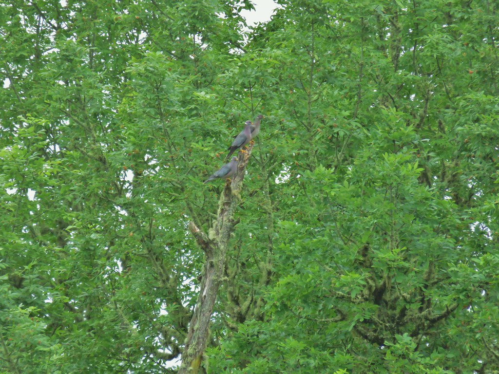 Band-tailed pigeons
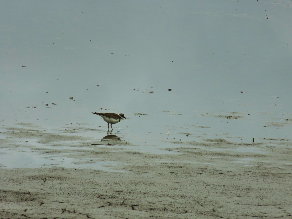 Killdeer
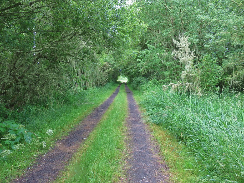
 One of several male American goldfinches we spotted along this stretch.
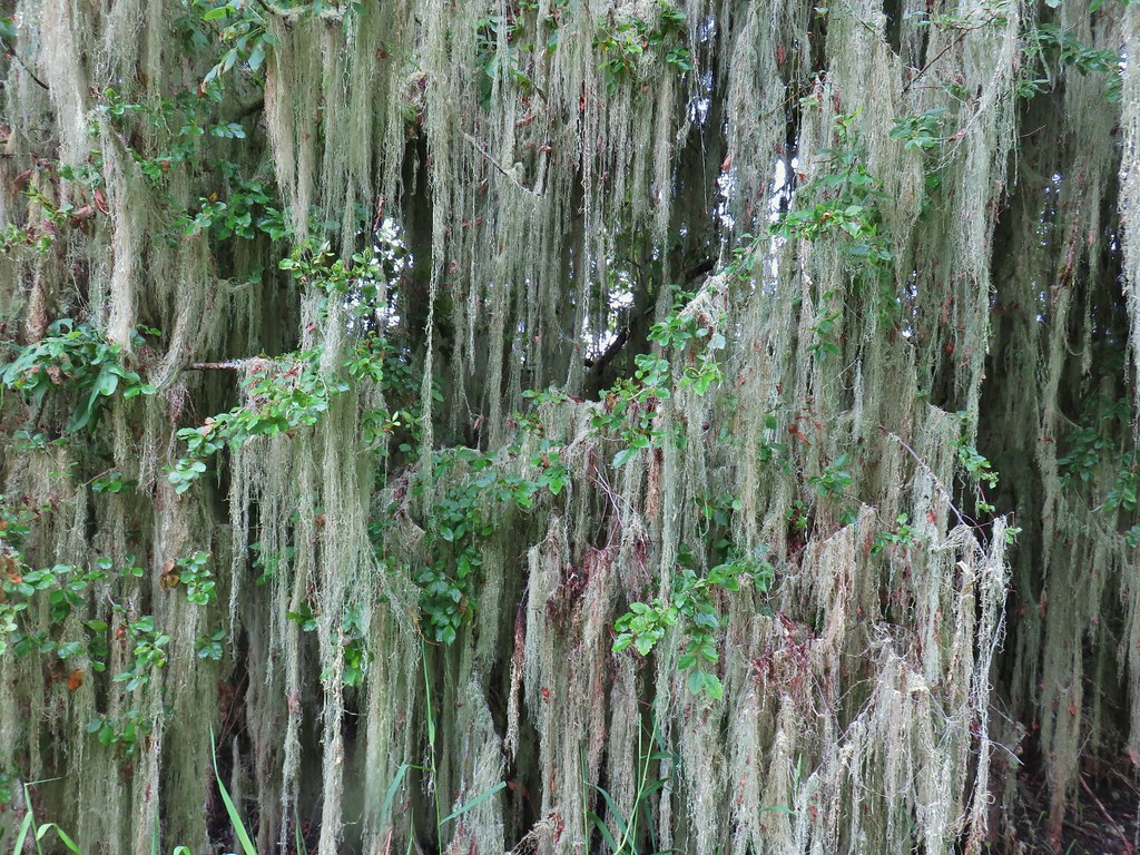 Vegetation along Gray Creek.
 Mushrooms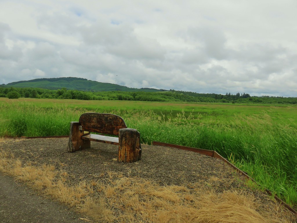
 Roses along the roadbed.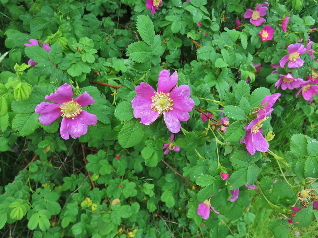
 Slug
Slug Yep, another rabbit.
 We started to think this rabbit wasn’t going to hop into the brush like all the others had.
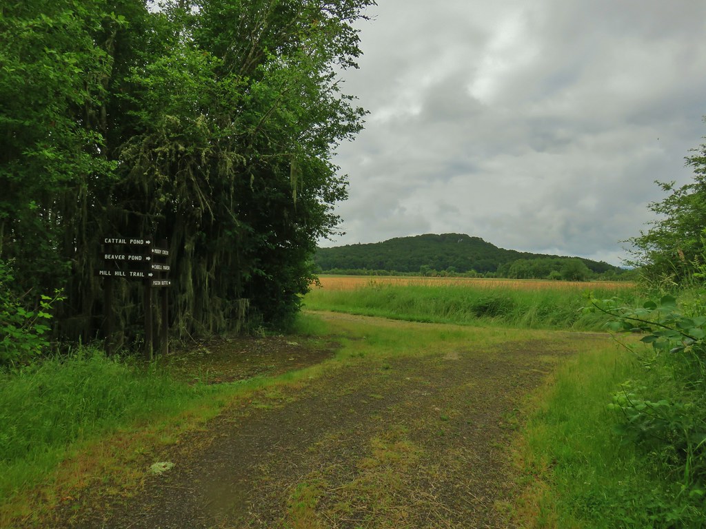
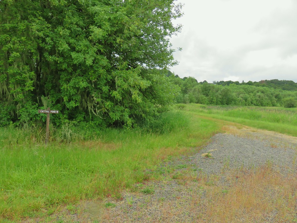 Sign for the Cattail Pond.
 Cattail Pond from the roadbed.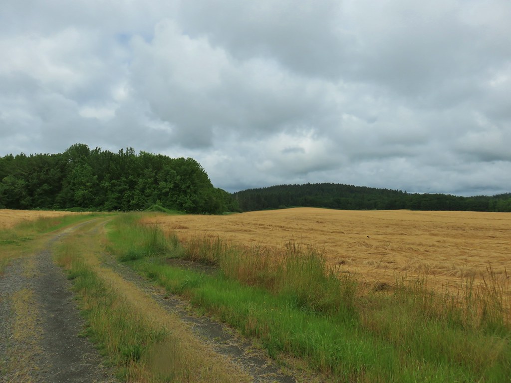
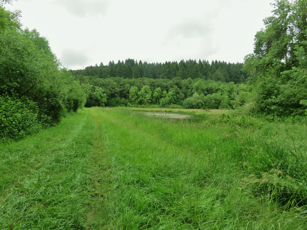
 Common yellowthroat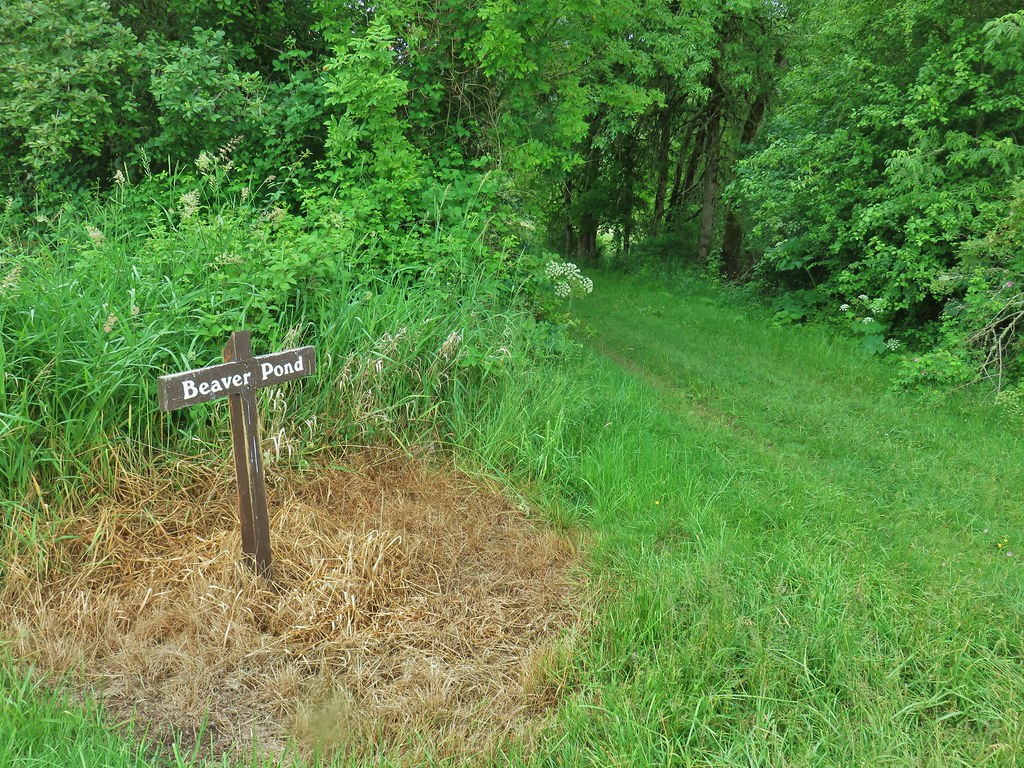


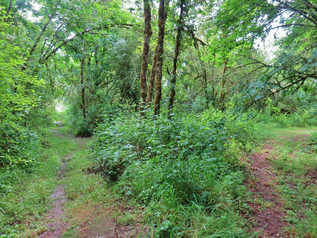 The junction.
 Forest on Maple Knoll’s hillside.
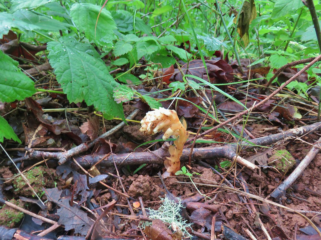 Pinesap
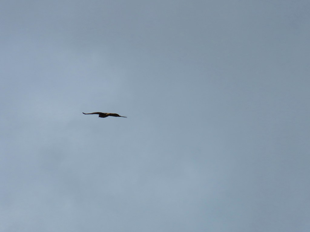


 It’s the one peaking out from behind the stump that had us the most concerned.
 Northern flicker
 Sparrow
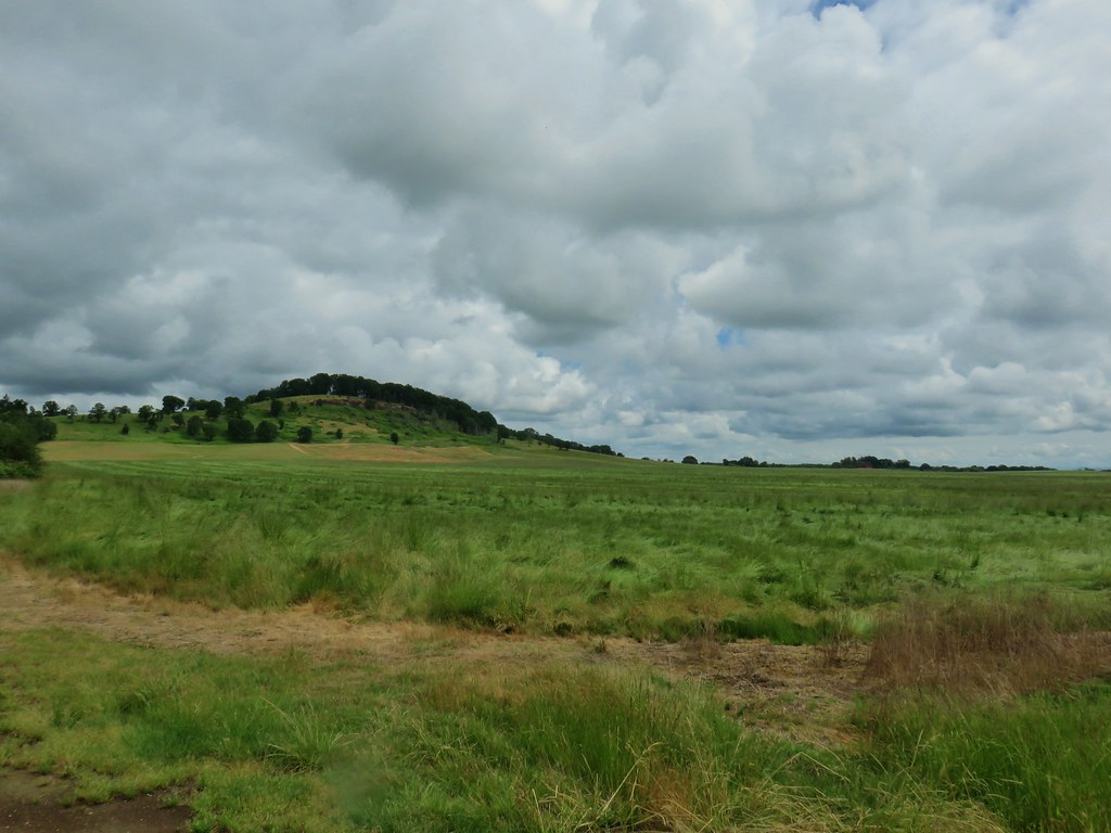 Pigeon Butte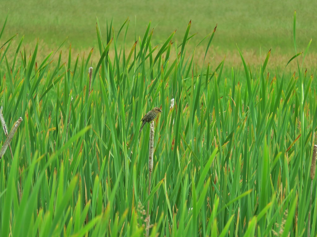
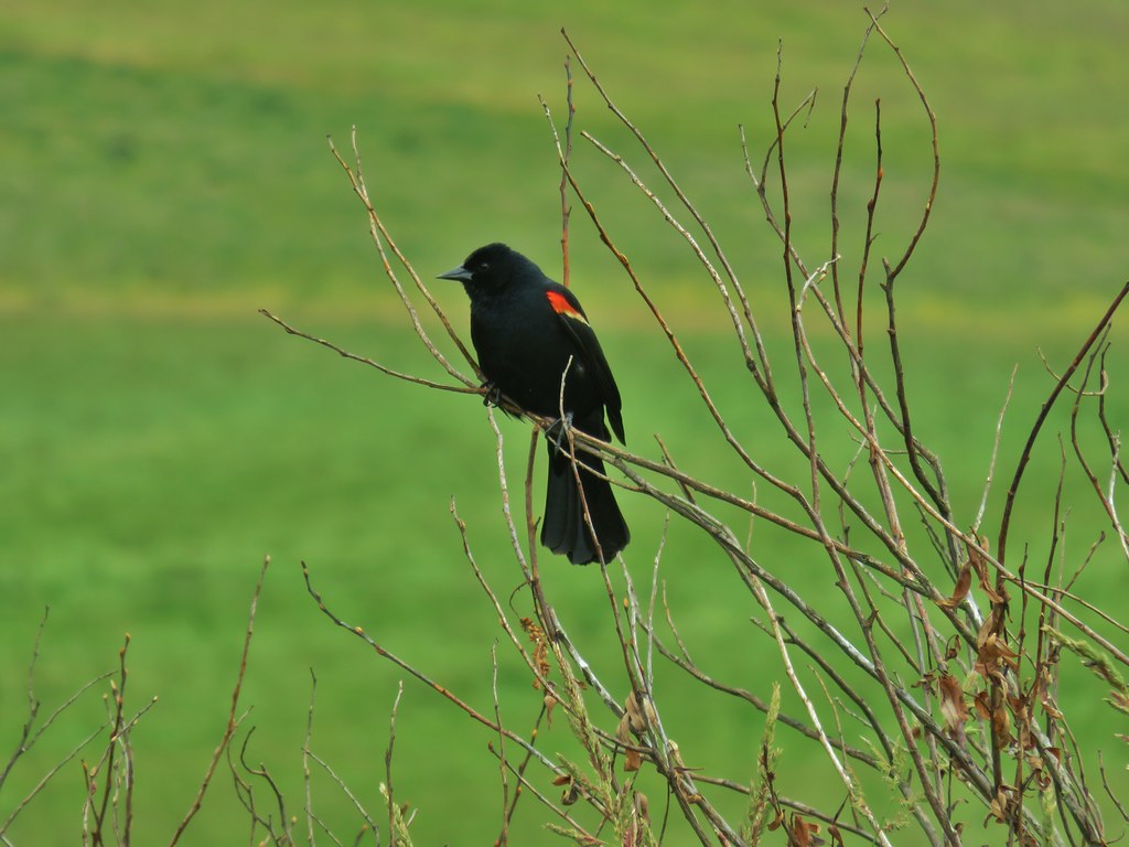 Red-winged blackbird

 Pollinators in a poppy.
 Turkey vulture
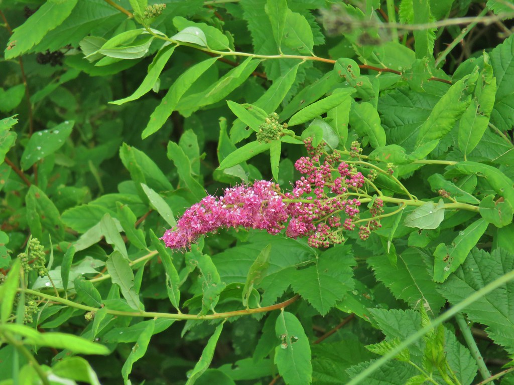 Douglas spirea
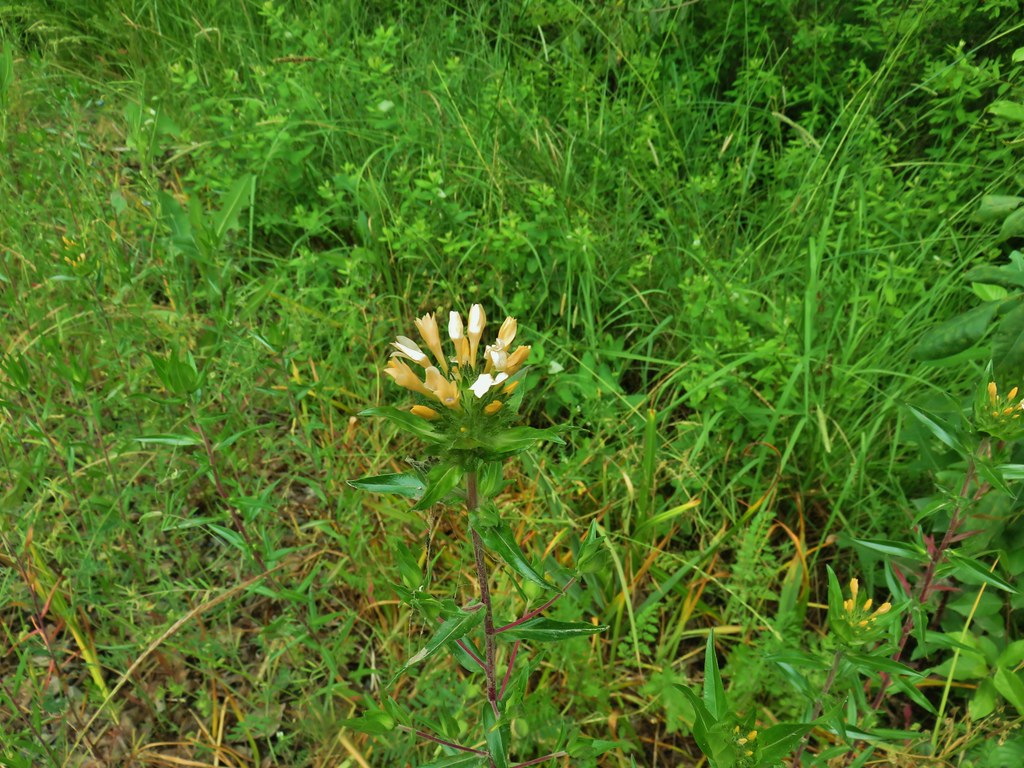 Grand collomia


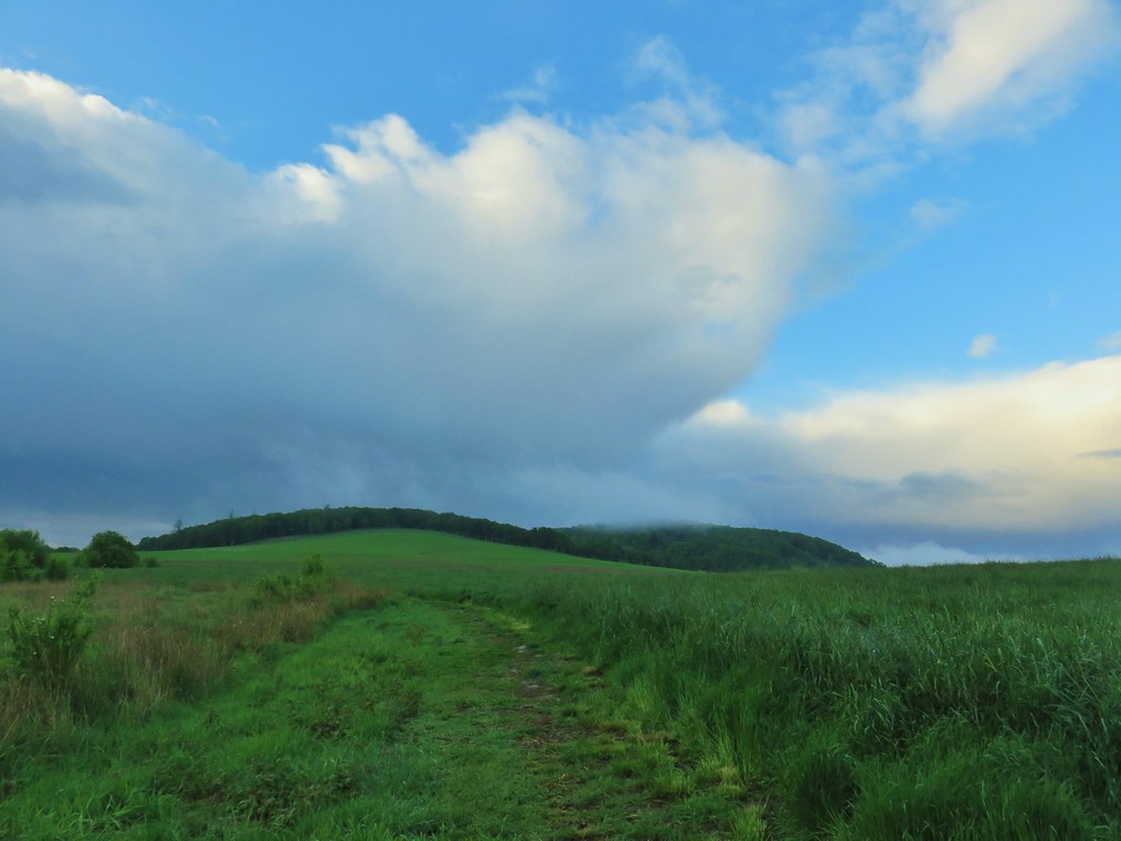
 Mallards
 Crow
Crow Sparrow
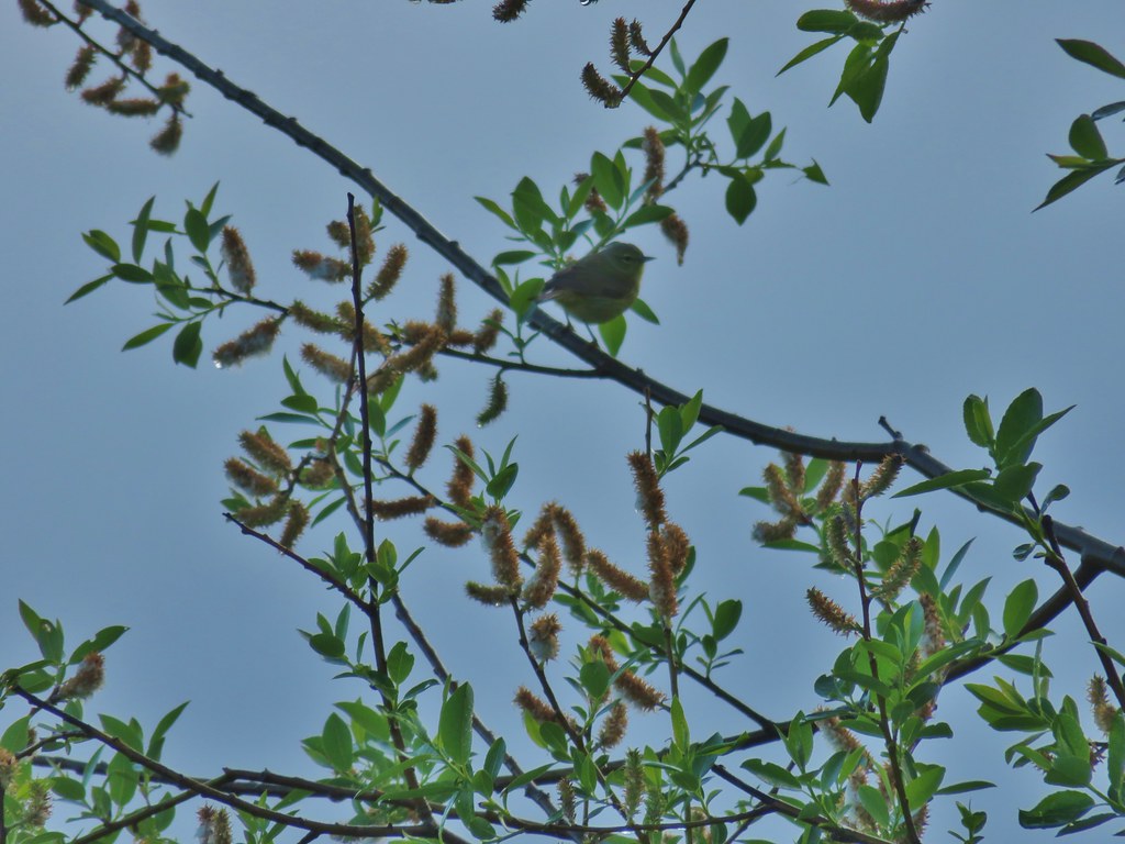 Guessing some sort of warbler
 California quail scattering

 Rabbit with sparrows behind.
 Rabbit with a quail behind.
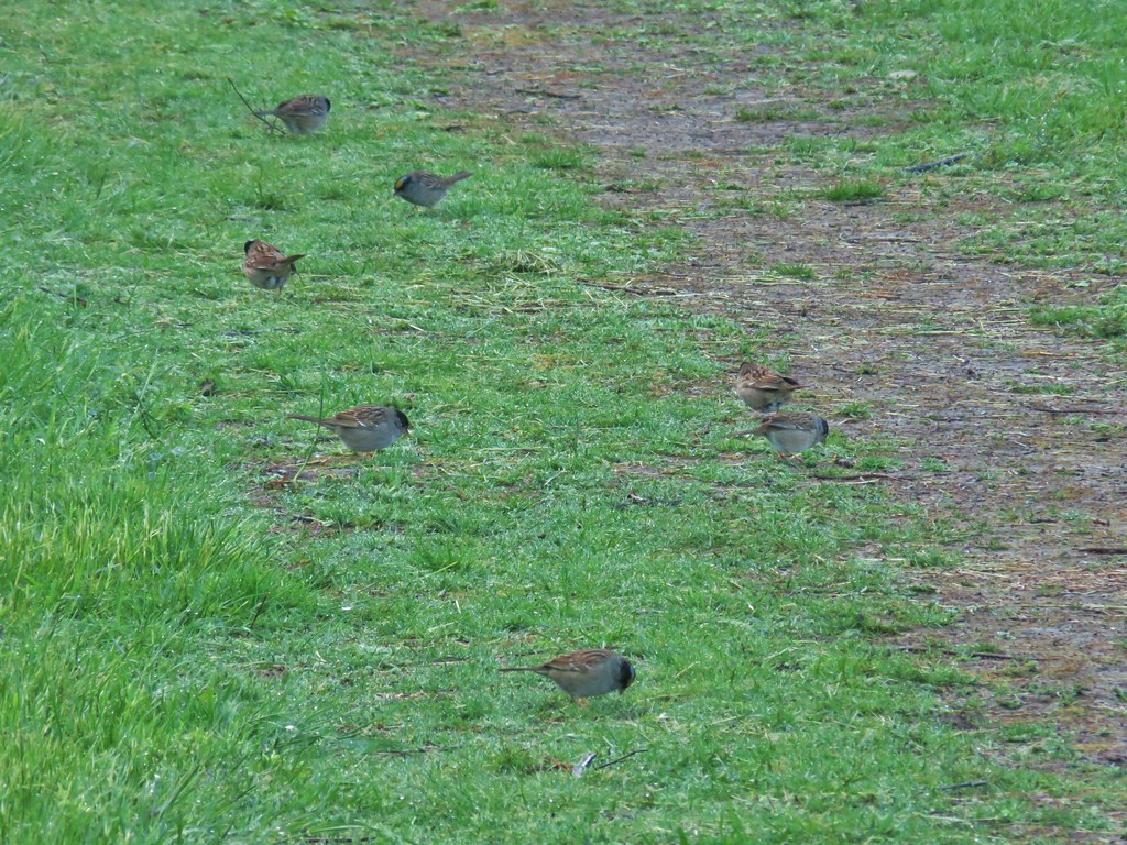 Golden-crowned sparrows
 Most of the rabbits we see run off right away but this little guy was pretty brave.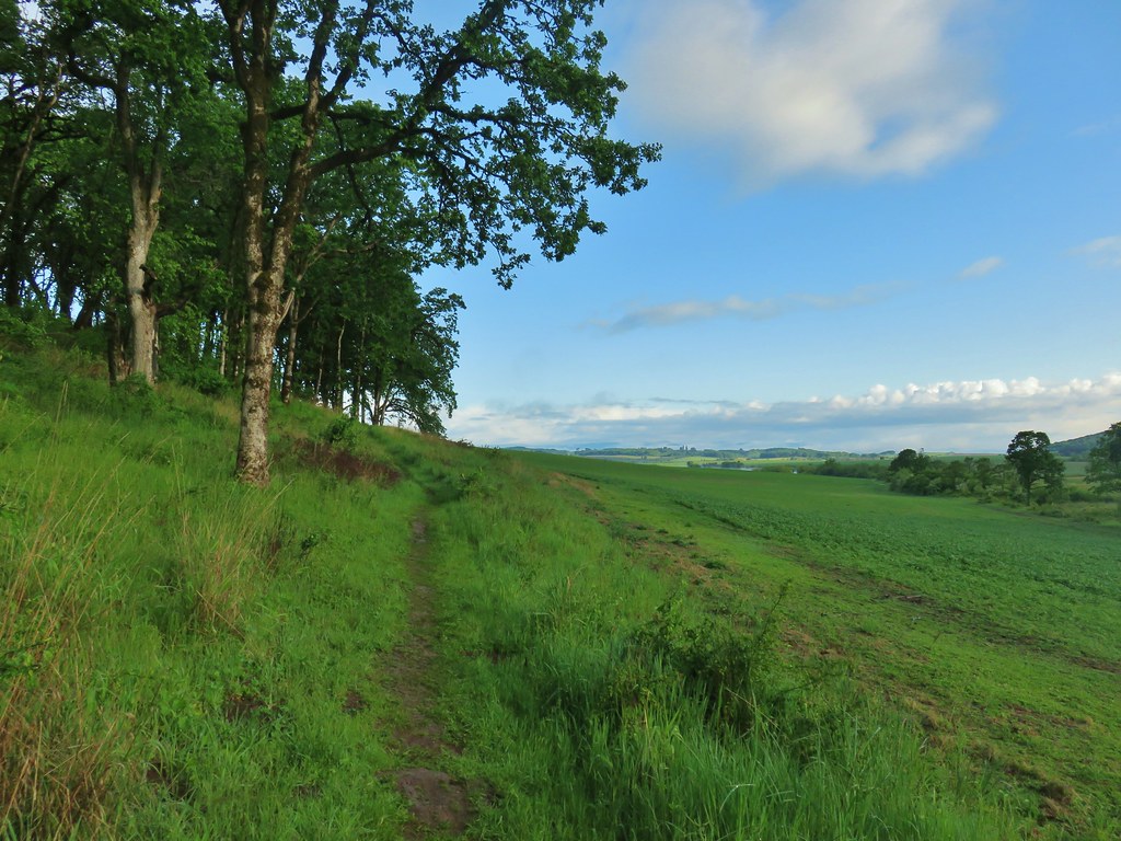
 Meadow checker-mallow
 Tough-leaved iris
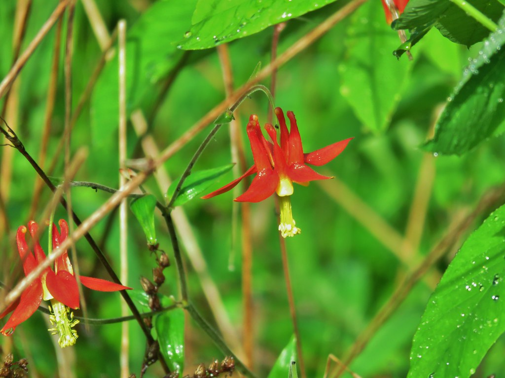 Columbine
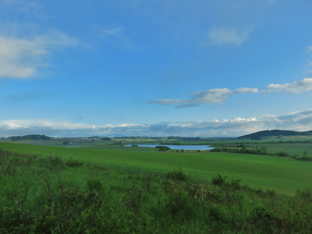 Morgan Lake from the trail.
 Heading into the woods.
 Spotted towhee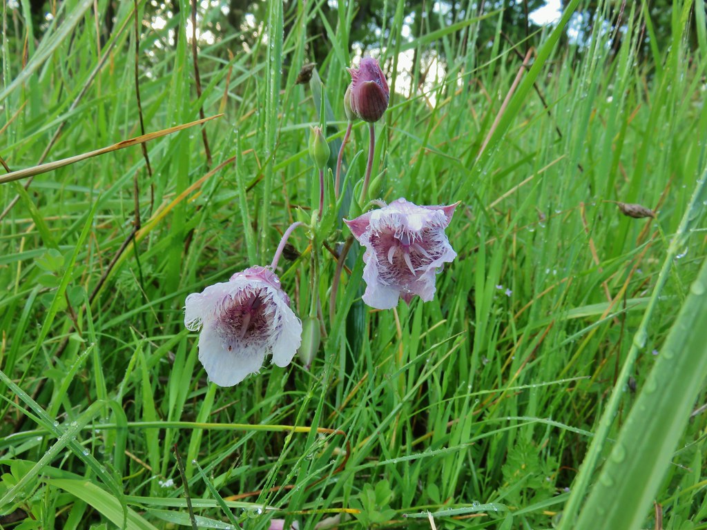

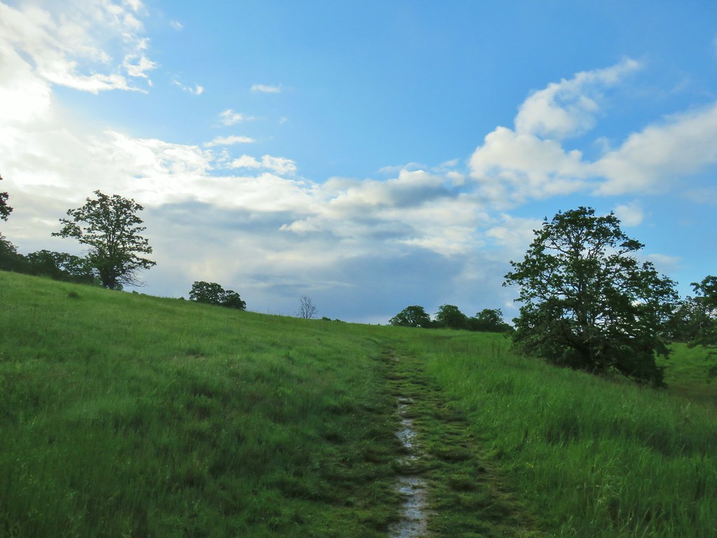



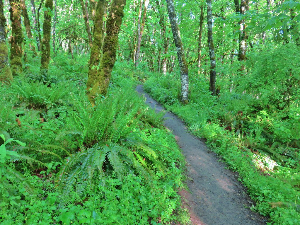
 Old tree trunk
 Ferns
Ferns Woodland stars
 Thin-leaf pea (and a spider behind the blossoms)
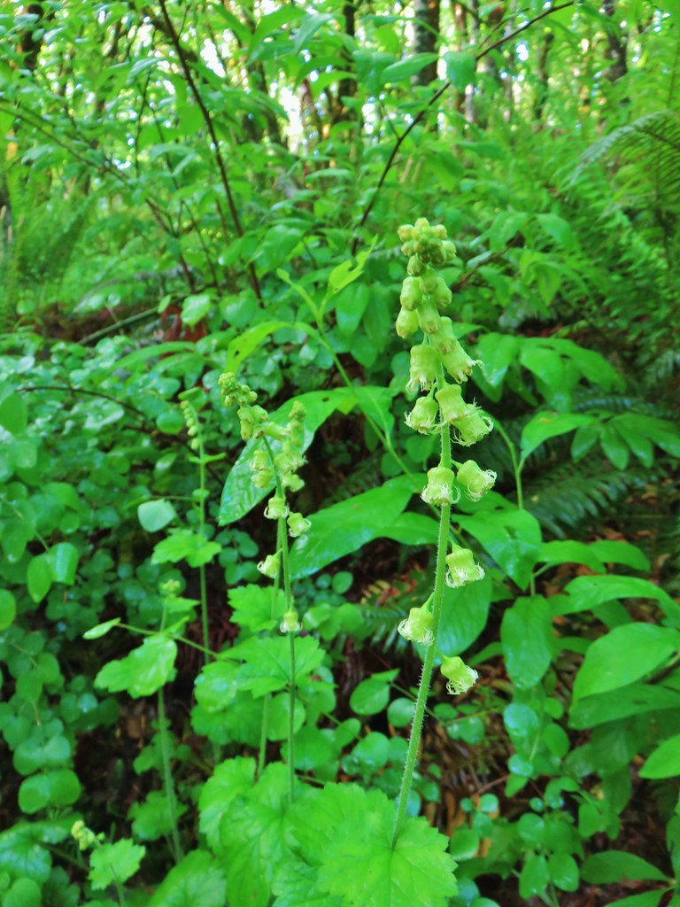 Fringecup
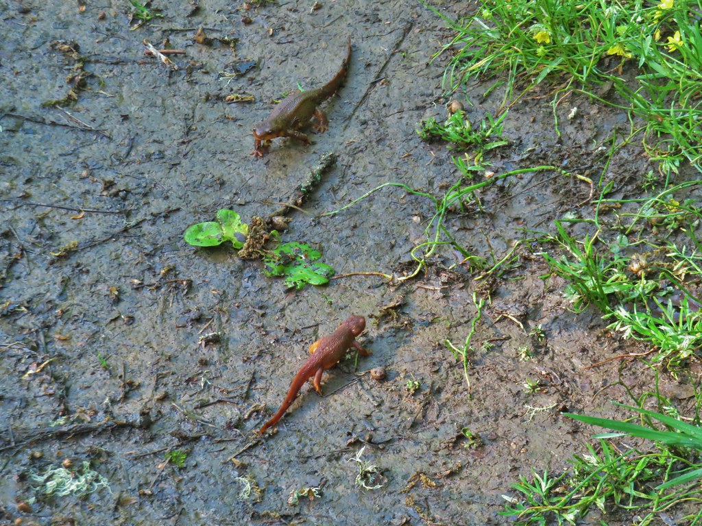 Given their size we believe this was proper social distancing for rough-skinned newts.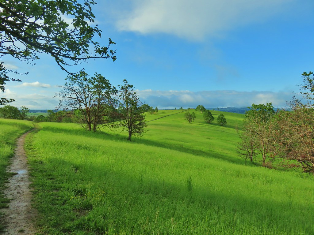
 Western meadowlark
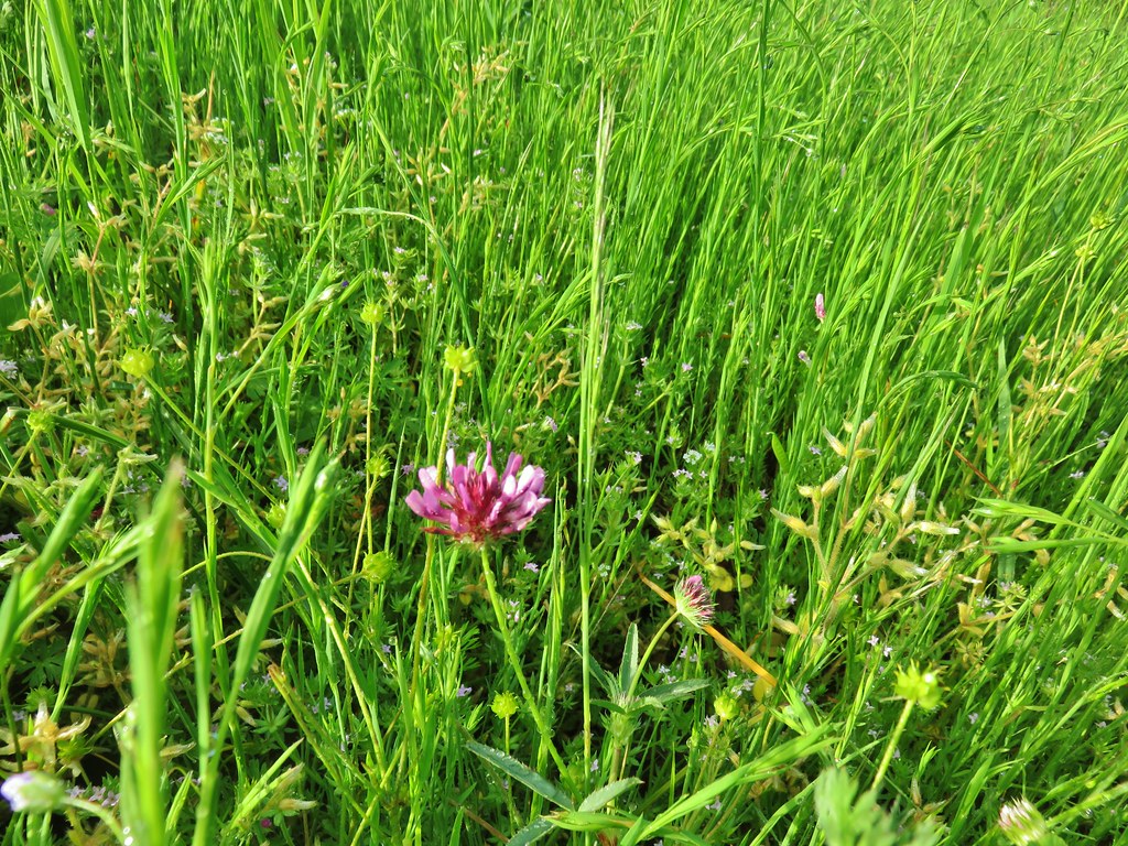 Tomcat clover
 Giant blue-eyed Mary
 A checker-mallow surrounded by pale flax
 Camas
Camas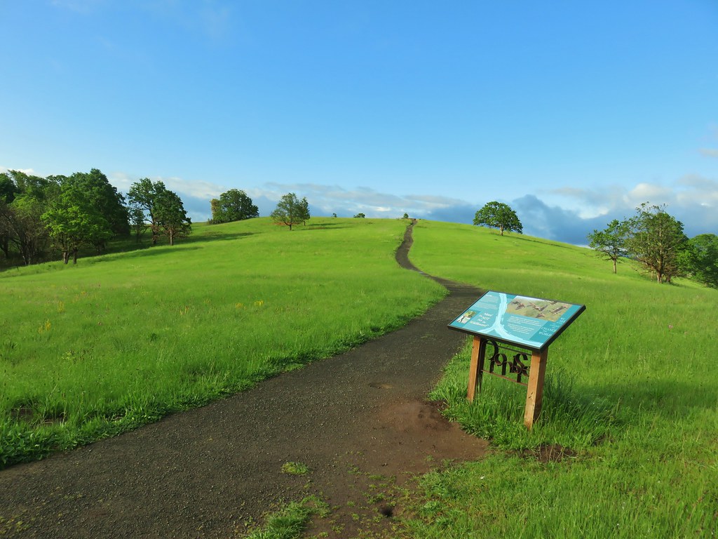
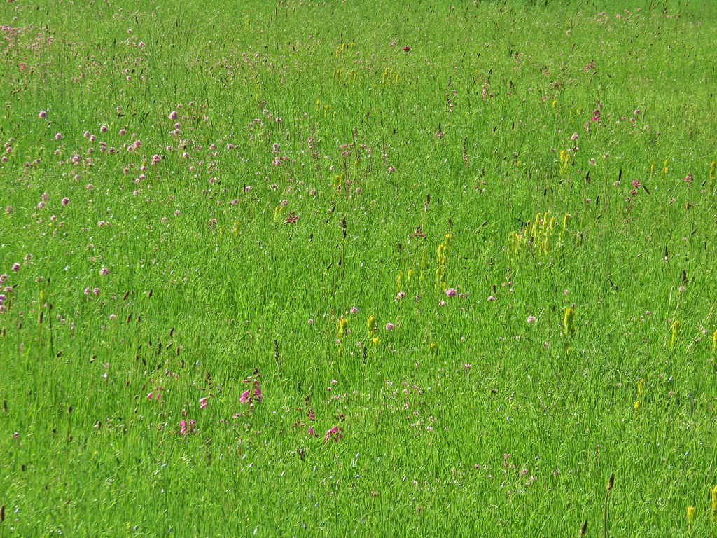
 Plectritis
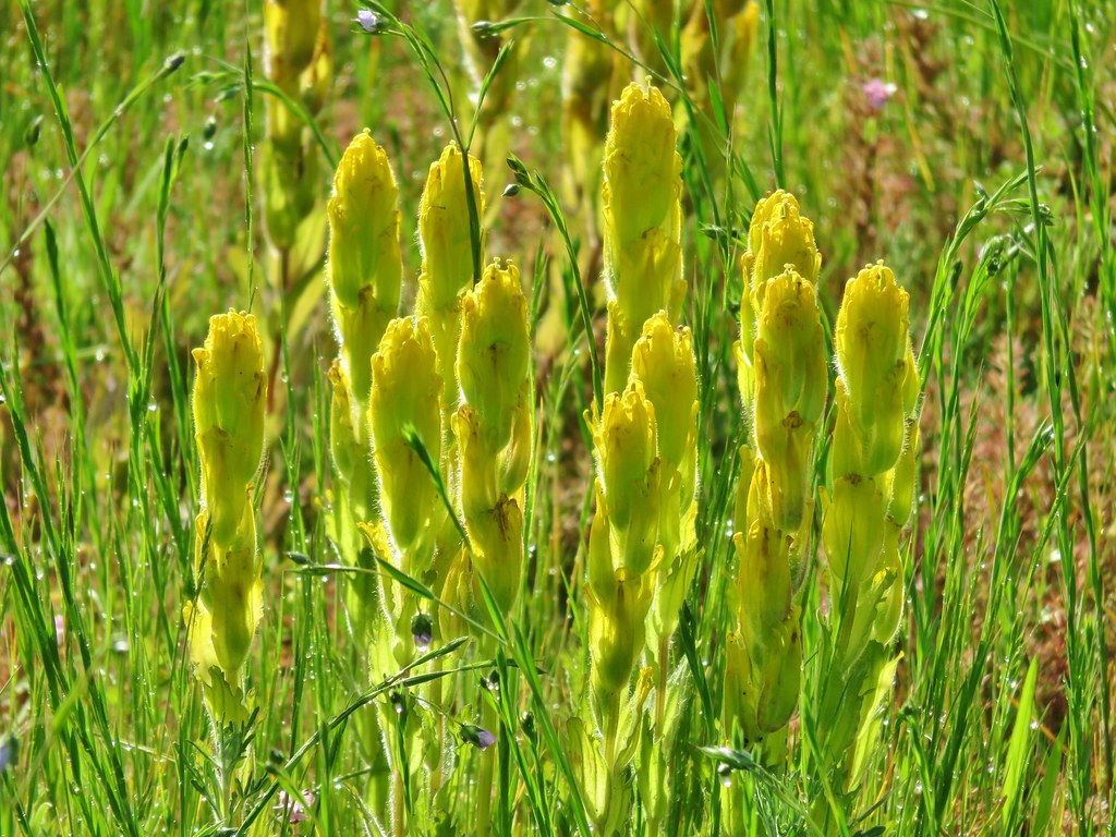 Castilleja levisecta – Golden Paintbrush which historically occurred in the grasslands and prairies of the Willamette Valley. The species had been extirpated from the valley with the last sighting in Oregon occurring in Linn County in 1938. It was reintroduced to various areas starting in 2010 including here at Baskett Slough. In the wetter areas it failed to take but the plant has managed to take hold on Baskett Butte.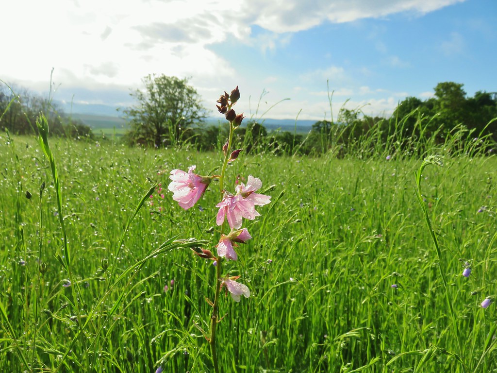

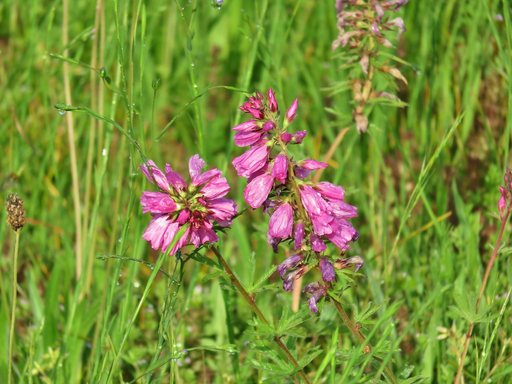
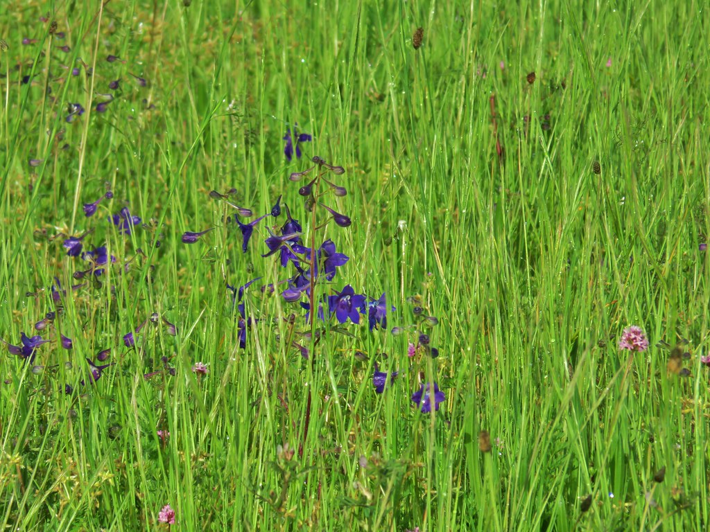 Larkspur
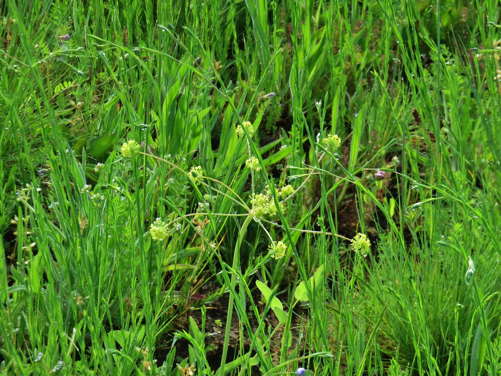 Biscuitroot
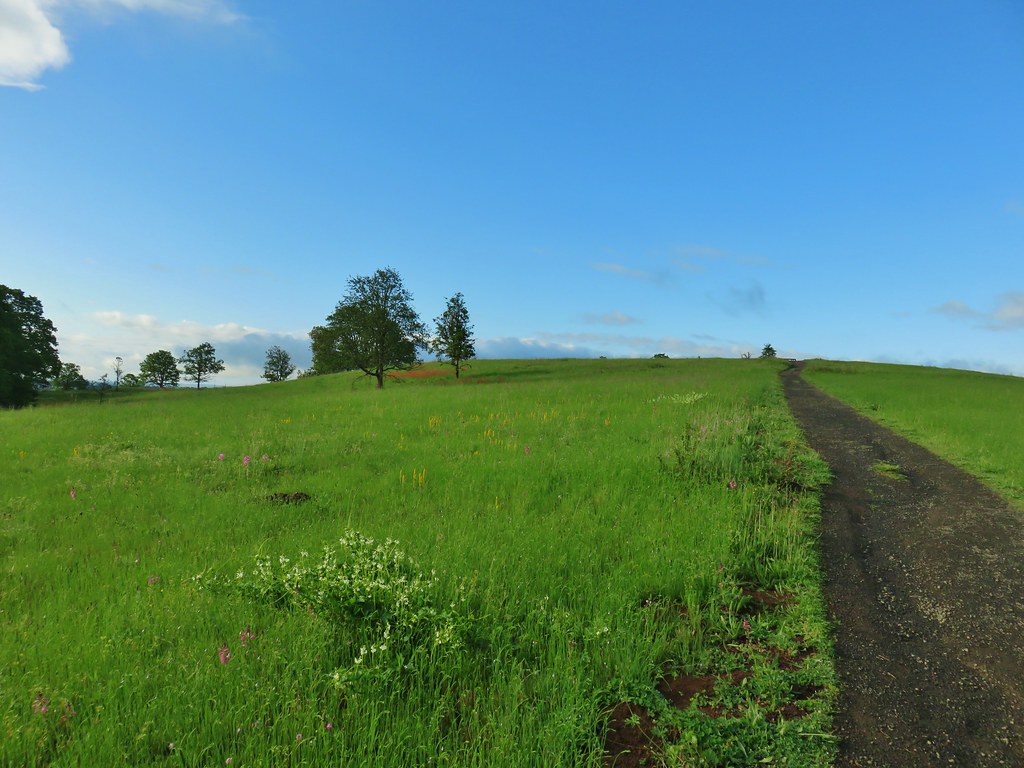 The white patch in the foreground is coastal manroot while the red patch uphill is columbine.
 Some of the mass of columbine.
 Tolmie’s mariposa lilies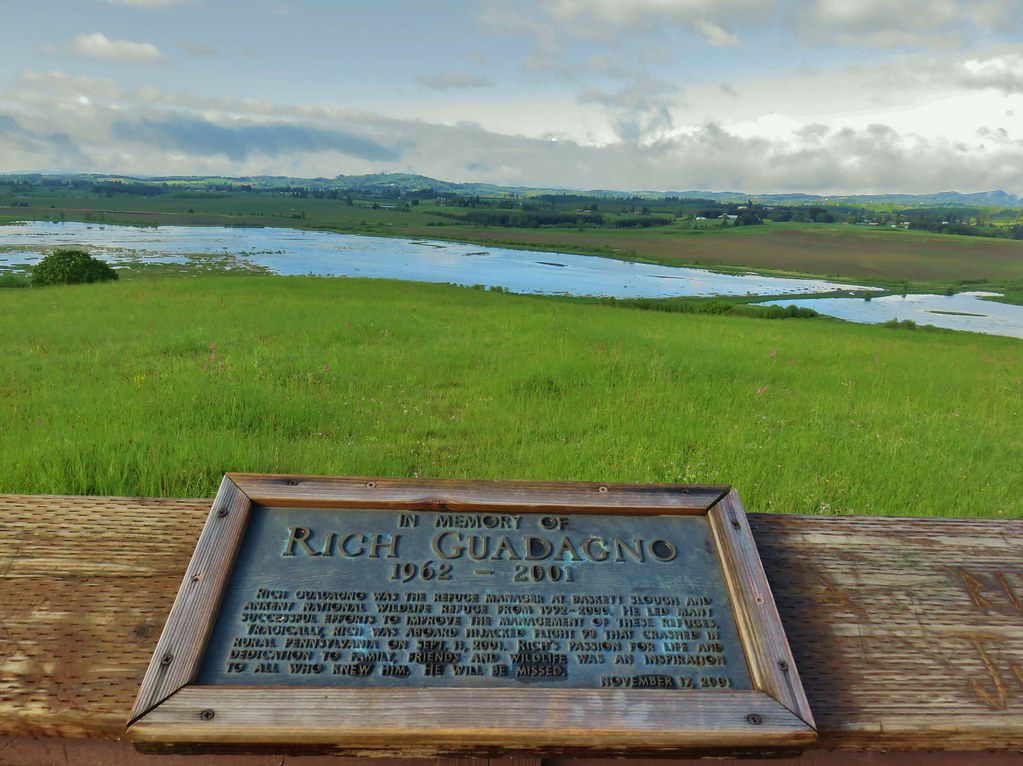

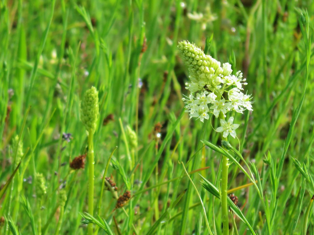 Meadow death camas
 Oregon sunshine
 Hairy vetch
 Purple sanicle

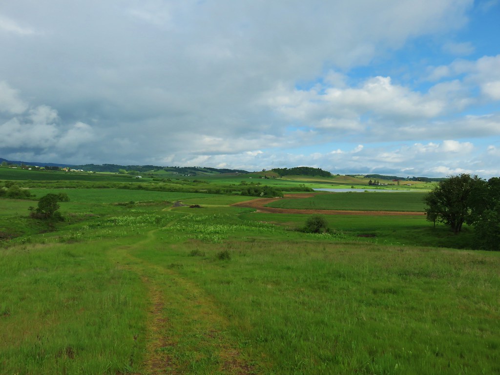
 Yarrow starting to bloom.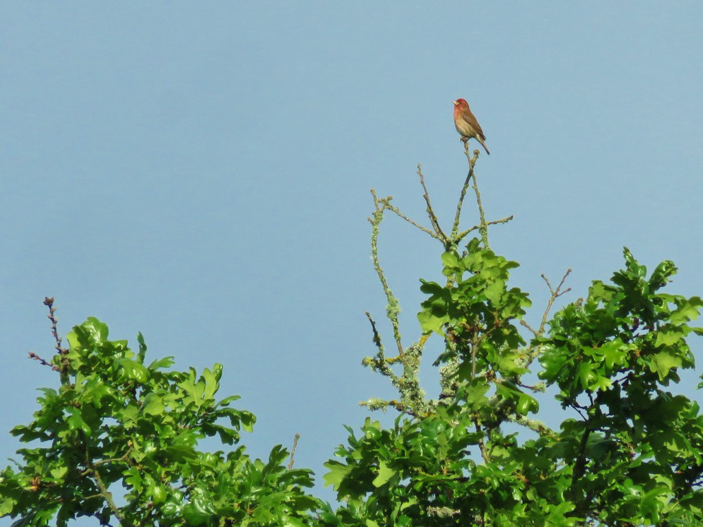

 A pair of American goldfinches
 Silvery blue butterfly
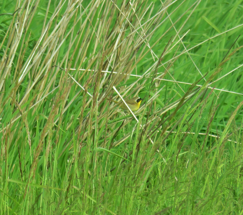 Common yellowthroat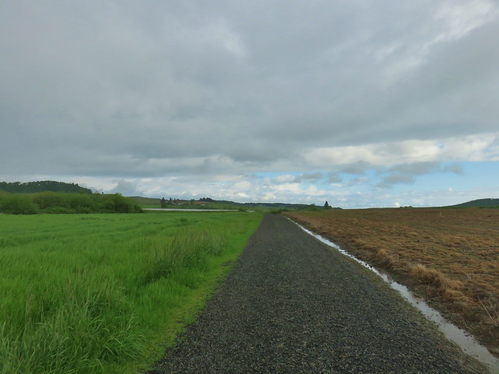
 Moffiti Marsh
 Great blue heron flying over
 Ducks on the water and swallows in the air.
 Northern shoveler on the left.
 A couple different types of ducks.
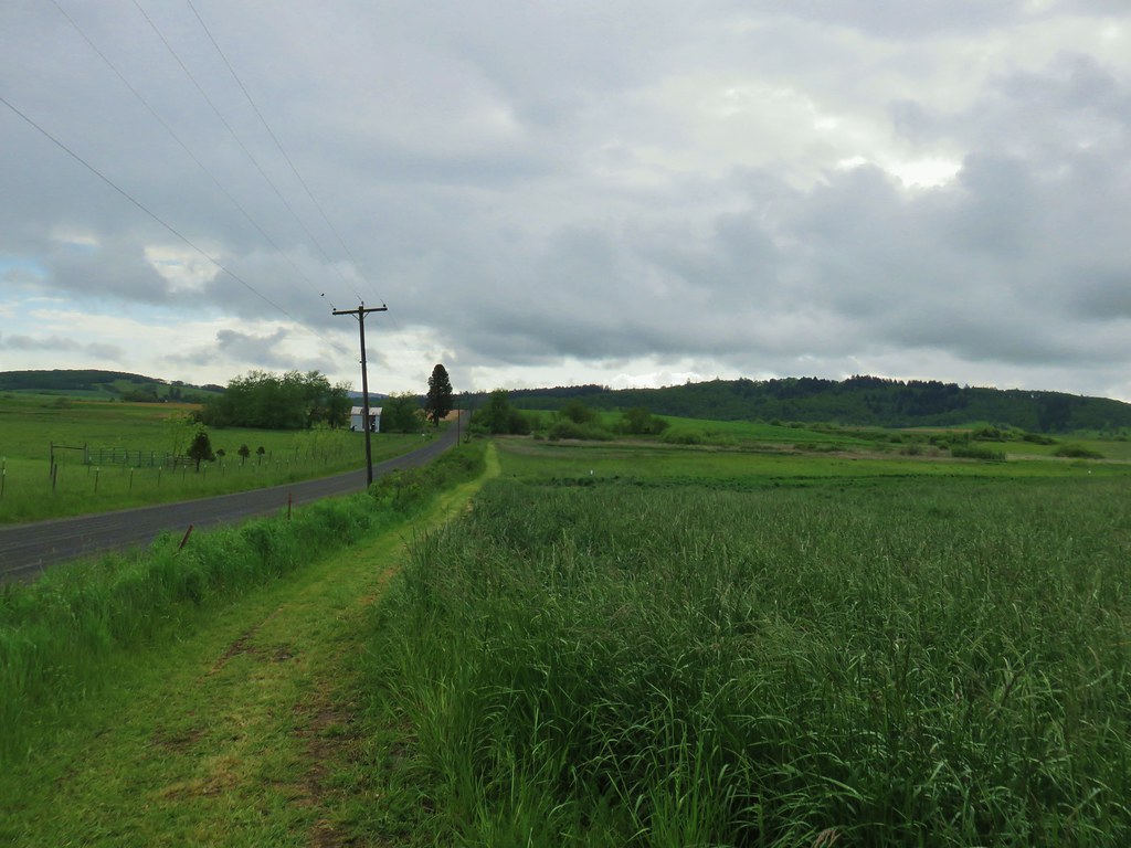
 Western bluebird
 Female western bluebird gathering items for a nest.
 Wild rose
 Canada geese flying over.
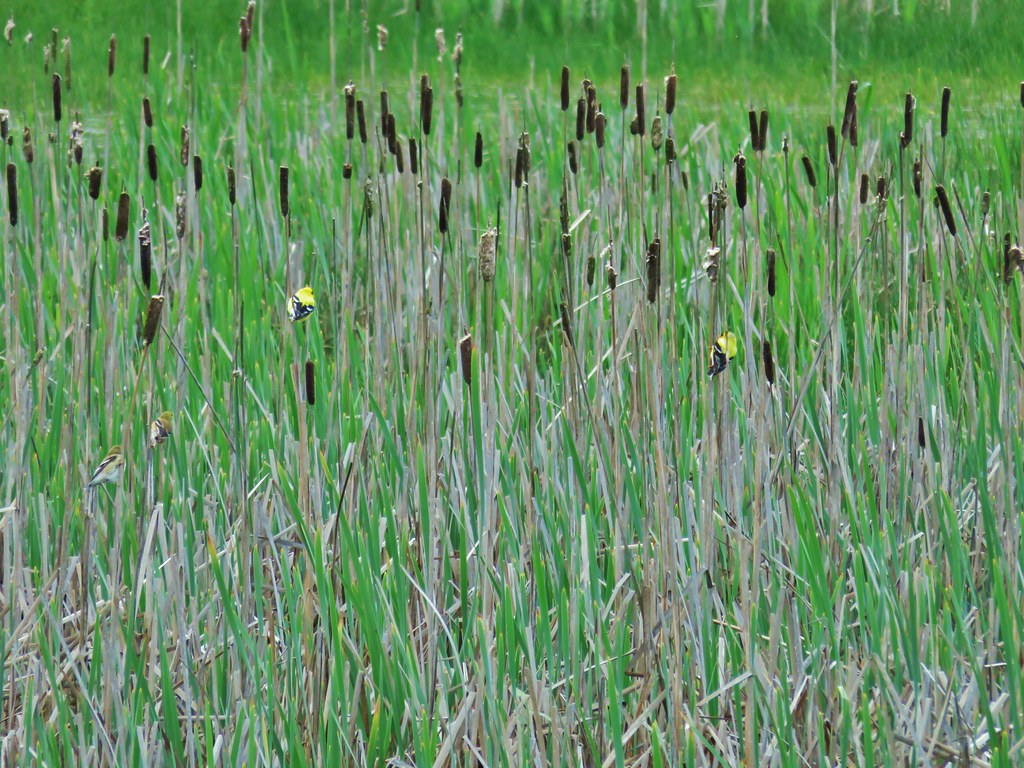 Two pairs of American goldfinches.
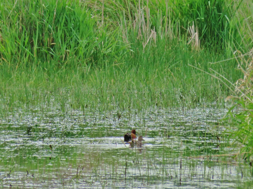 Cinnamon teal
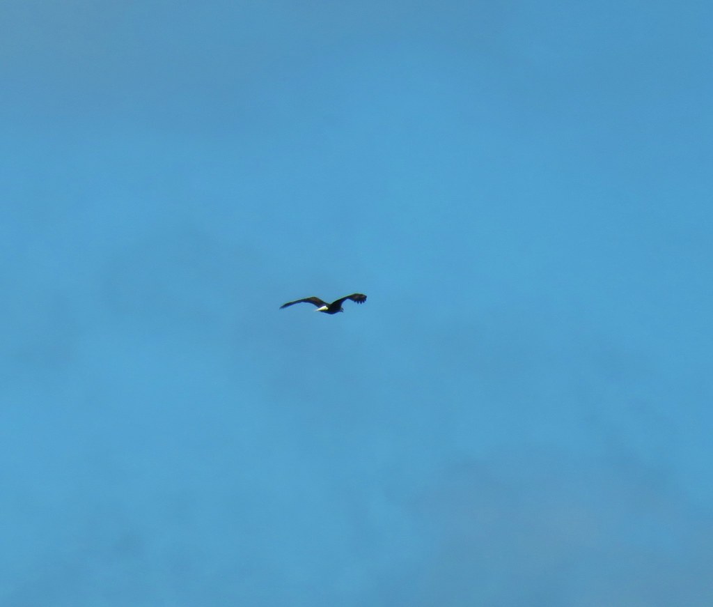 Bald eagle flying overhead
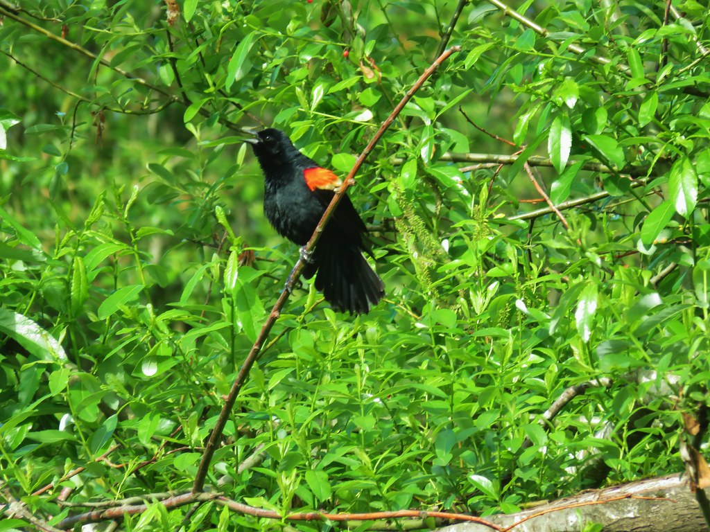 Red-winged blackbird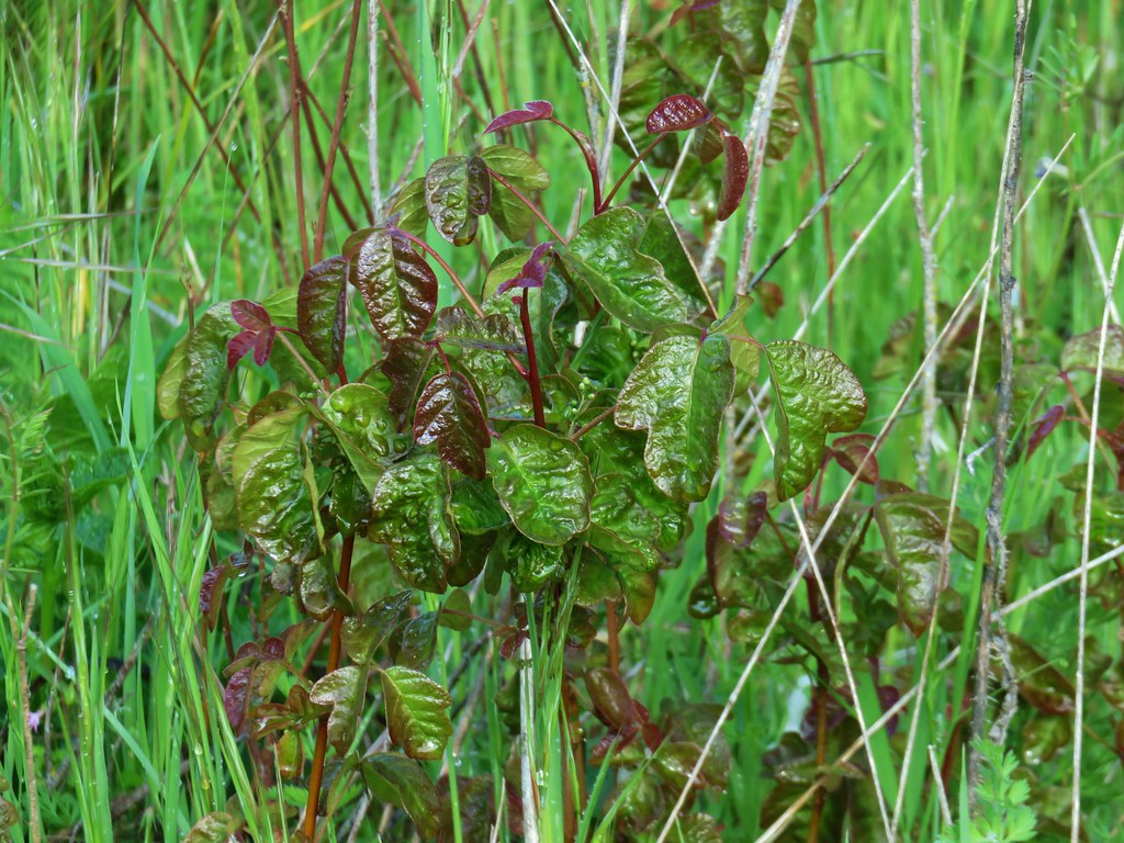
 Moffiti Marsh