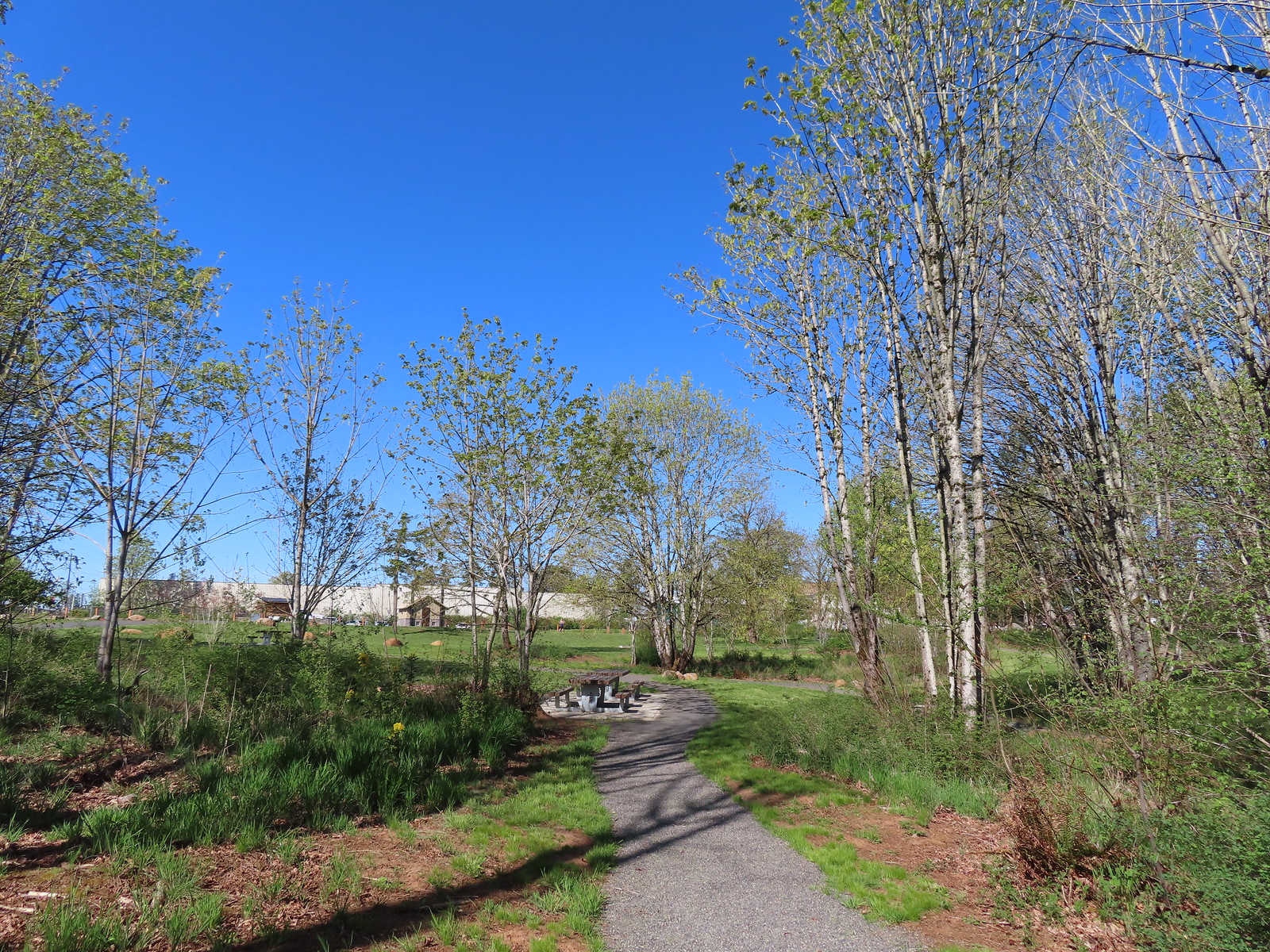
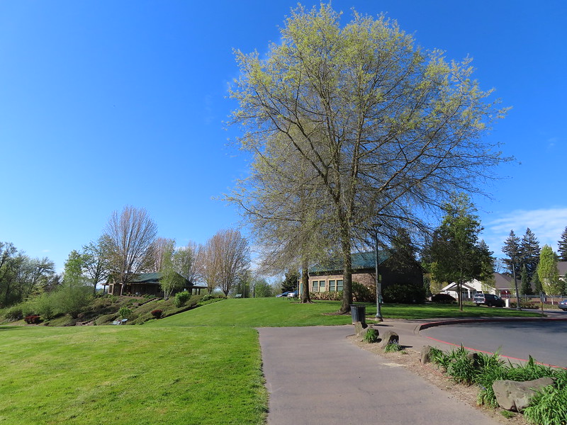
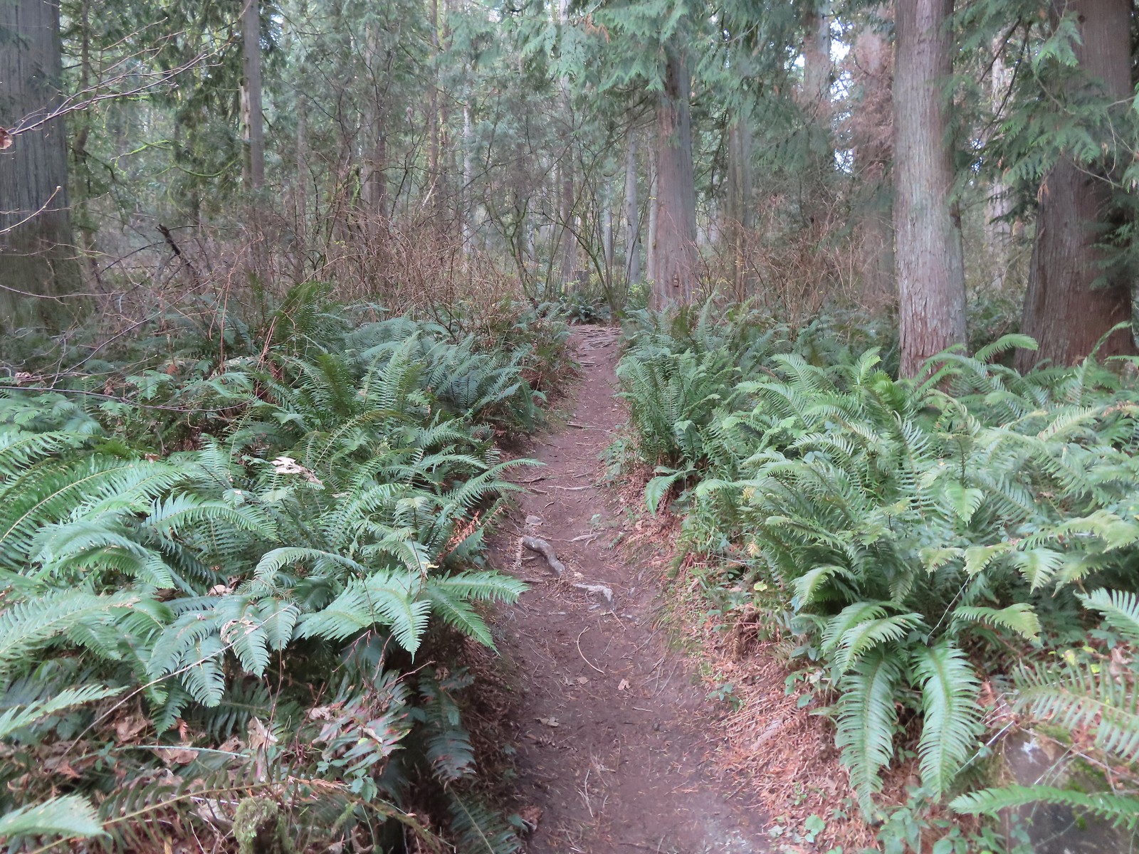
 February has been quite a bit wetter than our January was, so we hadn’t been out on any hikes in the first two weeks of the month. A brief window of dry weather was forecast for the Portland-Metro area the day after Valentines Day though and we took the opportunity to revisit Chehalem Ridge Nature Park.
Our first visit to the park was in May of 2022 (post). We had hiked the majority of trails in the park during that visit, but our route had missed the 0.3-mile Castor Trail and missed portions of three other trails. Our plan for this outing was to hike what we’d missed on that first visit.
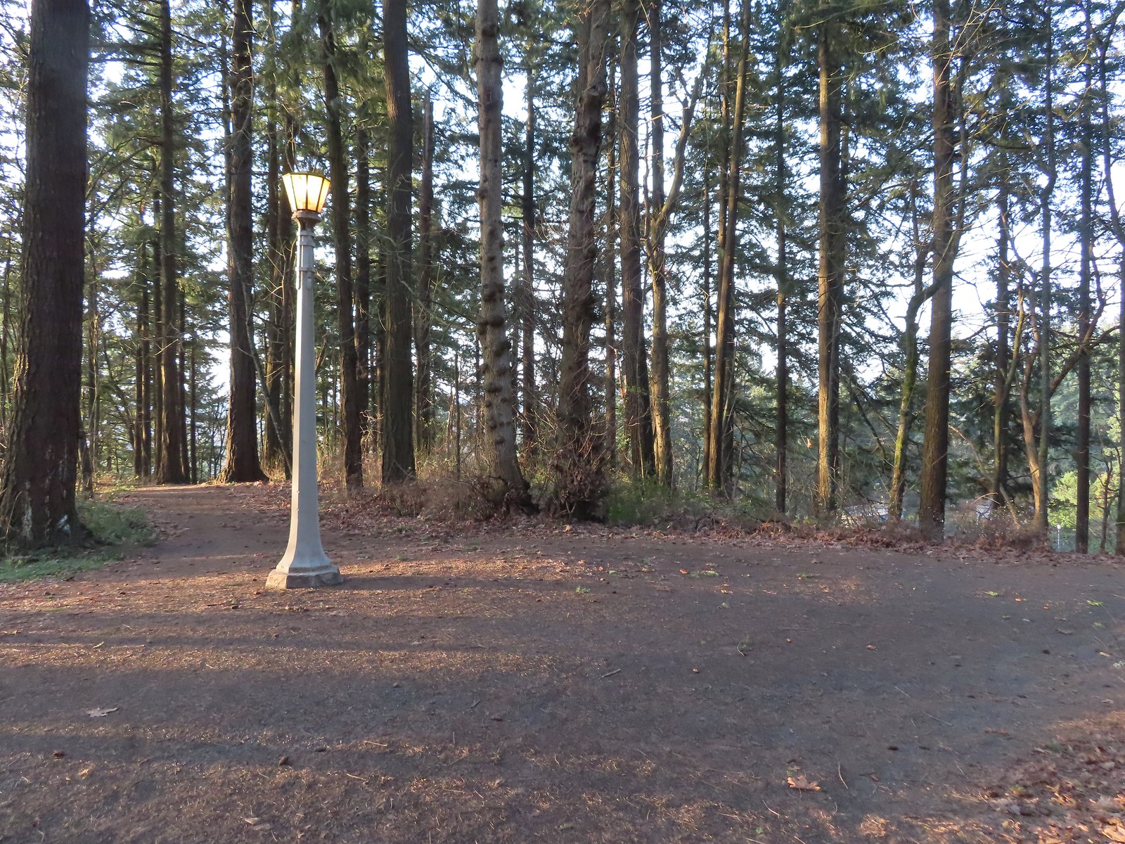
The website lists the park open from Sunrise to Sunset and Google Maps showed it opening at 7am. (Sunrise was at 7:11am today.) We arrived a quarter after seven and were the first car in the large parking area.

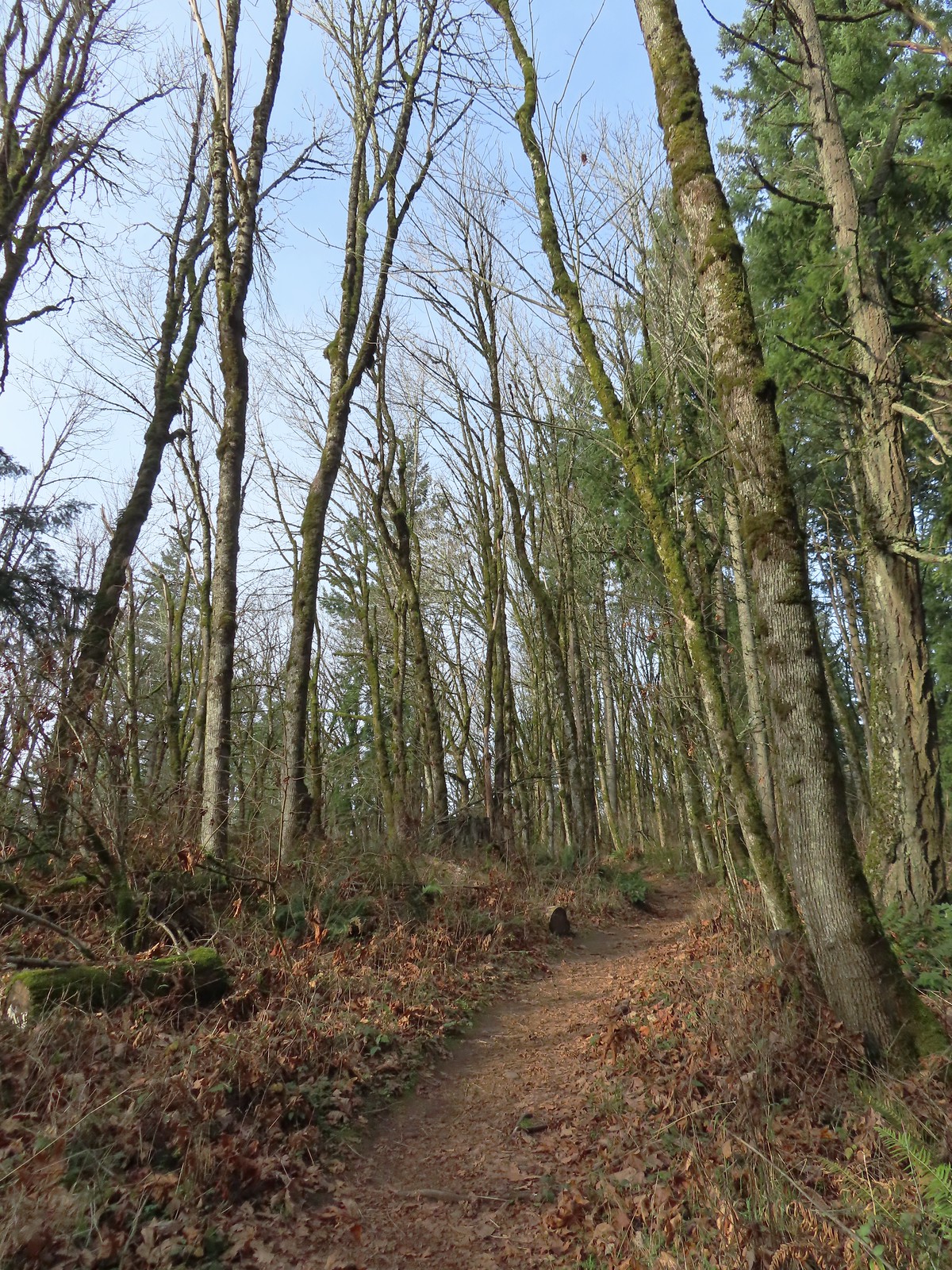
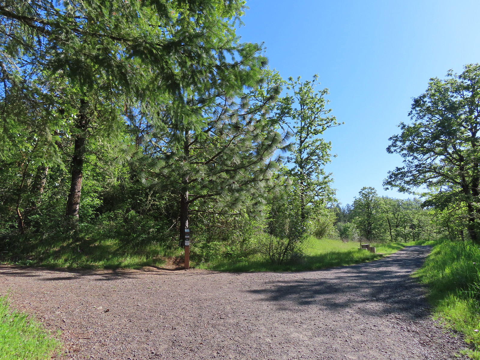
We stopped at the signboard map to confirm our route then headed down Timber Road.


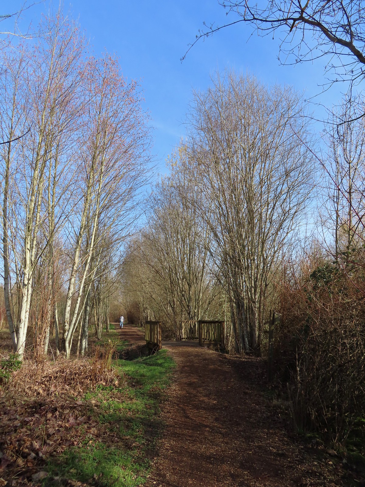
Just over two tenths of a mile along Timber Road we came to the junction with the Castor Trail where we turned left.


Map at the junction, thank you Metro Parks.
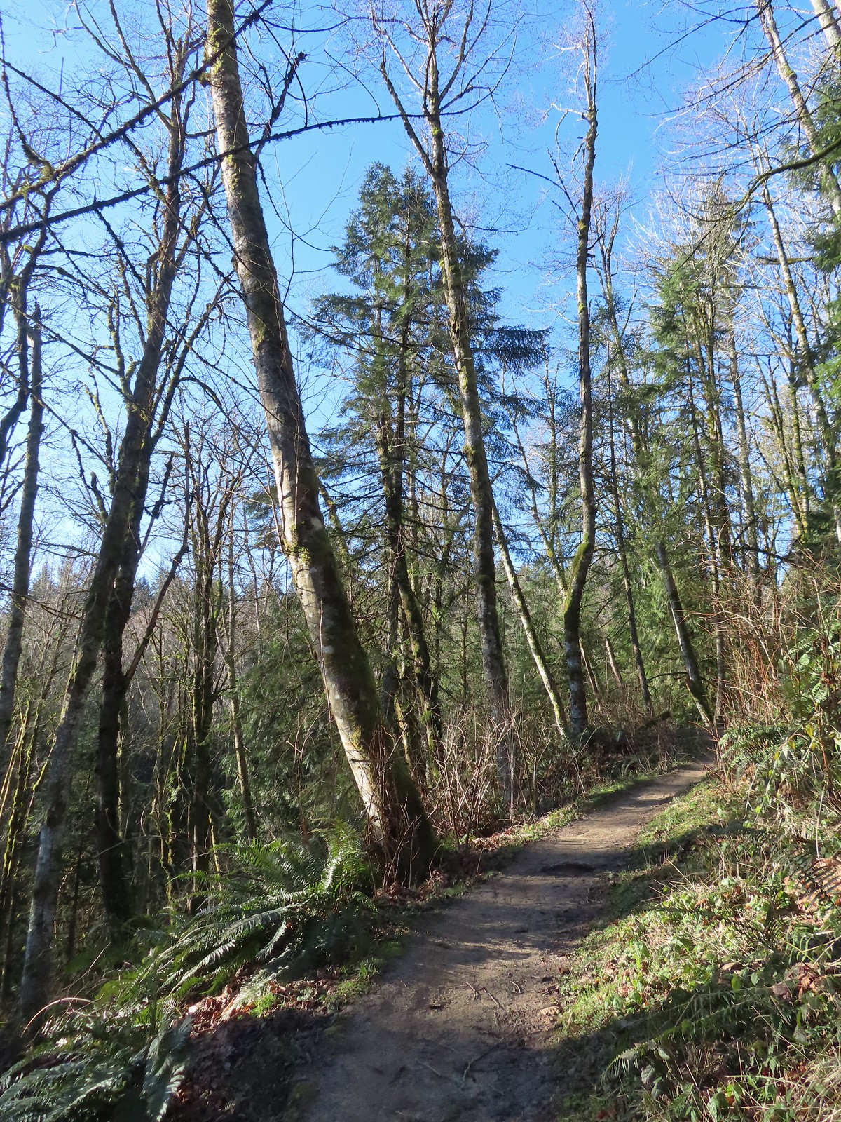
The Castor Trail angled us back a bit and climbed up to the Woodland Trail where we turned right.

We followed the Woodland Trail for two tenths of a mile then forked right onto a short spur trail that acts as a connector to Timber Road.


It was just 150′ back to Timber Road along this connector trail.
The spur brought us to Timber Road across from the Ammefu Trail. We had taken that trail in 2022 which loops back to Timber Road further to the NW thus missing a short 0.1-mile section of the road.

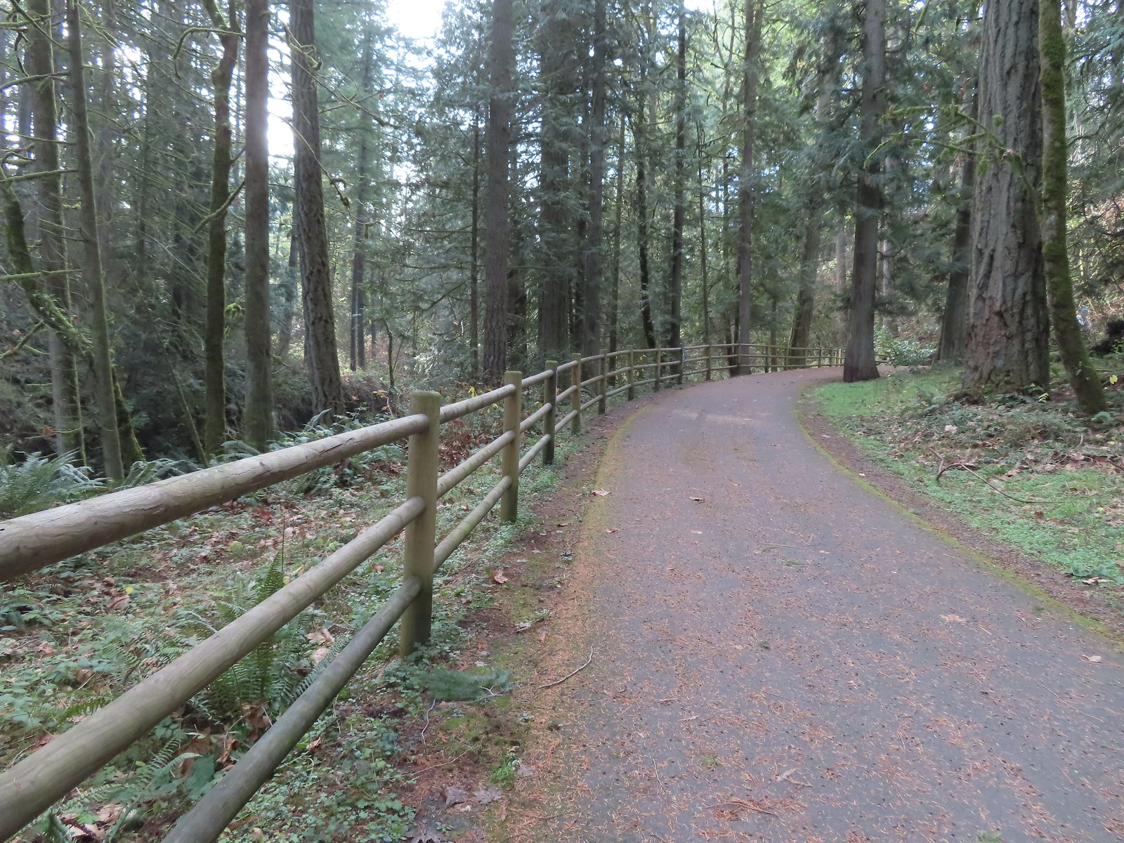
At the 4-way junction we turned left and hiked the 0.1-mile section of Timber Road. We stayed on the road a total of 0.4-miles where we turned right onto the Witches Butter Trail.

While the forecast had indicated that it would be mostly sunny here at some point it didn’t happen before our hike ended.
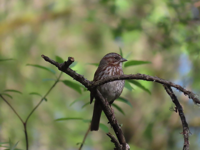
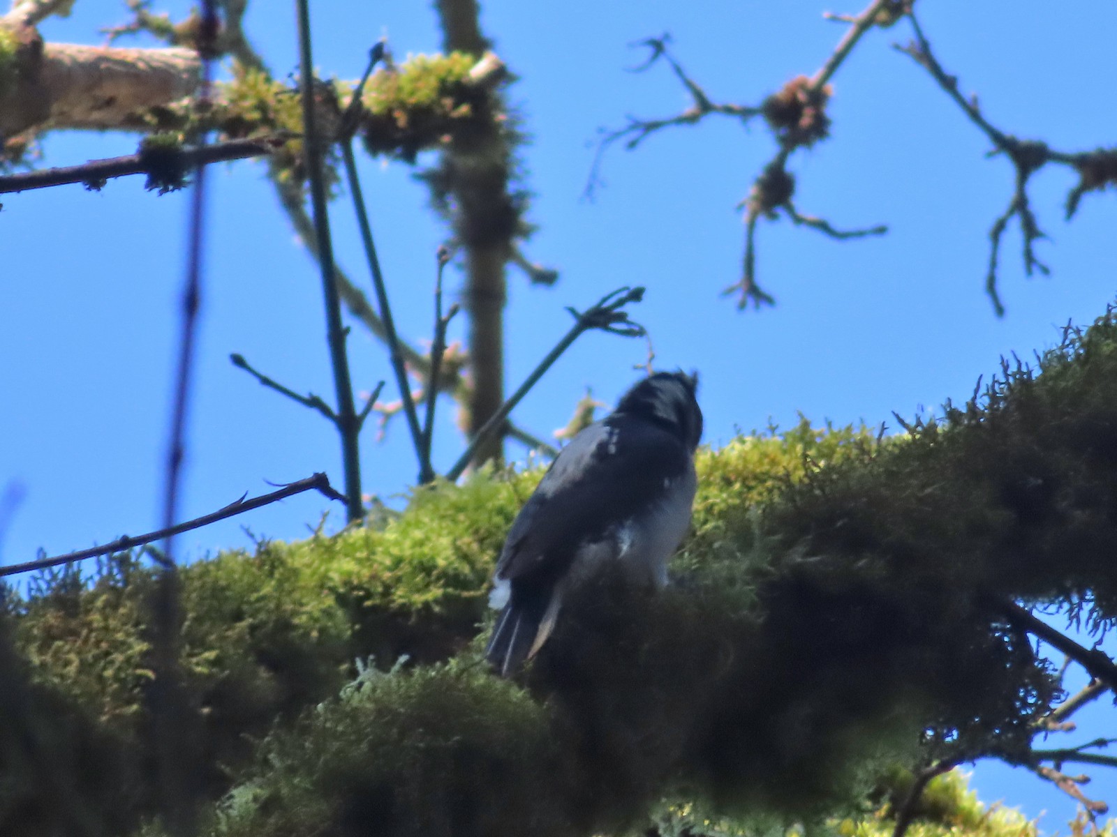
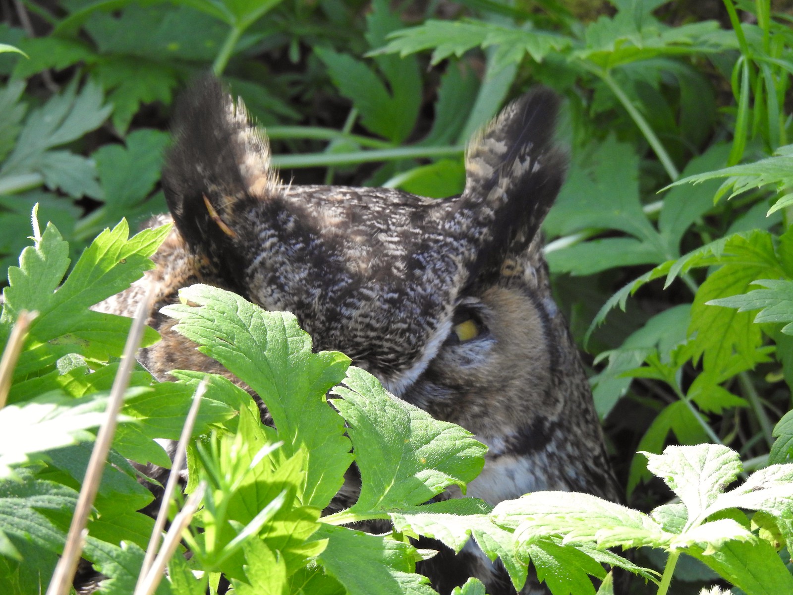
We stopped for a bit to try and get a photo or two of some birds that were flitting between trees. At least one of them was a golden-crowned kinglet which is a species that we hadn’t gotten a photo of yet. After a number of attempts we still don’t have a good photo, however I did manage to get an out of focus shot where it could at least be identified.


The Ammefu Trail rejoining on the right with another connector to the Woodland Trail on the left.


Squirrel!

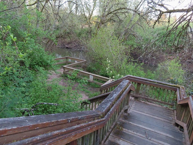
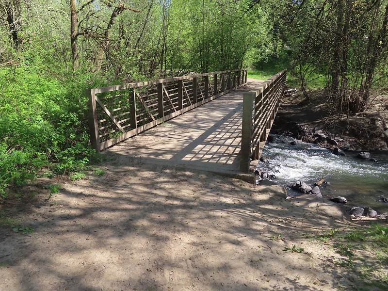
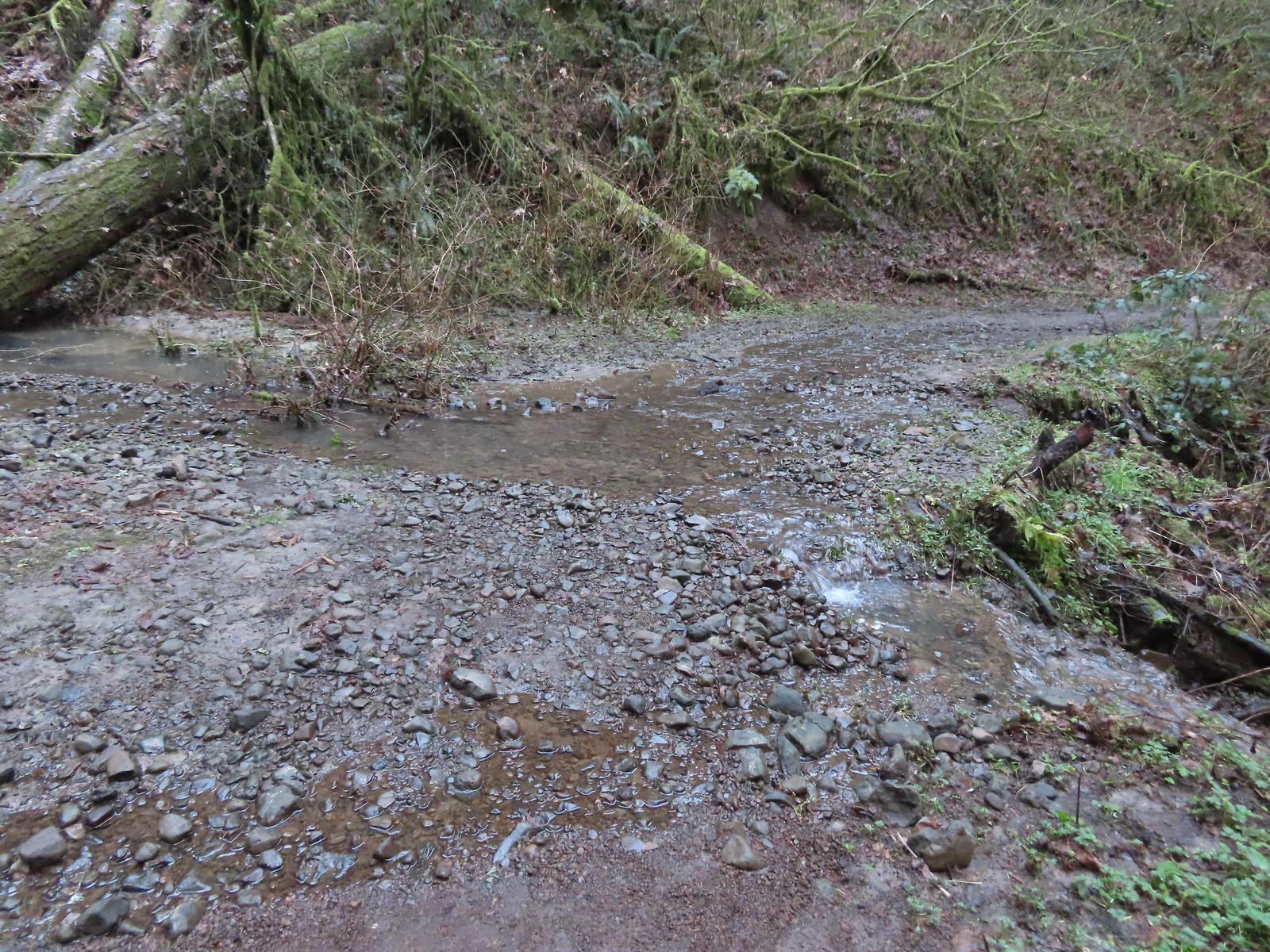
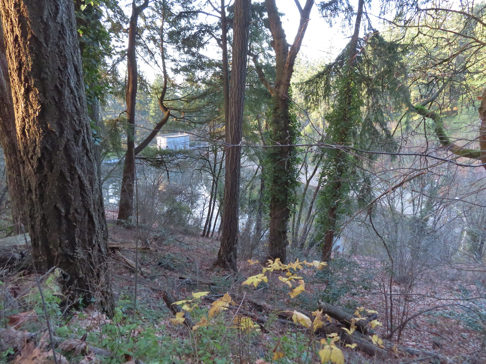
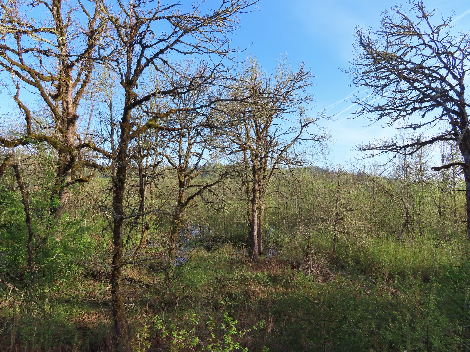
Christensen Creek

Witches Butter Trail heading straight into the forest. The trail to the furthest right is the Ayeekwa Trail. We had taken the 0.7-mile Ayeekwa Trail in 2022 which rejoins the Witches Butter Trail just 0.2-miles from this fork.
This time we stuck to the Witches Butter Trail.

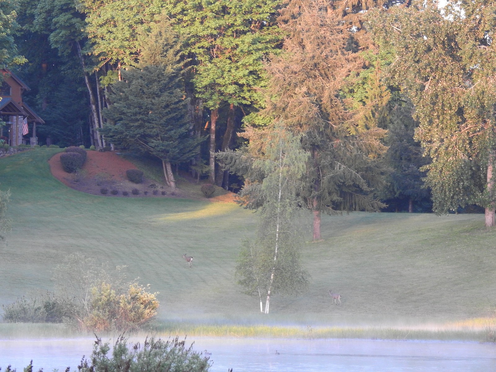
Three tenths of a mile along the Witches Butter Trail we came to one of the benches that are placed around the park.

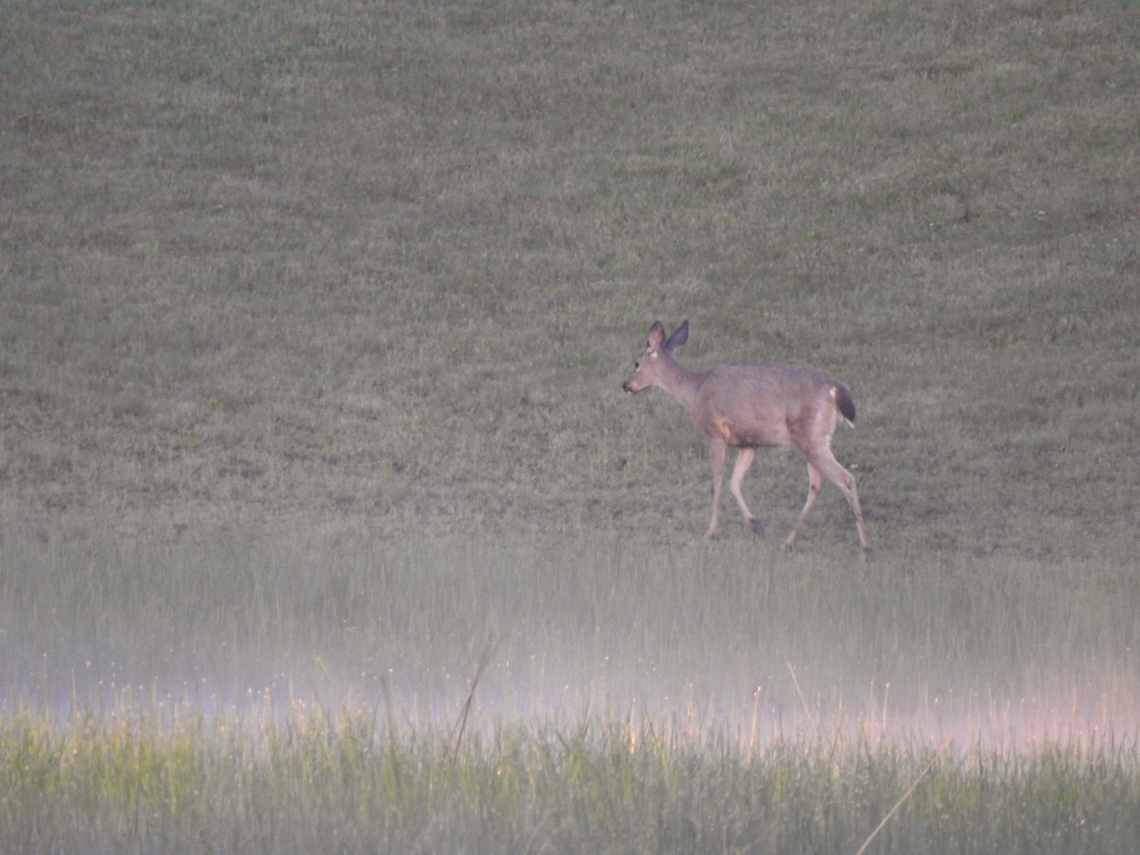
This bench faced a clearing with some smaller trees. I started to make a comment about the view being nice, but wondered where the deer were, then I spotted them.


After watching each other for a while we continued around the clearing and spotted a third doe.

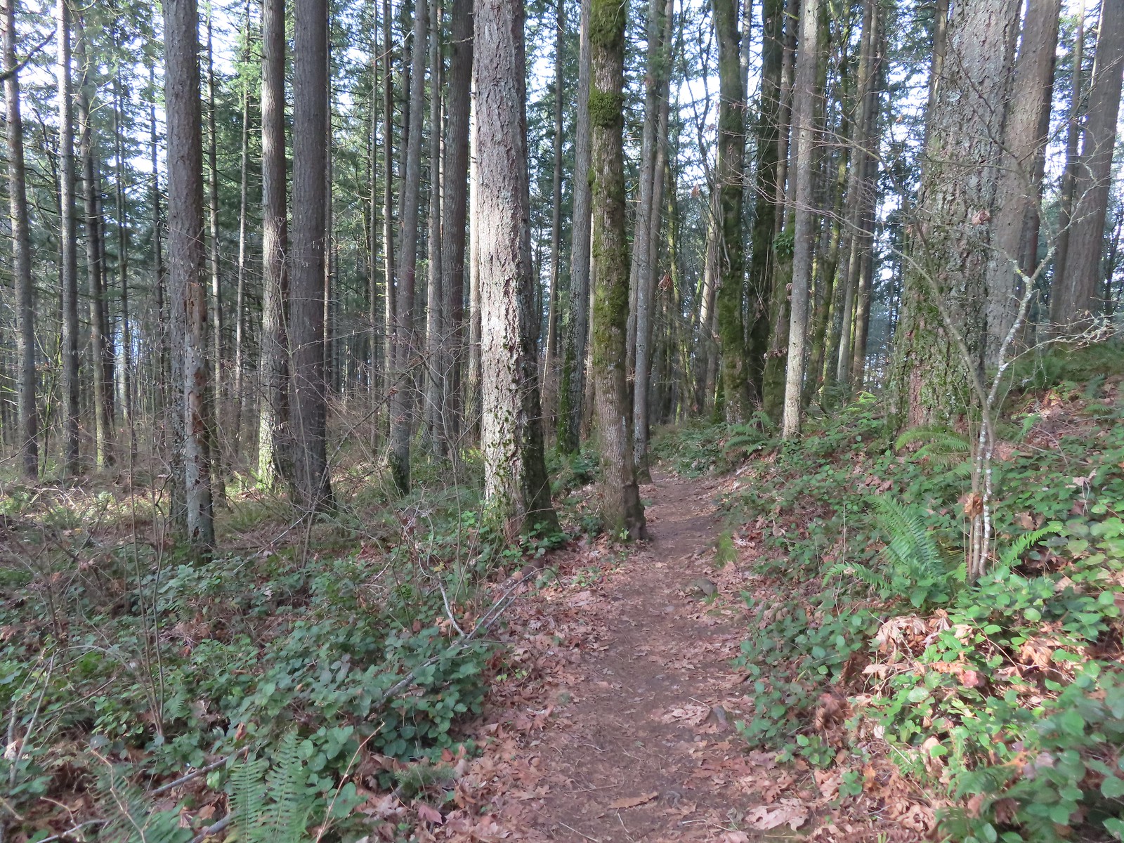
Beyond the clearing the trail climbed 0.4-miles to its end at the Chehalem Ridge Trail.


We turned right onto the Chehalem Ridge Trail and followed it for 1.3-miles to the start of the Chehalem Ridge Loop.


Camouflaged stump.


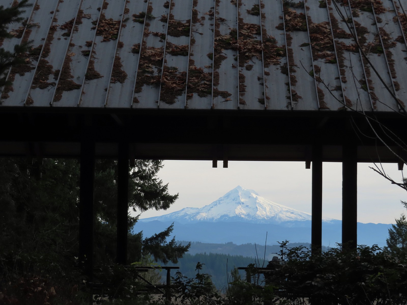
Viewpoint along the Chehalem Ridge Trail.

Wapato Lake National Wildlife Refuge (post) and Gaston, OR.

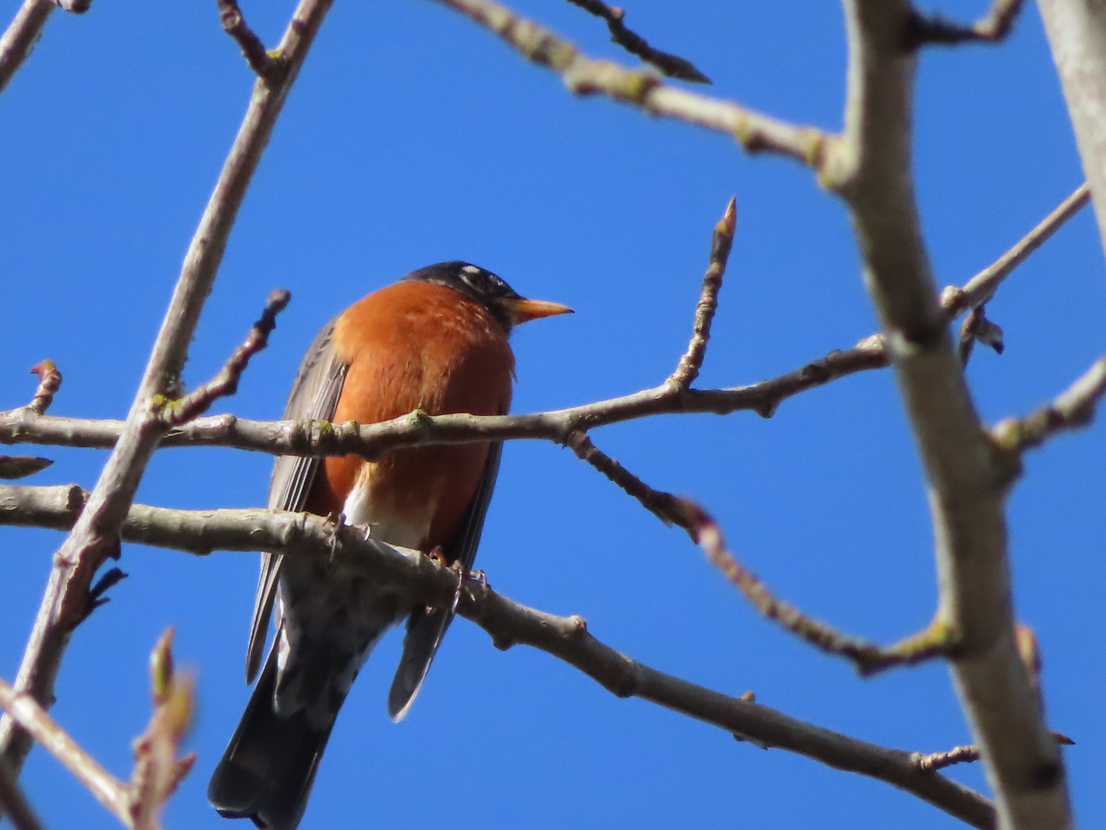
Robin

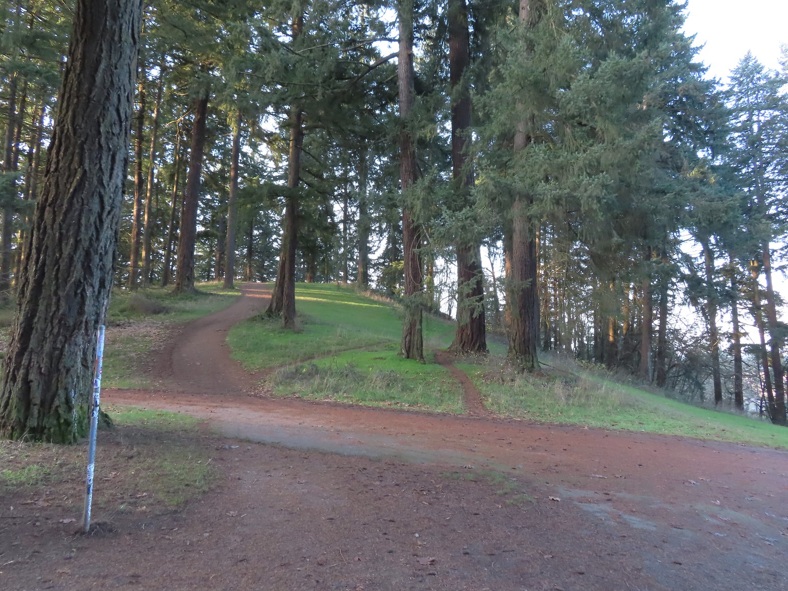
Post for the Chehalem Ridge Loop.
We paused at the start of the loop to decide if we would hike clockwise or counterclockwise. We decided on counterclockwise and just as we started to move, we spotted another deer.


We passed the 1.4-mile Madrona Trail part way around the loop. We had hiked that trail in 2022, but today we didn’t want to add the extra 2.8-miles and 400′ of elevation gain needed to climb back up to the loop.


After completing the loop, we followed the Chehalem Ridge Trail back to the Witches Butter Trail junction and continued on it for another tenth of a mile to its end at Timber Road.


Witches Butter coming up on the left marked by the railings and the Chehalem Ridge Trail continuing to the right.

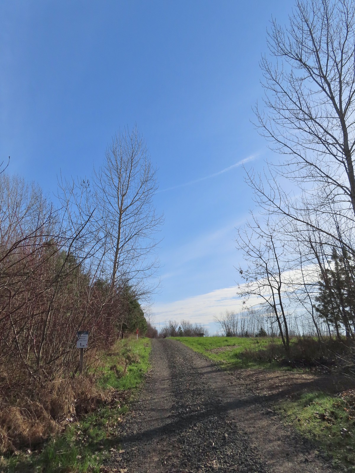
Timber Road from the Chehalem Ridge Trail. The pointer on the post ahead is for the Mampaɬ Trail which heads off from Timber Road here to the right.
We turned right onto the Mampaɬ Trail and followed it for a mile to Iowa Hill where the trail loops around an open meadow.

A half mile up the Mampaɬ Trail the Zorzal Trail forks off to the right then loops back to the Mampaɬ Trail two tenths of a mile from this junction. Since we had taken the Zorzal Trail in 2022 we’d missed the 0.2-mile section of the Mampaɬ Trail.


The Zorzal Trail rejoining on the right before the trail crossed Timber Road.


The start of the loop on Iowa Hill.
We hiked the loop clockwise this time and stopped at the stone viewpoint for a break.


Sunlight hitting a field in the valley below.
After a nice break we finished the loop and then made our way back to Timber Road.

A little bit of blue sky over Iowa Hill.

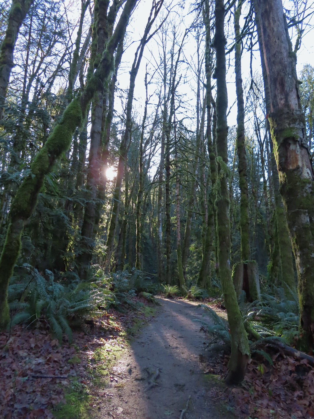
We turned right on Timber Road and followed it downhill 0.6-miles to the Woodland Trail.


We turned right onto the Woodland Trail and followed it 1.4-miles back to Timber Road near the trailhead.


Switchback on the initial climb from Timber Road.


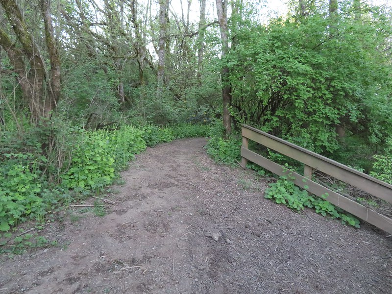
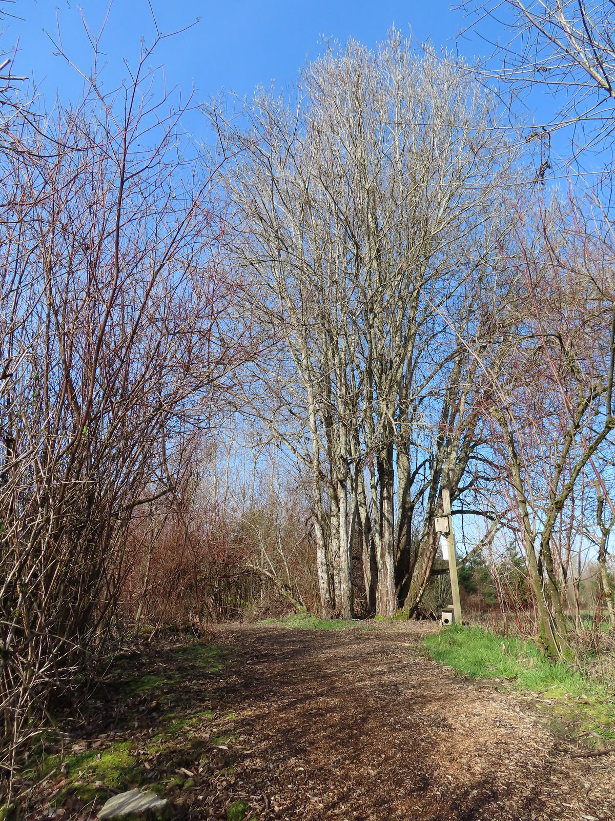
Passing the Castor Trail where we’d come up earlier in the morning.

It wasn’t until we could see the trailhead that the sun finally broke through the clouds enough for us to feel its warmth.

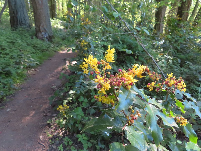
Oregon grape blossoms beginning to form.
Today’s hike came in at 8.6-miles and 750′ of elevation gain.

While we didn’t get the mostly sunny skies that had been forecast, we did stay dry and we got to see the four deer and a number of birds. Depending on weather this might be our only outing in February, and if so, at least it was a good one. Happy Trails!
Flickr: Chehalem Ridge Nature Park


 All trails are open from February 1st through September 30th, then from October 1st through November 30th the final 1.3-mile stretch to the right (south) is closed, and there is no hiking allowed during hunting season from December 1st to January 31st.
 Geese
Geese Osprey
 Killdeer
 Meadow checker-mallow
 Wood ducks
 Northern shovelers
 Ducks, geese, and a heron.
 Scrunched heron
 Stretched heron (same heron)
 Sparrow
 A different heron and a duck.
 Yep, it’s a nutria.
 Spotted sandpiper
 One of several benches located along the dikes.
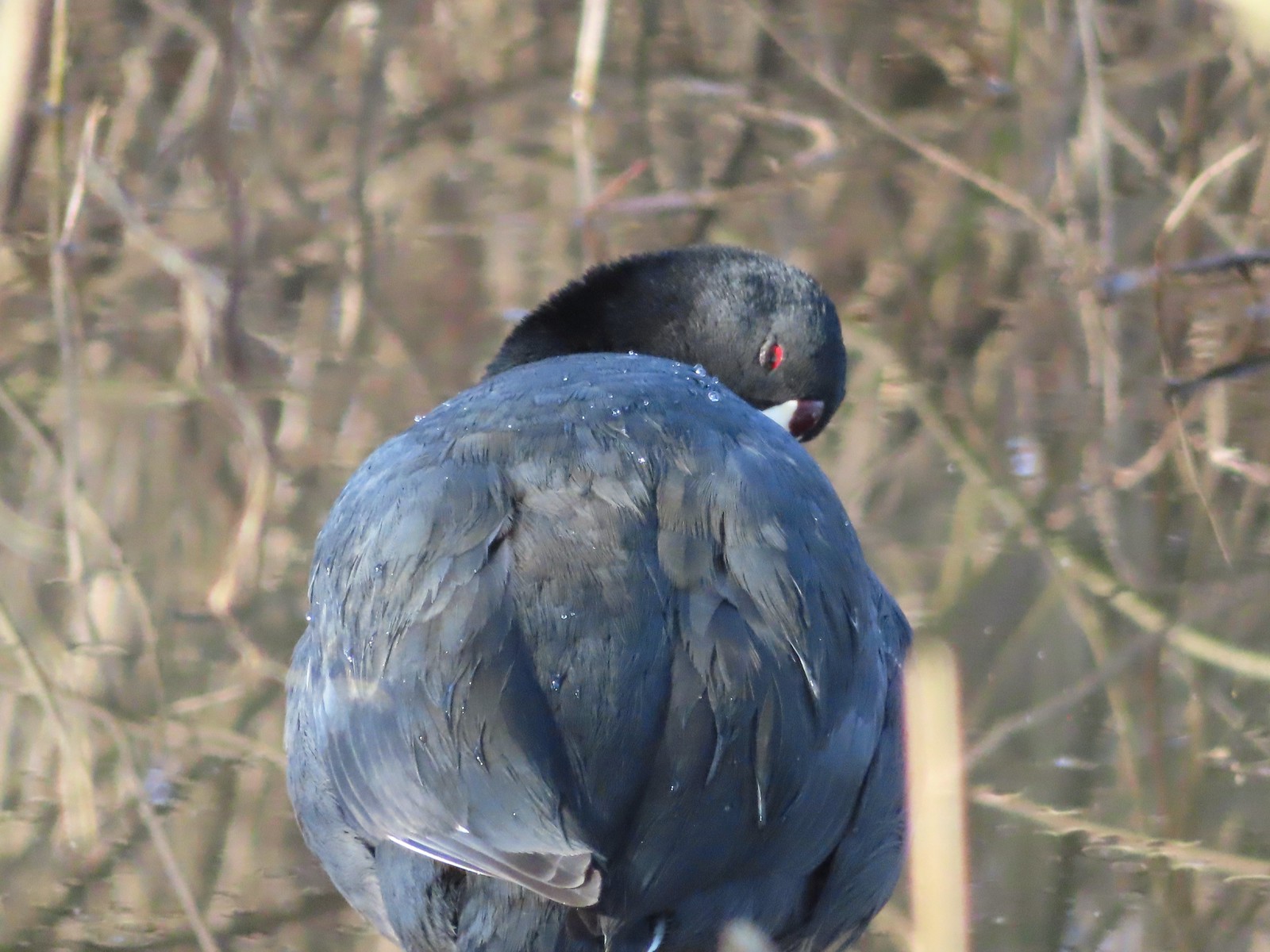
 American coot
 Gadwall
 Dove
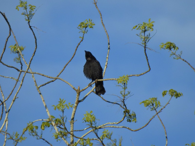
Dove Crow
Crow American kestrel
 Swallow
 Cinnamon teals having a disagreement.
 End of the trail to the south.
 View from the end of the trail.
 Wood ducks
 Robin
Robin Short billed dowitchers
 Green winged teal
 Hooded merganser and a gadwall
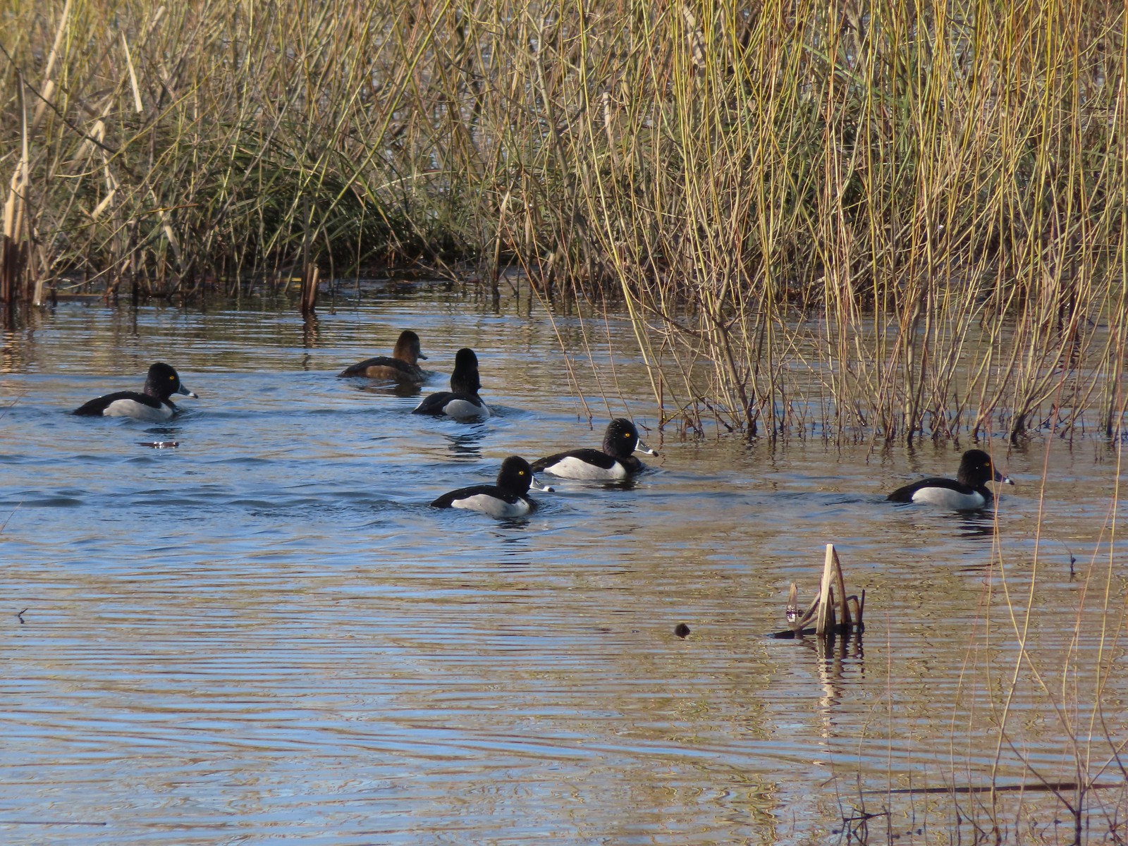
 Ring-necked ducks
 Heading to the left (NNE) now.
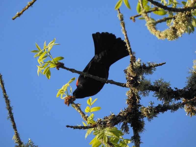
 Red-winged blackbird
 Egrets, herons, and ducks.
 Great blue heron and egret
 Cinnamon teal and northern shoveler
 Hooded mergansers and a cinnamon teal
 Northern shovelers and a northern pintail on the right.
 California quail
 End of the trail in this direction.
 My 3.3-mile track with minimal elevation gain.
 Swallow
 Osprey
 Killdeer
 American coot
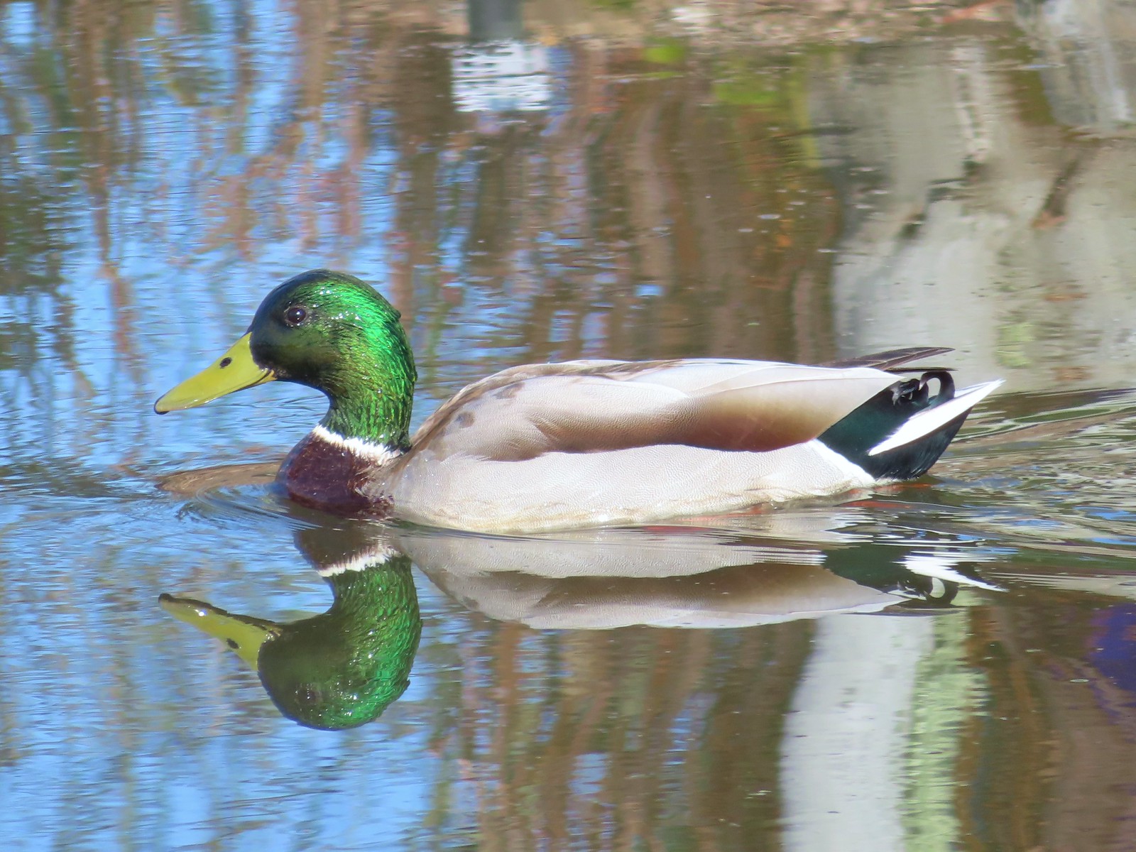
 Mallard
 Anna’s hummingbird
 A bit of the pink on it’s throat.
 Ring-necked ducks
 Bald eagle
 Gadwalls
 Song sparrow
 Purple martins
 Pied billed grebe
 Mallard and ducklings
 Mallards
 Fringecup
 Rabbit
 Sandpipers
 Ground squirrel
 American goldfinch. I’d seen a number of these this week but had only managed a picture of the back of one at Finley Wildlife Refuge.

 The orange track is a portion of the Wetland Trail that I had not previously hiked.
 Mt. Hood from the Wetlands Trail.
 I spotted a couple of deer shortly after setting out.

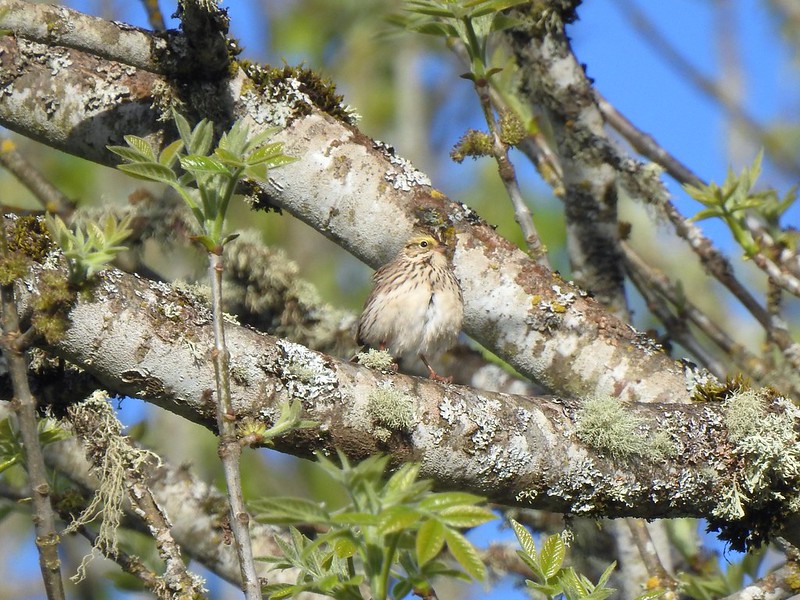
 I believe this is a savannah sparrow.
 Geese families
 Killdeer
 It was just under 40 degrees Fahrenheit when I started, but the forecast called for temperatures to reach 80 by the afternoon.
 Geese, goslings, and goose eggs.
 Sandpiper
 Not sure what type of fish this is but they were thrashing about near the shoreline, and I had seen similar behavior the day before in McFadden Marsh at Finley NWR.
 Duck and ducklings
 Sleeping nutria
 Purple martins and a swallow (bottom left).
 Egrets and a great blue heron.
 Closer look at the egrets and heron.
 Robin
Robin


 Mallard
 Sandpipers
 Riverside Trail
 Tualatin River
 Song sparrow
 Inside-out flower
 The Ridgetop Trail to the left. There is a bench and railed overlook but the view is blocked by trees. If there hadn’t been any leaves there may have been a view but today there wasn’t.
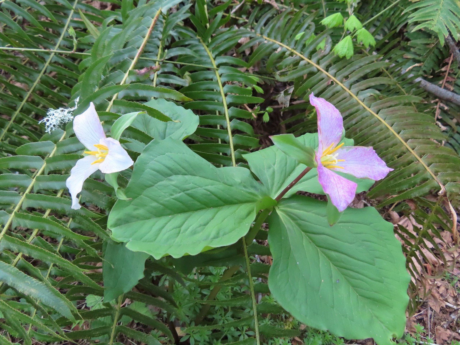
 The only trillium I saw with any petals left.
 Bleeding heart
 Northern flicker
 I spotted an American kestrel in this snag. I had been hoping to see one during this week’s hikes.
 American kestrel
 Crow
Crow Northern shoveler
 Wildflowers near the trailhead.
 Lupine, plectritis, checkerbloom, and golden paintbrush.
 This route came to 4.4-miles and just 35′ of elevation gain.
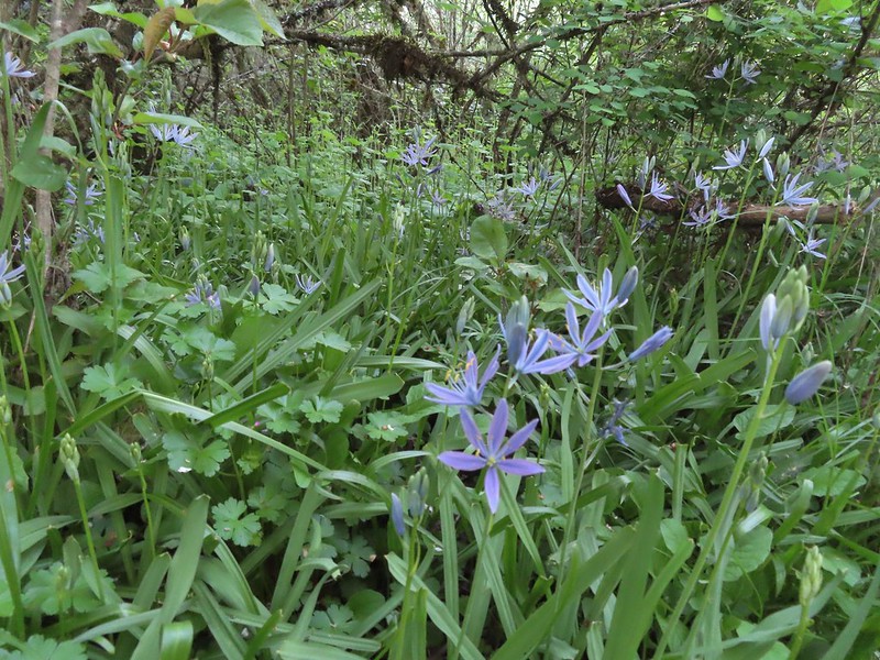
 Camas
Camas
 Larkspur
 Not a native wildflower but pretty.
 Columbine
 Rabbit
 The look on their faces seems to indicate they were not expecting to see me there.
 Going back the other way.
 Karaoke
 Helpful maps and/or pointers are located at trail junctions.
 Swallow
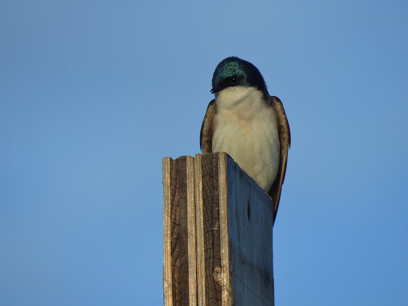
 Swallows
 Cinnamon Teal
 Ring-necked ducks
 Purple martins
 Canada geese
 Jackson Bottom Wetlands Trail passing Oak Island Marsh.
 Crow harassing an osprey over Oak Island Marsh.
 I thought flamingos were pink.
 American coot in NW Pond.
 Another napping nutria.
 Robin
Robin Gadwall
 Egrets at Wapato Marsh.
 Great blue heron in Pintail Pond.
 Lupine along the trail.
 Green winged teal
 Heading toward Salamander Slough.
 Two turtles and a mallard.
 Long billed dowitcher
 Cabbage white?
 Checkerbloom along the Coyote Hill Trail.
 Common yellowthroat
 Savannah sparrow
 Spotted towhee
 Tualatin River
 Deer crossing Pintail Pond. I think these are the same three I saw earlier.
 I’ve been spotted.
 Rabbit on the left along the River Trail.
 Salmonberry
 Western meadowrue
 Wild rose
 Stairs leading to the trail on the River Trail.


 Duck and ducklings along with a killdeer.


 Chickadee
 Mallards
 Fanno Creek
 Thimbleberry and service berry

 Northern flicker
 Hummingbird
 Red-winged blackbird

 Squirrel
 The Greenway Loop Trail had the only flooded section on this day.
 Wetlands along the Greenway Loop Trail.
 Goose
Goose
 Hooded mergansers
 This is another section that may flood at high water times.


 We spent some time here watching a female mallard attempt to join the drakes along with her ducklings only to be repeatedly chased off.
  Mallards ducklings
 The ducklings finally making it across the trail.
 Goose and gosling
 Avens
Avens
 Camas
Camas Dirksen Nature Park
 Viewing platform
 Wetlands from the viewing platform.
 Dove
Dove Finch
Finch Robin
Robin
 Lupine
 Woodard Park Trailhead.
 This may be a lesser goldfinch, I wasn’t able to see anything but its rear end though.

 Spotted towhee
 Wood duck


 Camas
Camas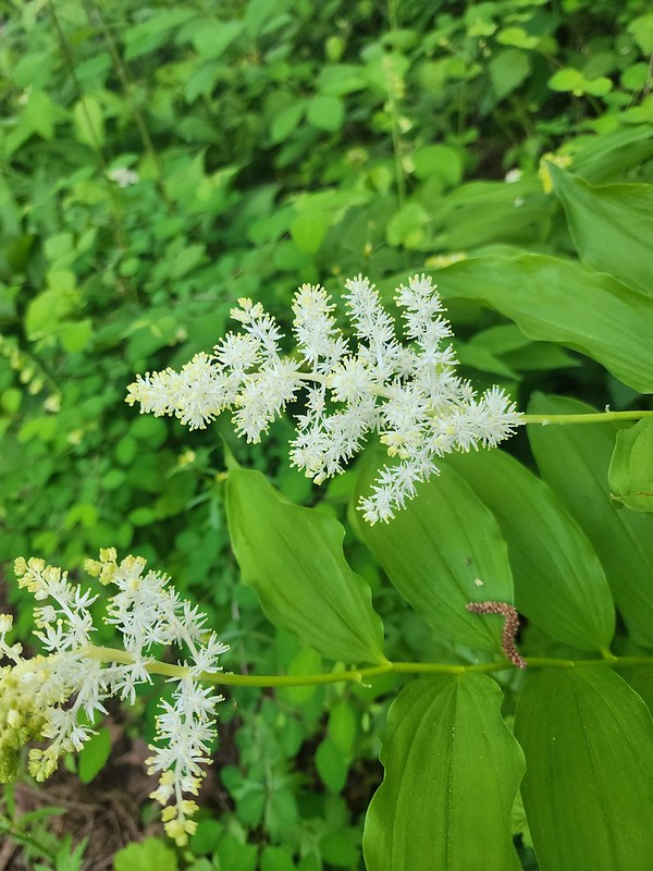 Solomonseal
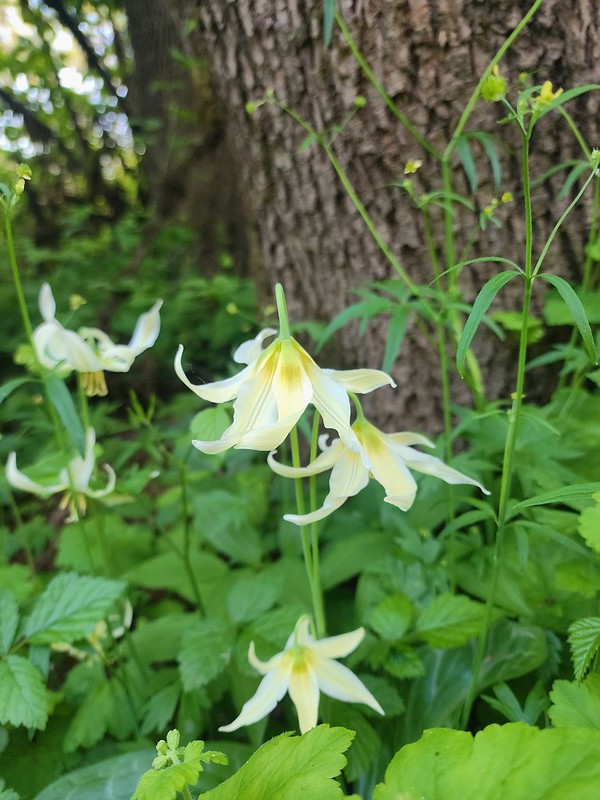 Fawn lilies
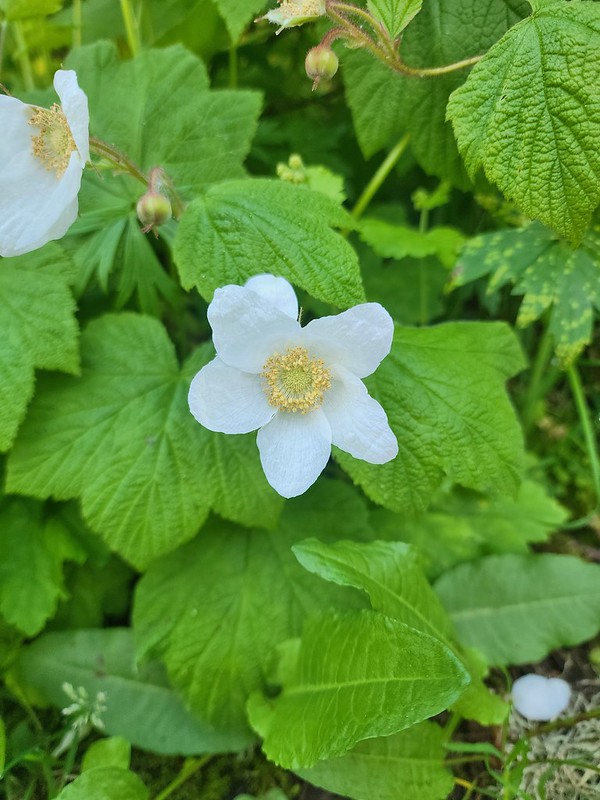 Thimbleberry
 Giant purple wakerobin
 The trail signs were very helpful in keeping us on track.
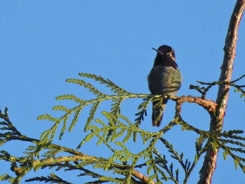 Anna’s hummingbird
 Viewpoint overlooking Kingfisher Marsh.
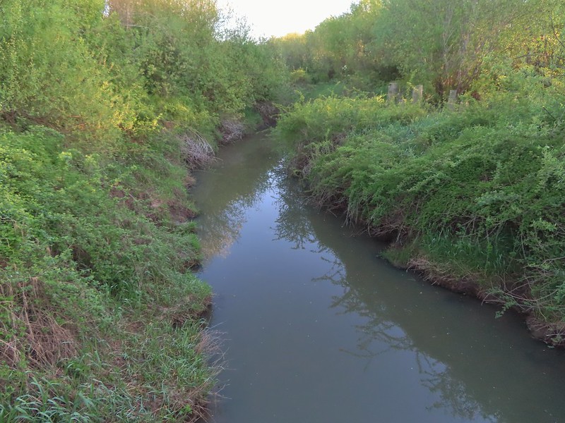 The trail crossed Jackson Slough on a footbridge.
 Pintail Pond Loop
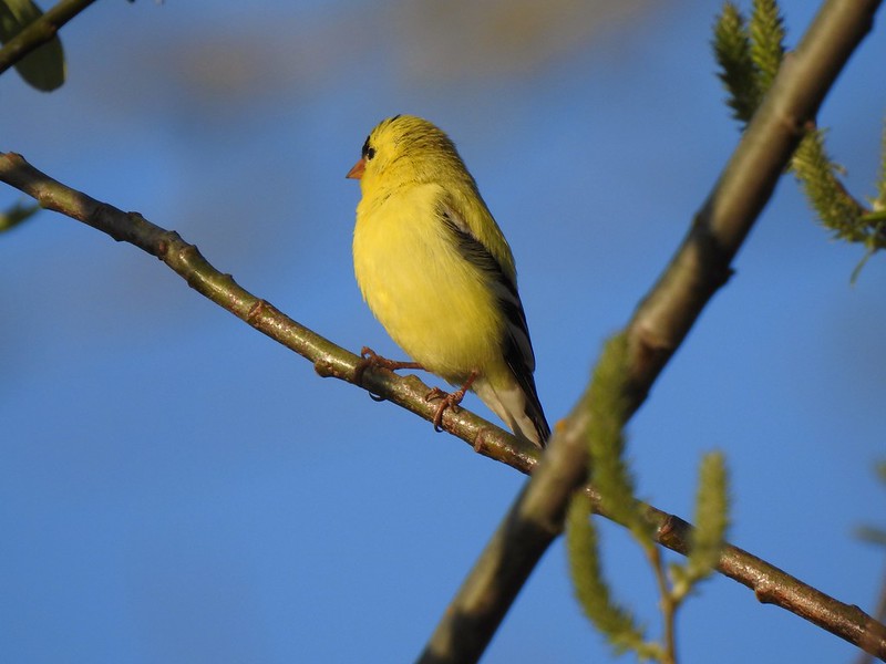 American goldfinch
 Red-winged blackbird
 Sparrow
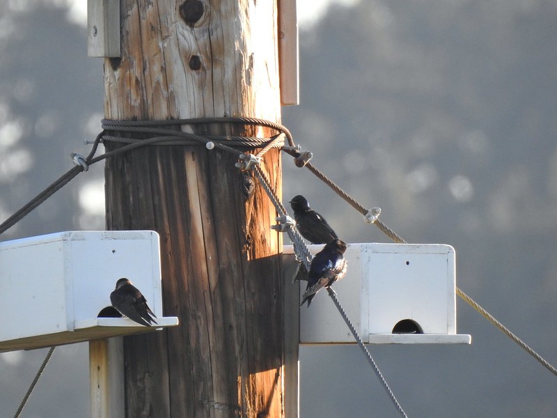 Purple martins
 American robin
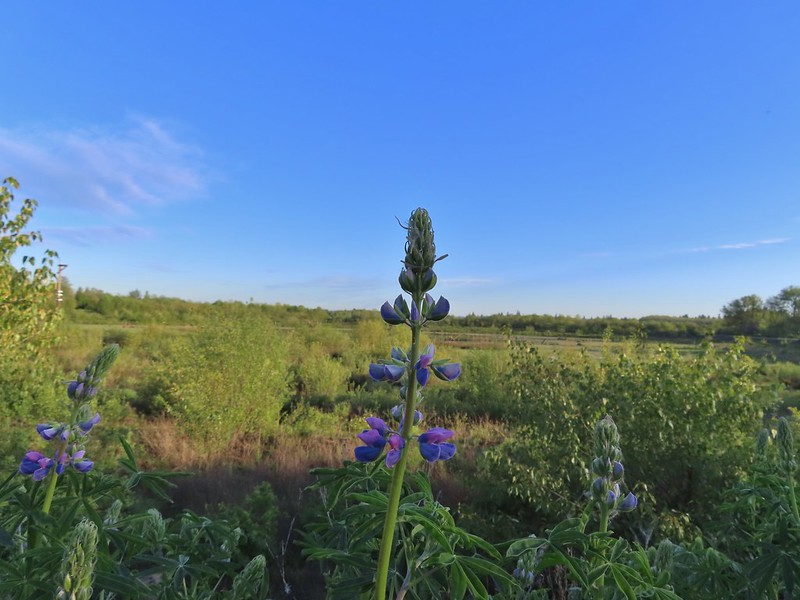 There is a lot of lupine in the preserve but only a few had started blooming.


 Pintail Pond
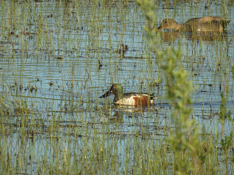 Northern shoveler drake and a gadwall
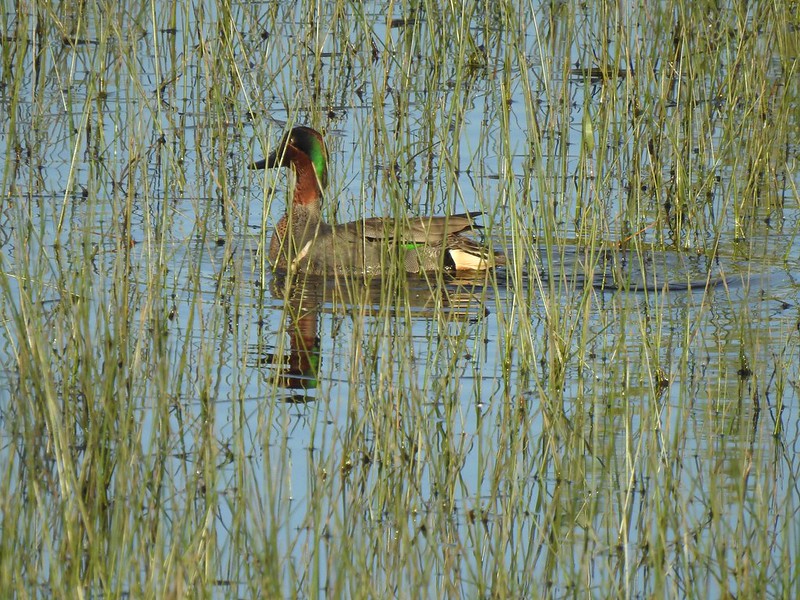 Green-winged teal
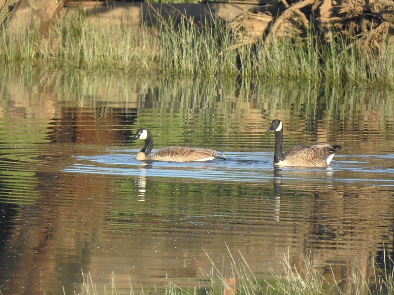 Geese
Geese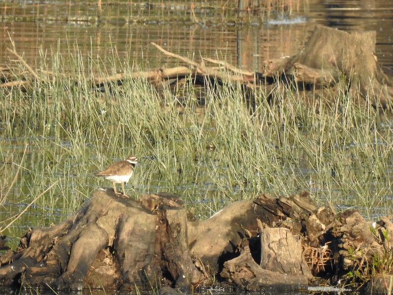 Killdeer
 More camas
 The Ash Trail.
 Orange-crowned warbler
 Jackson Bottom Wetlands
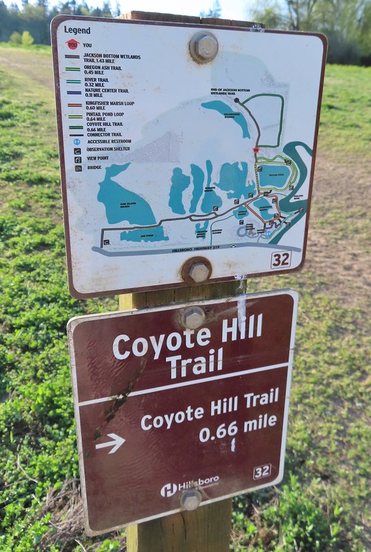 Can’t emphasize enough how helpful the map/pointer combinations are.
 Noisy crow
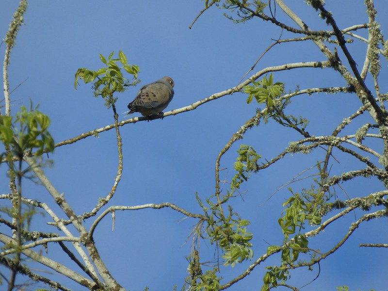 Mourning dove
 Our assumption was that that is Coyote Hill in the distance.
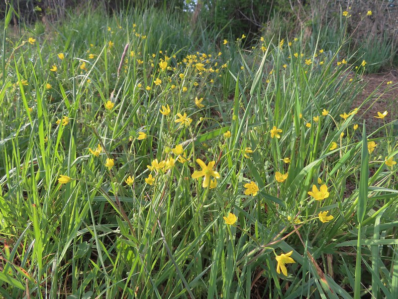 Western buttercups
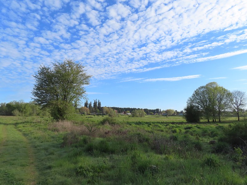 Some houses on the wetlands border.
 Golden-crowned sparrow
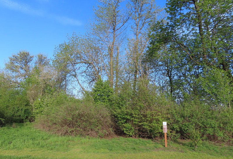
 End of the trail.
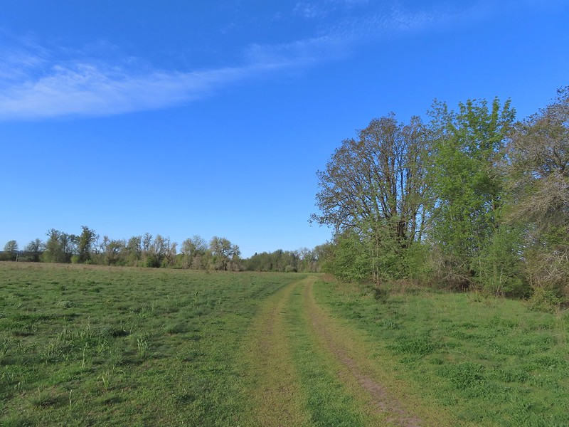
 Savannah sparrow
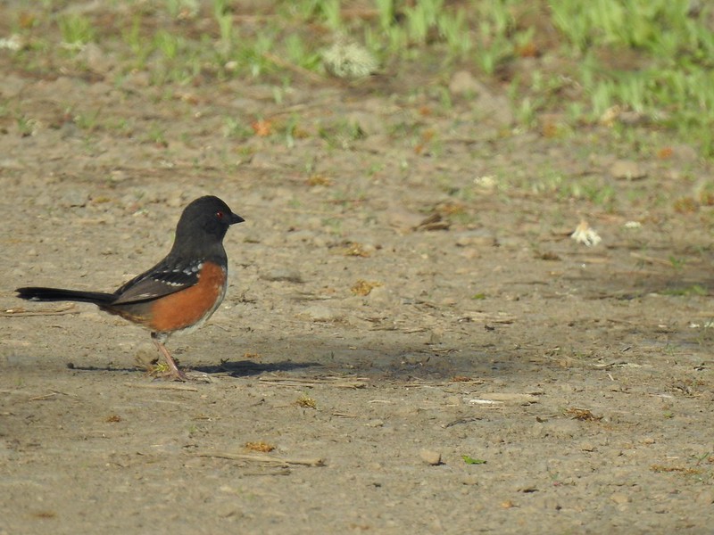 Spotted towhee
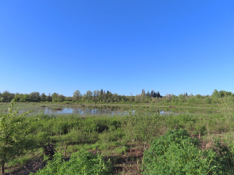 Passing Pintail Pond.
 Wapato Marsh
 White-crowned sparrow
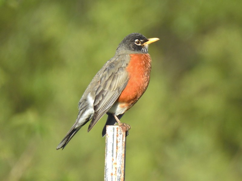 American robin
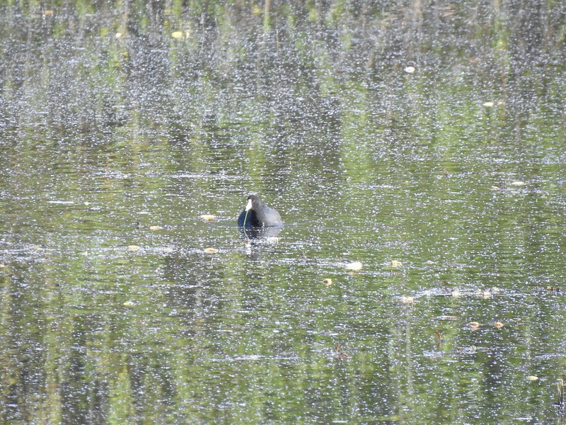 American coot
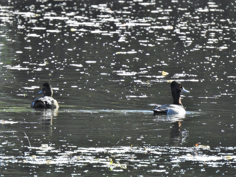 Ring-necked ducks
 Wapato Marsh
 Cormorants
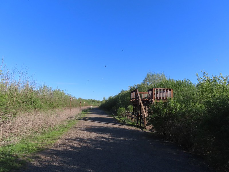 Raised viewing platform with many tree swallow photobombs.
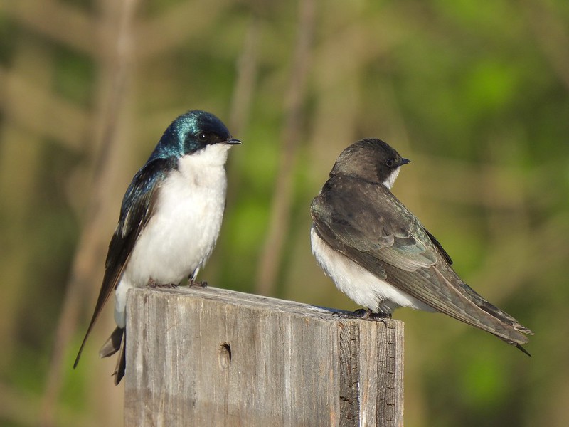 This couple was having quite the discussion.
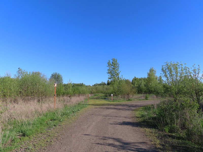 The Bobcat Marsh Trail on the left.
 Water treatment pipes at the other end of the Bobcat Marsh Trail.
 NW Pond
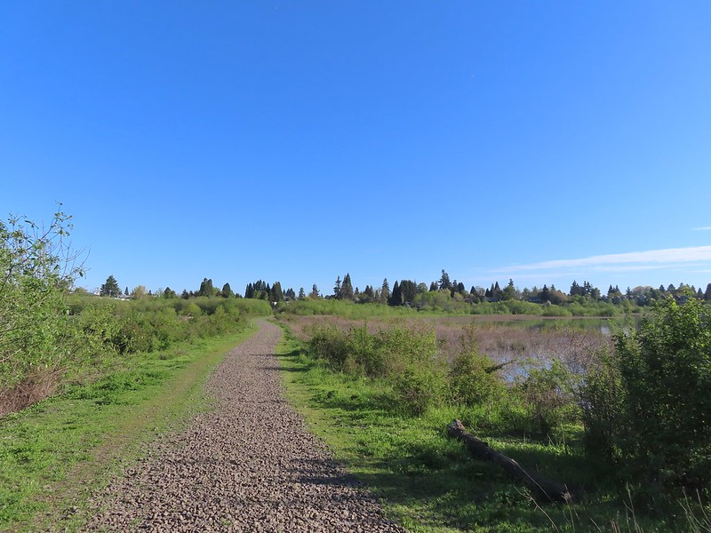 The trail passed between the NW Pond on the left and Oak Island Marsh on the right.
 NW Pond had a variety of waterfowl. This is a northern shoveler drake, ring-necked duck pair, four lesser scaups, and an American coot.
 Pied-billed grebe in NW Pond
 Lesser scaups
 Goose and mallards
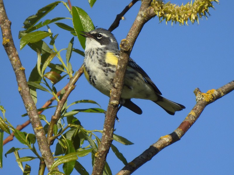 Yellow-rumped warbler
 The northern trailhead.
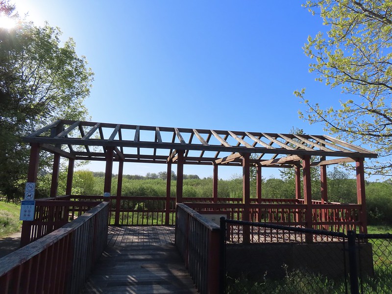 Viewing platform at the trailhead.
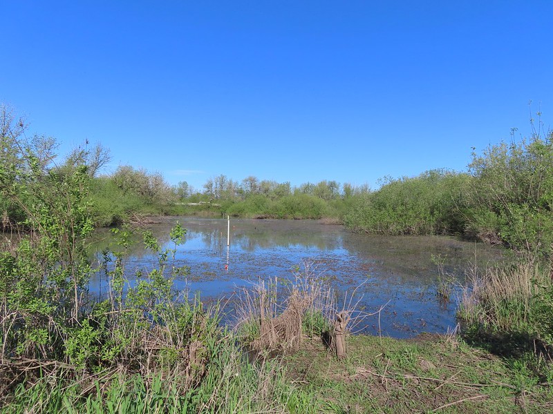
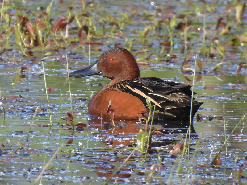 Cinnamon teal on Meadow Mouse Marsh

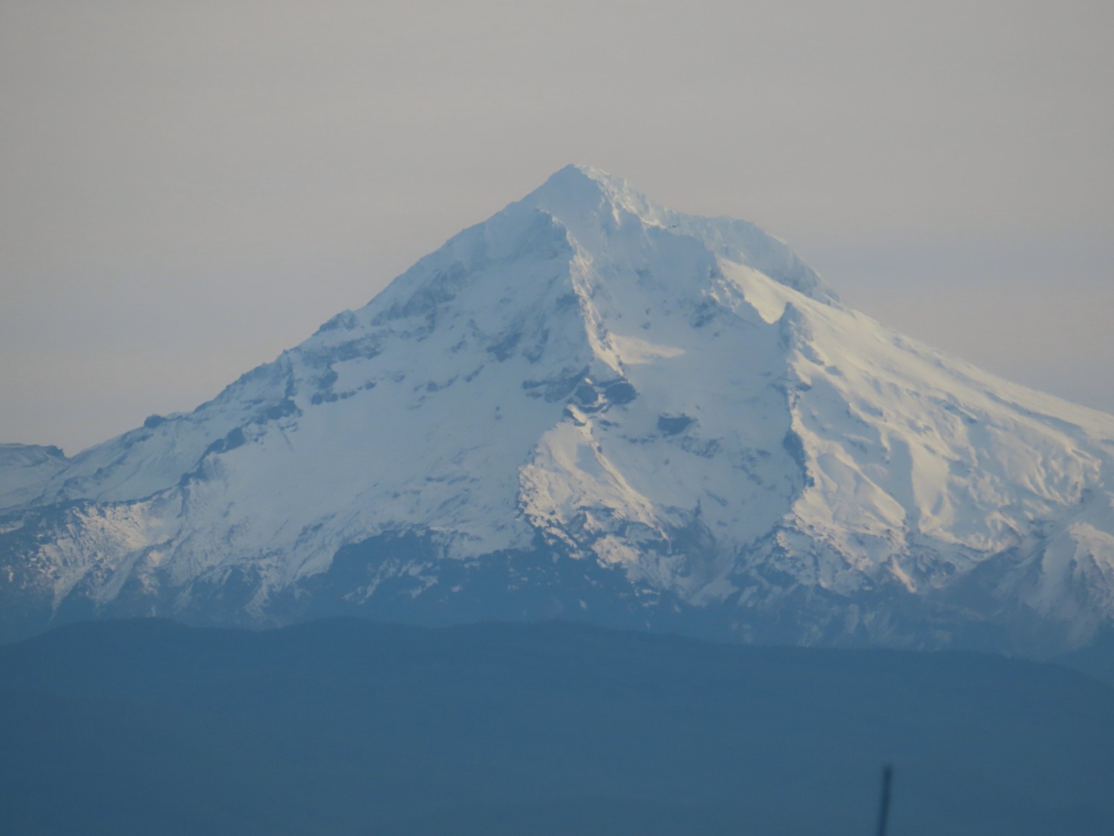
 Mt. Hood beyond Wapato Marsh
 Back on the Kingfisher Marsh Loop.
 The Kingfisher Marsh Loop turned left here.
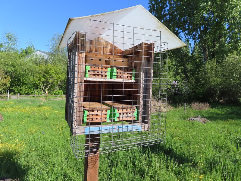 Mason bee house
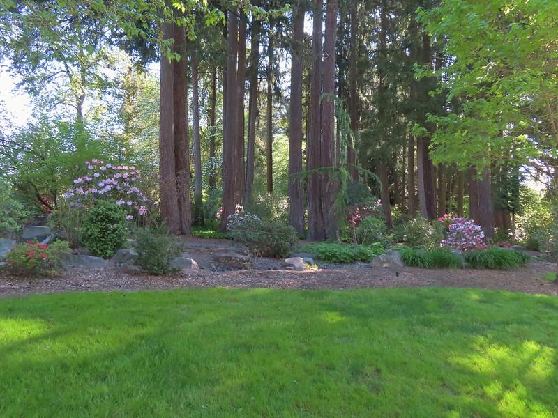
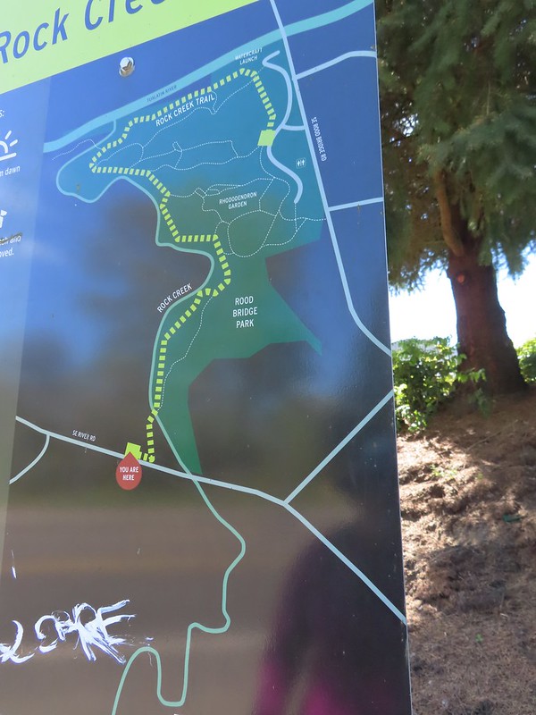
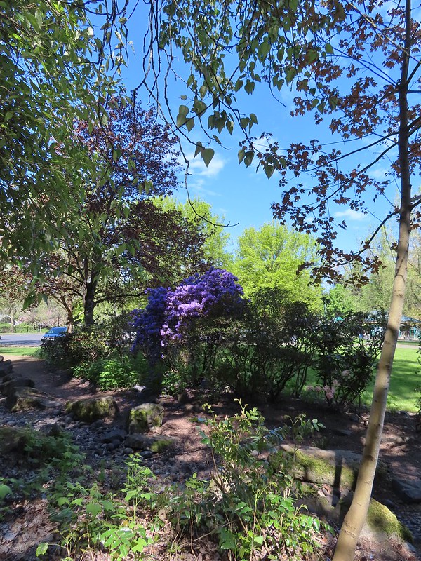
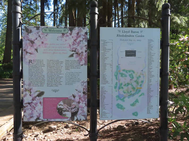 Sign for the rhododendron garden.
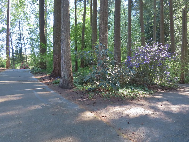
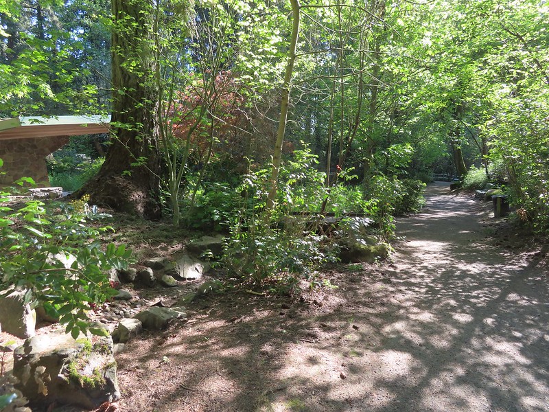
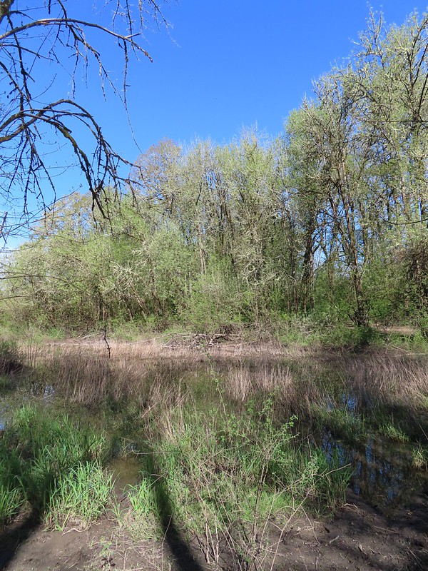
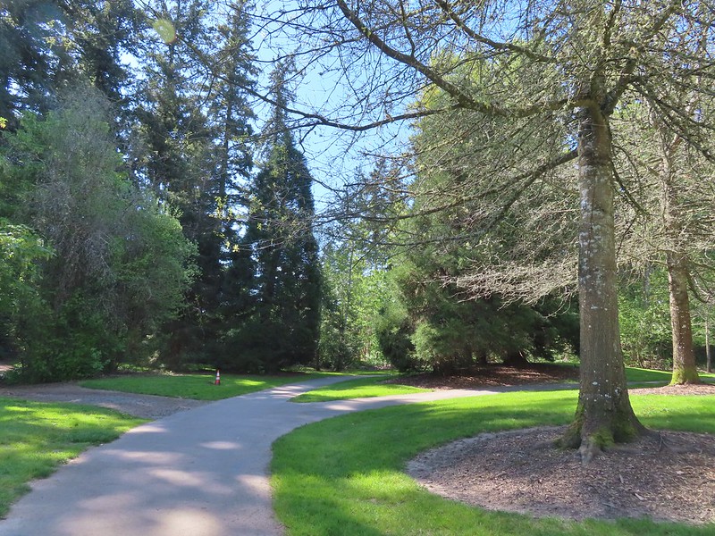
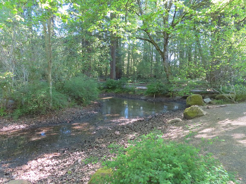 The Woodland Pond
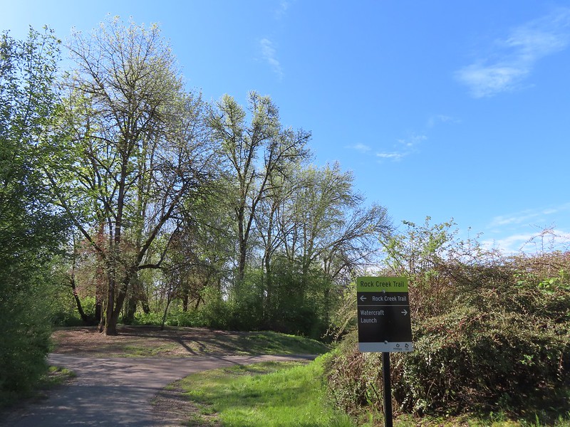
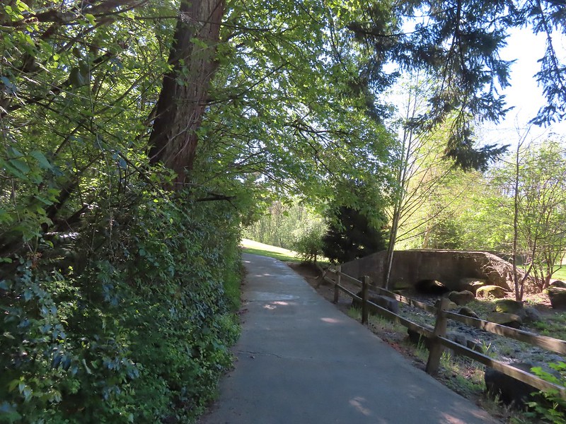 Heading for the Rock Creek Trail.
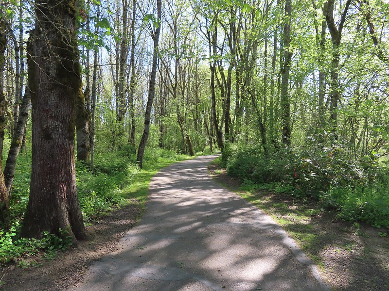
 Rock Creek from the Rock Creek Trail.
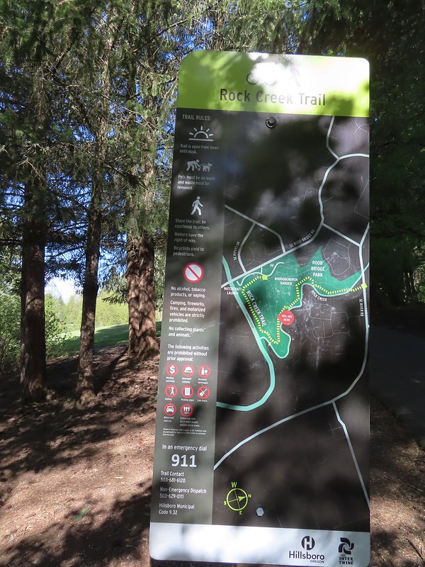 The maps for the park were a little tougher to follow as most of the trails weren’t named and there were a lot of interconnected short segments.
 The junction ahead is where the Rock Creek Trail beings/end according to the Rock Creek Trail maps. Maps of Rood Bridge Park simply refer to this as part of the “Main Trail Loop”, if they label it at all.

 Mallards
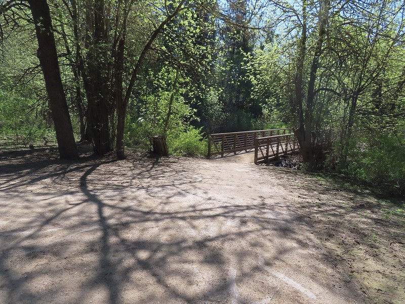 Footbridge at the start of the Lollipop Loop.
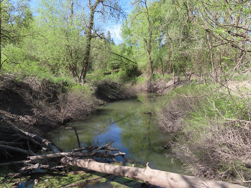

 There was a fair amount of Oregon grape as well.
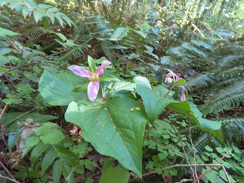

 Violets and trillium
 Western meadowrue
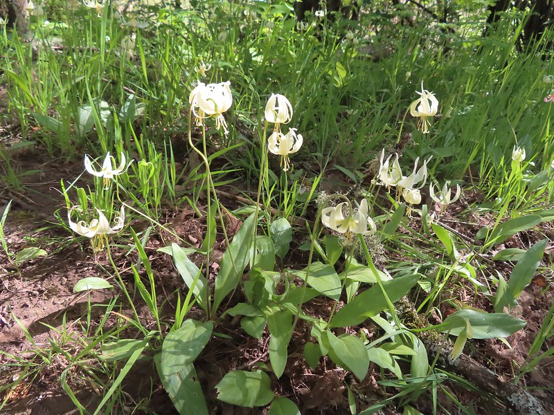 Fawn lilies
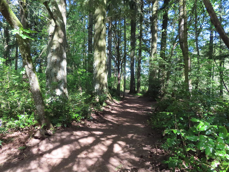

 Sparrow
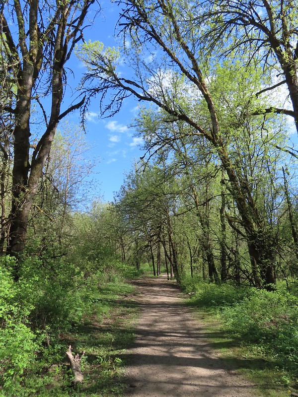
 Footbridge over Rock Creek.
 Left is the dirt path we’d taken earlier, straight is the Rock Creek Trail, and right led to the Rhododendron Garden.

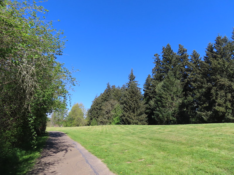
 Jackson Bottom on the left and Rood Bridge to the right.
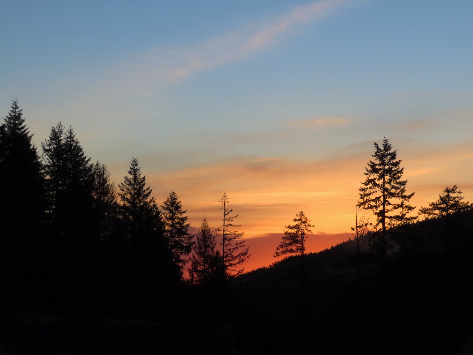 Sunrise from the trailhead.
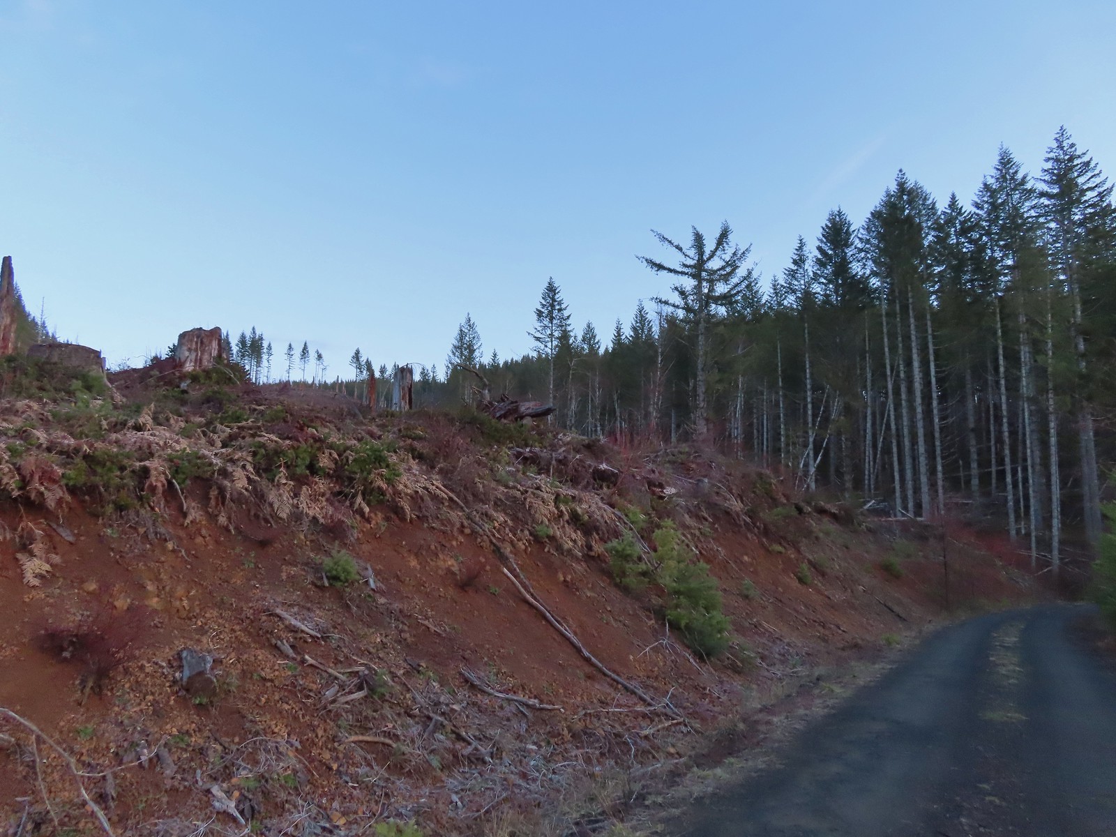 Clear cut at the trailhead.
 This was the view through the forest from Maple Creek Road around the 80-yard mark.
 We could hear the Tualatin River in the valley below and I managed to get far enough down the hill to get a glimpse of the water. I had descended from a pullout with a fire ring about 50-75′ looking for the old roadbed, but I still couldn’t make out where it actually was and had been slipping a lot on wet wood.
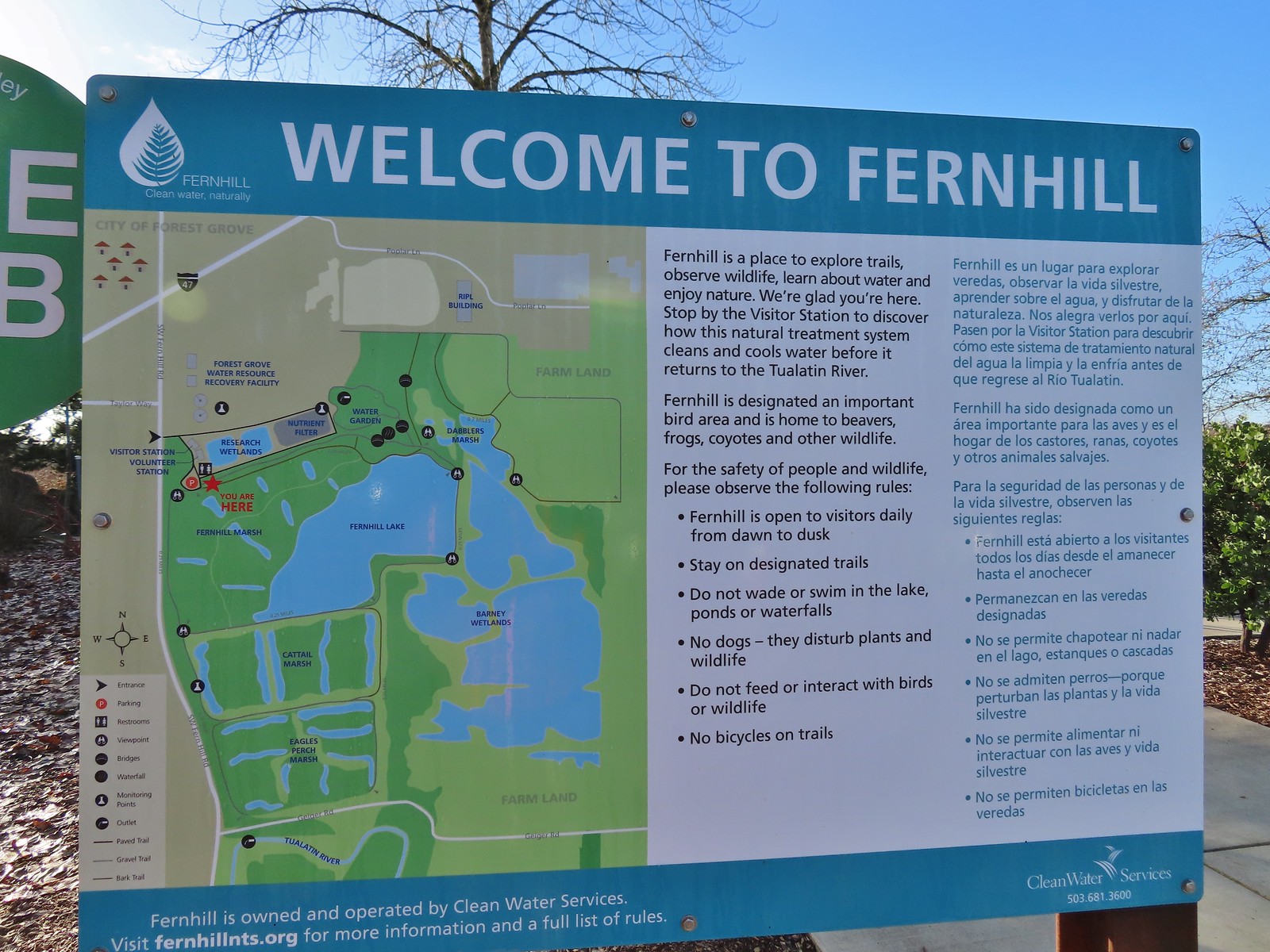 Map and information at the trailhead.
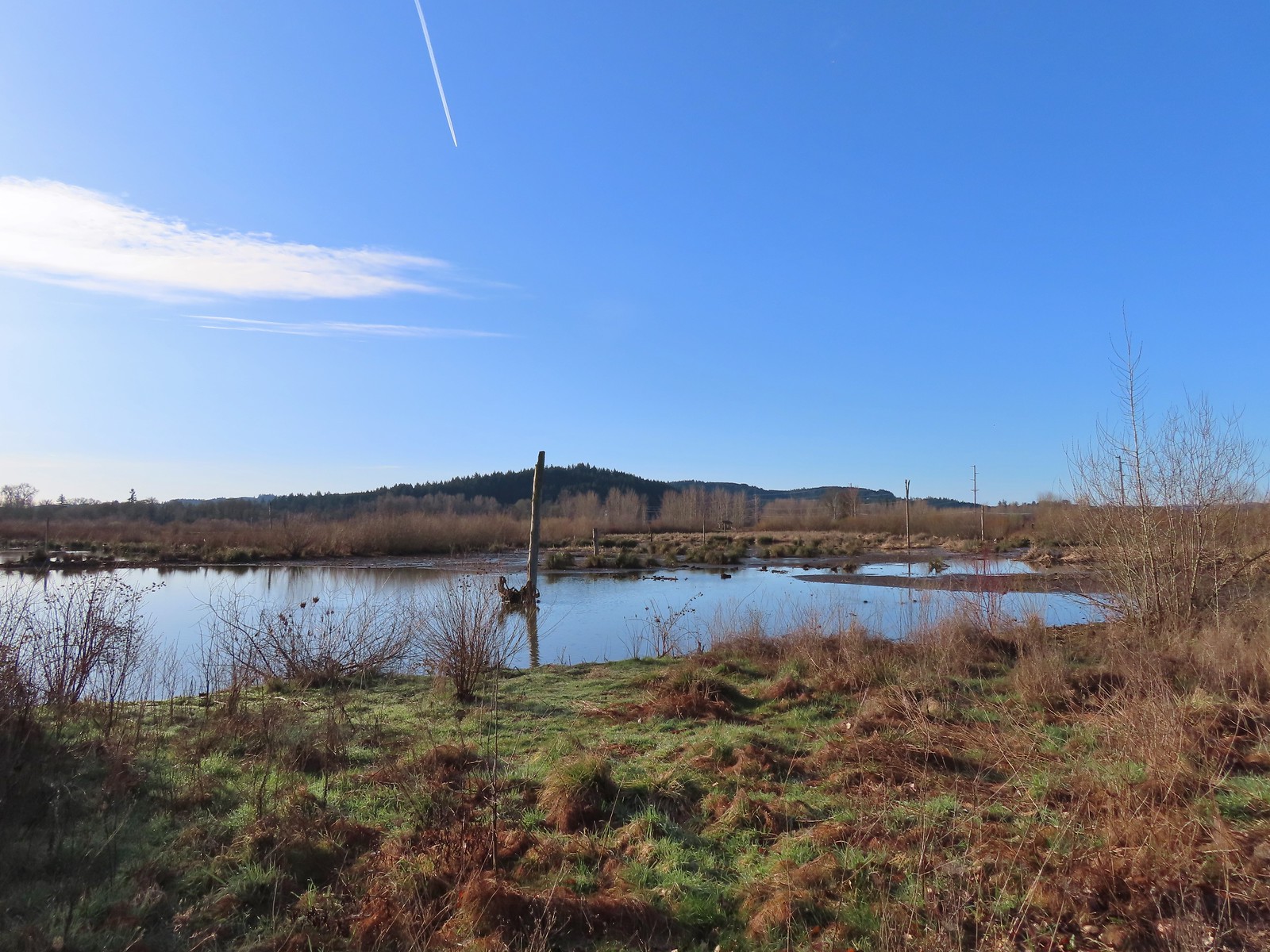
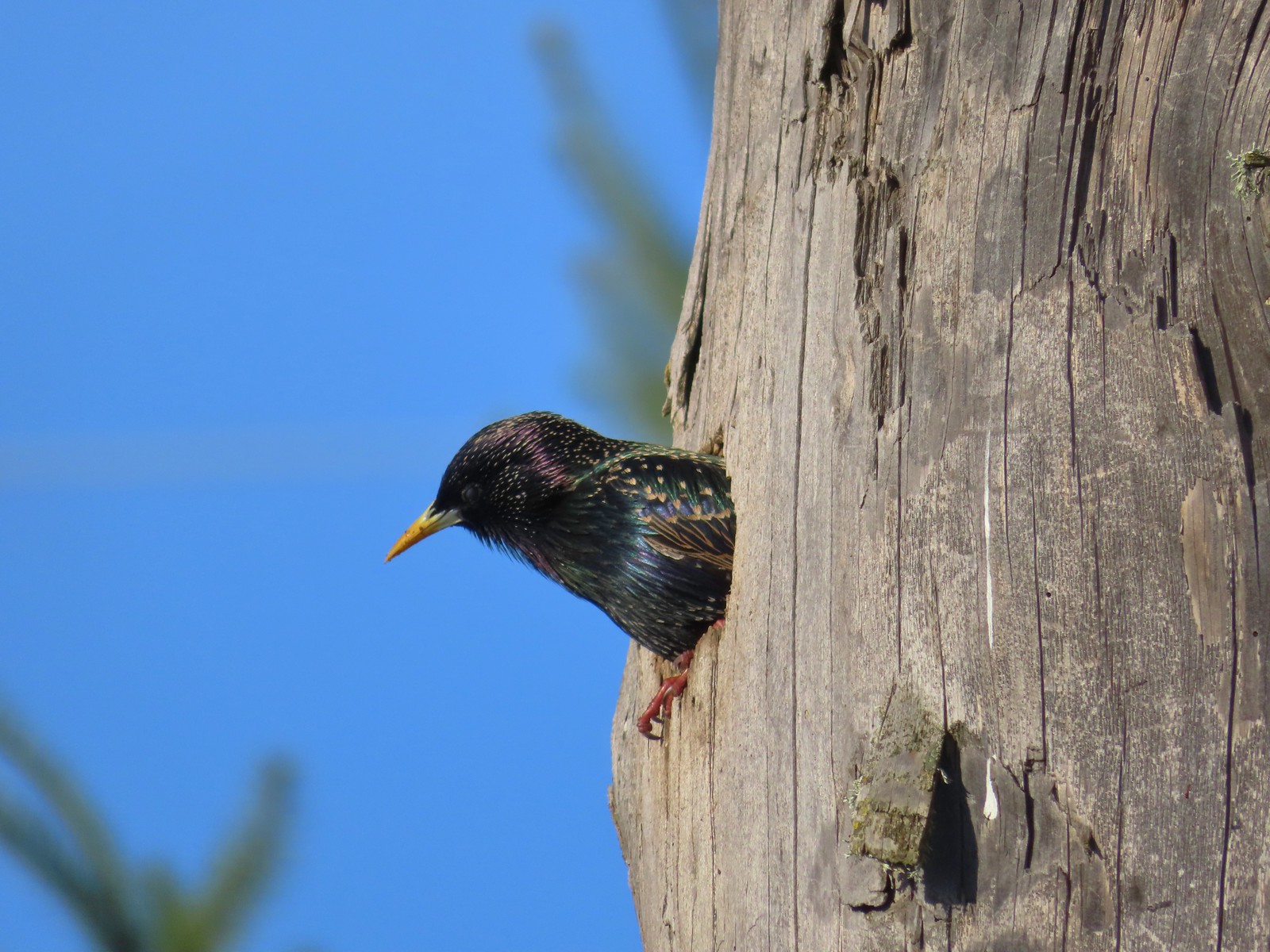 Starling
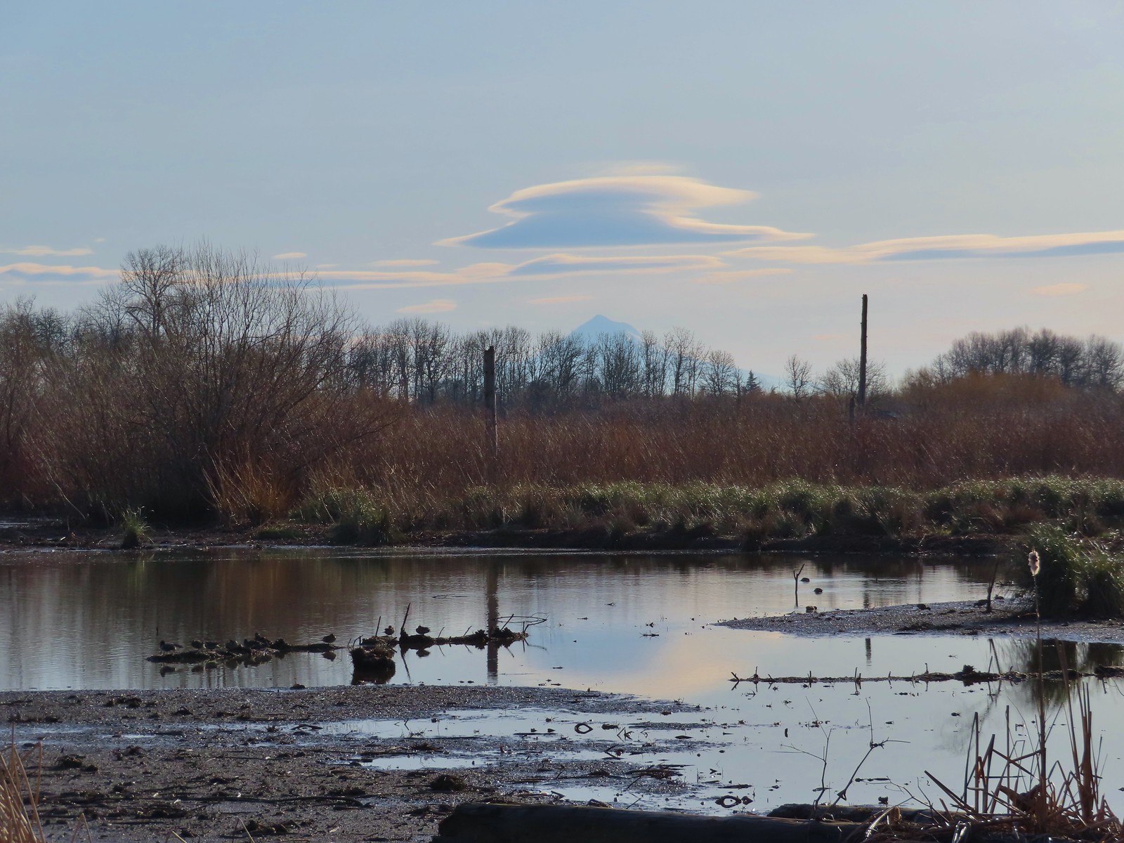 Lenticular clouds over Mt. Hood in the distance.
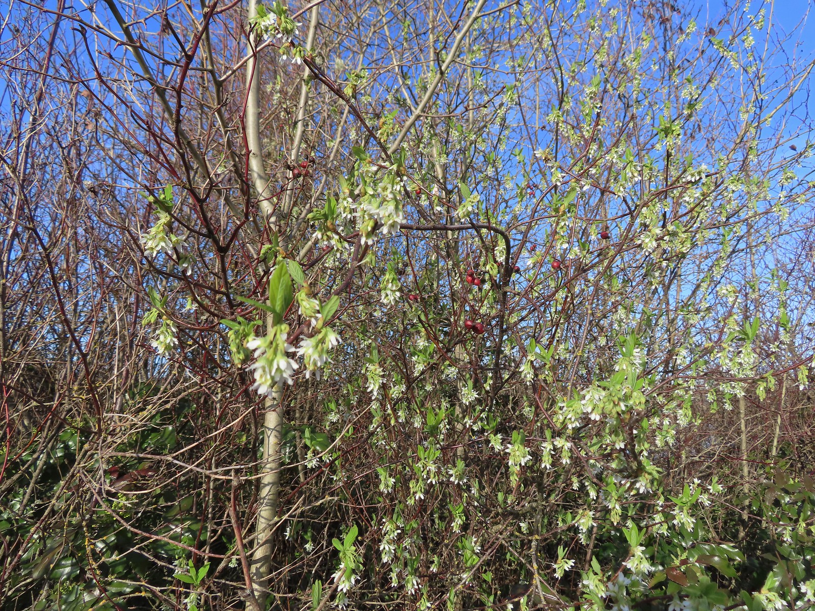 Our first wildflower of the year is Indian plum in 2024.
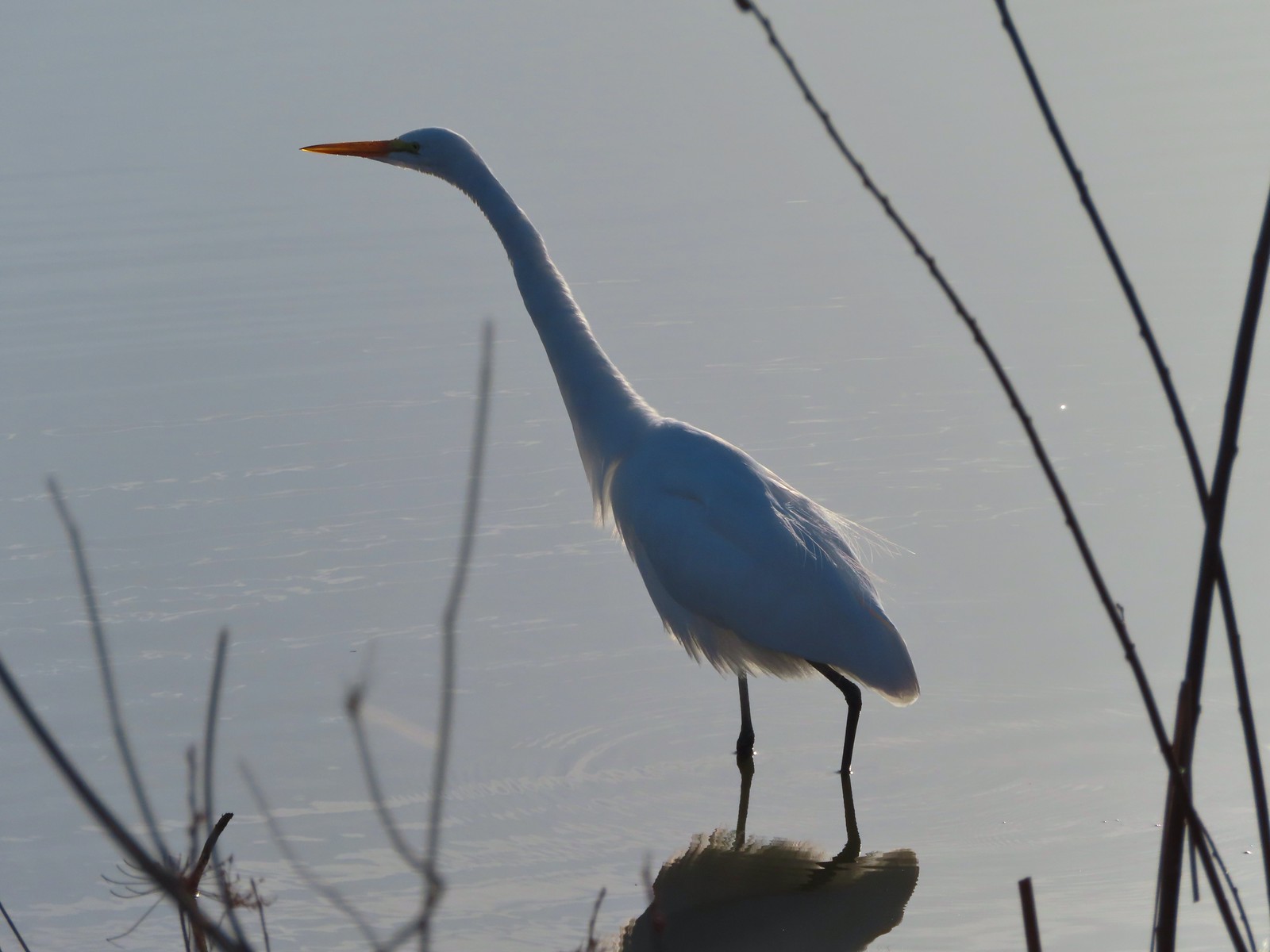 Egret
Egret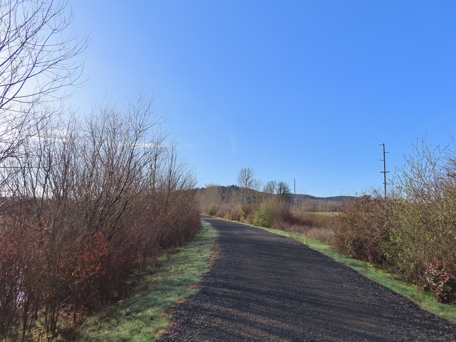 Path at Fernhill Wetlands.
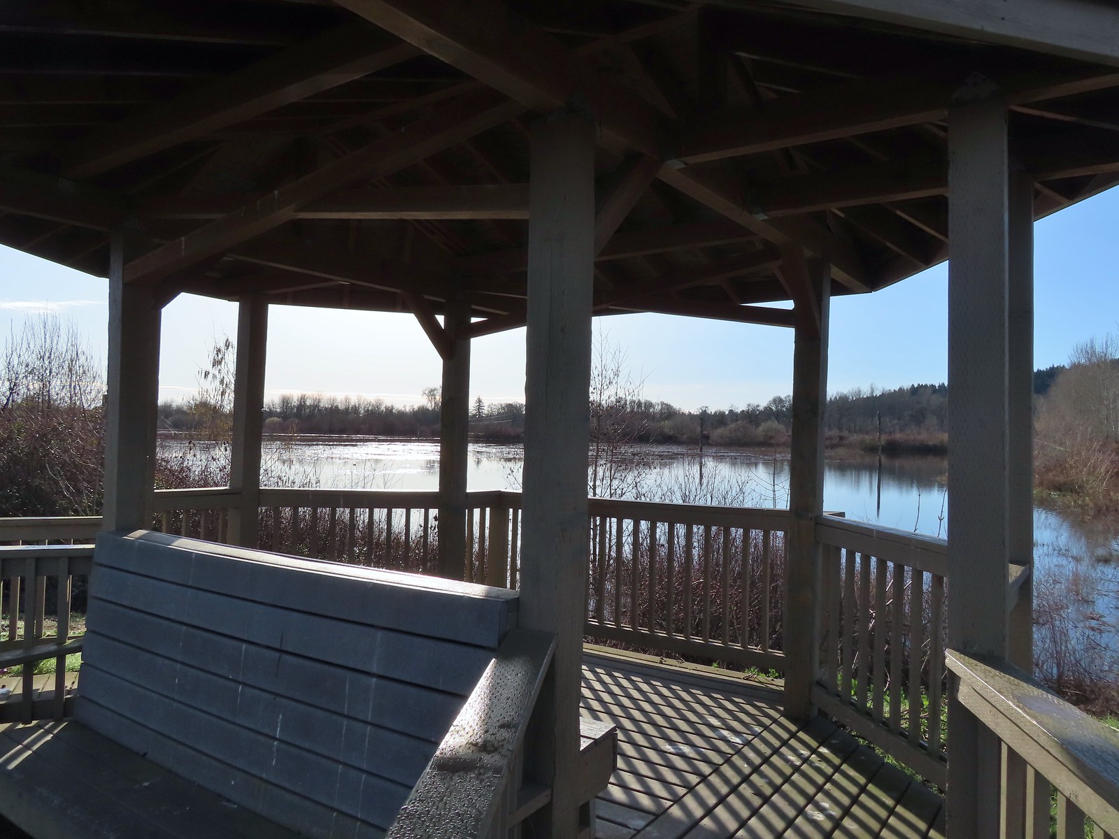 Gazebo overlooking Cattail Marsh.
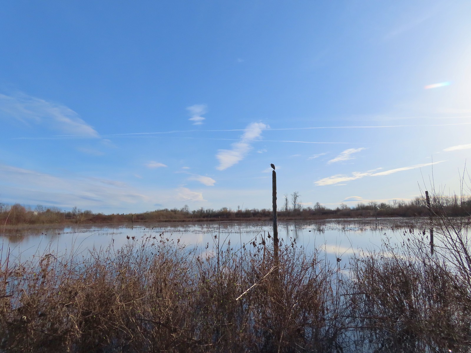 Great blue heron on a post above Cattail Marsh.
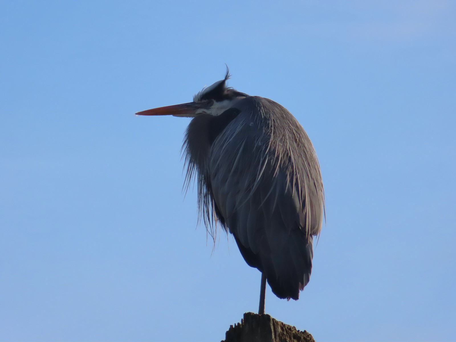
 American coot
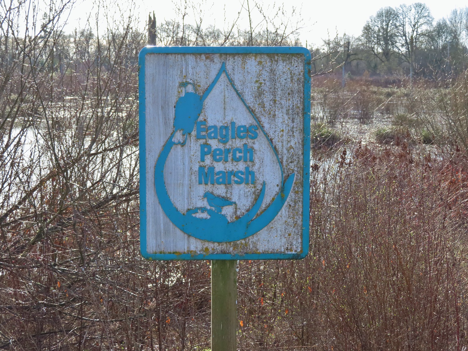
 Another great blue heron.
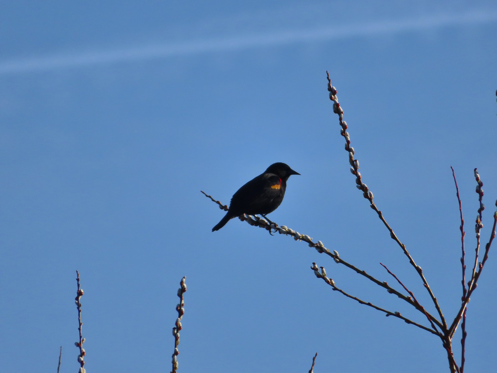 Red-winged blackbird
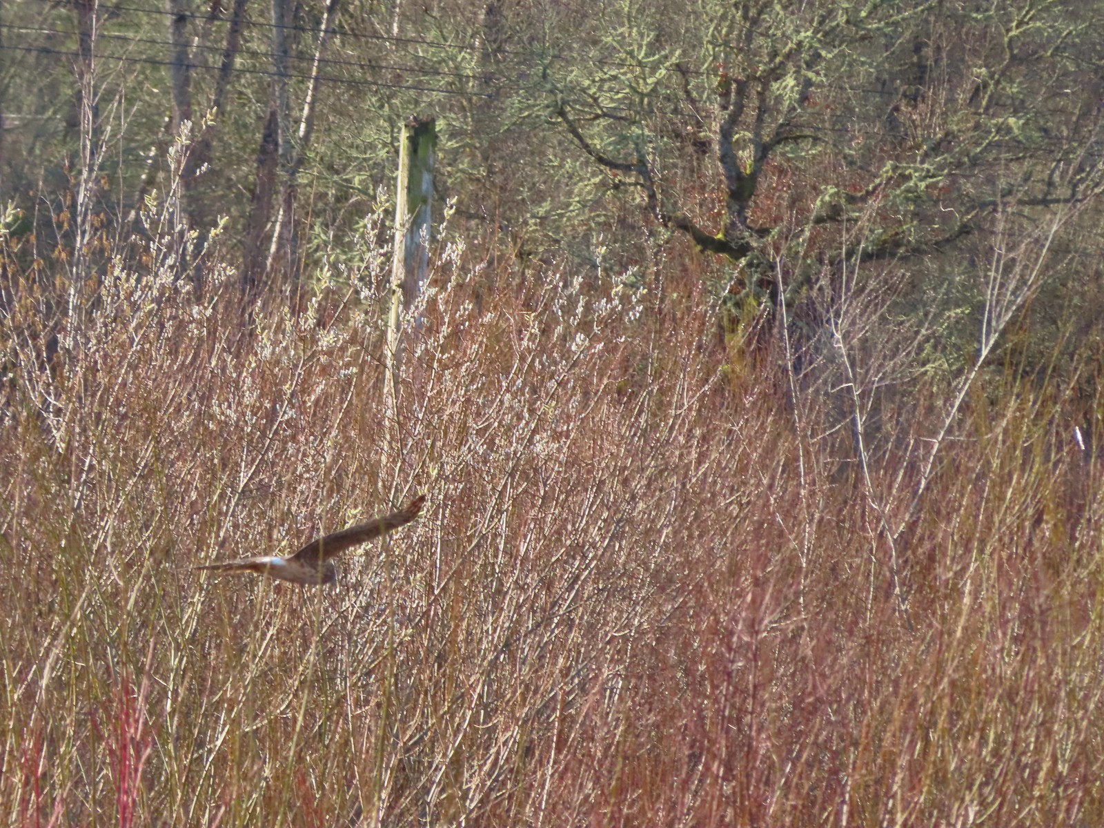 Hawk flying over Eagles Perch Marsh.
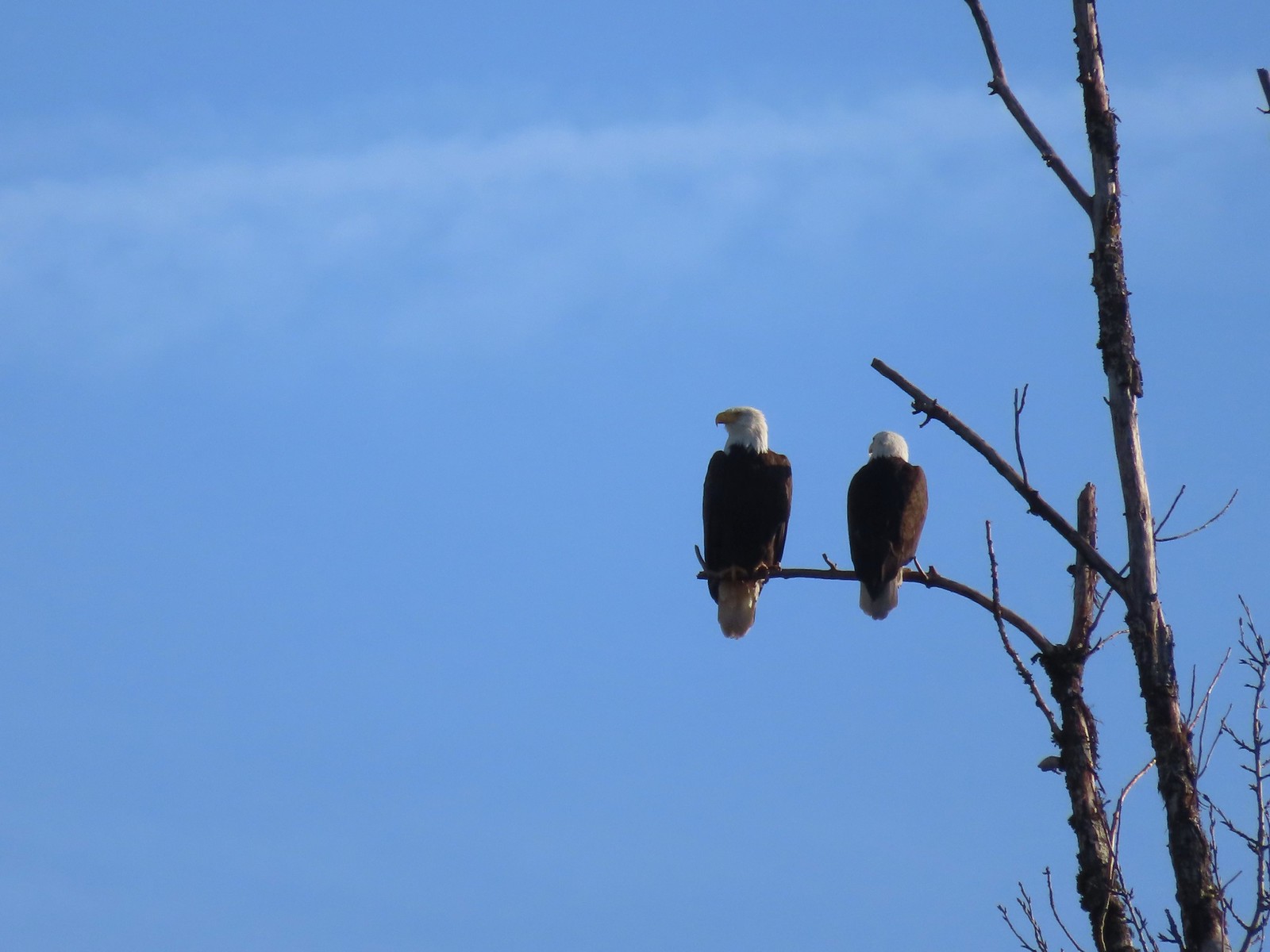

 Ring-necked ducks
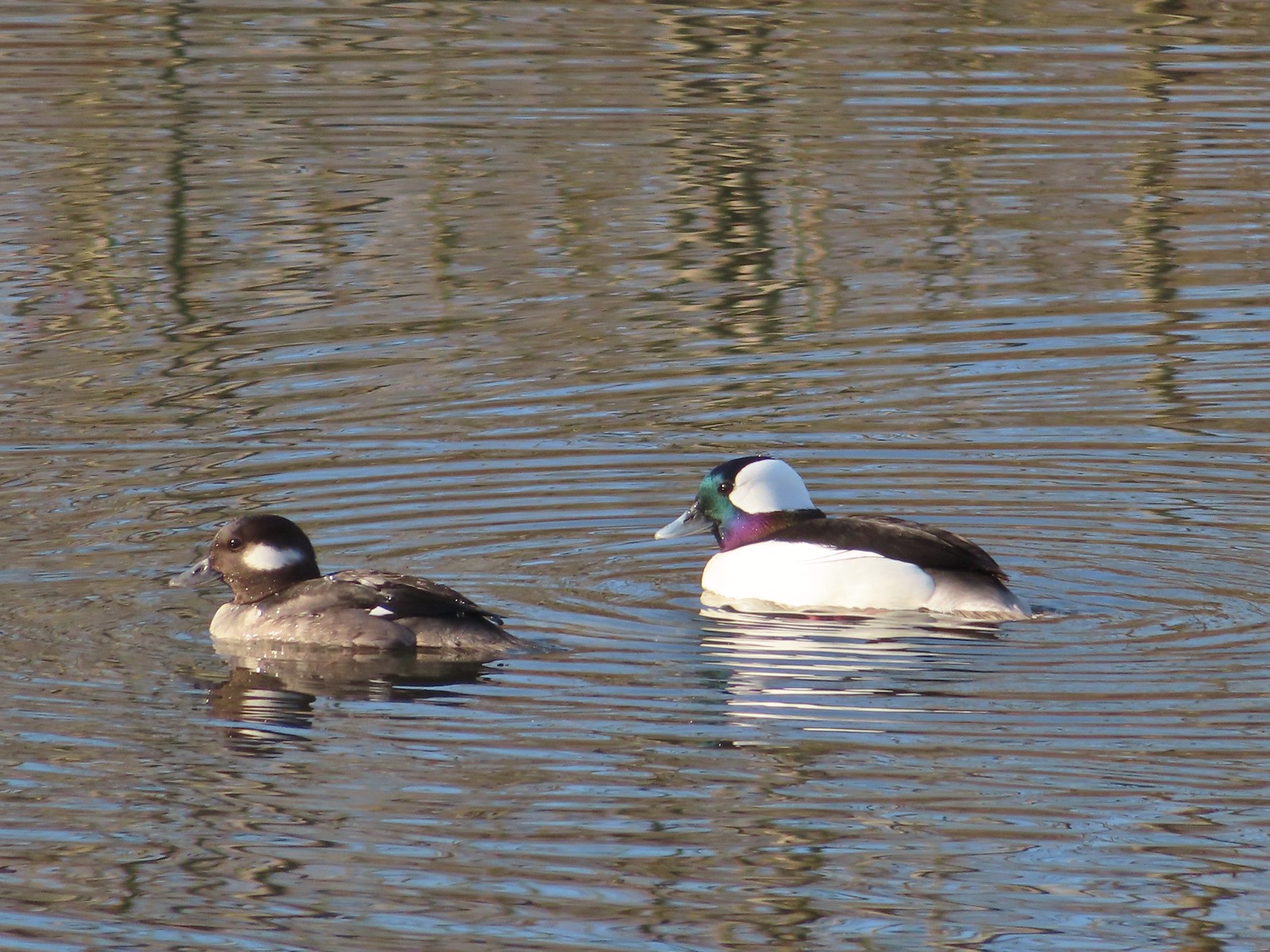 Buffleheads
 This one might be a hooded merganser?
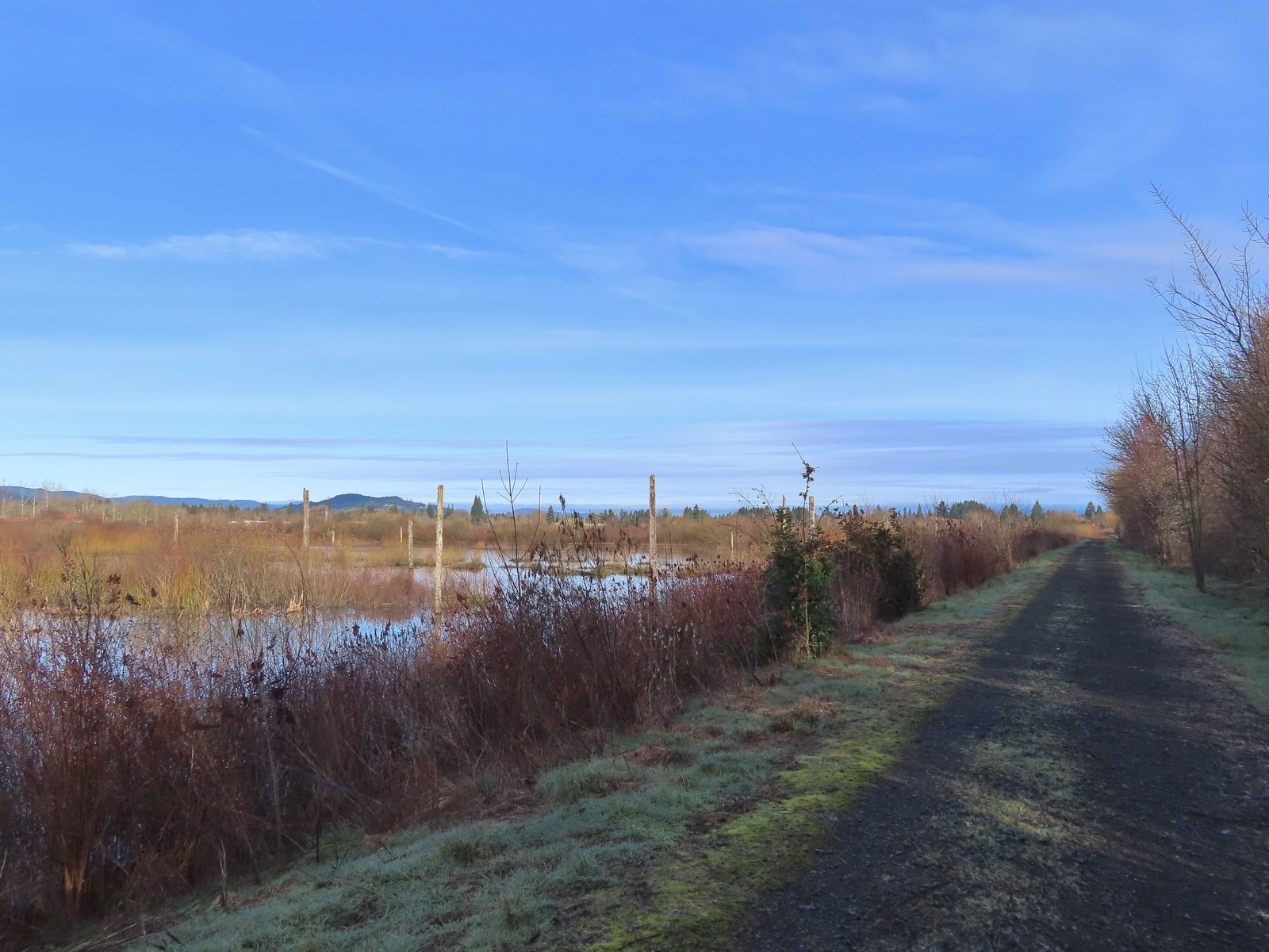
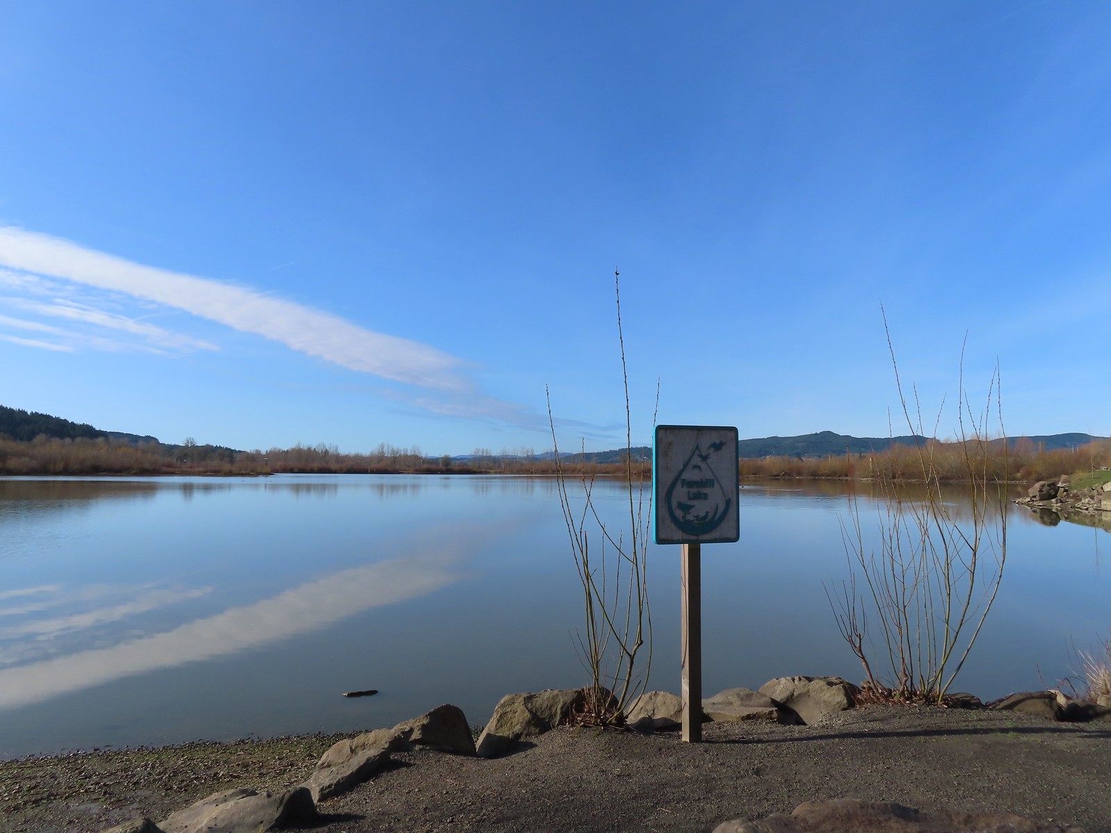
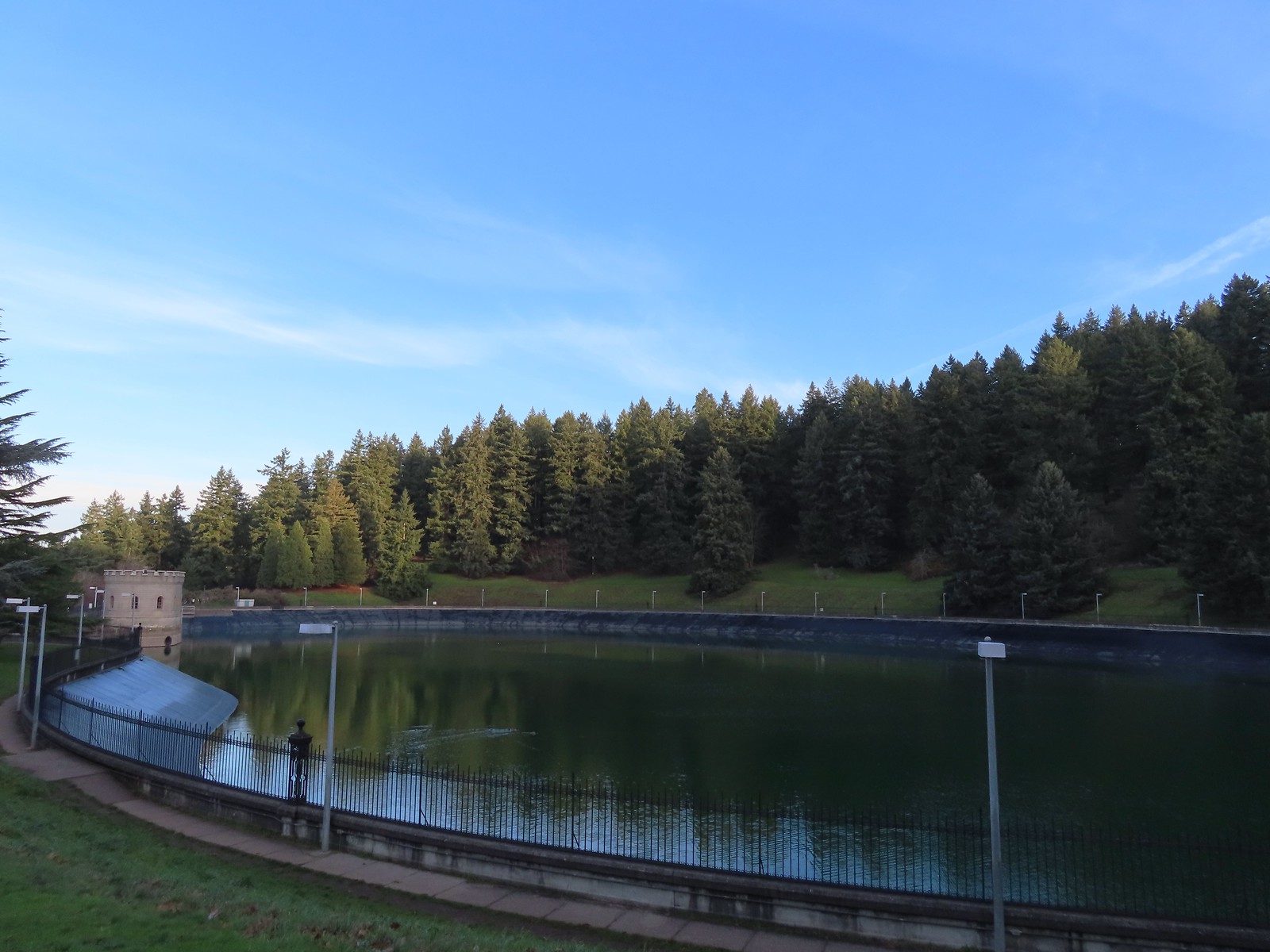
 Fernhill Lake
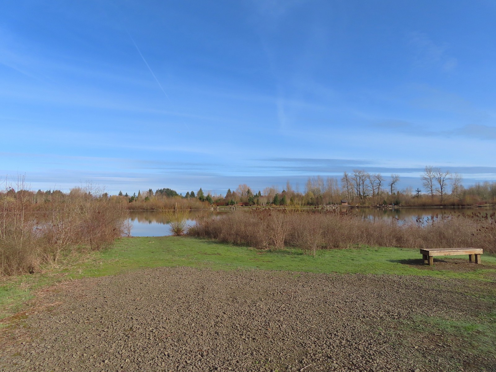 This is where the trail turned east (for obvious reasons).
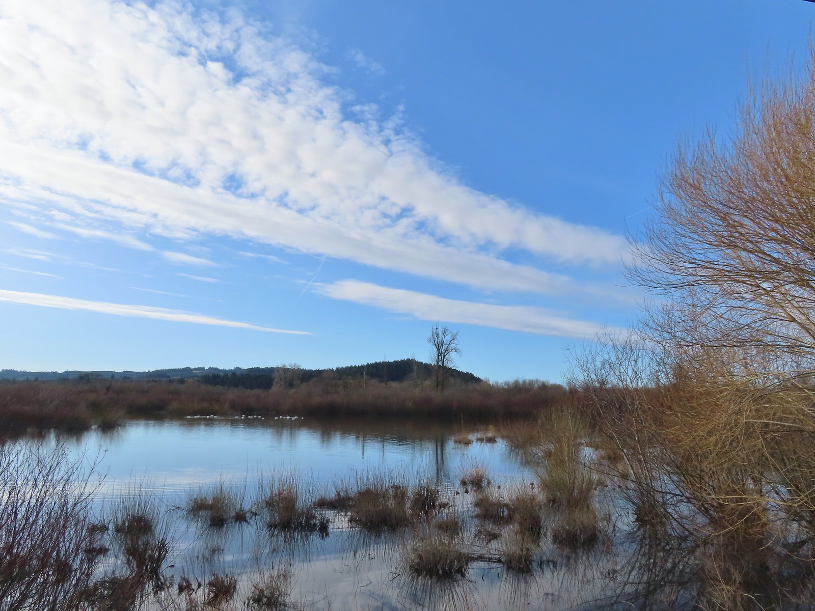 Barney wetlands


 Double-crested cormorant on a post in Barney Wetlands.
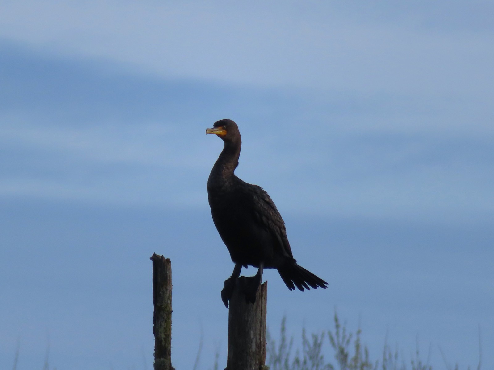 Double-crested cormorant
 Drying off in the sun.
 Nurtia at a bench near Dabblers Marsh
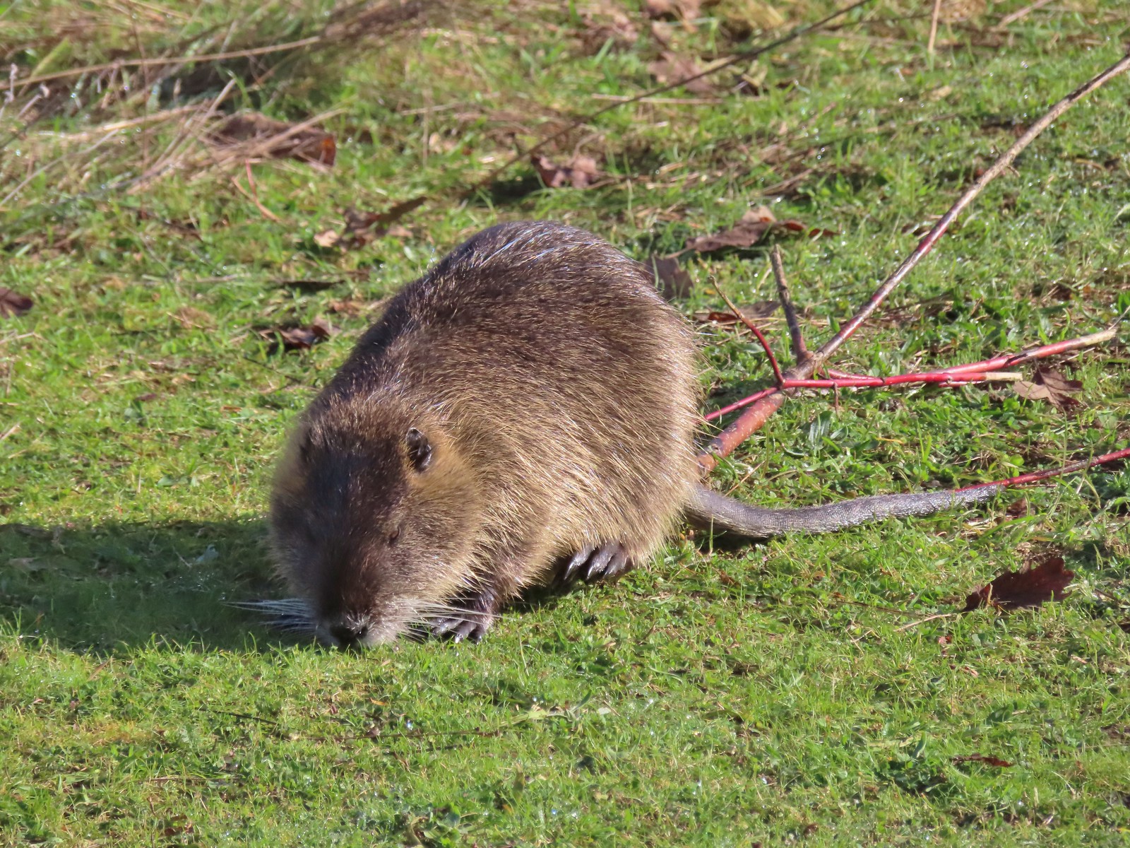 Nutria
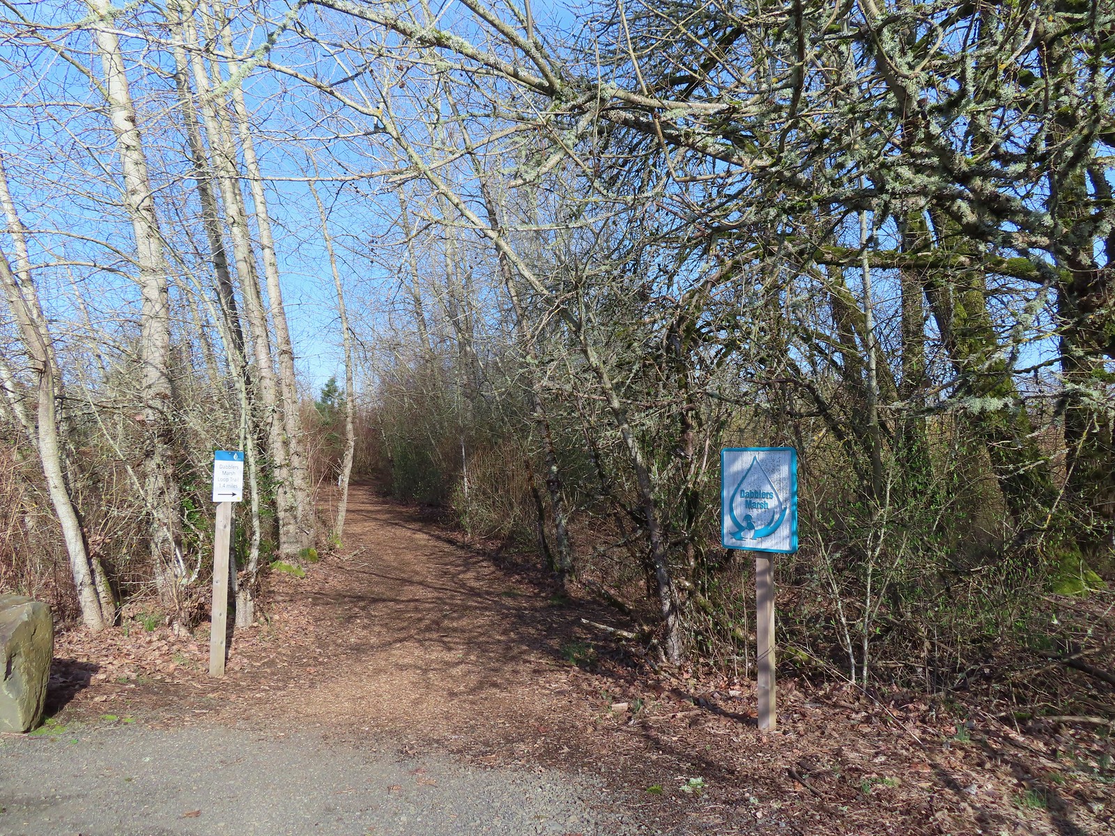
 Dabblers Marsh
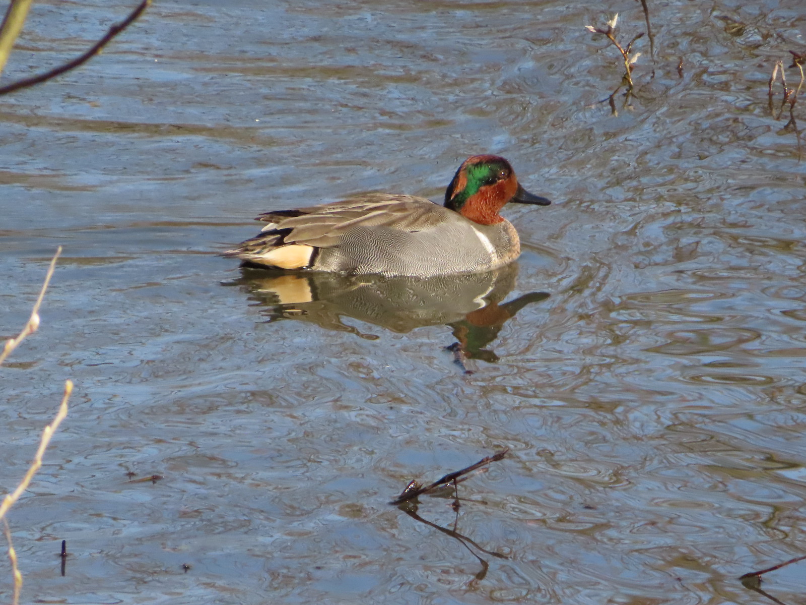 Green-winged teal
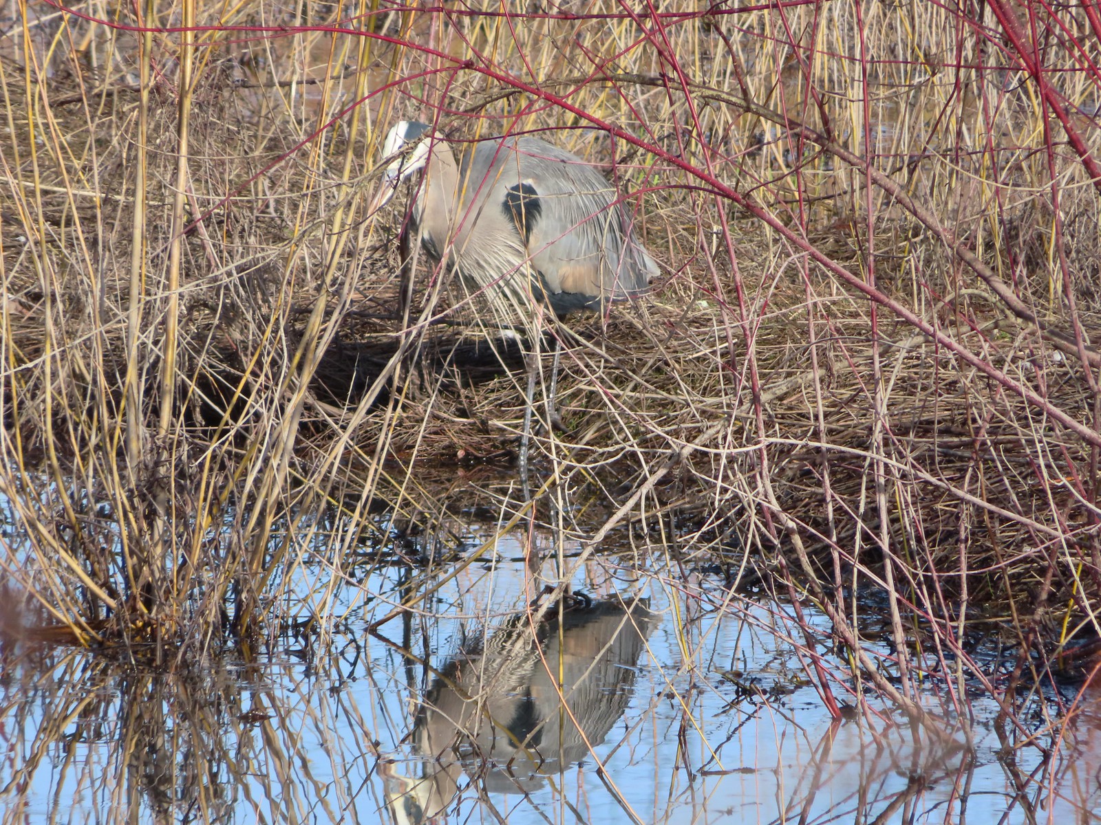 Great blue heron
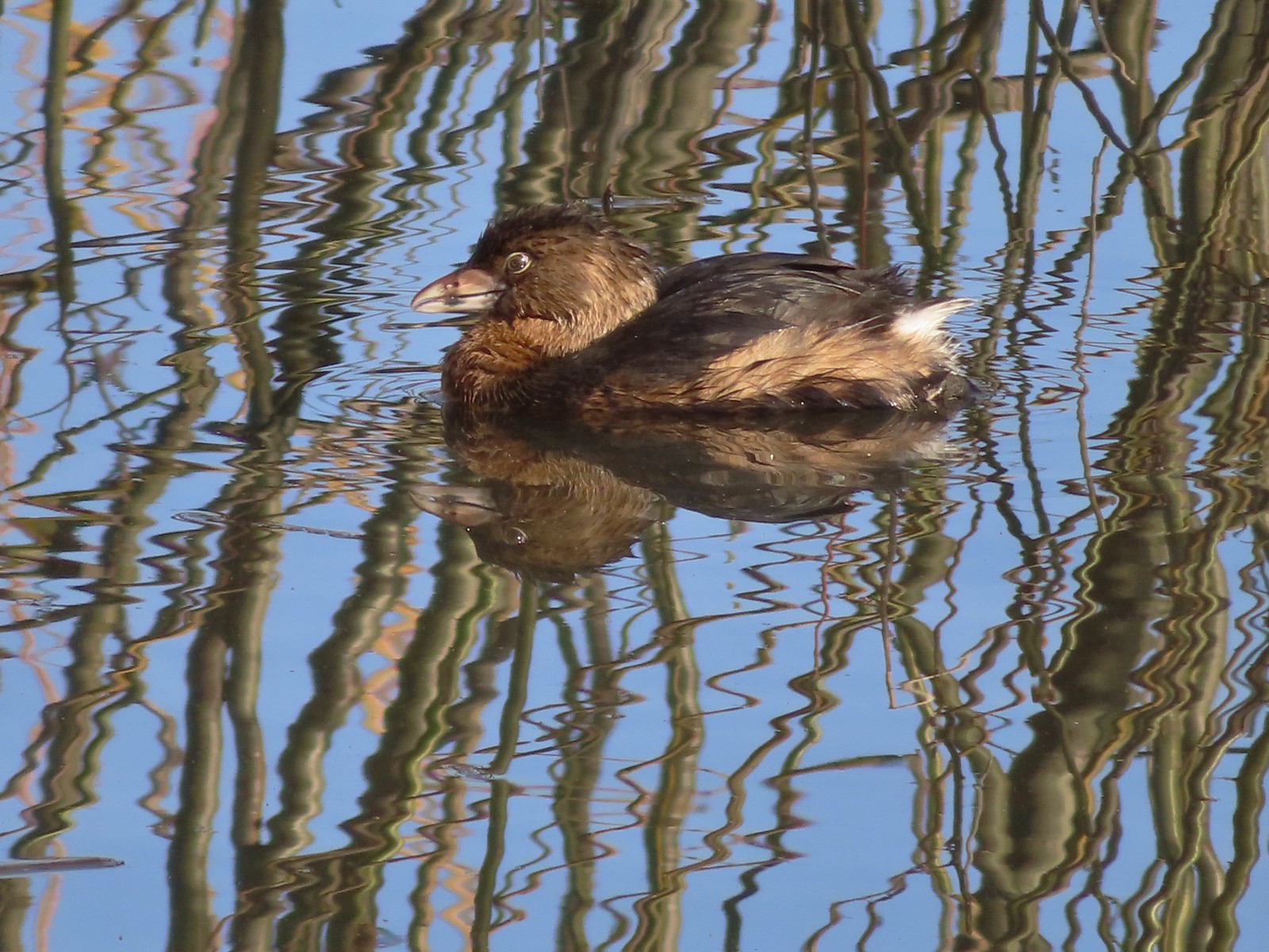 Pie-billed grebe
 Robin
Robin
 The start of the loop at the edge of the farmland. We stayed left opting to hike the loop clockwise.
 Anna’s hummingbrid
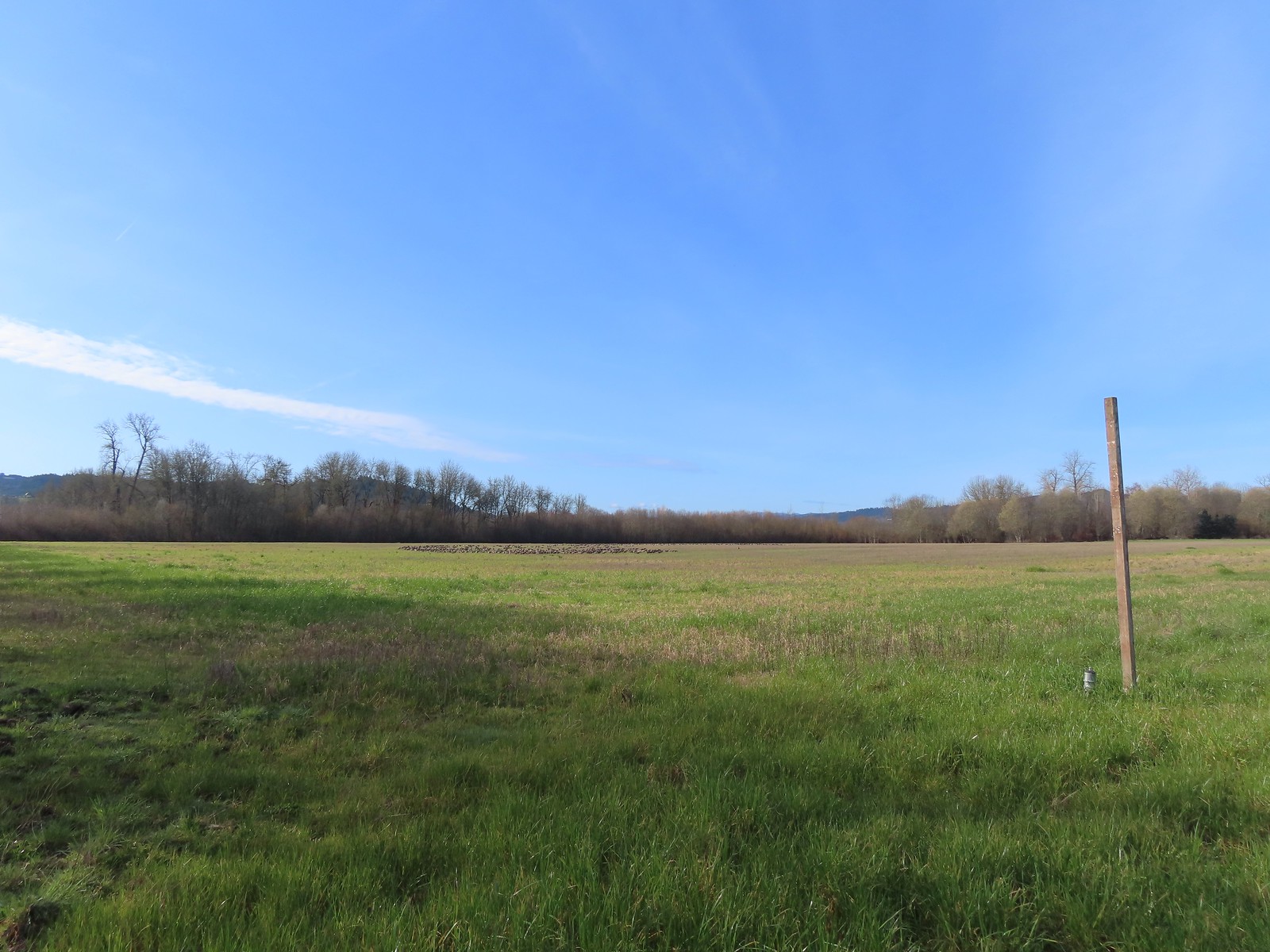 A gaggle of geese in the field.
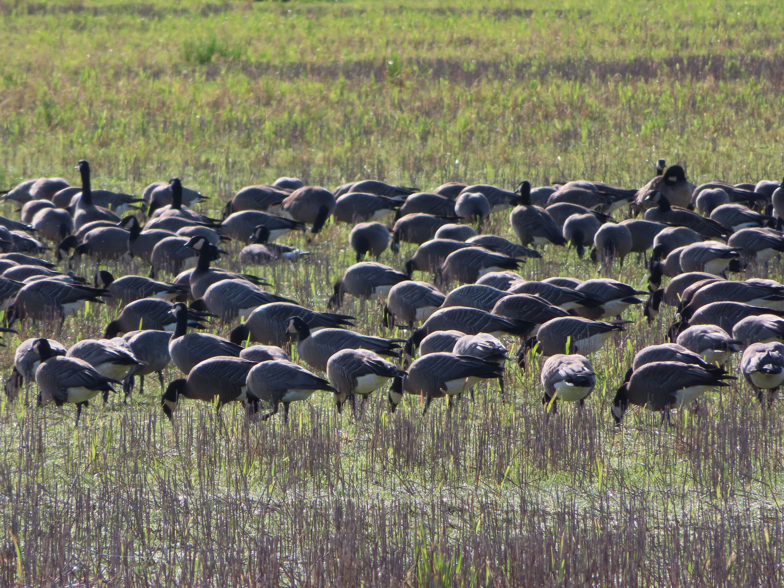
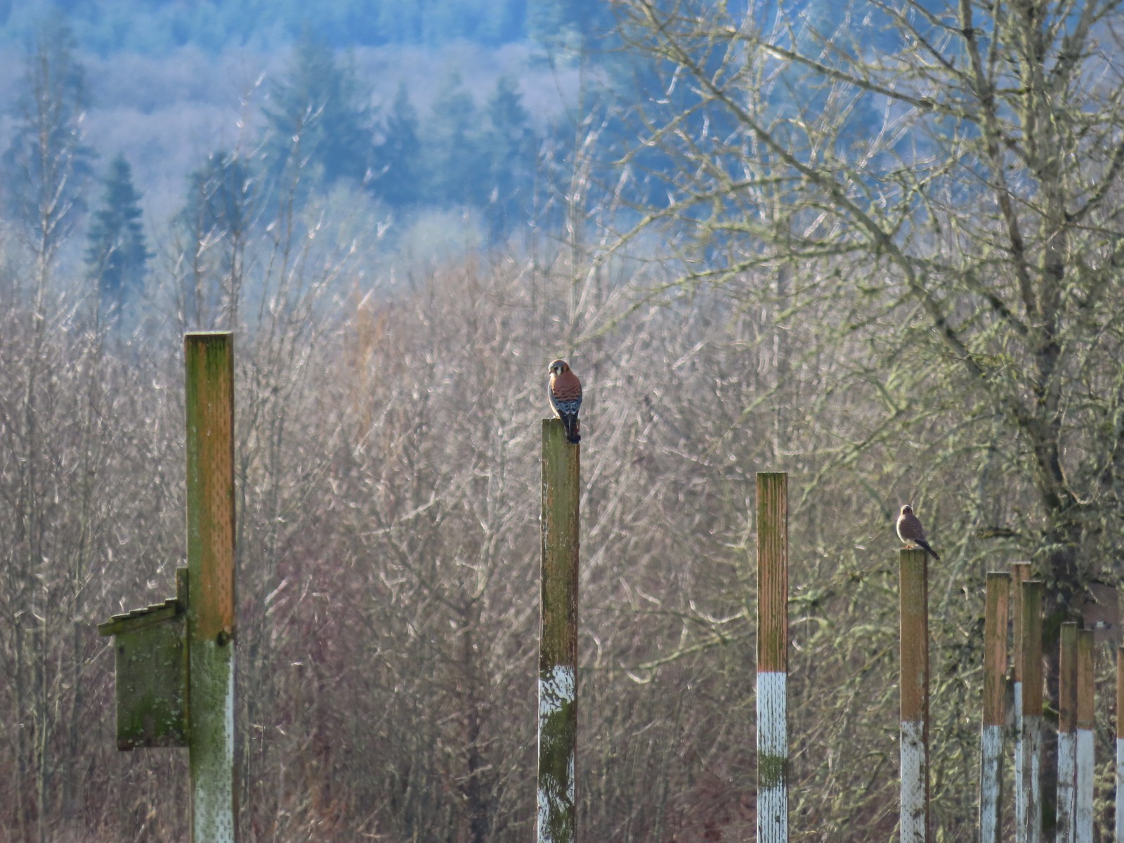 American kestrels manning their posts.
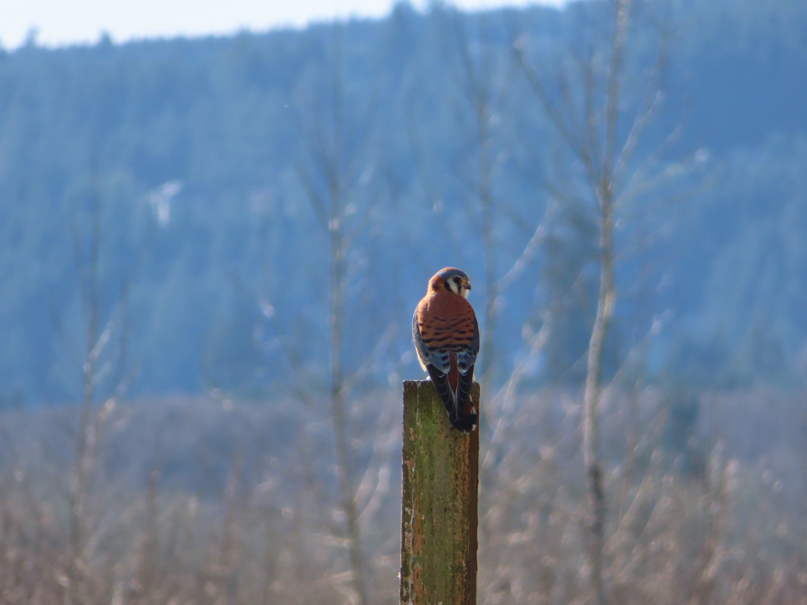
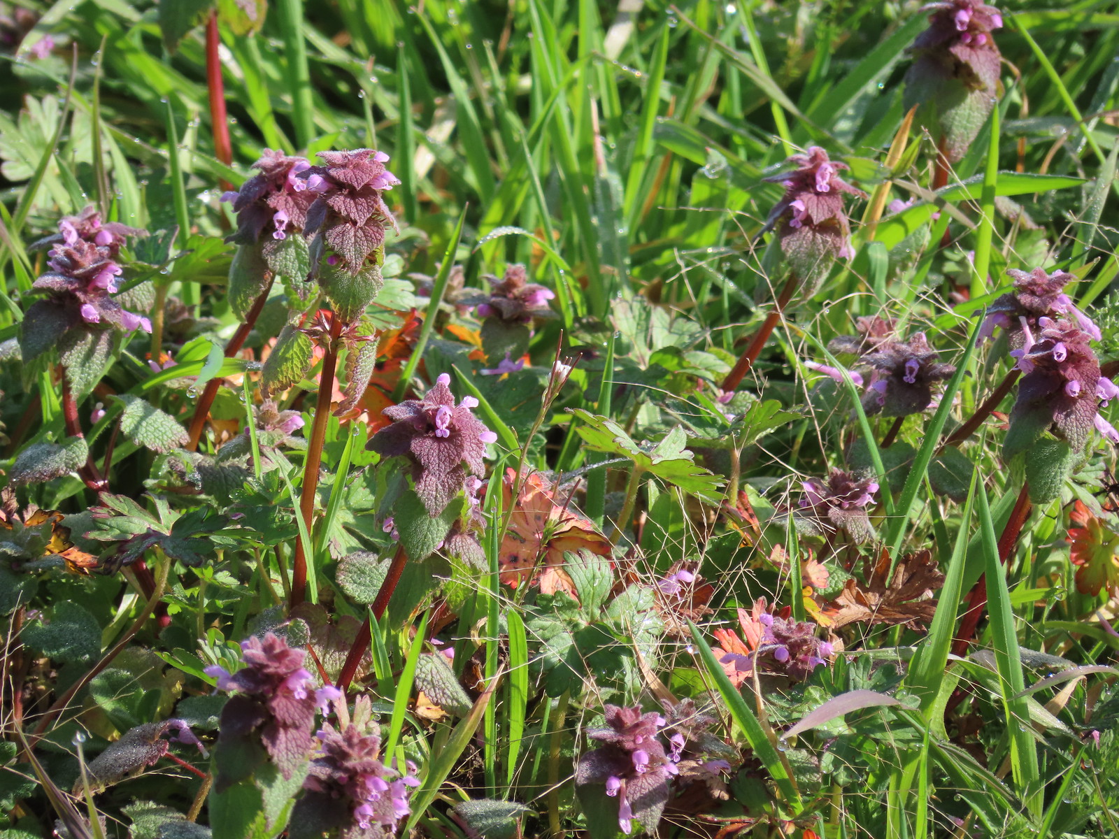 Purple dead-nettle
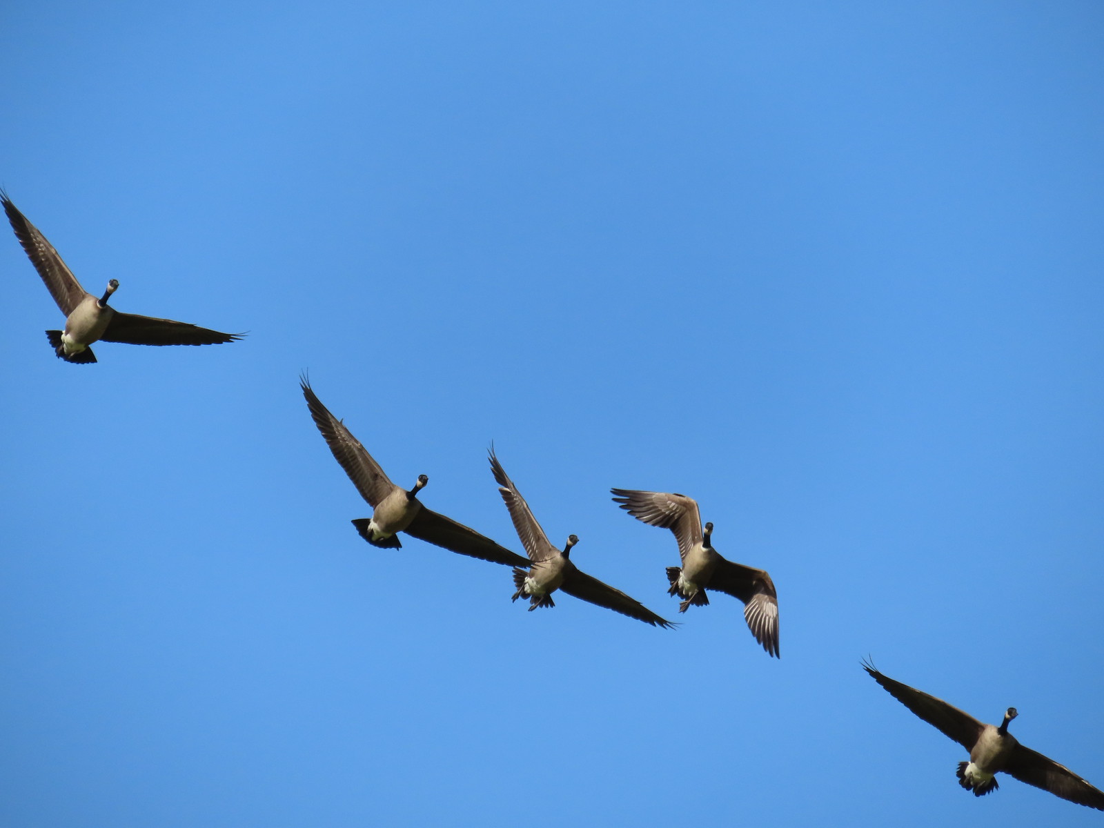 More geese coming in for a landing.
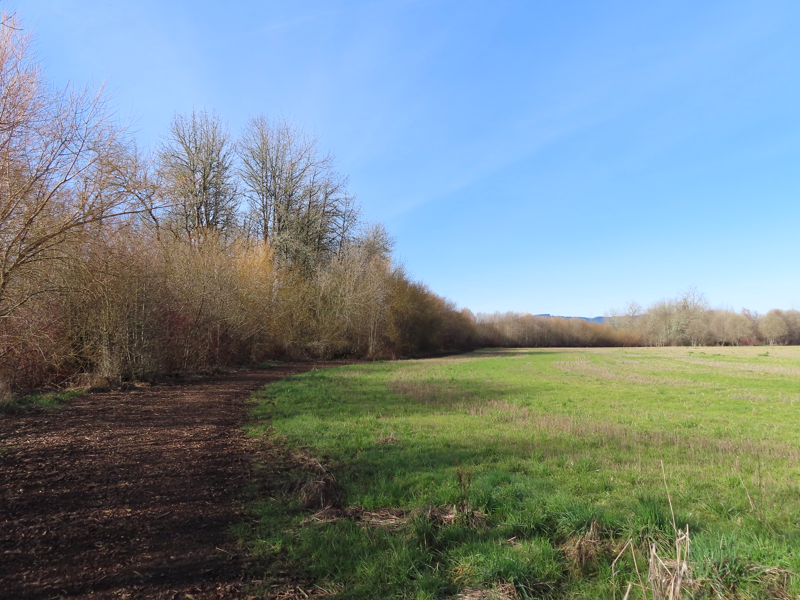
 Near the end of the loop the trail left the field along Dabblers Marsh.
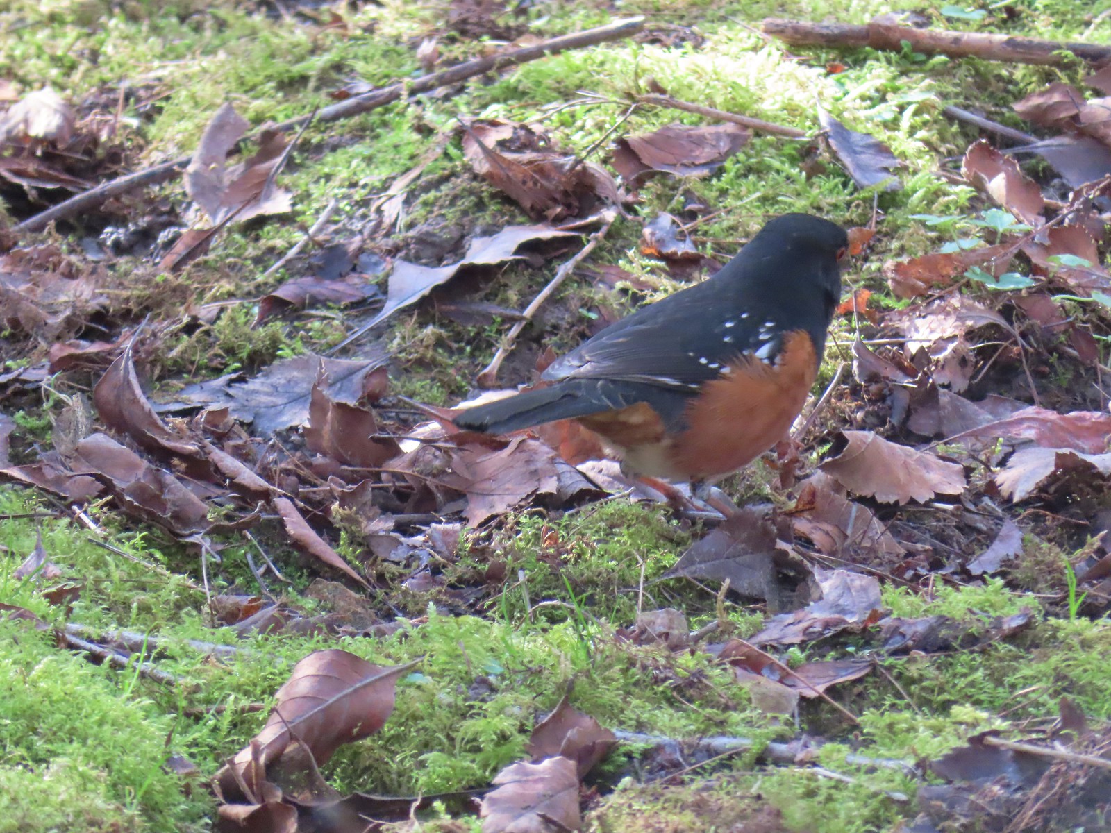 Spotted towhee
 Rabbit
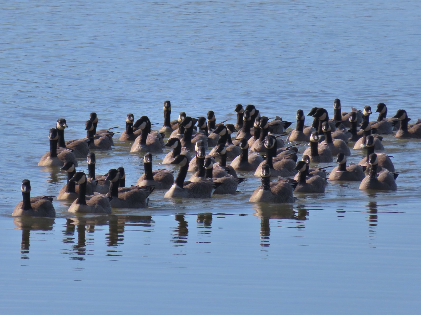 Geese on Fernhill Lake
 Mallard drake
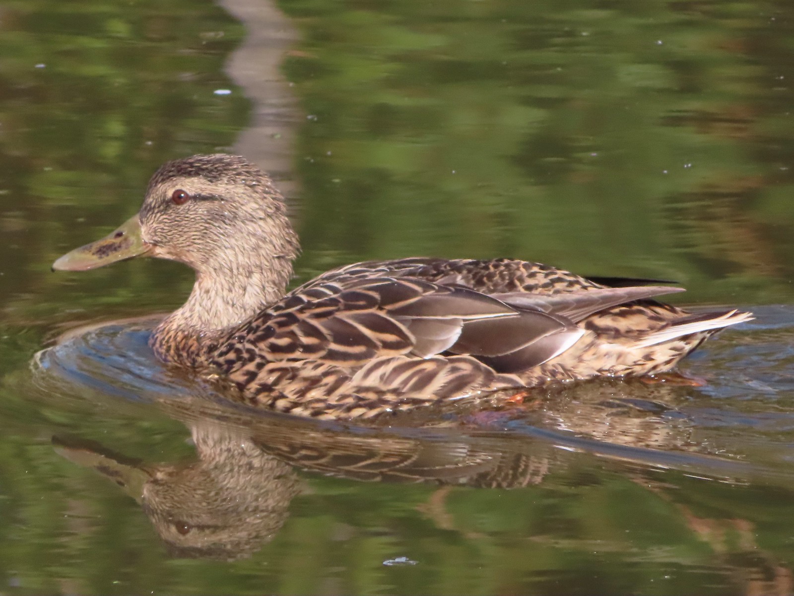 Mallard female
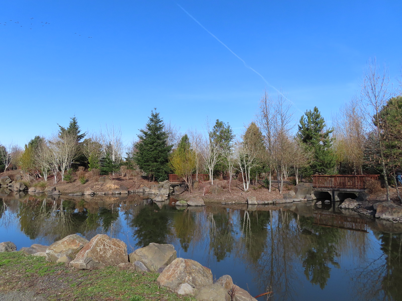 Water Gardens
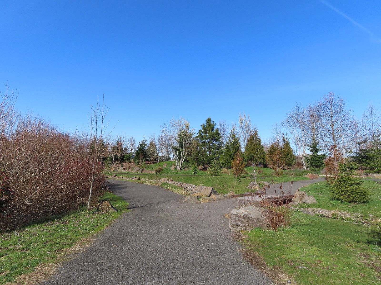

 Northern shovelers, a mallard, and a coot.
 Oregon grape beginning to bloom.
 Northern shoveler
 Green-winged teal pair
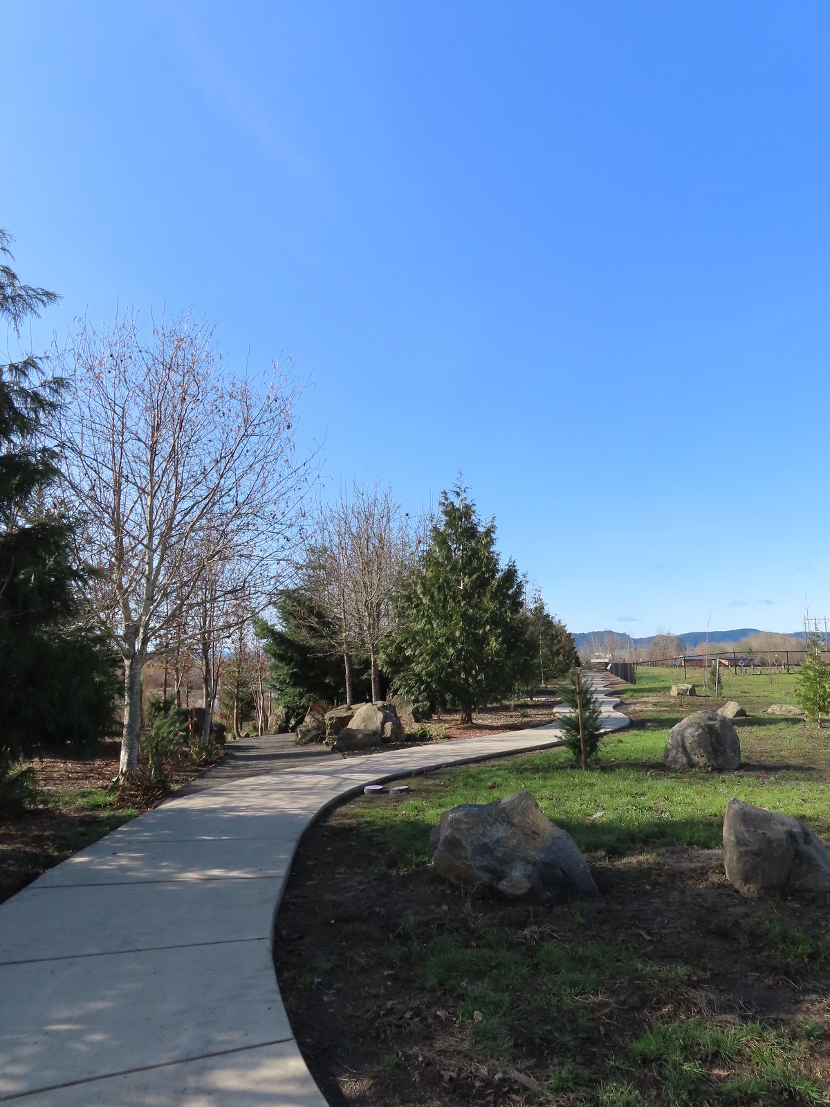 Path along the Research Wetlands.
 Egret near the parking lot at Fernhill Marsh
 Looking back at the Research Wetlands from the near the trailhead.

 Some of the damage from the ice storm at the trailhead.
 Sign for the Connector Trail at the trailhead.
 Cannon Trail
 Firelane 9 across from the trailhead.
 Firelane 10
 Unsurprisingly the recent weather had most of the stream beds flowing which we hadn’t witnessed on our other visits.
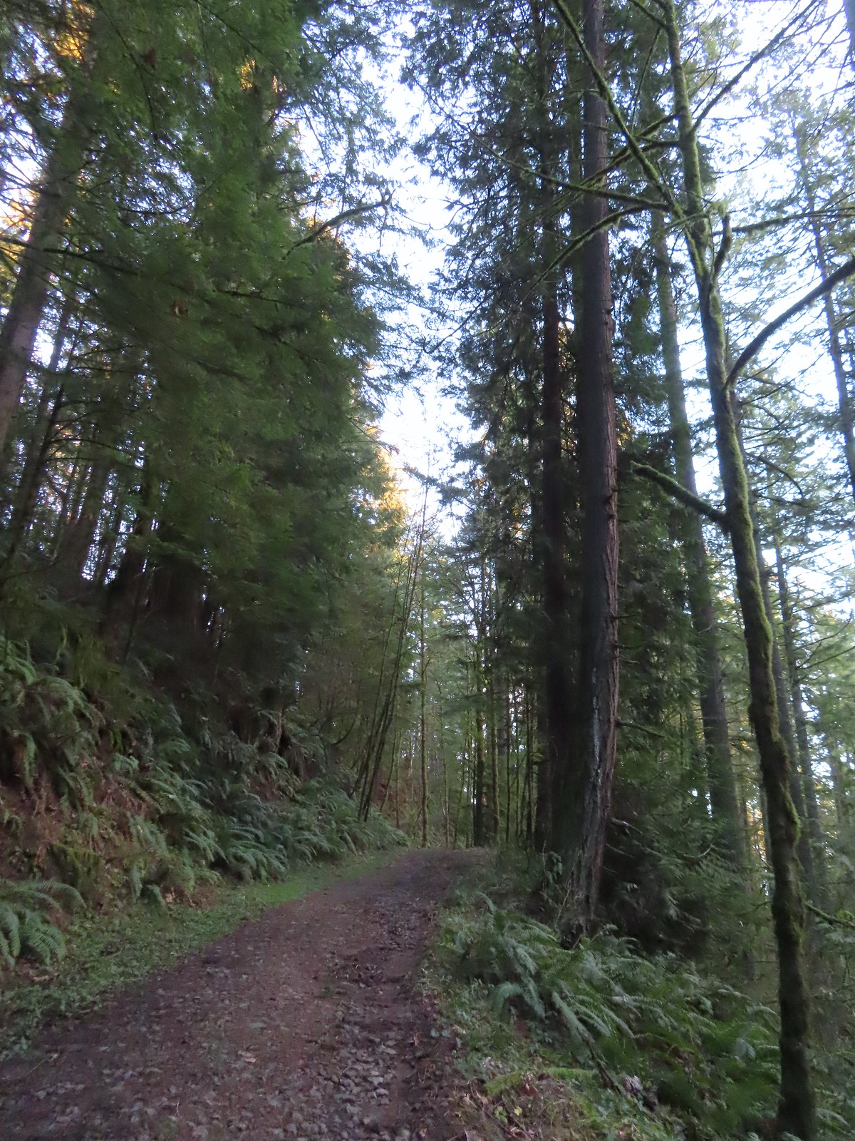 Heading up to the junction.
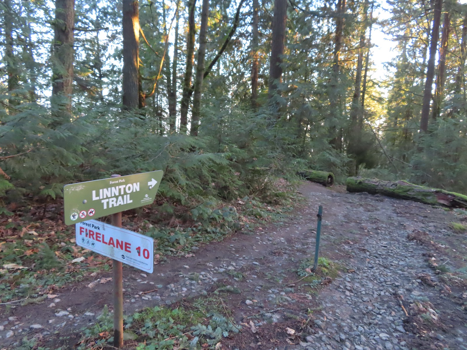 The Linnton Trail heads down a ridge to the
 We passed the Keyser Trail which rejoins Firelane 10 just a quarter mile ahead. We stuck to Firelane 10 which climbed very steeply in that quarter mile leading us to believe the Keyser Trail may have been a little more gradual as the map showed it bowing away from Firelane 10 before rejoining.
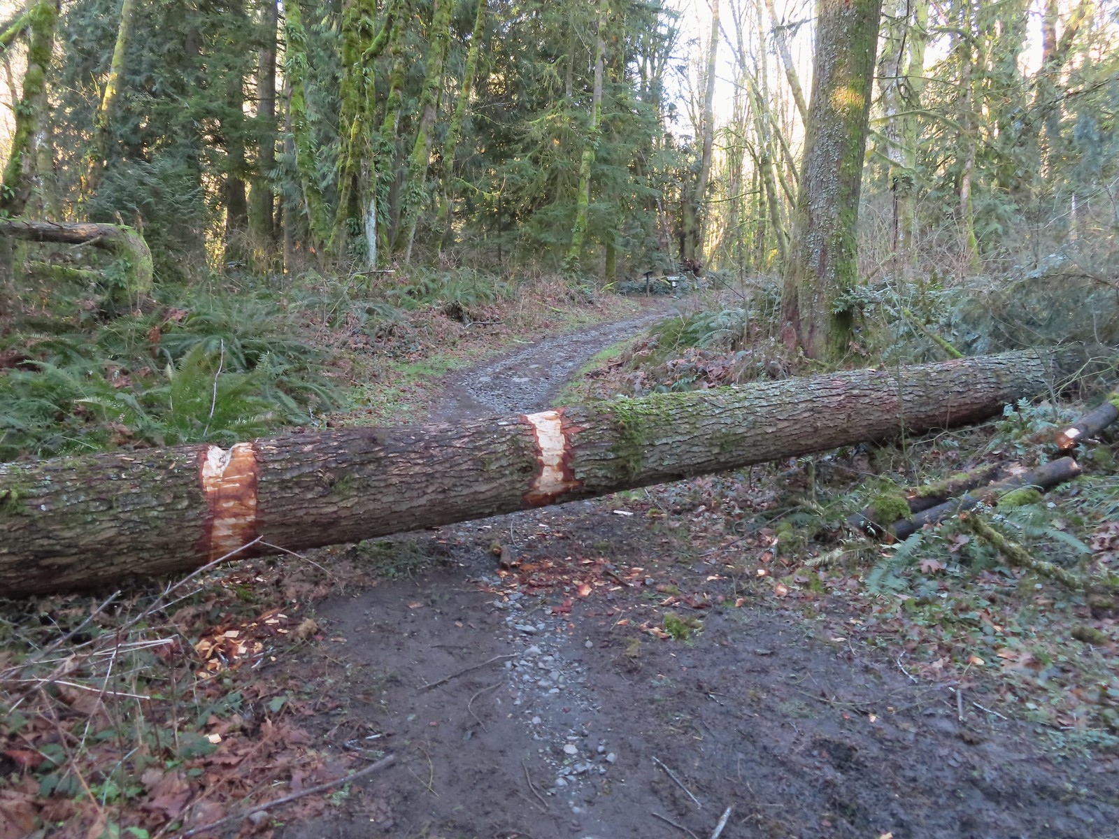 The first of only three trees that were still down over the trails we hiked. In the distance is a Wildwood Trail sign at the junction.
 The trail repeatedly bows into the hillside to cross creek beds.
 We passed three pointers for Newton Road and then crossed Newton Road along this section of the Wildwood Trail. We would be using Newton Road to make another small loop on our way back.
 The Wildwood Trail crossing Newton Road.
 Not all of the junctions have maps, but most of the major ones do to help keep hikers and runners on track (or to give them more ideas).
 Climbing up to the BPA Road crossing.
 The BPA Road heading uphill with the Wildwood Trail we’d just come up to the right.
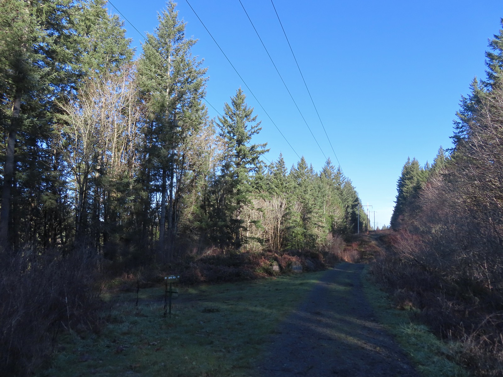 Firelane 12 on the left.
 The middle of three plaques commemorating the 1999 acquisition of 73-acres that was in danger of being developed.
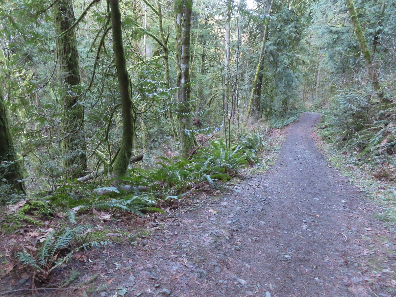
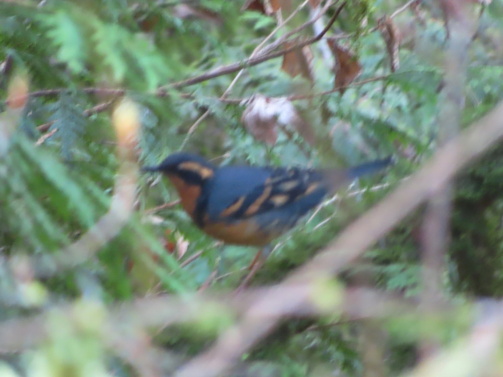 Once again varied thrush 1 – Deryl 0. If I was keeping score, it would probably be something like 179-10.
 Firelane 15 on the left ahead.
 The small creek along Firelane 15.
 Blue sky and powerlines above Firelane 15.
 Wildwood Trail crossing Firelane 15.
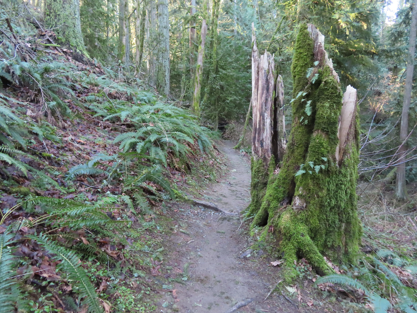
 The fanciest bridge we crossed all day.
 Why is the trail way down there when the road is up above on the far hillside?
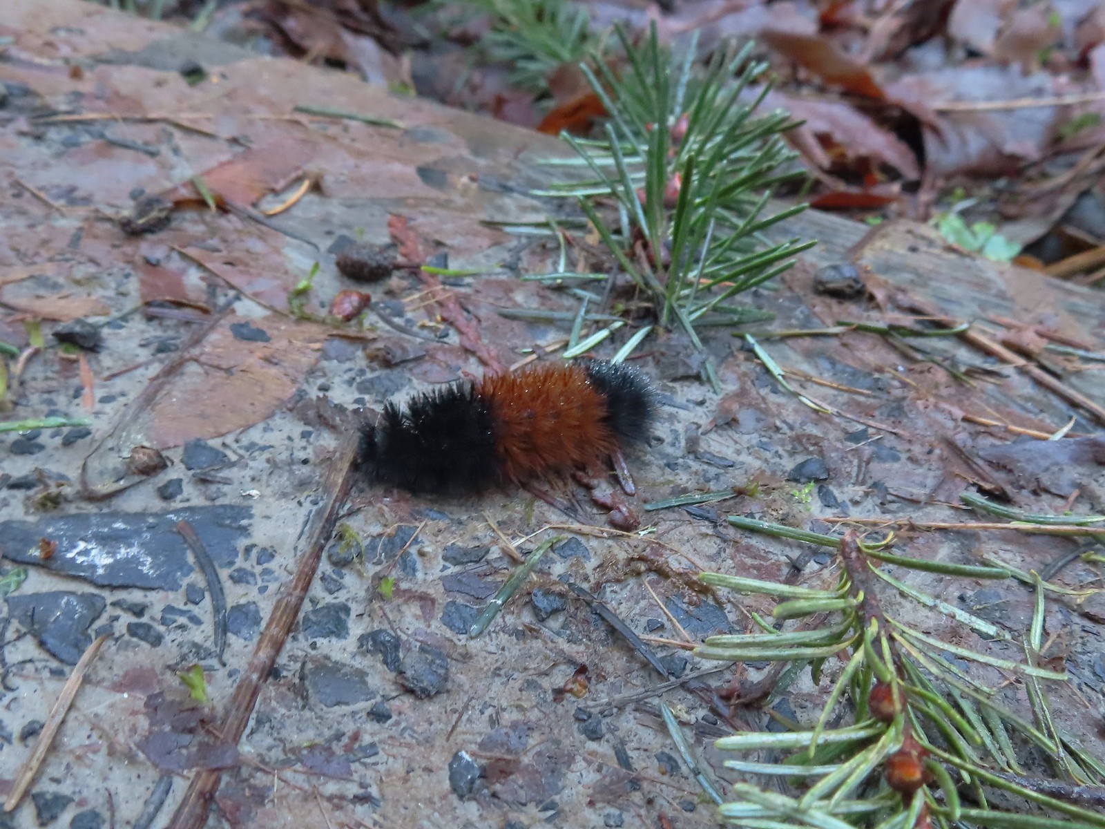 Woolly bear
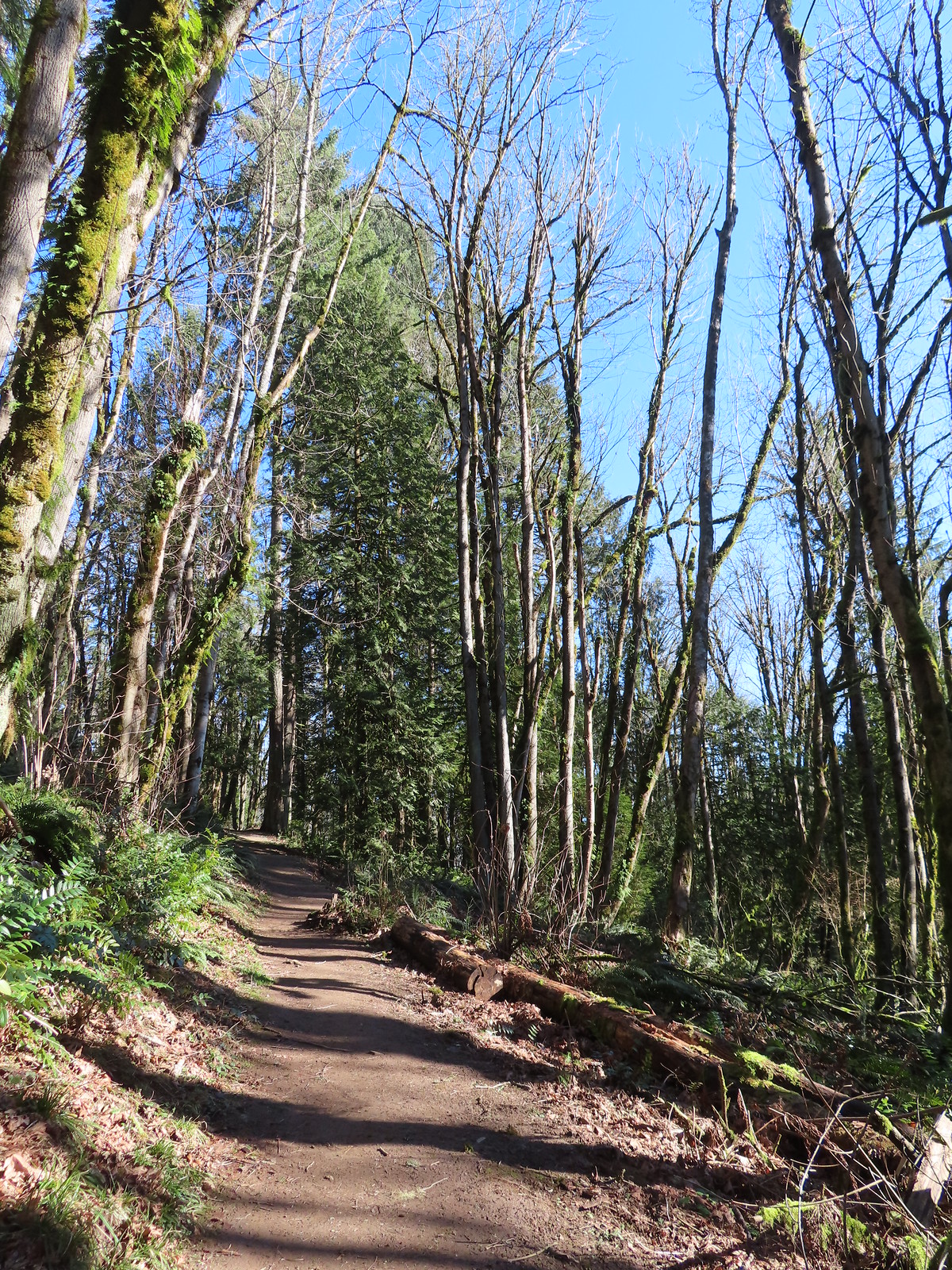 Climbing to Newberry Road just to say we made it to the end of the Wildwood Trail.
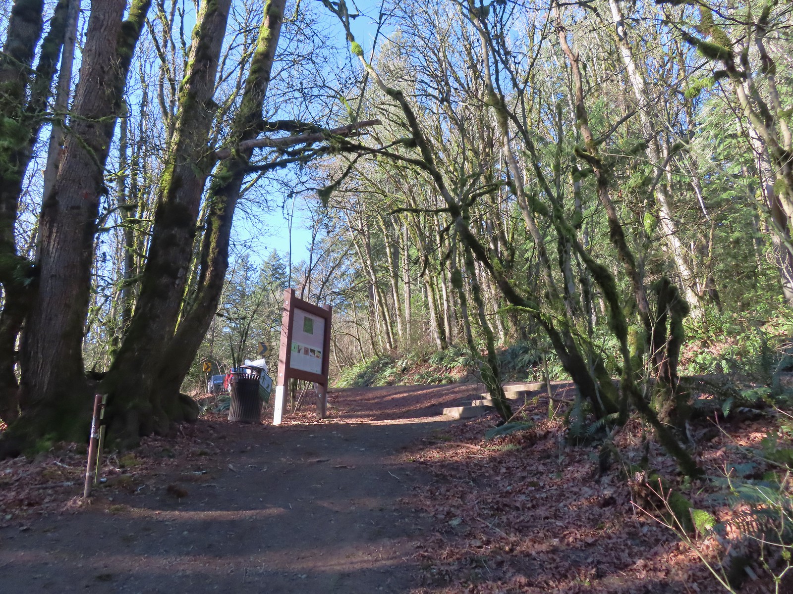 Newberry Road Trailhead.
 Another sub-par bird photo, but it took us quite a while just to spot this woodpecker who was way up in the treetops (and mostly in the shade).
 Crossing Firelane 15.
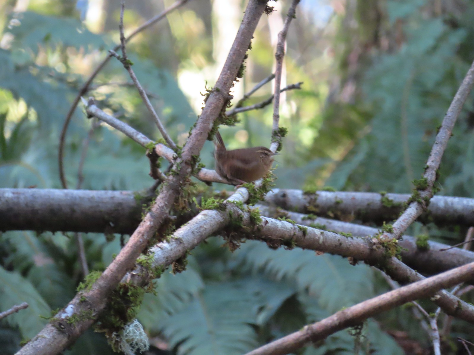 Another blurry bird. This one a wren, one of many we heard but the only one we were able to spot.
 Uprooted trees along the Wildwood Trail.
 Newton Road to the right of the Wildwood Trail.
 Mile marker along Newton Road.
 Douglas squirrel
 One of several small habitat restoration study areas along Newton Road.
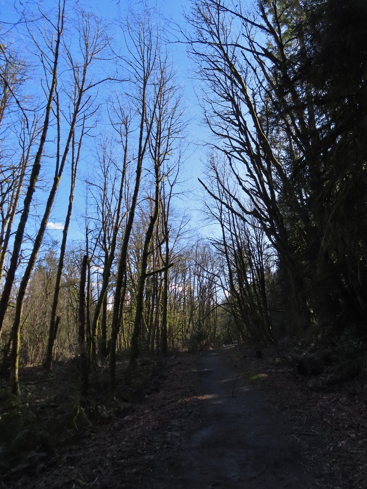 The Newton Road Trailhead in the distance.
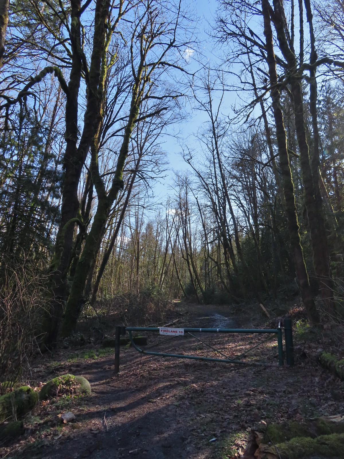

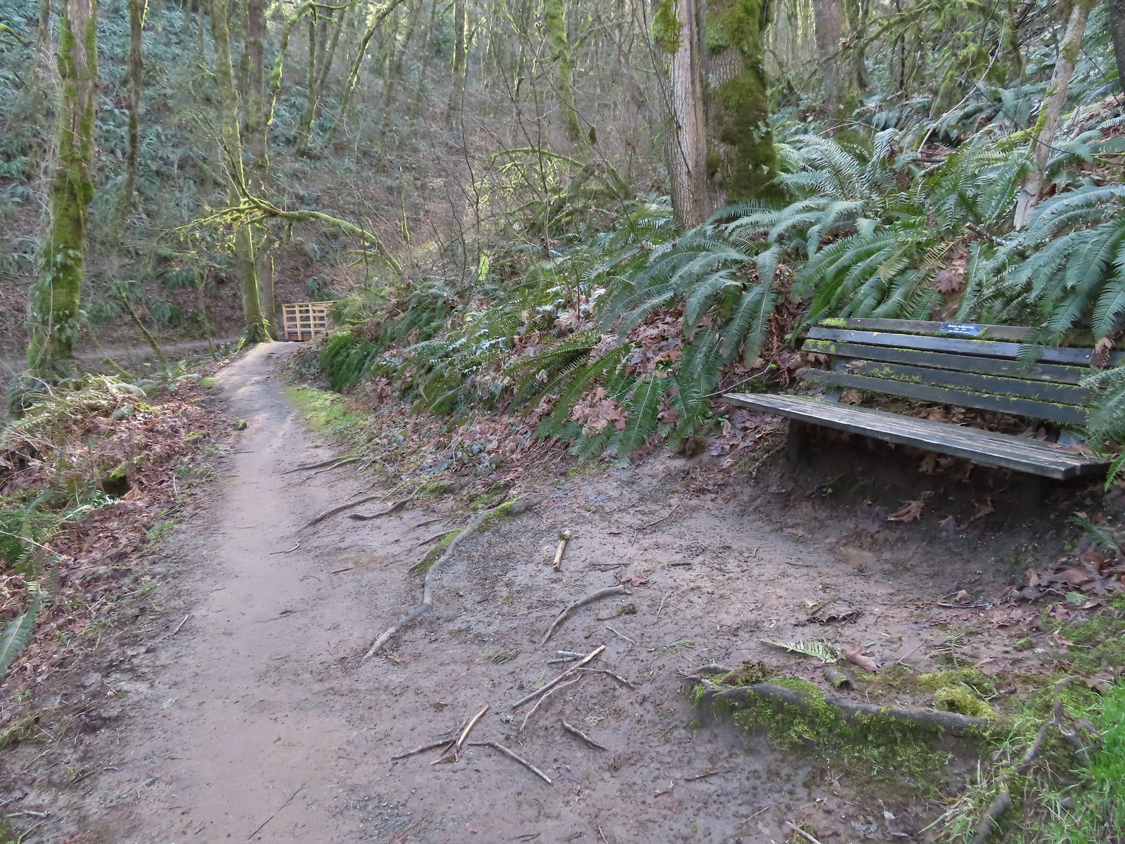 One of only two benches we saw all day.
 Cars parked along Germantown Road in the distance.

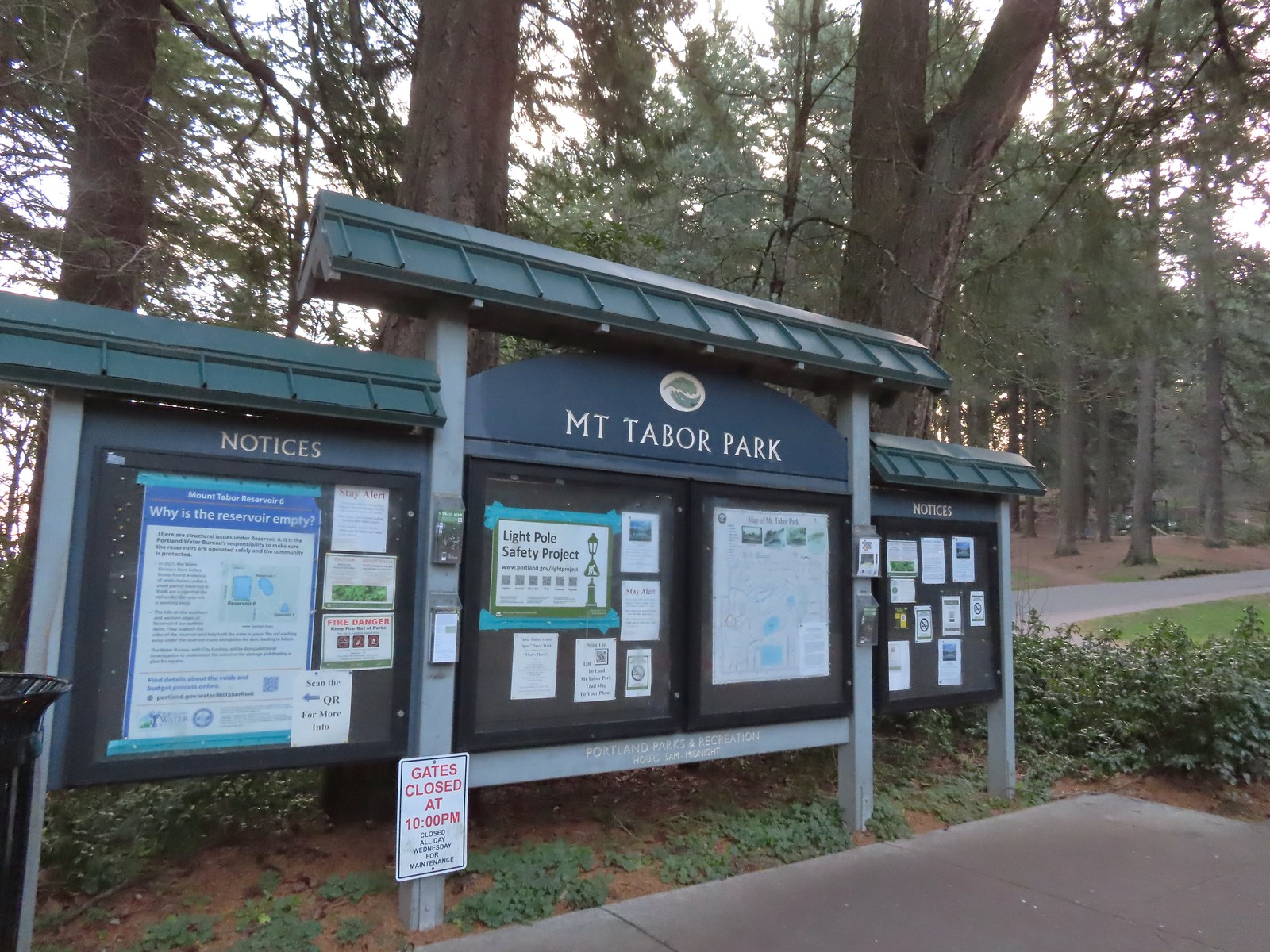 The playground behind and to the right of the signboard at the Visitors Center.
 The red trail continuing on the far end of the playground.
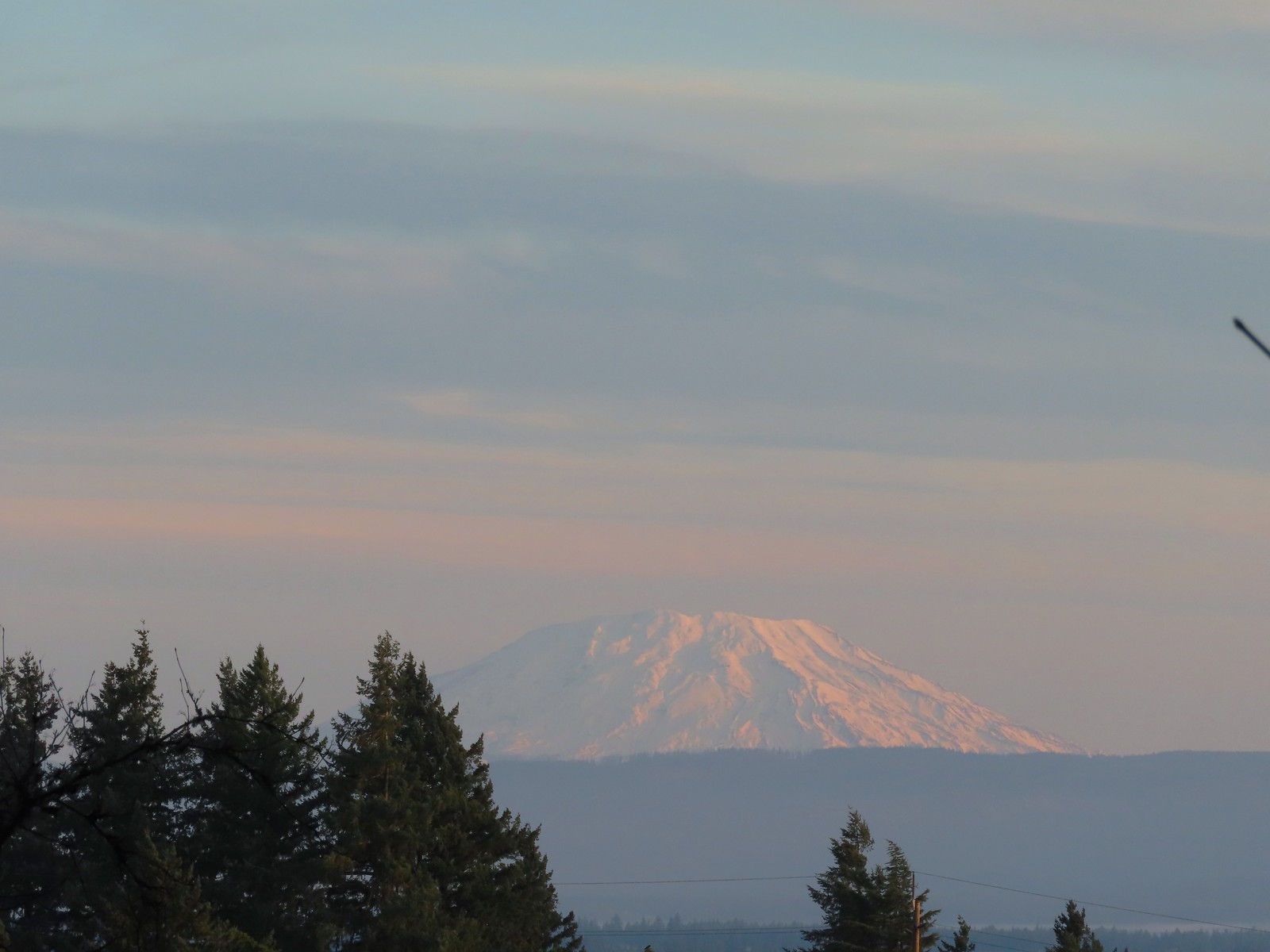 Mt. St. Helens from the playground.
 On the red trail.
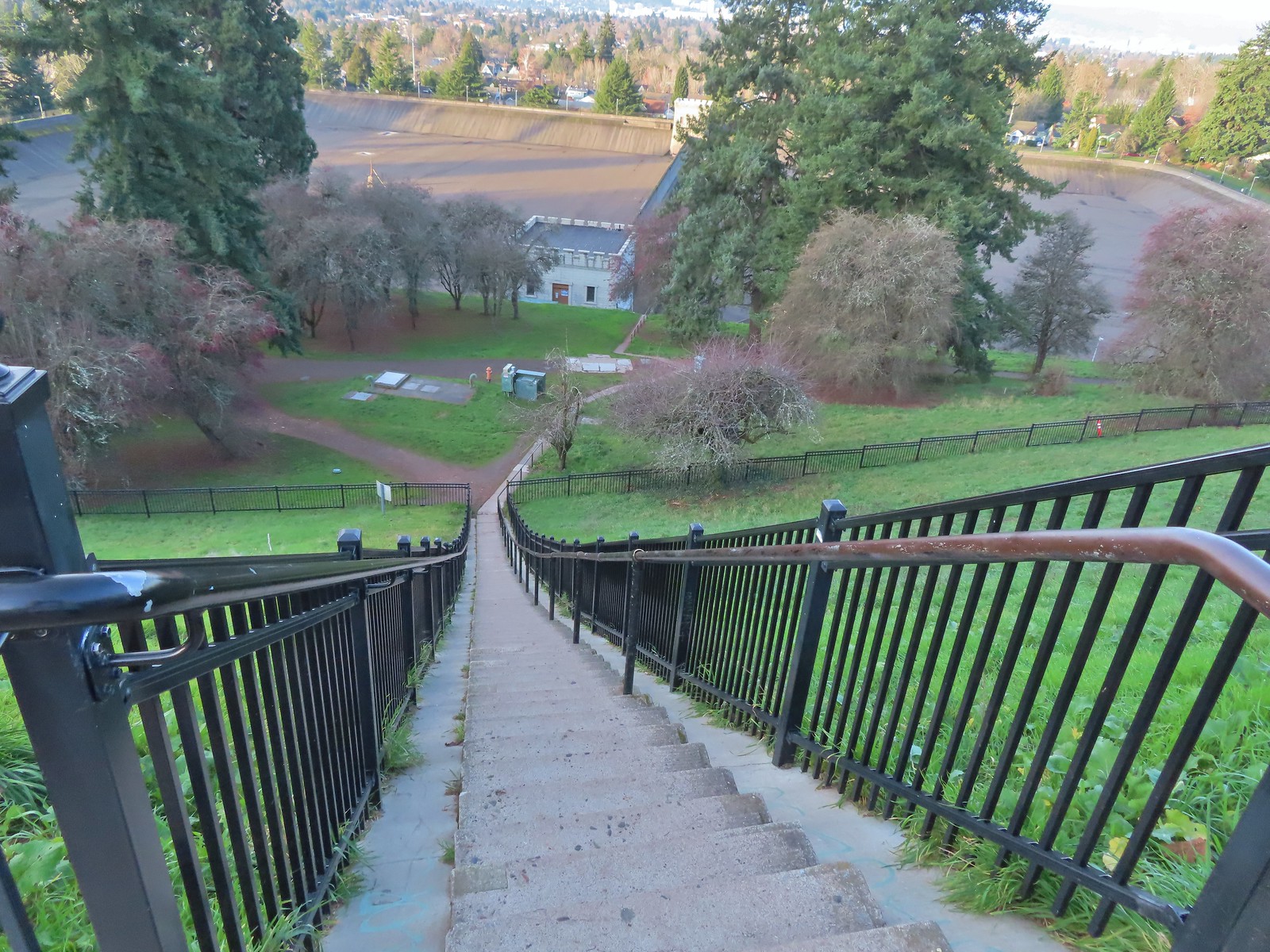
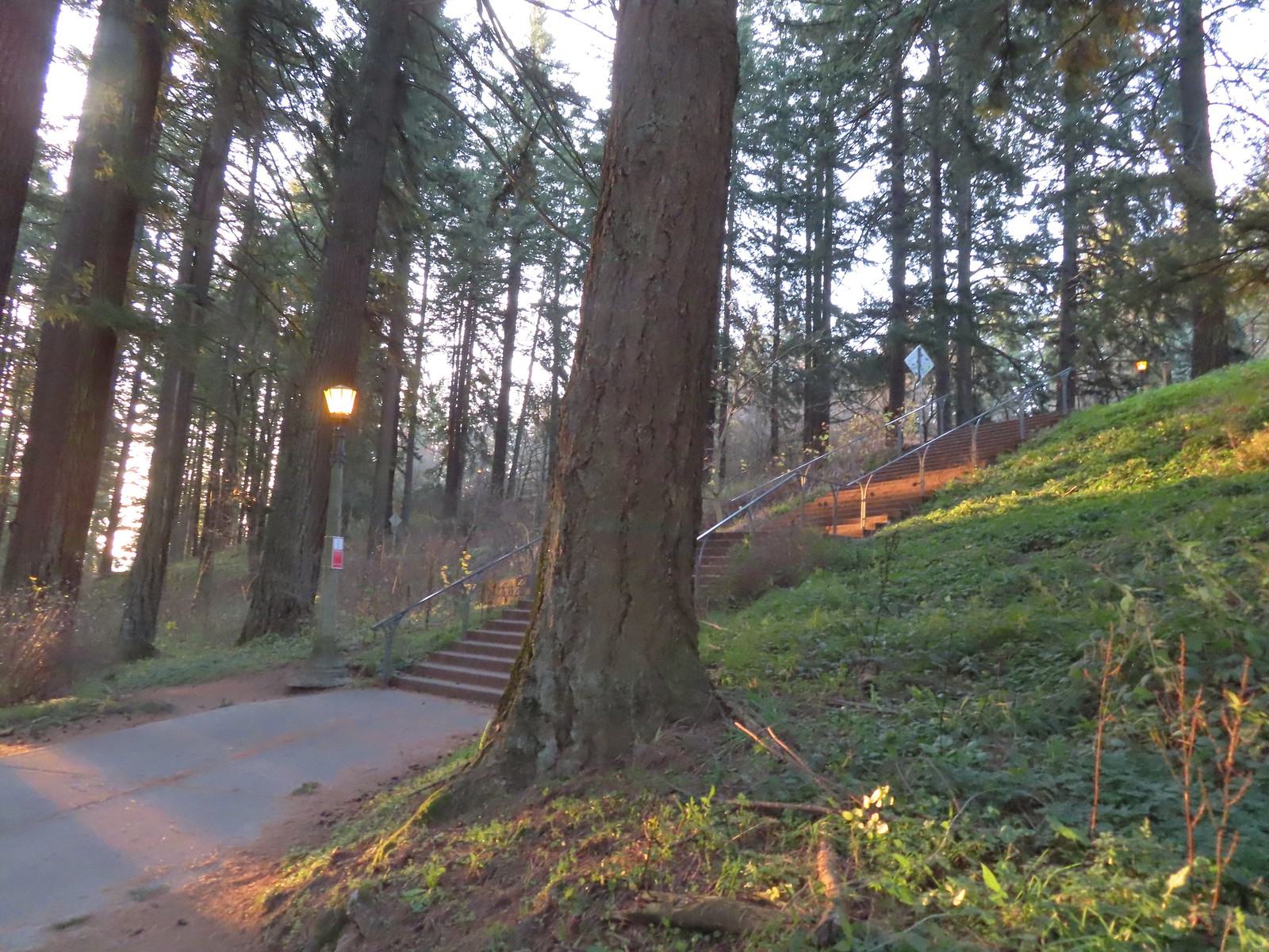 The Mount Tabor stairs extend from the park border up to the summit.
 Summit restrooms
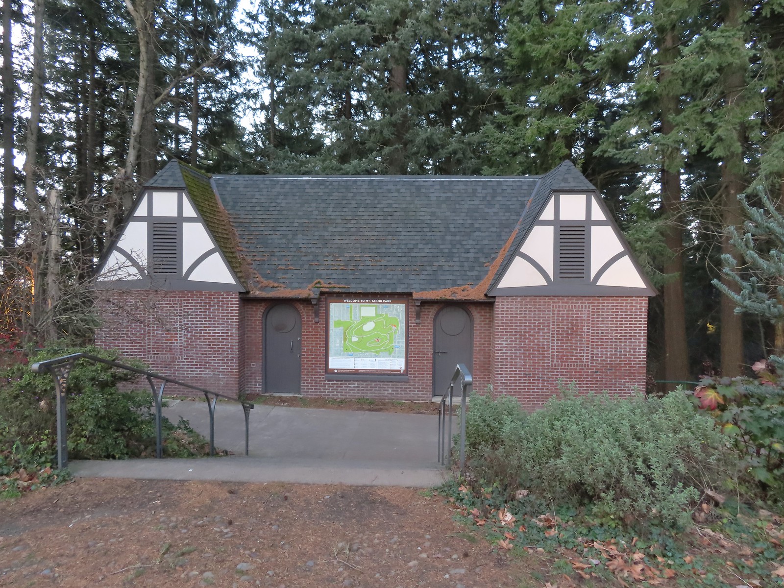 The restrooms were reopened in 2017 after being renovated.
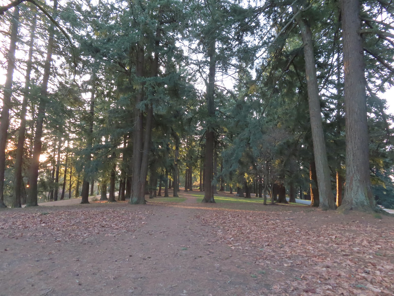 Mount Tabor summit
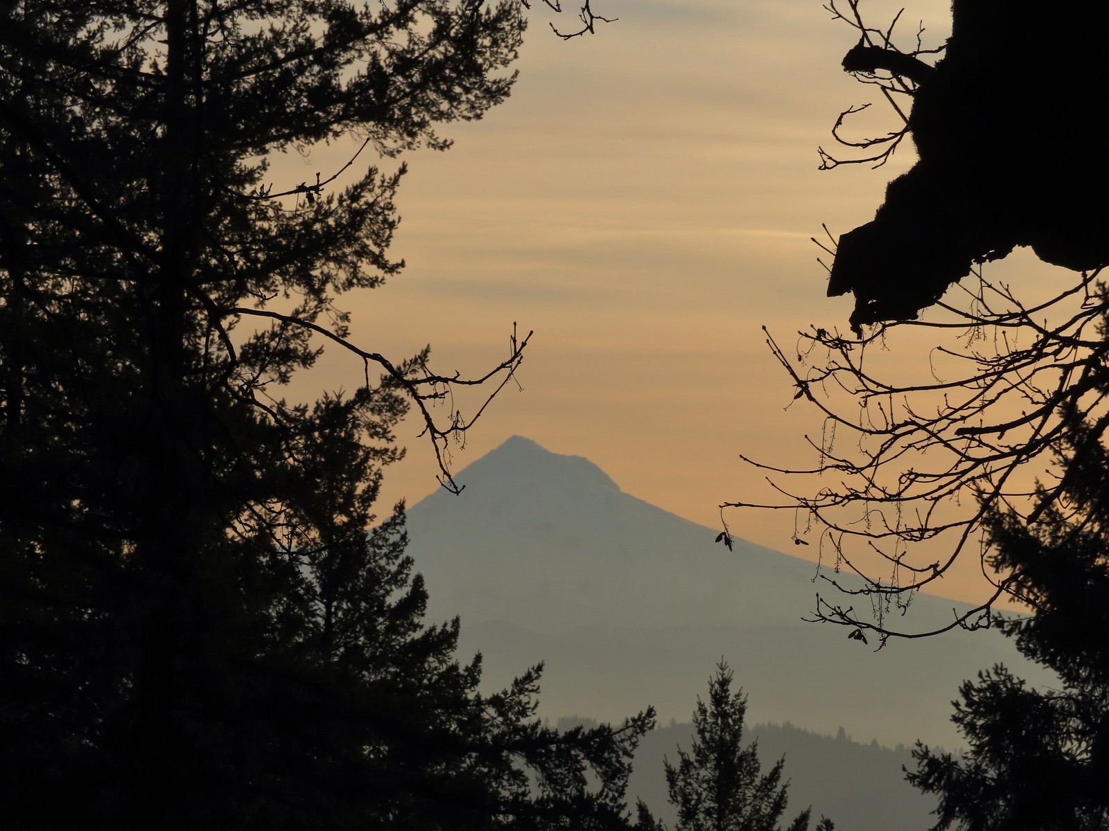 Mt. Hood from the summit.
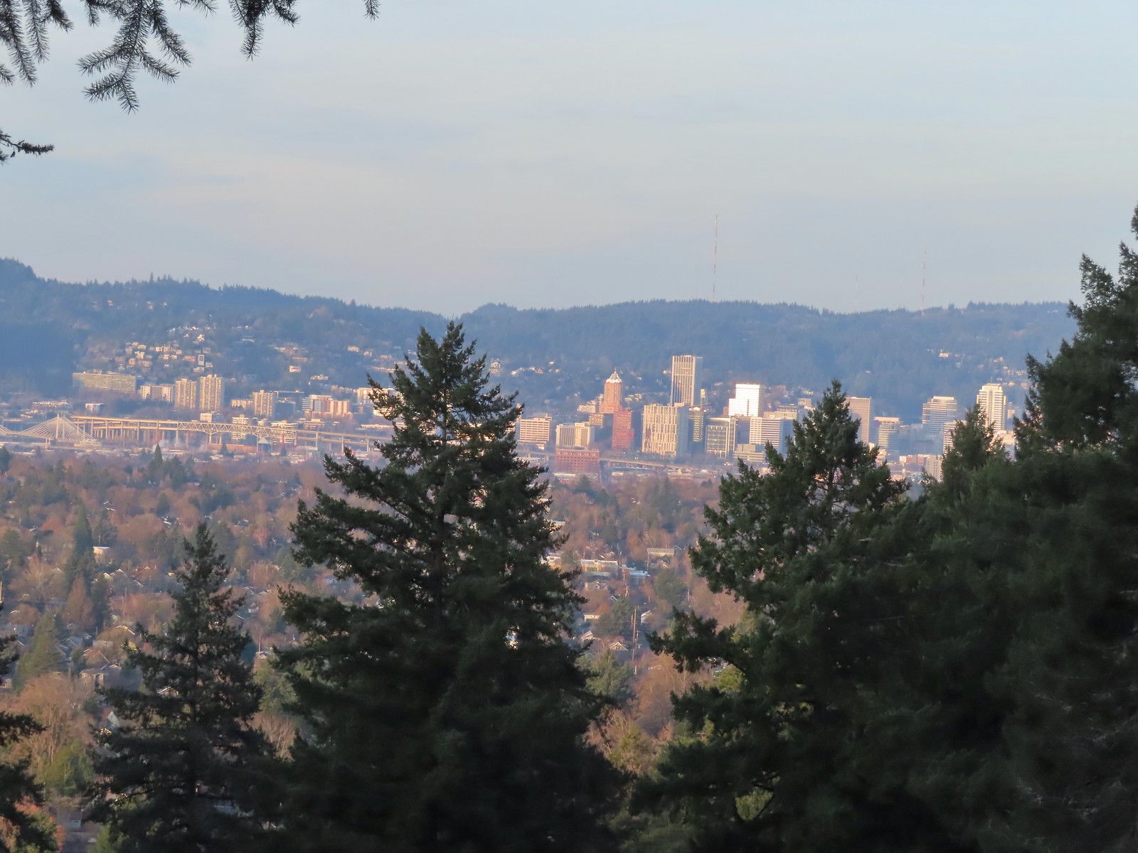 Downtown Portland

 Mallards
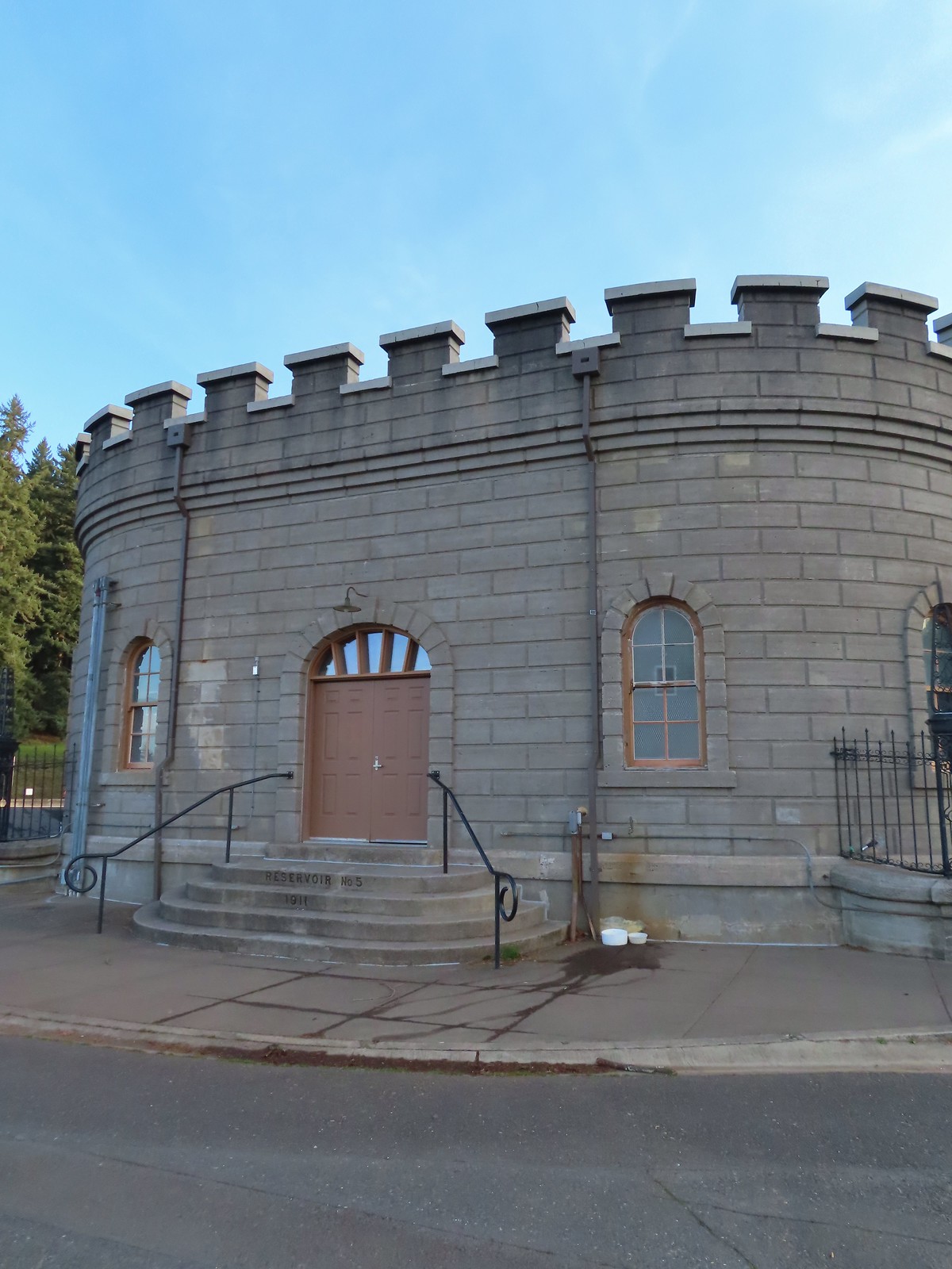


 We forked right at this junction sticking to the green pointers.
 Arriving at The Crater.
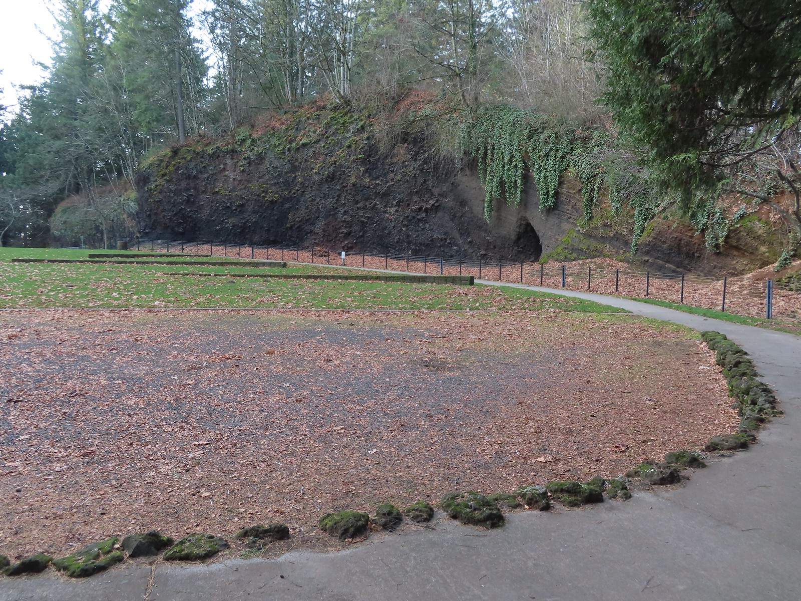 Coming around The Crater near the Visitors Center.
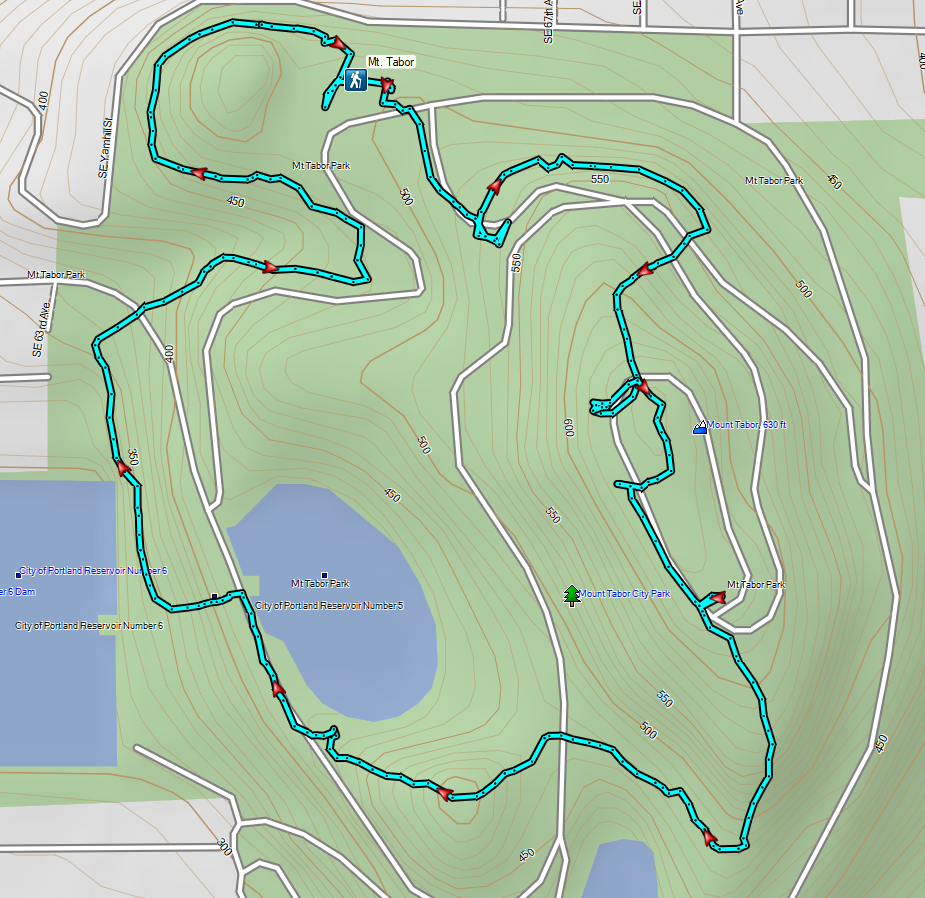

 Mount Talbert from the path.
 Mount Scott Creek
 The Park Loop Trail junction just uphill.
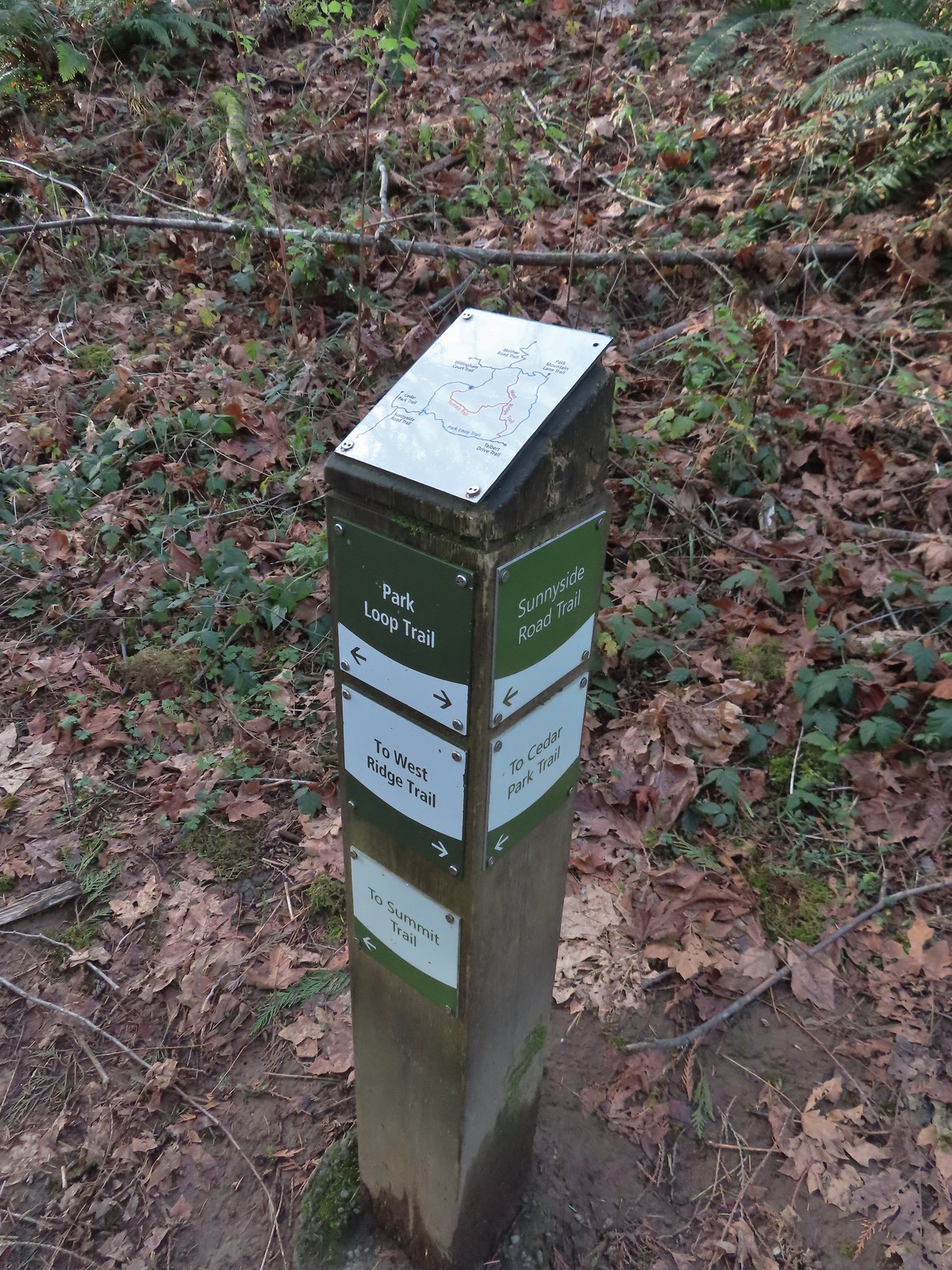 Note that the map at the Park Loop/Sunnyside Road Trail junction mis-identifies the location with the “You Are Here” star located at the Park Loop/Summit Ridge junction.
 Arriving at the West Ridge Trail junction.
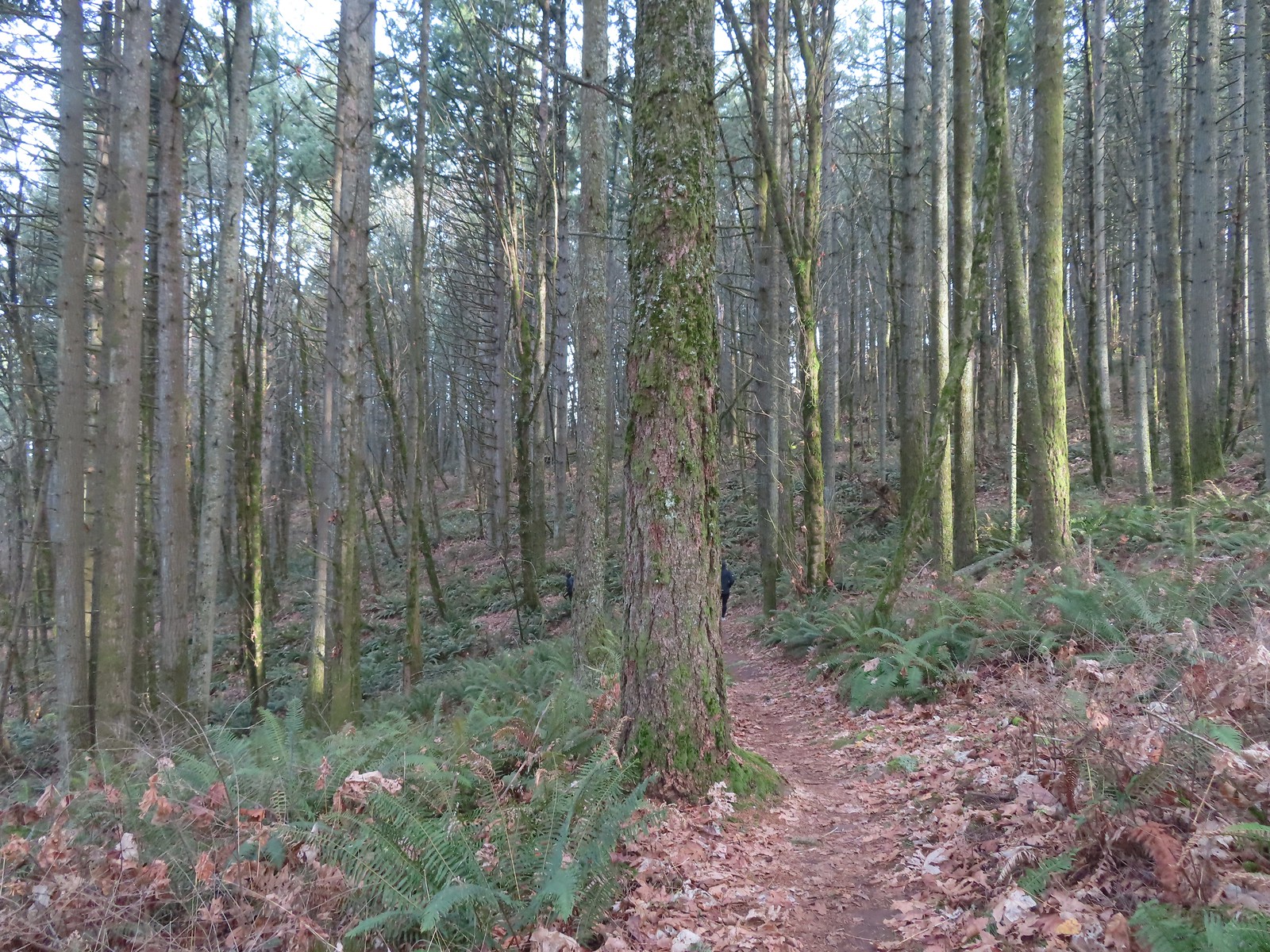
 Rejoining the Park Loop Trail.
 Mt. Adams was visible through the web of small branches.
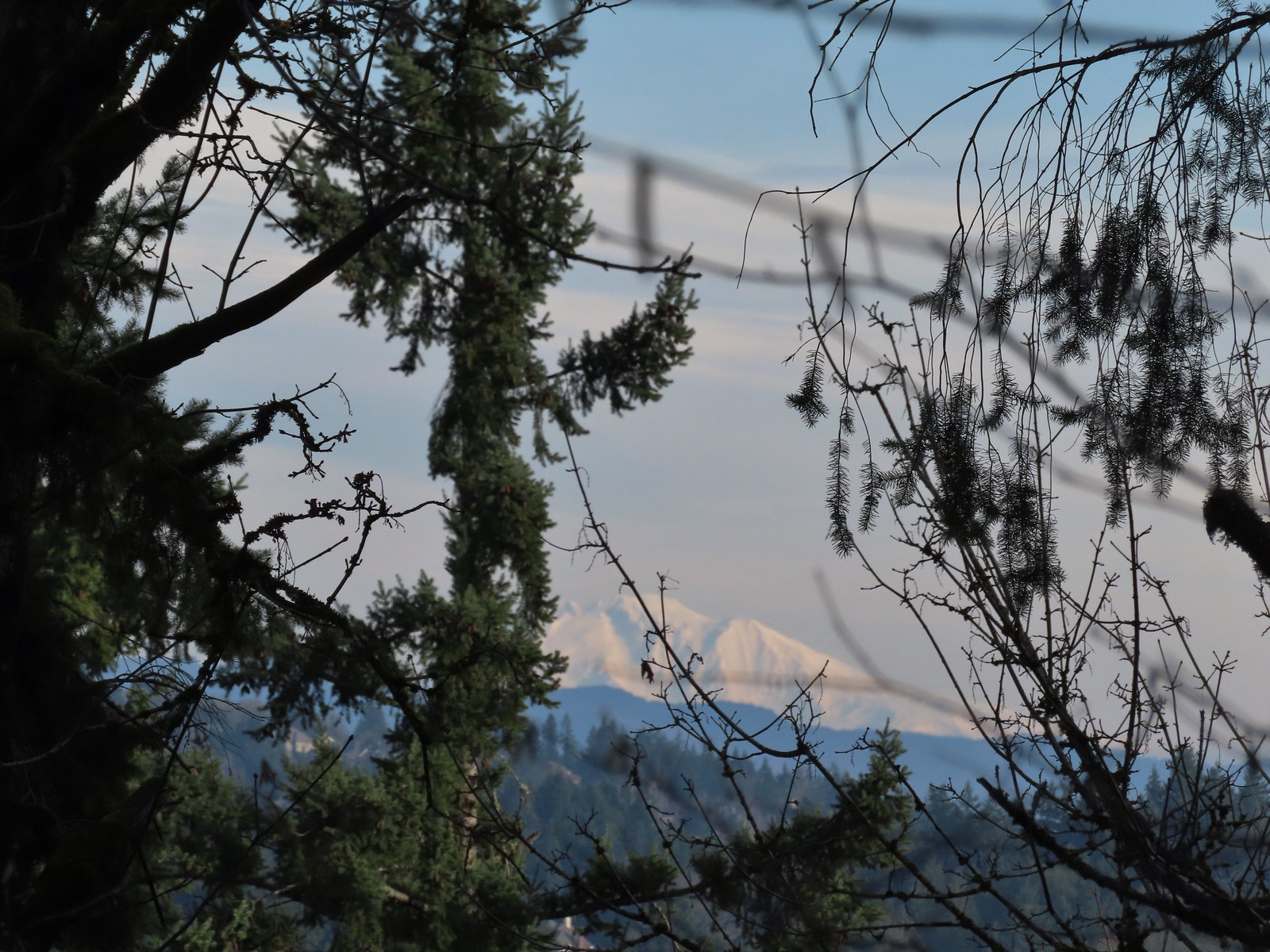 A snowy Mt. Adams.
 Back at the Sunnyside Road Trail.
 The benches throughout the park contained various nature sculptures, this one is “Moss Group”.
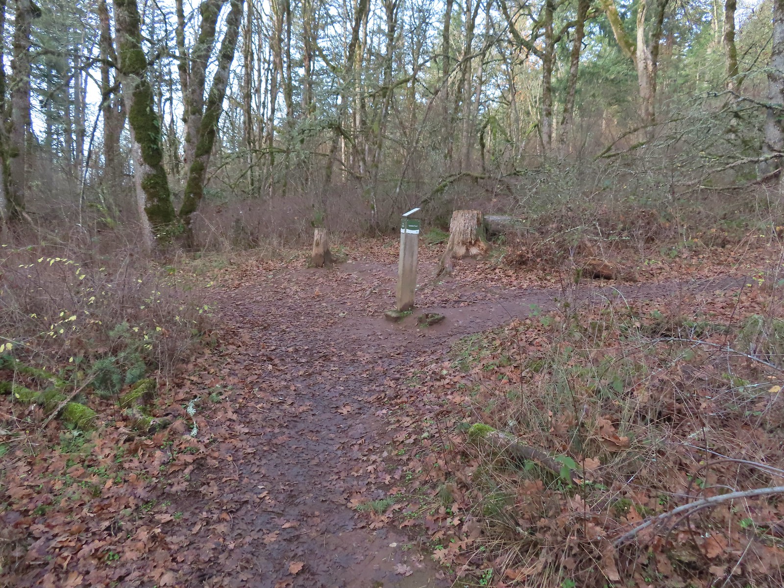
 On the Boomer Trail.
 The Boomer Trail turned left at the bottom of these stone steps.
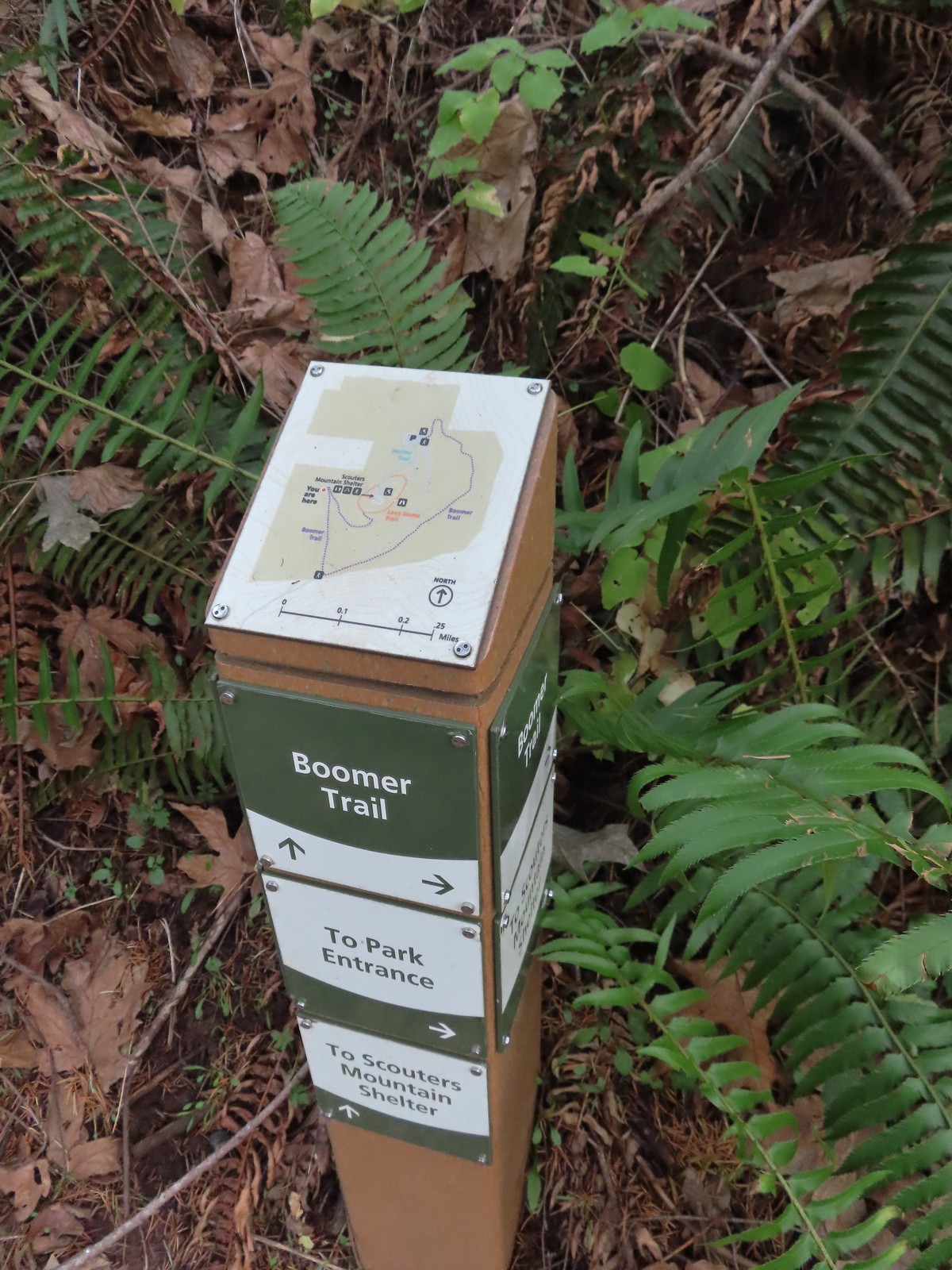 Another Metro trail map and pointers.
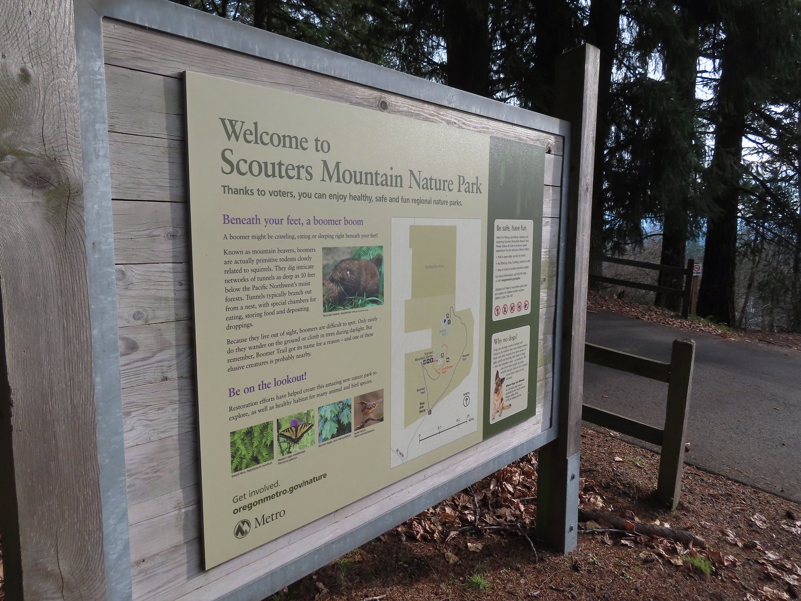 The Boomer Trail, named for Mountain Beavers which are sometimes called boomers, crossed the entrance road before climbing back up to the parking area.
 This was an impressive root system.
 A less obstructed view of Mt. Adams. (Mt. St. Helens was also briefly visible from this section of trail.)
 Slightly clearer shot of Mt. Adams.
 Back at the trailhead.
 Mt. St. Helens from the service road. Mt. Hood was also visible to the right through some fences around the ball fields.


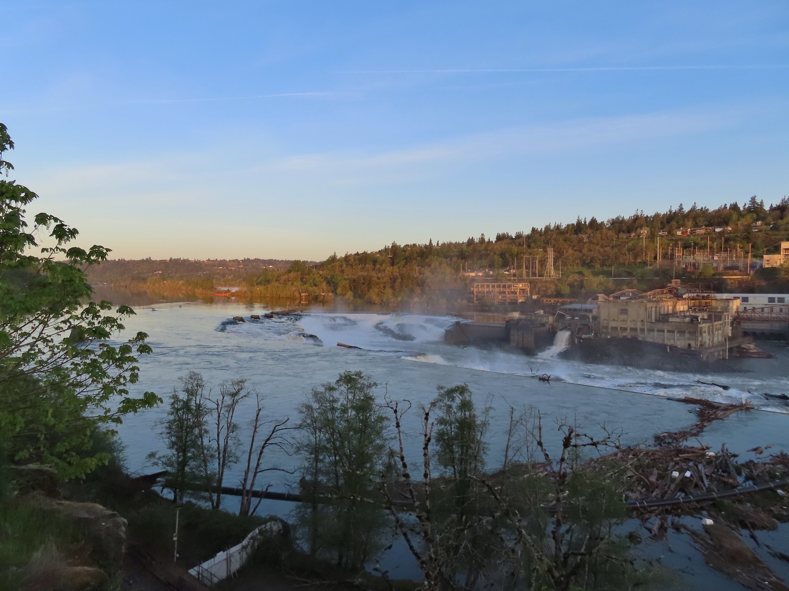
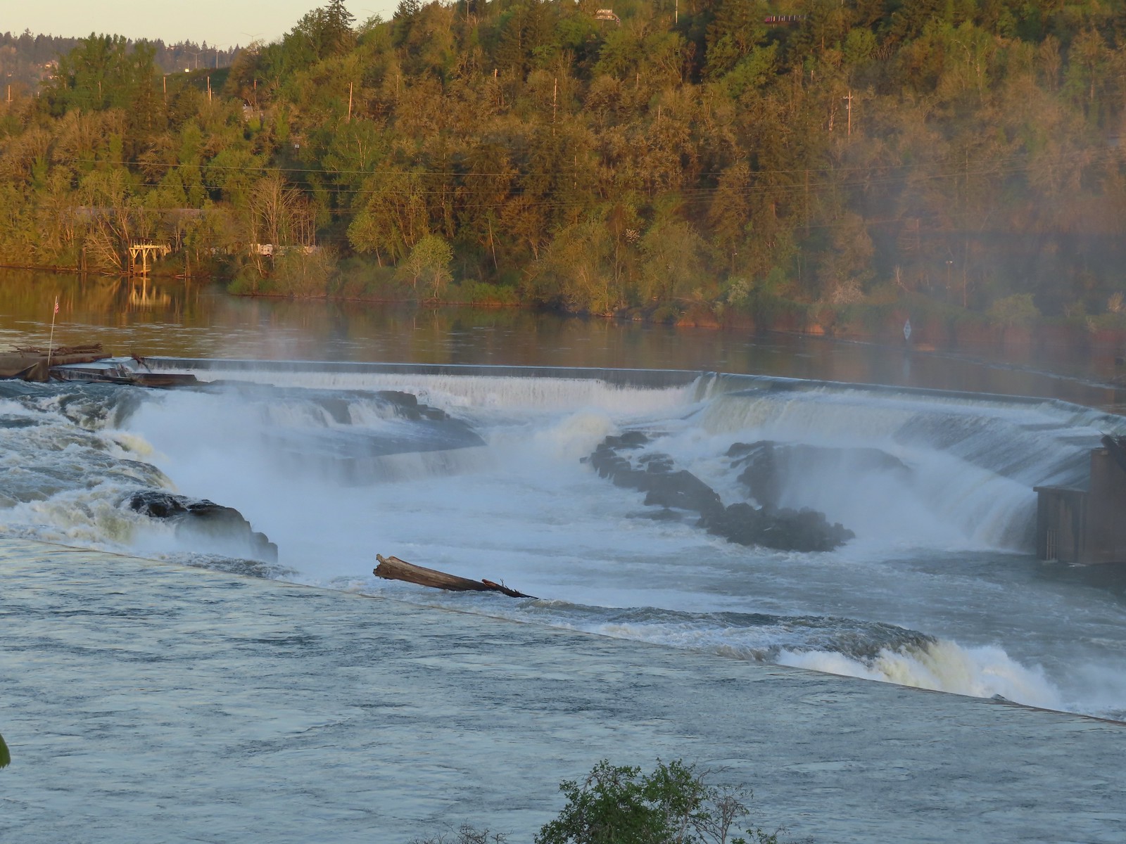
 The large area to the right didn’t offer much of a view of the falls, but the view from the bridge was great.


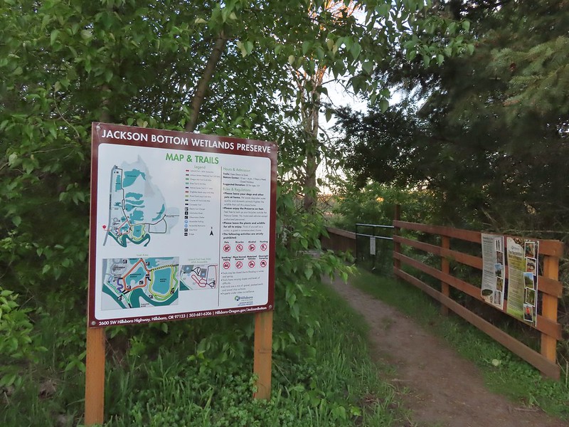
 The refuge is open from dawn to dusk. We arrived at a quarter to six to get an early start and avoid being out during the hottest parts of the day.
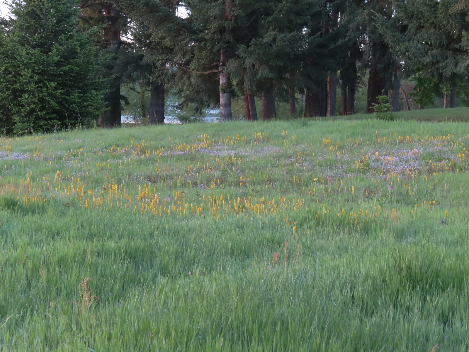 The patch of wildflowers.
 A checker-mallow surrounded by golden paintbrush.
 Plectritis amid the golden paintbrush.
 We had a pretty good view of Mt. Hood.
 Mallards
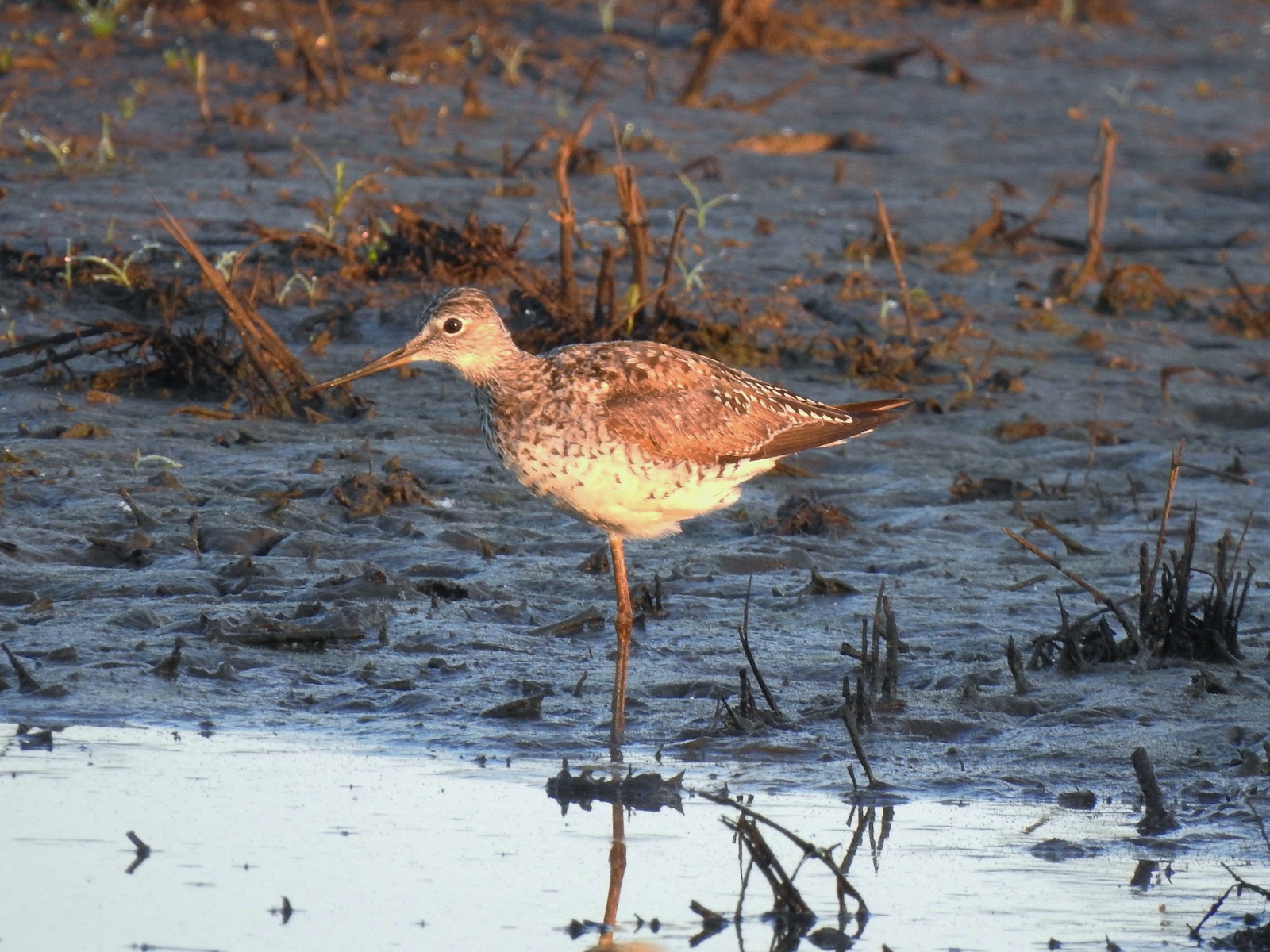 Greater yellowlegs
 Mourning dove
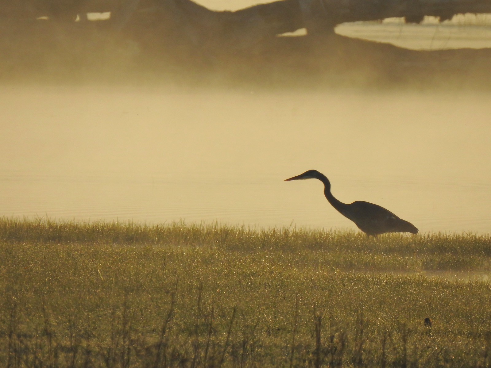 Great blue heron
 An egret and some ducks
 More families of geese
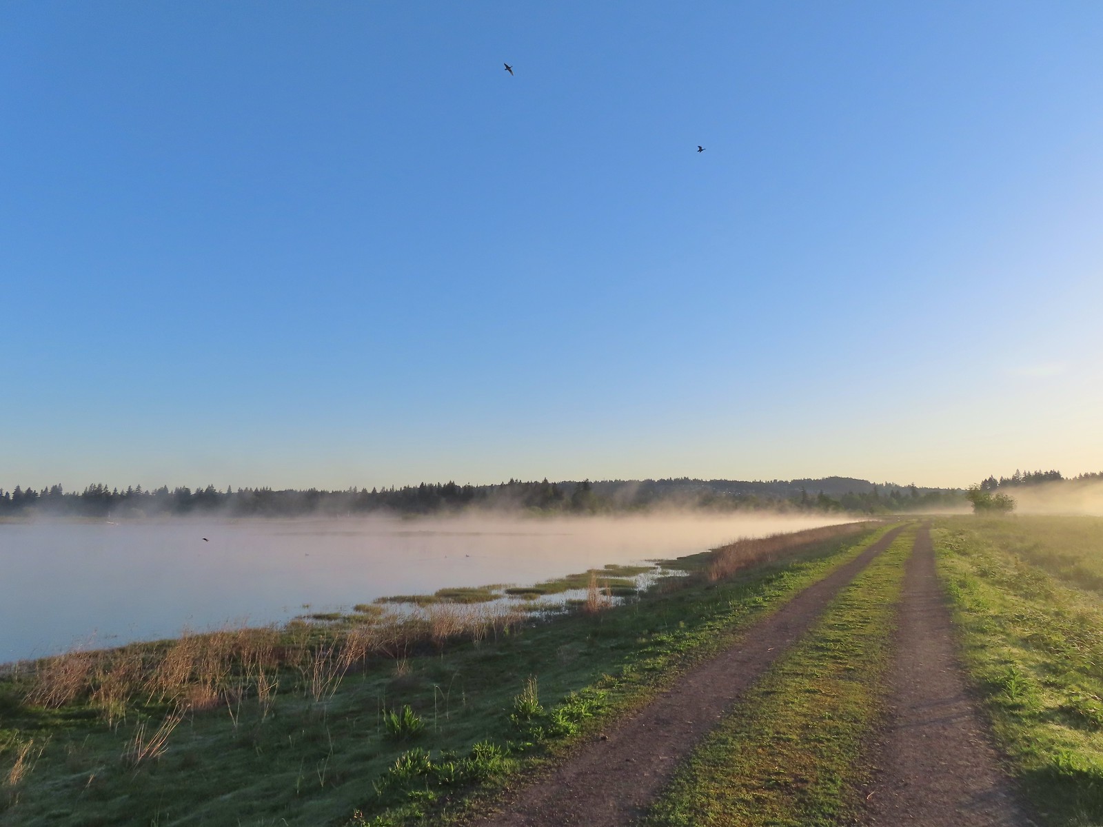 Swallows flying above the Wetland Trail.
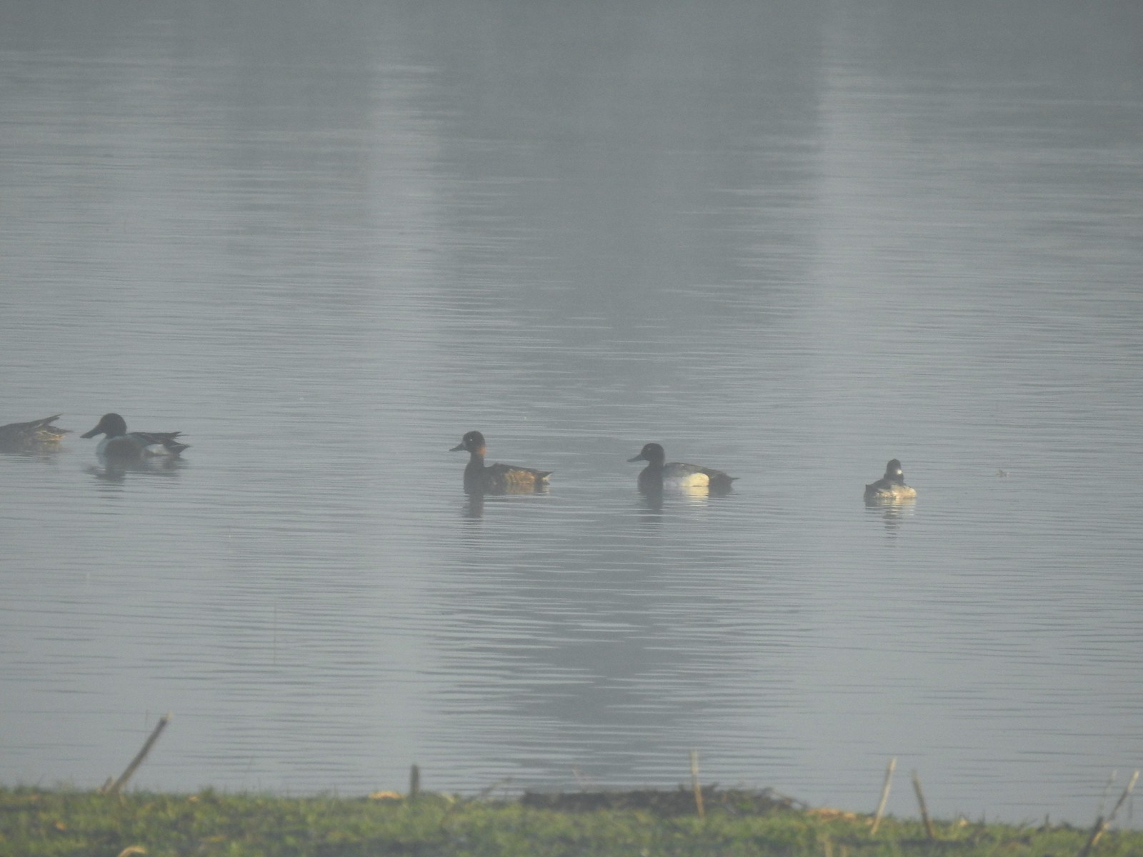 Northern shoveler, scaups (leaning toward greater), and a bufflehead.
 Mallards
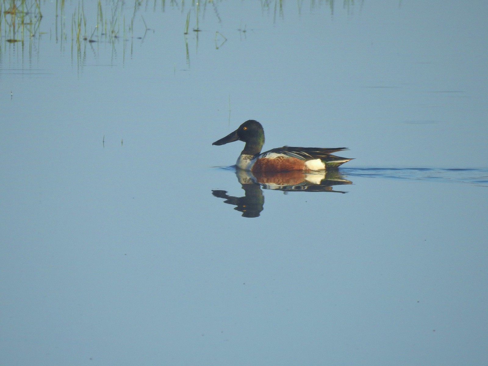 Northern shoveler
 Ruddy duck
 Gadwalls
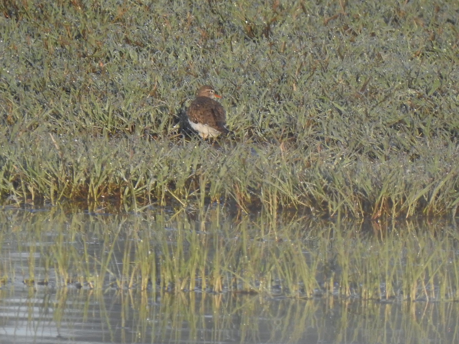 Spotted sandpiper
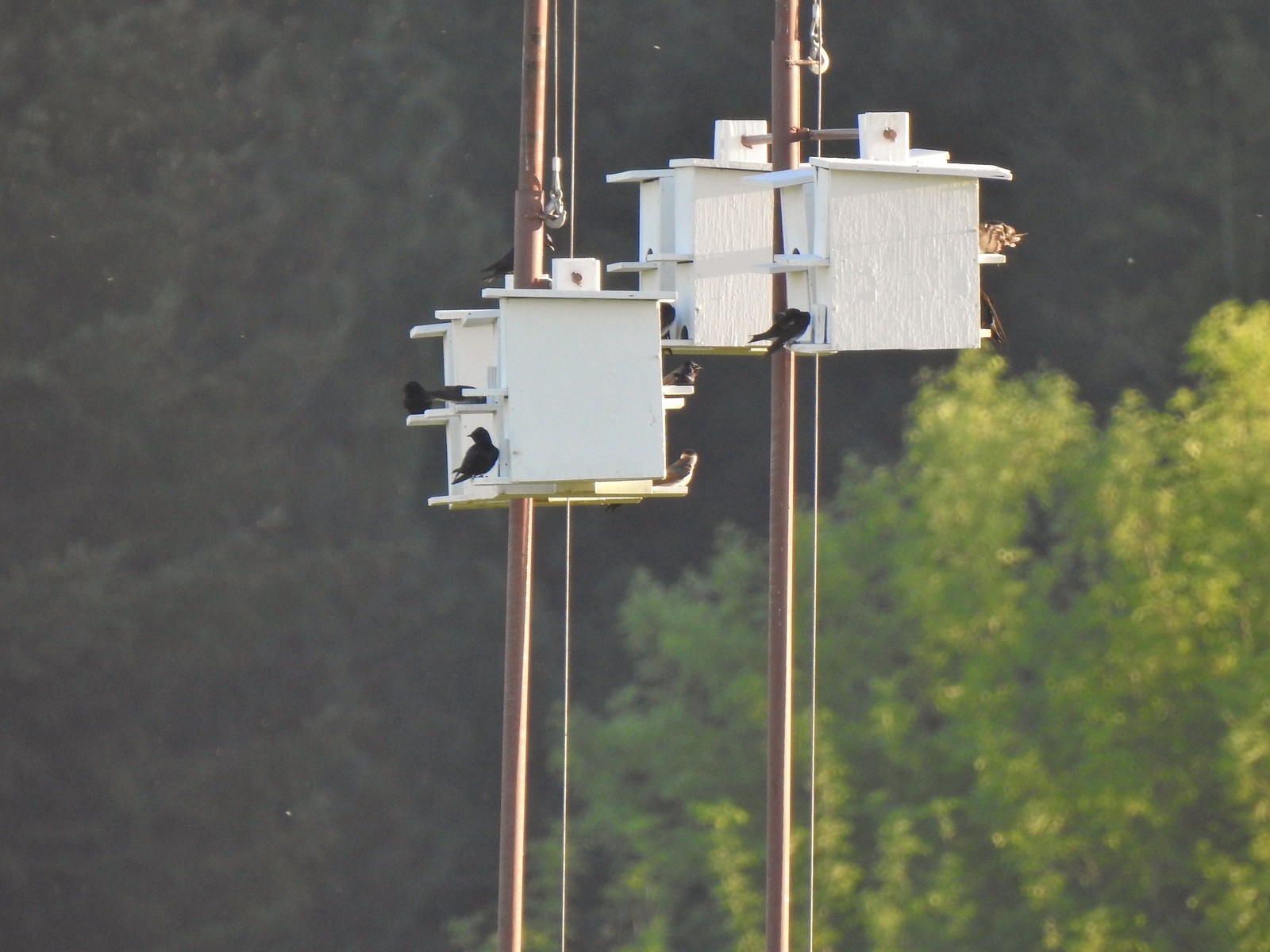 Purple martins
 Killerdeer
 Cinnamon teals
 Nutria, one of several of these non-native rodents that we saw.
 Nap time (or just a late sleeper).
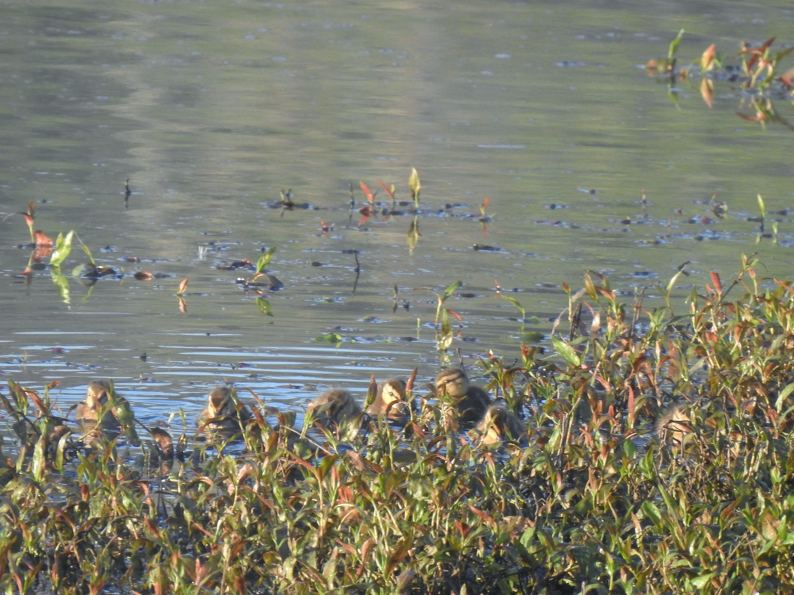 Ducklings
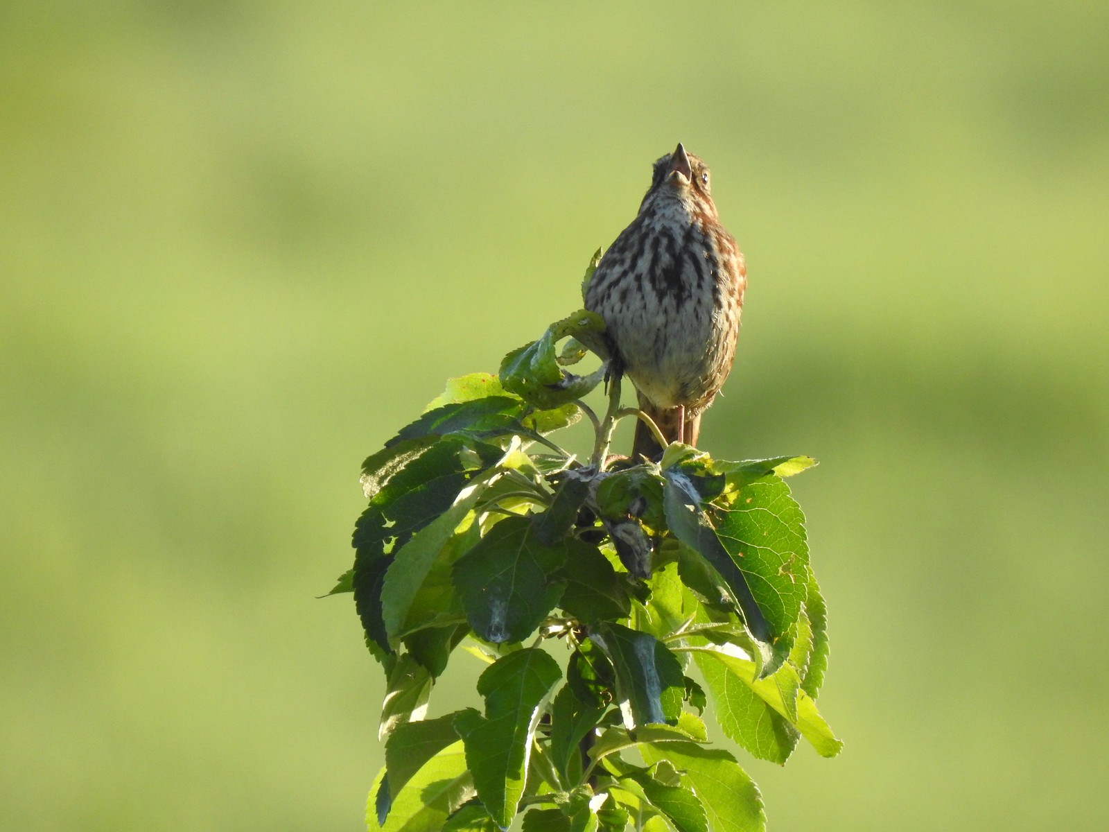 Song sparrow
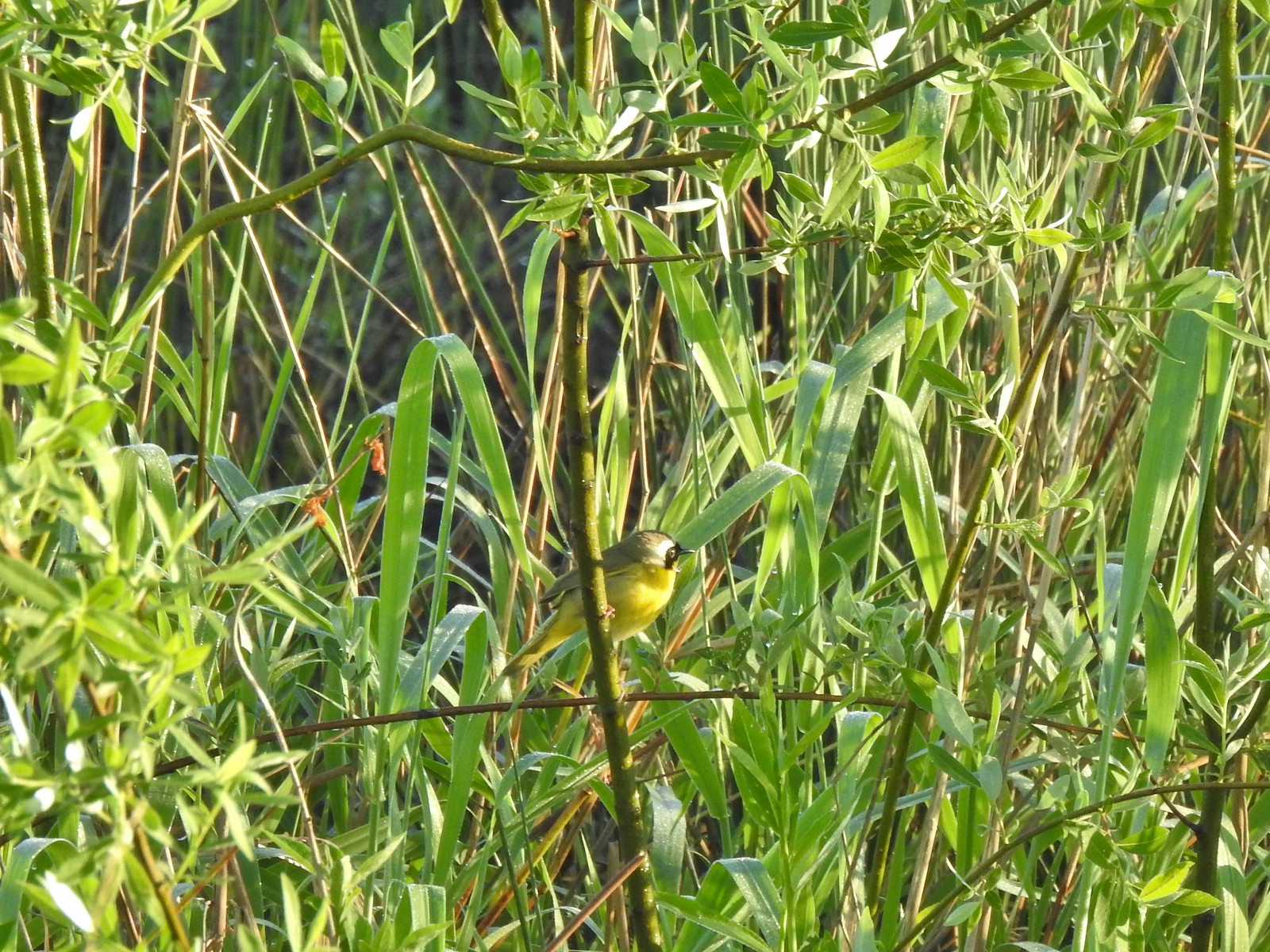 Common yellowthroat
 Wildlife Center
 Great blue heron watching from a little island.

 Anna’s hummingbird
 The same Anna’s hummingbird. When catching light their head/throat is bright pink but appear black when not.
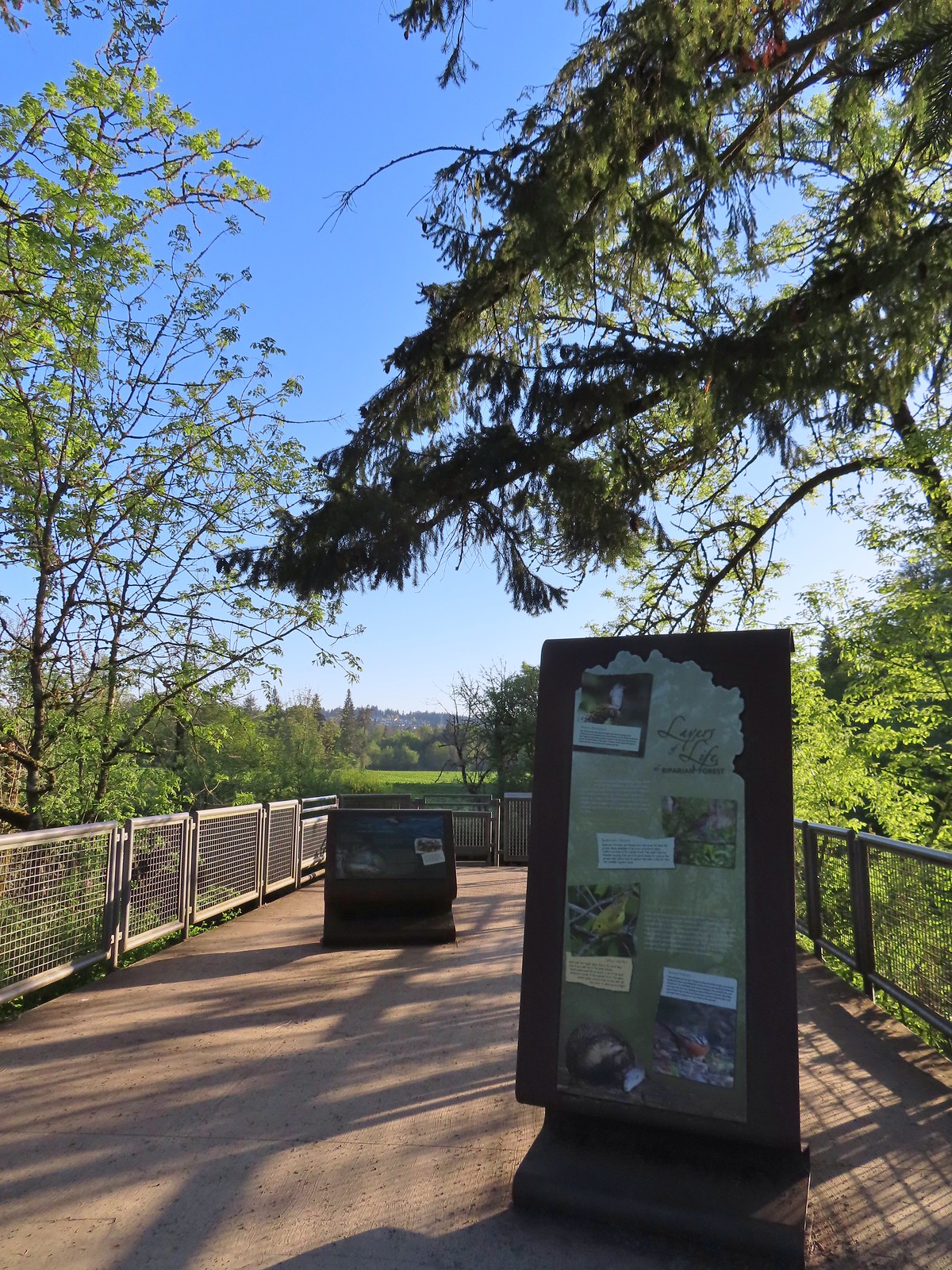 River Overlook
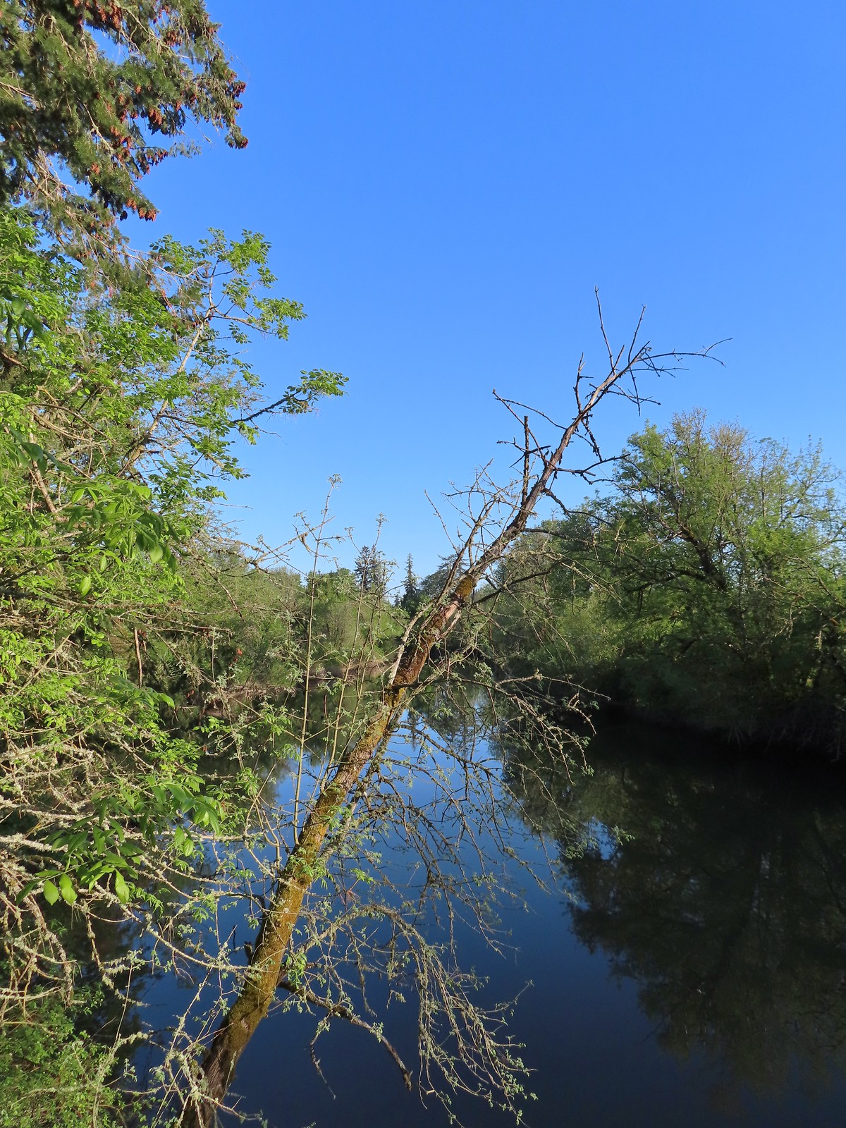 Tualatin River
 Robin
Robin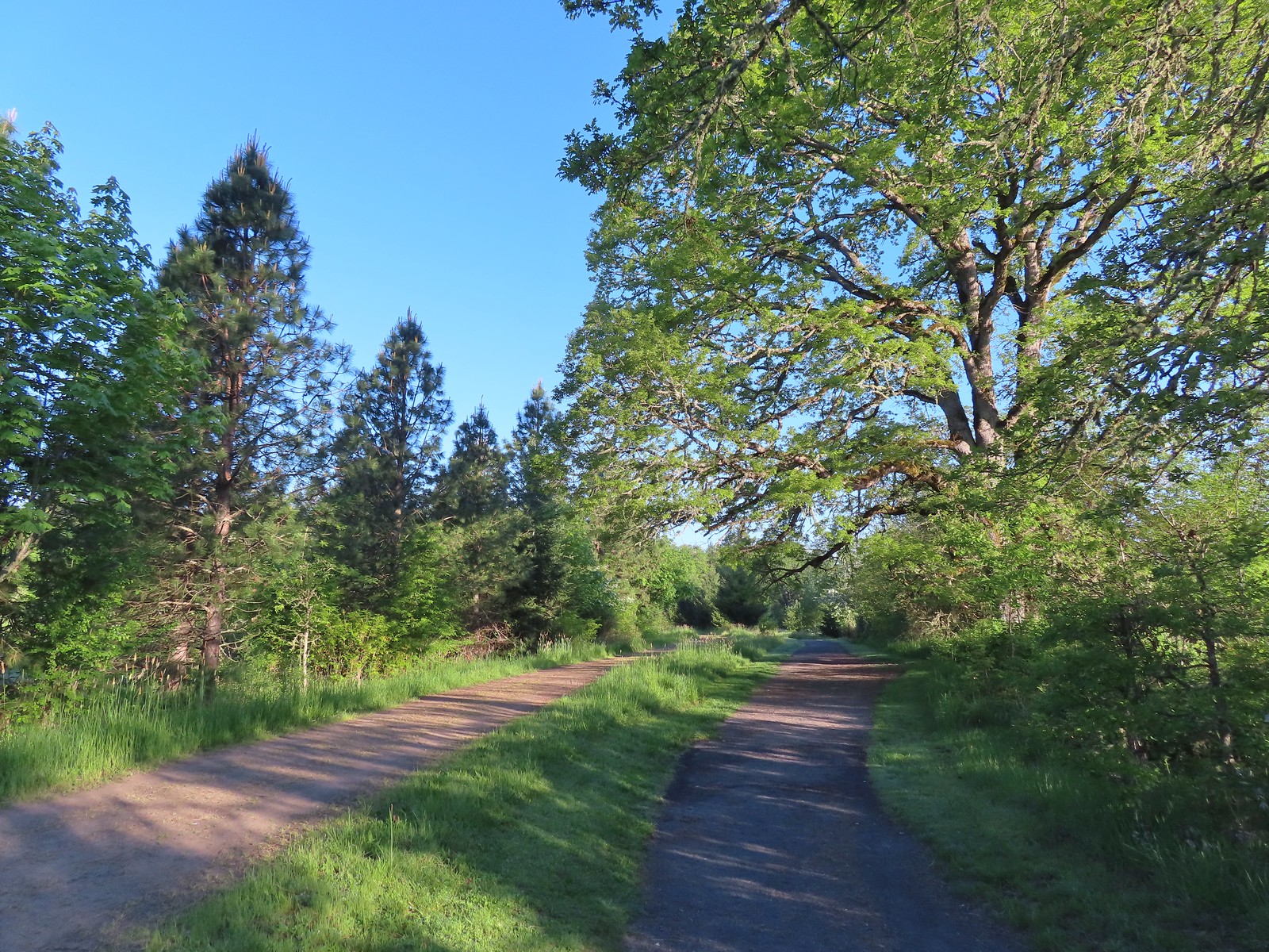 The Wetland and River Trails running parallel.
 Spotted towhee
 Rabbit
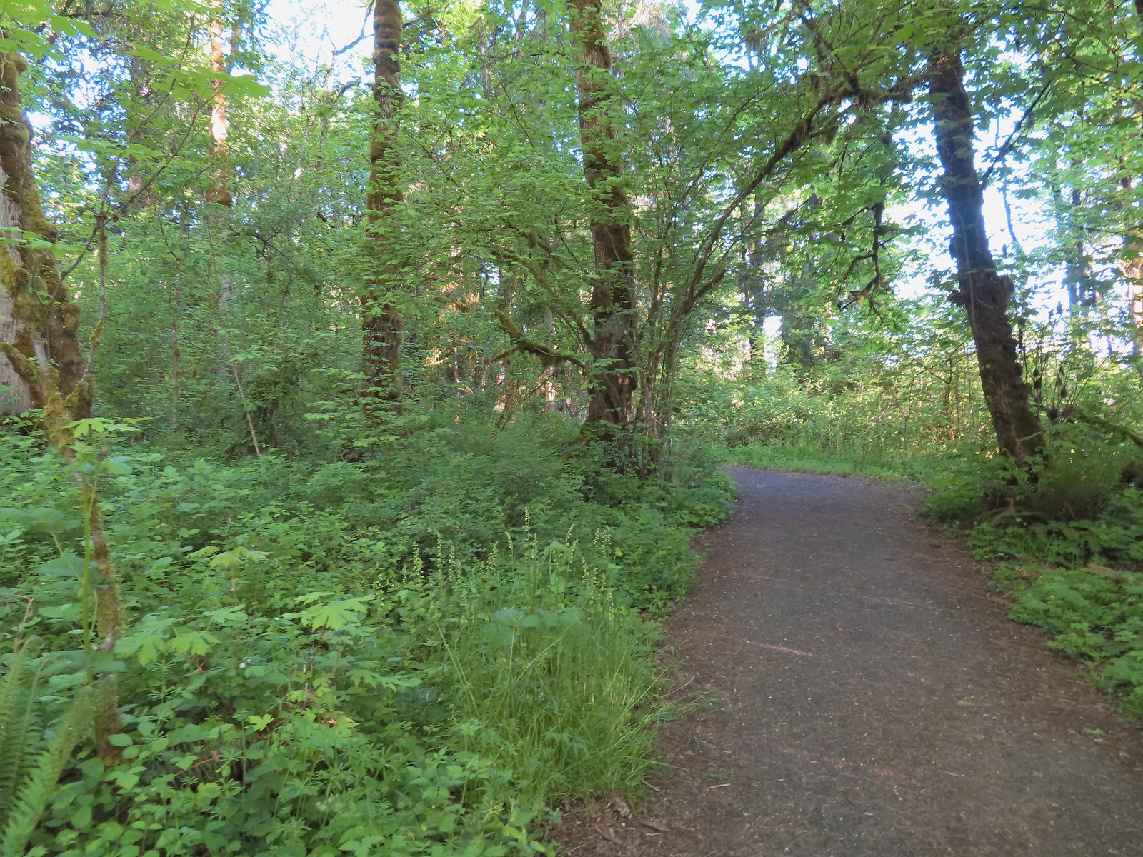
 Pacific waterleaf
 Violets and fringecup along the River Trail.
 Bleeding heart
 We skipped the spur trail to the Ridgetop Overlook since we’d done that on our previous visit.
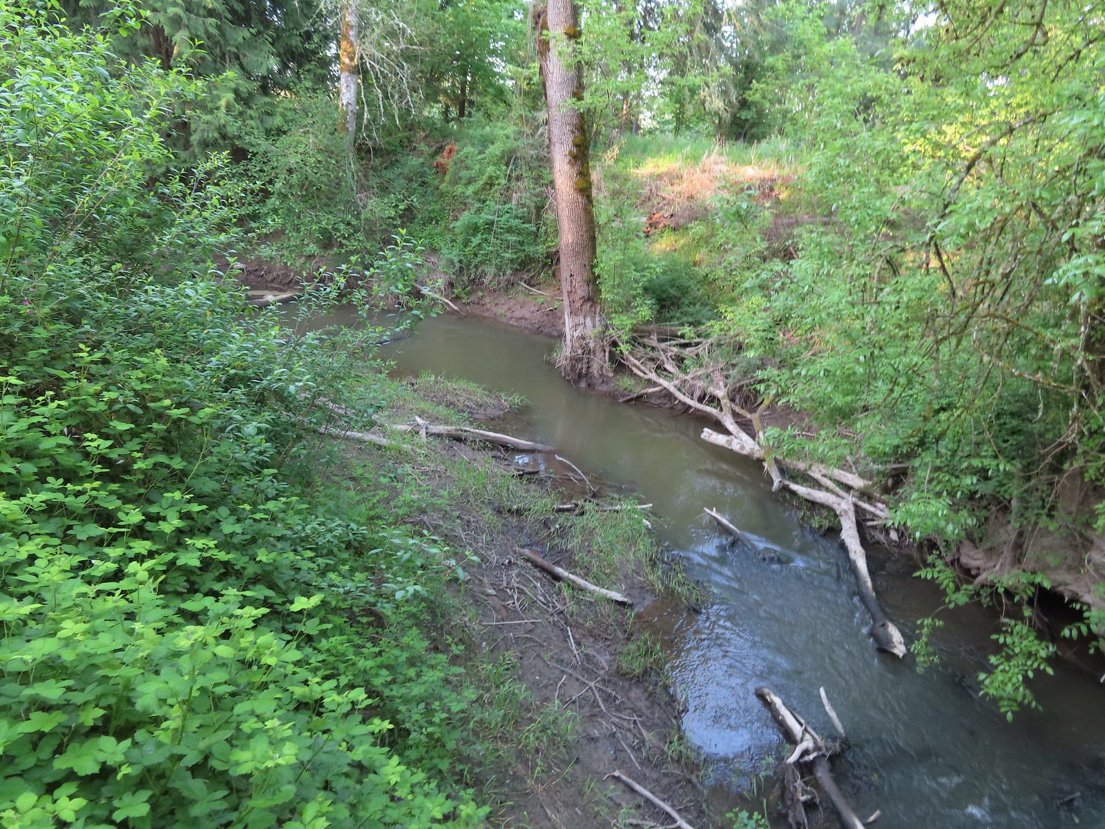 Chicken Creek
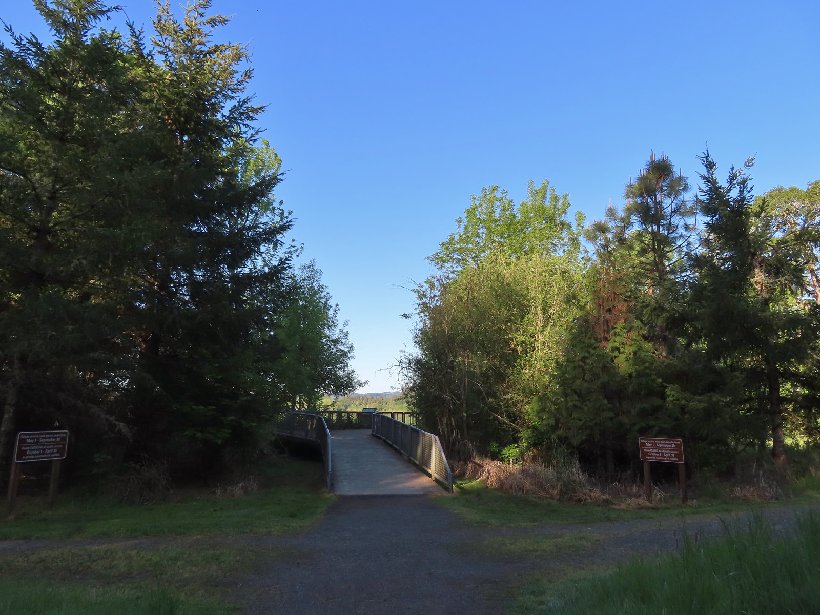 The River Trail meets the Wetland Trail across from the Weland Observation Platform.
 Great white egrets
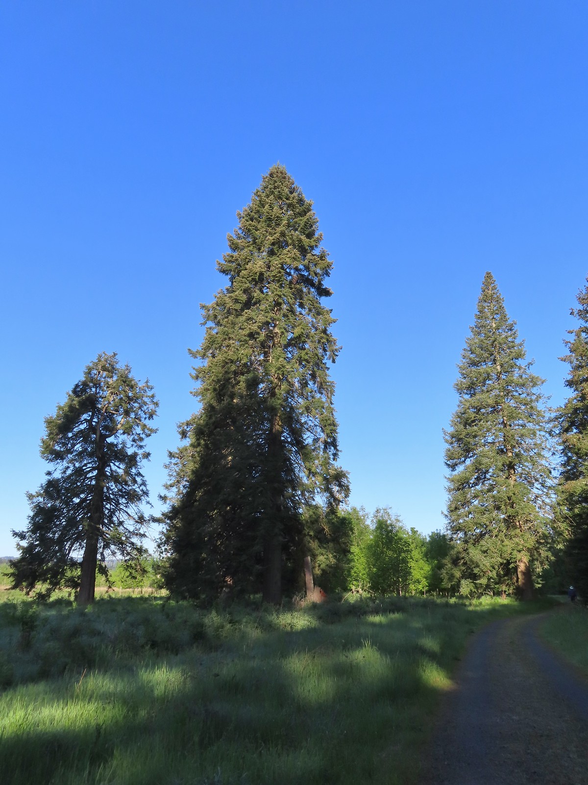 There were some impressively tall trees along this portion of the loop.
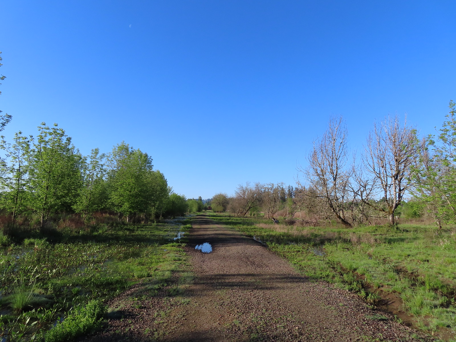
 Another egret
 More egrets across Chicken Creek.
 Red-winged blackbird
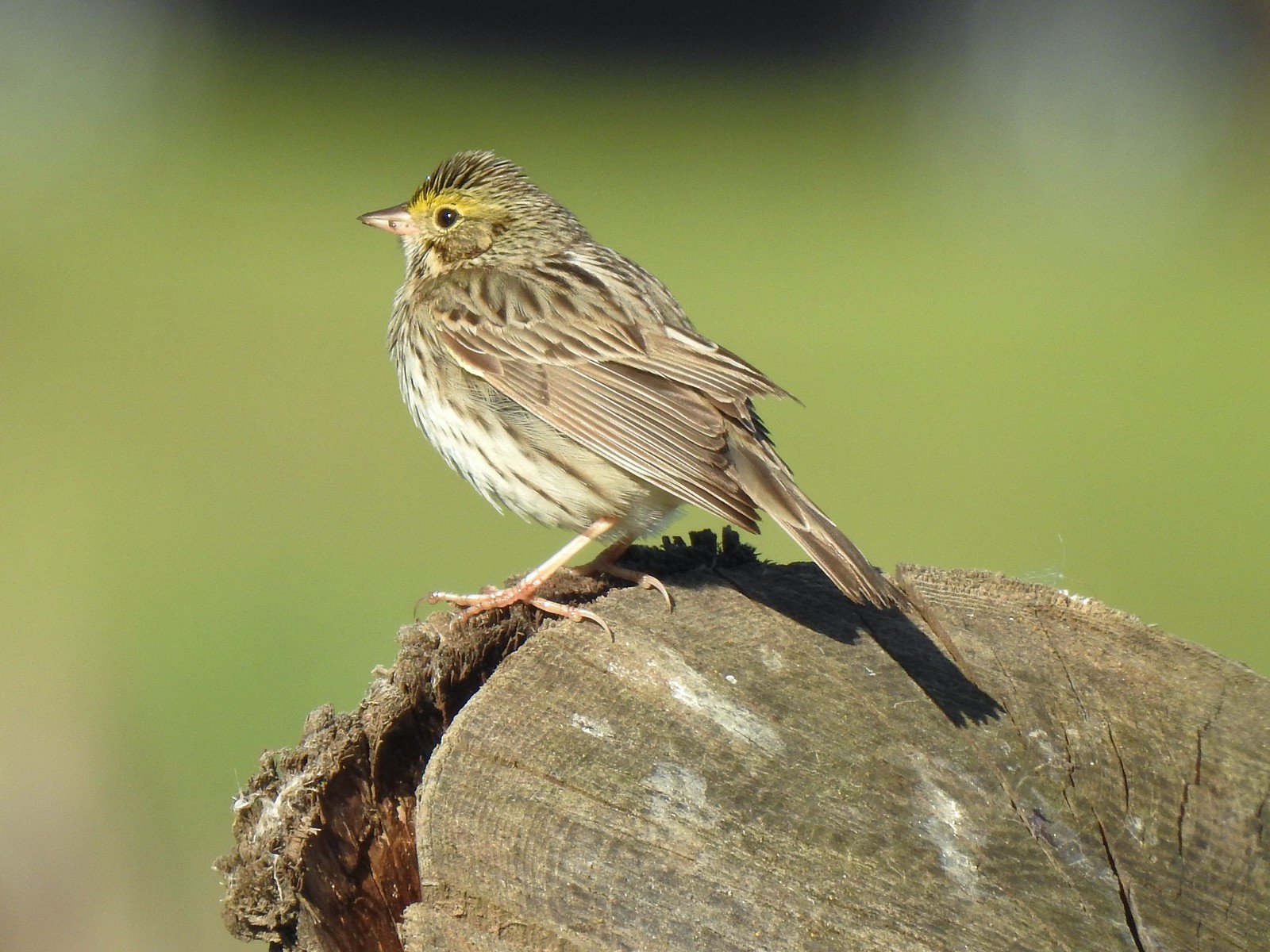 Savannah sparrow
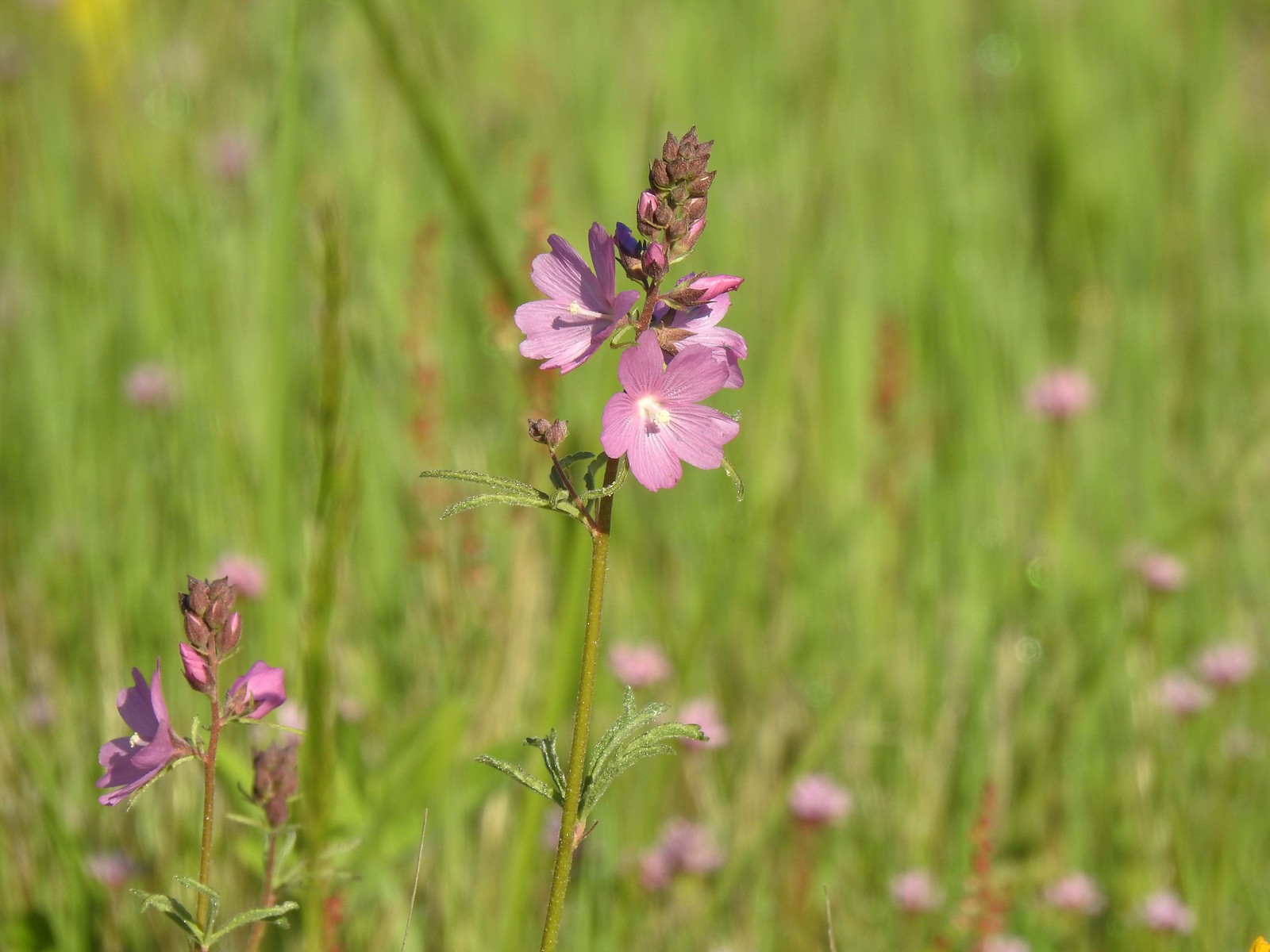 Checker-mallow
 A parsley
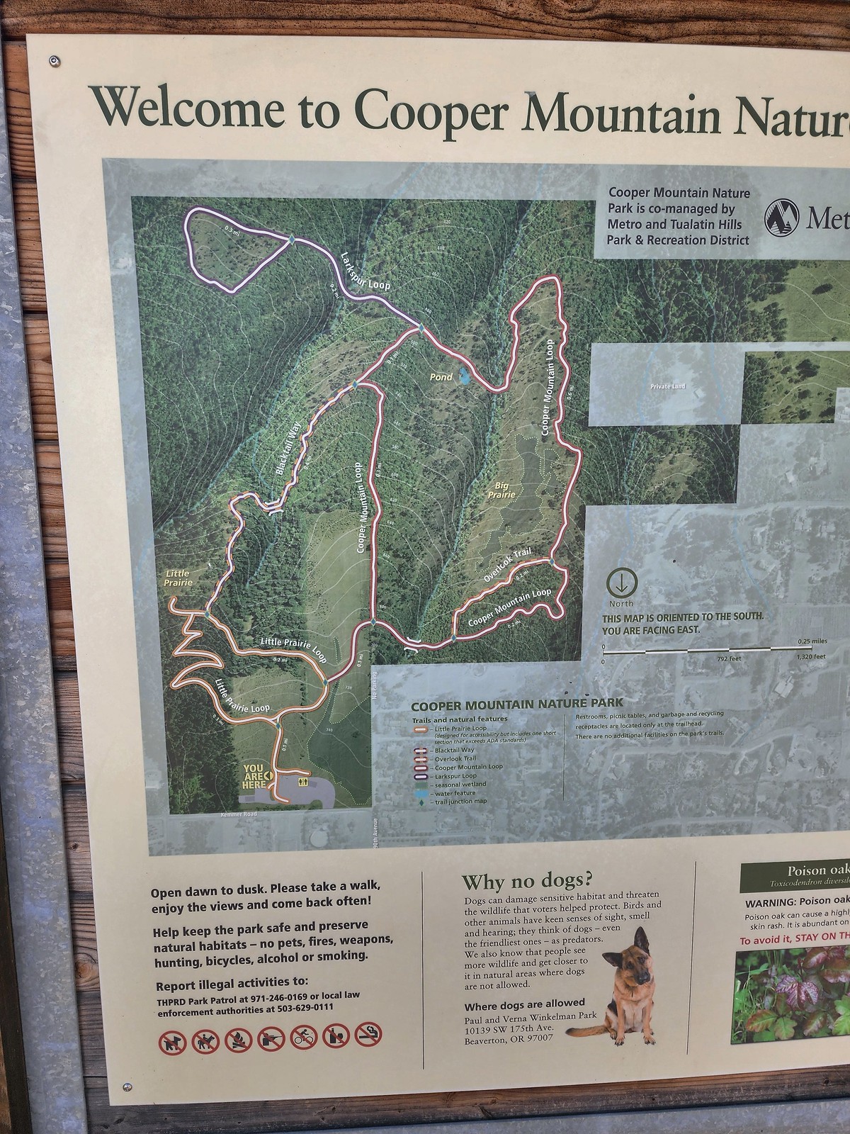 Our planned route was to go right on the Little Prairie Loop to the Cooper Mountain Loop and then stay right on that loop (with a detour to hike the Larkspur Loop) to Blacktail Way. We’d then take Blacktail Way back to the Little Prairie Loop and turn right again to finish that loop and return to the trailhead.
 The view from Cooper Mountain Nature Park.
 Metro is currently running an odd little trial with very short “photo loops”. Mowed paths just off the main trails for photography. We took the first loop just to check it out and they were not kidding when they said the surface may be uneven.
 One of two trial photo loops.
 The second trial loop. You can see how short this one is by the signboard just downhill marking its other end.
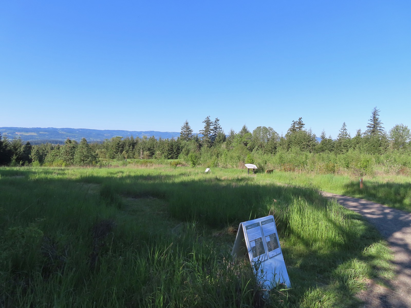
 There were several interpretive signs and benches along the trails.
 White-crowned sparrow
 Anna’s hummingbird
 Star flower
 As usual Metro had the trail junctions well marked with little maps on top of the posts. This is the Cooper Mountain Loop junction with the lower end of the Outback Trail.
 Camas
Camas
 Tough-leaved iris
 Serviceberry
 Honeysuckle
 Looking back uphill to some wildflowers.
 Monkeyflower
 Tomcat clover
 Spotted towhee
 Bench along a pond filling an old quarry.
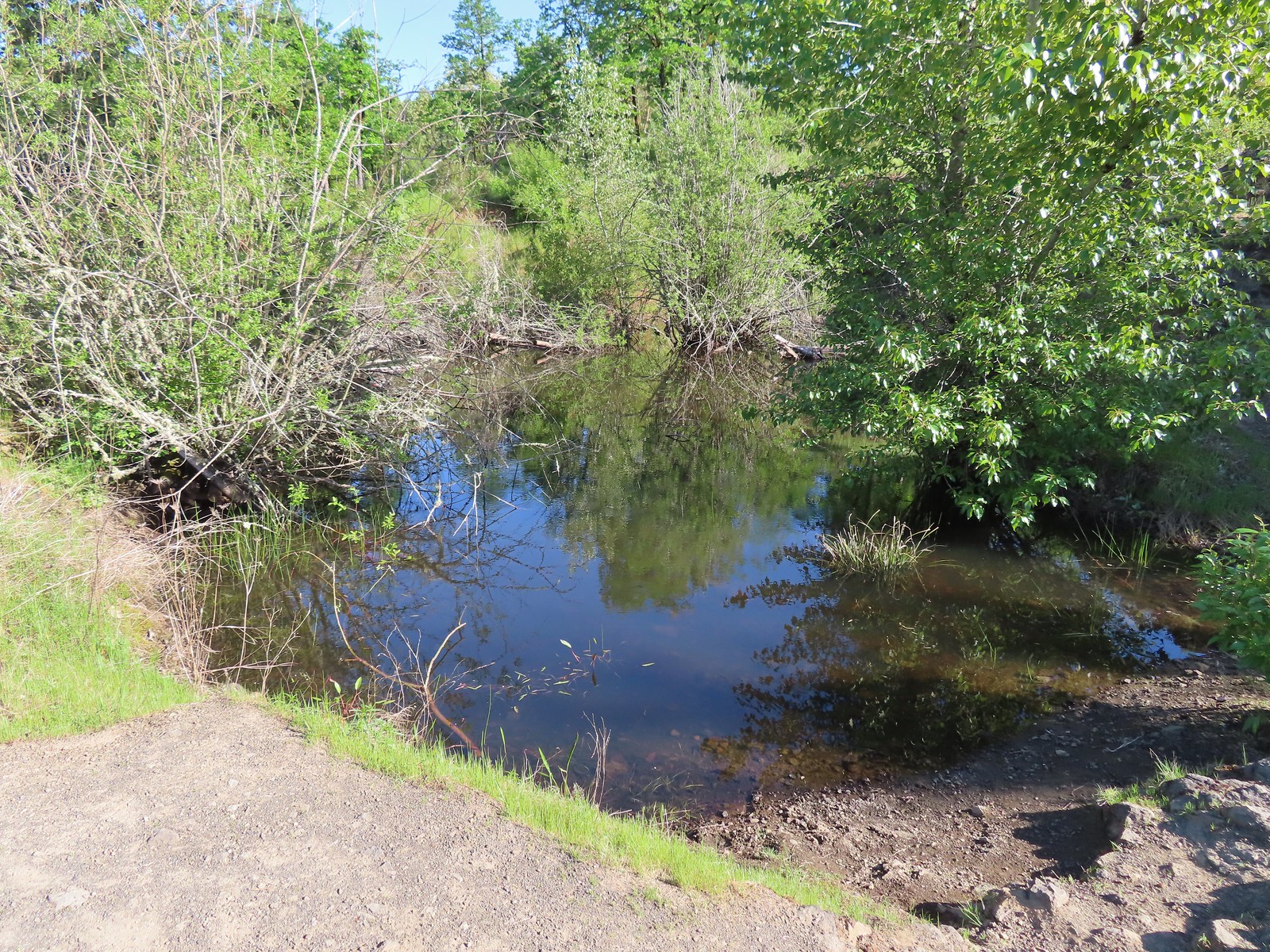 The pond. Red-legged frogs apparently breed here. We didn’t see any frogs but there was a mallard hanging out in the brush.
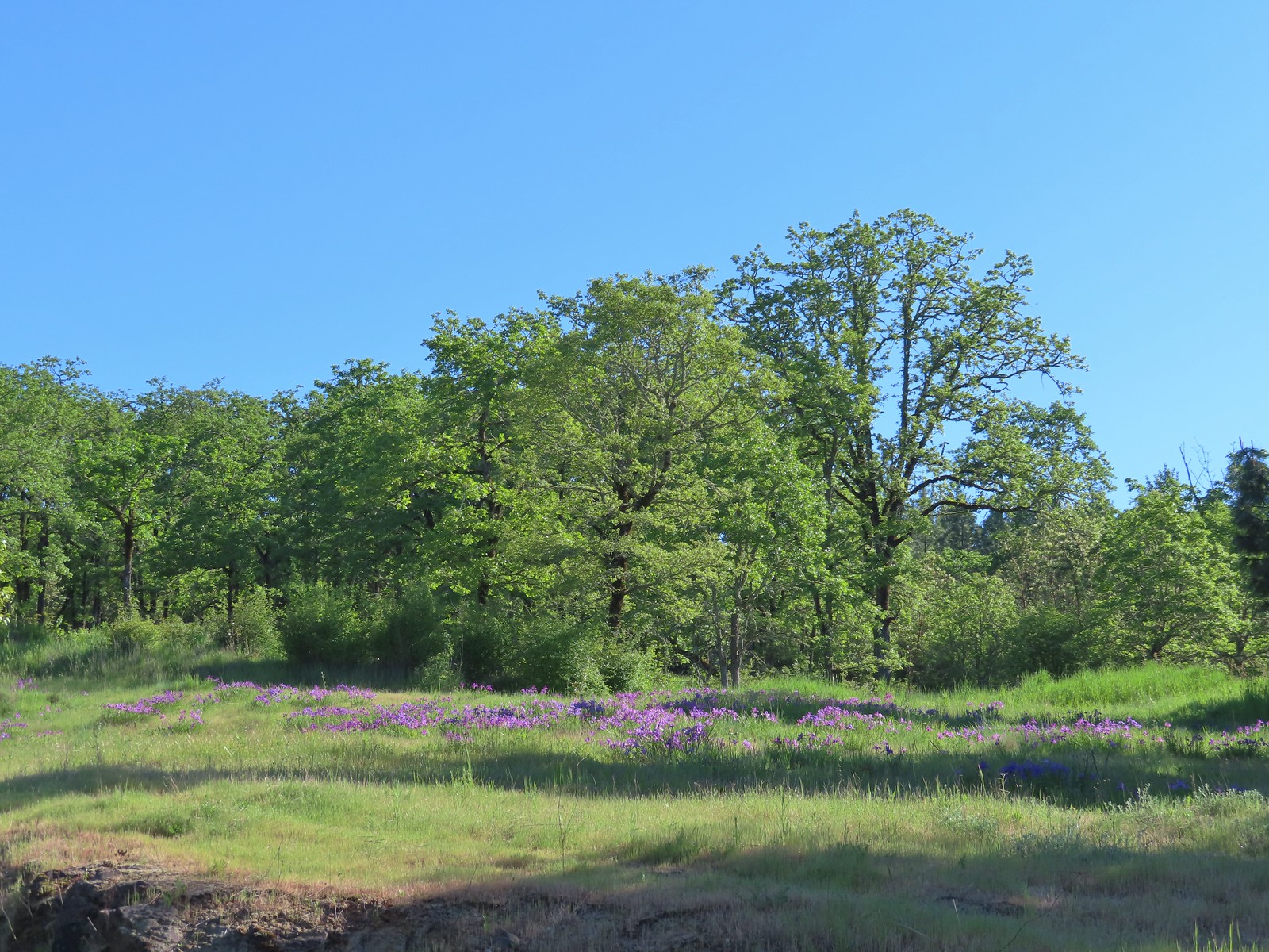 Iris on the hillside above the quarry.
 The Larkspur Loop continuing straight from the Cooper Mountain Loop which turns uphill at the junction.
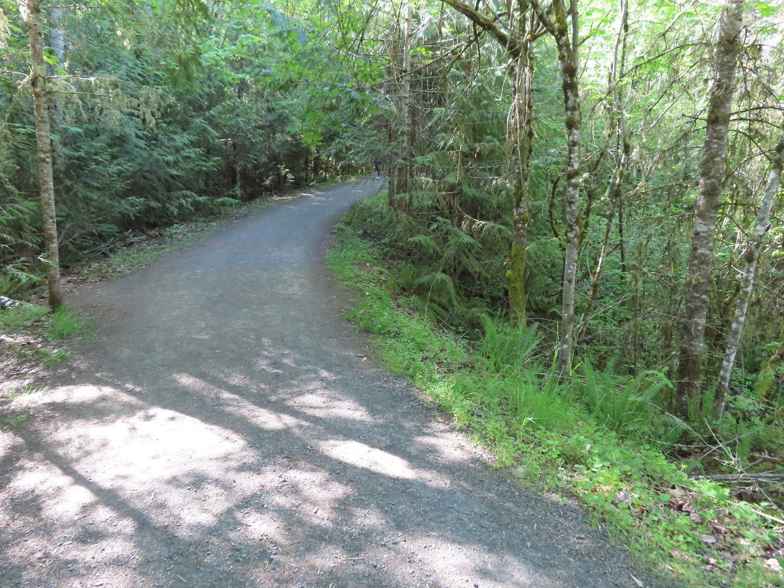 Prior to the loop the Larkspur Loop dips to cross a creek in the trees.
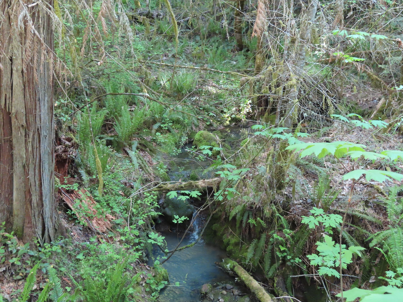 The little creek.
 View from the Larkspur Loop.
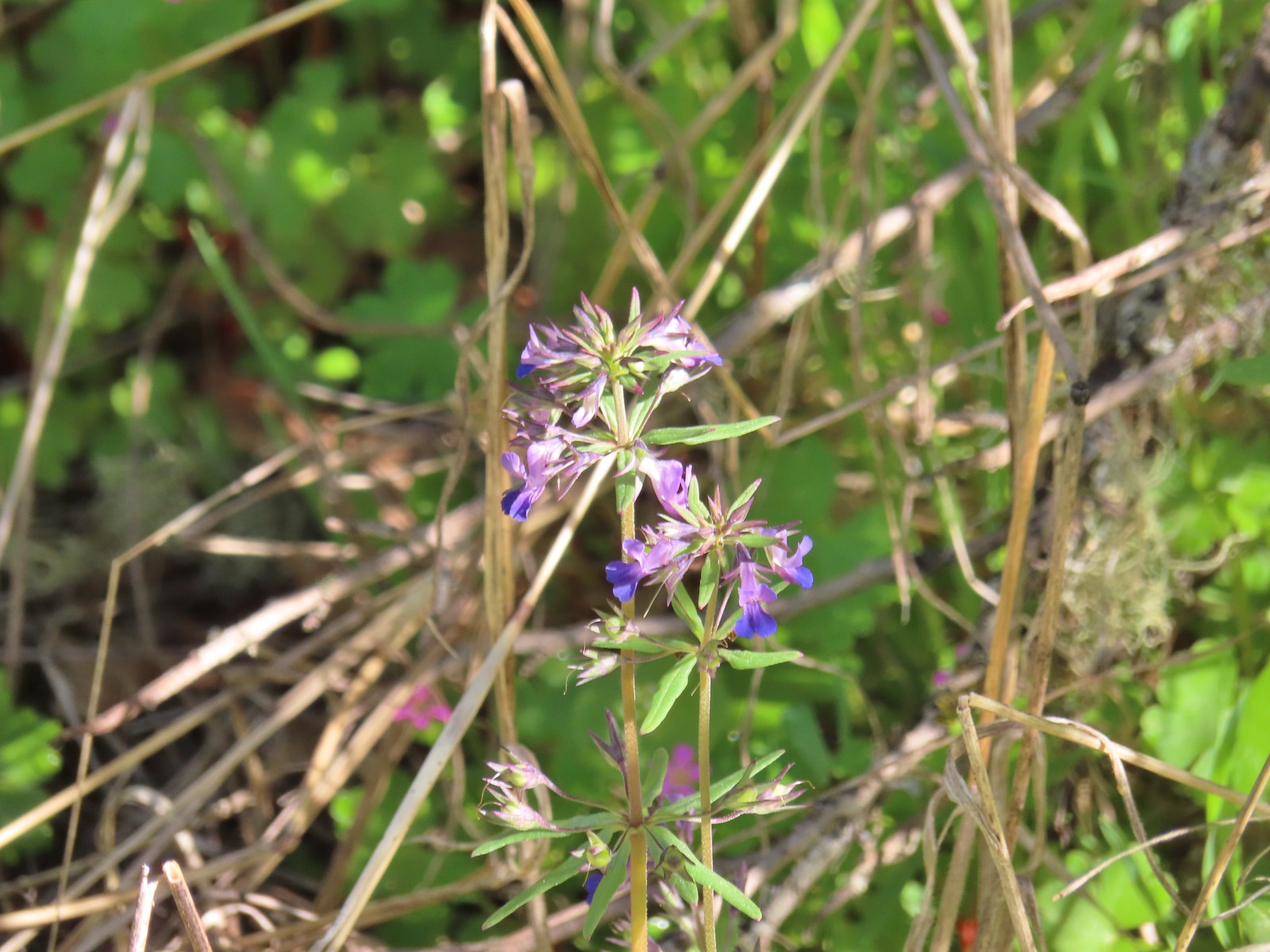 While watching for the larkspur I noticed these giant blue-eyed Mary.
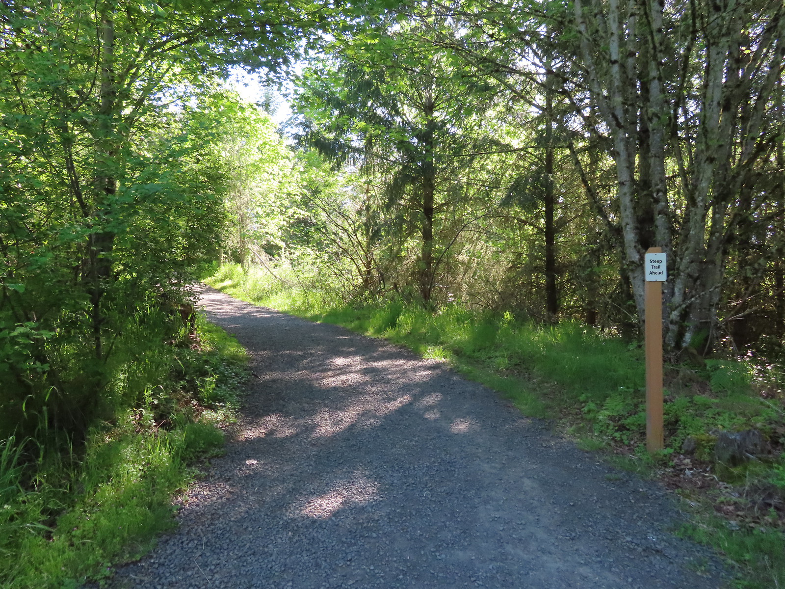
 Blacktail Way to the right.
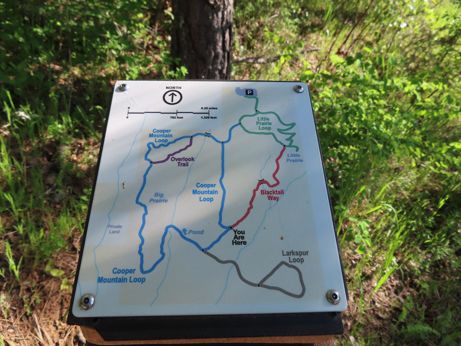 Map at the junction.
 The “earphone” next to the bench here was neat. There was also one at the trailhead and they really allowed you to isolate the sounds of the woods.
 The Little Prairie Loop.
 The pale larkspur also grows in this area but again we were too early.
 These were the only woodland-stars we spotted.

 Heading toward Acron Plaza on the Tonquin Trail.
 Interpretive sign at Acorn Plaza.
 Lupine and buttercups
 Lupine
 Meadow checker-mallow
 The “elder” oak is between 150-200 years old.

 We watched this American Kestral hover on a near vertical line for what felt like quite a while. It eventually dove and attempted to catch something in the grass. We couldn’t tell if it had been successful.

 Mylitta crescent
 Footbridge over Arrowhead Creek.

 The Lycaenidae family of butterflies remains a mystery to me. This appears to be an Eastern Tailed Blue based on the ventral spots.
 Snow in the Cascade foothills. If you look really closely behind the bigger snow patch to the far-right, you can just barely make out Mt. Jefferson.
 Starling
 Northern flicker
 This scrub jay would not come out from behind the oak leaves.
 There was a lot of candy flower beneath the trees.


 Mushrooms along the Legacy Creek Trail.
 Violets, candy flower and the invasive herb robert (pink).
 Coming up to Coyote Way.
 Back on the Tonquin Trail and heading for the trailhead.


 Most of the camas was still working on blooming but a few were open.
 Buttercups
 Dark eyed junco
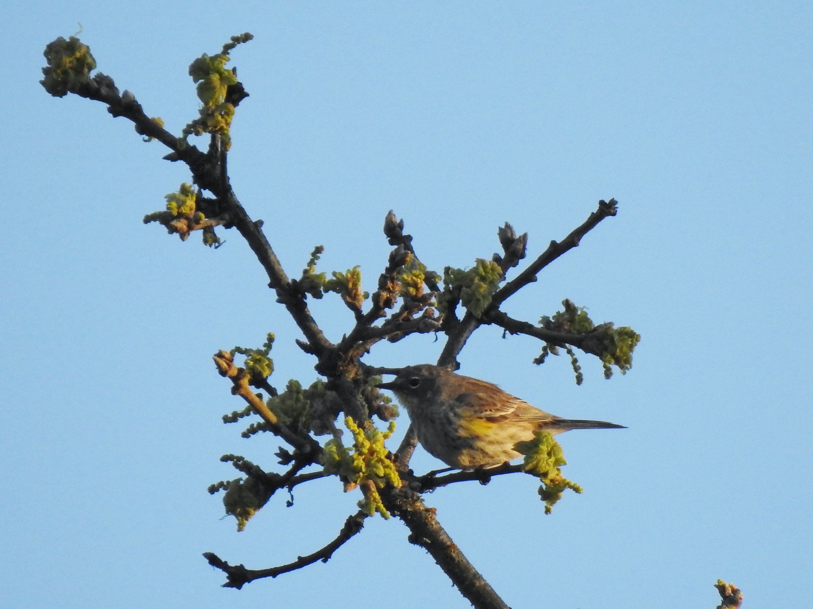 Possibly a female yellow-rumped warbler.
 Plectritis
 Willamette River
 Robin
Robin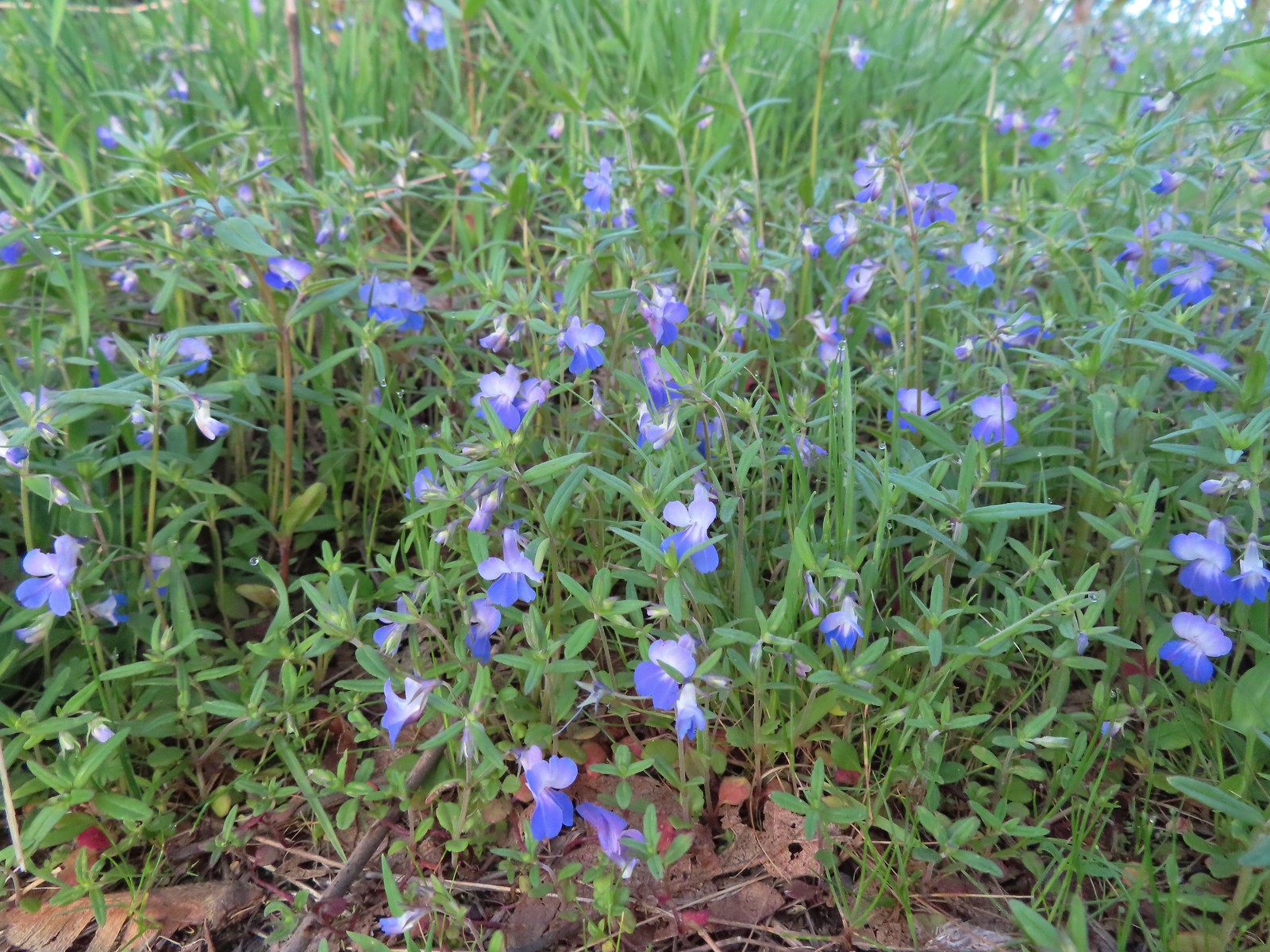 Giant blue-eyed Mary
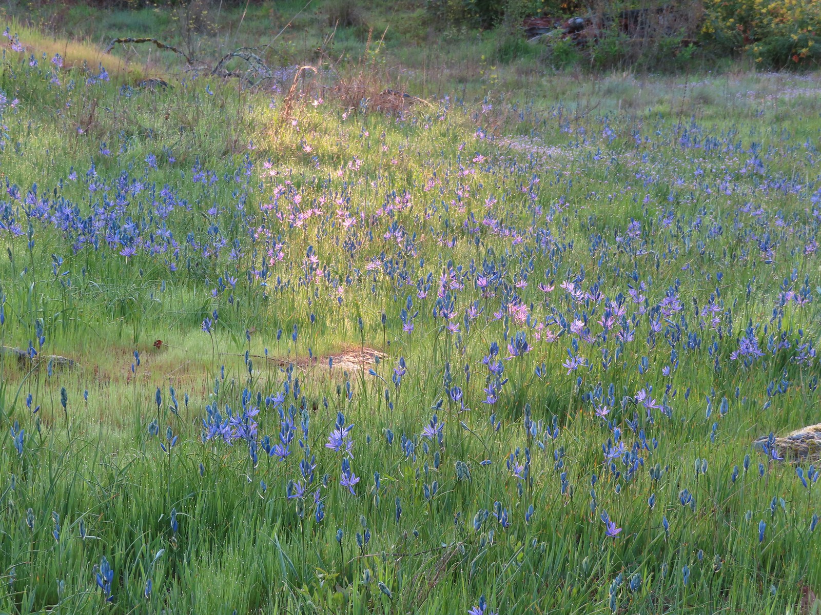 Camas catching a little sunlight.
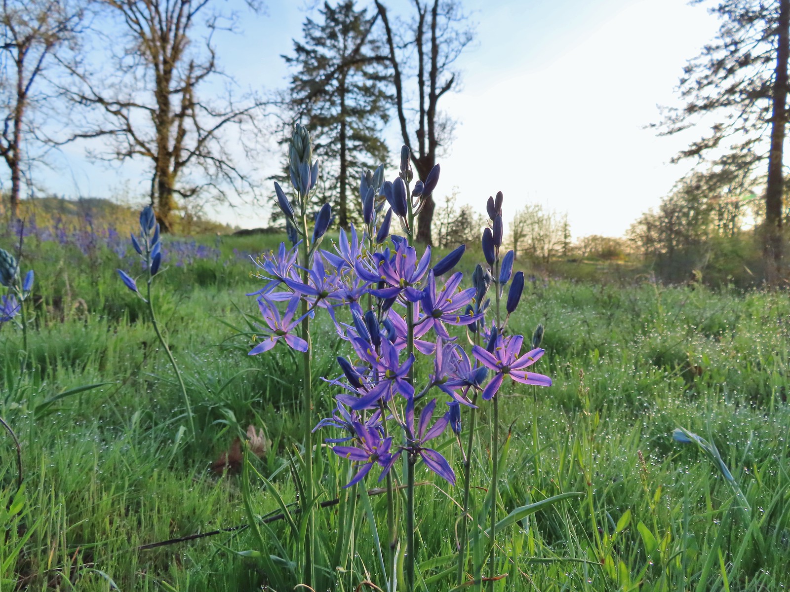

 Red flowering currant
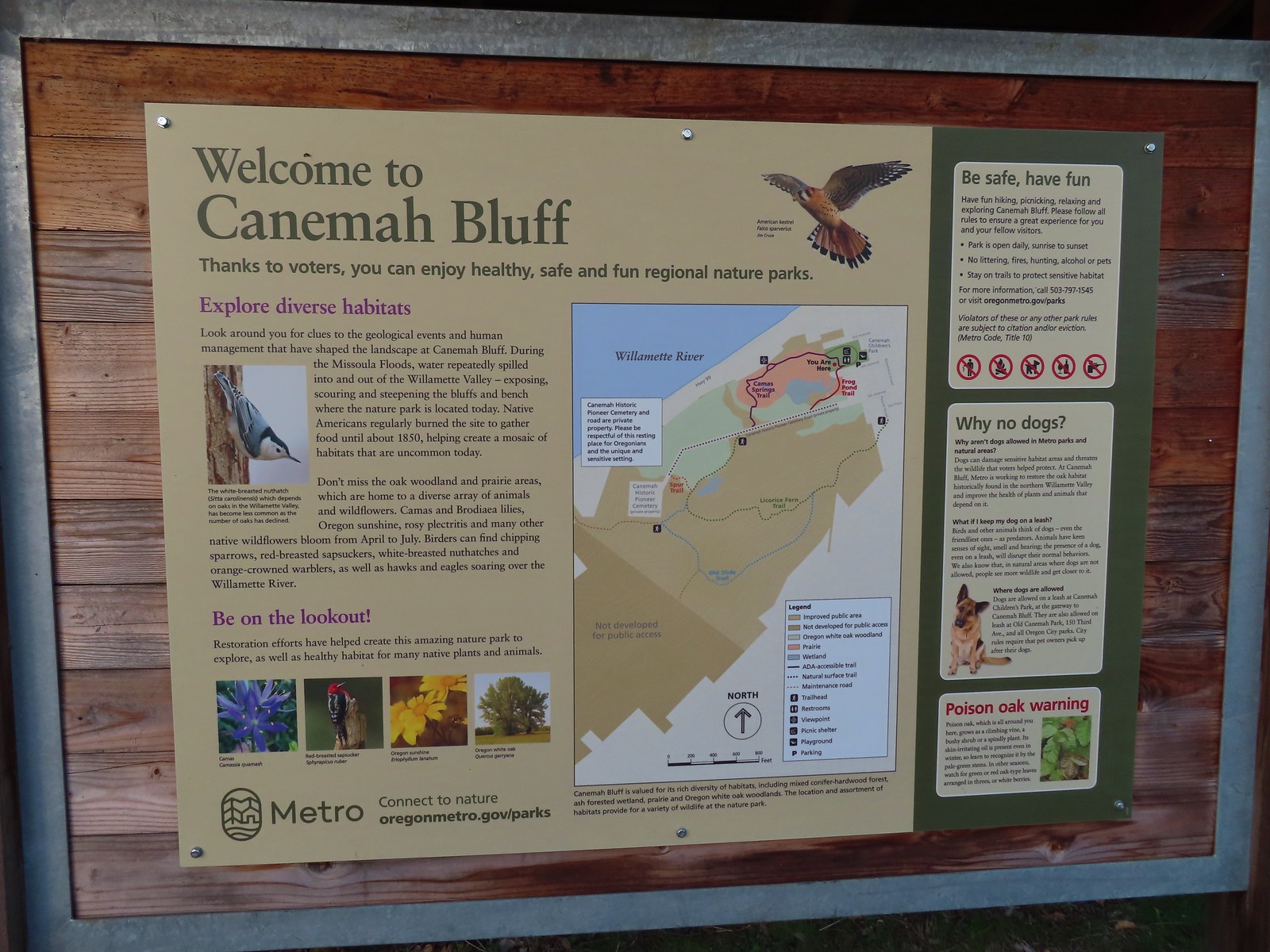
 Metro’s signage has been top notch in the parks we’ve visited so far.
 Hooker’s fairy bells
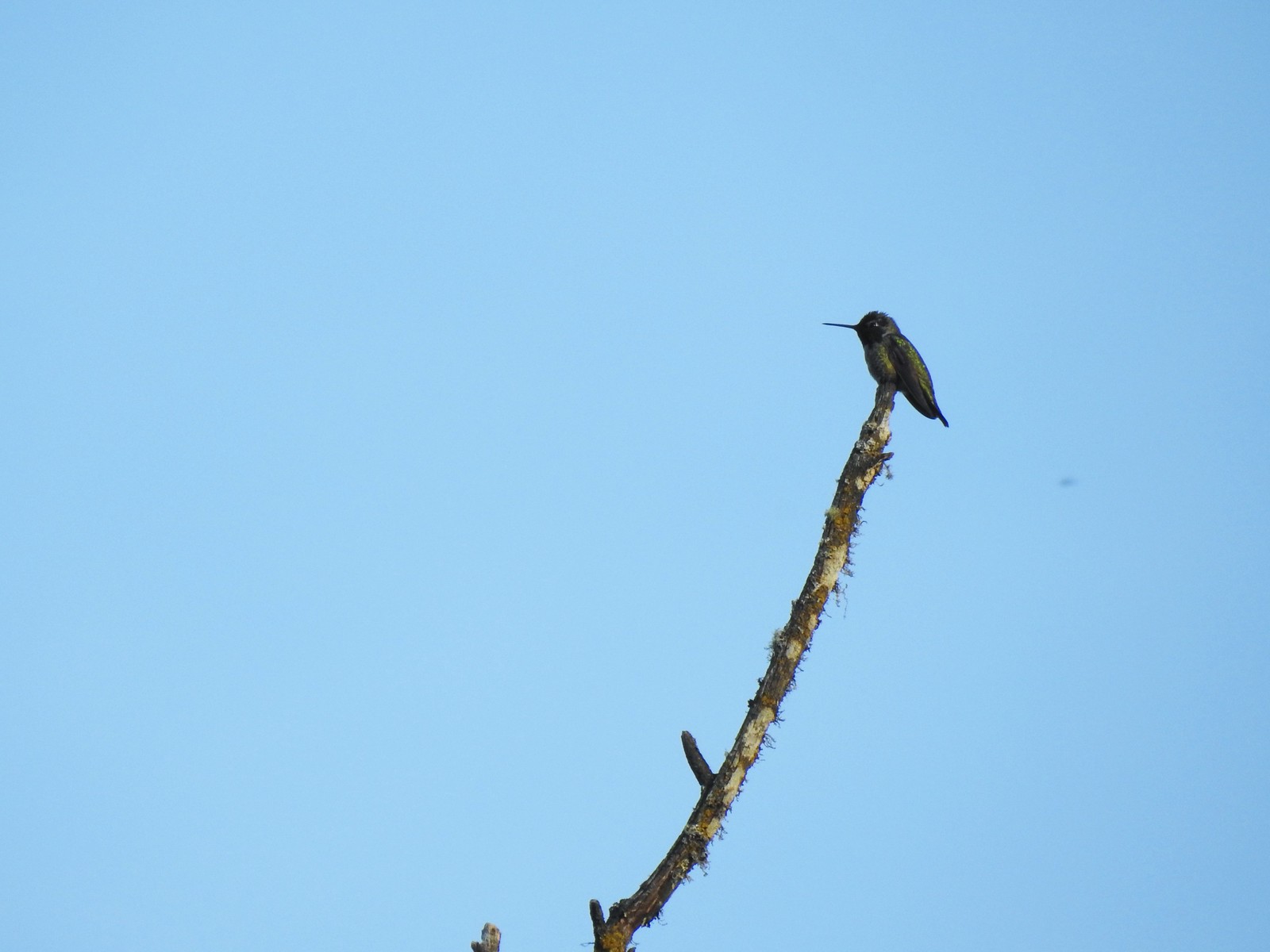 Hummingbird
 Fawn lilies
 The cemetery behind the fence.
 The Spur Trail.


 The boundary marker. The trail continues a short distance to 5th Place.

 Youth-on-age
 Salmonberry
 Violets
 Back on the road.
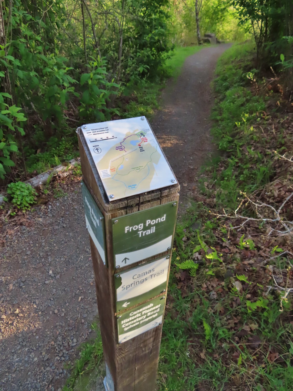
 The frog pond.
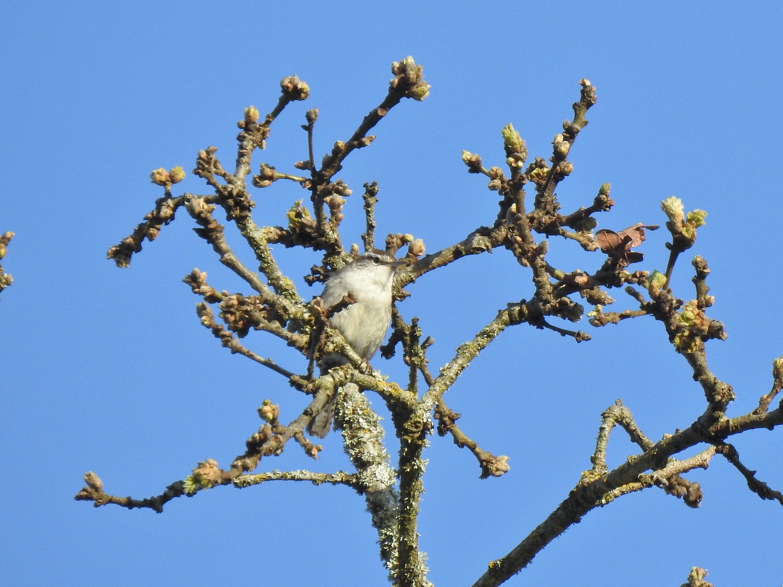 Bewick’s wren
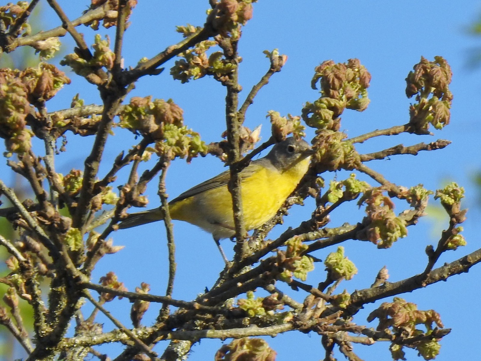 Nashville warbler?
 House finches
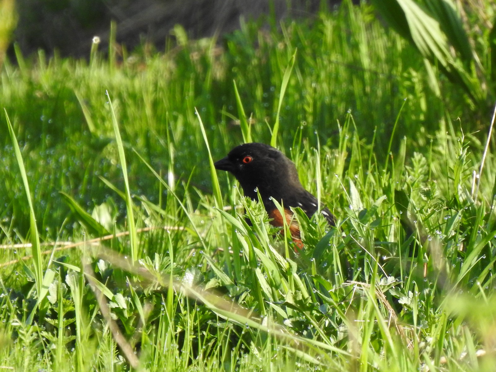 Spotted towhee
 Bleeding heart near the pond.
 Arriving back at the trailhead.
 View from the trailhead.
 Trailhead signboard.
 Please note that pets are not allowed at most Metro parks.
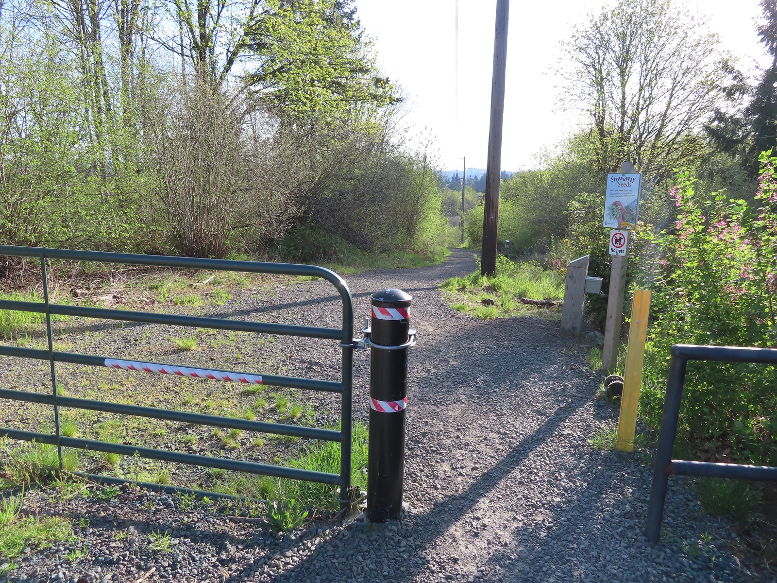 Don’t forget to brush off your shoes when brushes are available.
 The Shady Lane Trail.
 Oregon grape, red flowering currant and Indian plum
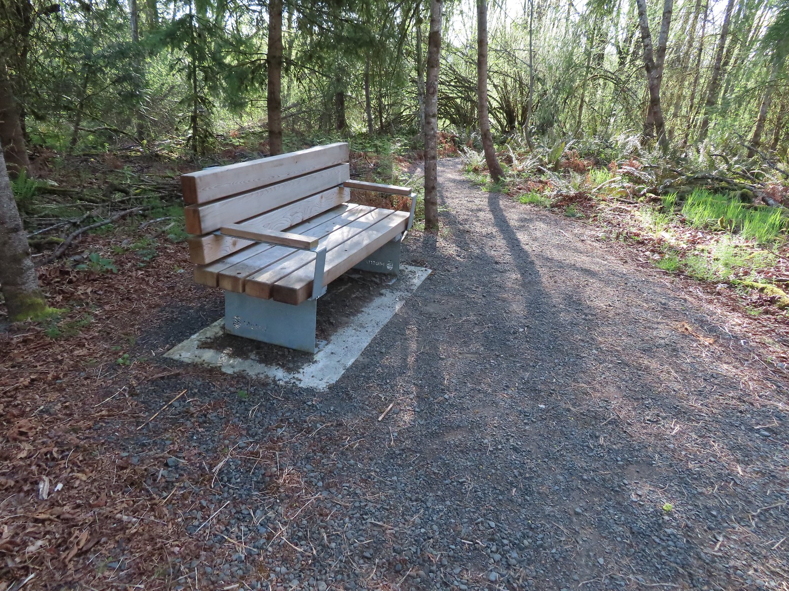 One of several benches located throughout the park.
 The connector trail.
 Candy flower
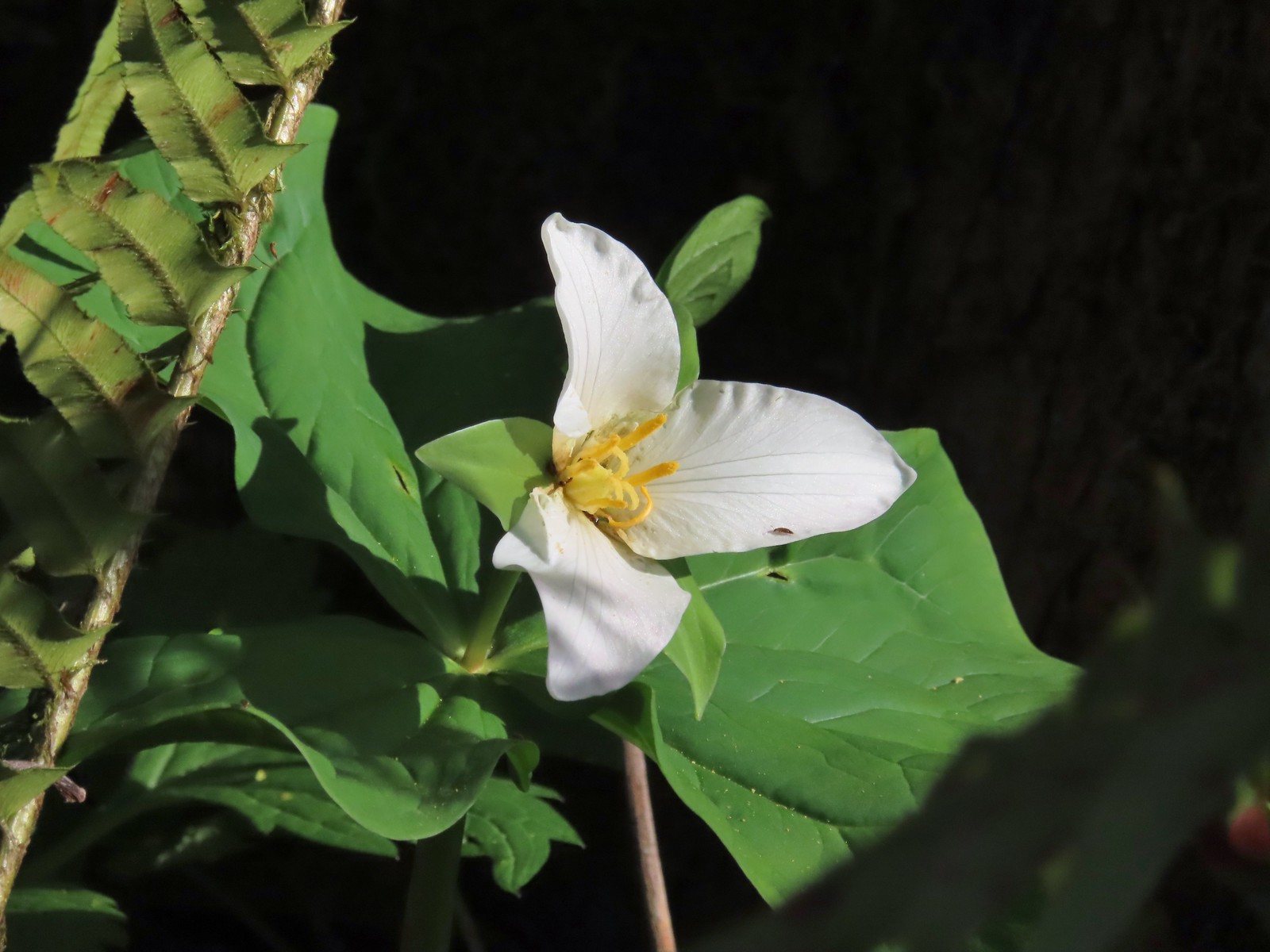 Trillium with a tiny insect.
 Carpet of green.
 A rare bluebird day for us this year.
 Salmonberry blossoms
 Fringecup and pacific waterleaf that had yet to start blooming.
 The Tumble Falls Bridge.
 Tumble Falls
 The Red Soil Roller Trail to the right.
 A small pond along the trail.
 Song sparrow
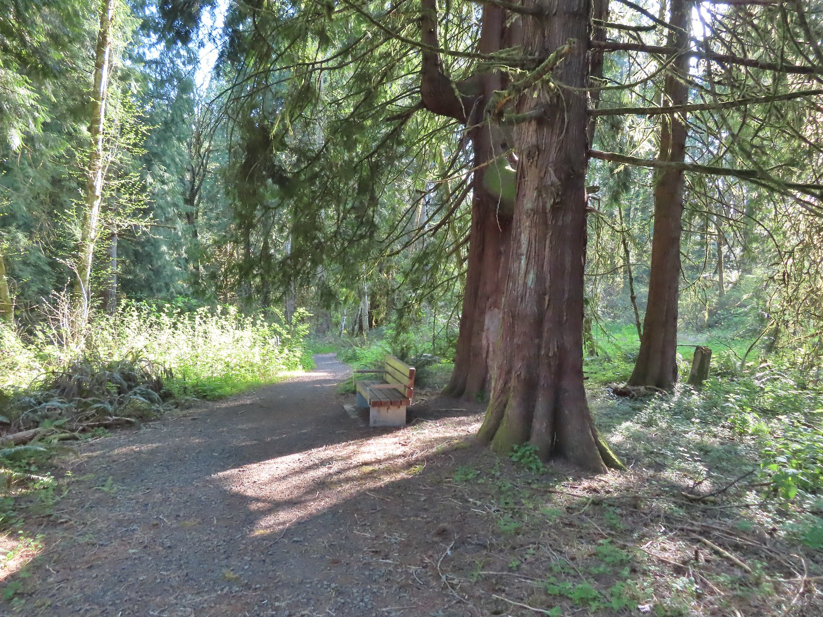 Western red cedars
 Nearing the end of the trail.
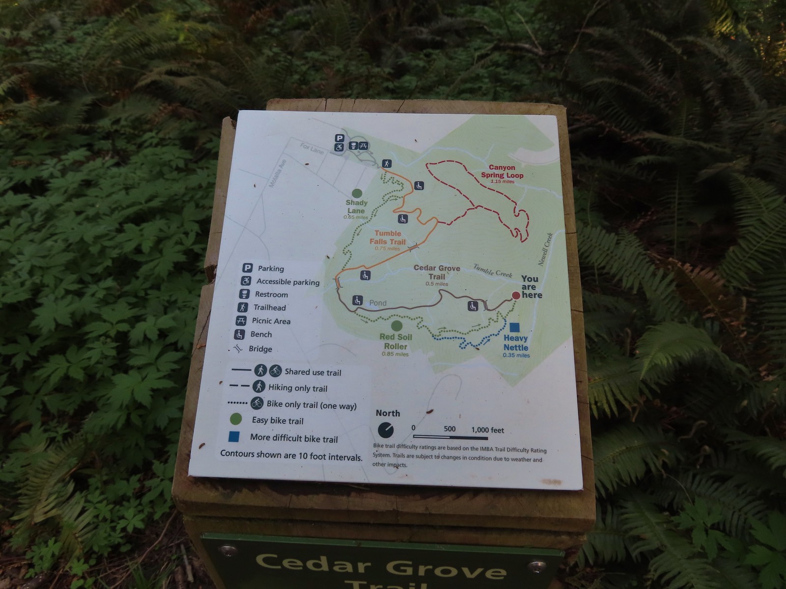 Map at the end of the Cedar Grove Trail.
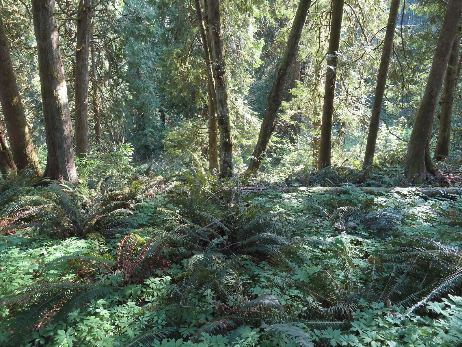 Newell Creek is down there somewhere.
 Male margined white?
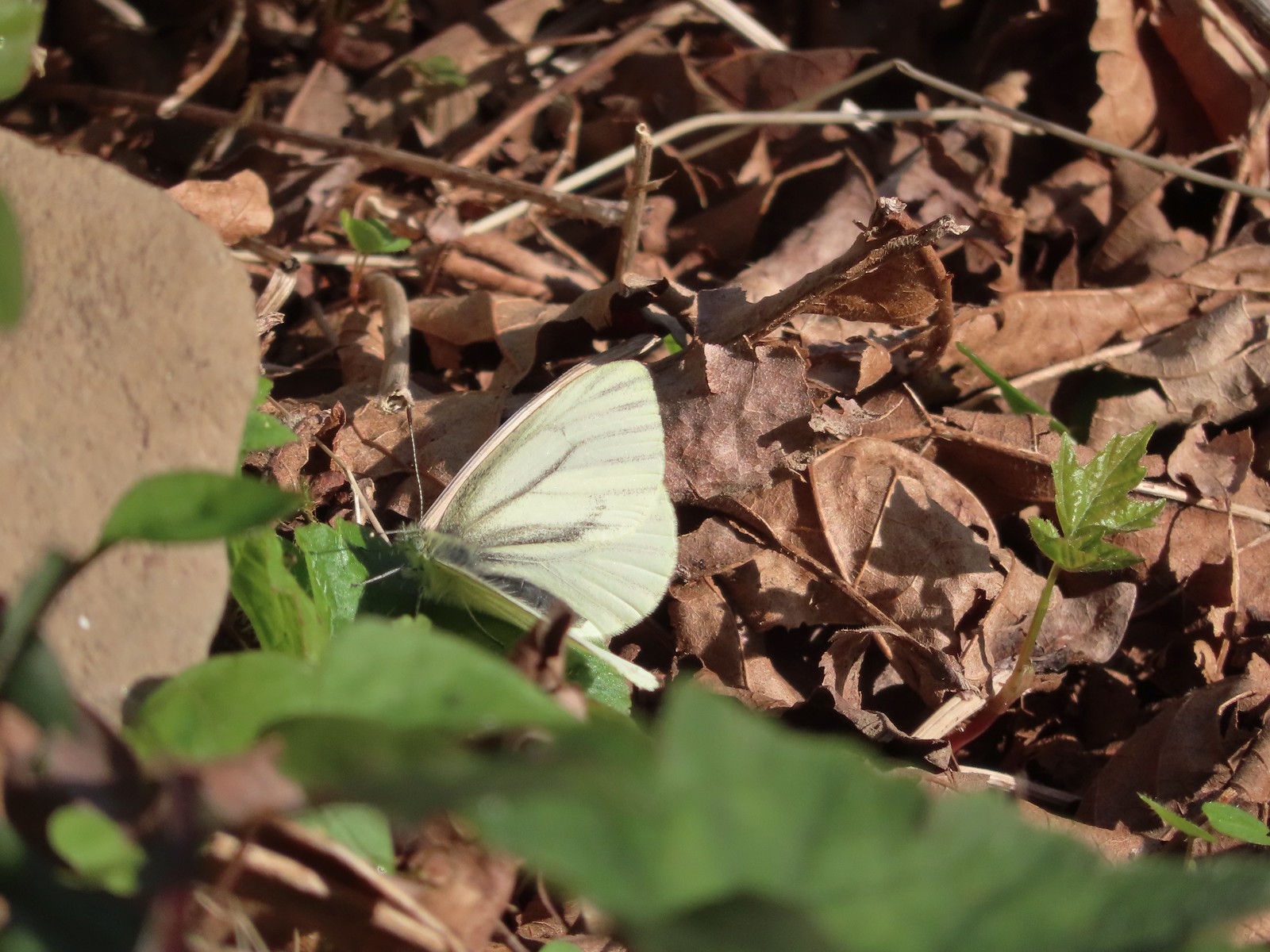 Female margined white?
 Slender toothwort
 The Canyon Spring Trail below in the trees.
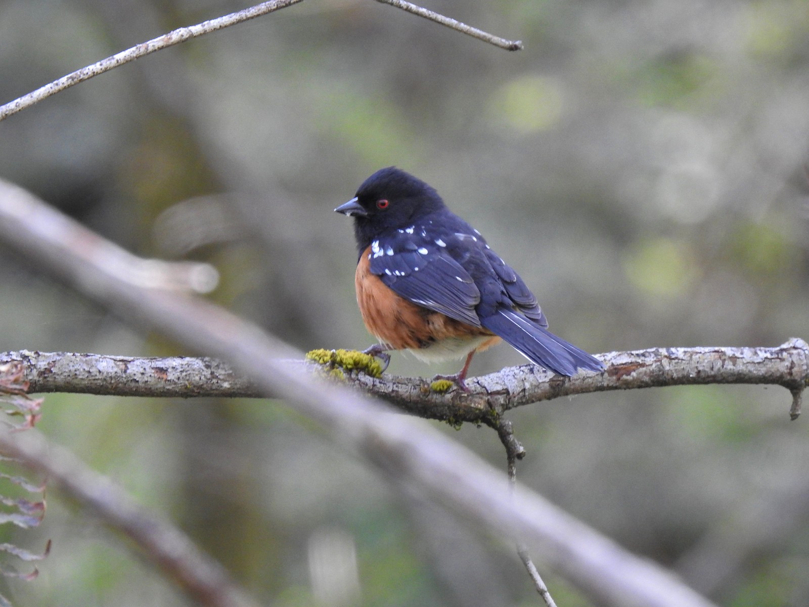 Spotted towhee
 Chipmunk
 Heading back beneath the ridge.
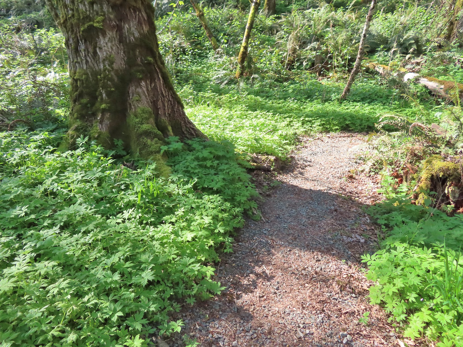

 Trillium and mushrooms
 Squirrel
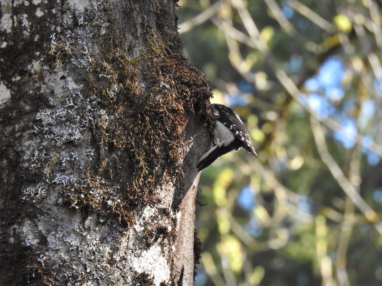 Woodpecker
 Stellar’s jay
 Back at the Tumble Falls Trail.