
On May 14, 2023 a washout along Washington’s SR504 below the Johnston Ridge Observatory closed vehicle access for the foreseeable future. We’d visited the observatory in August 2013 (post) and had planned on revisiting this July. While the washout made driving to the observatory impossible the trails in the area were not impacted. The shortest route was to start at the Hummocks Trailhead and take the Boundary Trail from its intersection with the Hummocks Trail to the observatory. We actually had this hike on our 2024 schedule for July so we swapped those (hoping that the road is repaired before then).
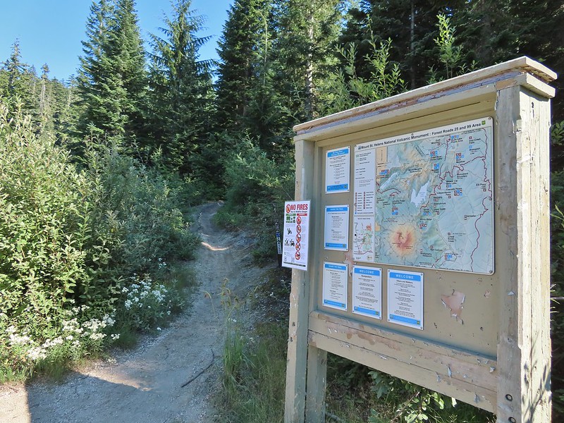
This would also be our second visit to The Hummocks having hiked the 2.5-mile loop in May of 2014 (post) before hiking a longer loop around Coldwater Lake. From the trailhead we set off on the left most trail (next to the large signboards).

 While the loop did come in at 2.5-miles it was a little over 3/4 of a mile to the Boundary Trail.
There were a lot more flowers (and green vegetation) along the trail than there had been during our May hike.
 Lupine

 One of several ponds along the trail.
Interpretive signs, trail guide markers, and “Student Stops” are located throughout the loop.
 A “Student Stop” marker surrounded by dwarf lupine. We aren’t sure what the these meant or what program they are related to.
 An interpretive sign along the trail facing some of the hummocks.
 Penstemon
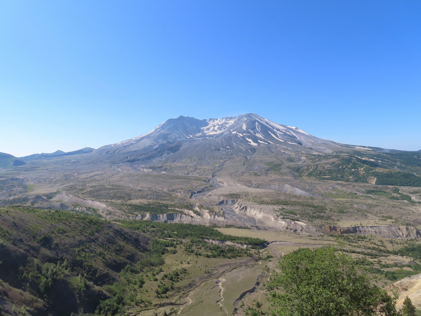
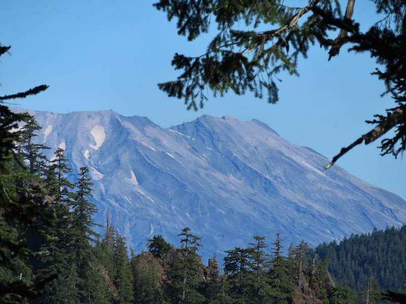
 Mt. St. Helens as we neared the Boundary Trail junction.
 Trail guide marker #3 and an interpretive sign at the junction.
We turned left onto the Boundary Trail which began as a level path passing by more hummocks.
 The lower left map shows the current closure area and open trails. In a nutshell, all the trails are open but everything off-trail to the side facing SR504 is currently closed.
 The views of Mt. St. Helens were great.
 The trail began to climb as it squeezed between a gap in the hillsides ahead.
 View back to the hummocks from the gap.
 Trees in the gap.
 After exiting the gap we got another good view of the mountain before the trail veered left turning away from the mountain.
After another short level stretch the trail began to climb in earnest. While the climb never felt very steep the trail netted 1400′ of elevation gain over the next 3 miles to reach the parking lot at Johnston Ridge.
 Heading away from Mt. St. Helens to start the climb.
 Dwarf lupine was profuse below the ridge.
 Scouler’s bluebell

 Thimbleberry blossoms
 Castle Peak above Castle Lake with Spud Mountain to the right and the North Fork Toutle River below.
 Horned lark
 Tiger lily
 Savannah sparrow
 Heading back toward Mt. St. Helens.
 The North Fork Toutle River flowing between Spud Mountain (left) and Elk Rock (right).
 Castle Peak and Castle Lake
 Elk Rock on the left and Coldwater Lake on the right.
 Coldwater Lake
 Mountain bluebird.

 At one point quite a bit of dust? kicked up from the South Fork Toutle River canyon.
The trail contoured along the hillside, occasionally entering a stand of trees or losing sight of the mountain behind a ridge.

 Cardwell’s penstemon


A little over 2 3/4-miles from the Hummocks-Boundary Trail junction we came to a viewpoint at a ridge end where we could see Coldwater Peak and the top of Mt. Adams.
 Coldwater Peak with Mt. Adams to the far right of the photo. The hiker ahead to the left of Coldwater Peak was from Belgium. He was here on work but using the weekends to explore the area. We would see him two more times, once from the observatory as he continued on the Boundary Trail and then as we were exiting the trailhead. He had done a loop using the Coldwater Trail (post) which by our calculations would have been at least 16-miles and that is assuming he didn’t detour to Coldwater Peak.
 Mt. Adams from the viewpoint on our way back. The angle of the Sun earlier caused the mountain to look pretty washed out.
 Mt. St. Helens from the viewpoint.
 Variable-leaf collomia
 The Loowit Viewpoint on the ridge ahead.
 Paintbrush covered hillside.
The Loowit Viewpoint is located along SR504. The Boundary Trail passes by the viewpoint 3/4 of a mile from the Johnston Ridge Observatory.
 Mt. St. Helens from the Loowit Viewpoint.
 Mt. St. Helens crater.
As we continued on from the viewpoint we were under the watchful eye of some nosey locals.

 Golden mantled-ground squirrel. These brazen con-artists often convince visitors they would starve without humans help. While this is definitely not the case and wildlife really shouldn’t be fed it happens all too frequently. (They are awfully cute though.)
The closer we came to the observatory the more paintbrush we began seeing.
 A single plant.
 A lot of paintbrush.


 Daisies and paintbrush
 Penstemon, yarrow, and Scouler’s woolyweed along with the paintbrush.
 Paintbrush and penstemon along the trail.
The Boundary Trail turns to a paved path across from the parking lot for the observatory following the parking entrance road for approximately 450′.


 Passing by the Johnston Ridge Observatory.

 Before and after photos of the 1980 eruption.
We followed the Eruption Trail uphill to a mountain identifier then down the other side to rejoin the Boundary Trail.

 Mt. Adams peaking over the ridges with Spirit Lake also visible (center).
 Spirit Lake
 The mountain identifier ahead on the left.

 We could see where the repair work was happening on SR504 from this trail.
 The rounded peak to the right is Goat Mountain (post).
 Goat Mountain with a few patches of snow still showing up.
 Rock Arch near Coldwater Peak.
 Memorial for the lives lost in the 1980 eruption.
 Junction with the Boundary Trail.
The views and flowers were so nice that we decided to continue on the Boundary Trail for a bit. The trail had been slowly losing elevation and after a little over a half mile neared a saddle where more elevation would have been lost. We decided to turn around there since shortly after climbing up from the saddle on the far side the trail would lose sight of Mt. St. Helens as it passed behind the ridge for a bit.

 Pussypaws


 Another view of the washout.


 Our turn around spot. You can see the trail on far side of the saddle veering left behind the ridge.
 Coldwater Peak from our turnaround spot.
We headed back to the Hummocks Trail, sticking to the Boundary Trail the entire way.
 The Johnston Ridge Observatory from the trail. We hadn’t realized how much elevation we’d lost until we turned around.
 Castle Peak and Spud Mountain on the left and the observatory above some colorful cliffs.

 Penstemon
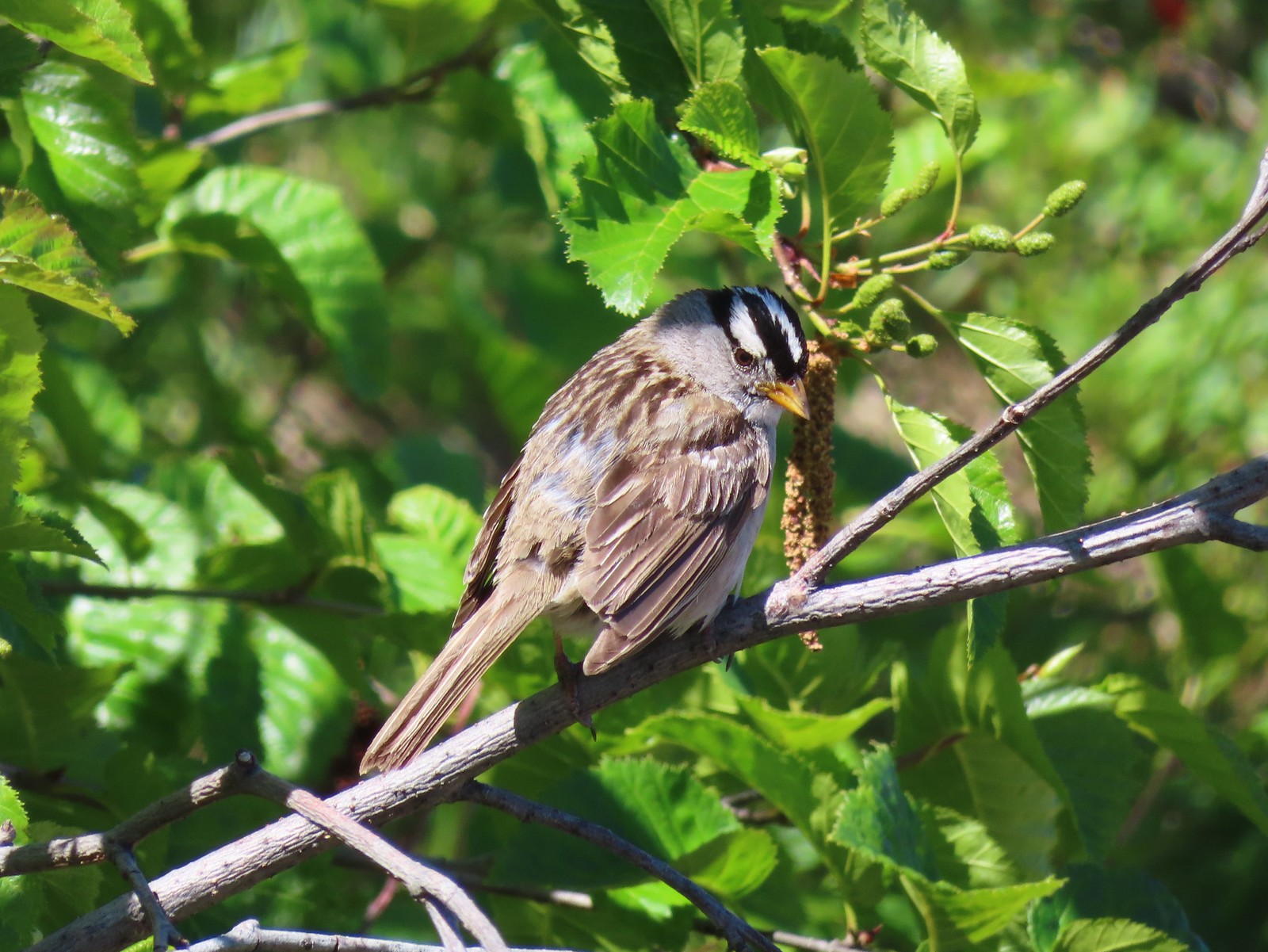 White crowned sparrow
 Boundary Trail leaving the Loowit Viewpoint.
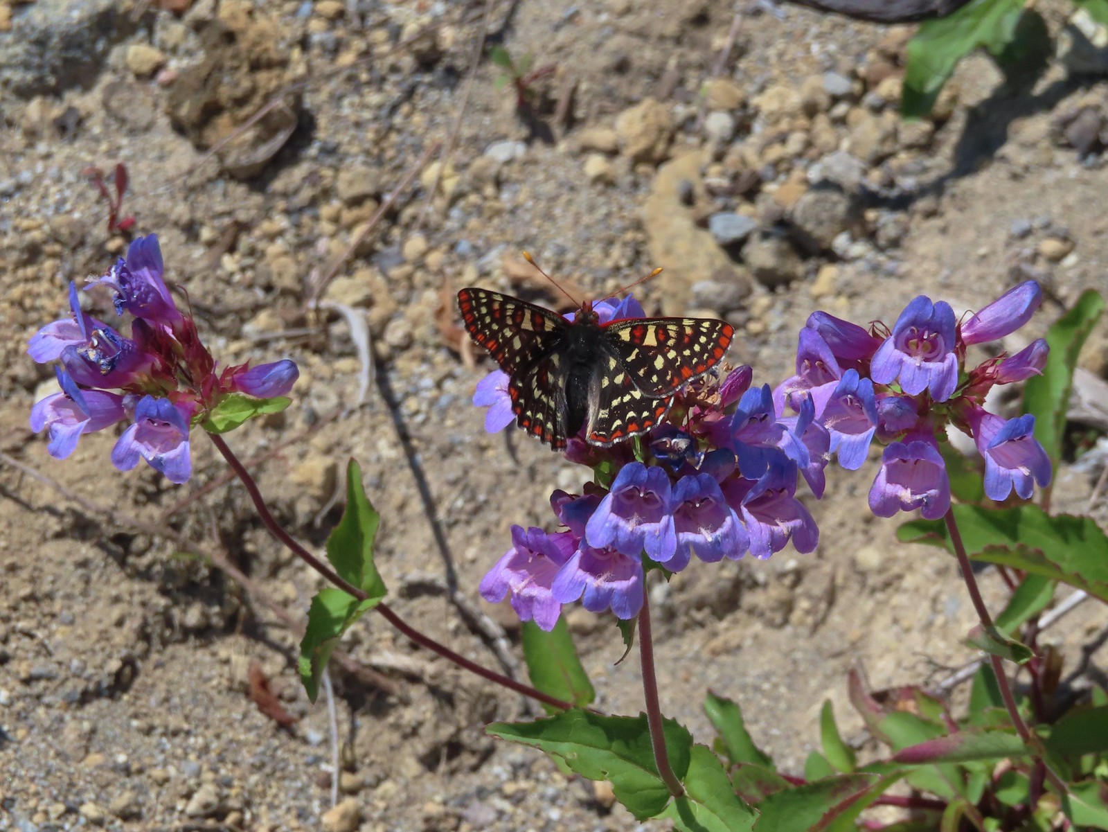 Snowberry checkerspot on penstemon.

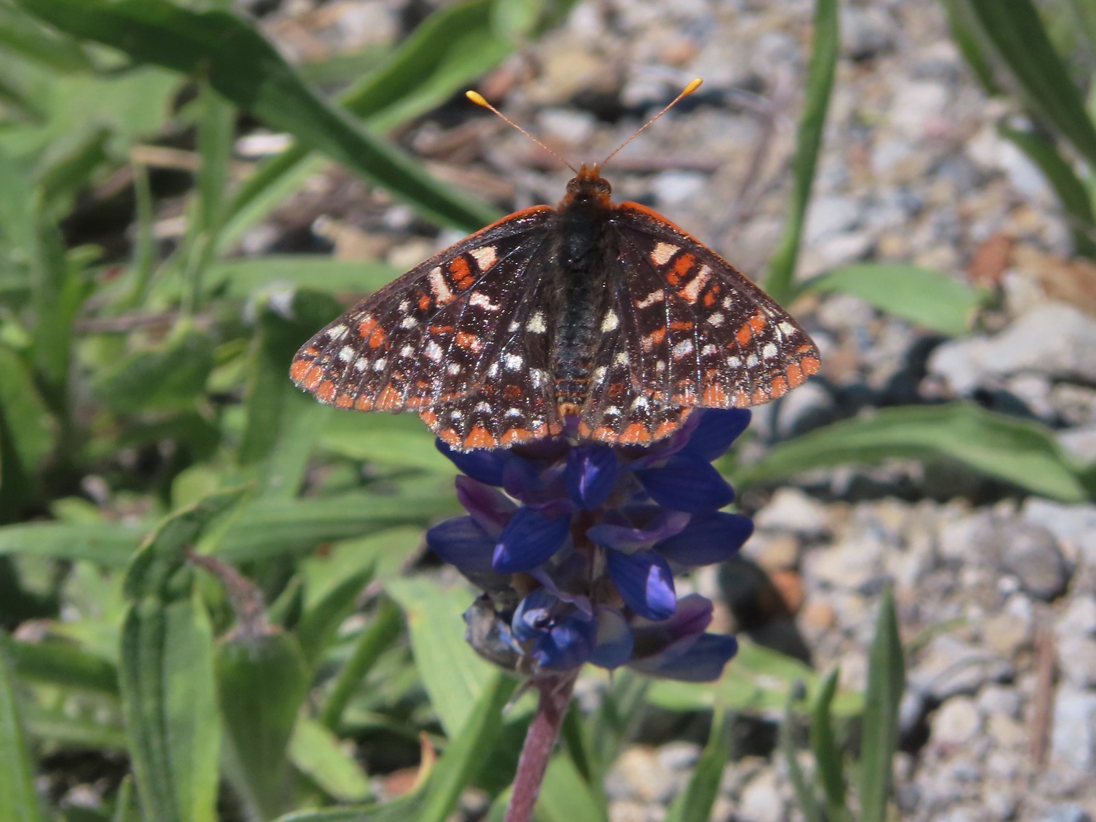 Another checkerspot, this time on lupine.

 Cedar waxwings
When we arrived back at the Hummocks Trail we turned left to finish that loop.


 Mt. St. Helens and the North Fork Toutle River.
Between it having been 9 years since we’d hiked this trail and the difference in the time of year the scenery was very different.

 The same view in May 2014.

 Same spot, different angle 2014.
 Monkeyflower
 Maybe a yellow-rumped warbler.
 Caterpillar

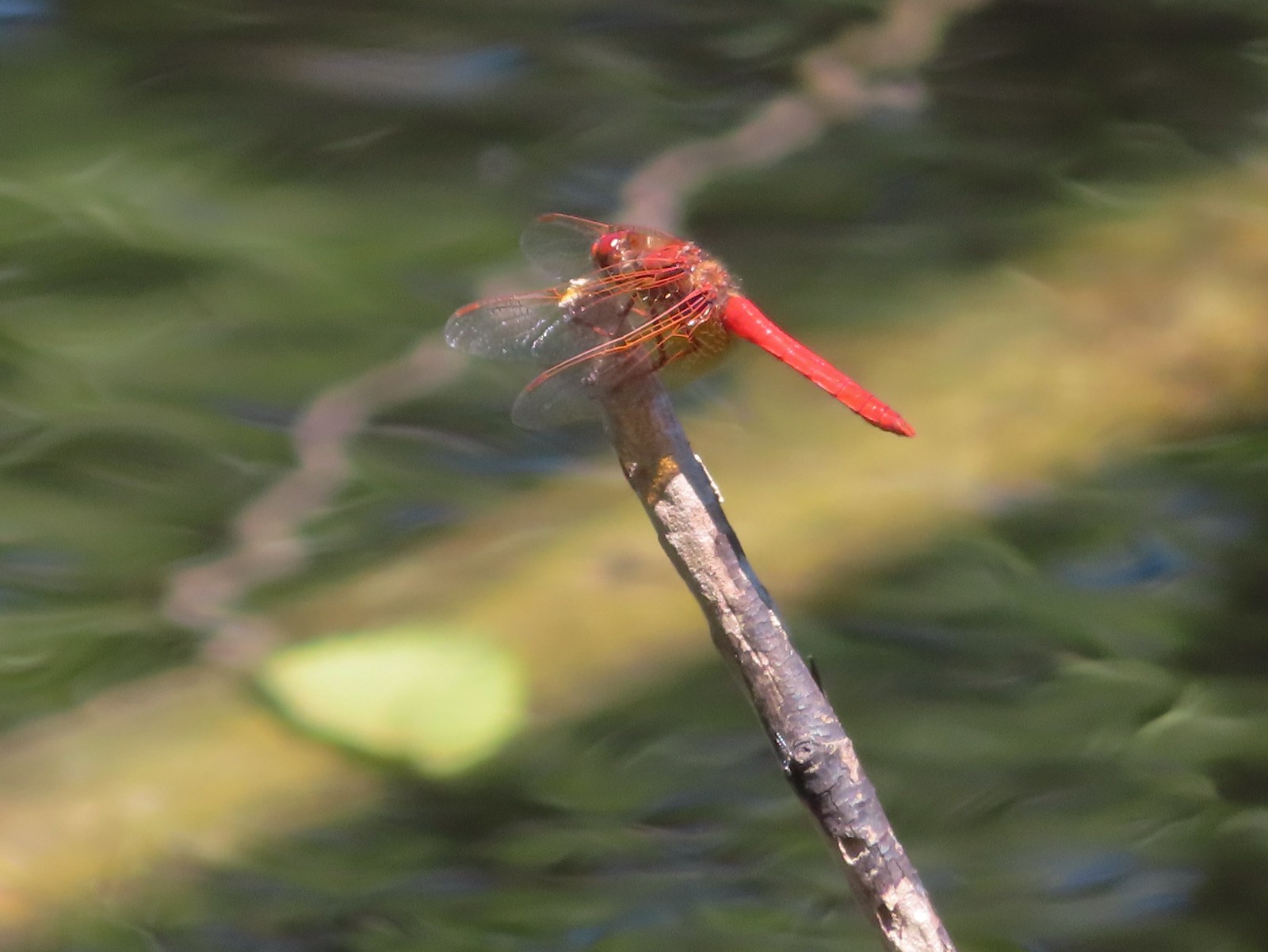 Dragonfly
 Pearly everlasting
 Arriving back at the Hummocks Trailhead.
The hike came in at 12.5 miles with just under 2000′ of cumulative elevation gain.

This turned out to be the perfect day for this hike. The weather was pleasant, the views and flowers great, and the road closure provided solitude at the observatory. In addition to the Belgian hiker we passed a couple near the small viewpoint on the way to the observatory. We passed a few more people on the way back but nearly half of those were volunteers with the Mt. St. Helens Institute. The only thing that the hike lacked was any larger wildlife. It was one of the only hikes we could recall at the mountain where we didn’t see at least one deer, elk or mountain goat. Maybe next time. Until then Happy Trails!

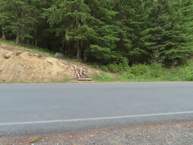 The Riley Camp Trail (Trail 64) on the opposite side of FR 23.

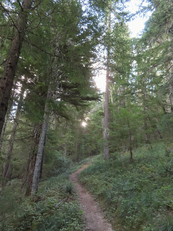


 We weren’t aware that the Forest Service was employing wilderness greeters.
 May I see your self-issued permit?
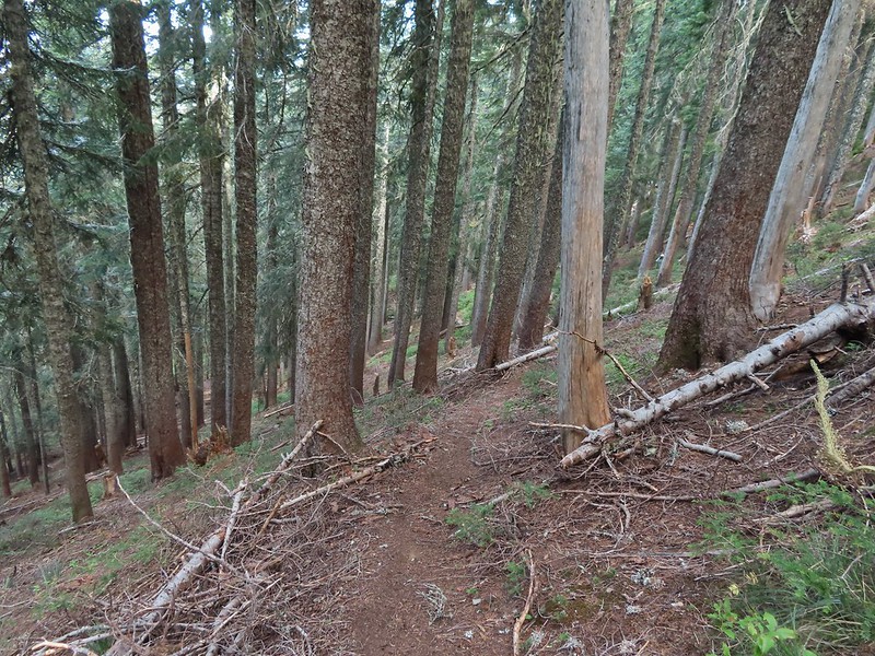
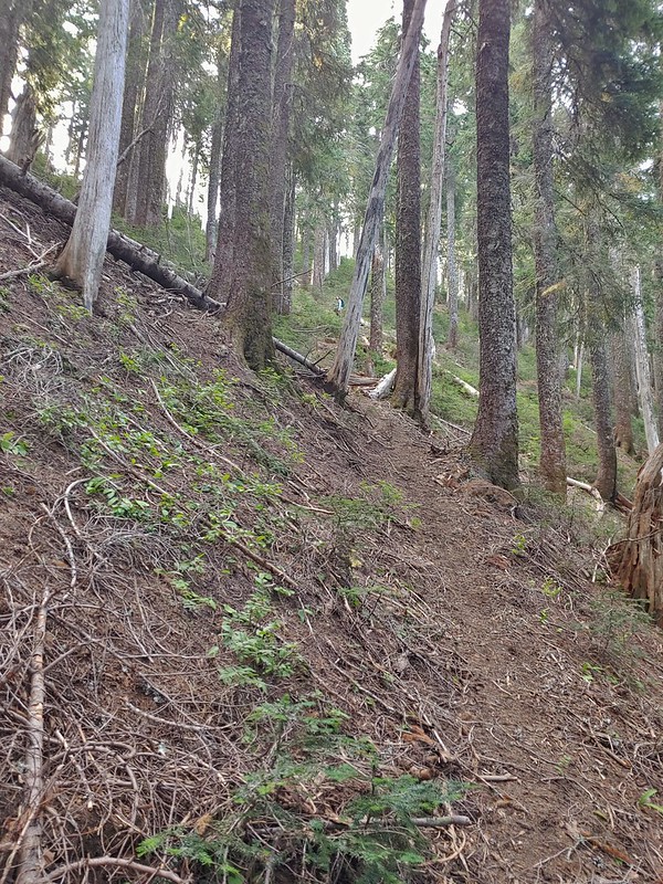
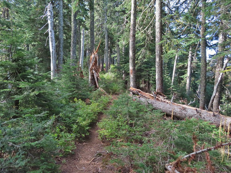
 The trail was in pretty good shape with just a few downed trees to step over/under.
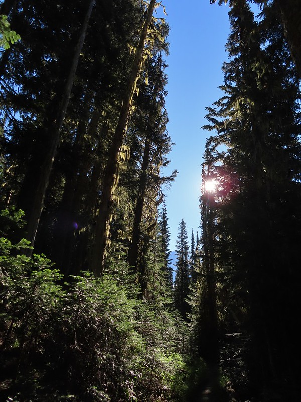 First look at Mt. Adams through the trees.


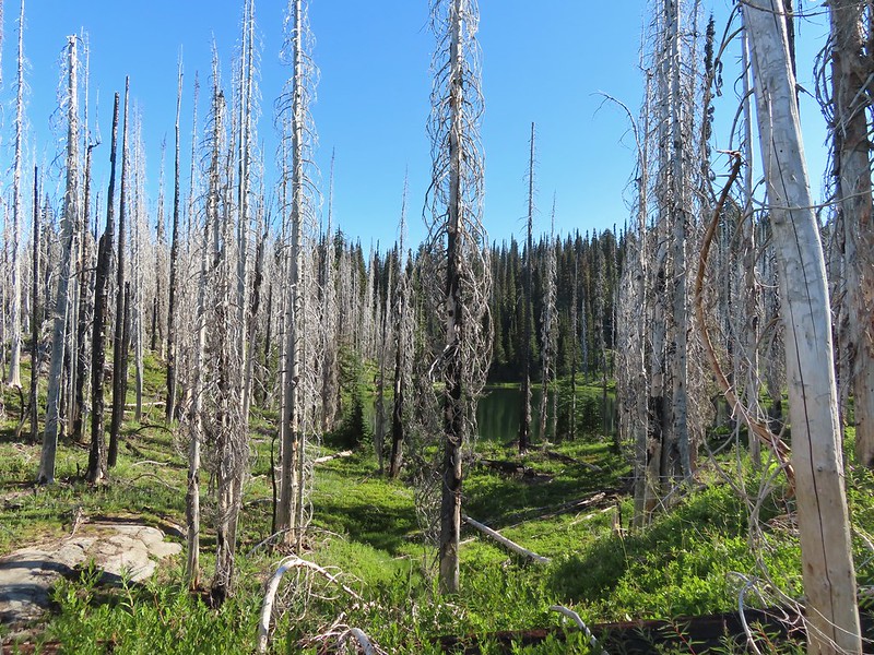 Luna Lake
 Aster
Aster

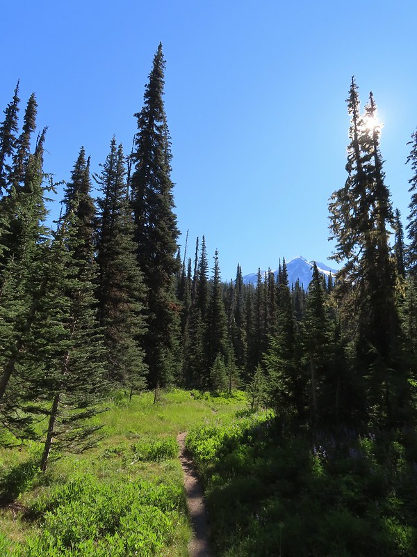 More Mt. Adams.
 Paintbrush and lupine

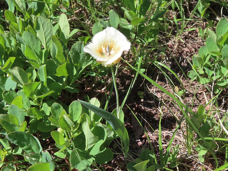 Sub-alpine mariposa lily
 Riley Creek along the trail.
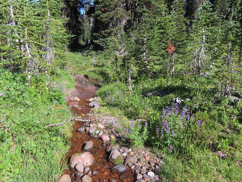 Riley Creek at the crossing.
 A trail sign up ahead at the junction.
 PCT marker on the tree.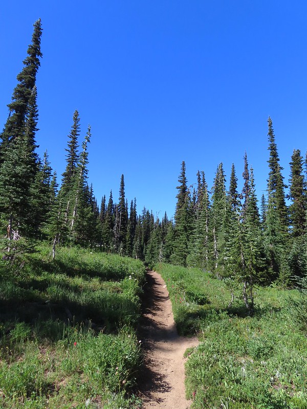
 Riley Creek below the PCT crossing.
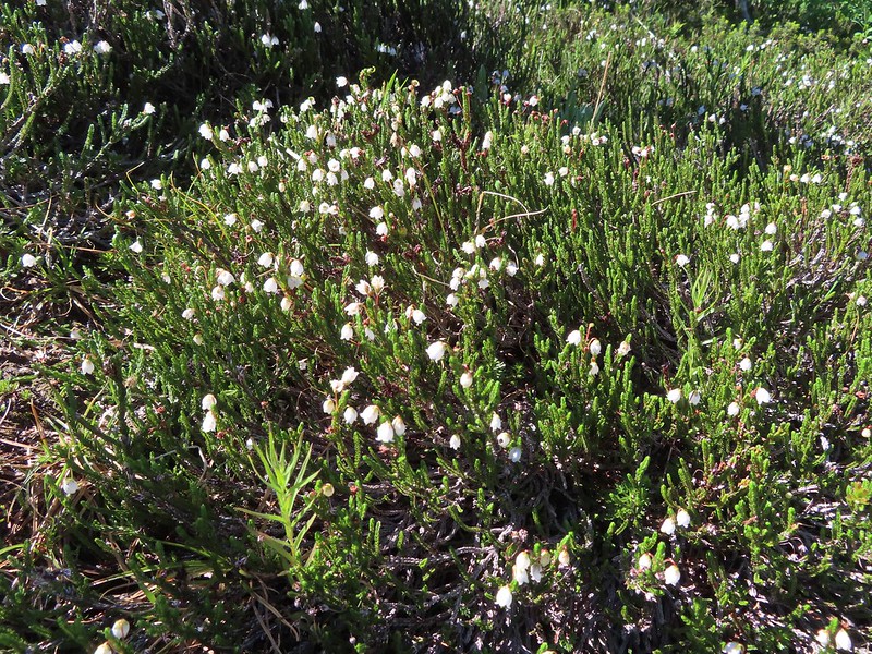 White mountain heather
 A nice paintbrush
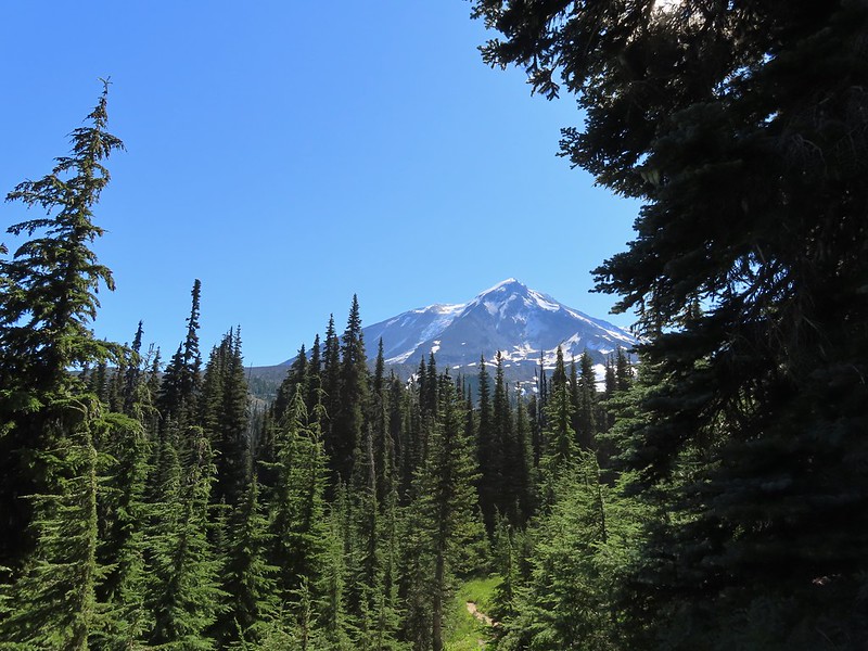 Mt. Adams behind us as we headed south.
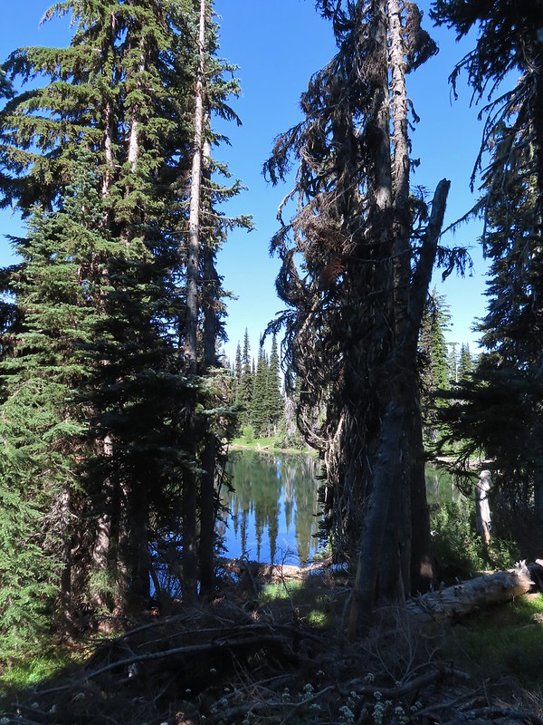 Sheep Lake
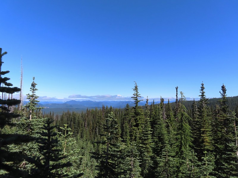 Mt. Rainier behind a line of clouds.
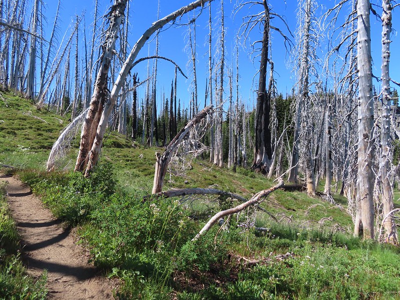 Burnt Rock behind the snags left over from the 2012 Cascade Creek Fire.
 Alpine false dandelion
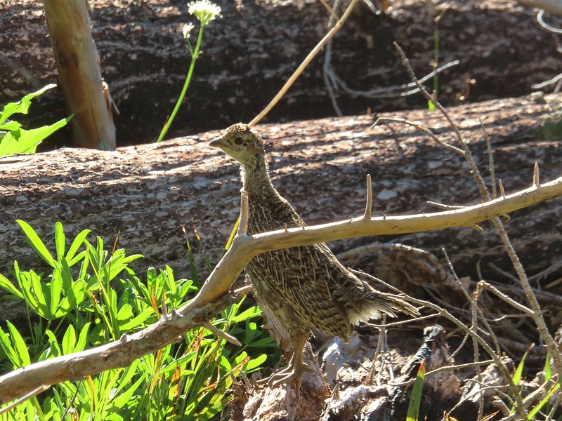 Grouse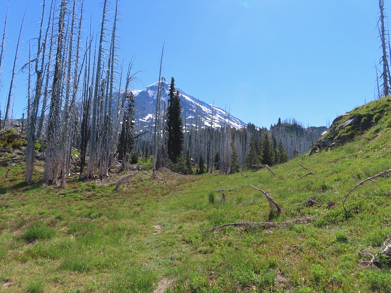

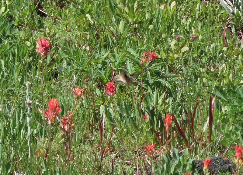 Hummingbird visiting paint.
 Mountain heather

 On the final pitch.
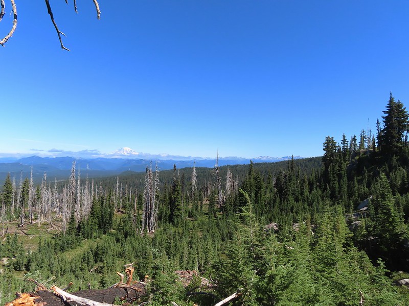 Mt. Rainier and Goat Rocks
 Phlox
Phlox Almost there.
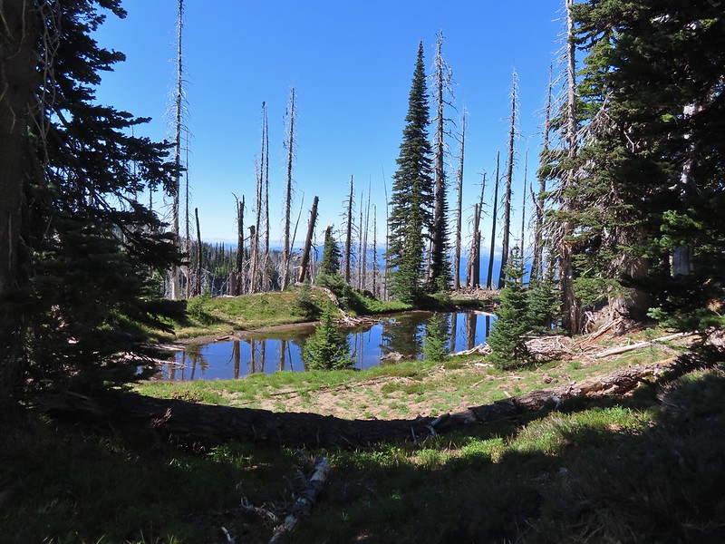 Not Crystal Lake, just a pretty little tarn nearby.
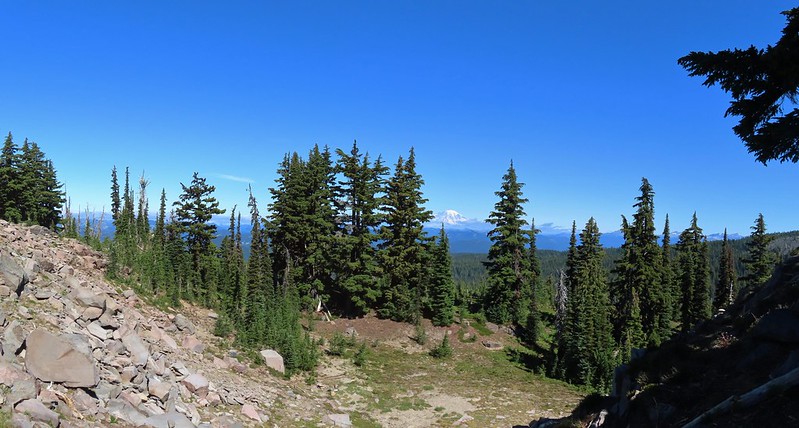 Mt. Rainier
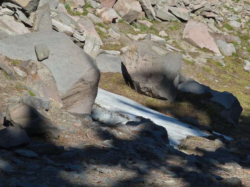 Just a bit of snow left around 6300′.
 The little tarn we’d passed.
 While not big Crystal Lake was deep.
 View down from the rocky ridge on the south side of the lake.
 The rocky ridge along the south side of the lake.
 We continued a tenth of a mile beyond the lake for a dramatic view of Mt. Adams.
 We could hear a waterfall below on Riley Creek.
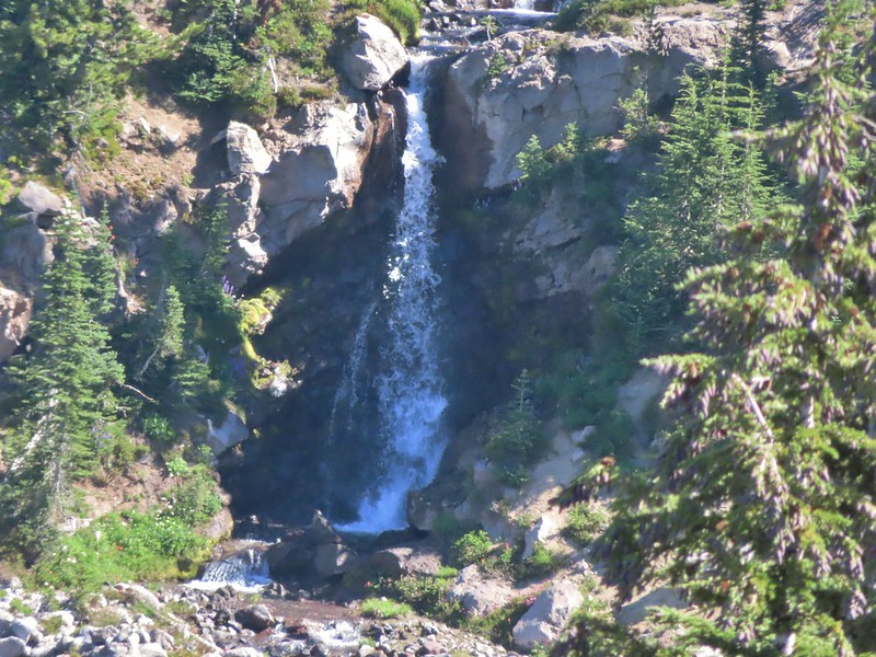 Zoomed in on the waterfall below.
 Crystal Lake from above.
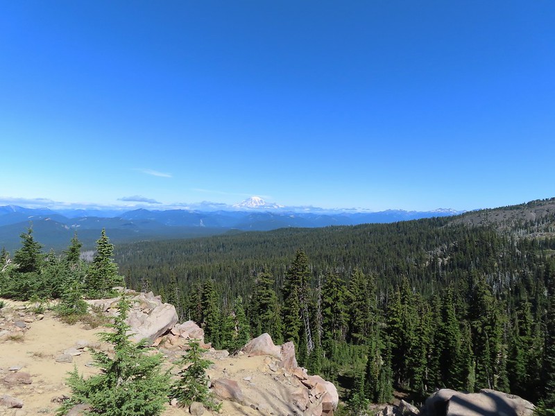 Mt. Rainier with Goat Rocks to the right.
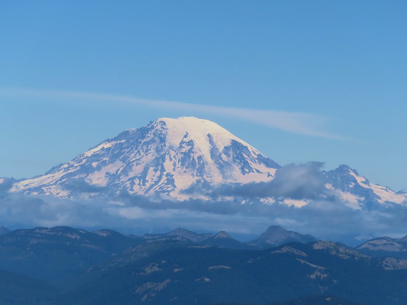 Mt. Rainier
 Some of Goat Rocks.
 Golden-mantled grounds squirrel
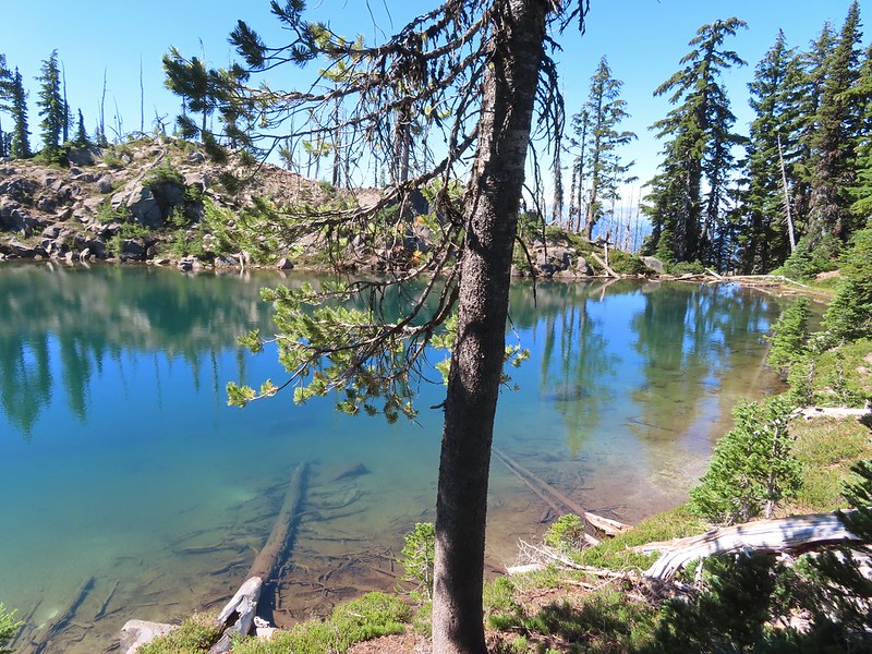


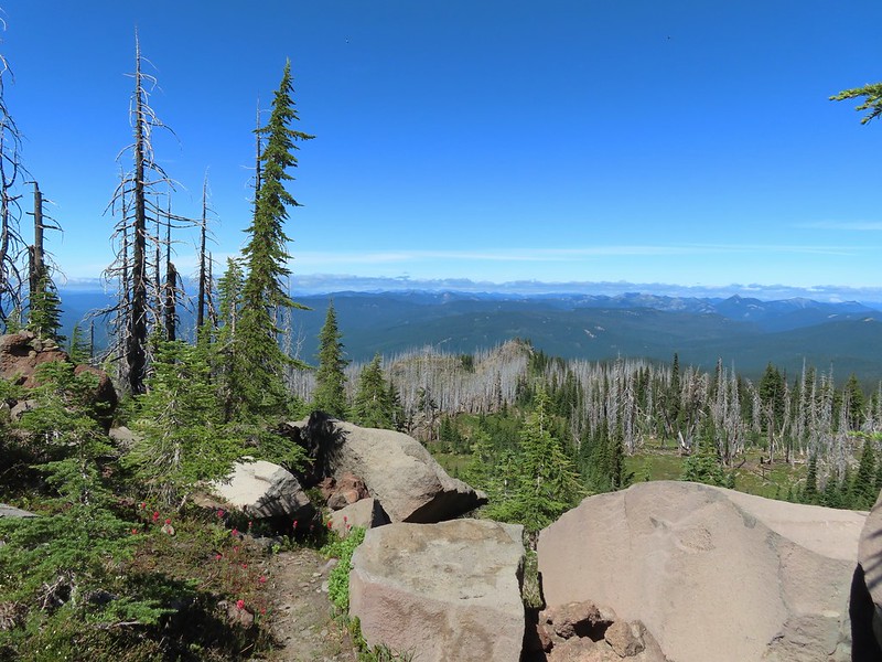 Getting ready to drop down.
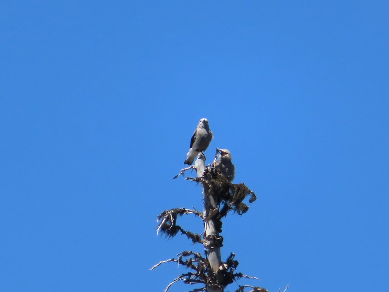 Clark’s nutcrackers
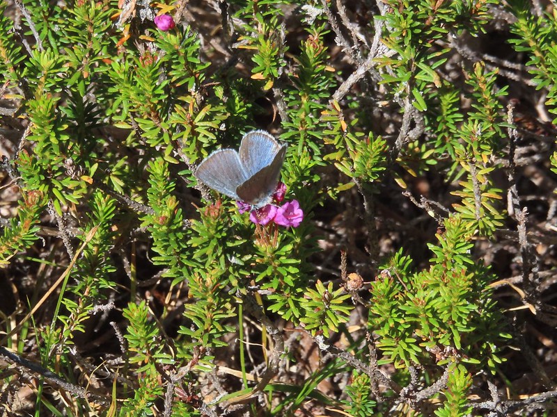 Butterfly on mountain heather.
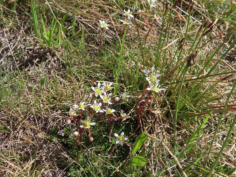 Saxifrage
 Violet
 Alpine speedwell
 A checkerspot
 A crescent
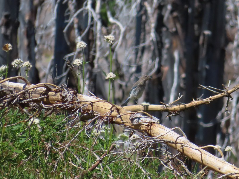 Mountain bluebird
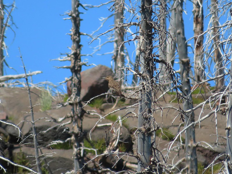 Northern flicker
 I’m guessing a warbler of some sort. We saw quite a few of these little yellow birds but had a hard time actually getting a photo.
 Mt. Adams from the PCT.
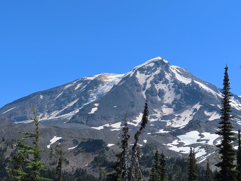
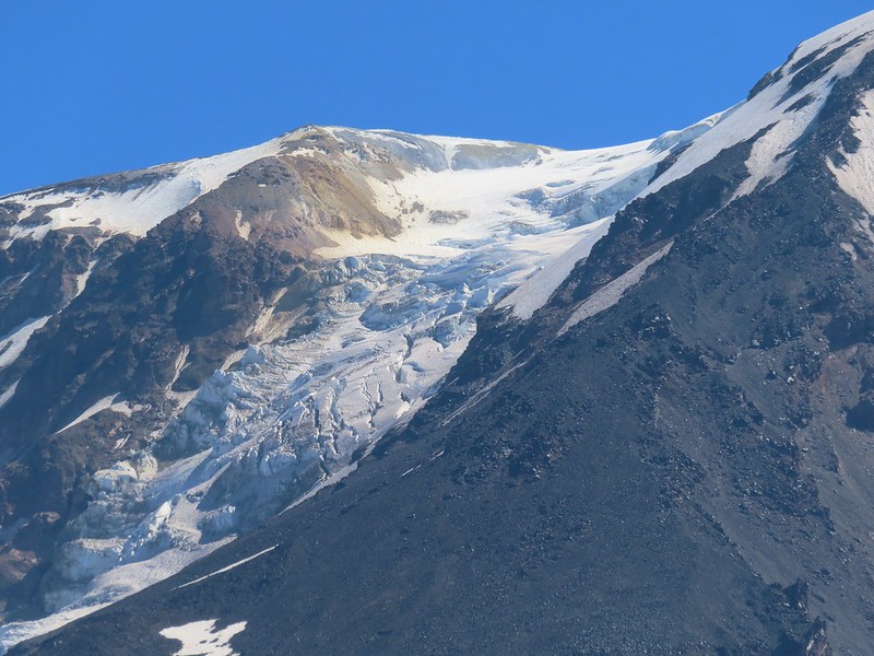 Adams Glacier
 Riley Creek at the PCT crossing.
 Wildflowers along the PCT.
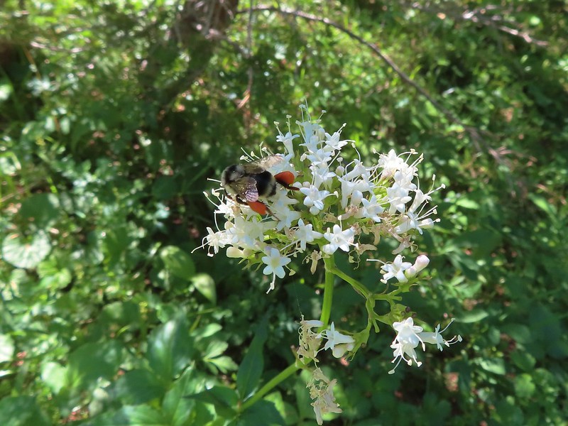 Bee on valerian
 Butterfly on valerian
 Another butterfly on valerian
 Looking back at Mt. Adams from the Riley Camp Trail.
 Passing through Riley Creek Meadows.
 Gentian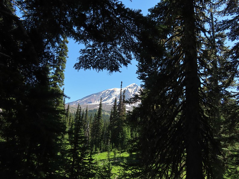
 We only saw a couple of beargrass blooms.
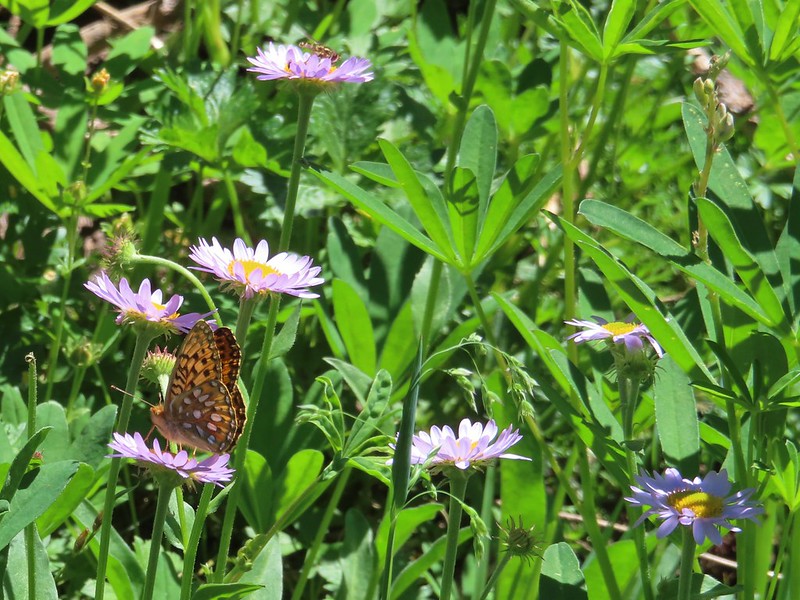 Pollinators on fleabane.
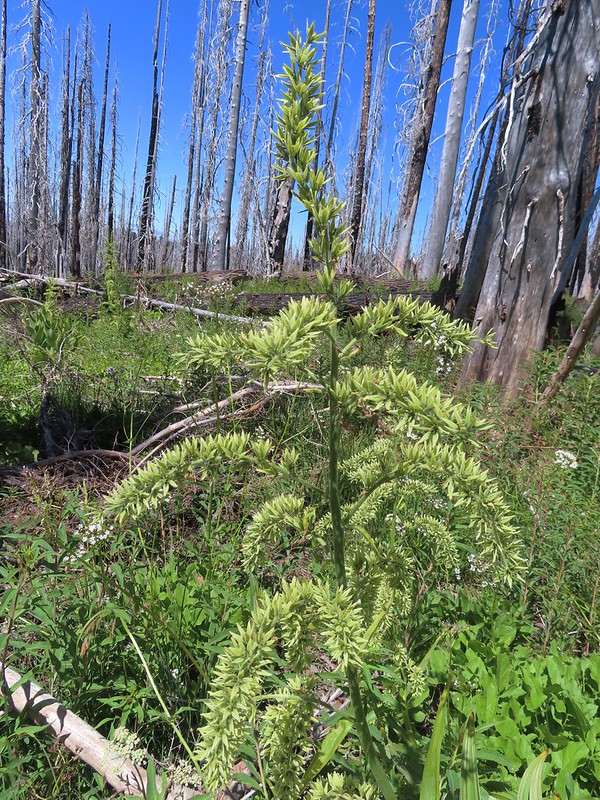 False hellebore
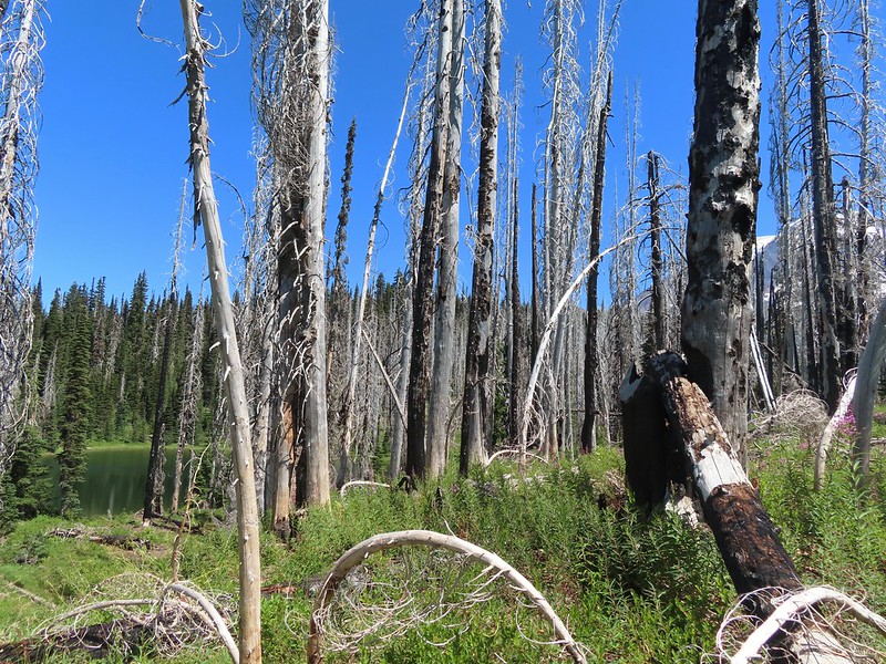 Luna Lake and Mt. Adams from the trail.

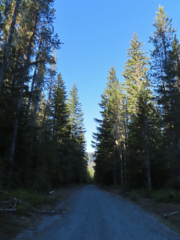 FR 8123

 It appeared the trail had been rerouted at least a couple of times to cross this dry creek bed.


 Fence at the boundary for the Research Area.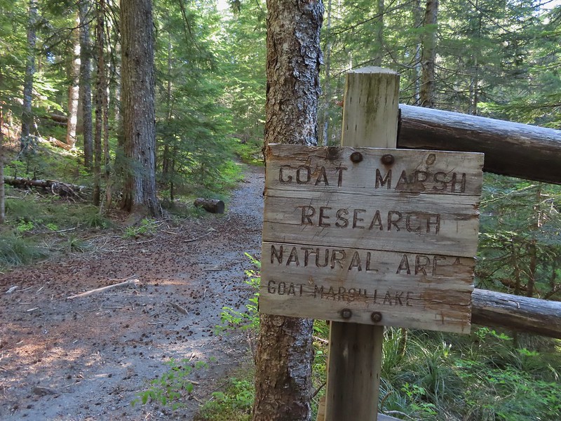
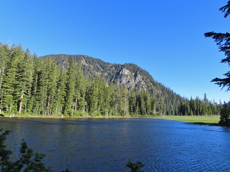 Goat Mountain and Goat Marsh Lake.
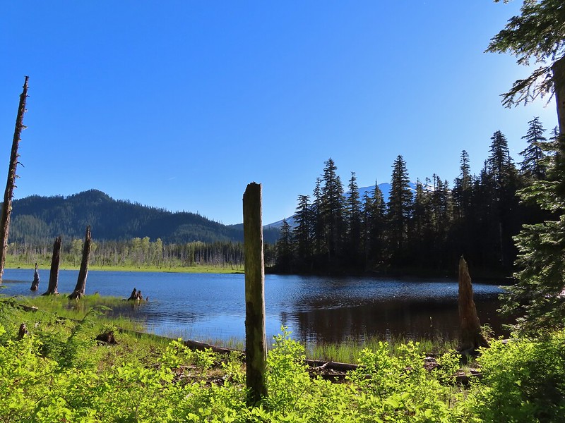 Mt. St. Helens
 Trillium
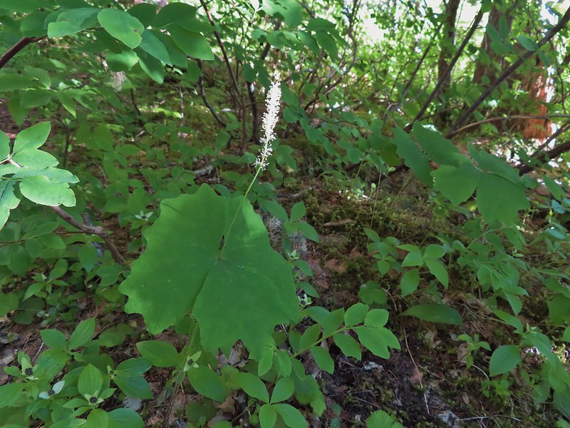 Vanilla leaf

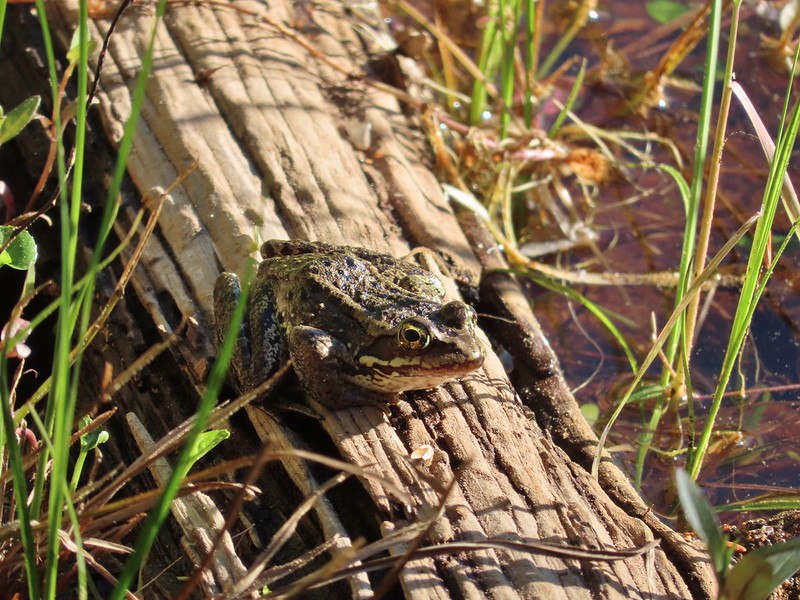 Frog on a log.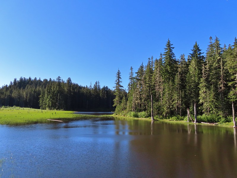
 The two cow elk in the middle of the grassy area.

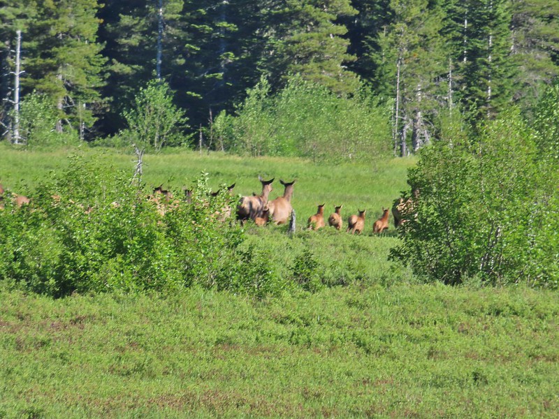 Calves lined up, this one is a bit blurry due to them moving and the amount of zoom used.
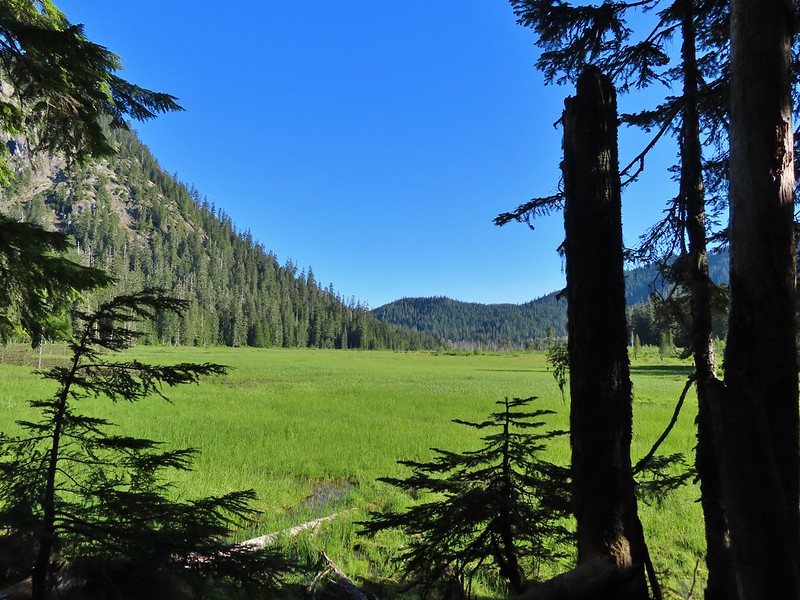 The elk herd not zoomed in.
 Zoomed
 Coralroot
 Goat Mountain
 Avalanche lilies
 Mt. St. Helens
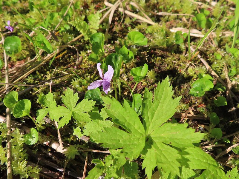 Marsh violet
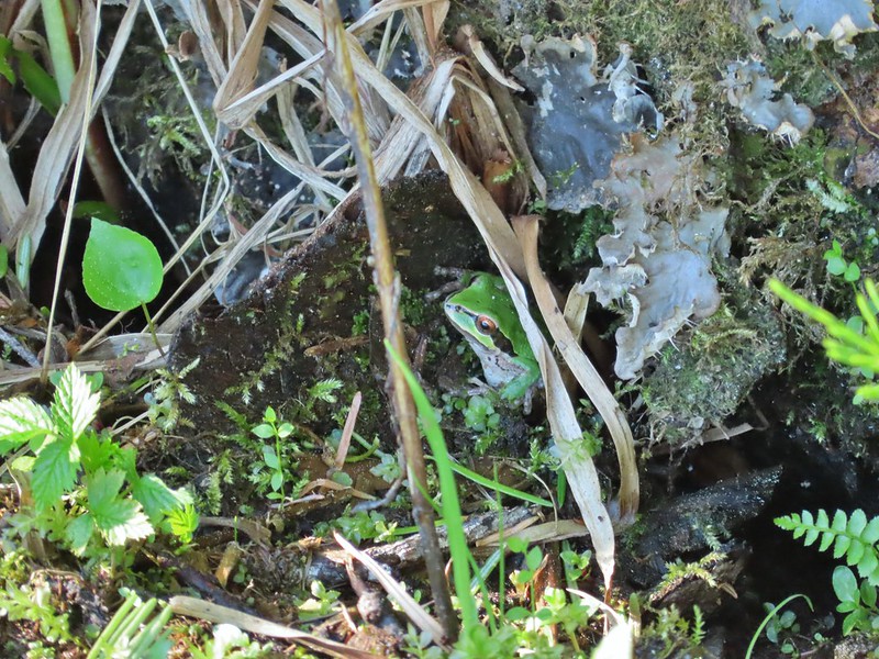 Frog under a log.
 Salmonberry
 Sign near the end of the trail.
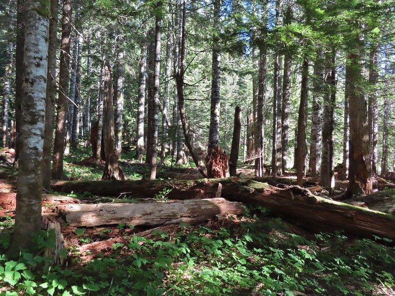 At the end of the trail.
 Beaver lodge
 Duck and ducklings
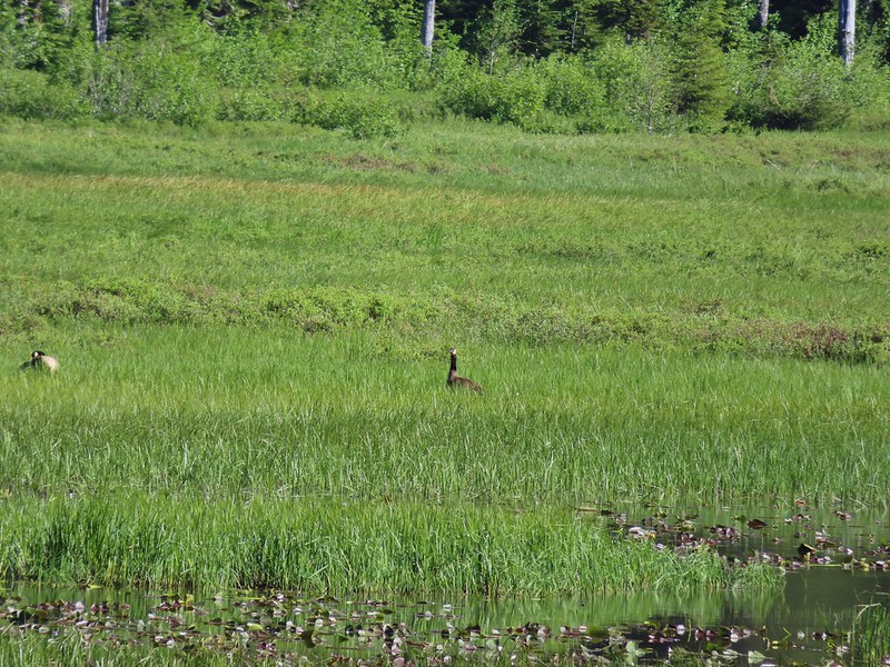 Geese out in the grass.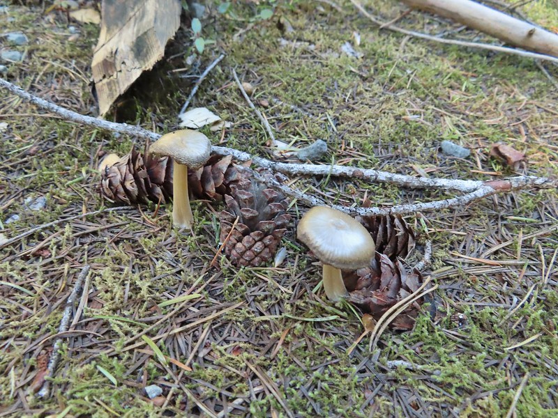

 The road crossing.
 In the campsite trying to decide which way to go.
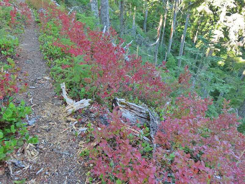
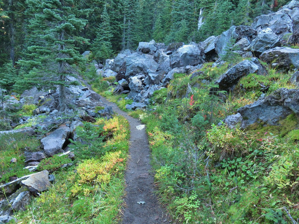
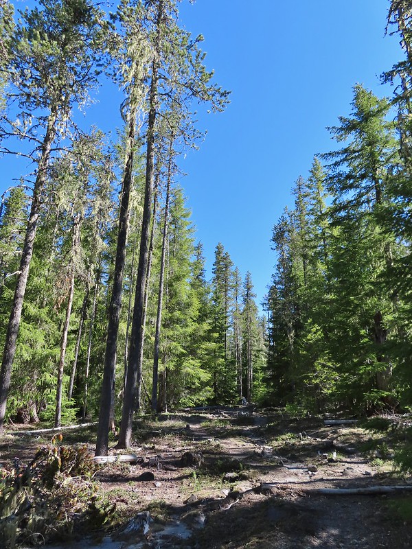 Once we found it the trail was pretty obvious, at least for a while.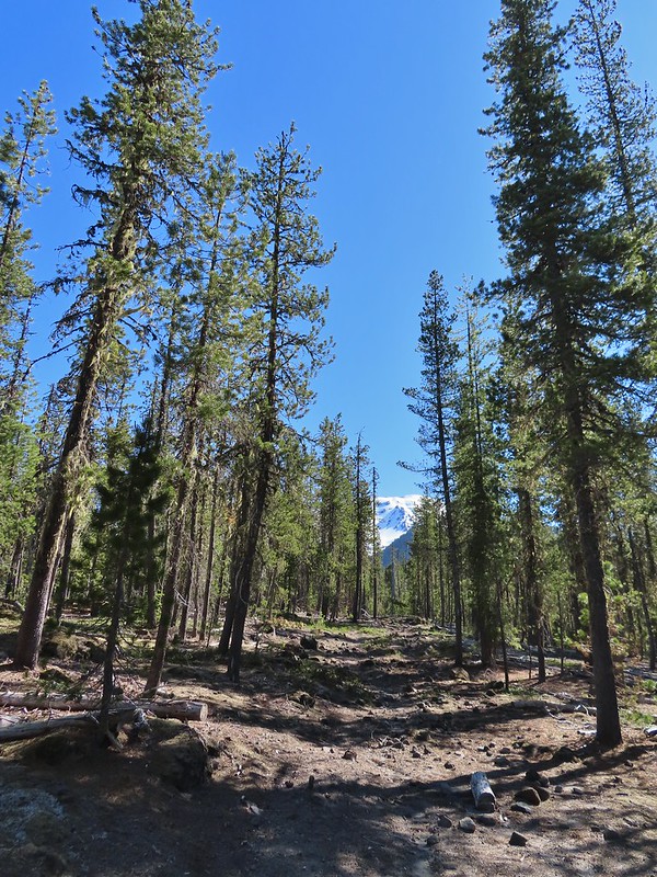


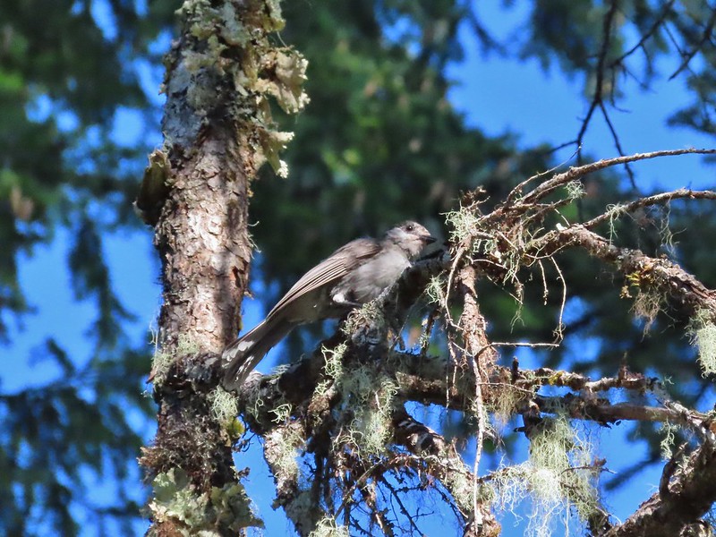
 Gray jay with a snack.
 Western tanager. Right after this photo he flew straight at us snatching an insect out of mid-air.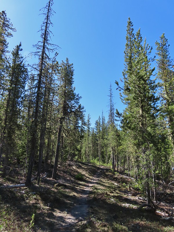

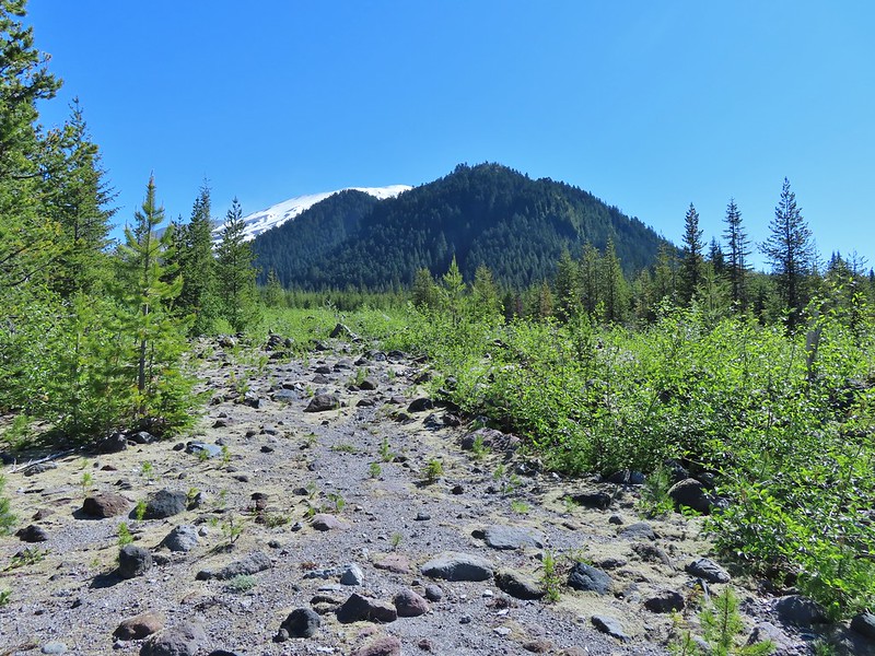 Butte Camp Dome in front of Mt. St. Helens.
 Crossing another dry bed.
 Where is the trail?
 In one of the creek beds. We were using the GPS along with looking for cairns and/or flagging.
 Goat Mountain
 You can’t really make them out in the photo but there is a pink flag and a blue diamond (on a downed tree) near the edge of the green trees.
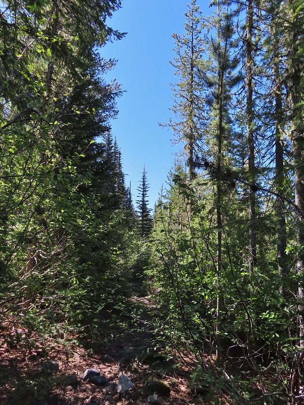 There was another short brushy section before the forest opened up.
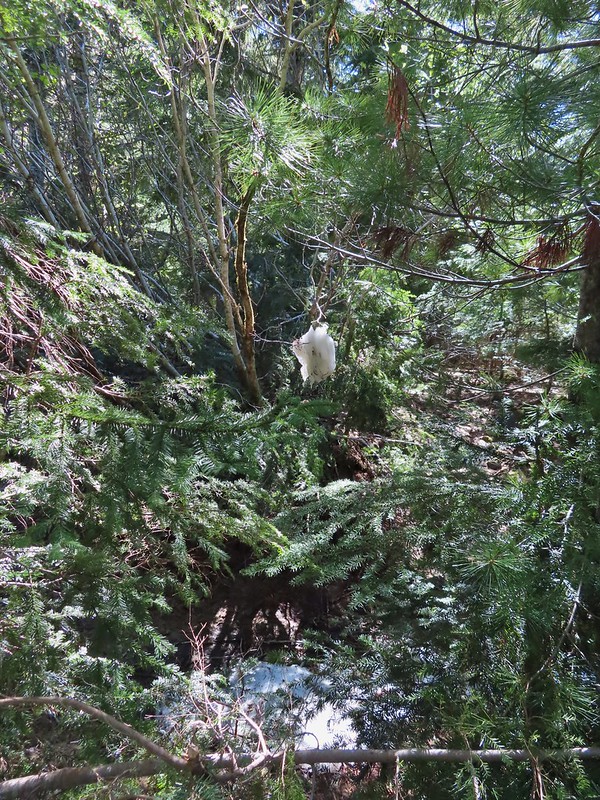 One of the strangest snow sightings we’ve come across.
 My theory was bigfoot hung this.

 The NOHRSC estimated 2″-3.9″ of snow and that seemed to be about right.
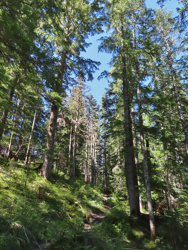
 Looking back at the junction from the Toutle Trail. The post with no sign is the continuation of the Toutle while the trail on the left is the ski trail.

 Last years beargrass.
 Strawberry
 Phlox
Phlox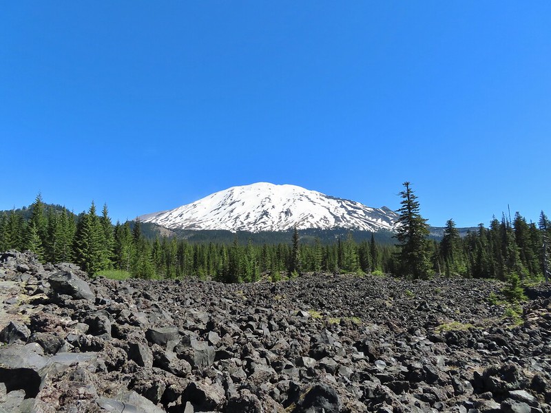
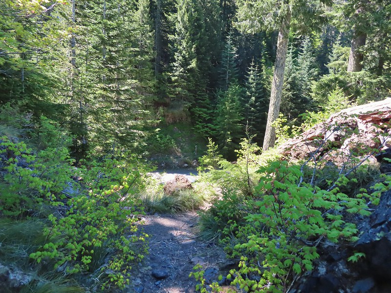 FR 81 below the trail.
 Trail sign at the trailhead.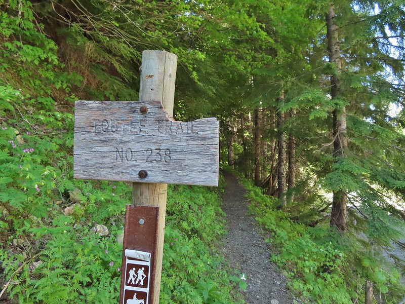
 Raven flyover
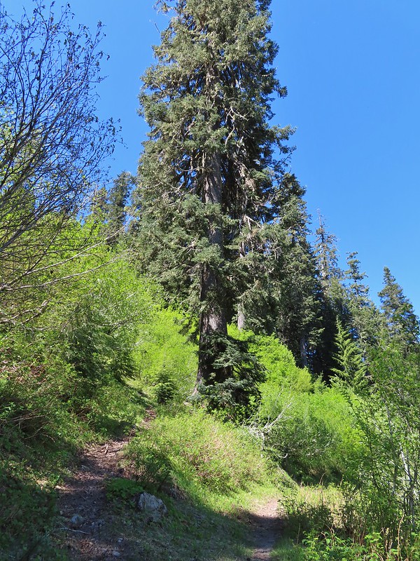 The fork.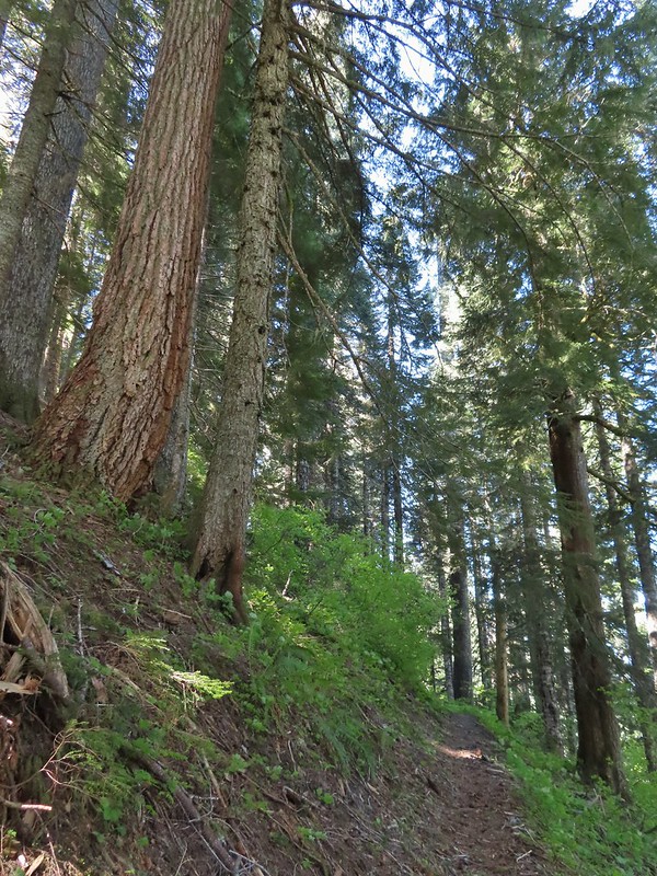
 One of several side creeks we crossed.
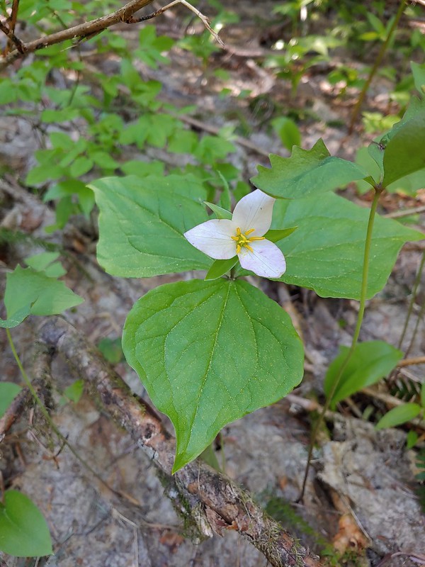 Trillium
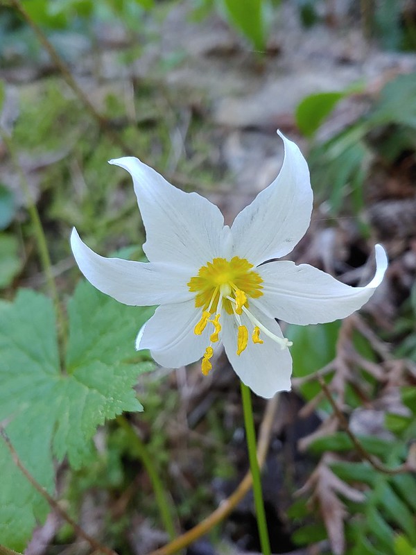 Avalanche lily
 Violet
 Goat Mountain beyond McBride Lake.
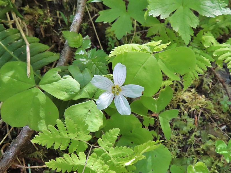 Sourgrass
 Valerian
 Solomonseal
 Saxifrage


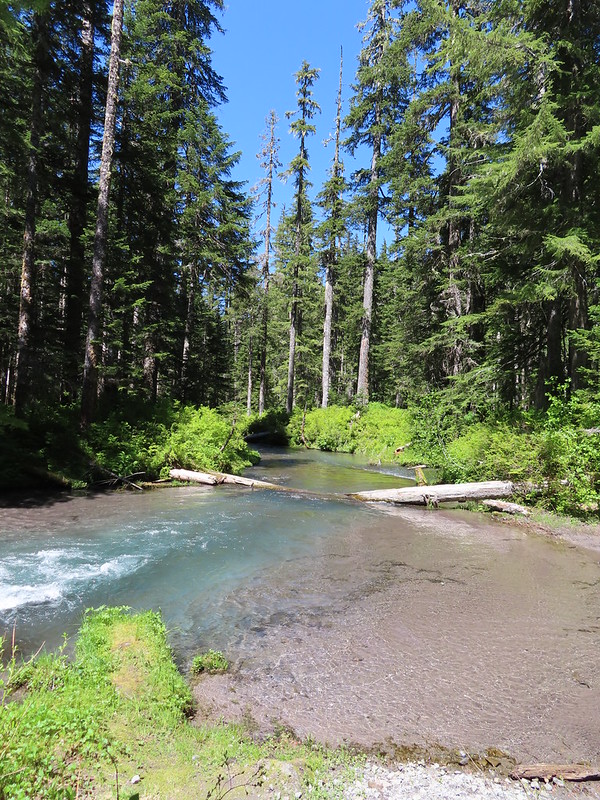 Kalama River from the road bed.
 The Blue Lake Horse Trail on the far side of FR 81.
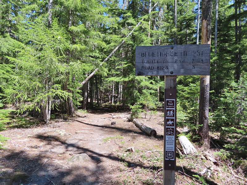 The sign did show FR 8123 which was the road the trailhead was on so that fed into us not realizing our mistake at first.
 An orange diamond on a tree ahead.
 Where we left the horse trail.
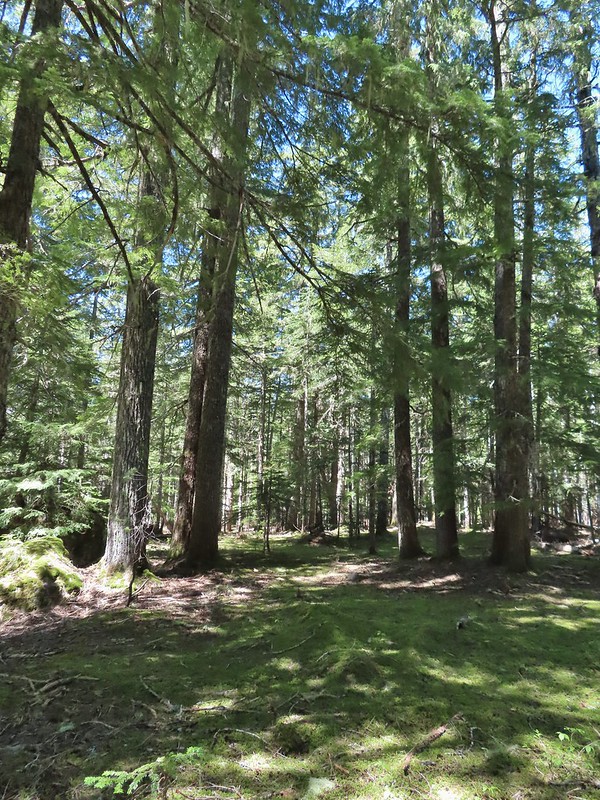 Typical terrain for the cross-country walk.
 It seems like every time we go off-trail we come across a mylar balloon. We’ve really come to despise those things. We packed it and the ribbon out.
 The trickiest part was crossing this dry stream bed but we fortunately came to it at a spot that was perfect for crossing.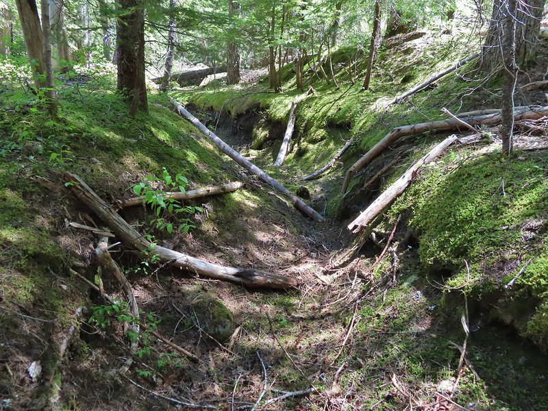
 FR 8123
 Coming up to the Goat Marsh Lake Trailhead (and our car) on FR 8123.





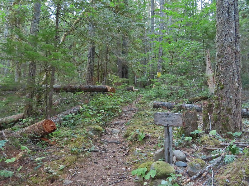
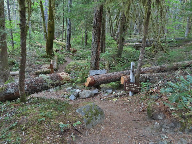
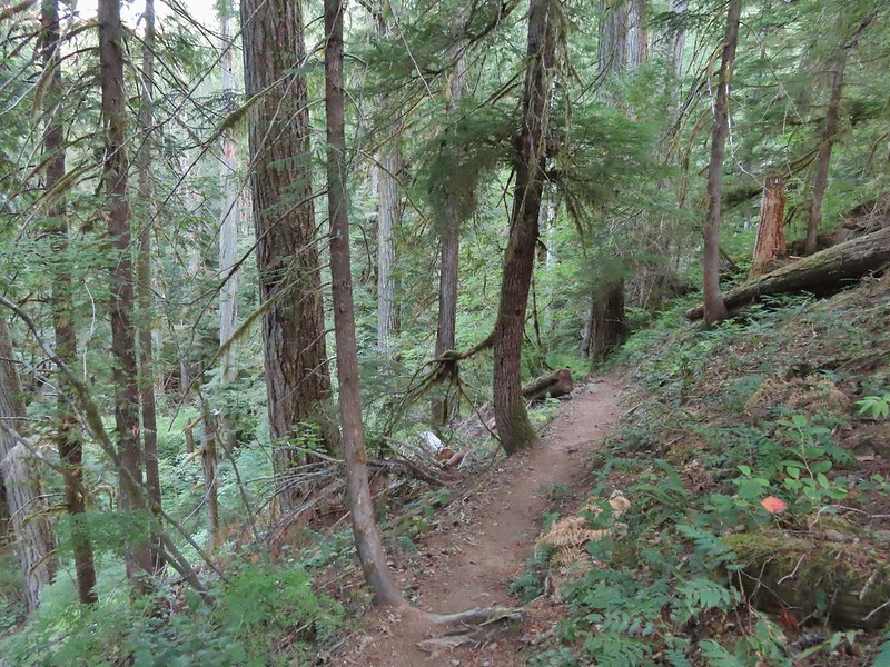
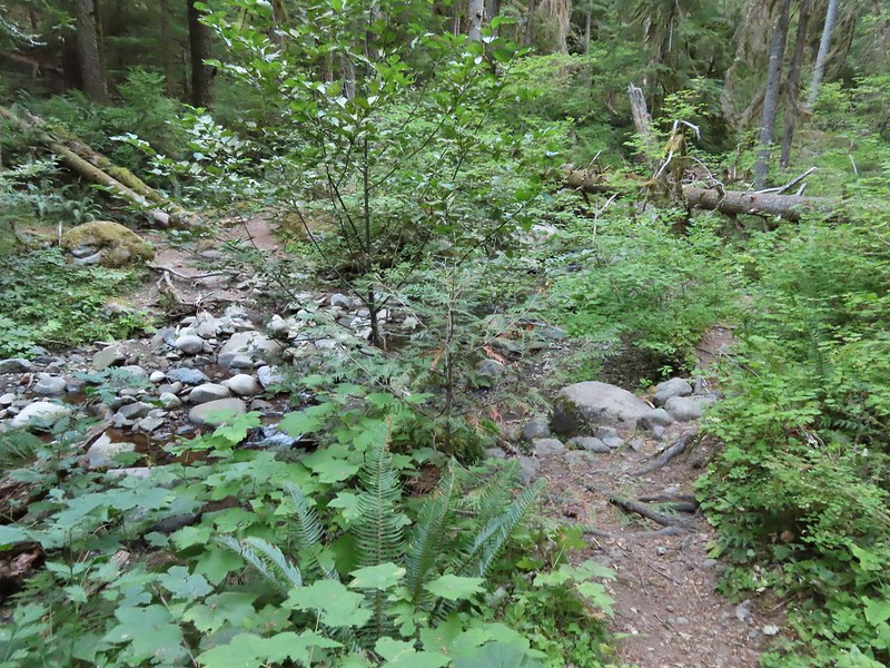
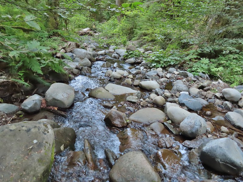


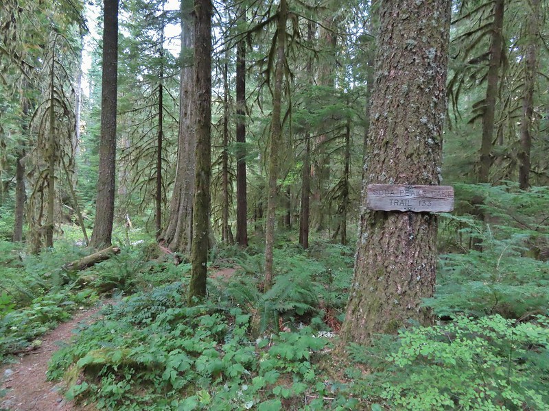


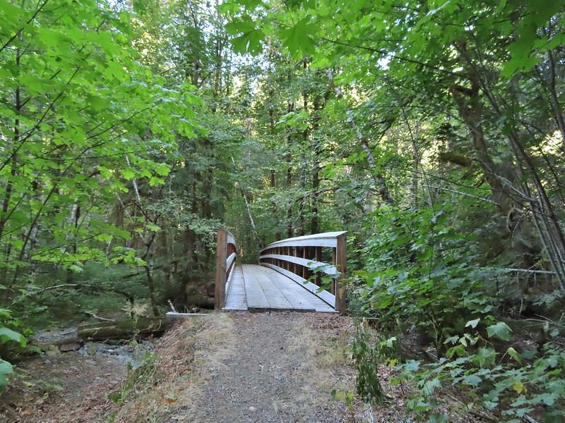
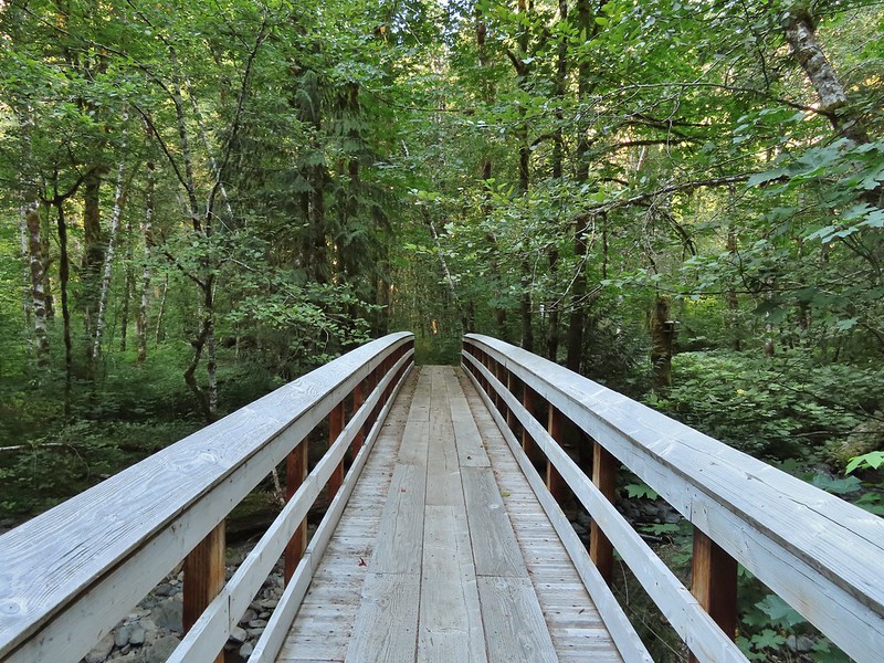
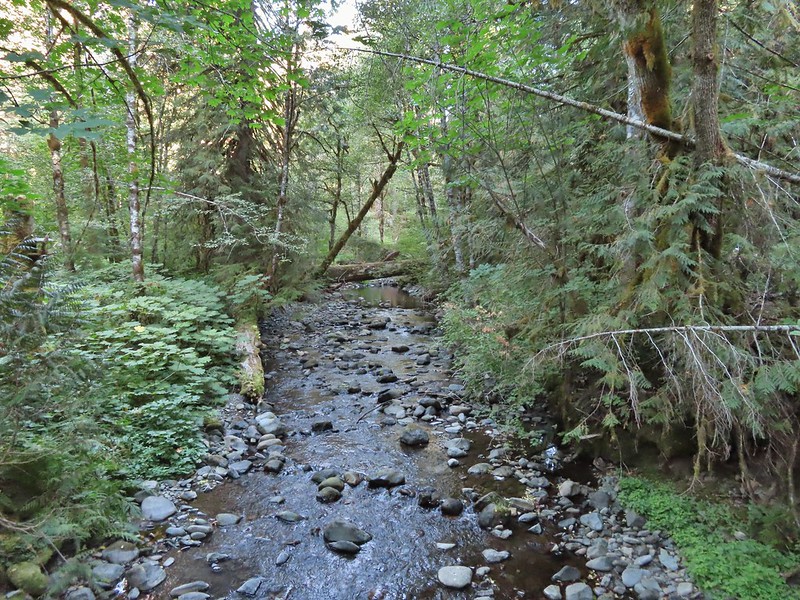
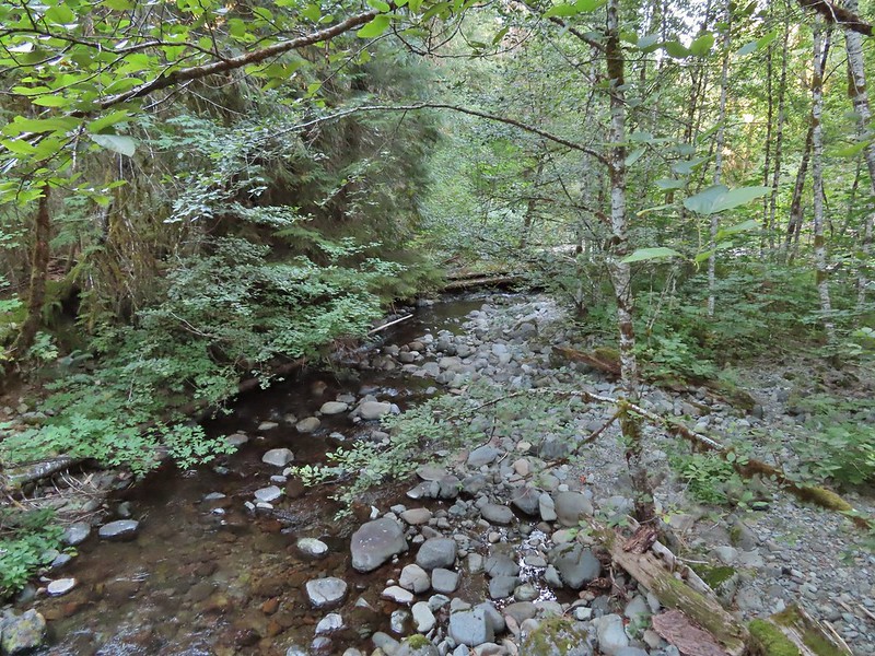


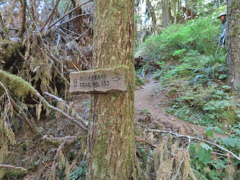





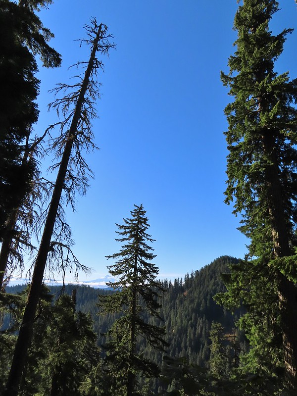













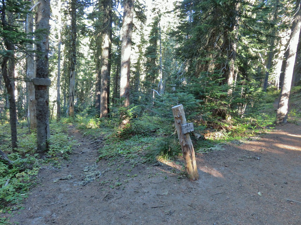
 There were no signs for the obvious trail.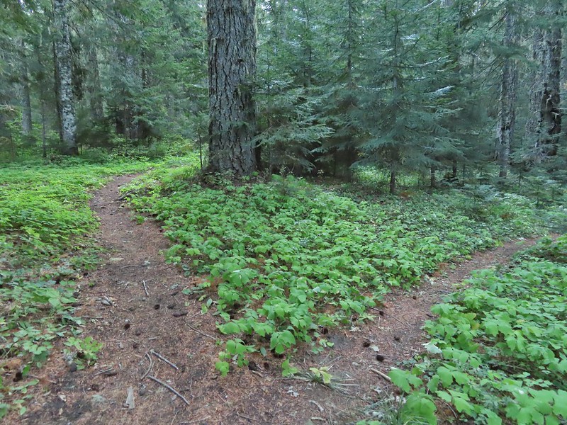
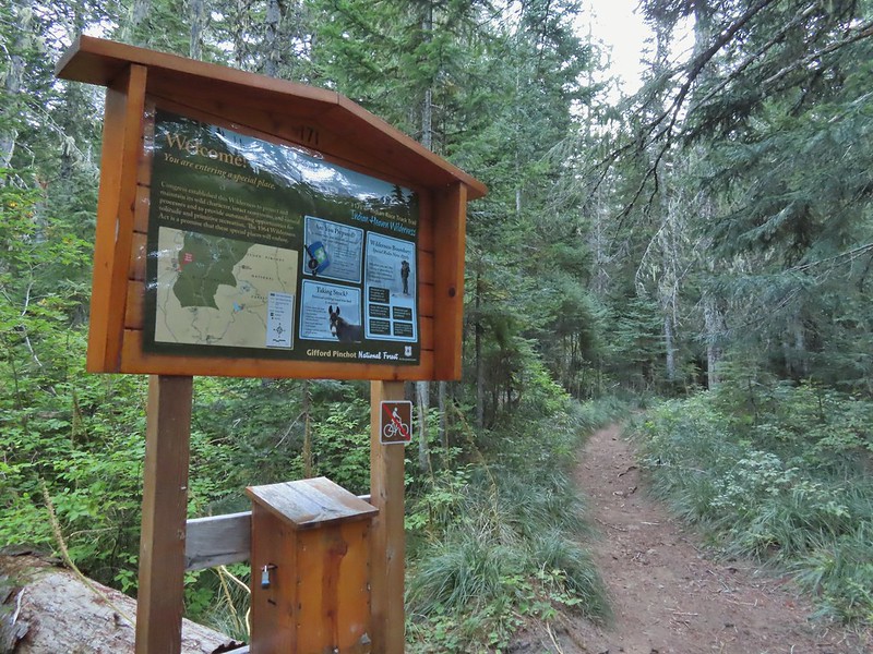

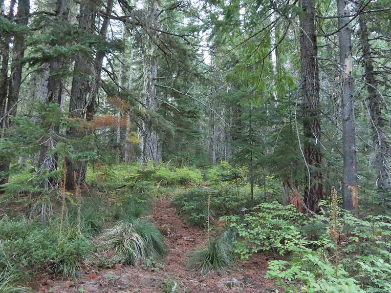
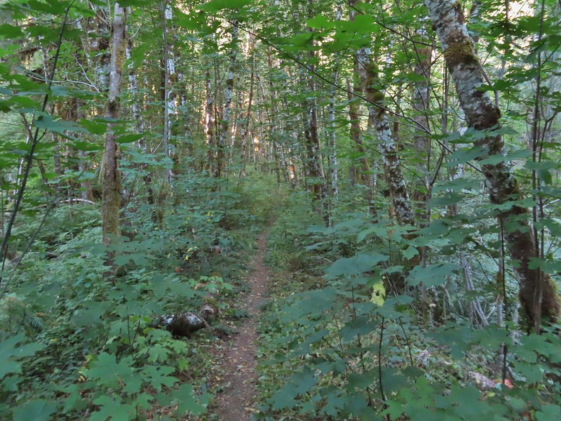
 Entering the


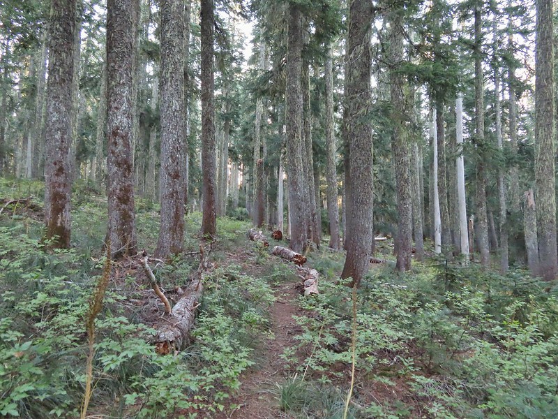


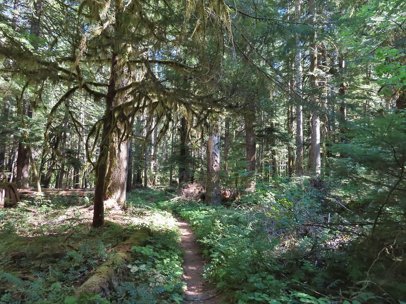
 Typical vegetation and trees on the ridge.
 We rediscovered tread as we dropped to a saddle near Janet Lake.
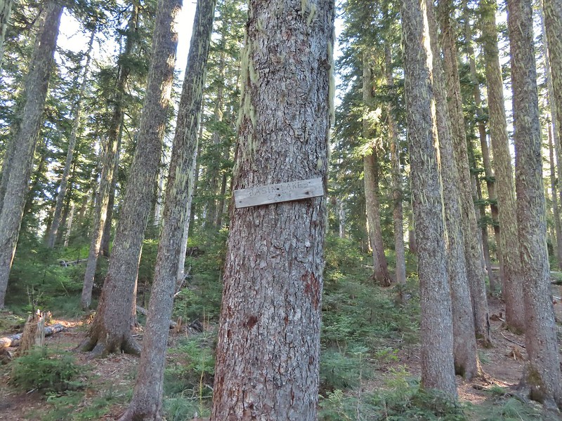 Sign at the saddle between Peggy and Janet Lakes.



 Sleepy ducks
 I believe Oregon Hikers calls this one “Cindy Lake”.

 The small saddle we’d been aiming for.

 Heather down to the right between a couple of trees.
 Me getting close to the top.
 The top of the ridge.
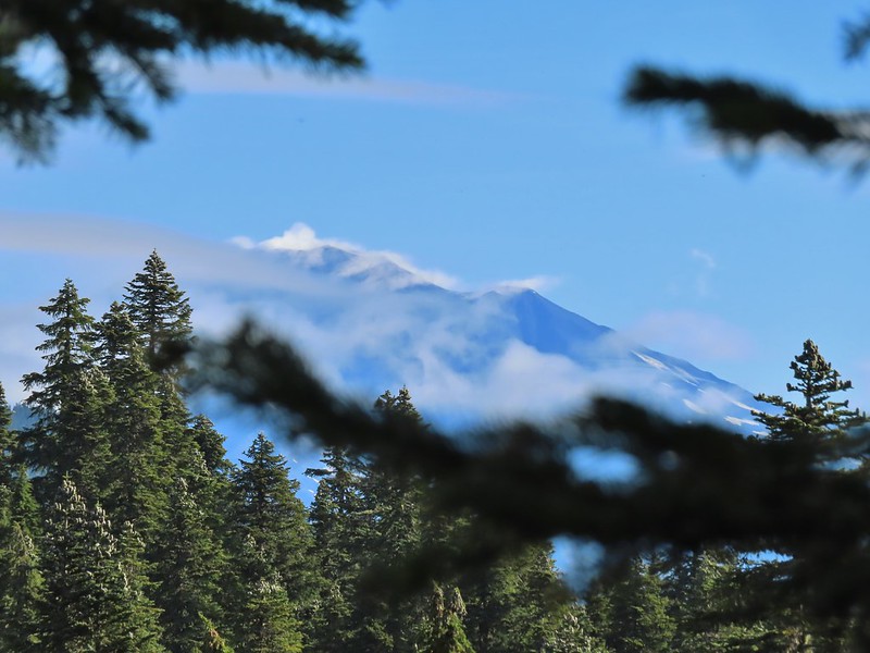 Mt. Adams in some clouds.
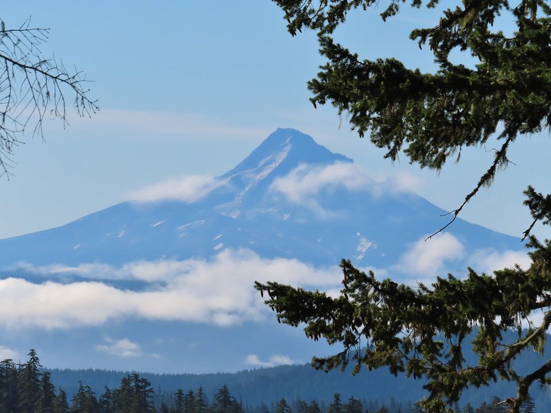
 Mt. St. Helens behind a line of clouds.
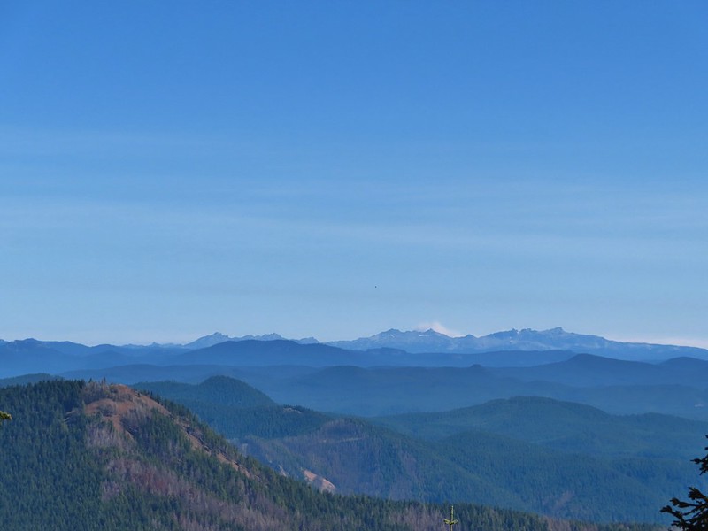
 Gifford Peak (
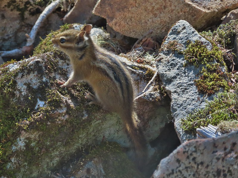
 Chipmunk
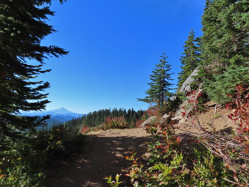

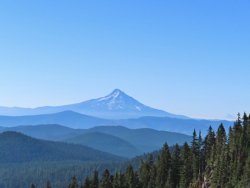 Mt. Jefferson was also visible to the right of Mt. Hood. Unfortunately so was the smoke being produced by the Bull Complex Fire which destroyed the historic Bull of the Woods Lookout (
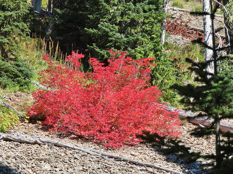
 Autumn is on the way, bring on the rain please.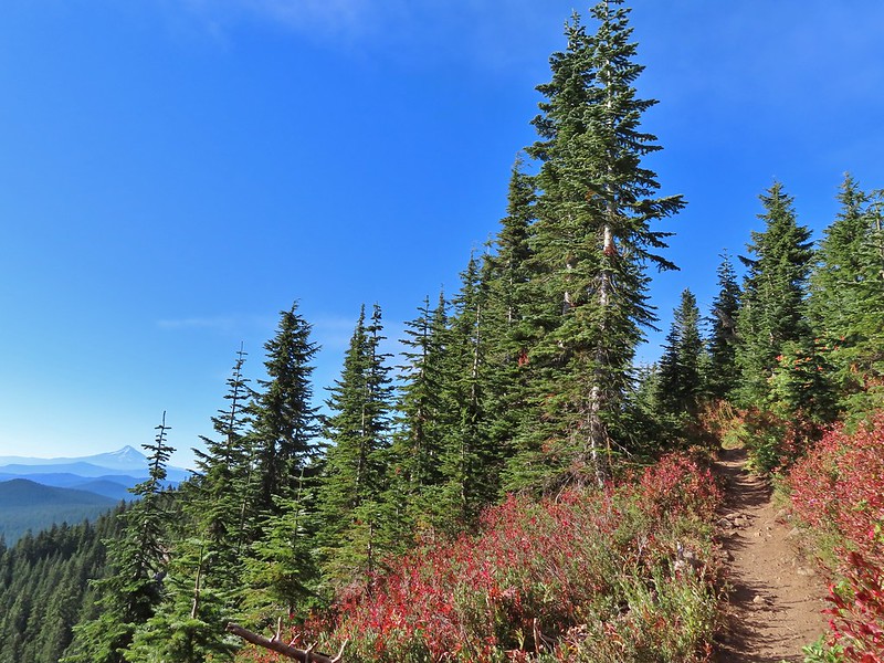
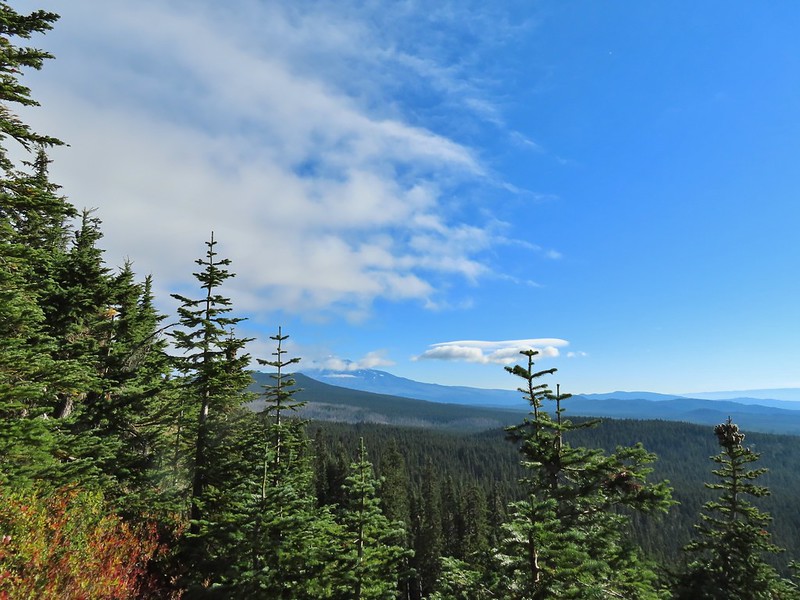 Mt. Adams
 Looking toward Mt. St. Helens
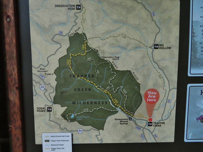
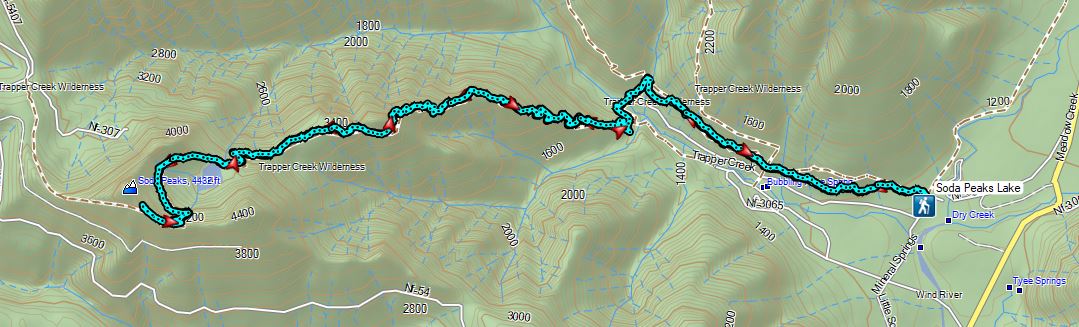
 The peaks in the Trapper Creek Wilderness (
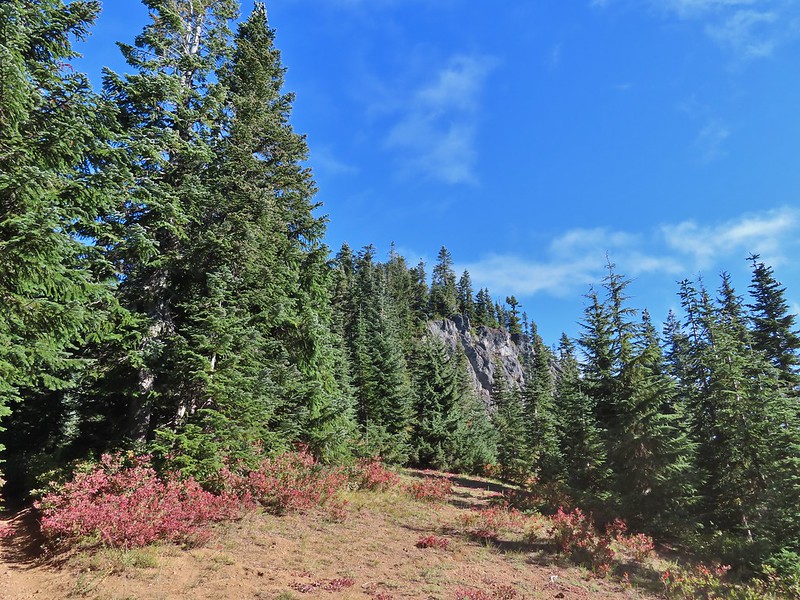 Cliffs on Berry Mountain
 Mt. Hood as we headed downhill.
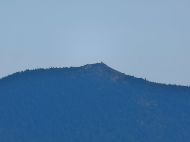
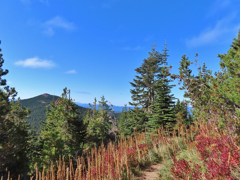 Red Mountain and its lookout tower.
 This beargrass is way off schedule.
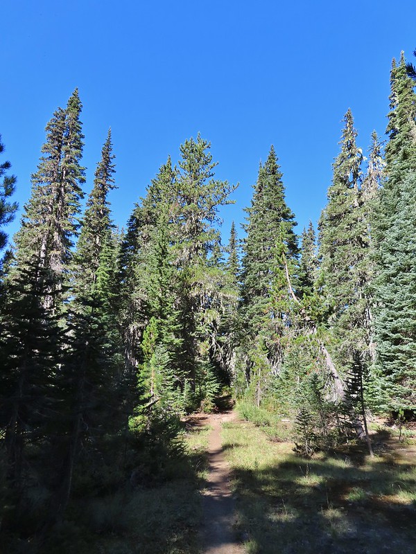


 Mt. Adams from a viewpoint along the way.
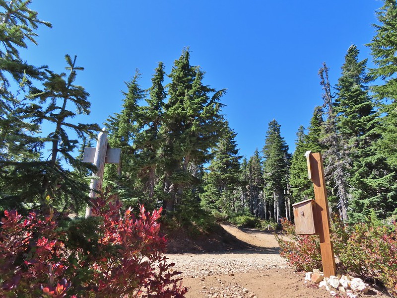
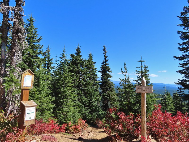


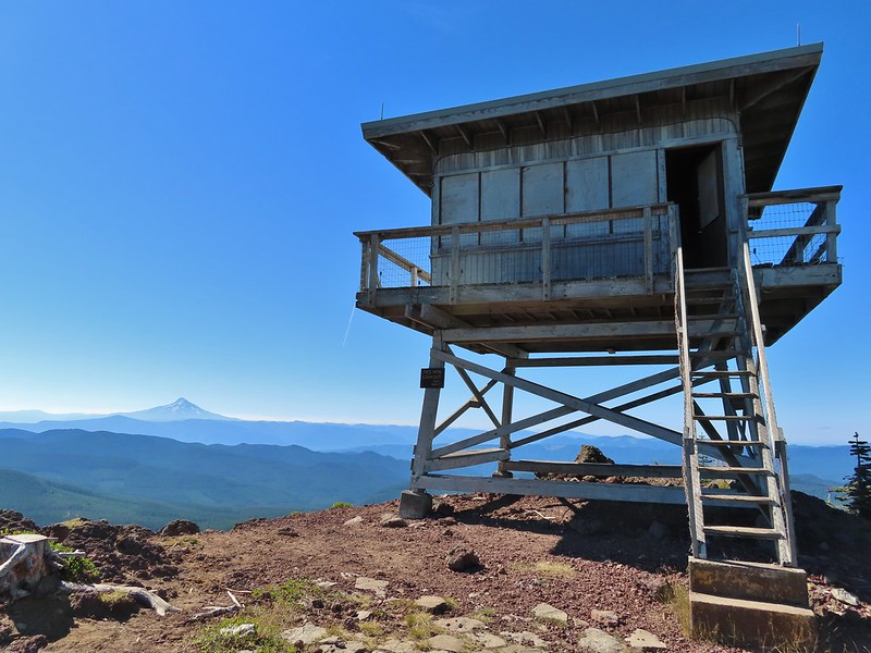 Not sure if someone forced the door open too or not.
 View of Mt. Adams beyond Indian Heaven.
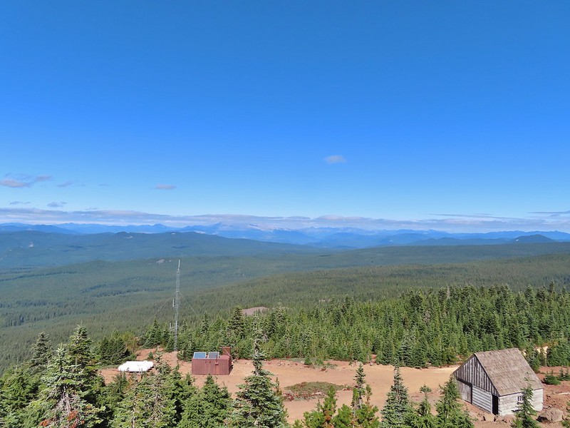
 Photo taken from the doorway, it looked like nothing had been vandalized.
 Mt. St. Helens still hiding behind that line of clouds.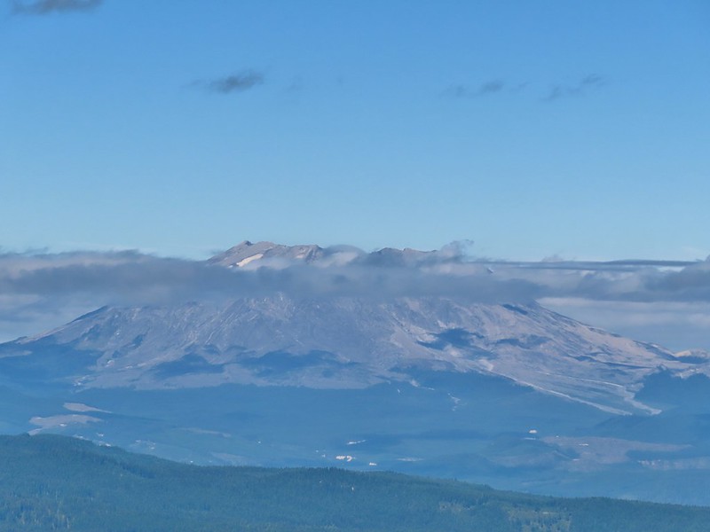
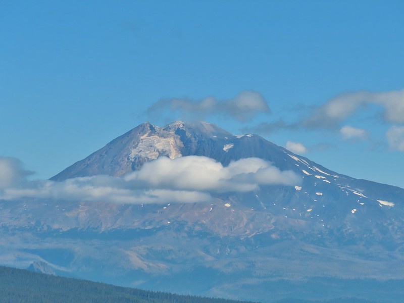 Mt. Adams with a few clouds passing by.
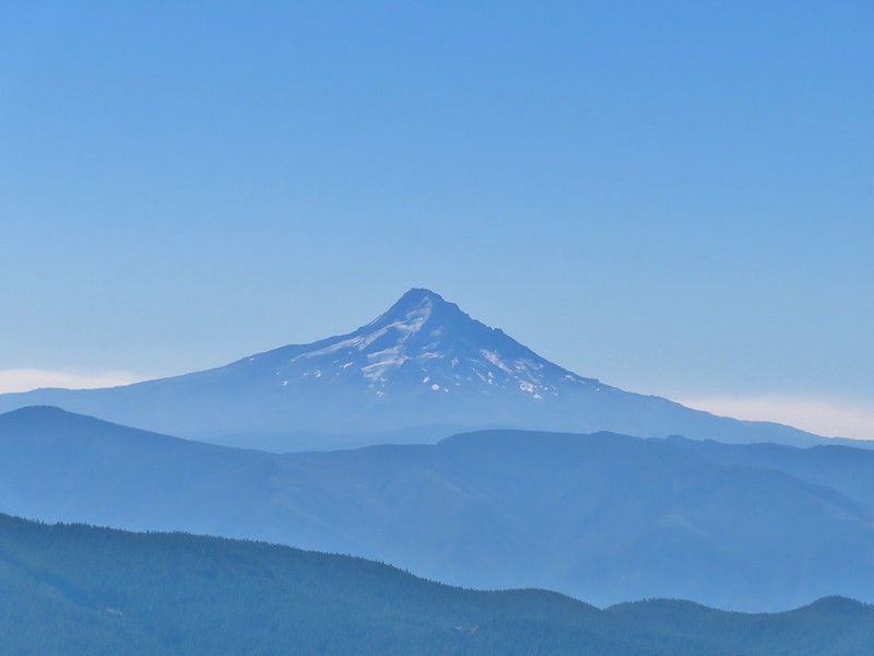 Mt. Hood with smoke from the Bull Complex behind.
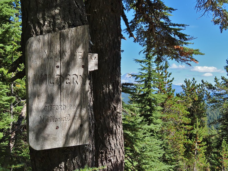 Indian Heaven Wilderness sign on Red Mountain with Mt. Adams in the background.
 Race Track Lake on the left.

 Hardhack
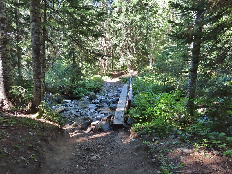 Footbridge over Falls Creek.
 Falls Creek
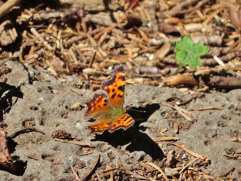 Butterfly near Falls Creek.
 Sign at the final trail junction near FR 65.
 The view from the trees surrounding our campsite as we prepared to leave.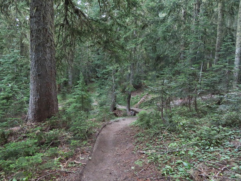
 Mt. St. Helens catching some morning light.
 Mt. Rainier without a whole bunch of smoke.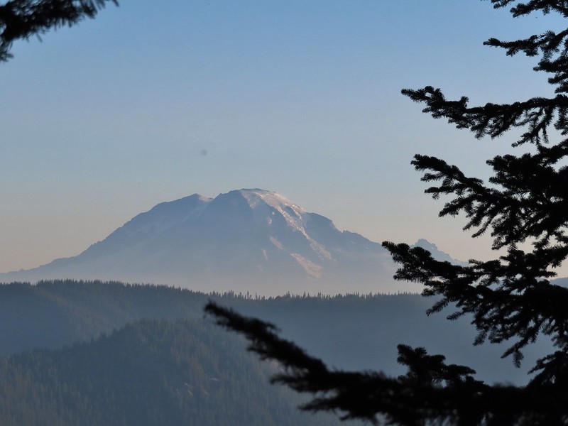
 We snagged a few black caps along the road to as a post breakfast snack.
 FR 2551
 The very top of Mt. St. Helens from FR 2551.
 Sullivan had labeled this stretch with the word slide which had caused a little apprehension in deciding to try this return route but despite the obvious slide(s) that had occurred here the road was in decent shape.
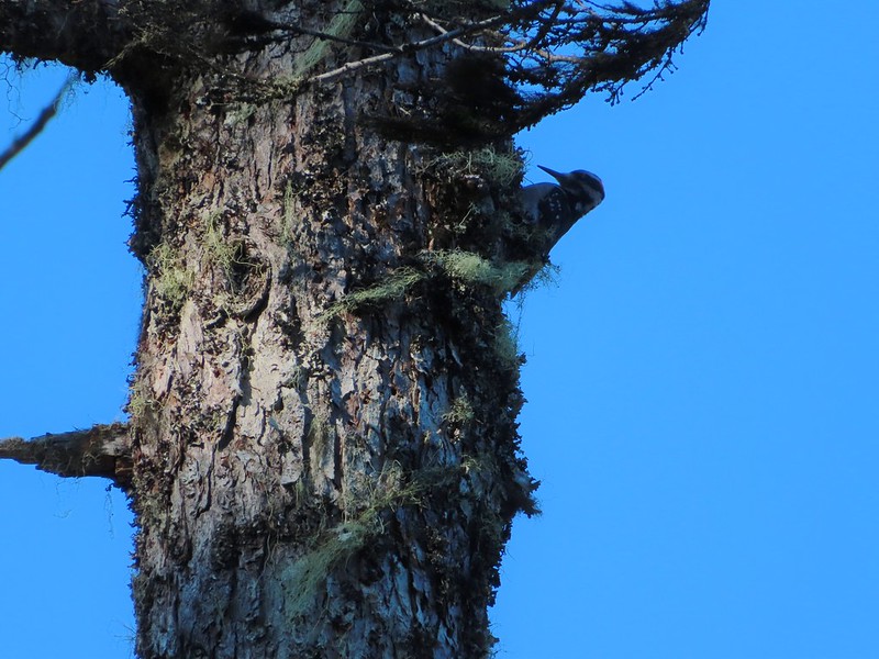
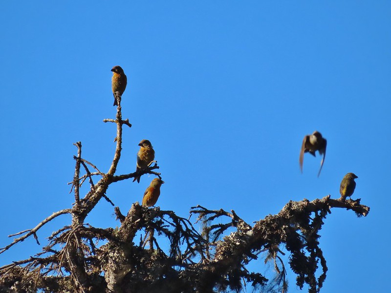 Not sure what kinds of birds were in this tree but there were a lot of them.
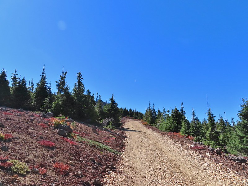
 FR 25 at the end of a long straight away.
 The Boundary Trail crosses FR 25 near the road sign ahead. The picture was taken from FR 2551 at FR 25.
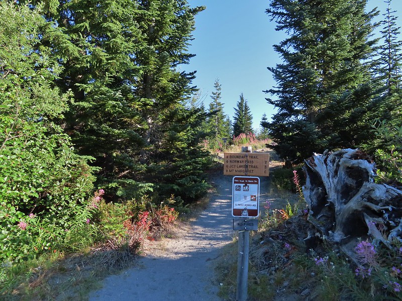
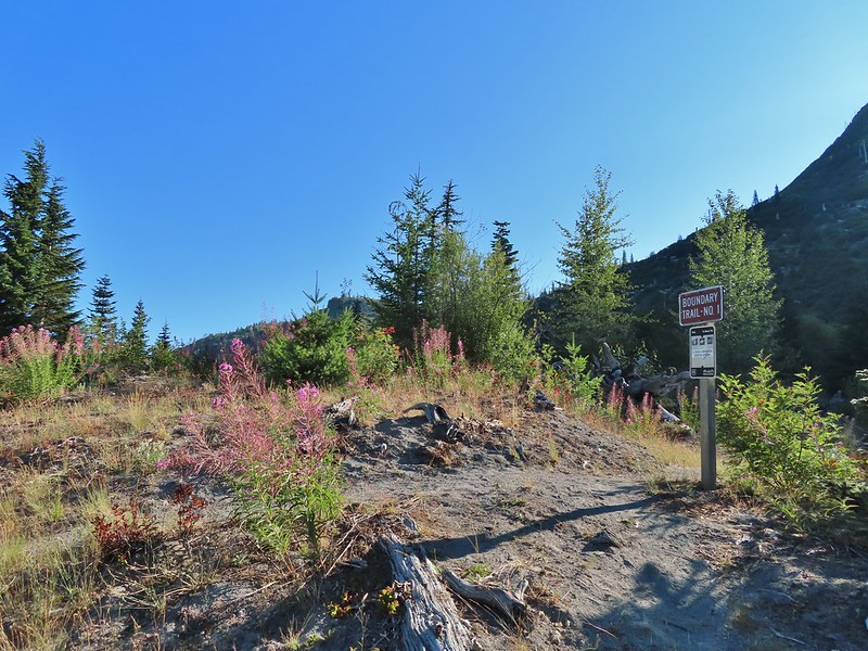
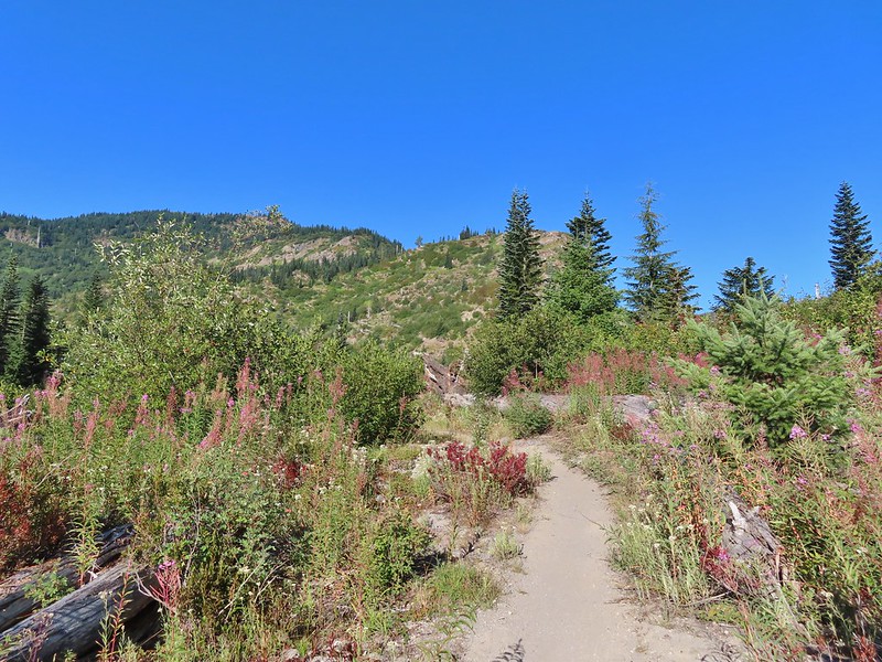

 Paintbrush
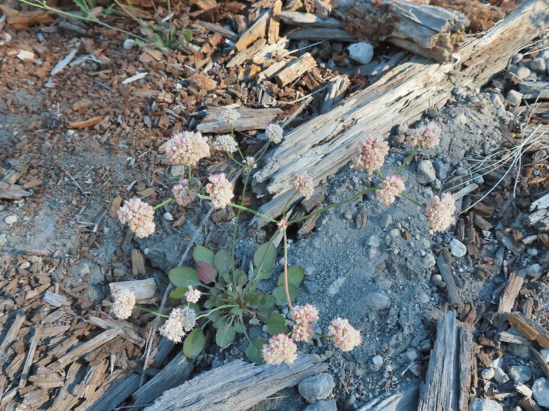 Buckwheat

 We could hear a waterfall in the valley below.
 The top of the waterfall.
 Penstemon and pearly everlasting.
 Looking back over our shoulders to Meta Lake.
 Mt. Adams also from over our shoulders.
 Aster
Aster
 Switchback at the Independence Ridge Trail junction.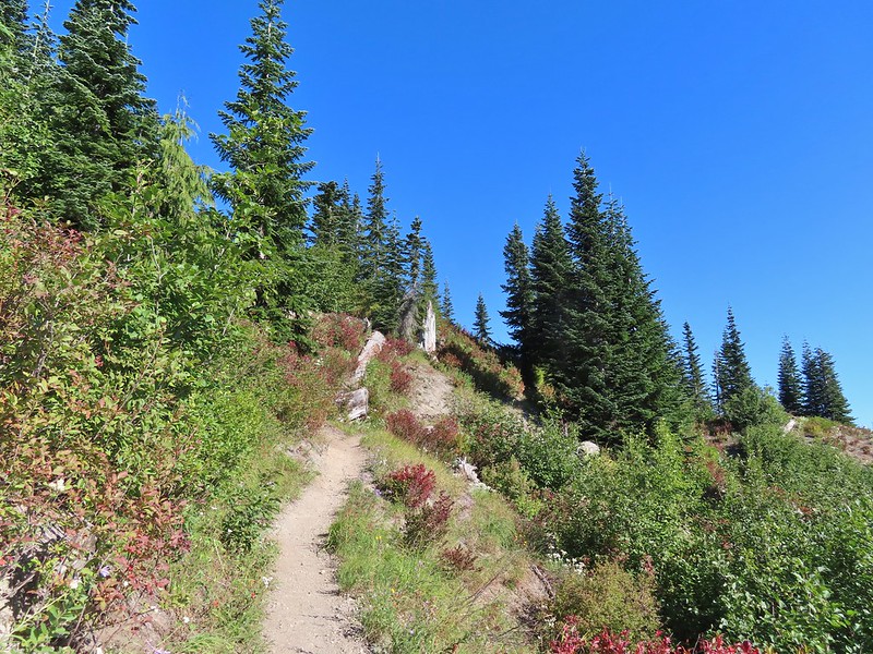
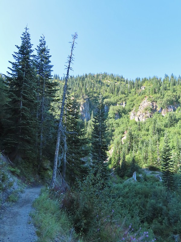 Heading down to the stream bed.
 Penstemon
 Monkeyflower

 Norway Pass (the low saddle to the right) from the trail.
 Orange agoseris
 Approaching the pass.


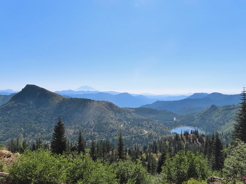 Mt. Adams and Meta Lake from the trail.


 Mt. St. Helens from the viewpoint.
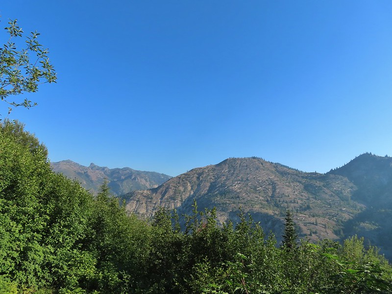

 Pearly everlasting
 Penstemon
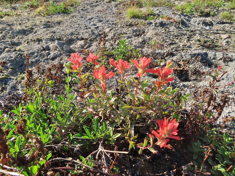 Paintbrush
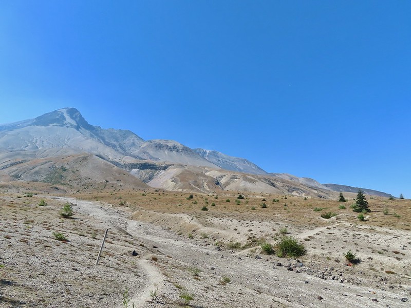
 Mt. St. Helens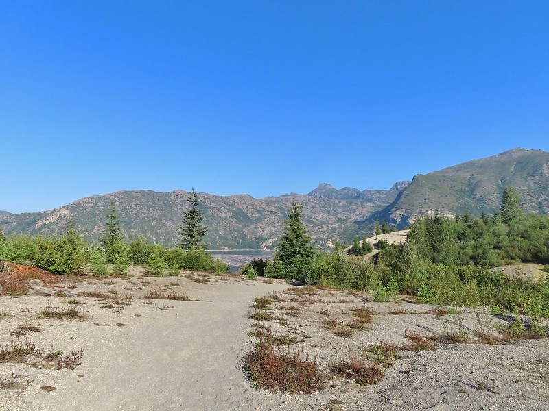


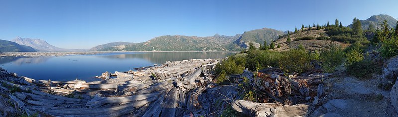 Mt. St. Helens and Spirit Lake from the end of the trail.
 Coldwater Peak (
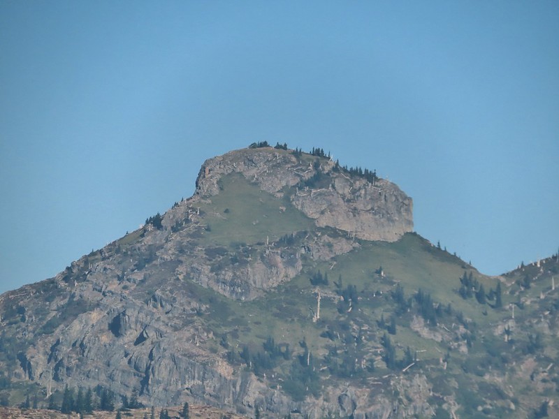 The Dome
 Mt. Margaret
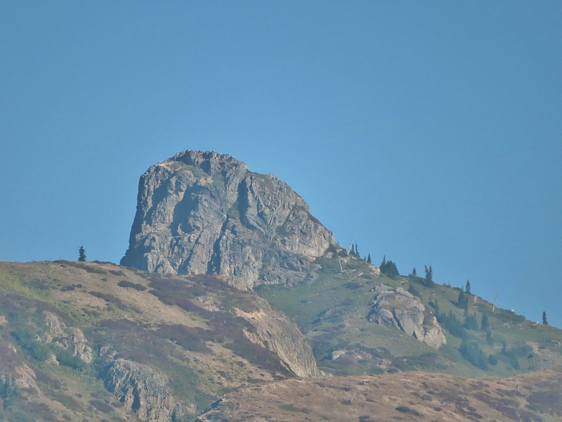 Mount Teragram
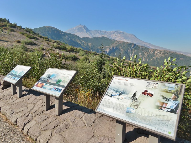 Mt. St. Helens.

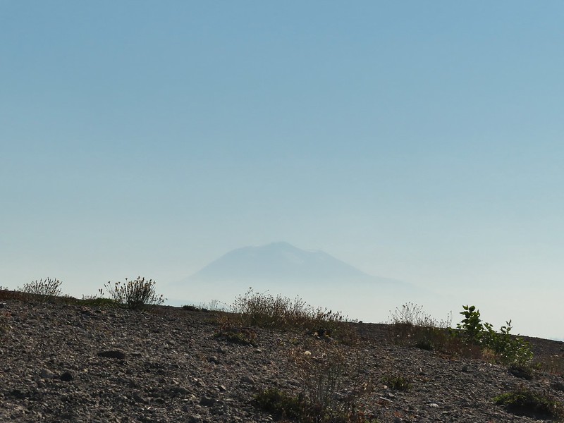 Mt. Adams
 Mt. Rainier

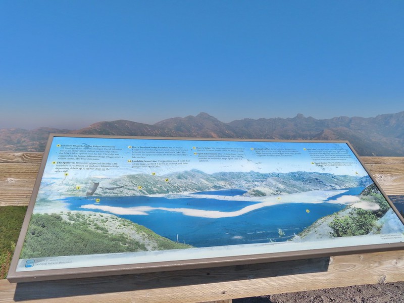
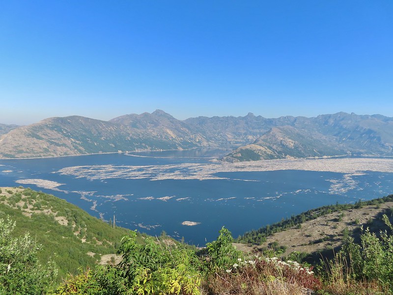
 The Johnston Ridge Observatory was visible across Spirit Lake on a far hillside.
 It’s often hard to tell if you’re seeing dust from rockfall or steam from one of the vents.

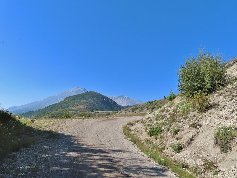
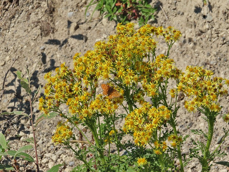 Butterfly on ragwort
 Butterfly on pearly everlasting
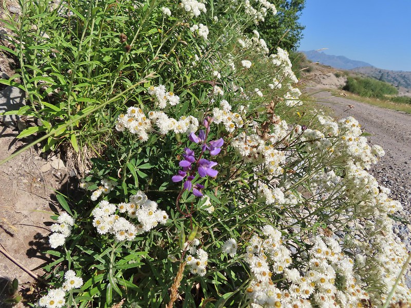 Lupine in the pearly everlasting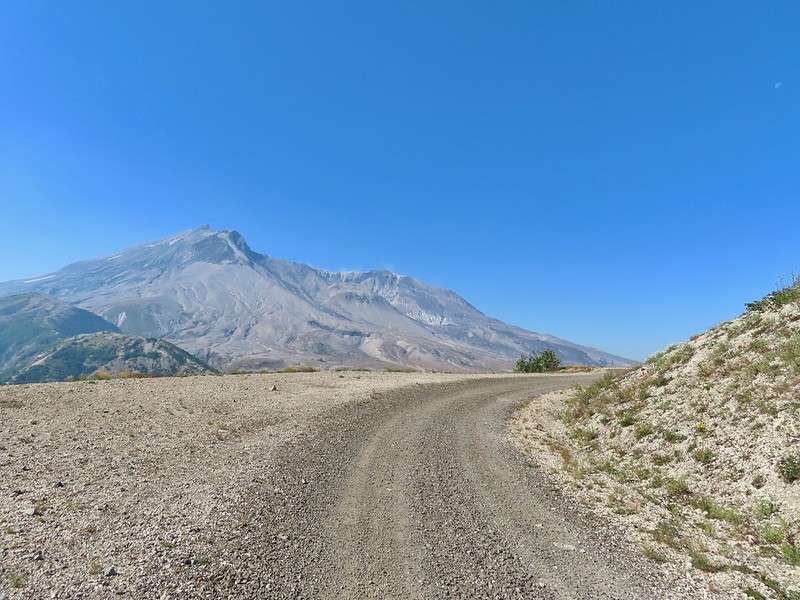
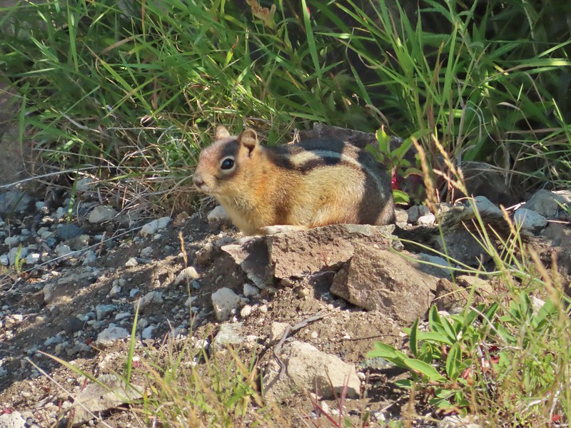 Golden-mantled ground squirrel
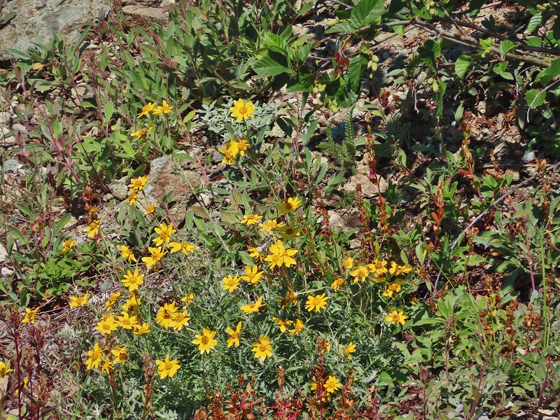 Might be Oregon sunshine
 Penstemon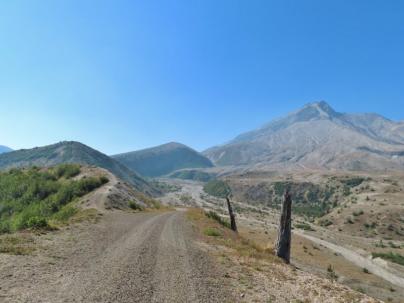


 Paintbrush and dwarf lupine
 Pearly everlasting
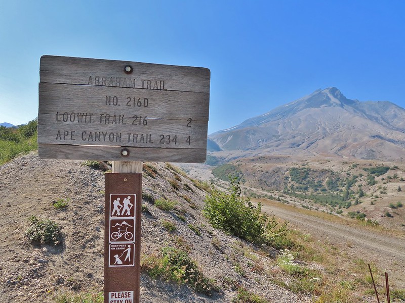
 The Loowit Trail junction.
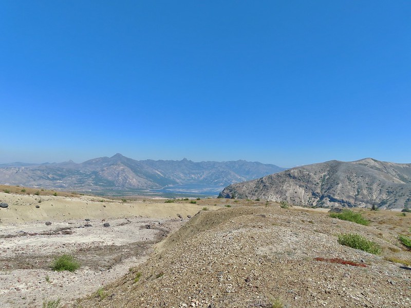 Spirit Lake from the junction.
 In the gully.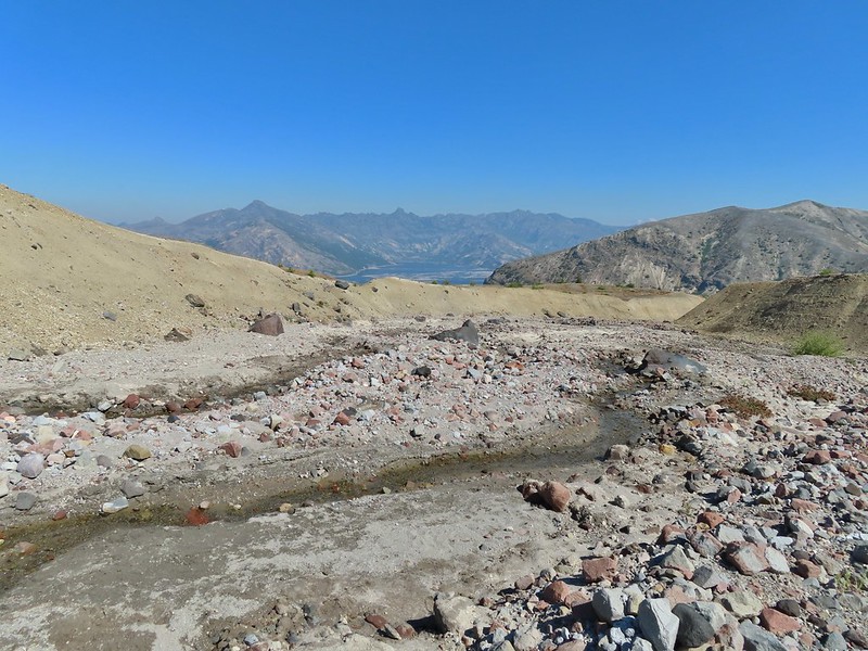
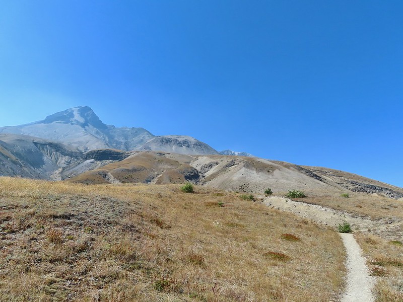
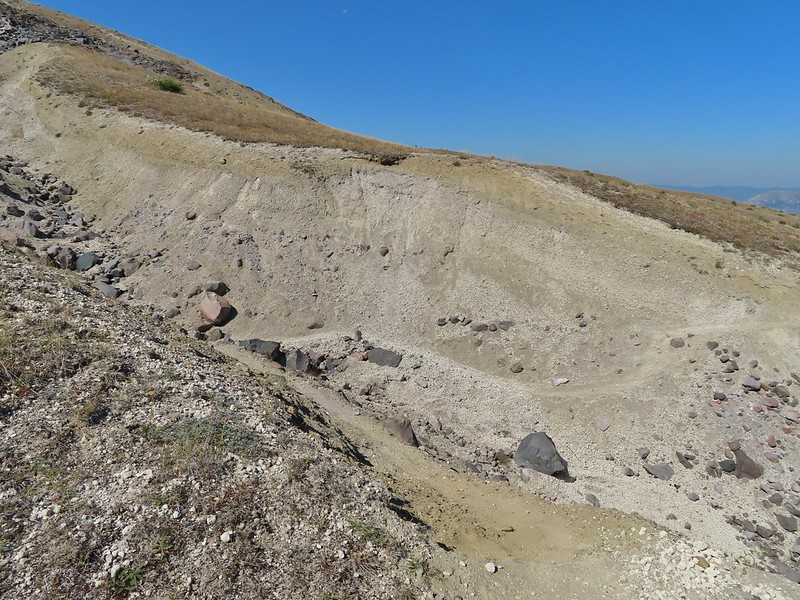 Another gully to cross.
 Big Spring is in the willow thicket.
 The stream flowing over the Loowit Trail.
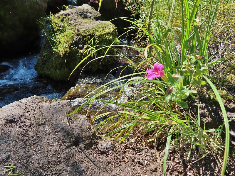 A pink monkeyflower at the spring.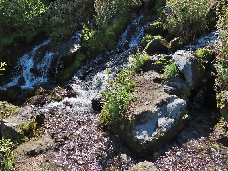
 Looking back at the willows and Big Spring.
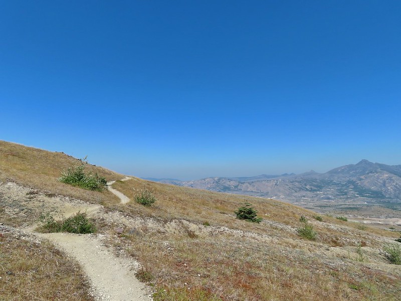 Coldwater Peak to the right.
 The Sugar Bowl lava dome.
 Spirit Lake from the trail.
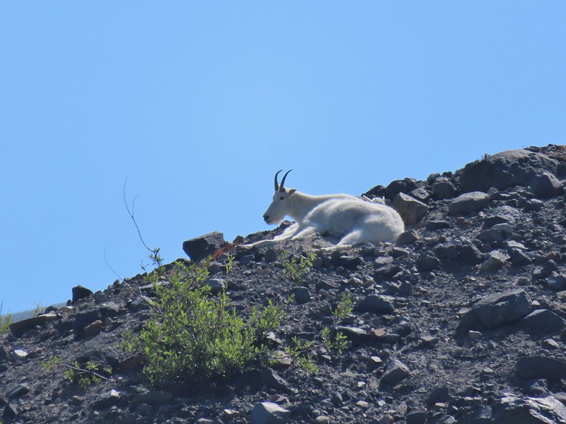
 The first goats we spotted are on this ridge above the lone tree.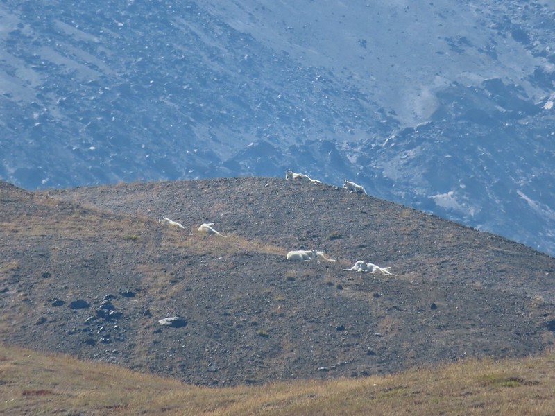
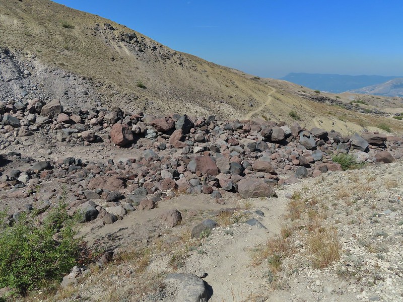 The Loowit Trail crossing two gullies in a short stretch, one red one black.
 Dropping into the second gully.
 From the second gully we could see quite a few more goats on the ridge.
 Approaching the junction with the side trail to Loowit Falls.
 Sign for Loowit Falls.
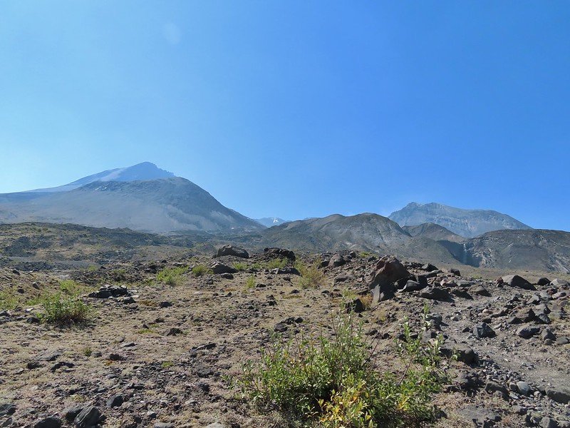 Loowit Falls (right side of the photo) was visible for much of the half mile.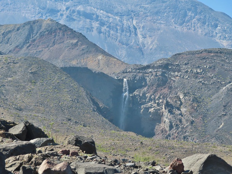
 Looking back at Coldwater Peak and Spirit Lake. (The top of Mt. Rainier is barely visible peaking over the top of the ridges.)


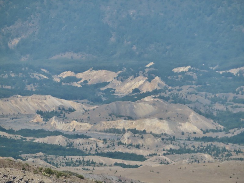


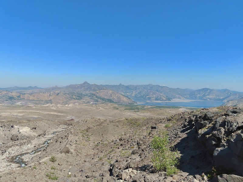 Spirit Lake from the viewpoint.

 Paintbrush
 Dwarf lupine
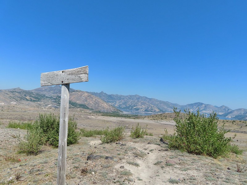
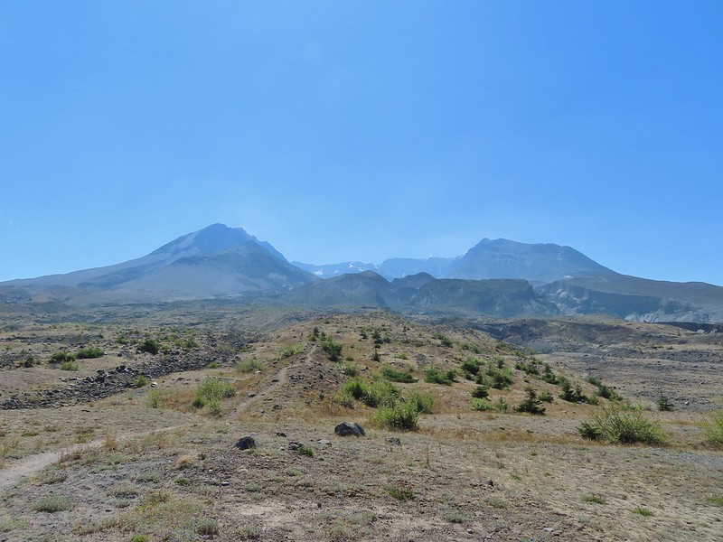 Mt. St. Helens from the Willow Springs Trail.
 Heading toward Spirit Lake.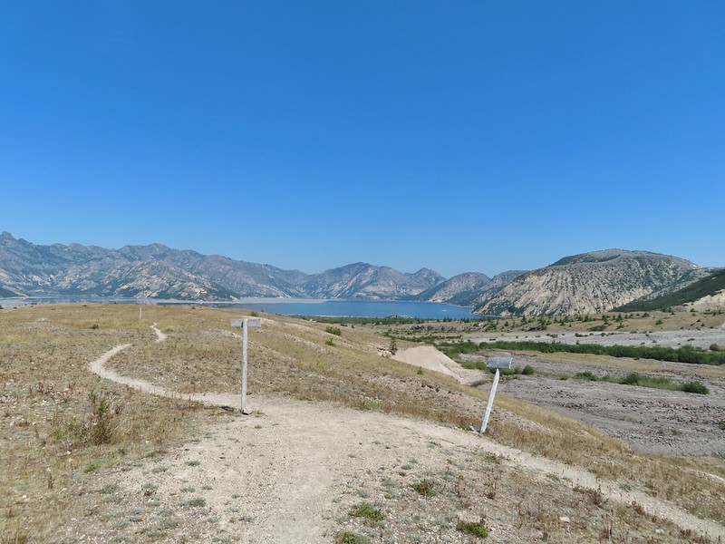

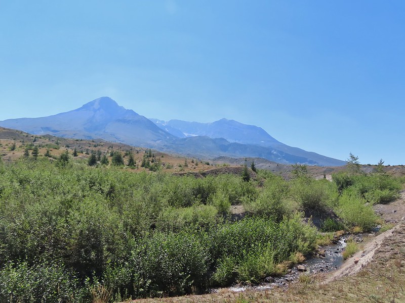
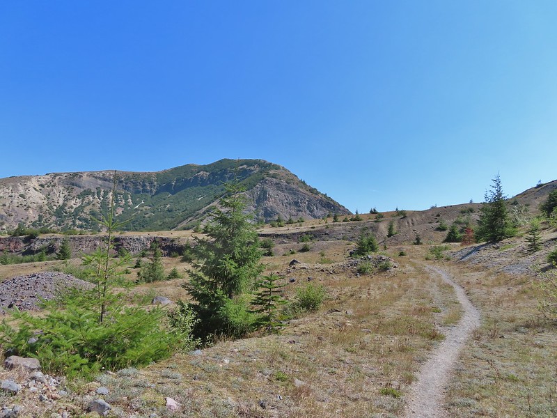

 The Dome above Spirit Lake

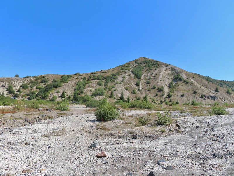 Vehicles ahead in the research parking area.
 Mt. Adams to the left.
 Mt. Adams
 Look out for snakes, not the poisonous kind just don’t want to step on them.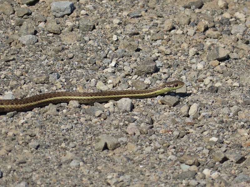
 Some sort of sulphur butterfly on pearly everalsting.



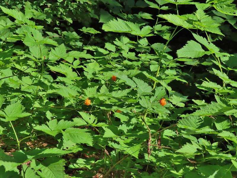 Salmonberries
 Blueberries
 Huckleberries
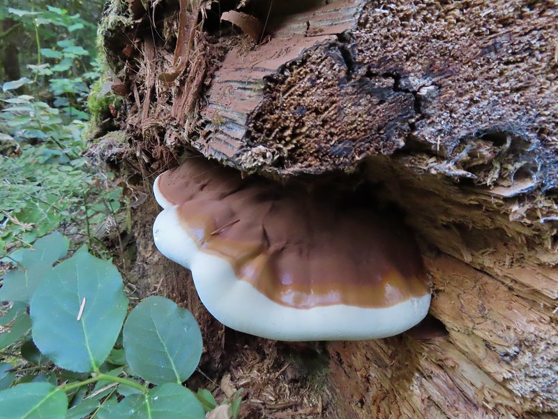
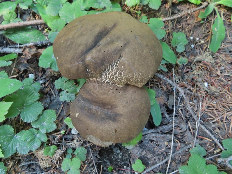 Mushrooms (the flowers of Fall)
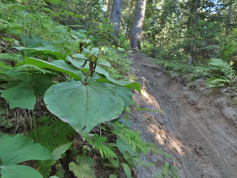 I was really surprised to still be able to make out the remains of the petals on these trillium.
 These bunchberries with a few petals left were near the trillium above.
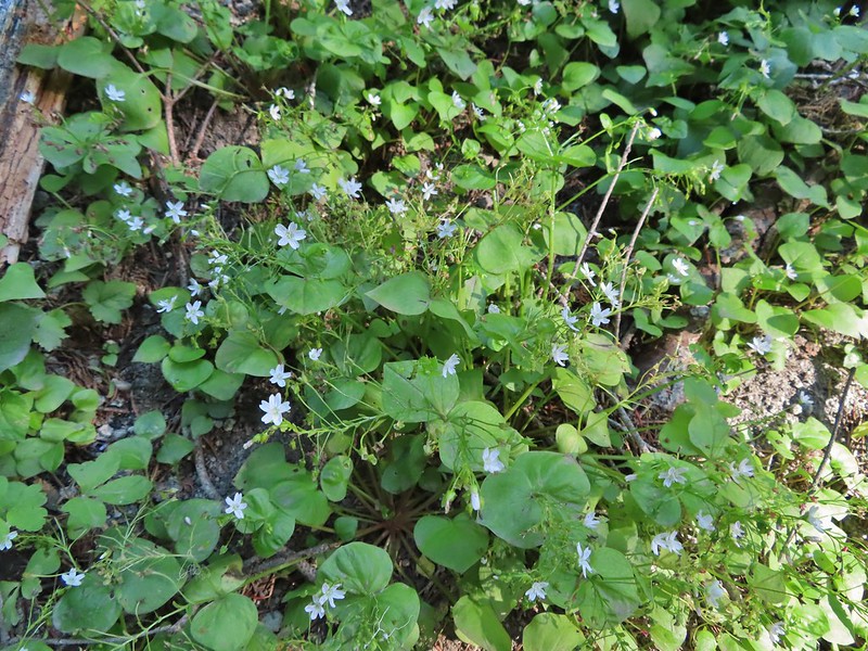 Candyflower

 These thimbleberries weren’t ripe but a short distance further were a lot of ripe ones. I thought I might have to hike back and retrieve Heather from them.
 A brief glimpse of Mt. Rainier from the ridge the trail was following, it looked like a lot of the smoke had blown away.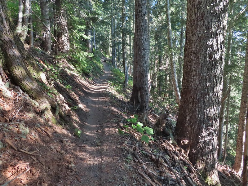

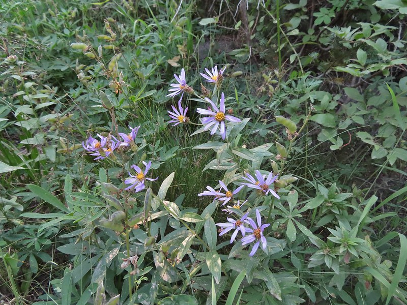 Aster
Aster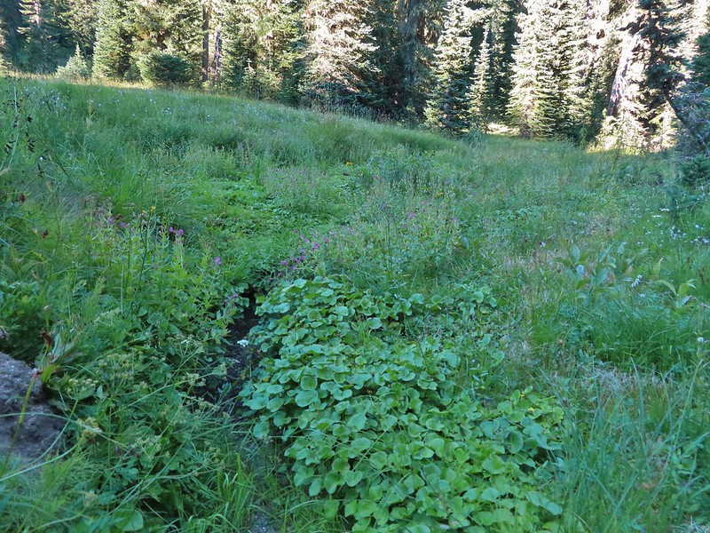 Elk Creek
 Pink monkeyflower along Elk Creek
 Lupine
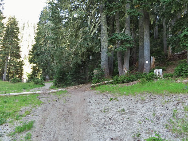 The trail near Badger Lake was particularly torn up and there were several signs posted admonishing motorcyclists to stop driving off trail.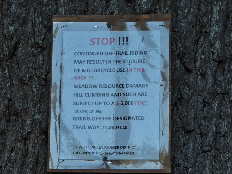
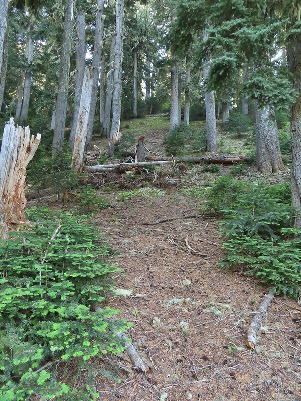 Torn up hillside near the lake, it only takes one or two idiots to cause a lot of damage (the same goes for hikers/mountain bikers).
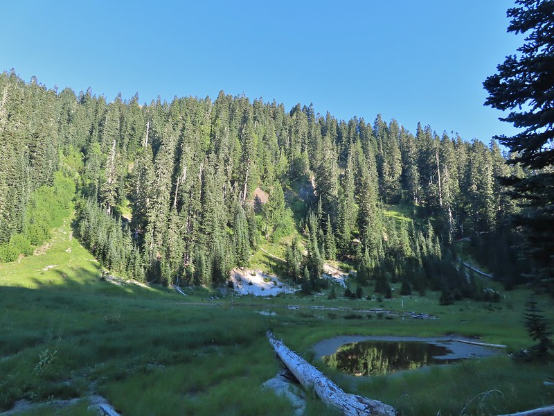 The little puddle in the foreground is not the lake, it is further back.
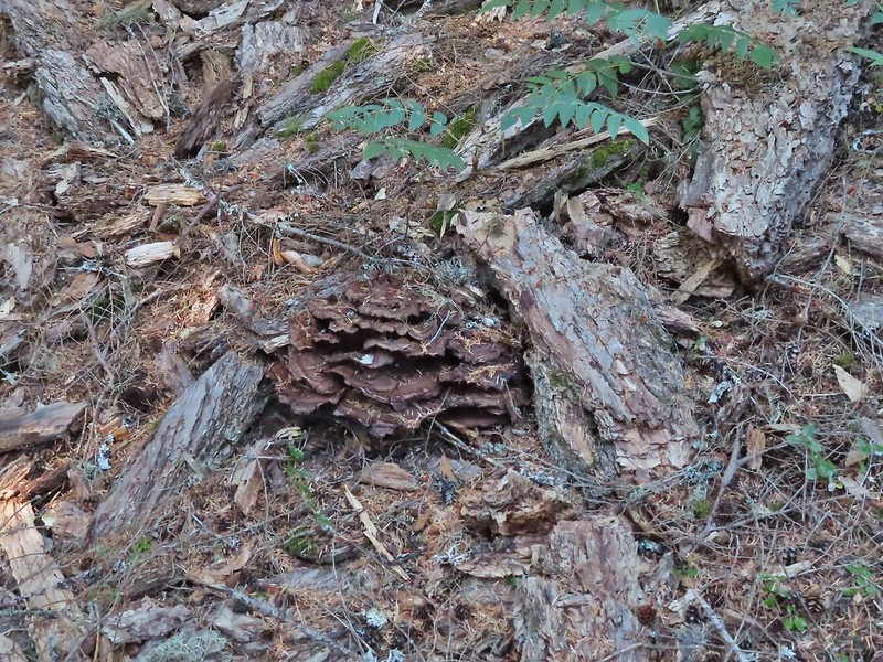
 This mushrooms was at least as wide as a salad plate.


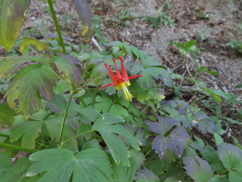 A columbine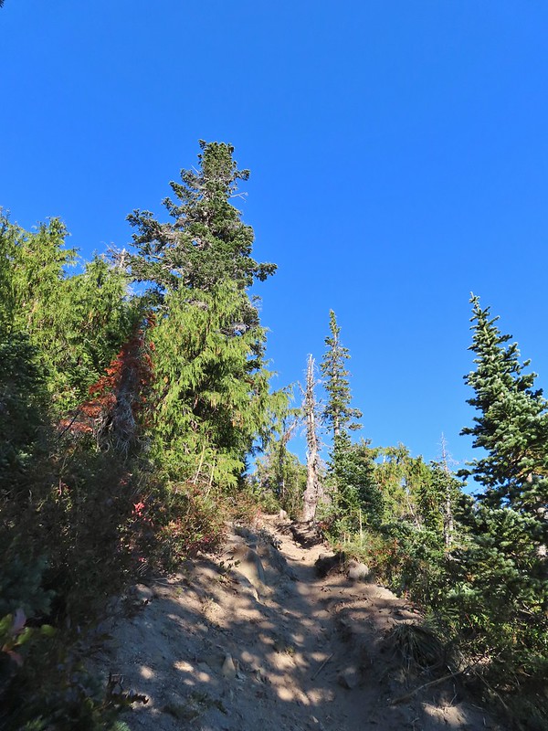
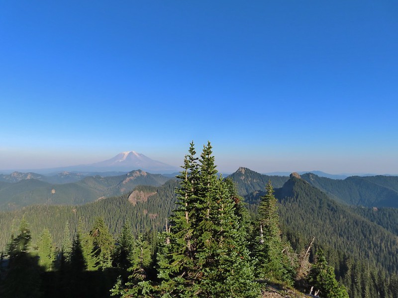
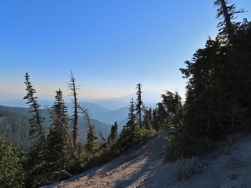 Mt. St. Helens was hard to make out with the combination of haze and Sun position.
 Looking south toward Mt. Hood (I could make it out with the naked eye.)
 Mt. Hood in the haze.
 Mt. Rainier
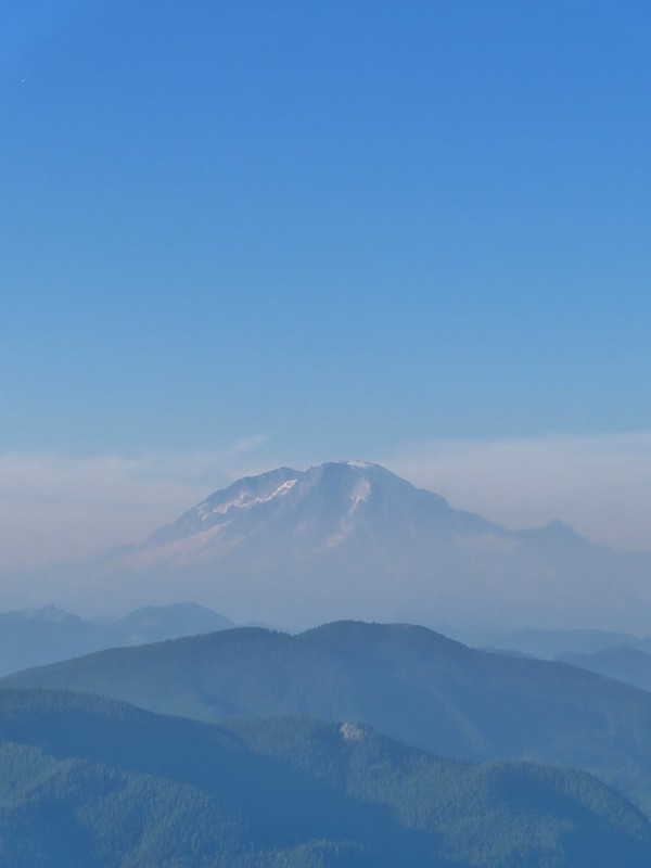 Mt. Rainier
 Mt. Adams
 The Goat Rocks were also hard to make out due to the smoke.
 Western pasque flowers, aka hippies on a stick, below the summit.


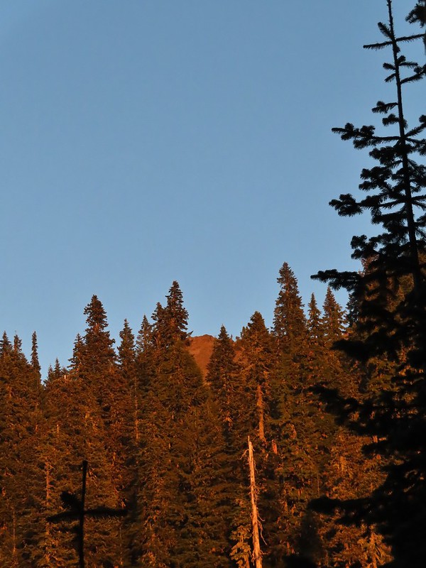 The last of the sunlight hitting Badger Peak.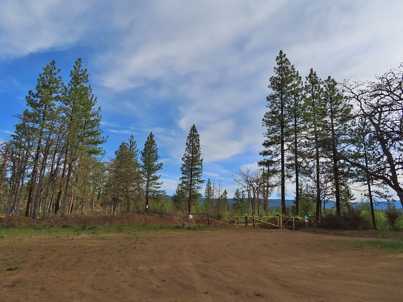
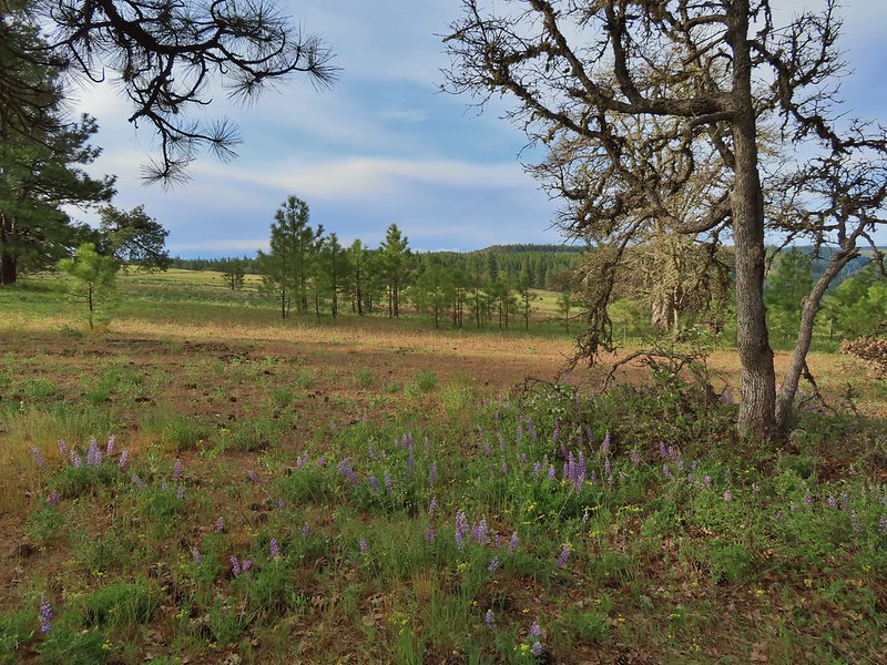 Looking back toward the meadow.
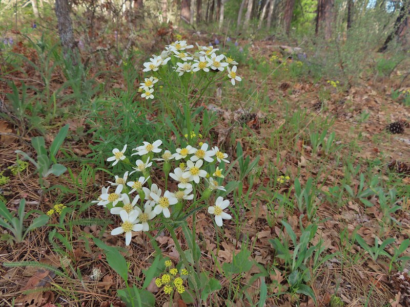 Western white groundsel
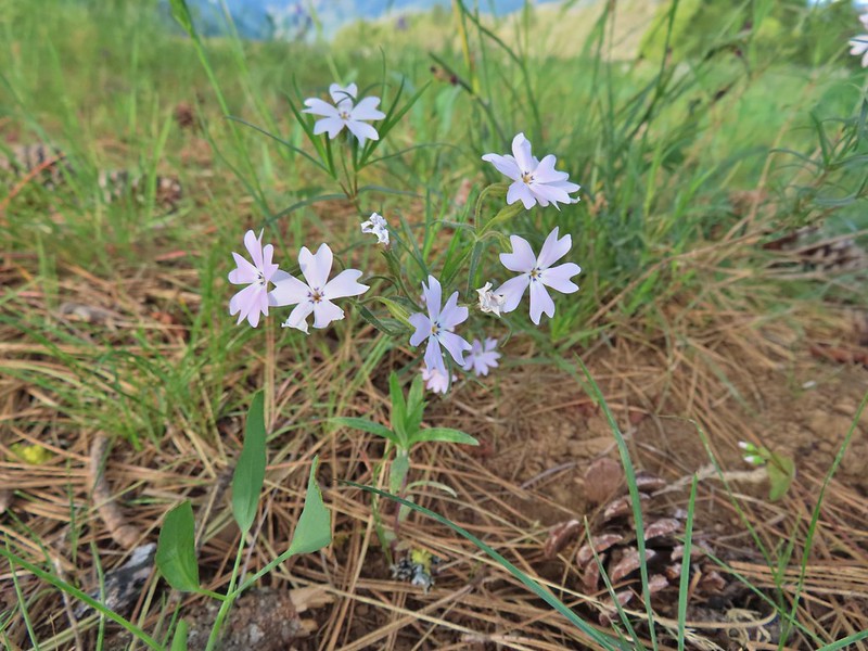 Showy phlox
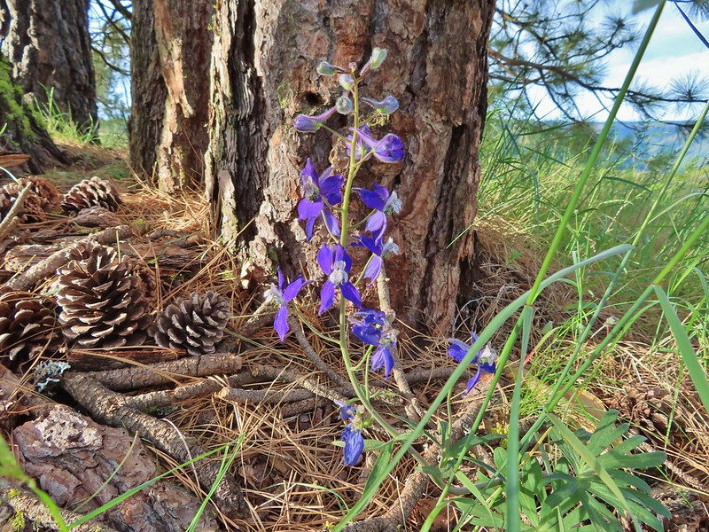 Larkspur
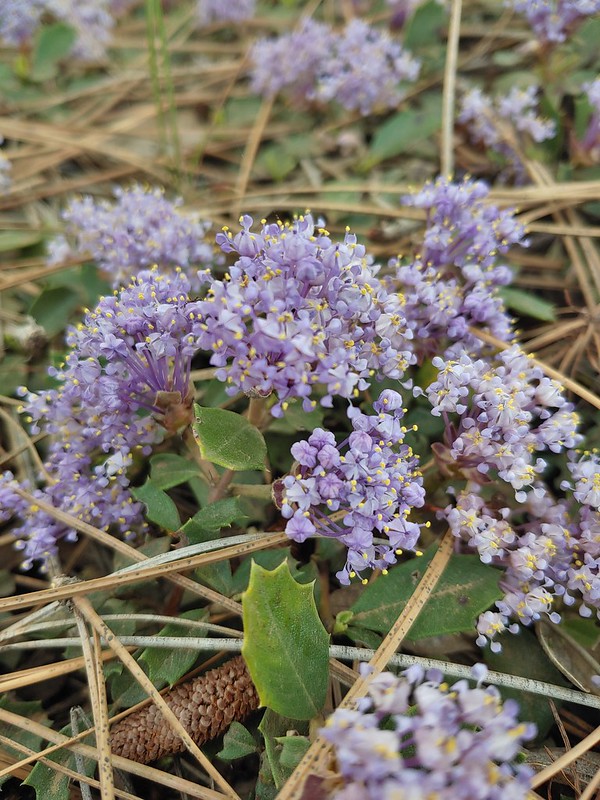 Mahala Mat (Prostrate ceanothus)

 Showy phlox among the oaks.
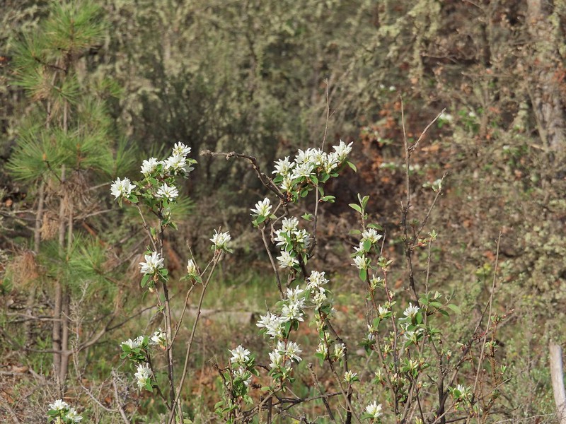 Serviceberry
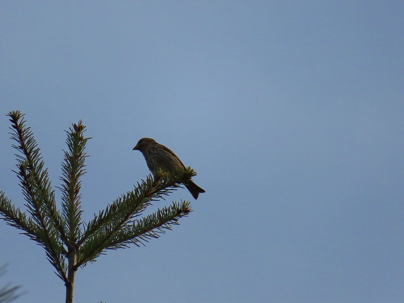 Sparrow
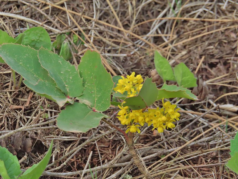 Oregon grape
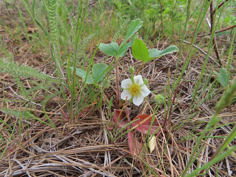 Strawberry
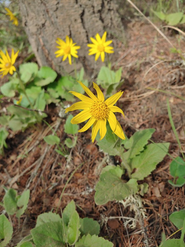 Arnica
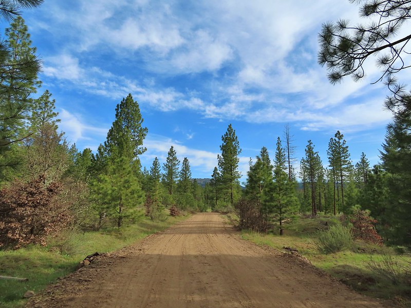 Grayback Mountain from Grayback Road. The first 2.5 miles of the hike only gained 400′ while the next 3.1 gained 1400′.
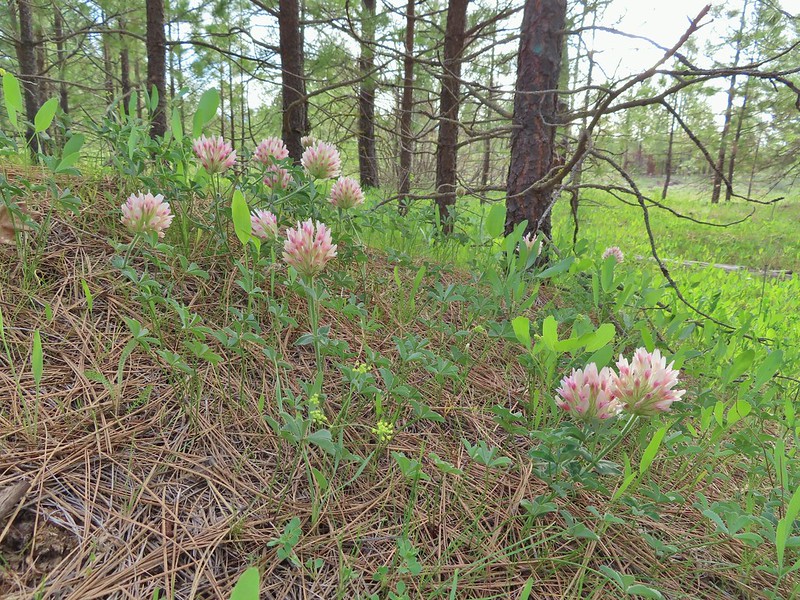 Large head clover
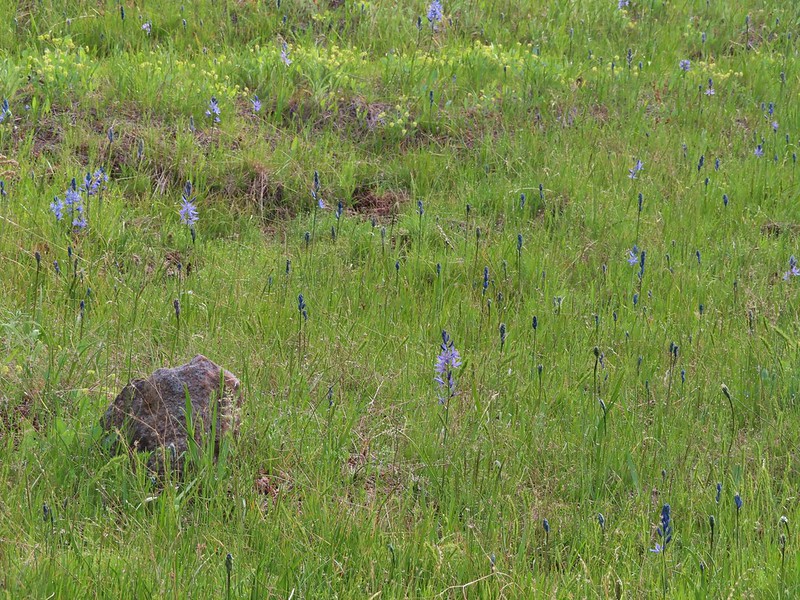 Camas, much of which had yet to bloom.
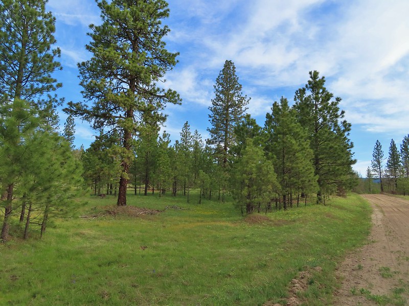 Ponderosa pines along the road.
 Western buttercups
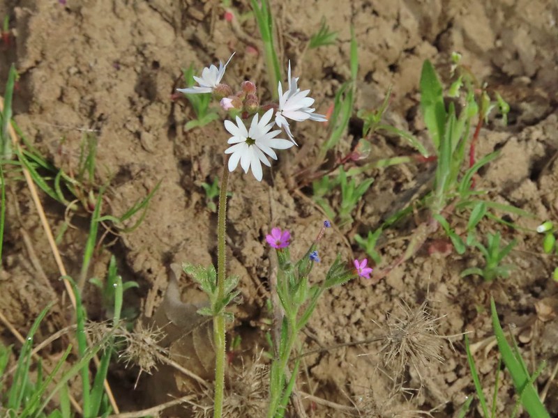 Woodland star and slender phlox
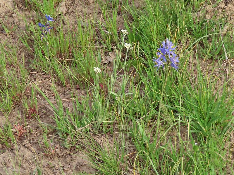 Pussytoes and camas
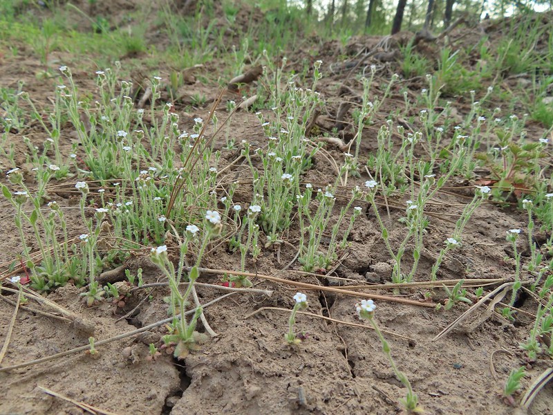 A cryptantha
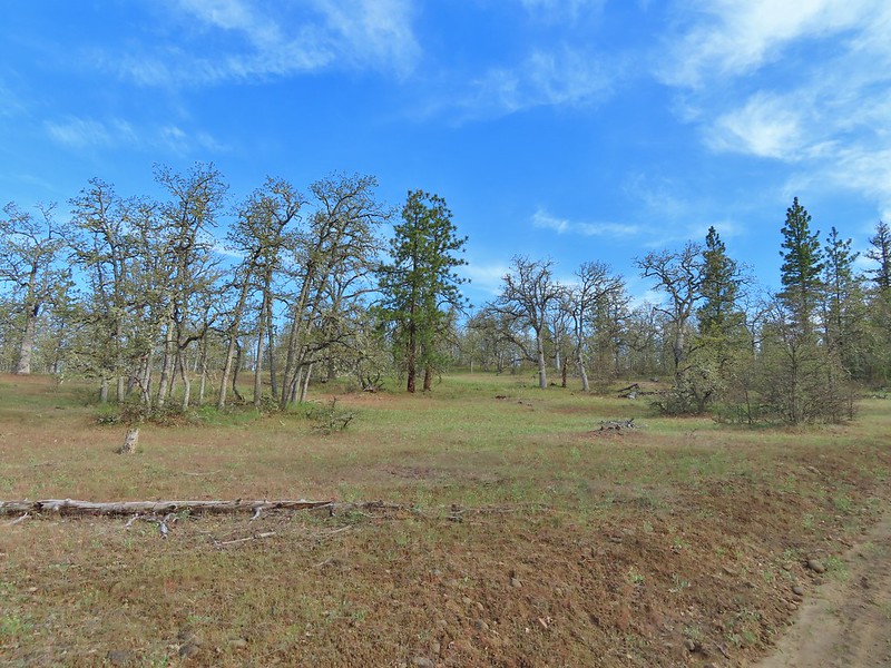 Oaks and ponderosas
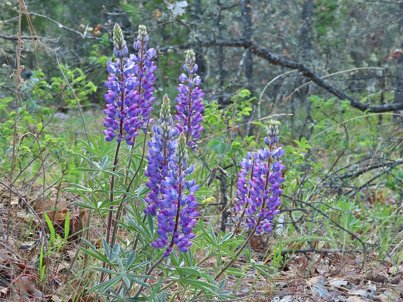 Lupine
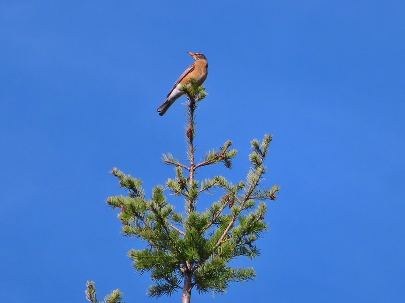 Robin
Robin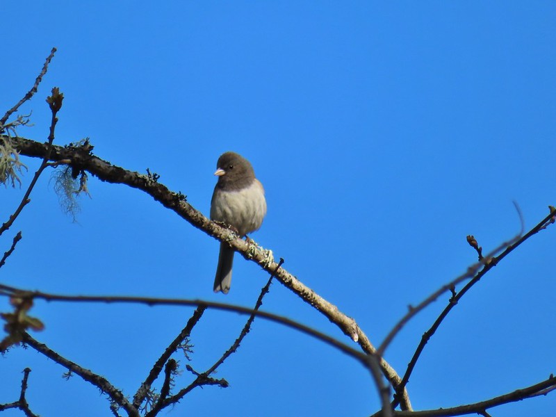 Dark eyed junco
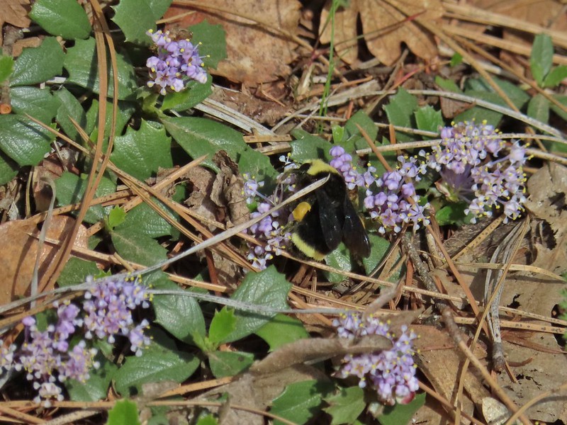 Bumble bee
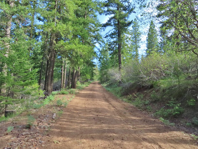 A more forested section of the road.
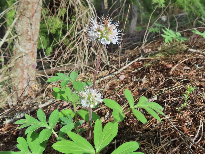 Ball-head waterleaf
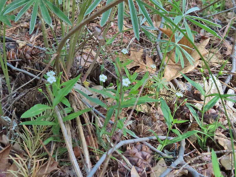 Largeleaf sandwort
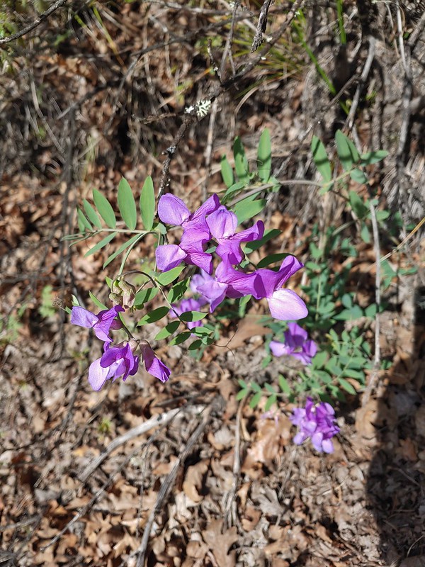 American vetch
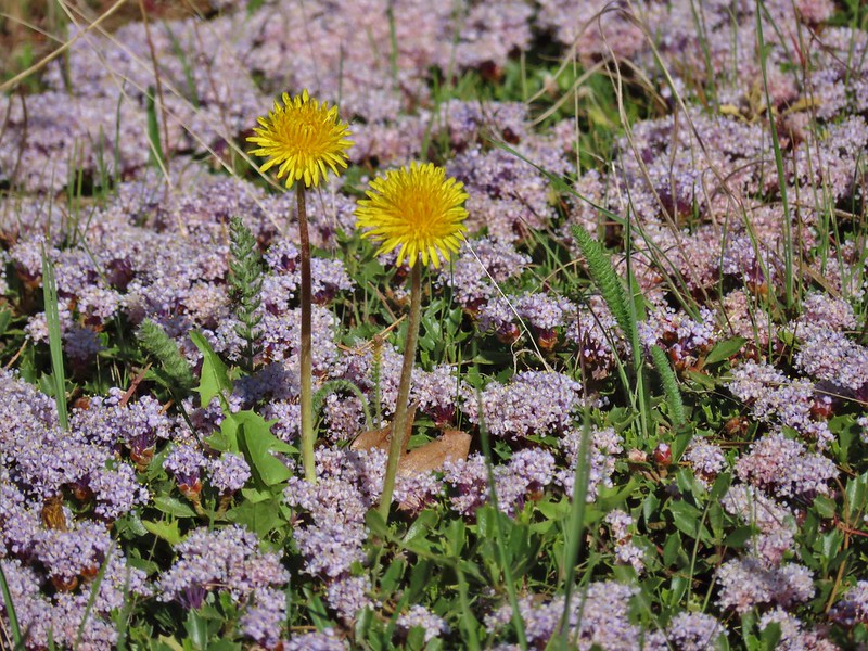 Dandelions in Mahala Mat
 Bitter cherry
 The real climb started at about the 4 mile mark at a junction below Grayback Mountain.
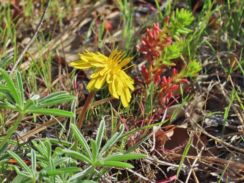 Sagebrush false dandelion
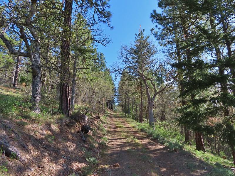 Climbing up Grayback Mountain
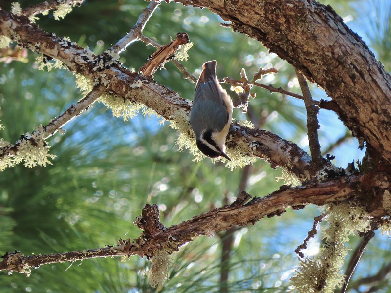 Red breasted nuthatch
 First view of Mt. Hood since the trailhead.
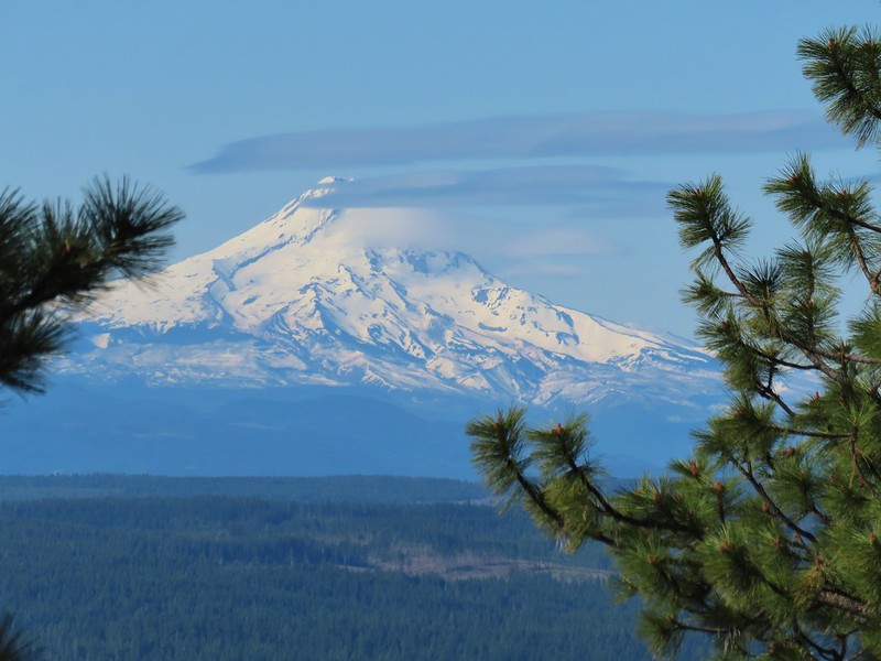 Mt. Hood
 Buckwheat
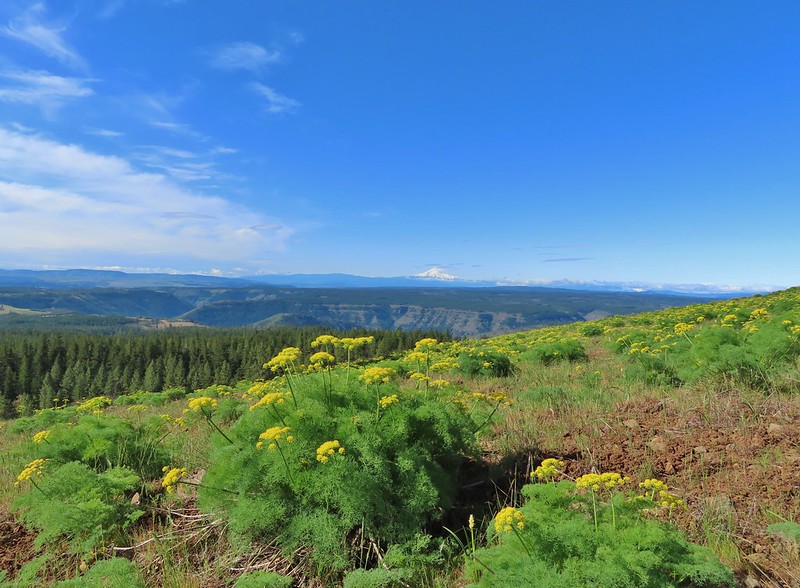 Mt. Hood beyond the Klickitat River Canyon
 Turkey vulture
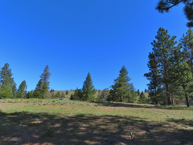 Entering the meadows on Grayback Mountain.
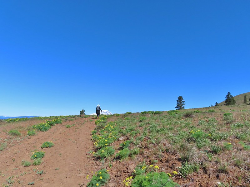 Approaching the first view of Mt. Adams.
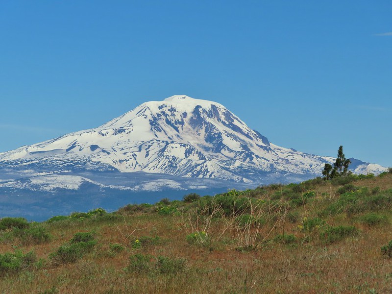 Mt. Adams
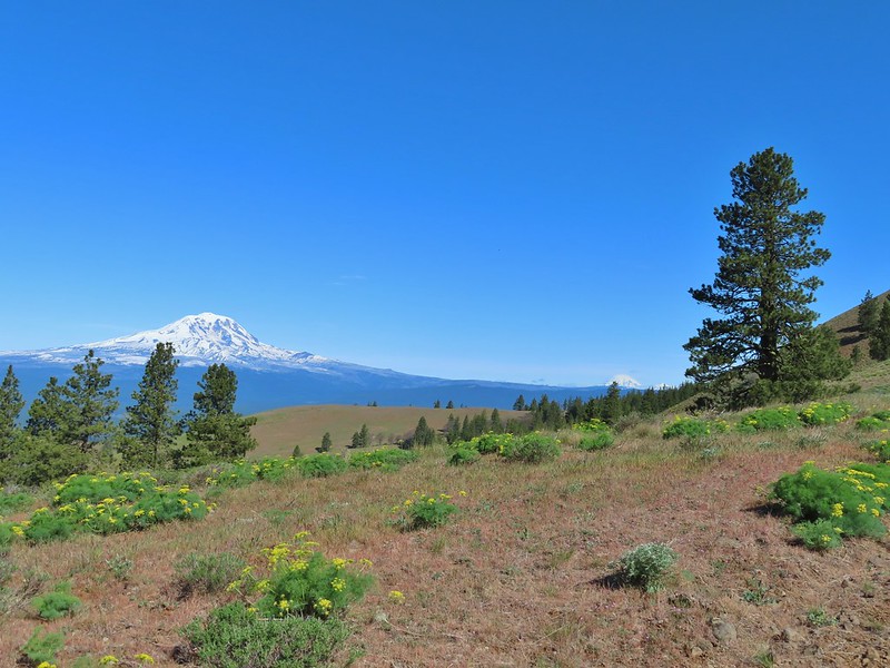 Mt. Adams, Mt. Rainier and Goat Rocks
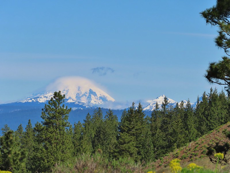 Mt. Rainier and Goat Rocks
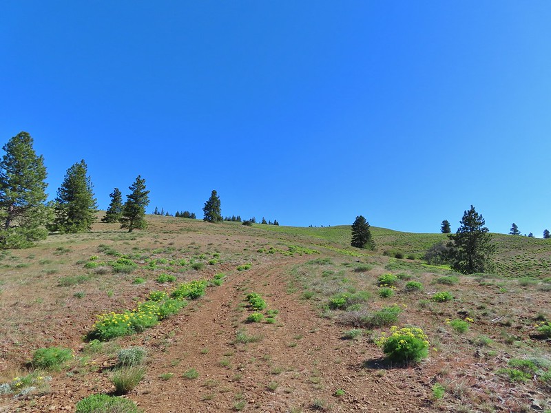 In the meadows.
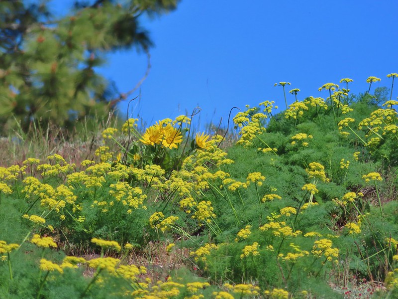 A balsamroot surrounded by parsley.
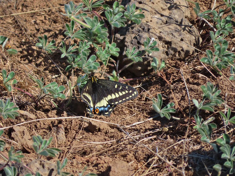 Indra swallowtail
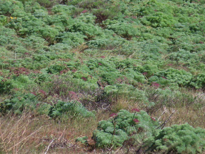 Western meadowlark in a patch of Columbia desert parsley.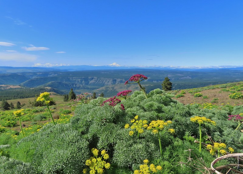
 Radio equipment atop Grayback Mountain with Mt. Adams beyond.
 Mt. Hood (we could just barely make out the top of Mt. Jefferson too.) from the summit.
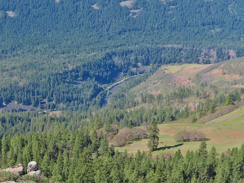 The Klickitat River
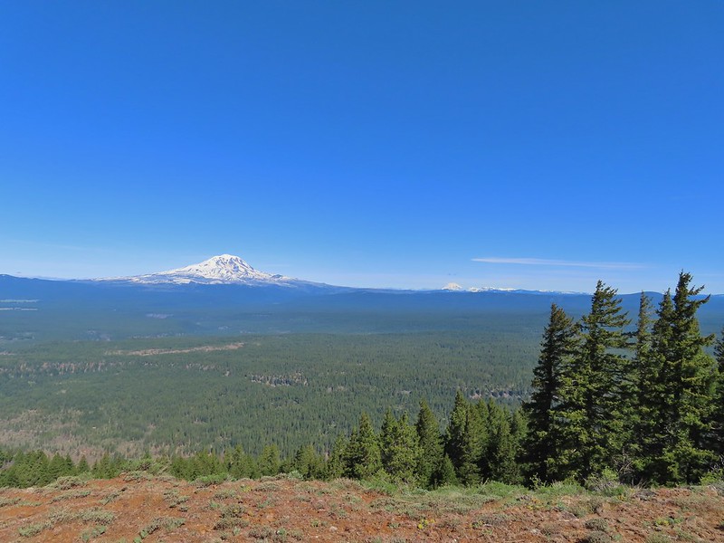 Mt. Adams, Mt. Rainier and Goat Rocks
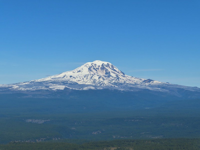 Mt. Adams
 Mt. Rainier and Goat Rocks (the Klickitat River originates from Goat Rocks.)
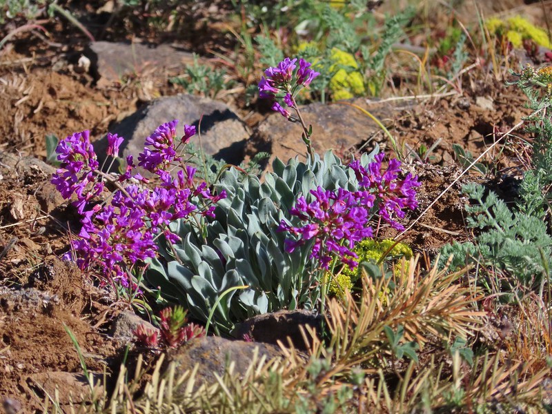 Daggerpod
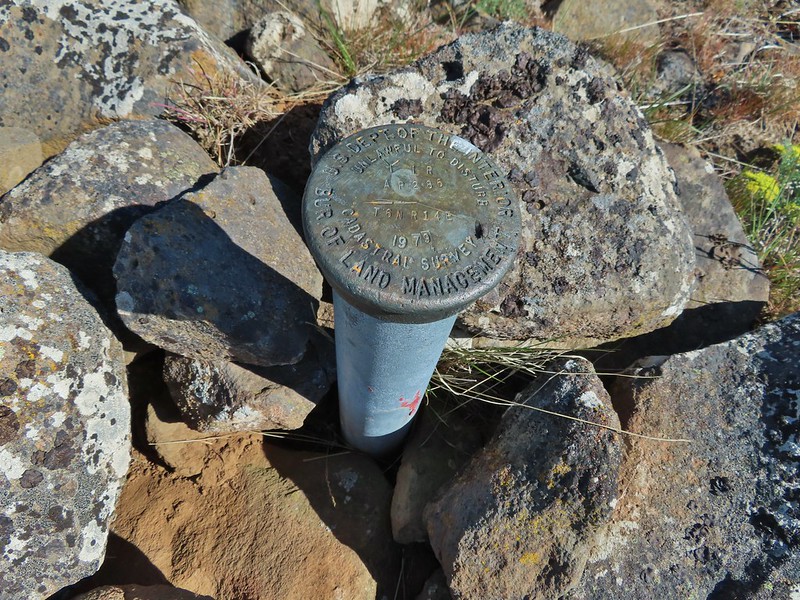 Obligatory survey marker photo.
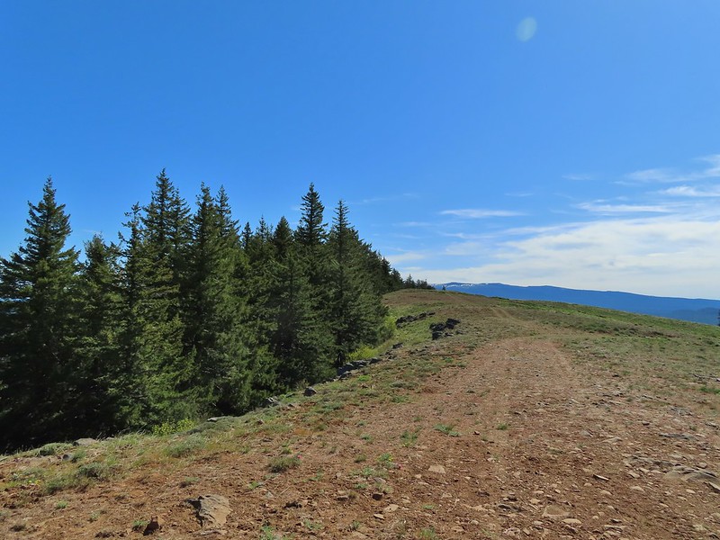 Looking east across the summit to the long ridge of Indian Rock. The boundary of the Yakima Indian Reservation is just on the north side of the summit.
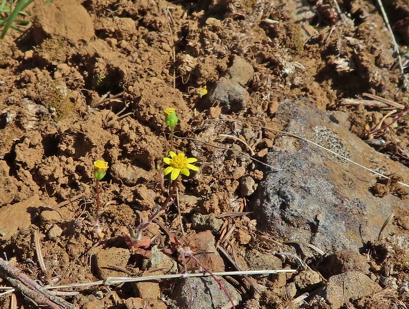 A few gold stars still had petals.
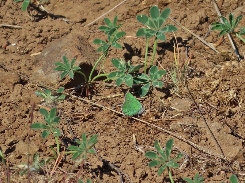 A hairstreak but I’m not sure which type.
 At least 4 ants on a large head clover.
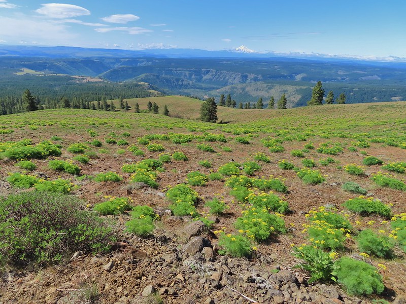 Looking back south down Grayback Mountain.
 There was a lot of white-stemmed frasera in the area but this was the closest one to blooming (and it’s a ways off).
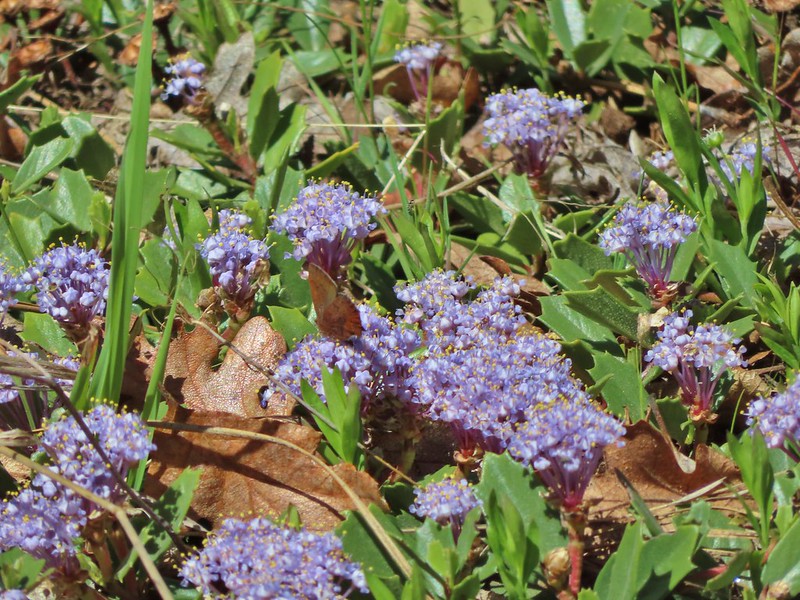 Maybe a brown elfin. I couldn’t get a clear picture of this one.
 Erynnis propertius – Propertius Duskywing (aka Western Oak Dustywing). There were lots of these duskywings flying about, it turns out that oaks are their host plants.
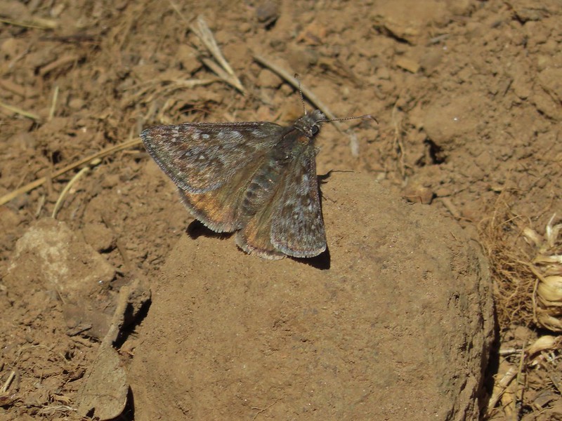 Another Erynnis propertius
 Juba skippers caught in the act.
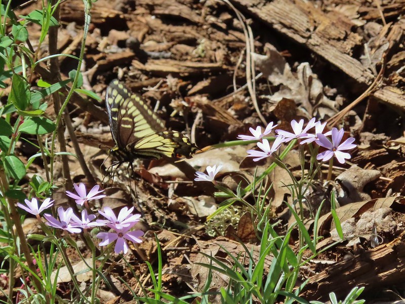 Anise swallowtail coming in for a landing on showy phlox.
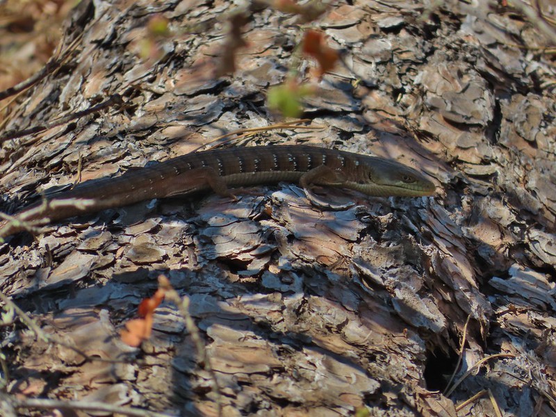 Alligator lizard on a log.
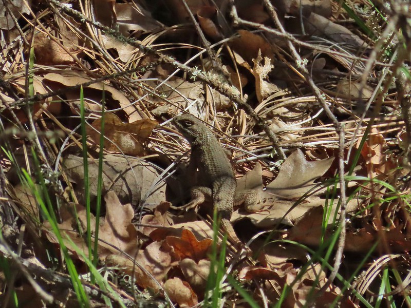 Western fence lizard
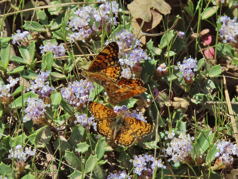 I believe these to be Mylitta crescents.
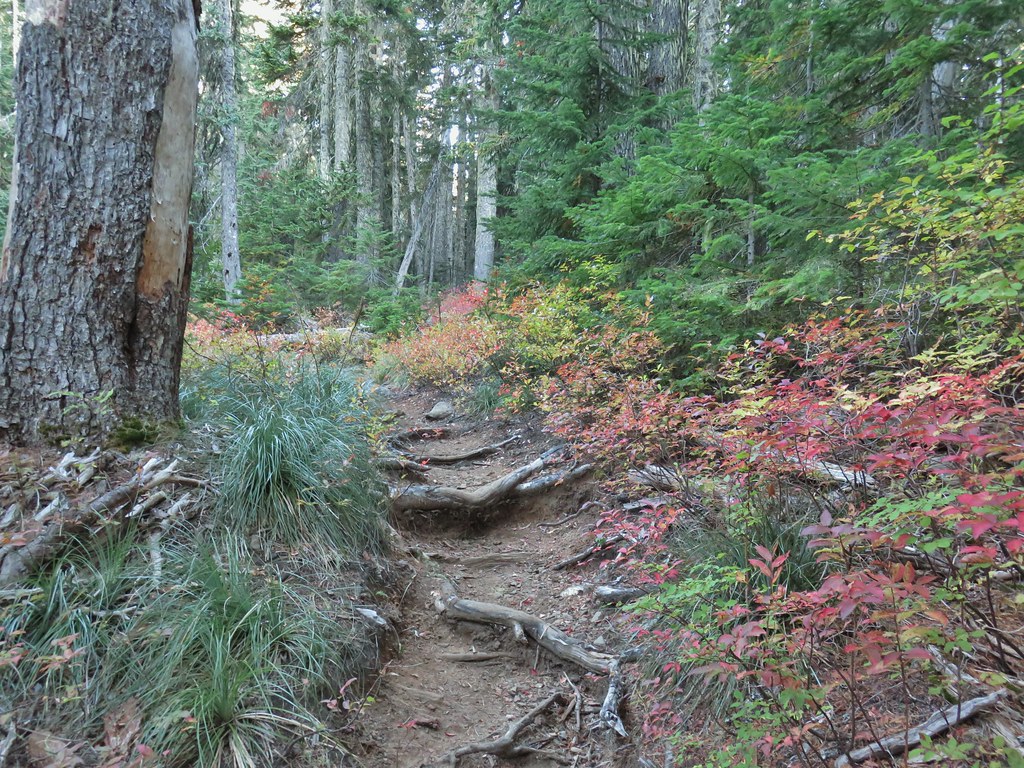


 Still some fireweed blooming in the fire scar.
 East Crater beyond a pond.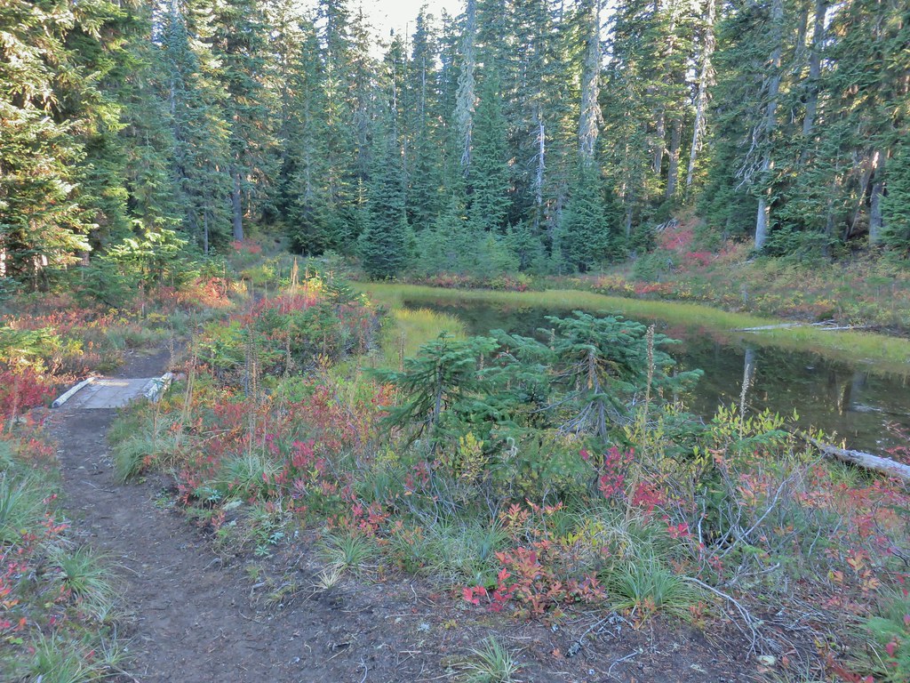
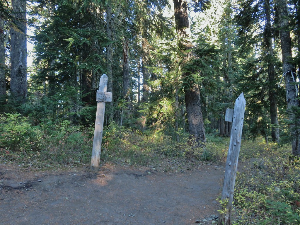
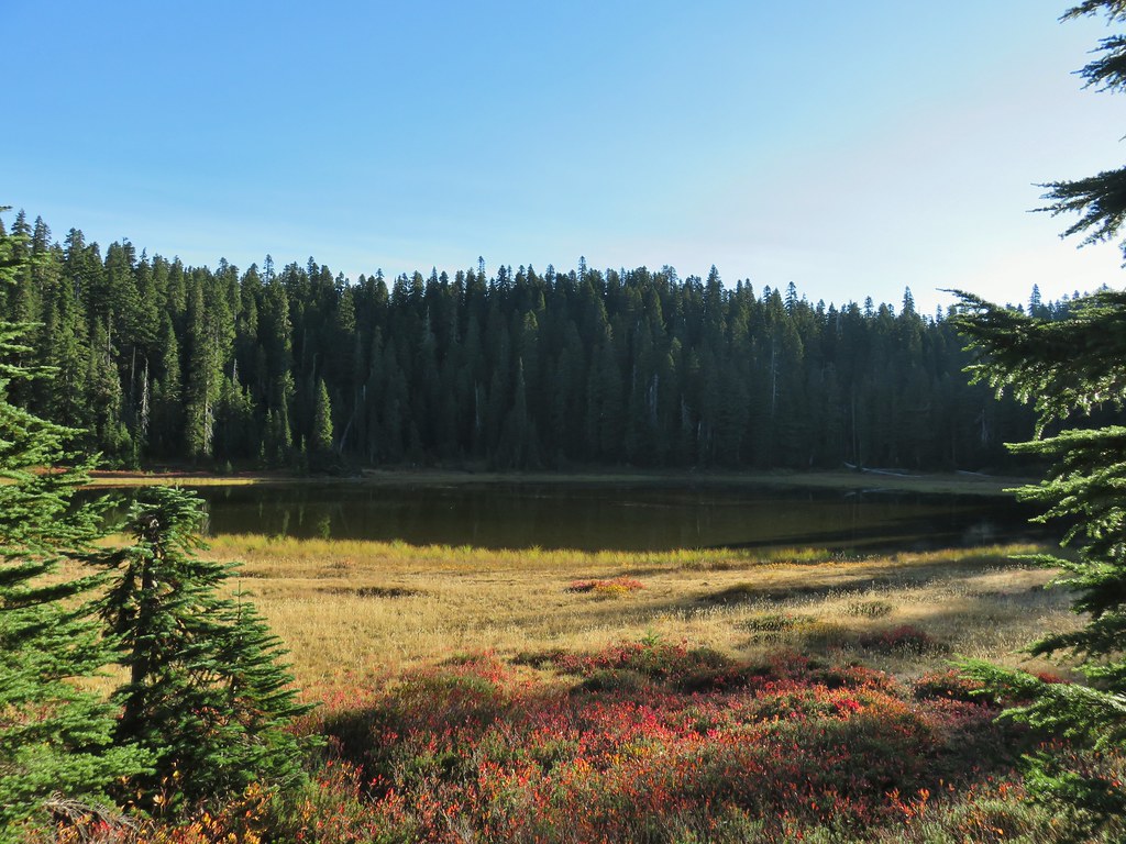 Junction Lake
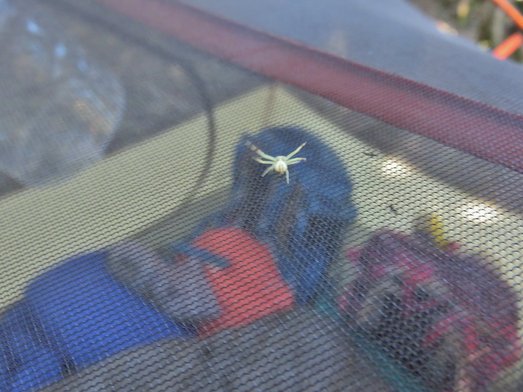 This crab spider offered to watch our tent for us while we were away.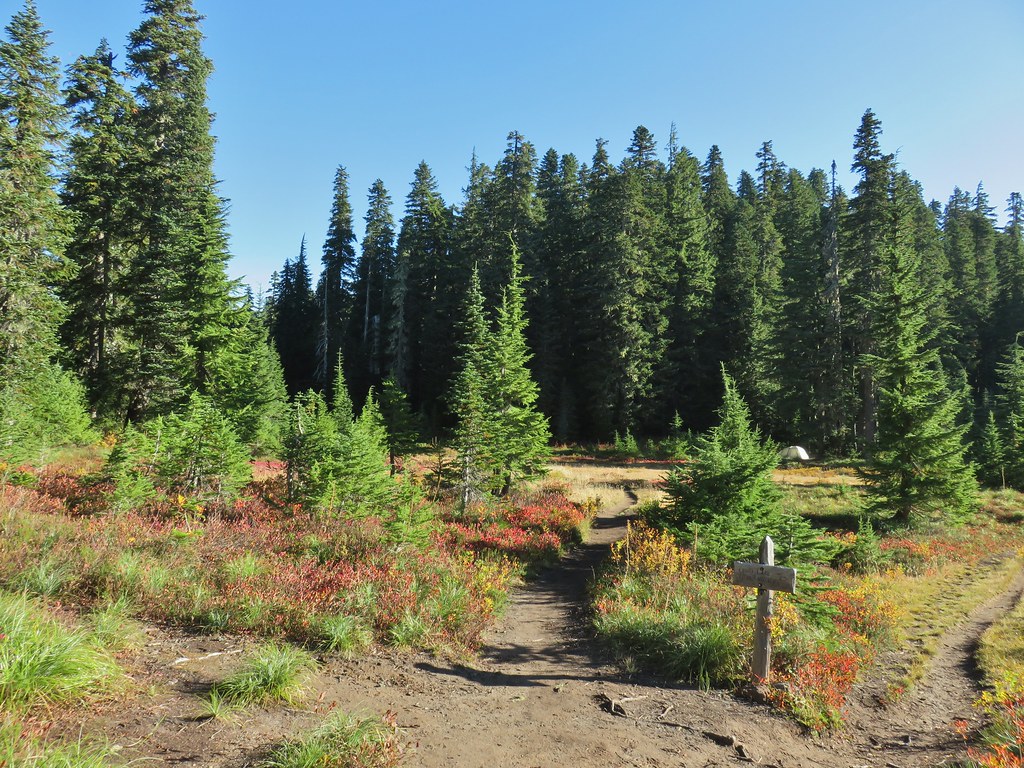


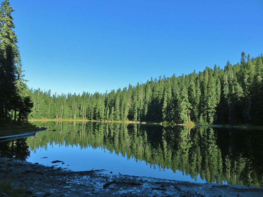

 Placid Lake Trail on the left.
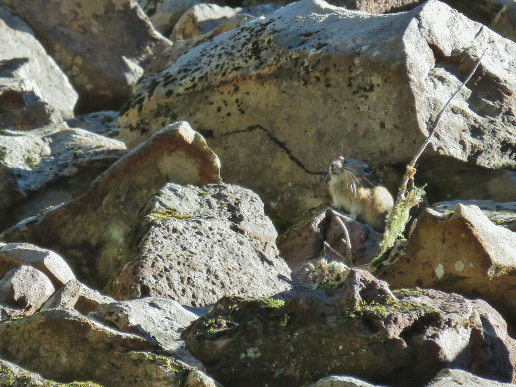
 No pikas in these rocks, that we saw.
 PCT at the 4-way junction.
 Cultus Creek Trail heading uphill to the right.

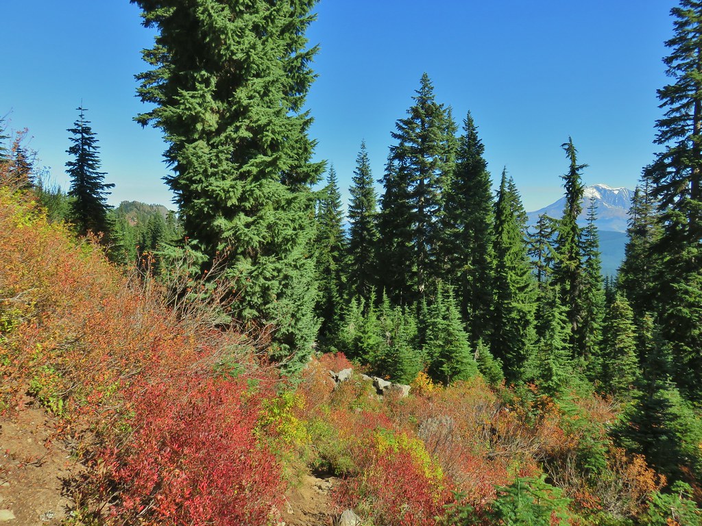
 Goat Rocks with Mt. Adams hiding behind trees.
 Mt. Rainier behind Sawtooth Mountain (and Steamboat Mountain to the right)
 Mt. Rainier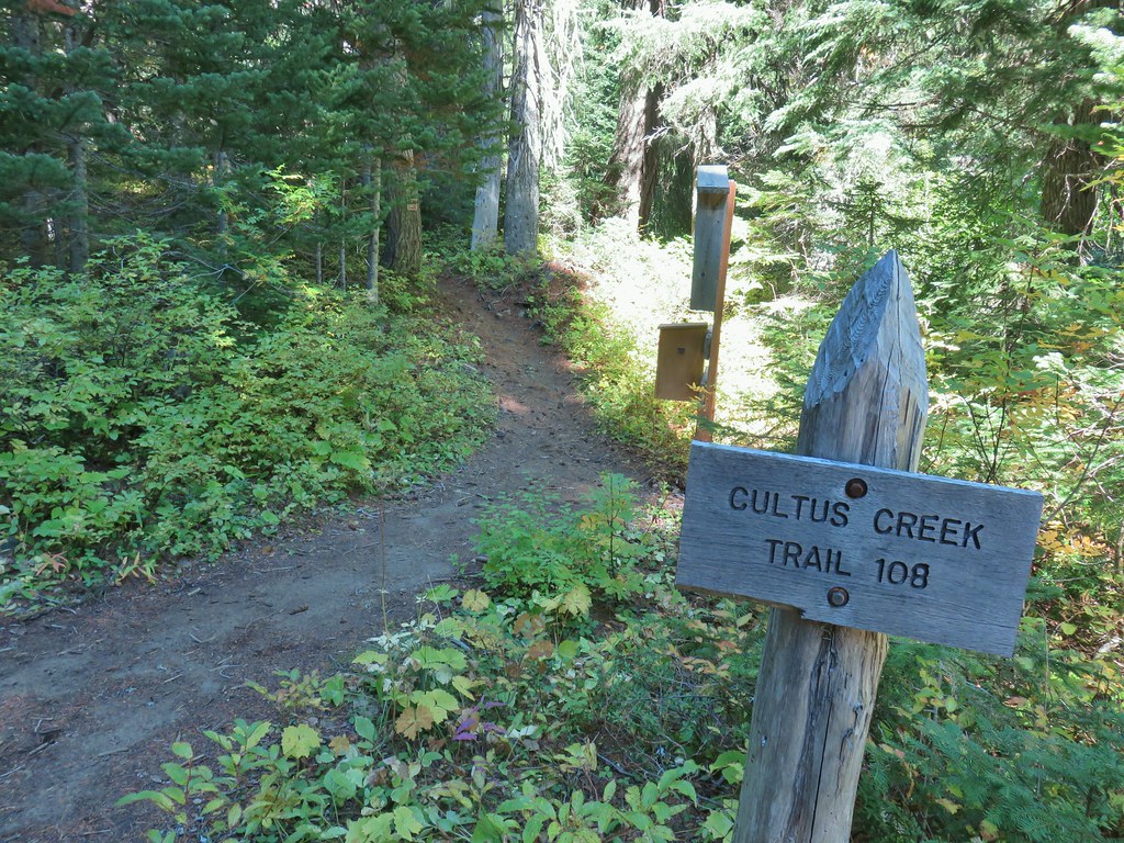




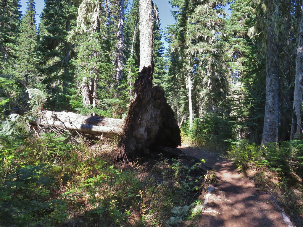 The Labor Day wind storm had knocked a number of trees down but the trails we took had mostly been cleared already.

 Cultus Lake from the Deep Lake Trail.
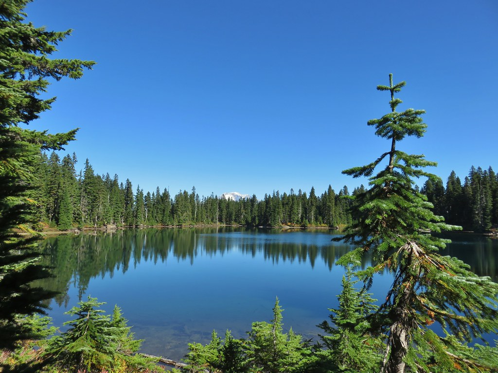
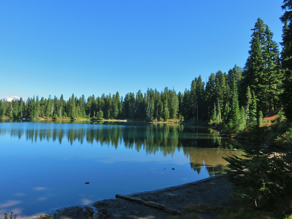
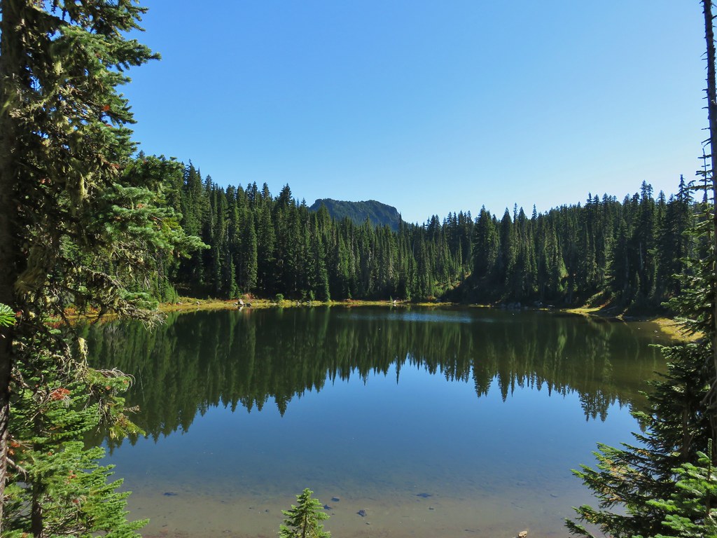 Lemi Rock beyond Cultus Lake
 Cultus Lake from the Lemi Trail.

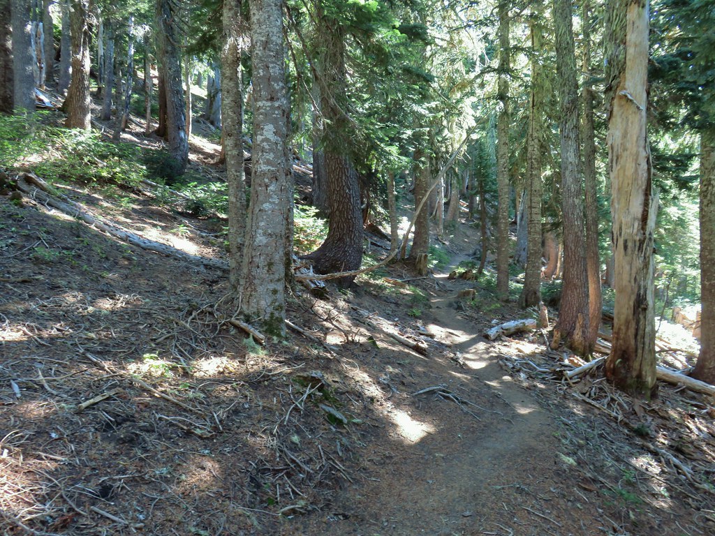 The climb was up a forested hillside.
 Mt. St. Helens

 Mt. Adams as we approached the viewpoint.
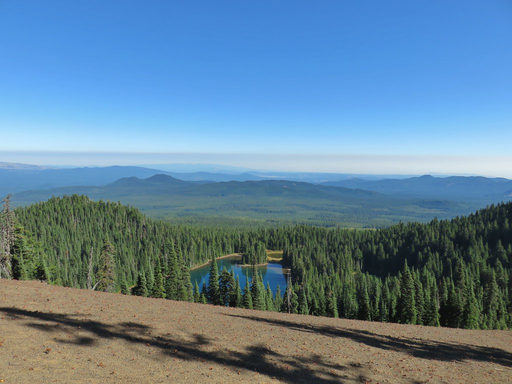 Lake Wapiki
 Mt. Hood


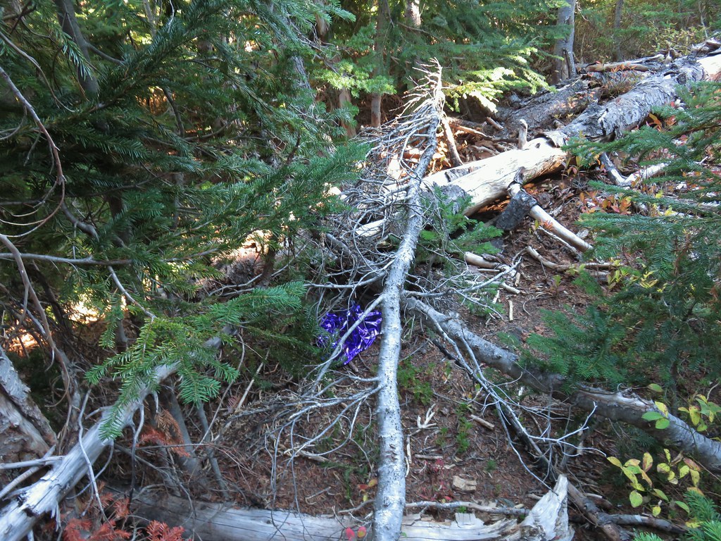
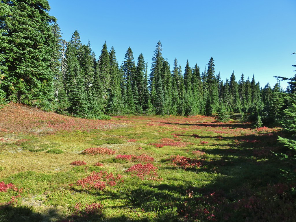
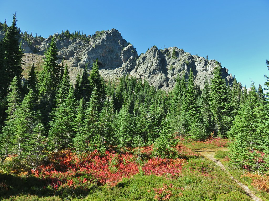


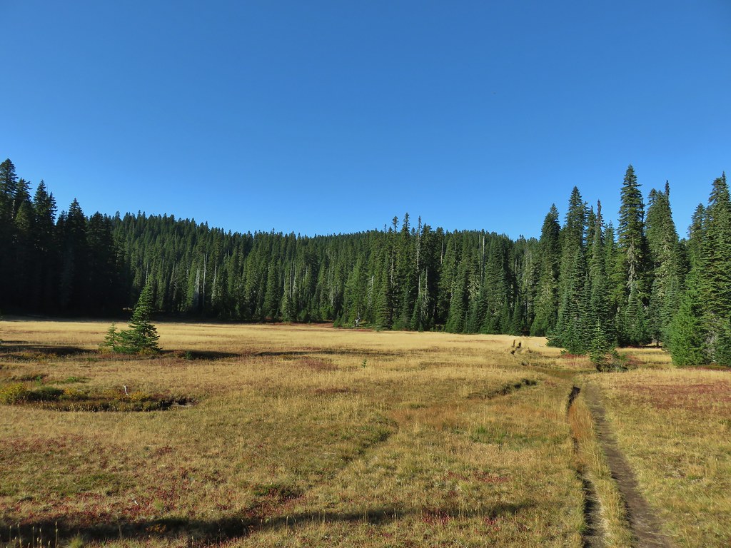

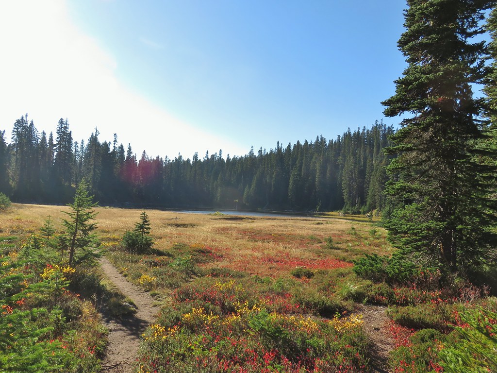 Lemi Lake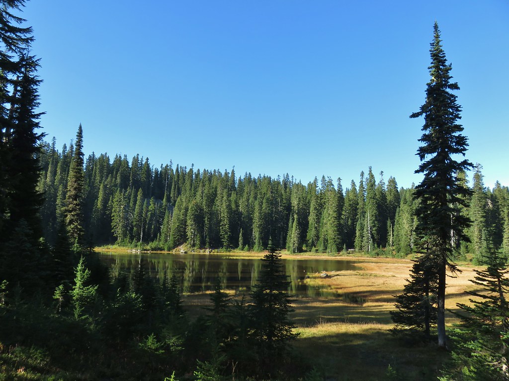


 Pearly everlasting
 Lemi Rock from the Lemi Lake Trail.

 Junction Lake
 Back to the PCT.
 Junction Lake from the PCT/Lemi Lake Trail junction.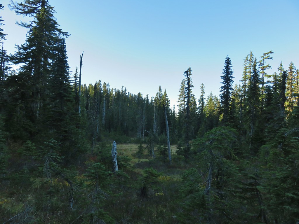

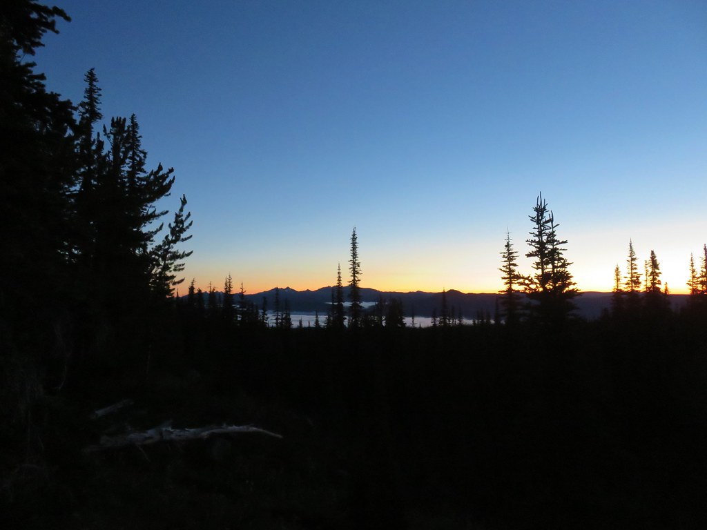 Goat Rocks in the morning
 Mt. Adams
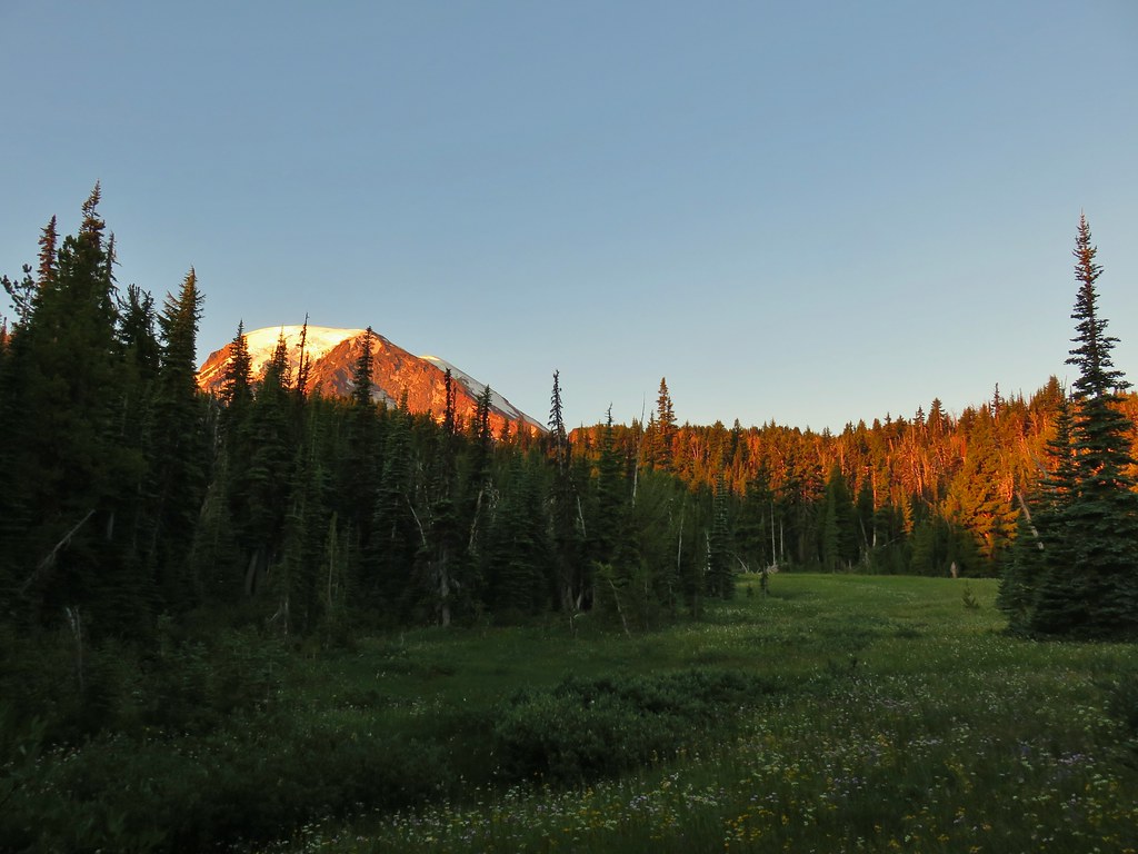
 Looking down the Muddy Meadows Trail from the log.
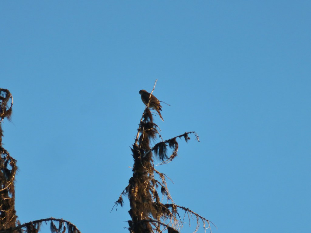 Small hawk
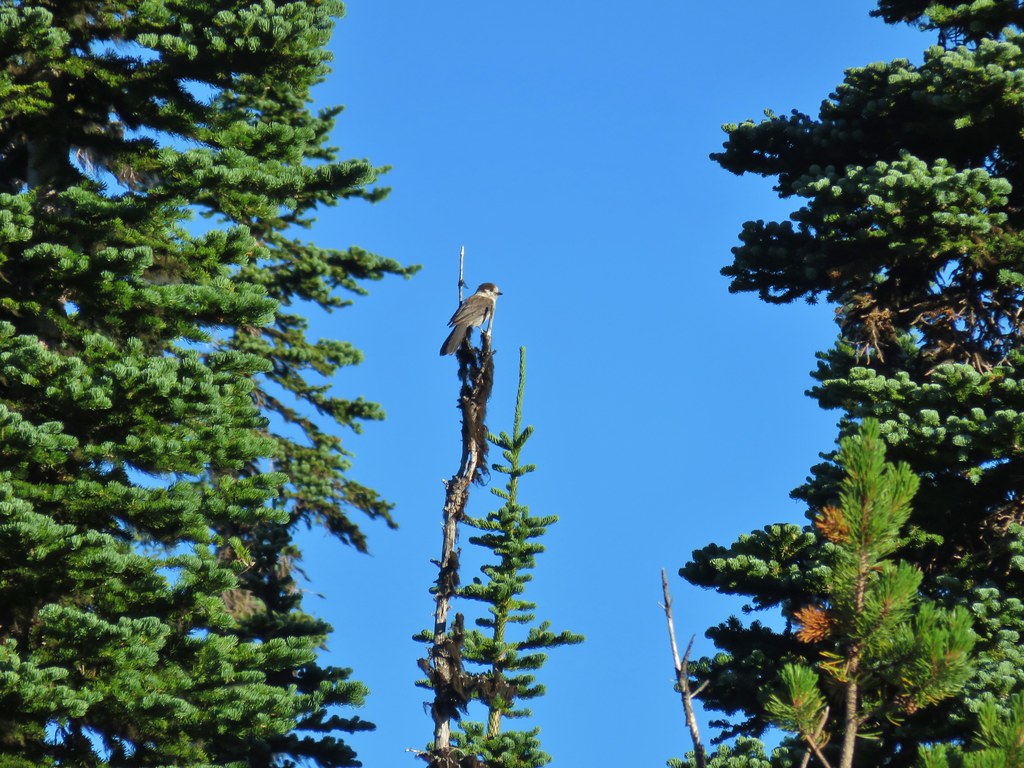 Gray jay
 Mt. Rainier and some of the Goat Rocks.
 Northern flicker

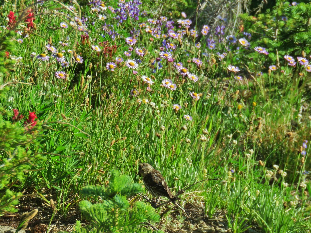 Little bird near the PCT junction.
 Killen Creek below the waterfall.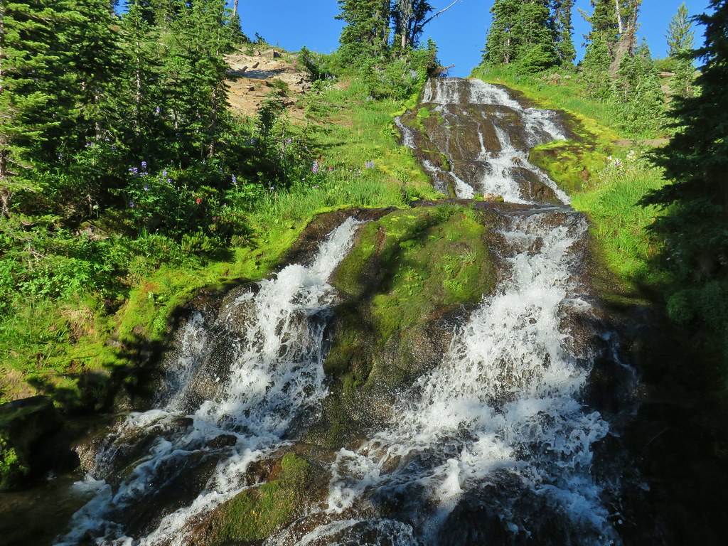
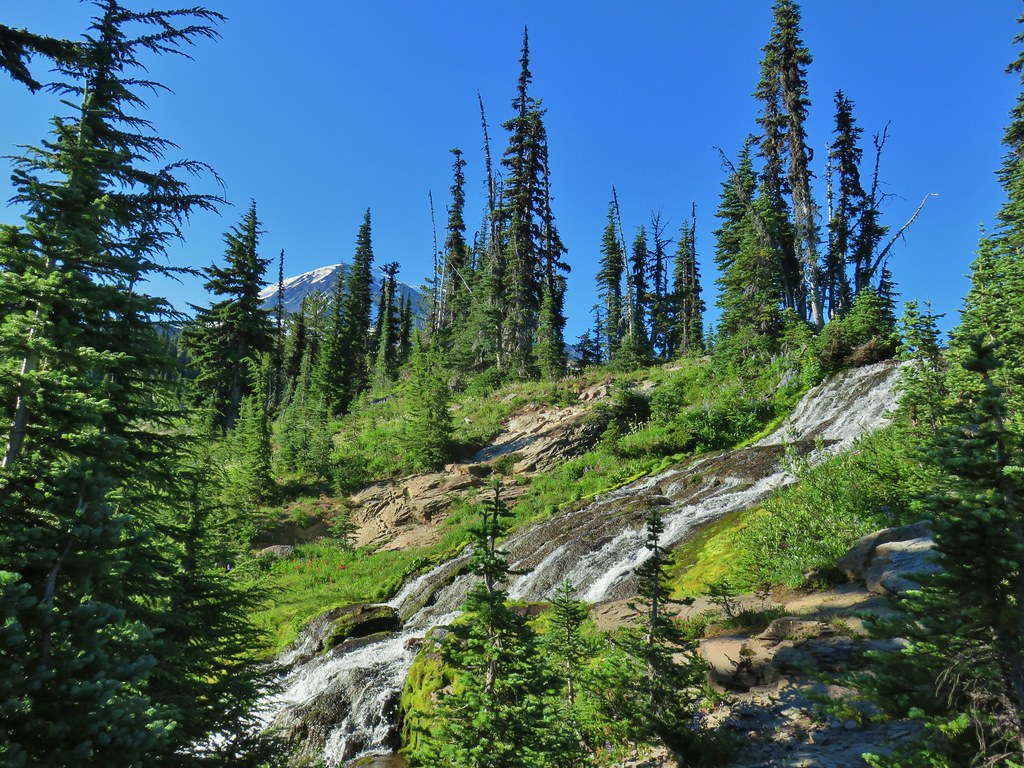 Mt. Adams from the waterfall.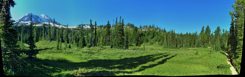
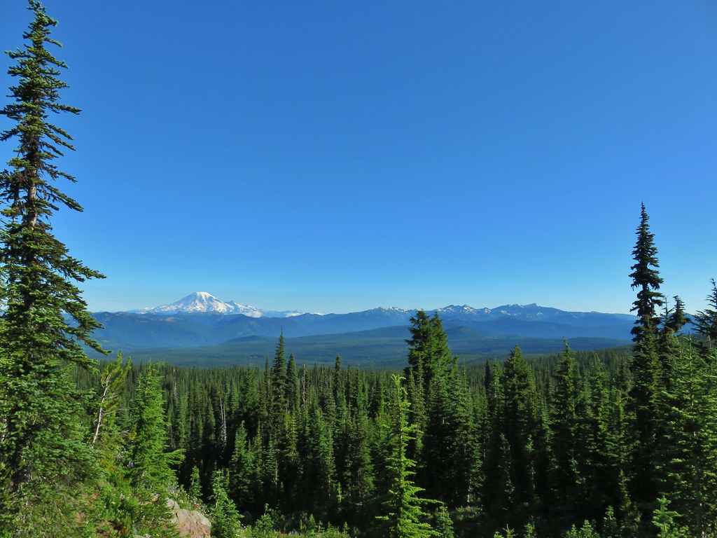 Mt. Rainier and Goat Rocks from the PCT.

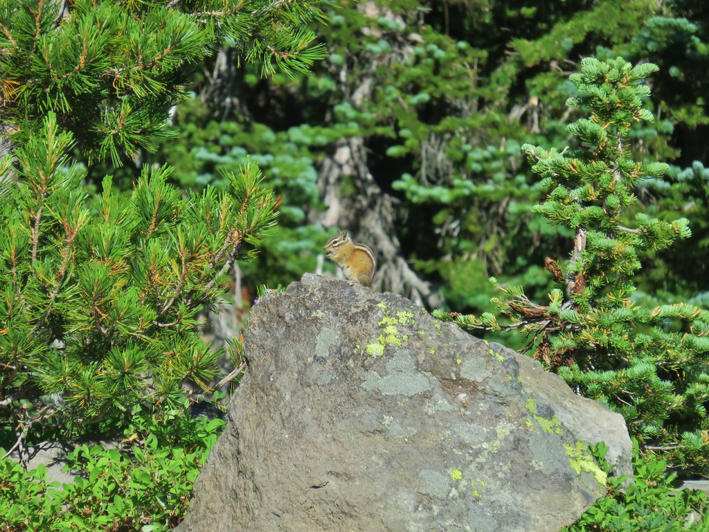 Breakfast time (possibly second breakfast)
 Zooming in on Mt. Rainier
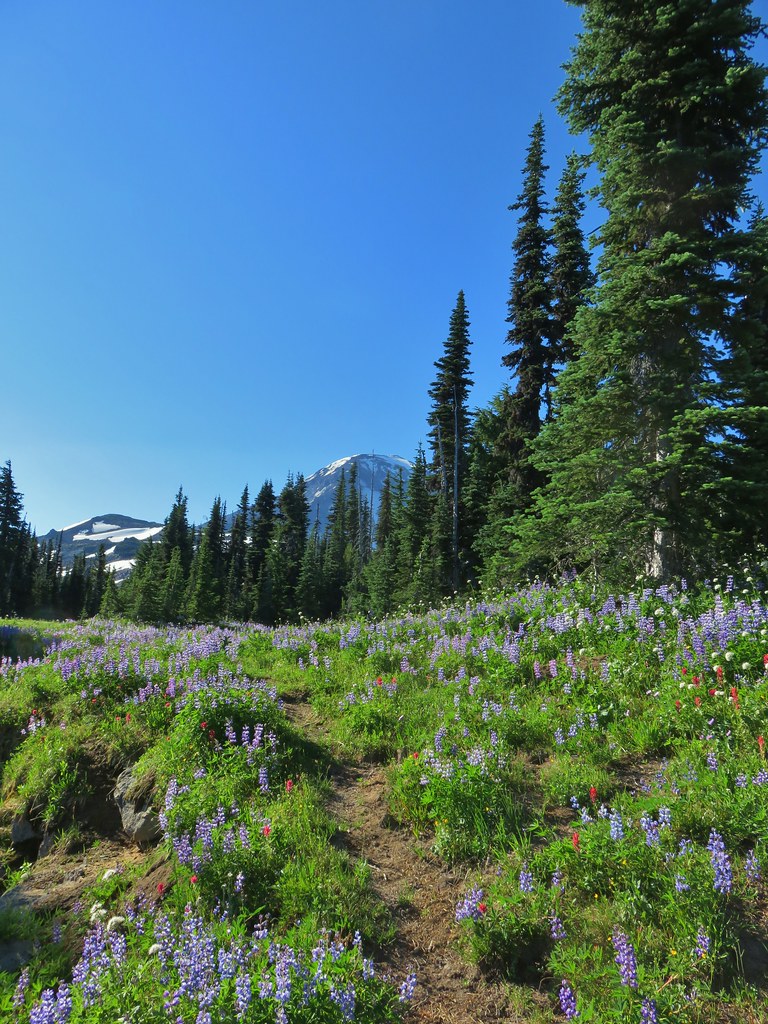

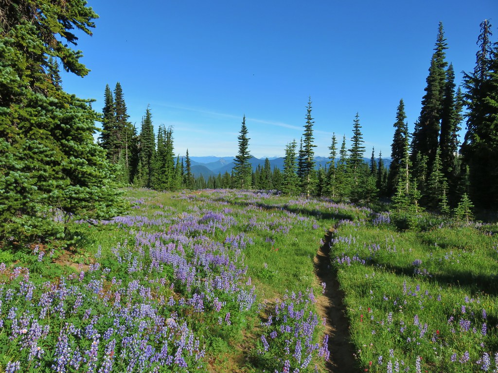 Killen Creek Trail heading away from Mt. Adams.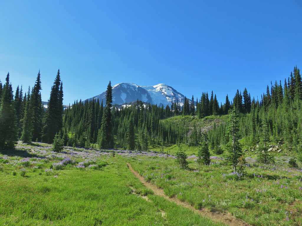
 wanderingyuncks

