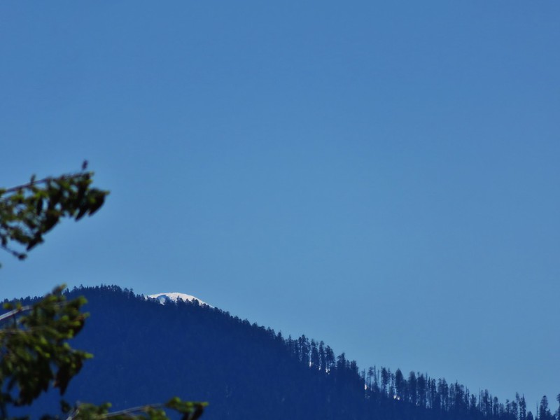
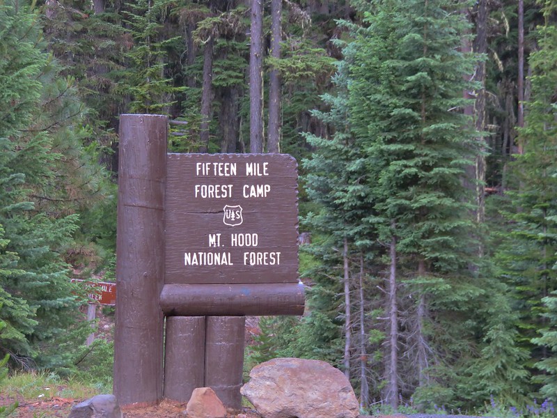
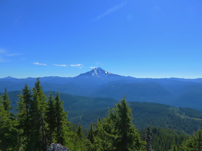
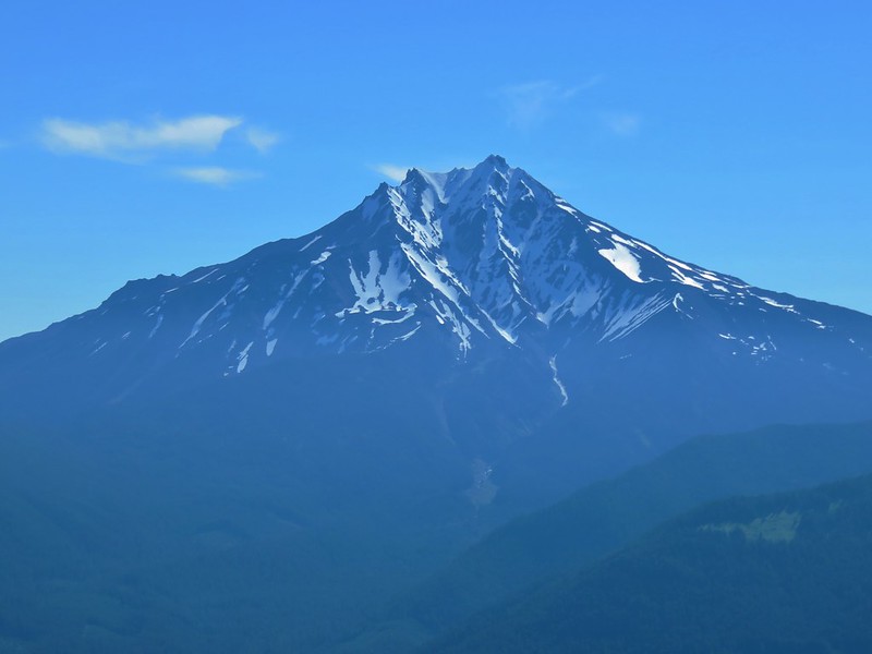
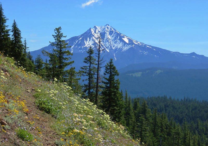
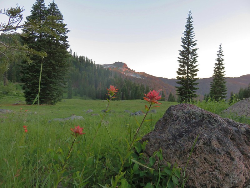
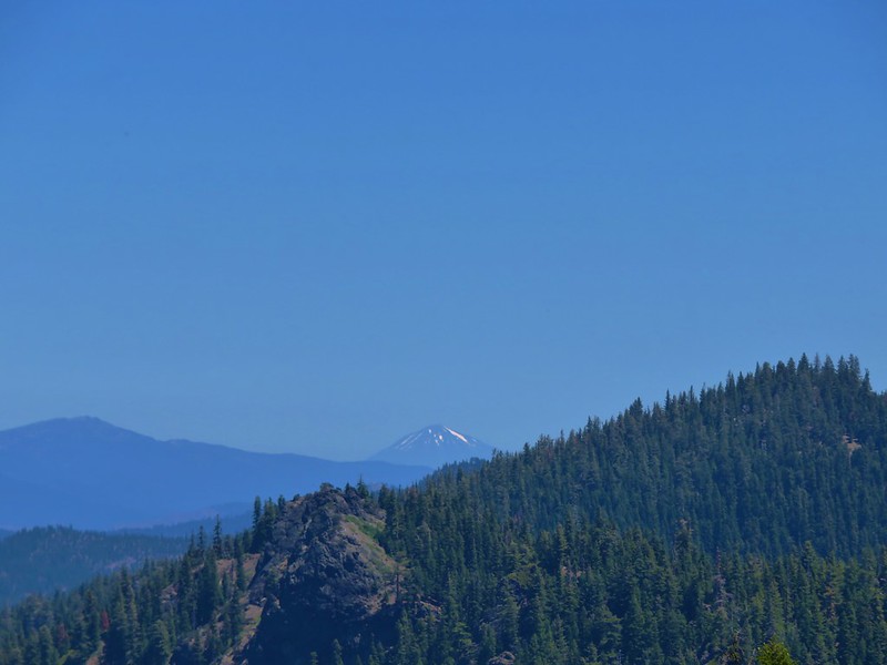
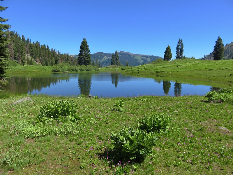
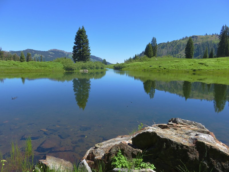
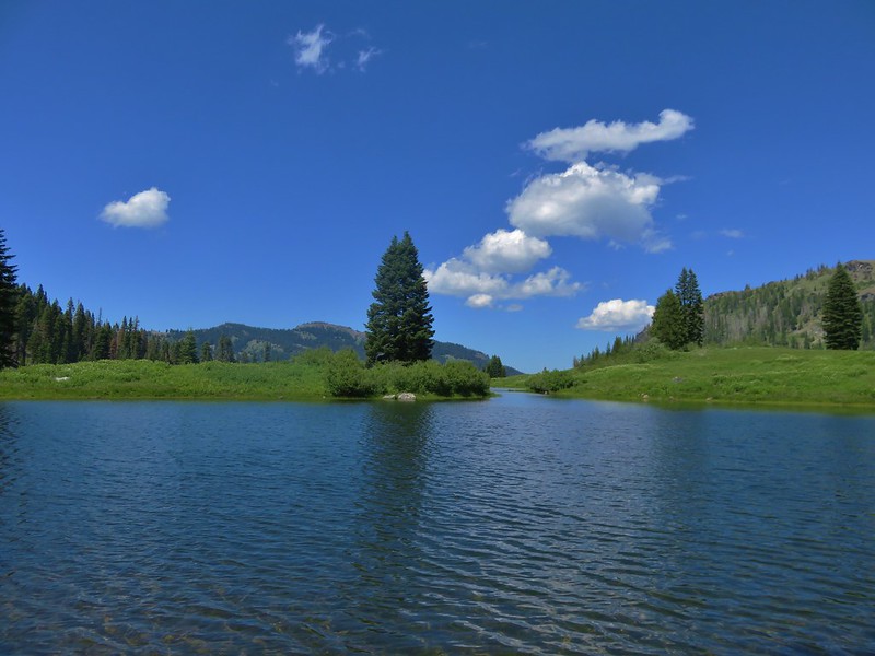
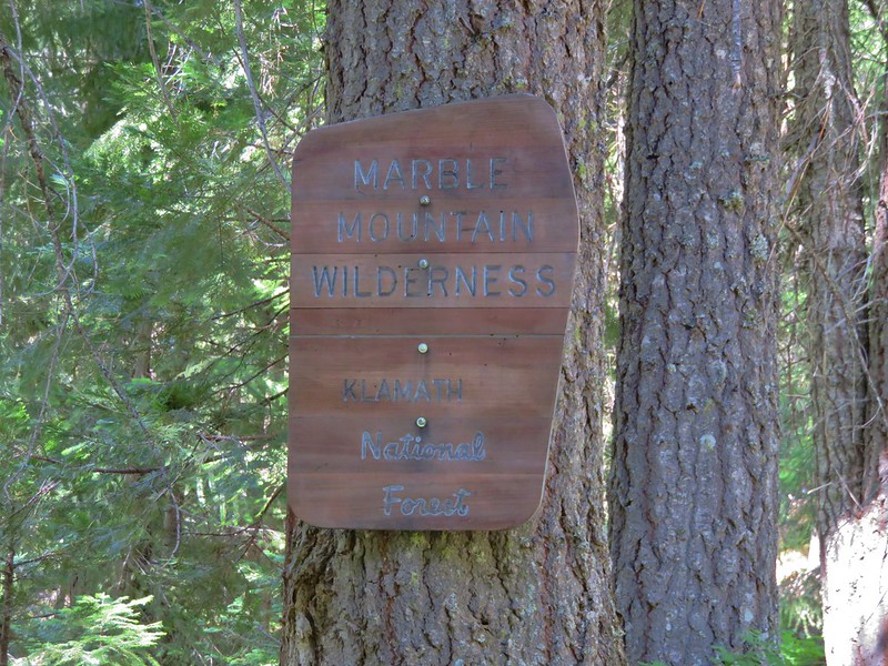
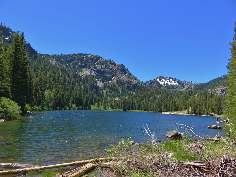
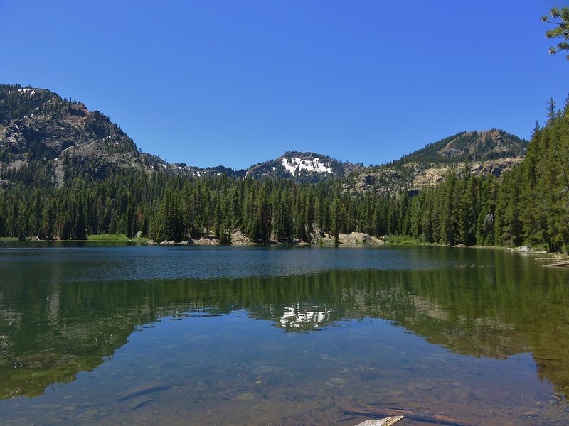
An unusually wet forecast had us looking for an alternative hike this past week. I was looking for a hike that didn’t have a mountain view as it’s main focus and if there was less of a possibility of getting rained on that would be a bonus. In looking at our list of “to-do” hikes Fifteenmile Creek stood out as a good option. The hike is in the Mt. Hood National Forest east of Mt. Hood and Lookout Mountain. A loop descends from Fifteenmile Campground through the ecological transition zone between the Cascade Mountains and Central Oregon.
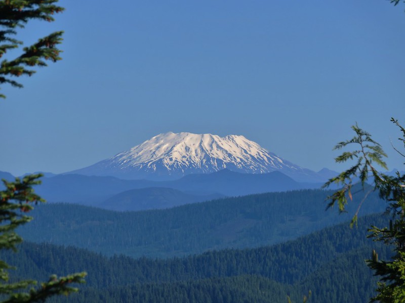
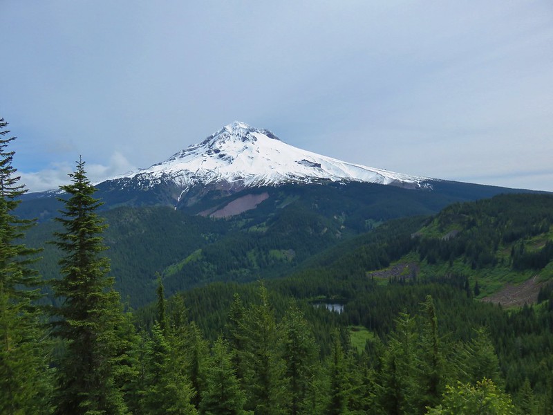
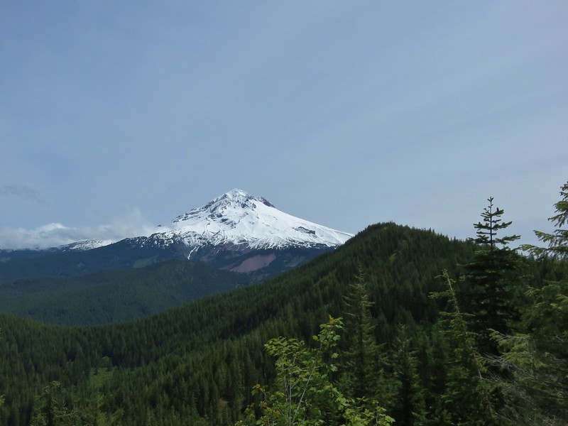
The forecast looked promising with Mt. Hood acting as the rain shadow for this area so we headed out the door at 4:30am and made the two and a half hour drive past Mt. Hood to Highway 35. To reach Fifteenmile Campground from Hwy 35 we took Forest Road 44 for 8.5 miles to Forest Road 4420 where we turned right for 2.3 miles to Forest Road 2730. The campground was 1.9 miles down FR 2730. A bonus for this hike is the roads were paved the entire way with minimal potholes.
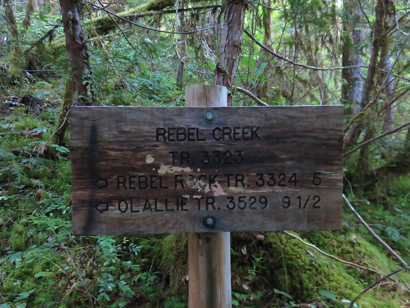
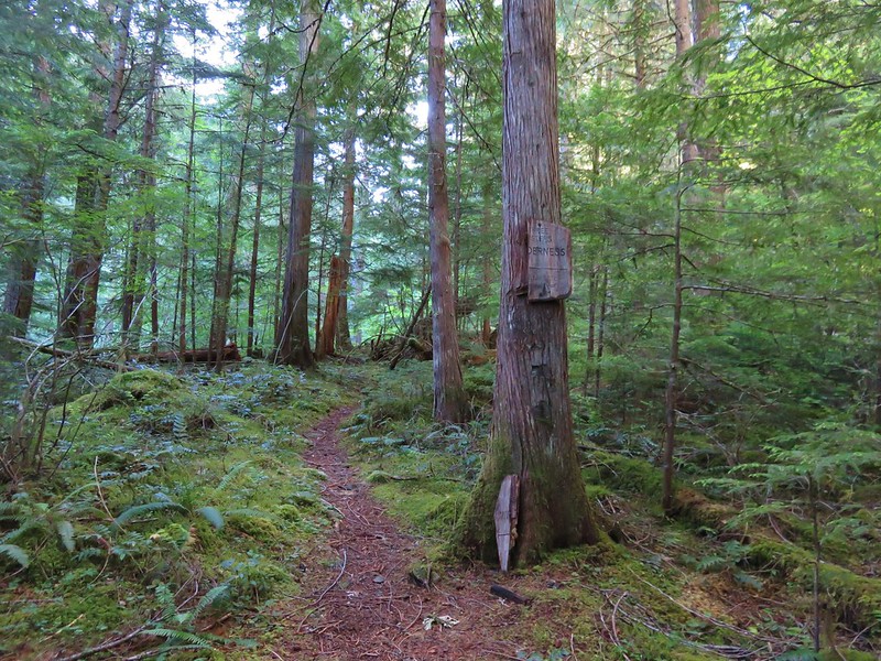
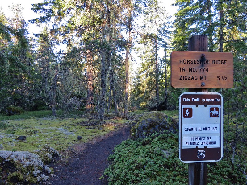
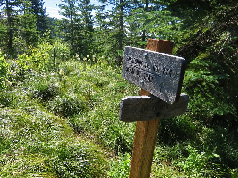
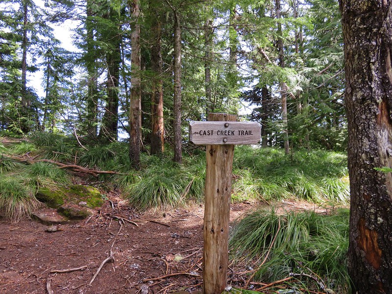
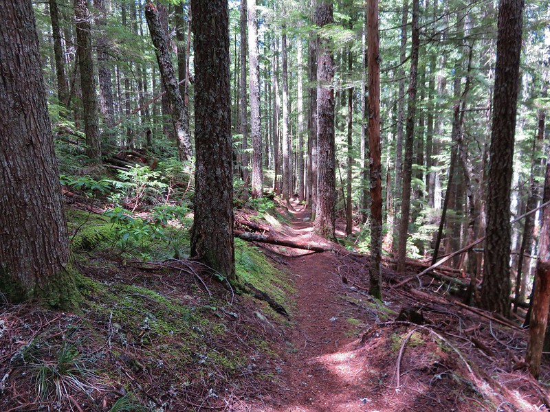
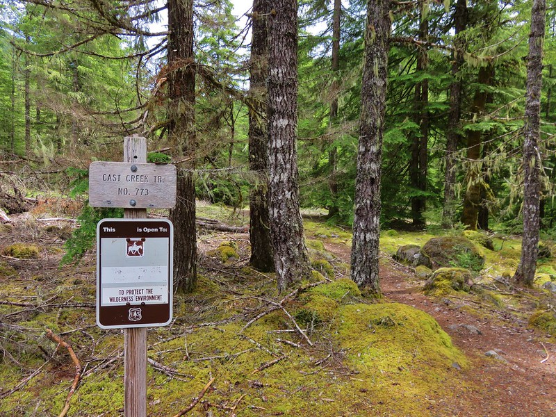
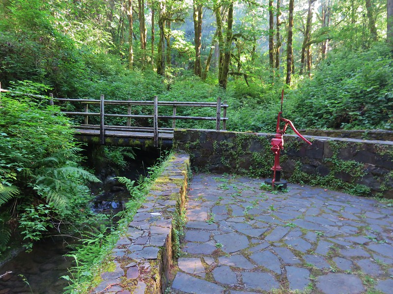
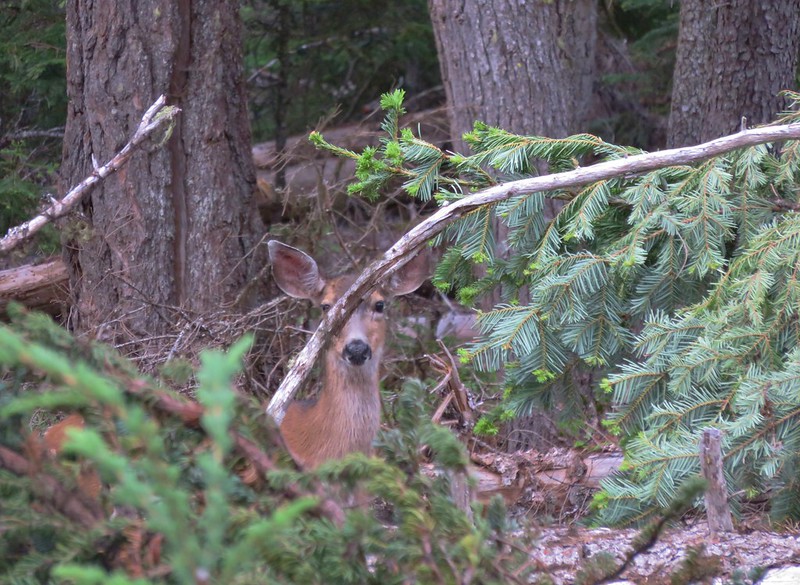
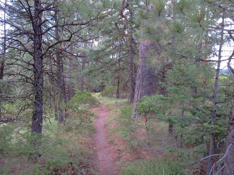
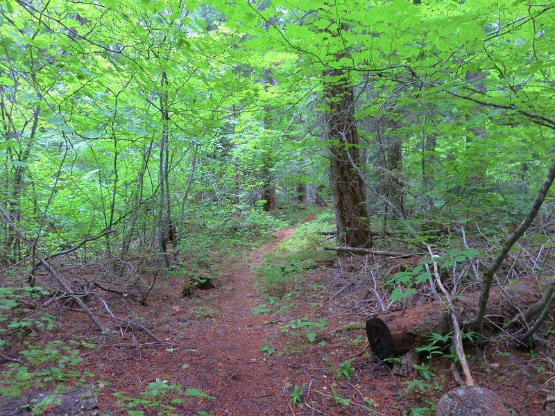
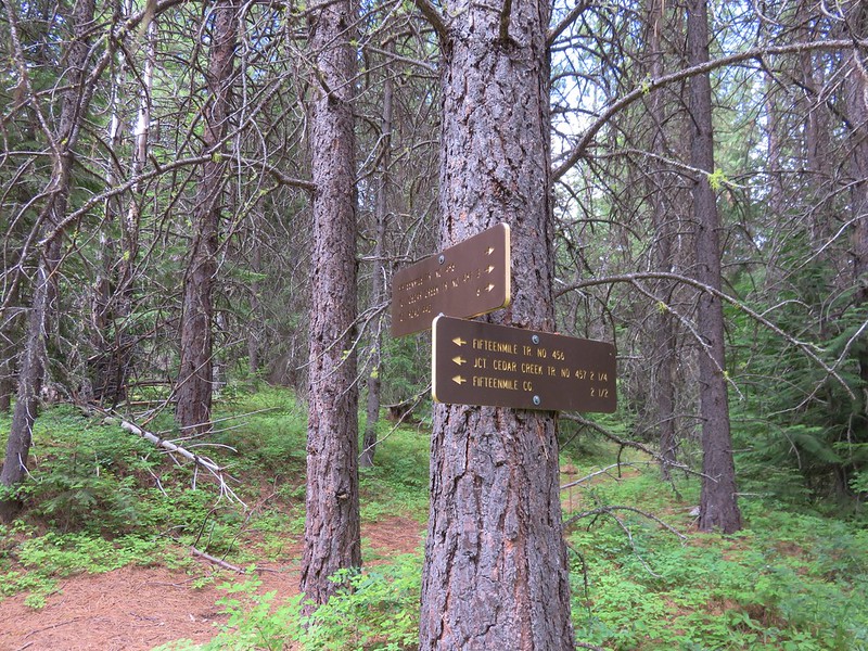
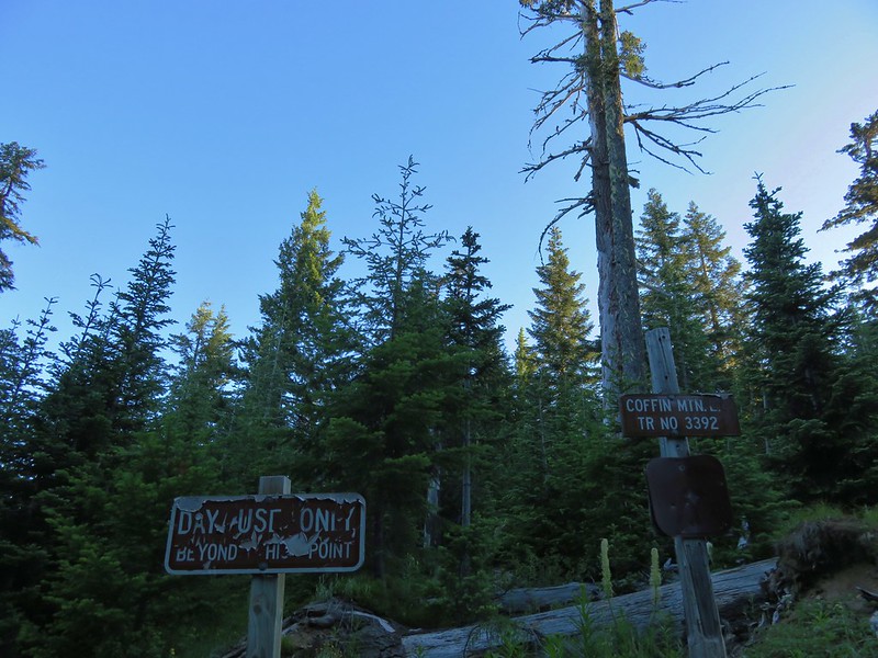
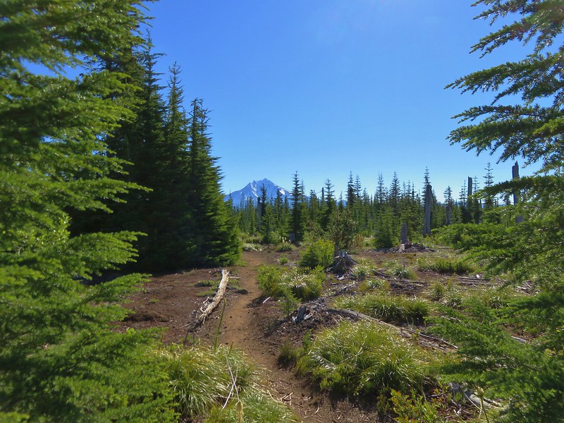
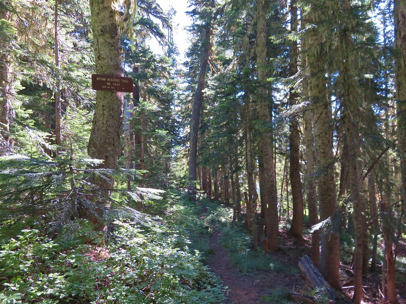
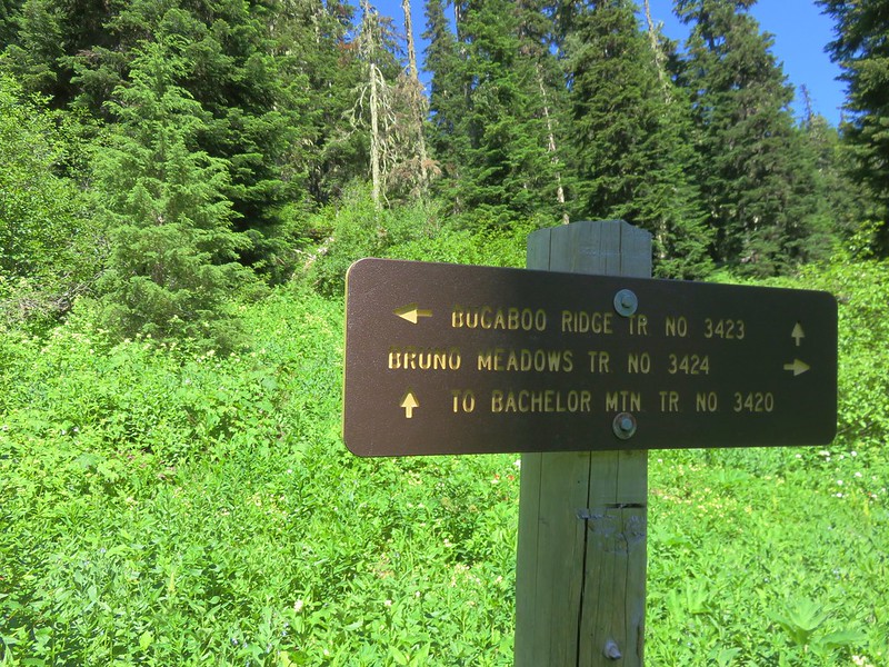
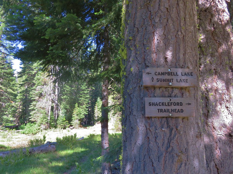
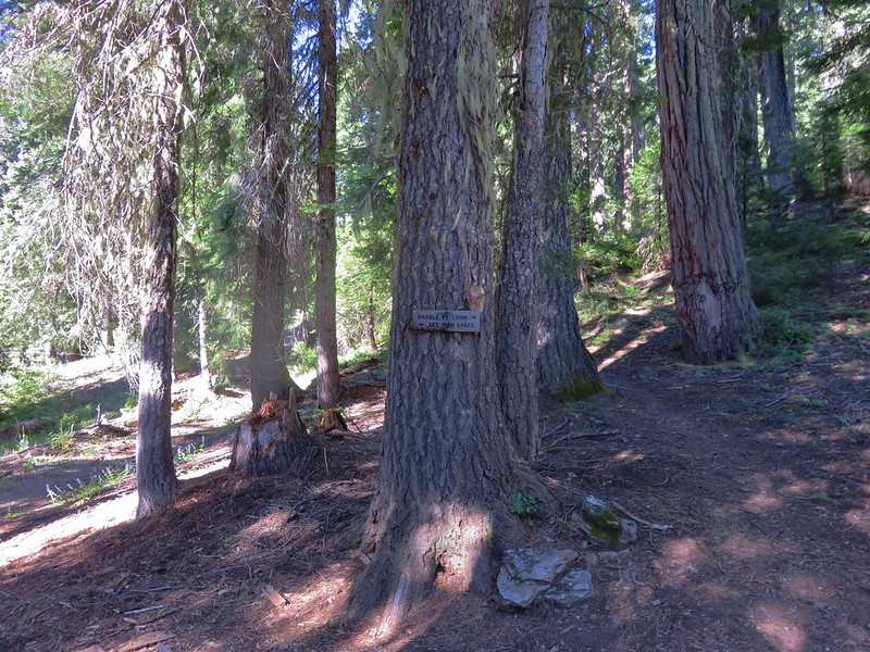
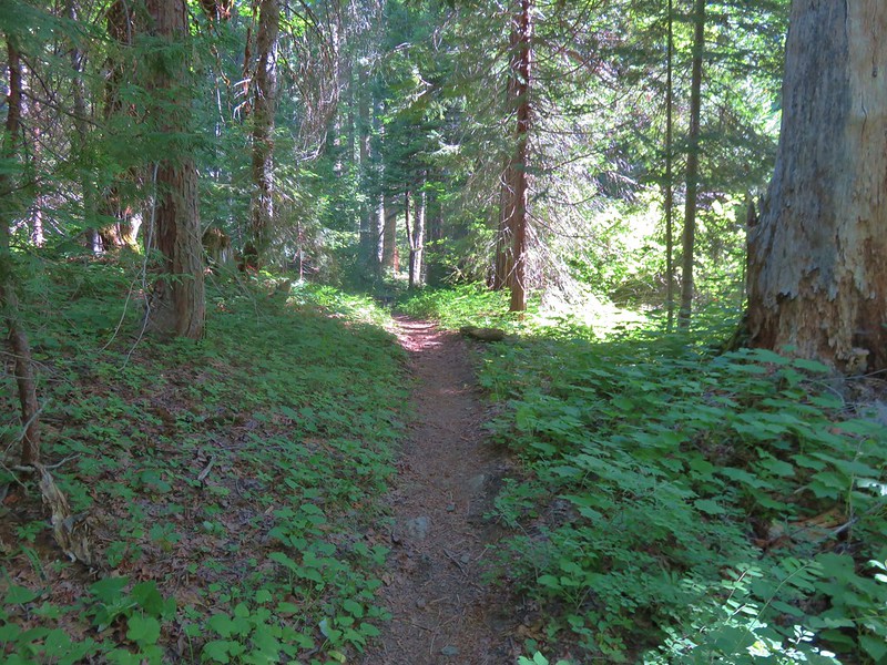
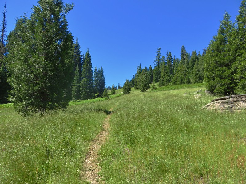
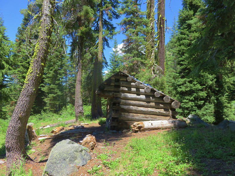
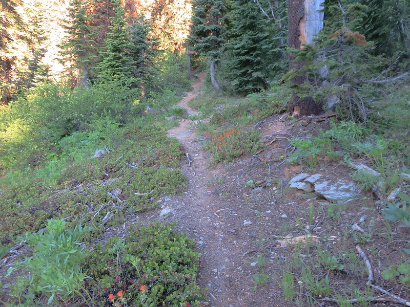
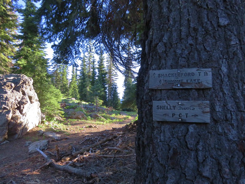
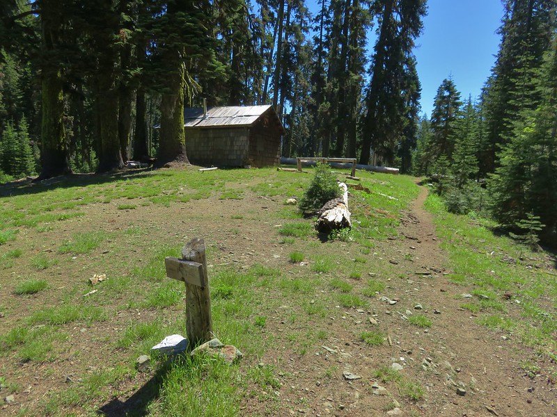
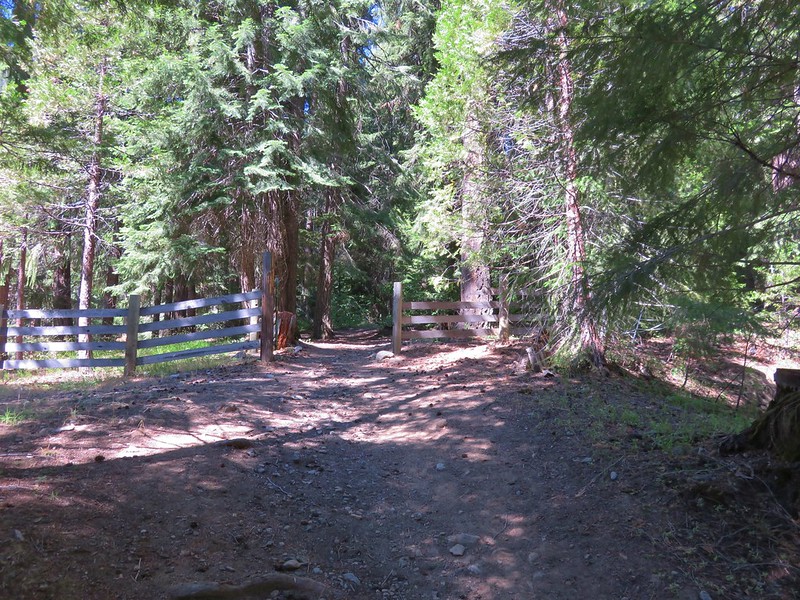
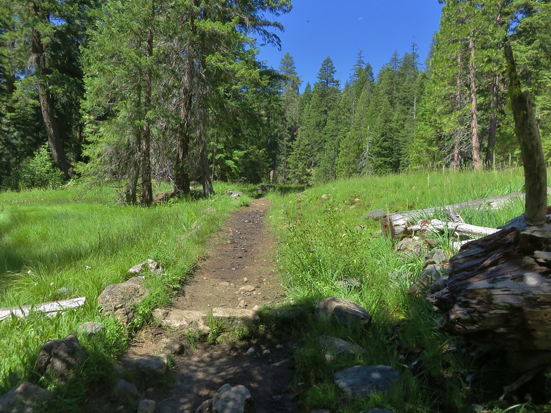
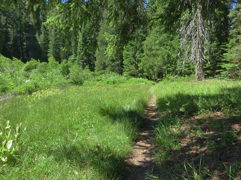
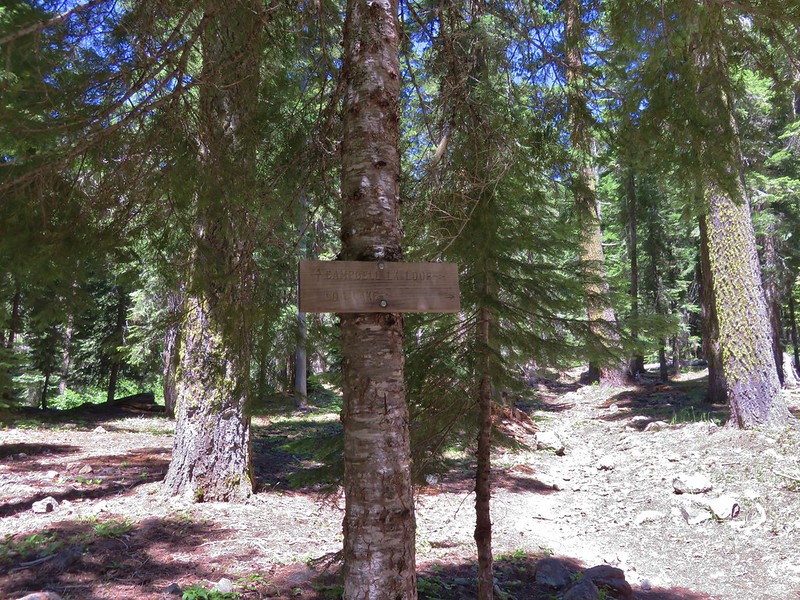
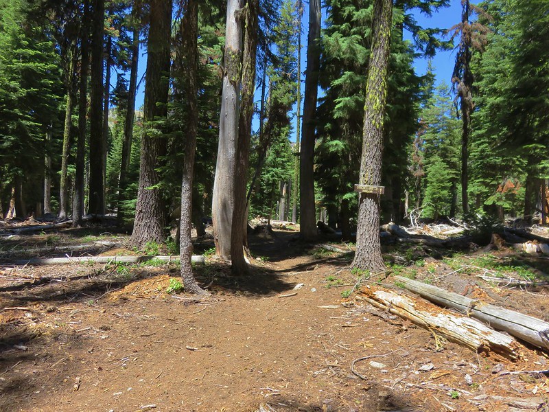
We parked in a small two car parking area near the trailhead and set off on the Fifteenmile Trail toward the Cedar Creek Trail junction.

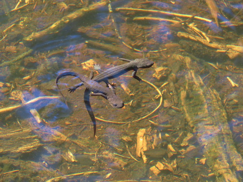
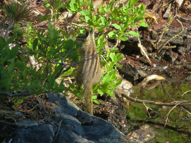
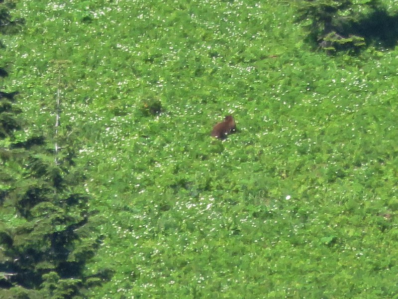
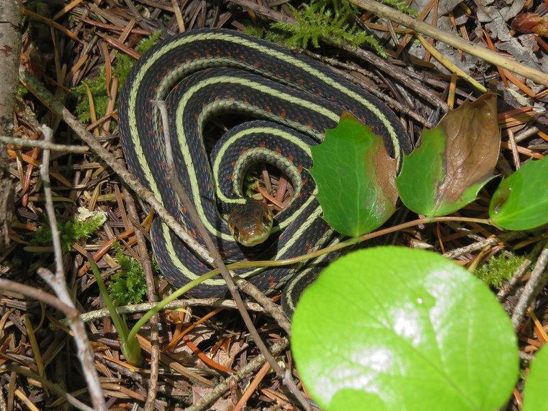
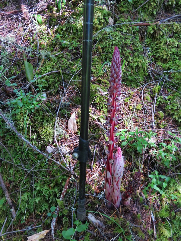
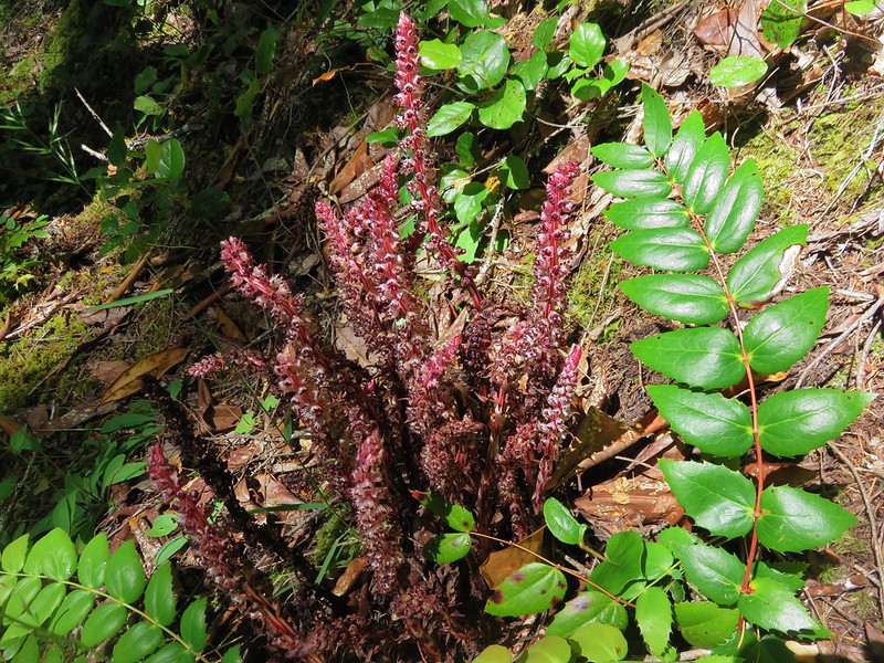
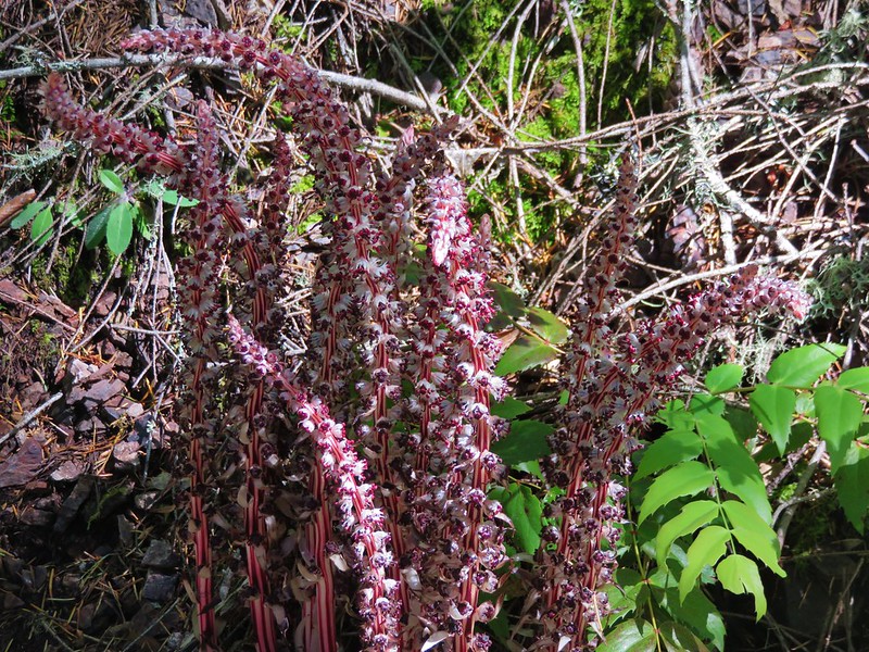
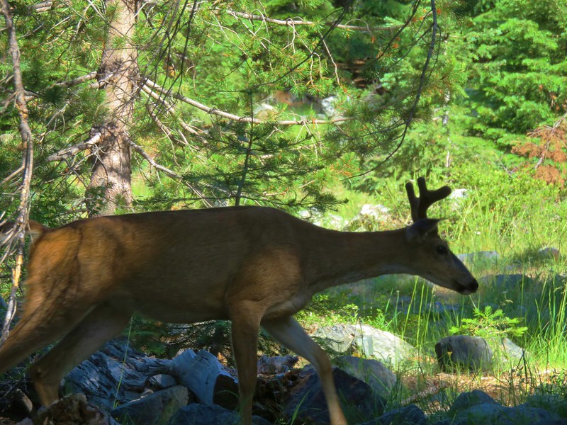
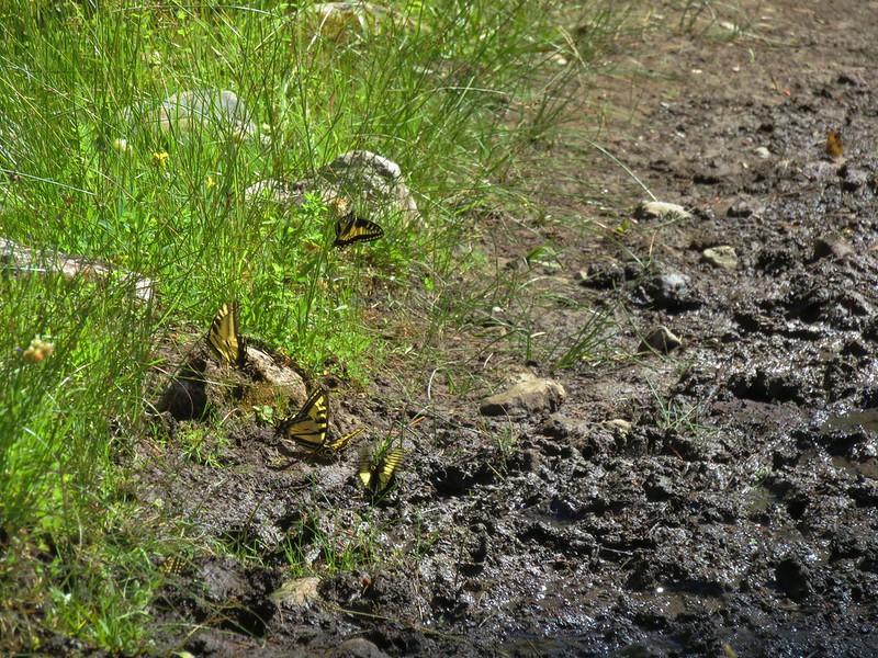
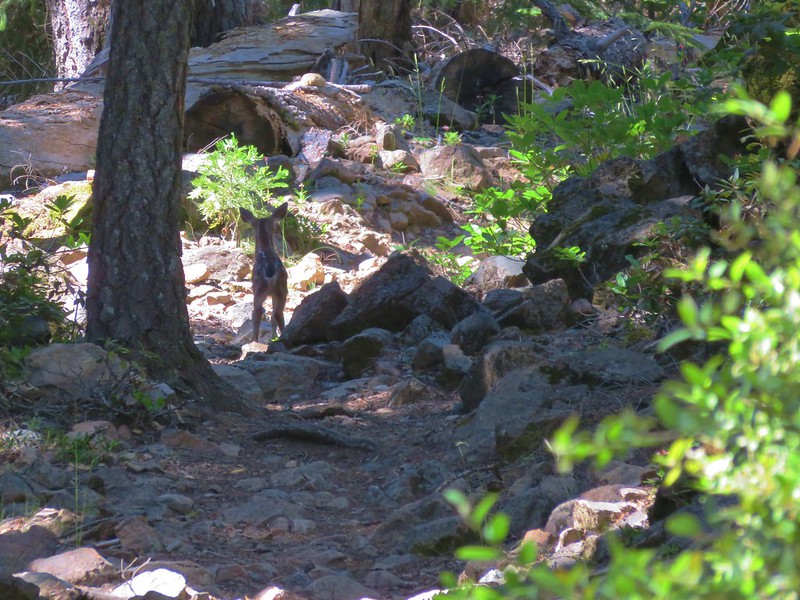
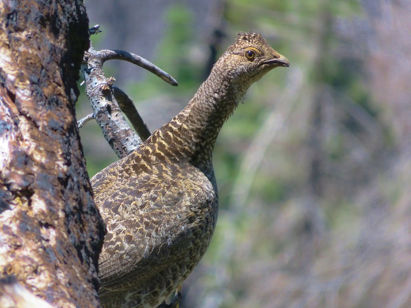
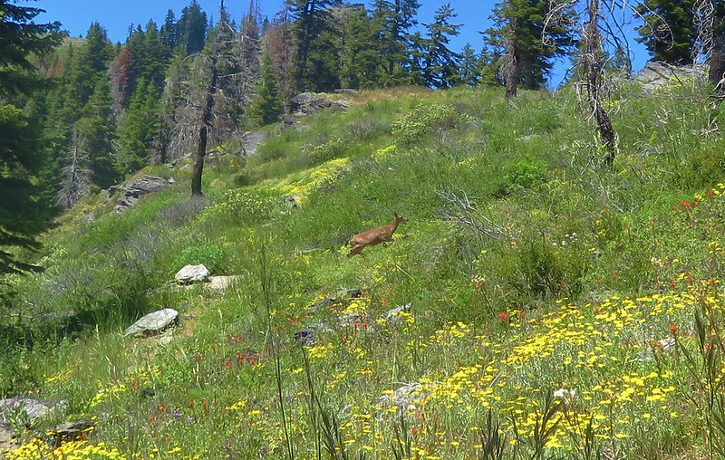
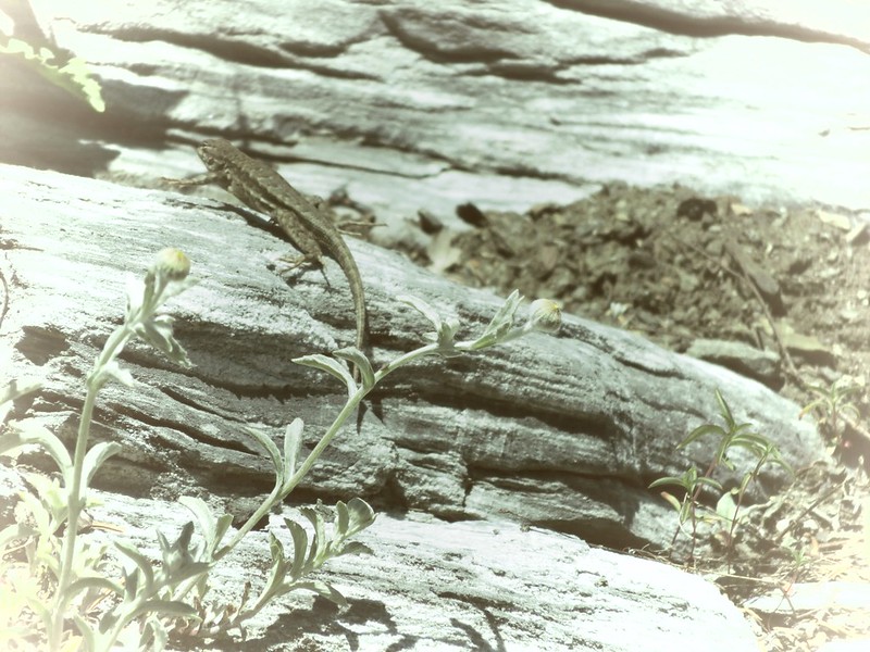
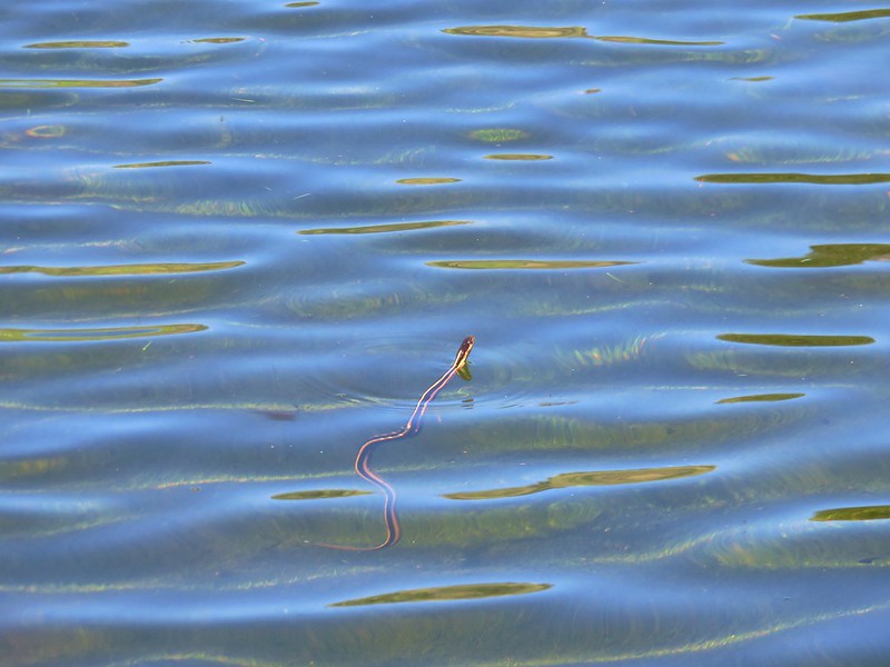
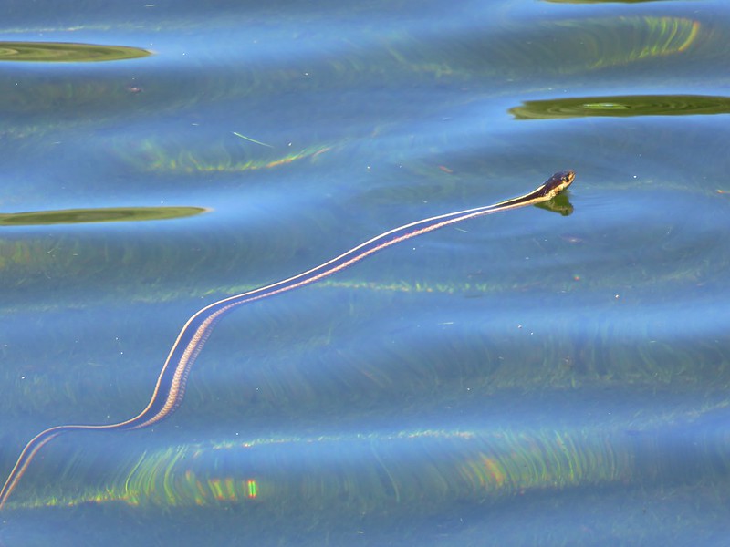
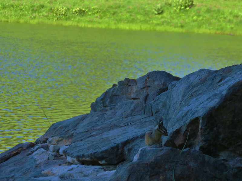
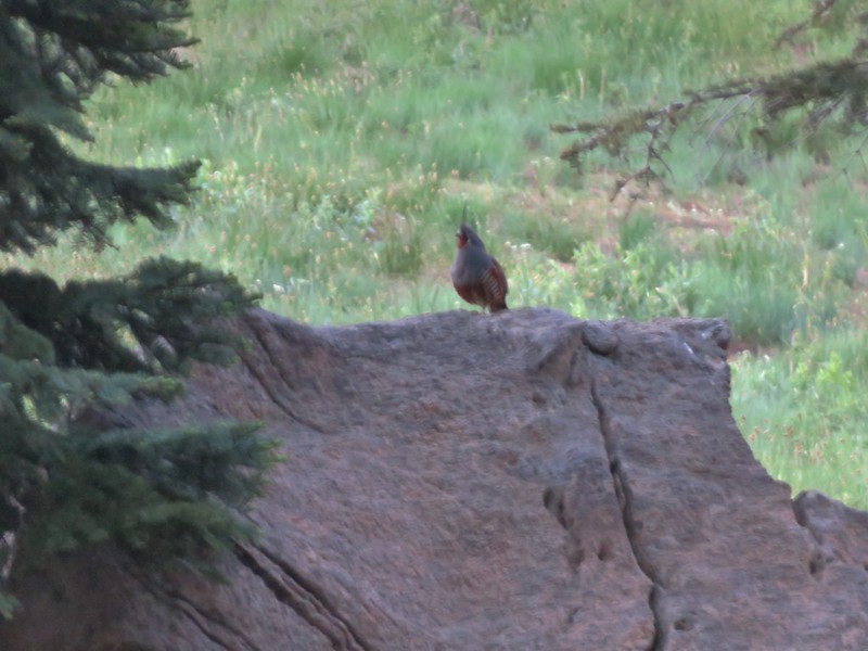
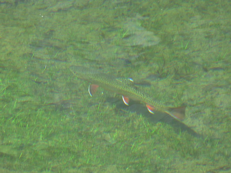
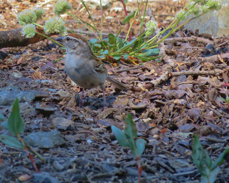
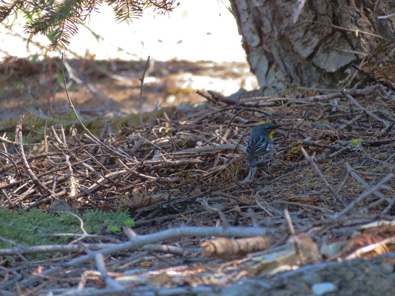
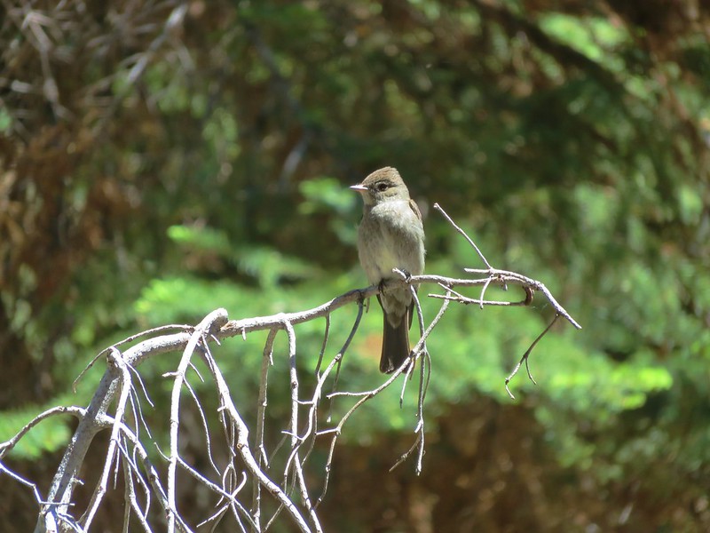
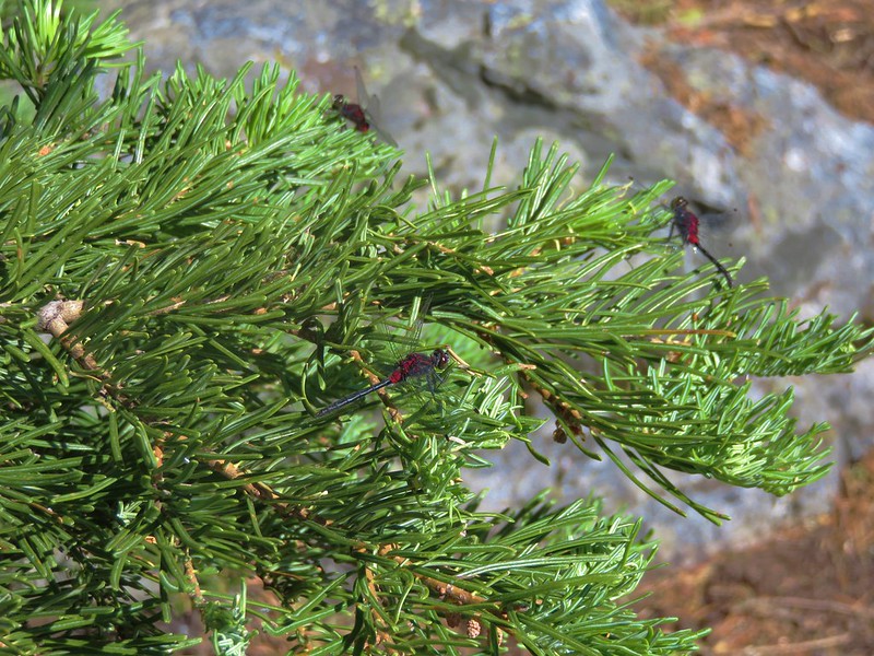
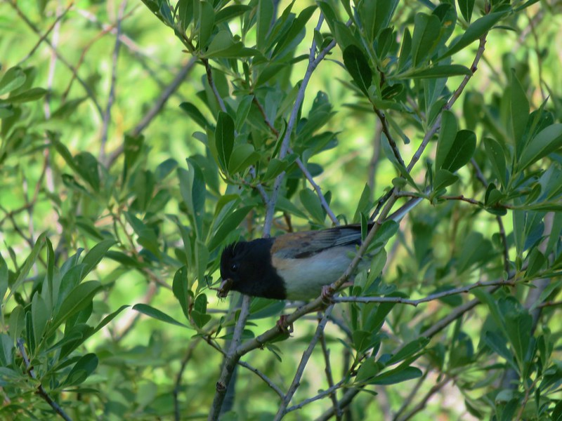
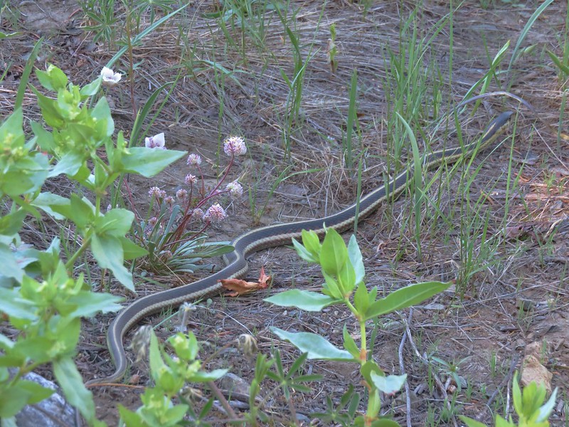
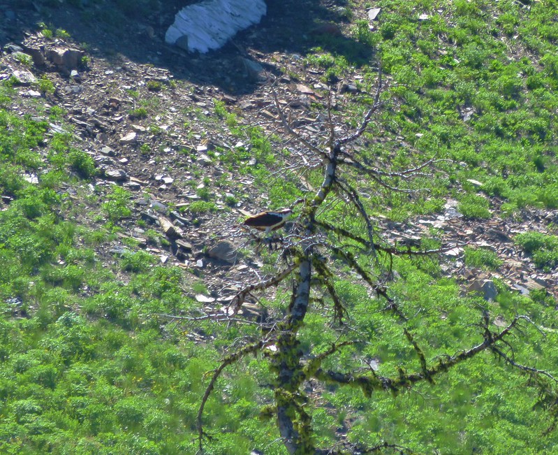
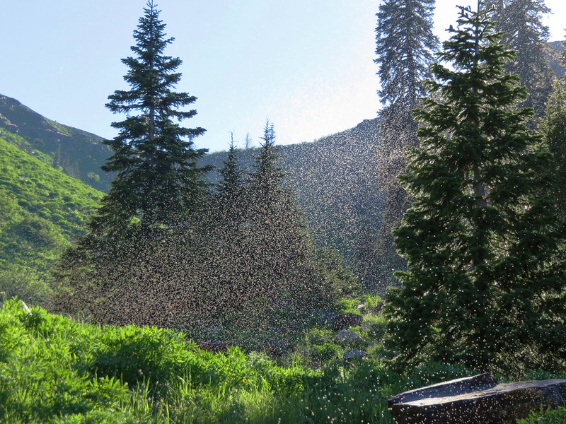
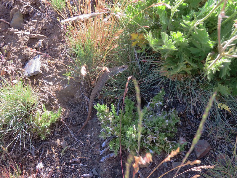
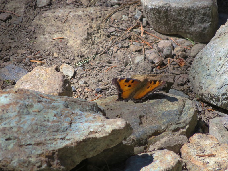
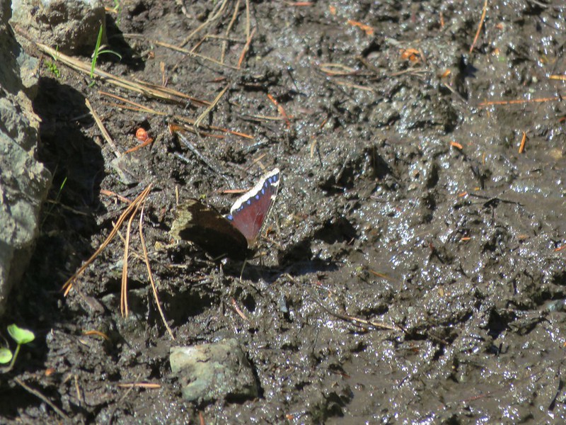
We were not alone in the forest.
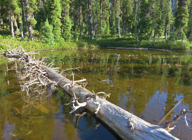
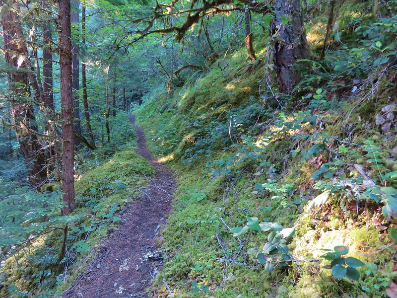
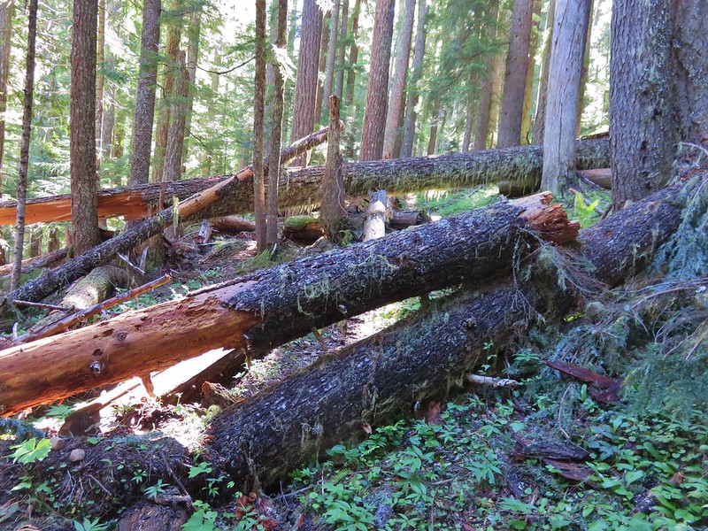
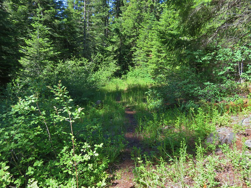
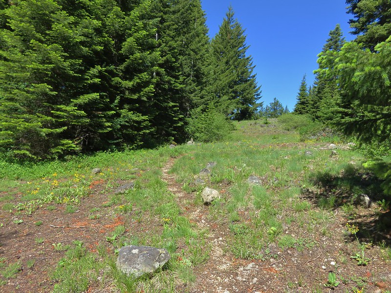
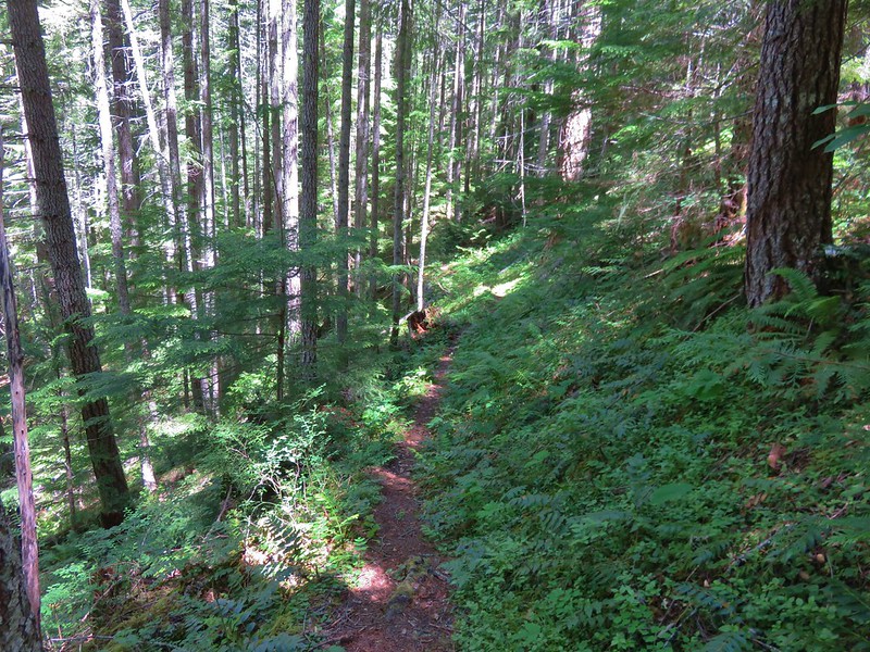
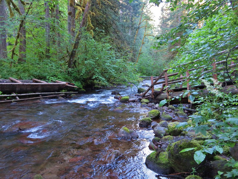
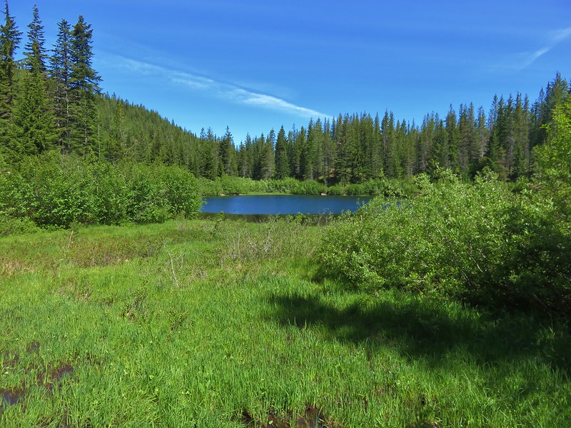
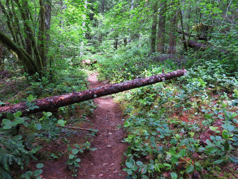
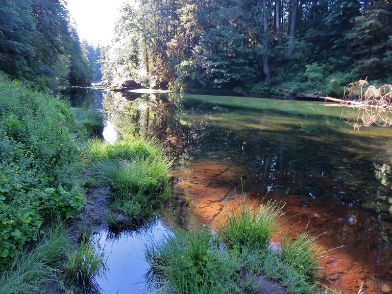
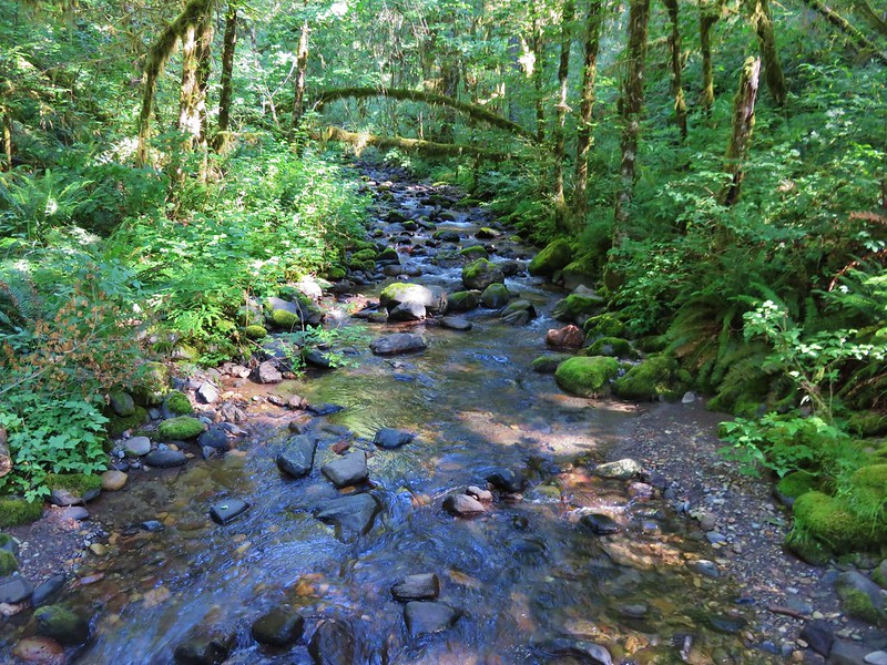
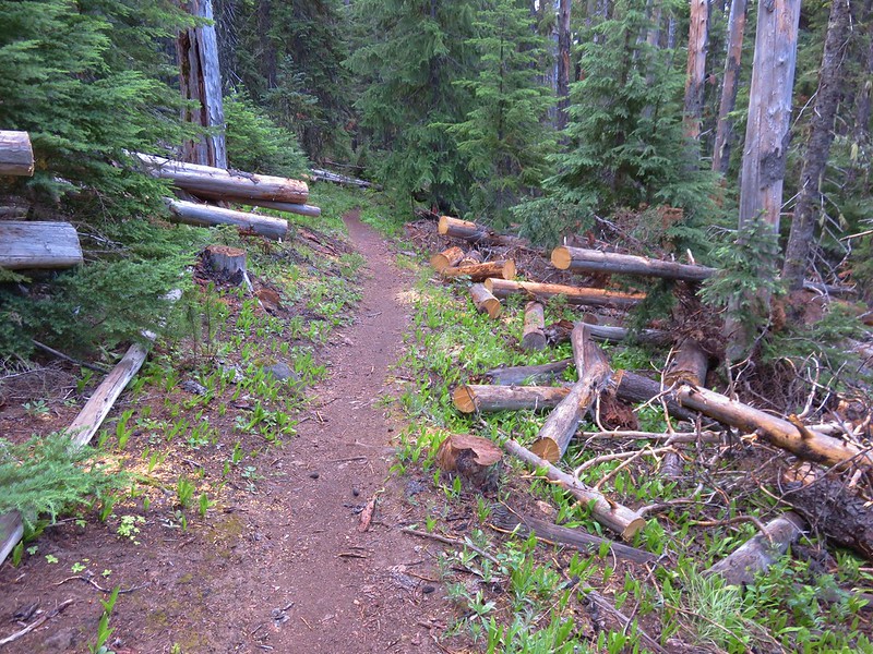
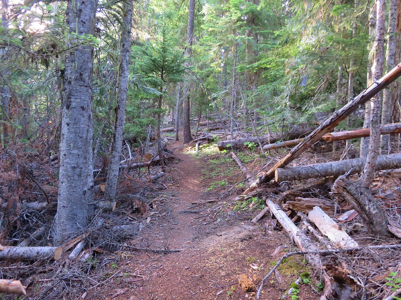
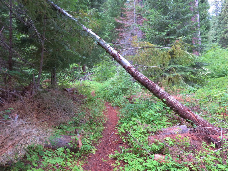
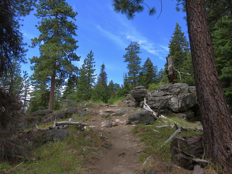
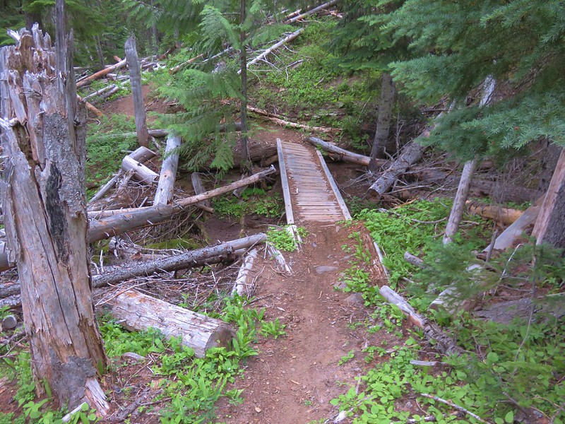
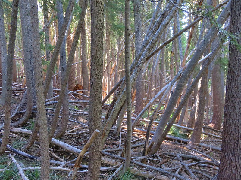
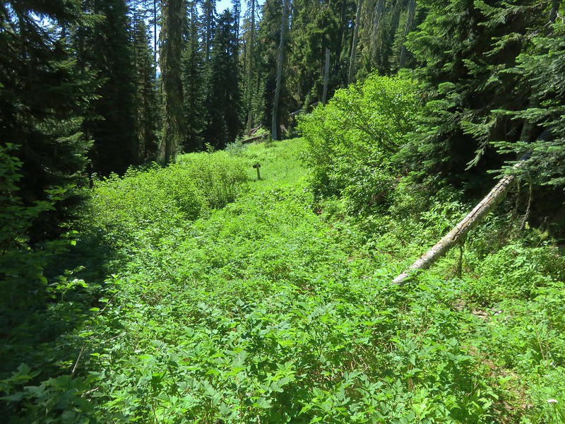
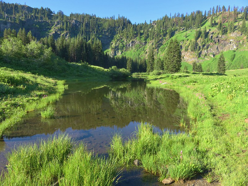
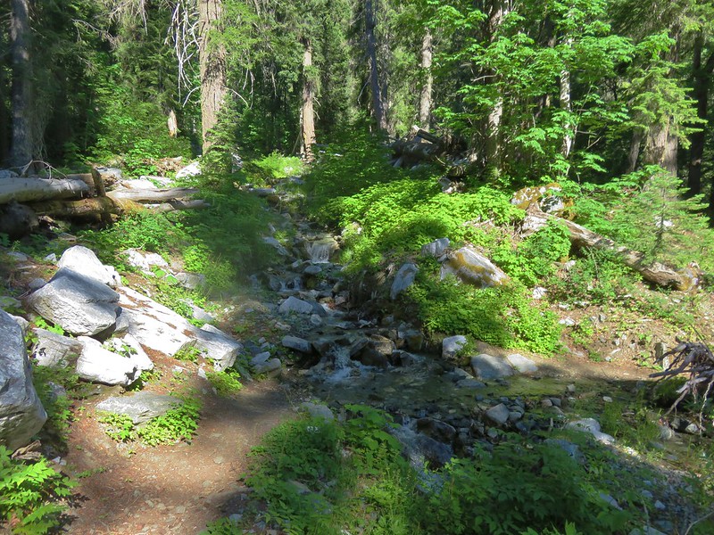
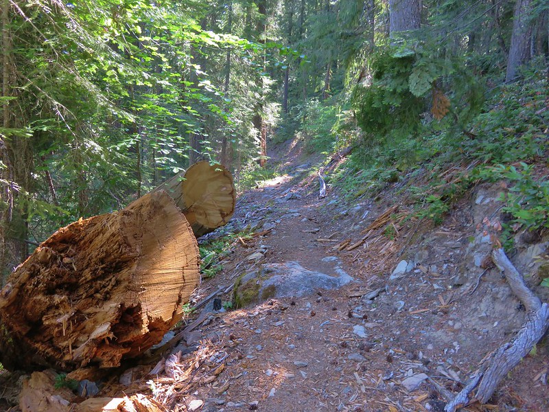
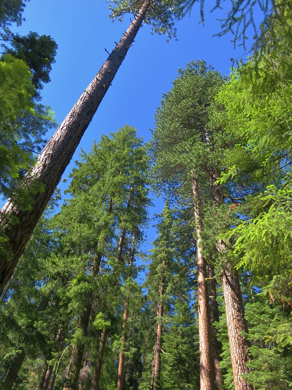
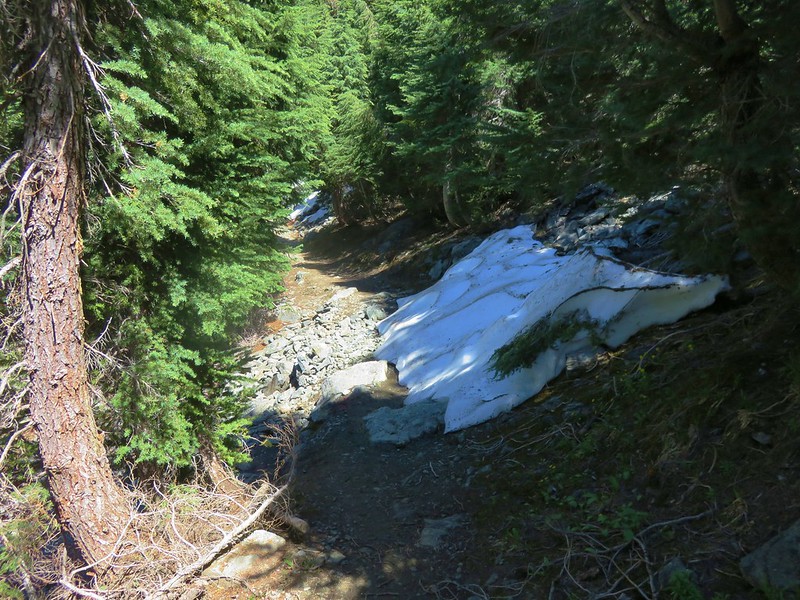
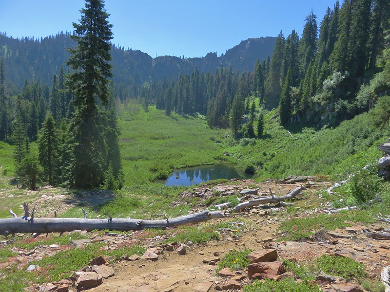
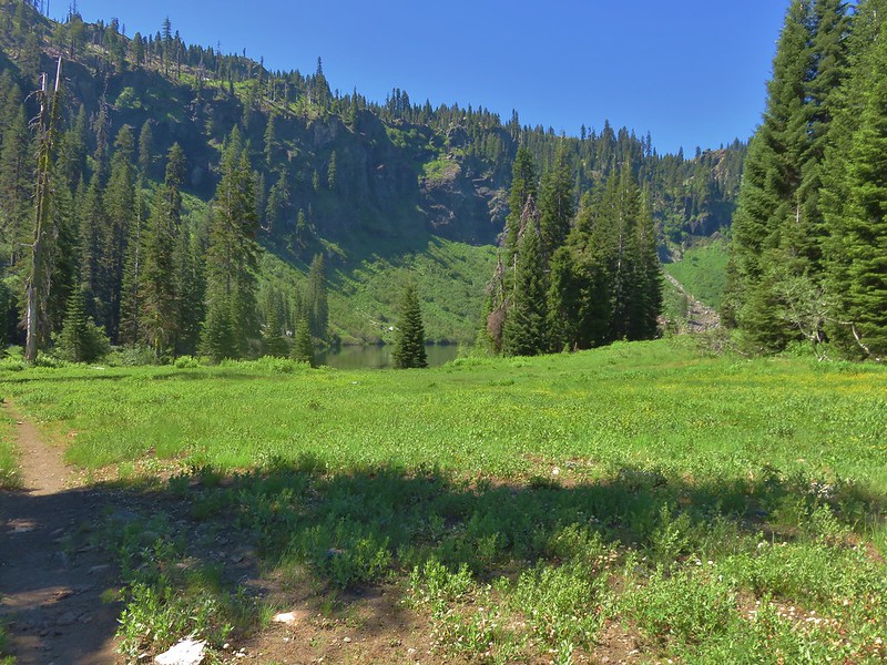
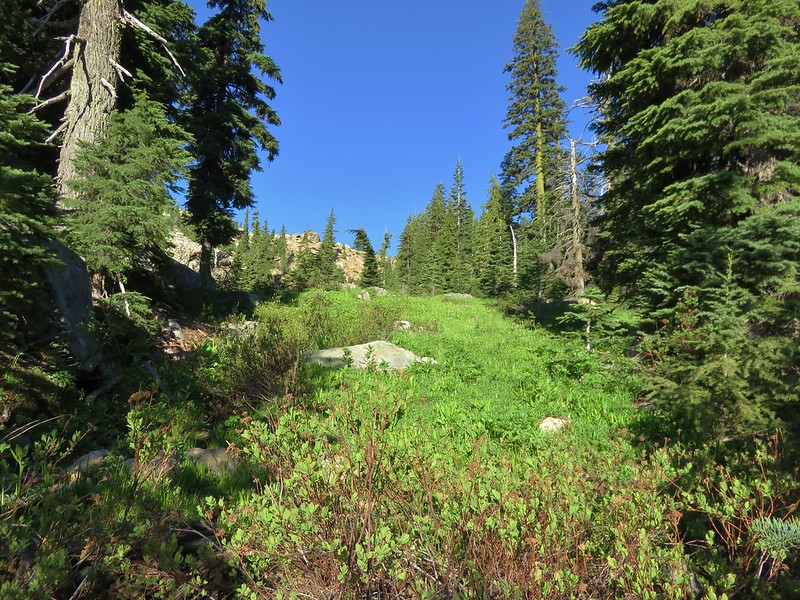
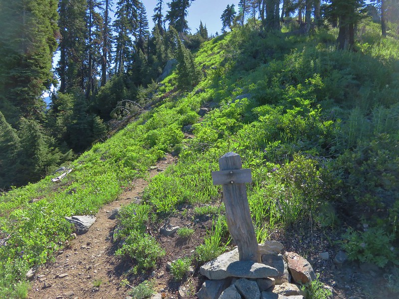
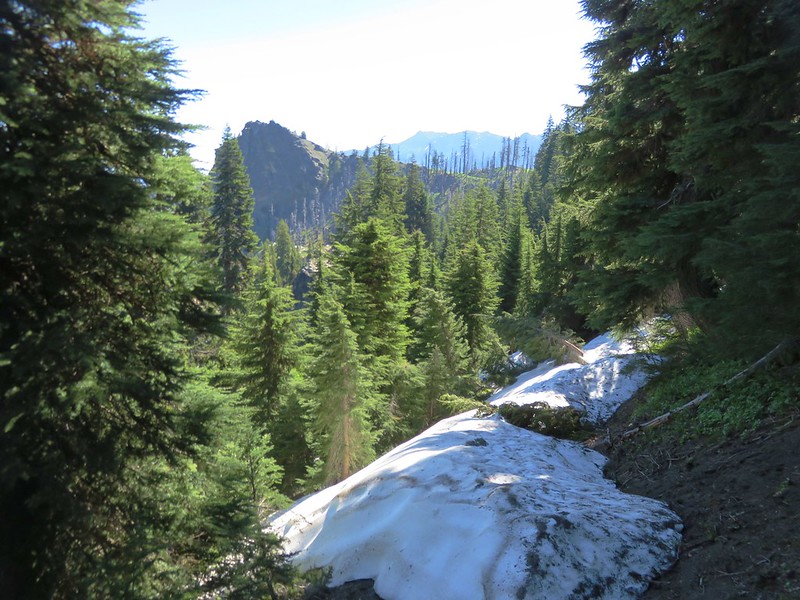
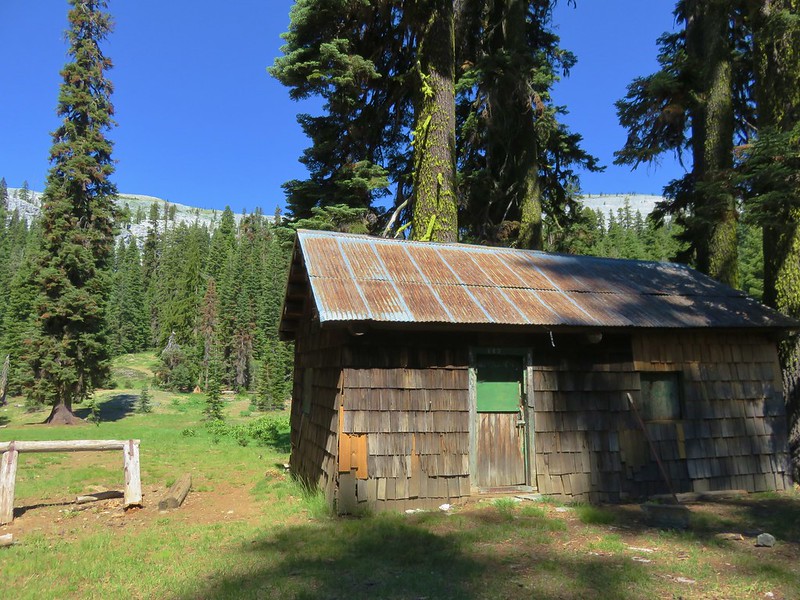
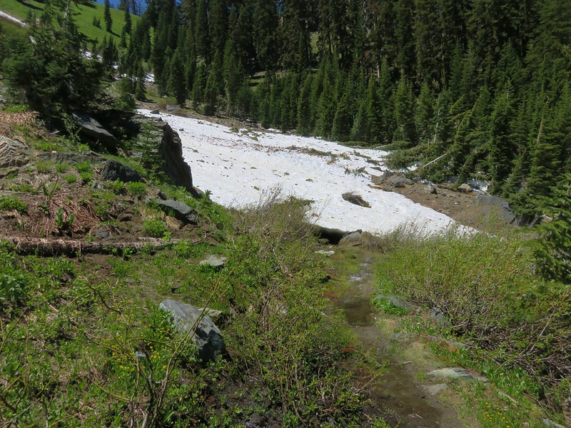
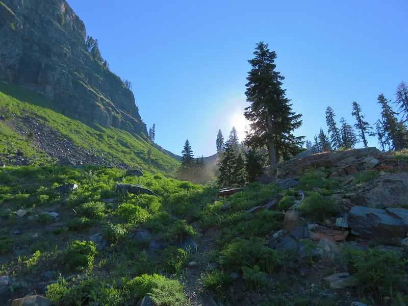
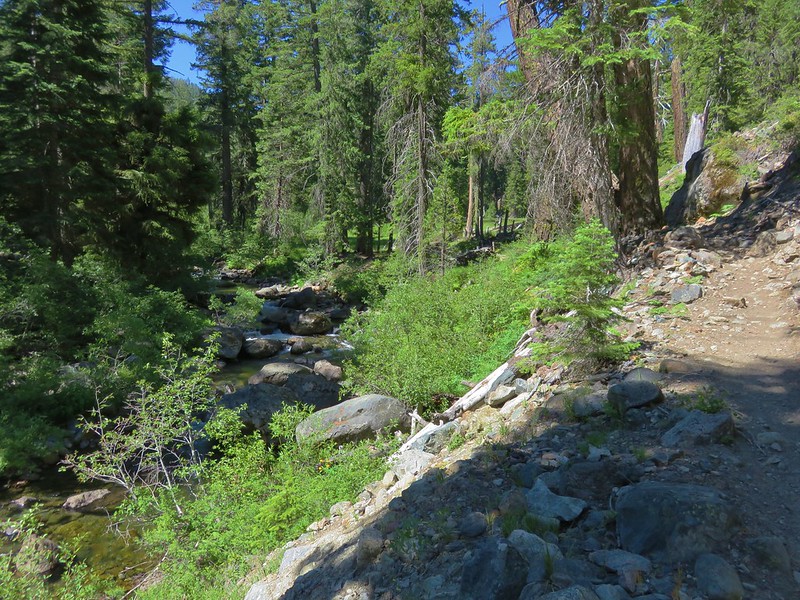
The trail descended along Fifteenmile Creek for a quarter mile to the start of the loop. The trail had been logged out a month earlier and was in great shape despite evidence that there had been a lot of trees down.


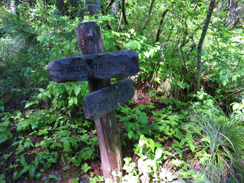
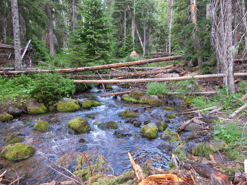
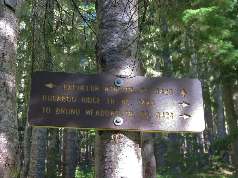
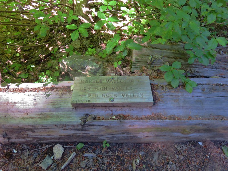
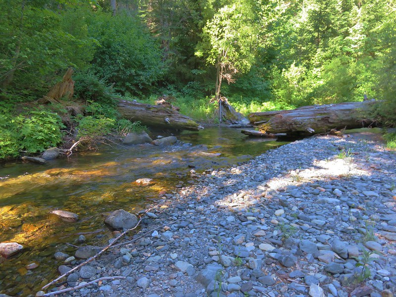
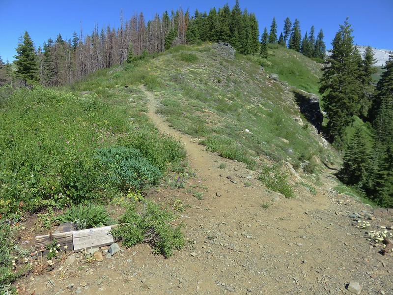
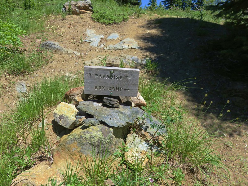
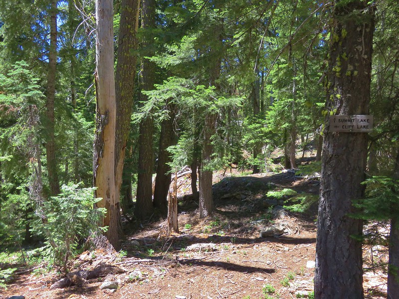
The sign at the start of the loop was a little confusing in that it showed the Cedar Creek Trail jct as being another quarter mile to the right, but the trail sign at the trailhead had also listed the jct as a quarter mile away. We did not see another trail junction along the Cedar Creek Trail until it rejoined the Fifteenmile Trail so it would seem the sign is an error. In any event we followed the pointer for the Cedar Creek Trail and crossed Fifteenmile Creek.
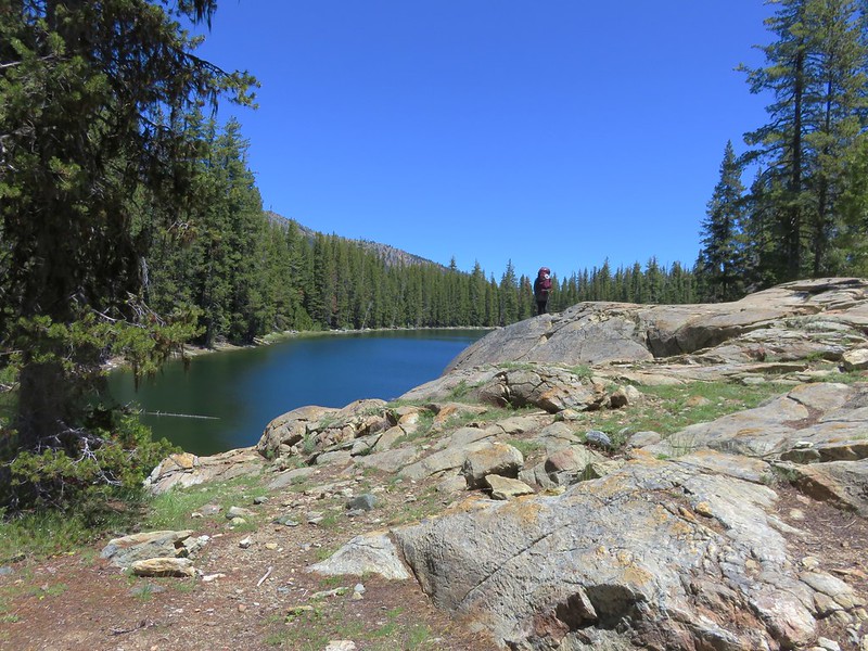
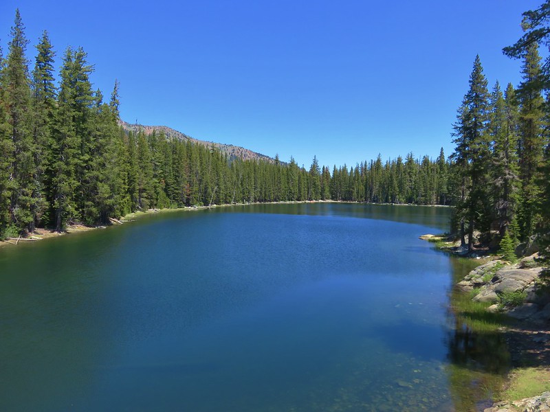
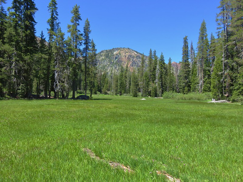
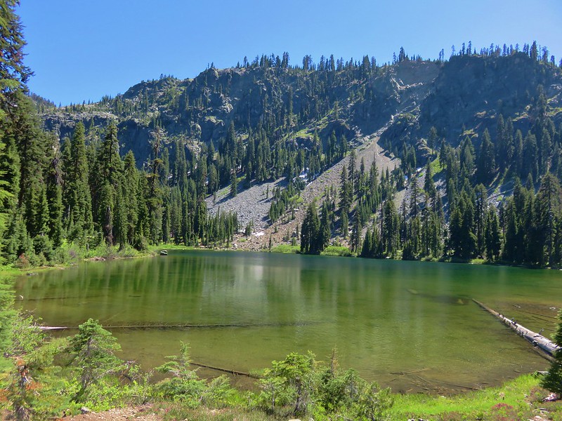
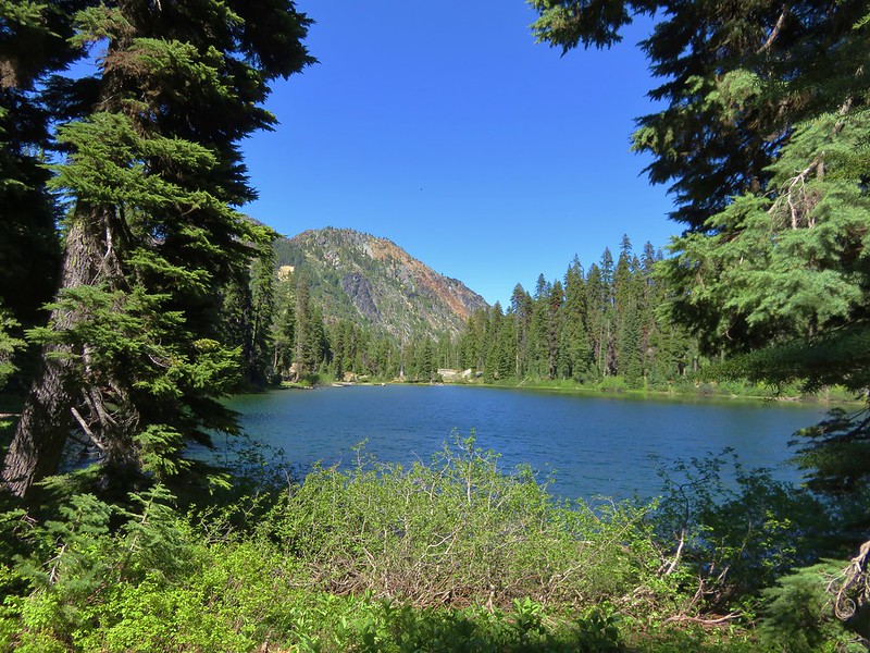
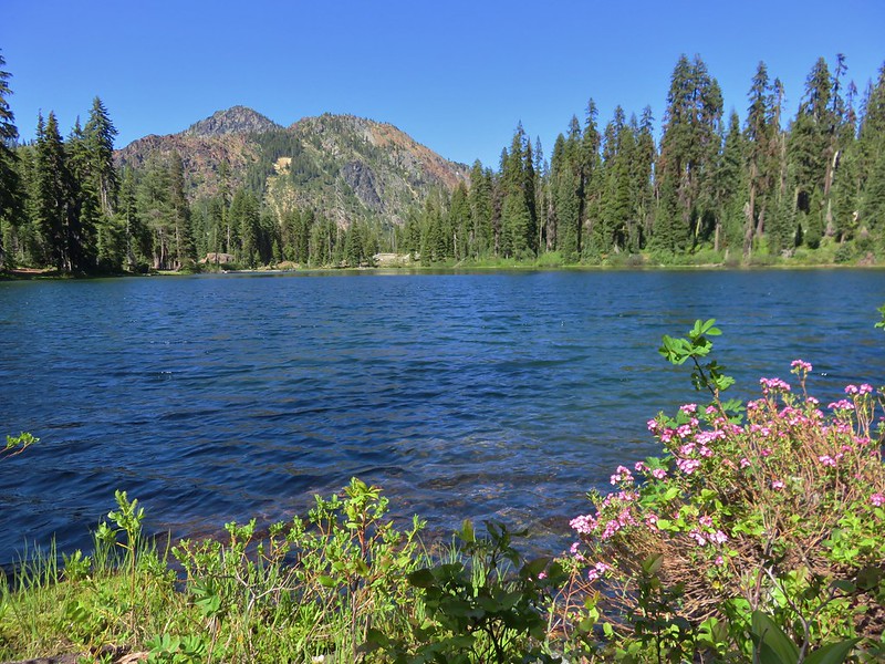
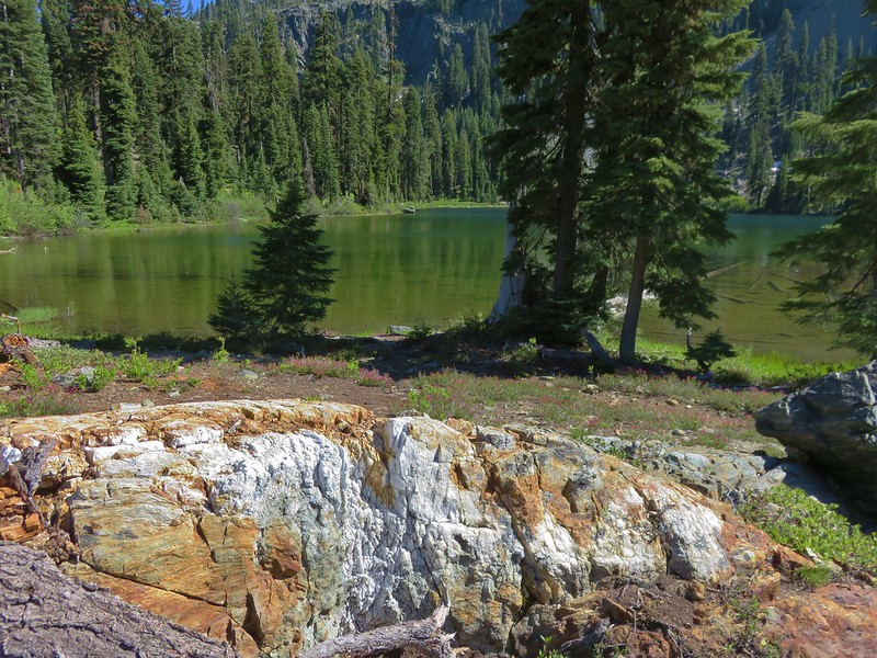
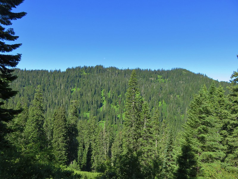
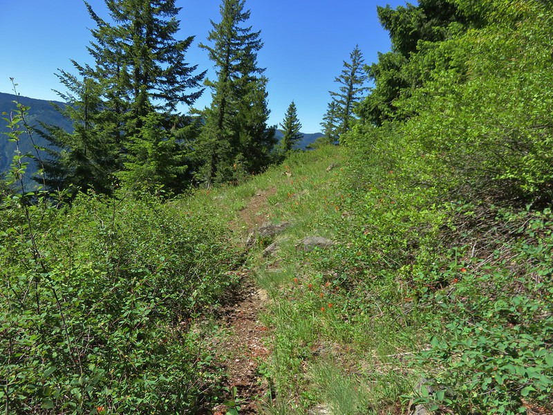
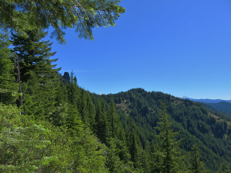
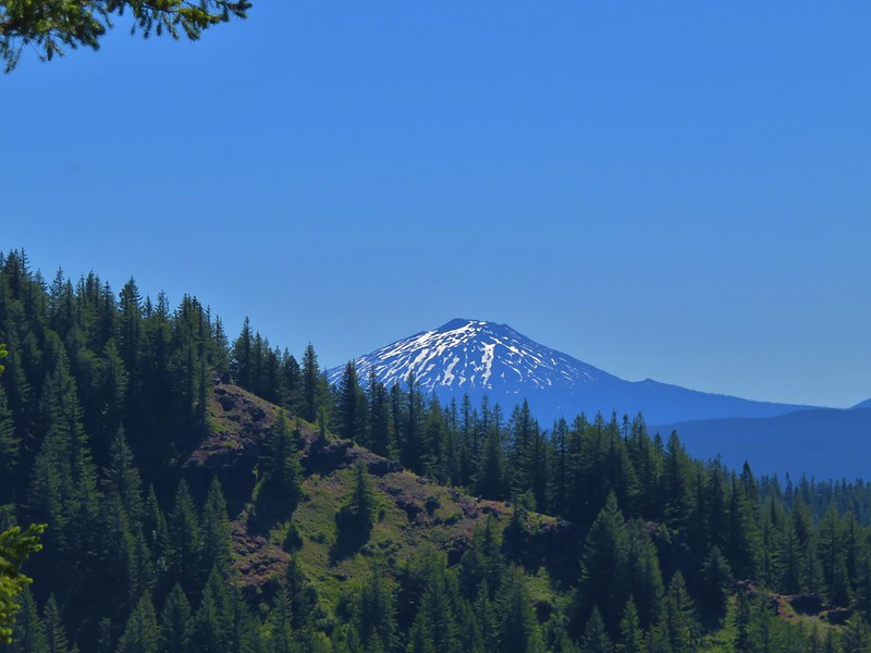
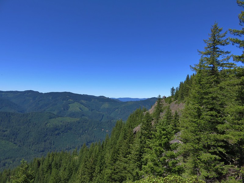
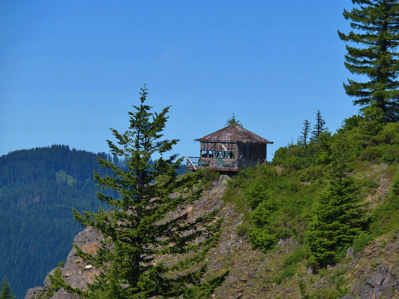
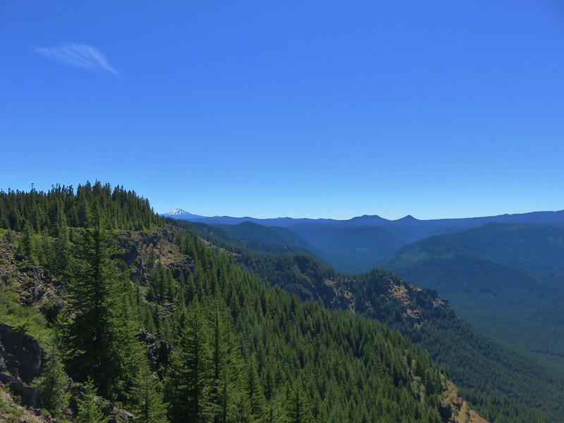
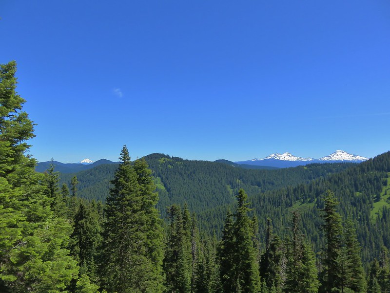
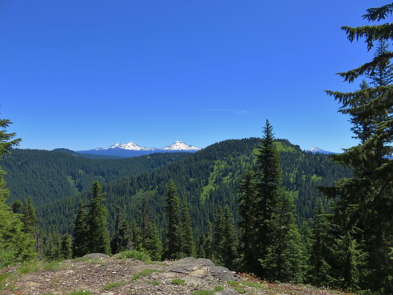
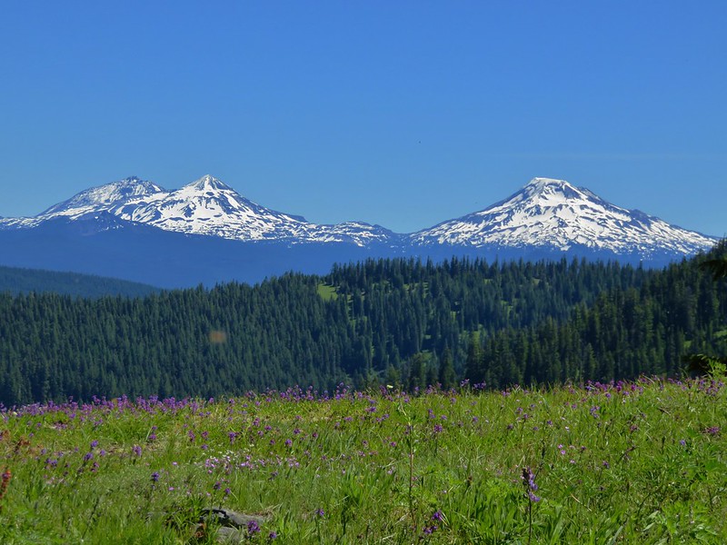
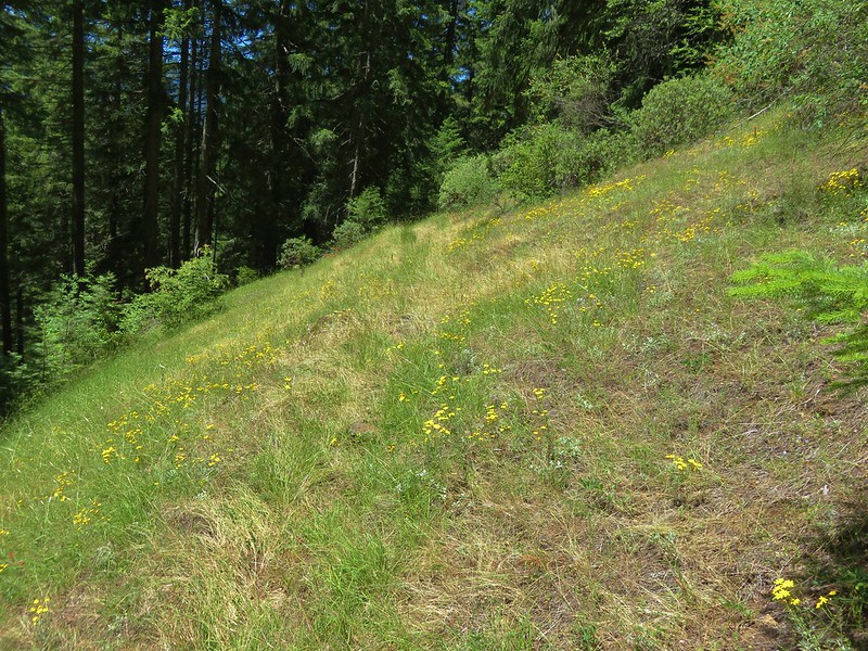
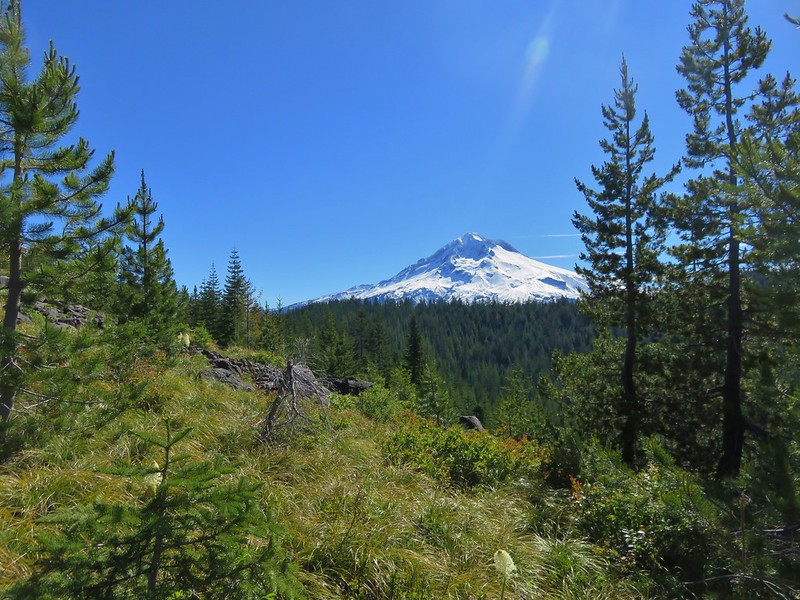
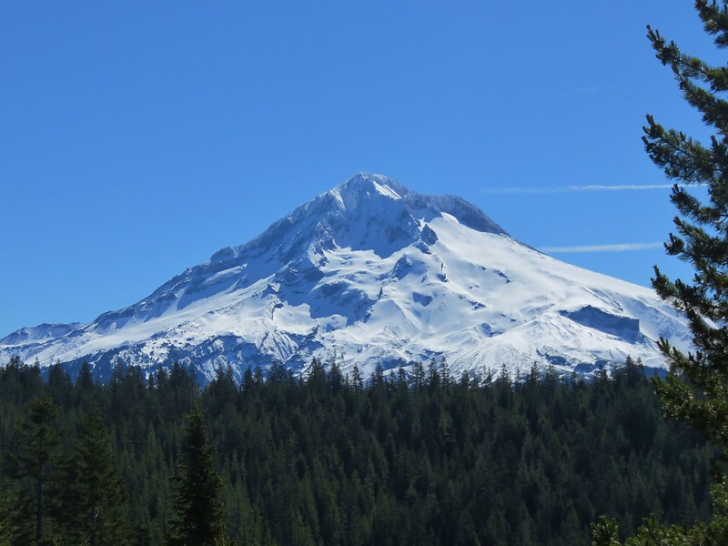
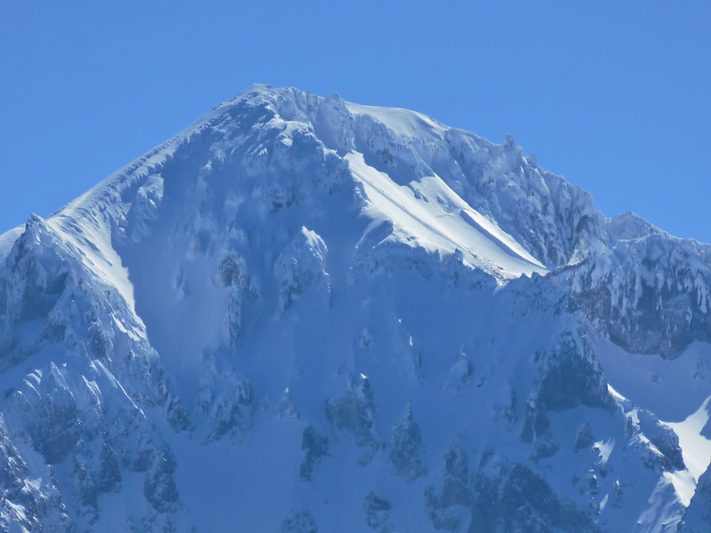
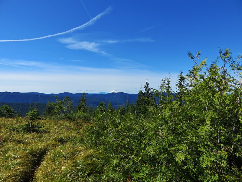
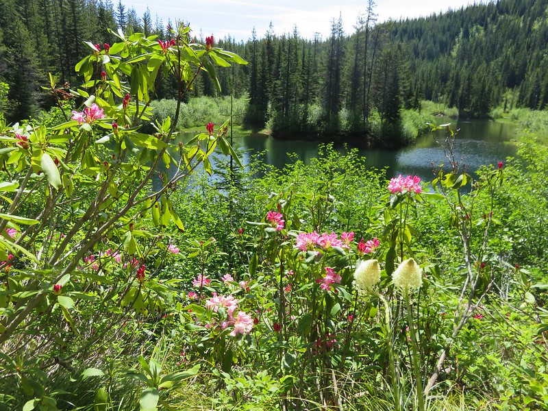
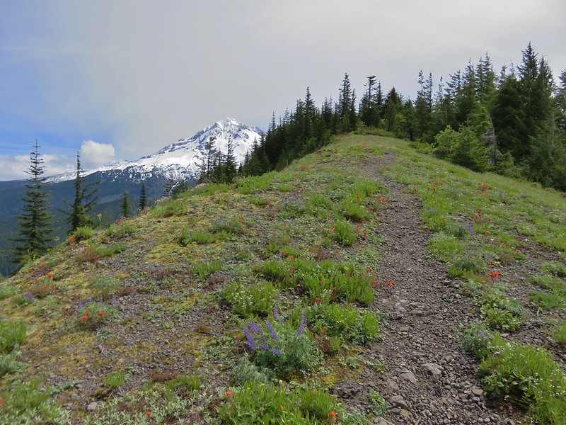
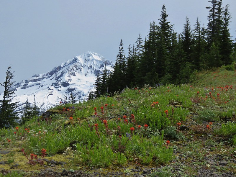
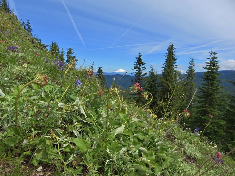
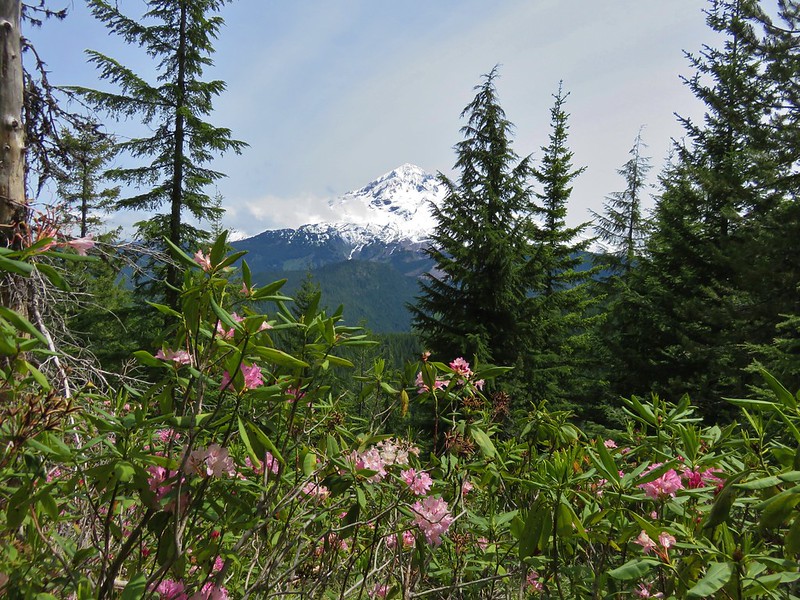
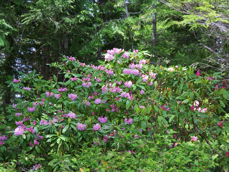
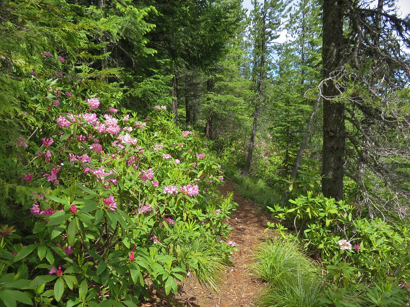
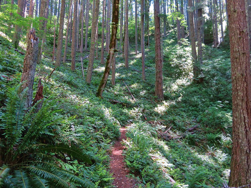
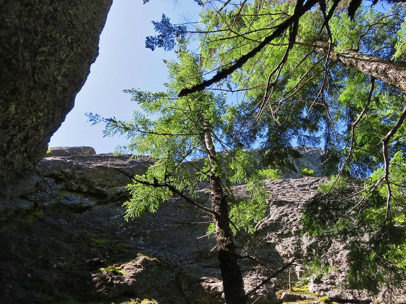
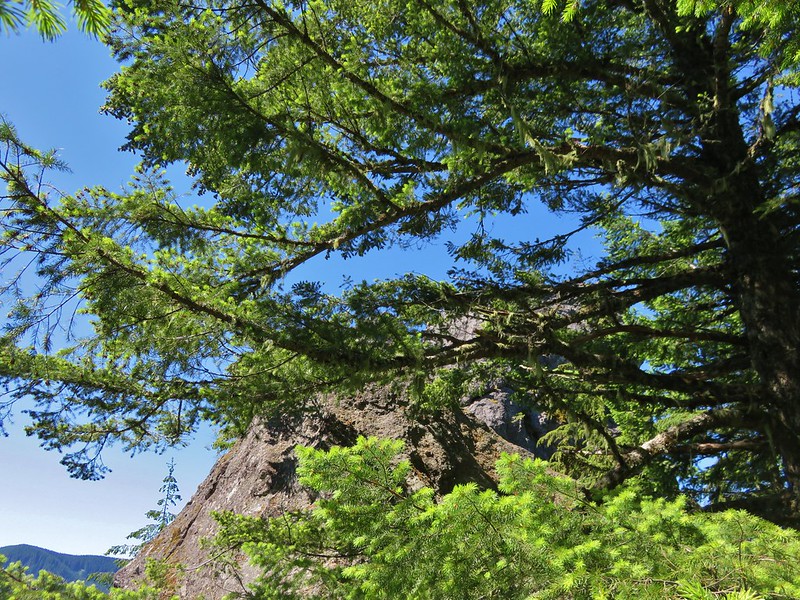
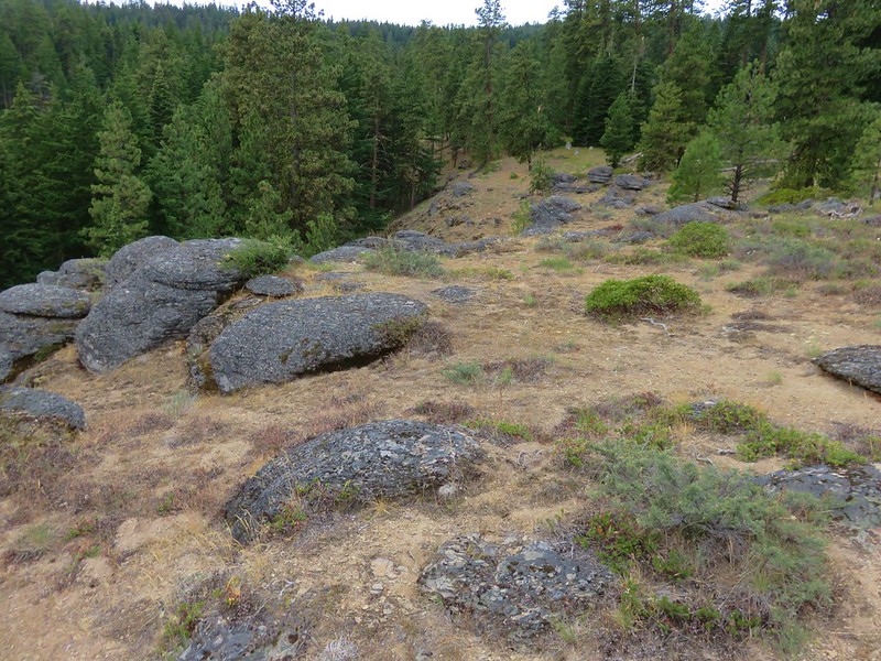
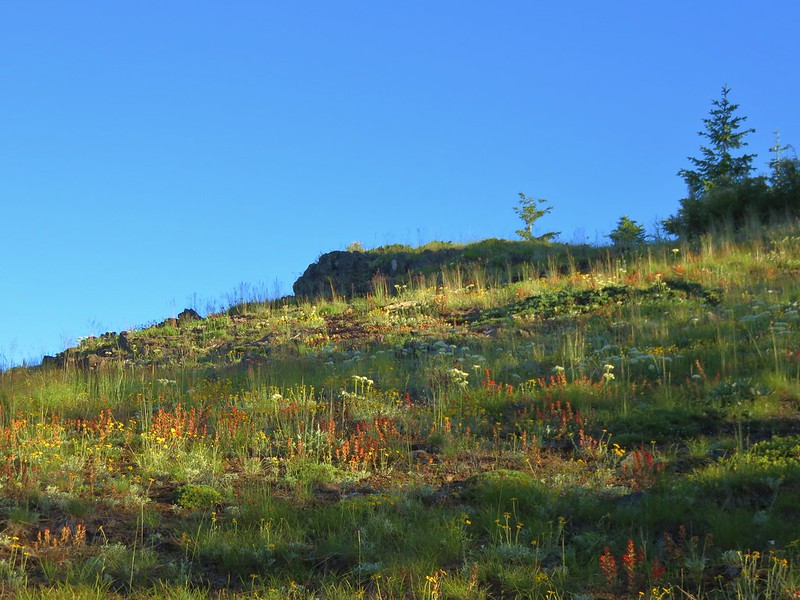
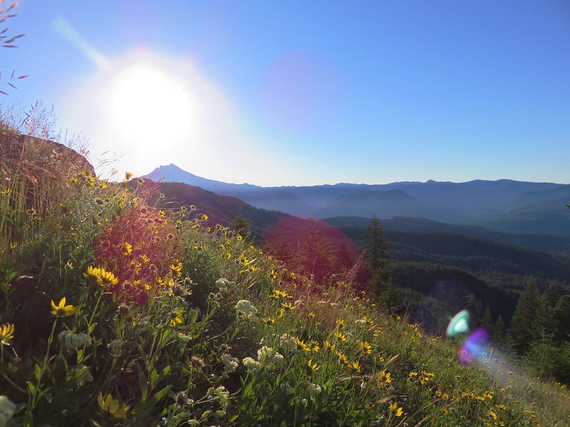
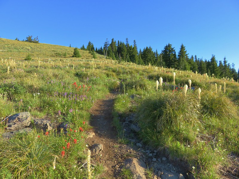
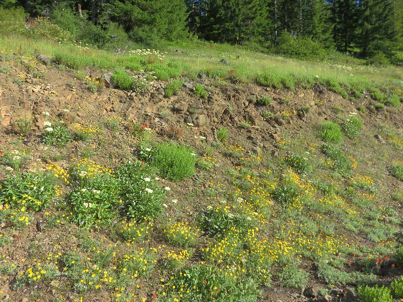
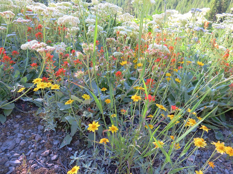
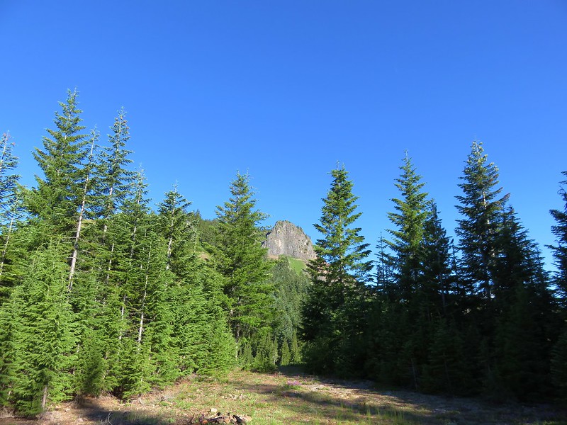
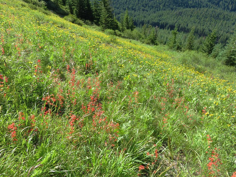
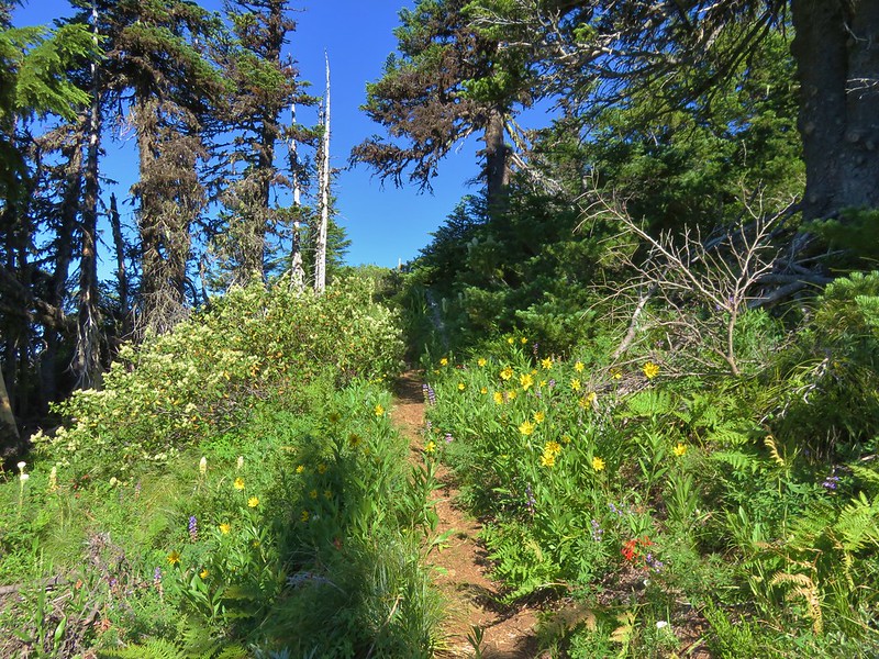
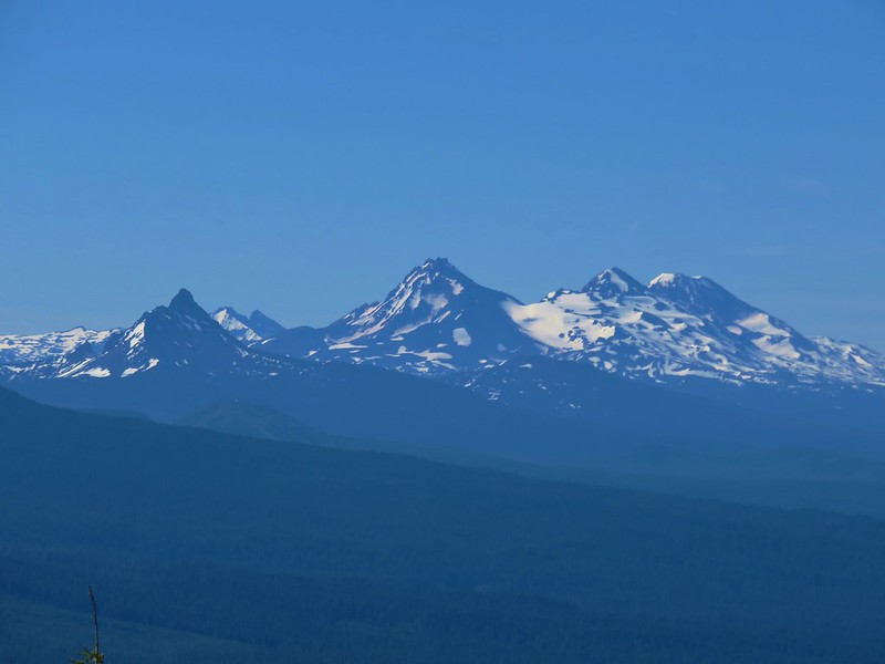
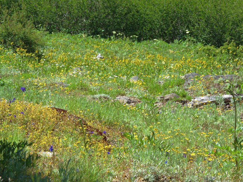
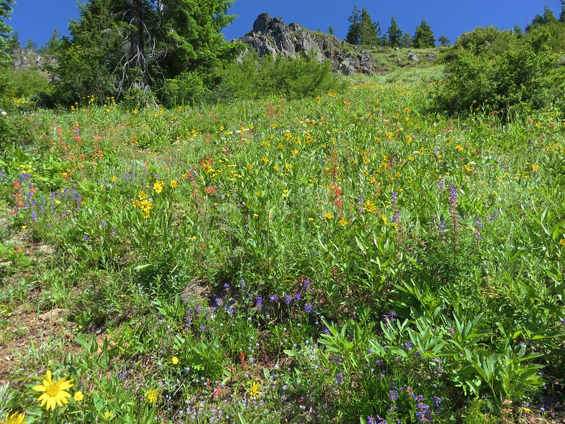
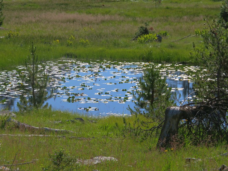
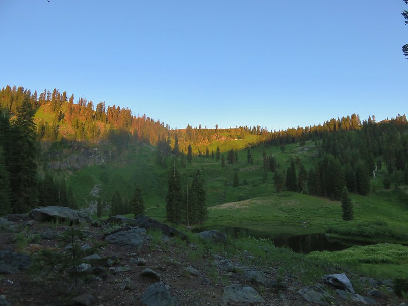
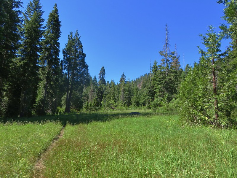
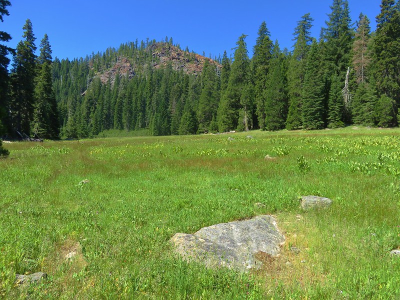
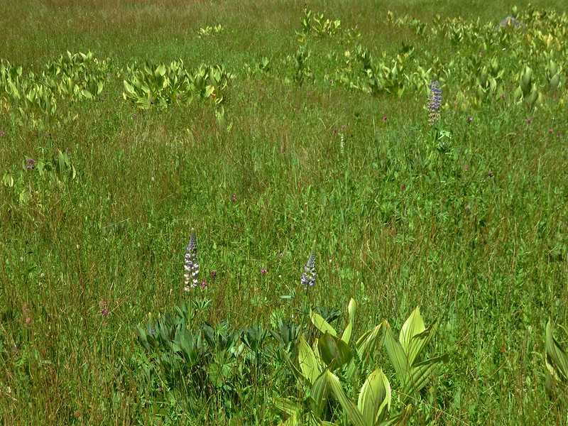
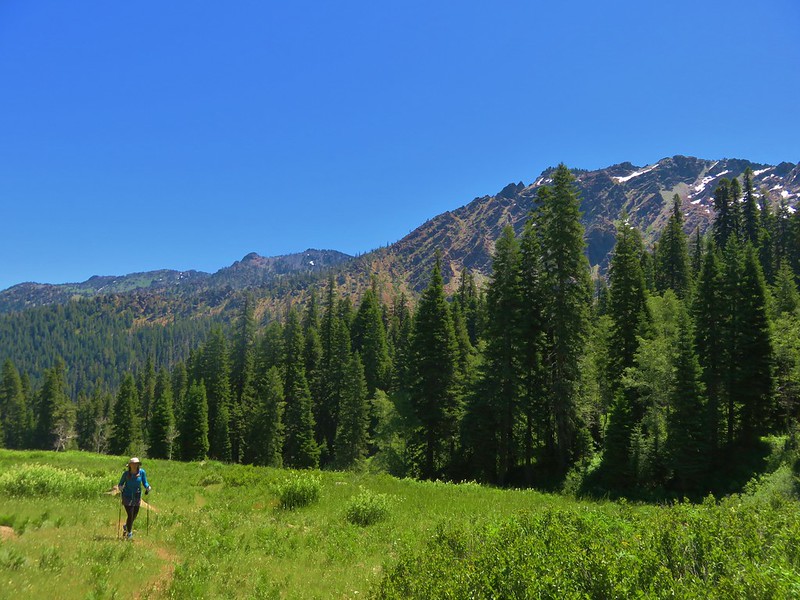
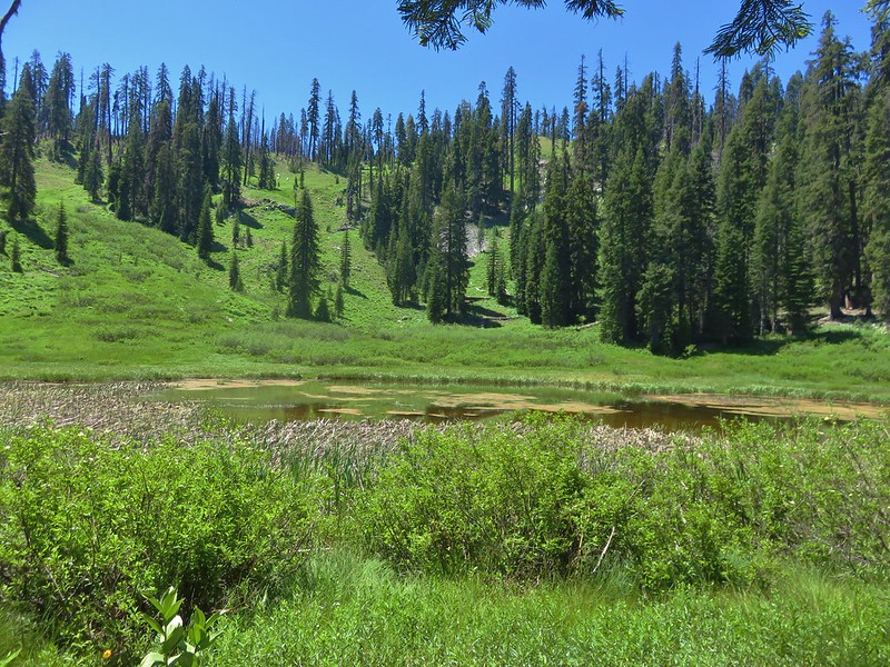
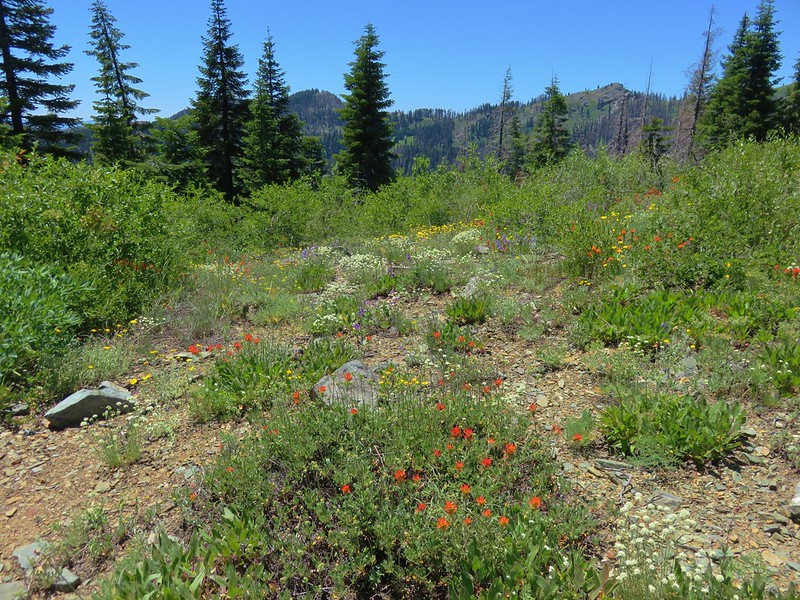
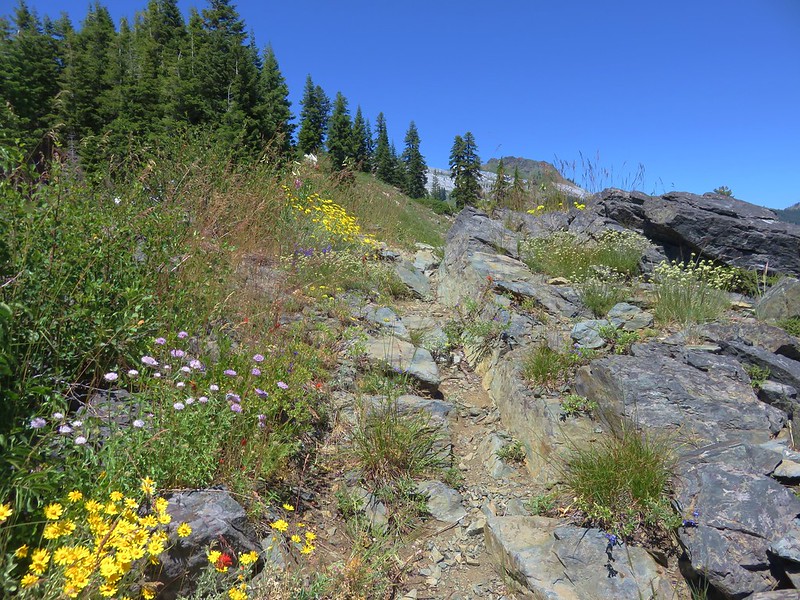
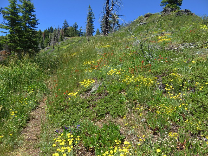
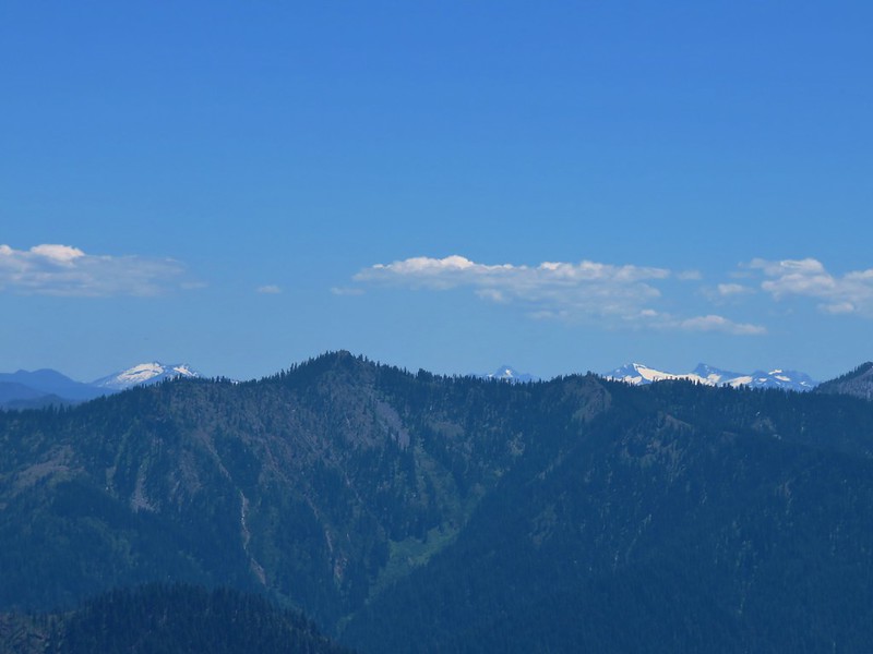
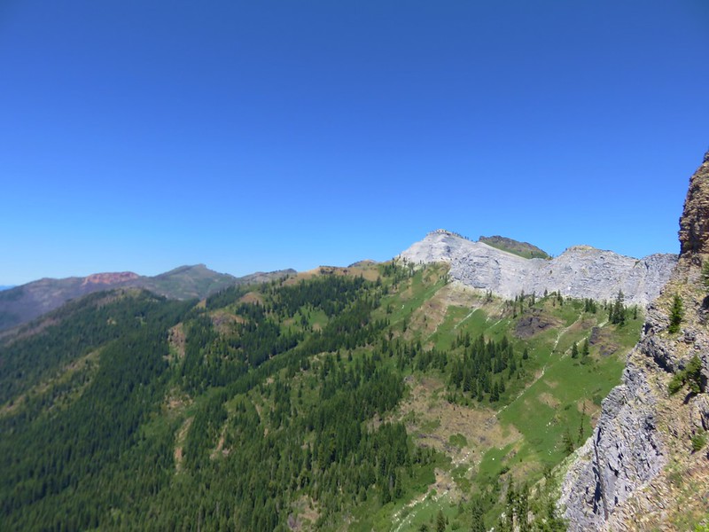
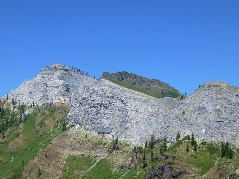
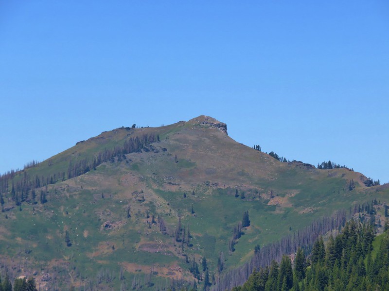
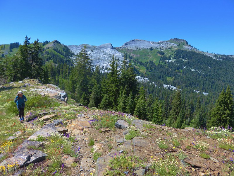
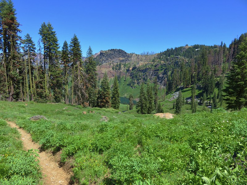
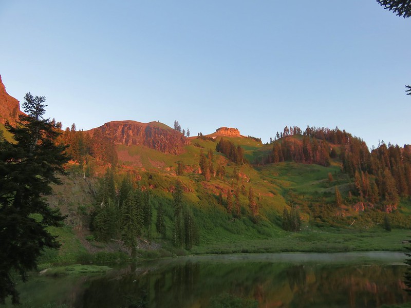
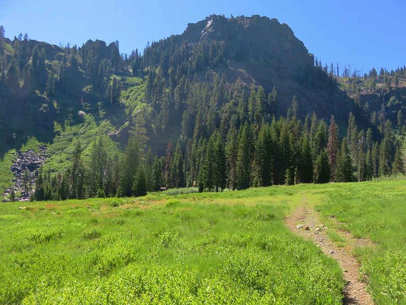
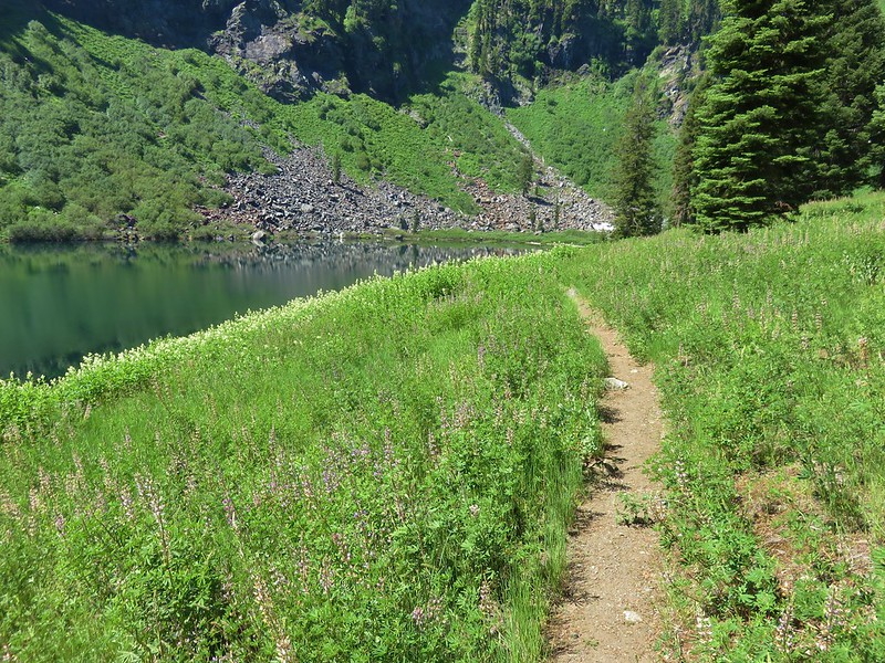
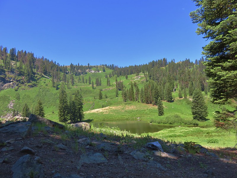
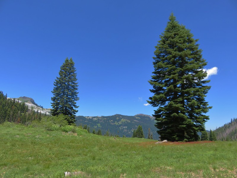
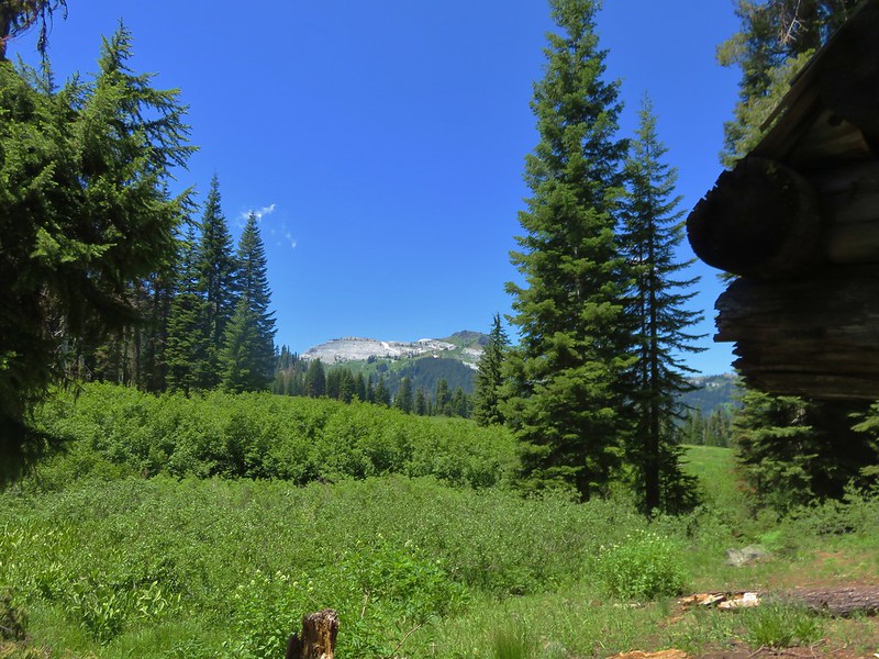
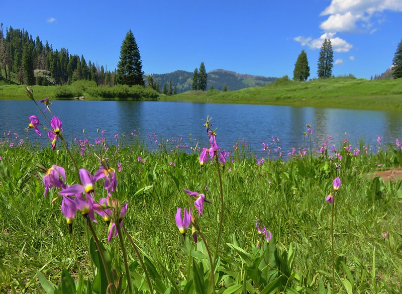
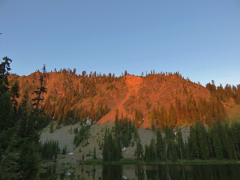
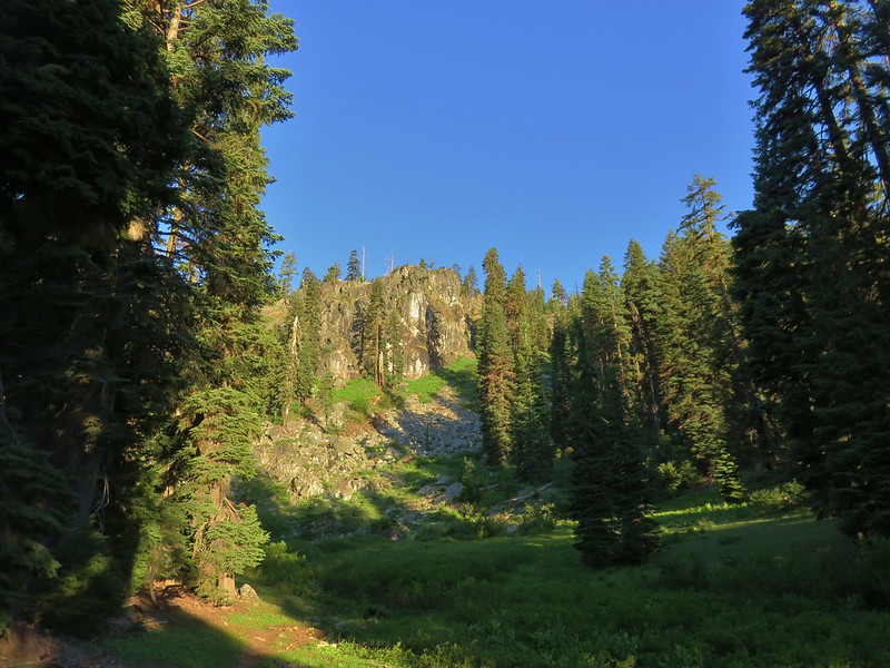
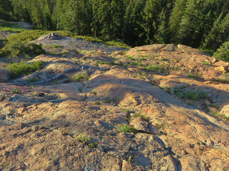
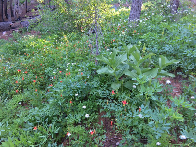
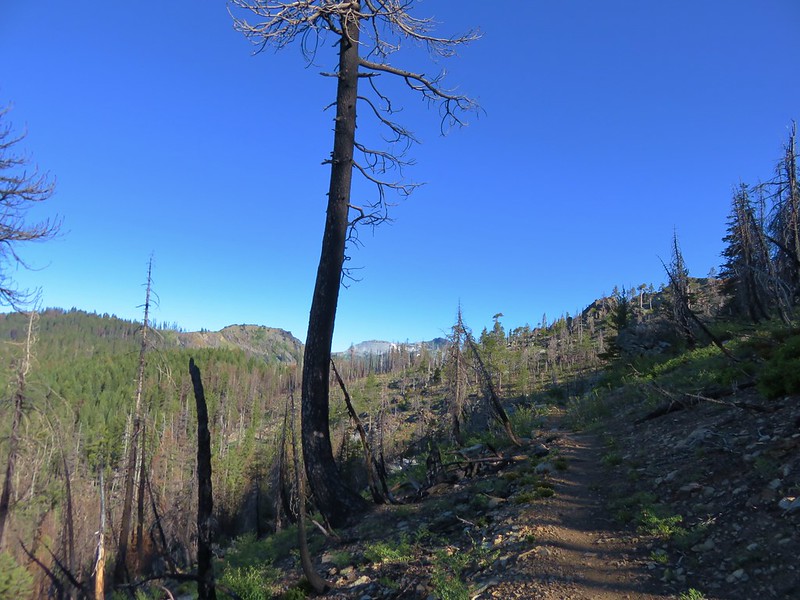
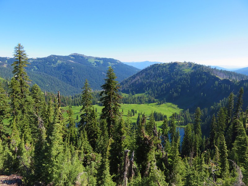
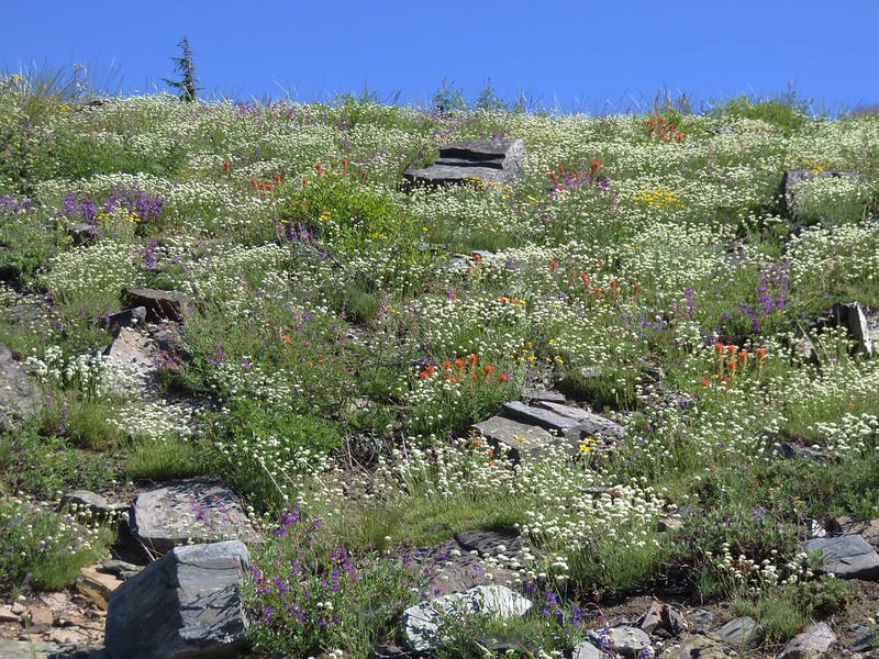
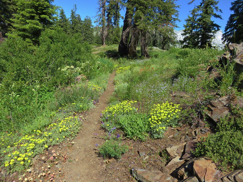
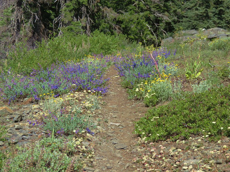
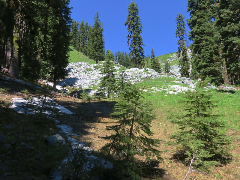
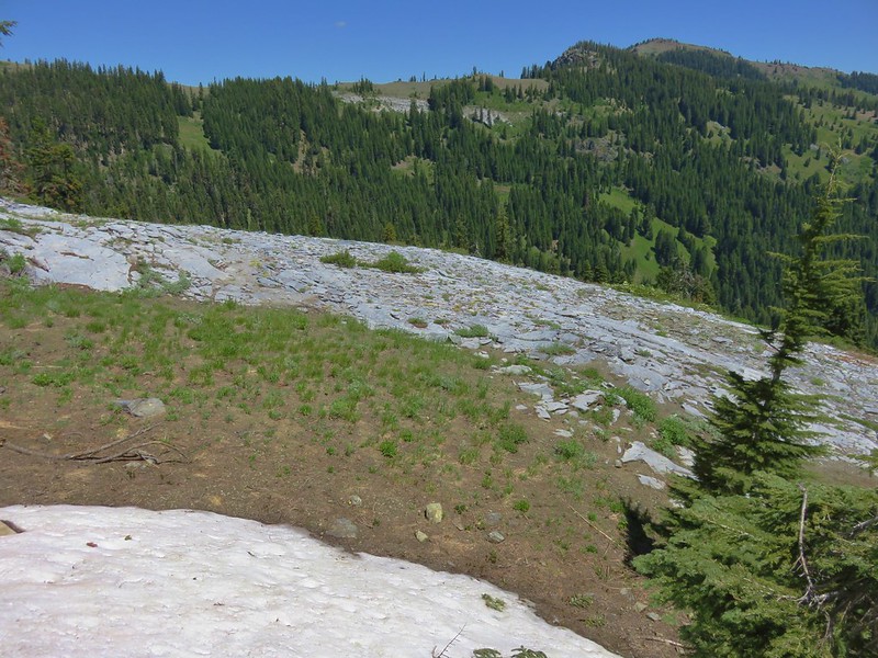
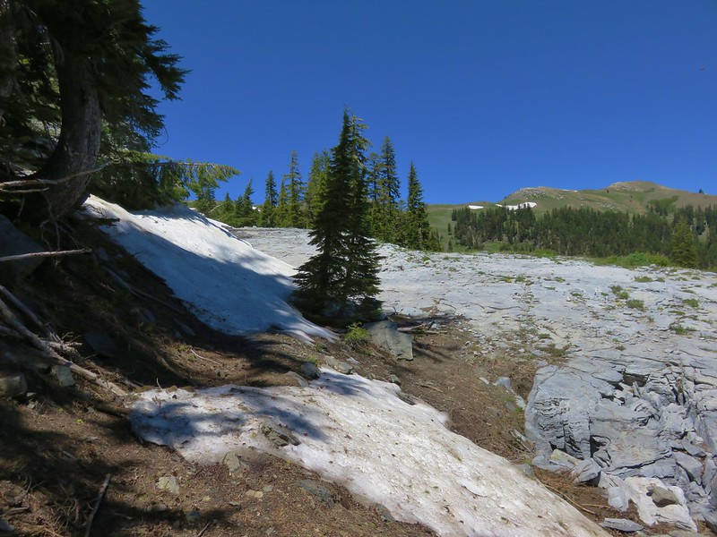
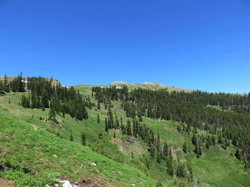
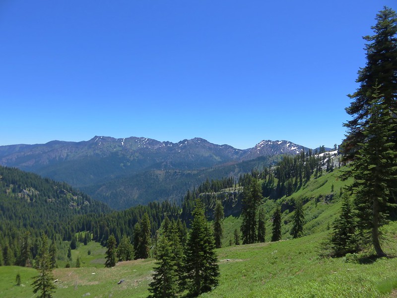
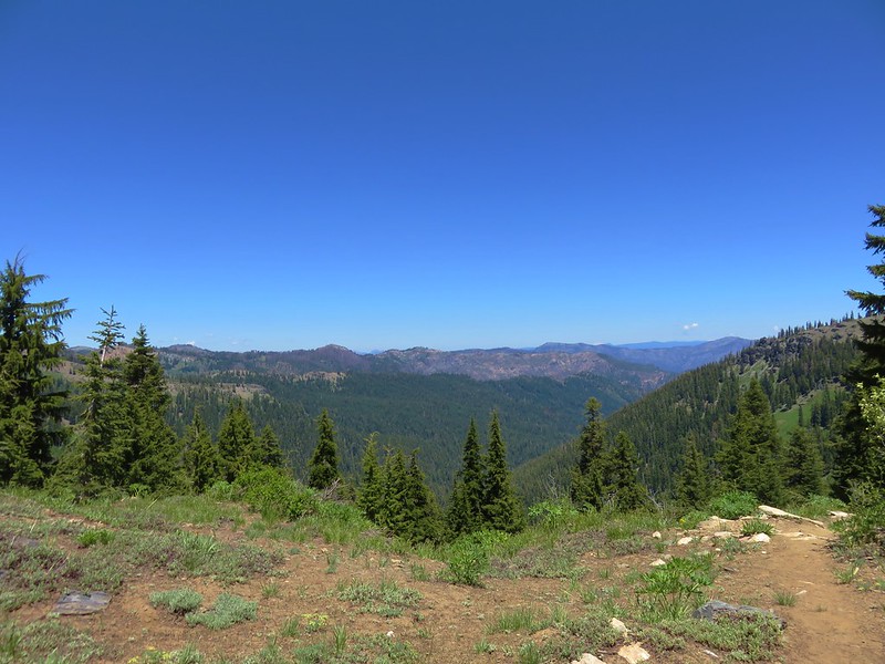
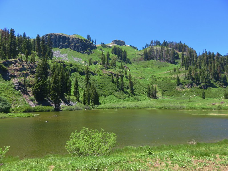
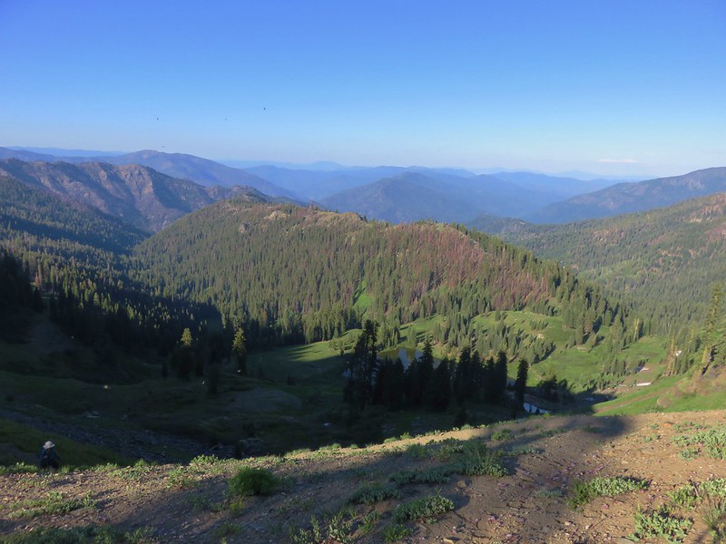
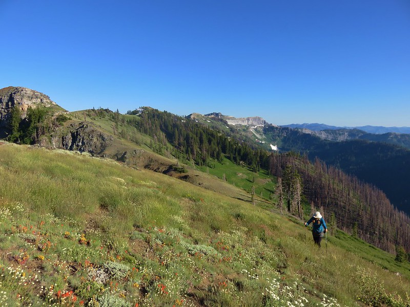
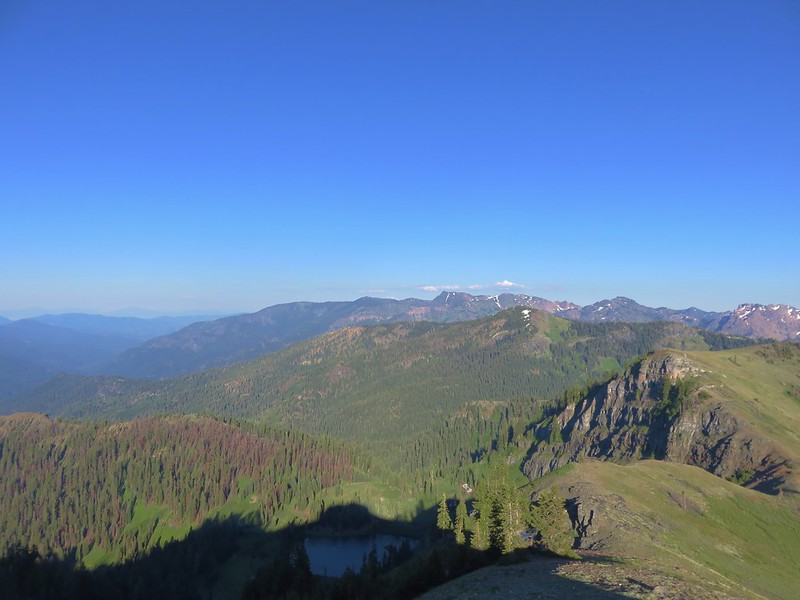
The Cedar Creek Trail climbed up through a forest to a ridge top where it began to pass through meadows and by rocky viewpoints across the Fifteenmile Creek Valley.
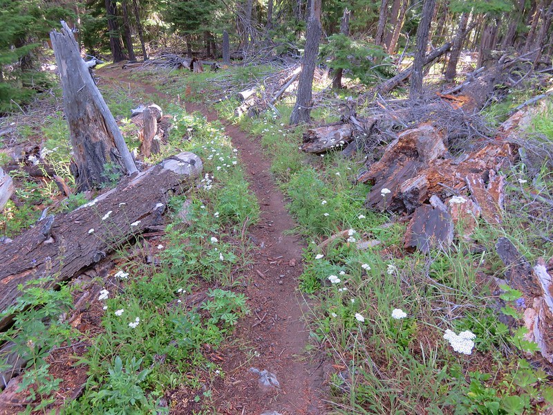


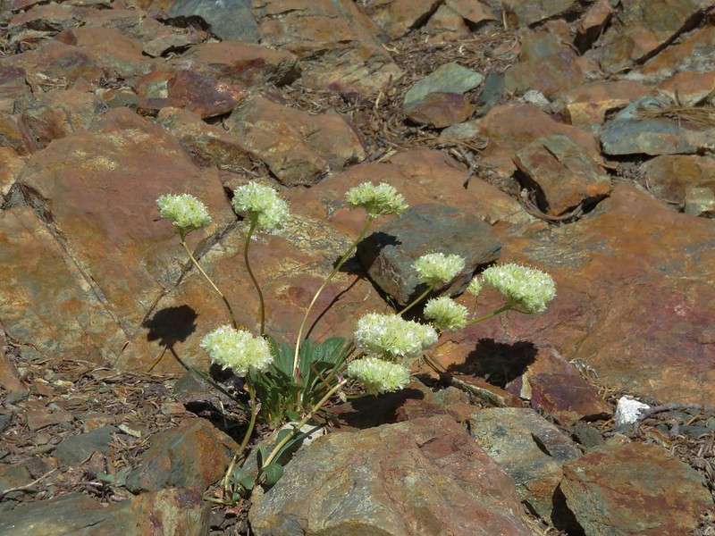
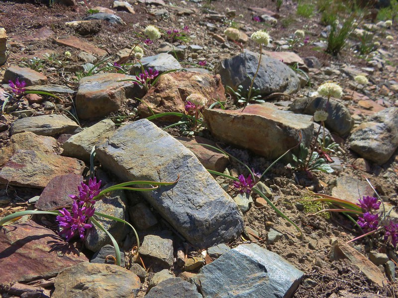
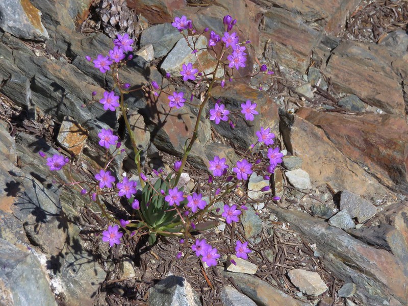
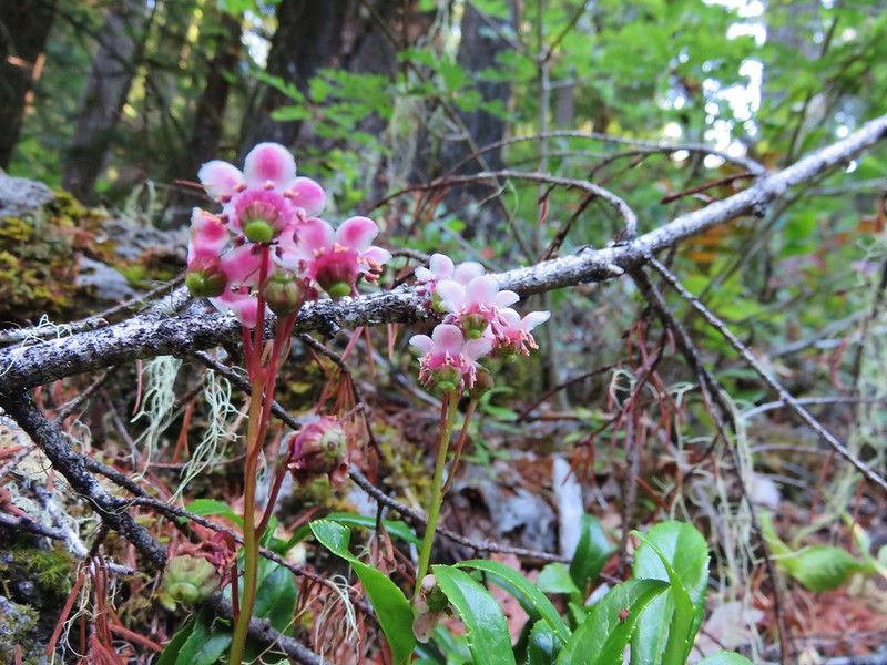
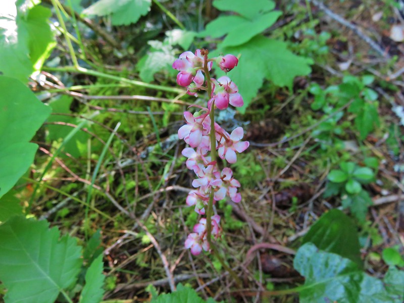
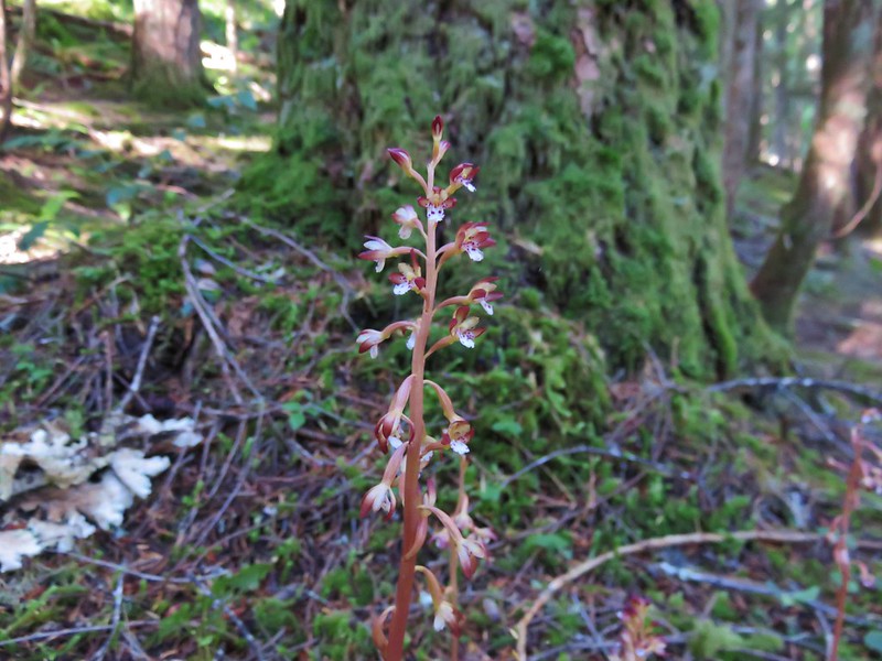
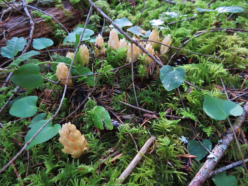
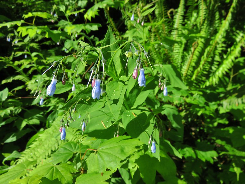
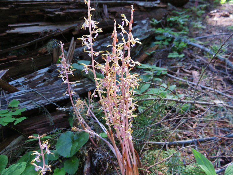
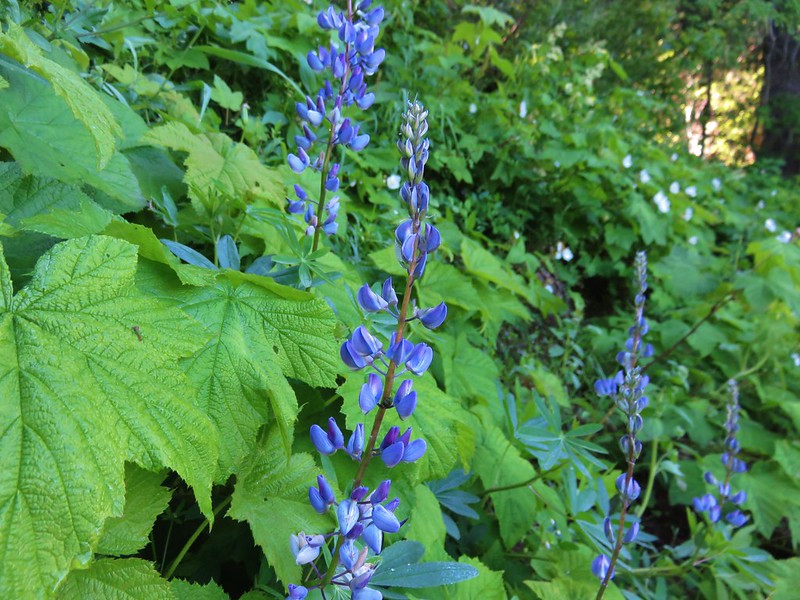
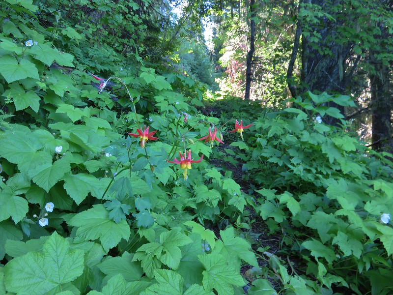
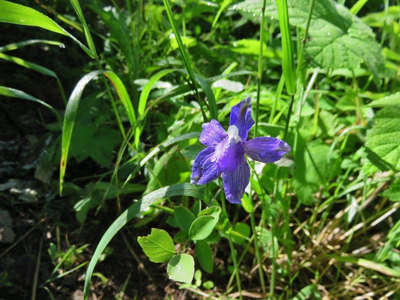
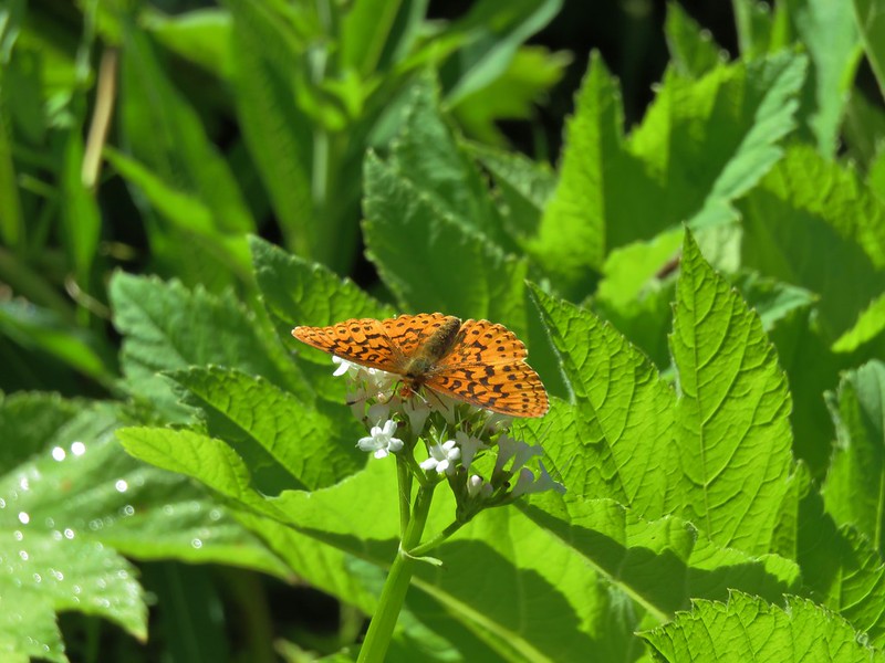
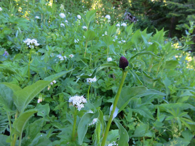
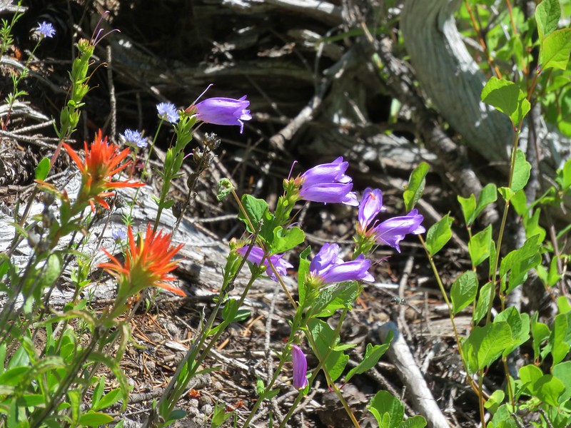
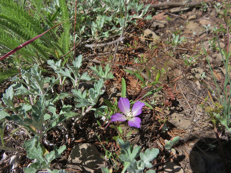
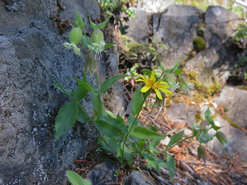
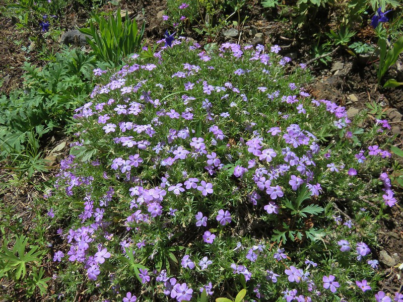
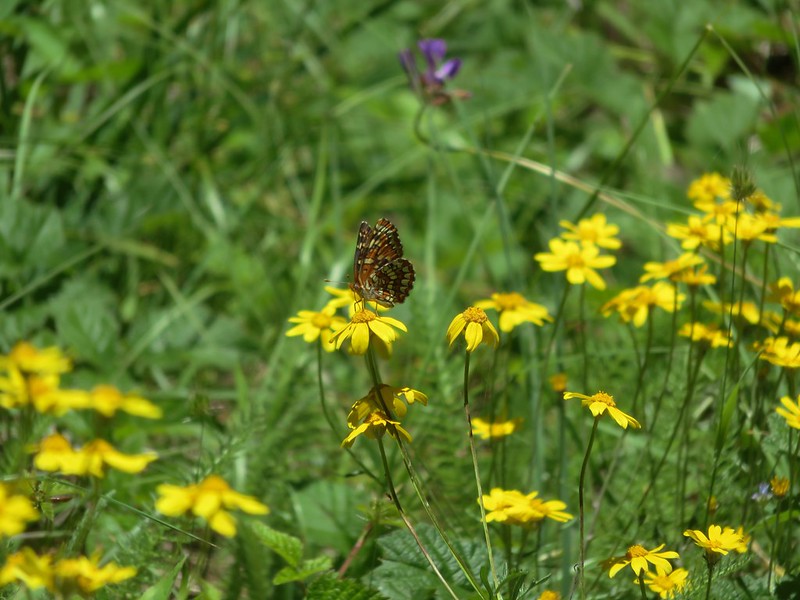
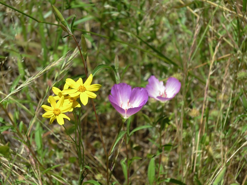
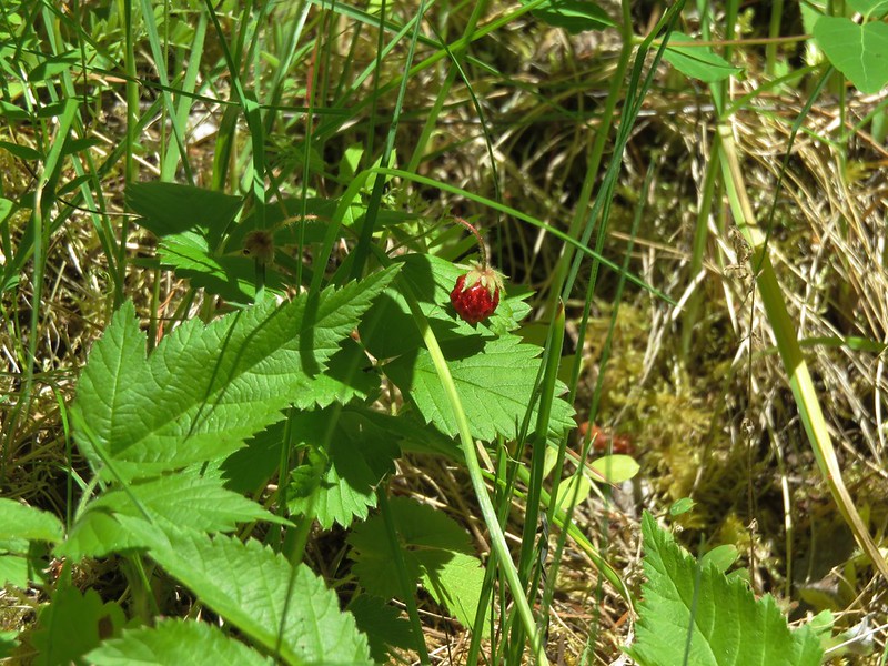
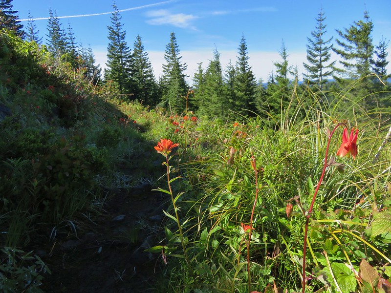
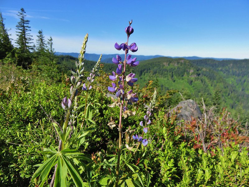
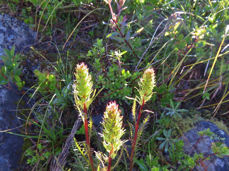
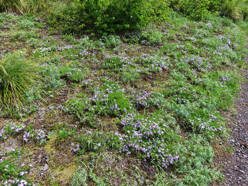
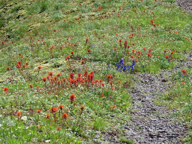
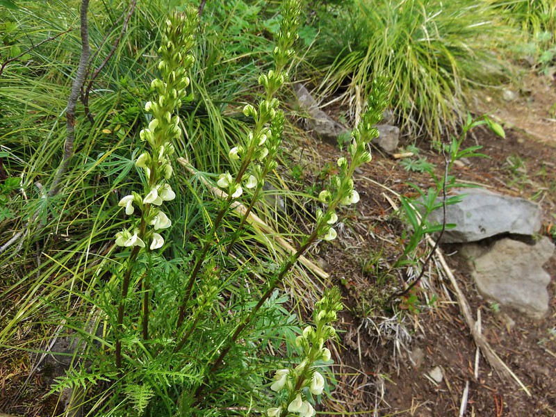
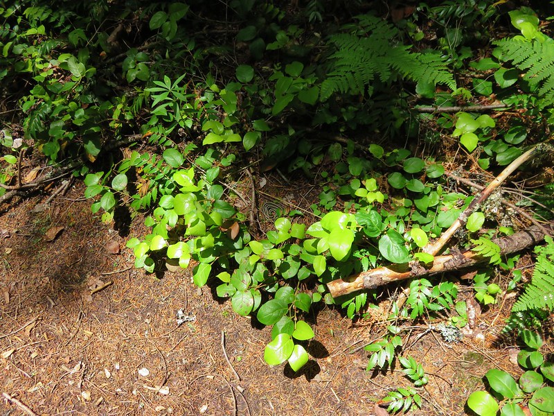
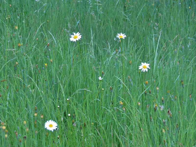
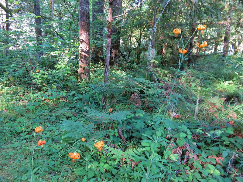
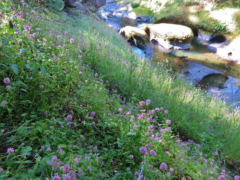
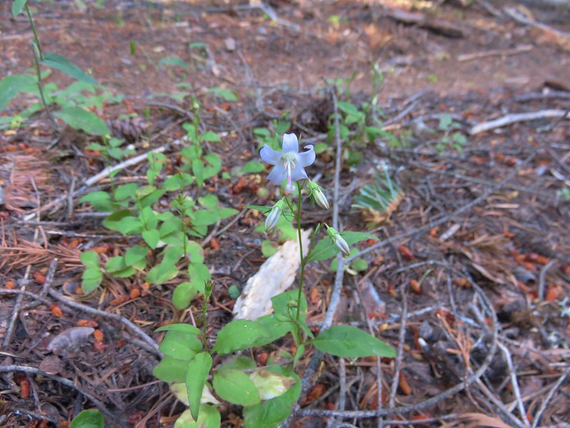
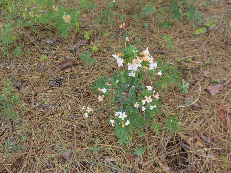
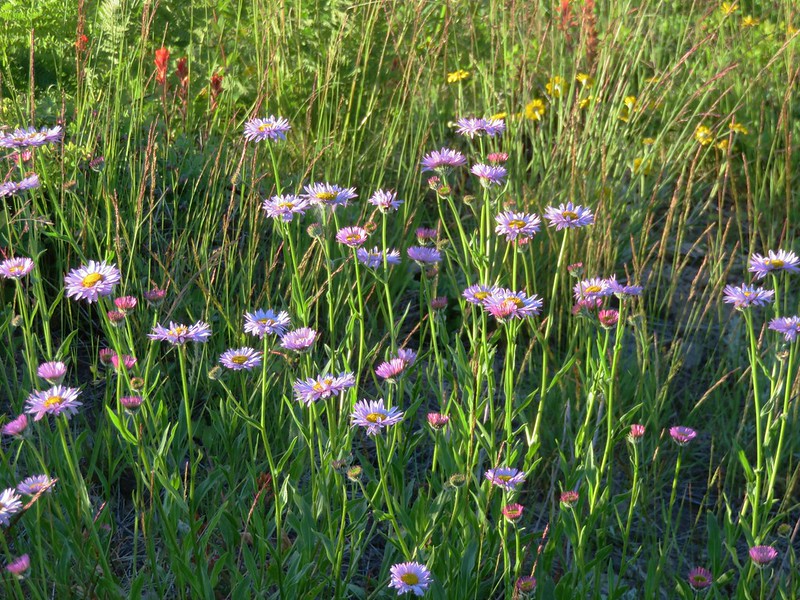
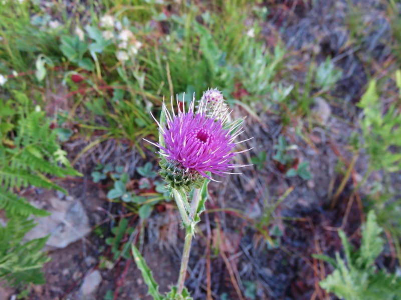
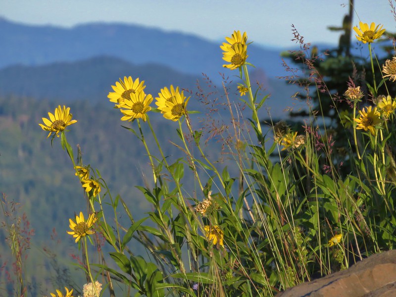
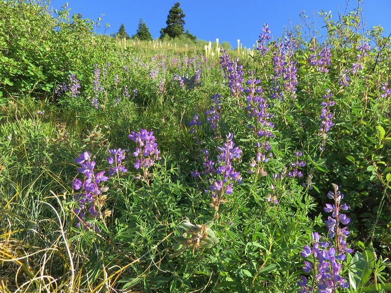
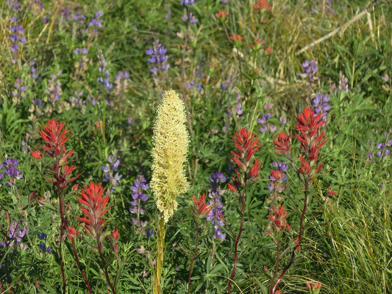
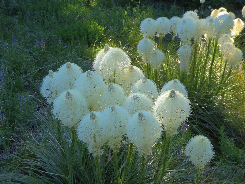
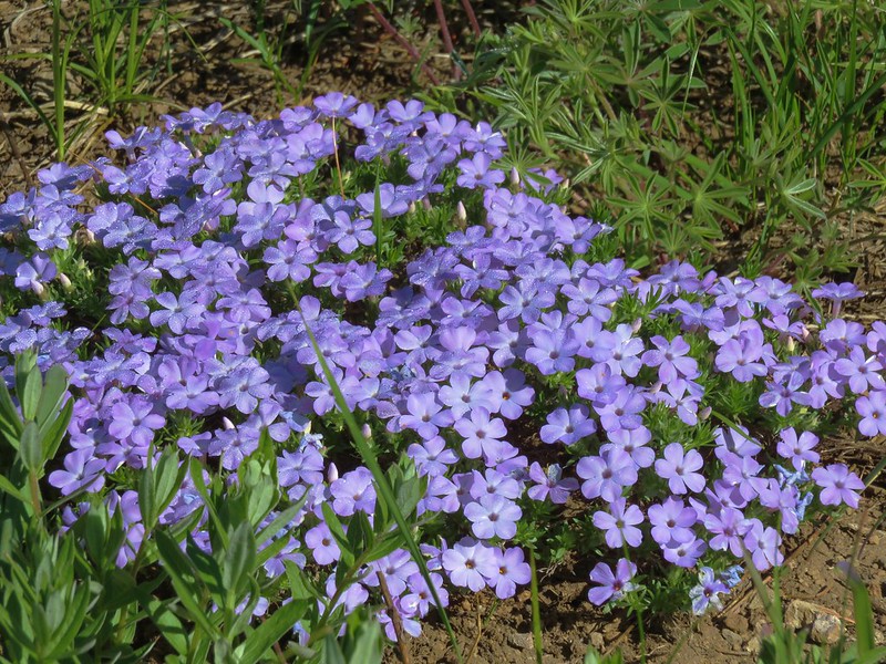
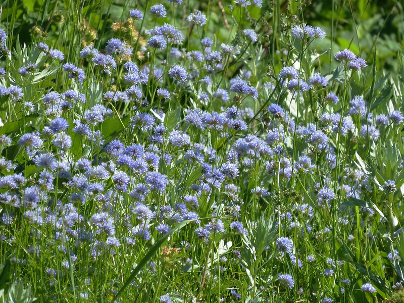
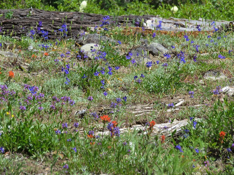
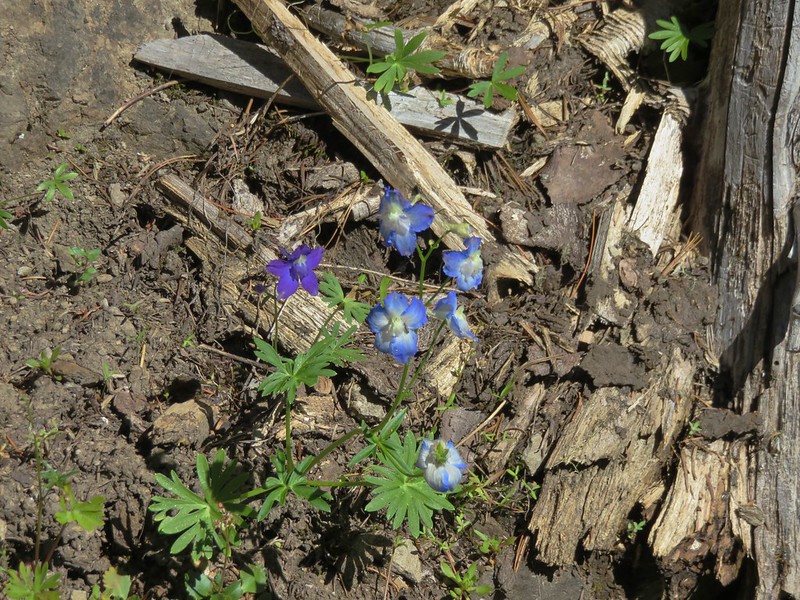
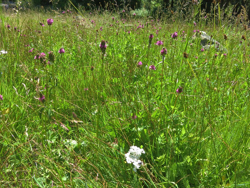
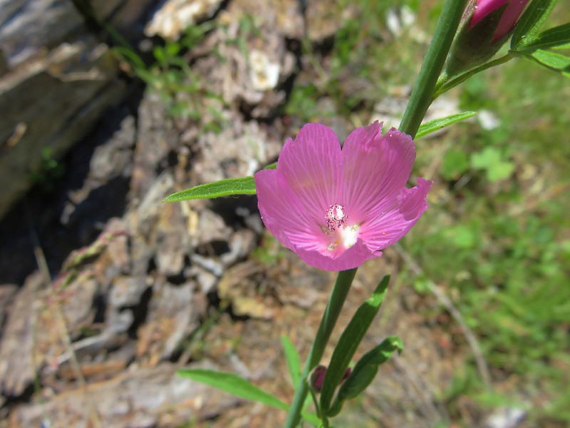
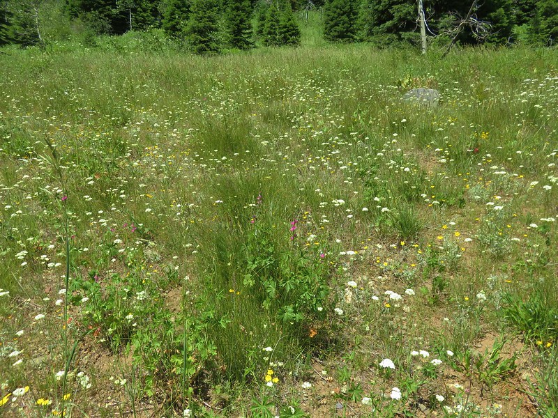
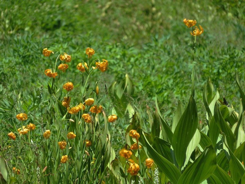
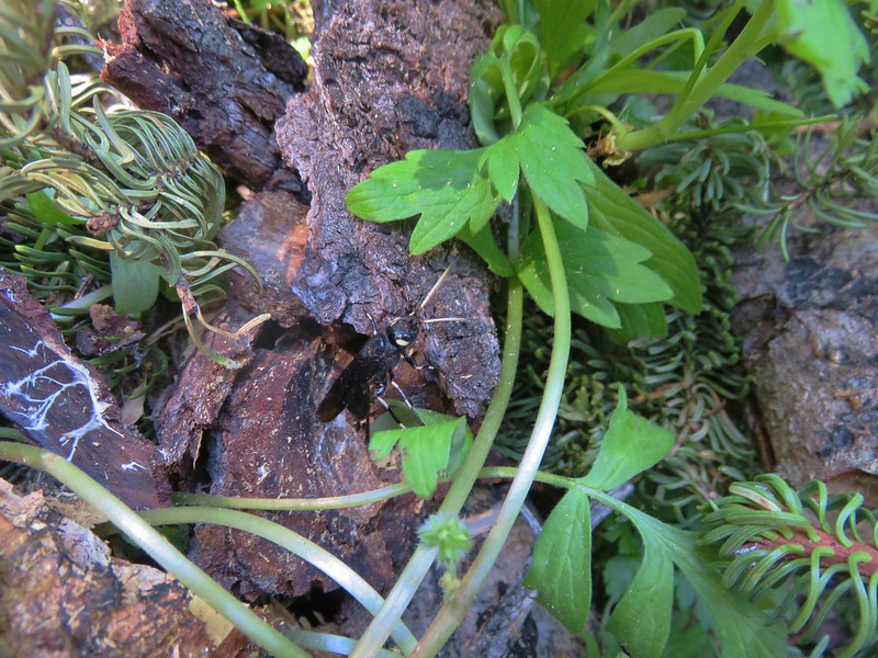
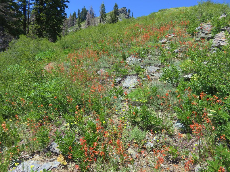
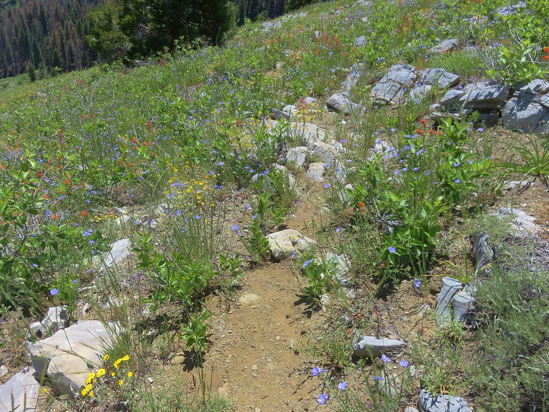
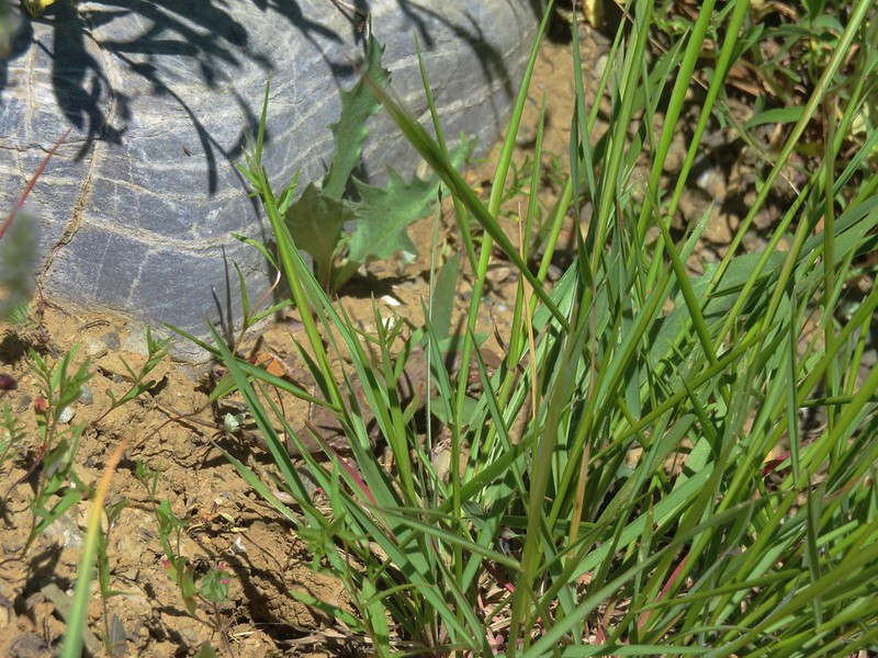
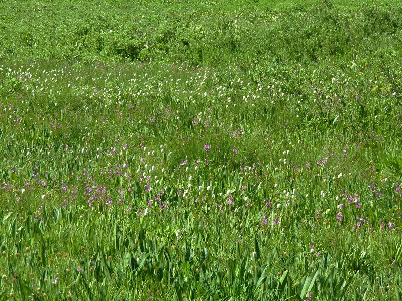
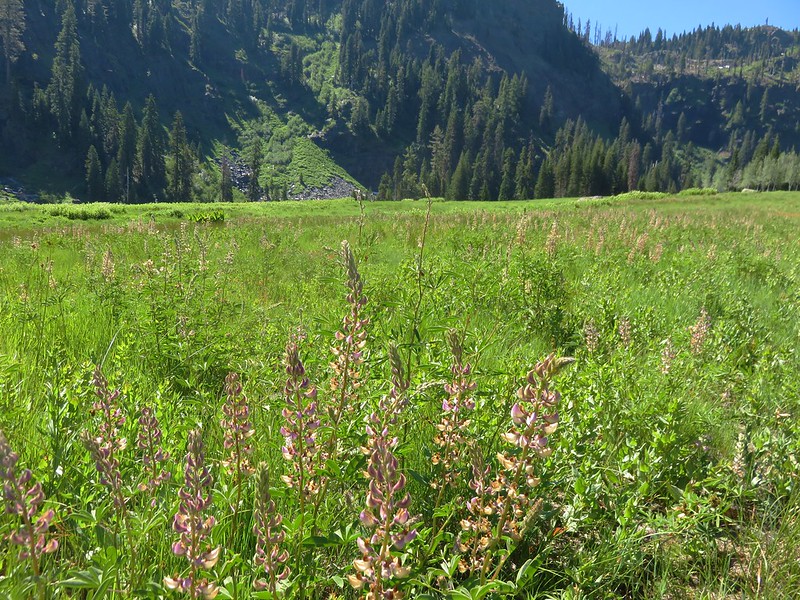
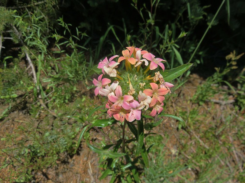
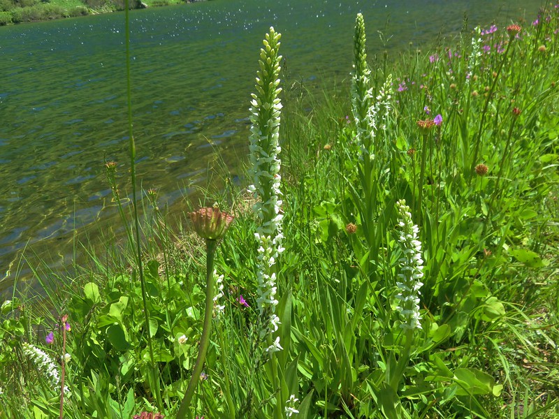
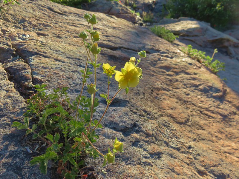
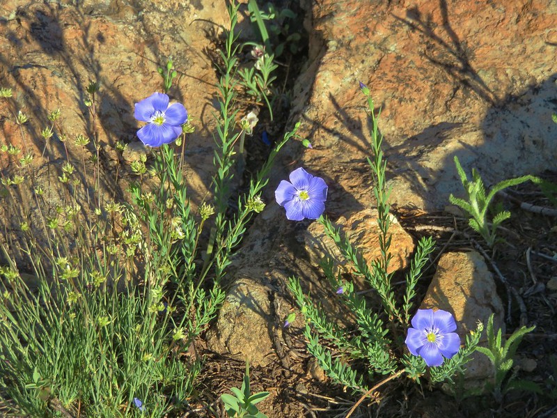
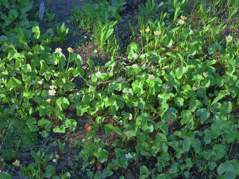
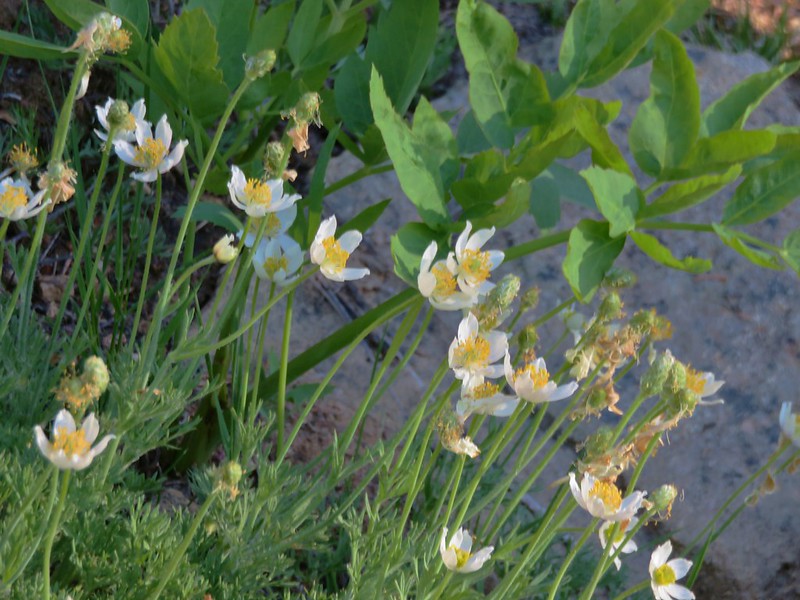
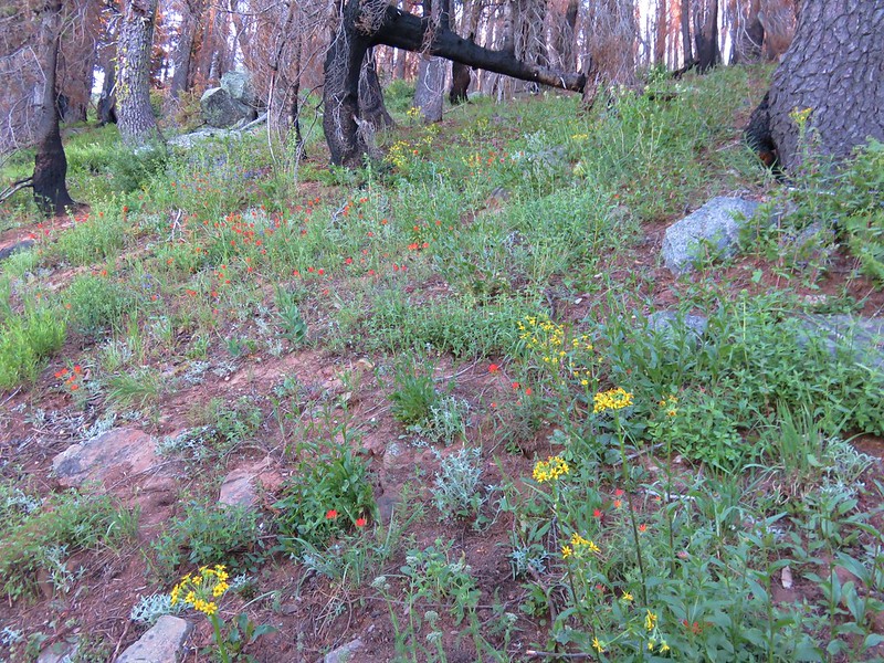
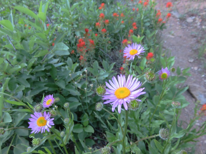
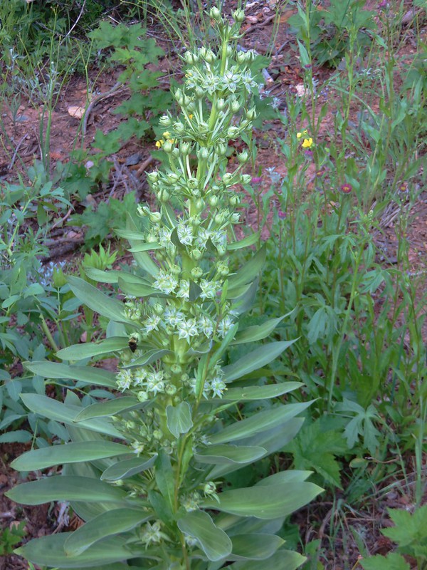
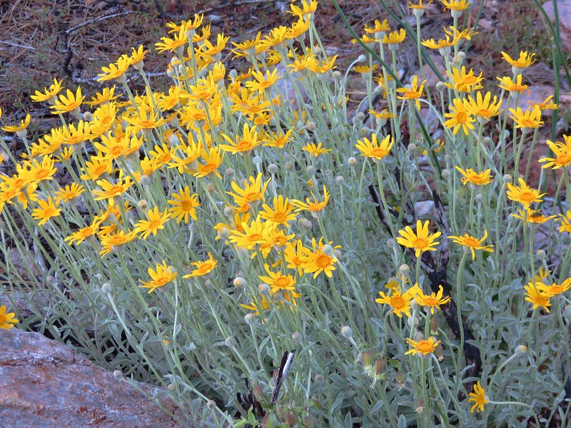
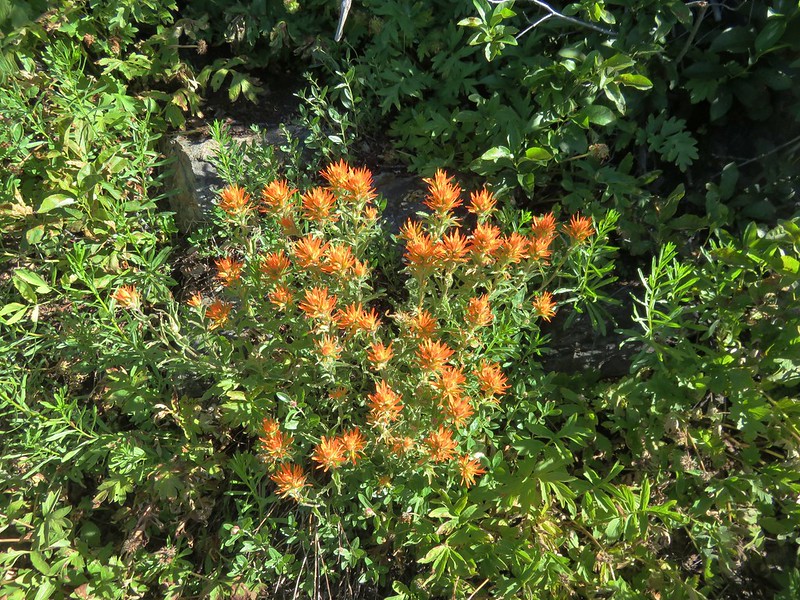
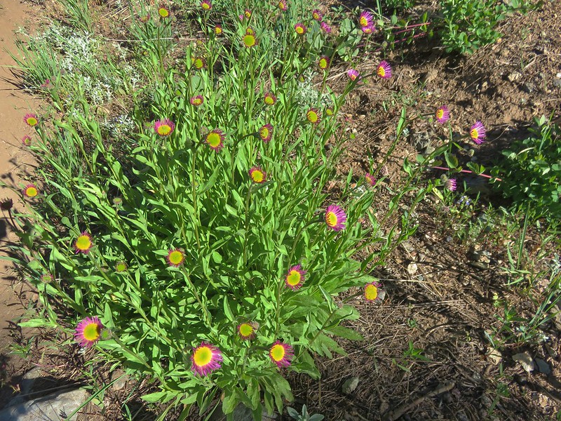
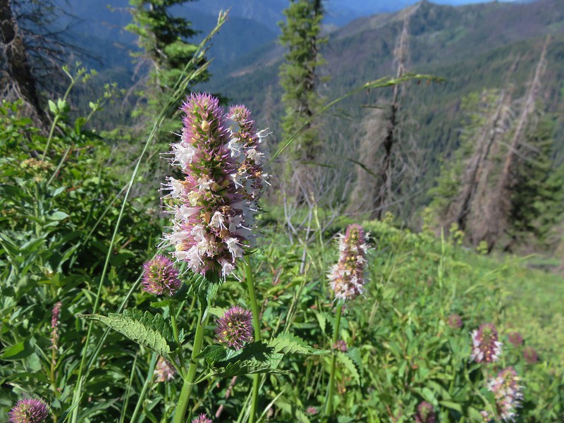
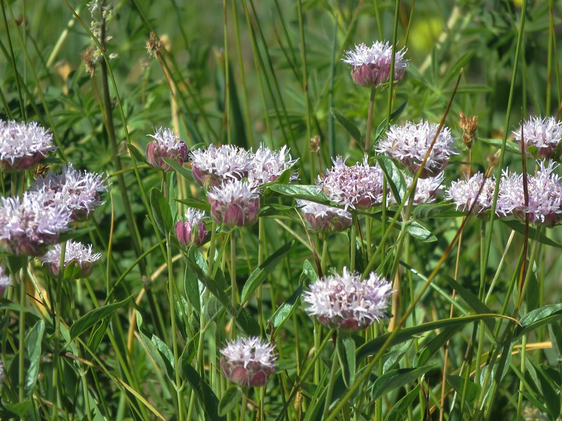
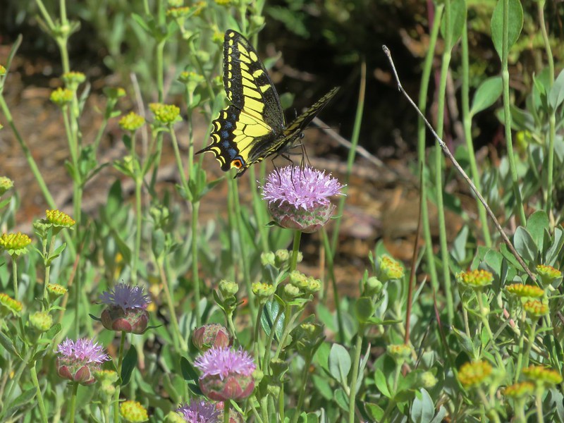
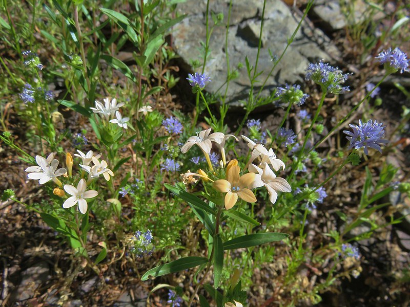
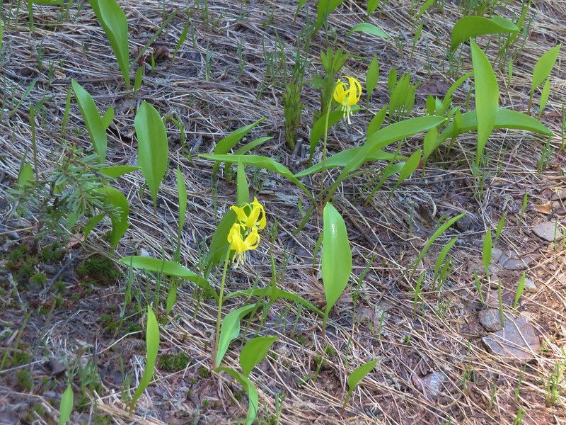
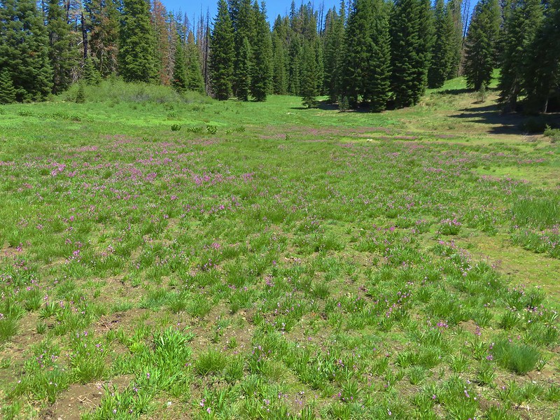
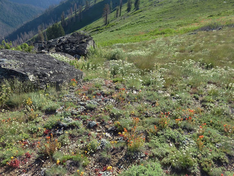
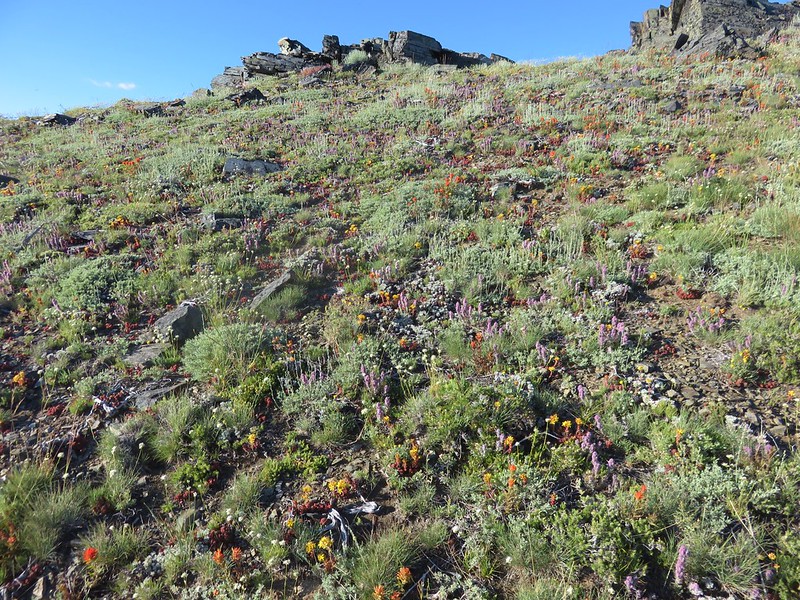
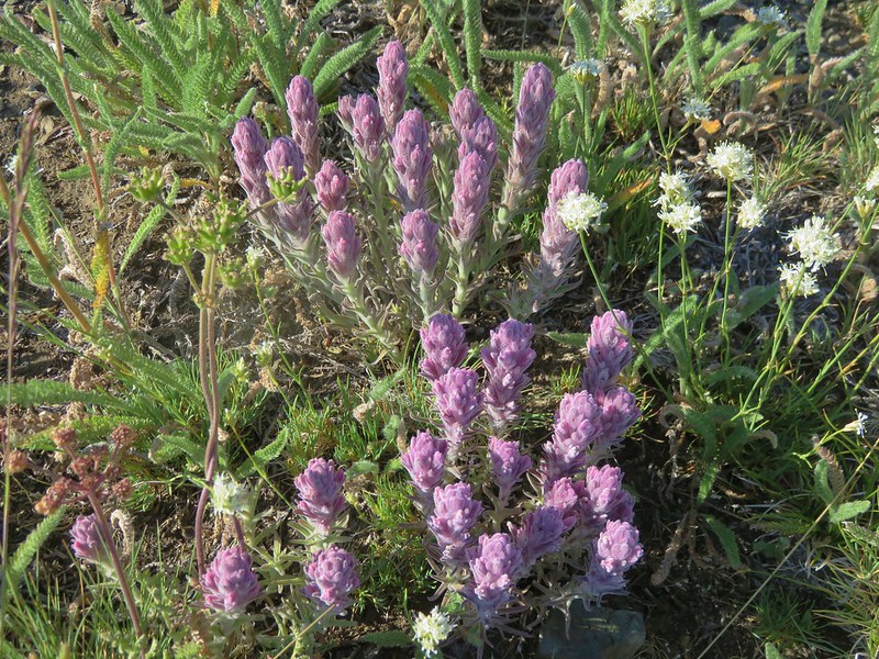
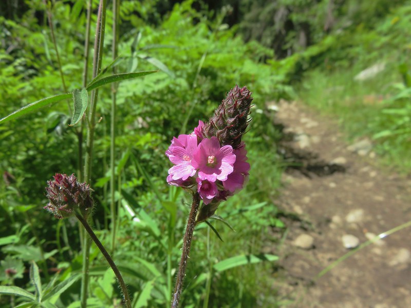
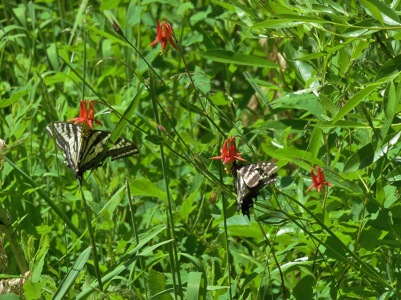
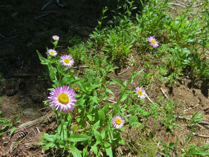
It was too late in the year for the best of the wildflowers in the area but there were still quite a few along the way.
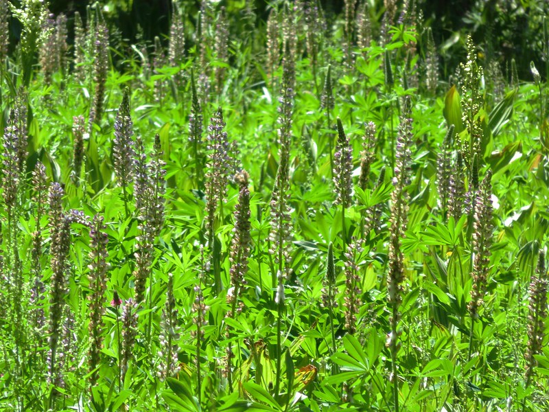
Lupine

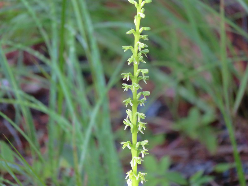
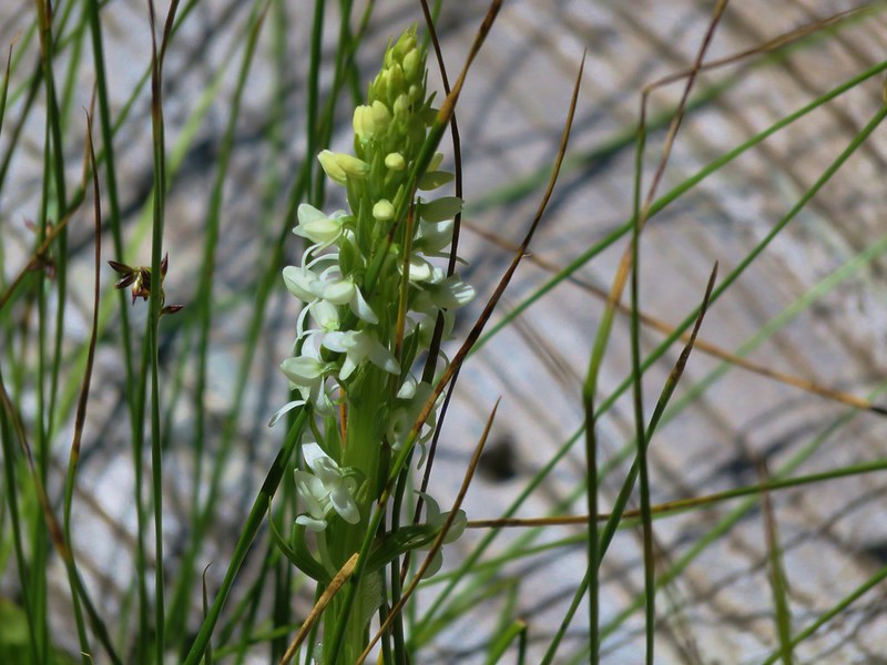
Slender bog orchid
Prince’s pine
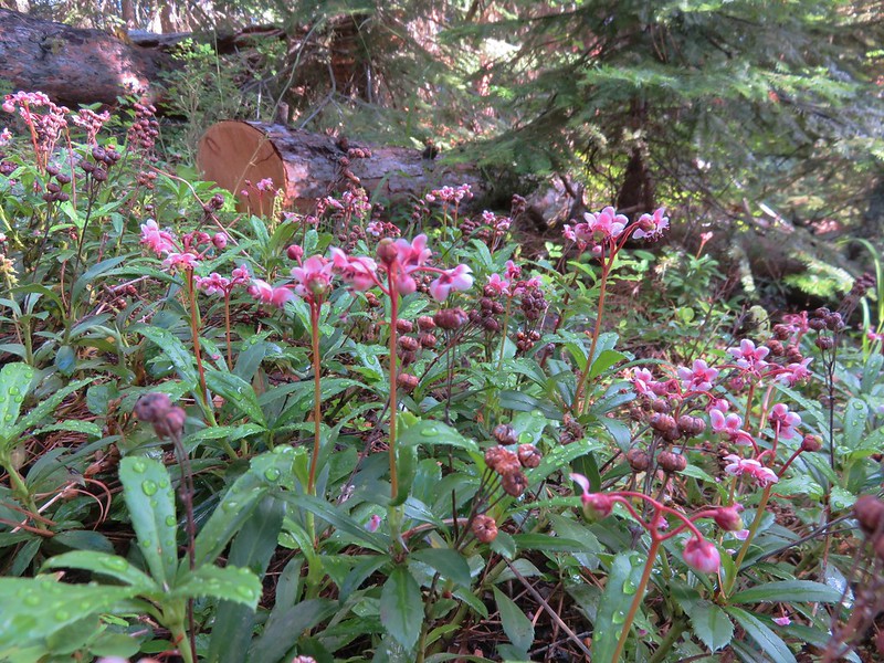
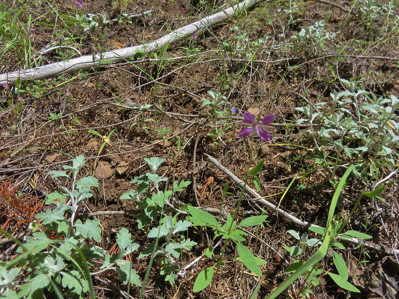
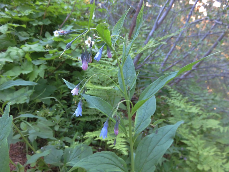
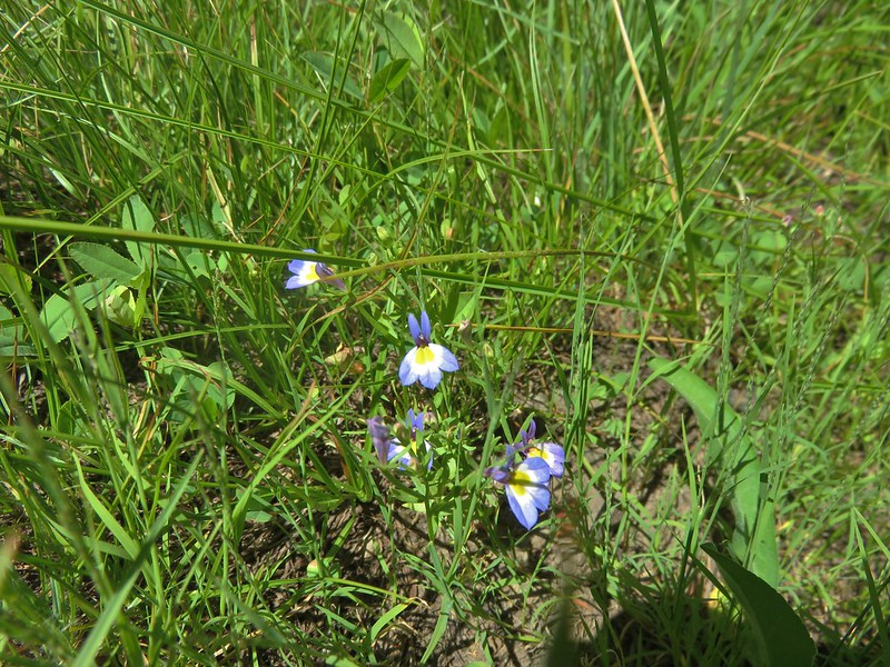
Scouler’s bluebell
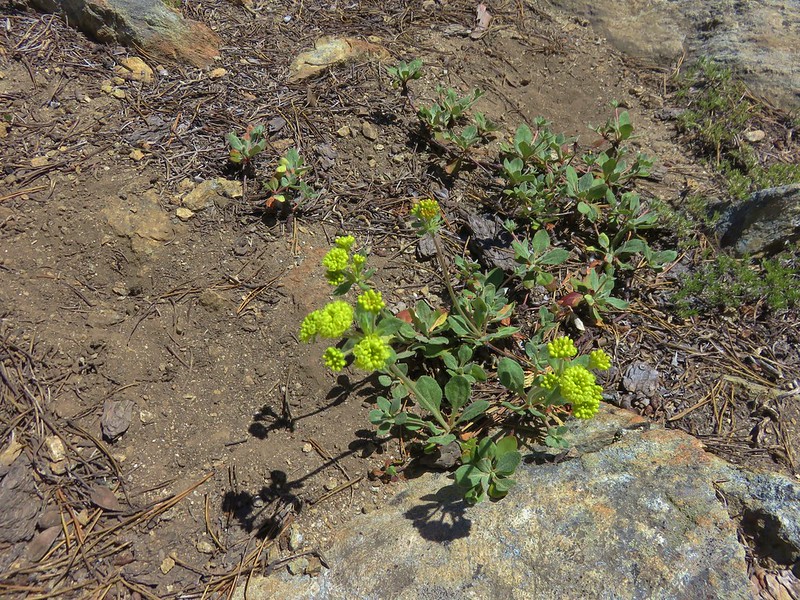
Worm-leaf stonecrop

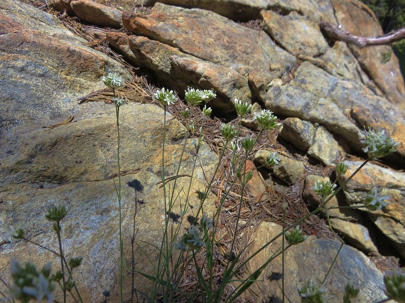
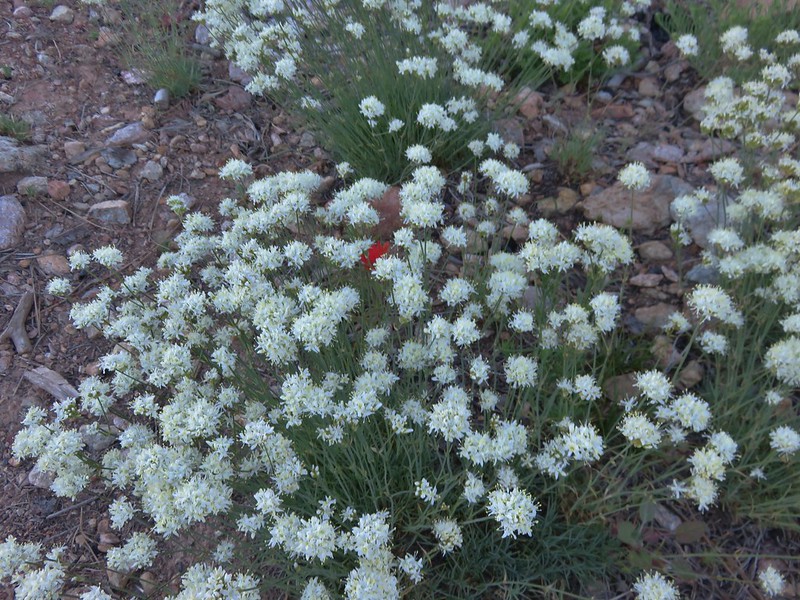
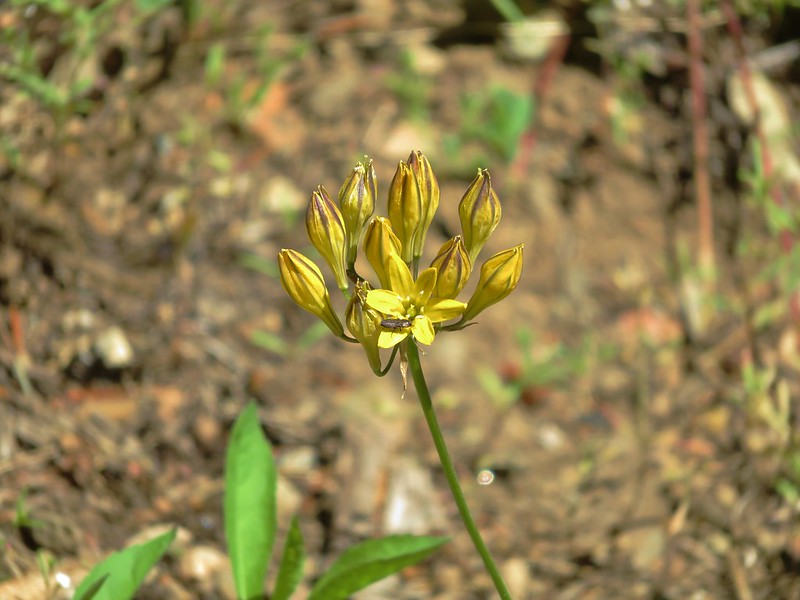
Wild onion
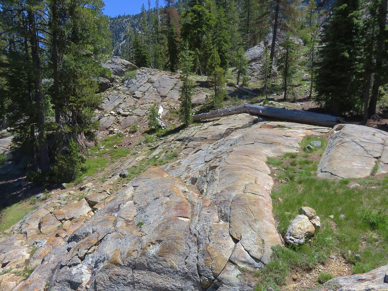
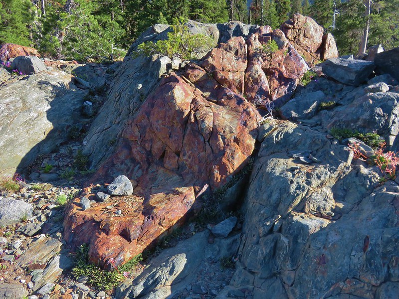
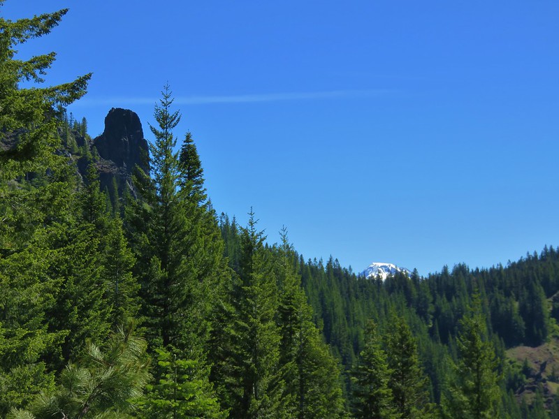
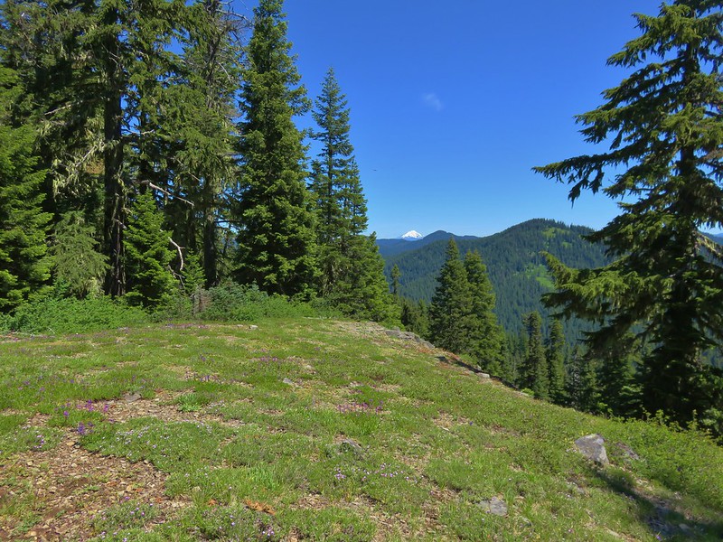
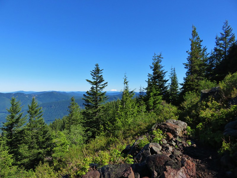
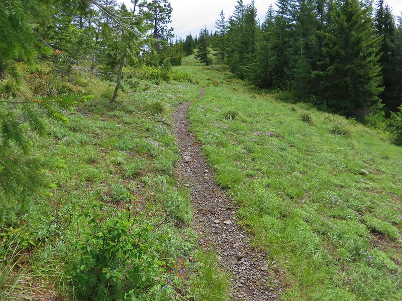
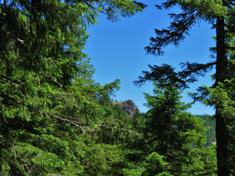
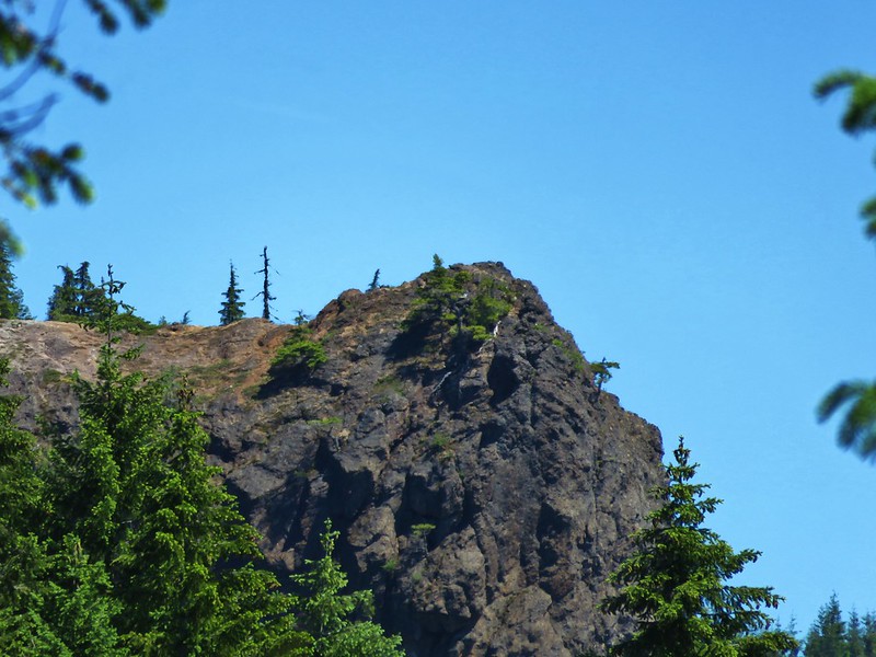
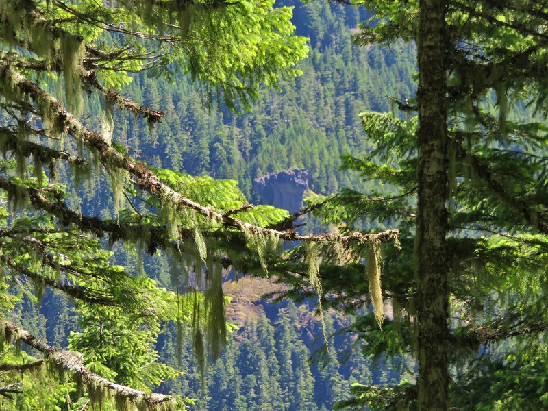
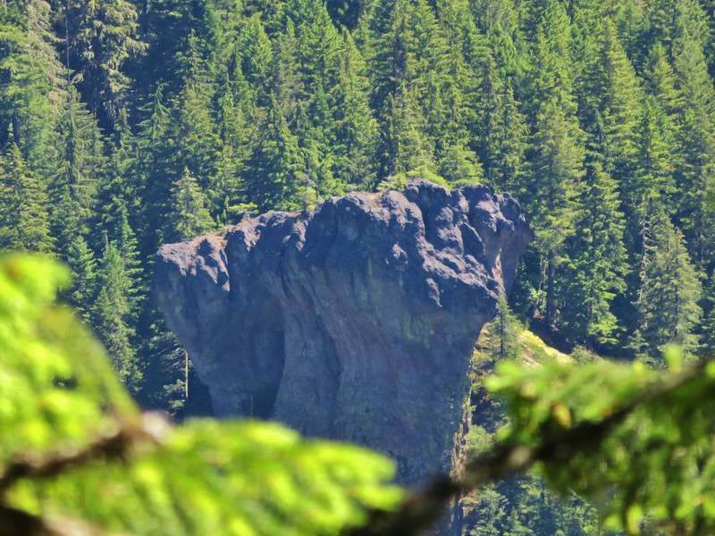
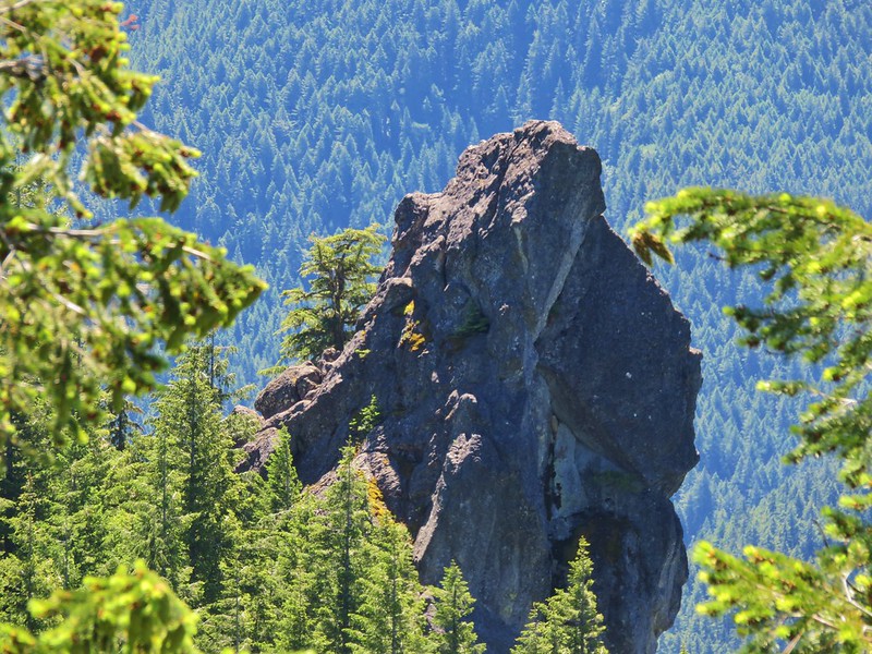
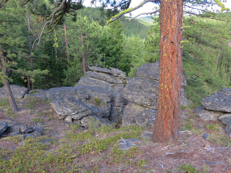
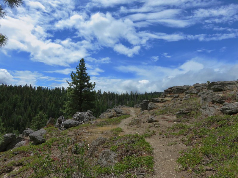
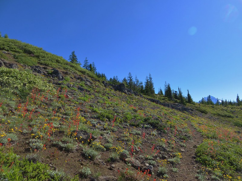
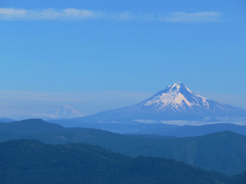
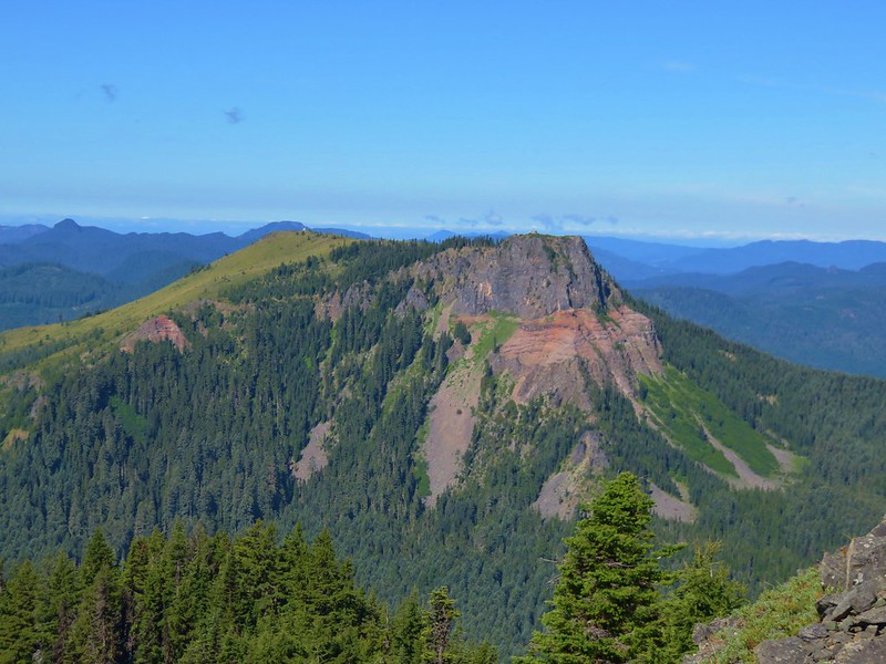
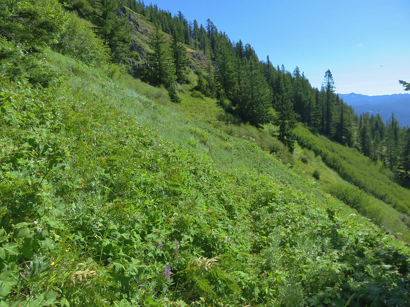
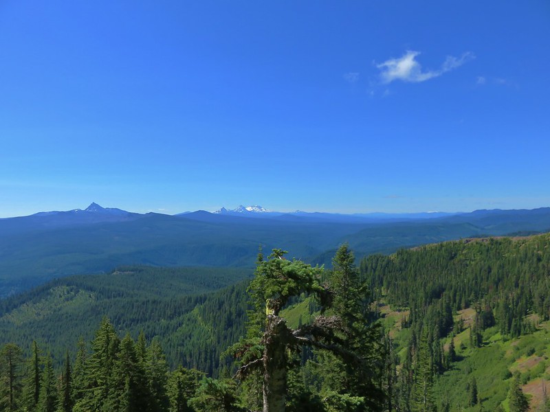
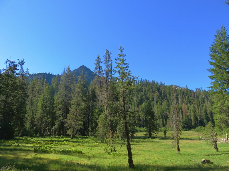
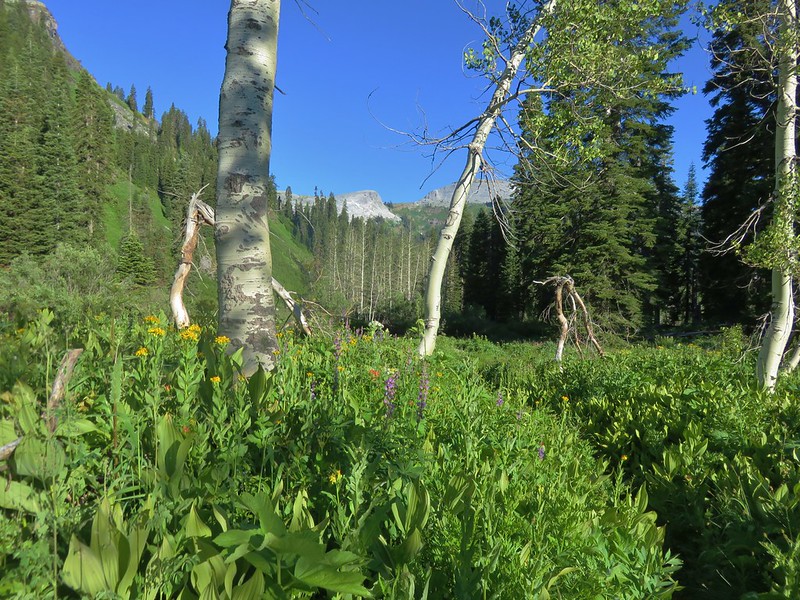
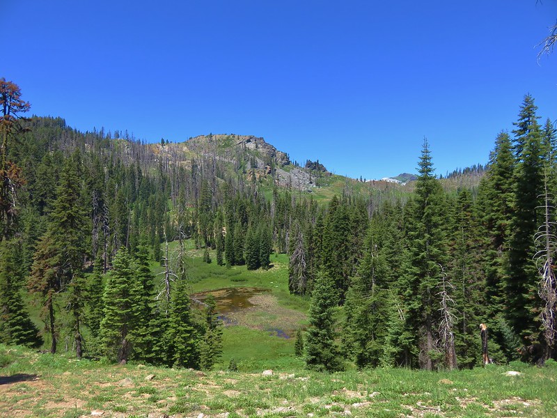
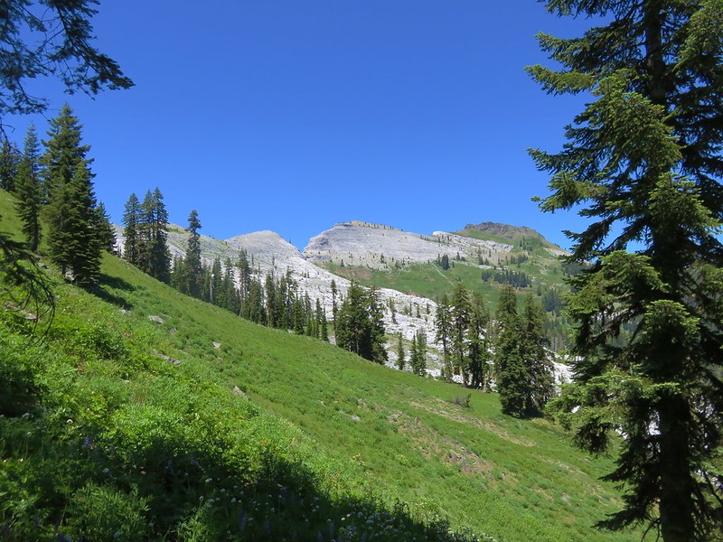
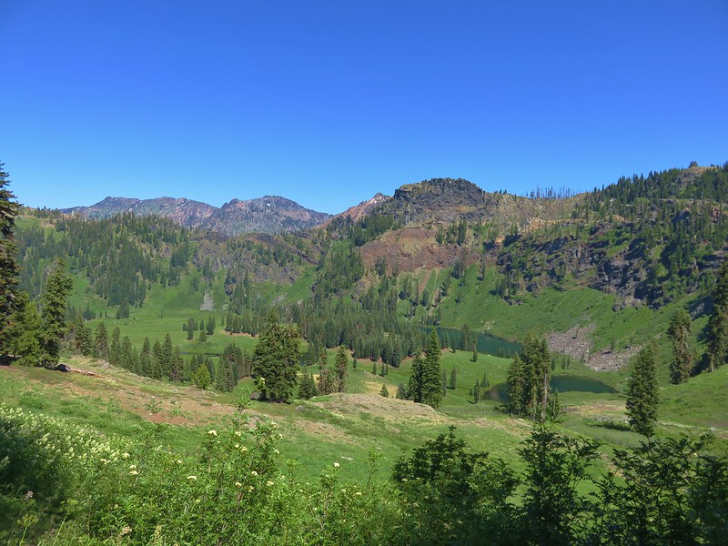
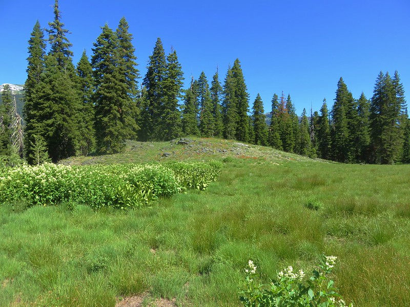
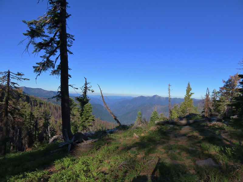
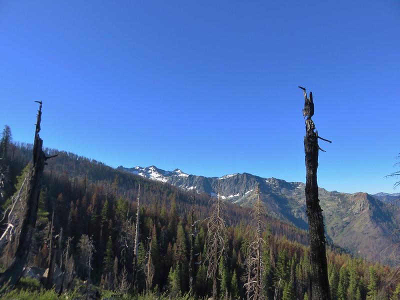
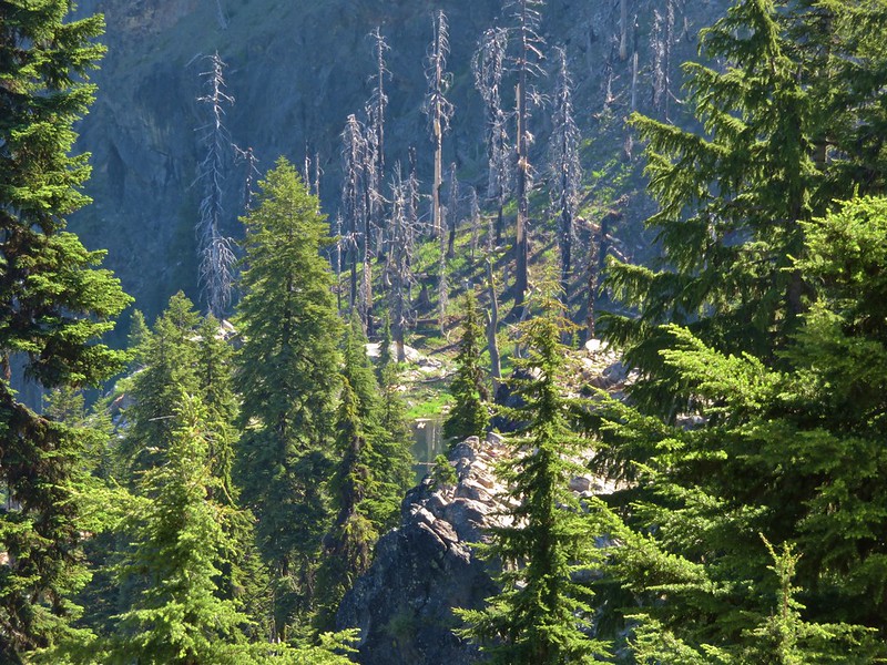
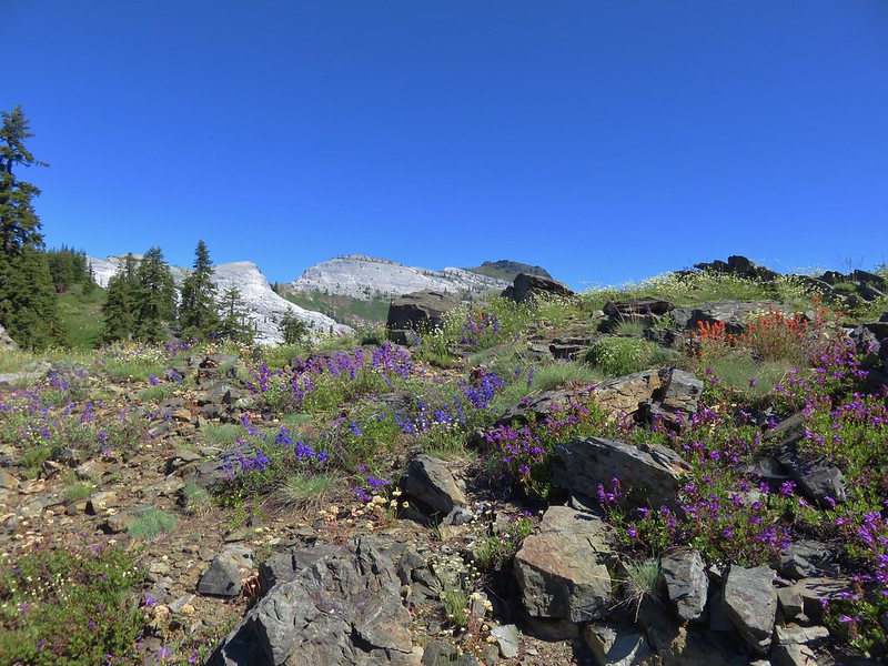
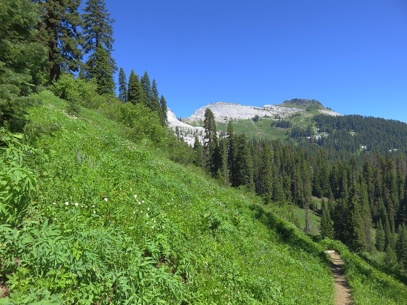
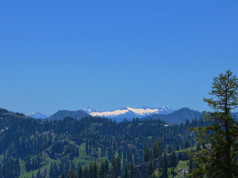
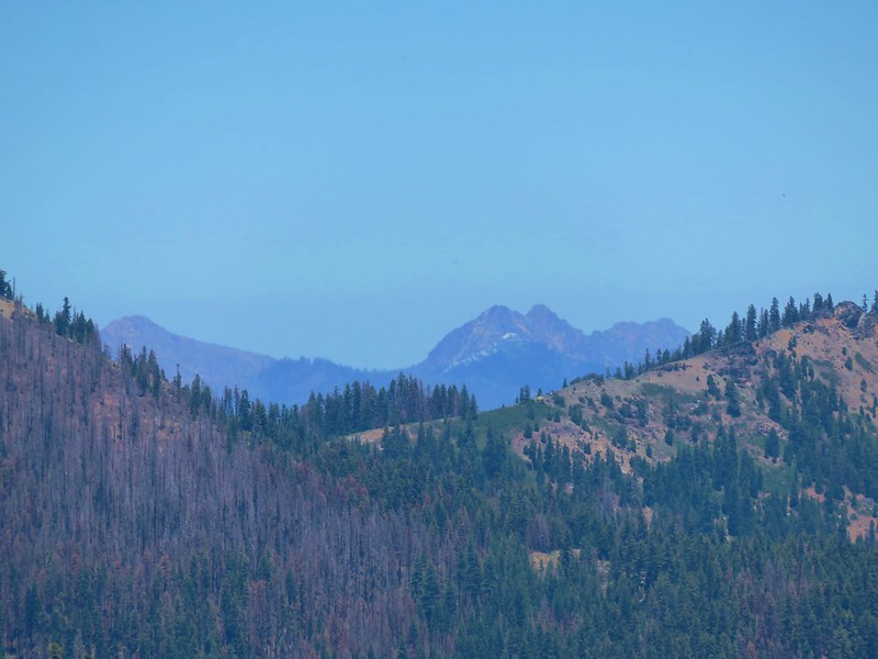
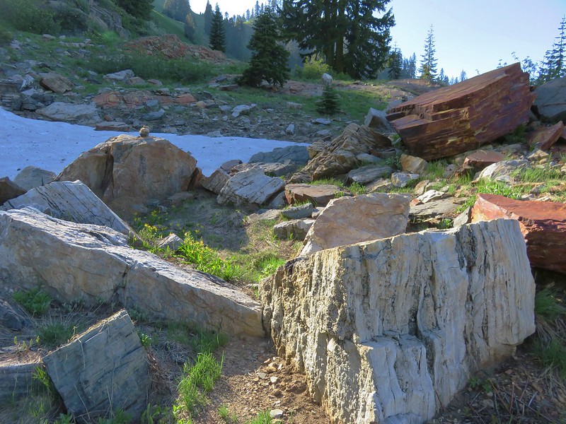
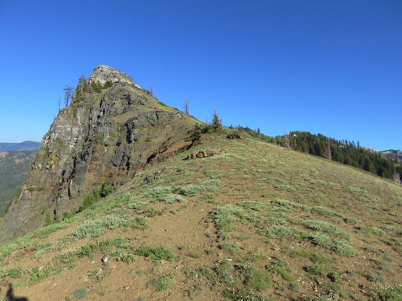
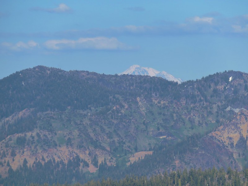
The trail was now descending along the ridge and as it did so we were dropping down toward Central Oregon. We were now in the pine-oak grassland zone which sits between the forests of Mt. Hood and the high desert of Central Oregon. Manzanita, ponderosa pine, and juniper trees began to appear and we were passing more interesting andesite formations.
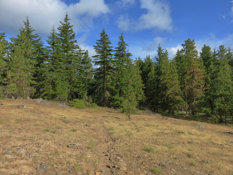


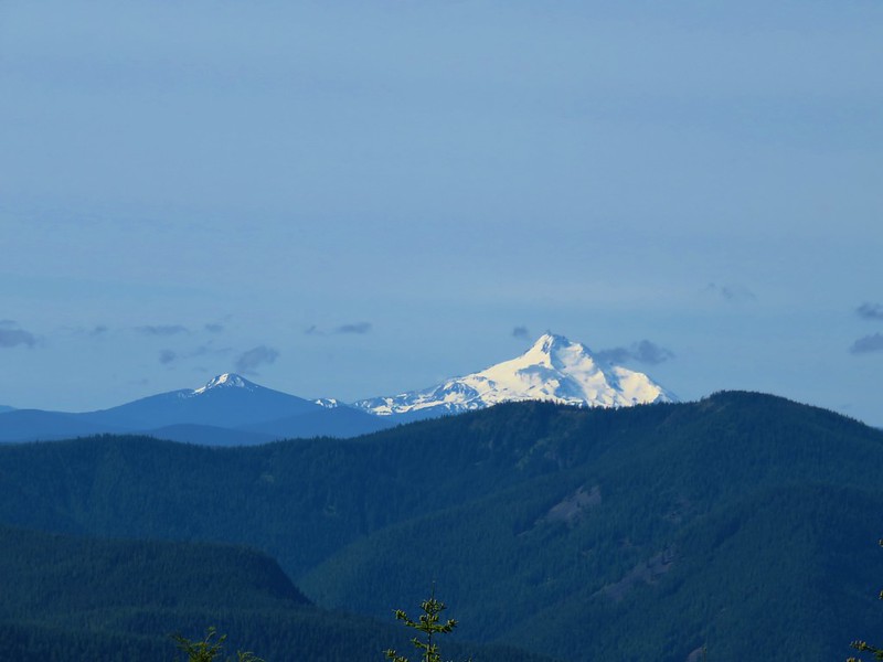
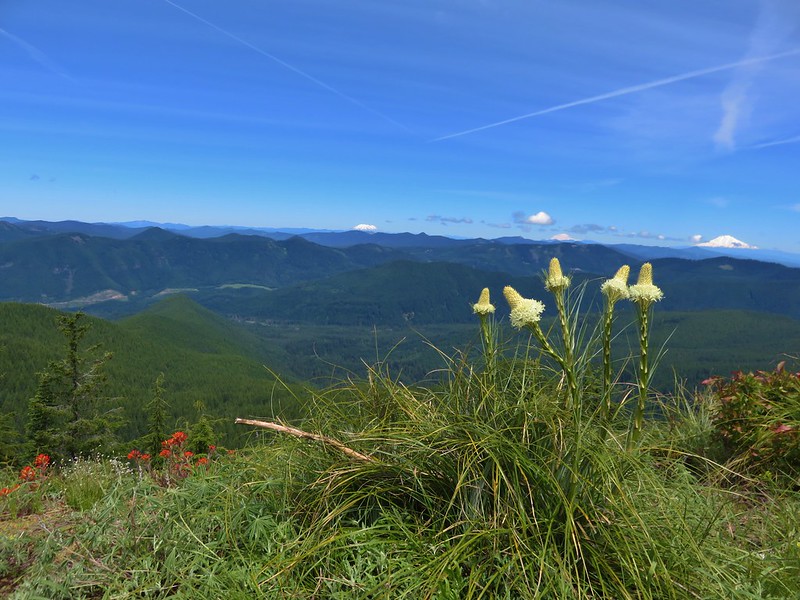
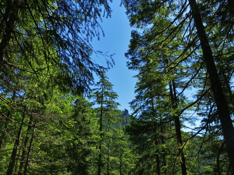
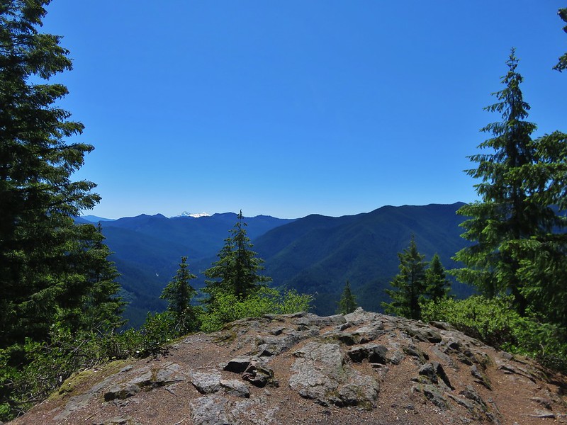
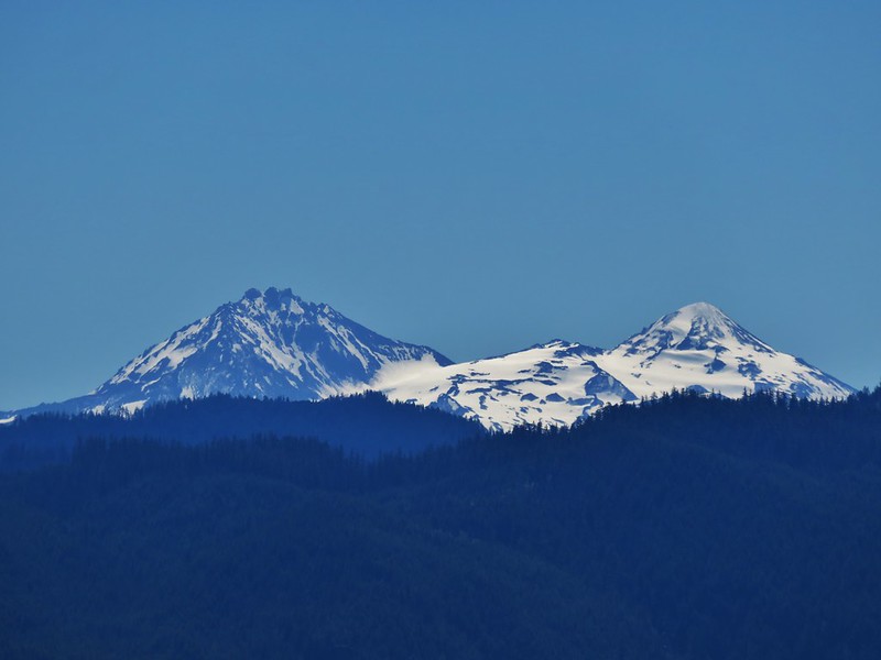
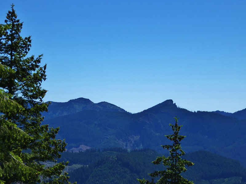
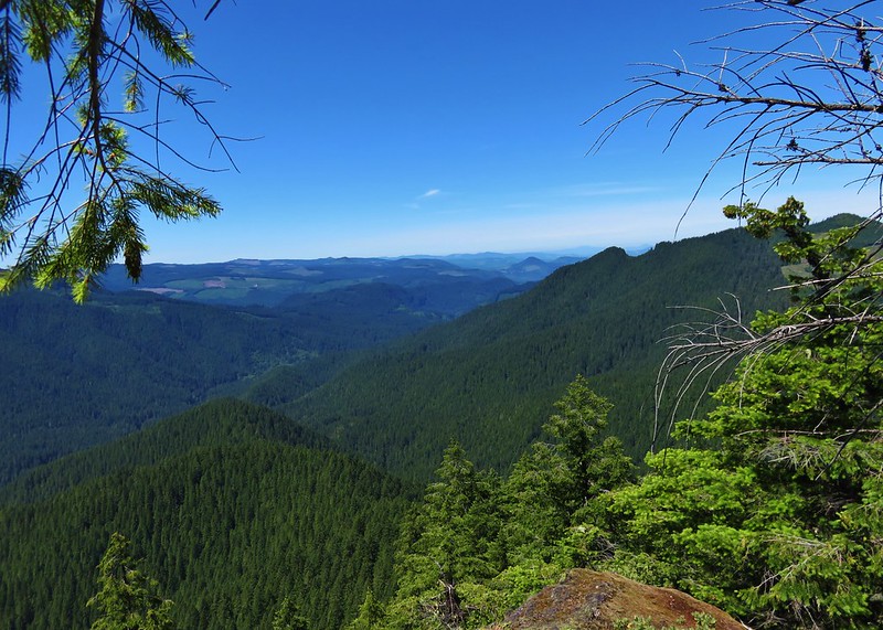
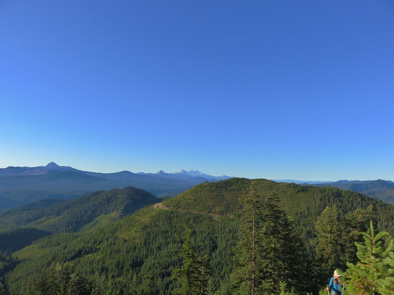
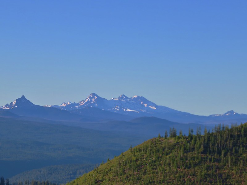
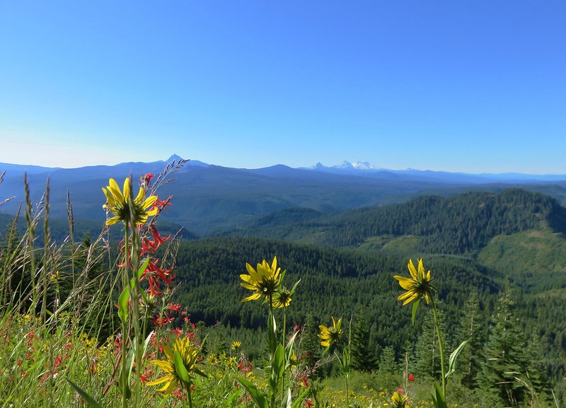
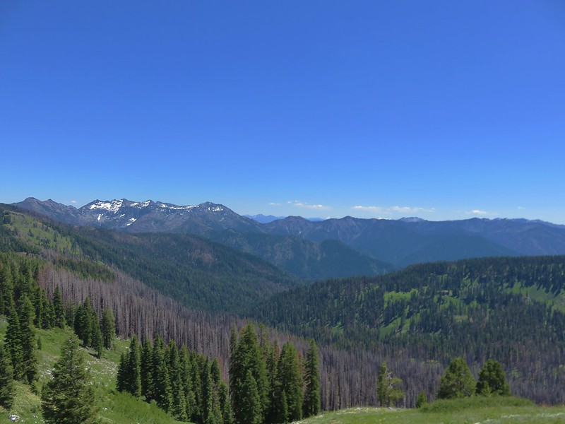
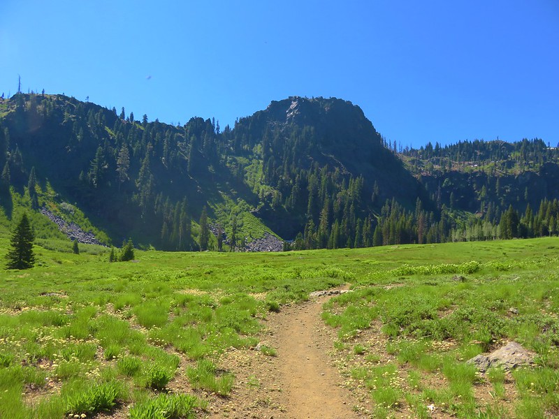
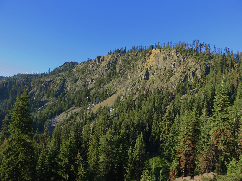
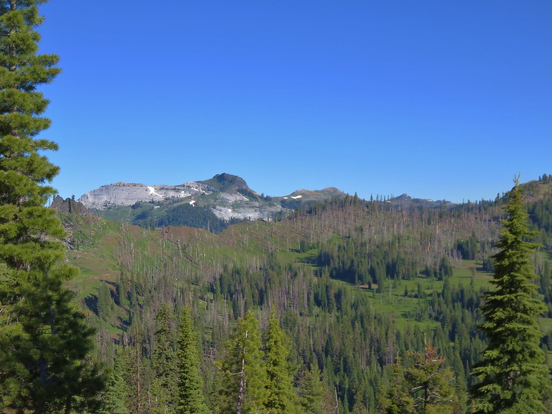
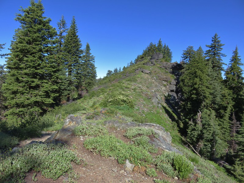
The ridge began narrowing as we approached the lower junction of the Cedar Creek and Fifteenmile Trails. The flat plain of Central Oregon lay straight ahead reveling the stark contrast in the topography between the Cascades and High Desert.


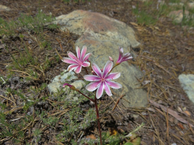
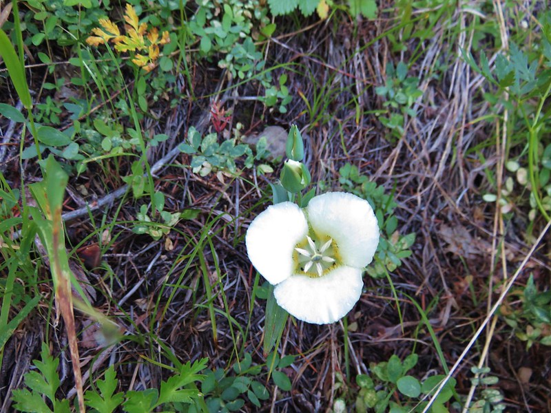
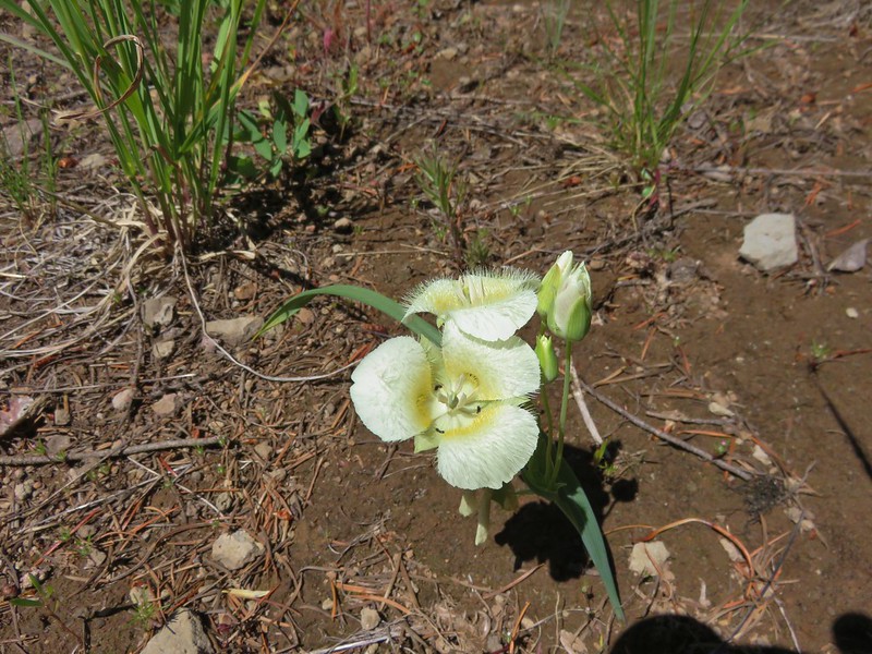
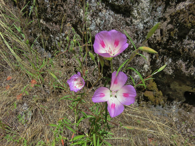
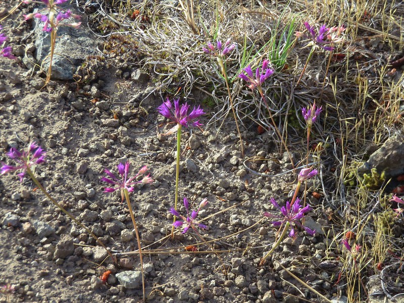
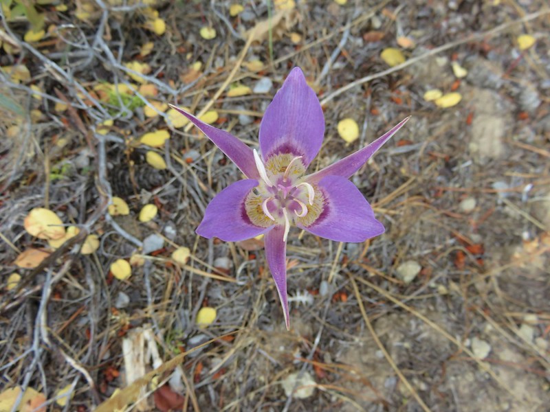
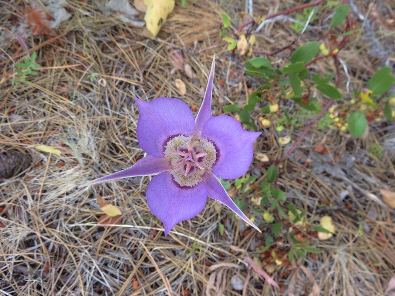
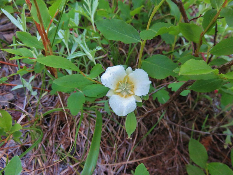
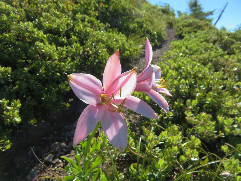
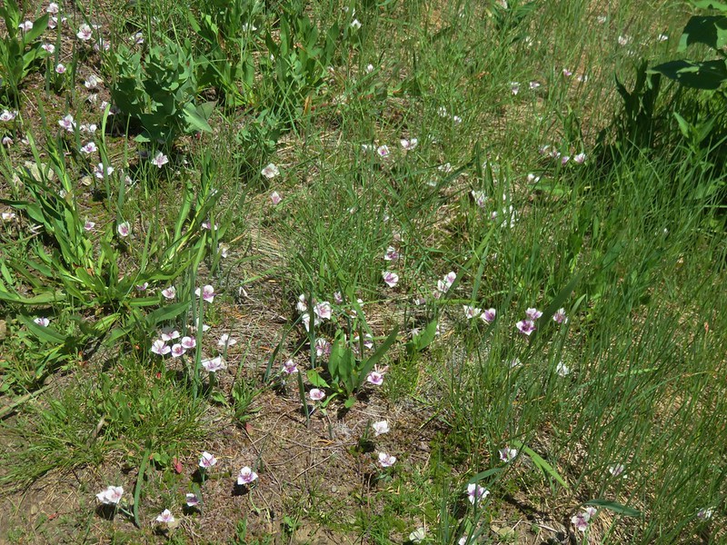
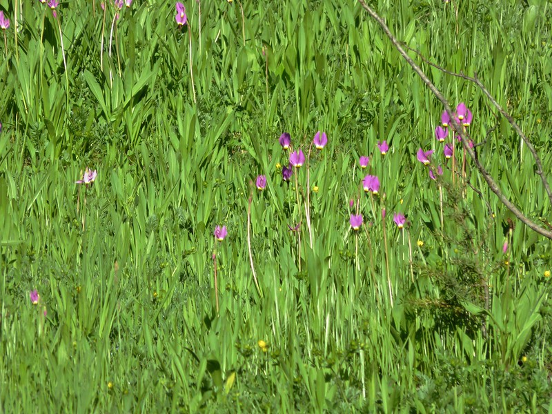
There were a bunch of sagebrush mariposa lilies, one of my favorite wildflowers, along this stretch.
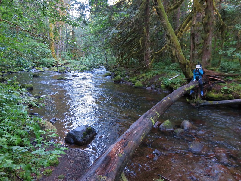
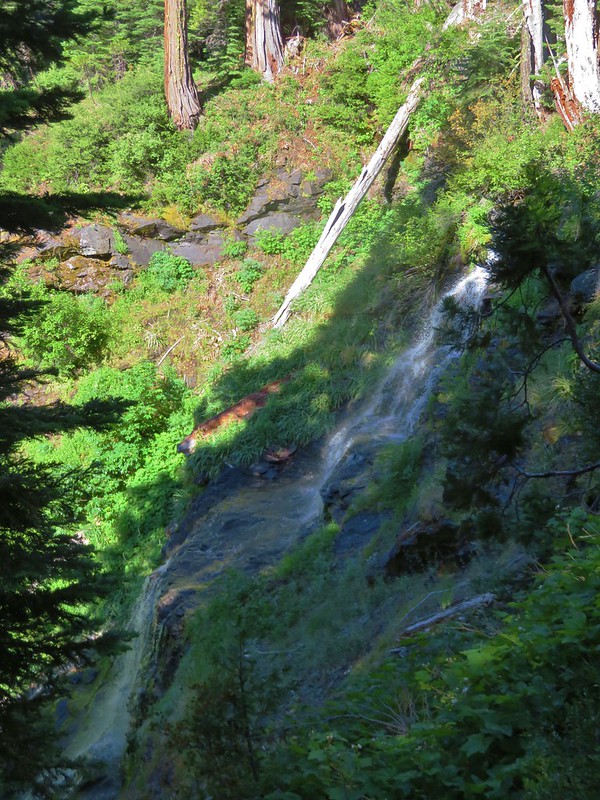
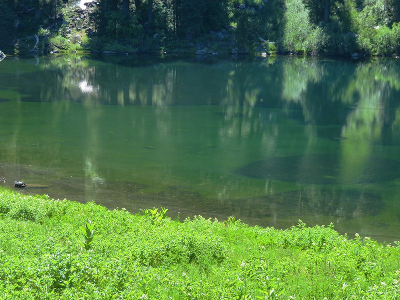
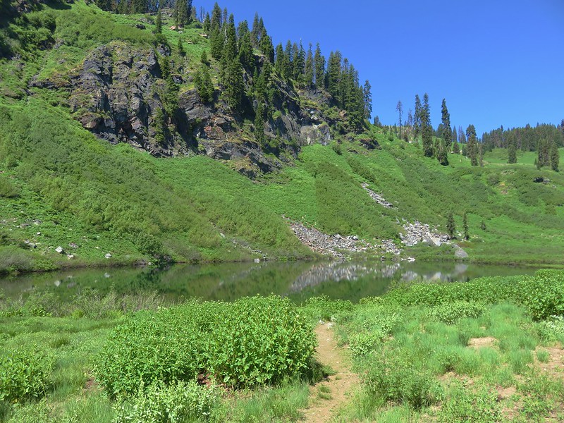
The trail steepened a little at the end of the ridge and dropped down to a trail junction at Fifteenmile Creek.

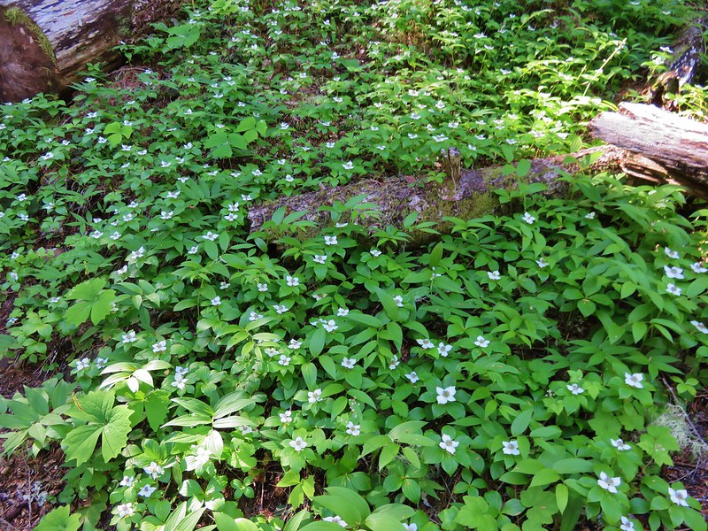
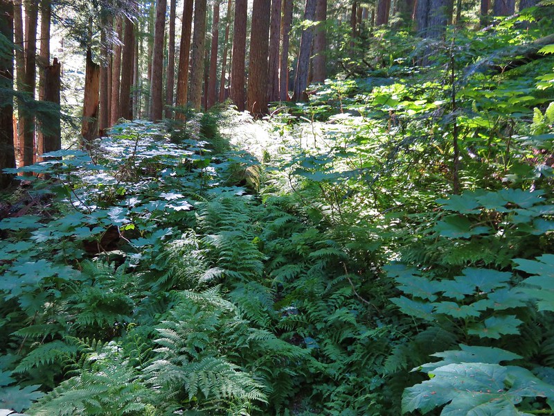
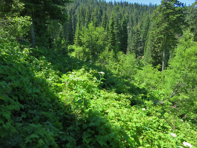
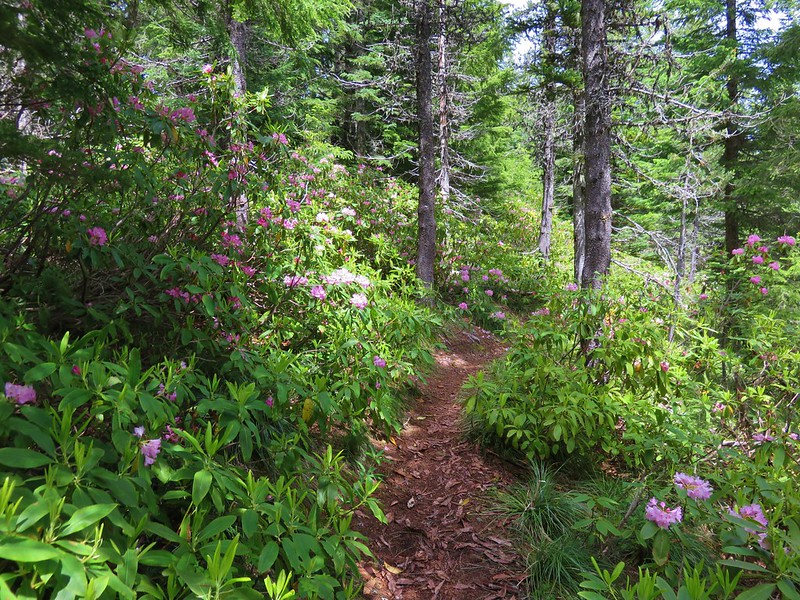
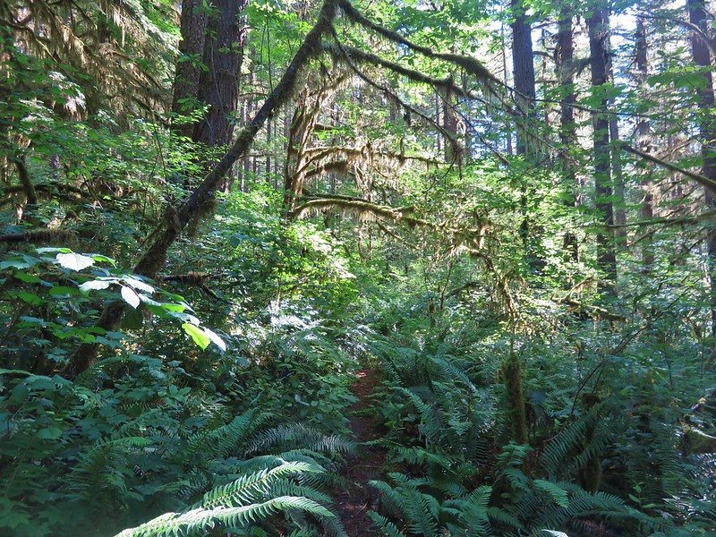
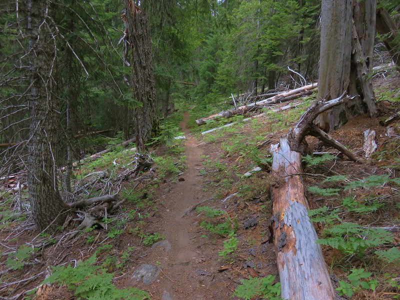
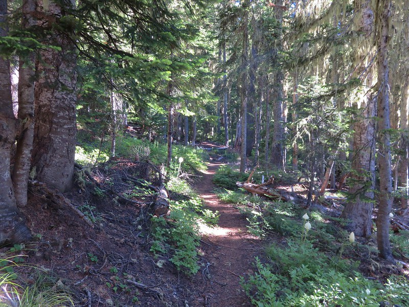
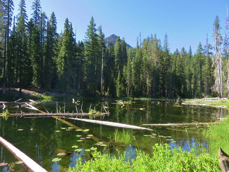
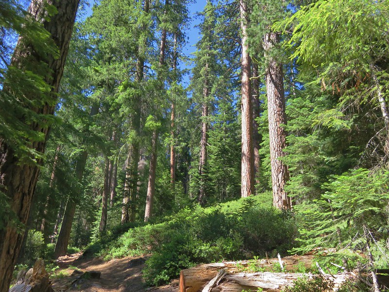
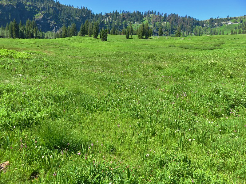
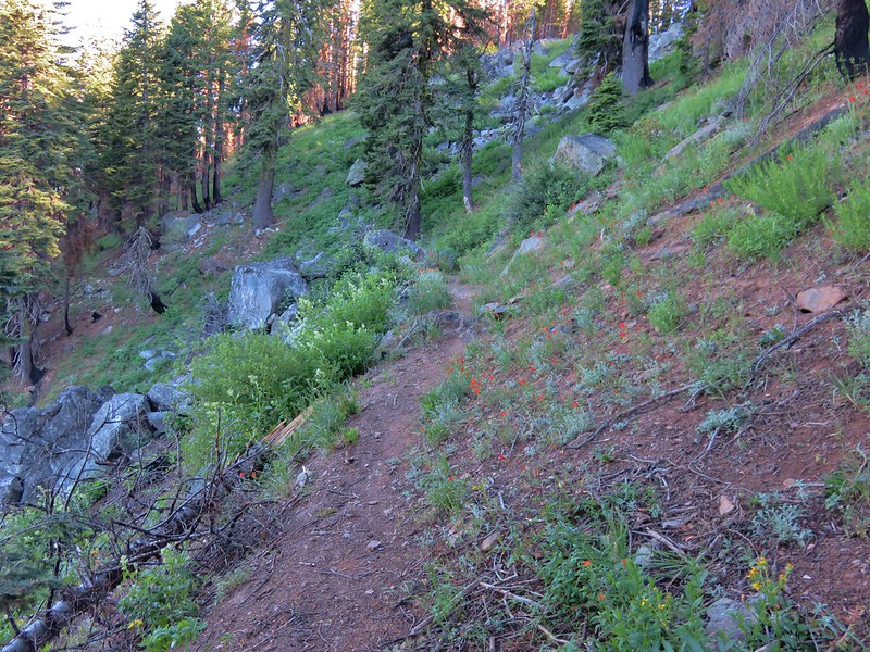
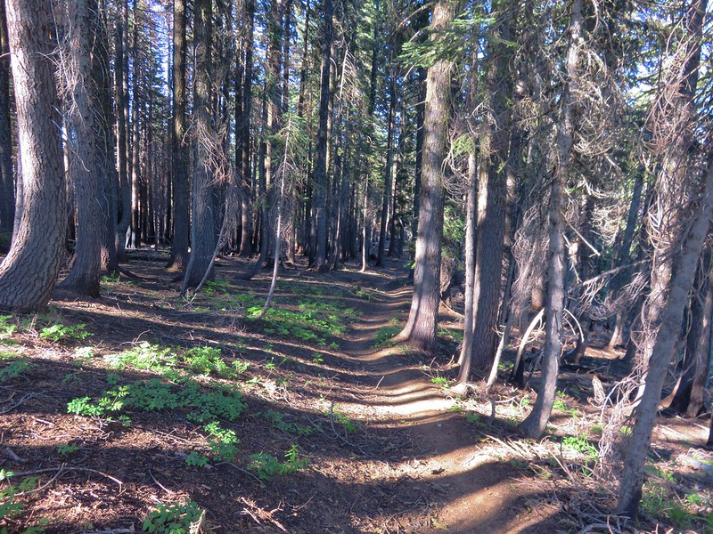
After a little exploration we started up the Fifteenmile Trail to complete the loop and return to Fifteenmile Camp. The lower portion of the Fifteenmile Trail climbed very slowly through a much lusher forest than we had seen along the lower portion of the Cedar Creek Trail.

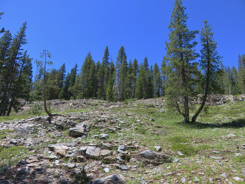
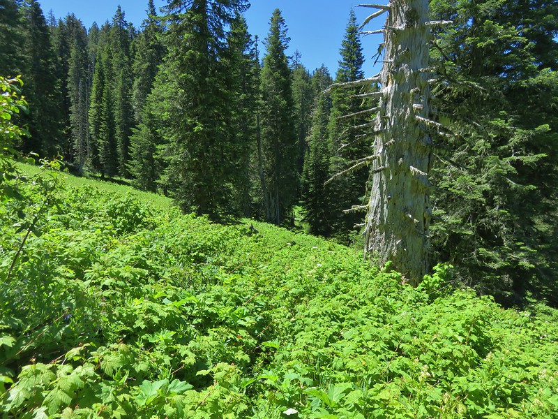
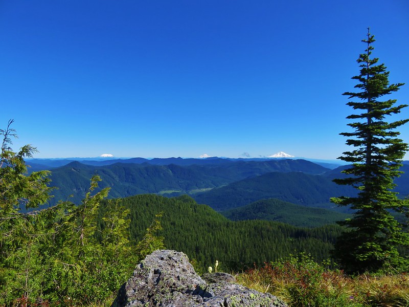
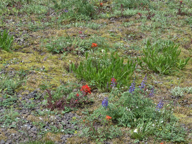
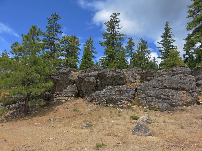
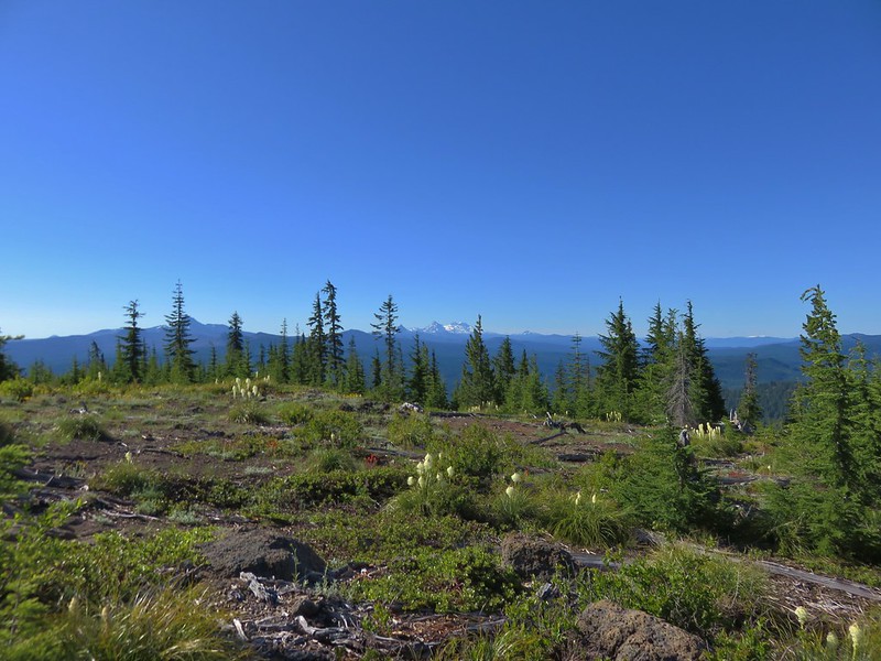
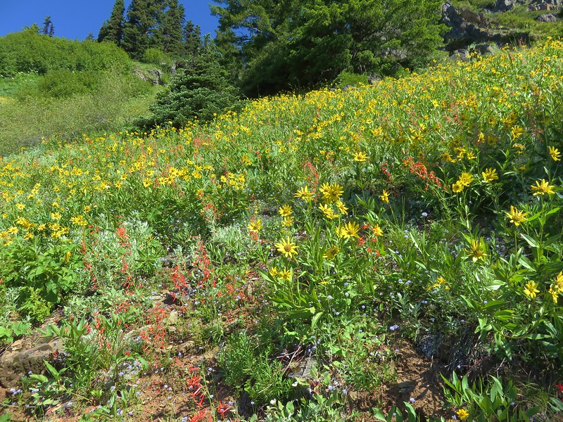
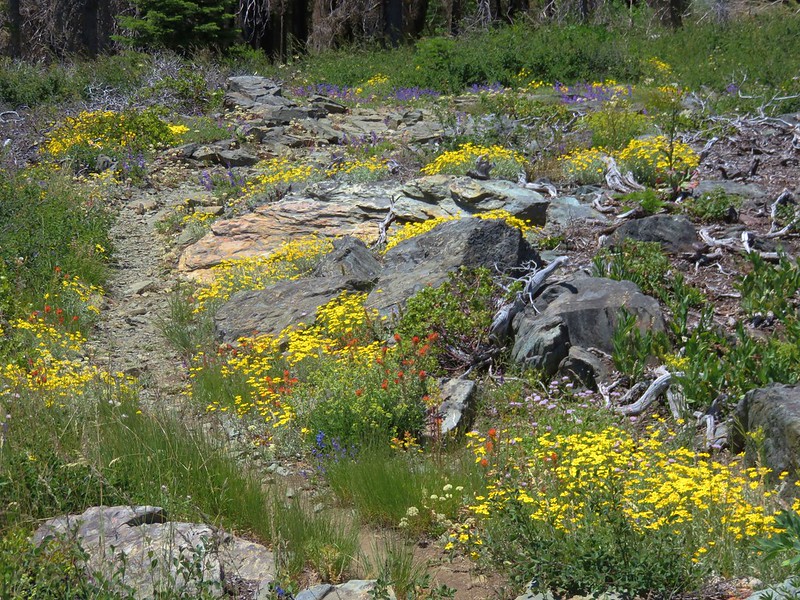
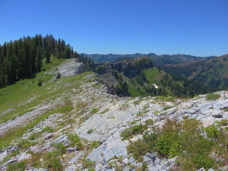
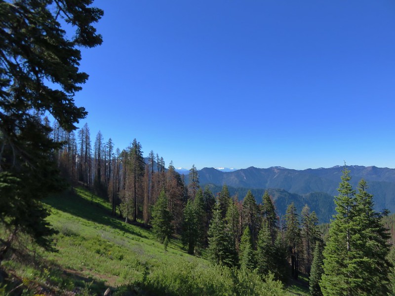
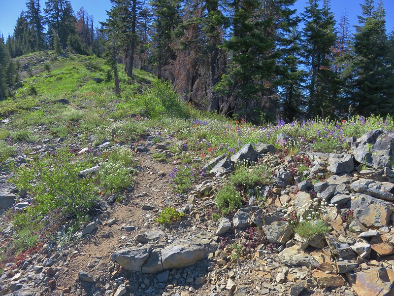
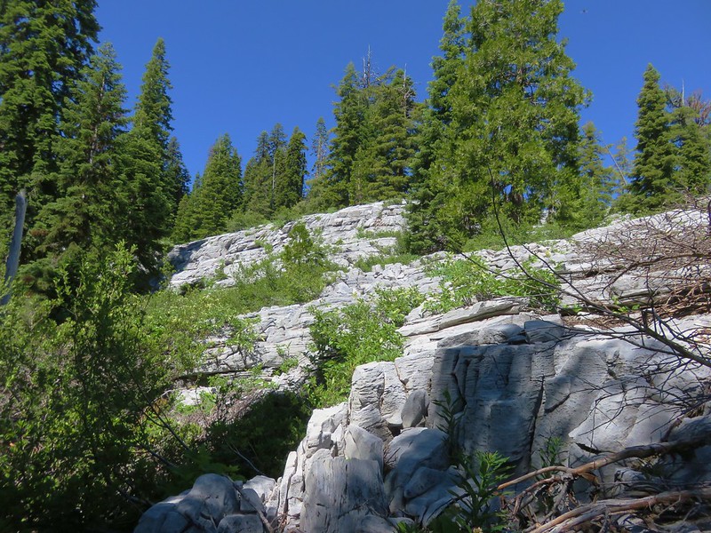
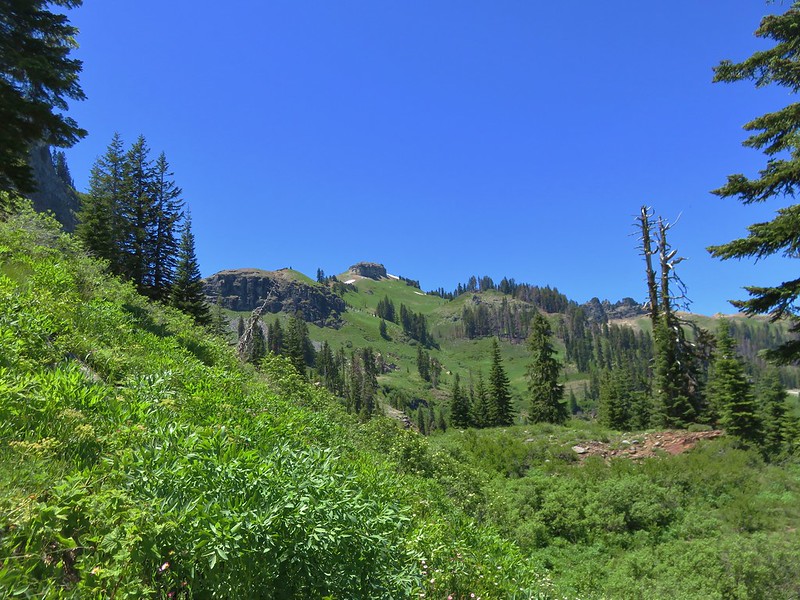
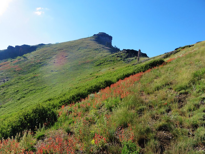
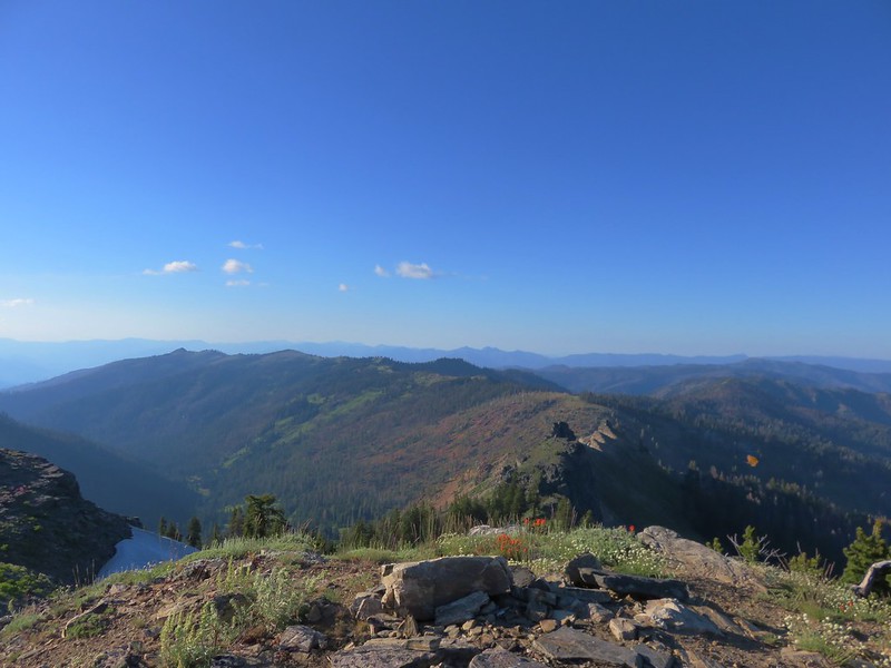
It eventually began to climb more quickly and entered the terrain more akin to that along the Cedar Creek Trail with meadows and andesite formations.

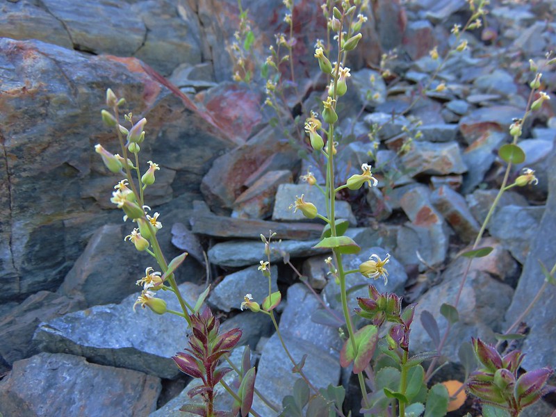
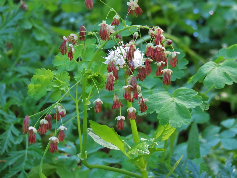
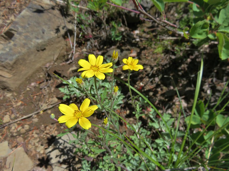
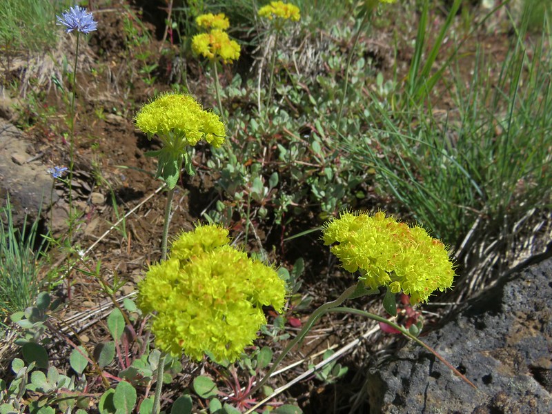
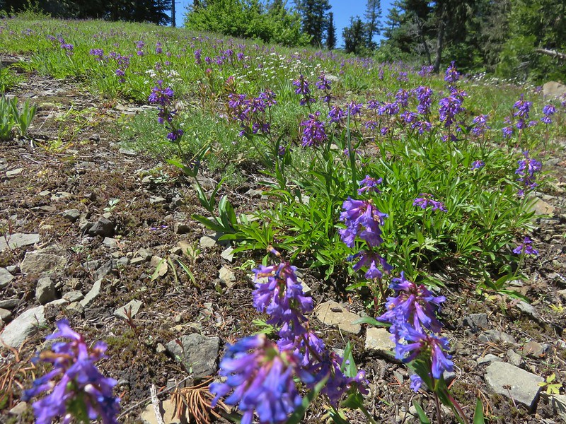
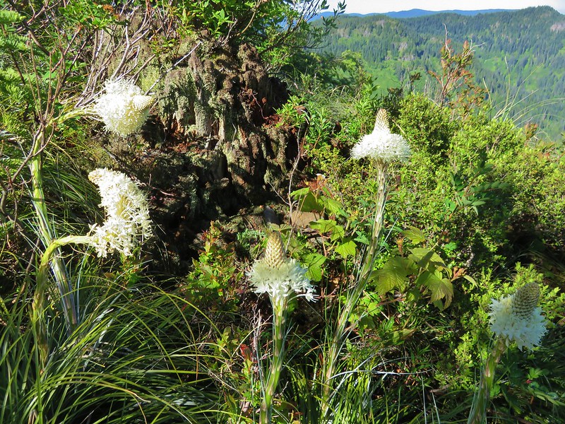
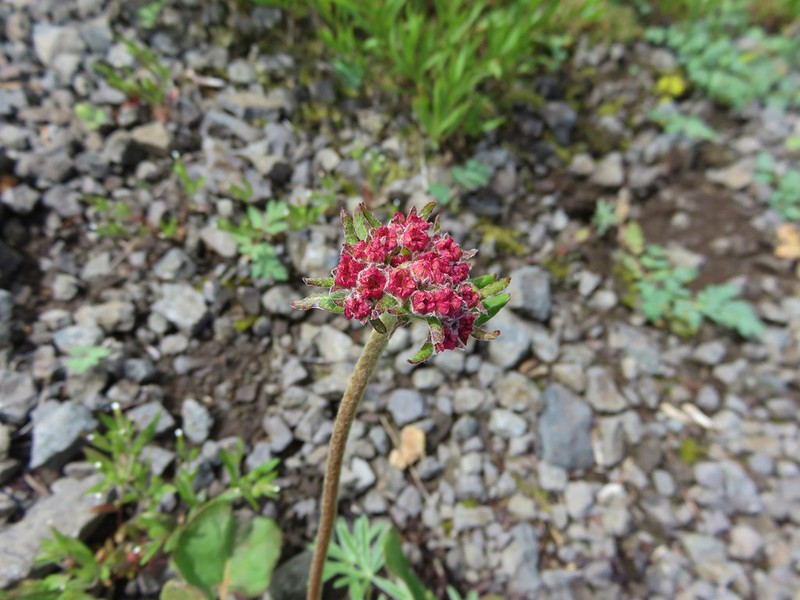
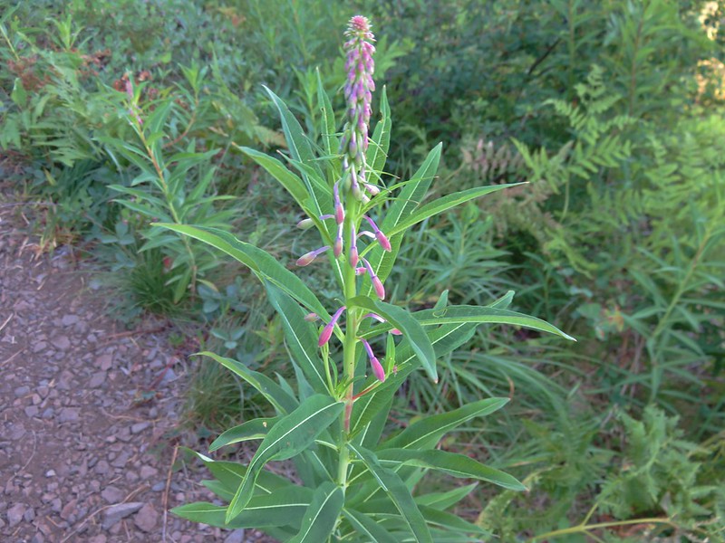
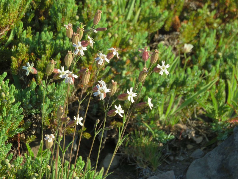
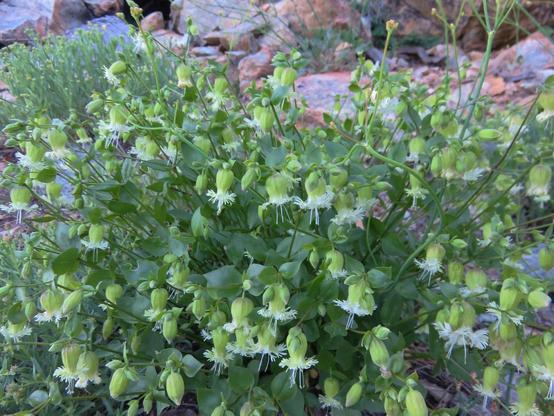
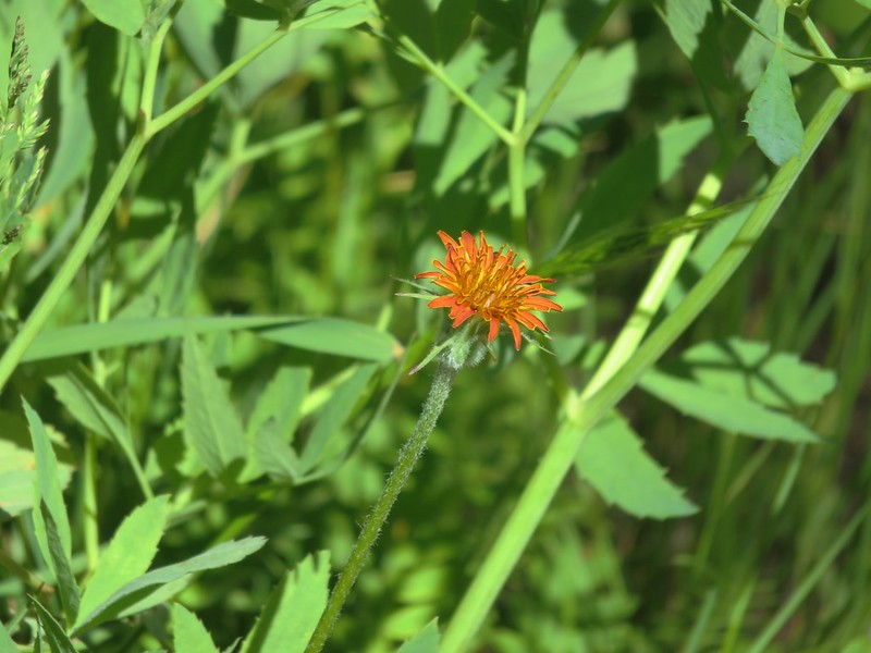
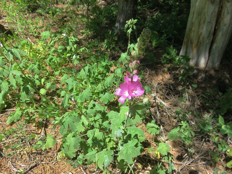
Again it was too late for the best of the flowers but not completely devoid of them.
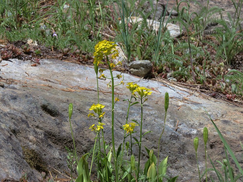
Grand collomia
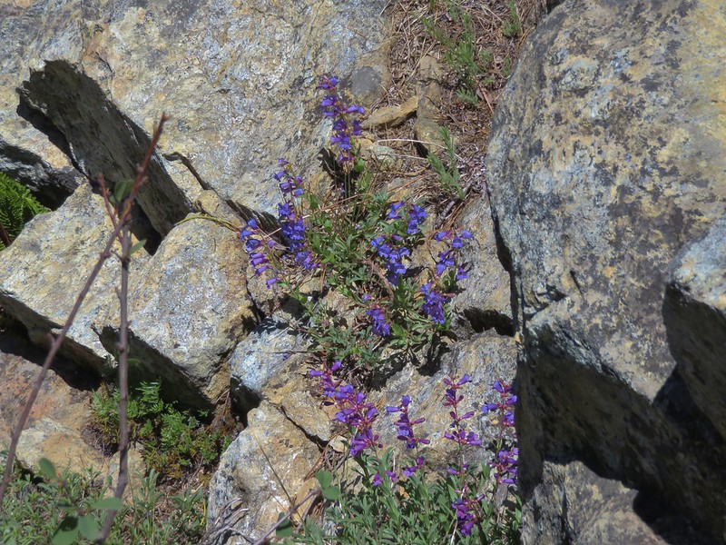
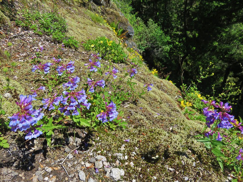
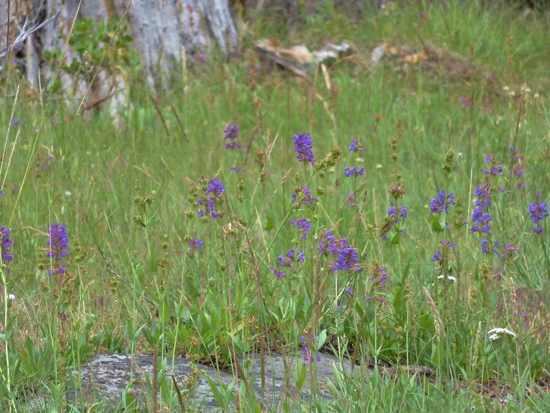
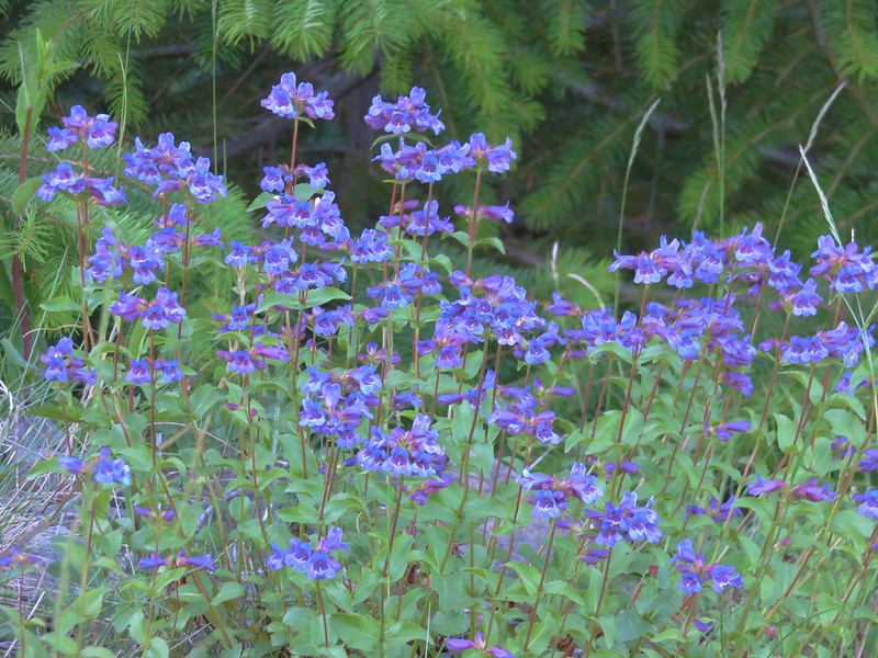
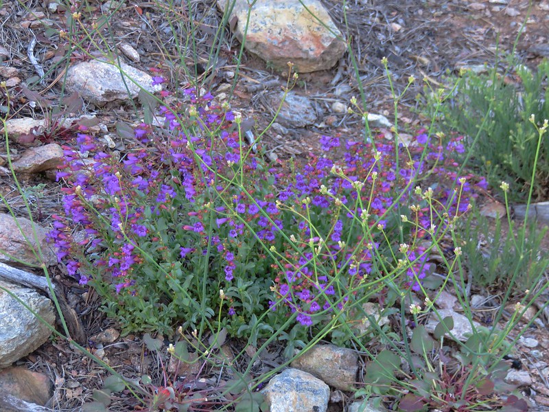
Penstemon
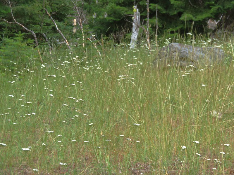
Yarrow
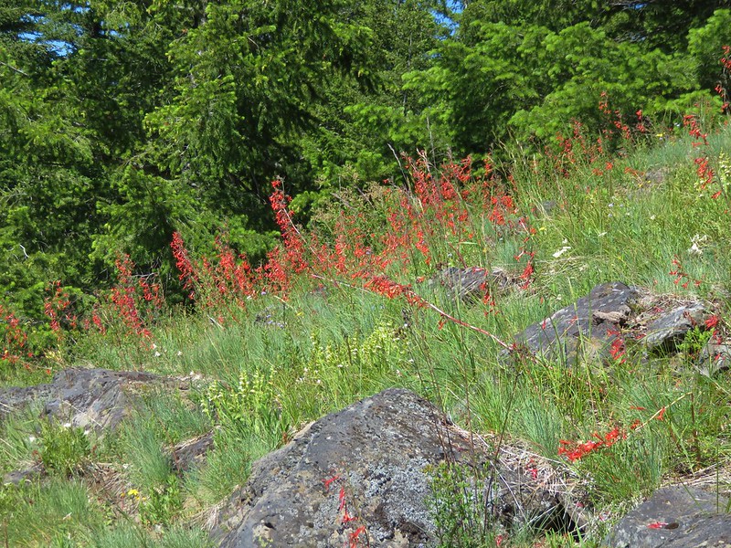
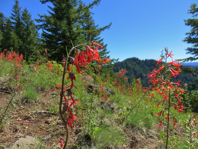
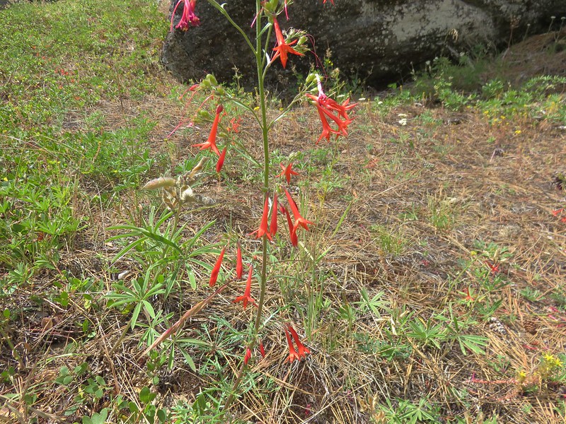
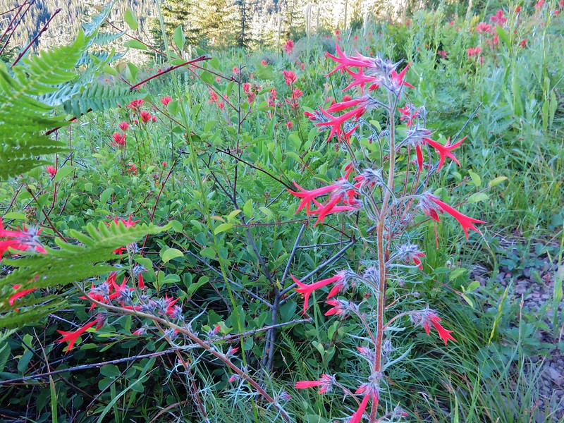
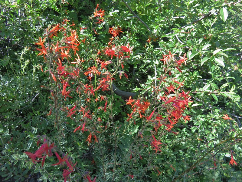
Scarlet gilia
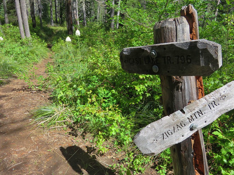
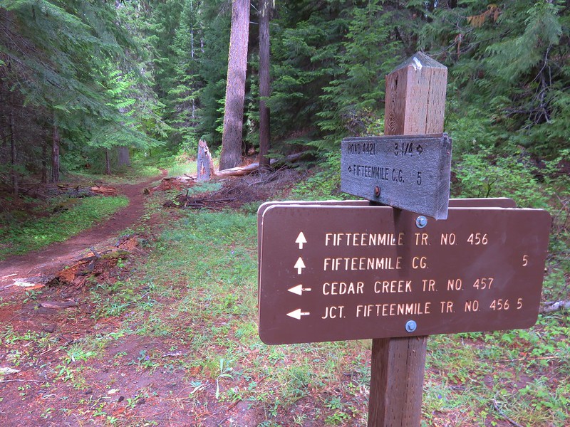
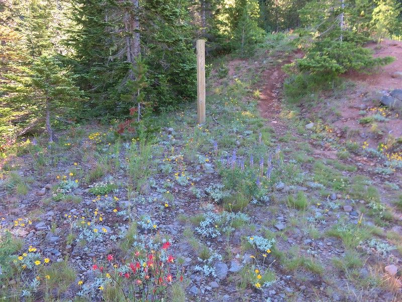
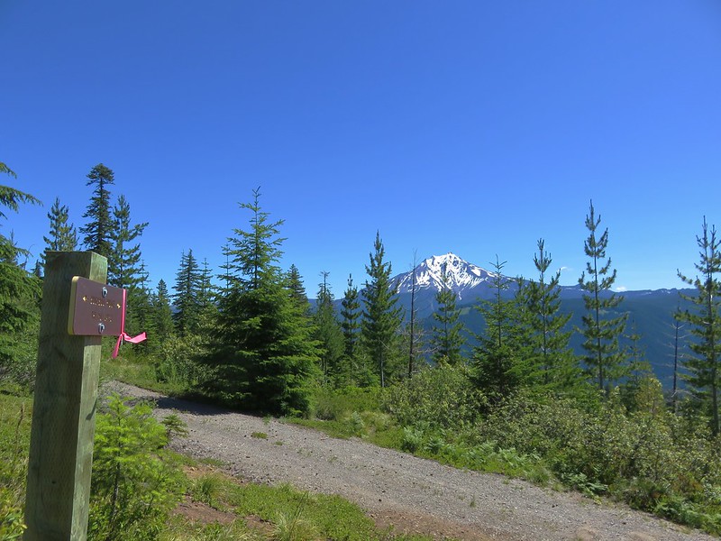
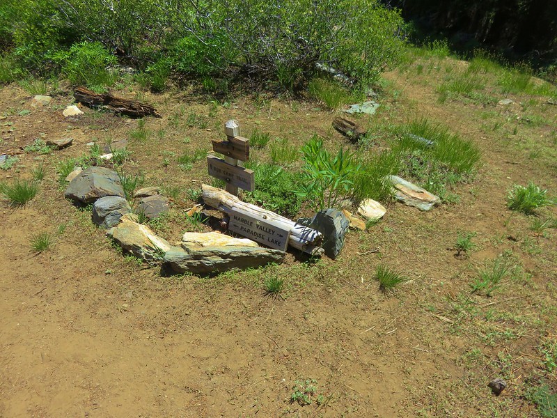
After 2.5 miles the trail arrived at a signed junction with an old roadbed.
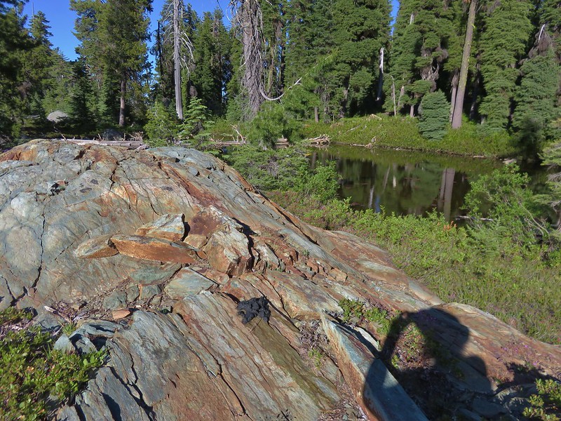
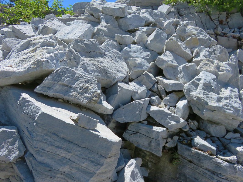
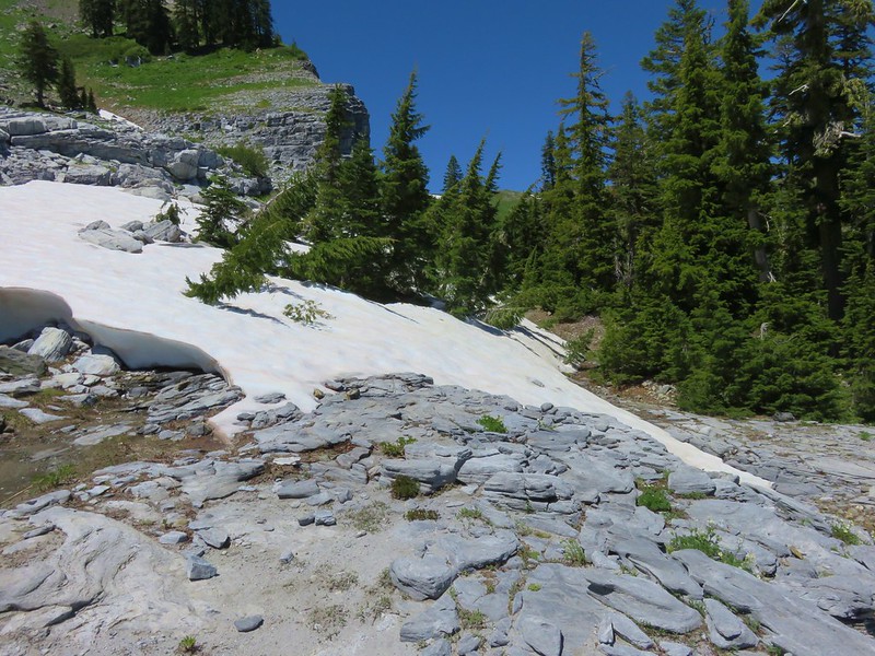
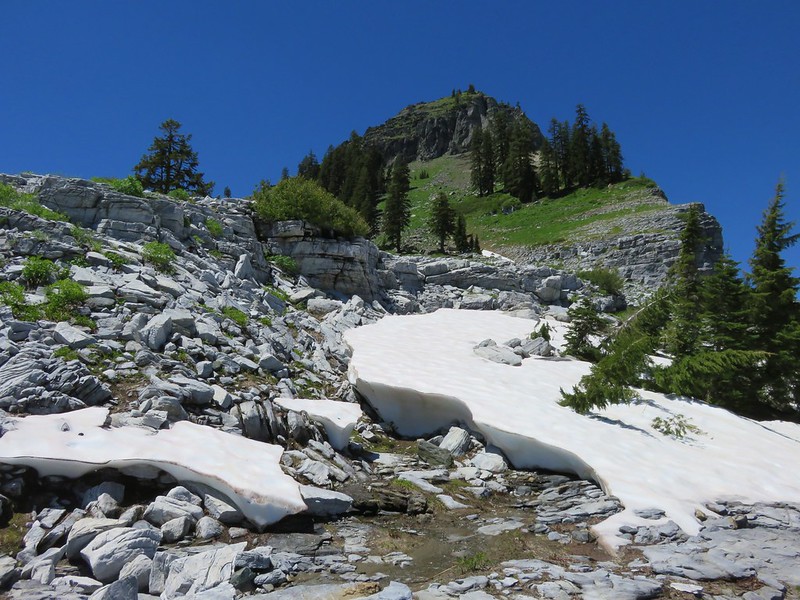
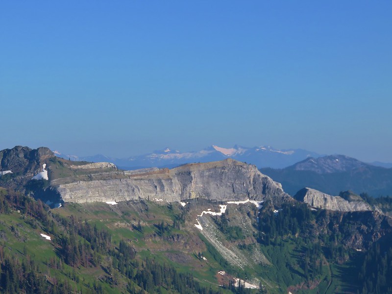
We followed the old roadbed for a short distance before it gave way to trail once again. The trail then climbed through a series of increasingly impressive andesite formations.

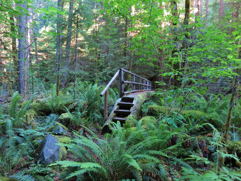
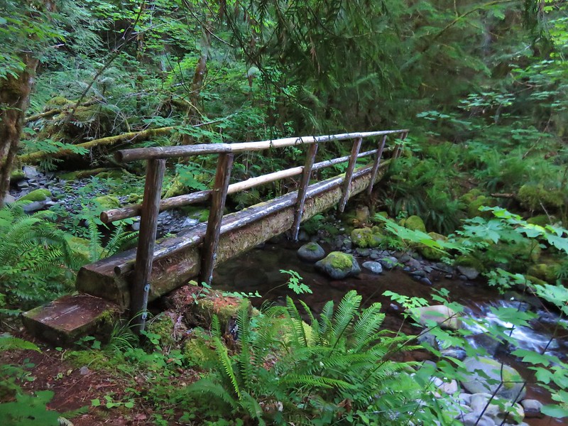
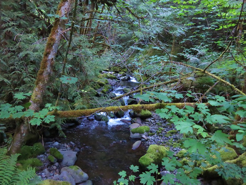
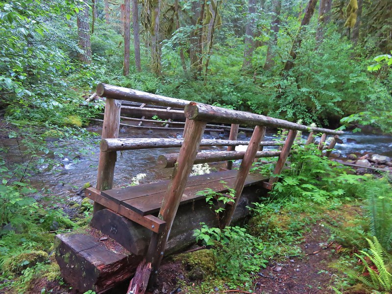
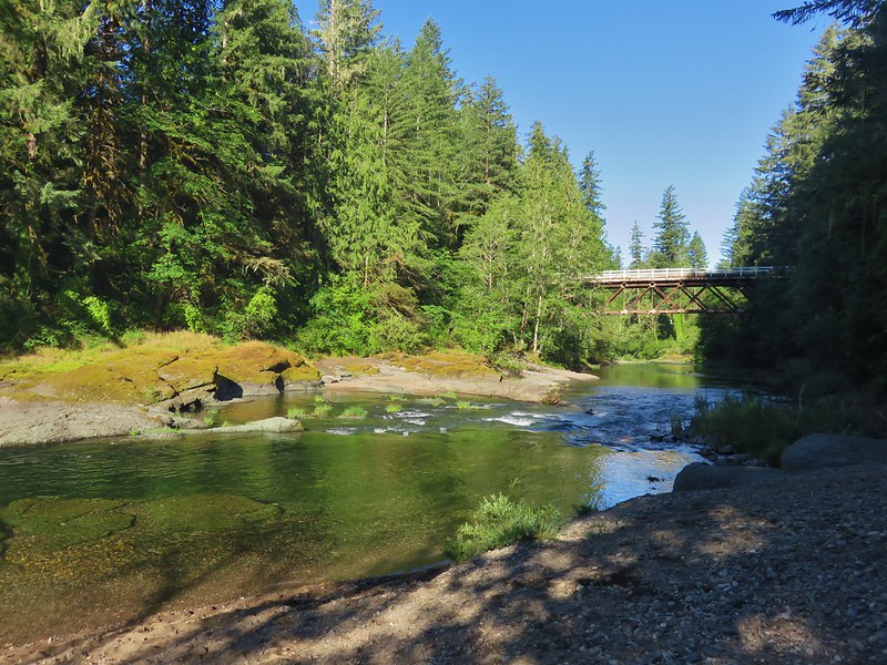
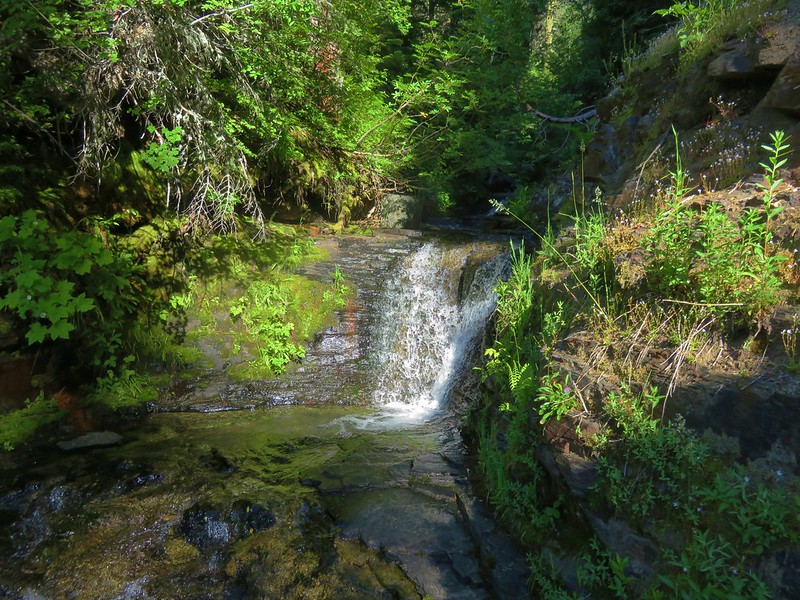
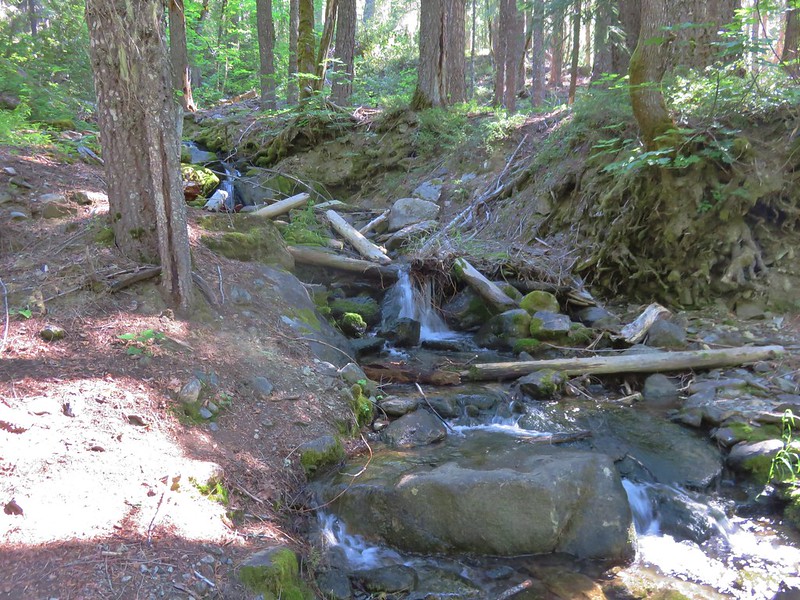
The trail then reenters the forest for good as it drops down to a footbridge over Foster Creek, climbs to a second footbridge across an unnamed creek, and finally arrives back at the Cedar Creek Trail jct just a quarter mile from the trailhead.

It had turned out to be a good choice for the day. We had our fair share of blue skies and only a few minutes of a light sprinkle for rain. Although these trails are popular with mountain bikers we only saw two during our hike and no other hikers. Based on the amount of balsamroot and lupine that was no longer in bloom, a visit during the first part of June would probably be great for the wildflowers here. The views, the andesite formations, and the varied ecological zones along the way would make it a worthwhile trip anytime though. Happy Trails!
Flickr: https://www.flickr.com/photos/9319235@N02/albums/72157668046892554


 <
<