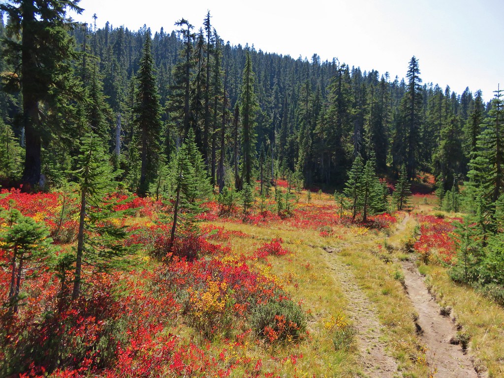
A bluebird day forecast in the mountains on a day off equaled a trip to the northern end of the McKenzie River Trail at the Upper McKenzie River Trailhead for a hike past Clear Lake, Sahalie Falls, Koosah Falls and Carmen Reservoir. While we’d visited each of those sites previously this hike would include two sections of the McKenzie River Trail that we had not hiked before.
We left the Willamette Valley fog behind and arrived at the trailhead a little after 7am and were greeted with clear skies and freezing temperatures.

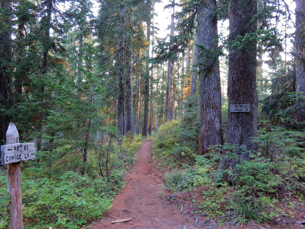
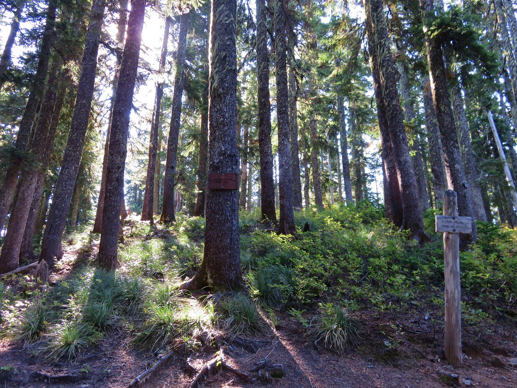
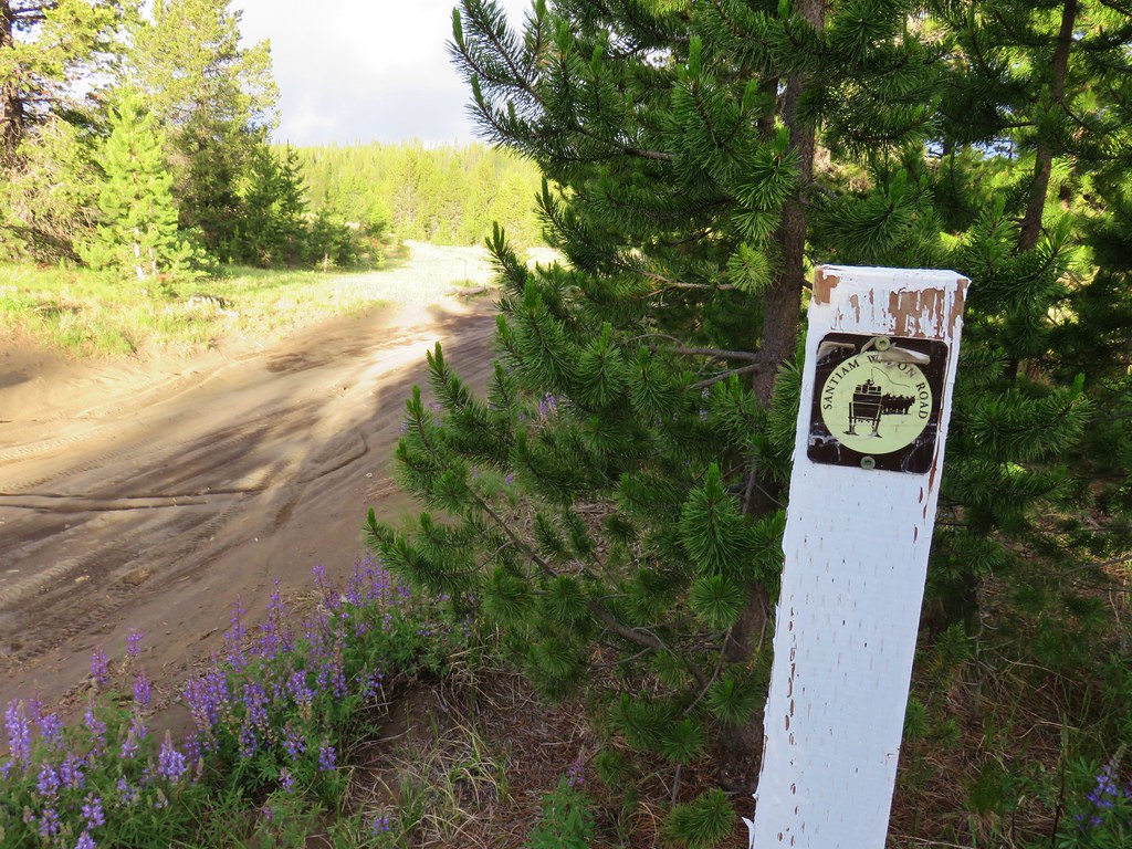
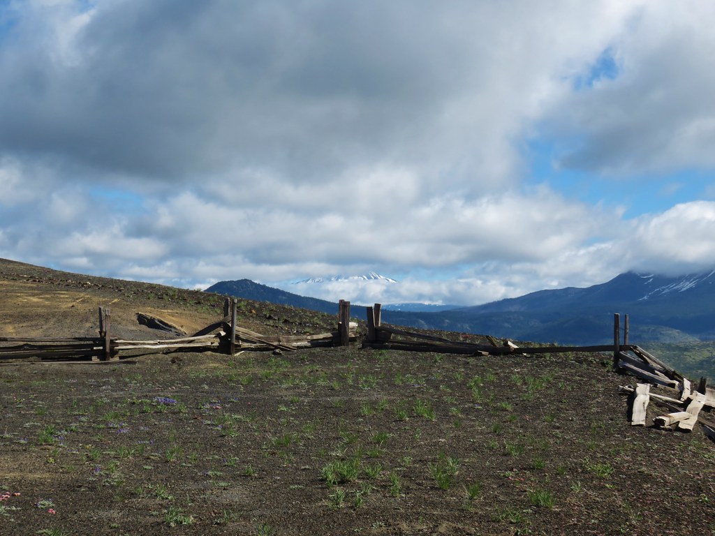
Two trails leave from this trailhead, the Old Santiam Wagon Road which we’d hiked in 2023 (post) and the McKenzie River Trail. The McKenzie River Trail starts to the right of a large signboard and immediately crosses the bed of Fish Lake Creek which is dry most of the year.


Spring snowmelt fills Fish Lake (post) but the porous lava beneath the lake drains it by Summer.
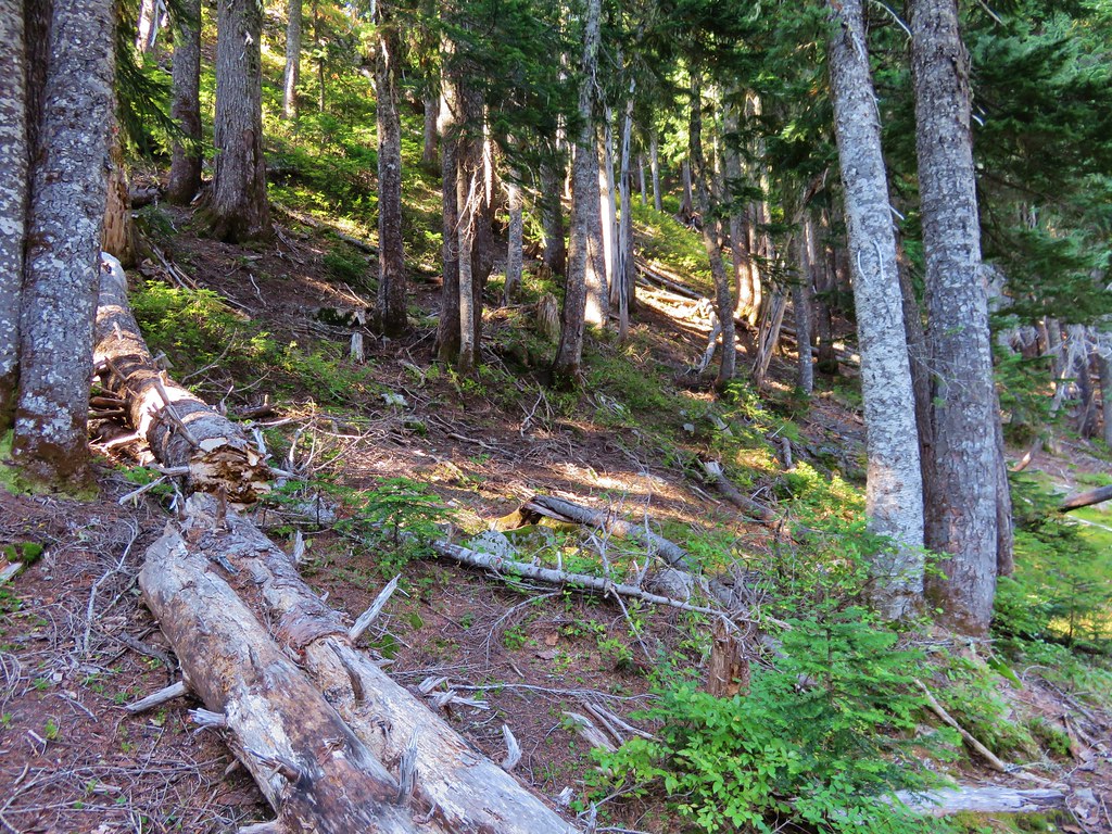
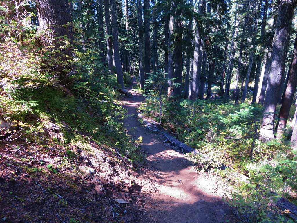
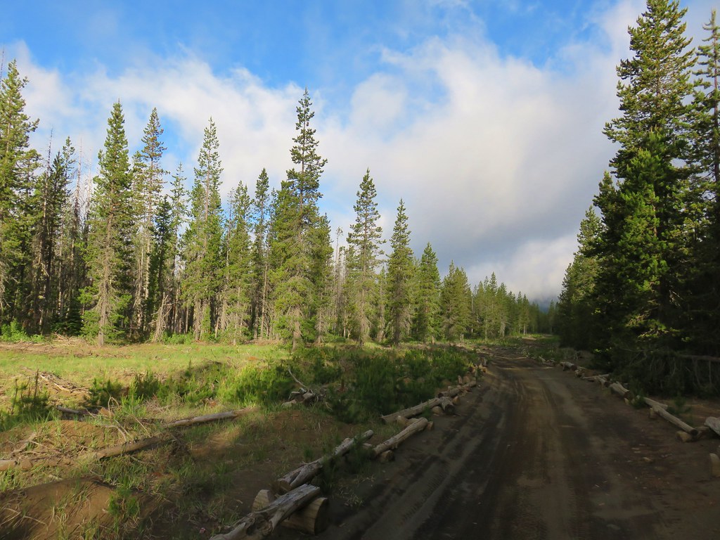
The trail passed through the forest between Highway 126 and Fish Lake Creek for a mile to a junction with the Clear Lake Trail.


The trail crossed Eno Road at the 0.2-mile mark.

At the junction with McKenzie River Trail turns left and recrosses Fish Lake Creek with the Clear Lake Trail continuing straight allowing for a loop around Clear Lake.
We had decided to stick to the McKenzie River Trail and pass around the eastern side of the lake first and return on western side. The primary reason was that there is a view of several Cascade mountains from the Clear Lake Trail, but with the Sun having just risen it would have been behind the mountains. By saving the views for the return trip the Sun would be almost directly overhead allowing for a better view of the snowy peaks.

The second footbridge over Fish Lake Creek.
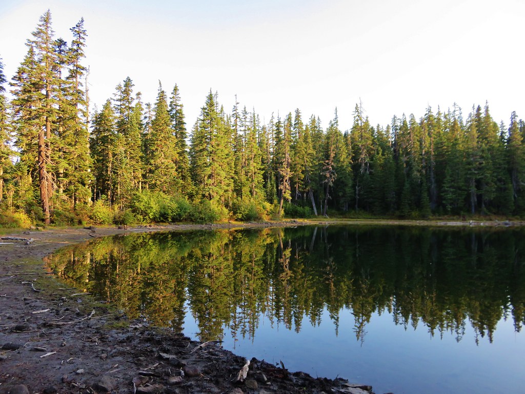
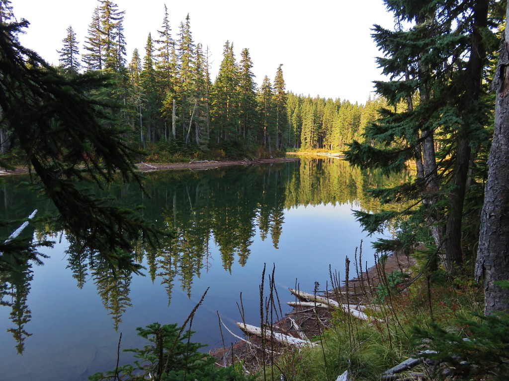
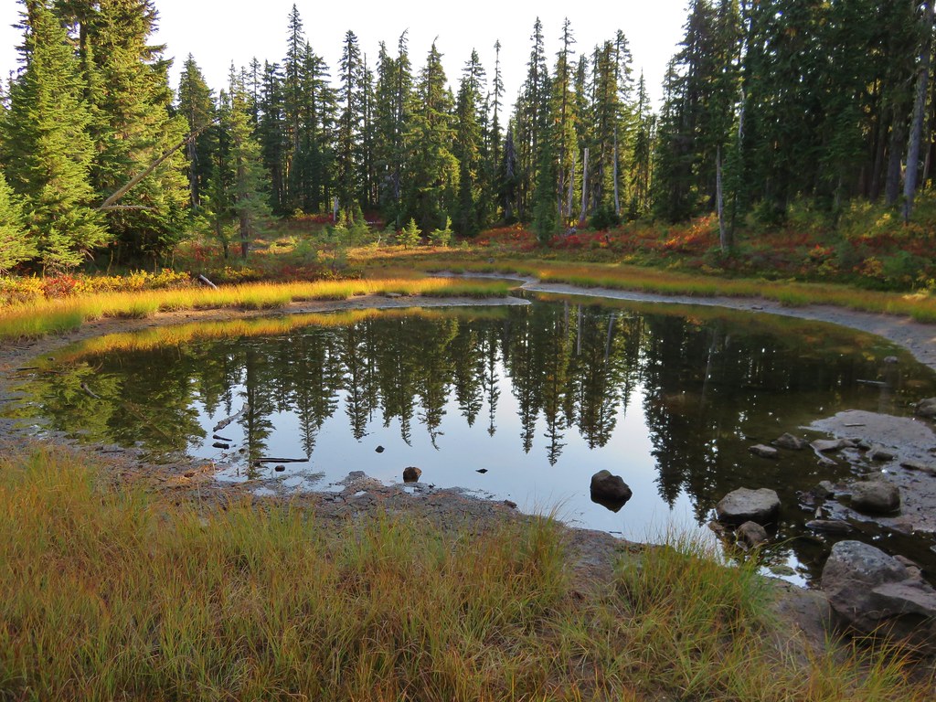
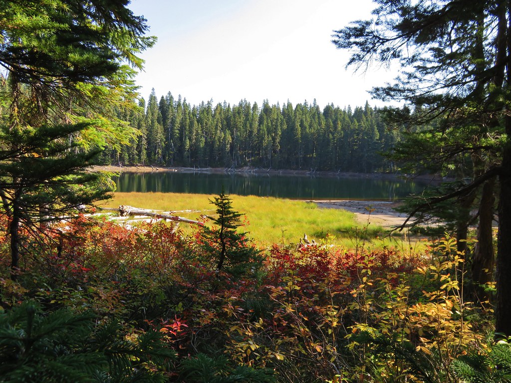
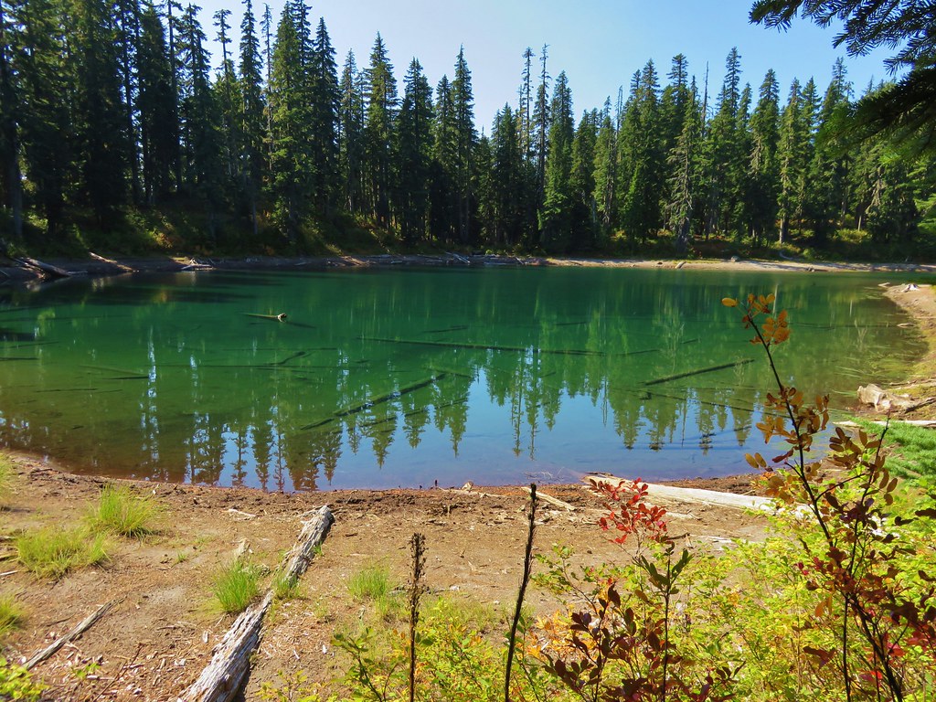
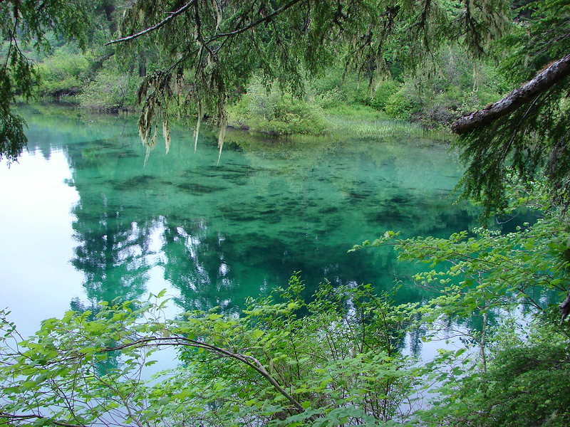
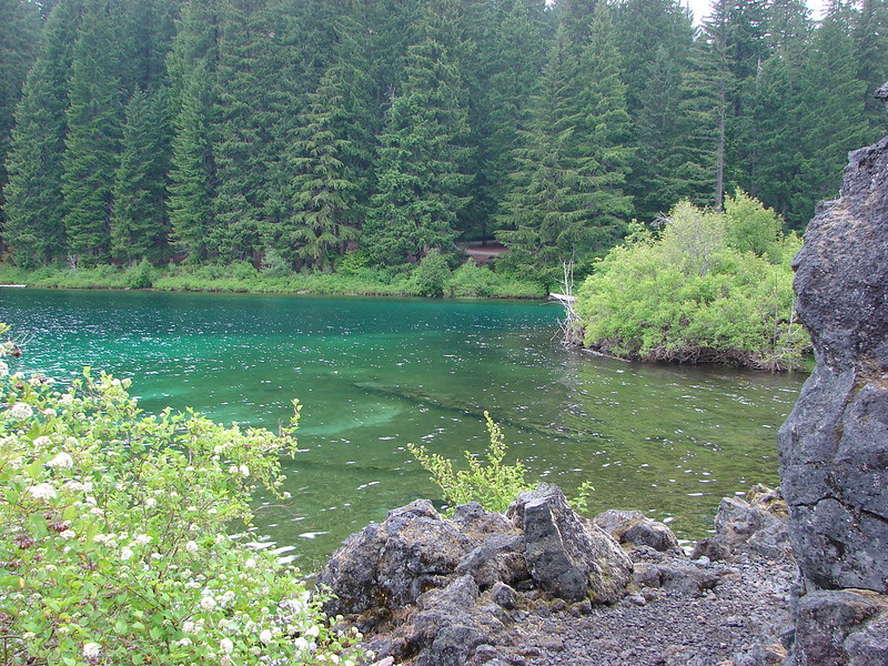
It wasn’t long after crossing the footbridge that we got our first views of Clear Lake.


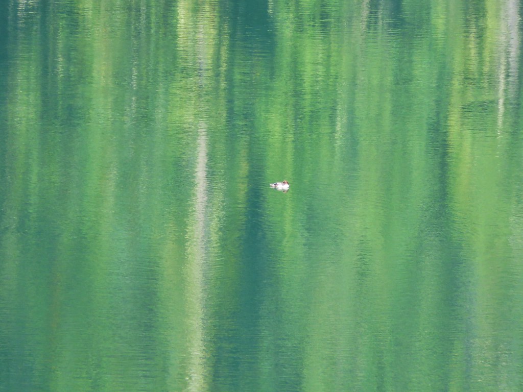
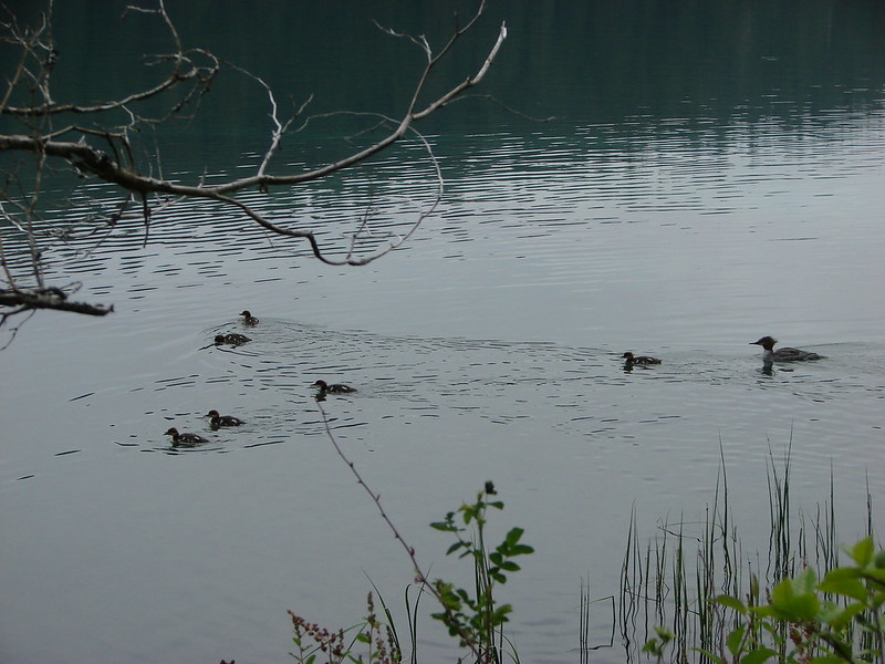
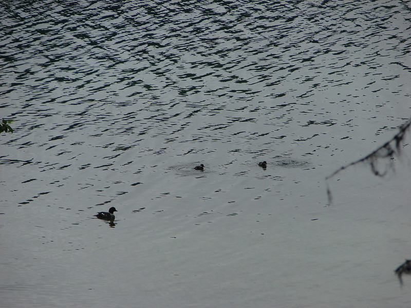
There were dozens of ducks on the lake including buffleheads, common mergansers, and Barrow’s goldeneyes.

The ripples in the lake are the ducks moving away from the annoying hikers.

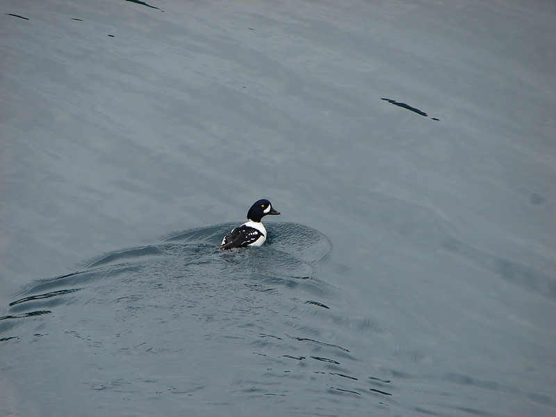
Barrow’s goldeneye

Common mergansers

The Clear Lake Resort across from the trail.
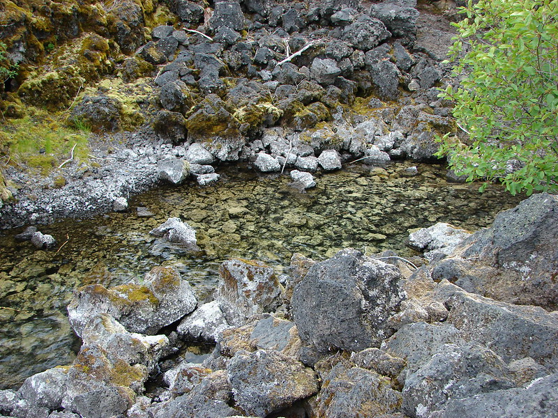
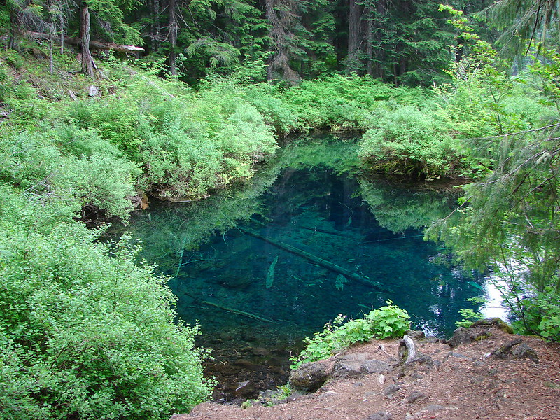
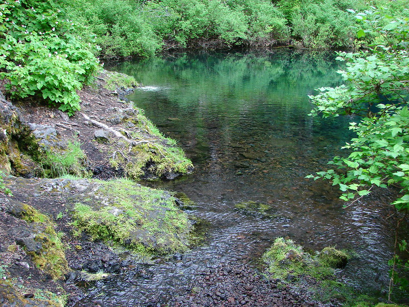
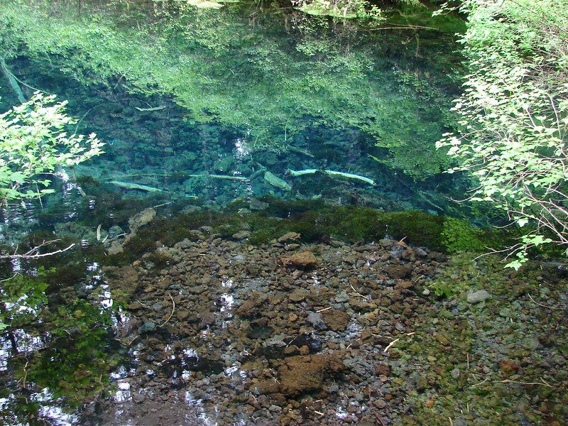
A half mile from the junction the trail passes Great Spring which is the primary source of Clear Lake and the McKenzie River.


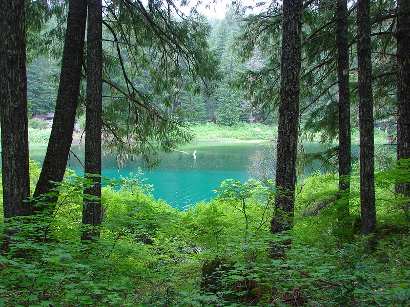
Beyond the spring the trail continued around the lake passing through frosty lava flows and small sections of forest for another 1.8-miles before reaching a junction with the other end of the Clear Lake Trail.

The boat ramp at the resort.


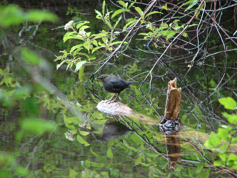
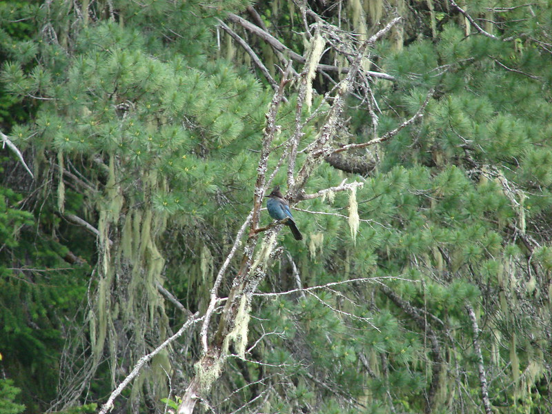
There were quite a few American dippers (ouzels) along the shore of the lake.


Buffleheads


A section of the trail is paved near the Coldwater Cove Campground.


The trail crosses the campground boat ramp.

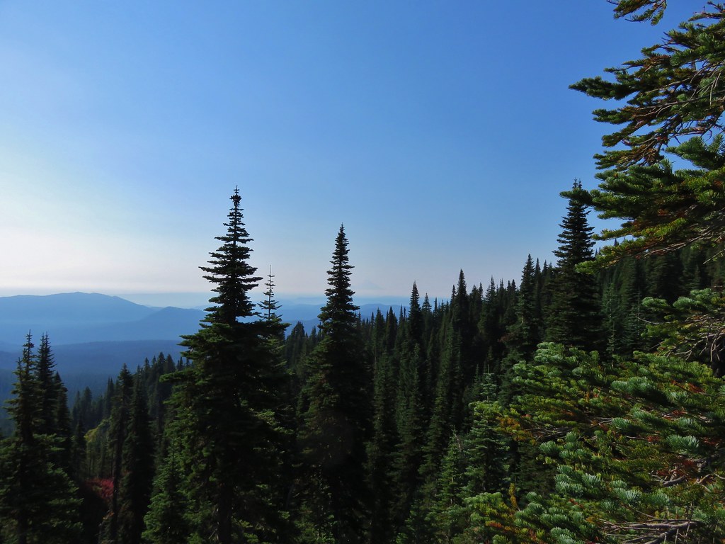
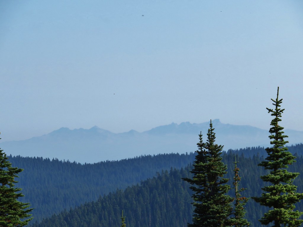
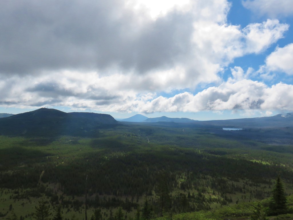
Looking back across the lake we could see several of the Old Cascades peaking up over the trees.

Crescent Mountain (post) and The Three Pyramids (post)


Another ouzel


The southern end of the Clear Lake Trail.
We stayed on the McKenzie River Trail which crossed FR 770 after 0.4-miles then Highway 126 before arriving at a junction with the Waterfalls Trail 0.7-miles from the Clear Lake Trail junction.


Witch’s butter


FR 770 provides access to the Coldwater Cove Campground.

The trail crossing Highway 126. We were lucky there was not much traffic to deal with on either dash across today.

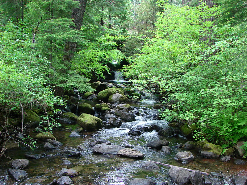
After crossing the highway the trail joined the McKenzie River.


The junction with the Waterfalls Trail.
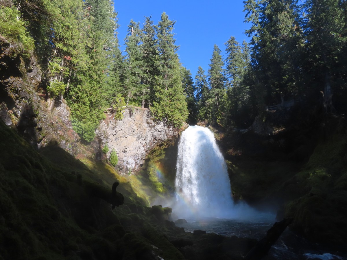
We decided to leave the McKenzie River Trail here and take the Waterfalls Trail down to Carmen Reservoir and then return via the McKenzie River Trail. It was a little over a third of a mile from the junction to an overlook above Sahalie Falls.


Sahalie Falls

McKenzie River below Sahalie Falls.

McKenzie River above Sahalie Falls.
A tenth of a mile further down the trail is a second viewpoint with a direct view of the falls.


We continued past this viewpoint another half mile to the top of Koosah Falls.


Ouzel


This unnamed waterfall was off the trail a bit and hard to get a good view of from this side of the river.


View from above Koosah Falls.
There were two viewpoints for Koosah Falls along the trail.


The second viewpoint.


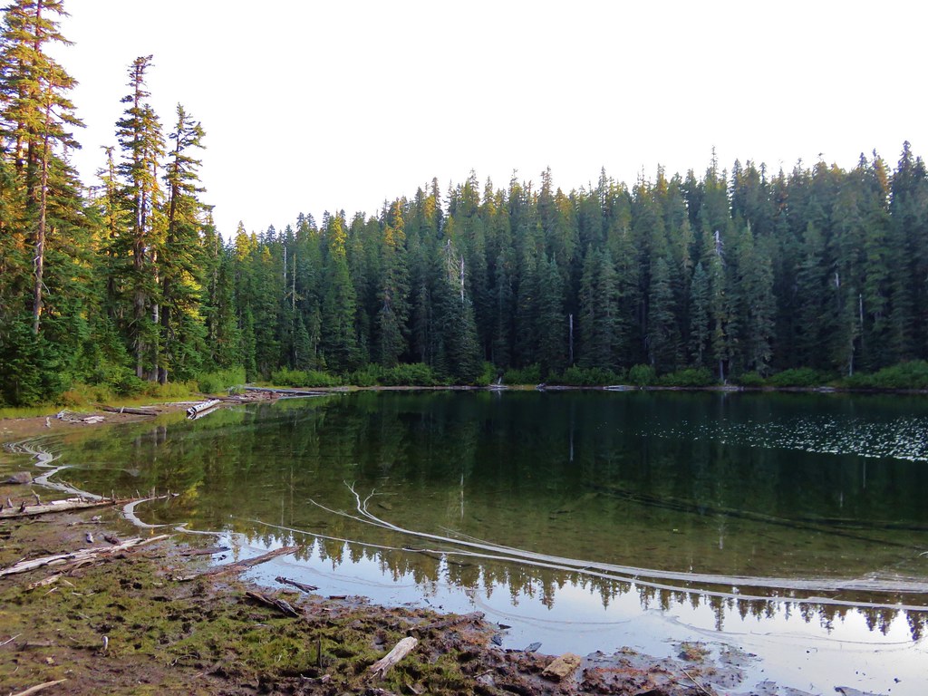
From the second Koosah Falls viewpoint it was another third of a mile to Carmen Reservoir where we turned right on FR 750 for a tenth of a mile to the Carmen Reservoir Trailhead.


The FR 750 bridge over the McKenzie River.


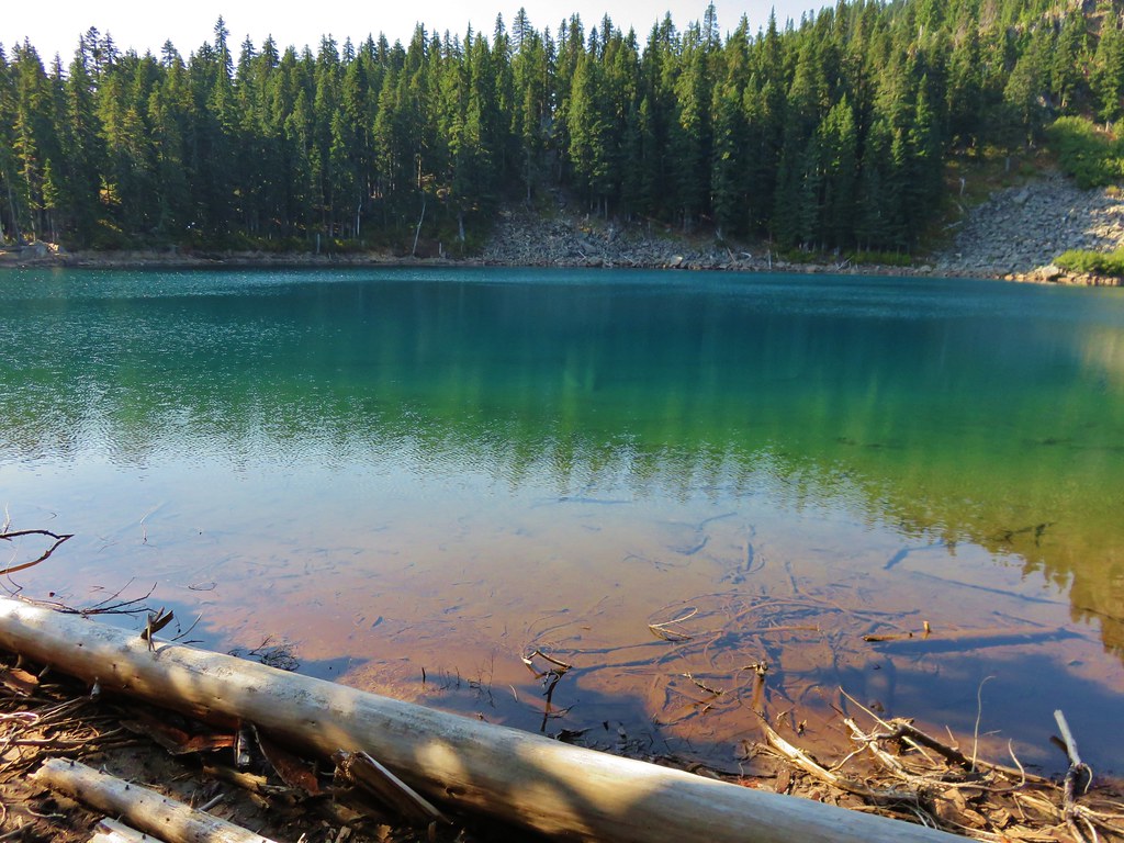
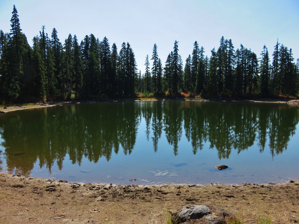
Carmen Reservoir

Walking along FR 750 toward the McKenzie River Trail.

We took a short break on a bench at the trailhead then followed pointers for the McKenzie River Trail.

After a short climb we turned right onto the McKenzie River Trail and in 0.2-miles came to a series of views of Koosah Falls.


Coral fungus


The trail initially climbed gradually from Koosah Falls before steepening as it neared Sahalie Falls.

McKenzie River above Koosah Falls.


The unnamed waterfall.

It was a little tricky to find the right use path that led to this view of the unnamed waterfall and it required scrambling between some wet logs and mossy rocks.

As the trail steepened a use trail forked off to the right which led to a direct view of Sahalie Falls.

Looking back along the use trail. It was a sketchy in spots, especially with how wet everything was.

To get a view of the falls I had to scramble over these rocks.


We continued on past Sahlie Falls to the footbridge over the river and the junction with the Waterfalls Trail.


The McKenzie River from the footbridge.
From the junction we returned to the Clear Lake Trail junction and turned onto that trail to finish the loop around the lake.


Turning onto the Clear Lake Trail.

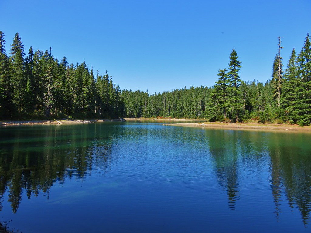
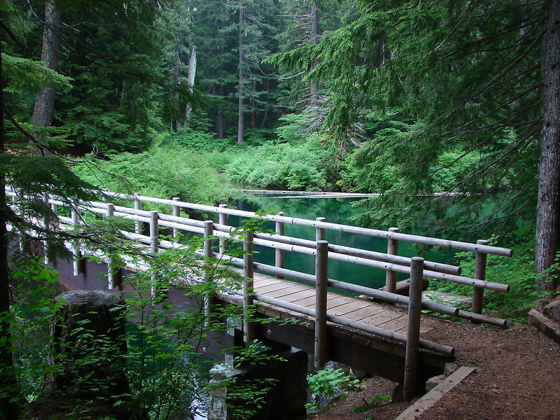
The Clear Lake Trail crossed the McKenzie River at the outlet of Clear Lake then traversed a forested hillside above the lake for a mile to the Clear Lake Day Use Area.


Clear Lake from the bridge.


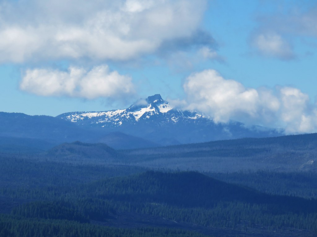
Sand Mountain (post) with some snow patches across the lake.

The Sand Mountain lookout tower on the summit to the right.

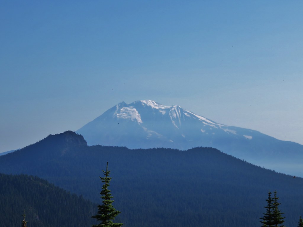
Mt. Washington across the lake.

The top of Mt. Washington.


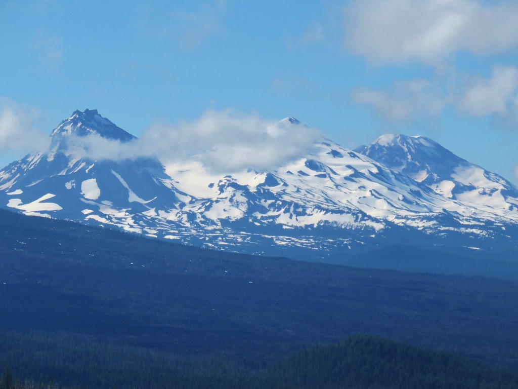
The top of North Sister with a bit of Middle Sister to far right.

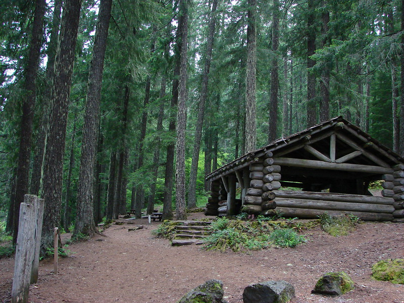
Picnic shelter at the day use area.

We briefly lost the trail here as there wasn’t any obvious signage near the resort.

Cafe and boat rentals.
We wound up following a pointer for restrooms instead of following the trail along the shore of the lake and had to cut down through the cabins to rejoin the actual trail.


Back on the official Trail.
We followed the Clear Lake trail as it bowed out and around the Ikenick Creek arm of Clear Lake.


More Barrow’s goldeneyes.

Footbridge over Ikenick Creek.
After crossing Ikenick Creek the trail returned to Clear Lake and arrived at a bench with a view across the lake of the Three Sisters.

Scott Mountain (post) across the lake.

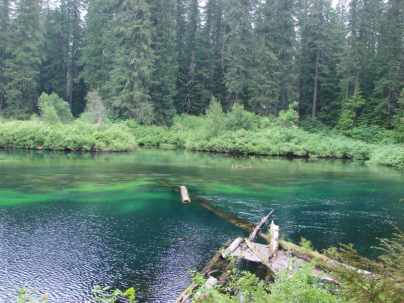
Tree trunk in Clear Lake.

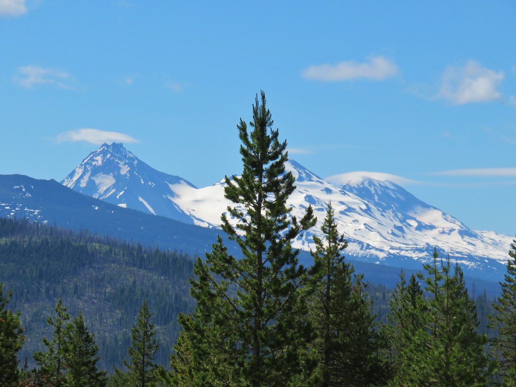
The Three Sisters


North, Middle, and South Sister
After taking in the view of the Three Sisters we completed the loop and returned to the car stopping often along the way to take photos of the numerous mushrooms that lined the trail.


While the temperatures had risen into the 40’s by the time we got back to the trailhead there was still plenty of ice and frost left on the ground.

The GPS put our hike at 11.7-miles with approximately 1000′ of cumulative elevation gain. For shorter hikes either of the loops that we did during this outing are worthy options.

This was a great hike with a lot of variety. Lakes, waterfalls, mountain views, lava fields, mossy green forest and some wildlife. The lack of leaves on the bushes and trees around the lake provided a little better viewing experience than we’d had on our first visit to Clear Lake and the cold temperatures reduced the crowds around the waterfalls. With the additional sections of the McKenzie River Trail completed we now only have about 1.5 of the 26.5-mile trail left to hike. Happy Trails!

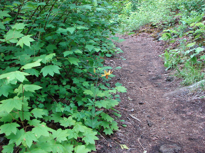
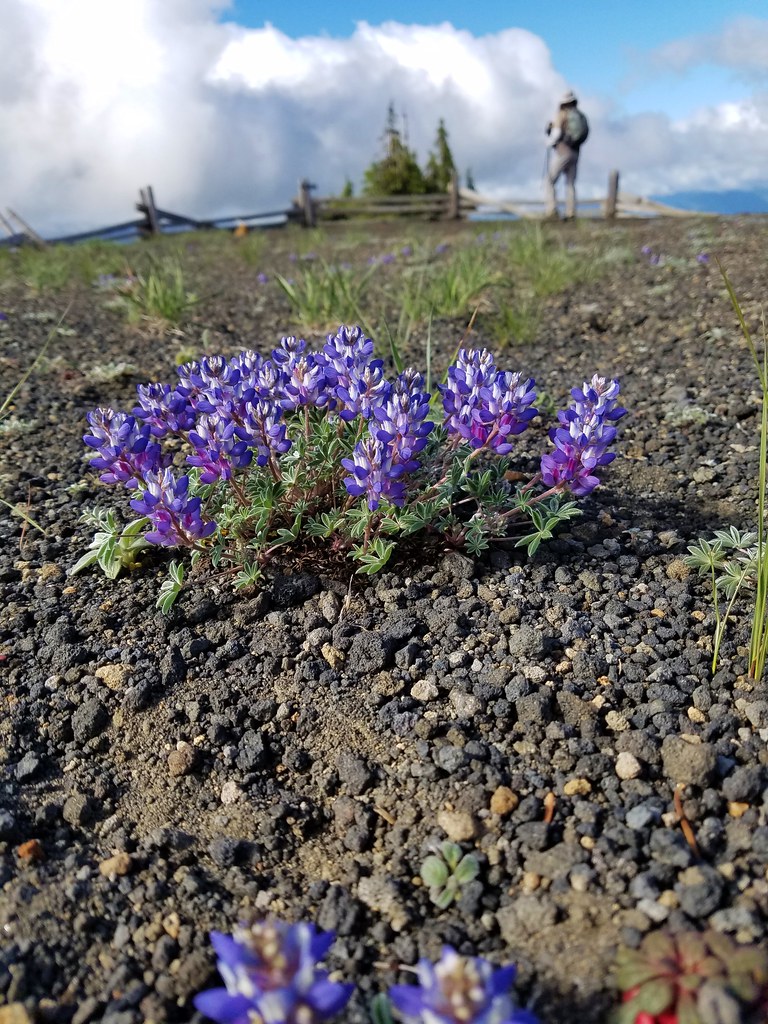
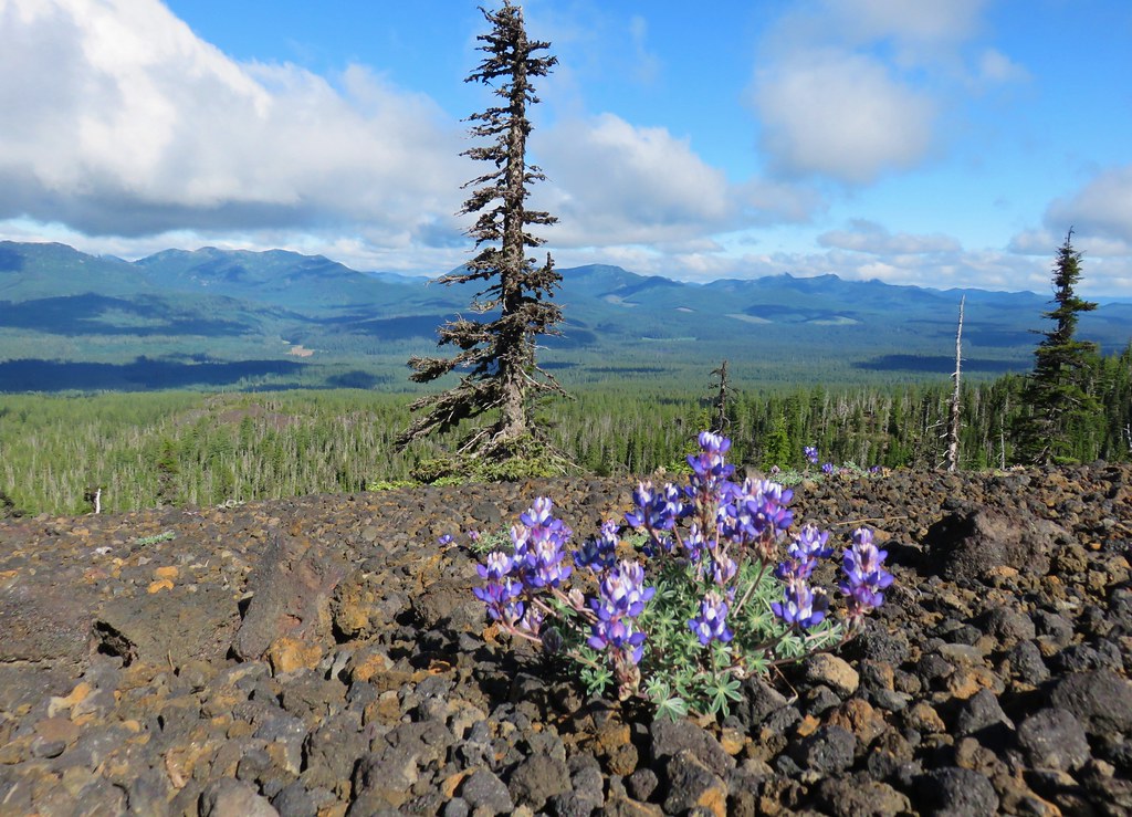
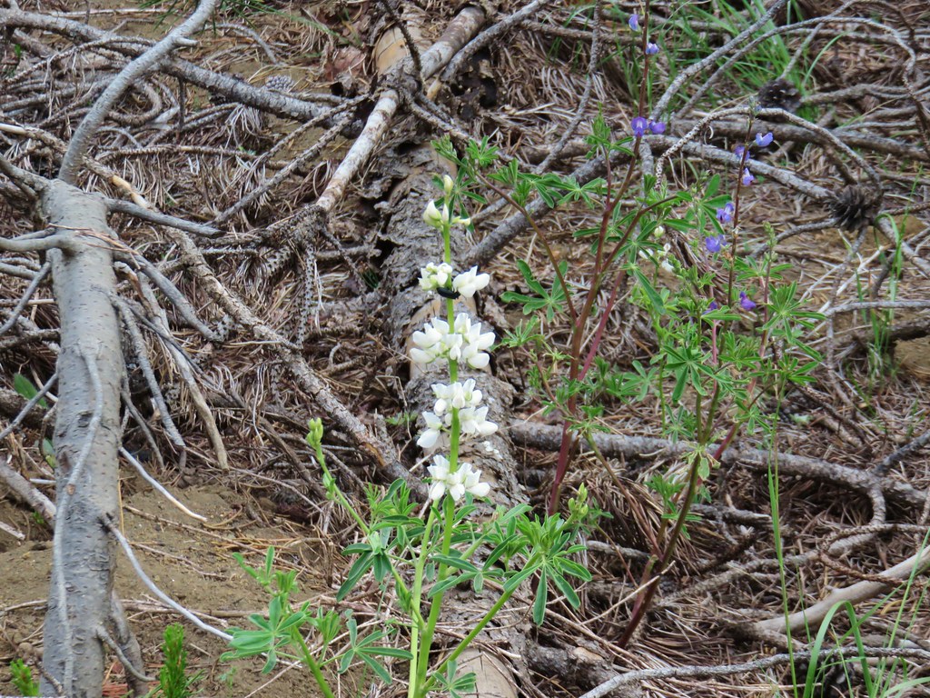 Lupine
 Beargrass plumes amid the trees
 Pussypaws


 Iron Mountain


 From left to right – Hoodoo, flat topped Hayrick Butte, and Black Butte (behind Cache Mountain).


 Dwarf lupine at the viewpoint.
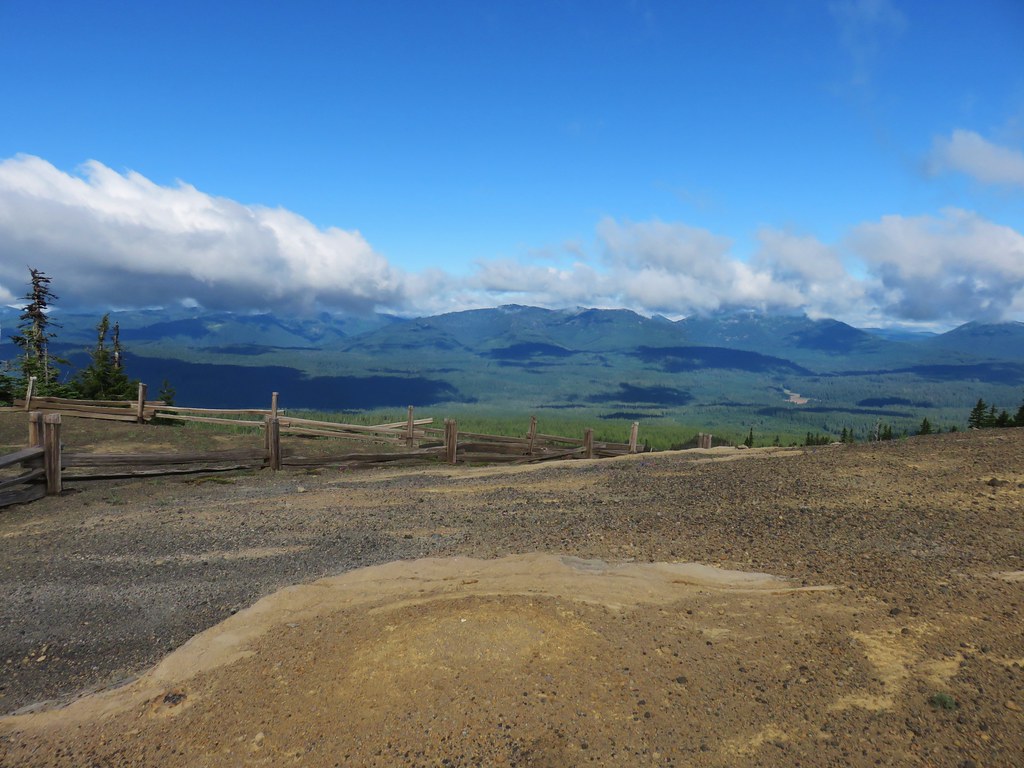

 Starting the loop from the viewpoint.
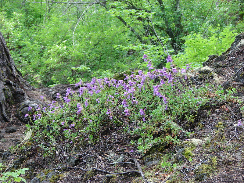
 Penstemon and snowbrush


 The Three Pyramids with Scar Mountain (
 Crescent Mountain (


 Mt. Washington joining the show.


 Can you see Heather’s hat?
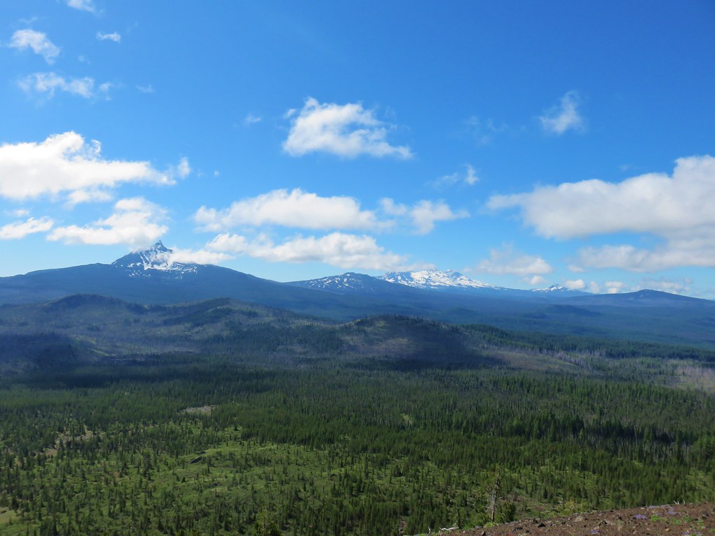
 The Husband
 Mt. Washington
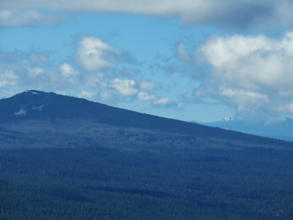


 Maxwell Butte (
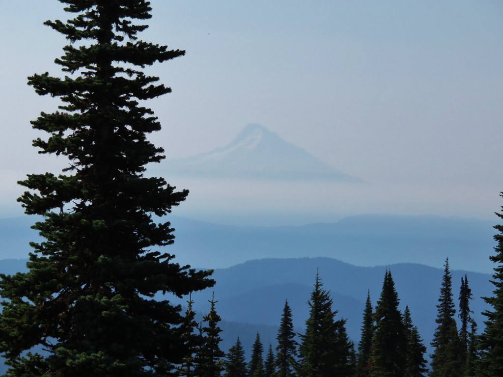
 Looking toward Mt. Jefferson and Three Fingered Jack at a quarter to ten.
 Looking toward Mt. Jefferson and Three Fingered Jack at a quarter after ten.
 Looking toward Mt. Jefferson and Three Fingered Jack at a 10:23am.