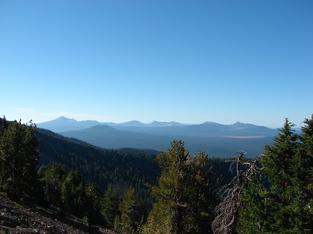
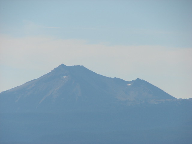
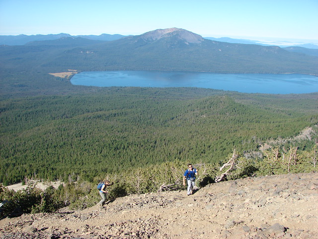
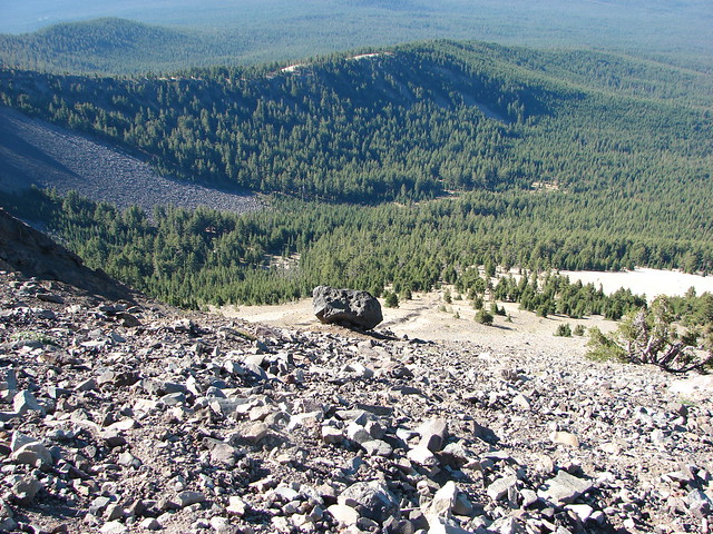
Categories
High Cascades Hiking Mt. Theilsen/Mt. Bailey Area Old Cascades Oregon Rogue-Umpqua Divide Trip report

Diamond Lake and Wiley Camp – 09/05/2020

As I write up this trip report the Diamond Lake Resort, like many other areas in Oregon, has been evacuated due to a wildfire. The tragic loss of homes and lives happening right now is truly heartbreaking. Right now the Thielsen Fire is moving away from the lake but a shift in the winds could change that in an instant.

We visited Diamond Lake to kick off our Labor Day Weekend hiking the full loop around the 3,015 acre lake. There are numerous possible starting points for the loop and we chose to park at Horse Lake where we could follow the Horse N Teal Trail to the Dellenback Trail which is the paved trail around Diamond Lake. There was quite a bit of smoke from wildfires in California in the air which limited visibility as we set off from Horse Lake on the trail.
IMG_5372

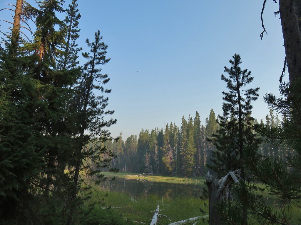
IMG_5373Horse Lake

IMG_5375Lesser yellowlegs

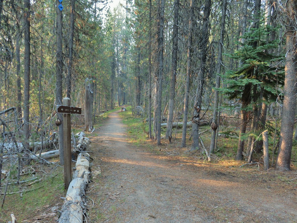
We opted not to make the short loop around Horse Lake and turned right at a junction toward Forest Road 4795 and Teal Lake.
IMG_5376

The trail crossed the road and then descended a short distance to Teal Lake.
IMG_5379

IMG_5383

IMG_5386

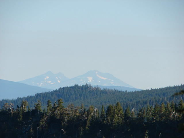
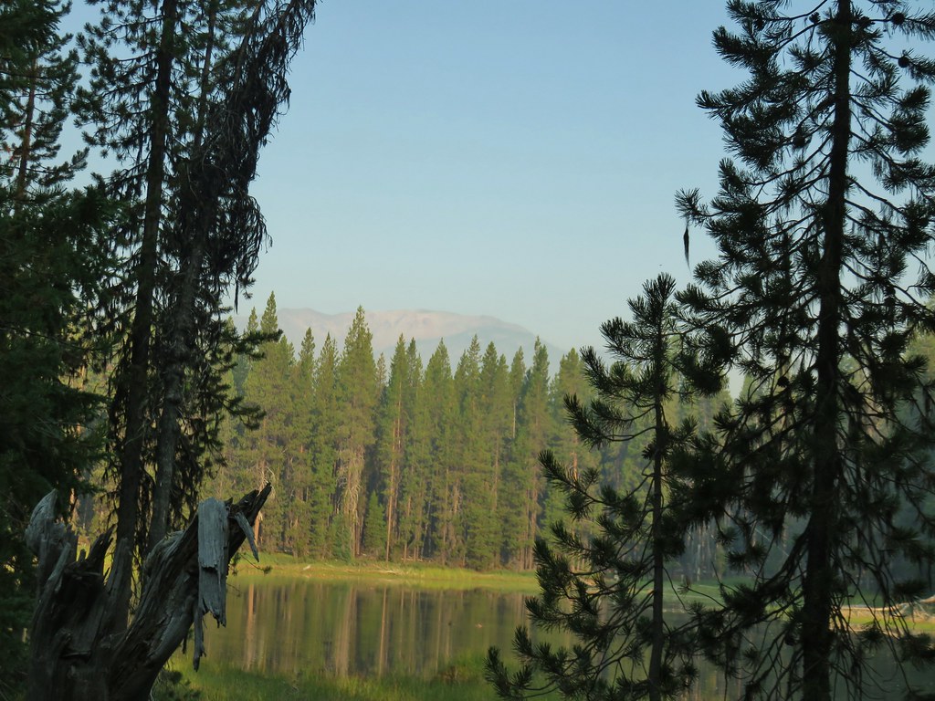
There is also a loop around Teal Lake so we had the choice of going left or right. We had planned on hiking counter-clockwise around Diamond Lake so we went right here and passed around the east side of Teal Lake where there was a hazy view of Mt. Bailey (post).
IMG_5387

At the north end of the lake a very short connector trail led to the paved Dellenback Trail where we again turned right.
IMG_5394

IMG_5395

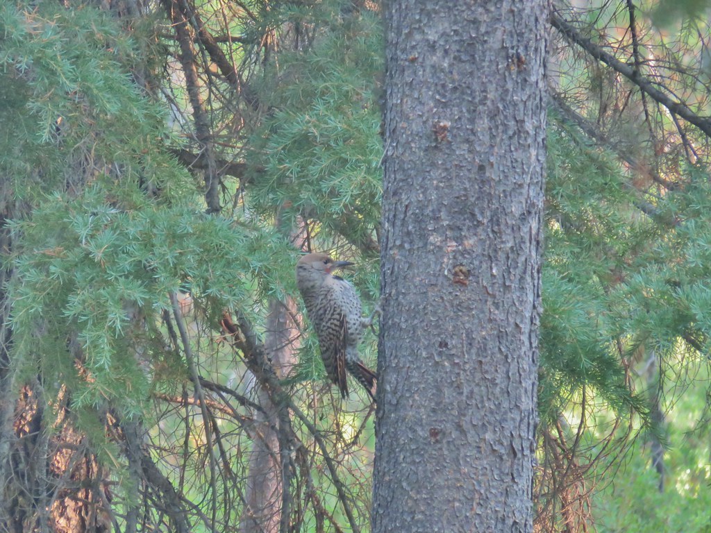
IMG_5398Northern flicker

A large meadow separates the trail from the lake here.
IMG_5401

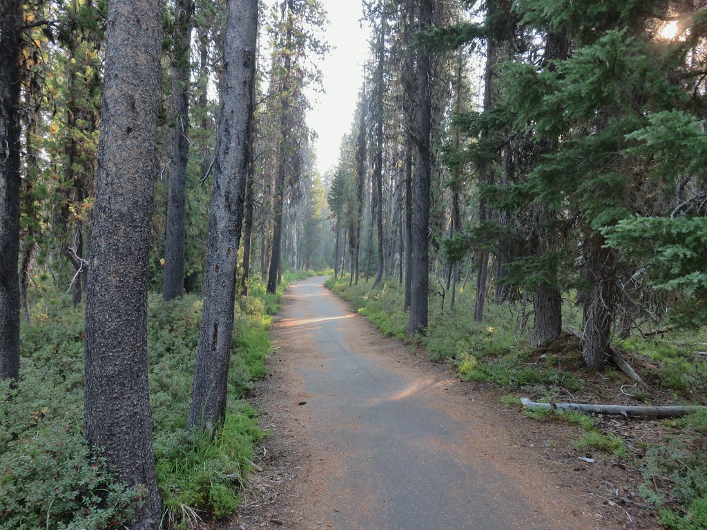
We followed the path through the forest ignoring side trails for a mile where we arrived at the South Shore Picnic Area.
IMG_5402

IMG_5403

IMG_5406Mt. Bailey beyond the meadow.

IMG_5410

IMG_5420Mt. Thielsen from the South Shore Picnic Area
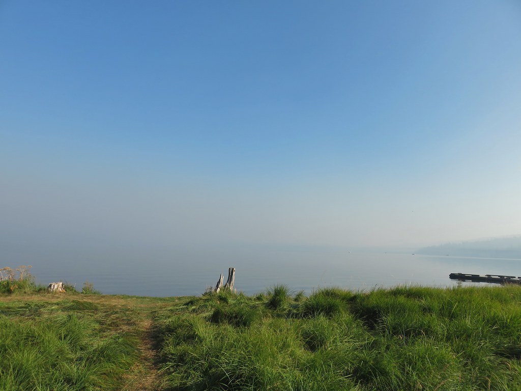
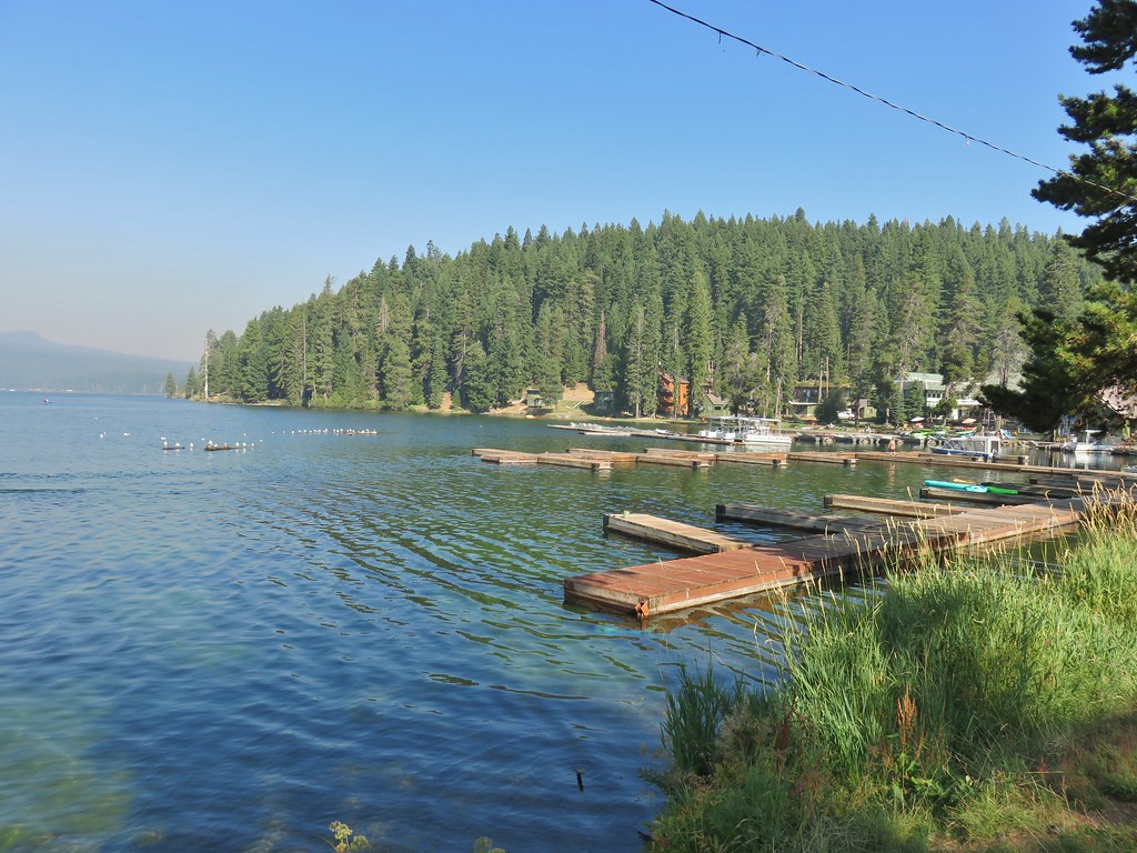
IMG_5412Diamond Lake underneath the smoke.

IMG_5414Mt. Bailey

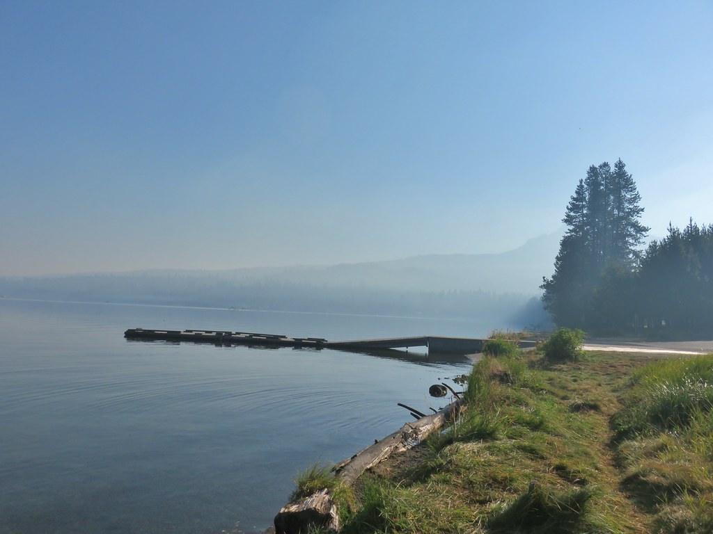
IMG_5425Mt. Thielsen from the boat dock.

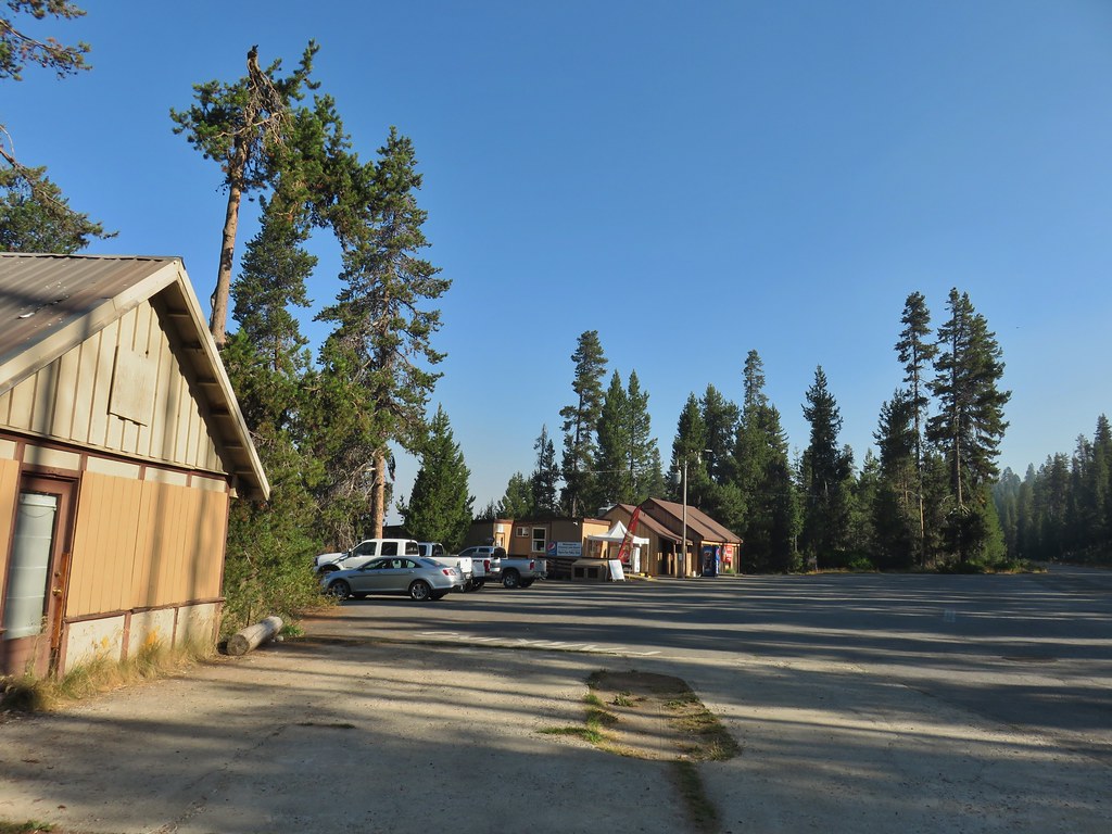
We had expected the lake to be busy given it was Labor Day weekend and Diamond Lake is a very popular spot and we were right. We utilized our masks as we passed through the picnic area and continued past an RV park and into the Diamond Lake Campground which stretches along most of the eastern side of the lake.
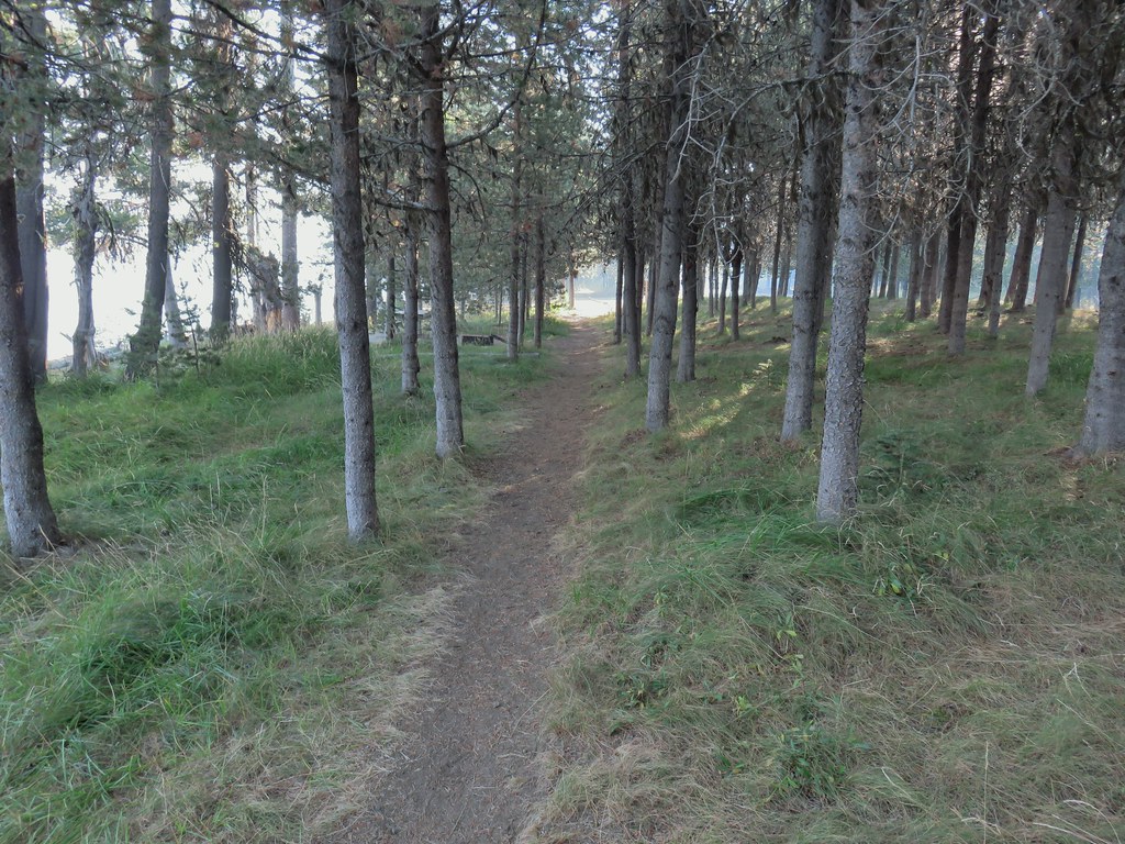
IMG_5427Picnic tables in the picnic area.

IMG_5431

IMG_5432Short Creek (it really is short)

IMG_5433Resort buildings between the RV park and campground.

IMG_5434Sign instructing users to follow painted bike symbols through the campground.

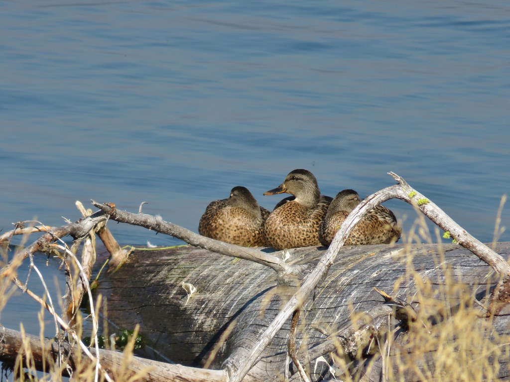
Despite passing through the busy campground there were a number of good views of Mt. Bailey across the lake. There were also quite a few ducks in the area.
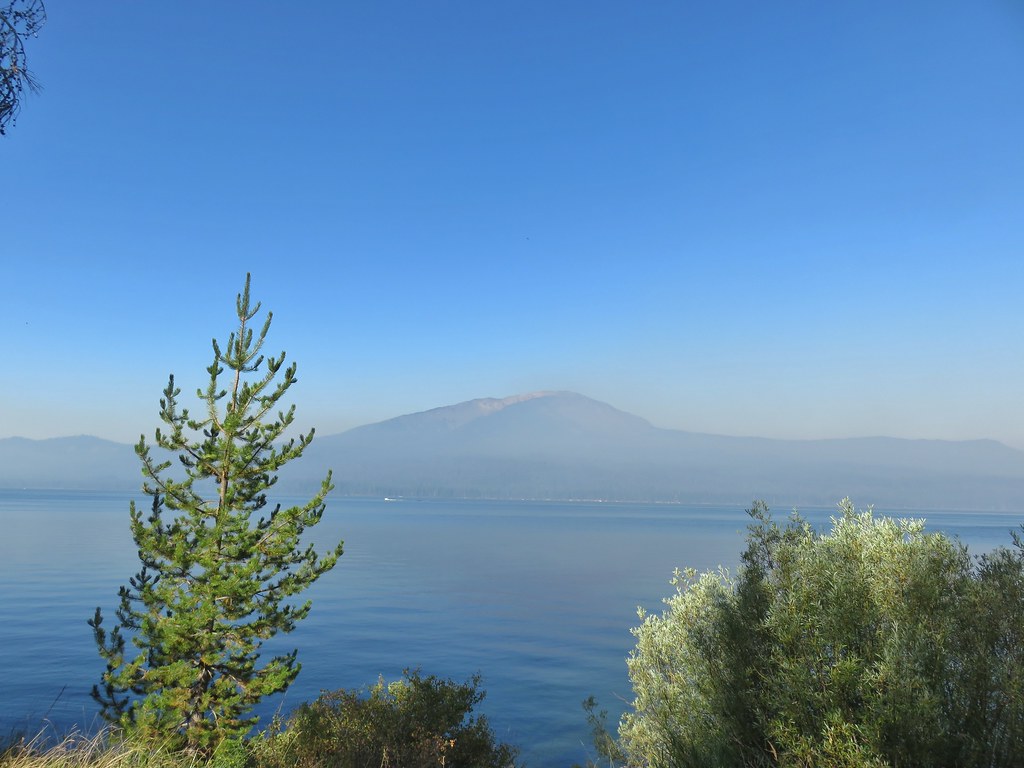
IMG_5441

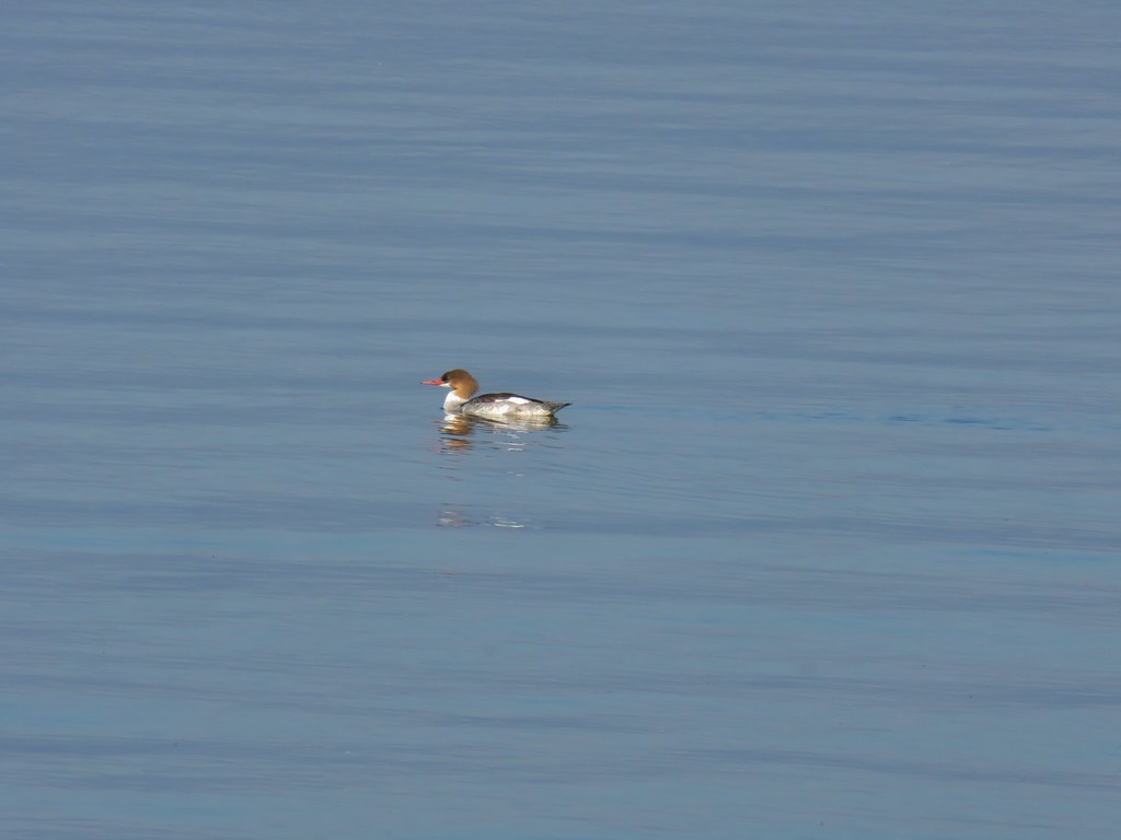
IMG_5443Common merganser

IMG_5447

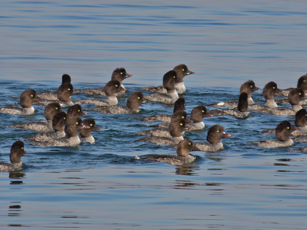
IMG_5458Goldeneyes

IMG_5457

IMG_5460

The trail left the campground and then in a quarter mile arrived at the Diamond Lake Lodge area.
IMG_5467

IMG_5469Mt. Bailey again.

IMG_5471Arriving at the lodge area.

IMG_5472Seagulls

IMG_5473

IMG_5474

We passed by the lodge along the grassy lake shore and then returned to the trail on the far side. We were now far enough around the lake that we could once again see Mt. Thielsen.
IMG_5479

This section of trail was lined with larger and more diverse trees and is also the side closest to the Thielsen Fire as of this writing.
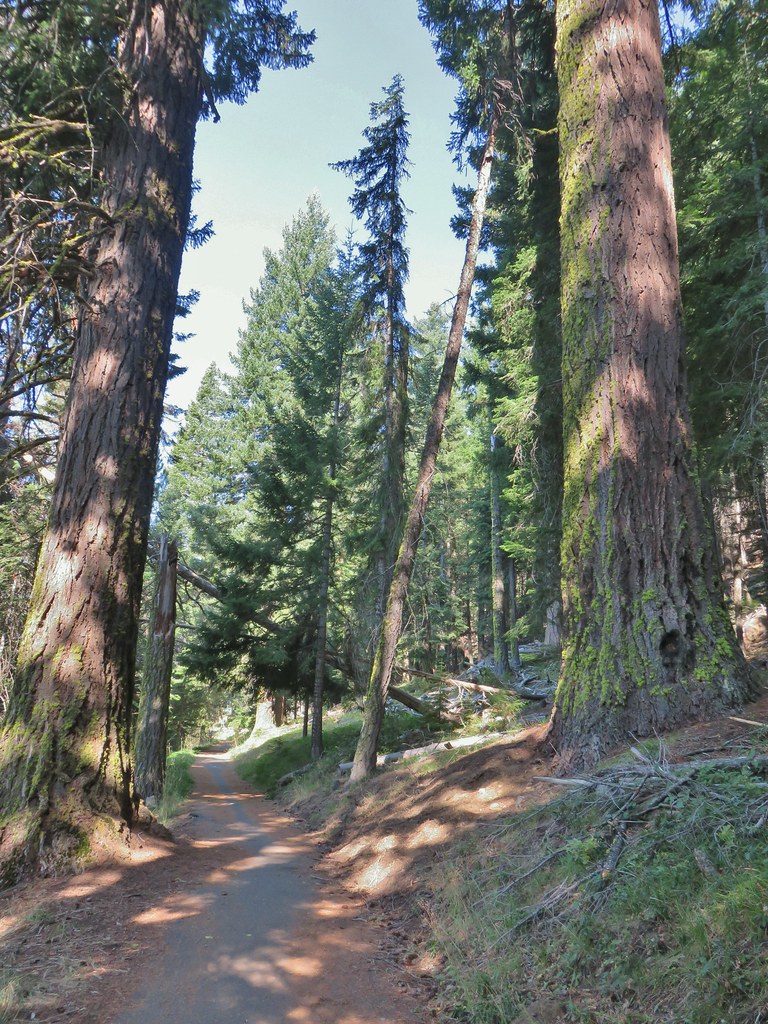
IMG_5481

IMG_5485

There were fewer people along this stretch but a steady stream of bicycle riders did pass by. More entertaining though were the birds.
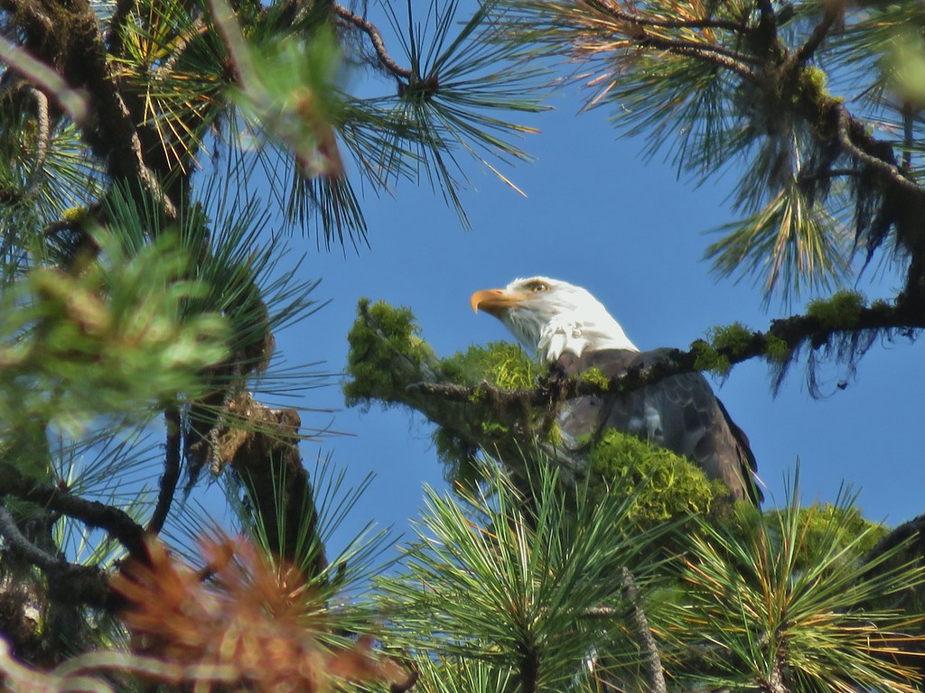
IMG_5492Bald eagle

IMG_5498I’ve been spotted

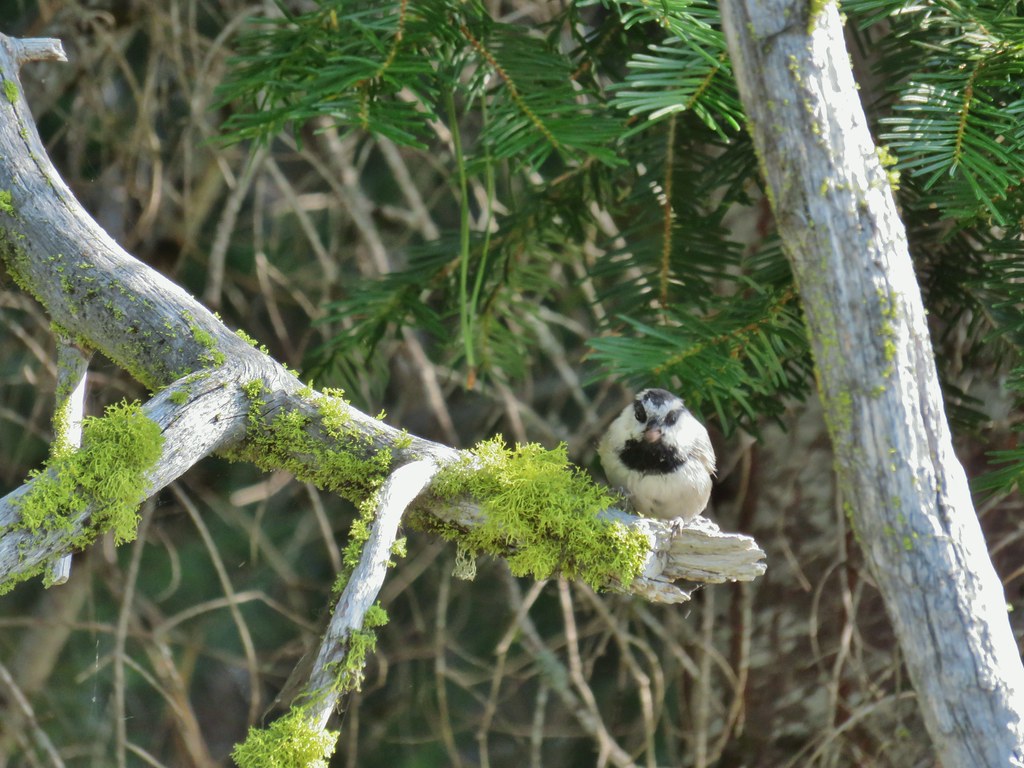
IMG_5503Chickadee with a seed or nut.

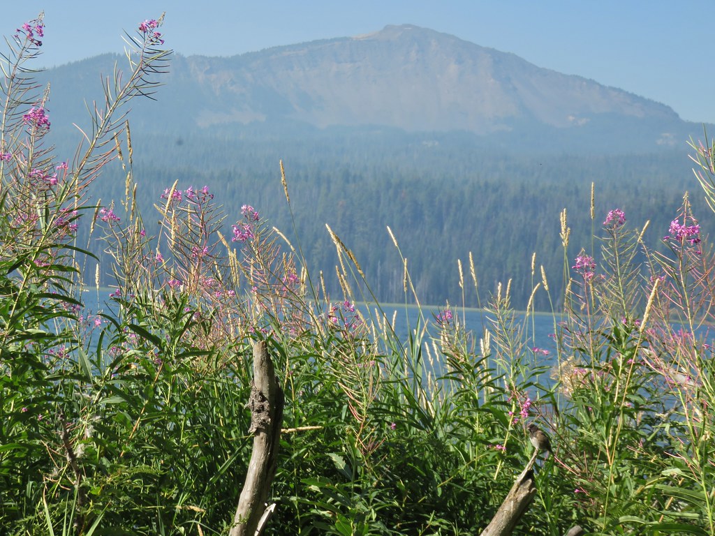
IMG_5510Junco in some fireweed.

IMG_5513The junco with Mt. Bailey in the background.
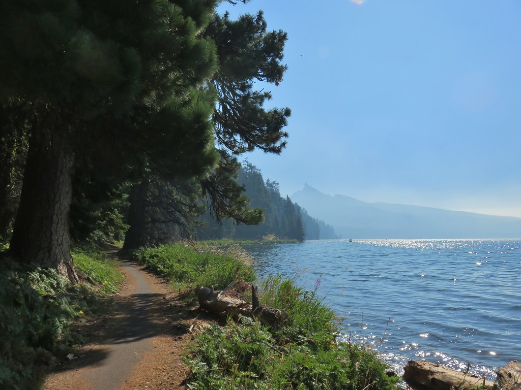
IMG_5521Looking back at Mt. Thielsen

IMG_5523More goldeneyes

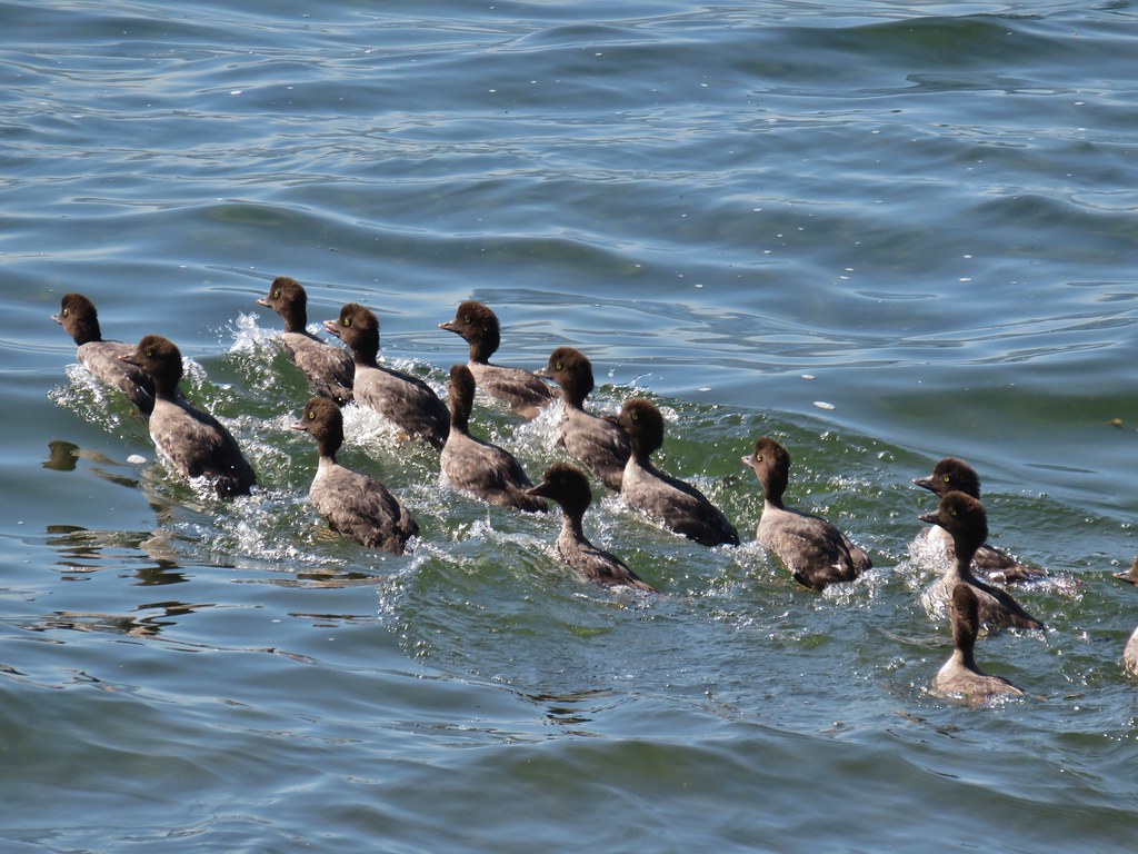
IMG_5526Mergansers

The trail joined FR 4795 again 1.7 miles from the lodge to avoid what appeared to be an old guard station or possibly just a private cabin near Lake Creek.
IMG_5527

IMG_5530

IMG_5529

After crossing the creek the trail continued with the Rodley Butte Trail on the opposite side of the road.
IMG_5531

The trail then passed a nice little sandy beach with a view of Mt. Thielsen.
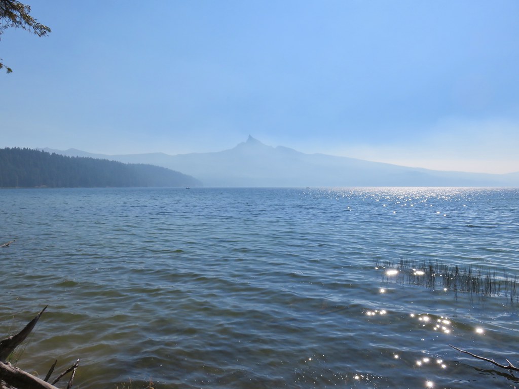
IMG_5539

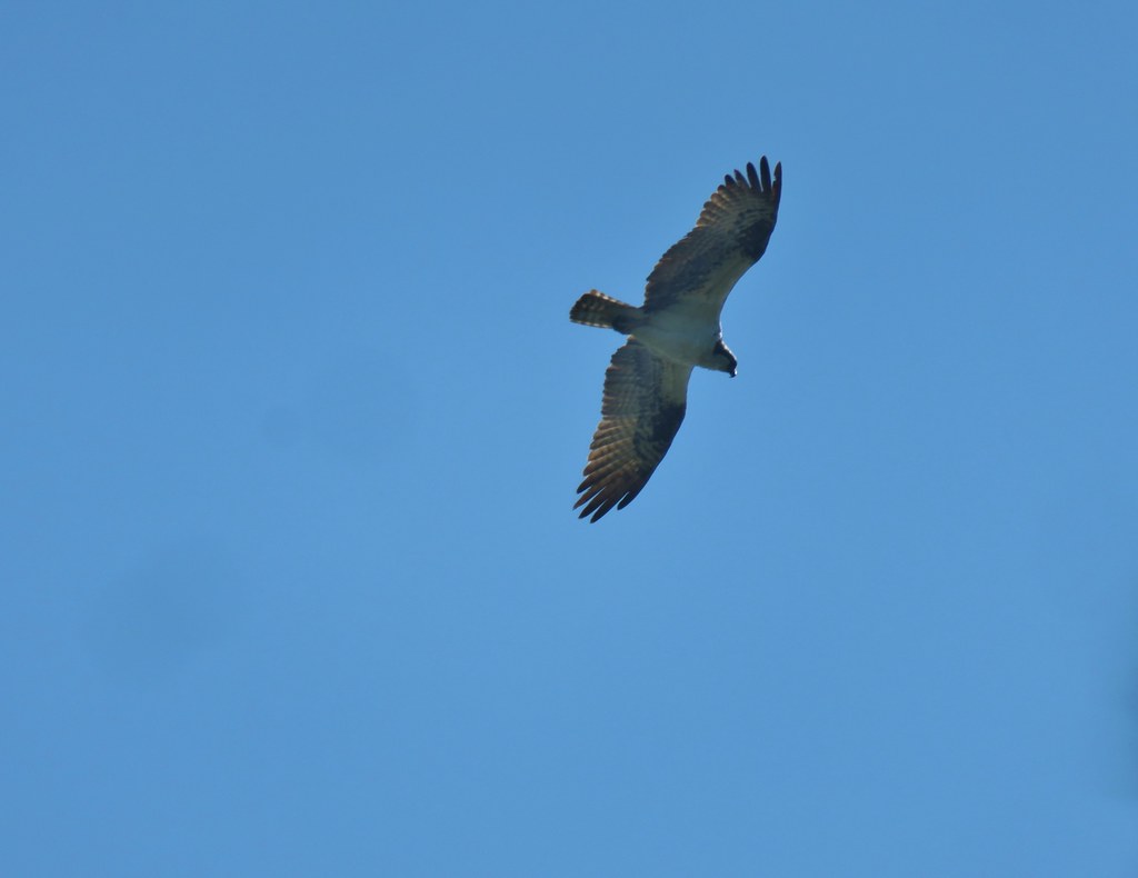
IMG_5536Osprey

We were now heading south along the western side of the lake which provided good views of Mt. Thielsen and Howlock Mountain despite the smoke.
IMG_5544

IMG_5542

IMG_5546Cormorant

IMG_5548Howlock Mountain to the left and Mt. Thielsen

The mountain views would be interrupted just over a mile from Lake Creek when the Dellenback Trail veered away from the lake to avoid the Thielsen View Campground.
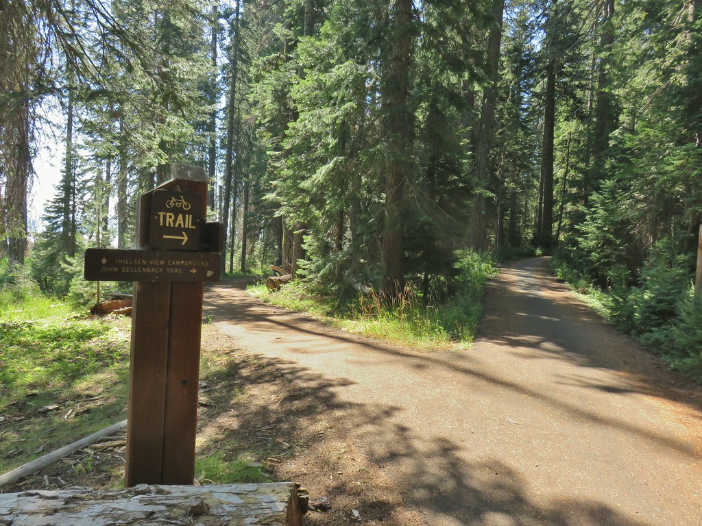
IMG_5551

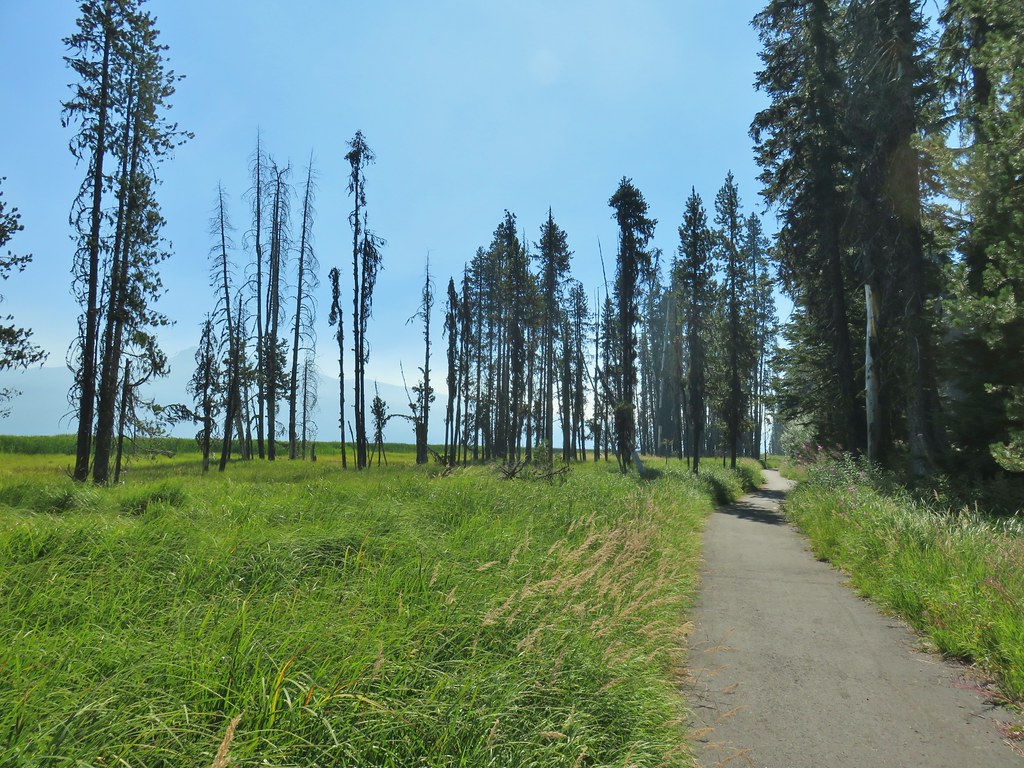
We again crossed FR 4795 and continued through the trees for nearly three miles before recrossing the road.
IMG_5552

IMG_5553

IMG_5554Back on the lake side of FR 4795.

We were now passing by the large meadow at the south end of the lake, only this time it was Mt. Thielsen not Mt. Bailey beyond the meadow.
IMG_5555

IMG_5561

Just under a mile after recrossing FR 4795 we arrived at a scenic footbridge over Silent Creek.
IMG_5569

IMG_5562

IMG_5568

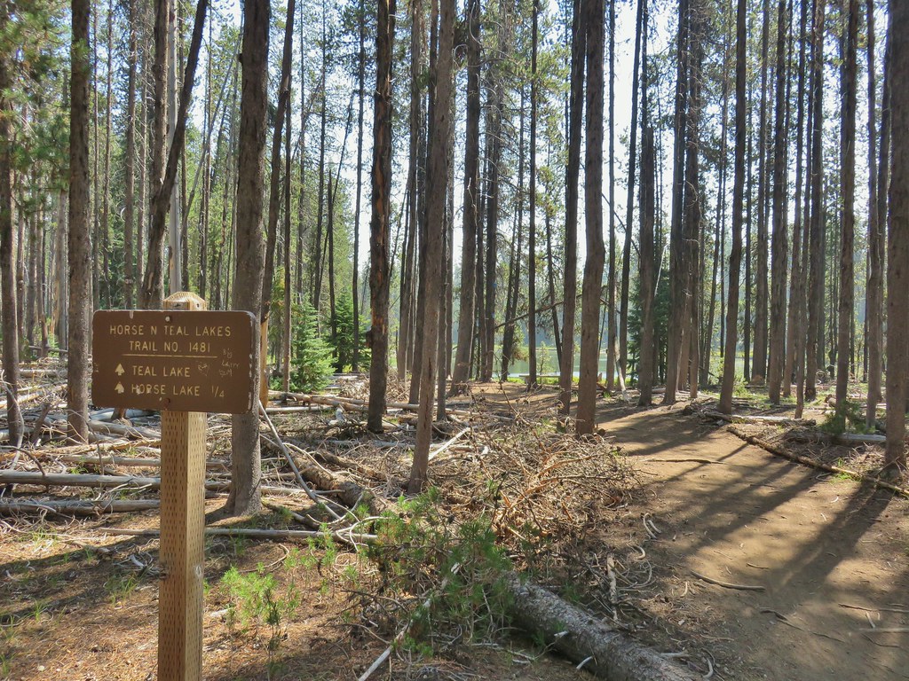
A quarter mile beyond Silent Creek we arrived back at the Horse N Teal Trail junction near Teal Lake.
IMG_5573

We turned up this trail and passed by Teal Lake on the opposite side from that morning thus completing that loop.
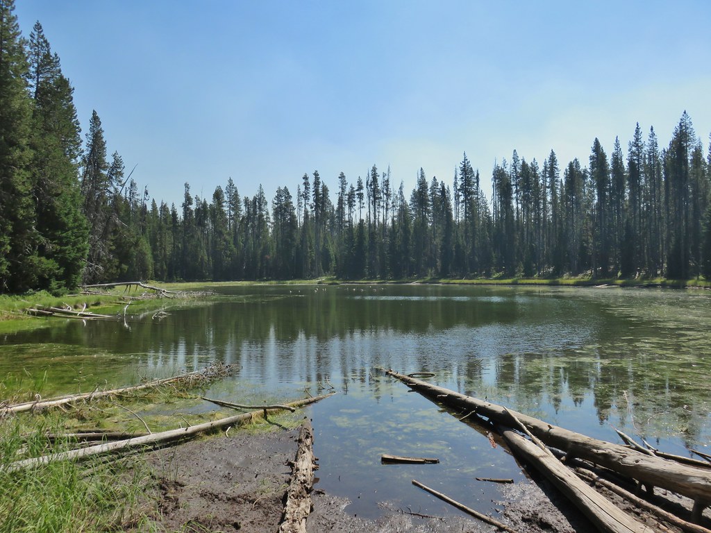
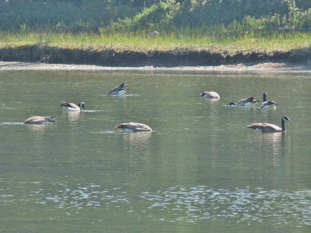
IMG_5576Canada geese at Teal Lake.

IMG_5578

We arrived back at Horse Lake after 11.6 miles of hiking. This managed to be a somewhat easy yet hard hike at the same time. The lack of elevation change and obstacles along the trail made for easy, quick hiking, but the paved surface is a lot harder on the feet than dirt. We hadn’t stopped much at all along the way either due to the number of other trail users and our attempting to do our best to stay properly socially distanced.

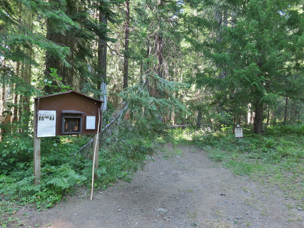
Our day wasn’t done after the lake loop though. We were planning on spending the weekend in the area with Sunday’s hike being to Rattlesnake Mountain in the Rogue-Umpqua Divide Wilderness. We left Diamond Lake and took Highway 230 toward Medford to the Hummingbird Meadows Trailhead which was devoid of other vehicles.
IMG_5582

We had brought our backpacking gear with thoughts of setting up camp somewhere between the trailhead and Wiley Camp.
IMG_5583

We had been to Hummingbrid Meadows before (post) but on that hike we had come in on the Buck Canyon Trail. On that trip we had also not visited Wiley Camp. For this trip we were planning on spending the night in our tent then using the Wiley Camp Trail to hike up to the Rogue-Umpqua Divide Trail and complete the Rattlesnake Mountain hike described in Sullivan’s “100 Hikes/Travel Guide Southern Oregon & Northern California” guidebook. The status of Wiley Camp and the Wiley Camp Trail was a little confusing. The Forest Service websites mention the trail but in almost every instance “area not available” followed the reference. A 2018 trip report from vanmarmot.org though showed that just two years before the trail was still there and passable.

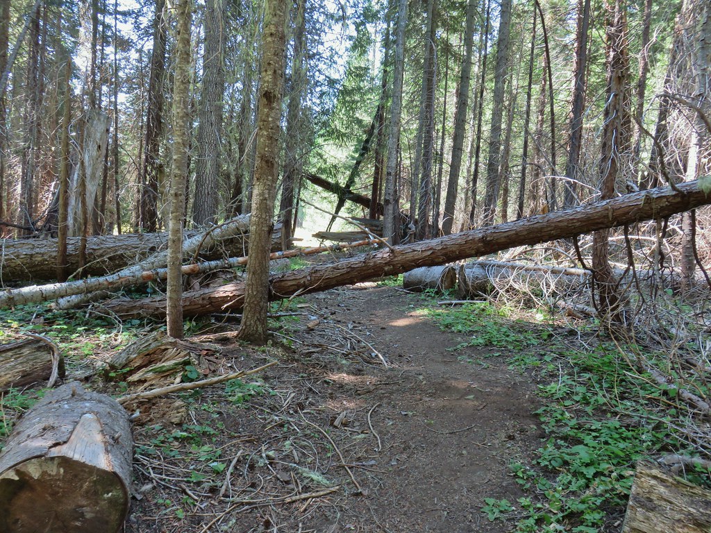
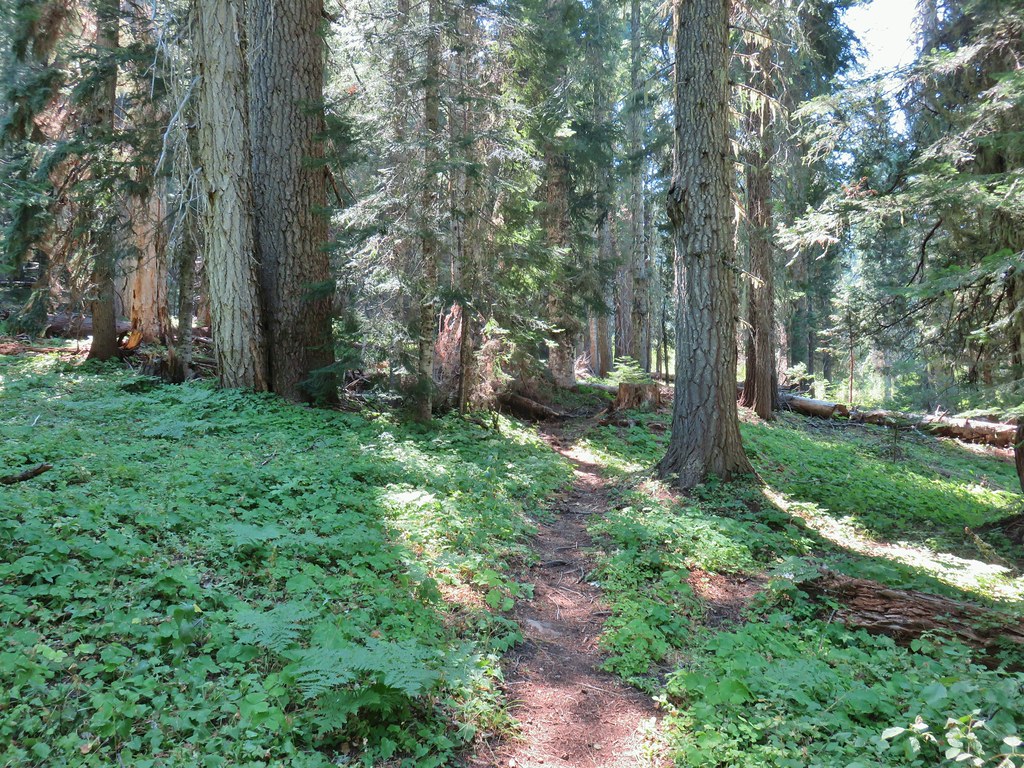
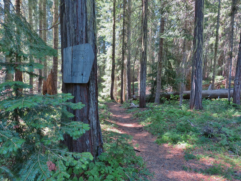
We followed the Hummingbird Meadows Trail into the wilderness where we were quickly met with some downed trees.
IMG_5584

IMG_5590

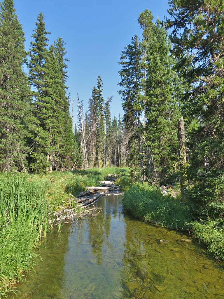
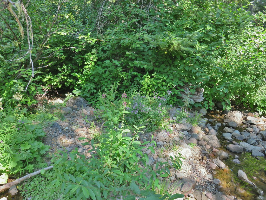
The trail then passed through a meadow and dropped to a crossing of the West Fork Muir Creek where we thought we might find a campsite but there really wasn’t anything that caught our eye.
IMG_5591

IMG_5595

IMG_5596hedgenettle and aster.

IMG_5597Monkeyflower

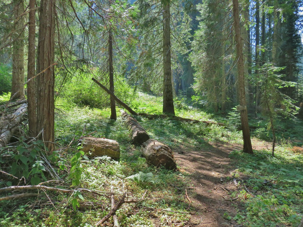
The trail climbed away from the creek and in 100 yards arrived at the Buck Canyon Trail junction (approx .4 miles from the trailhead).
IMG_5599

IMG_5600

We turned right onto the Buck Canyon Trail which passed through Hummingbird Meadows before arriving at the Wiley Camp Trail junction in 1.6 miles. There were quite a few downed logs as trail maintenance in the area appears to be way down the Forest Service’s list of priorities but nothing was unmanageable. We had been watching for any campsites but nothing stood out so we decided to just go to Wiley Camp since it was only a little over 2 miles from the Hummingbird Meadows Trailhead.
IMG_5602

IMG_5603

IMG_5605Wiley Camp Trail on the right.

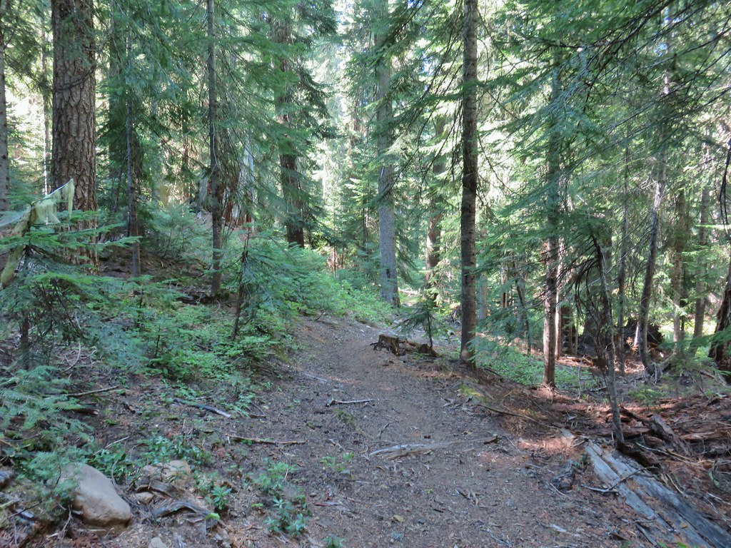
We turned down the Wiley Camp Trail which was in no worse/better shape than the Buck Canyon Trail arriving at Wiley Camp after a quarter of a mile.
IMG_5608

IMG_5609

IMG_5611Wiley Camp sign

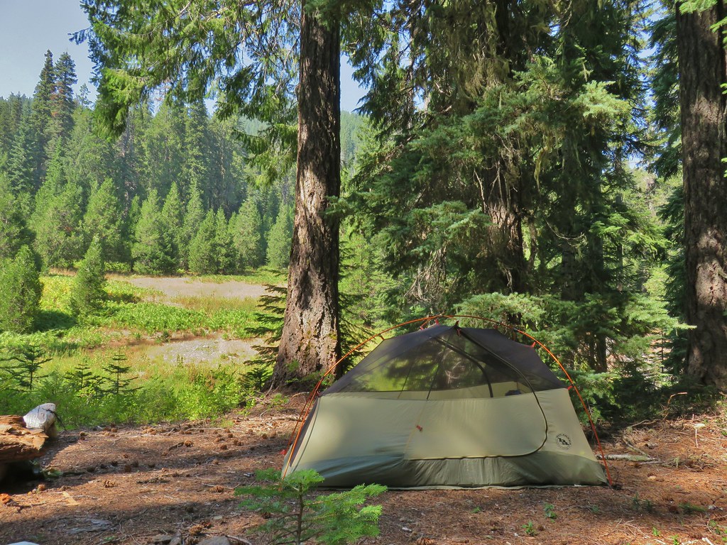
Unlike the busy Diamond Lake area there was no one else to be seen in this area. We picked a tent site and set up camp on the hillside above the West Fork Muir Creek.
IMG_5618

We spent the rest of the afternoon/evening down at the creek and doing a quick survey of the Wiley Camp Trail for the next day. Clear tread led up from the creek into the meadow on the far side where it quickly vanished. After heading too far left (west) into some trees we located a small cairn and some pink flagging leading the way out of the meadow.
IMG_5614

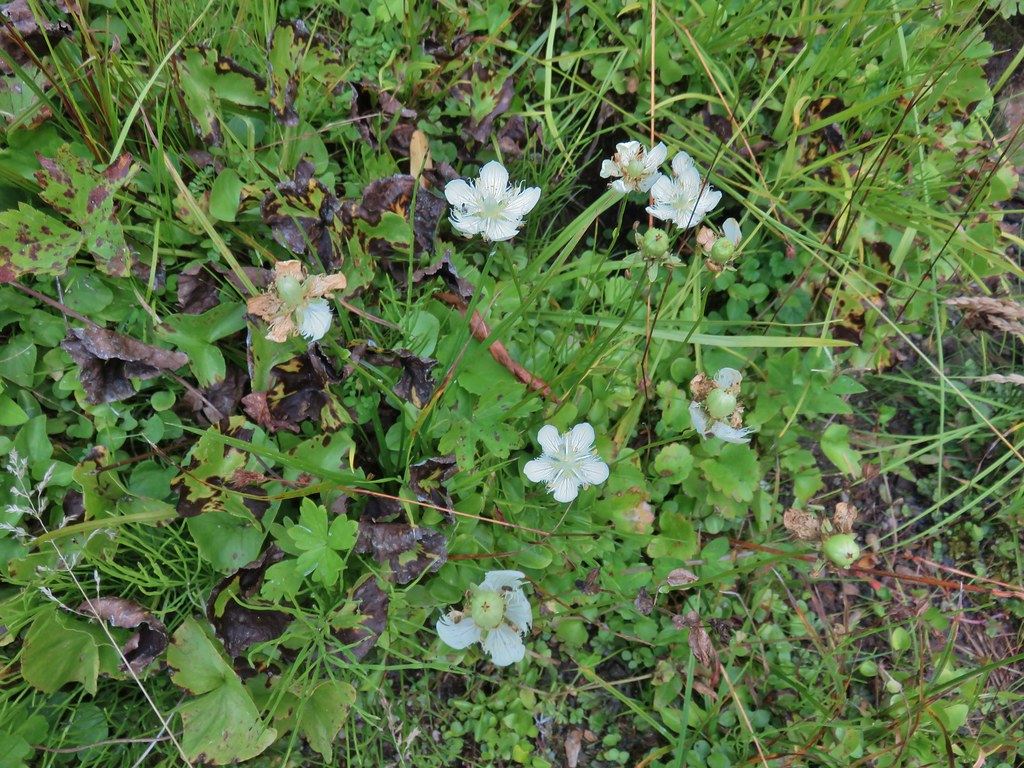
IMG_5615Grass of parnassus

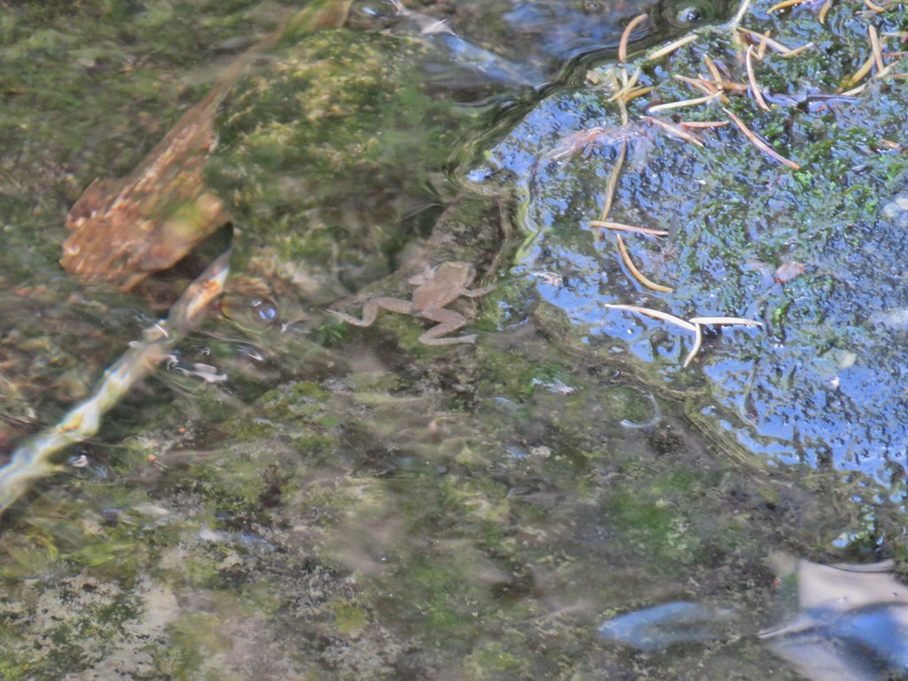
IMG_5623Frog

IMG_5616Trail leading up from the creek into the meadow.

IMG_5630Big cedar at the edge of the meadow.

IMG_5635Cairn and pink flagging (small tree to the right) marking the Wiley Camp Trail.

IMG_5644Elder berry

IMG_5648Twisted stalk

No one else ever showed up to Wiley Camp, at least no people. A bright Moon helped light the area where we could see many bats darting about.
IMG_5657

IMG_5659

Hopefully the forest and features in this trip report will look similar for years to come and this isn’t a memorial of what once was. Happy Trails!

Flickr: Diamond Lake Loop
Categories
High Cascades Hiking Mt. Theilsen/Mt. Bailey Area Oregon Throwback Thursday Trip report

Throwback Thursday – Mt. Thielsen

For this week’s throwback we’re going back to September 22, 2012 for our visit to Mt. Thielsen. When we had summited Mt. Bailey a little over a month before when we had been on the opposite side of Diamond Lake. These two mountains couldn’t look much different. The summit of Mt. Bailey was a walk up, albeit a steep one while the pointy summit of Mt. Thielsen is only accessible via a final 80′ vertical class 4 scramble. We weren’t planning on even attempting the summit, we just wanted to go as far as possible which would be a higher elevation than we had been at on Mt. Bailey.

We parked at the Mt. Thielsen Trailhead off of Highway 138 and set off toward the old volcano.

Mt. Thielsen Trailhead

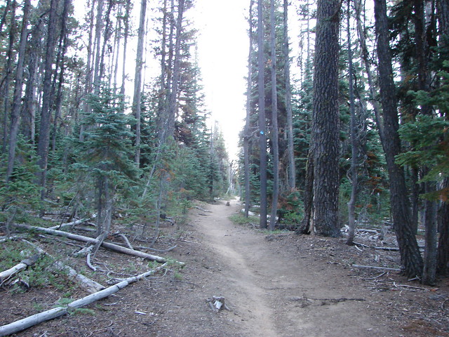
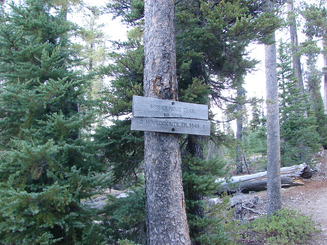
The trail climbed through a forest filled with blowdown for 1.4 miles to a junction with the Spruce Ridge Trail.

Mt. Thielsen Trail

Junction with the Spurce Ridge Trail

Mt. Thielsen was hidden from view along this section but looking back across the highway we had a decent view of Mt. Bailey in the morning sunlight.

Mt. Bailey

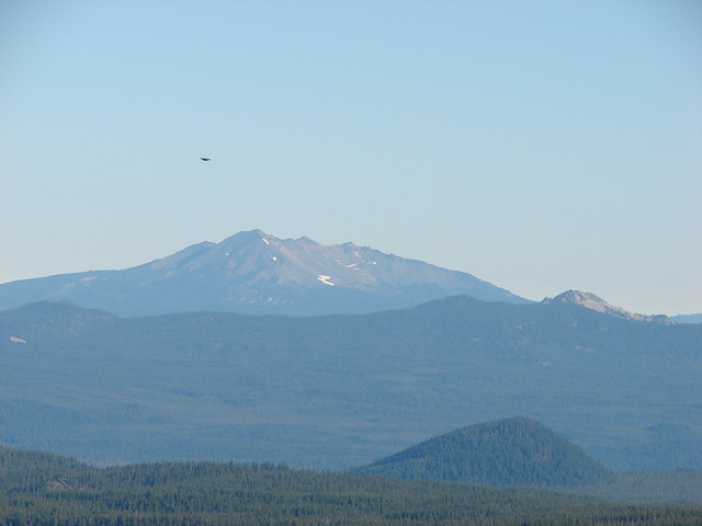
We continued past the Spruce Ridge Trail gaining a view of Diamond Peak to the north.

Diamond Peak

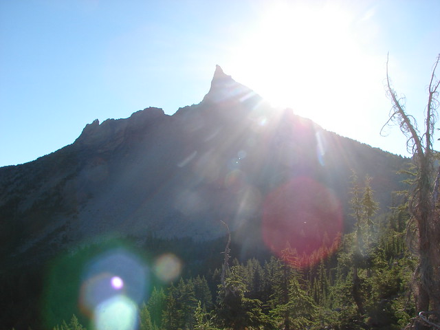
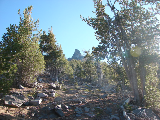
Soon the spire of Mt. Thielsen came into view through the trees ahead.

Mt. Thielsen Trail

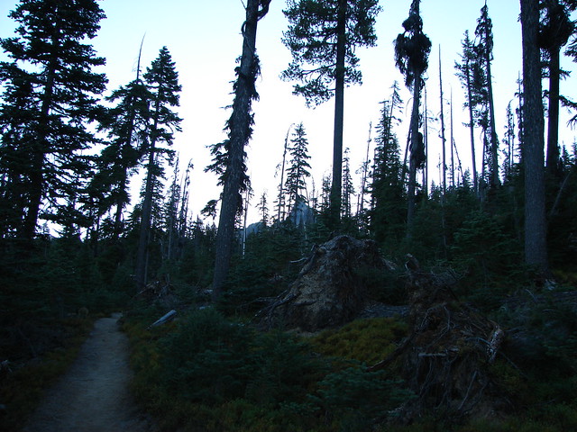
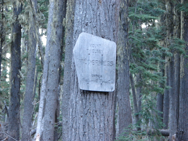
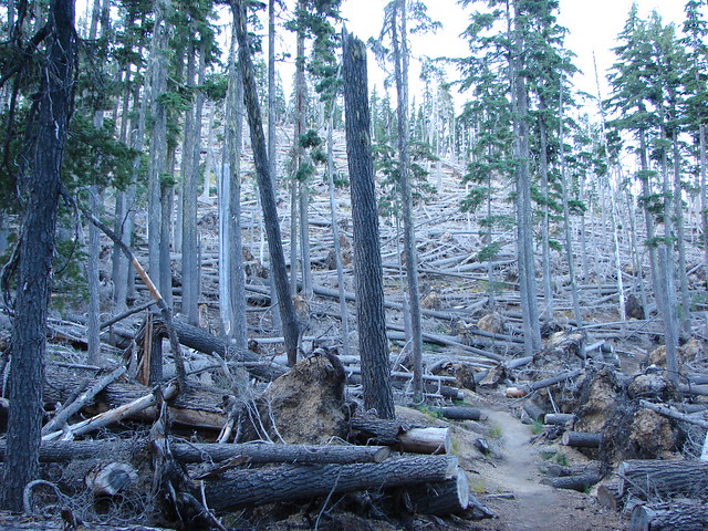
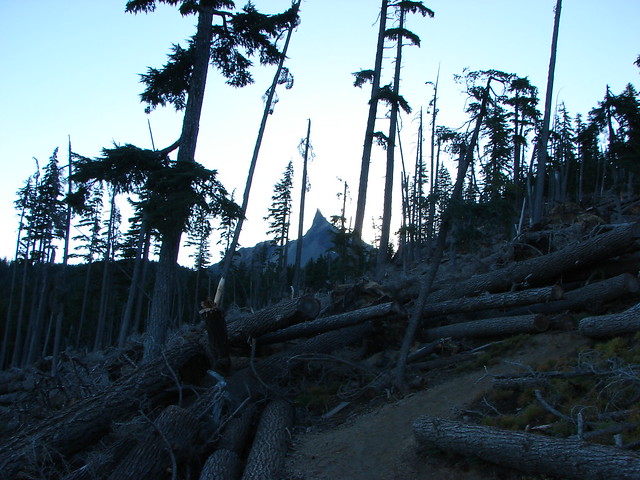
The trail then entered the Mt. Thielsen Wilderness and a section of forest that had been struck by massive blowdown.

Mt. Thielsen Wilderness sign

Mt. Thielsen Trail

Mt. Thielsen Trail

After passing through the blowdown the trail followed a ridge with increasingly better views to the Pacific Crest Trail 3.8 miles from the Trailhead.

Llao Rock and Hillman Peak

Llao Rock and Hillman Peak along the rim of Crater Lake

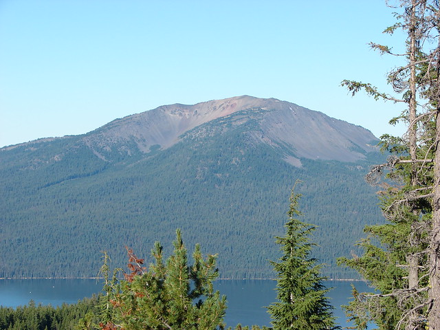
Diamond Lake and Mt. Bailey

Mt. Bailey and Diamond Lake

Howlock Mountain

Howlock Mountain

The Three Sisters

The Three Sisters

Diamond Peak and Sawtooth Mountain

Diamond Peak and Sawtooth Mountain

Mt. Thielsen

Mt. Thielsen

Diamond Lake and Mt. Bailey

Junction with the Pacific Crest Trail

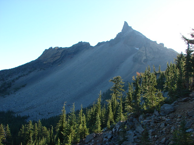
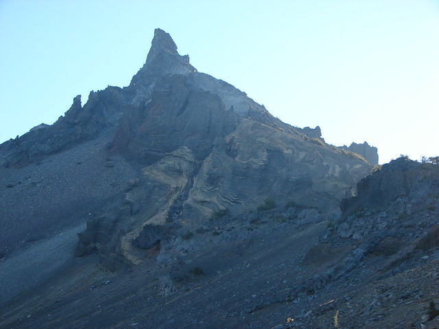
The official trail ends at the PCT but a clear climbers trail continued on the other side and we followed that further up along the ridge. The first part of the path led along the ridge with views of west face of the mountain revealing it’s swirling volcanic rock.

Mt. Thielsen

Mt. Thielsen

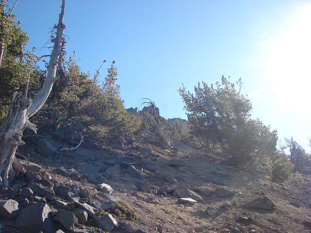
The path then bent slightly SE away from the sheer drop of the north side of the ridge and up a very steep slope of increasingly slippery scree.
Mt. Thielsen Trail

Mt. Thielsen Trail

Mt. Thielsen Trail

To the south the entire rim of Crater Lake was visible including Mt. Scott.

Crater Lake's Rim

Mt. Scott

Braided trails crisscrossed up through the loose rock and every step seemed to come with a complimentary slide backward. Although the hike to Mt. Bailey had been steep it hadn’t been this steep nor slick and the drop offs along the way not nearly as daunting.
Mt. Bailey and Diamond Lake from the Mt. Thielsen Trail

Looking down from the Mt. Thielsen Trail

Mt. Thielsen

We were the first hikers up the trail that morning and at an elevation of a little over 8700′ I came to, what looked to me, to be an impassable wall of rock.
Where we stopped climbing

As I waited for Heather and Dominique I searched for signs of where to go from there. I was unsure of the correct route and the longer I stood in the same spot the more I took inventory of my surroundings. The view was quite impressive having now climbed high enough that Mt. McLoughlin was visible to the south of Crater Lake.

Mt. McLoughlin and Llao Rock

It wasn’t long before I started to feel just how high up we were and how steep the mountain was. At that point the nerves kicked in and butterflies filled my stomach. Apparently Heather and Dominique had begun feeling the same thing and when they were close enough to talk to we made a unanimous decision to turn back.

Shortly after starting back down a lone female hiker passed us going up. We stopped to watch her as she made her way to the point where I had turned around. We were curious to see how she would navigate the section. She didn’t miss a beat and was quickly above the spot and continuing on. We were only about a hundred yards down and I had to fight the urge not to go back and try again after she’d made it look so easy but I was apparently the only one fighting that urge so reason won the day and we continued our descent.

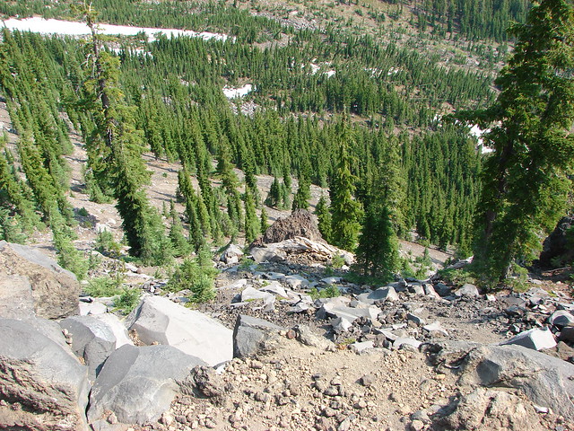
On the way down Dominique and I wound up too far to the north on the ridge and found ourselves near the edge of a vertical shaft

Patch of snow on Mt. Thielsen

Not liking how close we were to the edge we veered back to the south having to cross a very loos section of scree where Dominique slipped and scratched himself up pretty good. That was the only incident though and we made it back to the trailhead in relatively good shape.

At the time it was the most nerve wracking hike we’d done. Not making it as far up as we’d hoped was a bit of a disappointment but it was a good reminder that knowing when to turn around (and being willing to do so)is important. After all if you keep yourself safe there’s always next time. Happy Trails!

Flickr: https://www.flickr.com/photos/9319235@N02/albums/72157632958248940

Categories
Crater Lake Area High Cascades Hiking Mt. Theilsen/Mt. Bailey Area Throwback Thursday Trip report

Throwback Thursday – Mt. Bailey and The Watchman

Today’s Throwback Thursday hike took place on 8/11/2012 and featured our first summit of one of the Cascade Mountains – Mt. Bailey. The 8368′ summit would also mark the highest elevation we’d reached surpassing that of Paulina Peak.

Mt. Bailey is located north of Crater Lake National Park on the west side of Diamond Lake across from the taller, pointier Mt. Thielsen.
Mt. Bailey and Mt. Thielsen

Mt. Bailey to the left of Diamond Lake with Mt. Thielsen on the right as seen from Mount Scott, Crater Lake National Park

There are two trailheads to choose from. From Diamond Lake’s South Shore Picnic Area turn onto Road 4795 and drive just past Silent Creek to Road 300 and turn left. The lower trailhead is just .4 miles further and suitable for passenger vehicles. The road to the upper trailhead was reportedly rough and although starting there would cut 4.4 miles off the hike it would still be under 10 miles round trip from the lower starting point so we parked there and set off.
Mt. Bailey Trailhead

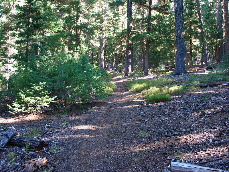
The trail climbed through a somewhat sparse forest, typical for this part of the Cascades due to the presence of a thick layer of ash and pumice which covered the area following the eruption of Mt. Mazama.
Mt. Bailey Trail

Forest along the Mt. Bailey Trail

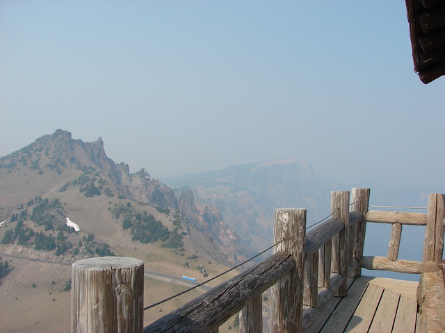
As we neared the 1.5 mile mark a somewhat hazy view of Hillman Peak and The Watchman on the west side of Crater Lake’s rim opened up.
Hillman Peak and The Watchman

A couple of hundred yards later we came to a viewpoint of Diamond Lake and Mt. Thielsen.
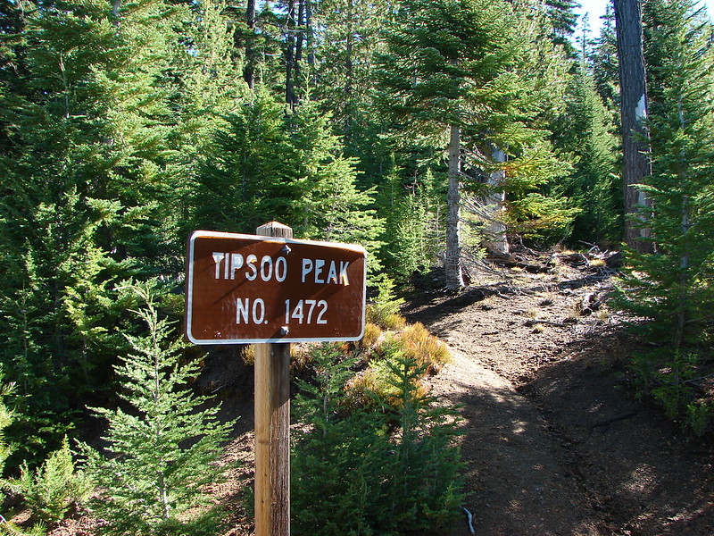
Diamond Lake with Tipsoo Butte, Howlock Mountain, and Mt. Thielsen

Mt. Scott was also visible to the south on the east side of Crater Lake, but the view wasn’t great due to smoke from forest fires.
Mt. Scott

We also had a good look at our ultimate goal, the summit of Mt. Bailey.
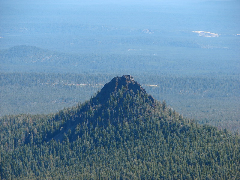
Mt. Bailey

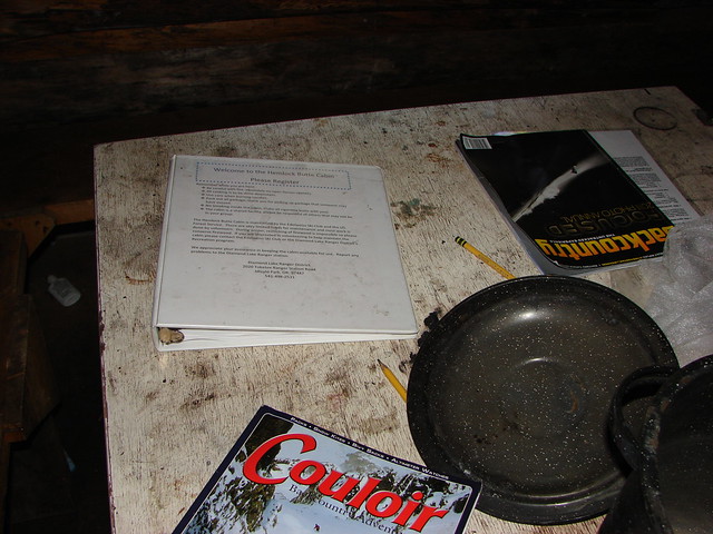
The trail had climbed approximately 750′ from the trailhead to the viewpoint but beyond the viewpoint it leveled off for the next .5 plus miles before reaching the upper trailhead. Along the way we kept watch for the Hemlock Butte Shelter which was off-trail on our left. When we spotted it we headed cross country to check it out.
Hemlock Butte Cabin

Inside the Hemlock Butte Cabin

Inside the Hemlock Butte Cabin

After signing the register in the shelter we made our way to the upper trailhead where the Mt. Bailey Trail began to climb again. At first the trail remained in the hemlock forest but before long we’d reached a ridge crest where the trees thinned and views opened up.
Mt. Bailey Trail

Mt. Bailey Trail

Mt. Thielsen

View from the Mt. Bailey Trail

Small meadows along the trail were homes to a few wildflowers.
Paintbrush

Penstemon

Bleeding Heart

The trail followed the ridge uphill which curved to the NW around a large glacier carved valley on the mountain’s east side. The angle of ridge provided excellent views of the mountain ahead.
Mt. Bailey Trail

Mt. Bailey

Small patches of snow lingered along the trail at higher elevations and the views opened up even more as we climbed. Unfortunately the smoke was also getting worse further limiting the visibility.
Snow along the Mt. Bailey Trail

Diamond Lake, Tipsoo Peak, Howlock Mountain, and Mt. Thielsen

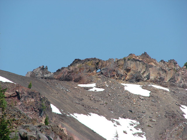
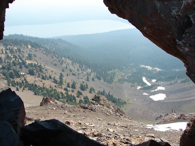
The trail passed a viewpoint down into the glacial-valley and up to a window in a rock wall along the mountain’s summit ridge which we would pass later.
View from the Mt. Bailey Trail

Mt. Bailey

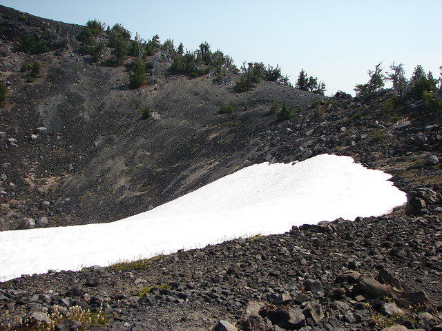
Beyond this viewpoint the trail passed by a 300′ snowy crater as it turned northward nearing the southern summit of the mountain.
Snow field along the Mt. Bailey Trail

Snow field along the Mt. Bailey Trail

From the lower southern summit the actual summit was a half mile away and another 220′ up.
Mt. Bailey Trail

The trail crossed a cinder saddle which wasn’t too narrow but not too wide either. Then we passed along the left side of the rock wall pausing to peep through the window we’d seen from below. The smoke had gotten so bad that Mt. Thielsen was nearly hidden on the other side of Diamond Lake now.
Mt. Bailey Trail

Rock window along the Mt. Bailey Trail

Diamond Lake and a faint Mt. Thielsen

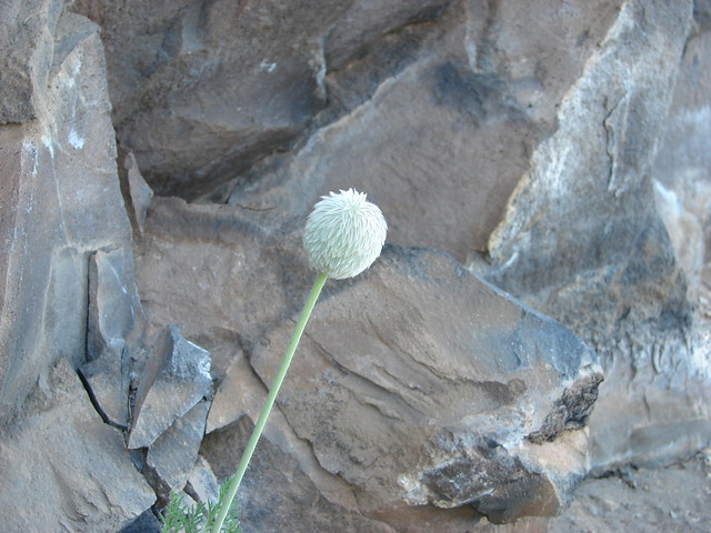
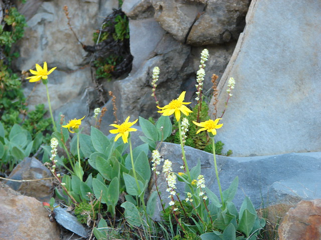
The rock wall was also home to some flowers.
Western Pasque Flower

Arnica and partridge foot

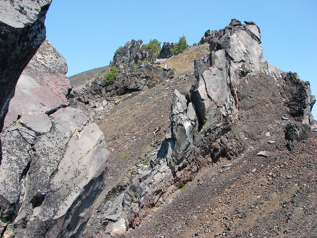
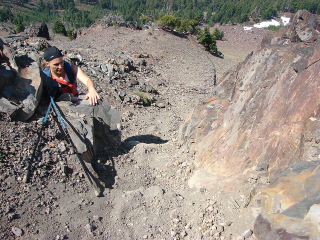
The trail passed over the rock wall on the far end at a low point which did require the us of our hands.
Mt. Bailey Trail

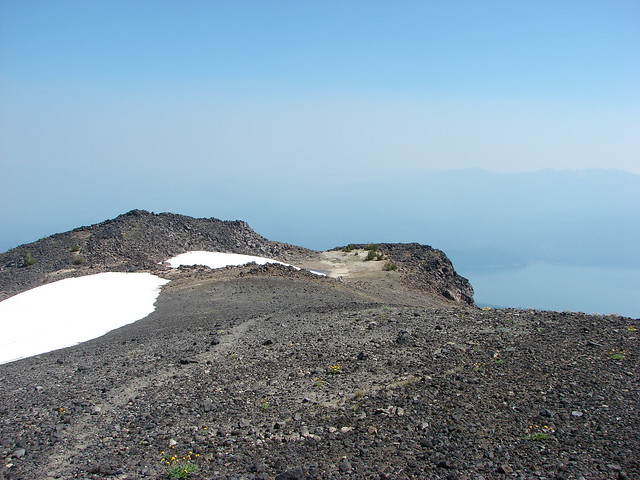
A final steep climb brought us to the bare, rocky summit of Mt. Bailey.
Summit of Mt. Bailey

The smoke wasn’t too bad where we were, but with fires burning to both the north and south there was little view to speak of.
Mt. Thielsen and Diamond Lake from the summit of Mt. Bailey

View from the summit of Mt. Bailey

View from the summit of Mt. Bailey

We explored the broad summit which sported some wildflowers and a snowfield.
Summit of Mt. Bailey

Summit of Mt. Bailey

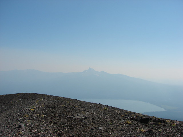
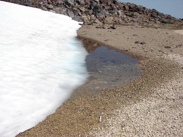
Snowmelt on the summit of Mt. Bailey

View from the summit of Mt. Bailey

Partridge foot

After resting atop the mountain for a bit we returned the way we’d come. When we’d gotten back to the car we decided to drive down to Crater Lake since it was only 15 minutes away. Neither of us had been there for years so why not take advantage of being so close. We parked at a large parking area 2.2 miles after turning right onto Rim Drive from the North Entrance Road.

From here a .8 mile climb led to a lookout tower on The Watchman.
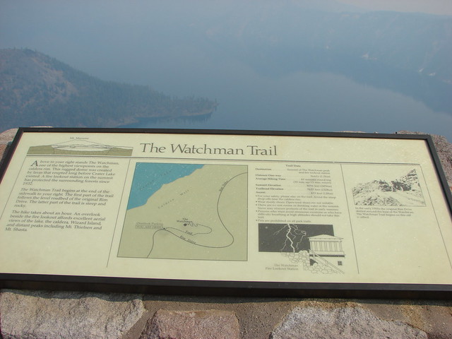
Interpretive sign

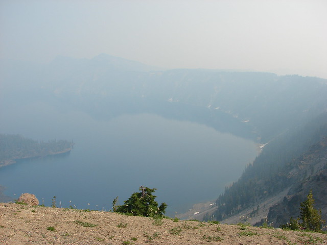
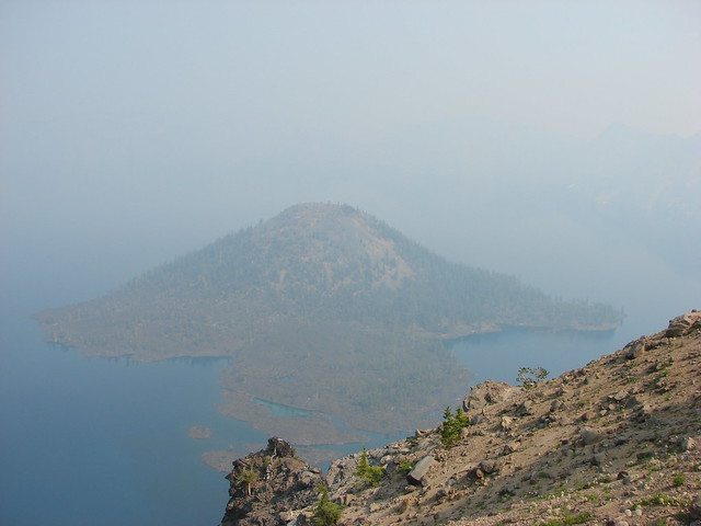
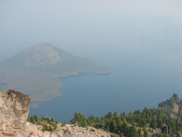
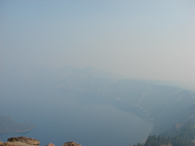
We had really been looking forward to seeing Crater Lake again but the smoke was thick over the water leaving us with a very limited view. At least we could see Wizard Island, a cinder cone that formed after the eruption of Mt. Mazama creating Crater Lake.
Crater Lake

Wizard Island in Crater Lake

The Watchman Trail led right along Rim Drive for .4 miles to a junction where we turned left and began the steep climb to the lookout.
Lookout at the summit of The Watchman

From the lookout Hillman Peak and Wizard Island were about the only landmarks visible. Interpretive signs at the summit showed us what we were missing.
Hillman Peak and Llao Rock

Crater Lake and Wizard Island

Interpretive sign on The Watchman

Sign near the lookout tower on The Watchman

Despite the smoke it was well worth the stop but we did feel bad for the many tourists that might not get another chance to see this amazing place. We knew we’d be back and hopefully the conditions would be better the next time. Happy Trails!

Flickr: https://www.flickr.com/photos/9319235@N02/albums/72157632957911480

Categories
Crater Lake Area High Cascades Hiking Mt. Theilsen/Mt. Bailey Area Oregon Trip report

Mt. Scott (Crater Lake National Park) & Tipsoo Peak (Mt. Thielsen Wilderness)

After a semi-rest day (Sparks Lake) we headed to Crater Lake National Park for our third visit hoping this time to actually be able to see the lake. In 2012 smoke had made it nearly invisible and earlier this year clouds had completely blocked the view. This time we were not disappointed.

August 2012
371

June 2014
DSC08352

October 2014
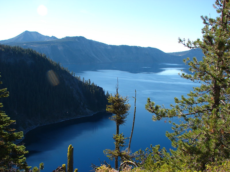
Crater Lake in the morning

Our plan was to hike to the former lookout tower on Mt. Scott, the highest point in the park at 8938′ and then head north on Hwy 138 to the Tipsoo Peak Trail and also summit that 8034′ peak. The two hikes combined would be just over 11 miles with a combined 3000′ of elevation gain making them very doable in a single day.

The Mt. Scott Trail sets off along a broad plain at the base of the mountain giving a clear view of the entire peak as well as the lookout tower on it’s northern end.
Mt. Scott

The trail climbs around to the south side of the mountain and then up to the long ridge along Mt. Scotts summit. Not only were the skies clear above Crater Lake but we were able to see mountain peaks from Mt. Shasta in the south to Mt. Jefferson up north along the way. The views started early along the trail and just improved was we climbed.

Mt. Shasta, Mt. McLoughlin, and Union Peak to the south.
DSC07238 Stitch

DSC07249

DSC07234

DSC07327

Crater Lake
DSC07252

DSC07256

Crater Lake from Mt. Scott

Mt. Bailey
DSC07310

Mt. Thielsen and Diamond Peak
DSC07309

The Three Sisters
DSC07323

Mt. Jefferson and Three Fingered Jack
DSC07327

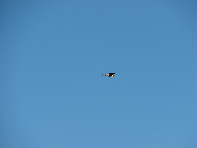
While we were traversing the ridge over to the lookout tower we spotted a hawk soaring high above the park.
Hawk soaring over Crater Lake National Park

DSC07288

After checking out the tower we headed back down to the car to start the drive to the Tipsoo Peak Trail. We had to make a couple of stops just to take in the beauty of Crater Lake.
Crater Lake

DSC07401

We left the park and drove up to the Tipsoo Trail where we were surprised to find a much nicer forest than we had expected. Our previous trips in the Mt. Thielsen Wilderness had been through lodgepole pine forests which are not exactly eye candy.
Tipsoo Peak Trailhead

DSC07405

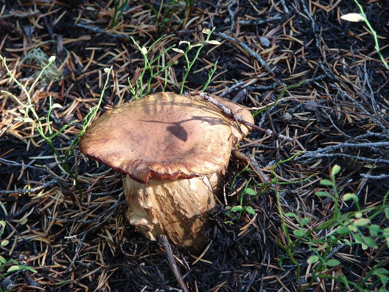
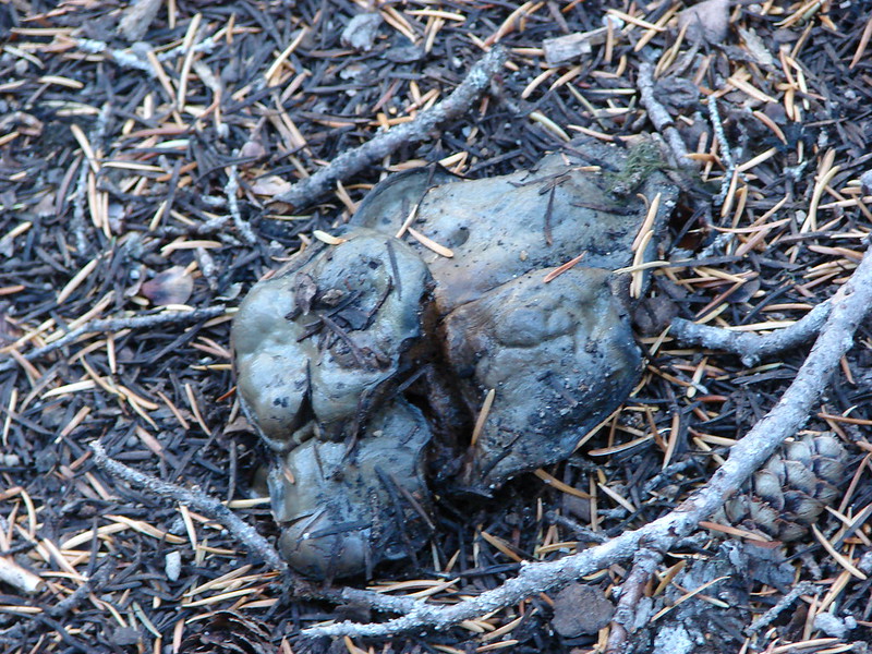
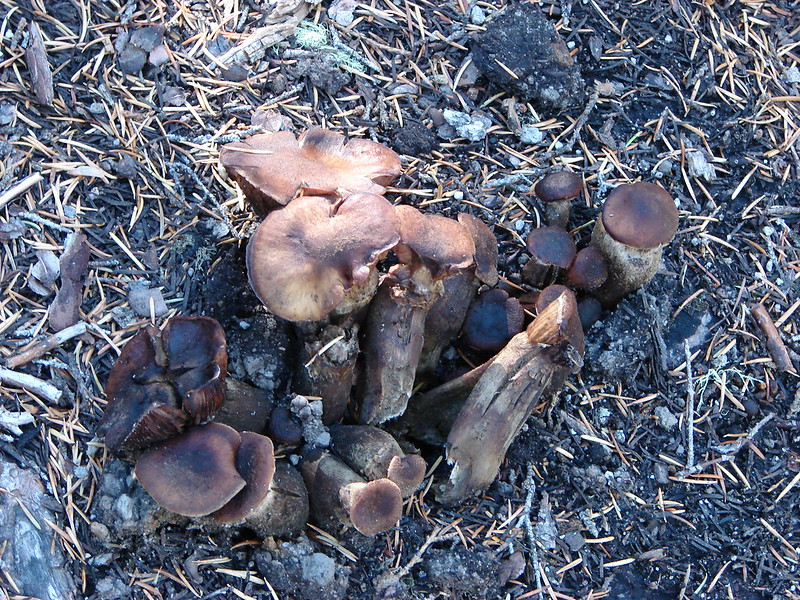
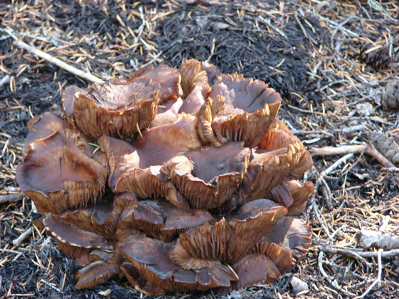
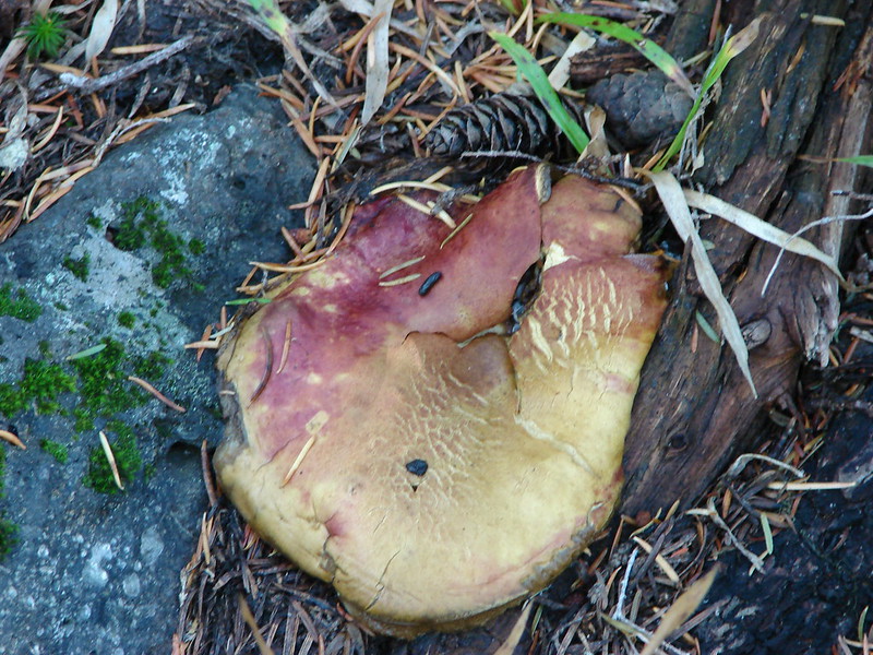
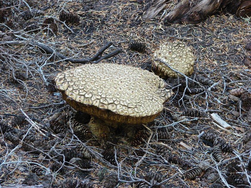
We were also surprised by the number of mushrooms we spotted.
DSC07406

DSC07414

DSC07415

DSC07416

DSC07418

DSC07419

DSC07424

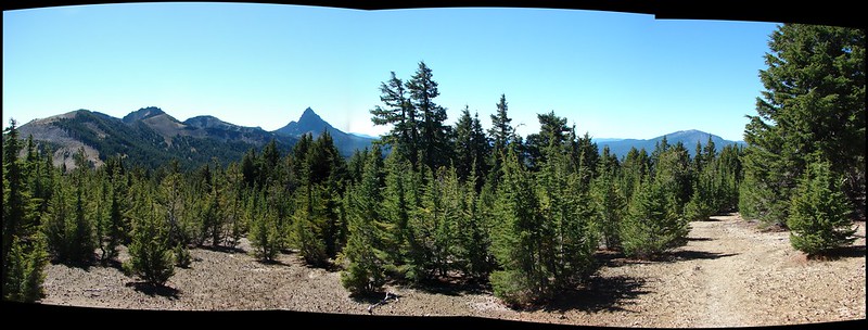
The climb was very gradual making it fairly easy going as we approached the summit. Near the top the trail passed by the edge of pumice filled Howlock Meadows where Howlock Mountain, Mt. Thielsen, and Mt. Bailey were visible.
DSC07432 Stitch

Red cinder covered the top of Tipsoo Peak and the 360 degree view revealed several mountains and lakes.
View from Tipsoo Peak

Red Cone
DSC07468

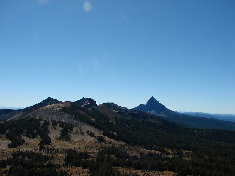
Howlock Mountain and Mt. Thielsen
DSC07466

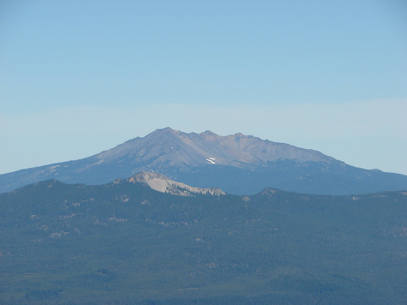
Diamond Peak
DSC07444

The Three Sisters, Broken Top, and Mt. Bachelor
DSC07439

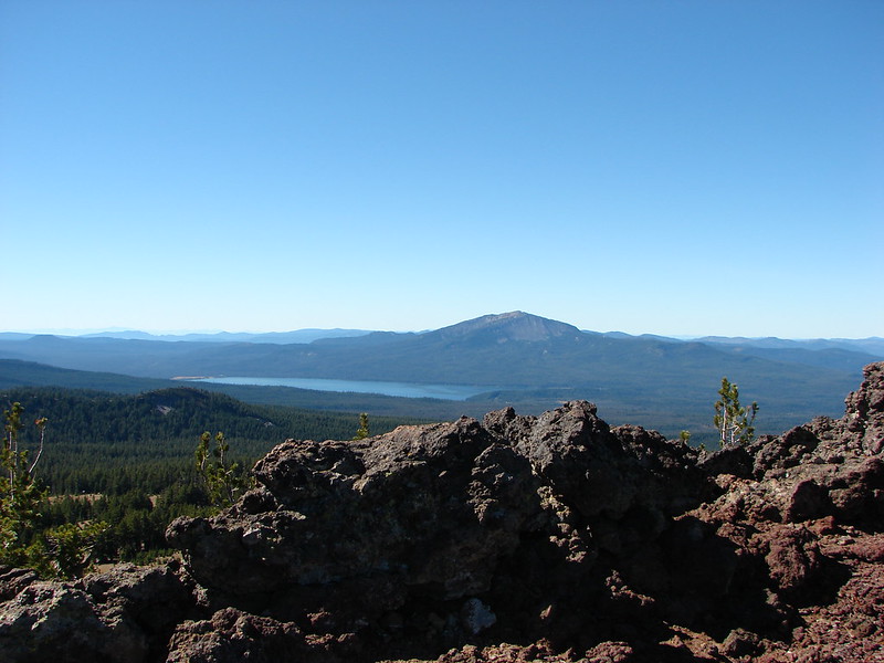
Mt. Bailey and Diamond Lake
DSC07446

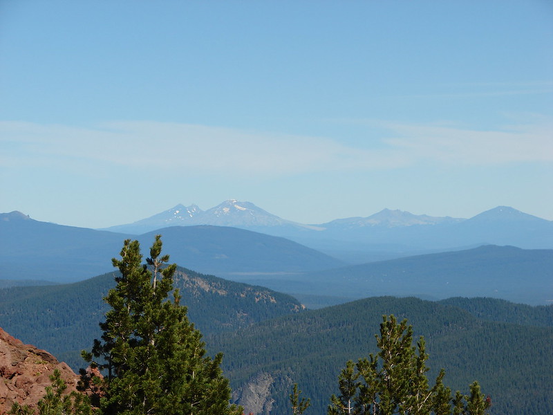
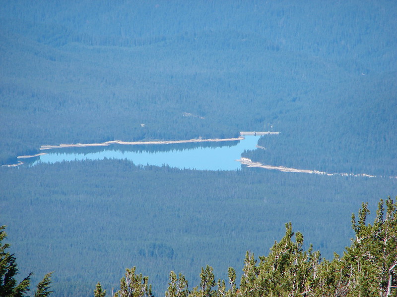
Lemolo Lake
DSC07467

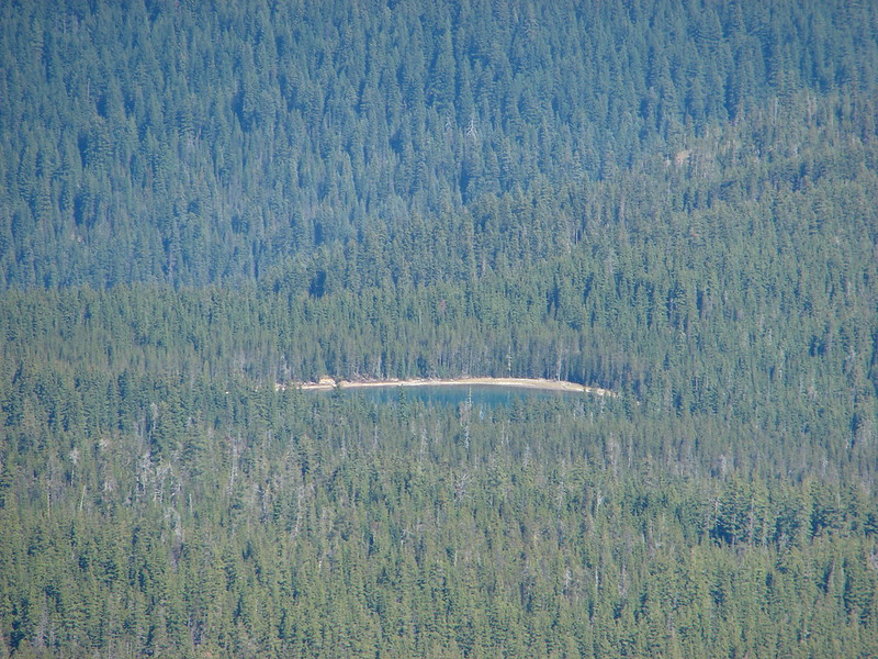
Miller Lake
DSC07469

Madieu Lake
DSC07470

Lucille Lake
DSC07471

These were a couple of really nice hikes if you are looking for big views without a long or steep hike. Both hikes were on the shorter end (4.6 & 6.5 miles) and both trails climbed very gradually making them very nice options. The access road for the Tipsoo Peak trail was a bit rough and would probably require a high clearance vehicle though. Happy Trails!

flickr: https://www.flickr.com/photos/9319235@N02/sets/72157647888703099/
facebook: https://www.facebook.com/media/set/?set=a.10205149429002517.1073741914.1448521051&type=1