
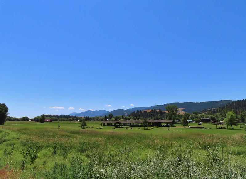
After our short hikes along Hat Point Road on Sunday (post) we had shuffled our planned hikes for the rest of the week. It was going to be hot for the first half of the week with the possibility of thunderstorms Monday afternoon and evening. In addition, I was dealing with a couple of nagging left leg issues which had me wanting to avoid overly strenuous hikes.
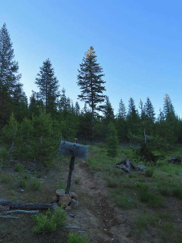
For Monday we decided to try Hurricane Creek. Sullivan lists three options for this featured hike in his “100 Hikes Eastern Oregon” guidebook. The options are a 0.6-mile hike to Falls Creek Falls, a 6.2-mile hike to Slick Rock gorge, and a 15.4-mile hike to Echo Lake. The latter gains 3400′ of elevation, most of which comes in the final three miles to the lake. We had originally hoped to make it to the lake, but that was obviously off the table now. Our plan now was to try and make it to the gorge, but we were prepared to turn around if needed.
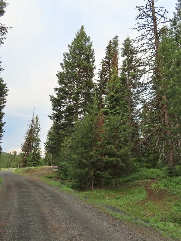
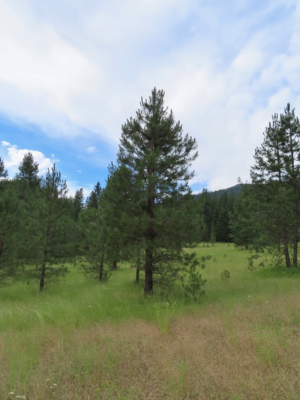
We arrived at the Hurricane Creek Trailhead just before 6am to try and beat both the heat and any potential thunderstorms.

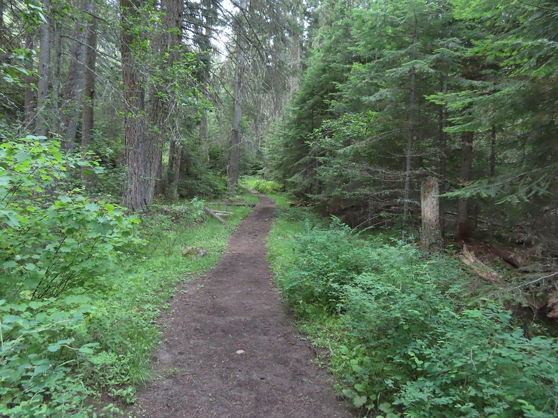
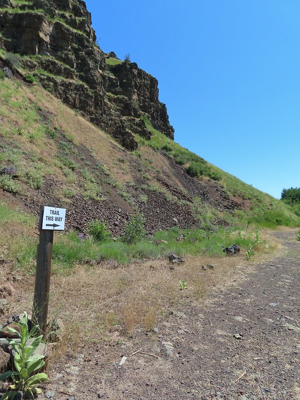
We set off on the Hurricane Creek Trail and after 0.1-miles detoured right on the Falls Creek Trail to see the falls.

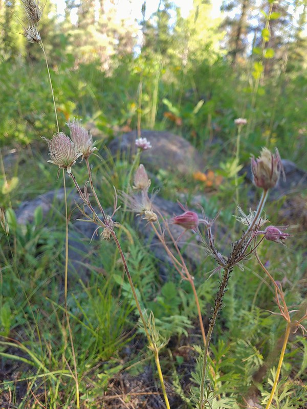
 Canadian milk-vetch
 The Falls Creek Trail on the right.
Less than a quarter mile up this trail we arrived at a view of the falls.


 Mock orange
After visiting the falls we returned to the Hurricane Creek Trail and continued on.

 The Falls Creek crossing.
 Twin Peaks from Falls Creek.
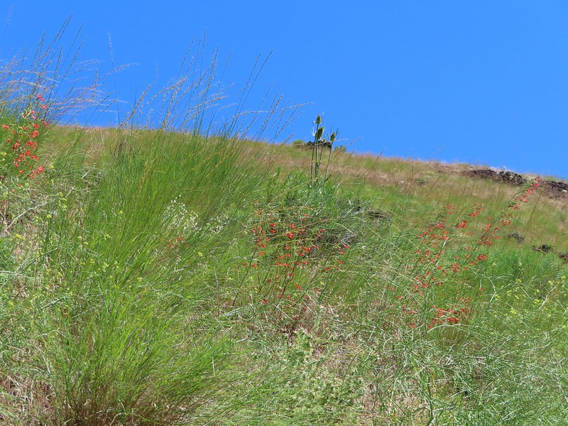
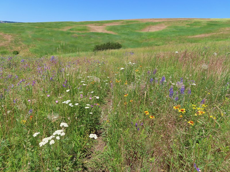
The trail followed Hurricane Creek fairly closely which provided plenty of views of it.

 Geranium
 Paintbrush


 A paintbrush hiding in fleabane.

 Robin
Robin
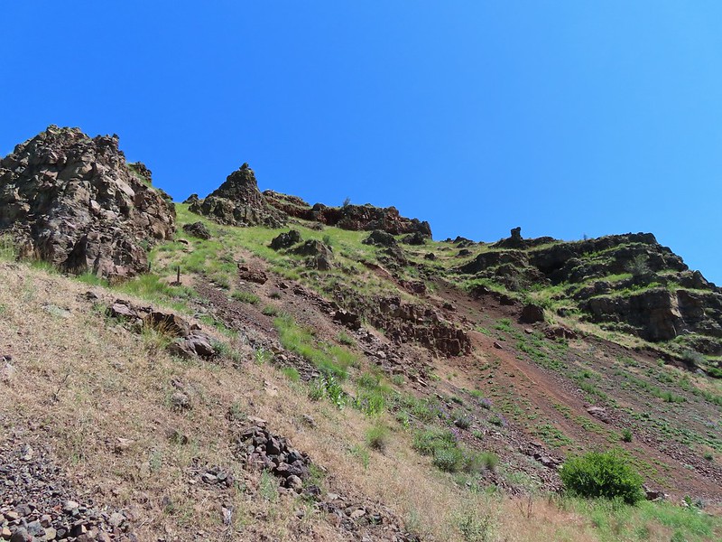
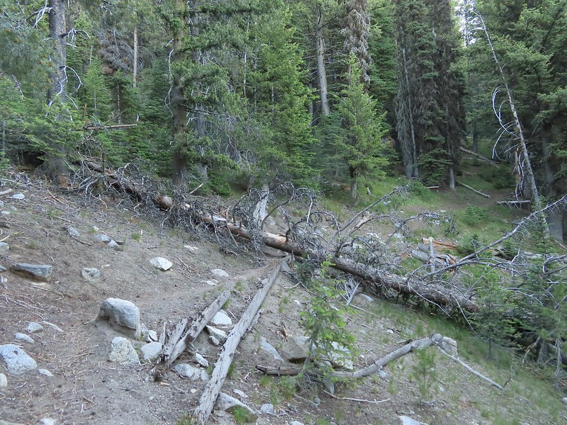
 The trail crossed a rocky area caused by an avalanche.
 Doe with one of her two fawns that were down at the creek at the avalanche area.

 Mountain death-camas
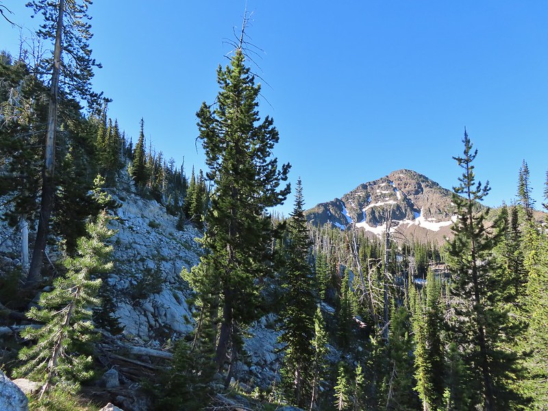
 The Hurwal Divide to the left of Sacajawea Peak.
 Rosy pussytoes
 Hurricane Divide (south)
At the 1.7-mile mark we came to Deadman Creek with a view of Deadman Falls.


 Deadman Creek
 Western tanager

 Hurricane Creek


 Slick Rock Creek flowing down from the right in the distance.
The trail made a couple of switchbacks to climb above Hurricane Rapids.


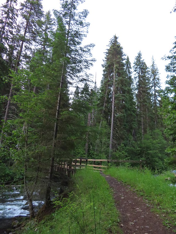
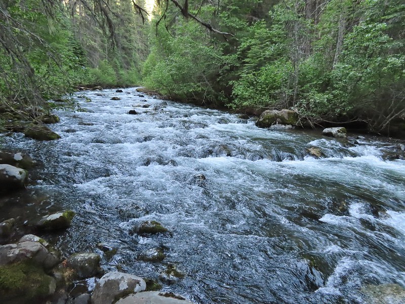
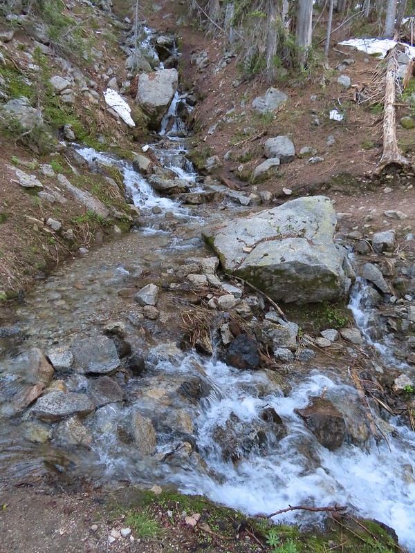
Just over the 3-mile mark we arrived at Slick Rock Creek.

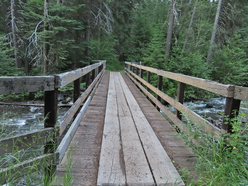
 The creek crossing.
We took a nice long break at this creek to enjoy the views and flowers.
 Harebells and stonecrop

 Paintbrush below the falls.
 Arnica
 Wallowa paintbrush, yellow columbine, milk-vetch, and northern sweetvetch.
 Faint rainbow in the falls.
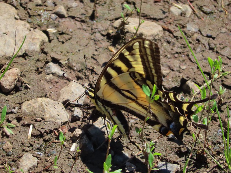
 Butterfly on Rocky Mountain goldenrod.

 Yellow fleabane
 This may be common butterwort, but I’m not positive.
 Yellow columbine
 Spider hunting a moth. There was a brief scuffle, but the moth escaped unharmed.

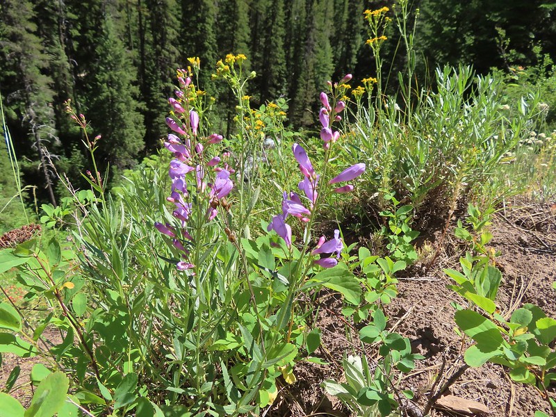
 Penstemon

After our rest we headed back. We detoured at the base of the switchbacks to check out Hurricane Rapids.

 Sagebrush mariposa lily


It was a warm but pleasant hike back to the car.
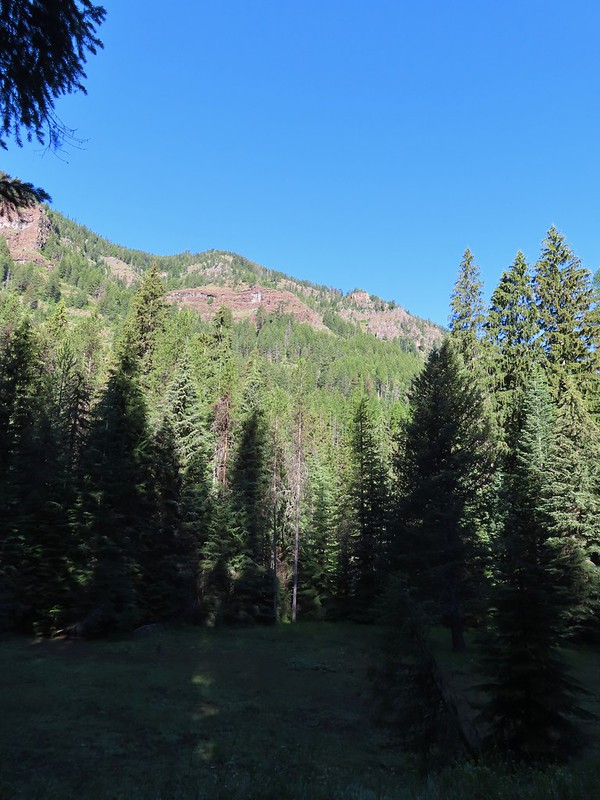
 Despite all the wildfires the views were pretty good as long as the Sun was at our backs.


 Nuttal’s linathus
 Wood nymph
 There was haze to our backs though.
 Rose along the trail.
 A Sulphur butterfly.

 A pale crescent on fleabane.
Our hike including the two detours came to 7.3-miles with approximately 900′ of elevation gain.

My leg held up pretty well and we were finished just after 11am so we had stayed ahead of the worst of the heat. The afternoon and evening thunderstorms mostly avoided the areas where our remaining hikes for the week were located. The only bad news was that another red flag warning had been issued to Wednesday when temperatures were forecast to hit the 90’s again and more afternoon thunderstorms were possible. We adjusted our schedule again to have our next shortest outing be that morning and moved the slightly longer hike to McCully Basin up to Tuesday. It was shaping up to be an interesting week, and one that we were going to need to be very flexible with. After cleaning up in our room in Enterprise we headed to dinner at Range Rider. Happy Trails!
Flickr: Hurricane Creek


 It was a little before 6am when I started up to the lakes.
 There was an interesting amount of sagebrush along the lower portion of this hike.
 There was still some smoke in the air, but it was quite a bit less than it had been the day before.
 The trail initially seemed like it is heading up this valley before it crosses over a ridge and heads for the Echo Lake basin.
 From this trail the route of the Tombstone Lake Trail was visible.
 Waterfall along Olive Lake’s outlet creek. One of the switchbacks along the Tombstone Lake Trail is just to the right.
 Tasselflower brickellbush
 There was a lot of paintbrush along the trail.
 Paintbrush and I believe fading false sunflowers.
 Penstemon and paintbrush
 Western snakeroot
 Pika!
Pika!
 View across the valley.
 The trail approaching the outlet of Echo Lake.
 Above Echo Lake Falls which wasn’t visible from this trail.
 Groundsel, lupine, and fireweed along the creek.
 Sunrise in the basin.


 The pond.
 Gray sagewort
 Looking back toward the valley and pond.


 The spur trail.
 Spotted sandpiper


 Spirea
 A no fires beyond this point sign. Several of the lakes in the Eagle Cap Wilderness are in no campfire zones.
 Fleabane or aster lining the trail.
 Two types of lousewort.
 Echo Lake hidden by the trees.
 Pearly everlasting along the trail.
 Looking down at that trail from above the blowdown.
 Bluebells
 Echo Lake from the ridge end.
 The Elkhorn Mountains (
 Arriving at Traverse Lake.

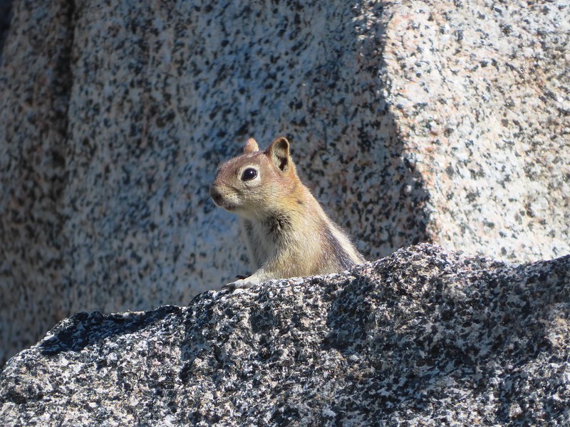
 Golden-mantled ground squirrel
 Yellow Wallowa Indian paintbrush
 Columbian ground squirrel
 Cusick’s speedwell
 Remember that no fires sign? (Sigh)


 Monkeyflower
 Globe penstemon
 Gentians along the lake.
 A lone paintbrush.
 The blowdown at the far end of the boulder field.
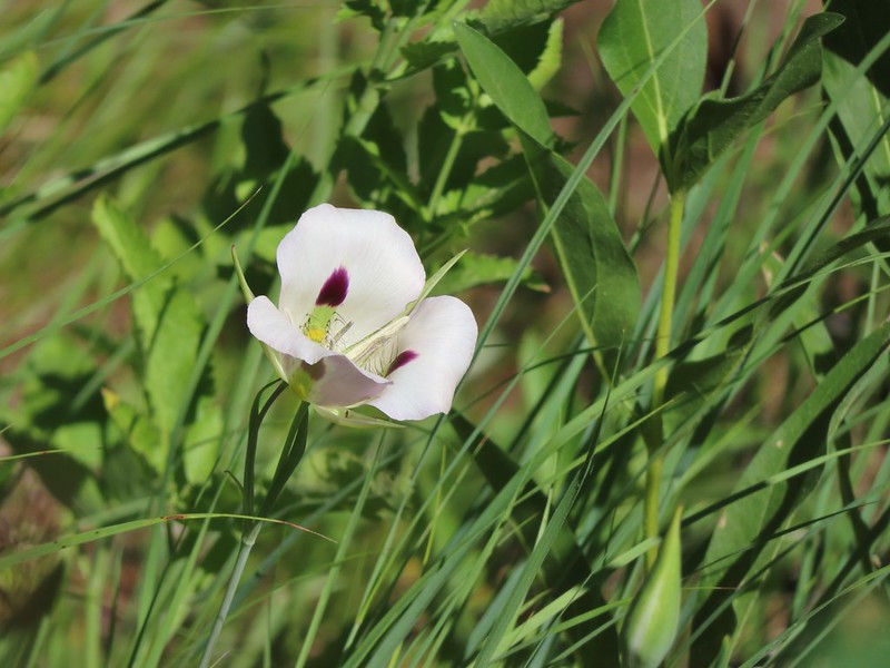
 White mariposa lily
 Arnica
 Swamp onions
 Echo Lake
 The pond below on the left.
 Passing through the meadow.
 Paintbrush and fireweed
 Above Echo Lake Falls.
 West Eagle Meadows in the valley in the distance.
 Zoom in on West Eagle Meadows.
 Looking down at the switchbacks.
 Heather had also warned me about this blowdown over one of the switchbacks. There was a steep reroute that bypassed the trees.
 There were some interesting cloud formations on the way back.
 There was also an increase in the smoke.
 Can you spot the pika?
 Pika (possible the same one from earlier given the location).
 Paintbrush and buckwheat
 Yellow columbine

 Another pika at the end of this switchback.
 The Tombstone Lake Trail junction ahead.

 Swallowtail photo bomb.
 West Eagle Creek Crossing.
 Sphinx moth
 Leaving the Eagle Cap Wilderness.
 Squirrel
 West Eagle Meadows
 It’s hard to see here but there is a trail post at this fork with a point to the left. This is for the horse camp and not the way back to the
  The trailhead in sight.
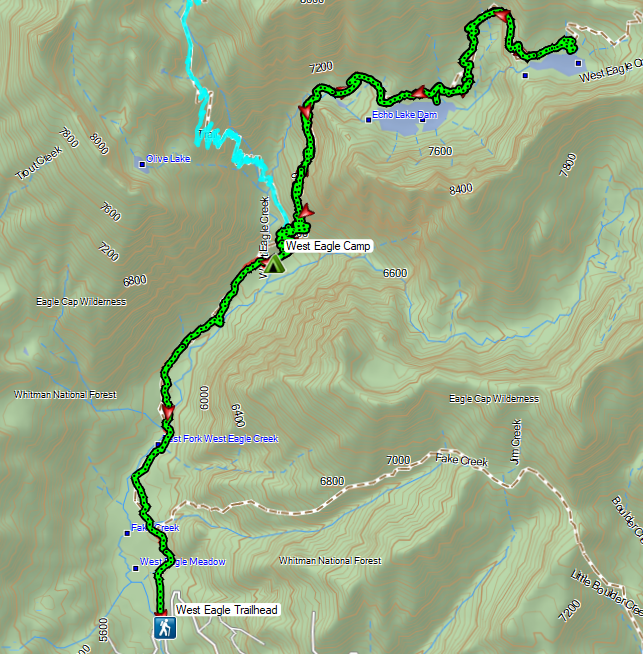
 Flax
Flax Jacob’s ladder
 The path from camp meeting the West Eagle Trail.
 It was a little before 6:30am when I started.
 Switchbacks would be a theme for these last two days.
 The trail junction on the ridge ahead.


 The West Eagle Creek crossing.
 There was a large waterfall on West Eagle Creek flowing from Echo Lake’s basin on the right.
 Echo Lake Falls
 There was a waterfall ahead at the end of the switchback here, but it was mostly obscured by vegitation.
 It was fairly smokey looking ESE in the morning.
 Wildflowers along the trail.
 Several switchbacks were along this tributary of West Eagle Creek. This particular spot would provide me with much needed water on my descent.
 It looked like there might be a bit of a waterfall along this stream as well.
 Looking up the stream at another cascade.
 The upper portion entered an old fire scar and sunlight which heated things up quickly.
 Northern flicker
 Every time I thought I was at the basin the trail would switchback to find more hillside.
 Mountain bluebird
 Surely that is the crest.
 It was not, up I go.
 Smoke to the South.
 Echo Lake across the valley.
 Finally done with the switchbacks I could see the next climb in the distance ahead, but for now I had a bit of a reprieve.
 Lousewort
 Columbian ground squirrel
 Gentians, one of my favorite wildflowers.
 The larger meadow ahead.
 Their camp was uphill to the left. The stream here was lined with wildflowers.
 Lewis monkeyflower, aster (or fleabane), and fringed grass of parnassus.
 The trail all but disappeared on the far side of the stream, but small cairns helped mark the way.
 Cairns along the trail through the meadow.
 Yellow Wallowa Indian paintbrush
 Heading up again.

 Larkspur
 White mariposa lily
 Looking back down into the basin.
 False hellebore
 Coiled lousewort
 View of the basin headwall.
 View back down the valley.
 Phlox
Phlox Chipmunk
 Golden-mantled ground squirrel
 Arriving at the pass.
 Smokey view from the pass.
 Tombstone Butte, Swabb Mountain, with Granite Butte behind in between, and China Cap to the right.
 The pass at nearly 8200′.
 Tombstone Lake below.
 Sturgill Peak

 Tombstone Lake is a series of connected bodies of water.
 A phacelia.
 Rosy paintbrush
 Finally at the lake.

 Gentian along the lakeshore.
 Swamp onion along the shore of one of the smaller bodies of water.
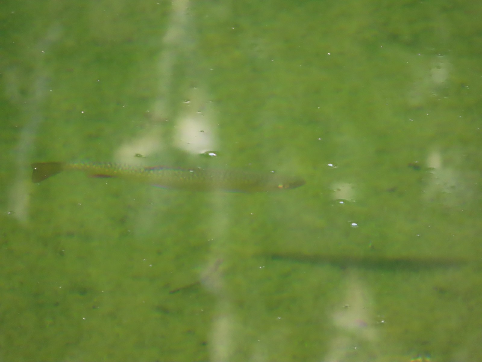 Trout
Trout

 Pika!
Pika! The Tombstone Lake Trail from the gap.
 Eagle Cap in the middle and Needle Point in the distance to the right.
 Eagle Cap (
 The East Fork Elk Creek valley below.

 Starting the switchbacks down.


 Hawk
Hawk Sphinx moth visiting some Lewis monkeyflower
 Some nice paintbrush
 Clumps of gentians
 Gentians
 Swamp onion
 Leaving the basins to start the giant set of switchbacks down.


 This little cascade was perfect for filling the bladder.

 Echo Lake Falls straight ahead.
 Recrossing West Eagle Creek.
 One last look up at where I’d come from.

 Small unnamed waterfall on an unnamed creek.
 Sphinx moth at camp.
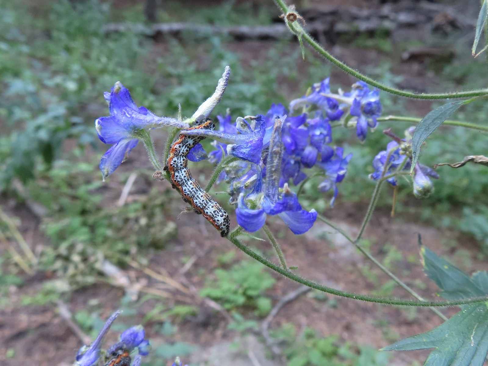 Not sure what type of caterpillar this is but it was pretty. It was on the same larkspur the sphinx moth was visiting.
 While we don’t intentionally feed the wildlife this green comma seemed to like the sweaty socks.


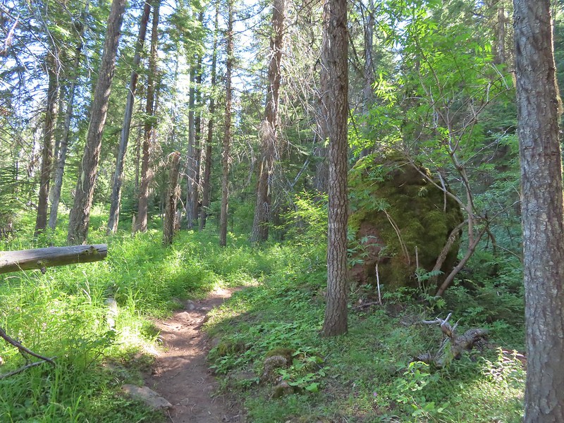
 The trail briefly followed an old roadbed.
 Log bridge over Boulder Creek.


 Sierra larkspur
 Paintbrush lined trail
 We were in the shade for most of the morning.
 Entering the Eagle Cap Wilderness.
 We had to leave the trail to get a view of the falls which we could hear from the trail.

 Buckwheat and nettle-leaf giant hyssop
 At the 2.7-mile mark the trail again crossed Eagle Creek, this time on a damaged footbridge.
 Part of the falls were visible from the trail.
 Copper Creek Falls
 Penstemon
 Fringed grass of parnassus and some fading arnica.
 Flowers below the falls.
 The Bench Trail is ahead on the left of the Main Eagle Trail.
 View up the valley.
 Looking back at the hillside the Bench Trail climbs to Heart and Arrow Lakes.
 Looking across the valley.
 There was quite a bit of western snakeroot along the trail.
 Scarlet gilia
 Hummingbird Mountain
 Granite hillside and peaks above the trail.
 Trail signs at the Lookingglass Lake/Main Eagle Trail junction.
 Needle Point on the left from Eagle Creek Meadow.
 Hummingbird Mountain from the campsite.
 Eagle Creek near camp.
 Lewis monkeyflower

 Columbian ground squirrel
 Pearly everlasting and Scouler’s St. John’s wort.
 White mariposa lilies
 White mariposa lilies
 Orange agoseris
 Beetle on a white mariposa lily
 Hillside along the trail.
 Butterfly (Boisduval’s blue?) on pearly everlasting.
 Monkshood
 Heading toward Needle Point.
 One of the switchbacks.
 This junction was just under 2-miles from the Lookingglass Lake Trail junction.
 Wildflowers along the trail.
 Looking back down the valley.
 Hawk
Hawk Fireweed along the trail.
 Shrubby cinquefoil and paintbrush
 Wildfire smoke creating a slight haze of the valley.
 Granite near Eagle Lake.
 Eagle Lake
 Eagle Creek flowing below the dam at Eagle Lake.


 Paintbrush
 While sitting in the shade we spotted a herd of elk on the hillside across the valley.
 Blurry photos due to the distance but it was fun to watch them.

 Golden-mantled ground squirrel
 Shade!
 American saw-wort
 Fawns
Fawns Our campsite in the trees from the Main Eagle Trail.
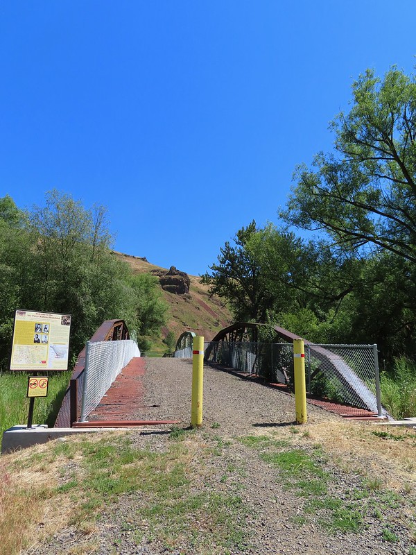
 Indian Crossing Trailhead
 Imnaha River at the trailhead.
 Jessica’s stickseed
 Hooked spur violet
 Woodland star
 Valerian
 Arnica

 Violets
 We passed a pack station in the forest on our right.
 Ballhead waterleaf
 Lupine along the trail
 Anemone
 Western meadowrue
 Paintbrush along the trail.
 Larkspur, lupine, and Jessica’s stickseed
 Chipmunk
 A nice patch of lupine.
 Snow patches high up on the ridge.
 The Imnaha River below the trail.
 One of many small unnamed stream crossings.
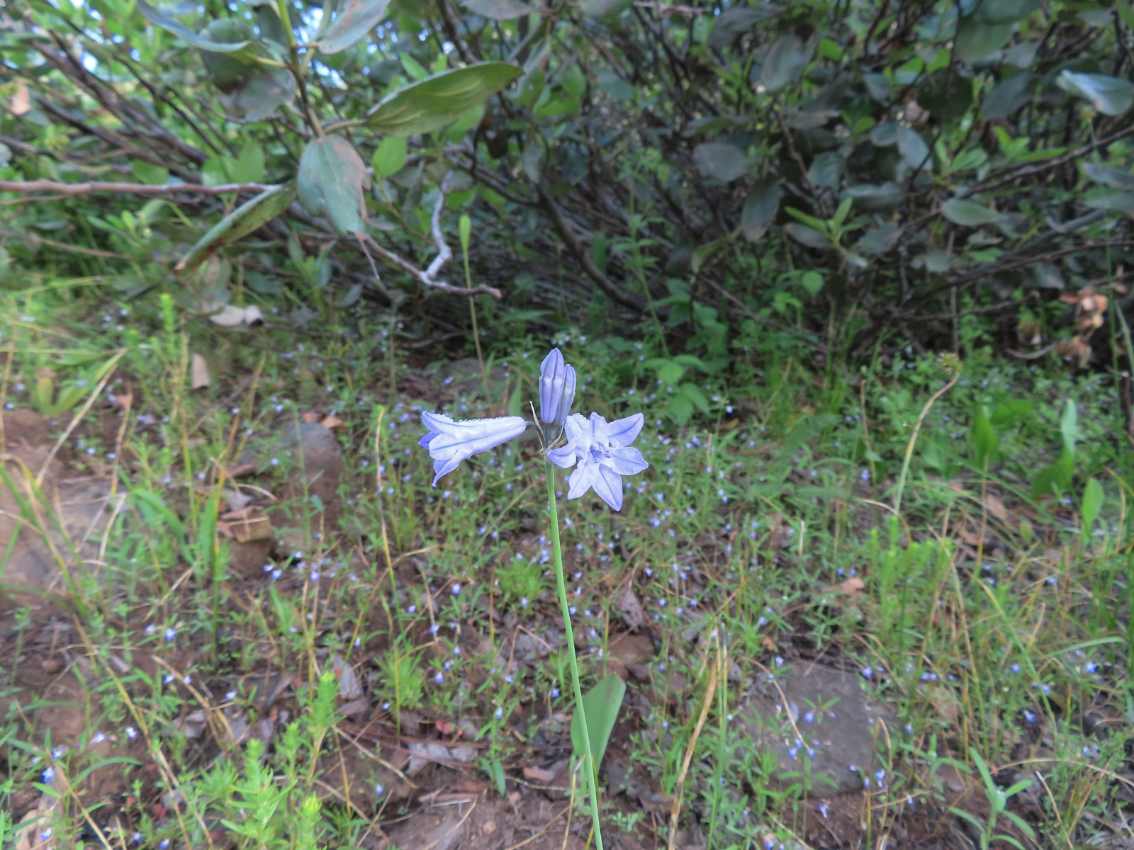 Large-flower triteleia
 A ponderosa pine that survived the fire.
 Robin
Robin One of several types of penstemon along the trail.
 We were just sure that there should be elk, deer, or a bear down along the river here.
 There were quite a few of these millipedes in the trail.
 In some cases the creeks had taken over the trail.
 Cinquefoil
 A brushy section of the trail.
 Tall bluebells
 Two-tailed tiger swallowtail


 Blue Hole, not exactly blue this time of year due to the amount of silty snowmelt water swelling the river.
 Wildflowers above the gorge.
 The Imnaha emerging from the gorge into Blue Hole.
 Arnica along the trail.
 Coming up on a small stand of aspen.
 A rockcress
 Juba skipper
 Roundleaf alumroot
 Painted lady on Oregon sunshine.
 Glacier carved rock outcrops provided some excellent views and good habitat for wildflowers.


 Scabland penstemon
 Paintbrush
 Not a flower but very colorful.
 Bush penstemon
 Western tanager
 Western blue clematis
 Brown creeper on a tree trunk.
 Left is Marble Mountain and to the right further back is Honeymoon Summit.
 Larkspur along the trail.
 Heartleaf springbeauty
 Another flooded section of a the trail.
 Western tiger swallowtails on chokecherry.
 Dreamy duskywing
 Threeleaf lewisia
 We were too late for the Brown’s peony blooms.
 Balsamroot and paintbrush
 On the opposite side, with a series of drops, is Rock Creek flowing into the Imnaha.
 The Imnaha River leaving the gorge.
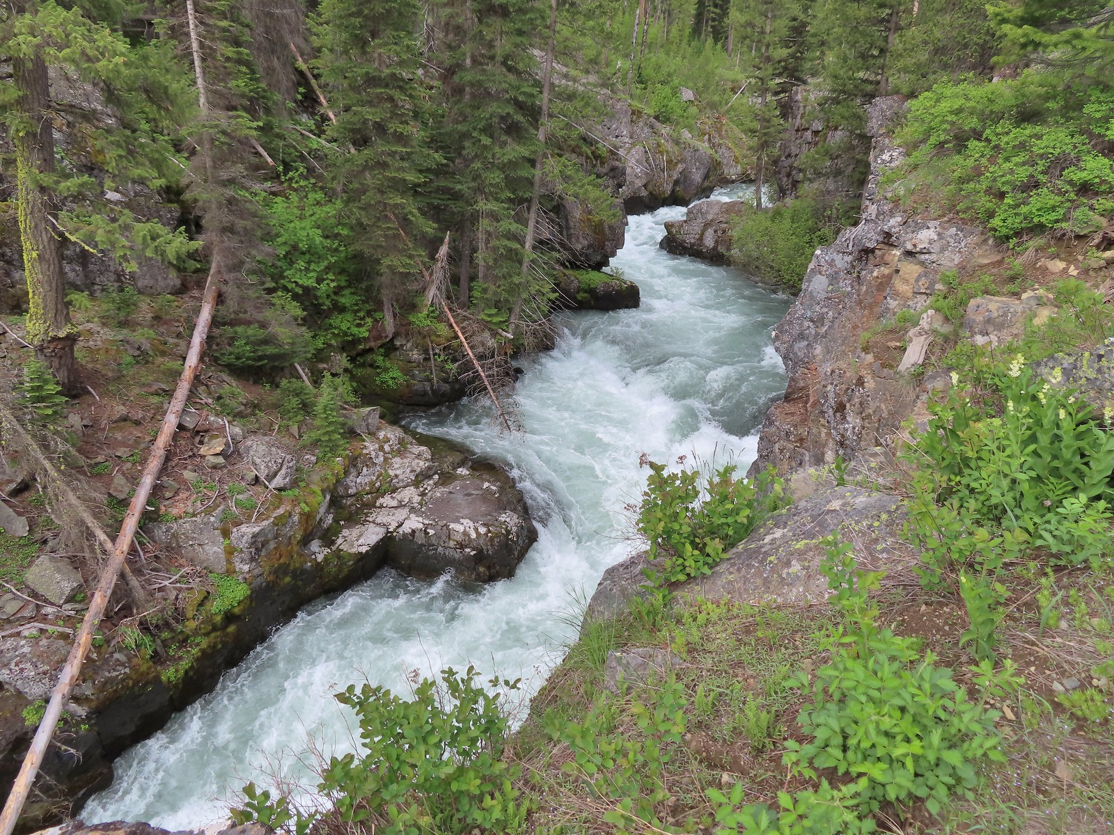
 Rock Creek cascading down through the forest.
 Another creek cascading down.
 Marble Mountain
 Twinberry honeysuckle
 Marsh violet
 Rock outcrop above Imnaha Falls
 I tried going down river first to see if I could get a view back up to the falls, but the water level was into the brush along the riverbank.
 The falls were just upriver from this bench with a couple of campsites.
 The gap in the outcrop.
 Imnaha Falls.
 Utah honeysuckle
 Bee on a dandelion
 Nettle-leaf giant hyssop
 Slender phlox
 Silverleaf phacelia
 Vetch
Vetch
 Osprey, the fishing here must have been good because we’d seen a bald eagle in this area in the morning.
 Fairy slipper
 Arriving back at the trailhead.
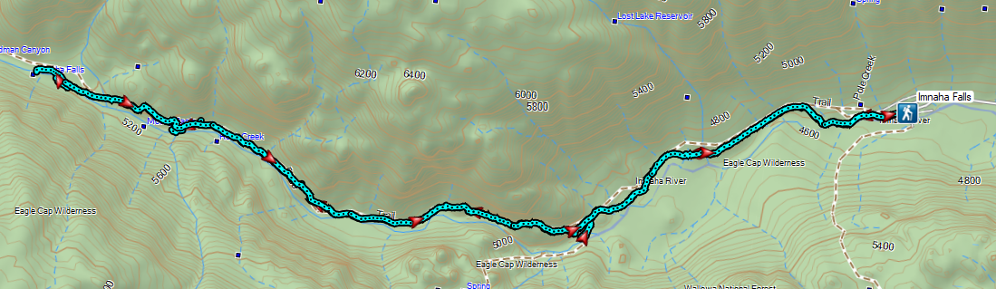

 Ants dropping sawdust from a log along the Catherine Creek Trail. We sat and watched these busy ants for quite a while. They had created a good-sized pile on the ground below.
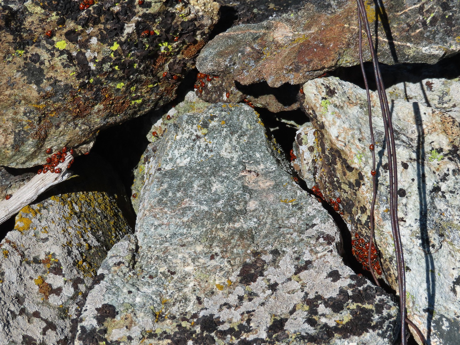 We see a lot of beetles but usually not all at once like these lady bugs on Observation Peak.
 Lady bug – Upper Table Rock
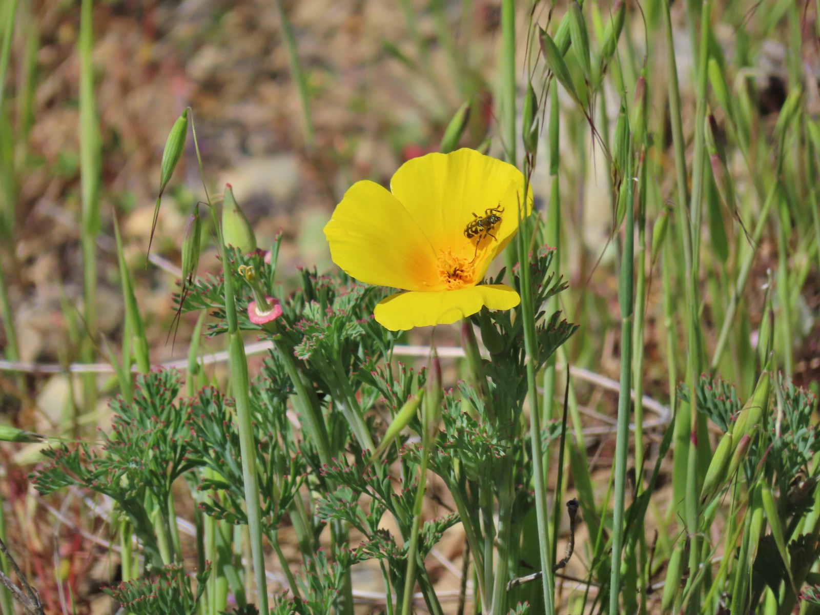 Yellow & black beetle – Mule Mountain
 Redish brown beetle – Siskiyou Wilderness
 Green beetle – Siskiyou Wilderness
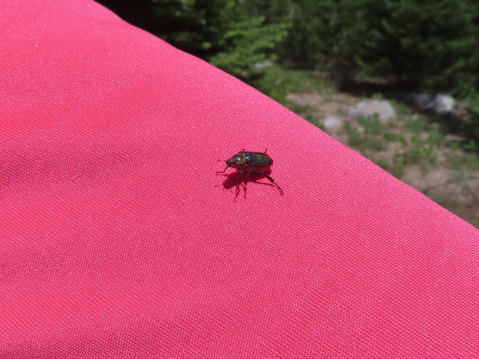 Hitchhiker – Mt. Ireland
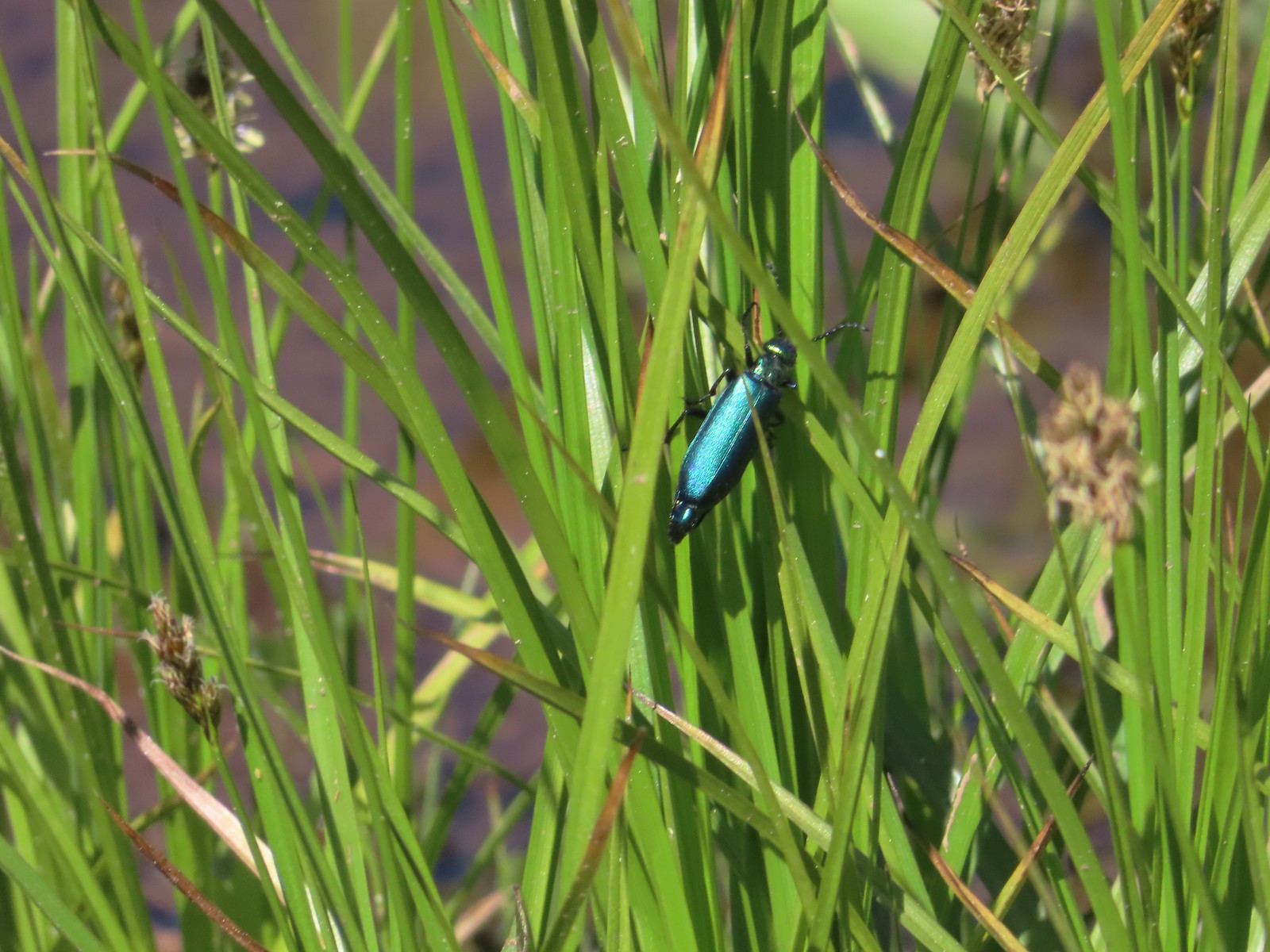 Blueish green beetle – Catherine Creek Meadows
 Small beetle – Catherine Creek Meadows
 Green beetle on a geranium – Eagle Cap Wilderness
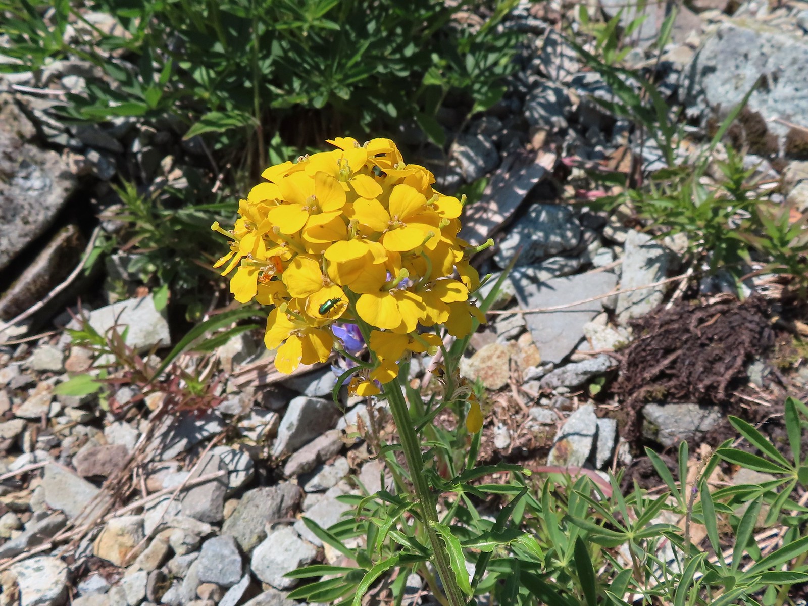 Green beetle on a wallflower – Silver Star Mountain
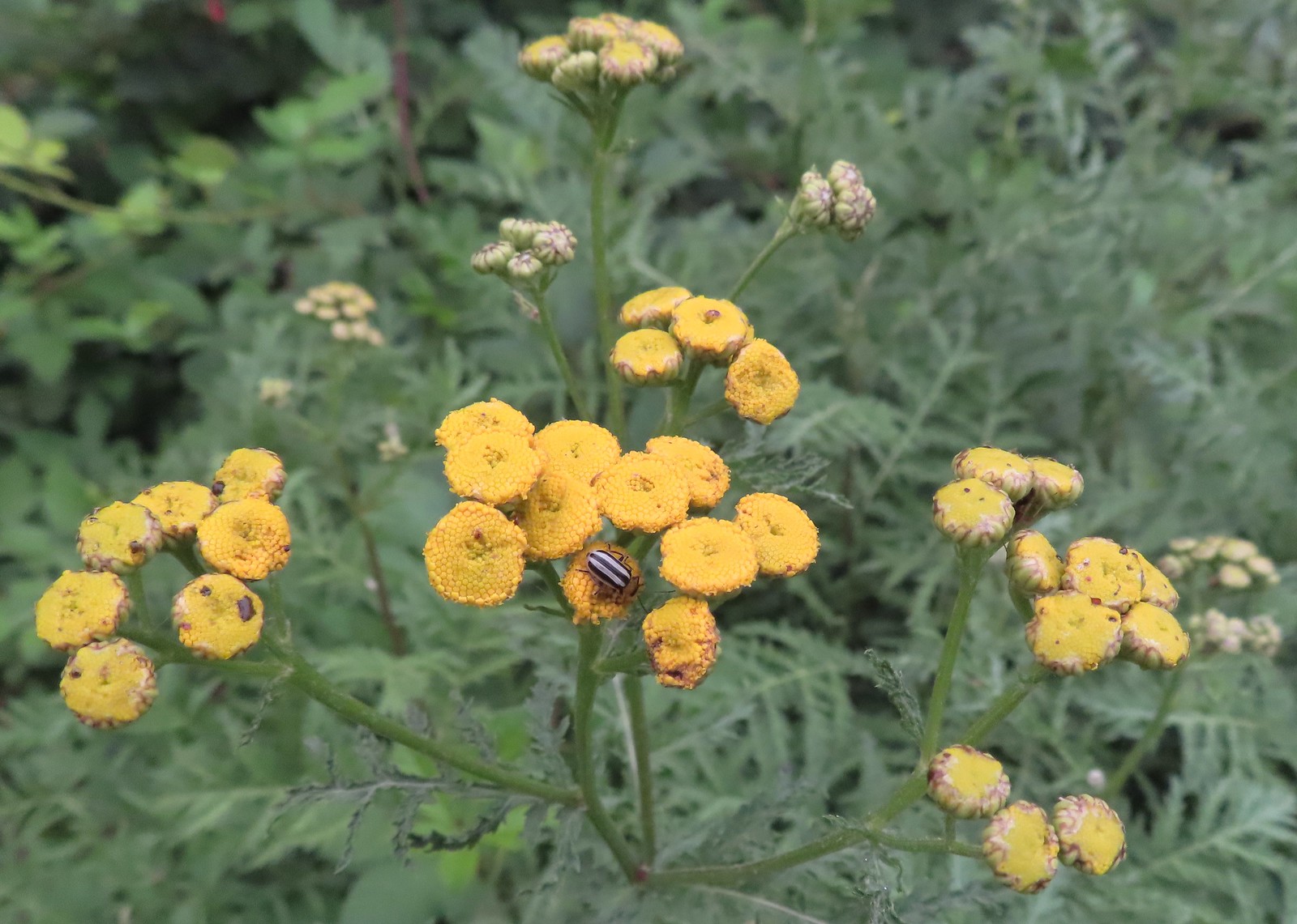 Stripped beetle – Spring Valley Greenway
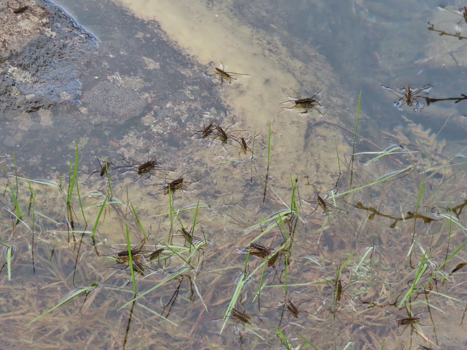 Water skippers – Big Twin Lake
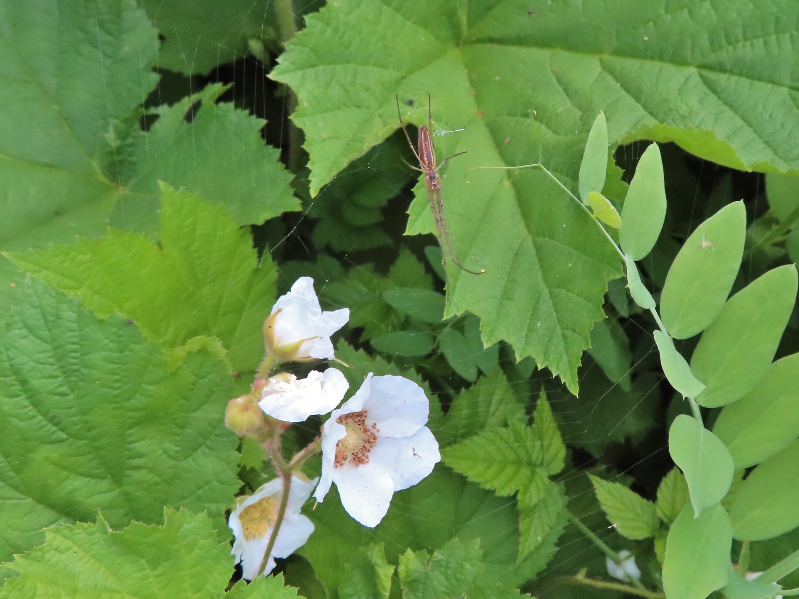 Spider on thimbleberry – Siskiyou Wilderness
 Crab spider – Eagle Cap Wilderness
 Another crab spider – Eagle Cap Wilderness
 Cricket – Pacific Crest Trail
 We are often literally struck by grasshoppers as we hike. Sometimes they stick when they hit us such as this one along the PCT.
 Bee on phacelia – Mule Mountain
 Wet bee on lupine – Julia Butler Hanson Wildlife Refuge
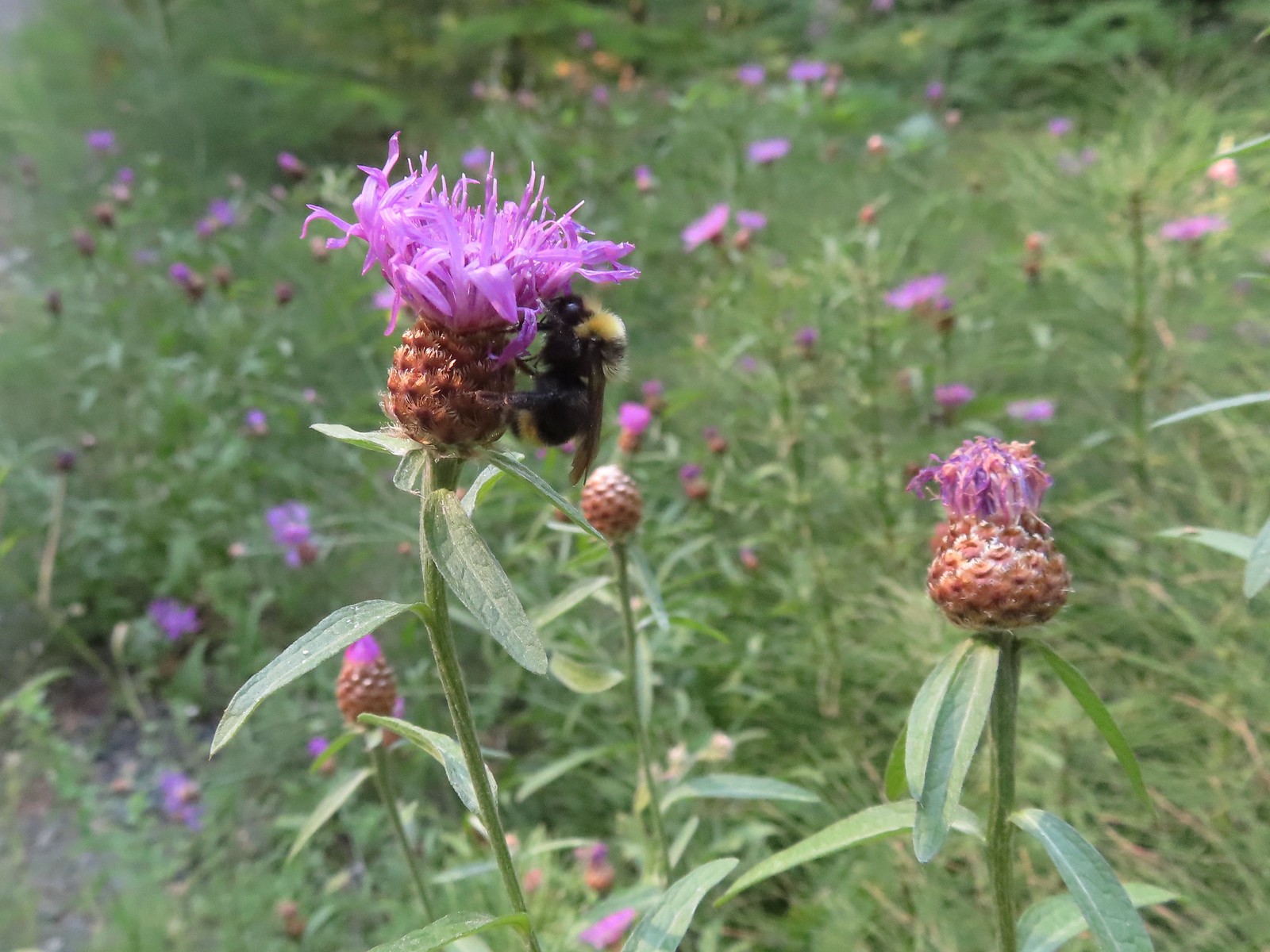 Bumble bee – Hemlock Creek Trail
 Lots of pollen – Mt. Adams Wilderness
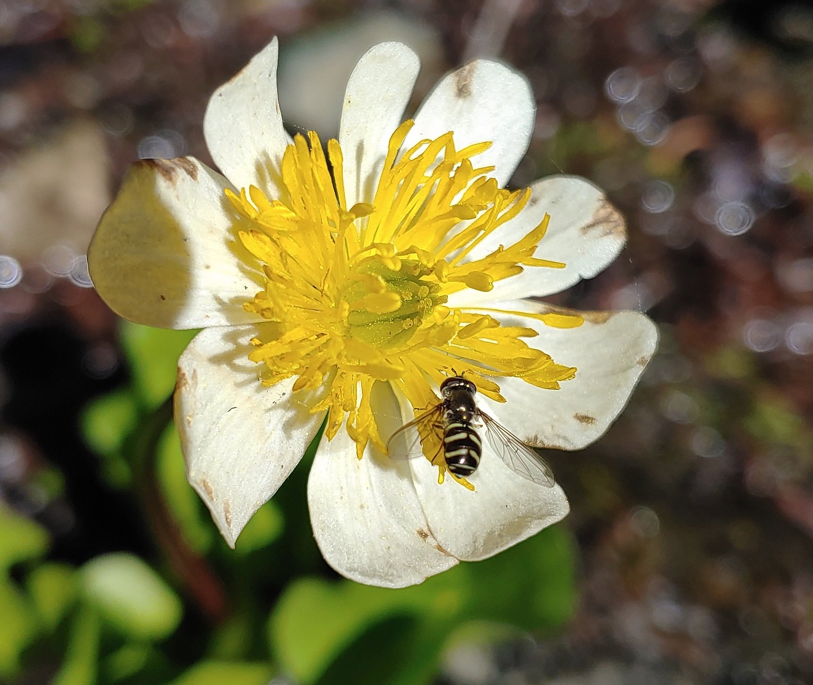 Bee landing on a marsh marigold along the PCT
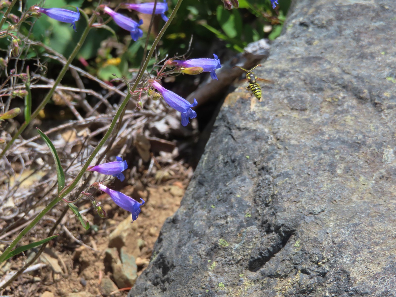 Bee approaching penstemon – Siskiyou Wilderness
 Bee and a tiny ant in a bindweed – Siskiyou Wilderness
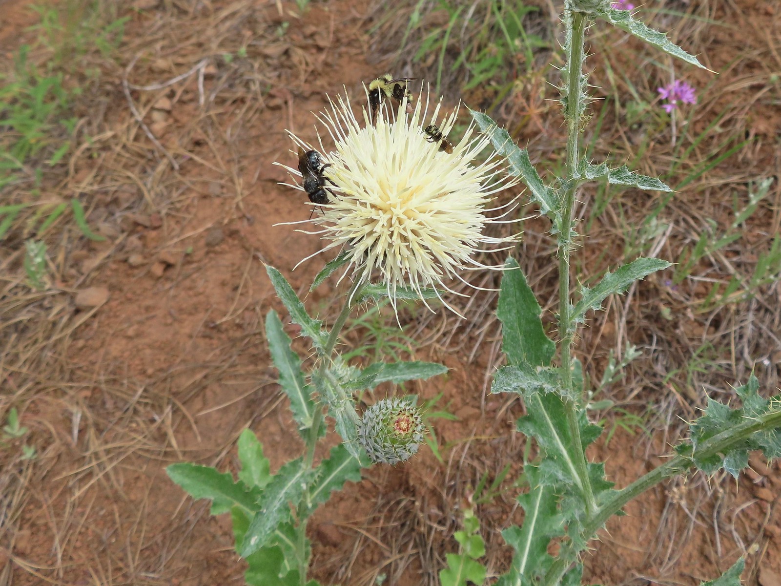 Insects on thistle – Eagle Cap Wilderness
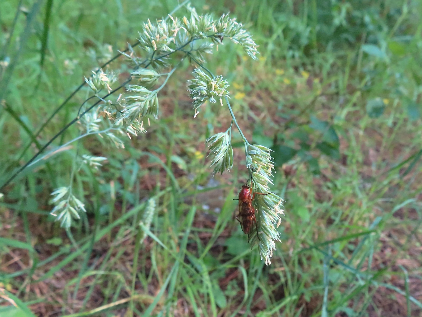 Wasp? – Eagle Cap Wilderness
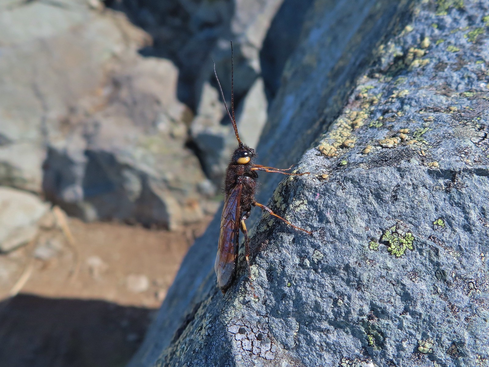 Some sort of wasp – Silver Star Mountain
 Insect along Bear Creek – Eagle Cap Wilderness
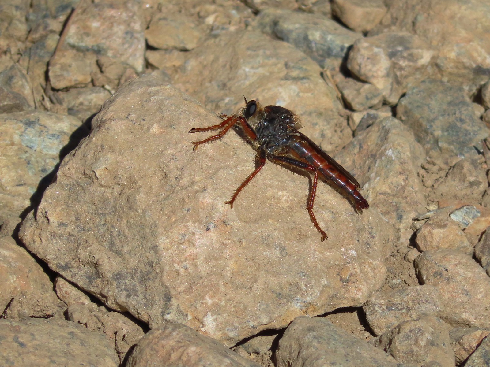 My brother and I used to call these “weird things”; I have no idea what it actually is – Trinity Alps Wilderness
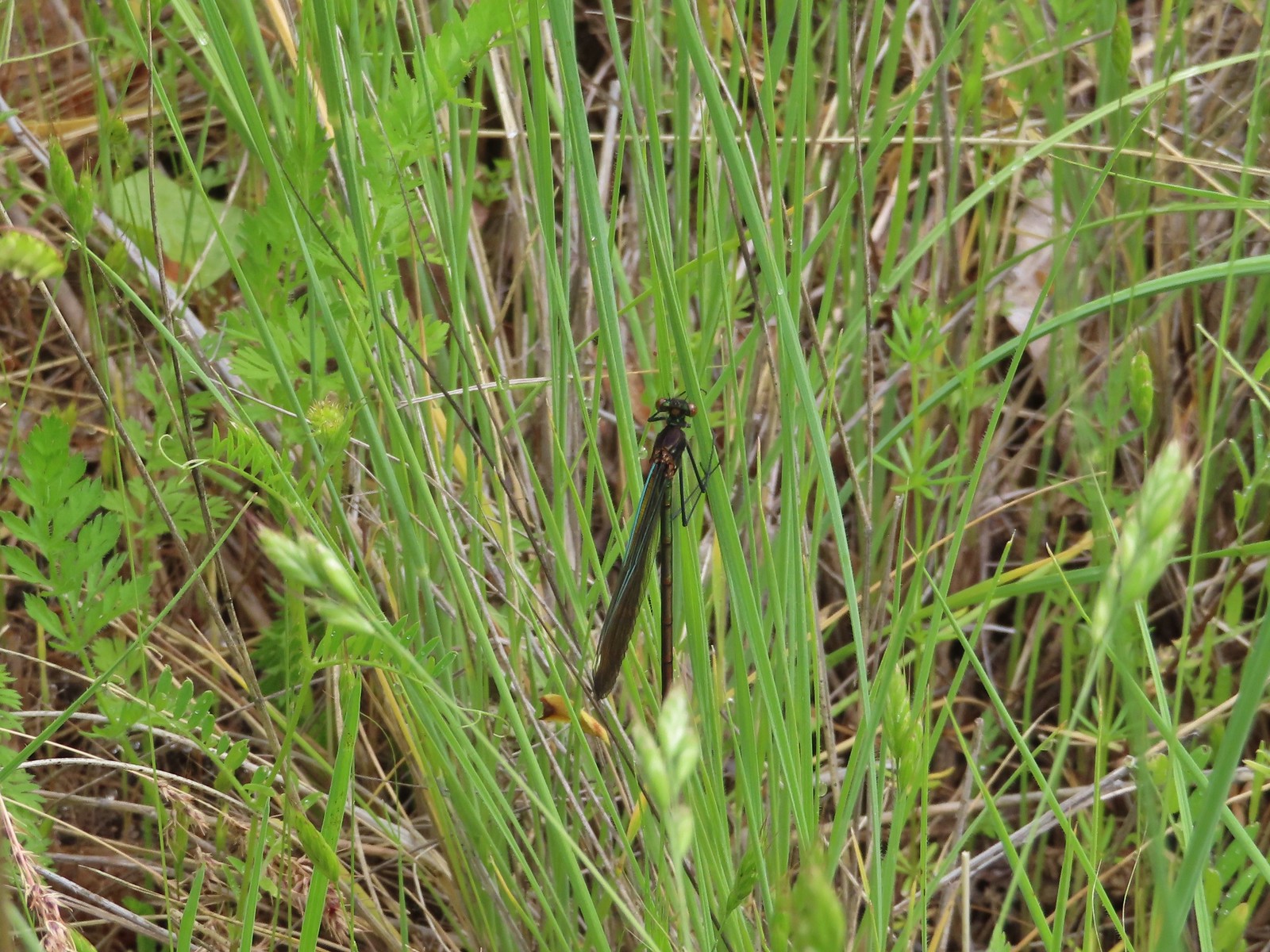 Damsel fly – Denman Wildlife Area
 Damsel fly – Hemlock Lake
 Dragon fly – Goat Marsh Lake
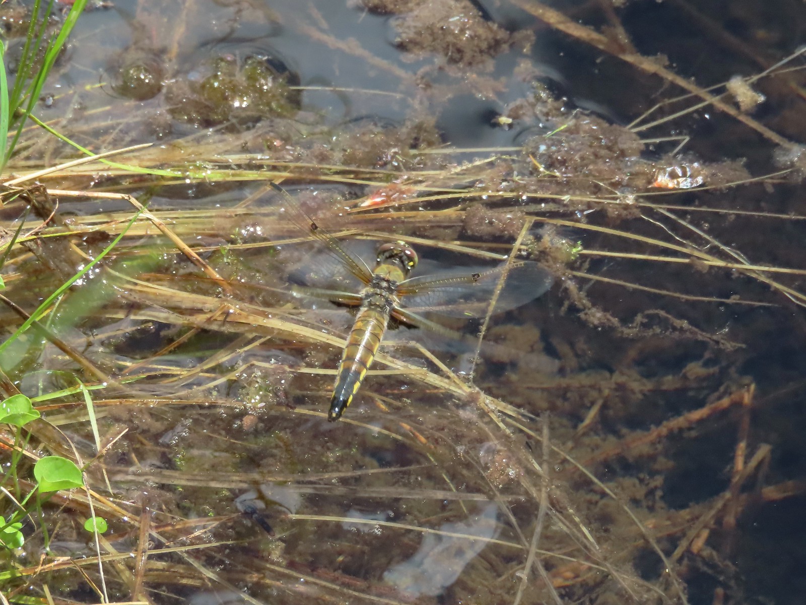 Dragon fly – Siskiyou Wilderness
 Dragon fly – Siskiyou Wilderness
 Dragon fly – Eagle Cap Wilderness
 Dragon fly along the Wallowa River – Wallowa Homeland
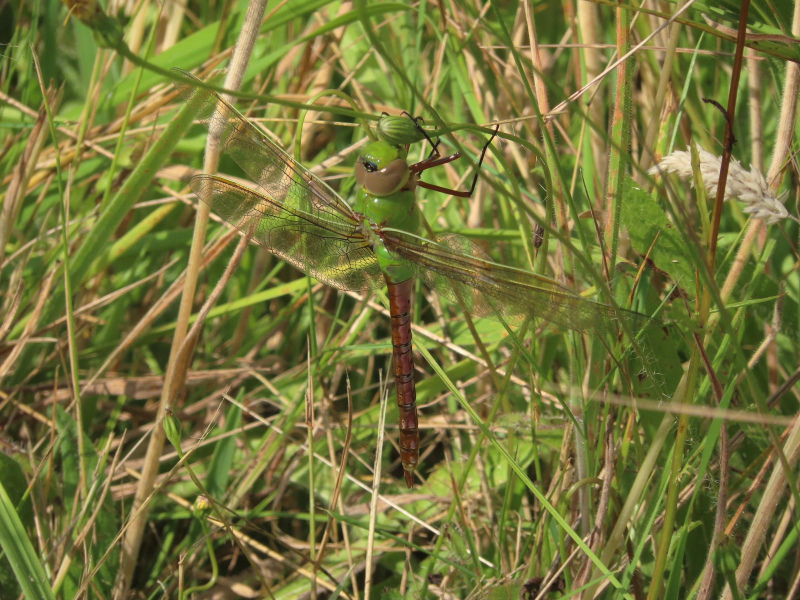 Dragon fly – E.E. Wilson Wildlife Area
 Dragon fly – Hemlock Lake
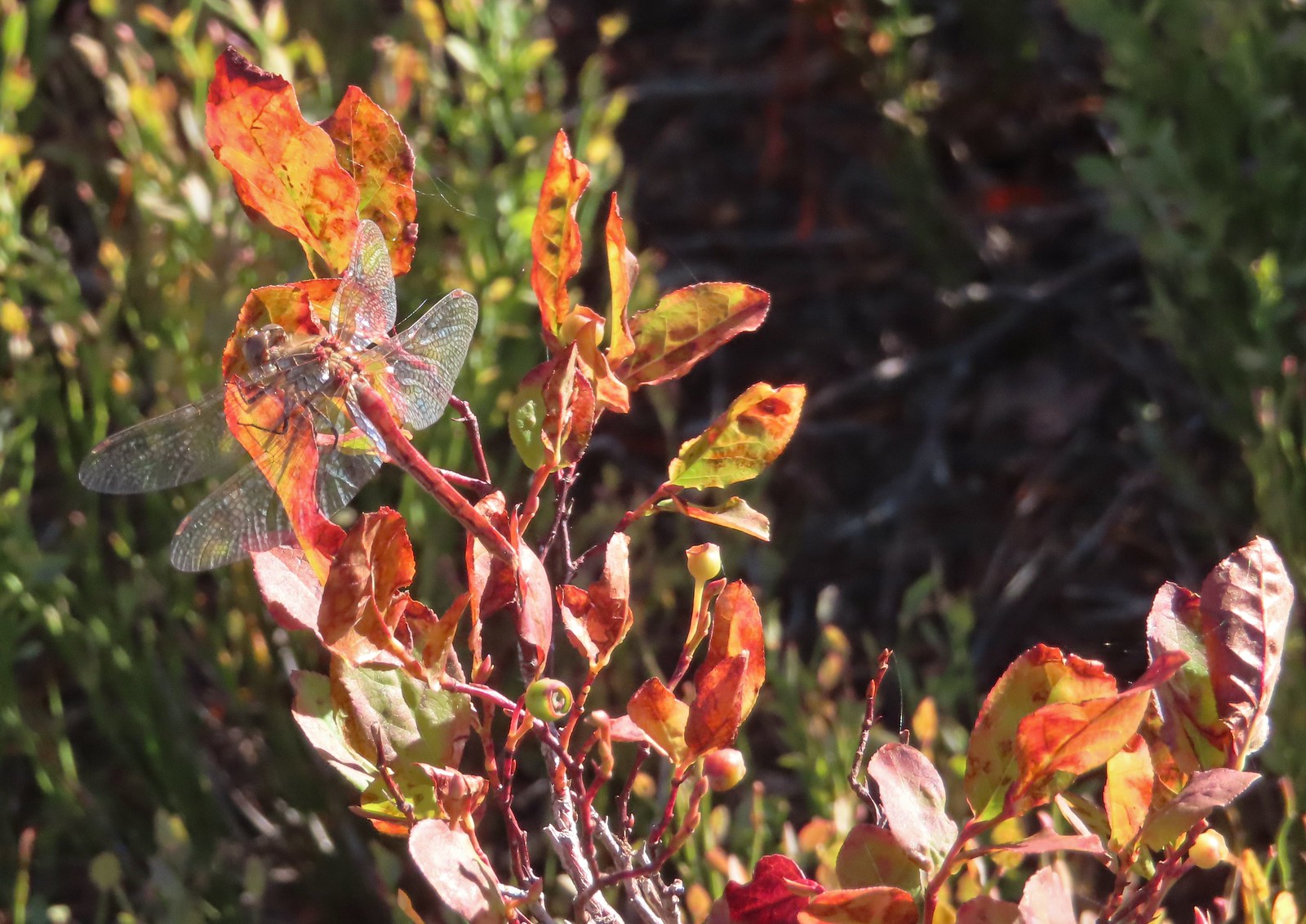 Dragon fly – Sky Lakes Wilderness
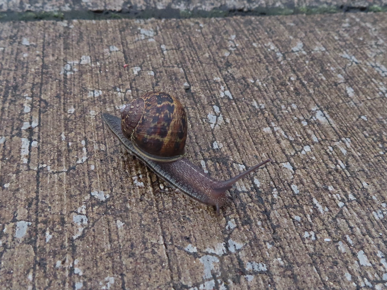 Snail – Rock Creek Trail
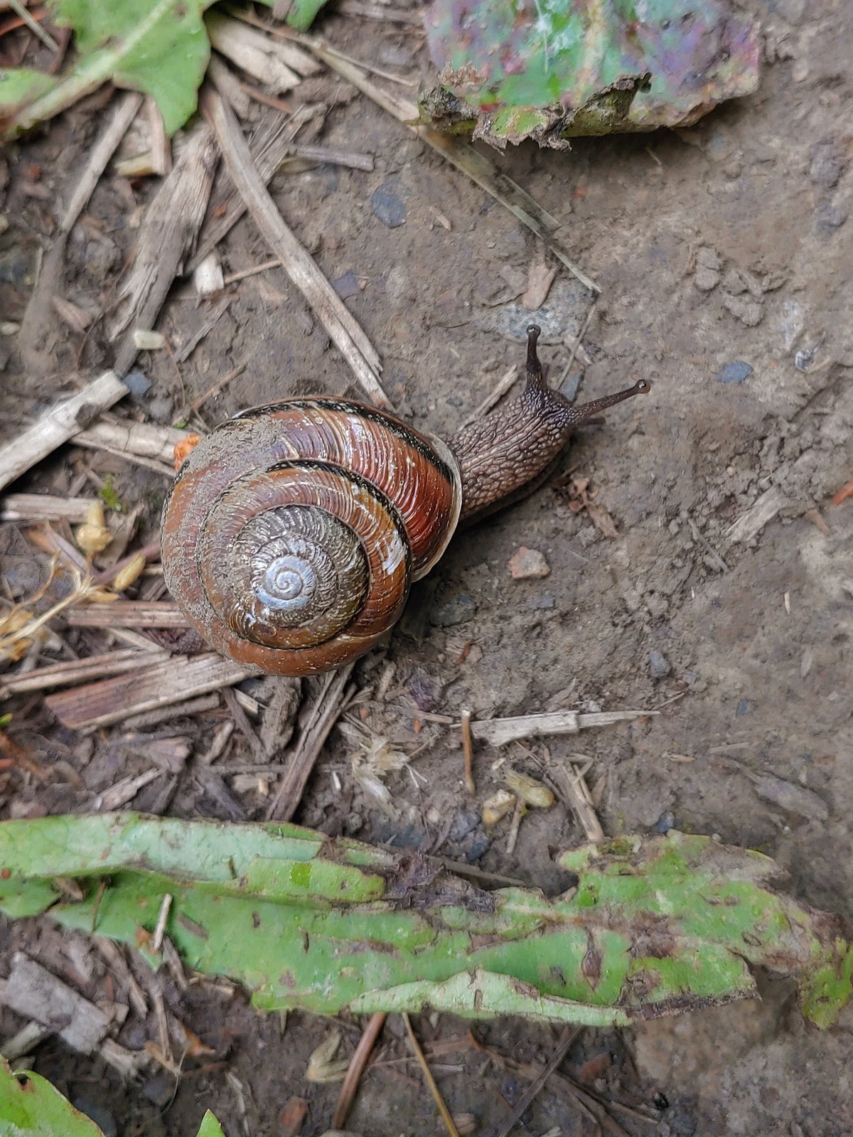 Snail – Applegate Lake
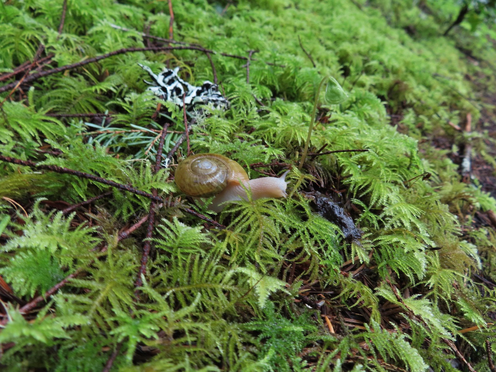 Snail – North Siouxon Trail
 Snail – Julia Hansen Butler Wildlife Refuge
 Snail – Siskiyou Wilderness
 Snail – Cascade Head
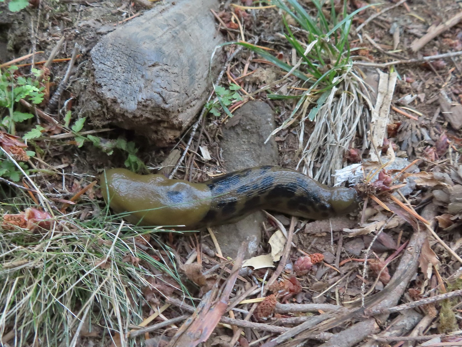 Slug – Larch Mountain Trail
 Slug (and a fly) – Susan Creek Trail
 Slug – Fish Lake
 Slug on lupine – Julia Butler Hansen Wildlife Refuge
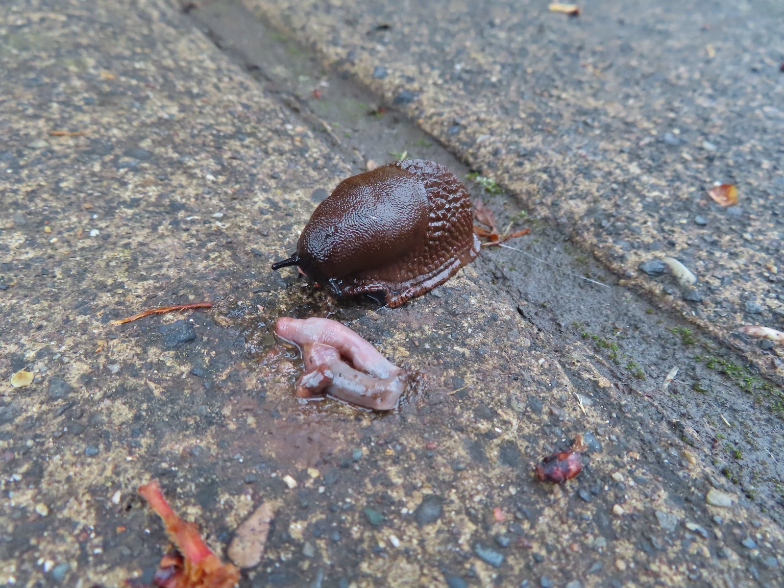 Slug and an unfortunate earth worm – Rock Creek Trail
 Worms – Chehalem Ridge Nature Park
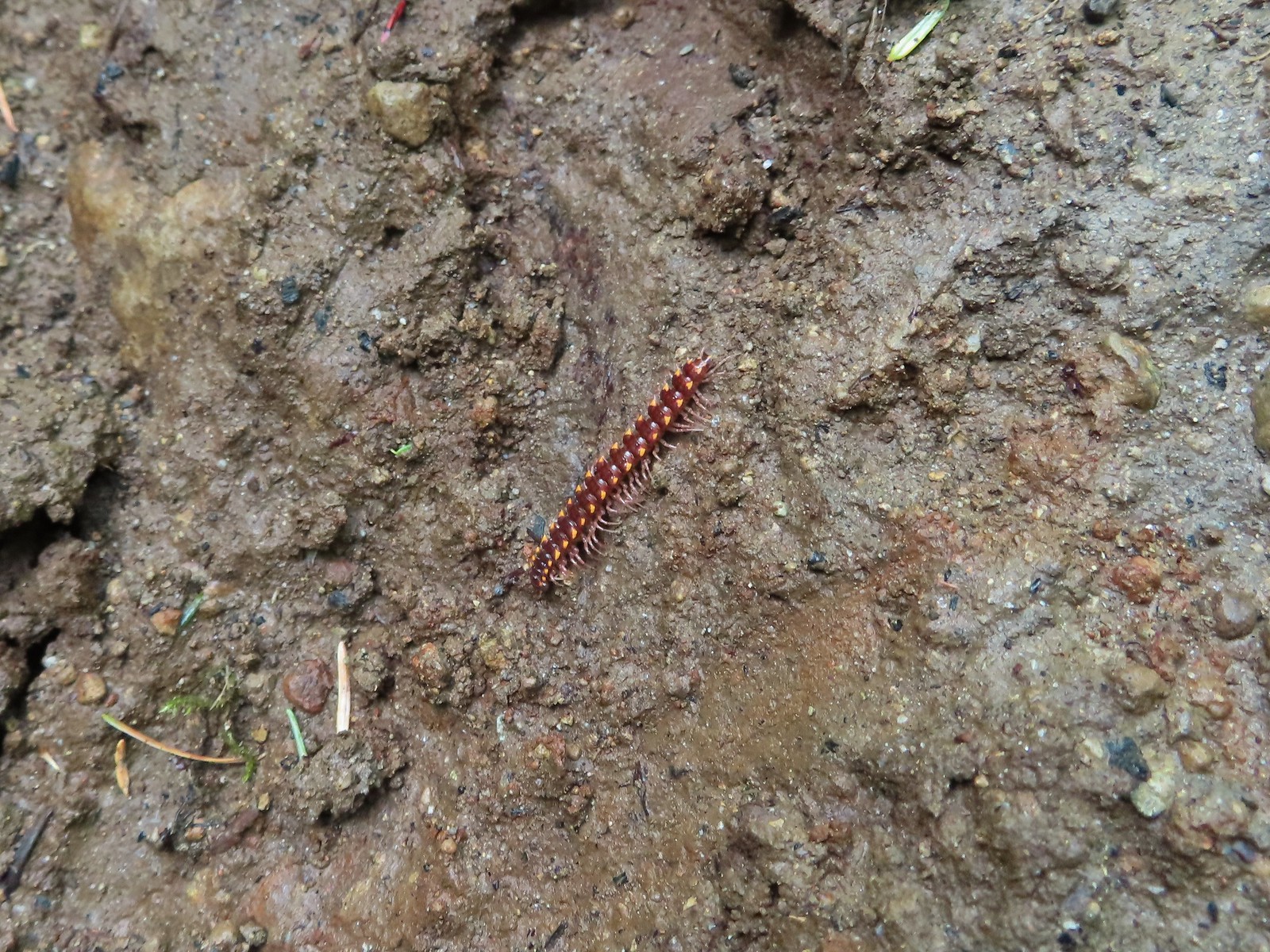 Millipede – North Siouxon Trail
 Millipede – Rock Creek Trail
 Millipede – Illahee Rock
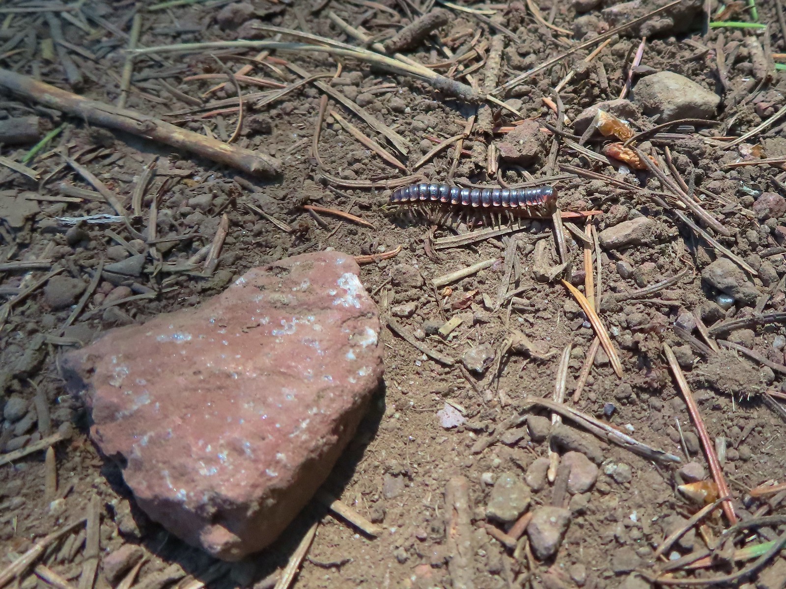 Millipede – Eagle Cap Wilderness
 Wet caterpillar – Yakona Nature Preserve
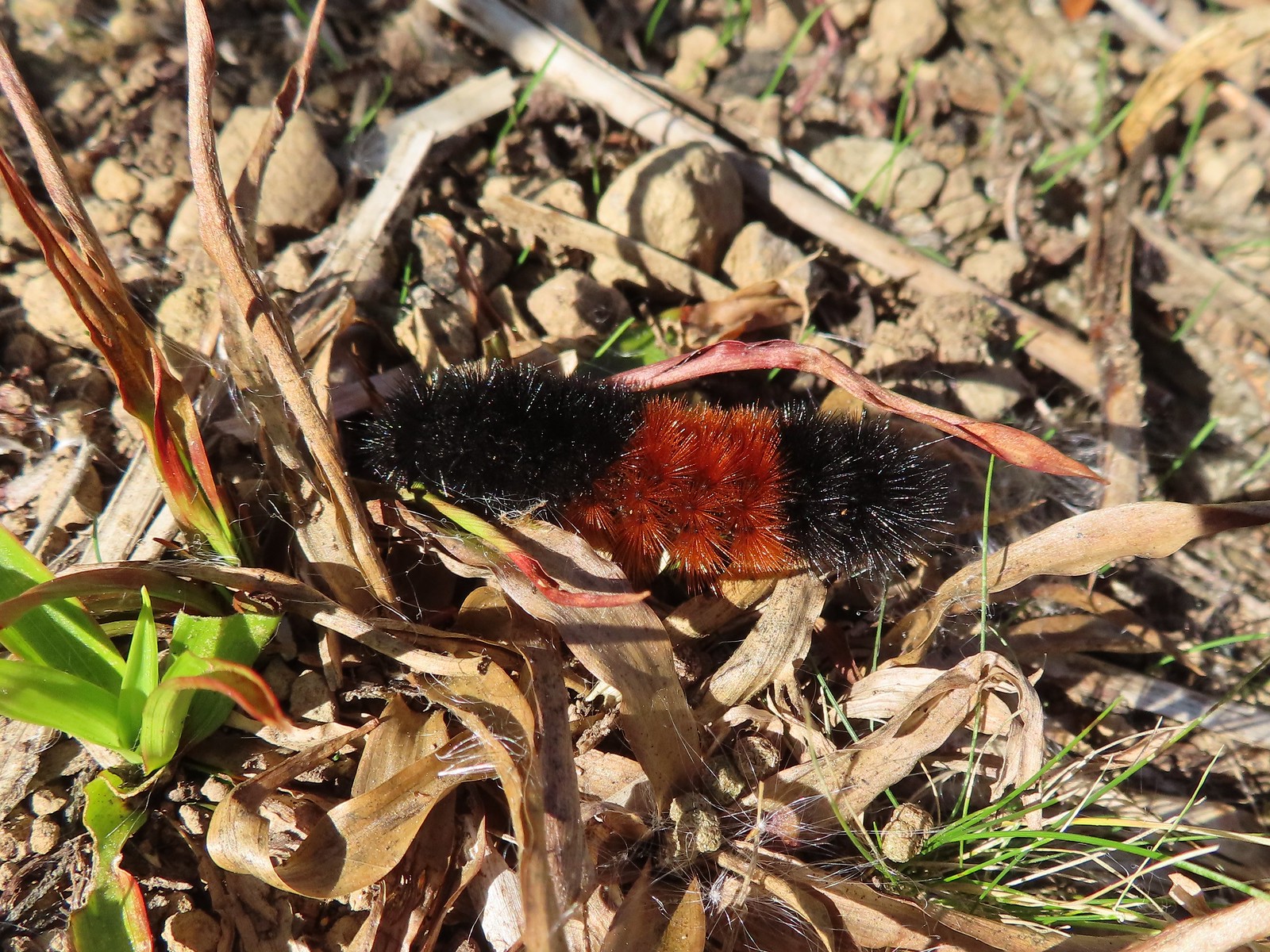 Dry version – Larch Mountain Trail
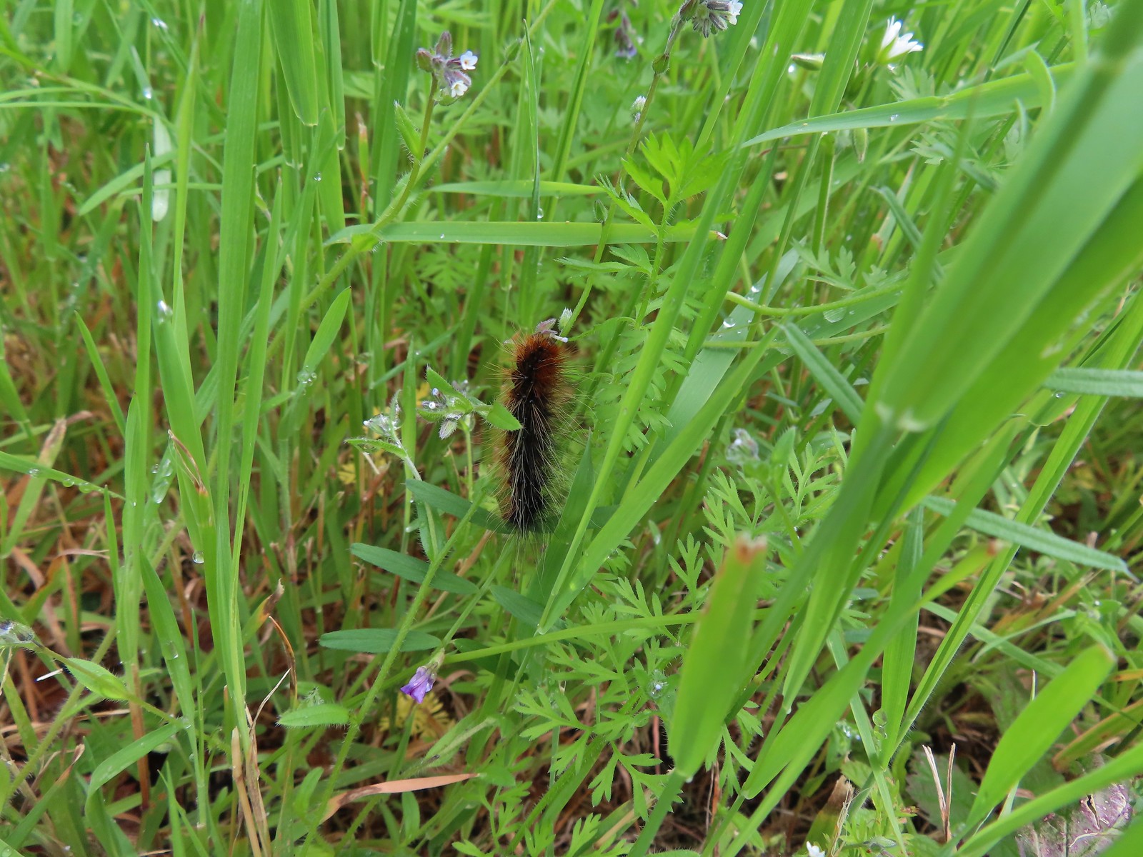 Caterpillar – Julia Butler Hansen Wildlife Refuge
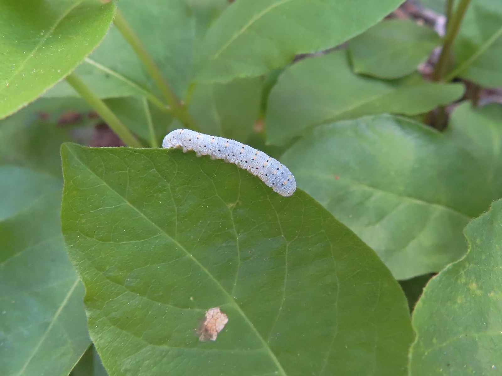 Caterpillar – Siskiyou Wilderness
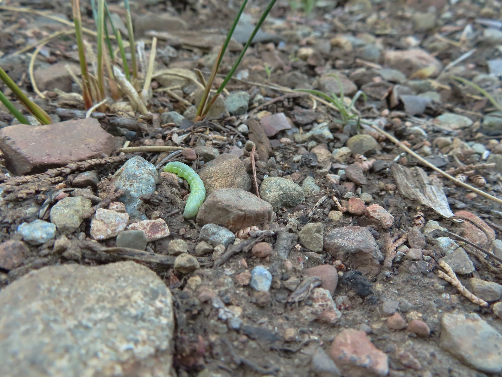 Caterpillar – Siskiyou Wilderness
 Caterpillar – Larch Mountain Trail
 Caterpillar – Larch Mountain Trail
 Caterpillar – Larch Mountain Trail
 Moth – Klickitat Trail
 Moth -Eagle Cap Wilderness
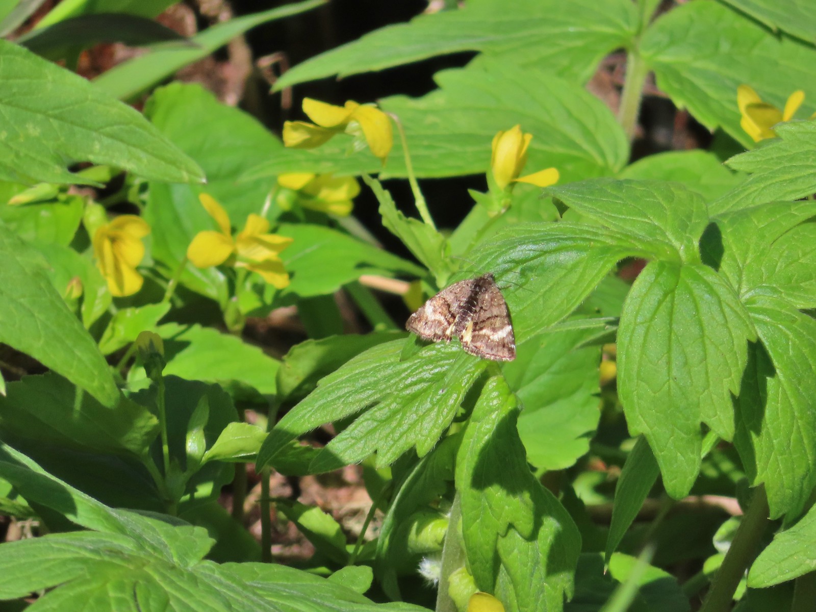 Moth – Twin Lakes
 Moth – Eagle Cap Wilderness
 Moth – Eagle Cap Wilderness
 Moth – Eagle Cap Wilderness
 Moth – Wolf Creek Falls Trail
 Moth – Cascade Head
 Propertius duskywing (Erynnis propertius) – Klickitat Trail
 Duskywing – Siskiyou Wilderness
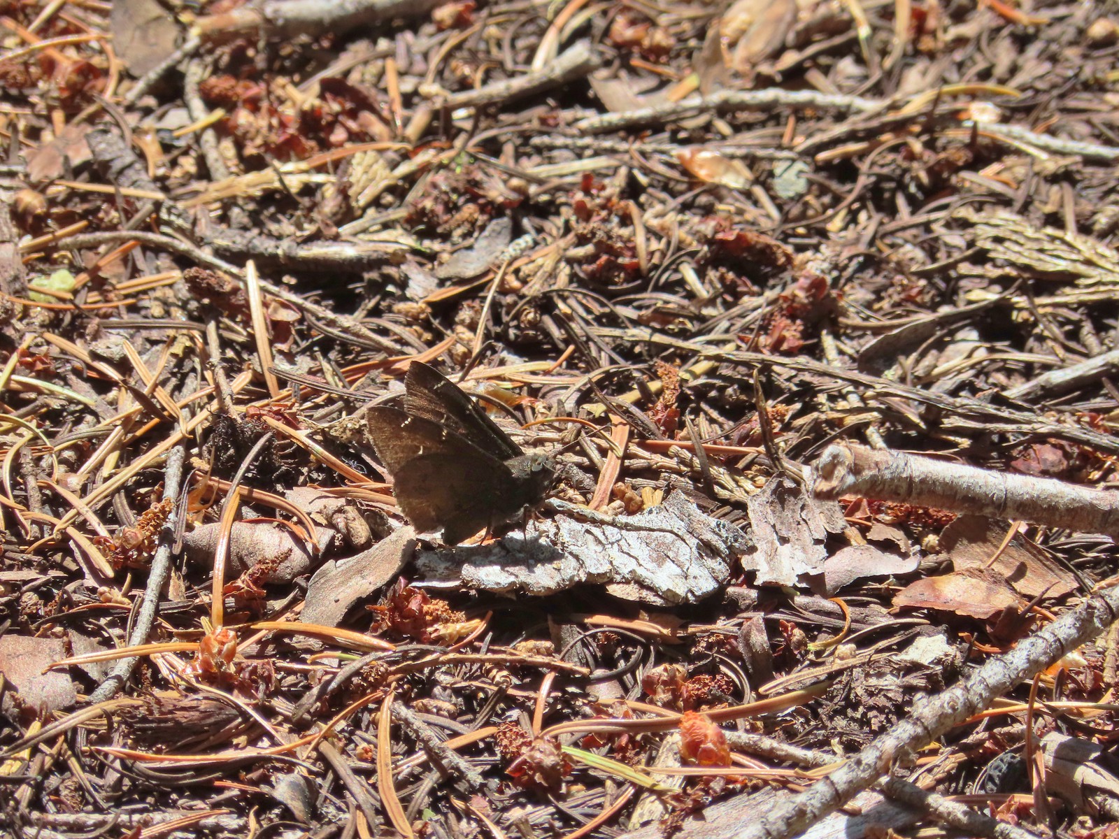 Northern Cloudywing? – Siskiyou Wilderness
 Silver-spotted skipper – Siskiyou Wilderness
 Skipper – Grizzly Peak
 Skipper – Rogue-Umpqua Divide Wilderness
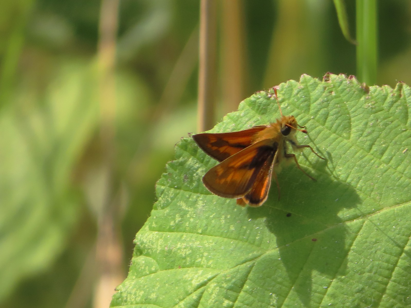 Skipper – E. E. Wilson Wildlife Area
 Hairstreak (bramble?) – Siskiyou Mountains
 Cedar hairstreak – Siskiyou Wilderness
 Hairstreak (possibly thicket) – Eagle Cap Wilderness
 Ochre ringlet – Jack Ash Trail
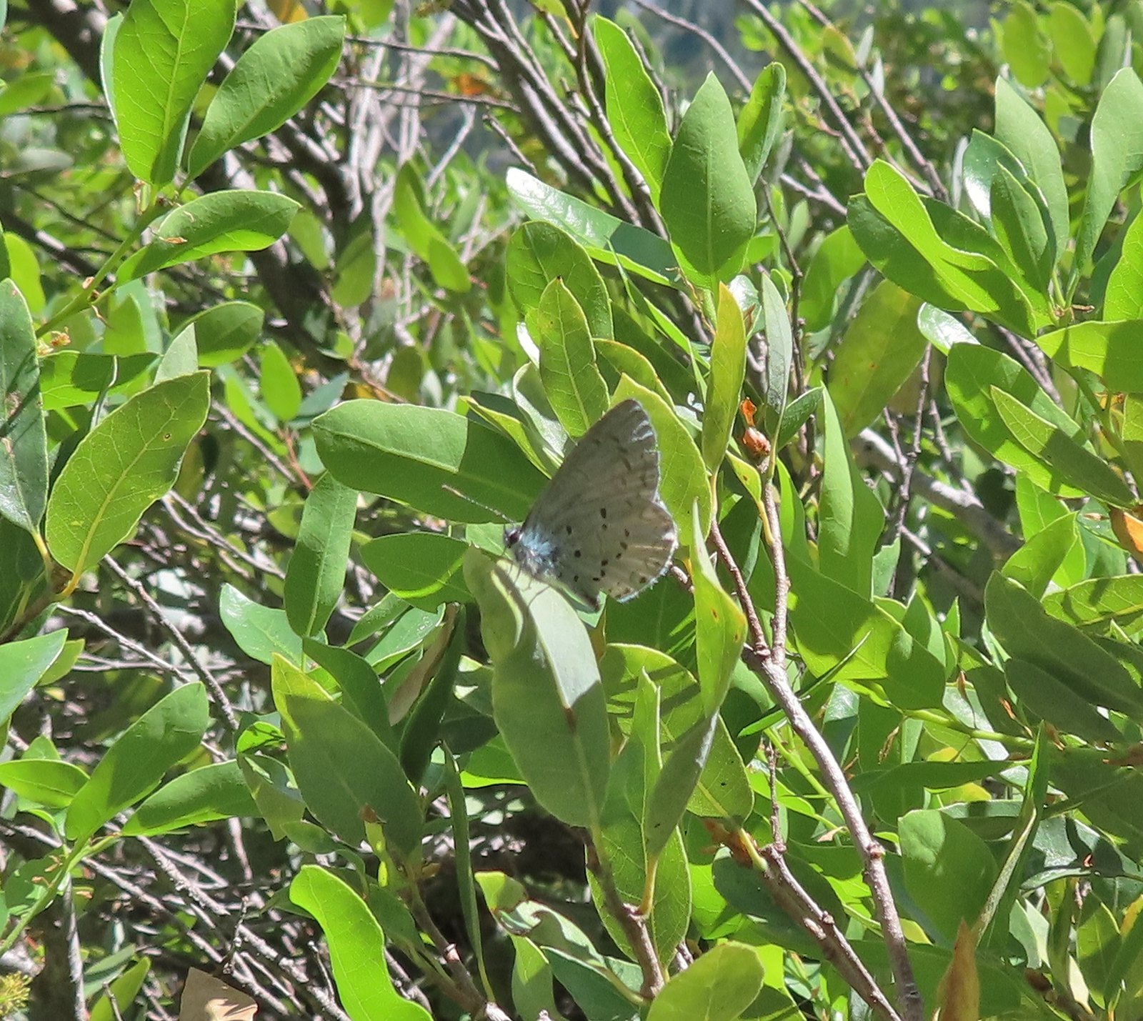 Butterfly – Siskiyou Wilderness
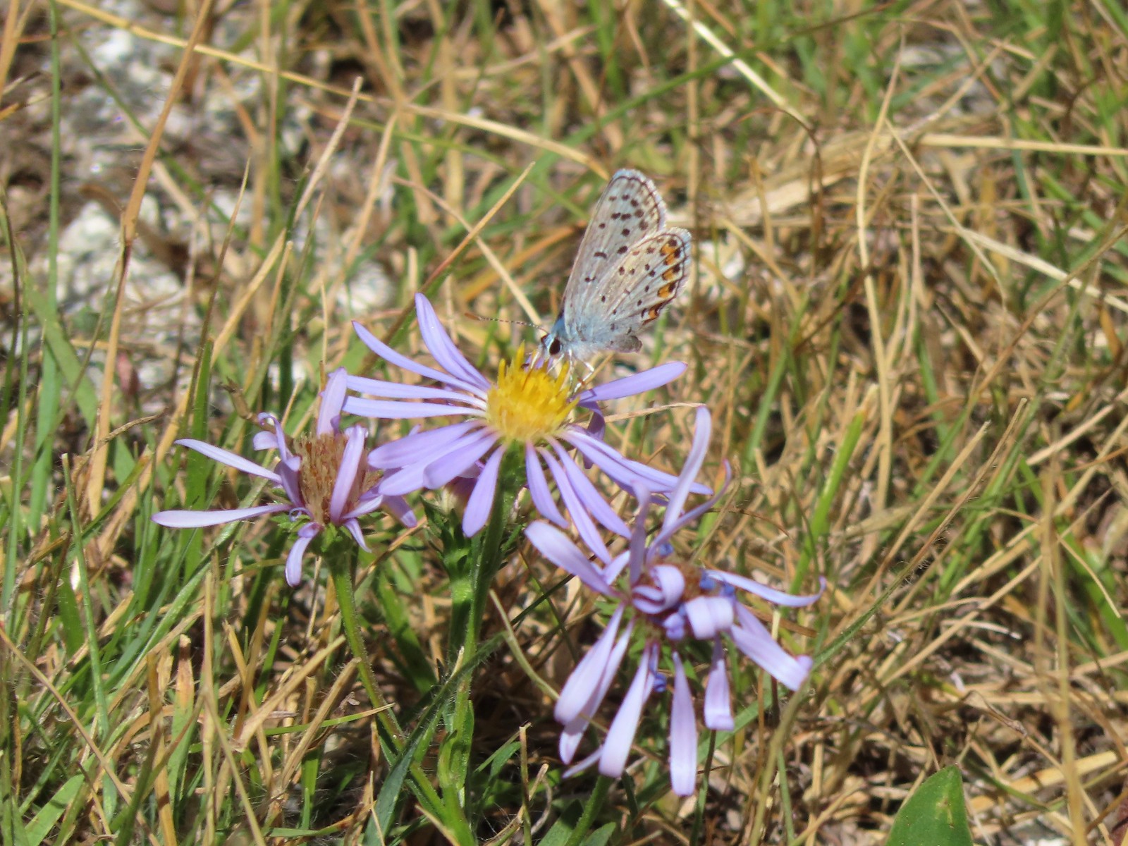 Butterfly – Trinity Alps Wilderness
 Butterfly – Trinity Alps Wilderness
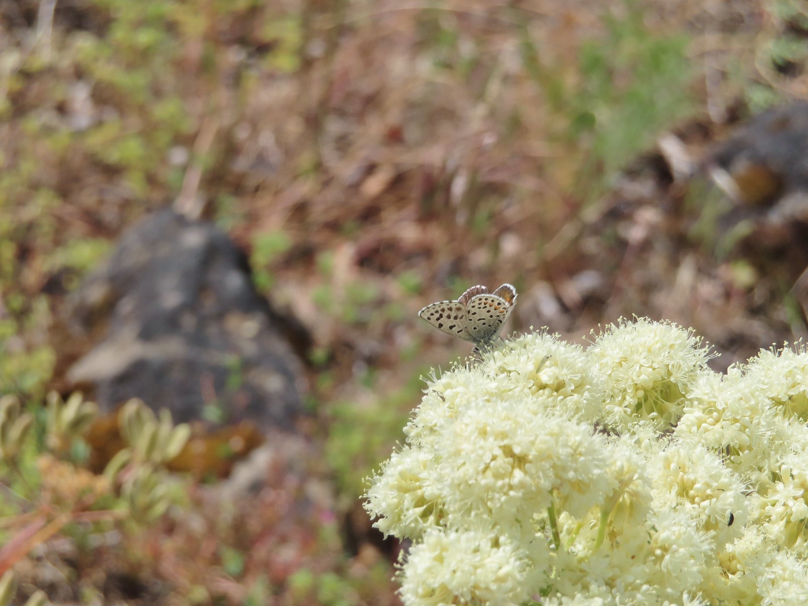 Butterfly – Upper Table Rock
 Butterfly – Mule Mountain
 Butterfly – Eagle Cap Wilderness
 Butterfly – Eagle Cap Wilderness
 Butterfly – Mt. Adams Wilderness
 Butterfly – Mt. Adams Wilderness
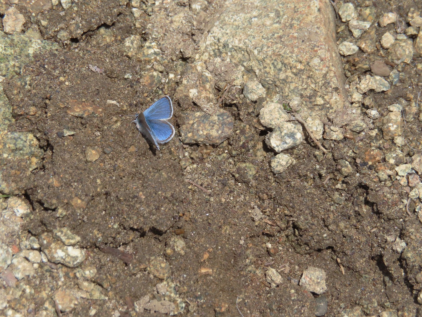 Butterfly – Mt. Ireland
 Butterfly – Trinity Alps Wilderness
 Butterfly – Silver Star Mountain
 Butterfly – Russian Wilderness
 Butterfly – Trinity Alps Wilderness
 Sara’s orangetip – Klickitat Trail
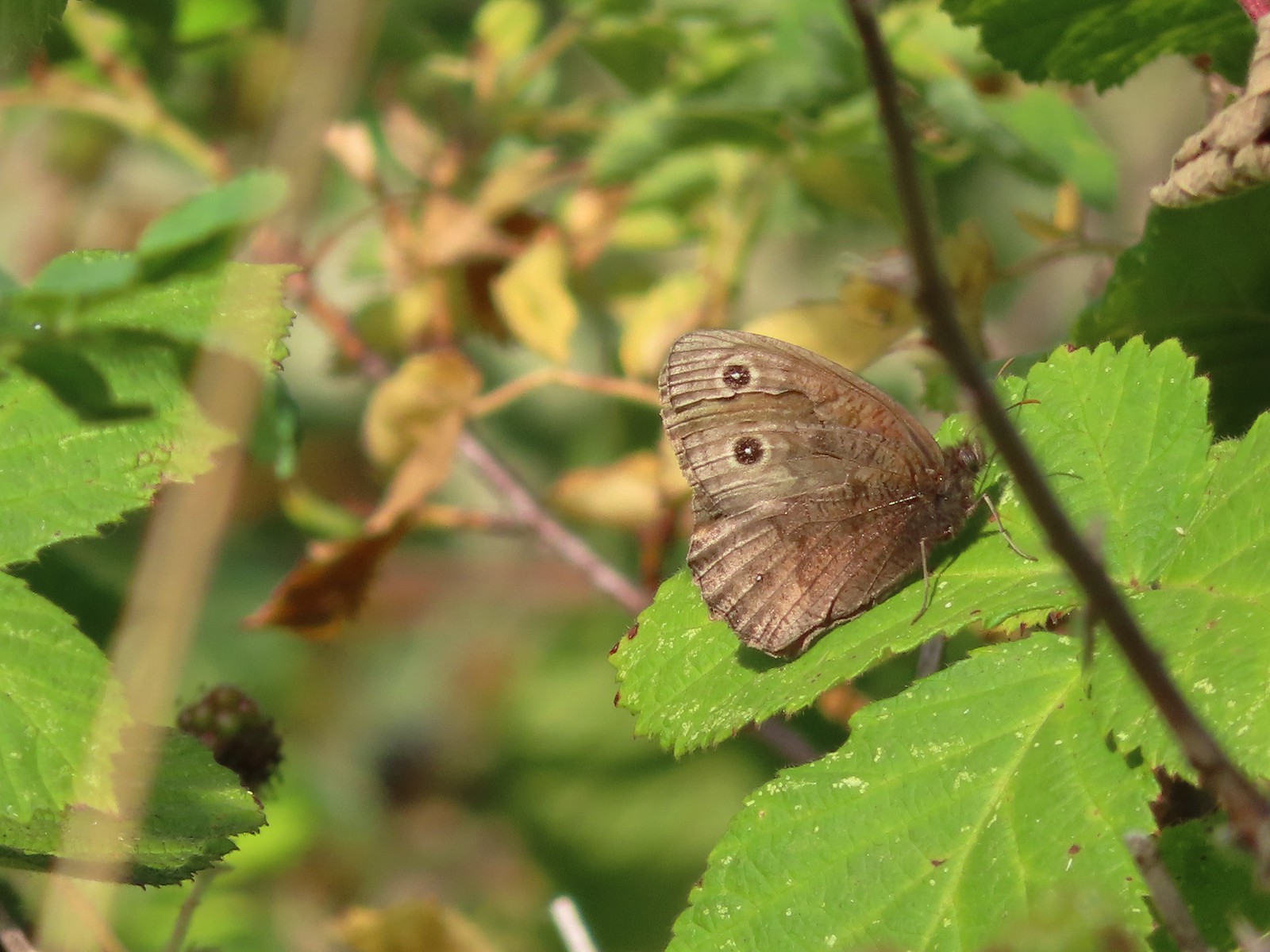 Common woodnymph – E. E. Wilson Wildlife Area
 Another woodnymph – Rogue-Umpqua Divide Wilderness
 Orange sulphur – Siskiyou Wilderness
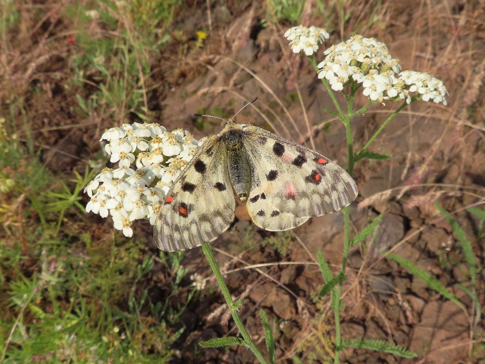 Mountain parnassian – Eagle Cap Wilderness
 Clodius parnassian – Hemlock Lake
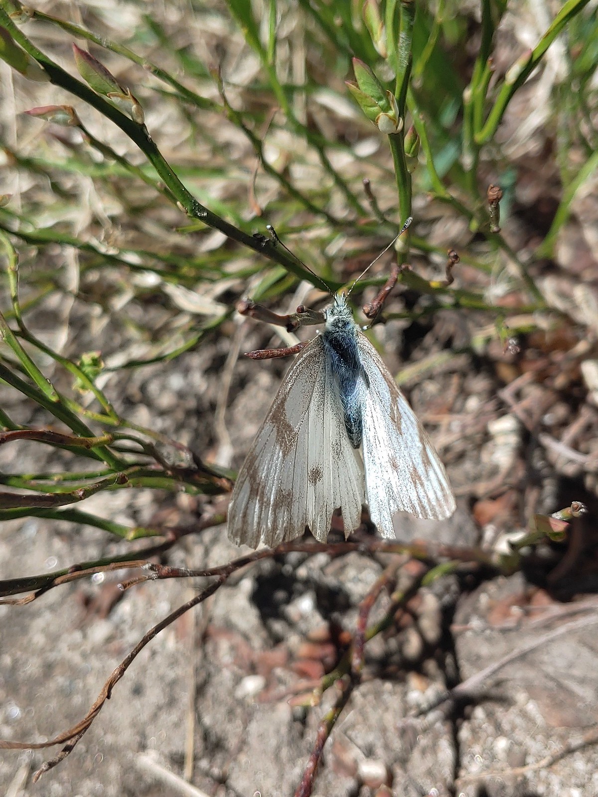 Western white? – Eagle Cap Wilderness
 Western white – Trinty Alps Wilderness
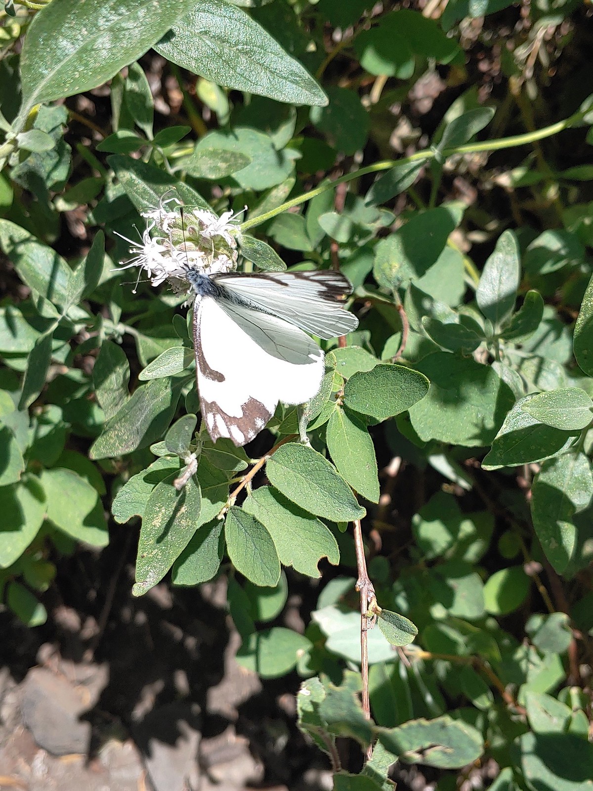 Pine white – Russian Wilderness
 Butterfly – Eagle Cap Wilderness
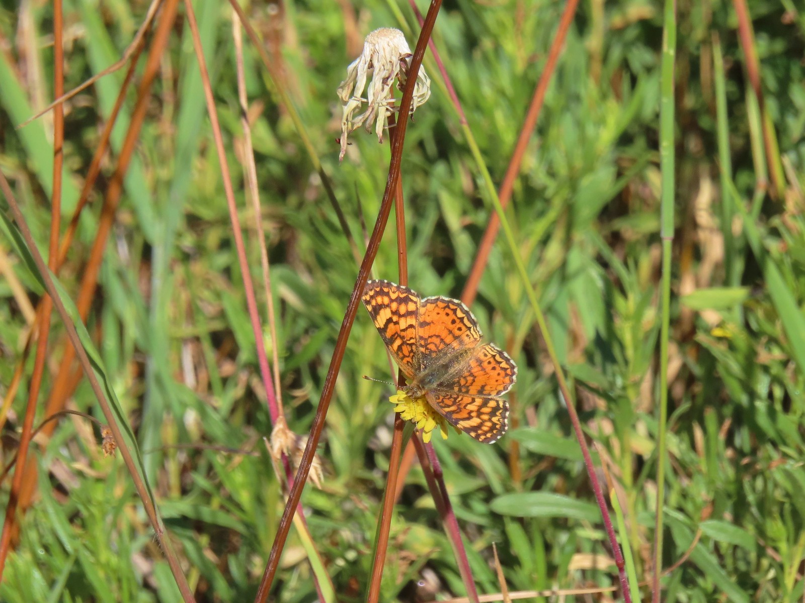 Butterfly – Russian Wilderness
 Butterfly – Mt. Adams Wilderness
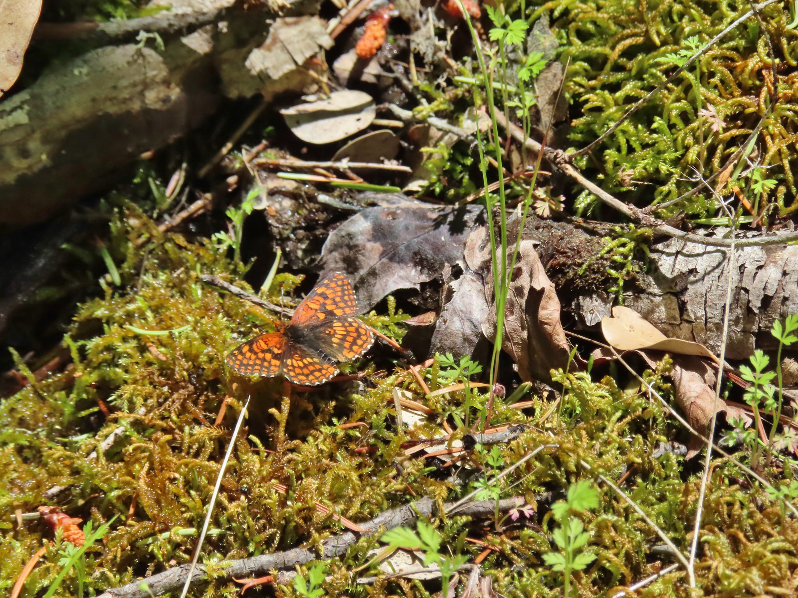 Butterfly – Mule Mountain
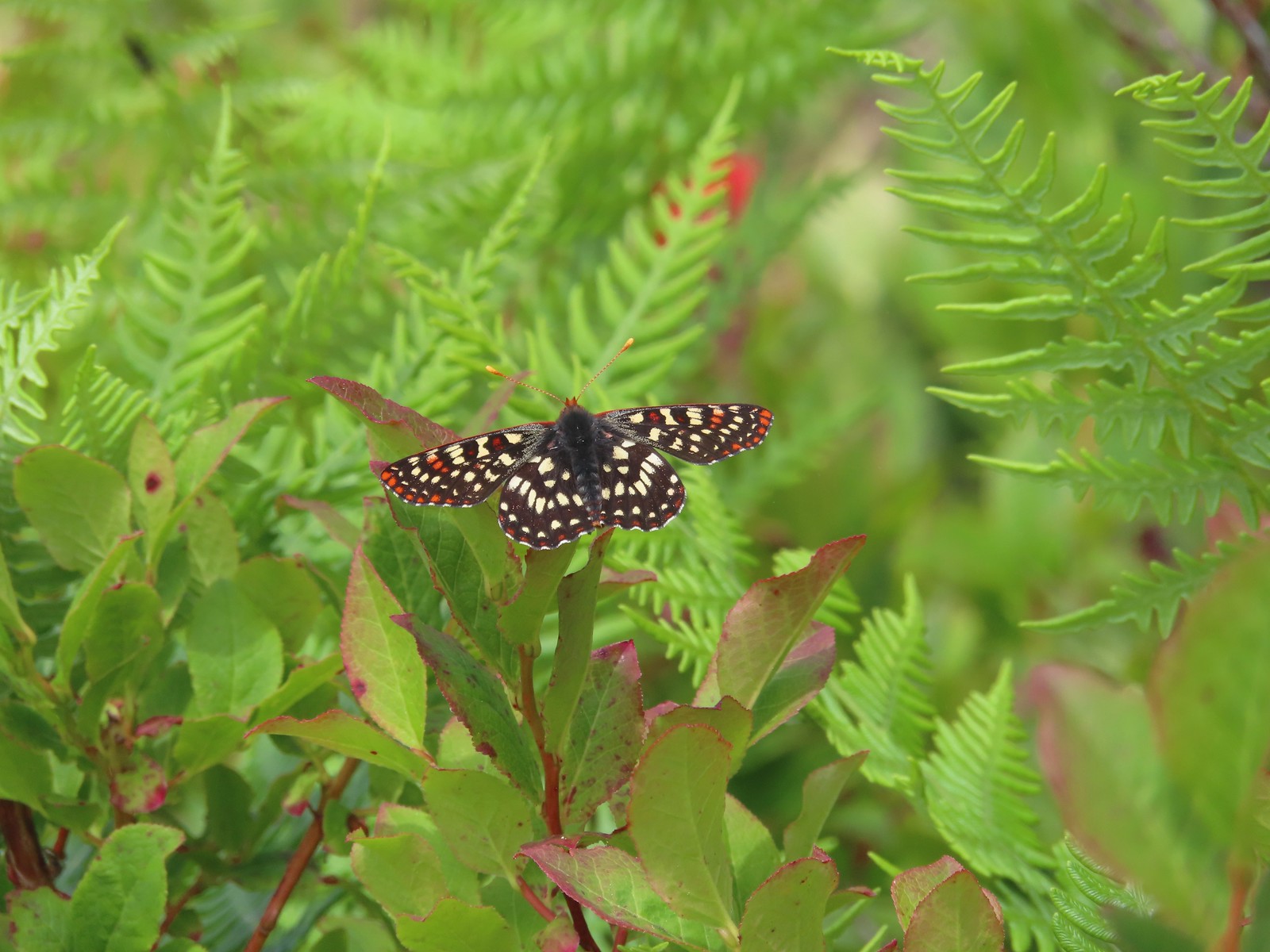 Butterfly – Silver Star Mountain
 Butterfly – Silver Star Mountain
 Butterfly – Silver Star Mountain
 Western meadow fritillary? – Silver Star Mountain
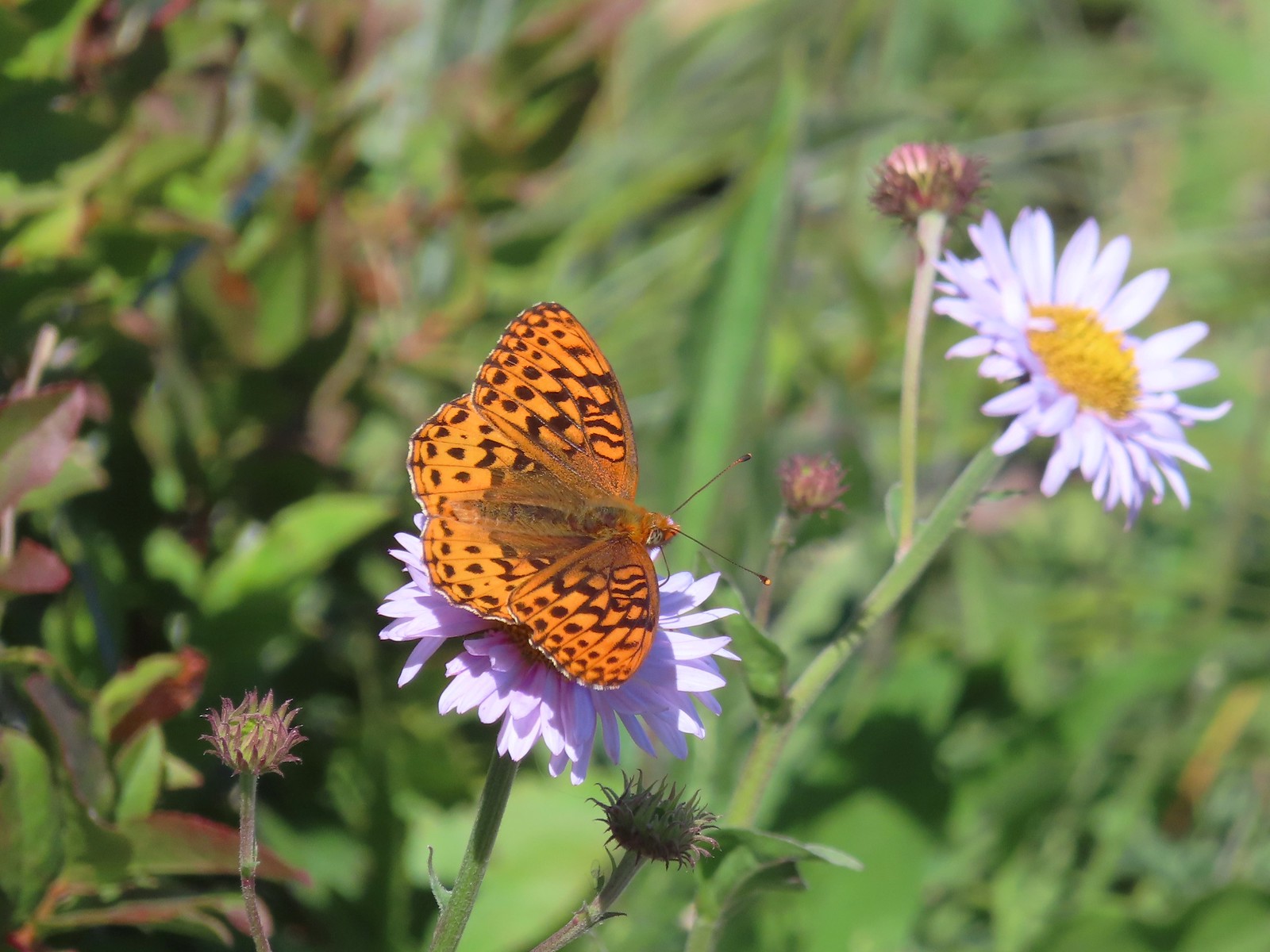 A fritillary – Silver Star Mountain
 A fritillary – Trinity Alps Wilderness
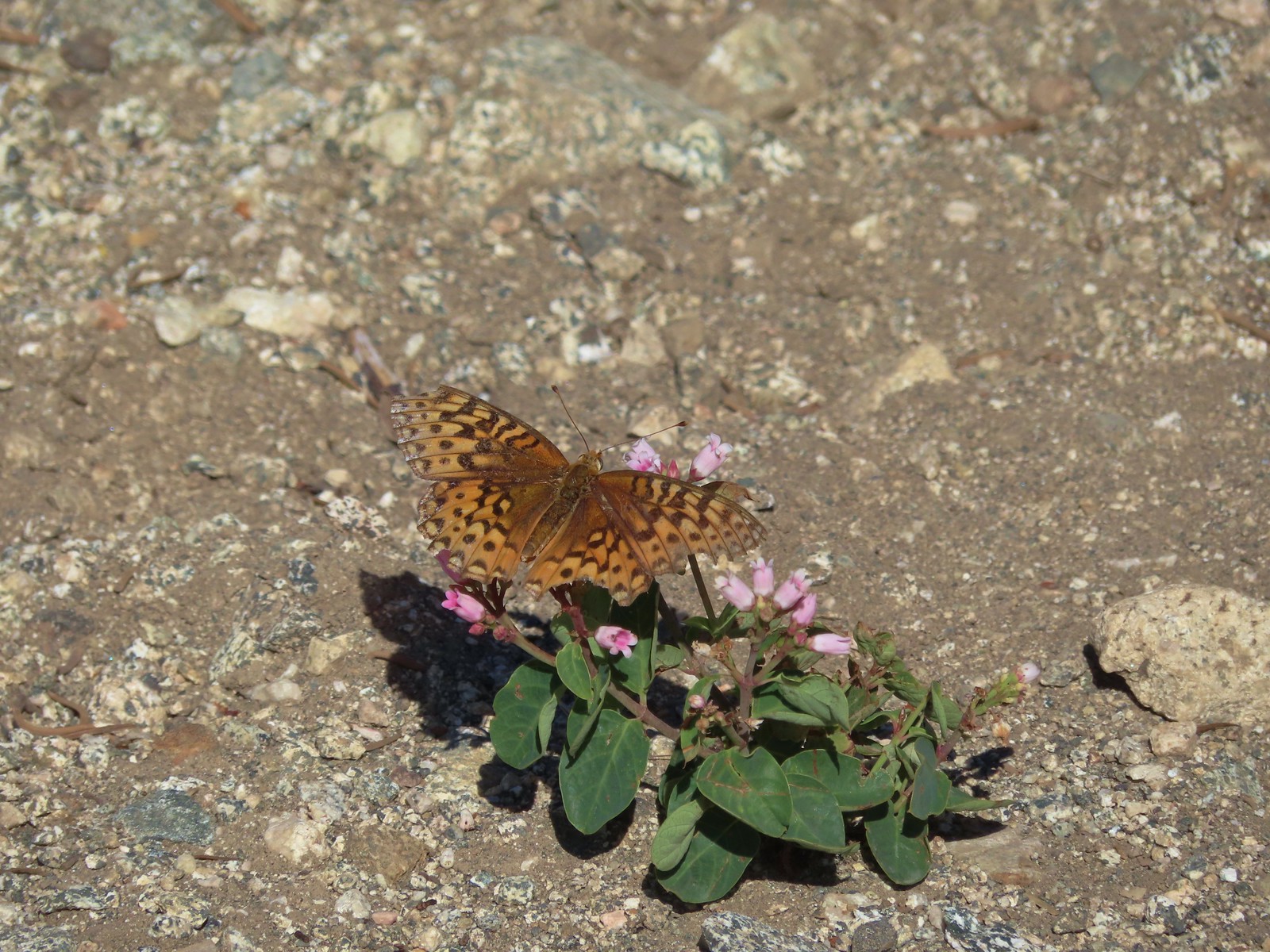 A fritillary -Russian Wilderness
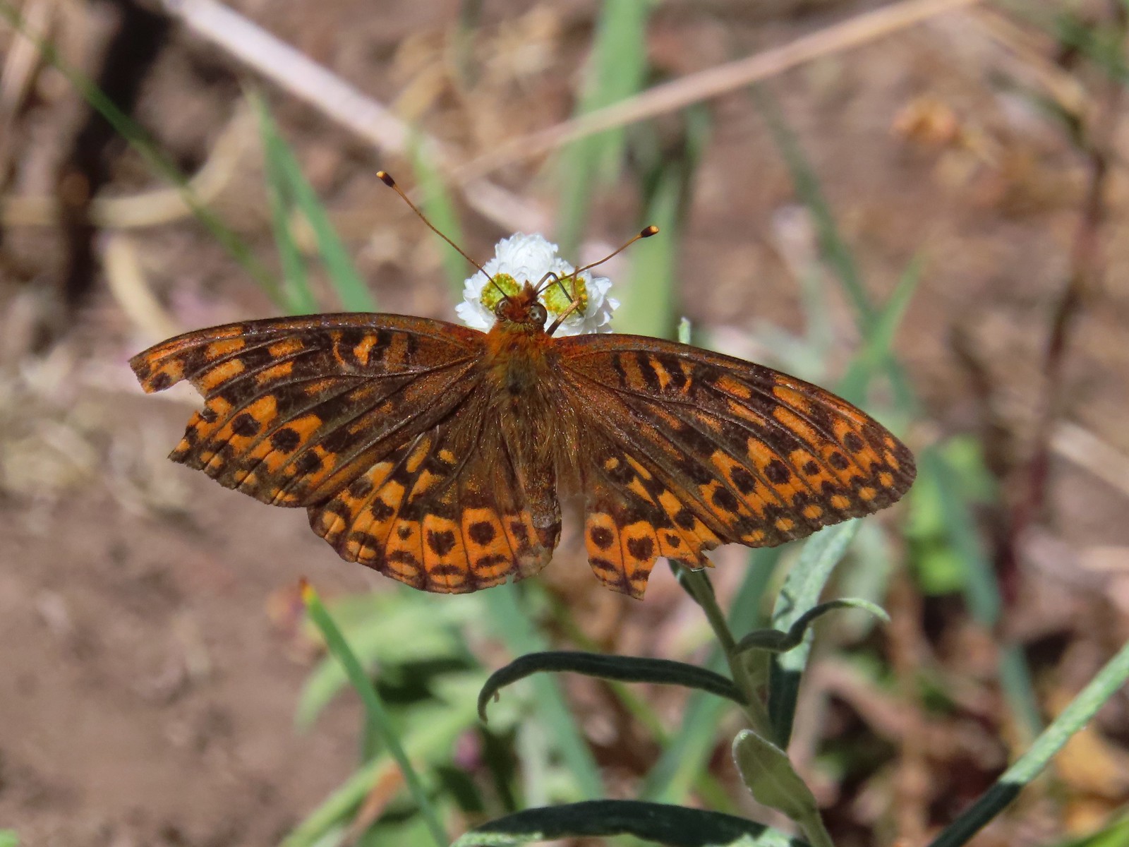 A fritillary – Rogue-Umpqua Divide Wilderness
 Mourning cloak – Klickitat Trail
 California tortoiseshell – Siskiyou Wilderness
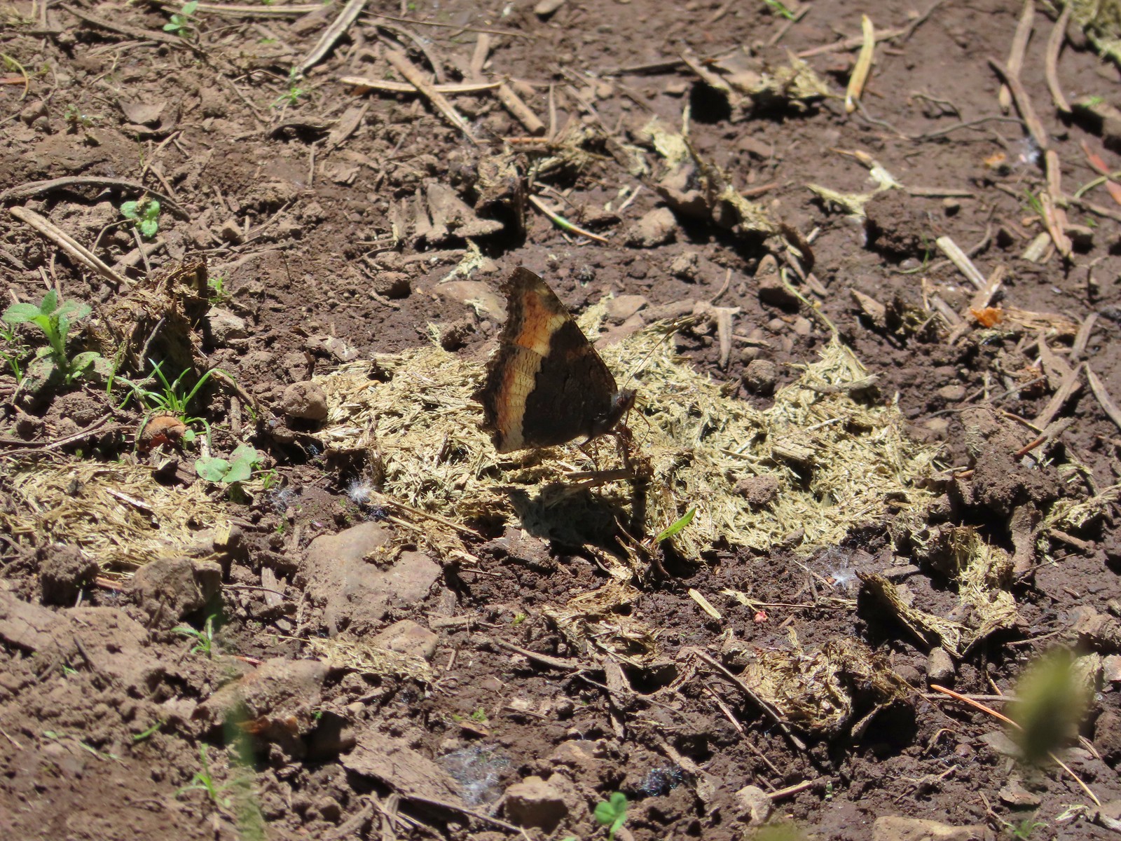 Milbert’s tortoiseshell – Eagle Cap Wilderness
 Lorquin’s admiral – Eagle Cap Wilderness
 Common buckeye – Mt. Shasta Wilderness
 Hoary comma – Sky Lakes Wilderness
 Green comma? – Eagle Cap Wilderness
 Klickitat Trail
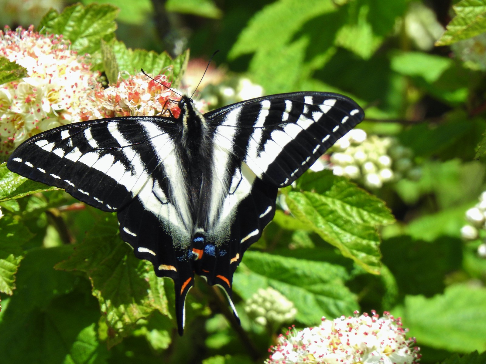 Julia Butler Hanson Wildlife Refuge
 Eagle Cap Wilderness
 Tadpoles – Russian Wilderness
 Tadpole transforming – Mt. Adams Wilderness
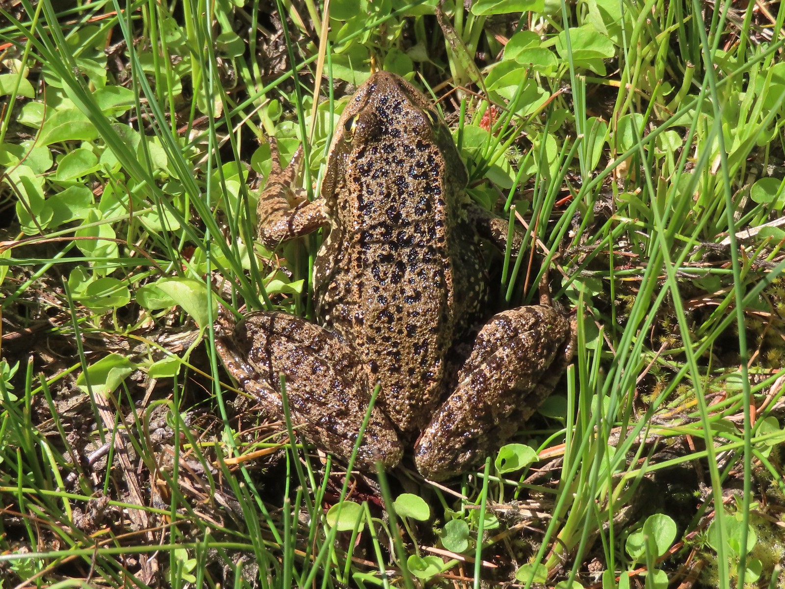 Frog – Russian Wilderness
 Frog – Goat Marsh Lake
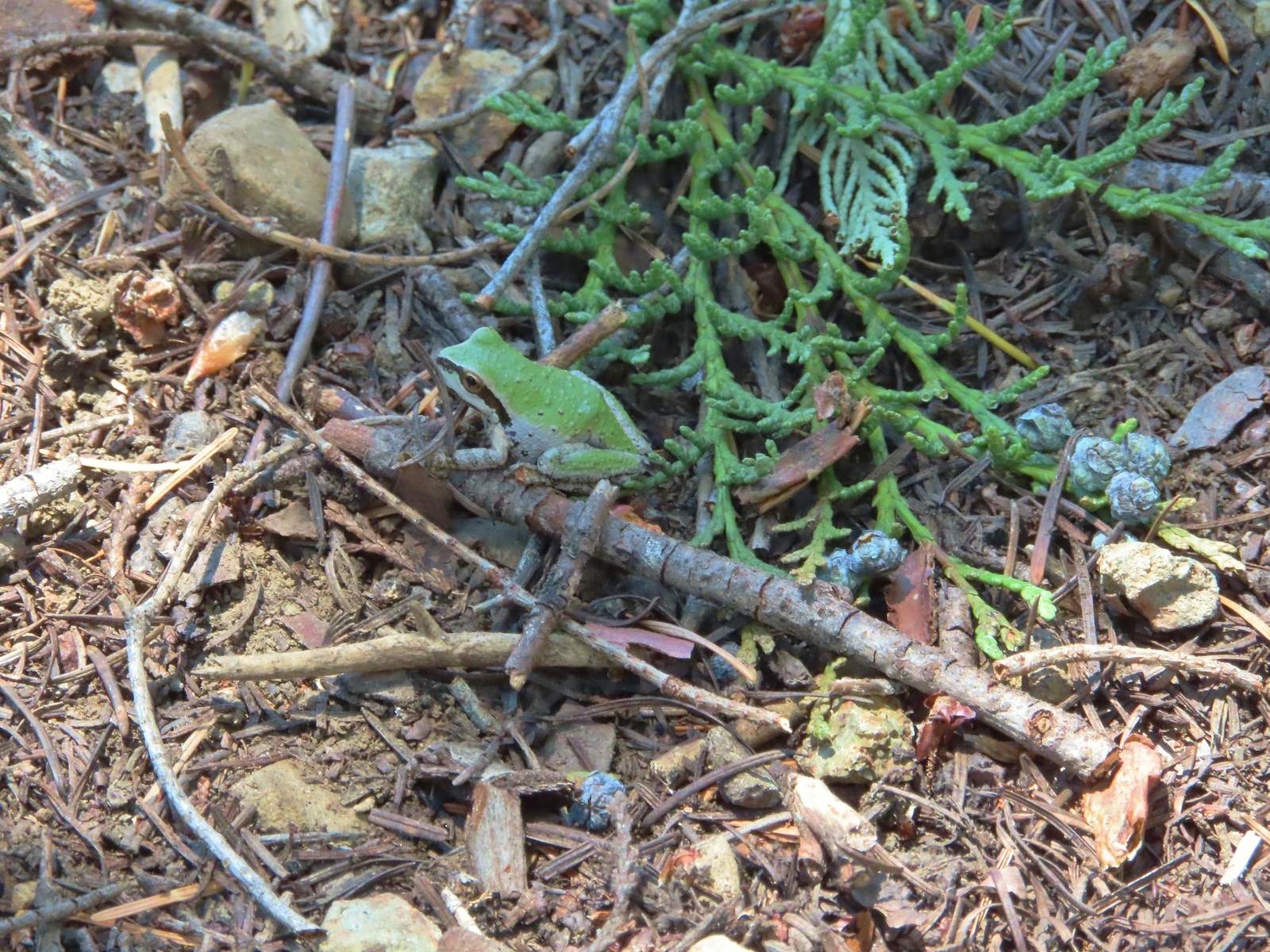 Tree frog – Siskiyou Wilderness
 Frog – Trinity Alps Wilderness
 Toad – Trinity Alps Wilderness
 Toad – Mt. Jefferson Wilderness
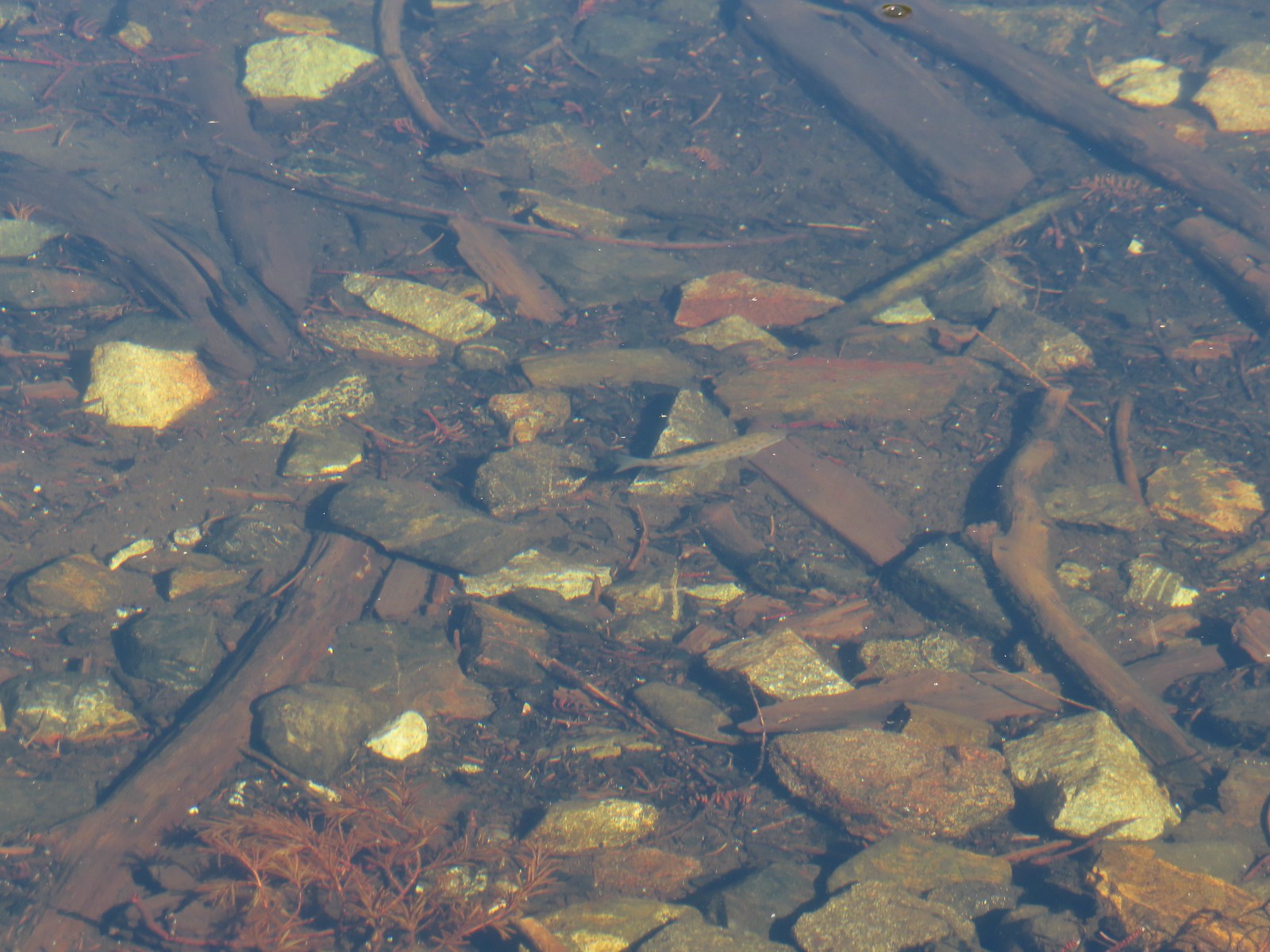 Fish – Siphon Lake
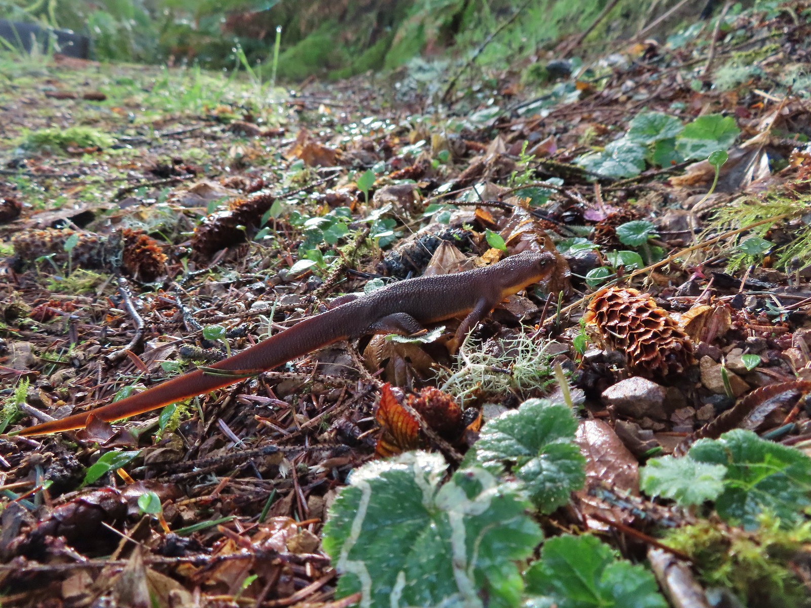 Rough skinned newt – Yakona Nature Preserve
 Western painted turtle – Julia Hansen Butler Wildlife Refuge
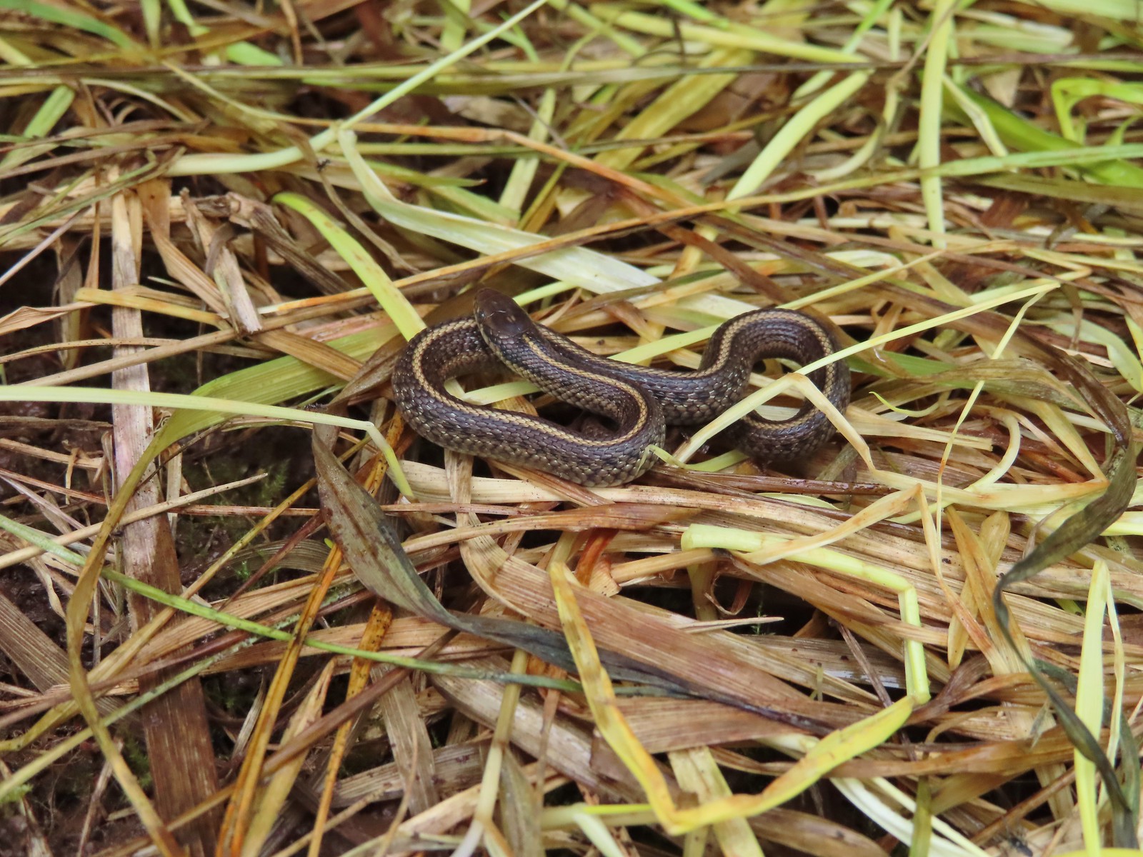 Baby snake – Miller Woods
 Garter snake – Julia Hansen Butler Wildlife Refuge
 Lizard – Mule Mountain
 Lizard – Upper Table Rock
 Lizard – Russian Wilderness
 Lizard – Siskiyou Wilderness
 Lizard – Klickitat Trail
 Lizard – Upper Table Rock
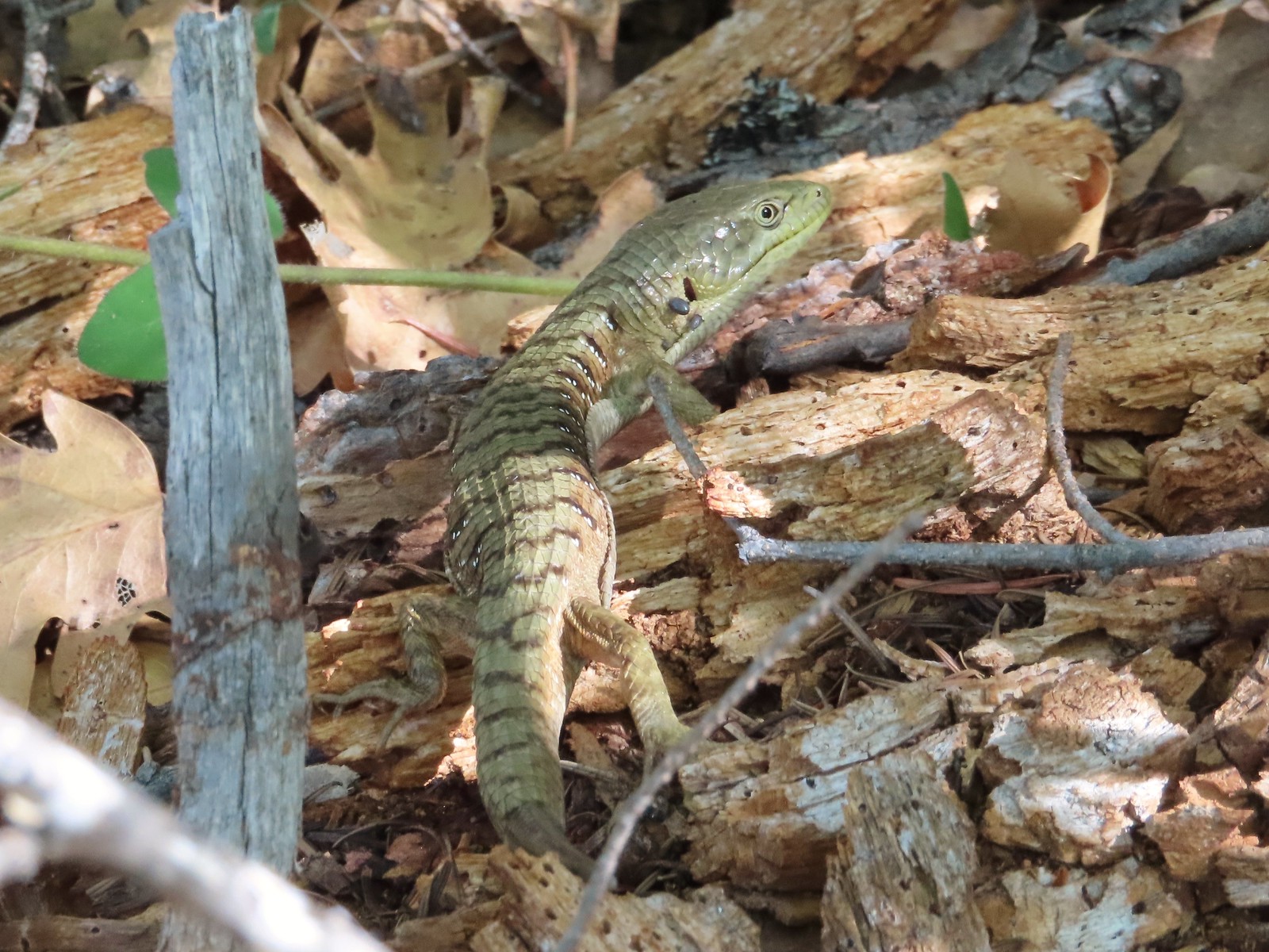 Alligator lizard – Mule Mountain
 Chipmunk – Observation Peak
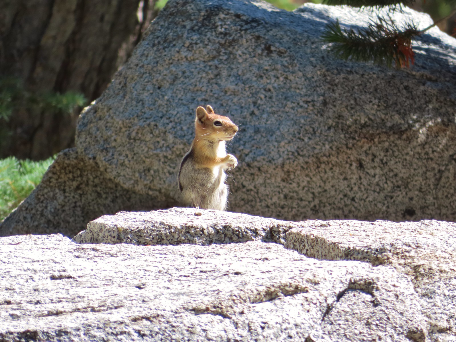 Ground squirrel – Russian Wilderness
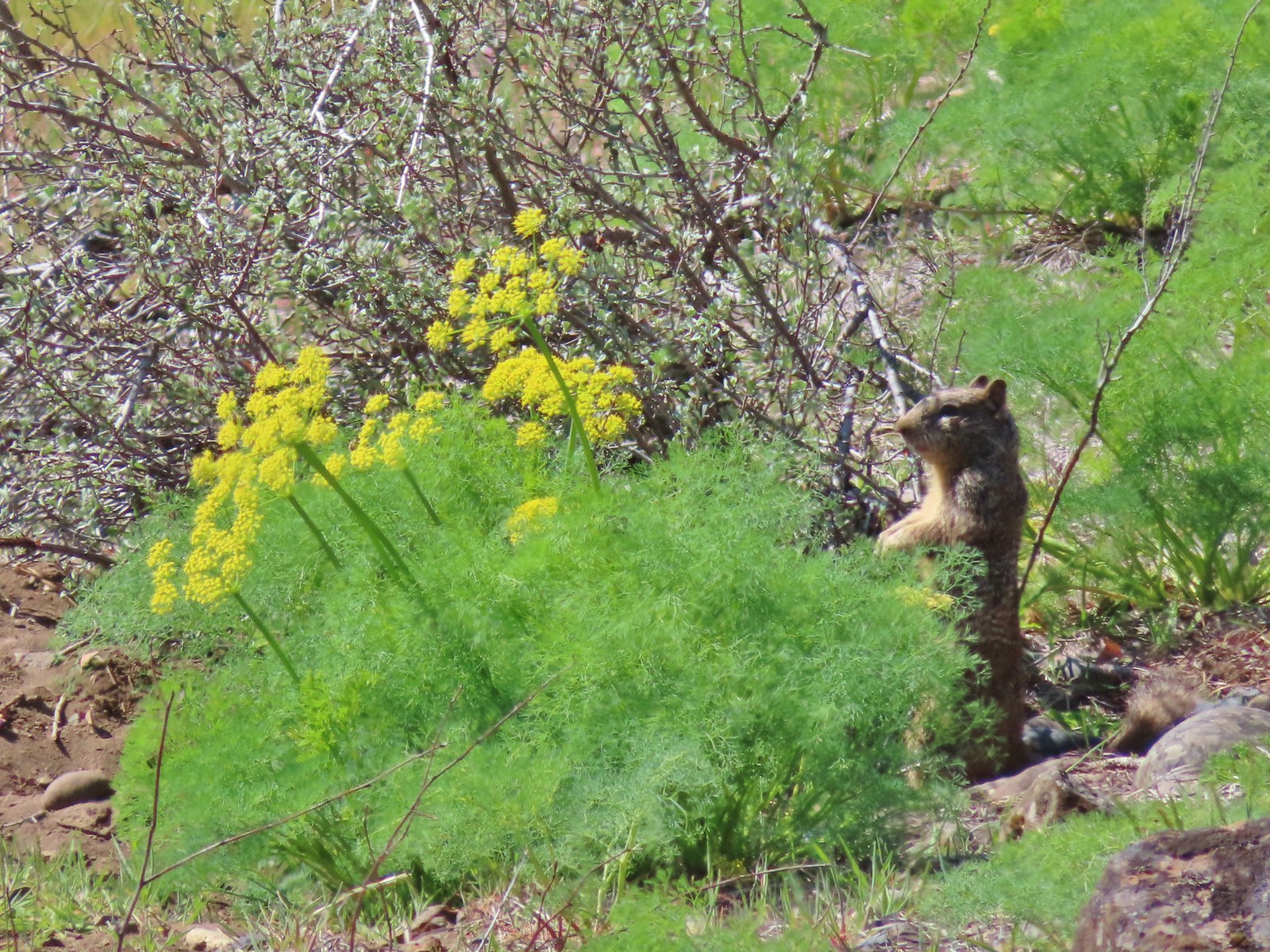 Ground squirrel – Klickitat Trail
 Ground squirrel – Eagle Cap Wilderness
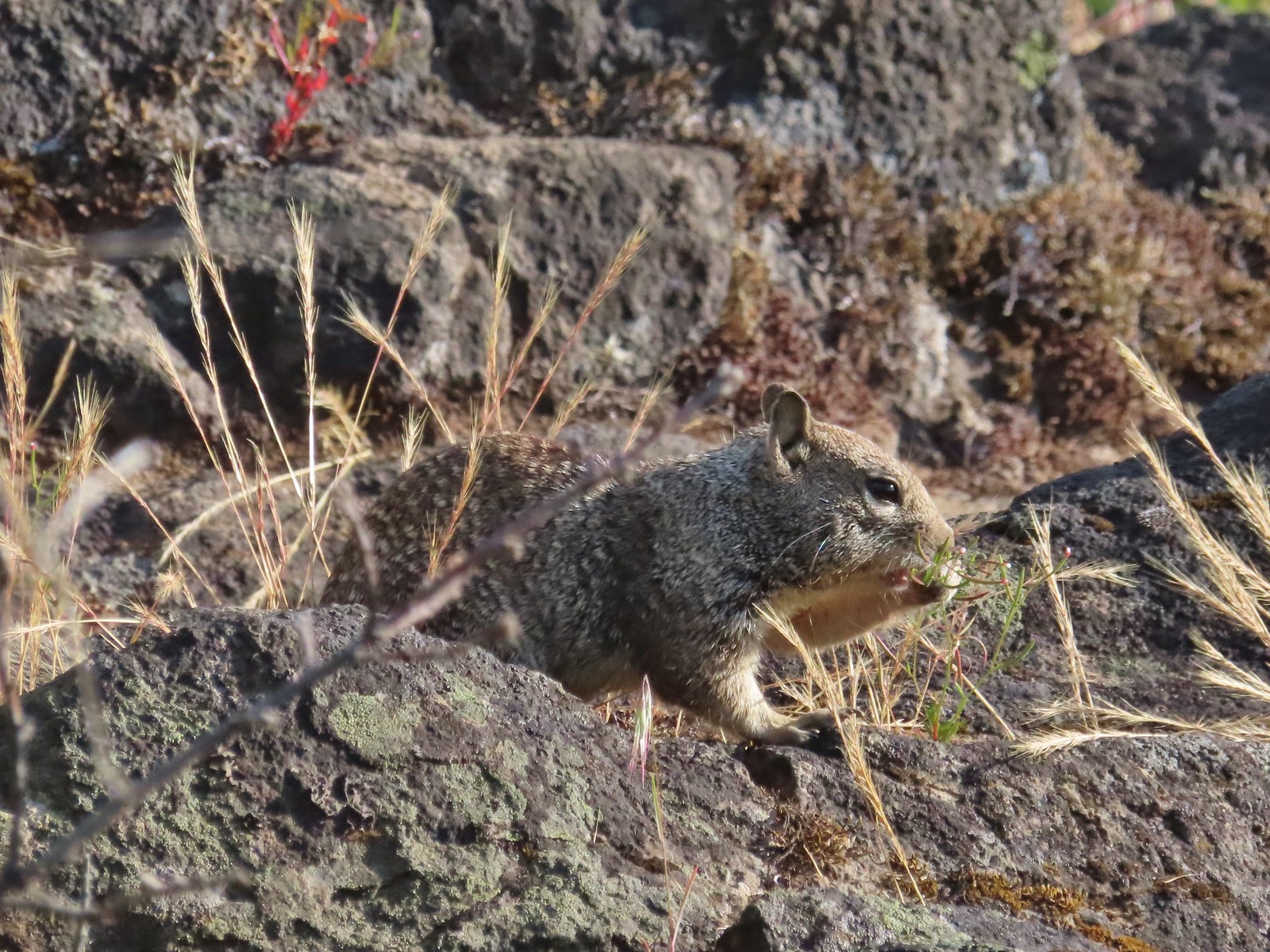 Ground squirrel – Upper Table Rock
 Squirrel – Rock Creek Trail
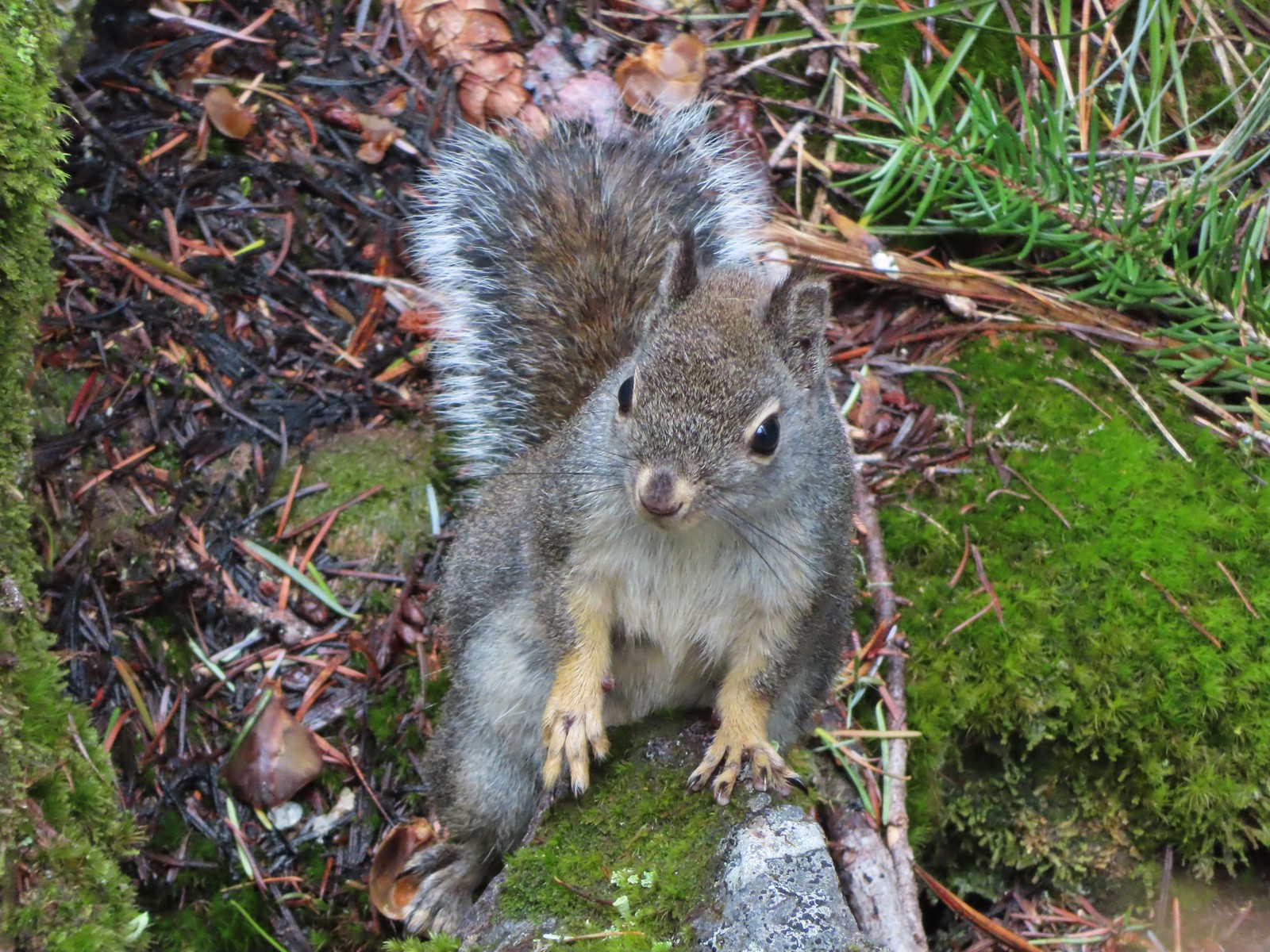 Squirrel – Twin Lakes
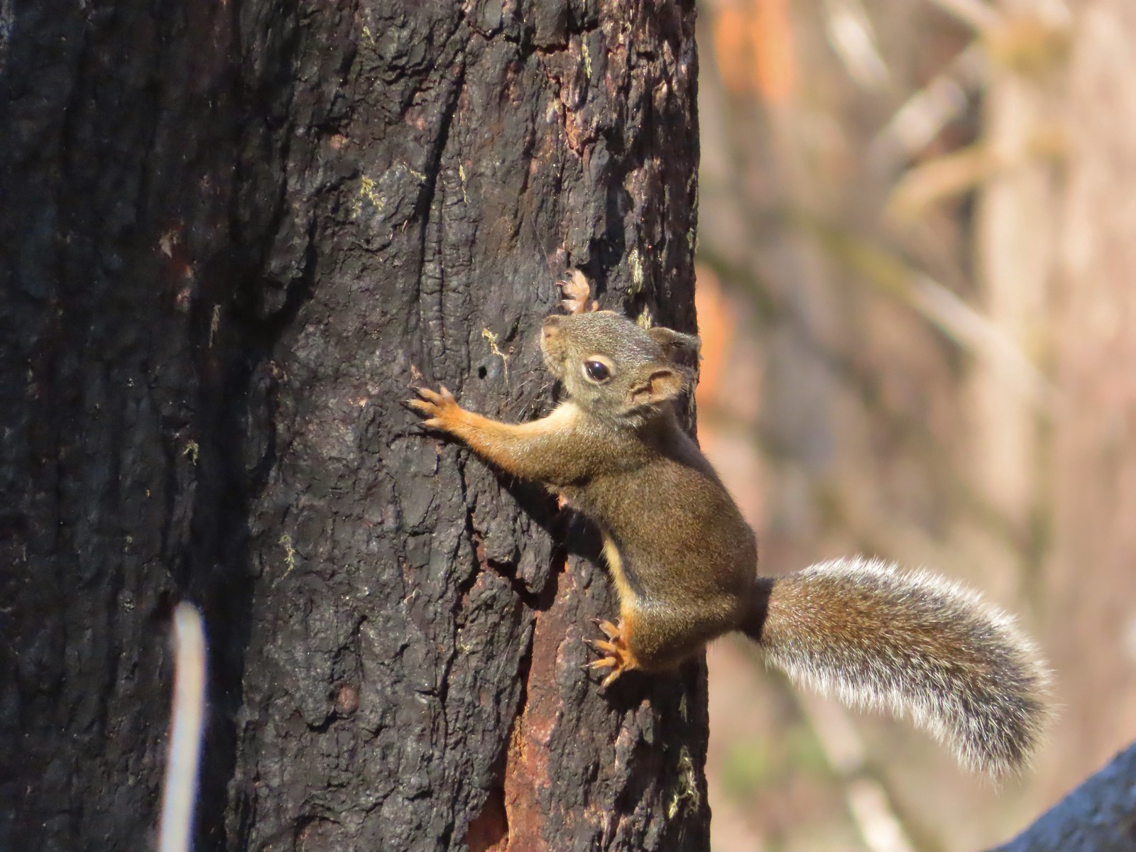 Squirrel – Larch Mountain Trail
 Marmot – Wallowa Homeland
 Jack rabbit – Denman Wildlife Area
 Rabbit – E. E. Wilson Wildlife Area
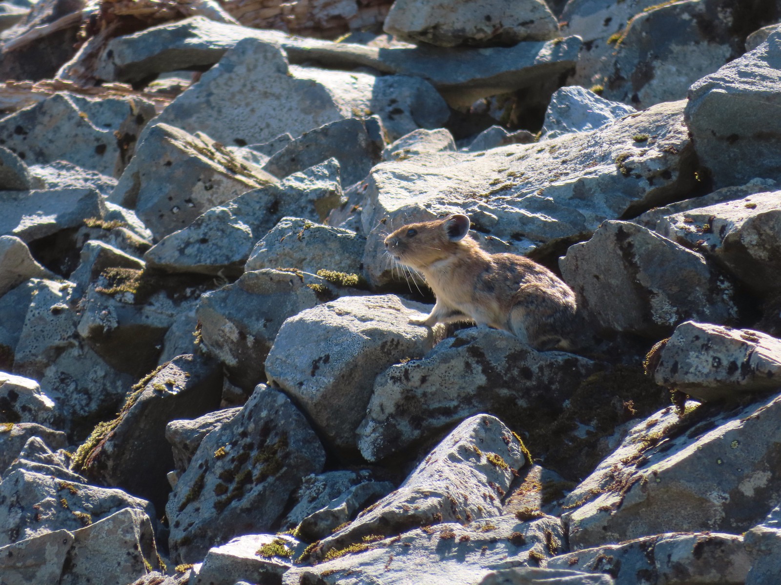 Pika – Silver Star Mountain
 Muskrat – Julia Butler Hansen – Wildlife Refuge
 Otter – Killin Wetlands
 Sea lion – Hart’s Cove
 Deer – Memaloose Hills
 Doe – Miller Woods
 Mamma – Roxy Ann Peak
 Fawn – Roxy Ann Peak
 Columbian white-tailed buck – Julia Butler Hansen Wildlife Refuge
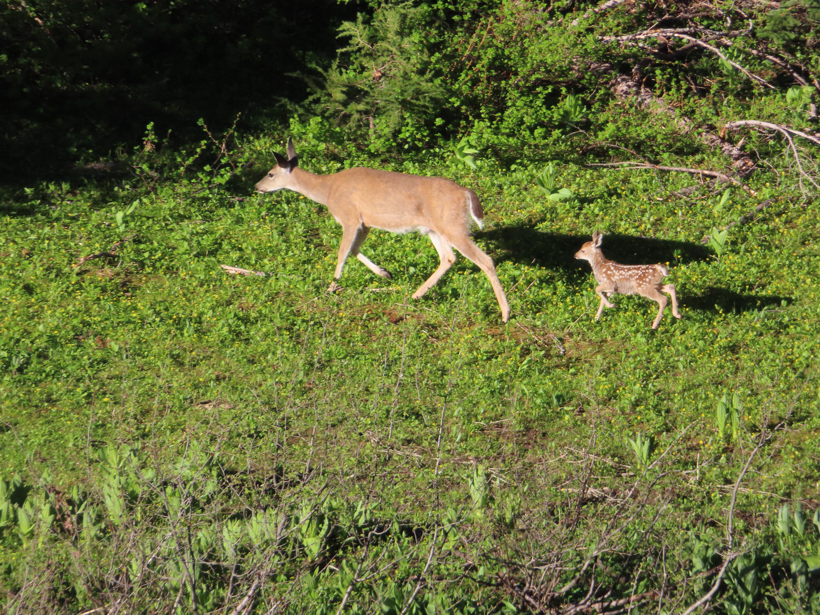 Doe & fawn – Donomore Meadows
 Three bucks – Siskiyou Wilderness
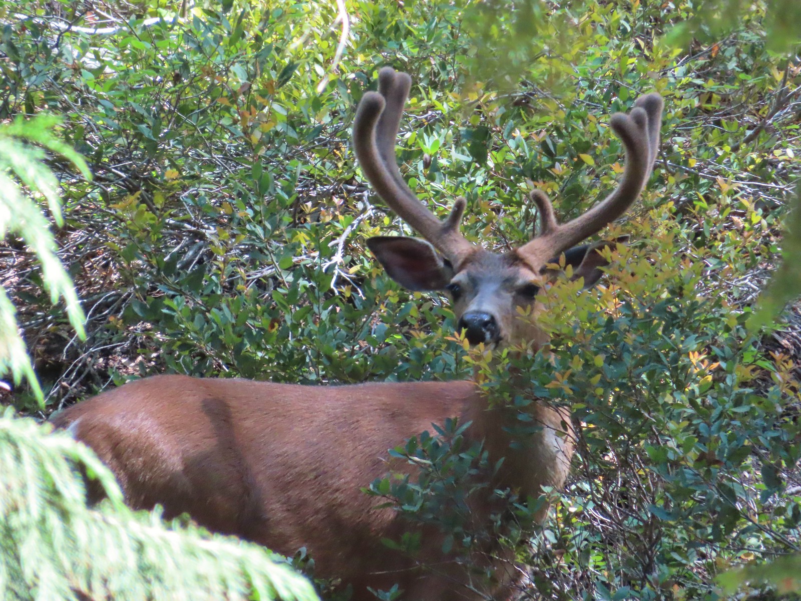 Buck – Siskiyou Wilderness
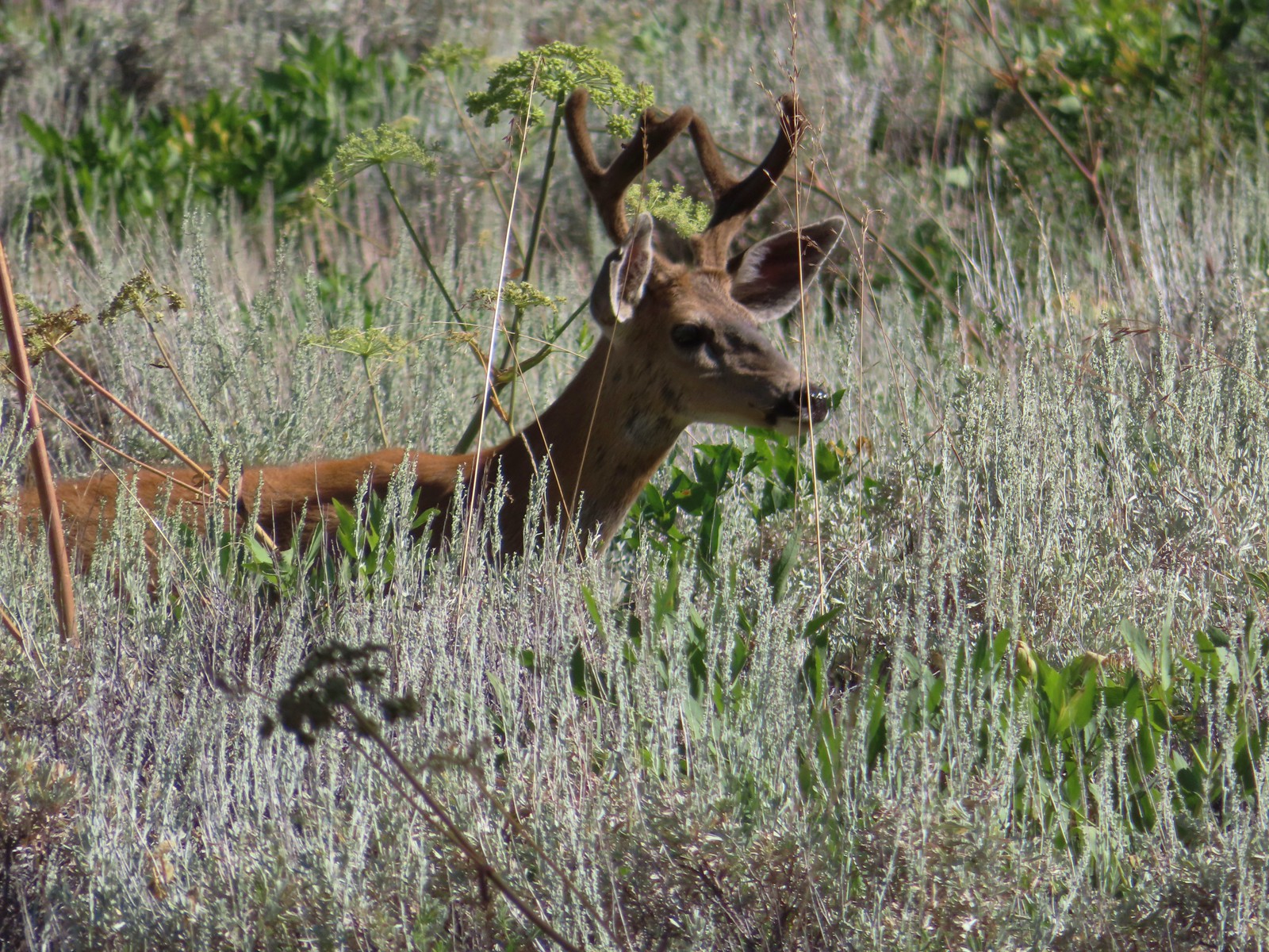 Buck – Trinity Alps Wilderness
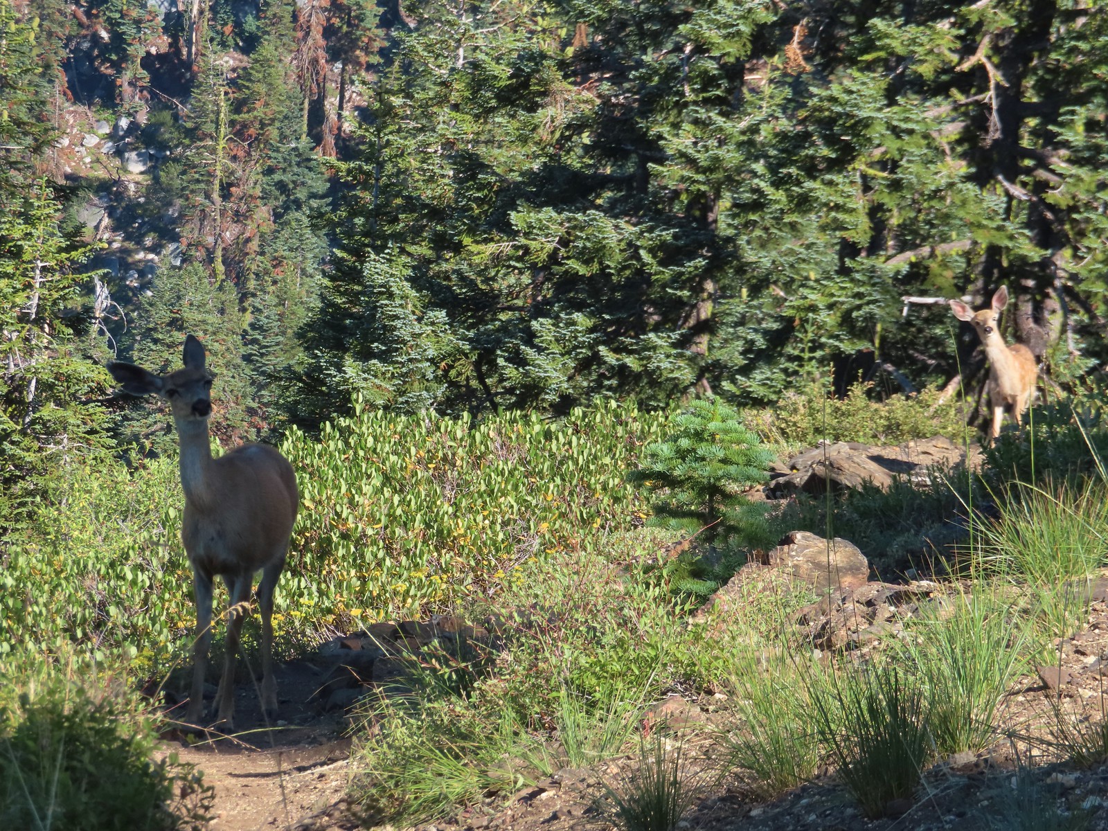 Doe & fawn – Russian Wilderness
 Buck and does – Russian Wilderness
 Two bucks – Crater Lake National Park
 Elk – Yakona Nature Preserve
 Bull elk – Julia Butler Hansen Wildlife Refuge
 Mountain goat below the Mt. Ireland Lookout – Mt. Ireland
 Domestic goat – Near the Julia Butler Hansen Wildlife Refuge
 Black bear – Siskiyou Wilderness
 The same black bear making eye contact the day before.
 The Bear Creek Trail at the trailhead.
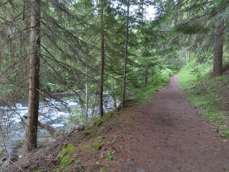
 Footbridge over Bear Creek.
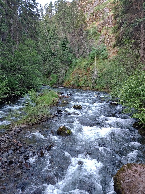

 Milk-vetch
 Mountain lady-slippers
 Bug on a thimbleberry leaf.
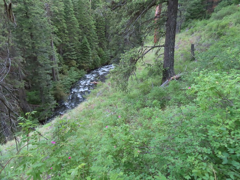 There were a couple of ups and downs where the trail got above Bear Creek.
 Baker Gulch
 Cliffs on the opposite side of Bear Creek.
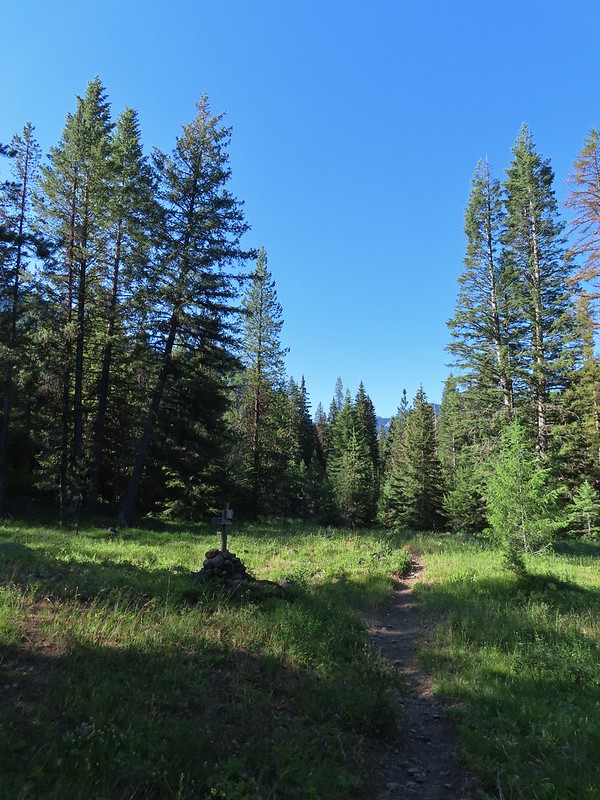 Trail sign marking the junction with the Goat Creek Trail. By this time we had crossed into the
 Prairie smoke a.k.a. old mans whiskers
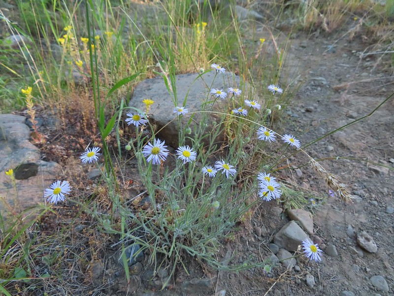 A fleabane
 The Bear Creek Trail crossing Goat Creek.
 Footbridge over Goat Creek.
 Goat Creek
 The unmarked but obvious spur trail to the (locked) Bear Creek Guard Station on the right.

 Moneses uniflora – one-flowered moneses
 Hairstreak
 Crab spider
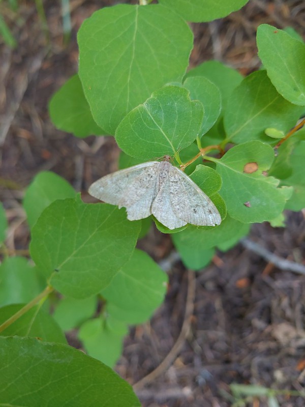 Moth
Moth Swallowtail on a bog orchid
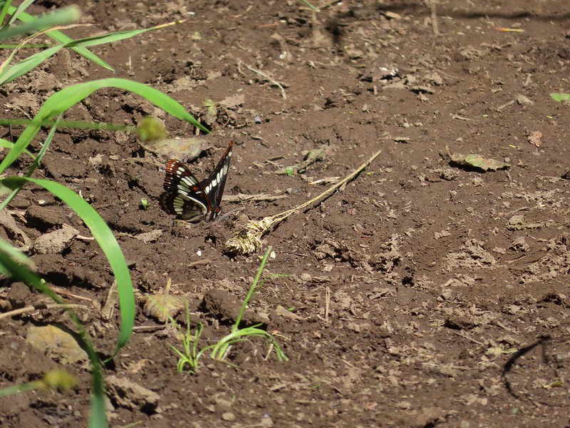 Lorquin’s admiral
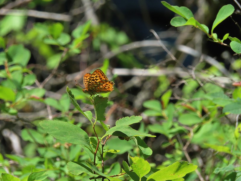 A fritillary butterfly with some sort of spider on the underside of a leaf below to the right.
 First time we’ve started a hike from a motel room.
 Passing the Visitor Center on 2nd Street.


 Dance arbor
 Marmot
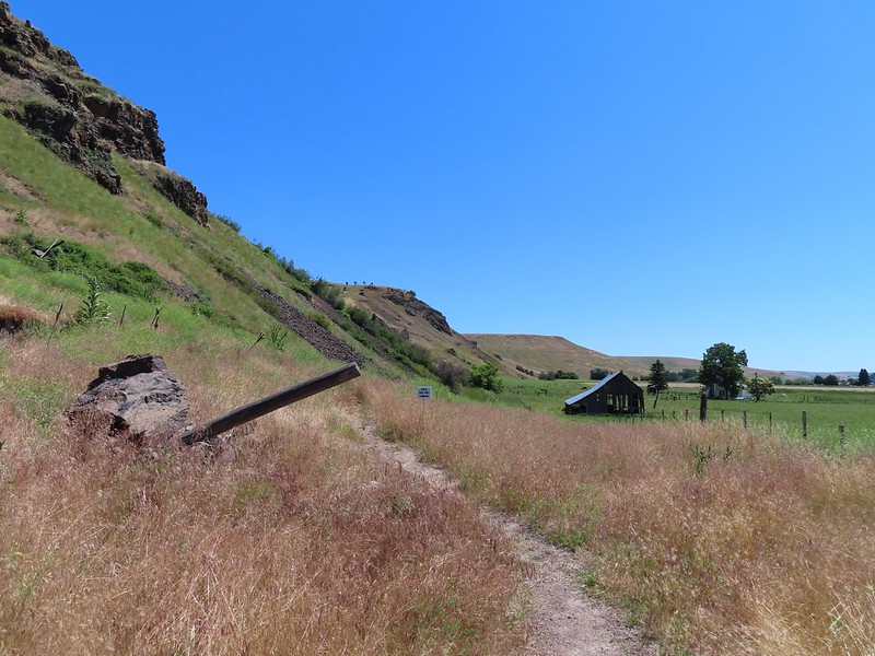 Approaching the pointer uphill.
 Scarlet gilia
 Dustymaidens
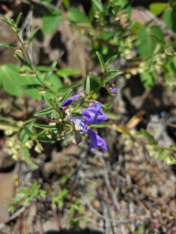 Skullcap
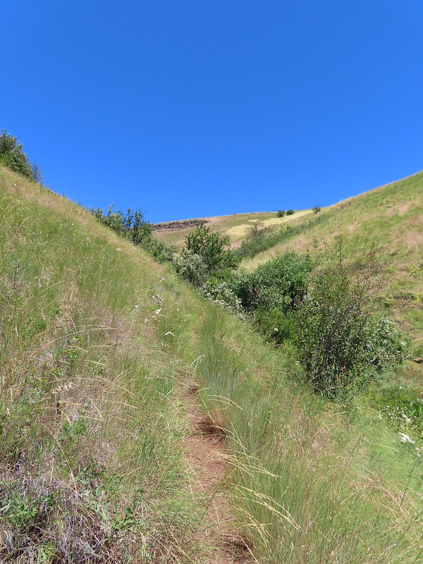 Heading up Tick Hill
 Yarrow
 Lupine
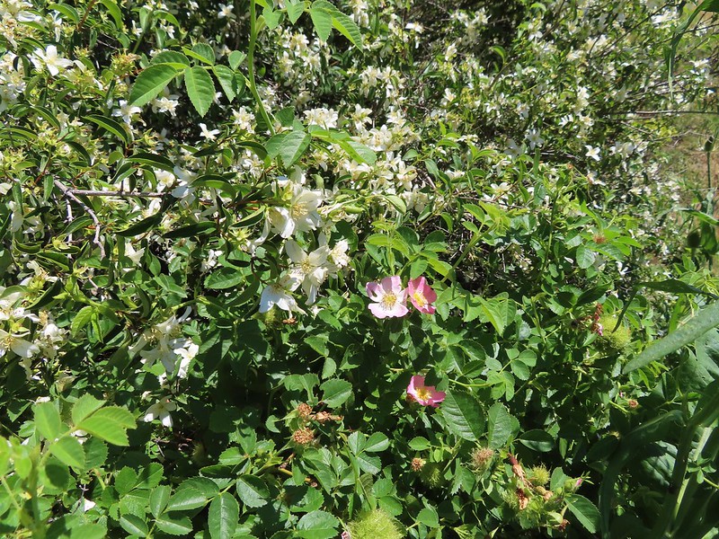 Mock orange and wild rose
 Dragon fly
 Moth mullien
 Blanket flower
 Checker-mallow and vetch
 The Wallowas from the trail.
 Sagebrush mariposa lily
 A buckwheat
 The Wallowa River and dance arbor from the viewpoint.
 The Wallowa Mountians
 Heading back to the post from the viewpoint.
 About a quarter mile from the post we crossed this road leading to some radio towers.
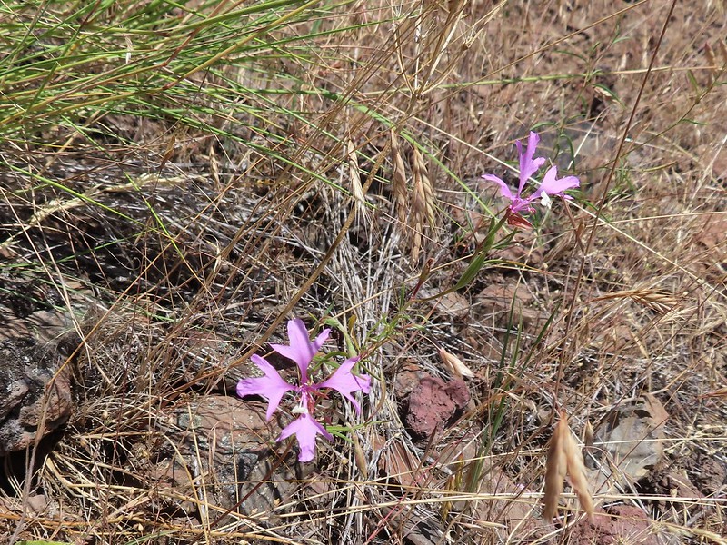 Elkhorn clarkia
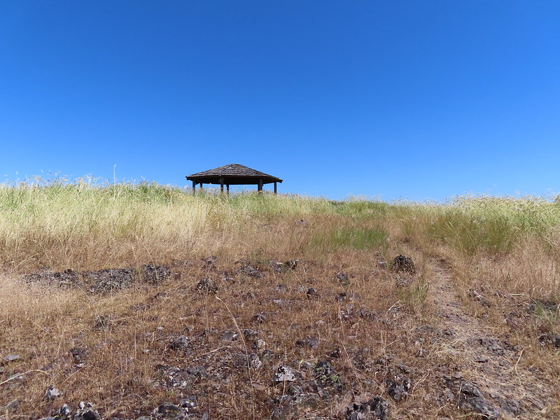 The gazebo ahead.
 Shade!
 Plaque near the gazebo.
 View from the gazebo.
 From left to right: Point Joseph, Hurricane Point, Ruby Peak, and Sawtooth Peak.
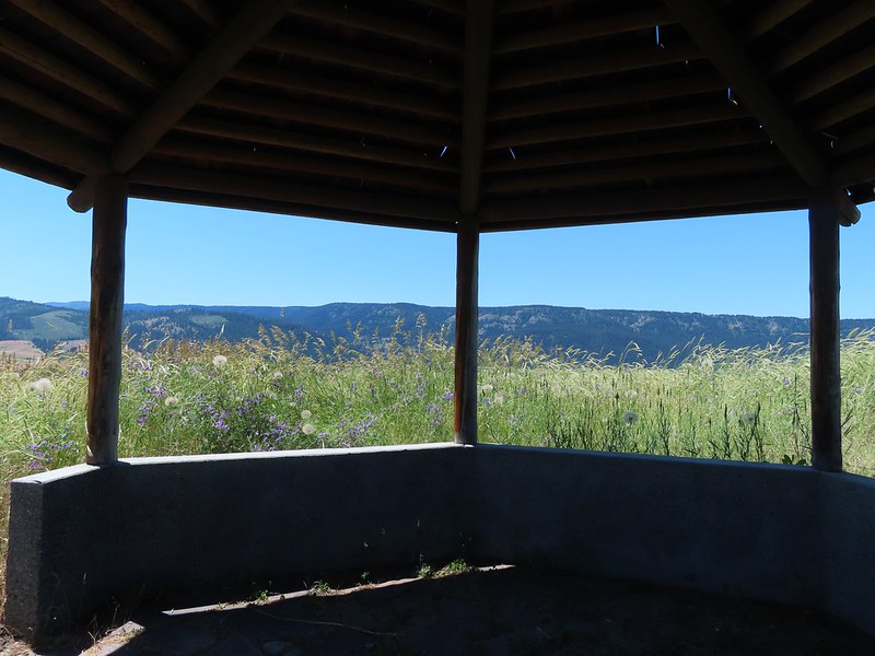
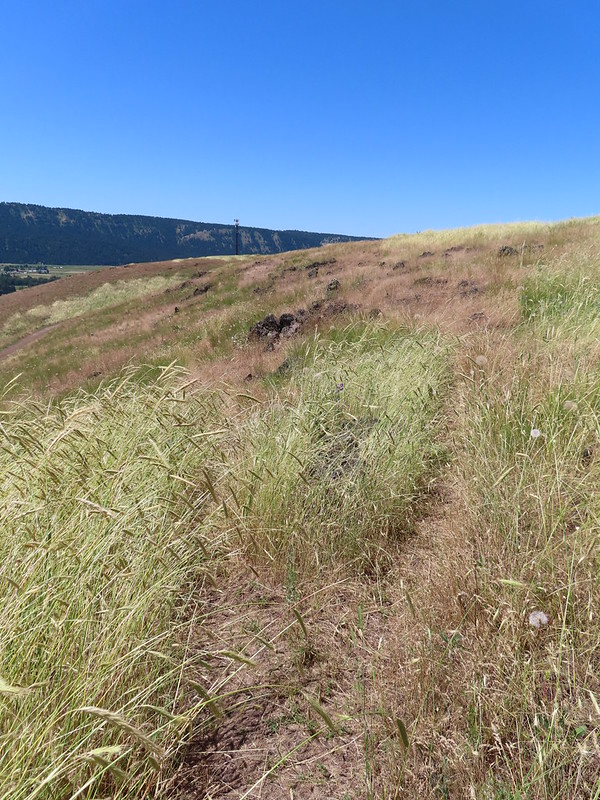 At the junction with the spur trail to the gazebo. We came up from the left and continued on to the right.
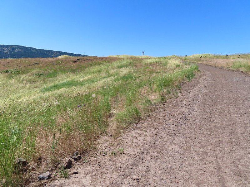 Recrossing the road.
 Western meadowlark
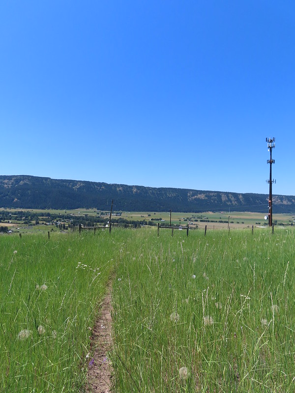 Heading toward the radio tower.
 A fleabane
 There were several plaques along this stretch.
 Various wildflowers
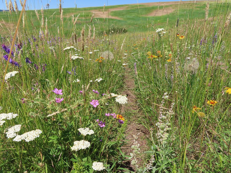
 Cinquefoil
 Lots of blanket flower.
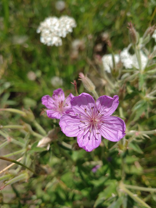 Sticky geranium
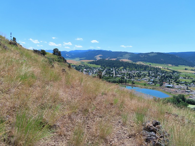
 Grand collomia
 Scarlet gilia
 The last line is great advice.
 Swallowtail
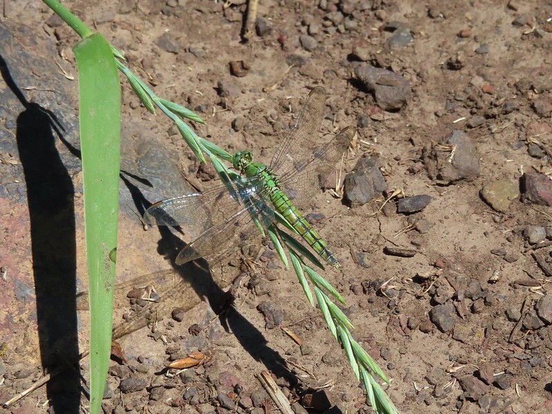 Dragon fly
 Bachelor buttons
 Swallowtail on hyssop.
 Wallowa River
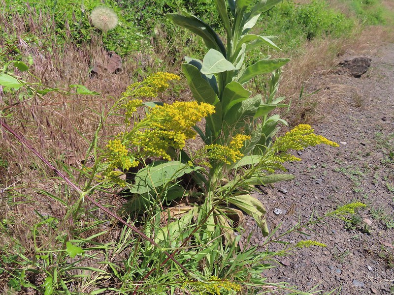 Goldenrod


 We parked about 200′ north of the actual trailhead per a suggestion by Sullivan in his guidebook.
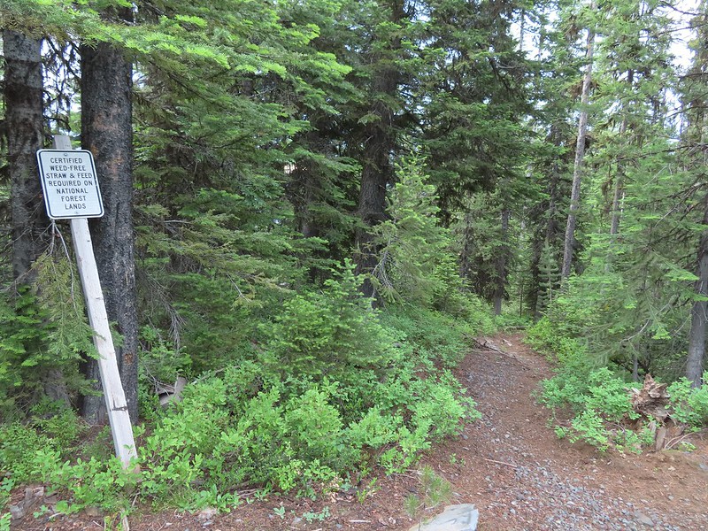 The Rock Springs Trail at FR 62.
 The trail passed a large rock field just below FR 62 and then entered the
 Lupine
 Coralroot

 The edge of the storm clouds.
 Scarlet gilia along the trail.
 Oregon sunshine and tapertip onion
 Nettle-leaf giant hyssop
 View from the trail before the first “viewpoint”.
 Oregon checker-mallow
 Assorted wildflowers
 Blue sky following the storm clouds.
 Scabland penstemon
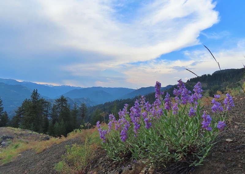 Penstemon near the first “viewpoint”.
 Yarrow
 Douglas dustymaiden
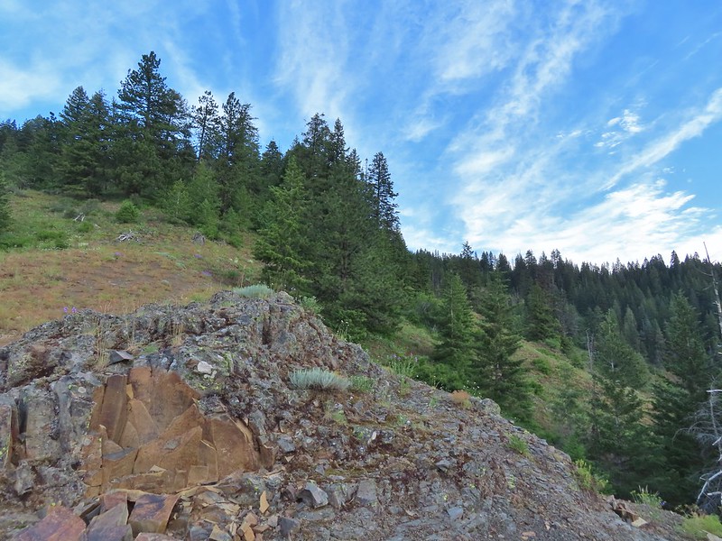 Looking back from the viewpoint.
 Buckwheat
 The Point Prominence Lookout atop the high point to the left.
 Ballhead sandwort
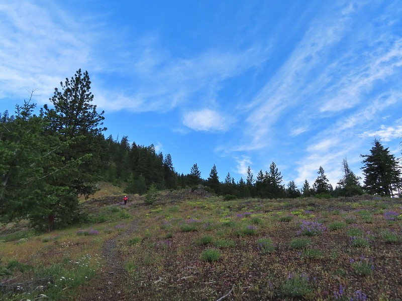 Heather coming down from the viewpoint.
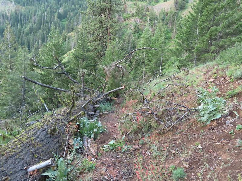 Blowdown over the trail.
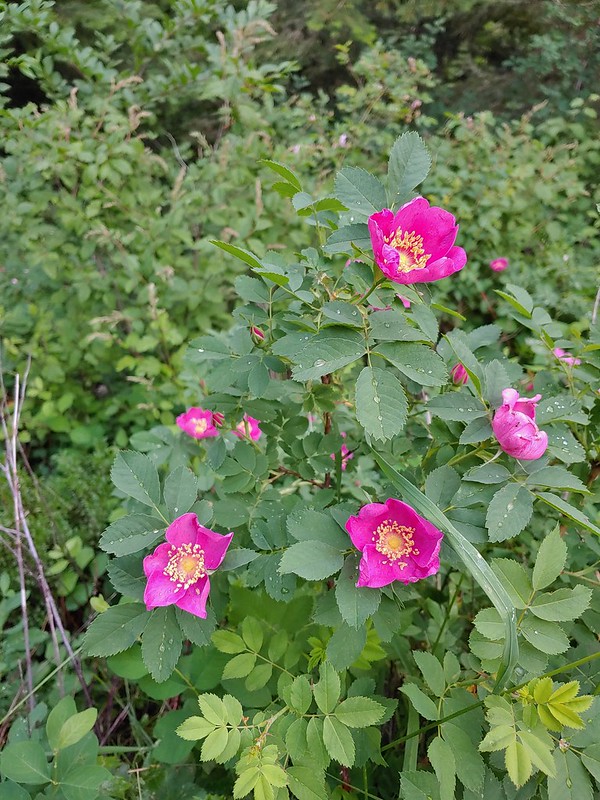 Nookta rose
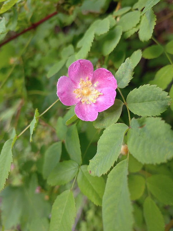 Wood rose
 View to the SE deeper into the Wallowas.
 Mountain parnassian?
 Back in the trees.
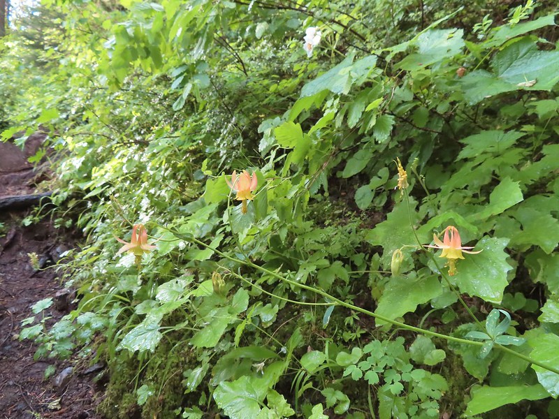 Some pale columbine. At first we thought it might be yellow columbine but it definitely had a red tint.
 Thimbleberry crowding the trail. The storm had left a lot of water on the vegetation which in turn wound up on our legs and shoes.
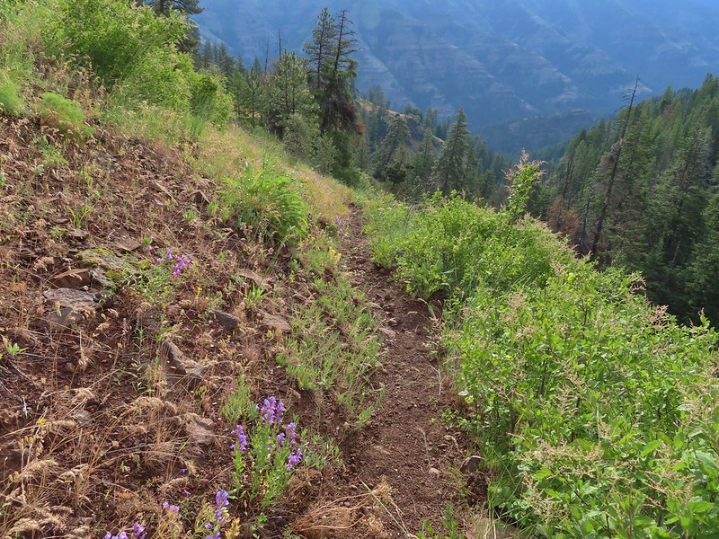 Heading down into the valley.
 Elkhorn clarkia
 Approaching the second viewpoint.
 Backbone Ridge which separates the Minam and Little Minam Rivers. We had crossed over that ridge further south on Tuesday when we took the Horse Ranch Trail from Moss Springs to the Minam River (post).
 Grand collomia
 Prairie smoke
 Mock orange along the trail.
 Twin flower and foam flower
 Sign marking the junction of the Rock Springs and Little Minam Trails.
 Possibly a wasp of some sort near the junction.
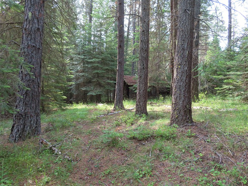 The first cabin ruin.
 Almost looks okay from this angle.
 Not so good from this angle.
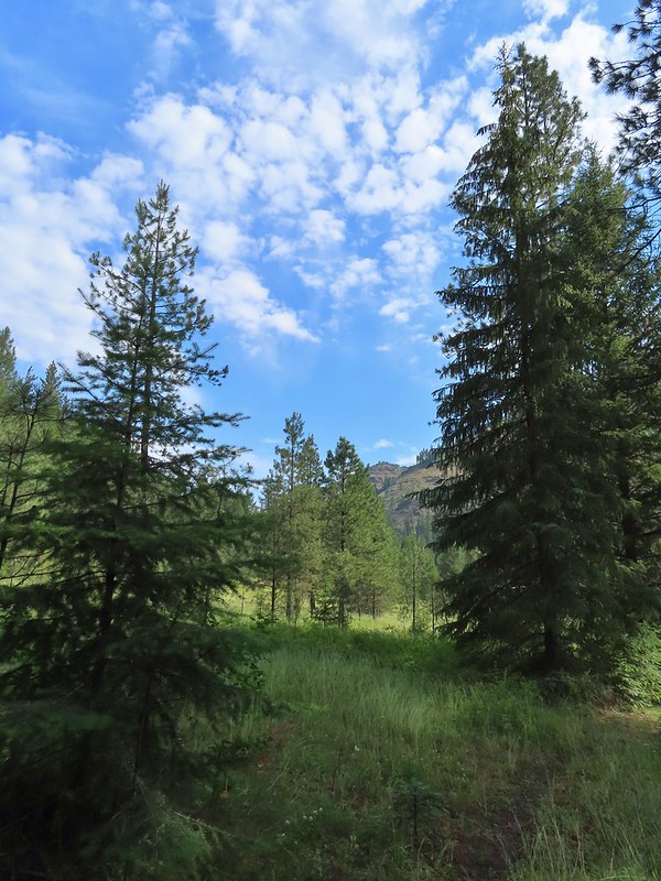 The lodge was at the edge of this meadow.
 The lodge
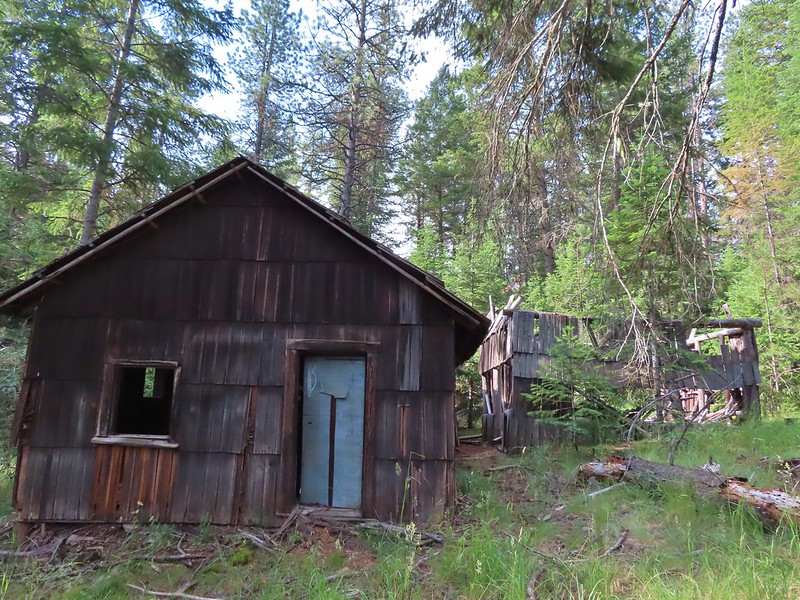
 The fireplace seems to have held up well.
 This cabin didn’t hold up.

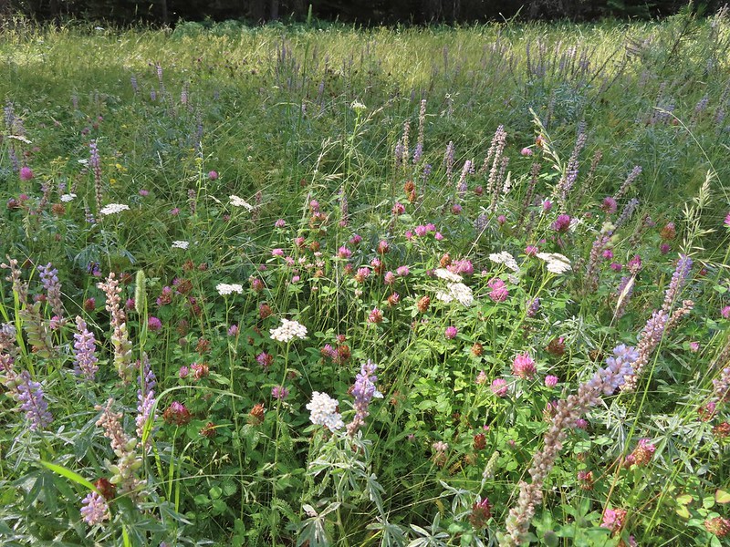 Wildflowers near the watering hole.
 The Little Minam River. We couldn’t quite see the confluence of the two rivers from here despite being very close.


 The dangerous ford.
 Here we tried looking for horse hoof prints to stick to the trail.
 Butterfly on yarrow.
 We think this was the trail.
 The campsites where we picked up the Rock Springs Trail again.
 Lorquin’s admiral
 Looking across the gully we could see the trail cut climbing up the far hillside.
 Pincushion plant
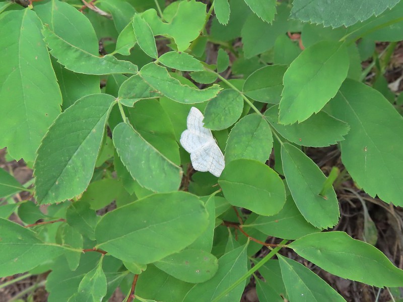 Resting moth
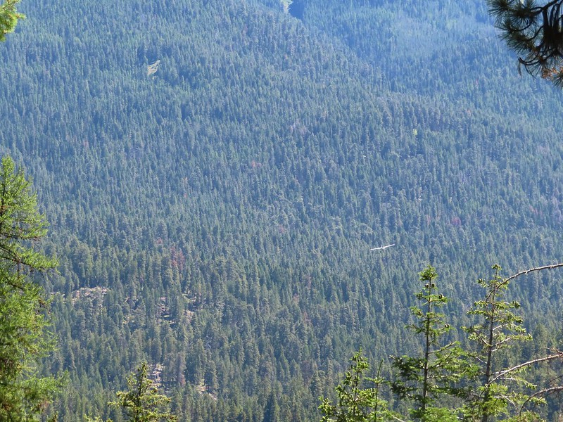
 A plane taking off from Minam Lodge.
 A popular thistle.
 A skipper of some sort.
 We both missed this yellow columbine on the way down.
 View from the upper viewpoint on the way back up.
 A final view from the Rock Springs Trail.
 The cloud cover that moved in turned out to be a blessing as it kept the temperature reasonable as we made the long climb back up.


 At the 0.7 mile mark the trail briefly followed an old road bed to an old clearcut.
 Trail sign in the old clearcut.
 Sullivan describes the second mile of this trail as one of the dustiest in Oregon but on this morning there was enough moisture in the ground to keep the dust at a minimum.
 Rock Creek Butte (
 Shortly after leaving the ridge we encountered the largest obstacle on the way to the pass.
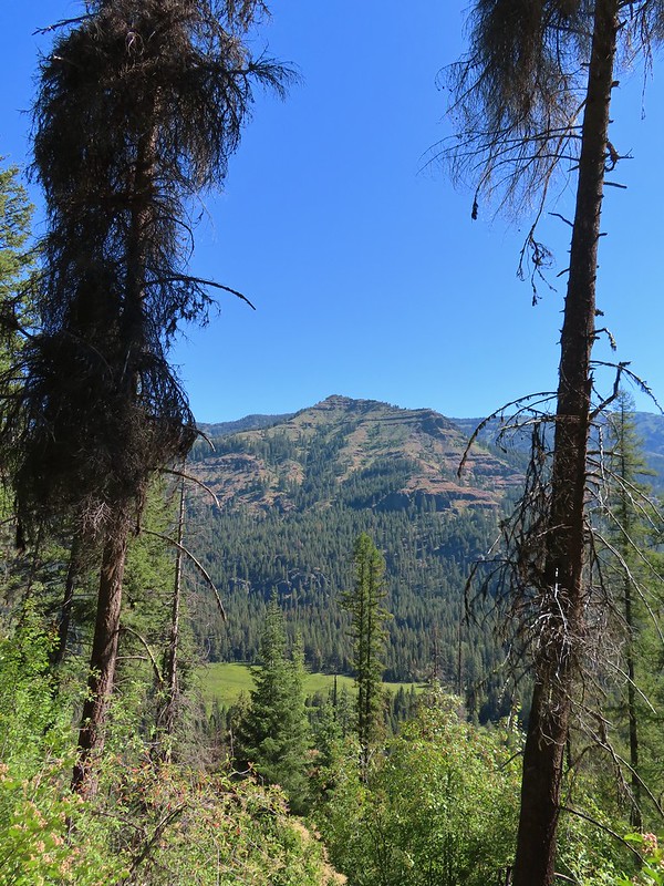
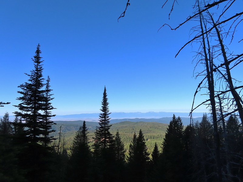 The Elkhorns in the distance.
 Granite at the switchback.
 Entering the wilderness (photo from the way back).
 Valerian along the trail.
 View from the trail.
 Burger Butte
 Rosy paintbrush
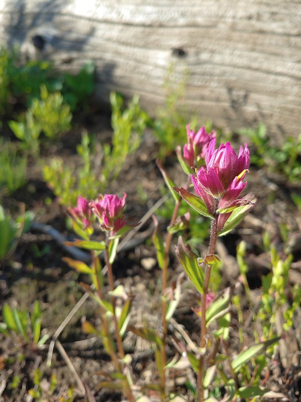
 Tributary of Middle Fork Catherine Creek.
 Looking down the creek over the slide.
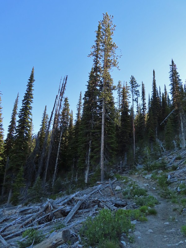
 Yellow columbine
 The snow began around 7200′.
 Snow over the Elk Creek Trail.
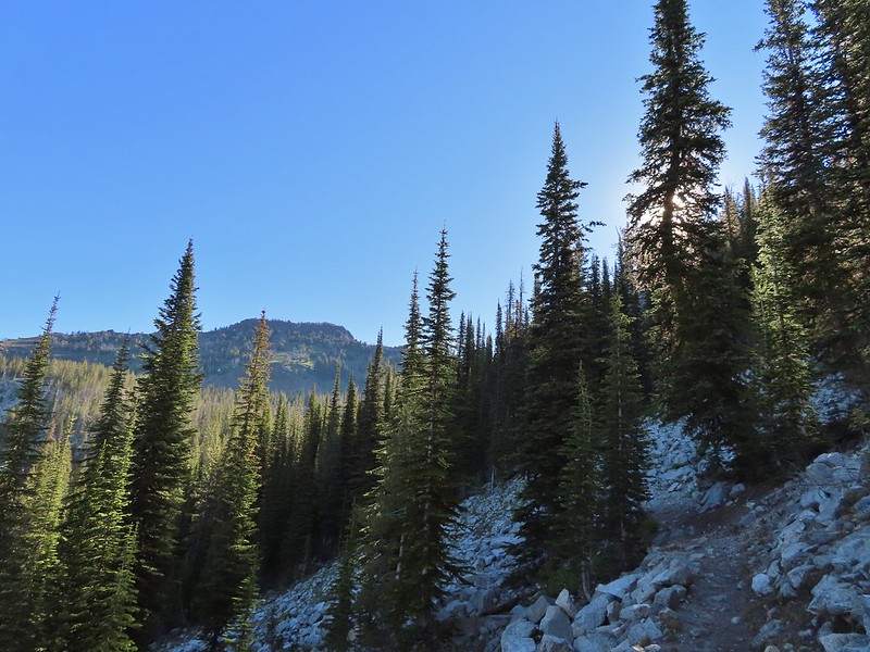 China Cap from the trail.
 Small meadow below the trail.
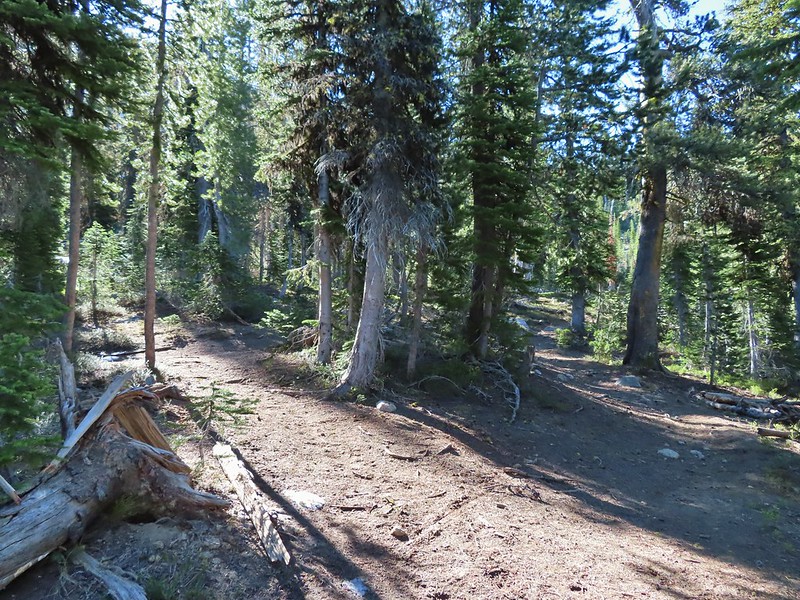 The China Ridge Trail joining from the left.
 The Elkhorns to the right beyond Burger Butte.
 Lyall’s Rockcress
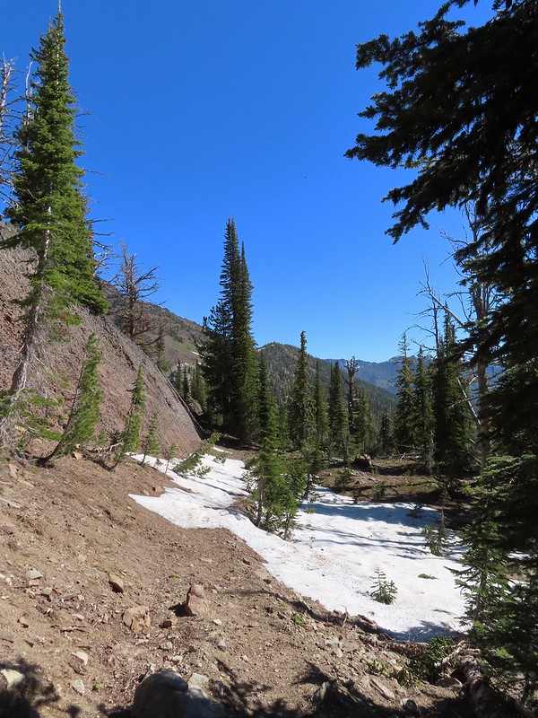
 The few patches of snow were just melted enough to allow us to avoid having to walk over them.
 Burger Pass
 Burger Butte from the pass.
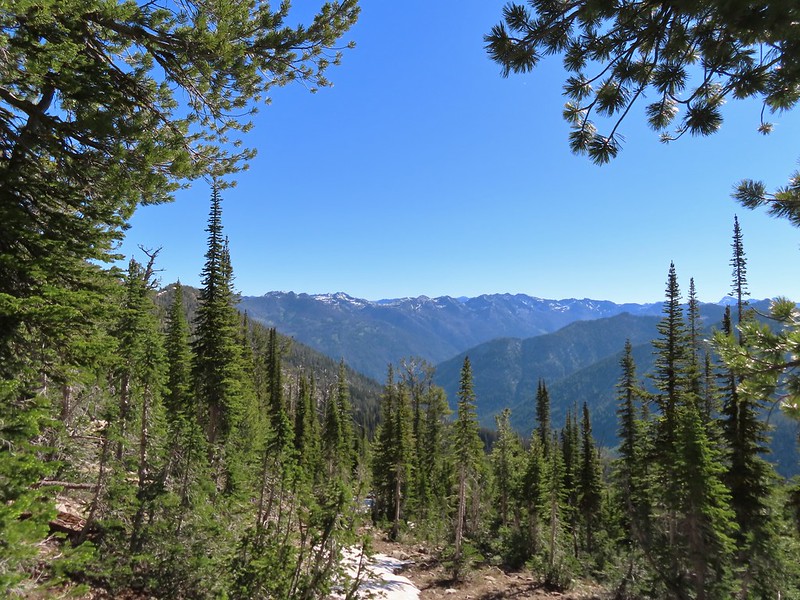 Looking deeper into the Wallowas.
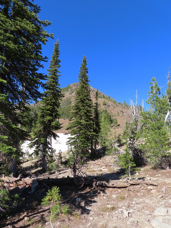 The snow patch below Burger Butte.
 There were several patches of snow and some downed trees to navigate but I soon found myself at the junction.

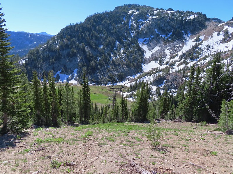
 The Sand Pass Trail can be seen climbing out of the basin in the sandy gap to the center left.
 Meadow lookout.
 View from the meadow.
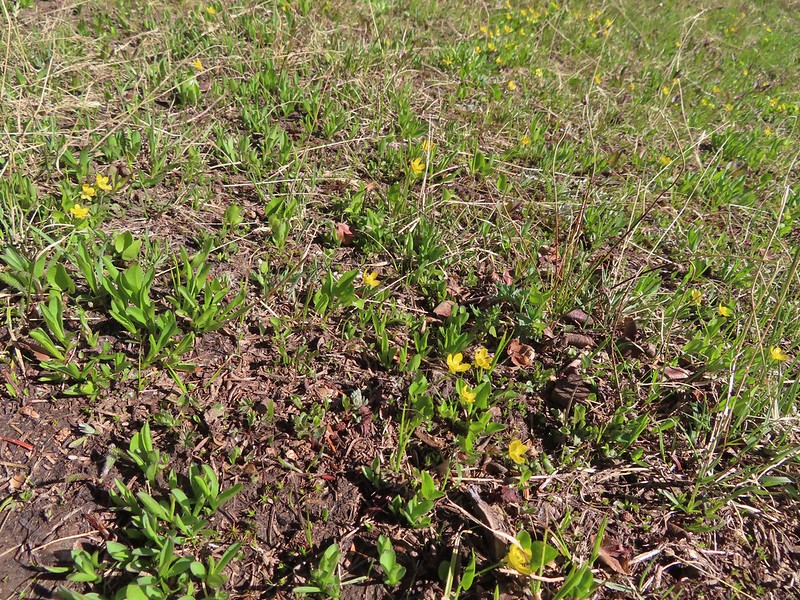 Buttercups were about the only flowers blooming in the wet meadow.
 The rocks along the ridge were really interesting.

 Marmot? in the meadow.

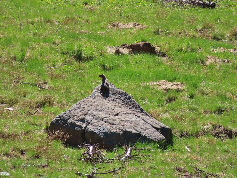
 Golden mantled ground squirrel watching us from the granite.
 Butterfly
 Mountain heather
 Mushrooms near the Middle Fork Catherine Creek cascades.
 Jacob’s ladder
 Penstemon
 Mushroom
 Pacific coralroot

 Entering the

 Scarlet gilia along the trail.
 Tapertip onion
 Scarlet gilia
 Lewis flax, we were hoping to see it opened up on the way back up to the car but somehow we both completely missed it.
 Arrowleaf groundsel
 Bog orchid
 False sunflowers
 Paintbrush
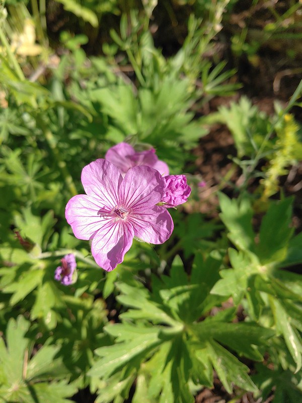 Sticky geranium
 Footbridge over Horseshoe Creek.
 Horseshoe Creek

 Spotted coralroot
 Mountain lady slipper
 Little Minam River
 Coral fungus
 Huckleberry Creek
 Bridge across the Little Minam River.
 Little Minam River

 The only area that we encountered showing signs of having burned in the not too distant past.
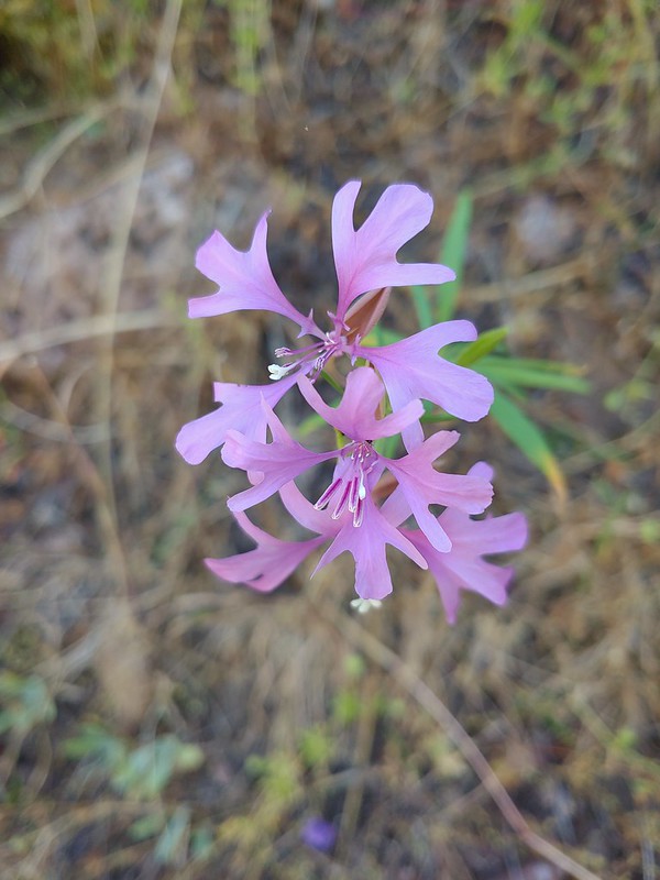 Elkhorn clarkia
 Junction with the Little Minam Trail (left) just below the pass.
 The meadow from the trail.
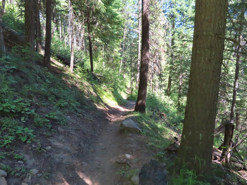
 Arriving at the meadow.

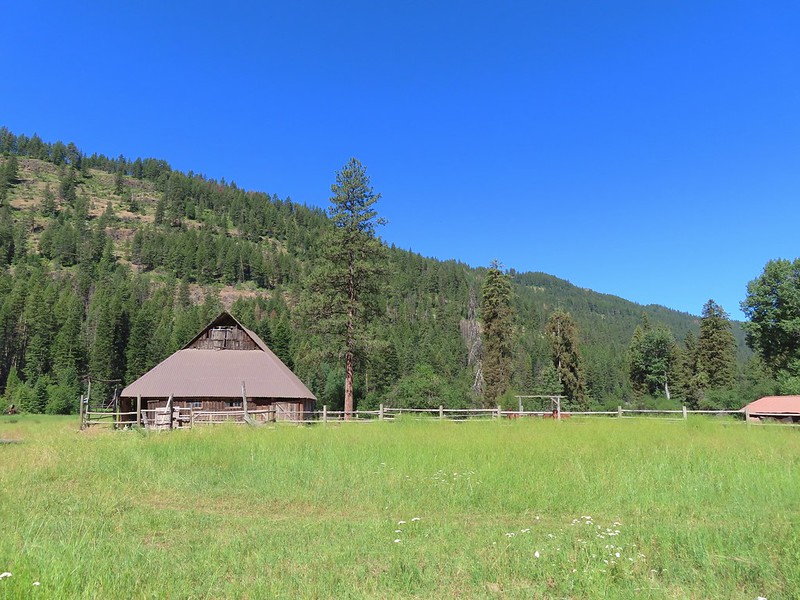 Horses at Red’s Horse Ranch.
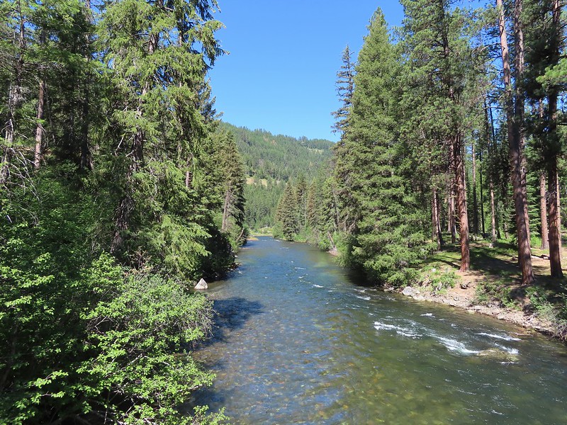 Minam River
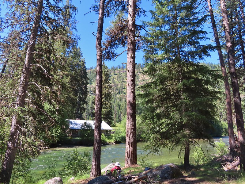
 Landing strip near Red’s Horse Ranch.
 A plane coming in for a landing at the nearby
  Lousewort
 Diamond clarkia
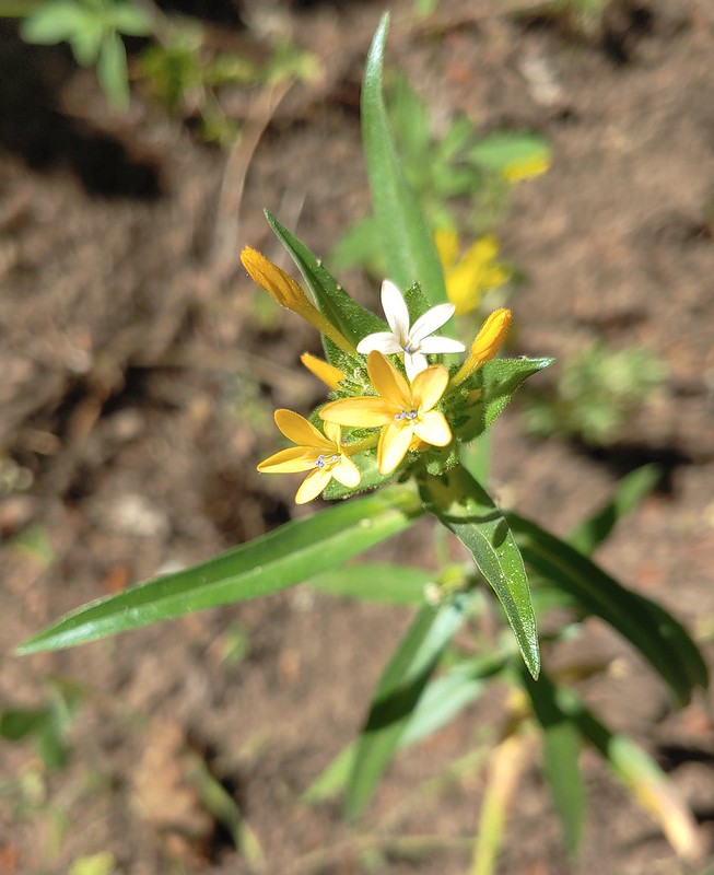 Grand collomia
 Millipede
 Pink pyrola
 Little Minam River
 Coral fungus
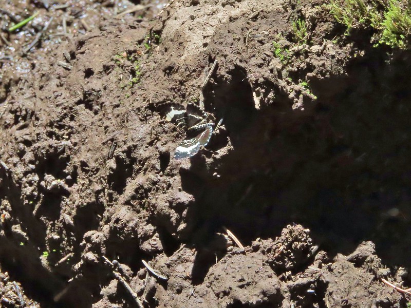 We saw a bunch of these black moths? but they seldom sat still long enough to get a photo.
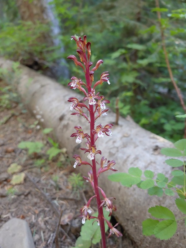
 An Orobanche
 Penstemon
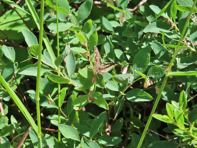 Butterfly
 White mariposa lily
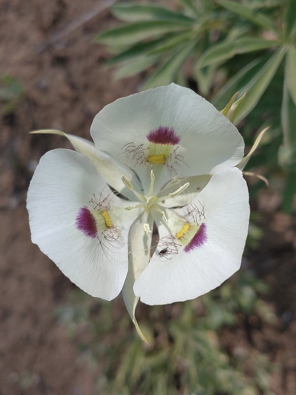
 Large-flower triteleia
 Arriving back at the trailhead.
