Categories
High Cascades Hiking Mt. Hood Area Oregon Trip report

Vista Ridge Trail to Elk Cove – Mt. Hood

August is typically one of our busier hiking months but this year things are working out differently. We’ve both had things come up at work leading us to change our vacation plans, the date of our annual family reunion changed, there are forest fires closing large areas of both the Mt. Jefferson and Three Sisters Wildernesses, and the upcoming solar eclipse essentially eliminated any realistic plans for hiking around the 21st.

We actually almost skipped our weekly hike this time around but knowing we’d later regret that decision we turned to Mt. Hood, which has thus far escaped the fire issues this year. Our plan was to take the Vista Ridge Trail up to the Timberline Trail and visit a few familiar areas – Eden Park, Cairn Basin, and Elk Cove.

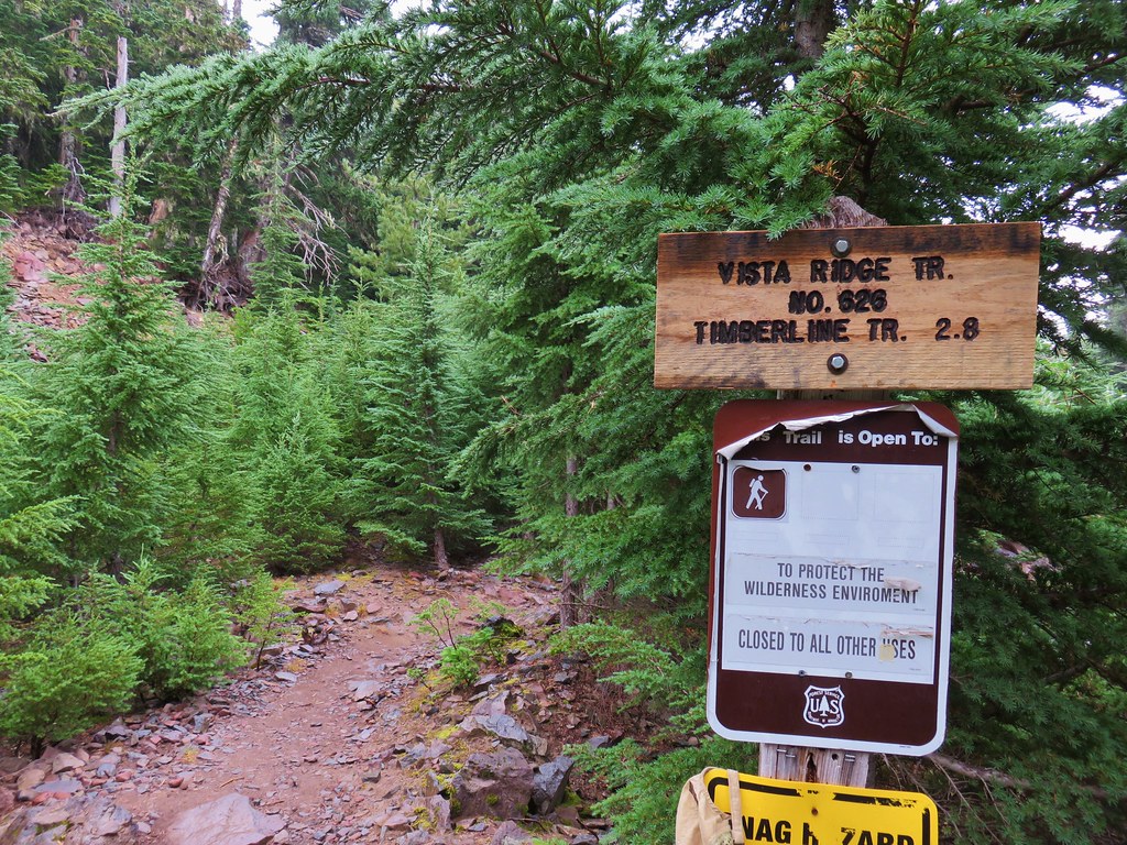
We began at the Vista Ridge Trailhead.

IMG_6805

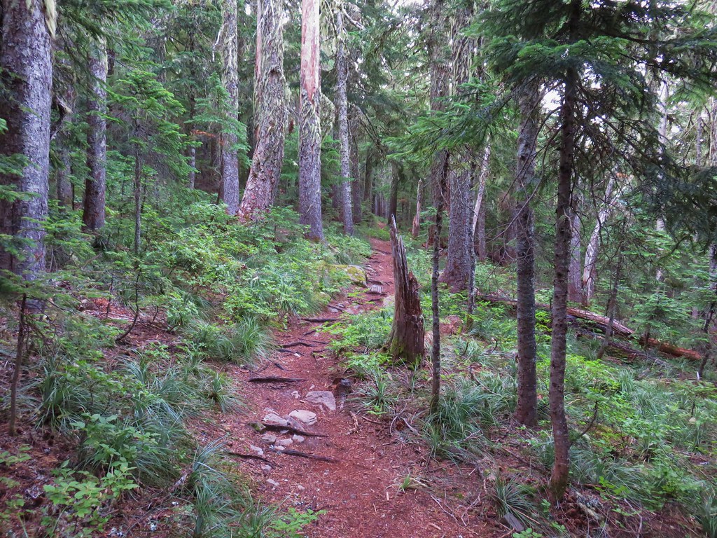
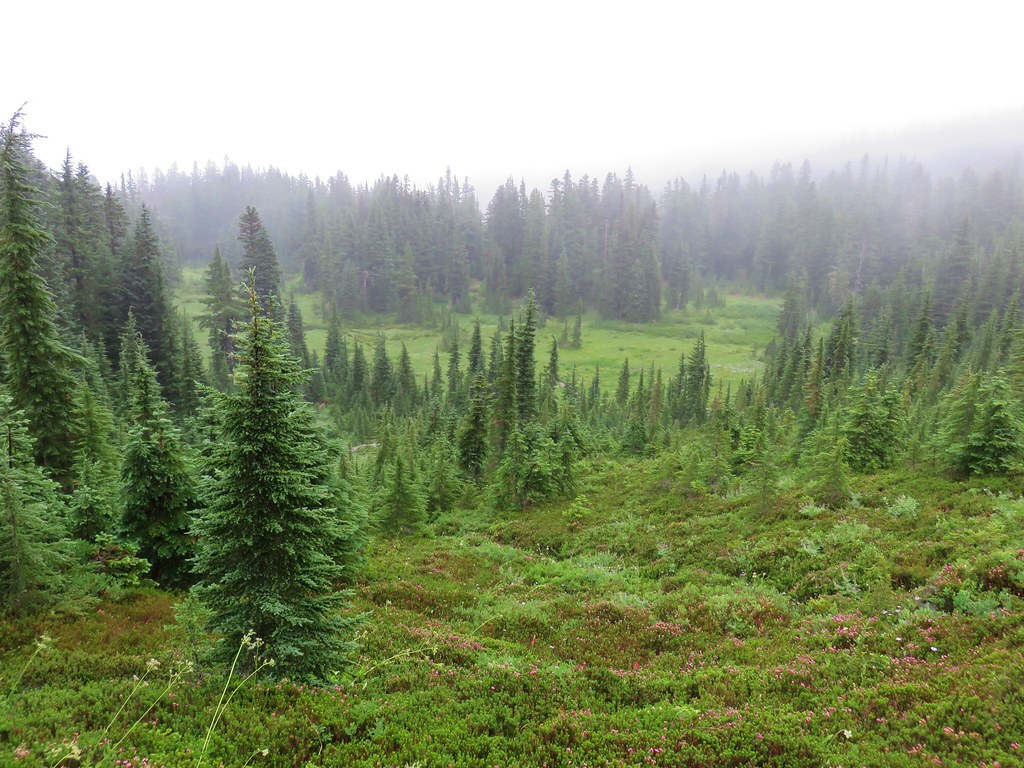
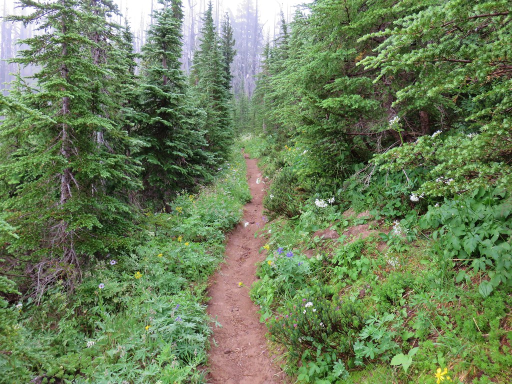
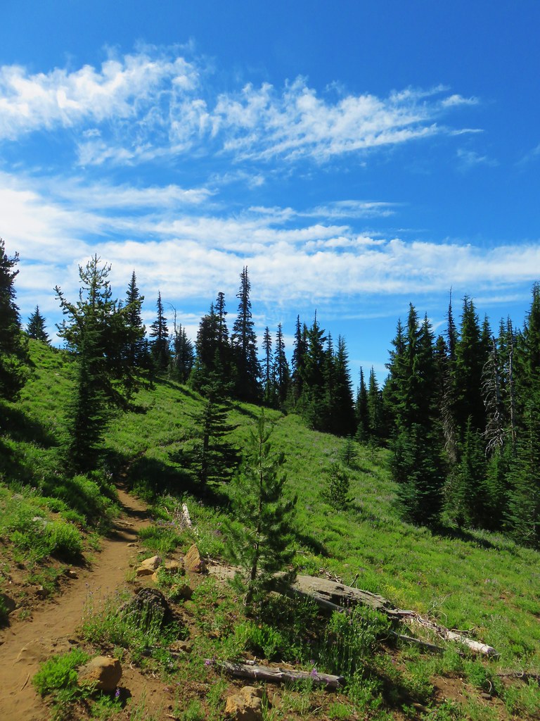
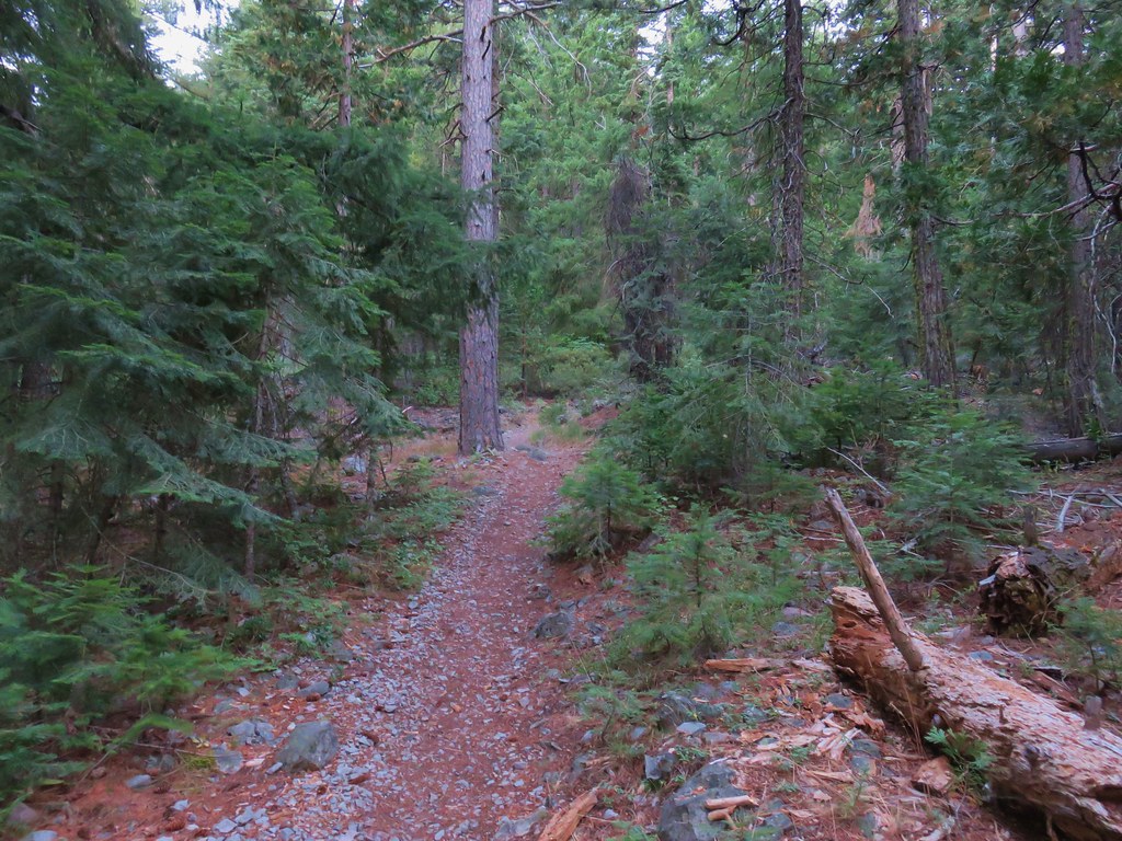
We set off through the forest which was damp from a light mist that fell for most of the day.

IMG_6811

It was actually really nice to hike in the cool temperatures and to see some moisture falling.


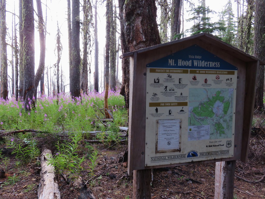
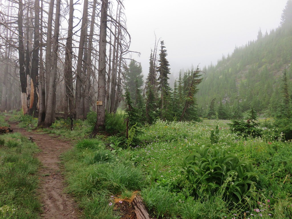
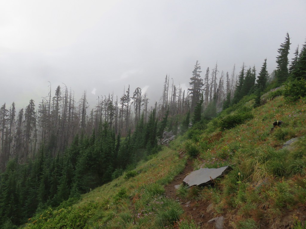
The trail enters an area burned by the 2011 Dollar Lake Fire near a registration box for the Mt. Hood Wilderness after a half mile.

IMG_6812

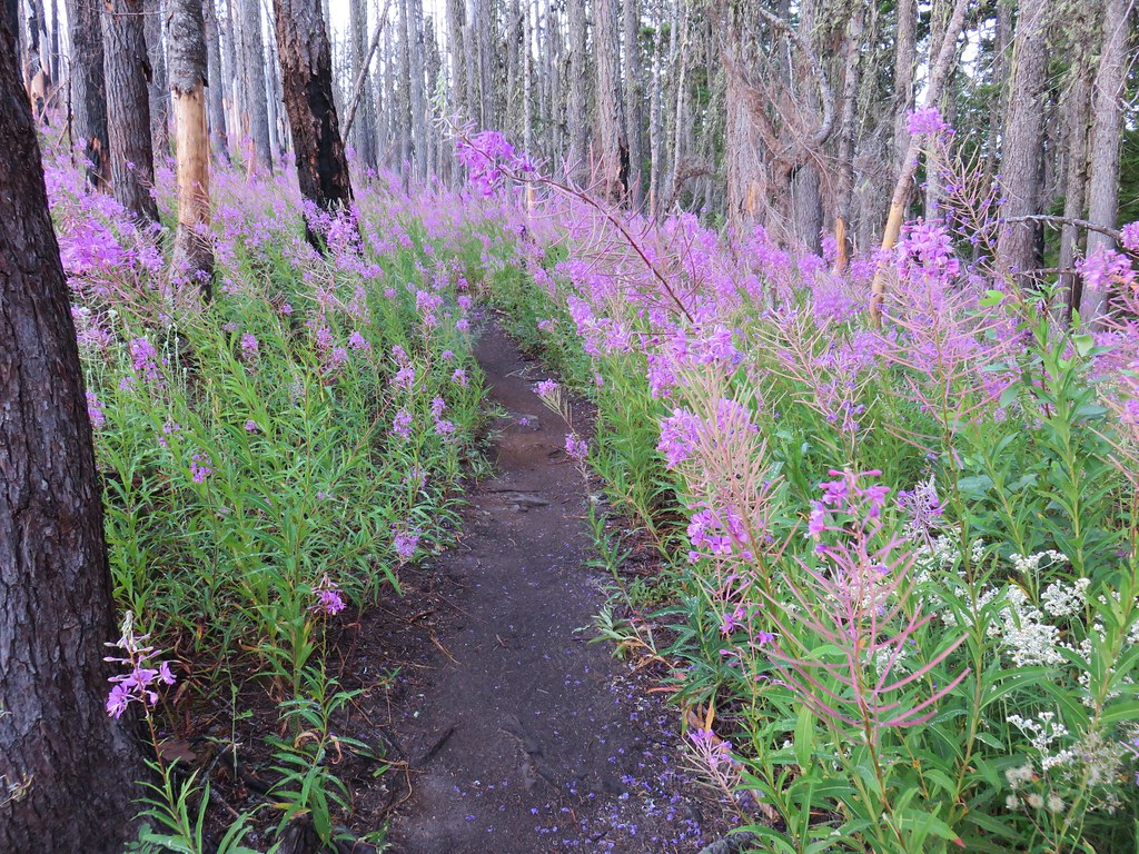
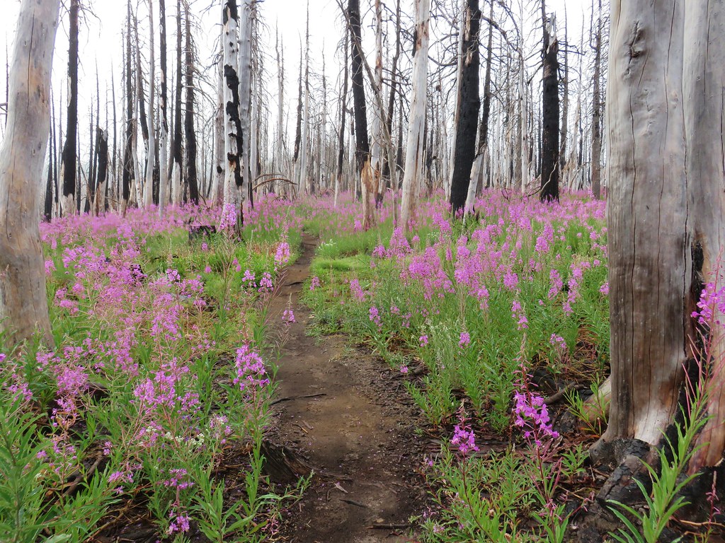
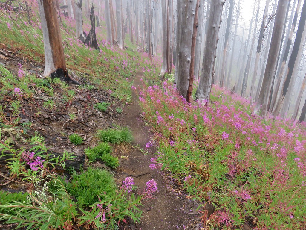
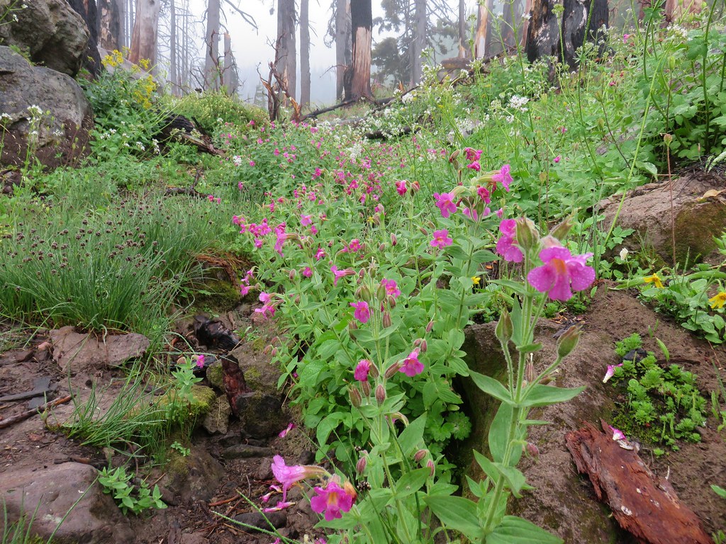
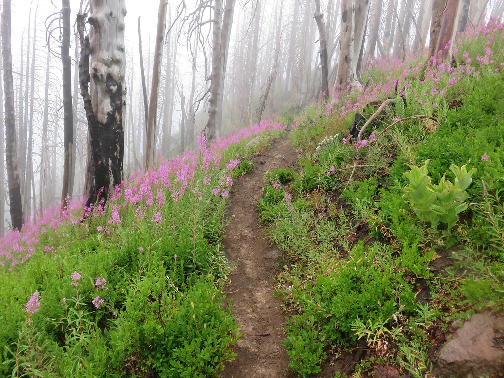
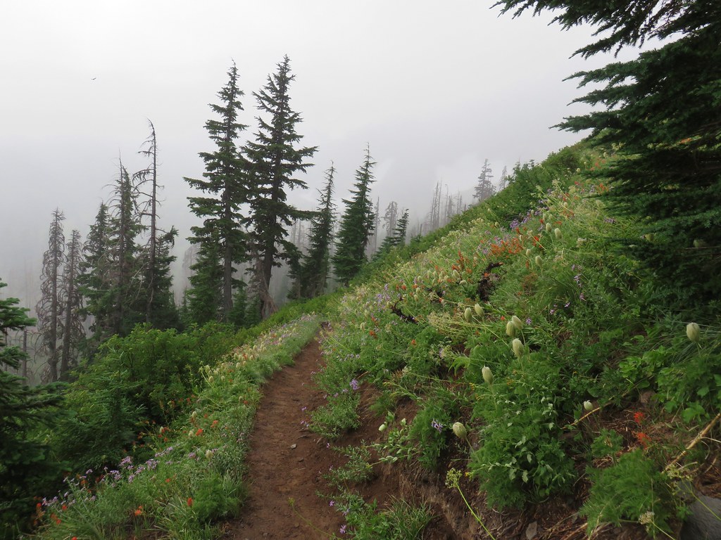
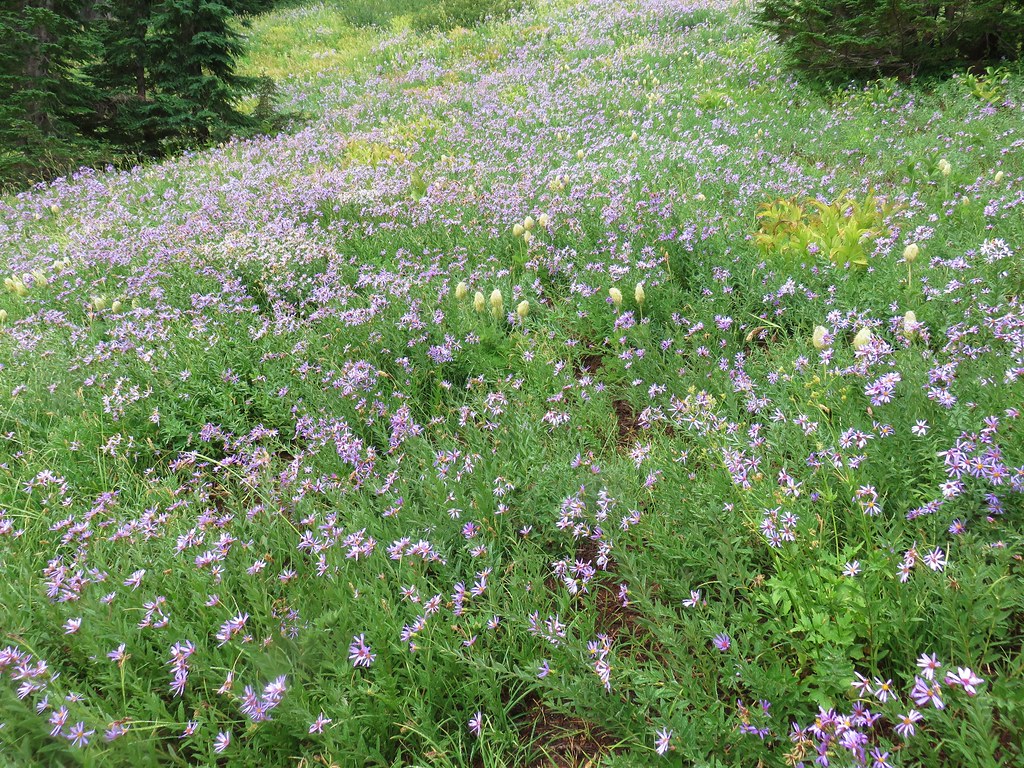
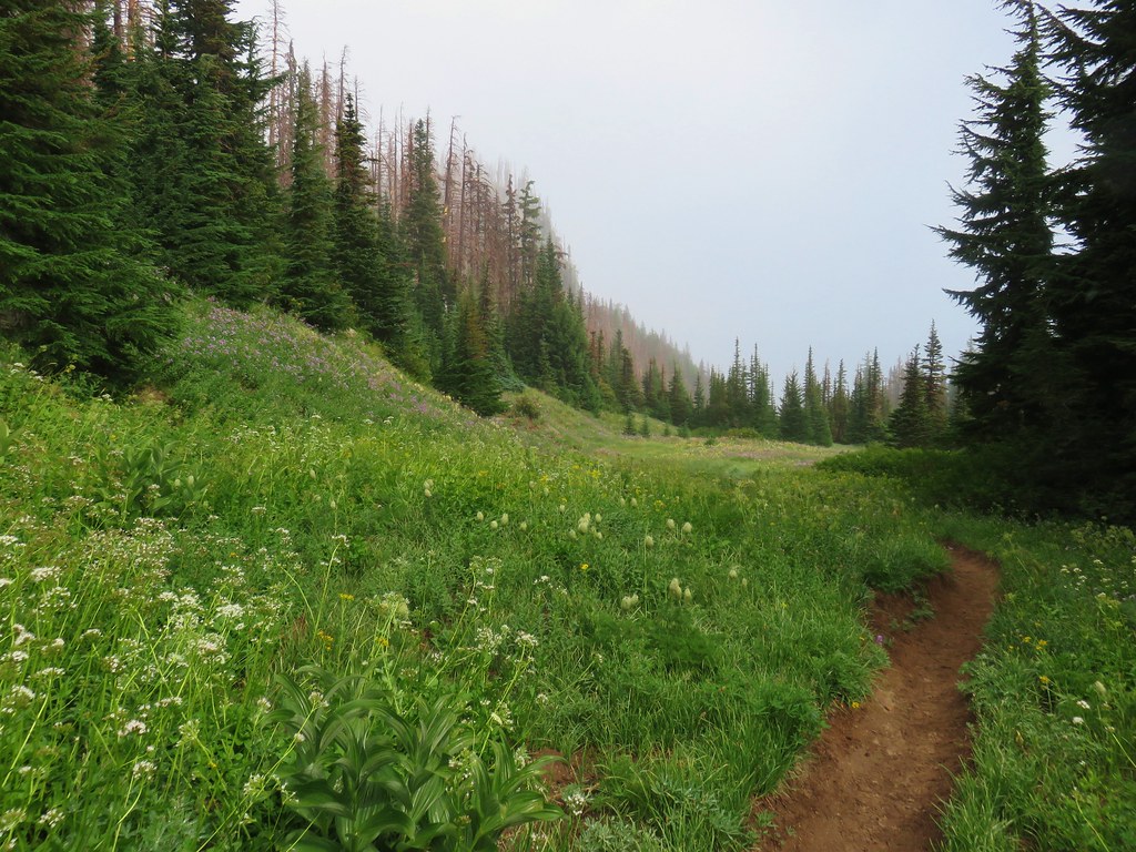
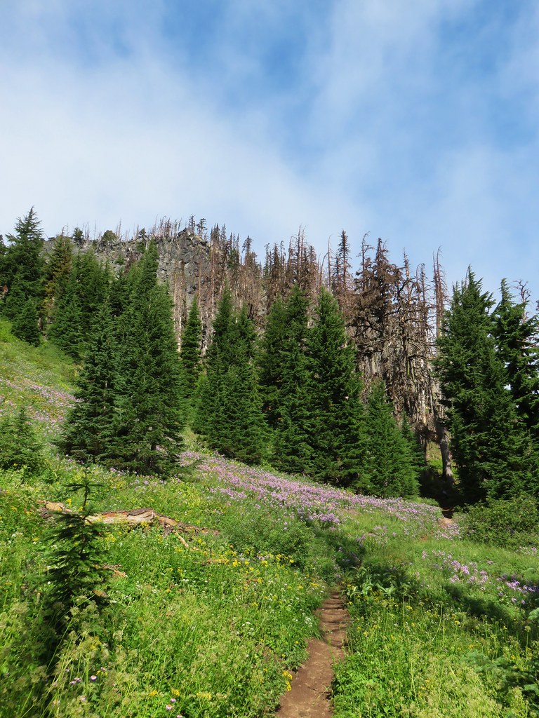
The Vista Ridge Trail is probably best known for its displays of avalanche lilies in the burn area during July but we discovered that August provided an amazing display of its own.

IMG_6818

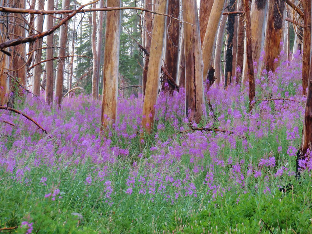
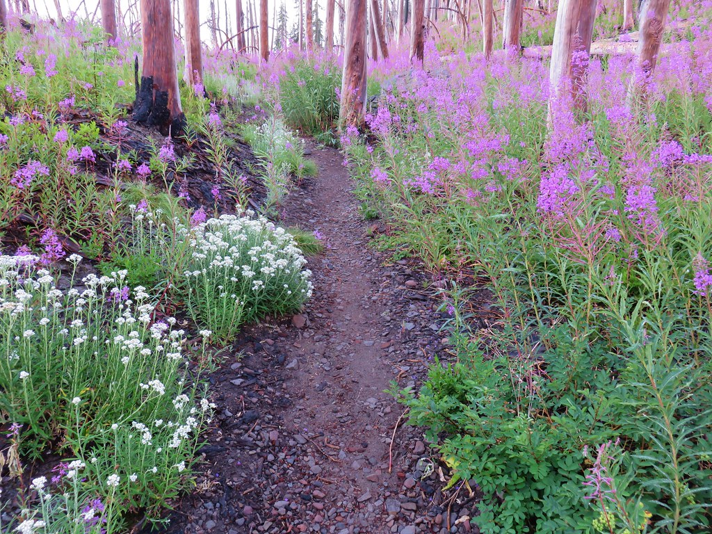
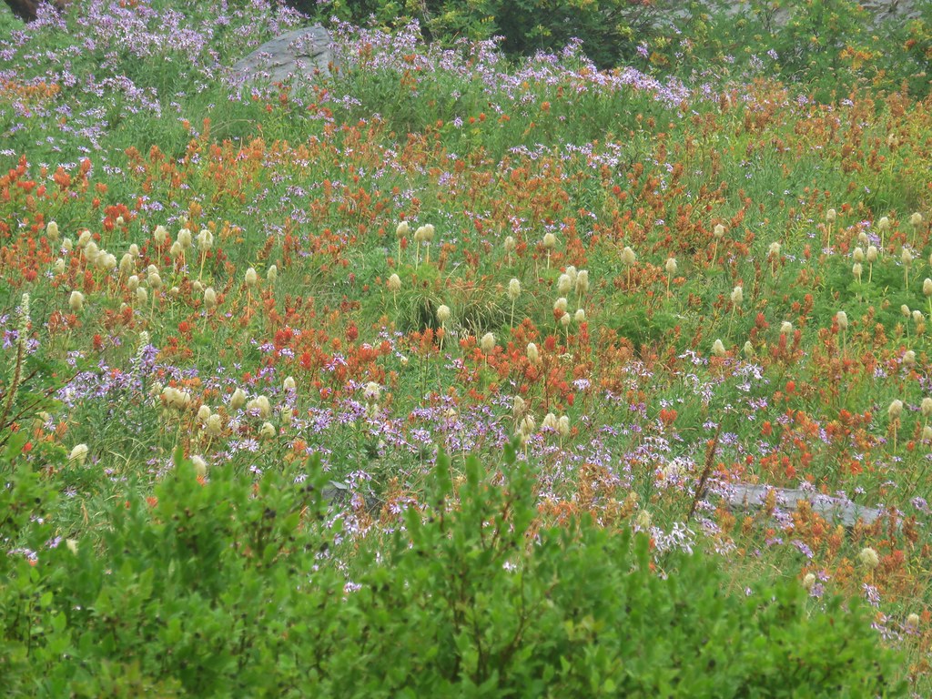
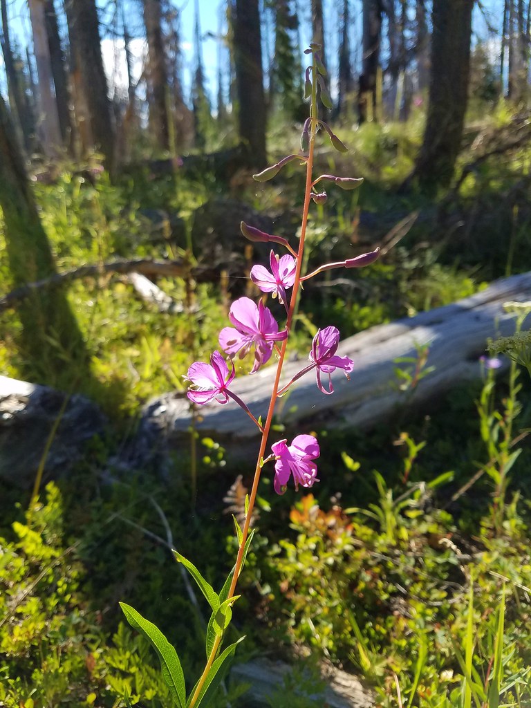
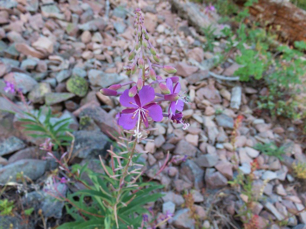
The amount of fireweed was simply amazing.

IMG_6822

IMG_6828

IMG_6842

With all the fires currently burning it was nice to be reminded that the forests will recover eventually.

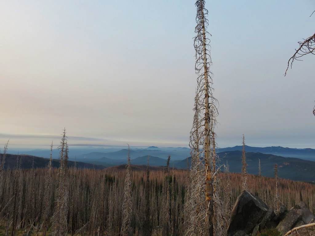
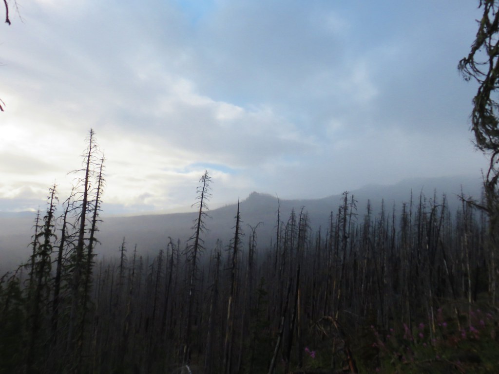
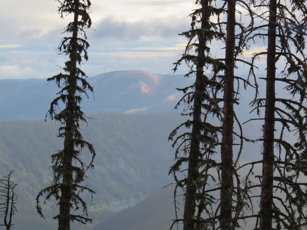
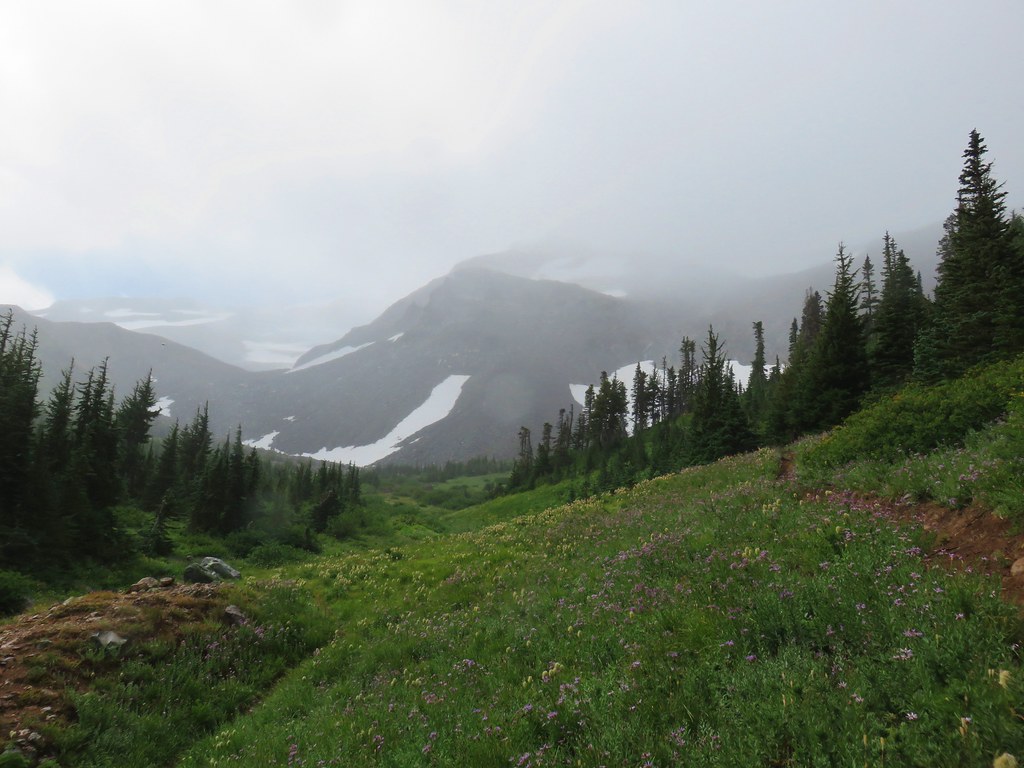
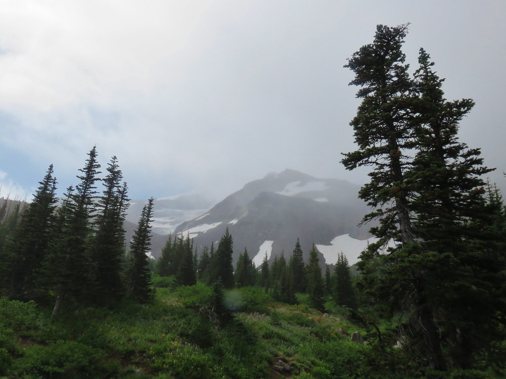
With the misty conditions views were limited but Pinnacle Ridge was visible across the Clear Branch Valley and we spied a bit of Laurence Lake as well as Bald Butte further in the distance.

IMG_6829Pinnacle Ridge

IMG_6831

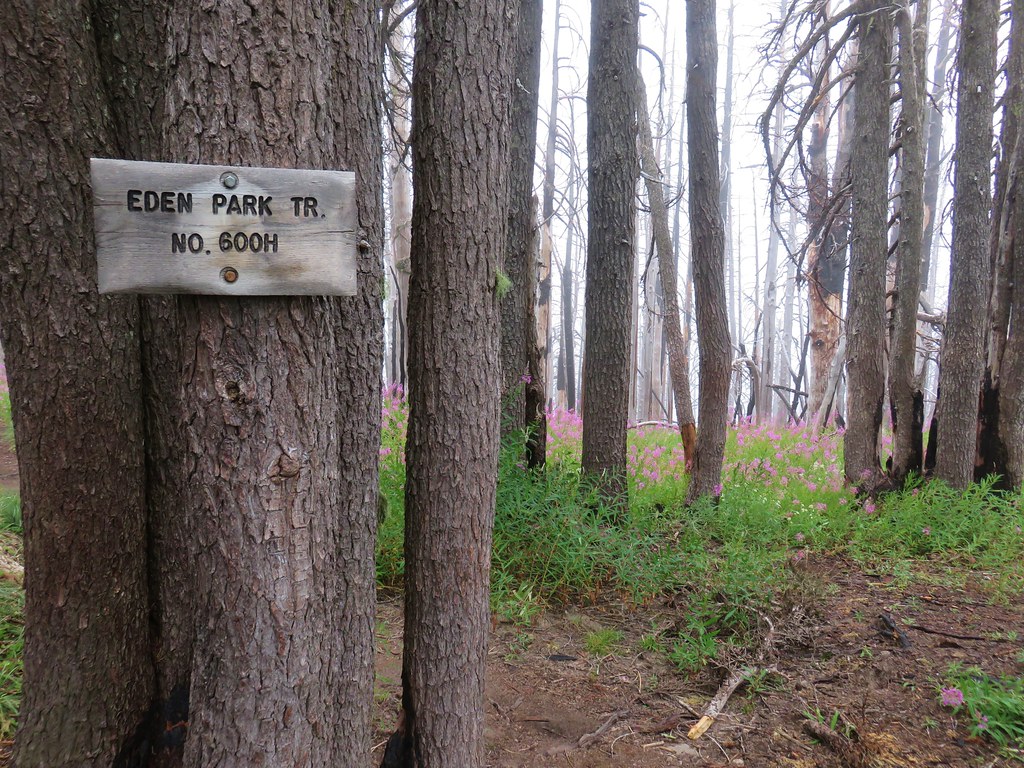
After two and a half miles we arrived at the junction with the Eden Park Loop Trail.

IMG_6855

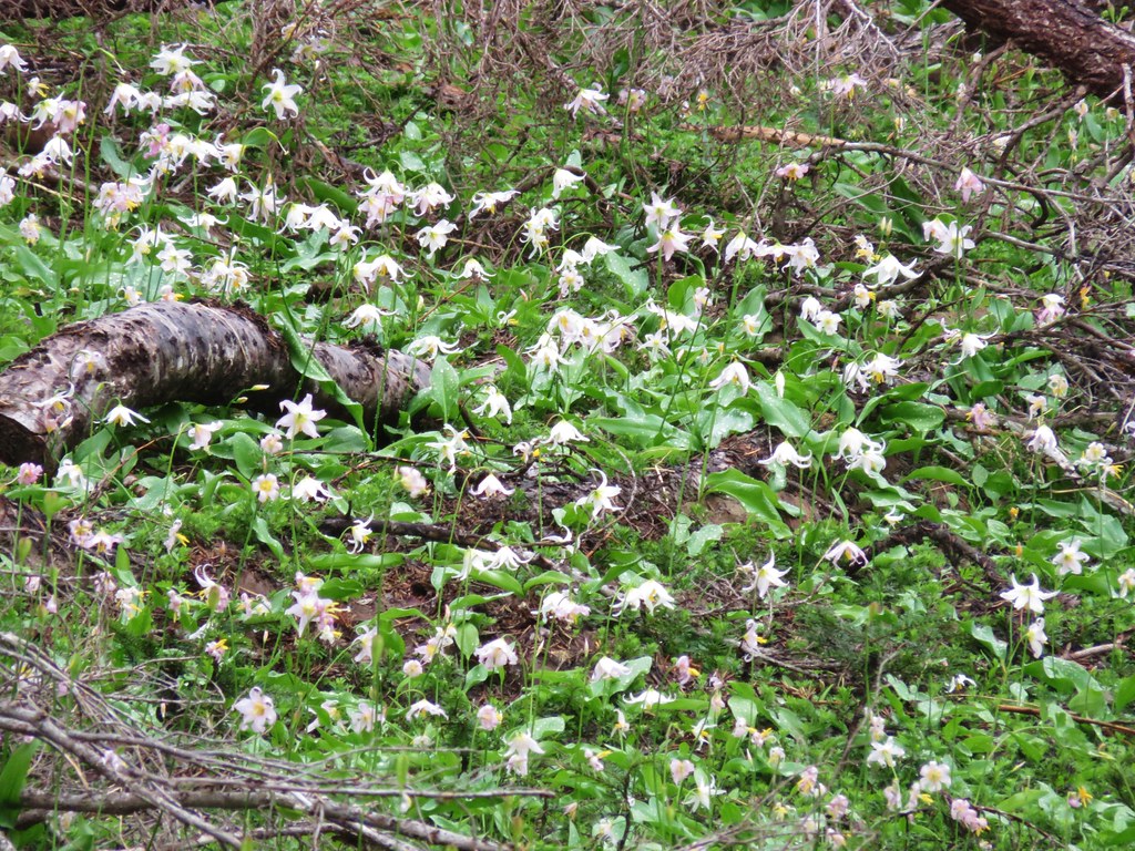
A few avalanche lilies were still blooming in this area.

IMG_6845

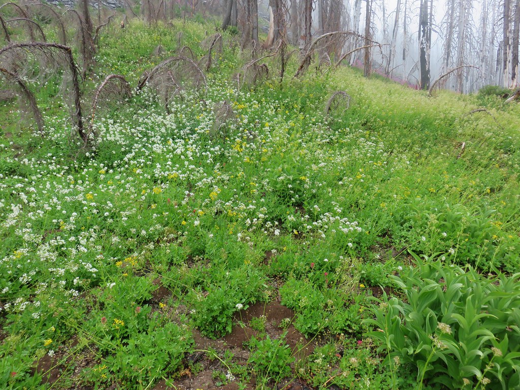
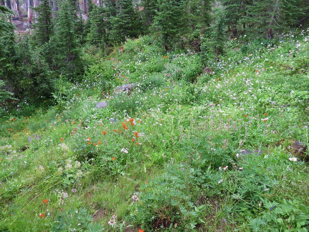
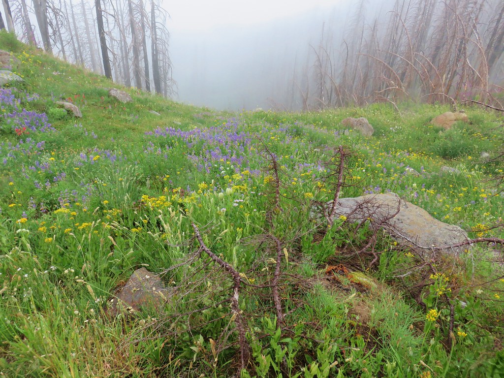
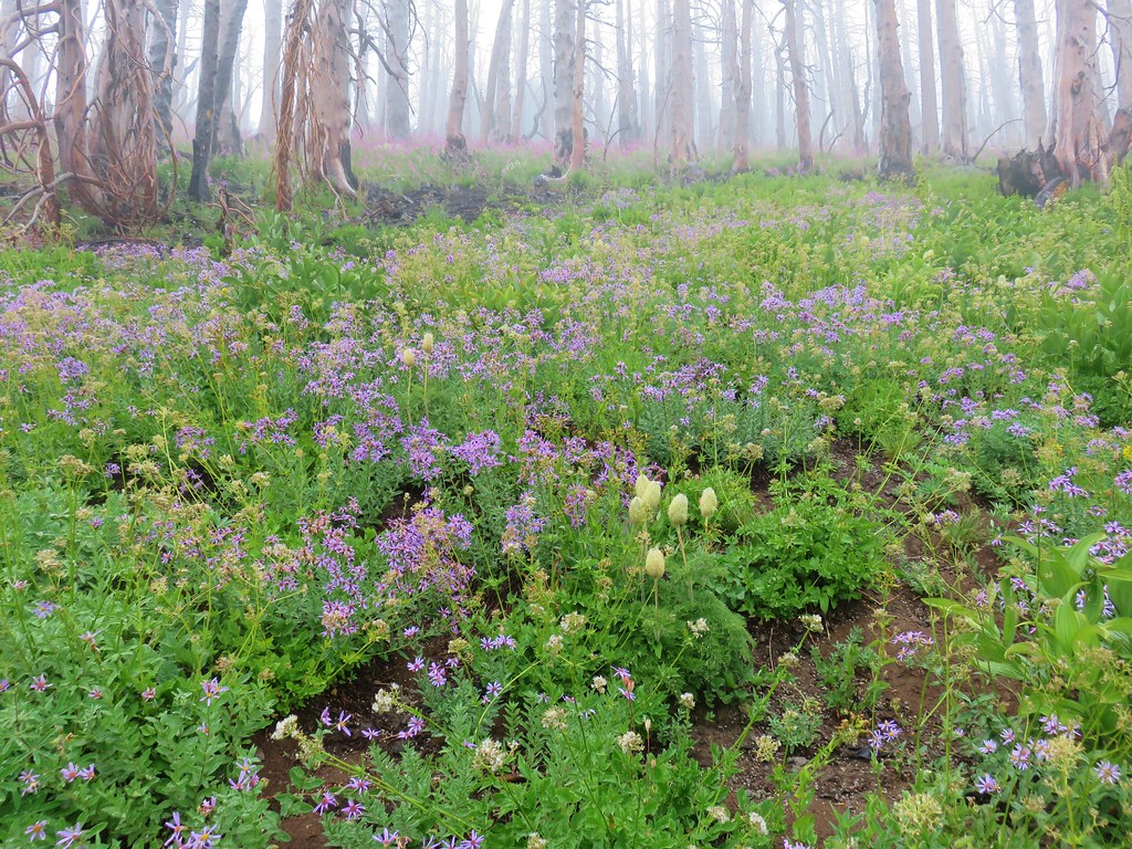
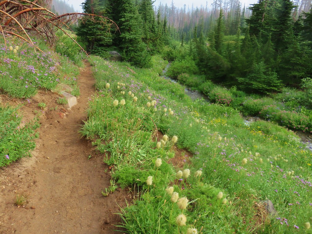
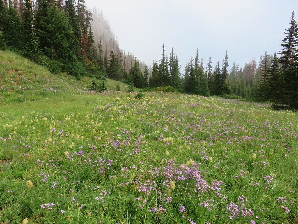
We turned down the Eden Park Trail which descended through more burned forest filled with more fireweed and some small meadows with other wildflowers.

IMG_6857

IMG_6865

IMG_6869

IMG_6877

IMG_6875

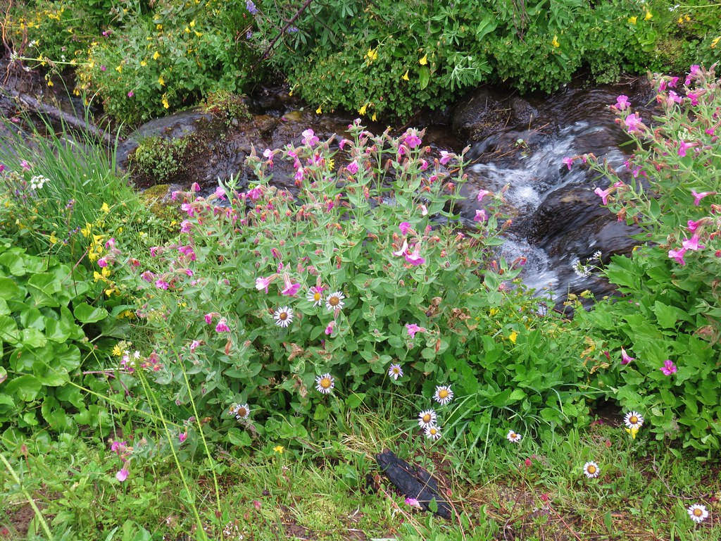
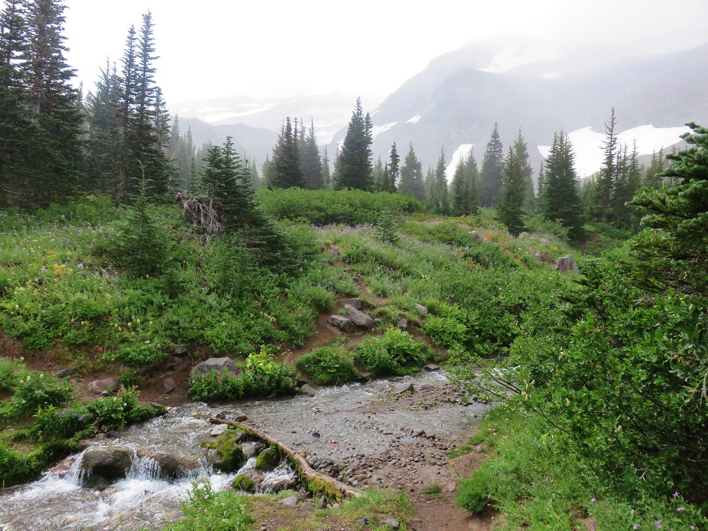
We also crossed several small wildflower lined streams flowing down toward Ladd Creek.

IMG_6884

IMG_6883

IMG_6885

IMG_6886

Eight tenths of a mile from the Vista Ridge Trail junction we arrived at Ladd Creek itself.

IMG_6892

Just beyond Ladd Creek we arrived at Eden Park.

IMG_6897

IMG_6899

IMG_6901

IMG_6902

Beyond Eden Park the trail began to climb on its way up to the Timberline Trail at Cairn Basin.

IMG_6917

IMG_6921

IMG_6923

IMG_6925

IMG_6927

IMG_6930

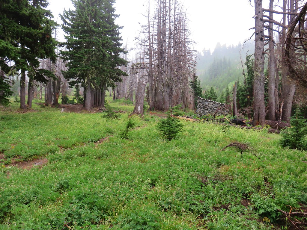
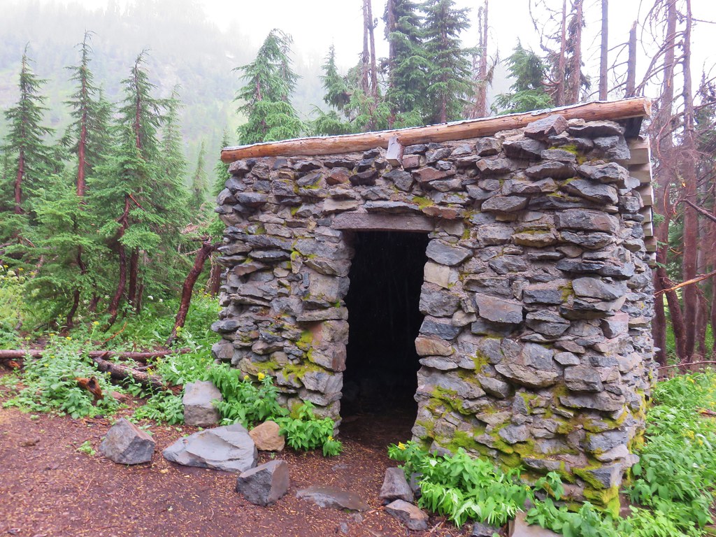
We turned left on the Timberline Trail and took a short snack break in Carin Basin and visited the stone shelter.

IMG_6934

IMG_6938

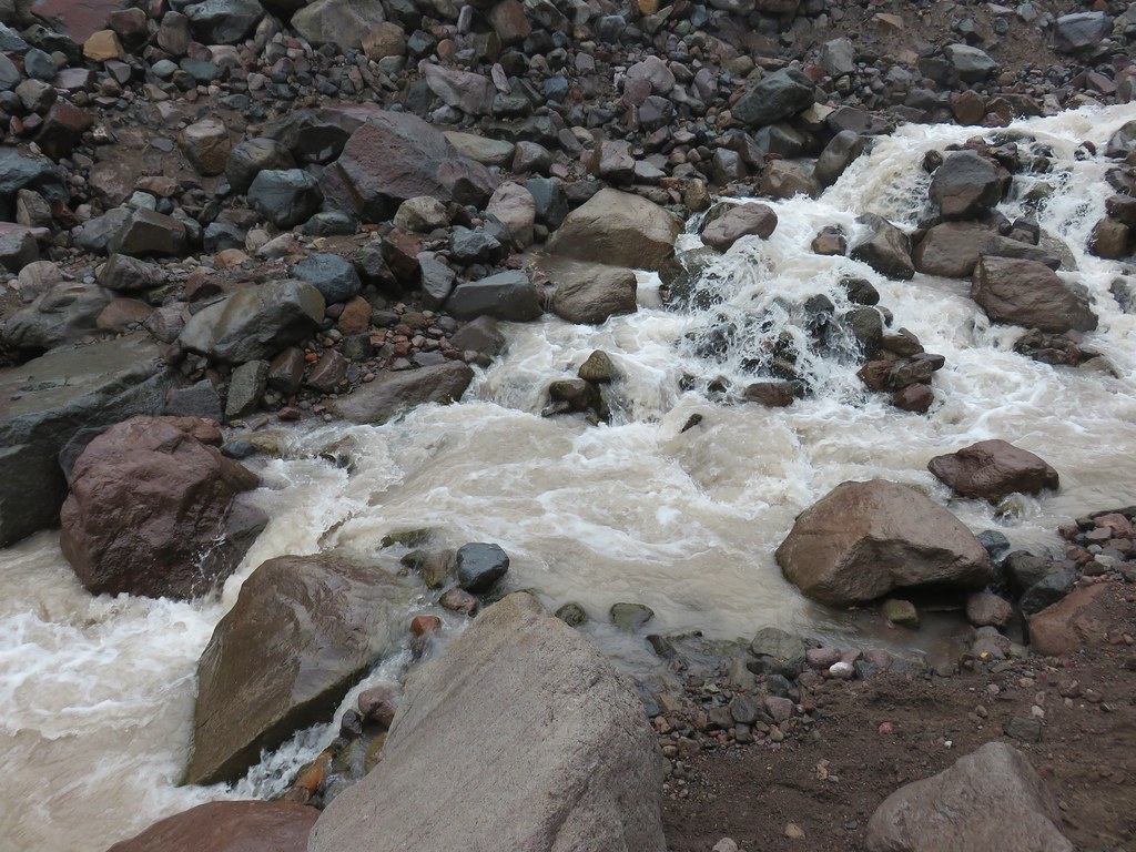
After leaving Cairn Basin we recrossed Ladd Creek.

IMG_6940

IMG_6942

It was about a mile from this upper crossing to the junction with the Vista Ridge Trail. There were lots of wildflowers along this stretch as well as some lingering snow.

IMG_6946

IMG_6952

IMG_6953

IMG_6958

IMG_6962

IMG_6966

IMG_6971

IMG_6970

IMG_6973

Wy’East Basin lay just beyond the junction with more flower lined streams.

IMG_6974

IMG_6980

IMG_6982

IMG_6988

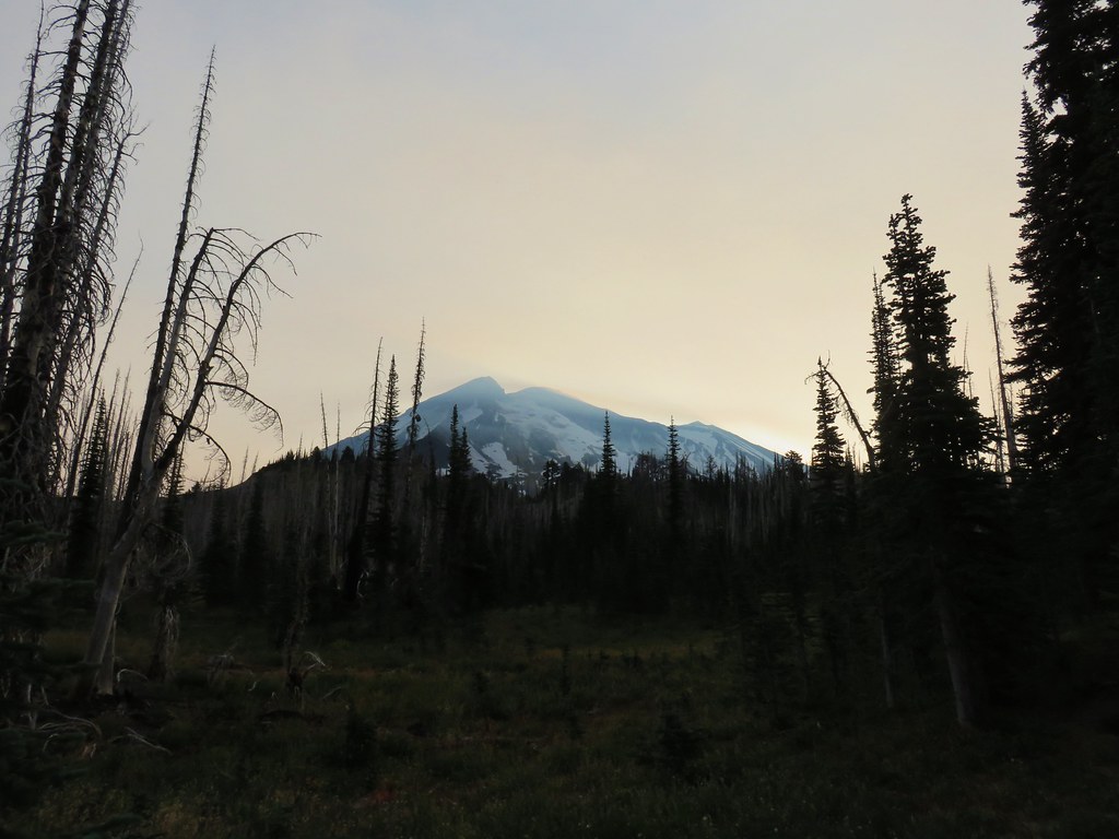
We continued on from Wy’East Basin heading toward Elk Cove. Despite not being able to see the mountain, just being on the Timberline Trail gave us that alpine feeling that only the mountains can.

IMG_6992

IMG_6995

IMG_6998

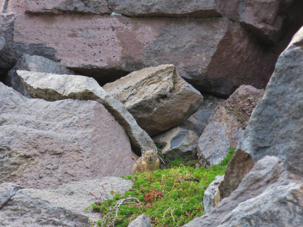
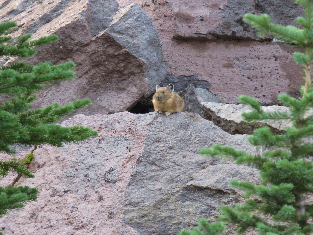
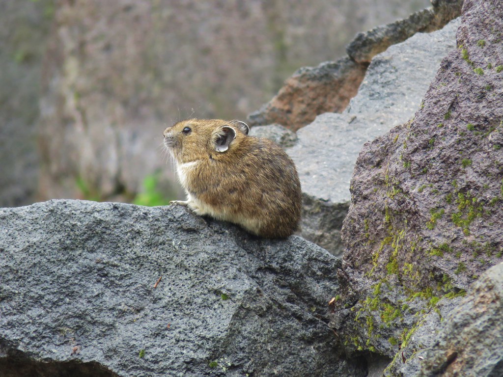
We had passed several rock fields where we had listened and looked for one of our favorite animals, the pika, but had not had any luck. As we began the descent to Elk Cove though we heard the distinctive “meep” of a pika. It’s a sound that always brings a smile to our faces. We had stopped along the trail for a moment to look around and just as we started to resume hiking we spotted one sitting on the rocks ahead.

IMG_7007

IMG_7005

IMG_7009

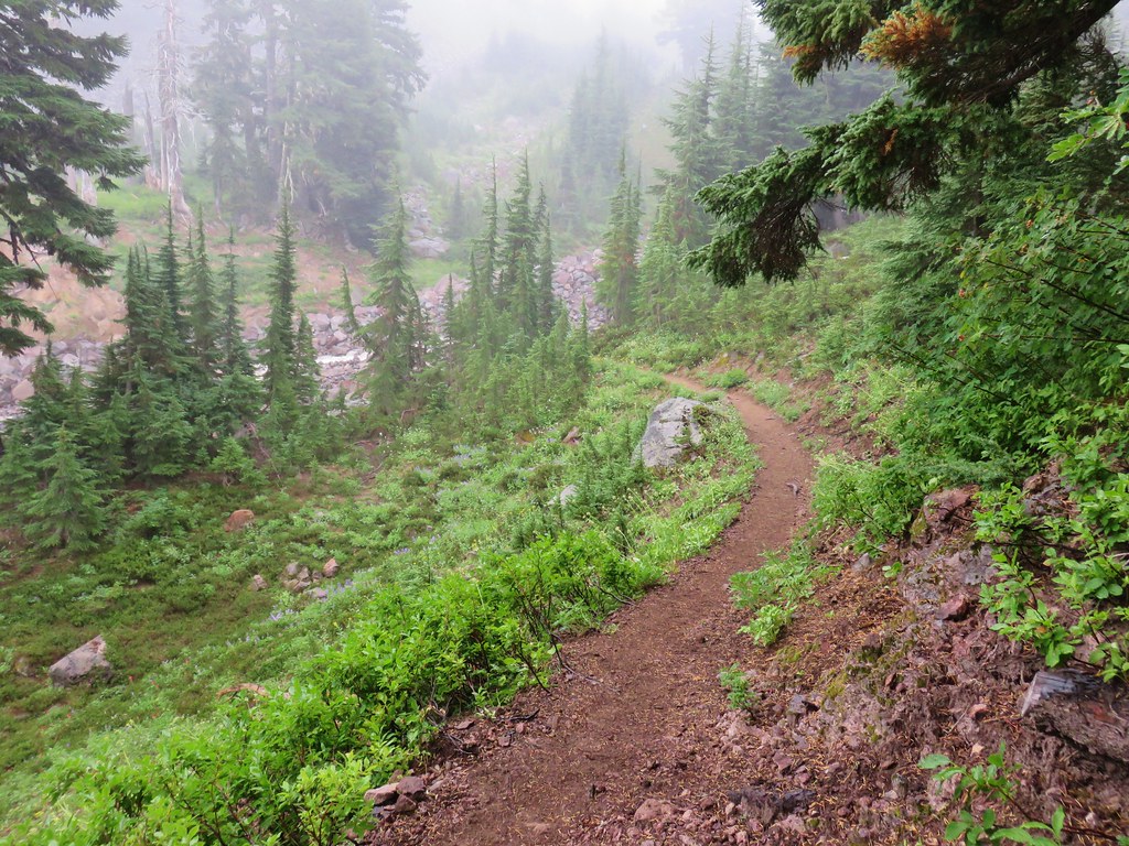
The descent to Elk Cove when hiking clockwise on the Timberline Trail is an extremely scenic section of trail when visibility is good. The clouds and mist took a bit away from the epic views but it was still an impressive sight.

IMG_7015

IMG_7020

IMG_7022

IMG_7025

IMG_7026

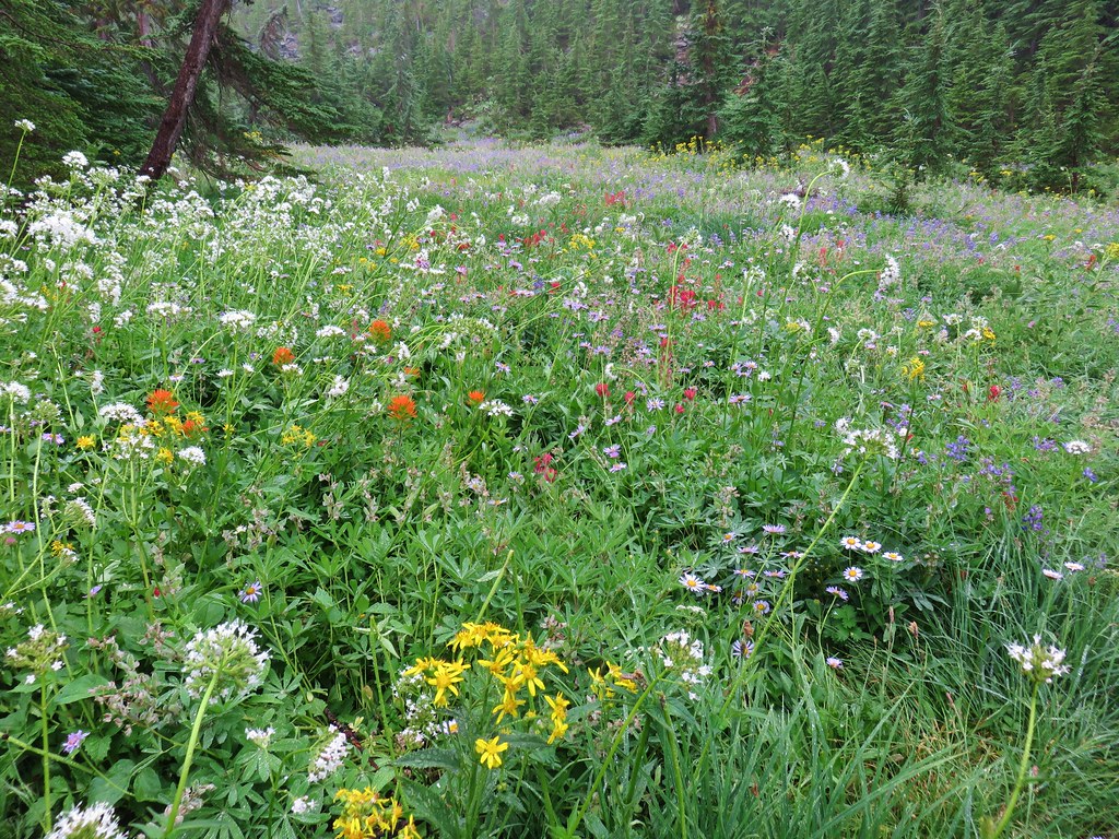
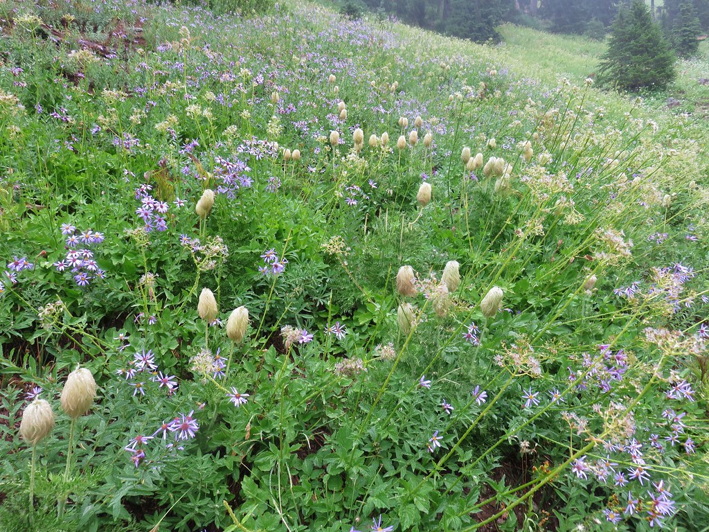
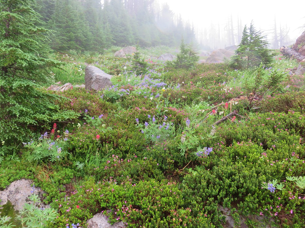
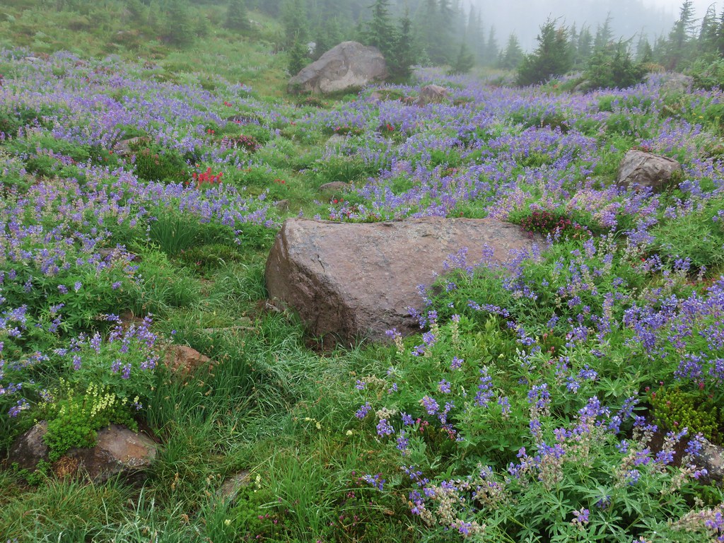
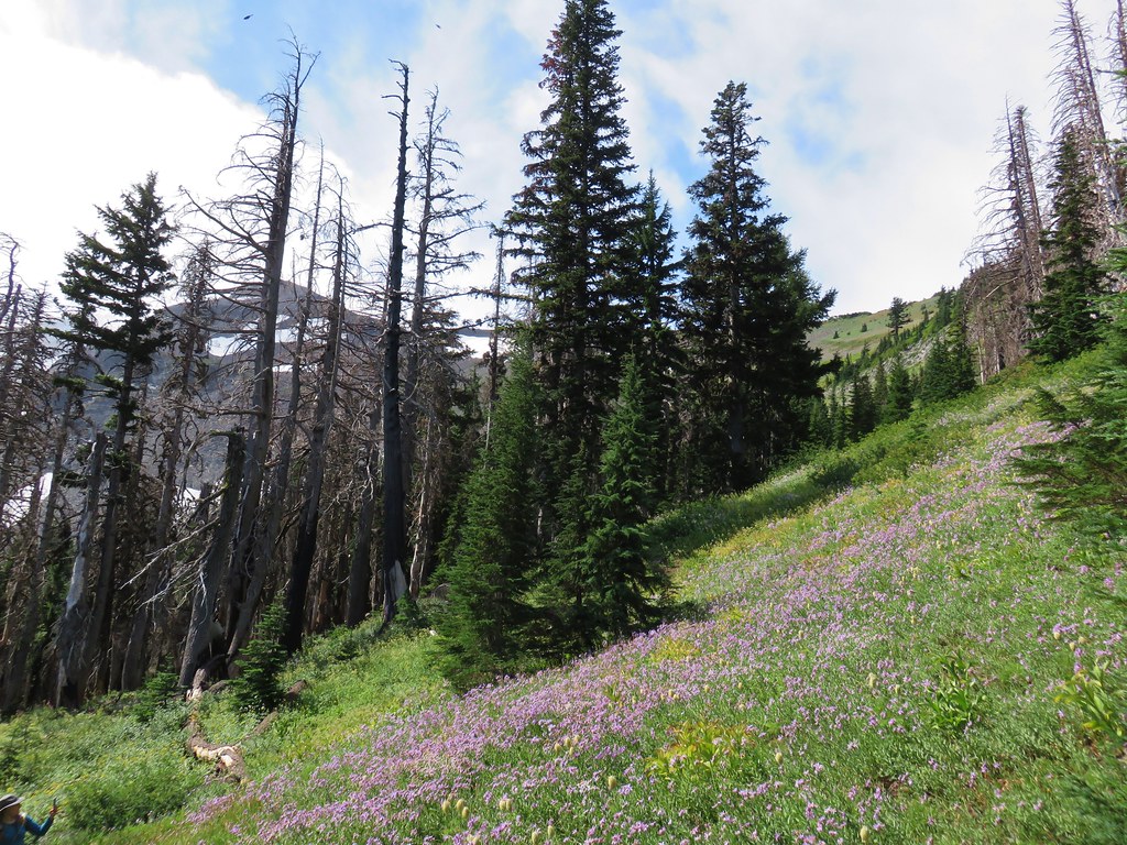
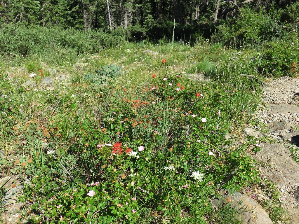
The further down into the cove we went the better the flower display became.

IMG_7036

IMG_7035

IMG_7040

IMG_7044

IMG_7045

IMG_7047

We stopped at an empty campsite near a creek and took a seat while we took in the beauty of the surrounding area.

IMG_7050

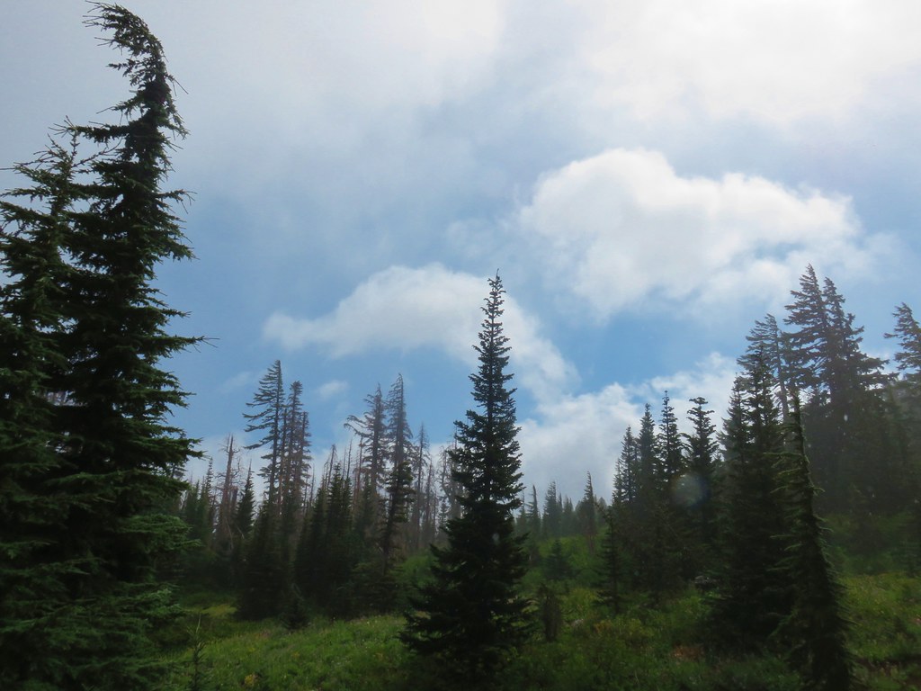
We could occasionally see some blue sky to the east which gave us a just a bit of hope that maybe we’d get a view of the mountain after all.

IMG_7053

The blue sky looked to be just on the side of the mountain though and the clouds were continuing to blow in from the west.

IMG_7054

After a while the combination of our damp clothes and the cool breeze became a little chilly so we decided to head back. It appeared that we were out of luck on a mountain view this time but as we were climbing out of the cove the clouds began to break even more.

IMG_7064

IMG_7065

IMG_7066

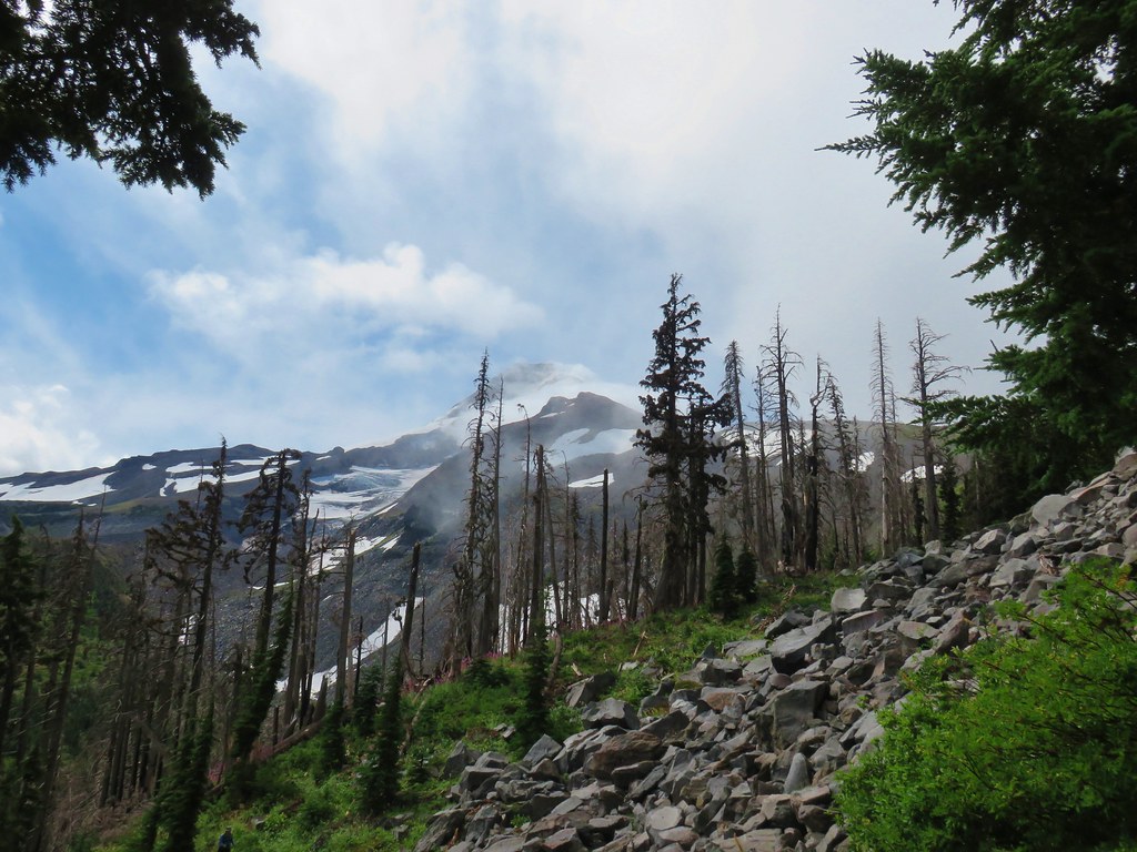
We waited and watched as the sky cleared up just enough to reveal the mountain before swallowing it up once more.

IMG_7075

IMG_7074

IMG_7077

IMG_7084

It had lasted less than a minute and then we were back in the cloudy mist but it was the icing on the cake for what had already been a great hike. We returned to the junction with the Vista Ridge Trail where we turned downhill, passing the Eden Park Trail junction in .3 miles and arriving back at our car in another two and a half miles. The total distance for the day was just over 11 miles with a little under 2000′ of elevation gain.

We were very glad we hadn’t skipped our weekly hike. Getting out on the trail was really just what we had needed. Happy Trails!

Flickr: Vista Ridge Trail

Categories
High Cascades Hiking Mt. Washington Area Oregon Trip report

Mount Washington Meadows

One week after returning from our Northern California trip we found ourselves headed to Bend to drop off some furniture to our Son who had recently moved.  It wasn’t going to be a long visit due to his having to work so after a quick tour of his new apartment we were back on our way home.

Our plan was to stop for a hike on the way home along the Pacific Crest Trail near Santiam Pass south to Mount Washington Meadows. We had left Salem at 5am so it would still be fairly early when we hiked. Just after 8:30 we pulled into the PCT trailhead near Big Lake.
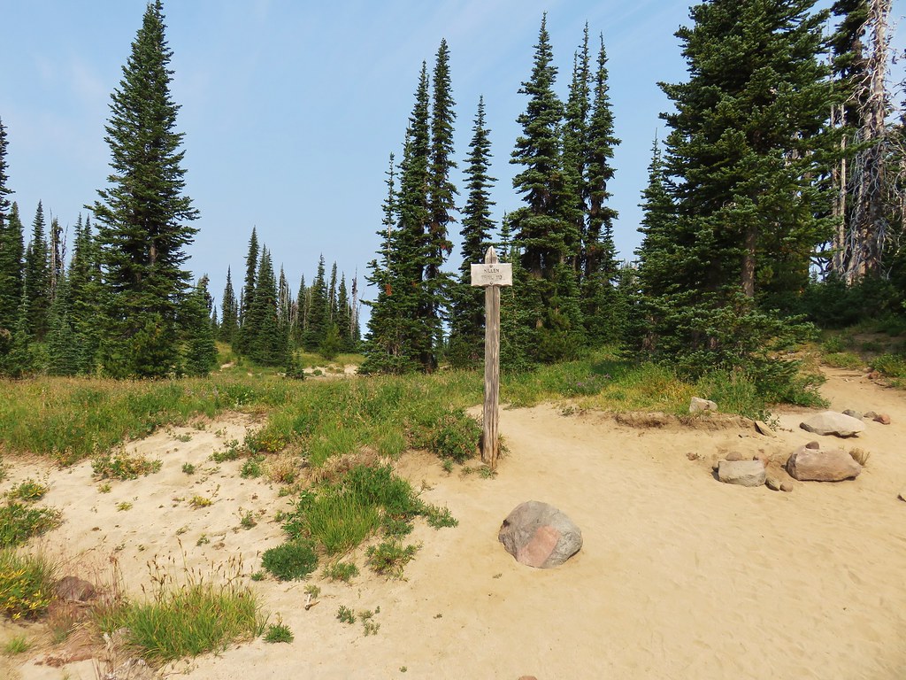
IMG_6597

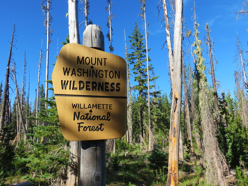
We headed south on the PCT which quickly entered the Mt. Washington Wilderness amid trees burned in the 2011 Shadow Lake Fire.
IMG_6601

IMG_6603

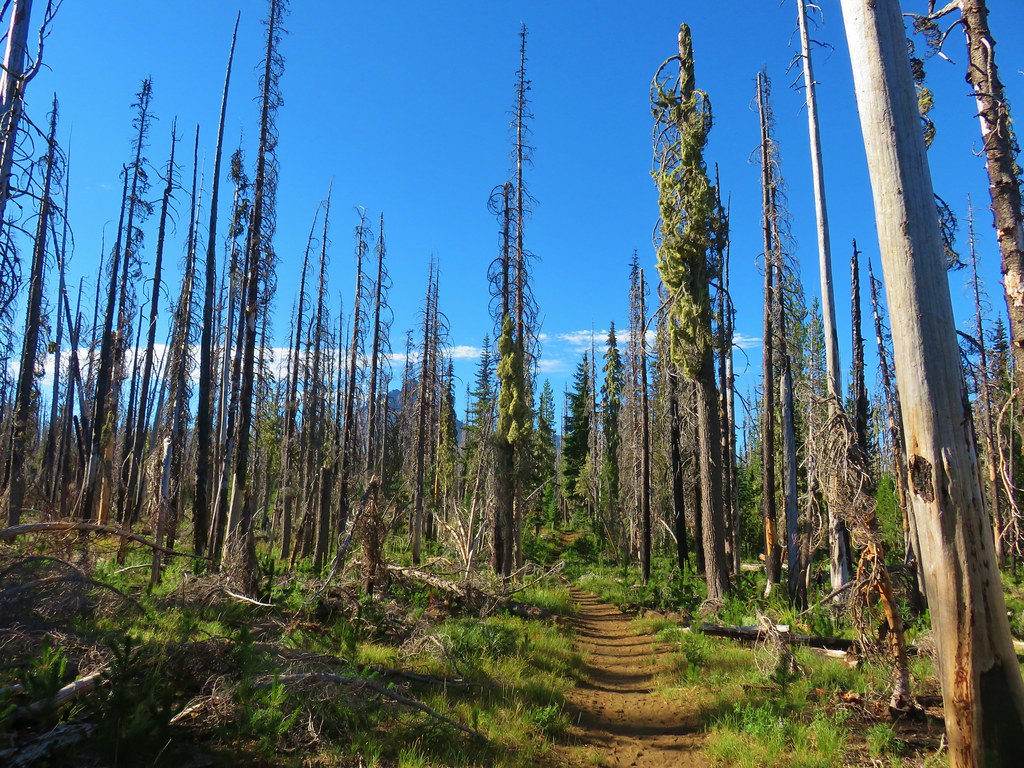
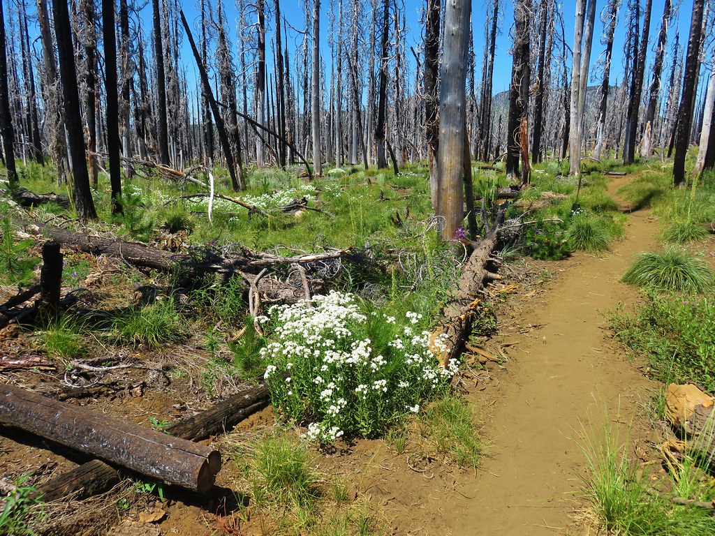
The first two or so miles passed through the burn where despite most of the trees being dead, there was plenty of green and other colors present.

2017-08-05 13.36.29

IMG_6801

2017-08-05 13.37.22

2017-08-05 08.56.33

IMG_6599

IMG_6605

IMG_6610

IMG_6611

2017-08-05 08.55.45

IMG_6628

The lack of living trees did allow for some views of both Mt. Washington ahead and Three Fingered Jack to the north beyond Big Lake, the Hoodoo Ski Area and the flat topped Hayrick Butte.

IMG_6644

IMG_6638

IMG_6639

We could also see two small buttes just to the SW of Big Lake which we had hiked around in 2012 when we visited the Patjens Lakes.

That hike was also done during the first week of August, but less than a year removed from the Shadow Lake Fire. It was interesting to see how the forest was recovering with the passing of several more years.

Patjens Lake TrailPatjens Lake Trail – August 2012

IMG_6791Pacific Crest Trail – August 2017

A wider variety of plants including various berries were present now.

We left the burn area where we were able to see what the forest will look like again eventually.

IMG_6650

IMG_6675

We passed several small meadows and lots of wildflowers as we went.

IMG_6661

IMG_6664

IMG_6653

IMG_6657

IMG_6666

IMG_6670

IMG_6683

IMG_6687

We had been gradually climbing and when a break in the trees allowed us a view to the north where we spotted Mt. Jefferson over the shoulder of Three Fingered Jack.

IMG_6672

IMG_6674

It was a bittersweet view as it reminded us that the Whitewater Fire was burning on the west side of Mt. Jefferson and had already burned over portions of several trails leading to Jefferson Park.

There was no real visible smoke but we knew that it was there and those trails would look a lot like what we’d passed through earlier in the Shadow Fire area.

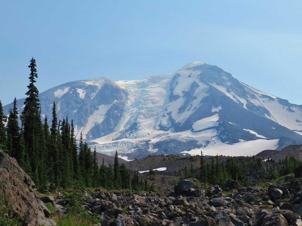
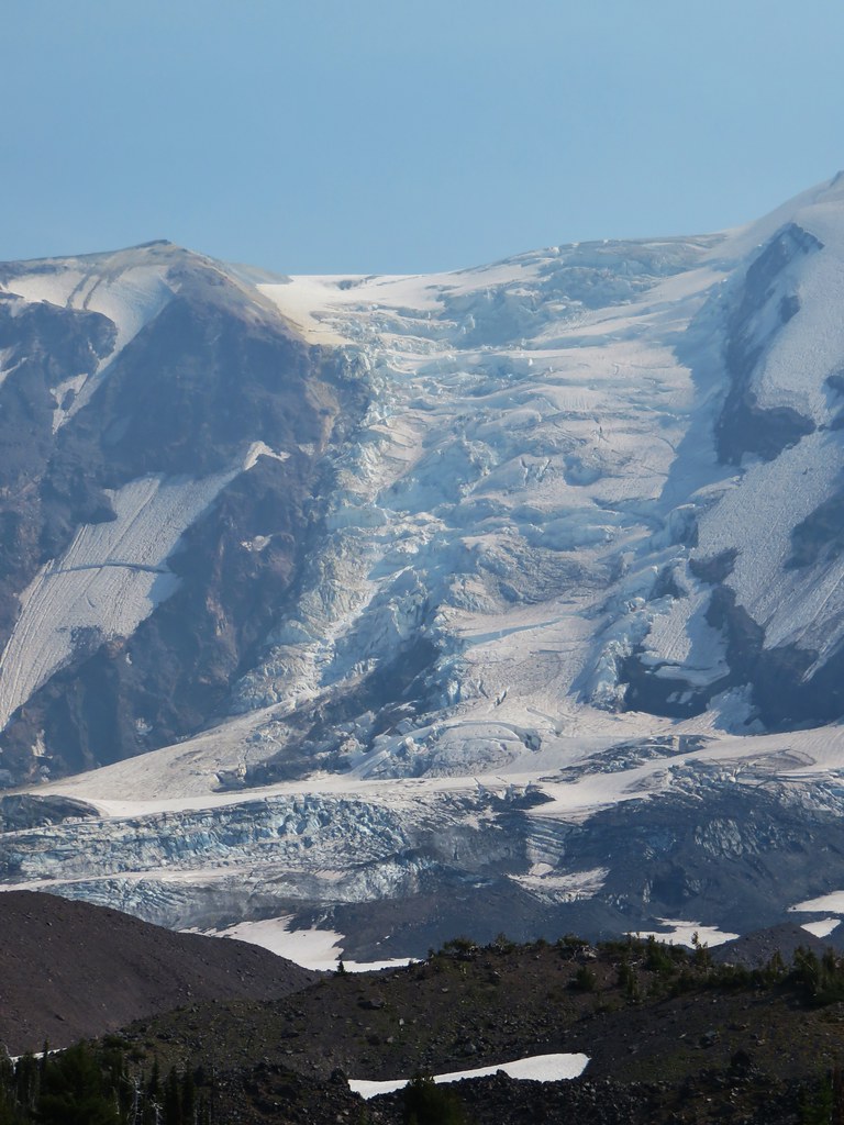
When the PCT began to curve around a ridge to the left the Spire of Mt. Washington came into view.
IMG_6689

An open hillside then opened up views to the south were several other familiar peaks were visible.

2017-08-05 10.47.55_stitch

These included the North and Middle Sister, Belknap Crater, the Husband, Diamond Peak, and Scott Mountain.

IMG_6783North & Middle Sister with Belknap Crater

IMG_6697Scott Mountain

As we continued we passed through some increasingly impressive meadows until reaching a large lupine filled meadow below Mt. Washington.

IMG_6703

IMG_6710

IMG_6718

IMG_6719

IMG_6720

Mt. Washington rose above the meadow where we were able to get a great look at the eroded volcano.

IMG_6733

IMG_6724

IMG_6735

IMG_6744

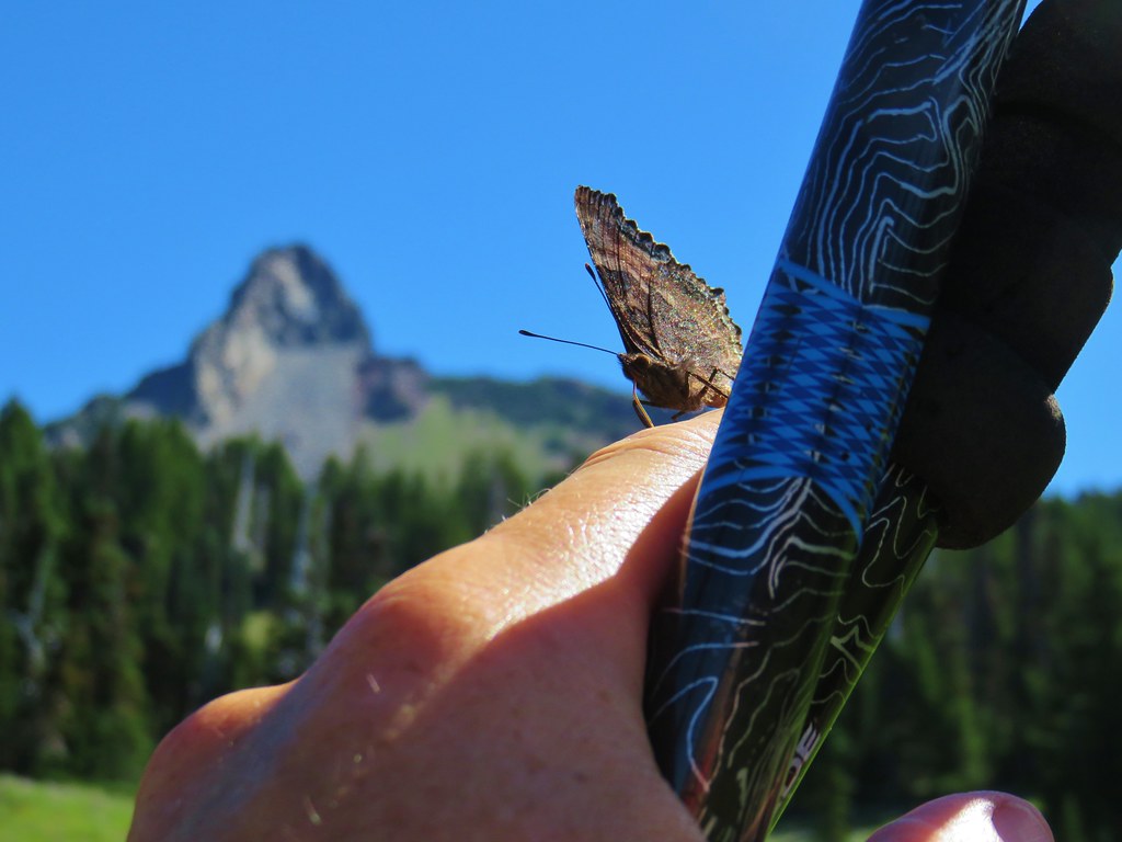
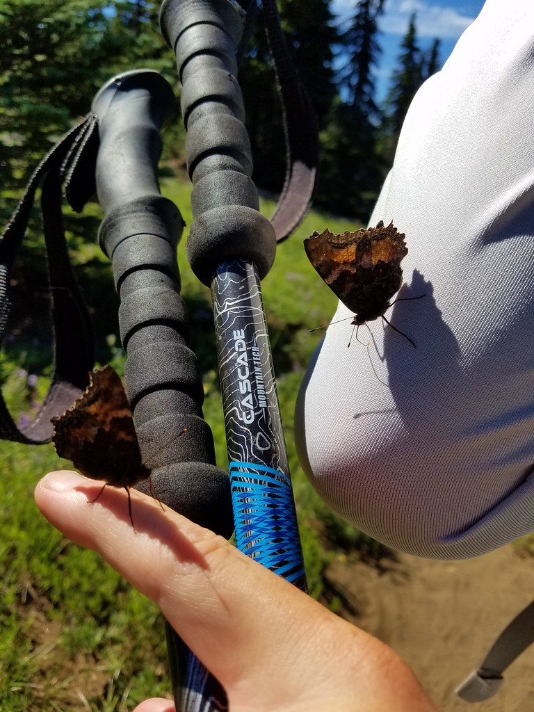
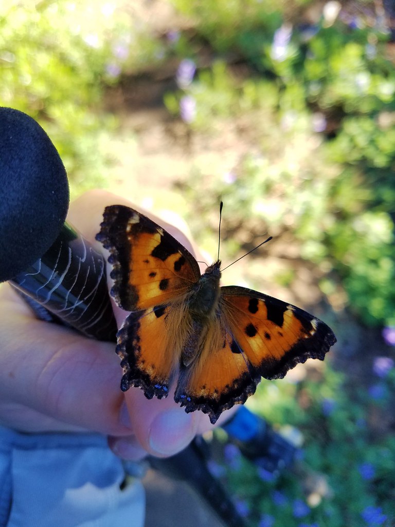
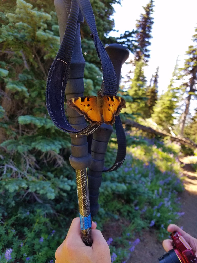
Lupine wasn’t the only thing in abundance in the meadow. There was also a large number of tortoiseshell butterflies who seemed to be overly attracted to me.

IMG_6730

2017-08-05 11.01.51

2017-08-05 11.03.23

2017-08-05 11.03.30

We continued through the meadow where we found a nice display of cat’s ear lilies still in bloom amid the lupine.

IMG_6745

IMG_6751

At this point we’d gone a little over 5.5 miles, but the level grade of the PCT and the great scenery so far enticed us to continue a little further to see what else the area had to offer. We decided to follow the PCT until it began to lose elevation as it crossed a valley between Mt. Washington and Belknap Crater. We soon found ourselves in another area affected by fire.

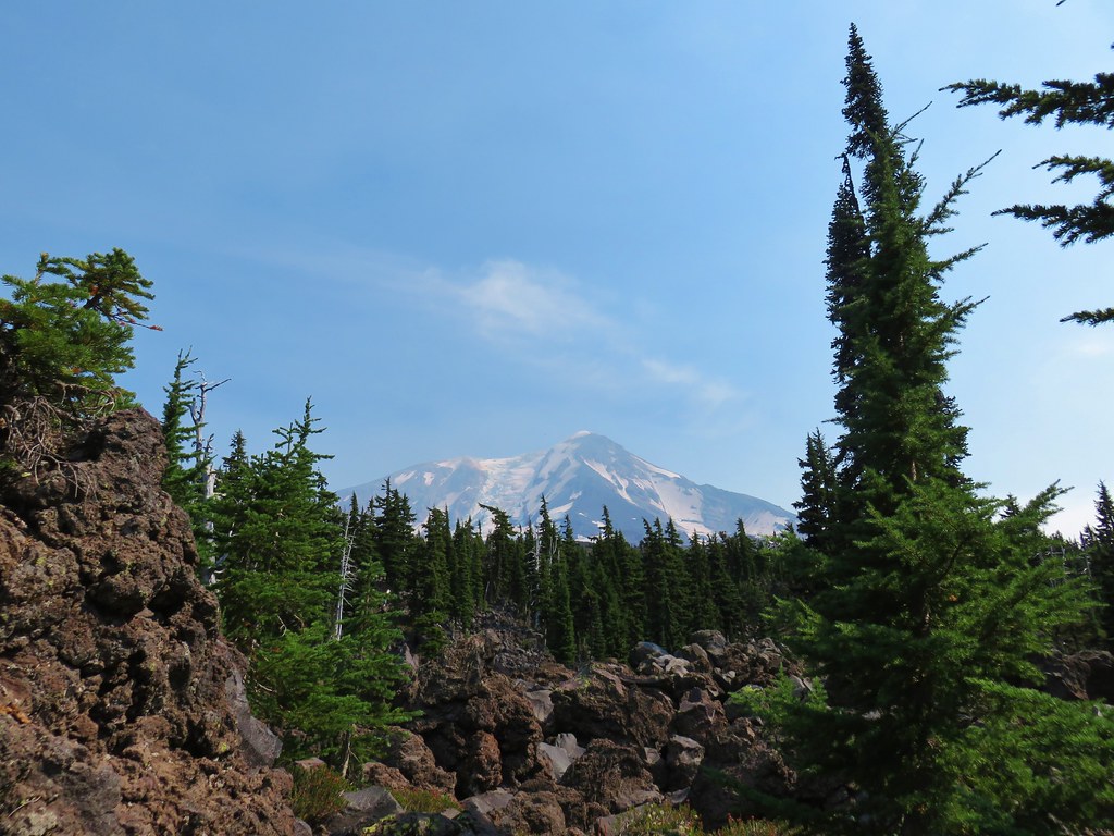
IMG_6755

IMG_6779

We ended our hike as the PCT bent around a ridge end where it would begin the 400′ elevation loss before climbing up to the shoulder of Belknap Crater which was visible across the valley.
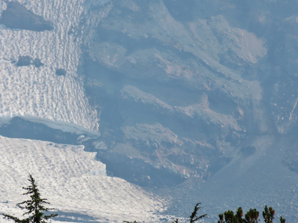
IMG_6762

From this vantage point we could also make out Little Belknap Crater.

IMG_6774

After a short break we headed back through the meadows and returned to our car.

IMG_6781

The 12.4 mile round trip had proved to be a lot more entertaining than we’d expected. We hadn’t really known what to expect having selected the hike from the back of our guidebook in the additional hikes section, but it had been a thoroughly enjoyable outing. Happy Trails!

Flickr: Mount Washington Meadows

Categories
Cascade-Siskiyou National Monument Hiking Oregon Trip report

Pilot Rock

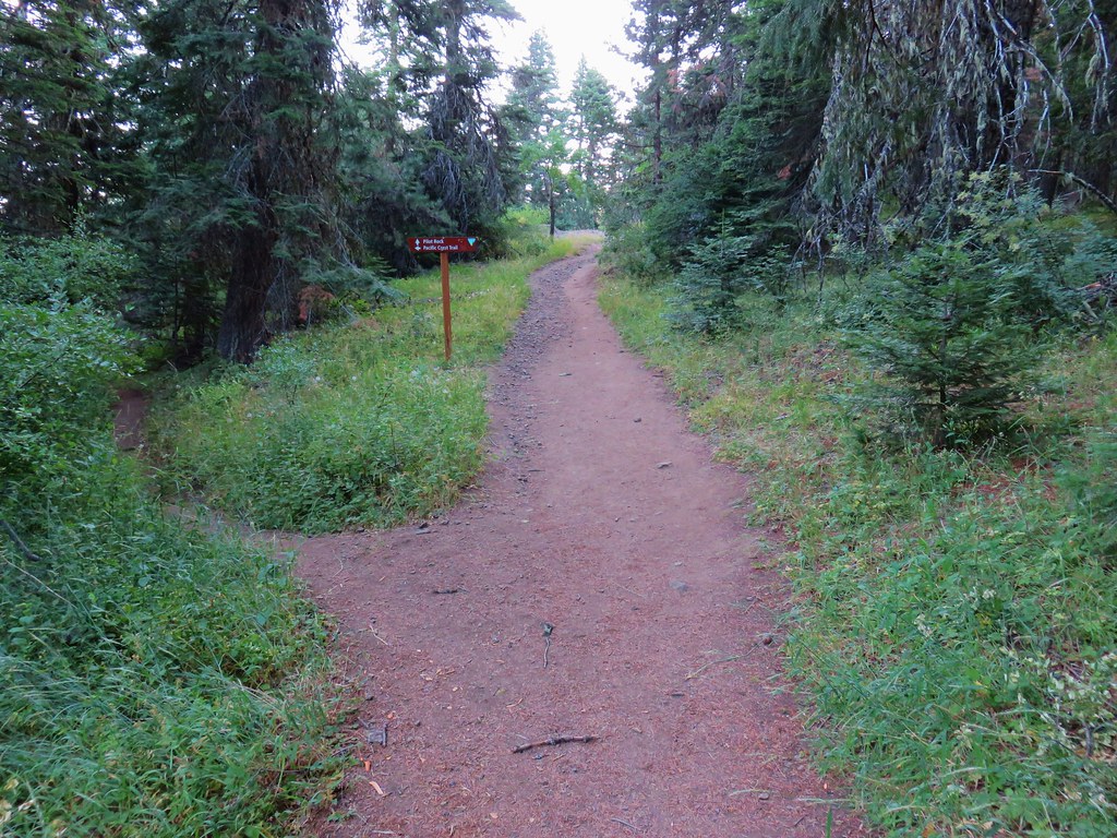
On our way home from Mount Shasta City we stopped for a quick hike to Pilot Rock in Oregon’s Soda Mountain Wilderness. We took exit 1 from Interstate 5 and drove north on Old Highway 99 for 6.9 miles to Pilot Rock Road (Road 40-2E-33) where we turned east. Instead of starting at the Pilot Rock Trailhead which is located 2 miles up the road we parked after a mile at the Pacific Crest Trail crossing. (If you do start here be sure not to block the private driveway.)
IMG_6520

From the road Mt. Ashland to the west and Mt. McLoughlin to the north were visible in the morning light.
IMG_6525

IMG_6526

IMG_6528

IMG_6531

We headed south on the PCT (which ironically meant we were going northbound due to the route the trail takes after crossing I-5).
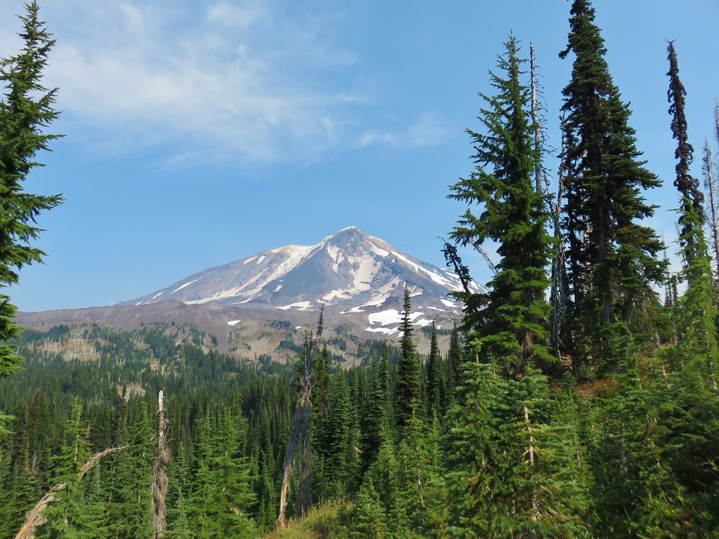
IMG_6527

Most of the flowers were finished but by the looks of things there had been quite a few. A number of late bloomers remained and along with those were some juicy thimbleberries.
IMG_6535

IMG_6538

IMG_6542

IMG_6544

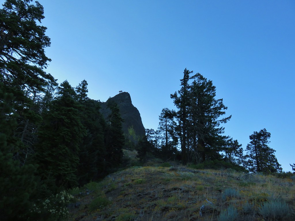
Aside from a couple of very short uphills the trail seemed fairly level and after about 3/4 of a mile Pilot Rock came into view.
IMG_6553

IMG_6555

IMG_6556

After another .9 miles we arrived at a junction with the closed road that serves as the trail from the official Pilot Rock Trailhead.
IMG_6561

The two trails joined for .2 miles passing through a nice forest before splitting once again.
IMG_6563

IMG_6566

We forked to the right following the Pilot Rock pointer. This trail was much steeper and we climbed about 600′ in .7 miles to the base of Pilot Rock.
IMG_6569

IMG_6572

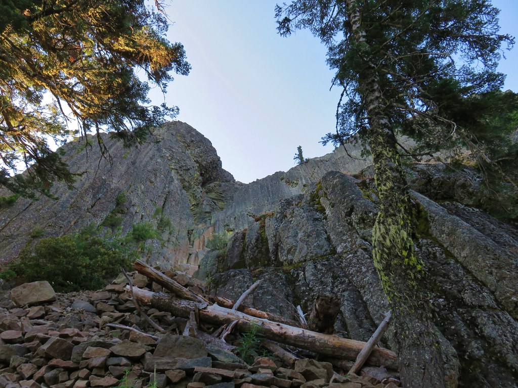
In a perfect world we would have scrambled up to the top of the rock which wasn’t that much higher, but after hiking 80 plus miles and climbing at least 20,000′ over the previous 7 days we weren’t sure that we had the strength and muscle control left to safely climb to and descend from the top.

Rather than risk it we stopped just below the first section where we definitely would have need to use our hands to go any higher.
IMG_6574

We returned the way we’d come. Starting at the PCT put the hike at a little under 5 miles a little less than double what it would have been from the Pilot Rock Trailhead with some nice scenery which would have been even better earlier in the year when the numerous flowers were still in bloom. Happy Trails!

Flickr: Pilot Rock

Categories
California Hiking Mt. Shasta Area Trip report

Black Butte, Horse Camp, and McCloud River Falls

We’d spent five days hiking in the greater Mount Shasta area but it wasn’t until the sixth day that we made it to the mountain that we’d been seeing every day during our hikes. In truth we were holding out hope that the Everitt Memorial Highway might be opened by the end of the week so that we could drive up to the Panther Meadow Trail but that wasn’t in the cards this trip as there was just too much snow still left over from this past winter.

Our plan had always been to do multiple hikes on the day we visited Mt. Shasta and with our other two hikes a go we looked to Hike Mt Shasta for ideas for another trail on the mountain and chose the Horse Camp Trail.

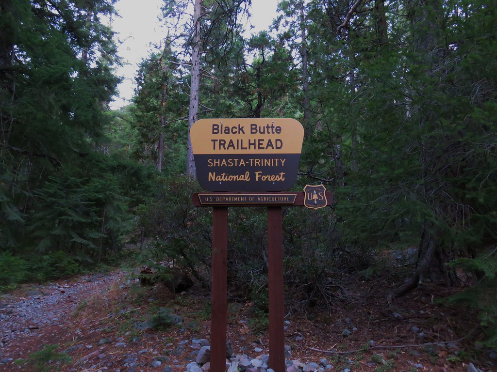
We started our day at the Black Butte Trailhead where we found a caution sign posted by the Forest Service.
IMG_6308

IMG_6390

The slide referenced in the notice was said to be a mile and a half up the the 2.6 mile trail so we figured we could at least get most of the hike in and if it didn’t look too dangerous we could do the whole thing.

The trail began in a the forest climbing steadily as it wound around the cinder cone.
IMG_6309

We’d gotten an early start which was nice not only for the views but for the temperature as well since we’d be gaining over 1800′ feet if we made it to the summit.

IMG_6311

As we emerged from the trees we had a front row view of Mt. Shasta over our shoulders.
IMG_6314

While Mt. Eddy lay straight ahead partly covered by the 14,180′ volcanoes shadow.
IMG_6325

It was a little late in the year for many flowers along the trail but there were still a few as well as some other interesting plants.
IMG_6319

2017-07-28 06.22.39

IMG_6330

2017-07-28 06.25.40

After 1.3 miles the trail came to a switchback revealing a small rocky gorge in the butte.
IMG_6340

IMG_6343

Mt. Eddy was now behind us as we continued to climb with the summit of Black Butte in the sunlight above.
IMG_6345

IMG_6347

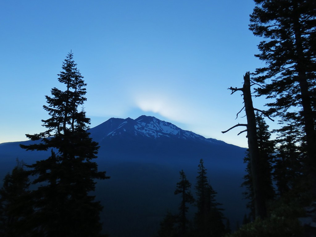
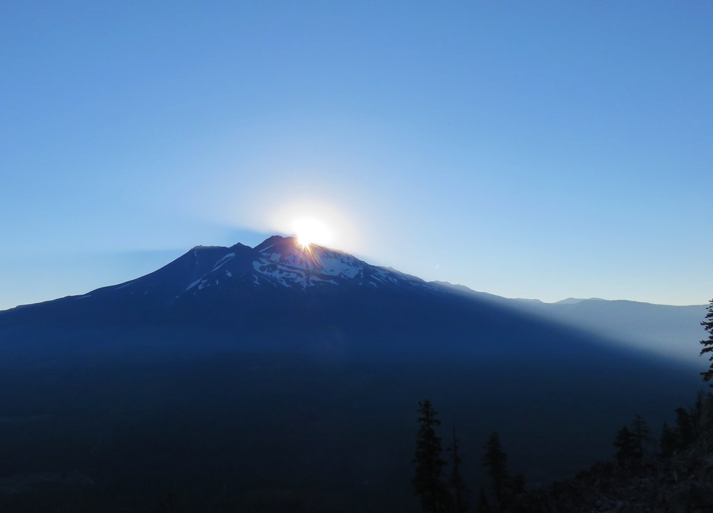
Our timing was good as we were in a great spot to watch the Sun rise over Mt. Shasta.
IMG_6346

IMG_6350

IMG_6353

As neat as that was to see the Sun was soon directly on us and things heated up quickly as we clambered over the rocky trail.
IMG_6359

We were beginning to wonder if the Forest Service had made up the slide because we’d been hiking long enough that we were sure we’d gone further than a mile and half and hadn’t seen anything yet. It turned out that the slide was closer to 2 miles along the trail.
IMG_6360

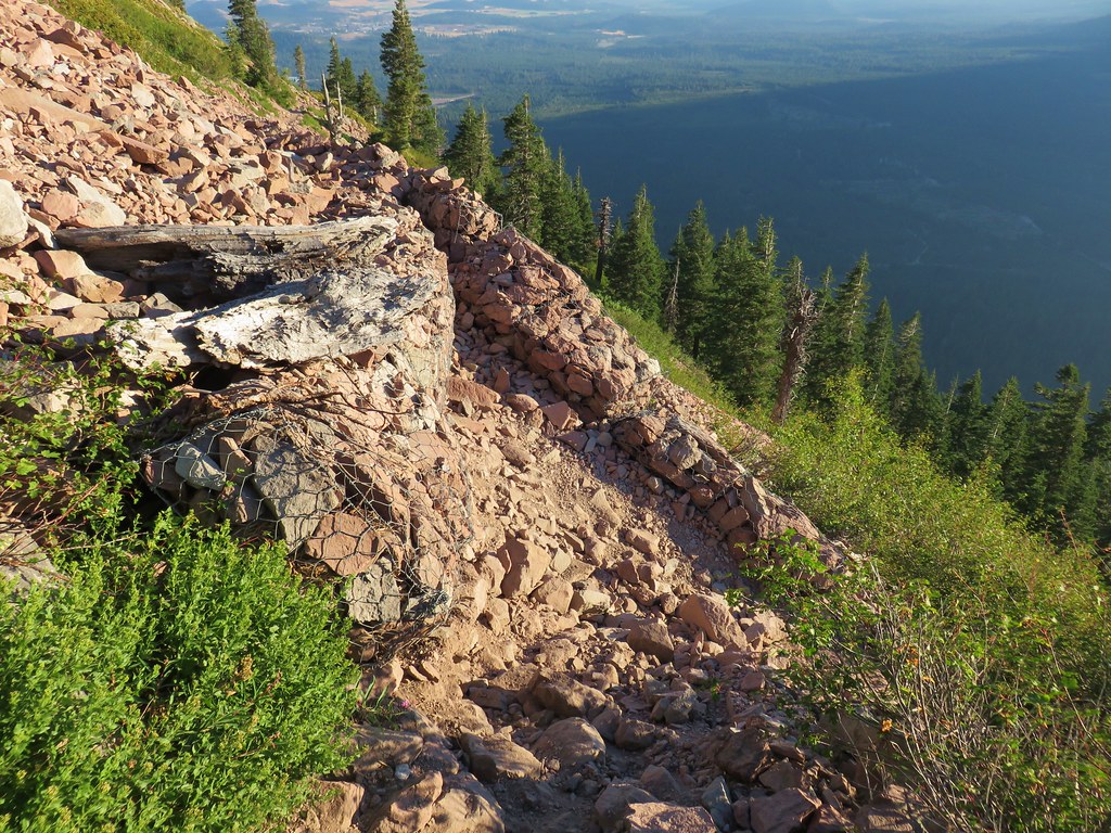
With a little caution it was passable but it didn’t look like it would take much for it to get a lot worse. After passing the slide we came to a second switch back where the trail began to climb more aggressively toward the summit.
IMG_6362

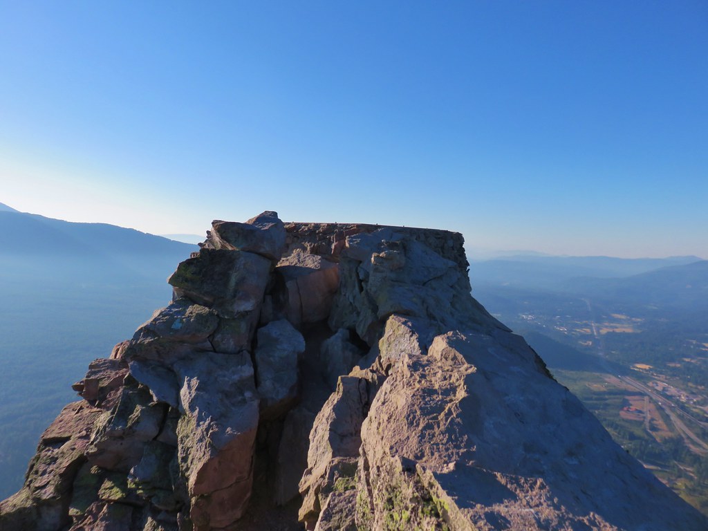
After a third switchback the trail began a series of shorter switchbacks up to the summit where the foundation remains of an old lookout tower.
IMG_6370

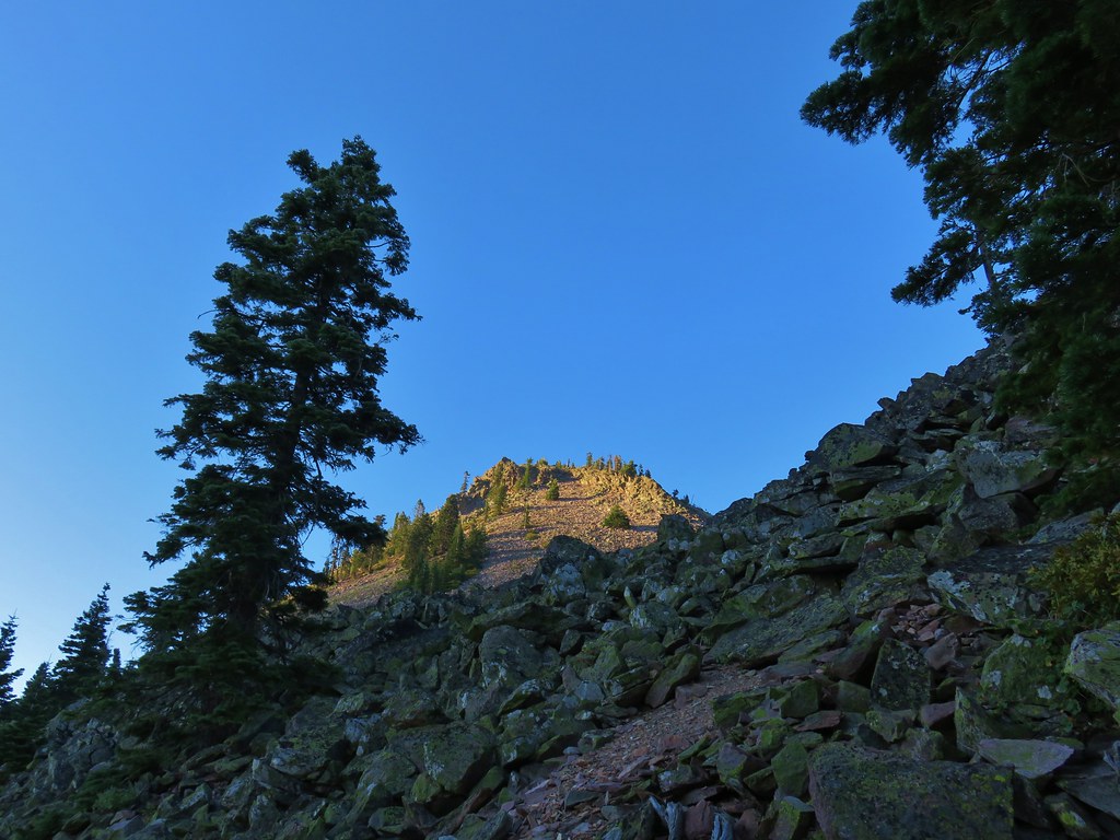
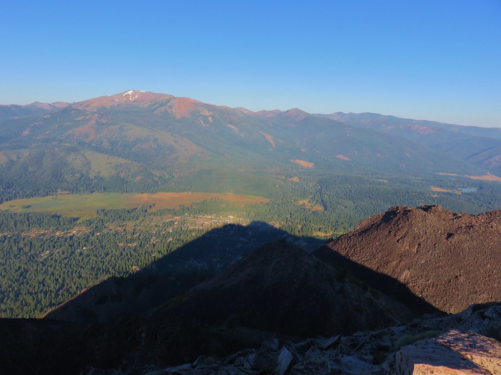
Mt. Shasta’s shadow had been replaced by that of Black Butte, but the 6358′ butte couldn’t reach Mt. Eddy.
IMG_6372

Meanwhile the position of the sun made it nearly impossible to look at Mt. Shasta.
IMG_6374

There was a nice cool breeze at the summit and we lingered there awhile before heading down. After completing that hike we hopped in the car and drove to the Bunny Flat Trailhead which is where the Everitt Memorial Highway was gated closed.
IMG_6391

We had several options from this trailhead including Horse Camp, Green Butte, or a loop visiting both. Given the heat and the fact that we were beginning to run out of gas in our legs we opted for the short (1.6 mile) trail to Horse Camp, the site of the Sierra Club Foundation’s Shasta Alpine Lodge.

After filling out a wilderness permit we set off on the trail heading directly toward the mountain.
IMG_6392

IMG_6394

After a short distance we turned left following a pointer for Horse Camp.
IMG_6395

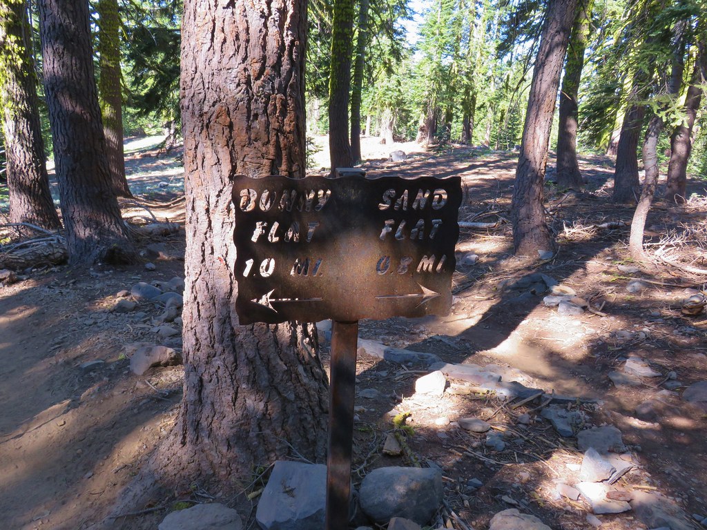
The wide trail passed some patches of wildflowers as it climbed for a mile to a junction with another trail coming from Sand Flat.
IMG_6401

IMG_6399

IMG_6402

IMG_6403

IMG_6405

IMG_6406

IMG_6411

IMG_6413

IMG_6417

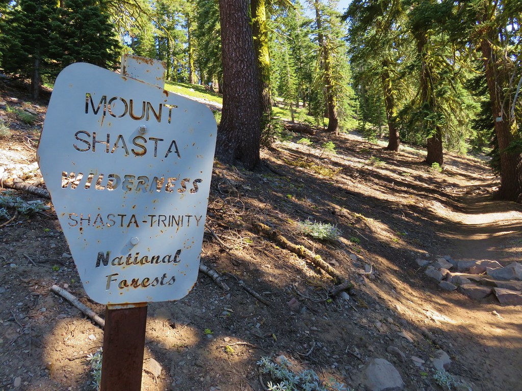
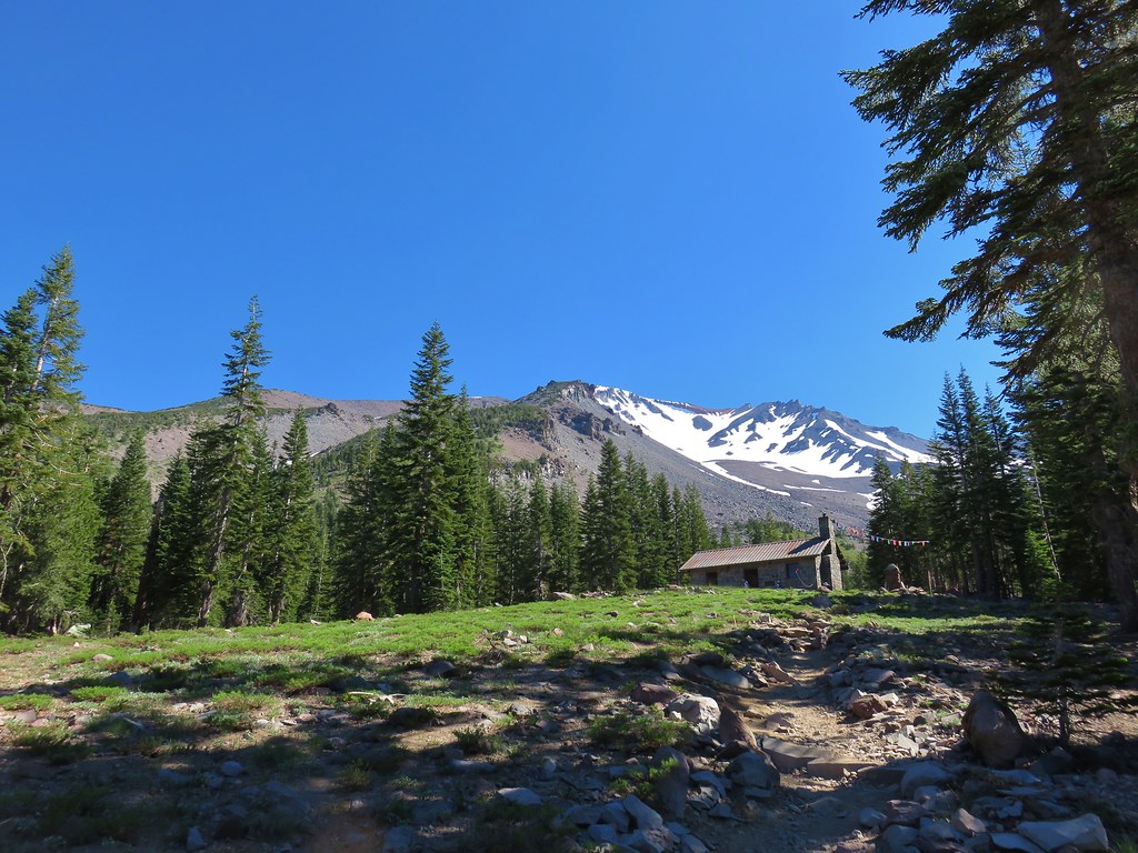
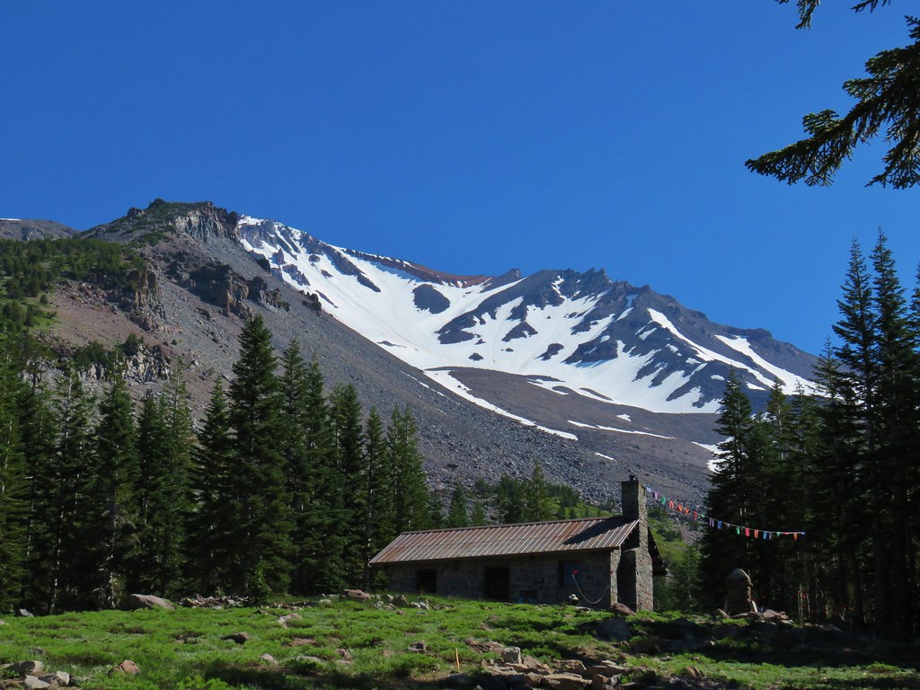
The trail steepened as we entered the Mt. Shasta Wilderness but leveled out some as we arrived at the Shasta Alpine Lodge.
IMG_6419

IMG_6428

IMG_6429

We sat in the shadow of the lodge for a moment then explored the area a bit.
IMG_6431

IMG_6433

Behind the lodge climbers were getting last minute instructions before heading up the summit trail.
IMG_6434

Next to the lodge was a spring and spigot for water.
IMG_6437

We declared victory here deciding to leave any other hiking on the mountain for our next visit. We returned to Bunny Flat and headed for our final stop of the day at the Lower McCloud River Falls picnic area.

For this hike we were using a recently obtained guidebook written by Bubba Suess from Hike Mt. Shasta, “Hiking Northern California A Guide to the Region’s Greatest Hiking Adventures”. The book covers all of Northern California and has some amazing looking hike which we hope to get to at some point.

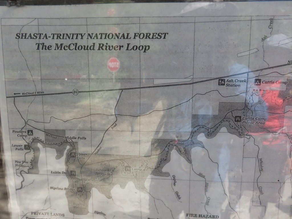
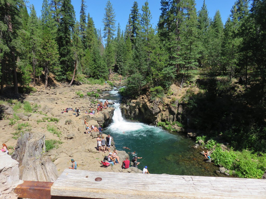
The picnic area is located off of Highway 89 about 15 miles east of Mount Shasta City. Similar to our visit to Castle Lake we were getting a late start due this being our third hike of the day and we found the parking area packed with people trying to escape the heat. We walked over to a signboard with a map and then set off towards a viewpoint of the Lower Falls.
IMG_6447

IMG_6450

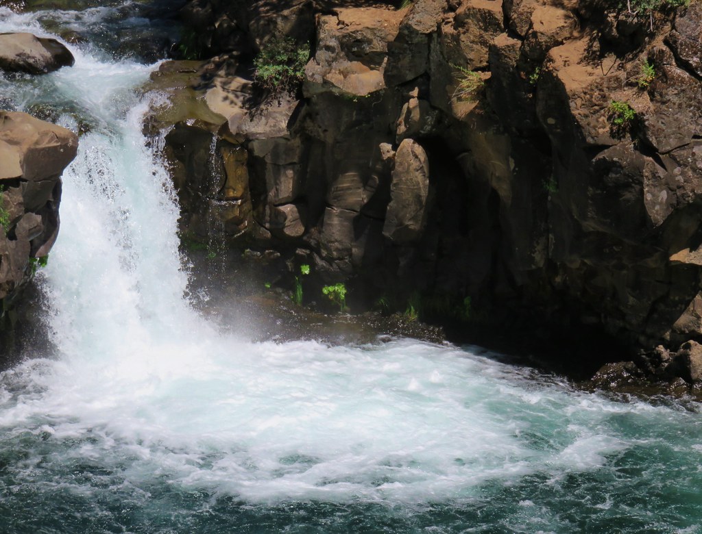
A little creative camera work produced a human free photo of the falls.
IMG_6454

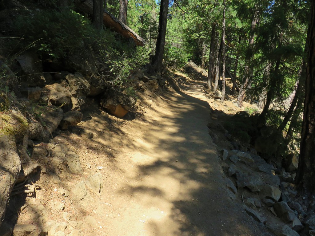
We left the crowds at the falls behind and followed the River Trail upstream toward the Middle Falls.
IMG_6455

IMG_6456

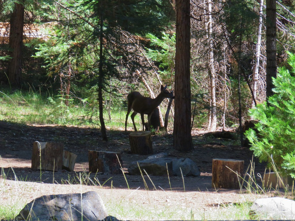
We passed by Fowlers Camp which was busy with campers as well as a doe searching for edibles.
IMG_6469

At the end of the camp was a pointer for Middle Falls.
IMG_6470

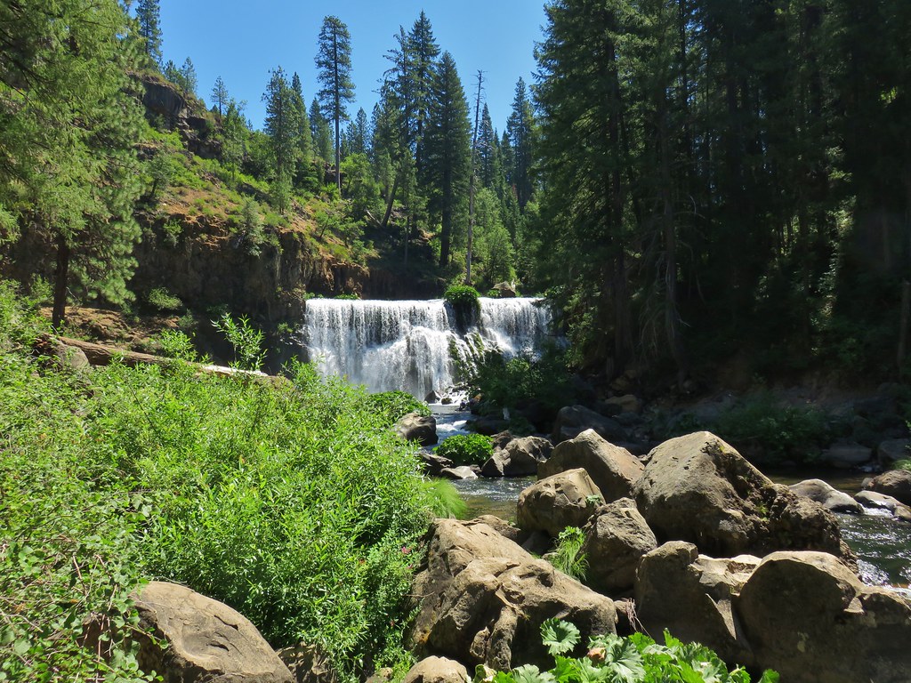
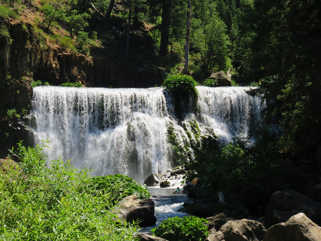
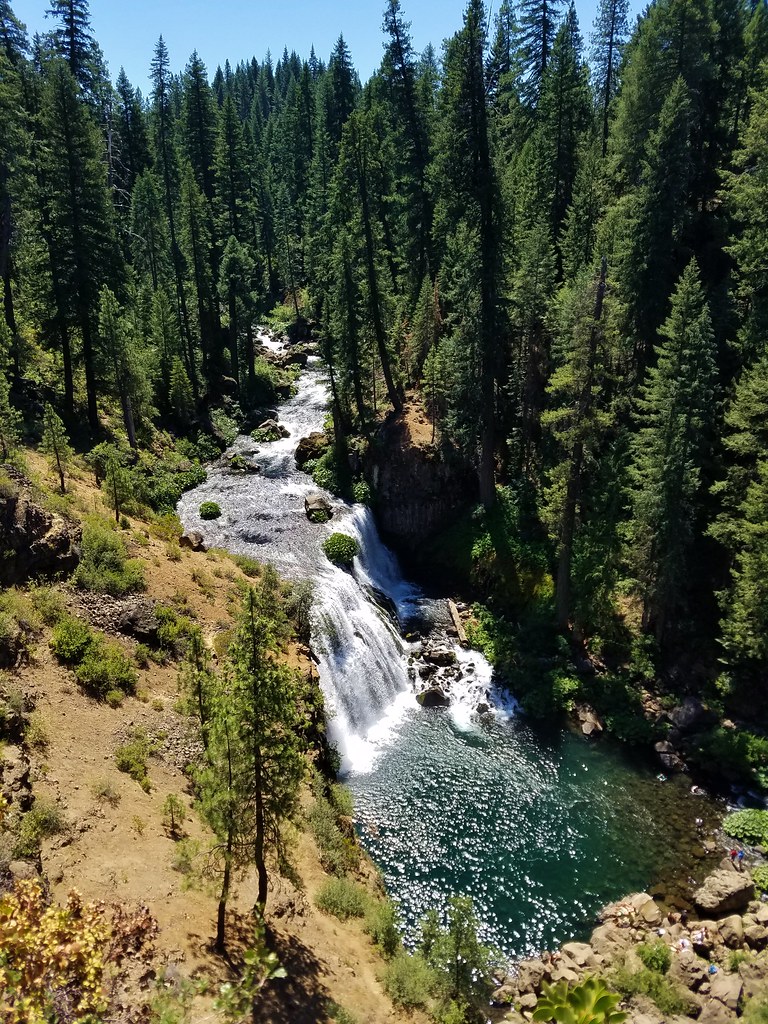
The Middle Falls were quite impressive and although there were a number of people around it wasn’t nearly as busy as the Lower Falls had been.
IMG_6473

IMG_6477

IMG_6481

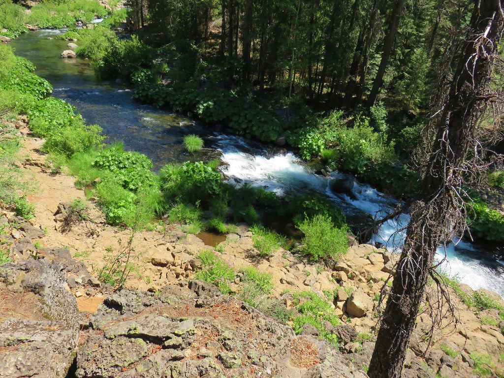
From the base of the Middle Falls the trail climbed via switchbacks above the river.
2017-07-28 12.26.07

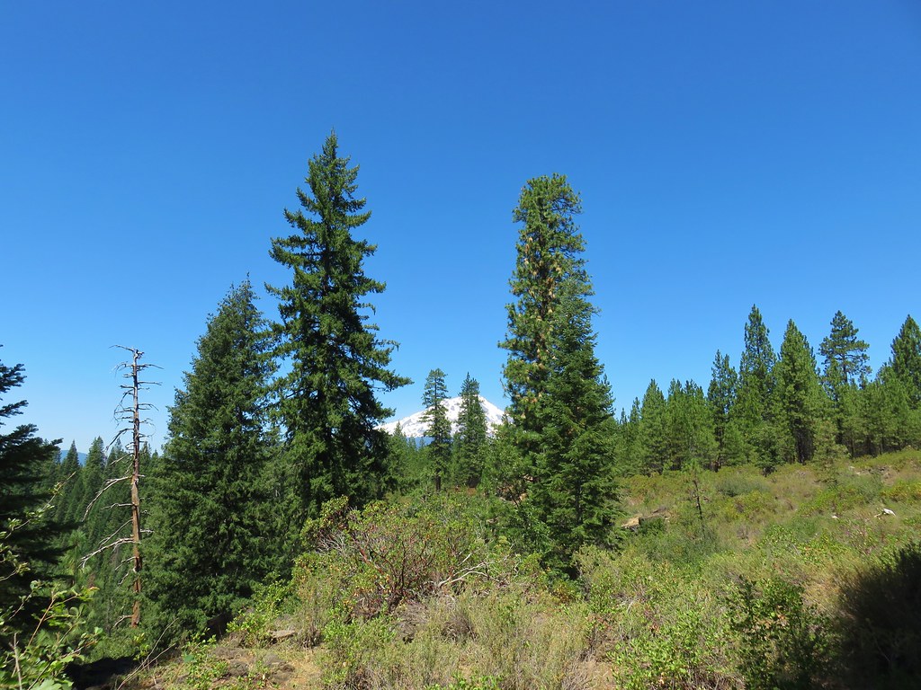
The next .3 miles were level offering a somewhat obscured view of Mt. Shasta.
IMG_6493

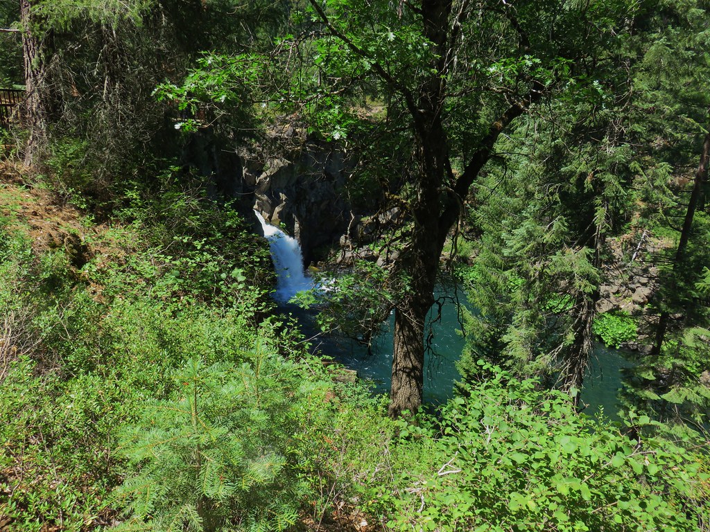
After a total of 2 miles we arrived at the Upper Falls.
IMG_6497

IMG_6502

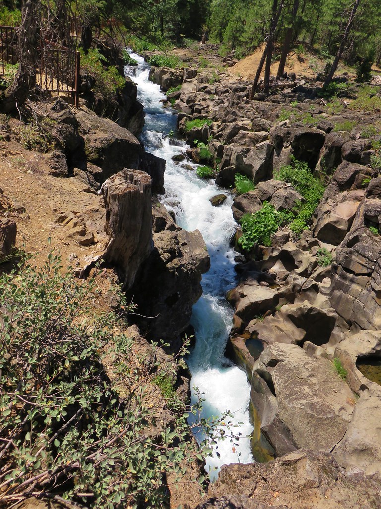
We continued on a short distance to admire the narrow gorge the river passed through above the Upper Falls.
IMG_6508

2017-07-28 12.35.56

IMG_6513

IMG_6510

We returned the way we’d come and drove back to Mount Shasta City having completed 10 hikes in 6 days in California including visiting 4 wilderness areas that we had not previously been to. We’d seen our first rattlesnake, a bear cub and its mom, several deer and lots of other wildlife. We had experienced amazing scenery on all of the hikes and really couldn’t have asked for a better trip. The one negative happened after we’d showered and changed and headed out for an early dinner.

We chose a small Thai restaurant (the food was excellent) and when we were greeted we were informed that they couldn’t serve us any water. It turned out that the city had issued a boil water warning the day before due to some tests of the city’s drinking water that came back positive for E-coli. We’d been drinking the water all week, lots of water. It’s been five days since our last drinks and so far we seem to have escaped unscathed but we could have done without that scare. Happy Trails!

Flickr: Black Butte, Horse Camp, and McCloud River Falls

Categories
California Hiking Klamath Mountains Trinity Divide Trip report

Castle Crags Wilderness

More potential thunderstorms were forecast for the fourth day of our stay in Mount Shasta City, but then it looked like the threat would be past so we decided to stick close by and spend a day hiking in the Castle Crags Wilderness.

We had three hikes lined up for the wilderness starting with a climb to the base of Castle Dome. For that hike we started at the Vista Point Trailhead in Castle Crags State Park. There was an $8 day use fee for the park which turned into a bit of a fiasco because we only had a twenty, a five, and a one on us and there was no one manning the booth yet to make change. I had hoped that there would be a debit/credit card option but there wasn’t so we had to drive back to Dunsmire to break the twenty.

After obtaining the day use permit we drove the narrow, winding 2.1 mile road to the Vista Point parking area.

IMG_5717

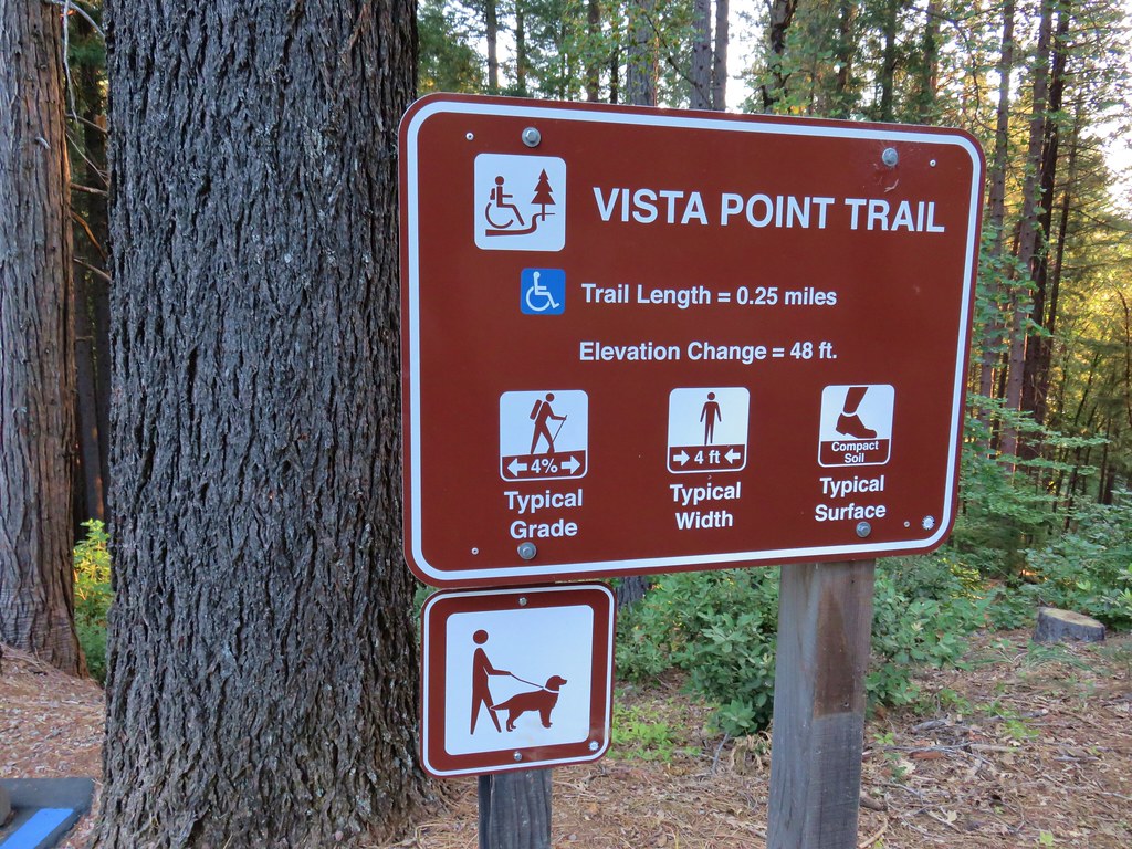
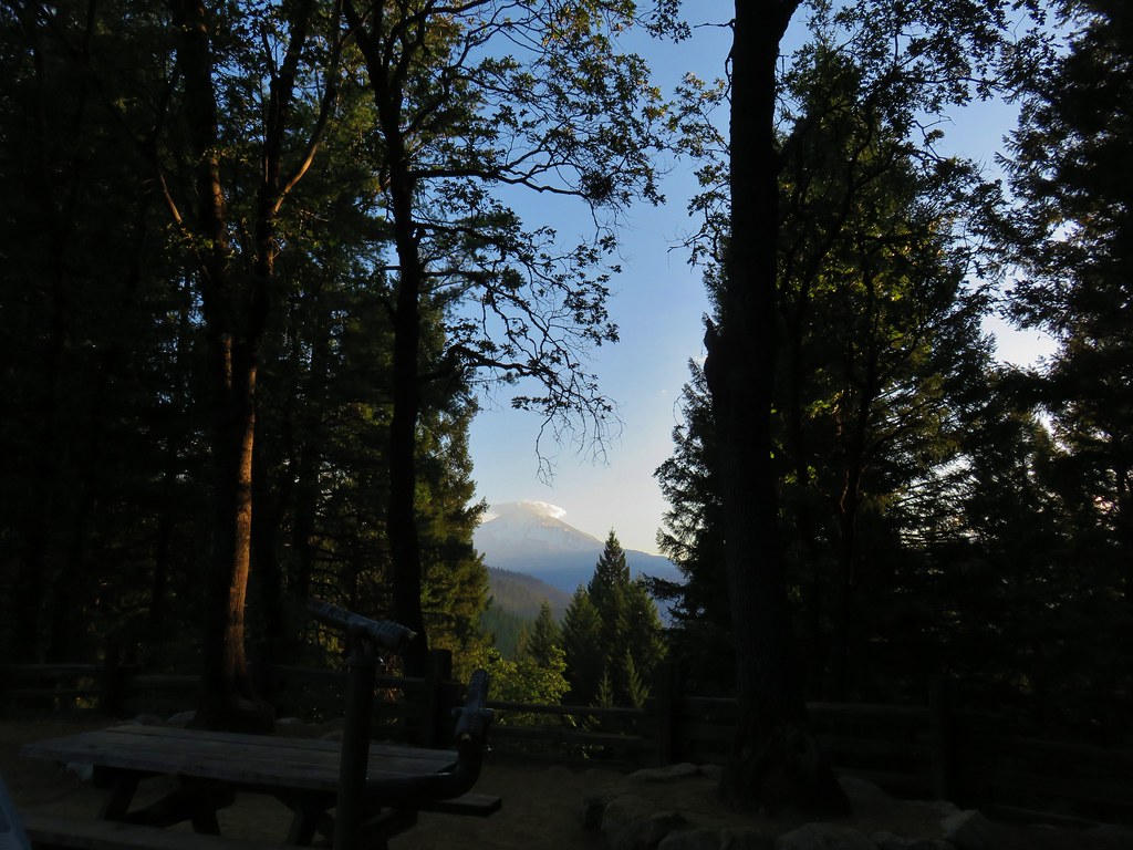
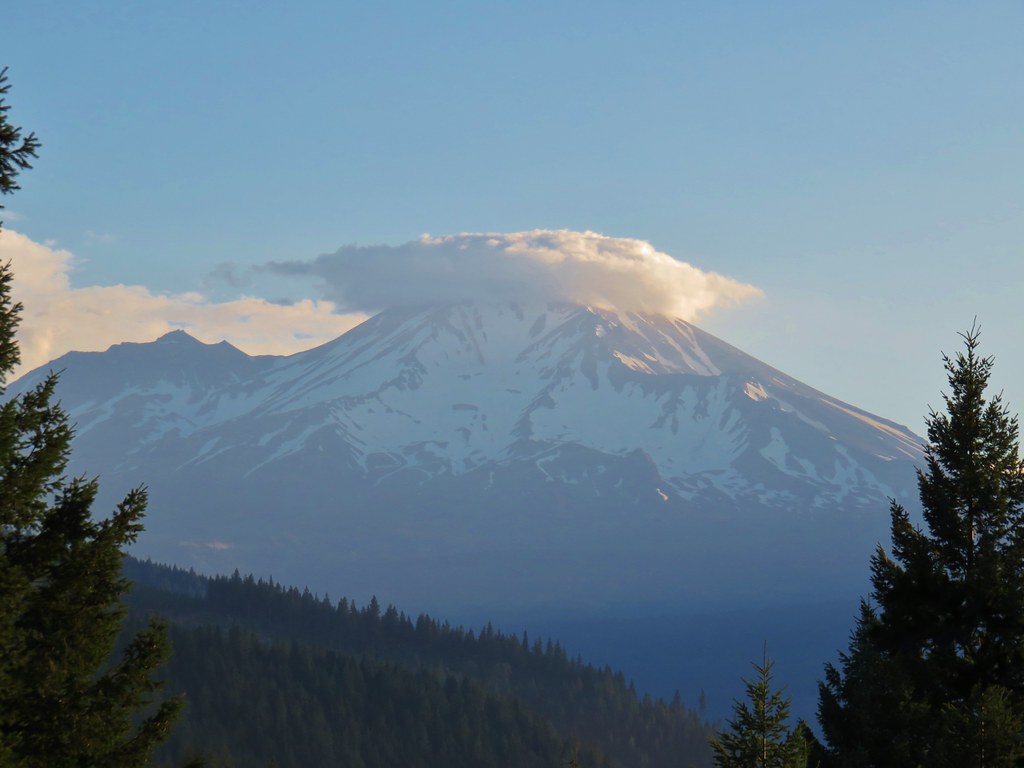
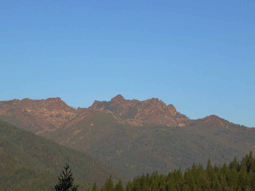
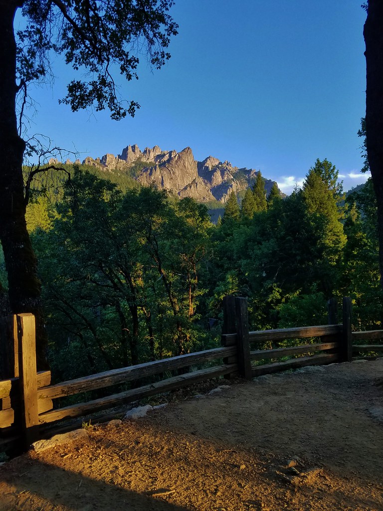
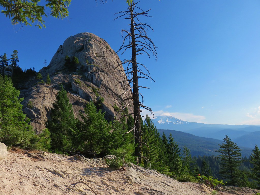
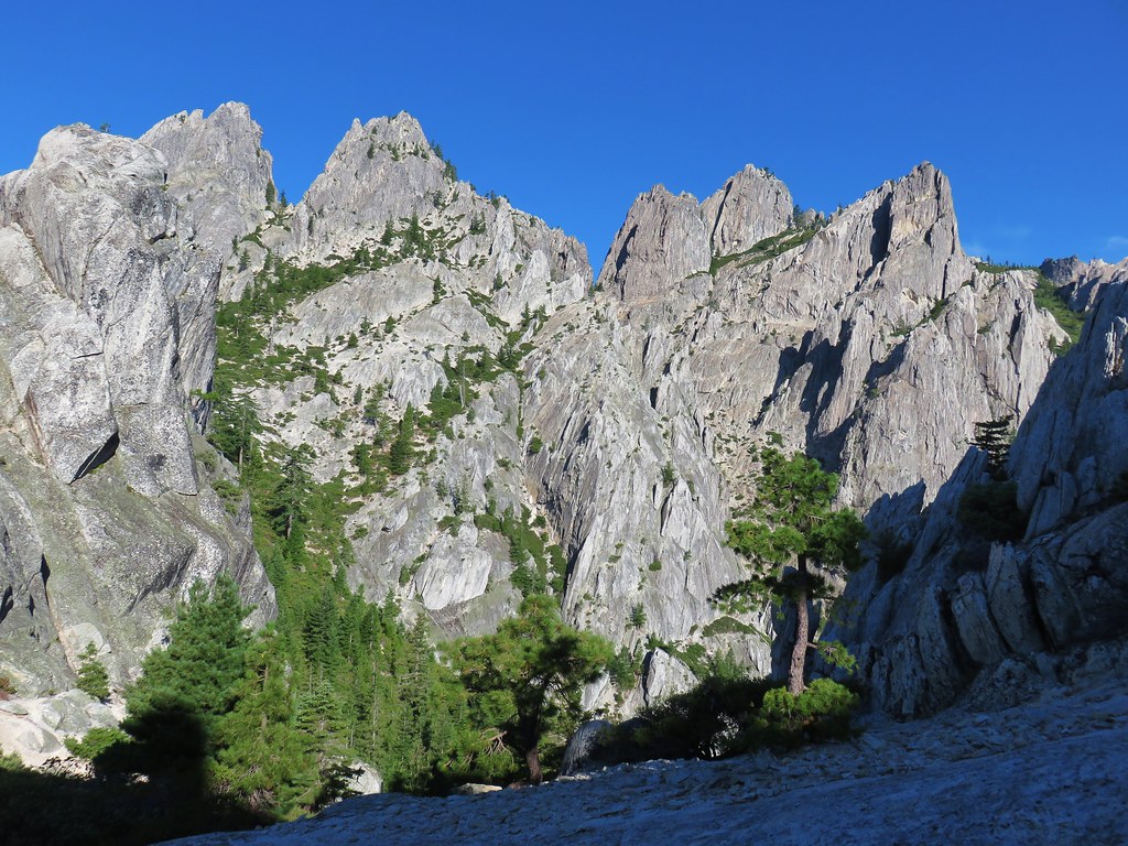
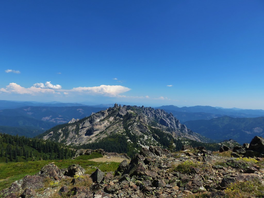
A short walk on the Vista Point Trail brought us to a viewpoint where Mt. Shasta, Gray Rocks, and of course the Castle Crags were visible.

IMG_5720

For the first time during the week Mt. Shasta was sporting a bit of a lenticular cloud.

IMG_5726

IMG_5733

IMG_5735

2017-07-26 06.49.37

IMG_5732

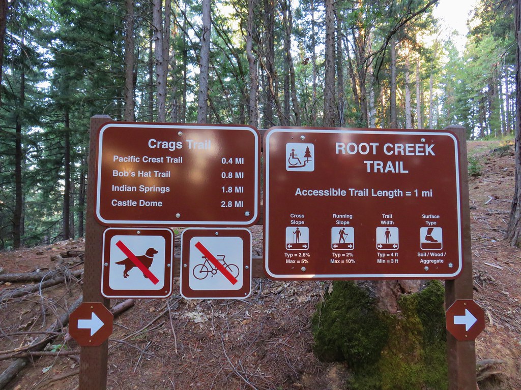
After checking out the view from Vista Point we returned to the parking area and crossed the road to a sign for the Crags and Root Creek Trails.

IMG_5741

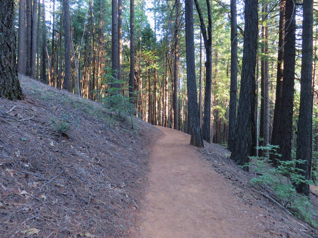
The trail passed through a forest with a bit of poison oak here and there.

IMG_5742

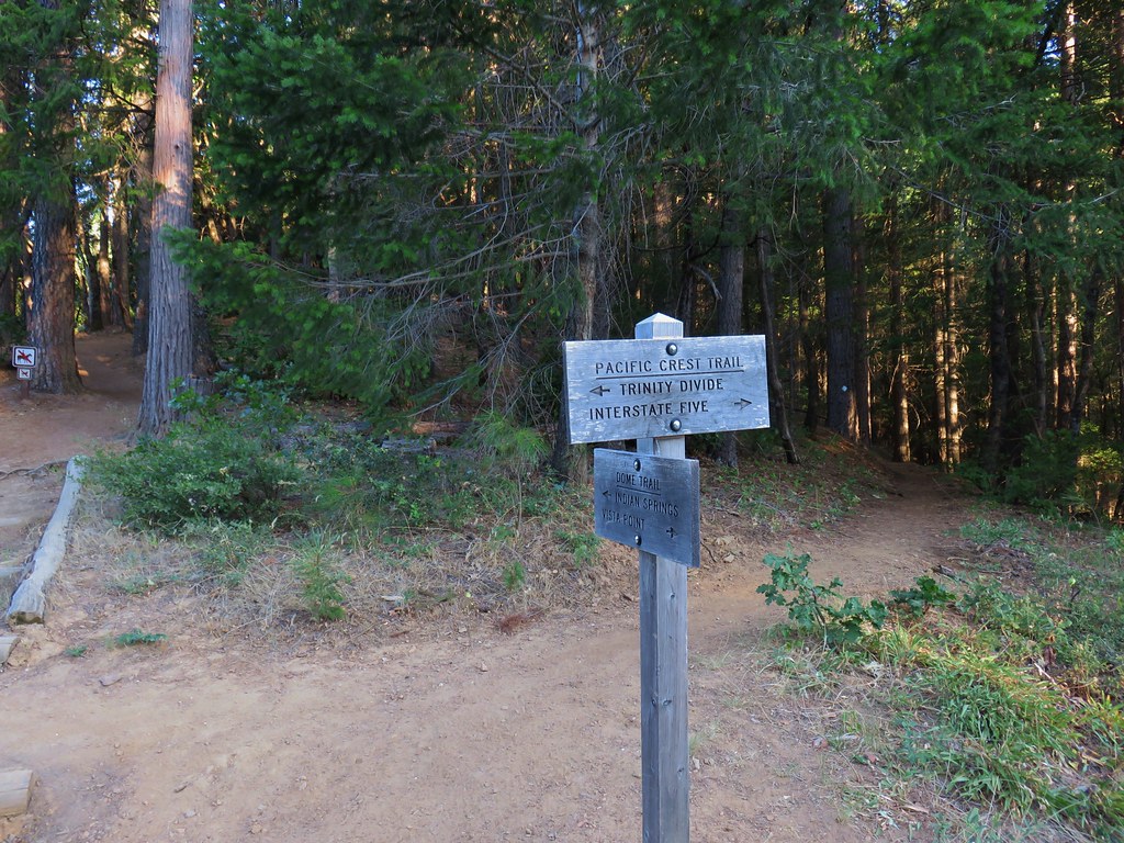
We stuck to the Crag Trail when the Root Creek Trail split off to the right and crossed the Pacific Crest Trail after .4 miles.

IMG_5744

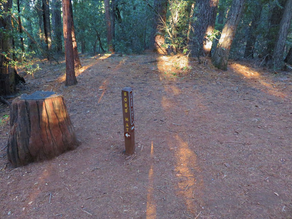
Another .4 miles brought us to a junction with the Bob’s Hat Trail.

IMG_5748

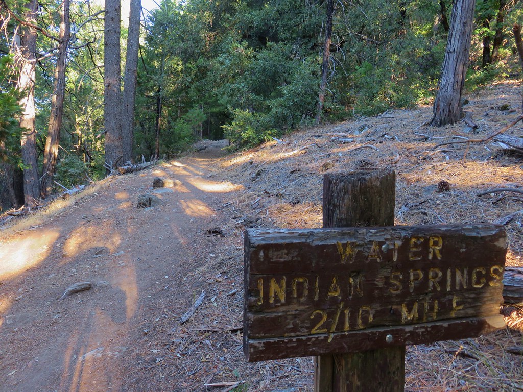
A mile later we passed the .2 mile side trail to Indian Springs.

IMG_5755

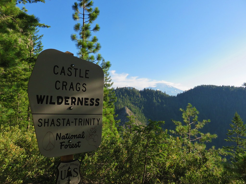
The forest began to thin not long after we’d passed the Indian Springs Trail and we soon entered the Castle Crags Wilderness.

IMG_5757

IMG_5758

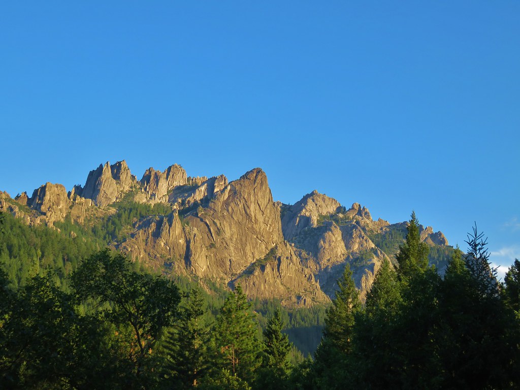
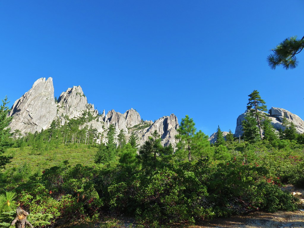
From there it didn’t take long to reach the base of the granite spires of the Castle Crags and climb up the rock.

IMG_5767

IMG_5766

IMG_5778

The views really opened towards the end of the official trail. Castle Dome and Mt. Shasta lined up nicely as we passed the base of rounded spire.

IMG_5780

IMG_5783

IMG_5785

IMG_5789

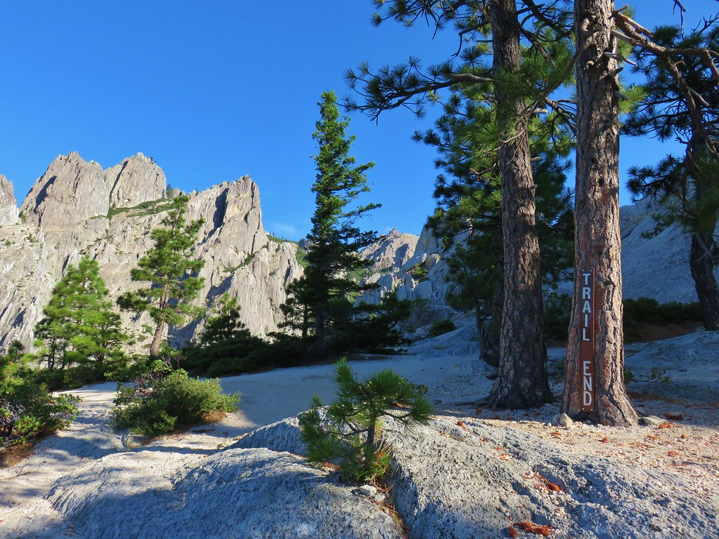
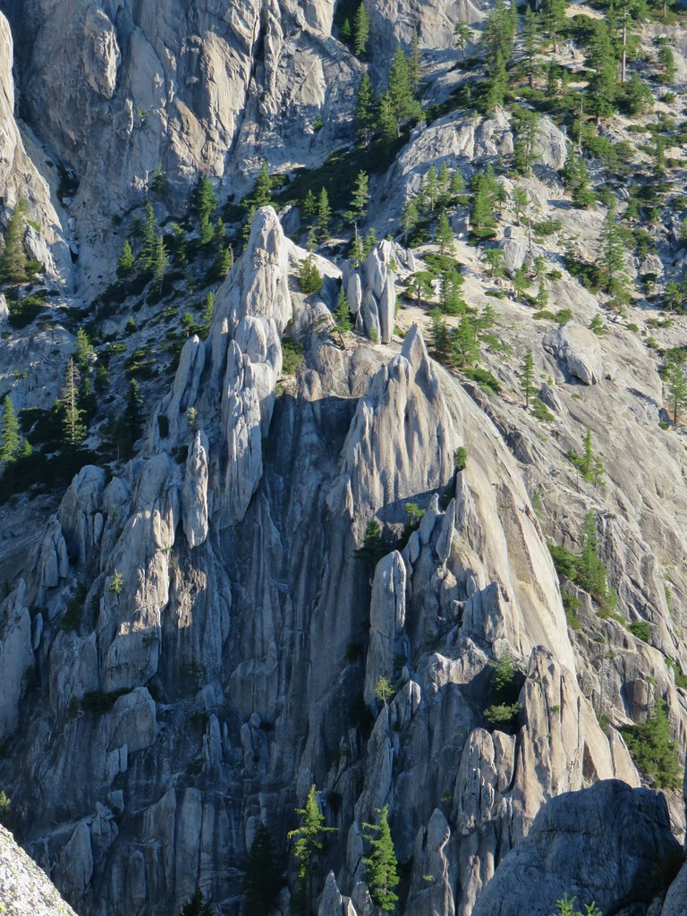
It was possible to continue beyond the end of the trail sign a bit and explore the area a little more. The rock formations were spectacular, it was hard to process everything we were seeing.

IMG_5791

IMG_5795

2017-07-26 08.34.22_stitch

A viewpoint below Castle Dome provided a nice view of Mt. Shasta as well as a look up the granite tower.

IMG_5803

IMG_5805

Although it’s possible to climb Castle Dome, knowing our limitations, neither of us had any intention of attempting to do so. After a long rest in the cool breeze that provided some nice relief after what had been a warm climb up we headed back down. On the way down we noticed that the cloud above Mt. Shasta had morphed.

IMG_5806

IMG_5808

After a mile we turned toward Indian Springs to check them out.

2017-07-26 09.32.46

IMG_5814

IMG_5816

IMG_5818

There were quite a few mosquitoes near the springs so we didn’t stick around long before heading back and returning to our car.

The trailhead for our second hike was a mere 3 miles from the park entrance so after exiting the park we turned right on Castle Creek Road and pulled into a large parking area on the right. The goal for this hike was Burstarse Falls which we hoped might still have a little water flowing over it. We followed the hike described here on Hike Mount Shasta.

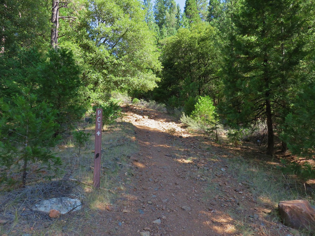
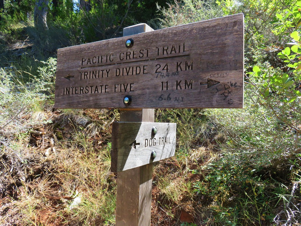
The trail was marked by a metal post with an arrow for the PCT.

IMG_5820

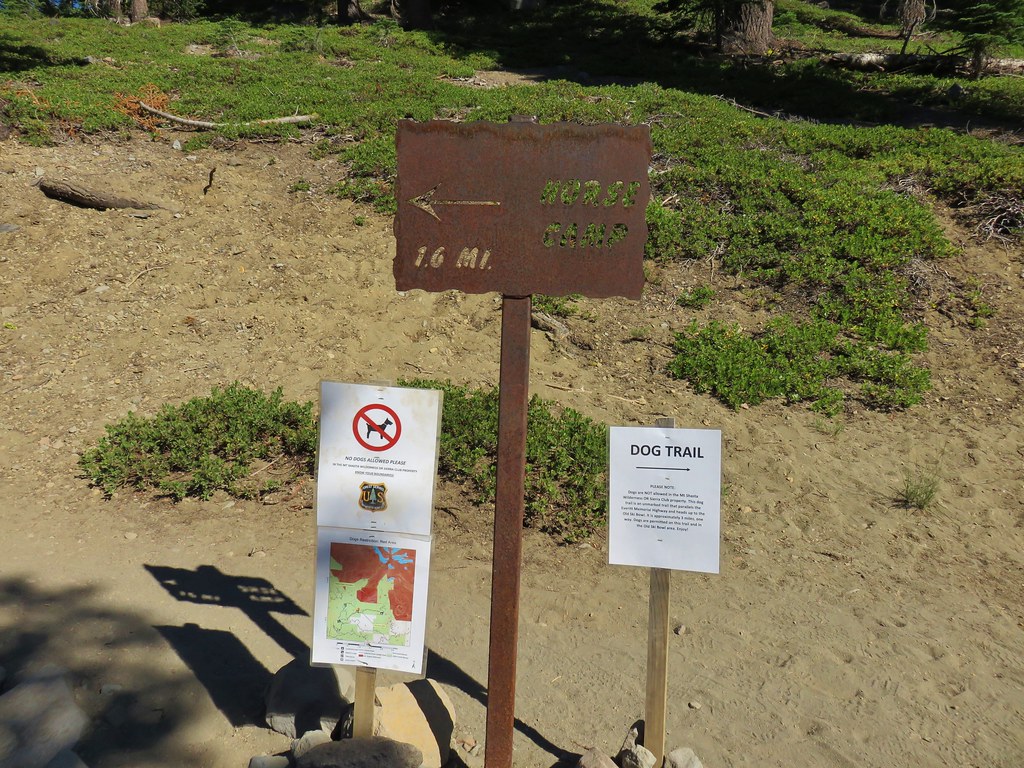
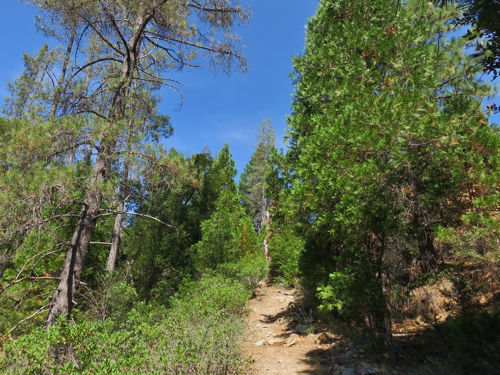
The Dog Trail, so named because dogs are not allowed on the PCT in the Castle Crag State Park so hikers on that trail must go around the park and rejoin the PCT on the other side, climbed for just over a half mile to the PCT.
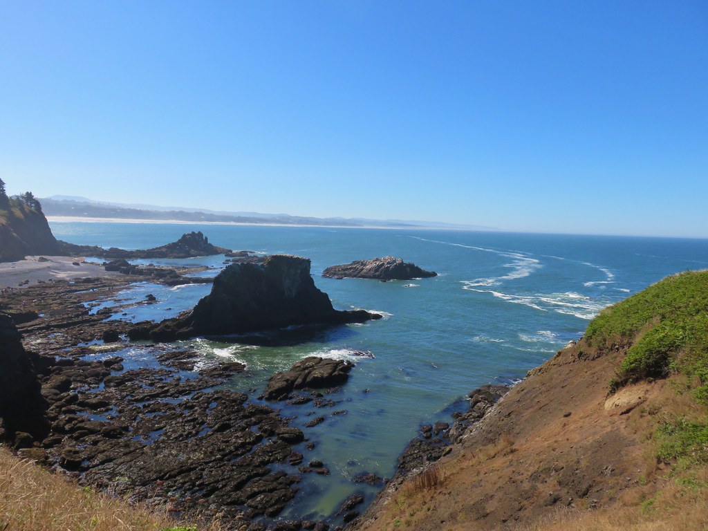
IMG_5823

IMG_5824

IMG_5828

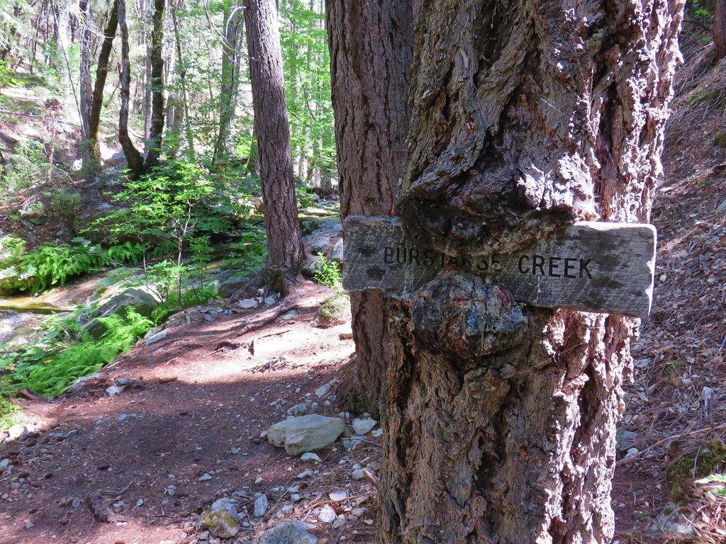
We turned left on the PCT and followed it for approximately 1.7 miles to Burstarse Creek where a hungry tree was devouring a sign for the creek.
IMG_5829

IMG_5834

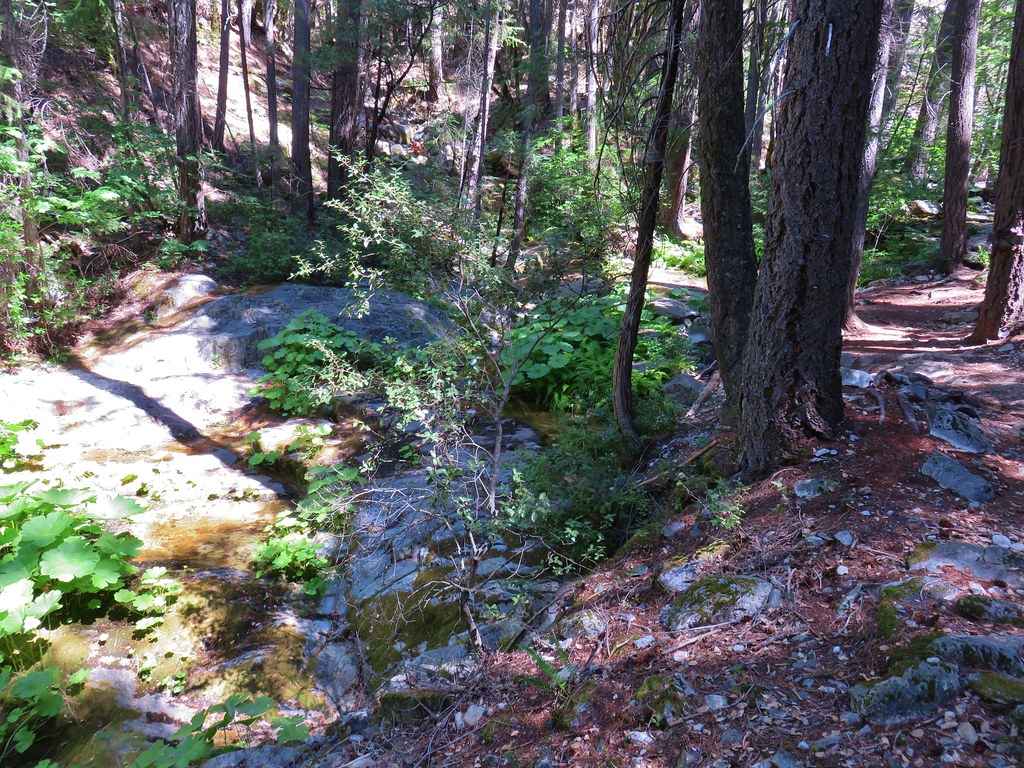
There had been some poison oak along the trail so we kept our eyes open as we turned onto the use trail on the south side of the creek. The creek did have some flowing water but it wasn’t much.

IMG_5833

IMG_5836

IMG_5838

The use trail was easy enough to follow especially in conjunction with the information from Hike Mt. Shasta. We arrived at the lower falls to find just a trickle of water running down it. We knew that coming this late in the summer would probably mean little to no water but as long as we were in the area it was worth checking out.

IMG_5840

Heather remained at the lower falls while I continued on scrambling above the falls on the right then crossing and recrossing the creek bed before arriving at the upper falls.

IMG_5843

The sight of the basalt amphitheater gave me a decent idea of how nice the falls must be when the water is freely flowing. I settled for a small spray of water cascading over the lip of the rocks.

IMG_5844

I headed back down to the lower falls to rejoin Heather.

IMG_5845

We headed back to the car once again and were soon on our way to the third and final hike of the day.

For our last hike we returned to I-5 and drove north back almost to Mount Shasta City before turning west and heading for Castle Lake.

IMG_5852

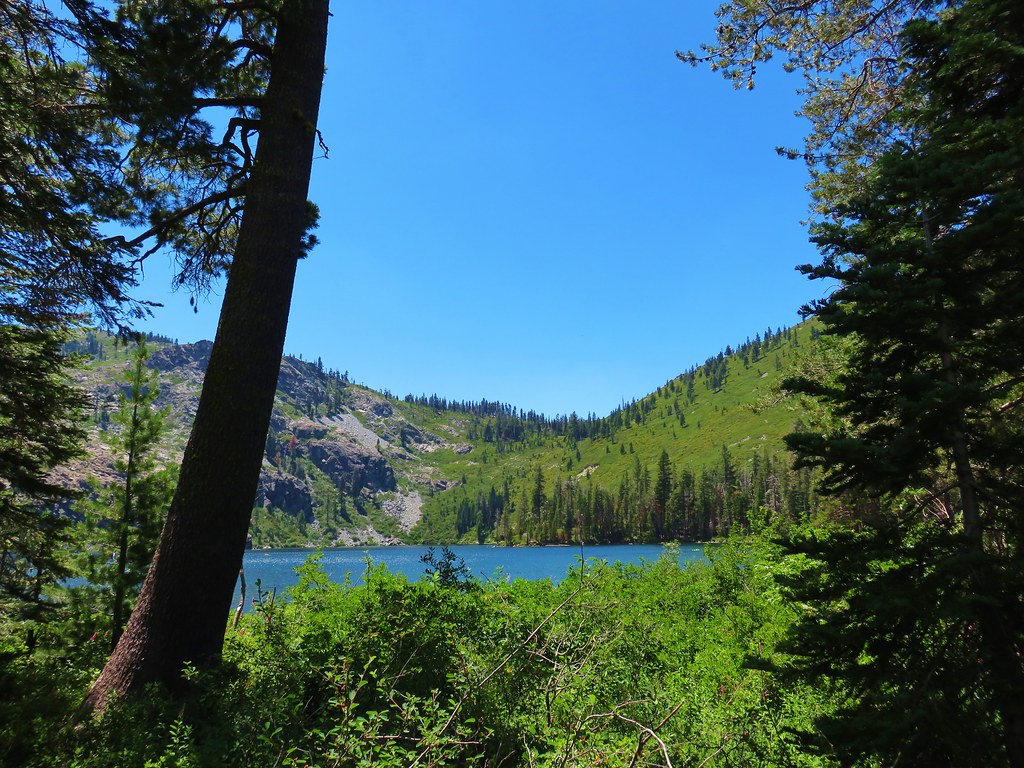
It was an unusually late time for us to start a hike (1:30pm) and it was a hot day. When we arrived at Castle Lake at the end of paved Castle Lake Road we found a whole lot of cars. We parked in the first spot we saw and walked past the mass of cars to the trail.

IMG_5849

We bypassed Castle Lake settling for views along the trail which we were following to Heart Lake.

IMG_5853

IMG_5854

After a .7 mile climb we found ourselves at a pass above Castle Lake. A confusion of trails appeared to head in every direction.

IMG_5861

IMG_5864

Heart Lake lay to our right so we just picked a path and headed in that direction.

IMG_5870

Mt. Shasta emerged from behind a peak to the east over our shoulders as we made our way to Heart Lake.

IMG_5874

After cresting the lip of a glacially carved cirque we spied the lake.

IMG_5875

IMG_5876

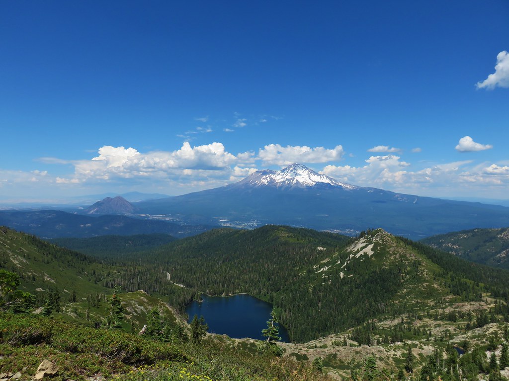
There is a spectacular view of Mt. Shasta beyond Heart Lake which can be seen here. We did not get this iconic image due to a group of young bikini clad girls taking turns posing for Instagram photos at the edge of the lake in the gap where Mt. Shasta was visible. They were oblivious to everyone else hoping to get an unobstructed picture of the scene.

IMG_5877

We continued on past Heart Lake (and the Instagrammers) planning on following another route recommended by Bubba Suess at Hike Mt. Shasta. His recommendation was to continue west from the lake and follow a ridge up and around to Castle Peak then return down the far side to complete a small loop with some big views. We continued west past a small tarn then headed up hill on a faint but visible use trail.

IMG_5879

An initial steep climb brought us to the top of the ridge where we were rewarded with a great view.

IMG_5890

We still had a ways to go to reach Castle Peak though.

IMG_5891

The route was pretty brushy and at times we weren’t sure if we were following the correct path, but we kept making our way up the ridge.

IMG_5903

IMG_5905

IMG_5907

When we arrived at the summit of Castle Peak we found one other gentleman who had seen us coming up behind him. The 360 degree view was impressive with the Castle Crags jutting up to the south.

IMG_5908

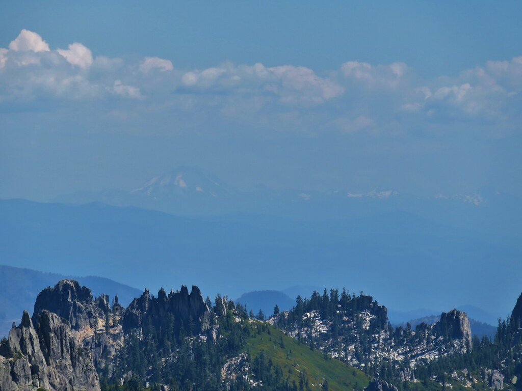
Further away through the haze we had our best view of the trip of Mt. Lassen.

IMG_5914

To the north the size disparity between Black Butte and Mt. Shasta was striking.

IMG_5909

When it was time to continue on we headed east down the the other side of Castle Peak. Again the brush made it difficult to tell what was in fact supposed to be the trail and we found ourselves just lumbering through whatever route looked easiest.

IMG_5920

I had been attempting to match our GPS track to the one shown on Hike Mt. Shasta but we wound up turning downhill earlier than we should have which caused us to have an unnecessarily steep descent back to the trail to Heart Lake. Once we were back on that trail we turned right and kept right making our way to the trail down to Little Castle Lake.

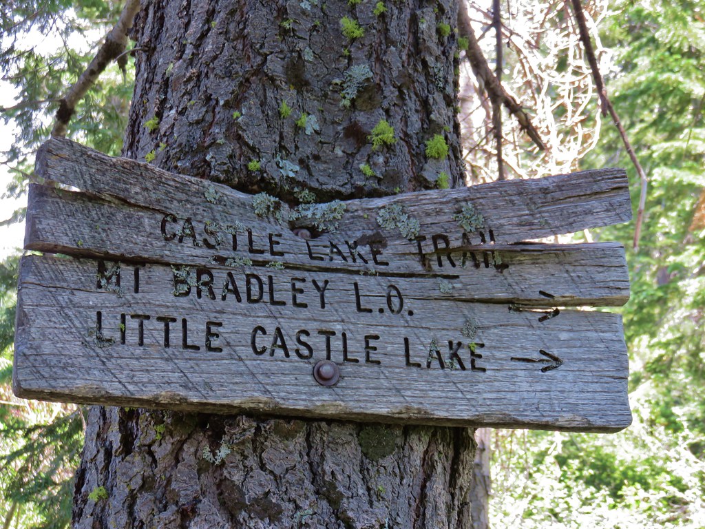
This trail dropped down from the pass to a meadow with quite a few wildflowers.

IMG_5930

IMG_5932

IMG_5938

IMG_5944

A short distance from the far end of the meadow was Little Castle Lake.

IMG_5946

IMG_5952

IMG_5954

After visiting this final lake we headed back down to Castle Lake. On the way we passed a group of naked hikers which was not something we had expected to see. They were a friendly group that was on their way up to Heart Lake. It made for an unexpected end to an interesting day in the Castle Crags Wilderness. Happy Trails!

Flickr: Castle Crags Wilderness

Categories
California Hiking Klamath Mountains Trinity Divide Trip report

Mount Eddy and the Deadfall Lakes

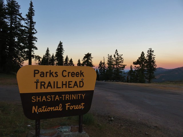
The chance of thunderstorms didn’t seem to be going away anytime soon so we decided to take a chance on our third day of vacation and try Mount Eddy, the highest point in the Klamath Mountains.  We set off early in the morning and drove to the Parks Creek Trailhead located at the Pacific Crest Trail crossing of Forest Road 42N17.

IMG_5328

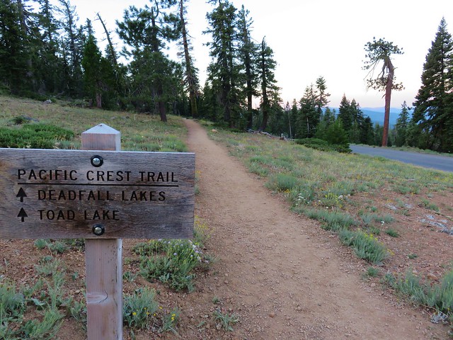
We headed south on the PCT toward the Deadfall Lakes.
IMG_5331

We could see our goal as we hiked the PCT.

IMG_5336

Further to the south were the snowy Trinity Alps.

IMG_5348

Below were meadows surrounding Deadfall Creek.

IMG_5363

As we neared the Deadfall Lakes Basin we began passing some good wildflower displays.

IMG_5372

IMG_5375

IMG_5378

IMG_5383

IMG_5385

IMG_5388

IMG_5391

IMG_5417

IMG_5418

IMG_5419

A little under 3 miles from the trailhead we arrived at a junction with the Deadfall Lakes Trail.

IMG_5427

We turned left heading for Mount Eddy. The weather was looking good and we wanted to get up to the summit before any thunderstorms might develop. As we passed by we made a brief stop at Middle Deadfall Lake before continuing on.

IMG_5431

The trail climbed gradually past a series of meadows where we spotted some California pitcher plants.

IMG_5439

IMG_5438

IMG_5440

The trail steepened as it climbed toward Upper Deadfall Lake.

IMG_5444

As we crested the rim of this upper portion of the basin we arrived at a small lake with a big view of Mount Eddy.

IMG_5450

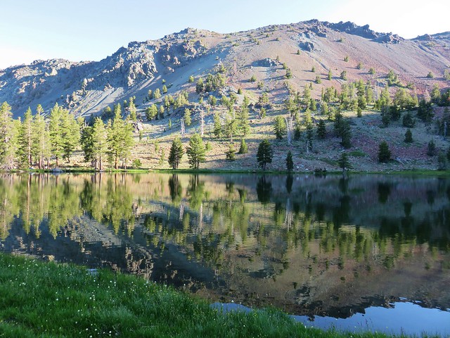
Due to the time the sun wasn’t in the best position to appreciate the view but as we passed by the lake it had a nice reflection.

IMG_5461

Just a little further along the trail (and a mile from the junction) we came to Upper Deadfall Lake.

IMG_5473

IMG_5482

IMG_5484

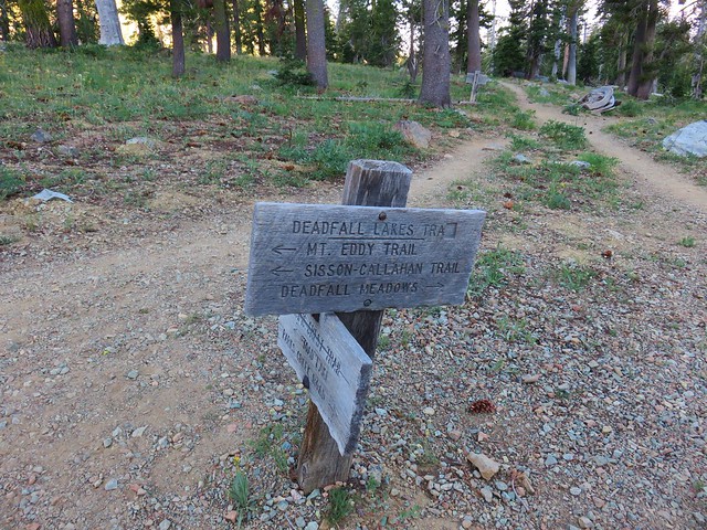
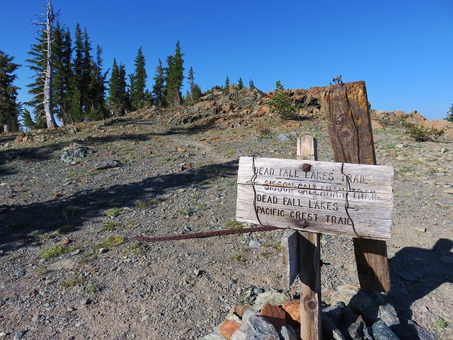
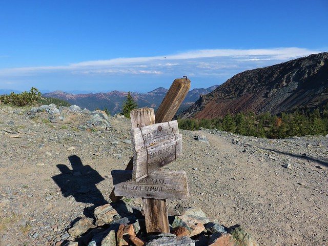
The trail then climbed .4 miles to a pass where the Mount Eddy Summit Trail forked to the left from the Siskiyou-Callahan Trail.

IMG_5504

IMG_5507

IMG_5508

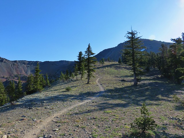
A quick glance at the map showed us that we had about a mile and a half left to the 9025′ summit and another 1000′ to climb. Up we went.

IMG_5515

As we climbed the views of the Deadfall Lakes gradually improved.

IMG_5513

IMG_5522

2017-07-25 08.27.50_stitch

The views and the presence of a number of wildflowers helped keep our minds off the climb. So did the numerous golden-mantled ground squirrels scurrying about.

IMG_5528

Rockfringe willowherb

IMG_5552

IMG_5525

Mt. Shasta greeted us as we crested the summit of Mount Eddy.

IMG_5559

IMG_5570

Looking north we could see that there was definitely some active weather happening but the sky was cloudless above us.

IMG_5568

We explored the broad summit and took a seat overlooking the Deadfall Lakes where we enjoyed a much needed break.

IMG_5577

IMG_5583

IMG_5598

We eventually pulled ourselves away and headed back down toward the lakes.

IMG_5633

By the time we made it back down to the small lake a few clouds had moved in overhead.

IMG_5656

IMG_5659

We stopped at Middle Deadfall Lake and walked along its shore toward Lower Deadfall Lake.

IMG_5664

We followed the outlet creek down to the lower lake.

IMG_5676

IMG_5675

IMG_5678

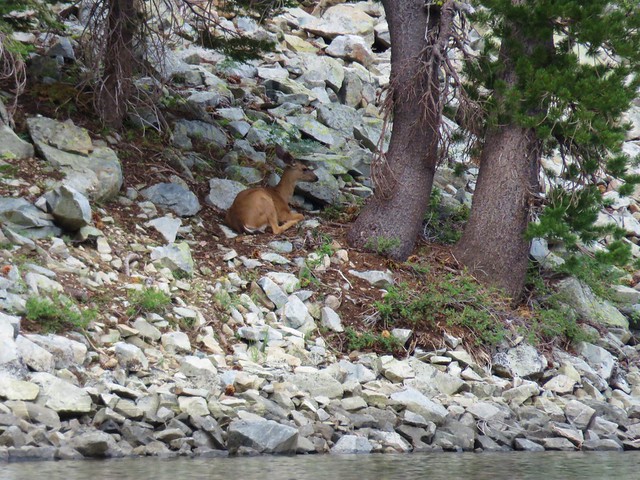
The lower lake was lovely so we took another break here. As we ate another snack, Heather spotted a doe grazing along the shore.

IMG_5685

IMG_5682

IMG_5693

She took a seat under a tree and we wondered how many times we’ve missed deer or other animals, if we hadn’t been watching her we probably would have never seen her sitting there.

IMG_5700

IMG_5696

We left the lake and returned to the junction with the PCT and followed it back to our car. Our GPS showed an 11.9 mile trip in all with a little over 2000′ of elevation gain. It had been another exceptional hike in the Klamath Mountains. Happy Trails!
Flickr: Mount Eddy

Categories
California Hiking Klamath Mountains Scott Mountains Trip report

Kangaroo Lake

We recently spent a week in Mount Shasta City to do some day hiking in Northern California. We drove down on 7/23/17 and on the way stopped at Kangaroo Lake.

IMG_4804

We walked down to the picnic area to eat lunch and look at the lake before walking a short distance back up the entrance road to pick up the Fen Trail.

IMG_4806

IMG_4809

IMG_4816

The Fen Trail climbed a hillside along a fen which was home to many wildflowers including Darlingtonia California, California pitcher plants.

IMG_4819

IMG_4826

IMG_4828

IMG_4825

In a half mile the trail came to a viewpoint overlooking Kangaroo Lake.

IMG_4842

The trail continued for another .9 miles passing more wildflowers before ending at the Pacific Crest Trail.

IMG_4857

IMG_4858

IMG_4862

IMG_4876

2017-07-23 11.05.02

IMG_4893

IMG_4910

We turned left (south) on the PCT and headed for Bull Lake. The trail here passed through ponderosa pines with wide open views.

IMG_4921

IMG_4913

<IMG_4915

IMG_4919

The ground along this stretch was covered with balloon pods.

IMG_4925

IMG_4926

IMG_4928

We passed several thru-hikers including a couple resting at a damp hillside which housed more pitcher plants.

IMG_4931

Beyond the pitcher plants the trail entered a drier meadow where we noticed a collapsed structure amid the wildflowers.

IMG_4938

IMG_4941

IMG_4939

As we passed through this area I spotted the final few inches of a rattlesnake slowly leaving the trail and disappearing into a manzanita bush. It was the first we’d seen while hiking and just from the small portion we saw it was a lot bigger than the garter snakes and rubber boas we usually see. We made a wide arc around the bush and continued on, now on high alert.

Just under a mile after turning onto the PCT we stayed left at a fork in the trail which would have taken us down to Robbers Meadow. We did the same in another 1.7 miles when that trail returned to the PCT at a four-way junction at a pass.
IMG_4960

IMG_4955

From the pass we could see Bull Lake below and Mt. Shasta on the horizon.

IMG_4958

We stayed on the PCT until we had nearly passed Bull Lake where we struck off downhill on a faint user trail to the lake shore.

IMG_4963

IMG_4966

IMG_4967

After a relaxing break at the lake it was time to head back. For our return trip we chose to follow a route suggested by Bubba Suess from Hike Mt. Shasta. Our plan was to follow his directions from Bull Lake up and over Cory Peak and back down to the PCT. We returned to the PCT from the lake and when we spotted what appeared to be a fairly open route so we left the PCT and headed uphill.

IMG_4977

The brush soon gave way to a rocky slope which made the cross country route fairly easy, just a bit steep.

IMG_4978

Using the track provided on the website we were able to compare our route shown on our GPS to make sure we were staying on the right track. It’s always interesting to see what is hiding back off the trails. We came to a small green bowl were a doe was grazing.

IMG_4985

She headed uphill on nearly the same route we were on so we saw here a couple more times before our route veered to the right at a saddle to climb up an even higher ridge.

IMG_4992

IMG_4994

IMG_4995

IMG_5000

We arrived at the ridge top just to the SE of a snow melt lake below Cory Peak.

IMG_5001

IMG_5006

IMG_5007

To the SW the snowy Trinity Alps lined the horizon.

IMG_5003

Mt. Shasta and Mt. Eddy rose to the east.

IMG_5008

They were all locations we had plans to visit during the week. After catching our breath we followed the ridge along the lake and scrambled up to the top of some rocks which looked from the lake like the summit of Cory Peak. Once on top we could see that the summit of Cory Peak was actually further along a broad ridge.

IMG_5022

We made our way along the ridge to another set of rocks with an old sign protruding from the top.

IMG_5028

Here we found a geologic survey marker and a summit register.

IMG_5030

IMG_5029

IMG_5034

After another short break we continued west dropping down to a saddle along the ridge where we had a nice view of Rock Fence Lake below to the north.

IMG_5035

IMG_5043

IMG_5039

We followed the ridge down picking up a mylar balloon along the way. Our route passed a nice bunch of wildflowers and below some melting snow before we bailed off the ridge and hooked back up with the PCT about a quarter mile from the junction with the Fen Trail.

IMG_5044Looking back up at Cory Peak.

IMG_5045Mylar balloon.

IMG_5054Looking back along the ridge to Cory Peak.

IMG_5062

IMG_5065

IMG_5067

IMG_5069

IMG_5075More of the ridge we descended.

IMG_5081Final stretch down to the PCT.

Once we were back on the PCT we returned to Kangaroo Lake on the Fen Trail and headed for Mount Shasta City. It had been a good start to the vacation and getting to see many of the areas we were going to be visiting was a great motivator. Happy Trails!

Flickr: Kangaroo Lake

Categories
Hiking Oakridge Area Old Cascades Oregon Trip report

Chucksney Mountain to Grasshopper Meadow – Overnight

**Note the 2024 Young Grasshopper Fire burned over a portion of this hike including Grasshopper Meadow.**

After cancelling our first two planned backpacking trips in June we finally got out for an overnight trip. Originally on the schedule for the last week in June, we moved our visit to Grasshopper Meadow back three weeks to let the snow finish melting off, we just hoped we hadn’t waited too long to see the wildflowers.

Our plan for this trip was to start at Box Canyon Horse Camp and hike to Grasshopper Meadow via the Chucksney Mountain and Grasshopper Trails.

Box Canyon Horse Camp is located just off paved Forest Road 19 (Aufderheide Road) and can be reached by driving south from Highway 126 (4 miles east of Blue River) or north from Highway 58 (3 miles west of Oakridge).

After turning at a sign for the Horse Camp we forked right and parked in a large unmarked parking area where a post marked the start of our trail.

Trail from the car parking at Box Canyon Horse Camp

The trail led uphill and left to a signed trail junction just above the corral at the horse camp where we picked up the Grasshopper Trail.

Grasshopper Trail

Mosquitoes were a bit of a nuisance here, and they would be so off and on for the entire trip. We turned uphill passing the Box Canyon Trail which forked to the left before arriving at the signed junction with the Chucksney Mountain Tail. Here we turned right onto the Chucksney Mountain Trail which would lead us to the 5756′ summit in a little under 5 miles. The trail passed through a variety of scenery as it climbed.

Chucksney Mountain Trail

Chucksney Mountain Trail

Chucksney Mountain Trail

Beargrass and a small burn along the Chucksney Mountain Trail

Chucksney Mountain Trail

In the first 3.5 miles from the trailhead we’d climbed about 1500′ reaching an elevation of 5200′ then the trail dropped a bit and leveled out for about a half mile. The level area held a couple of snow melt ponds and some green meadows which gave rise to plenty of mosquitoes so there wasn’t much stopping for photos as we zipped through. When the trail began climbing again we were approximately 600′ below the summit of Chucksney Mountain.

The trail made up the elevation in a half mile by using a long switchback. As we climbed the number of trees lessened and we passed an increasing number of wildflowers.

Lupine along the Chucksney Mountain Trail

Tiger lilies

Tiger lilies along the Chucksney Mountain Trail

The trail crested a ridge below the summit in an old burn area which left plenty of exposure for wildflowers as well as open views.

Chucksney Mountain Trail

Phlox

View from Chucksney Mountain Trail

The Three Sisters, Broken Top and Mt. Bachelor

The Chucksney Mountain Trail didn’t actually reach the summit but an easy .1 mile climb along the ridge brought us to the summits survey marker.

Wildflowers on Chucksney Mountain

Survey marker on Chucksney Mountain

A nice variety of wildflowers covered the ridge.

Owl's head clover

Catchfly

Wildflowers on Chucksney Mountain

Scarlet gilia

From the summit we could see eight of the Cascade volcanoes from Mt. Jefferson in the north to Diamond Peak in the south.

Mt. Jefferson and Three Fingered Jack from Chucksney MountainMt. Jefferson & Three Fingered Jack

The Three Sisters, Broken Top and Mt. Bachelor from Chucksney MountainThe Three Sisters, Broken Top, and Mt. Bachelor

Diamond Peak from Chucksney MountainDiamond Peak

After a short break at the summit we returned to the trail which turned south along a long ridge where the tread became faint as it passed through a meadow.

Chucksney Mountain Trail

We spotted some other types of wildflowers along the ridge as well as some nice ripe strawberries.

Fireweed

Grand collomia

Wallflower

Coneflower

Columbine

Strawberry

The trail reentered the trees as it began a hillside traverse to its end at the Grasshopper Trail.

Chucksney Mountain Trail

The trail passed along another section of burned forest just before reaching the signed junction.

Meadow along the Chucksney Mountain Trail

Chucksney Mountain Trail junction with the Grasshopper Trail

Turning left here would have led us back to the down to the Box Canyon Trailhead in 3.9 miles but we were saving that section of trail for our return the next day. We turned right and headed east along the Grasshopper Trail which promptly began to descend through and then along a meadow with lots of cat’s ear lilies and a view of Diamond Peak.

Meadow along the Grasshopper Trail

Cat's ear lilies

Cat's ear lilies

Diamond Peak

Diamond Peak

The trail lost a little over 500′ of elevation as it followed the forested ridge east. A little over a mile from the junction we finally hit the low point in a saddle just under 5000′ in elevation. We then began regaining nearly all of the elevation we had lost in the next mile. This climb contained the steepest section of the hike and ended in a beargrass filled meadow.

Grasshopper Trail

Beargrass

Beargrass meadow along the Grasshopper Trail

Grasshopper Trail

A brief exploration of the meadow revealed some blocks in the ground of unknown origin.

Blocks in a meadow along the Grasshopper Trail

We also spotted a fairly good sized and very colorful moth which we later identified as a common sheep moth thanks to some help from the folks at Oregonhikers.org.

Sheep Moth

Sheep Moth

We had thought this meadow might be Grasshopper Point but after consulting the map it was clear we had a way to go yet before we’d reach that feature. We continued on the trail, which for the next quarter mile traveled along some rocky cliffs offering more views of Diamond Peak.

Diamond Peak

Beyond the cliffs the trail turned north as it began to contour around a creek drainage. Up until this point the the trail had been in good shape with signs of recent maintenance where logs had been cut. The Chucksney Mountain Trail had been a bit faint through the meadow along the ridge but it had still been relatively easy to follow. Here we came to a large meadow with signs of another fire but no sign of the trail at first.

The Grasshopper Trail was not visible through this meadow, a few Forest Service flags helped mark the way.

We finally spotted a small orange flag in the middle of the grass and made our way towards it.

Forest Service Flag marking the Grasshopper Trail

It was a Forest Service “Trail” Flag so we looked for a second one. We did spot one, but it was next to a small tree next to the trail we’d just come from. We scanned for any signs of a trail: flagging, cairns, blazes but there was nothing. Time for the maps. The Garmin, Forest Service, and topographic maps all showed the trail swinging around to the NE so we began using the GPS to stick close to where it showed the trail was supposed to be. We spread out a bit in hopes of rediscovering the trail. We both spotted different flags at about the same time.

Forest Service Trail flag

There wound up being three flags at the lower end of the meadow which led us to the continuation of the trail as it reentered the trees. After a short stint in the trees the trail began to climb out of the valley into another meadow.

Grasshopper Trail

The trail was faint at times in this meadow as well, but there were large rock cairns to help guide us this time.

Grasshopper Trail

Looking back from this meadow gave us a good look at another meadow across the valley.

Meadows along the Grasshopper Trail

The meadow gave way to a wildflower rock garden as the trail regained the ridge.

Grasshopper Trail

Owl's head clover

Scarlet gilia

Wildflowers along the Grasshopper Trail

Penstemon

In the next half mile the trail passed through two small meadows, the first filled with lupine and the second more beargrass. The trail was once again very faint in the lupine meadow.

Grasshopper Trail

Lupine

Grasshopper Trail

Grasshopper Trail

The trail then dipped off the ridge, first on the north side, then after climbing back up to a saddle, to the south side to avoid some rock outcrops.

Grasshopper Trail

Beyond the outcrops was a short forested section of the ridge where some fragrant Washington lilies were in bloom.

Washington lily

Washington lily

A total of 5.2 miles from the Chucksney Mountain Trail junction we arrived at the meadow near Grasshopper Point.

Grasshopper Trail

Grasshopper Trail

We spotted a patch of bare ground at the edge of the meadow near the trees where we decided to set up camp.

Lupine meadow

Camp site along the Grasshopper Trail

The meadow was filled with flowers and provided views of Diamond Peak, especially on the rocks of Grasshopper Point.

Wildflower meadow along the Grasshopper Trail

Diamond Peak

After setting up camp and taking a nice break at Grasshopper Point we continued east on the Grasshopper Trail to the large Grasshopper Meadow.

Grasshopper Trail

Grasshopper Meadow

Grasshopper Meadow (and Grasshopper Point for that matter) lived up to their name as dozens of grasshoppers jumped with every step. The number of grasshoppers was impressive but more impressive was the variety of butterflies we were seeing.

Checkerspot butterfly

Swallowtail on tiger liliy

Mountain parnassian

Butterfly in Grasshopper Meadow

Fritillary butterflies

Butterflies in Grasshopper Meadow

Blue copper

There was even another common sheep moth.

Sheep moth

We were so busy looking at the butterflies and flowers we missed the fork in the trail that would have led down to a spring which is where we had planned on heading. We had brought our dinner with us and had planned on finding a place to eat near the spring so we could refill our water afterward since it was the only source of water around. When we reached a saddle where the trail began to descend to the north of Grasshopper Mountain we realized our mistake. From the saddle the Grasshopper Trail follows Hiyu Ridge for 4 miles to the Grasshopper Trailhead.
The view from the saddle included Diamond Peak to the SE and the Three Sisters, Broken Top, and Mt. Bachelor beyond Chucksney Mountain to the NE.

Diamond Peak from Grasshopper Meadow

The Three Sisters and Broken Top

We momentarily considered attempting to bushwack up to the former lookout site atop Grasshopper Mountain but the brush near the summit looked thick and in the end we decided not to exert the effort.

Grasshopper Mountain

Instead we decided to head cross country downhill and use the GPS to locate the spring.

Grasshopper Meadow

From higher up in the meadow we’d seen something near a boulder below and on our way to the spring we took a closer look.

Some sort of memorial in Grasshopper Meadow

Not sure if it was some sort of memorial or what but after satisfying our curiosity we continued steeply downhill to the SE where we managed to find the spring flowing out of a pipe amid a clump of yellow monkey flower and a swarm of blue copper butterflies.

Spring in Grasshopper Meadow

Blue copper butterflies

We filled all our containers from the spring and then picked up a trail just a few feet east of the spring climbing steeply uphill. This trail starts just .7 miles from the spring along Forest Road 1929 and is the described route in William Sullivan’s 4th edition “100 Hikes in the Central Oregon Cascades”.

The terrain was too steep to provide any place for us to fix dinner so we began climbing back up toward the Grasshopper Trail. The trail was faint but visible as we climbed. Along the way we spotted a huge Washington lily blooming in the meadow.

Washington lily in Grasshopper Meadow

Washington lily

Washington lily

We were curious to find out where we’d missed this trail earlier when we passed by. It turned out that the path led over a rocky area where the tread vanished leaving a lone post and small rock cairn as it’s only identifiers.

Grasshopper Trail

We decided to return to Grasshopper Point and set up our stove on the rocks there. We fixed dinner then relaxed as we enjoyed the view and listened to the birds.

Western tanager

White crowned sparrow

We turned in for the night after having put in a little over 15 miles for the day. After a good nights sleep we awoke early and began preparing to depart. The mosquitoes were out in force, (they had been mostly absent in the meadows during the heat of the previous day) and we were dealing with a fair amount of condensation due to setting up next to the meadow.

Lupine in the morning light

After packing up and applying some DEET we headed back. We had talked about the possibility of seeing some sort of animals in the meadows that morning and sure enough we did spot three deer just as we entered one of the meadows, but they quickly retreated into the trees.

While we hadn’t seen anyone else yet on this trip we did spot some fresh mountain bike tracks as we neared the junction with the Chucksney Mountain Trail. We reached that junction after a little over five miles. We passed that trail and continued straight on the Grasshopper Trail.

Our shoes were soaked from the dew in the meadows and the mosquitoes were ready to pounce whenever we paused, so even though the next 3.6 miles of the Grasshopper Trail was new for us, we kept a brisk pace. The trail wound it’s way downhill through the forest where there were still many of the typical white flowers found amid the trees; bunchberry, anamone, queen’s cup, twin flower, and we even spotted a pair of trillium still in bloom.

Trillium

After a wide switchback we crossed a stream flowing down Box Canyon and in another quarter mile arrived back at the lower junction with the Chucksney Mountain Trail.
Stream in Box Canyon

Grasshopper Trail junction with the Chucksney Mountain Trail

A final .3 miles brought us back to our car which was being patrolled by a squadron of mosquitoes. We quickly tossed our packs in the back of the car and hopped inside to change. We never did wind up seeing anyone else on the trails which made the fourth hike in a row where we didn’t see another person on the trails.

The trails had been amazingly clear of debris, we only stepped over two logs and one young bent tree, but the faint sections through the meadows required some navigational skill. The relative lack of water along the route make it an unlikely backpacking destination but it worked out well for us. That being said the views and the wildflowers make either Chucksney Mountain or Grasshopper Meadow a worthy early summer day hike destination. Happy Trails!

Flickr: https://www.flickr.com/photos/9319235@N02/albums/72157683128711132

Categories
Clackamas Hiking Old Cascades Oregon Trip report

Big Bottom (Clackamas Wilderness) & Rho Ridge Trail
**Note the 2021 Bull Complex burned around Hawk Mountain, but the lookout survived.**

For the second outing in a row we turned to Matt Reeder’s “101 hikes in the Majestic Mount Jefferson Region” as our guide. A number of the hikes in this book are lesser known and therefor less popular which means fewer people and most likely more challenging due to spoty trail maintenance.

We began our day with a short hike into one of Oregon’s wilderness areas that we had yet to visit, the Clackamas Wilderness. This particular wilderness is broken up into five separate tracts of land, one of which is Big Bottom. The Big Bottom tract protects an old growth forest along the Clackamas River. Although there are no official trails in Big Bottom a decommissioned logging road allows for a mile long walk down to the wilderness boundary where a use trail continues north for a little over half a mile before vanishing in brush.

To reach the decommissioned road we drove Forest Road 46 north from Detroit for 28.6 miles to Fores Road 4670 where we turned left crossing the Clackamas River. Just beyond the bridge we turned right on FR 4671 for .7 miles and parked on the right at the old road.
Closed road 120 which leads to the Big Bottom unit of the Clackamas Wilderness

We followed the roadbed downhill through a previously logged forest.
Heading down to Big Bottom

Just prior to reaching the wilderness boundary the road bed became choked with downed trees which we simply detoured around.
Trees leaning over old road 150

At a junction with an even older roadbed we turned left (north) and followed what became a clear user path into the old growth of Big Bottom.
Big Bottom

Big Bottom

There were a few downed trees to navigate but the path was easy enough to follow until we neared a creek where the ground became marshy and the underbrush extremely thick.
Big Bottom

We turned around at that point returning to the car to complete a 3.4 mile hike. That was our warm-up for the day before a longer hiker on the nearby Rhododendron (Rho) Ridge Trail. Our plan was to start at Graham Pass and follow the trail south 4.8 miles to the Hawk Mountain Trail and take the .4 mile trail up to the Hawk Mountain Lookout.
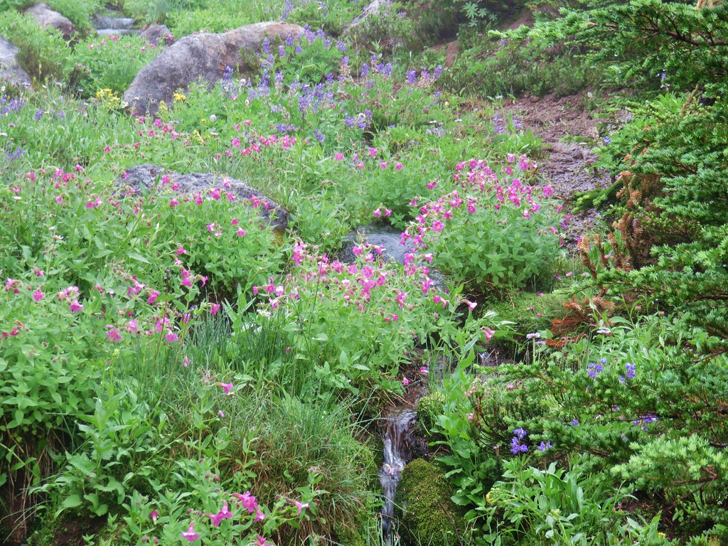
To reach Graham Pass we followed FR 4670 for 13.9 miles to FR 6530 where a large parking area was visible. There was no signage visible at the parking area, just a blank signboard along an old logging road.
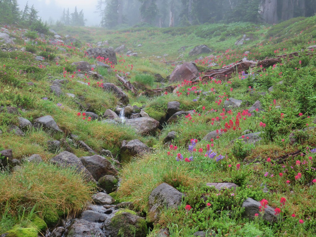
Rho Ridge Trailhead

With no obvious trail visible we turned to the forest service map and our GPS to try and see if we could tell where the trail was supposed to be. Both of these indicated that the trail lay just east of the parking area so we headed into the trees and began to hunt for any sign of it.
Beargrass near Graham Pass

After a few minutes of climbing through the brush and crossing the location of the trail as shown on the GPS several times we decided to head toward the logging road. The GPS showed it curving back to the east further uphill where the Rho Ridge Trail would cross it and we figured the worst case scenario was we’d have to walk the road up to the crossing where we would hopefully be able to identify the trail. We were also beginning to suspect that the location of the trail on the maps was incorrect which is not all that uncommon. Sure enough we found the trail before reaching the road.
Rho Ridge Trail

We turned uphill following this obvious trail through beargrass filled meadows.
Rho Ridge Trail

Beargrass along the Rho Ridge Trail

The trail was brushy at times with lots of huckleberry bushes encroaching on the trail.
Rho Ridge Trail

The tread was faint through most of the meadows and blowdown was common along the way but old blazes and yellow diamonds on trees helped identify the trail.
Rho Ridge Trail

Blowdown over the Rho Ridge Trail

Rho Ridge Trail

The trail had several road crossing and shortly after the third we arrived at Fawn Meadow where a small stream flowed through a meadow of wildflowers.
Meadow along the Rho Ridge Trail

Shooting star

Wildflowers along the Rho Ridge Trail

After a fourth road crossing the trail entered another beargrass meadow with a partial view of Mt. Hood and Mt. Adams.
Penstemon lined road crossing

Mt. Hood and Mt. Adams from a beargrass meadow along the Rho Ridge Trail

The brush was particularly thick as we exited the meadow which required us to really pay attention to the trail which was hard to see through all the green. We reentered the forest where we crossed one final old logging road before spotting the first snow along the trail. (There was actually a larger patch lower that we’d notice on the way back down but somehow we both missed it on the way up.)
Rho Ridge Trail

Snow along the Rho Ridge Trail

The little patch of snow was near Round Creek which was flowing on this day. The sound of the creek was nice but we didn’t dare stop to admire it due to the many blood thirsty mosquitoes that were present. Just under half a mile later we spotted the sign for the Hawk Mountain Trail.
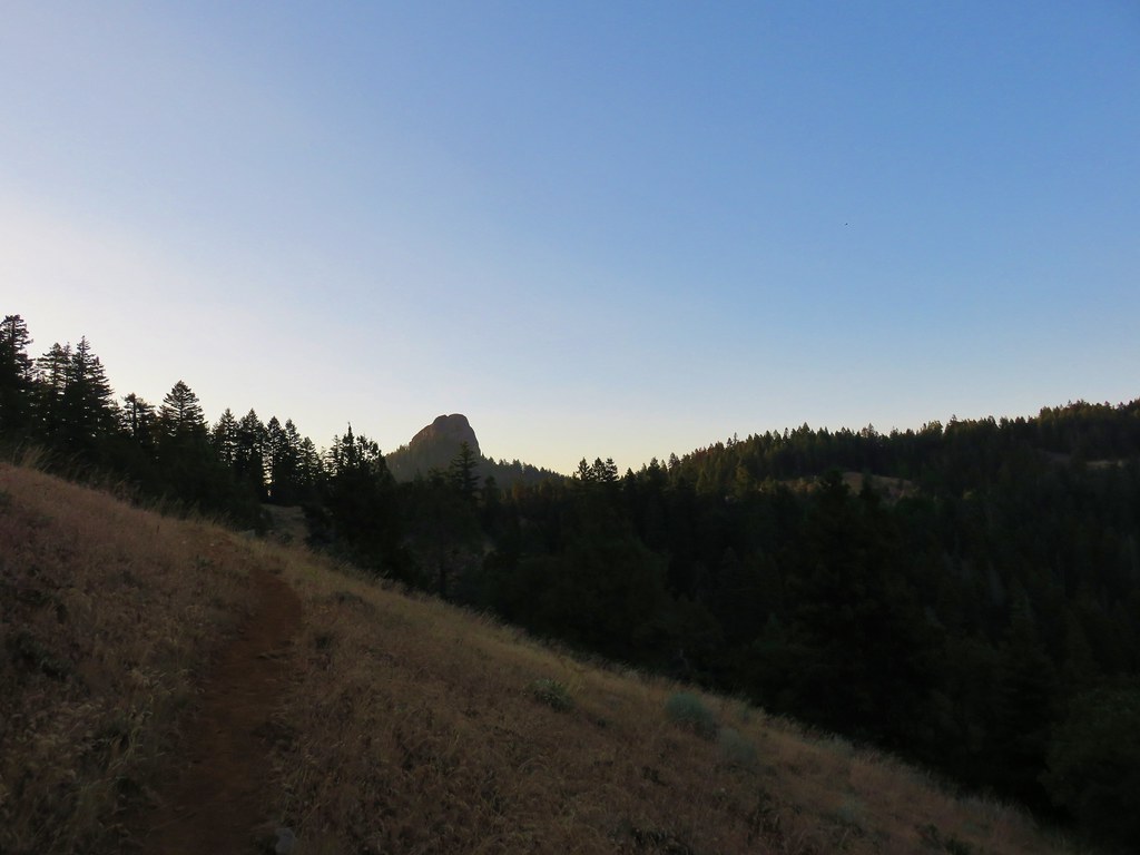
Rho Ridge Trail jct with the Hawk Mountain Trail

We turned uphill here climbing approximately 300′ in .4 miles to the summit meadow and the Hawk Mountain Lookout.
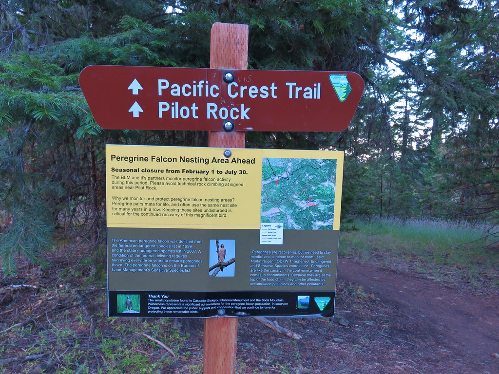
Hawk Mountain Trail

Snow along the Hawk Mountain Trail
Hawk Mountain Lookout and Mt. Jefferson
Hawk Mountain Lookout
The view from the summit is a good one especially of Mt. Jefferson.
Mt. Jefferson, Three Fingered Jack, The Three Sisters and Mt. Washington from Hawk Mountain

Mt. Jefferson
Additionally Three Fingered Jack, The Three Sisters, and Mt. Washington were visible further south with the very top of Broken Top poking up above the ridge north of Three Fingered Jack.
Three Fingered Jack, The Three Sisters, an Mt. Washington

The view wasn’t the only attraction at the summit. An impressive display of wildflowers was underway which had attracted a wide variety of pollinators.
Wildflowers on Hawk Mountain

Wildflowers on Hawk Mountain
Wildflowers on Hawk Mountain
Wildflowers on Hawk Mountain
Butterfly on penstemon

After a nice break it was time to head back.
Mt. Jefferson from Hawk Mountain

On the way down the Hawk Mountain Trail we stepped off the trail briefly to get a view to the north since trees on the summit had not allowed us to see in that direction. Mt. Rainier, Mt. Adams, and Mt. Hood were all visible.
Mt. Rainier, Mt. Adams and Mt. Hood

On the way back we managed to follow the trail all the way down where we discovered that the official start of the trail was just a few feet up the logging road from the blank signboard. The Rho Ridge Trail sign had been just out of sight.
Rho Ridge Trail sign

The hike from Graham Pass to Hawk Mountain was 10.7 but a shorter option exists by starting at the southern end of the Rho Ridge Trail. From this end the hike up to Hawk Mountain is just 4.2 miles round trip. This was the second straight outing that we didn’t encounter a single other hiker along the trails. As overcrowded as some of the popular trails have become it’s nice to know that there are still some out there that offer a little more solitude. Happy Trails!
Flickr: Big Bottom & Rho Ridge

Categories
Hiking Middle Santiam Old Cascades Oregon Trip report
Scar Mountain

We’ve developed a tradition of using the day off of work provided by the 4th of July holiday to take a hike. One of our go to areas in the first part of July is the Old (Western) Cascades. The Old Cascades are older than the volcanic peaks of the High Cascades and rise only half as high meaning they melt out much sooner than their younger companions. These highly eroded volcanoes are home to old growth forests and top notch wildflower meadows.

This year we decided to visit the Scar Mountain Trail. The hike is listed in our usual guidebook, William L. Sullivan’s “100 Hikes in the Central Oregon Cascades” as hike #111. Due to it not being a featured hike the description in that book is brief so we turned to another excellent resource, “101 Hikes in the Majestic Mount Jefferson Region” by Matt Reeder.

We followed his directions to the North Pyramid Trailhead where we parked then crossed Forest Road 2266 to the signed Scar Mountain Trail.

North Pyramid Trailhead

Scar Mountain Trail

The Scar Mountain Trail is part of the approximately 30 mile long Old Cascades Loop. We had done another section of this loop in 2014 when we started at the Pyramids Trailhead and hiked to Donaca Lake for an overnight stay.

The trail climbed through a nice forest,gradually at first then more steeply as it switchbacked up toward a ridge top.

Scar Mountain Trail

The switchbacks ended after just over a mile and the trail began to traverse along the hillside below the ridge. There were occasional glimpses of the Three Pyramids to the south and Daly Lake in the valley below.

Daly Lake below the Three Pyramids

Daly Lake

For the next mile and a half the trail continued to gain elevation via a series of ups and downs as it gained the ridge top and alternated between its west and east sides providing views of several of the High Cascades to the SE, Mt. Jefferson to the NE, and Coffin & Bachelor Mountains to the north.

Mt. Washington, The Three Sisters, and the Husband Mt. Washington, the Three Sisters and the Husband

Mt. JeffersonMt. Jefferson

Coffin and Bachelor MountainsCoffin and Bachelor Mountains

A few small patches of snow lingered on and along the trail.

Snow on the Scar Mountain Trail

The trial began to climb steeply again at the 2.5 mile mark as it headed up Trappers Butte. The forested summit offered some similar views to what we had seen on the way up but one big difference was the presence of some non-white wildflowers near the top.

Paintbrush

Penstemon

The trail then descended roughly 400′ in .8 miles to a saddle where it crossed an old roadbed in a clearing with blooming beargrass and rhododendron and view of the Three Pyramids.

The Three Pyramids

Another one and three quarter miles of ups and downs had us nearing our goal, a dramatic rock pinnacle on Scar Mountain. The trail had been in reasonably good shape with some minor blowdown and a few brushy spots which became a bit more frequent as we climbed Scar Mountain.

Scar Mountain Trail

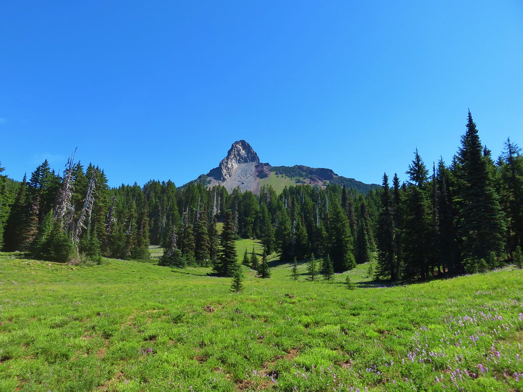
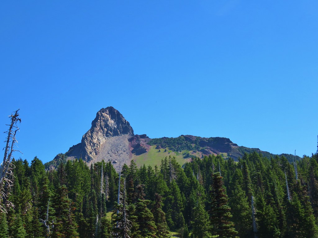
Rock pinnacle on Scar Mountain

The flowers on and around the pinnacle might not have been as impressive as the meadows on some of the other nearby peaks but there were still some nice displays.

Valerian along the Scar Mountain Trail

Wildflower on Scar Mountain

Yellowleaf iris

Paintbrush along the Scar Mountain Trail

Columbine

Wildflowers along the Scar Mountain Trail

Stonecrop and penstemon

The real reward for this hike were the views from Scar Mountains cliffs.

Mt. Adams and Mt. Hood

Mt. Adams peaking over a ridge and Mt. Hood

Mt. Jefferson from Scar MountainMt. Jefferson

Three Fingered JackThree Fingered Jack

Mt. Washington

Mt. Washington

The Three Sisters and the HusbandThe Three Sisters and the Husband

The Husband and the Three PyramidsThe Husband behind the Three Pyramids

Crescent Mountain, North Peak, Echo Mountian and South PeakCrescent Mountain, North Peak, Echo Mountain, and South Peak

North Peak, Echo Mountain, South Peak, Cone Peak, and Iron MountainNorth Peak, Echo Mountain, South Peak, Cone Peak, and Iron Mountain.

We took a nice break near the pinnacle where there seemed to be less mosquitoes. They hadn’t been too noticeable but with the snow still melting there were more around than we realized given the number of bites we discovered later.

Rock pinnacle along the Scar Mountain Trail

Looking down from cliffs along the Scar Mountain Trail

We returned the way we’d come passing the time on the ups and downs by admiring the many different flowers in the forest including large numbers of coralroots.

Caterpillar on coralroot

Coralroot

Coralroot

Coralroot

Coralroot

Round trip was just under 12 miles with a good amount of elevation gain overall but broken up enough to never feel too daunting. Like many of the trails in the Old Cascades the Scar Mountain Trail offered a good dose of solitude. We neither spotted nor heard another person during the hike. Instead we listened for the calls of sooty grouse, the singing of birds, and “meeps” of hidden pikas. Happy Trails!

Flickr: Scar Mountain