Despite hiking regularly for a dozen years there are still plenty of places and trails close enough for a day trip that we’ve yet to make it to. We’ve made it a priority for our outings to involve such places when possible and was the purpose of our most recent outing. Matt Reeder’s “Off the Beaten Trail” (2nd edition) includes an entry for Black Wolf Meadows and High Rock (hike #39), a pair of short hikes in the Clackamas Foothills off of Forest Road 58. Combined, these hikes total right around 4-miles which prompted us to look for another stop we could add and landed on Pyramid Lake which I found using the Oregonhikers.org Field Guide.
We decided to start with the hike to Pyramid Lake and parked along FR 140 whish was the suggested trailhead in the Field Guide entry. This road is narrow and overgrown so expect to pick up some scratches from brush if you decide to drive it.
 We parked on the shoulder here and road walked three quarters of a mile to the official trailhead.
 This is a good example of why we parked where we did.
 The official trailhead.
It’s just 0.2-miles to the lake from this trailhead, but the initial climb is pretty steep. The lake is located within the Roaring River Wilderness. This would be just our second time hiking in that wilderness area joining our 2013 Shellrock & Rock Lakes hike (post).


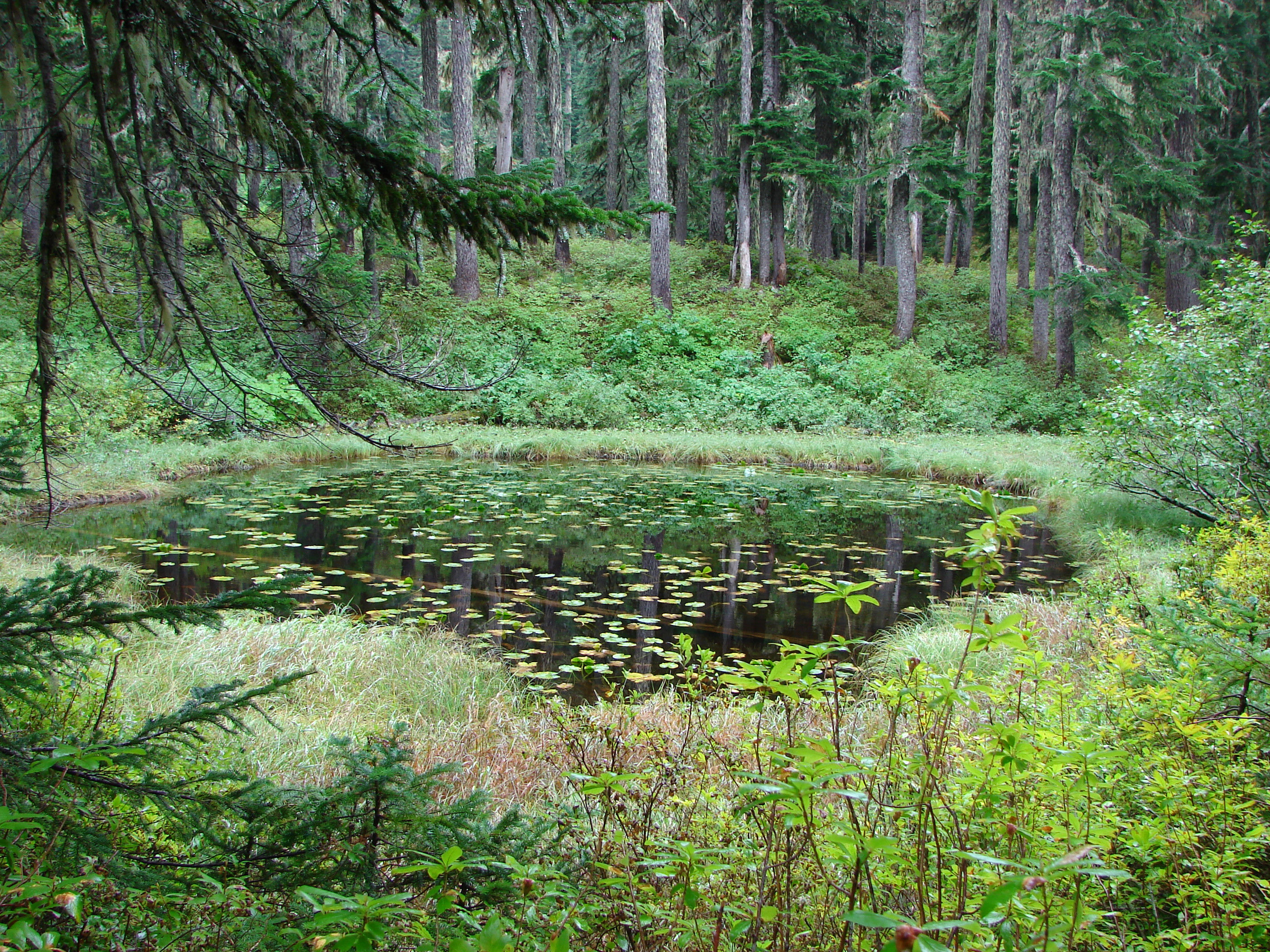
 A pair of Barrow’s goldeneye ducks enjoying a morning swim on the far side of the lake.
We attempted to follow a use trail around the lake, but it quickly petered out in the brush so we called it good and headed back to our car.
 The use trail
 Mushroom along the road walk back to the car.
This stop came in at 2.6-miles with a little over 300′ of elevation gain, primarily in the initial steep climb from the official trailhead. After returning to FR 58, where we turned left, we continued 1.2-miles to a sign for Anvil Lake. We turned right onto spur road 5800-160 and followed this narrow gravel road 0.4-miles to a pullout on the left at a closed road just beyond the signed Anvil Lake Trail.
 The somewhat obscured sign for the Anvil Lake Trail along spur road 5800-160.
 The pullout where we parked.
The Anvil Lake Trail was historically part of a Native American route from the Cascade crest to the Estacada area. The trail is fairly level to start and reaches Black Wolf Meadows near the half mile mark.


Old growth cedar along the trail.
There was a variety of large mushrooms on the forest floor along the trail.


There was also a bit of blowdown to climb over.
 The edge of Black Wolf Meadows.
 Sign in Black Wolf Meadows.

Earlier in the year the meadows are rather wet, but today the only moisture was from the morning dew.


Explorers gentian. There were many of these gentians in the meadows, but they all appeared to have finished blooming weeks before.
 The trail leaving the meadows.
Soon after leaving the meadows the trail began a gradual descent before reaching a signed junction with a short spur trail to Anvil Lake.

 More mushrooms
 Rough-skinned newt


 Old sign near Anvil Creek.
 The dry bed of Anvil Creek.
 Coral fungus
 The sign for the spur trail ahead on the left.
 Pointer for Anvil Lake. According to the Oregon Hikers Field Guide this sign is likely over 50 years old based on the reference to S-502 which is currently known as FR 5820 which is another potential trailhead for this hike.
We turned down the spur trail which dropped somewhat steeply before arriving at the lake in just over 100 yards.

 Anvil Lake

Wood duck house reflecting in the lake.
There is just one small campsite at the lake. We’d seen a gentleman heading toward FR 5820 just as the junction with the spur trail had come into view, but there was no one at the lake now. After a brief break we headed back. It was interesting to find that in the short amount of time that had passed since our first trip through Black Wolf Meadows nearly all of the dew was now gone.


This stop was just slightly longer than the hike at Pyramid Lake, coming in at 2.7-miles. The elevation gain was just 190′ and a lot more gradual than it had been at Pyramid Lake.
We hopped back in our car, returned to FR 58, and turned right to continue another 0.6-miles to a signed junction where we veered right following a pointer for High Rock. After another paved mile we turned into a large unsigned pullout for our final hike of the day to High Rock.

 Mt. Hood from the pullout.

We started up a rough road on the eastern side of the pullout.

While open the road is rough and 4wd is almost certainly a must (there was one pickup up at the end of the road and Heather saw a Subaru turn around and head down while I was exploring the rock outcrops.)


At the 0.4-mile mark the road turns sharply left while a jeep track launches steeply up a hill (where it really shouldn’t).
 The road continuing to the left.

Mt. Jefferson, the tops of the Three Sisters, and Three Fingered Jack from the road.
 Olallie Butte (post), Mt. Jefferson, the Three Sisters, and Three Fingered Jack.
I decided to head straight uphill on the jeep track to see what the view was like from the rocks here while Heather continued on the road to the former lookout site.
 Mt. Hood with Mt. Adams behind to the left.
 The view south toward Mt. Jefferson.

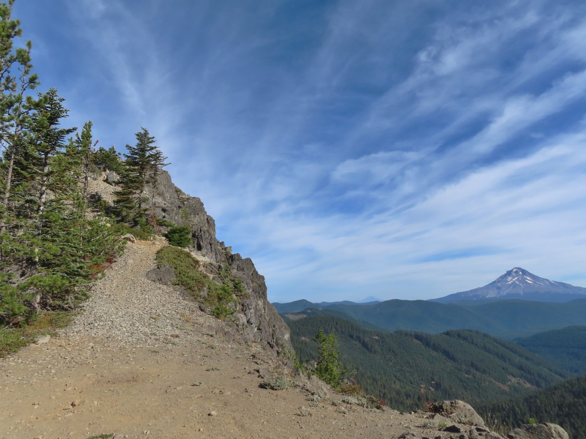
View along the rocky ridge.
I followed use trails along the ridge eventually gaining a view of the outcrop where the lookout site had been.
 Heather is the orange dot climbing up the side of the outcrop.
I had to drop down to a saddle where the road had ended. The pickup was parked here near a camp a couple of gentlemen had set up.
 Mt. Hood from the saddle.
I climbed up a fairly steep and rocky slope to join Heather at the former lookout site where we took a break and enjoyed the 360-degree view.
 Signal Buttes is the pointy peak on the left and Salmon Butte (post) is the rounded peak hump on the right.
 Salmon Butte now in the middle with Linney Butte the hump on the right of the double humps in the foreground and Devil’s Peak (post) the high point to the right of Linney Butte.
 Linney Butte, Devil’s Peak, Mt. Adams in the distance, and Mt. Hood.
 Wolf Peak in the foreground which is above Black Wolf Meadows.
 Mt. Jefferson from the former lookout site.
 Peaks in the Bull-of-the-Woods and Opal Creek Wilderness areas in the distance to the left and Fish Creek Mountain (post) in the distance to the right behind a ridge.
 The remains of the lookout on High Rock.
 A zoomed in shot of Mt. Adams.
 Mt. Rainier rising behind Devil’s Peak.
When it was time to head back we located a more gradual trail down to the saddle.


I stopped to take a picture of the golden-mantled ground squirrel posing on the large boulder. As I was taking the photo I noticed a pika dashing across the rocks. The pika is just barely visible below the lark dark rock to the left of the tree when zoomed in far enough.
 The ground squirrel watching us as we passed below.
 Skipper along the road on the way down.
 Aster
Aster

Red huckleberry leaves with Mt. Jefferson beyond.
The GPS read 1.3-miles for my hike here with a little under 350′ of elevation gain. This made the total for the day 6.6-miles with right around 850′ of elevation gain.

These hikes offered a nice variety of scenery free of crowds. Combining them provided a moderate day with enough hiking to warrant the 90+ mile drive from Salem, and now we can add three more places to the list of where we’ve been. We were treated to an unexpected post hike scene when a young black bear crossed Highway 224 near Promontory Park. At 11:30am we weren’t even considering that a bear might be crossing the road, but that made the third bear I’ve seen in the last 30 days and Heather’s 2nd. Happy Trails!
 Battle Ax Creek – 2014
 Mt. Jefferson from Russell Lake – 2016
 Drift Creek – 2010
 Mt. Washington from the Pacific Crest Trail – 2015
 The Three Sisters – 2014
 Three Arch Rocks from Cape Meares – 2018
 Triple Falls – 2012
 Mt. Hood – 2015
 Bandon Islands – 2018
 Twin Pillars – 2011
 Howlock Mountain and Mt. Thielsen – 2014
 Table Rock – 2015
 Frustration Falls – 2018
 Trapper Creek – 2014
 View from Fuji Mountain – 2013
 Serene Lake – 2013
 Badger Creek Wilderness – 2014
 Donaca Lake – 2014
 Emerald Pool – 2018
 View from Boccard Point – 2015
 Red Buttes – 2015
 Oregon Badlands Wilderness – 2016
 Vulcan Lake – 2016
 Rooster Rock – 2016
 Glacier Lake – 2016
 View from Aspen Butte – 2016
 Mt. McLoughlin from Freye Lake – 2016
 White River – 2016
 Rock Creek – 2017
 Hedgehog Cactus – 2017
 Bridge Creek Wilderness – 2017
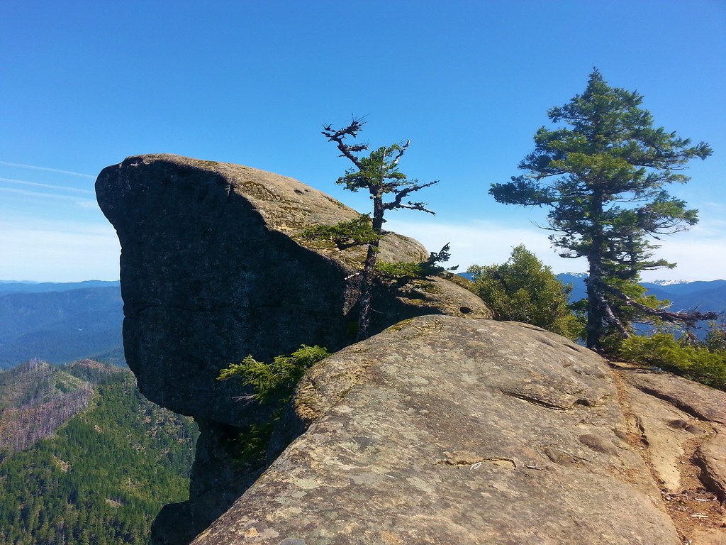 Hanging Rock – 2017
 View from Grassy Knob – 2017
 Big Bottom – 2017
 Baldy Lake – 2017
 Cummins Ridge Trail – 2017
 Hummingbird Meadows – 2018
 View along the Pine Creek Trail – 2018
 Slide Lake – 2018
 Barklow Mountain Trail – 2018