We spent Memorial Day weekend in The Dalles in order to cross a few “to-dos” off our hiking list. Our first stop was a two-for-one hike in the Badger Creek Wilderness. The plan was to make a loop out of the School Canyon and Little Badger Trails which would allow us to cross those trails off the list of hikes we still hadn’t done featured in our Matt Reeder guidebooks (Off the Beaten Trail). The School Canyon Trail is featured in his “PDX Hiking 365” (1st edition) and The Little Badger Trail is covered in “Off the Beaten Trail” (2nd edition).
The two trailheads are 3.5 road miles apart but only about a half mile separates them in a direct line. Both Reeder and the entry in the Oregon Hikers Field Guide mention avoiding the longer road walk by cutting cross country suggesting slightly different routes and having differing opinions on difficulty. Based on the two hike descriptions and a recent discussion in the Oregon Hikers Forum it appeared to me that the “best” solution was to bushwack downhill from Forest Road 27 to the Little Badger Trailhead roughly a half mile from the School Canyon Trailhead. I arrived at this conclusion based on our belief that going down is easier than climbing up and by comparing Google Earth imagery with a topographic map. I was looking for the least steep looking open hillside which would limit the number of downed trees we might encounter. Prior to leaving I added waypoints to our GPS units to mark where I thought we should leave the road and one at the Little Badger Trailhead so we could easily see what we were aiming for.
We left Salem extra early and arrived at the School Canyon Trailhead about a quarter after seven.

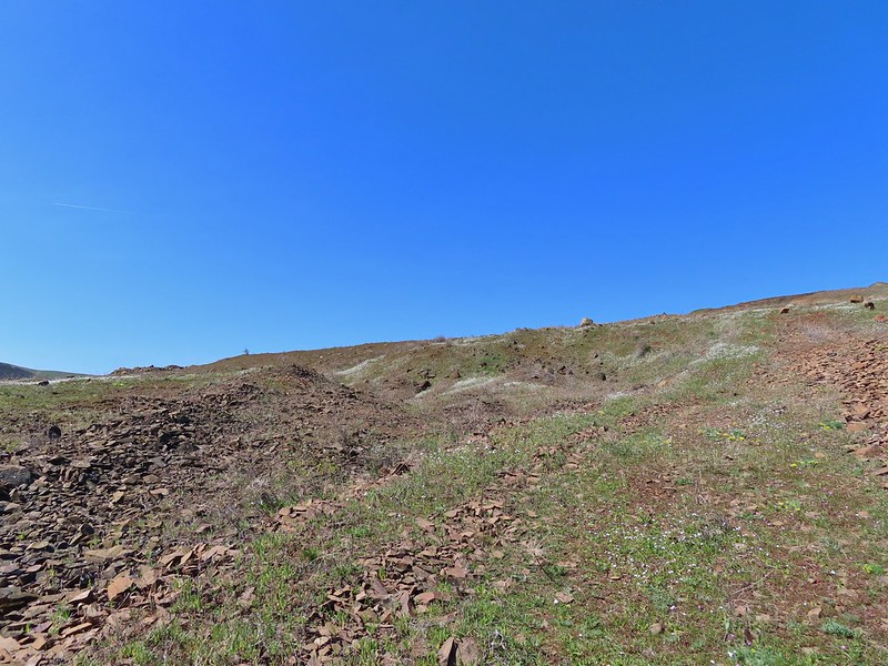
From the trailhead we headed left (SE) on FR 27 until we reached the waypoint I had created then looked for an open spot to start the cross-country portion of the hike.

 We headed off through the trees here.
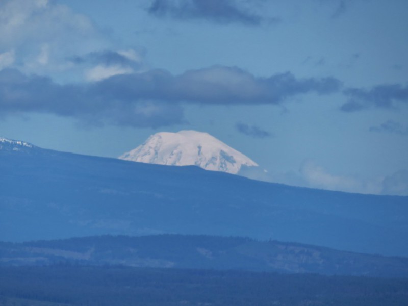
After passing through a small stand of trees the views opened up to the SW where Mt. Jefferson and Olallie Butte stood out on the horizon.

 Mt. Jefferson and Olallie Butte (post).
 Gordon Butte in the foreground.
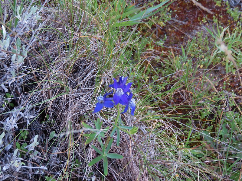
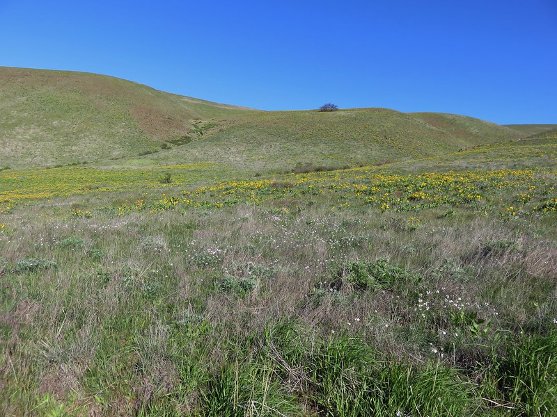
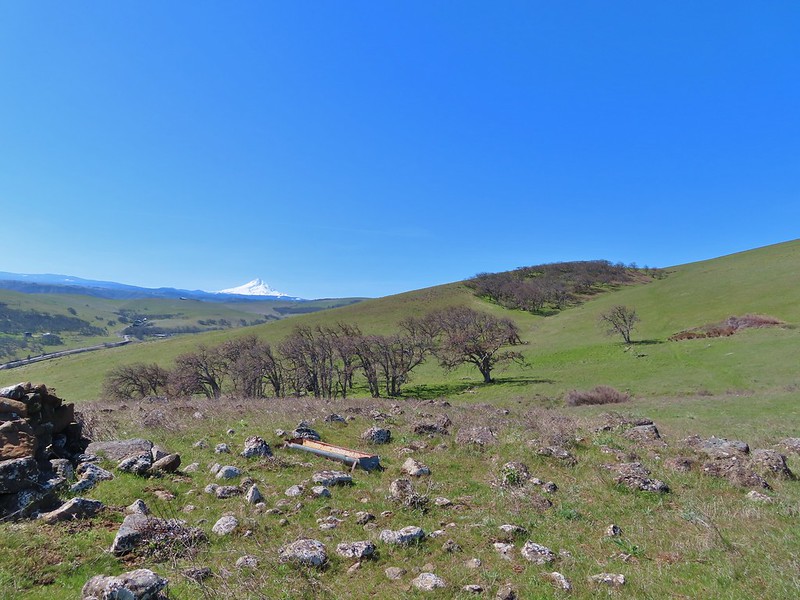
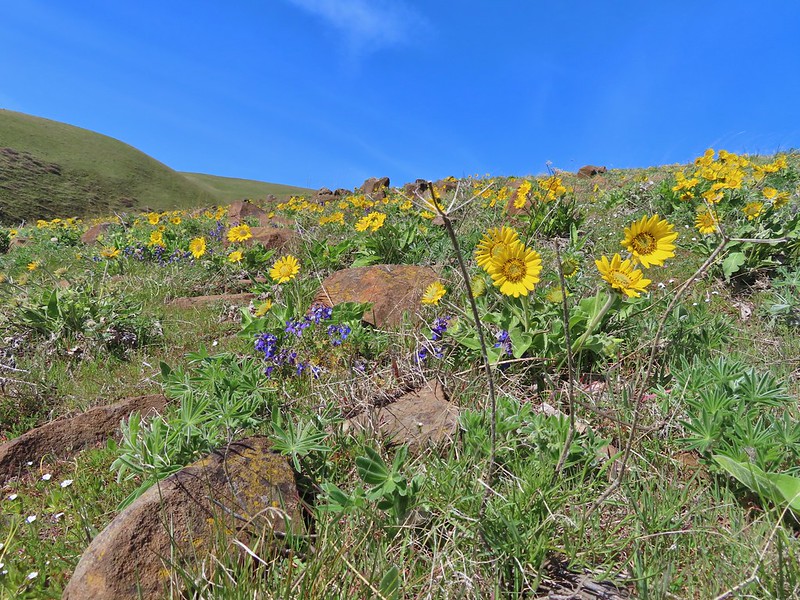
Our route steepened as we headed downhill among a number of different wildflowers.
 Balsamroot and oak trees.
 Buckwheat and balsamroot
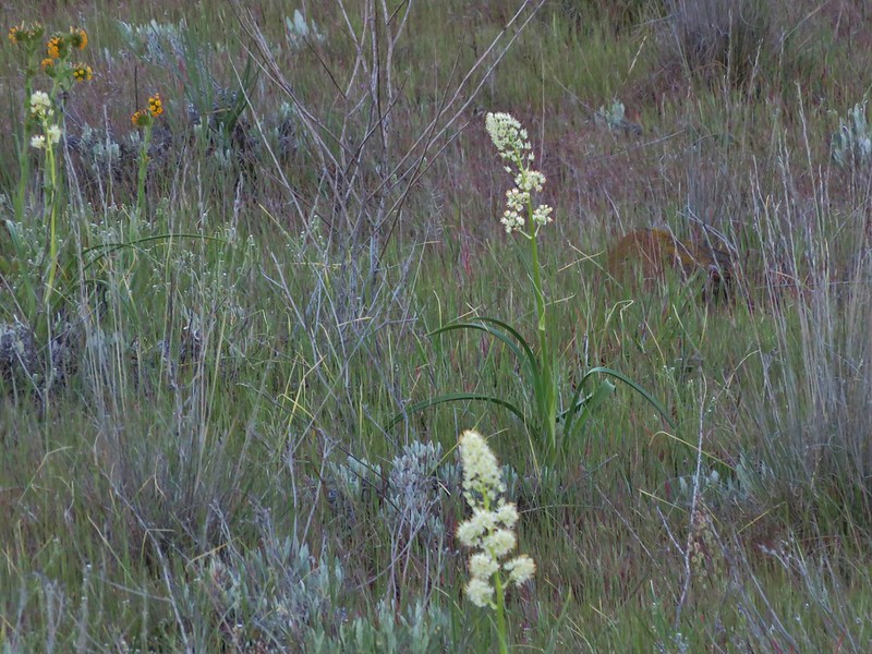
 Whitestem frasera with Mt. Jefferson in the background.
 Rough eyelashweed
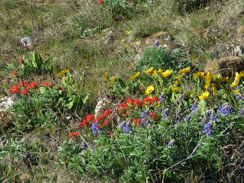
 Paintbrush
 We picked up a faint path, not sure if it was a game or use trail.
As we neared the Little Badger Trailhead we entered another stand of trees.

 Lupine and ponderosa pines.
We popped out of the trees on FR 2710 less than 20 yards from the Little Badger Trail.

 The trailhead is on the opposite side of FR 2710 from the trail.
 Sign at the start of the Little Badger Trail.
After the half mile road walk and 0.6-miles cross country we were now on official trail and quickly entered the Badger Creek Wilderness.
 Badger Creek Wilderness sign next to Little Badger Creek.
For the first two miles the trail stuck closely to the creek.

 Groundsel
 Woodland stars
 Little Badger Creek
 Fairy slipper
The trail then climbed a little higher on the hillside as it continued further into the wilderness.

 American vetch

 Bastard toadflax
 Duskywing on sagebrush false dandelion.

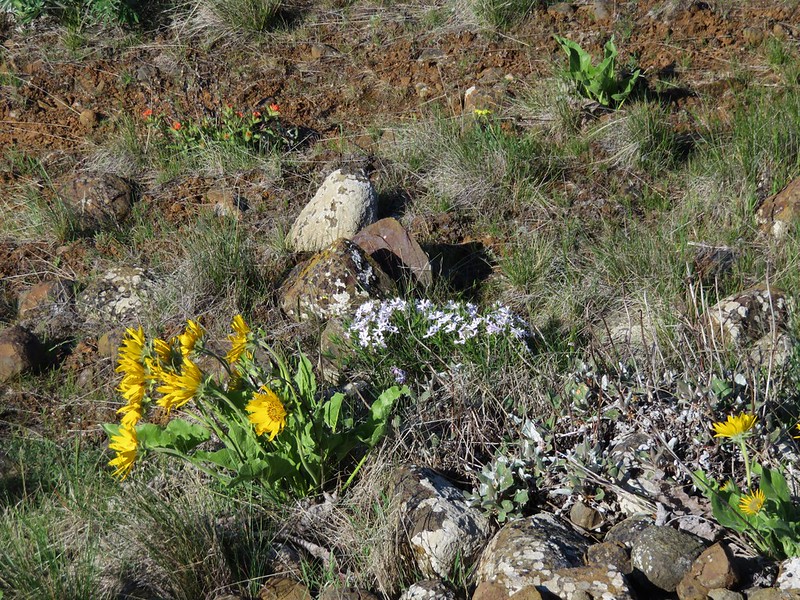
 Balsamroot
 Bee coming in for a landing on phacelia.
 Sticky cinquefoil
 Western wood-pewee
 Madia
Madia
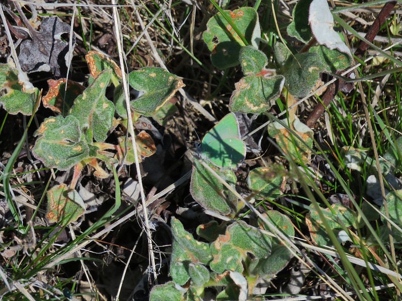
 Brown elfin (and another pollinator) on Oregon sunshine.
 Starflower
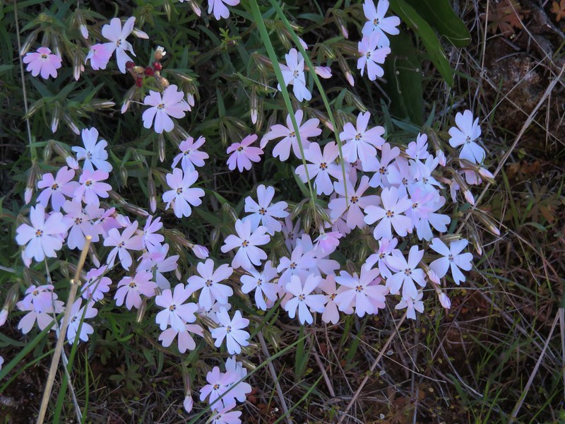
 Mahala mat along the trail.
 Duskywing on blue-eyed Mary
 Largeleaf sandwort along the trail.
 Skunk cabbage
 Red-flowering currant
 Duskywing on arnica

 Silvercrown
 Oregon grape
 Last of the trillium.
 Plumed solomonseal
The trail had begun a descent back to the creek at the 3-mile mark and just under 4-miles from the trailhead we arrived at the site of the former Kinzel Mine Cabin.

 What’s left of the cabin.
 Little Badger Creek at the cabin site.
We took a brief break at the cabin to prepare for the nearly 900′ climb to reach the School Canyon Trail. After the break we walked past the cabin remains and forked left to visit the old Kinzel Mine.
 Anemone
 There was a short climb before reaching the spur trail.
 Spur trail to the mine.
 The old mine. We did not go in as wildlife do sometimes use it for shelter.
 Ballhead waterleaf near the mine.
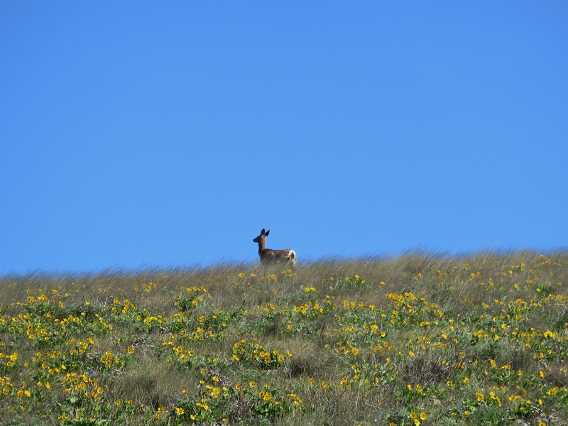
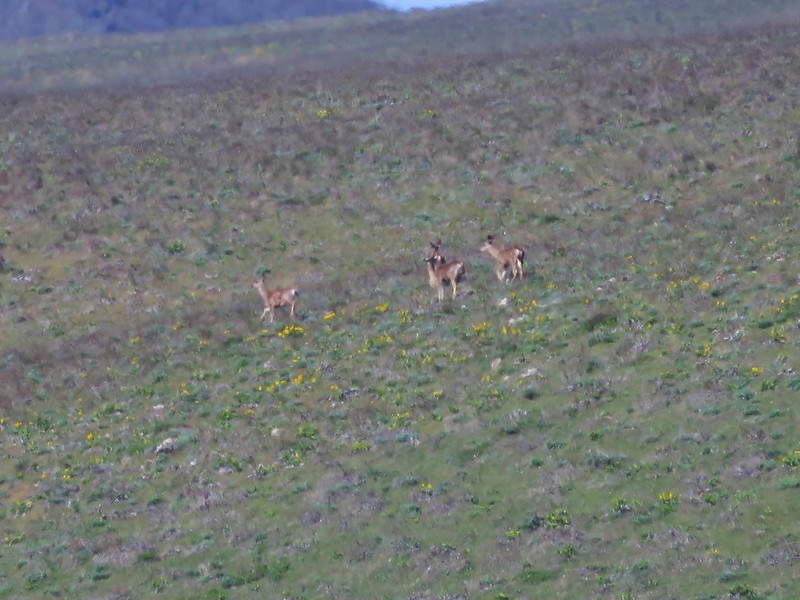
After visiting the mine we returned to the main trail and began the steep 0.7-mile climb to the School Canyon Trail. This was a challengingly steep ascent, but there were plenty of wildflowers, wildlife, and views to distract us.

 Western tanager
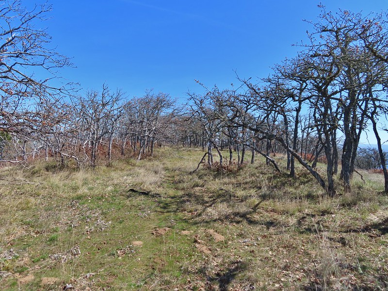
 A stand of oaks ahead.
 Balsamroot along the trail.
 Paintbrush
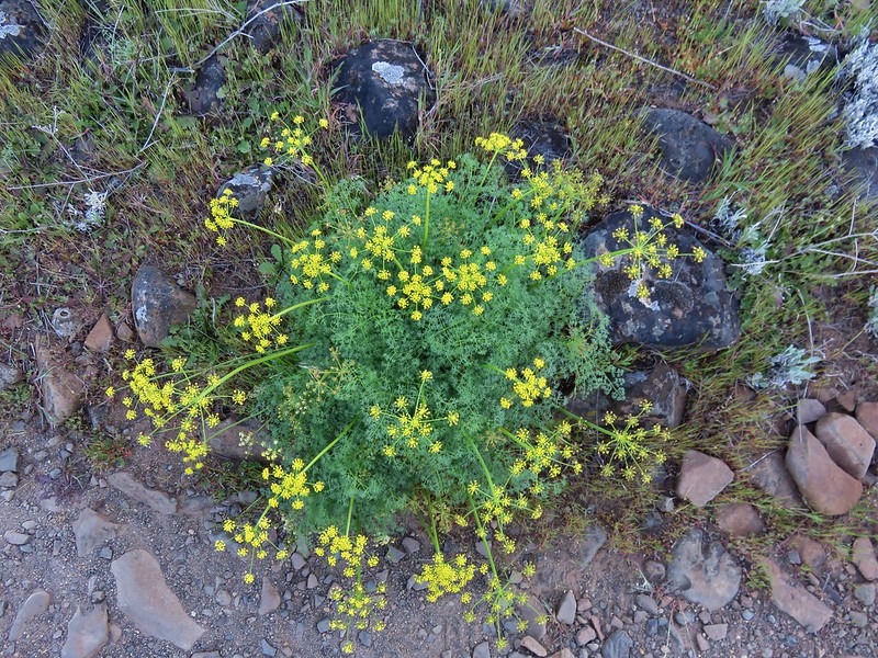
 Buckwheat
 Juniper trees
 Threadleaf phacelia


 Signpost ahead for the trail junction.
We took a much-needed break at the junction before detouring left (west) on the School Canyon Trail for a tenth of a mile to a spur trail on the left that led to a Helispot Viewpoint where there were several rock pinnacles.

 Wildflowers along the trail.
 The spur trail on the left to the Helispot.

 Penstemon


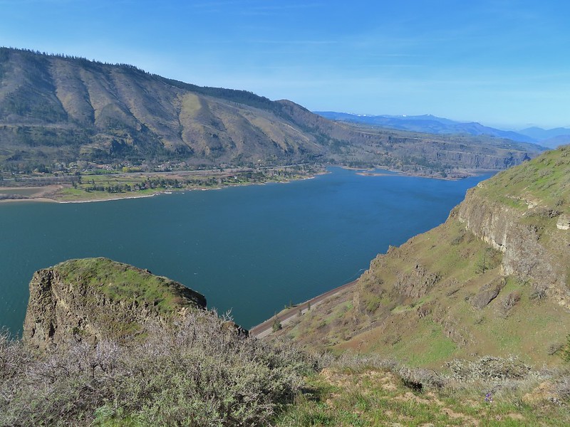
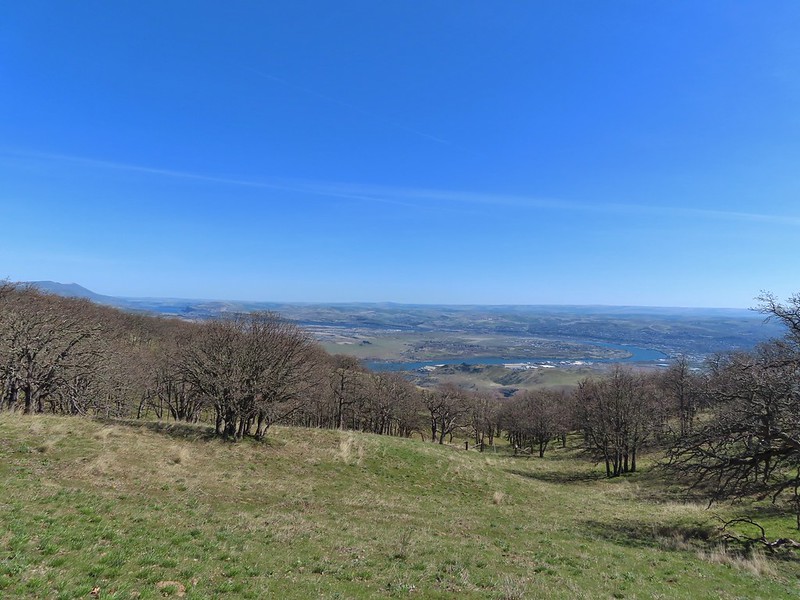
 Pine Hollow Reservoir in Central Oregon.
We returned to the junction after visiting the helispot and followed the School Canyon Trail as it gradually descended to a ridge below Ball Point.


 Woodland star
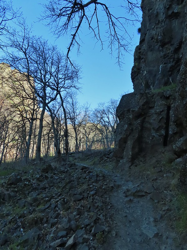
 This was the most significant obstacle we had to navigate on the entire loop.
 Yarrow
 A dogwood on top of the rocks and penstemon below.
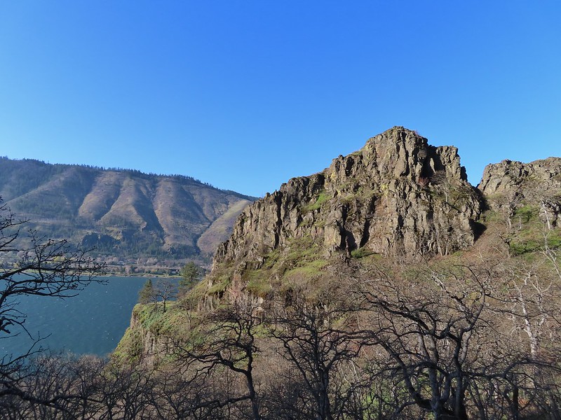
 First view of Ball Point.
 Penstemon
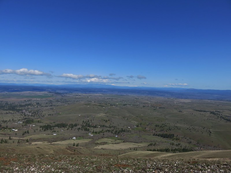
 From the ridge we could faintly make out Broken Top and the Three Sisters.
 The Three Sisters on the right and Broken Top with Tam McArthur Rim (post) to the left.
 Pen Point across the Tygh Creek Valley.
The trail left the ridge and traversed the hillside around Ball Point.
 Passing through the 2009 Ball Point Fire scar.

 Pen Point toward the center and the taller Hootnanny Point to the right.
 Death camas
 View east as we came around Ball Point.
 Desert yellow fleabane.
 Prairie smoke aka Old Man’s Whiskers
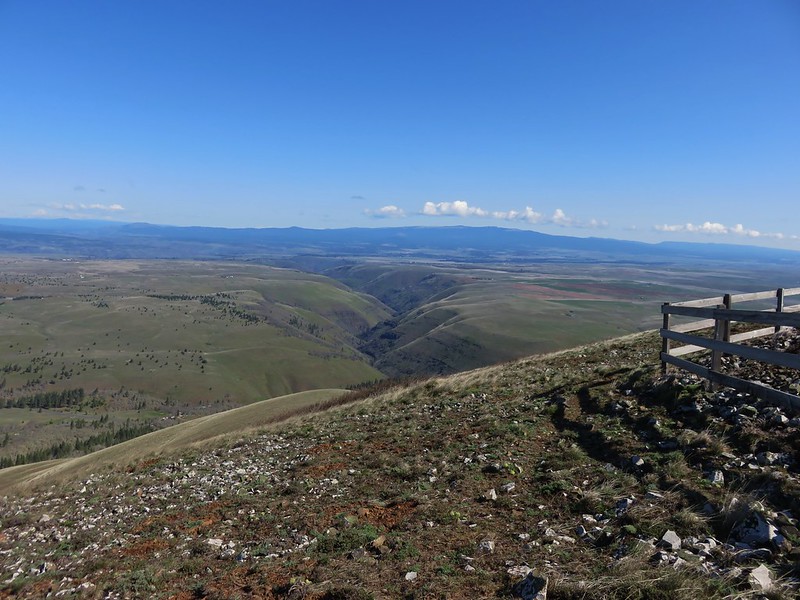
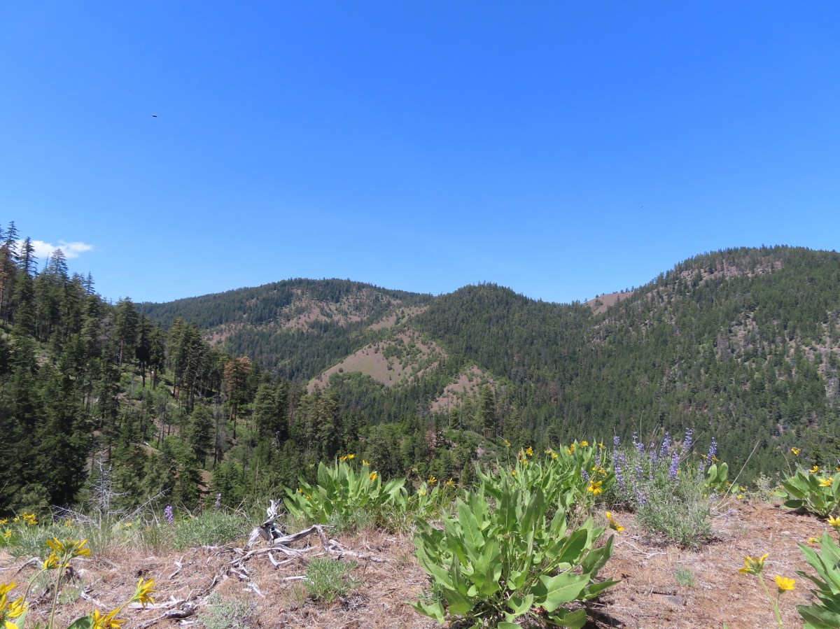
On the far side of Ball Point the trail descended fairly steeply along a ridge covered in wildflowers and a view of Mt. Jefferson.


 Heather coming down the ridge.
 I think this is a western racer.
The trail dropped off the ridge and descended just over a mile to the trailhead. The wildflowers and views were nice along this entire stretch.
 Looking up at the ridge.
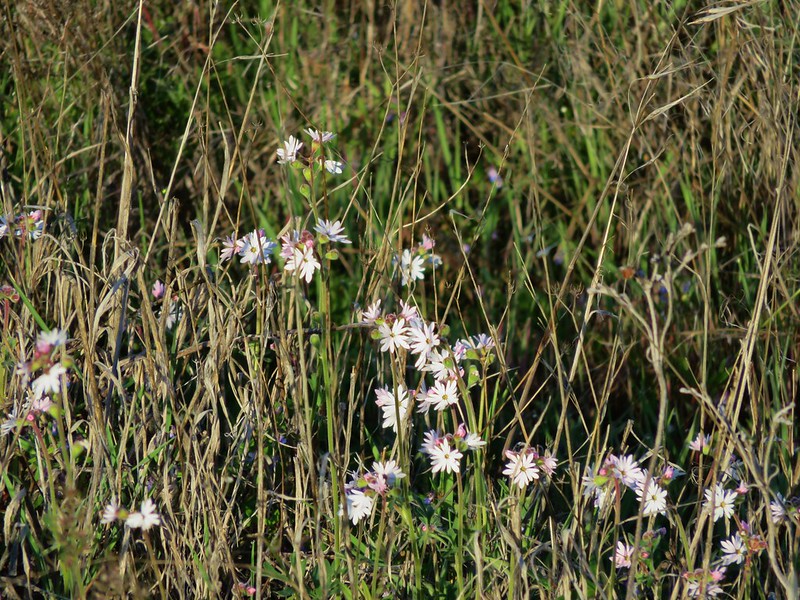
 A clarkia
 Lewis’ woodpecker
 Lizard


 On last view of Mt. Jefferson
 Ball Point
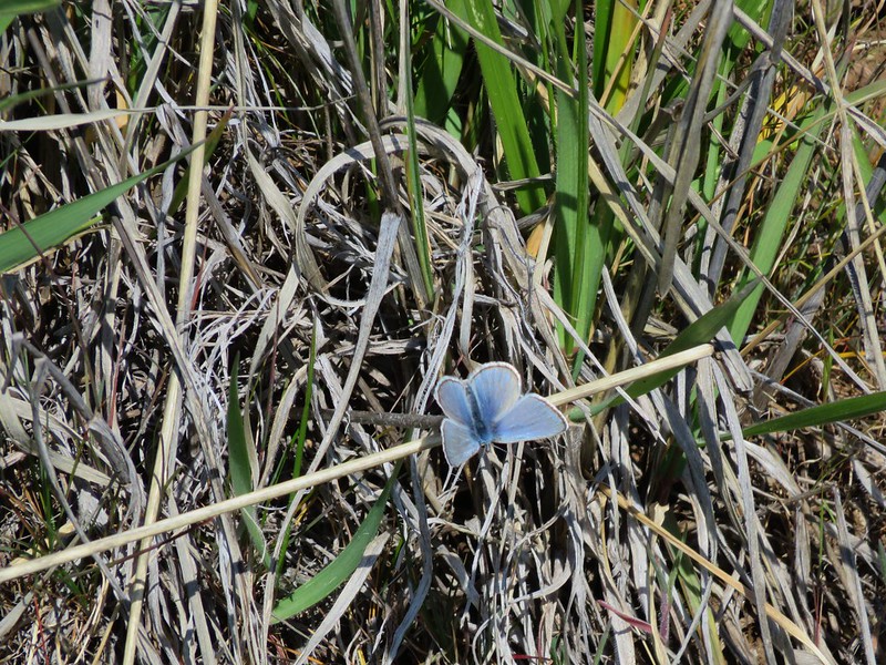
 Butterfly on whitestem frasera
 Signs at the trailhead.
The loop ended up being 9.9-miles with 2150′ of elevation gain.
 Orange is the road + cross country portion.
We really enjoyed the variety this hike provided, and we only saw two other hikers all day. The climb from the cabin site to the School Canyon trail was tough but we were glad to have tackled it. We checked in to our room in The Dalles and after having dinner and picking up some snacks for the room we turned in so we could get another early start the following day. Happy Trails!
Flickr: School Canyon-Little Badger Loop

 Bench at a switchback.

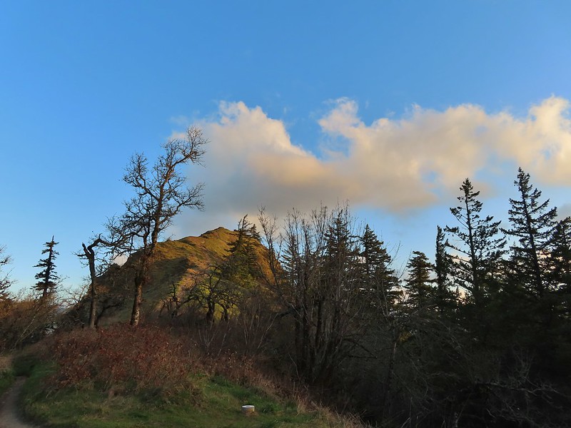
 Reroute below Mitchell Point
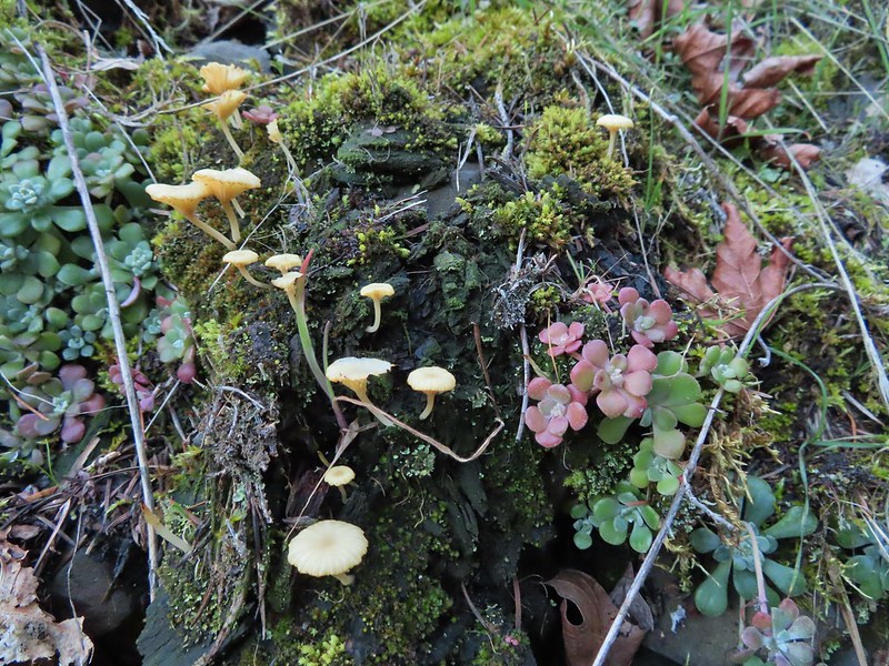 Mushrooms’ and some sedums.

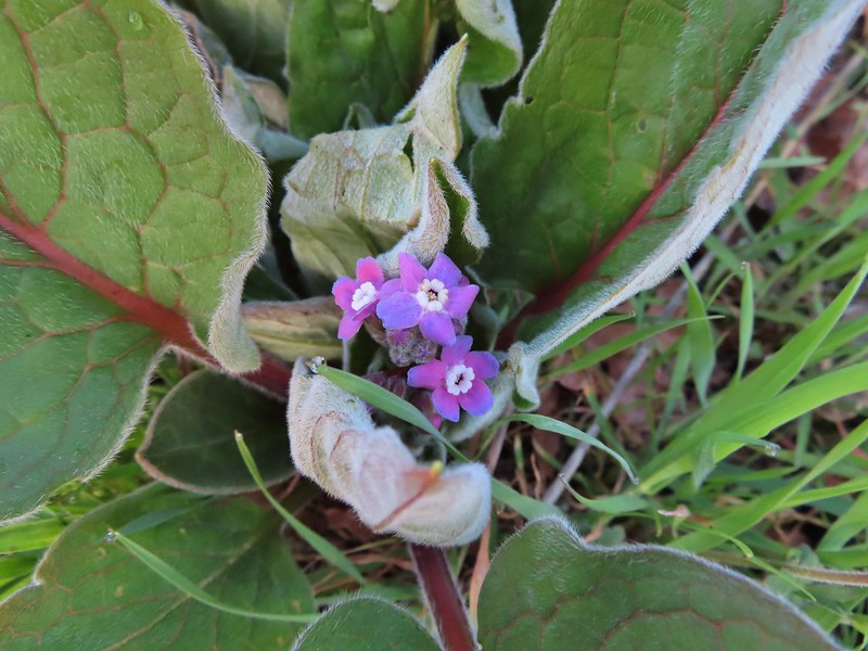 Houndstongue
 Grass Widows
 Woodland stars
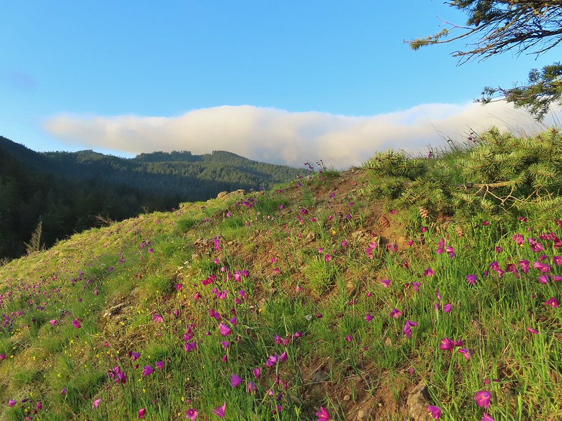
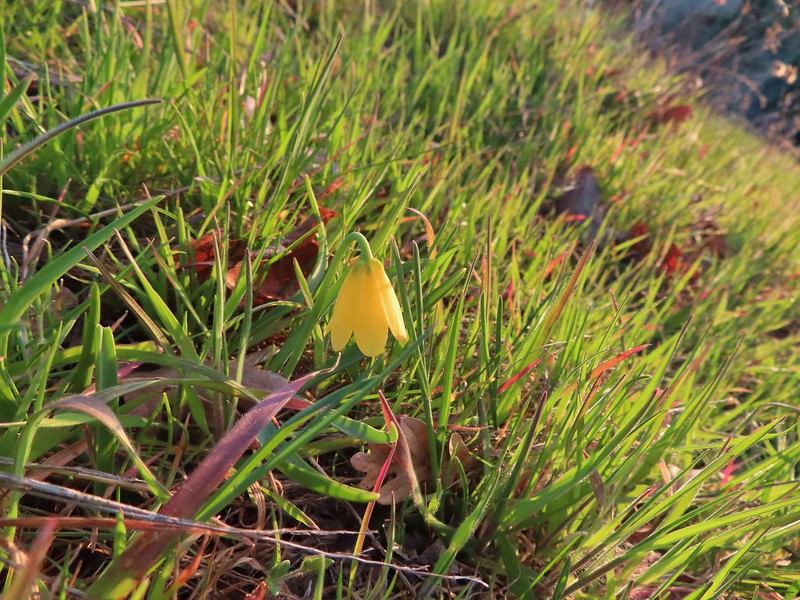 Yellow bell lily
 Desert parsley and woodland stars
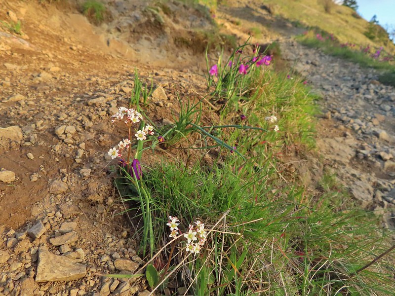 A saxifrage
 Gold stars and woodland stars
 Looking west
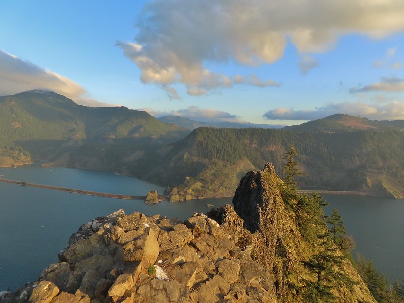 North across the Columbia River into Washington
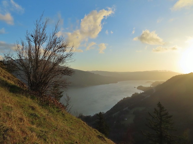 East
East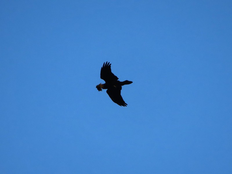 Looks like moss for a nest maybe?
 Turkeys on the Wygant Trail
 Red leaves of poison oak behind a death camas
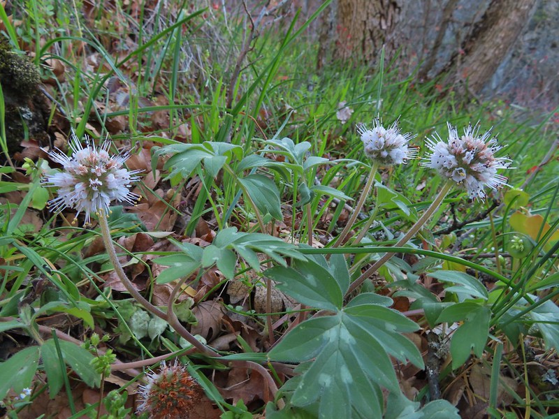 More poison oak behind a waterleaf
 Poison oak around some balsamroot


 Fiddleneck
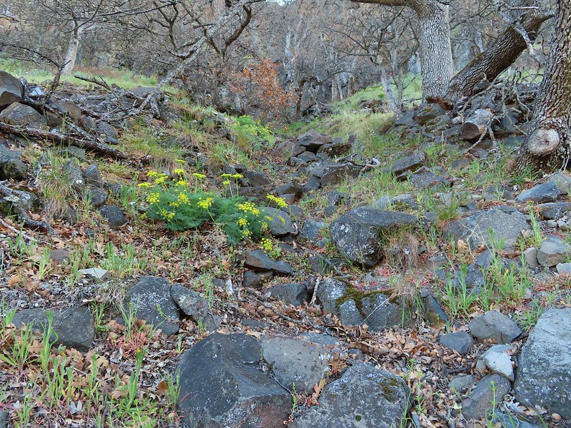 Desert parsley
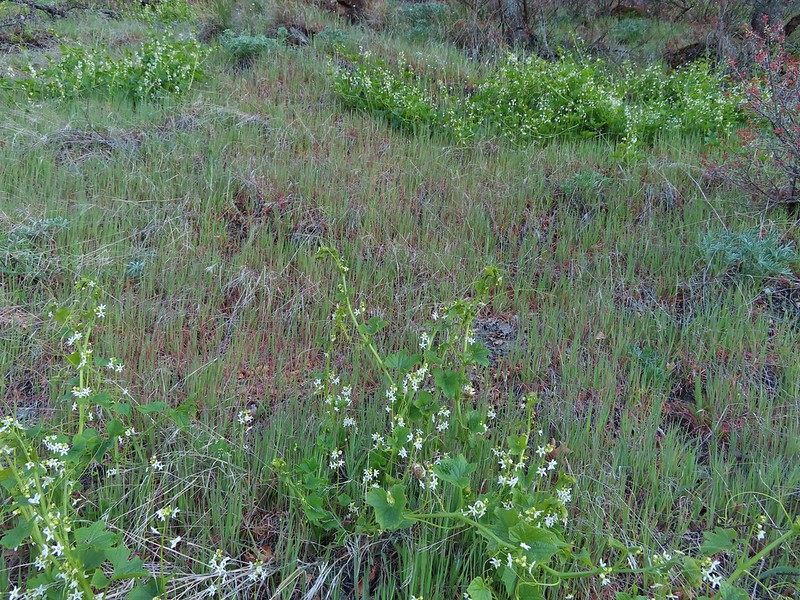 Manroot
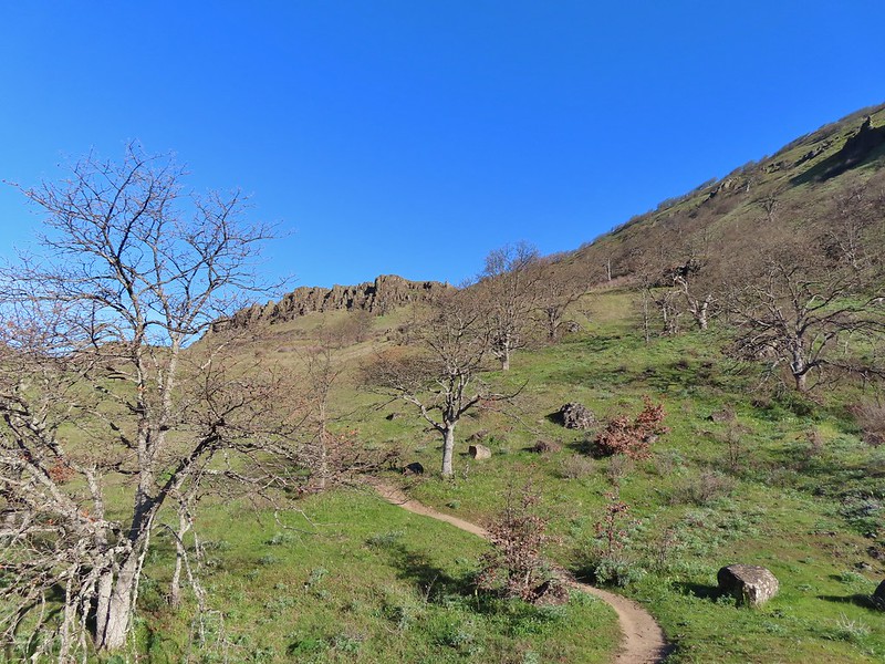
 Lots of death camas blooming on the plateau.
 Looking up at the cliffs above.
 Balsamroot blooming below the rim.

 Balsamroot
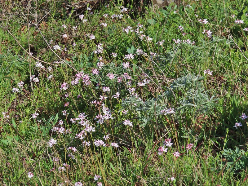 Woodland stars with some lupine leaves
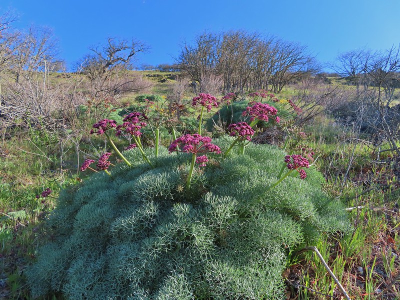 Columbia desert parsley
 A biscuitroot
 Balsamroot
 Balsamroot
 View west (With a snow capped Mt. Defiance (
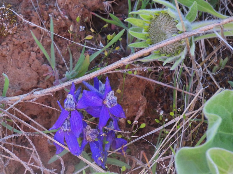
 Larkspur
 Buttercups
 Glacier lilies
 Yellow bell lily, woodland stars, grass widows and shooting stars.
 Yellow bell lilies
 Toothwort
 Sagebrush false dandelions
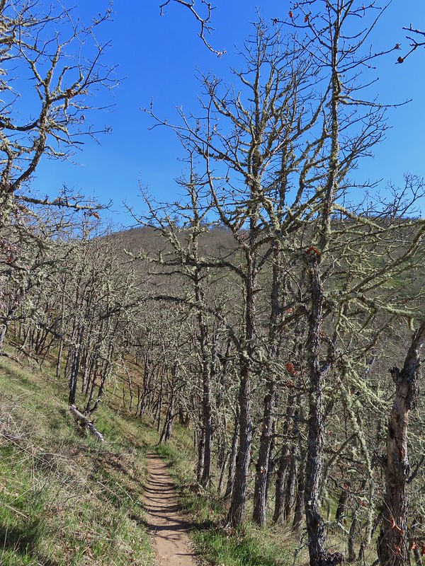
 Tortoiseshell butterfly
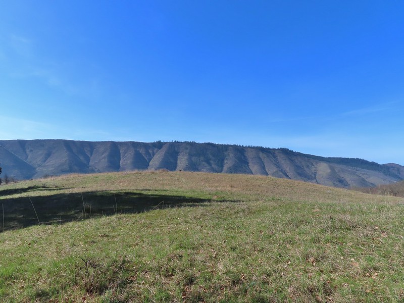


 Tom McCall Point and the Rowena Plateau with Mt. Defiance in the distance.
 Hikers on the trailhead and below.
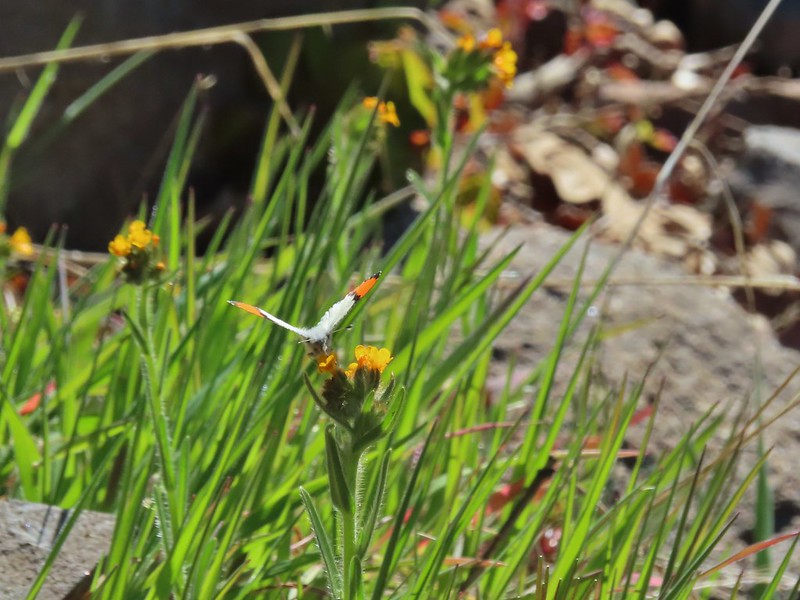 Just my third photo of an orange-tip.
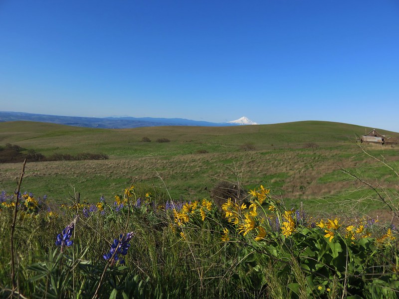
 Mt. Hood and Columbia desert parsley from the first knoll we tried.
 Top of knoll #1.
 A lone balsamroot blossom.
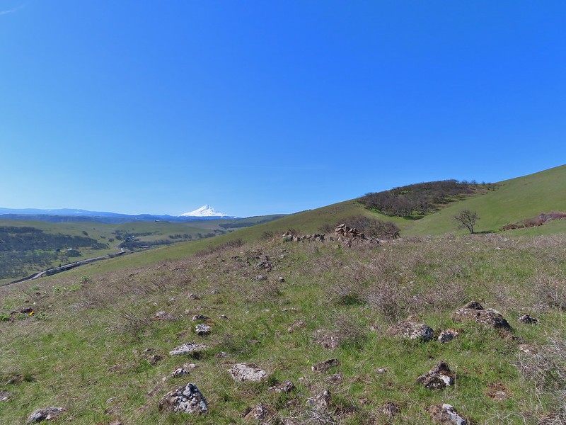
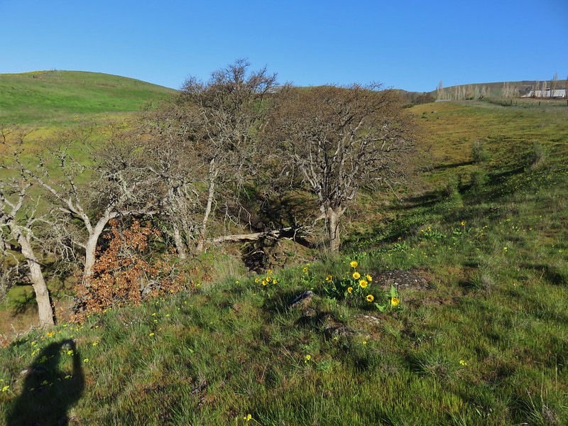
 The path leading past the spring to the oaks.
 The spring
 Back on the right side
 Balsamroot surrounded by some little white flowers.
 Lupine thinking about blooming.
 Larkspur
 Yellow bell lilies
 We didn’t notice any poison oak here.
 A grass widow at the viewpoint.
 Mt. Adams
 Mt. Hood over the oak stand.


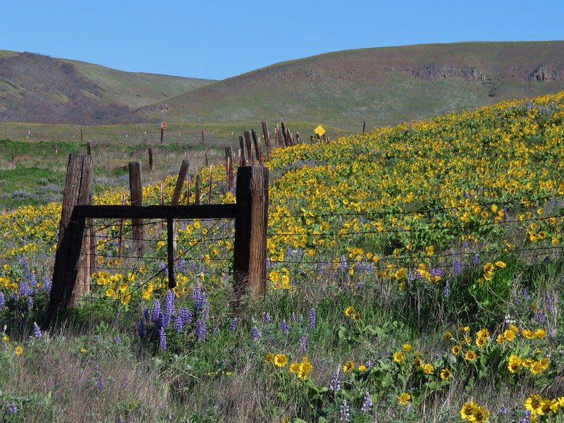
 The Dalles beyond the fence line.
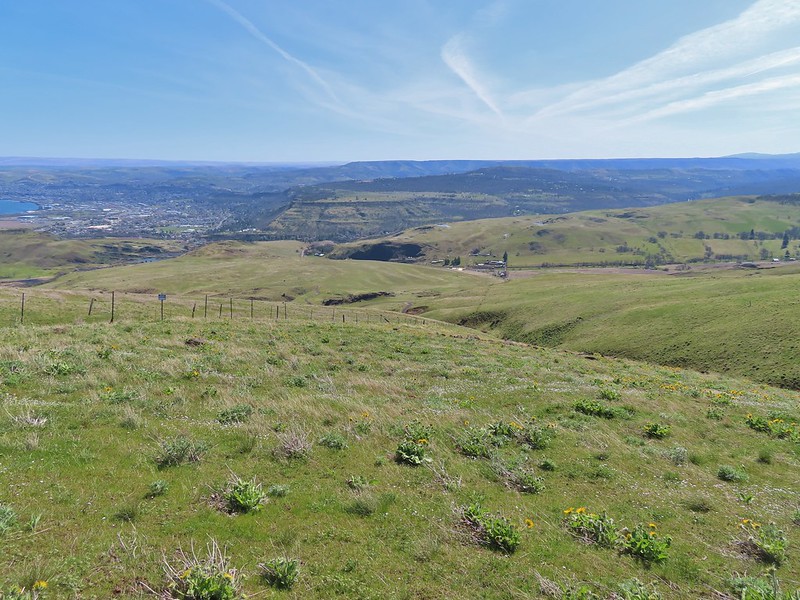 Heading down the fence line.
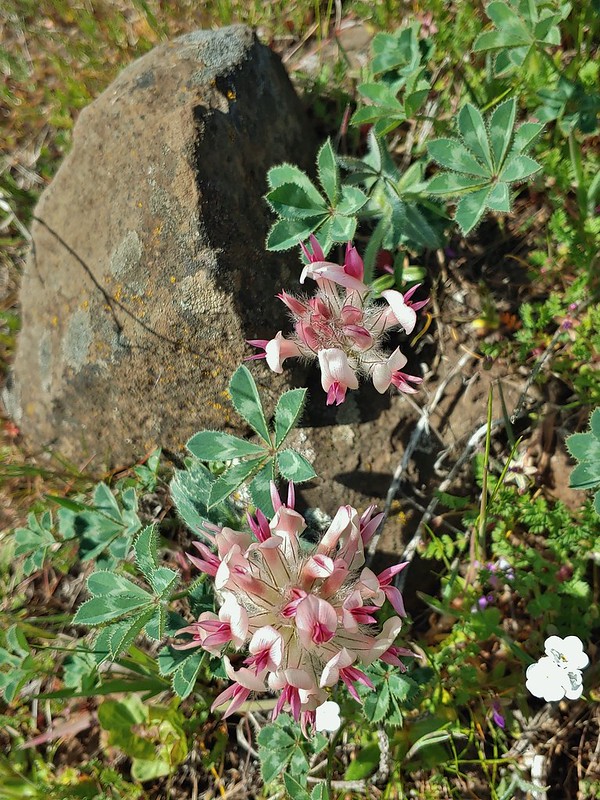 Large head clover
 A lupine with blossoms.
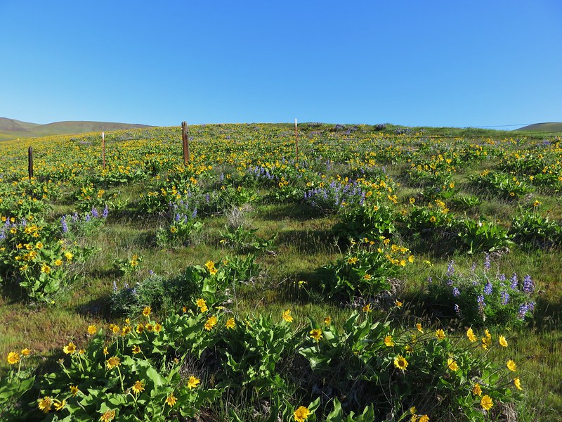
 Hillside covered in Columbia desert parsley
 Our car had been joined by one other. (middle left of photo)
 Gooseberry Creek