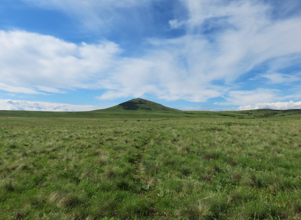
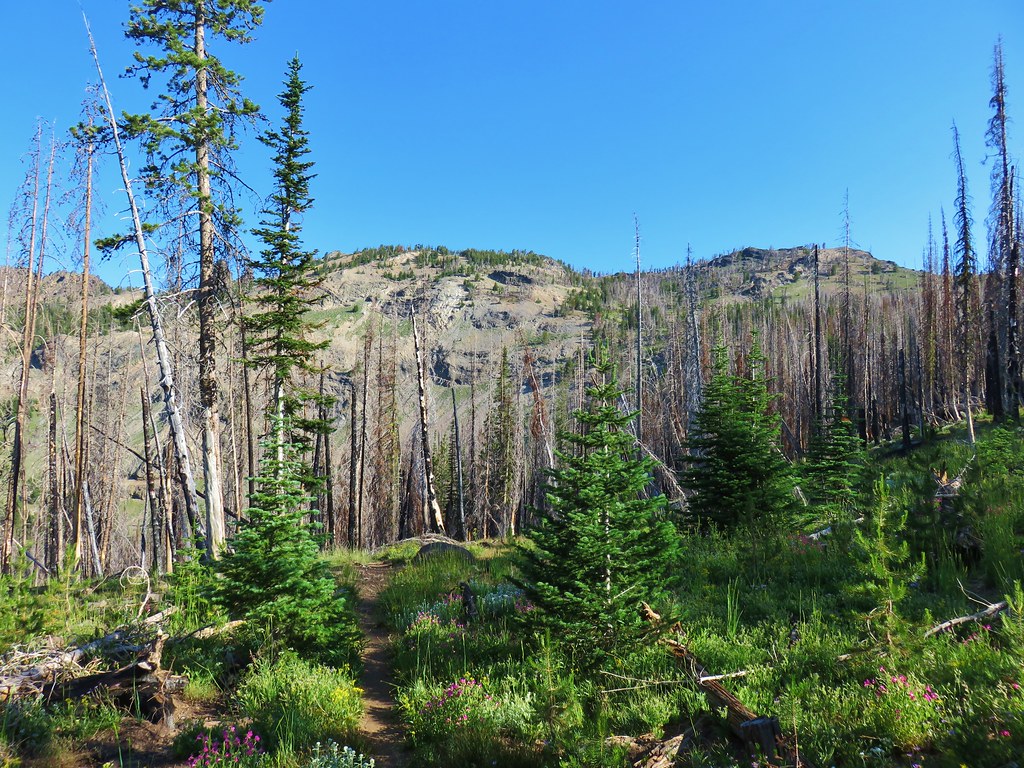
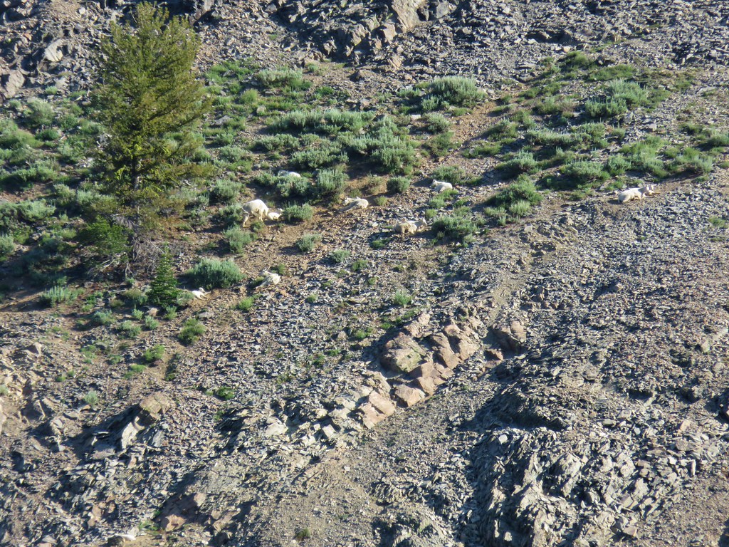
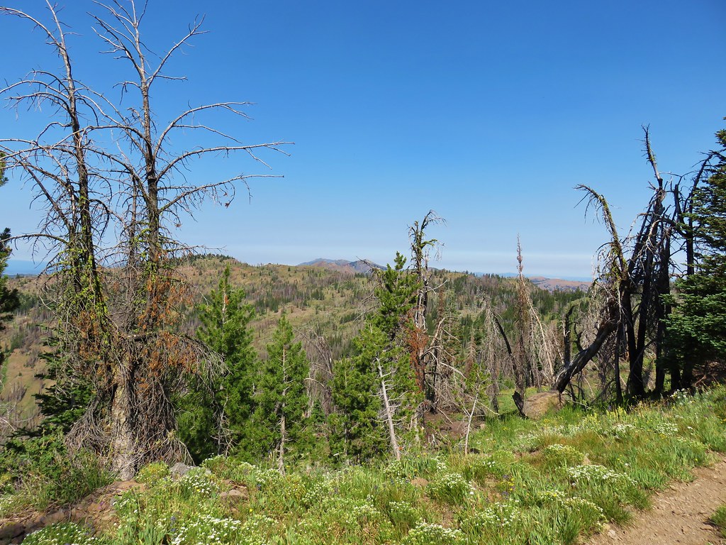
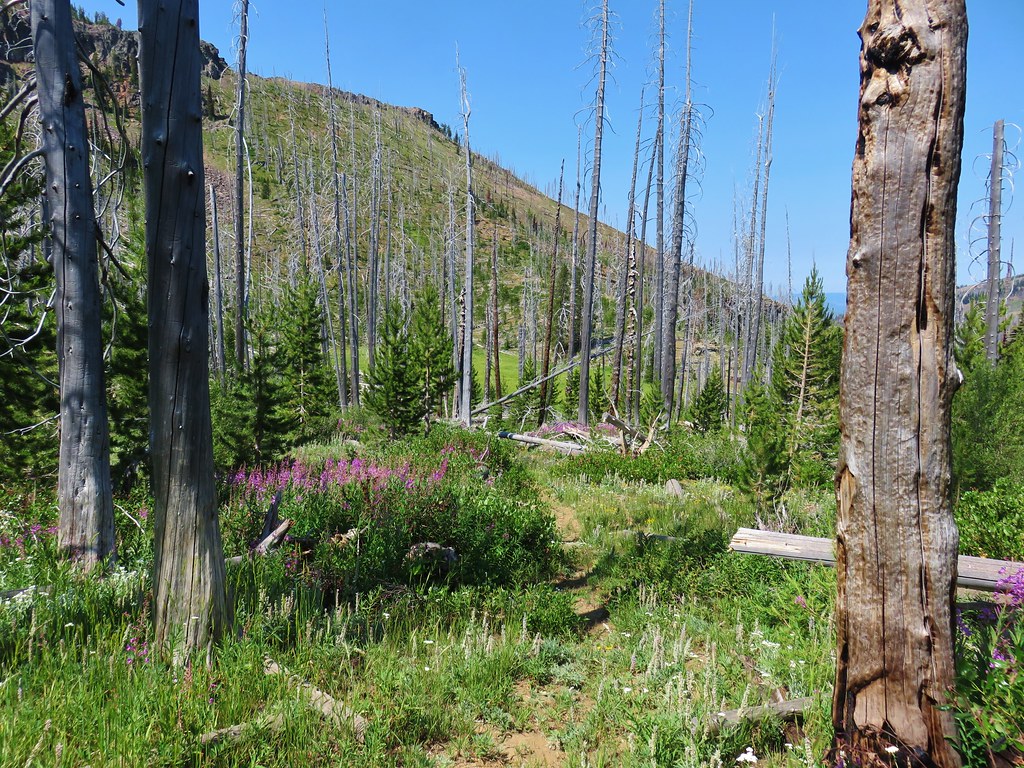
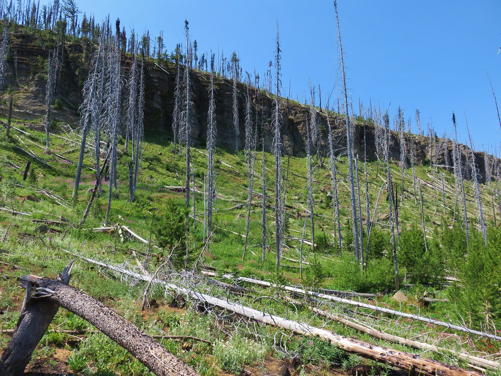
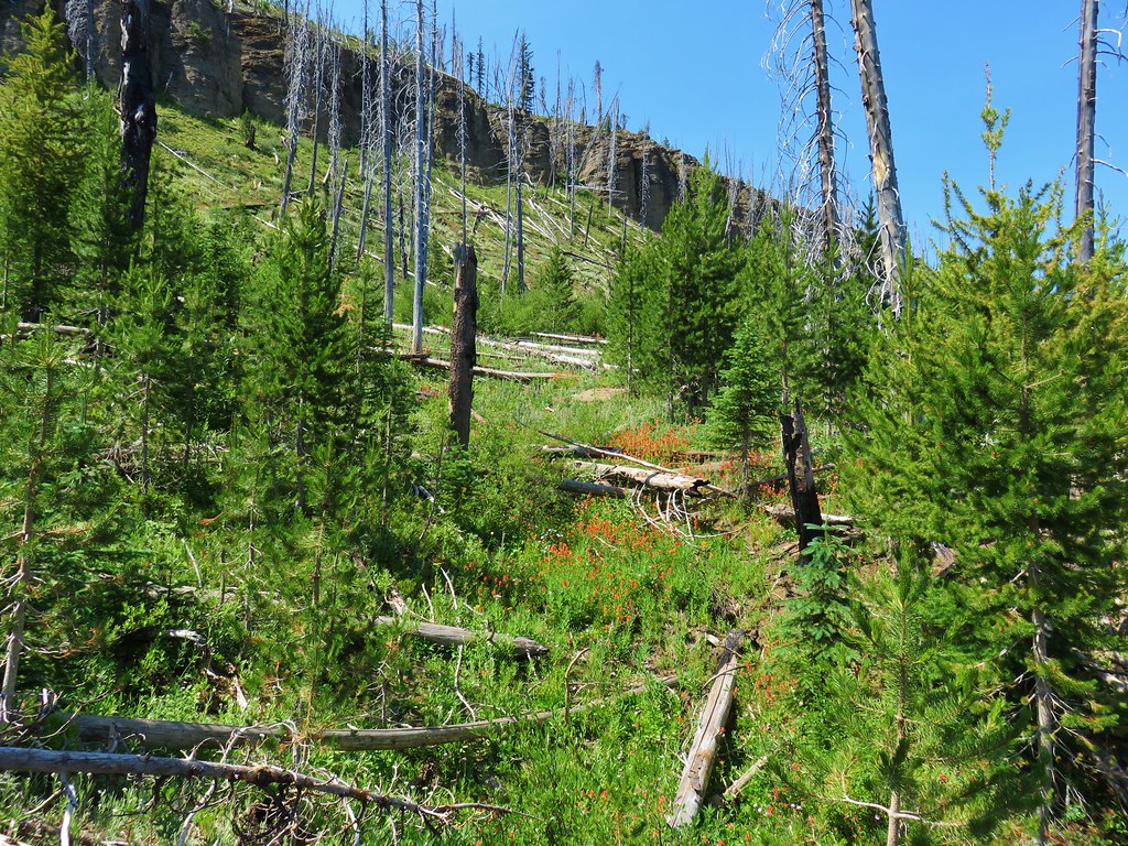
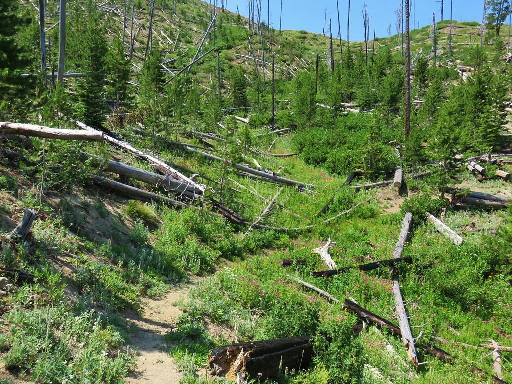
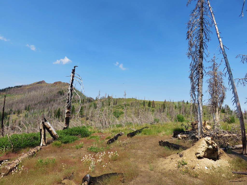
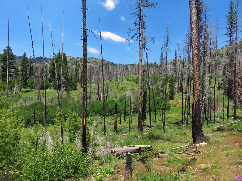
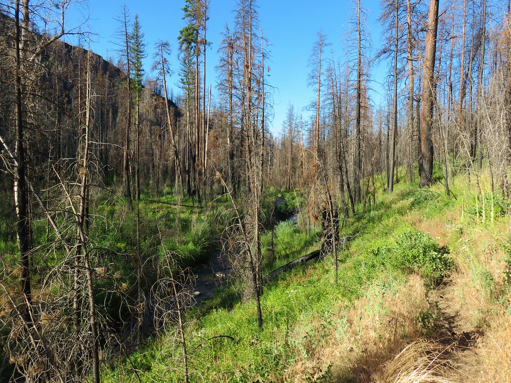
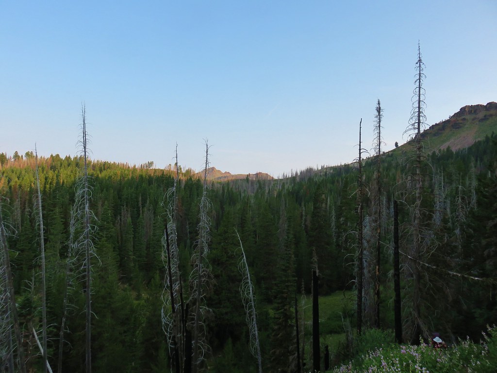
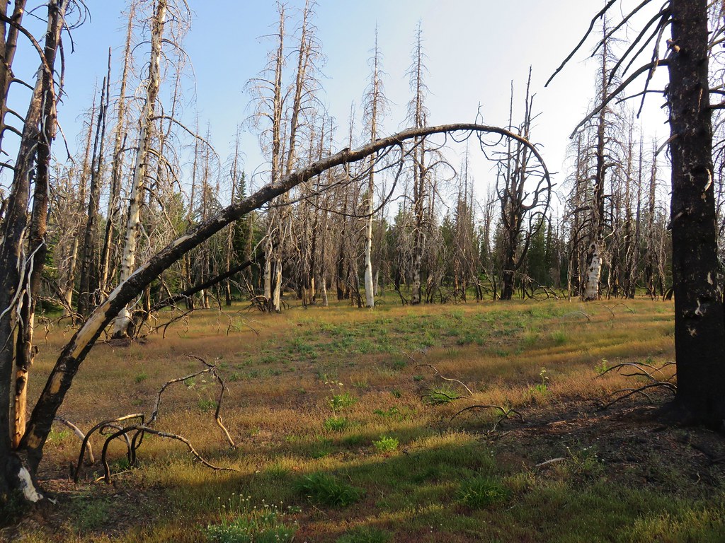
**Note the 2020 Riverside Fire burned most of this hike.**
After taking Wednesday and Thursday off from hiking due to less than favorable weather forecasts we headed out on Friday planning on hiking the Riverside Trail along the Clackamas River. The forecast was for a 40% chance of showers and partly sunny so we thought a river hike was a safe bet and the Riverside Trail was one of Sullivan’s featured hikes that we had yet to do.
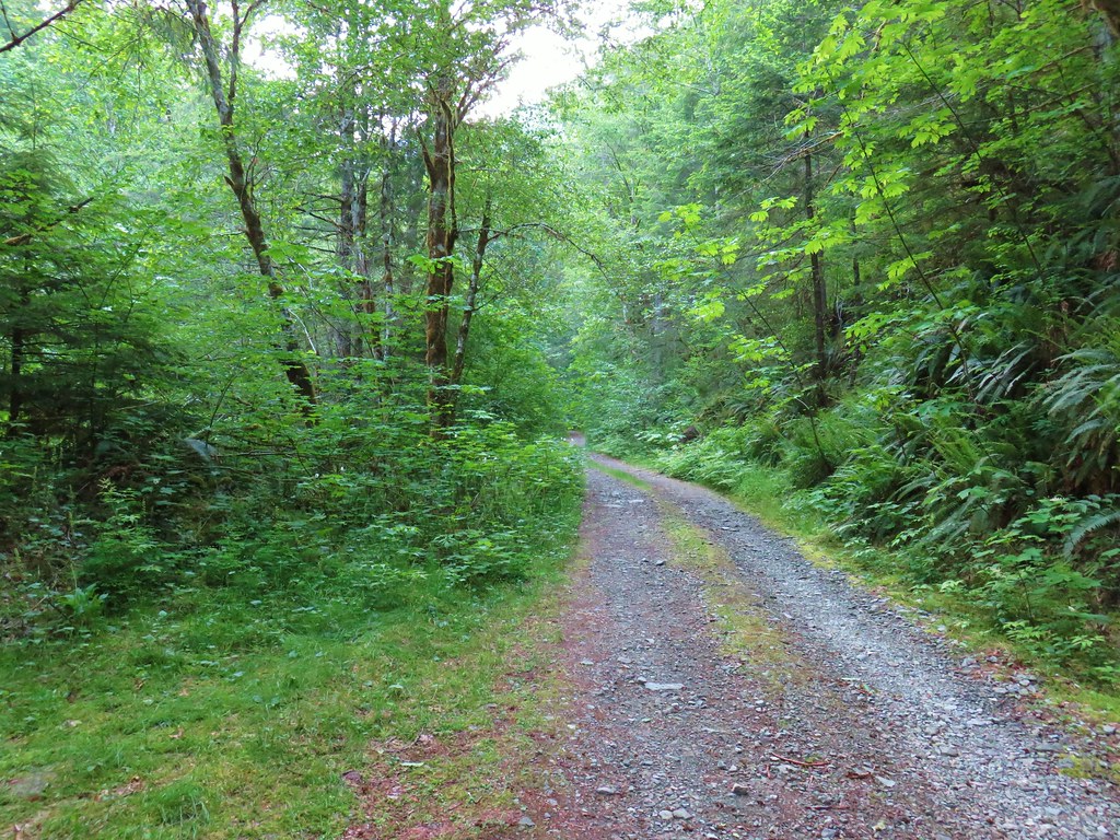
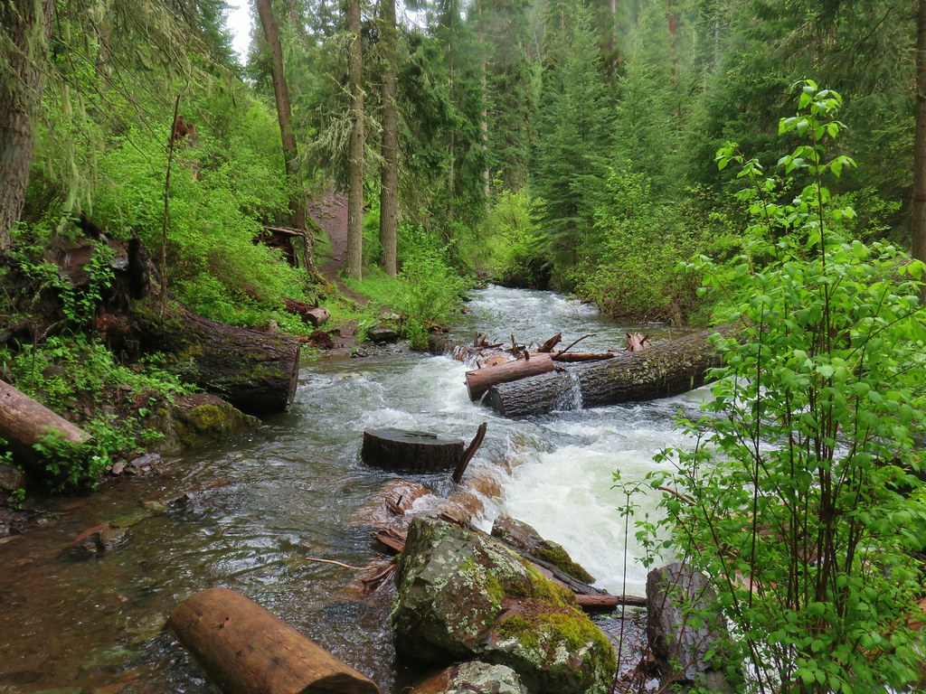
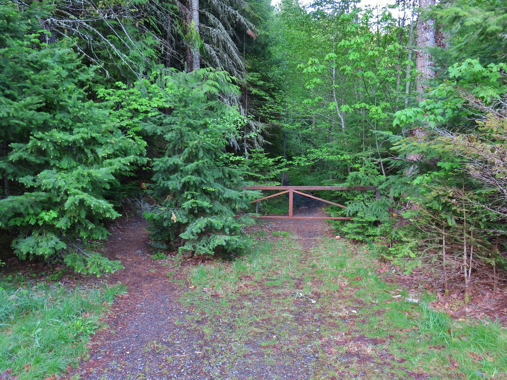
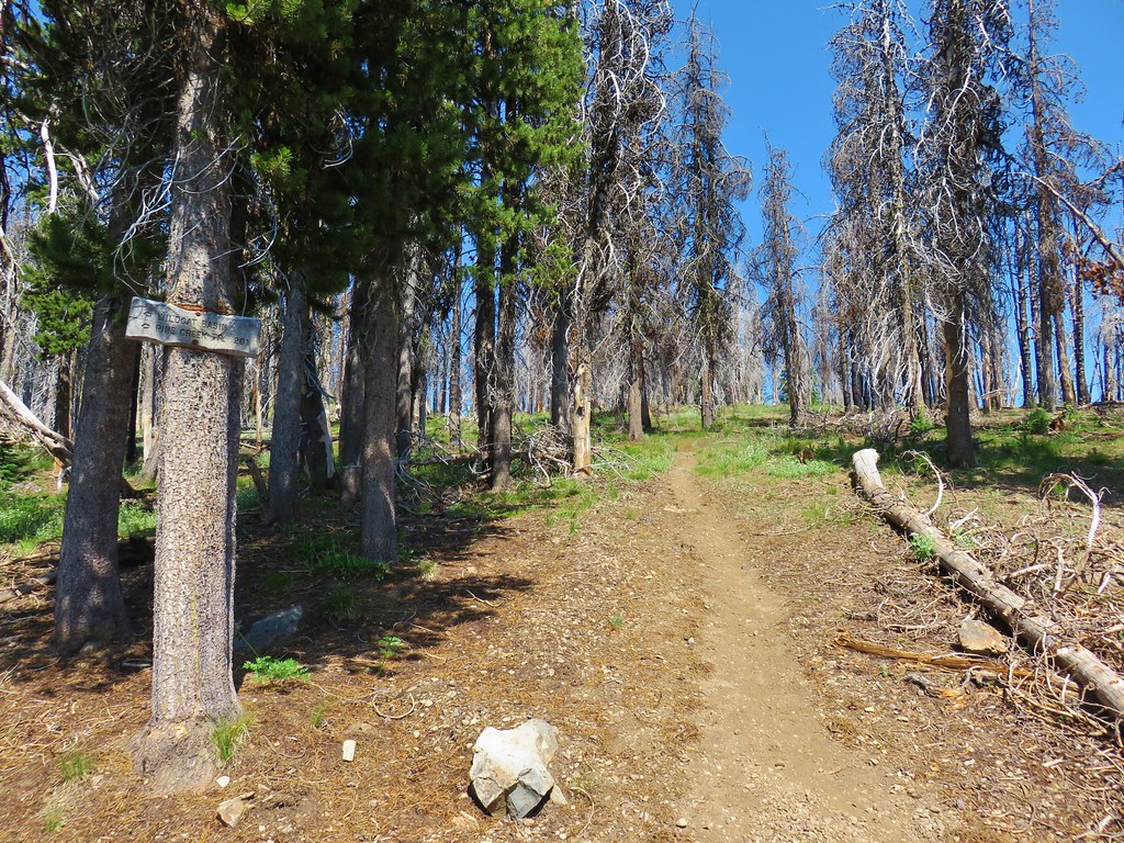
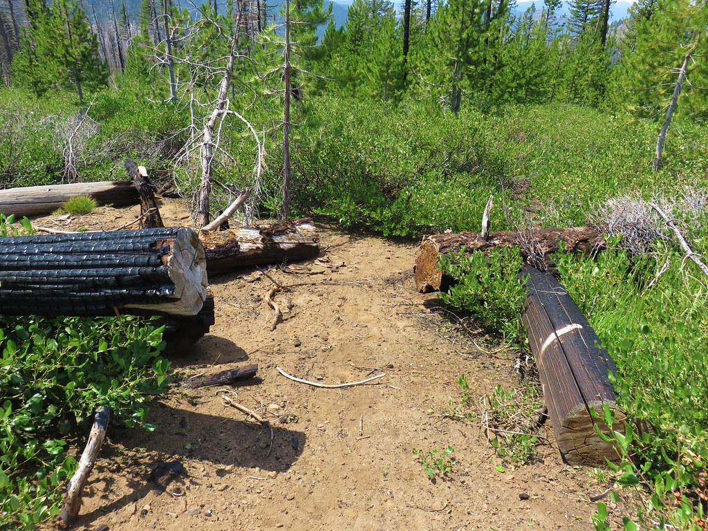
As we turned onto Highway 242 at Estacada though we began to rethink our plan. The sky had been relatively clear so far and we hated wasting a good river hike on a day where there might be views to have. Prior to knowing what the weather was going to be like we had originally had Fish Creek Mountain as one of our hikes for the week and as luck would have it the trailhead for that hike was also off of Highway 242. When we reached the sign for Indian Henry Campground (just before the 4th green bridge coming from the west) we veered right onto FR 4620. We followed this one lane paved road for 5.1 miles to gravel where we forked uphill for an additional 2.6 miles to the trailhead on the left. The trailhead is an old roadbed that is only marked by a wooden sign on a tree next to the start of the Fish Creek Mountain Trail. (Note: The sign is unreadable unless up close.)

The trailhead was moved to this location following the road to the original trailhead being washed out in 1996. The trail here was constructed by volunteers who connected it to the washed out road .4 miles from the original trailhead.
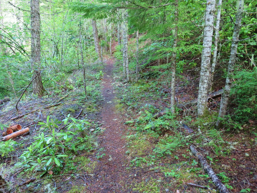
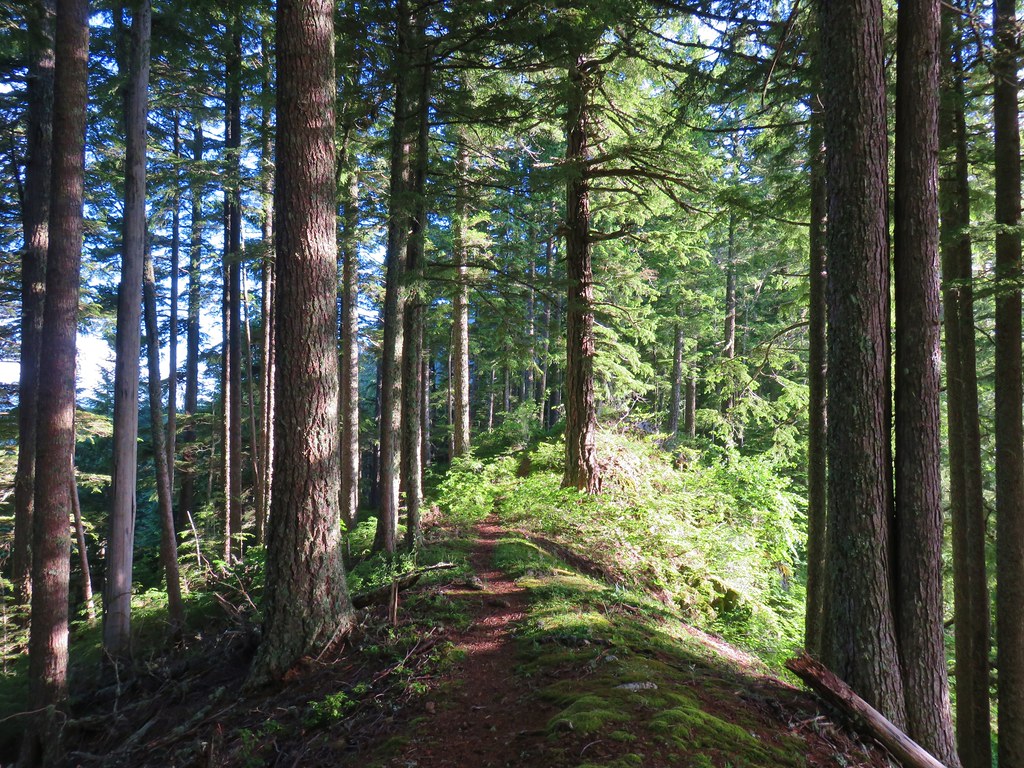
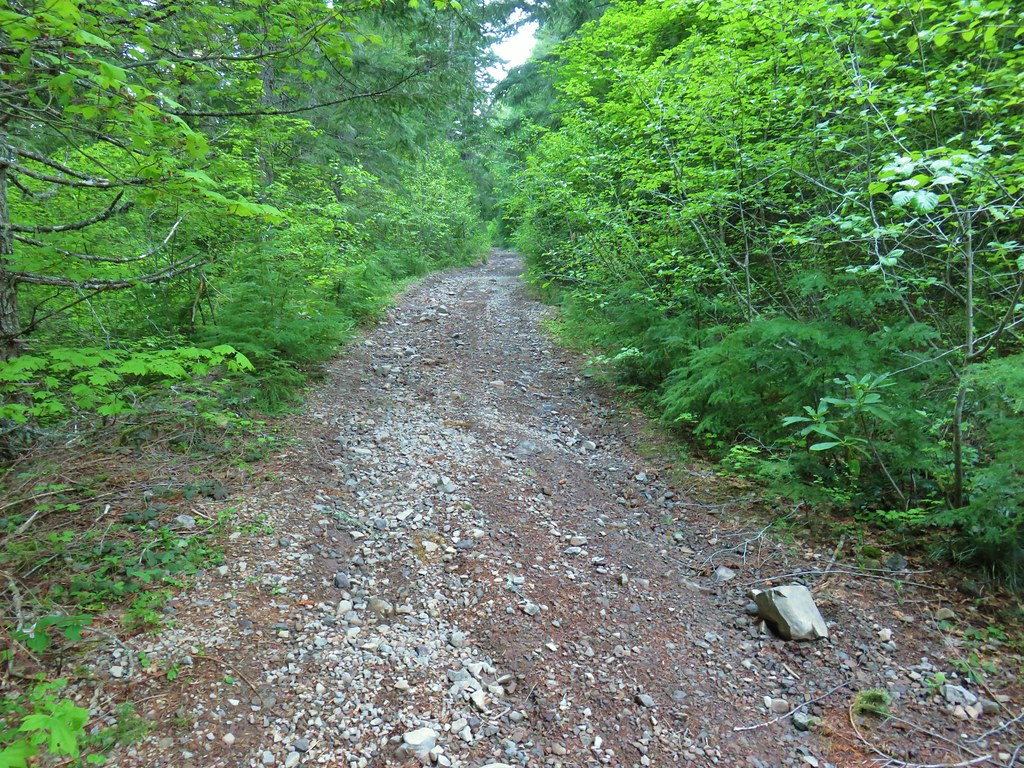
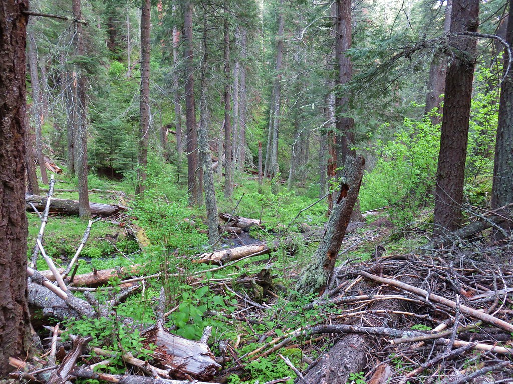
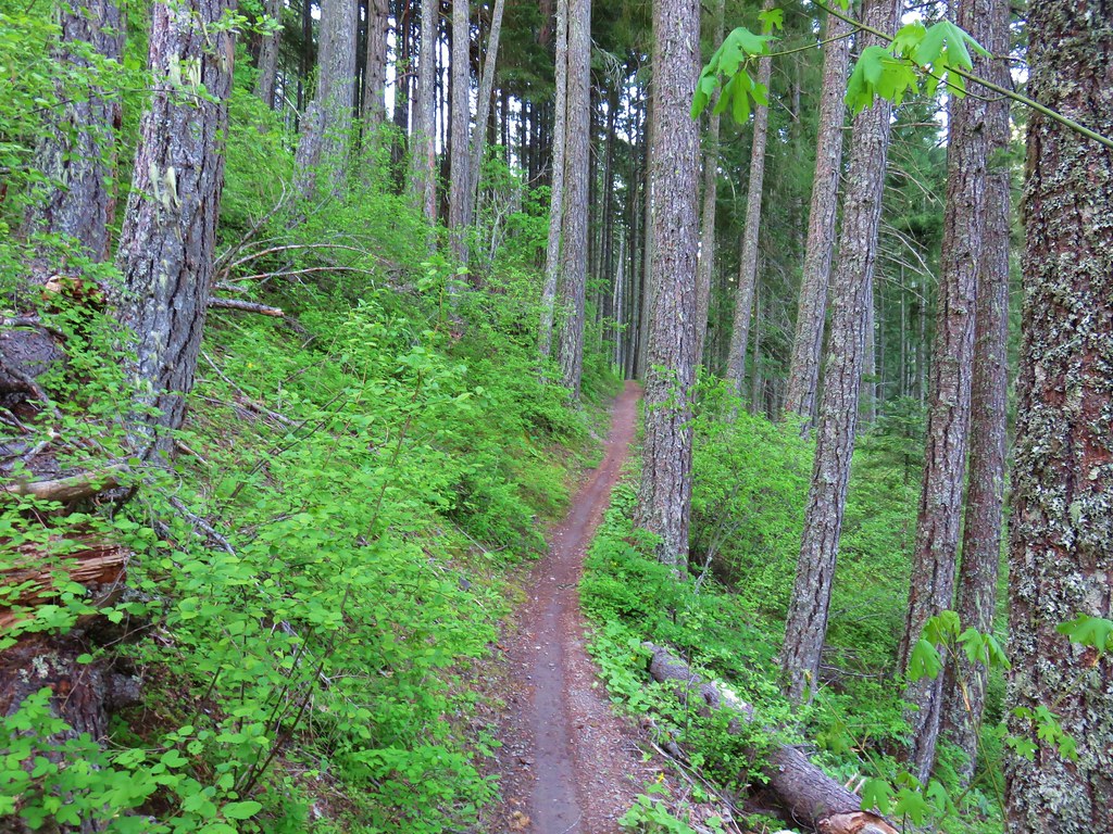
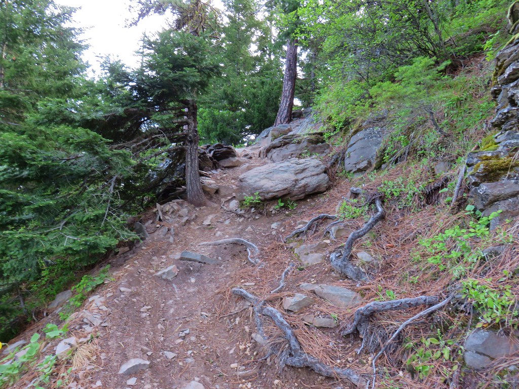
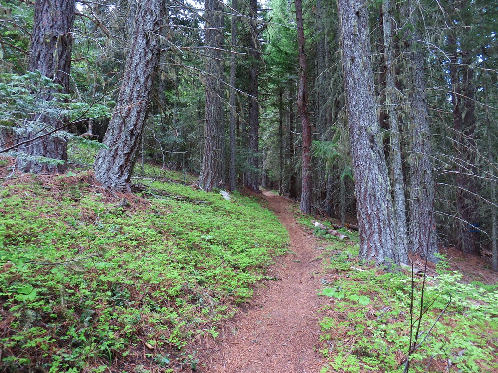
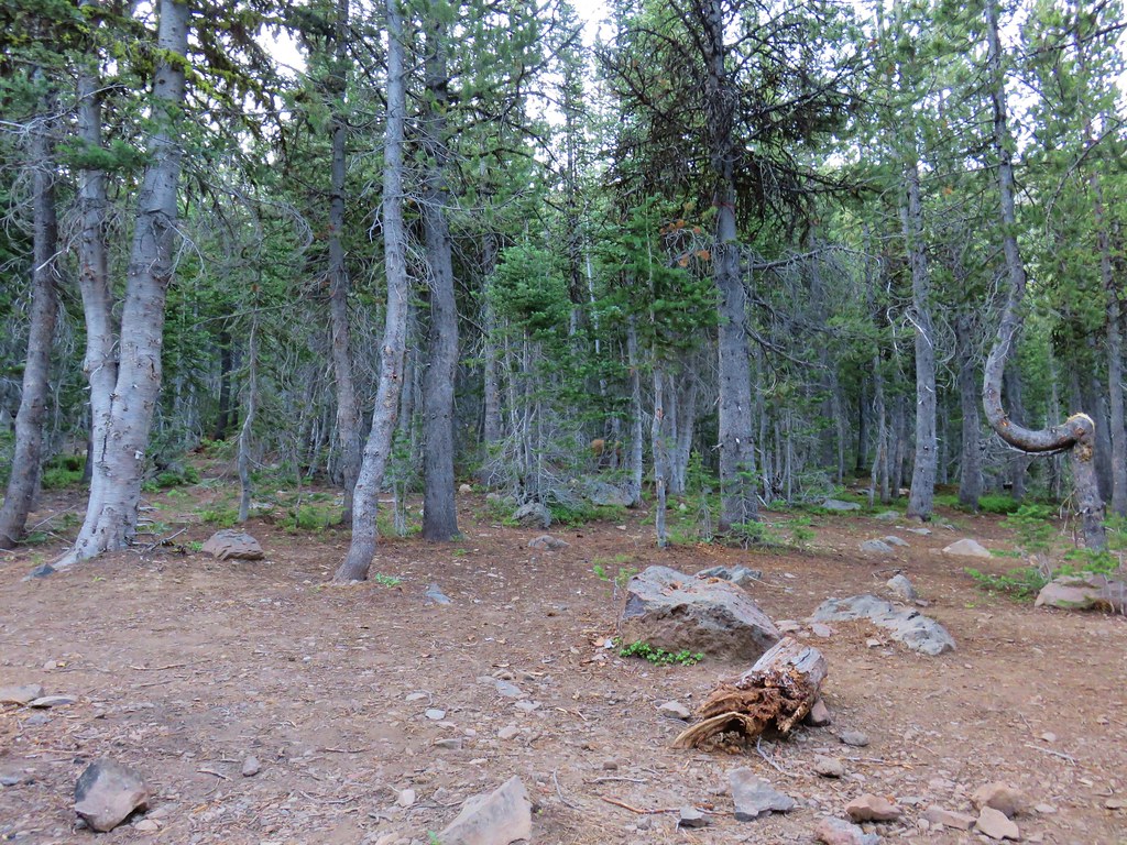
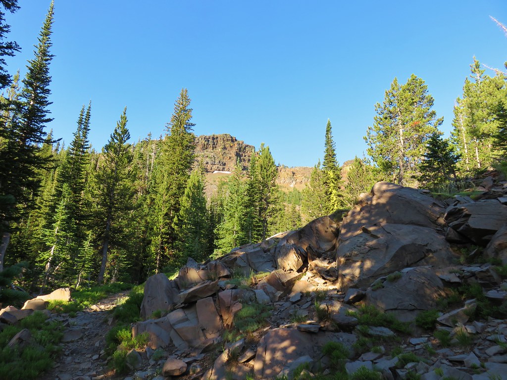
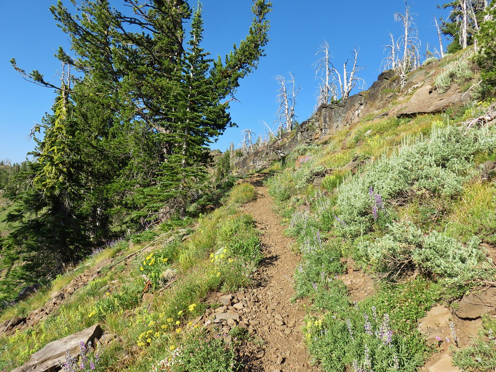
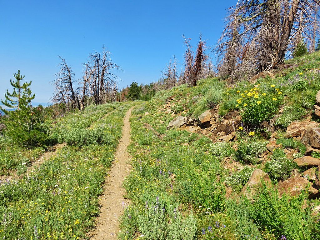
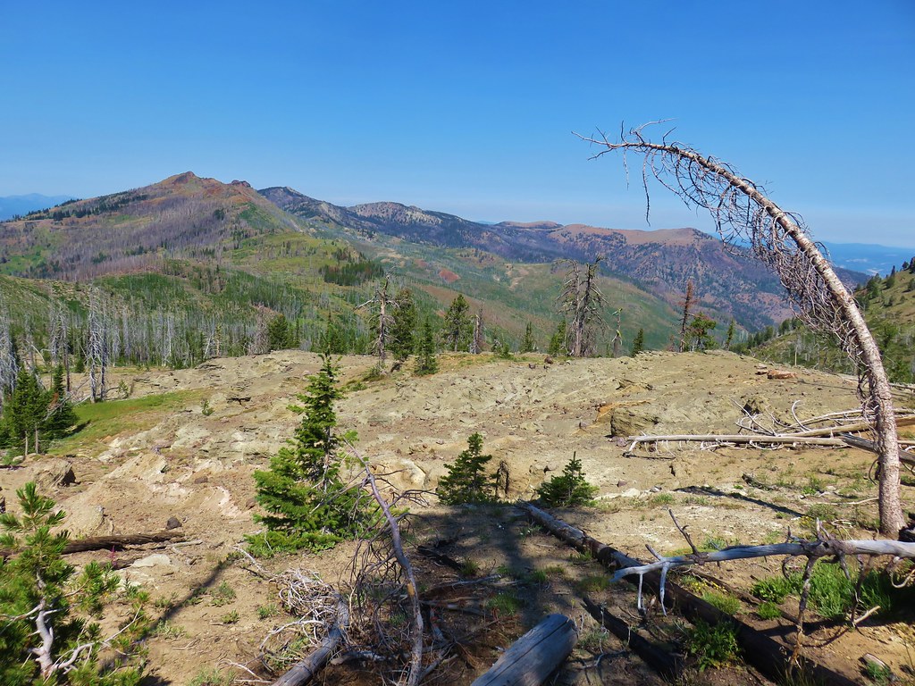
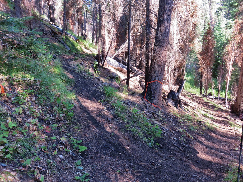
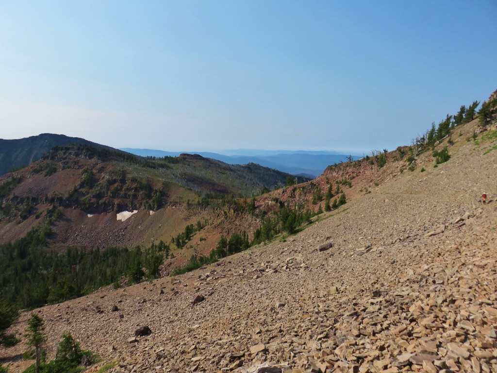
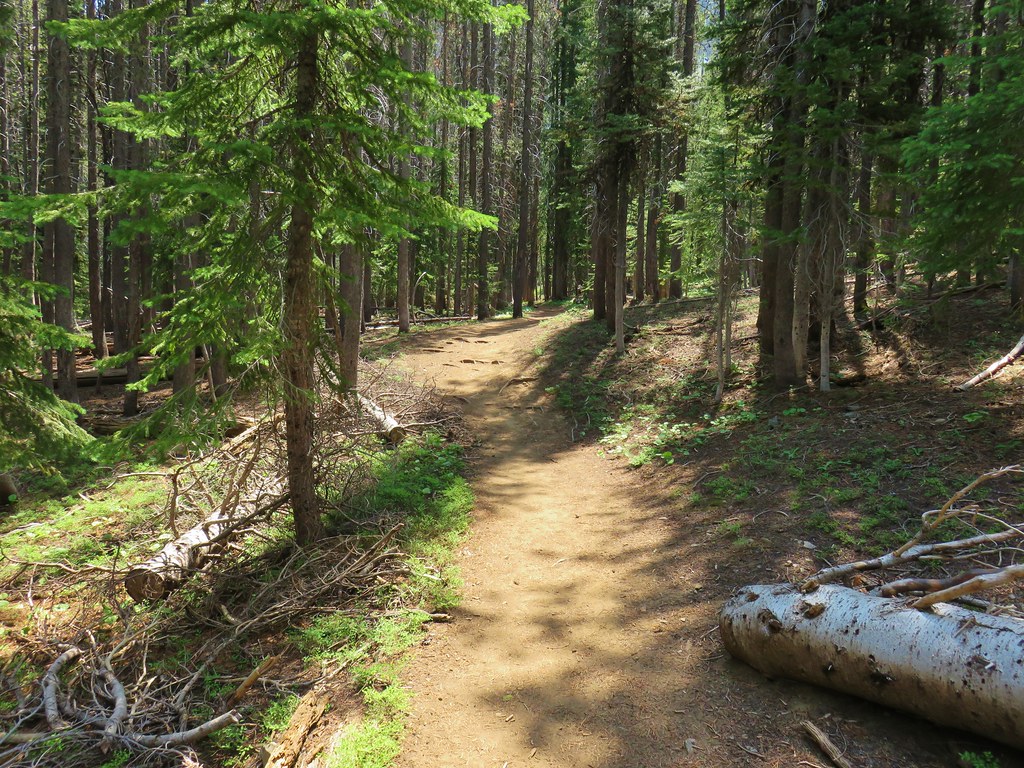
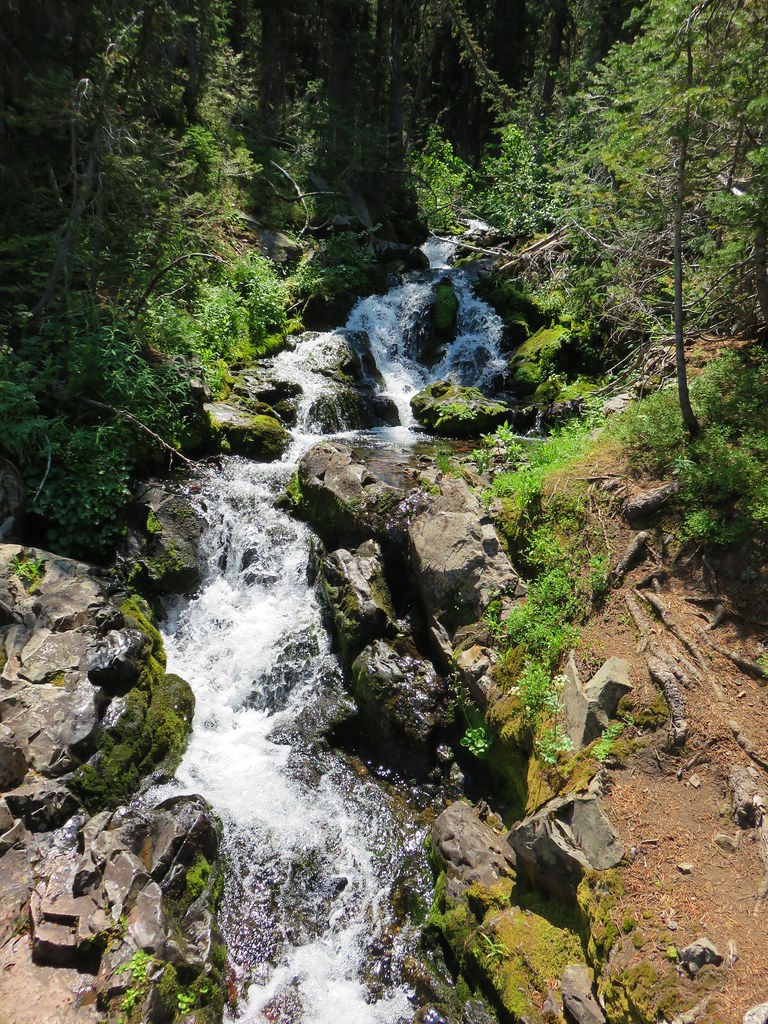
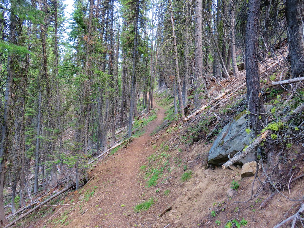
The trail gains 500′ over seven tenths of a mile as it climbs through a mixed forest to the decommissioned road.


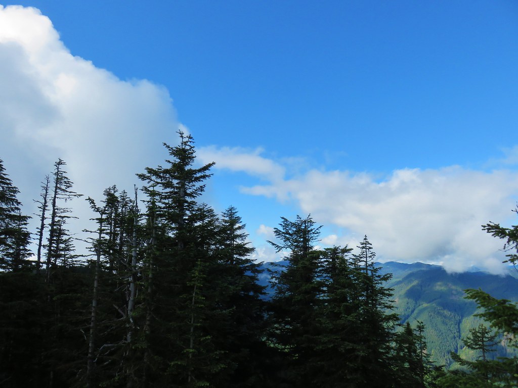
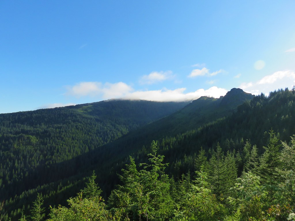
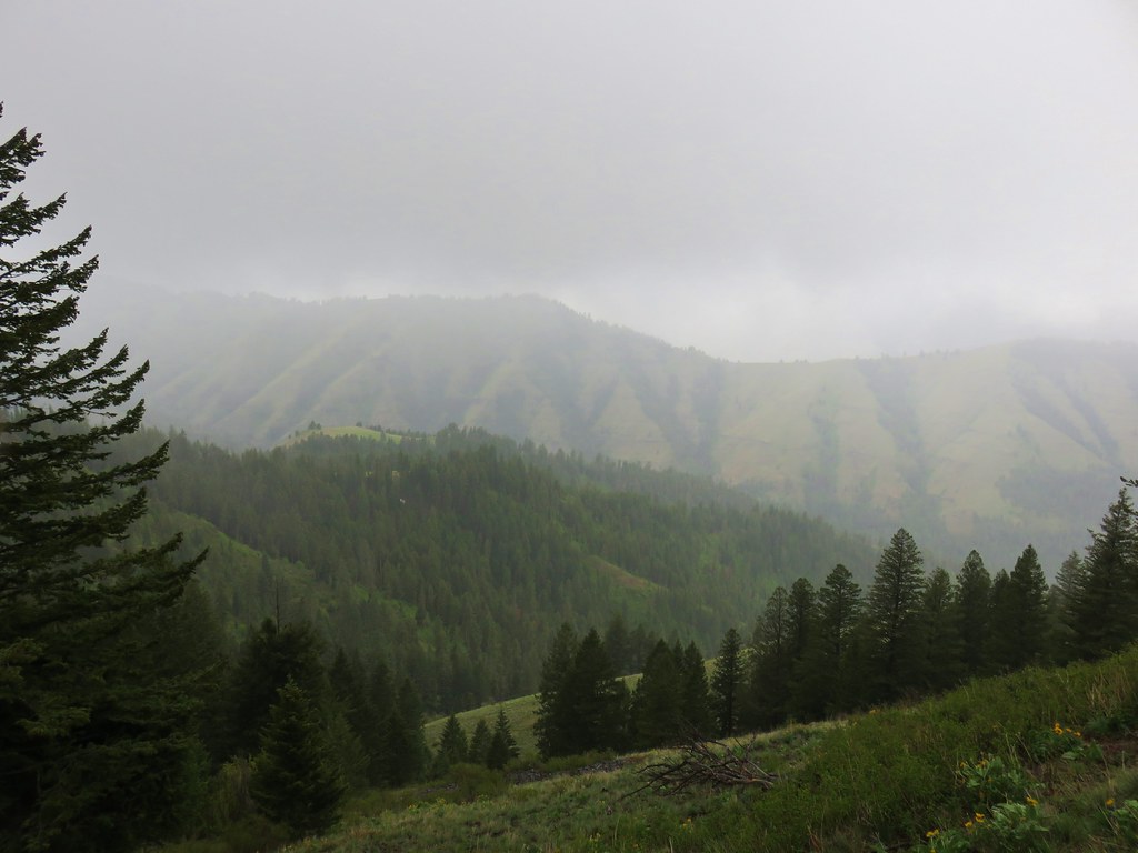
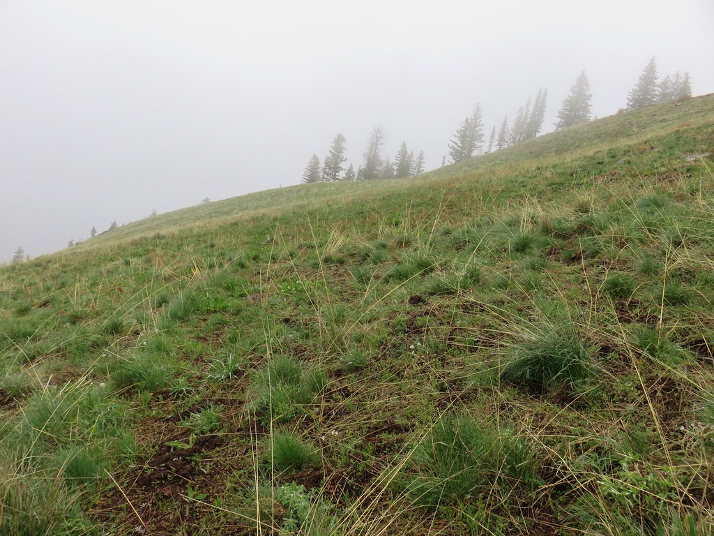
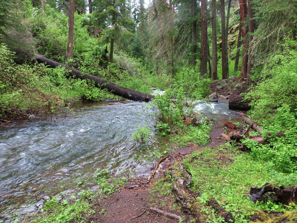
We started to question our decision as we found ourselves in a bit of fog as we arrived at the old road.

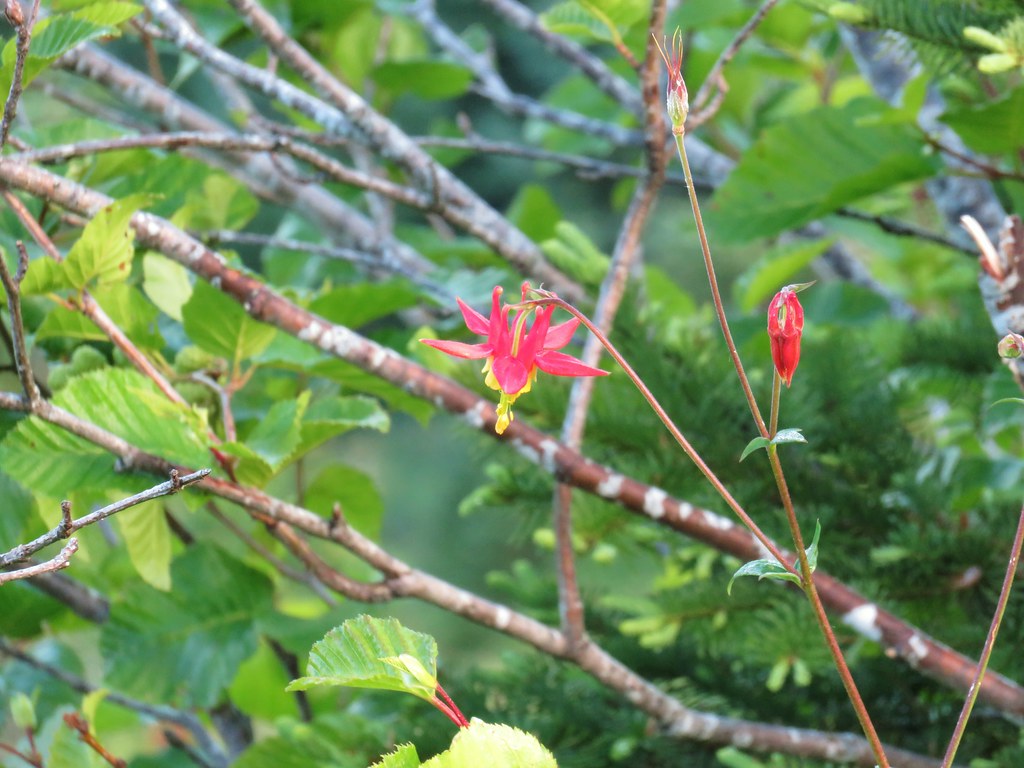
 Columbine along the decommissioned road.
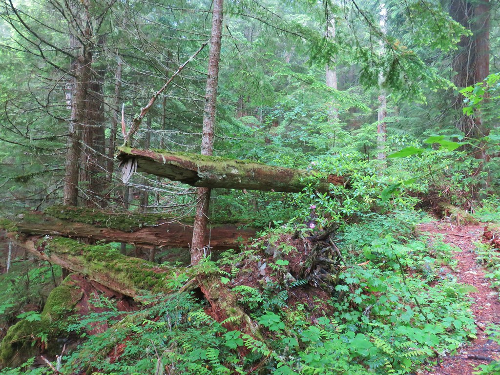
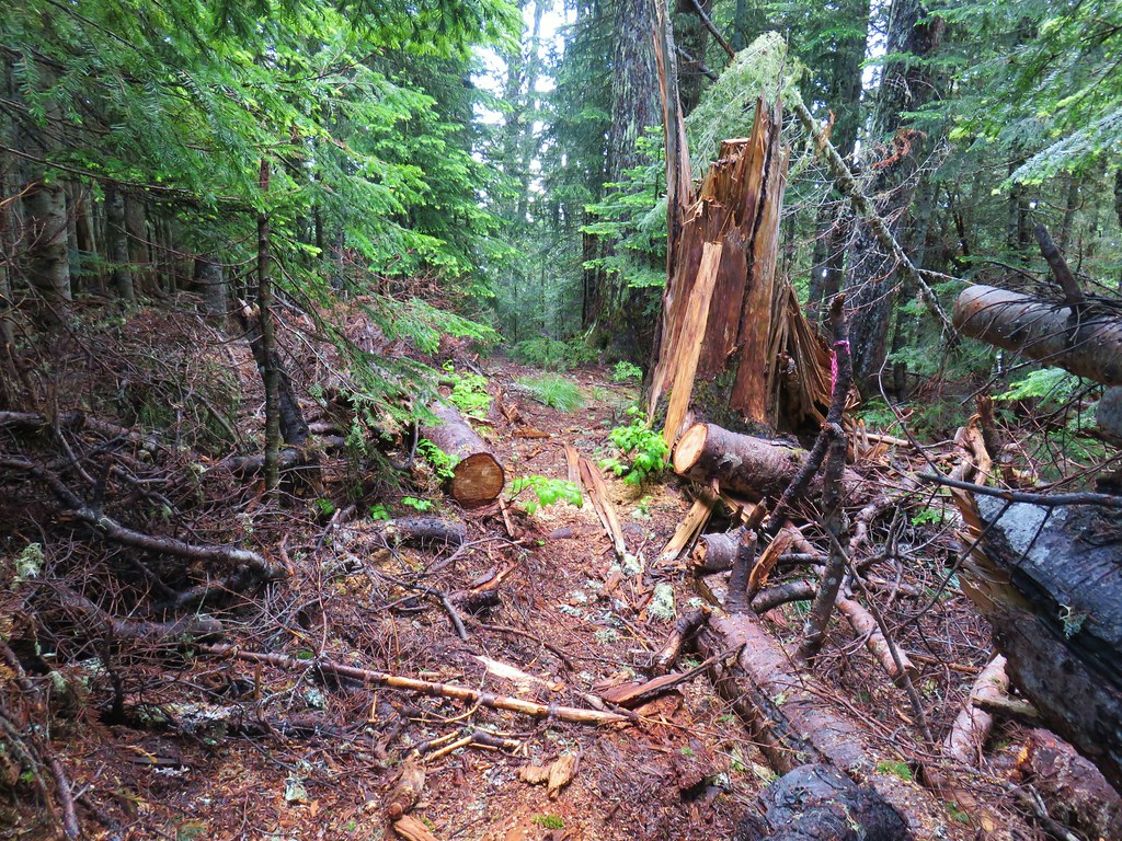
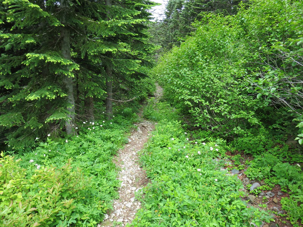
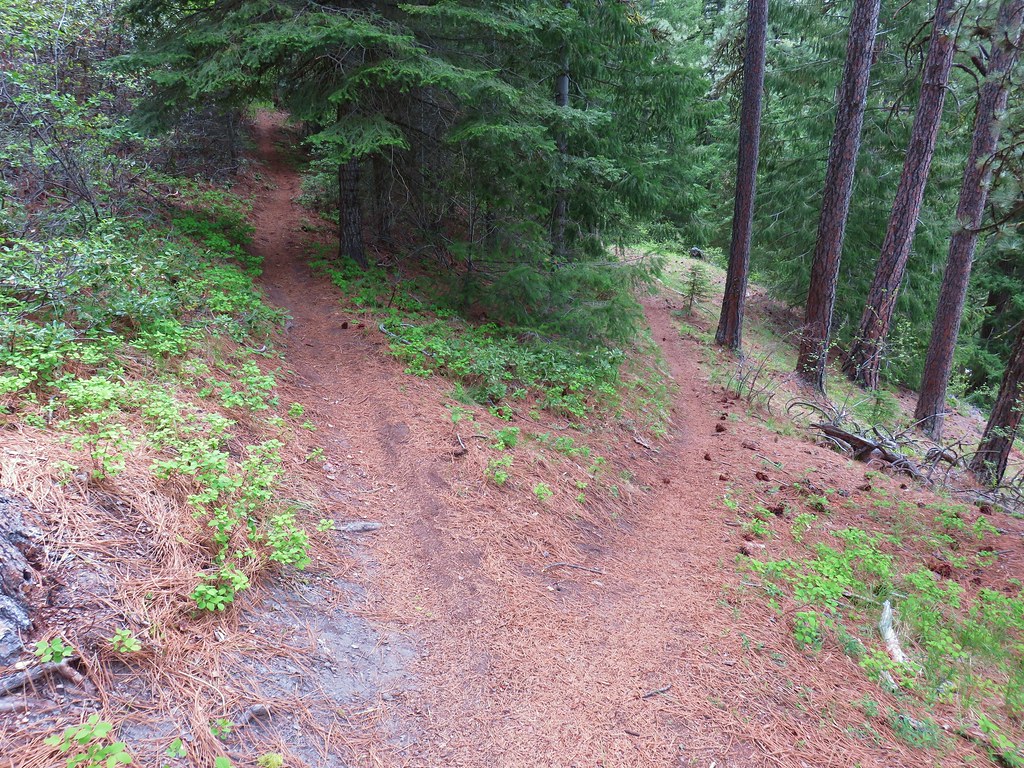
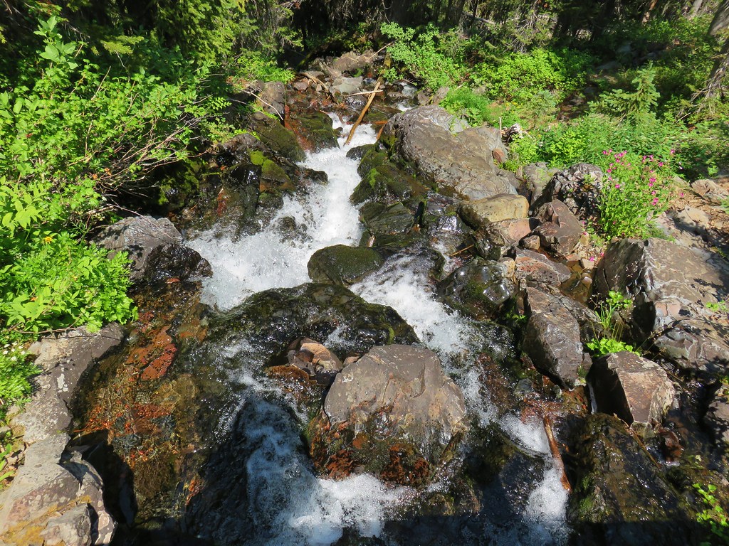
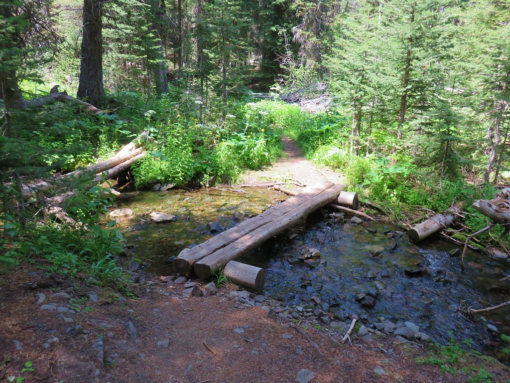
The trail along this stretch was a bit overgrown in places and the moisture from the plants soaked us pretty good.

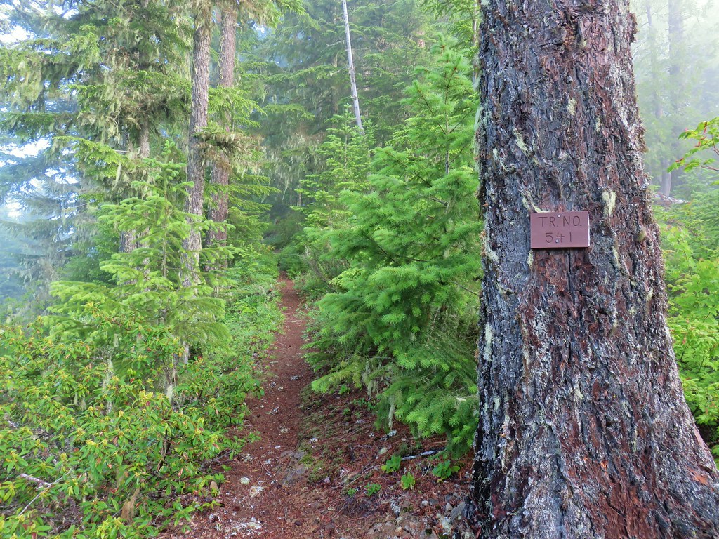
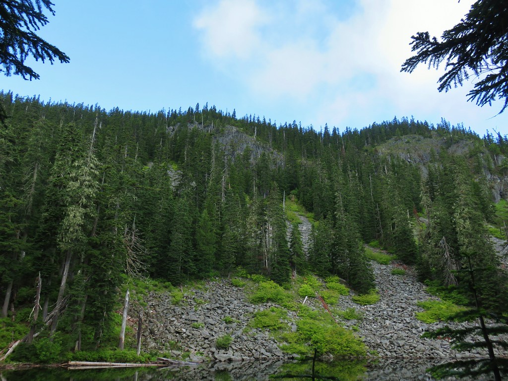
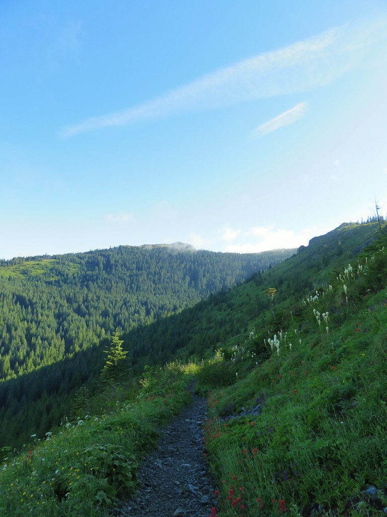
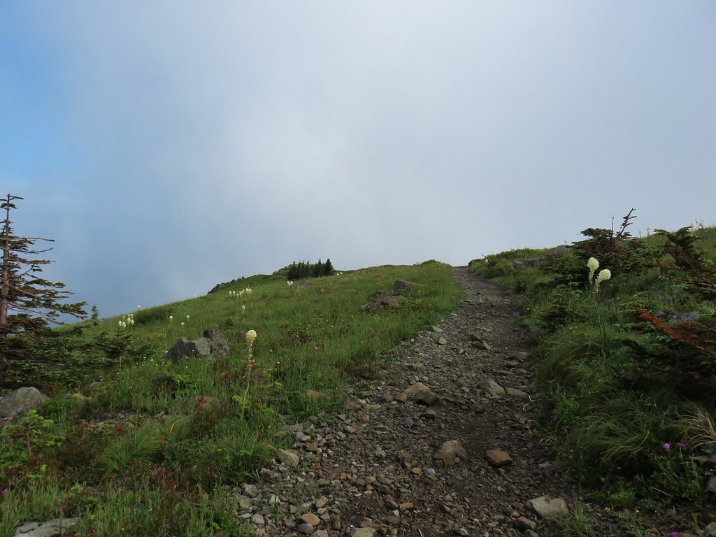
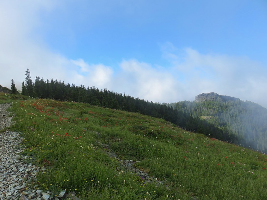
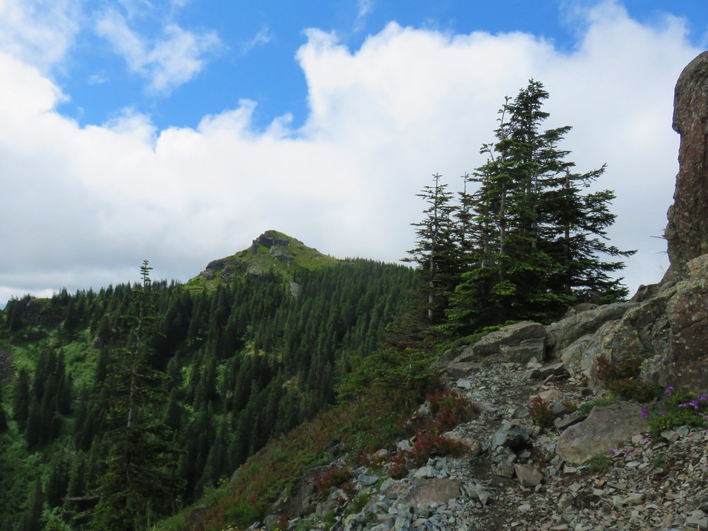
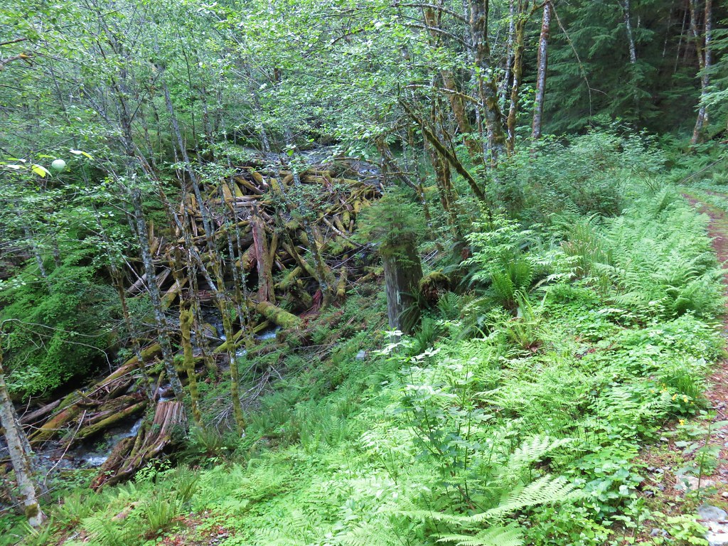
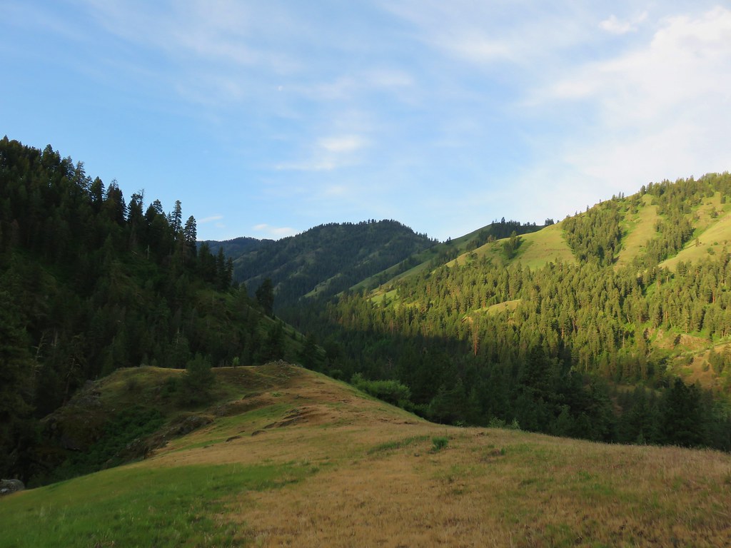
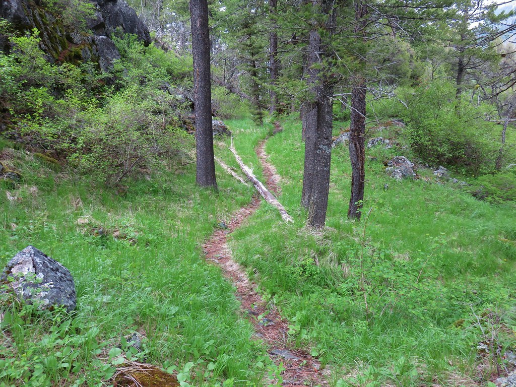
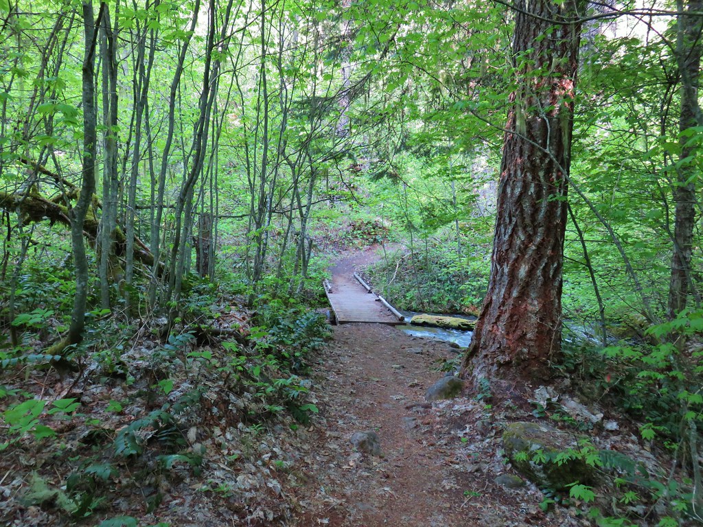
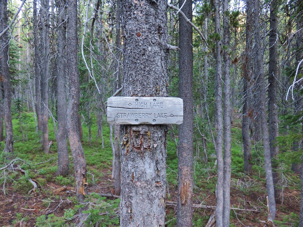
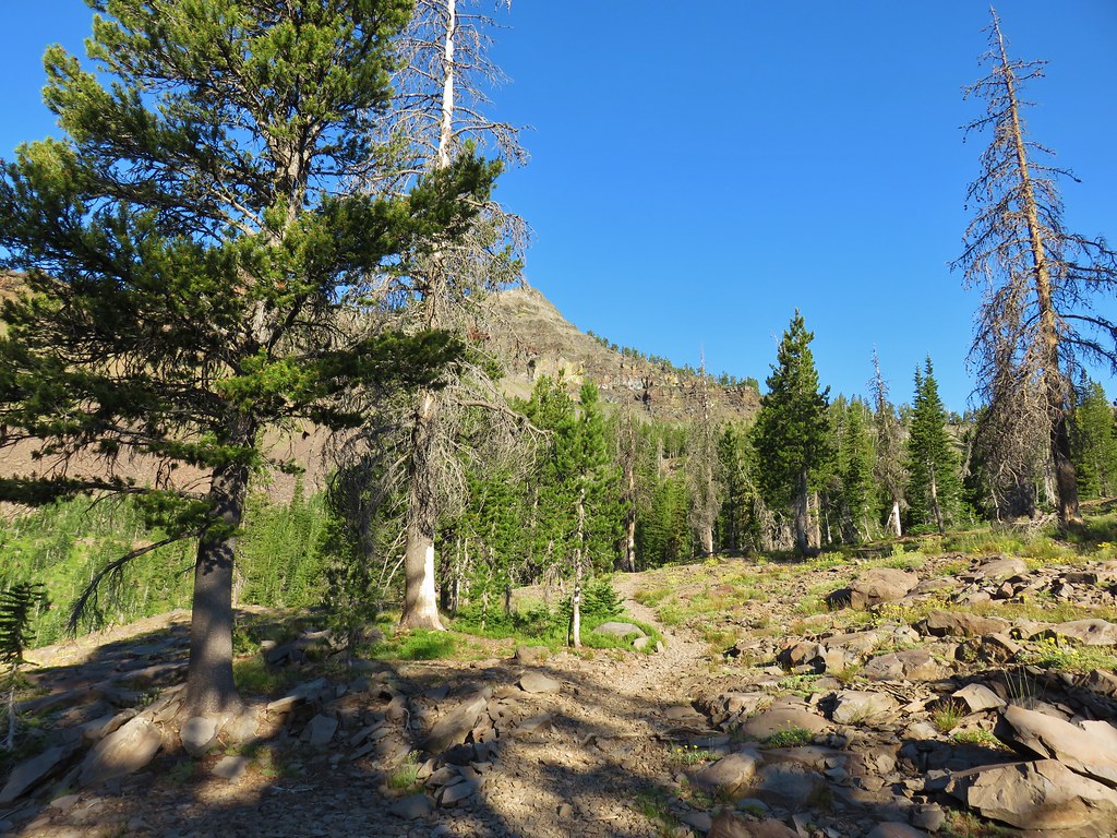
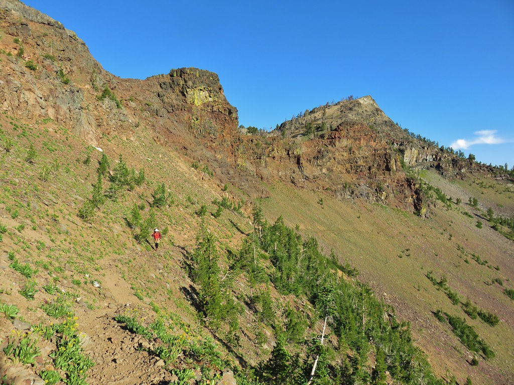
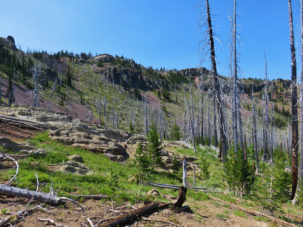
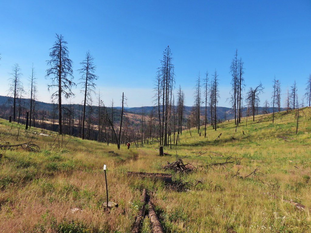
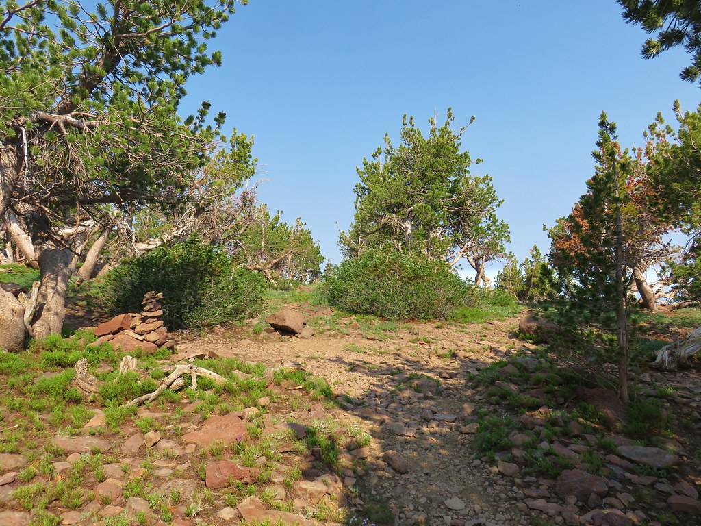
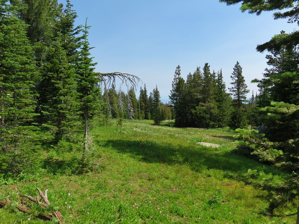
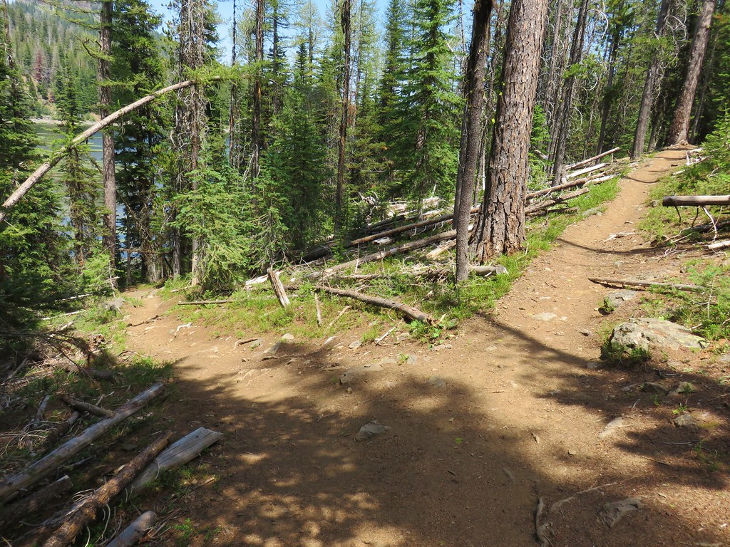
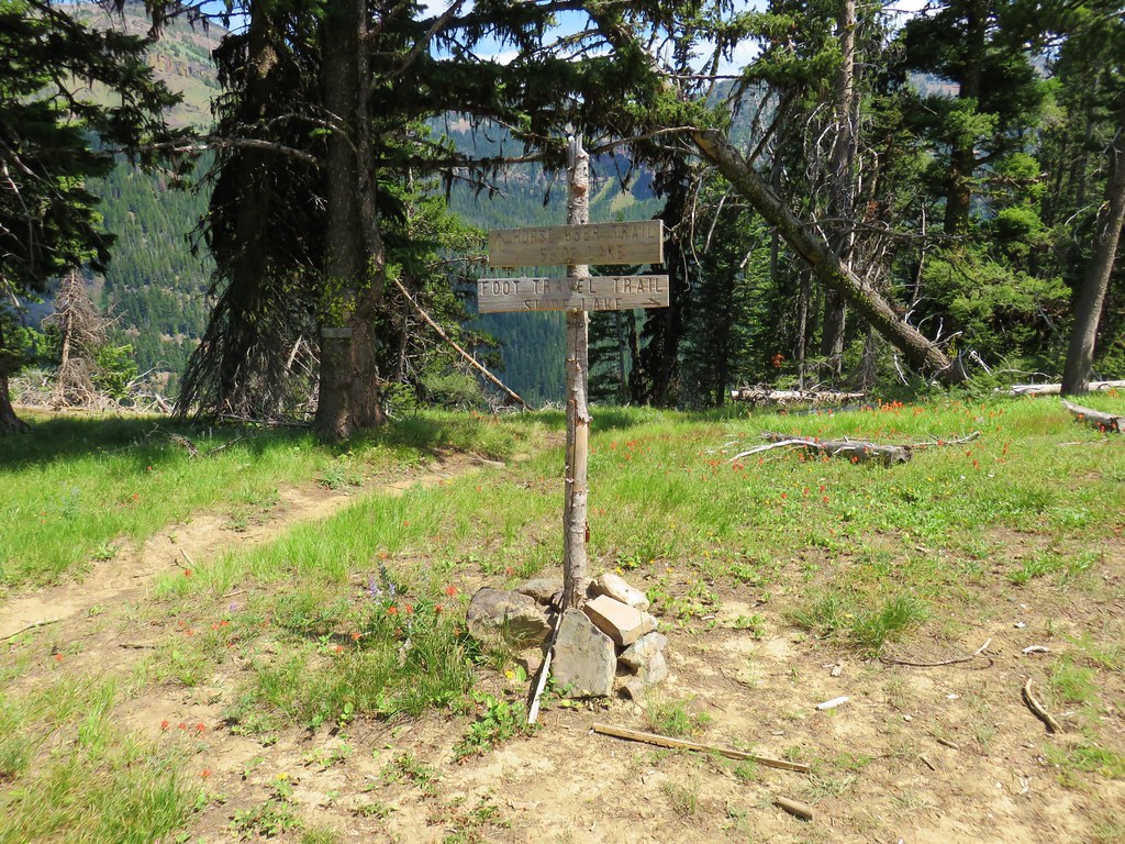
After a relatively level .4 miles along the road we arrived at the original trailhead where the trail headed up a ridge past a trail marker.
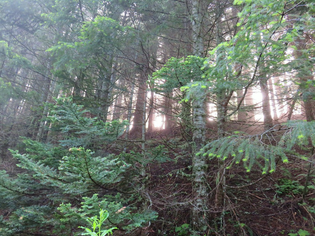
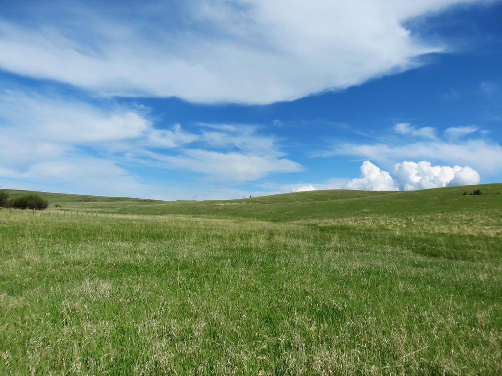
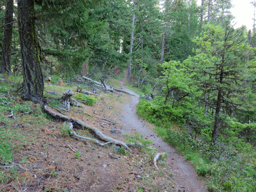
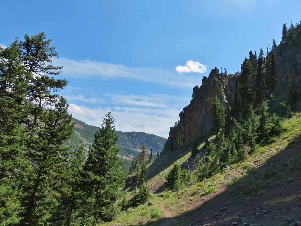
The trail climbed along the ridge and as it did we began to emerge from the fog.


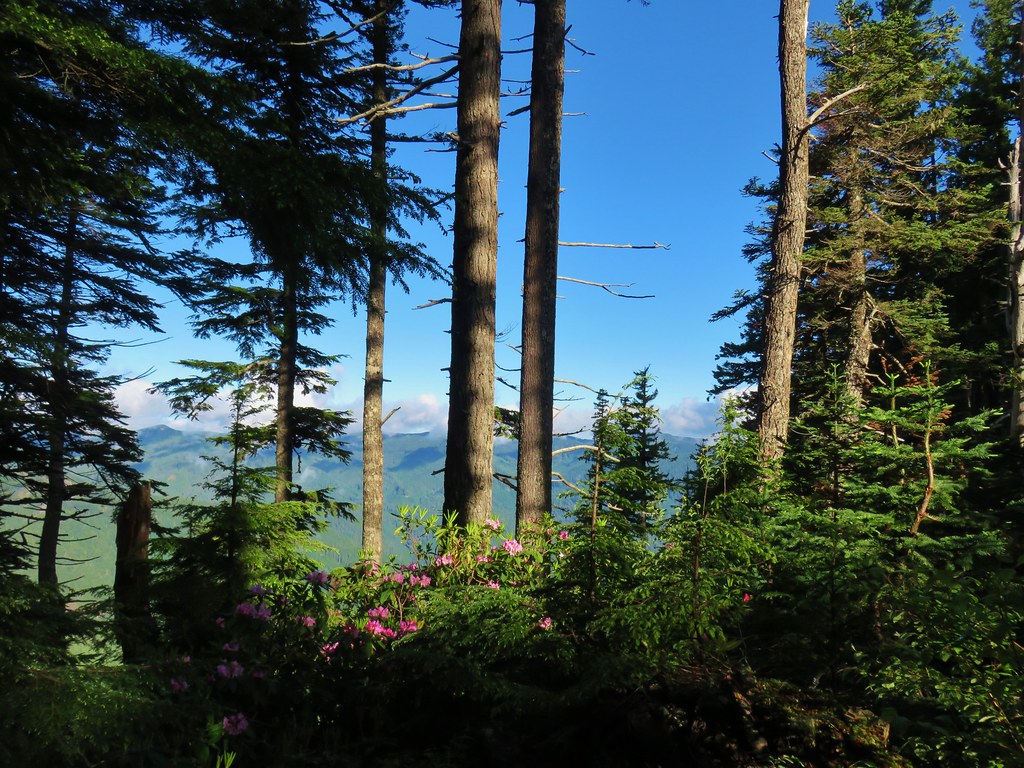
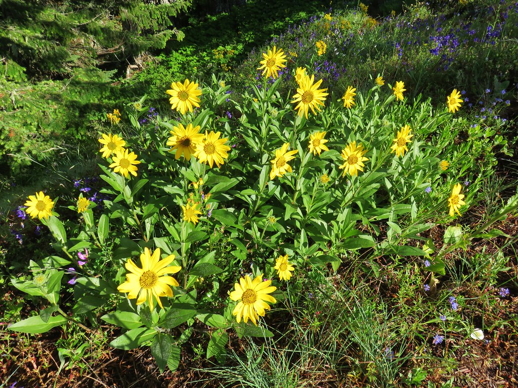
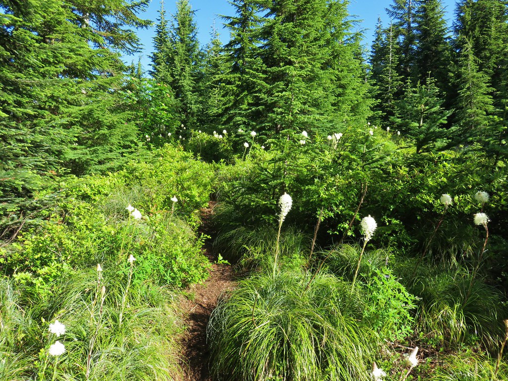
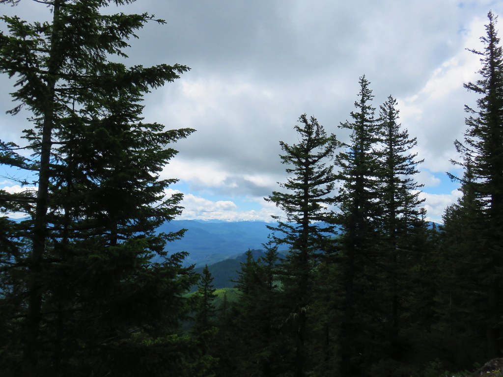
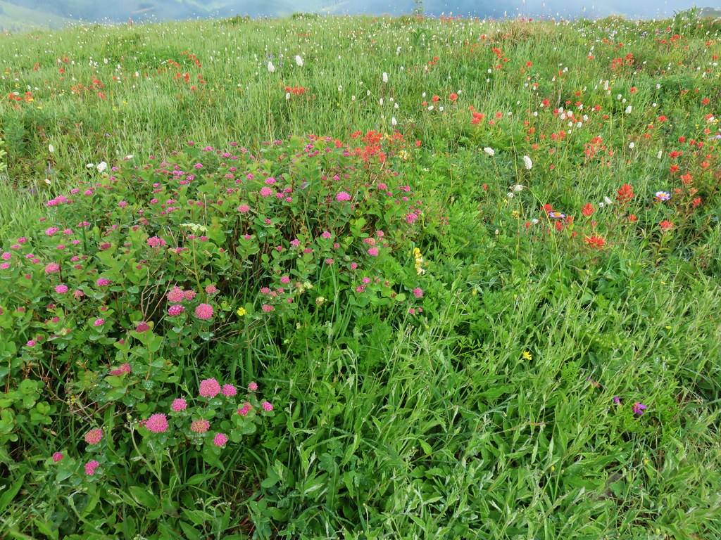
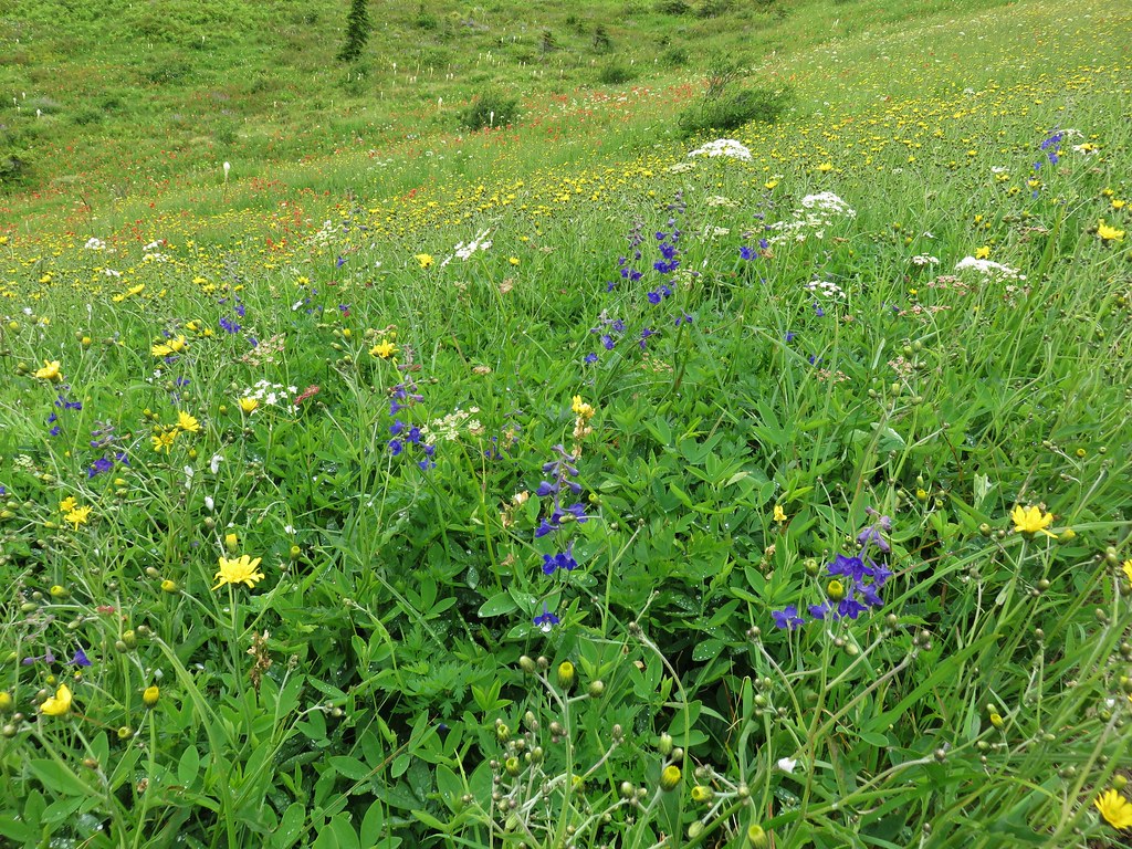
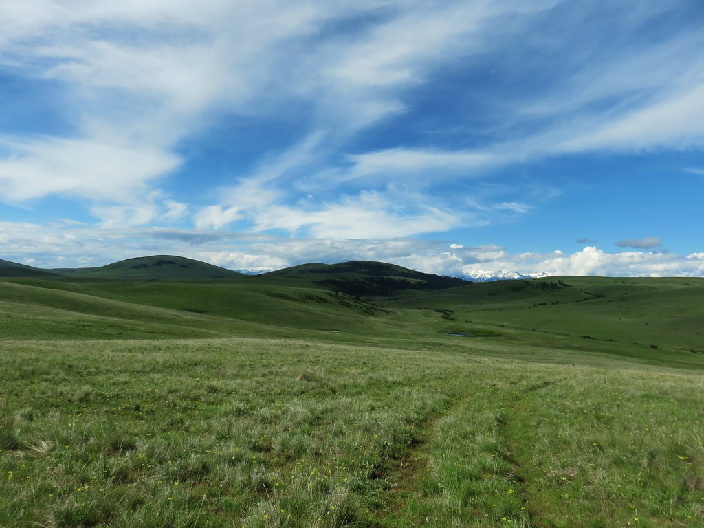
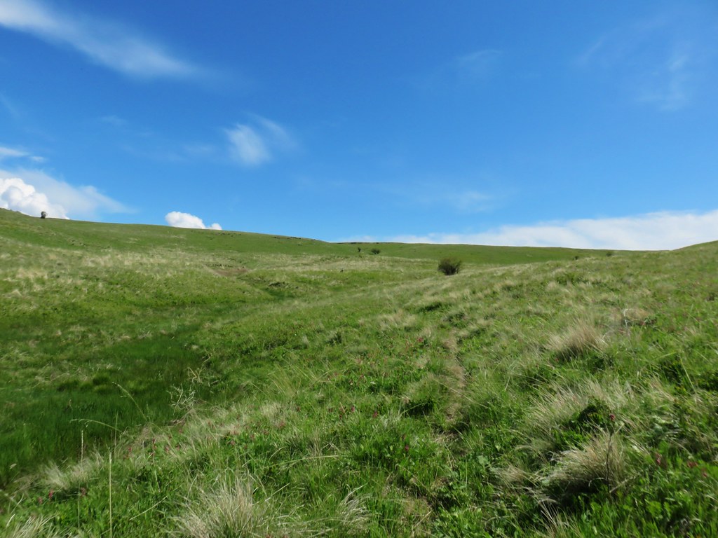
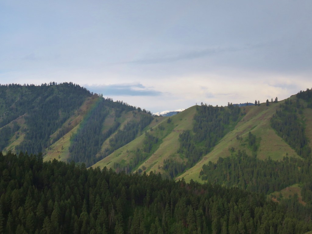
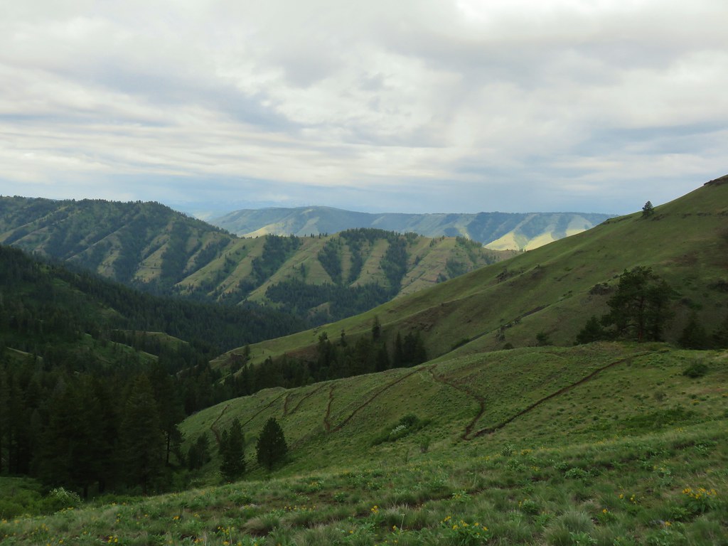
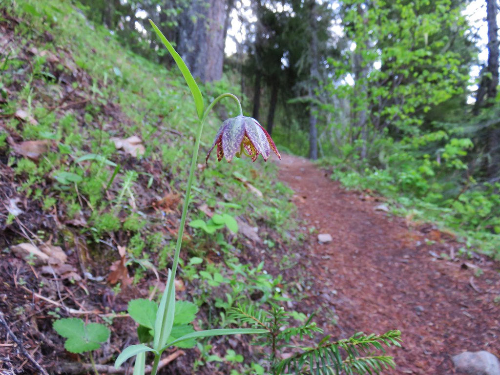
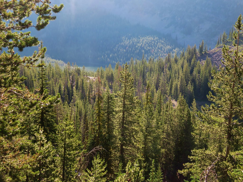
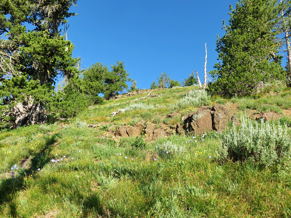
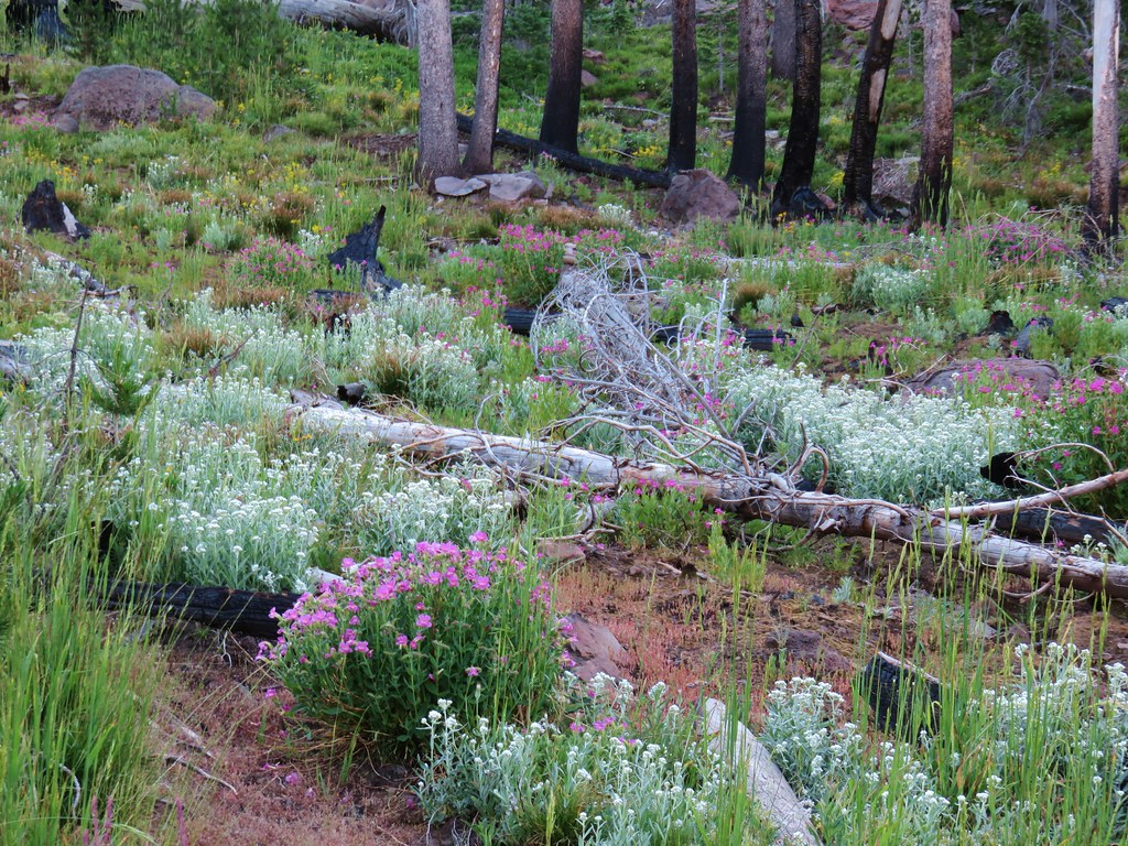
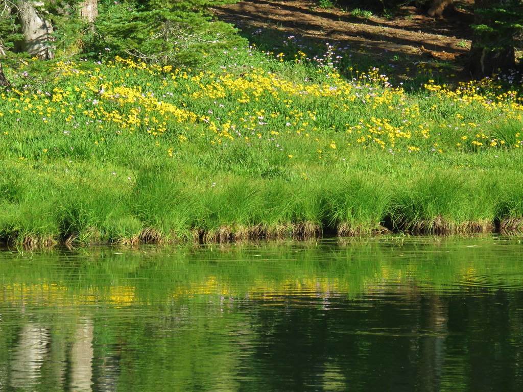
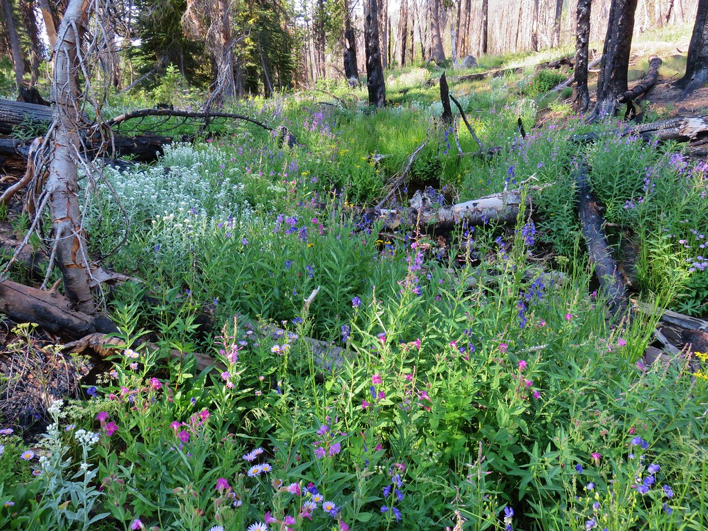
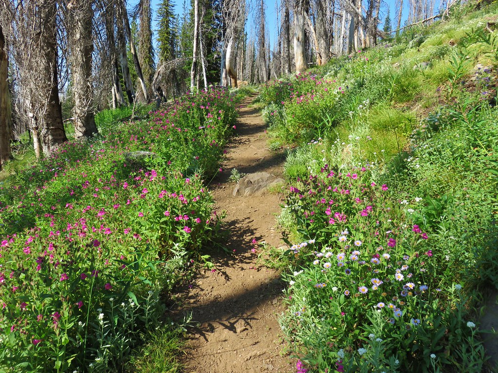
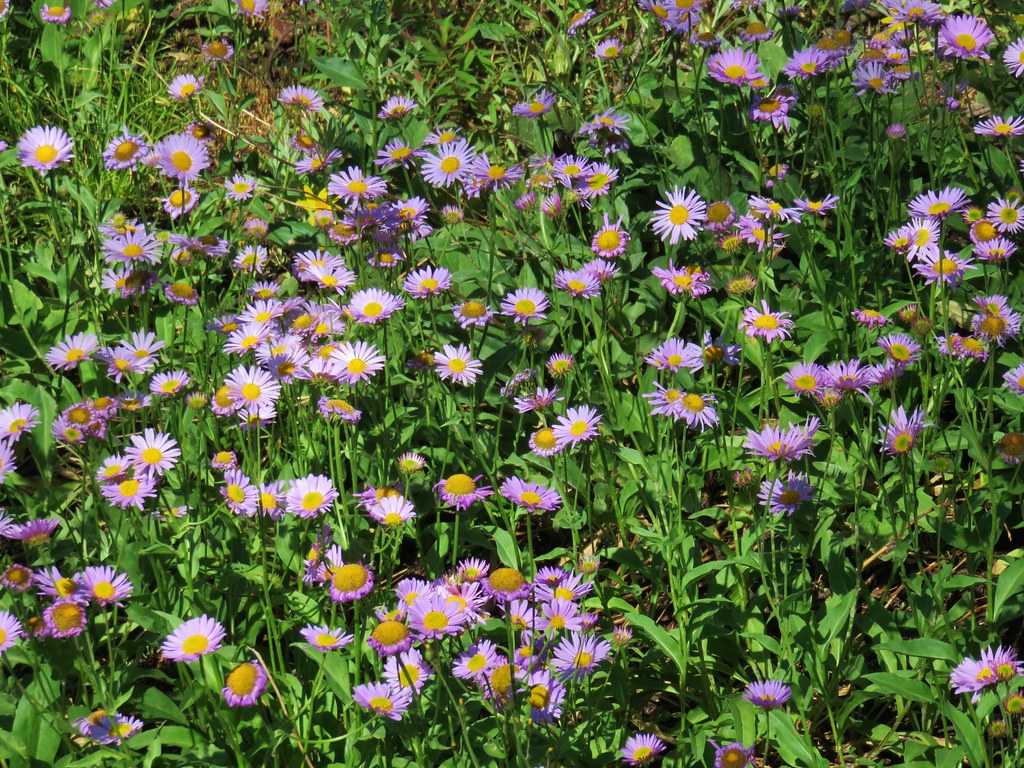
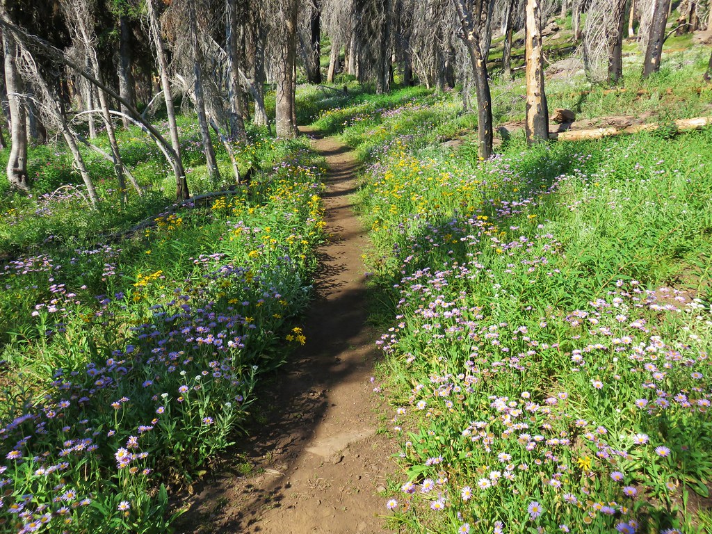
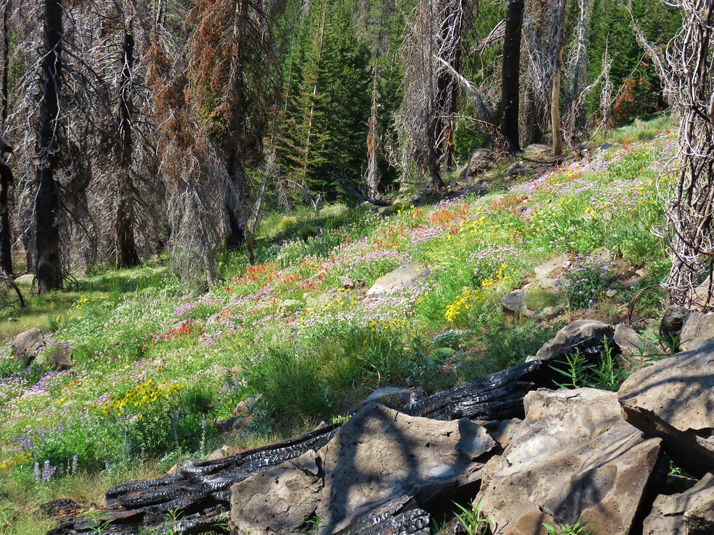
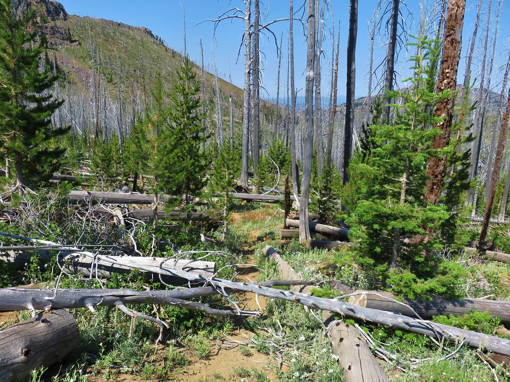
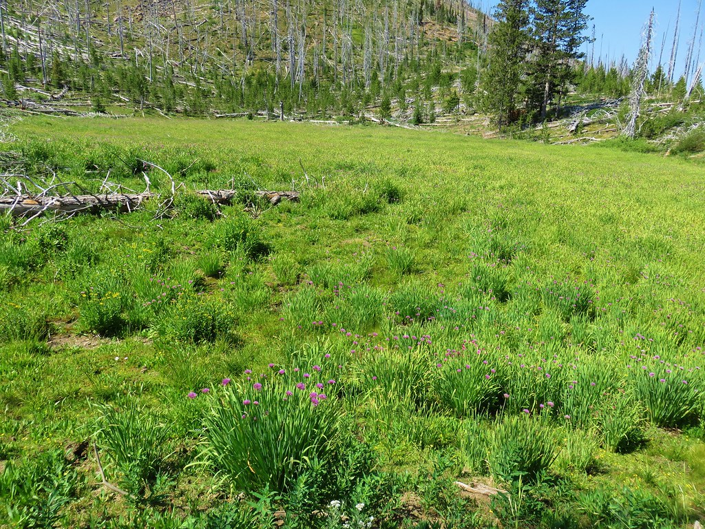
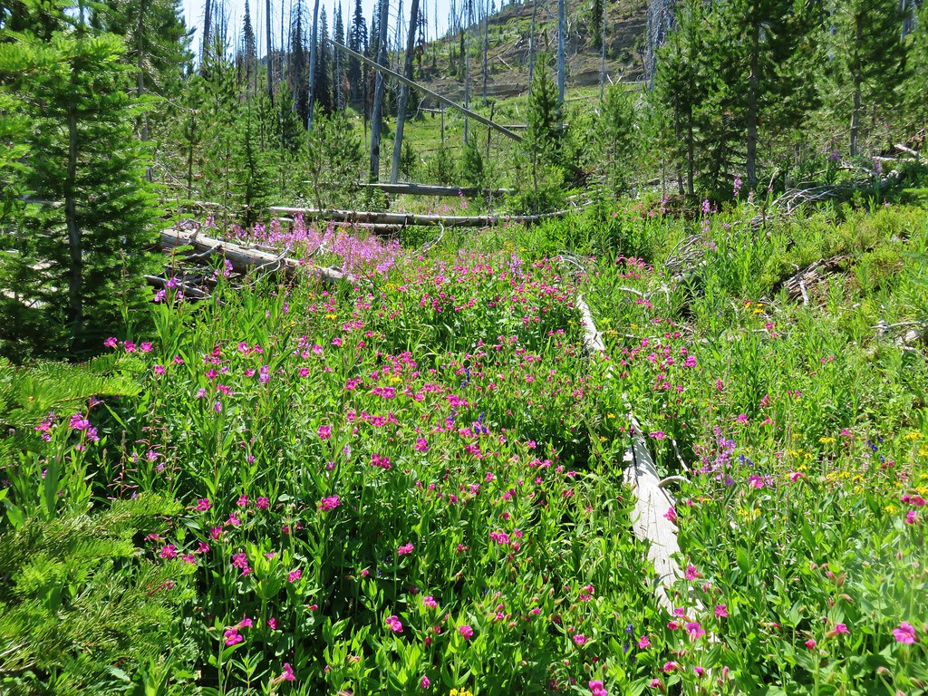
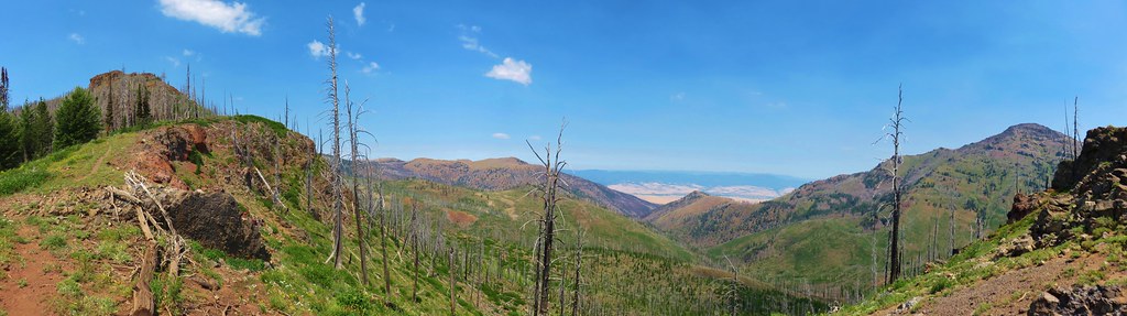
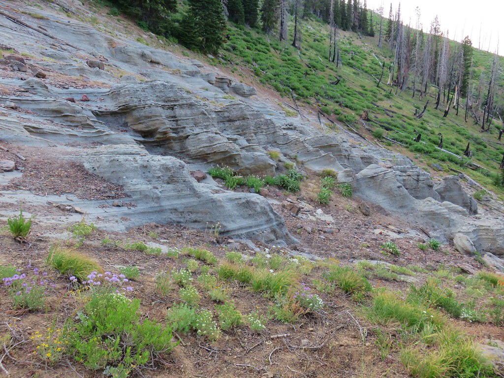
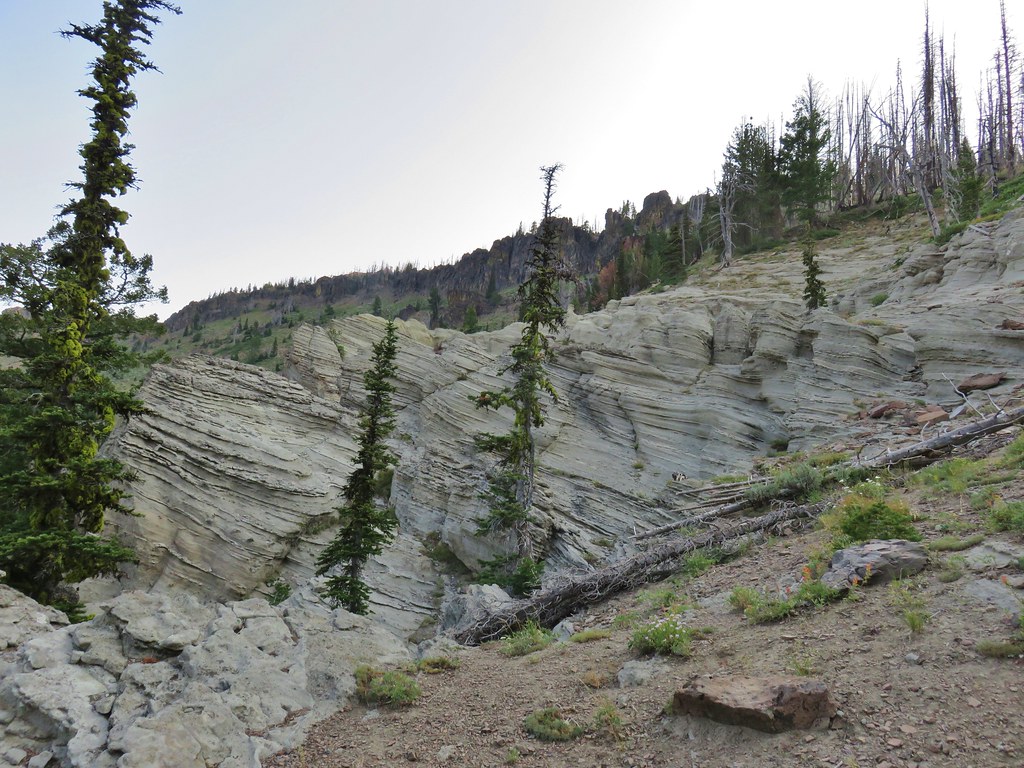
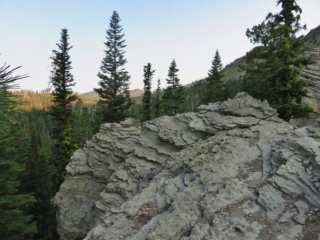
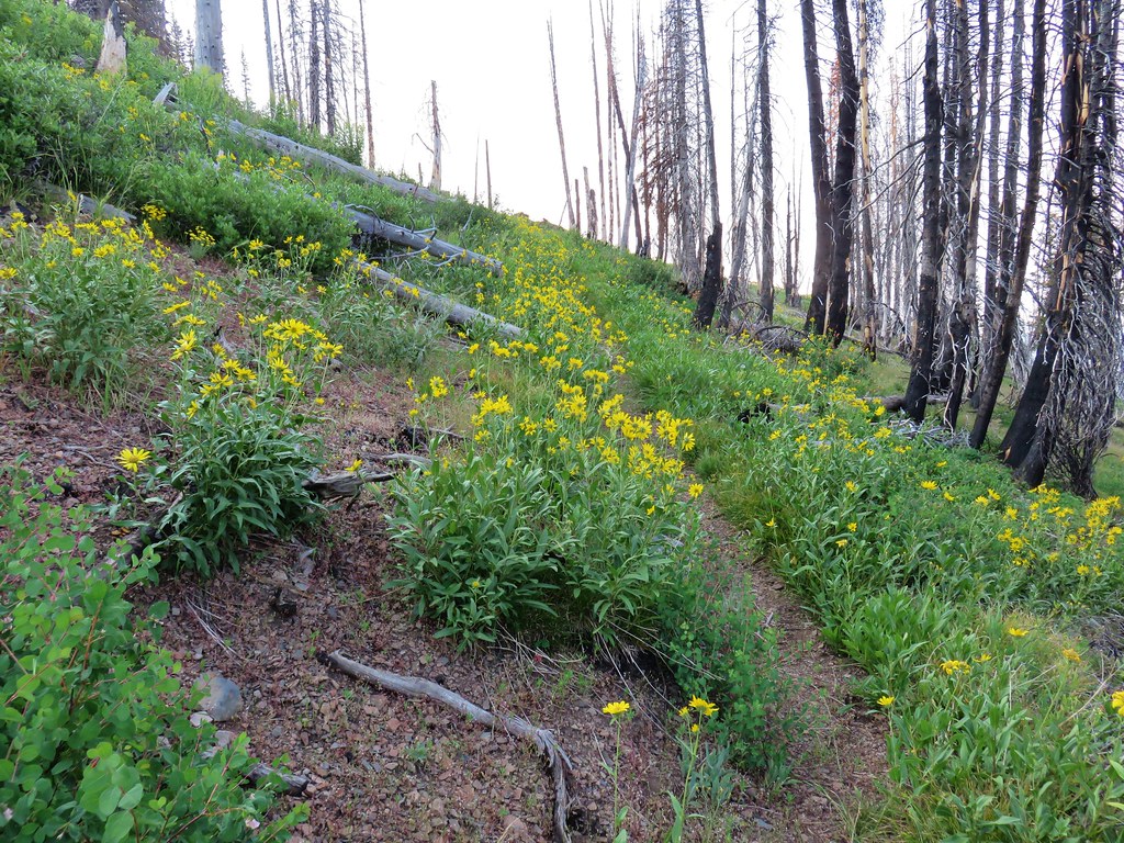
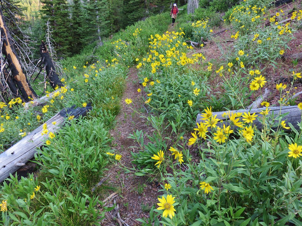
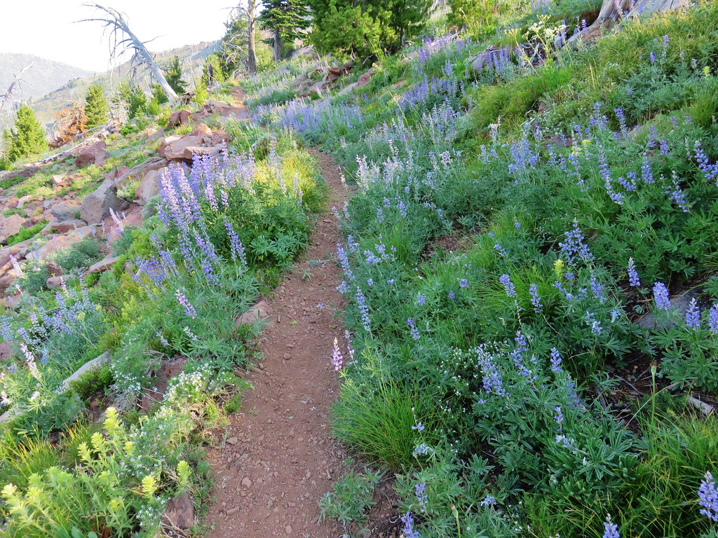
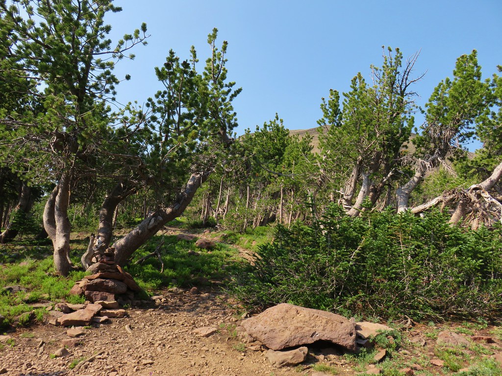
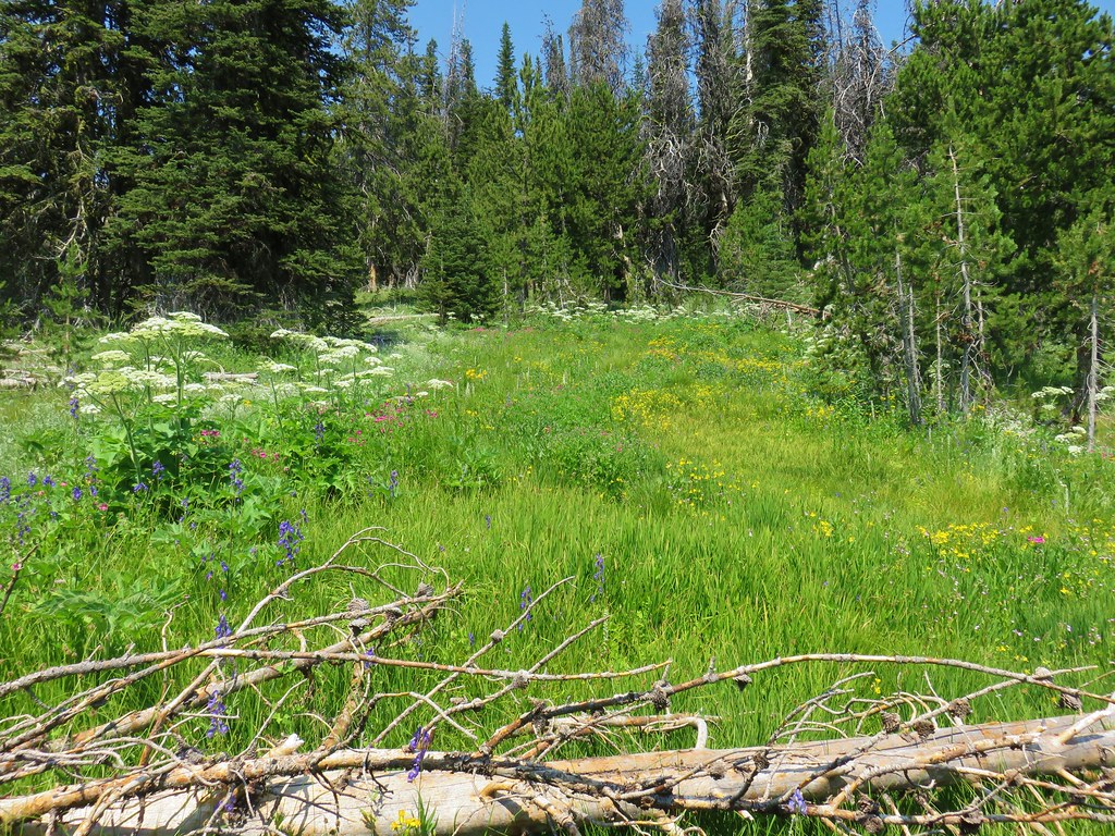
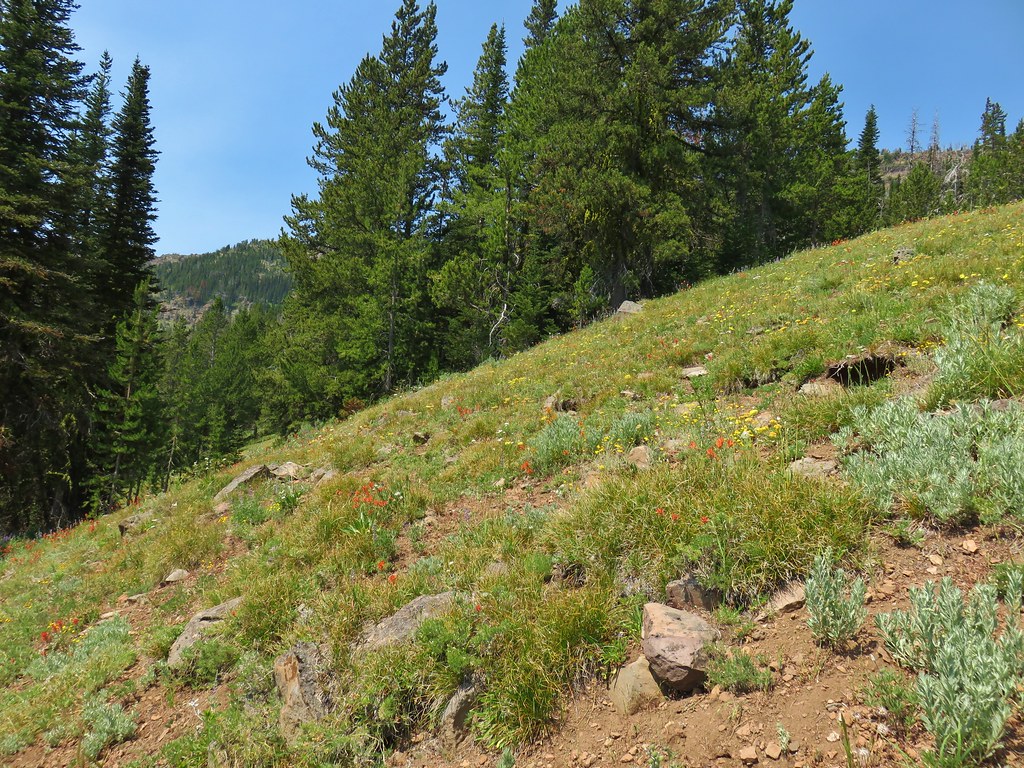
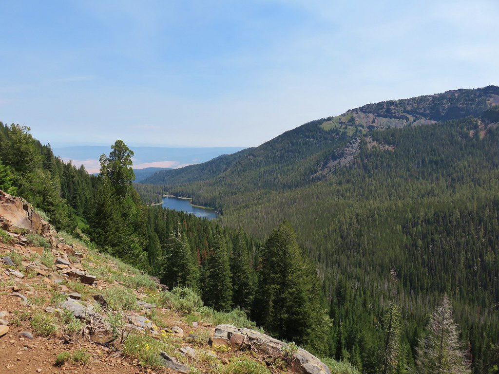
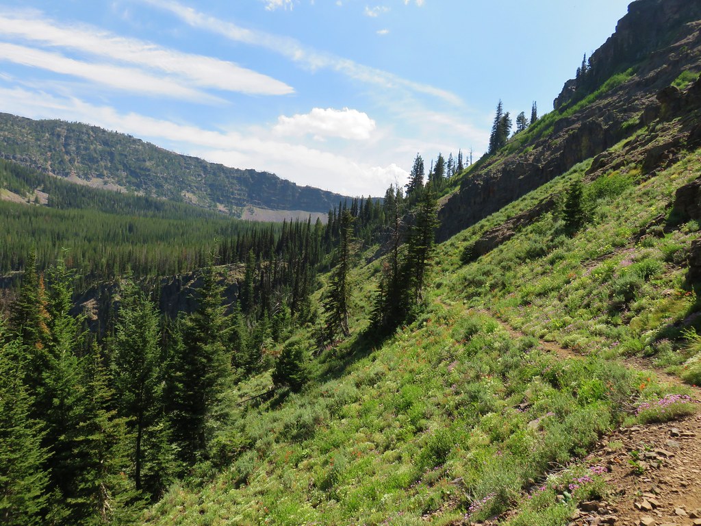
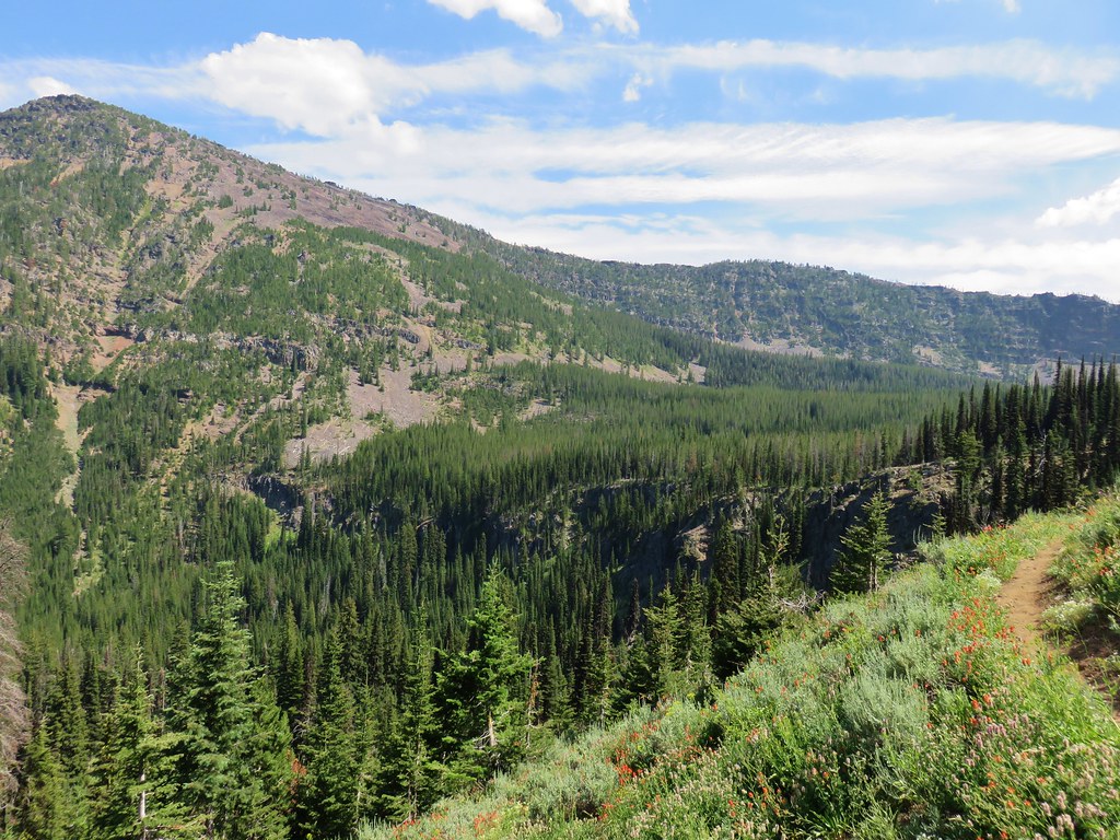
The ridge was mostly forested with a few views to the west through the trees, but as we climbed occasional small meadows popped up filled with wildflowers.


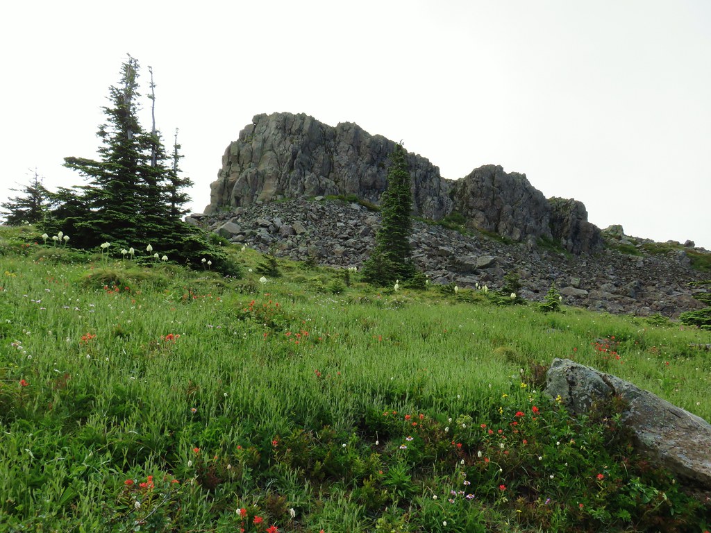
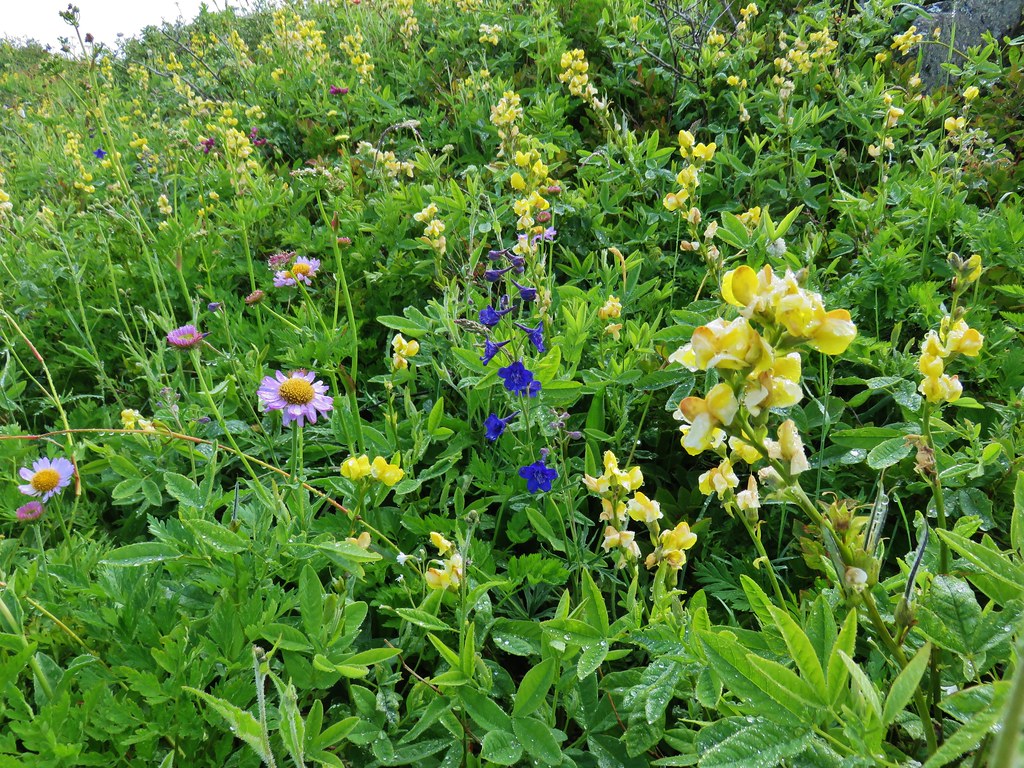
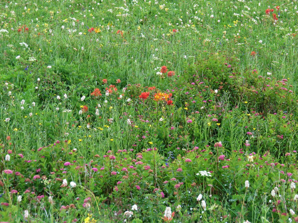
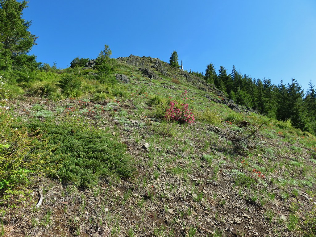
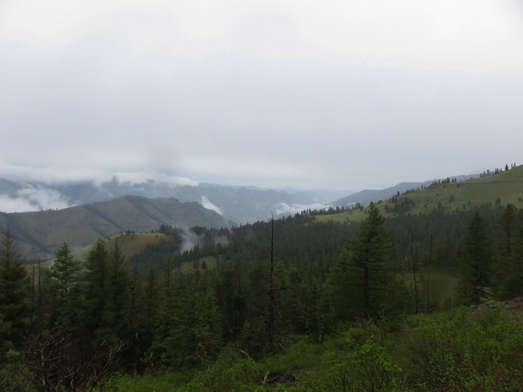
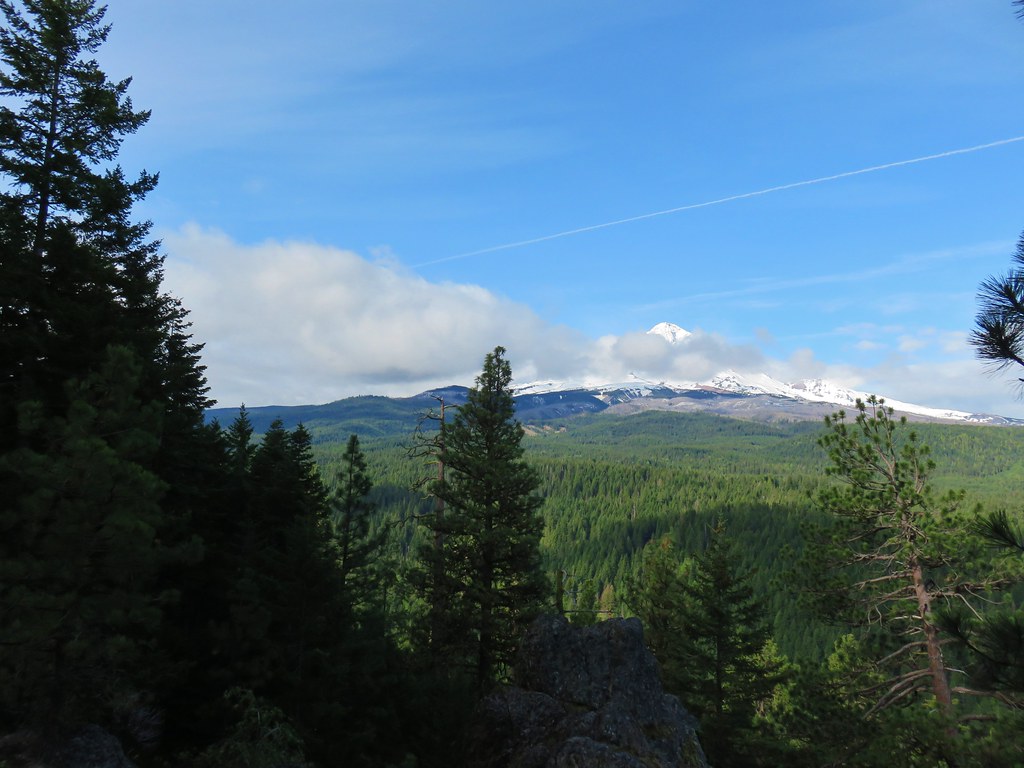
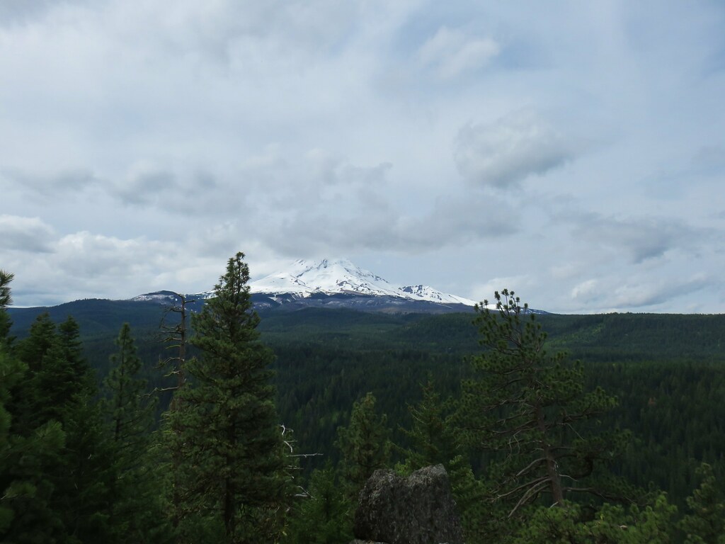
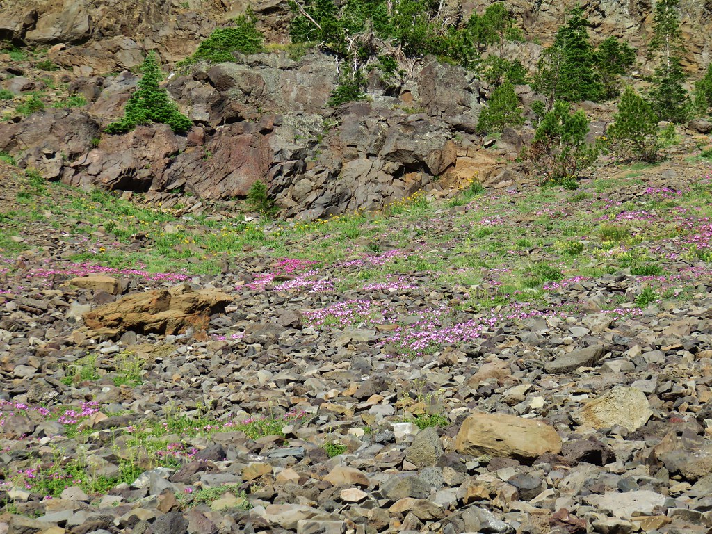
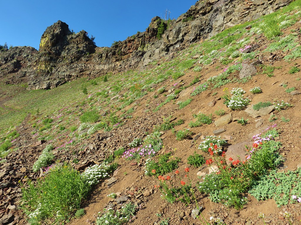
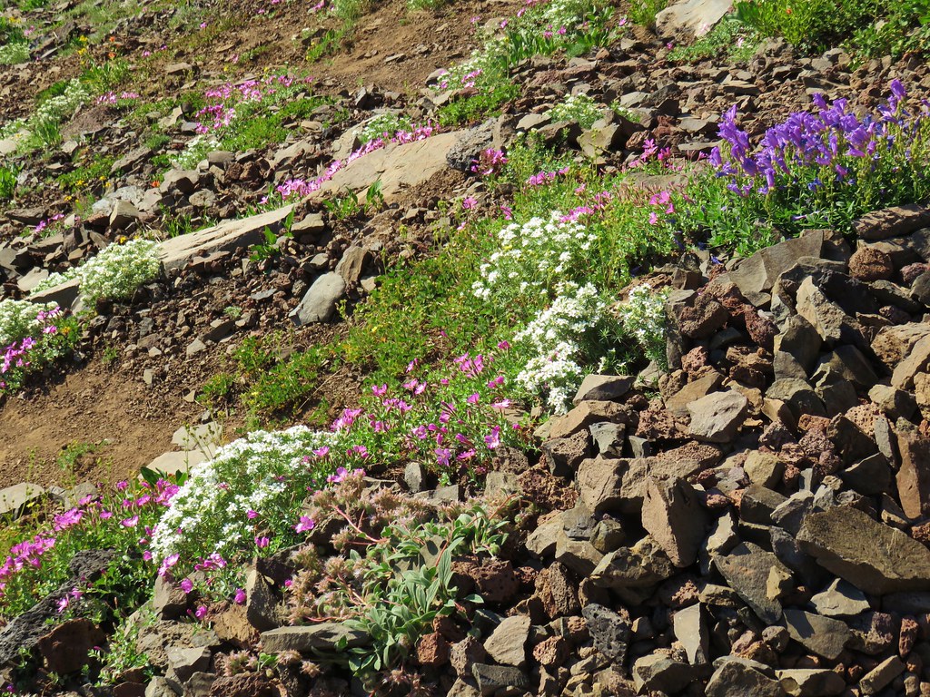
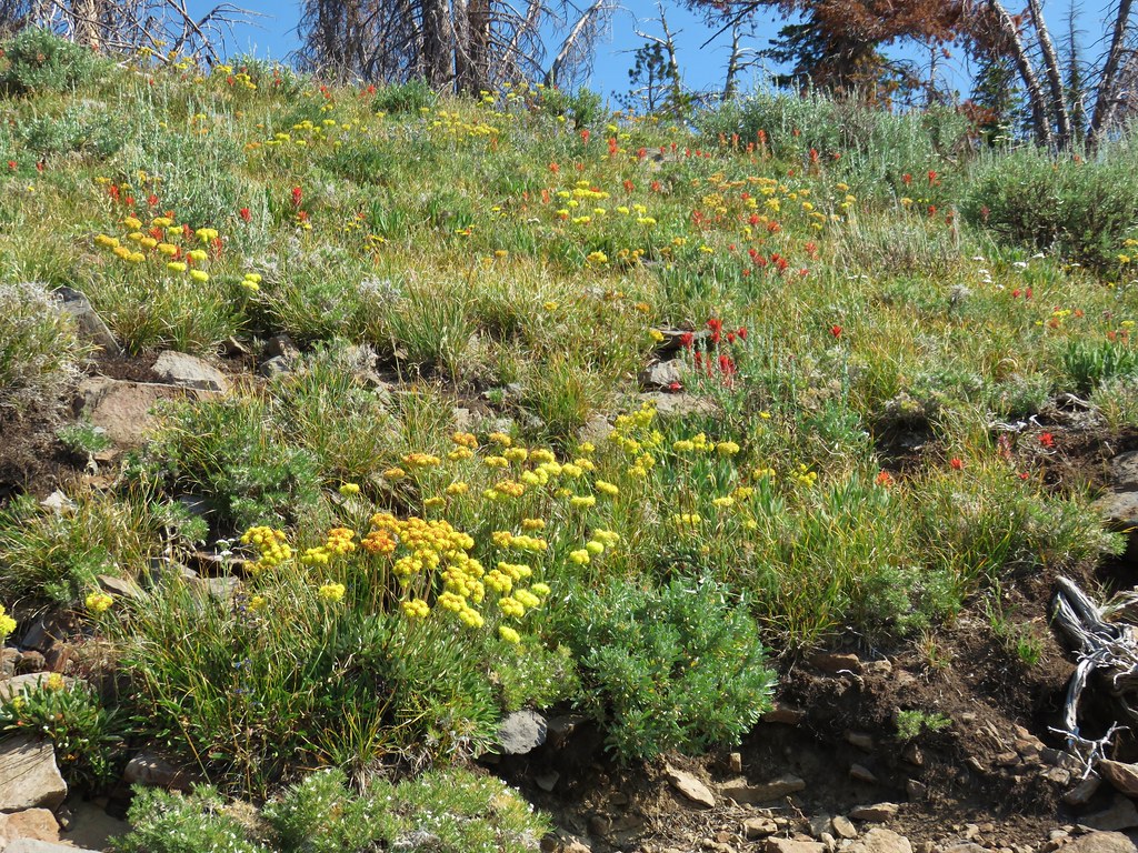
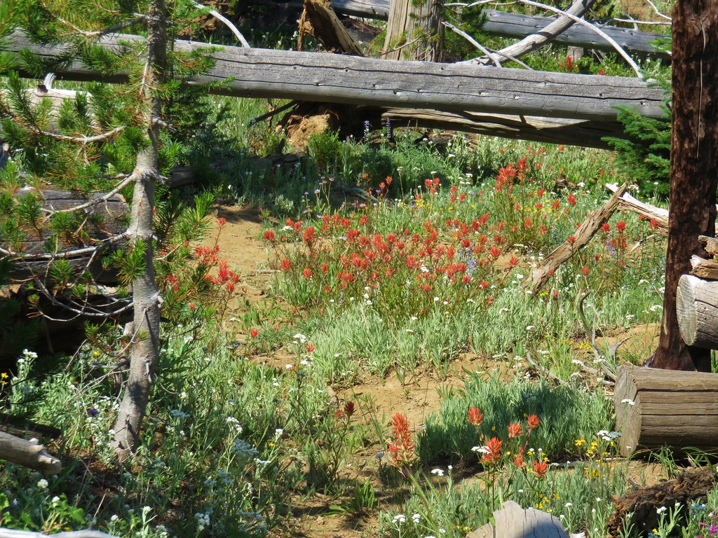
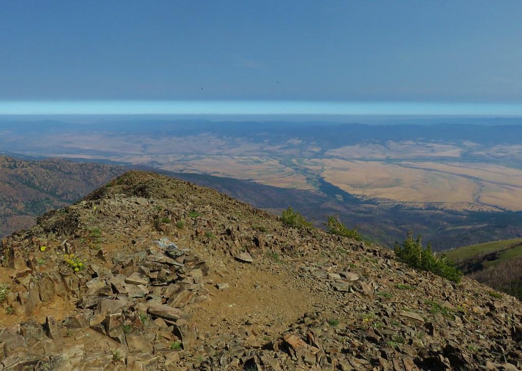
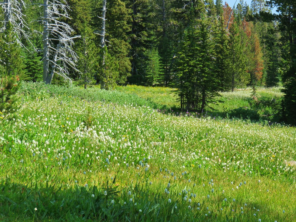
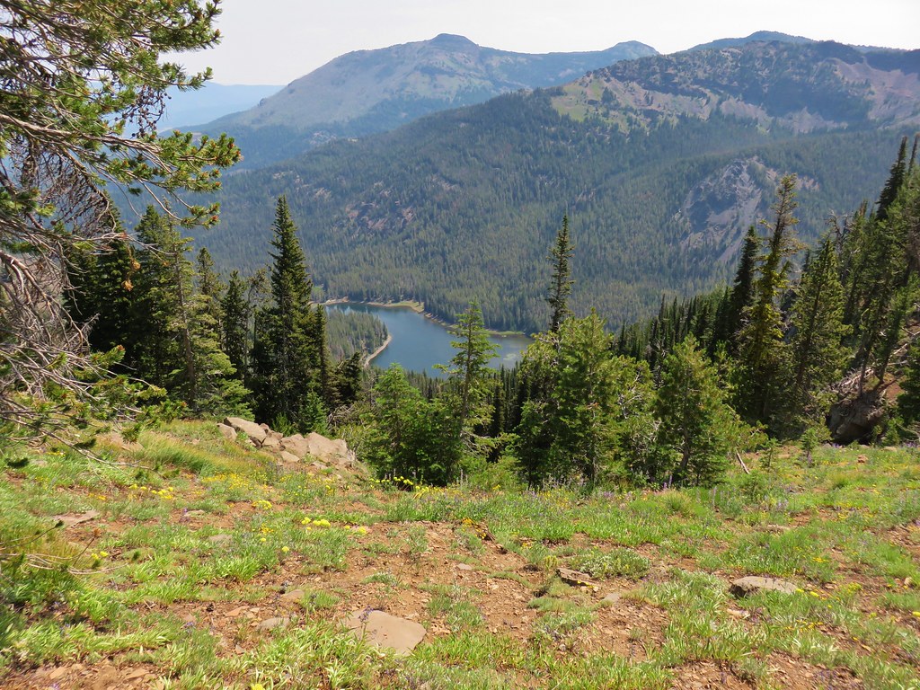
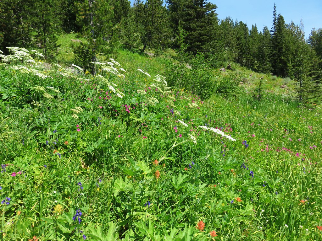
Just over a mile and a quarter from the old road we came to a rocky outcrop where the flowers were amazing. As a bonus there was a nice view of Mt. Jefferson to the SE.


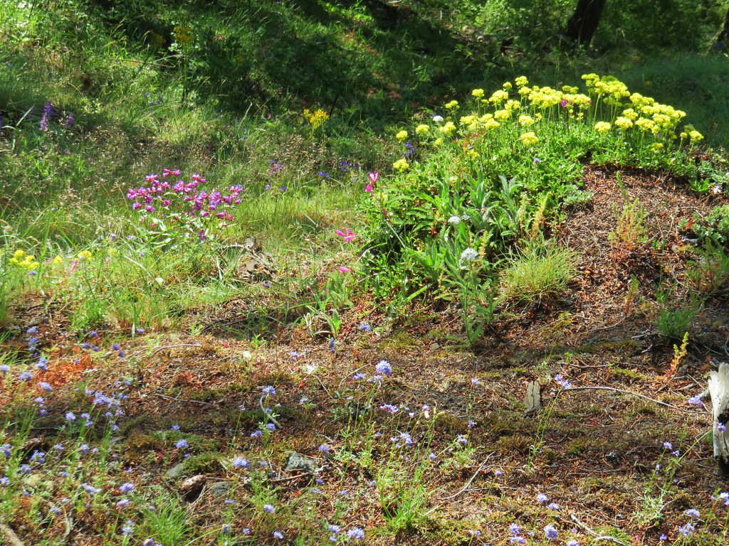

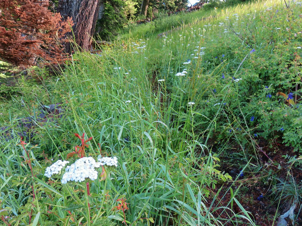
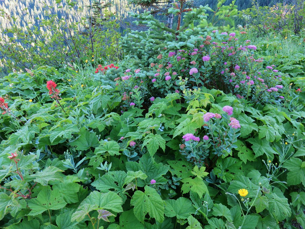
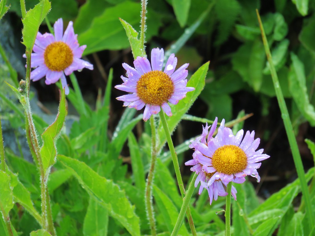
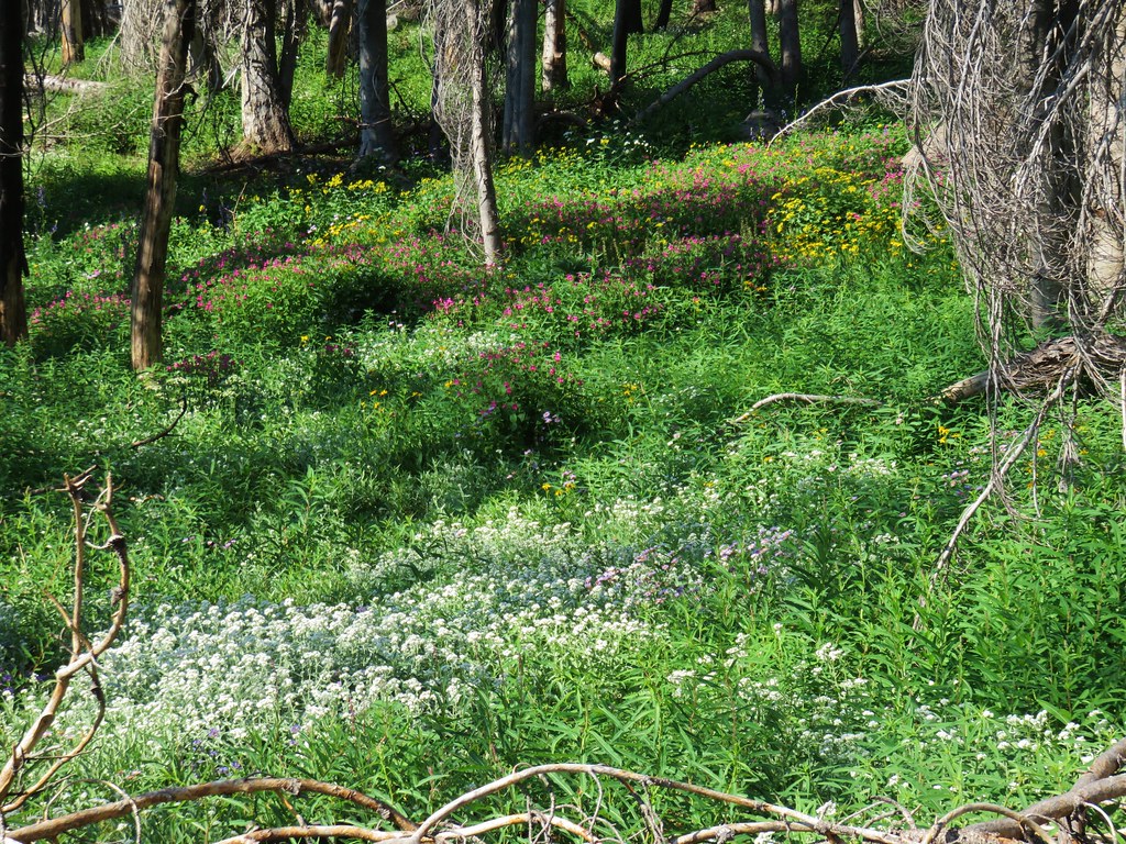
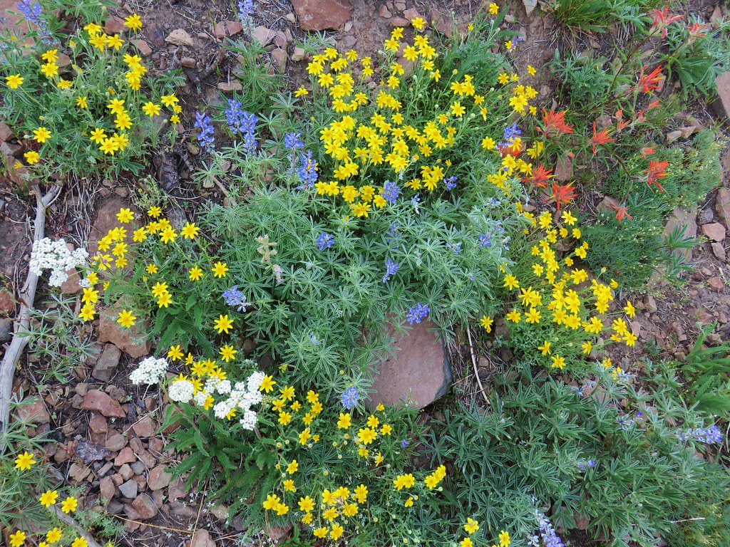
It wasn’t the largest wildflower area by any means, but there was an impressive variety of flowers in bloom, so much so that we stopped again on our way down.
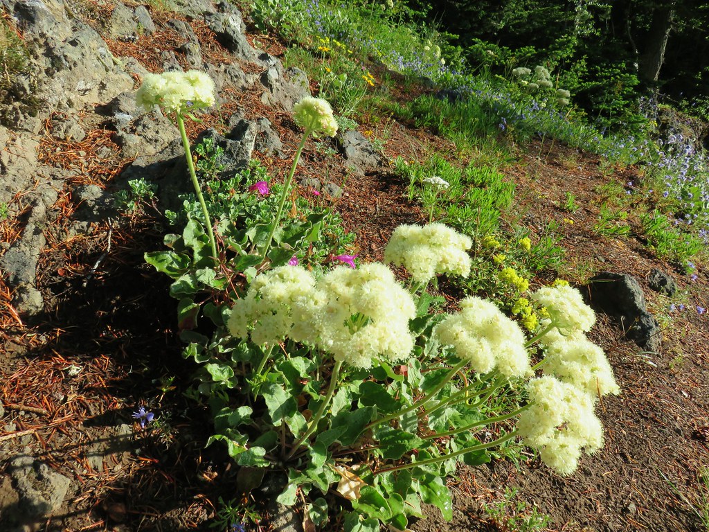 Buckwheat
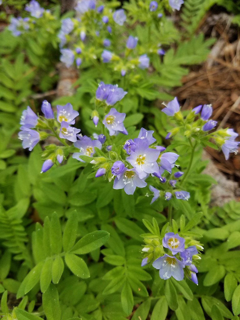
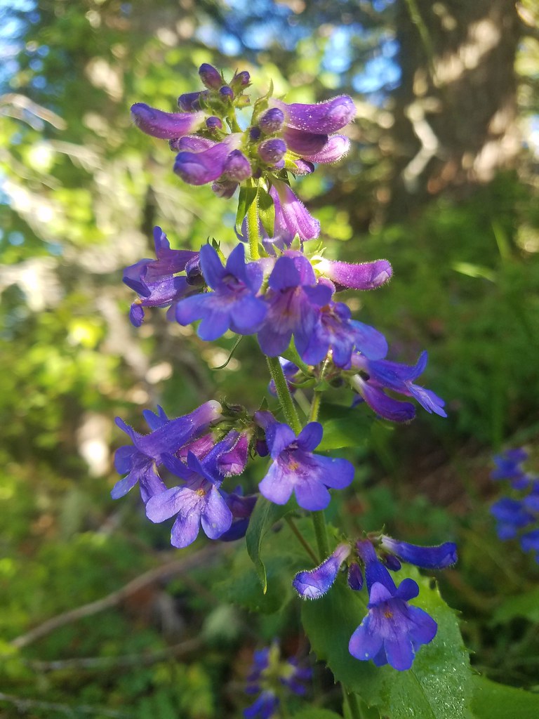 A penstemon
 False sunflower
 A penstemon
 Oregon sunshine
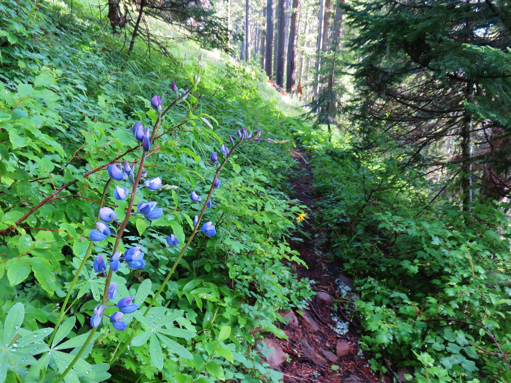
> Lupine among others
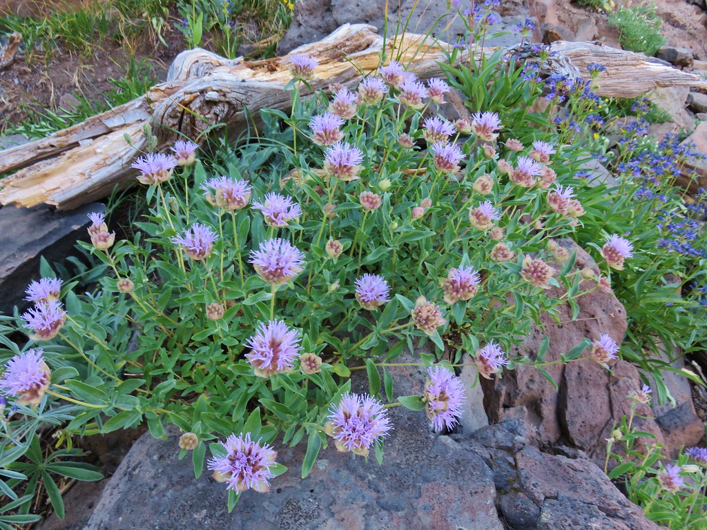
 Cliff beardstounge
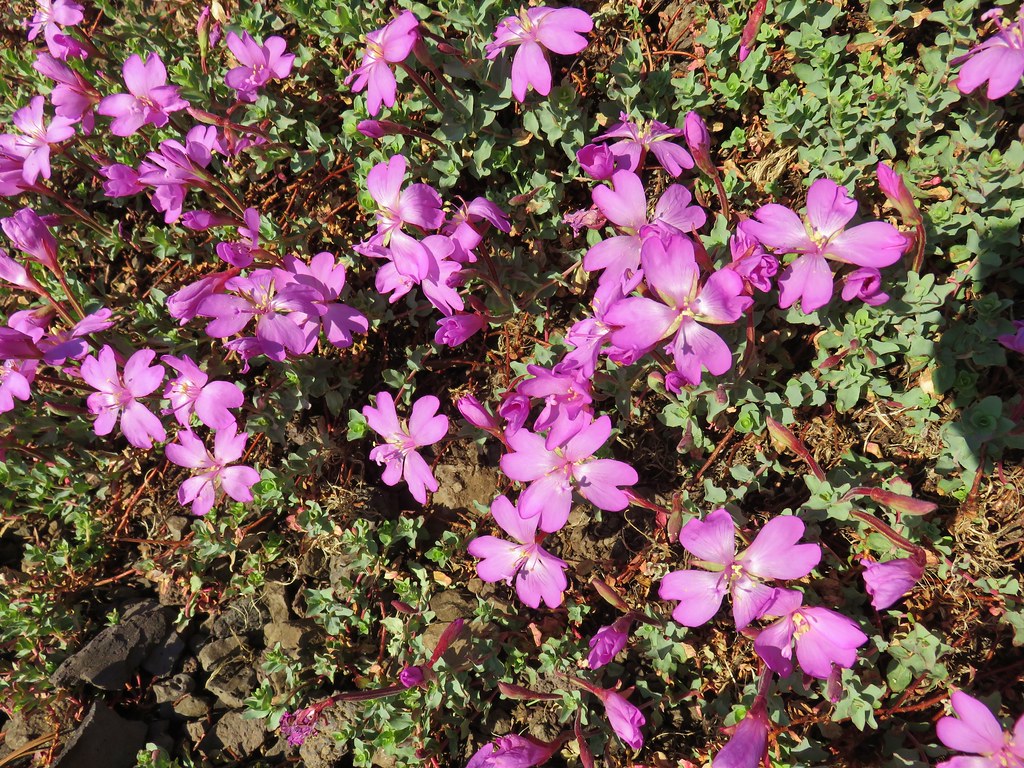
 Catchfly
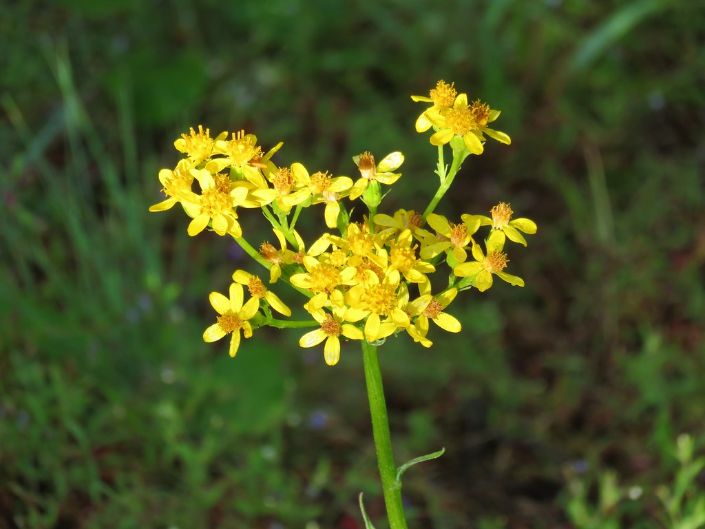 Groundsel
 blue head gilia
 Bleeding heart
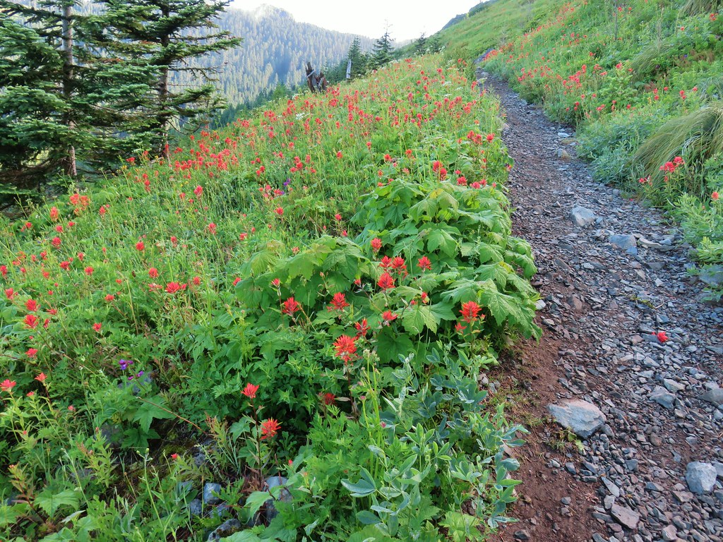
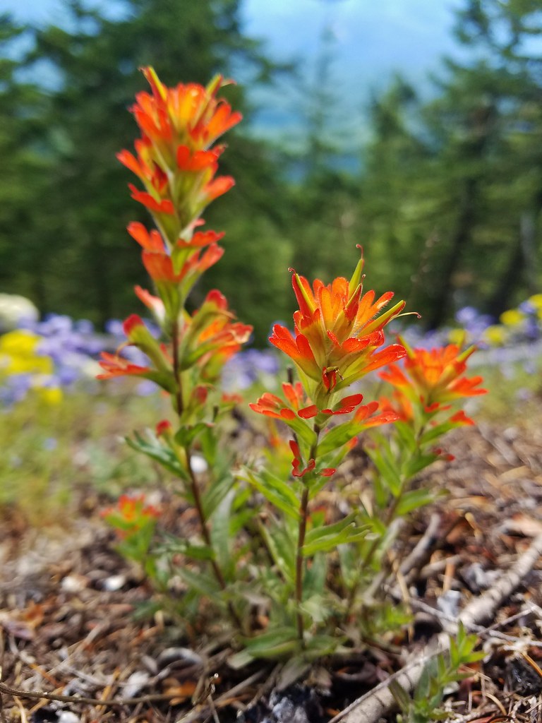 Paintbrush
 Woodland stars
 Larkspur and ballhead waterleaf
 Yarrow
 Valerian
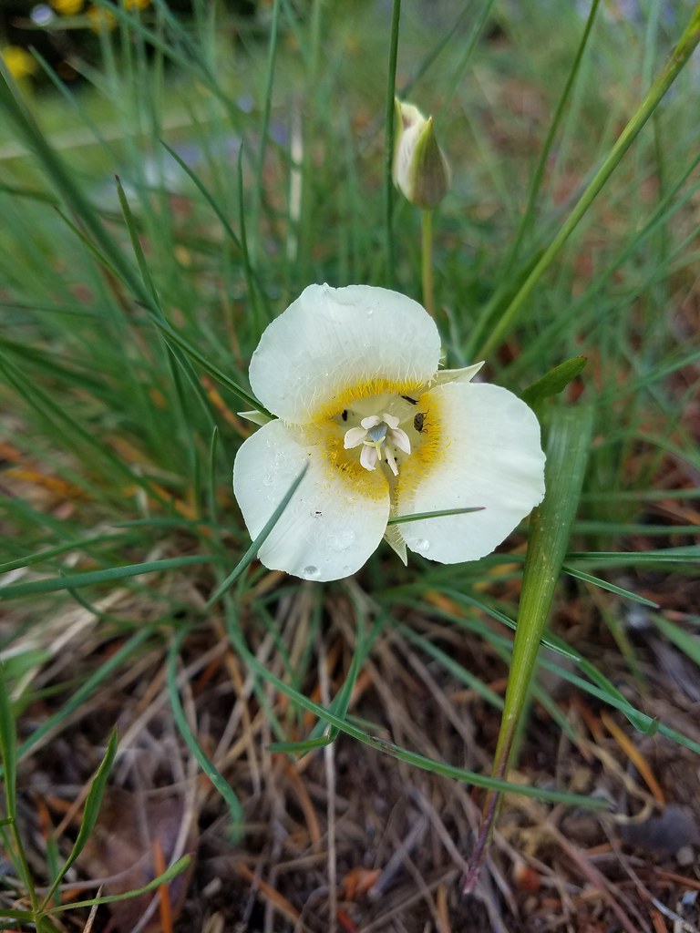 Cat’s ear lily
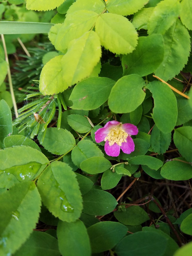 Wild rose
 Buckwheat in blue head gilia
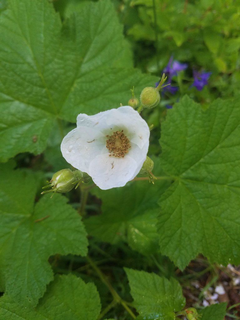 Thimbleberry
 Larkspur, leafy pea, and candy flower
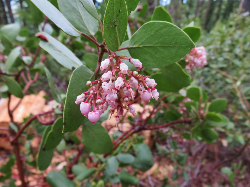
 Rhododendron (just around the corner from the outcrop)
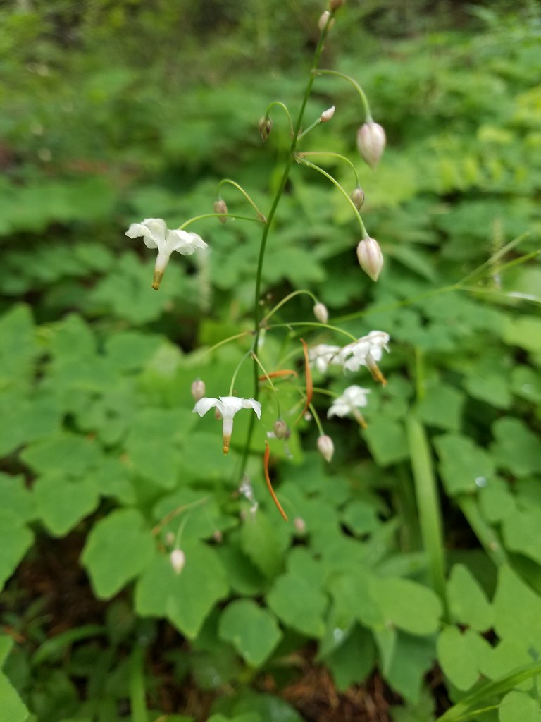
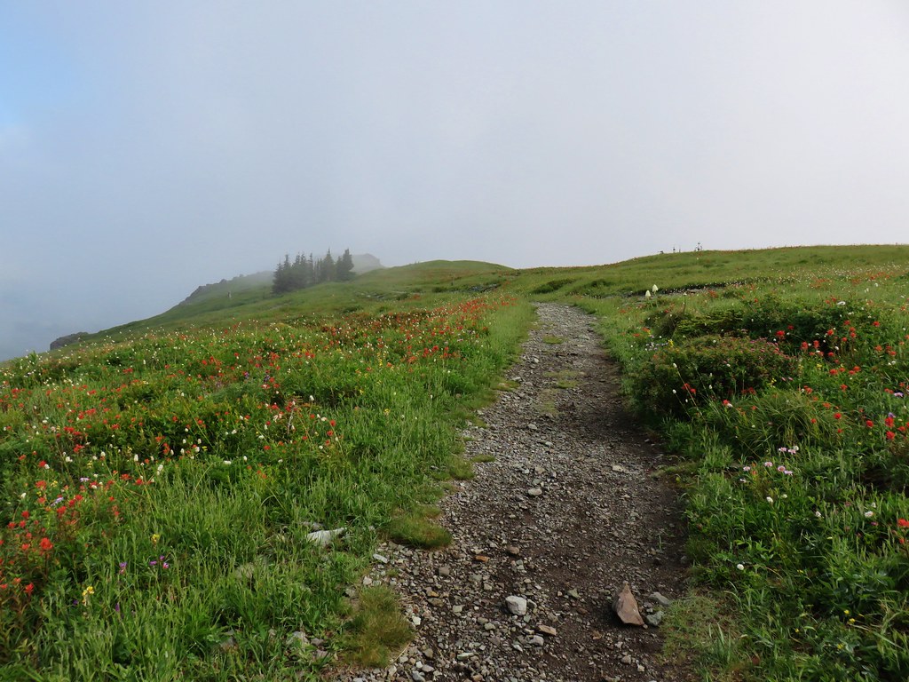
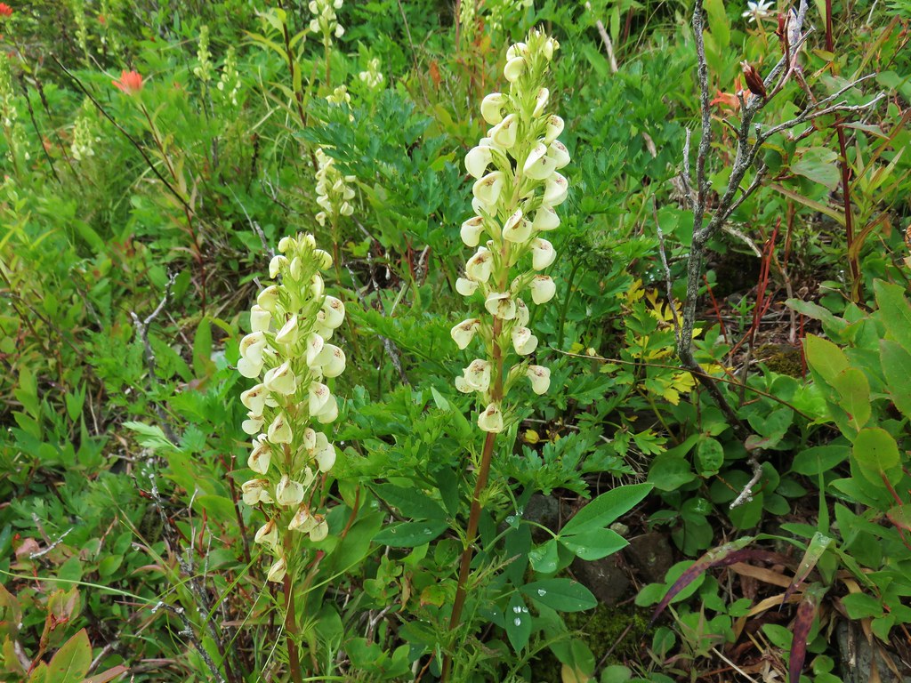
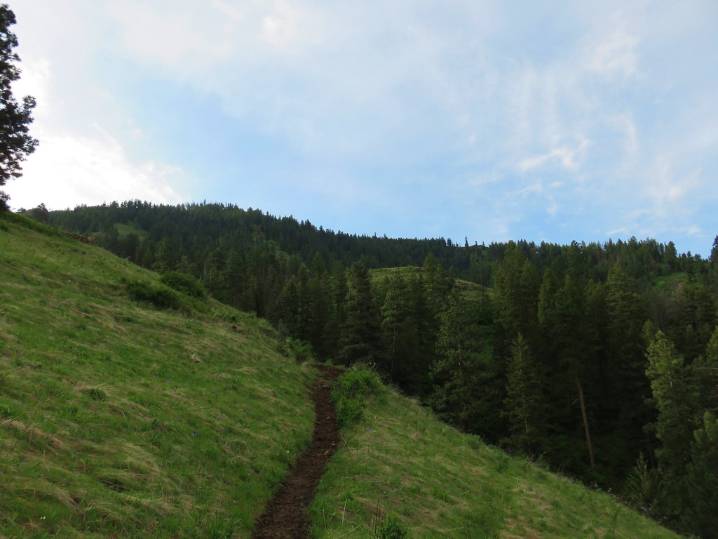
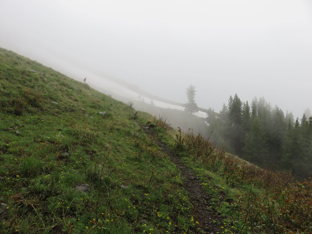
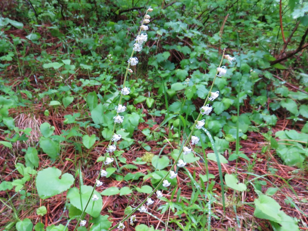
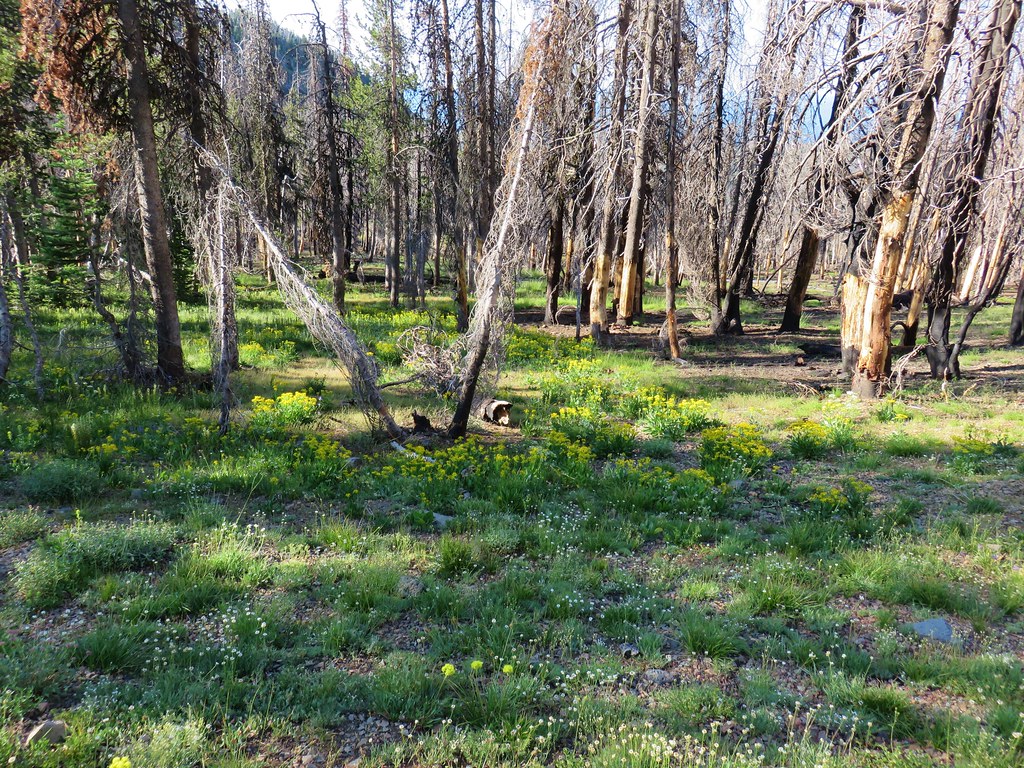
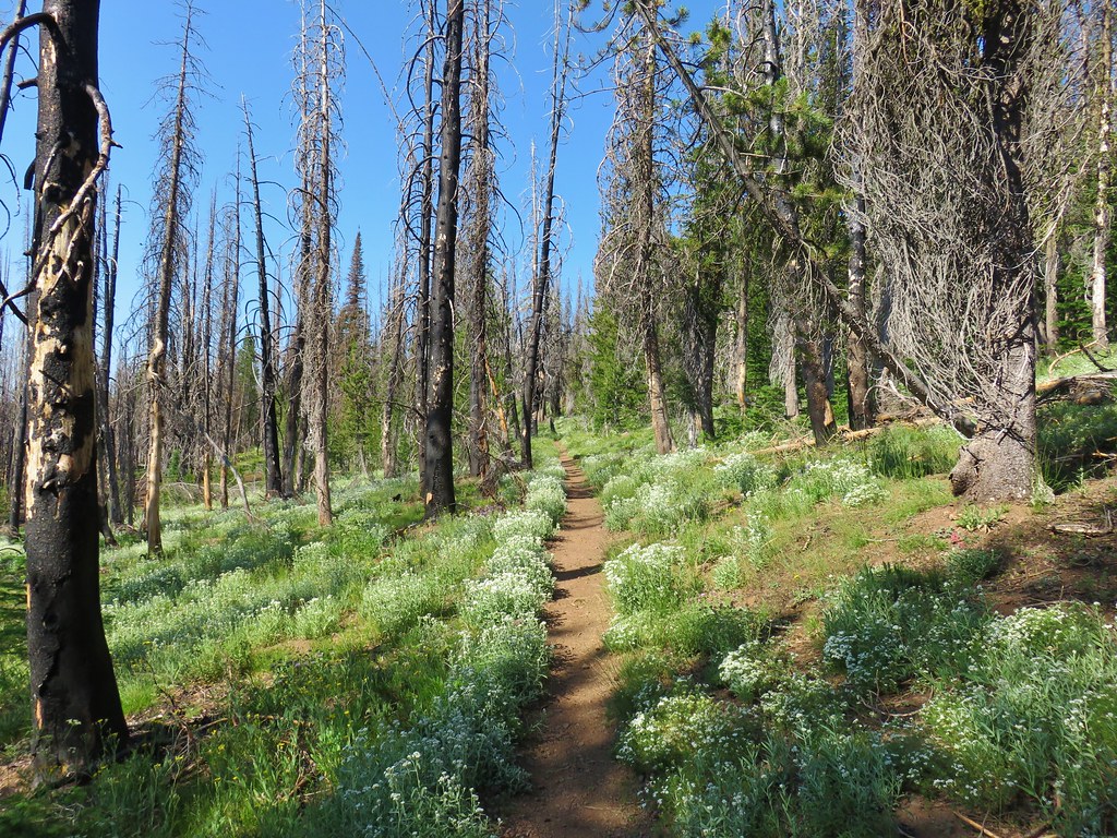
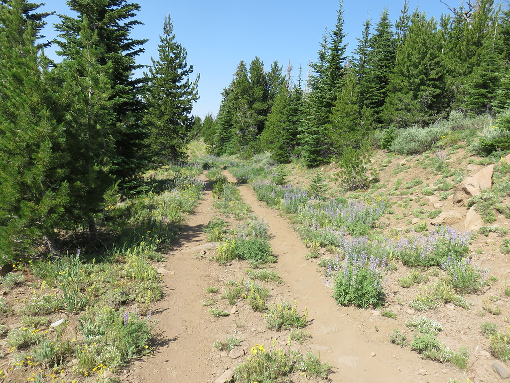
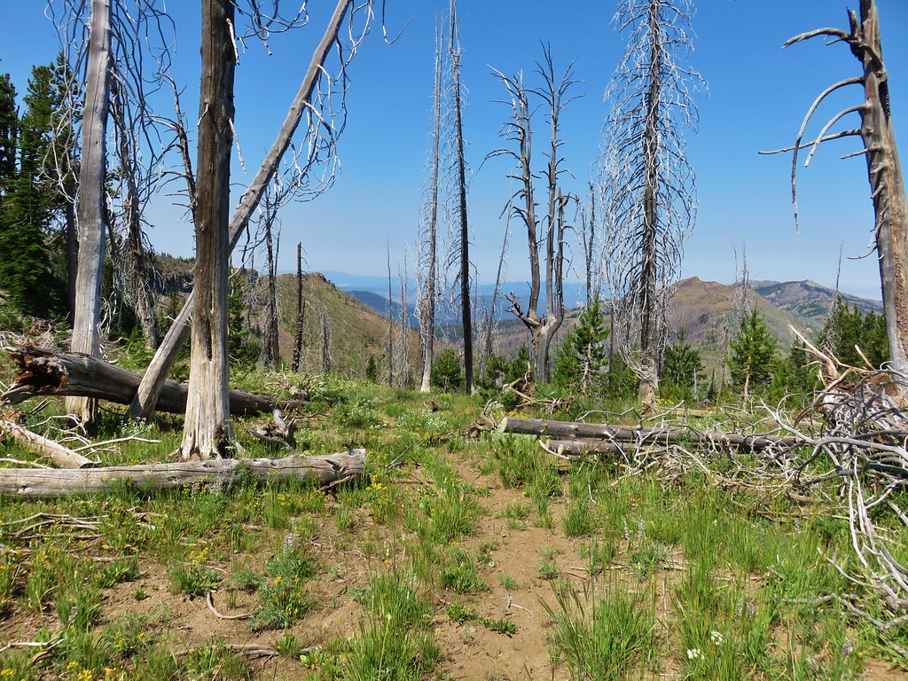
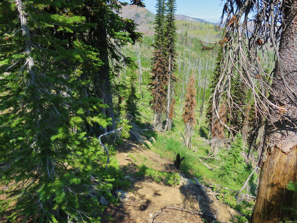
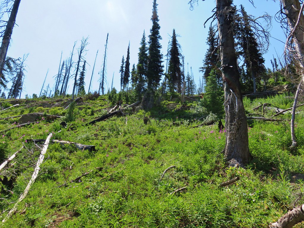
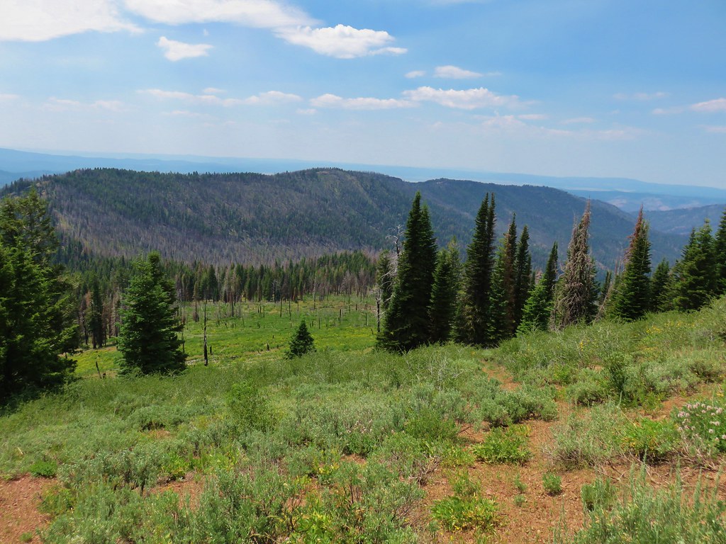
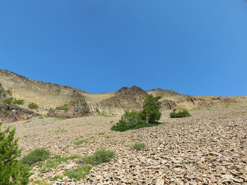
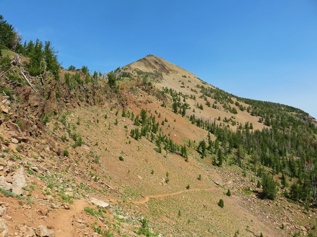
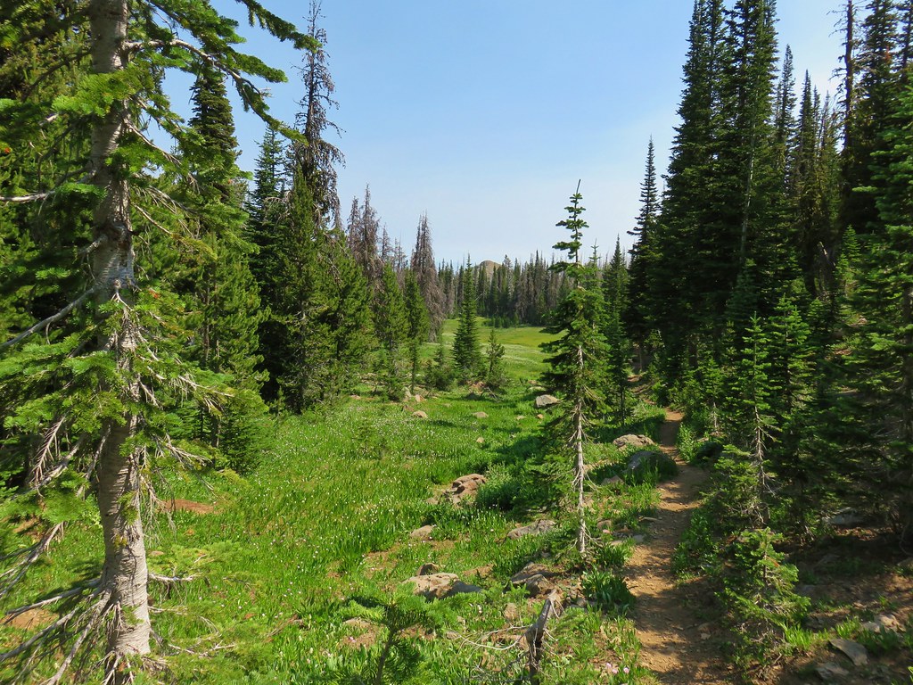
Beyond the viewpoint the trail gained an additional 600′ over the next .7 miles to a fork. There were a few more flowers along this stretch, mostly white forest varieties.
 Star-flowered solomonseal
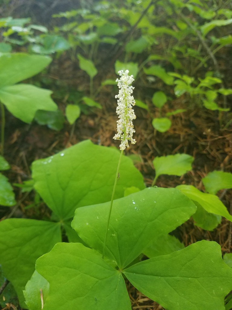
 Plumed solomonseal
 Vanilla leaf
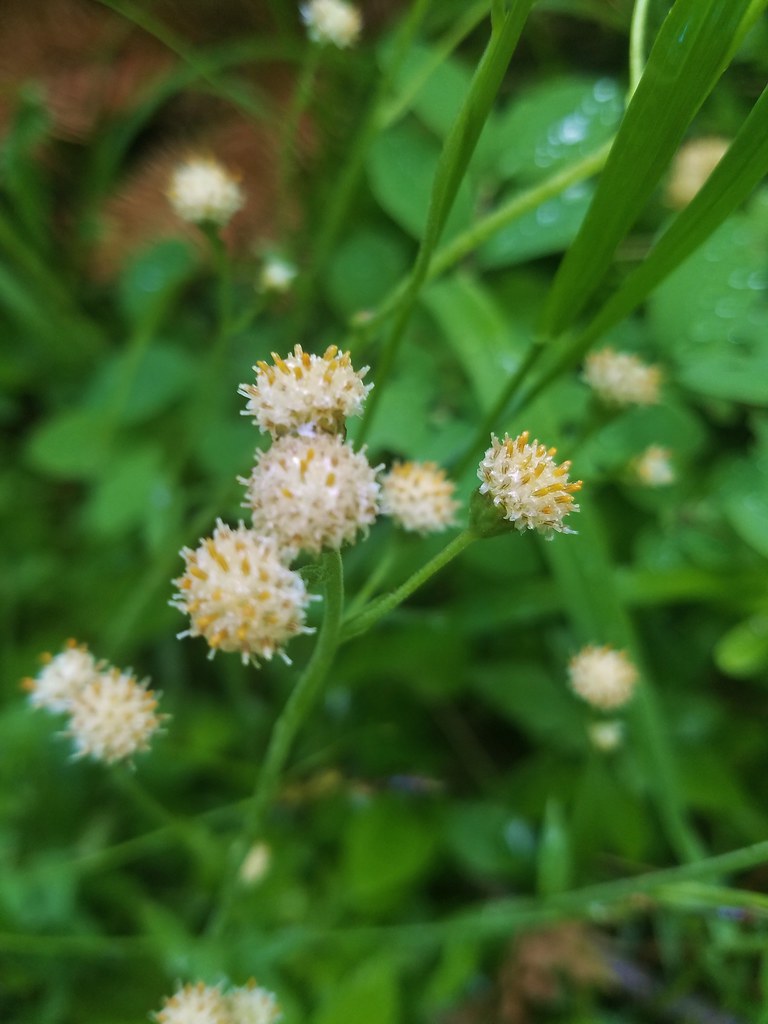 Pussytoes
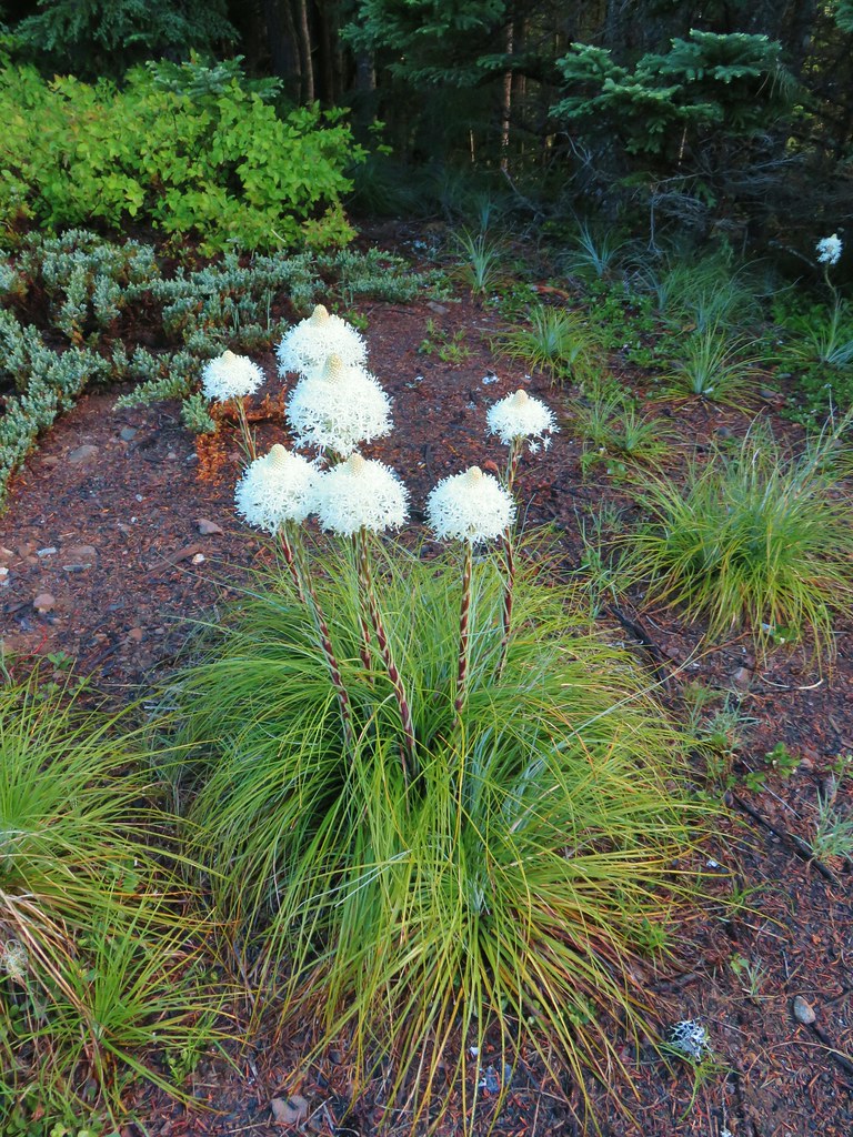
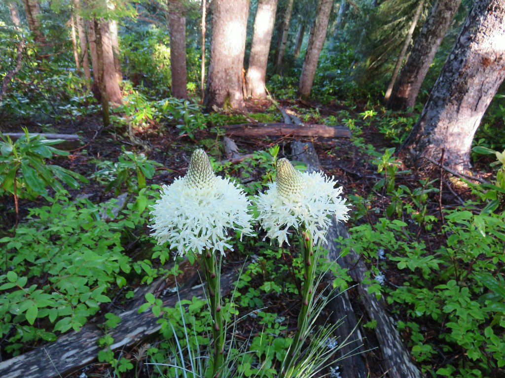 Beargrass
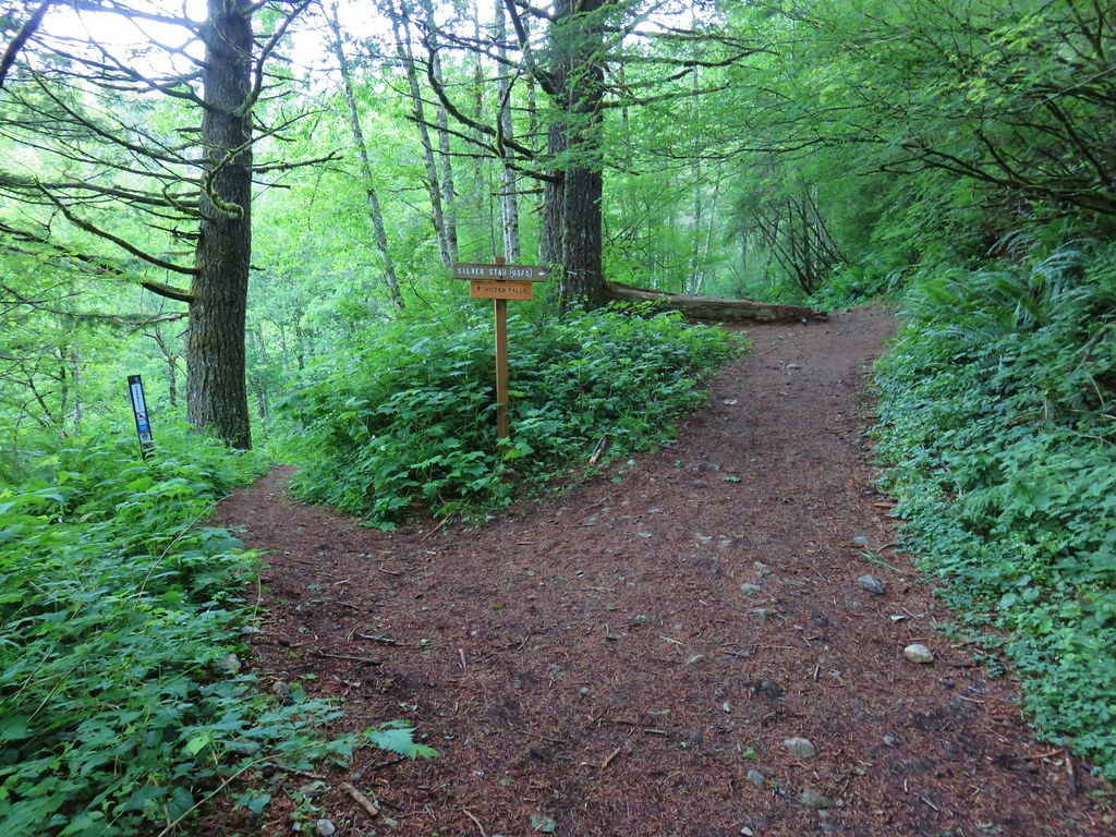
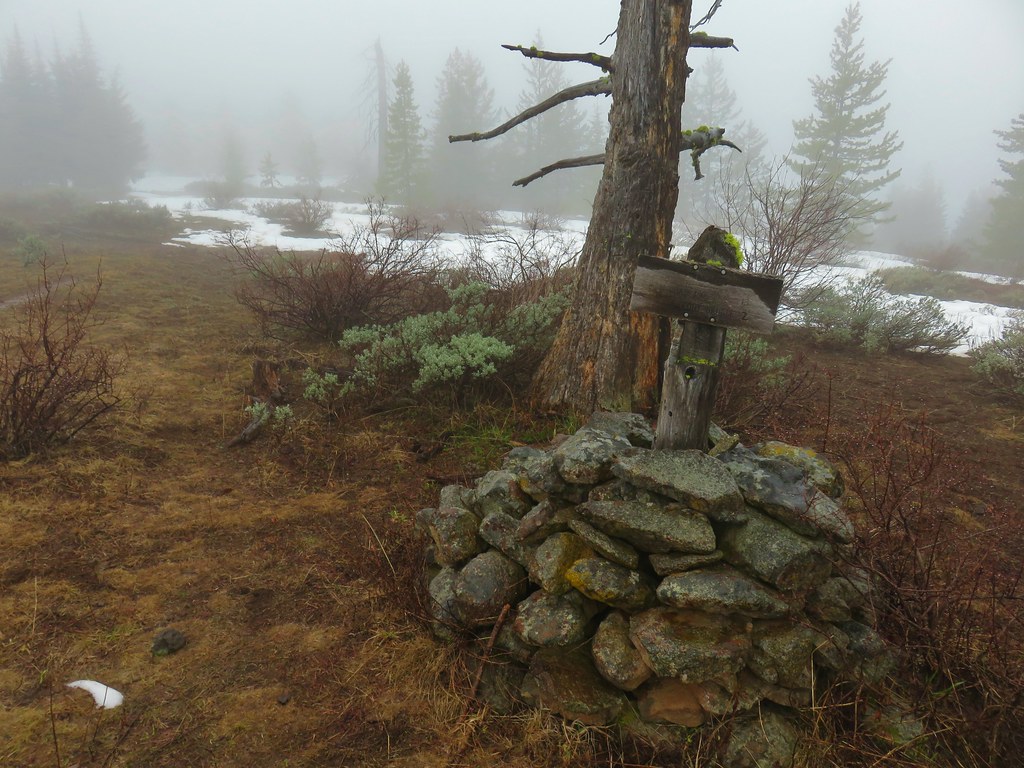
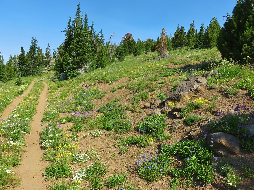
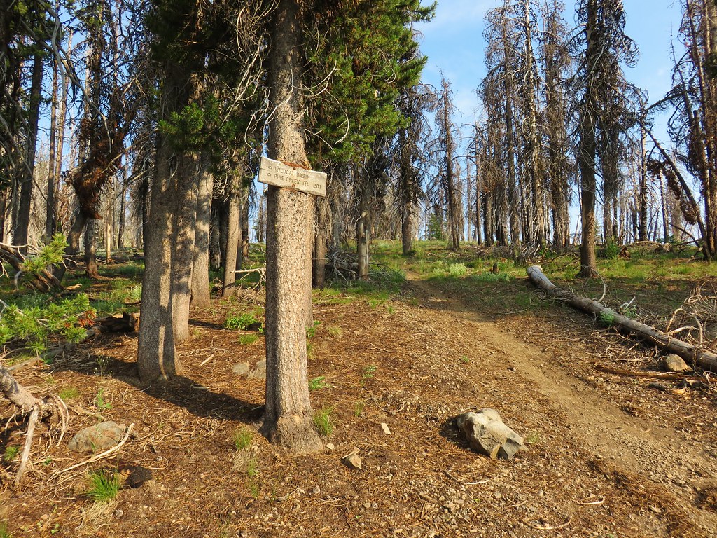
 Trail fork
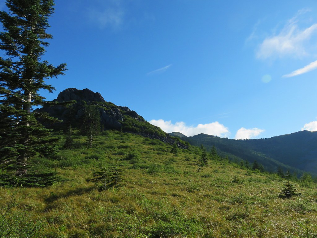
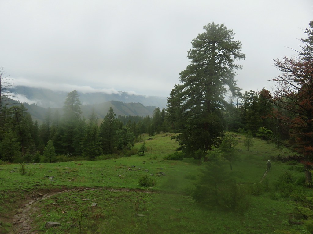
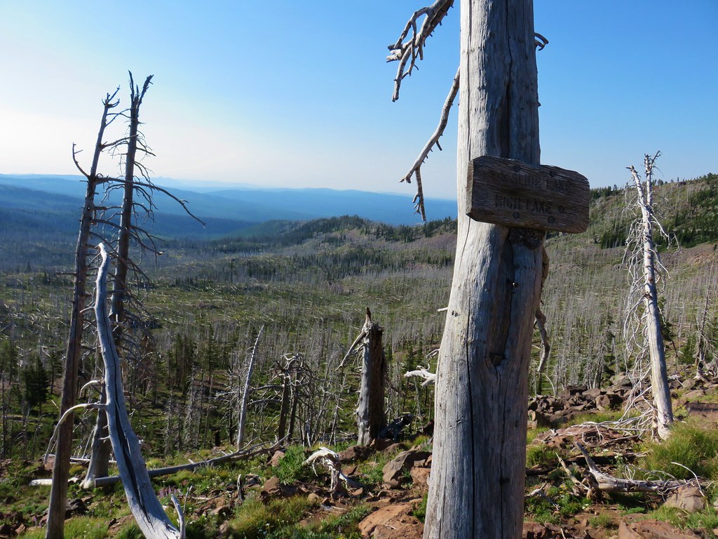
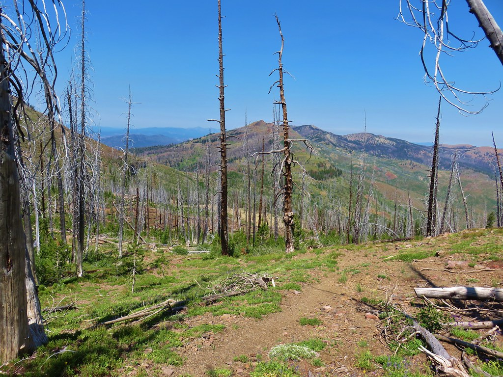
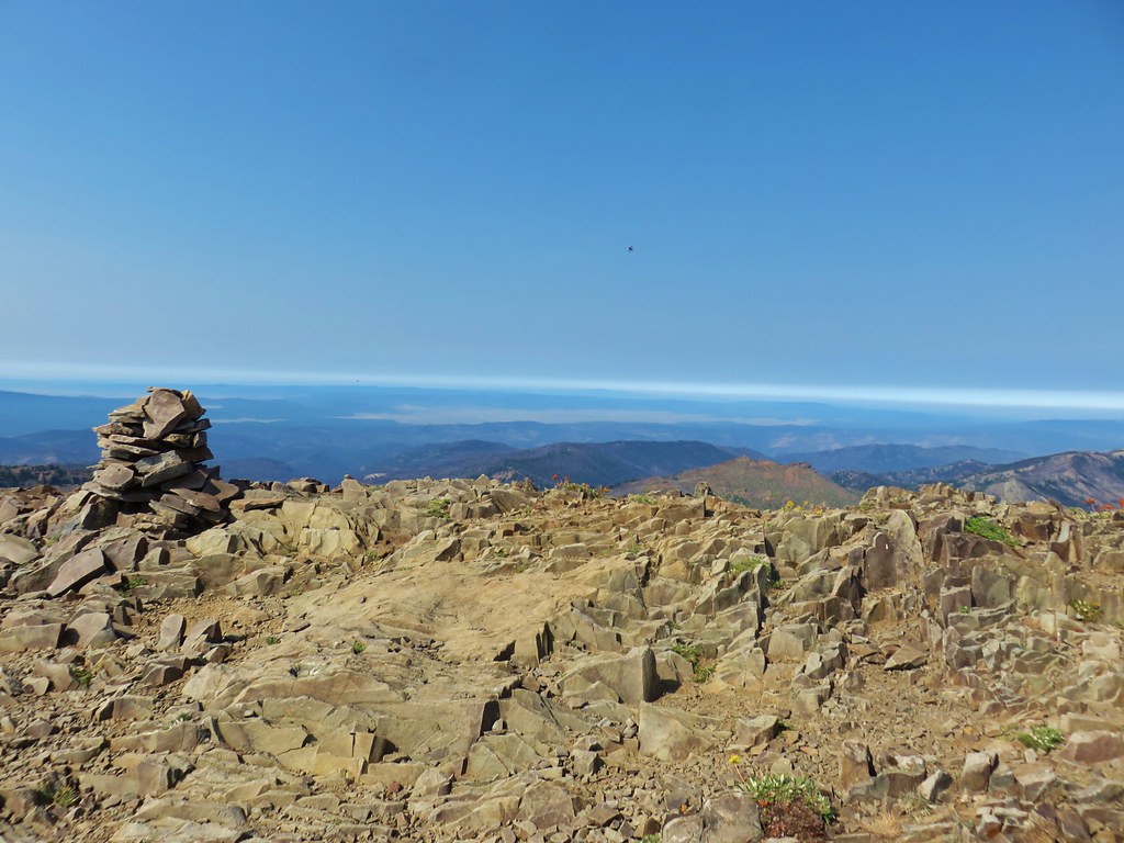
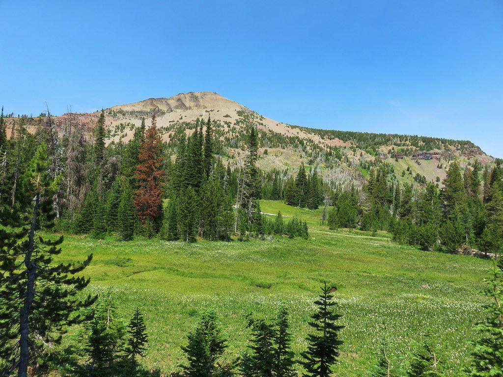
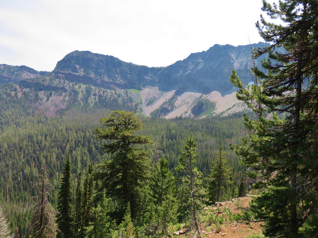
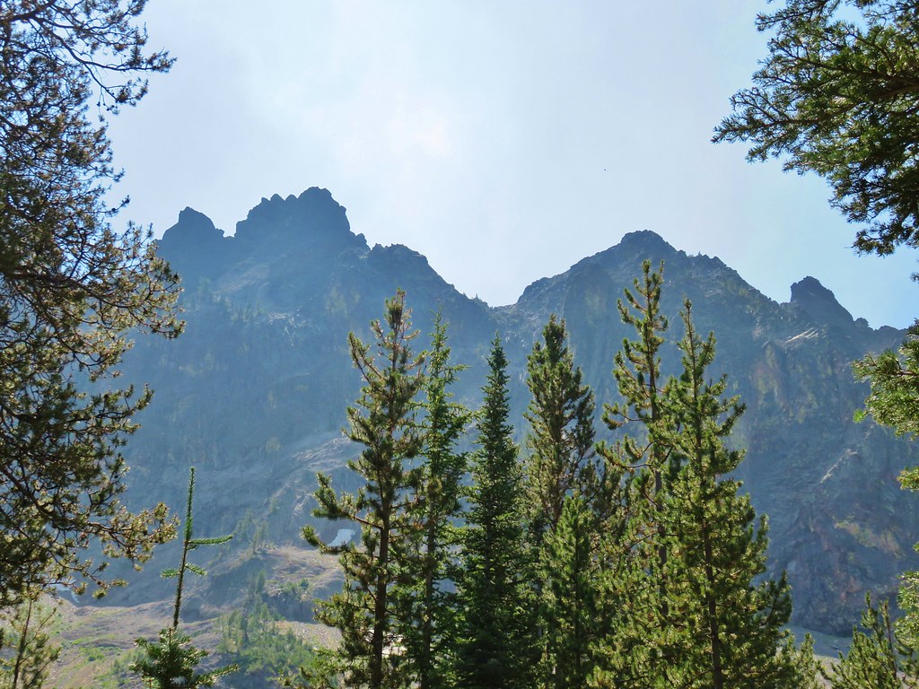
From the fork the Fish Creek Mountain Trail continues uphill a little under a half mile to the site of the former lookout tower at the summit. The fork to the right heads downhill for .7 miles to High Lake. With blue sky overhead we decided to visit the summit first and stayed left at the junction.

Some of the foundation remains from the old lookout at the overgrown summit.

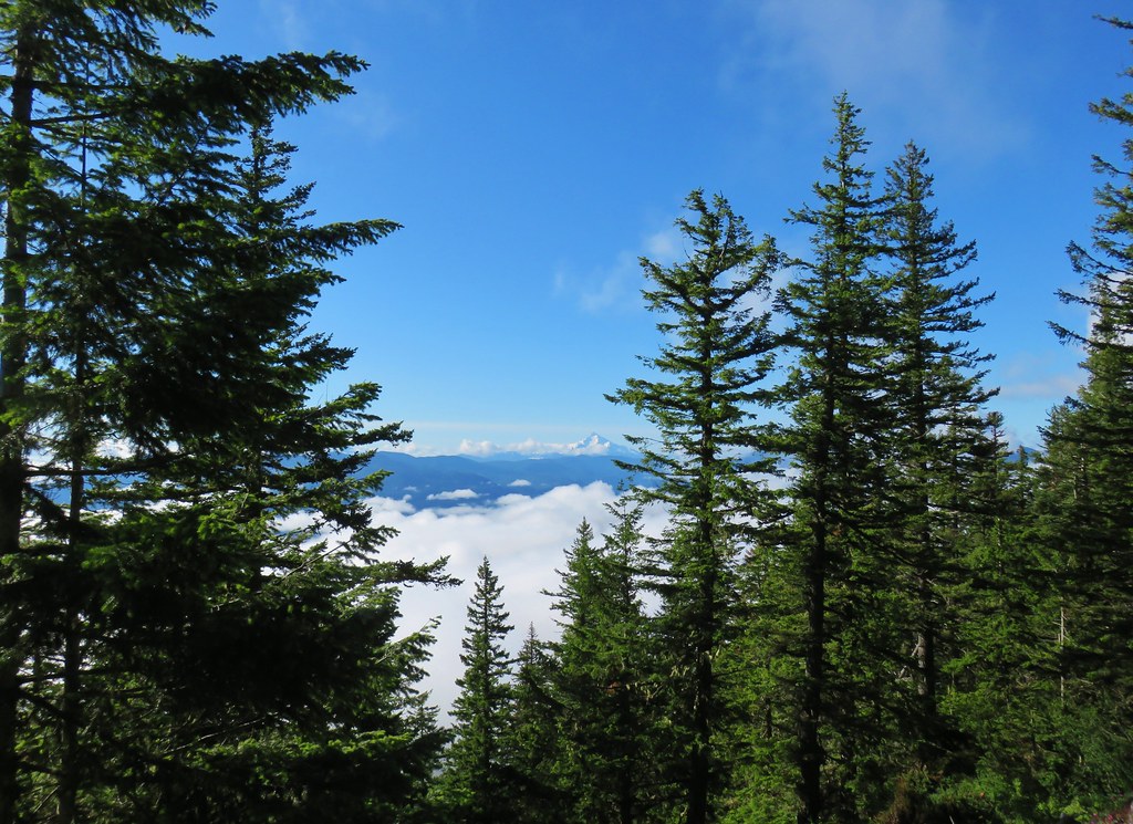
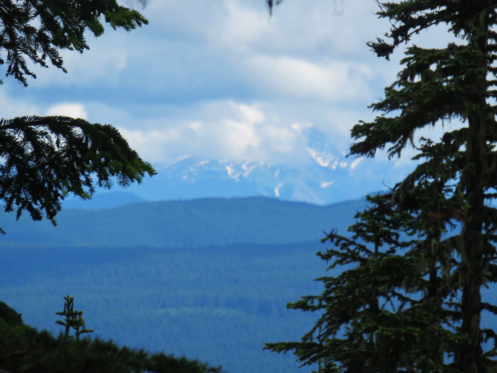
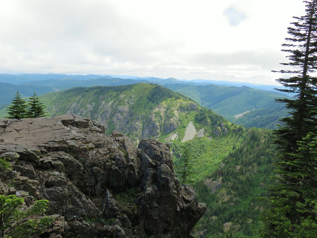
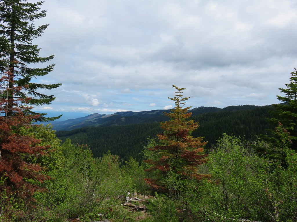
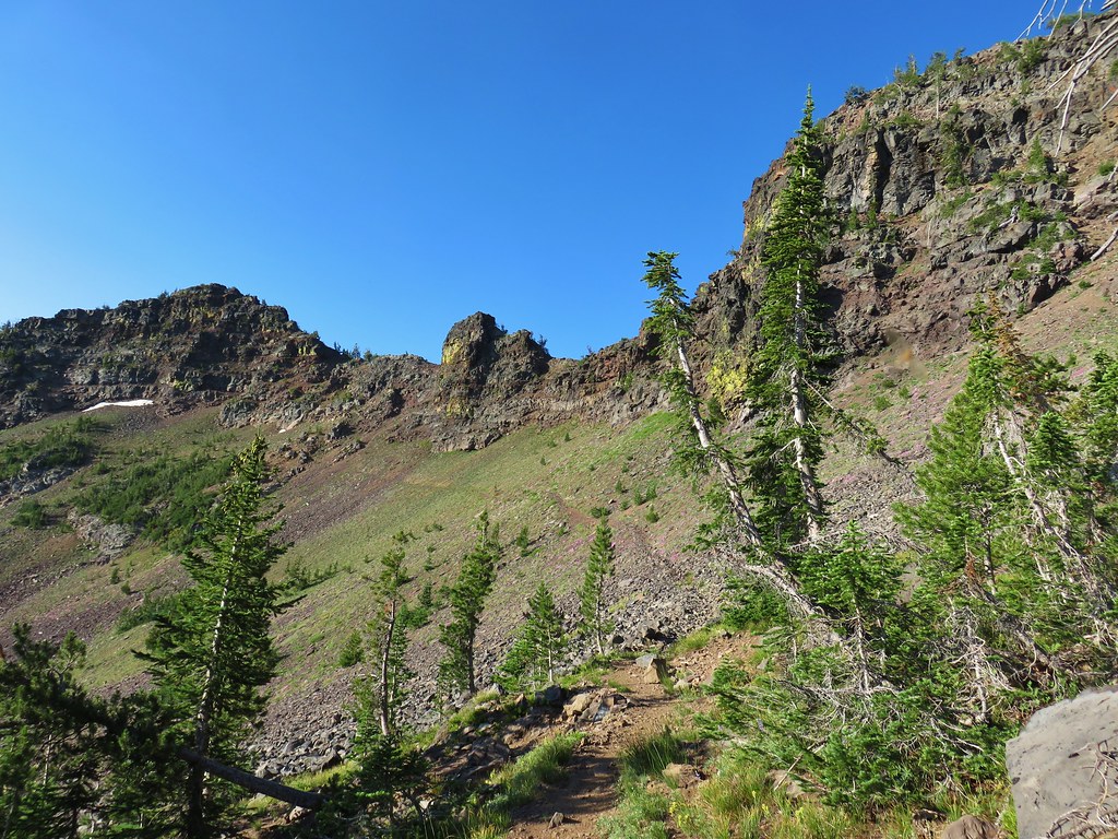
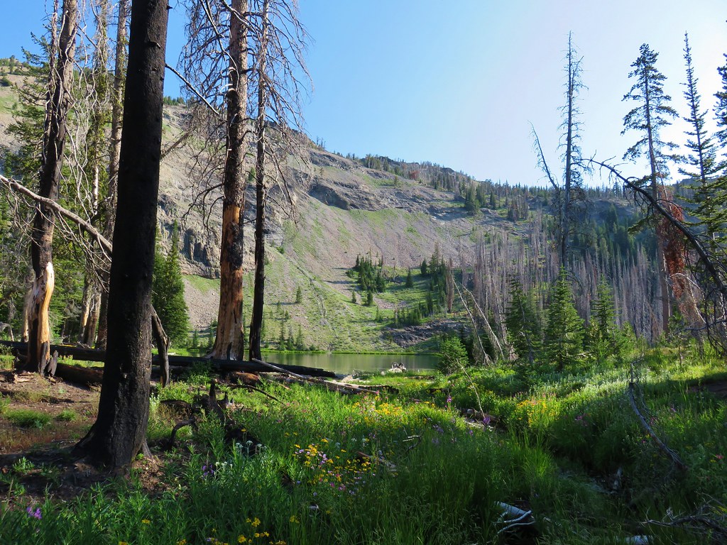
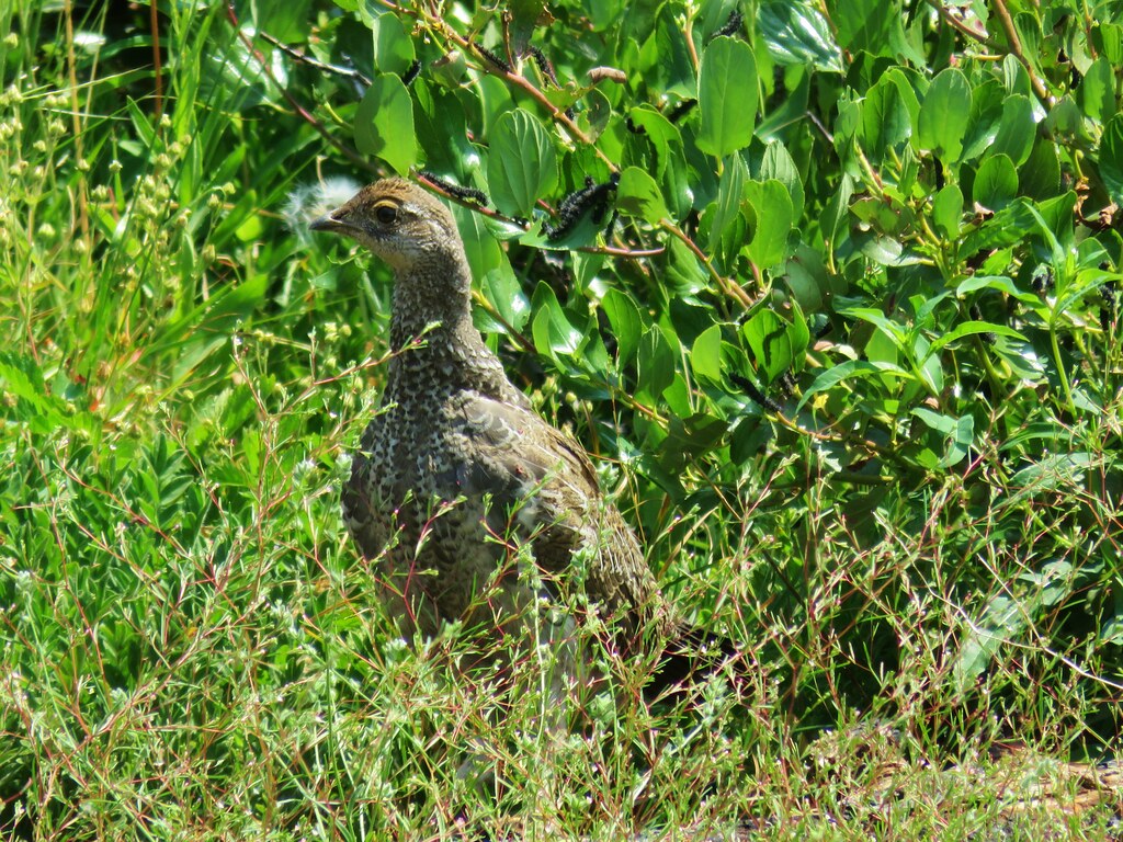
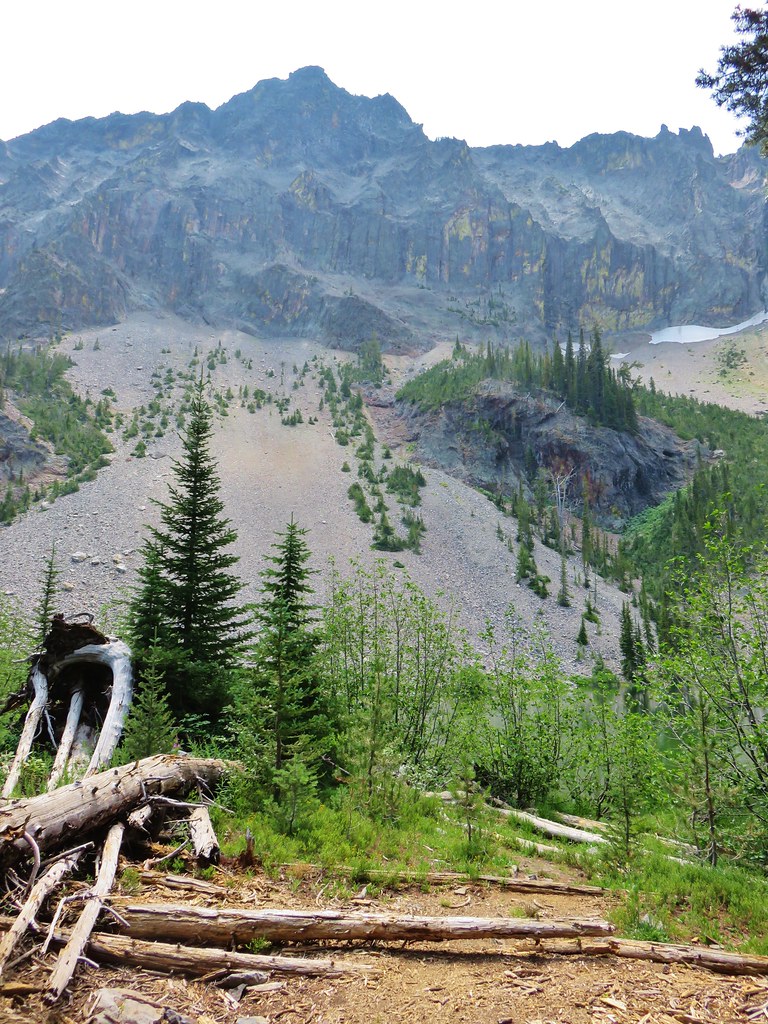
Despite the blue sky overhead clouds had moved in around us effectively eliminating any mountain views (Mt. Jefferson should have been visible from the summit). We rested a bit checking out the beargrass and a green beetle that was scurrying through the grass.

We started back down and noticed a side trail to the left about 110 yards from the old lookout site. We headed up this path which lead to a rocky outcrop with a survey marker.
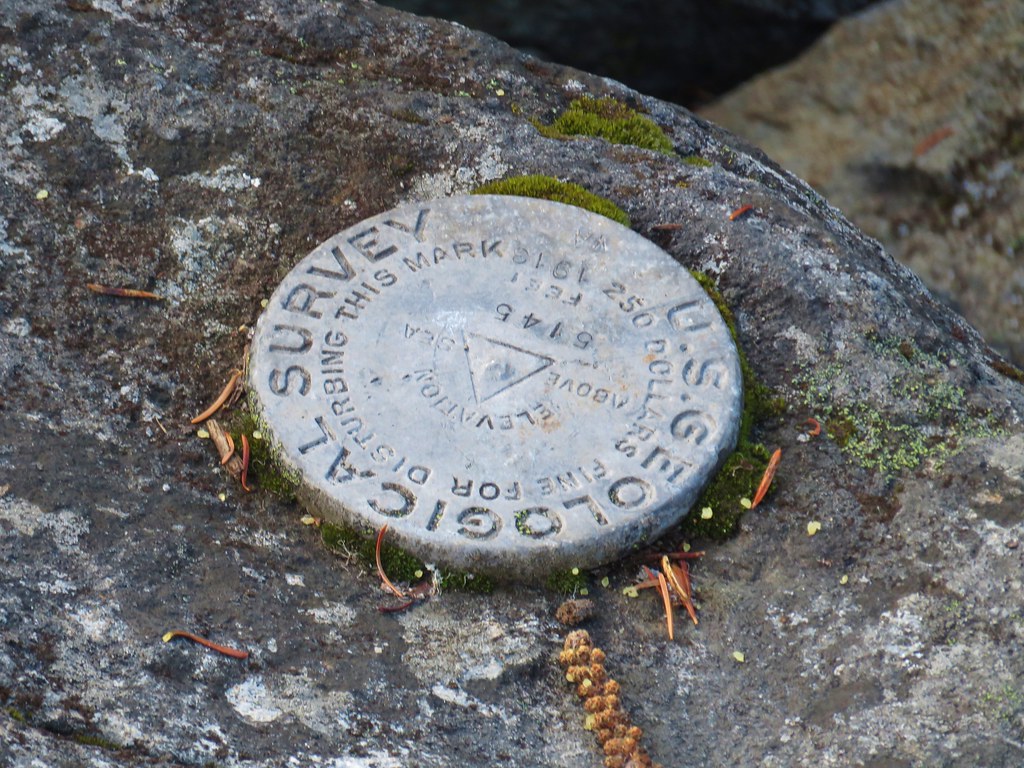
It looked like it would have been a pretty good viewpoint but for us it was just a view of the clouds passing by.

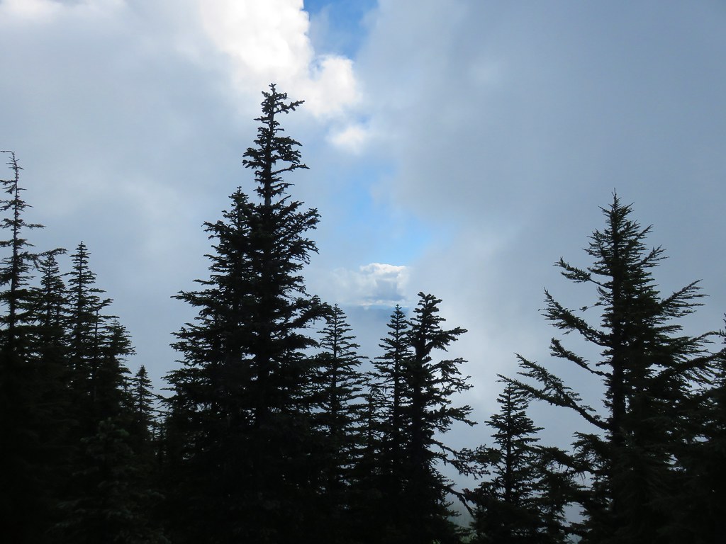
After watching for a view of Mt. Hood that never developed in a break in the clouds as they passed by we returned to the trail fork and turned left toward High Lake.

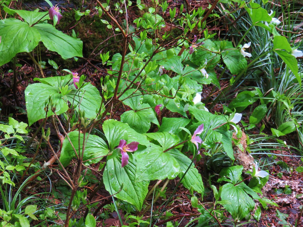
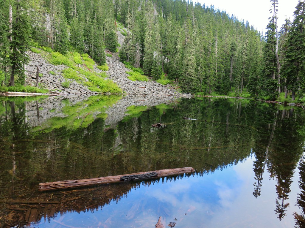
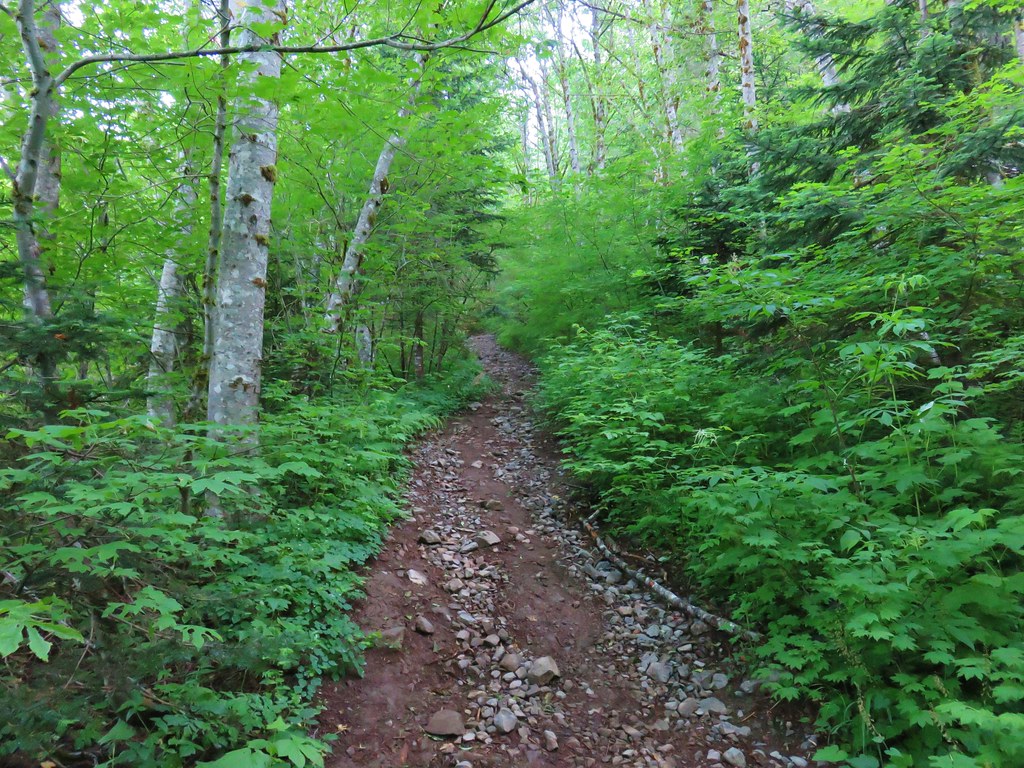
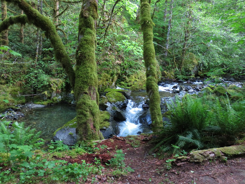
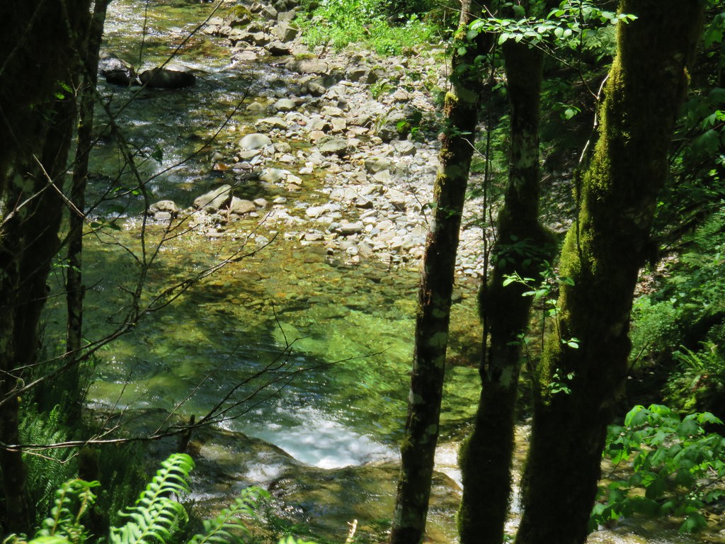
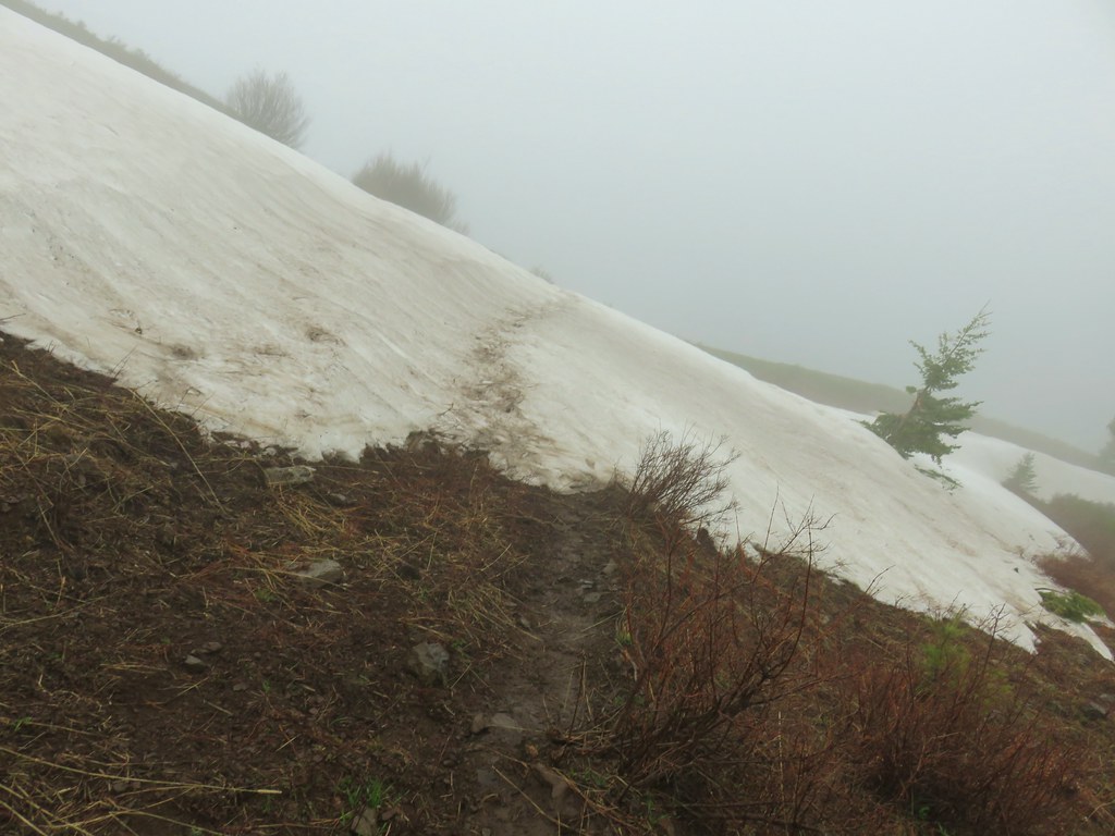
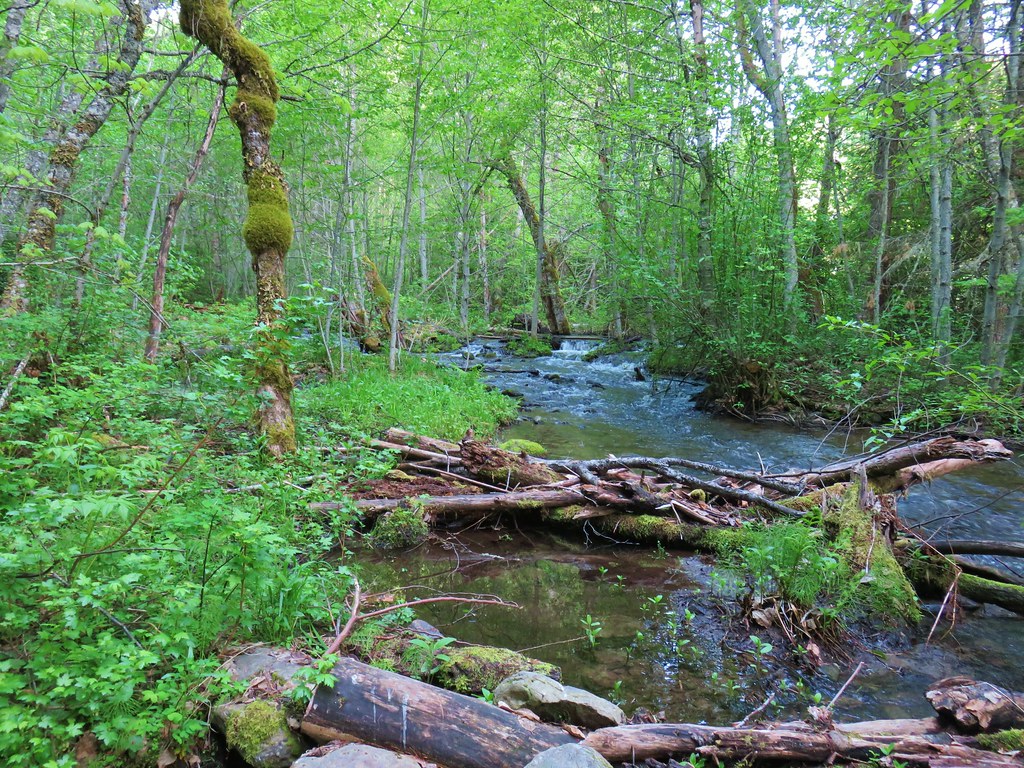
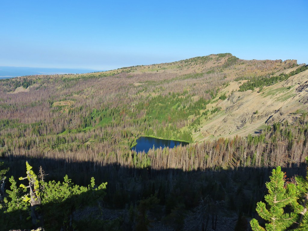
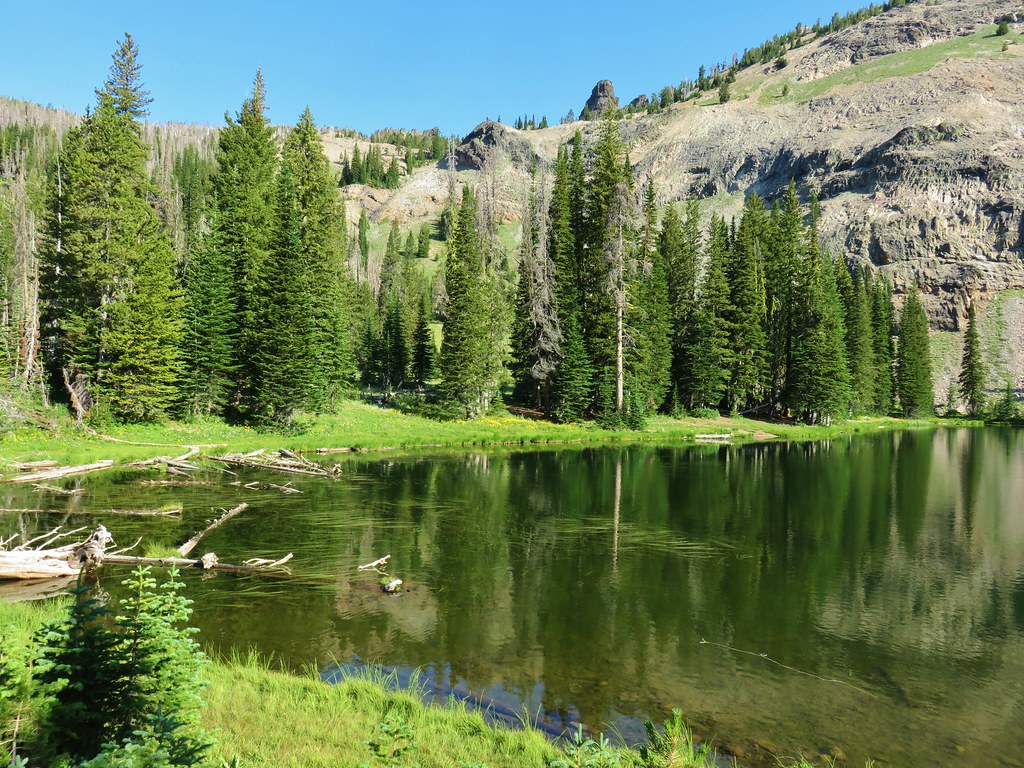
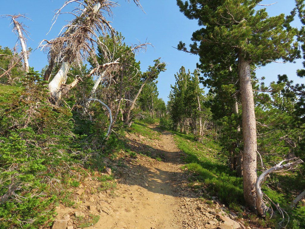
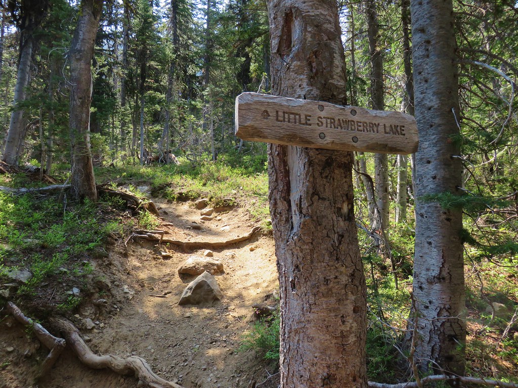
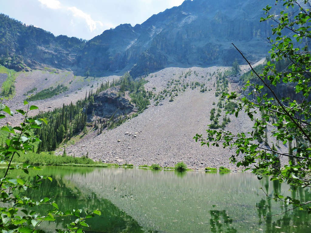
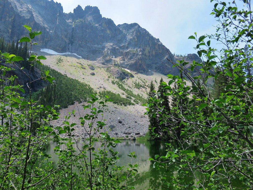
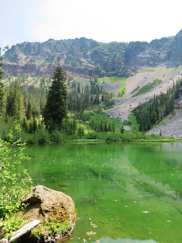
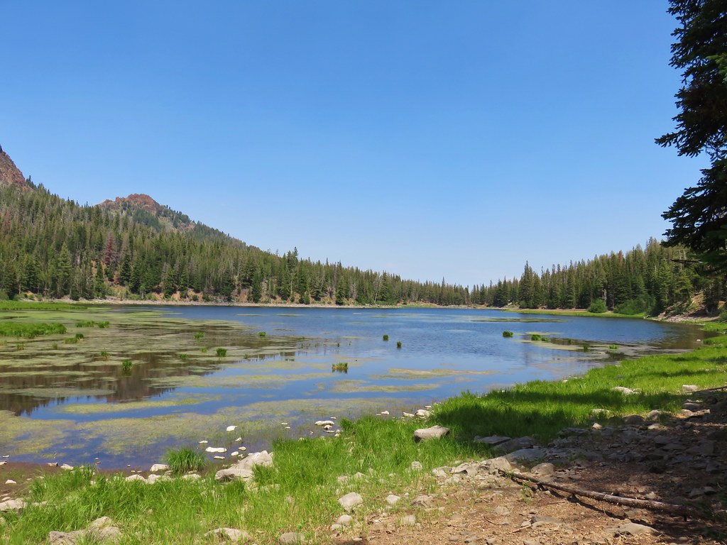
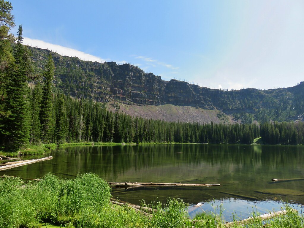
This trail lost nearly 500′ as it wound down to the small glacial lake. Nestled in a basin below Fish Creek Mountain the vegetation along the trail was quite a bit behind that along the Fish Creek Mountain Trail. Here huckleberry bushes were still sprouting leaves and trillium were still in bloom.
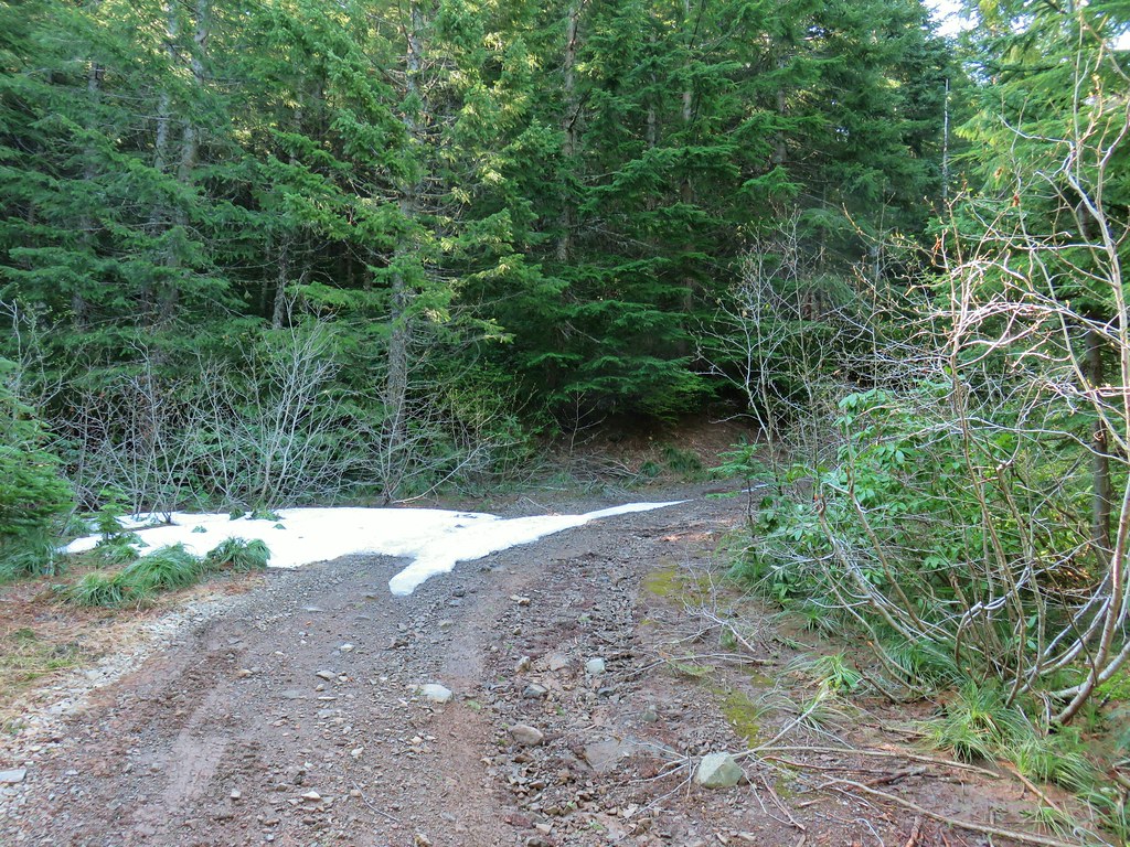
We even ran into a small patch of snow hiding under some downed branches along the trail.

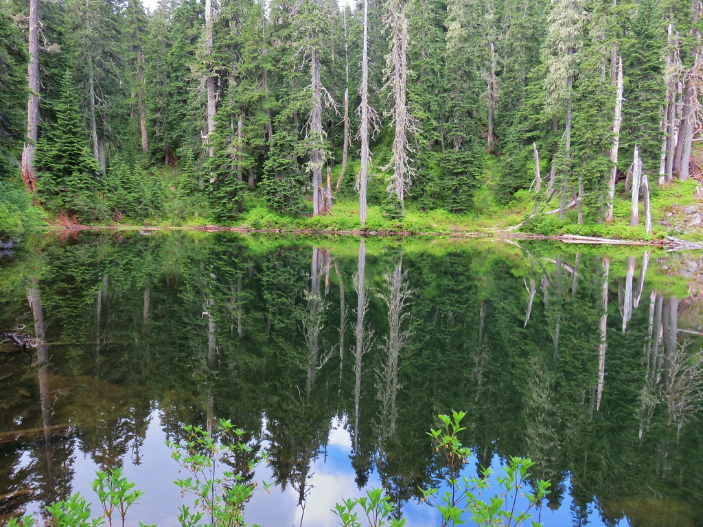
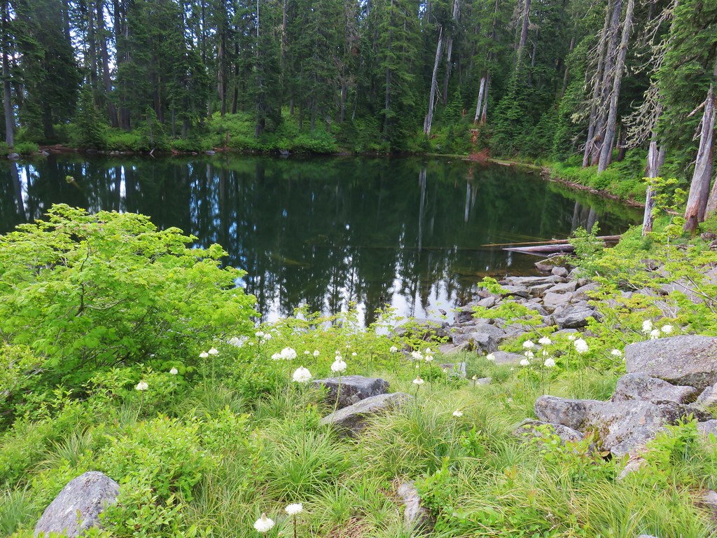
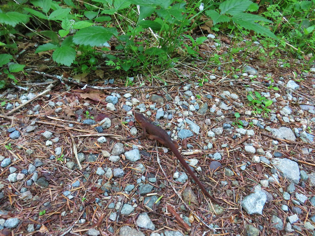
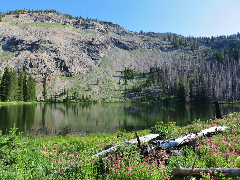
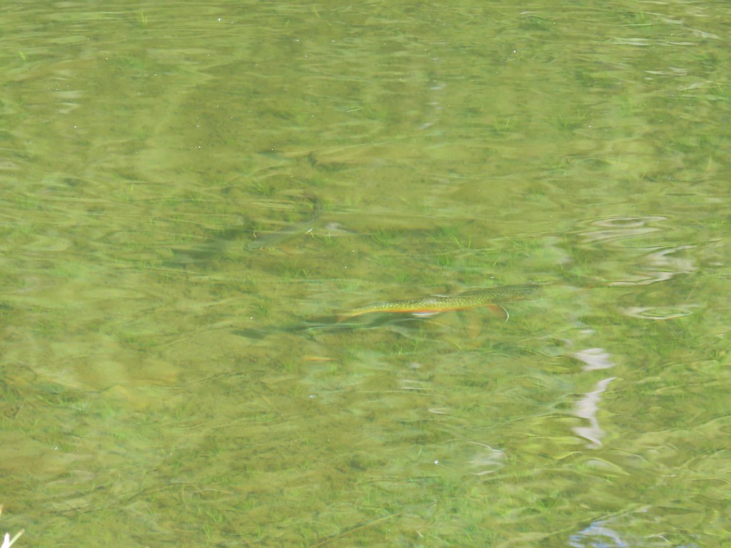
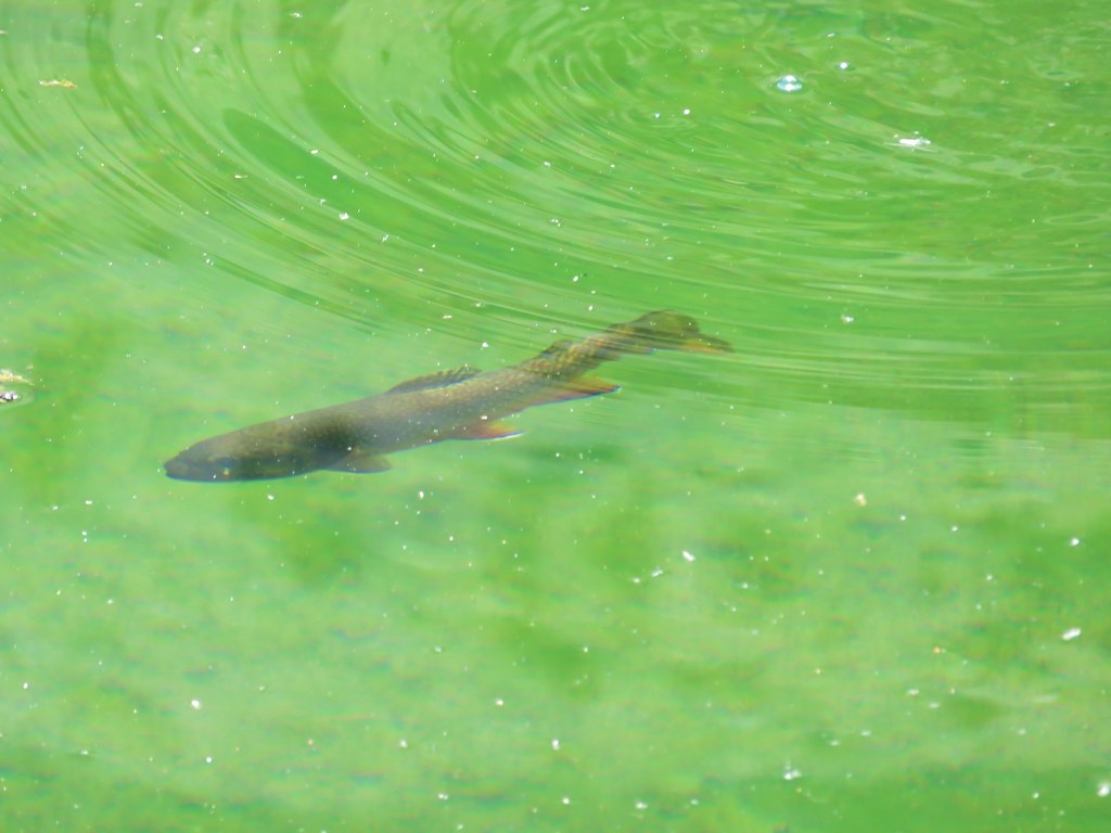
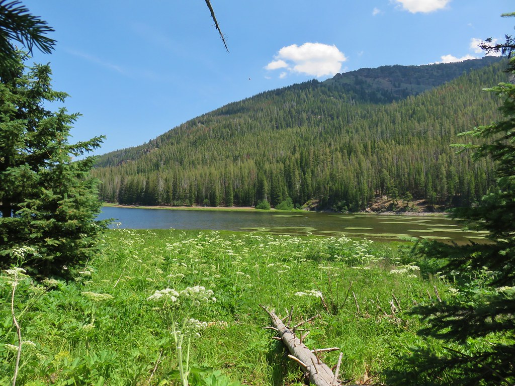
The small lake was quite pretty and it was also full of rough skinned newts.

We followed a rough use trail around the lake past a handful of campsites.

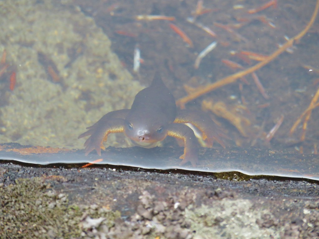 Curious newt
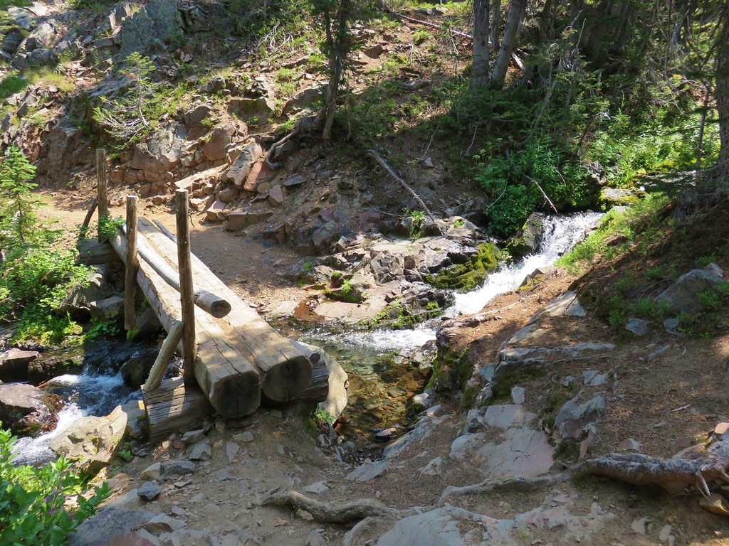
It was a little too chilly to hang out by the lake so after completing the loop we started back up to the Fish Creek Mountain Trail. Along the way we finally got a glimpse of part of Mt. Hood, albeit not much of one.
Mt. Jefferson had all but disappeared too when we stopped back at the flower filled viewpoint.
We had at least had a good view earlier and the wildflowers had made this a great hike even if we hadn’t had any views. We headed back down looking for any other flowers to take pictures of and found a few.
 Inside out flower
 Spotted coralroot
 Stripped coralroot
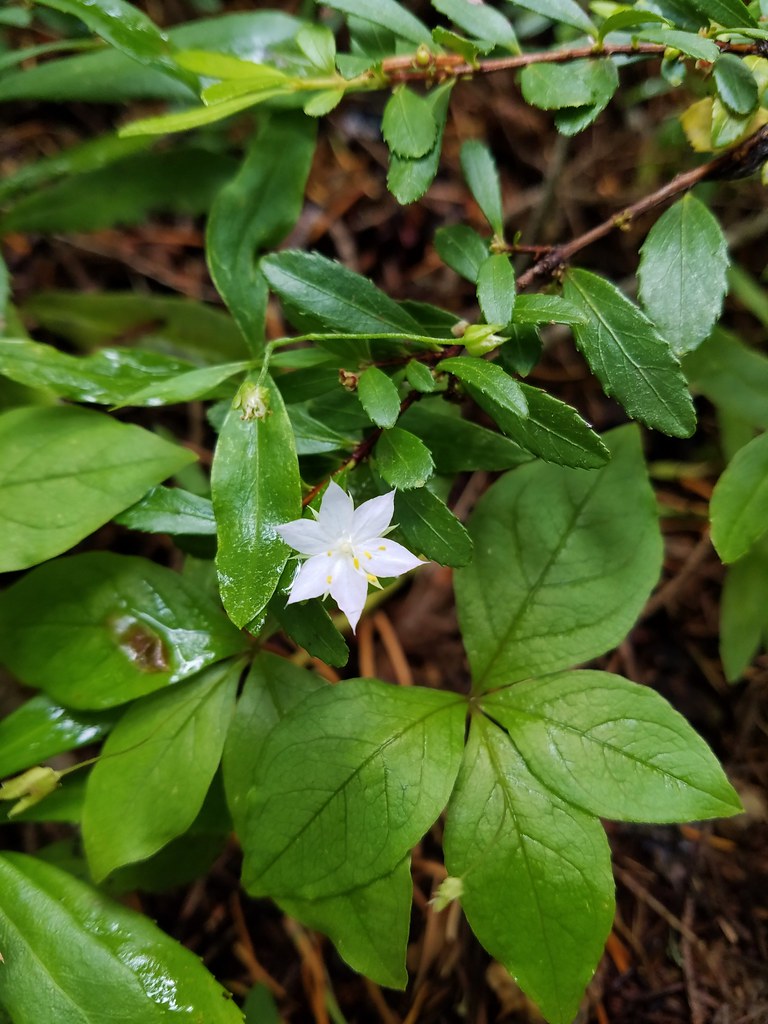 Starflower
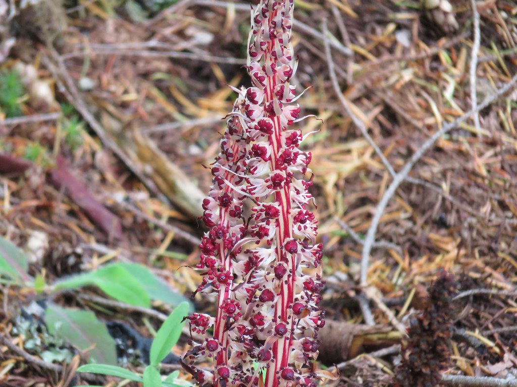 Candy sticks
 Wild strawberries
We were happy with our decision to forgo the Riverside Trail in favor of this hike. We had not expected to see such a variety of flowers in bloom which was a pleasant surprise. The combination of the flowers, a view of Mt. Jefferson and a nice lake made for a great 8.1 mile hike. Happy Trails!
Flickr: Fish Creek Mountain


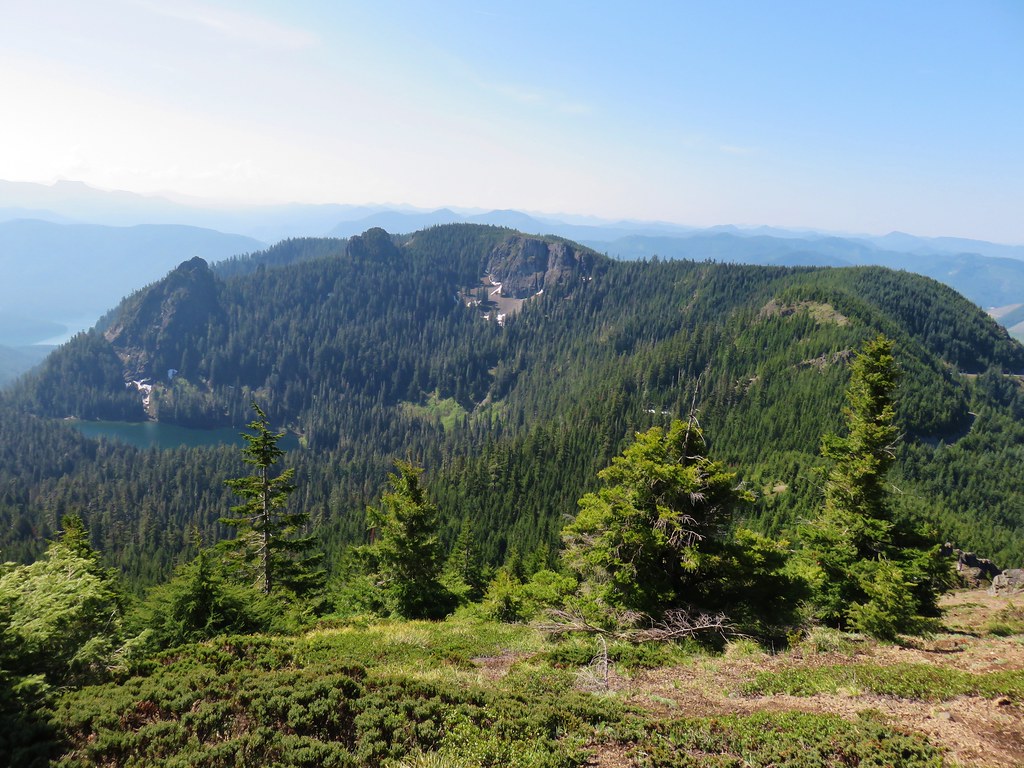
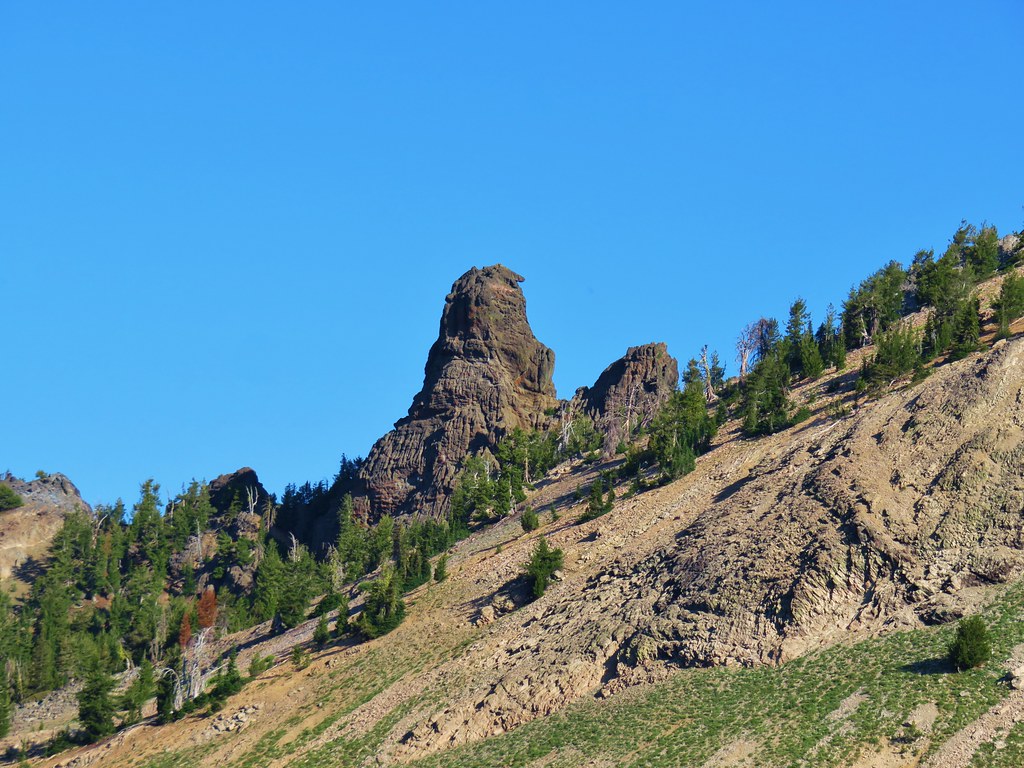
 Sturgeon Rock (still with cloud) and Pyramid Rock
 Wild iris
 Paintbrush and lupine
 Daisies
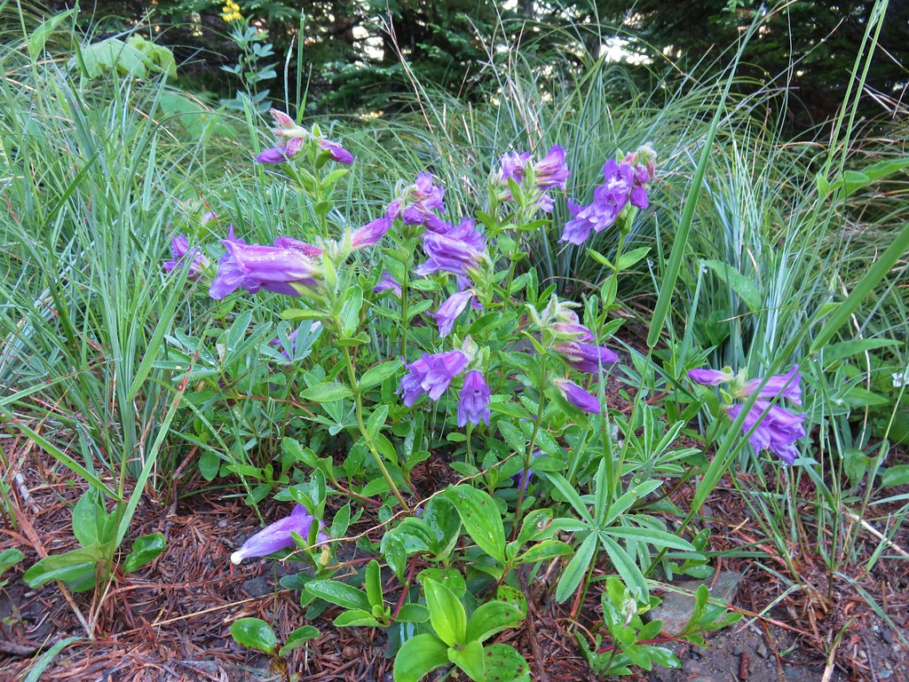 Penstemon
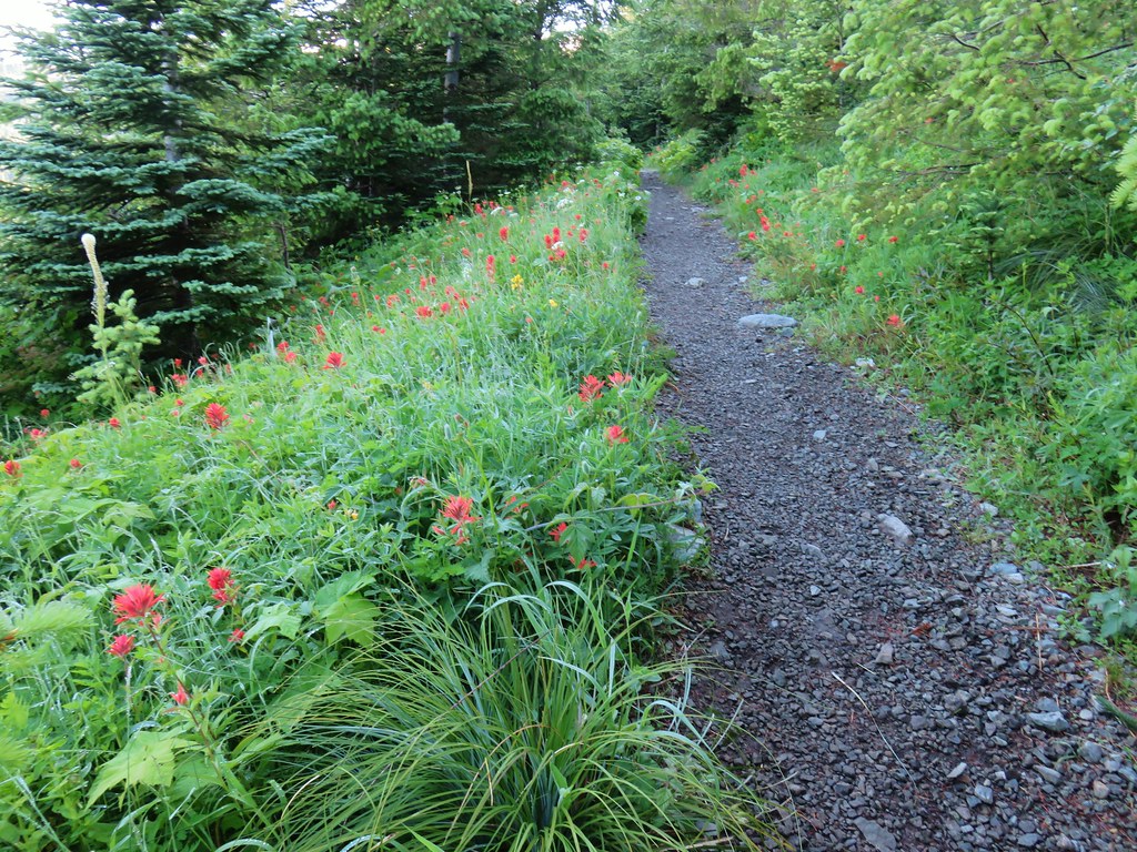


 paintbrush and mountain spirea
 Beargrass

 Columbine
 A penstemon
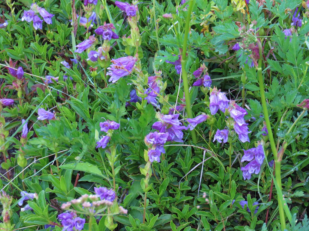 More penstemon
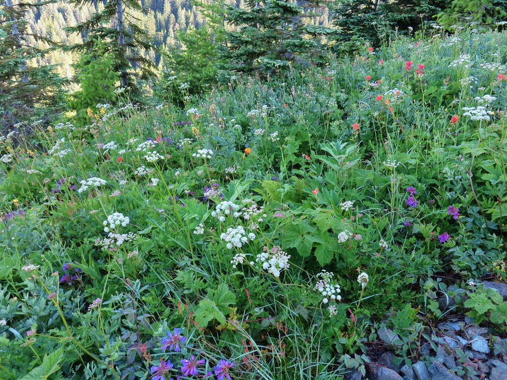 Variety pack
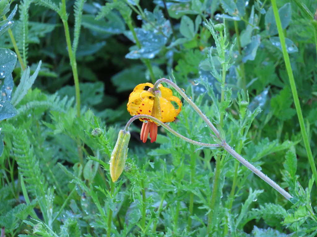 Tiger lily
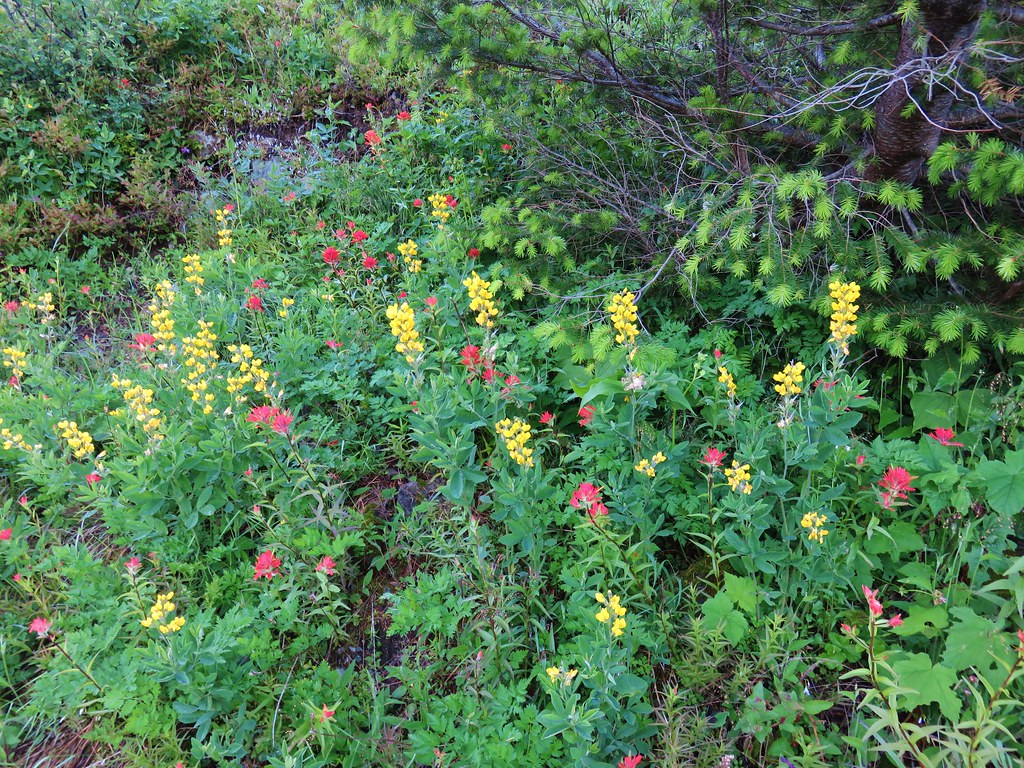 Golden pea and paintbrush
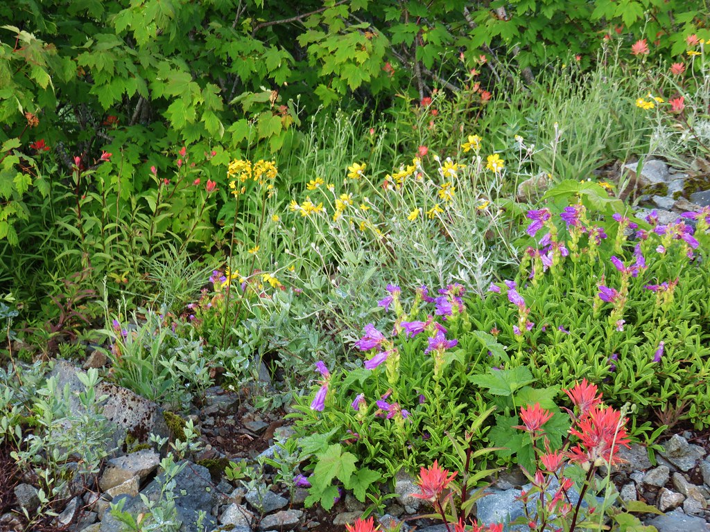 Another variety pack
 Wallflower
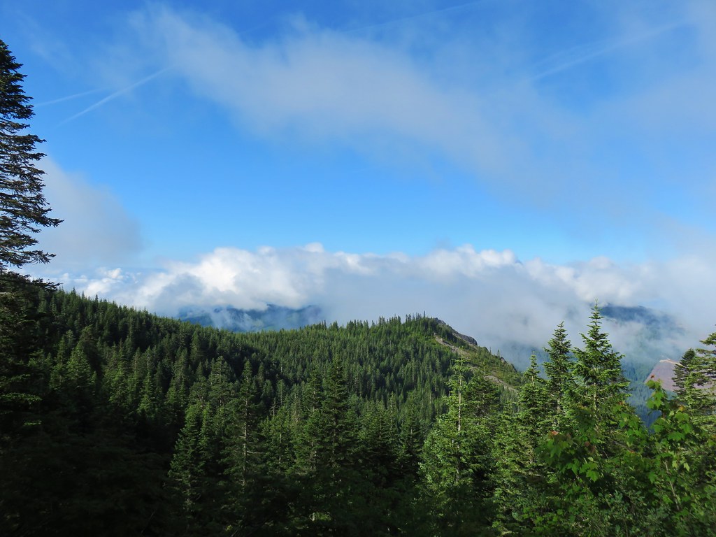

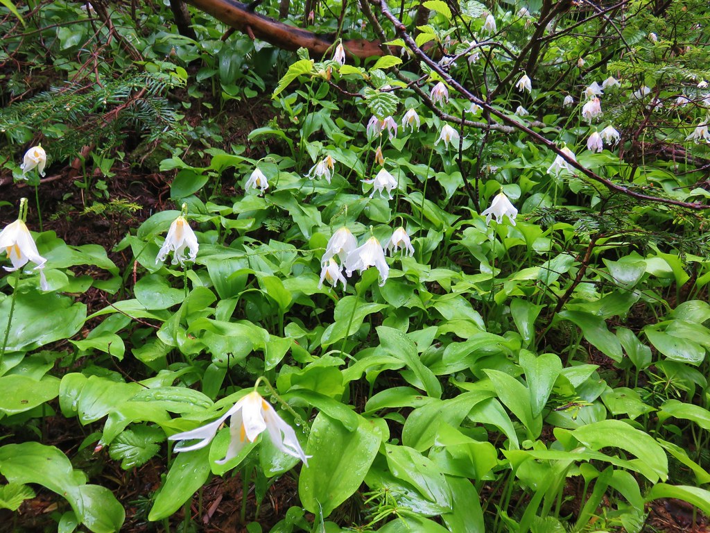 Avalanche lilies near the junction.
 Sign for the Silver Star Trail.
 Silver Star Trail
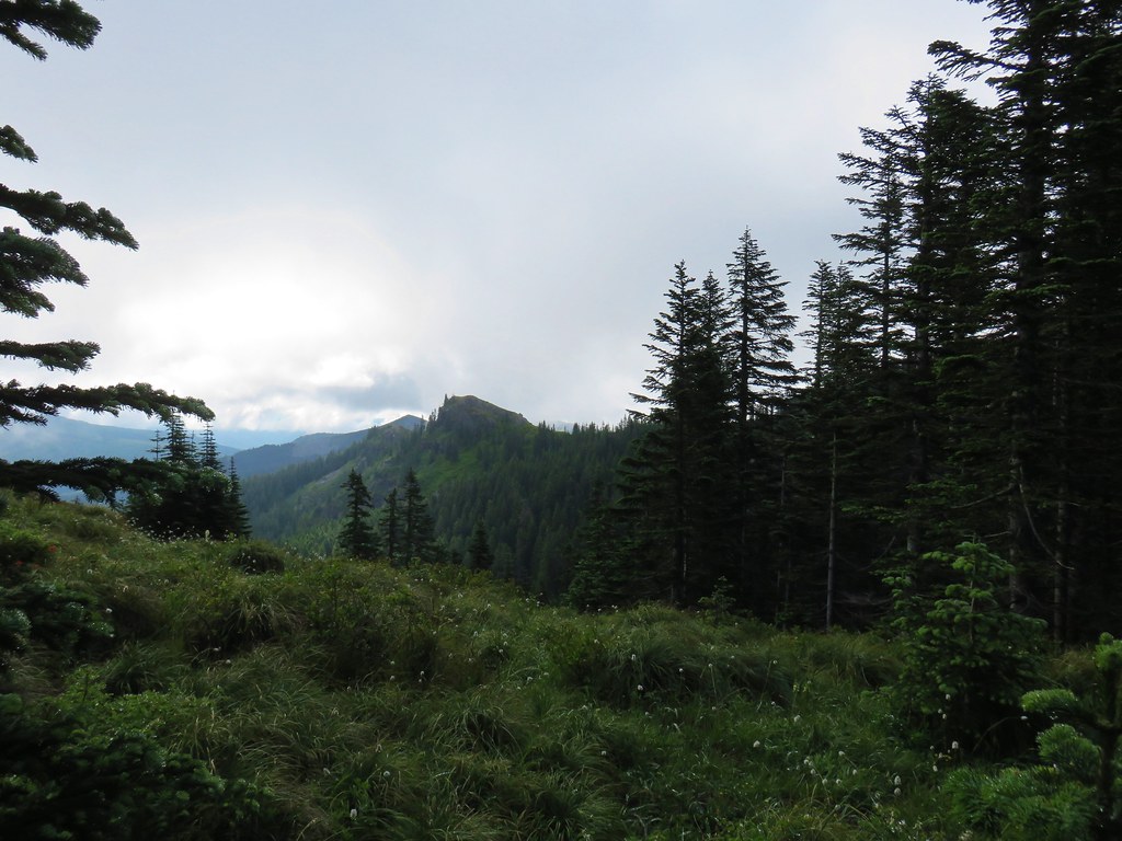


 Sturgeon Rock momentarily out of the clouds.


 Phlox
Phlox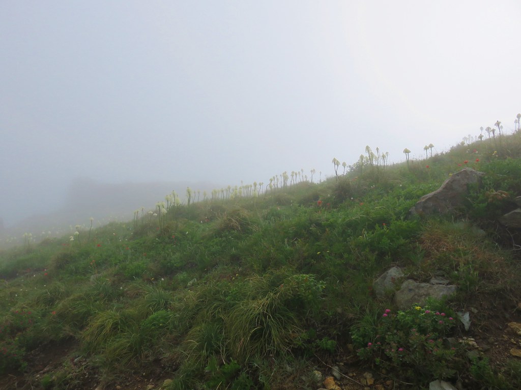 Beargrass


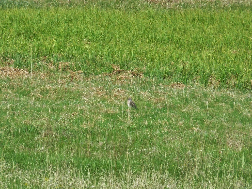
 White crowned sparrow


 Cat’s ear lily
 Rose
Rose Violets
 Rock penstemon
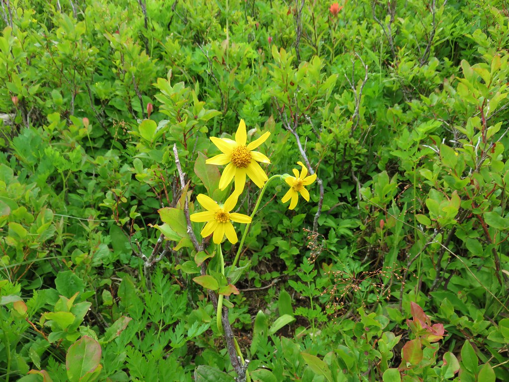
 Bleeding heart
 Candy flower
 Lousewort
 An aster or fleabane
 Backside of the arch.


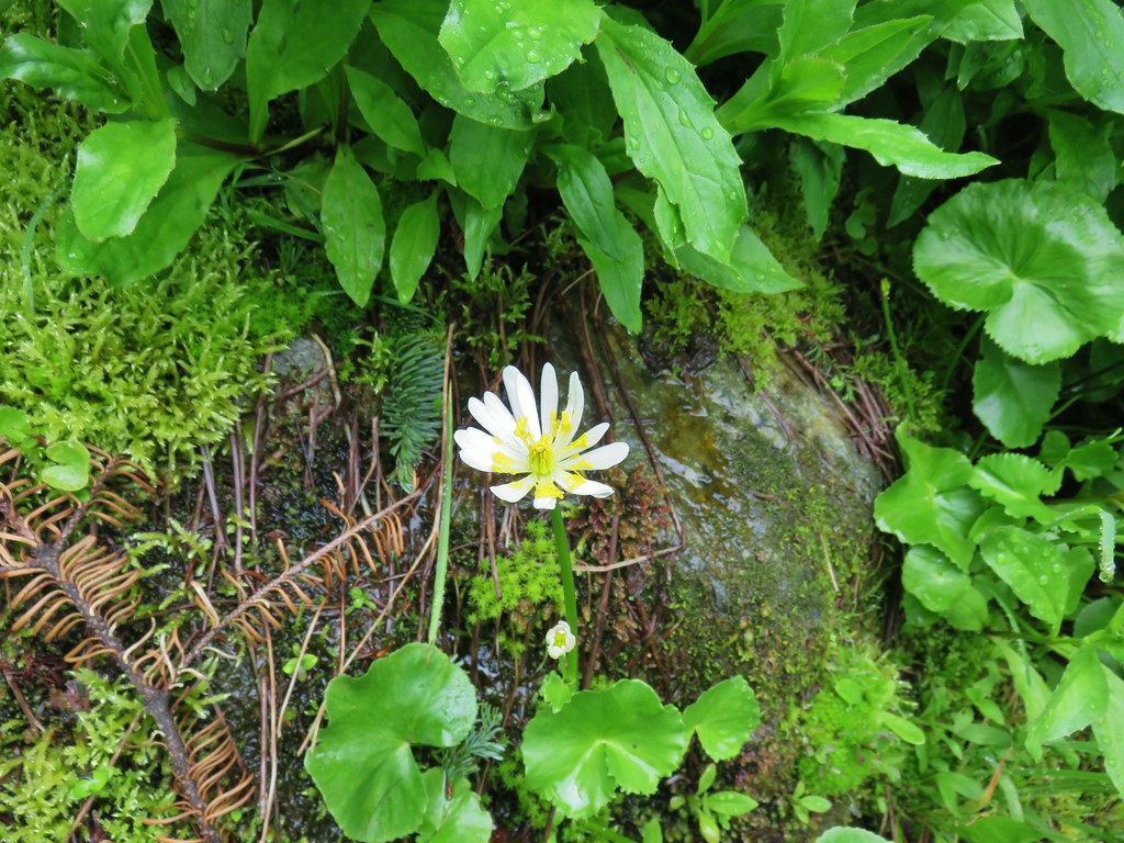 Marsh marigold
 Marsh corydalis


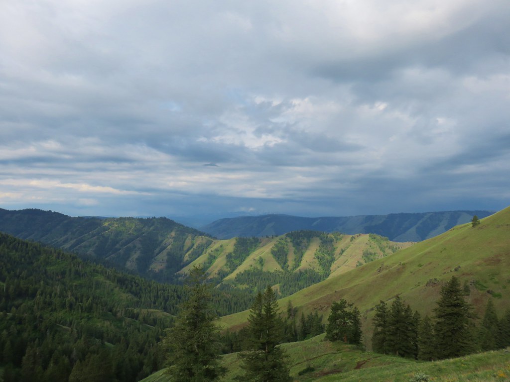
 Pyramid Rock from the Tarbell Trail
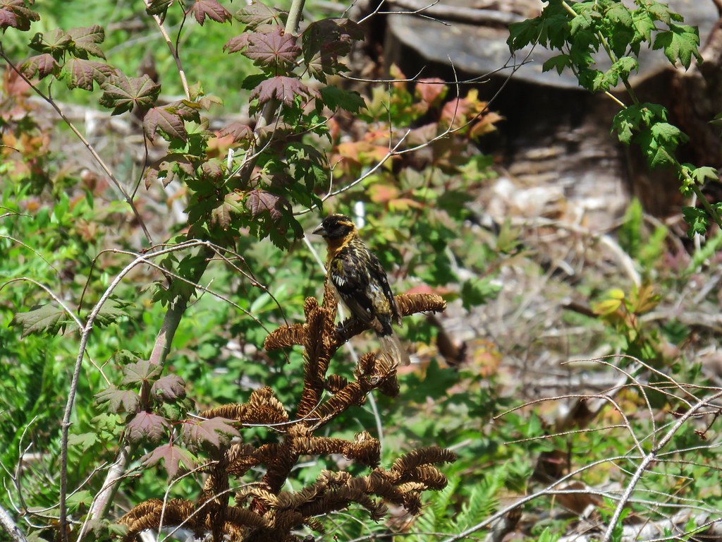 Black headed grosbeak
 Mountain parnassian
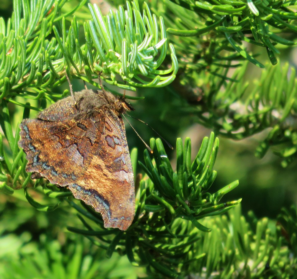


 Paintbrush above Sardine Creek
 Iris
Iris Rhododendron
 Candy flower


 Beargrass
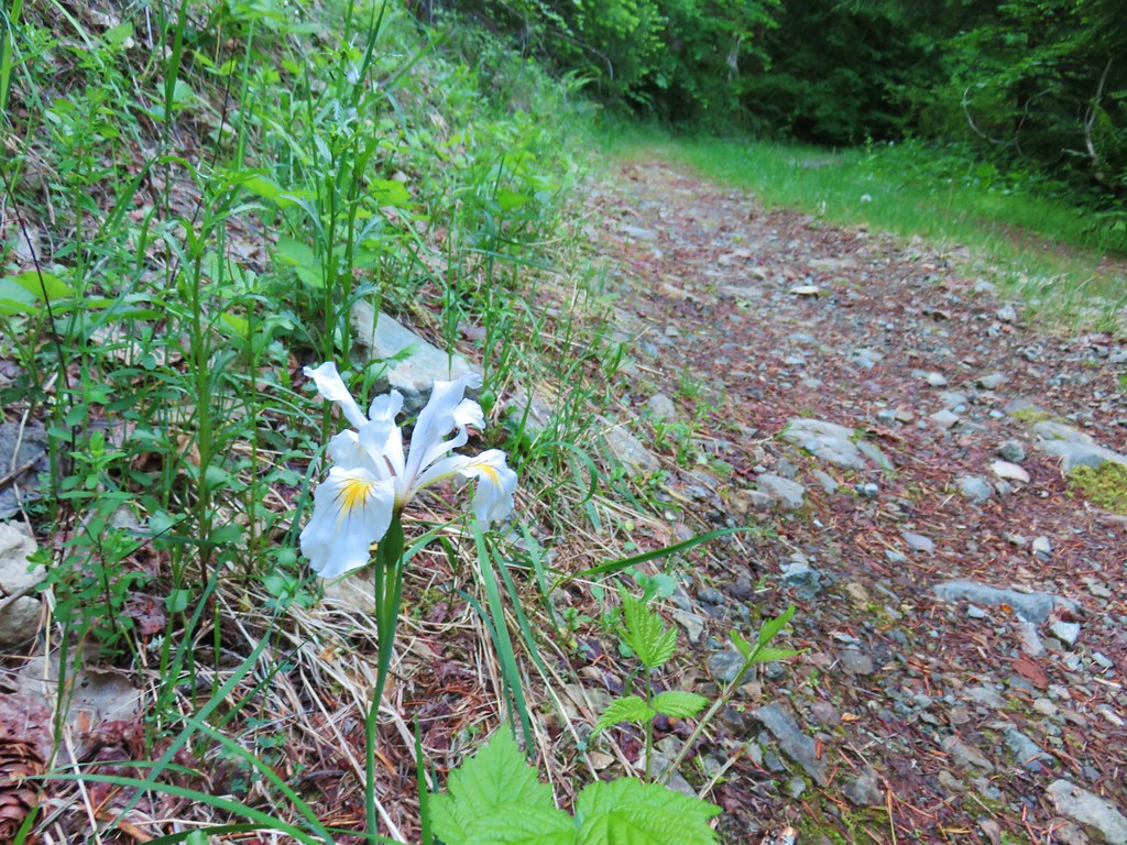 Iris
Iris Mushroom in the middle of the road
 Valerian
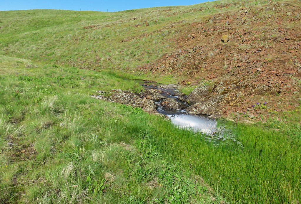
 A hillside spring
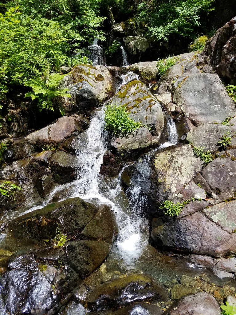


 Red flowering currant


 Mt. Hood with North Dicky Peak in front.
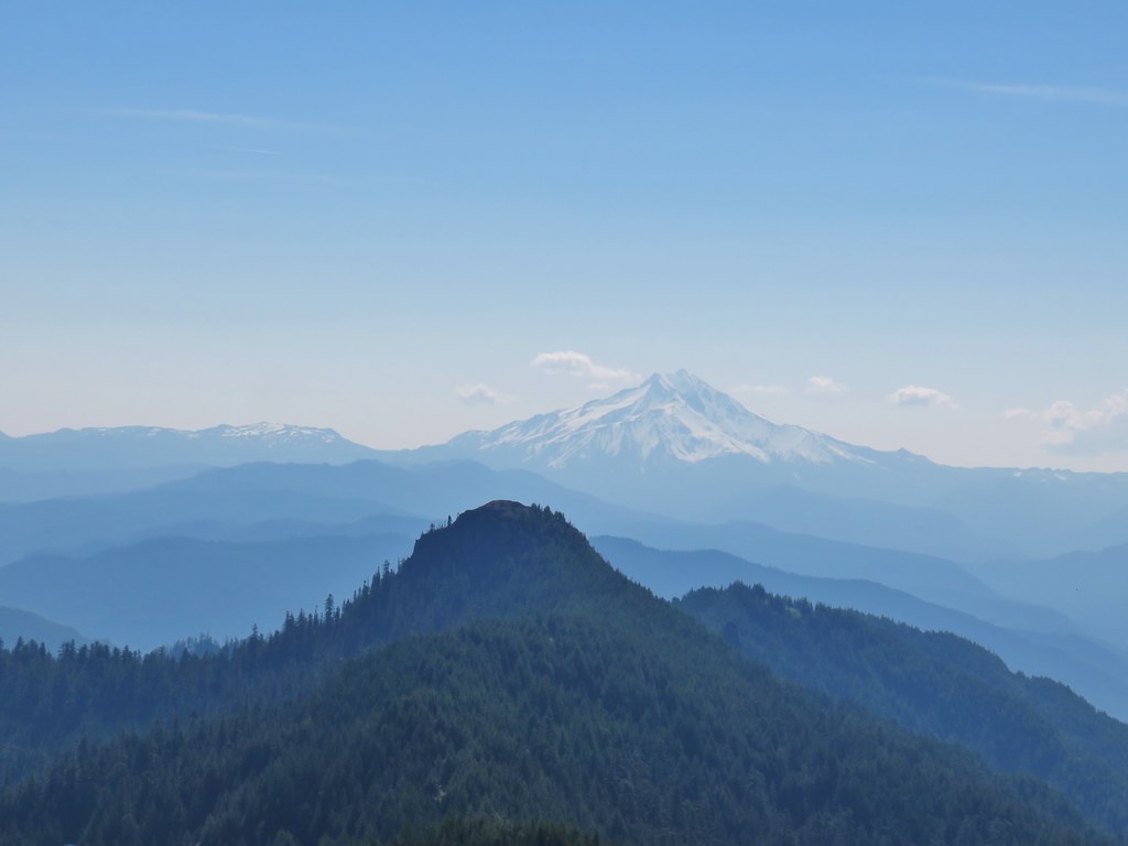


 Three Fingered Jack
 Mt. Washington and the Three Sisters
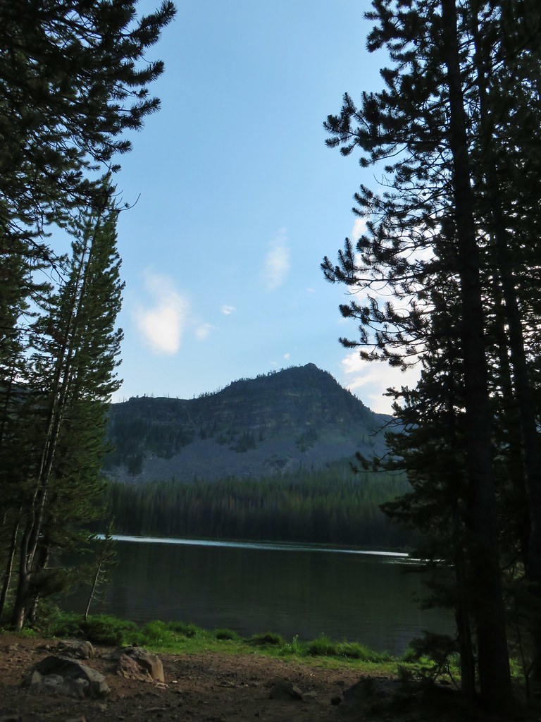
 Tumble Lake
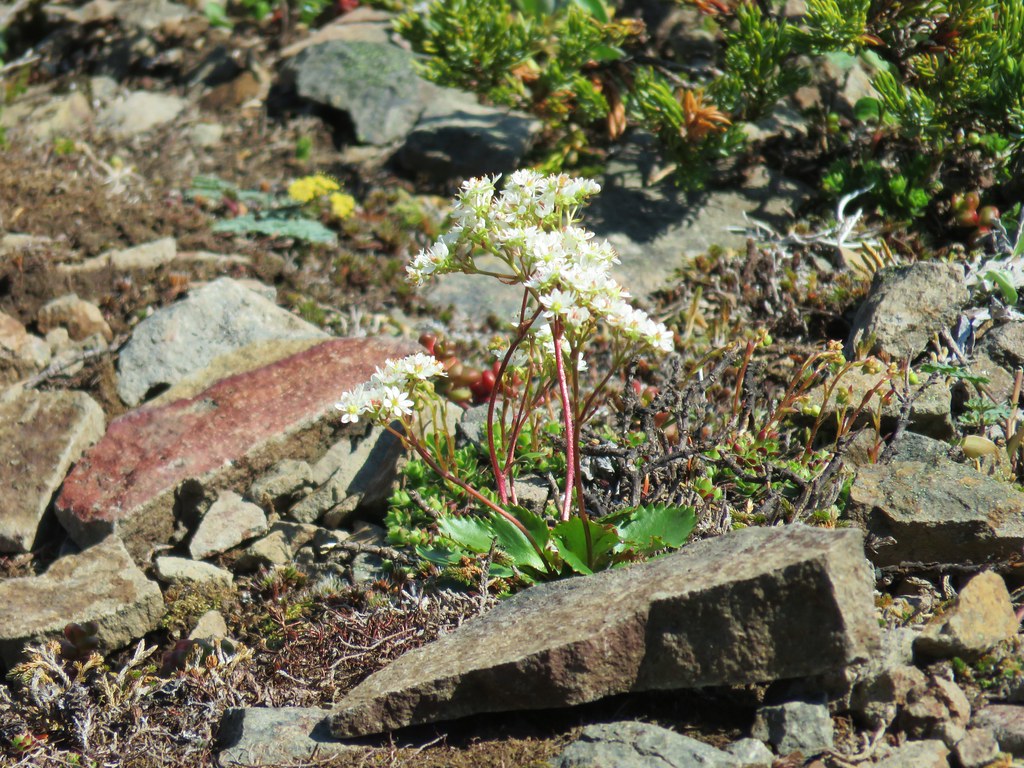 A saxifrage
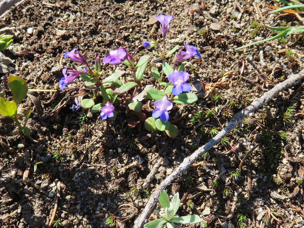 Blue-eyed mary
 Cats ears
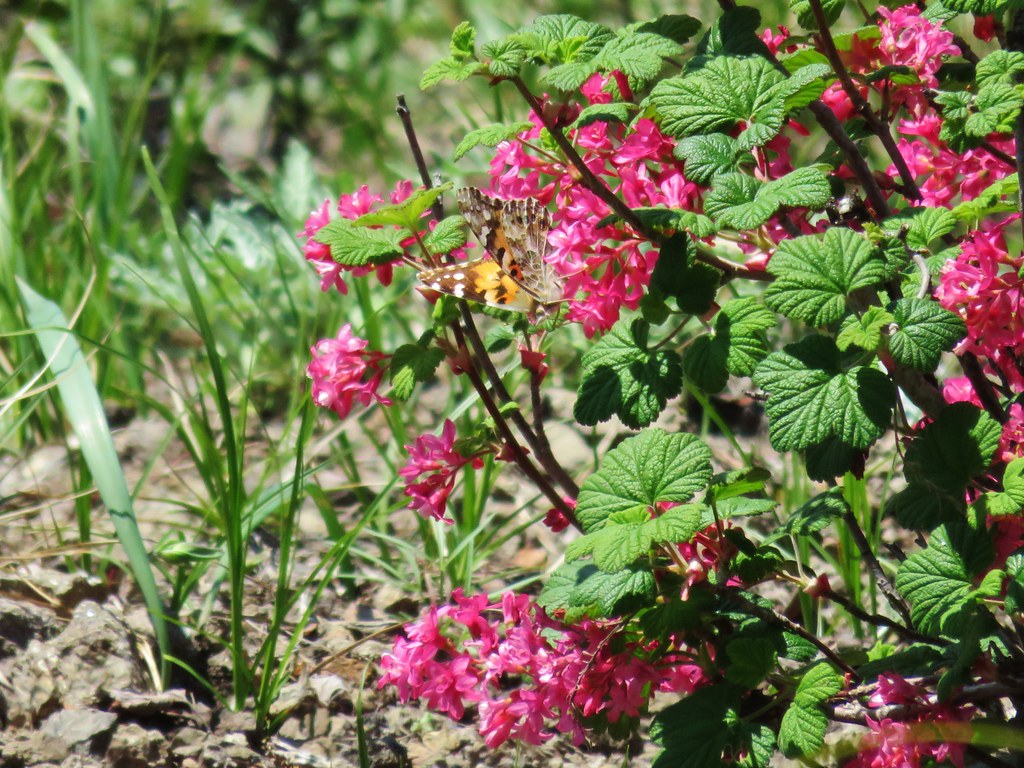 Butterfly on red flowering currant
 Rabbit
 Snake
Snake
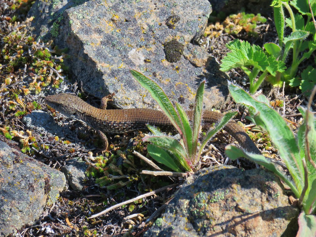
 Another northern alligator lizard
 These two long legged spiders got into a brawl when they met crossing the road.
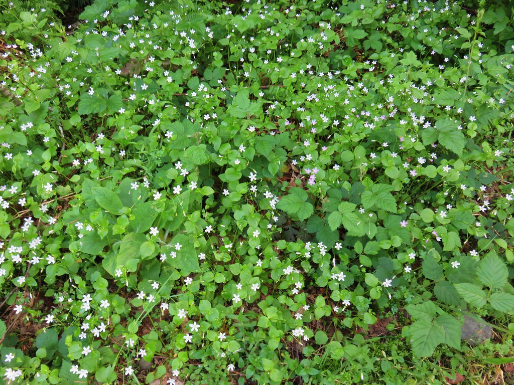
 Candy flower
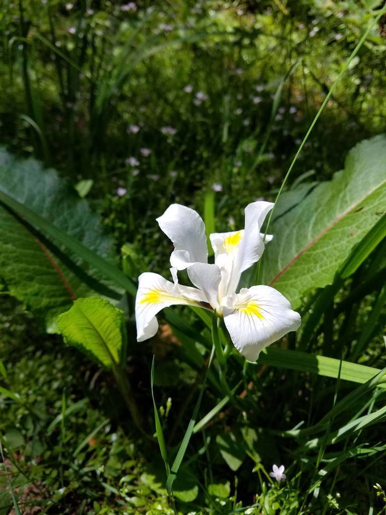 Iris
Iris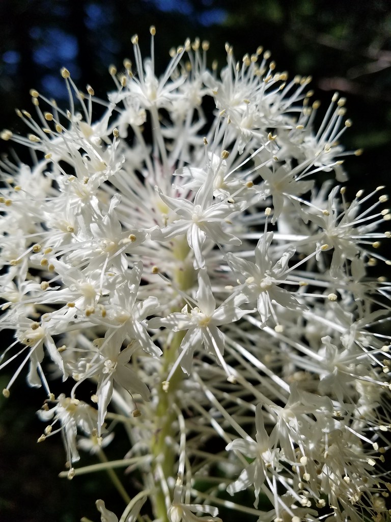 Beargrass
 Fringecup
 Monkeyflower
 Thimbleberry
 Stonecrop
 Youth-on-age with an interesting insect
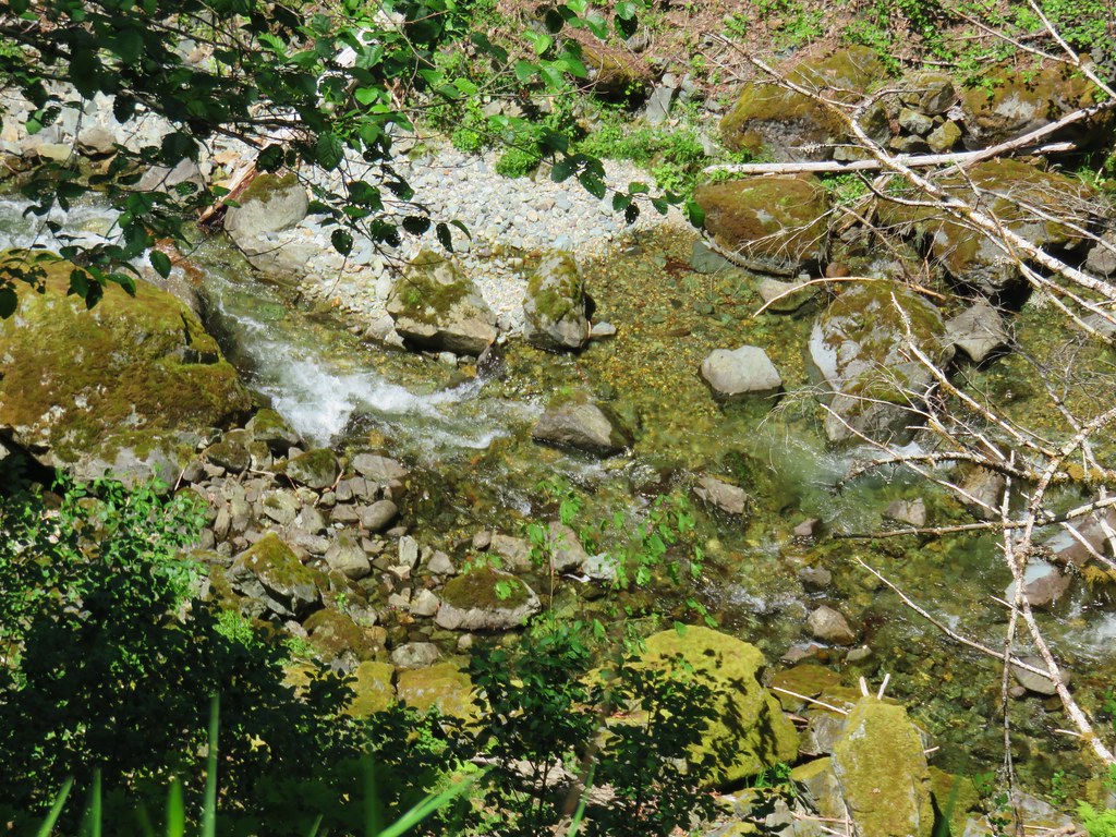


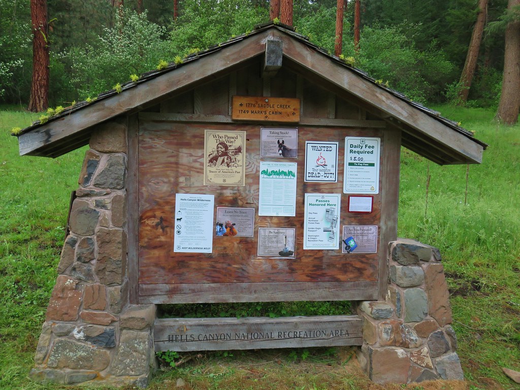
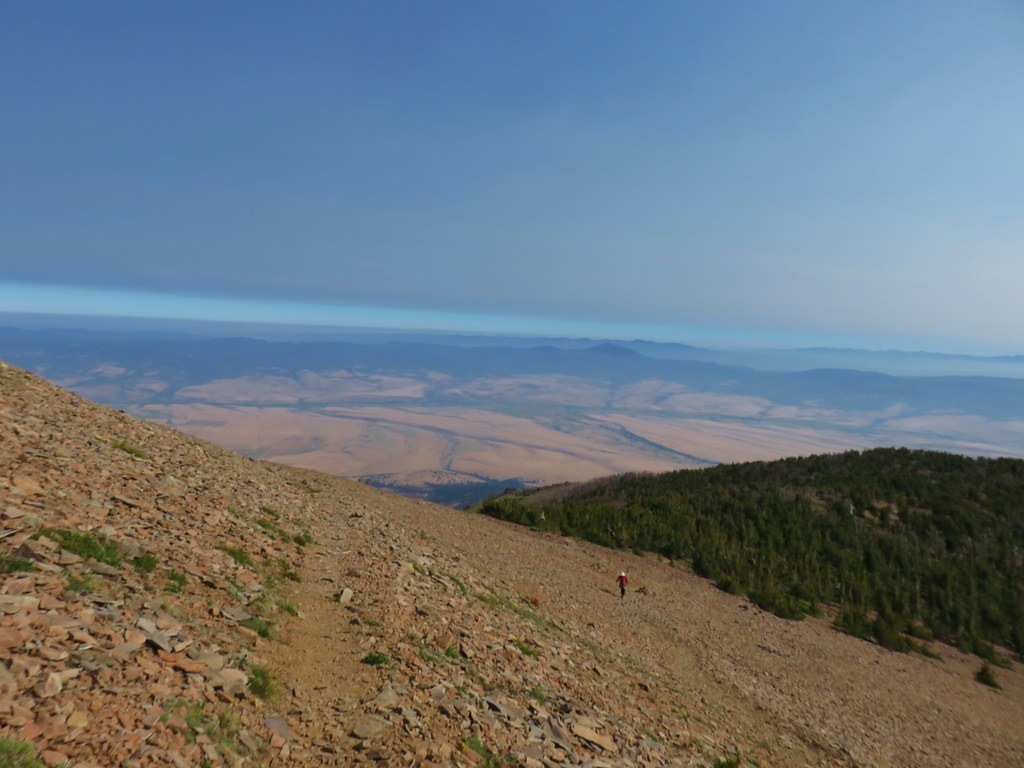
 Looking toward the Seven Devils in Idaho
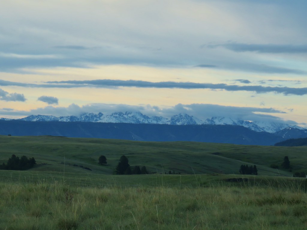

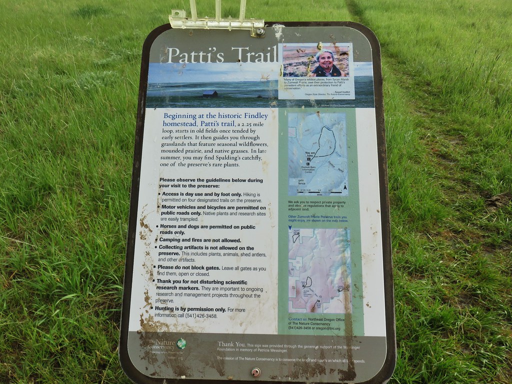
 Findley Buttes (You can see some of the standing water on Duckett Road on the right hand side.)
 Old man’s whiskers
 Phlox with larkspur in the background
 Cusick’s paintbrush
 White-stem frasera
 Paintbrush
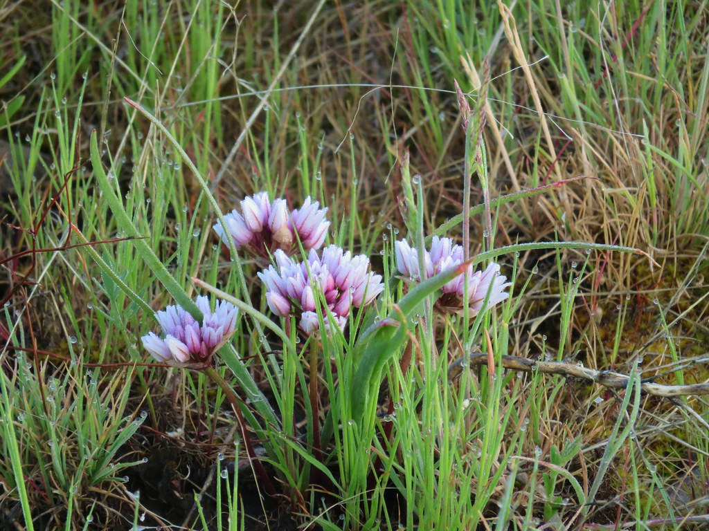 A wild onion
 Larkspur
 Milk vetch
 Chickweed
 Woodland stars
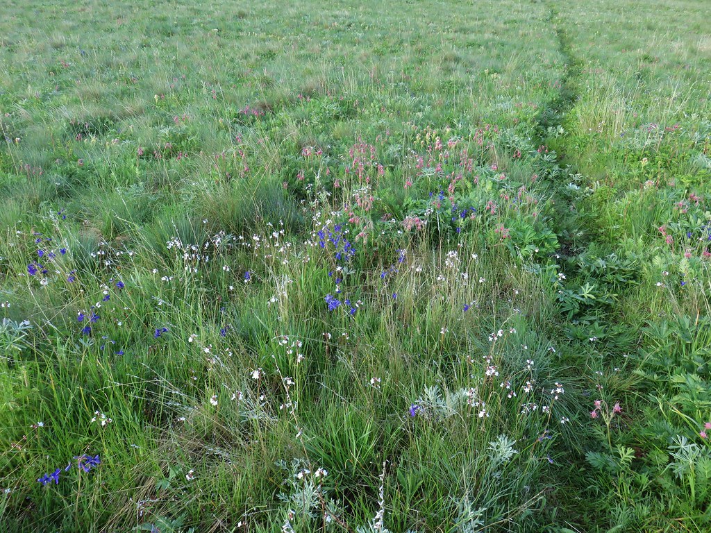
 An assortment of flowers
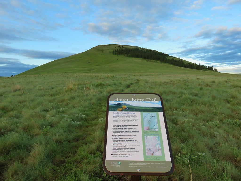
 One of the carins and the trail going up Harsin Butte in the background.

 Monument plant
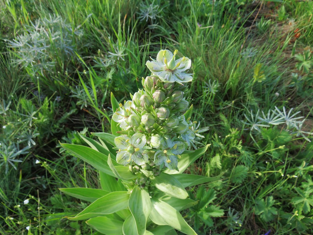 Top of the monument plant
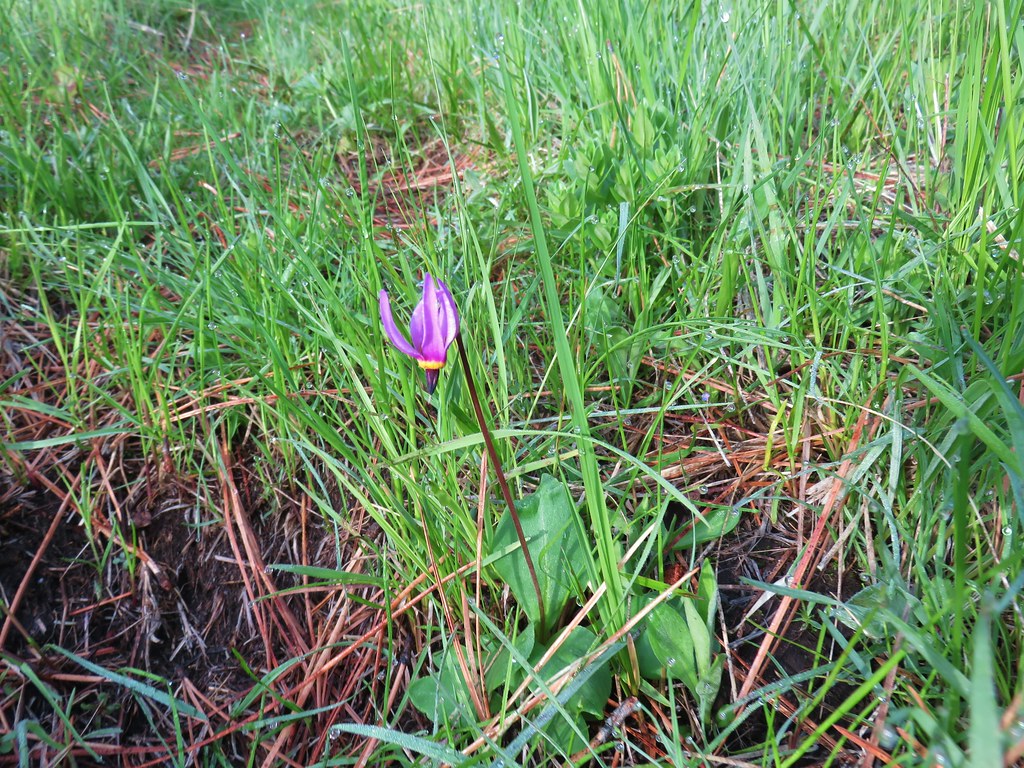 Shooting star
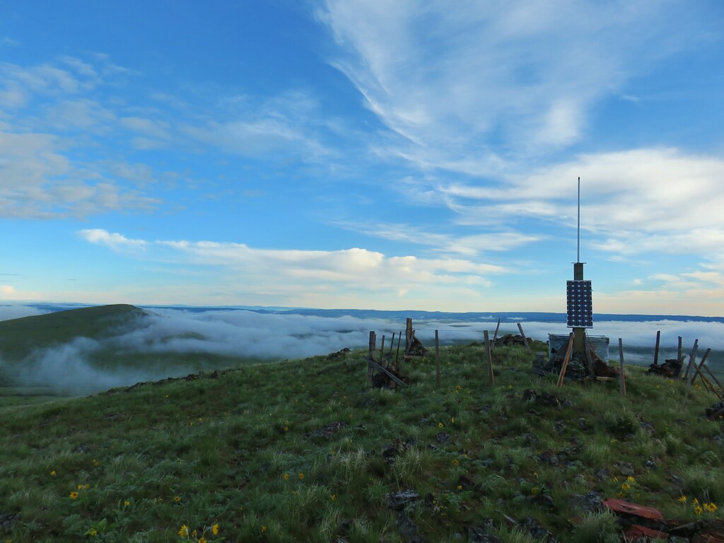
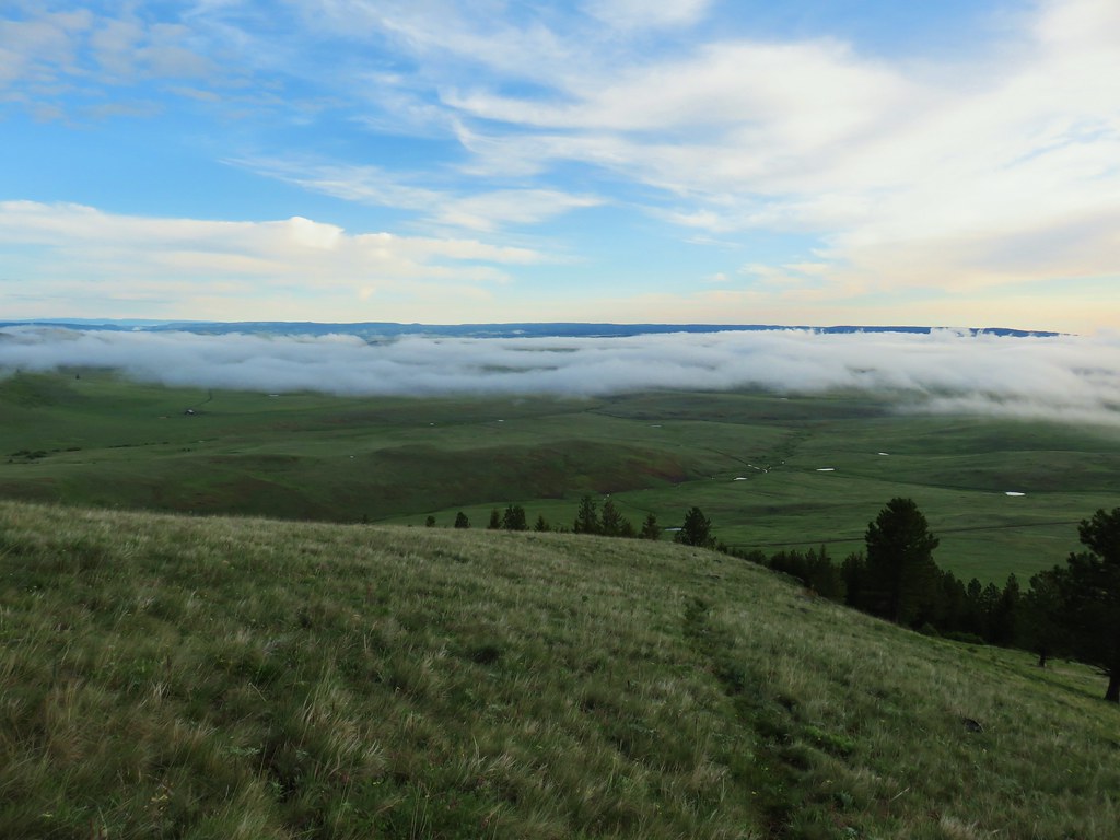 Here comes the clouds.
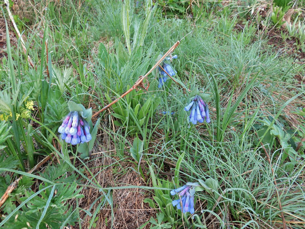 Bluebells
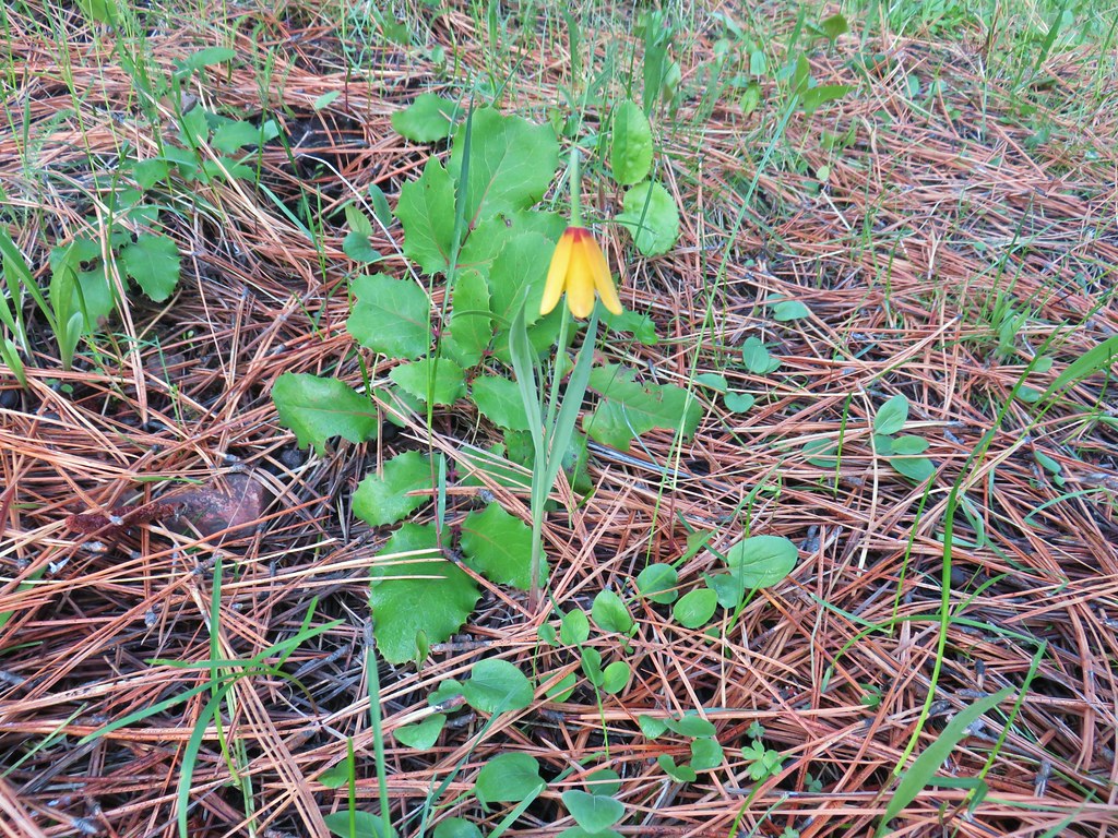 Yellow bell
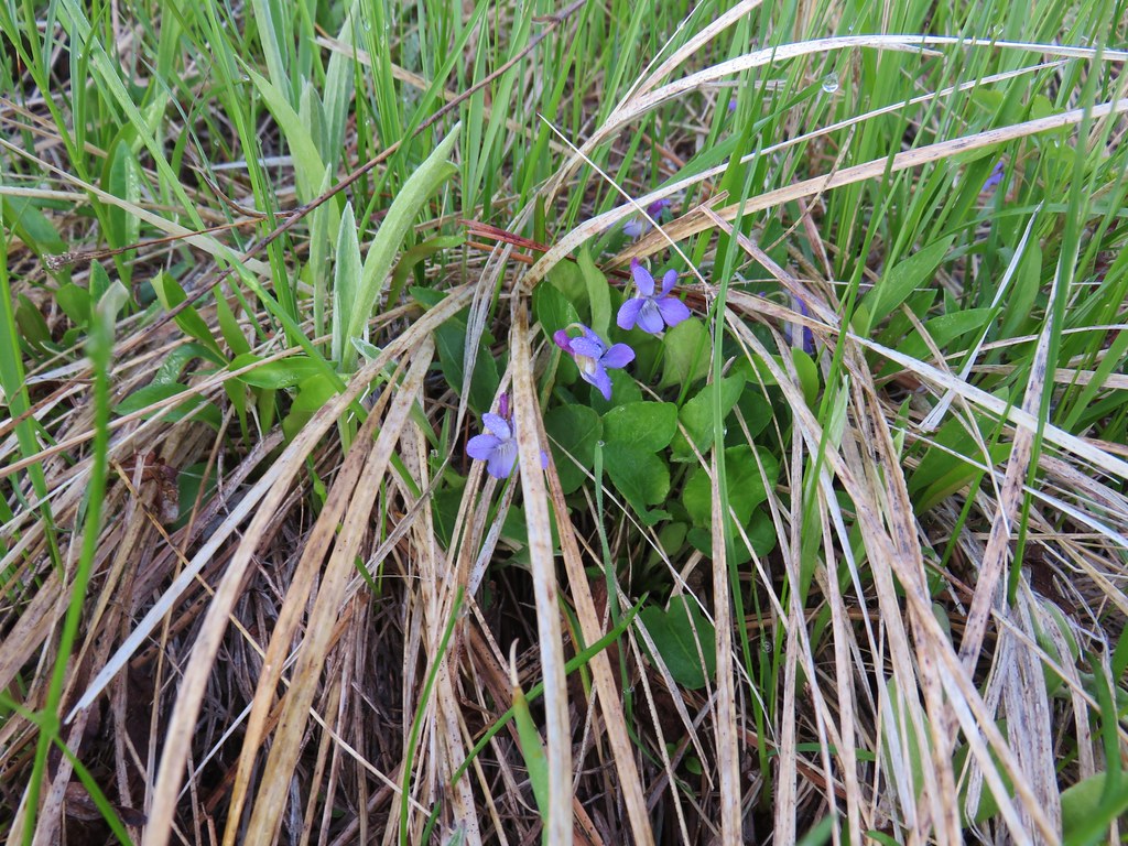 Violets
 Ball-head waterleaf


 Camas
Camas Old man’s whiskers and white-stem frasera
 Lots of phlox
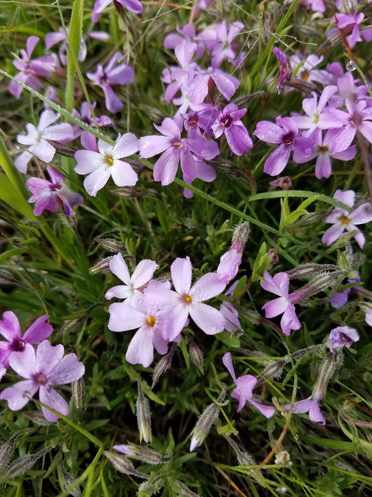 Phlox
Phlox Large head clover, larkspur, and wild onion
 Large head clover
 Wild onion
 Duckett Barn starting to disappears as we descended.
 Possibly hoary balsamroot
 Hoary balsamroot?
 Phlox
Phlox Diffuseflower evening-primrose
 Camp Creek

 Possibly a mustard
 White-stem frasera blooming
 Violets
 Hairy clematis
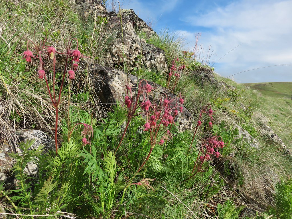 Old man’s whiskers

 Cusick’s paintbrush


 Paintbrush and biscuitroot
 A ragwort or groundsel (I think)
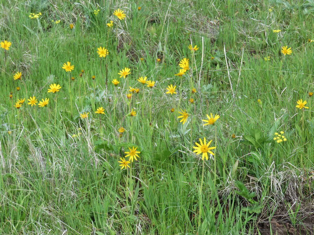 False sunflower?
 Old man’s whiskers and milk vetch
 Western stoneseed
 I had to dip into the digital zoom to get this photo so it’s a bit blurry.
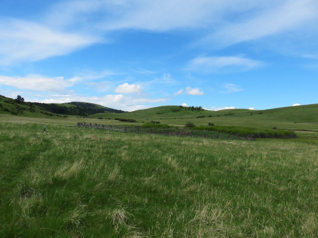


 Dwarf yellow fleabane
 Blue dicks
 Looking back down the draw.


 (The black dot in the center of the hill is one such cow.)
 Western stoneseed
 Prairie stars
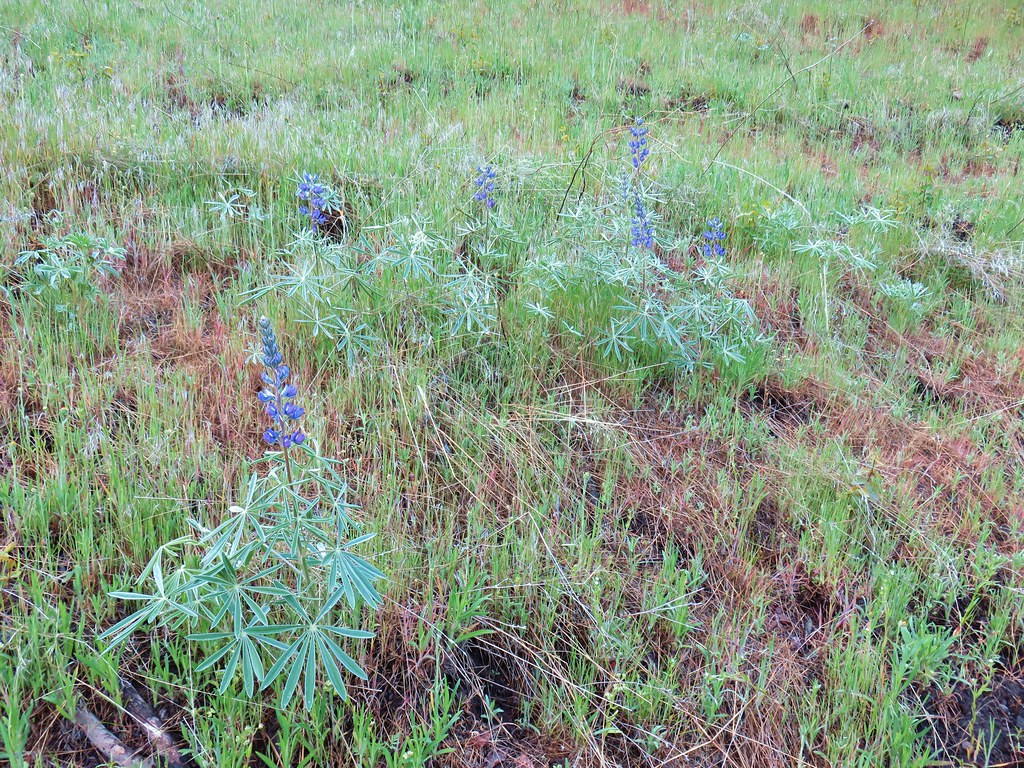 Lupine
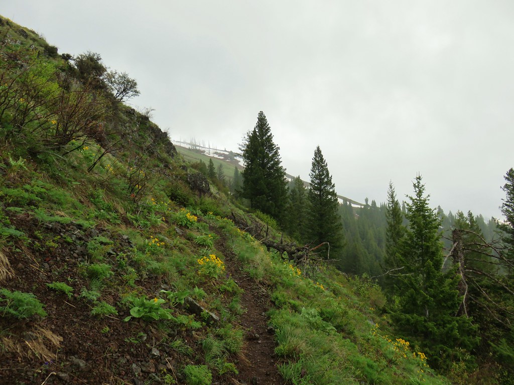
 Heather emerging from the brushy section.


 Blue Dicks
 Balsamroot
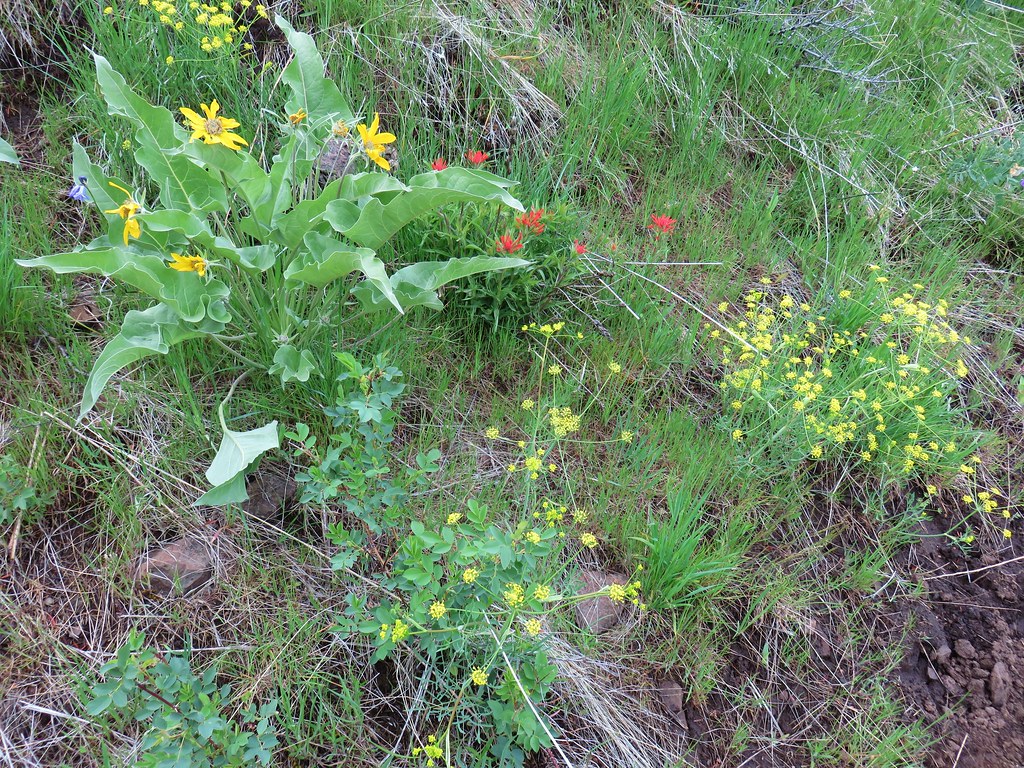 Balsamroot, paintbrush and biscuitroot
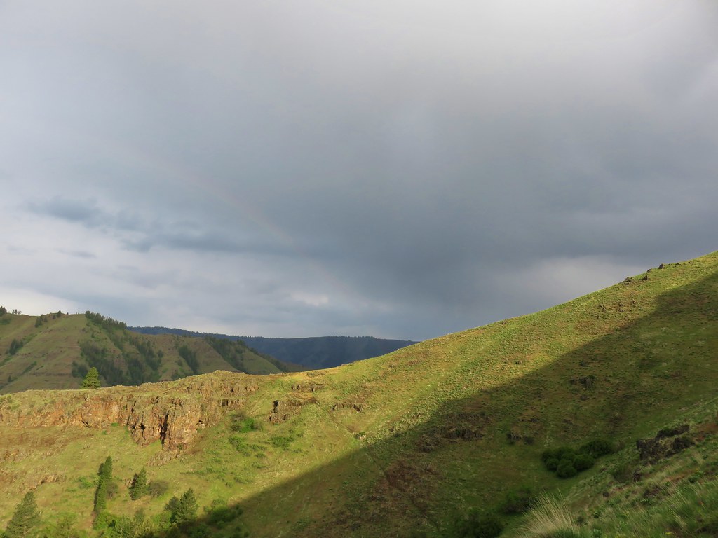


 Larkspur and monkeyflower
 Paintbrush
 Chickweed
 Possibly going to be a penstemon
 Unkown
 Lupine
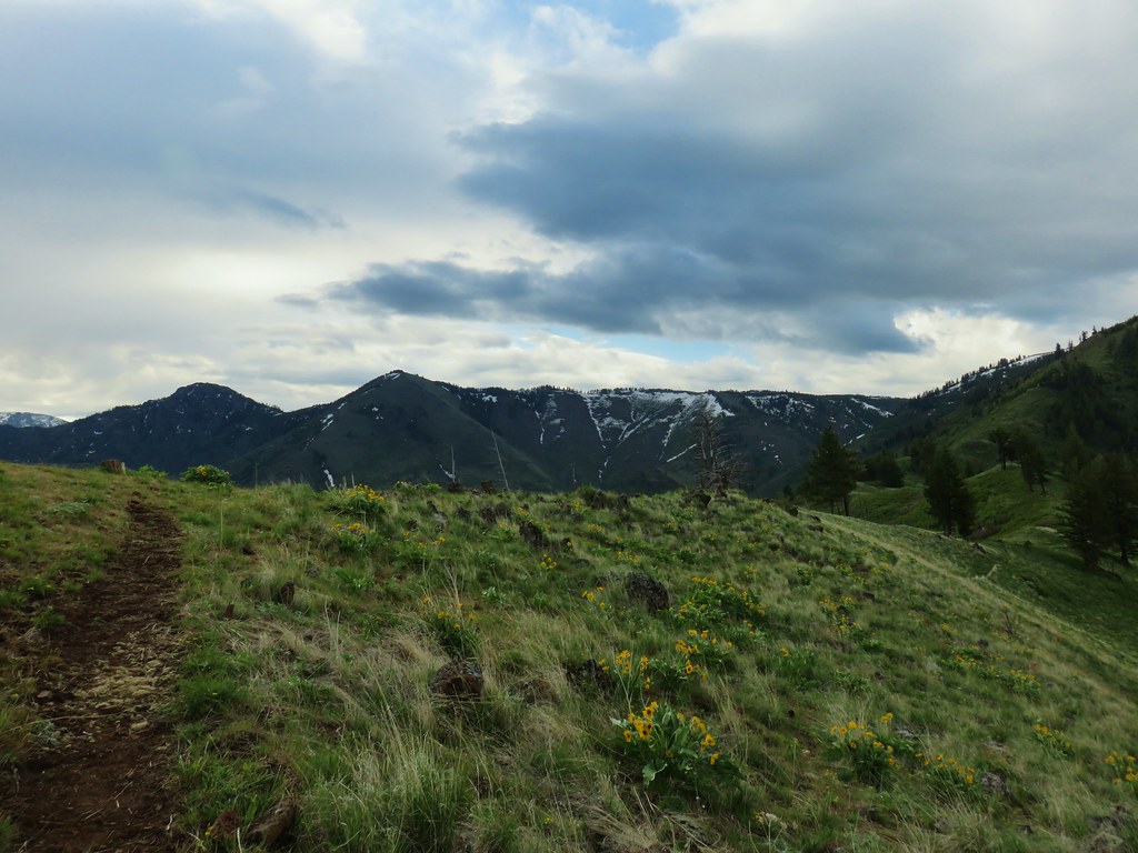

 West to the quickly vanishing Wallowa Mountains.
 North
North South
South East into Hells Canyon
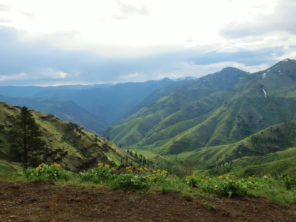
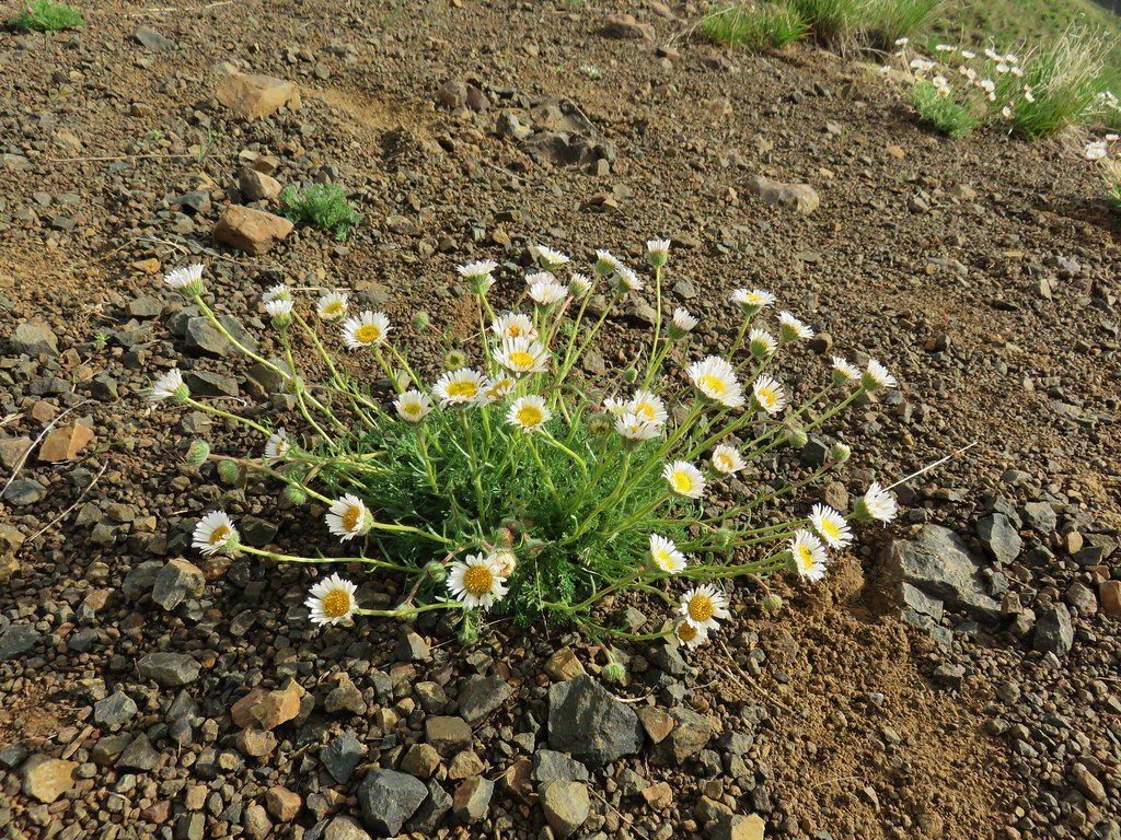 Cutleaf daisy
 Largehead clover


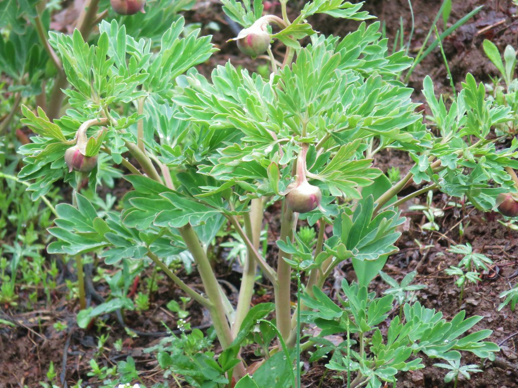 Brown’s peony getting ready to bloom.
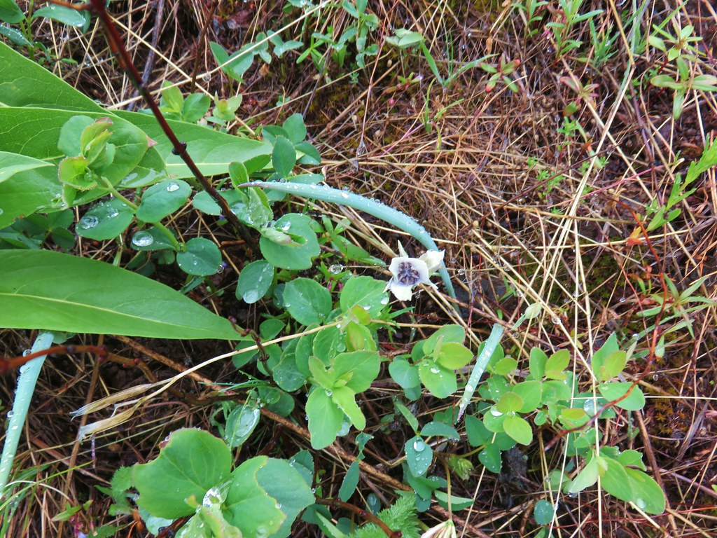 Mariposa lily starting to open.
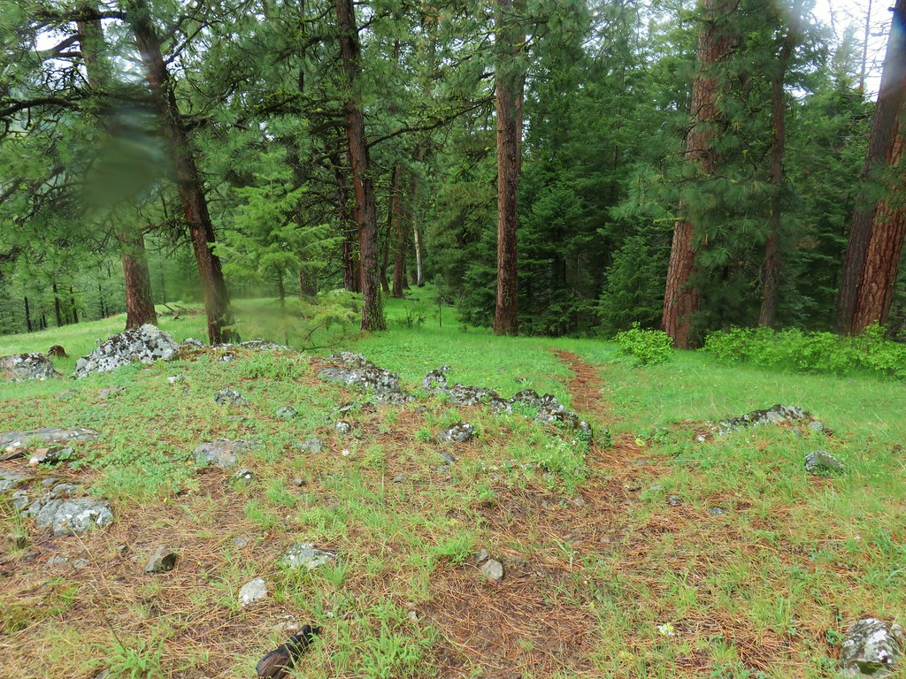


 Small flower miterwort
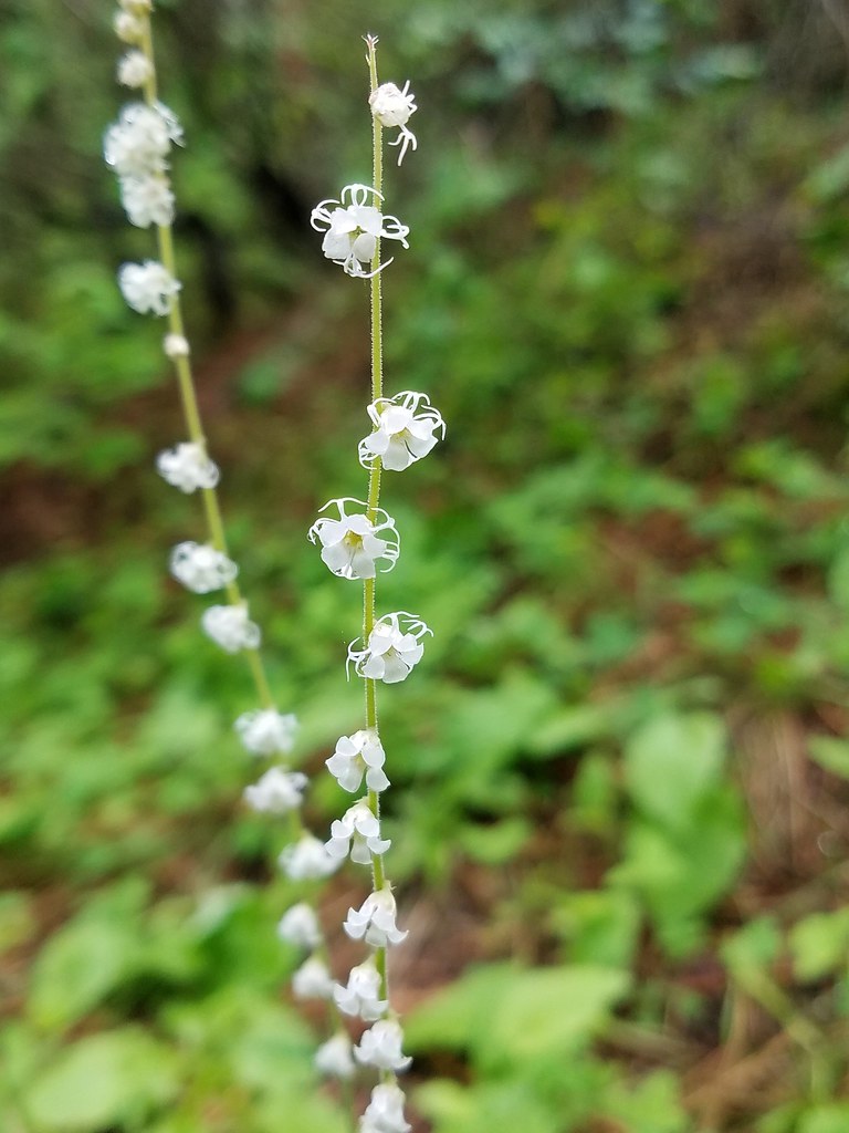


 Yarrow


 First coyote in the grass.
 Second coyote racing off through the grass.
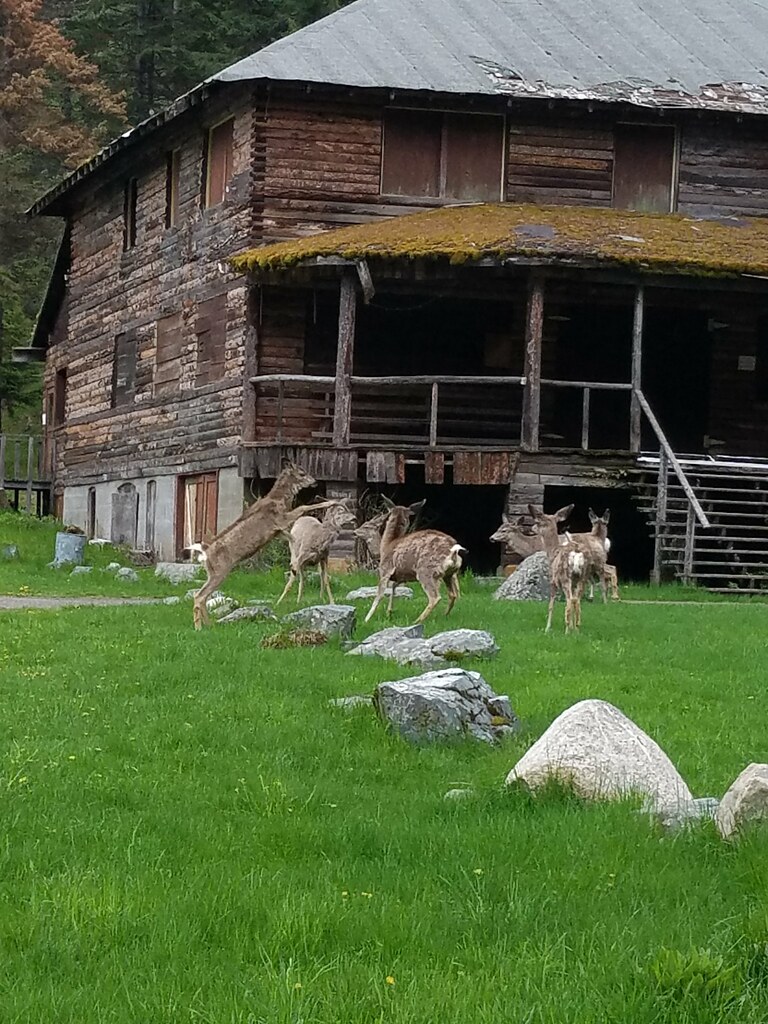
 One of the deer running off.
 Great blue heron flying off.
 White pelicans circling overhead.

 Bald Eagle
 Wild Rose
 Butterfly
 Killdeer
 An egret on the other side of the slough.
 Sagebrush lizard
 Another butterfly
 Deadly Nightshade
 A goose in the reeds.
 Anemone
 Fairyslipper
 Arnica


 Bluebells
 Prairie stars
 More rock clematis
 Paintbrush
 Larkspur
 Area near the viewpoint.
 Looking further into the Wallowas.
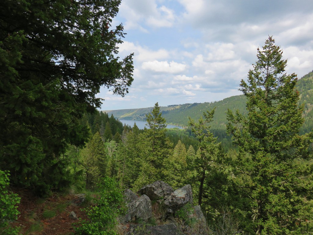 Wallowa Lake


 Shooting star
 Old man’s whiskers
 Possibly a checkermallow
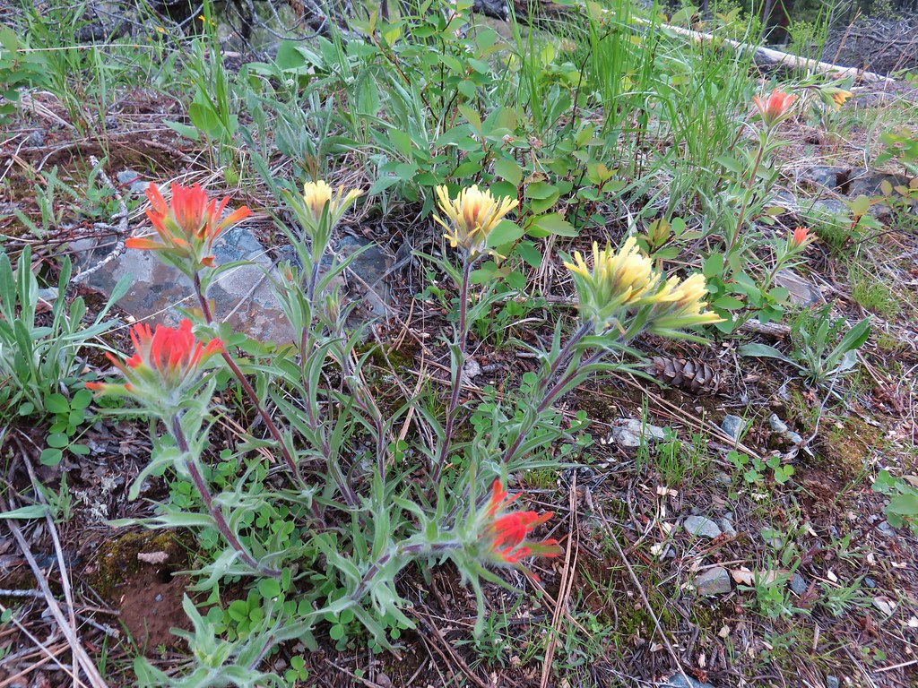 Paintbrush


 Chocolate lily
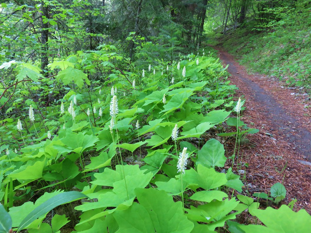 Vanilla leaf
 Columbia windflower (anemone)
 Red flowering currant
 Ball-head waterleaf
 Dogwood (and a crab spider)
 Arnica
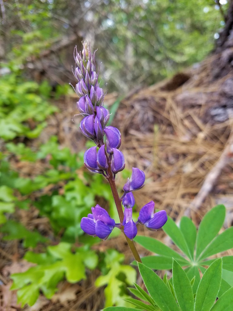 Lupine
 Lupine yet to bloom
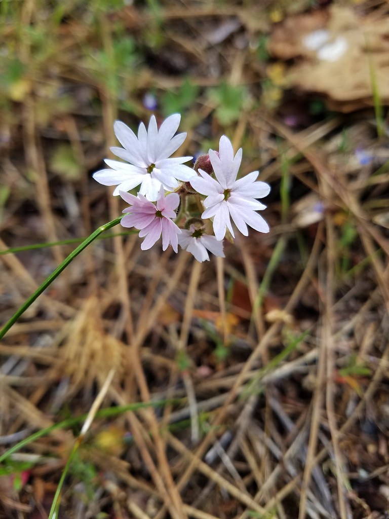 Woodland stars
 Larkspur with biscuitroot in the background
 Fairy slippers
 Indian paintbrush
 Popcorn flower
 Sandwort
 Sticky blue-eyed mary
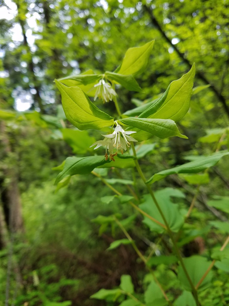 Hooker’s fairy bells
 Solomon’s seal
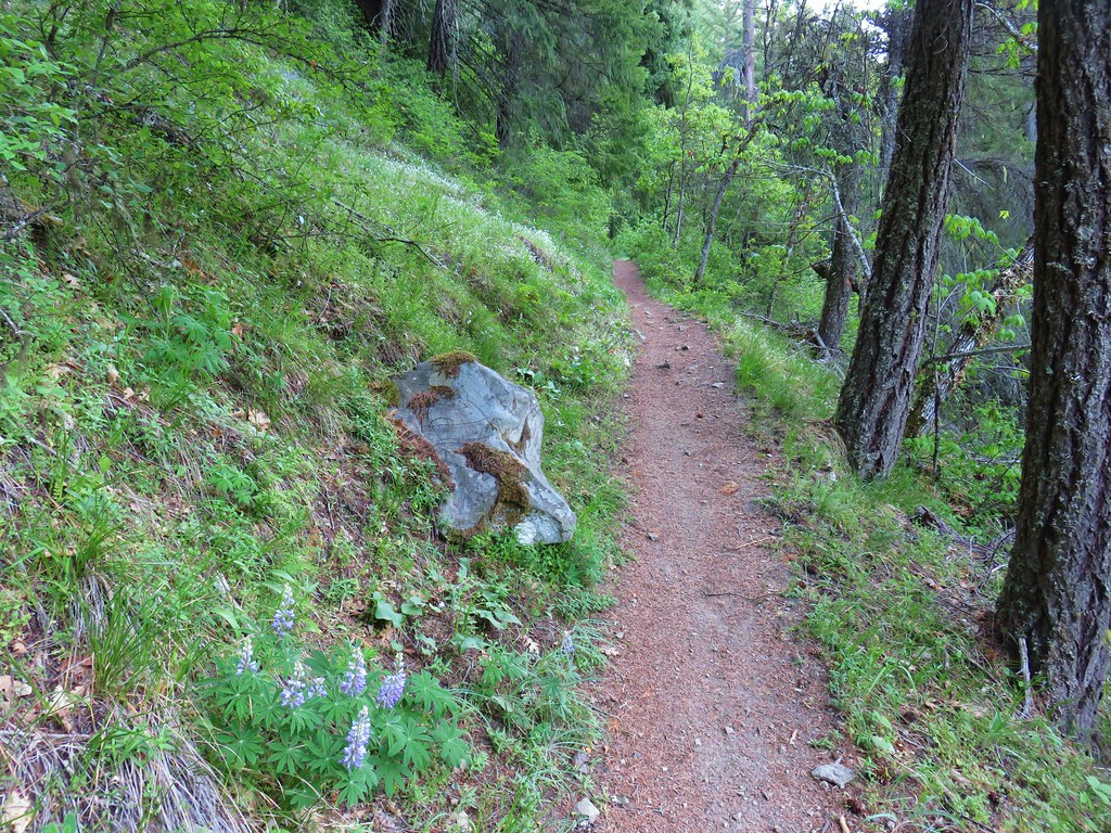


 Penstemon
 Phlox
Phlox


 Manzanita
 A currant
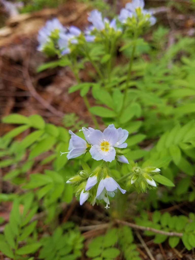 Jacob’s ladder
 Popular tree


 There was quite a bit of Jacob’s ladder along this stretch of trail.
 Oregon anemone
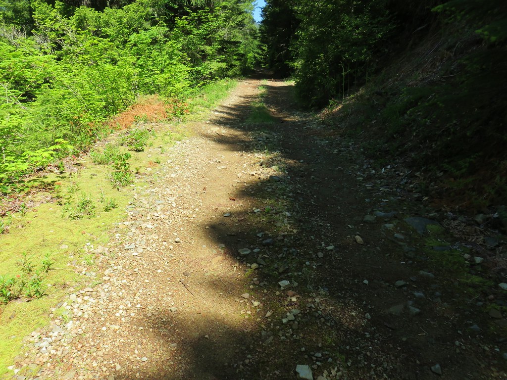
 Forest Road 620.


 A still cloudy Mt. Hood
 Looking down the talus slope with the Dog River Trail visible between the trees to the right.


 Snow queen – McDonald Forest, February
 Arnica
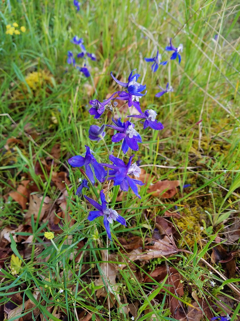 Larkspur
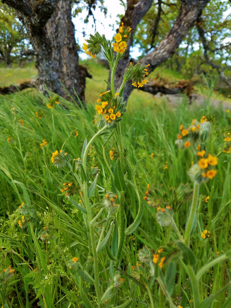 Fiddleneck
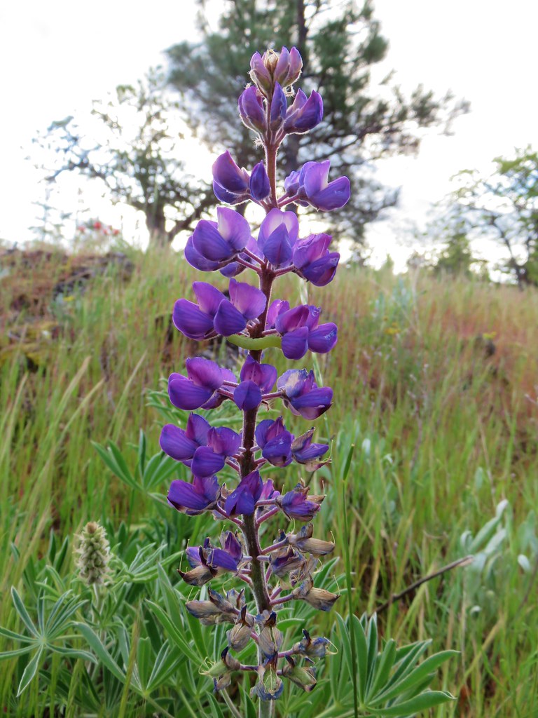 Lupine
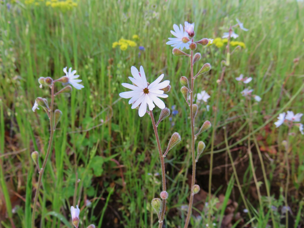 Prairie star
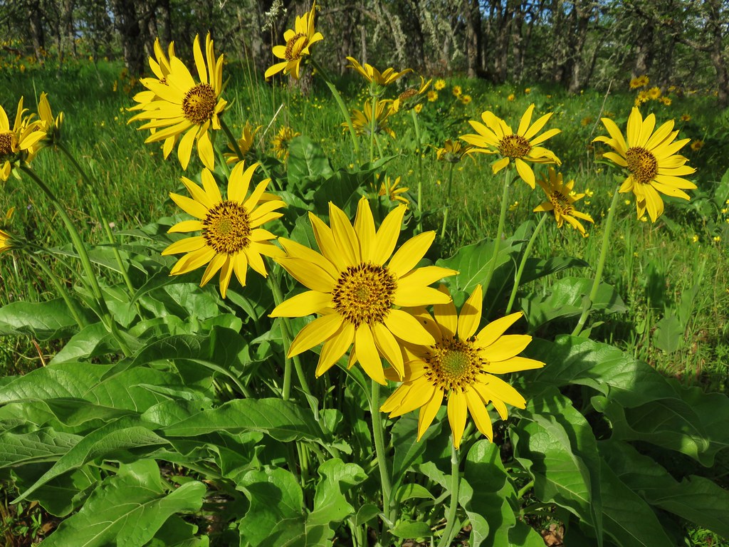 Balsamroot
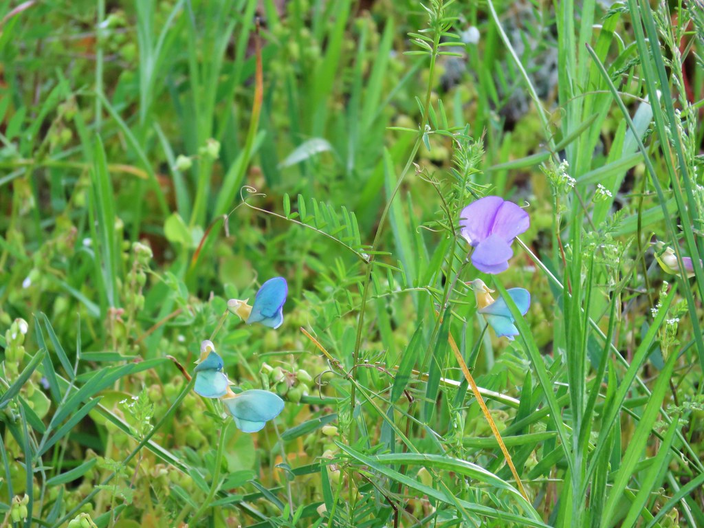 Unknown
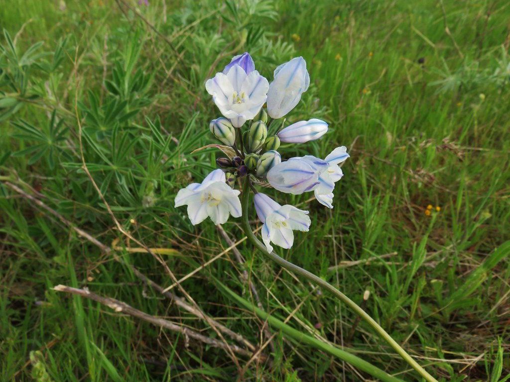 Large-flower triteleia
 Giant head clover
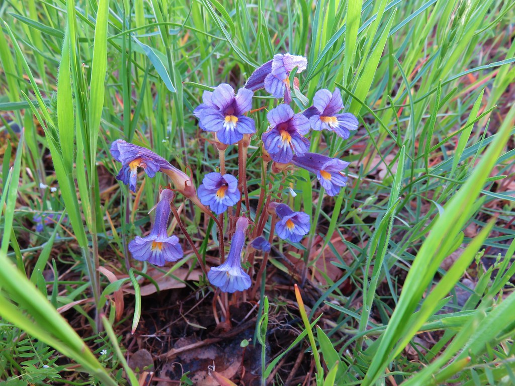 Broomrape
 Fairybells
 Hound’s tongue
 Dogwood
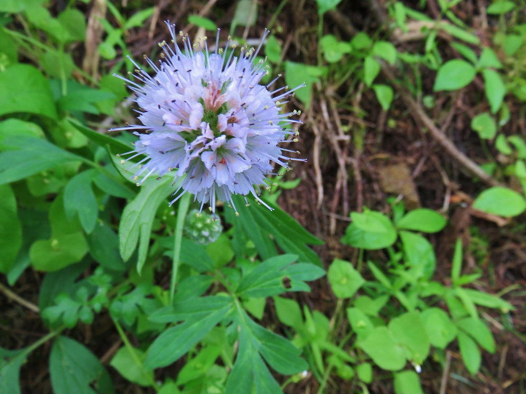 Ballhead waterleaf
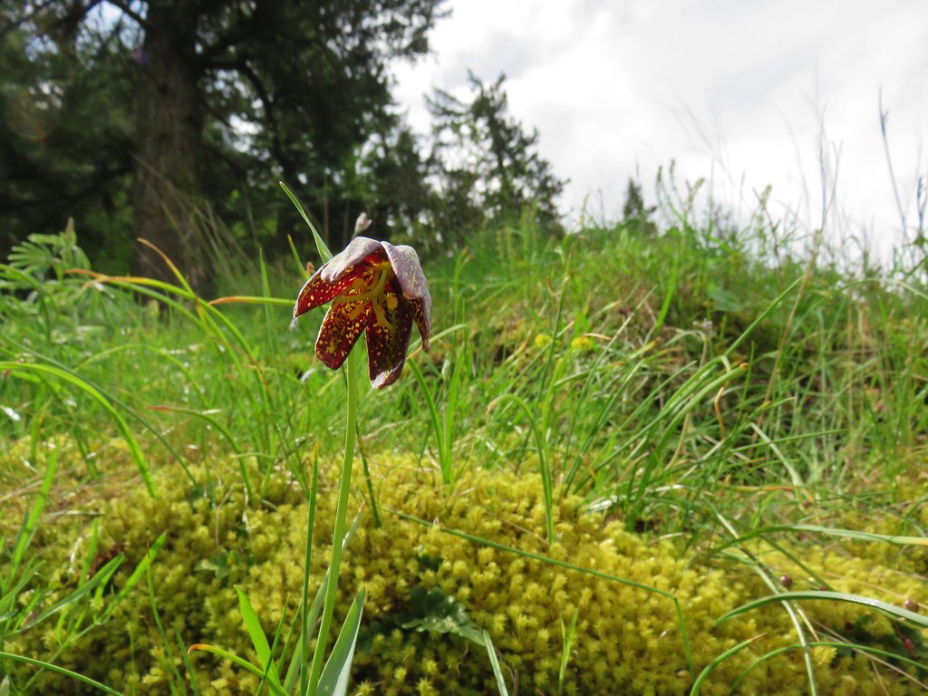 Chocolate lily
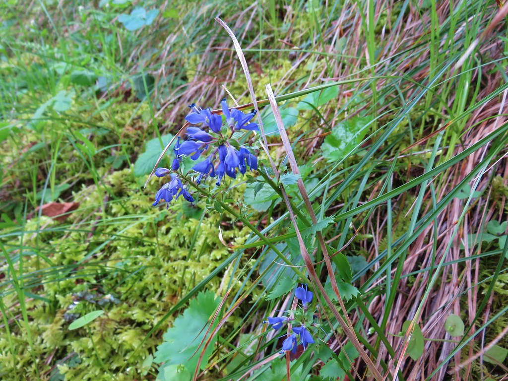 Kittentails
 Grass widow
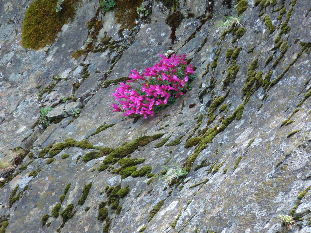 Penstemon
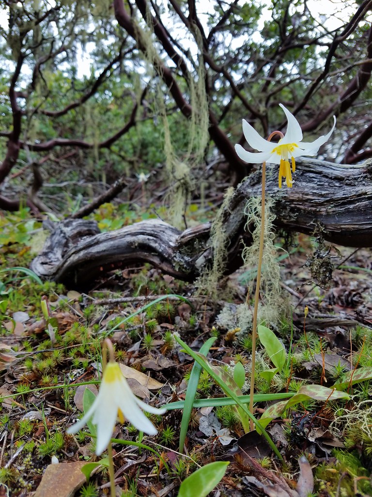 Fawn lily
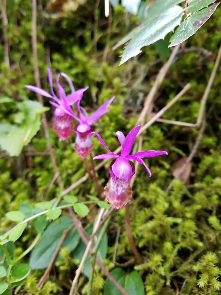 Fairy slippers
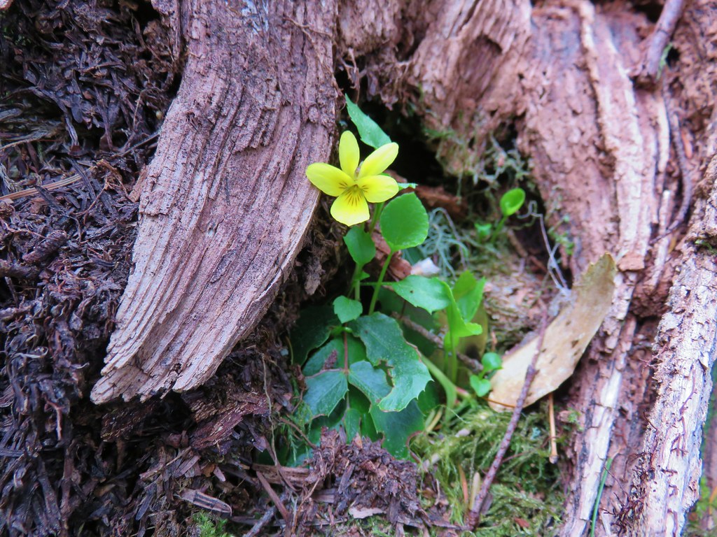 Wood violet
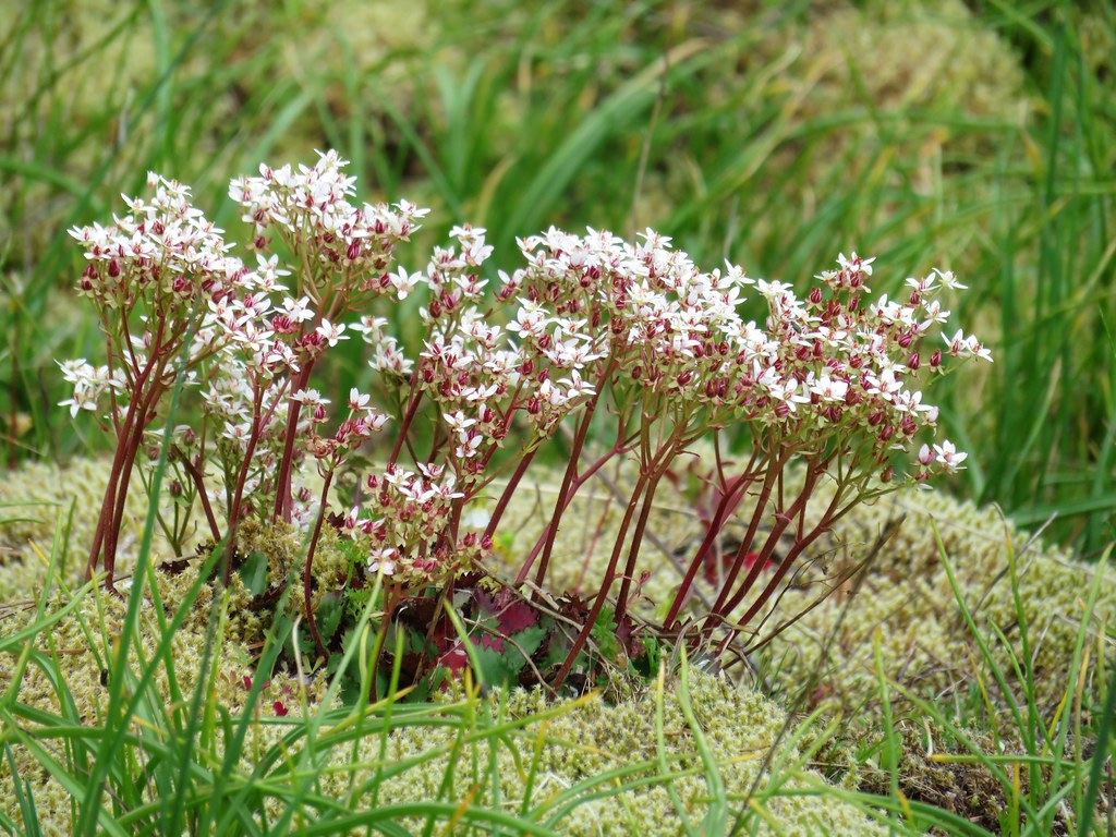 A saxifrage
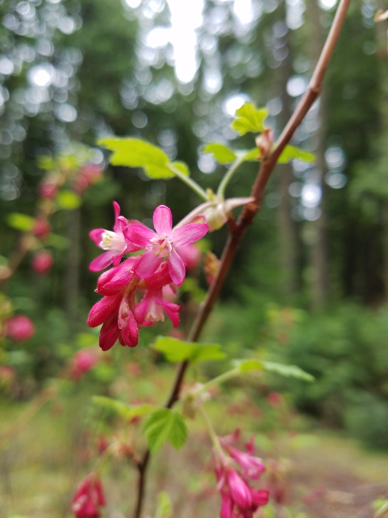 Red-flowering currant
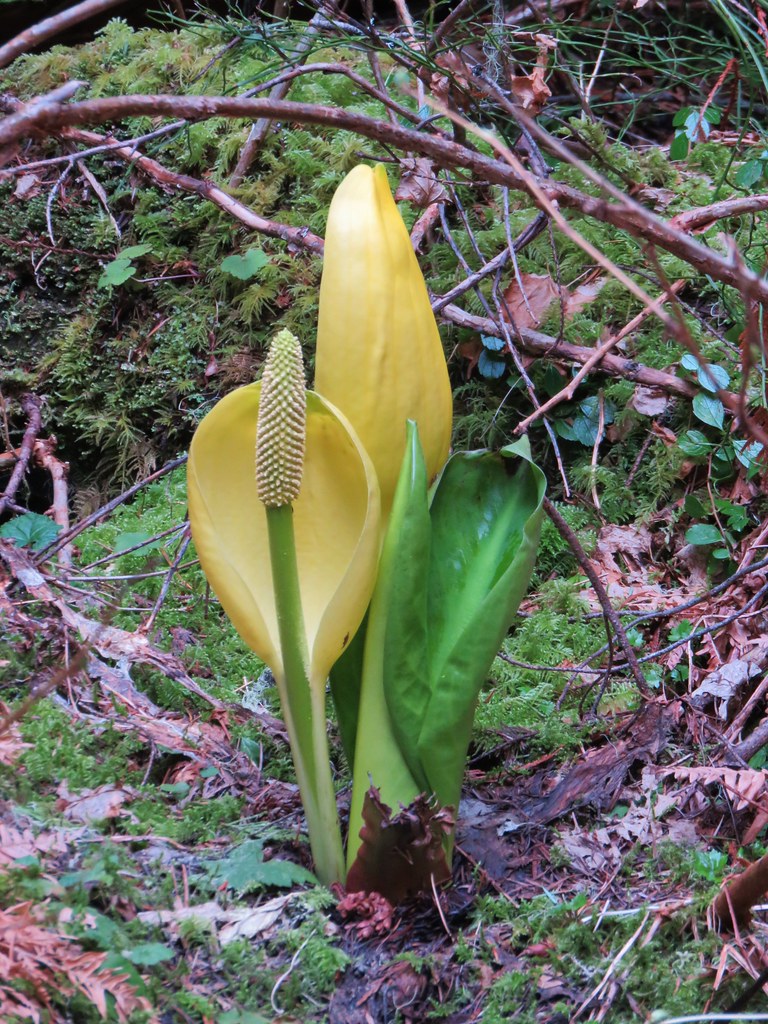 Skunk cabbage
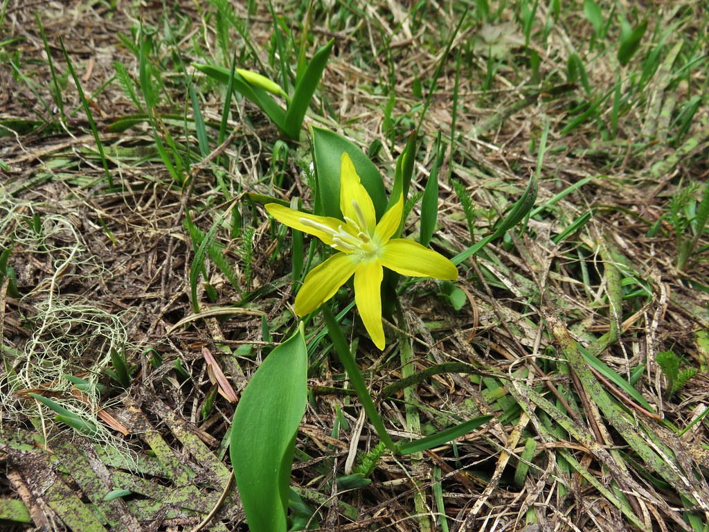 Glacier lily
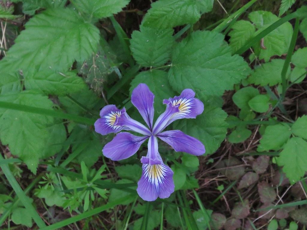 Iris – Washington Park
 Anemone – Lookout Creek Trail
 Trillium – Carpenter Mountain
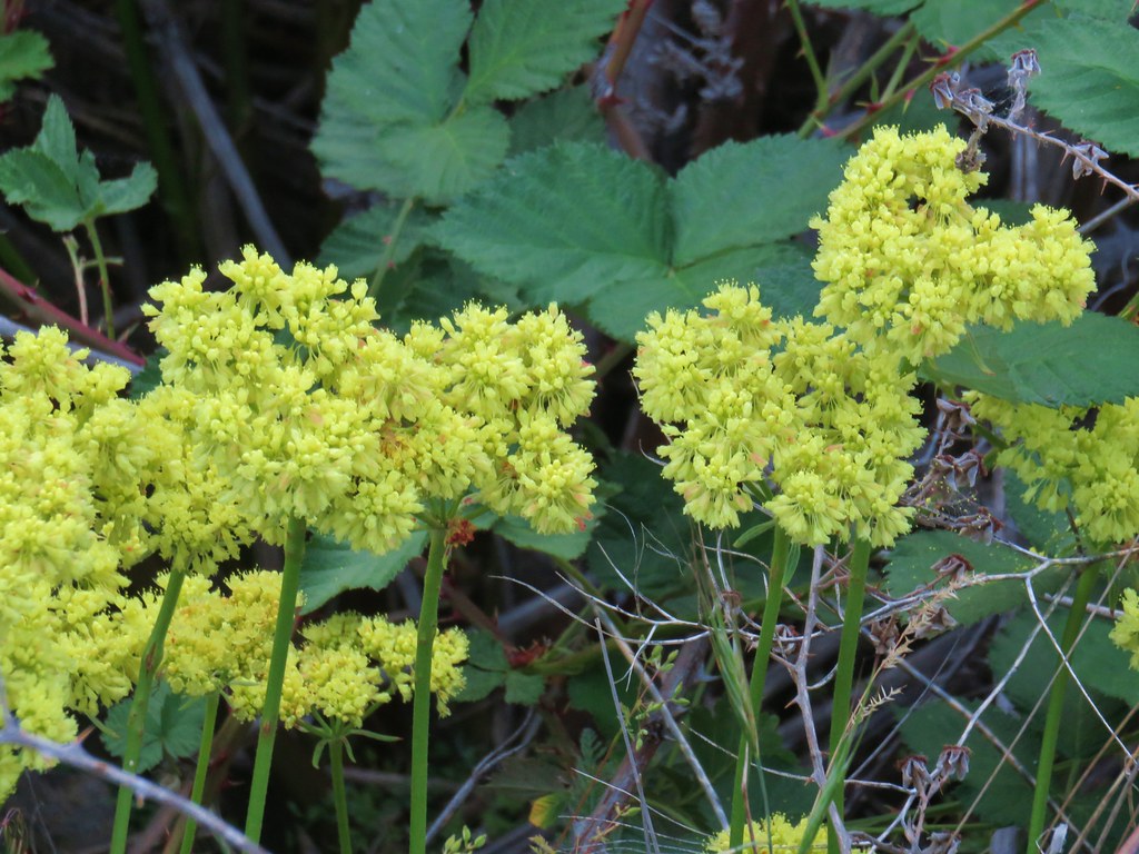 Buckwheat – White River Falls State Park
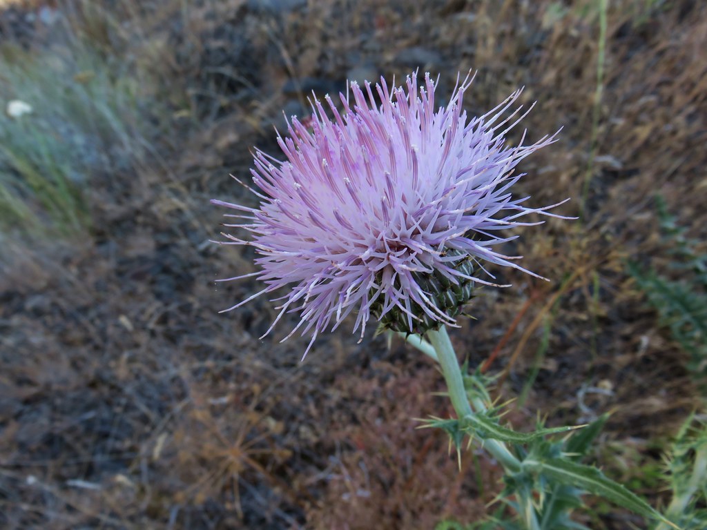 Thistle along the Deschutes River
 Western prairie-clover along the Deschutes River
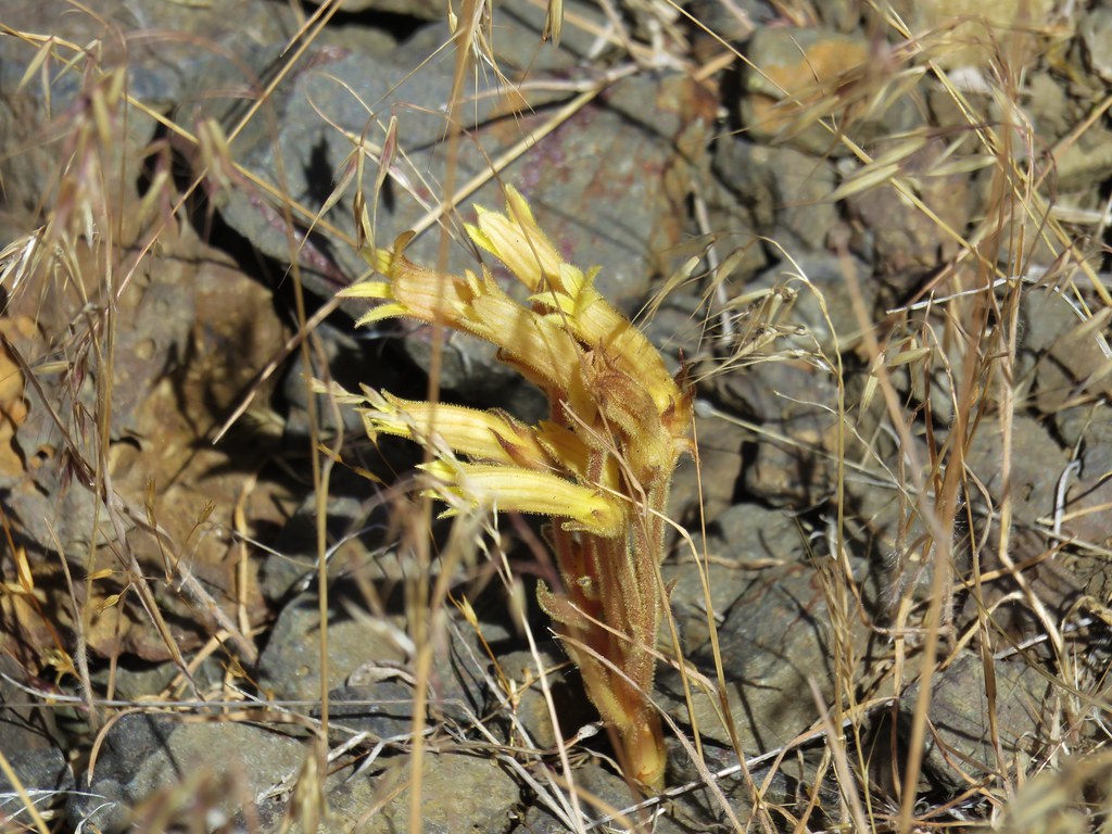 Clustered broomrape along the Deschutes River
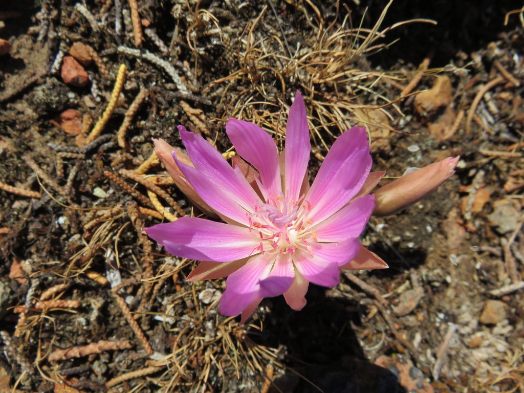 Bitterroot – Rimrock Springs
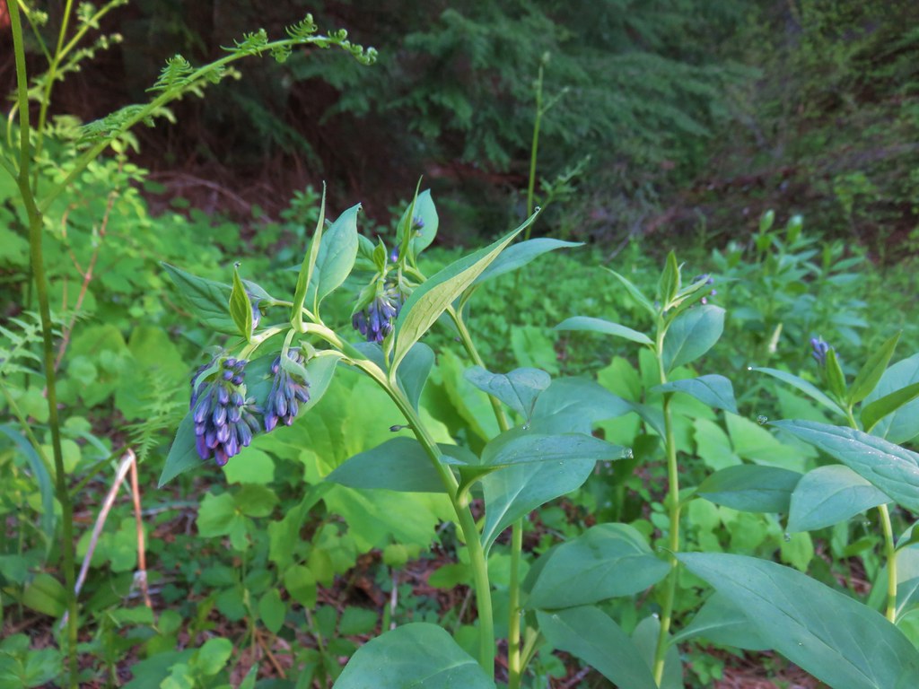 Bluebells along Muir Creek
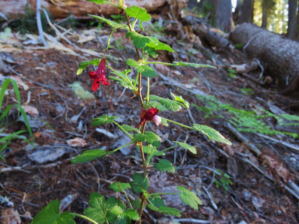 Gooseberry along Muir Creek
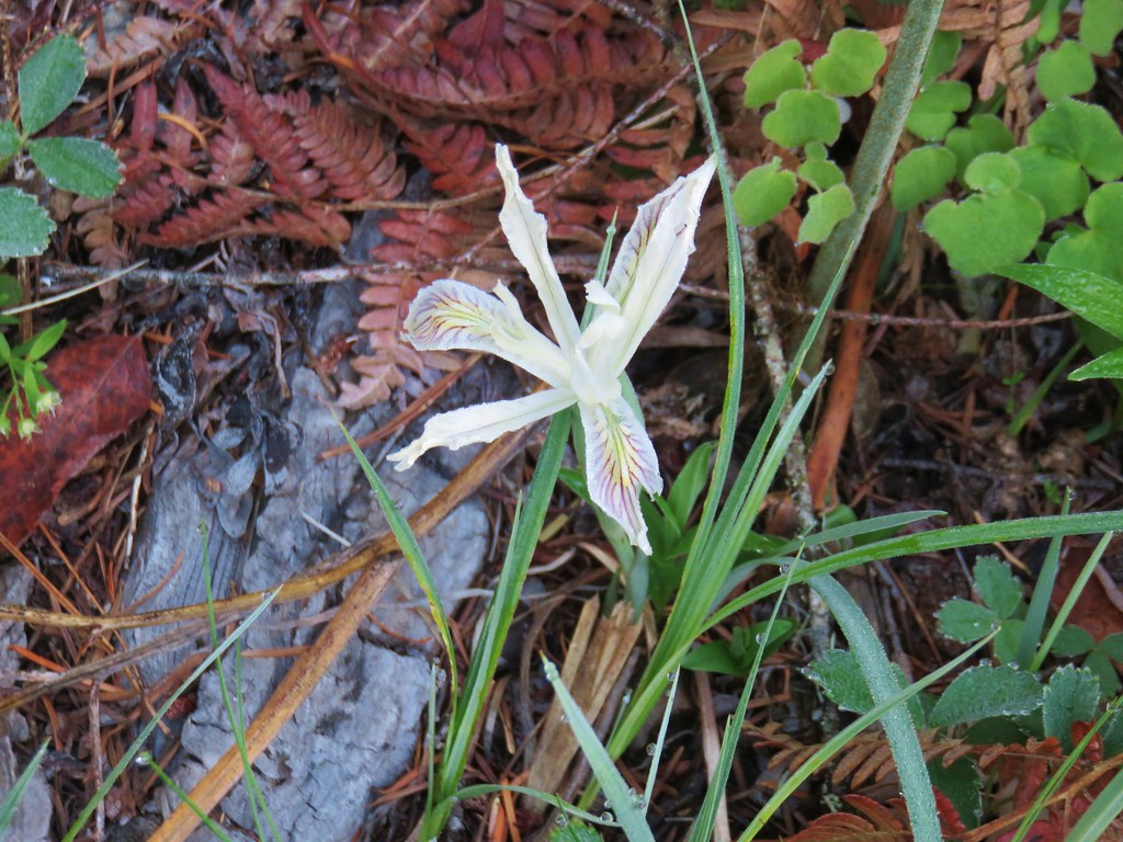 Iris along Muir Creek
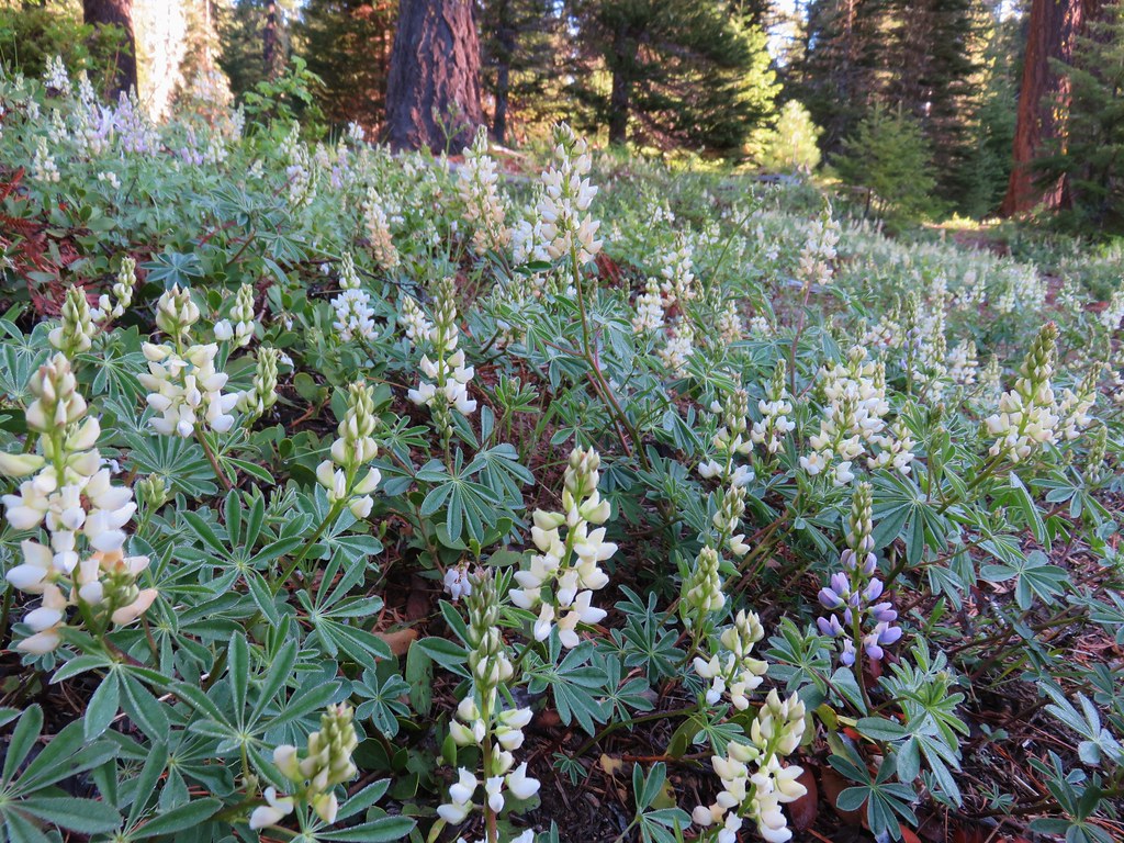 White lupine along Muir Creek
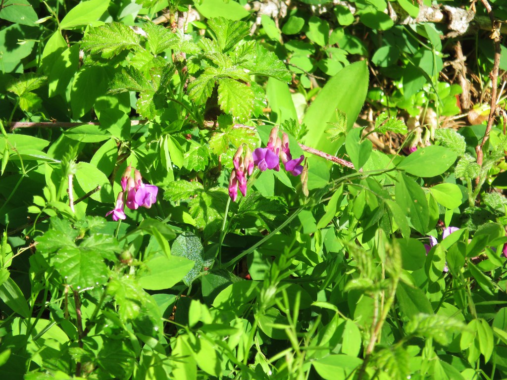 Pea? along Muir Creek
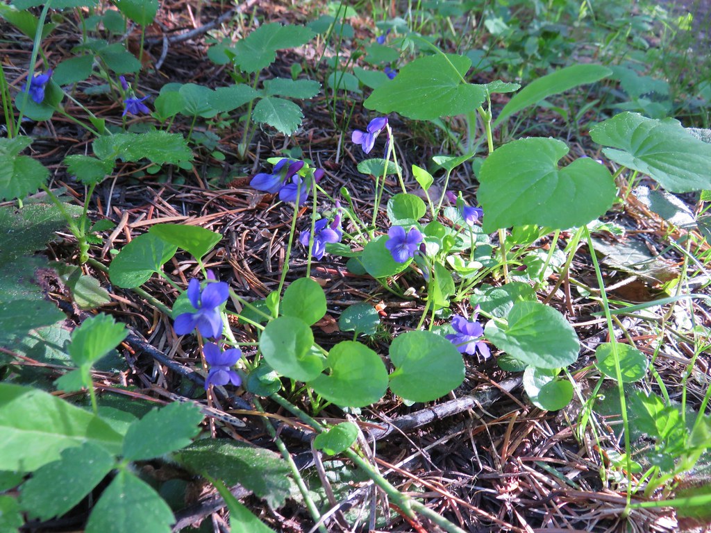 Violets along Muir Creek
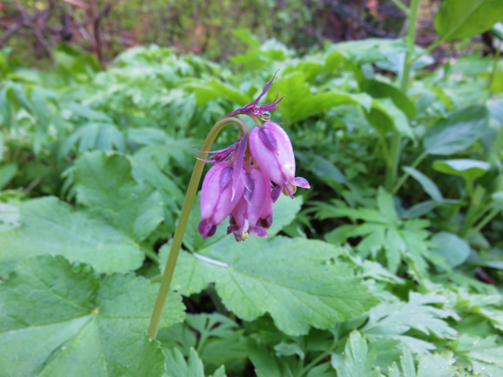 Bleeding heart along the Muir Creek Trail
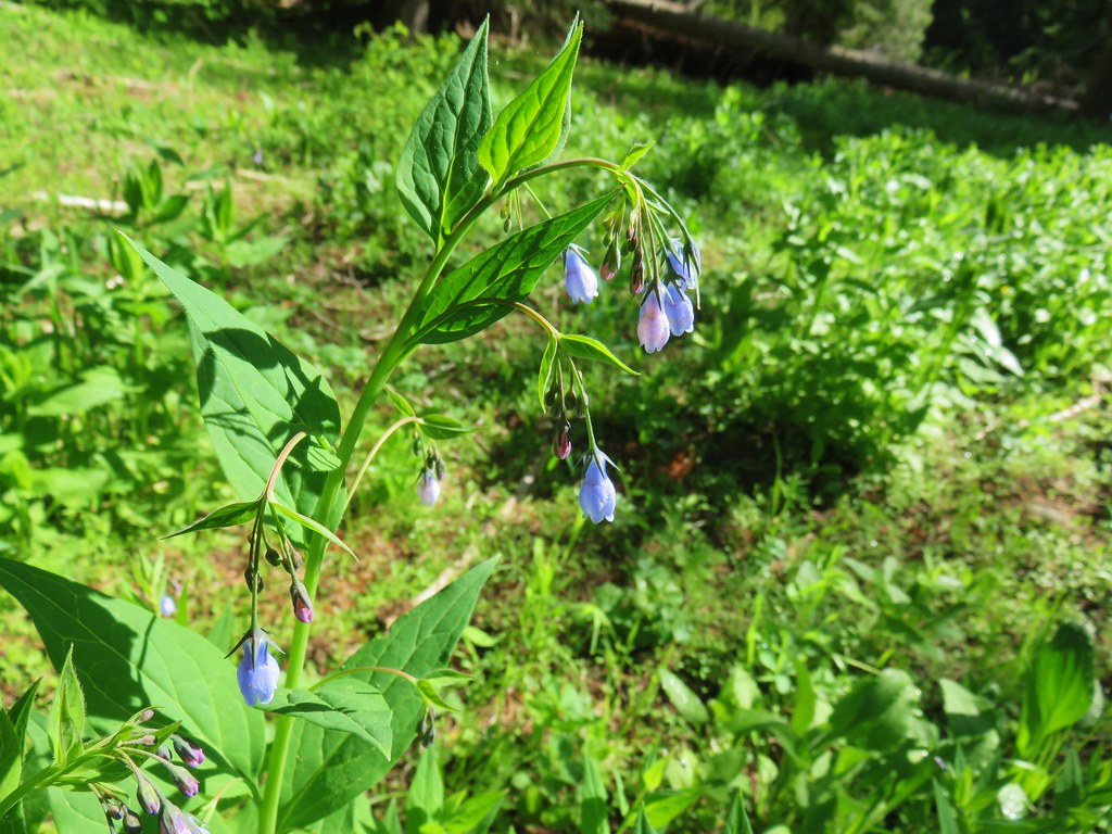 Tall mountain bluebells – Rogue-Umpqua Divide Wilderness
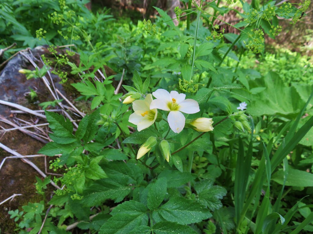 Jacob’s ladder – Rogue-Umpqua Divide Wilderness
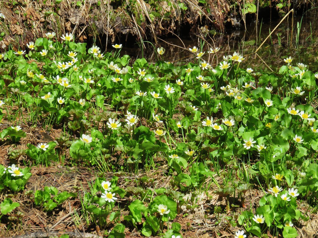 Marsh marigolds – Rogue-Umpqua Divide Wilderness
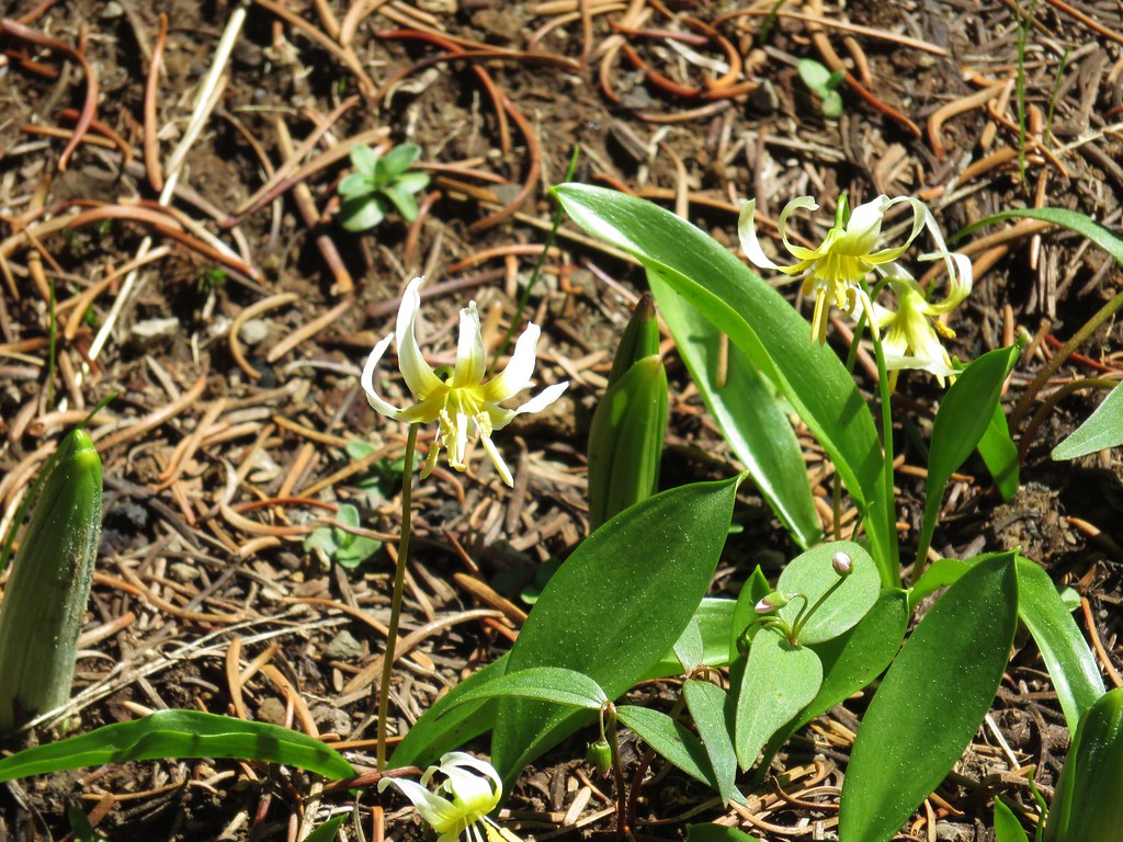 Avalanche lilies – Rogue-Umpqua Divide Wilderness
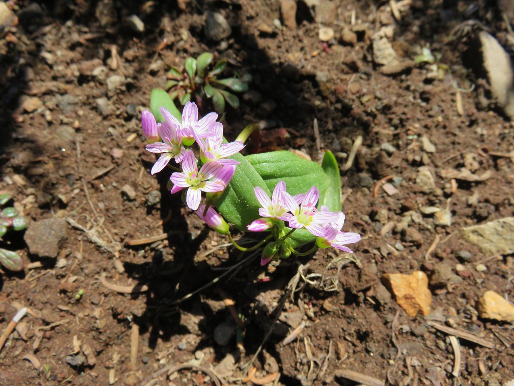 Spring Beauty – Rogue-Umpqua Divide Wilderness
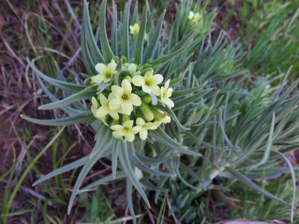 Western stoneseed – Black Butte
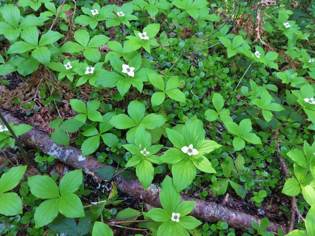 Bunchberry – Salmon River Trail
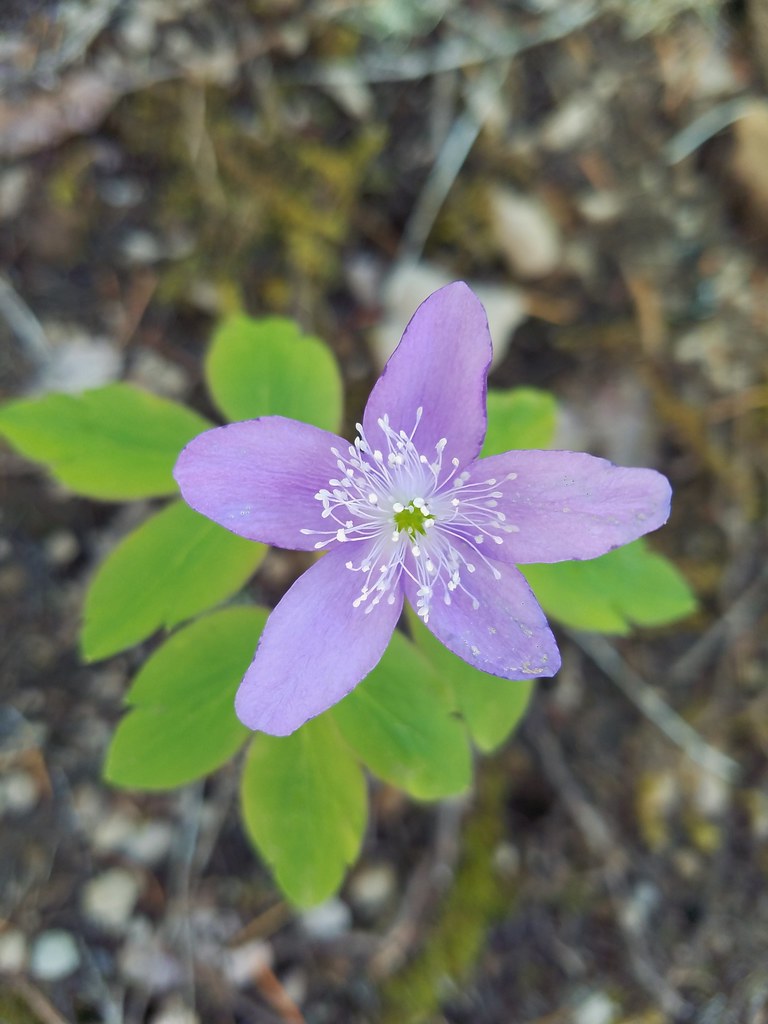 Anemone – Salmon River Trail
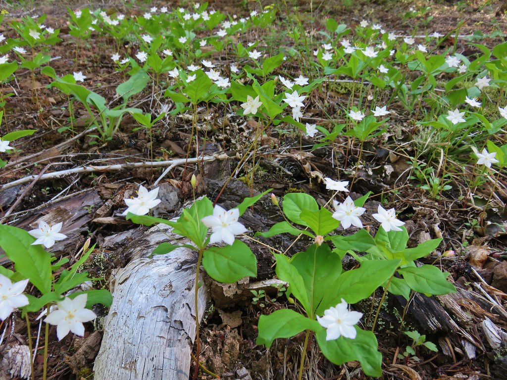 Star flowers – Salmon River Trail
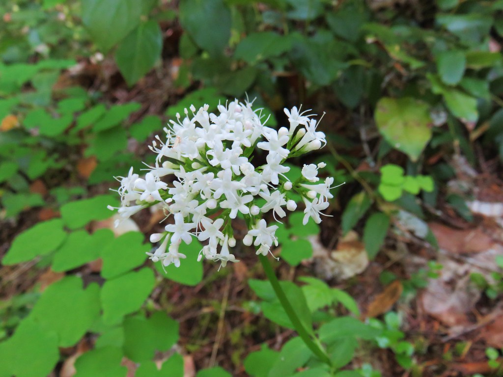 Valerian – Salmon River Trail
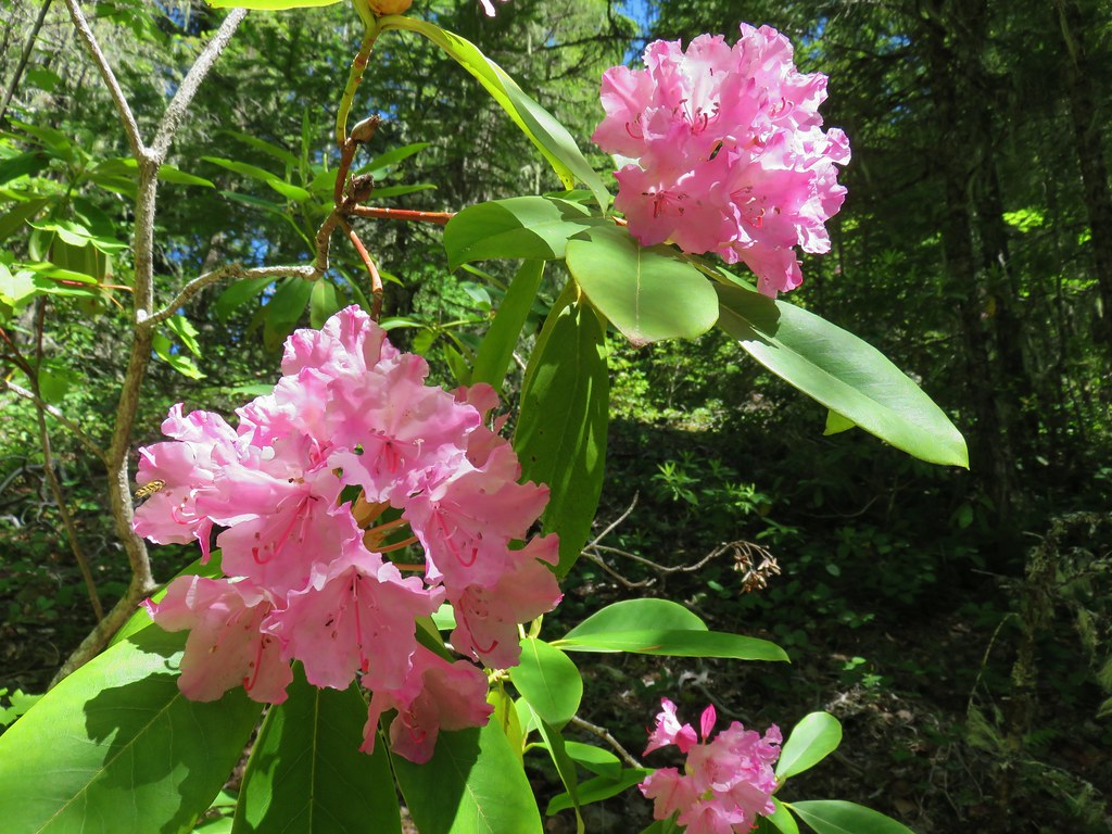 Rhododendron – Salmon River Trail
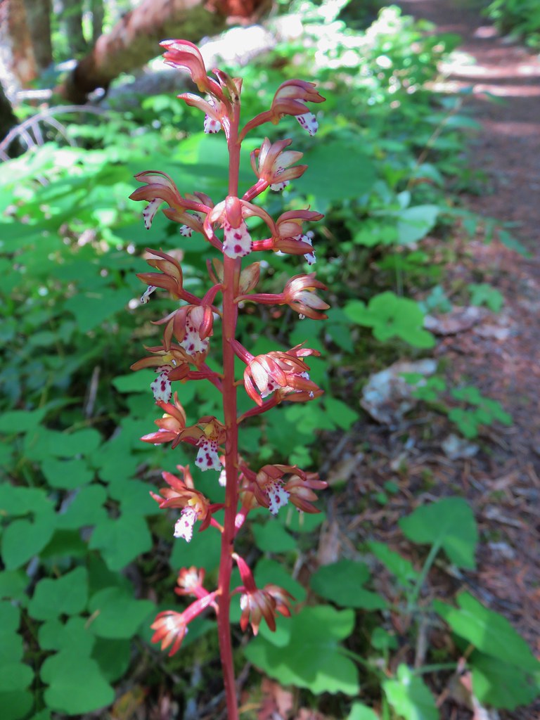 Spotted coralroot – Salmon River Trail
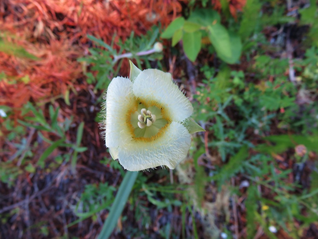 Cats ear lily – Salmon River Trail
 Filed chickweed – Salmon River Trail
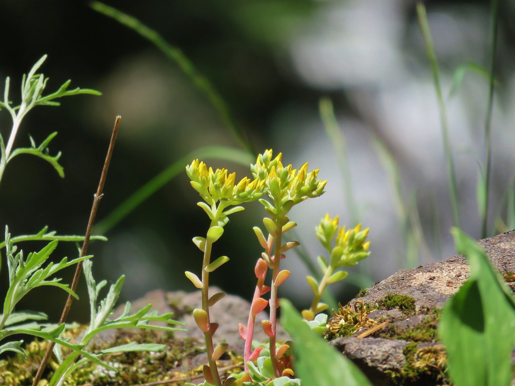 Stonecrop – Salmon River Trail
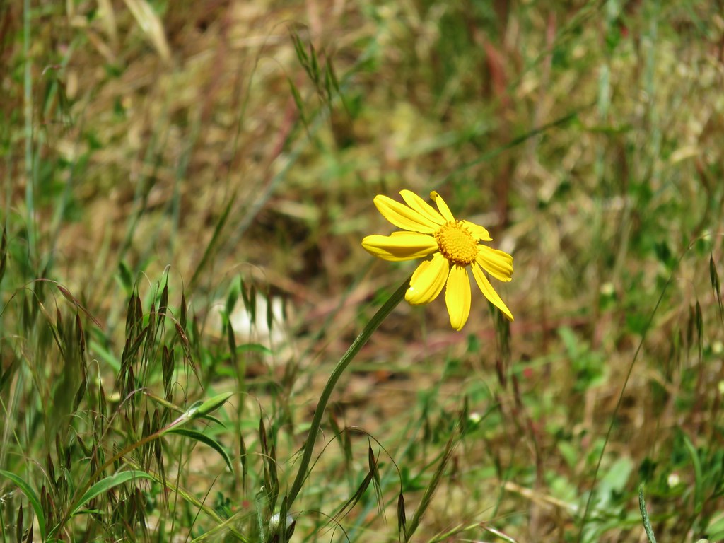 unknown – Salmon River Trail
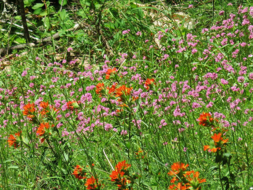 Paintbrush and plectritis – Salmon River Trail
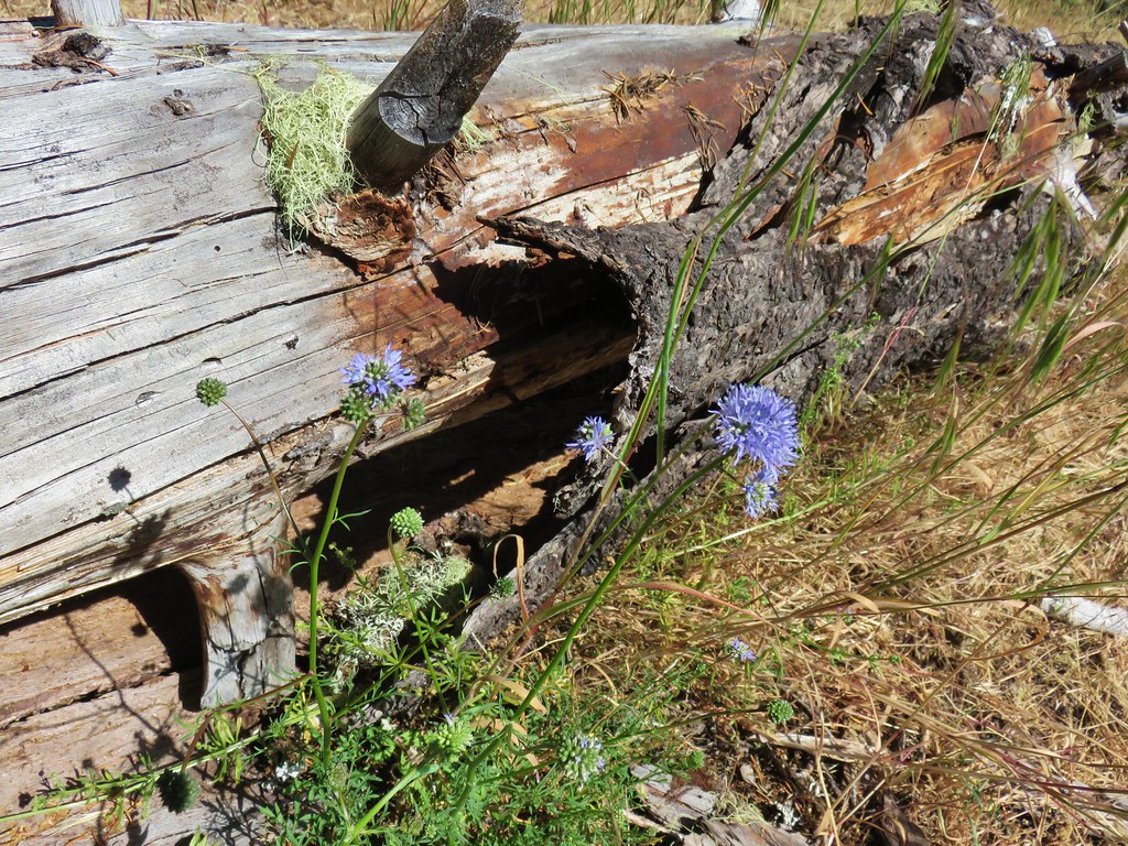 Blue head gilia – Salmon River Trail
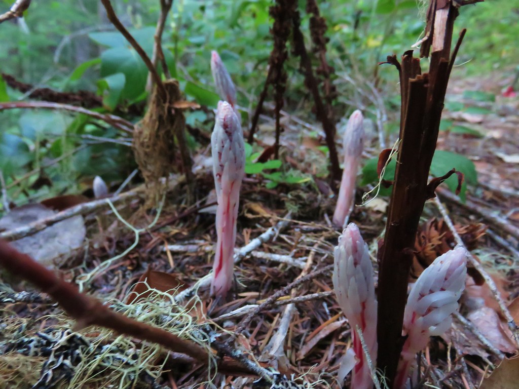 Candy sticks – Salmon River Trail
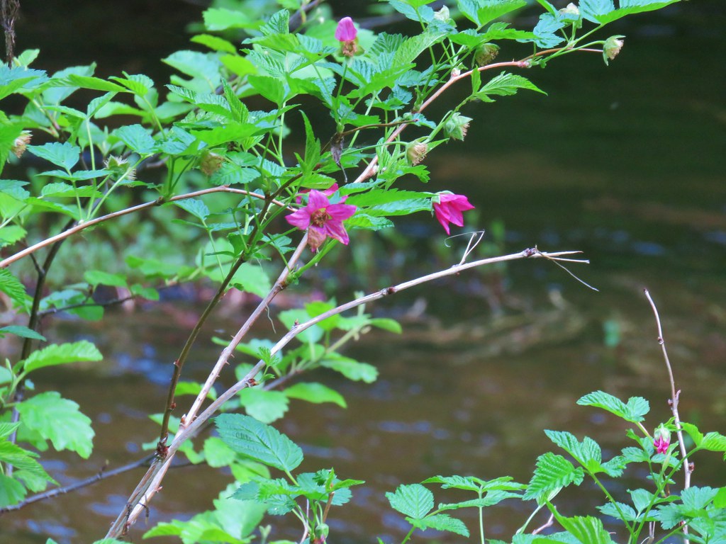 Salmonberry – Salmon River Trail
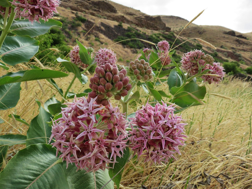 Showy milkweed along the Deschutes River
 Chicory (non-native) along the Deschutes River
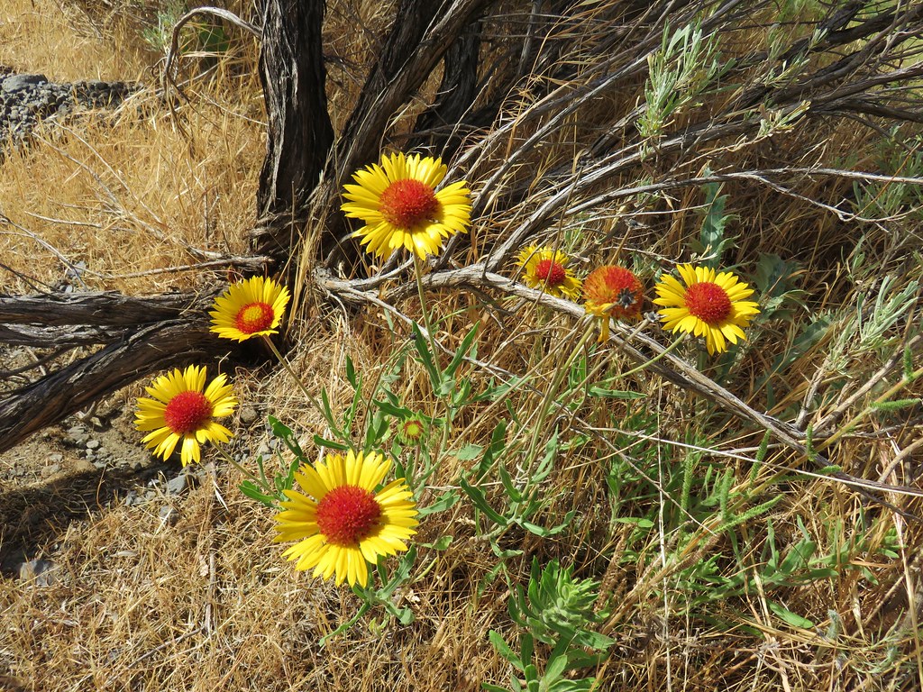 Blanket flower along the Deschutes River
 Bindweed along the Deschutes River
 Dwarf monkeyflower – Diamond Craters
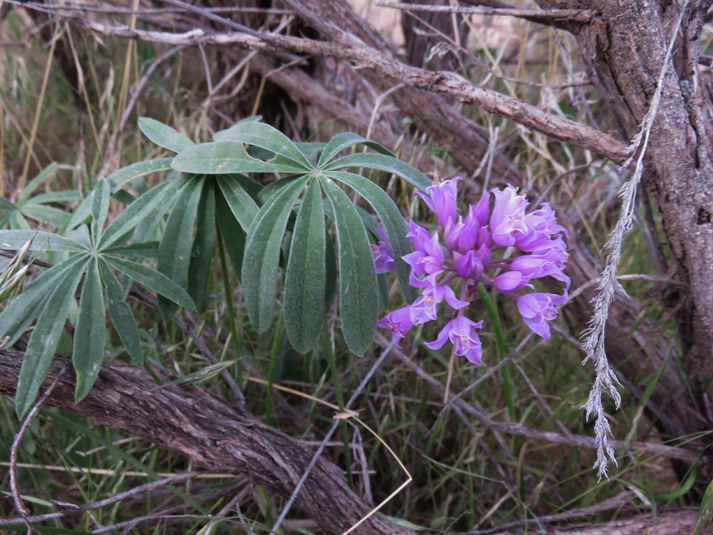 Wild onion – Jordan Craters
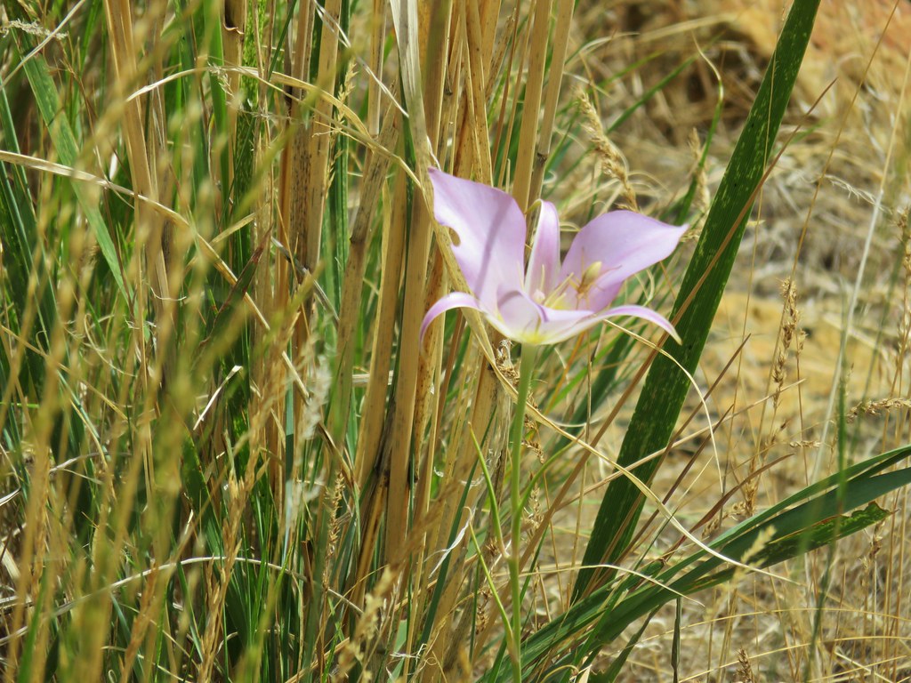 Sagebrush mariposa lily – Leslie Gulch
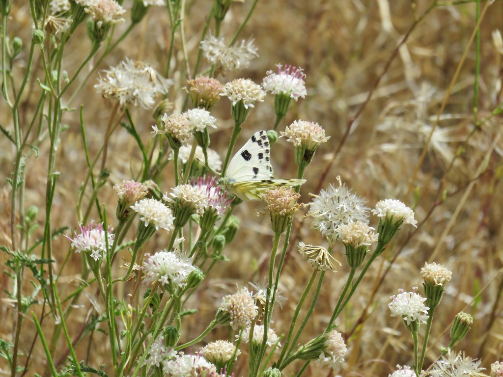 Dusty maiden – Leslie Gulch
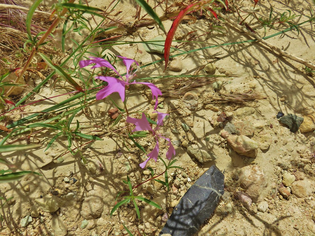 Clarkia – Leslie Gulch
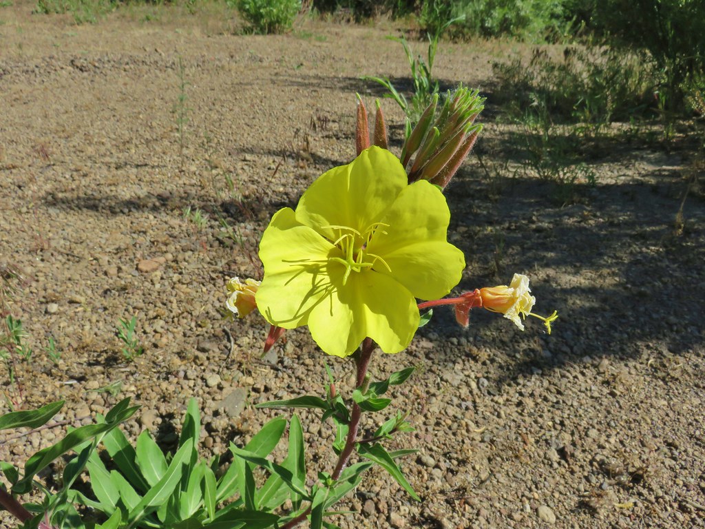 Evening Primerose – Three Forks
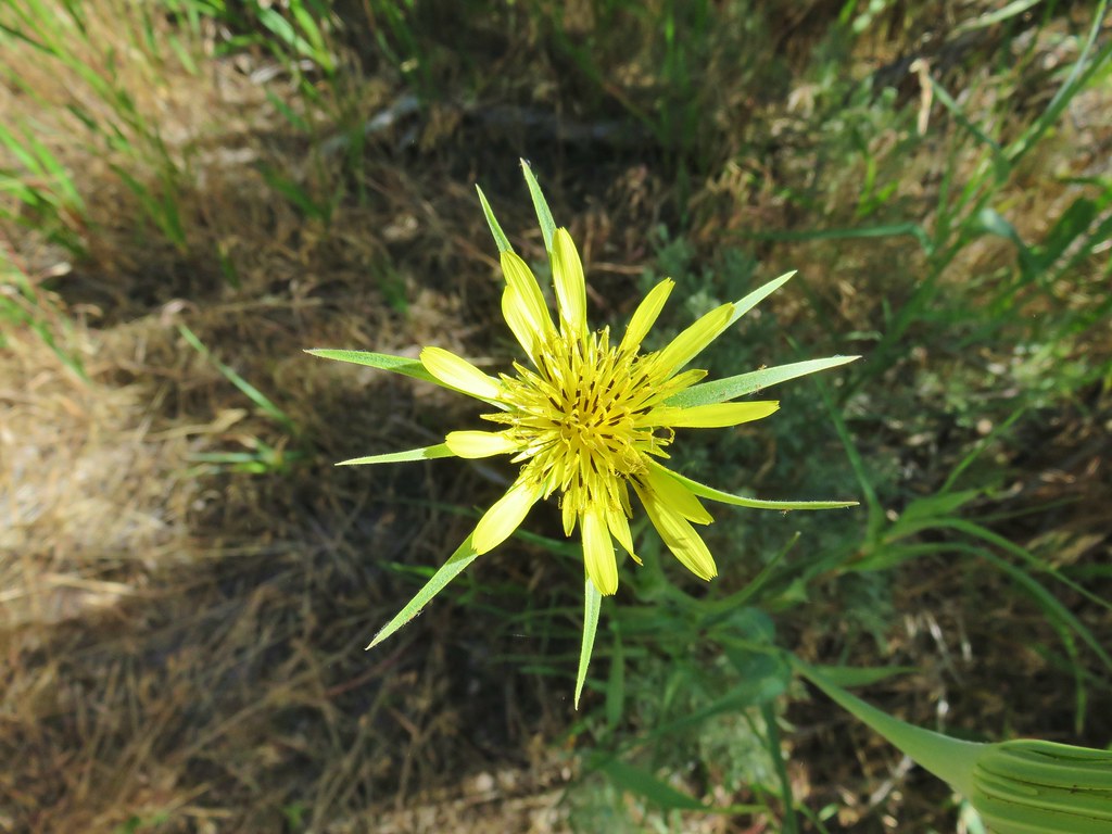 Salsify – Three Forks
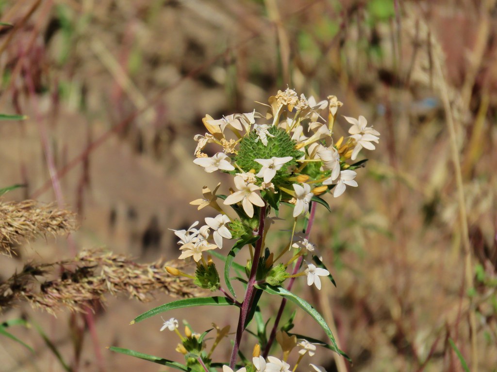 Grand collomia – Three Forks
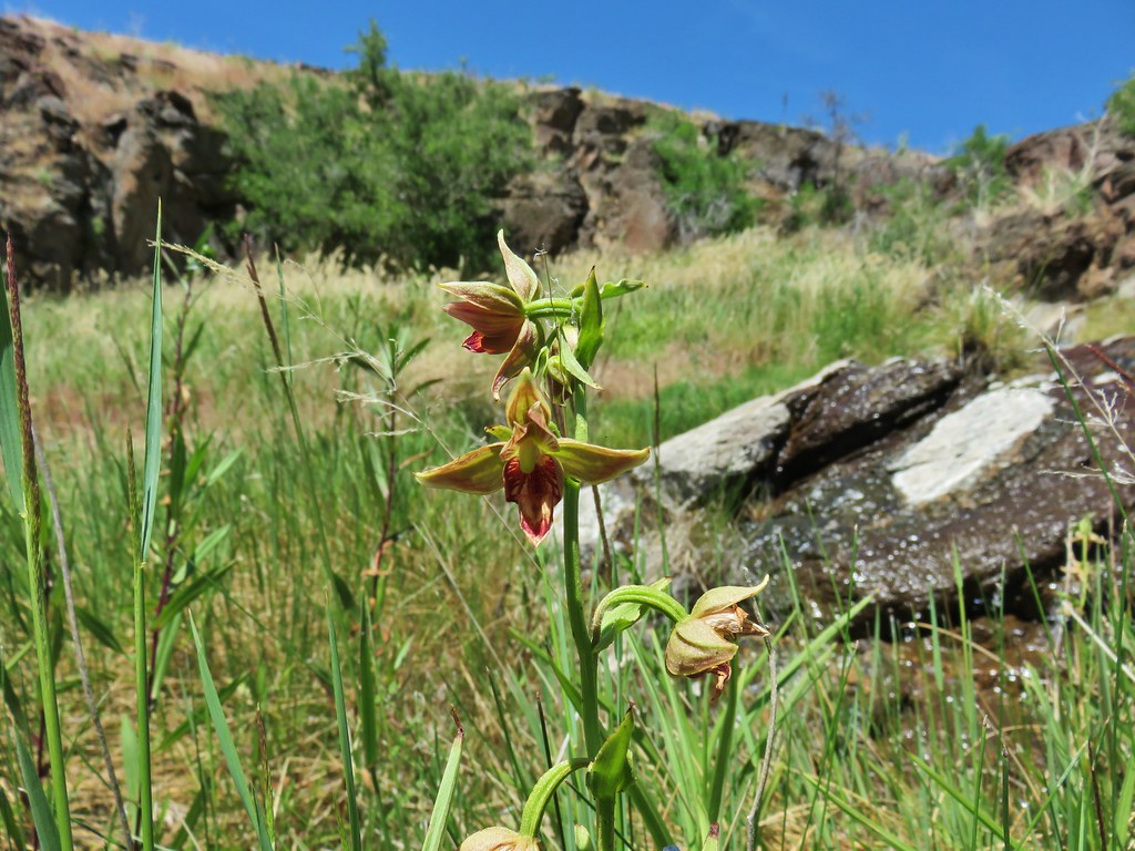 Stream orchid – Three Forks
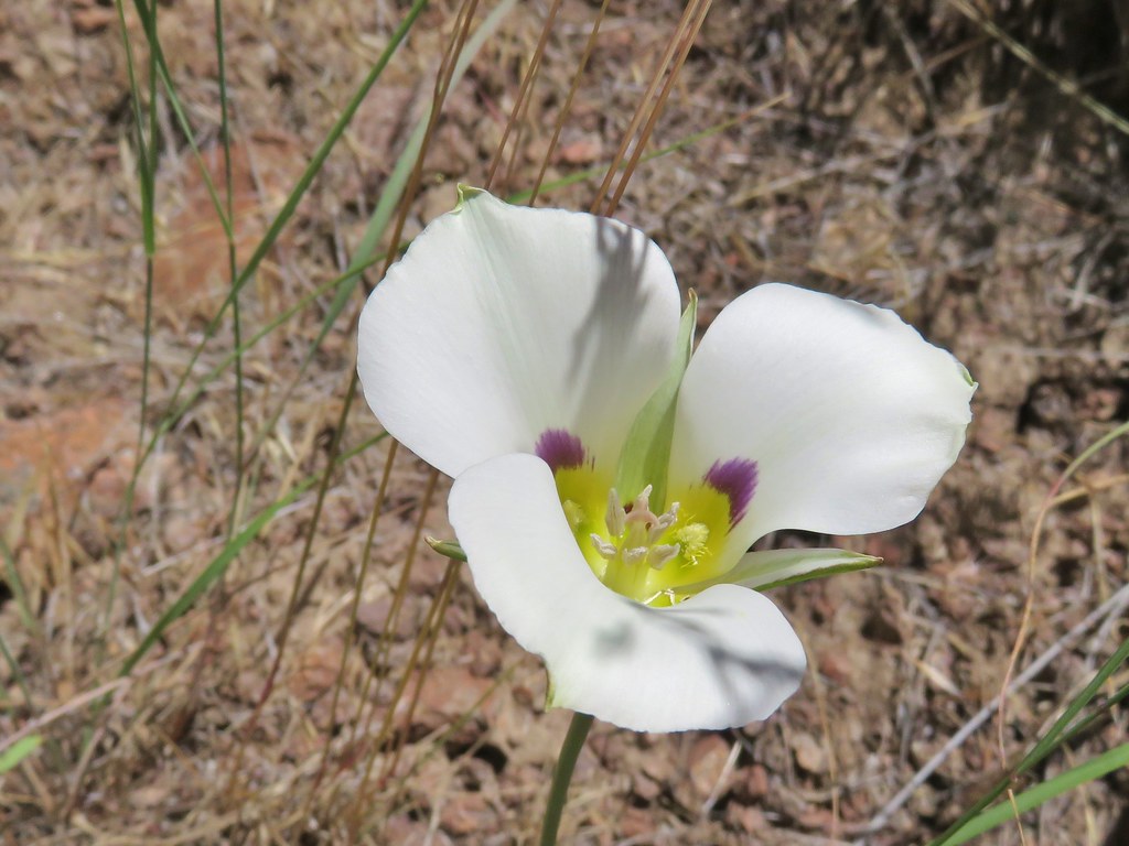 Mariposa lily – Three Forks
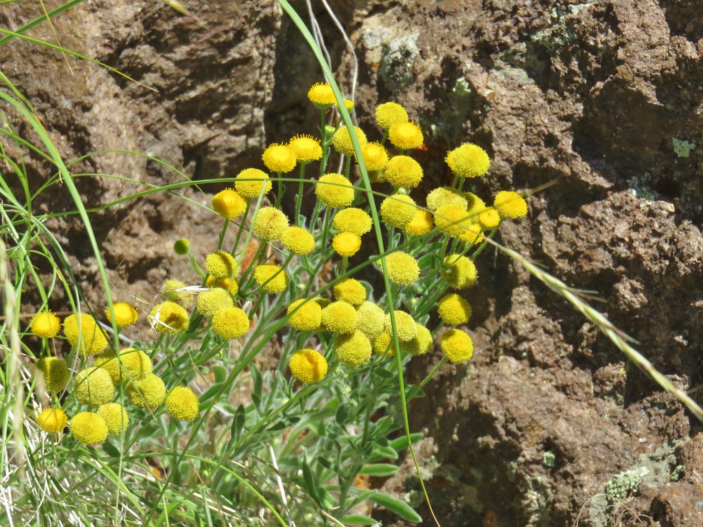 unknown – Three Forks
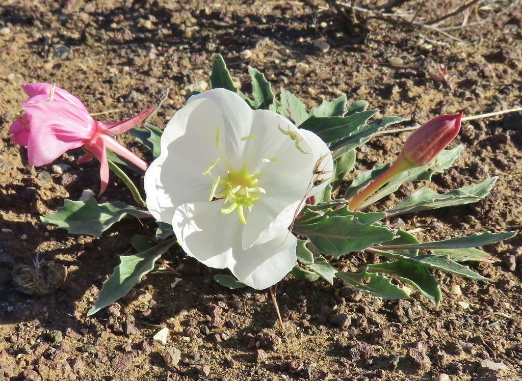 Tufted primrose – Chalk Basin
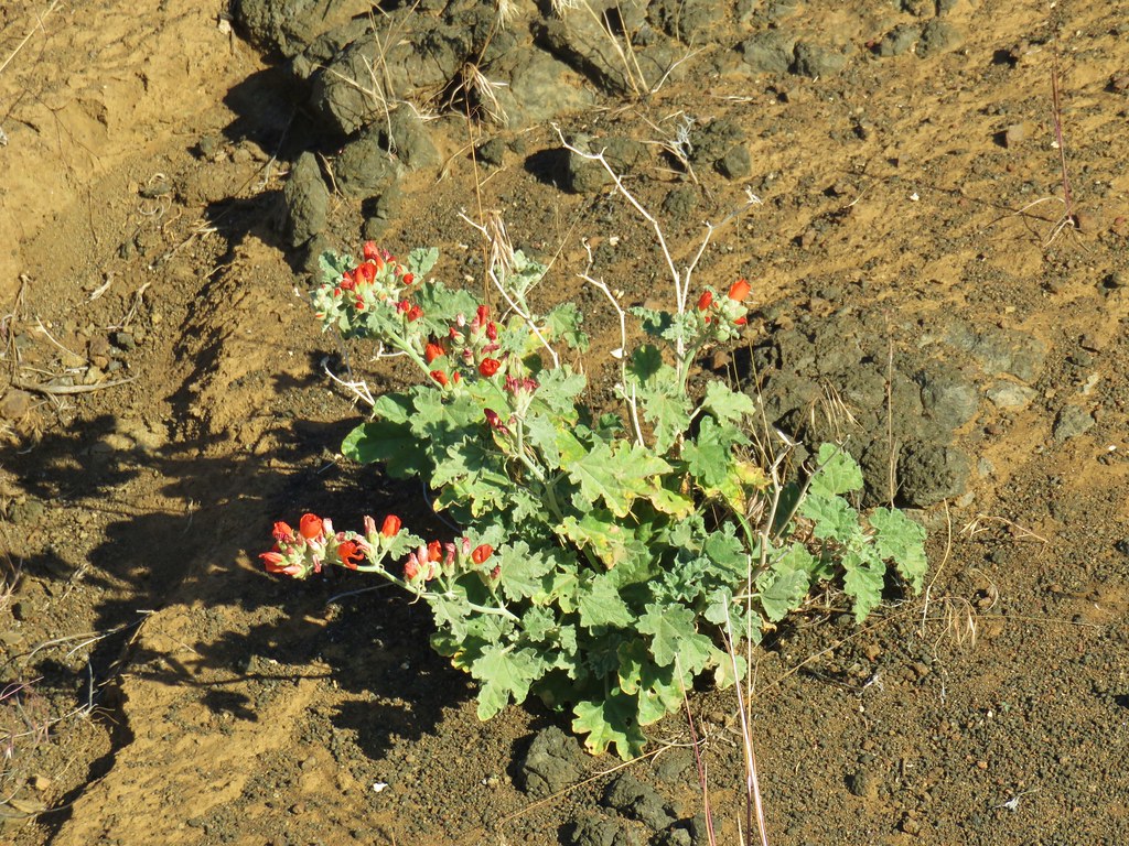 Orange globe mallow – Chalk Basin
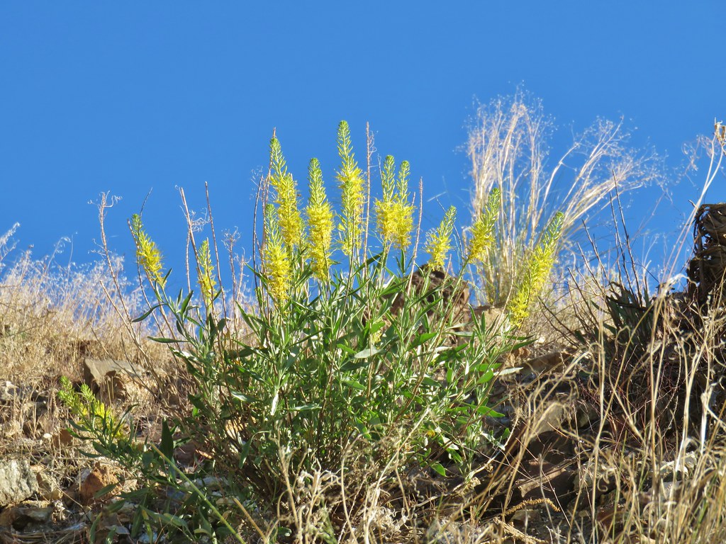 unknown – Chalk Basin
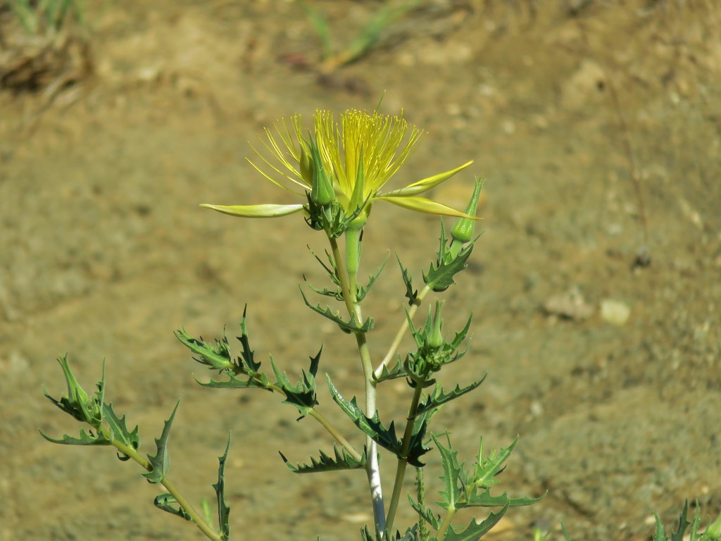 Smooth stemmed blazing star – Chalk Basin
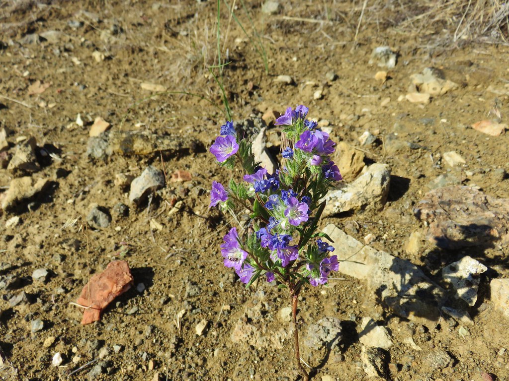 Threadleaf phacelia – Chalk Basin
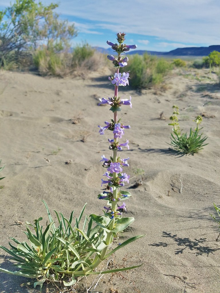 Penstemon – Alvord Desert
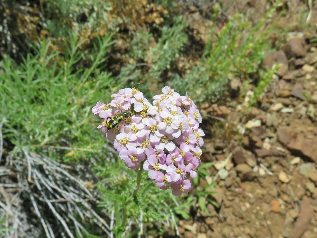 Yarrow – Pike Creek
 Geranium – Myrtle Creek
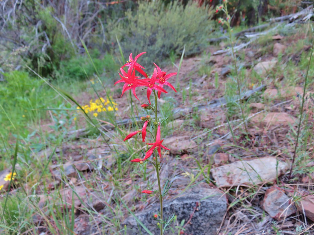 Scarlet gilia – Myrtle Creek
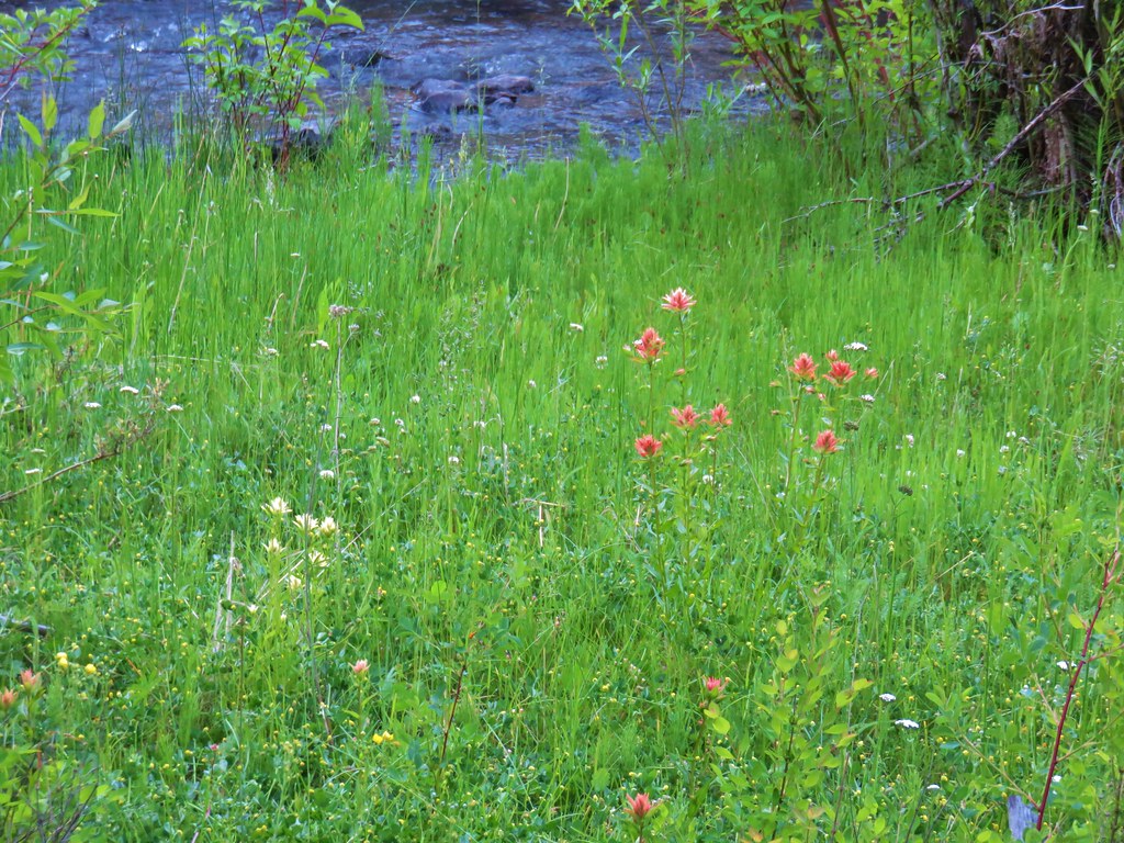 Yelow and red paintbrush – Myrtle Creek
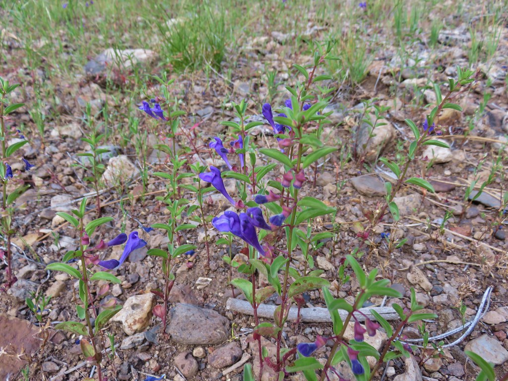 Skull cap – Myrtle Creek
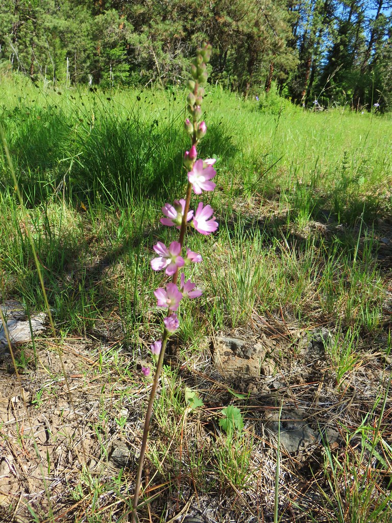 Checkermallow – Myrtle Creek
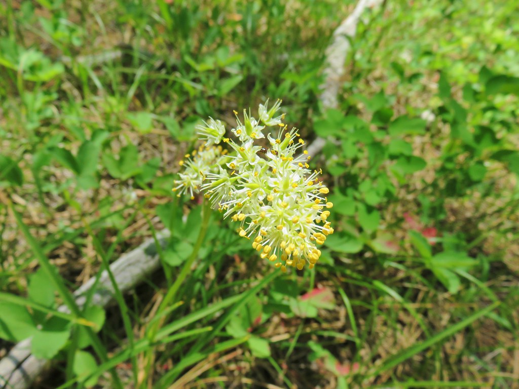 Death camas – Myrtle Creek
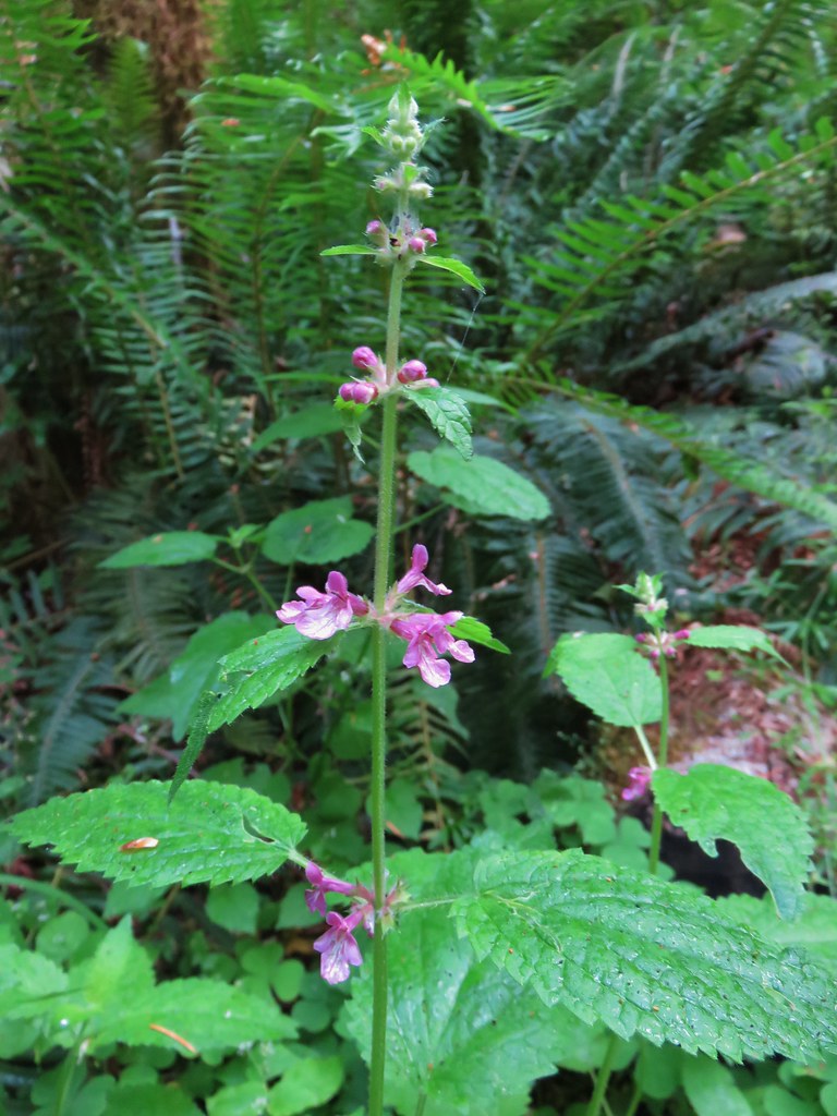 Hedgenettle – Saddle Mountain
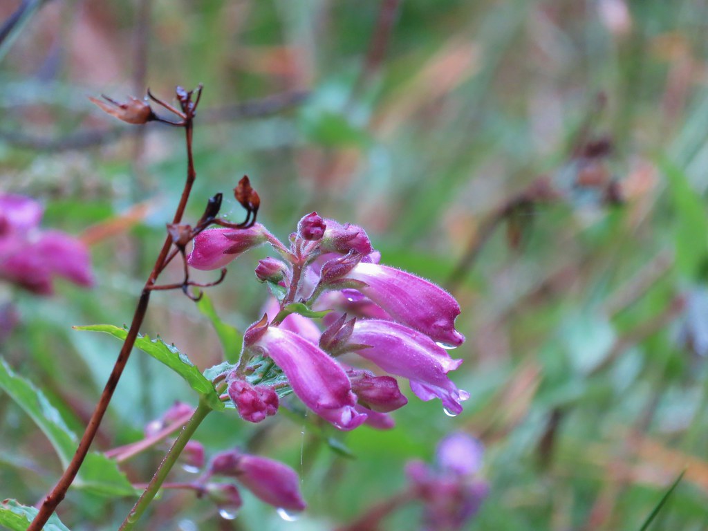 Beardstongue – Saddle Mountain
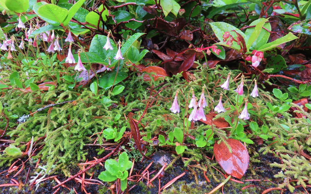 Twin flower – Saddle Mountain
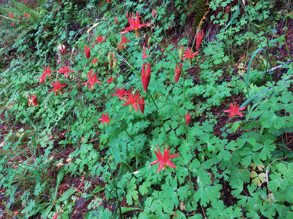 Columbine – Saddle Mountain
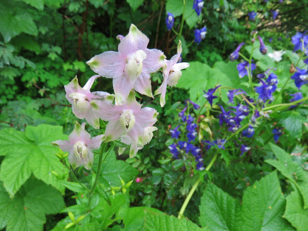 Larkspur – Saddle Mountain
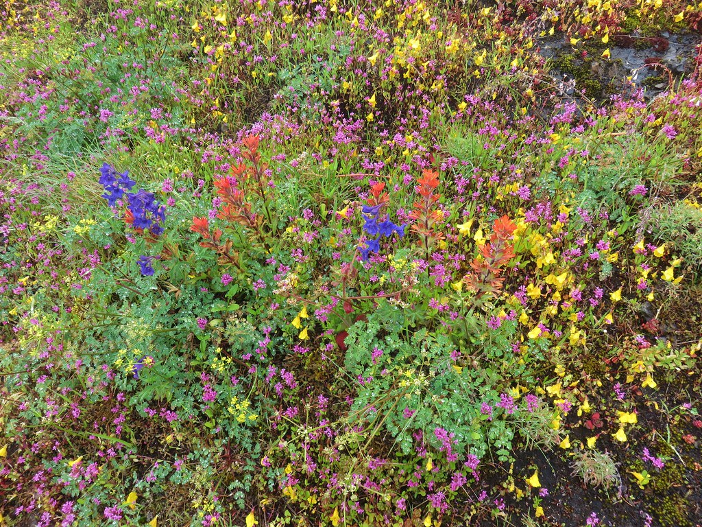 Wildflowers on Saddle Mountain
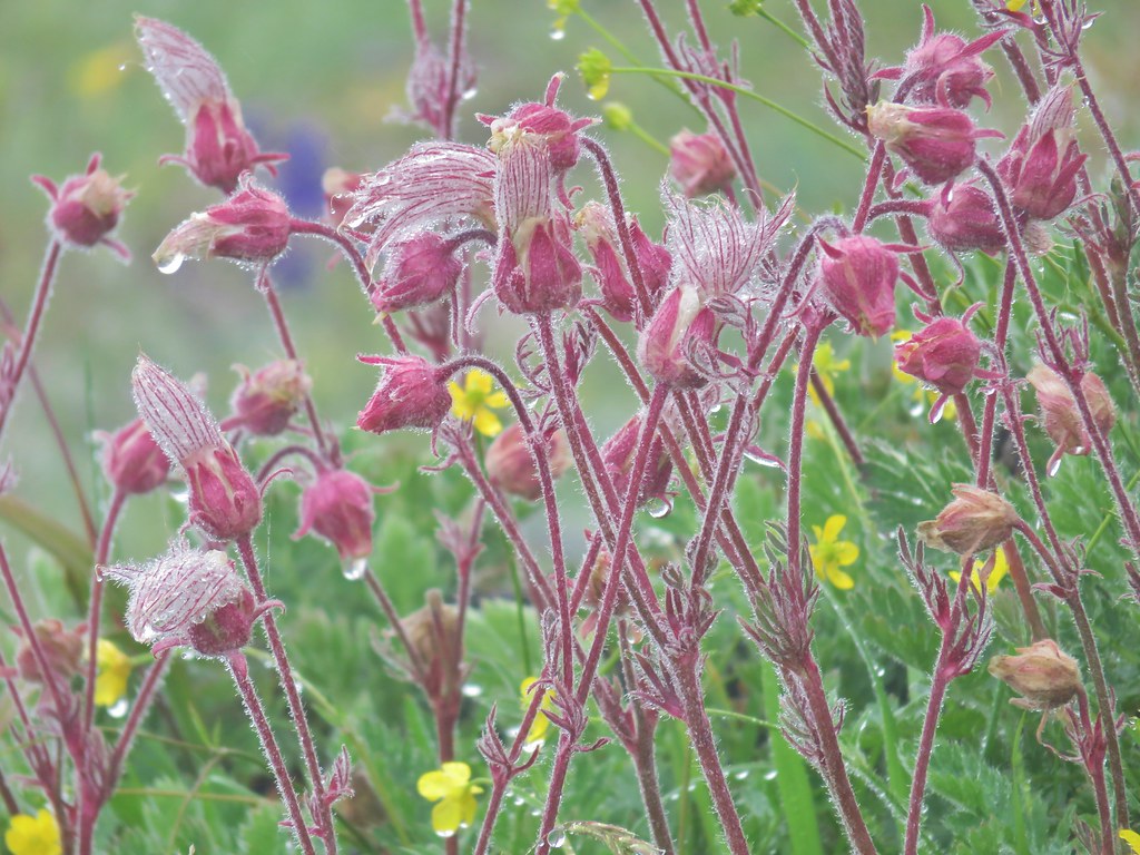 Old man’s whiskers – Saddle Mountain
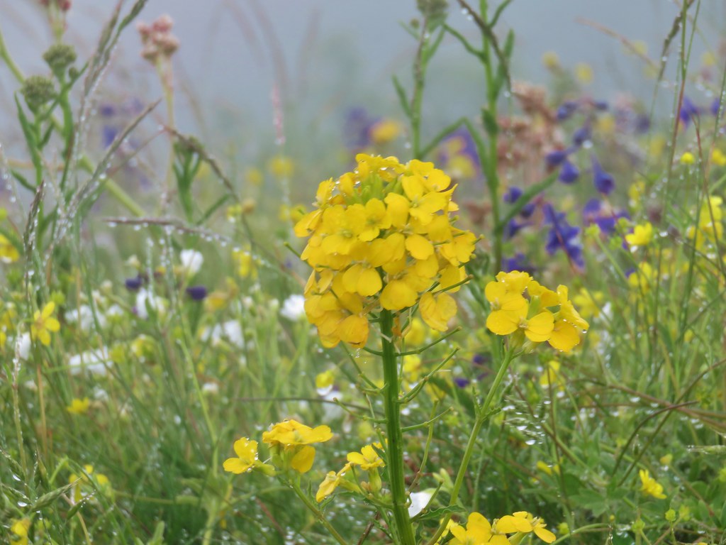 Wallflower – Saddle Mountain
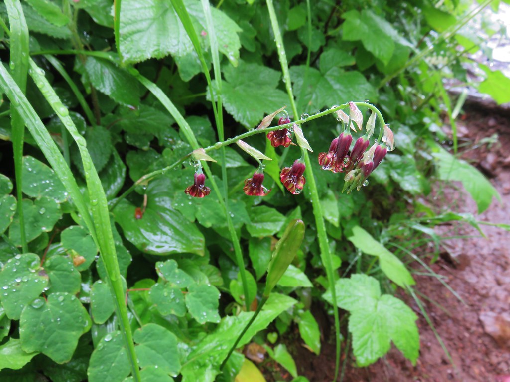 Featherbells – Saddle Mountain
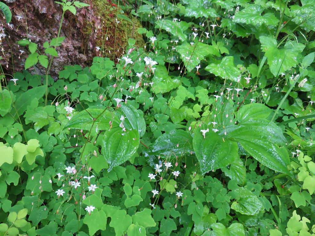 Inside out flower – Saddle Mountain
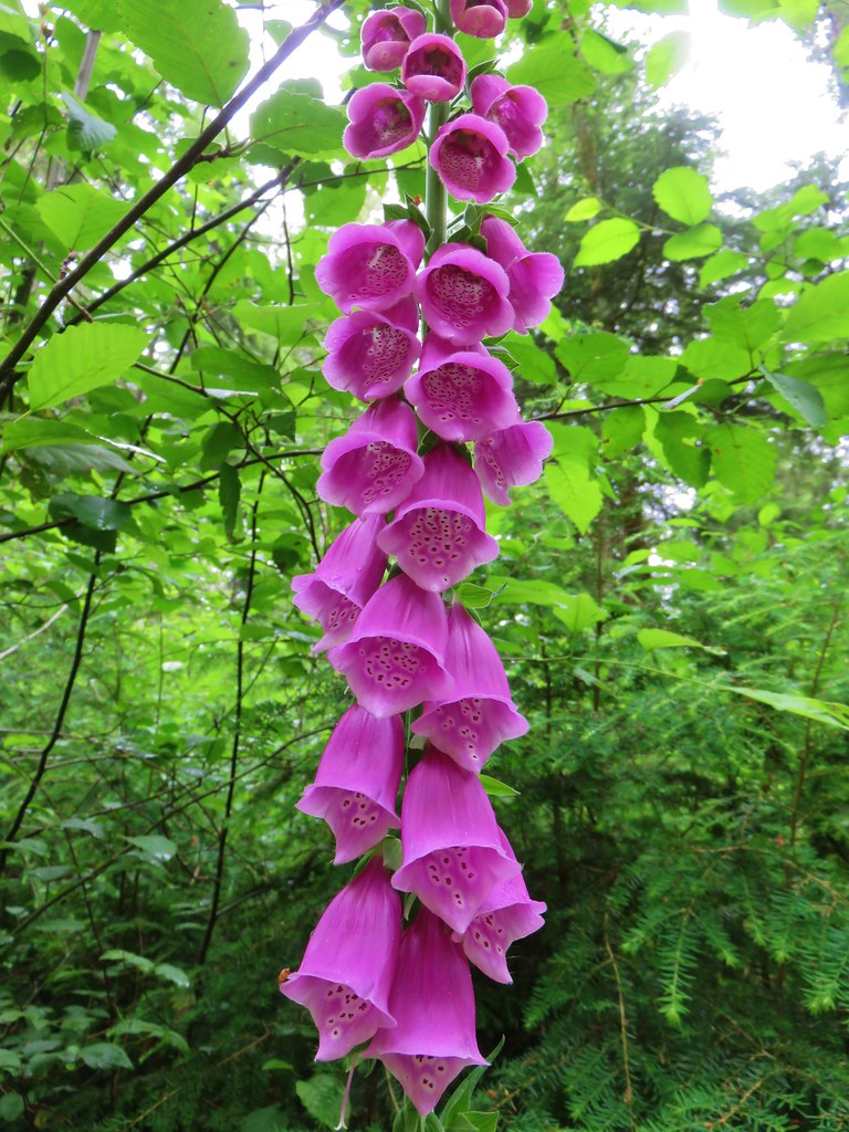 Foxglove (non-native) – Soapstone Lake
 Fireweed – Elk Lake Creek
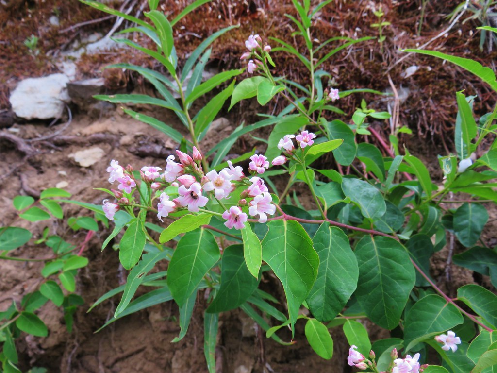 Spreading dogbane – Elk Lake Creek
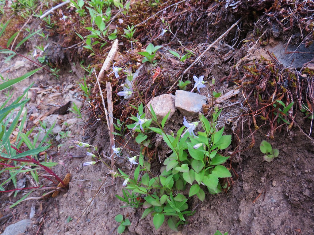 Scouler’s bluebells – Elk Lake Creek
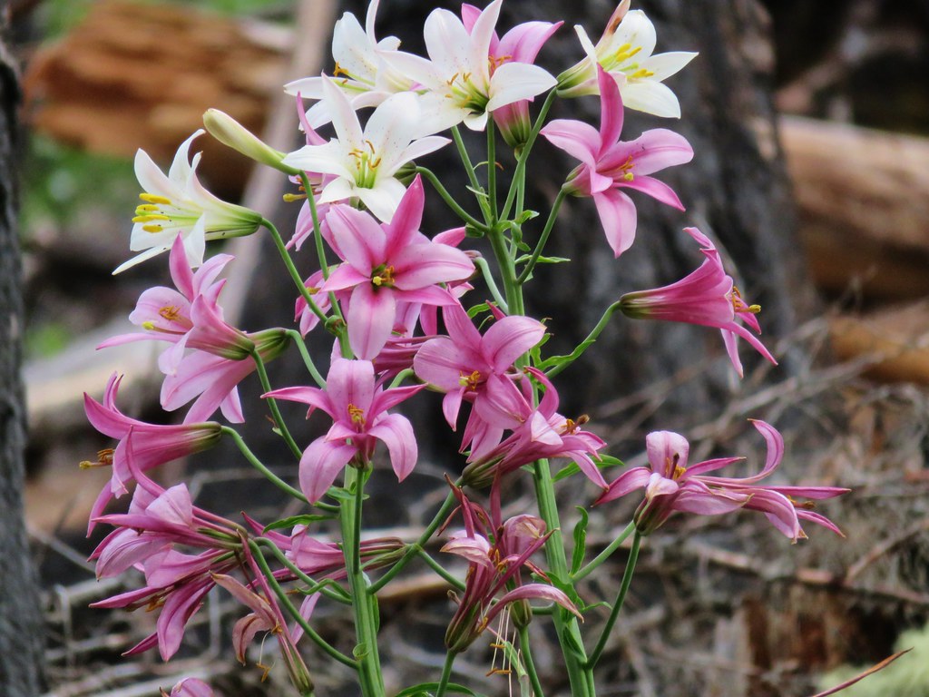 Washington lilies – Elk Lake Creek
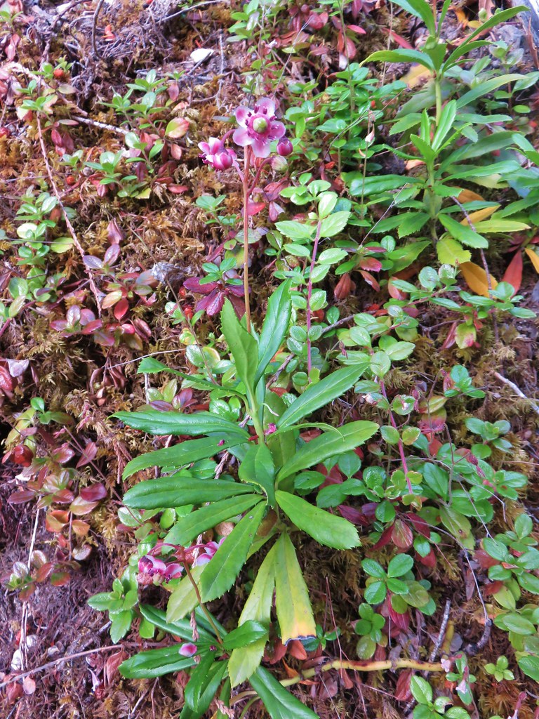 Prince’s pine – Elk Lake Creek
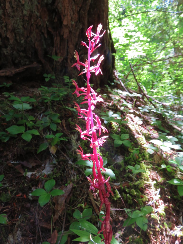 Coralroot – Elk Lake Creek
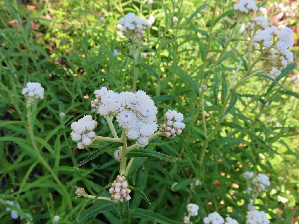 Pearly everlasting – Elk Lake Creek
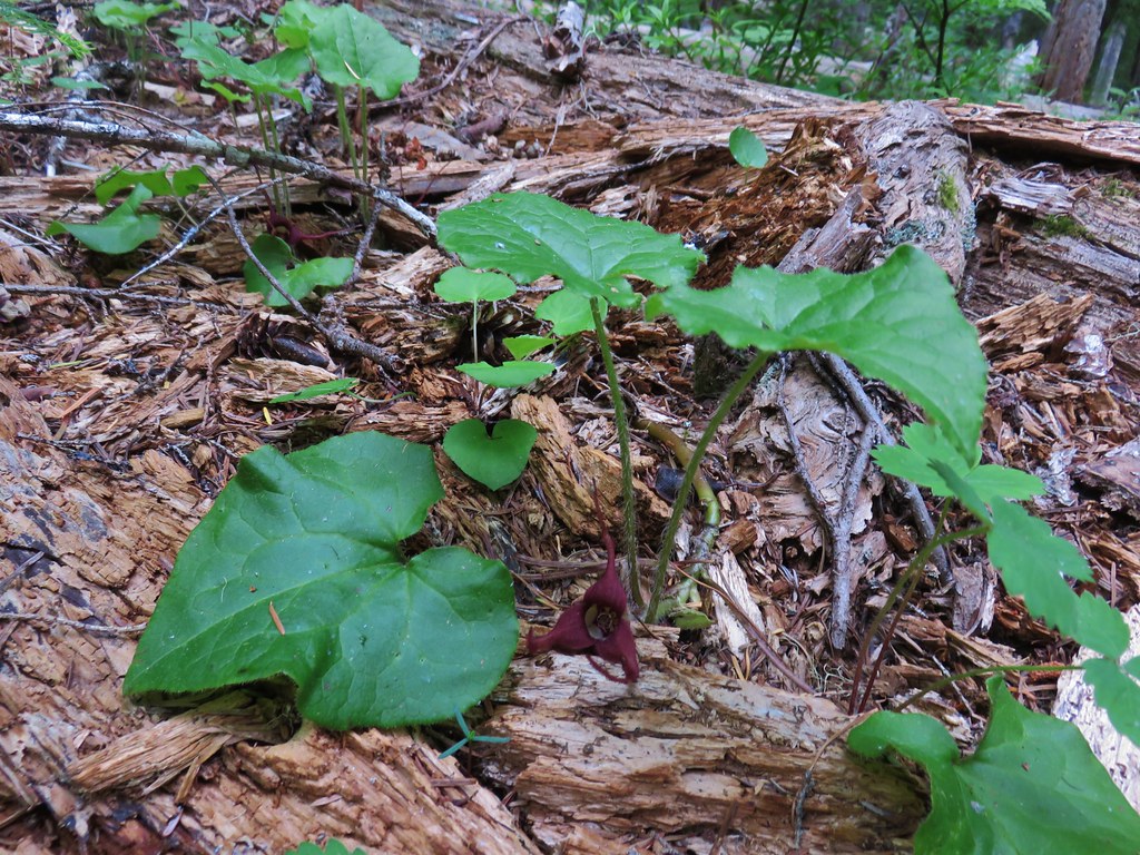 Wild ginger – Browder Ridge
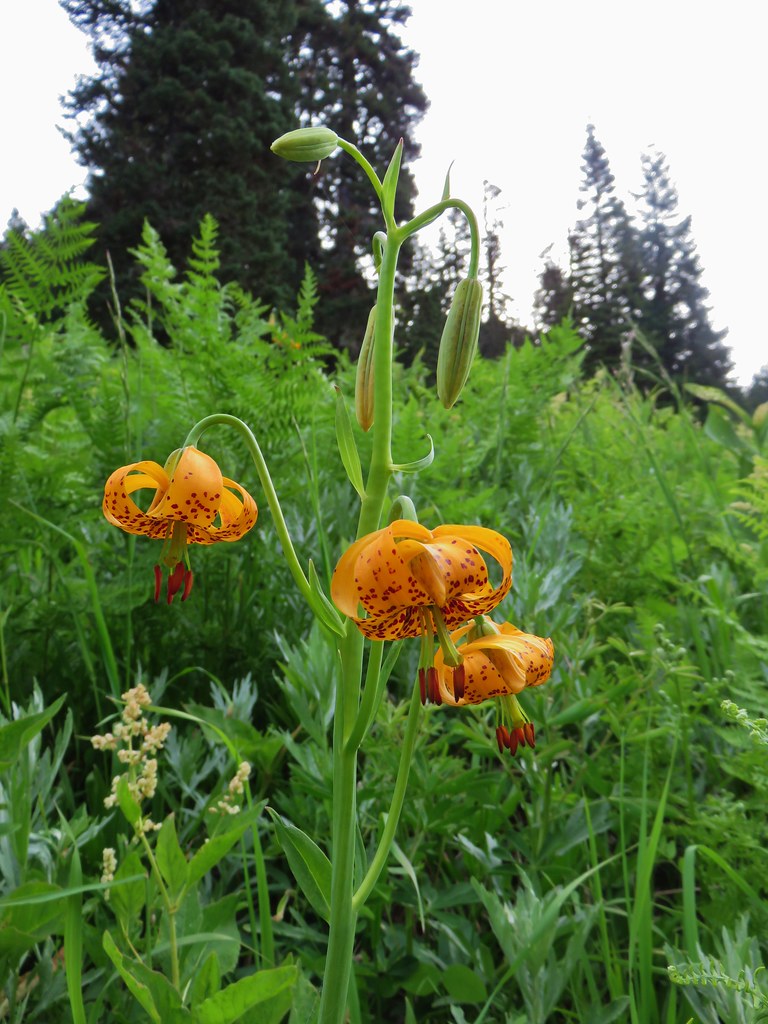 Tiger lily – Browder Ridge
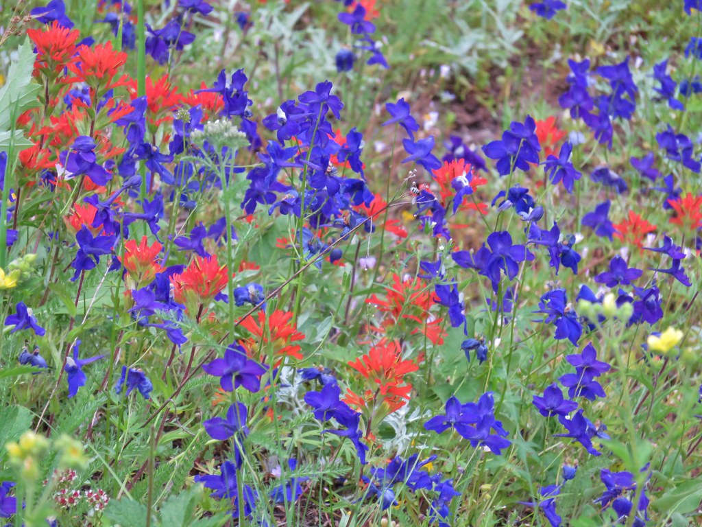 Larkspur and paintbrush – Browder Ridge
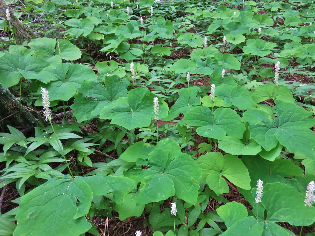 Vanilla leaf – Browder Ridge
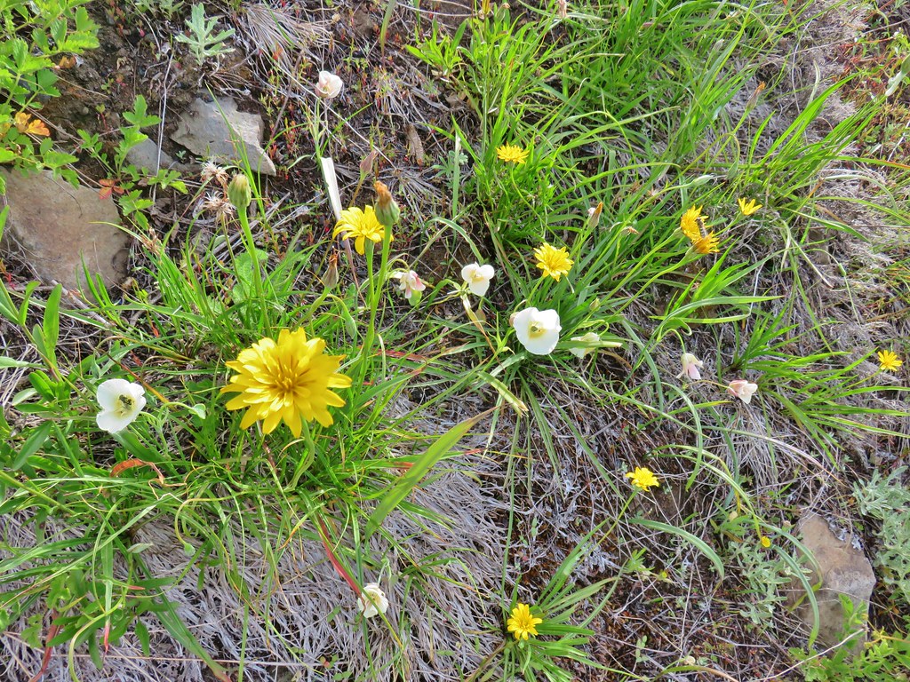 Sagebrush false dandelions and cat’s ear lilies – Browder Ridge
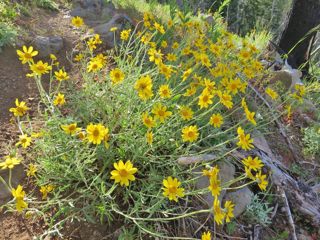 Oregon sunshine? – Browder Ridge
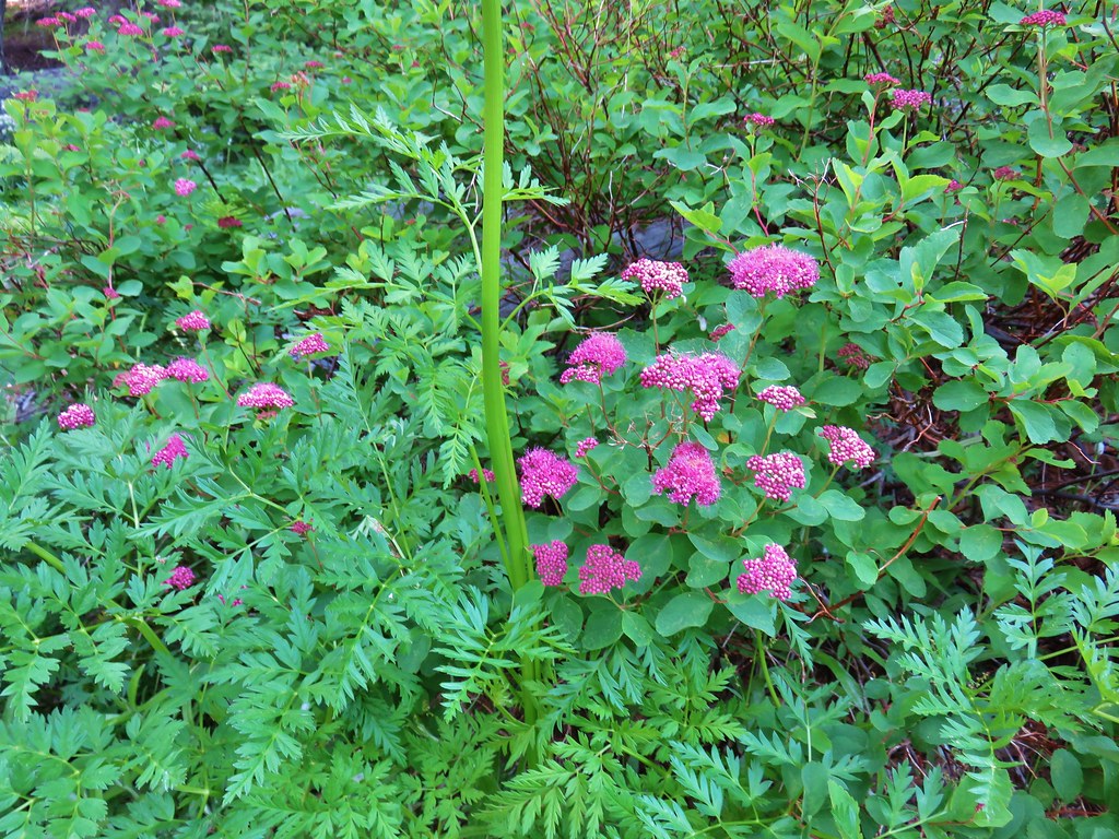 Spirea – Browder Ridge
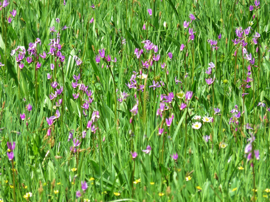 Shooting stars – Heart Lake
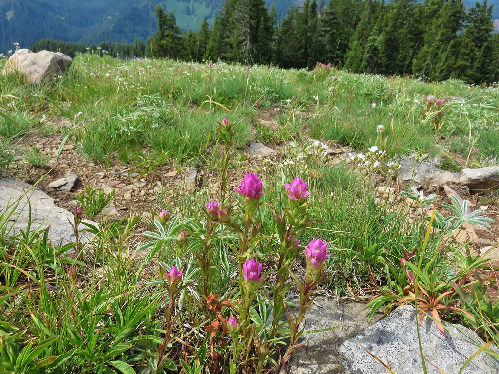 Owls clover – Browder Ridge
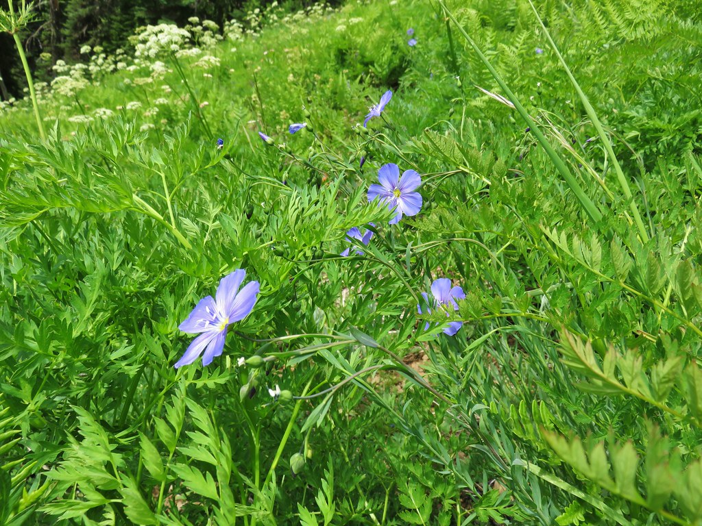 Lewis Flax – Browder Ridge
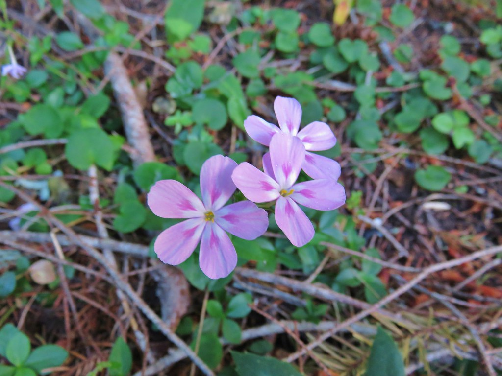 Northern phlox – Horsepasture Mountain
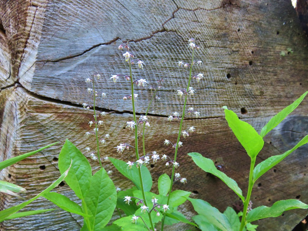 Foam flower – Horsepasture Mountain
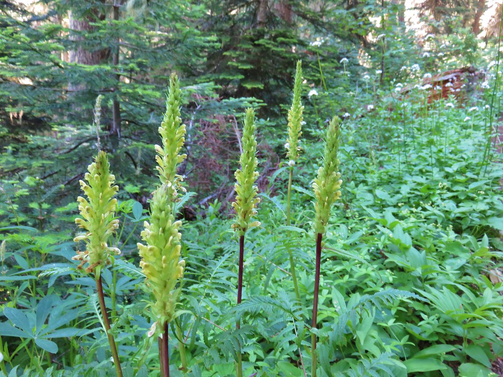 Lousewort – Horsepasture Mountain
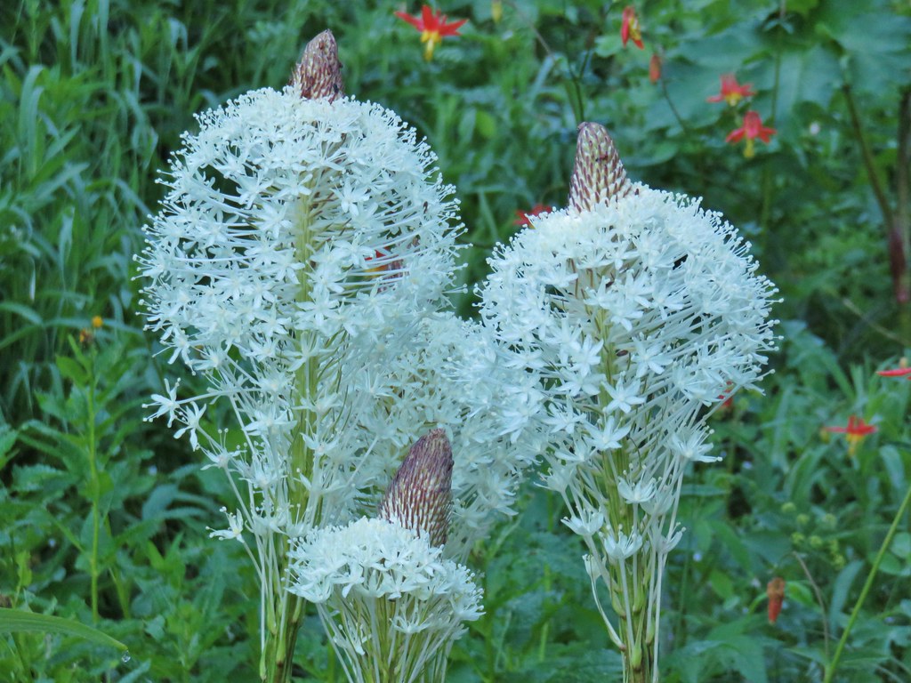 Beargrass – Horsepasture Mountain
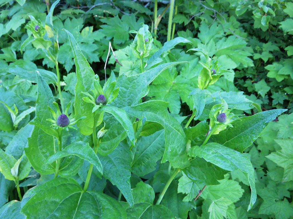 Coneflower – Horsepasture Mountain
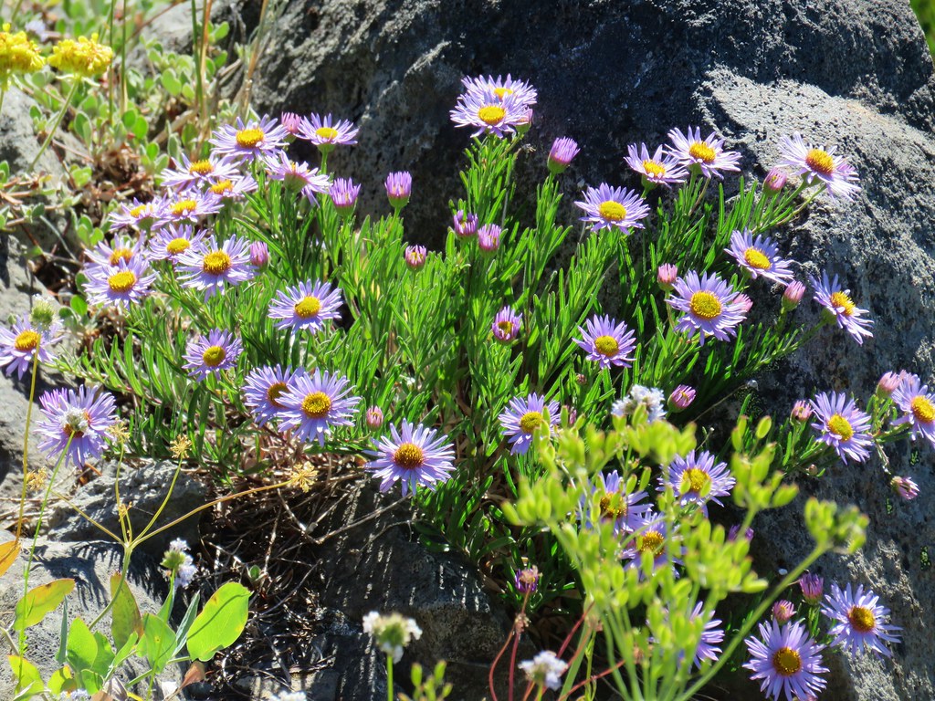 A fleabane – Horsepasture Mountain
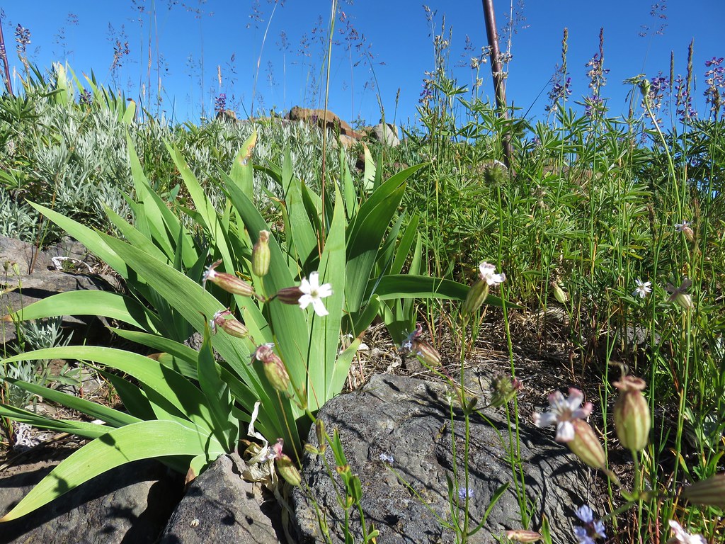 Catchfly – Horsepasture Mountain
 False hellebore – Opal Creek Wilderness
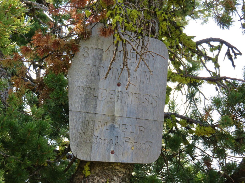
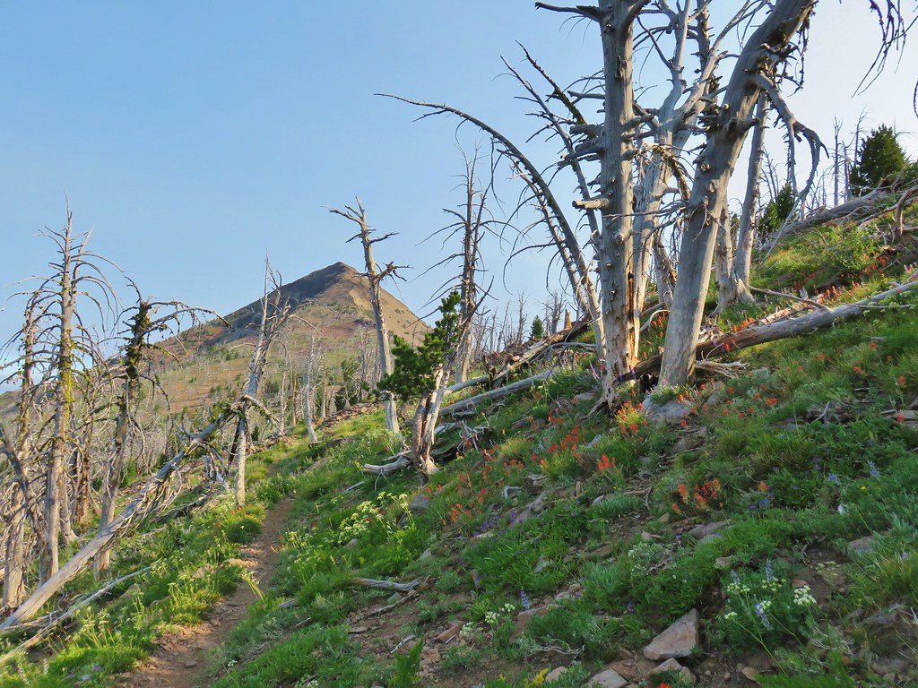
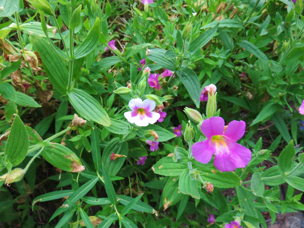 Monkeyflower – Strawberry Mountain Wilderness
 Streambed globe mallow – Strawberry Mountain Wilderness
 Mountain coyote mint – Strawberry Mountain Wilderness
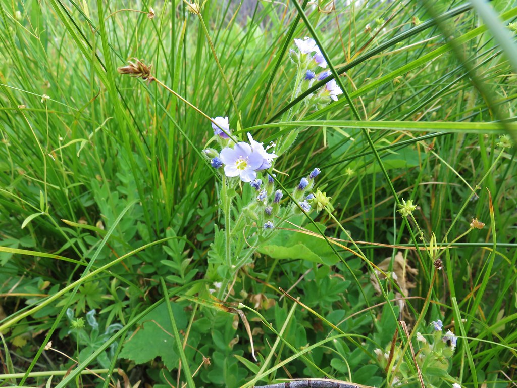 Low Jacob’s ladder – Strawberry Mountain Wilderness
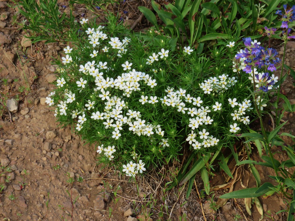 Nuttall’s linanthus – Strawberry Mountain Wilderness
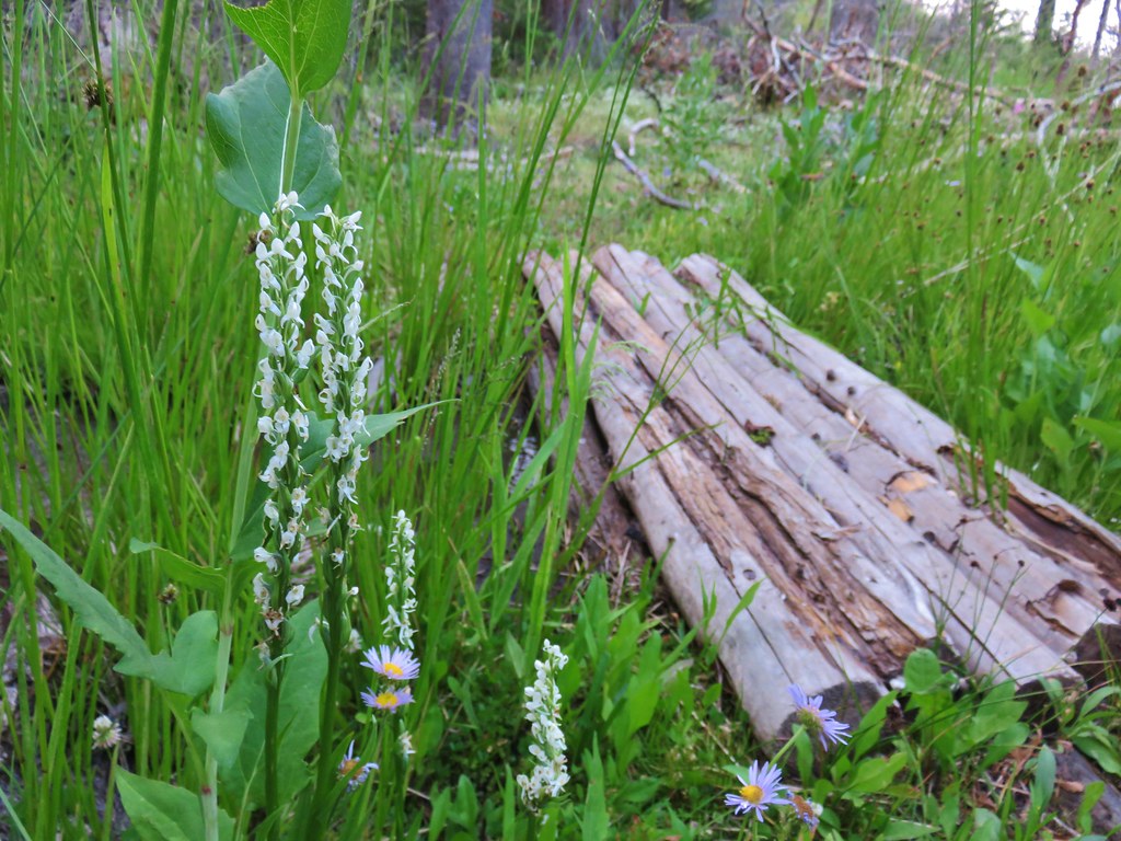 Bog orchids – Wildcat Spring
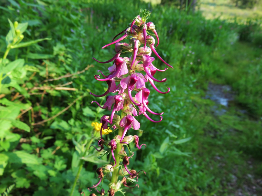 Elephants head – Strawberry Mountain Wilderness
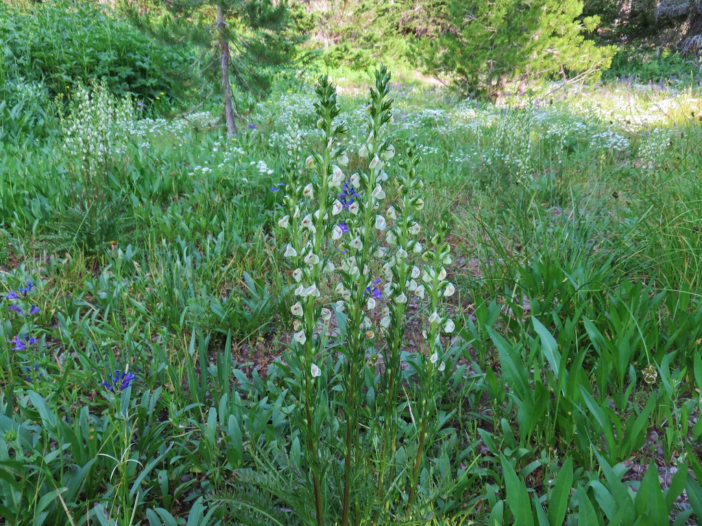 Louewort – Strawberry Mountain Wilderness
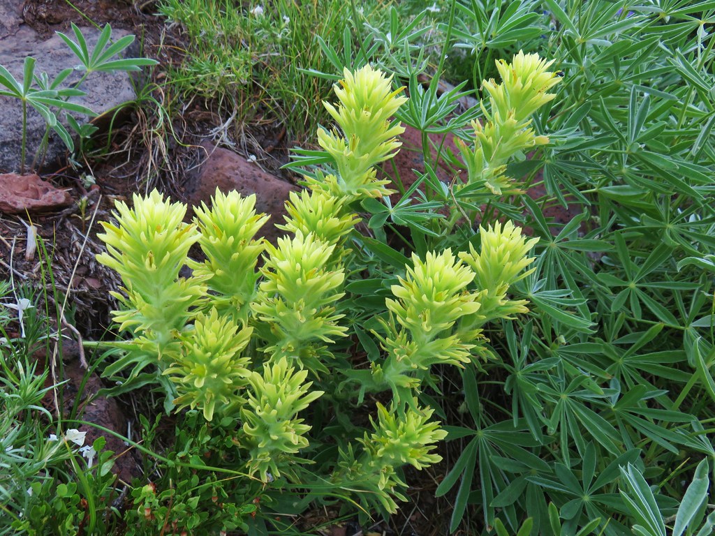 Yellow paintbrush – Strawberry Mountain Wilderness
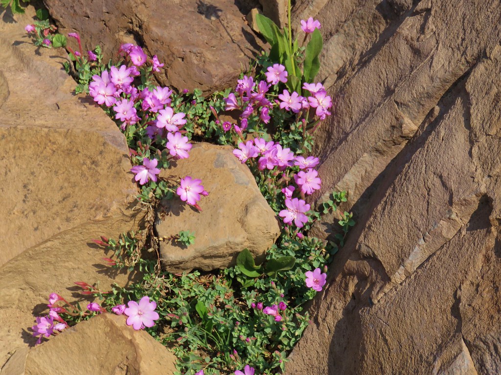 Rockfringe willowherb – Strawberry Mountain Wilderness
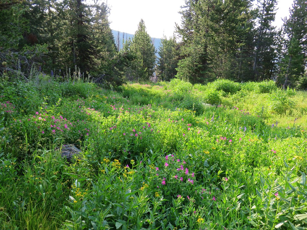
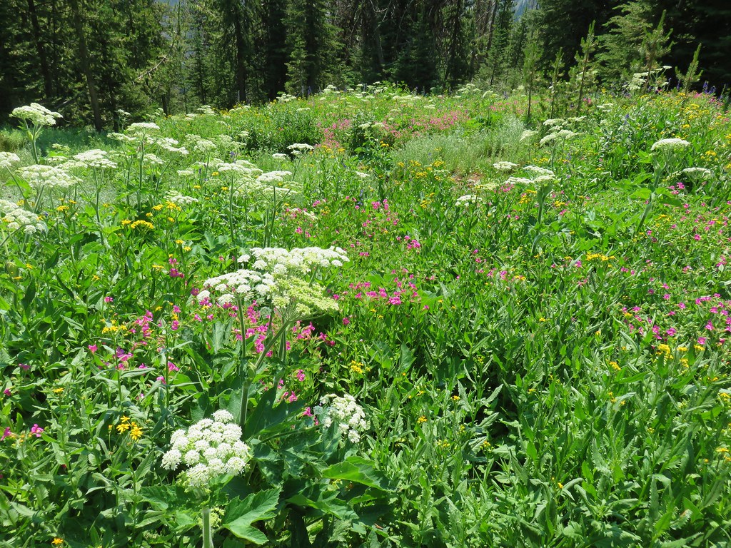 Small wildflower meadow in the Strawberry Mountain Wilderness
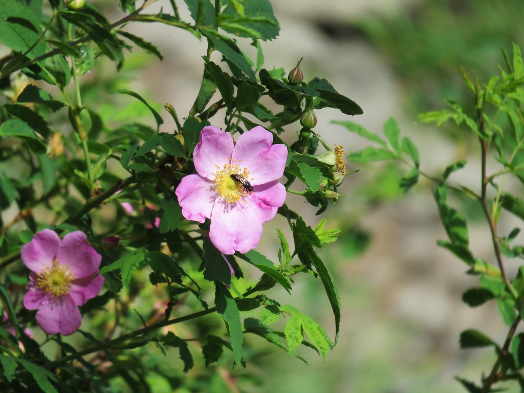 Wild rose – Strawberry Mountain Wilderness
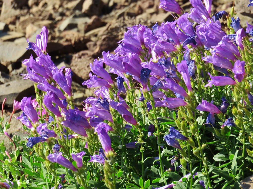 Penstemon – Strawberry Mountain Wilderness
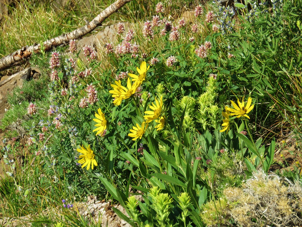 Hyssop, yellow paintbrush and unknown yellow flowers in the Strawberry Mountain Wilderness
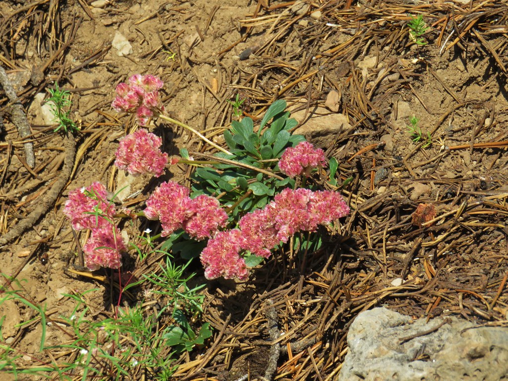 Pussypaws – Strawberry Mountain Wilderness
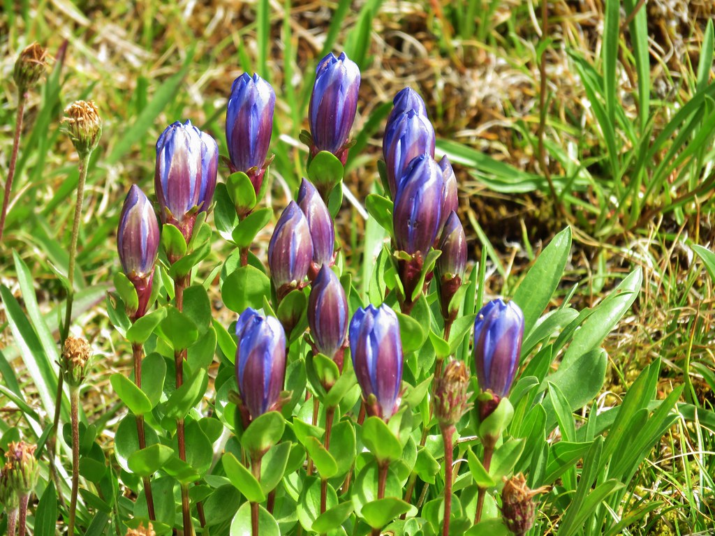 Gentians – Mt. Jefferson Wilderness
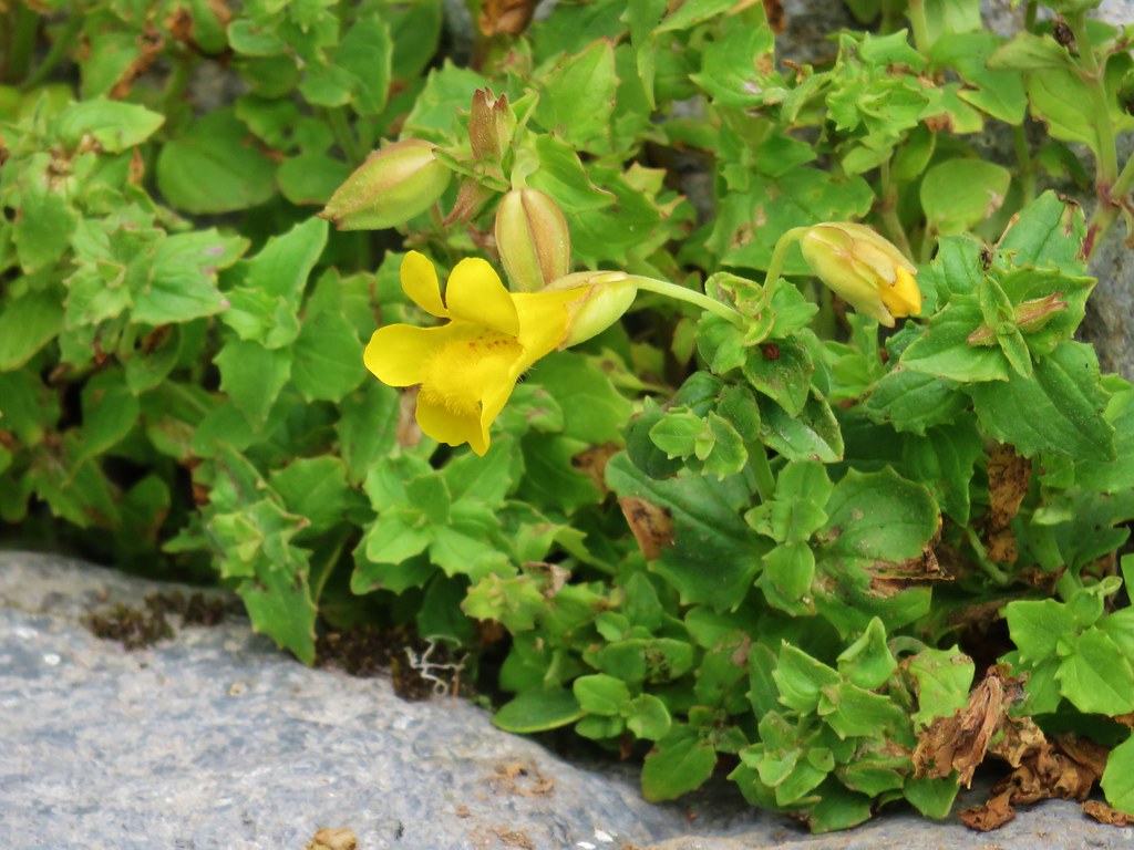 Yellow monkeyflower – Mt. Jefferson Wilderness
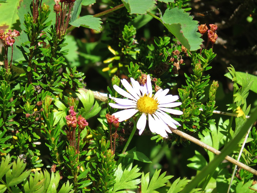 Aster – Elkhorns
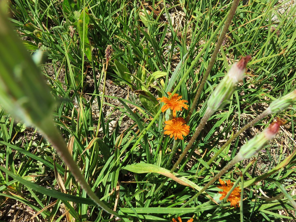 Orange agoseris – Elkhorns
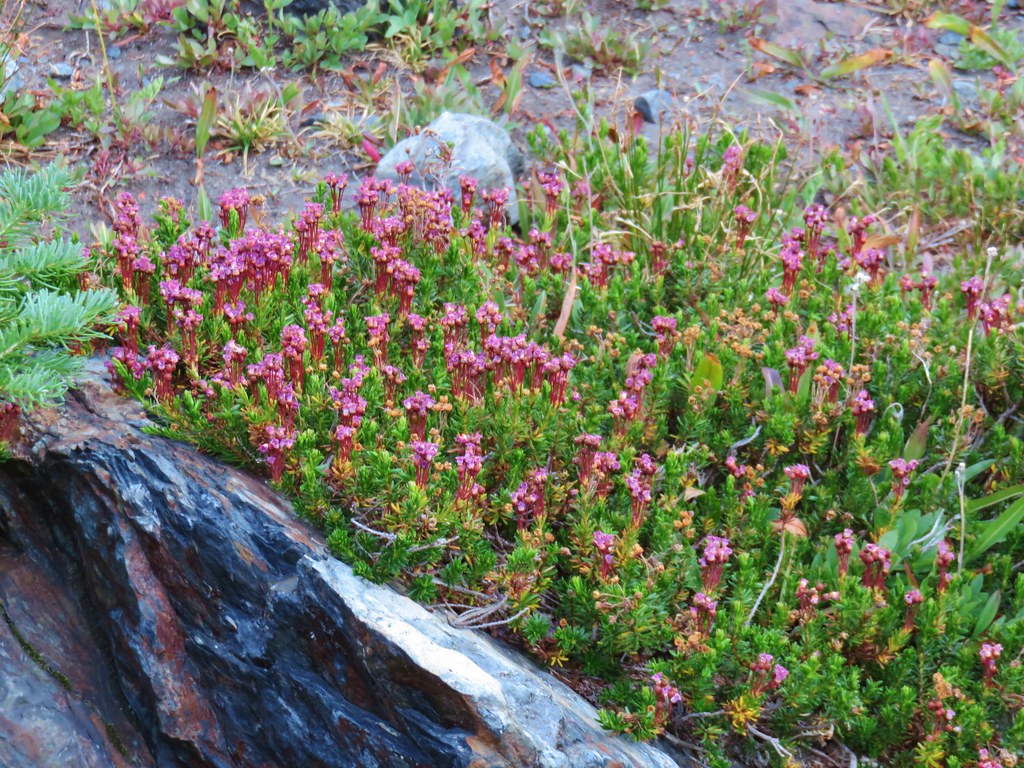 Mountain heather – Twin Lakes
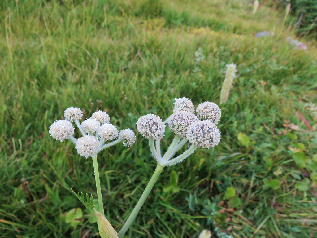 unknown – Twin Lakes
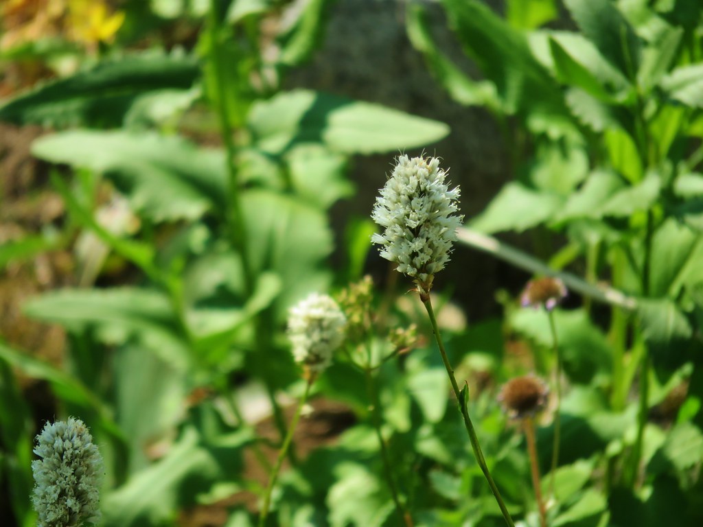 Bistort – Elkhorns
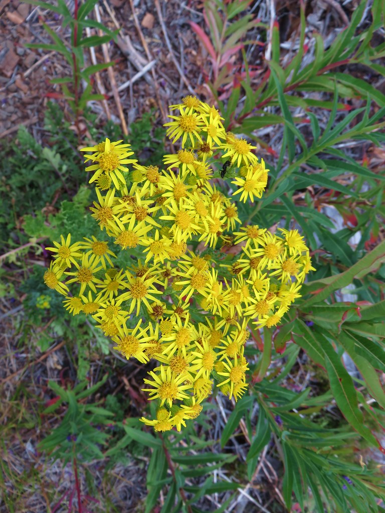 Groundsel? – Waldo Lake
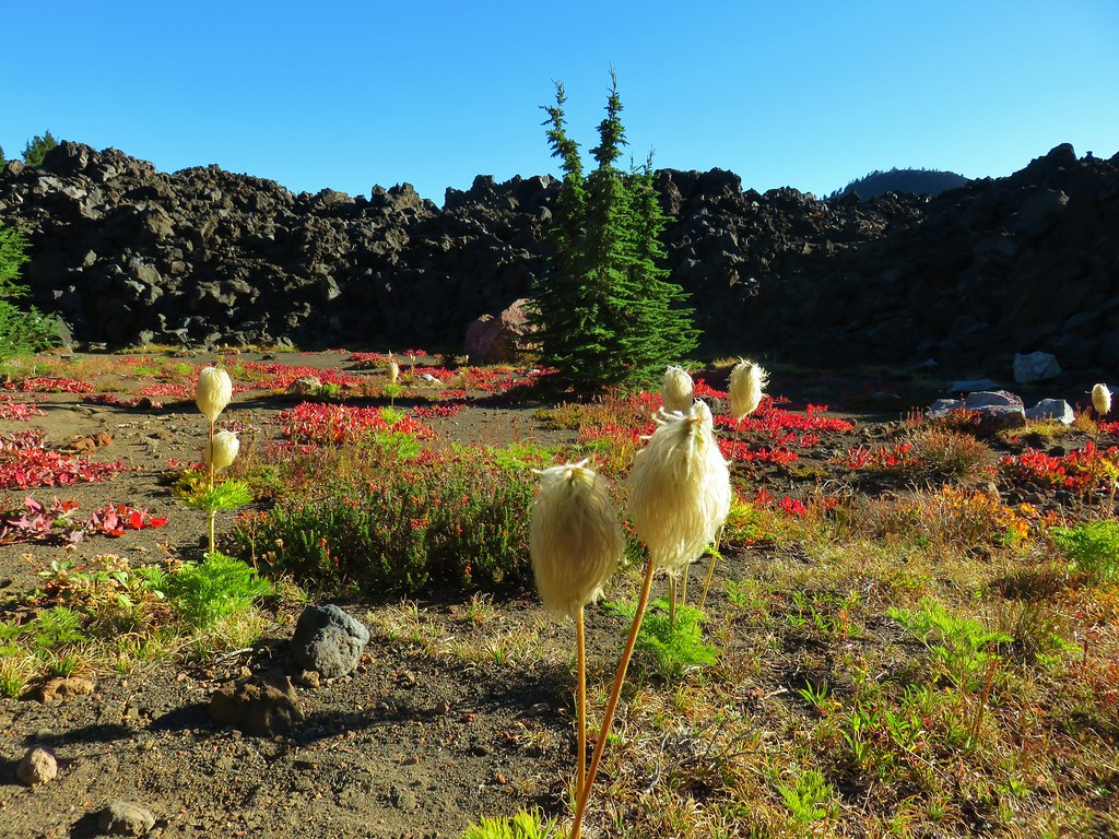 Western pasque flower – Mt. Jefferson Wilderness
 unknown – South Climb Route, Mt. Jefferson
 Moth mullen – Cape Perpetua


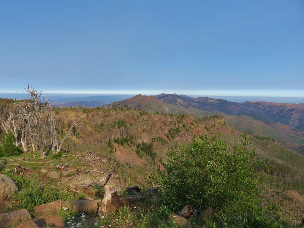
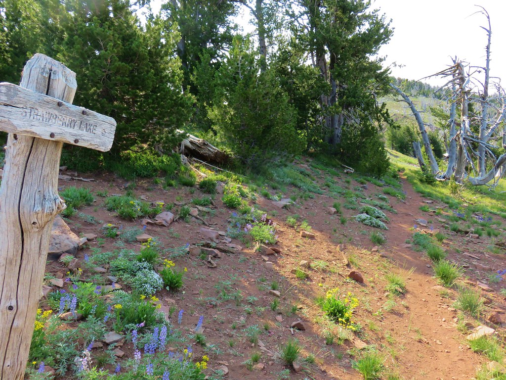
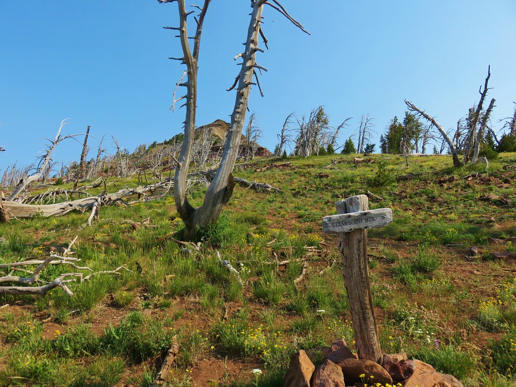
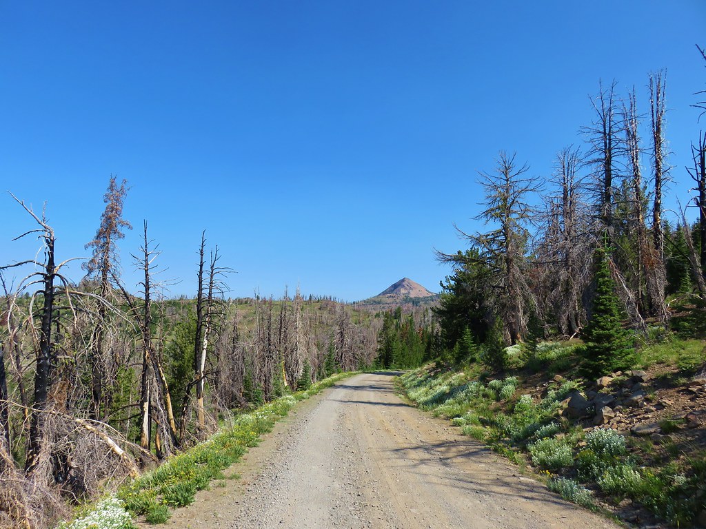 Strawberry Mountain from FR 1640.
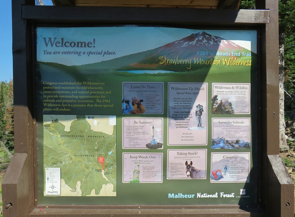


 Indian Creek Butte, the John Day Valley, and Strawberry Mountain

 A horse in the meadow at Hotel De Bum Camp


 Indian Creek Butte
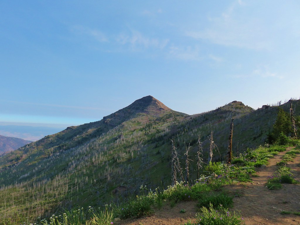 Strawberry Mountain
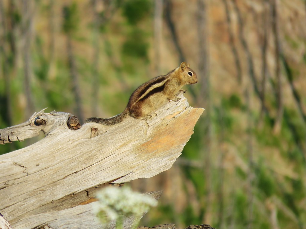

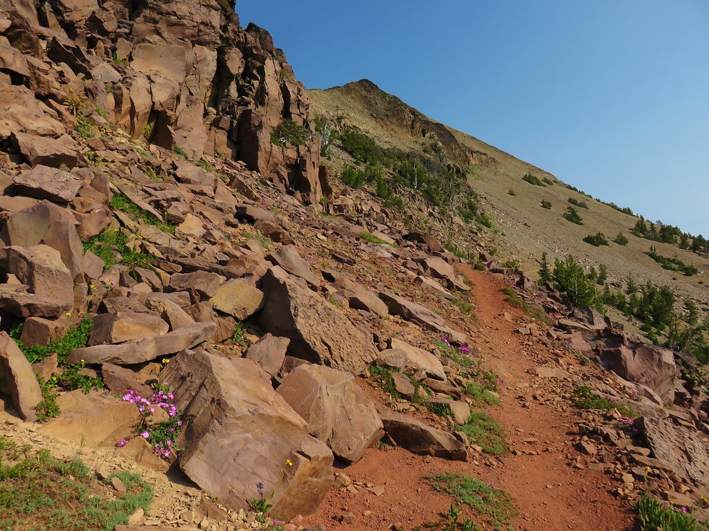
 Looking north toward the John Day Valley
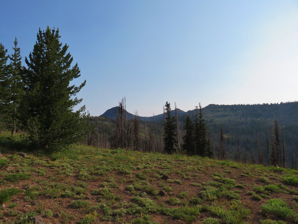
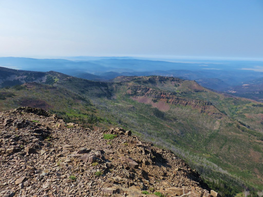 Looking SW toward Wildcat Basin
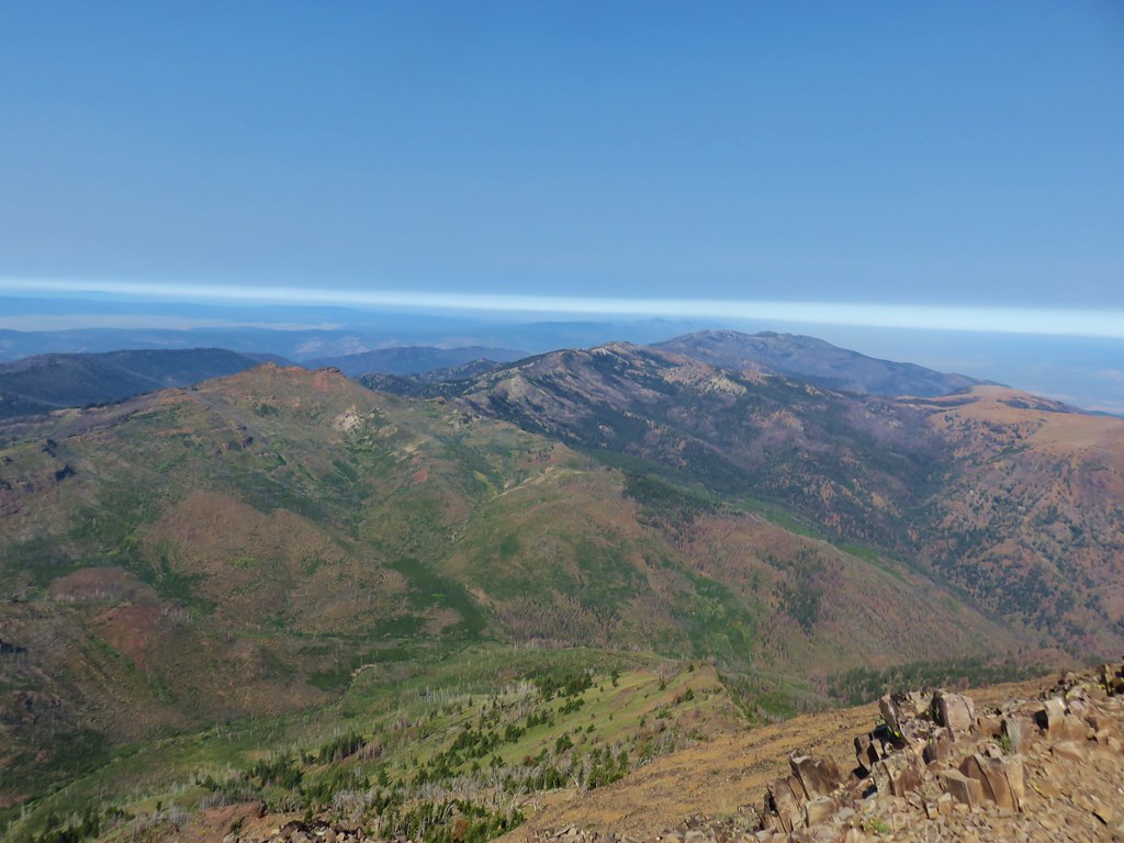 View west toward Indian Creek Butte and Canyon Mountain
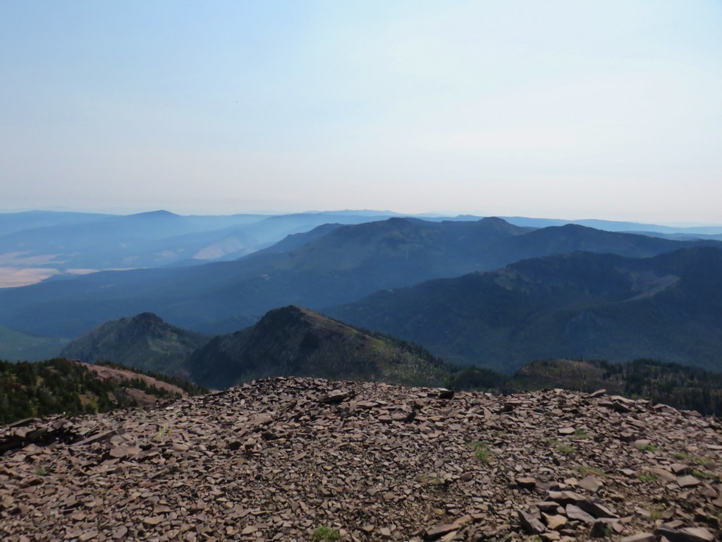 Looking NE
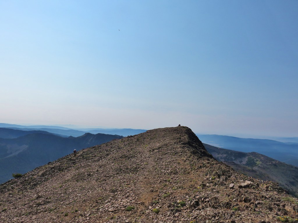 View east


 View from the chair.