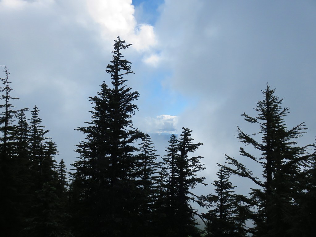
As we continue to deal with the ever changing situation presented by the COVID-19 pandemic we are looking for ways to hike responsibly. That means doing our best to follow social distancing guidelines and honoring any closures in place. The situation with closures has been especially confusing requiring a fair amount of digging to get a clear picture of just what is allowed and what isn’t. With these things in mind we have been looking for hikes that are open and lightly used to limit our interaction with other people.
After looking through our to-do hike list we decided that the best option for an acceptable outing at this point was a pair of hikes along the North Fork Middle Fork Willamette River. In regards to closures, the Willamatte National Forest (as of this writing) has closed all developed recreation sites. Reviewing the March 27, 2020 announcement on their website goes on to say that those sites include “campgrounds, day-use sites, trailheads with bathrooms, Sno-parks, snow shelters, fire lookouts, hot springs, boat launch facilities, and OHV trailhead facilities.” Trails themselves are not on the list and remain open assuming proper social distancing and group size/make up is within acceptable limits.
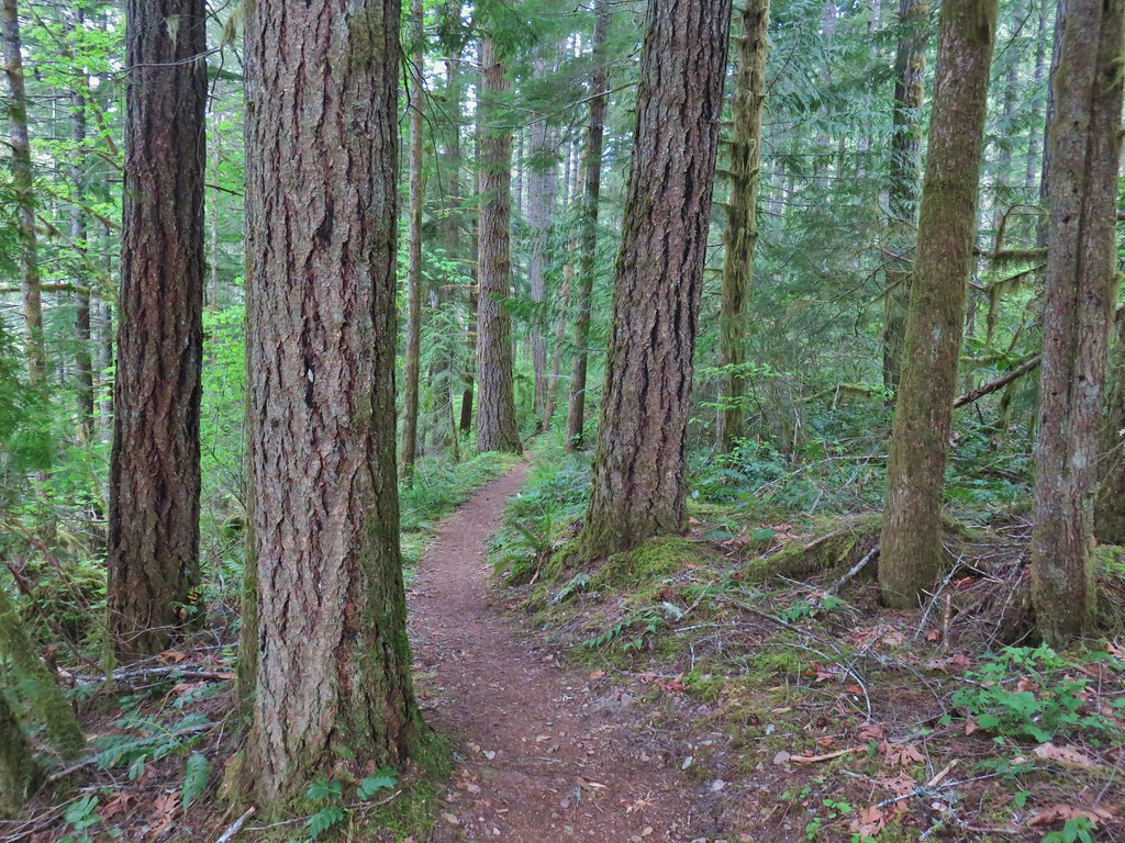
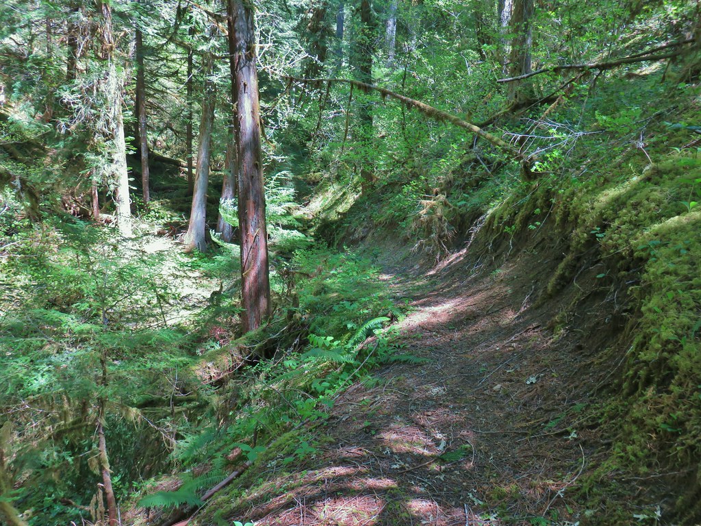
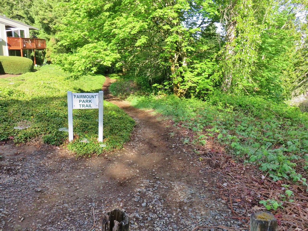
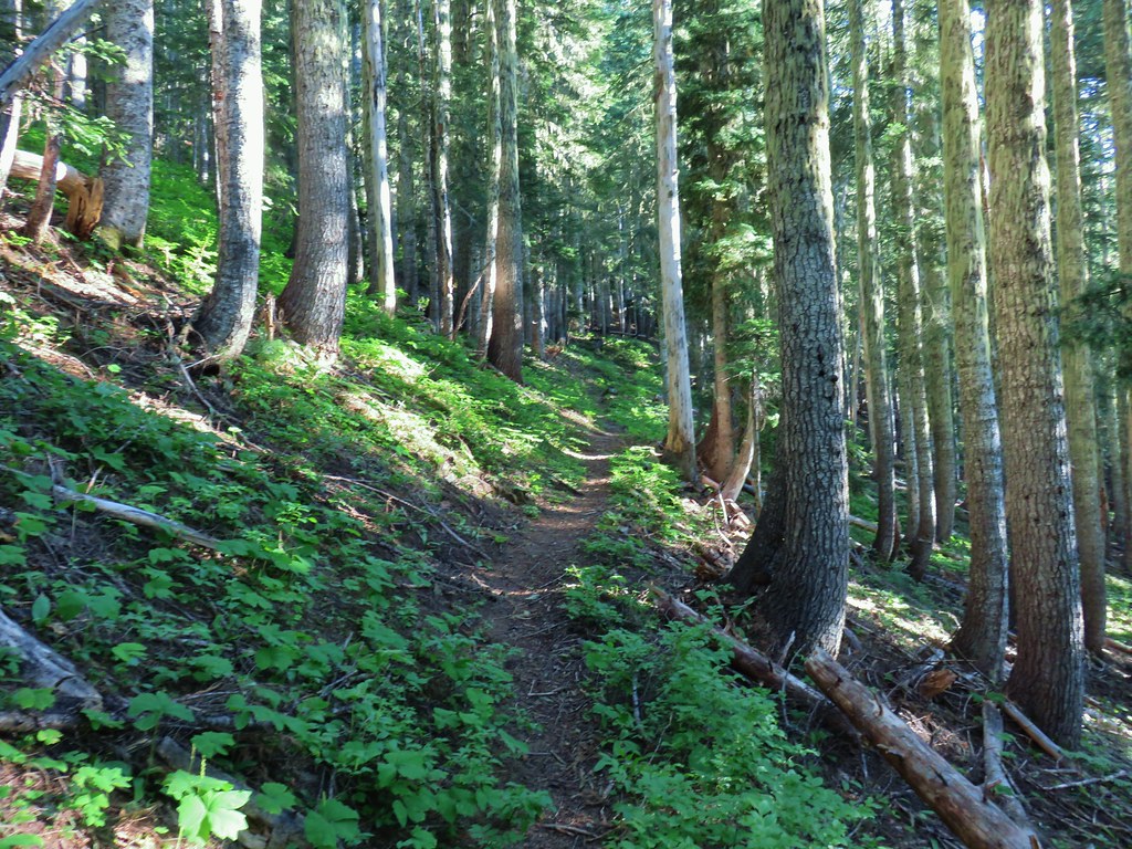
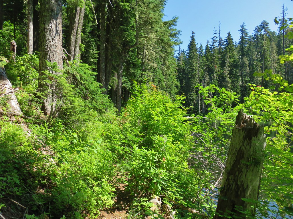
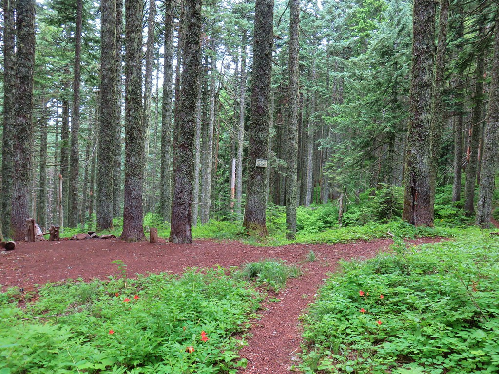
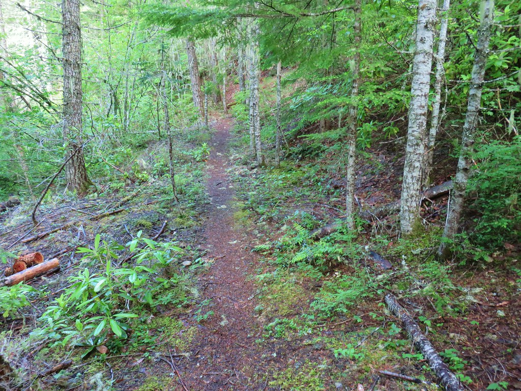
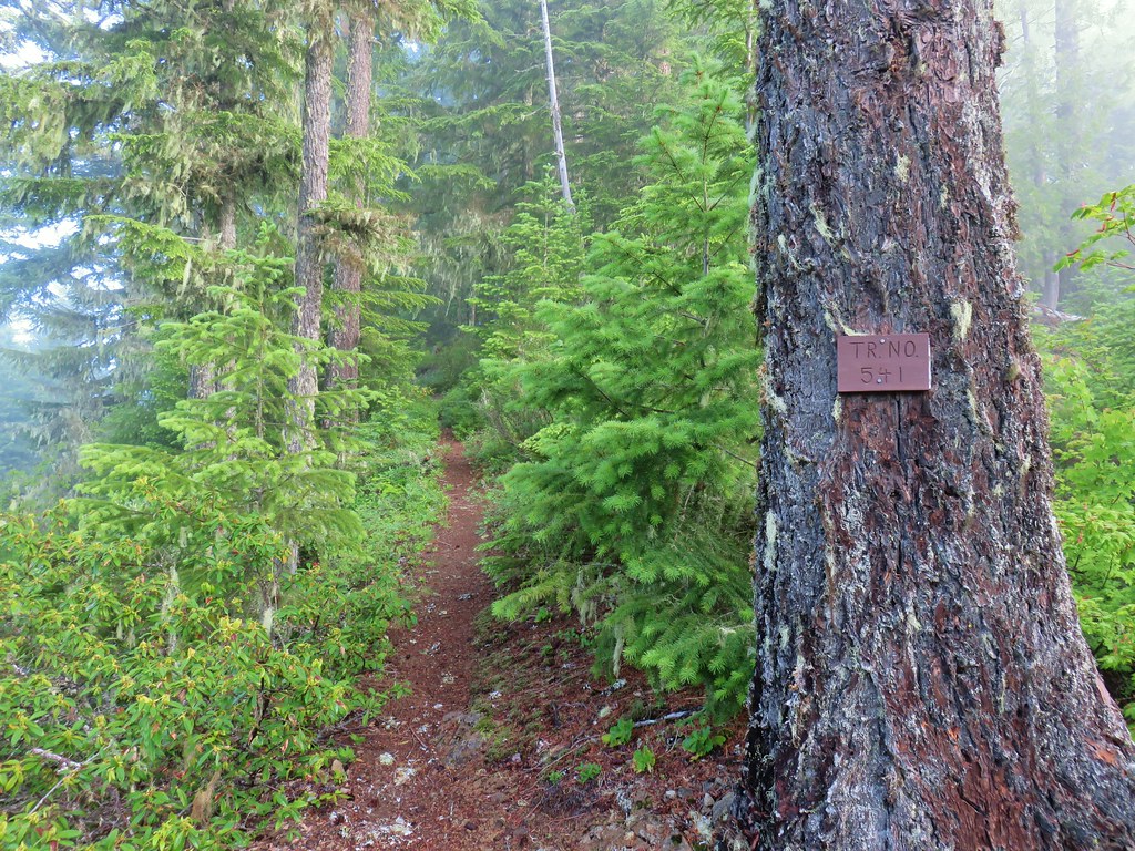
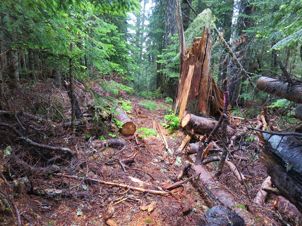
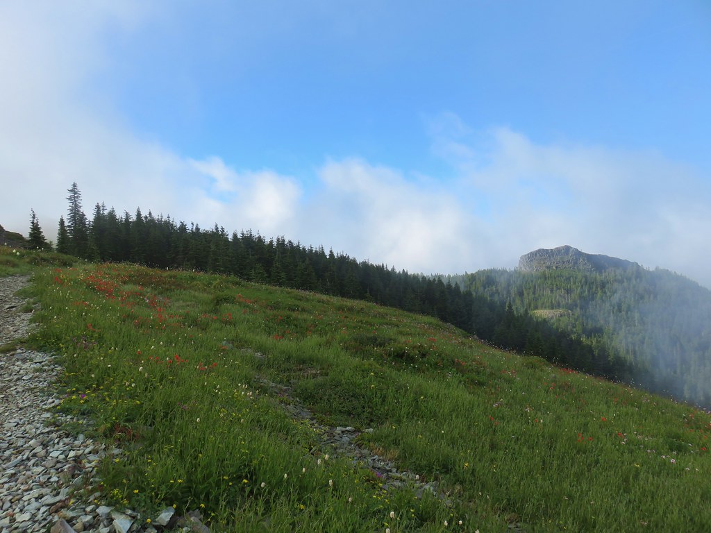
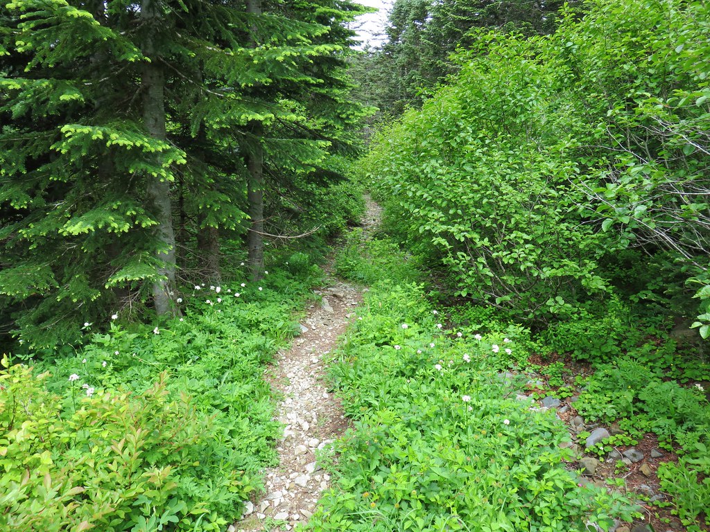
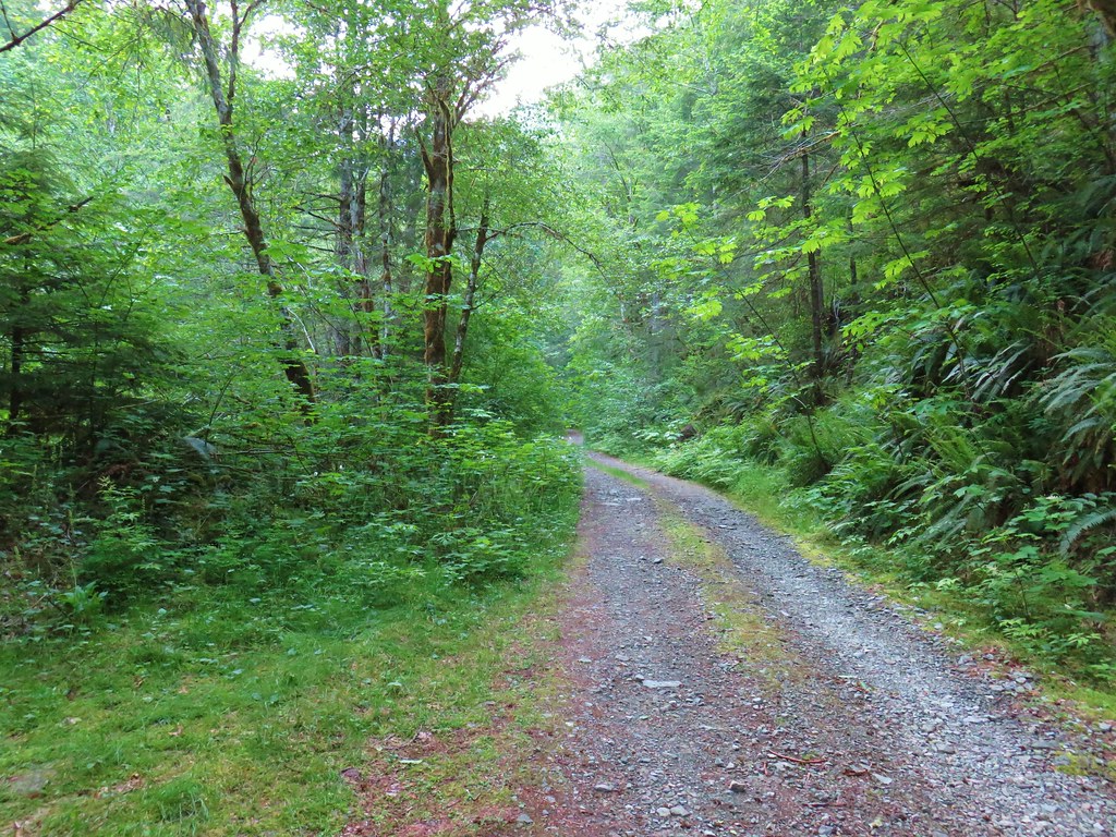
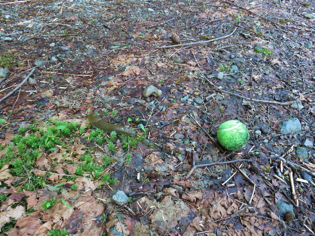
Our first stop was to hike Segment 1 of the North Fork Trail. Since trailheads with bathrooms are part of the temporary closure the traditional trailhead for this hike was out. Our plan was to park at a small pullout along Forest Road 1910 three miles NE of Westfir along Forest Road 19 (Aufderheide Scenic Byway). A decommissioned road just after crossing the river provided the perfect spot to park and happened to be right where the North Fork Trail crossed FR 1910.

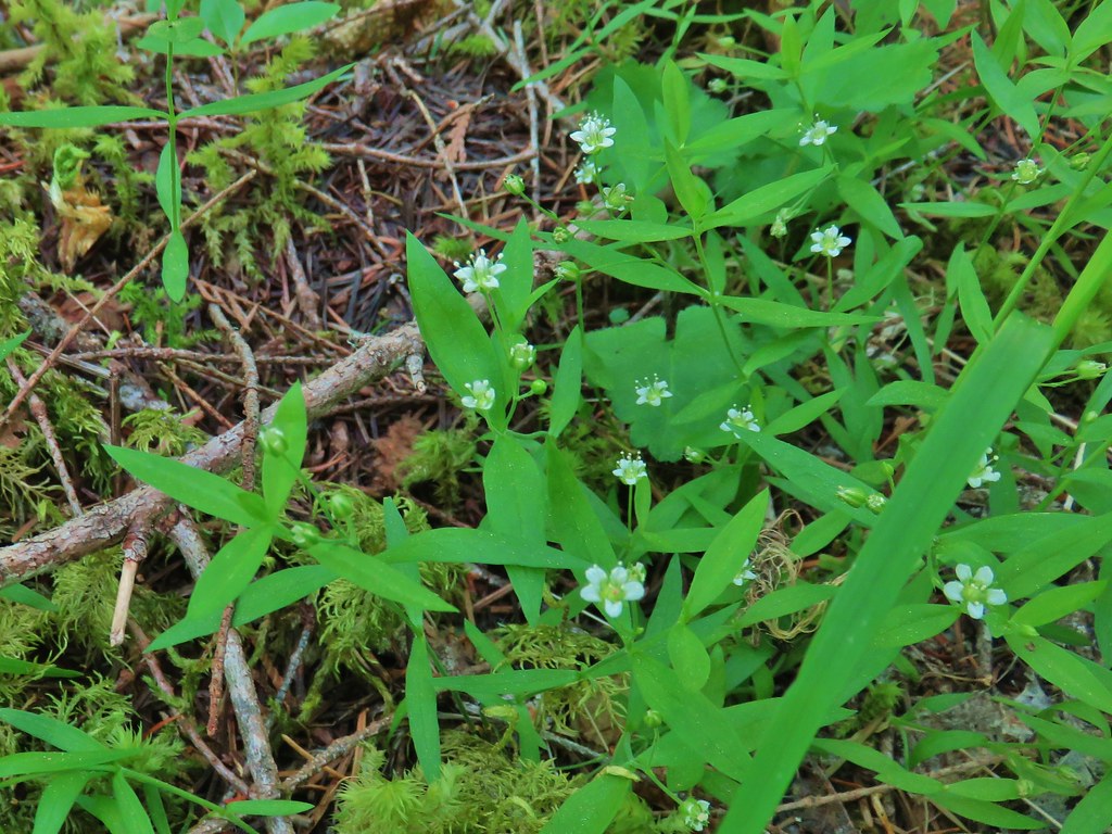
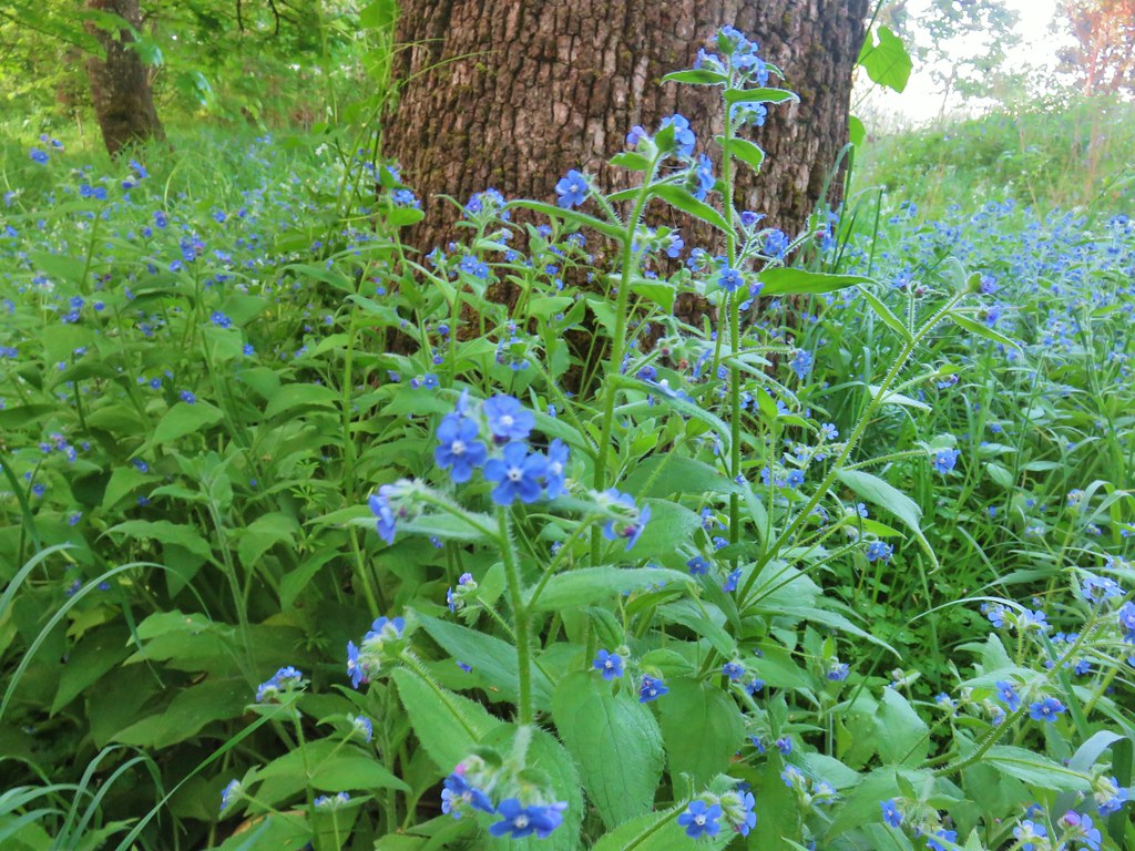
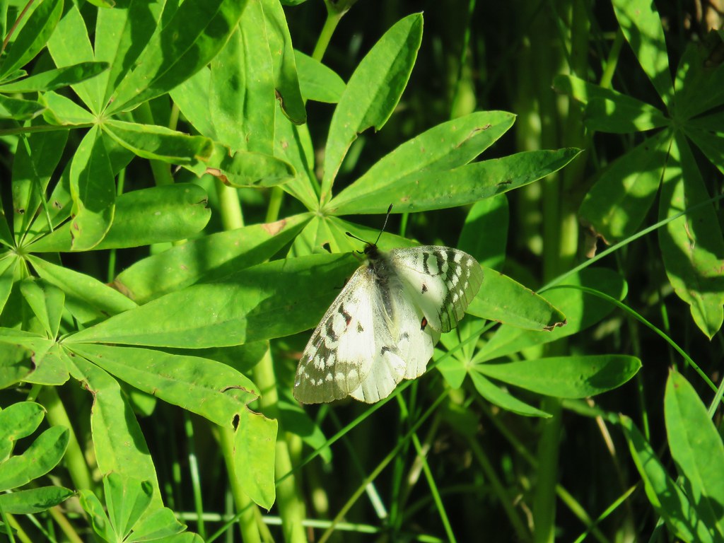
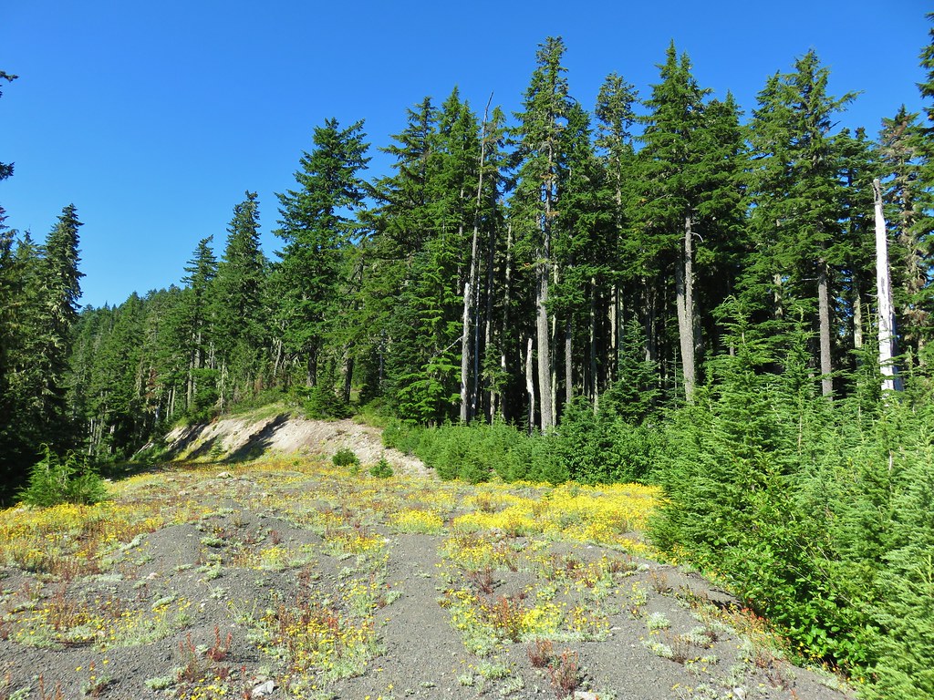
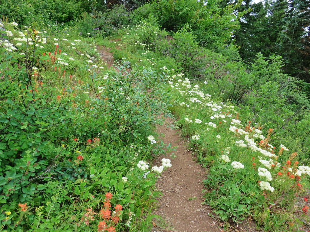
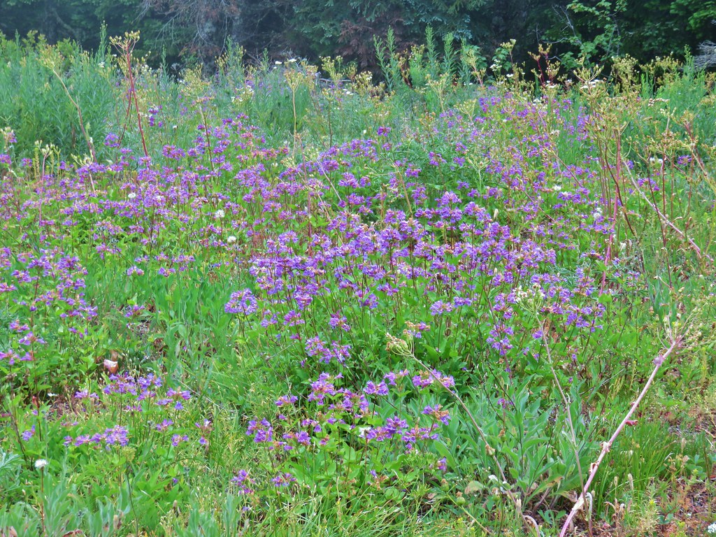
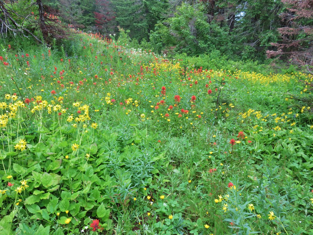
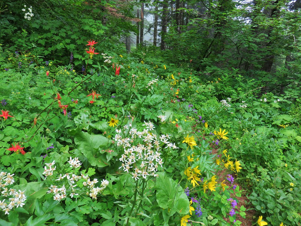
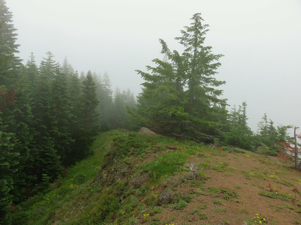
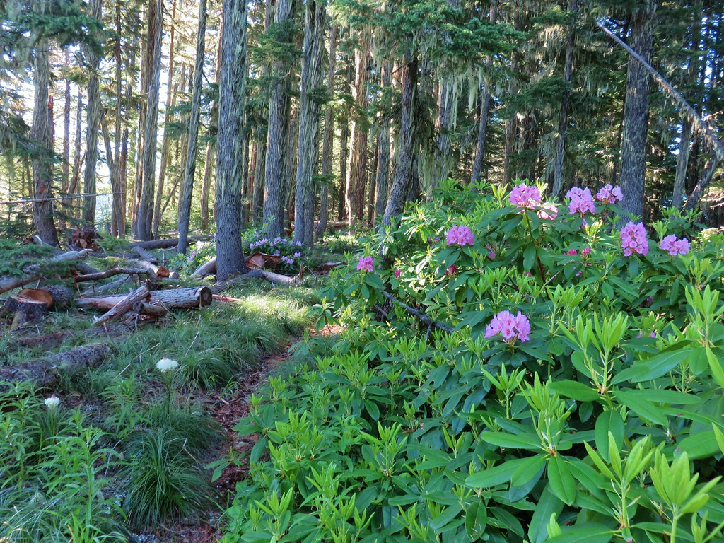
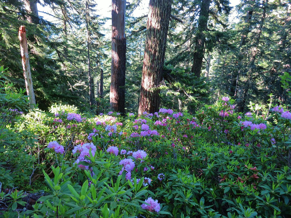
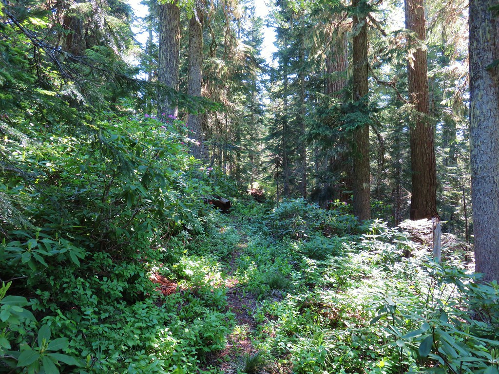
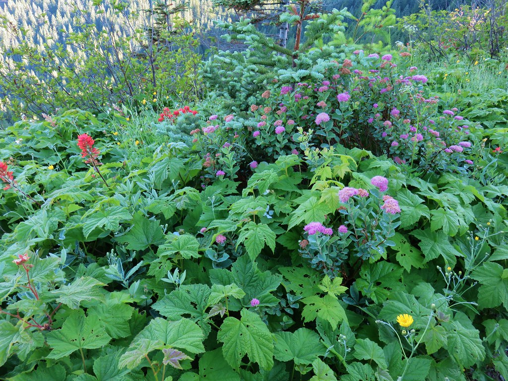
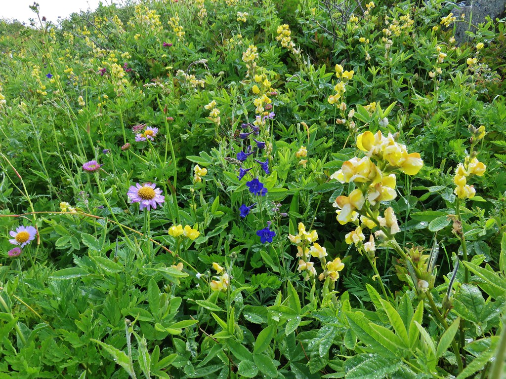
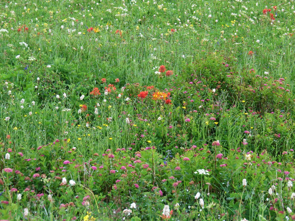
We headed SW into the forest where a number of different wildflowers were currently blooming.
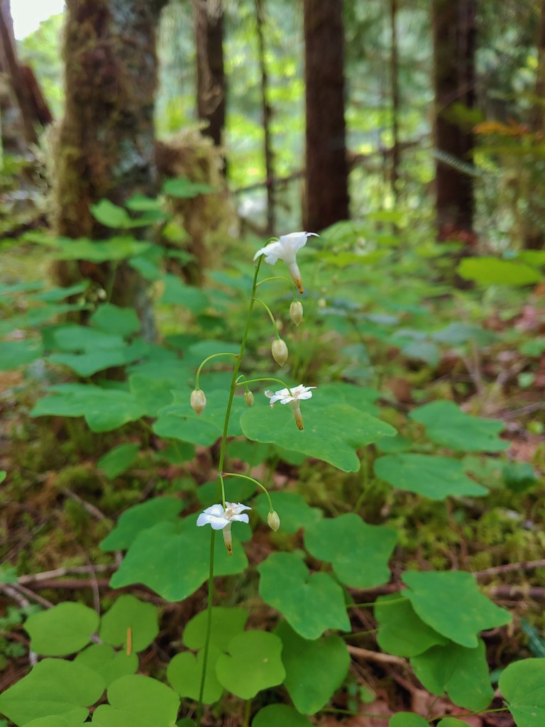
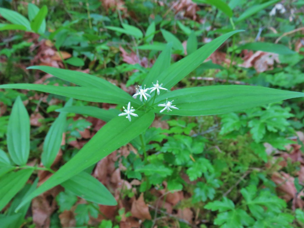 Star-flowered solomonseal
 Anemone
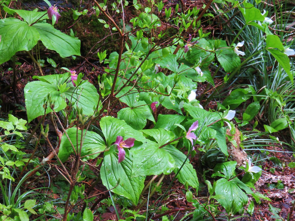
 Trillium
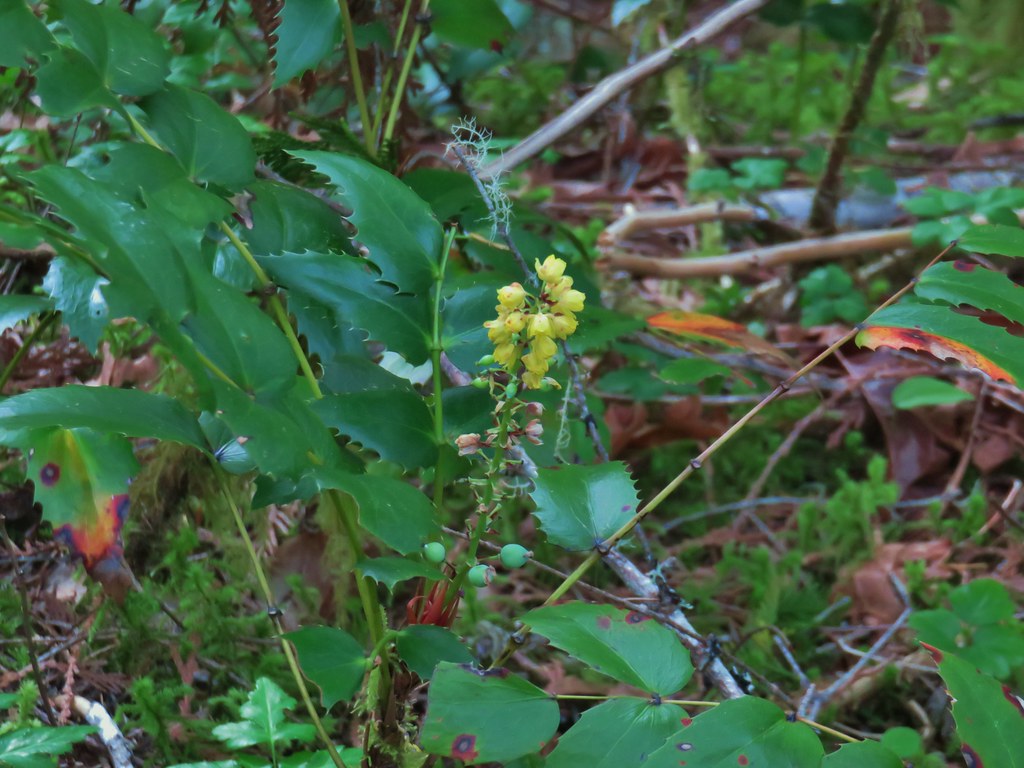 Oregon grape
 Starflower
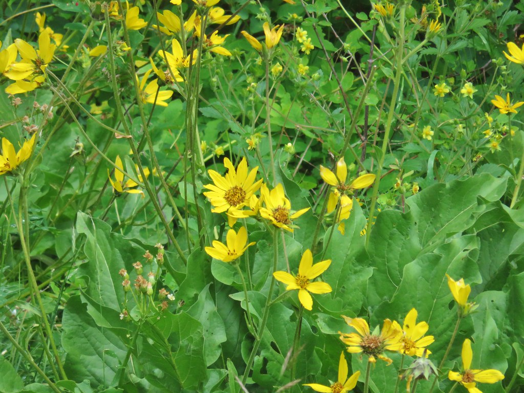
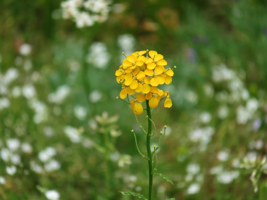
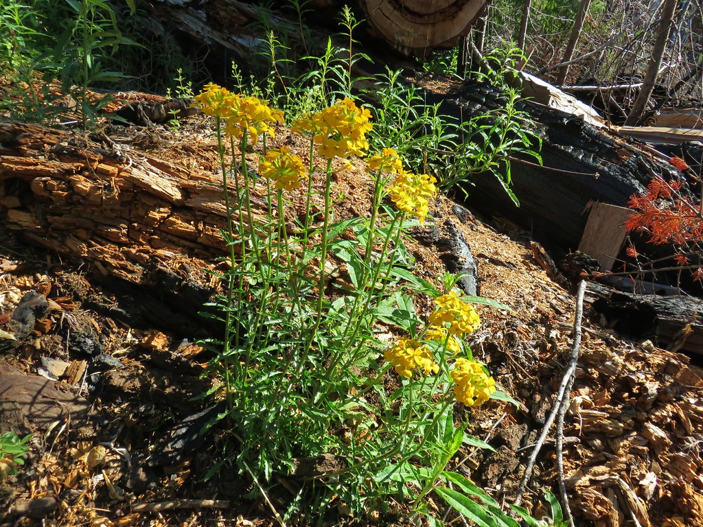
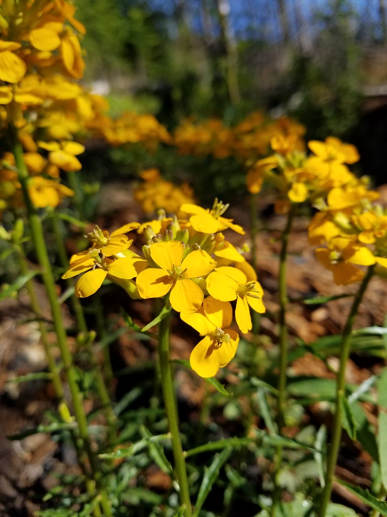
 Yellowleaf iris
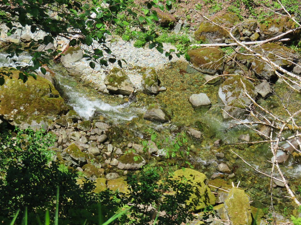
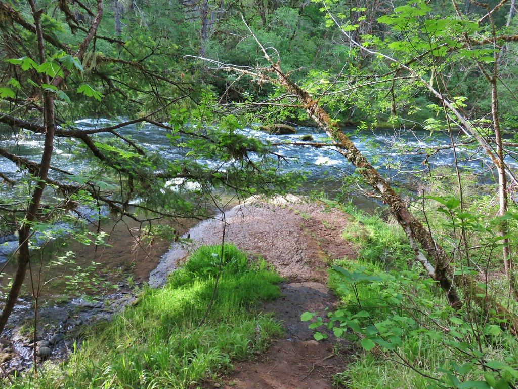
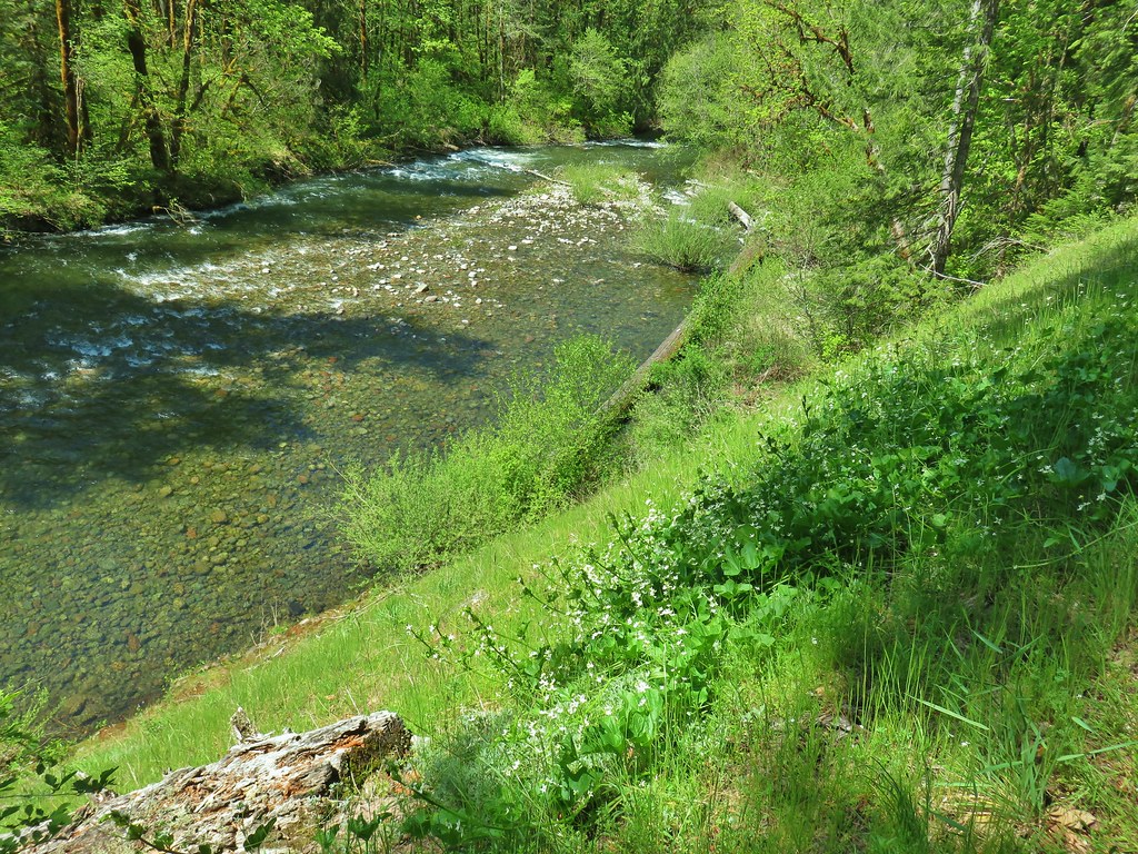
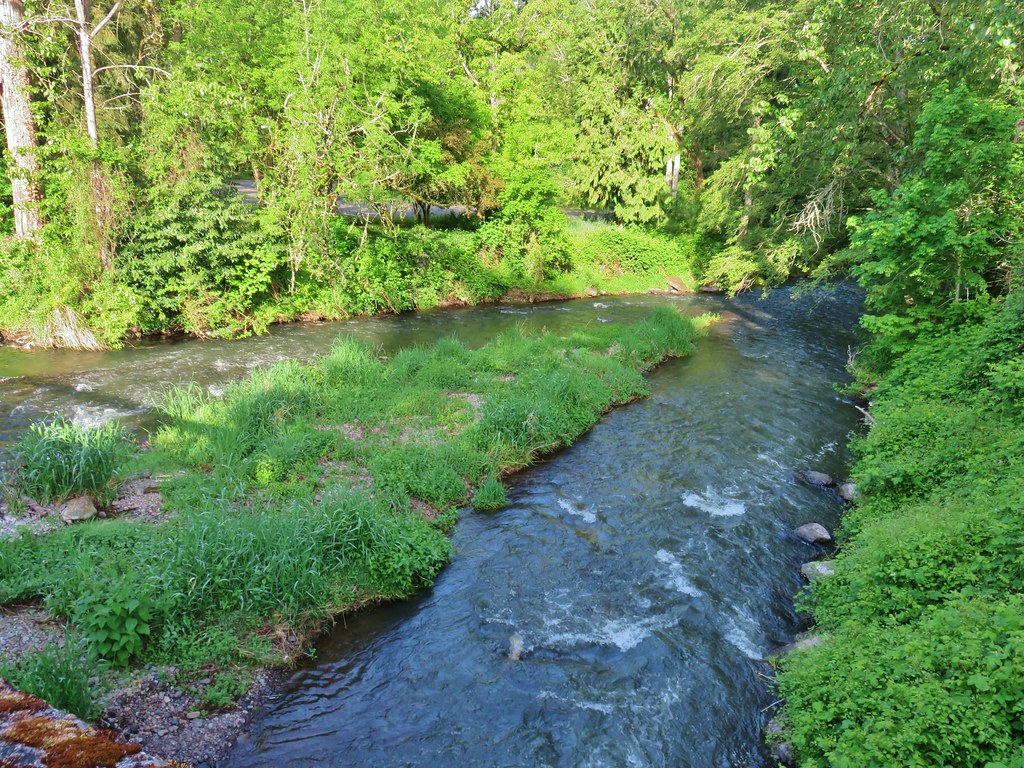
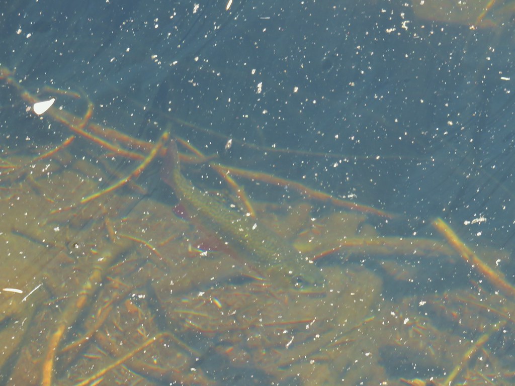
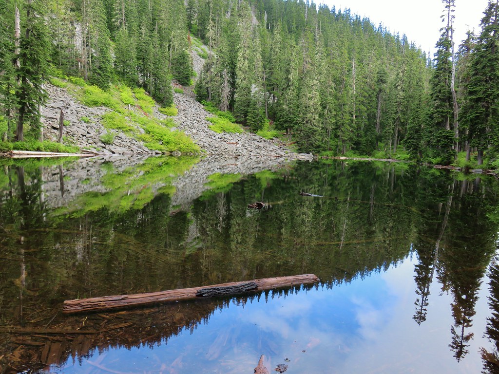
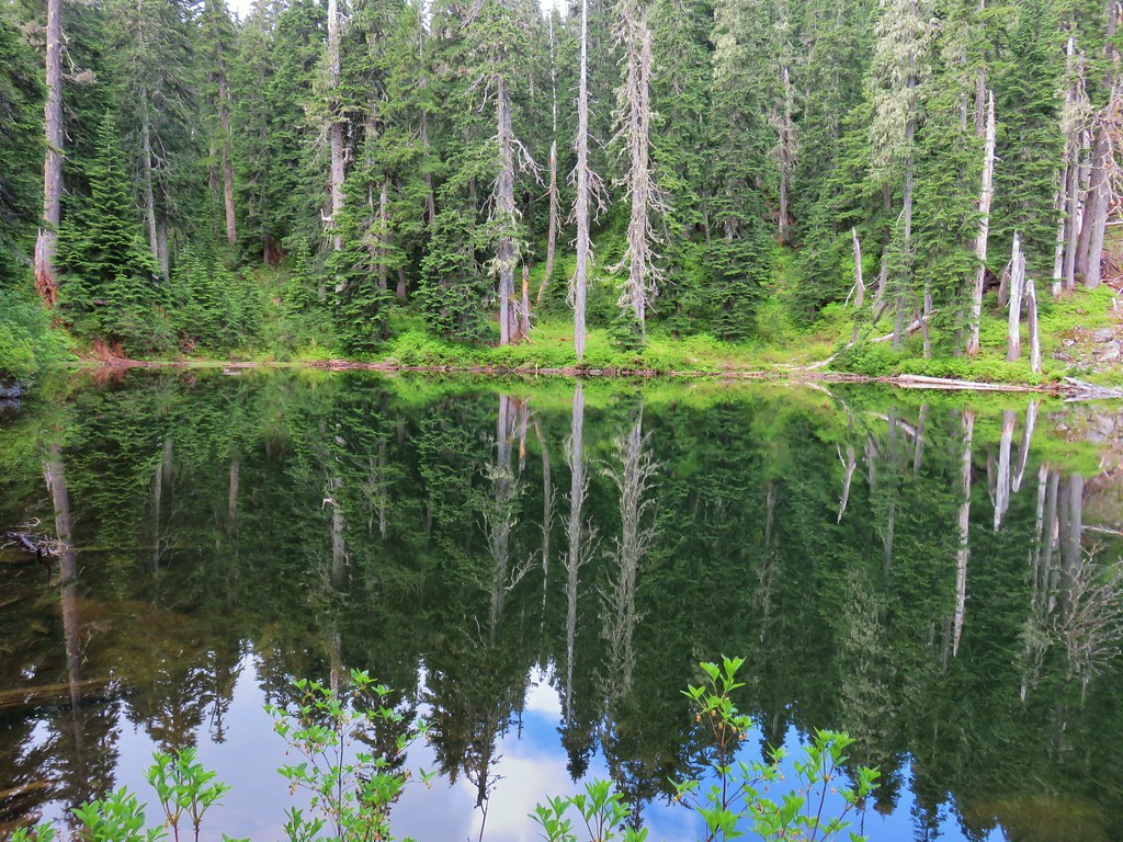
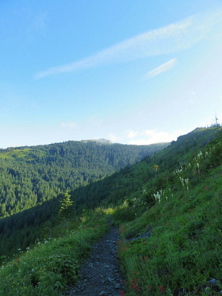
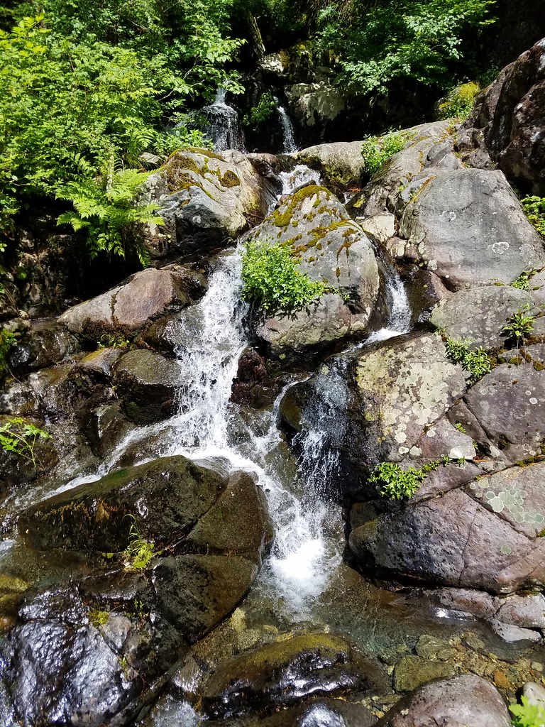
After .2 miles we followed a path down to the riverbank.
 Looking back at FR 1910’s bridge over the River.

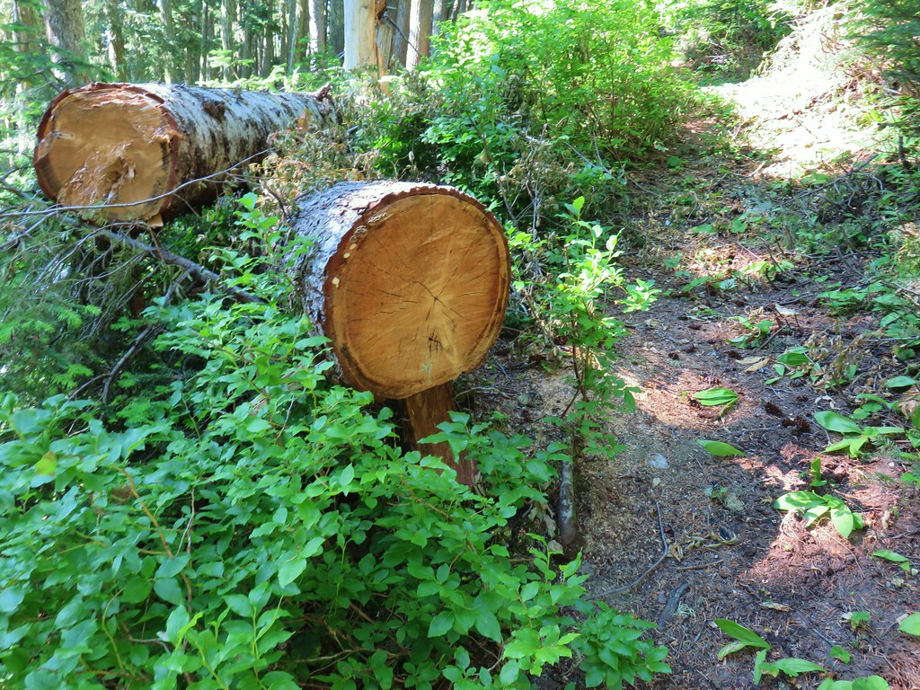
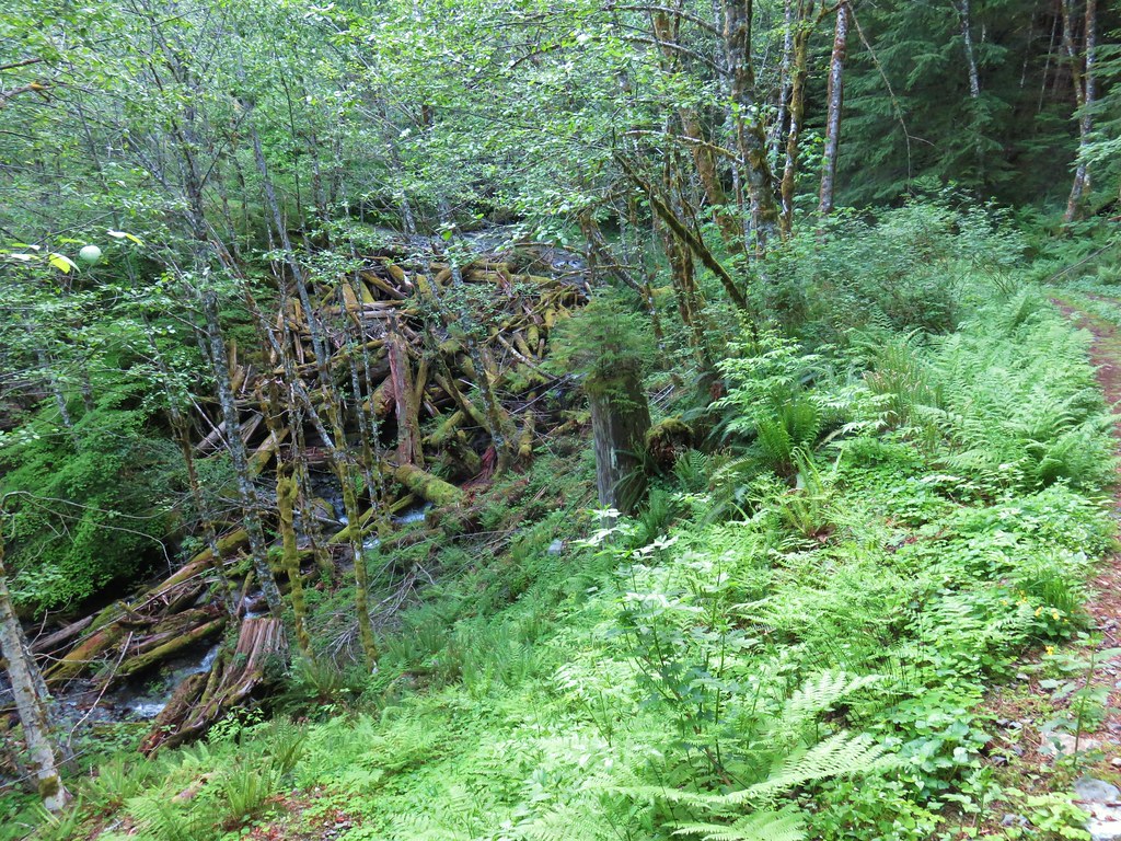
A few steps after returning to the trail we left the trail again and crossed the decommissioned FR 685 near Short Creek to check out a small slide.

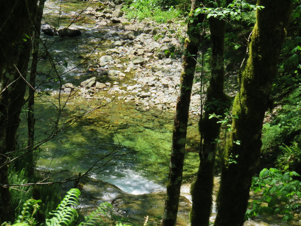
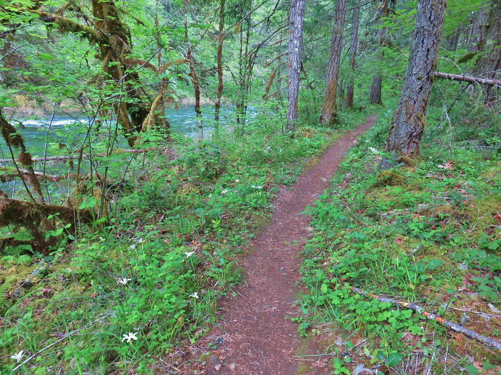
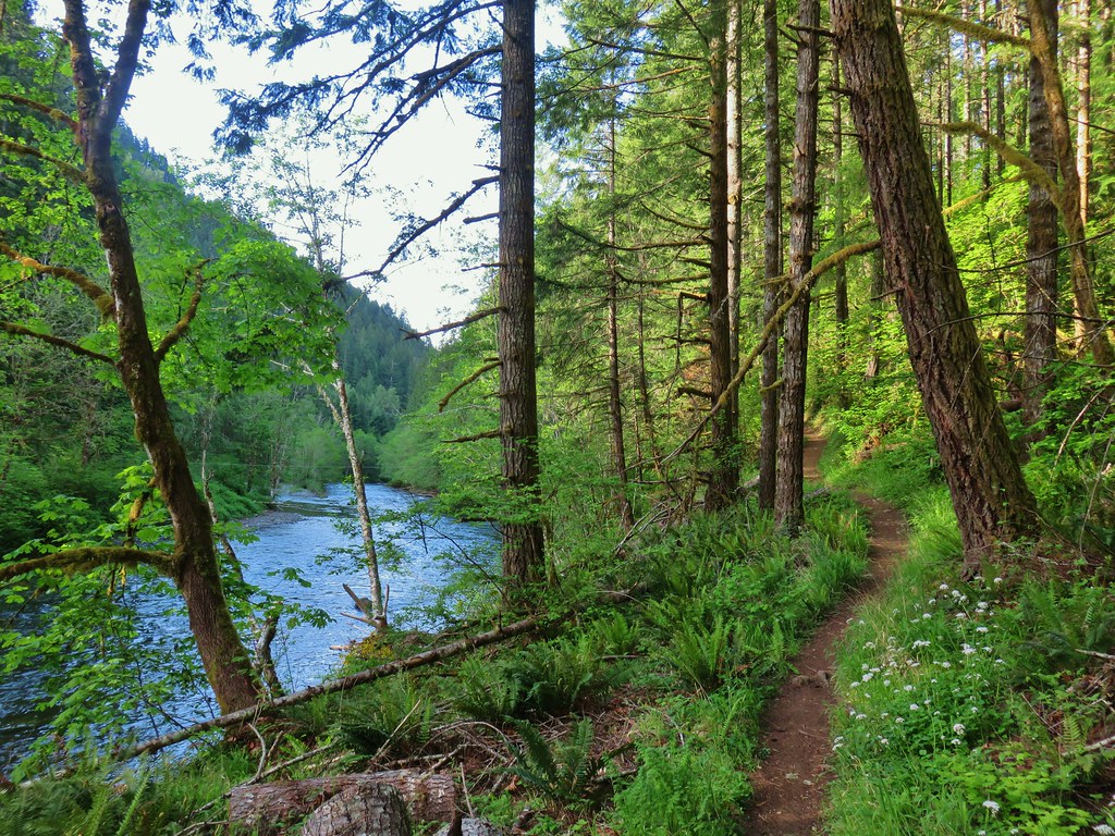
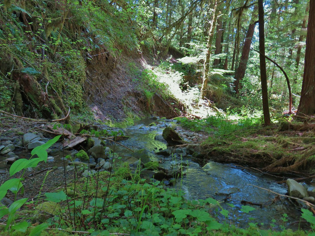
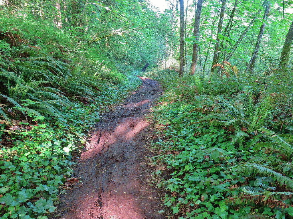
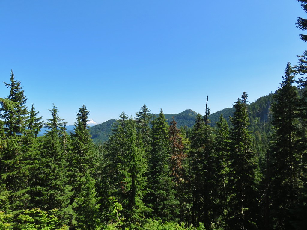
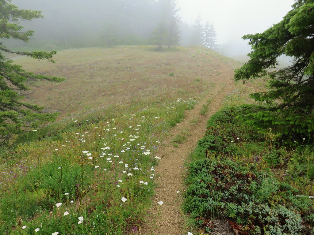
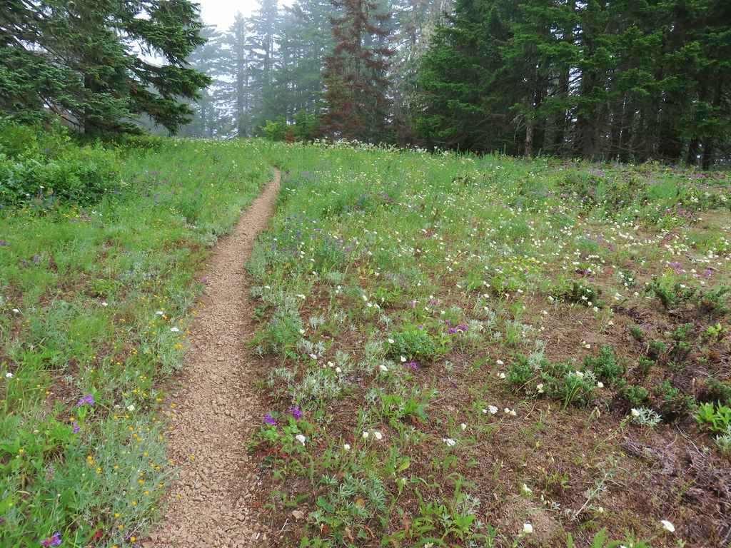
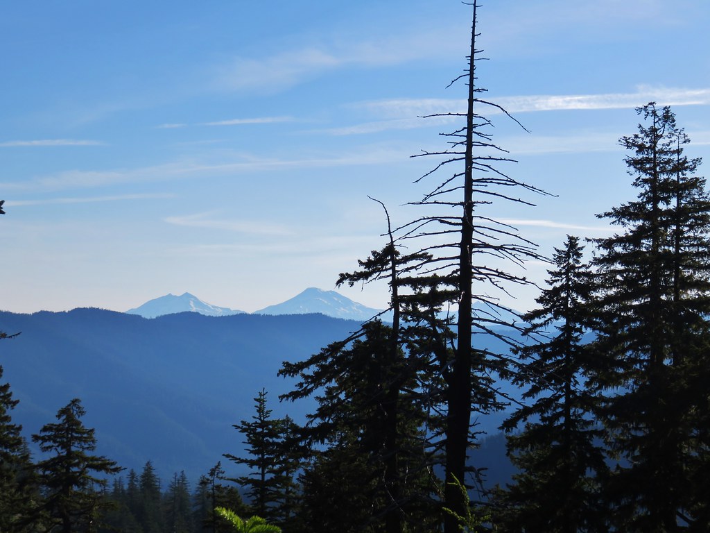
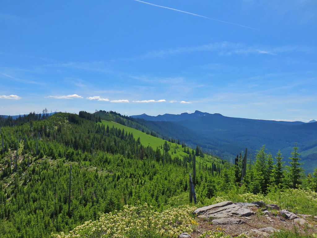
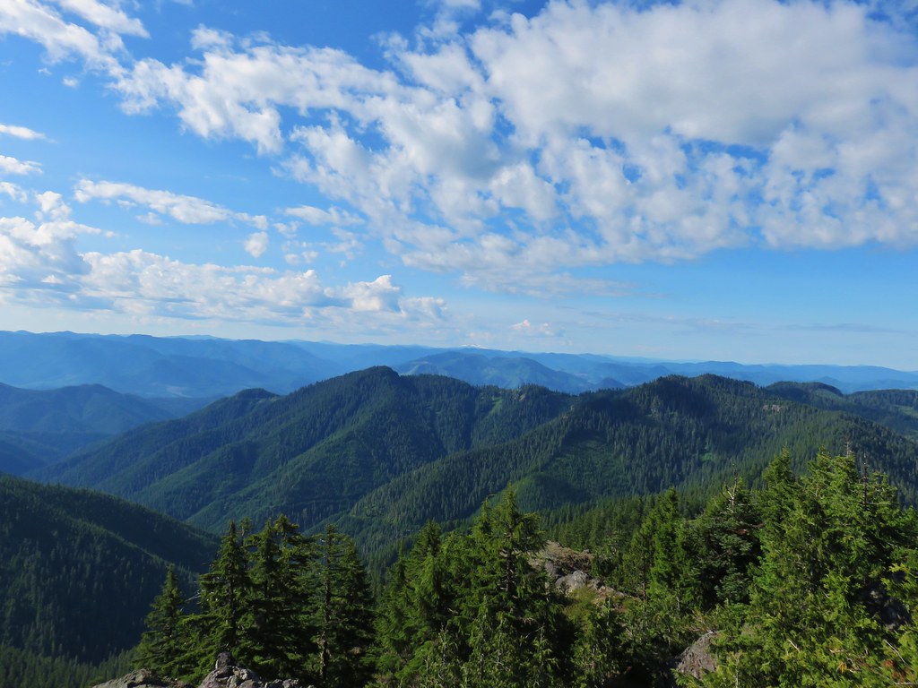
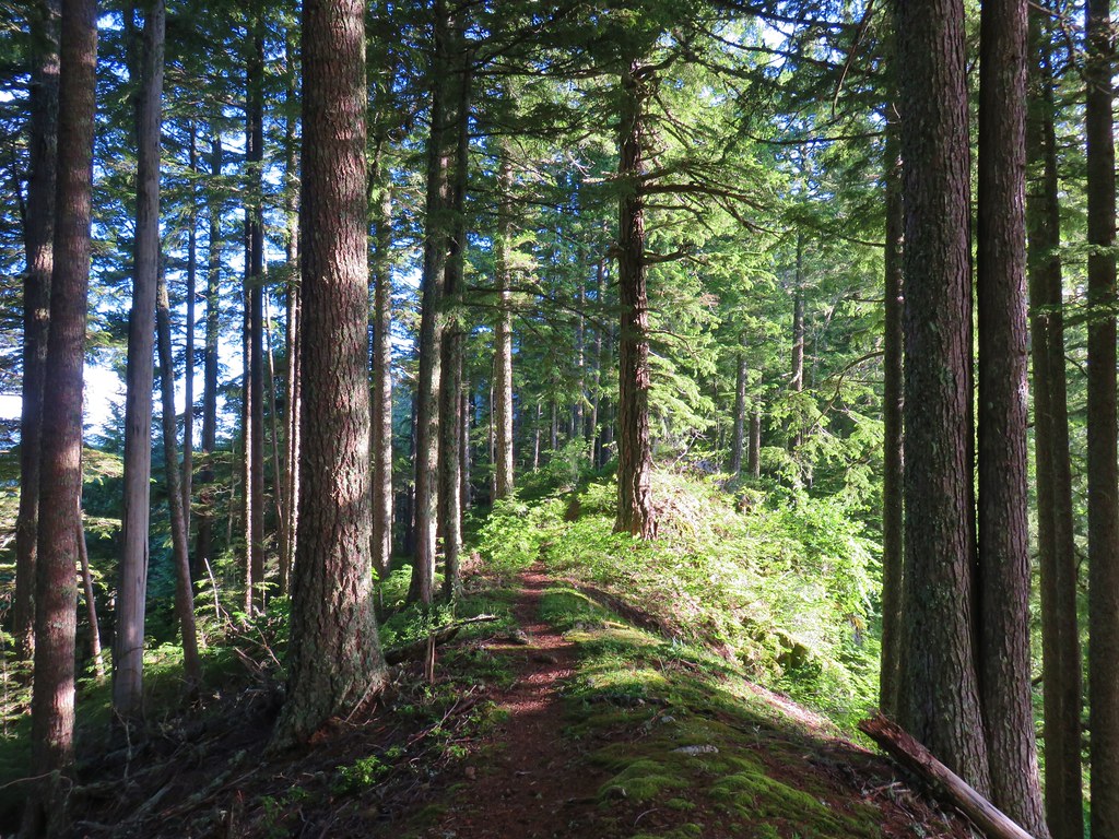
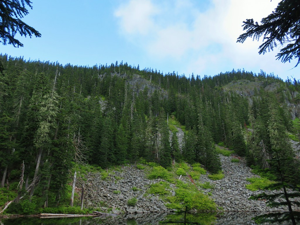
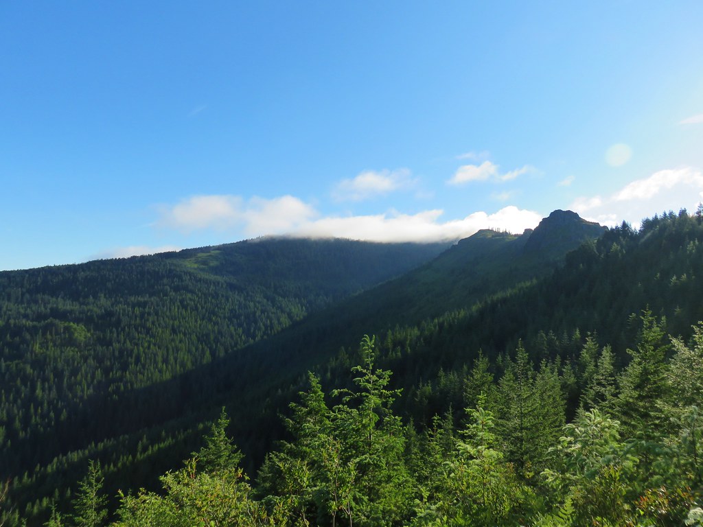
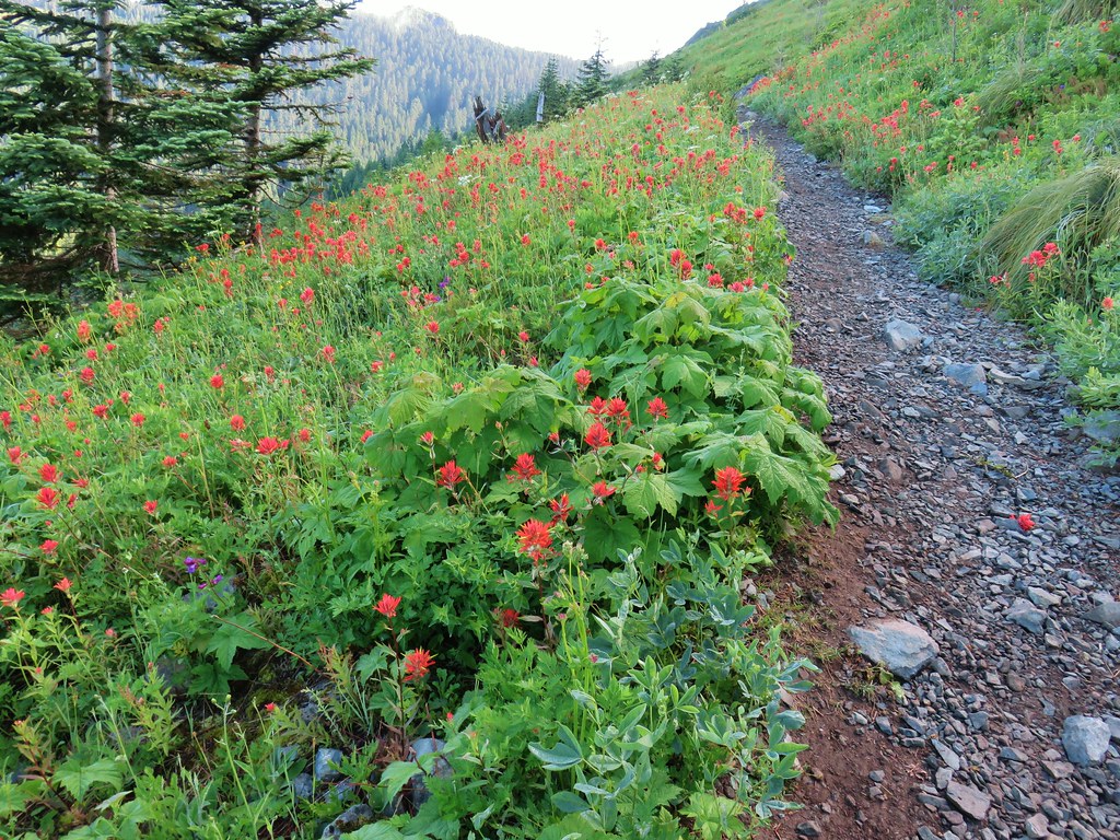
We followed the relatively level trail for another 3 miles turning around at an old road about a tenth of a mile from the parking area of the closed trailhead. Like most river trails the North Fork trail spent some time along the river, above the river, and others back in the forest. There were a few changes to the scenery along the way and plenty of flowers (along with a fair amount of poison oak). Three miles from FR 1910 we passed the concrete remains of a 1930s mill pond.
 Valerian
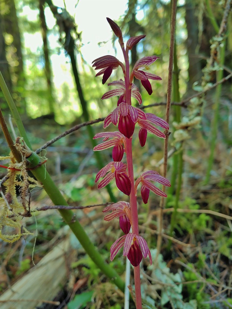
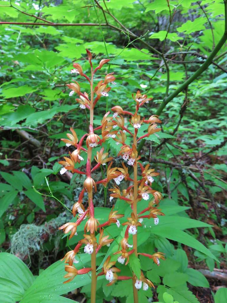
 Spotted coralroot
 Inside-out flower

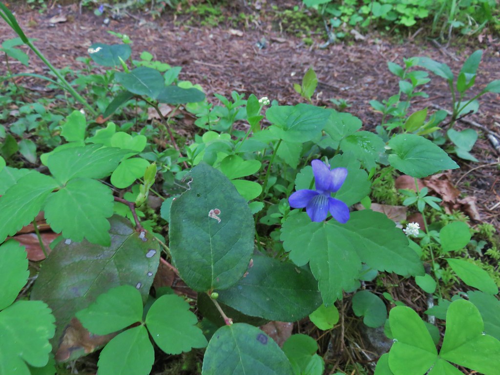 Hookedspur violet
 Fairy slipper
 Dogwood blossom
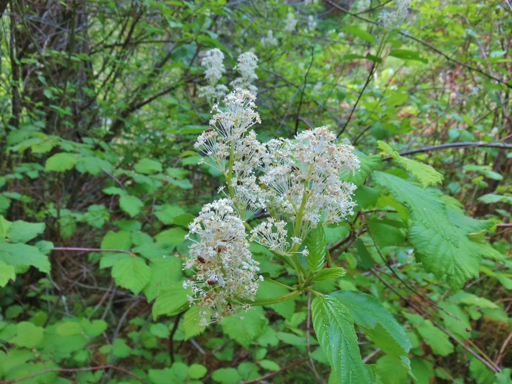 Buck brush

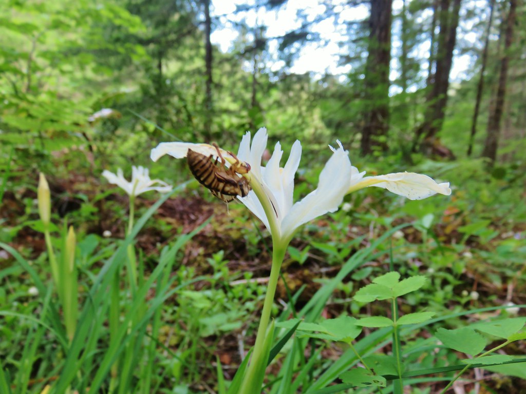 Shed cicada skin
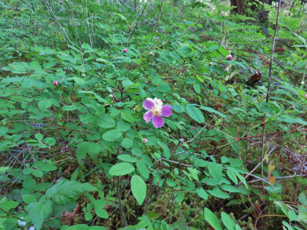 Wood rose
 Fairy bells
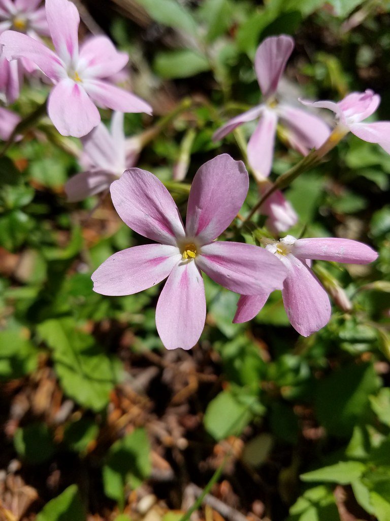
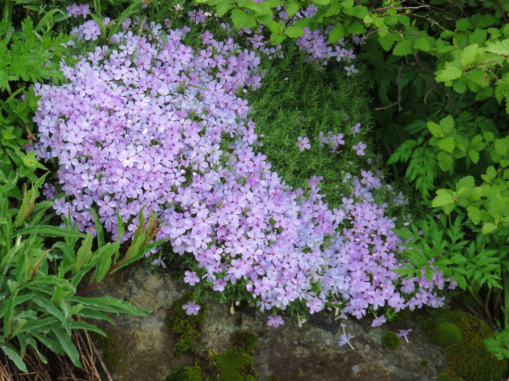
 Northern phlox
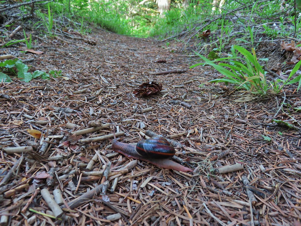 Trail snail

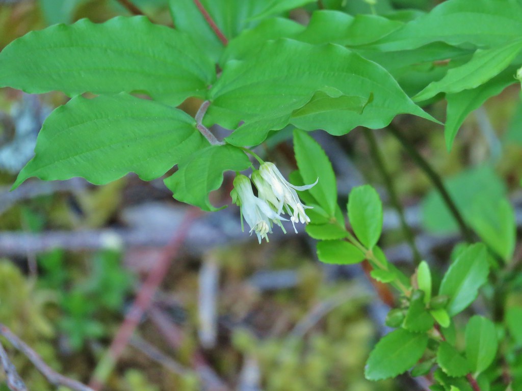
 Honeysuckle
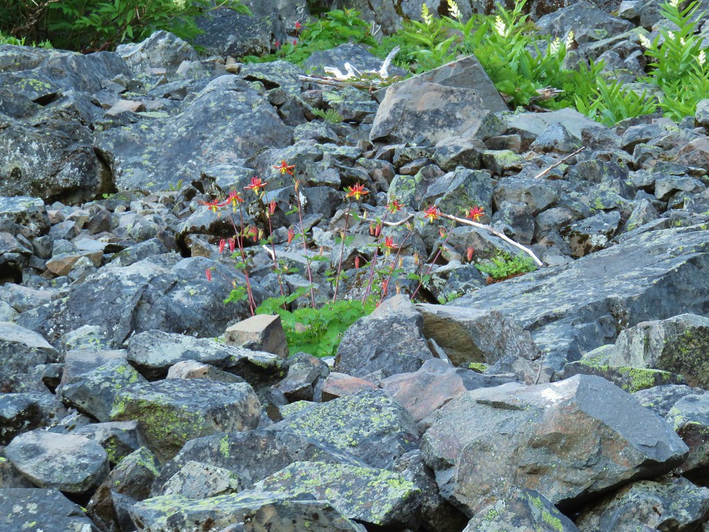
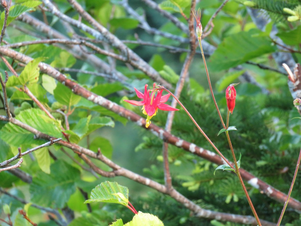
 Columbine

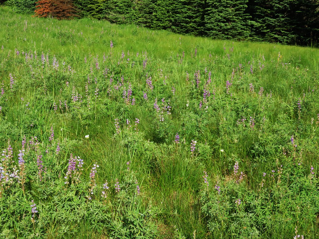
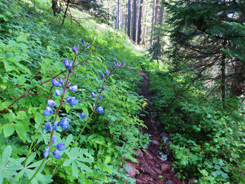
 Lupine
 Youth-on-age
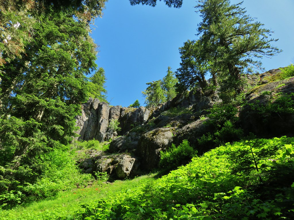
 Rock ledge along the river.
 View from the rock ledge.
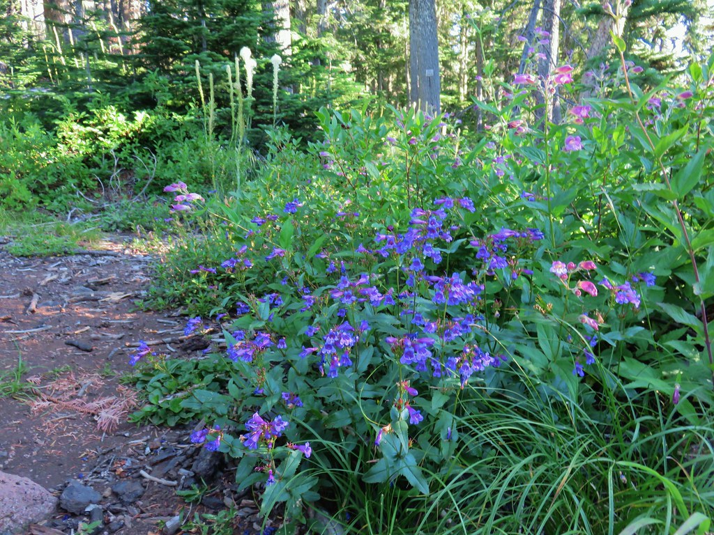
 Monkey flower
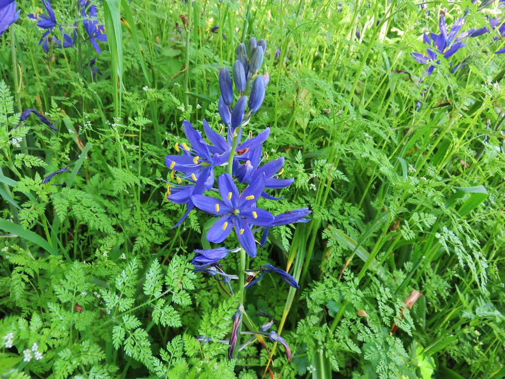
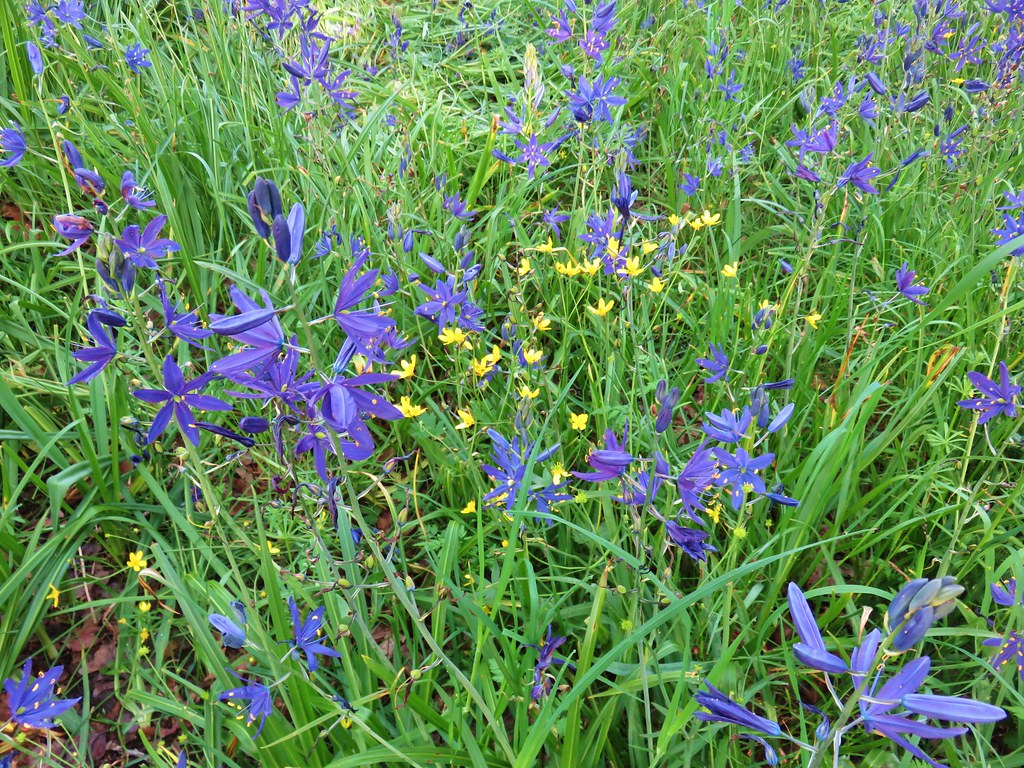
 Camas
Camas
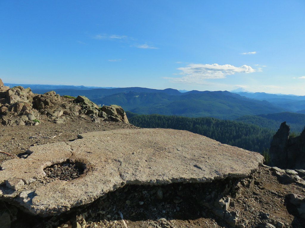
 Concrete tower

 Pale flax
 Roadbed near the trailhead.
We returned the way we’d come keeping our eyes open for anything we missed on our first pass, and of course there were a couple of flowers that we missed.
 Vanilla leaf
 Wild ginger
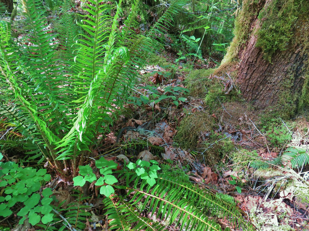
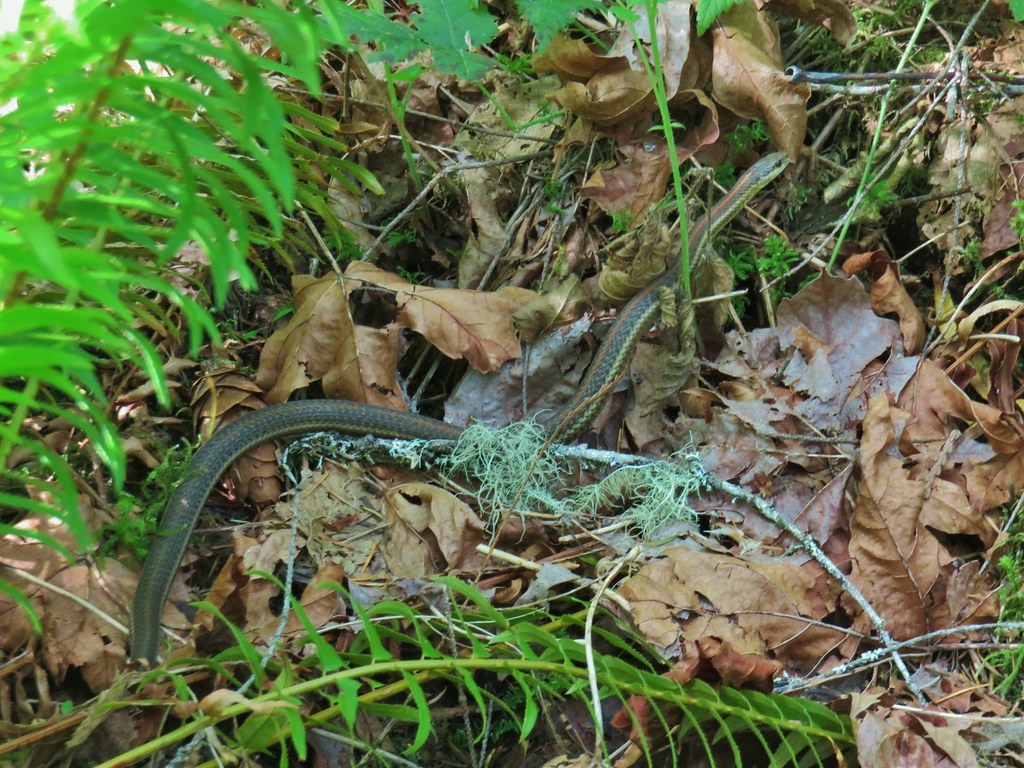
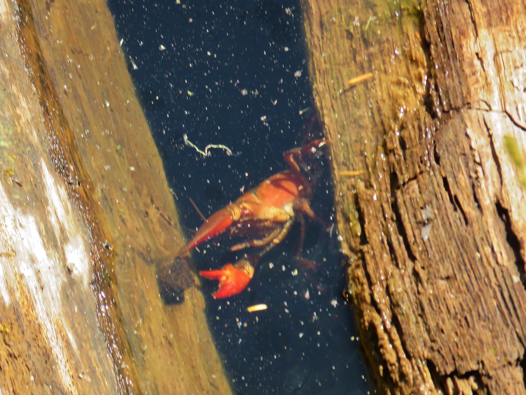
A garter snake provided a bit of excitment when Heather noticed it coming towards her onto the trail. It eventually slithered to a fern on the other side but not before getting her to jump.
We wound up only encountering 4 people along the trail, a lone hiker and a group of three mountain bikers so this first stop had worked out well from a socially distancing standpoint.
After making it back to our car we returned to FR 19 and turned left (NE) for 18.1 miles to Forest Road 1939 (1.1 miles beyond Kiahania Campground). We turned left onto FR 1939 for 1.2 miles to a hiker symbol on the left marking the start of another segment of the North Fork Trail.

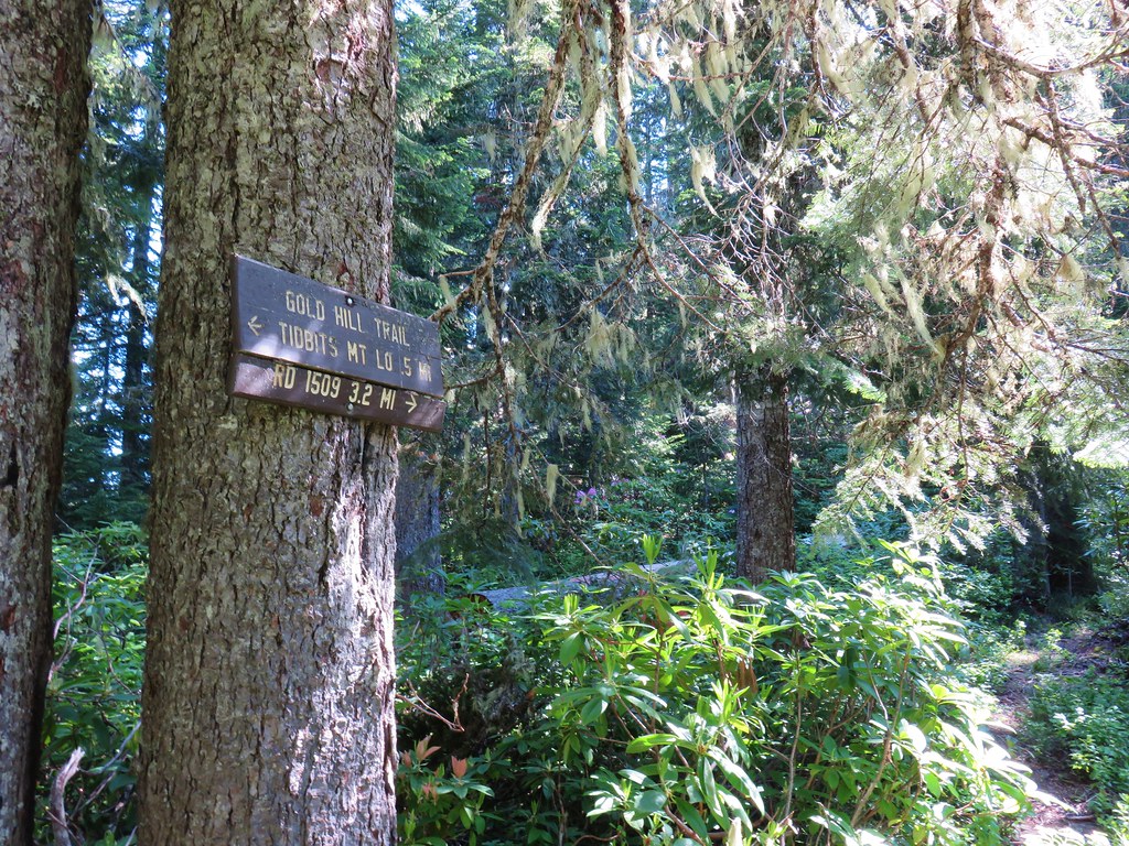
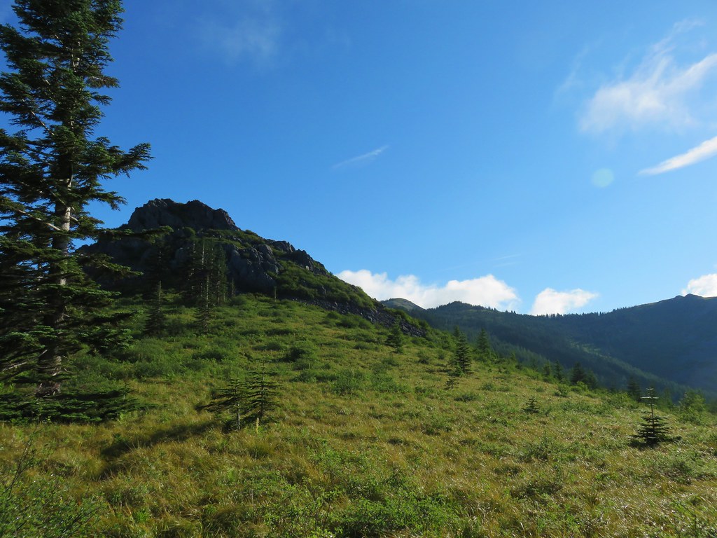
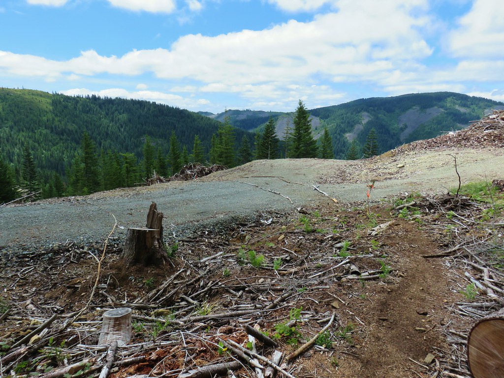
As best as I can tell from research this 4.5 mile segment of the North Fork Trail appears to have been completed in 2011 or possibly 2010. There is very little information online about it even though it has appeared as a featured hike (along with Segment 1) in William L. Sullivan’s “100 Hikes in the Central Oregon Cascades” books since his 4th edition was published in 2012. I was unable to find any reference to it all on the Willamette National Forest’s website despite the Forest Service hoping to one day connect all the segements of the North Fork Trail from Westfir to Waldo Lake. In any event there is no parking area for this trailhead and there is just enough room for a couple of cars to park off the road on the shoulder nearby.
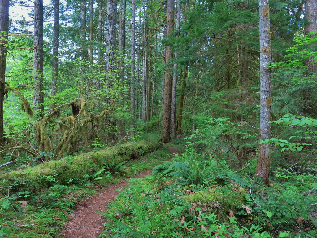
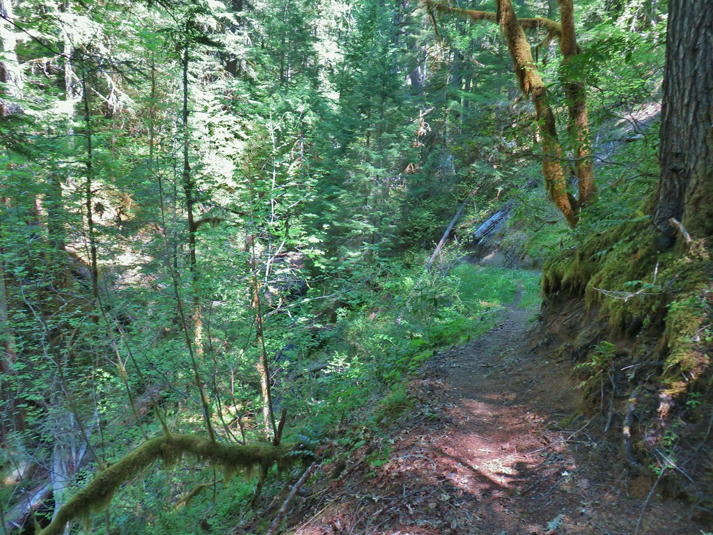
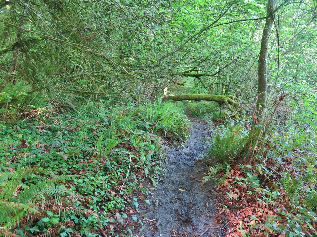
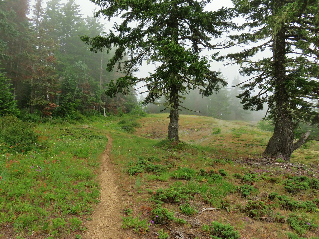
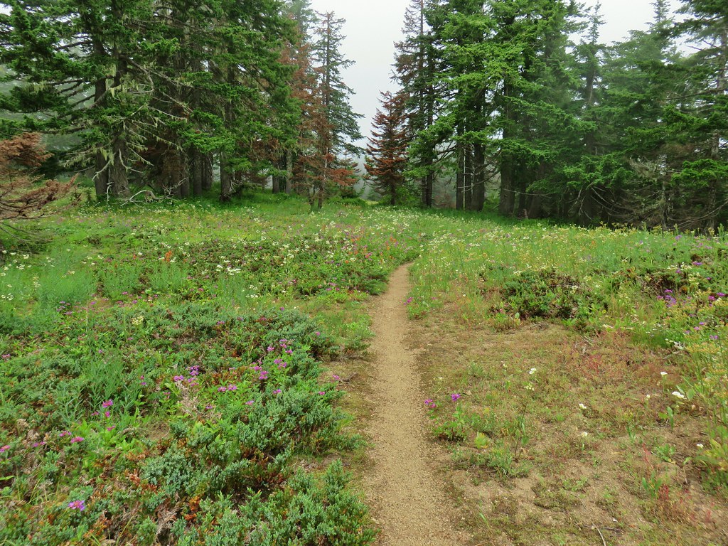
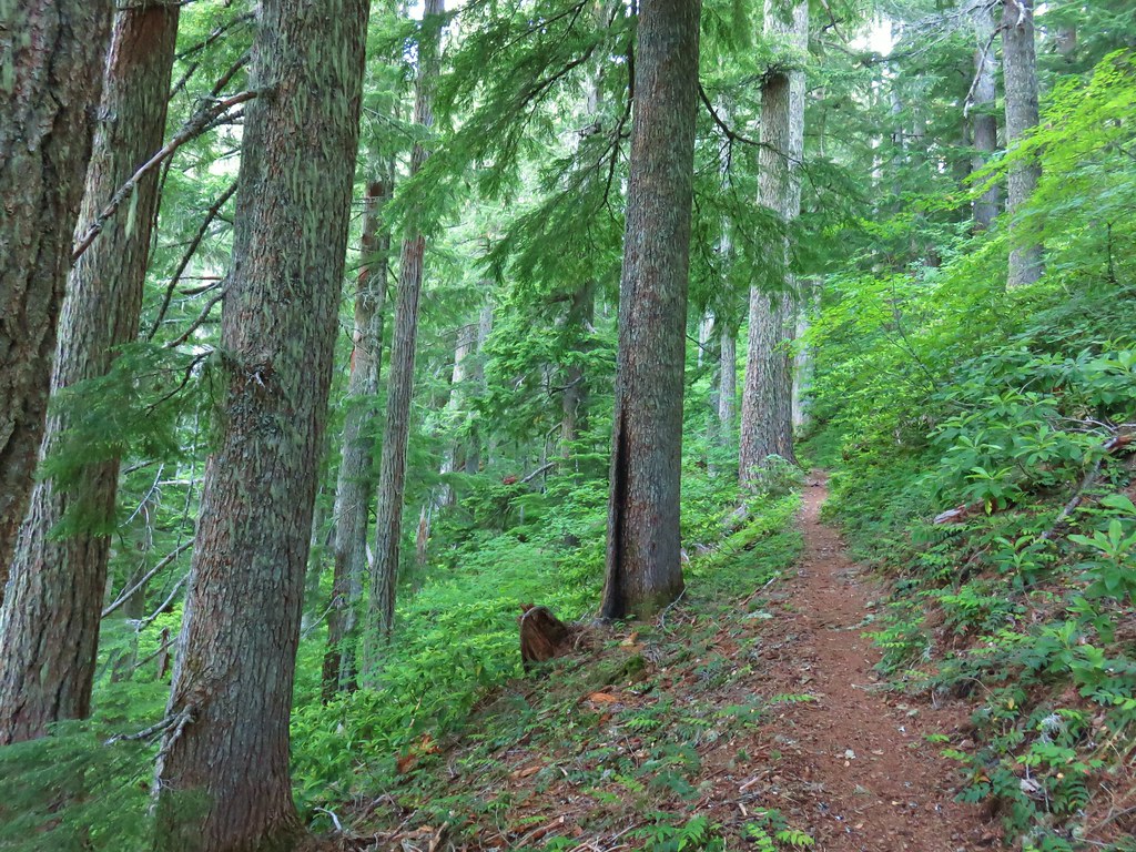
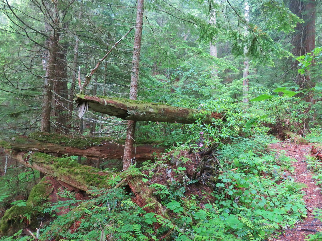
From the outset it was obvious that this was a much lighter traveled segment than the Segment 1 as the tread was narrower and there was some large trees across the trail.


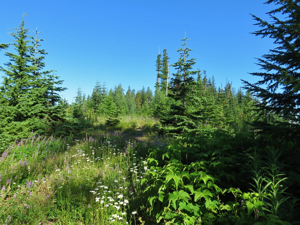
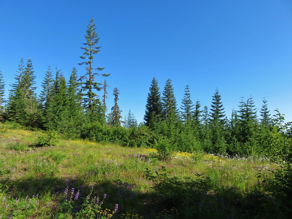
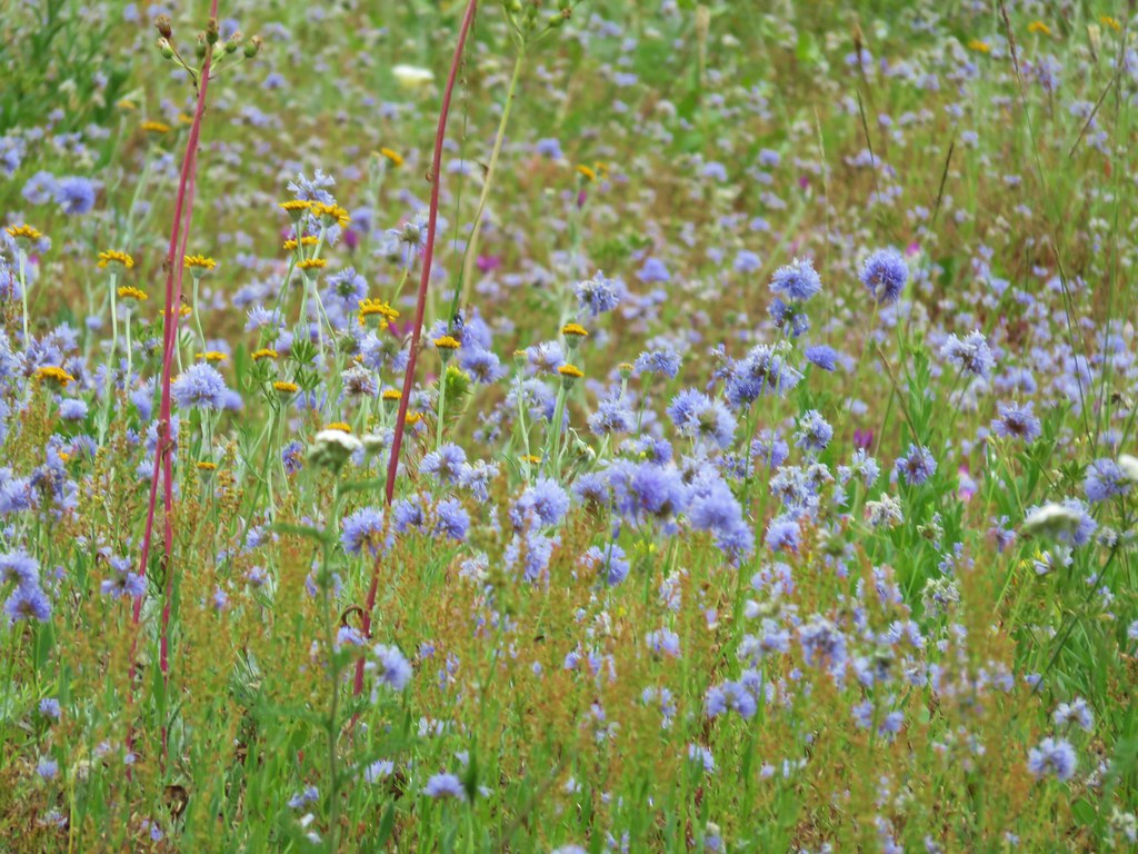
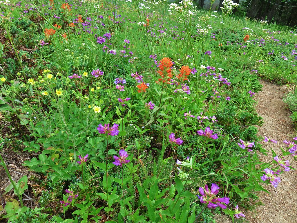
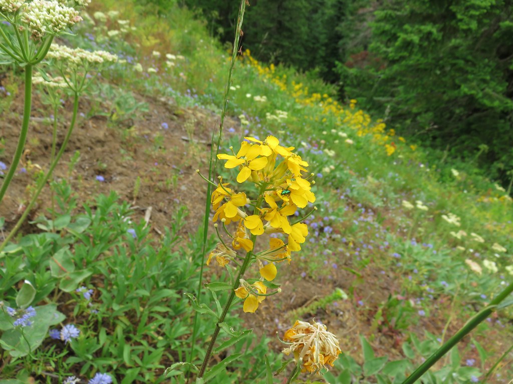
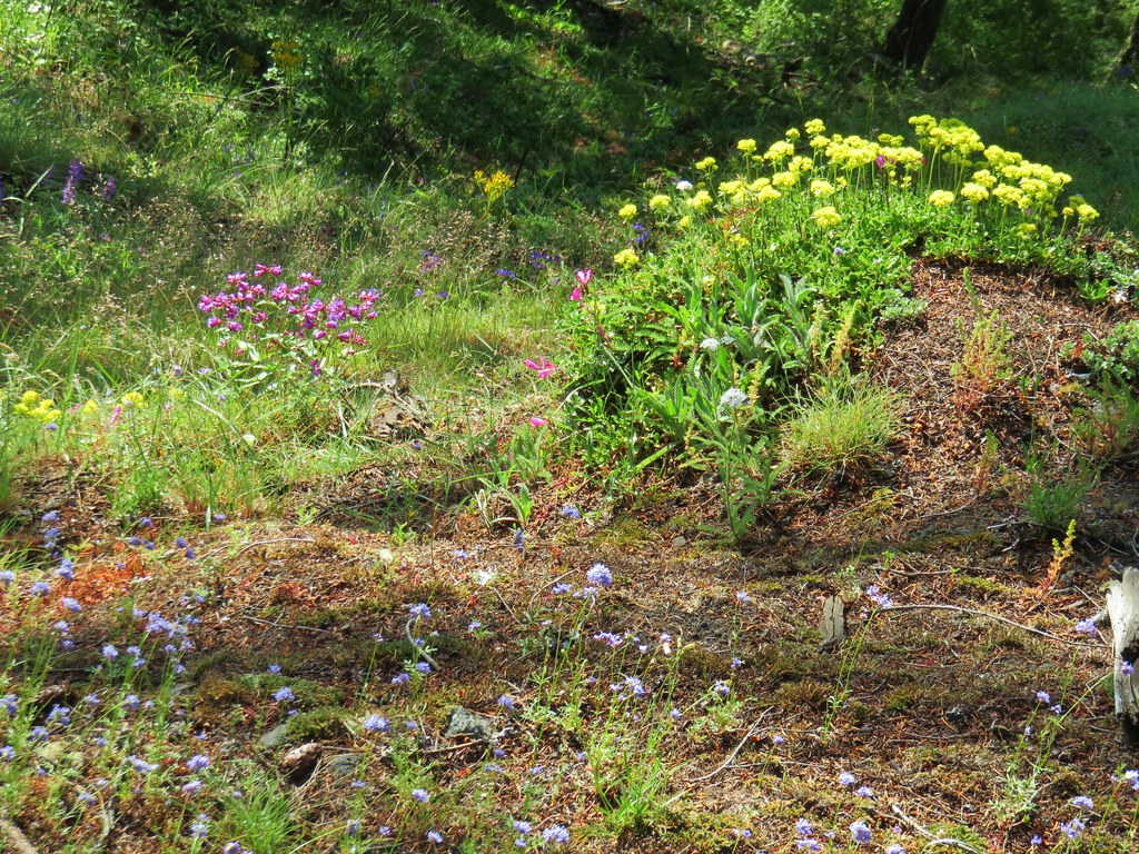
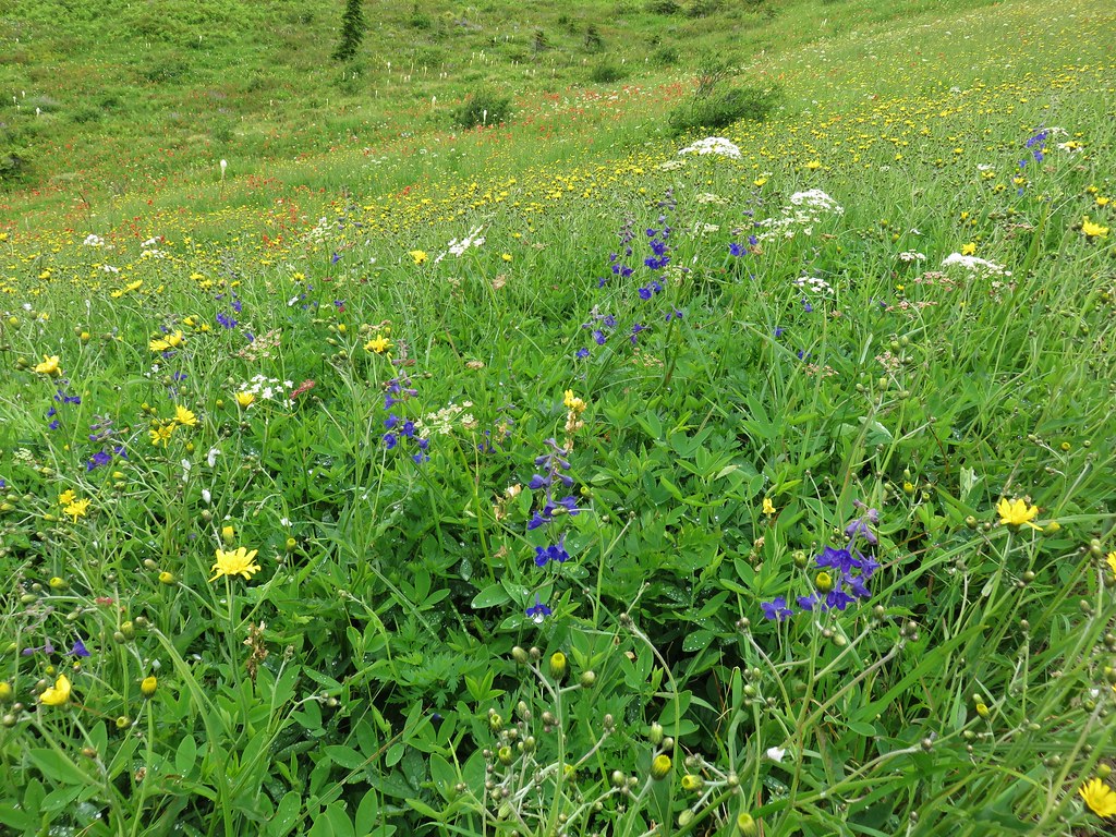
There were some similarities though as we saw many wildflowers (some the same as during our earlier stop and some new for the day) and this trail also provided a few access points to the river.

 Candy flower growing out of a mossy tree trunk.
 Western meadowrue
 Largeleaf sandwort

 Striped coralroot
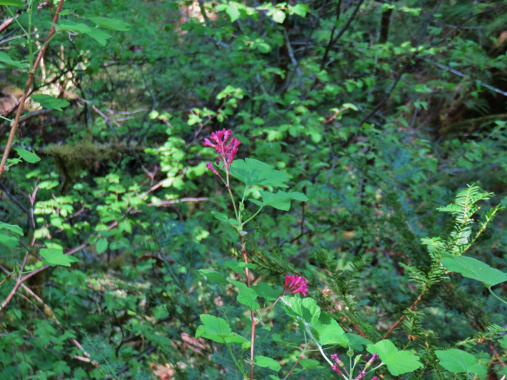 Red flowering currant
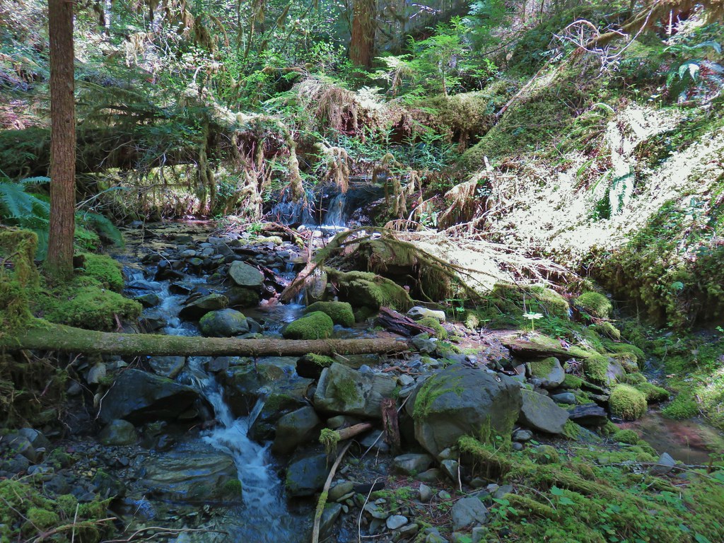
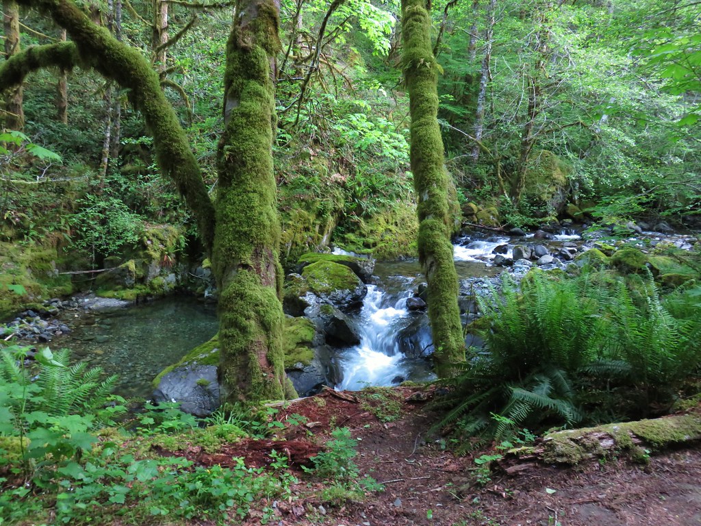
There were several creeks to cross, the first was too wide at the trail to hop across requiring a slight detour downstream. The rest all had rocks allowing us to cross dry footed.
 The second creek crossing.
The trail turned away from the river to drop to the third substantial creek crossing.

It was at this third creek that we realized we’d missed a 10 foot waterfall marked on Sullivan’s map at the 1.1 mile mark. A quick re-reading of the hike description told us it was 150 feet offtrail which explained why we hadn’t seen it. We made a mental note to look for it on the way back.
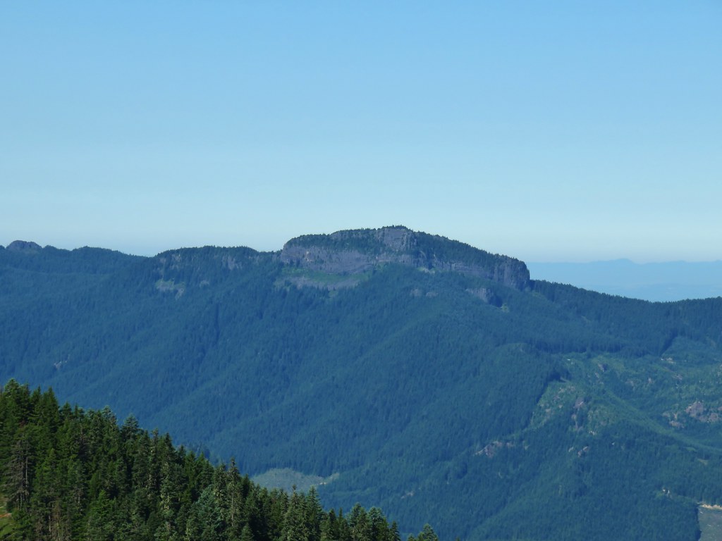
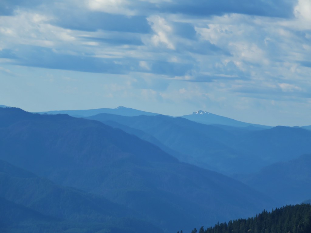
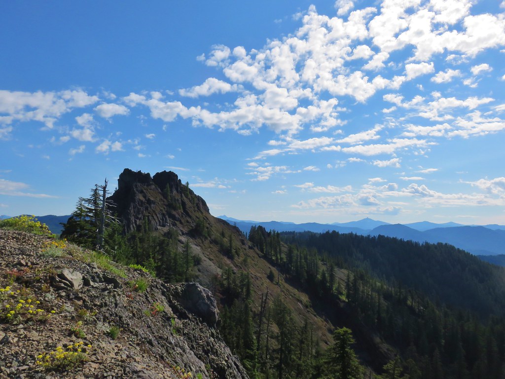
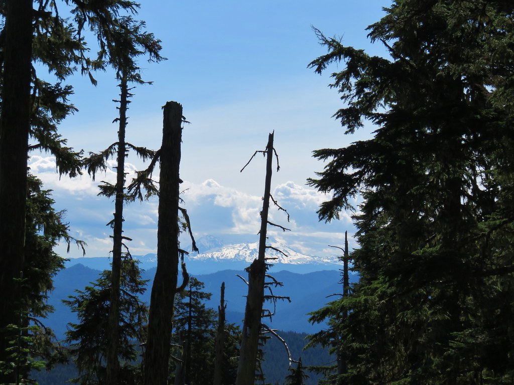
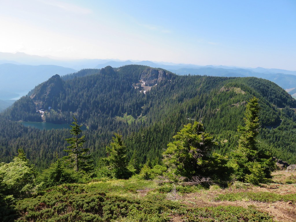
At the 2.3 mile mark the trail passed close to the river and a cobblestone beach from which the basalt outcrop of Buffalo Rock was visible.


As the trail began to pass under Buffalo Rock it became even wilder than it had been beginning with a large tree blocking the trail just on the other side of a creek crossing.
After ducking under the tree the trail passed through a small hillside meadow.
 Coastal manroot
 Sticky cinquefoil
 Popcorn
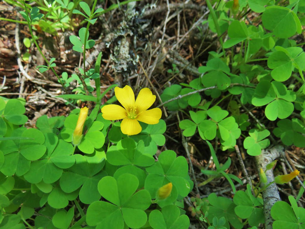 Western yellow oxalis
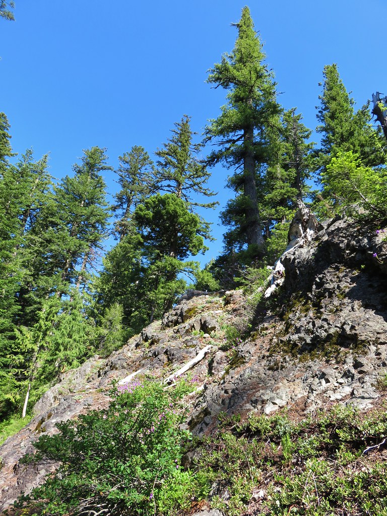
The dry, rocky hillside below Buffalo Rock provided for some different types of flowers and plants and was the only spot along this trail that we noticed any poison oak.

 Variable collomia
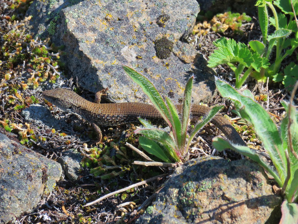
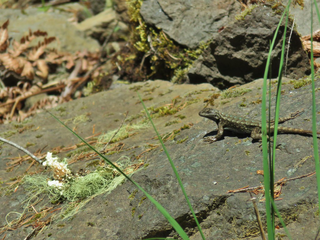 Western fence lizard
 Giant blue-eyed Mary
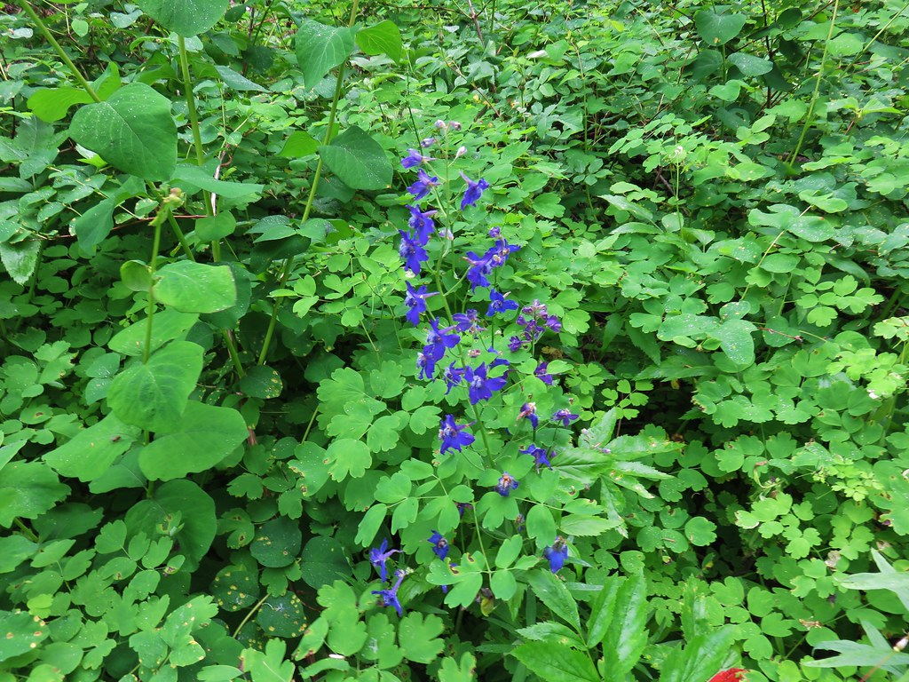
 Larkspur
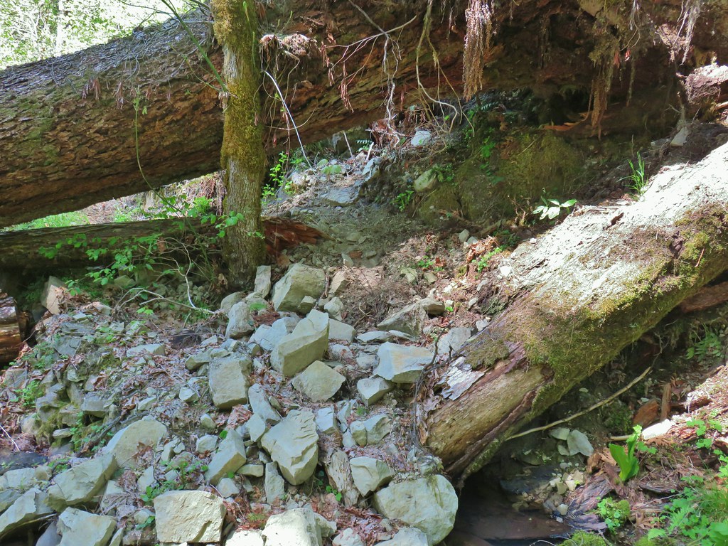
This segment of the trail had originally extended another 2 miles from beneath Buffalo Rock with the next marker on Sullivan’s map being a “mossy pool” a mile from the end of the trail. As we continued on from Buffalo Rock though we found that the trail was quickly deteriorating. It was evident that what little maintenance this segment saw, had all been focused on the section between FR 1939 and Buffalo Rock.
 Had to climb over this on the left side by the standing tree.
 The only choice here was to use this tree as the trail.
 Minor debris on the trail.
 Cuts most likely from the original establishment of the trail.
 This one required a detour to the right around the end of the tree.
 Forest reclaiming the trail tread.
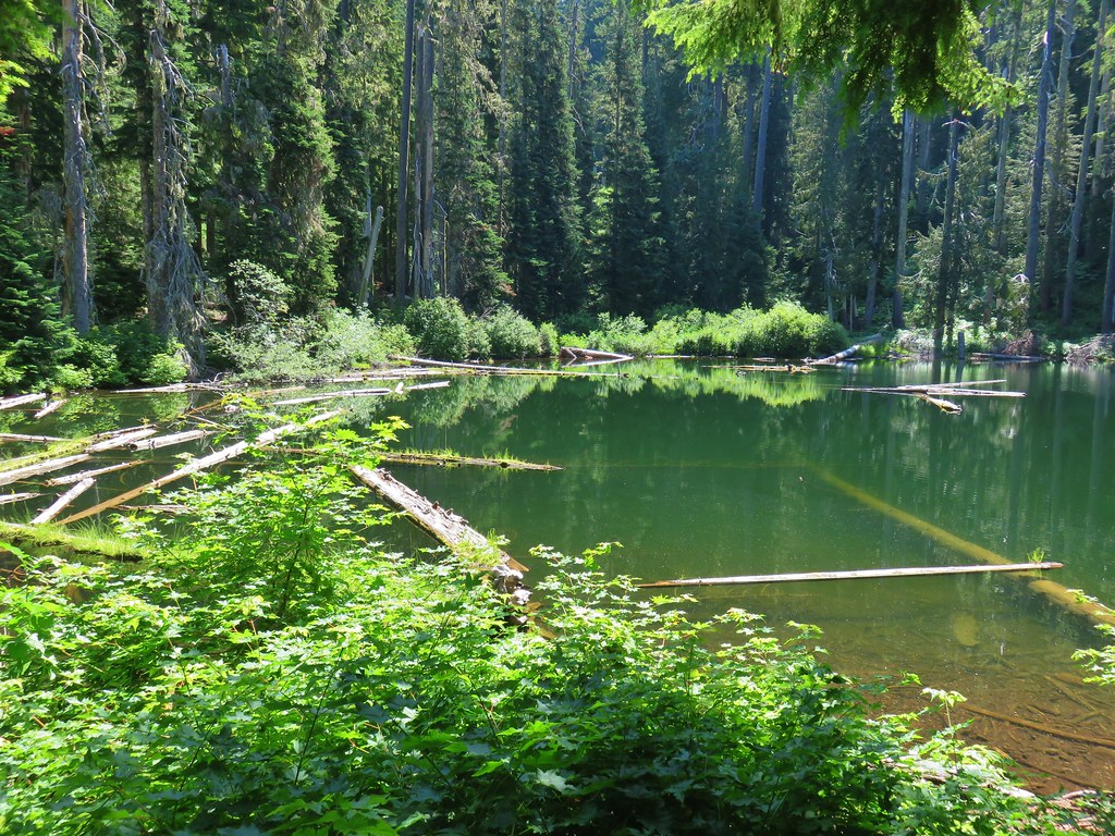
Given the conditions we were experiencing and the distance we were facing for the day we decided to shoot for the mossy pool and turn around there instead of trying to reach the end of the trail. Sullivan himself had suggested turning around at Buffalo Rock and other than noting the pool on his map made no mention of it so we weren’t exactly sure what to expect. The trail turned away from the river to descend to the creek crossing where we expected to find the mossy pool.
The creek had done a good job of erroding the trail which provided one final tricky obstacle to reach the little pool.

We were pleasantly surprised by how nice this little creek and the pool were. There was a small cascade creating the pool.

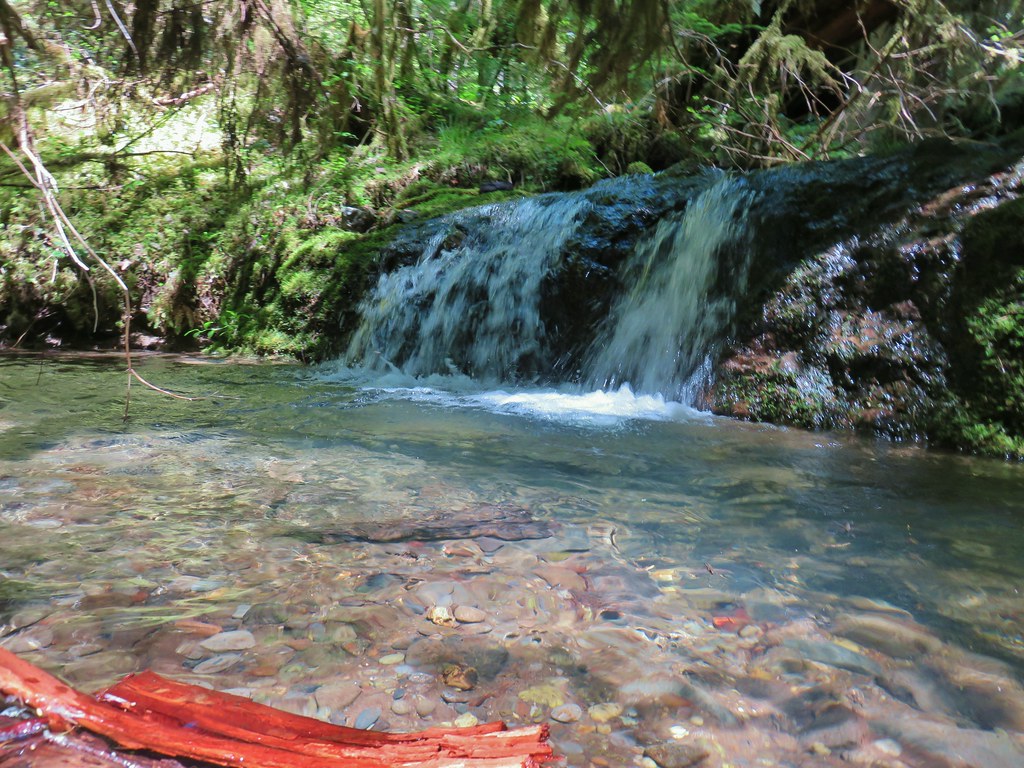
It was the perfect spot for a nice break. It was the warmest day of the year thus far with temperatures expected in the mid to upper 80s and it felt every bit that hot, but here by the creek the air was cool and refreshing. Between that and the calming sound of the water we both could have easily taken a nap but alas we needed to head back.
We headed back before we had time to stiffen up with a mission to find the off-trail waterfall. From Sullivan’s map it appeared that there was no creek at the trail to follow up to the waterfall and his description said to listen for the sound of water and follow it. When we thought we were in the right general area we started listening. We took one wrong turn up a small stream that we thought was too soon but didn’t want to accidently miss it again. After following this little stream a short distance we determined that there was no sound of a waterfall of any kind so we returned to the trail and continued on. After descending a series of switchbacks we were in another promising area and this time we could hear water on the opposite side of the trail from the river. We bushwacked uphill to find the little waterfall.


After seeing the waterfall we returned to the car and headed home. We did see one other couple on our way back to the car making it a half-dozen between the two stops for the day. The two hikes totaled 13.9 miles, 6.4 on Segment 1 and 7.5 at Buffalo Rock.
We will continue to look for responsible options to allow us to keep hiking during these unprecedented times. Please be smart and safe and as always Happy Trails!
Flickr: North Fork and Buffalo Rock


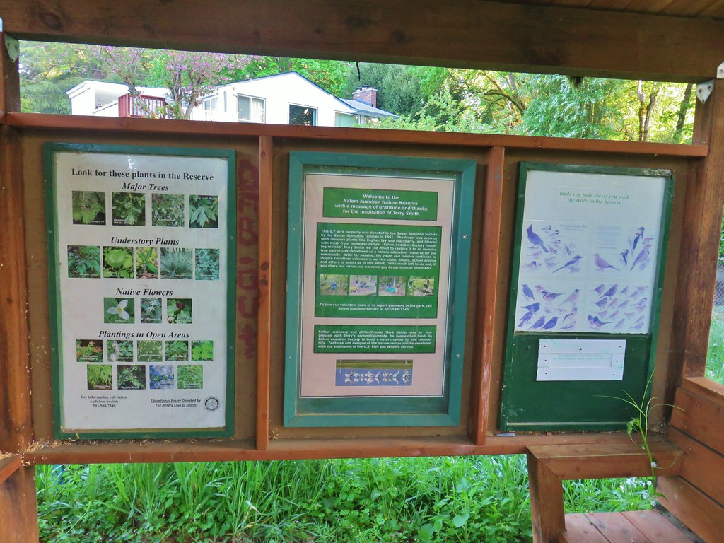
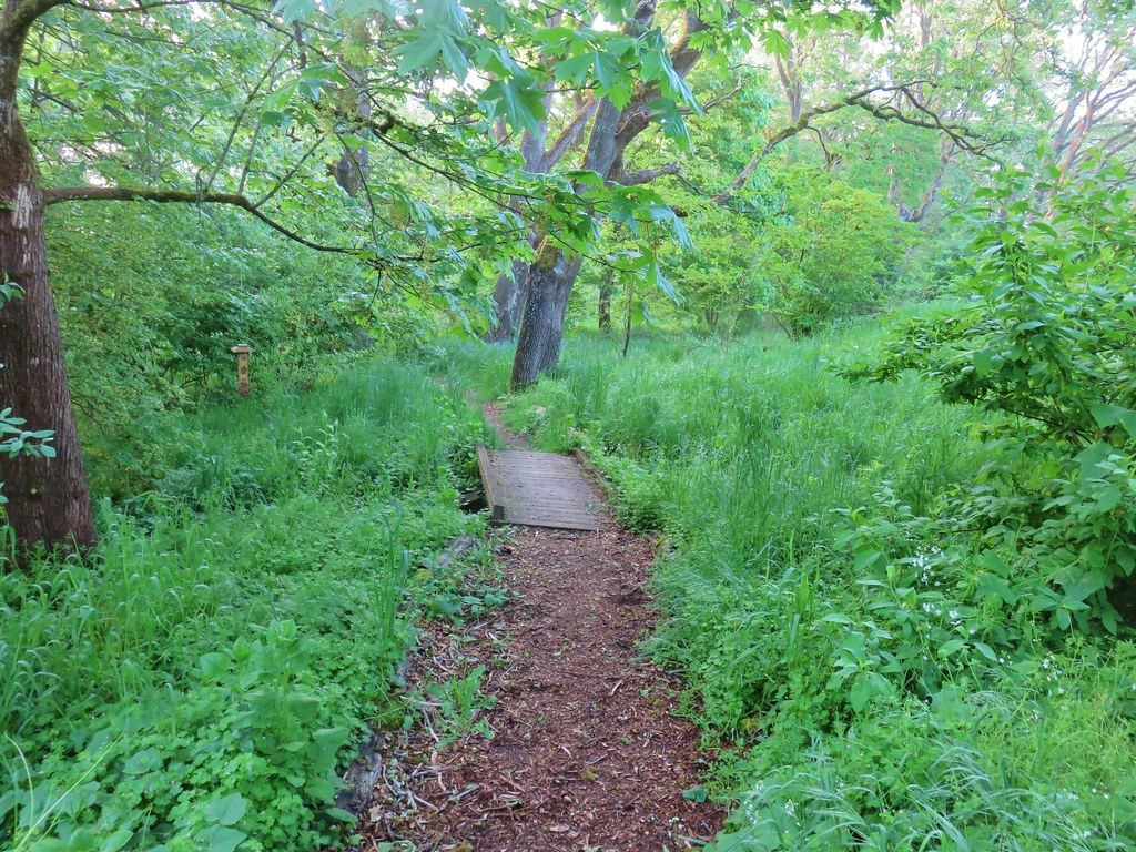
 Wetlands near Eola Ridge Park
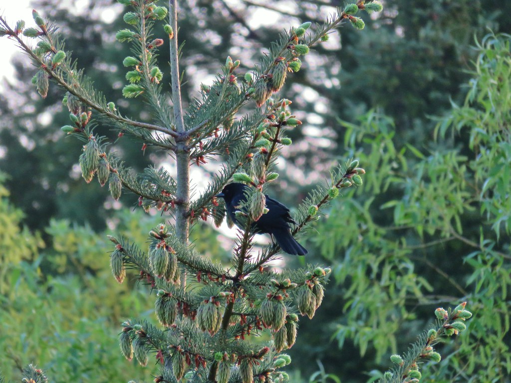 Red-winged blackbird
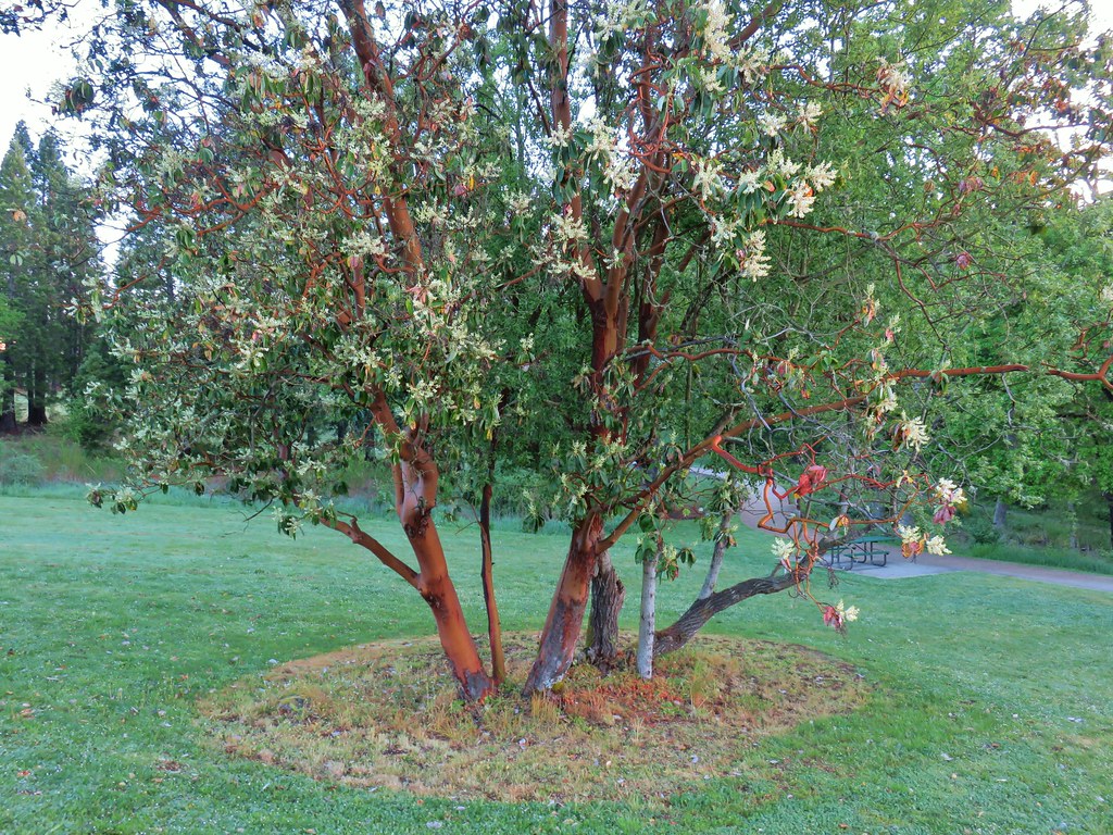 Madrone in Eola Ridge Park
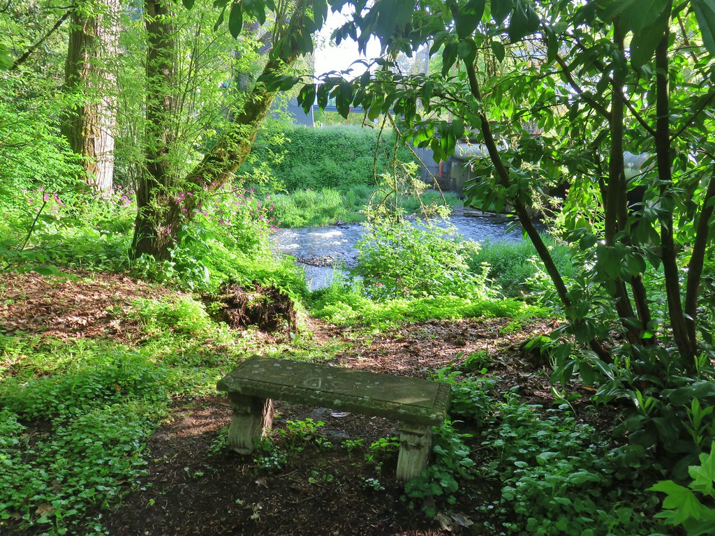
 Bleeding heart and miners lettuce around a small bench.

 Possibly forget-me-nots.
 Fringecup
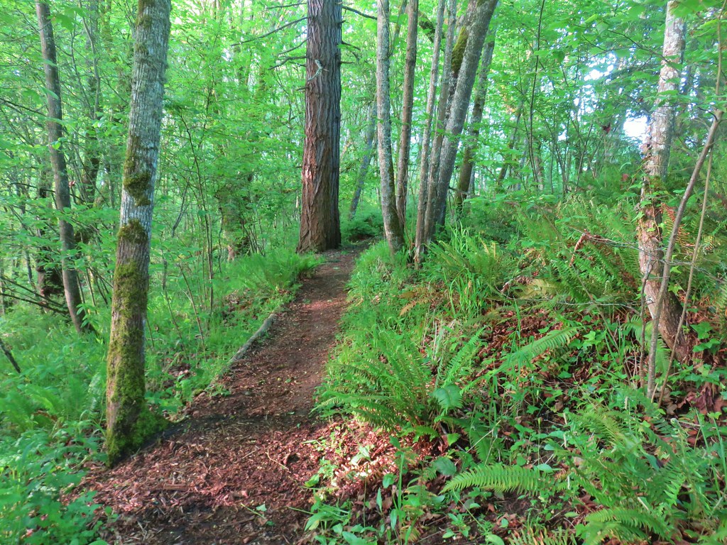
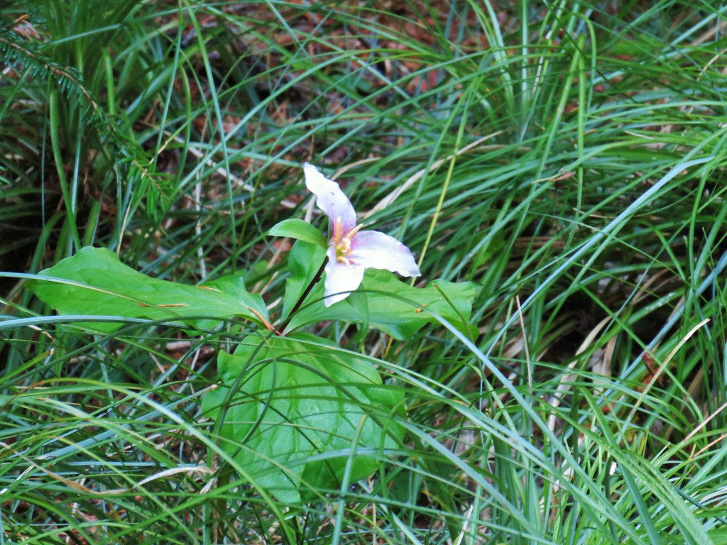
 Giant white wakerobbin
 Coastal manroot and annual honesty
 Blue-bells
 Plummed solomon’s seal
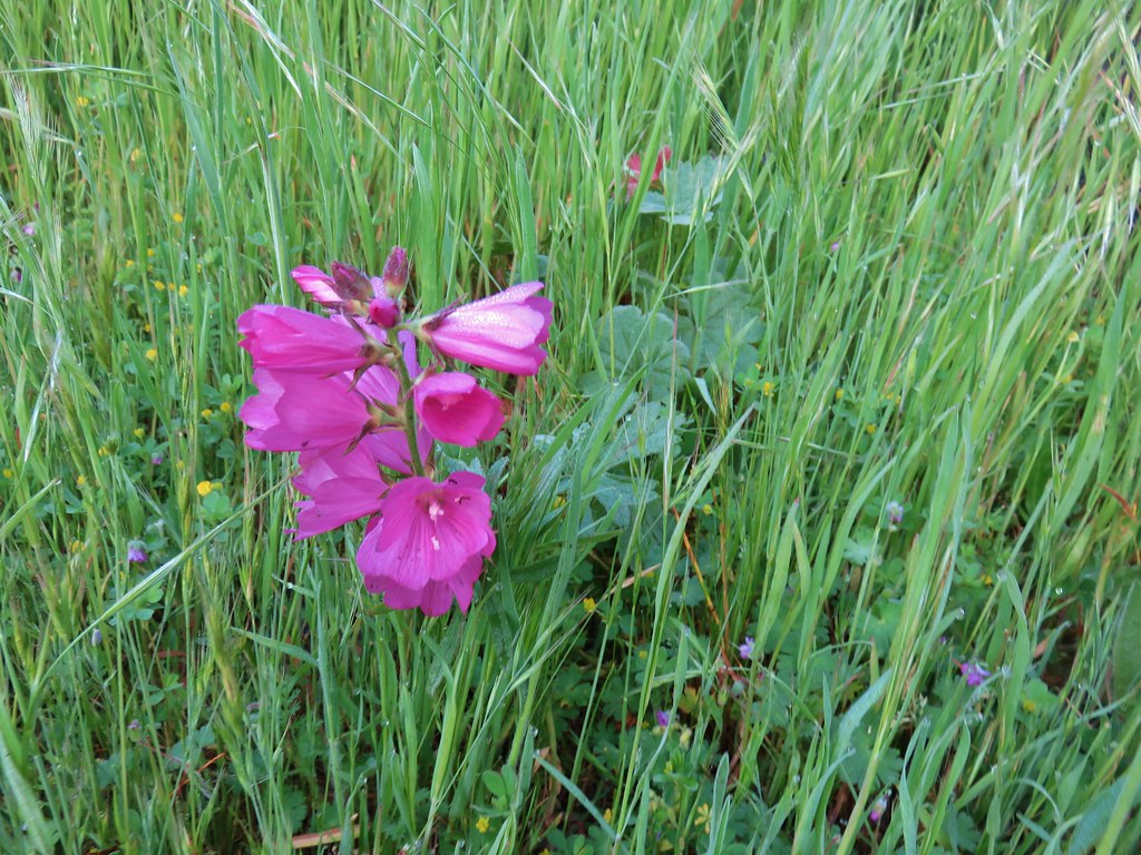 I think this is a checker-mallow but I’m never sure between the checker-mallows and checkerblooms.
 The city has put up a number of these direction pointers all over Salem which are actually really helpful.
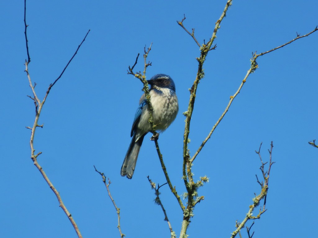
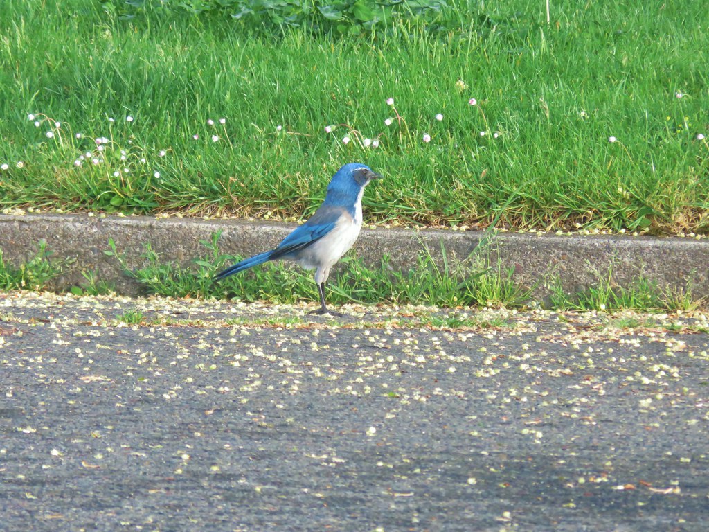 Scrub jay
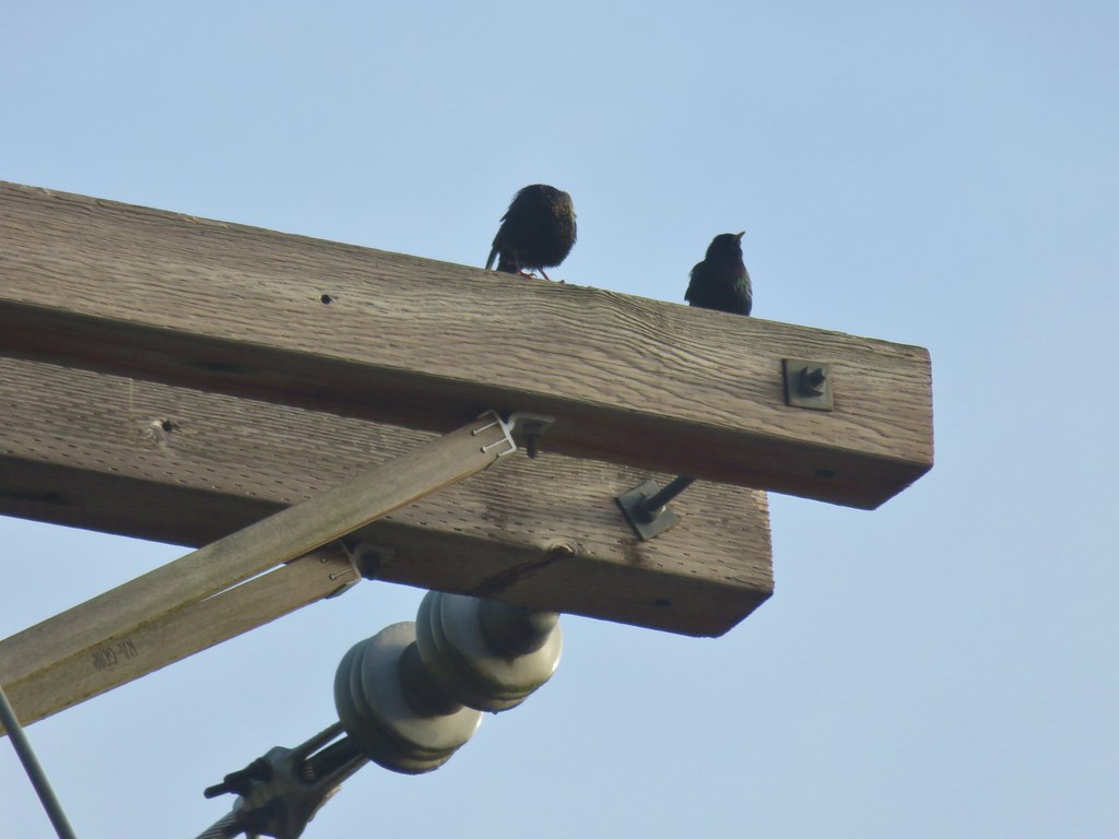 Starlings
 Spotted Towhee
 Path leading to the Union Street Bridge
 Family of geese
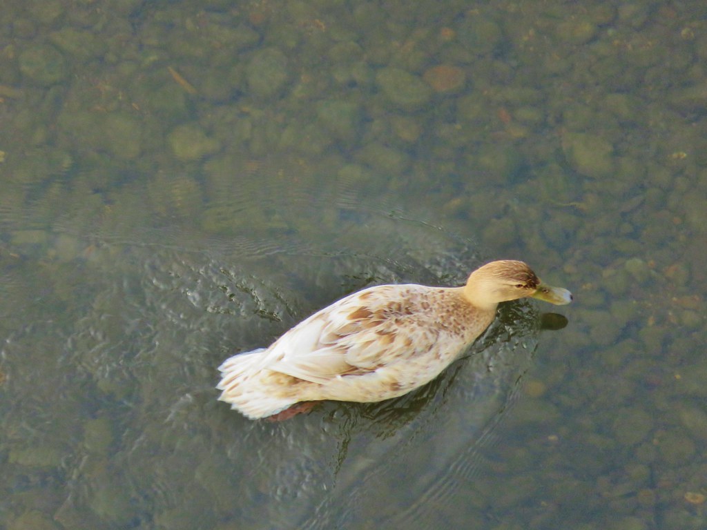 A very light colored mallard
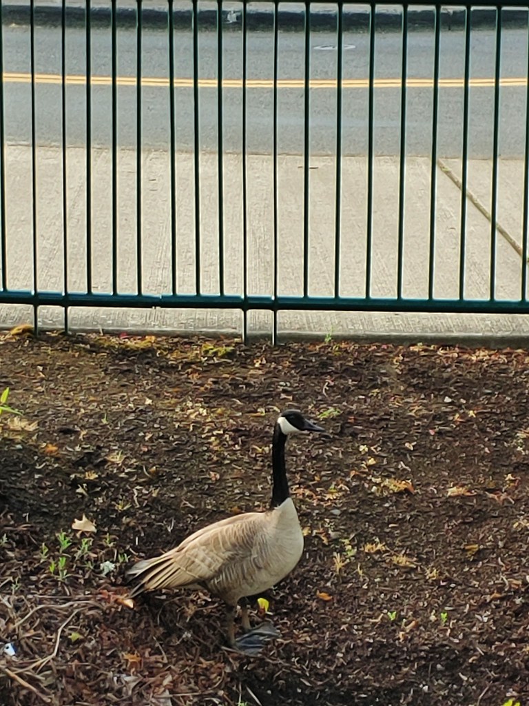

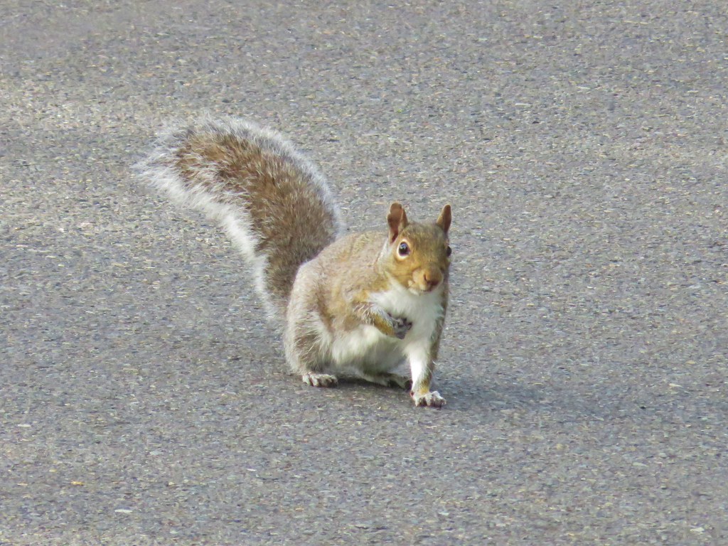
 Two squirrels on a tree.
 This squirrels was vigoursly attacking this bush.
 (We hope this mask was no longer usable because we’d hate to see them wasted, but it did make us chuckle.)
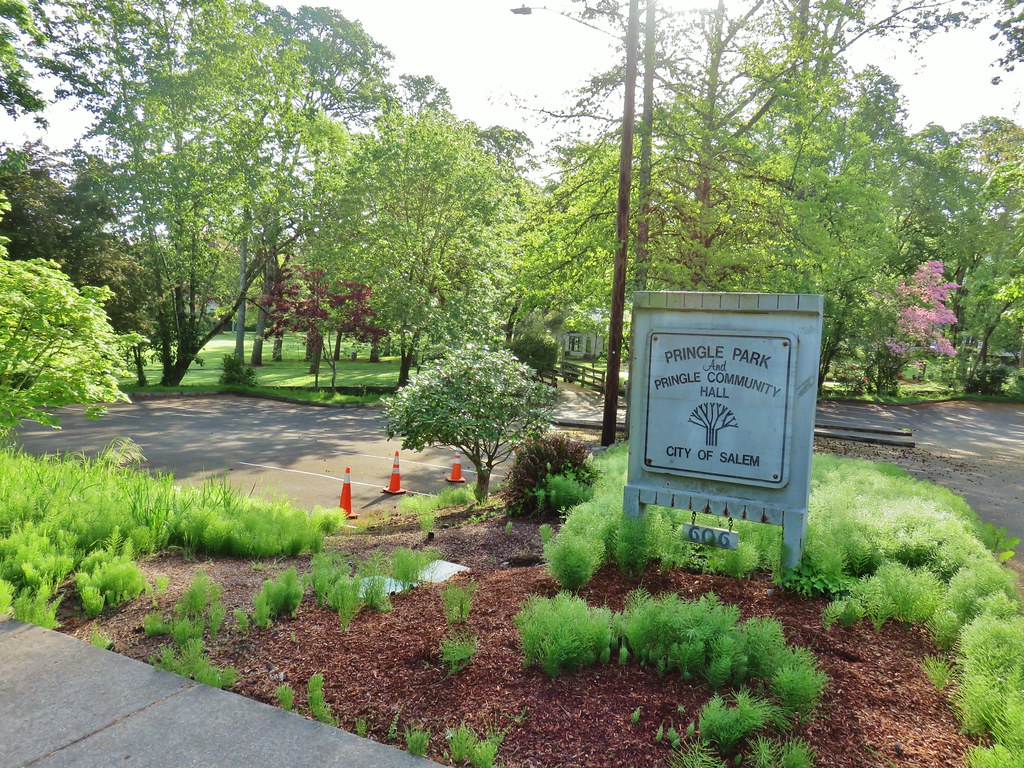
 Pringle Creek from Commercial Street with City Hall in the distance.
 The Mirror Pond
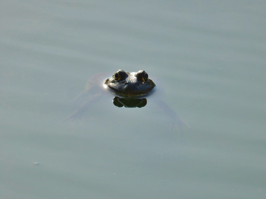

 The heron statue
 Mallards


 Pringle Creek at Church Street.
 Passing the
  Sign at Bush Park
 Bush House Museum


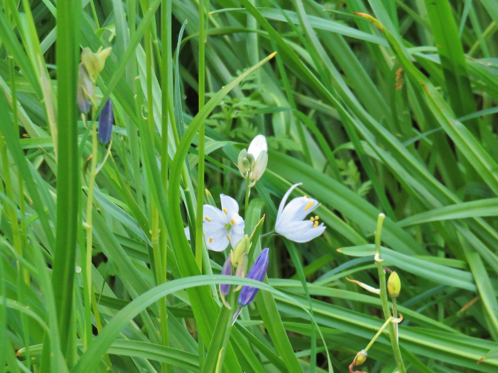 A white camas
 Western buttercups
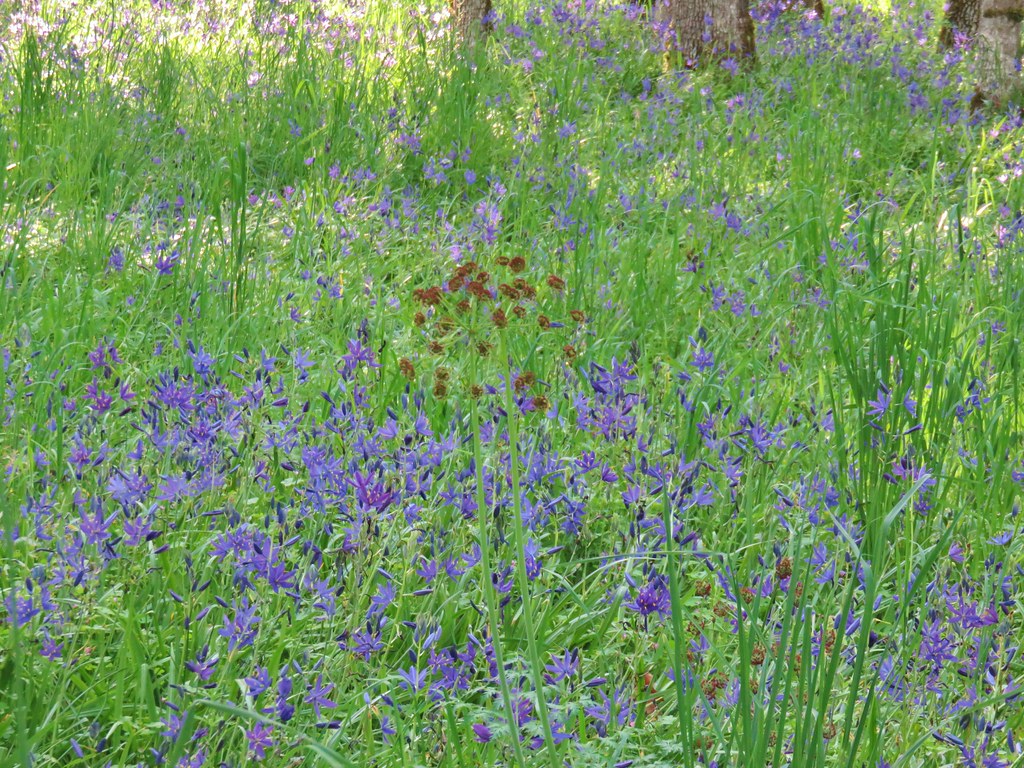 Buscuitroot
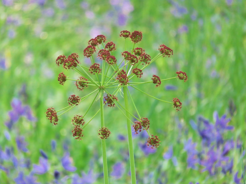

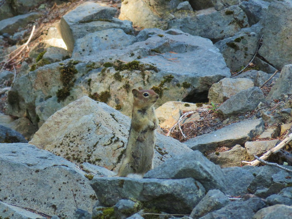
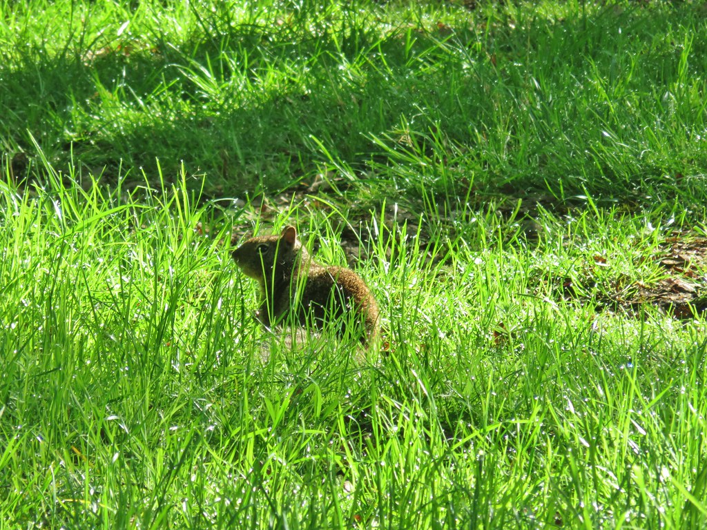 Ground squirrel


 Neat old carraige in a yard.
 Stellars Jay


 Another scrub jay
 We risked the caution for mud and high water since this was the shortest way to the bridge.
 Tree blossoms
 The high water wasn’t an issue, but it was really muddy around that puddle.
 Sparrow
 I mistook this small bird for a hummingbird but after looking at the photo it might just be a baby?
 We tried to take our first sit down break of the day here but the bench was still wet from the morning. On to Riverfront it is.
 Looking across a field to West Salem and its green water tower in the hills.
 California poppy
 Red flowering currant
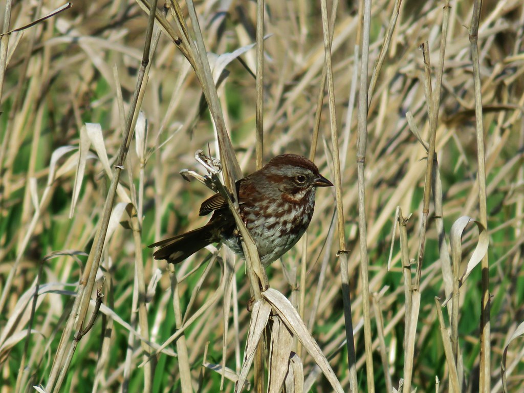 Sparrow
 Western service berry
 Crossing the Peter Courtney Bridge.
 Willamette River from the Union Street Bridge
 More geese
 Perriwinkle
 Pacific waterleaf
 Camas
Camas Another checker-mallow(or checkerbloom)
 California poppy
 Haven’t figured this one out yet.


 Mt. Hood beyond the green water tower.
 Mt. Adams through a little haze.
 Snow queen
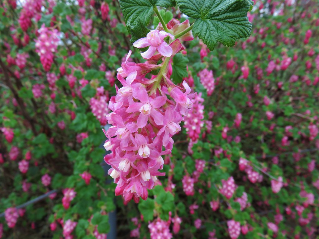 Red flowering currant
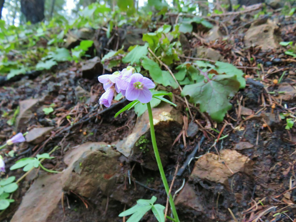 Toothwort
 Fairy slipper
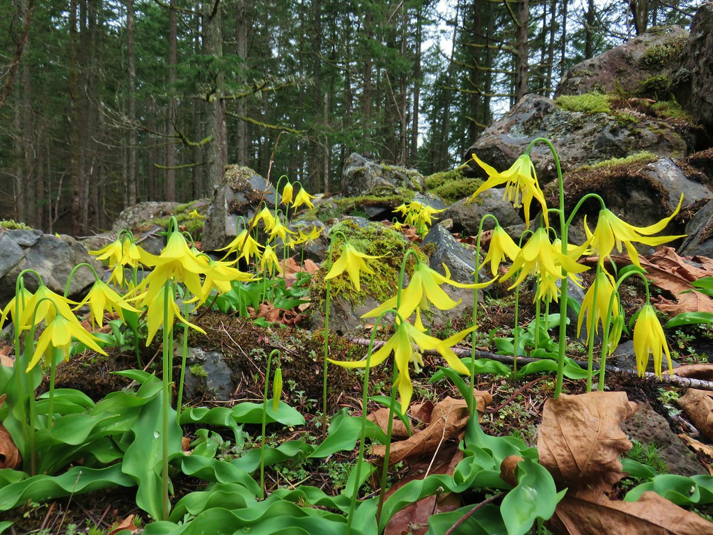 Glacier lilies
 Chickweed monkeyflower
 Giant white wakerobin
 Giant fawn lilies
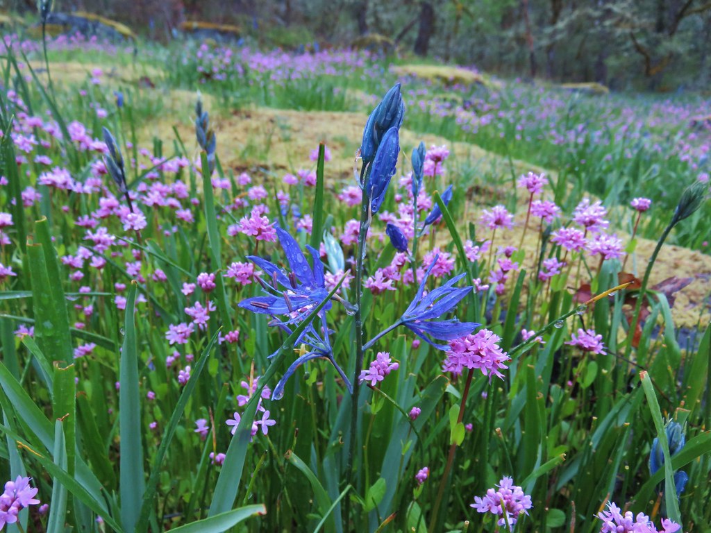 Camas and plectritis
 Fringecup
 Bleeding heart
 Bluebells?
 Dogwood
 Large solomonseal
 Vine maple
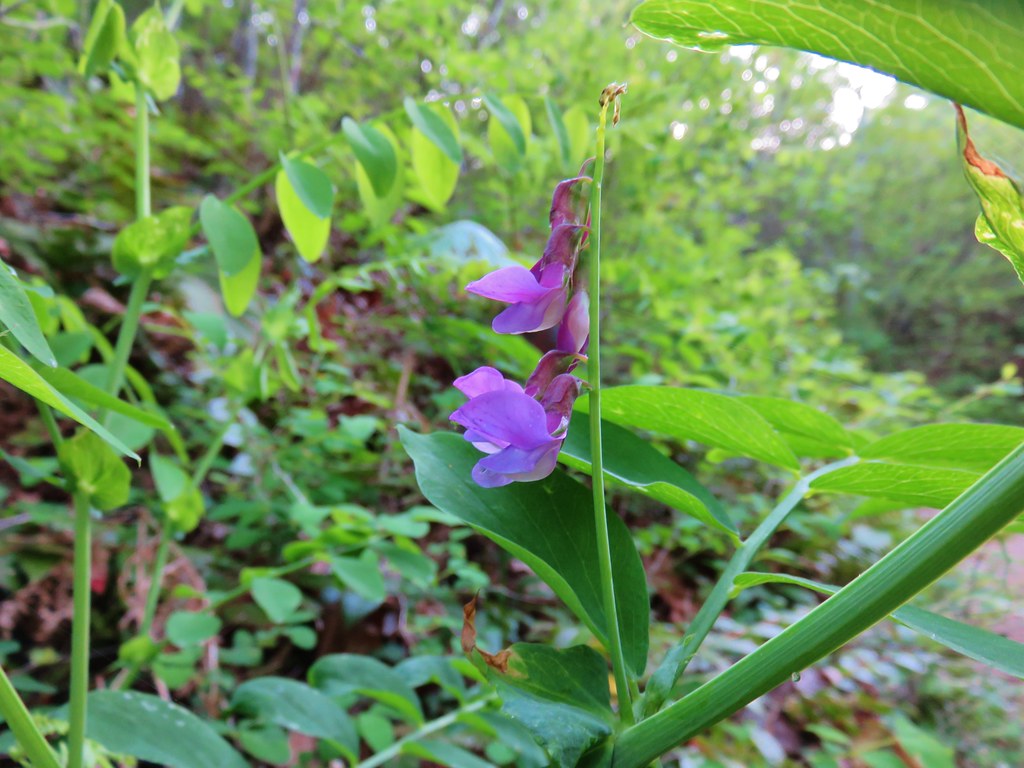
 Chocolate lilies
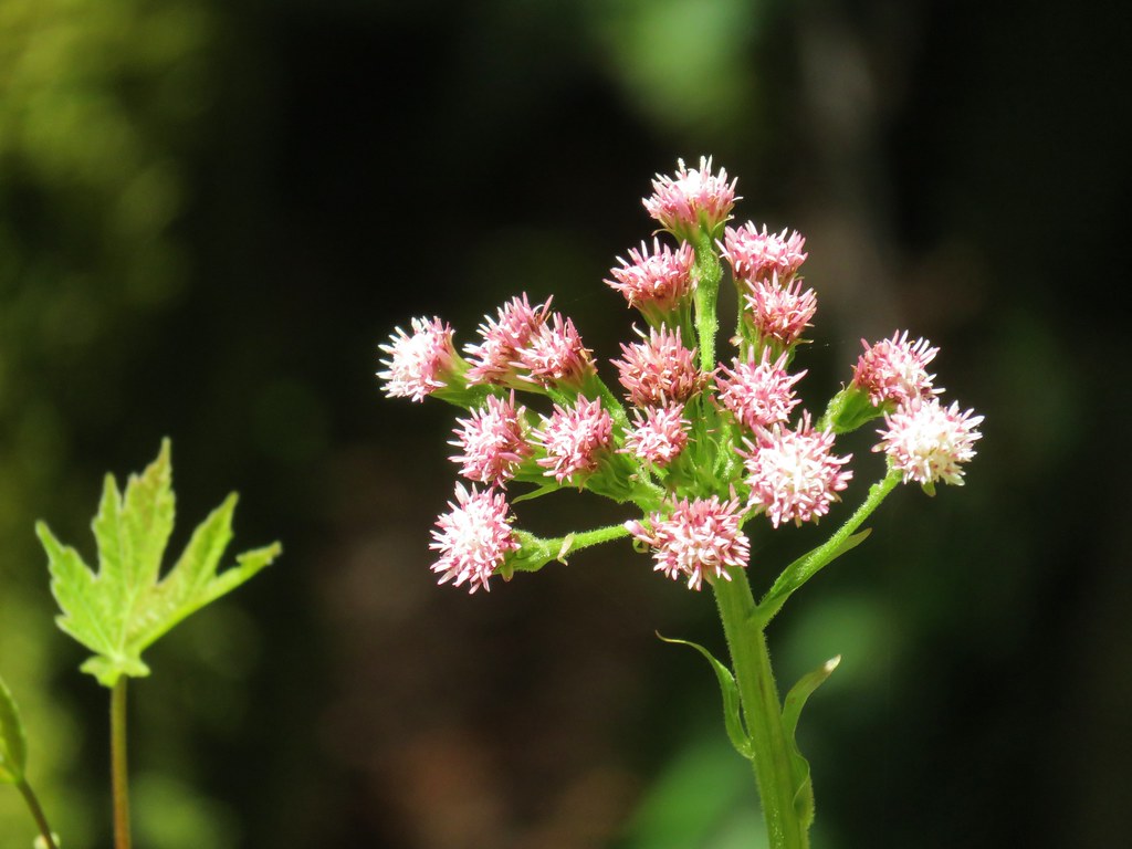 Coltsfoot
 Wild rose
 Ball-head waterleaf
 Arnica
 Manzanita
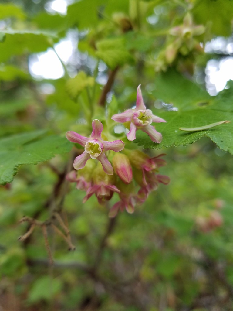 A currant
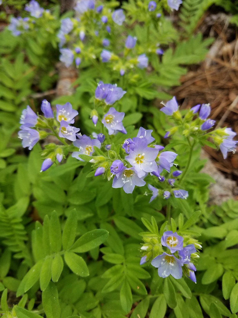 Showy jacob’s ladder
 Oregon anemone
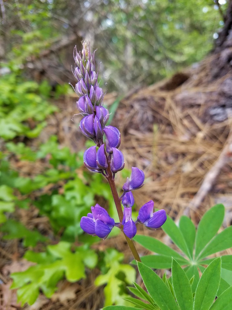 Lupine
 Vanilla leaf
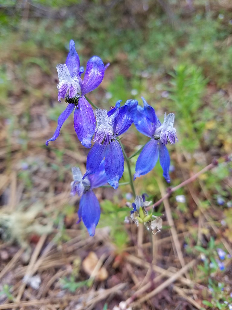 Larkspur
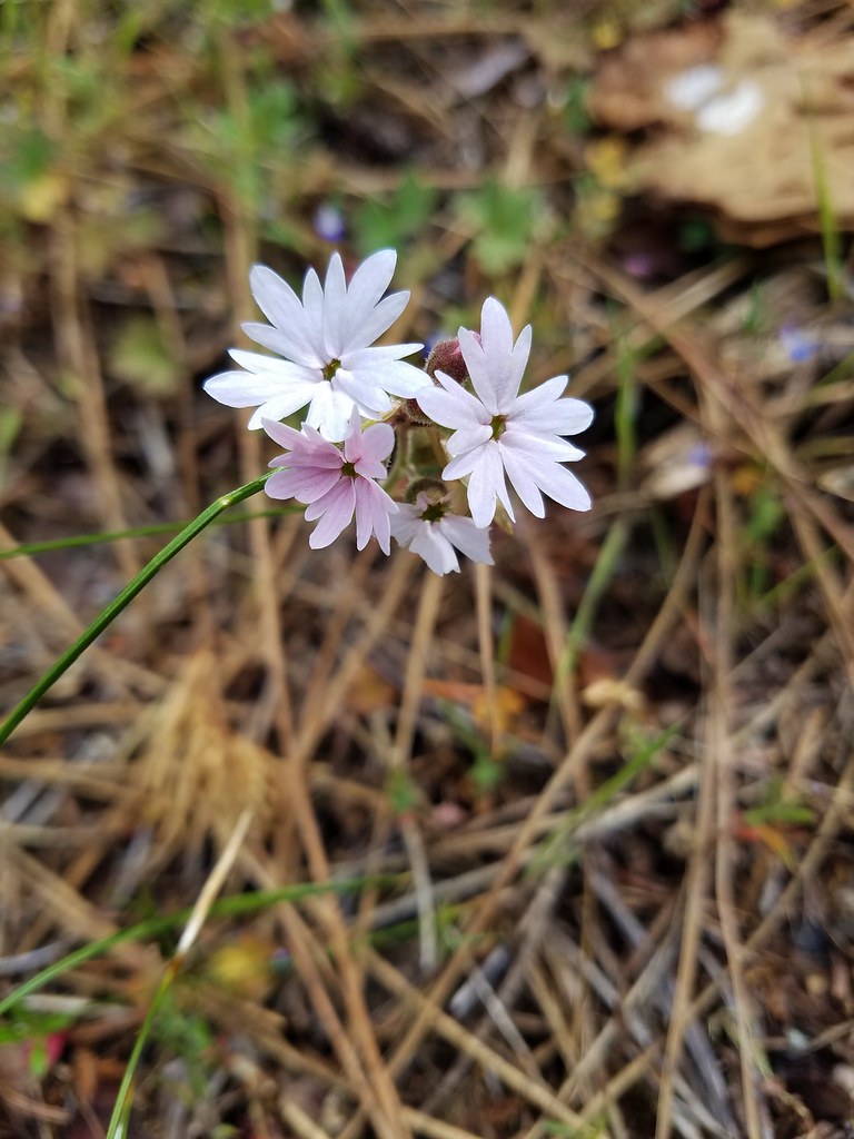 Woodland stars
 Popcorn flower
 Salsify
 Deadly nightshade
 Rock clematis
 Twinberry?
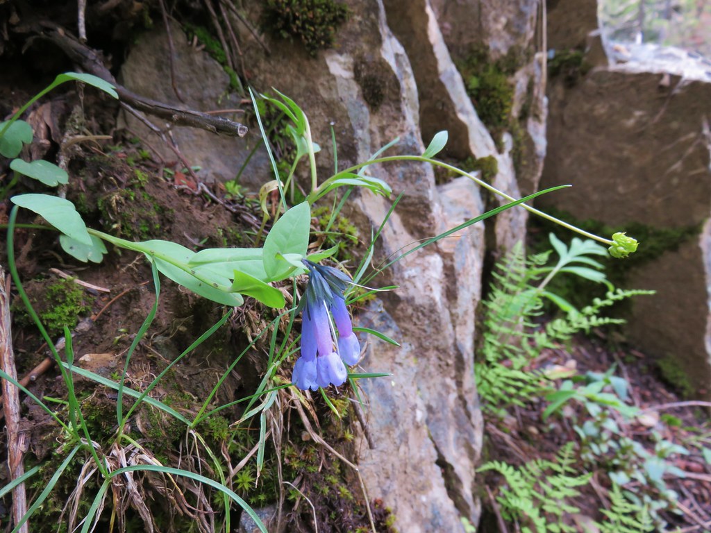 Bluebells
 Cinquefoil
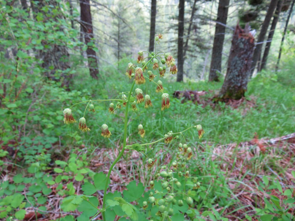 Meadowrue
 A violet
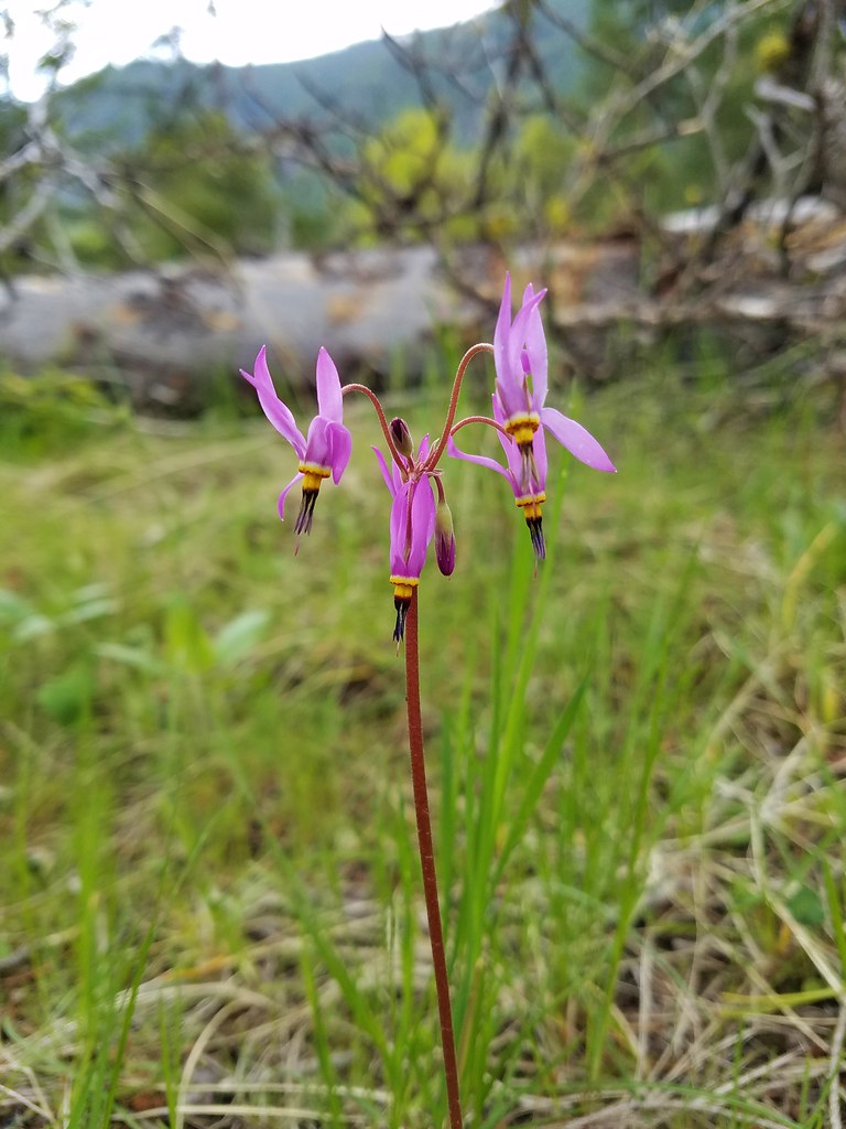 Shooting star
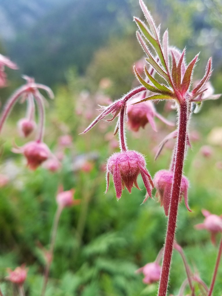 Old man’s whiskers
 Western stoneseed
 Blue dicks
 Balsamroot
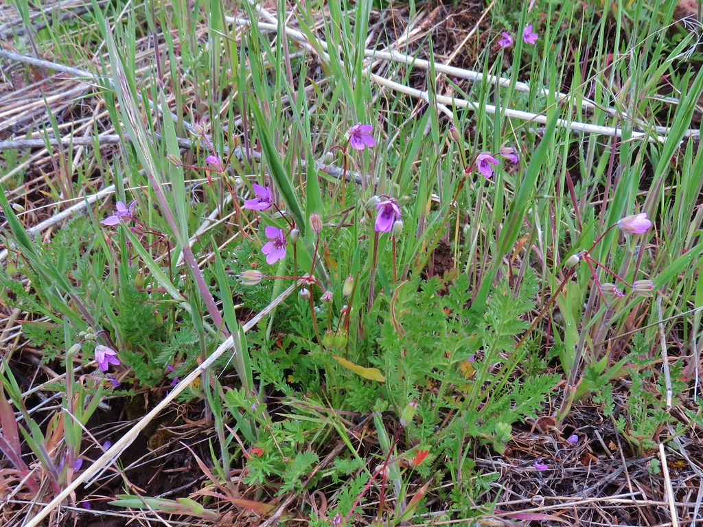 Slender phlox
 Cutleaf daisy
 Large head clover
 Kittentails
 Hairy clematis
 Yellow bell
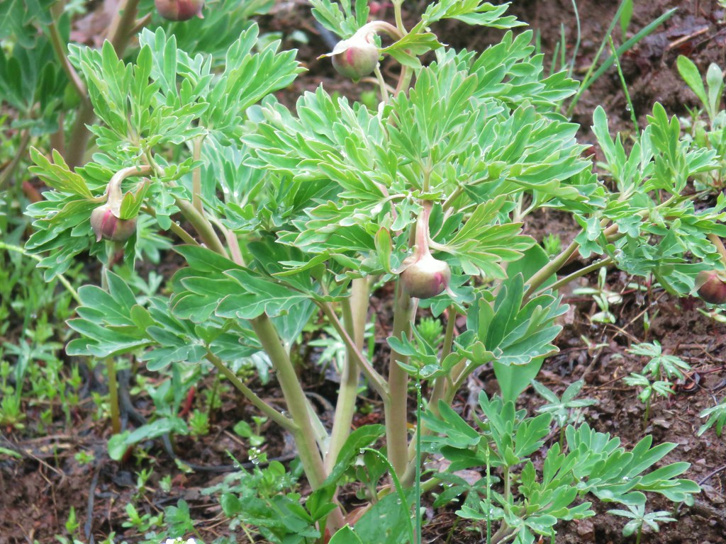 Brown’s peony (blossoms hadn’t opened yet)
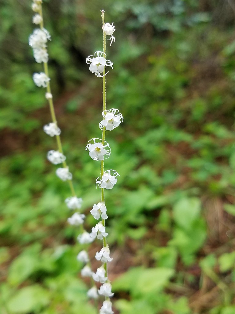 Small flower miterwort
 Vetch
Vetch Yarrow
 Houndstongue
 A catchfly
 Branched hareleaf
 Watercress
 Fiddleneck
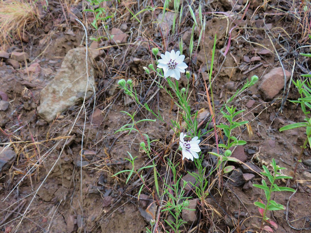 Rough eyelashweed
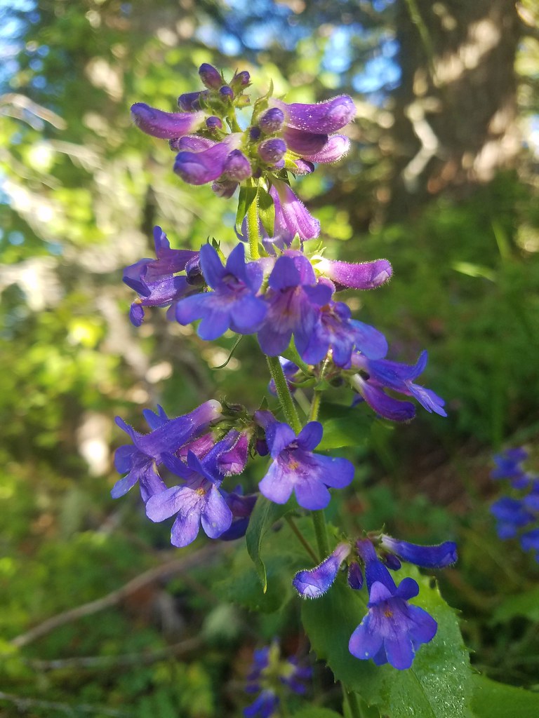
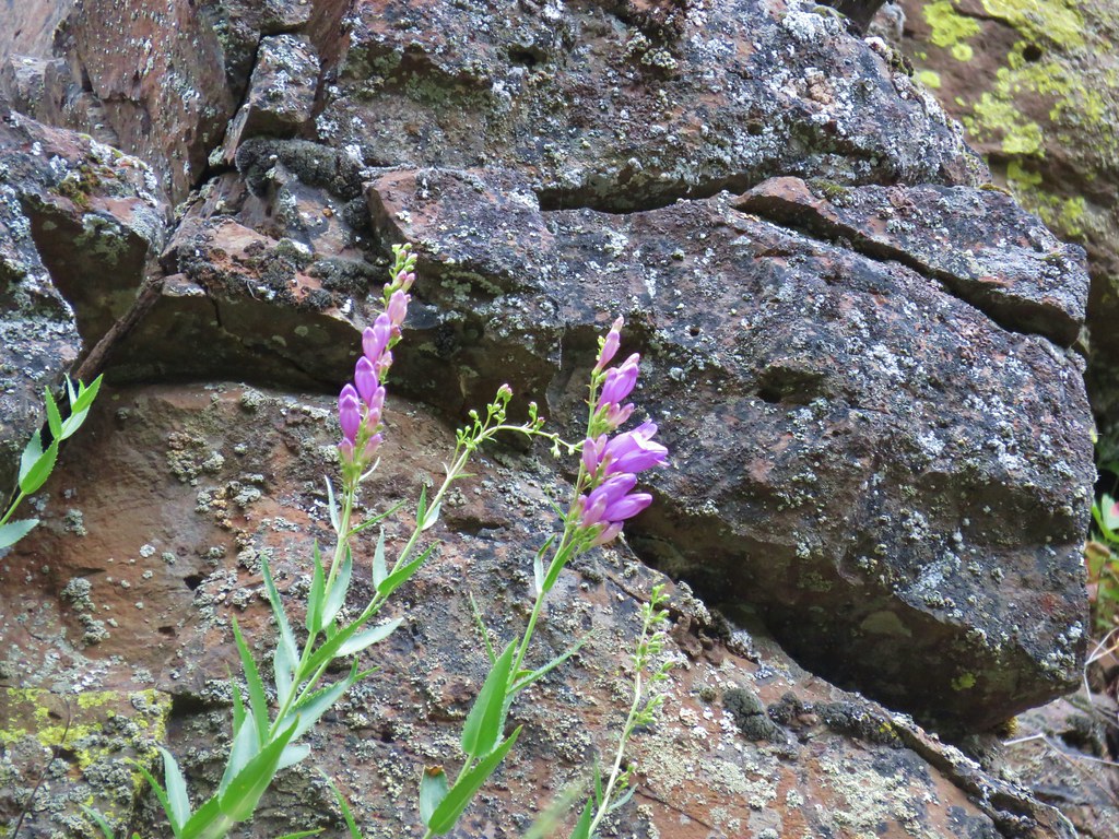 Penstemon
 Phlox
Phlox Spreading dogbane
 Buckwheat
 Scab penstemon
 Oregon sunshine?
 False sunflower?
 Sticky purple geranium
 Threadleaf phacelia
 Skullcap
 Stream globe mallow
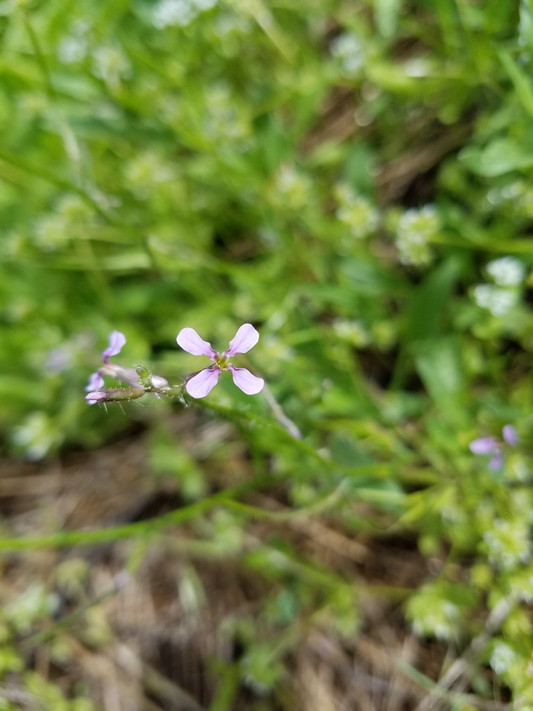 Blue mustard?
 Ragged robin
 Blanket flower
 Cusick’s paintbrush
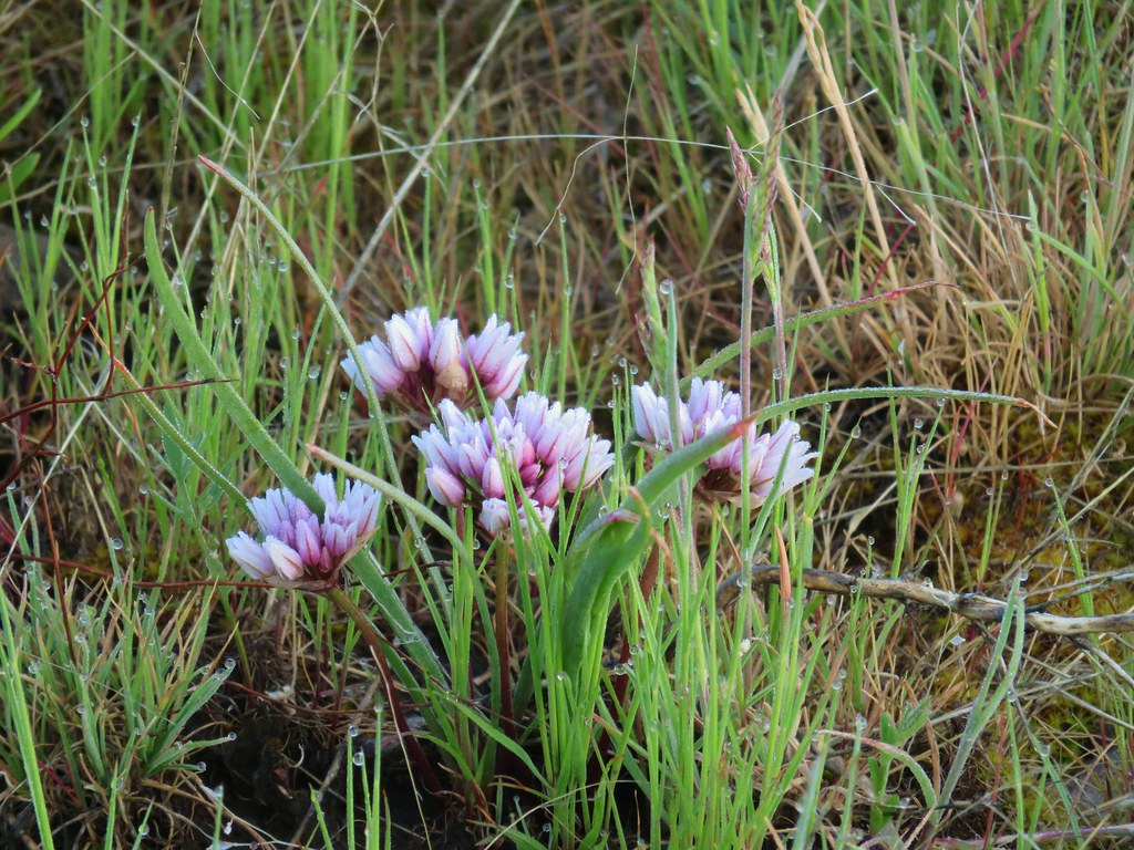 Wild onion
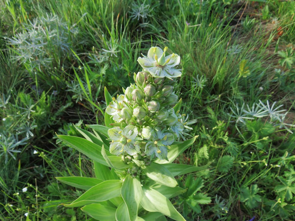 Monument plant
 Rockcress
 Hoary balsamroot
 Camas
Camas White-stem frasera
 Milk vetch
 A clover
 Dwarf yellow fleabane
 Iris
Iris Iris
Iris Paintbrush
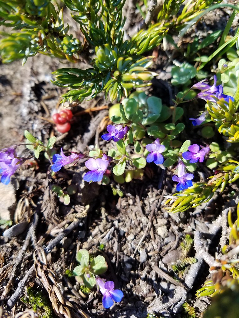 Blue-eyed mary
 Cat’s ear lilies
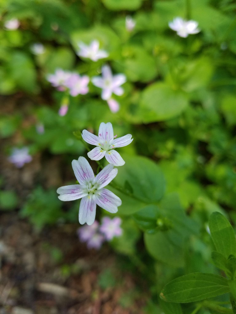 Candy flower
 Thimbleberry
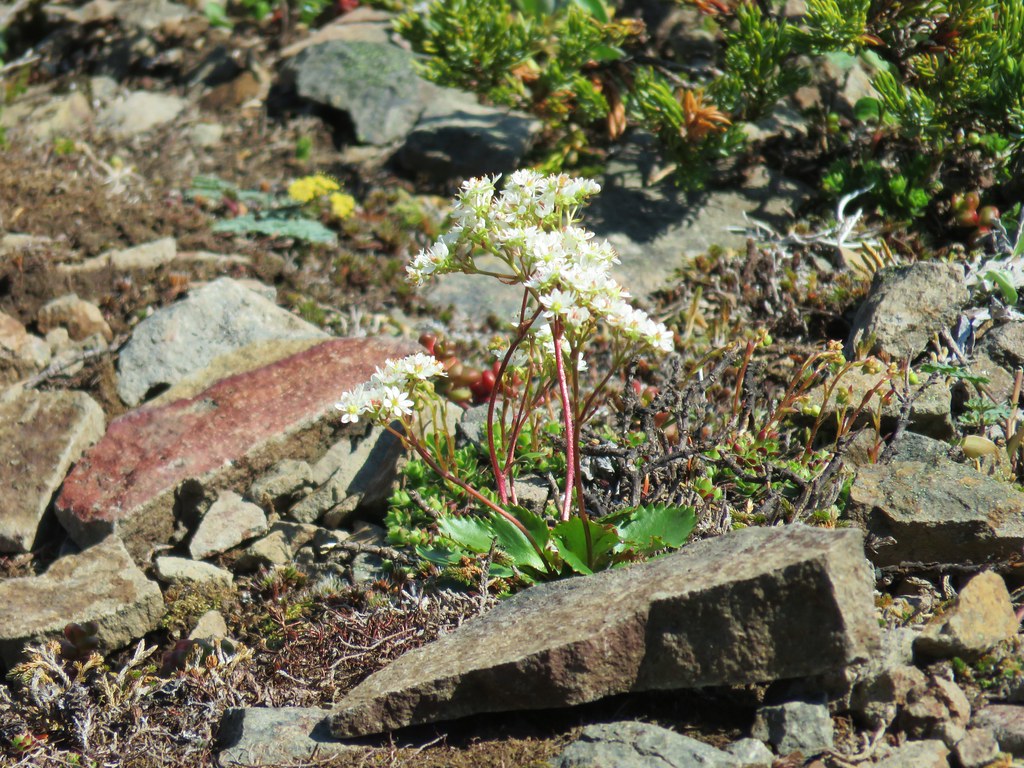
 Stonecrop
 Youth-on-age
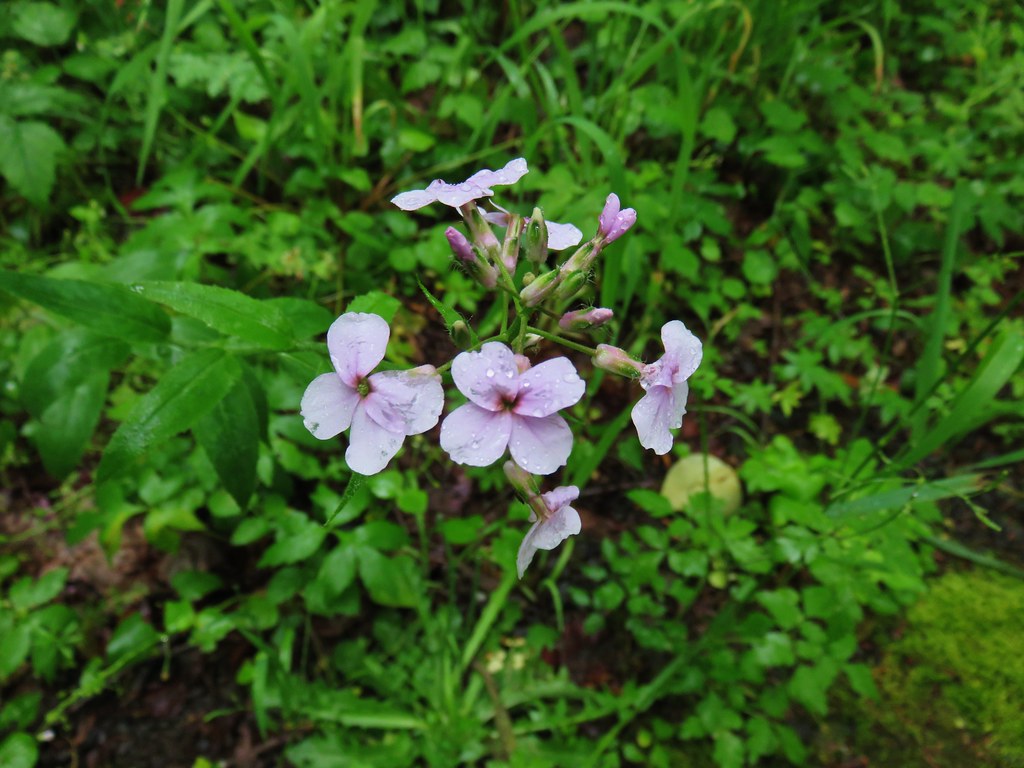
 False lily of the valley
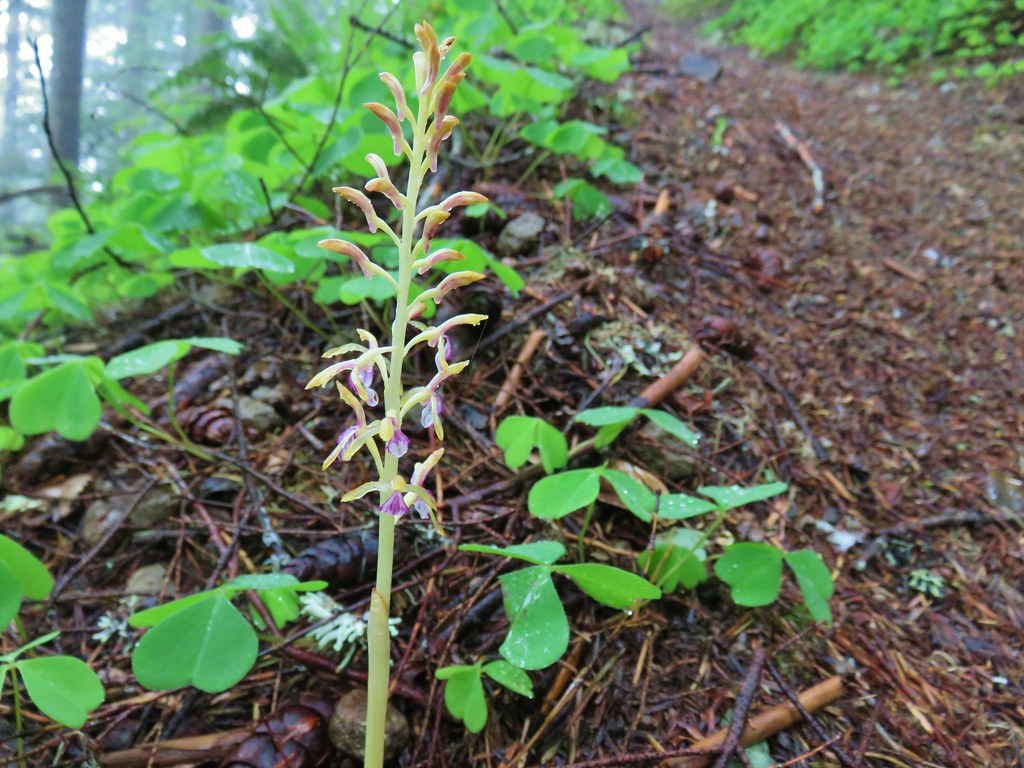 Coralroot
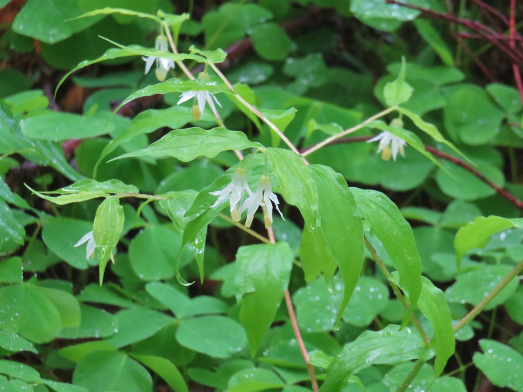 Fairybells
 Scouler’s cordyalis
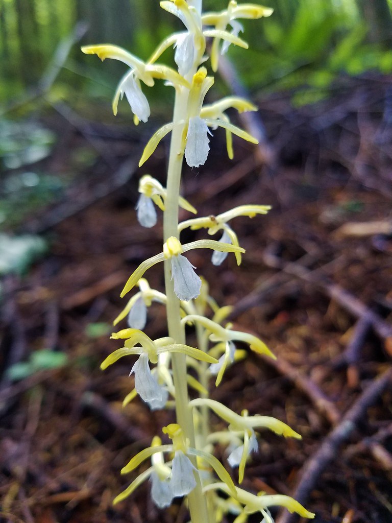 Coralroot
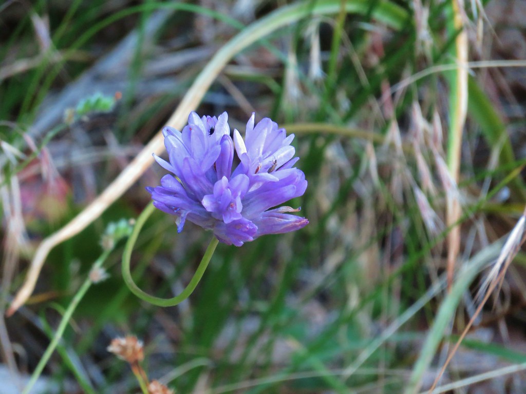 Ookow
Ookow Anemone
 Bunchberry
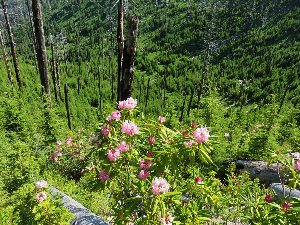
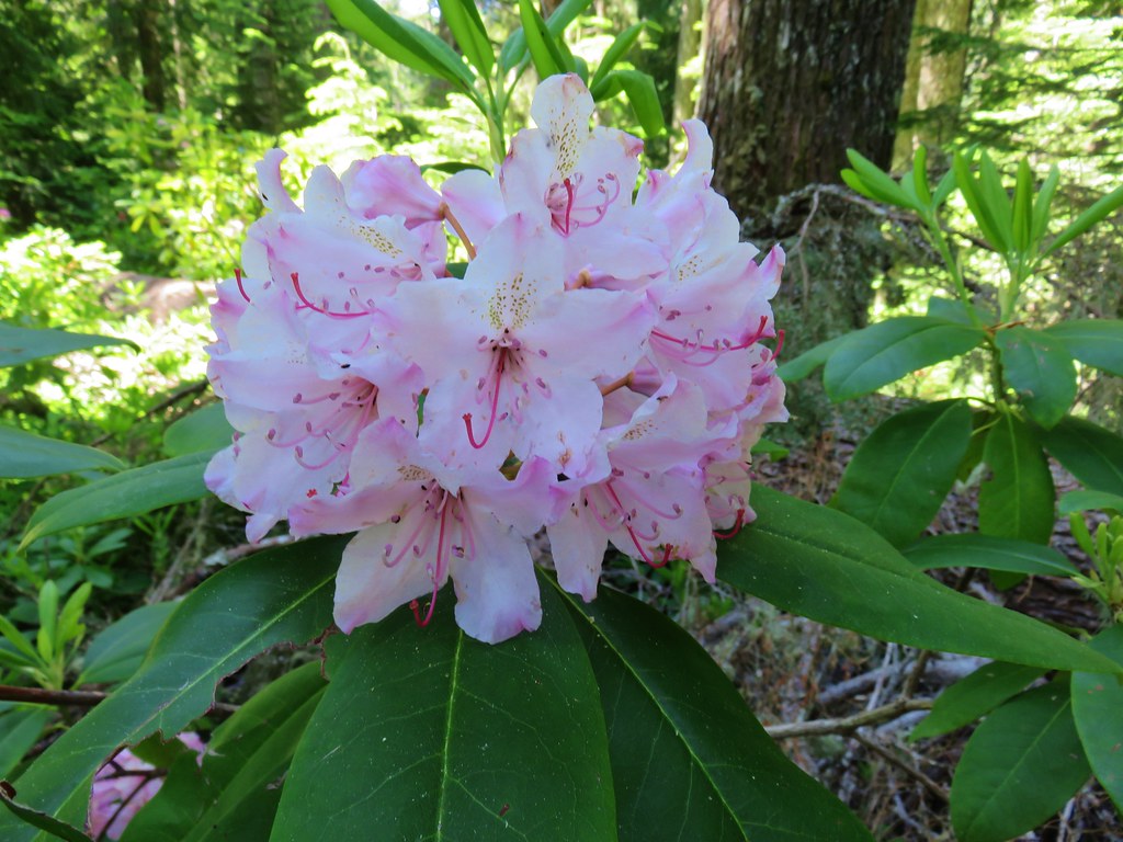 Rhododendron
 Wild bugbane
 Avalanche lilies
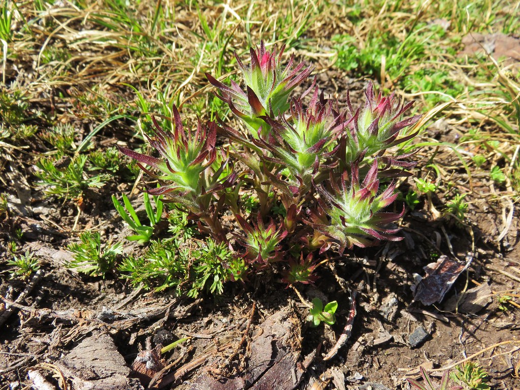 Paintbrush
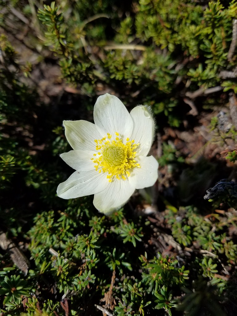 Western pasque flower
 Valerian
 Mountain heather
 Penstemon
 Manzanita
 Dwarf lupine
 Pussypaws
 White dwarf lupine
 Sagebrush false dandelion?
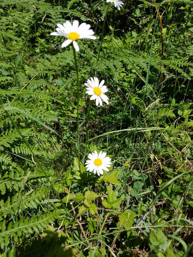 Daisies
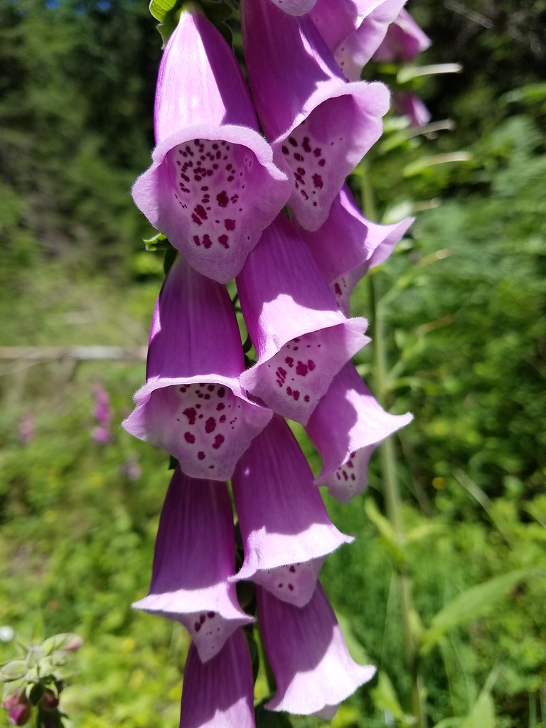 Foxglove
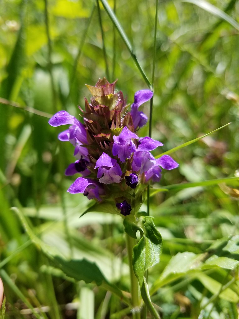 Self-heal
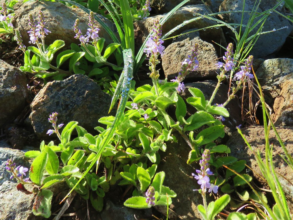 Tailed kittentails
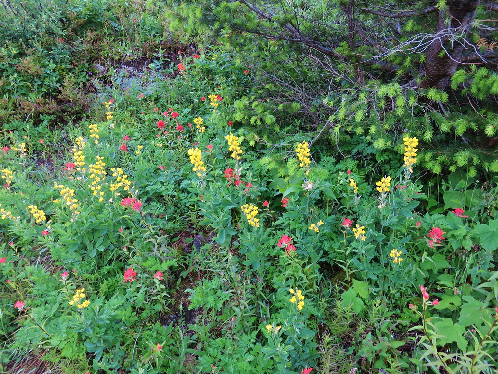 Goldenbanner?
 Vetch?
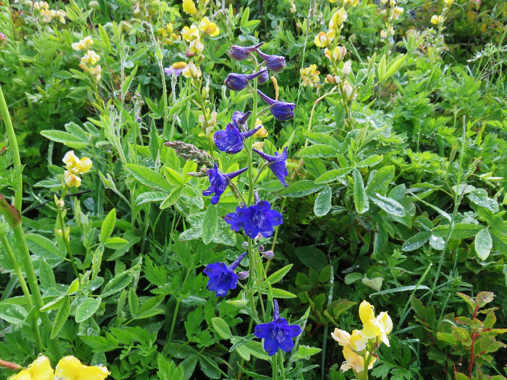 Larkspur
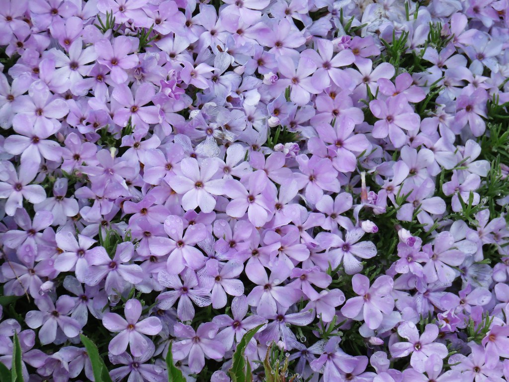 Phlox
Phlox Paintbrush
 Lupine
 Violets
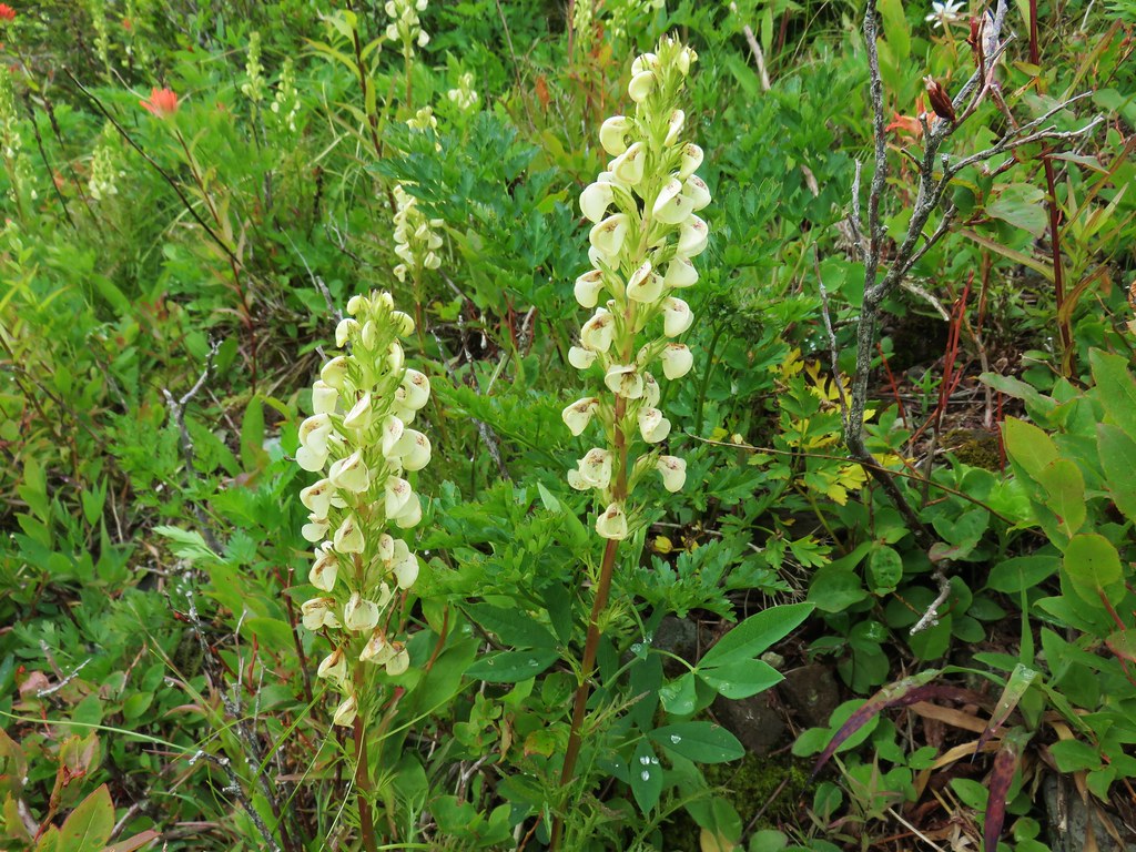 Lousewort
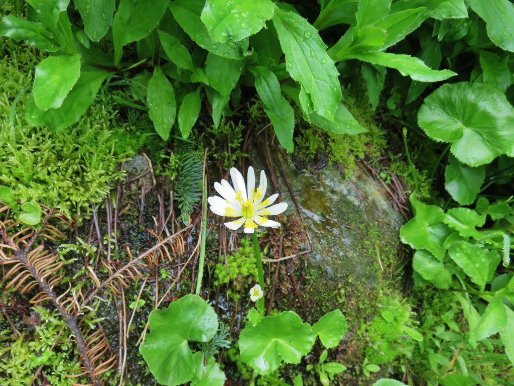 Marsh marigold
 Salal
Salal Thistle
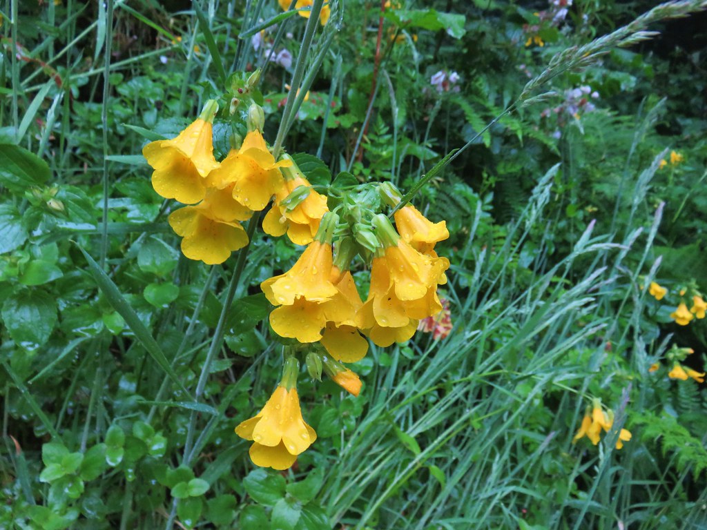 Monkeyflower
 Cultivated radish?
 A clover
 Beach morning glory
 Groundcone
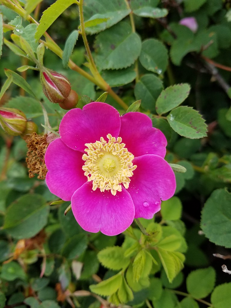 Some sort of rose
 Striped coralroot
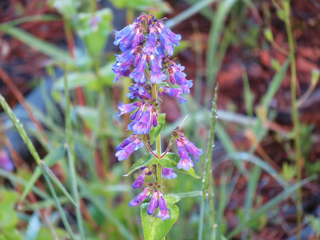 Penstemon
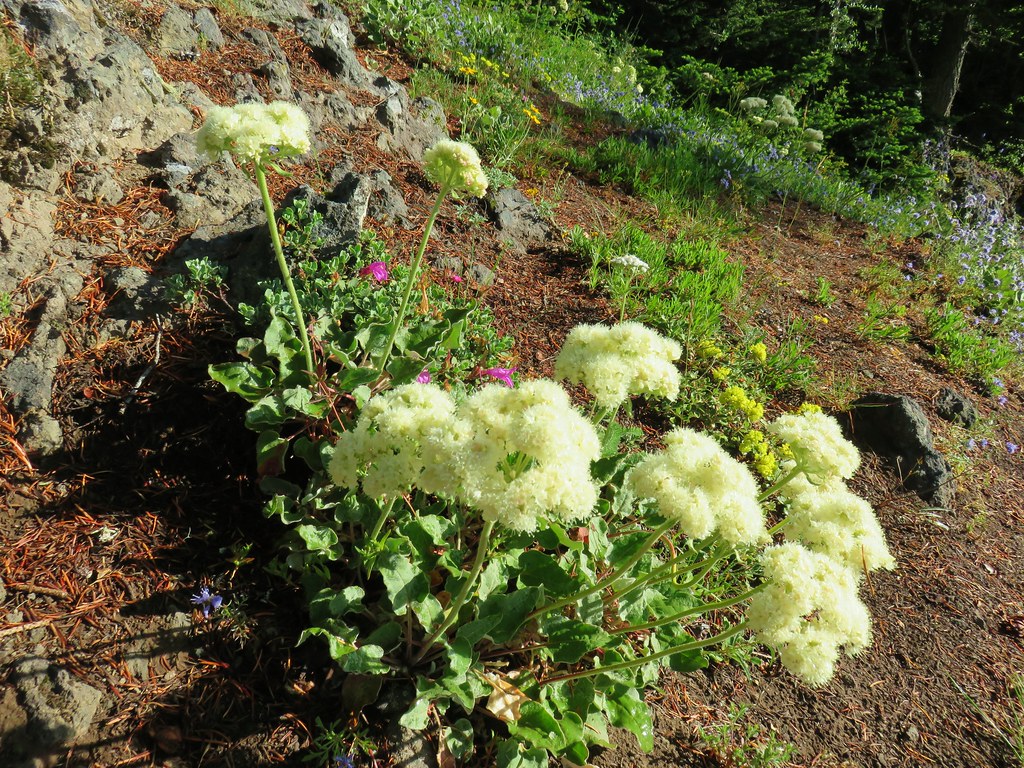 Arrowleaf buckwheat
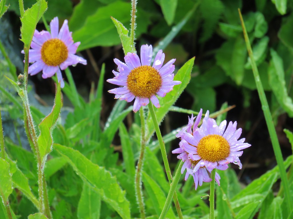
 Star-flower solomonseal
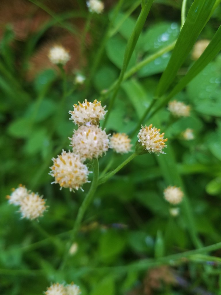 Raceme pussytoes
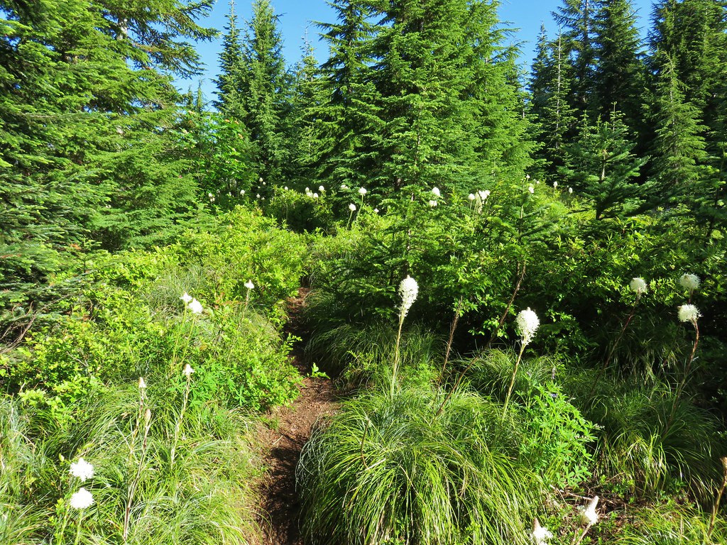
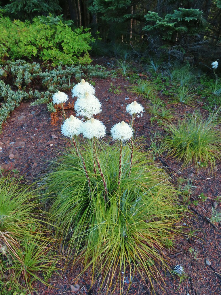
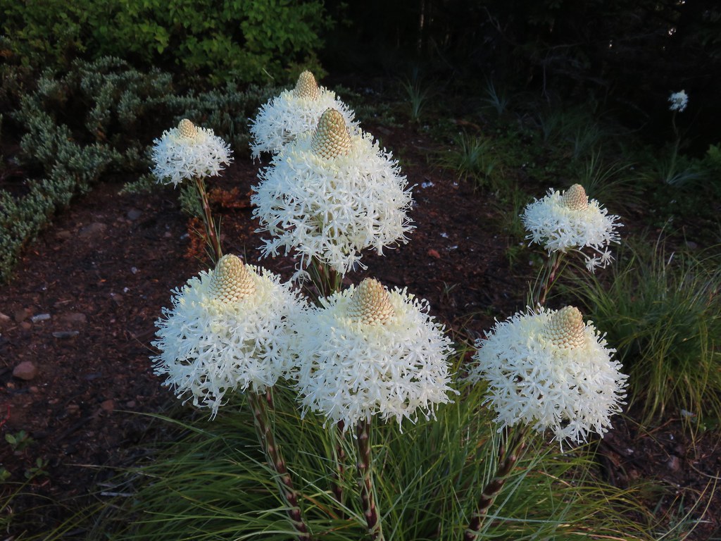 Beargrass
 Coralroot
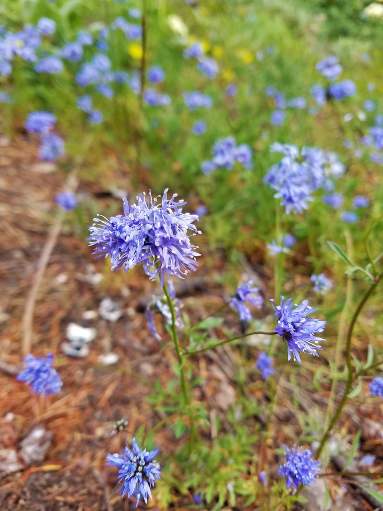 Blue-head gilia
 Penstemon
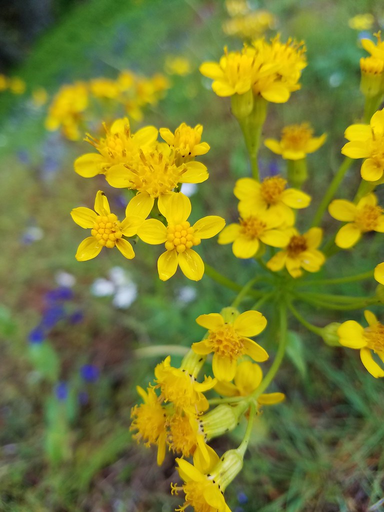 Groundsel?
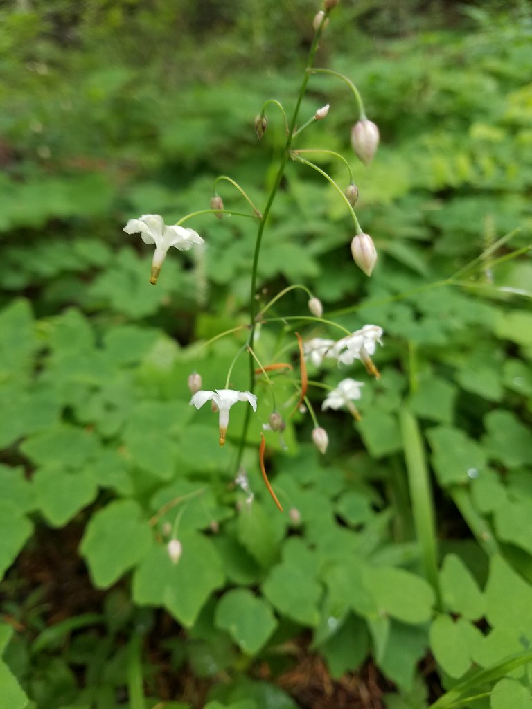 Inside-out flower
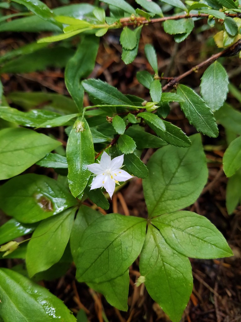 Starflower
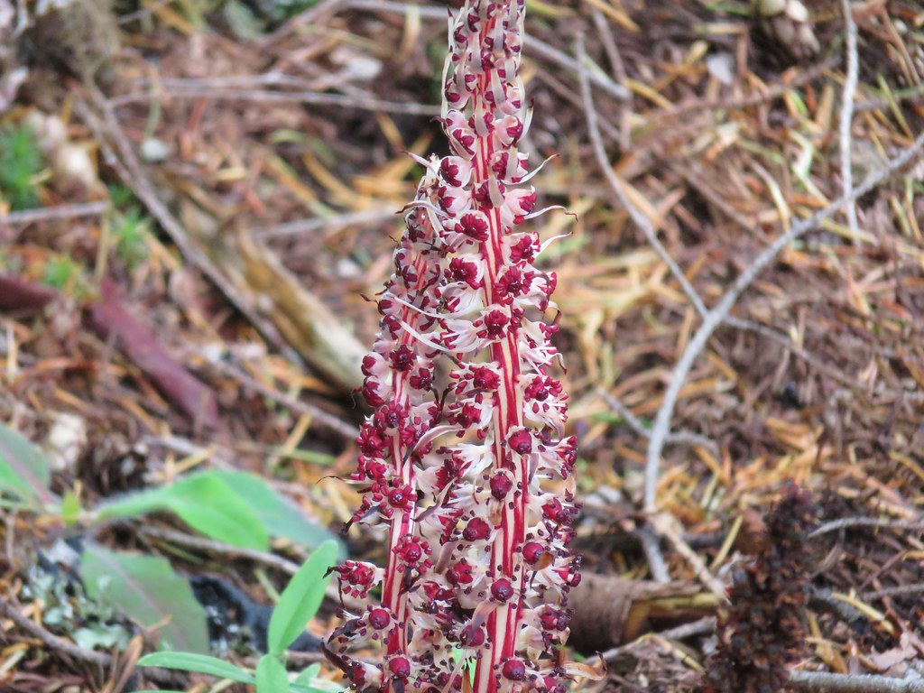 Candysticks
 Wild strawberry
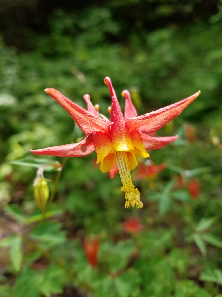 Columbine
 Showy phlox
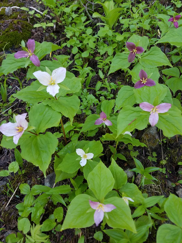 Trillium
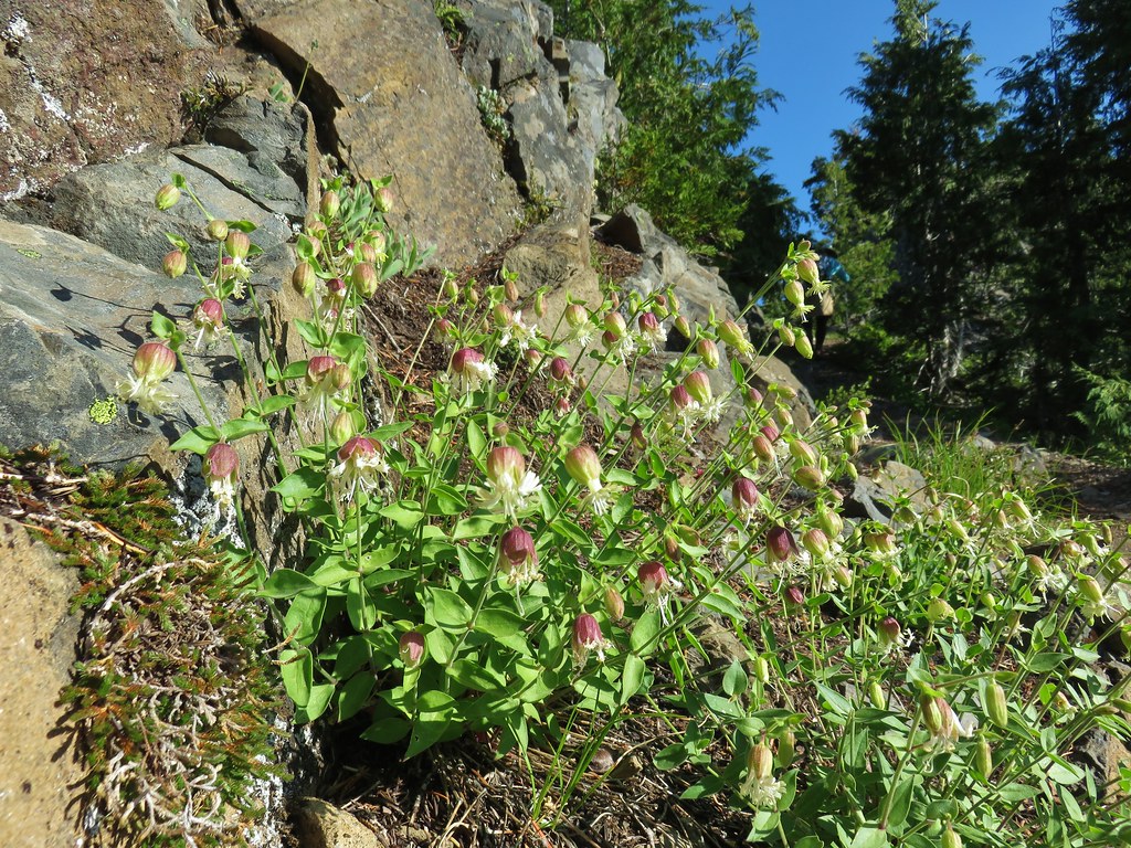 Bladder campion?
 Catchfly
 Aster or fleabane
 A currant
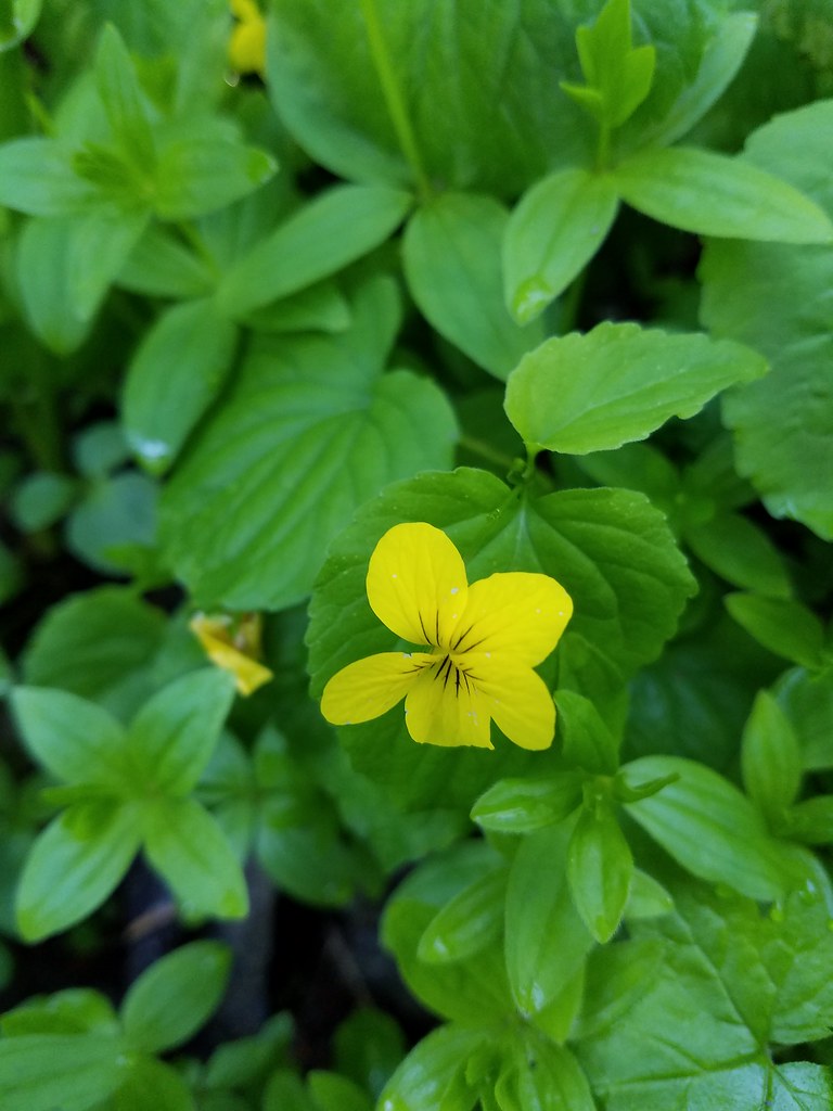 Wood violet
 Pussytoes
 Lousewort
 Jacob’s ladder?
 Wallflower
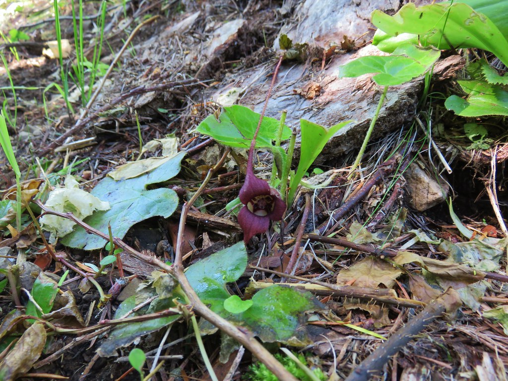 Wild ginger
 Giant blue-eyed mary
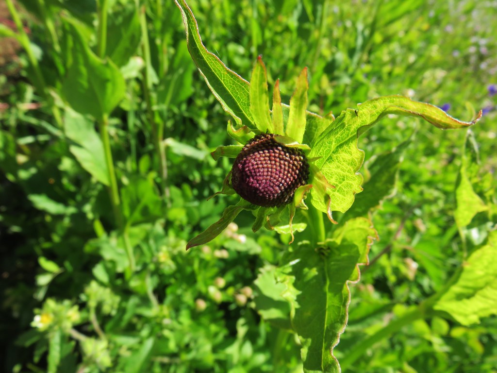 Coneflower
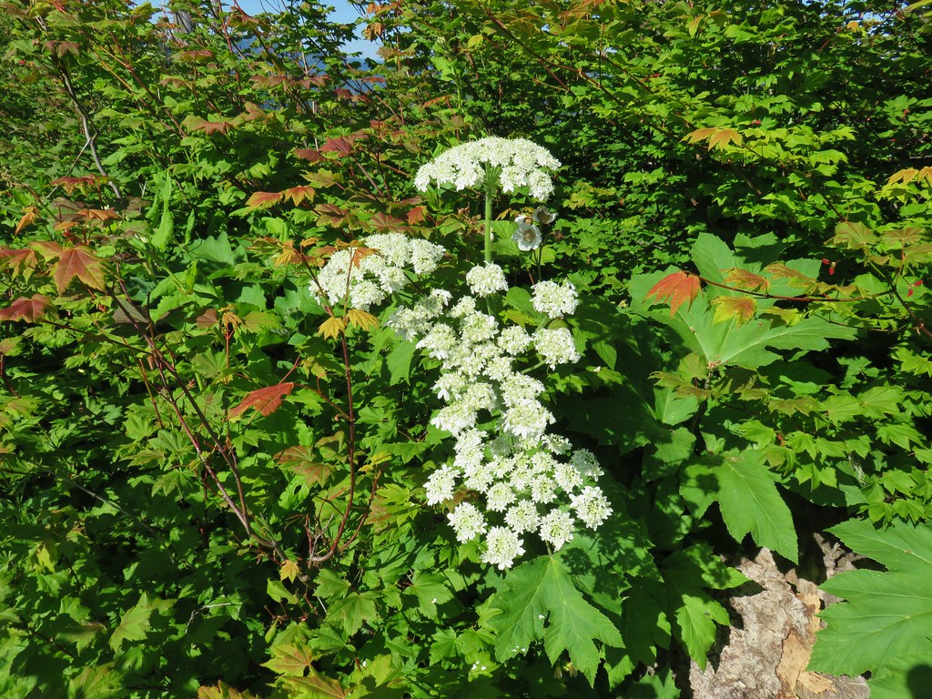 Cow parsnip
 Tall mountain bluebells
 Scarlet gilia
 Orange agoseris
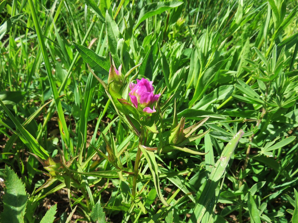 Owls clover
 Some sort of phacelia?
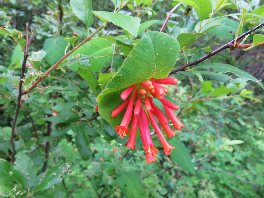 Honeysuckler
 Wild onion
 Twin flower
 Penstemon
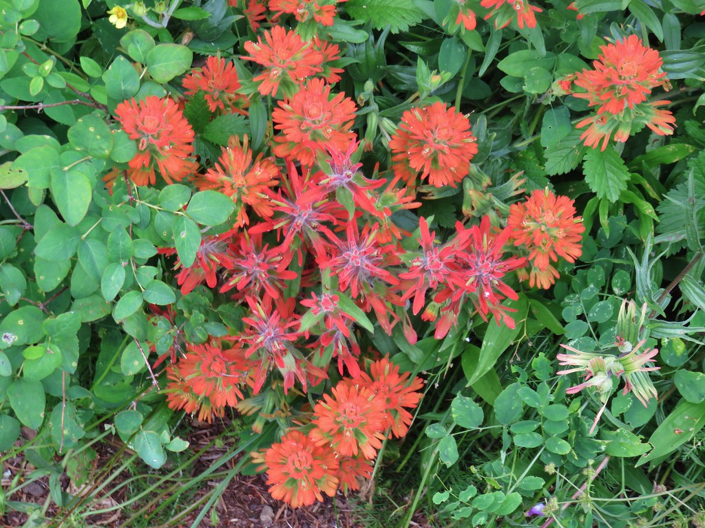 Two types of paintbrush
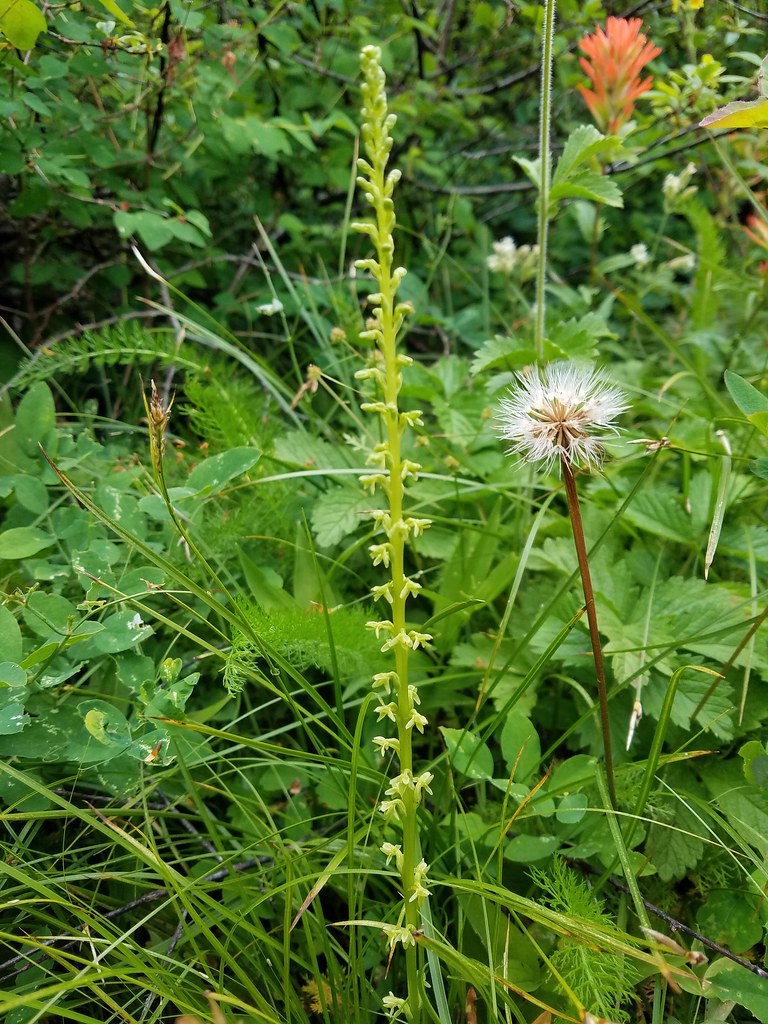 Stream orchid?
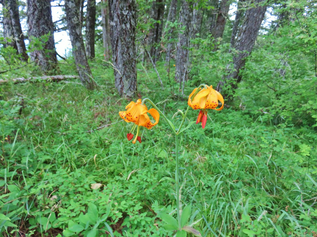
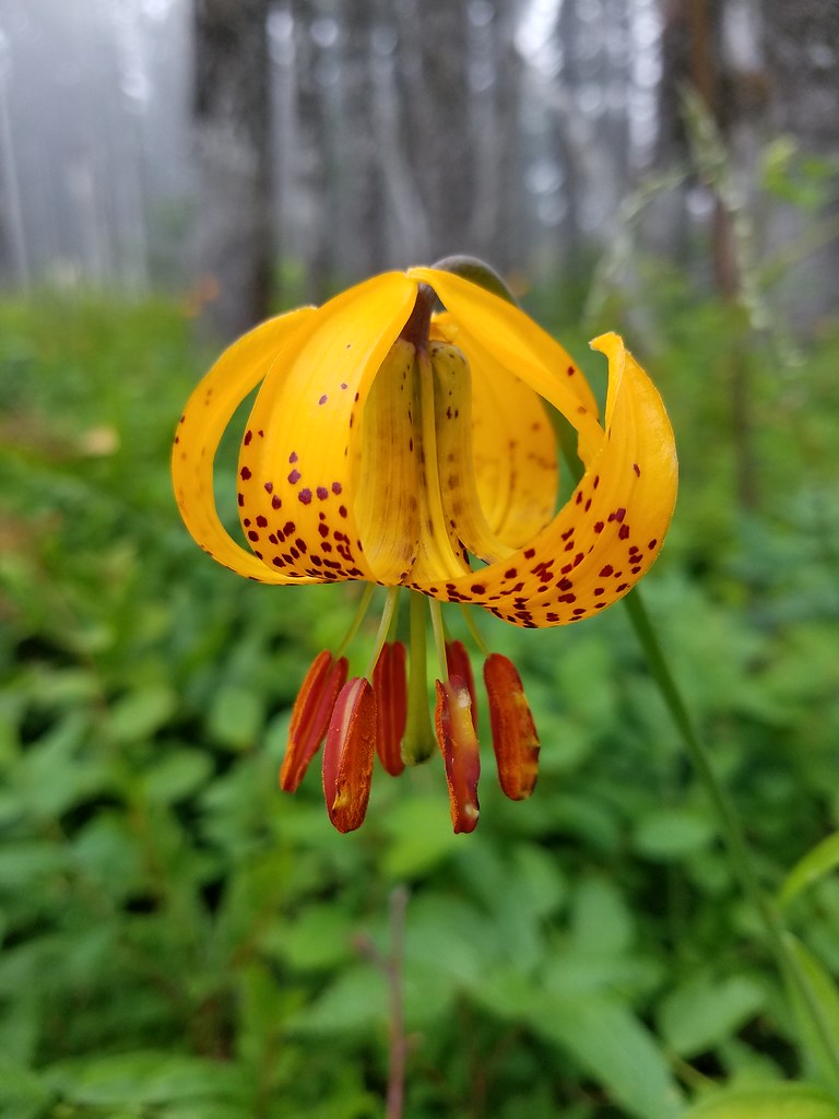 Tiger lily
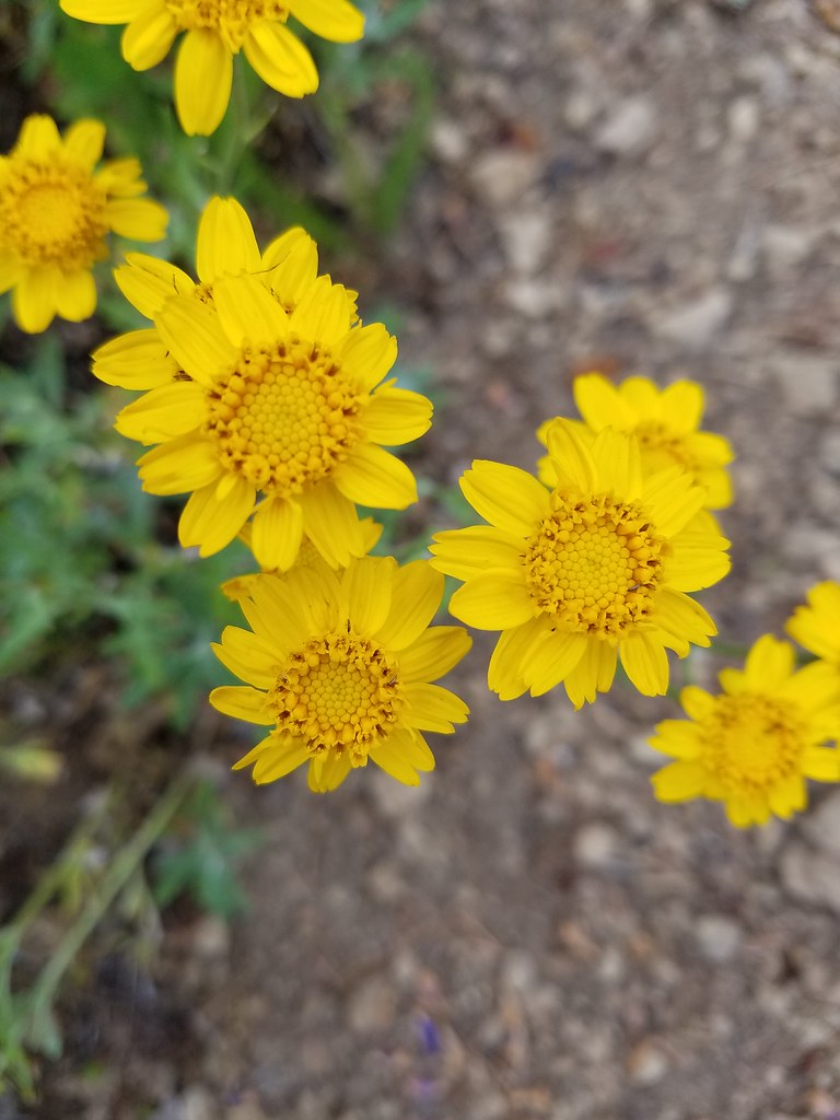
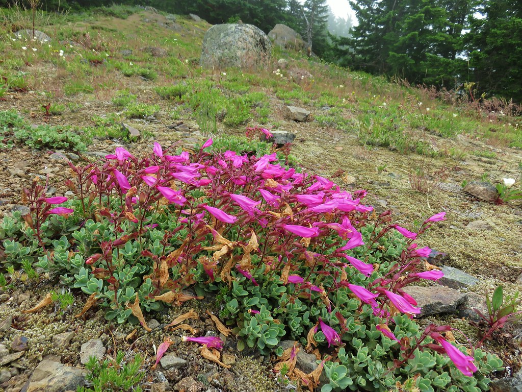
 Penstemon
 Field chickweed
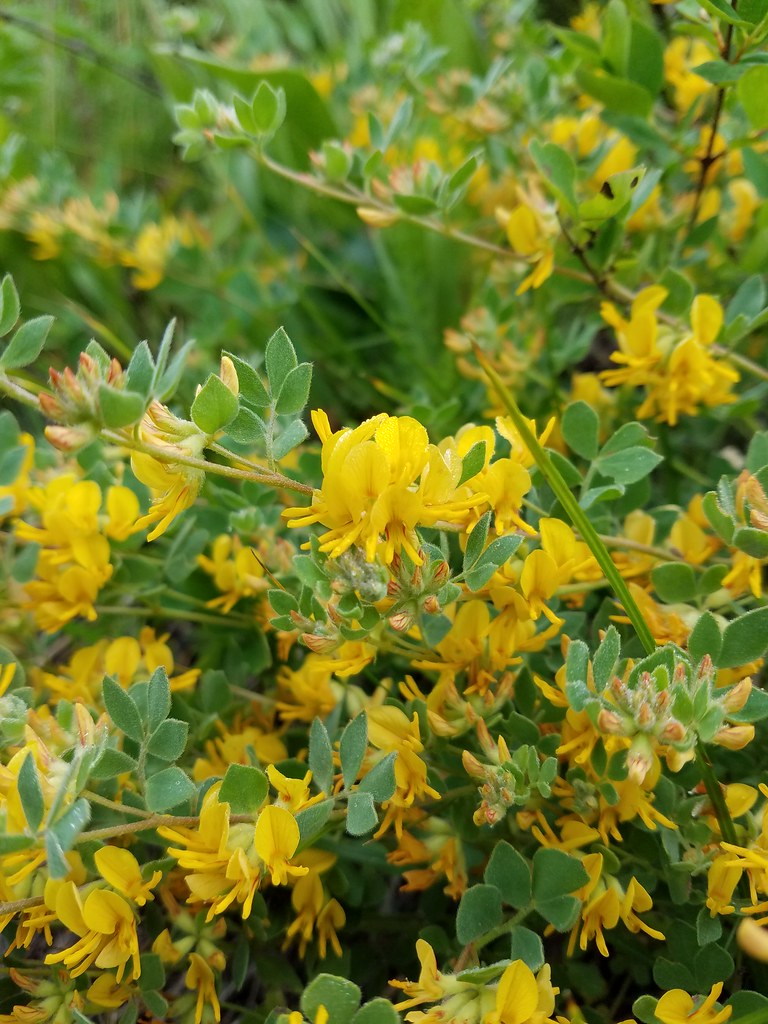
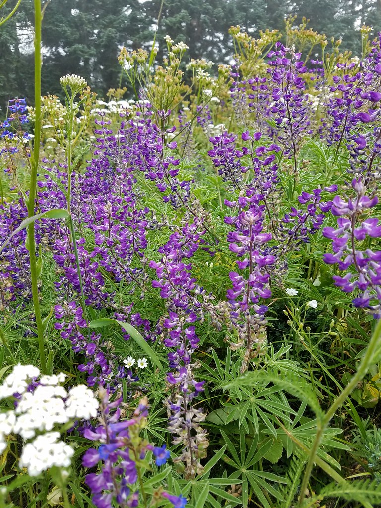
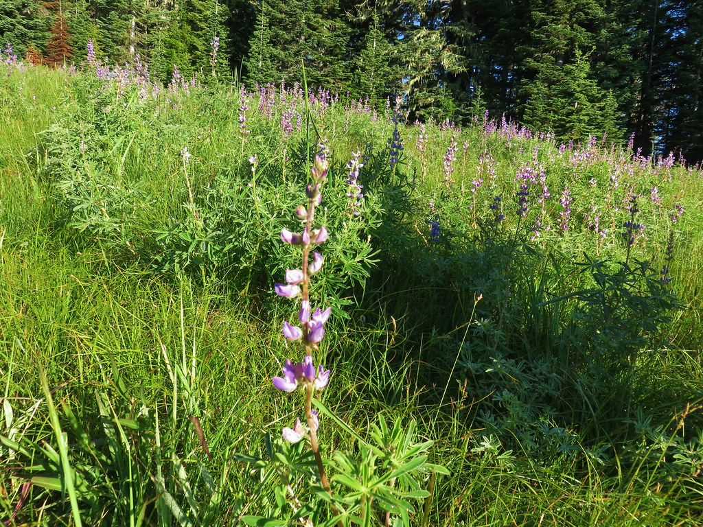
 Lupine

 Spotted coralroot
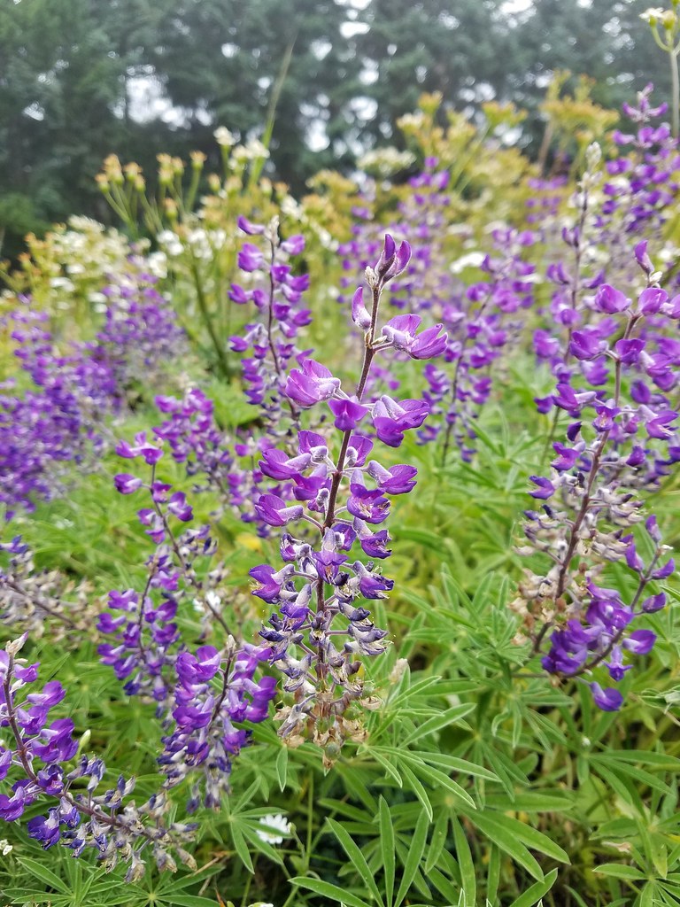 Lupine
 Avens?
 Farewell to spring
 Penstemon
 Washington lily
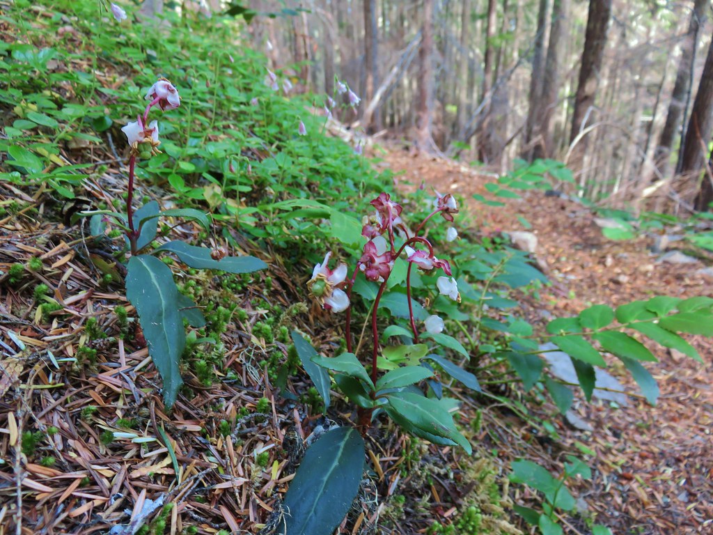 Wintergreen
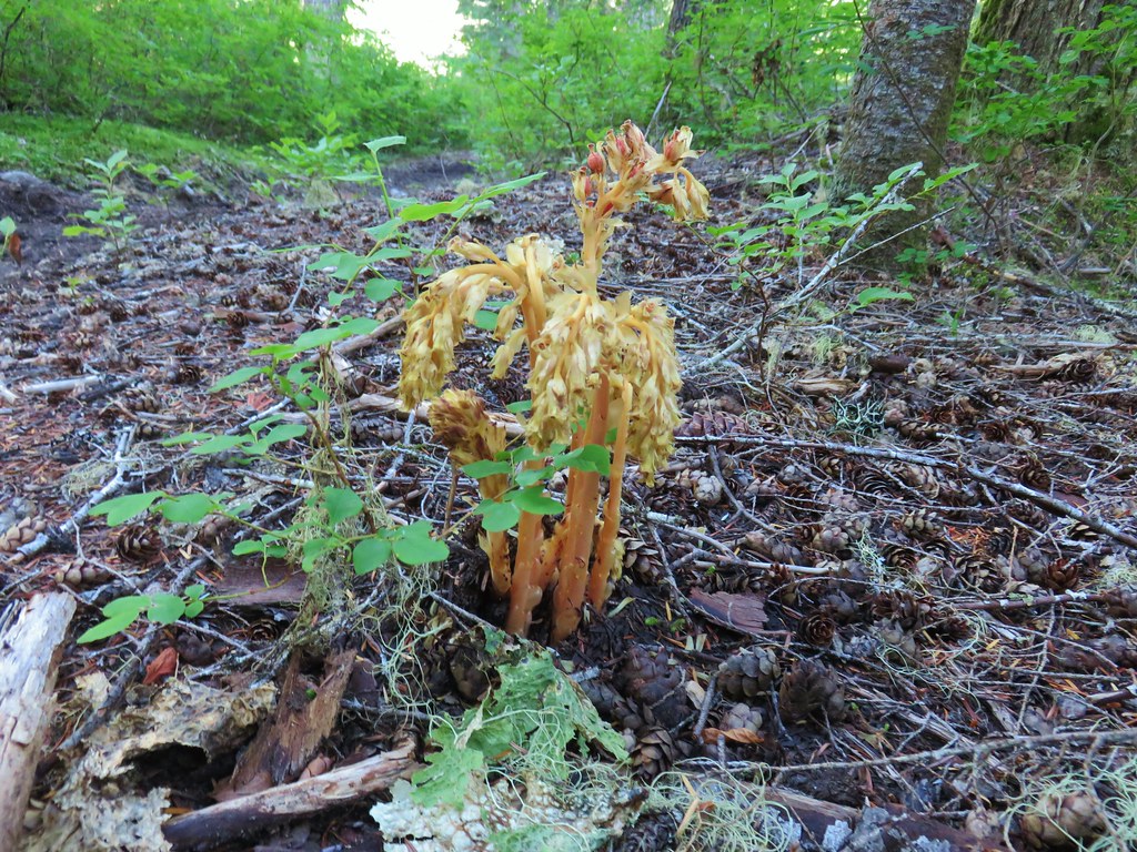 Pinesap
 Pinedrop
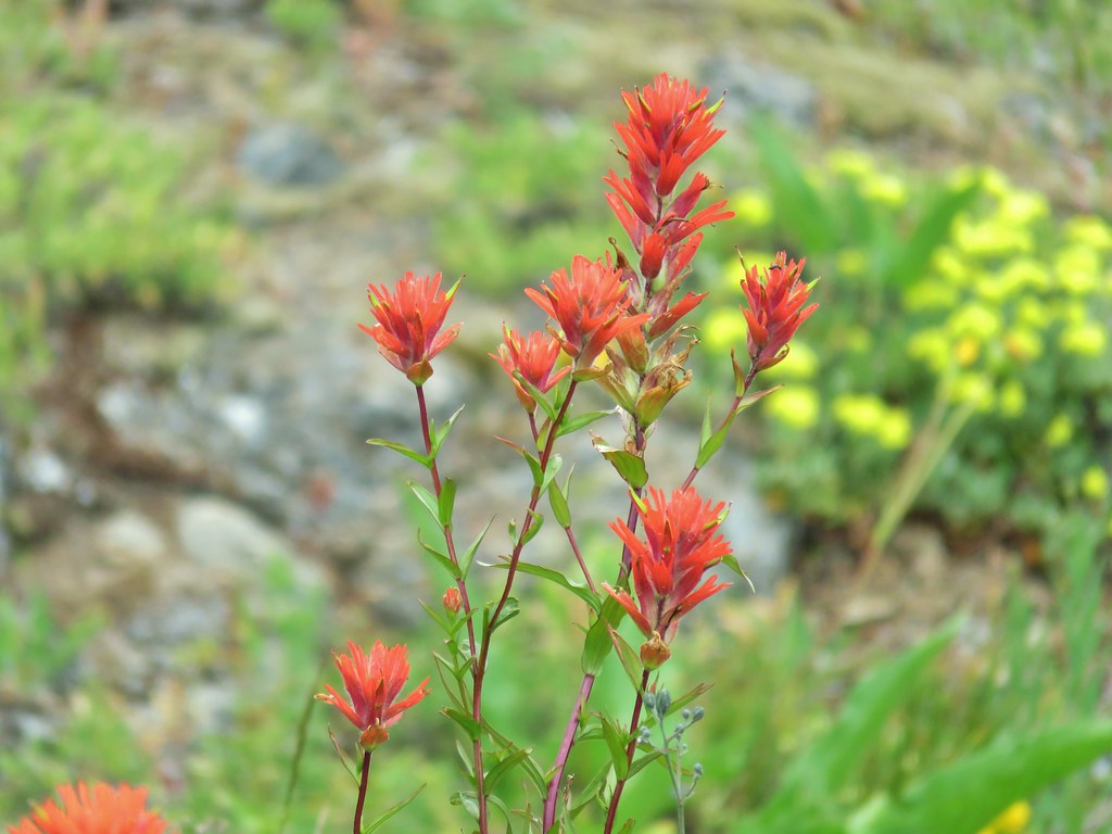
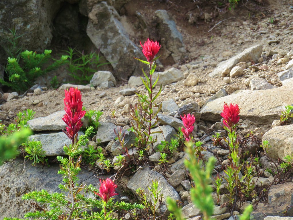 Paintbrush
 Mock orange
 Prince’s pine
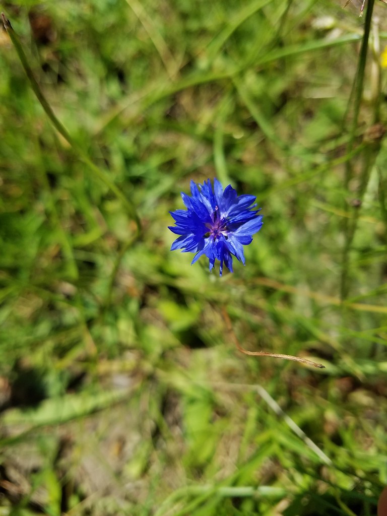 Bachelor button
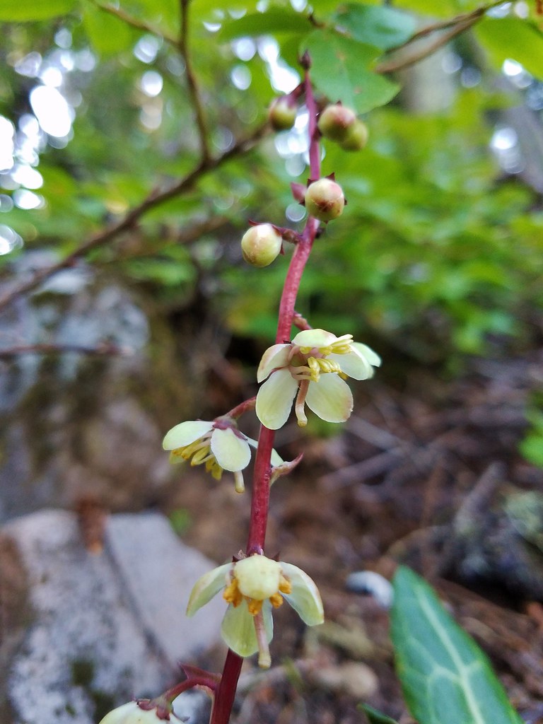 Pyrola
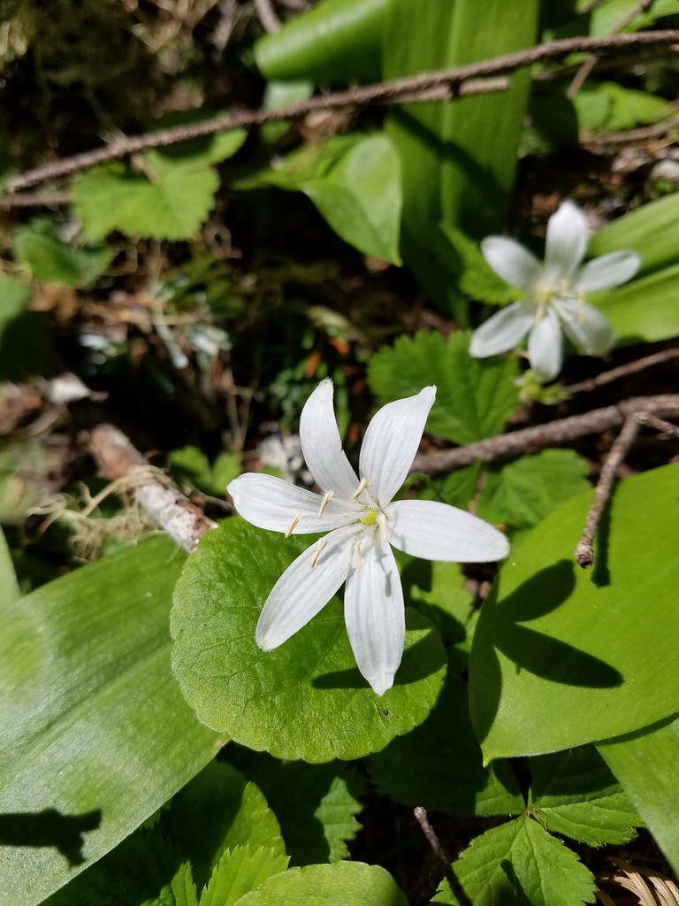 Queen’s cup
 Aster (or a fleabane)?
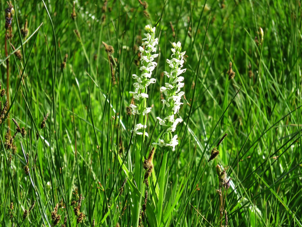 Bog orchid
 Elephant’s head
 Rainiera
 Ghost pipe
 Scouler’s bluebells
 Monkshood
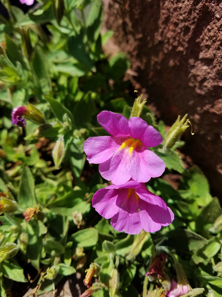 Pink monkeyflower
 Creeping wire lettuce
 Fireweed
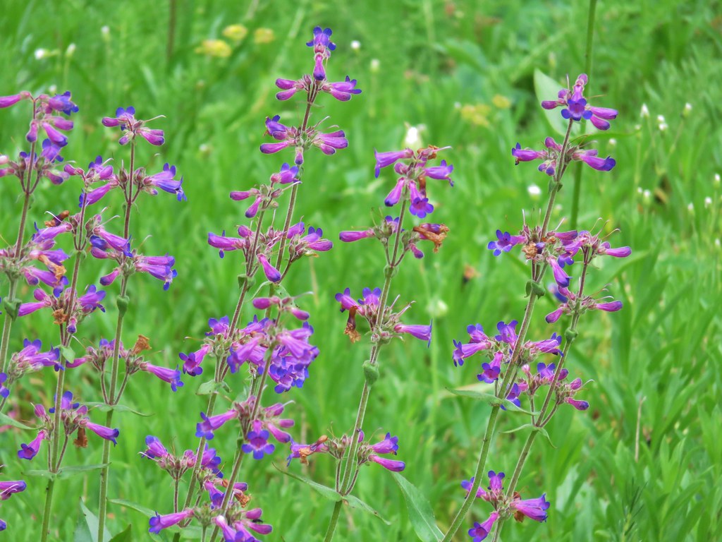
 Penstemon
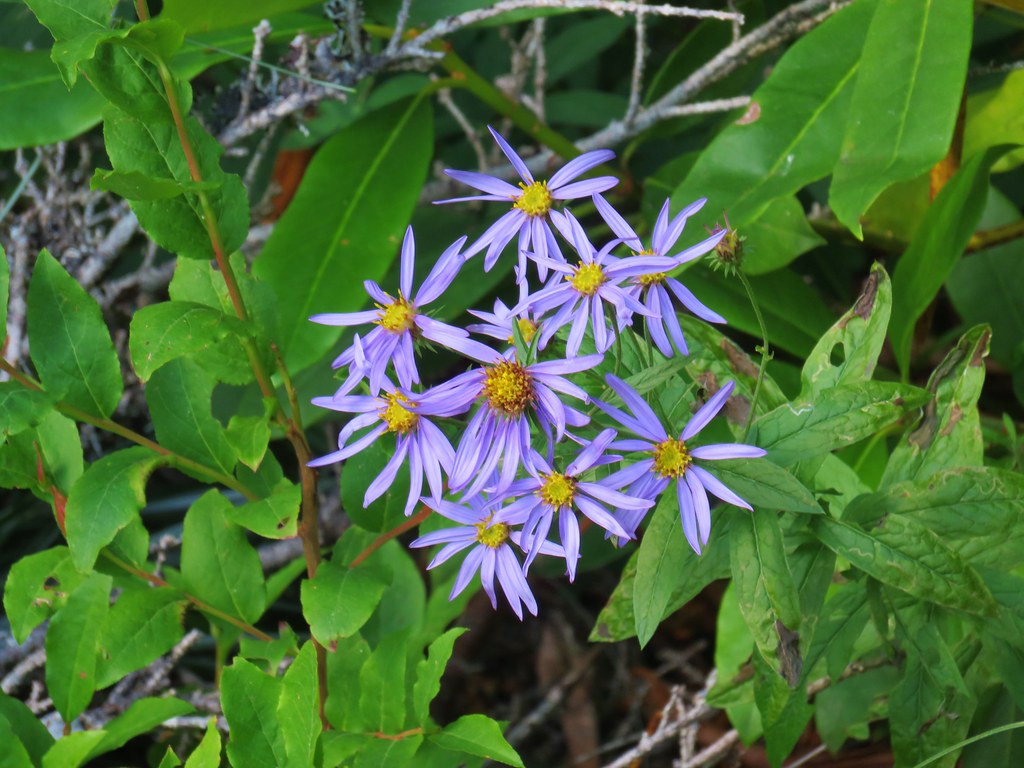 Aster (or a fleabane)
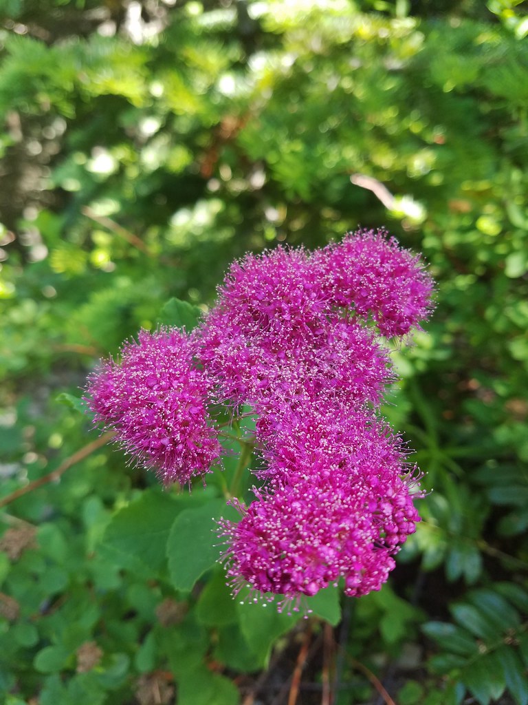 Spirea
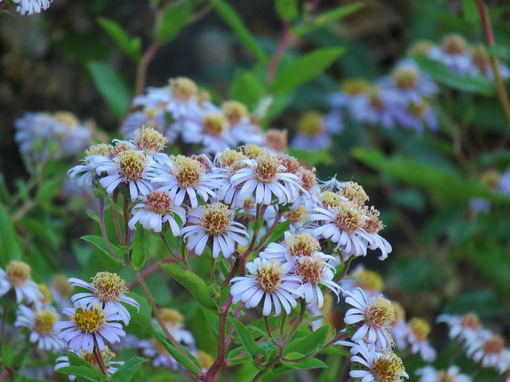
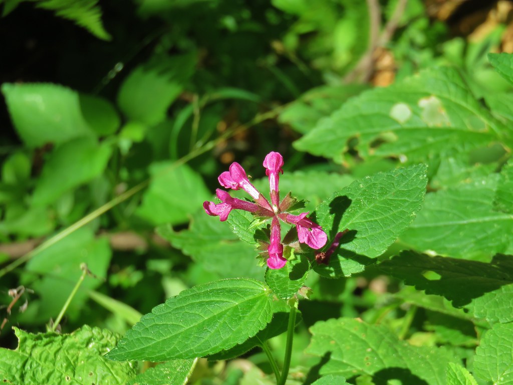 Hedgenettle
 Scouler’s St. Johns wort
 Gentian
 Pennyroal
 Chicory
 A pea?
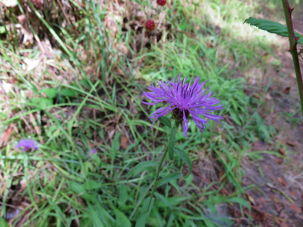 Thistle
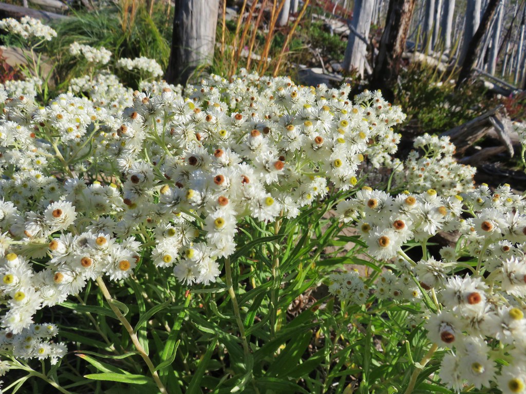 This pearly is in better shape from an August hike.
 Spur road leading to the trail from the pullout.
 Signage at the end of the closed spur.
 Thimbleberry crowding the trail.
 Devil’s club along the trail. We each had our hands brush against some and it doesn’t feel pleasant.
 Lupine and paintbrush in the thimbleberries as the trail enters the forest.
 It looked like these two trees fell out of the same hole but in different directions.
 Anemone and queen’s cup
 Beargrass and huckleberry bushes.
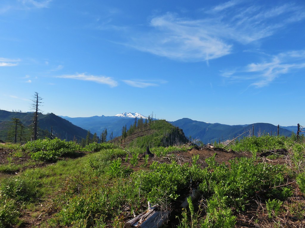
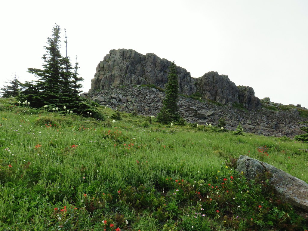
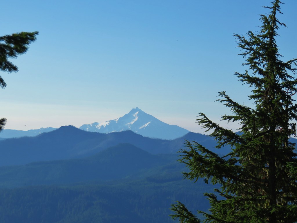 Schreiner Peak in front of Mt. Jefferson.
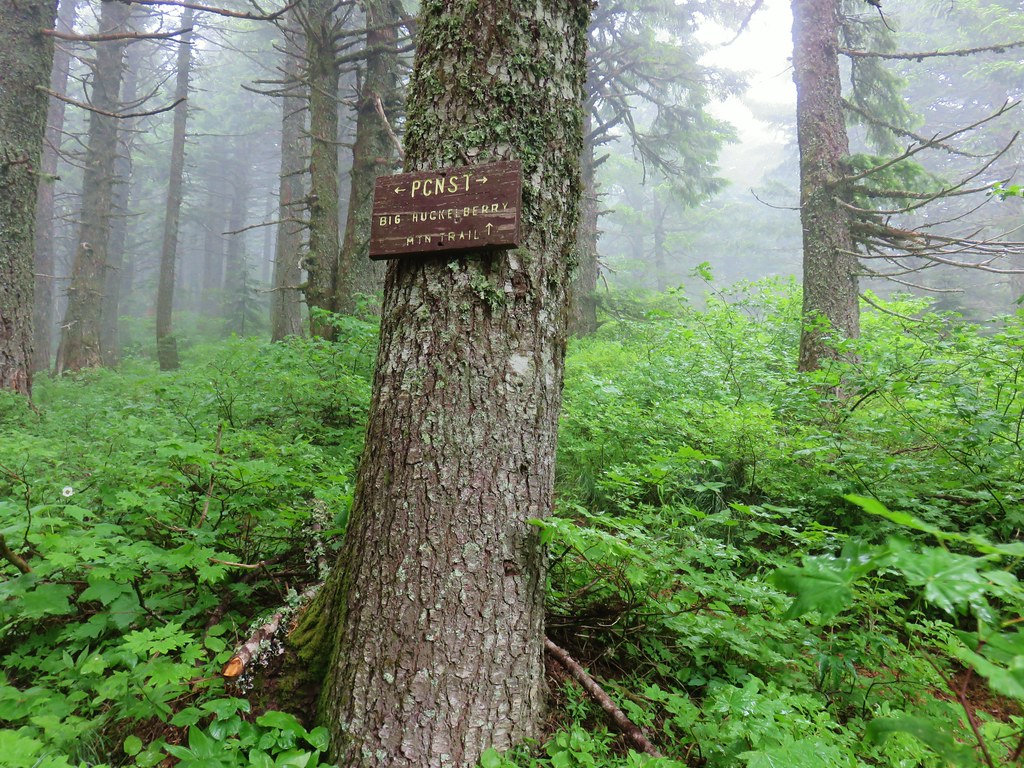
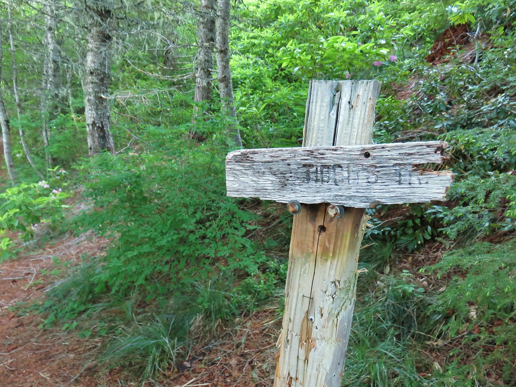
 Small sign on the tree marking the trail to Thunder Mountain’s summit.
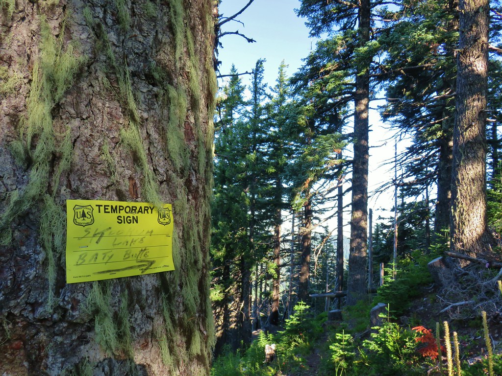
 Columbine
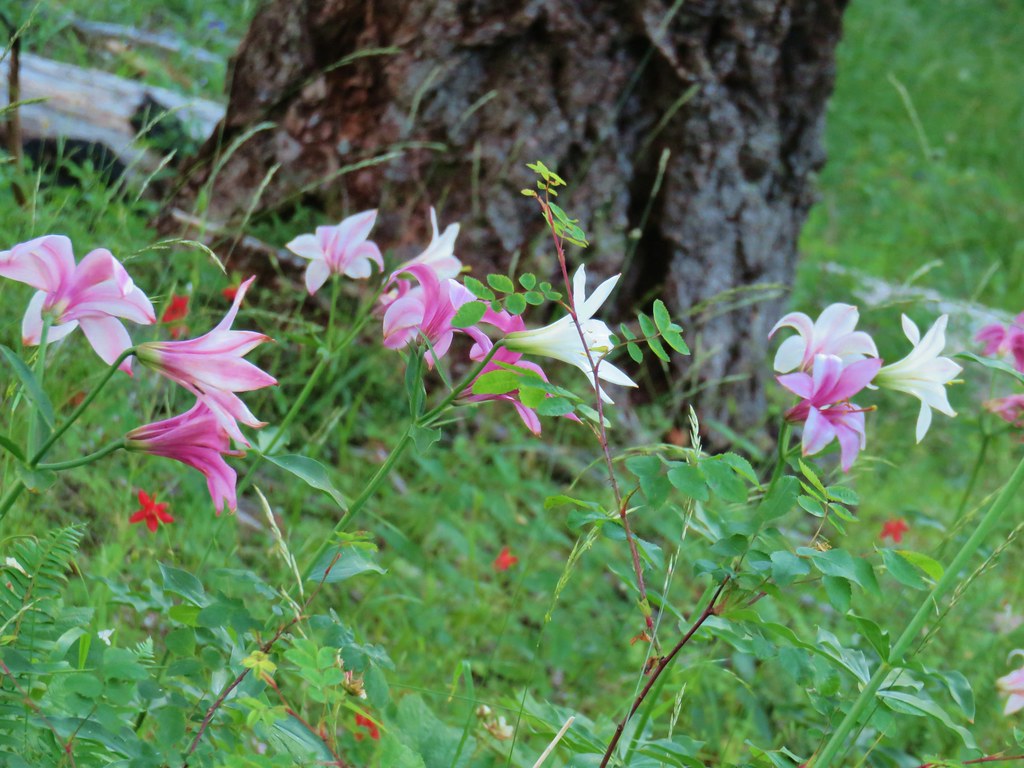 Washington lilies
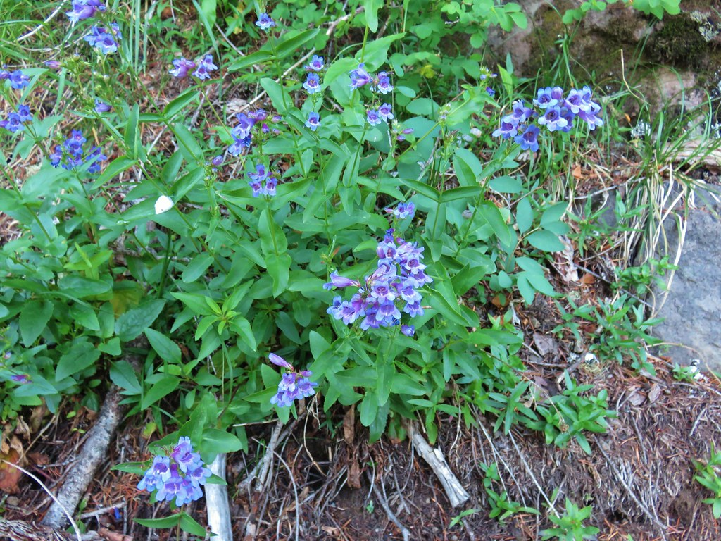 Penstemon
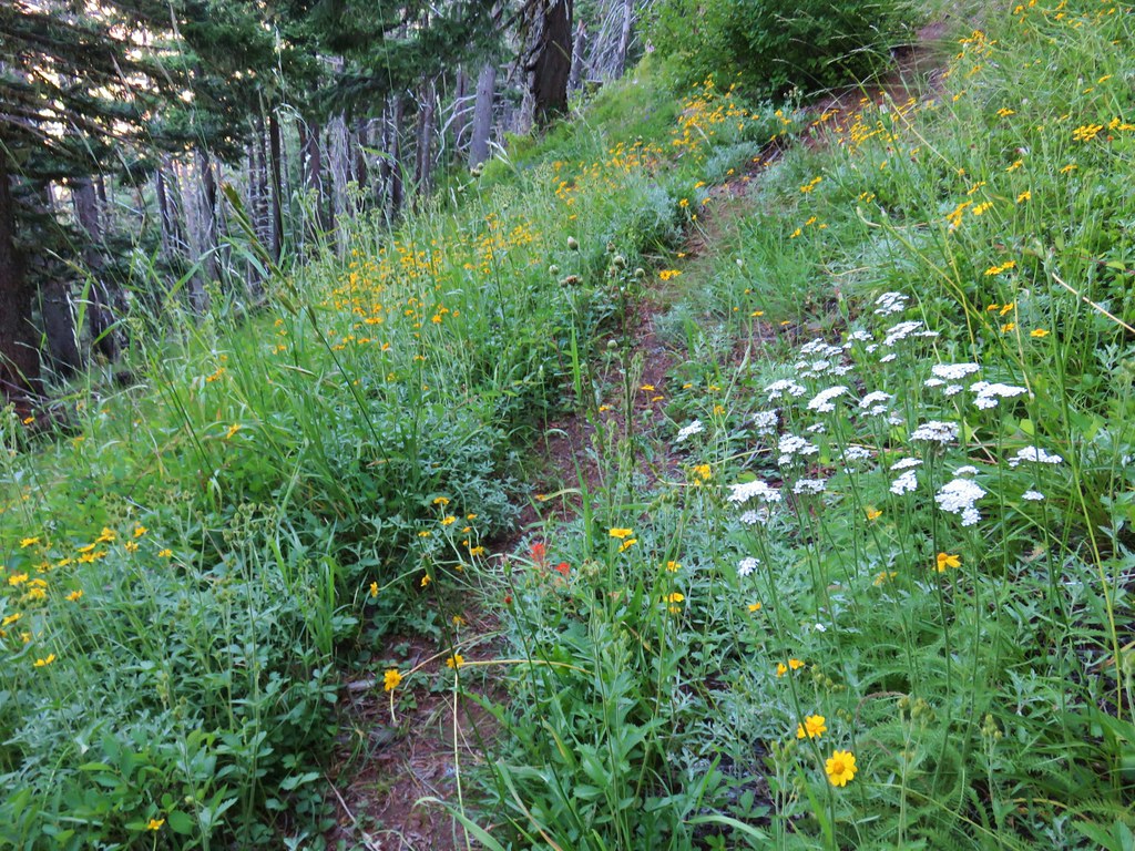 Assorted flowers
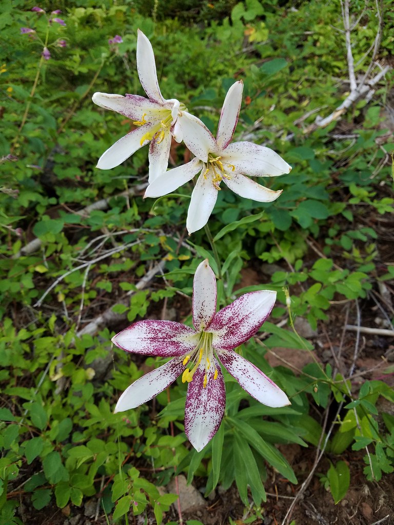 Washington lilies
 Oregon sunshine
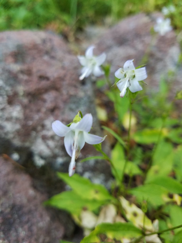 Scouler’s bluebells
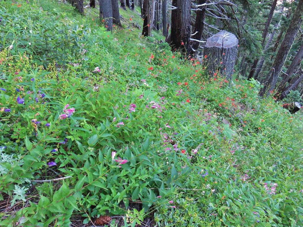 Columbine and a couple different types of penstemon.
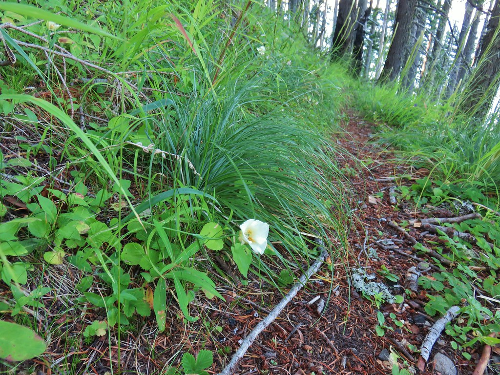 Cat’s ear lily
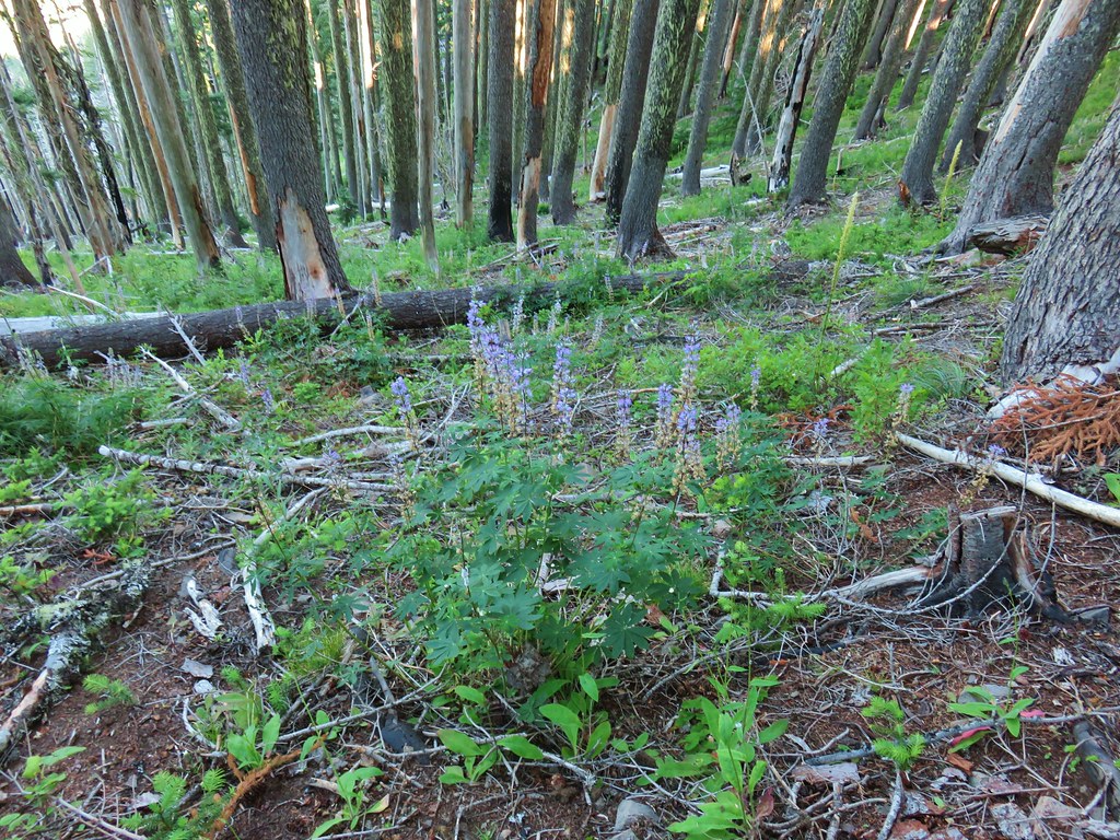 Lupine
 Pyrola
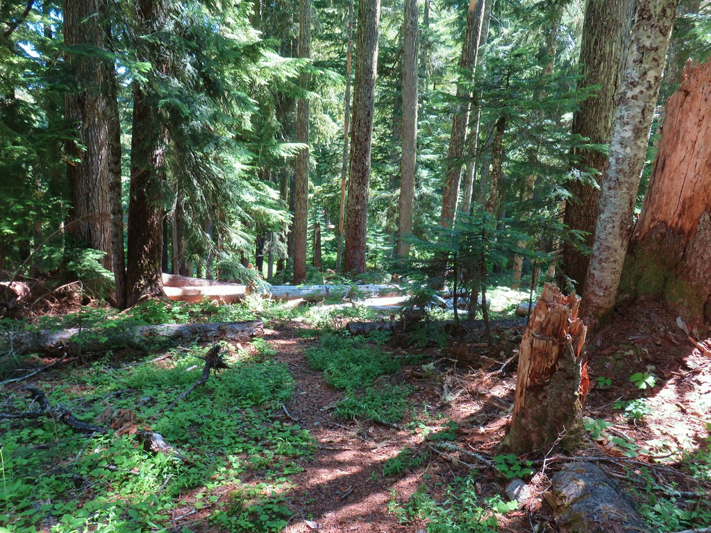
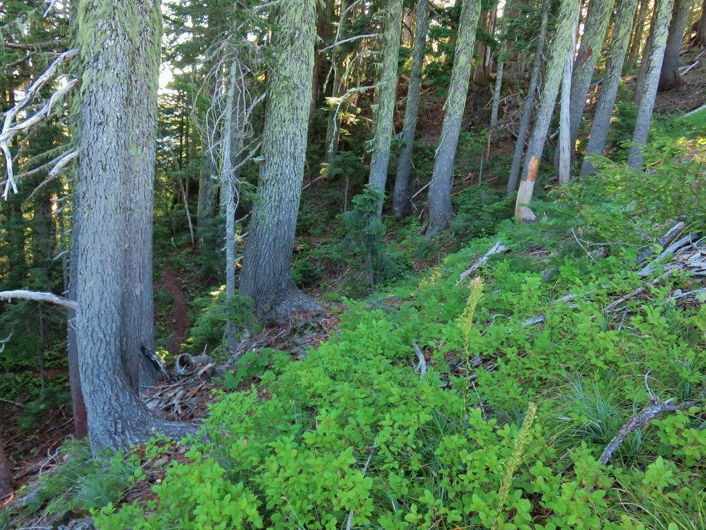 Skookum Lake Trail below coming out of the horseshoe turn.

 Mt. Hood
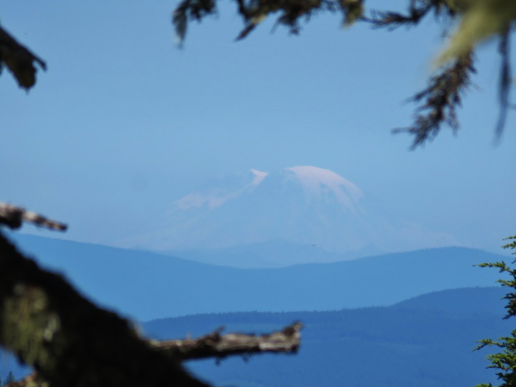 Mt. Rainier
 The trail skirts a talus slope above the meadow.
 Finally leveling out by the meadow after losing approximately 700′.
 I missed the sign until we had come back and started down the Skookum Lake Trail.
 Tall bluebells
 The yellow might be a groundsel.
 Aster
Aster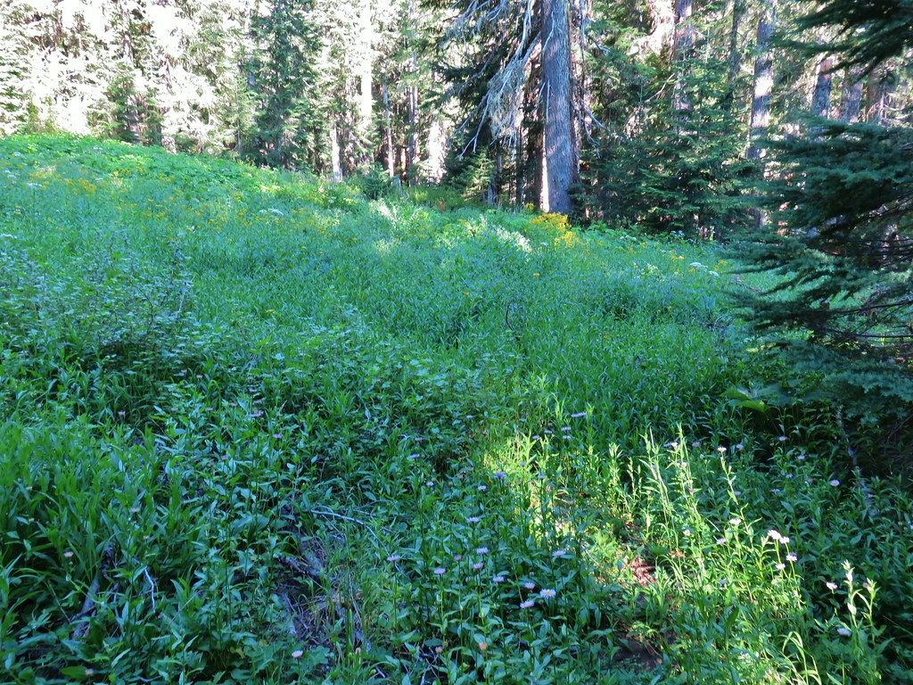


 Paintbrush, penstemon and lupine

 Mostly past lupine

 Several butterflies on Oregon sunshine.
 Scarlet gilia
 Fireweed
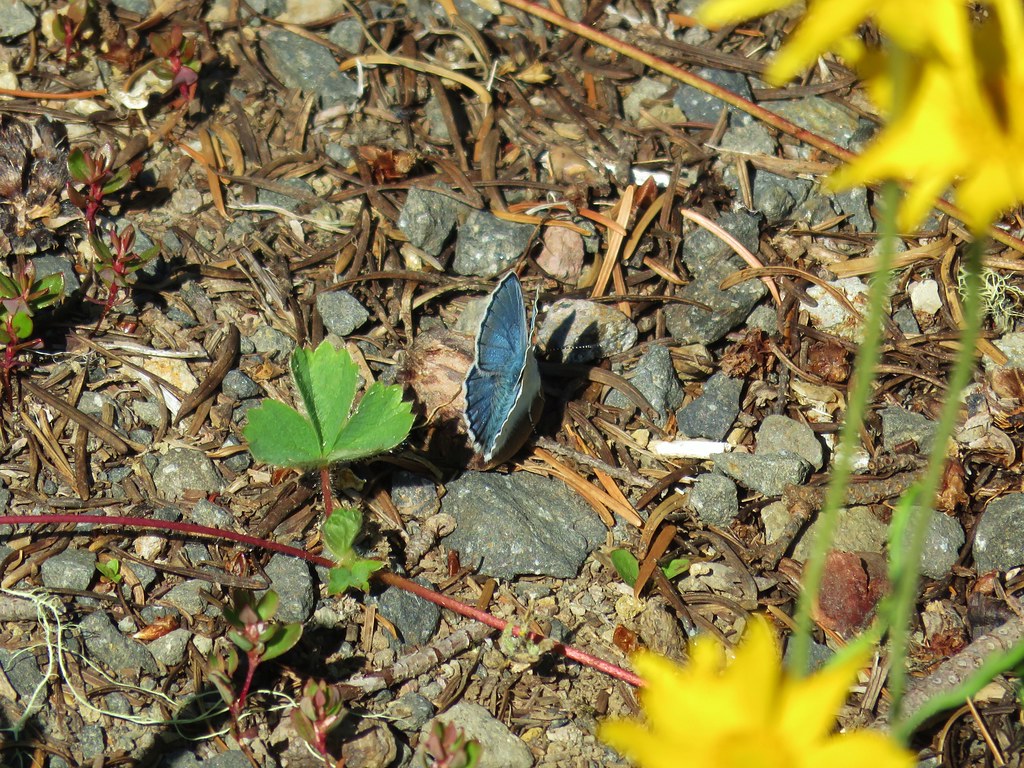

 Left is the wrong way on the return, the correct route is to the right through the brush.
 Flagging marking the correct path.


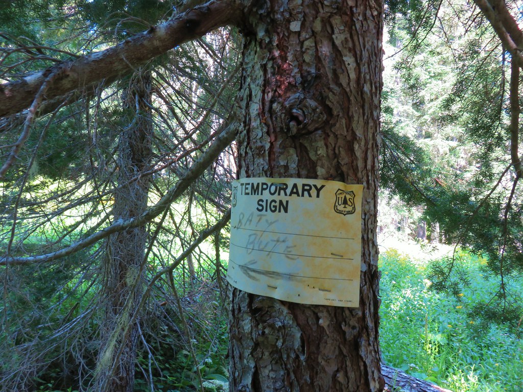
 Baty Butte Trail to the right.
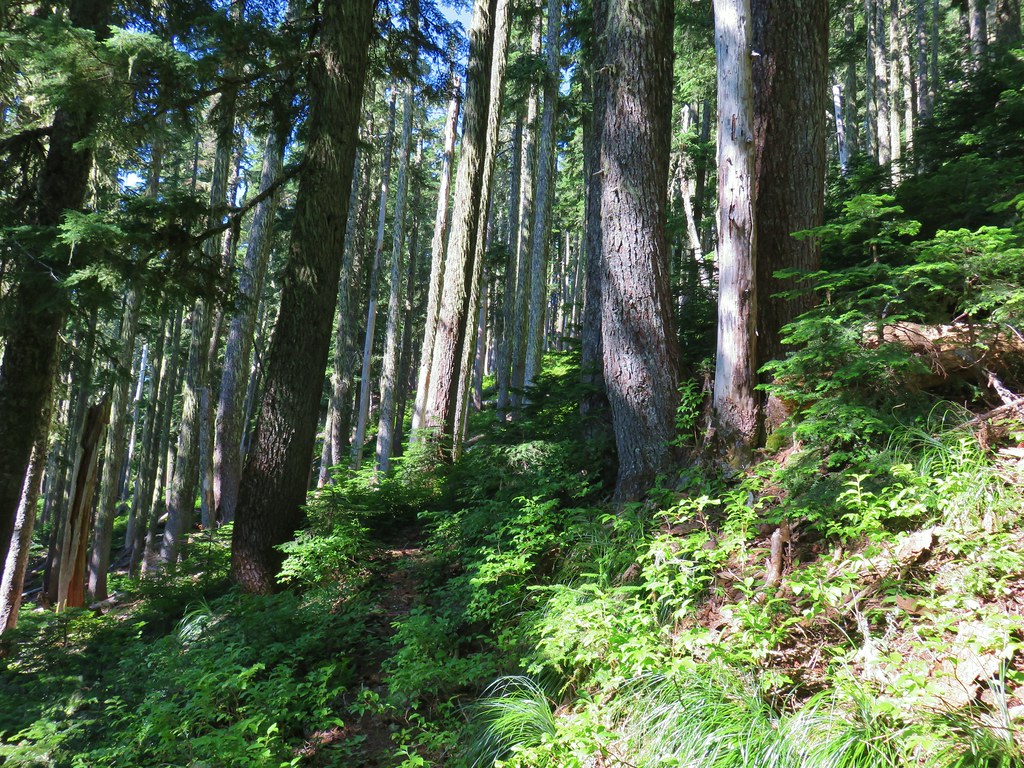
 Baty Butte Trail starting to curve around the ridge.
 Scramble route up the ridge.
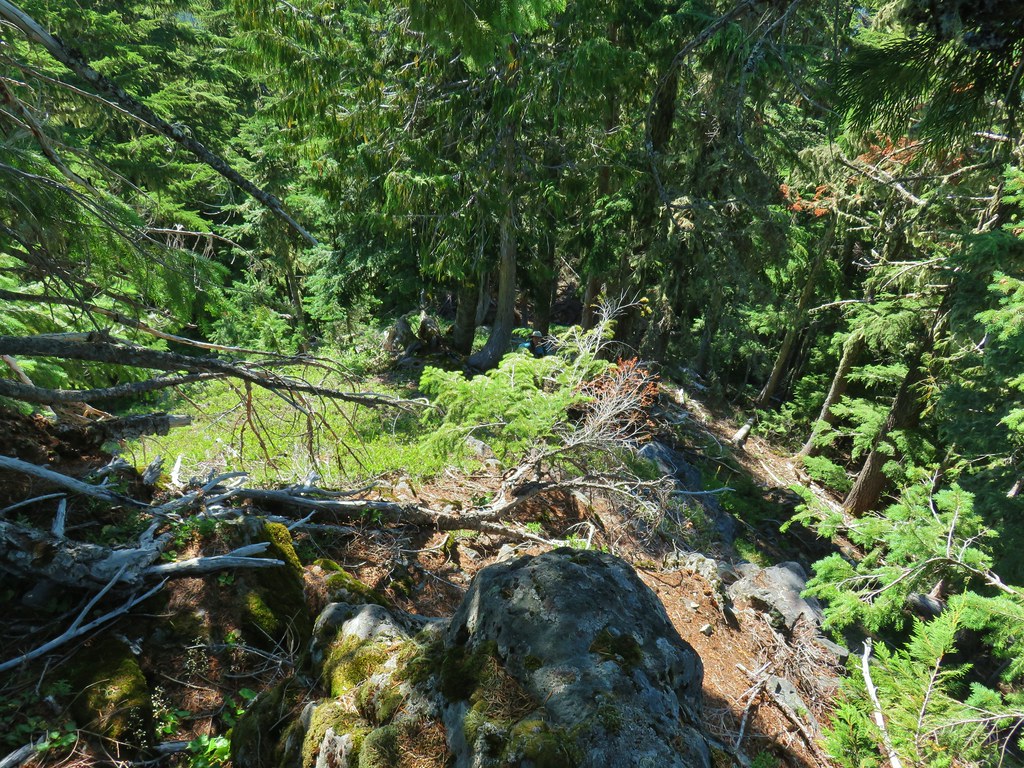 Looking down from the start of the spine.


 Mt. Jefferson
 Three Fingered Jack, Mt. Washington, and the Three Sisters.
 Rooster Rock is the formation to the far left.
 Looking down from Baty Butte.

 Orange agoseris
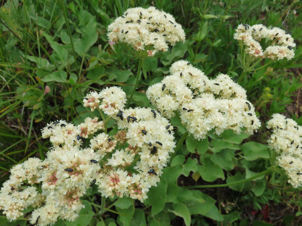
 Pearly everlasting
 Penstemon
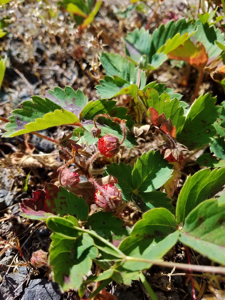

 Monkeyflower along the trail.
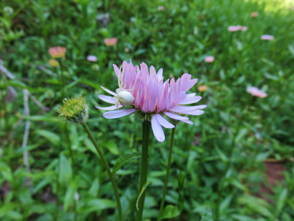 Crab spider on aster.
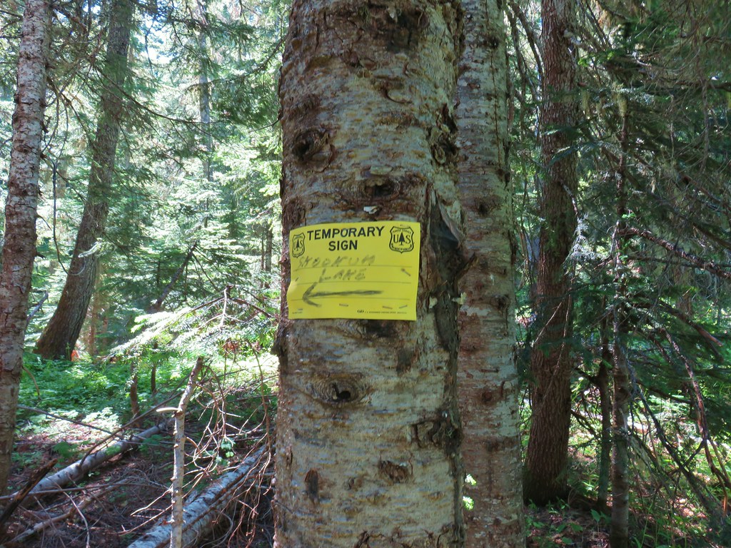
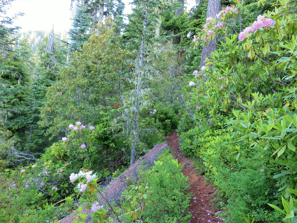
 Rhododendron along the Skookum Lake Trail.


 Small sign on a tree marking the trail to the summit of Thunder Mountain.

 The view north.
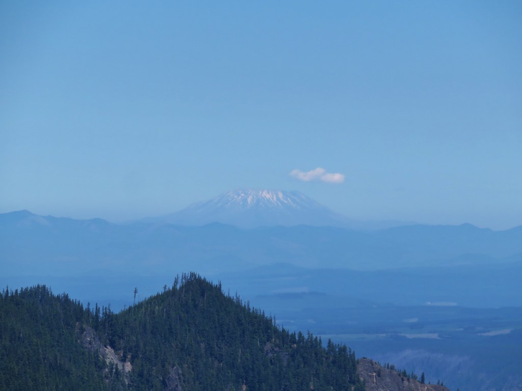 Mt. St. Helens
 Mt. Rainier and Mt. Adams beyond Fish Creek Mountain (
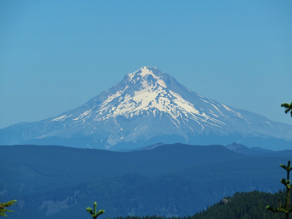 Mt. Hood
 Mt. Jefferson

 Arrow leaf buckwheat
 Blue-head gilia, stonecrop, wild onion, and arrow leaf buckwheat
 Farewell-to-spring waiting for the Sun (just like us)
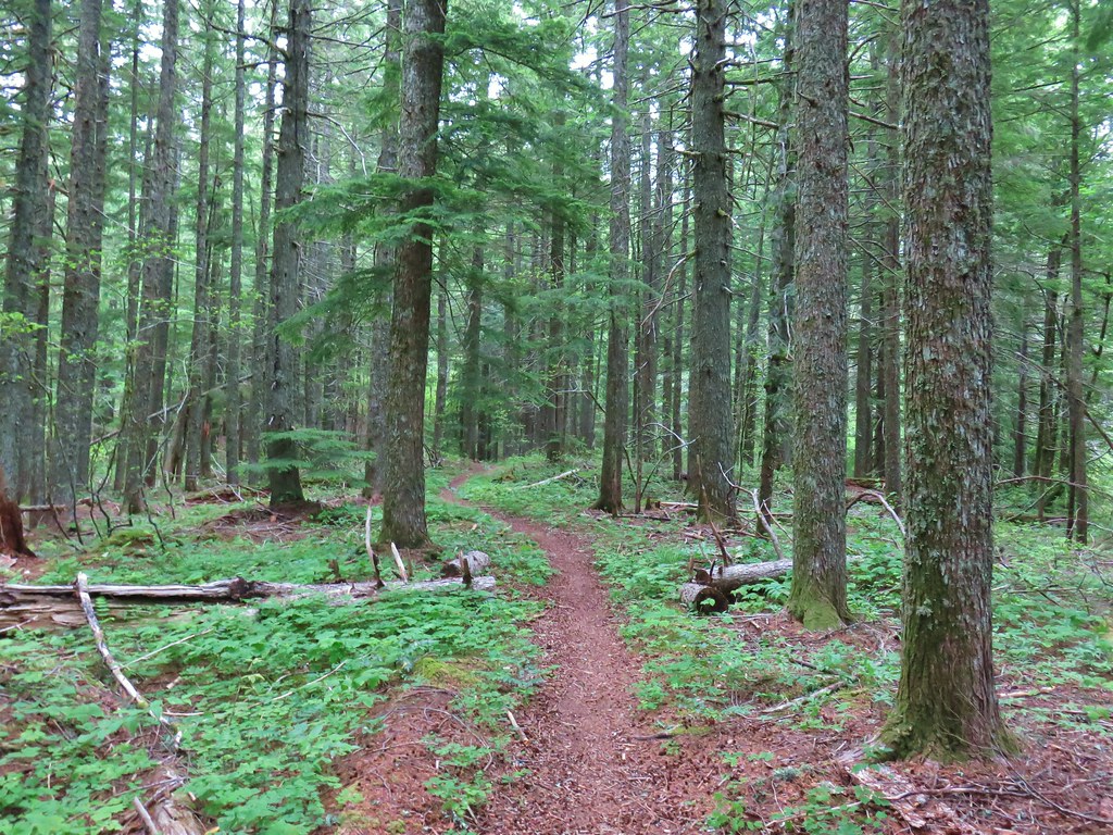
 Tiger lily
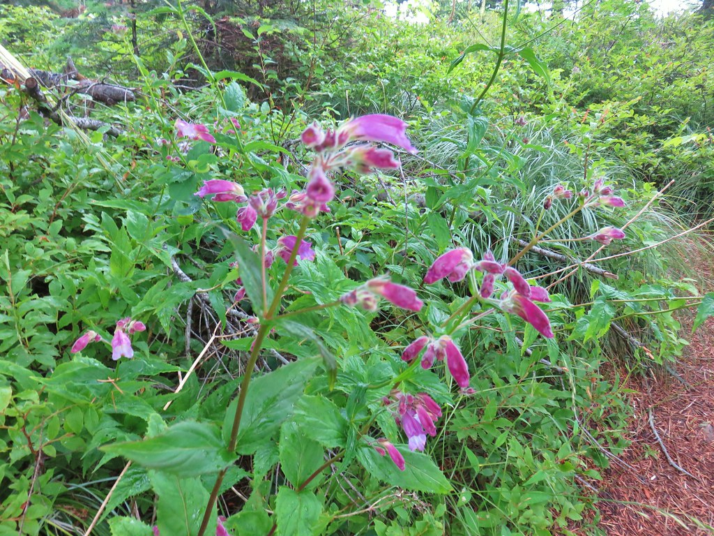 Penstemon
 Lupine
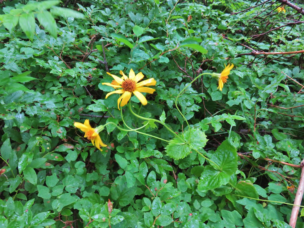 Arnica?
 Patinbrush and penstemon
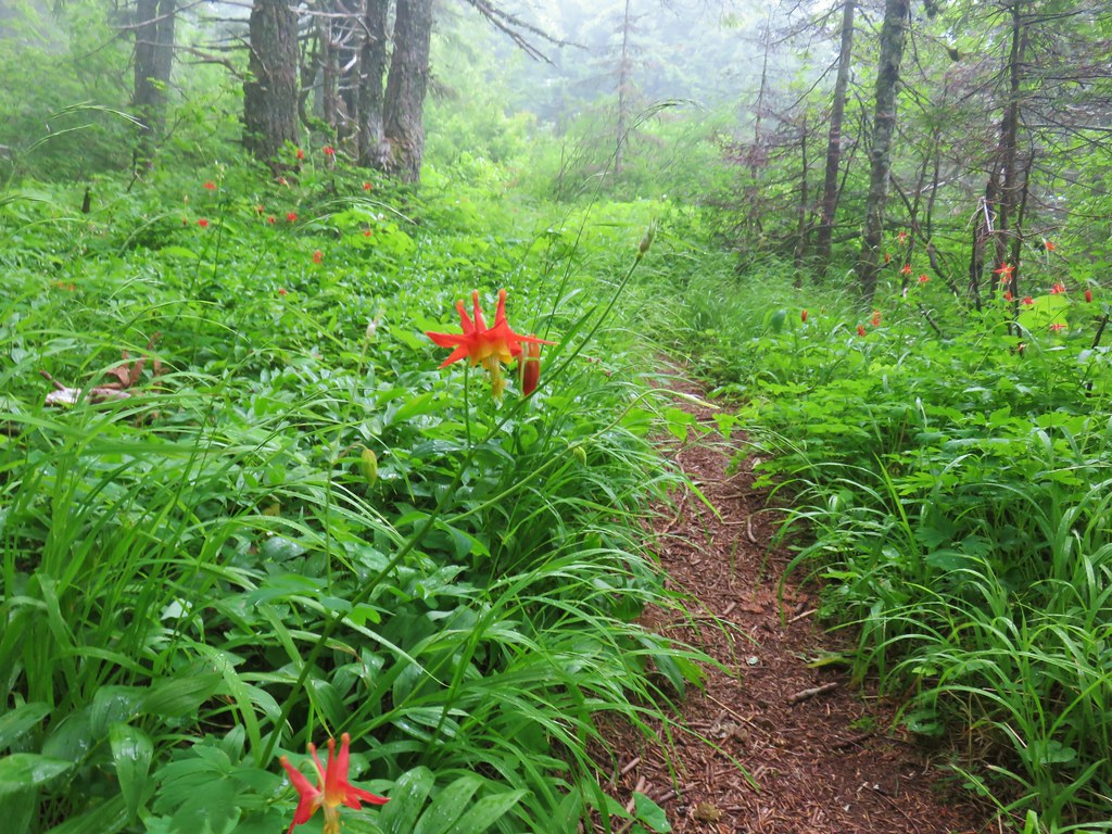 Columbine
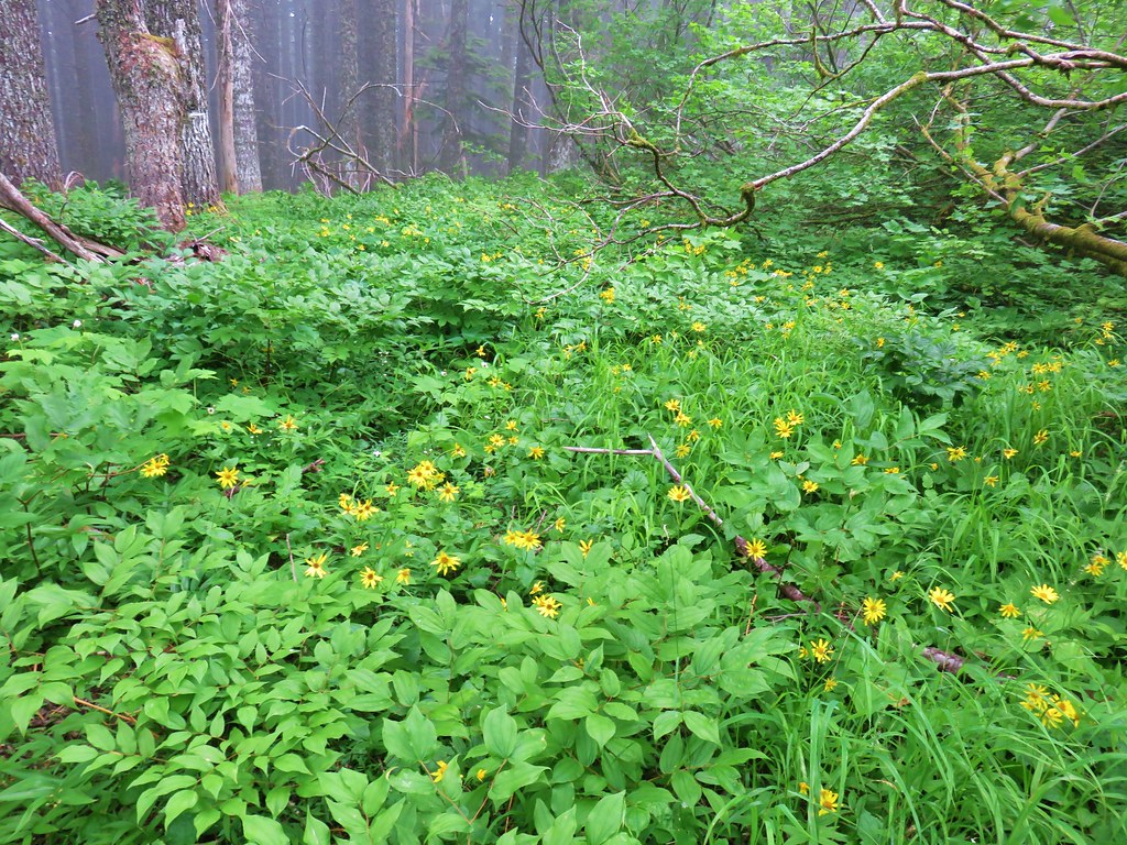 Lots of arnica
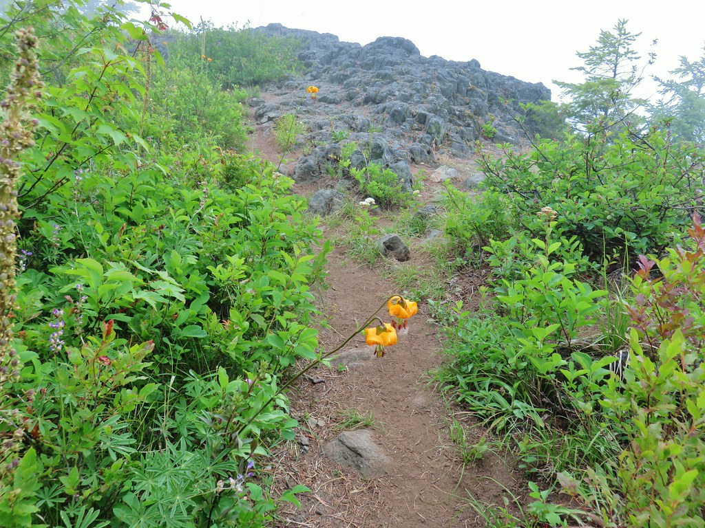 First viewpoint approximately 1 mile in.
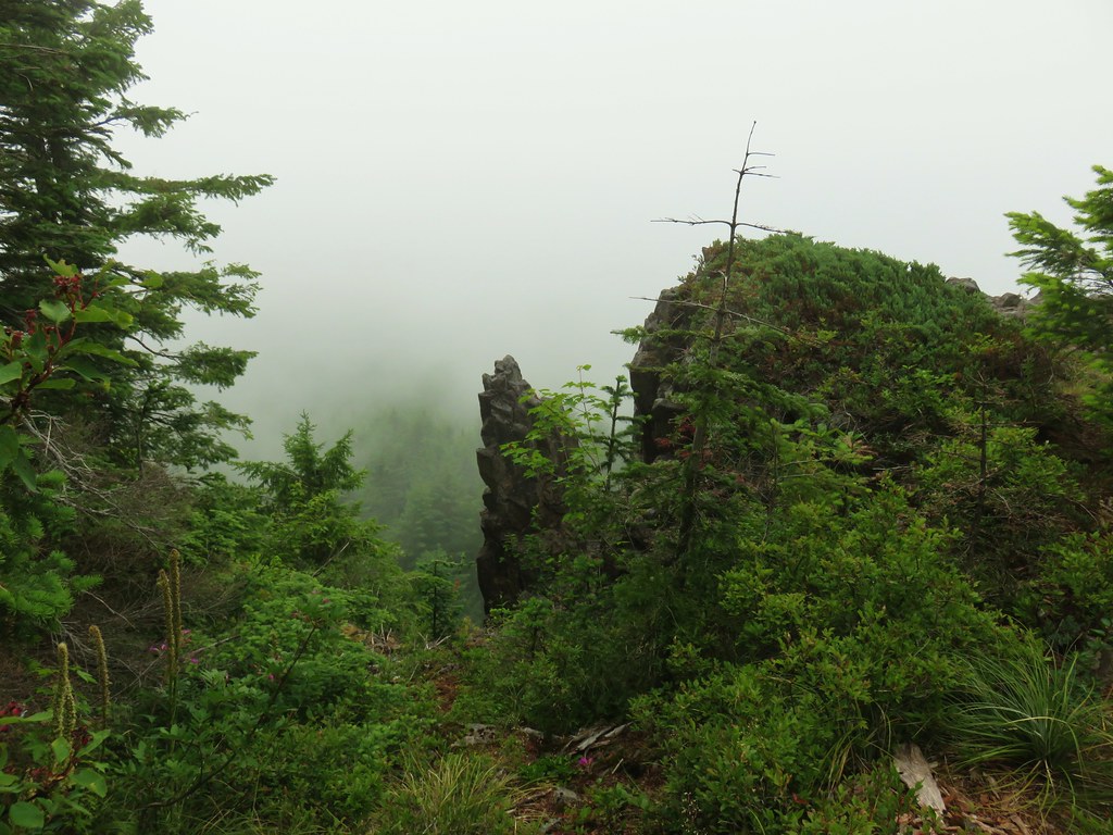 First viewpoint
 Second viewpoint, about 1.5 miles in. The hillside was covered in cat’s ear lilies.
 Penstemon and cat’s ears
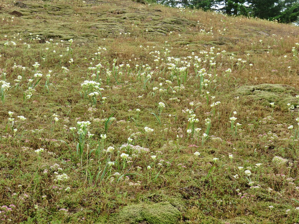 Cat’s ears and wild onion

 Onion
Onion Blue-head gilia and an unknown yellow flower.
 Arrow leaf buckwheat and blue-head gilia
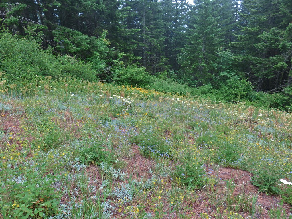 A bunch of flowers
 Starting up Grassy Knoll

 Balsamroot
 Catchfly


 A little better view down for a moment.

 Larkspur


 Phlox and a cat’s ear lily
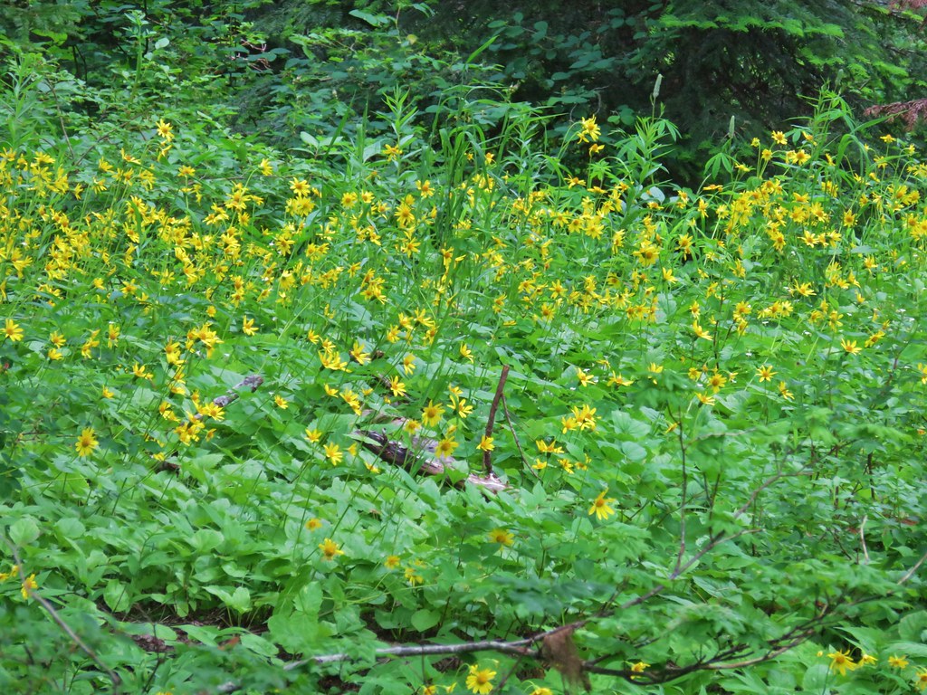


 Another type of penstemon
 Beargrass


 Not sure what this is either, it’s the first time we recall seeing it.


 Snowy flank of Mt. Adams through the clouds.


 Wind Mountain and the Columbia River
 Little Huckleberry Mountain and Big Lava Bed
 A bit of Mt. Adams again.
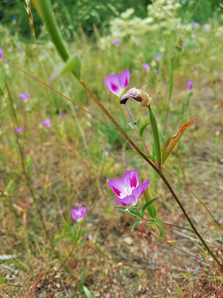


 The only tiger lily that seemed to be open yet.
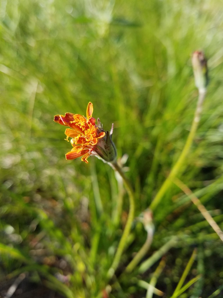 orange agoseris beginning to open.
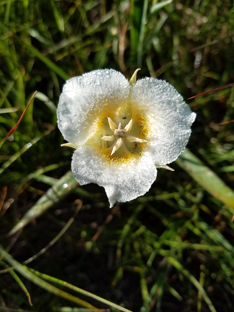 Cat’s ear lily


 The Three Sisters and Broken Top
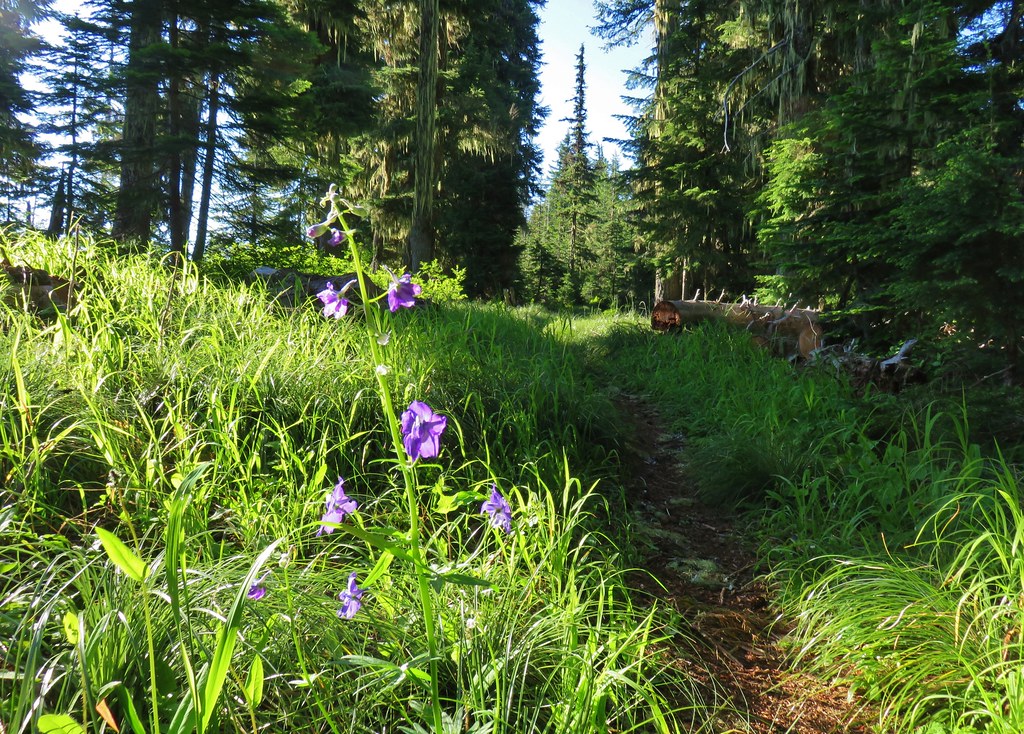 Larkspur along the trail.
 Bunchberry
 Anemone
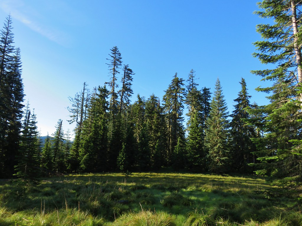 Another meadow
 The Three Sisters and Broken Top
 Queen’s cup
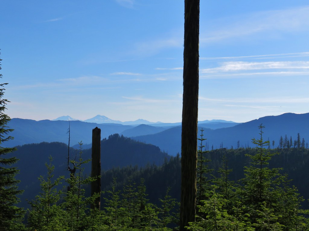 The Three Sisters, Broken Top, and a bit of Mt. Bachelor
 Rhododendron
 Another meadow full of not-in-bloom beargrass.
 View from the SW facing hillside.
 Looking SE

 Diamond Peak through the trees.
 Valerian in the saddle.


 Mt. Yoran, Diamond Peak, and Mt. Bailey
 Mt. Yoran and Diamond Peak
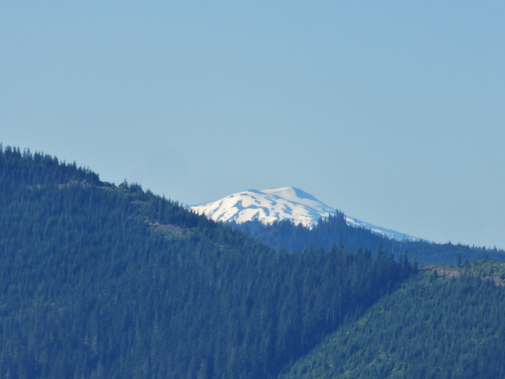 Mt. Bailey
 View to the NE (from the afternoon on the way back)
 The Husband, Three Sisters, Broken Top, and Ball Butte(from the afternoon on the way back)
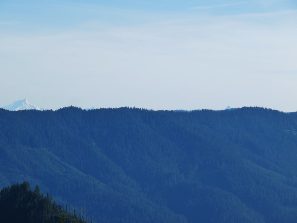 Mt. Jefferson and the tips of Three Fingered Jack and Mt. Washington


 Giant blue-eyed Mary
 Giant blue-eyed Mary and blue-head gilia
 Cat’s ear lily and blue-head gilia
 Coneflower
 More of the blue flowers
 Larkspur
 Jacob’s ladder
 An aster or fleabane
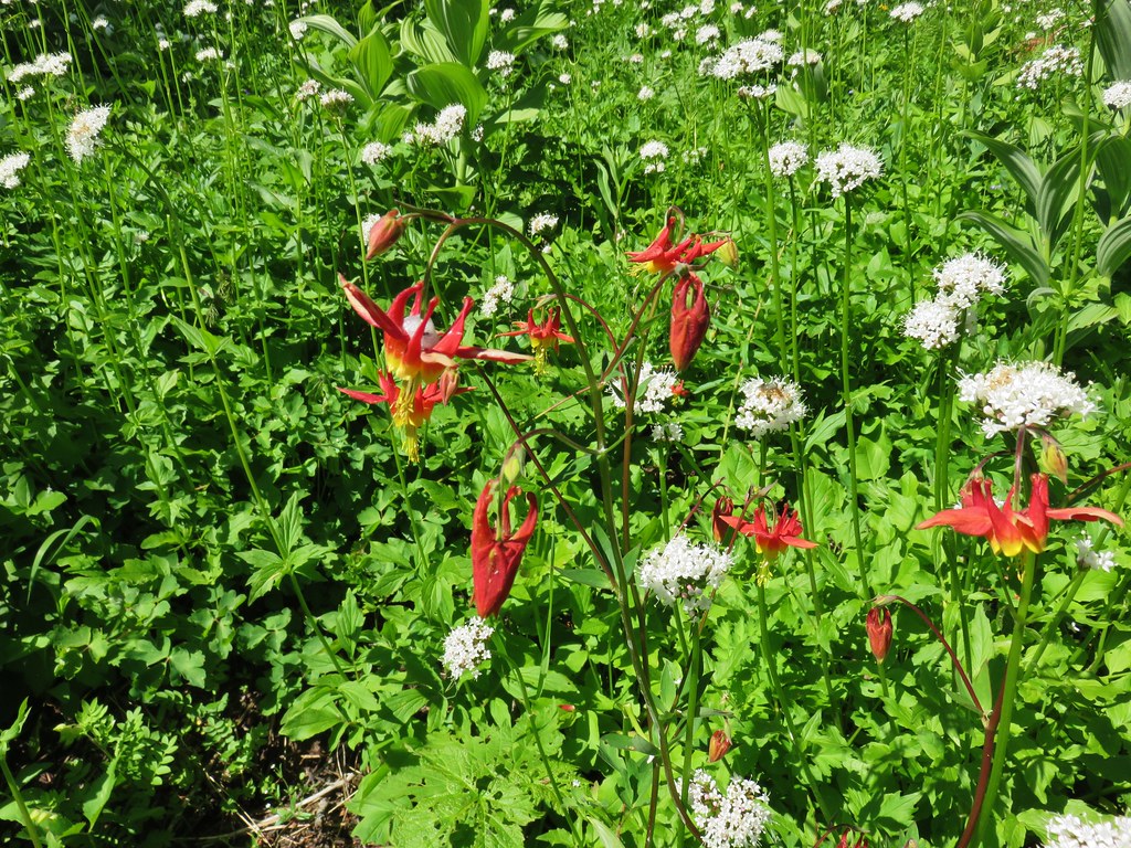 Columbine and valerian
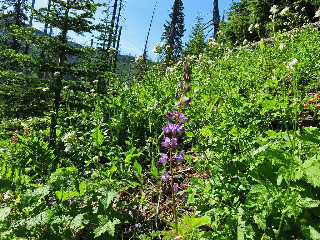 Lupine
 Not sure what type of flower this one is.
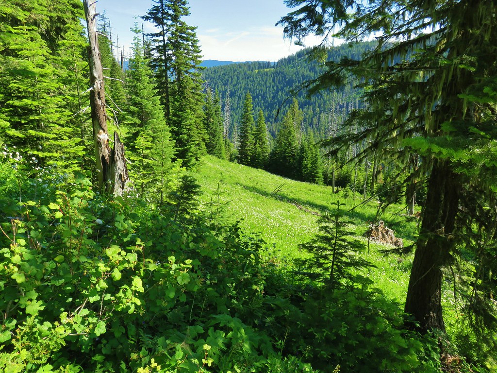 Valerian filled meadow below the trail.
 White yarrow, giant blue-eyed Mary, and tall mountain bluebells
 Looking back at our route so far.
 The trail coming around Kelsey Creek is visible on the hillside behind us.

 Fuji Mountain (left), flat topped Mt. David Douglass, Mt. Yoran (shorter thumb to the left of Diamond Peak), and Diamond Peak.
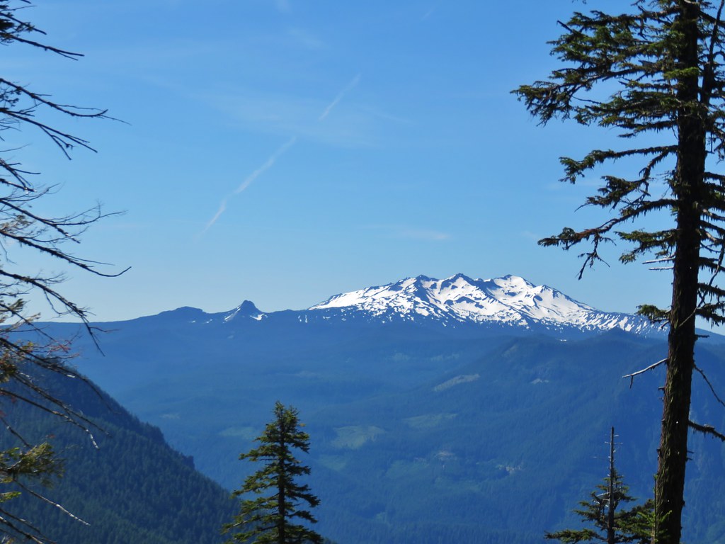 Mt. Yoran and Diamond Peak
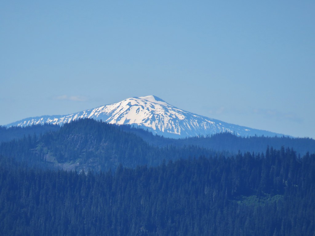 Mt. Bailey

 Scarlet gilia
 More scarlet gilia
 Skyrocket

 A thistle that was getting ready to bloom.
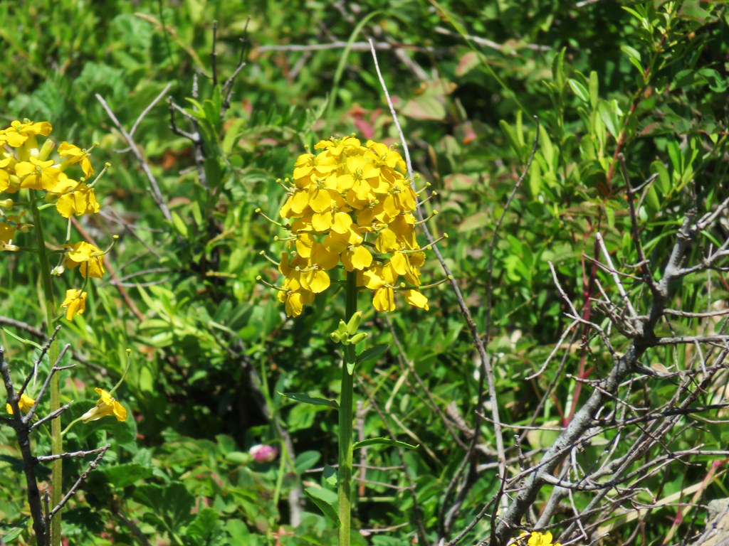 Wallflower


 Larkspur, an owl’s head clover, and scarlet gilia
 Aster or fleabane and an orange agoseris
 Coneflower
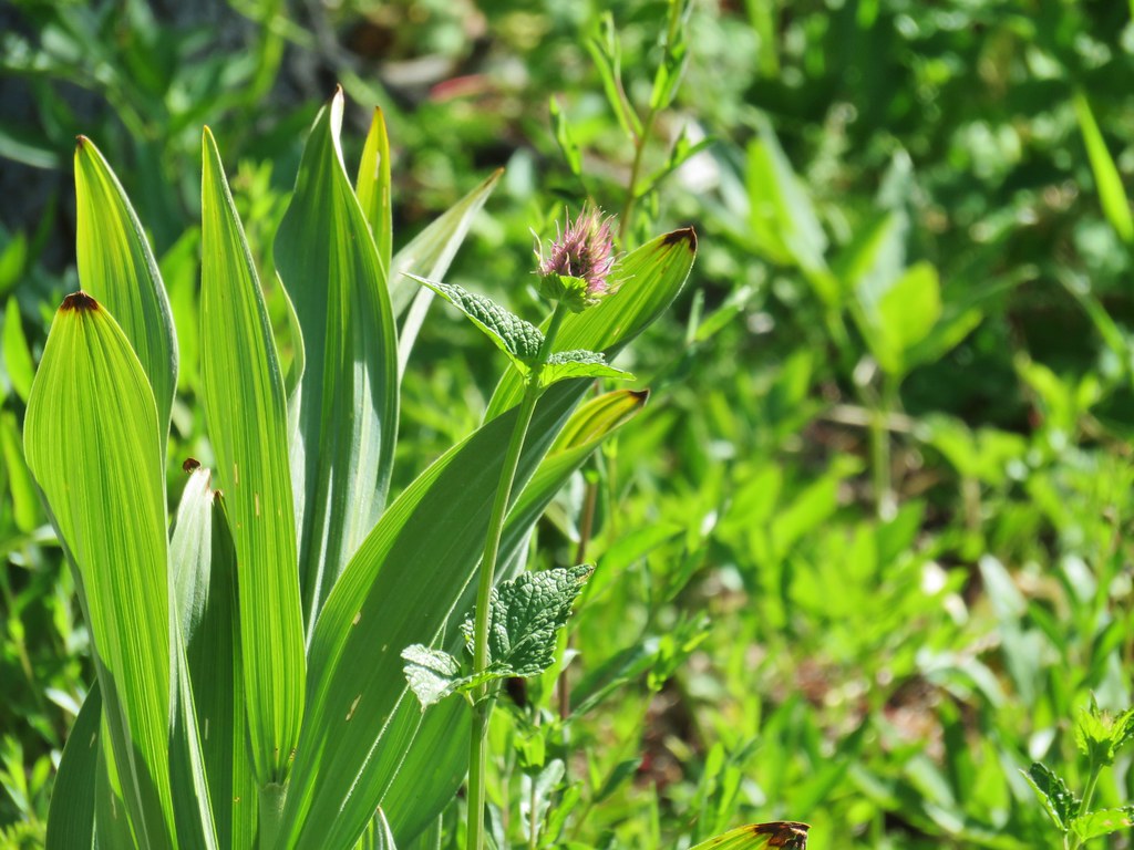 Hyssop
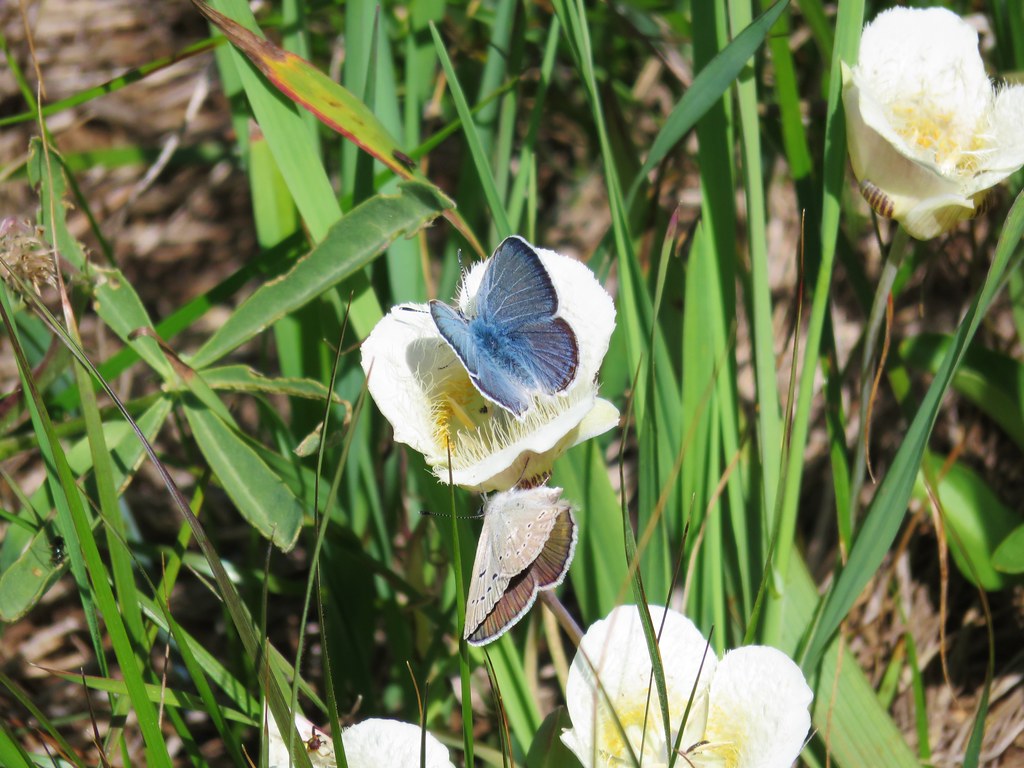 Butterflies on a cat’s ear lily

 Wait that’s not a butterfly.
 Fuji Mountain
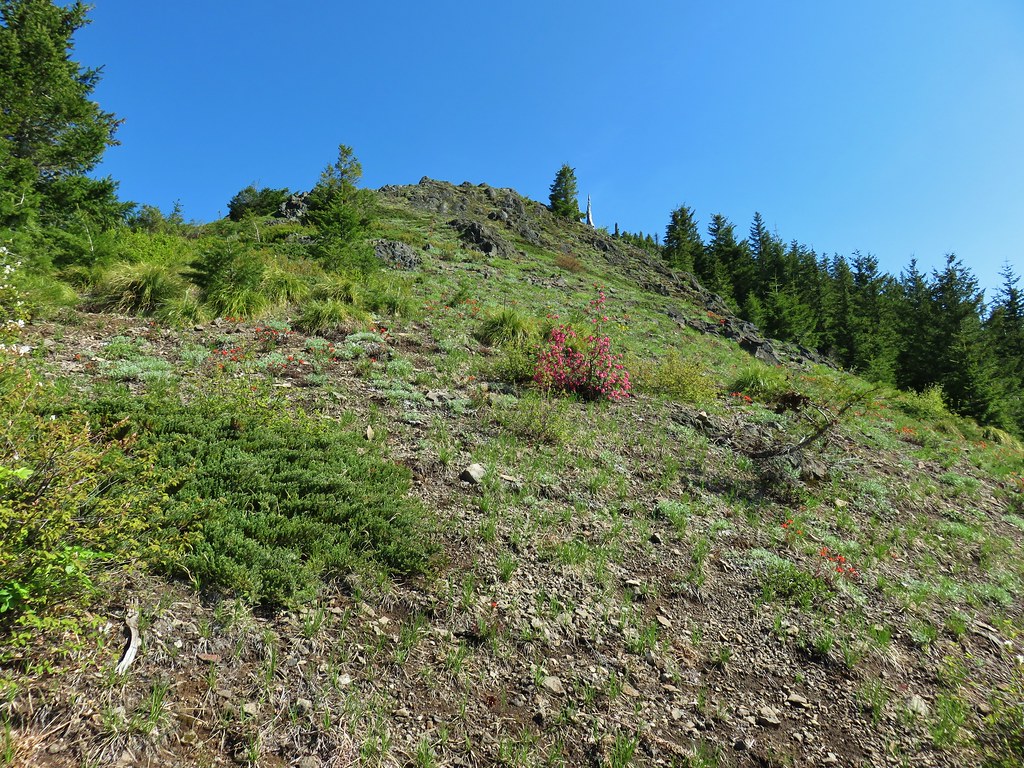
 The post, with an orange top, is up and to the right in front of a tree.
 Heather at the rock outcrop.
 Big Bunchgrass Meadow and Fuji Mountain
 Diamond Peak
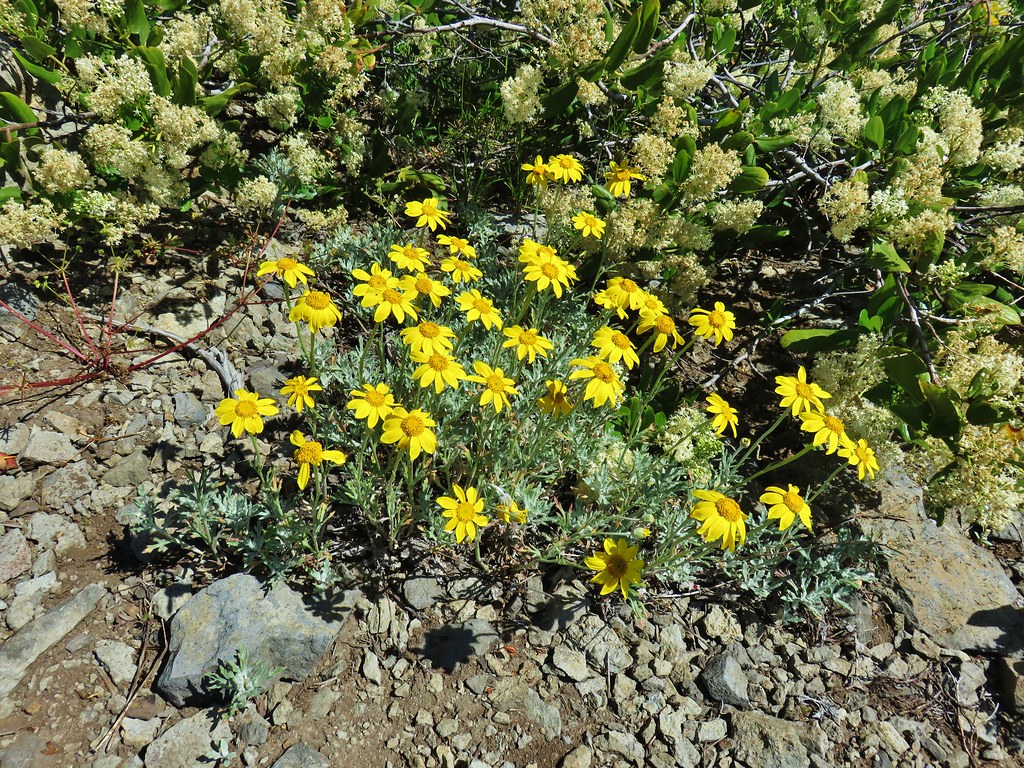

 Crab spider (probably waiting for that Washington lily to open)
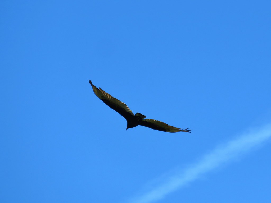 Turkey vulture
 Back in the valerian meadows
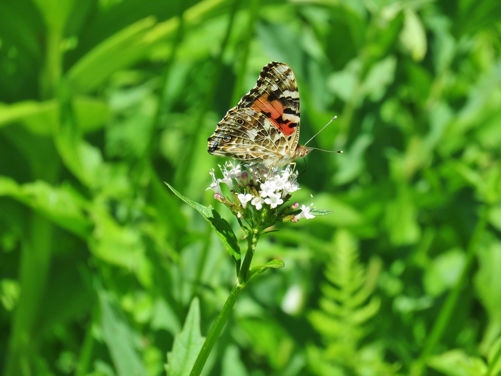


 Not sure what this is going to be either.
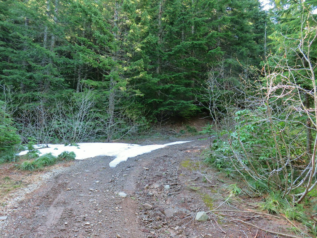
 FR 877 at FR 1509


 Penstemon
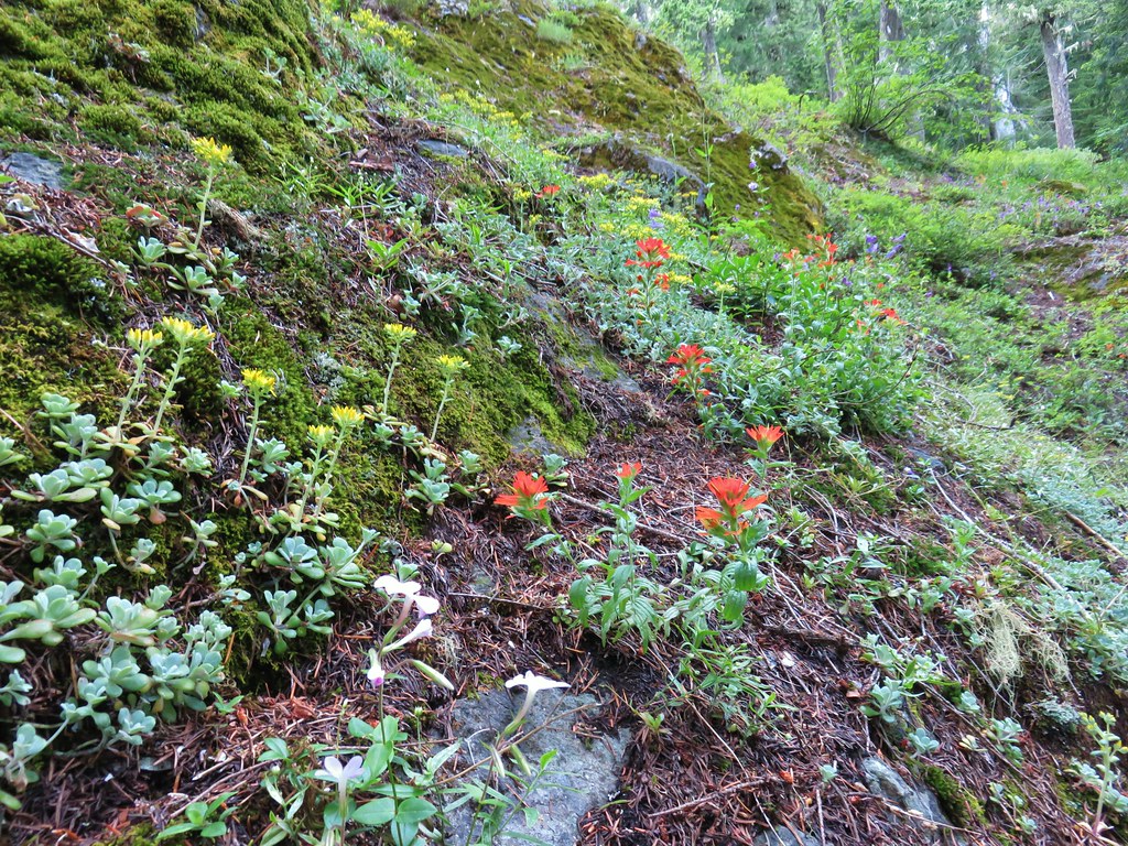 <script async src=”//embedr.flickr.com/assets/client-code.js” charset=”utf-8″Paintbrush and stonecrop
 Anemone
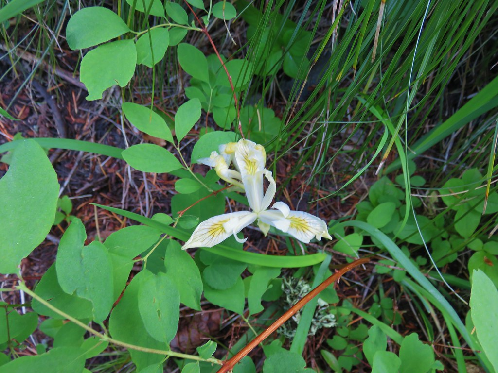 Iris
Iris Arnica


 Looking west toward the Green Mountain Lookout.
 Green Mountain Lookout
 Mt. Jefferson
 Three Fingered Jack
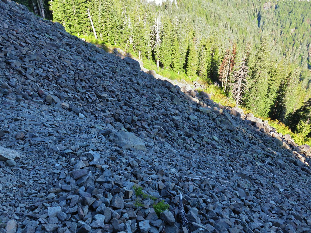 There is at least one pika in this picture.
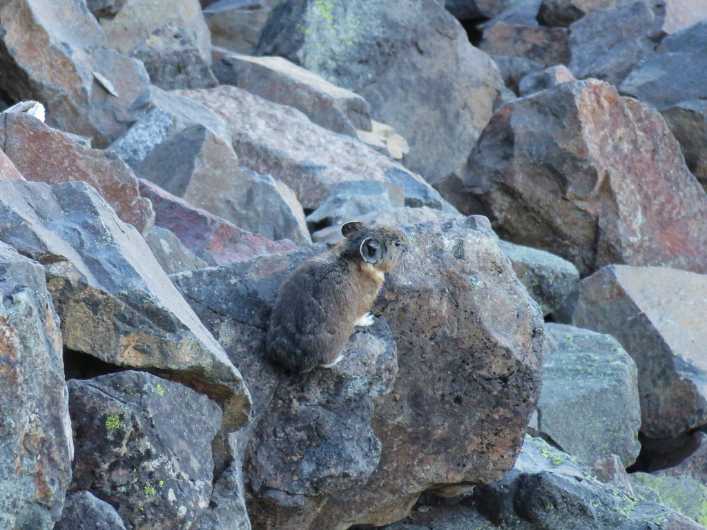
 There is another one in this picture.
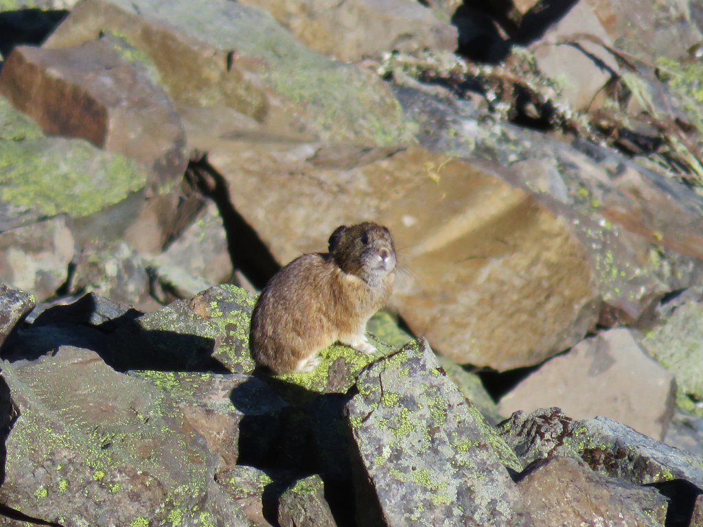


 Columbine and solomonseal in the talus slope.
 Last of the snow along the talus.

 Lookout remains below the summit.
 Foundation remains
 Wildflowers at the summit.
 NE we could see Mt. Hood, Mt. Jefferson, and Three Fingered Jack.
 Mt. Jefferson behind Iron Mountain and Cone Peak
 Three Fingered Jack
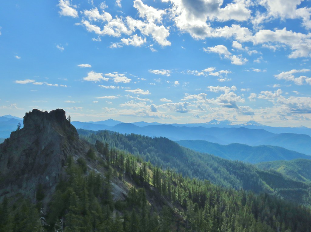
 Mt. Washington
 Three Sisters
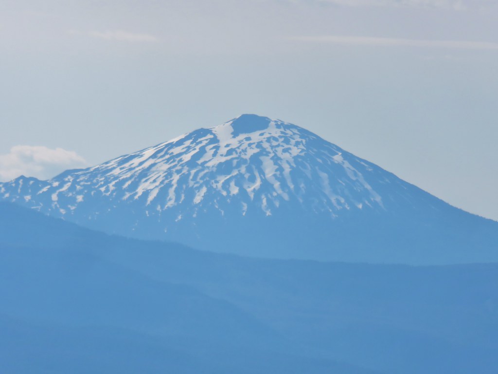 Mt. Bachelor
 Maiden Peak (
 Mt. Thielsen (
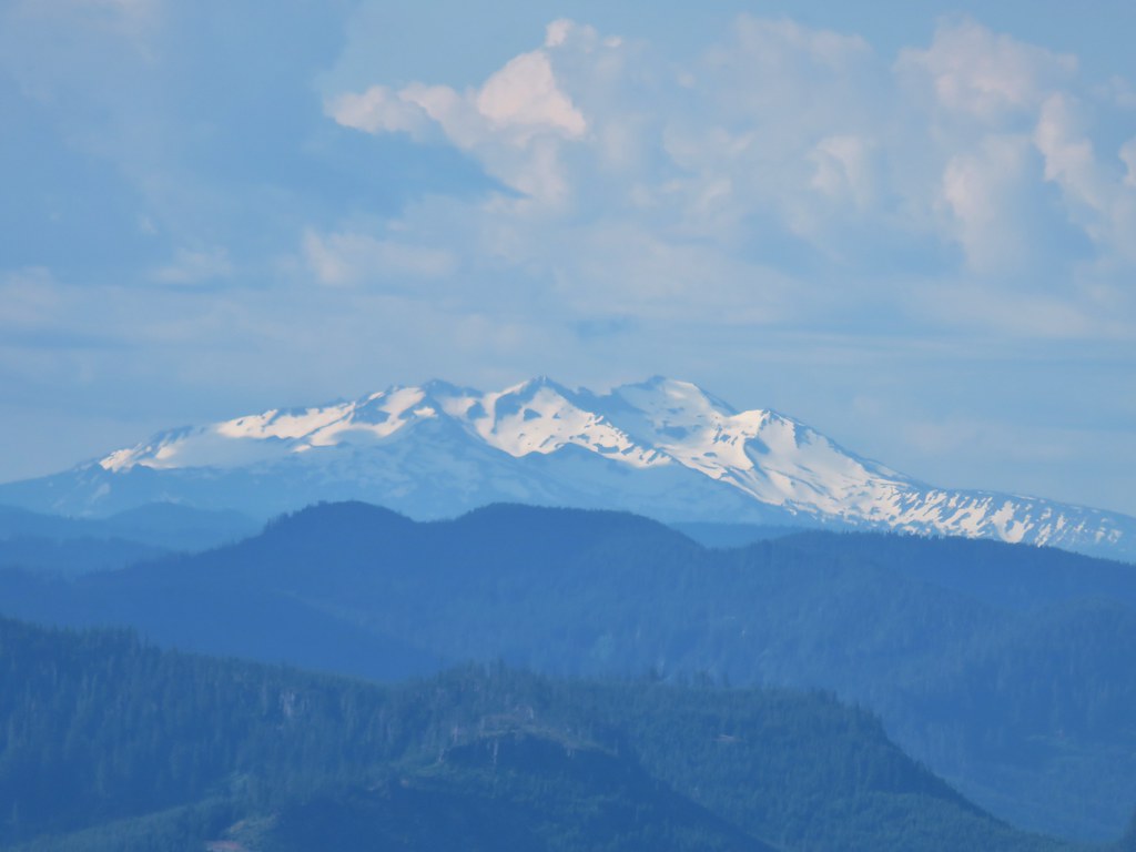 Diamond Peak
 Cat’s ear lilies
 Oregon sunshine amid buckwheat
 Penstemon and paintbrush
 A fleabane or aster
 Looking down from the lower viewpoint.
 Western wallflower
 Larkspur
 Paintbrush
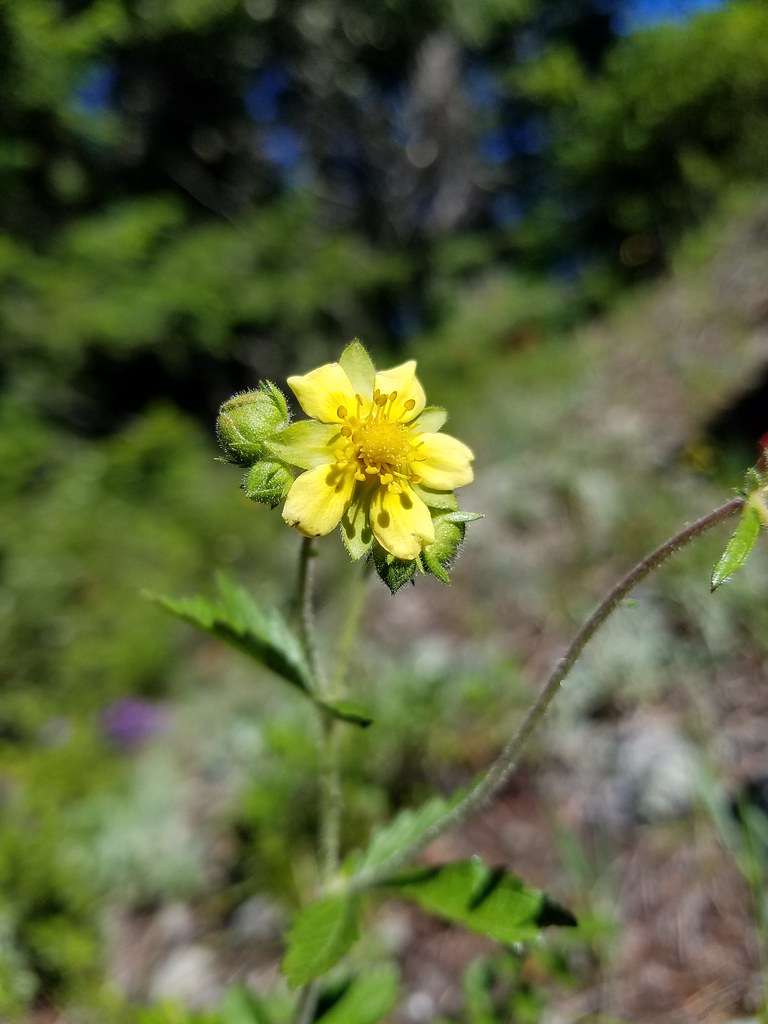 Cinquefoil
 Baneberry
 Current
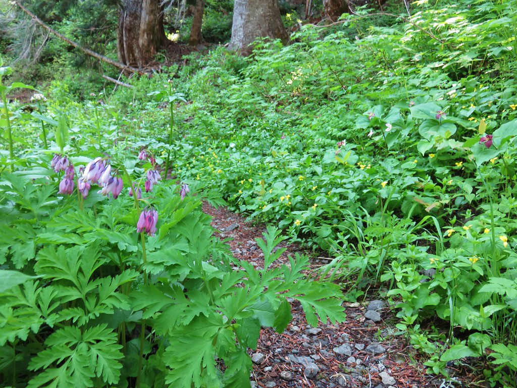 Bleeding heart, trillium and wood violets


 North and Middle Sister


 Mt. Bachelor
 Showy phlox
 Washington lilies getting ready to bloom


 The Two Girls
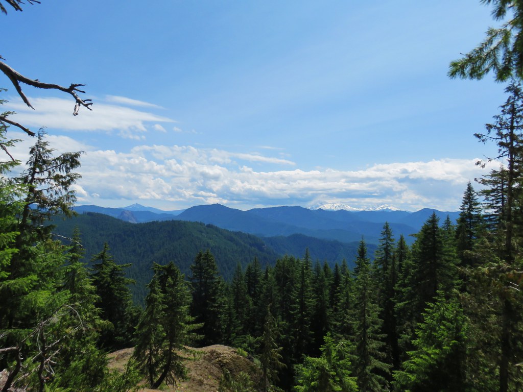 Mt. Washington and the Three Sisters
 Wolf Rock an Mt. Washington
 North Sister
 Middle Sister
 South Sister
 Mt. Jefferson had been overtaken by clouds but Iron Mountain and Cone Peak were still visible.
 Buckwheat and paintbrush
 Wallflower and cat’s ear lilies
 Penstemon and paintbrush
 Young tree growing out of an old trunk.
 Grouse


 Columbine along the decommissioned road.


 A penstemon
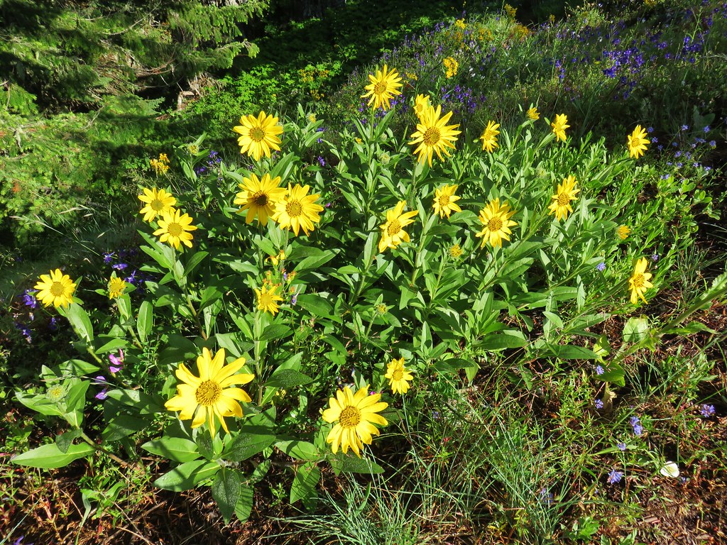 False sunflower
 A penstemon
 Oregon sunshine
 Lupine among others
 Cliff beardstounge
 Catchfly
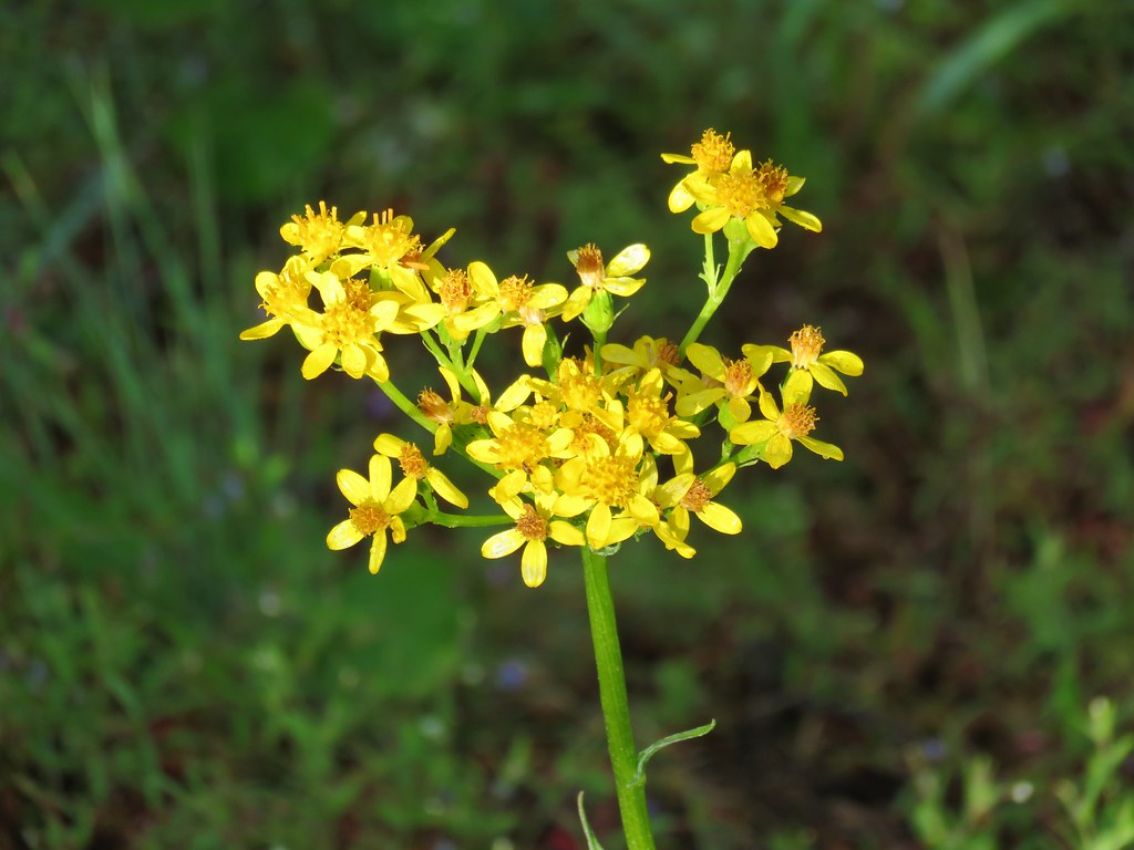 Groundsel
 blue head gilia
 Bleeding heart
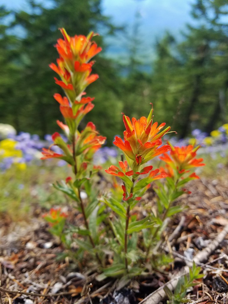 Paintbrush
 Woodland stars
 Larkspur and ballhead waterleaf
 Yarrow
 Valerian
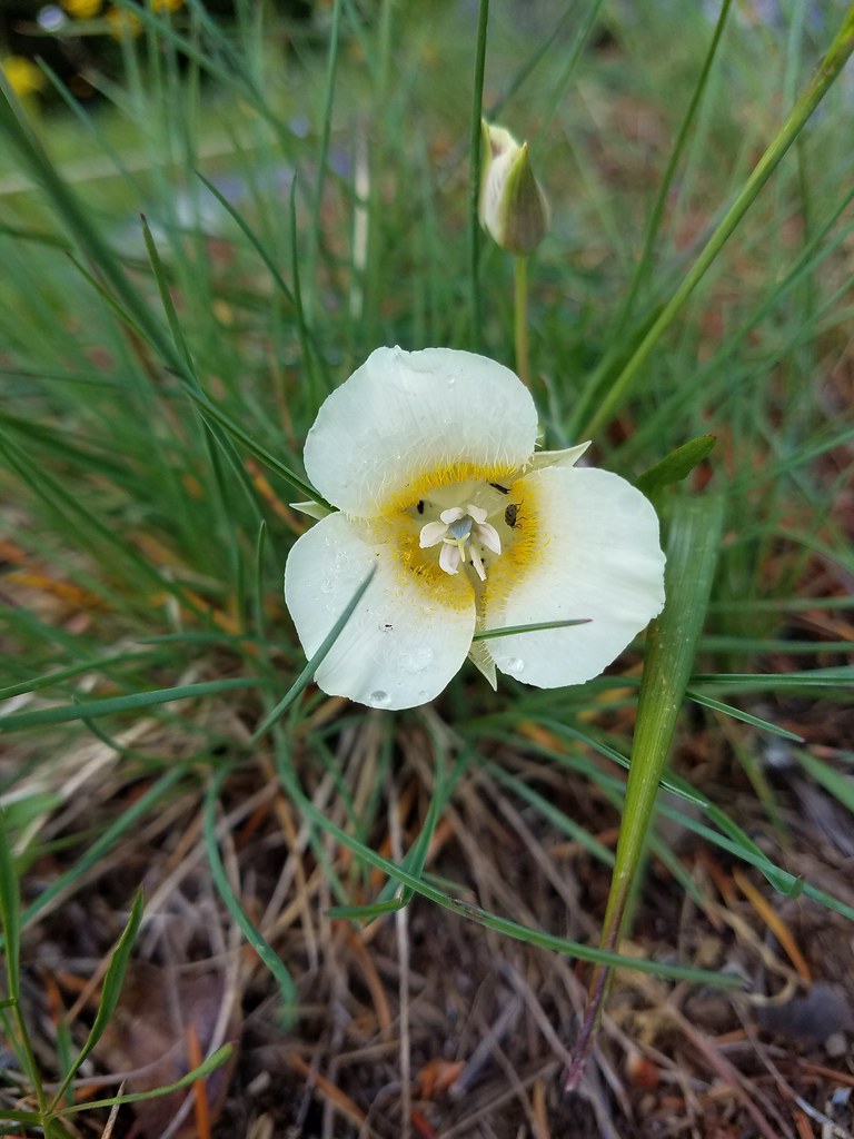 Cat’s ear lily
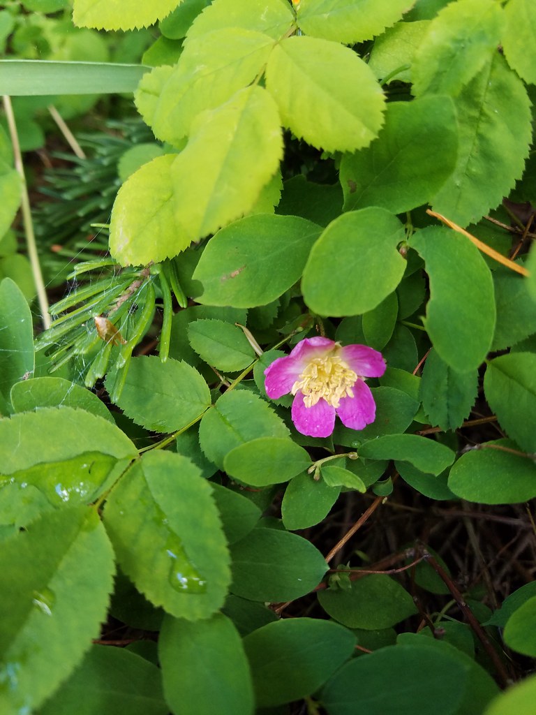 Wild rose
 Buckwheat in blue head gilia
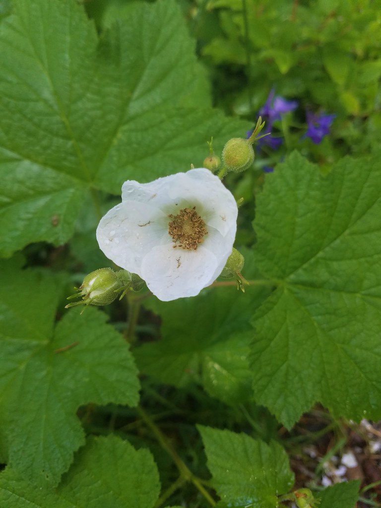 Thimbleberry
 Larkspur, leafy pea, and candy flower
 Rhododendron (just around the corner from the outcrop)
 Plumed solomonseal
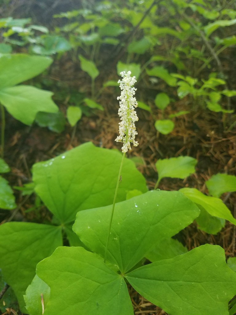 Vanilla leaf
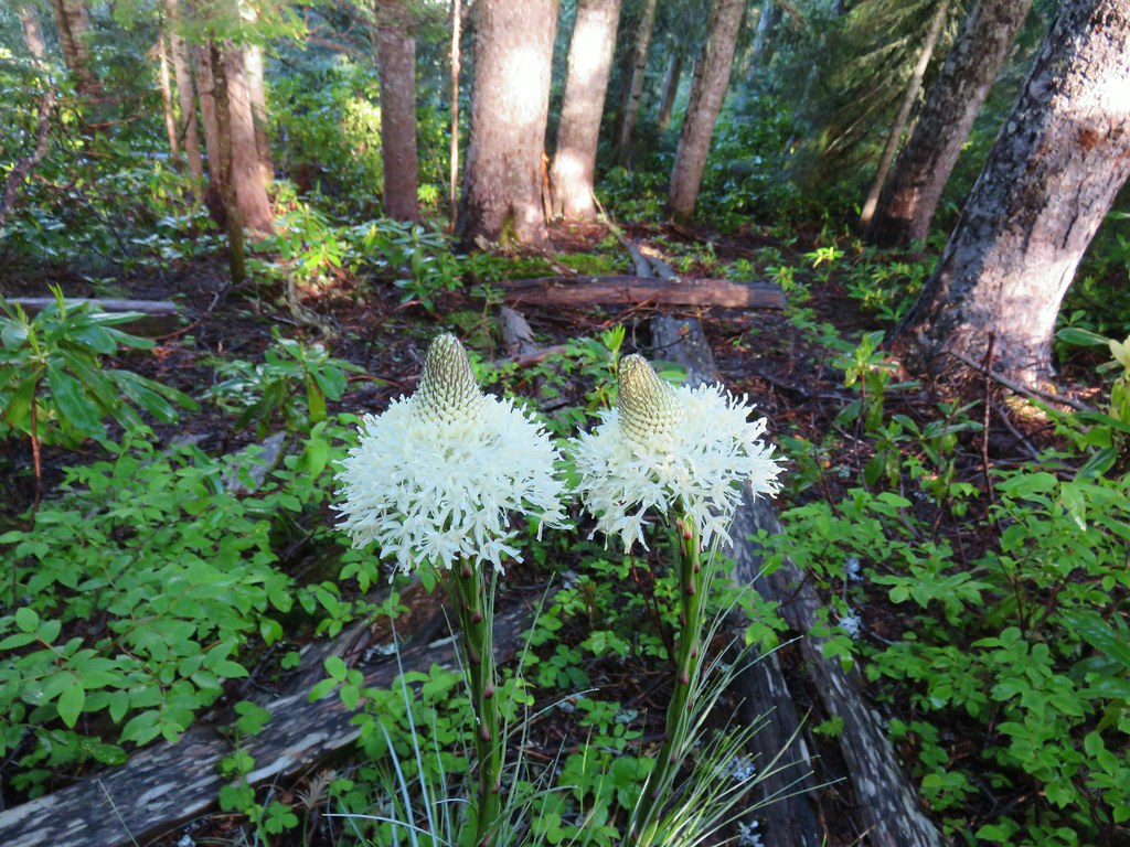 Beargrass
 Trail fork


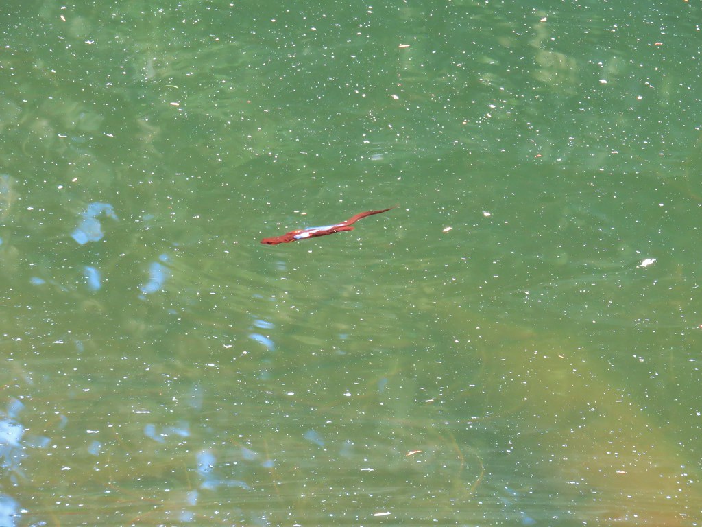
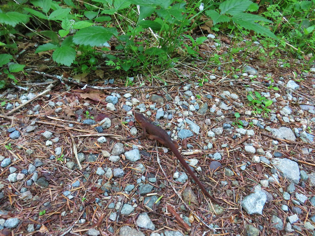
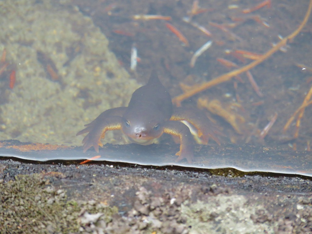 Curious newt
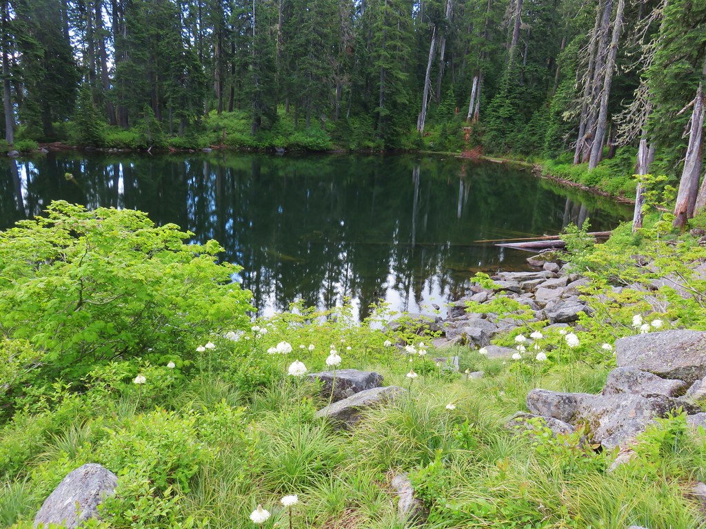
 Spotted coralroot
 Stripped coralroot


 Sturgeon Rock (still with cloud) and Pyramid Rock
 Wild iris
 Paintbrush and lupine
 Daisies
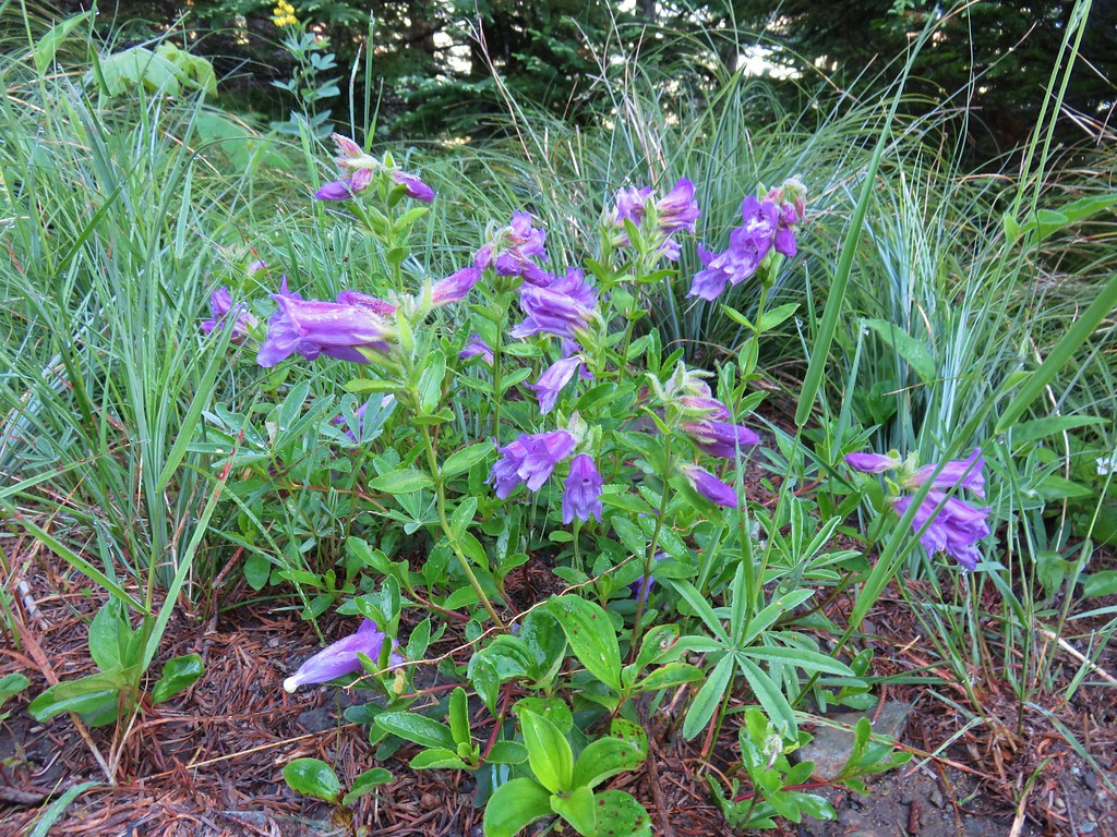 Penstemon
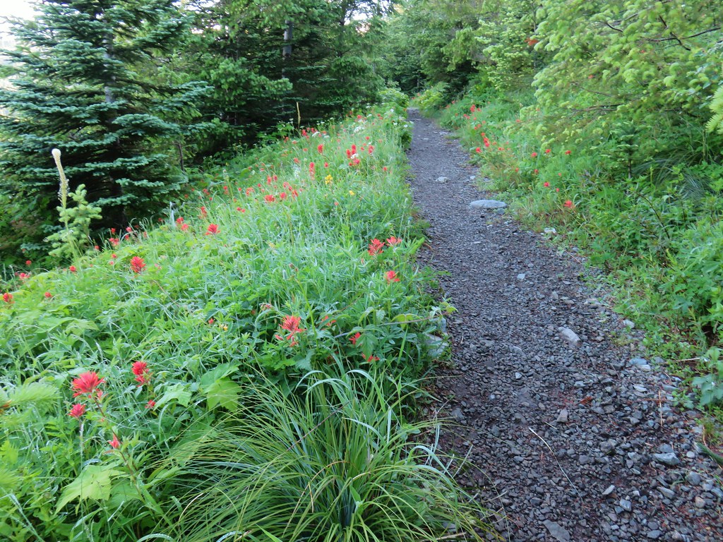


 paintbrush and mountain spirea
 Beargrass

 Columbine
 A penstemon
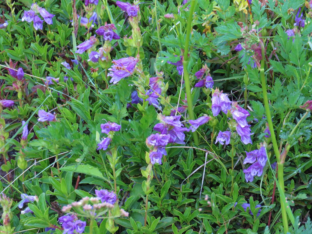 More penstemon
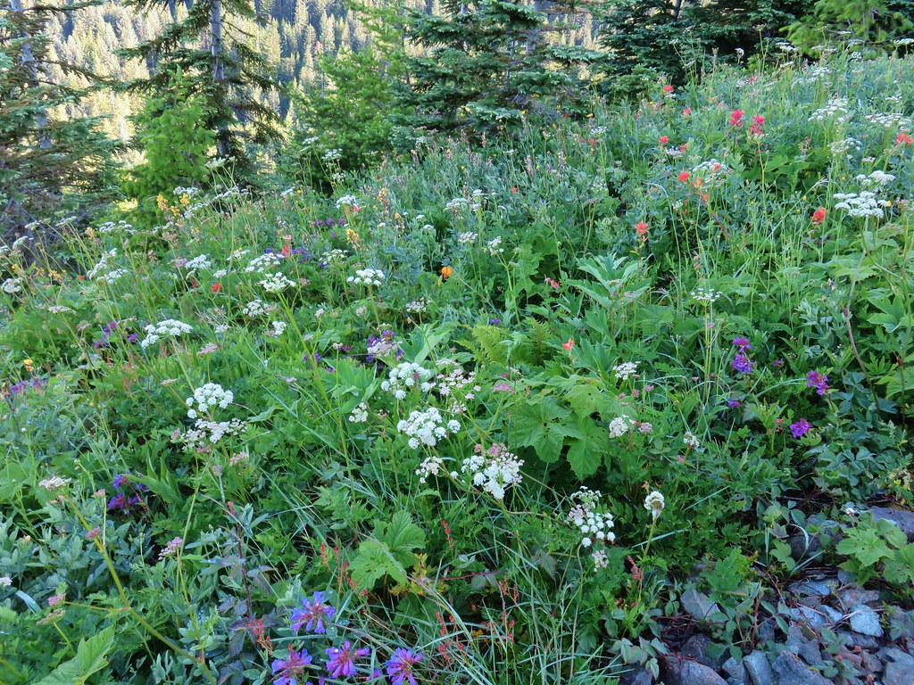 Variety pack
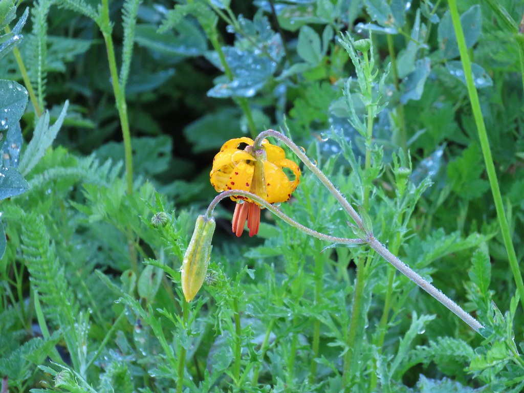 Tiger lily
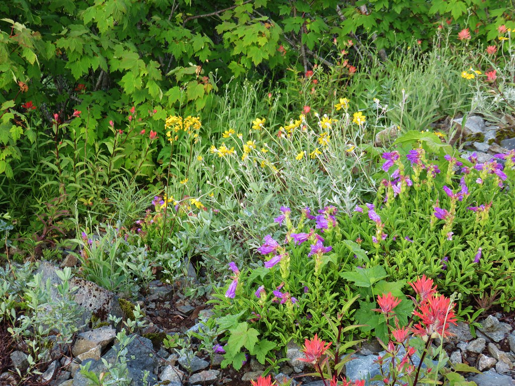 Another variety pack
 Wallflower
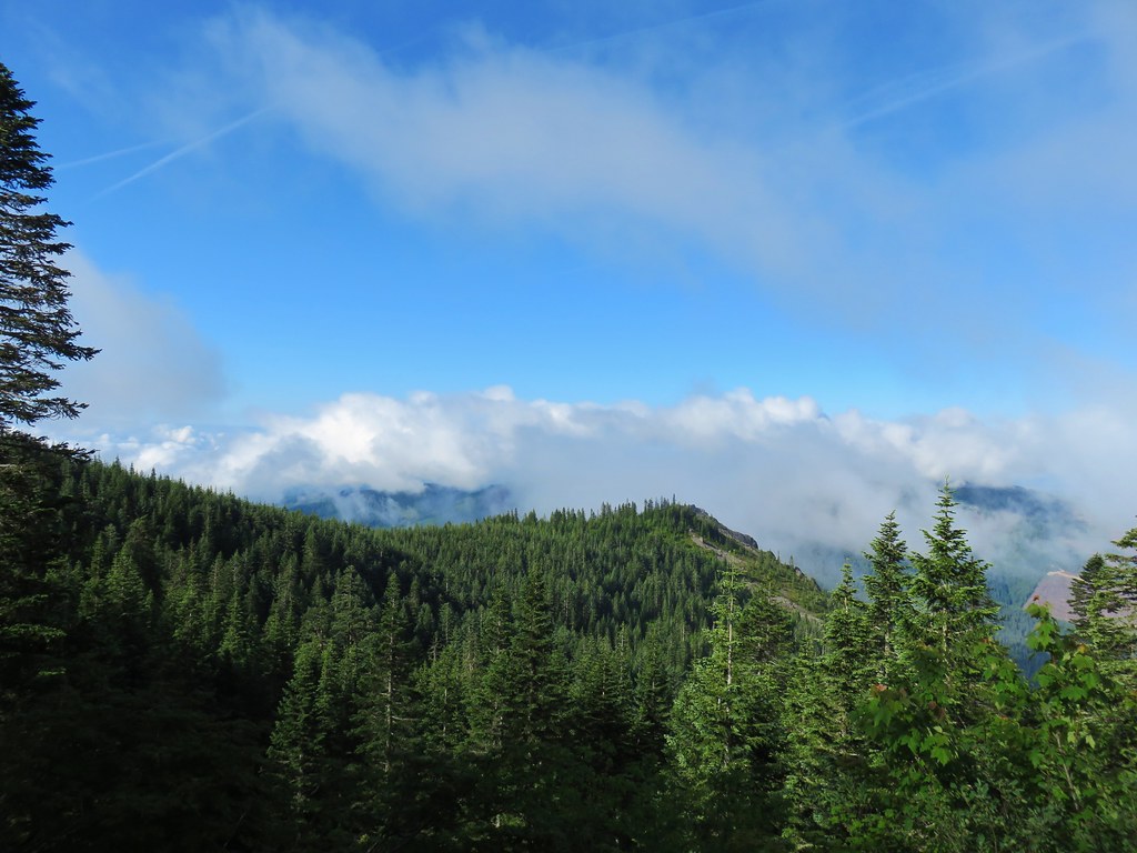

 Avalanche lilies near the junction.
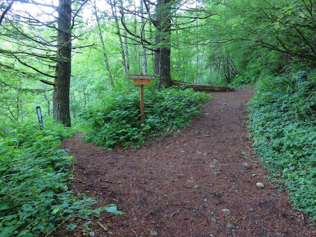
 Sign for the Silver Star Trail.
 Silver Star Trail


 Sturgeon Rock momentarily out of the clouds.


 Phlox
Phlox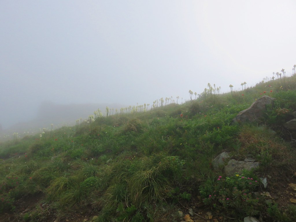 Beargrass


 White crowned sparrow
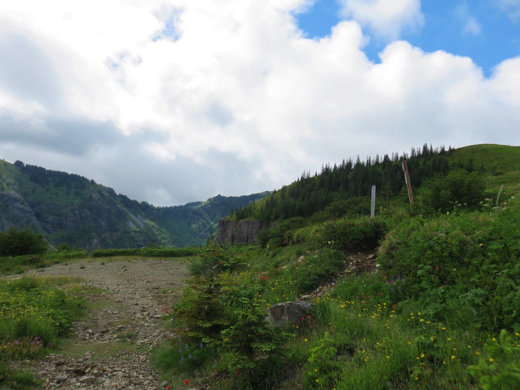


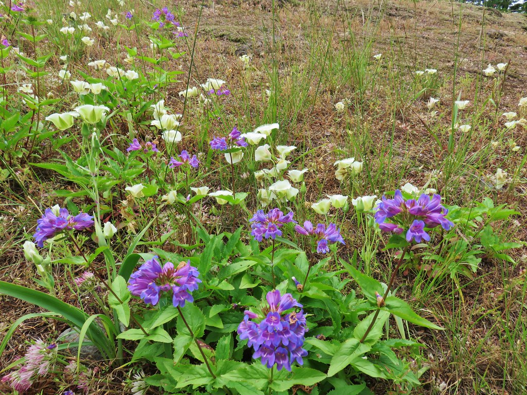
 Cat’s ear lily
 Rose
Rose Rock penstemon
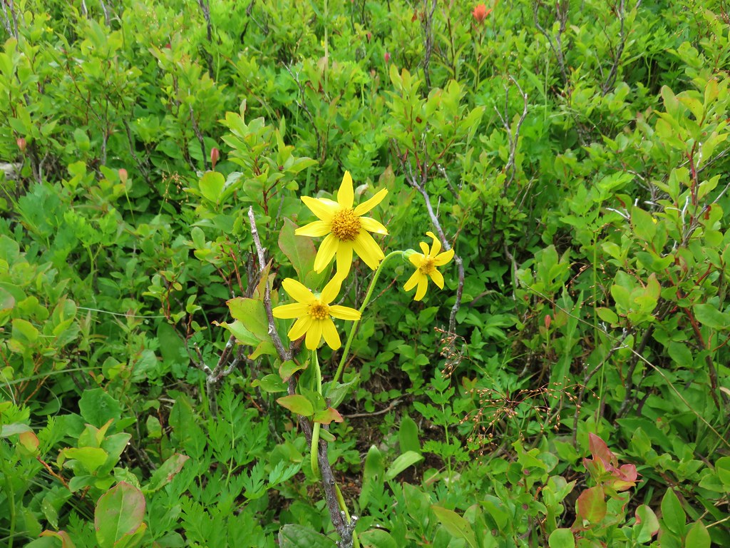
 Bleeding heart
 Candy flower
 An aster or fleabane
 Backside of the arch.


 Marsh corydalis


 Pyramid Rock from the Tarbell Trail
 Black headed grosbeak
 Mountain parnassian


 Paintbrush above Sardine Creek
 Iris
Iris Rhododendron
 Candy flower


 Beargrass
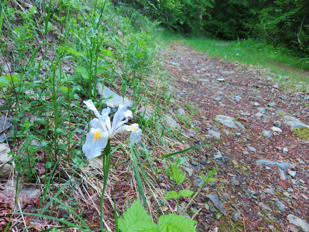 Iris
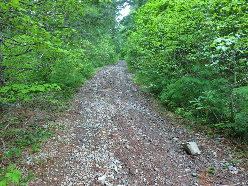
Iris Mushroom in the middle of the road
 Valerian
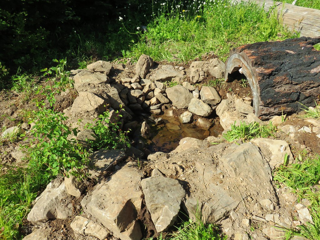
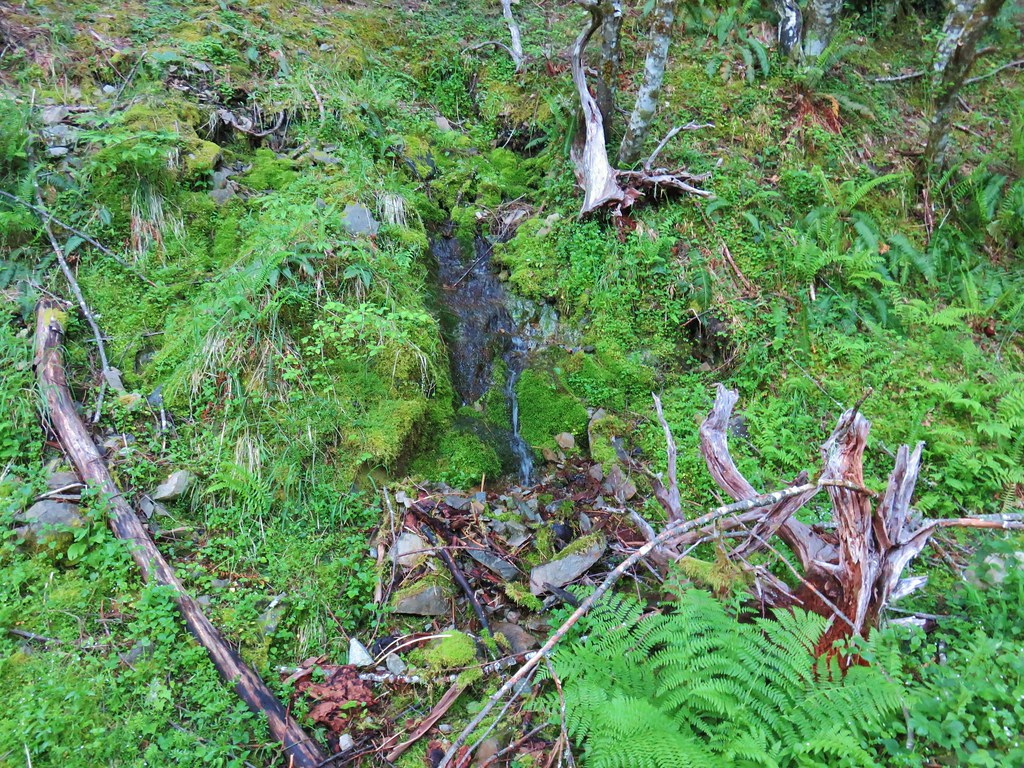 A hillside spring


 Red flowering currant


 Mt. Hood with North Dicky Peak in front.
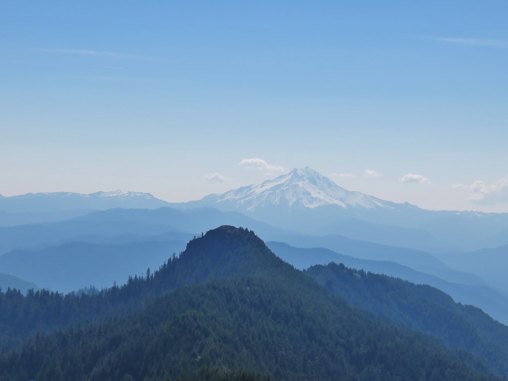


 Three Fingered Jack
 Mt. Washington and the Three Sisters
 Tumble Lake
 A saxifrage
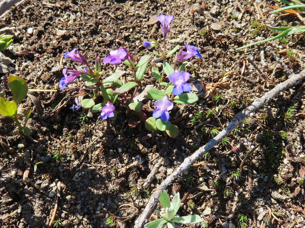 Blue-eyed mary
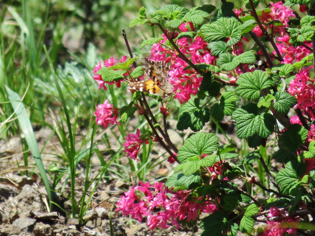 Butterfly on red flowering currant
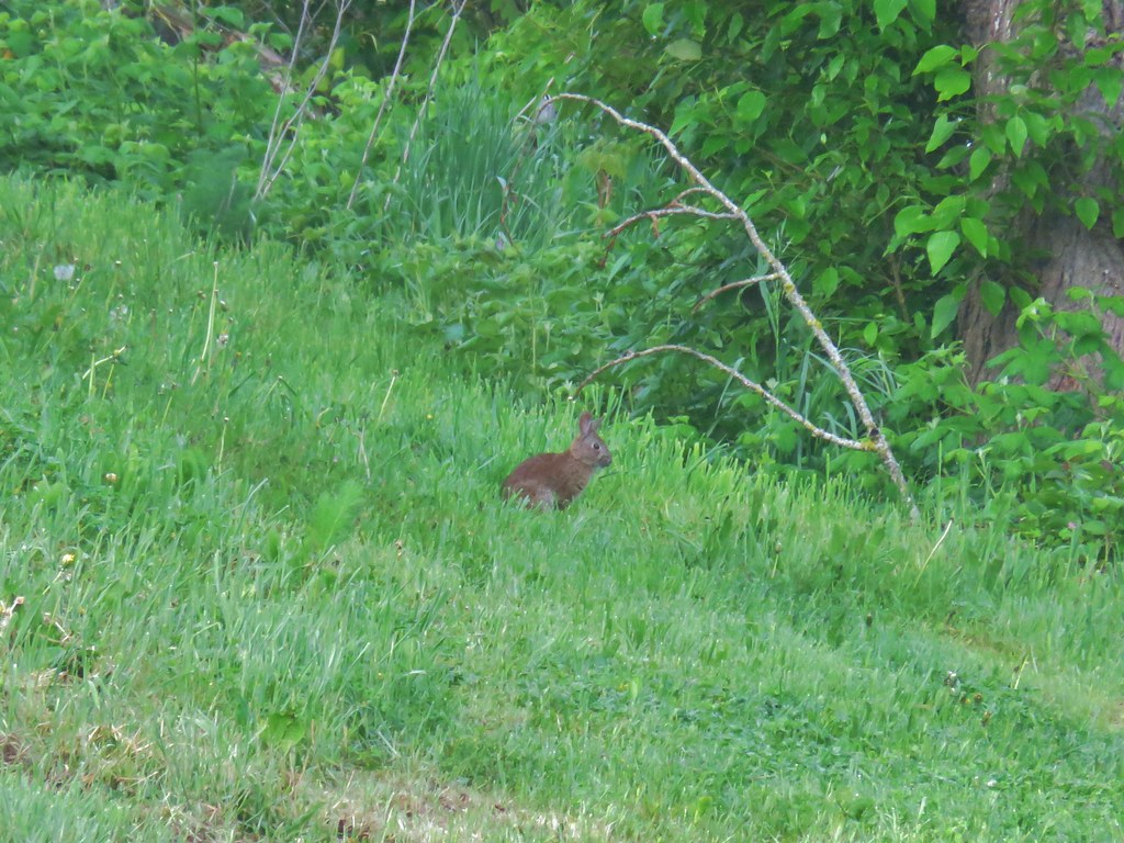
 Rabbit
 Snake
Snake
 Another northern alligator lizard
 These two long legged spiders got into a brawl when they met crossing the road.
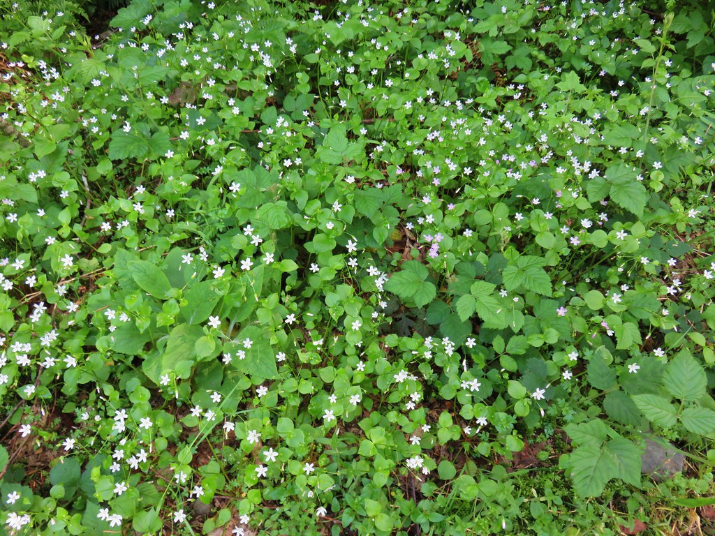
 Candy flower
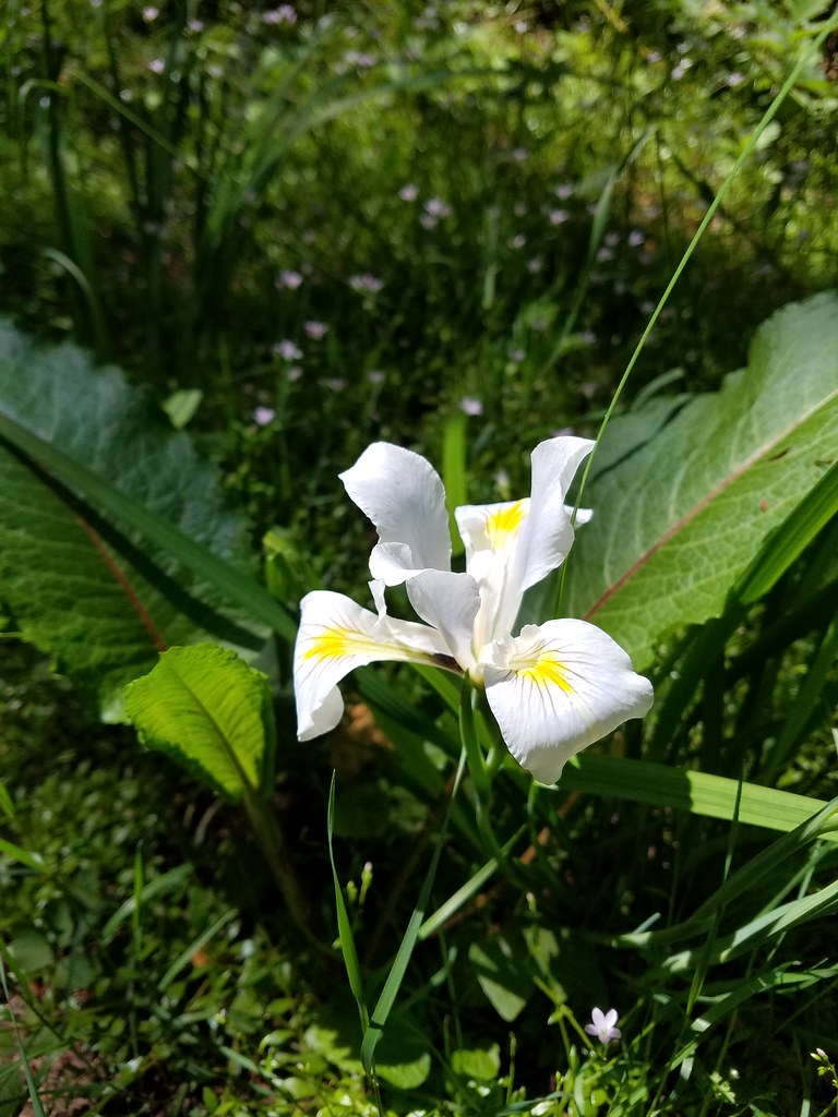 Iris
Iris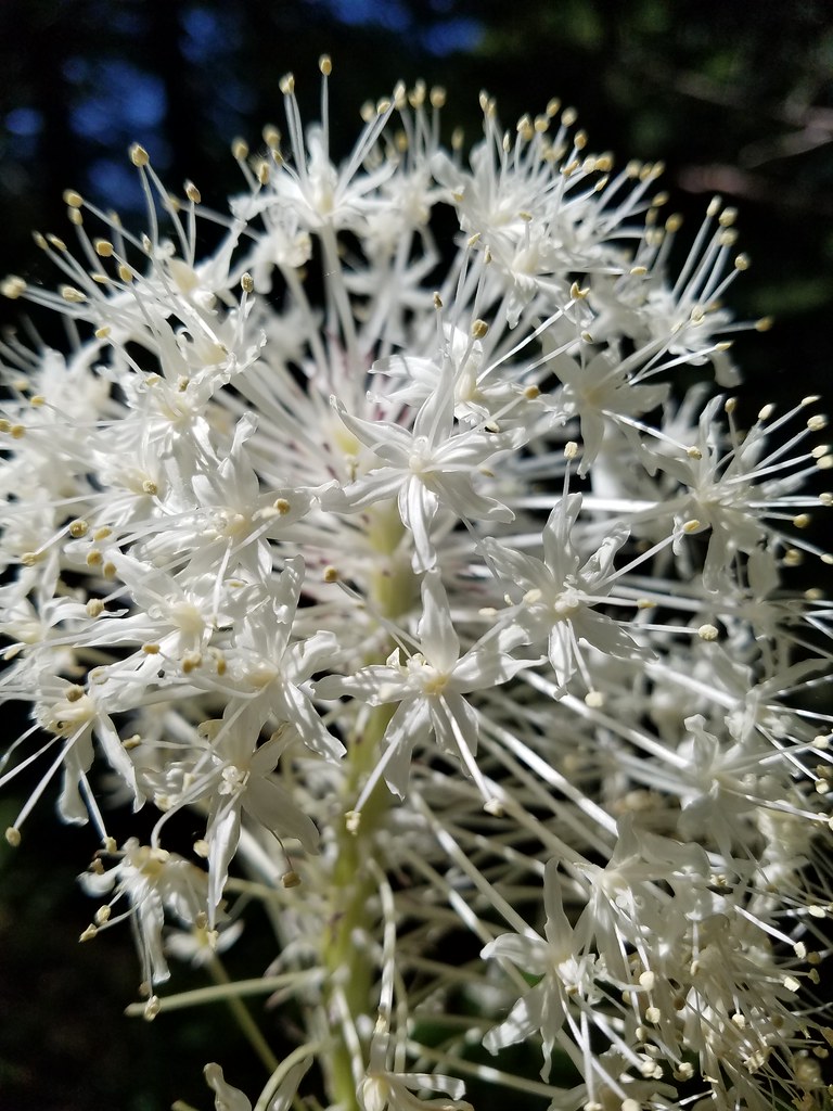 Beargrass
 Fringecup
 Monkeyflower