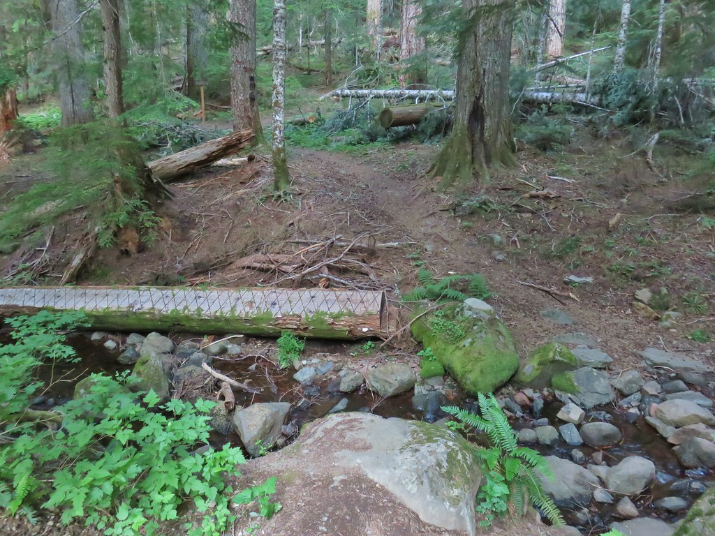
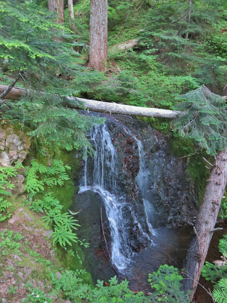
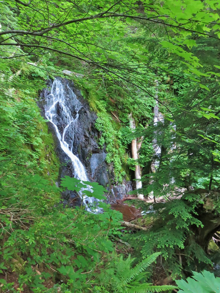
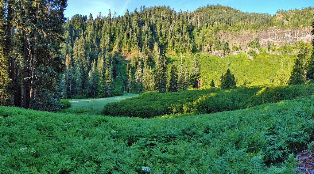
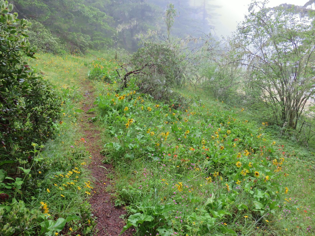
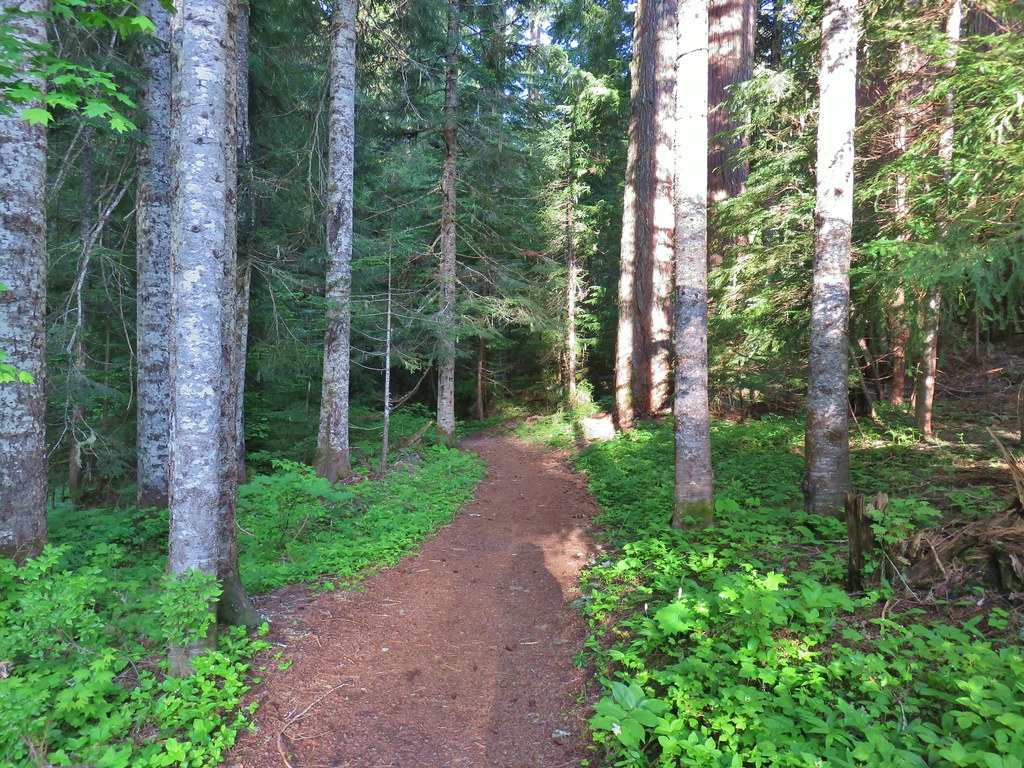
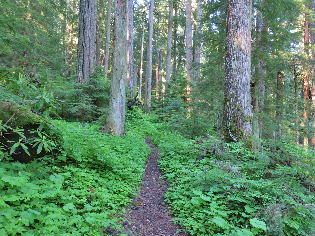
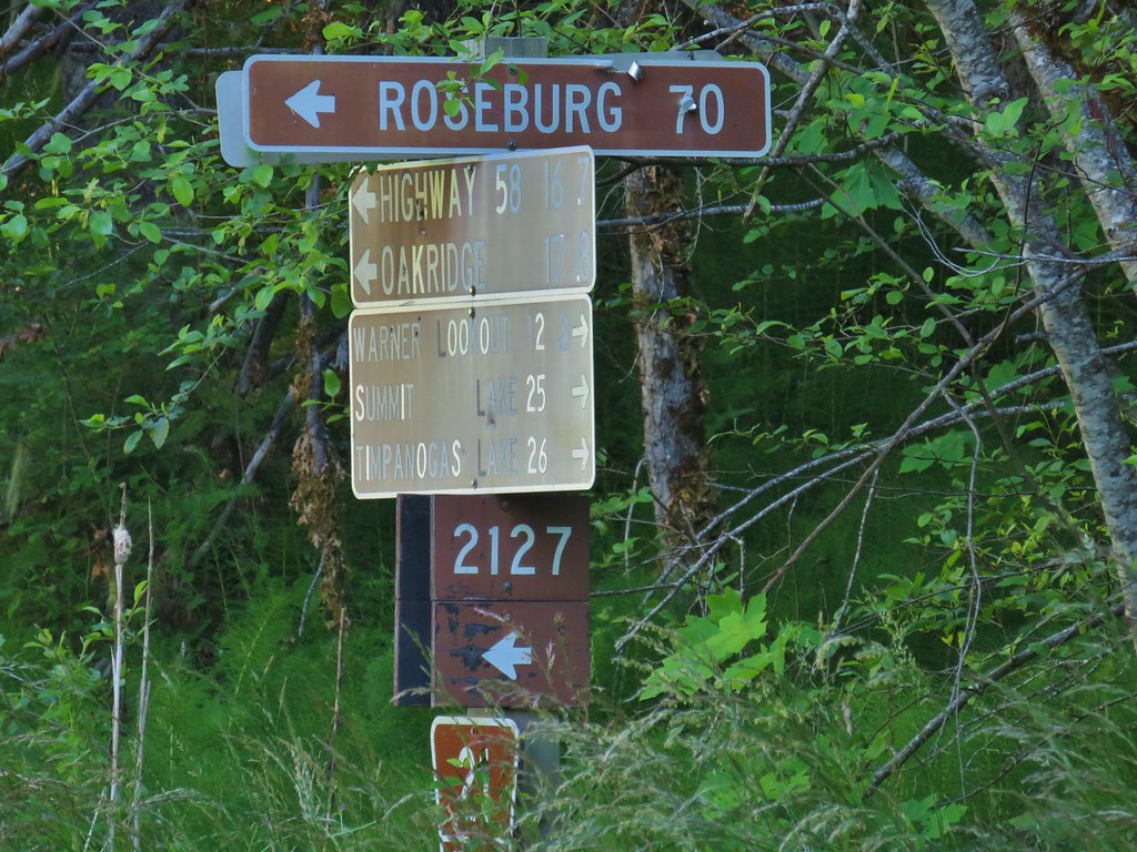
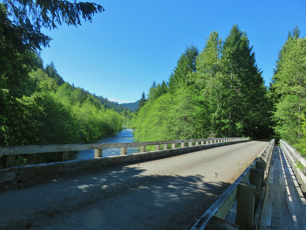
A busy weekend provided us with a good excuse to cross the short hike to Bohemia Mountain off our to-do list of featured hikes. We had been putting this one off due to the 2:30 hour drive time just to reach the trailhead for what was listed in Sullivan’s “100 Hikes/Travel Guide in the Central Oregon Cascades” as a 1.6 mile hike. For a hike that short we would typically look for a longer option or additional hikes in the area to do the same day. This weekend a short hike was perfect though, in particular one south of Salem. We were going to be celebrating our nephew Tyler’s second birthday that afternoon in Lebanon so a quick hike in the morning was perfect. It was also supposed to hit triple digits in many areas so a long hike would have been hot even in the mountains.
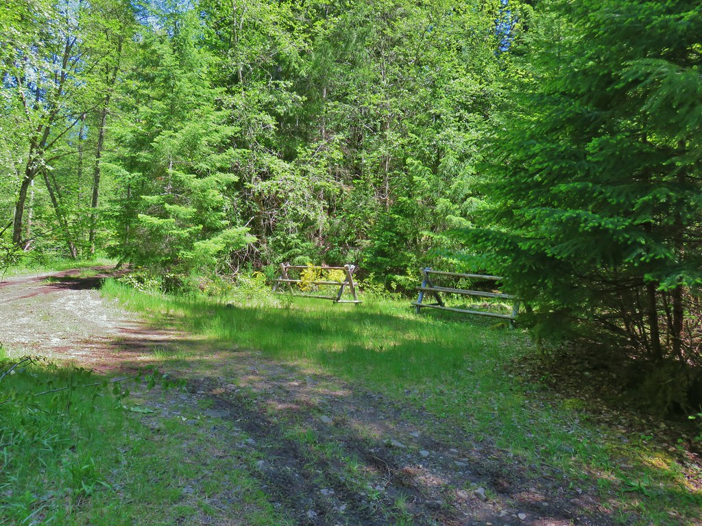
We were still looking at 1.6 miles being a little too short so we decided to park approximately three quarters of a mile from the trailhead at a small pullout below the Musick Guard Station just before a fork in Road 2460.

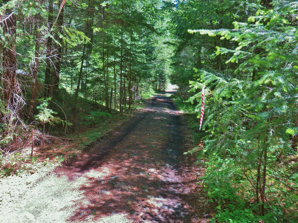
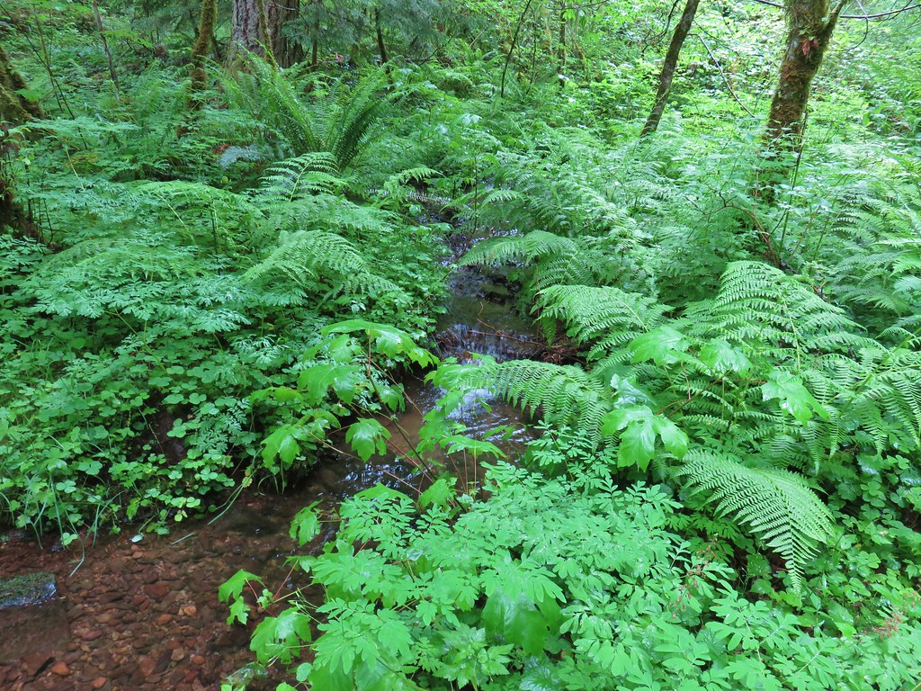
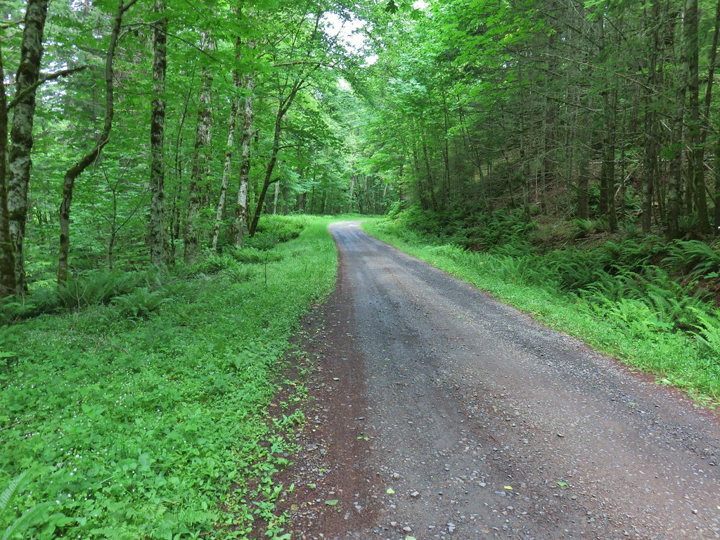
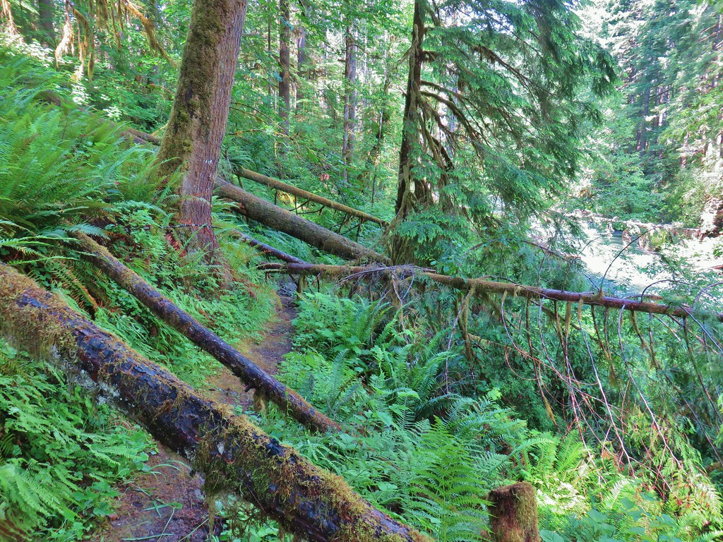
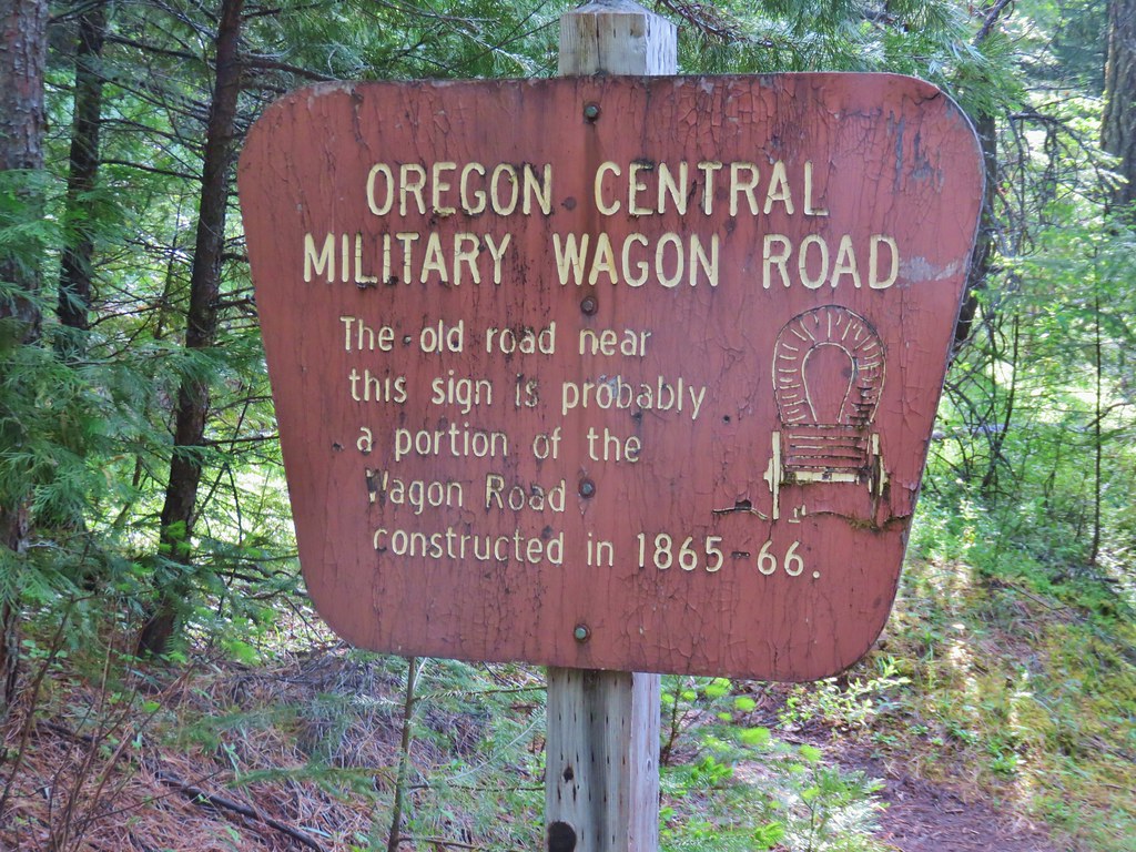
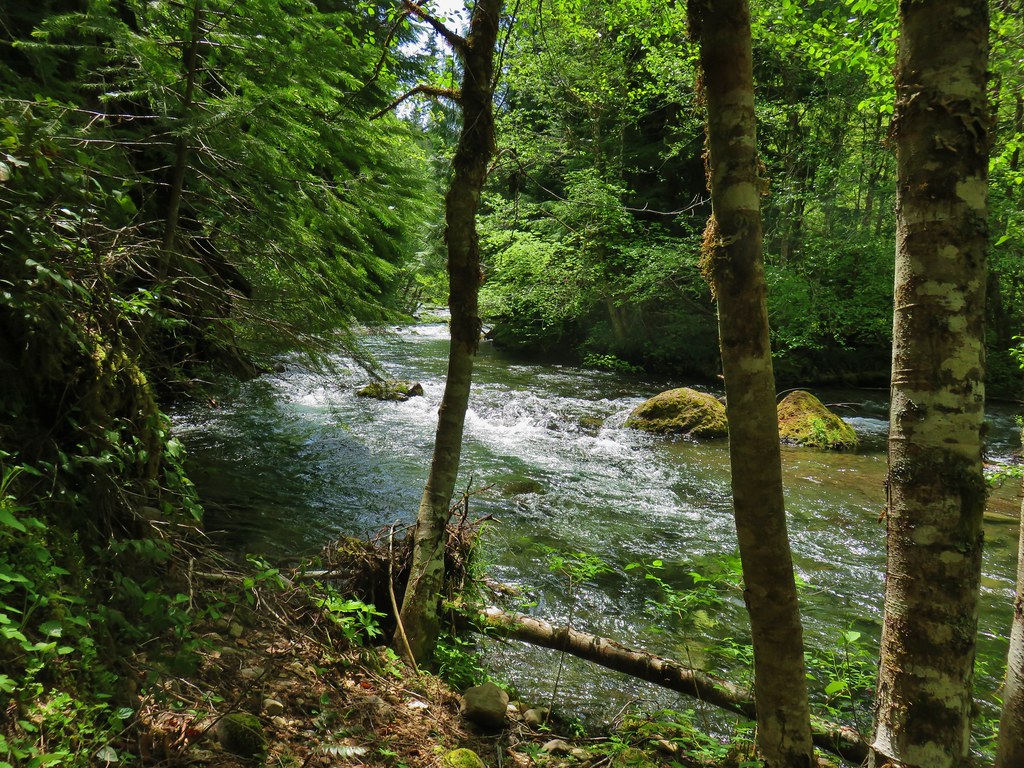
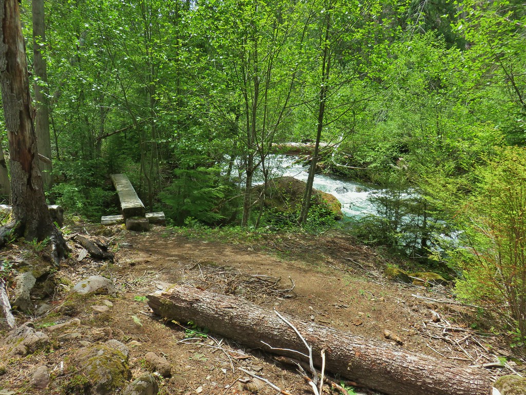
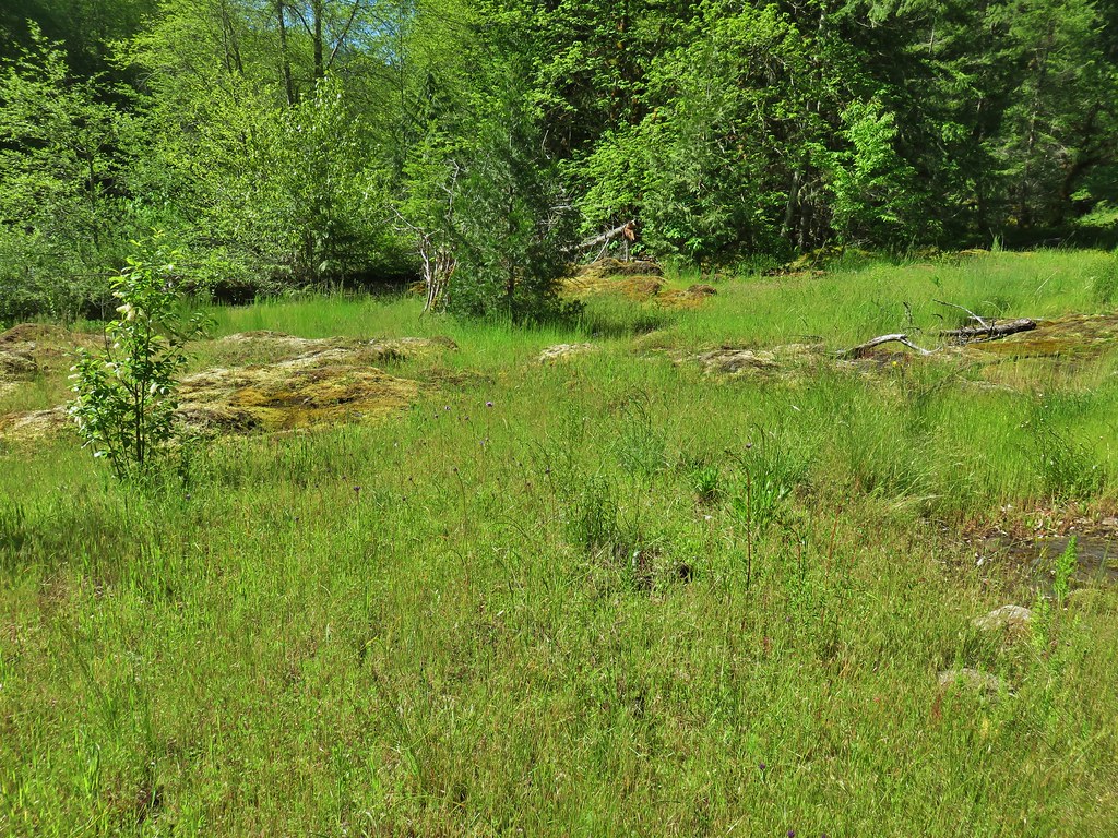
We chose to park here so that we could hike down the road to the left to the ghost town of Bohemia City, once the center of the Bohemia Mining District, which formed after the discovery of gold in the area in 1858. A nearly level .6 mile walk down the rough (and private) road led to the old post office.
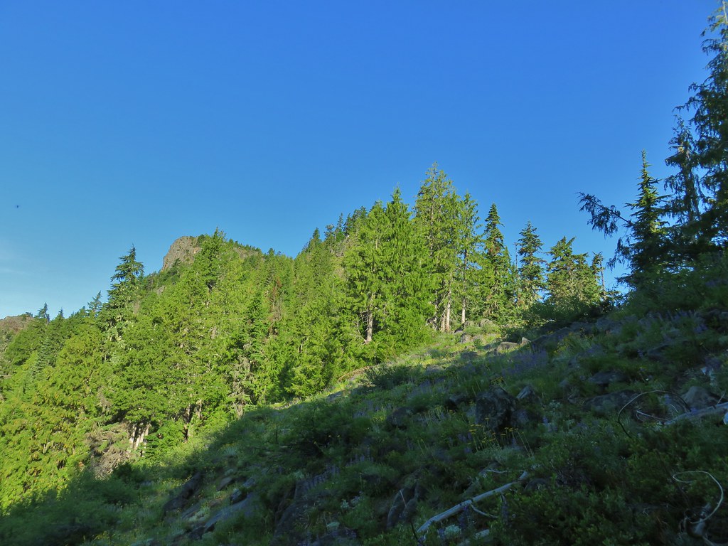
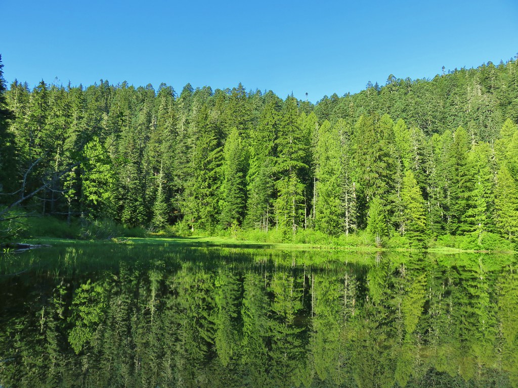
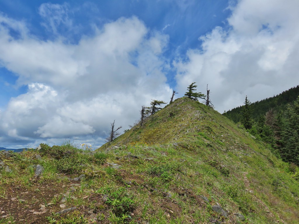
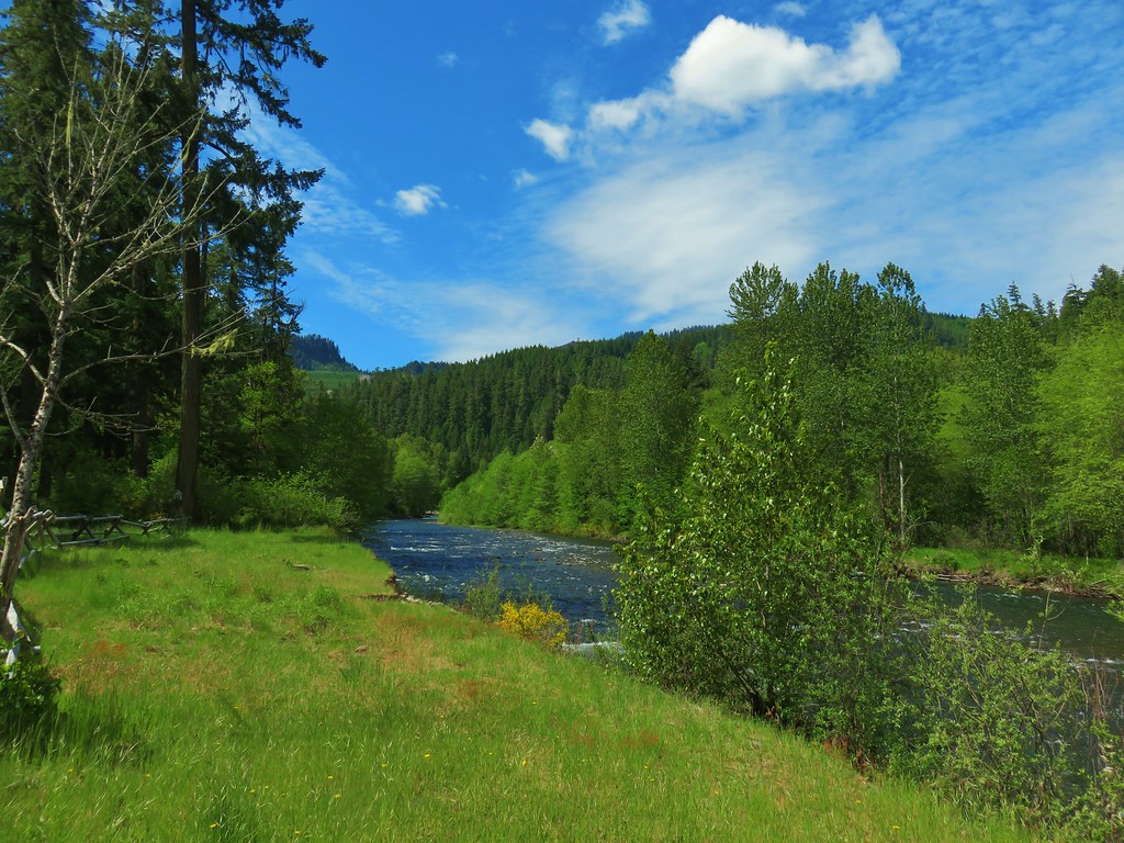
 Bohemia Mountain from the road.


While the old post office is on federal land the road is private (no unauthorized vehicles) and so is much of the surrounding land where some mining still occurs so exploration here should be kept to a minimum.
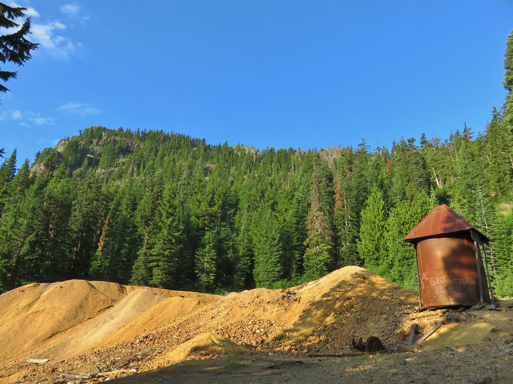 Old mining structure from the road near the post office.
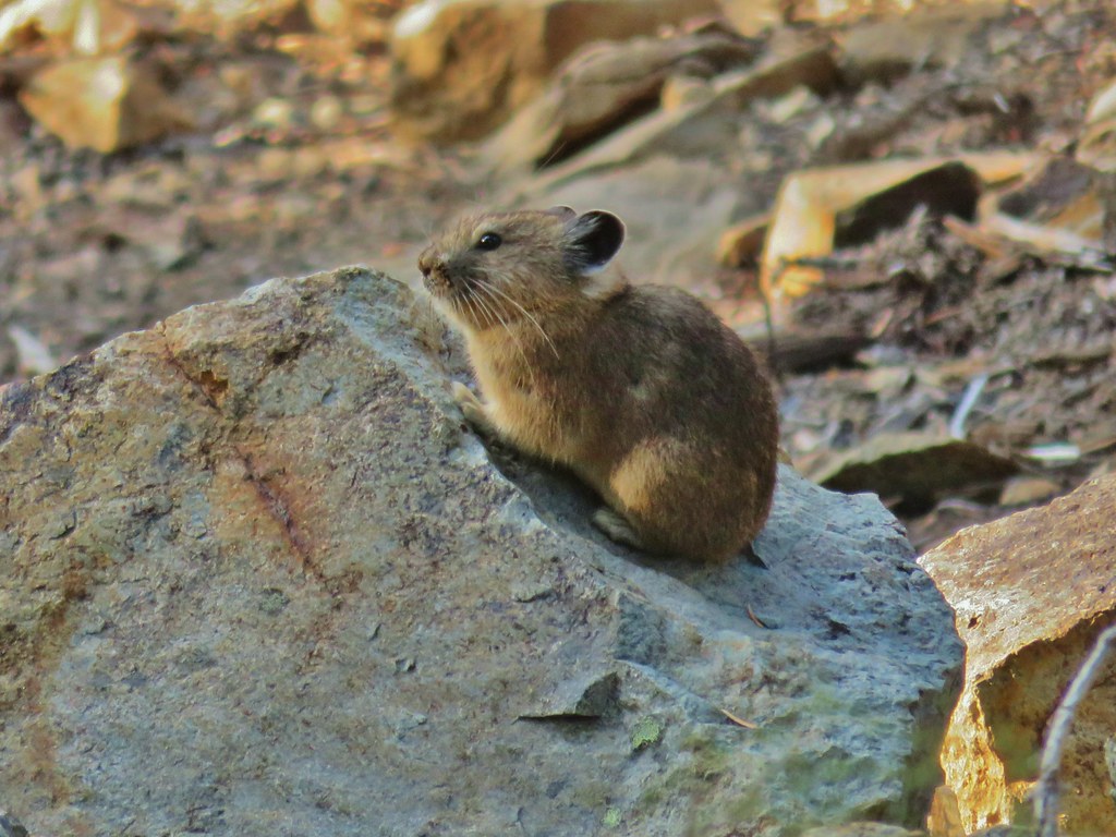
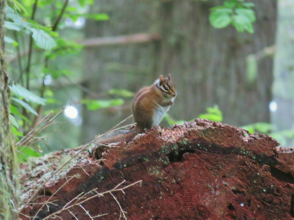
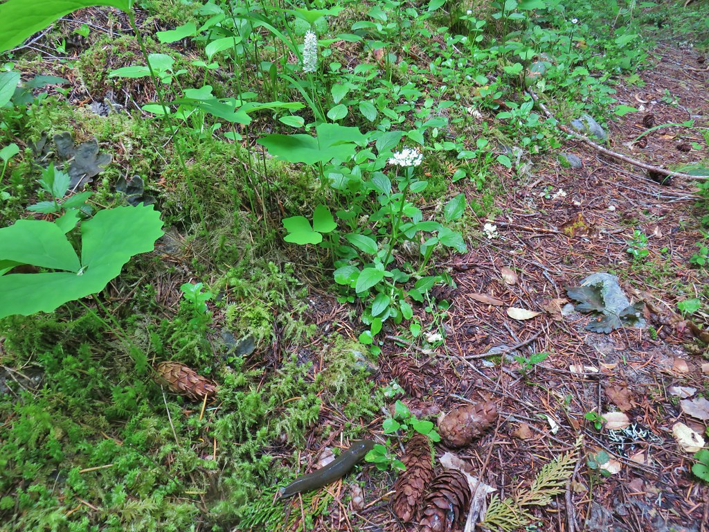
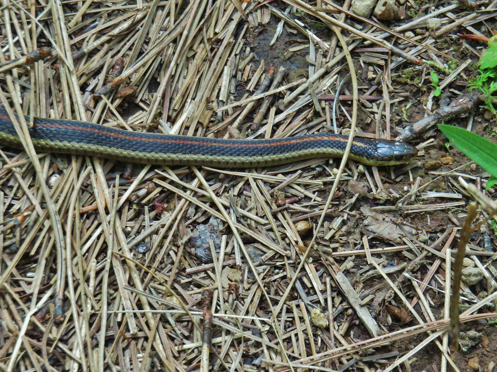
 No miners were seen but I did spot a pika nearby.
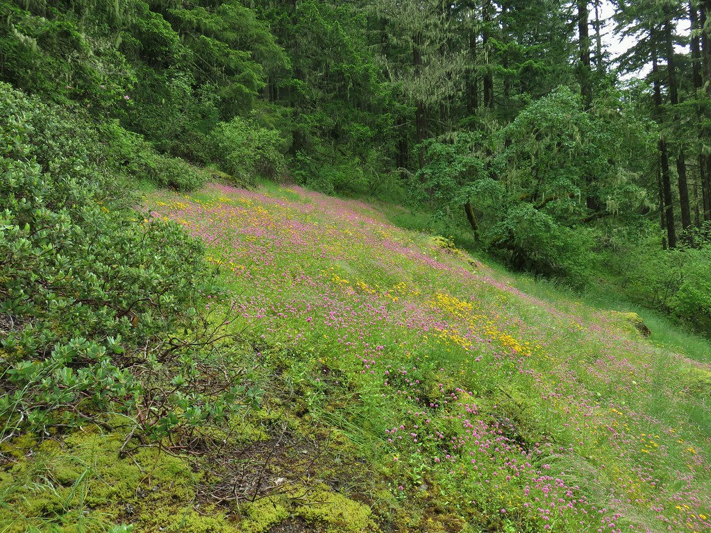
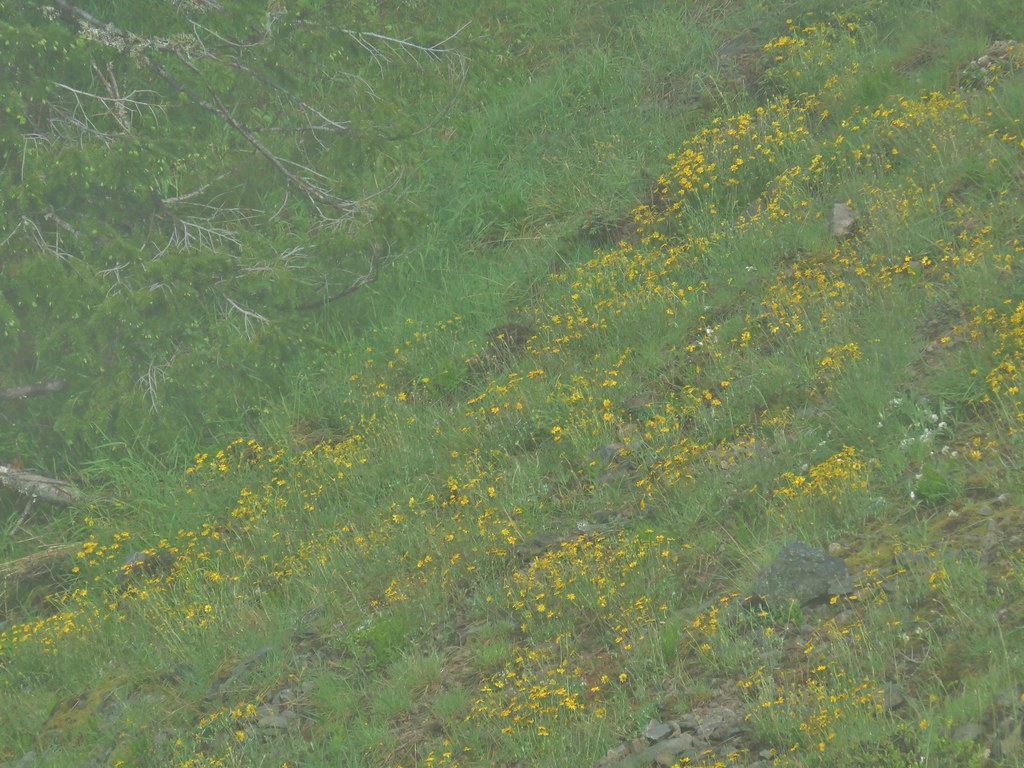
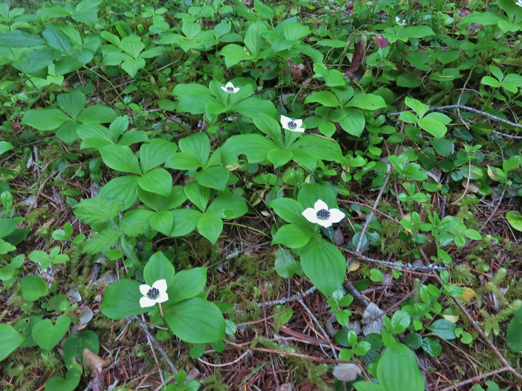
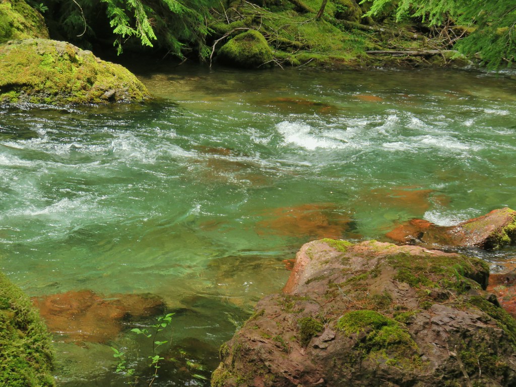
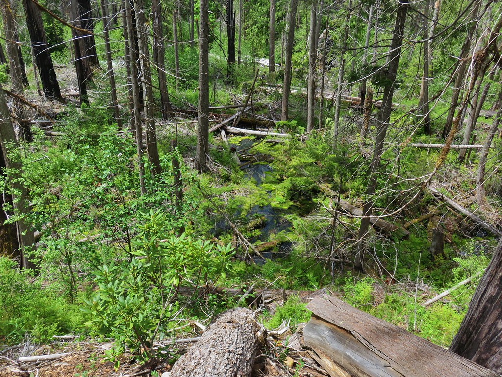
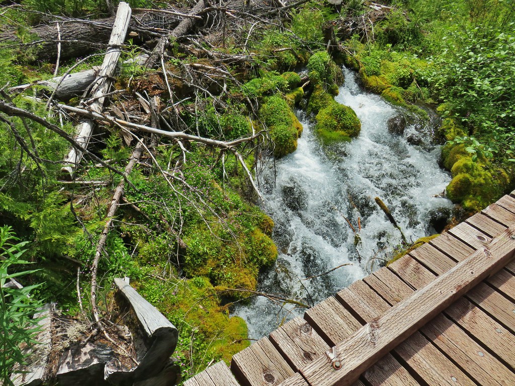
We returned the way we’d come after visiting the post office keeping our eyes out for wildflowers. Despite it being mid-August we spotted quite a few different varieties even though most were well past peak.
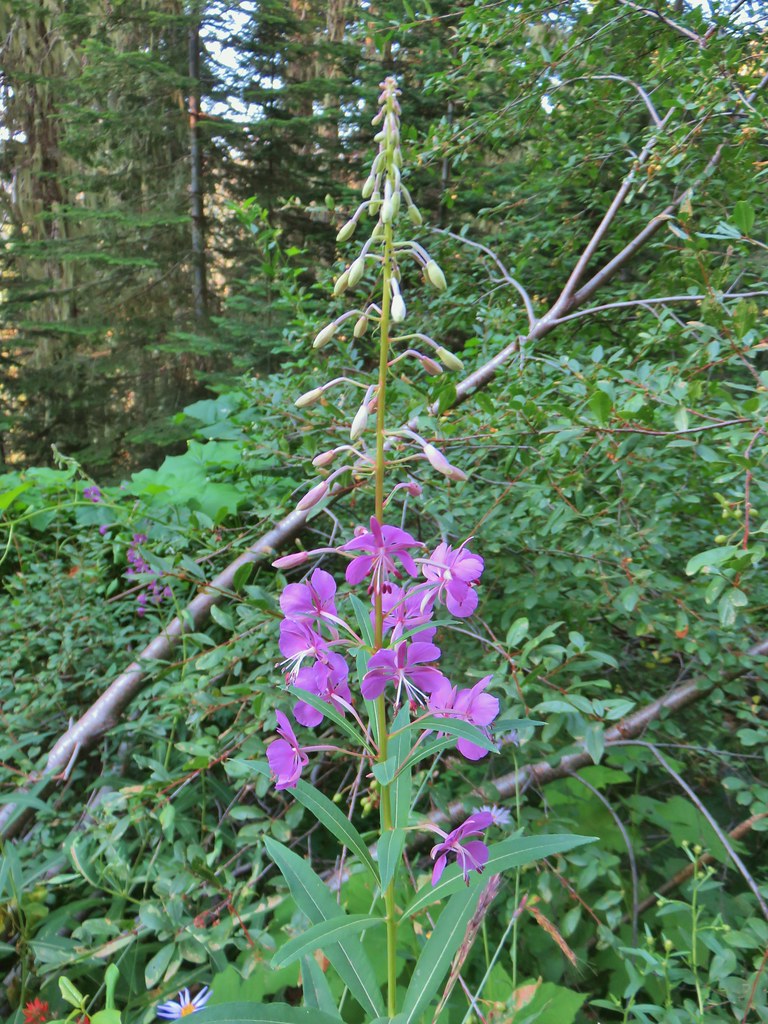 Fireweed
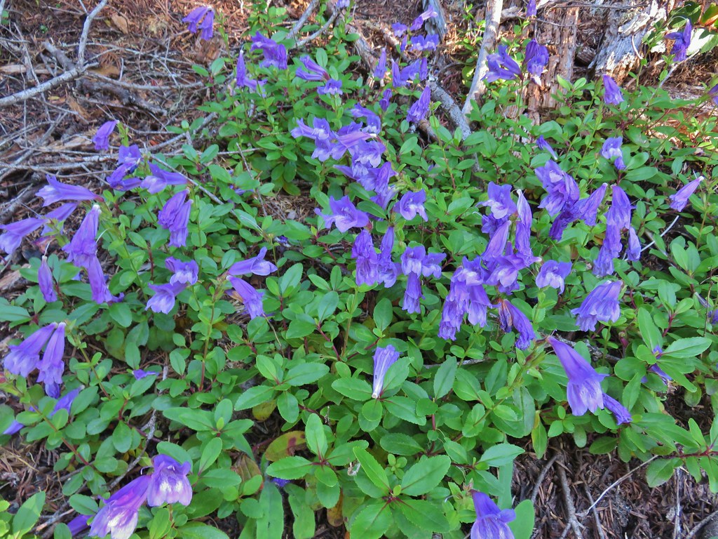
 Beardtongue
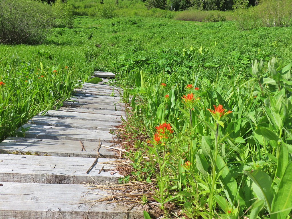
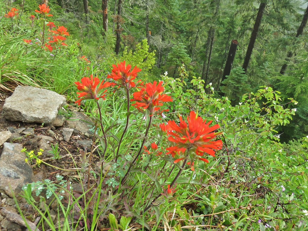
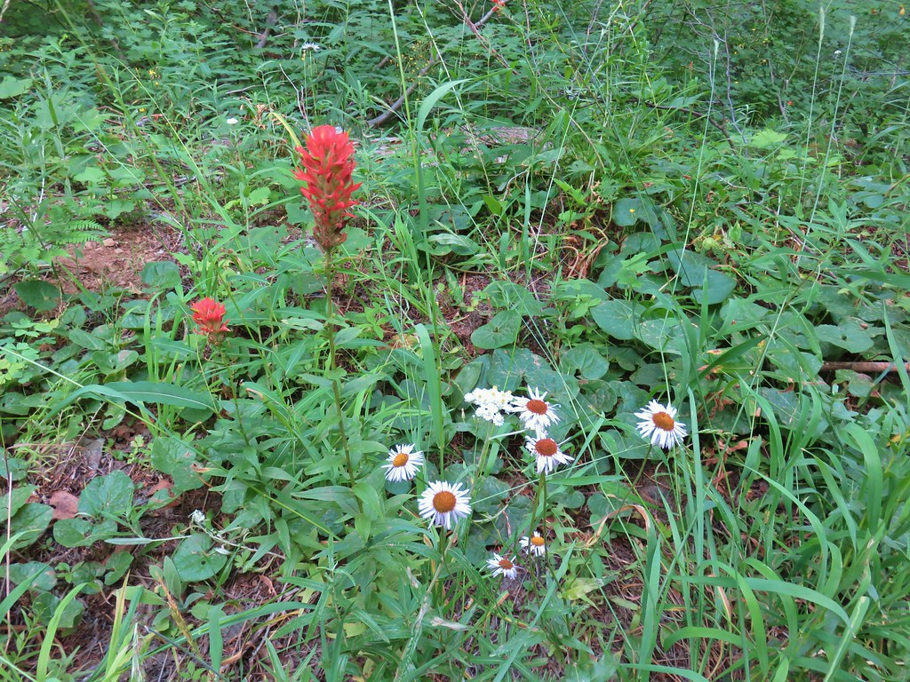 Paintbrush, pearly everlasting, and some type of fleabane
 Large boykinia
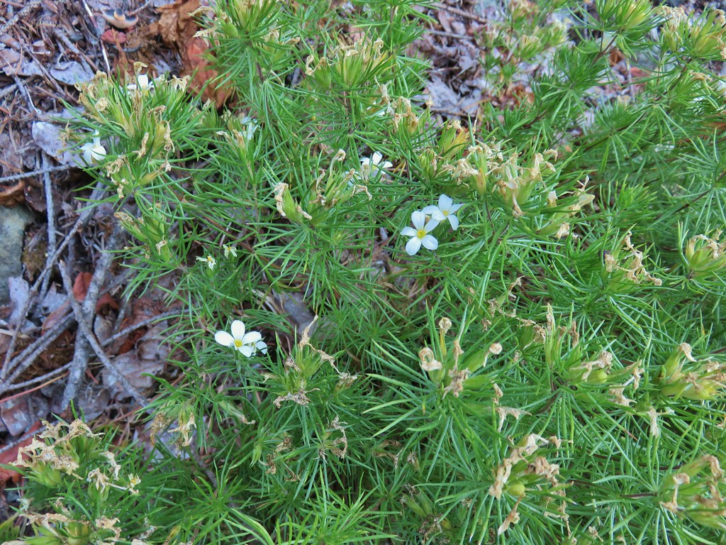
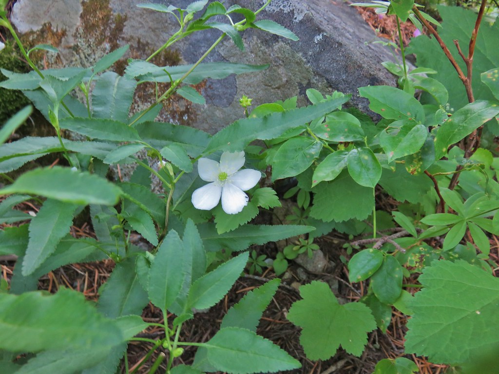
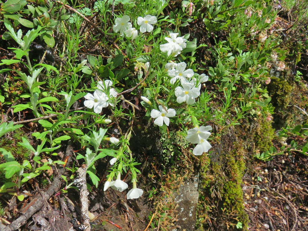
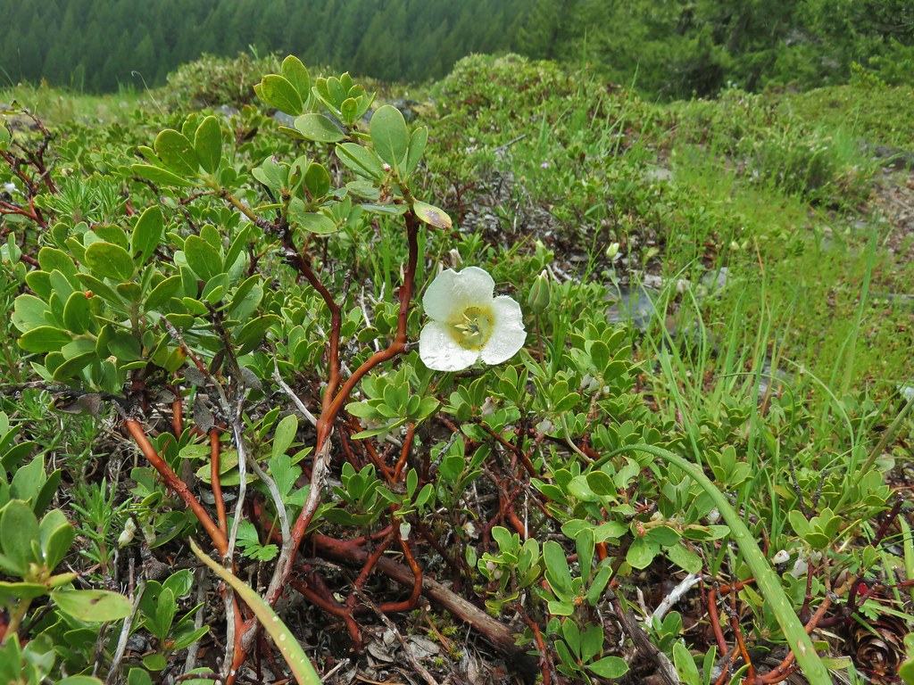
Nuttall’s linanthus
 Spreading dogbane
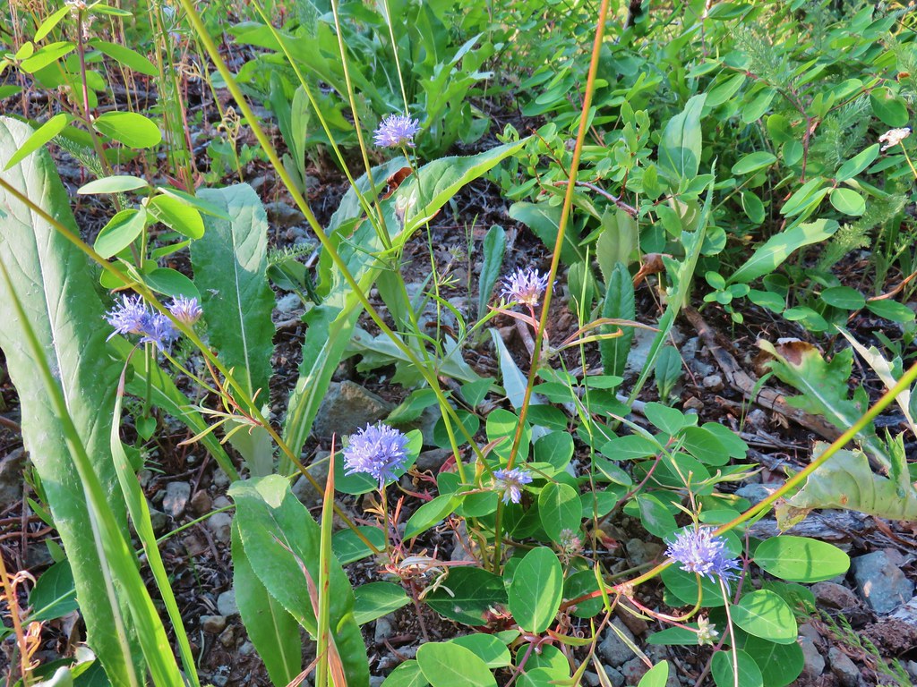 Blue head gilia
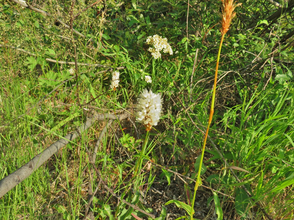 Bistort
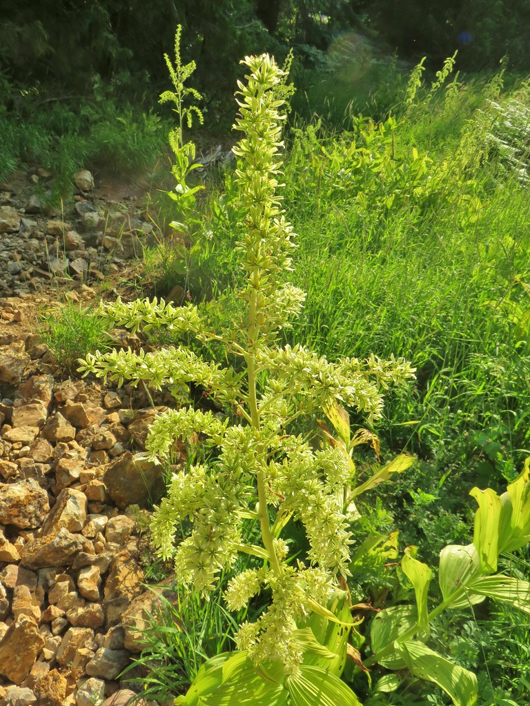 False hellebore
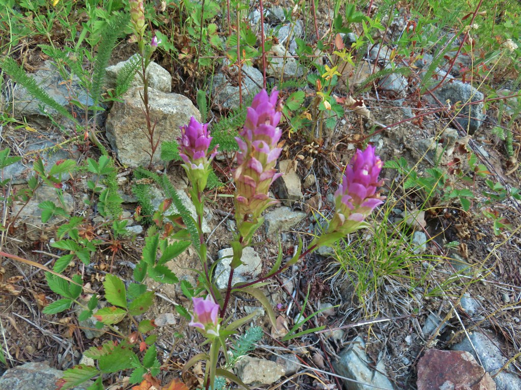 Owl’s clover
After getting back to the road junction we started up Road 2460 (Sharps Creek Road) and took a quick look at the Musick Guard Station. Although not posted anywhere at the site the Umpqua National Forest Website still lists the Guard Station as closed due to COVID-19.

We then continued up Sharps Creek Road .7 miles to Bohemia Saddle and the official Bohemia Mountain Trailhead.
 Mountain parnassian butterfly on pearly everlasting.
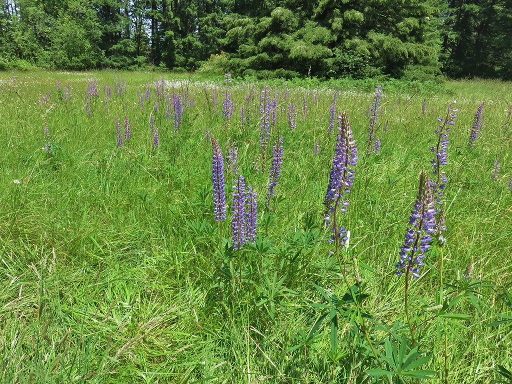
 A lone lupine still in bloom.
 Skipper
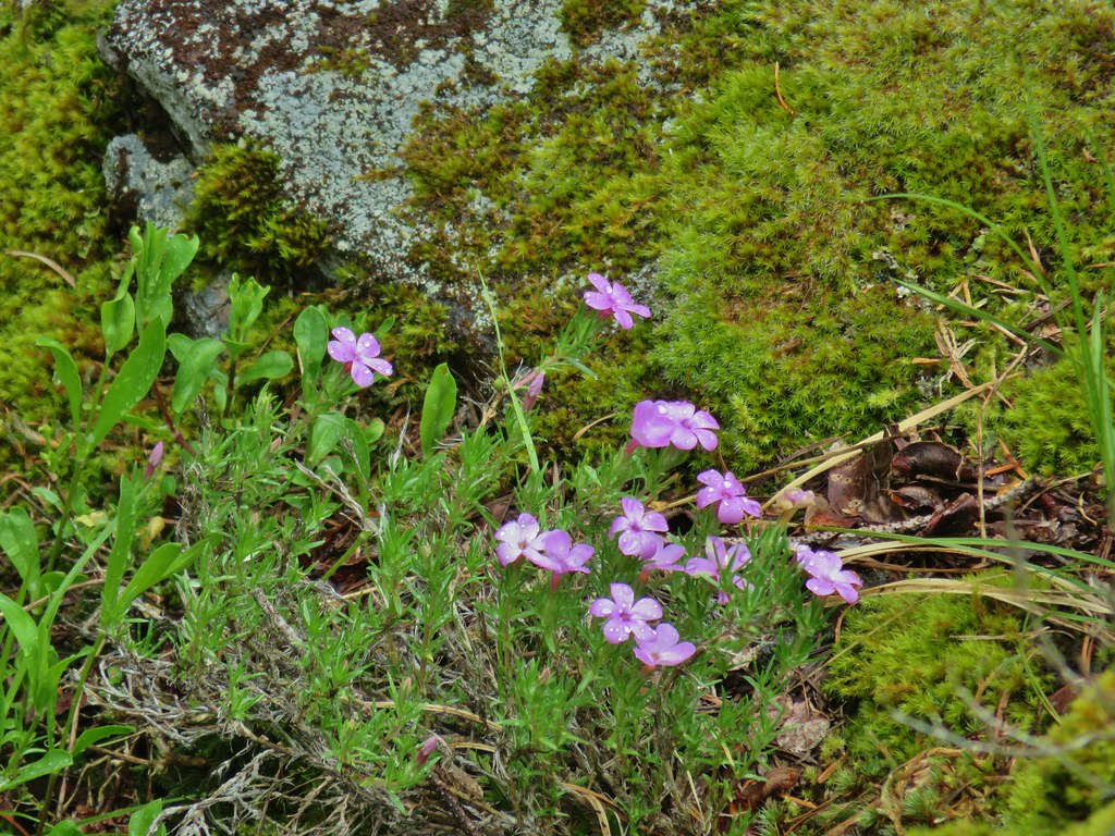
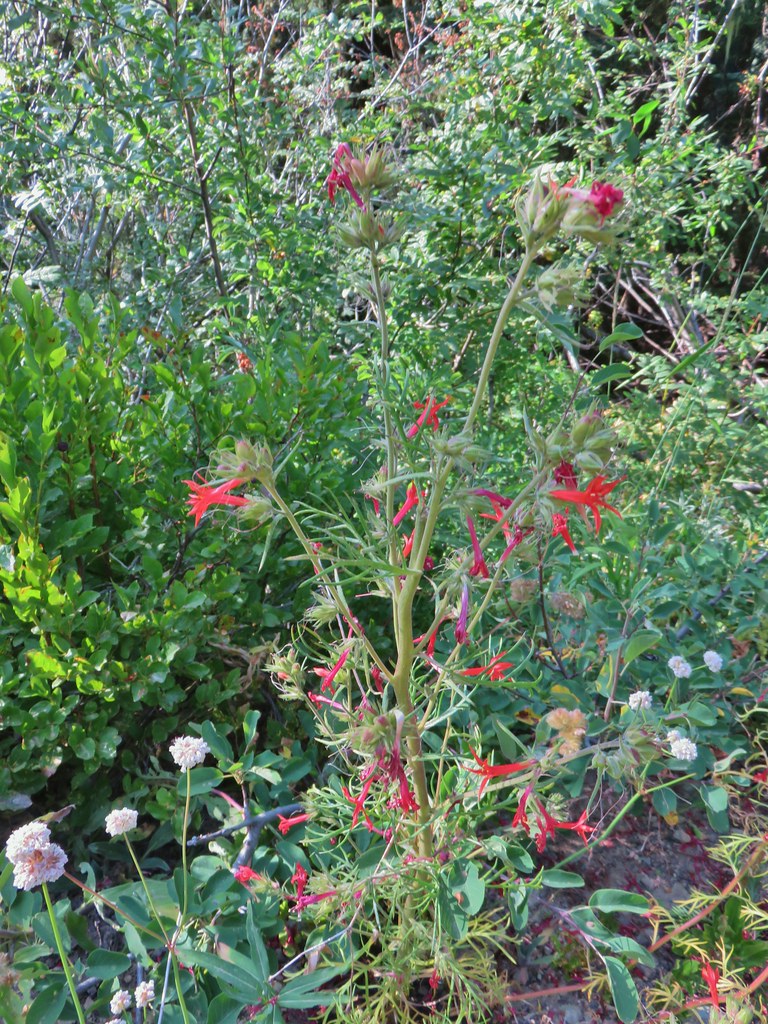 Scarlet gilia
 Bohemia Saddle

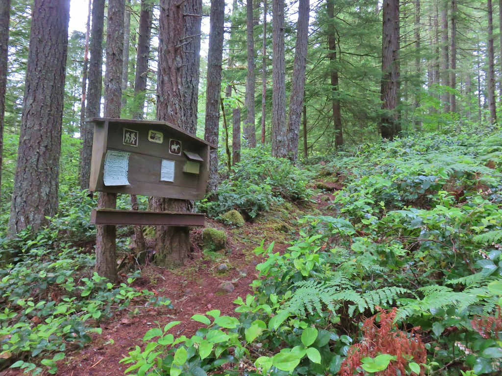
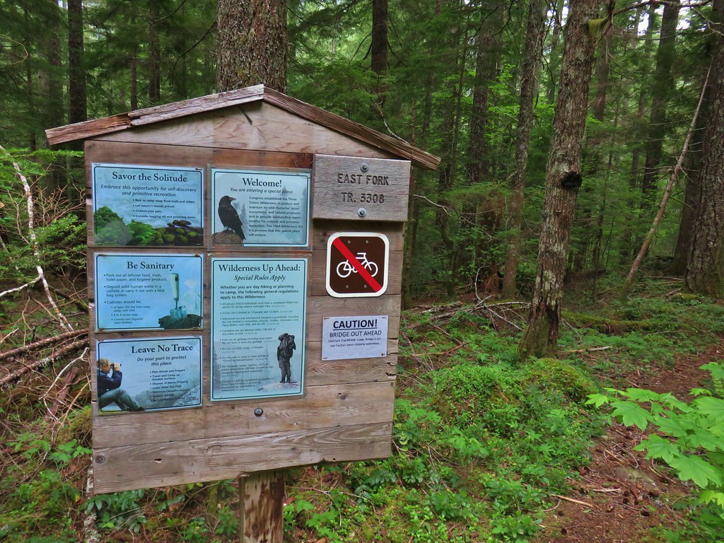
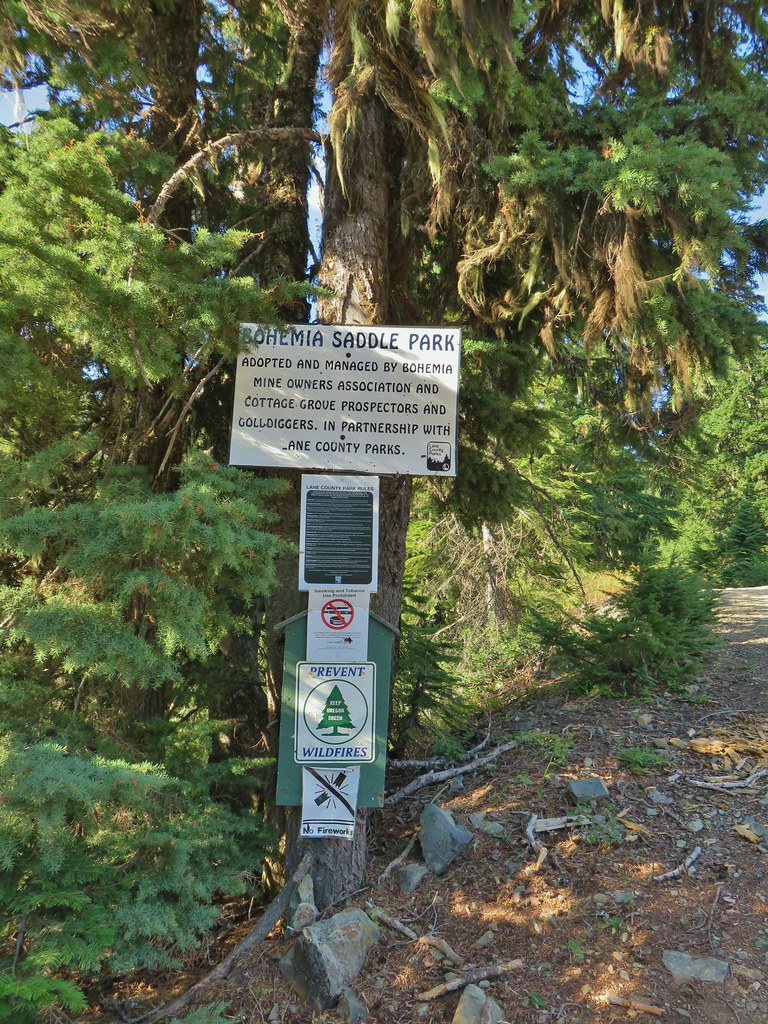 Signage at Bohemia Saddle
The trail itself starts approximately 100 yards up the road to the left on the right hand side.

 Sign marking the start of the trail.
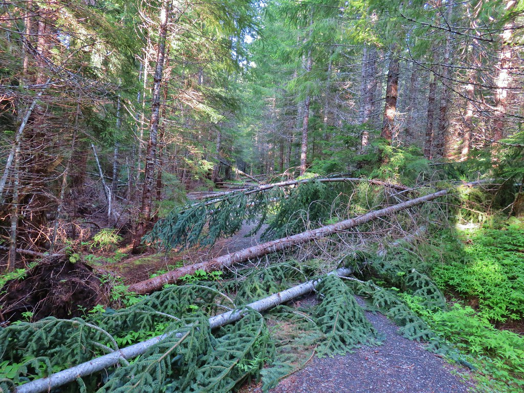
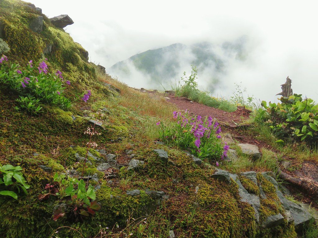
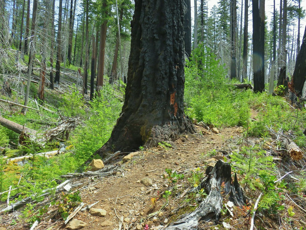
The trail climbs steeply up Jackass Ridge just over three quarters of a mile to the broad, flat rocky top of Bohemia Mountain. It was already in the mid 70’s as we made the climb which fortunately was at least mostly shaded as it stuck to the west side of the ridge.
 Starting up Jackass Ridge
 Rainiera
 Paintbrush and fleabane
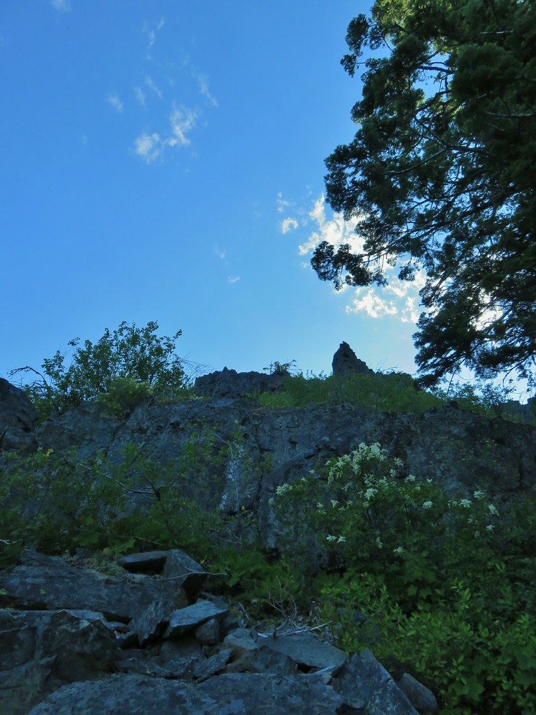 The rocky ridge provided shade during the climb.
 A lingering anemone.
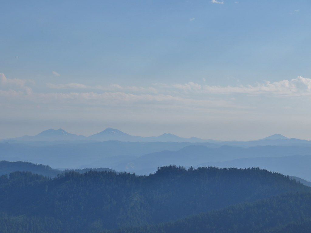
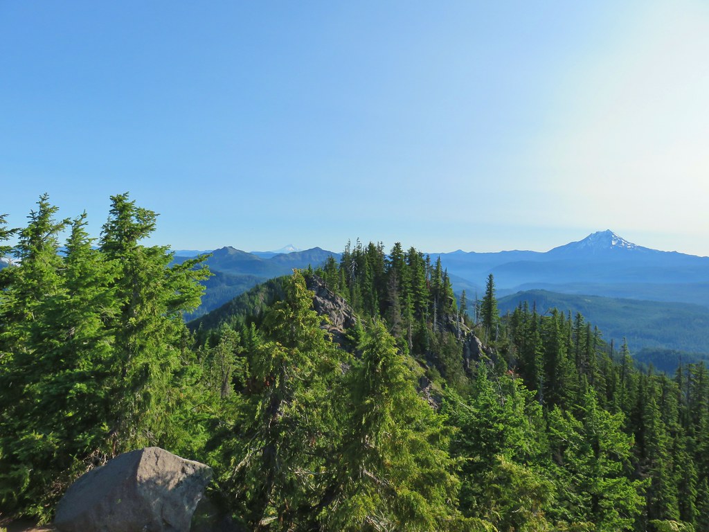
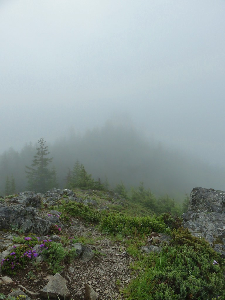
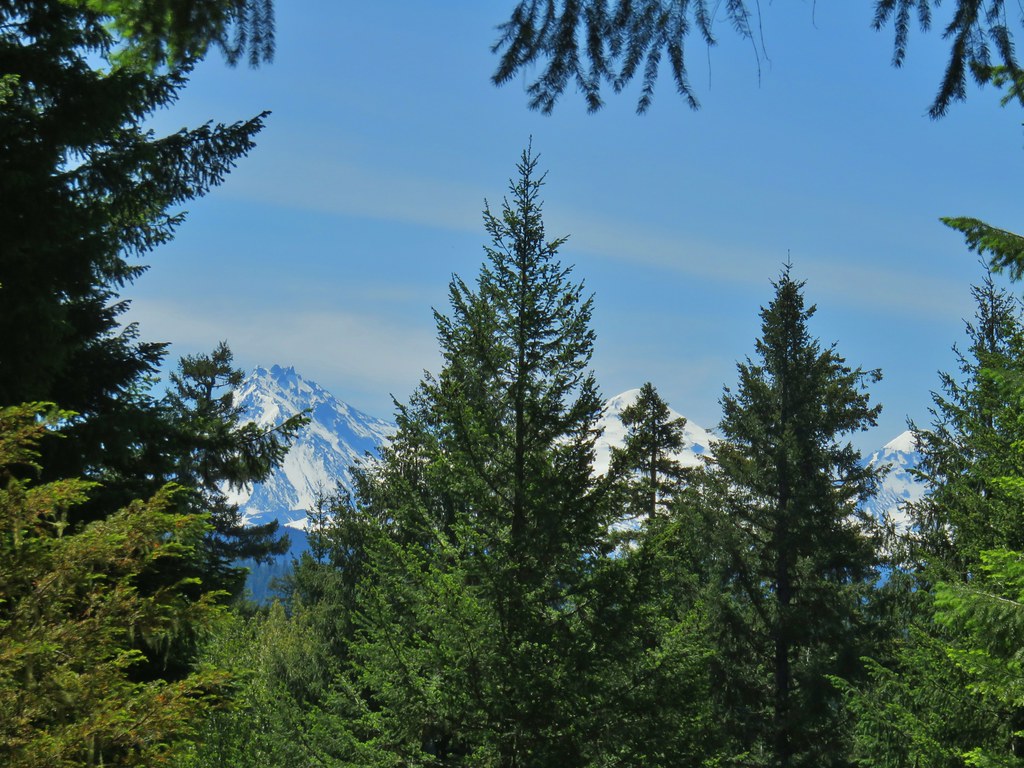
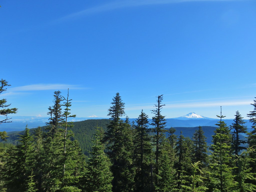
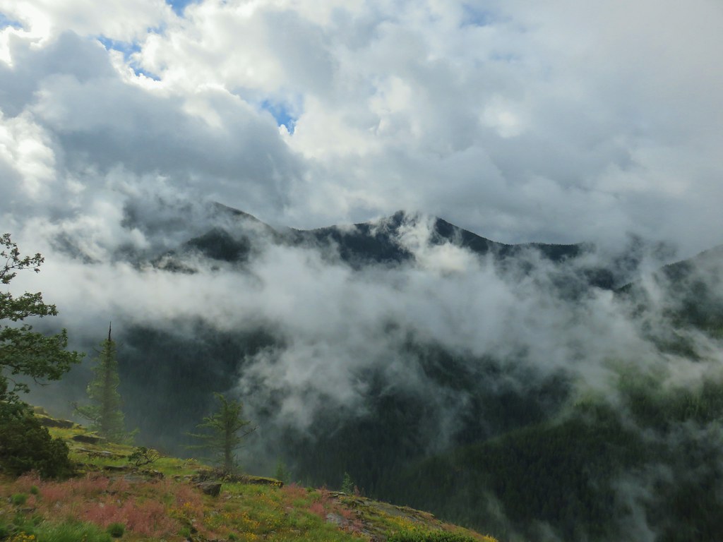
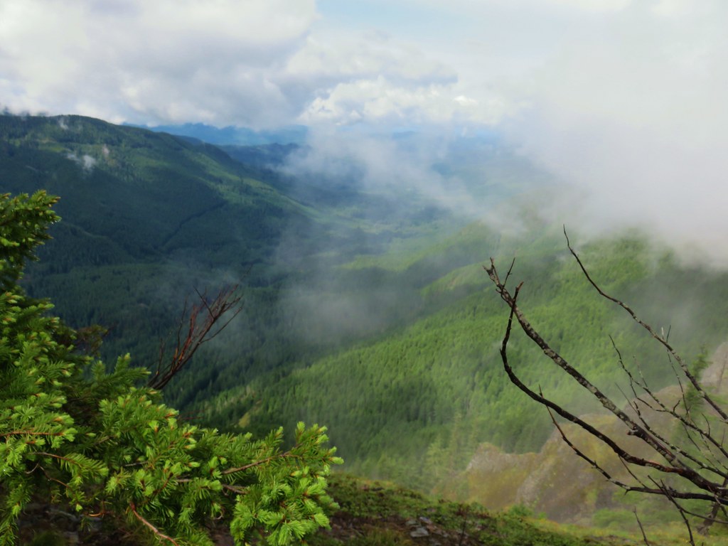
There were a couple of openings to the east where views could be had of the Cascade Mountains. Between haze and the position of the Sun we didn’t get the clearest views.
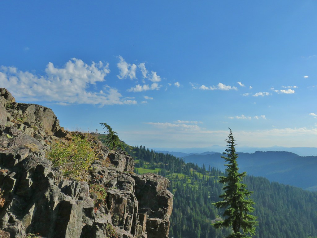 The Fairview Peak lookout tower to the left with the Three Sisters, Broken Top, and Mt. Bachelor in the distance.
 Three Sisters, Broken Top, and Mt. Bachelor in the distance.
 Nearing the summit.
 Mt. Bailey and Mt. Scott in the distance.
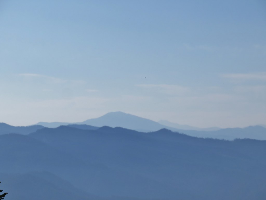 Mt. Bailey and Mt. Scott
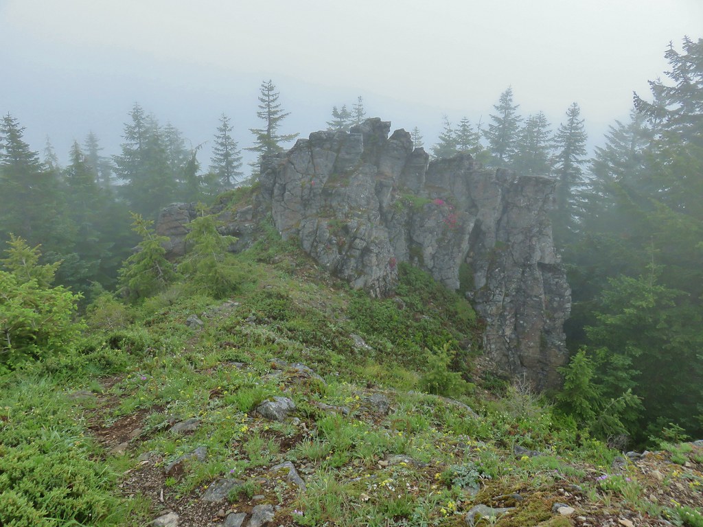
 Bohemia Mountain summit
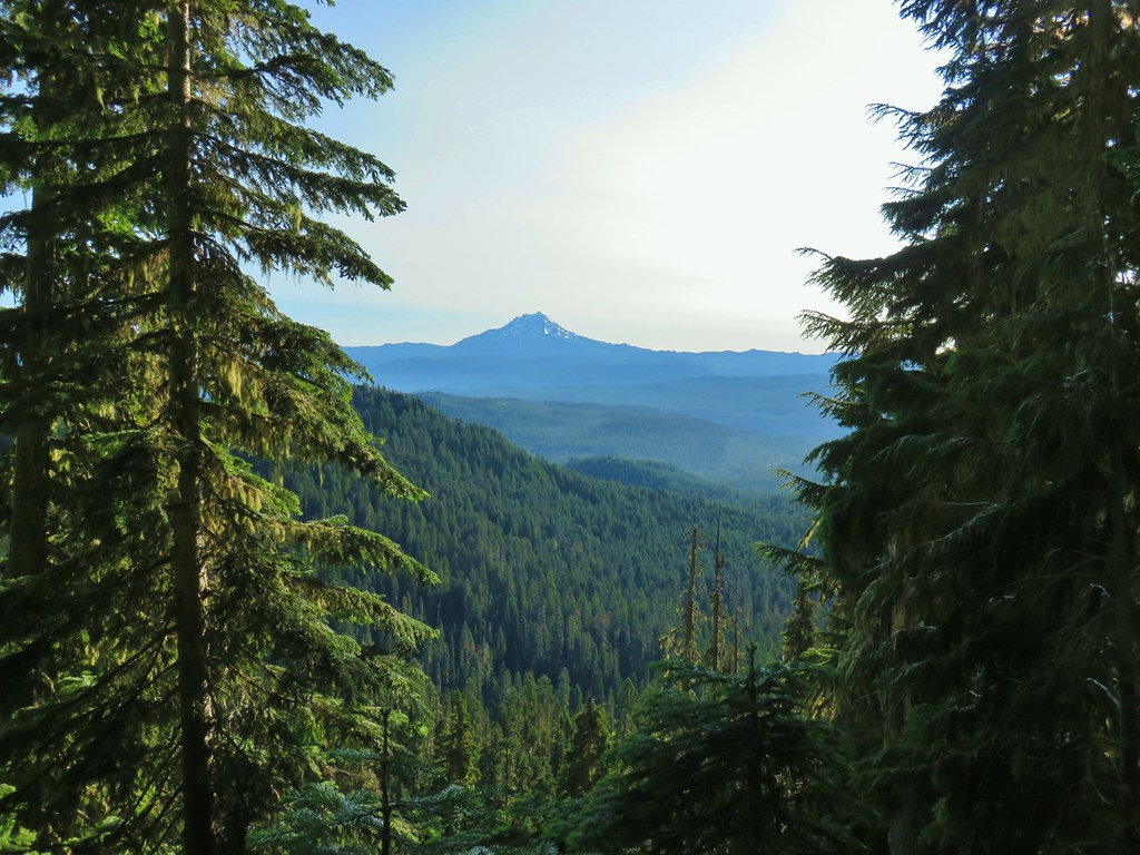
There was a lot of space to explore up on the summit and despite the conditions we were able to identify Cascade peaks from Mt. Jefferson in the north to Mt. McLoughlin (barely and only with the naked eye) to the south.
 Mt. Jefferson and Three Fingered Jack
 Mt. Washington and the North & Middle Sisters
 Three Sisters, Broken Top, and Mt. Bachelor
 Mount Yoran and Diamond Peak
 Tipsoo Peak, Howlock Mountain, Mt. Thielsen, Mt. Bailey, Mt. Scott, Hillman Peak and The Watchman.
We could also see Bohemia City’s post office below between the mountain and Fairview Peak.


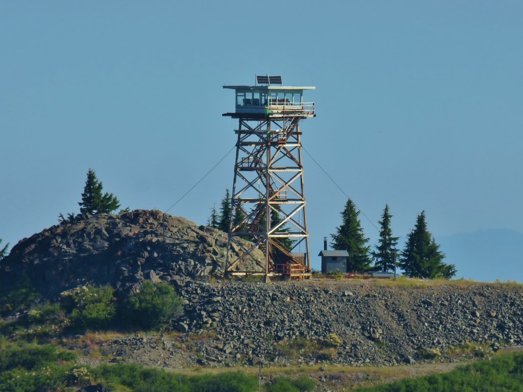 Fairview Peak lookout
We returned the way we’d come, stopping to eat a few ripe huckleberries along the way.
 A lot more yet to ripen.
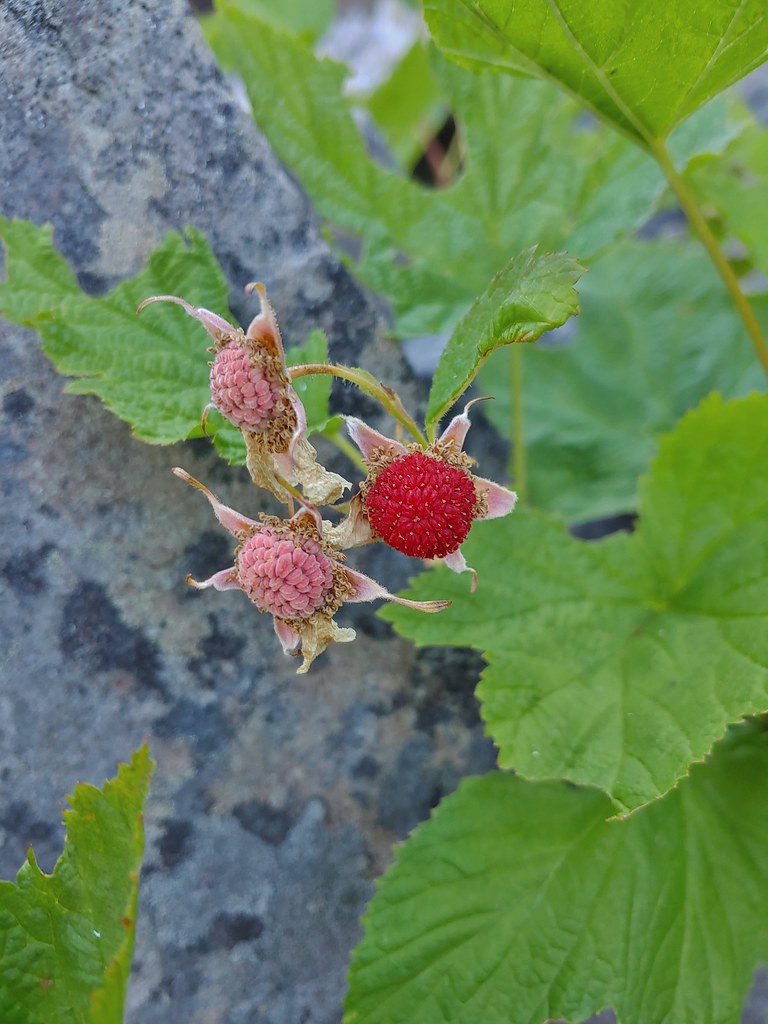 We also found a few ripe thimbleberries.
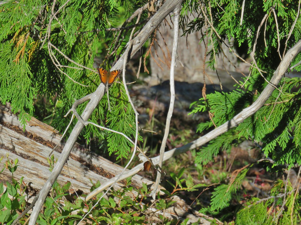
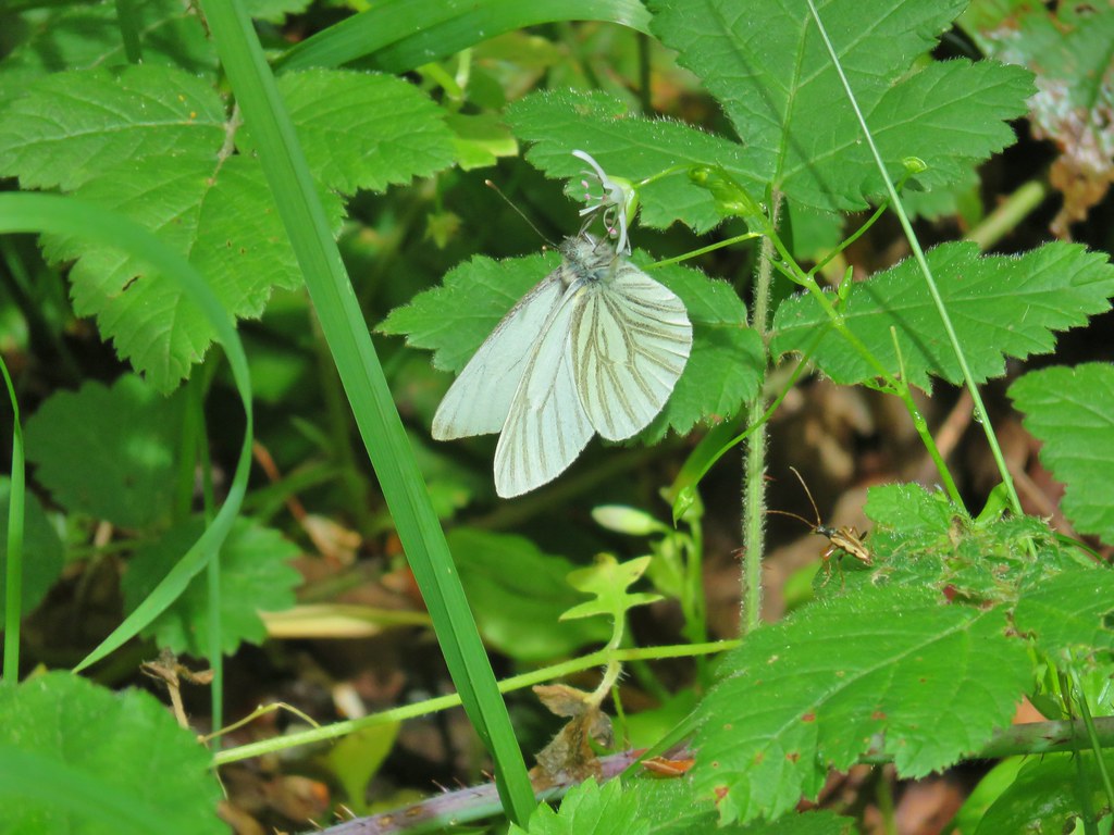
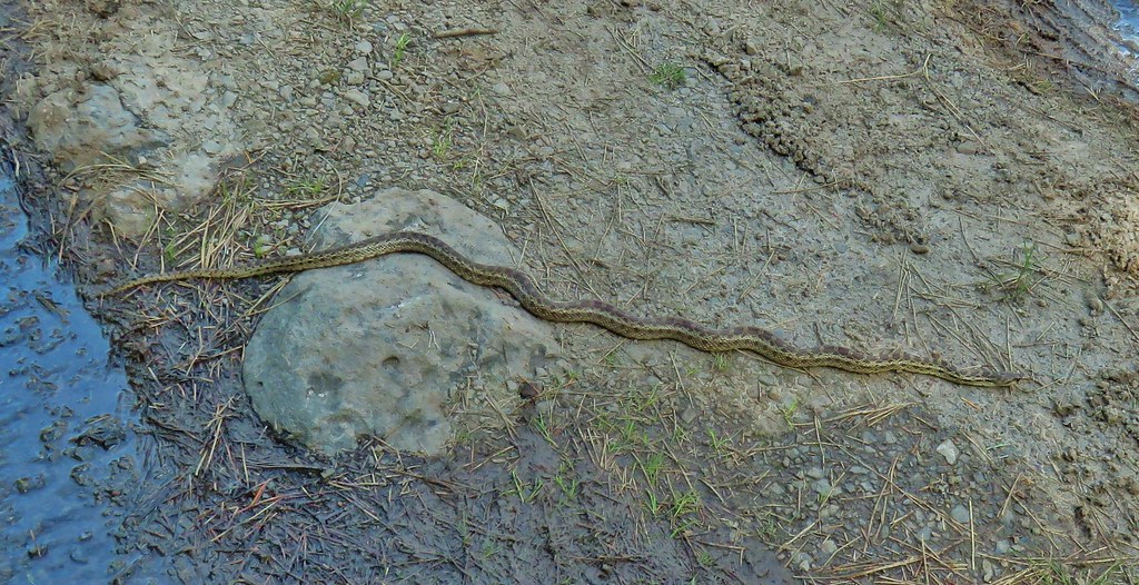
We kept our eyes out for more pikas and while we didn’t see any others we did spot an alligator lizard and a lot of butterflies.
 Alligator lizard


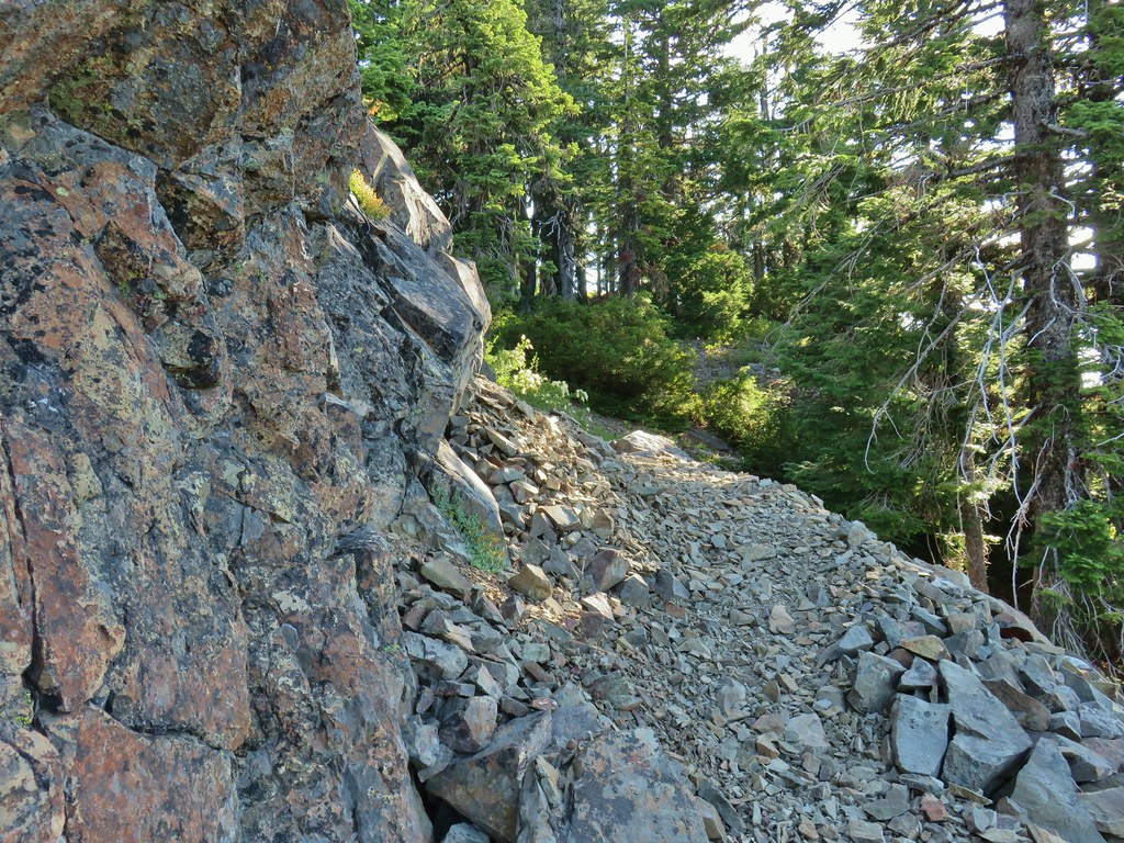
We were right on schedule for the birthday party when we started our drive to Lebanon but then things went off the rails. During the drive to the trailhead FR 2212 crossed two saddles, Helena Saddle (7.5 miles from FR 22) and Champion Saddle (8.3 miles from FR 22). At Helena Saddle we had forked right and Champion Saddle left but as we drove back we mistook Champion Saddle for the earlier saddle and forked left onto Champion Creek Road (BLM Road 2473). It took us a bit to realize we were on the wrong road. It became apparent when the road conditions became far worse than anything we remembered on the drive up and we also passed a sign that this road was not maintained. That sign at least gave us a fair amount of certainty that we knew which road we were on because we had passed the other end of the road on FR 22. It was signed for the Bohemia Mines but also warned that the road was not maintained and to use FR 2212. Call it stubbornness or stupidity but we were far enough along on the road that we just kept going and it kept getting worse. We did pass a couple of other vehicles parked at pullouts so at least in theory it was passable. Our Subaru Outback managed to make it through in one piece (which is more than I can say for our nerves) but it was not fun. It certainly isn’t a road that I’d take unless I was specifically looking to do some 4wd driving. Our little wrong way expedition added about 40 minutes to our drive so we were fashionably late to the party. Luckily Tyler didn’t seem to mind and we had nice visit before continuing home. Happy Trails!
Flickr: Bohemia Mountain


 Coneflower
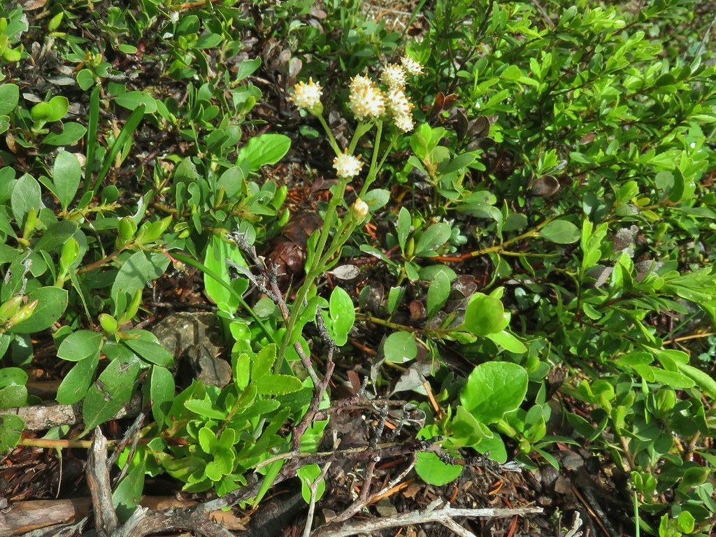
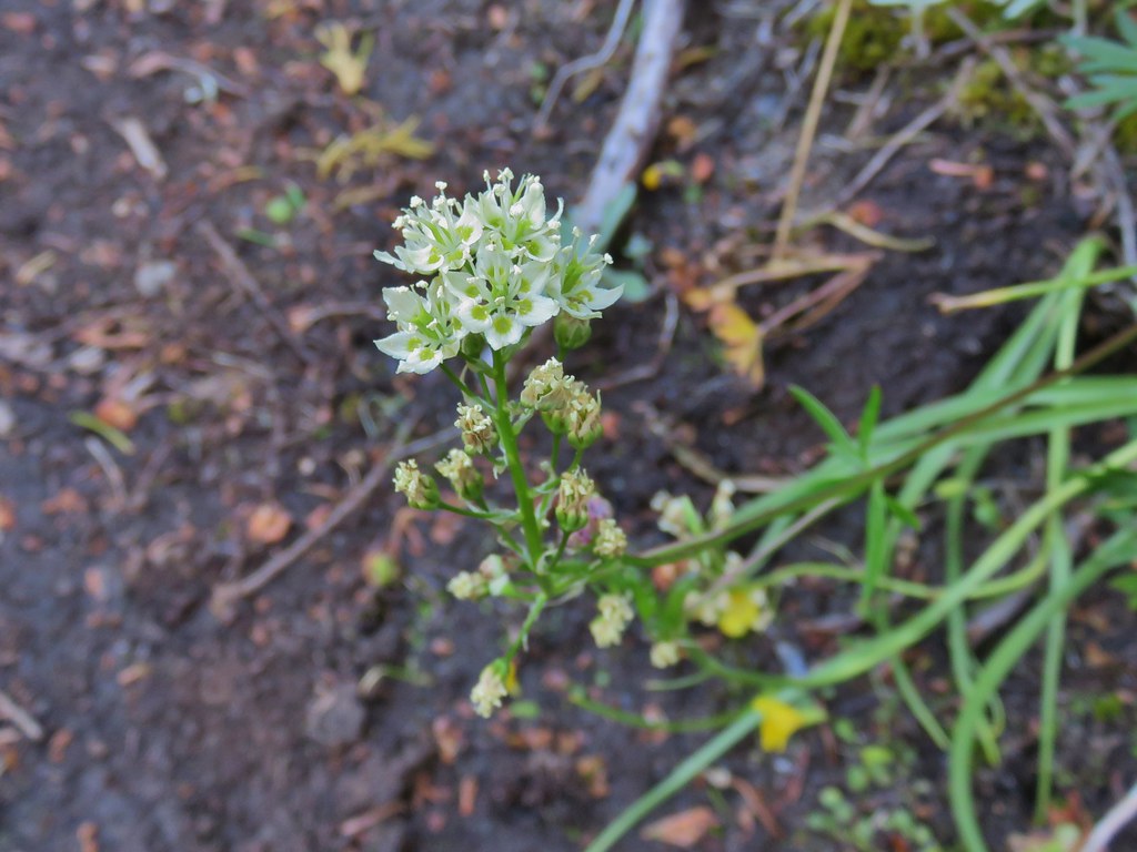 Death camas


 Penstemon
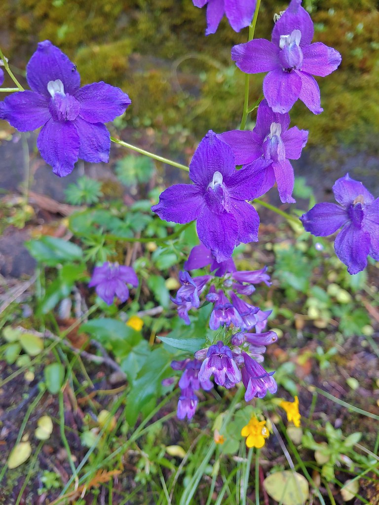 Larkspur and penstemon

 Middle Pyramid from the ridge.
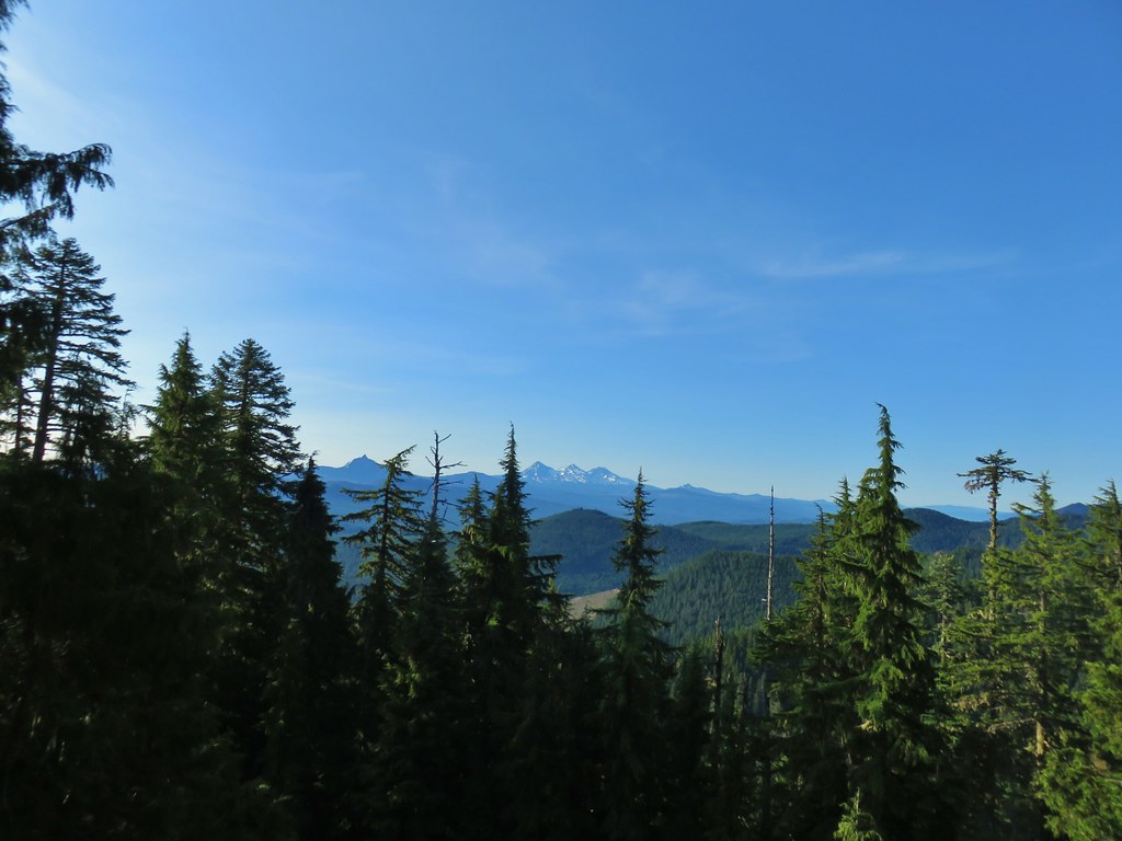 Mt. Washington and the Three Sisters

 Mt. Jefferson
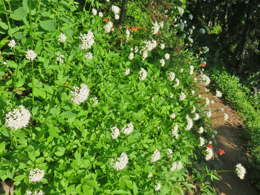 Valerian and columbine
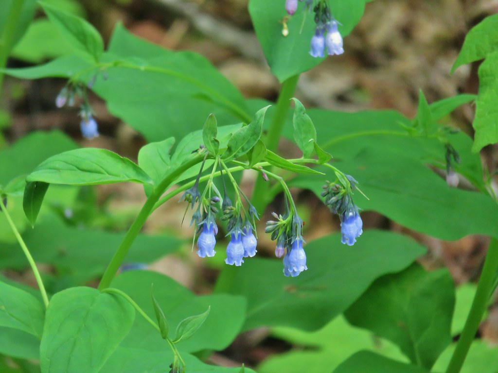
 Mountain bluebells

 Looking up toward the summit from the saddle.
 Mt. Washington and the Three Sisters
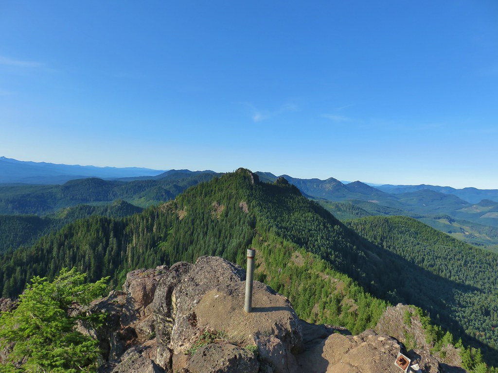 South Pyramid with snowy Diamond Peak to the left in the distance.
 A faint Mt. Adams to the left of Mt. Hood
 Meadow from the summit.
 North Pyramid
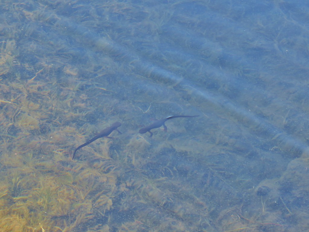 Rough skinned newts


 Crab spider on prince’s pine
 The trail used to continue on the other side of the inlet creek.

 Washington lilies
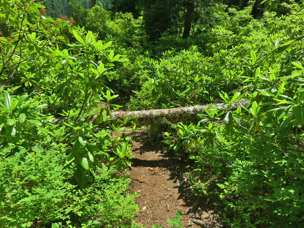
 Crossing on the outlet creek.
 Marsh at the outlet creek.
 Bog orchid
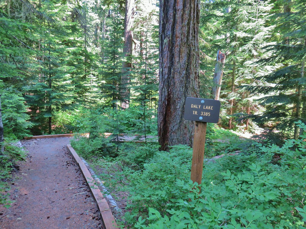
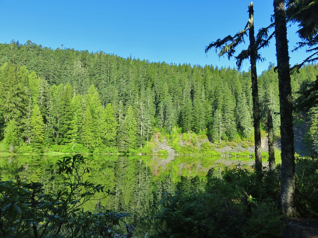
 The North Pyramid from Daly Lake

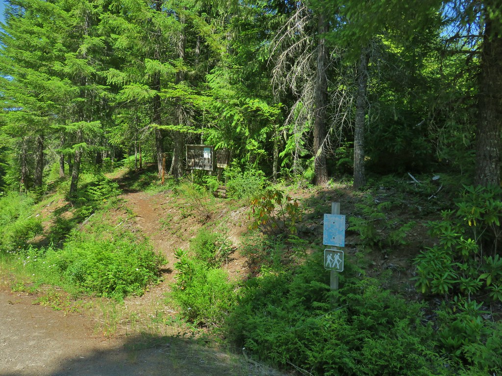
 A second signboard just up the trail from the trailhead.
 Wet leaves around an iris.

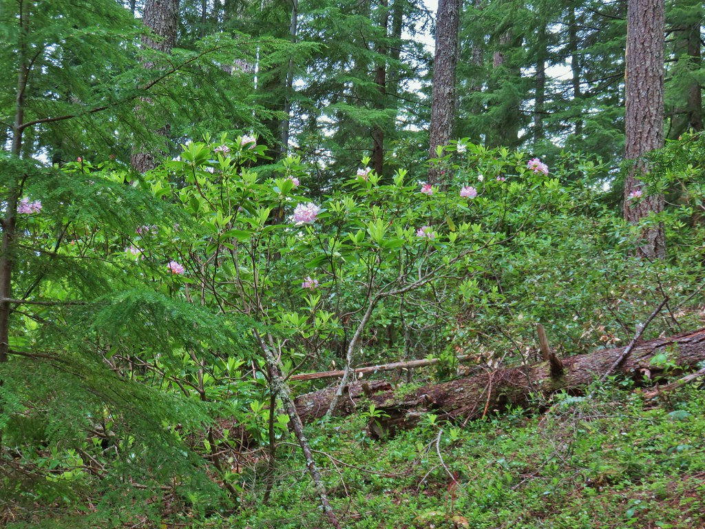
 Rhododendron
 Coralroot
 The small wildflower meadow.
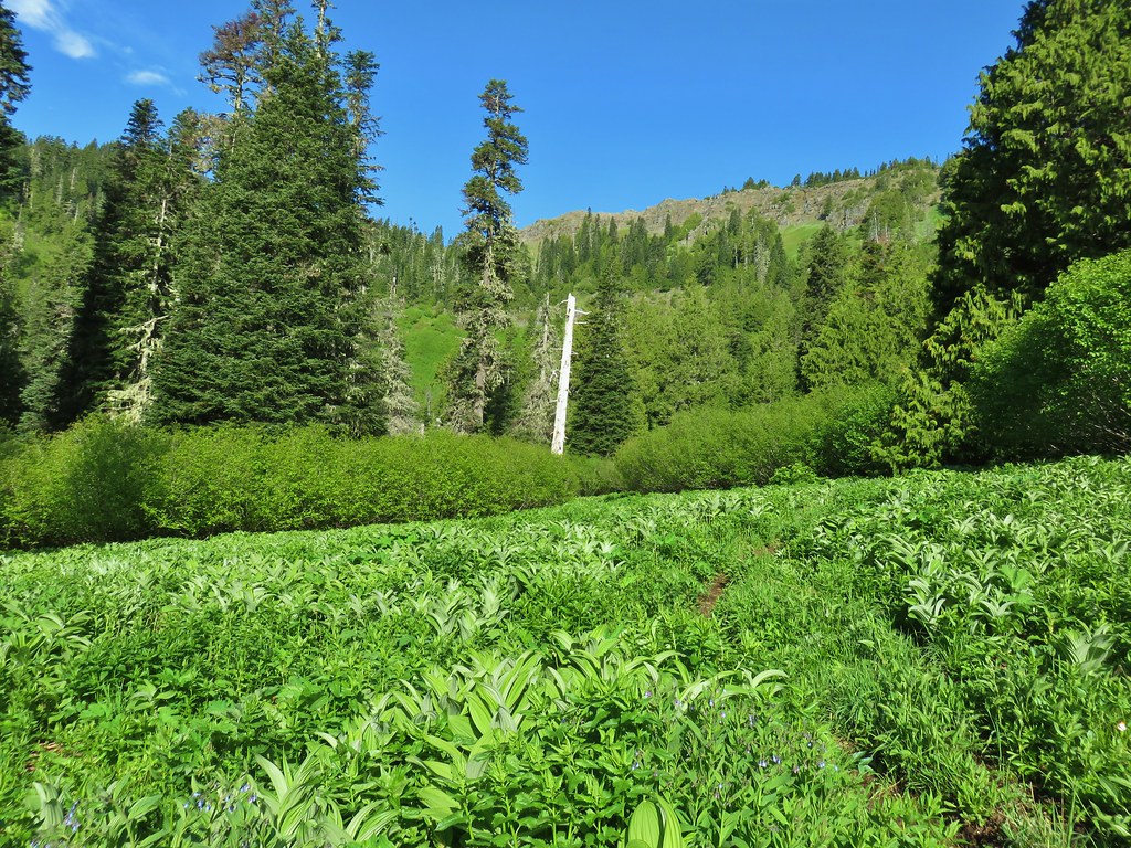
 Paintbrush, Oregon sunshine, and plectritis
 Sub-alpine mariposa lily
 Death camas
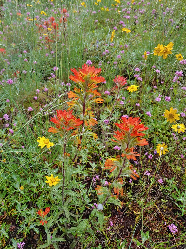 Paintbrush
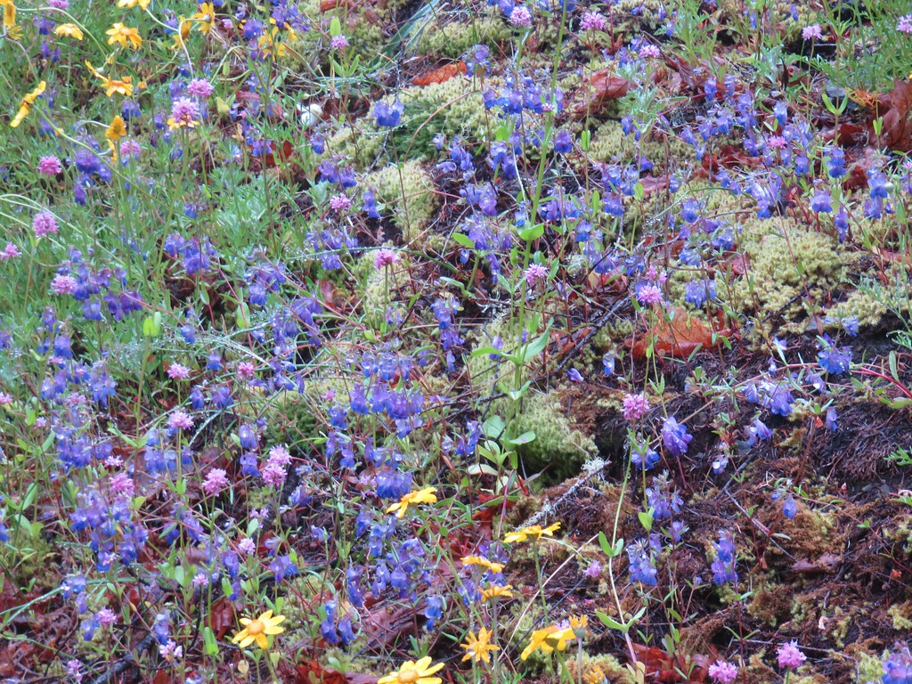 Blue-eyed Mary
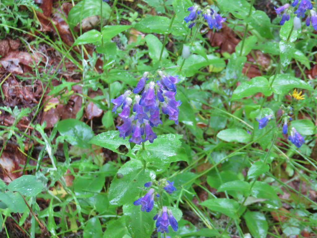 A penstemon
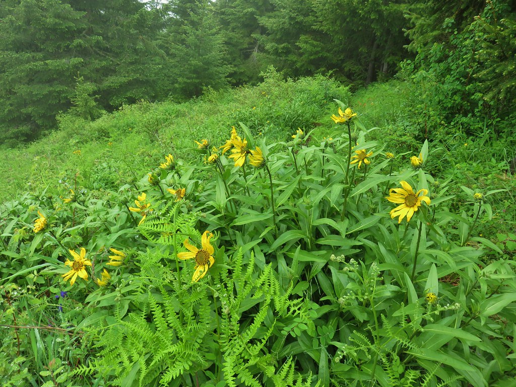
 Balsamroot at the edge of the meadow.
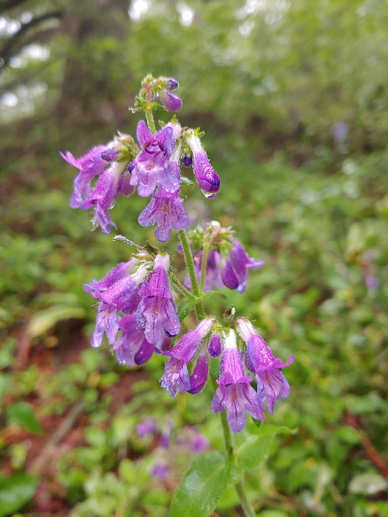 Penstemon
 Larger meadow
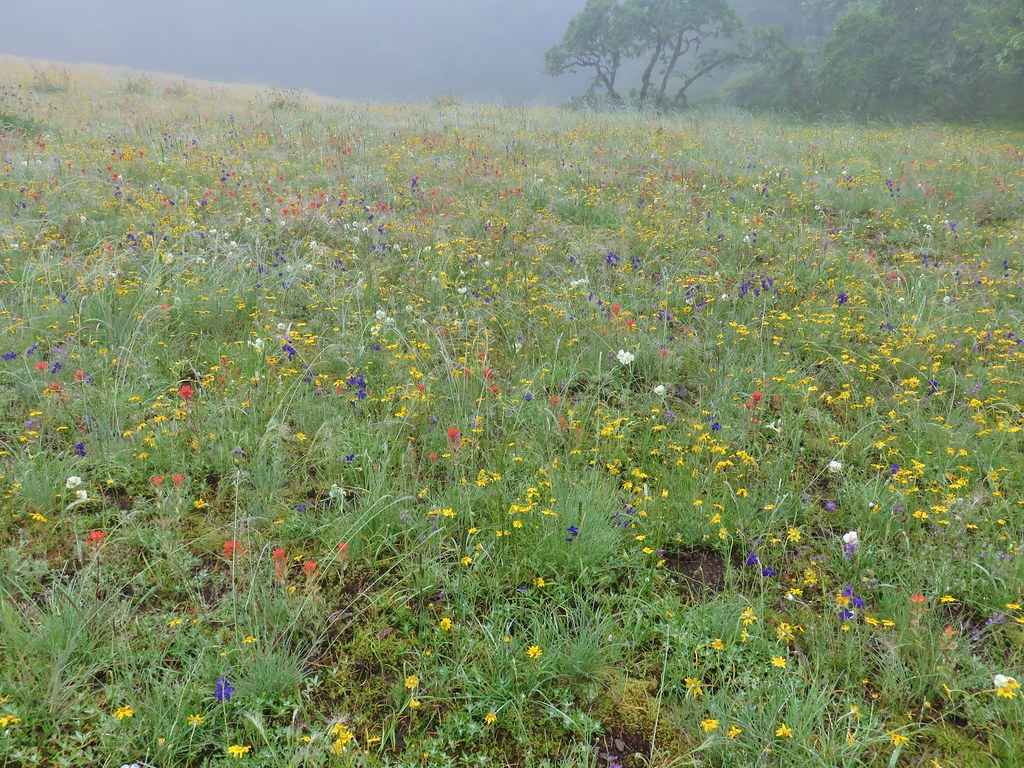
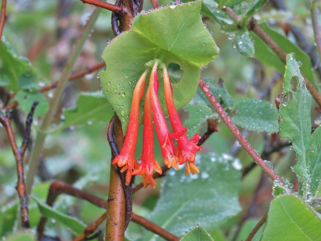 Honeysuckle
 Larkspur amid the paintbrush and Oregon sunshine
 Tomcat clover
 Possibly a milk-vetch or some sort of vetch.
 Image Creek Trail and the High Ridge Trail.
 One of the sets of rocks along the way.
 In the middle of one of the climbs.
 The trail leveling off a bit.
 Oregon sunshine
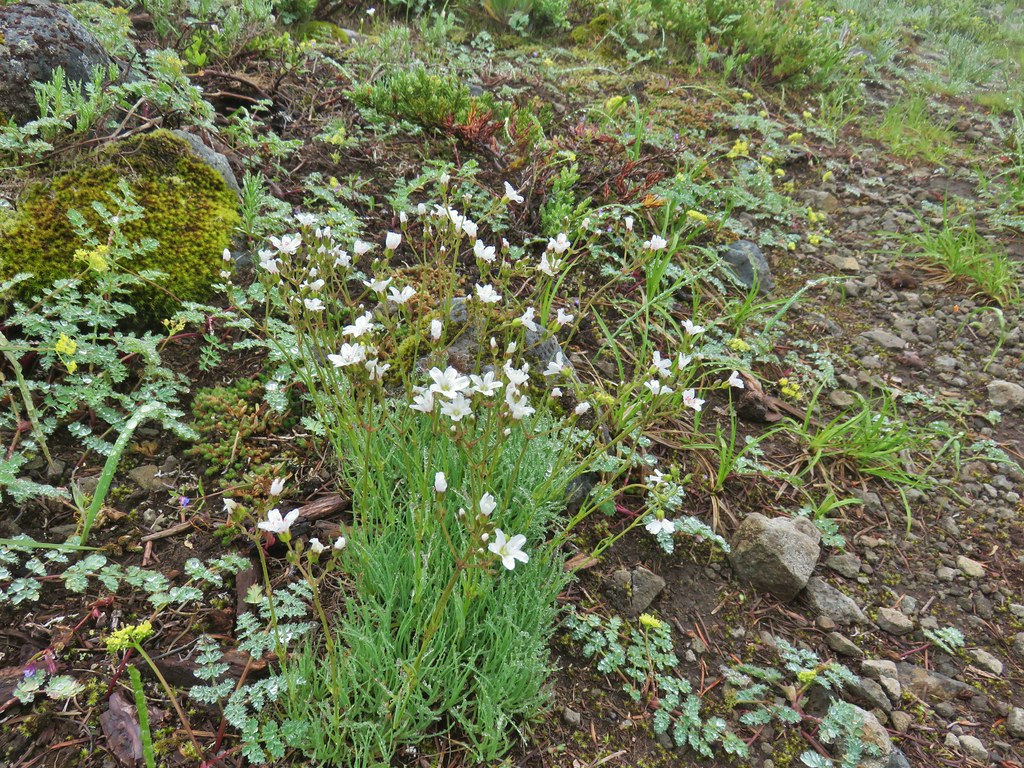 Mountain sandwort
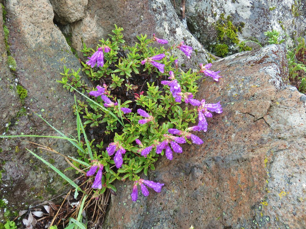 Penstemon
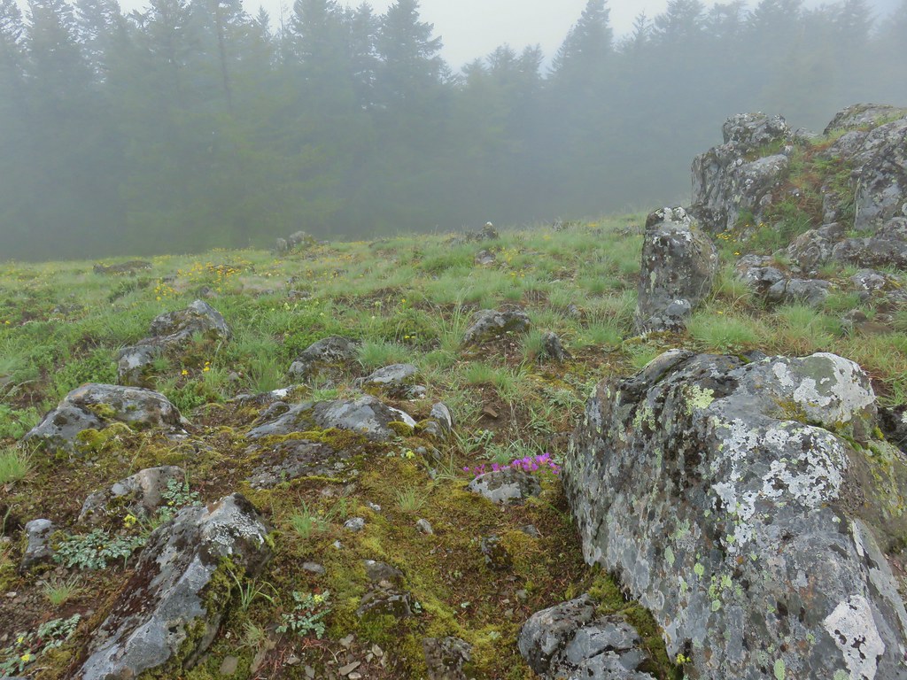
 Olympic onion
 Back in the trees.
 Fawn lilies
 The next little meadow.
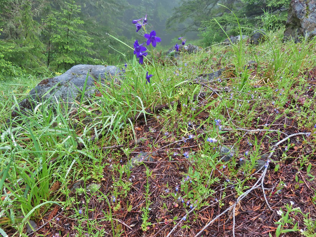 Larkspur and blue-eyed Mary
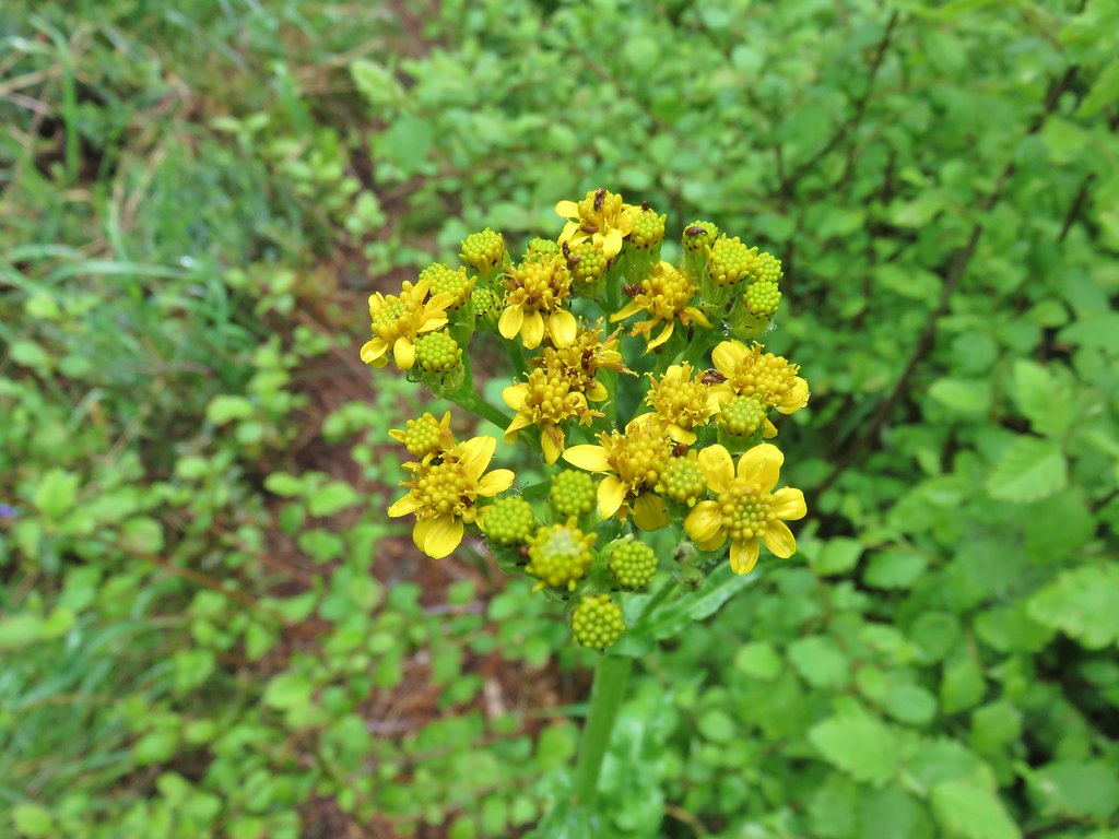 Groundsel
 Trees again.
 Another meadow
 Phlox
Phlox Phlox
Phlox Chickweed
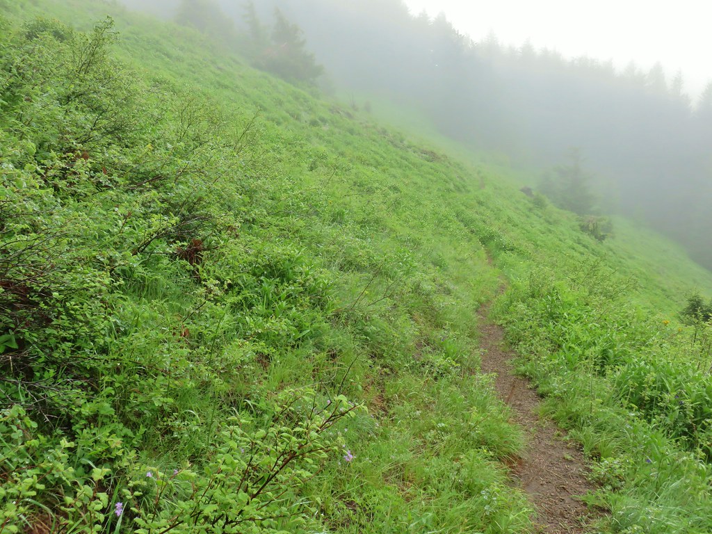

 Larkspur
 Lupine
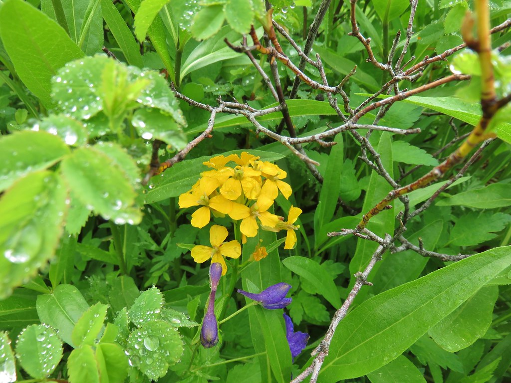 Wallflower
 Paintbrush
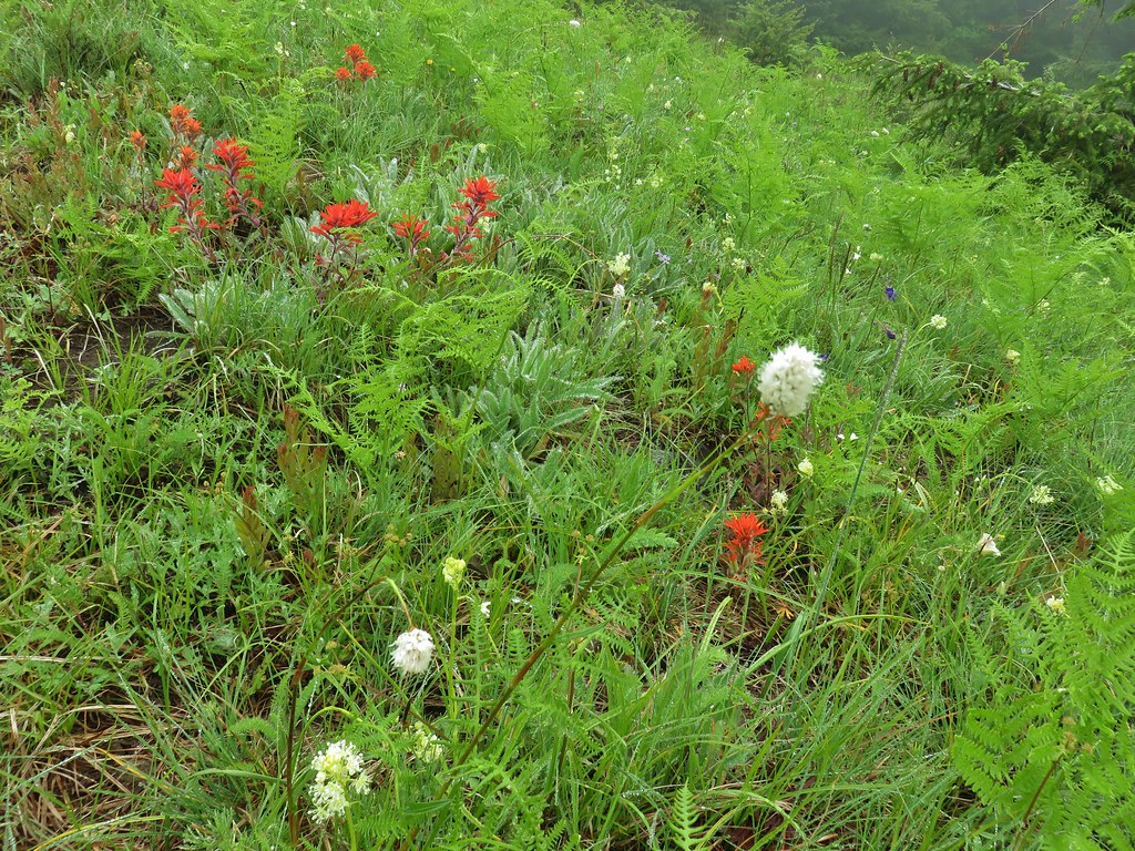 Bistort
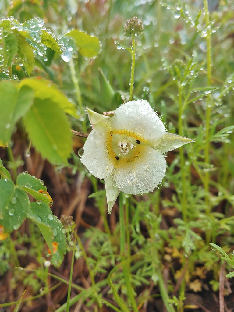 Sub-alpine mariposa lily


 For comparison.
 Sticky cinquefoil
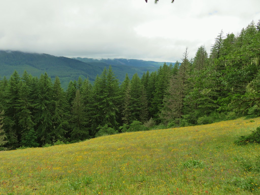


 Plectritis and Oregon sunshine
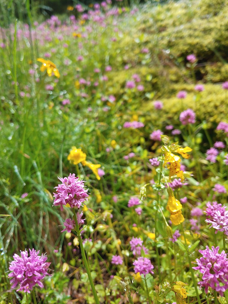 A monkeyflower by some plectritis.

 Iris along the trail.

 I didn’t see the beetle until I was uploading this photo.
 Where’s the western tanager.


 The wheelchair friendly path.
 The hiker path.
 The hiker trail.
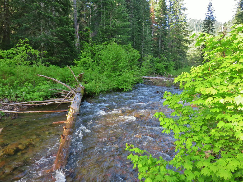
 Western meadowrue
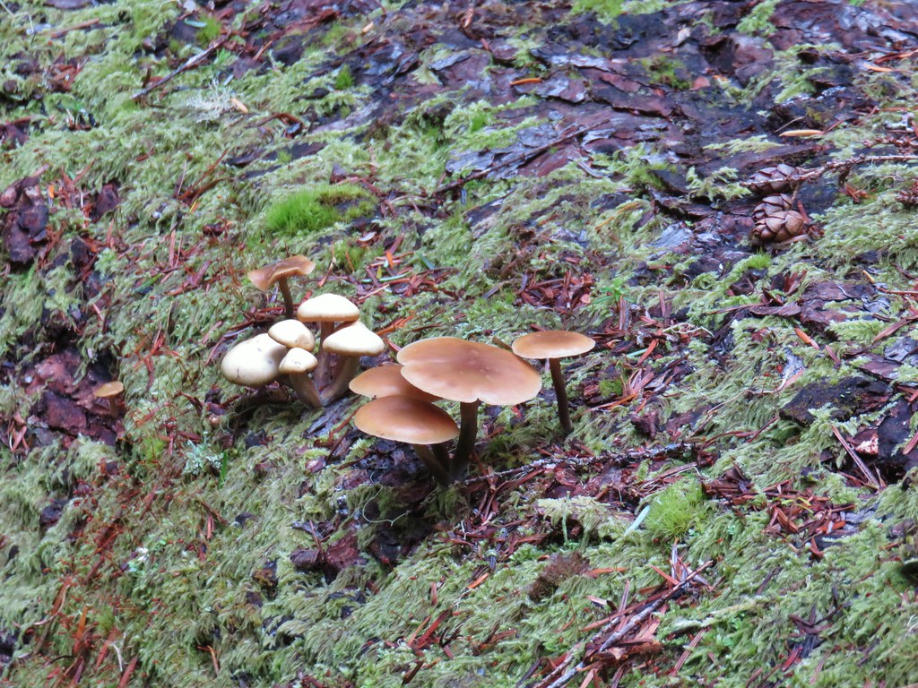 Mushrooms on a log.
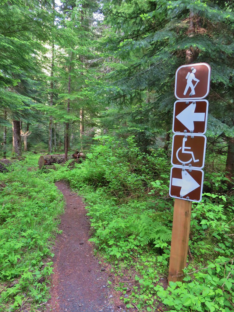
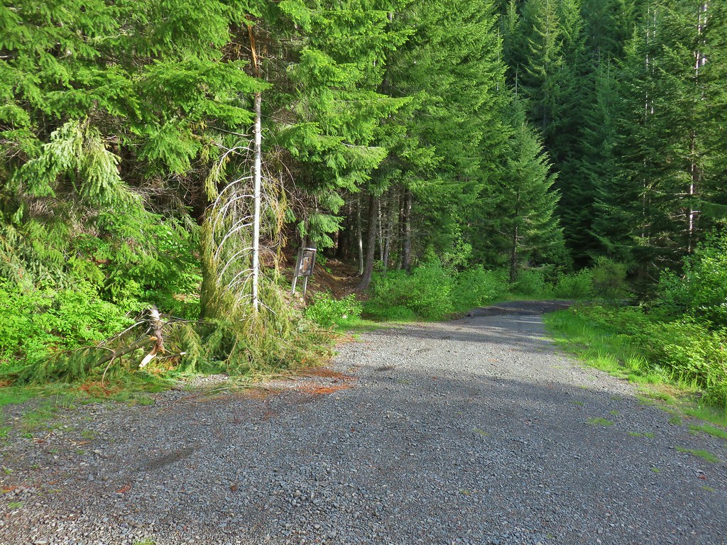 Echo Basin Trail at FR 055.
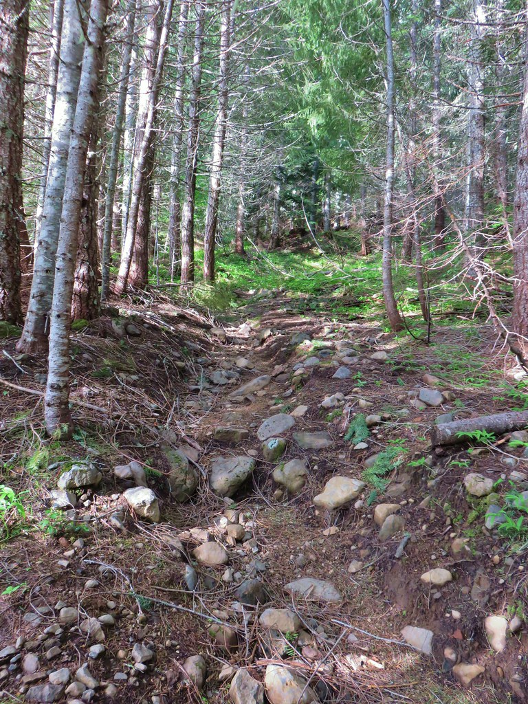 Rocky start to the trail.
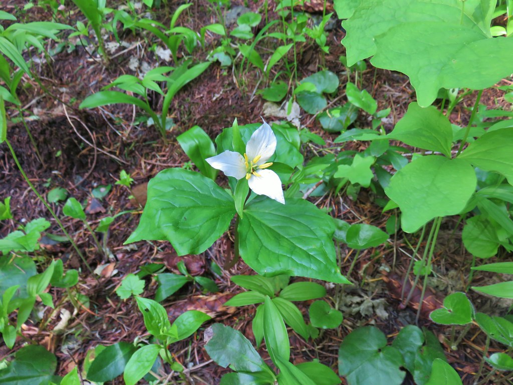 Trillium
 More trillium along the meadow.
 Swallowtail on salmonberry blossoms.
 Start of the loop.
 Orange tip butterfly
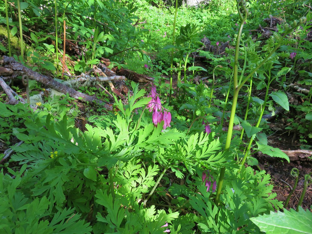 Bleeding heart
 Violets
 Fairybells
 Royal Jacob’s ladder
 Western meadowrue


 Paintbrush
 Frog
Frog Looking back at the route through the meadow.
 The trailhead off of FR 2672.

 Iris
Iris Beargrass
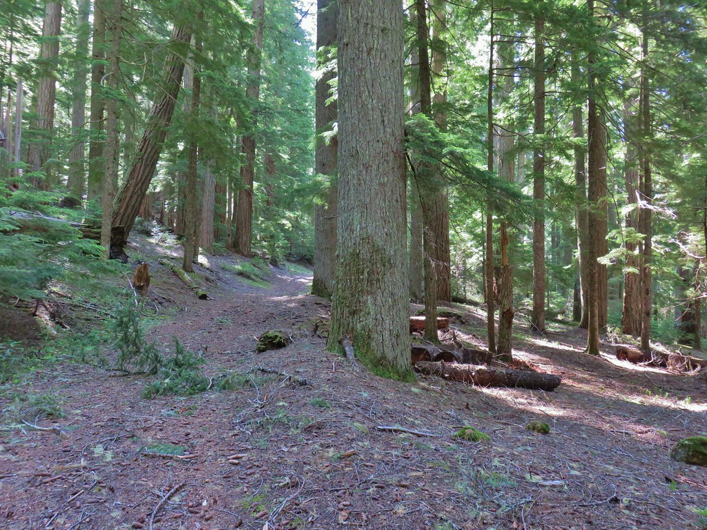 Santiam Wagon Road
 Bunchberry
 Musk monkeyflower
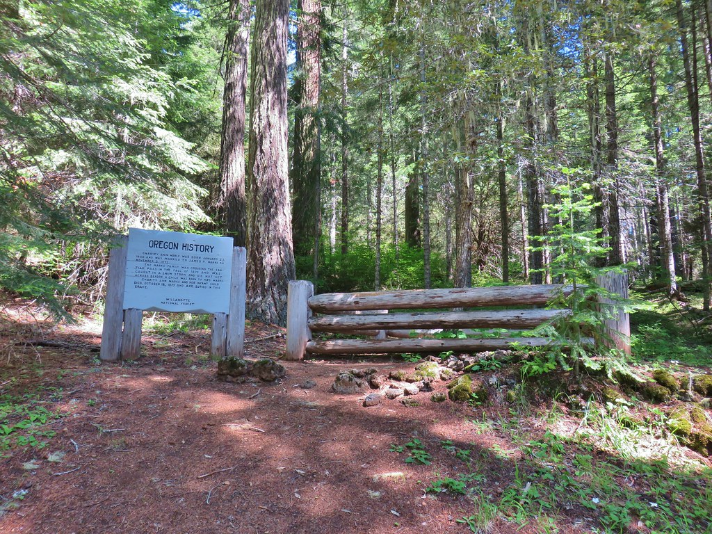

 Hall House
 Commissary Cabin
 Commissary Cabin innkeeper?
 More from the remount station
 Browder Ridge (
 Interpretive signs for the remount station.


 Bunchberry
 Salmonberry
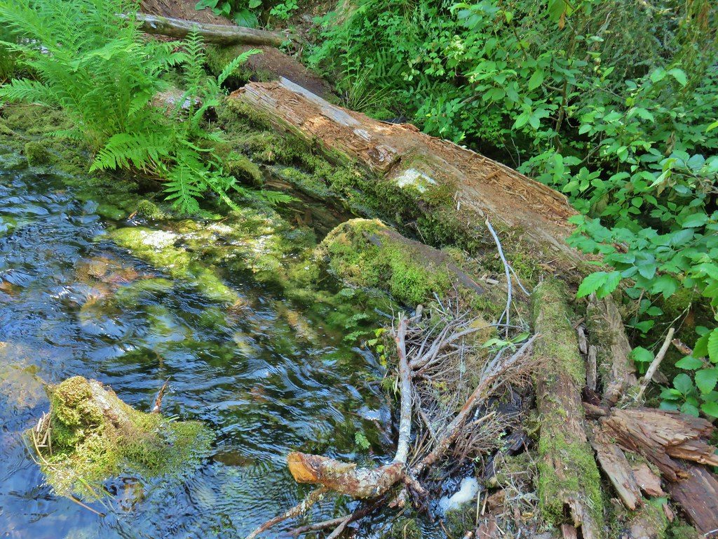
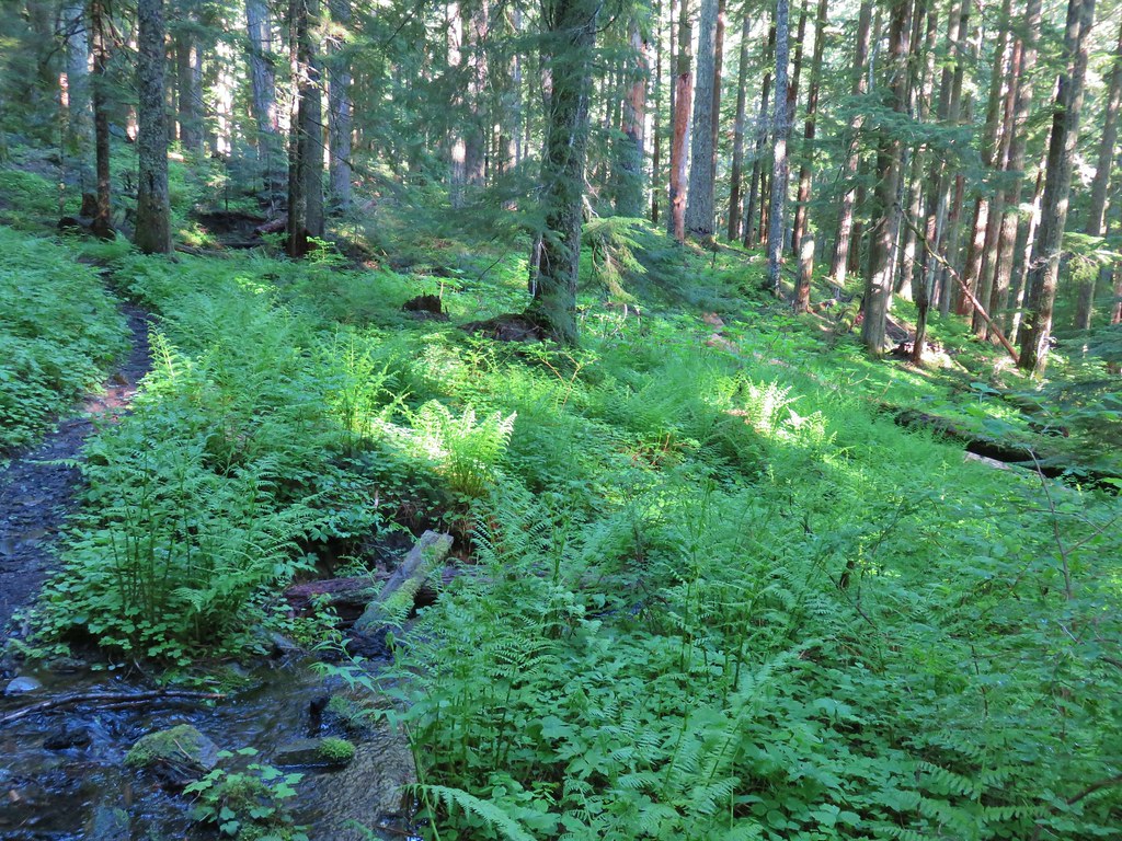 First little stream crossing.
 Another stream crossing, this one with skunk cabbage.
 Memaloose Creek crossing.
 Memaloose Creek above the crossing.
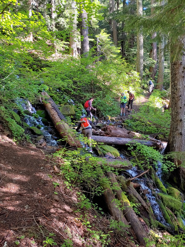
 Skunk cabbage, shooting stars, and marsh marigolds across the lake.


 Typical obstacles for the trail.
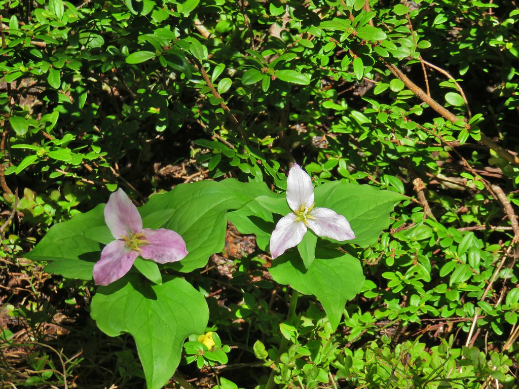 Trillium
 Mt. Rainier, Mt. Adams (with Goat Rocks the snowy patch just to the left), and Mt. Hood
 Mt. Rainier
 Goat Rocks to the left with Mt. Adams
 Mt. St. Helens
 Mt. Hood
 Mt. Jefferson, Three Fingered Jack, Broken Top, Mt. Washington, and the Three Sisters.
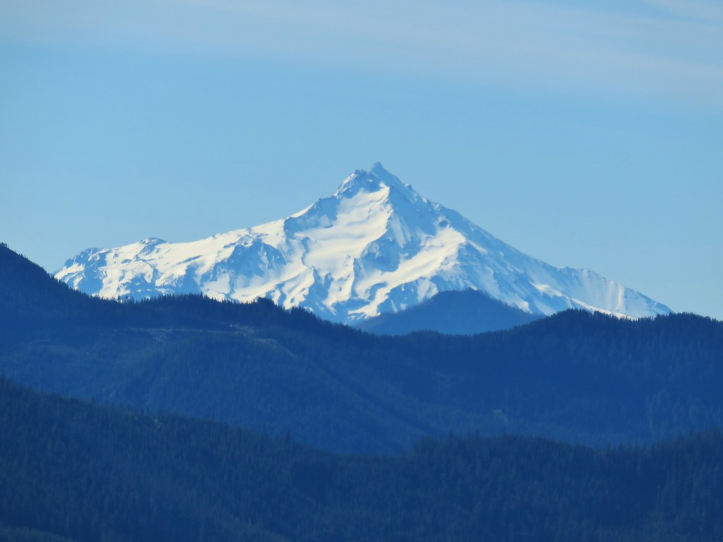 Mt. Jefferson
 Three Fingered Jack
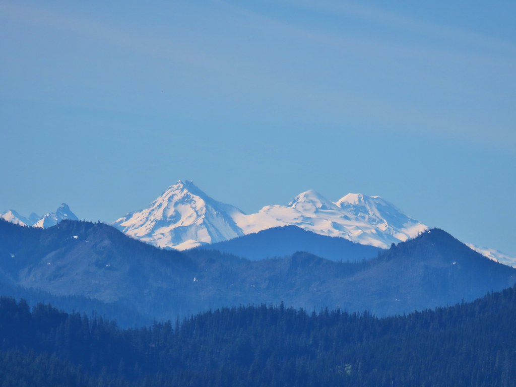 Broken Top, Mt. Washington, and the Three Sisters


 Red elderberries
 Youth-on-age
 A phacelia
 Hedgenettle
 Tiger lily
 Fringecup
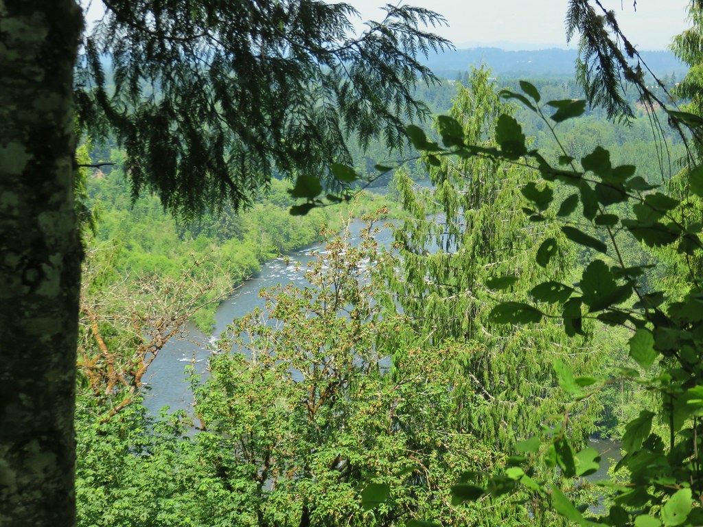


 Dragonfly near the pond.


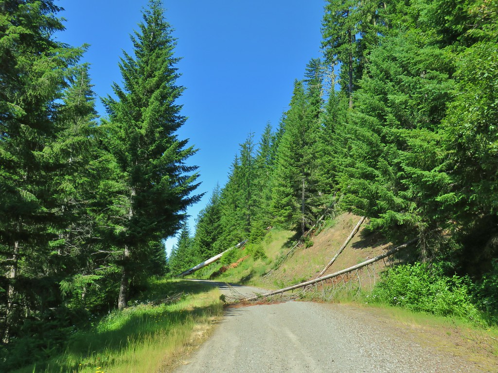
 Downed tree across the road.


 Looking back at some of the obstacles.
 More obstacles ahead.
 Ferns along the Swordfern Trail.


 Self heal
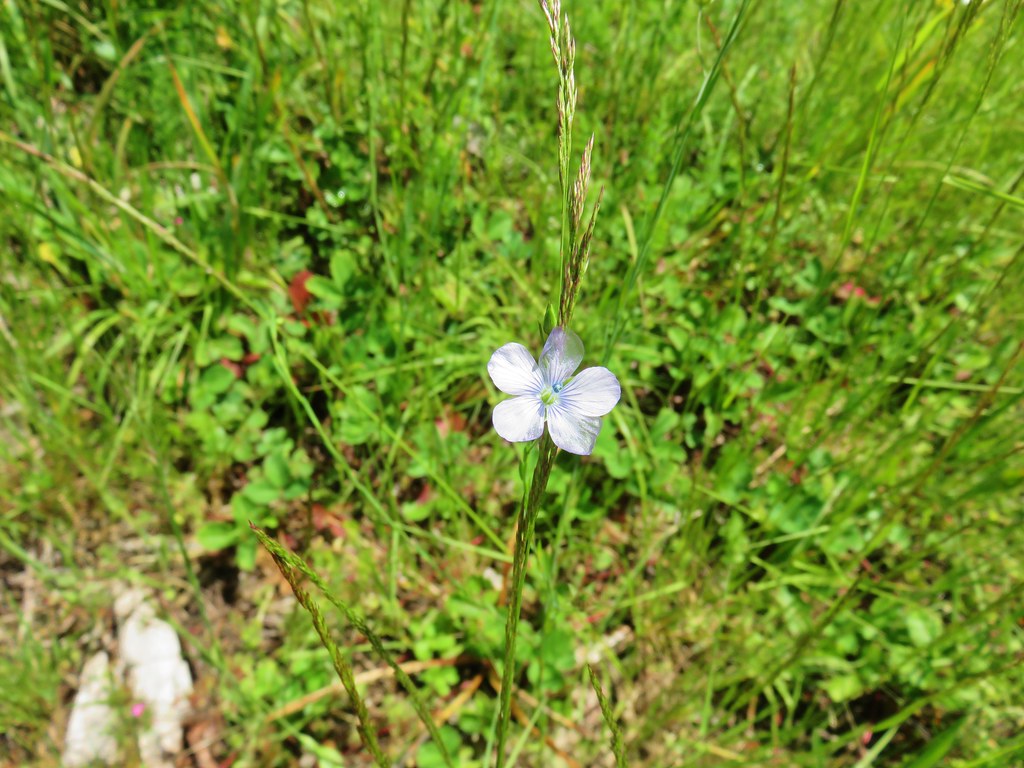 Pale flax
 Poppy
Poppy Looks like something in the mallow family.
 Red beetle
 Sneaky poison oak


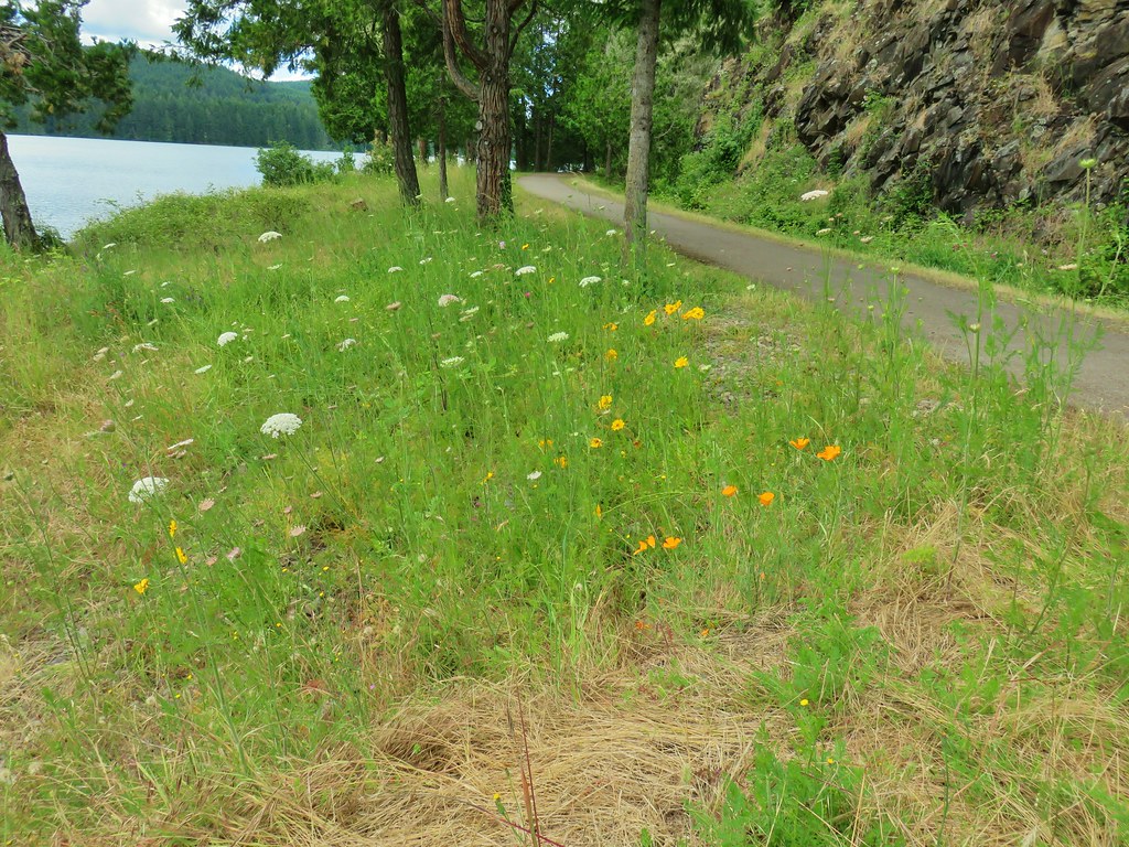
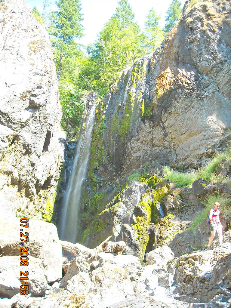
 Approaching Dorena Lake
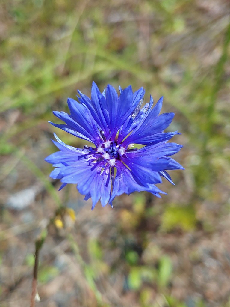 Bachelor button
 No idea what this is, possibly non-native.
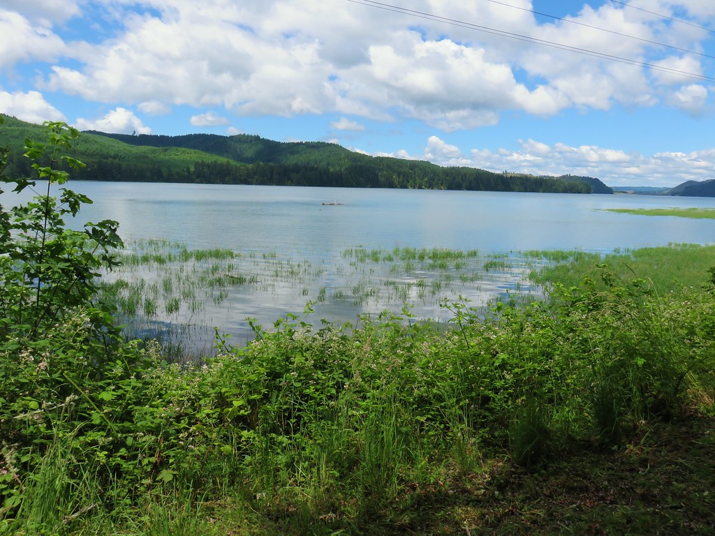


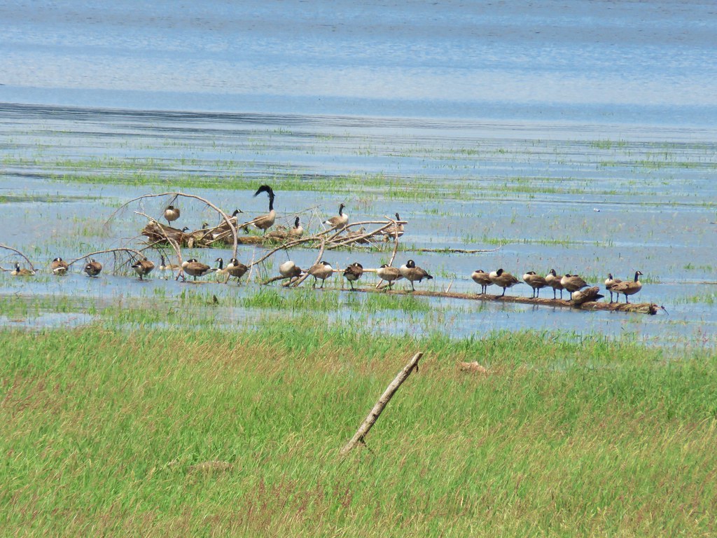 Canada geese
 A great blue heron with at least one duck in the grass.

 You can see a bit of the rocks on the opposite side of the trail.
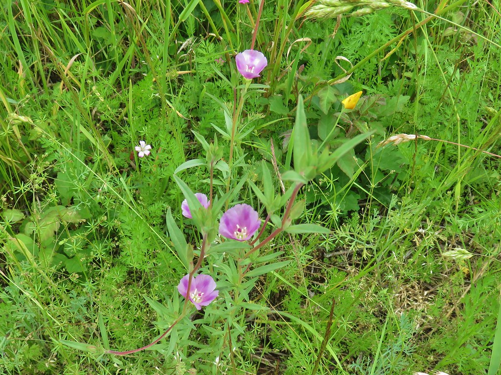
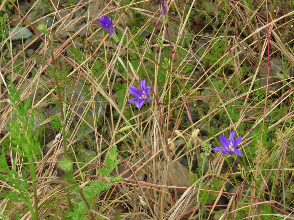 Brodiaea
 Poppy
Poppy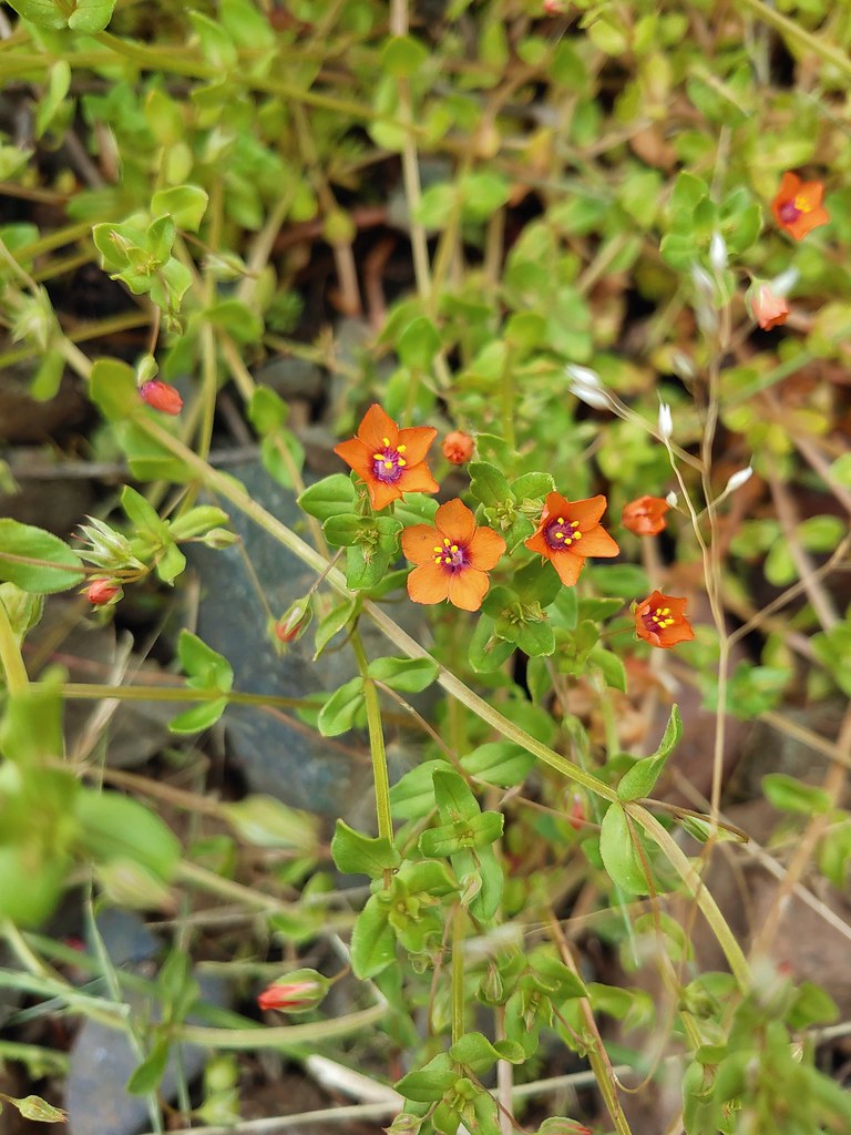 Scarlet pimpernel
 Dorena Lake from Rat Creek
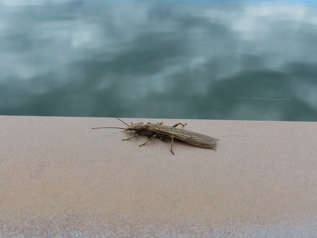 Bug on the Rat Creek bridge.


 The scramble trail.

 Not the Ogle Mountain Trail.
 The Ogle Mountain Trail on the right.


 Penstemon with poison oak in the background along the trail near the trailhead.
 Little prince’s pine
 Twinflower
 Looking up at the viewpoint from the talus slope.
 Spur trail to the viewpoint.
 The trail passing through the talus slope below.
 Penstemon at the viewpoint.
 Oregon sunshine
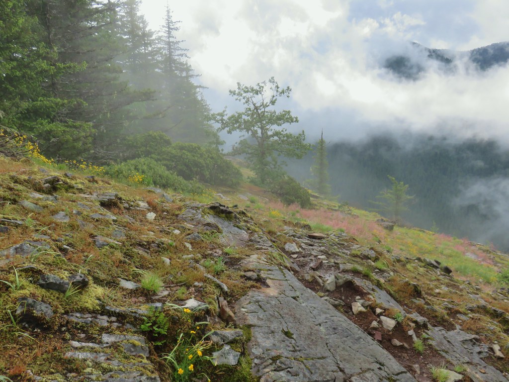
 I believe that is Rocky Top behind the clouds.
 Blue sky to the west.

 Northwestern twayblade
 Penstemon
 Paintbrush
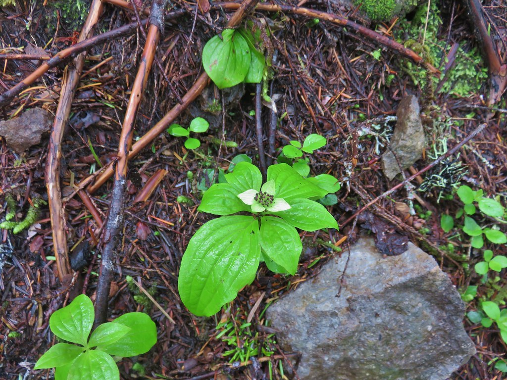 Bunchberry
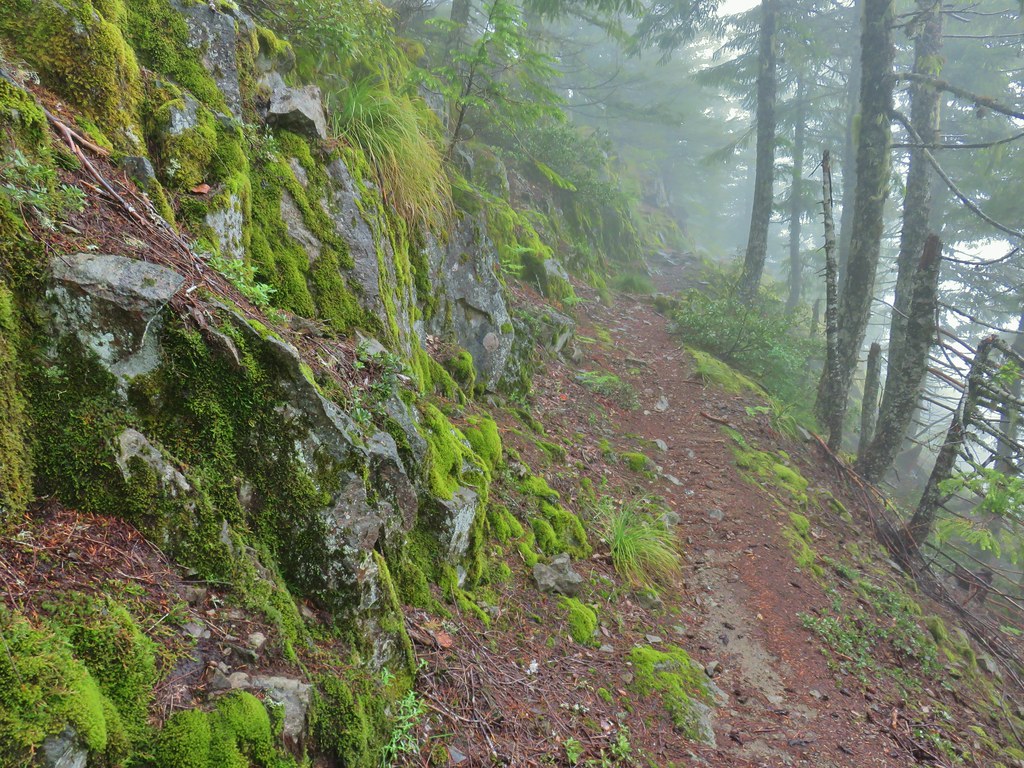
 Trillium
 Penstemon (cliff beardtongue)
 Oregon sunshine
 The ridge end beyond where the lookout was.
 Looking back toward the summit of Henline Mountain (it is beyond and above the visible trees).
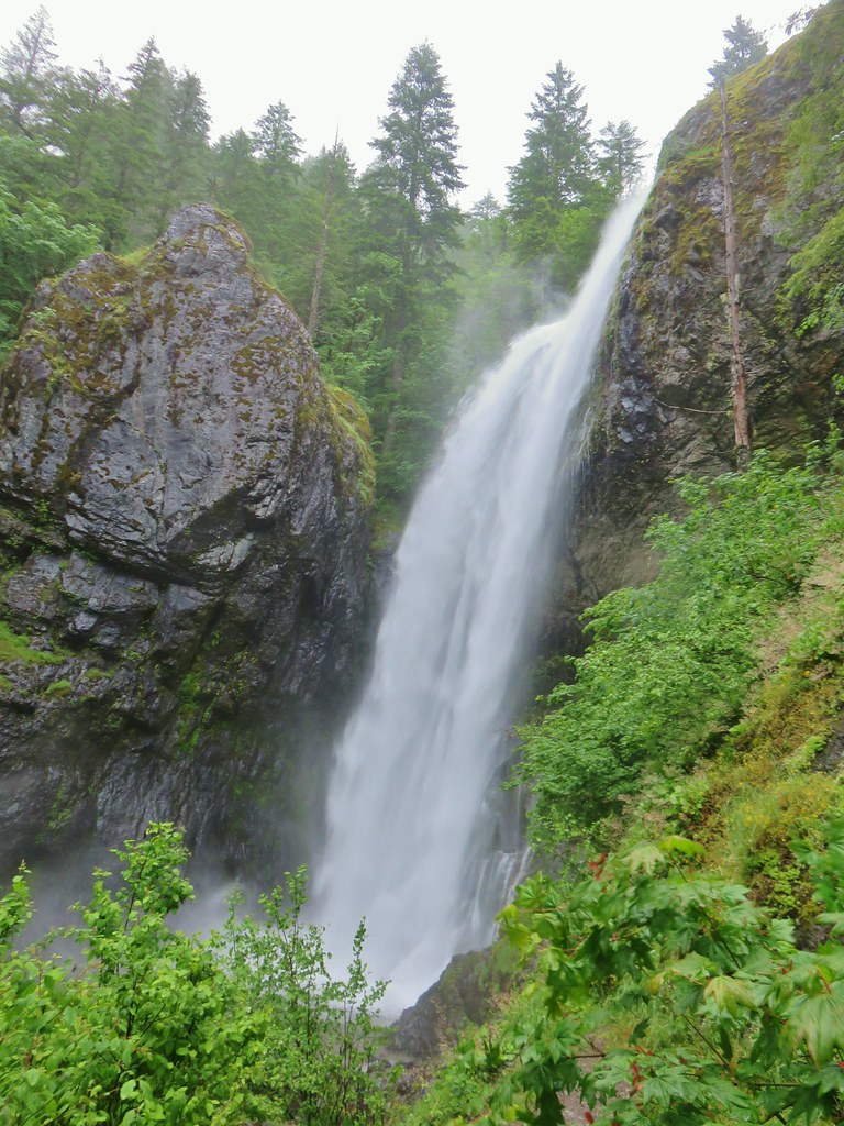
 The falls are obsucred here by the clouds to the lower left.
 Elkhorn Mountain Falls
 Sub-alpine mariposa lily
 Mountain Ash
 Oregon sunshine and cat’s ear lilies
 Phlox
Phlox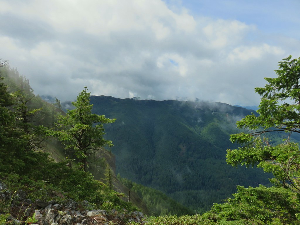
 Raceme pussytoes
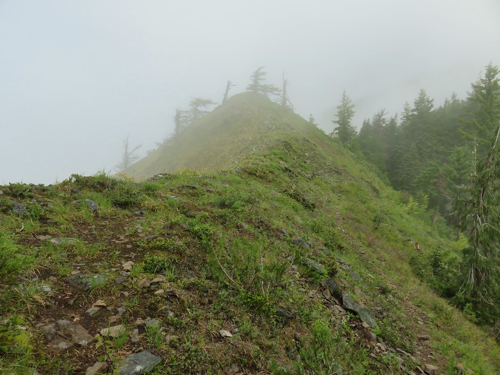
 Paintbrush


 Heading uphill after the little meadow.
 Snow in a basin below the trail.
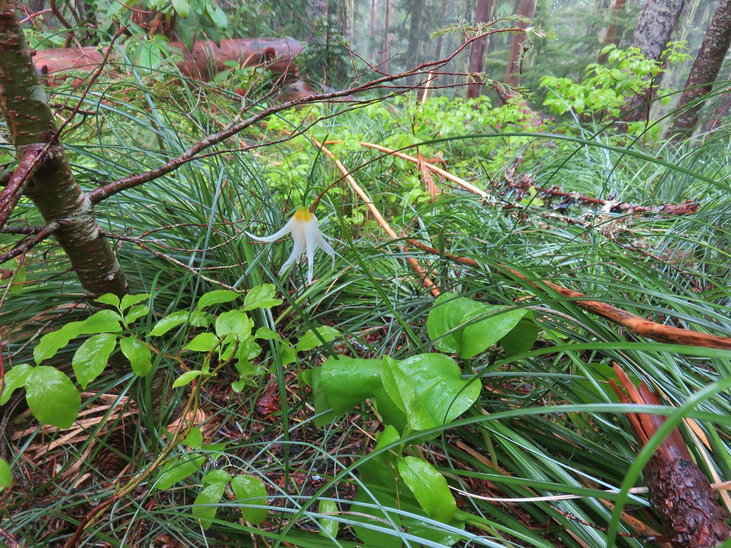 Fawn lily
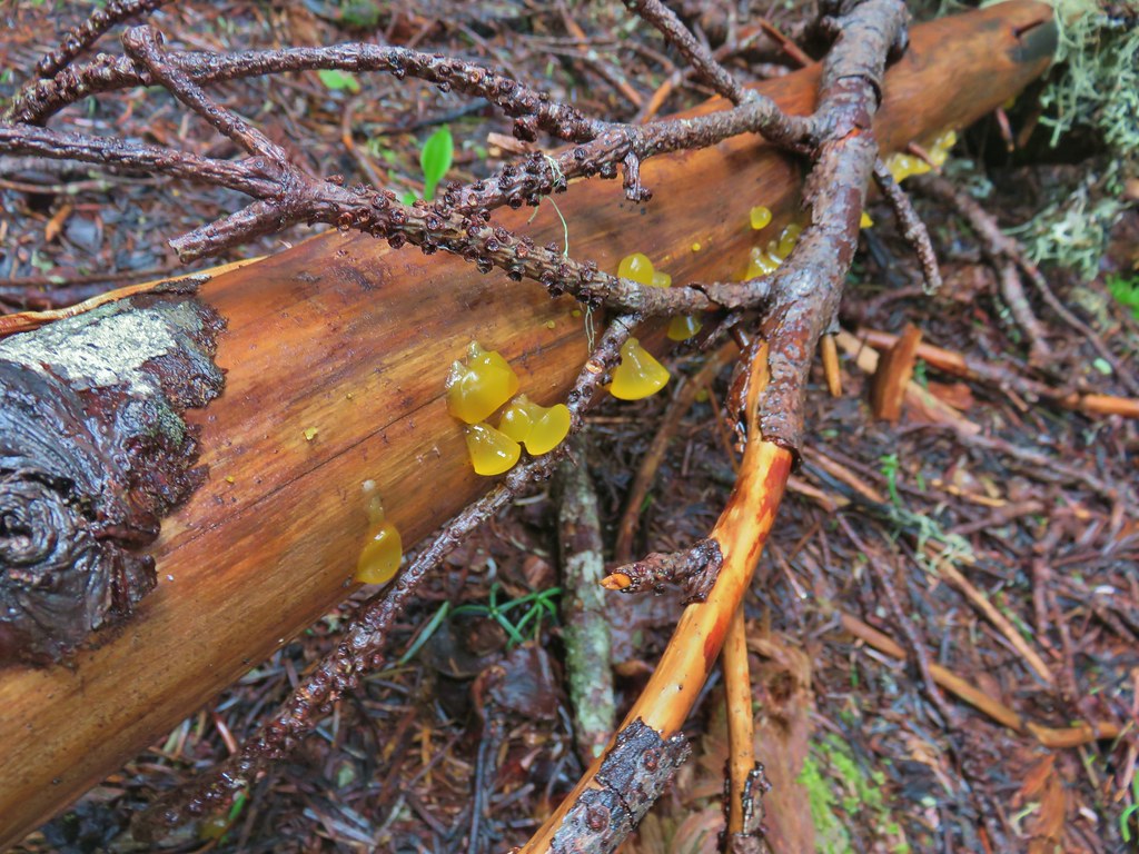 Jelly fungus
 Heading down to the saddle below the summit.
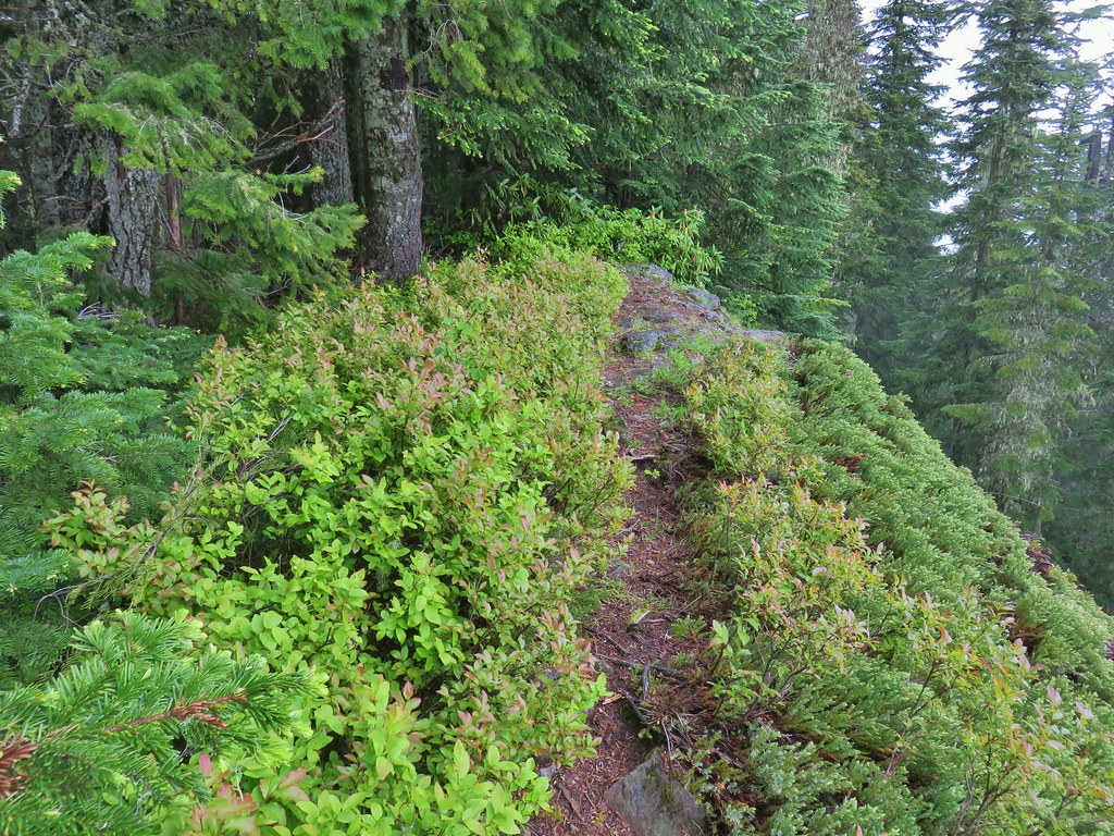
 The end of the trail.
 Bleeding heart near the end of the trail.

 Looking west down the Little North Santiam River.
 The high point to the left is Whetstone Mountain (
 Closer look at Battle Ax Mountain.
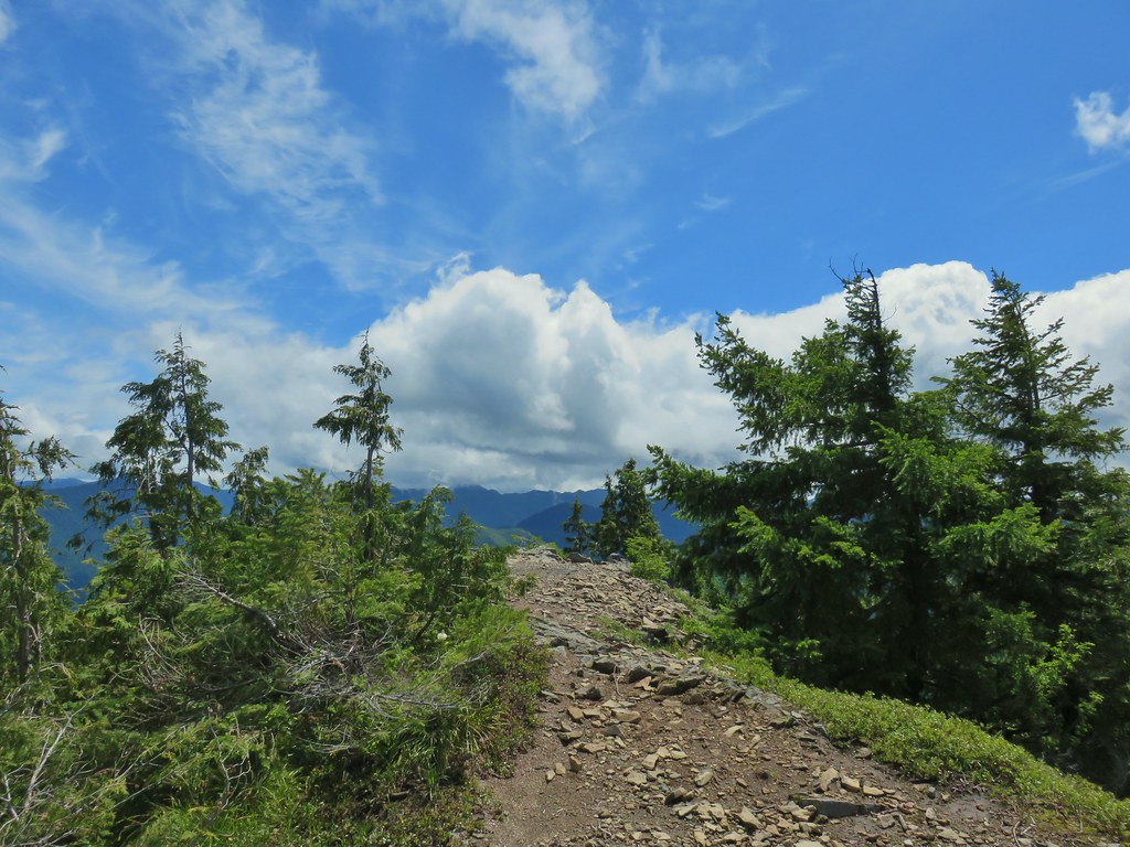
 Rocky Top still with a little cloud and Elkhorn Mountain in the foreground.
 Looking back at Henline Mountain’s summit.
 Whetstone Mountain (center high point) with Bull-of-the Woods (
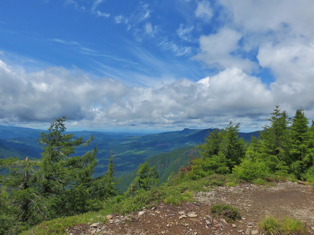 Looking west
 Yellow rumped warbler at the lookout site.
 Looking up at the ridge end of the former lookout site from below.
 Chipmunk drying out on the rocks.
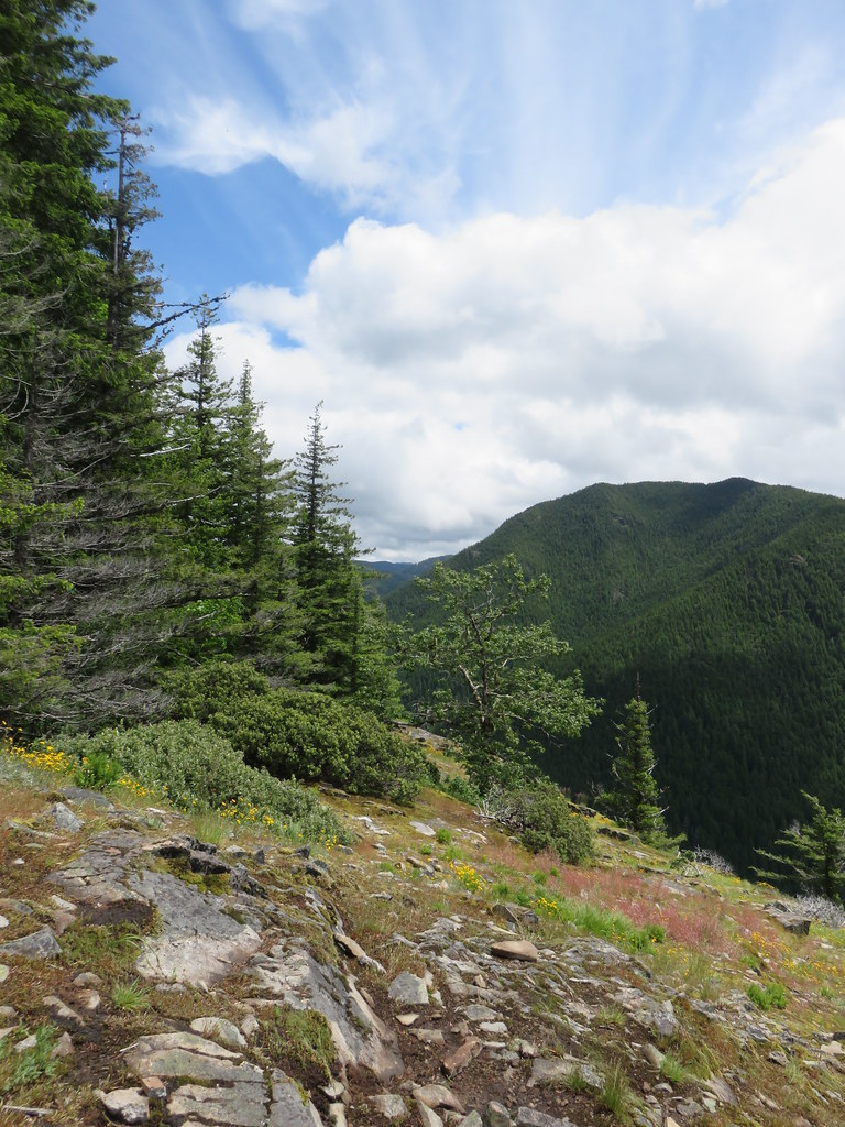 Looking east
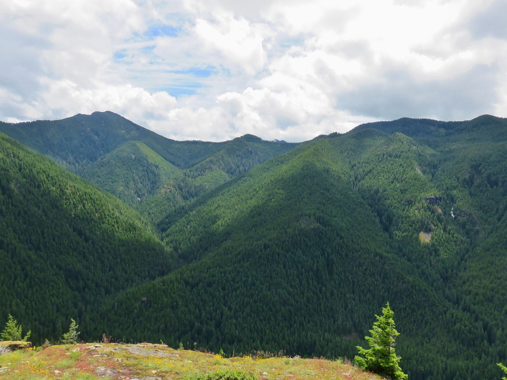 Looking south
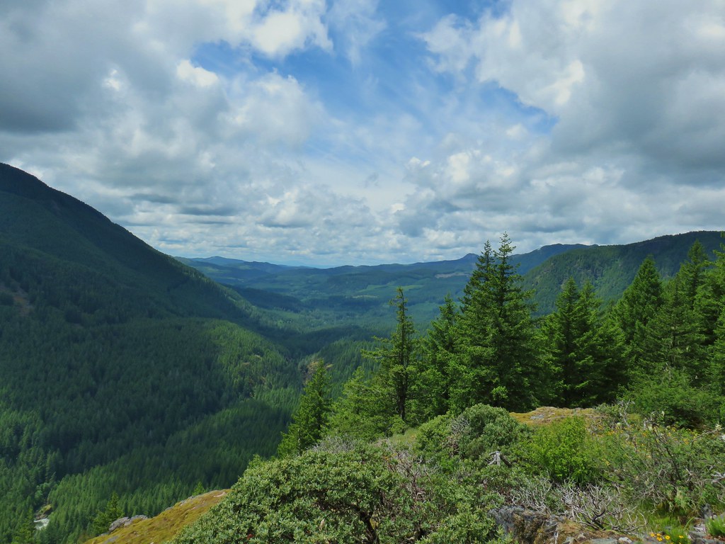 Looking west
 Rusty saxifrage at the viewpoint.


 Vanilla leaf
 False solomonseal
 Star-flowered solomonseal
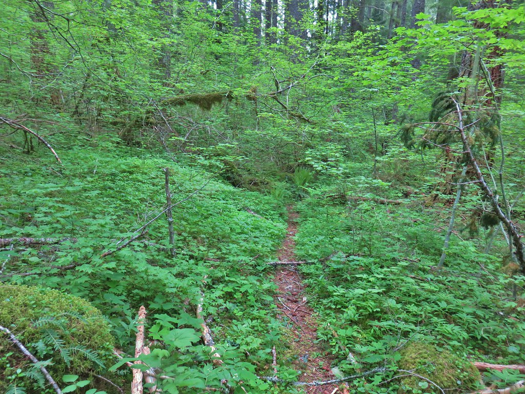
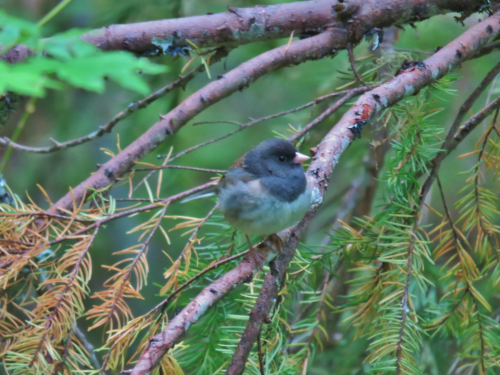 Junco
Junco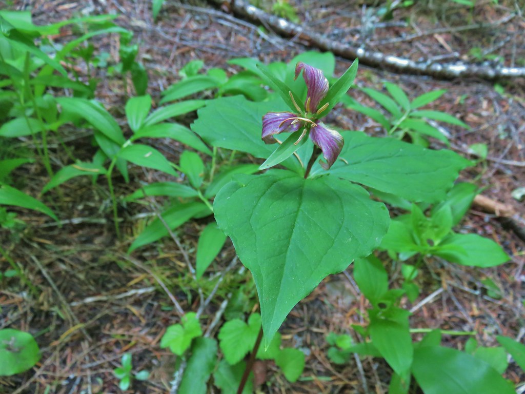 Trillium
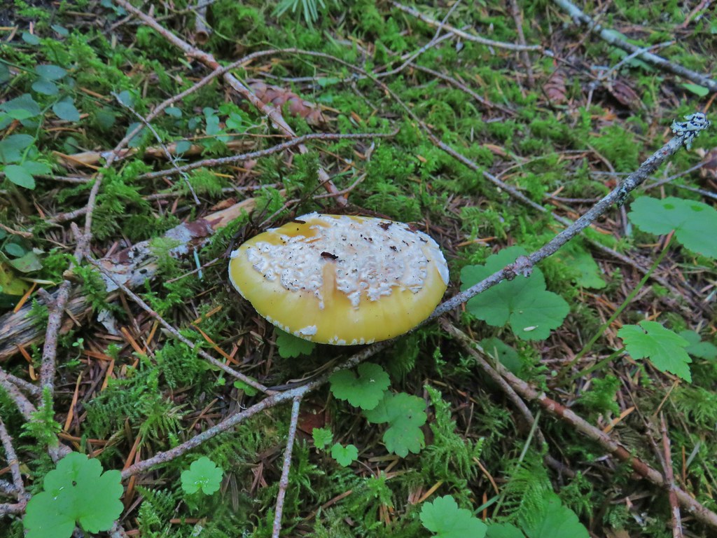 We saw a lot of this type of mushroom.
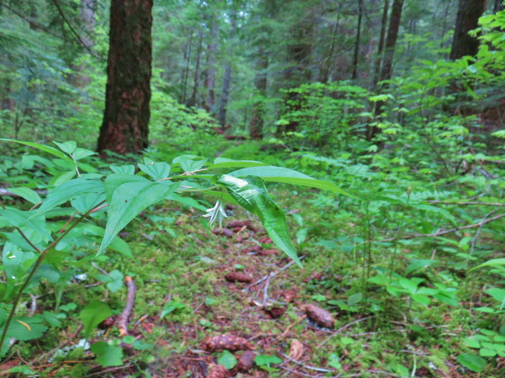 Fairybells
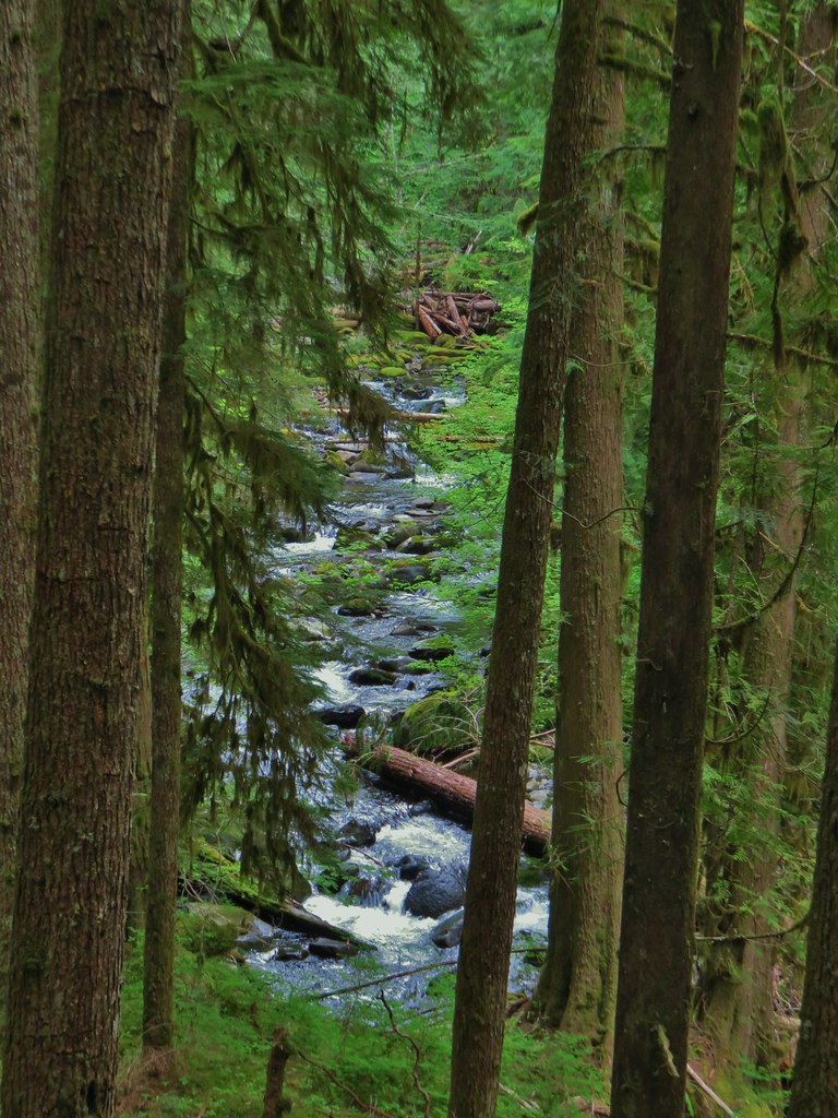
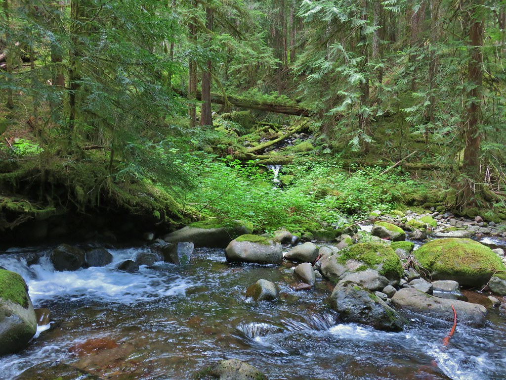
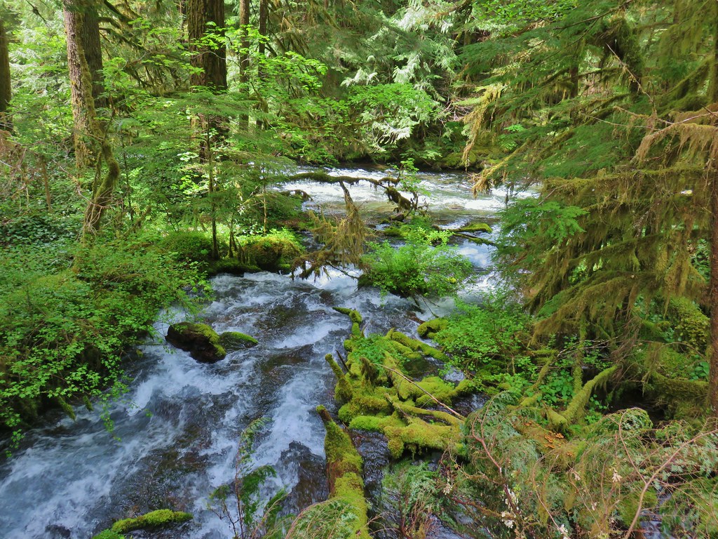
 East Fork South Fork McKenzie River
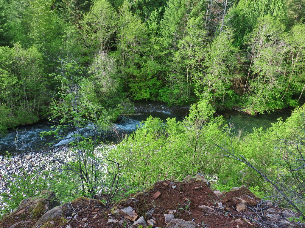
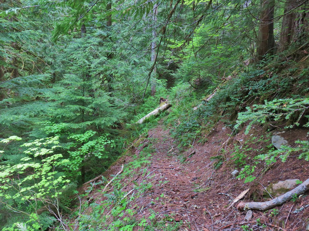


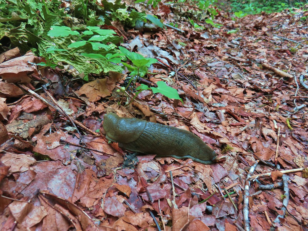
 Vanilla leaf, valerian, and a slug.
 Oregon grape
 Salmonberry
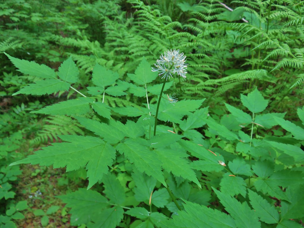 Baneberry
 Violets
 Sour grass
 Queen’s cup
 Fern unfolding
 Mushrooms
 Maidenhair ferns
 We also watched out for the nasty Devil’s Club and its thorns.


 The grouse is the blurry brown thing ahead and to the left of the trail.
 Start of the Saddle Trail at FR 1993
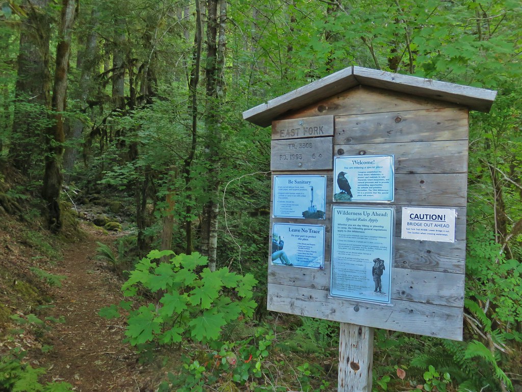


 A penstemon starting to bloom
 A line of paintbrush
 Rhododendron
 Rhododendron
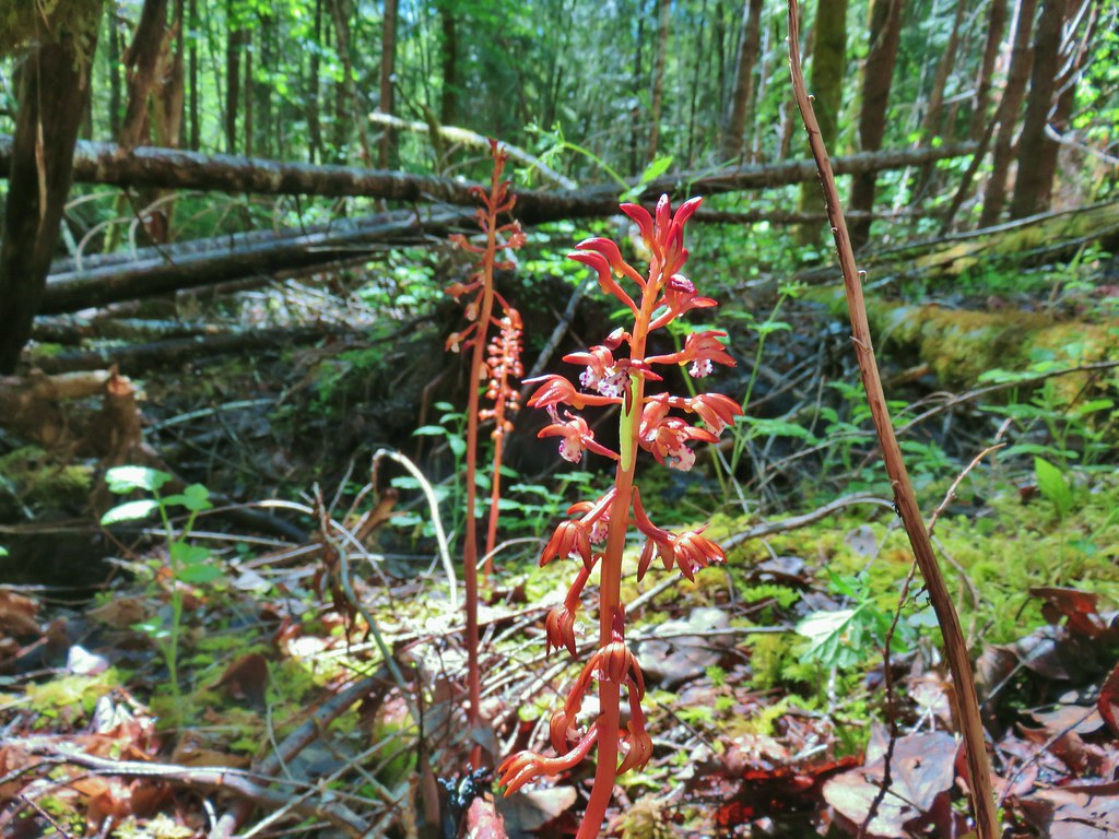
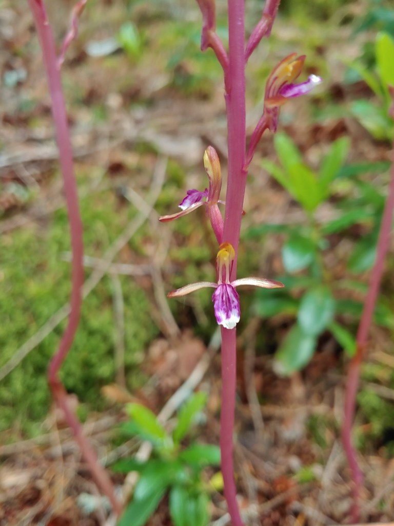 Pacific coralroot
 Northern phlox
 Pinesap (I think)
 Oregon grape
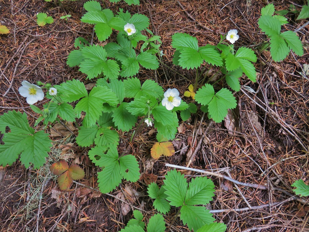 Strawberry
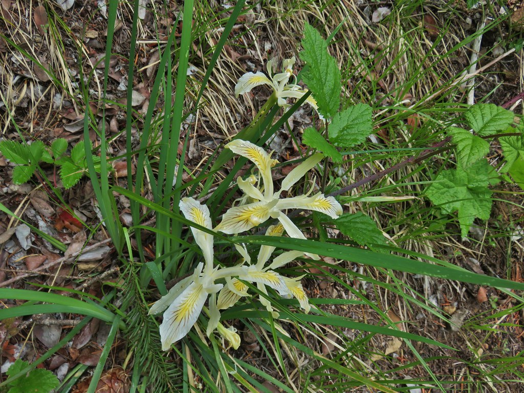 Yellowleaf iris
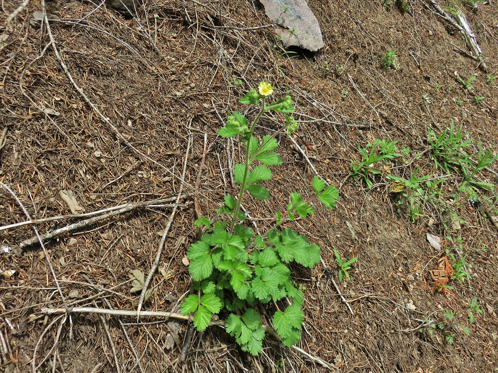 Sticky cinquefoil
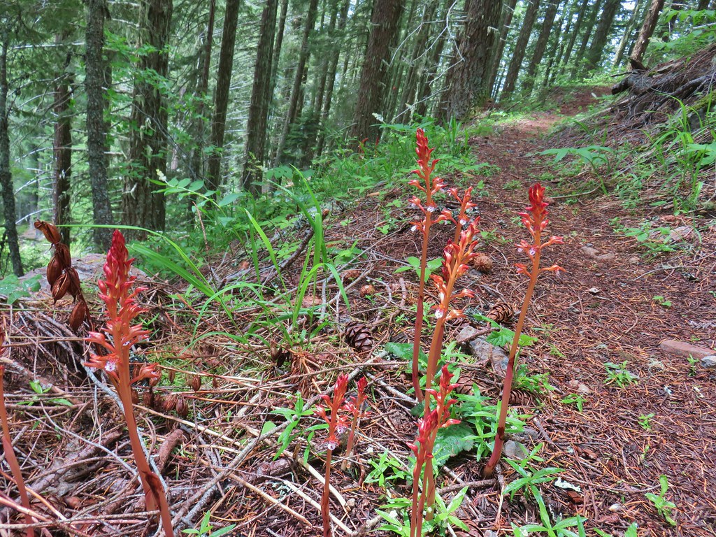 Spotted coralroot
 Nightblooming false bindweed
 Largeleaf sandwort
 Subalpine mariposa lily
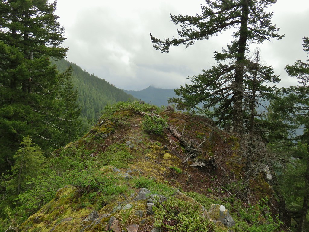
 Phlox
Phlox Rosy pussytoes

 Larkspur
 Biscuitroot
 Blue-eyed Mary
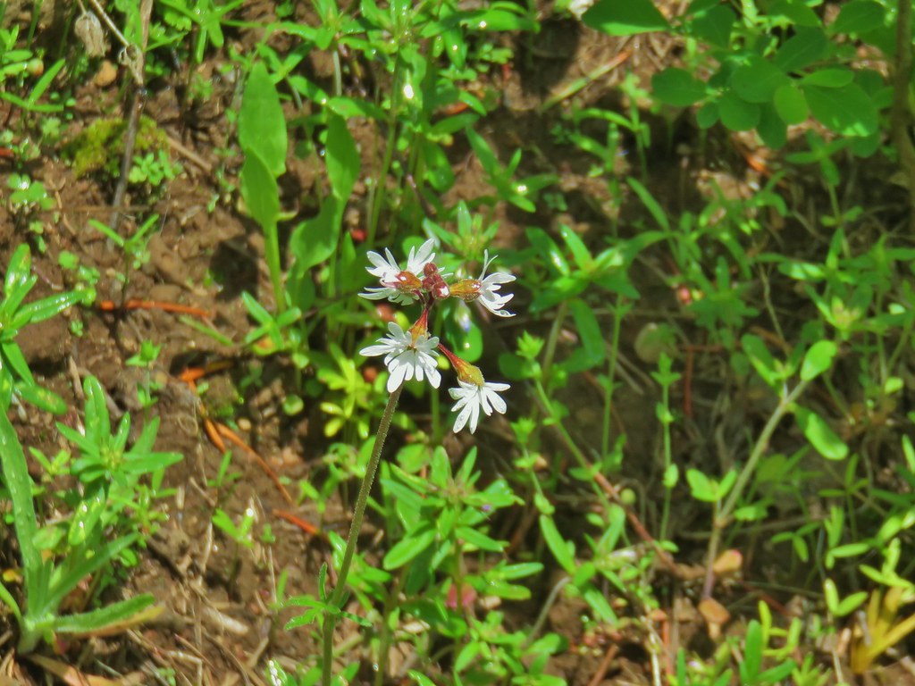 Woodland star
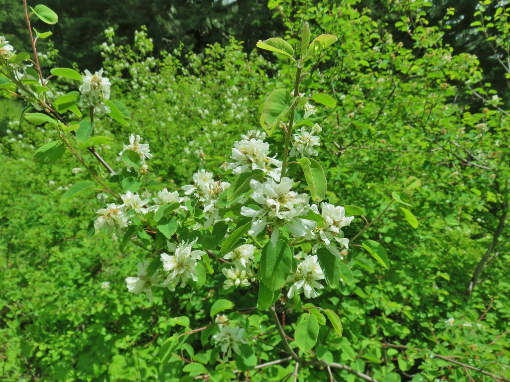 Serviceberry
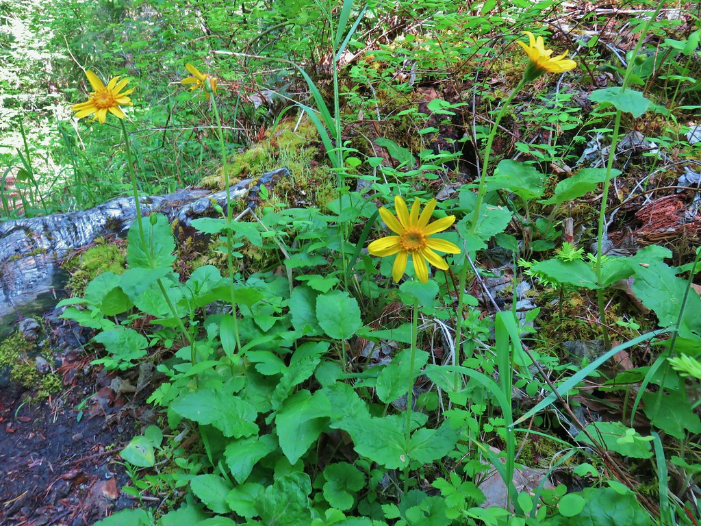
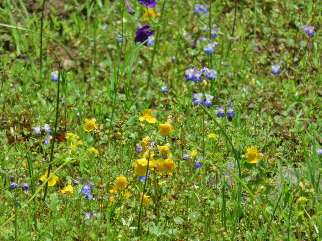 Monkeyflower
 Royal Jacob’s ladder
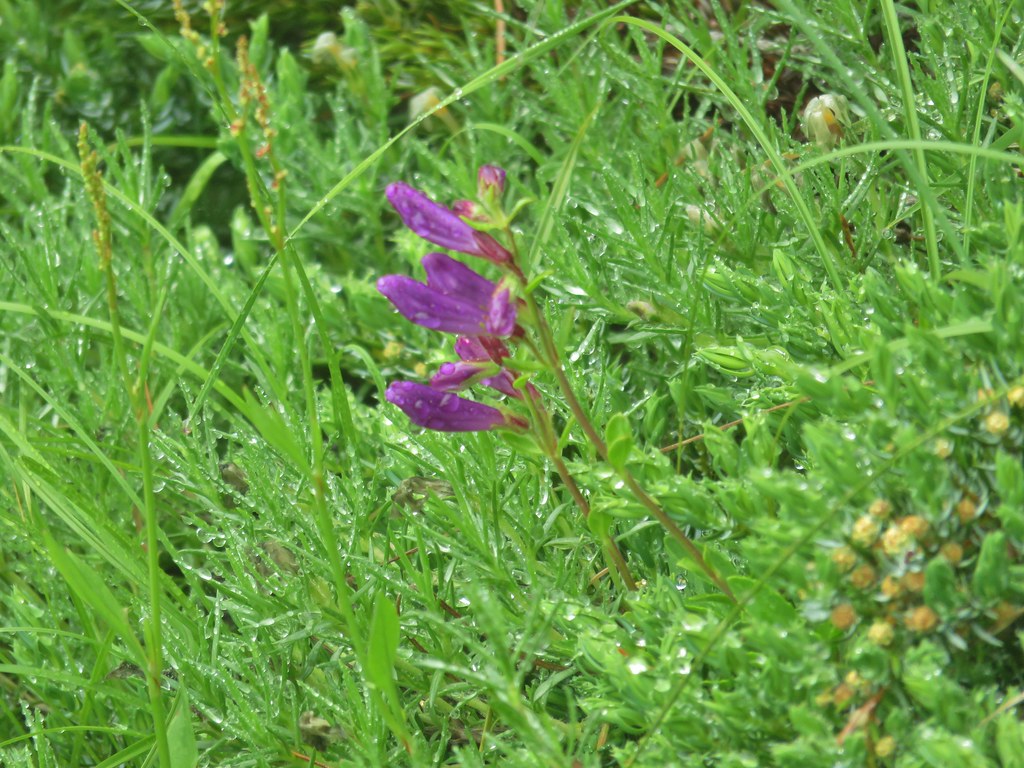
 Something in the pea family.
 Alpine pennycress
 Junco amid the flowers.
 Bear scat in the meadow.
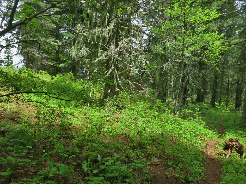
 Tall bluebells
 Trillium
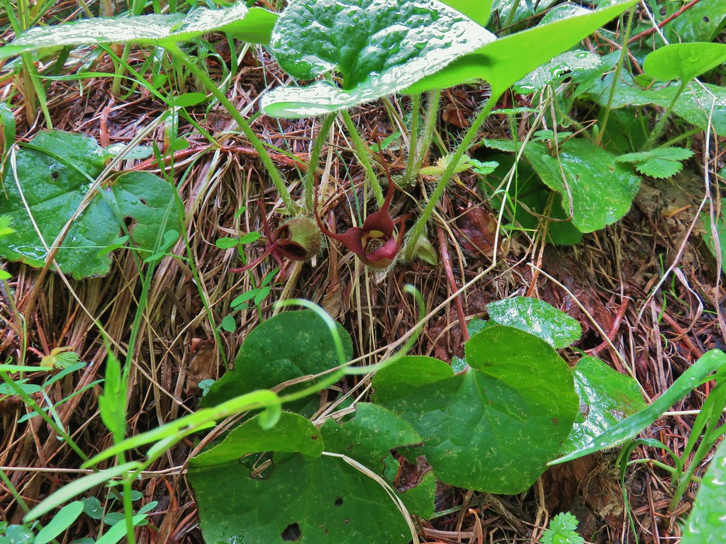 Wild ginger
 Bleeding heart and tall bluebells.
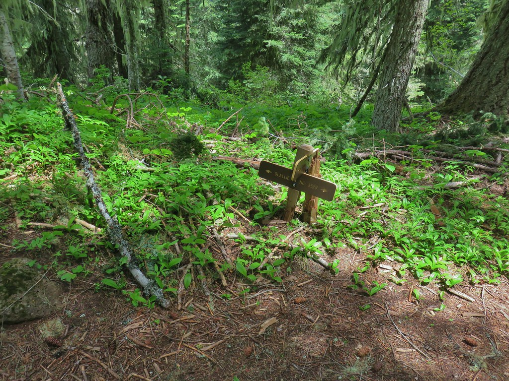 The Olallie Trail
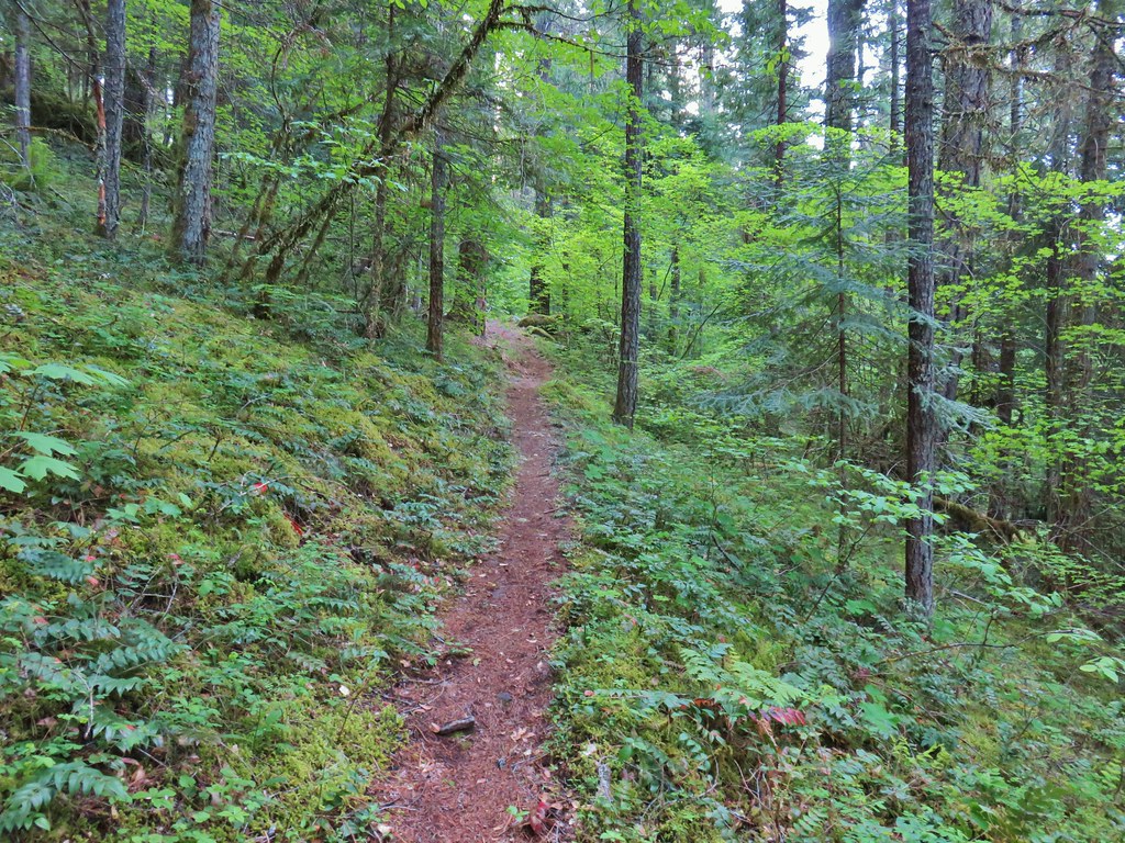


 Camas and buttercups at Rigdon Meadows.


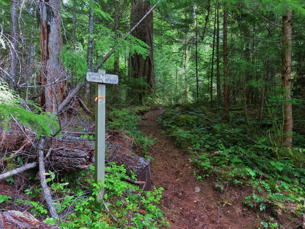


 Middle Fork Trail along FR 21.
 One of only a couple of spots where we were able to get to the river.
 Orange flagging on the left after crossing a gravel road.
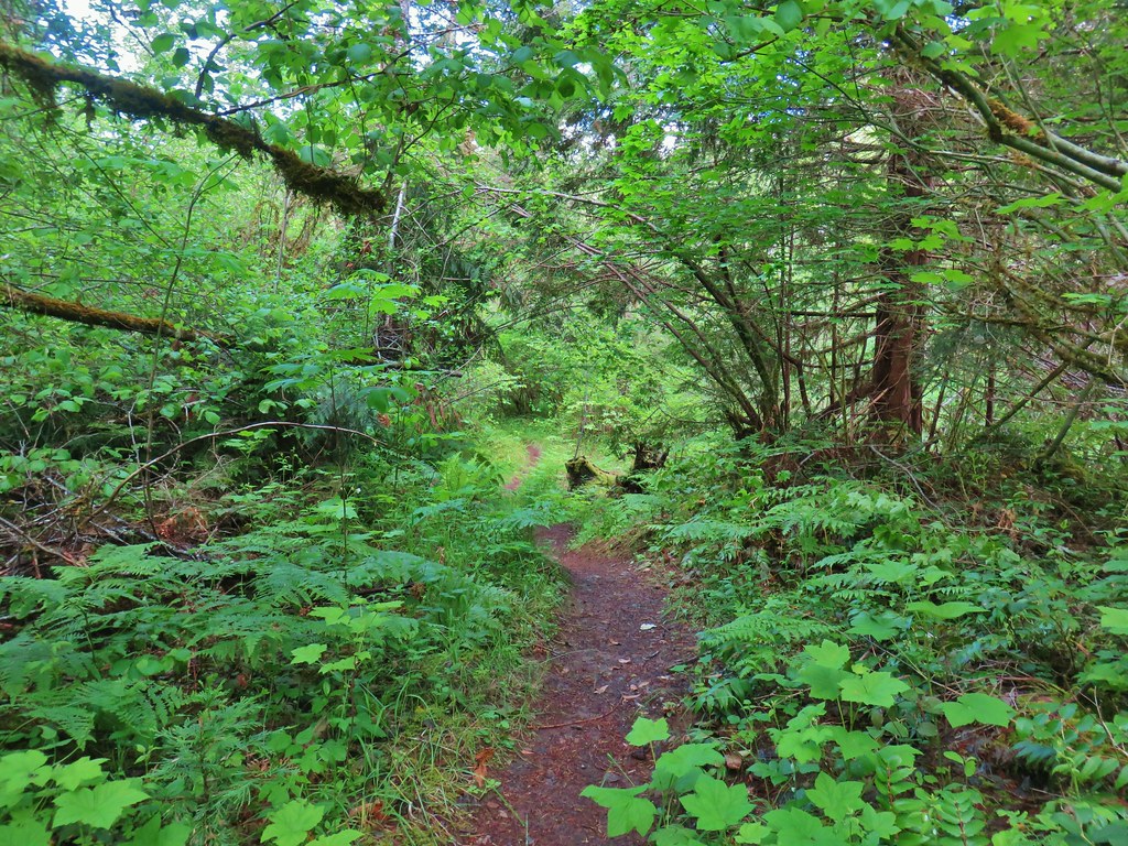
 Thimbleberry
 Cone Creek
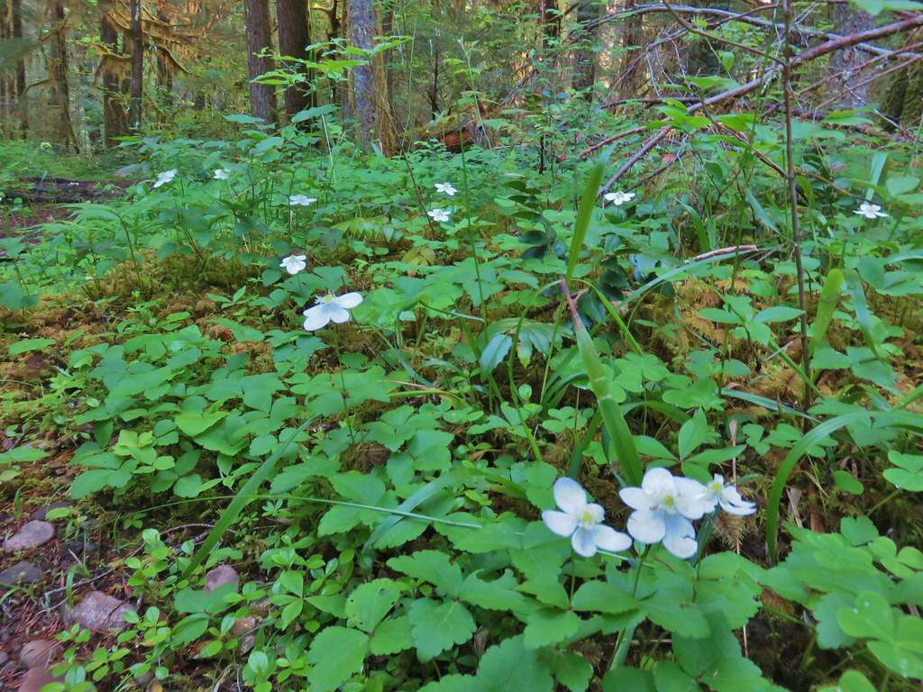 Anemones
 Footbridge over Bills Creek
 Queen’s cup

 Columbine
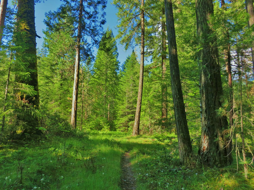 Yellowleaf iris along the Middle Fork Trail.
 Pine Creek – At first it looked like they put the bridge in the wrong spot, but there was another branch to the creek.
 Small meadow along the trail.


 Common merganser on the river below the bridge.
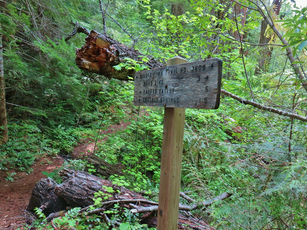
 Sign at the
 Mossy stump along the trail.
 Lots of grass along portions of the trail, one of these areas was probably where the tick hopped on.

 The ookow wasn’t quite blooming yet.
 Tolmie’s mariposa lily
 Monkeyflower and tomcat clover
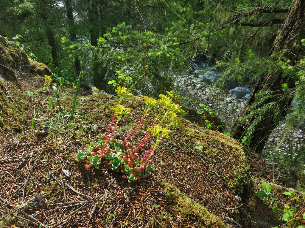
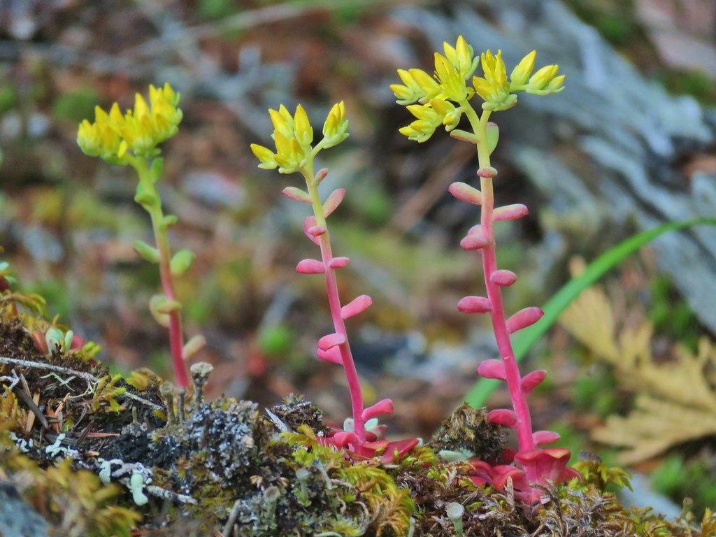
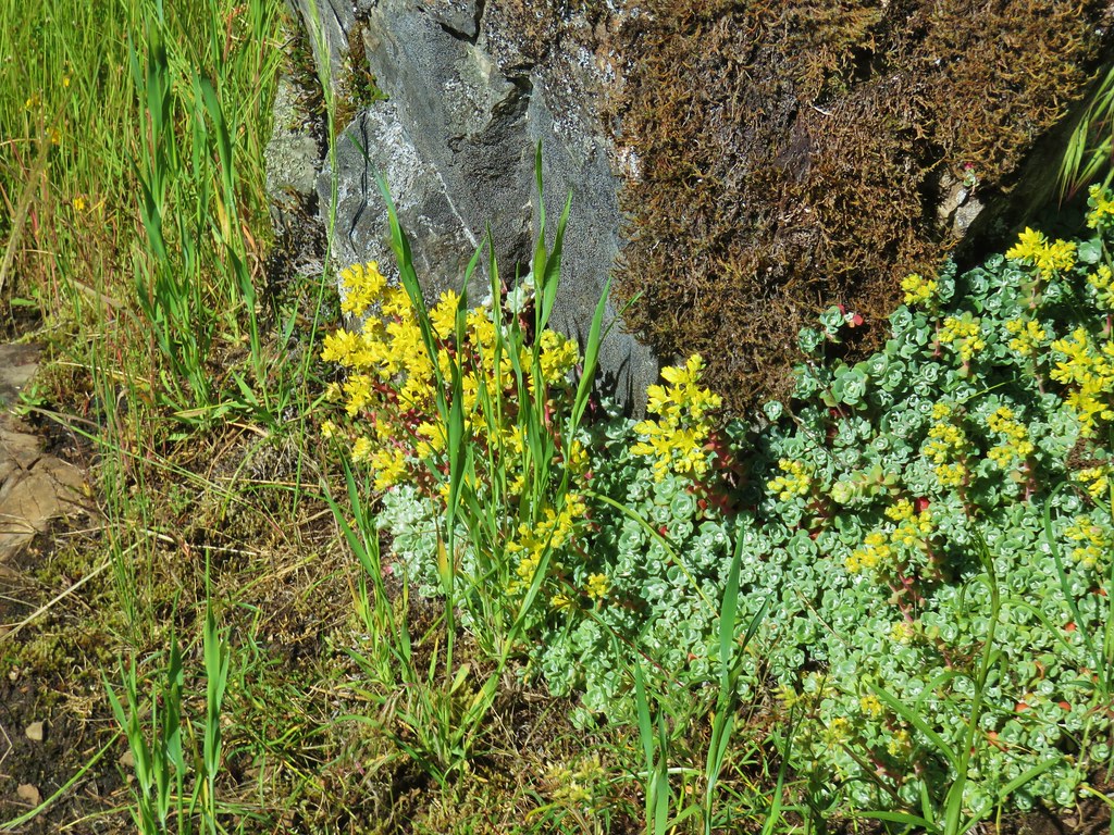 Stonecrop
 Plectritis and giant blue-eyed Mary
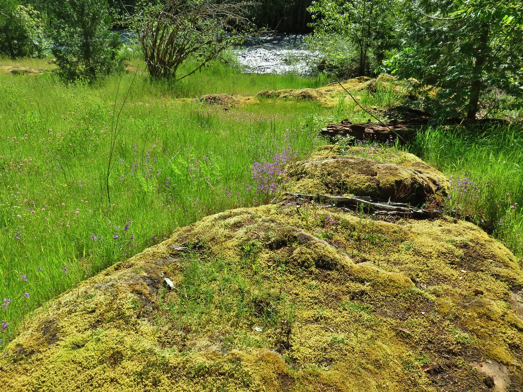
 Giant blue-eyed Mary
 Buttercups
 Spotted coralroot (with a caterpillar)
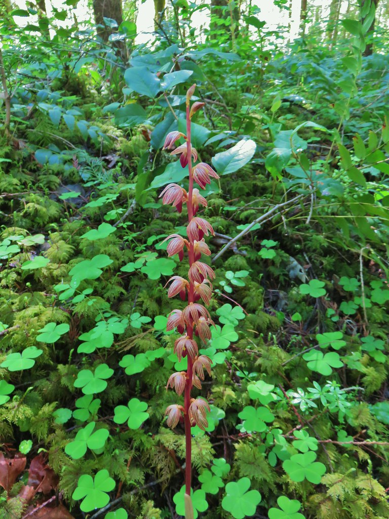 Striped coralroot


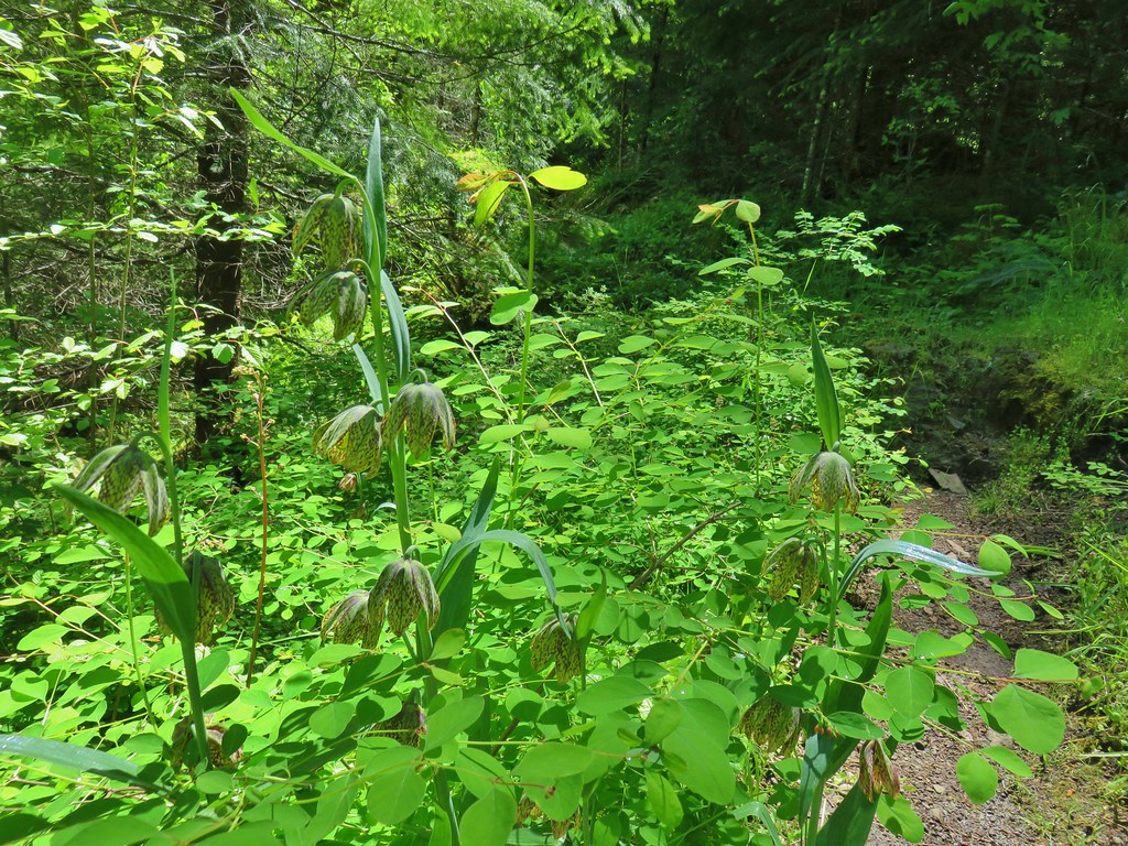 Chocolate lilies
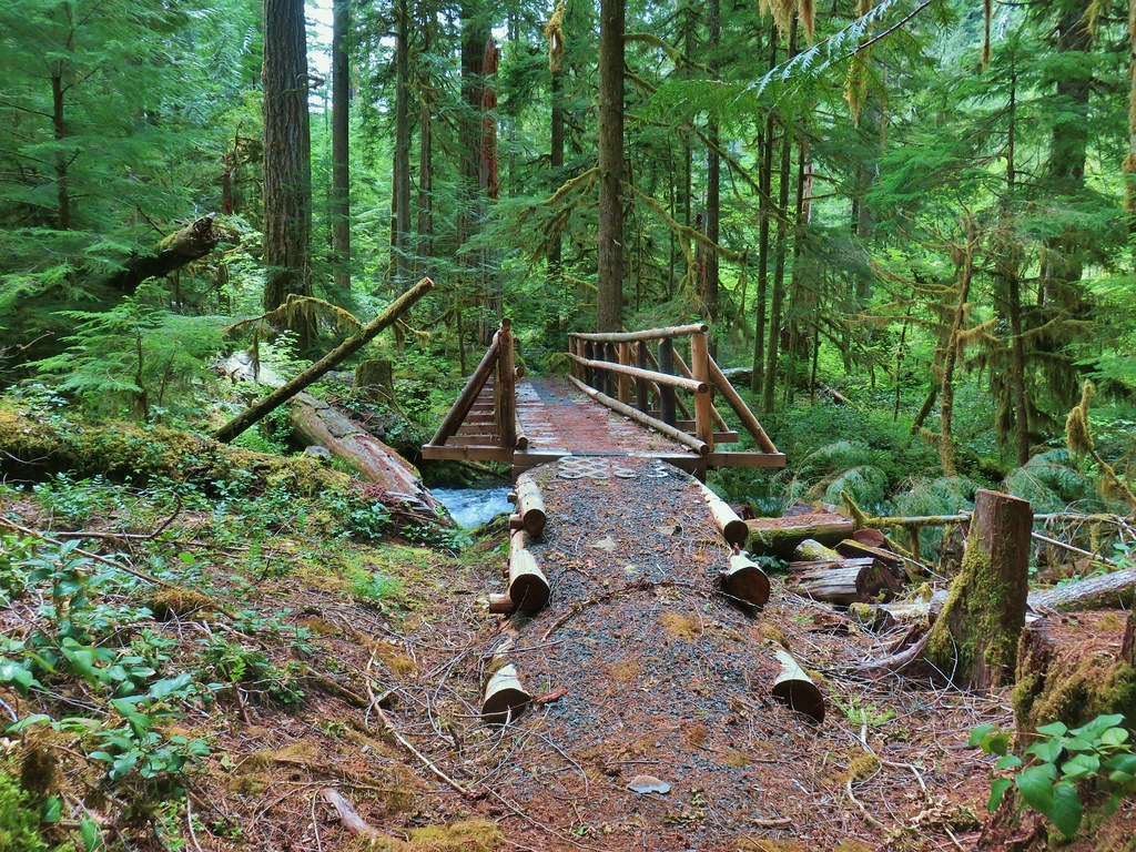
 Completed section of the reroute.
 More signs at FR 201
 FR 201 crossing Coal Creek.
 Coal Creek
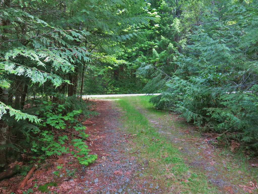
 Road walking on FR 2133


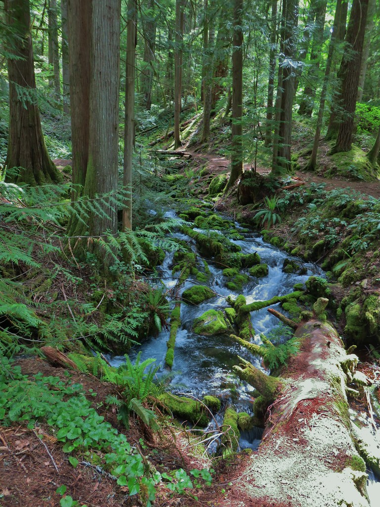
 Simpson Creek
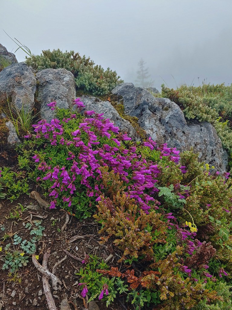
 Northern phlox
 Don’t know what type of fungus this is but it looked neat.