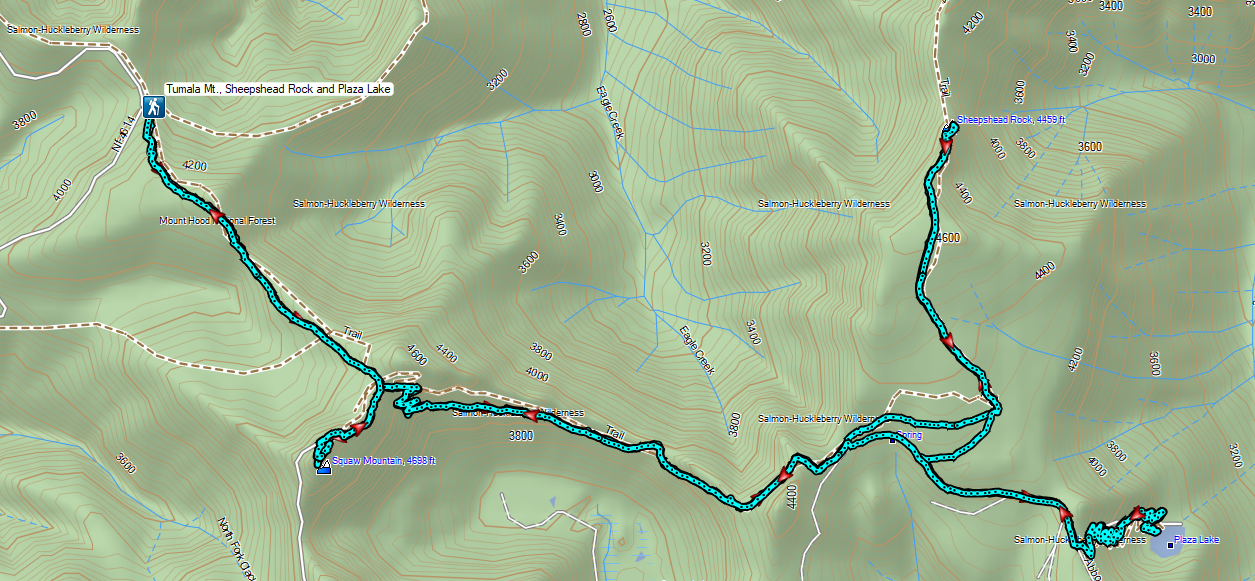
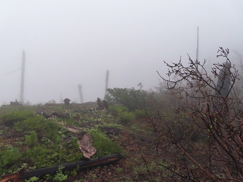
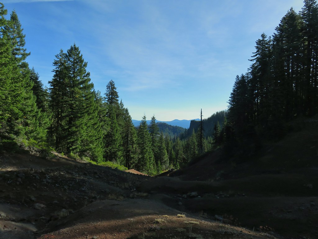
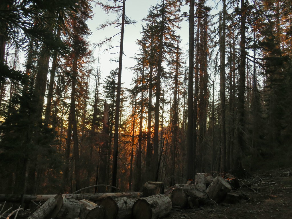
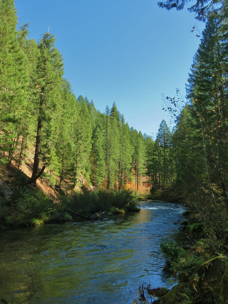
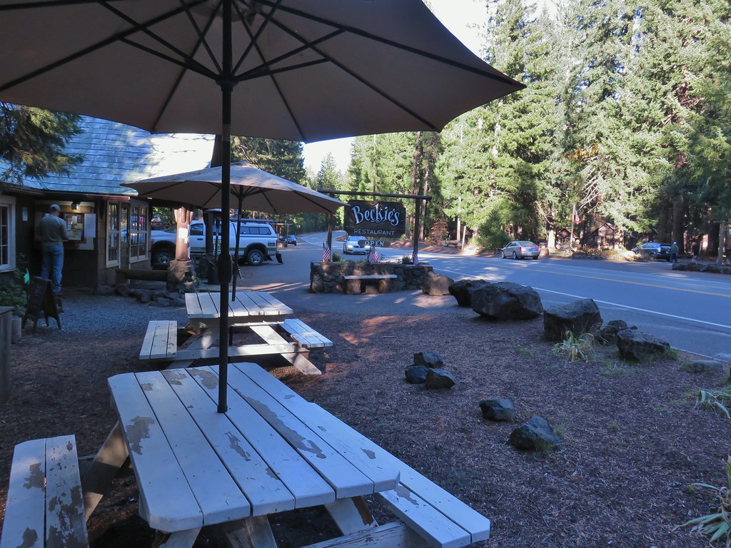
A heat wave arrived for the weekend which had me looking for a hike that might not be too warm. After checking the forecast for a few areas on NOAA the lowest high (78 degrees Fahrenheit) for hikes on our to-do list was in the Salmon-Huckleberry Wilderness near Sheepshead Rock and Plaza Lake.
My original plan for this hike was to start at the Twin Springs Trailhead aka Old Baldy East Trailhead and take the Plaza Trail past Sheepshead Rock to Salmon Mountain then drive (or road walk) on to the Plaza Lake Trailhead to visit the lake. As I was doing more research to prepare for the hike, I read a couple of different reports mentioning a rough 10.5-mile final stretch of road to that trailhead. An alternative was to drive to the Old Baldy West Trailhead, an entirely paved route which according to Google Maps was also an hour shorter drive from Salem. Starting here would put Salmon Mountain out of reach distance wise, but the route would pass the cutoff to Tumala Mountain which we had visited in 2019 (post).
The plan was now set but the day before the hike Heather started feeling a bit under the weather. With her not feeling 100% we decided she would skip this outing. I set off extra early hoping to keep things as cool as possible arriving at the trailhead a little after 6am.

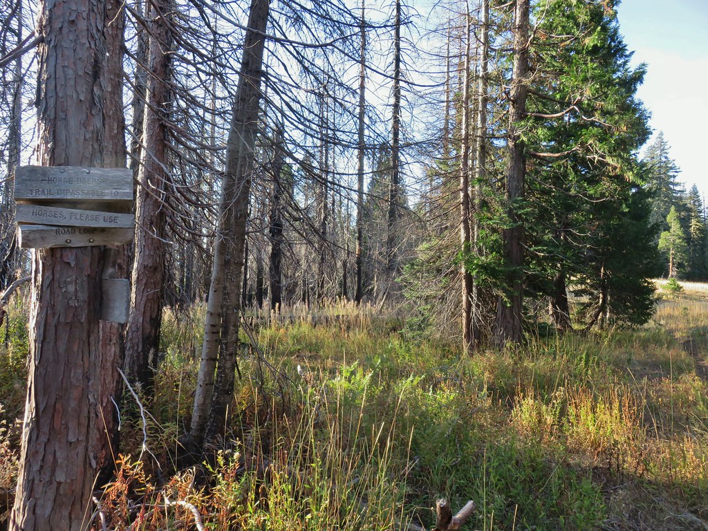
 Rhododendron at the trailhead.
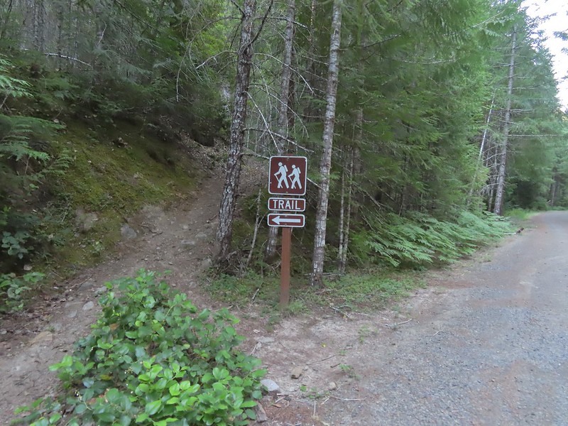
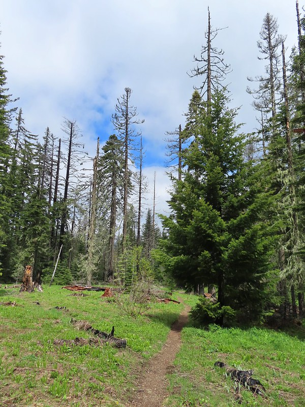
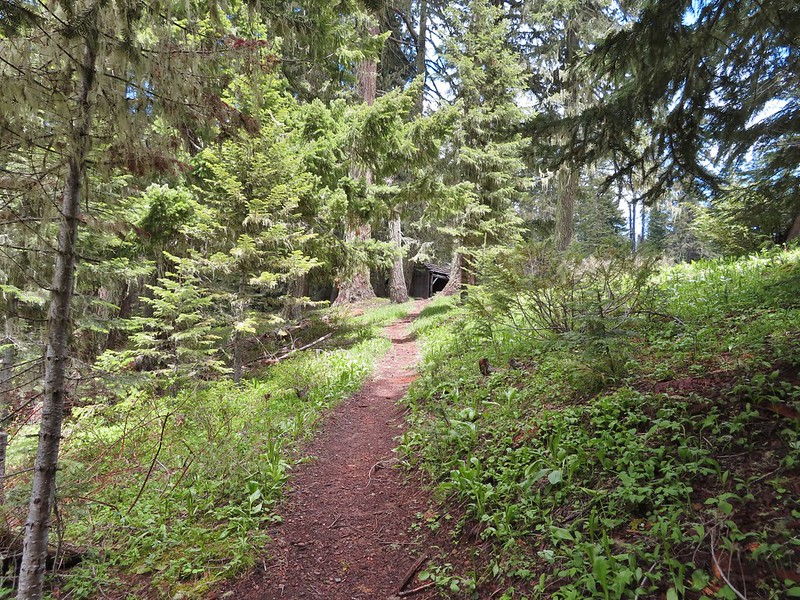
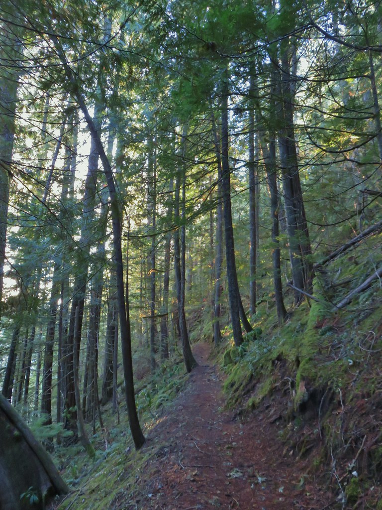
I turned right on the Old Baldy Trail and after passing the Eagle Creek Cutoff Trail on my left I quickly remembered how steep some of the climbs were on this trail.
 Eagle Creek Cutoff Trail on the left just before the first steep climb.
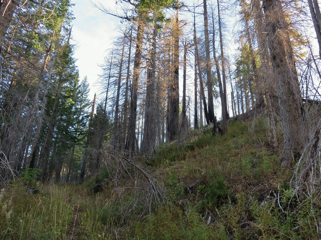
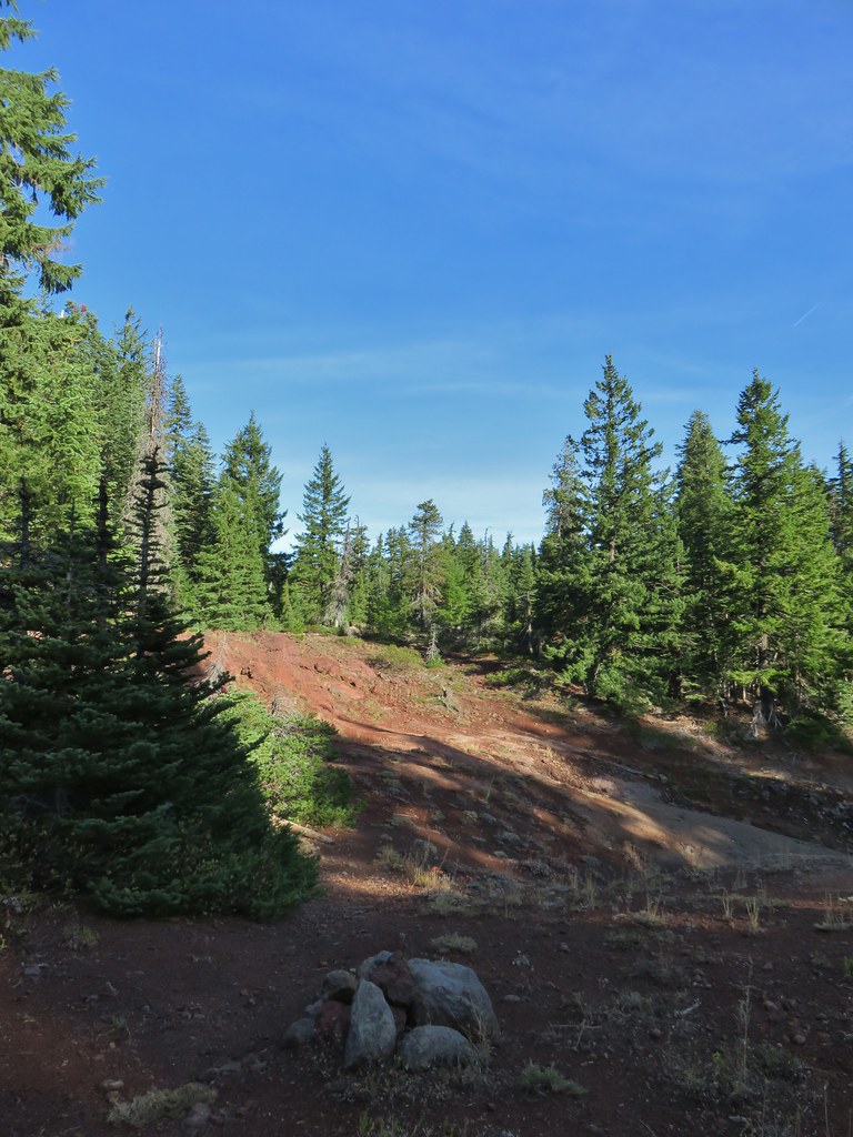
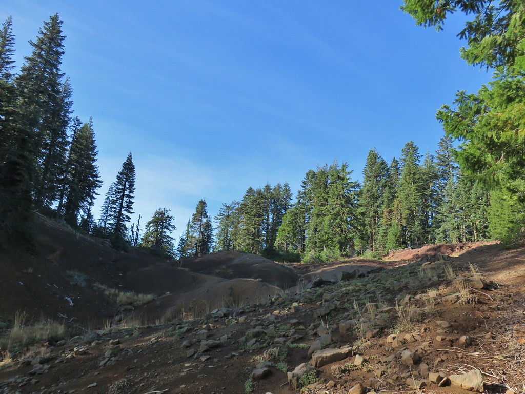
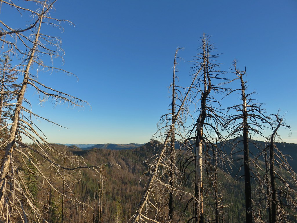
 Salmon-Huckleberry Wilderness sign. I would be in and out of the wilderness several times on my route.
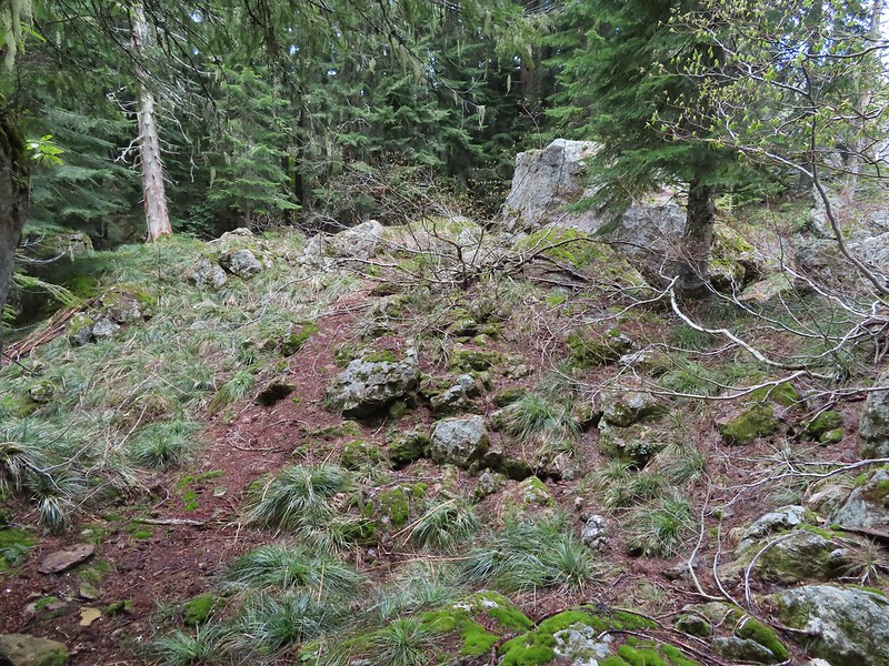
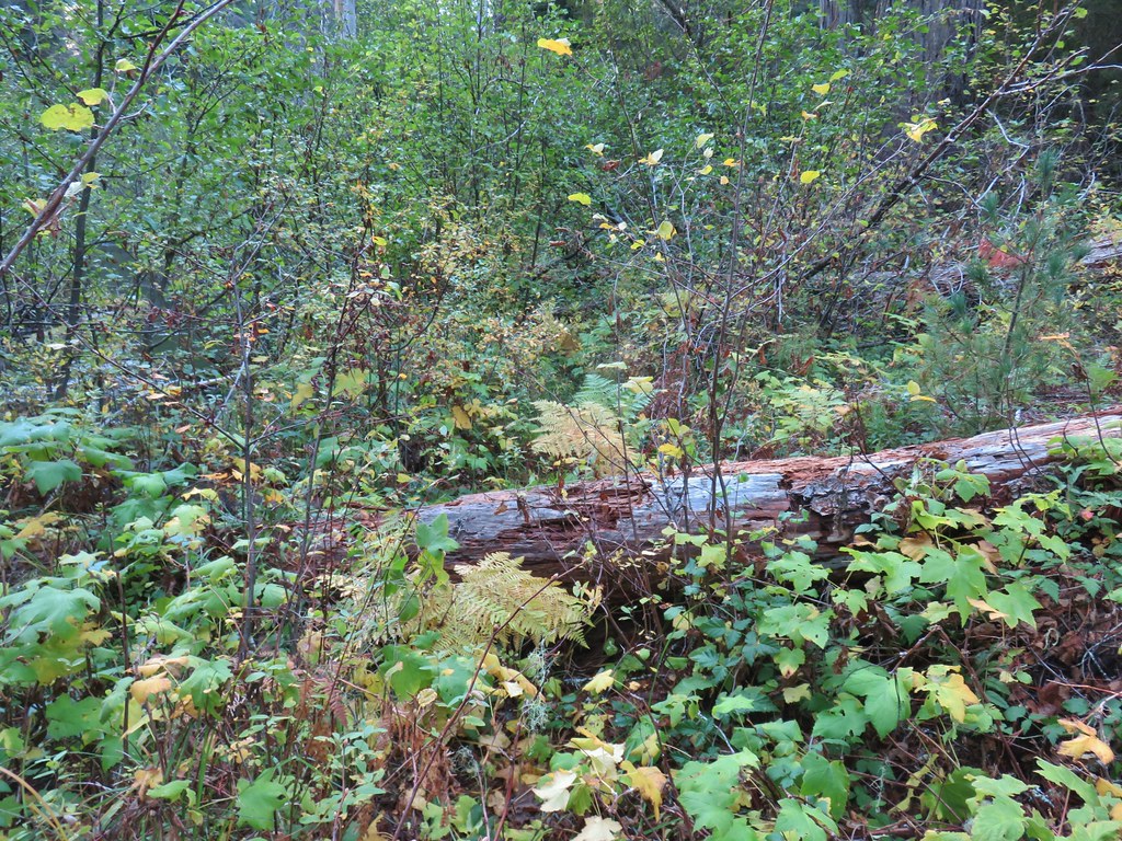
 Pictures rarely capture the actual steepness of the trails but the third of a mile past this trail sign had me wondering if I was going to be able to complete my planned hike.
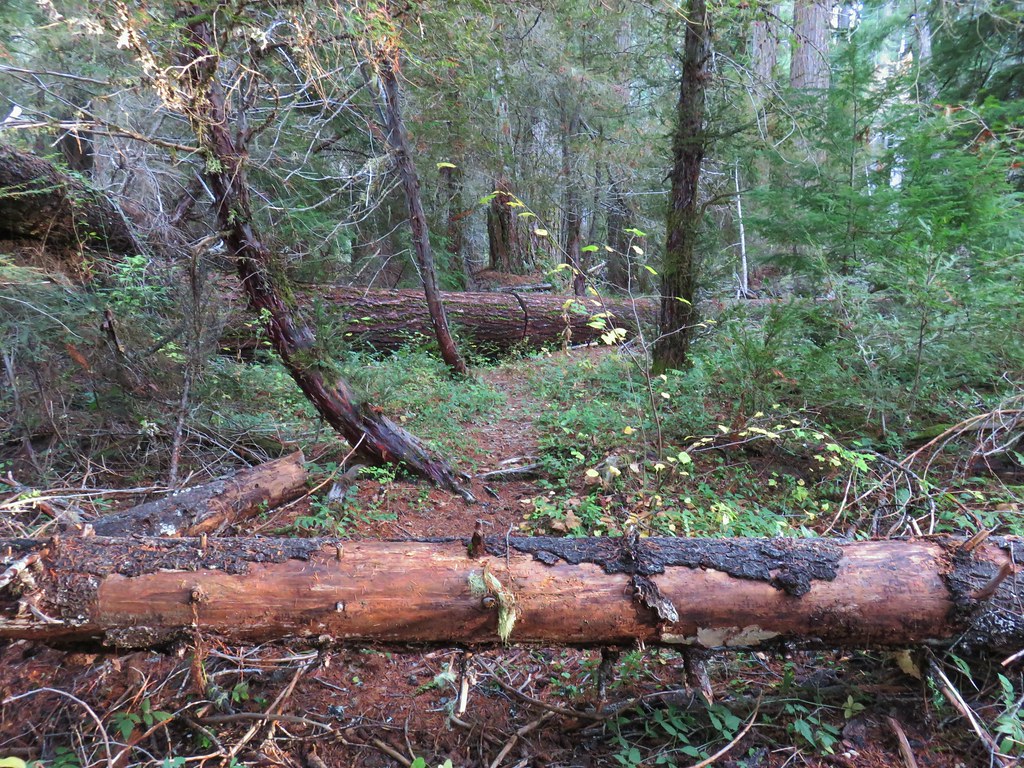
The trail leveled out for a short distance allowing me to catch my breath and then dropped to a saddle before climbing again, but at a more reasonable grade.

 Starting the descent to the saddle.
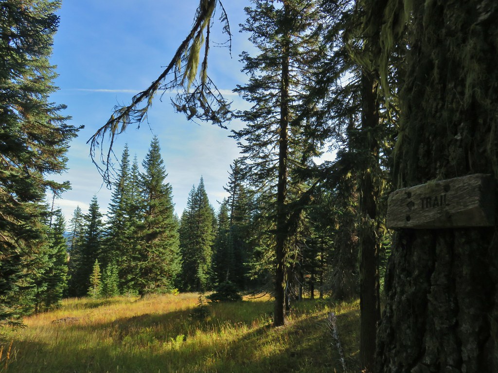
 The Fanton Trail joins on the right from below around three-quarters of a mile from the Old Badly West Trailhead.
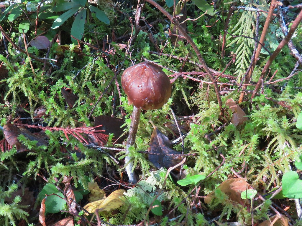
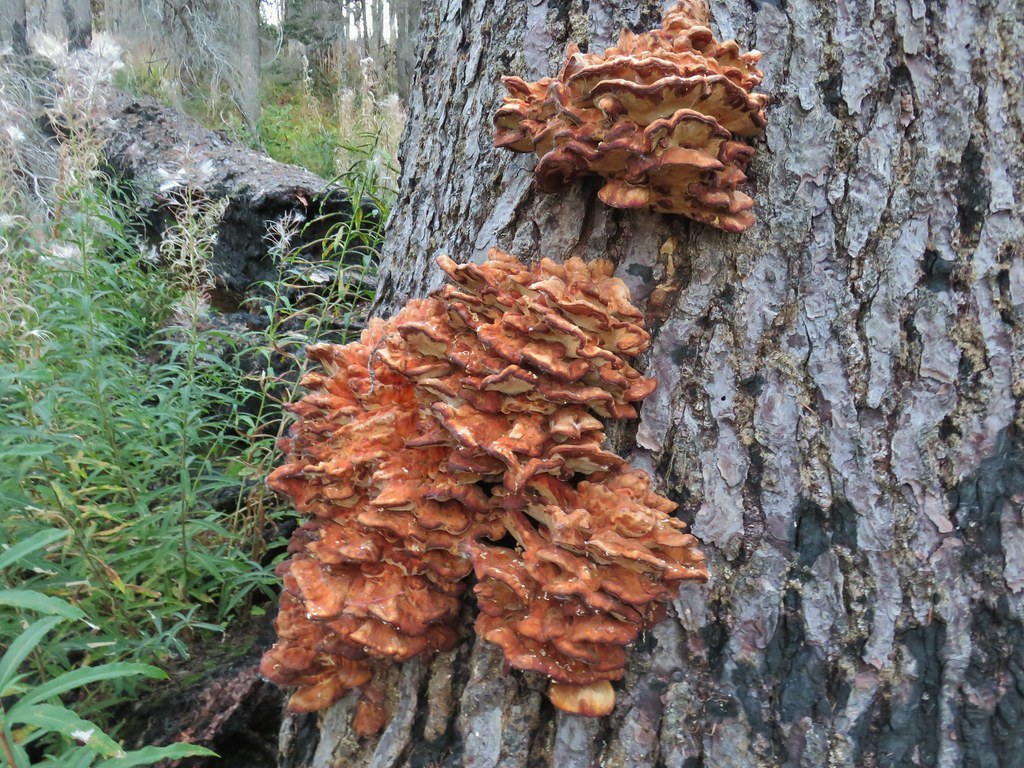
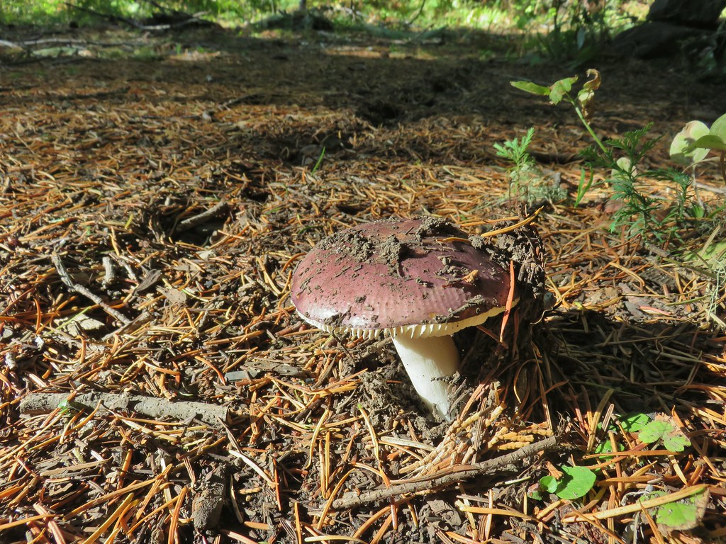
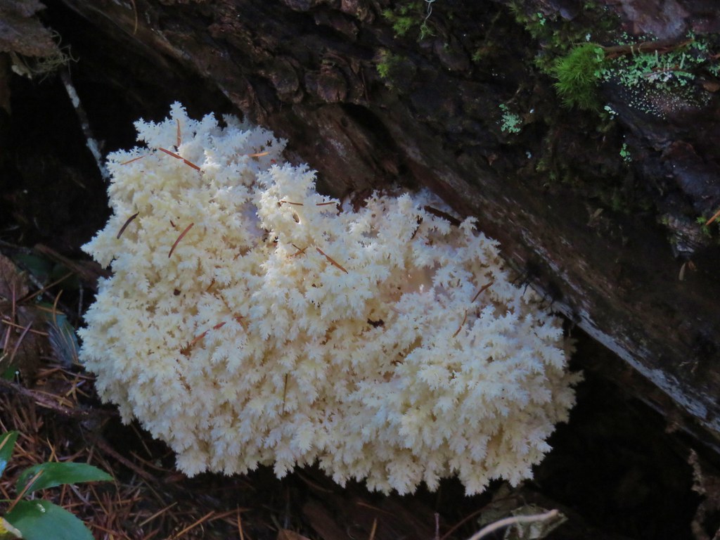
 Coral fungus
Approximately 1.25-miles from the trailhead I arrived at a junction with the Tumala Mountain Trail.
 The Old Baldy Trail turns left here while the Tumala Mountain Trail continues straight.
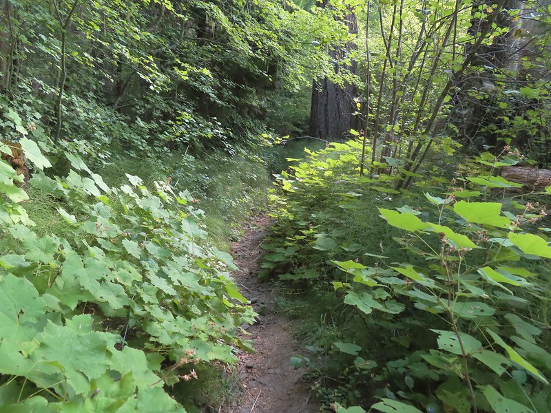
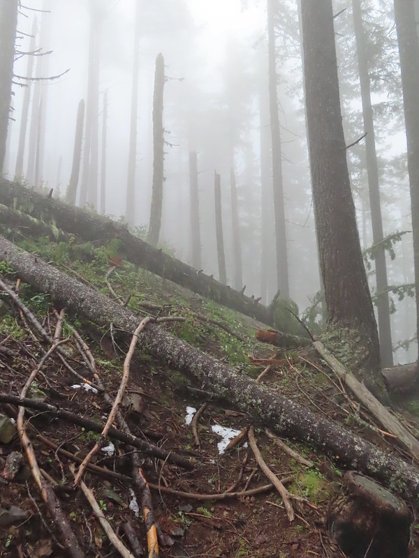
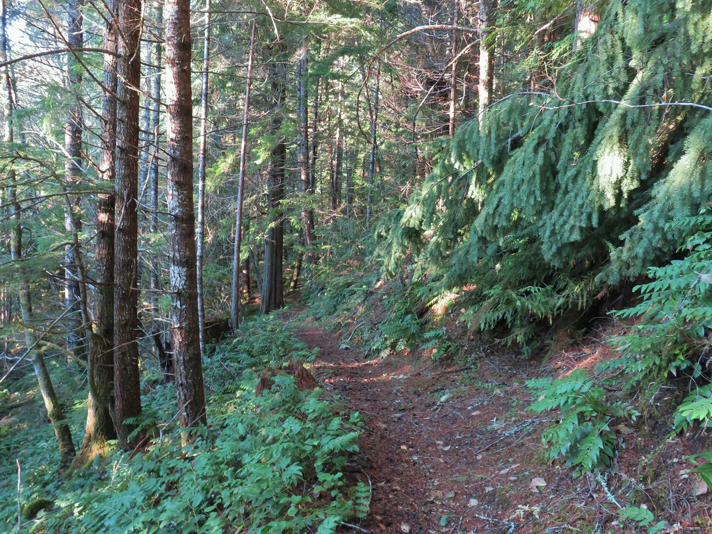
 A small unreadable sign was the only identifier for the continuation of the Old Baldy Trail. I was a little concerned seeing blowdown on this trail from the junction but as it turned out the trail was in good shape and the trees that were down were easily stepped over.
I had decided to save Tumala Mountain for later since I had already been up to the summit. While it was only a third of a mile, I wasn’t sure about adding the extra distance and elevation on what promised to be a warm day. The other reason for waiting was that the Sun wouldn’t be between myself and Mt. Hood later in the day, and it surely would have been this early.
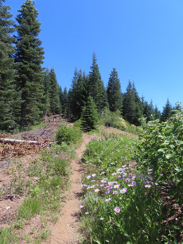
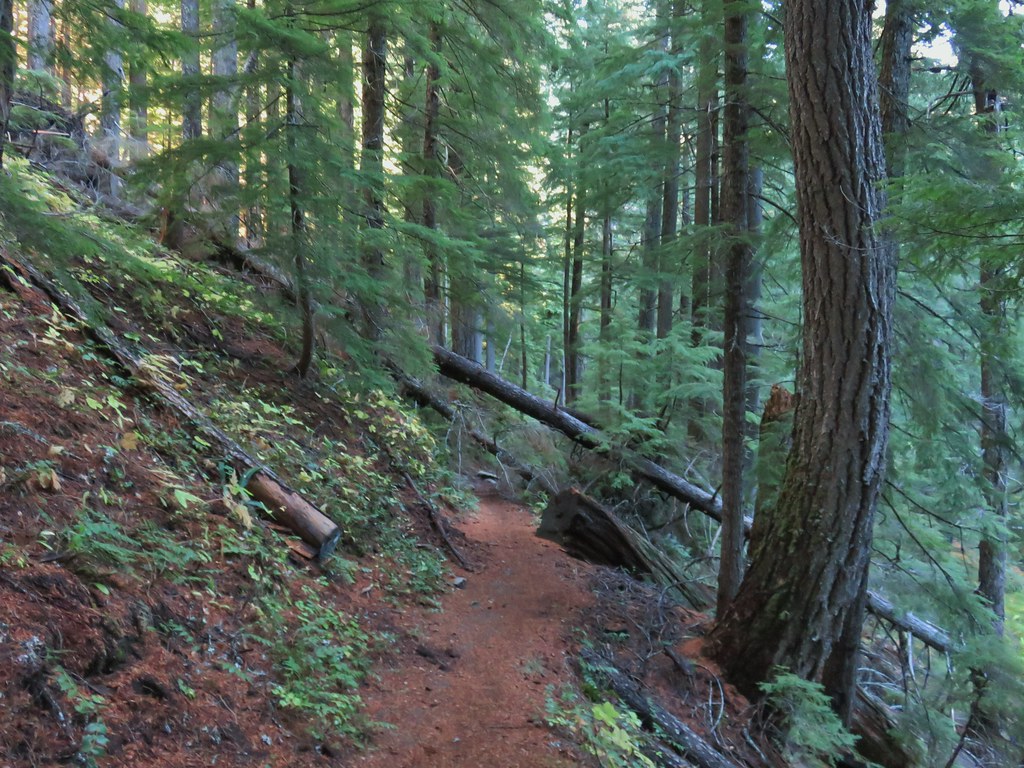
The Old Baldy Trail descended for a mile losing roughly 500′, most of it in the first third of a mile.

 One of four switchbacks in the first 0.3-miles.
 Cat’s ear lily

 Cascade lily
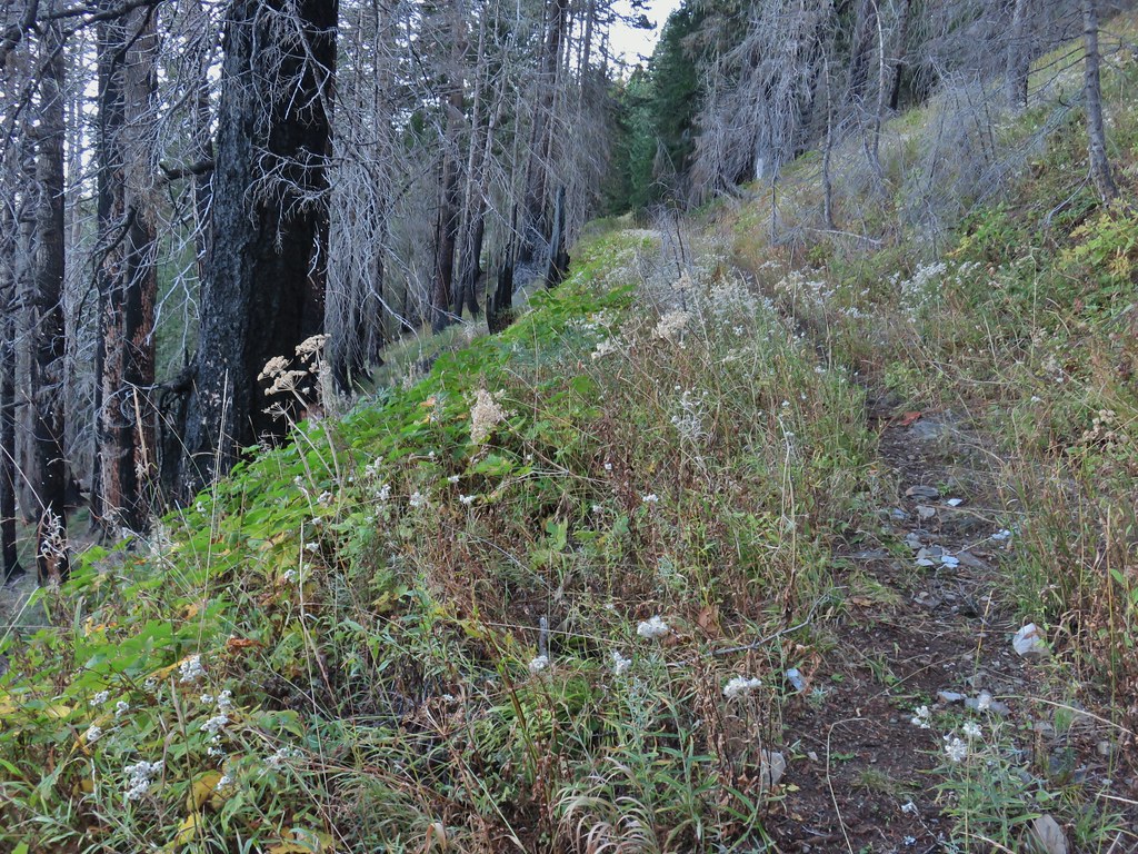
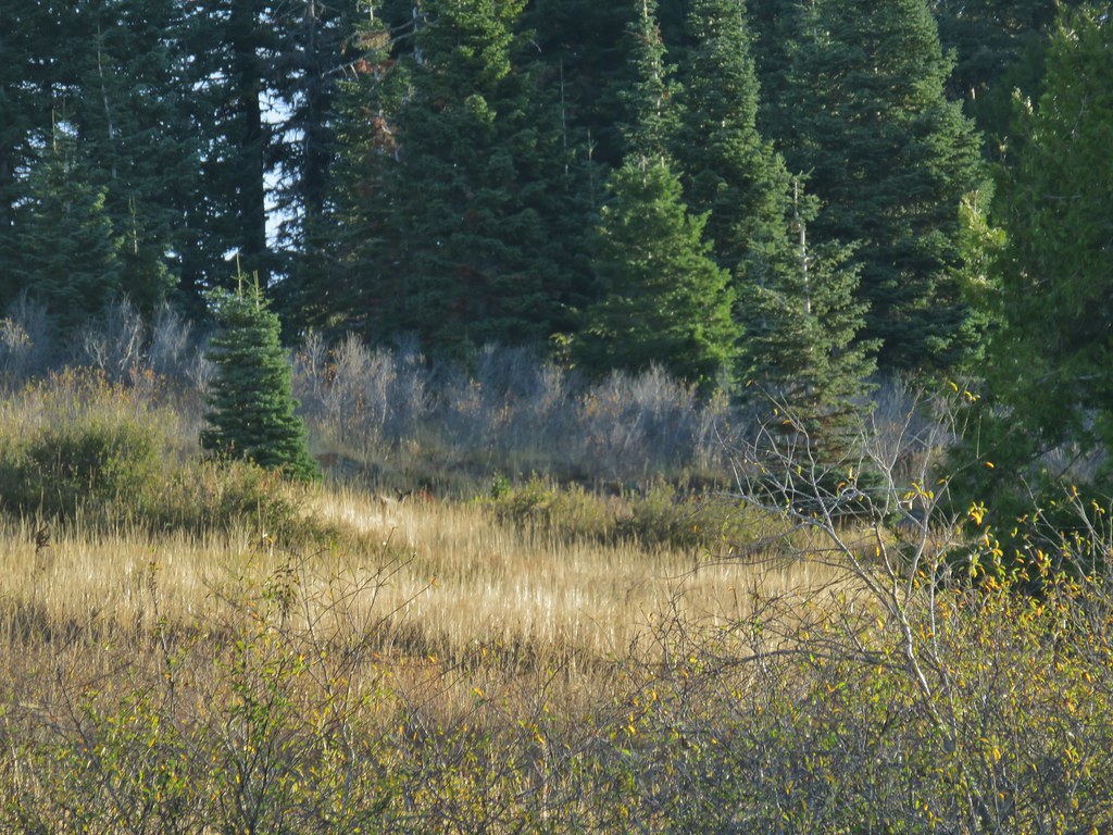
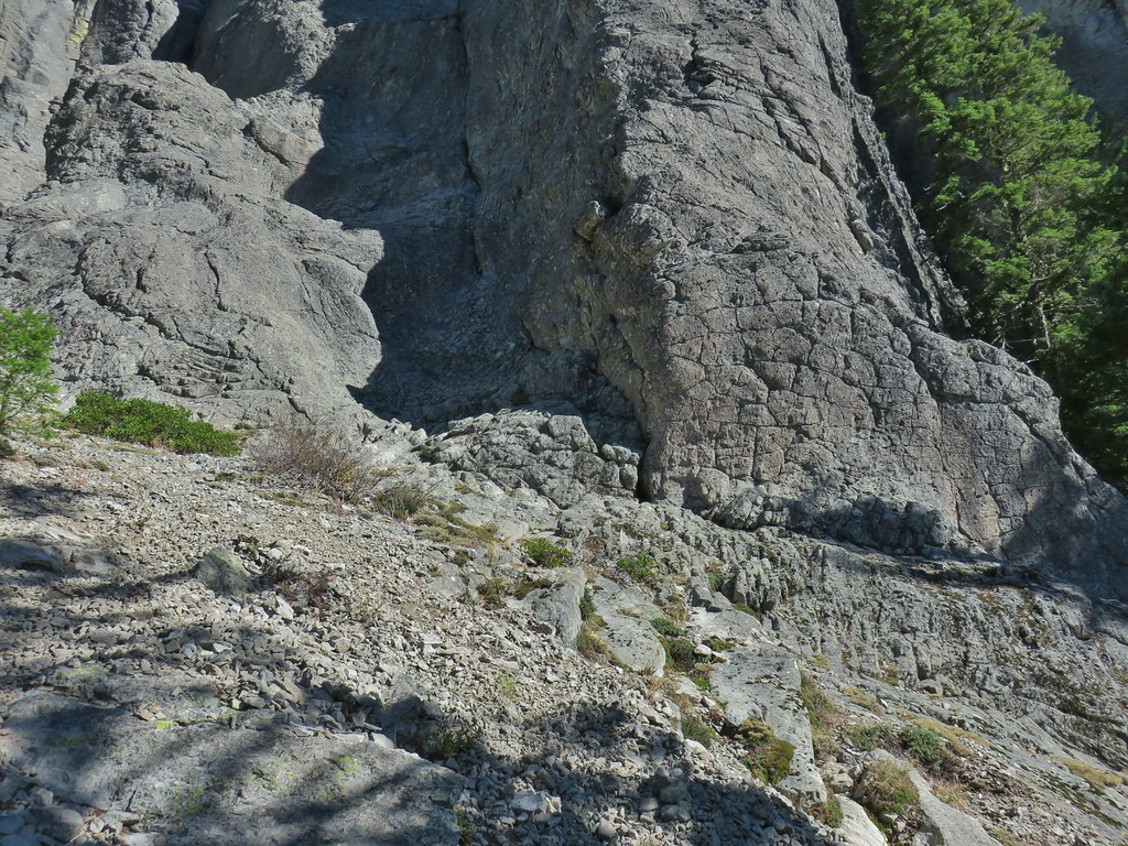
The trail leveled out as it passed under some rock outcroppings and crossed a scree slope where I heard the distinctive “meeps” of several pikas but was unable to spot any.

 Oregon sunshine
 Larkspur & ?
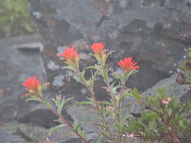
 Paintbrush
 Bunchberry, not sure what is causing the white at the end of the leaves. I’d never noticed that before.
 Lupine

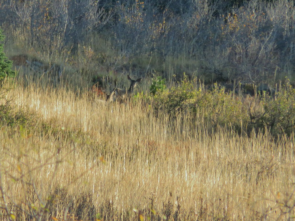
 View at the scree slope
 I’m pretty sure there were at least three pikas down there somewhere.
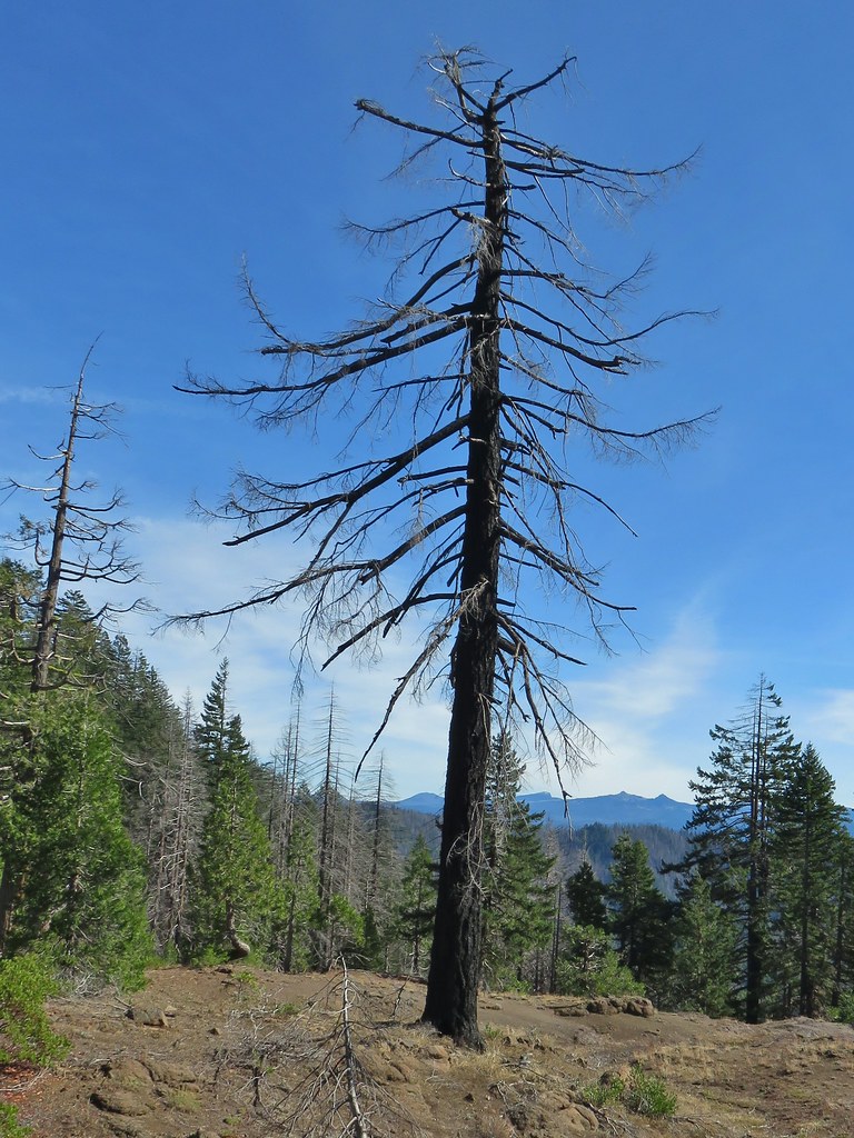
 Tumala Mountain in the center.
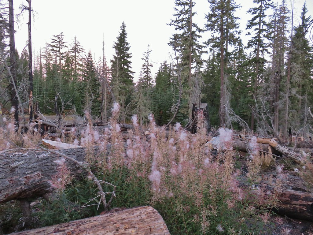
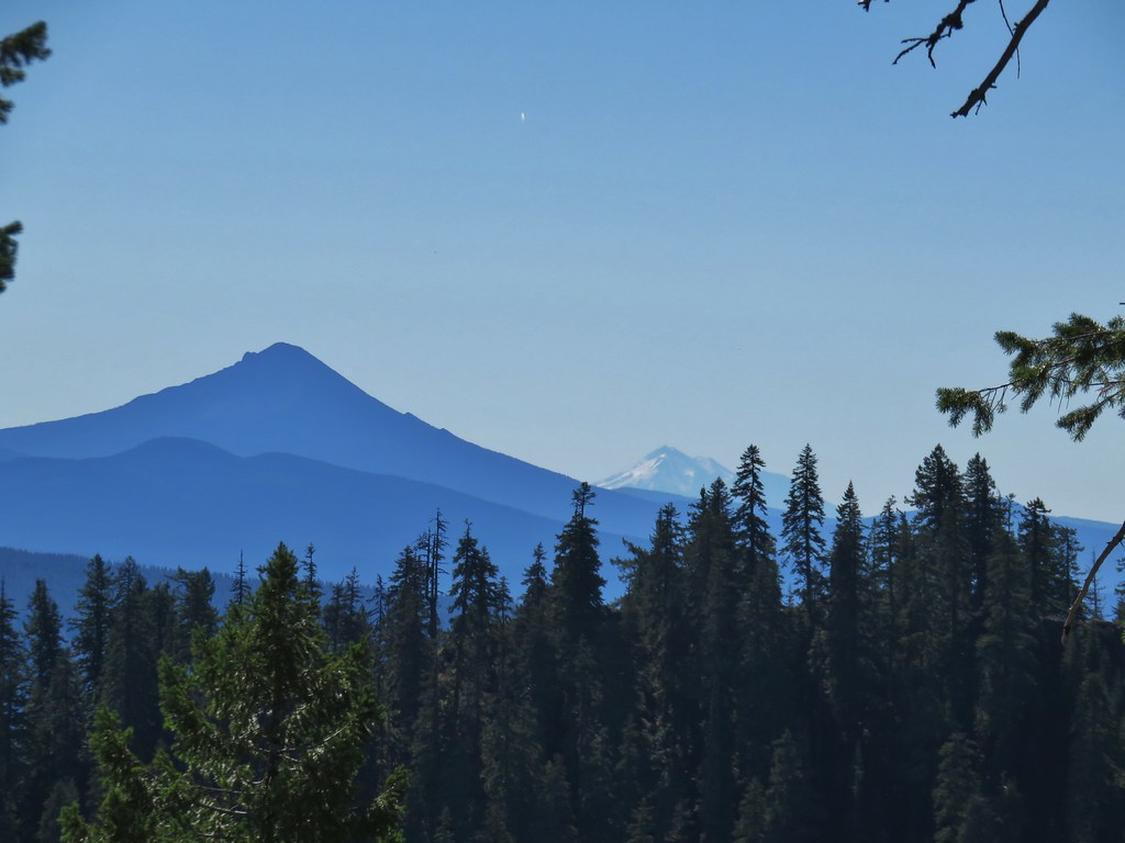
 From left to right is East Mountain, Thunder Mountain (post), Fish Creek Mountain (post), and Whaleshead. Sadly, all but Thunder Mountain were burned in the 2020 Riverside Fire.
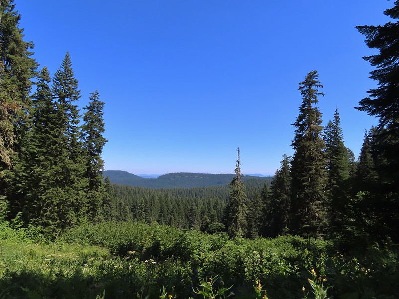
Beyond the scree slope the trail began a gradual half mile climb to a ridge end where it then descended for a quarter mile to the Twin Springs Trailhead.
 Little prince’s pine
 Cascade lilies, a few lupine and a paintbrush.
 Carolina bugbane and foam flower.
 Spur trail from the Twin Springs Trailhead (Old Baldy East) on the right.
To reach the Plaza Lake Trail I would need to hike Forest Road 4610 just under a mile from the Twin Springs Trailhead while Sheepshead Rock was another 1.5-miles along what was now the Plaza Trail.
I had been wrestling with whether to visit Sheepshead Rock or Plaza Lake first. It was still early enough that the Sun would likely be influencing the quality of view from Sheepshead Rock and the trail to Plaza Lake would require a 500′ climb back up the half mile Plaza Lake Trail. Visiting the lake first would give the Sun time to travel further West and mean I would be making that climb a little earlier in the day. The argument for Sheepshead Rock first was that the lake was the only source of water along my route and doing the 3.2-mile out-and-back to the viewpoint before the lake would give me a better idea of whether or not I would need to replenish any water for my return hike. (I had brought an extra Hydro Flask full of water along with my usual 3-liters.) In the end visiting Sheepshead Rock first won out due to the water so I stayed straight on the Plaza Trail.

The Plaza Trail climbed very gently through the forest, at first running somewhat parallel to FR 4610 before turning left (North) at an old roadbed. This was the sight of the former Plaza Guard Station. Supposedly there was an old stone fireplace here but I wasn’t able to spot it at all.

 Part of the foundation at the former guard station site.
 The old road.
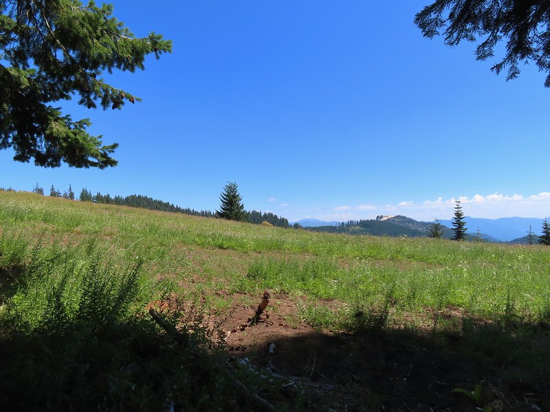
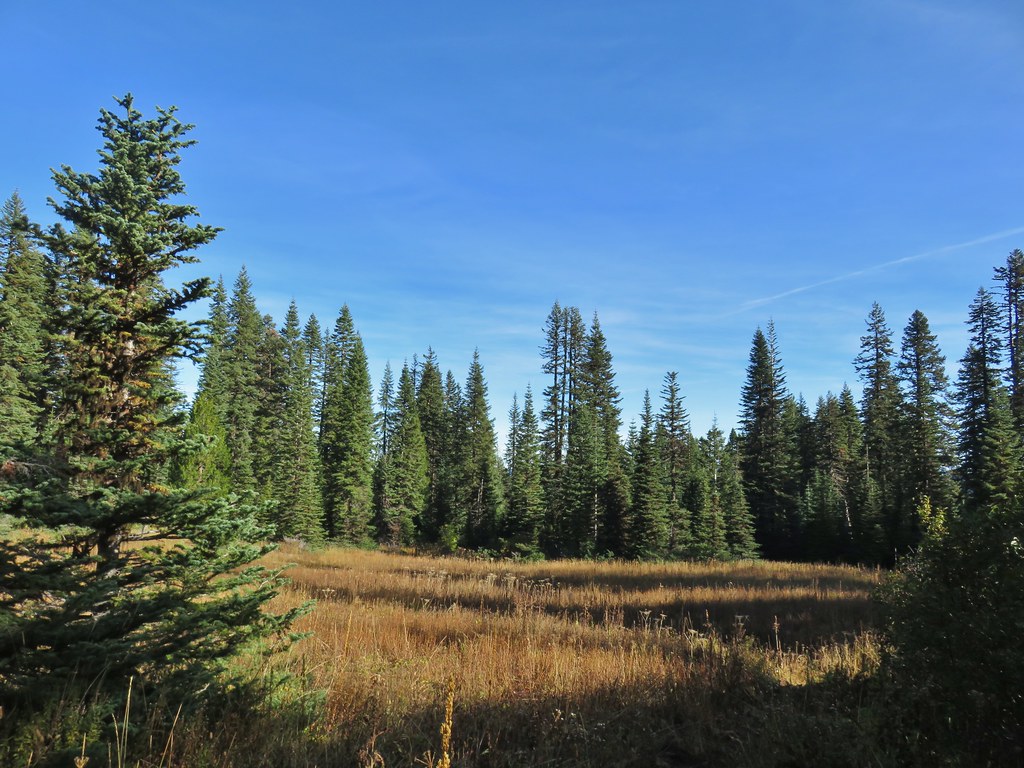
The trail continued its gradual climb crossing the “Plaza”, a wide area along the ridge where avalanche lilies were blooming in large numbers.


Mosquitos had been a bit of a nuisance all morning and here every time I stopped for pictures a high-pitched whine reminded me of their presence, so I kept my stops to a minimum.
 Not a big beargrass year but there was a few blooming along the trail.
Beyond the Plaza the ridge narrowed and the trail dopped a little to traverse along its side.

I was watching for a small spur trail to the right for Sheepshead Rock and was fooled once.
 I went up this trail to find it just immediately dropped back down to the Plaza Trail.
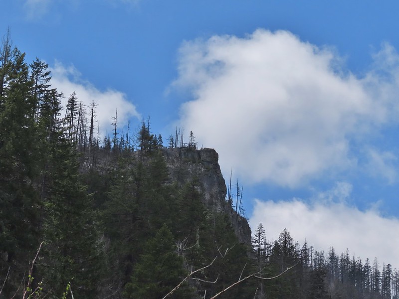
 The correct spur to Sheepshead Rock.
I turned up the spur trail and made my up Sheepshead Rock.

 Mt. Hood

 Mt. Adams and Mt. Hood
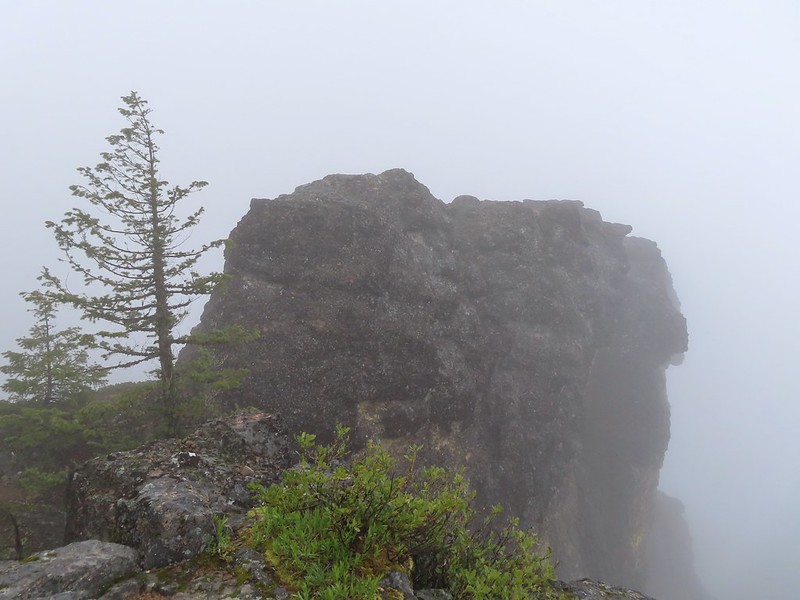
 Some light scrambling brought me to the top of the rock.
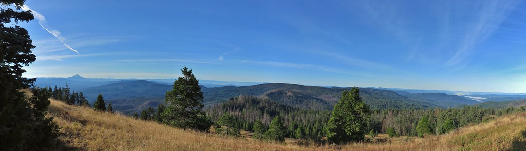
 Mt. St. Helens, Goat Rocks, and Mt. Adams in the distance. The high point to the left along the forested ridge is Wildcat Mountain (post).
 Mt. St. Helens
 Goat Rocks and Mt. Adams
 Mt. Hood with the South Fork Salmon River valley below.
 Orange agoseris
 Oregon sunshine and yarrow
 Saxifrage
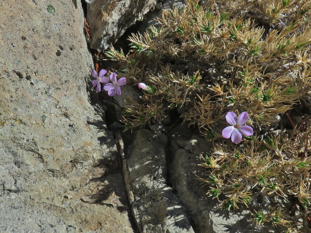
 Penstemon
 Bluebells of Scotland
After a nice, albeit warm, break at the viewpoint I headed back toward the Twin Springs Trailhead. When I arrived back at the old roadbed I got a wild hair and decided to turn onto it. A quick check of the map showed that it was a more direct line to FR 4610 allowing me to cut some distance off total mileage for the day. There were a few downed trees along the way but for the most part it was easy walking and I arrived at FR 4610 in 0.3 miles.


I turned left on FR 4610 and followed it for 0.6 miles to a sign on the left for the Plaza Lake Trail Trail.
 Valerian
 Moth on an arnica.
 The Plaza Lake Trail sign on the left.
A very short, rough spur road led to a couple of parking spaces and the start of the Plaza Lake Trail.

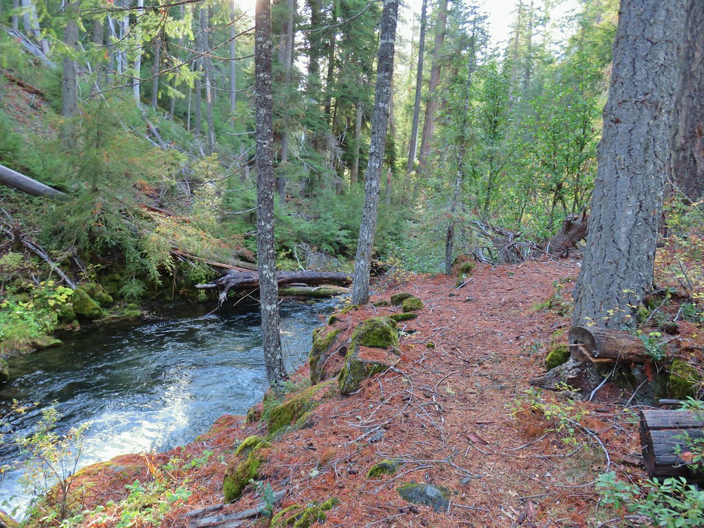
The trail made seventeen switchbacks on the way down to the lake. I was thankful for these on the way back up as they kept the trail from ever being too steep.
 View from one of the switchbacks.
 Pacific coralroot
 Bunchberry with the more familiar all green leaves.
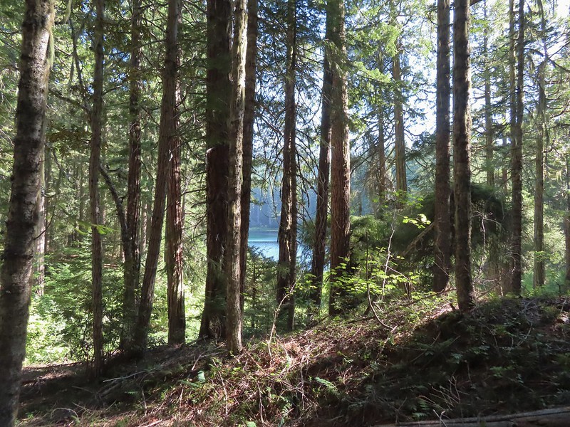
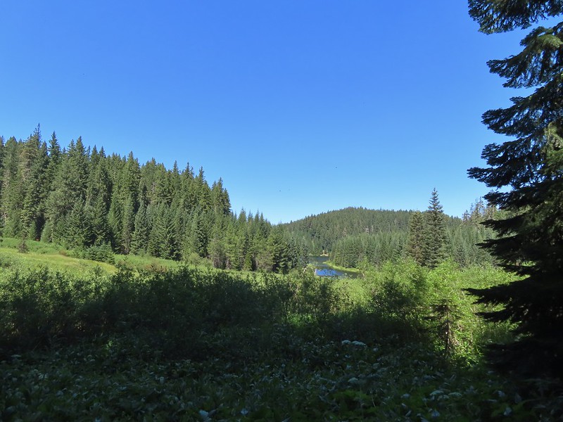
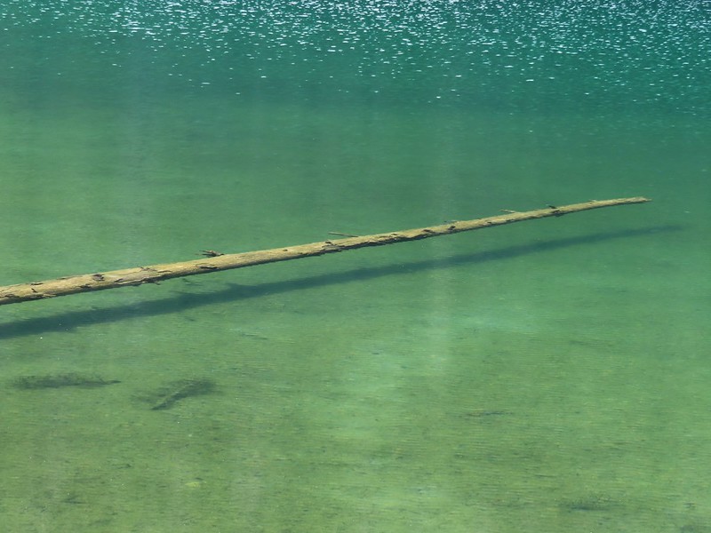
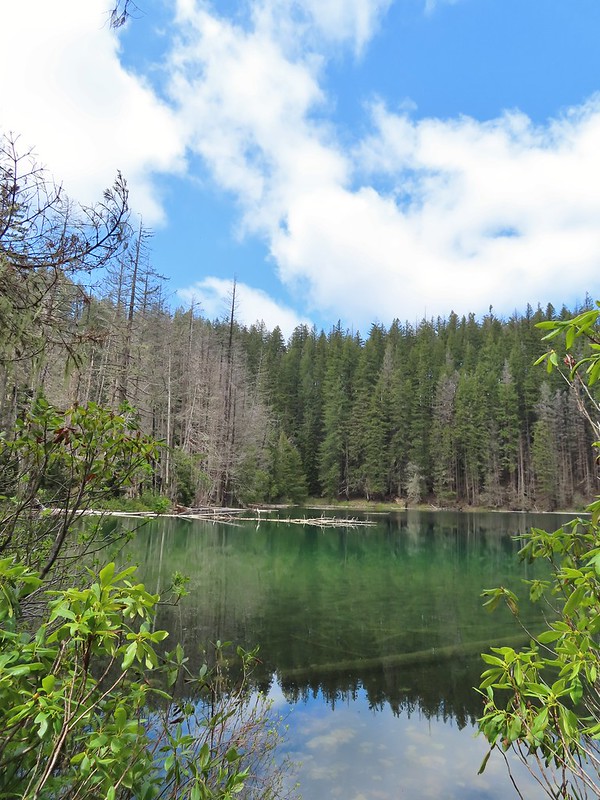
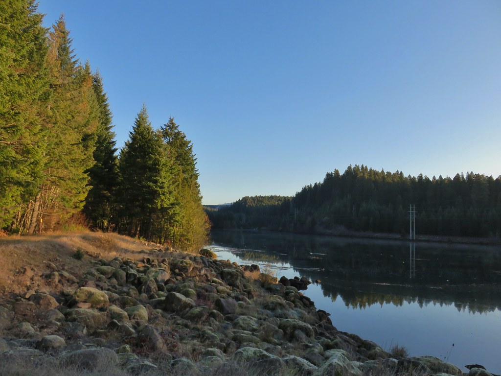
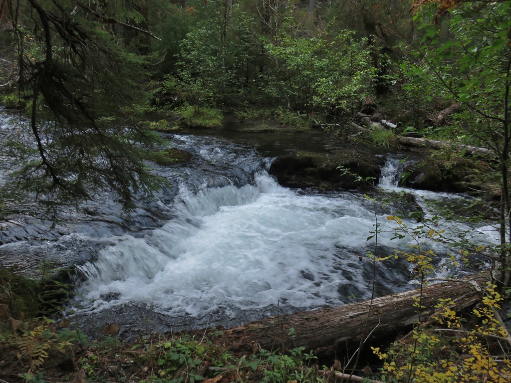
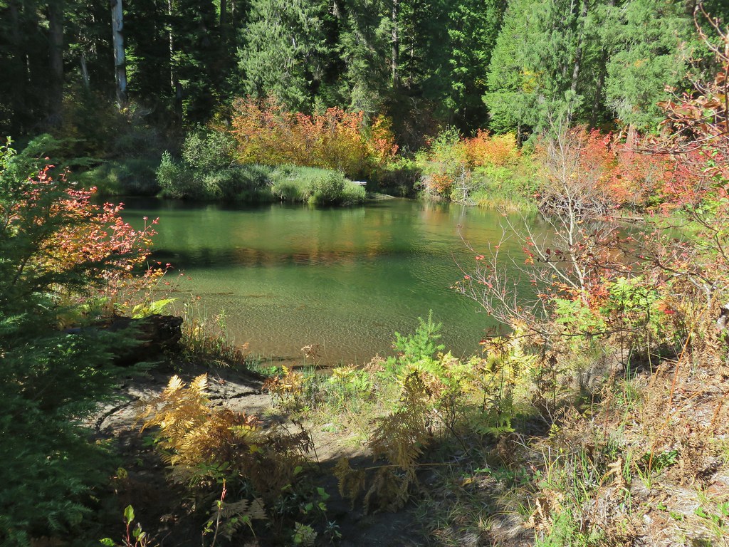
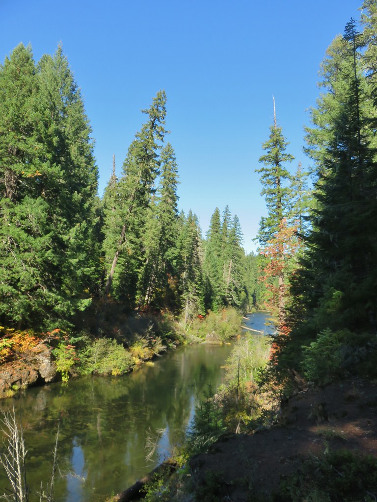
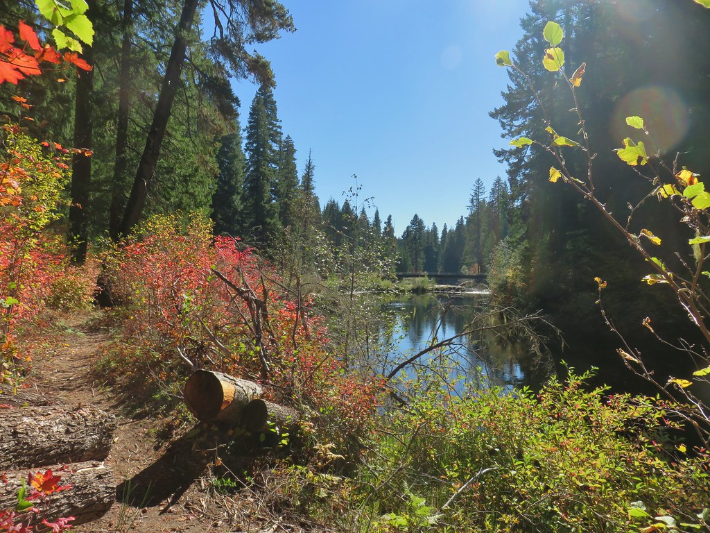
 Plaza Lake below from the trail.
 Twin flower
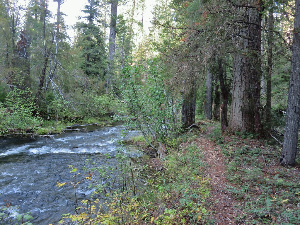
 There were some nice big trees along the trail.
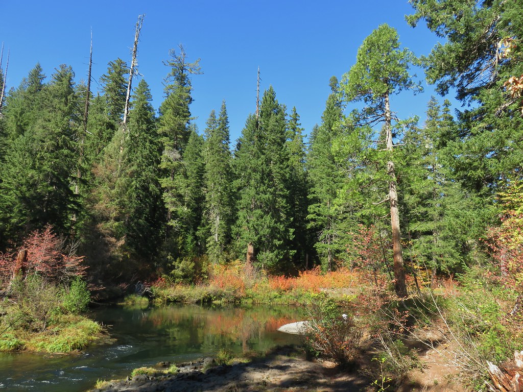
At one time the Plaza Trail continued beyond the lake all the way to the Salmon River but now it effectively ends at the lake. (Note that there didn’t seem to be any viable campsites at the lake which might be one reason there were signs of people having camped at the trailhead.)

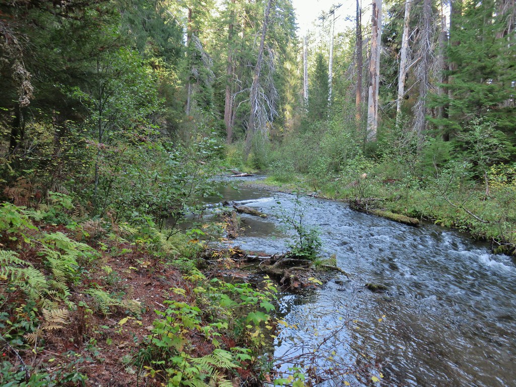
I took another break at the lake to watch the dragonflies, change into dry socks, and check my water supply.

 Looking up from the lakeshore.


After determining that I had sufficient water for the reminder of my hike I made the climb back up to FR 4610 and followed it back to the Twin Springs Trailhead. During the road walk I was passed by two OHVs, the first other people I had seen all morning.

 I’d missed Mt. Hood on the way down.
 Mt. Hood

 Anemones
 Spirea and lupine
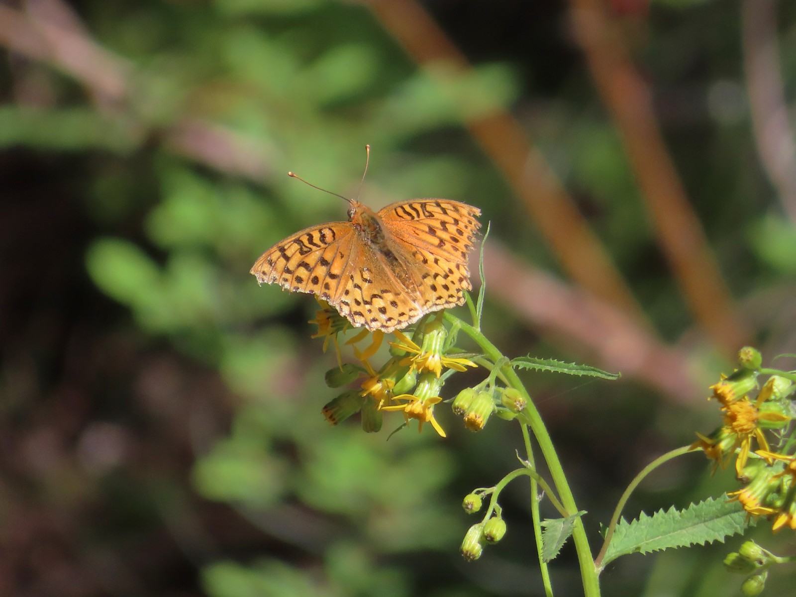 A fritillary butterfly.
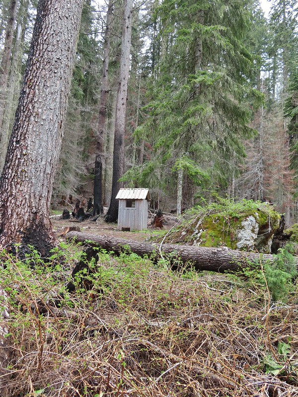
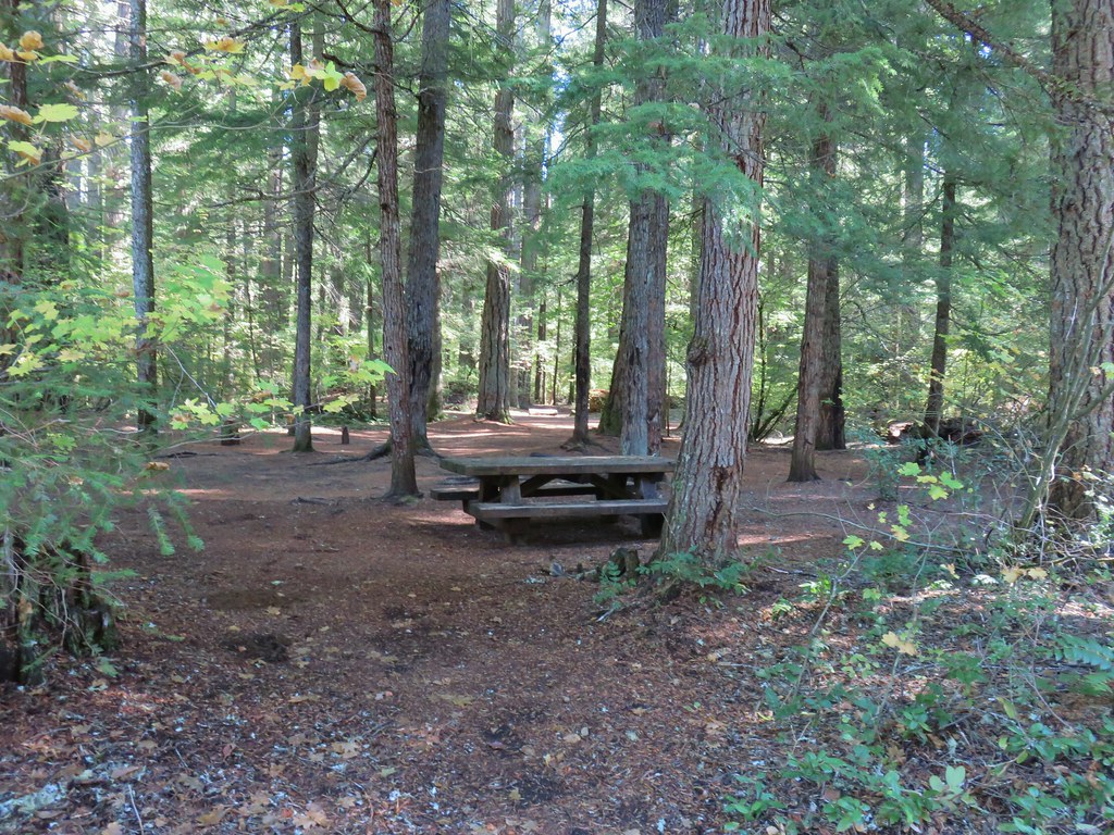
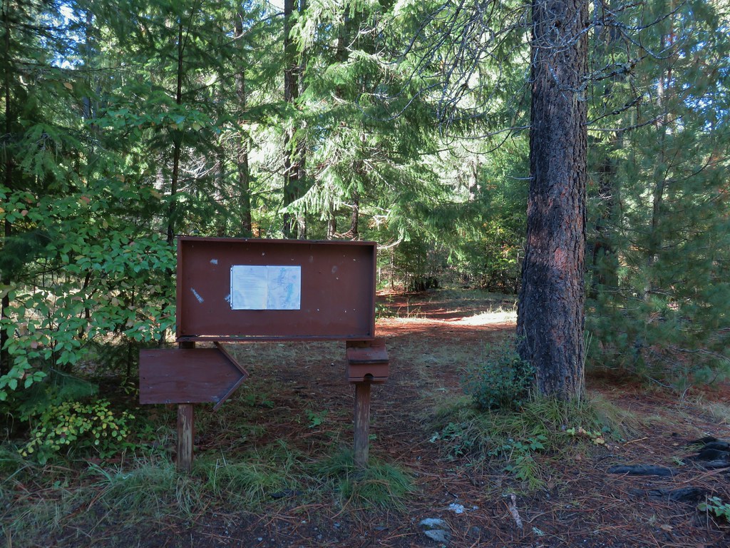
 The former Twin Springs Campground was near the trailhead on the opposite side of FR 4610.
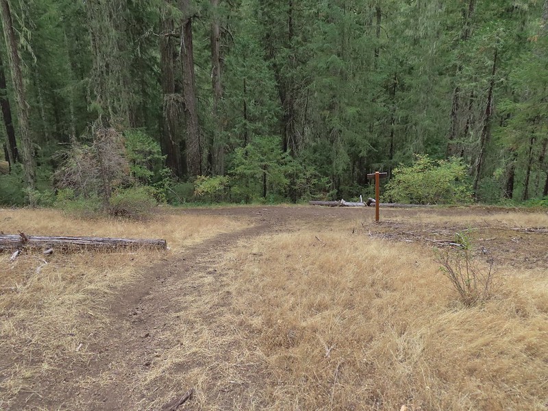
 The Twin Springs Trailhead.
 Old Baldy Trailhead sign at the Twin Springs Trailhead.
 Salmon-Huckleberry Wilderness sign (straight ahead) at the Old Bald/Plaza Trail junction.
I turned left onto the Old Baldy Trail and followed it approximately 1.8 miles back up to the junction with Tumala Mountain Trail.
 I stopped again at the scree slope to look for pikas. All was quiet as they apparently had retreated underground to avoid the heat, but with more light in the valley below I could make out a green meadow in the trees.
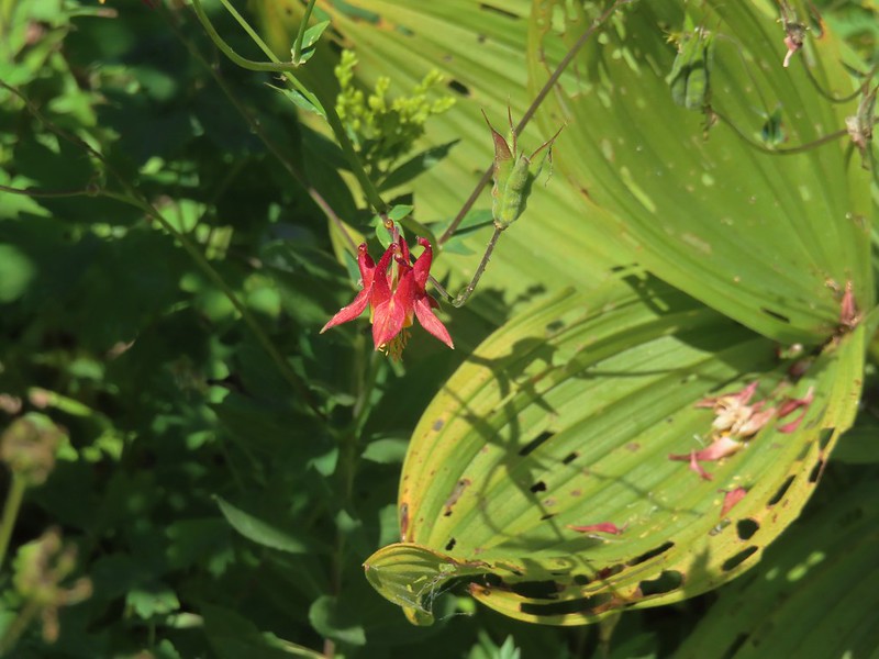
 Columbine along the trail.
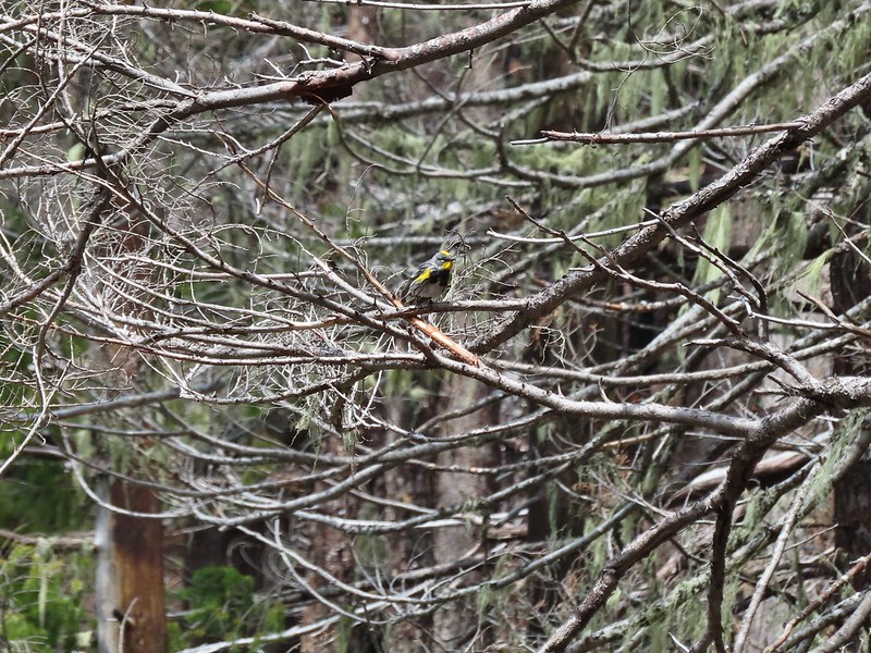
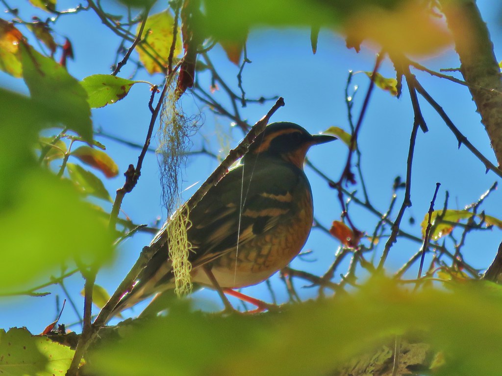
 Grey jay
 Back at the Tumala Mountain Trail junction.
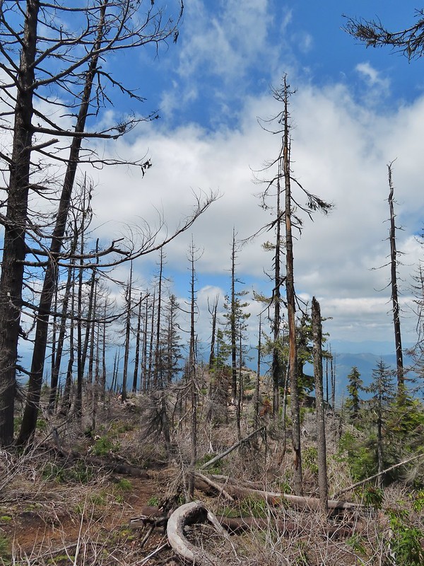
Having seen Mt. Hood from the Plaza Lake Trail and seeing that the view was indeed better than it had been earlier I turned left up the Tumala Mountain Trail and made the 0.3-mile climb to its summit.

 My first view of Mt. Jefferson on the day.
 Mt. Jefferson
 A yet to blossom rhododendron.
 Fading lousewort and valerian.
 A blooming rohdodendron.
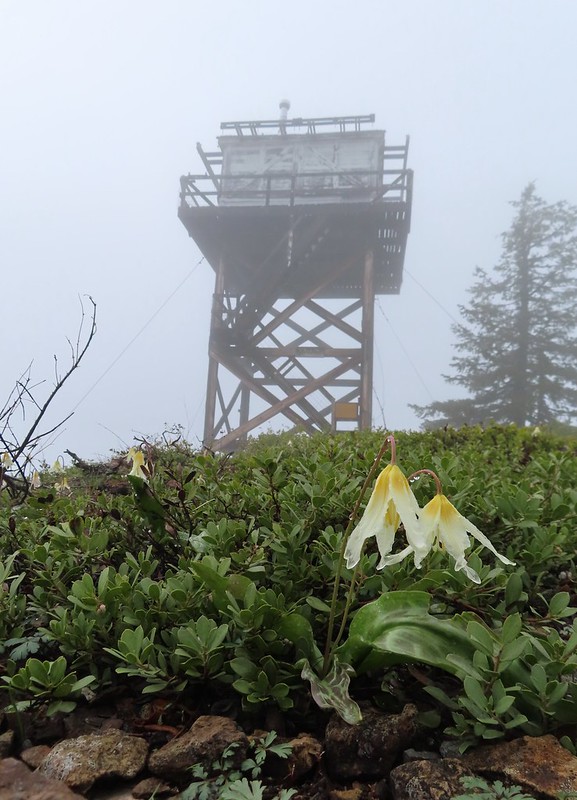
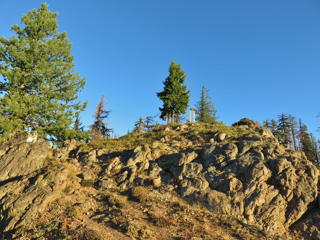
I ran into the first other hiker of the day at the former lookout site. She mentioned that she had planned on hiking from the Old Baldy East Trailhead but wound up at the Old Baldy West Trailhead instead. She had put Old Baldy Trailhead as her destination in her driving directions instead of Twin Springs so it took her to the same trailhead I’d started at. The view from the summit was clearer than it had been on my previous visit.
 Mt. Hood. The scree slope is also visible through the trees on the hillside to the lower right.

I wandered along the rocky summit a bit to get different views. Along with the hiker at the former lookout site there was a radio operator and another pair of hikers in the area.
 Mt. Jefferson in the distance.
 Mt. Jefferson
 Three Fingered Jack and the Three Sisters
 More Cascade lilies.
 Mt. St. Helens in the distance.
 Mt. St. Helens
 A better view of the scree field and the meadows below Tumala Mountain.
Parts of Mt. Adams were also visible, but I wasn’t able to find a spot without trees in the way to get a clear view. Satisfied with the views I headed back down to the Old Baldy Trail and then continued on returning to the trailhead.
 Penstemon and lupine.
 Passing the Fanton Trail junction on the way back.
 Looking at the final climb of the day from the saddle.
With most of the trails passing through forest there was a lot of shade so despite it reaching the 70s by the time I was finishing at Noon it never felt uncomfortably hot. I hadn’t needed all of my 3-liters of water, but I was close to needing to break into the Hydro Flask. The hike itself came in at 12.9 miles with 3240′ of elevation gain. {My shortcut on the closed road from the guard station site to FR 4610 cut 0.6-miles off.)
While I missed having Heather with me the combination of warm weather and mosquitos made this a good one for her to miss. She seemed to be feeling quite a bit better when I got home so hopefully I won’t be heading out solo again in the foreseeable future. Happy Trails!


 The forecast for Salem was for temps in the mid-90s so we got an early start.
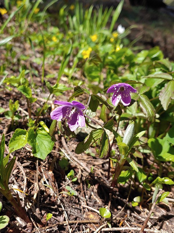
 Bleeding heart and penstemon
 Iris
Iris Cascade lily
 Scouler’s bluebell
 Inside-out flower
 A few green trees remain.
 Another Cascade lily
 The trail was in pretty good shape overall and we could tell there was ongoing trail work. It looked like there were some rock steps that were going be placed in this section.
 Penstemon
 Oregon sunshine
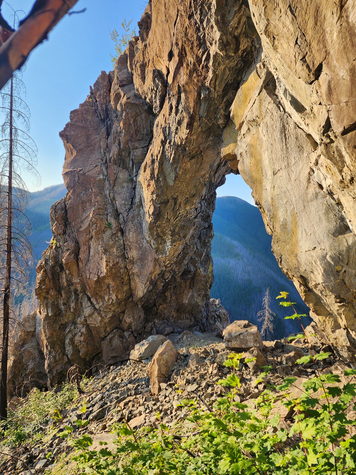
 View from the arch.
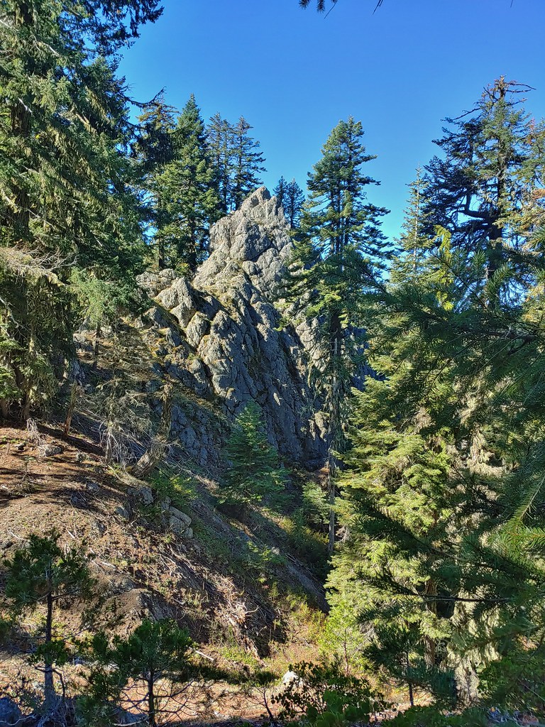
 Fin below the arch.


 Snowberry checkerspot
 Rocky Top straight ahead.
 Penstemon and big deer vetch
 Cascade lily
 Oregon sunshine, penstemon, Oregon bedstraw, and a daisy or two.
 Oregon sunshine and paintbrush
 There was a fair amount of shade while the Sun was still low.
 Paintbrush and penstemon
 Thimbleberry
 Bleeding heart. There was more bleeding heart on this hillside than we’d ever seen in one spot.
 Pika below the road.
 Pika
Pika Rhododendron
 The Three Sisters on a hazy morning.
 Anemone
 Paintbrush and lupine
 Beargrass
 A few patches of green below Rocky Top.
 This was probably the worst spot in the road in between the two trailheads.
 Bunchberry
 Trillium with a few petals yet to fall off.
 Violets
 Spirea and valerian

 Large boykinia
 Lots of lupine.
 Larkspur and phacelia
 Arriving at the Rocky Top Trailhead.

 Clodius paranssian
 Columbine
 Beardstongue
 Lupine
 The road from the trail. The taller, rounded, peak in the center is Sardine Mountain (
 Mt. Washington and the Three Sisters.

 Mt. Jefferson, Three Fingered Jack, Mt. Washington and the Three Sisters.
 Mt. Jefferson through the haze.
 Elkhorn Ridge (
 Mt. Hood above ridges of burned forest.
 The loss of the trees did result in better views of the various rock formations in the area.
 We’d never seen so many of these eight-spotted forester moths.
 Hummingbird taking a rest from visiting the penstemon and paintbrush.
 Another moth that had some excellent camo.
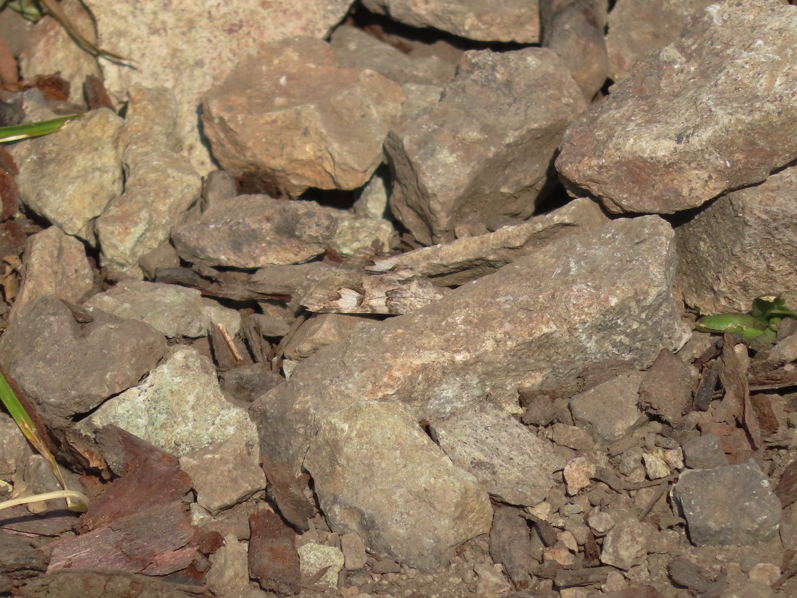 The moth putting its camouflage to use.
 Penstemon
 Rose
Rose
 Rocky Top from the trail.
 This was the only pink colored penstemon we spotted.
 Lupine and beargrass
 Not sure which of the Lycaenidae this is but it was pretty.
 The spirea was popular.
 Bumble bee
 At one point it looked like Three Fingered Jack was sitting on top of Coffin Mountain (
 Nice blue sky overhead.
 Looking North. Henline Mountain (
 Bistort and penstemon
 Haven’t been able to identify this one yet.
 Beargrass
 A snowberry checkerspot and some fried avalanche lilies.
 The trail wound behind Rocky Top to come up the West ridge to the summit.
 Arnica
 Sub-alpine mariposa lily
 Tiger lily and beardstongue
 Catchfly
 Not sure what the story is behind this chair, but we weren’t about to test its stability.
 Detroit Lake
 Mary’s Peak (
 Looking North we could see Table Rock (
 Closer look at Table Rock.
 Henline Mountain, Table Rock, Mt. Hood, in front and just to the right of Mt. Hood is Whetstone Mountain (
 Mountain bluebird checking us out.
 Mt. Jefferson
 Three Fingered Jack behind Coffin Mountain, Maxwell Butte (
 Zerene fritillary
 Beargrass
 Moth and a checkerspot
 A bee, a moth, and a butterfly land on some flowers…
 Painted lady
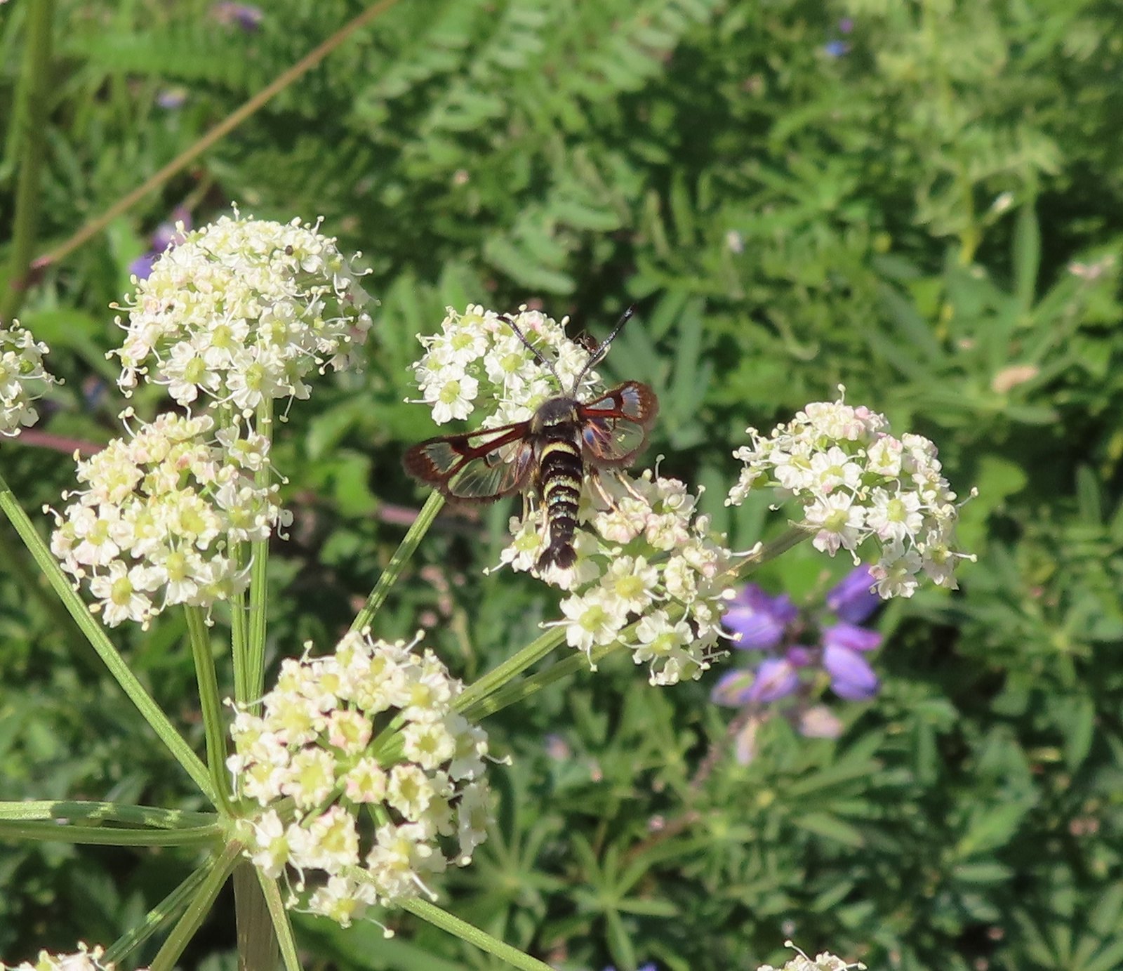 Fireweed Clearwing Moth (Albuna pyramidalis).
 A fritillary and a copper.
 Two coppers and a bee.
 Checkerspots, a bee, a copper and part of an eight-spotted forester moth.
 Eight-spotted forester moth.
 The previous four photos were all from this group of Oregon sunshine.
 Bleeding heart, no butterfly but a nice group of blossoms.
 More moths and butterflies.
 Swallowtail on penstemon
 One of the blues I think, but not sure which.
 Lorquin’s admiral


 Sparrow
 Stellar’s jay
 The spur trail is to the right just ahead.
 We watched a norther flicker fly into the snag ahead and it took a minute to figure out where he was.
 The flicker
 Trailing blackberries. We might have found a few ripe ones.
 Arriving at the camping area.
 North Santaim River
 Oregon grape
 Mock orange
 The boat launch.
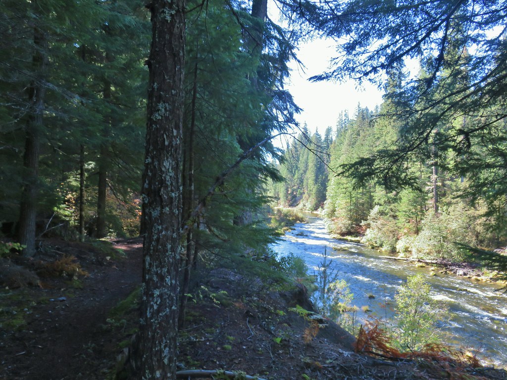
 North Santiam River
 The park host on the left and the parking lot on the right.
 Crosswalk for the pre-fire loop.
 Looking North from the crosswalk there was zero sign of the former trail.
 They had at least restored this short section of the loop so we were able to return to the spur trail and turn right then right again to complete the inner loop.
 The “To River” sign at the spur trail junction.
 Possibly a western wood pee-wee
 Spotted towhee
 Osprey
 The park host from the trail.


 Ouzel
Ouzel


 Small cascade on Fish Lake Creek.
 Logs at the outlet of Fish Lake. The Indian Trail can be seen on the far side. This junction was unmarked and you would have to cross the logs to reach it. In theory one could take this trail to the Lakes Trail near Buckeye Lake, but as we understand it the trail does not receive regular maintenance so we did not include it in our plans.
 Arriving at Fish Lake
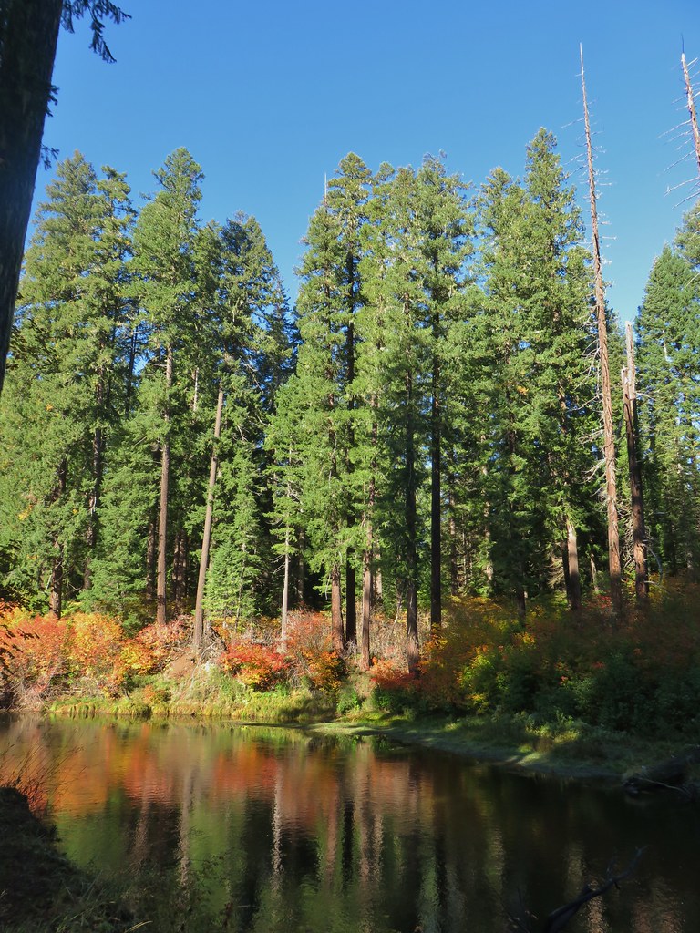

 The clouds began burning off before we’d found our campsite.
 We set up camp on a little knoll near an old stone foundation. We’re interested to know what used to be there but so far haven’t found any information on it.
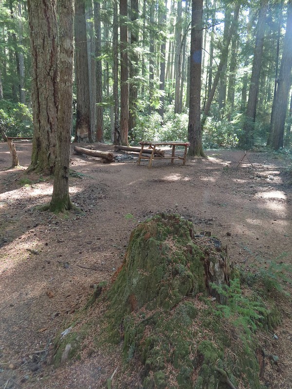 A little too developed for Wilderness standards.
 A dry channel along Highrock Creek.
 Crossing an unnamed creek.
 The trail junction.
 Highrock Creek. There were several nice pools here which we utilized to replenish our water on our way back to camp.
 Foam flower and a few ripe thimbleberries, Heather’s favorite.
 The junction with the Grasshopper Trail
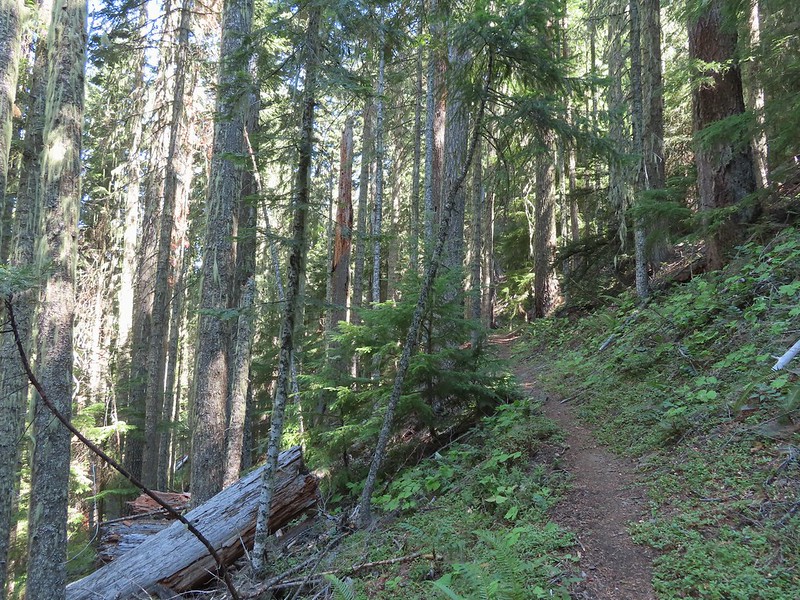
 Pine white
 Sign for the Gasshopper Mountain Trail.
 Grasshopper Spring is out there somewhere.
 We had to go around this big tree.
 A few aster
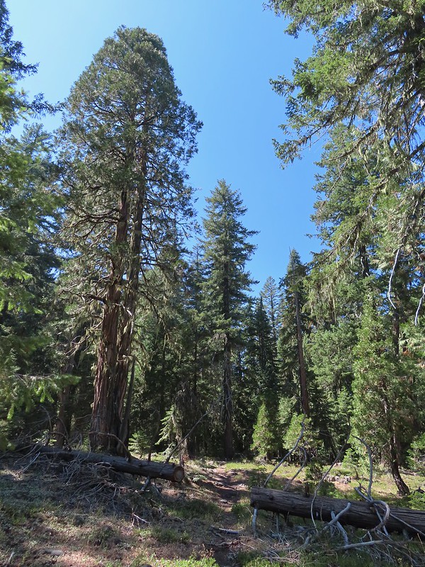 There were some good sized cedars up here.
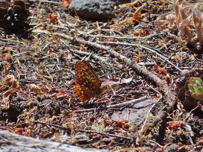 A fritillary
 Another big cedar.
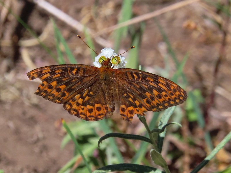 Fritillary on pearly everlasting.
 The final stretch to the summit passed through a fire scar.
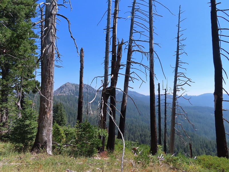 Highrock Mountain to the left, Hershberger Mountain in the middle, and the Rabbit Ears to the right (
 Rabbit Ears closeup.
 Fish Mountain (back left), Weaver Mountain, Highrock Mountain, and Hershberger Mountain with Grasshopper Meadow below.
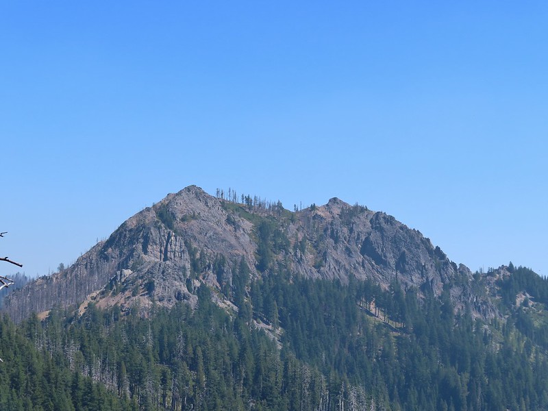 Highrock Mountain
 Owl’s clover.
 Arriving at the old lookout site.
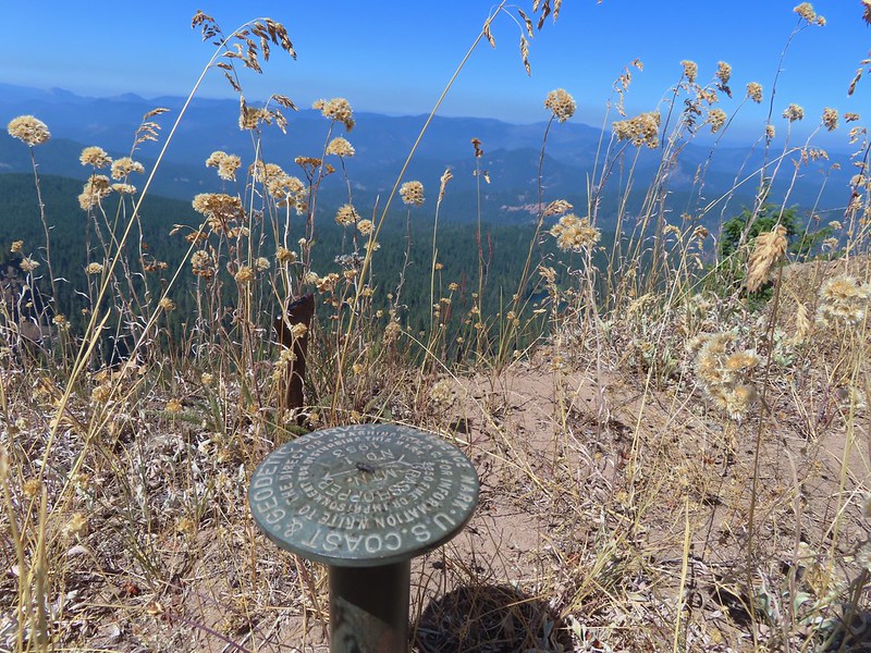
 Buckeye (left) and Cliff Lakes below Grasshopper Mountain. The broad hump beyond to the left is Twin Lakes Mountain. We had visited a viewpoint on the north side of that mountain back in June of this year (
 Buckeye and Cliff Lakes
 Smoke on the horizon to the NW. The Cedar Creek fire to the NE, Rum Creek Fire to the SW or several fires in Northern California could be the culprit(s). The peak with the white spot to the center right is Quartz Mountain which we recognized from our Hemlock Lake hike in August (
 To the NE we got a glimpse of Rattlesnake Mountain (far left) which we’d climbed during Labor Day weekend in 2020 (
 Rattlesnake Mountain behind Standoff Point.
 A skipper
 We veered right here which kept us from dropping below the saddle that we otherwise would have had to climb over on the Grasshopper Trail.
 Descending to the Grasshopper Trail.
 Trail sign at the other junction.
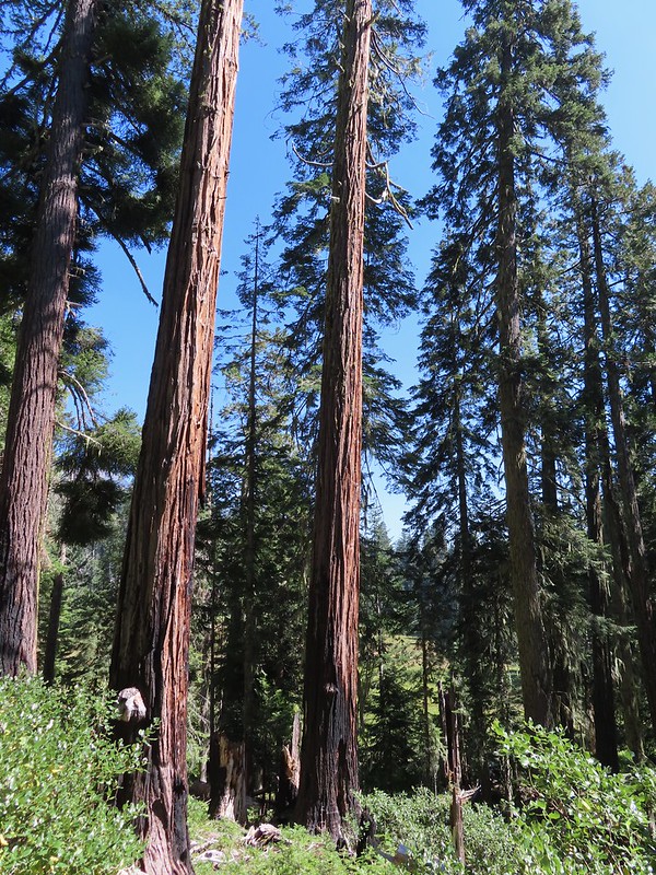 Grasshopper Meadow through the trees.
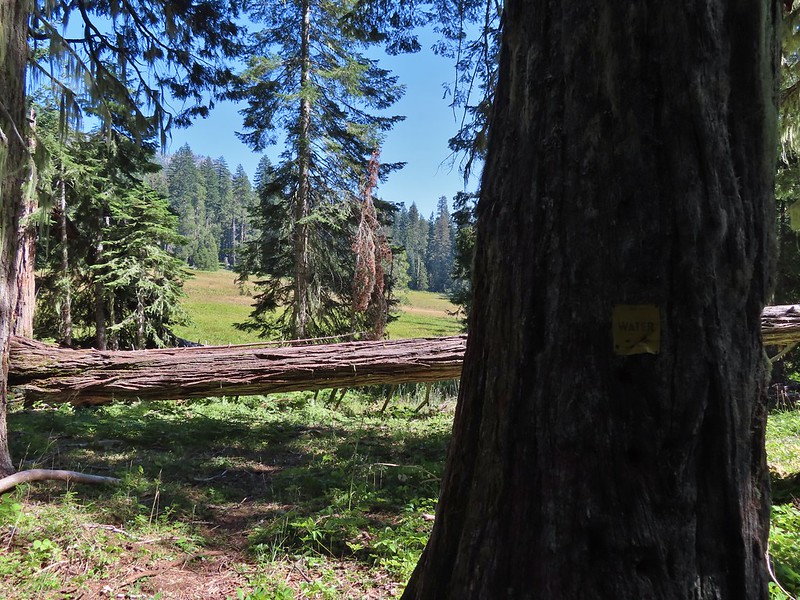 Sign for a (faint) spur trail to a spring above the meadow.
 Highrock Mountain from Grasshopper Meadow.
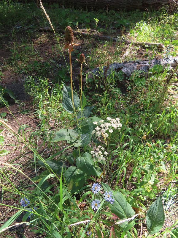 A few flowers hanging on to the last days of Summer.
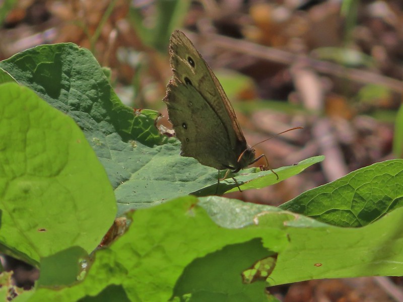 Common wood nymph
 The trail got pretty faint just before the junction but we could see the trail sign so we just headed for it.
 Fleabane? and paintbrush.
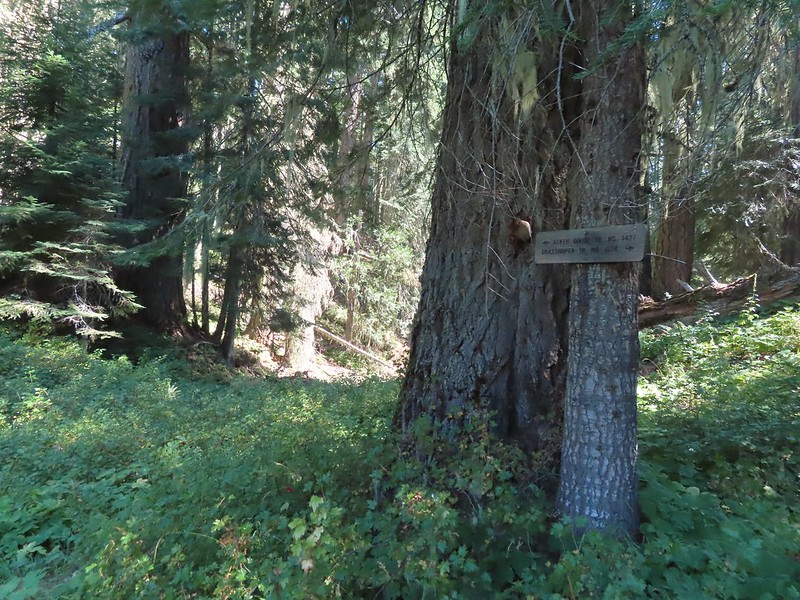 Acker Divide Trail pointer.
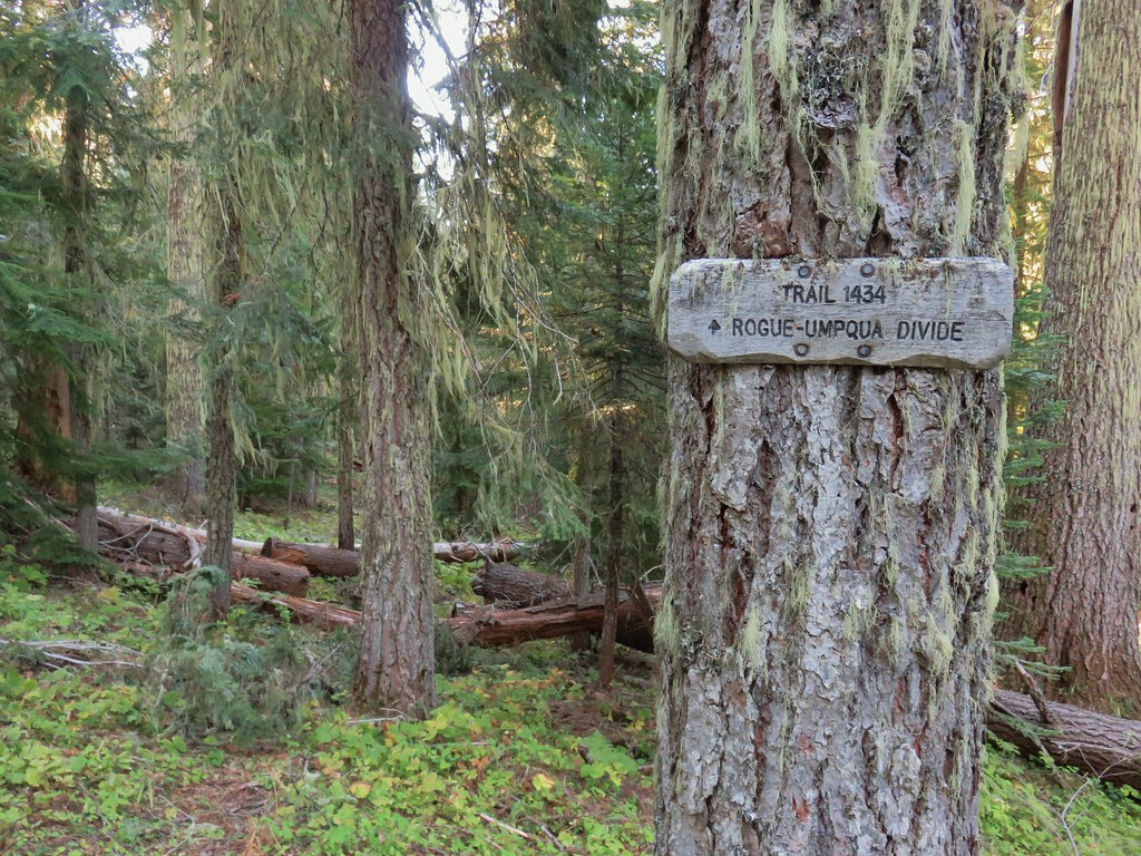
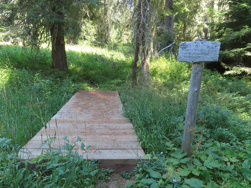 Pointer for Cripple Camp (we visited the shelter there on our Hershberger Mountain hike) and the Rogue-Umpqua Divide Trail.
 This fuzzy caterpillar was in a hurry.
 The trail along an old log.
 Passing through a small meadow near the spur to the Acker Divide Trailhead.
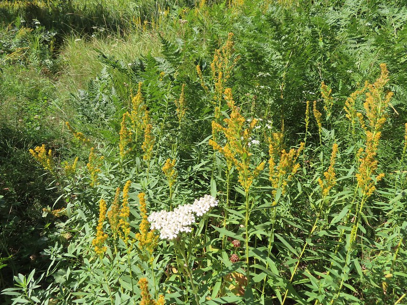 Yarrow and goldenrod
 The area was really well signed.
 Sign for Mosquito Camp on the tree to the right. There was zero sign of any established campsites here.
 Meadow at Mosquito Camp, it came complete with mosquitos (not too many though).
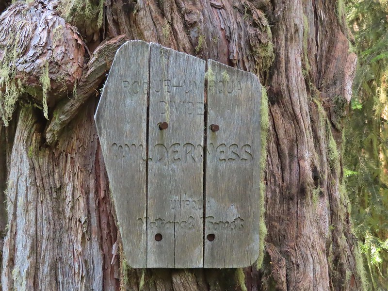 First of two times reentering the Rogue-Umpqua Divide Wilderness.
 Scat on the trail, at least we knew something used it.
 One of several very small bodies of water along Skimmerhorn Creek which may or may not be Little Fish Lake.
 Overgrown trail near Skimmerhorn Creek.
 Looking down at the pond? lake?
 As we neared the Lakes Trail we began seeing more signs of what appeared to be an ancient lava flow.
 Last of the lupine blooms.
 Lots of these insect tents on the madrones in the area.
 Arriving at the Lakes Trail.

 First glimpse of Buckeye Lake
 At this fork we detoured right to visit the lake shore.
 A good reminder that far too many people tend to forget.
 Grasshopper Mountain from Buckeye Lake.
 Lizard
 We had to really watch our step because these little guys were everywhere.
 There is an smaller, unnamed lake just West of Buckeye Lake that we did not take the time to check out closer.
 The spur trail to the campsite.
 Attempted panorama.
 Footbridge over the outlet creek which flows into another small unnamed lake that we did not attempt to find.
 Unfortunately the lighting made this tree very hard to photograph but it was the coolest tree/rock combination that we’ve encountered.
 Fritillary on thistle.
 Short climb back up to the junction.
 This slug was heading our way while we finished dinner.
 The Sun was getting pretty low as we ended our hike.
 A big nest atop a tree and the Moon above Fish Lake.
 Zoomed in on the nest and Moon.
 Fish Lake just before 7:30pm.
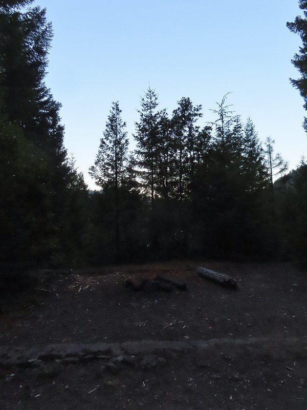 Campsite after packing up in the morning.
 Passing our planned route for the day on the left. Highrock Creek was just a 20 yard detour to the right.
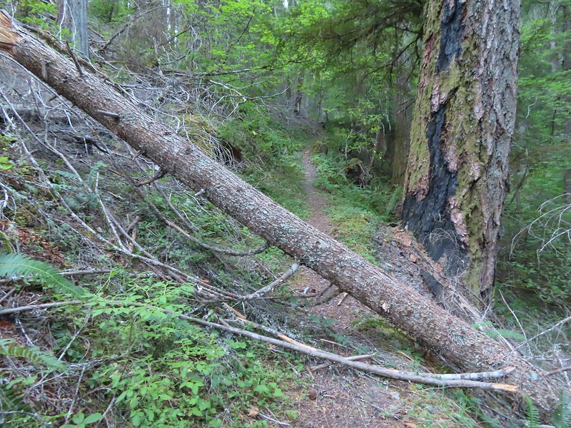 I think this was the third obstacle, one of several that was easy enough to get over.
 Prior maintenance, the second log may have been cut post fire?
 End of the line for us. Even if we somehow got around this one there was still 9.5 miles of burned trail from the trailhead and who knew how many obstacles like this one we might encounter or how long it would take us if we somehow were successful.
 We had the privilege of navigating this one twice. Heather is on the other side coming through.
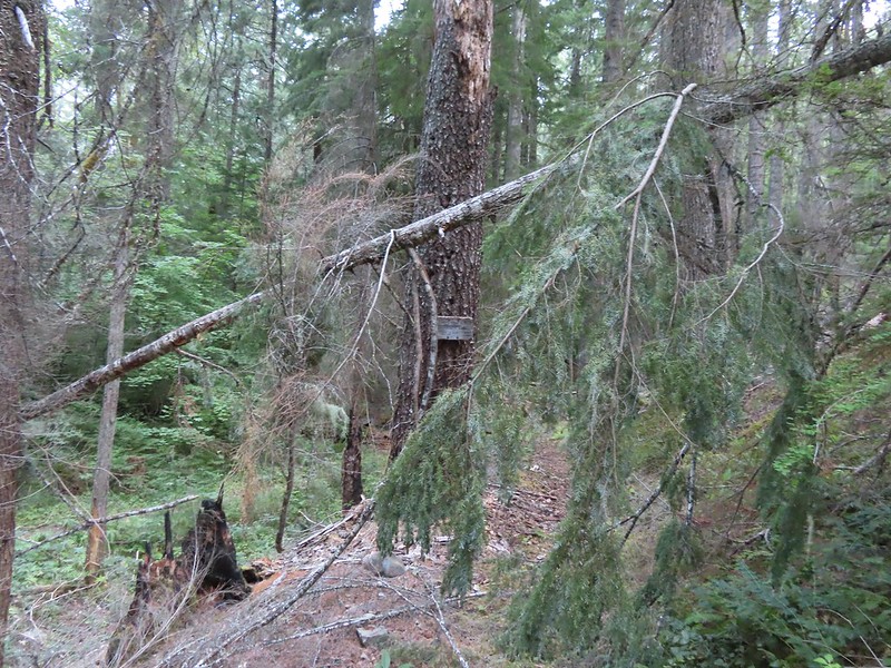 Back at the junction.
 No clouds this morning.
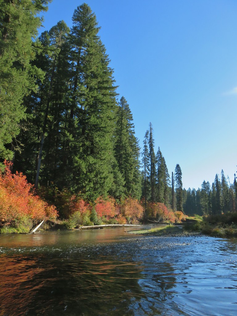
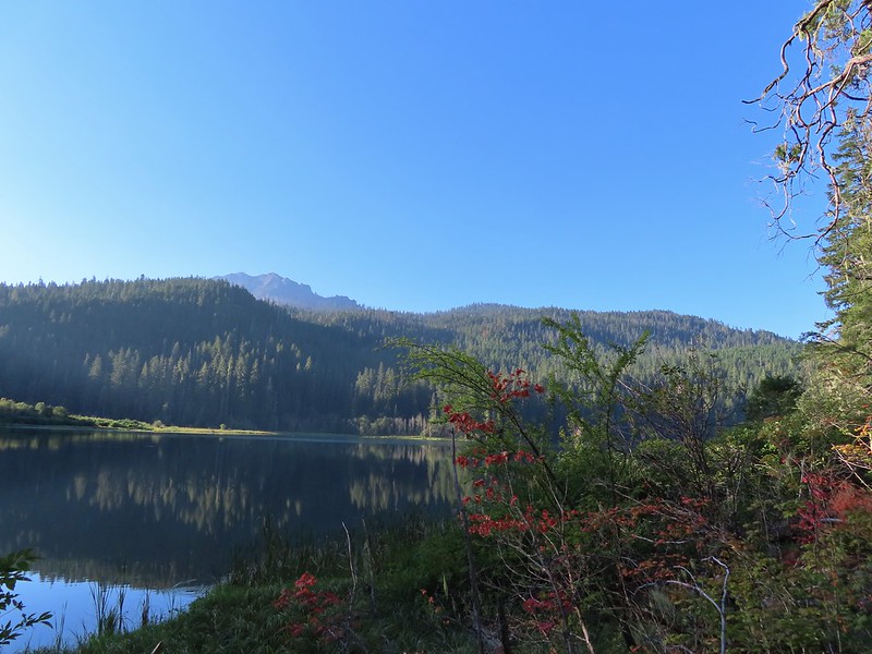 Highrock Mountain behind Fish Lake. Seeing the vine maples turning colors reminded us that despite the heat Autumn was just around the corner.
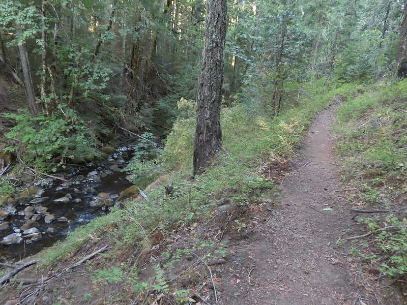 Hiking along Fish Lake Creek.
 Highrock Mountain from the Beaver Swamp Trail.
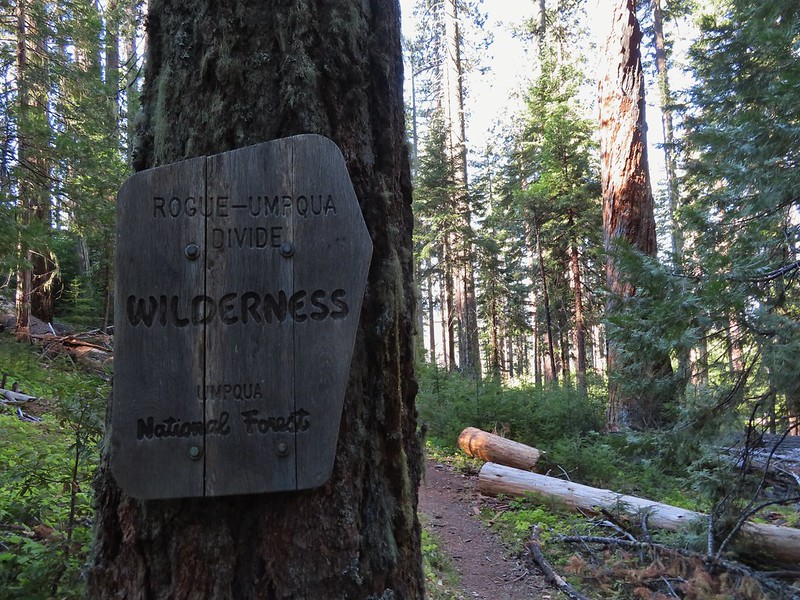 Leaving the Rogue-Umpqua Wilderness for the last time this trip.

 Hemlock Creek Trail heading uphill toward Hemlock Lake.
 Trail sign for the Hemlock Creek Trail heading down to Lake in the Woods from FR 421.
 Hemlock Creek Trail at Lake in the Woods Campground.
 Lake in the Woods (a 4 acre man made lake).


 Ghost plant
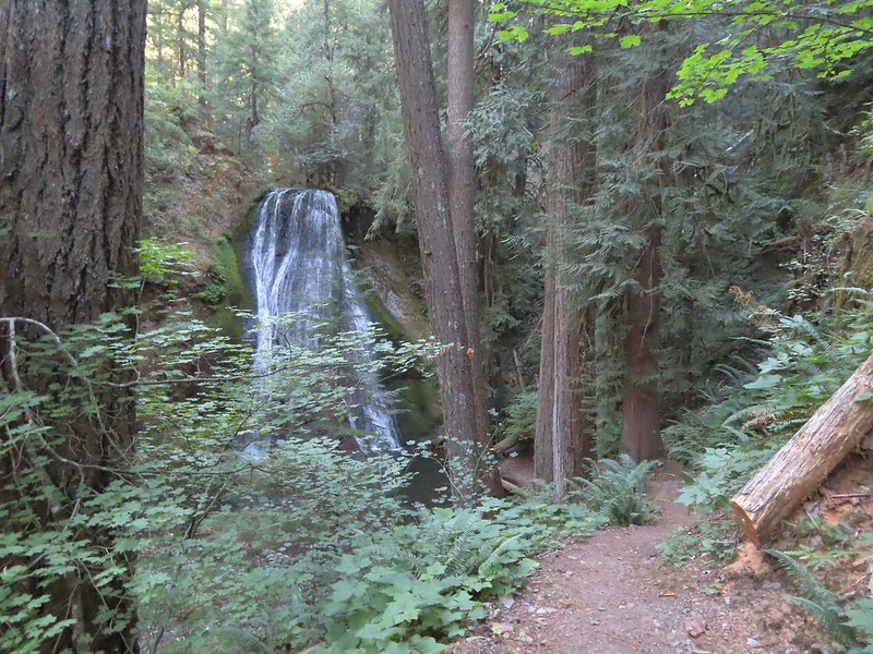
 A rare photo of me for scale.
 We mistook this for another campsite having not noticed the small sign on the tree.


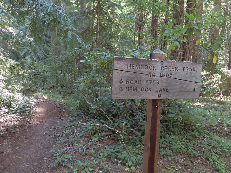 We both noticed that the sign said Hemlock Lake was 4 miles away. Sullivan’s map showed that it was 3 miles from Lake in the Woods to the Yellow Jacket Loop which raised the question was the hike going to be 2 miles longer than we’d expected or did the 4 miles include some of the Yellow Jacket Loop? Based on the mileage in Sullivan’s book I had come up with 16.6 miles so an extra two miles would be pushing us close to 19 (we always find reasons to wander).
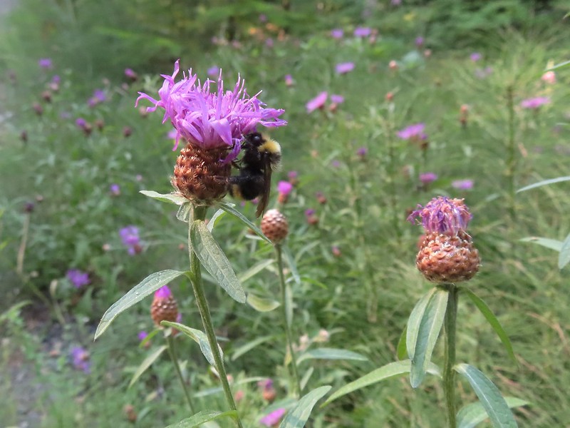 Sleepy bee
 Same mileage on the sign on the other side of FR 421. The fact that Road 2759 showed 2 miles when Sullivan had 1.5 on his map was a pretty good indicator that we were in for more than 16.6 miles.
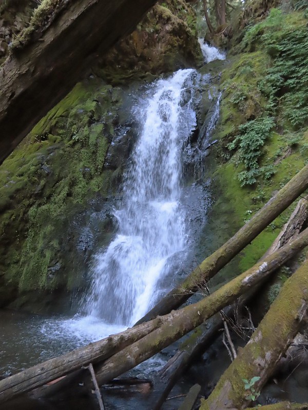
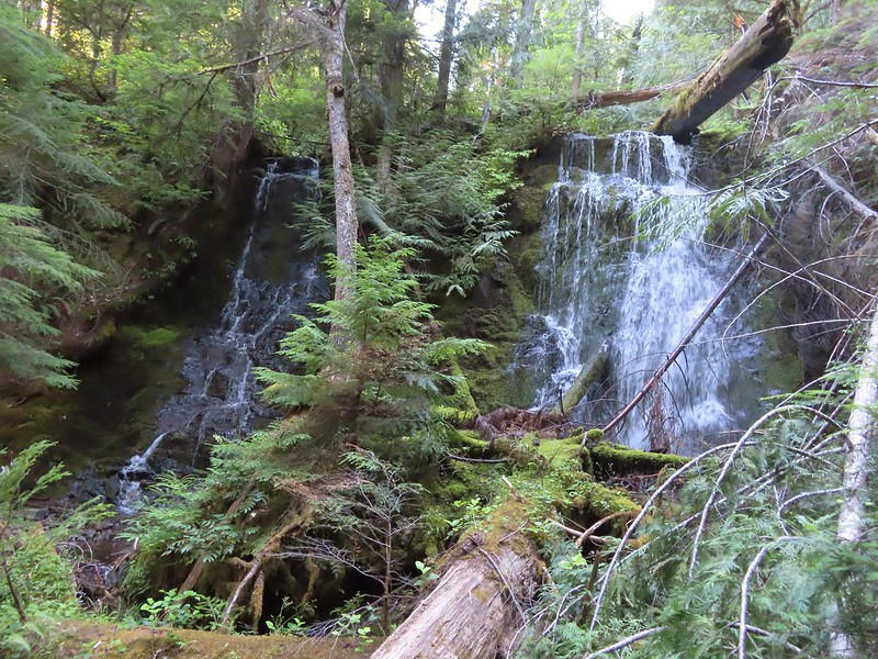 Tributary Falls (unofficial name) was just below a footbridge approximately a half mile from FR 421.
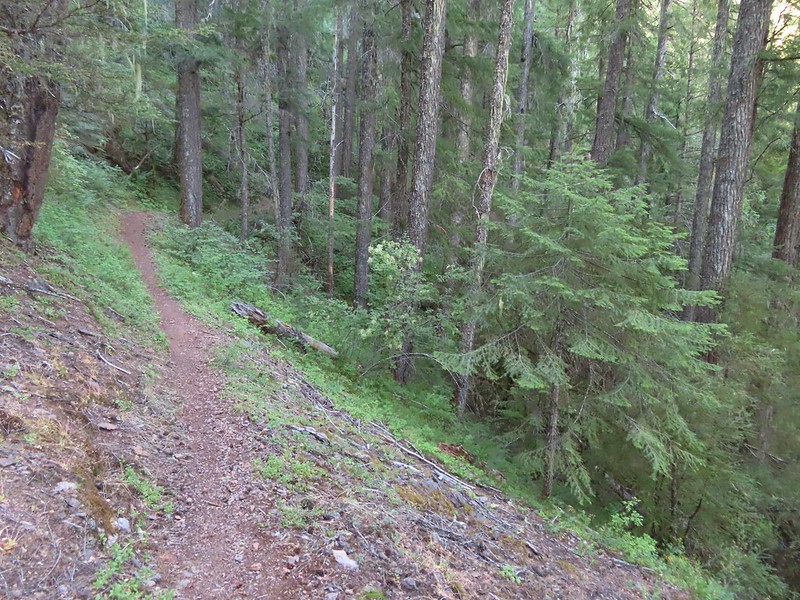
 Middle Hemlock Falls was just two tenths of a mile further along.
 Small cascade below Middle Hemlock Falls.
 Leopard lily
 Another drop with no way to get a view of the fall from above.
 Typical use trail.
 A small slide that was fully visible from the trail.
 Clover Falls was a quarter mile above Middle Hemlock Falls.
 Clover Falls
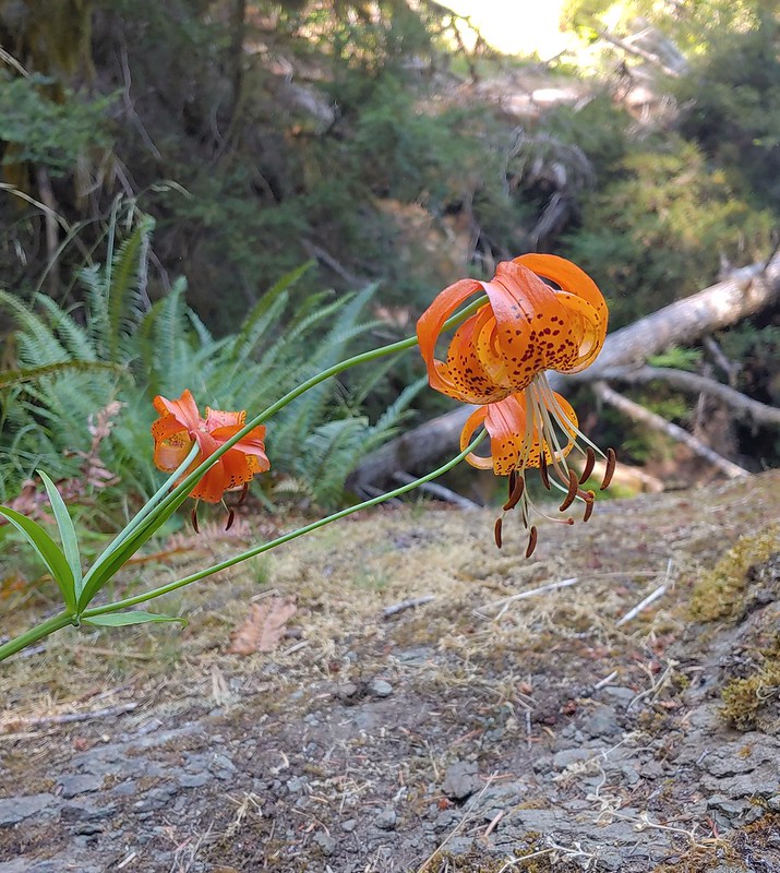 More leopard lilies
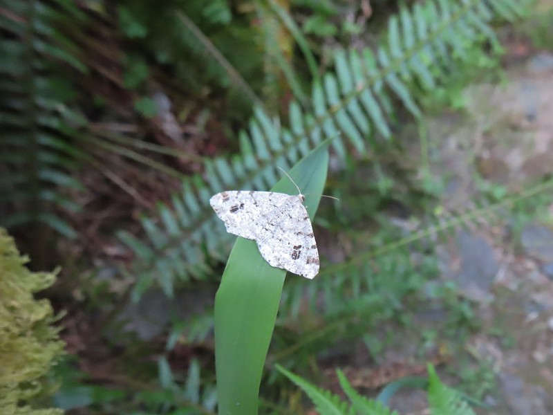 Moth hanging out around the falls.
 Use trail to Clover Falls.
 Heather coming up from the falls through a huckleberry bush that I may have been using for snacks.
 Skunk cabbage leaves in a wet area.
 Curious stellar’s jay.
 FR 2759.
 Again with the 2 miles.
 A much more reserved Hemlock Creek.
 More snacks
 Frog
Frog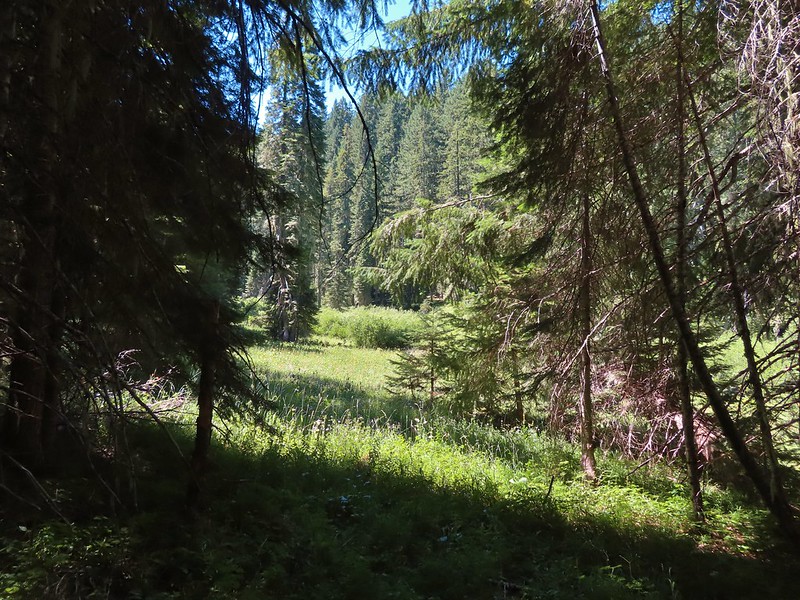
 Coneflower and paintbrush
 Fleabane
 The wildflowers were already on the way out but on the positive side we didn’t have much trouble at all with mosquitos.
 Hemlock Lake was to the left but Sullivan’s hike description called for doing the loop counter-clockwise. He typically has a reason for the direction he suggests so we’ve learned to stick with his recommendations.
 Busy bee
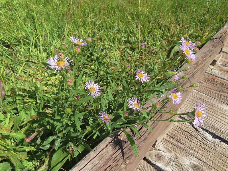
 A lone columbine
 Dragonfly
 Mountain owl’s clover
 Damselfly
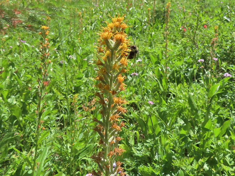 Bee on rainiera
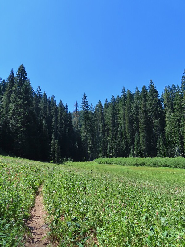
 Butterfly on hyssop
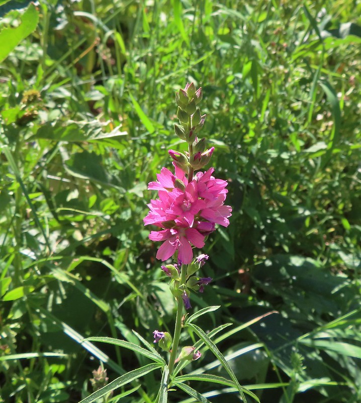 Oregon checkermallow
 Coneflower
 Fleabane and paintbrush
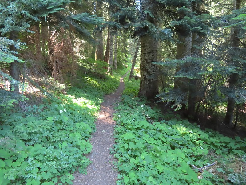 Brief forested section.
 Hedgenettle
 Northern phlox
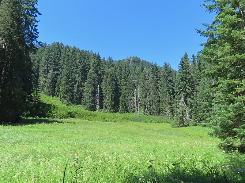 Flat Rock beyond a meadow.
 Large boykina
 There was an opening at the saddle where Diamond Peak (
 The all too familiar Summer “smoke” filter on the mountains.
 The trail was a bit overgrown in places.
 Starting to climb.
 Heading out to the viewpoint.
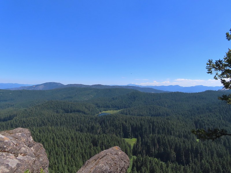 Hemlock Lake from Flat Rock with Mt. Bailey (
 Quartz Mountain in the foreground with Hillman Peak and The Watchman (Crater Lake Rim) in the distance.
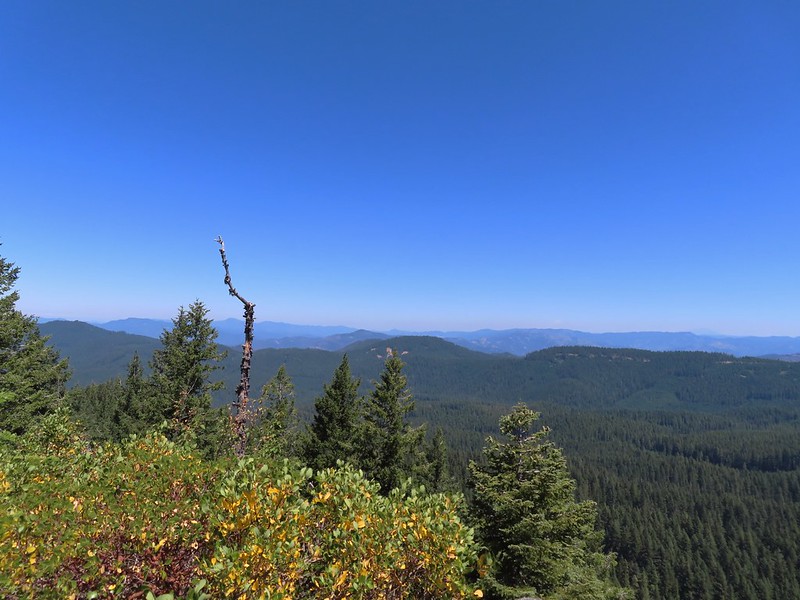 Diamond Peak in the distance to the right and the smoke plume from the Cedar Creek Fire center-right.
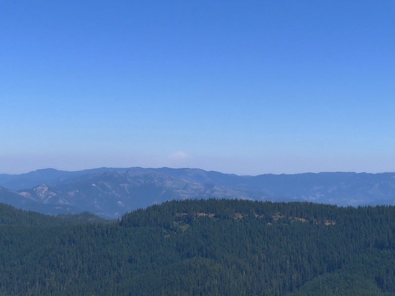 Smoke from the Cedar Creek Fire 😦
 Parnassian on hyssop
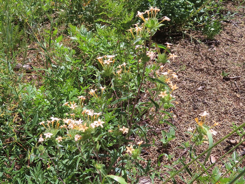 Grand collomia
 Swallowtail on hyssop.

 Mt. Bailey and Quartz Mountain.
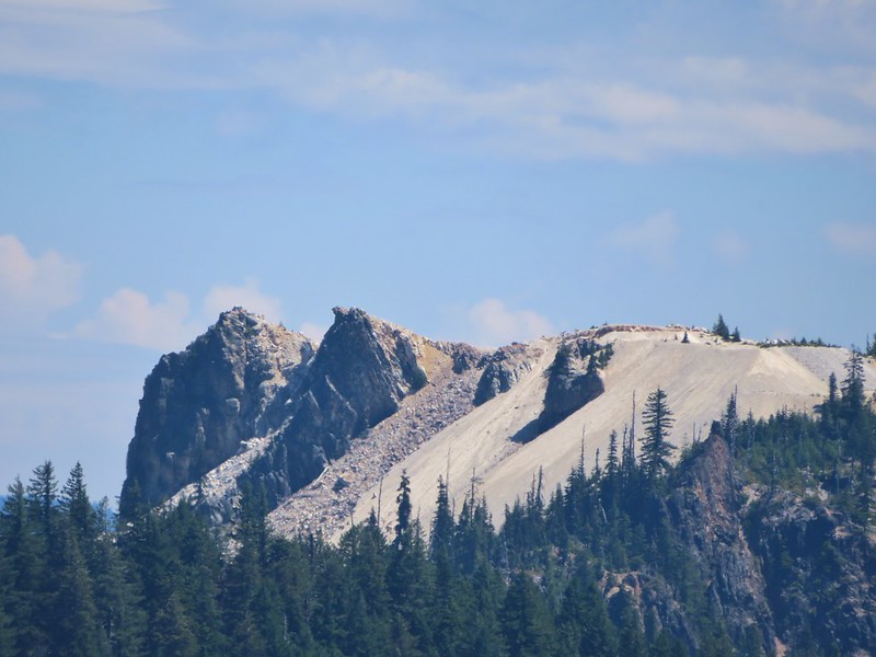 Quartz Mountain
 Union Peak. To the left is Highrock Mountain and to the right of Highrock Mountain are the Rabbit Ears (
 The end of the old road section.
 The only blooming lupine I saw all day.
 The actual trail to the left was very overgrown here and hard to pick out at first glance.
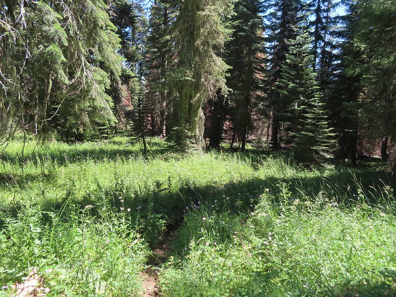
 The first convergence with FR 625.
 Signpost at the second meeting.
 There were a lot of different types of signs along the loop.
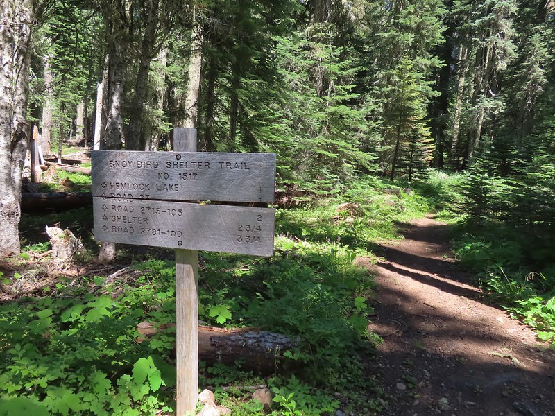


 Monkshood
 I was moving rather quickly now and not stopping for much but I did pause for these sugar sticks.
 The trail never got very close to the lake.
 Signboard at the Hemlock Lake Day Use Area.
 Loop complete, no Heather.
 The trailhead is right after crossing Emile Creek.
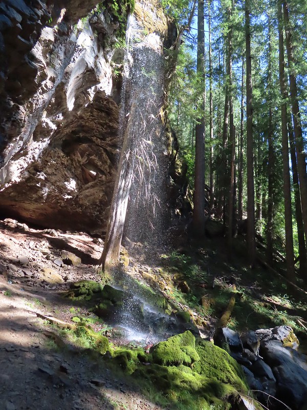
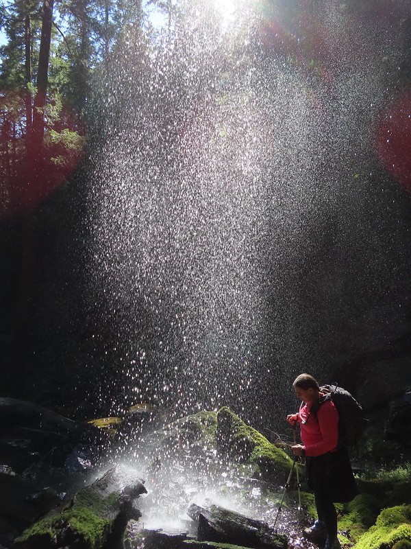


 Cave behind the falls.
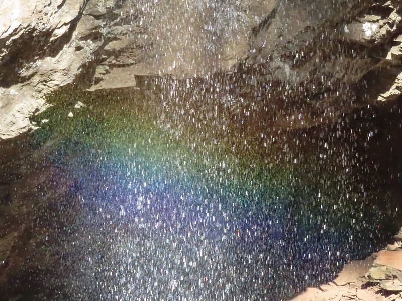

 We parked in a pullout just before this section.
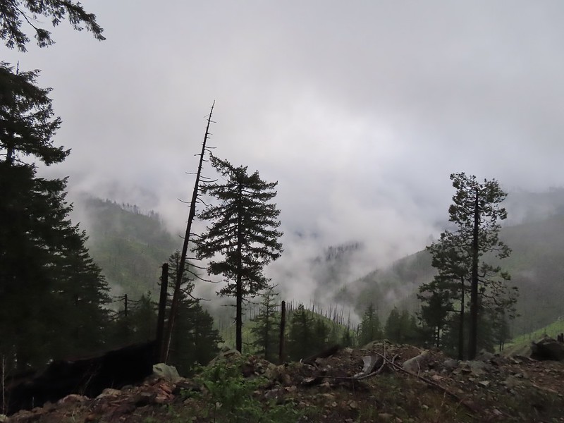 The Boulder Creek Wilderness (
 FR 104
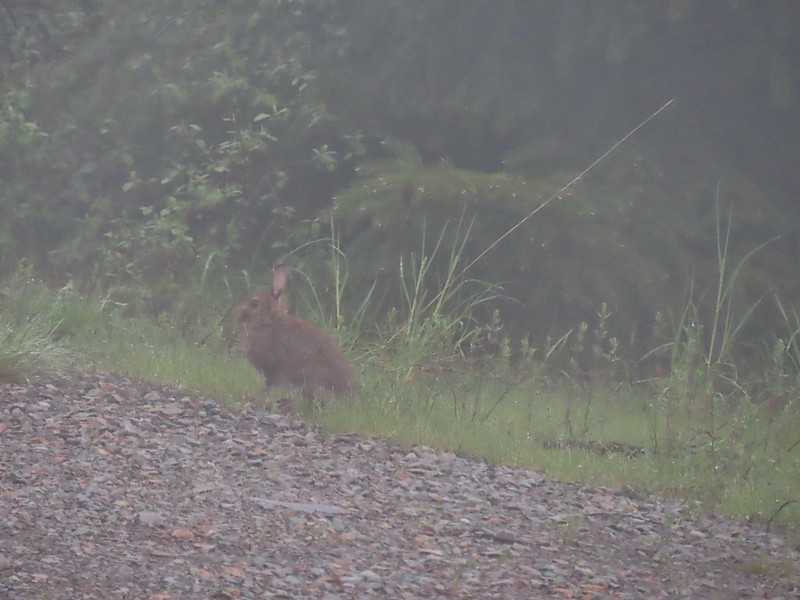 Rabbit on FR 100
 Lots of fawn lilies along the road and trails.
 Red flowering currant
 Is this an apple tree? Whatever it is it seemed very out of place.
 FR 105 on the left and FR 100 on the right.


 A cairn on the left.
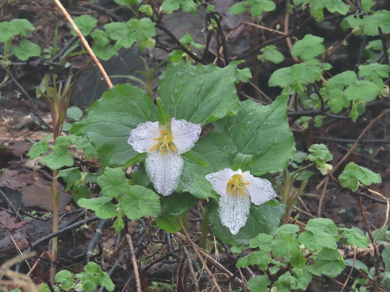 Damp trillium
 Downed trees across the trail near Illahee Spring.
 Gooseberry
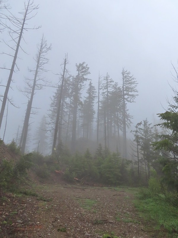

 The tread was a little faint but otherwise in good shape.
 Lots of cool rock outcrops along the trail.
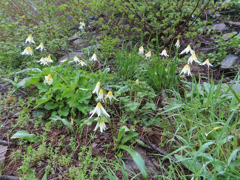 Fawn lilies
 Typical trail condition.
 Ragwort and blue-eyed Mary covered hillside.
 Blue-eyed Mary
 Ragwort
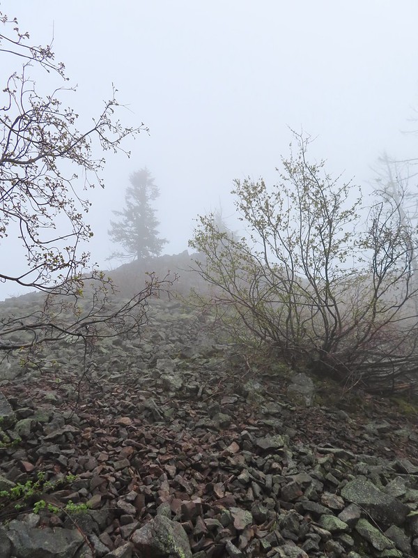 Rocky hillside below the lookouts.
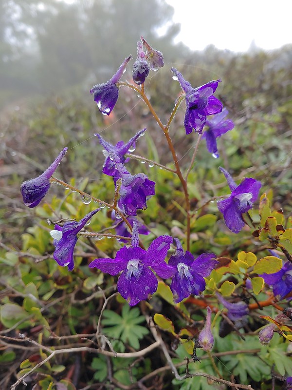 Larkspur
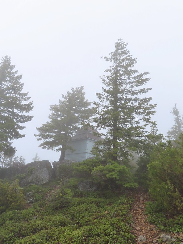 1925 Cupola style lookout.
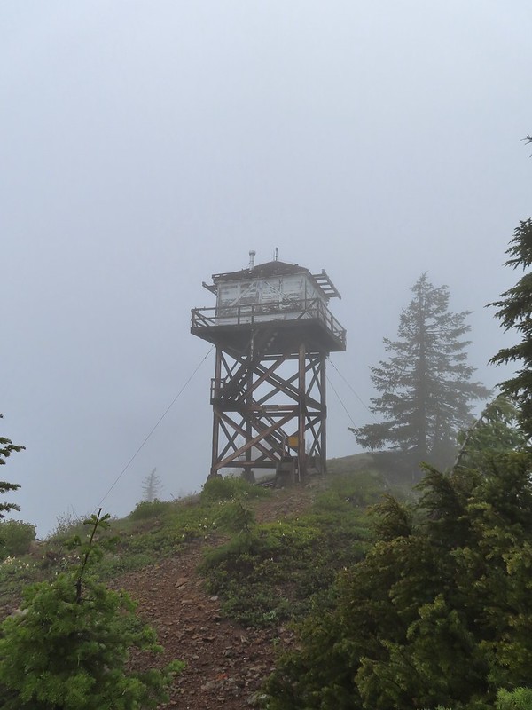 1956 L-4 tower lookout
 Paintbrush
 Illahee Rock
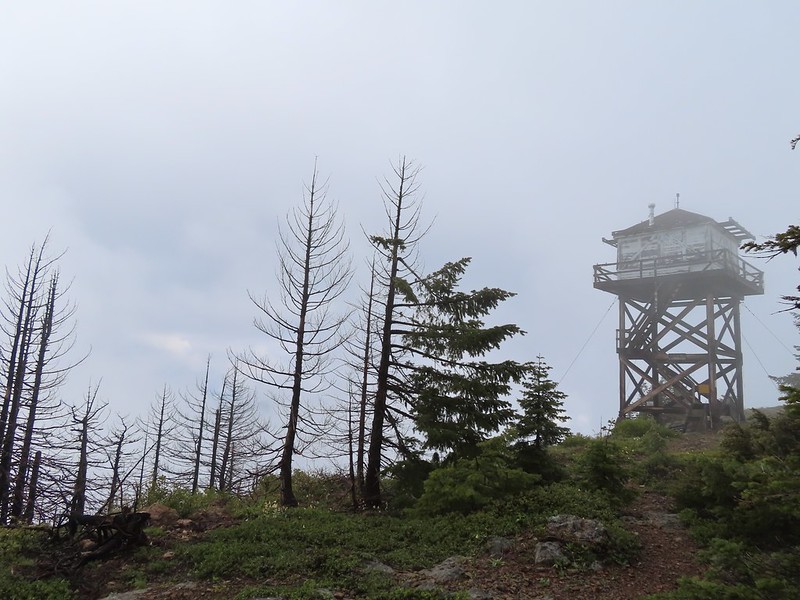 A sliver of hope for blue sky at some point.
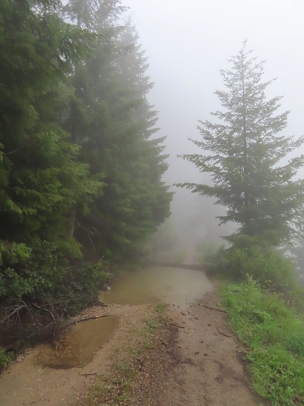


 Back at the trailhead.
 On FR 100
 Wallflower
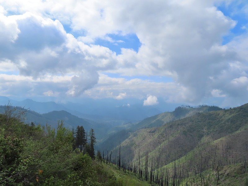 The Boulder Creek Wilderness

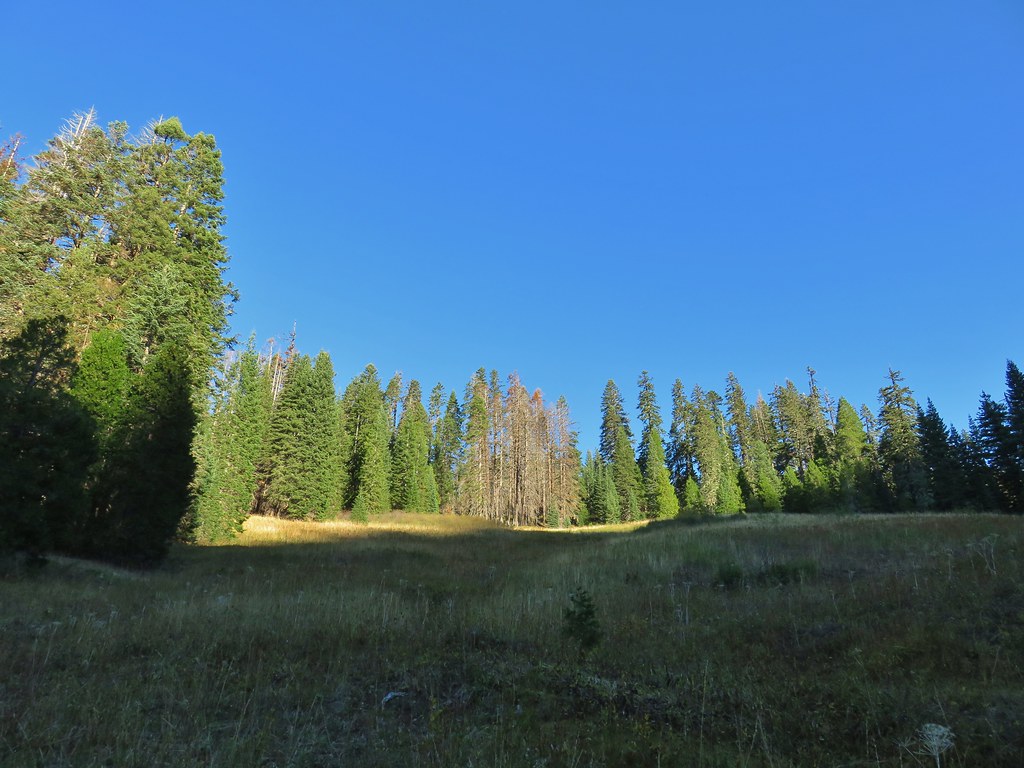
 Meadow along the trail.
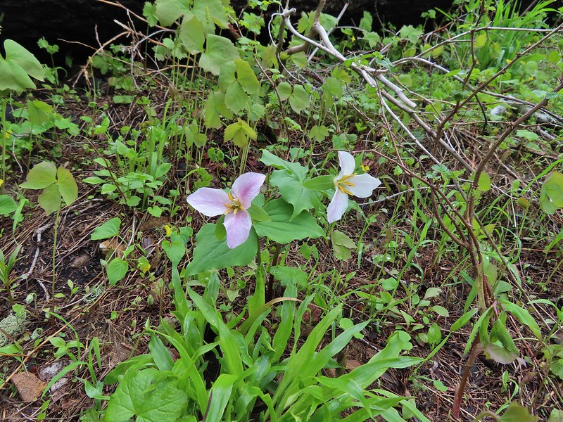 Trillum
 Becoming sunny in action. From this viewpoint Diamond Peak, Mt. Thielsen, and Mt. Bailey are visible sans clouds.
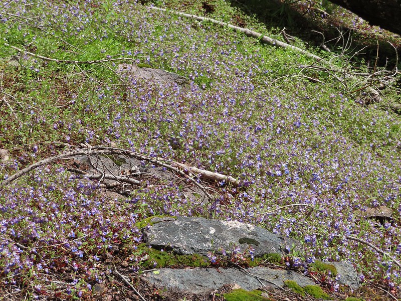 A carpet of blue-eyed Mary at the viewpoint.
 Illahee Rock was visible from the viewpoint despite the clouds.
 The lookout tower on Illahee Rock.
 Indian plum
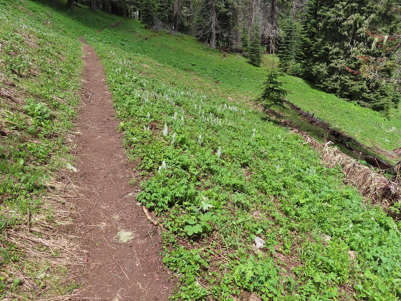 Hellbore starting to sprout in a meadow.
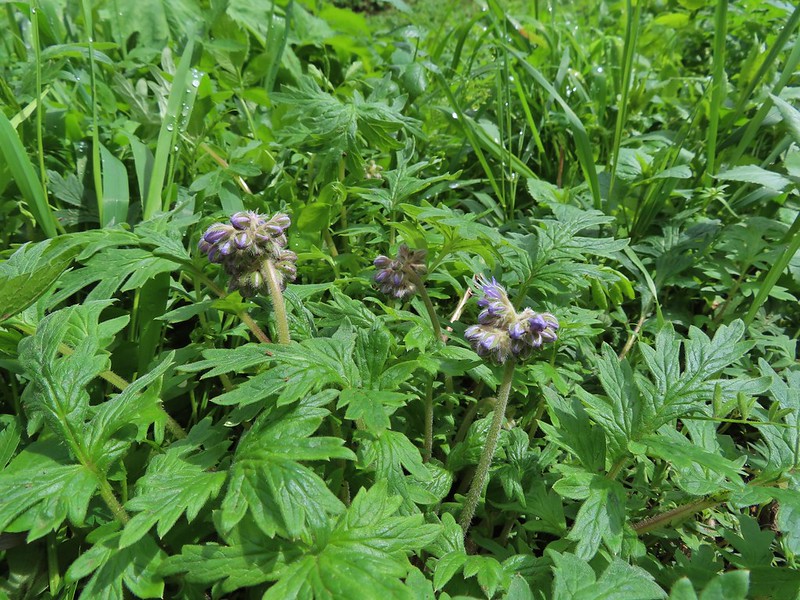 Waterleaf
 Nearing the junction.
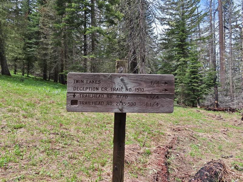
 Woodpecker
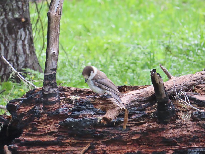 Gray jay
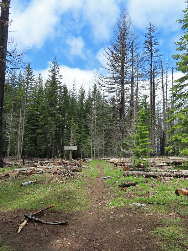 The second junction where we turned left.


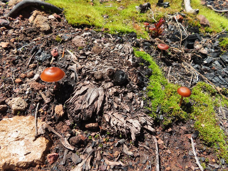
 Mushroom near the shelter.


 No fish but it was easy to see them when they were present.
 This big rock added to the scenery.
 We couldn’t decide if that was an old bridge or dock in the water.
 Passing behind the big rock.
 The rock turned out to be split.
 There was a lot of water in the section between the two lakes. Fortunately there didn’t seem to be any mosquitos which was really surprising but in a good way.
 This looked like it could be a trail.
 How were there not any mosquitos in here.
 A local wondering what we were up to.
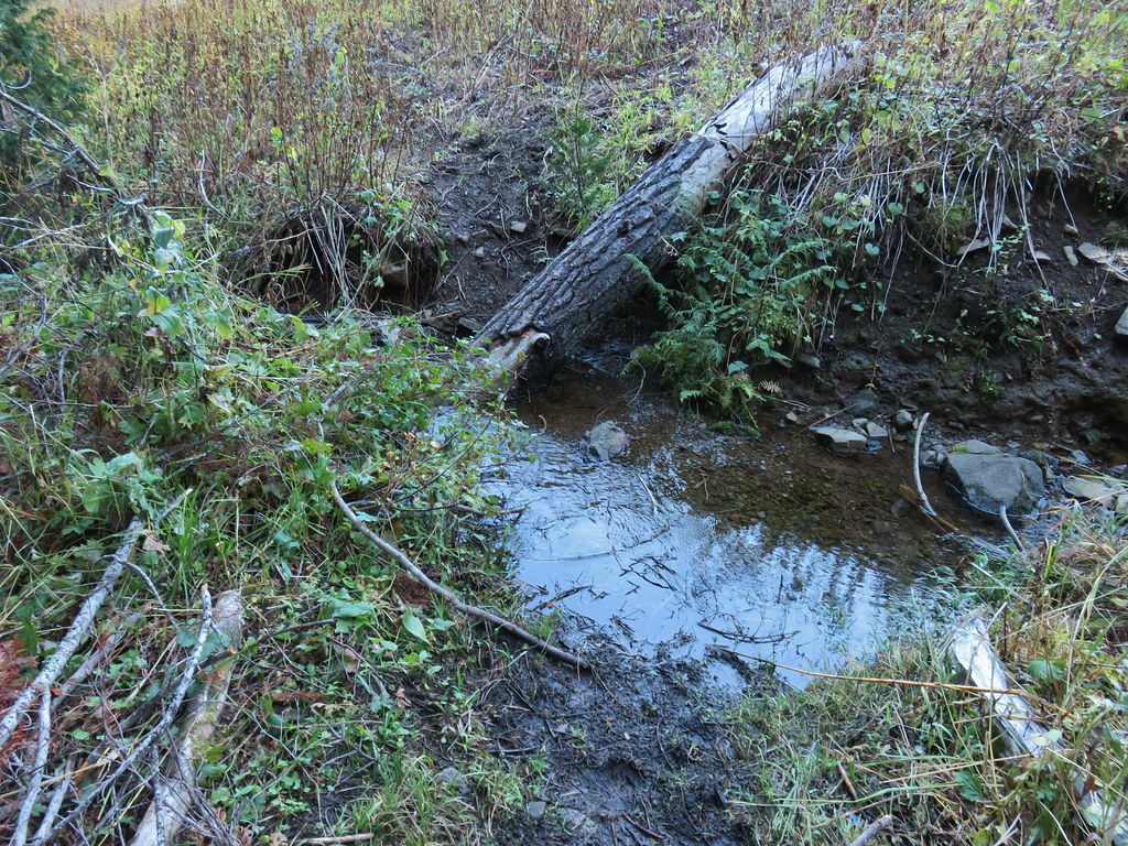
 The outlet creek.
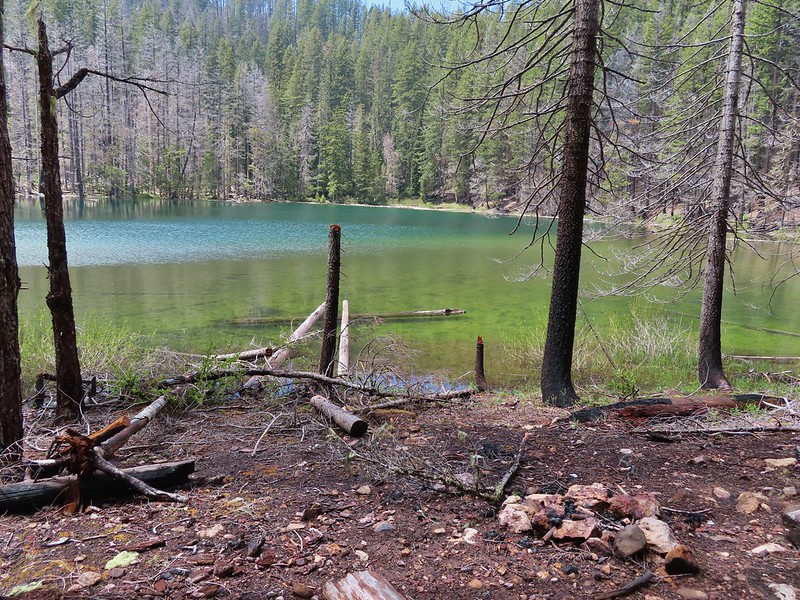
 Yellow-rumped warbler
 Red-breasted sapsucker
 Stellar’s jay


 This cracked us up, someone just nailed the planks into the tree that broke the bridge.
 A small sign at the junction.

 Another meadow along the 1.1 mile section.
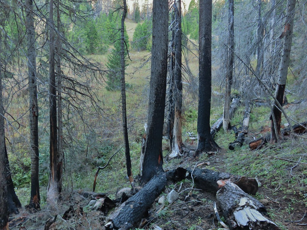
 The 2017 fire hit this section pretty hard.
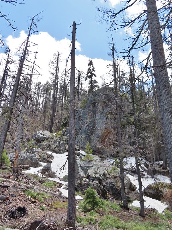

 The larger lake.
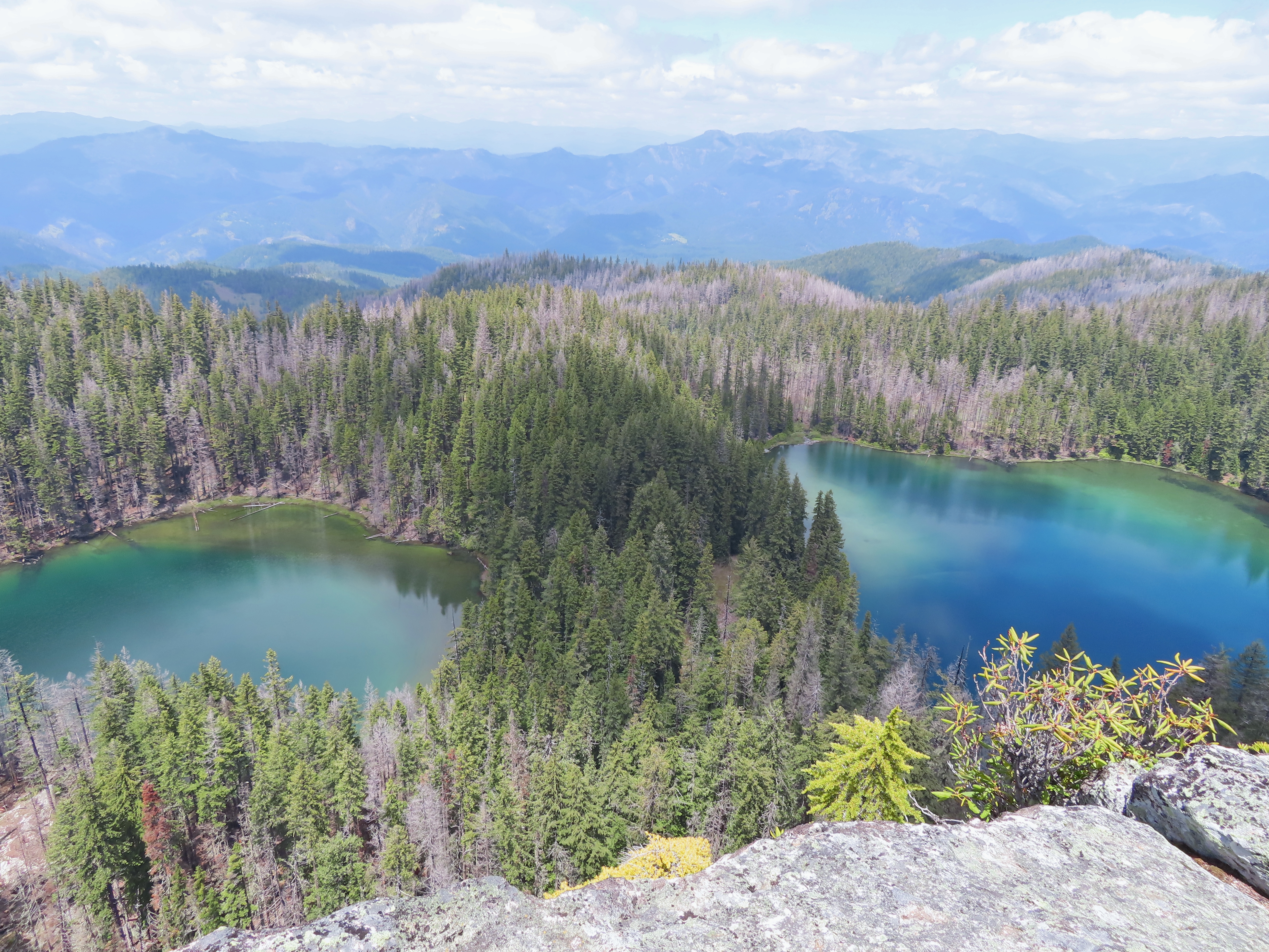
 The smaller lake.
 Illahee Rock from the viewpoint.
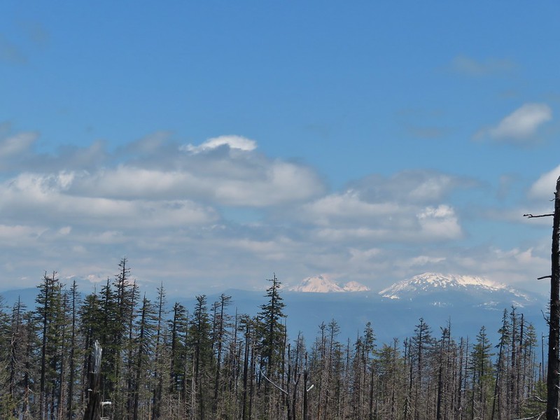 The lower flanks of Howlock Mountain, Mt. Thielsen (
 Bee on an anemone.
 Glacier lily
 Moth and a violet.
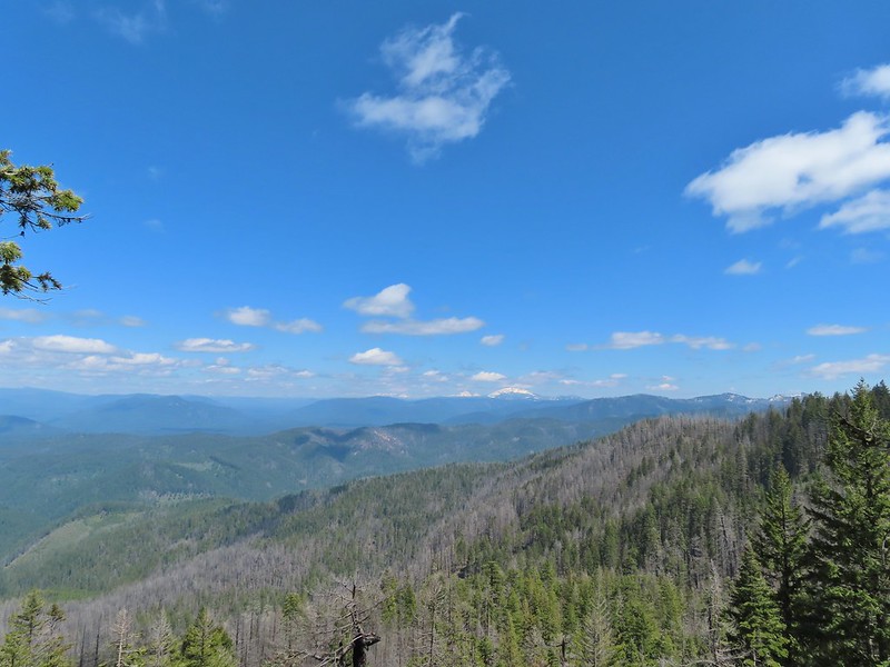
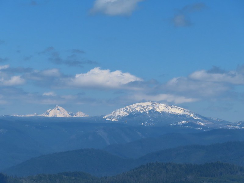 Mt. Thielsen and Mt. Bailey
 Black Rock on the right.
 Highrock Mountain
 Howlock Mountain
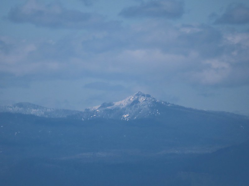 Cowhorn Mountain (
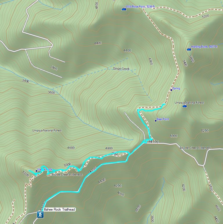


 Ivy disguising itself as a tree.
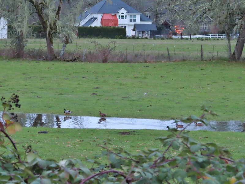 Mallards and Christmas lights.
 Layng Road crossing. The lights on the signs were activated when sensors picked up something approaching.
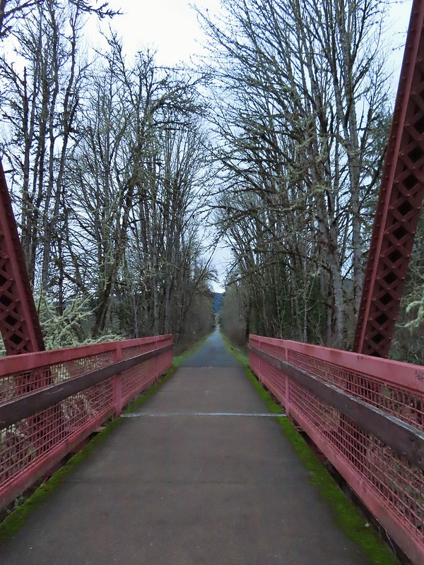

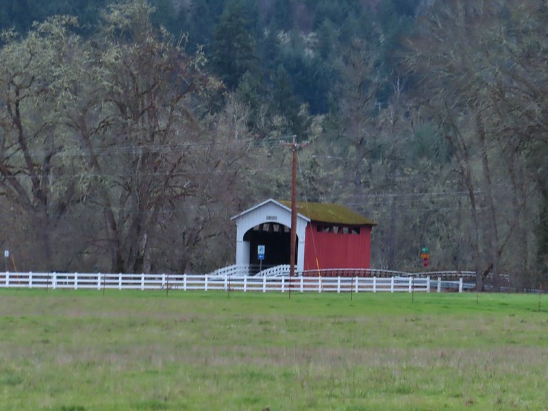 Currin Covered Bridge on Layng Road.
 Cormorants flying overhead.
 Approaching the bridge over the Row River.
 Row River
 Lesser scaup. I would have liked a better picture but it was still early and not very light and the little guy was a ways away on the river.
 This was a new sign to us.
 Row River Road with some snowy hillsides in the distance.
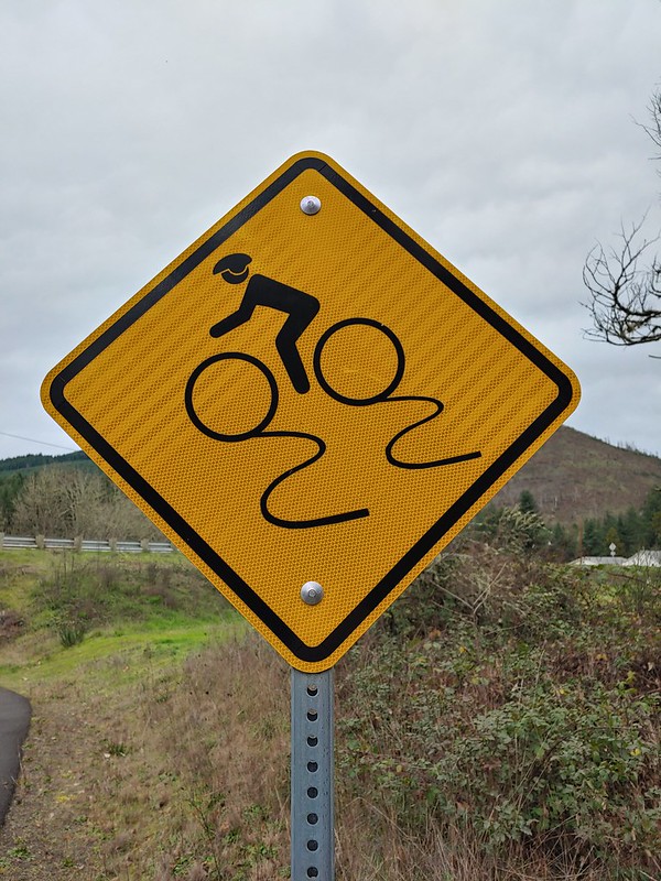
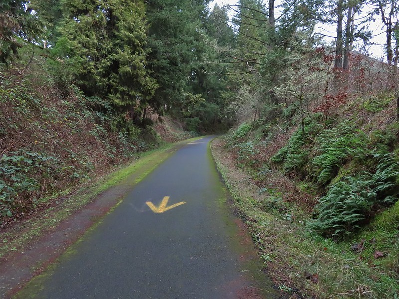 Arrows and other yellow markings identified bumps and holes in the trail for equestrian and bike users.
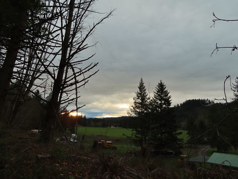
 Jelly fungus
 Hamblen Creek
 Turkeys in a field.
 Sign along a private driveway.
 Not very many mushrooms but these were good sized.
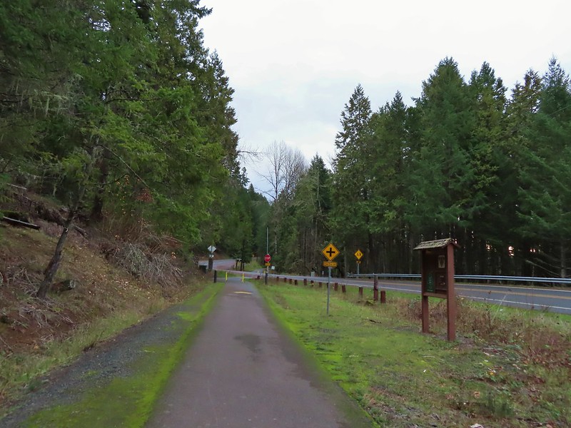

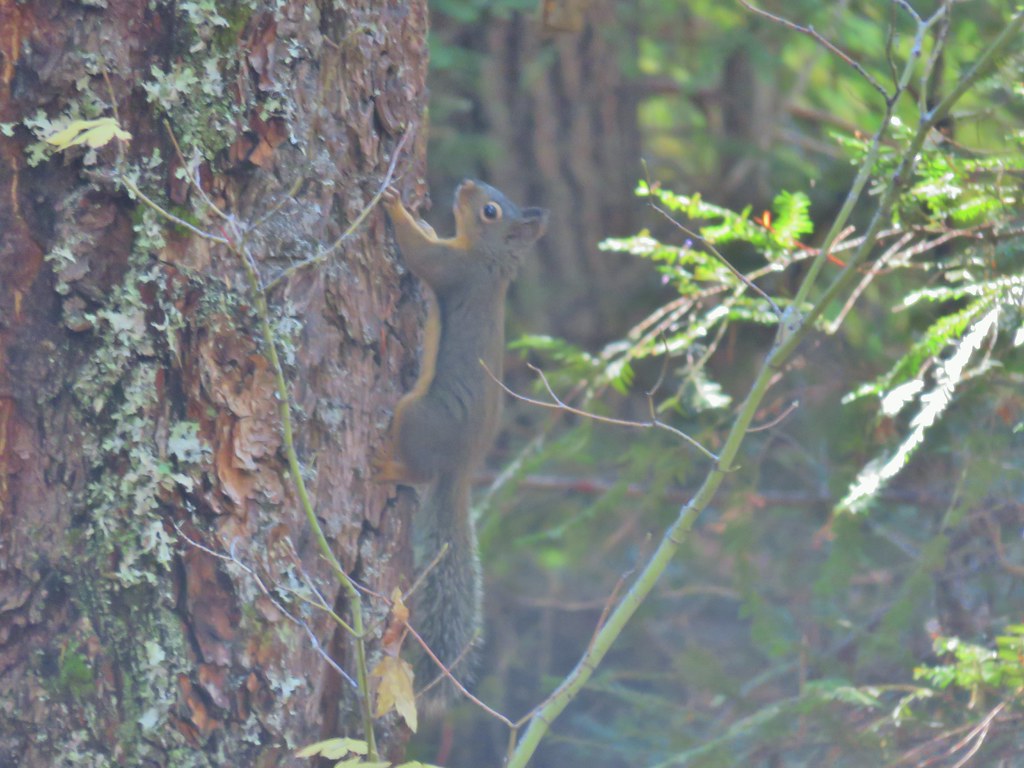
 Do squirrels jog?
 Madrone along the trail.
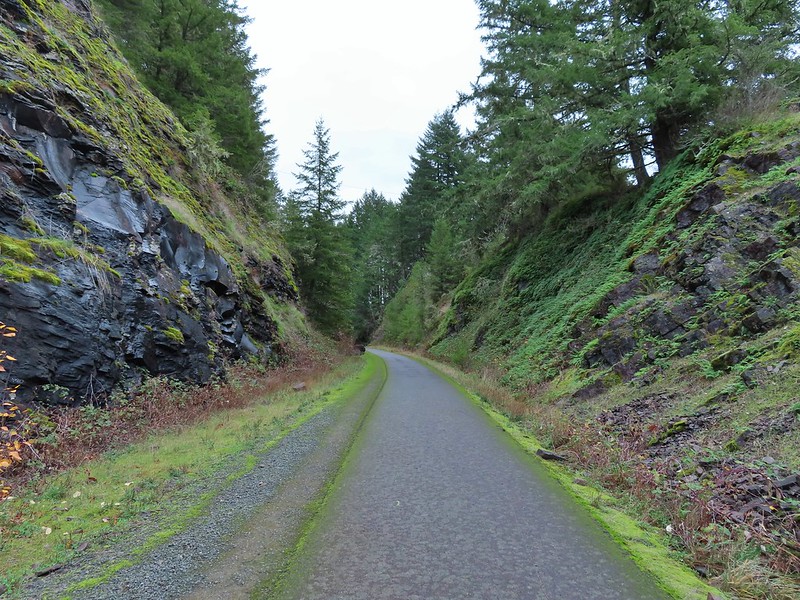 Row River Road was overhead to the left along this rocky section.
 Nearing a bench along the trail facing Dorena Lake Dam.
 Interpretive sign near the bench.

 Snow in the Calapooya Mountains.
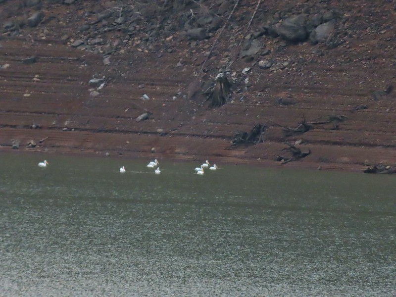 White pelicans on the other side of Dorena Lake.
 Still no rain despite the clouds.
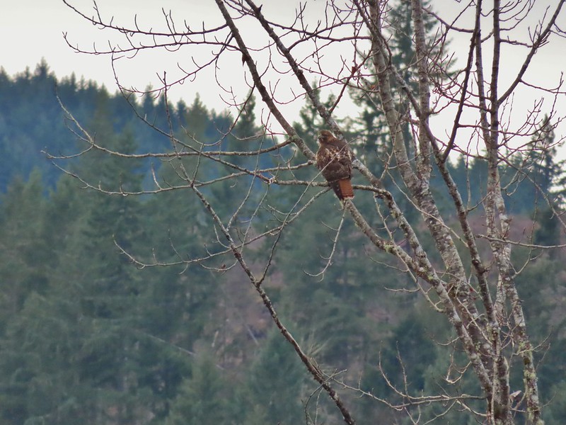 Red-tailed hawk


 A kingfisher and a great blue heron.
 Pelicans and other waterfowl on the move.
 Cerro Gordo from Row Point.
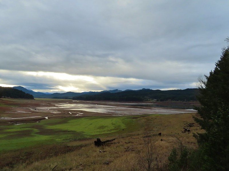 Not much water at all in the eastern end of the reservoir.
 A great blue heron on the far left with a bunch of white pelicans and cormorants.
 Actual sunlight hitting the dam.
 Spotted towhee
 Rat Creek Bridge
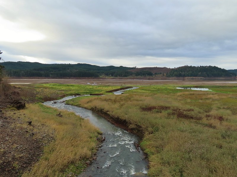 Rat Creek
 June 2020 from the Rat Creek Bridge.

 Gold tree in front of Cerro Gordo.
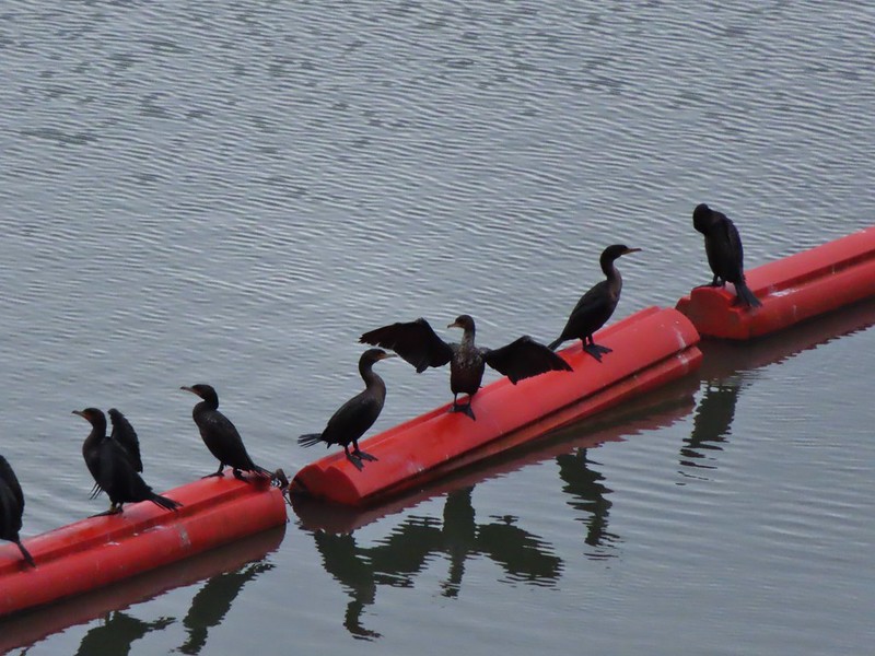
 The little hill to the left provides access to the north end of the dam.


 Just drying out.
 Trying to play.
 No luck.

 Rabbit
 American wigeons
 Nature slowly reclaiming an old farm truck.
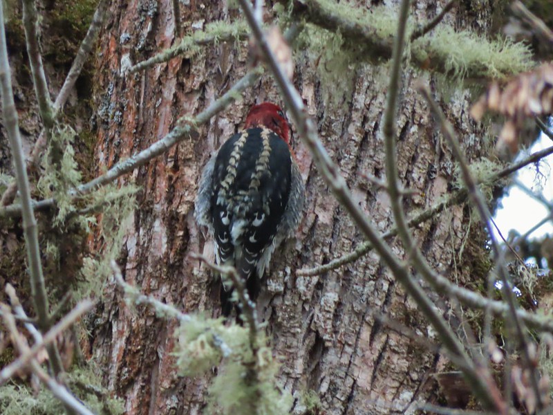 Red breasted sap sucker.
 Mosby Creek


 Forest road crossing.
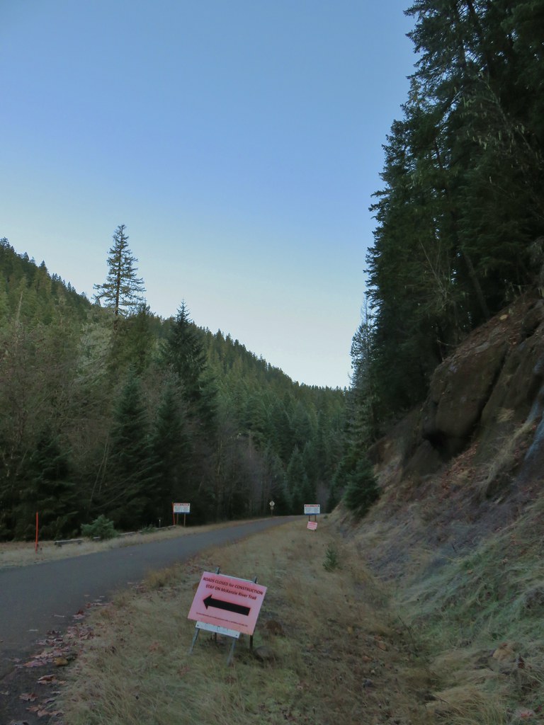


 The top of Three Fingered Jack is visible in the distance.
 Fall means mushrooms.


 Anderson Creek joining the McKenzie.
 Olallie Creek across from the trail.
 Turning up Deer Creek to reach the footbridge.
 Up river from Deer Creek Road.
 Deer Creek Hot Springs would be somewhere along the right hand side of the river.
 We had to go around this bridge due to frost and it being at an angle.

 Footbridge over Frissel Creek.
 Sun over the McKenzie River
 FR 610

 We missed this sign for slough creek the first time by.
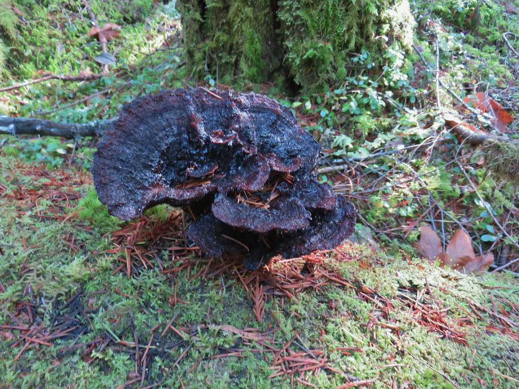

 Missed this survey marker too.
 We also completely missed this sign at Deer Creek.
 Still cold


 Without the use of the zoom on the camera they are hard to make out but the tops of the North and Middle Sister are visible over the hills.
 Union Peak and Mt. McLoughlin on our drive to the trailhead.
 The peaks of Crater Lake National Park
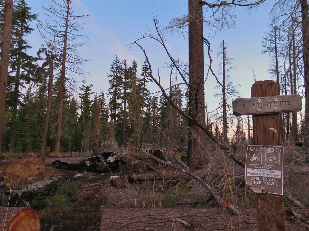 Abbott Butte Trailhead
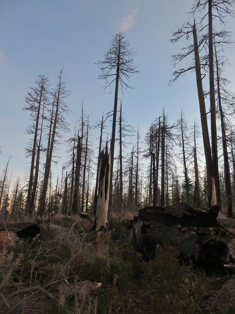
 Huckleberry bushes
 A section of green trees along the trail.
 Quartz Mountain
 Passing below Quartz Mountain
 Abbott Butte from the trail.
 On the roadbed
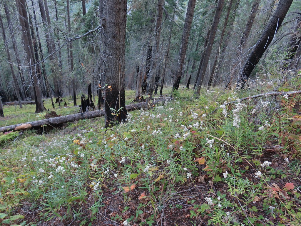 Pearly everlasting
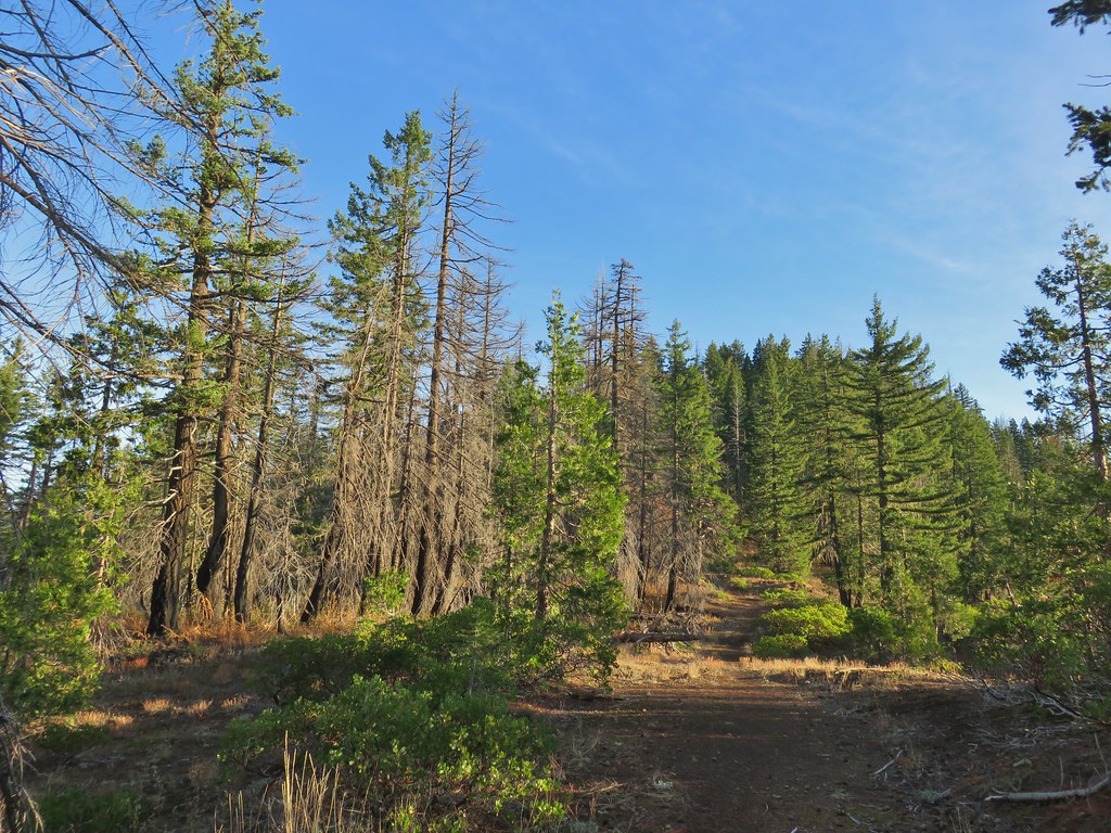
 Sign indicating the non-existent trail is not suitable for horses.

 Mt. McLoughlin and Mt. Shasta and a whole lot of other peaks that I should know.
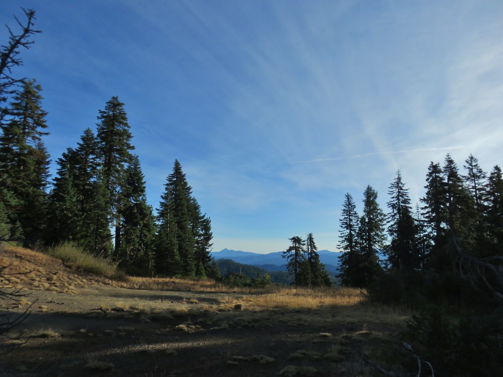 Mt. Thielsen
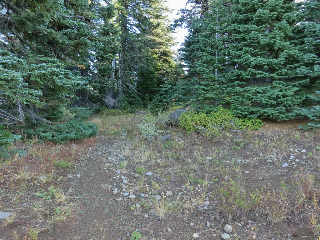 Nearing the summit.
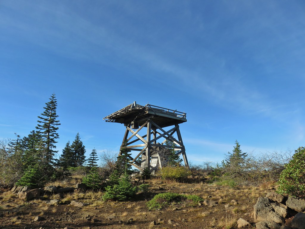 The old lookout on Abbott Butte
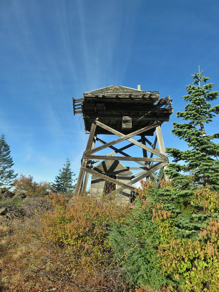
 The old outhouse?
 Mt. Thielsen and the peaks of Crater Lake.
 Flagging marking the route.
 A cairn along the tread ahead.
 This meadow is where we heard the voice.
 Another late flower
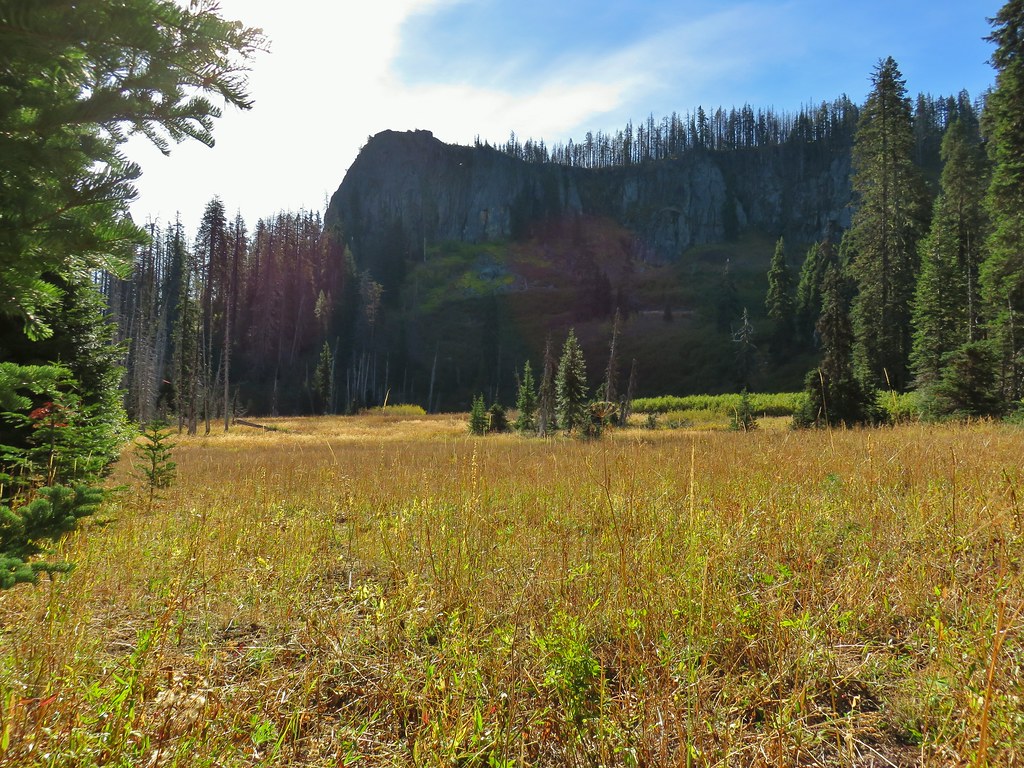
 Fireweed that hadn’t gone to seed.
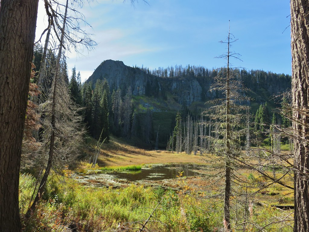
 An owl’s clover
 It’s hard to tell from the photo but this mushroom was big.


 The broken zoom function didn’t let me get a good shot but the ouzel is on a rock in the middle of the creek.
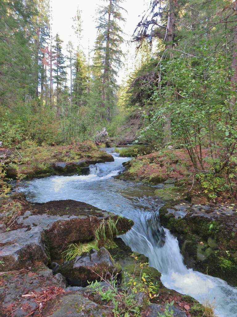
 Sunrise from the parking area.


 Mt. Bailey, Howlock Mountain, and Mt. Thielsen
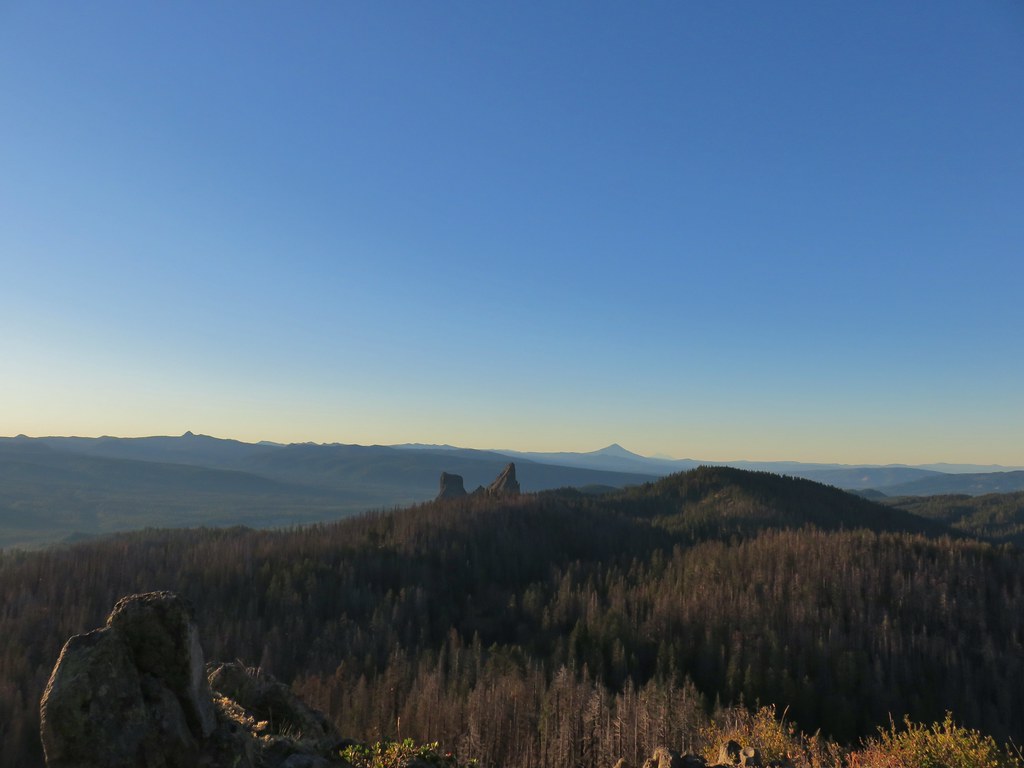 Arant Point, Union Peak, Goose Egg, Klamath Point, Lee Peak, Devils Peak, Pelican Butte, Lucifer Peak, Venus, Rabbit Ears, Mt. McLoughlin, and Mt. Shasta (among others).
 Mt. McLoughlin and Mt. Shasta
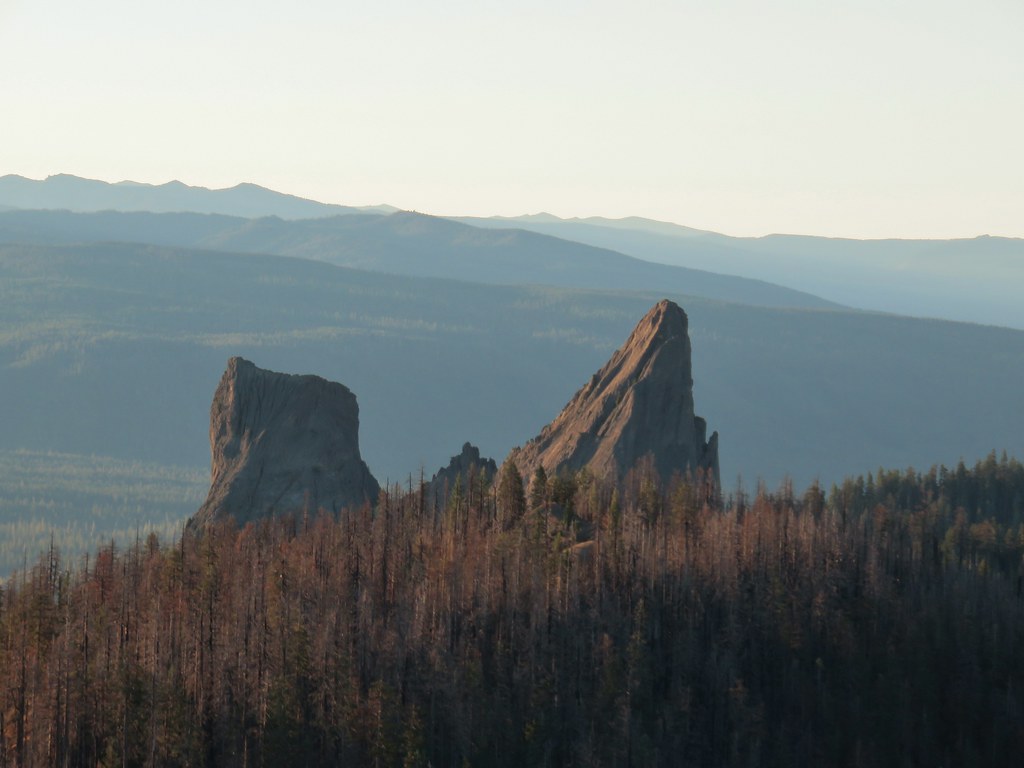 Rabbit Ears
 Sun over Crater Lake National Park
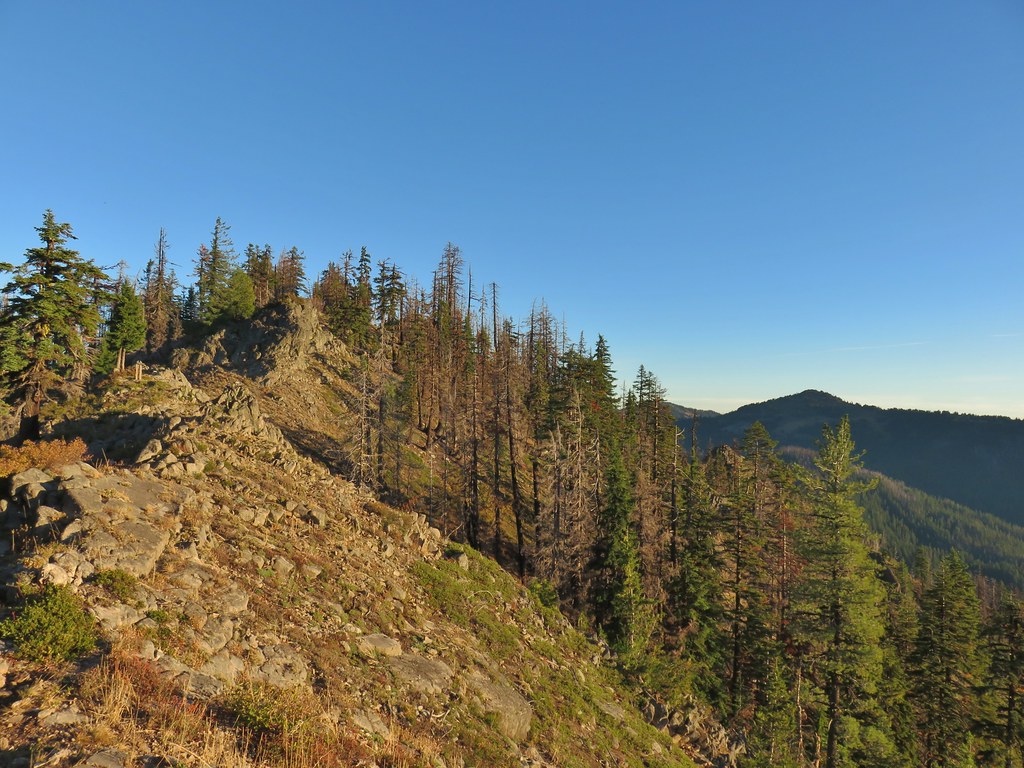

 Survey marker at the summit.
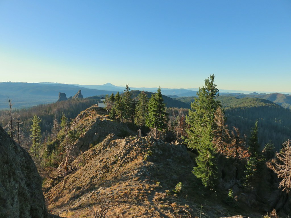 The sign, lookout, Rabbit Ears, Mt. McLoughlin, and Mt. Shasta coming back from the summit.
 Acker Divide Trail leaving FR 580.
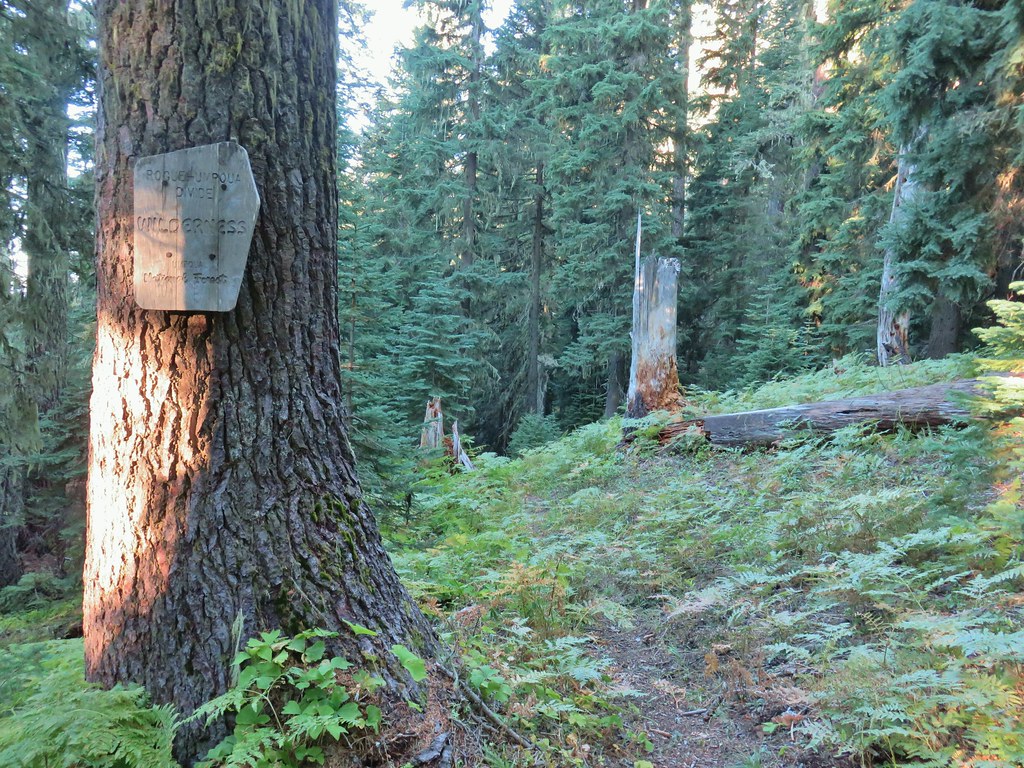

 Another cairn to the right of the tree ahead.

 A lonely flower along the Acker Divide Trail
 Mushroom near the meadow.
 Toad Meadow


 Tis the time of year for Mushroom to replace flowers.
 Candyflower
 Pullout along FR 6515
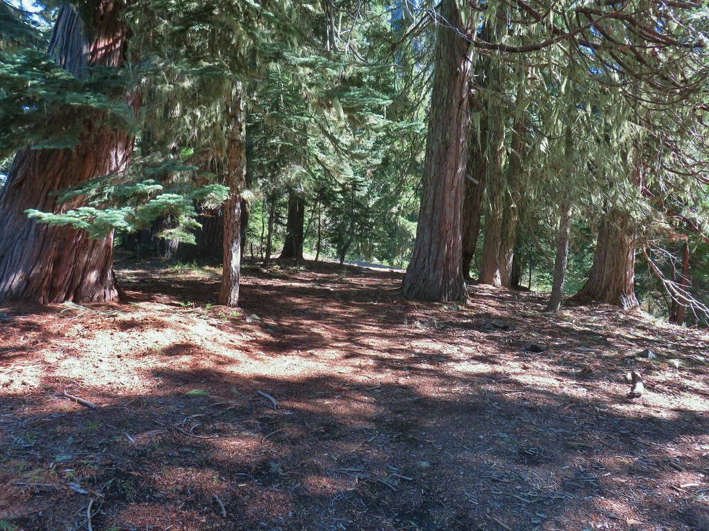 Trail to Rabbit Ears
 The split
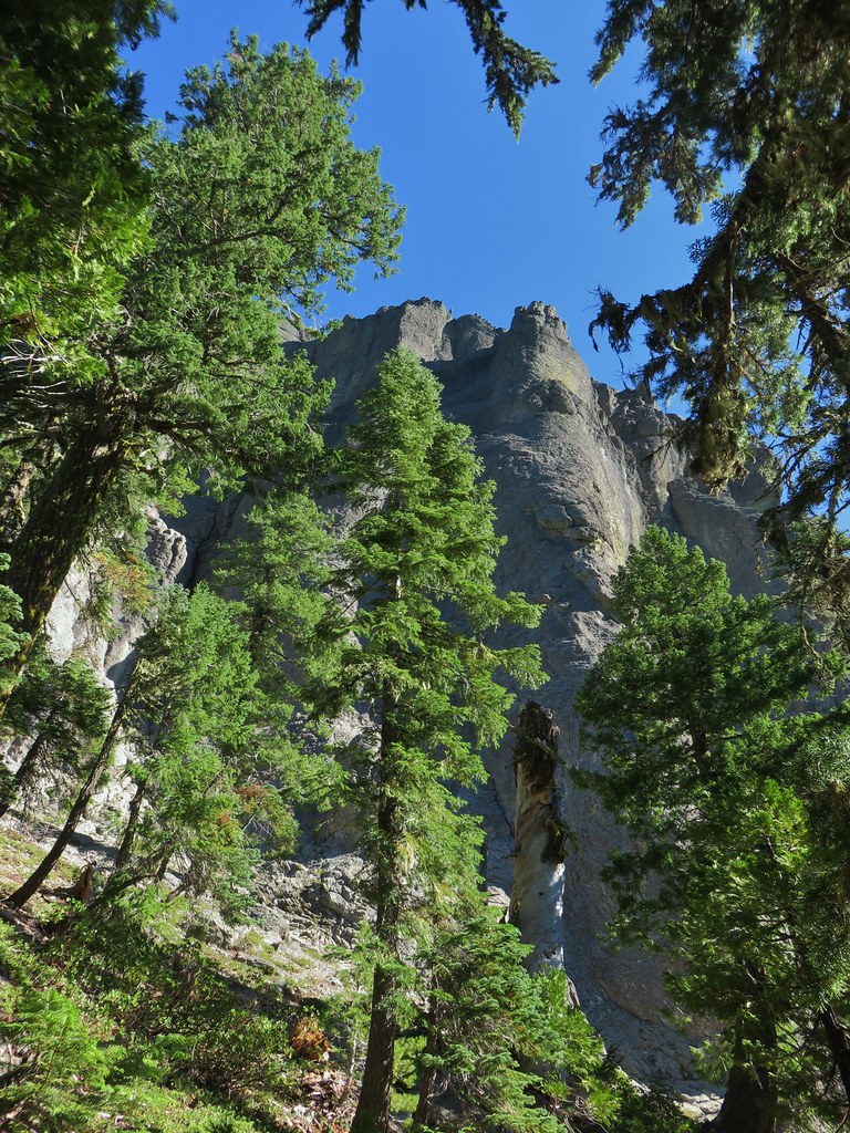


 We were surprised to find these phlox blossoms still looking good.

 Smaller rock formation along the trail.
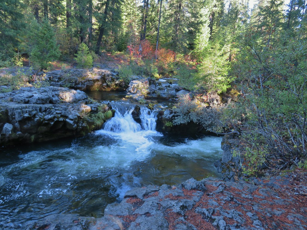
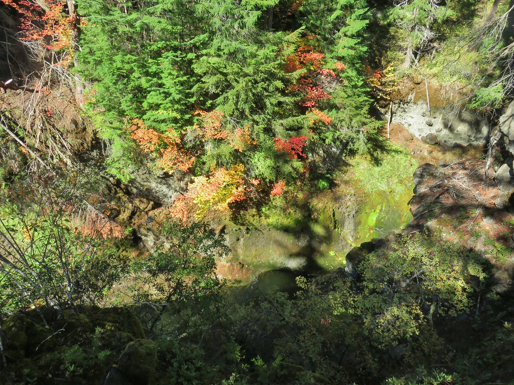
 The Ice Cream shop and to it’s right the sign for the trail to the Rogue Gorge Viewpoint.
 Interpretive signs at the parking area.
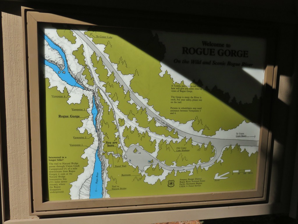
 Viewpoint 4
 Rogue River at viewpoint 4.
 Viewpoint 3
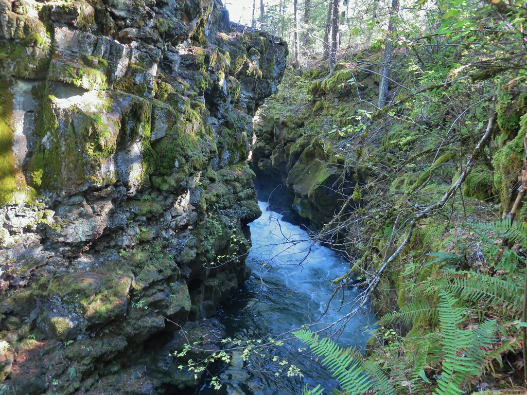 View upriver from viewpoint 3.
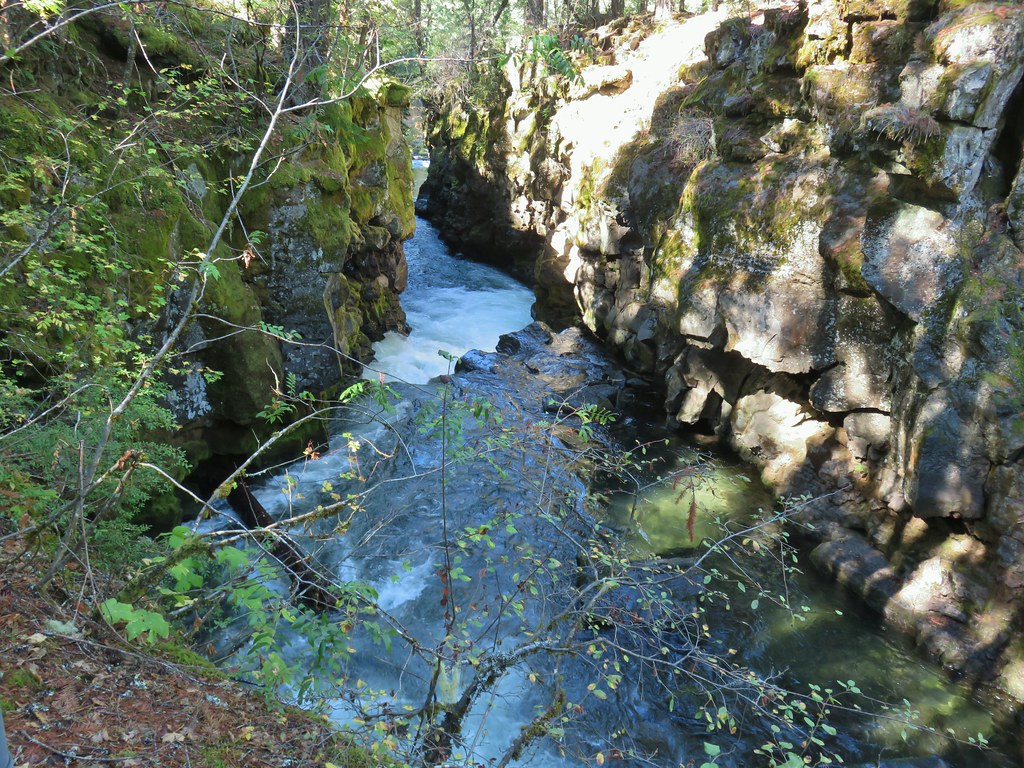 Downriver from viewpoint 3.
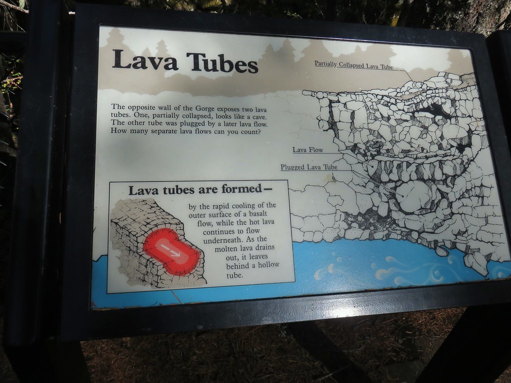 Interpretative sign at the viewpoint.
 The lava tubes.
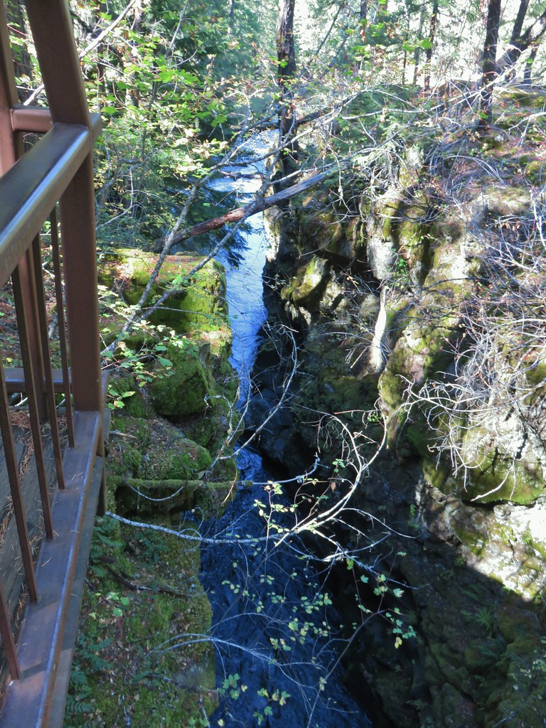 Viewpoint 2
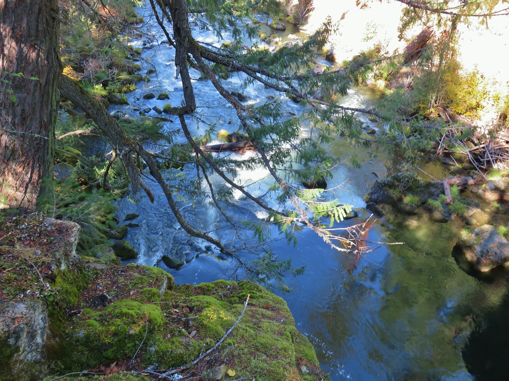 Viewpoint 1 above the end of the Rogue Gorge.


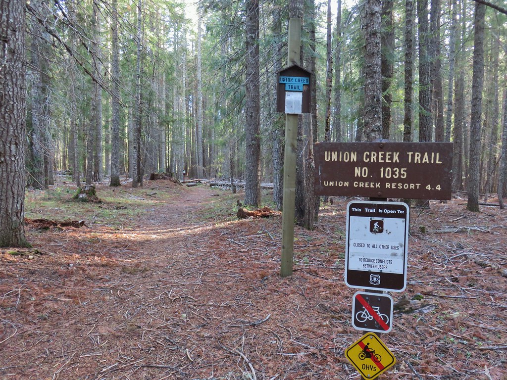
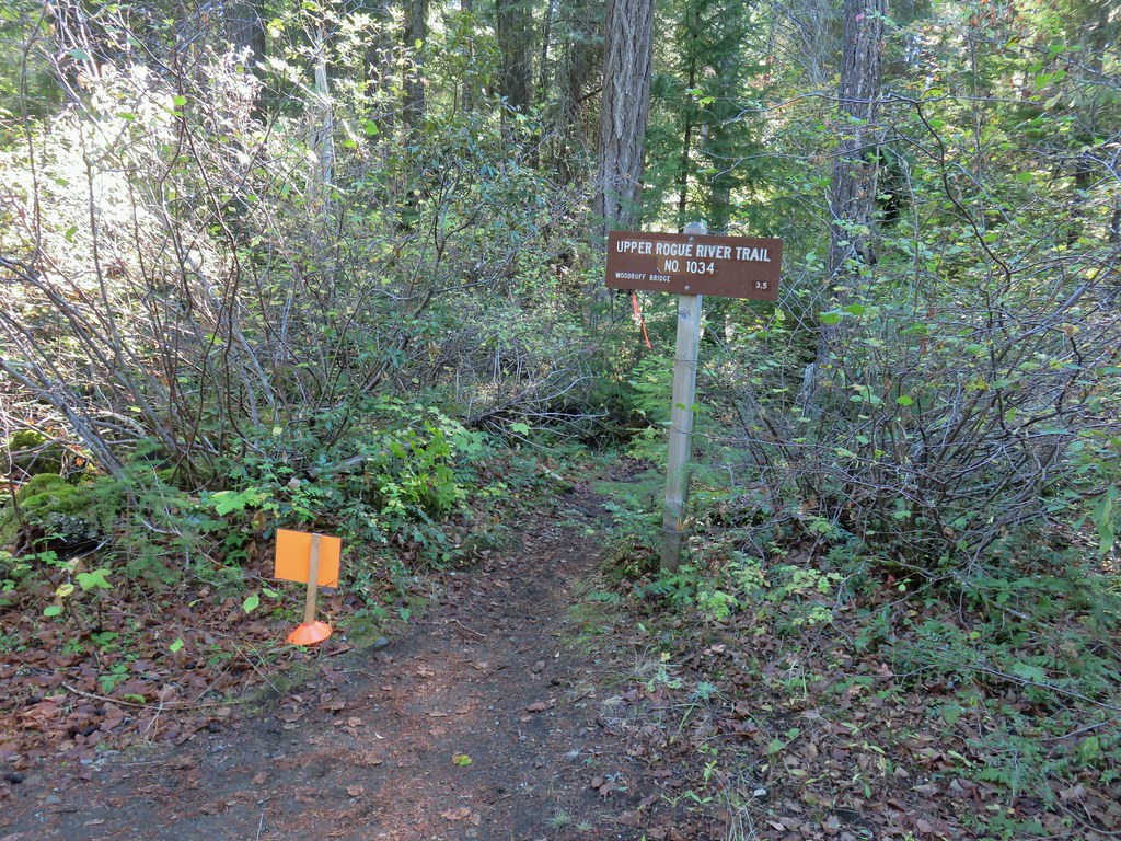
 Union Creek Campground
 The orange sign and flagging was for a 50k being run the following day.
 Union Creek
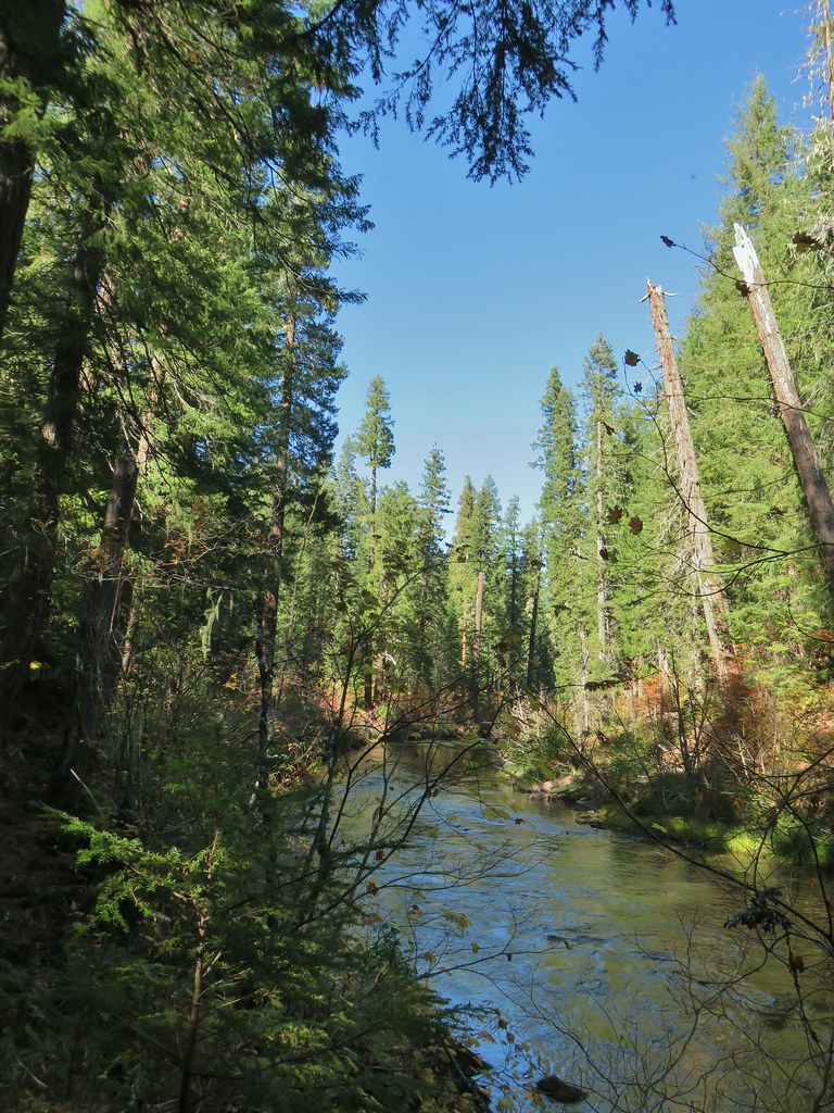


 A Clark’s nutcracker
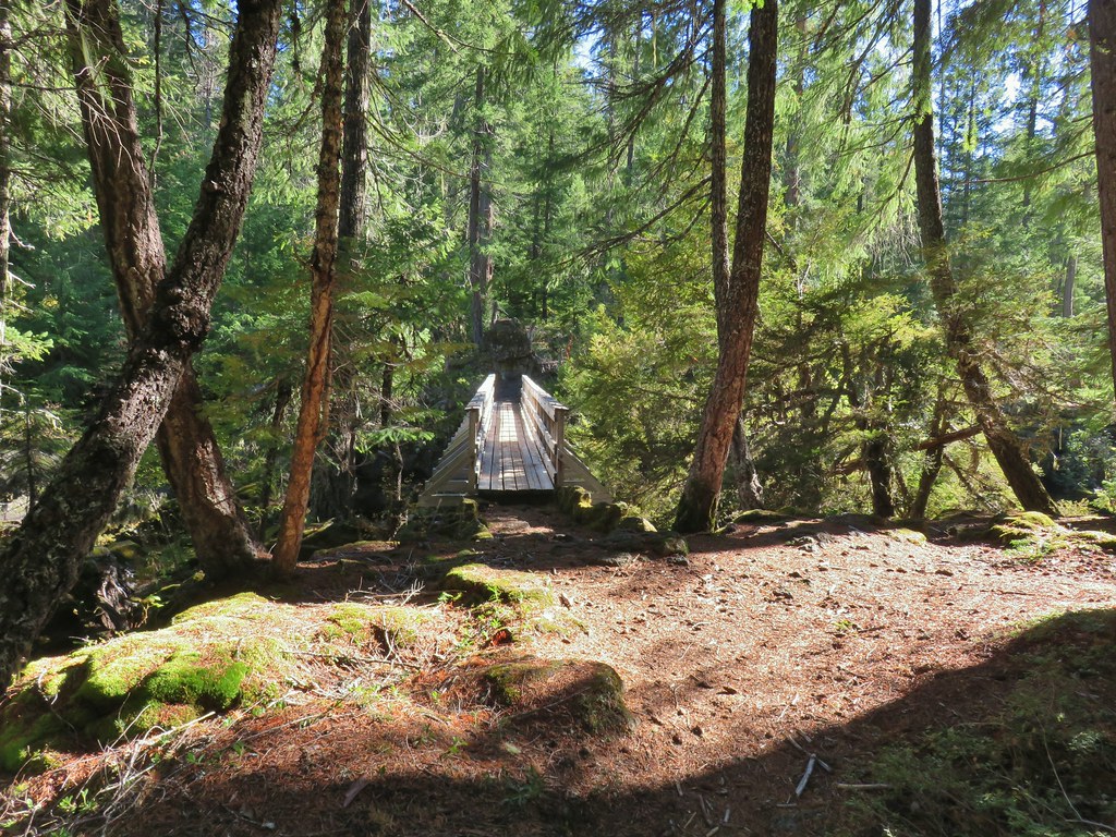
 The footbridge to the upper left.
 Rogue River on the other side of the footbridge.


 The inlet


 There was just a little bit of blowdown to navigate on the way down.
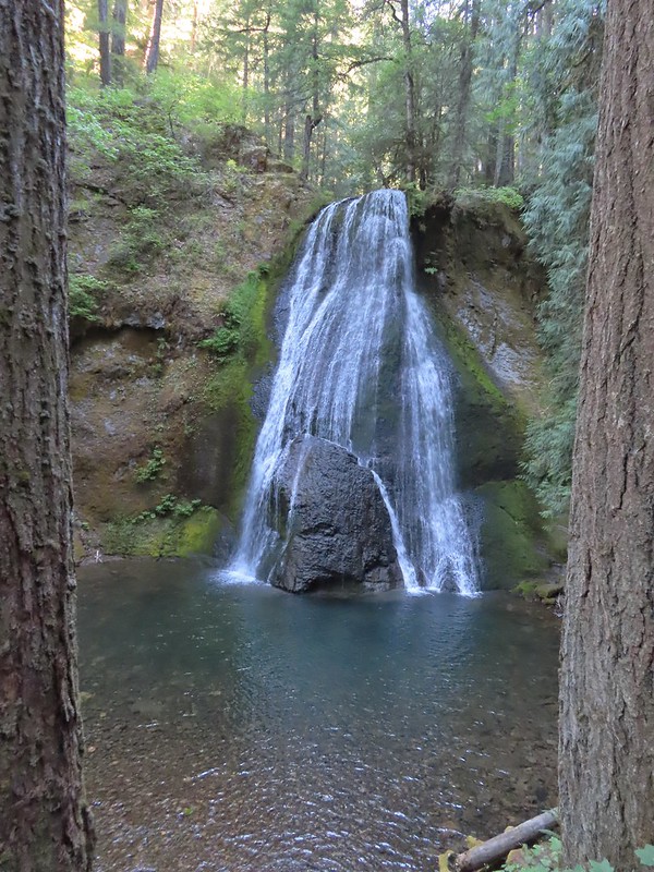
 National Creek Falls
 Signboard at the pullout.


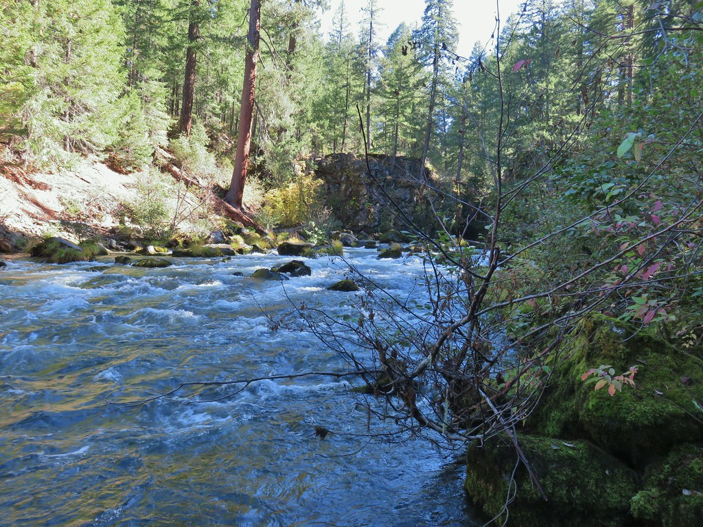
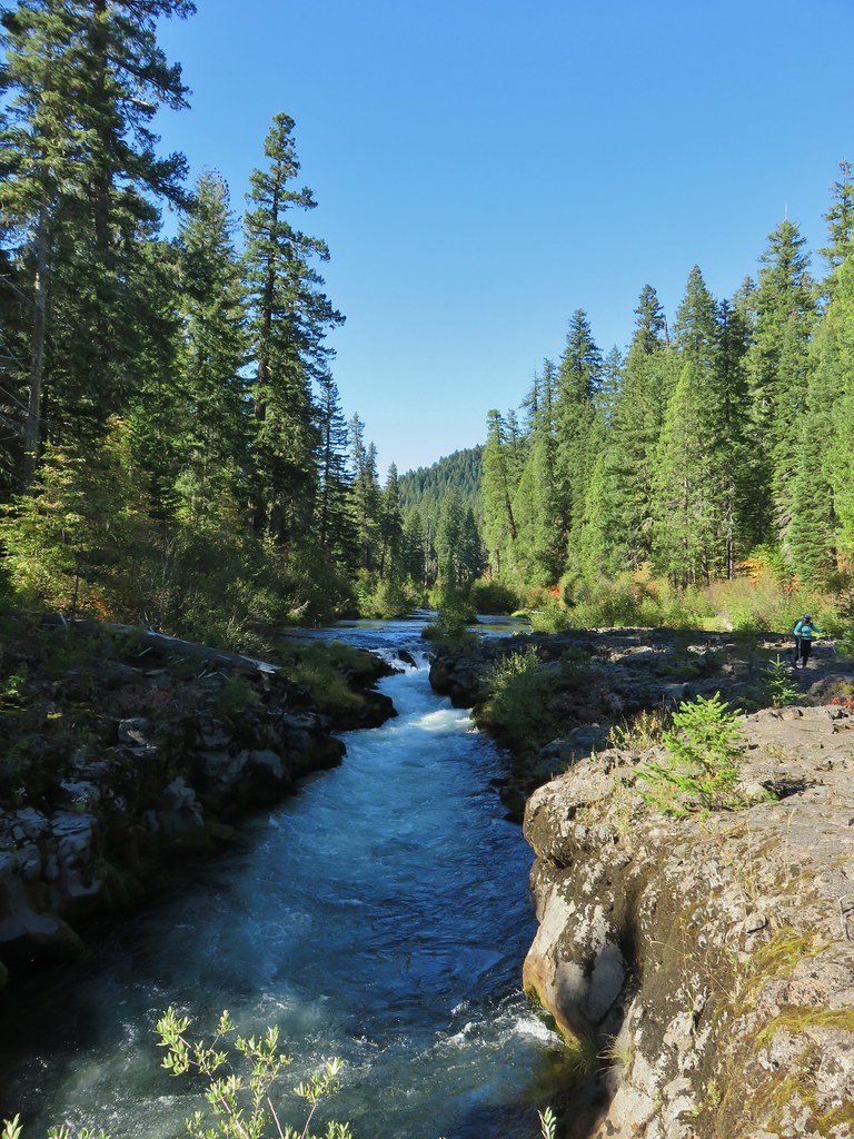
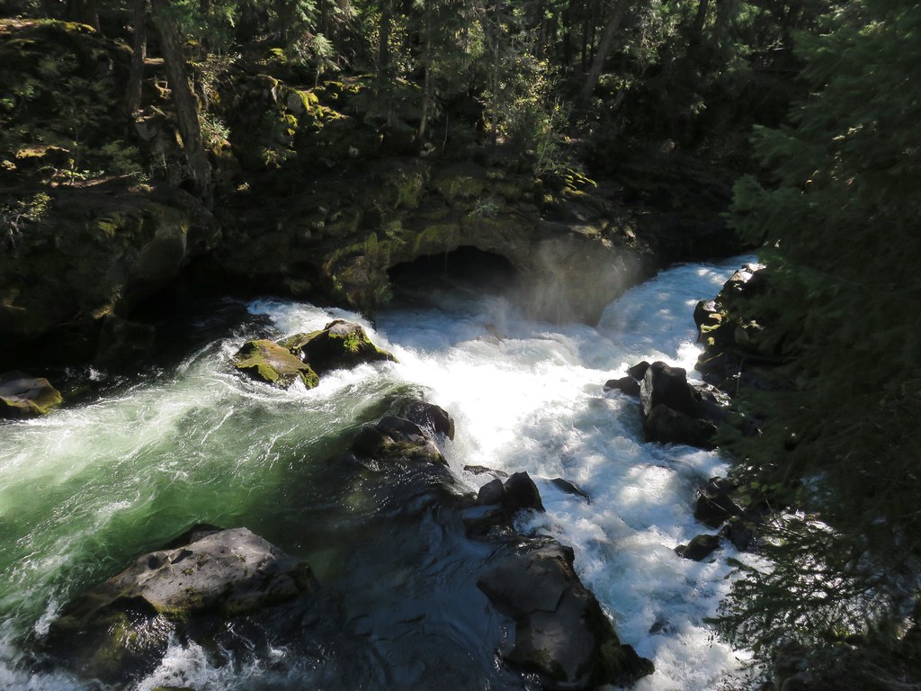
 Rogue River emerging from a channel.

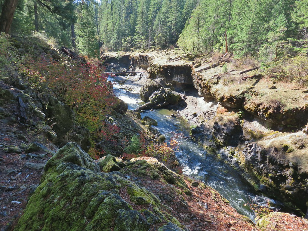
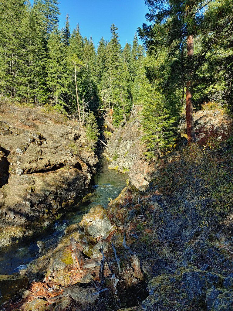


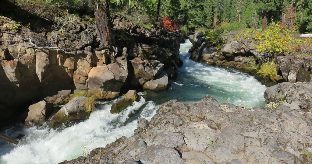
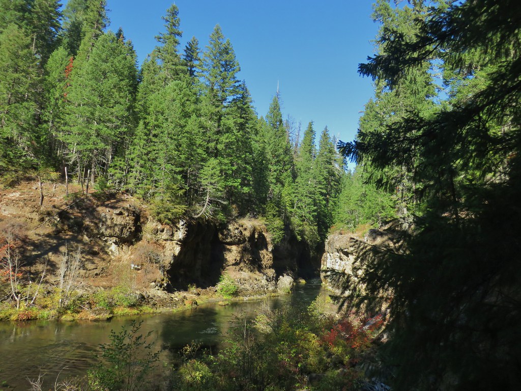 Rogue River emerging from Takelma Gorge.

 Ouzel
Ouzel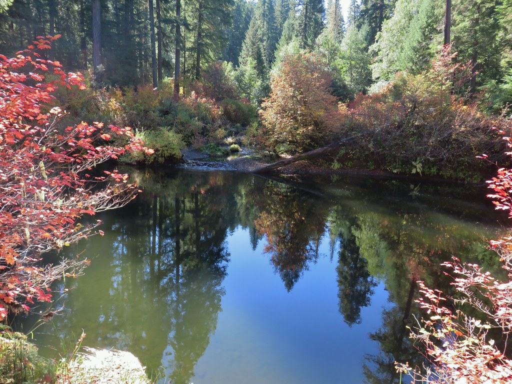
 River Bridge