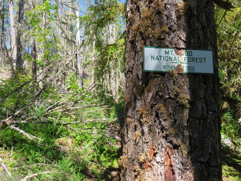
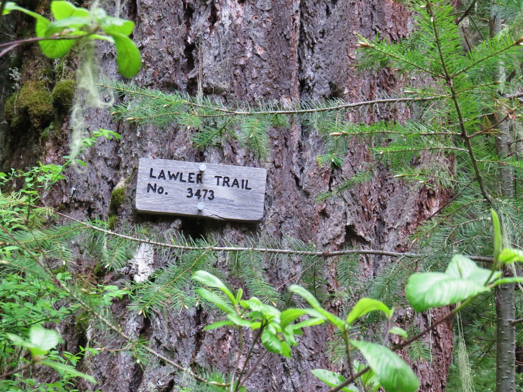
After our last two hikes coming from Matt Reeder’s 101 Hikes in the Majestic Mount Jefferson Region we went back to work on our goal of completing all of the featured hikes in William L. Sullivan’s 100 Hikes guidebooks. We are just over 75% through his 100 Hikes in the Central Oregon Cascades 4th edition and had our eyes set on checking off one more with a visit to the former lookout site atop Horsepasture Mountain.
The hike up Horsepasture Mountain provided a bit of a logistical challenge for a couple of reasons. First is our self imposed guideline of trying not to spend more time in the car than we do on the trail and the 1.4 mile length of the Horsepasture Mountain Trail meant we’d need to come up with some additional trail time. The second issue was the continued closure of a section of Forest Road 1993 which adds nearly 45 minutes to the drive to the Horsepasture Trailhead. Prior to the closure the drive to that trailhead would still have been over two and a half hours but with the detour Google put the time at three hours and fifteen minutes. We also have a rule against driving over three hours to any trailheads for day hikes so I began looking for alternatives. A little online research led me to a solution, the Saddle Trail which is part of the O’Leary Trail Complex.
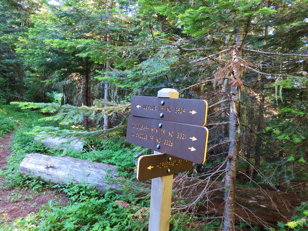
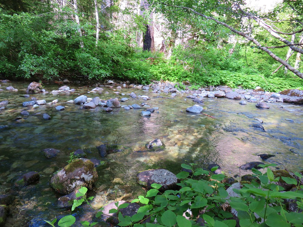
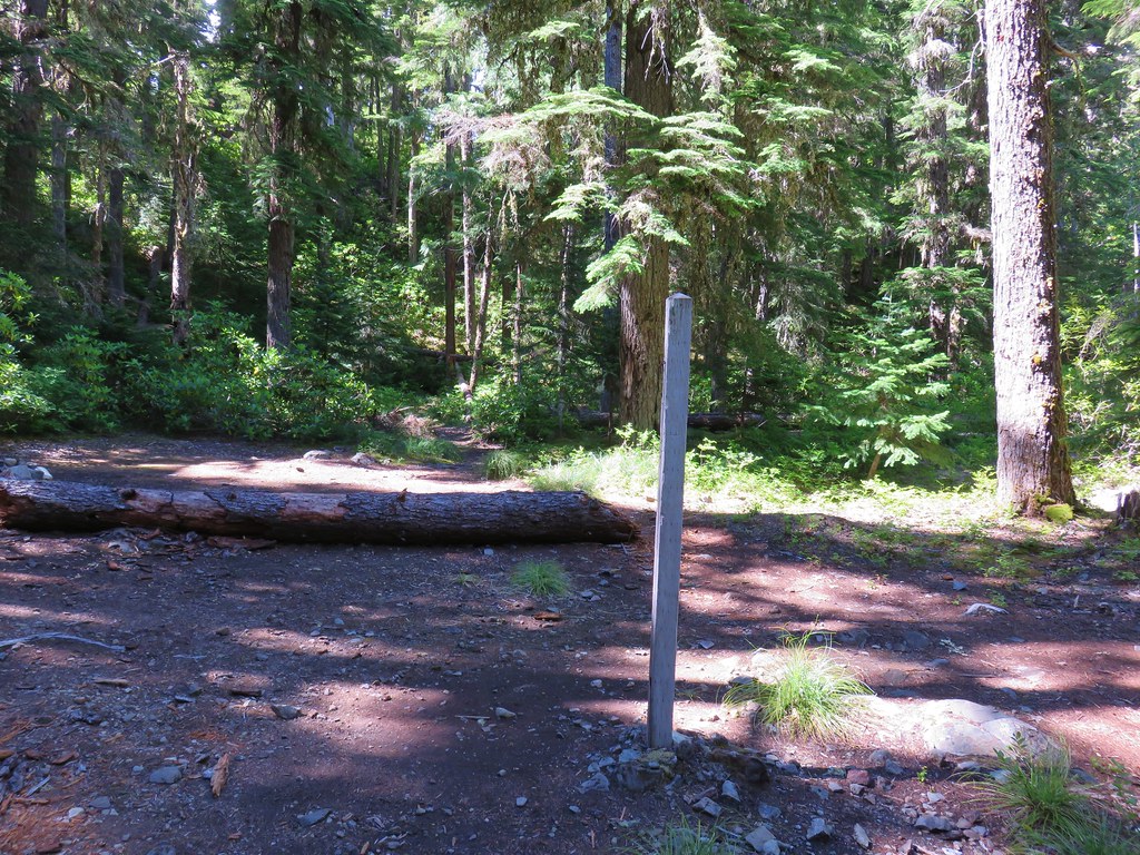
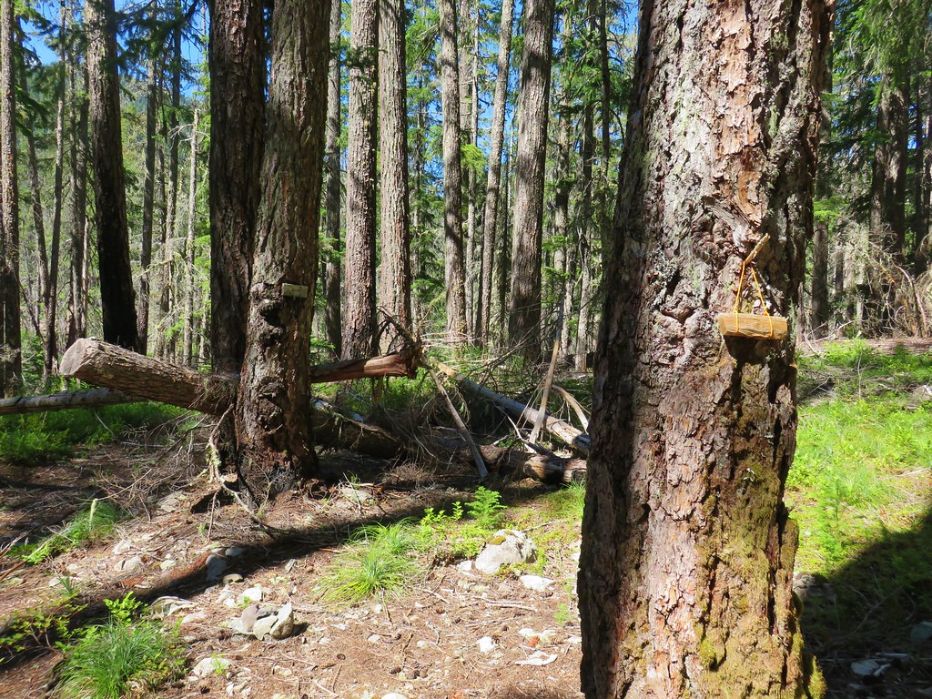
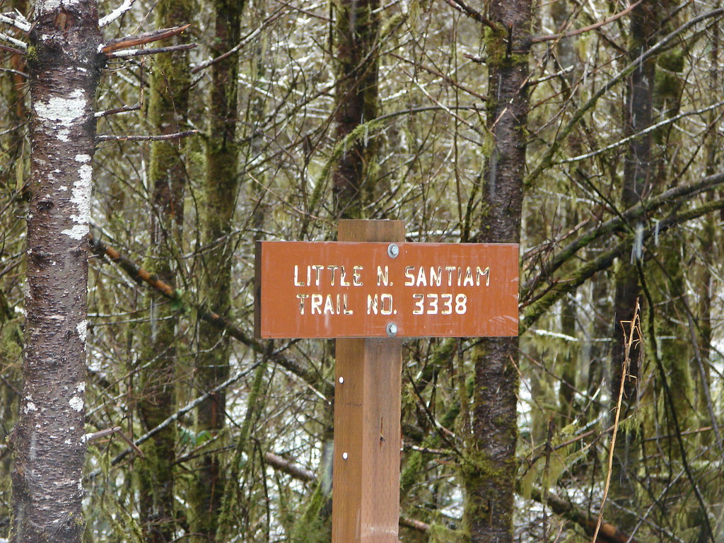
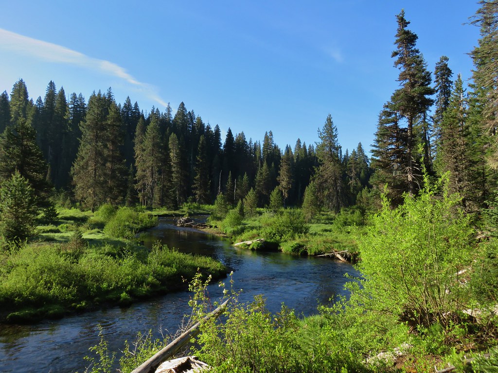
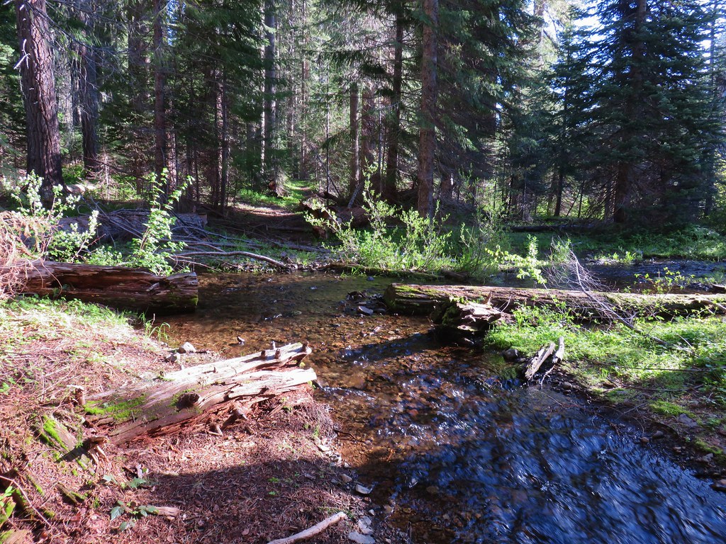
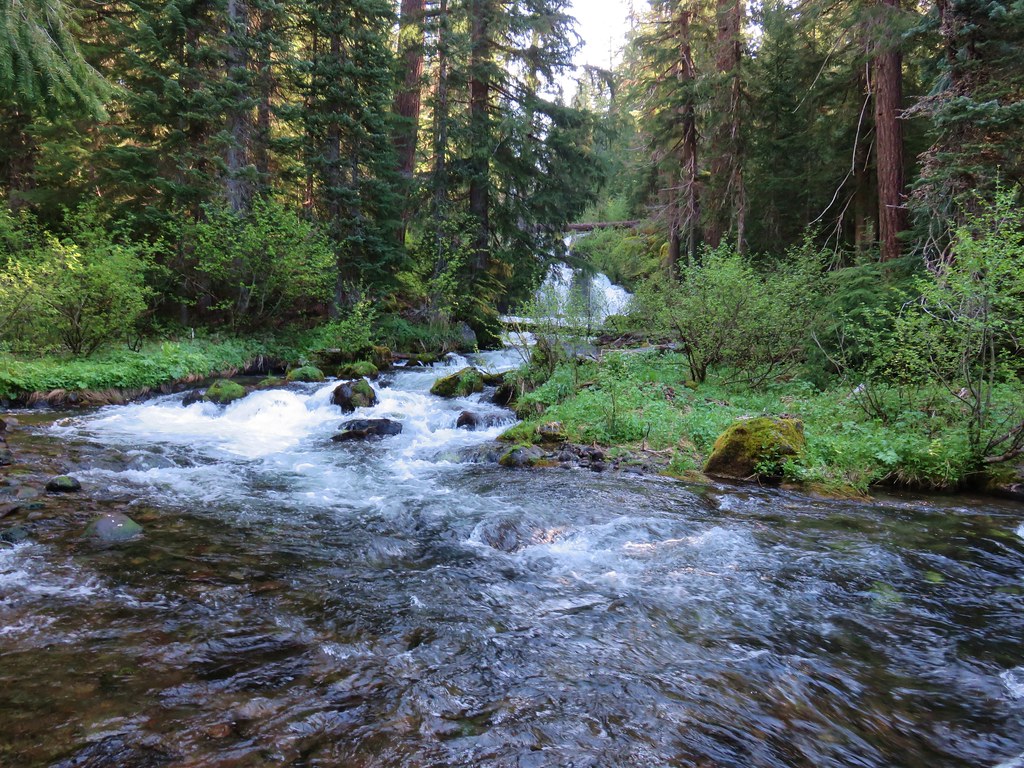
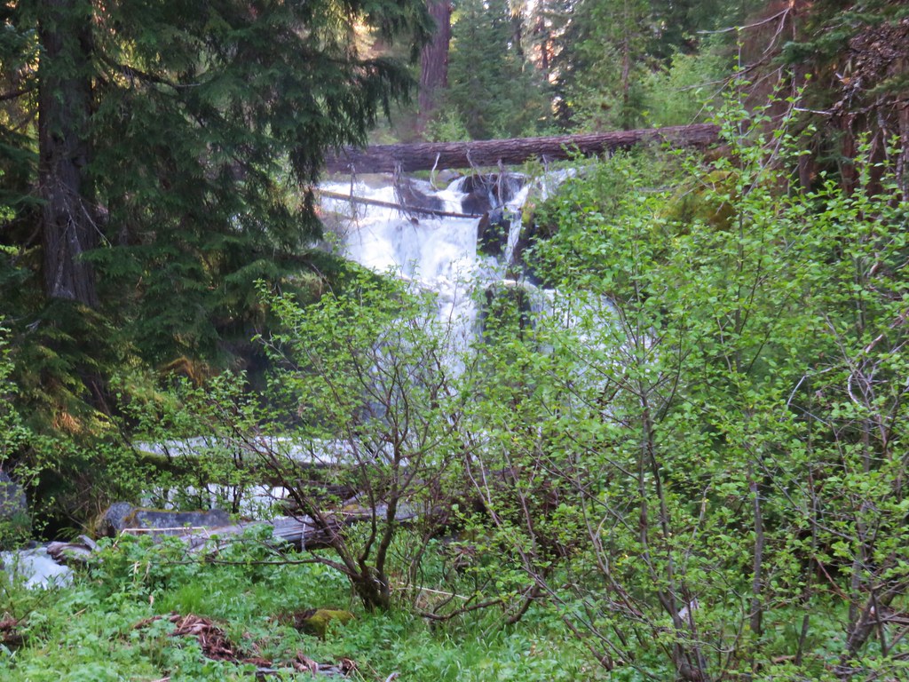
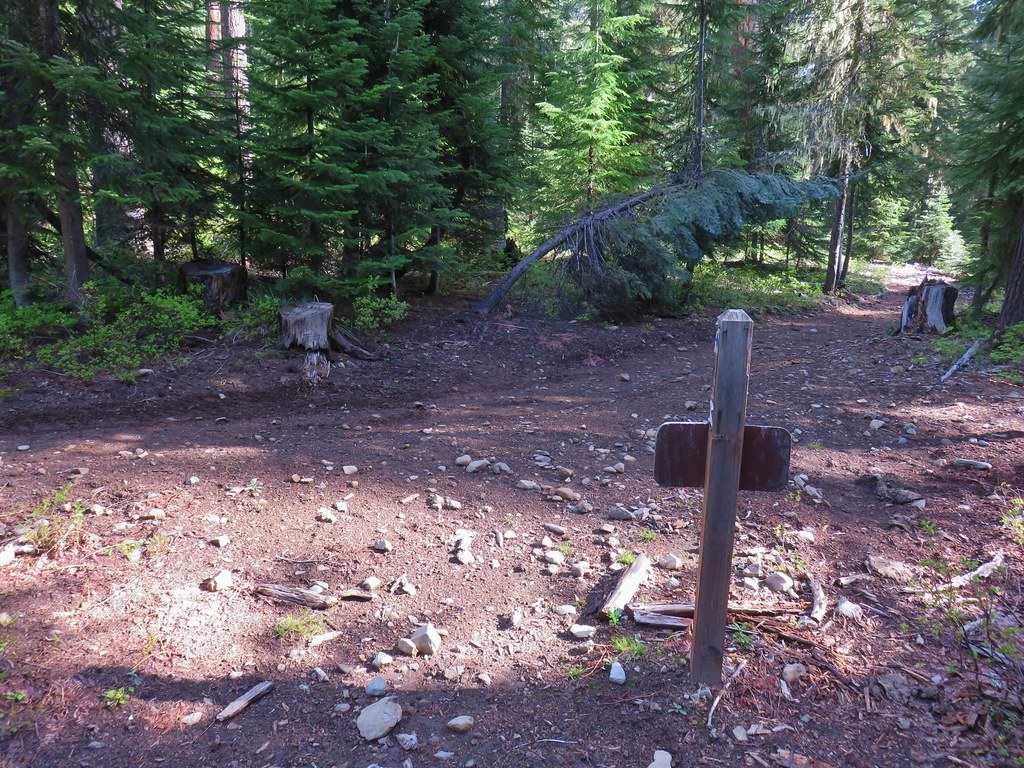
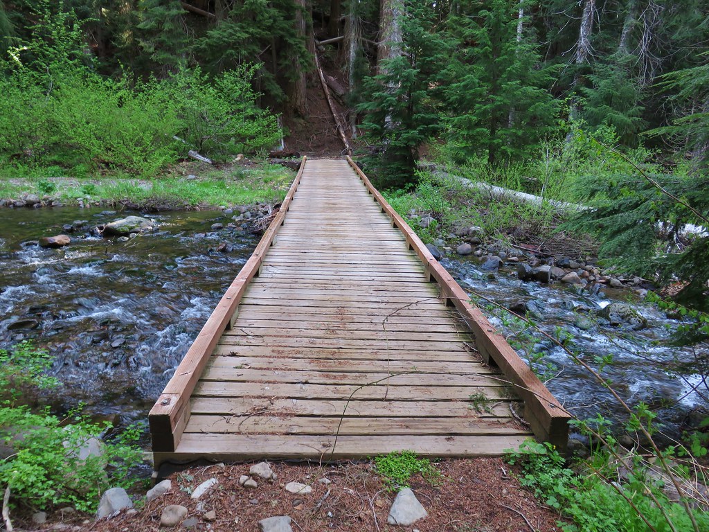
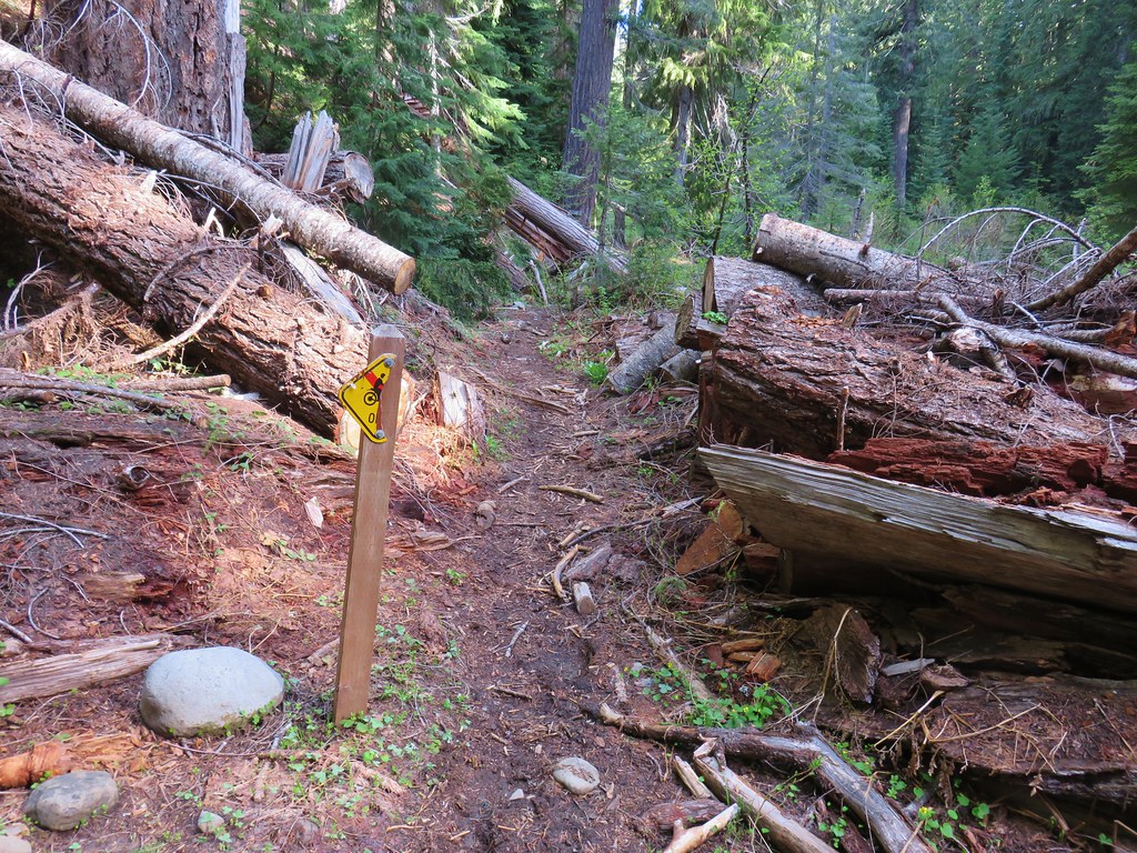
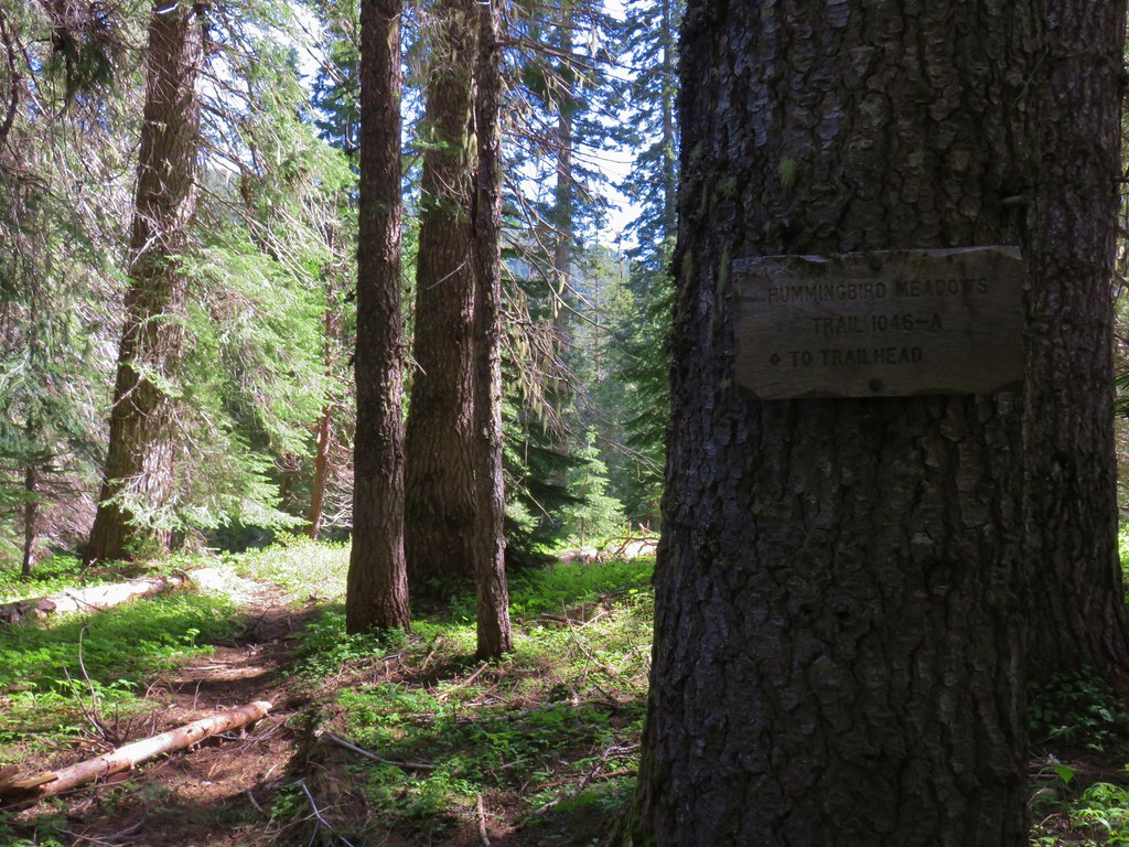
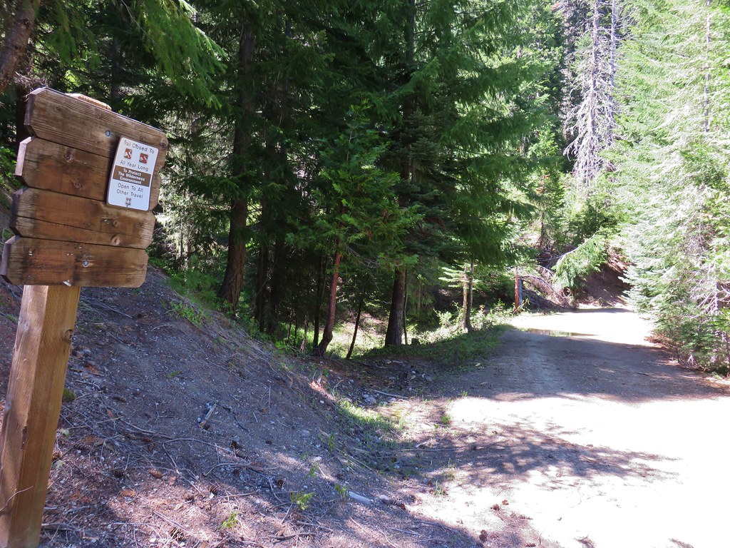
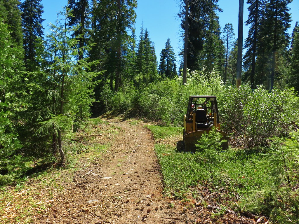
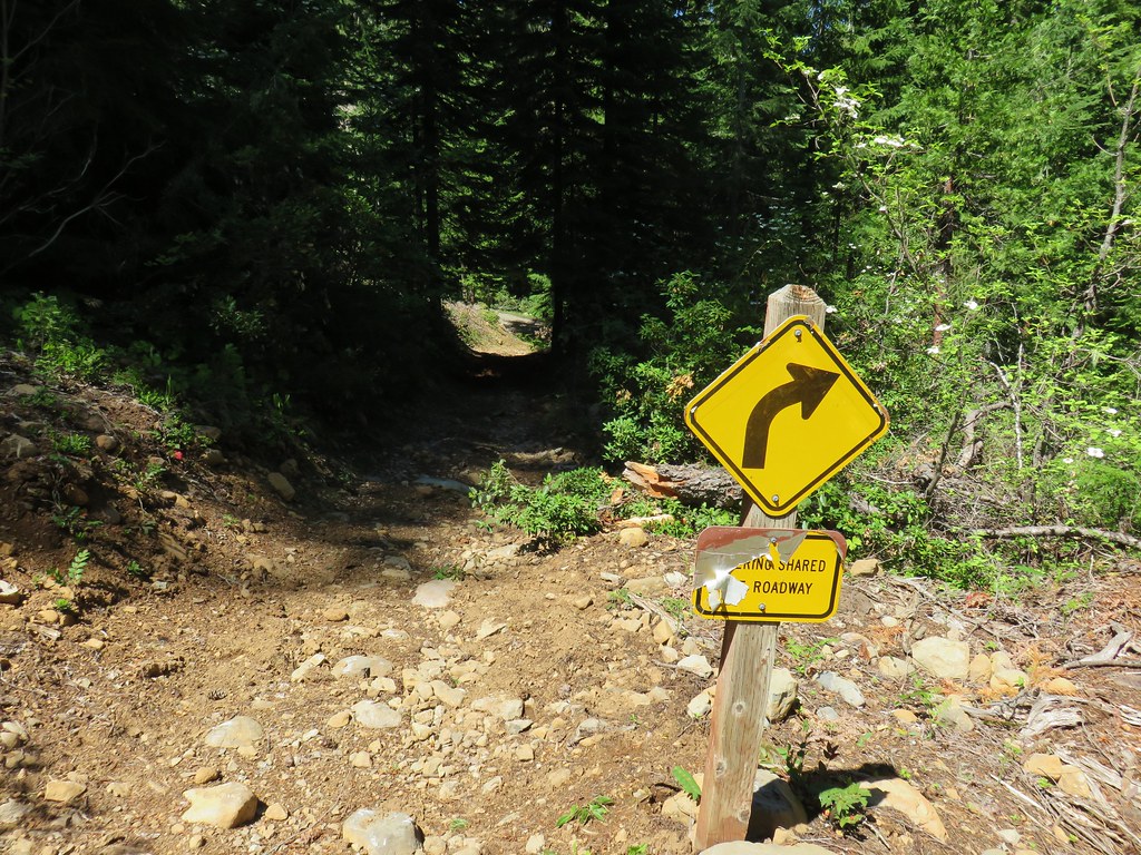
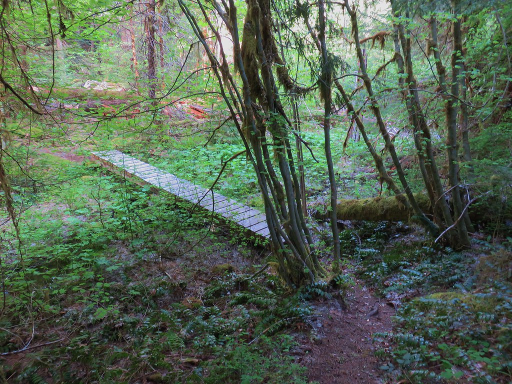
The trail begins at the East Fork Upper Trailhead which brought the drive time from Salem under two and half hours. We parked at a small pullout on the right side of FR 1993 across from the signed Saddle Trail.
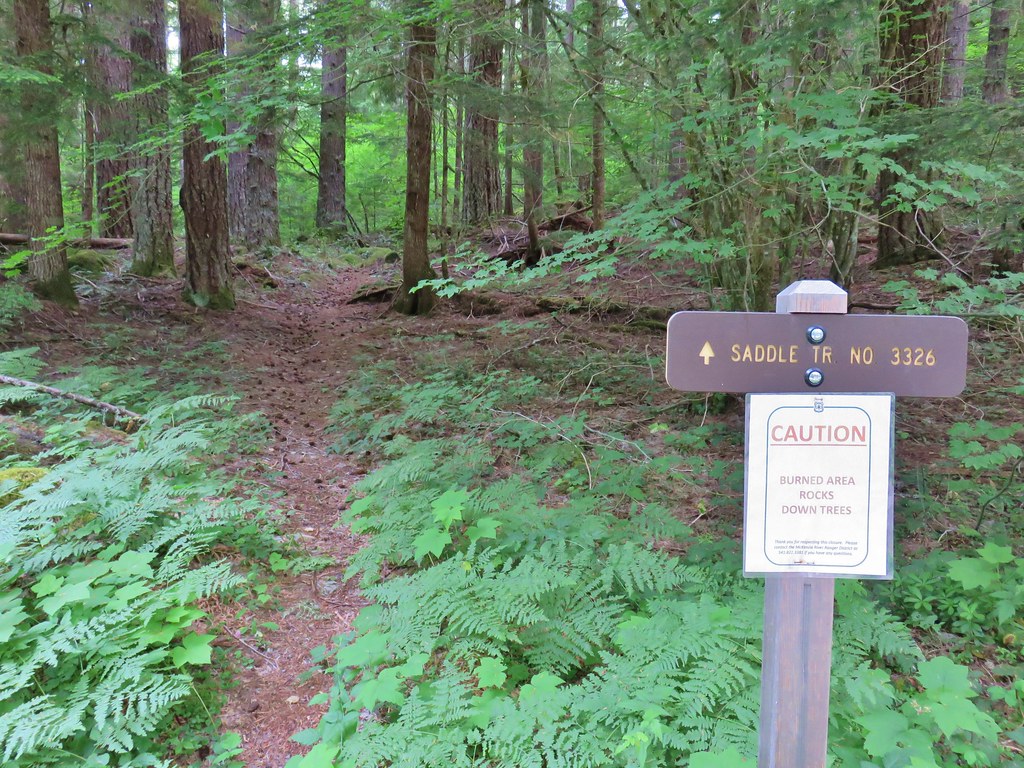
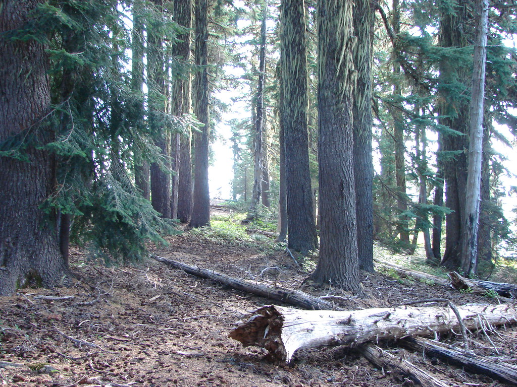
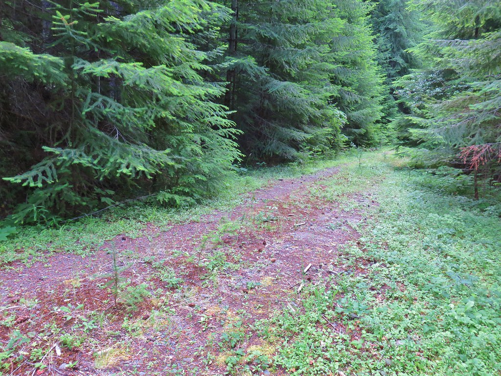
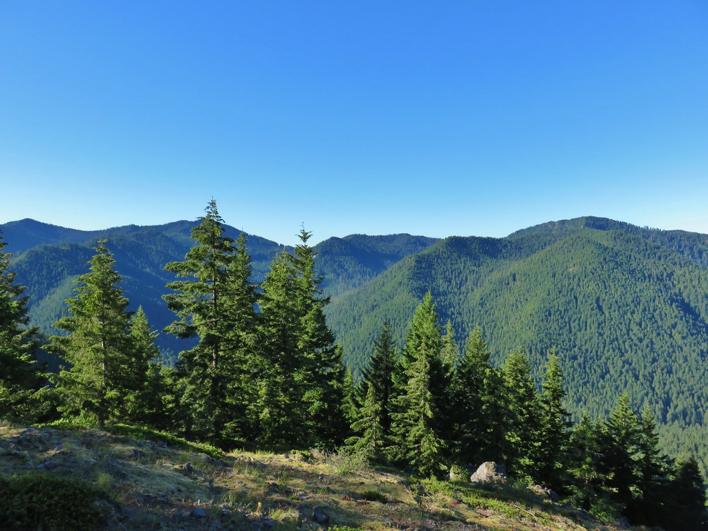
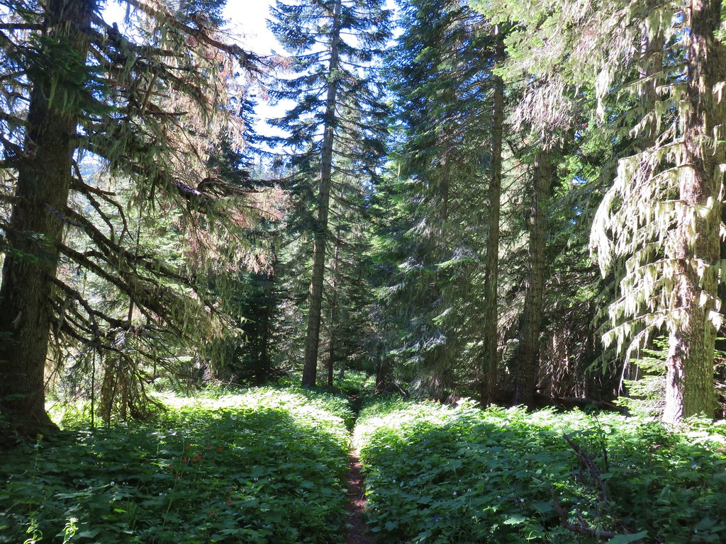
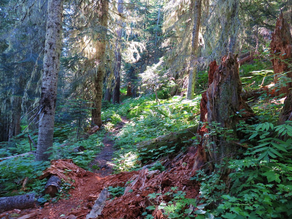
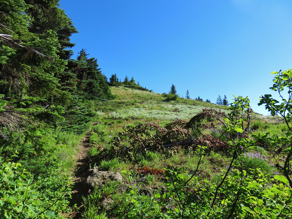
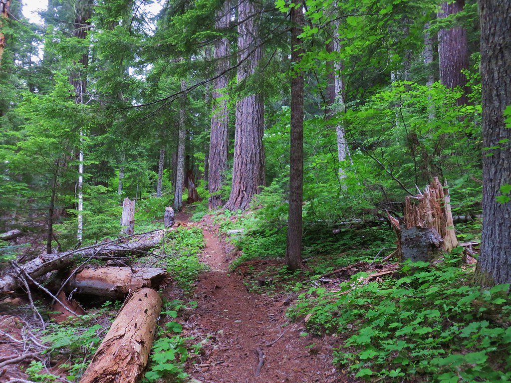
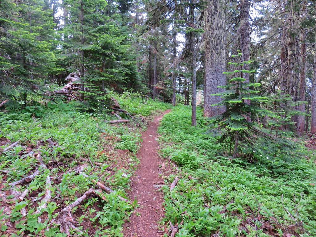
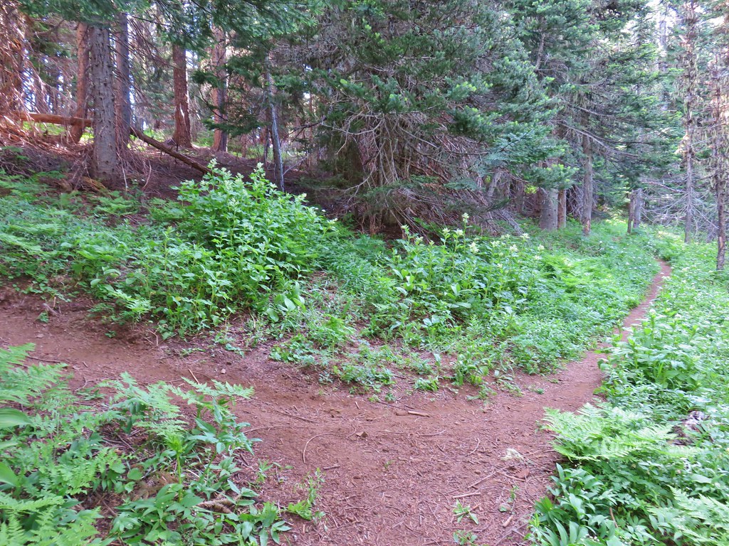
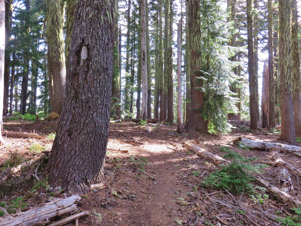
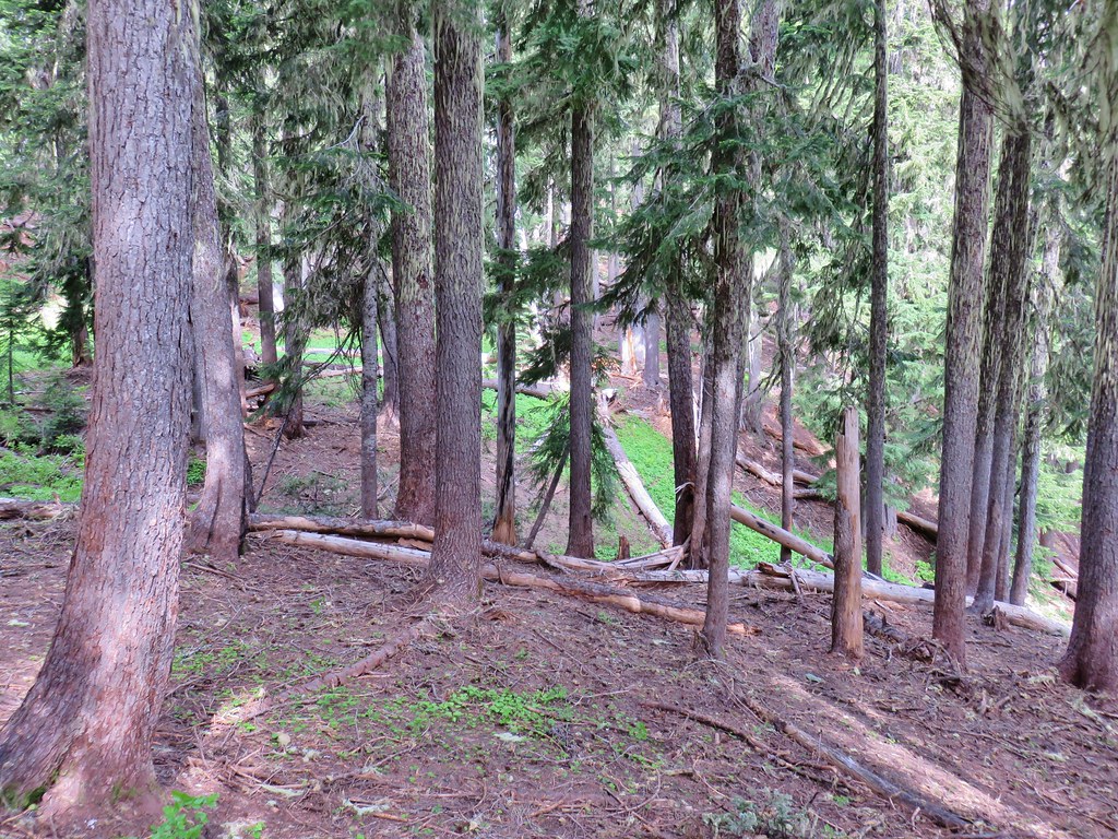
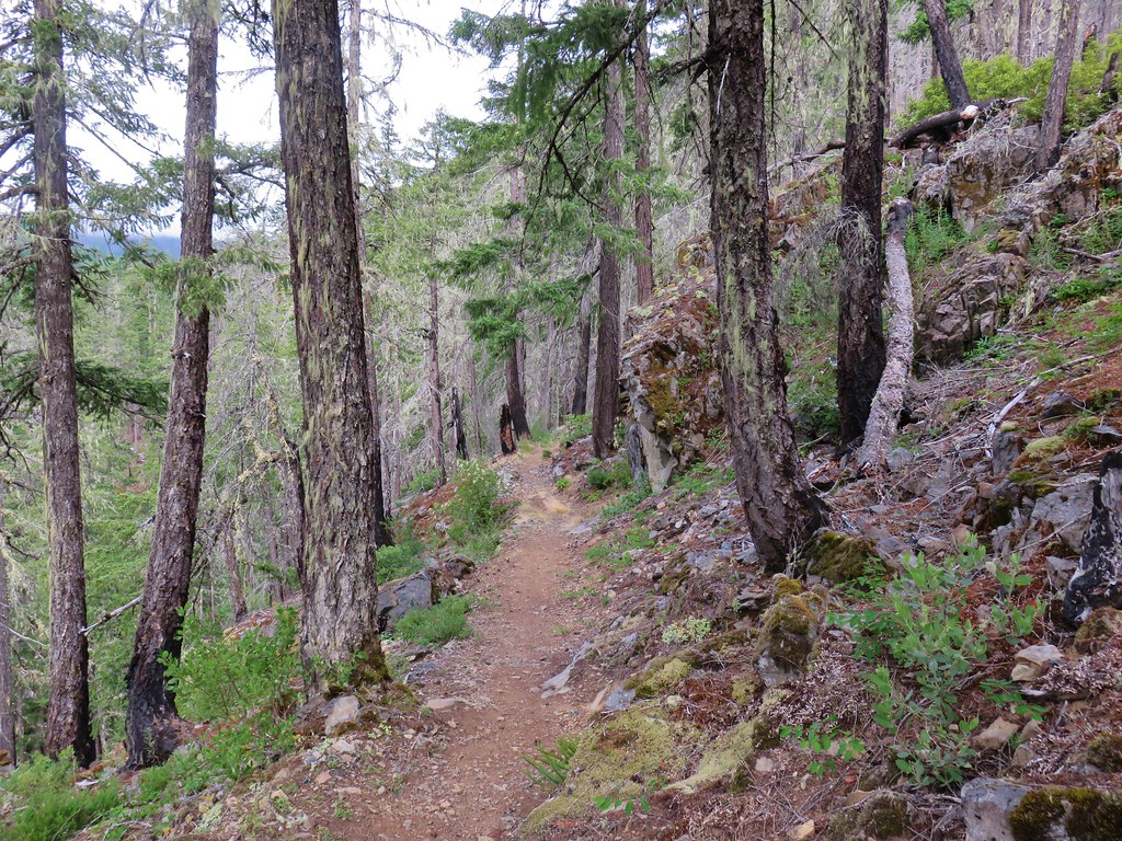
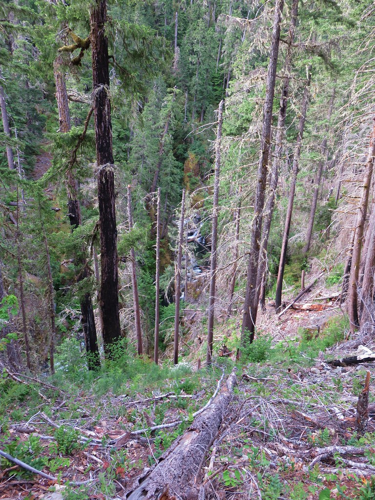
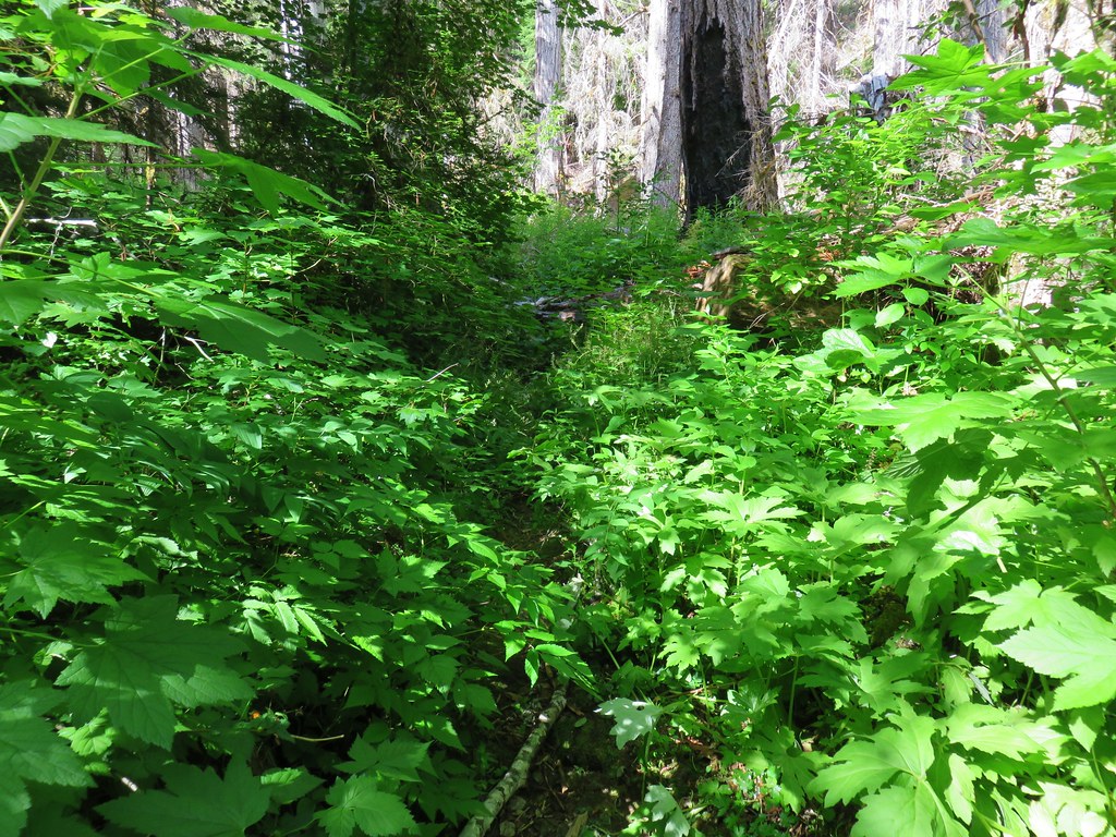
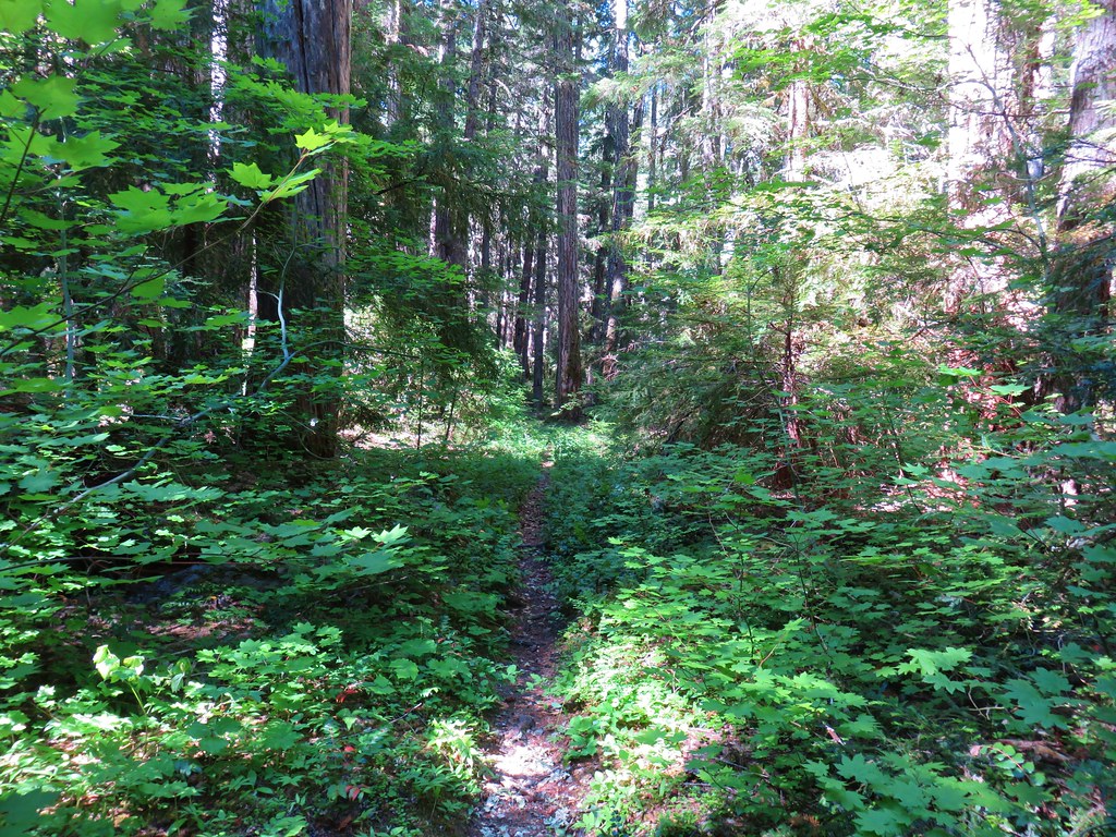
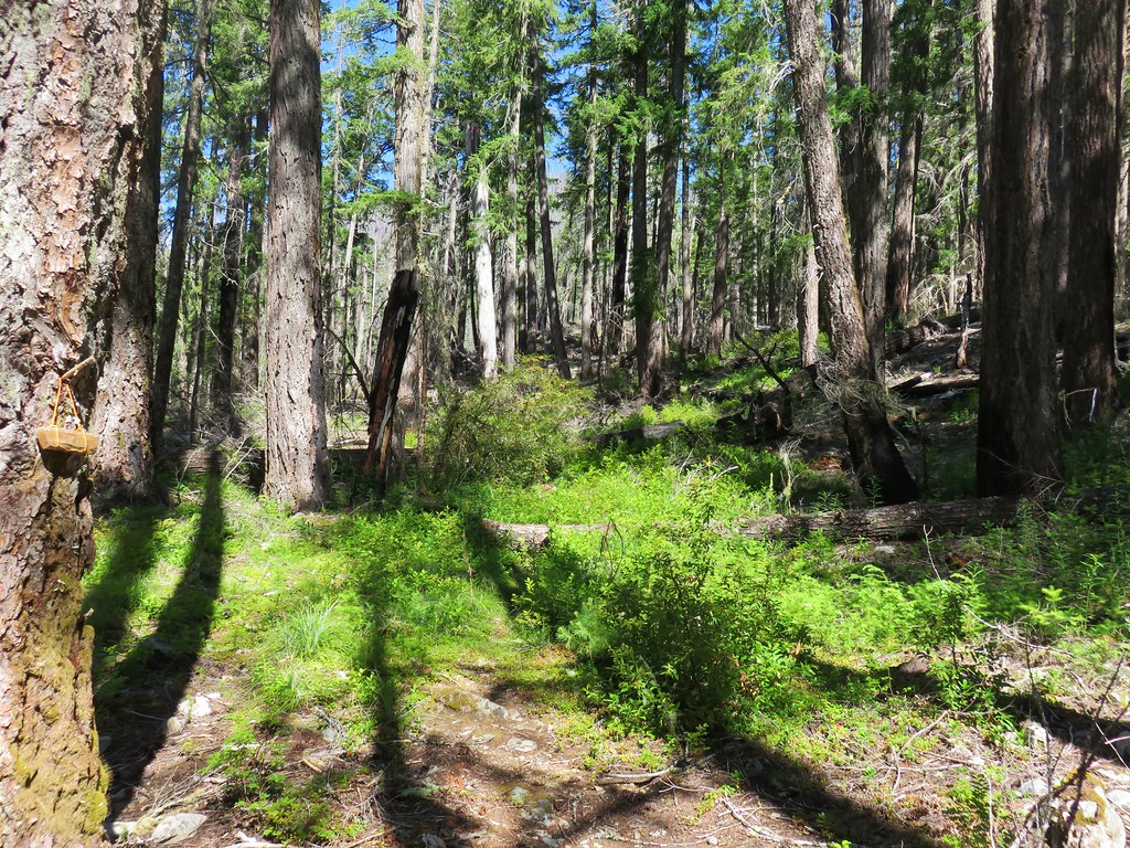
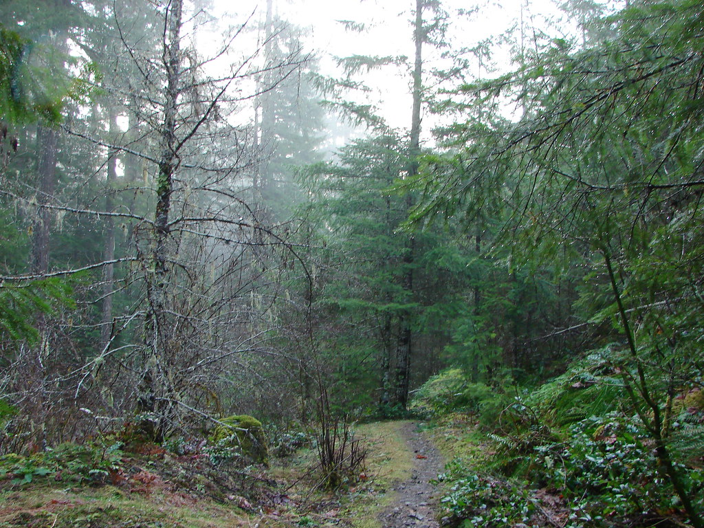
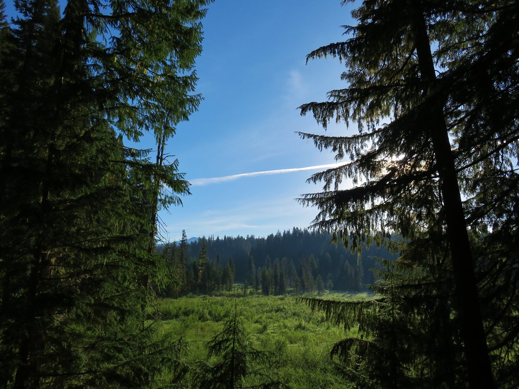
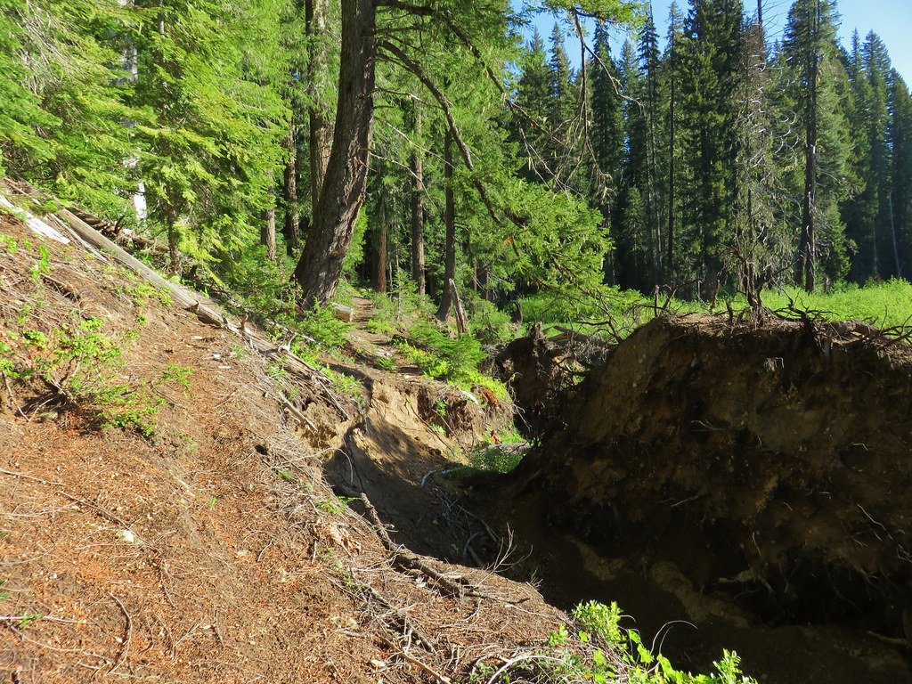
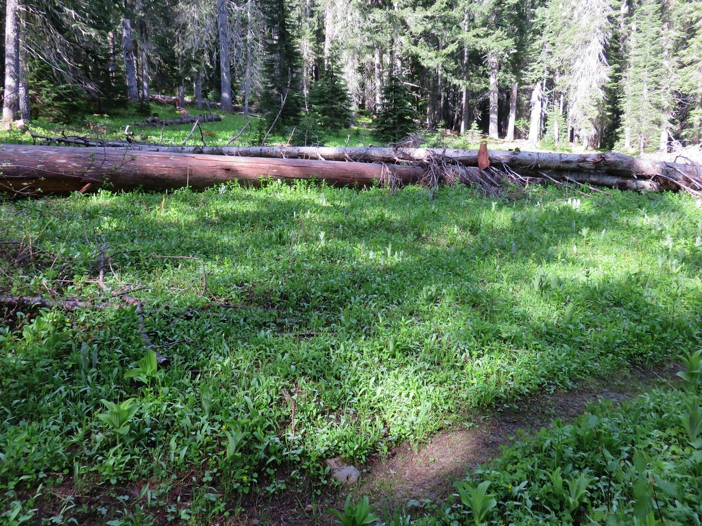
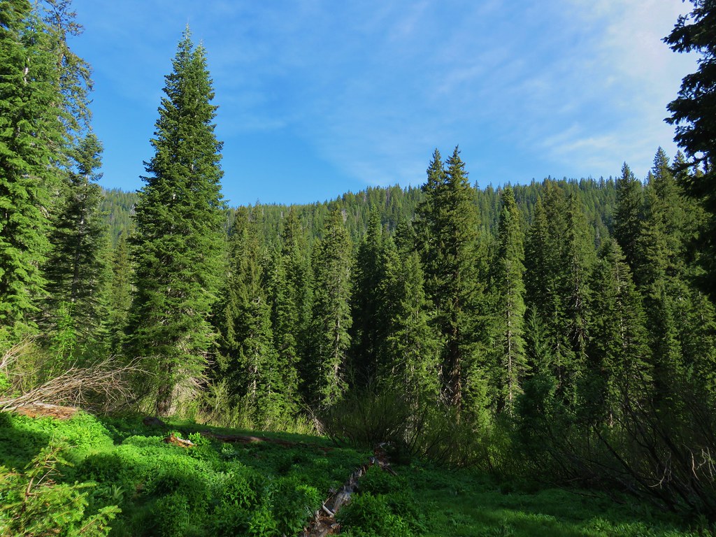
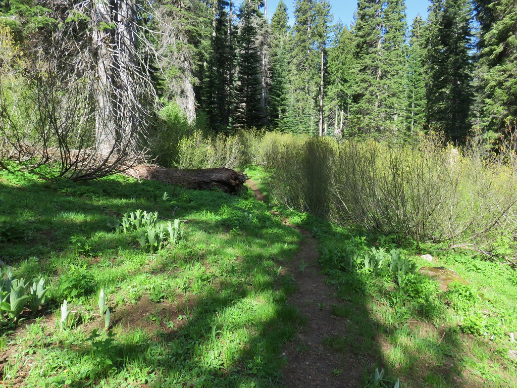
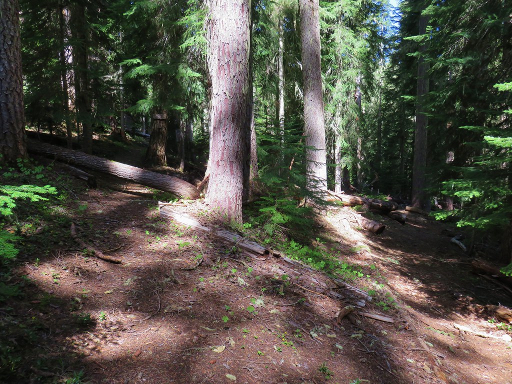
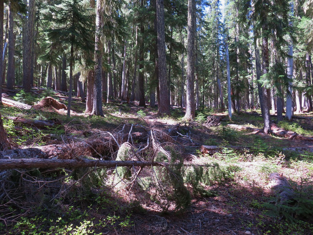
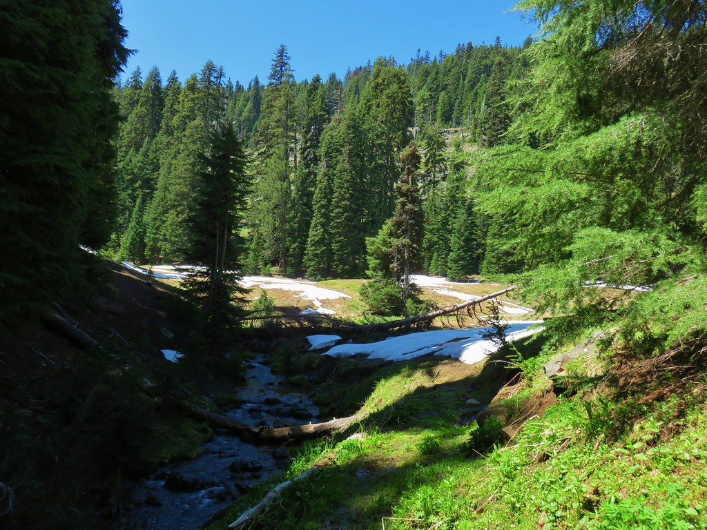
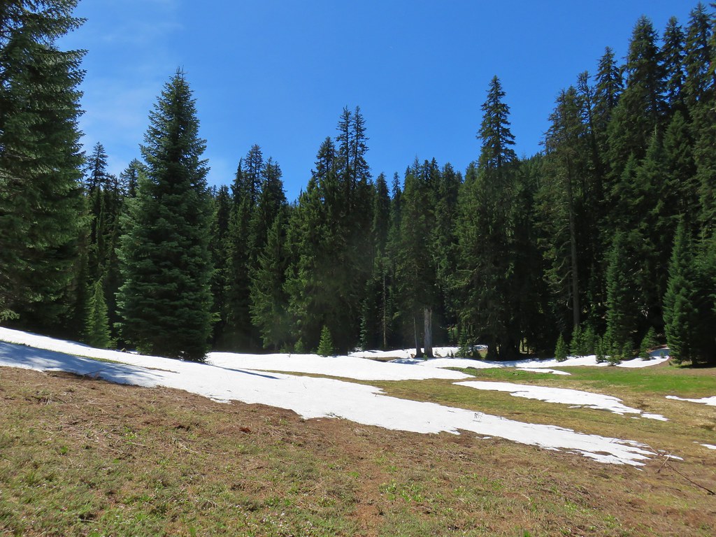
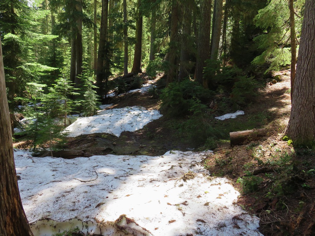
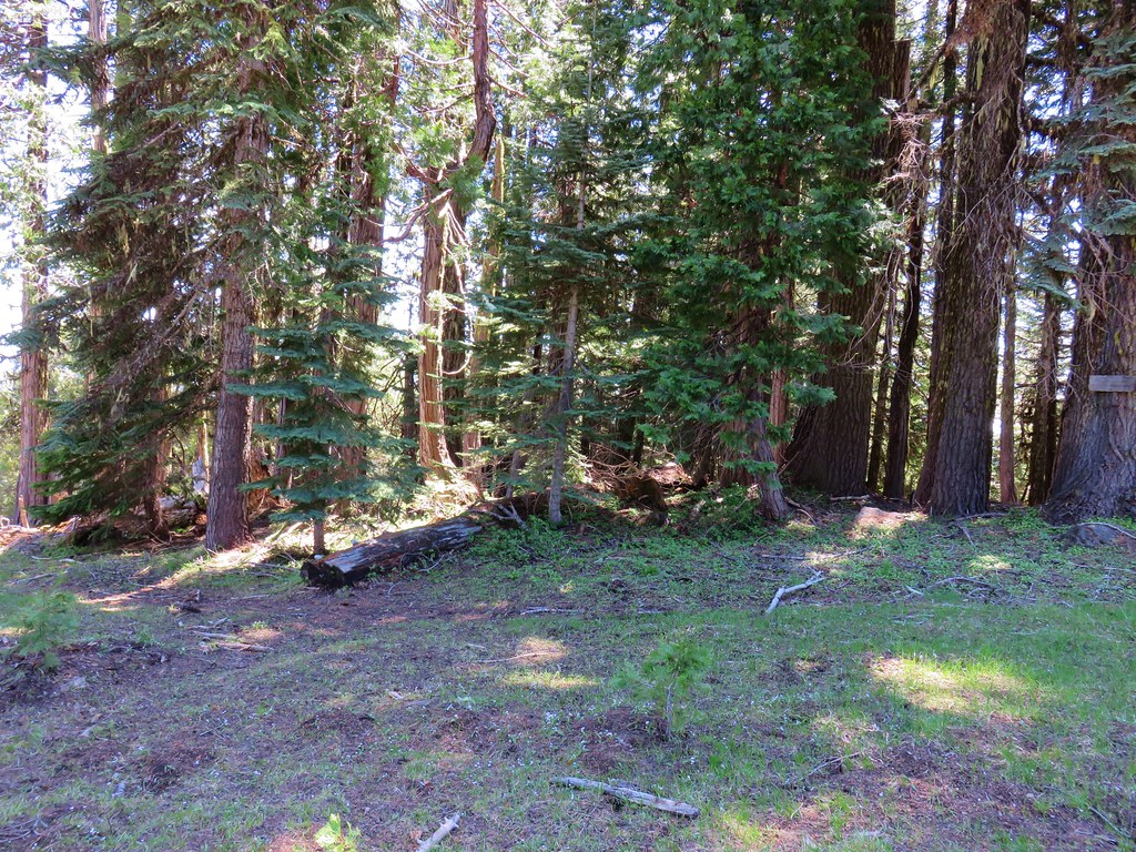
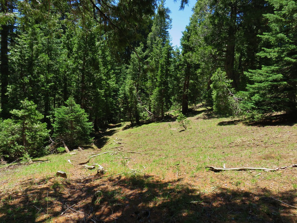
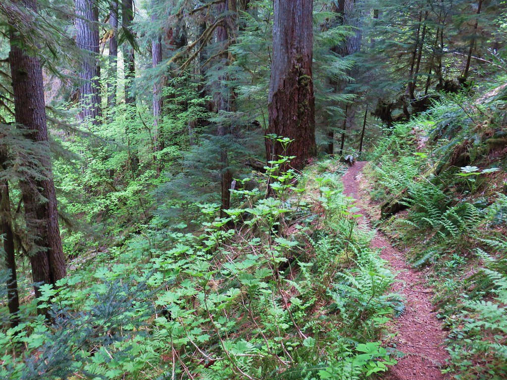
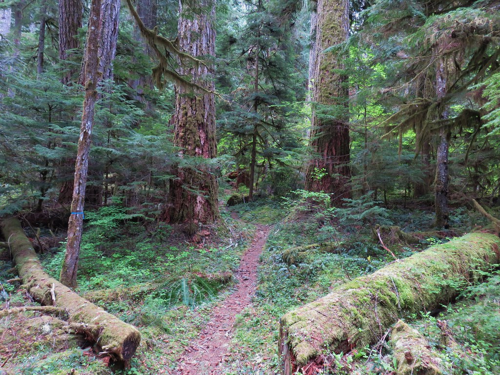
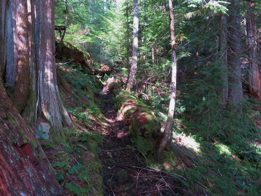
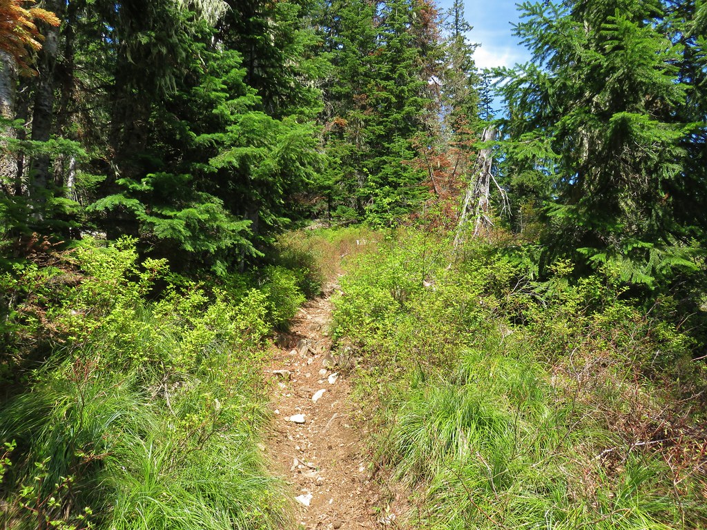
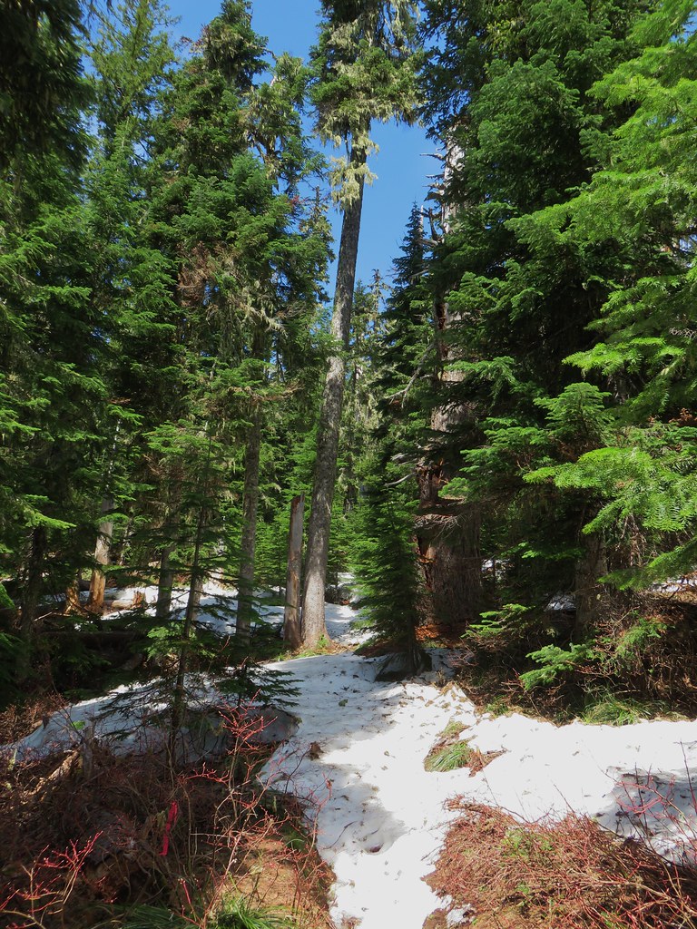
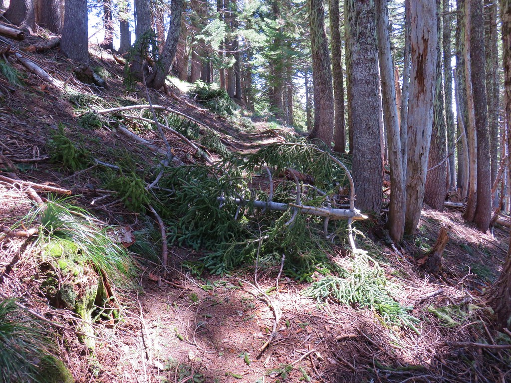
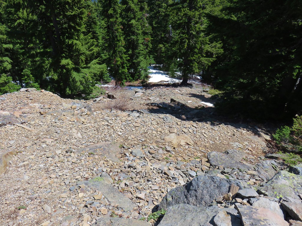
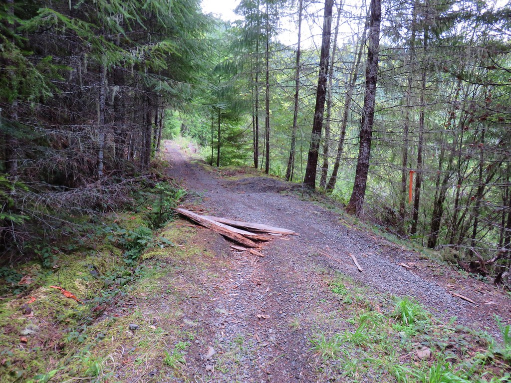
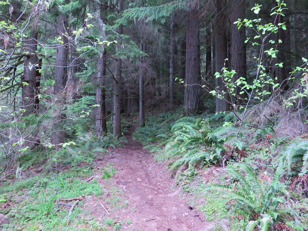
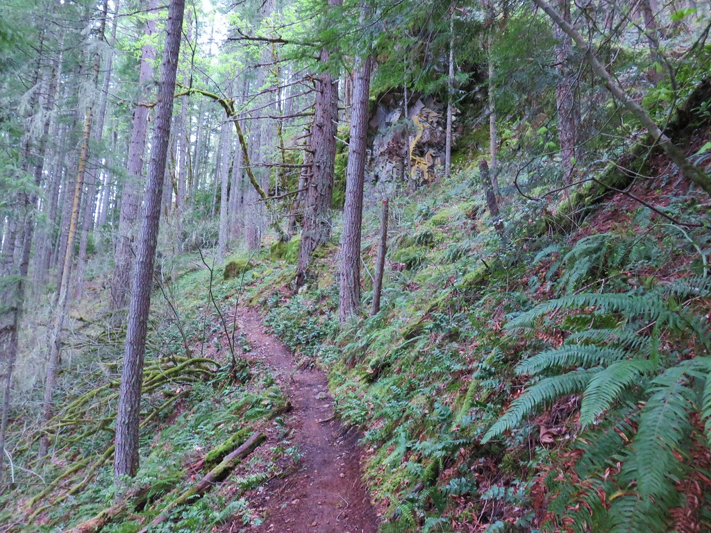
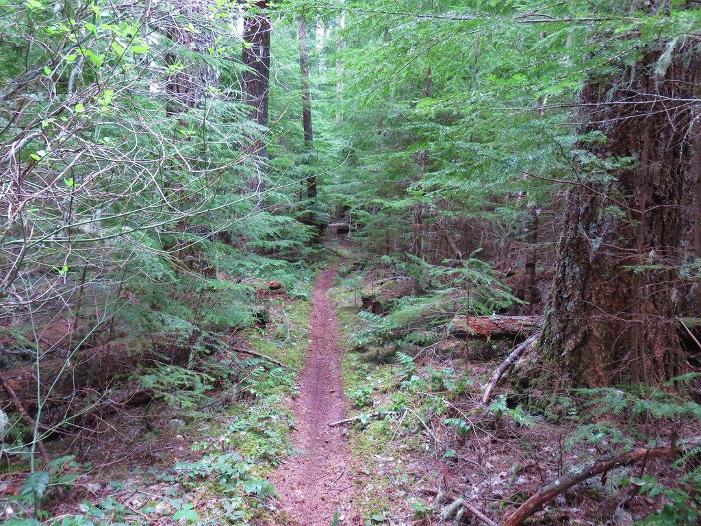
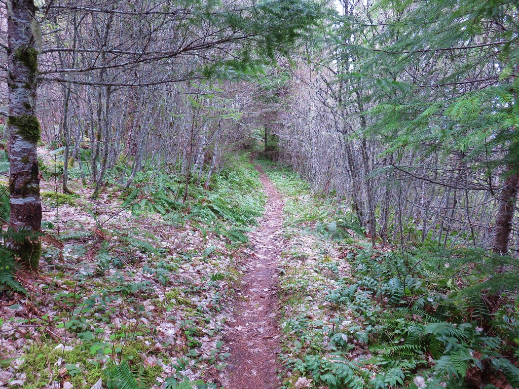
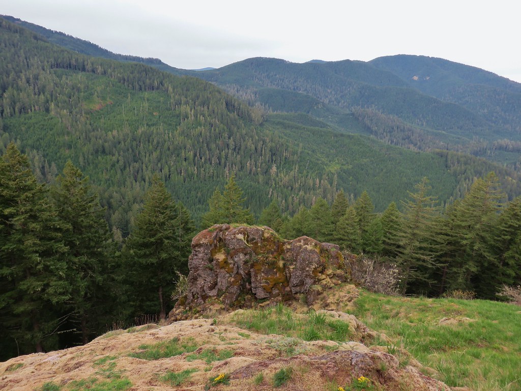
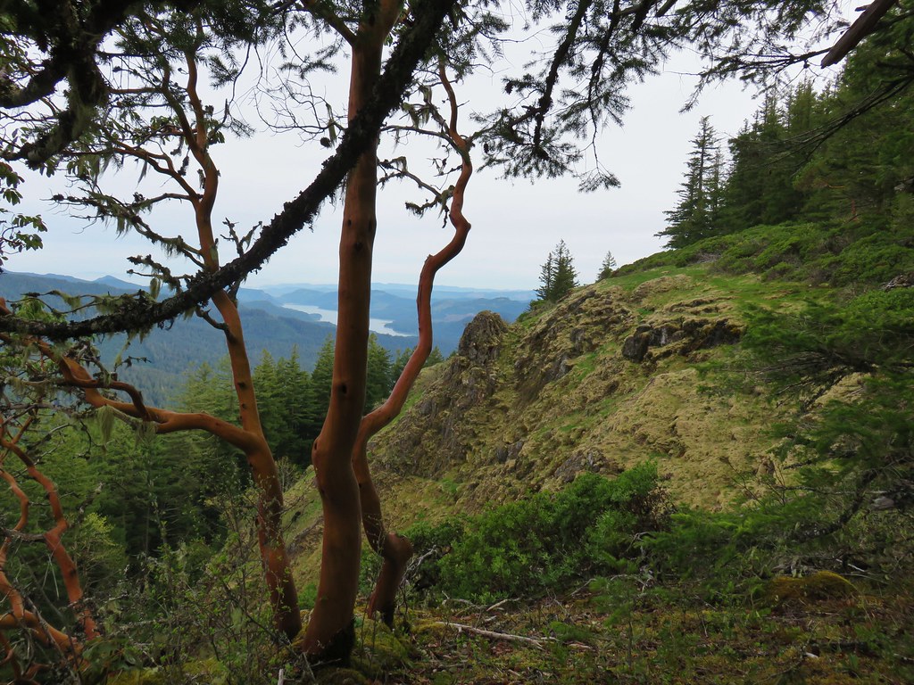
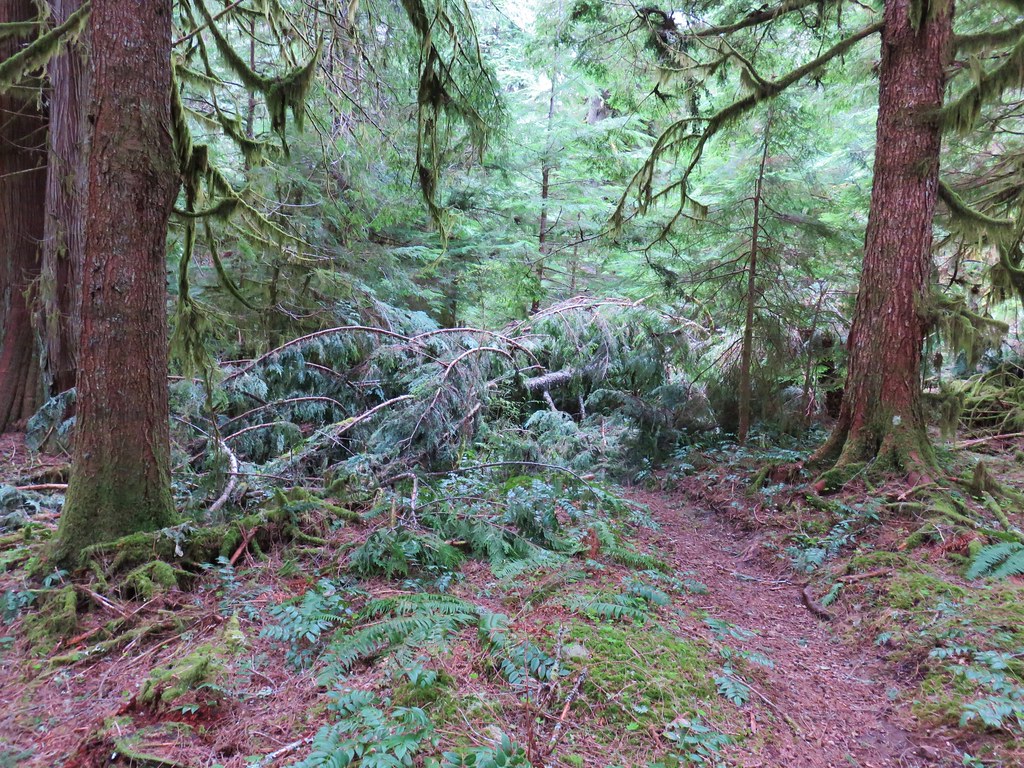
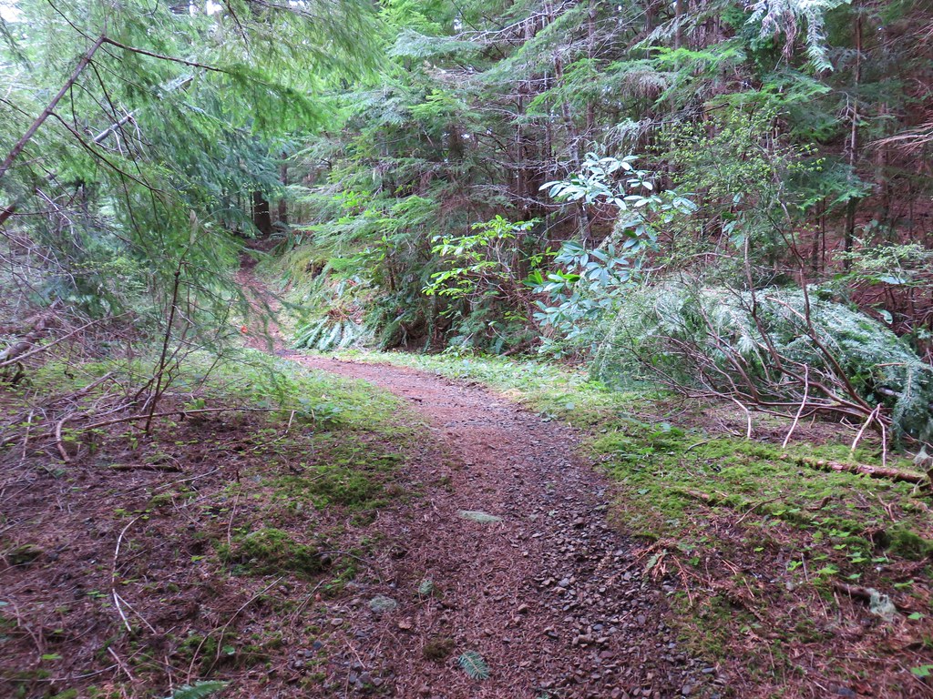
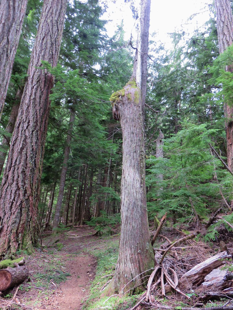
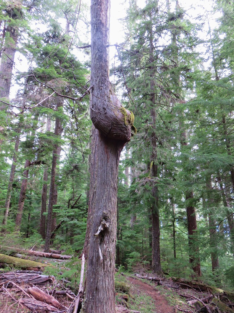
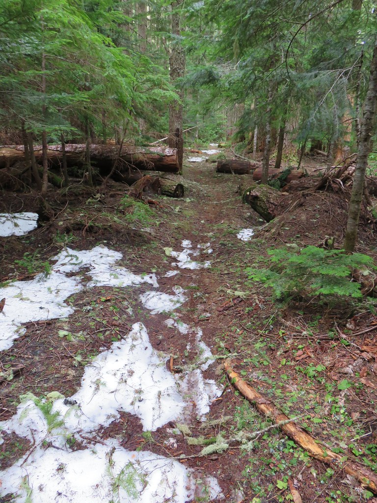
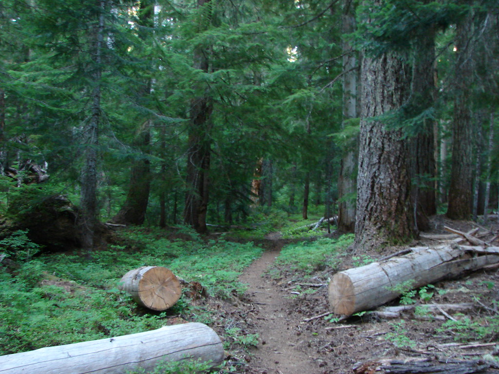
There was a caution sign on the post regarding a burn area but that was referencing portions of the O’Leary Trail Complex burned in 2017 which did not include either the Saddle Trail or the Horsepasture Mountain Trail. We were facing a nearly 1700′ climb over the next two miles to a junction at Horsepasture Saddle. Luckily the trail was well graded and in good shape as it switchbacked up through a green forest.

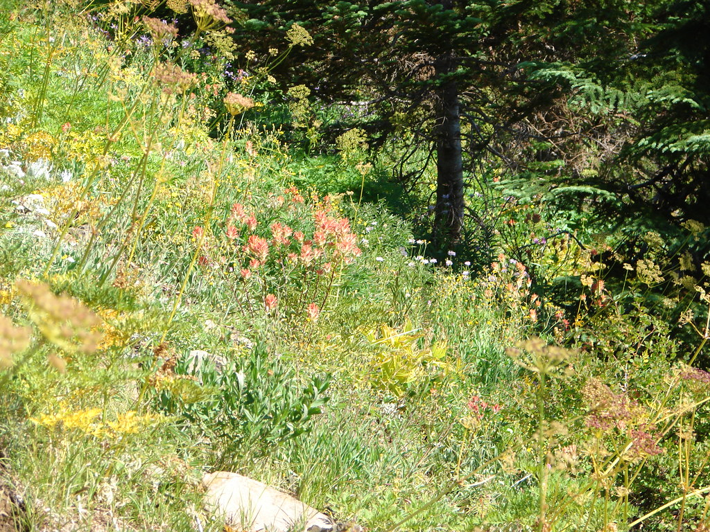
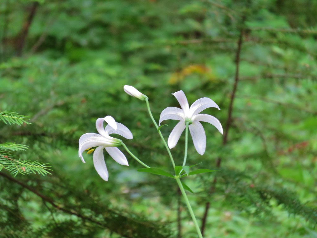
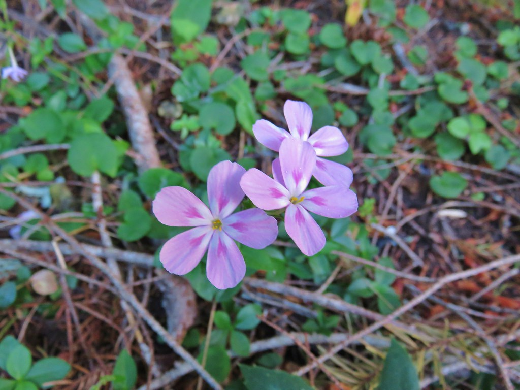
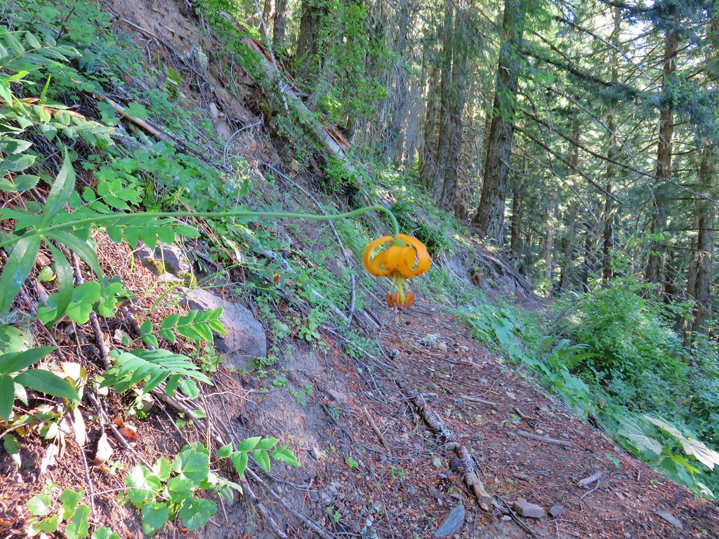
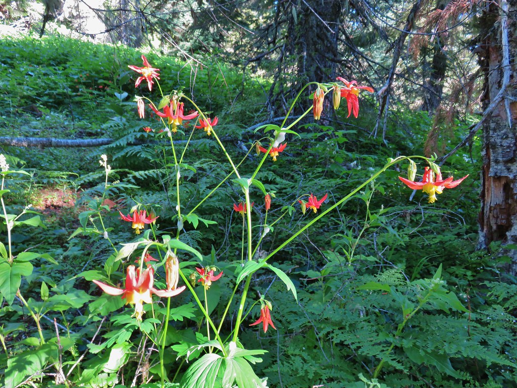
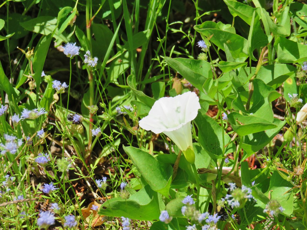
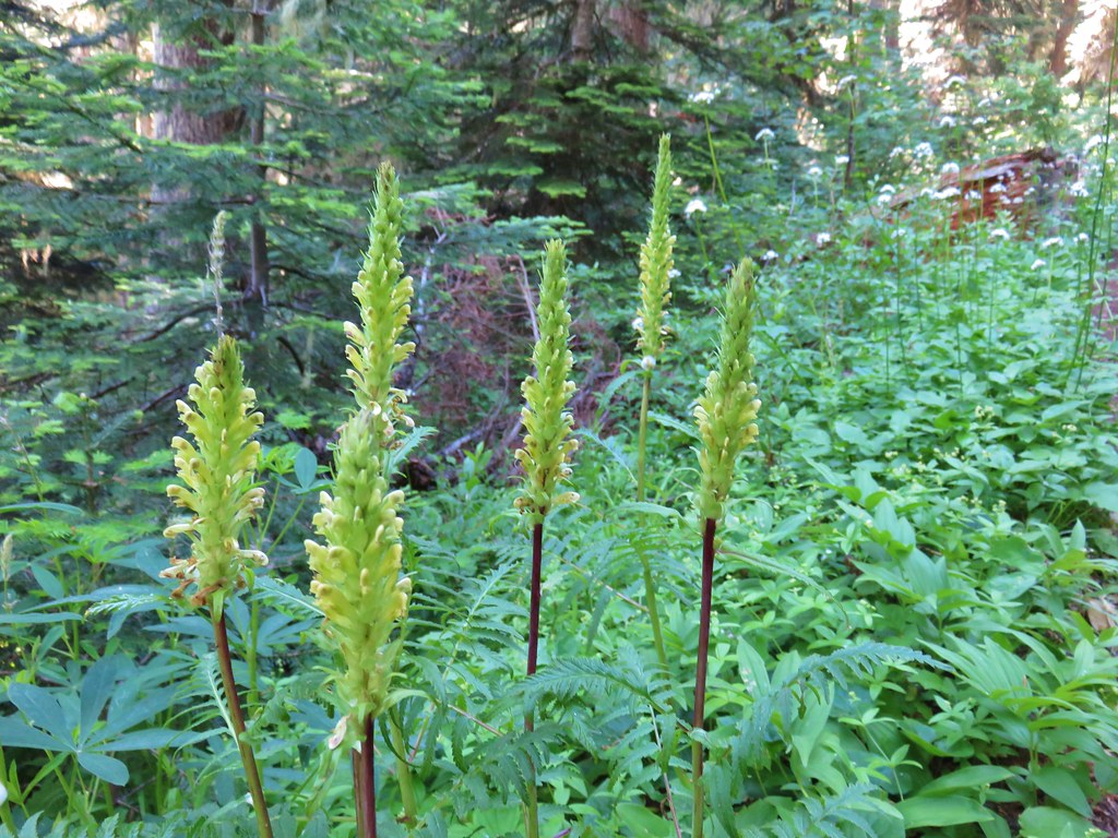
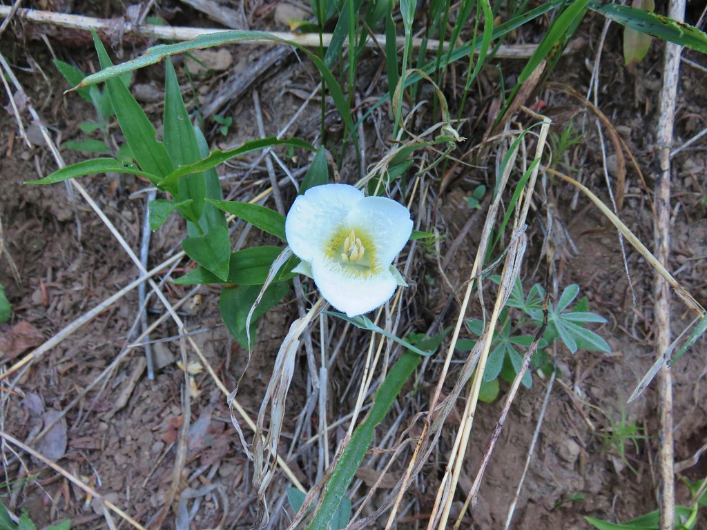
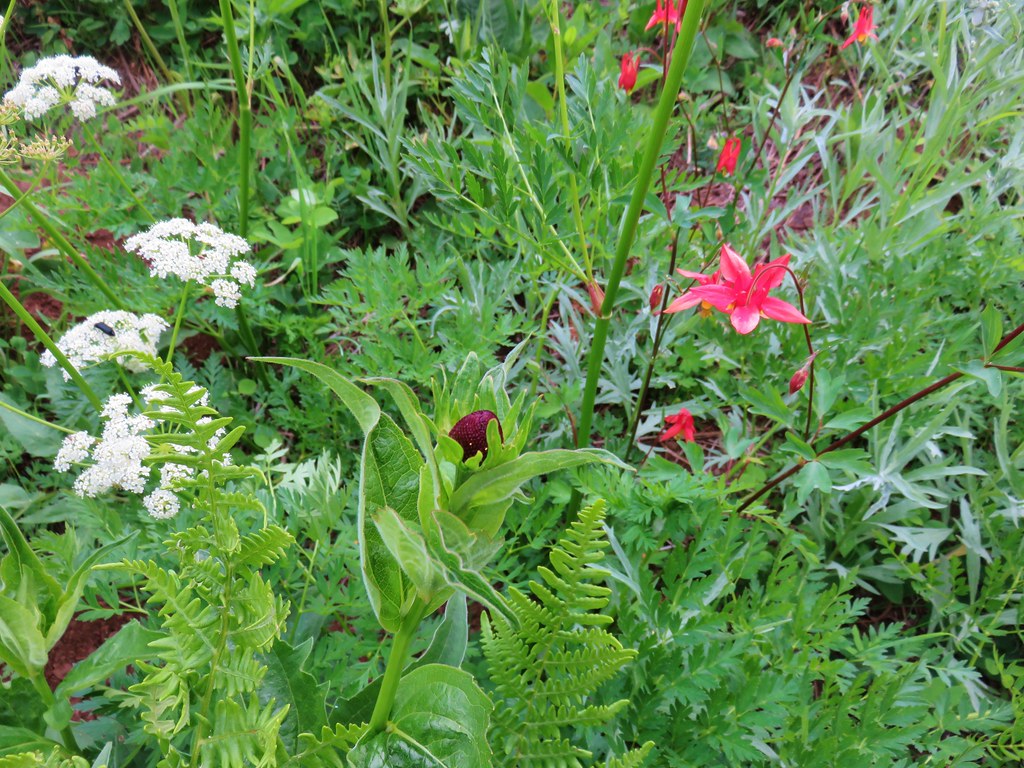
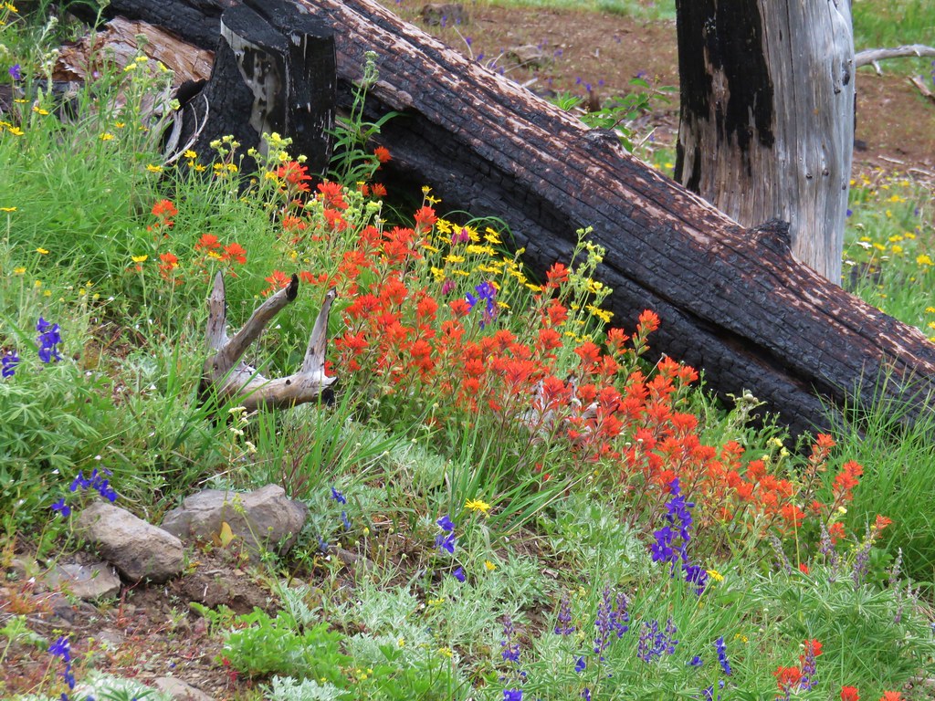
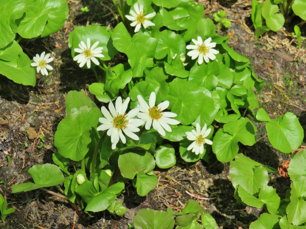
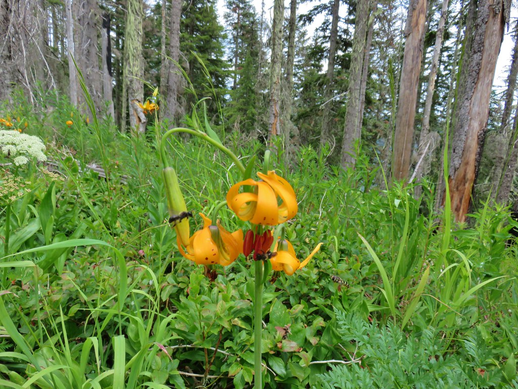
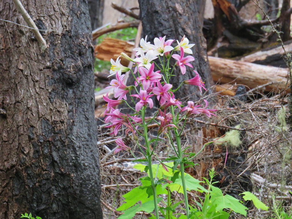
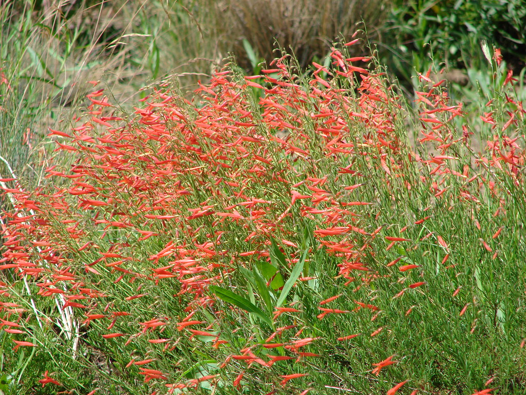
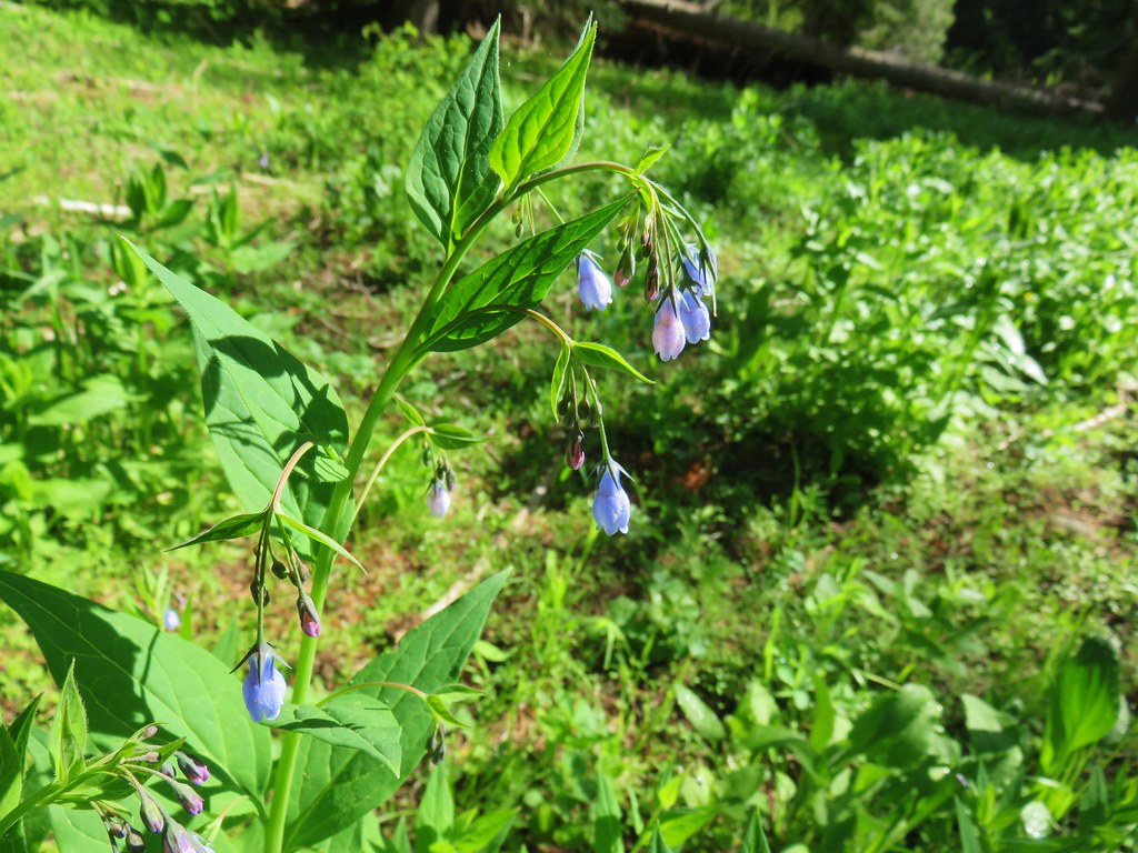
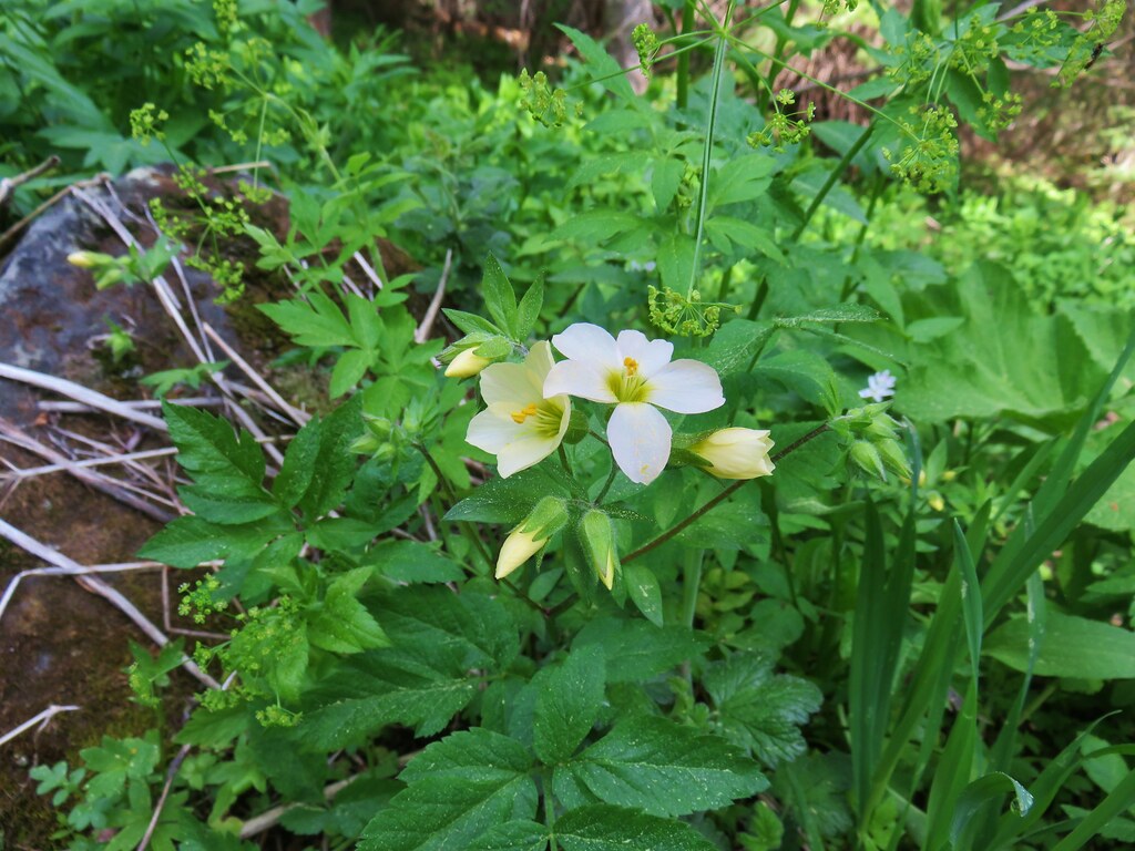
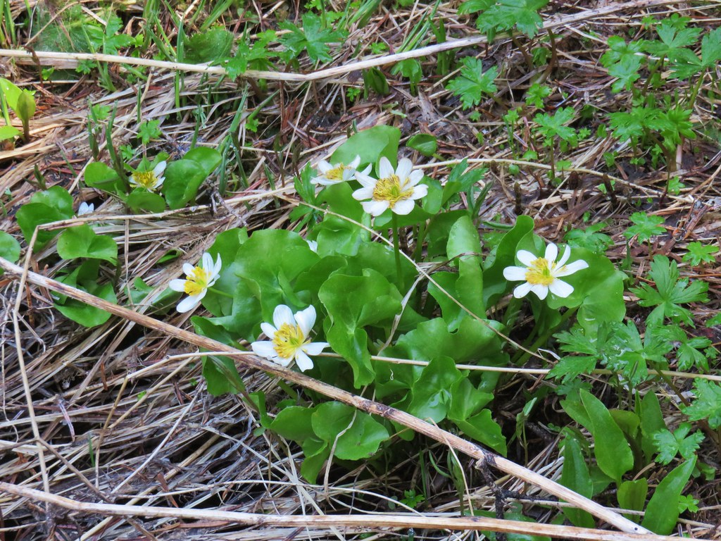
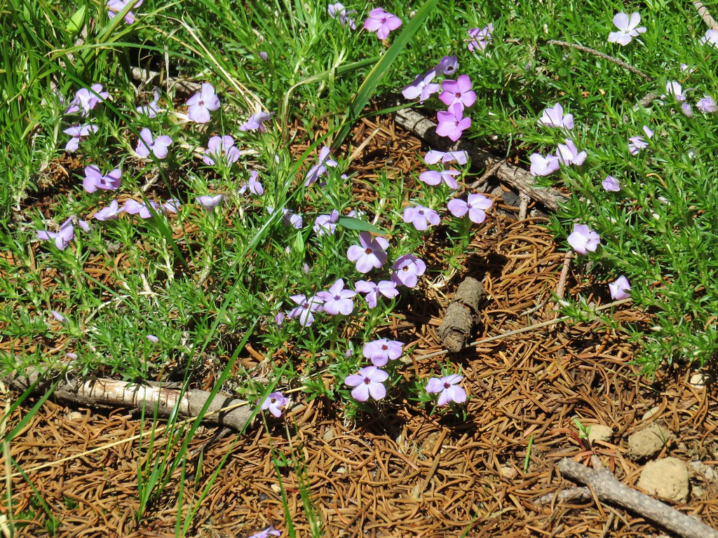
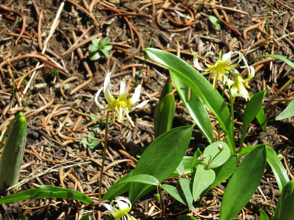
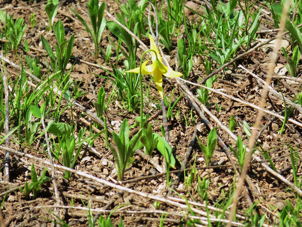
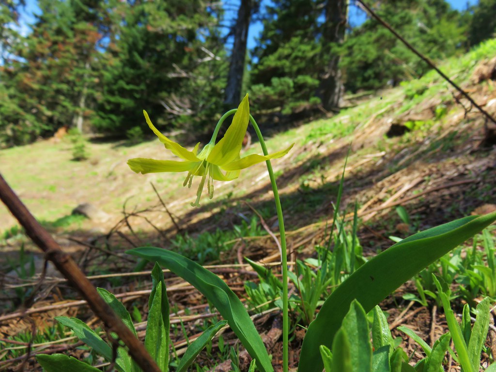
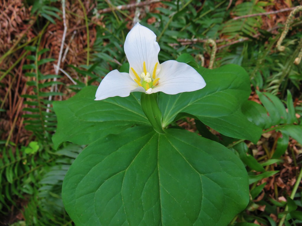
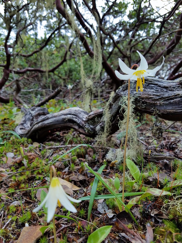
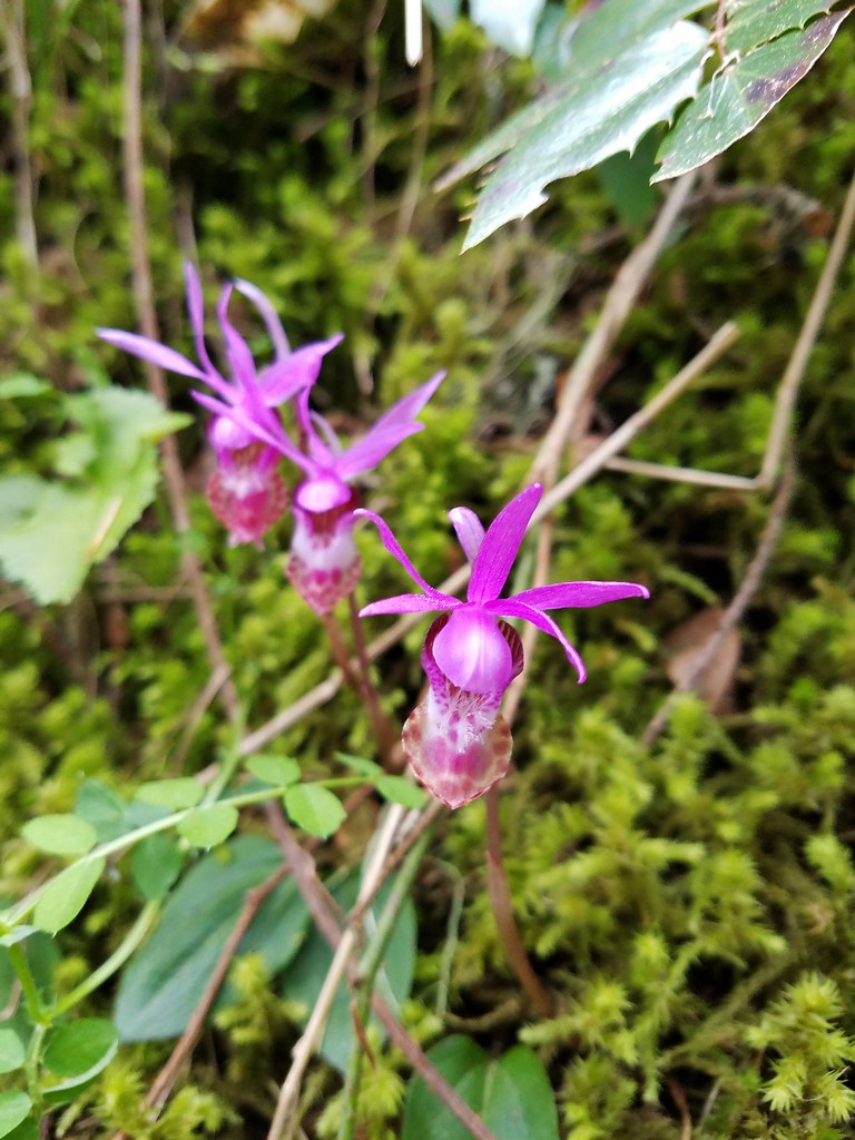
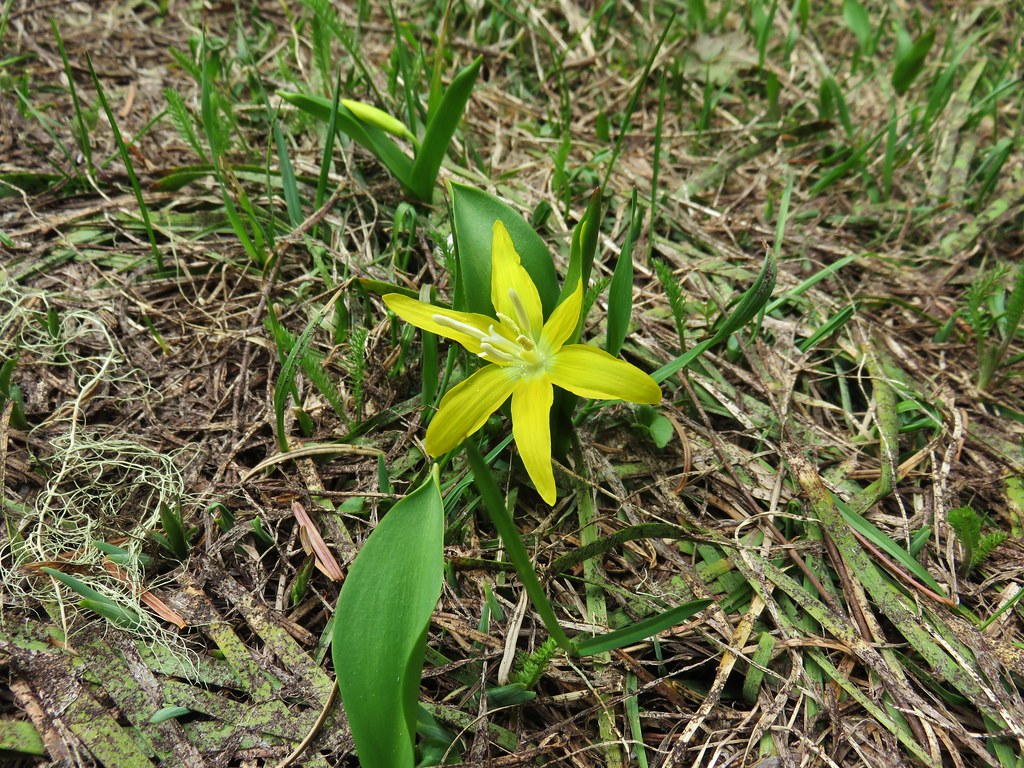
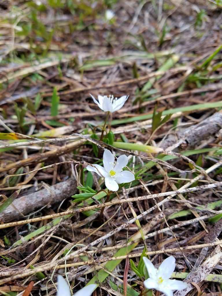
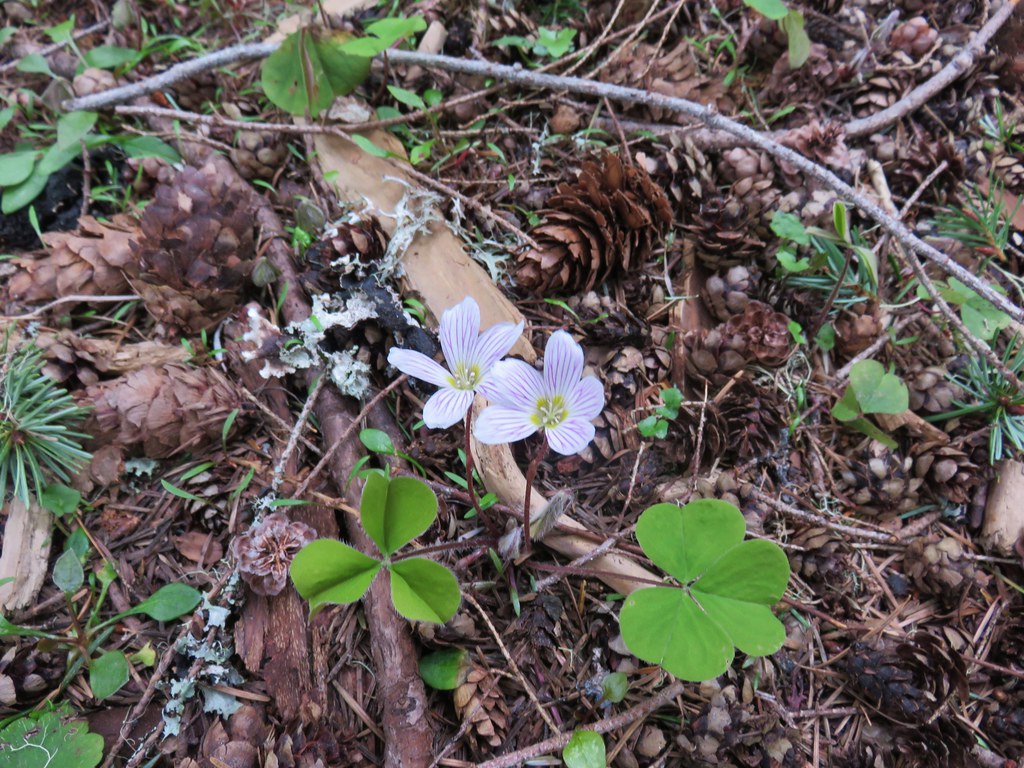
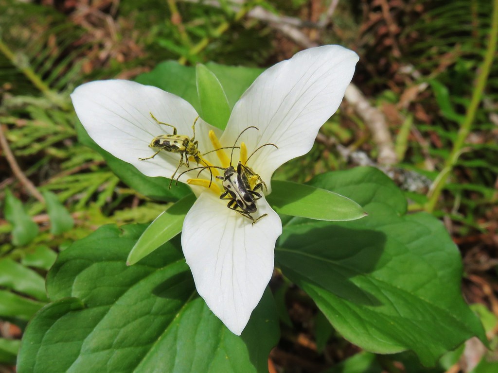
Wildflowers in the forest included a few washington lilies, penstemon, northern phlox and tiger lilies along with the typical group of white flowers.

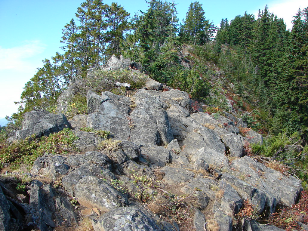
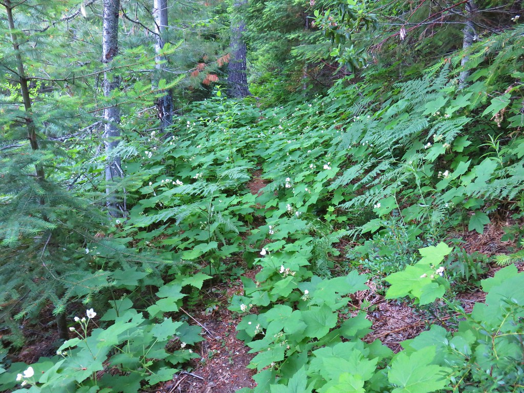
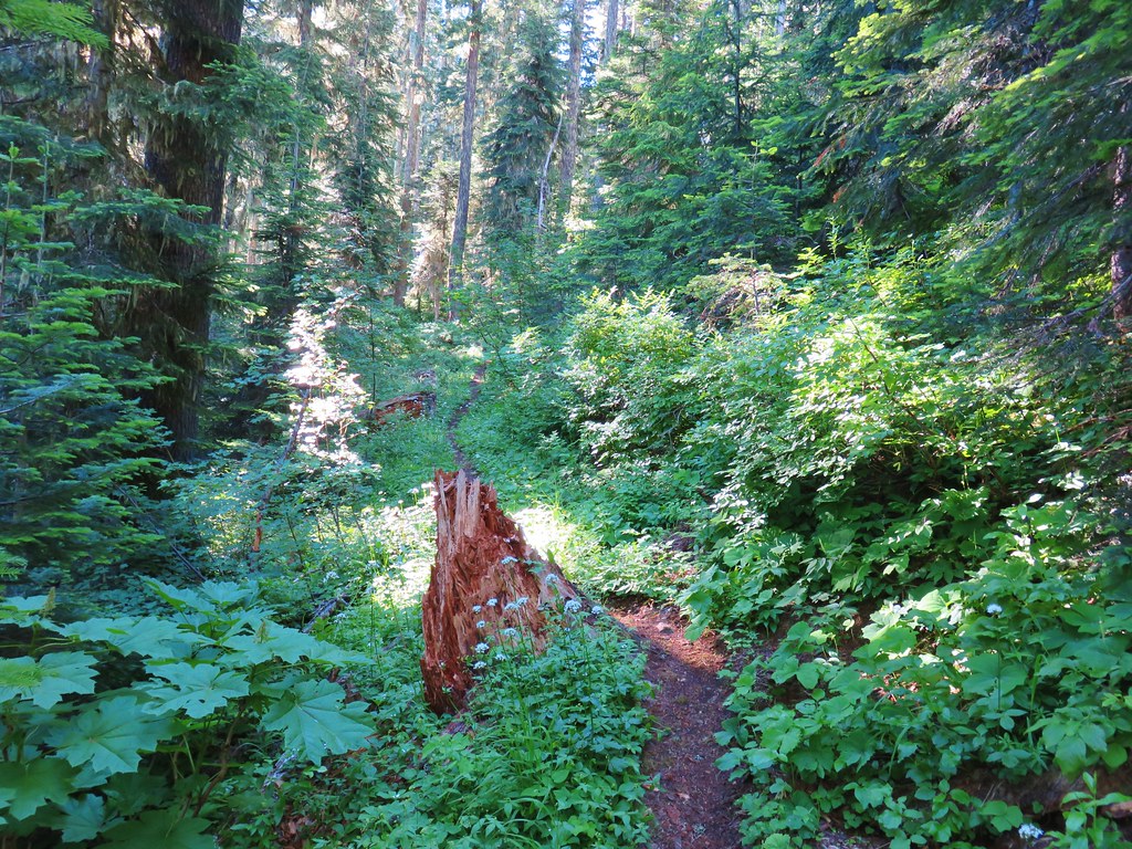
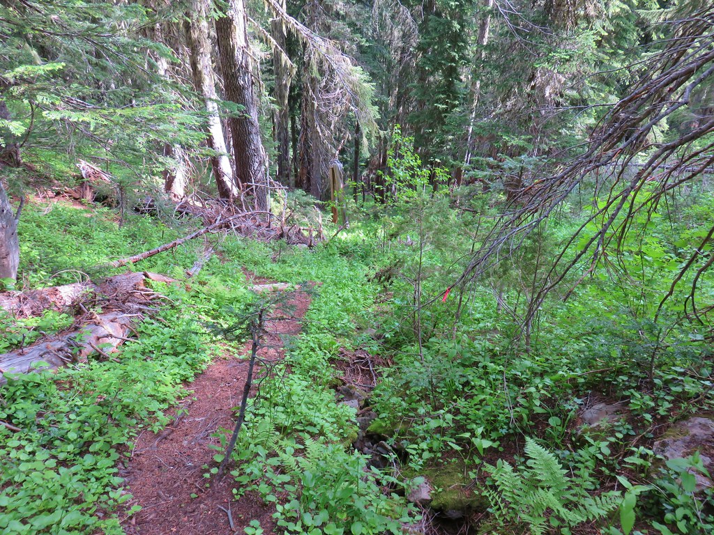
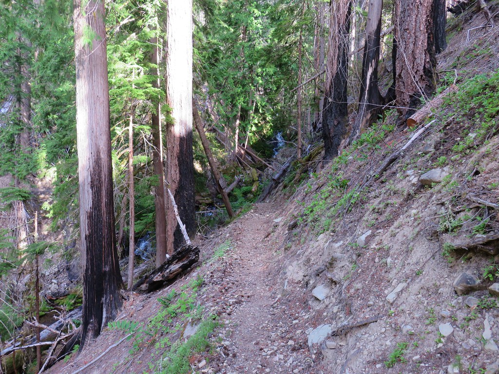
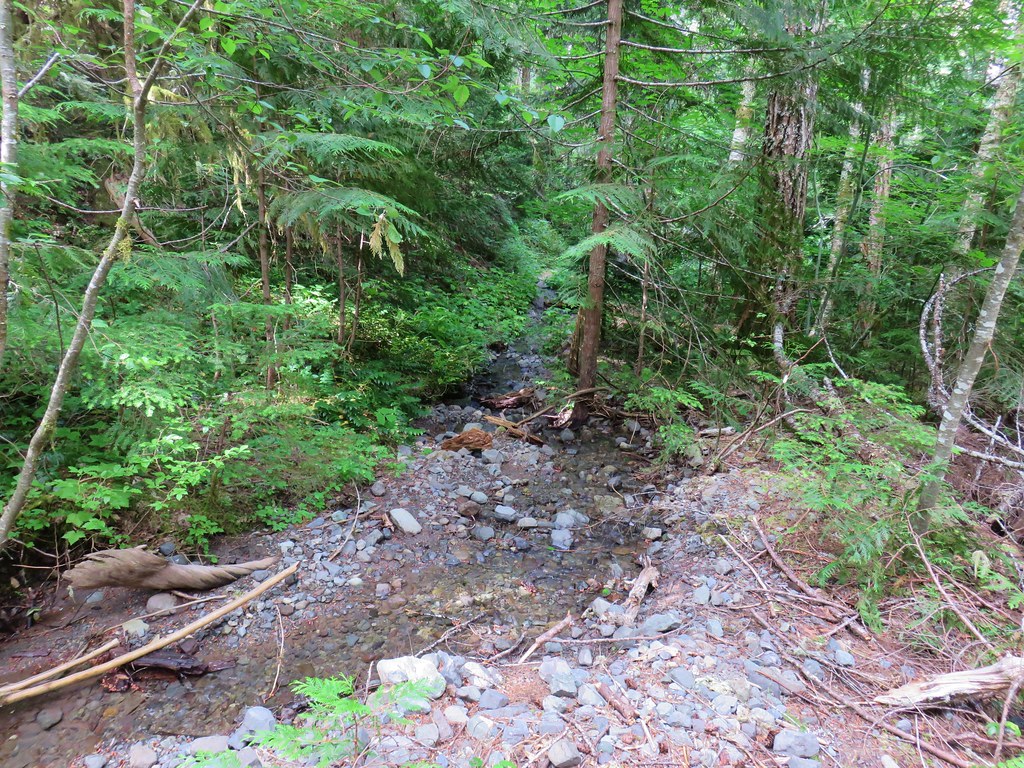
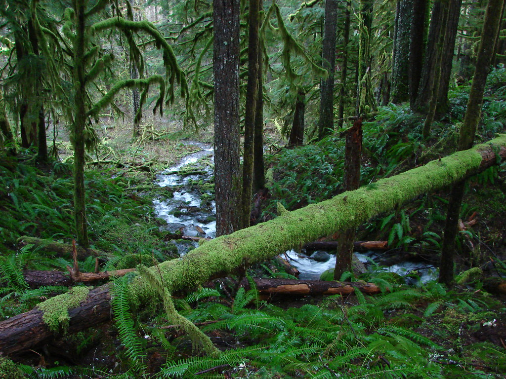
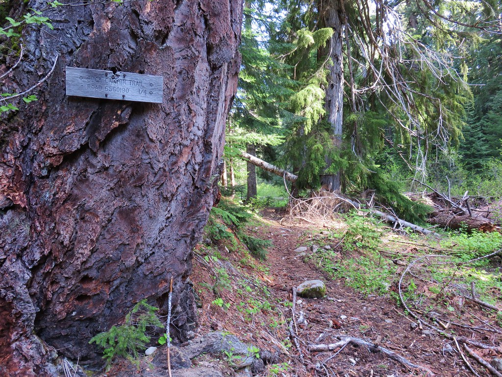
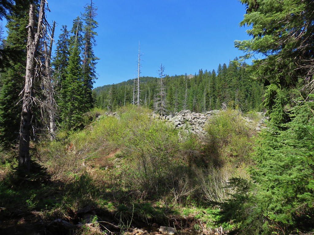
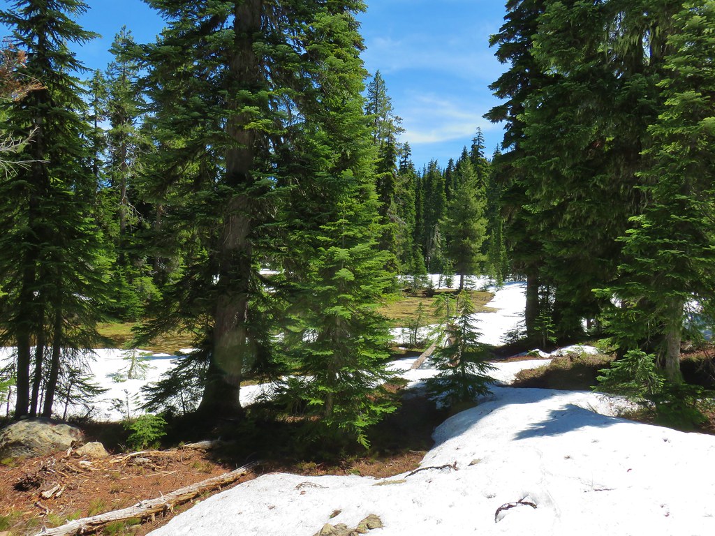
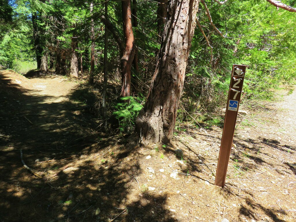
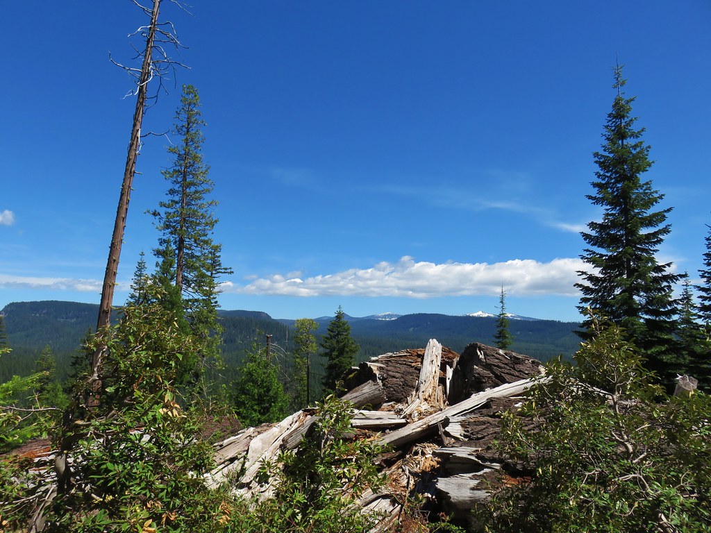
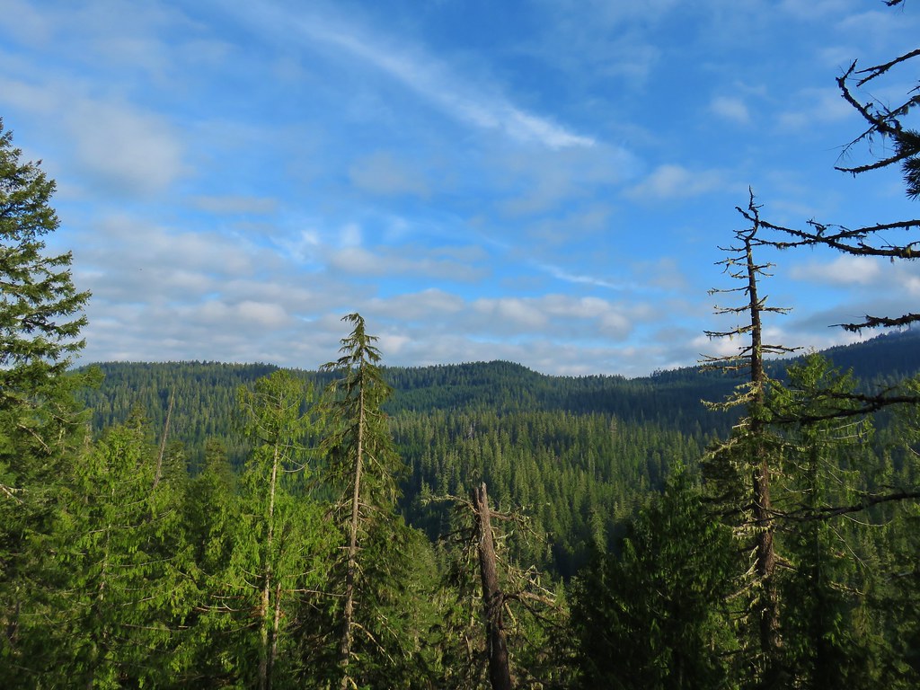
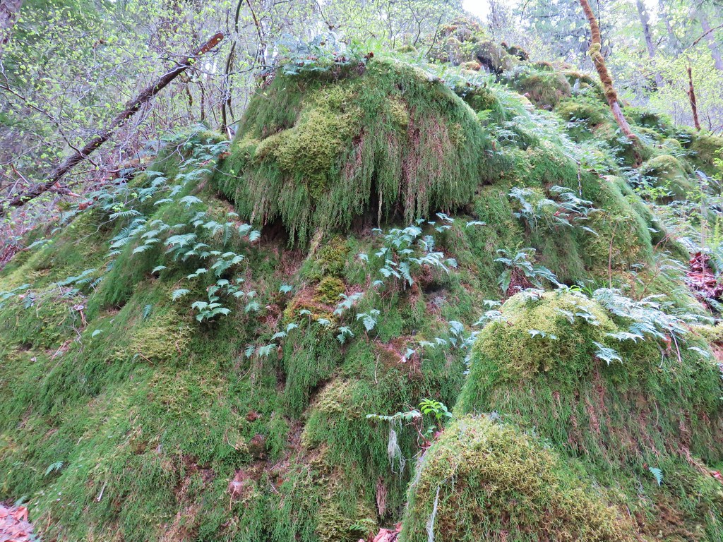
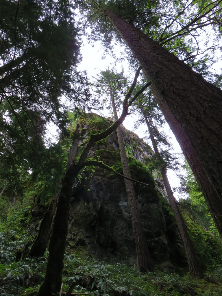
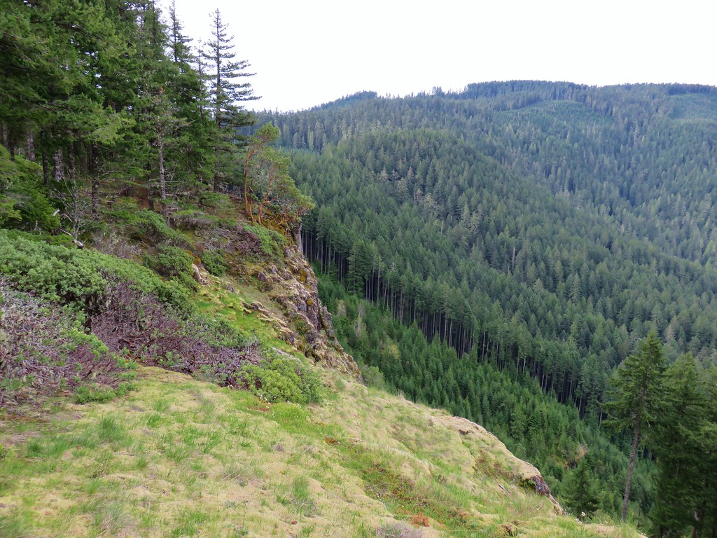
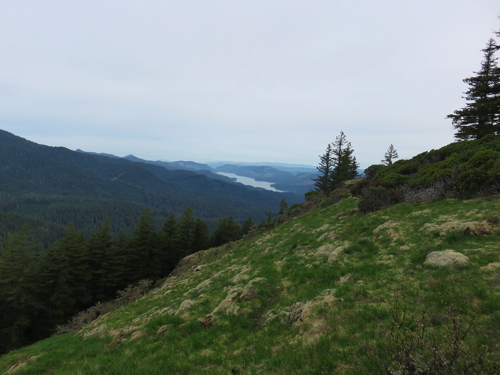
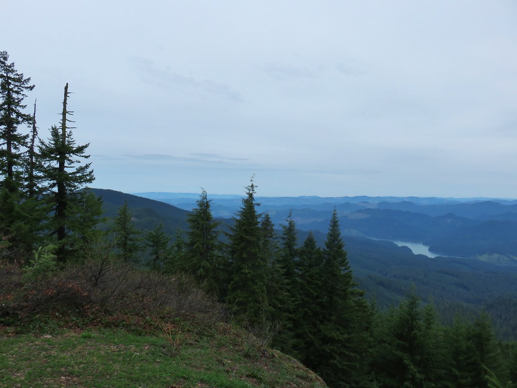
As far as markers went on this trail it did cross closed Forest Road 590 after .4 miles and passed a single rocky viewpoint near the 1.75 mile mark.
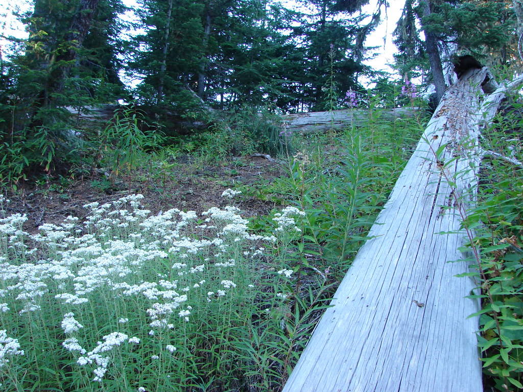
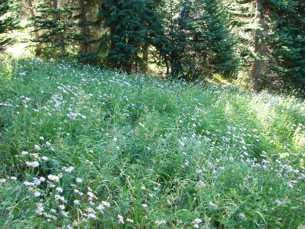
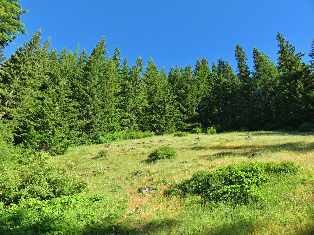
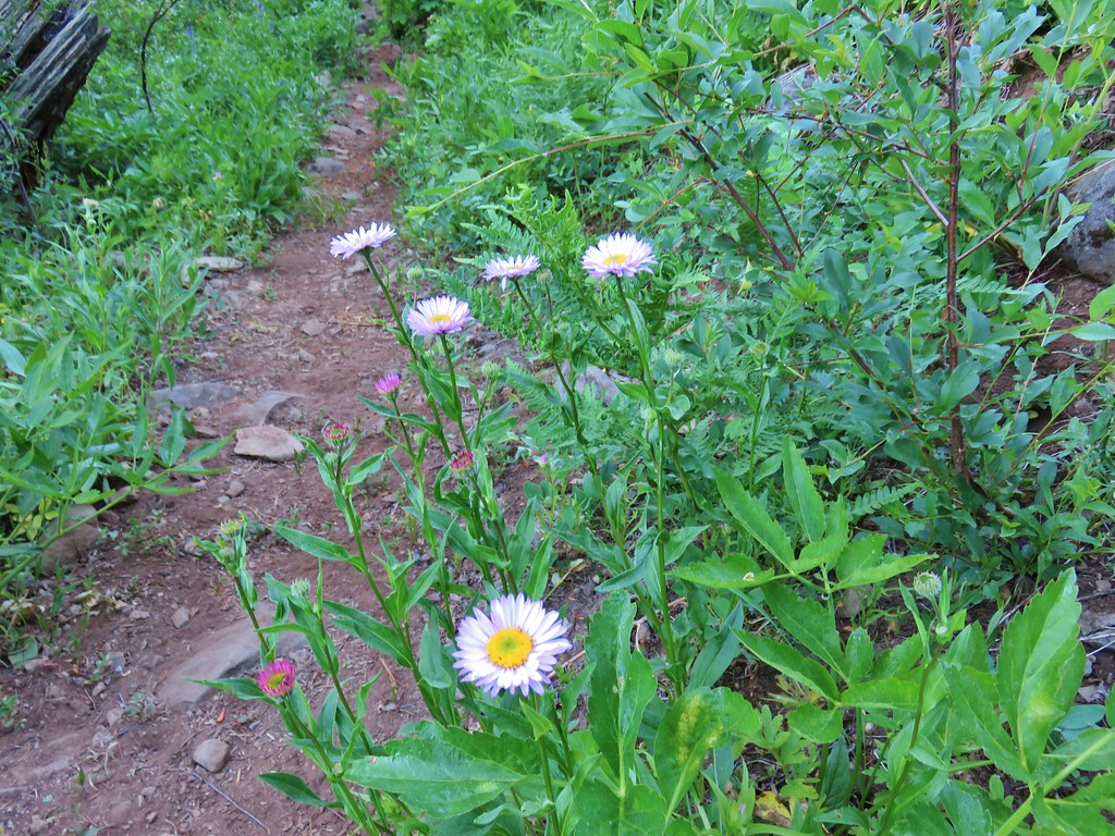
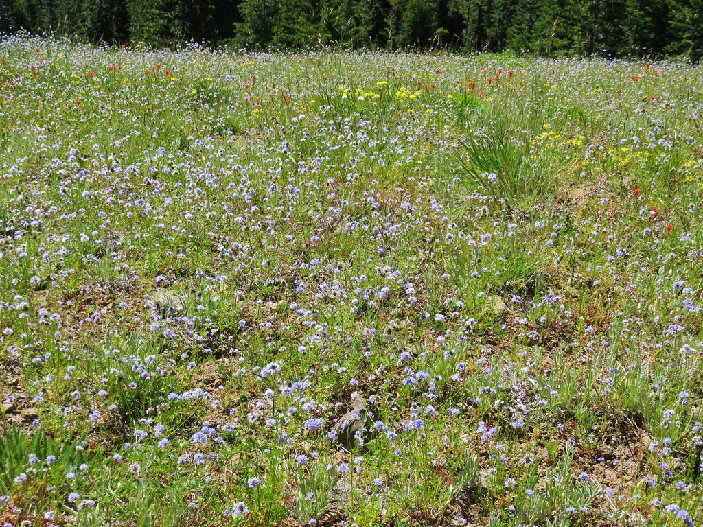
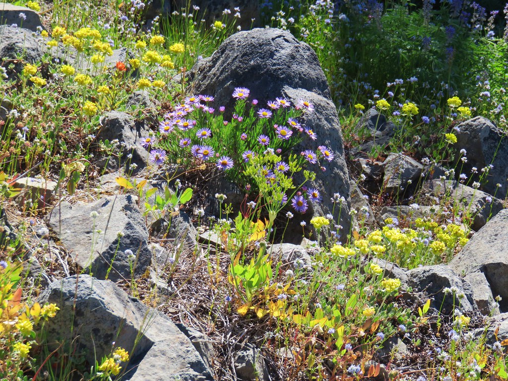
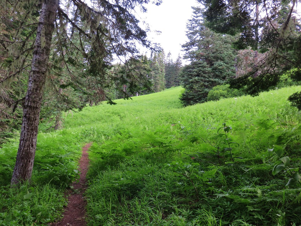
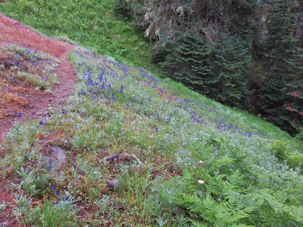
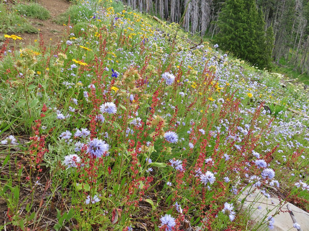
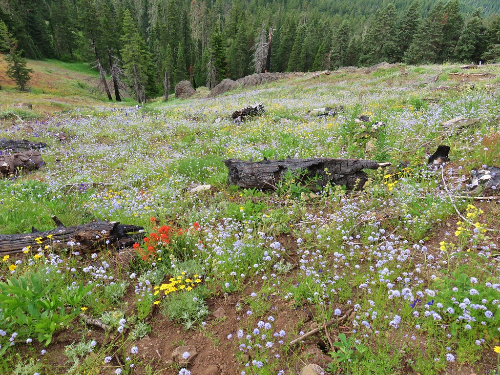
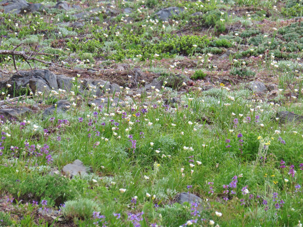
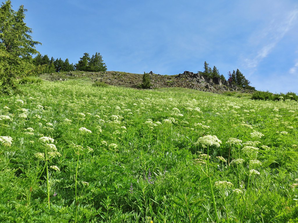
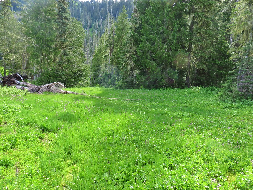
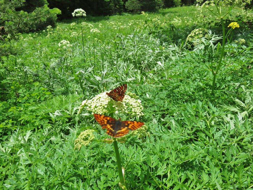
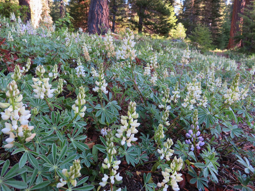
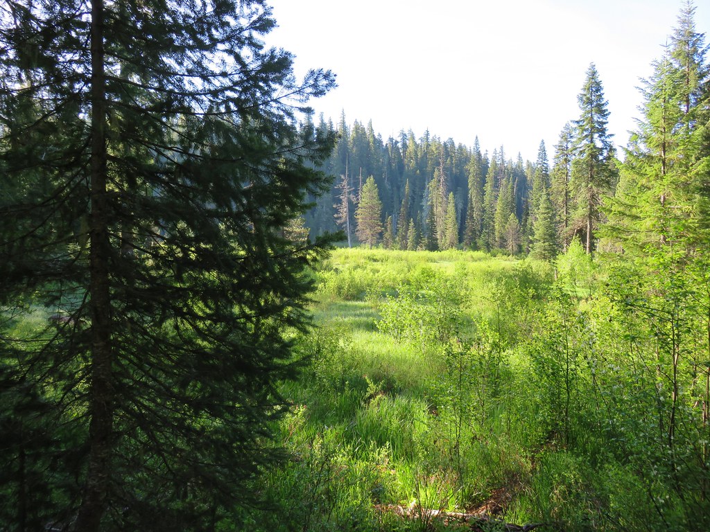
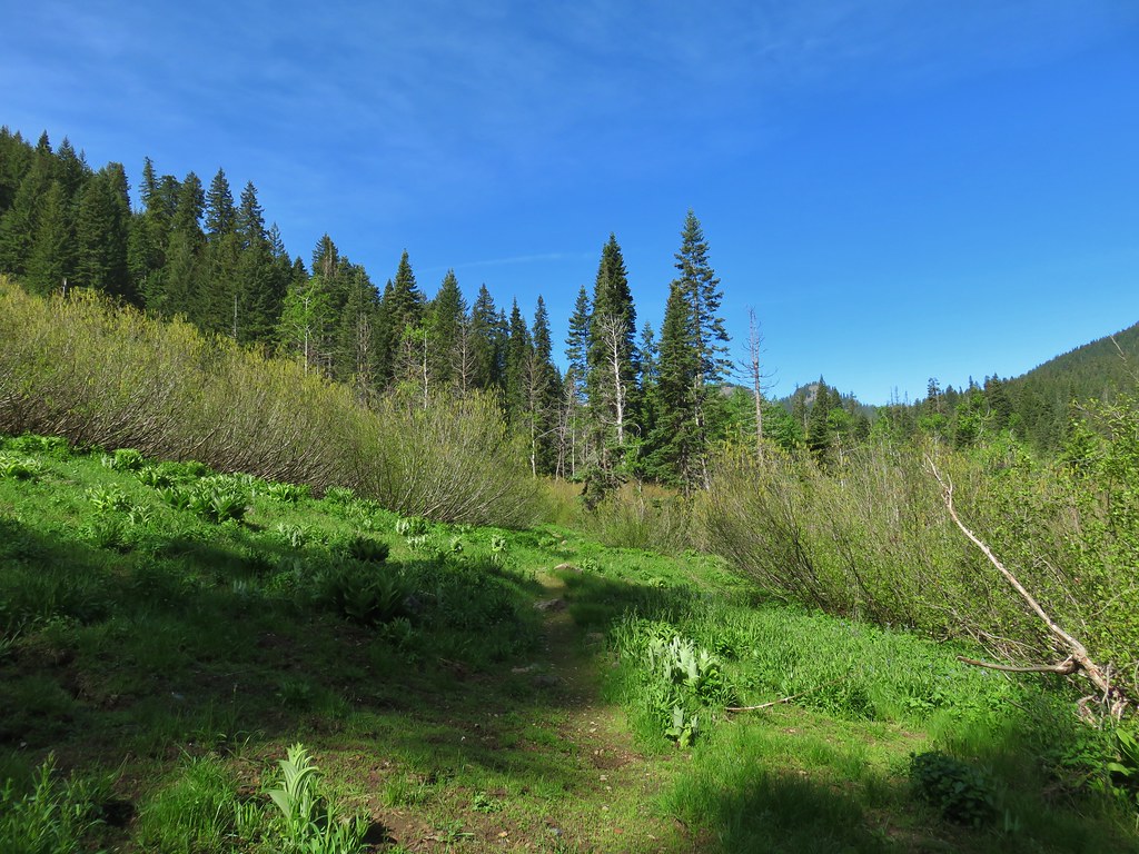
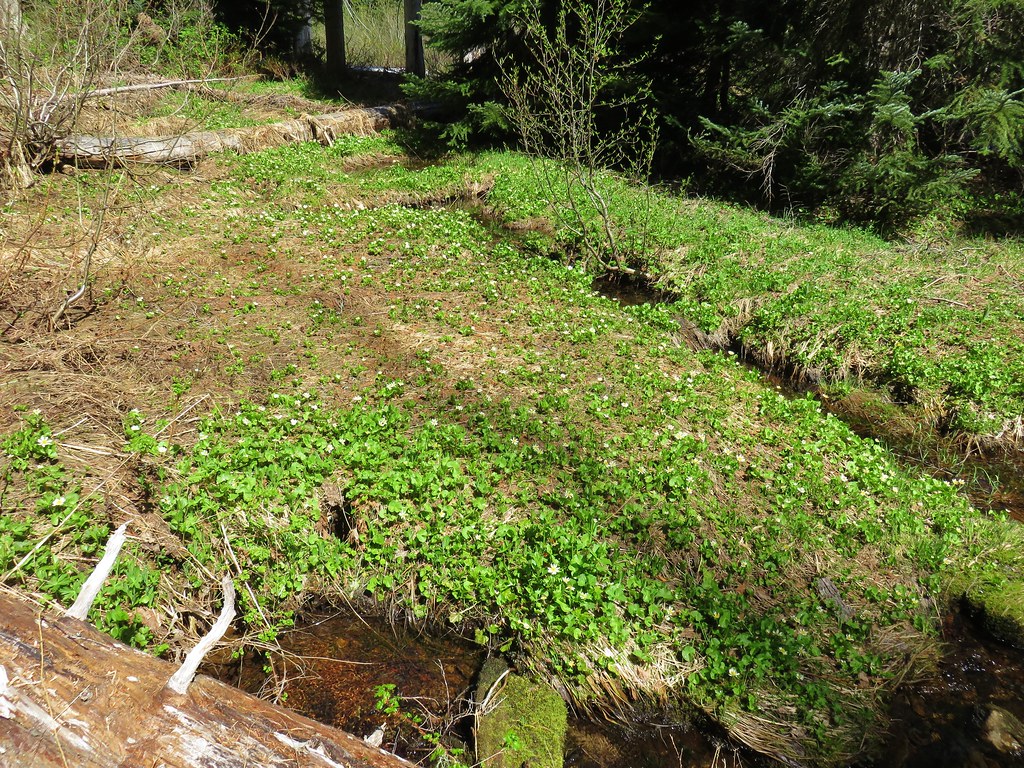
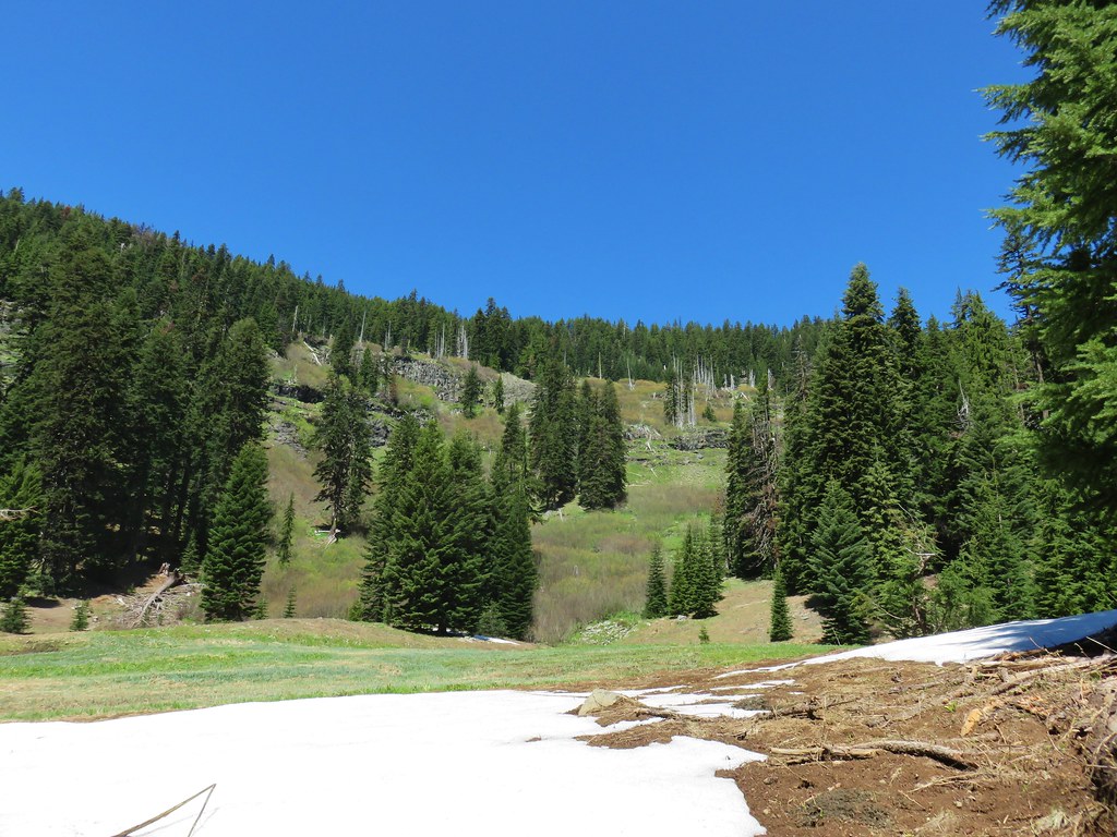
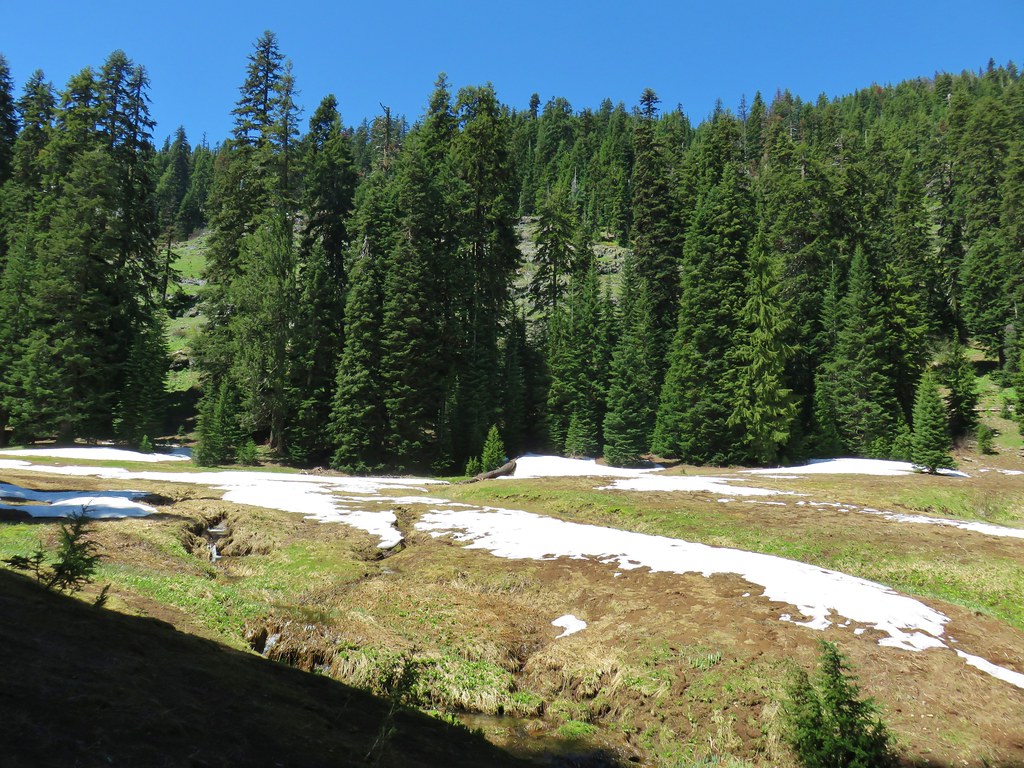
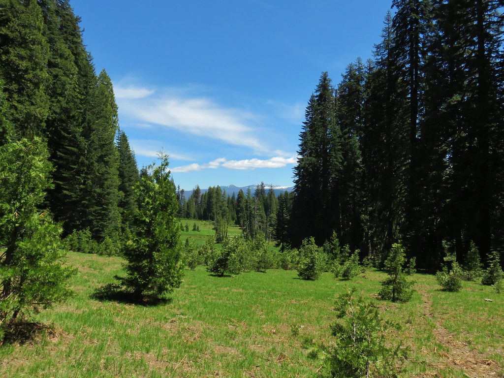
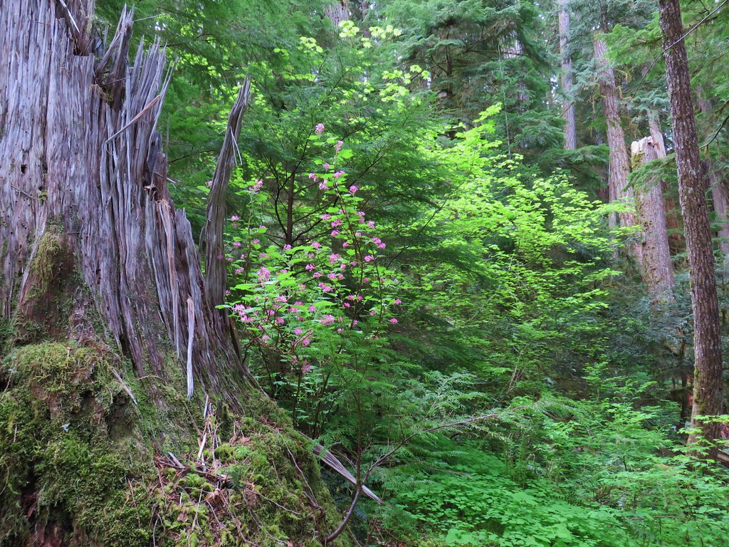
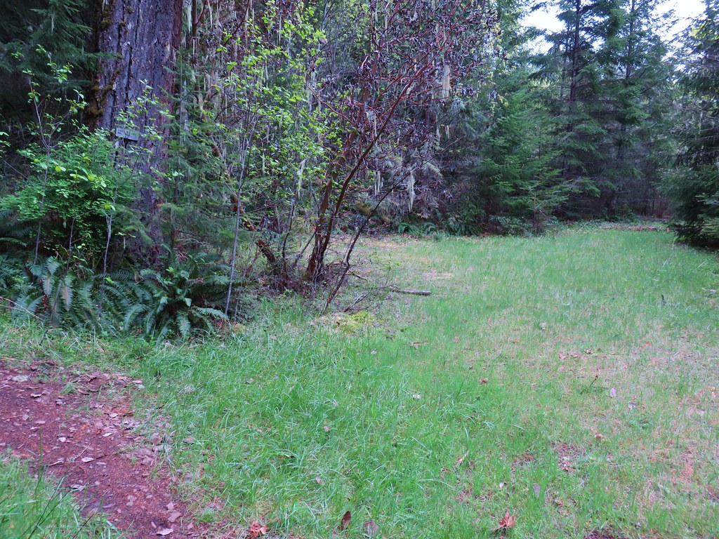
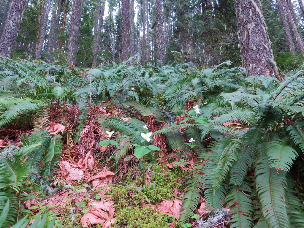
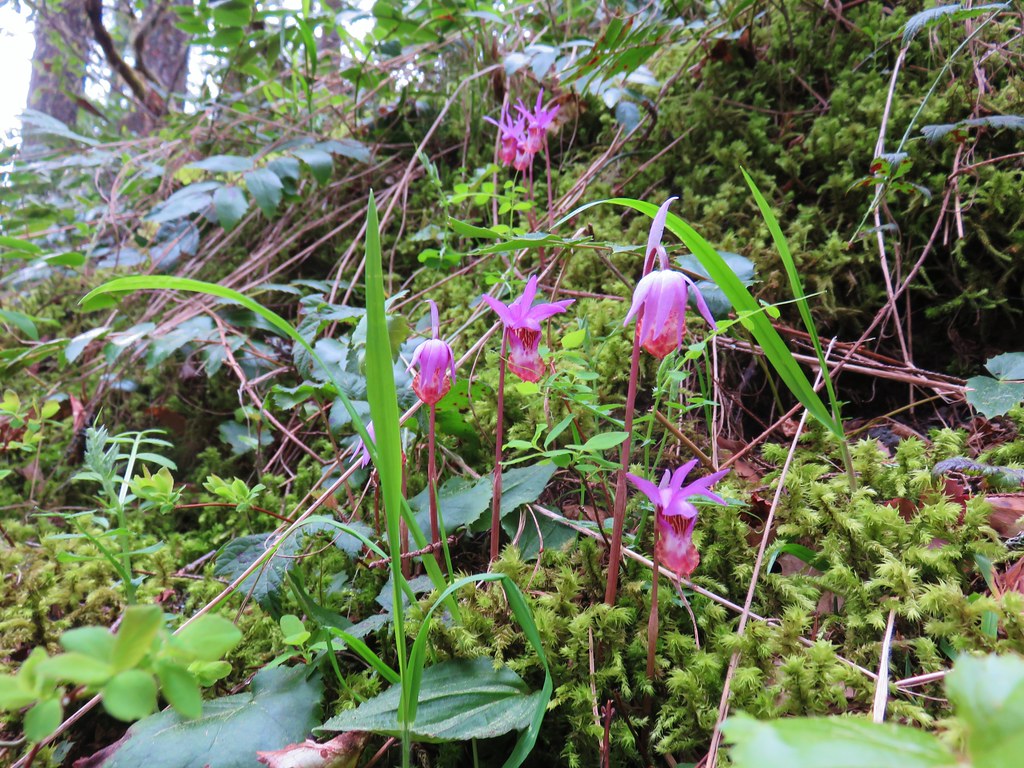
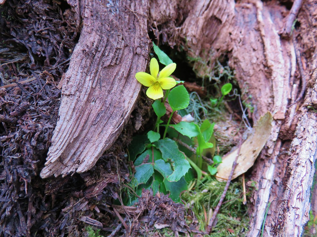
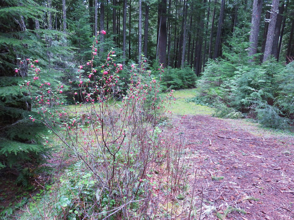
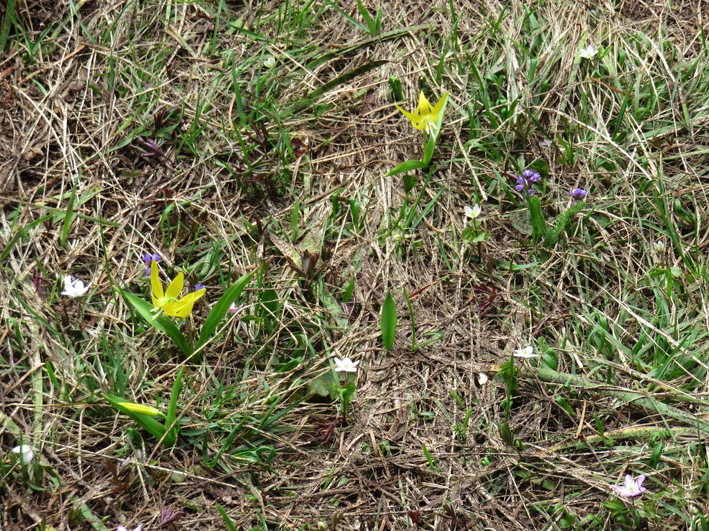
Near its end the Saddle Trail passed through a small meadow with a few remaining wildflowers.
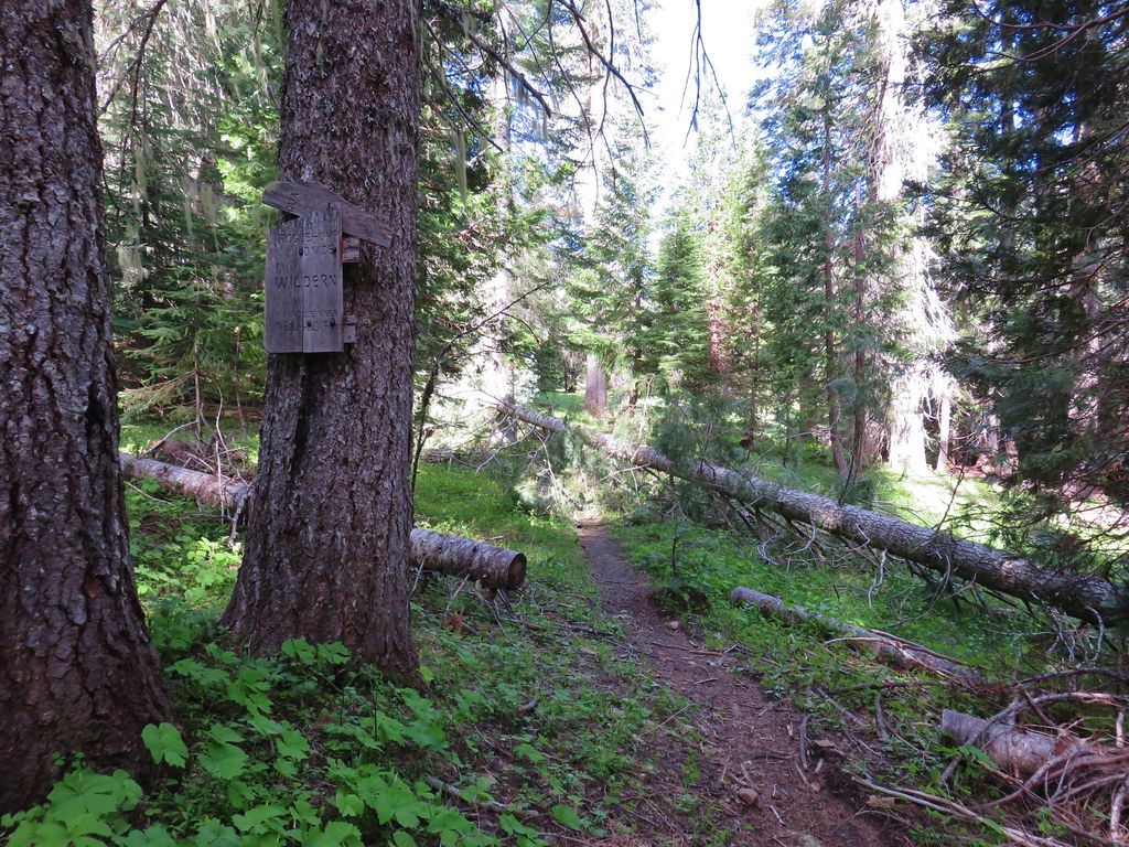
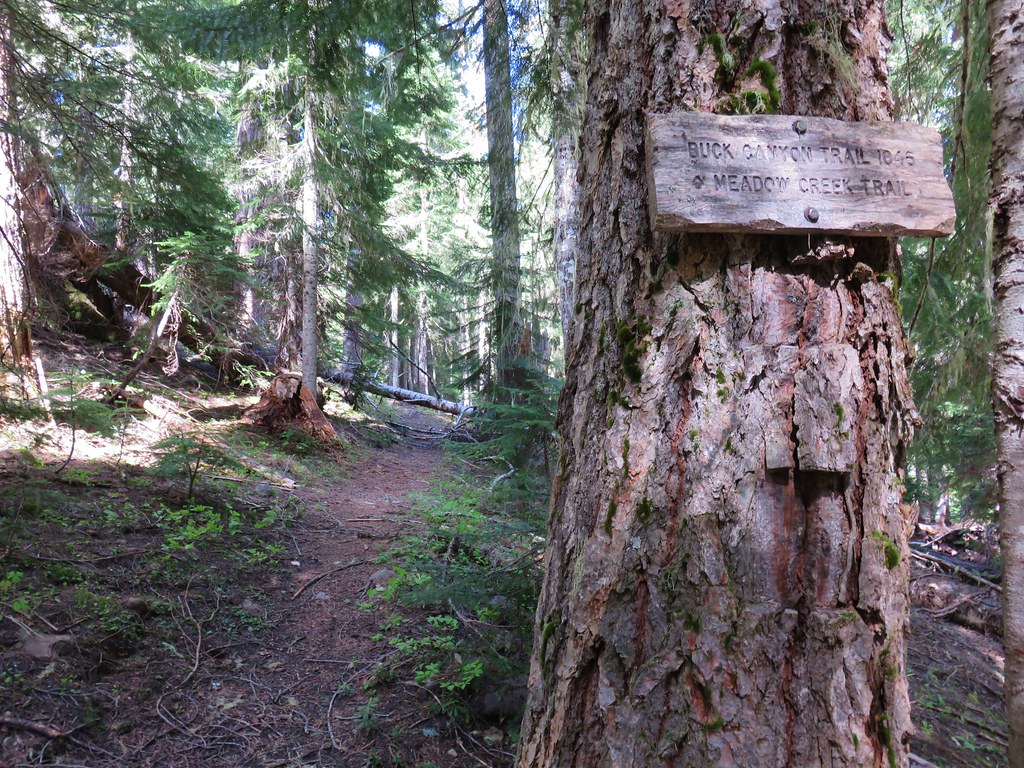
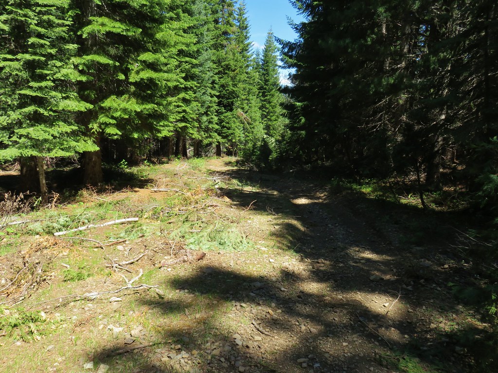
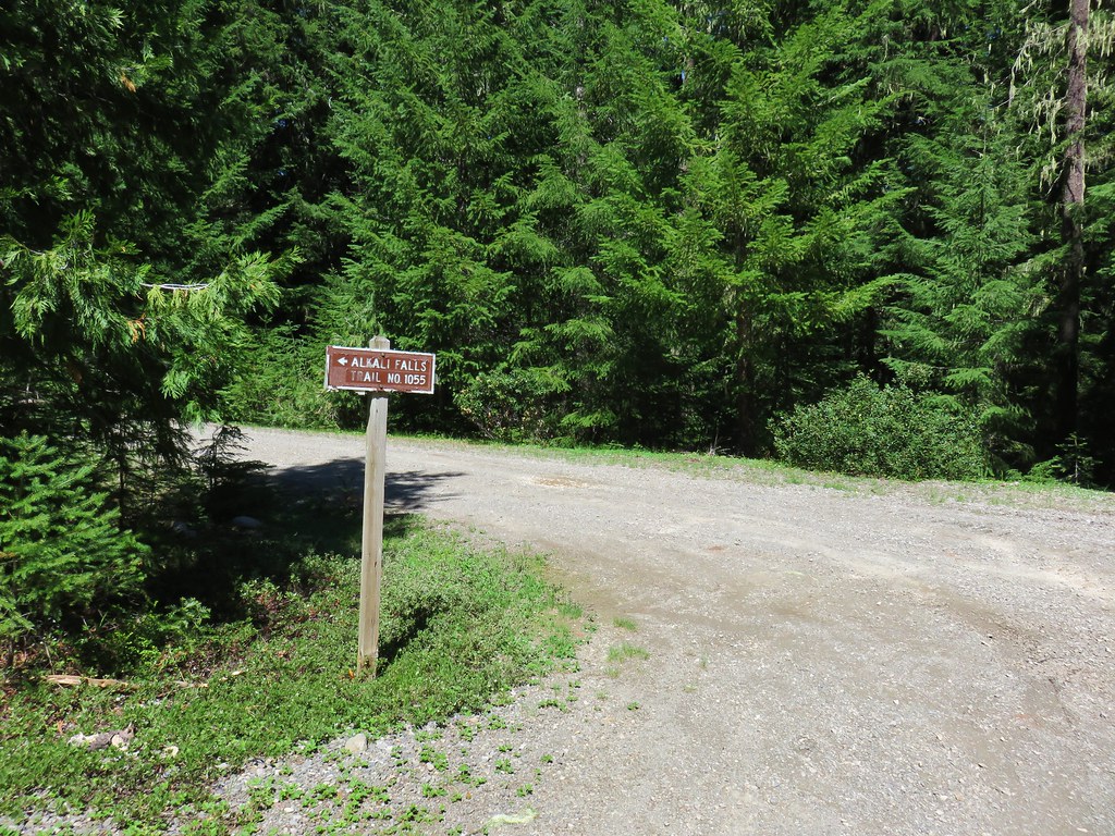
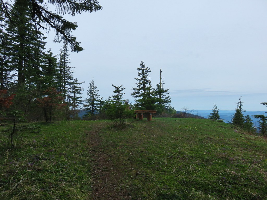
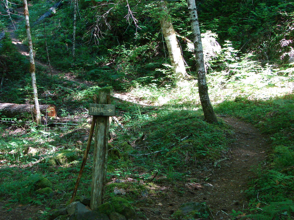
The trail ended at a signed three way junction with the Olallie Trail.

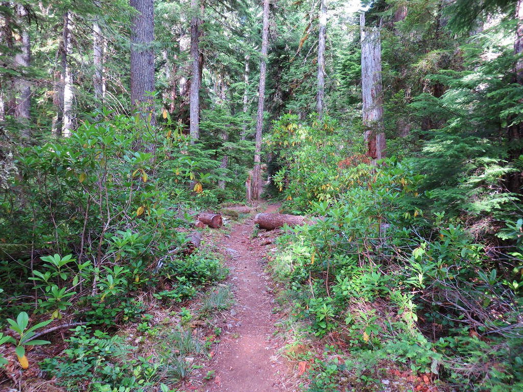
Here we turned right passing through thimbleberry bushes for a little over 100 yards to a four-way junction.
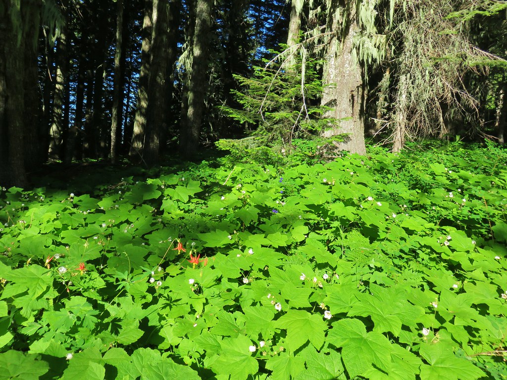

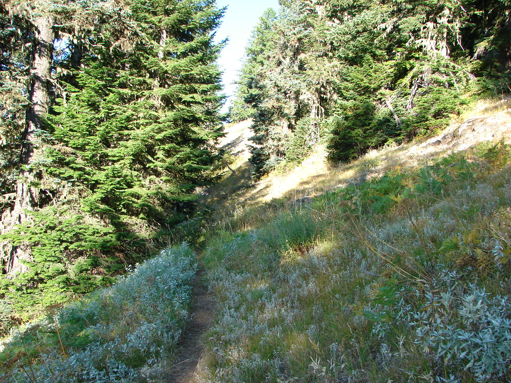
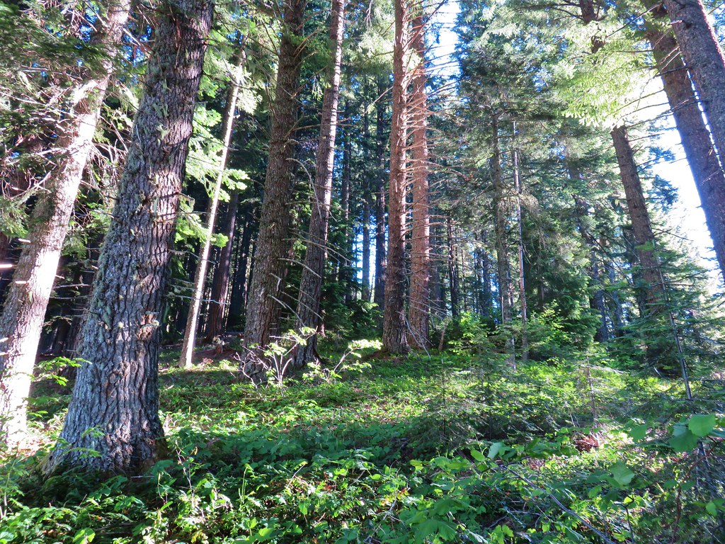
We turned onto the Horsepasture Mountain Trail which climbed gradually at first.
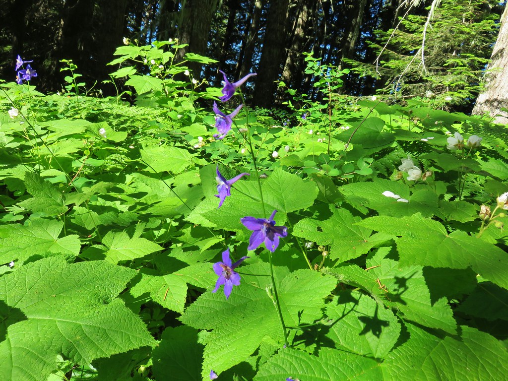
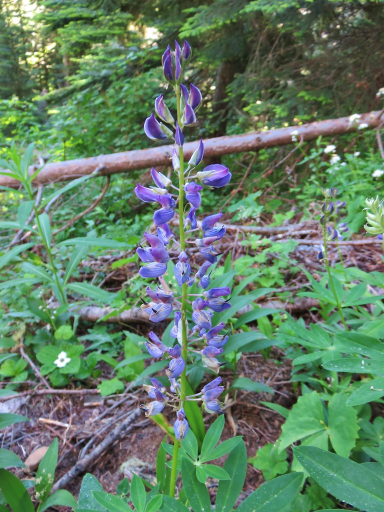
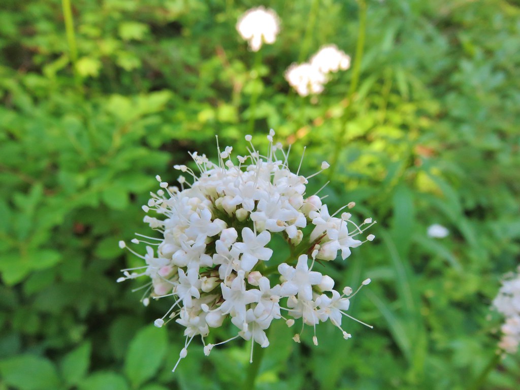
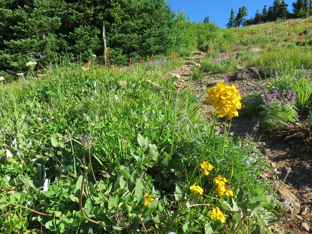
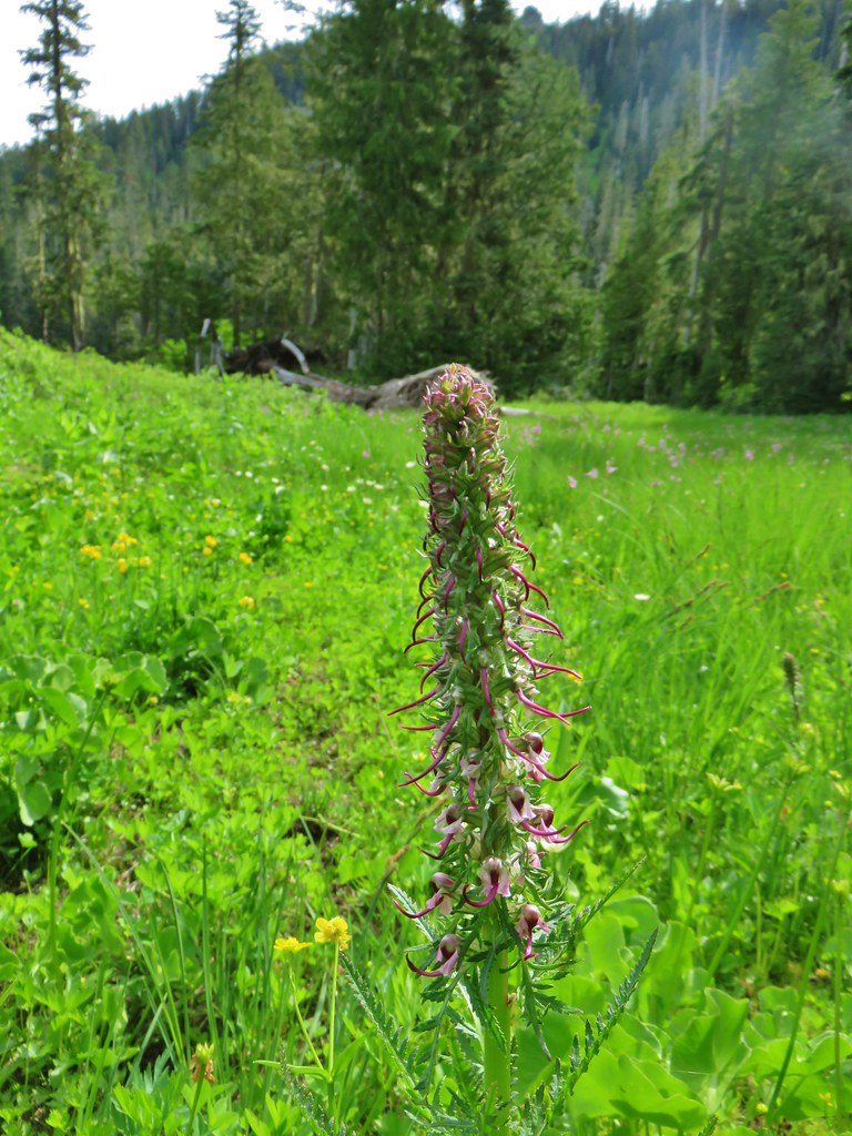
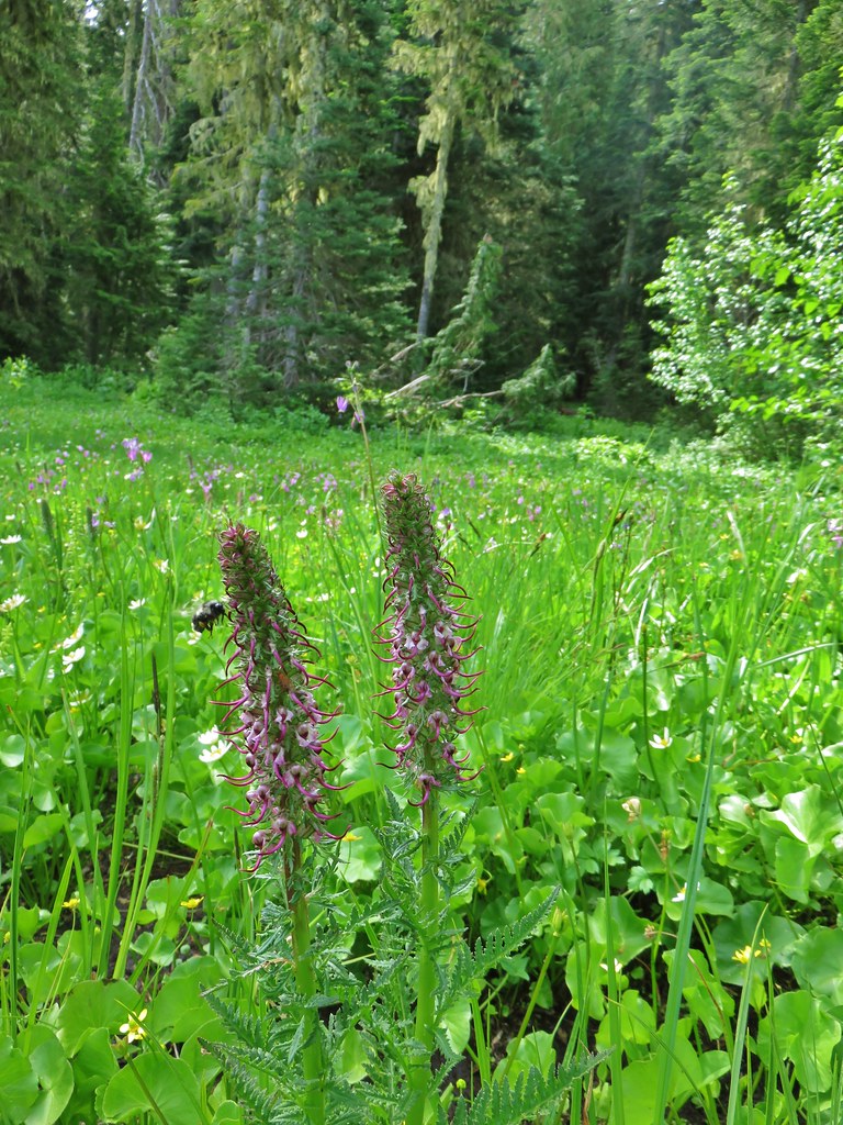
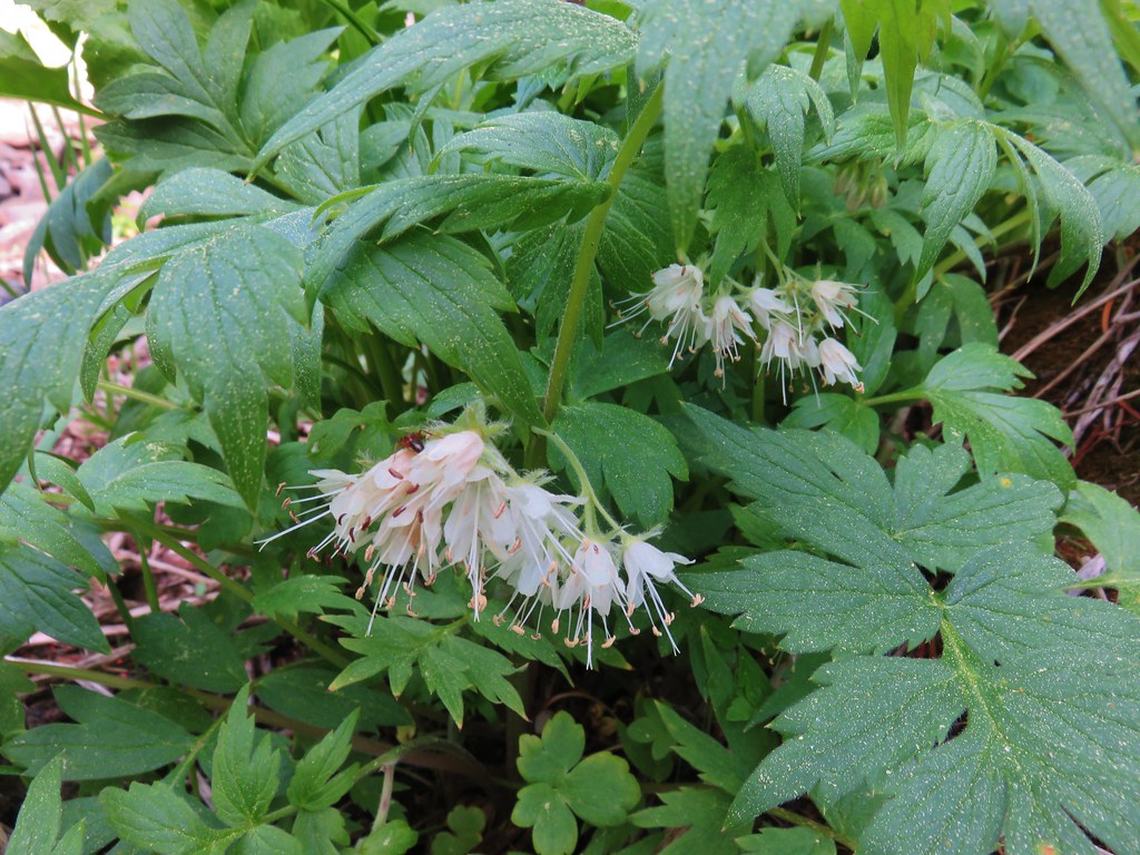
Flowers here included lupine, lousewort, wallflower, valerian, and fleabane.

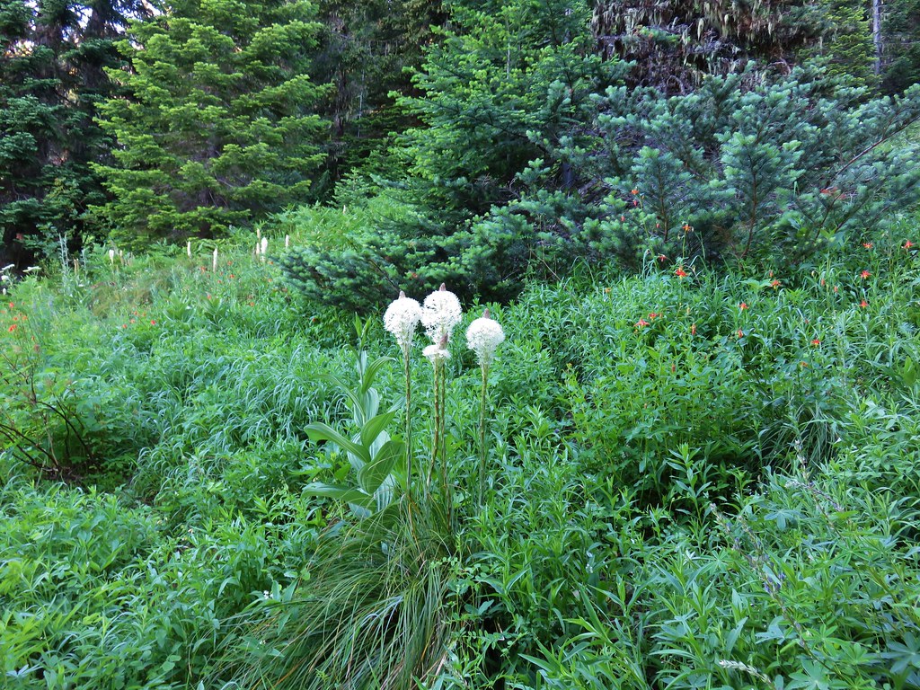
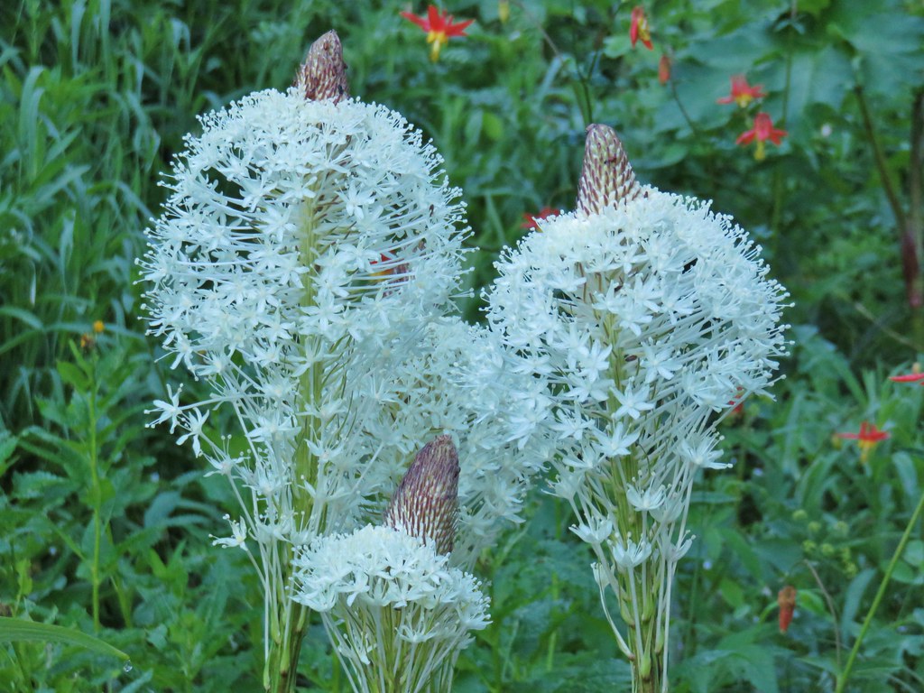
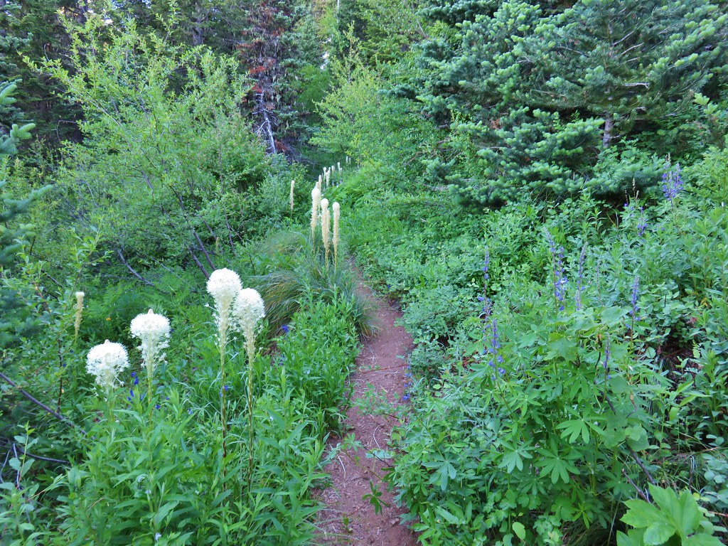
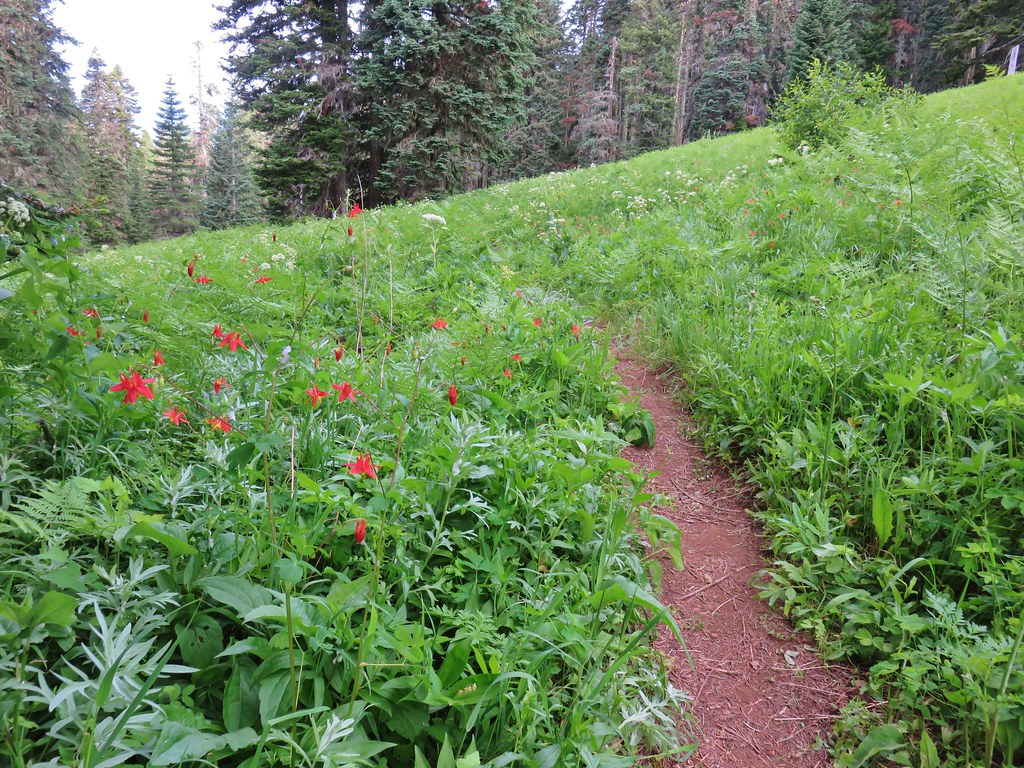
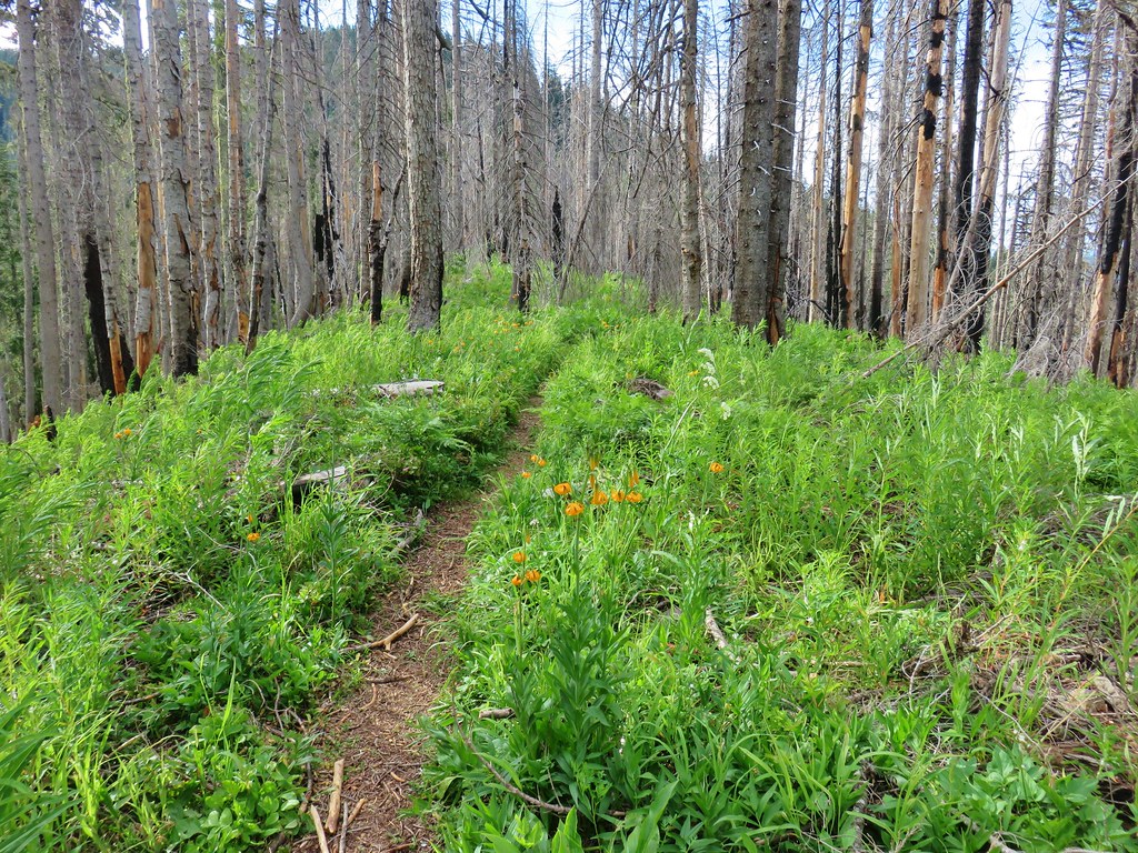
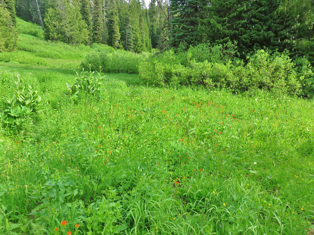
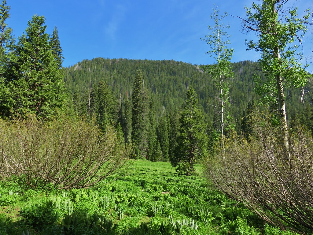
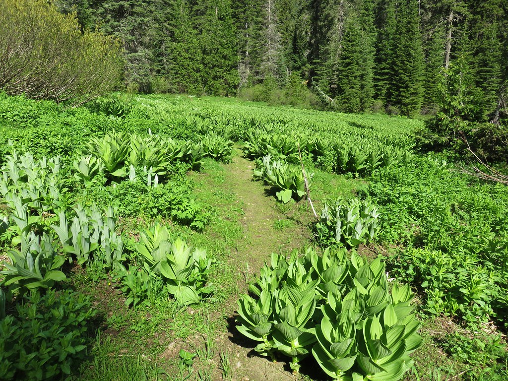
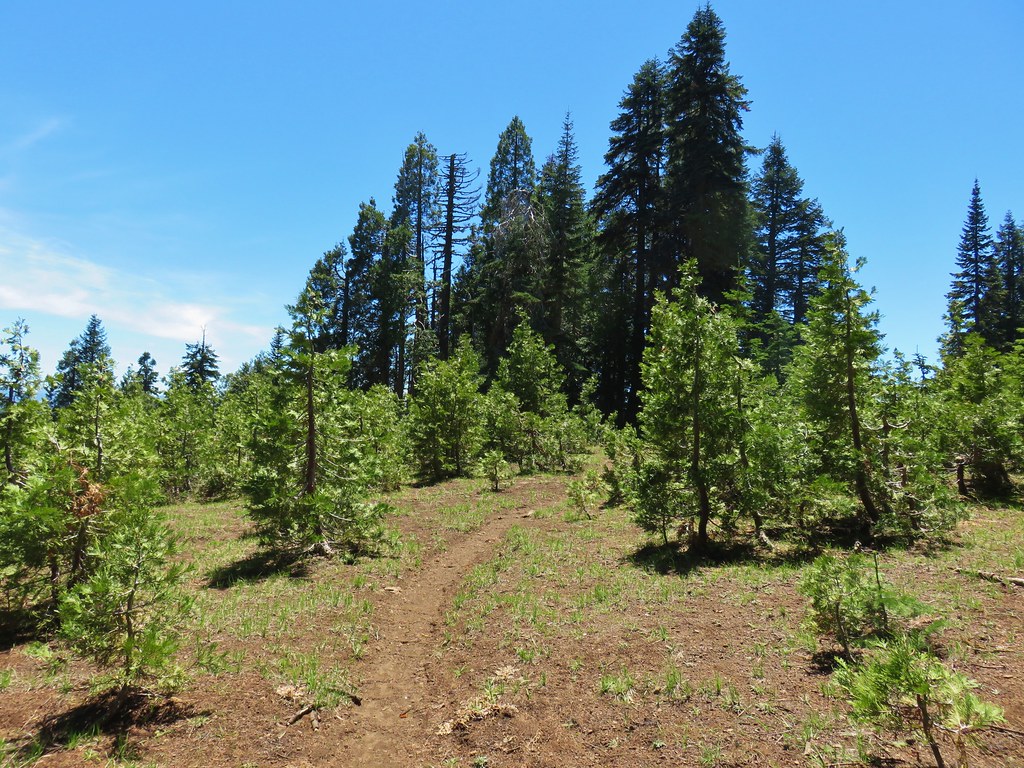
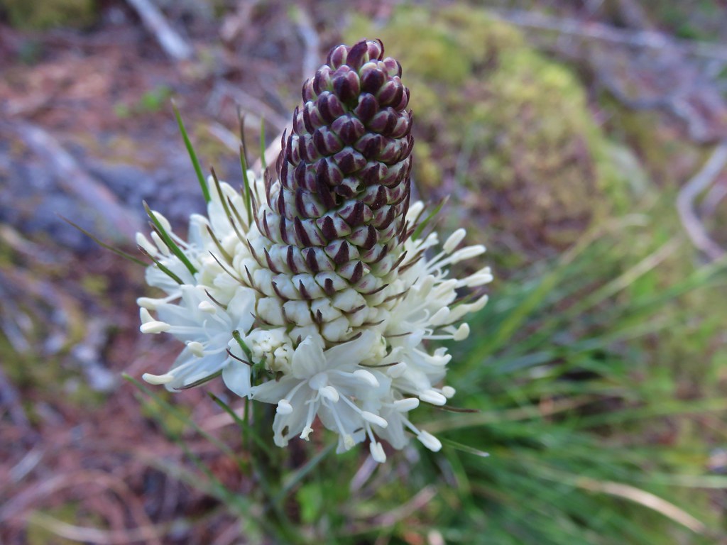
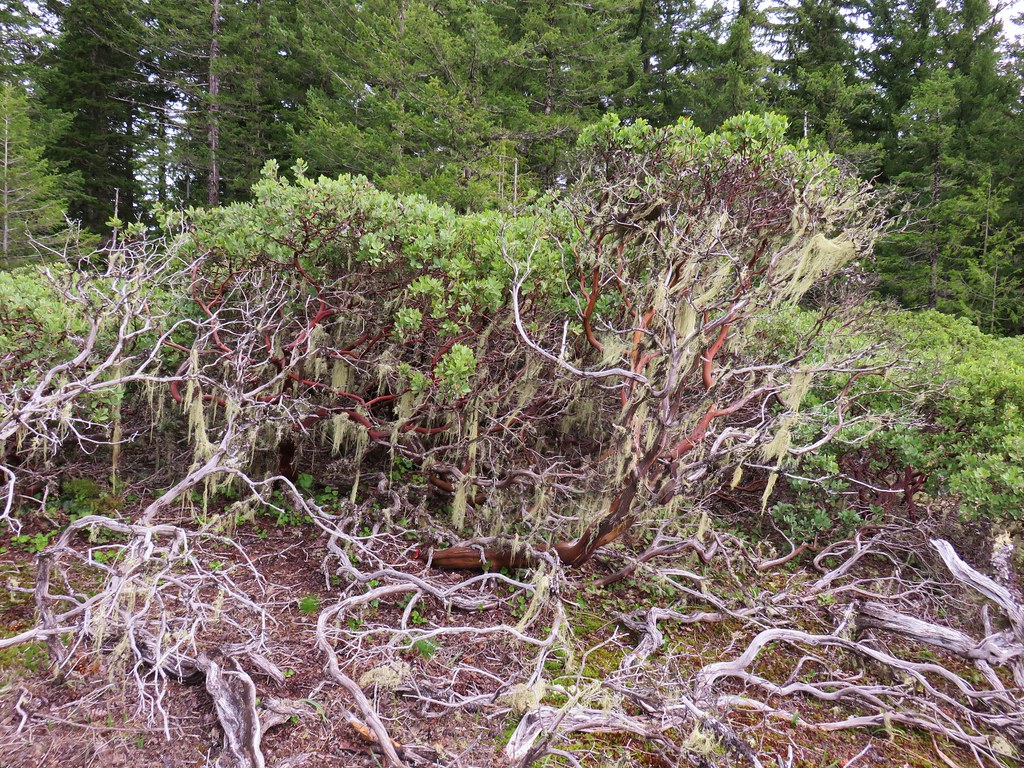
After nearly three quarters of a mile of gradual climbing the trail steepened as it climbed through meadows with beargrass. It wasn’t quite the beargrass display we had been hoping for but there were some nice blooms along the way.
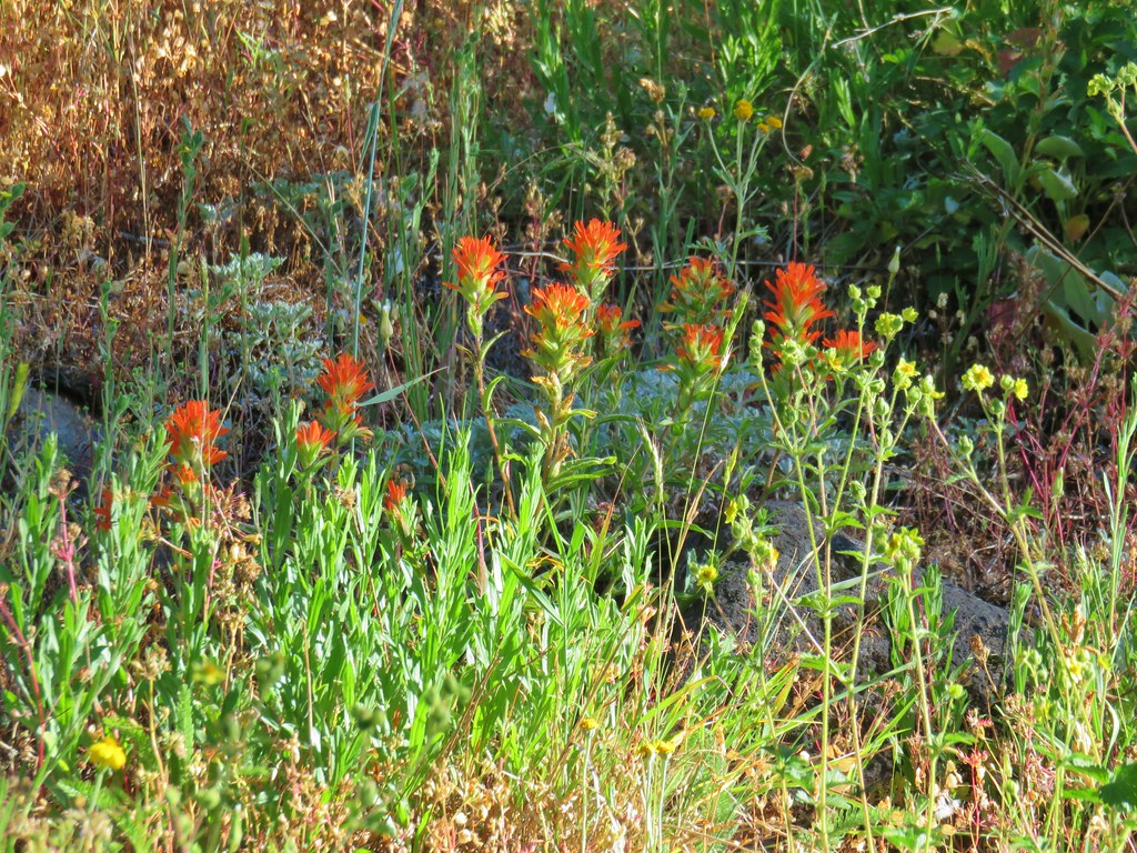
Other flowers in these meadows included coneflower, owls clover, and cat’s ear lilies.
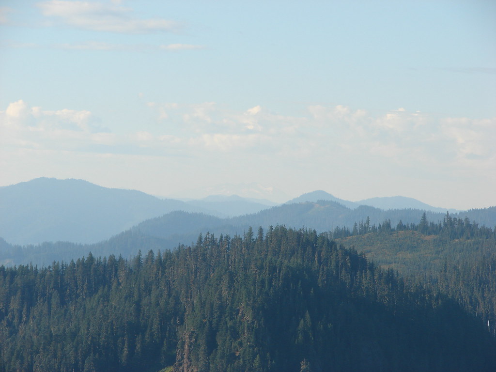
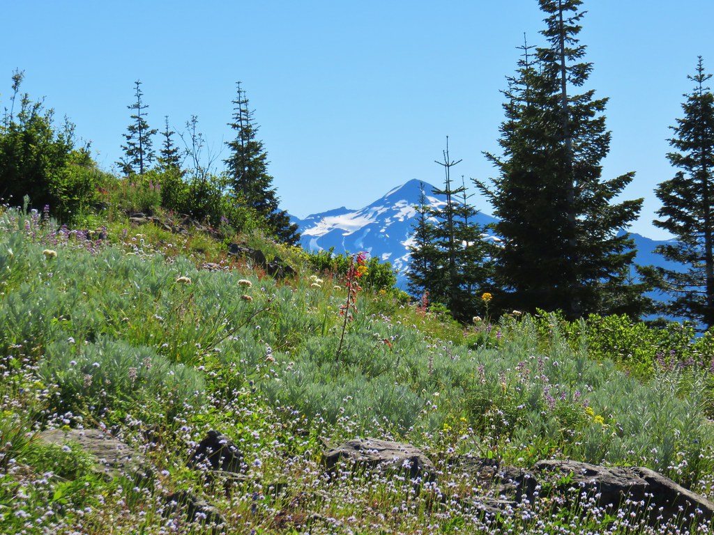
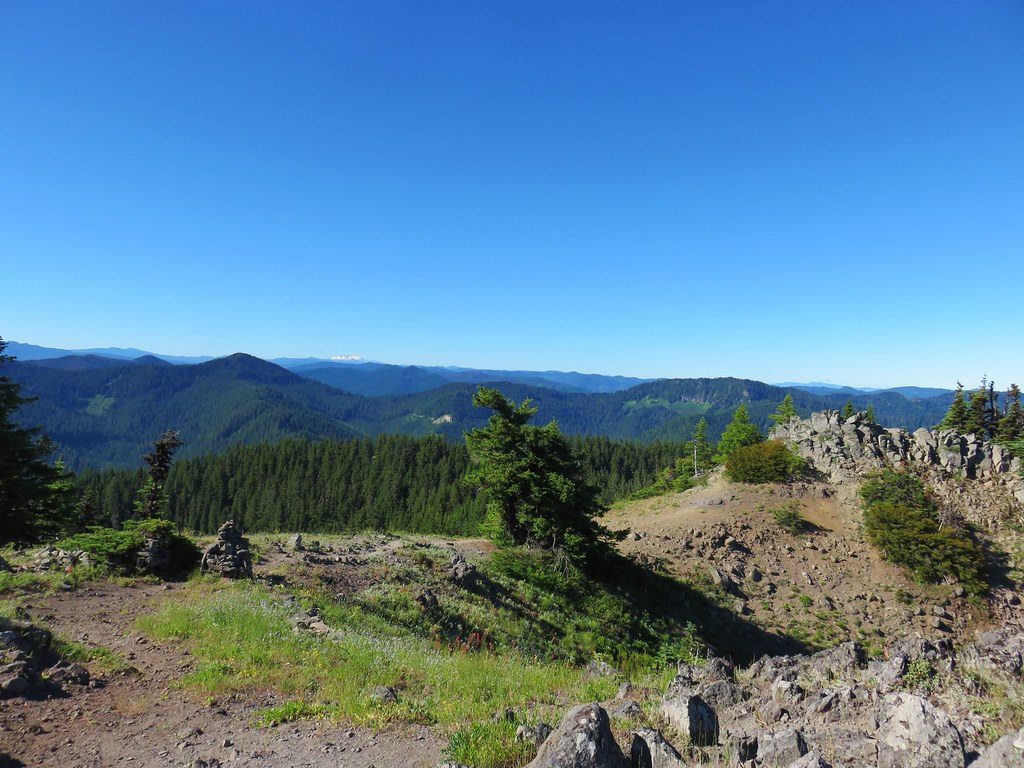
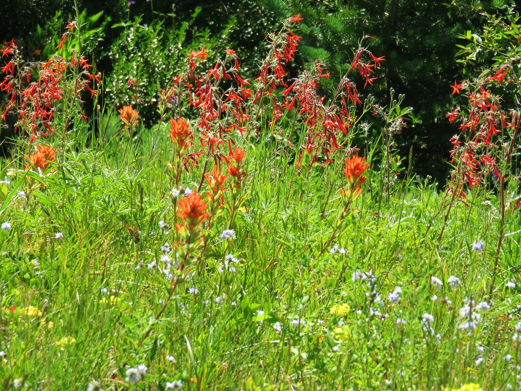
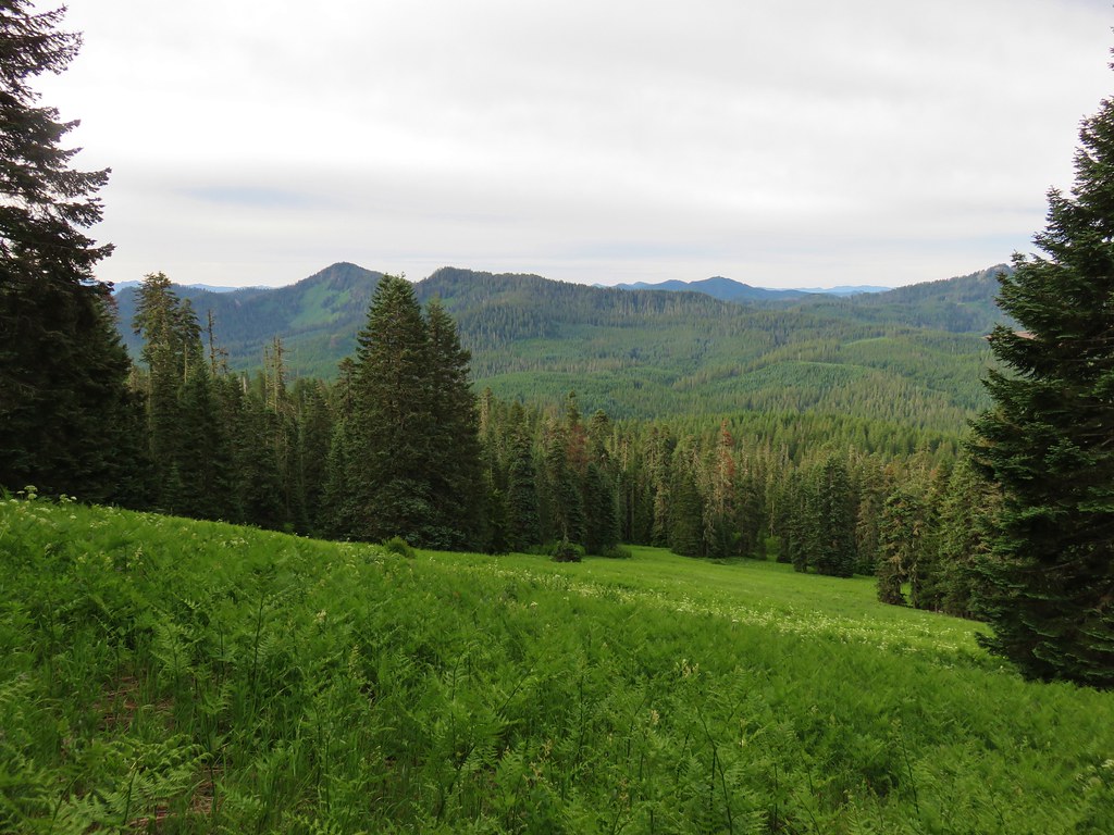
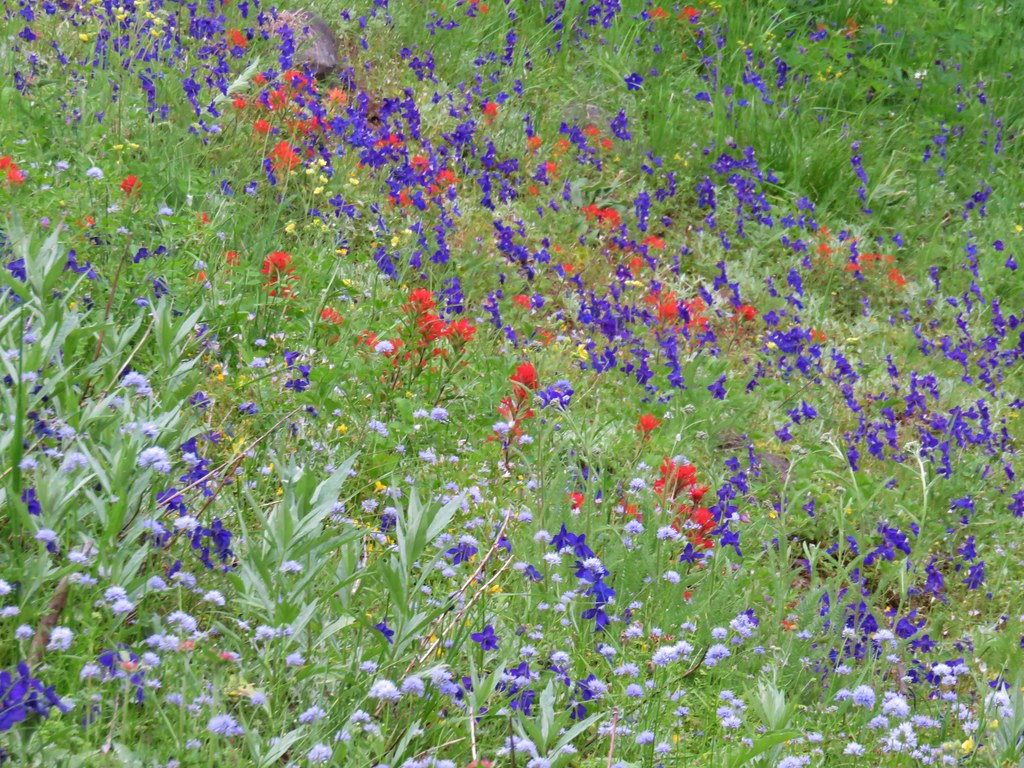
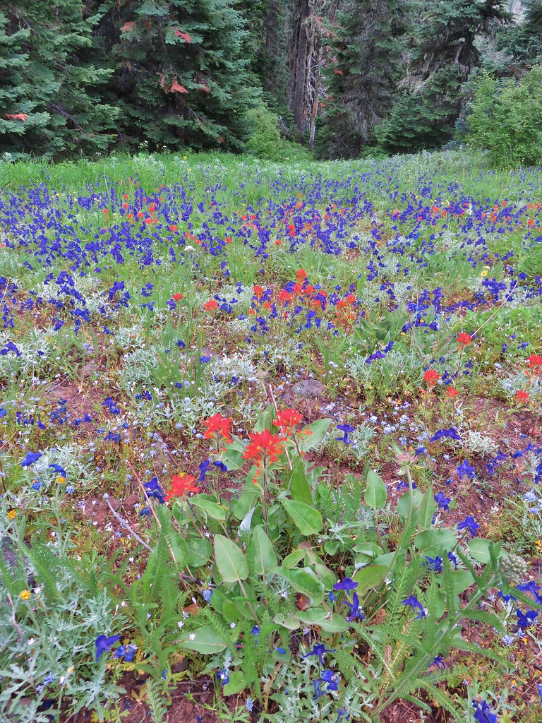
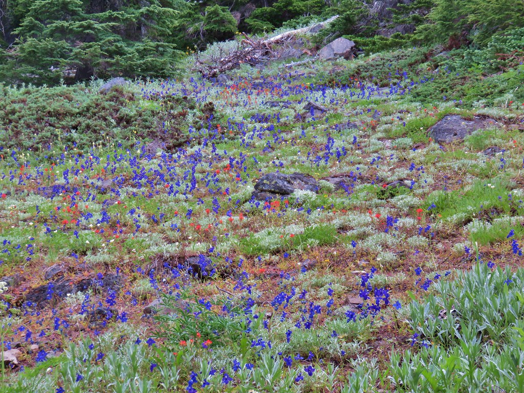
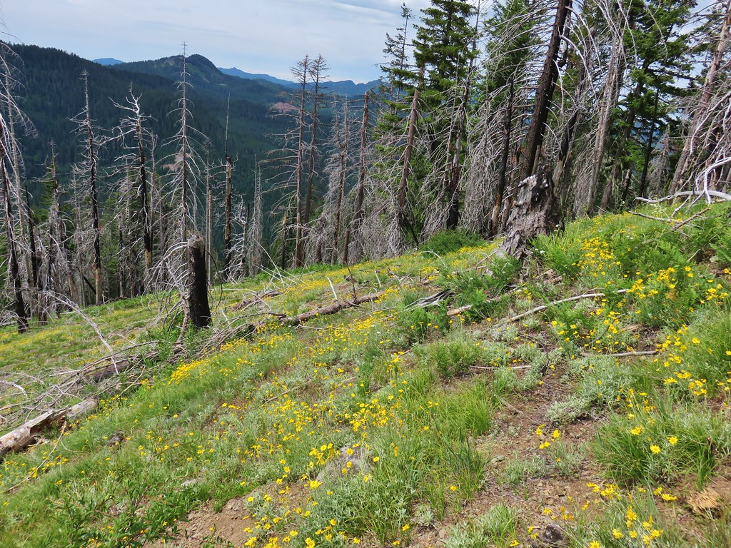
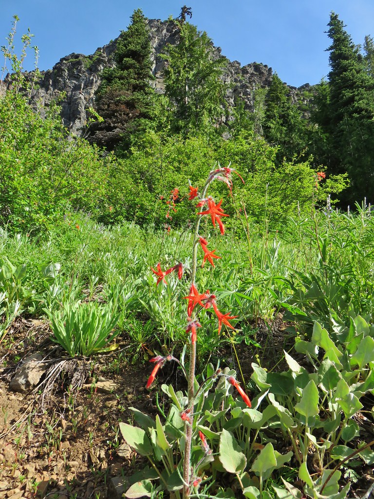
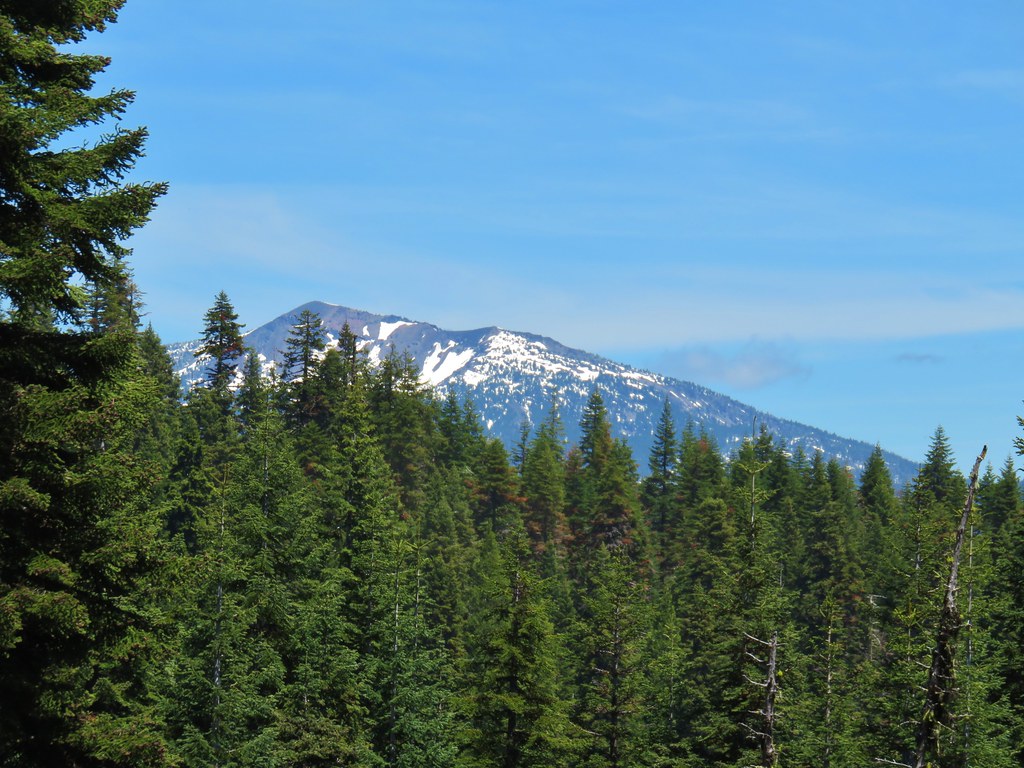
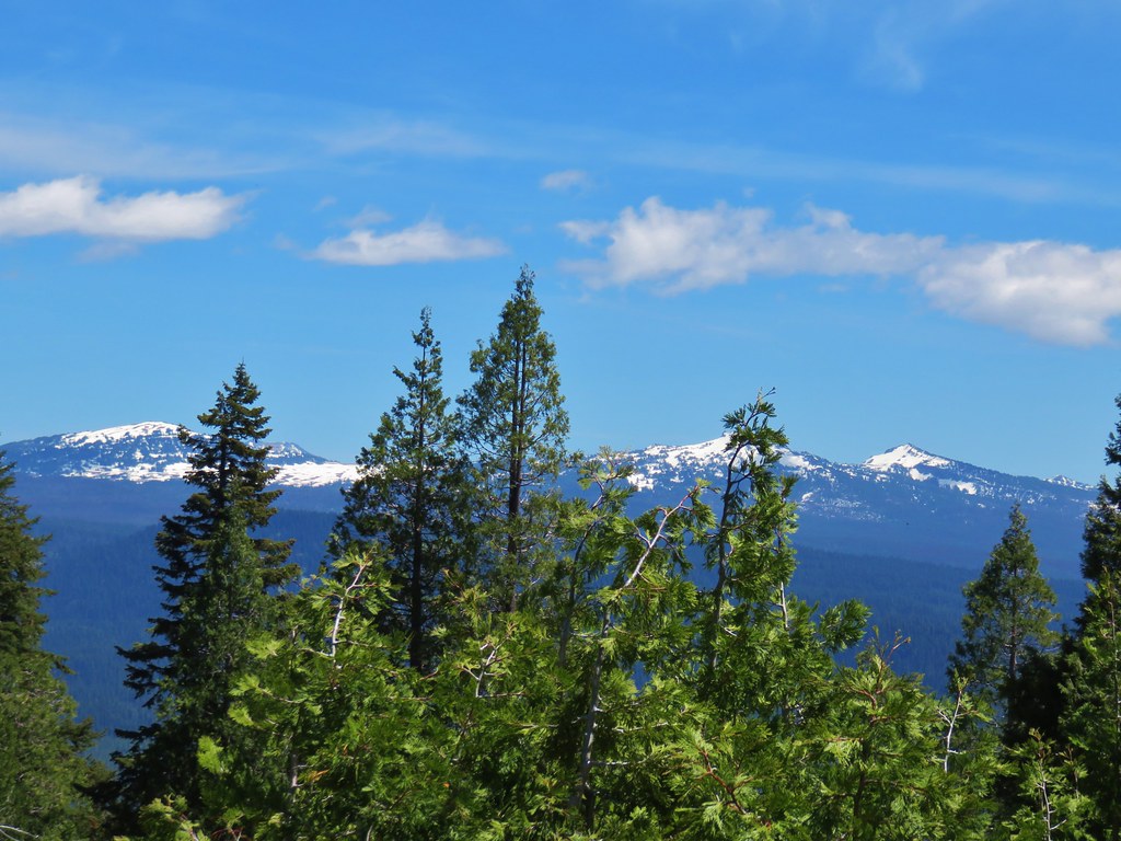
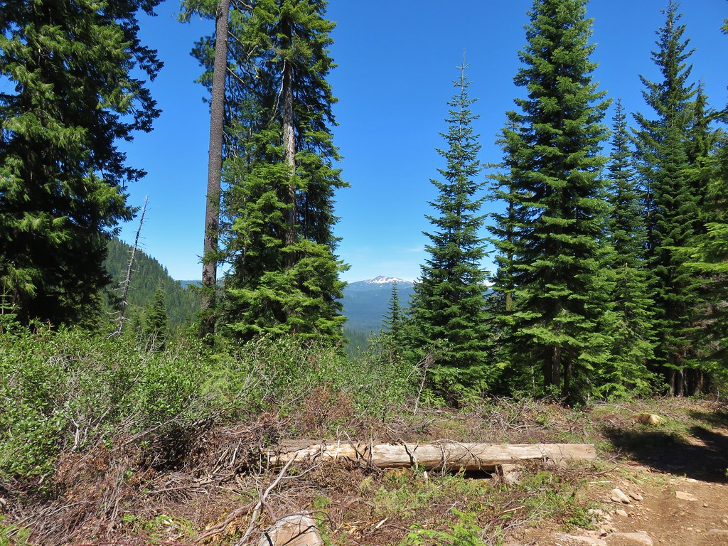
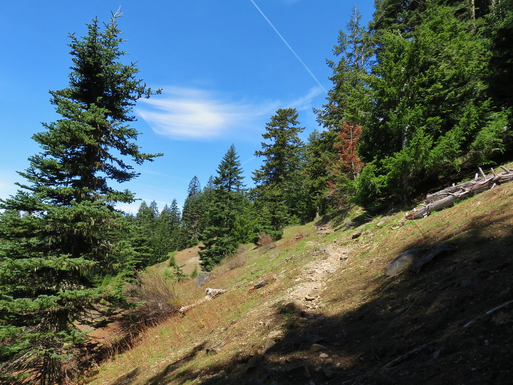
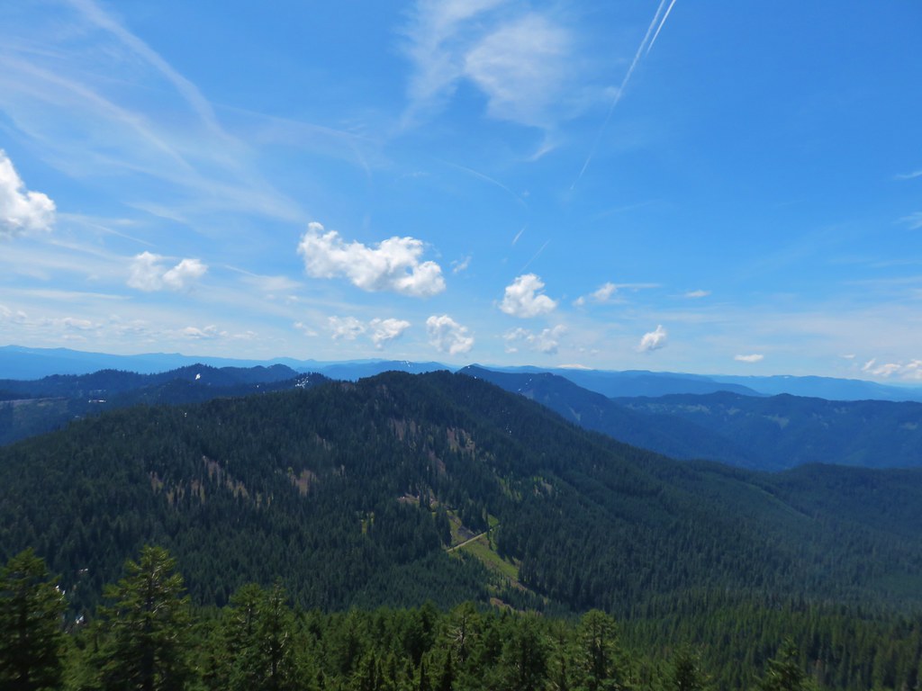
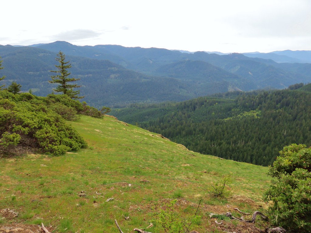
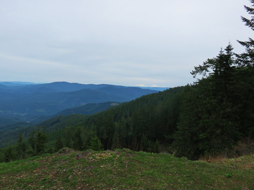
After 1.2 miles the Horsepasture Mountain Trail began to climb the mountain’s south side through a drier wildflower meadow.
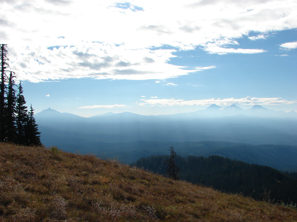
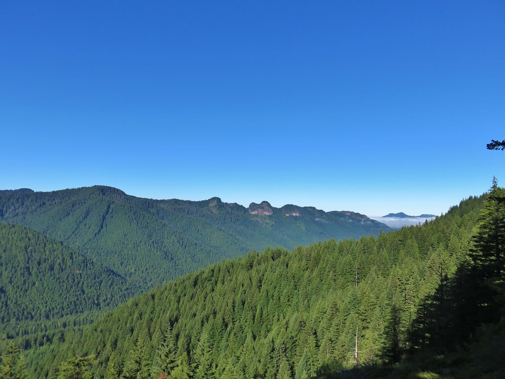
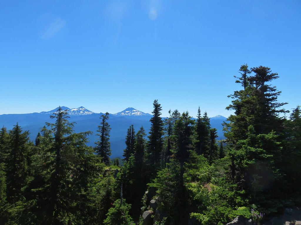
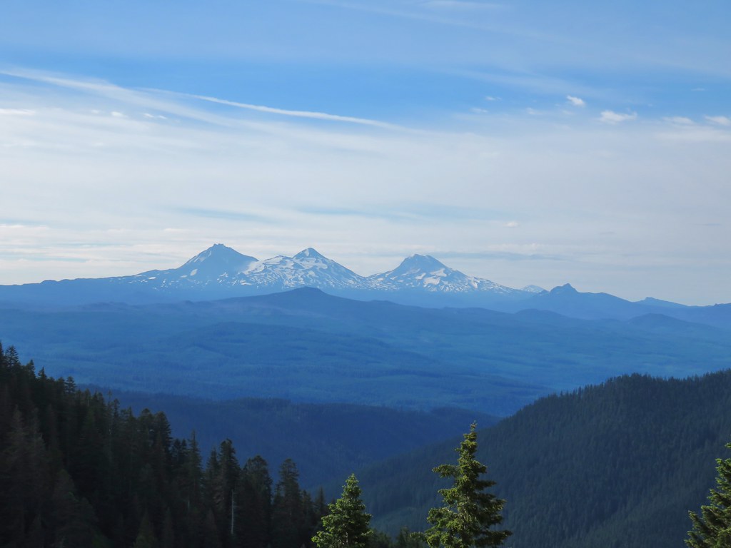
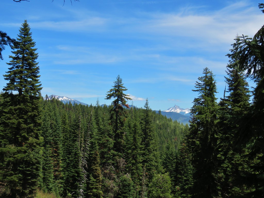
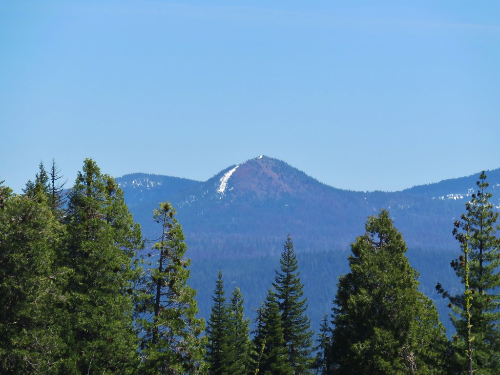
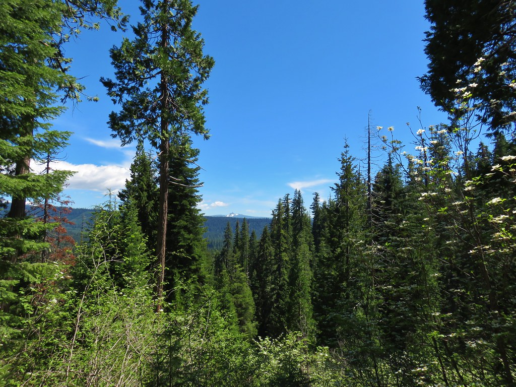
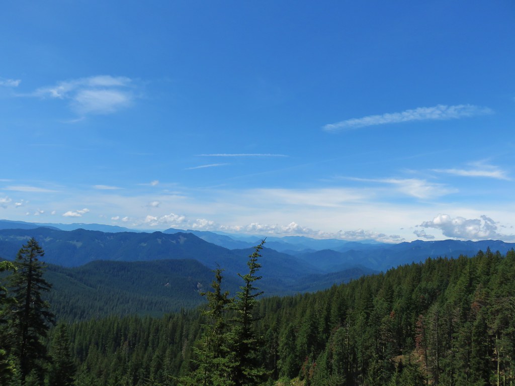
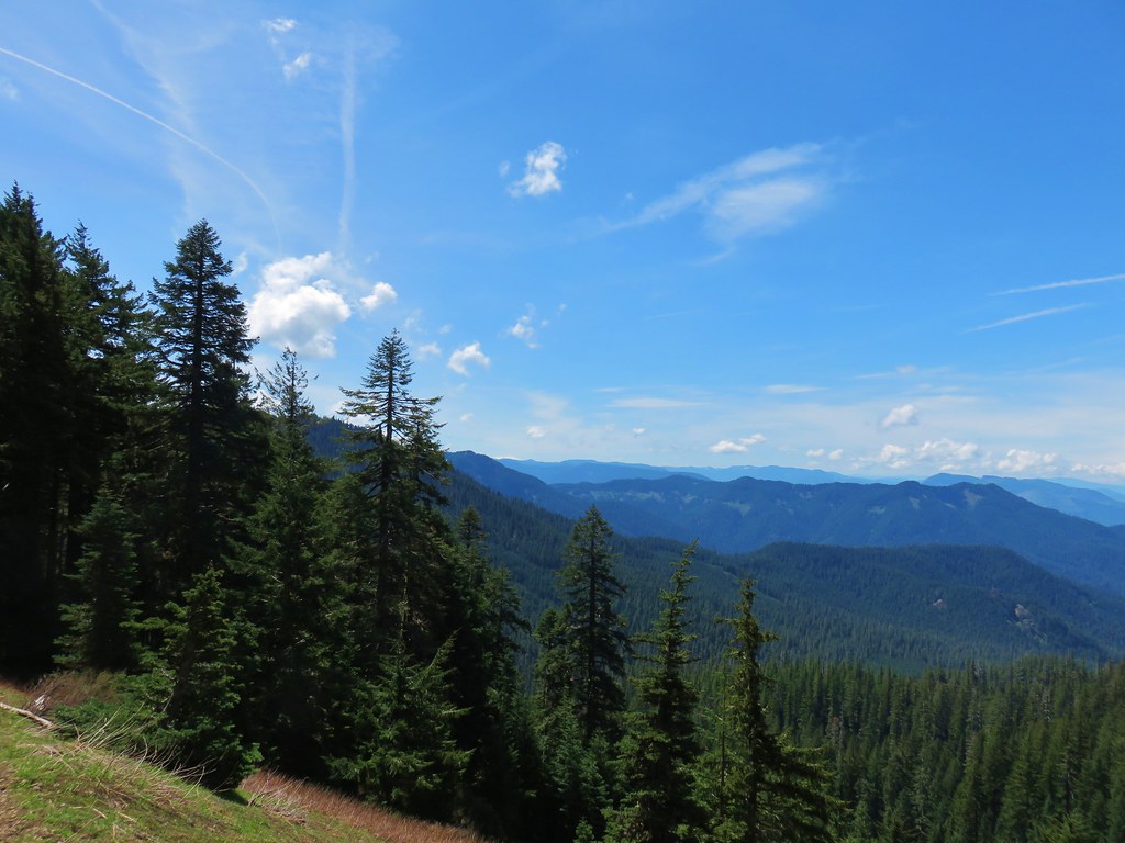
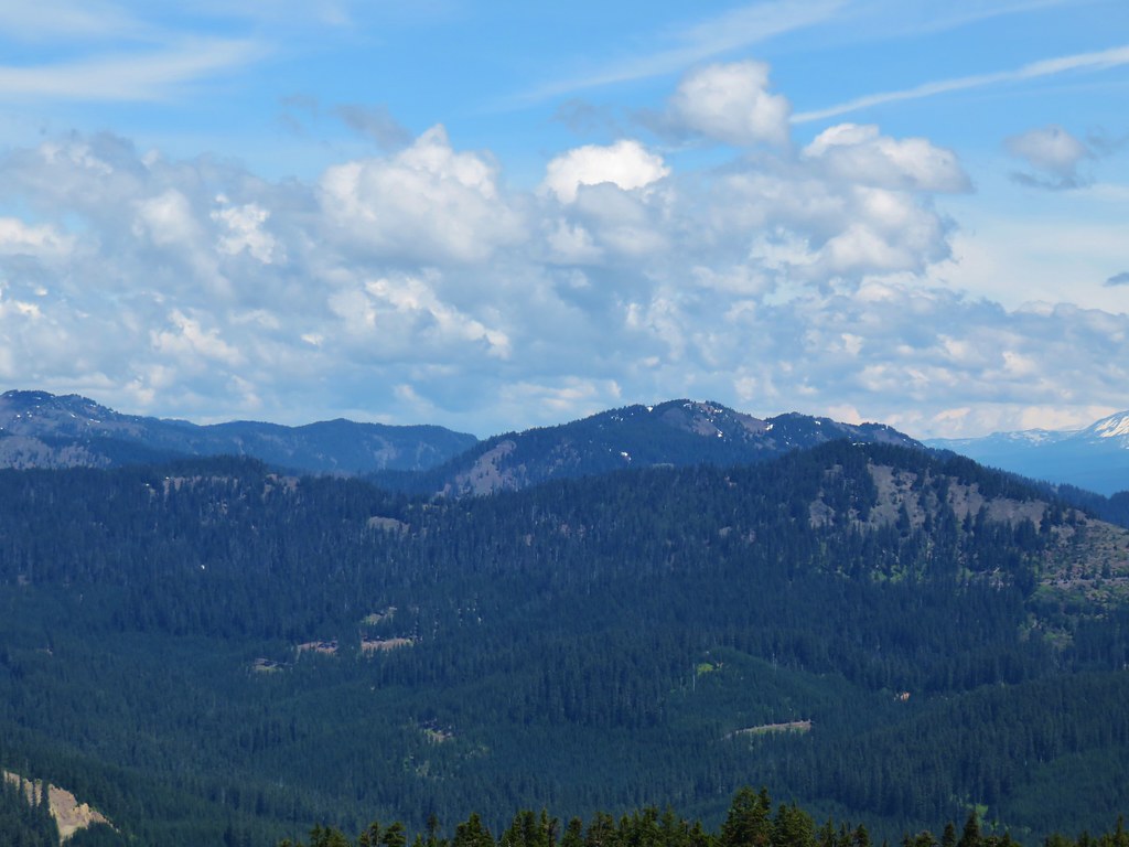
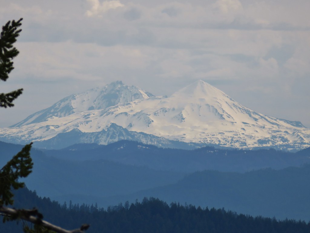
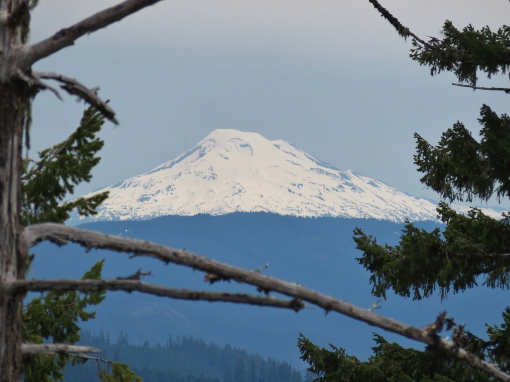
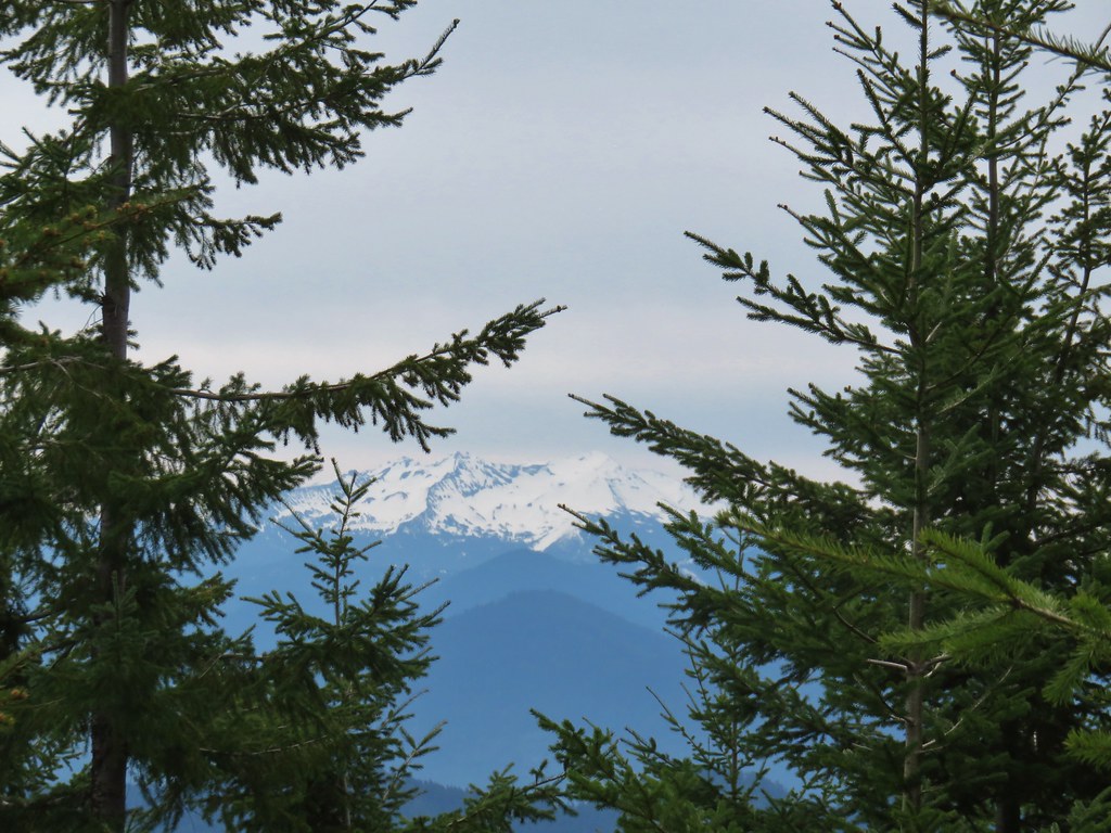
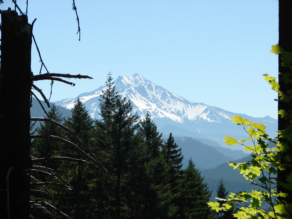
The Three Sisters and Mt. Bachelor were visible to the east as was snowy Diamond Peak to the south.
 Middle Sister
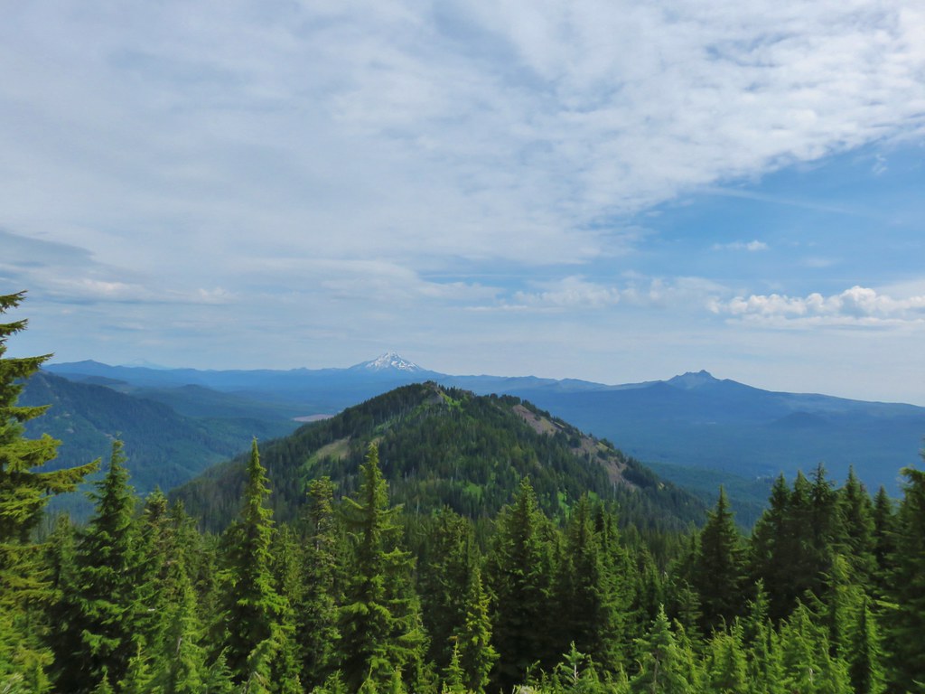
 Three Sisters and Mt. Bachelor
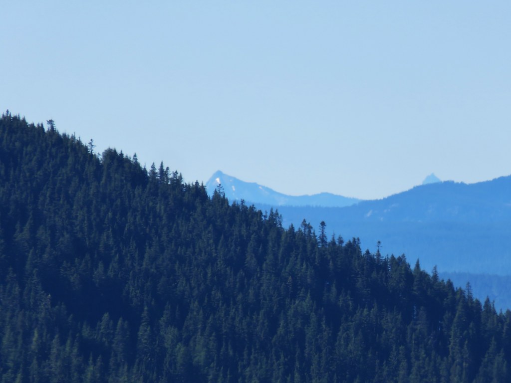
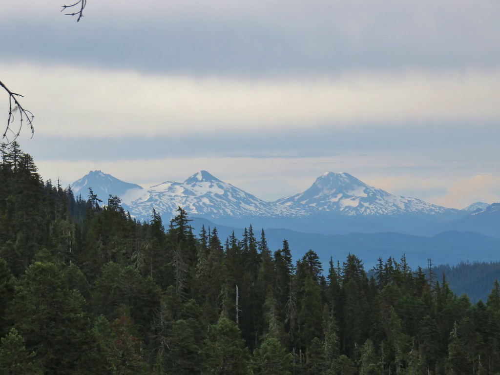
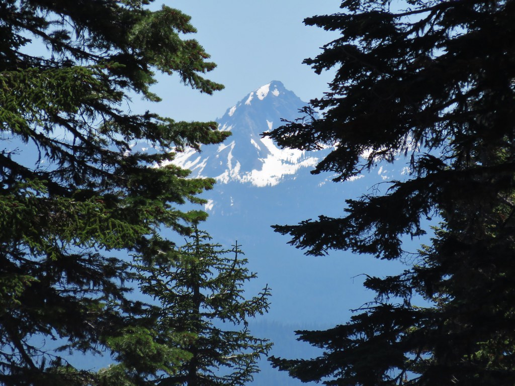
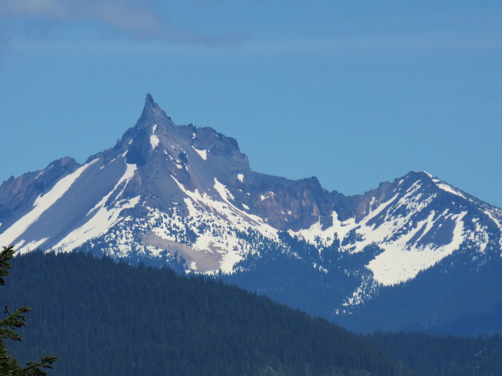
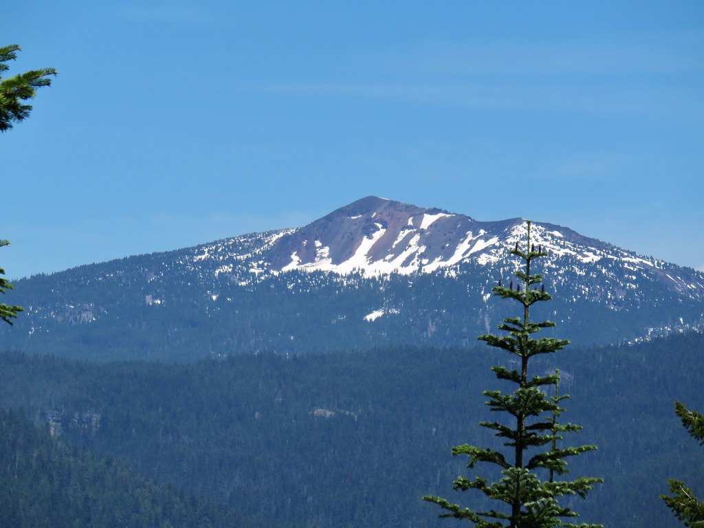
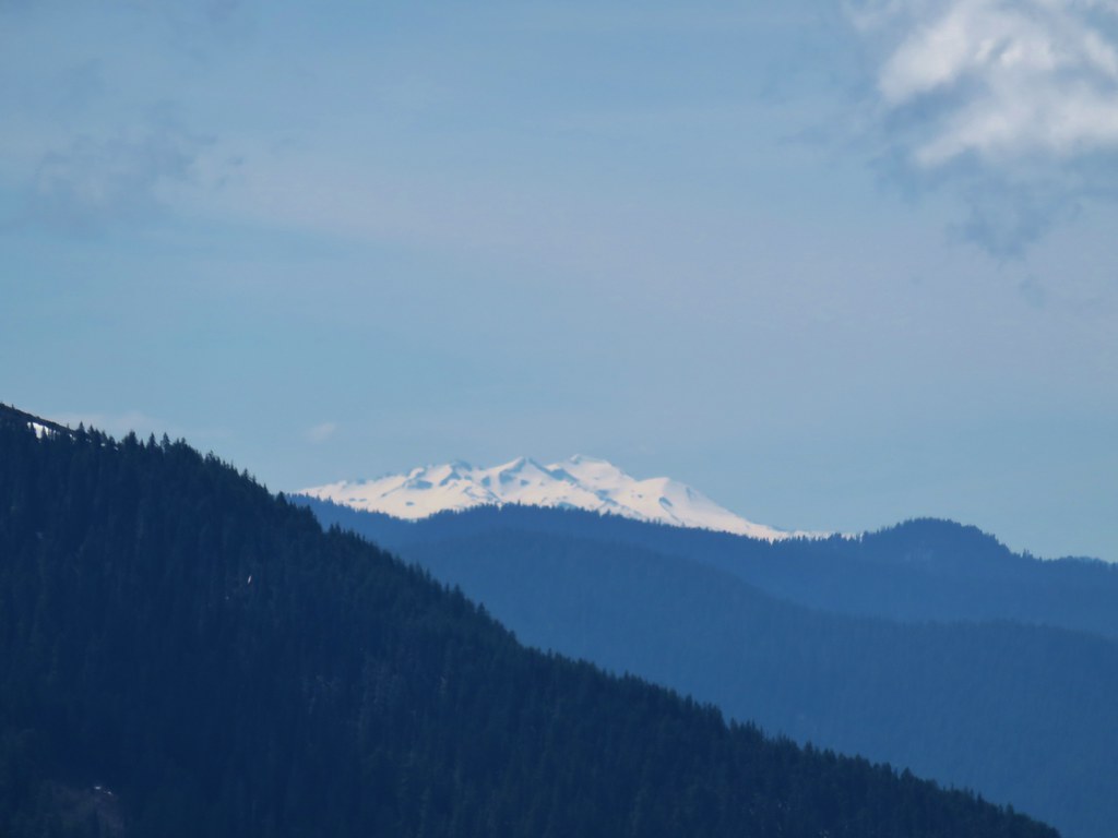
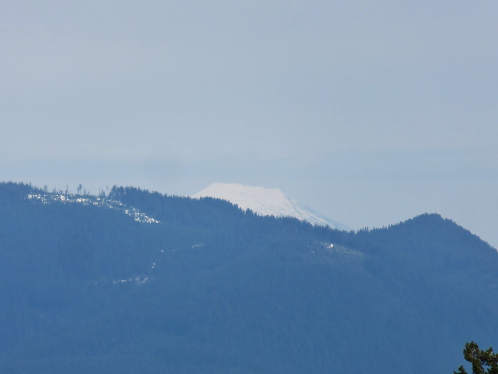
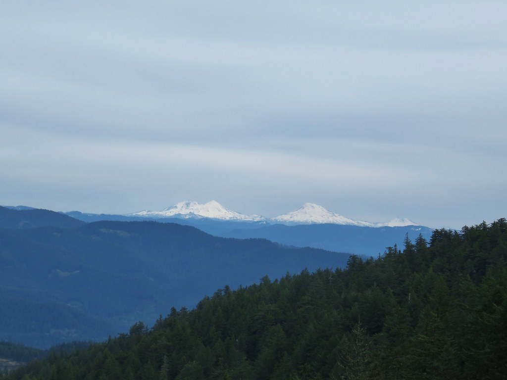
 Diamond Peak
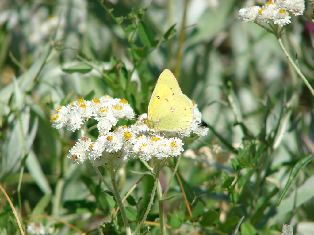
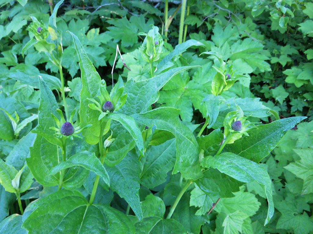
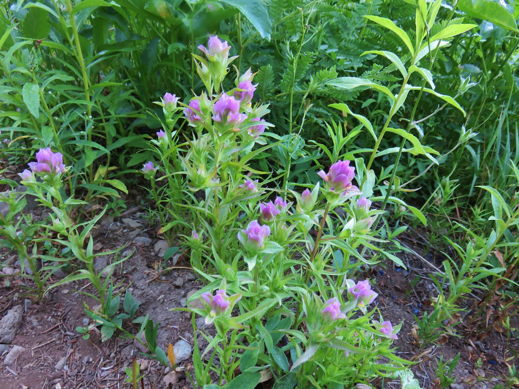
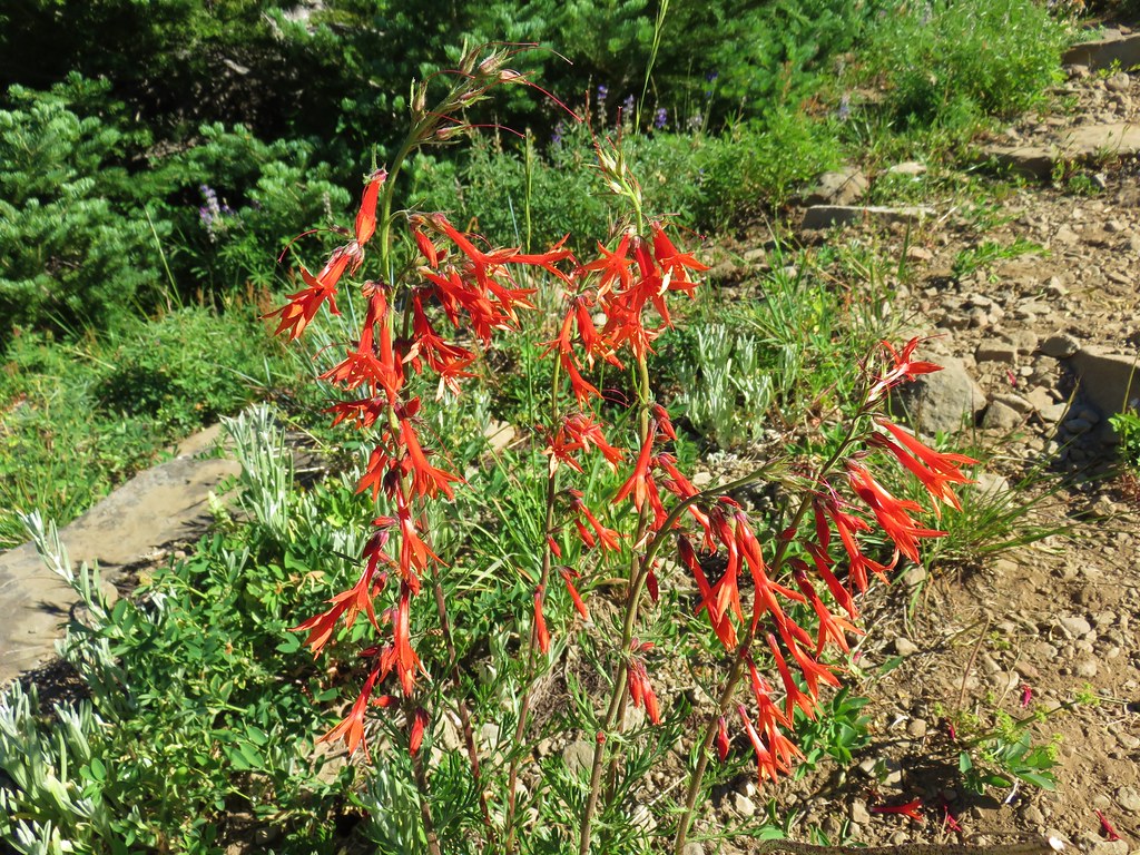
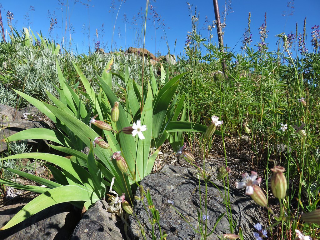
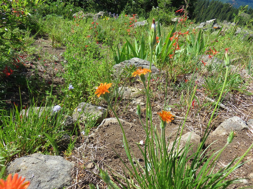
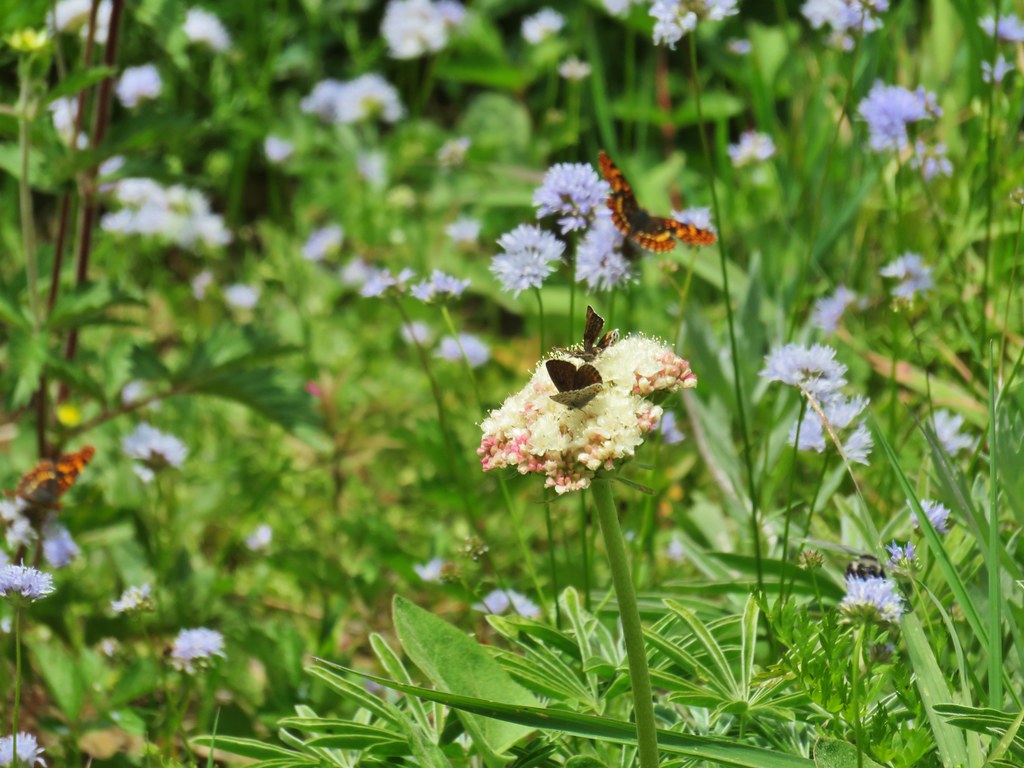
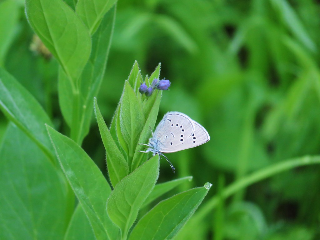
There was a nice variety of wildflowers on display.
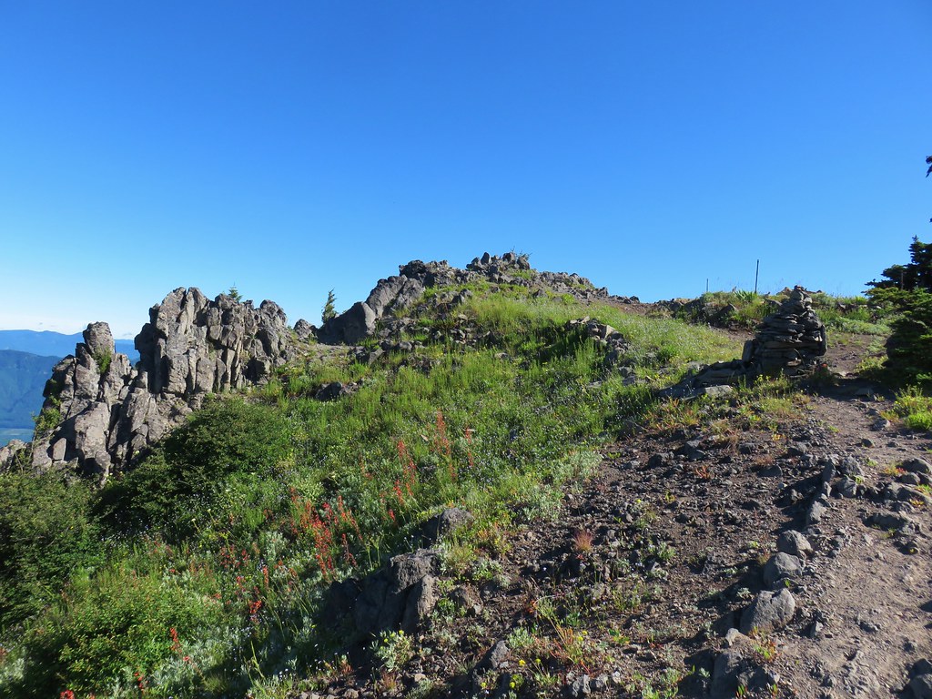
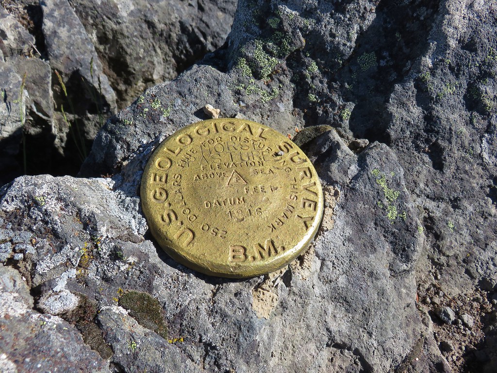
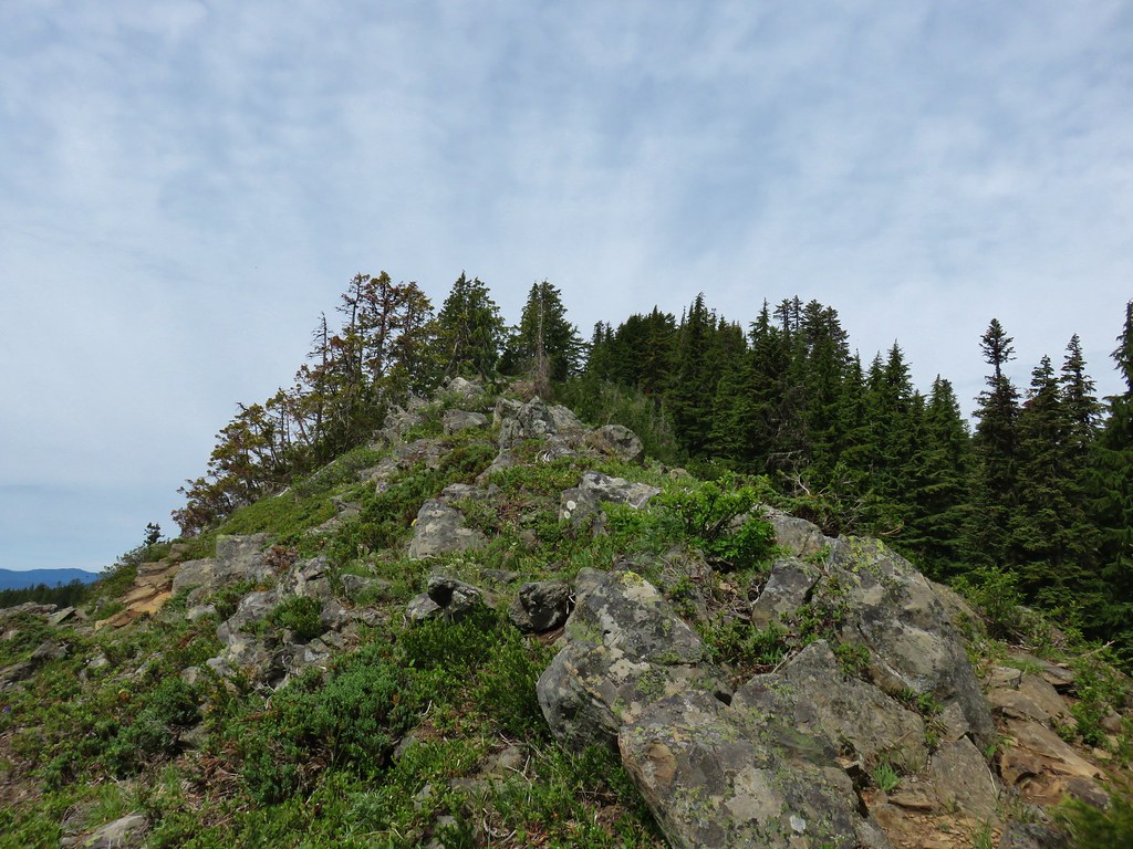
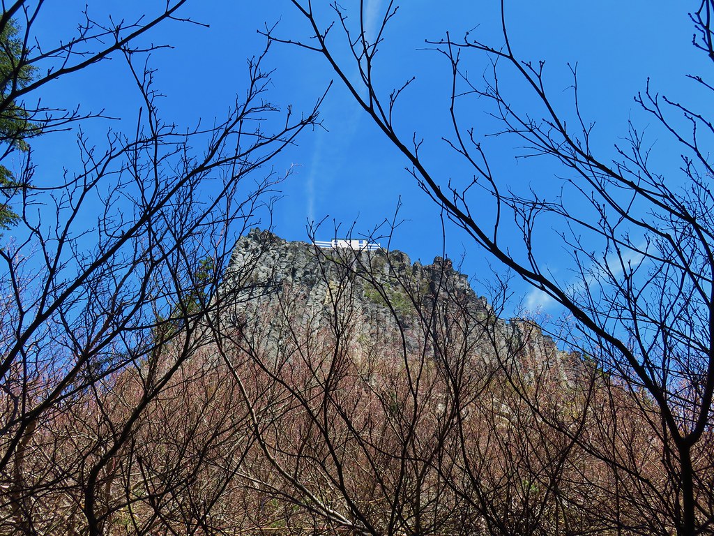
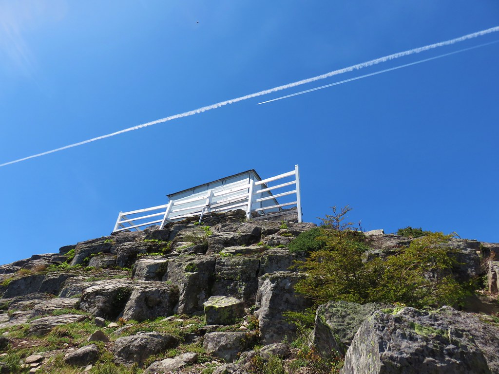
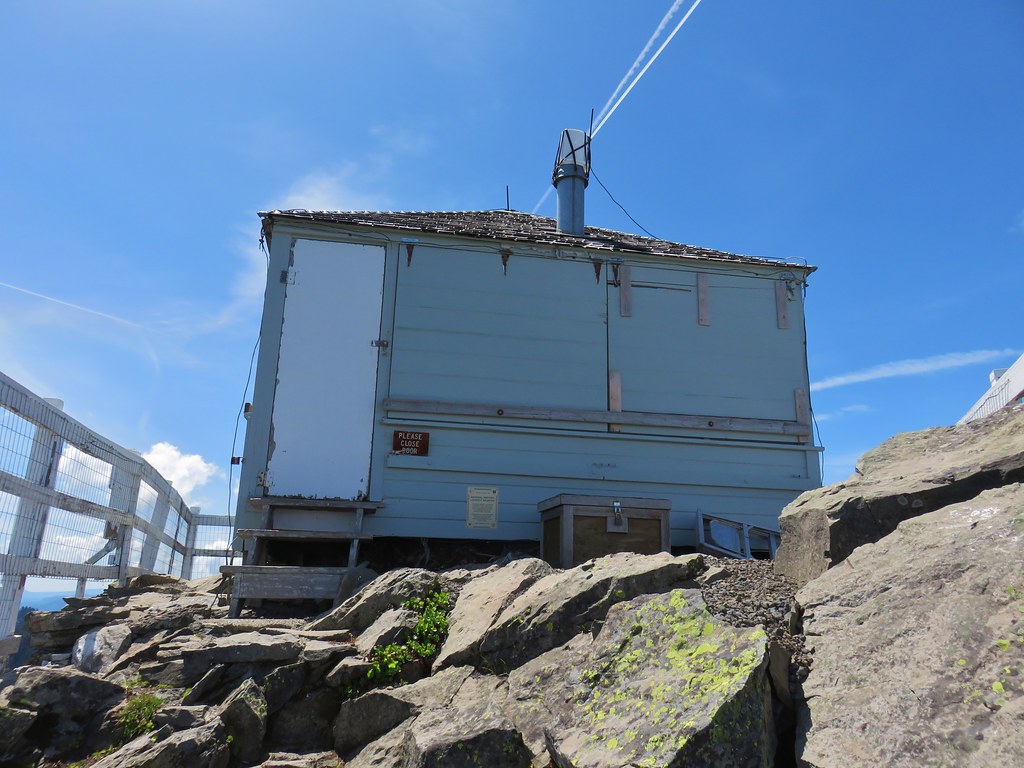
A large cairn and remains of the old lookout marked the summit.
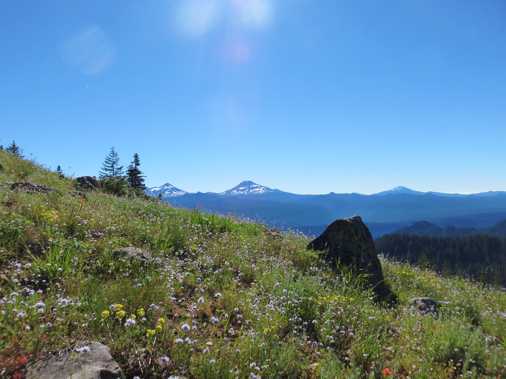
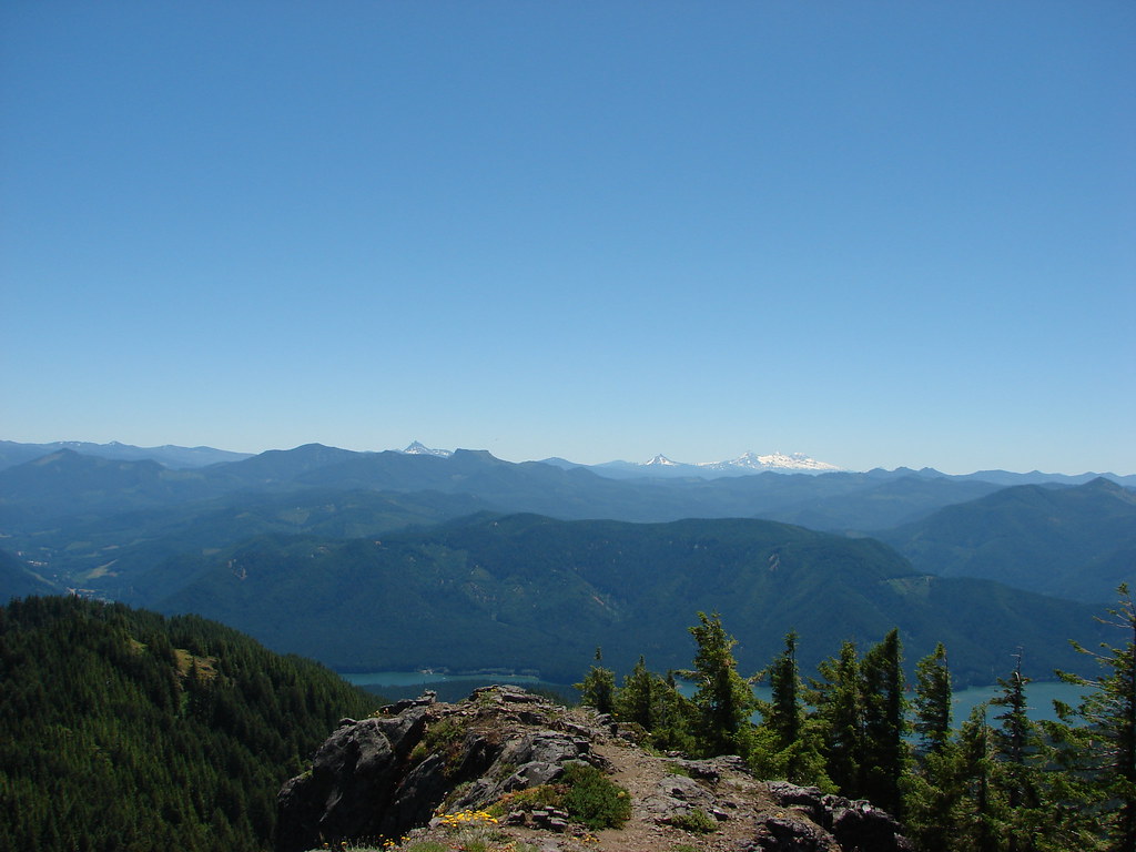
The view from the summit included Cascade peaks from Mt. Hood to the barely visible tip of Mt. Thielsen.
 Mt. Hood, Mt. Jefferson, Three Fingered Jack, and Mt. Washington.
 The Three Sisters (with the top of Broken Top over South Sister’s southern shoulder) and Mt. Bachelor.
 Diamond Peak(Mt. Thielsen is out there too)
 Cowhorn Mountain on the left and the tip of Mt. Thielsen to the right.
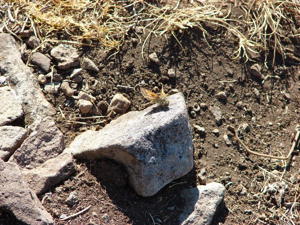
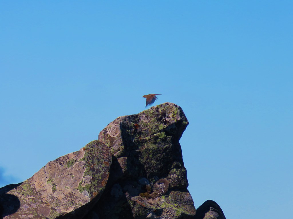
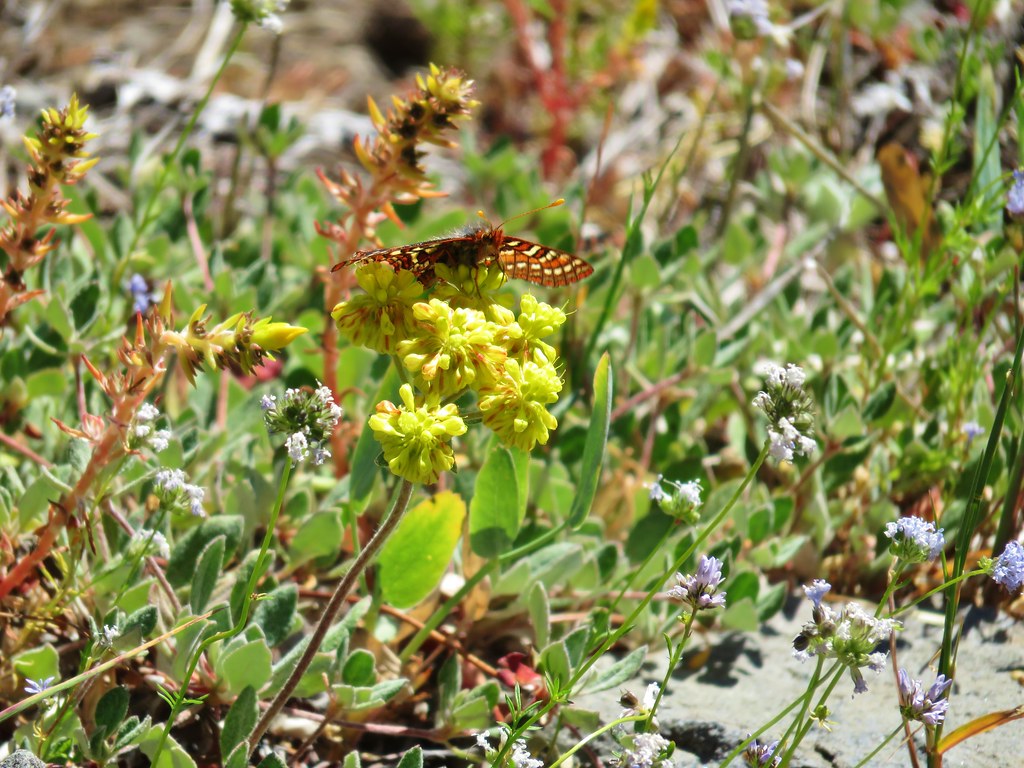
We took a nice long break at the summit enjoying the views and the flowers. Birds and insects were our only company.

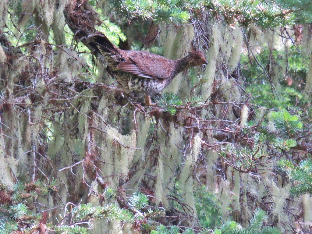
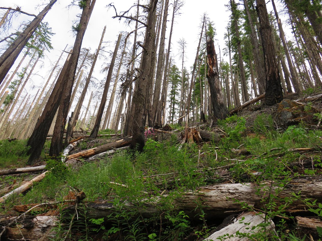
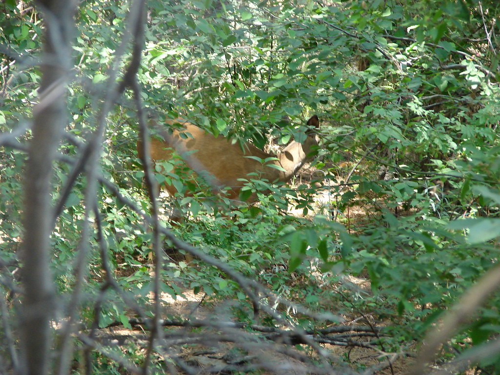
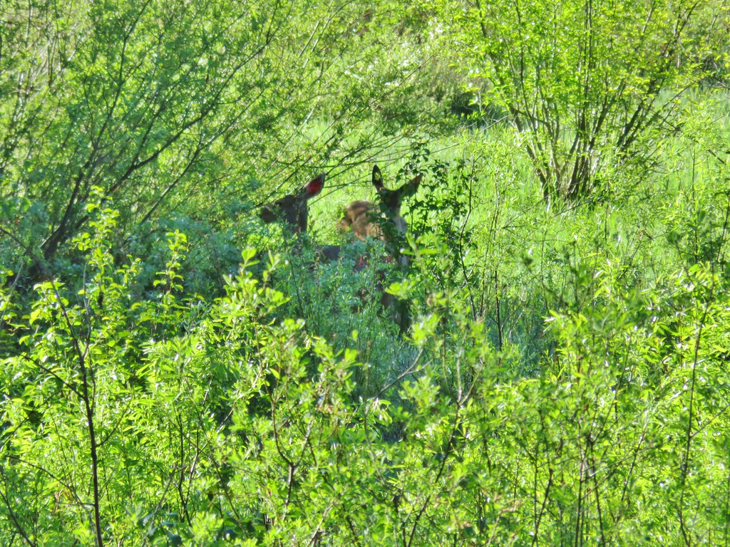
The only negative was seeing the fire scars left in the Three Sisters Wilderness from the awful 2017 fire season. We returned the way we’d come passing two other sets of hikers making their way up the Horsepasture Mountain Trail. We also ran into a family of grouse. A single chick flew across the trail then mama landed in the trail.
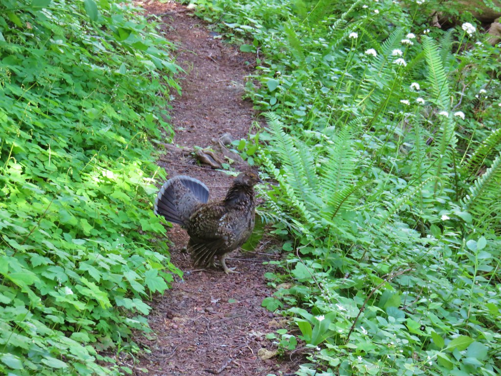
Her display of feathers and her posturing let us know that she had other chicks in the area so we stopped and waited until two more flew across the trail.

She then flew up into a tree to let us pass. The remainder of the hike was uneventful as we descended the Saddle Trail back to the trailhead. The seven mile hike and extended stay on the summit kept us within our driving to hiking time ratio but more importantly the hike had been really nice. Good views and wildflowers combined with solitude made for another great day in the Willamette National Forest. Happy Trails!
Flickr: Horsepasture Mountain

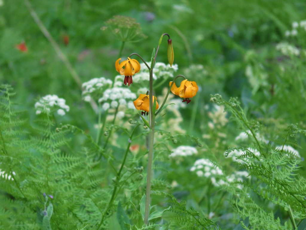 Tiger lily
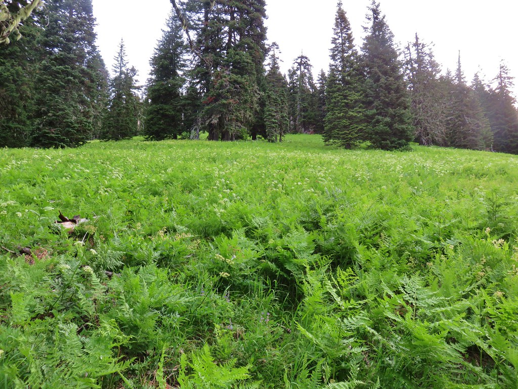


 Mt. Hood, Mt. Jefferson and Three Fingered Jack
 Mt. Jefferson
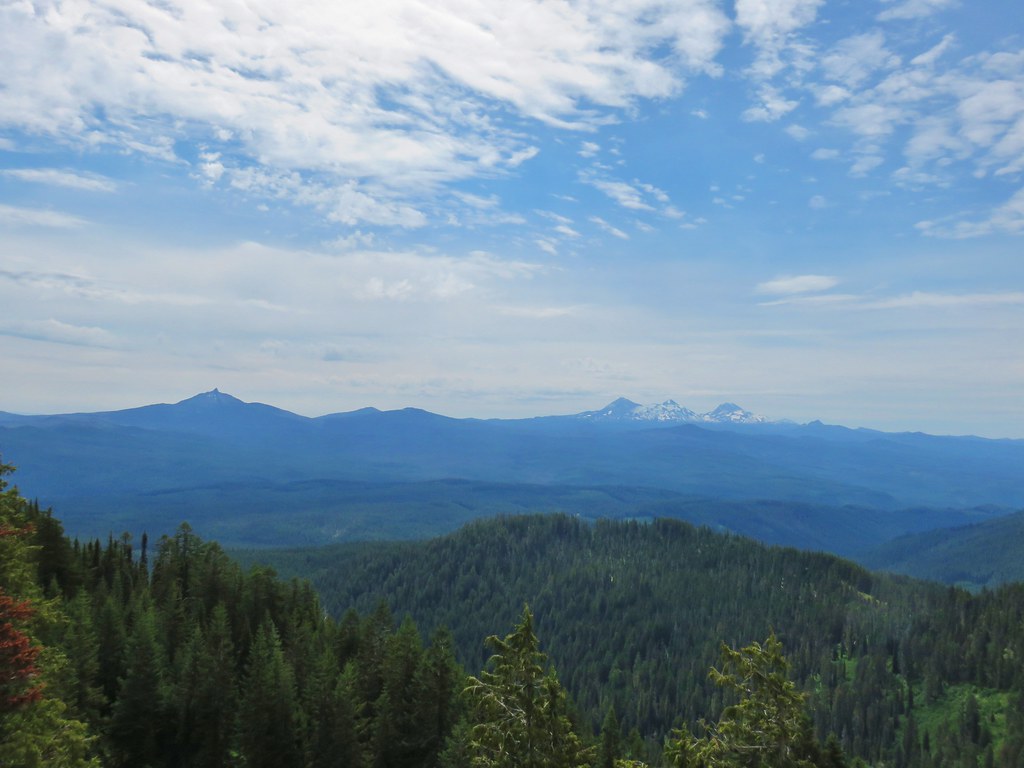 Mt. Washington, the Three Sisters, and Mt. Bachelor
 Diamond Peak to the south
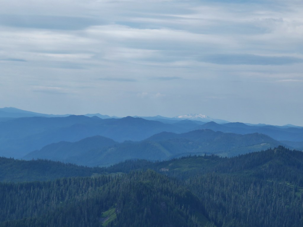 Diamond Peak
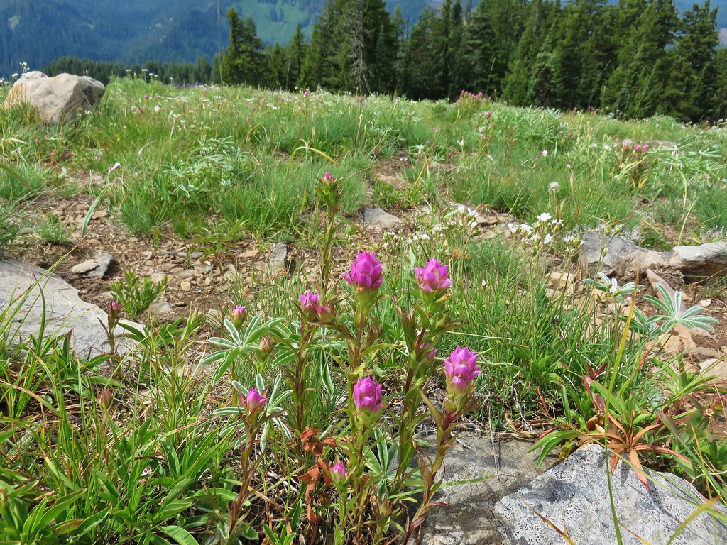 Owls clover
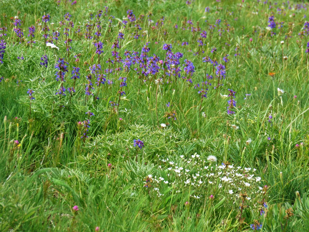 Penstemon
 Orange agoseris
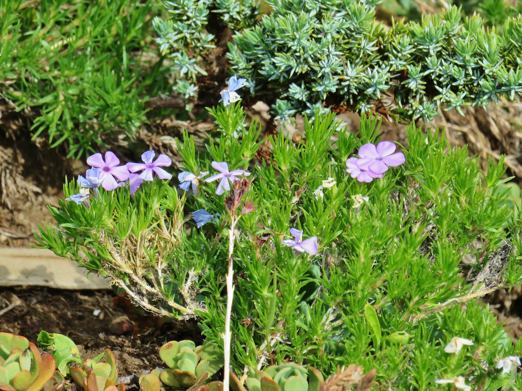 Phlox
Phlox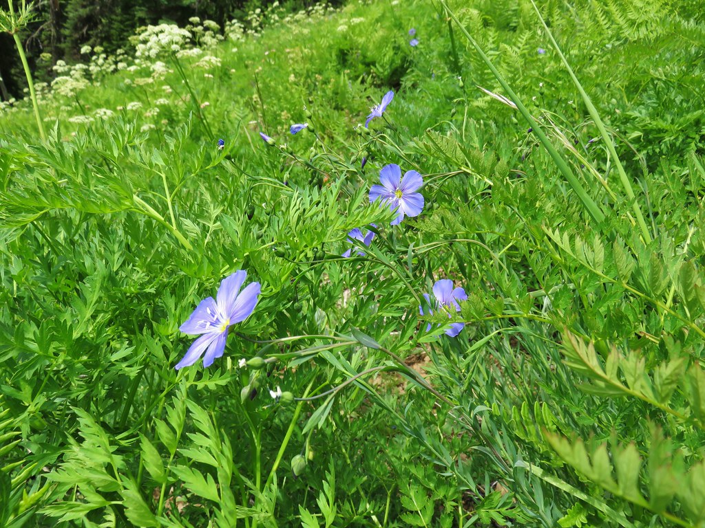 Lewis flax
 Jacob’s ladder
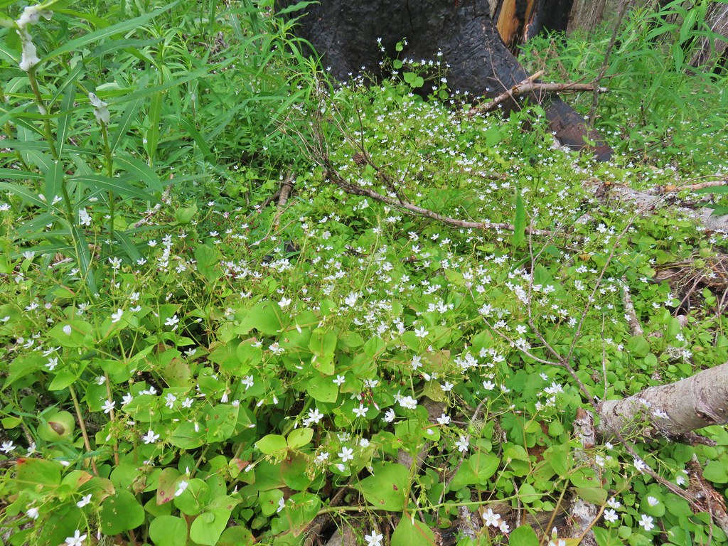 Candyflower
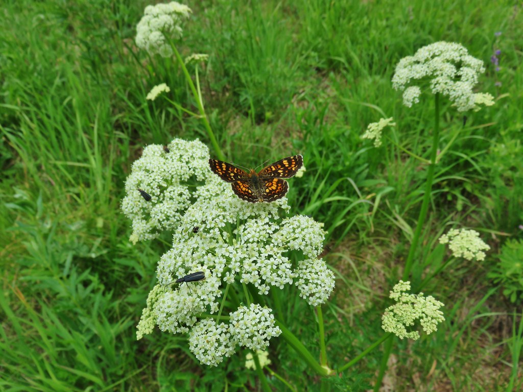


 blaze in the tree
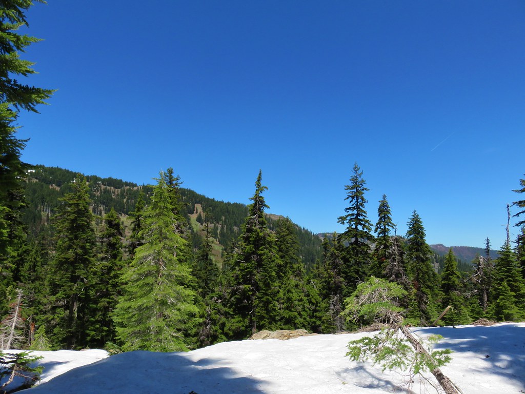
 Union Peak
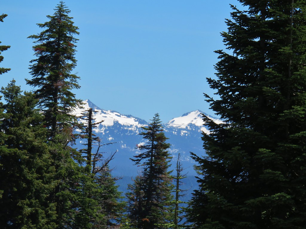 Hillman Peak and The Watchman
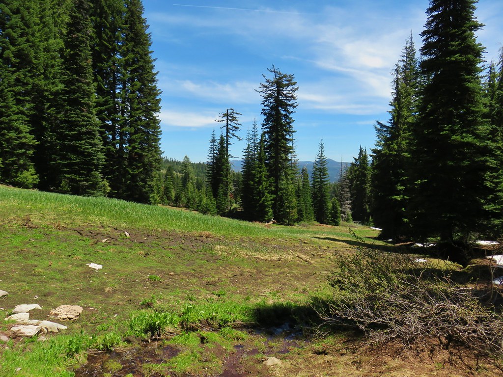

 The rim of Crater Lake
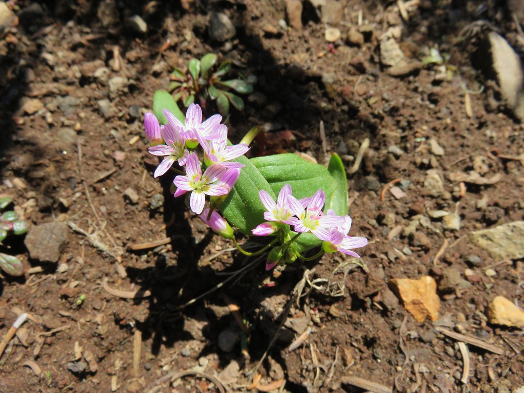


 Faded pink flagging in the tree marking the abandoned Meadow Creek Trail
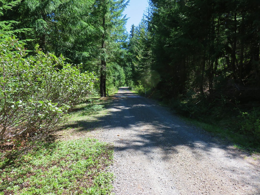 Cattle guard on Road 6540-700
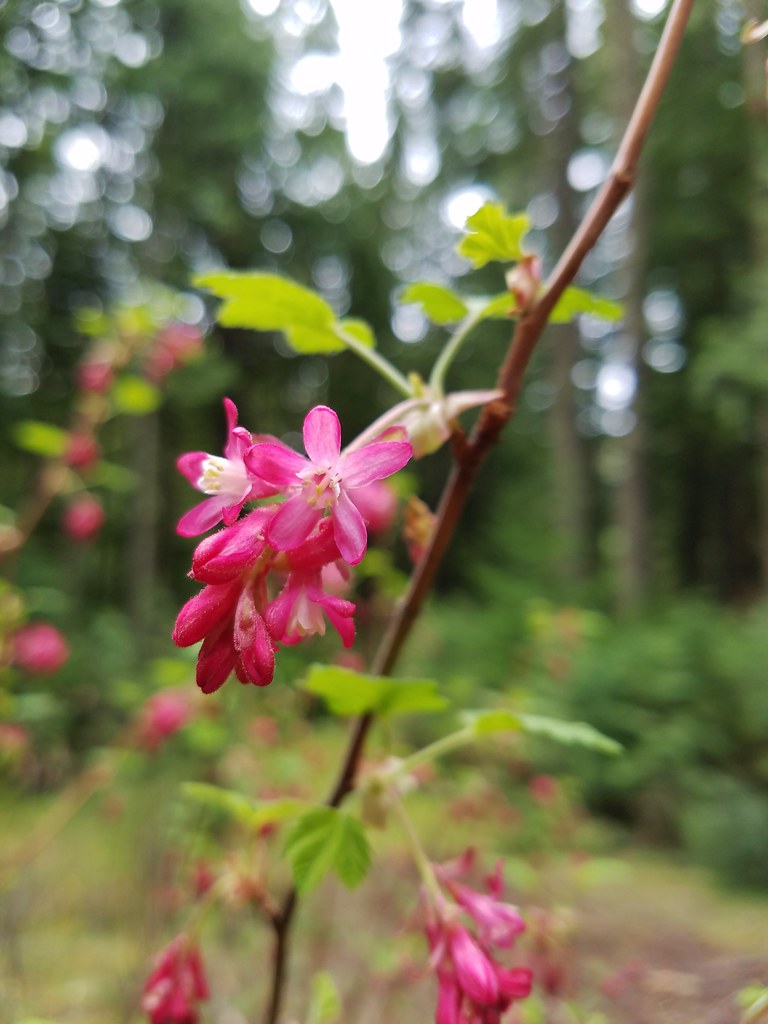
 Red flowering currant
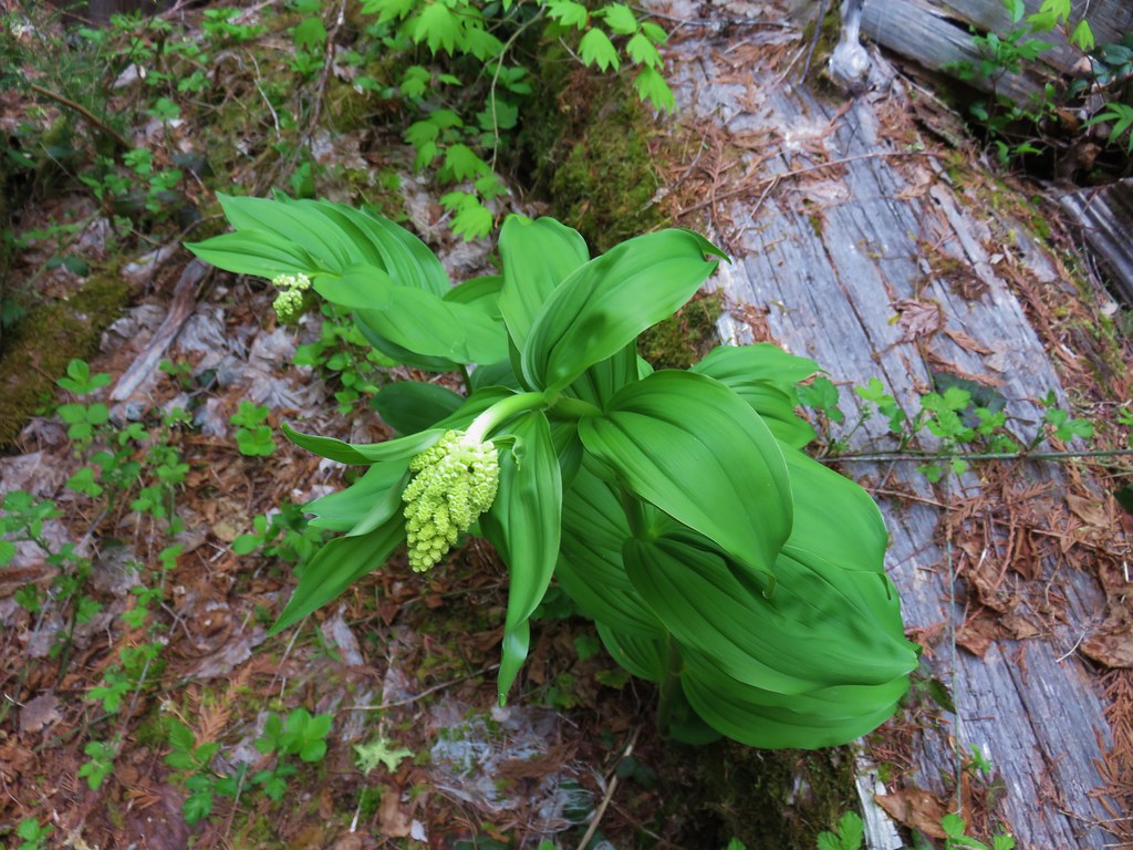 Large solomonseal
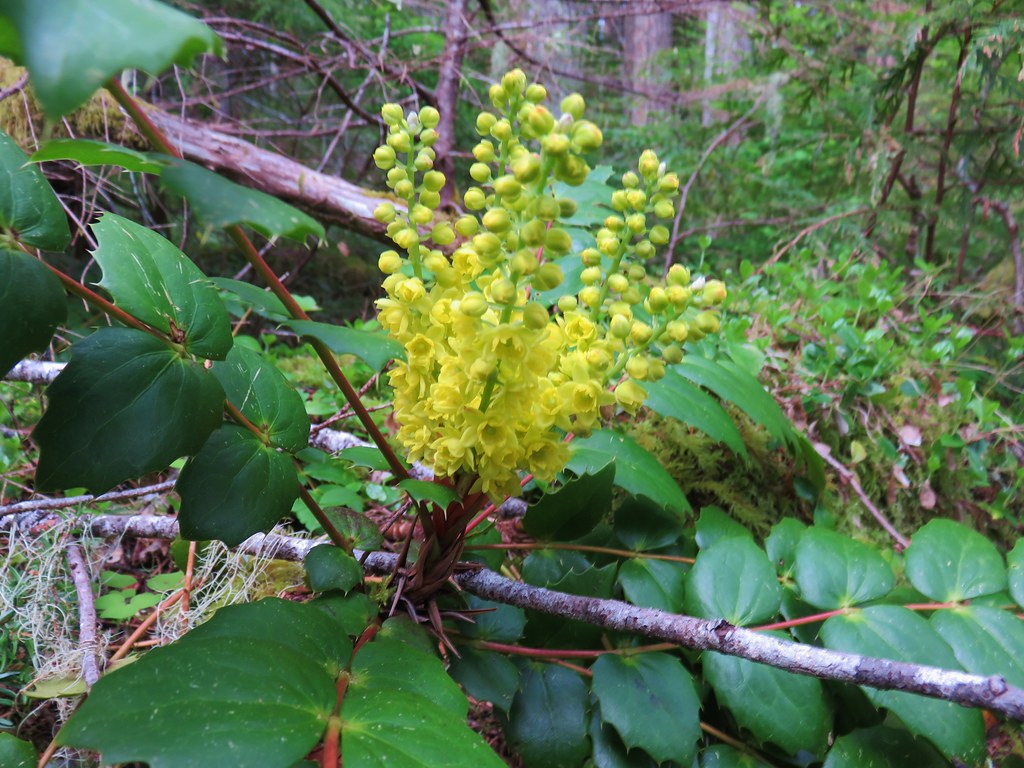 Oregon grape
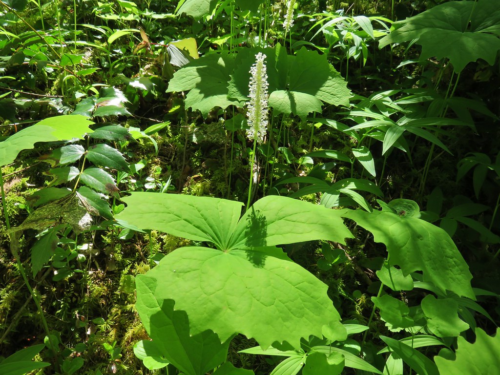 Vanilla leaf
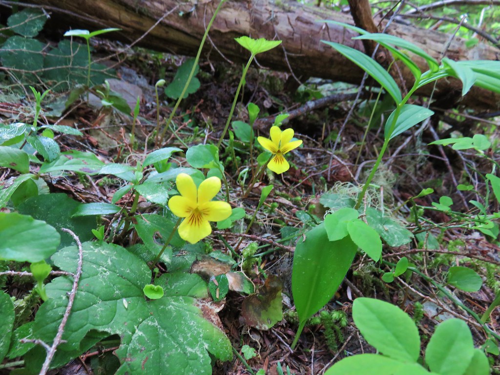 Violets
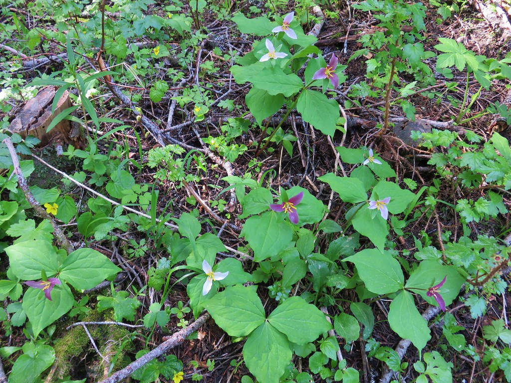
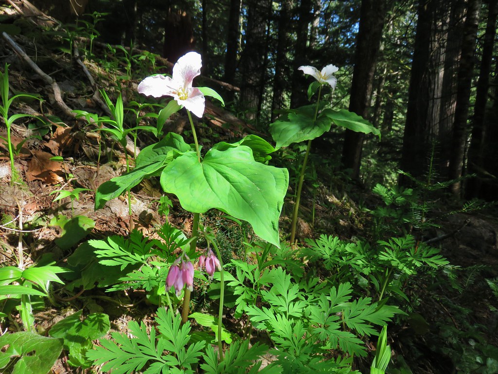 Trillium and bleeding heart
 Bunchberry
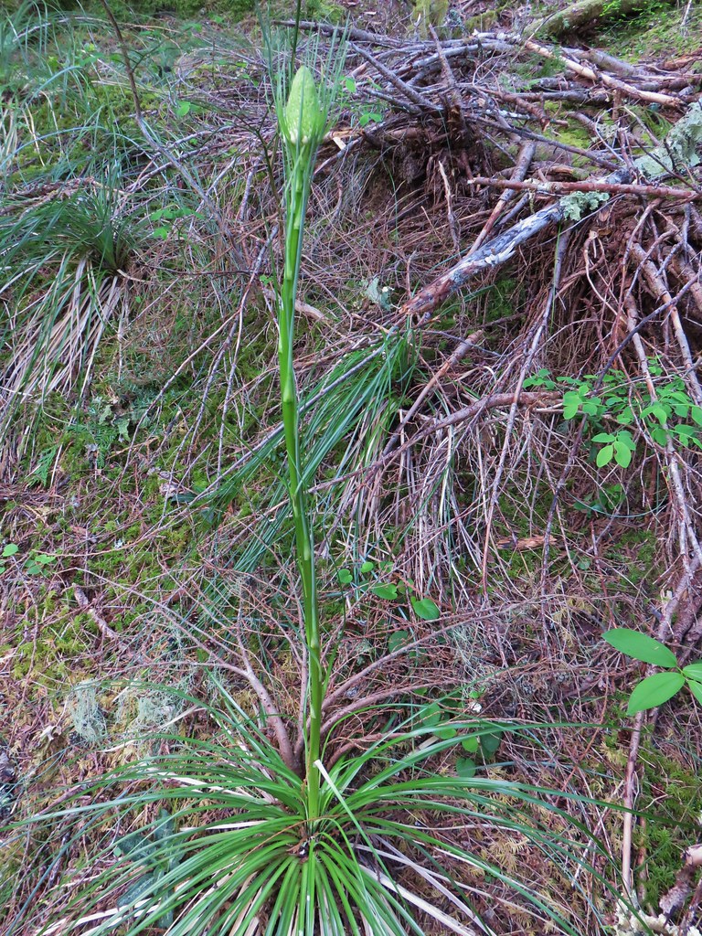
 Beargrass
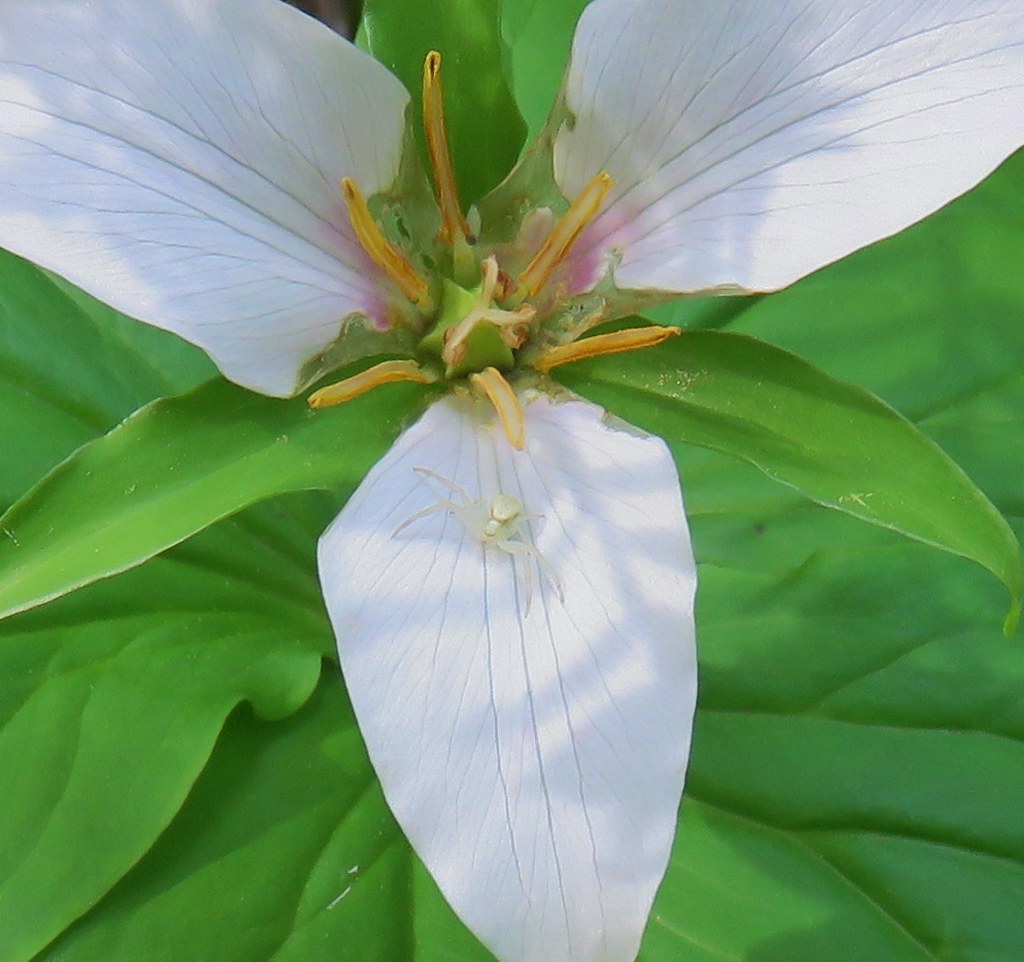 Crab spider on trillium
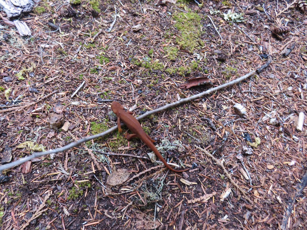
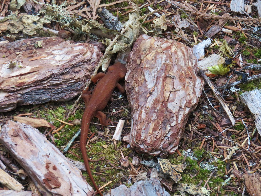
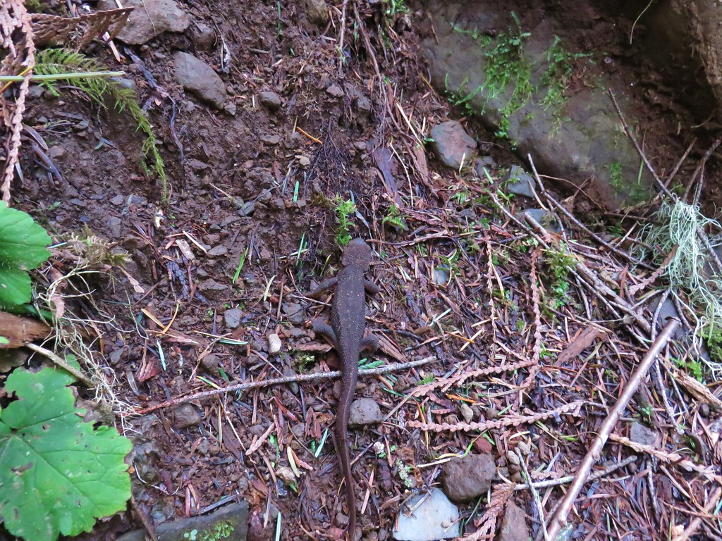 Rough-skinned newt
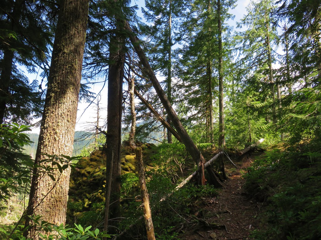


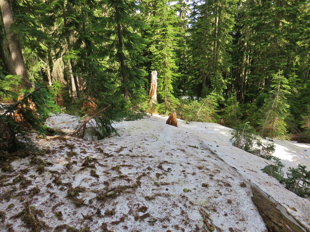
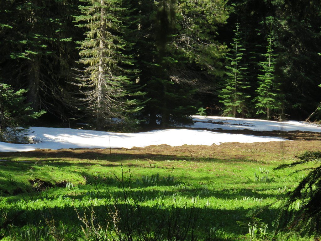
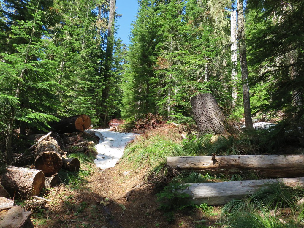
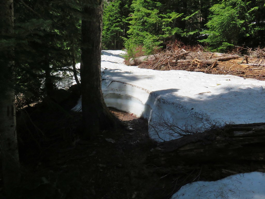
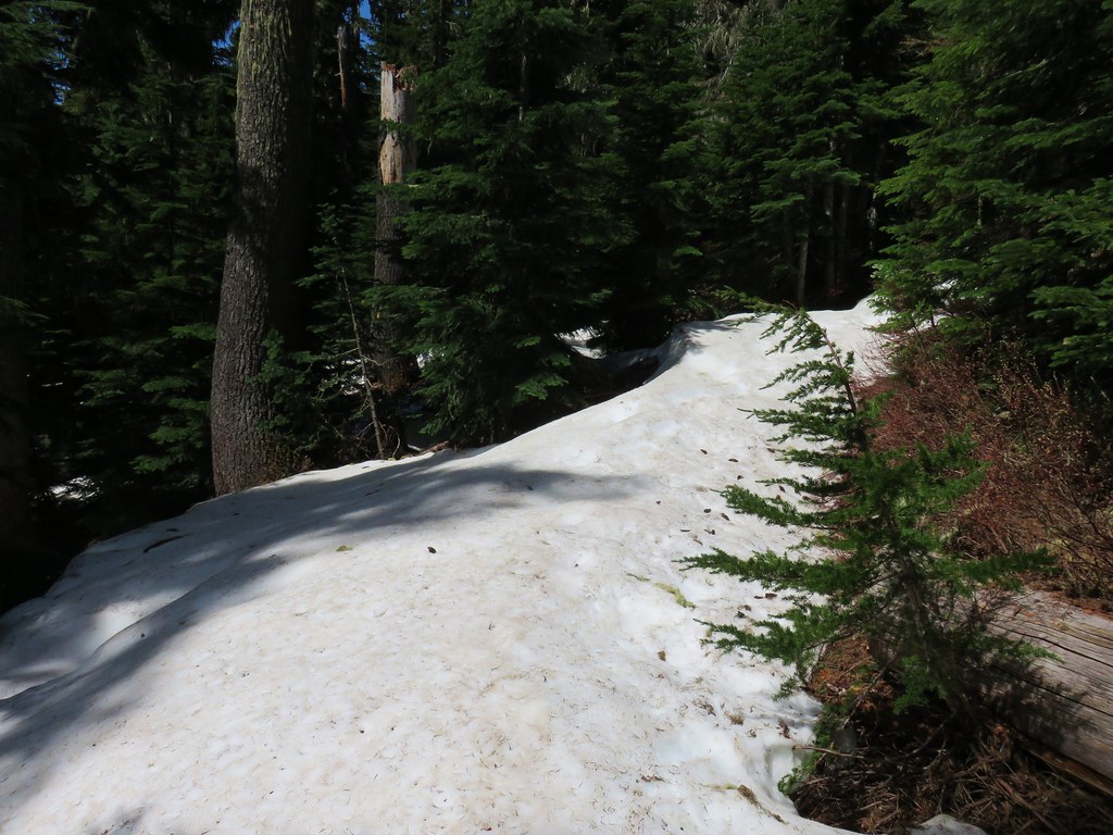
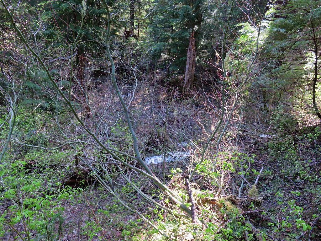 Snow in the bushes along the Lookout Creek Trail
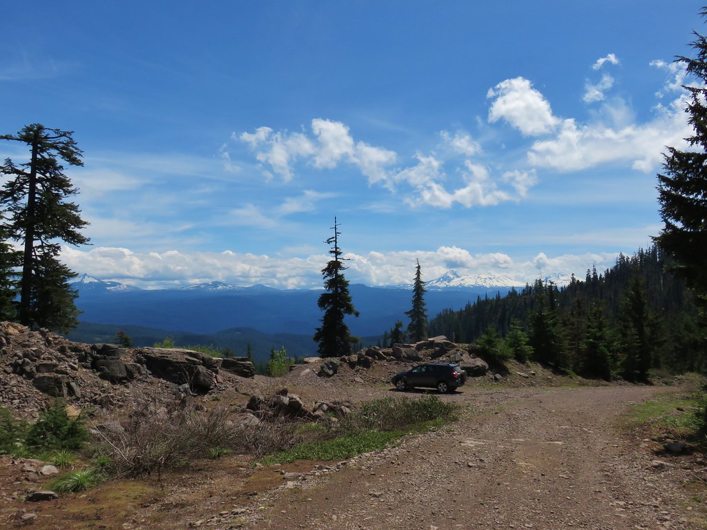


 Looking back down at the route up
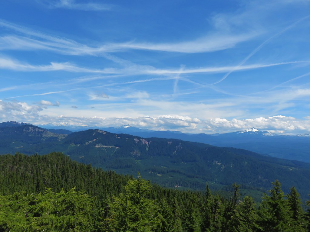 Mt. Jefferson, Three Fingered Jack and Mt. Washington
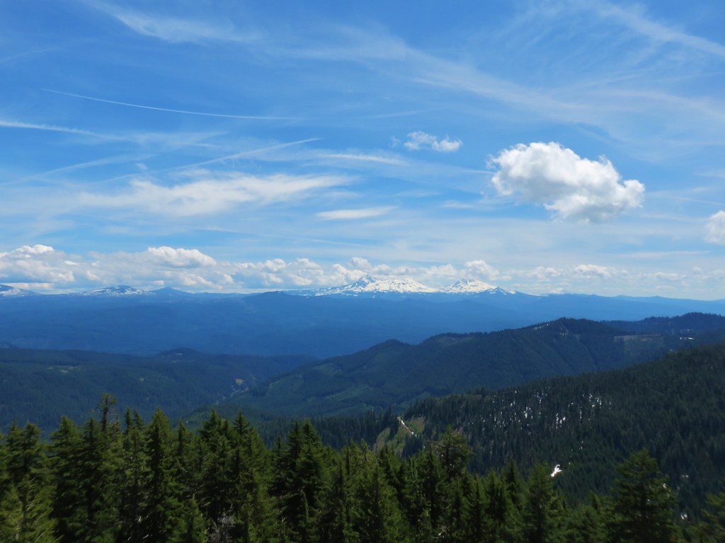
 Diamond Peak
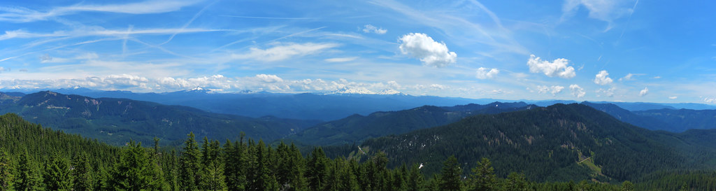 Panorama

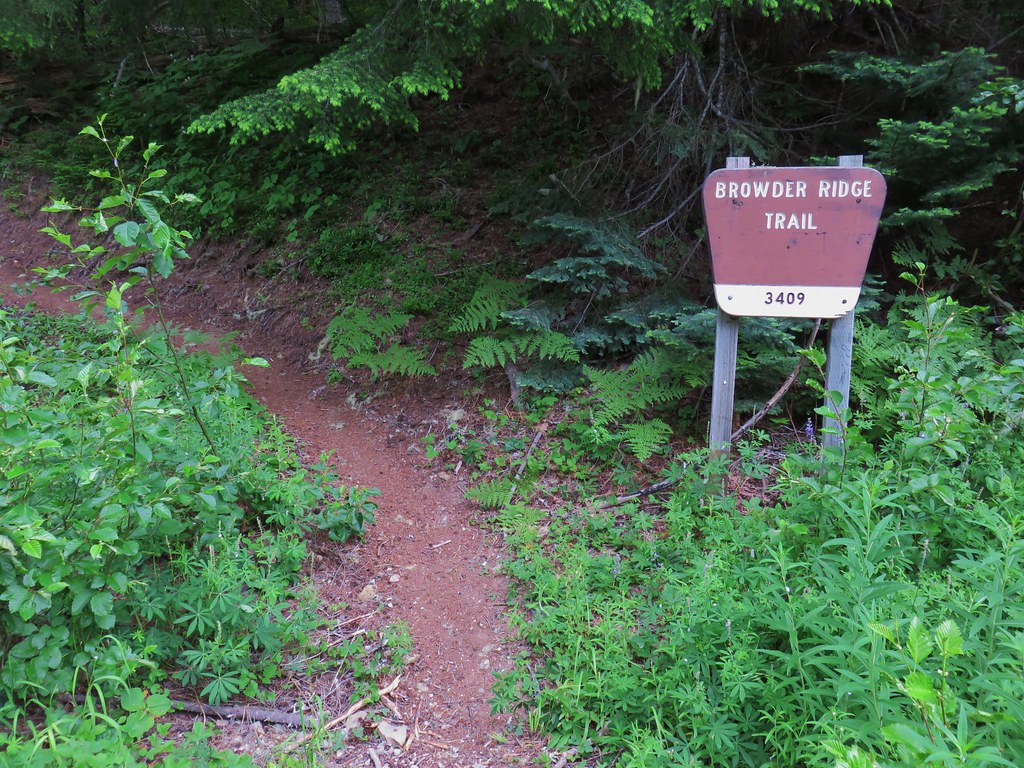
 Browder Ridge (
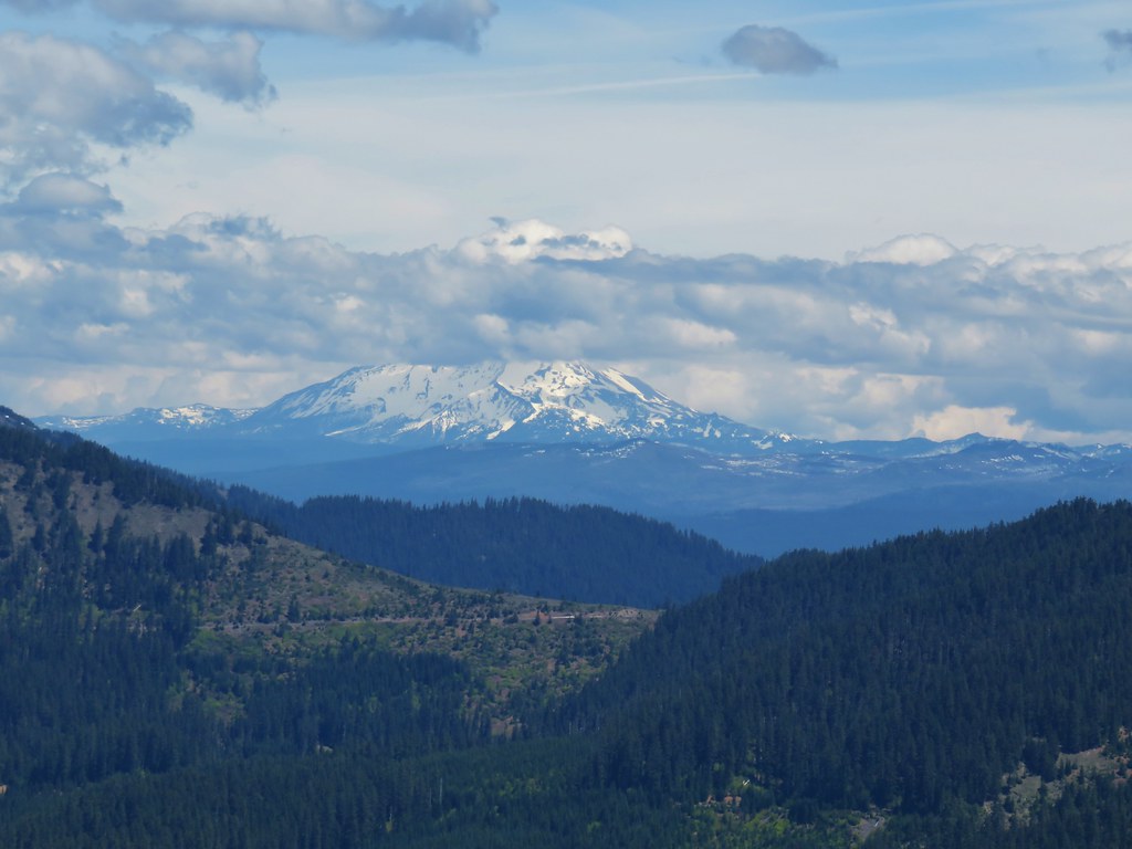 Mt. Jefferson
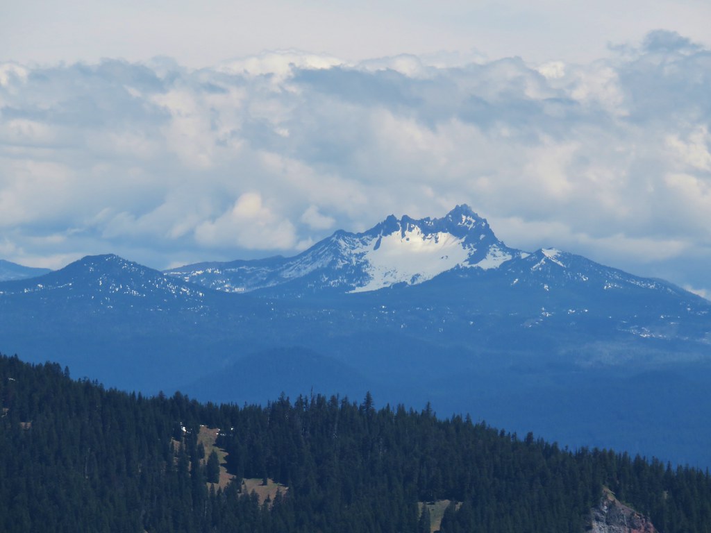 Maxwell Butte (
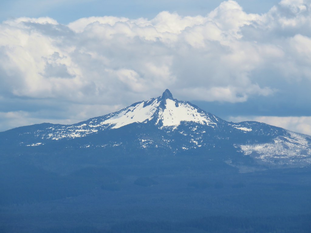 Mt. Washington
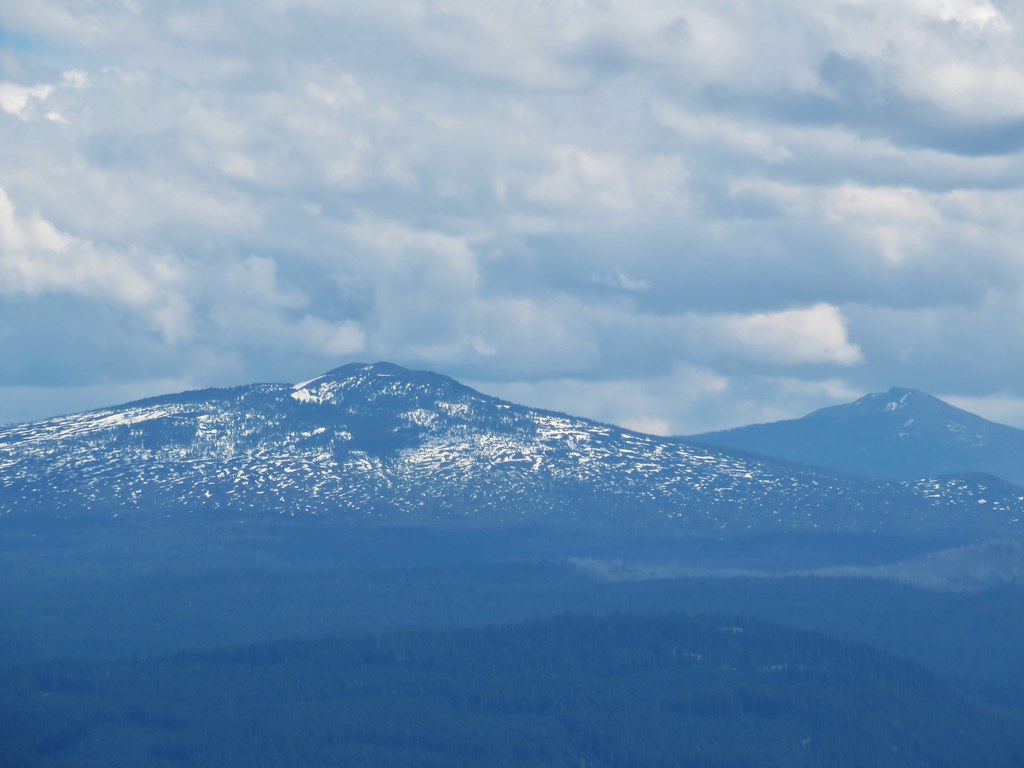 Belknap Crater (
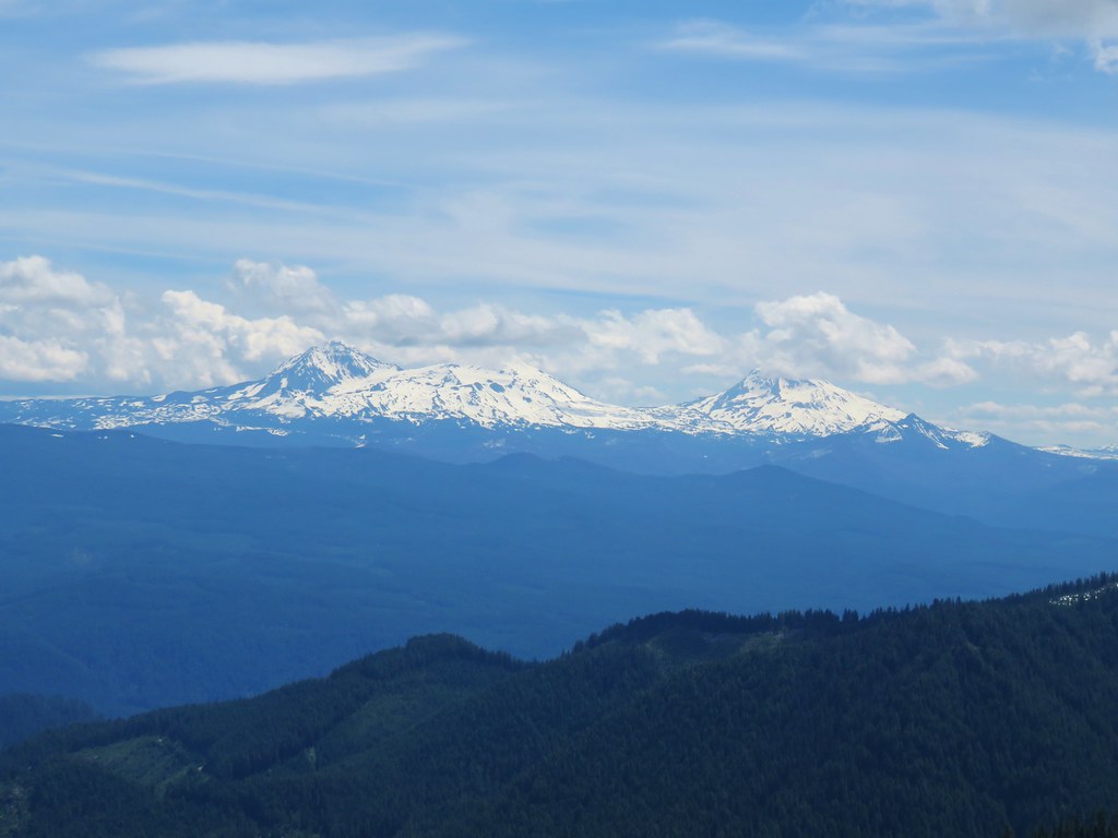 The Three Sisters and The Husband
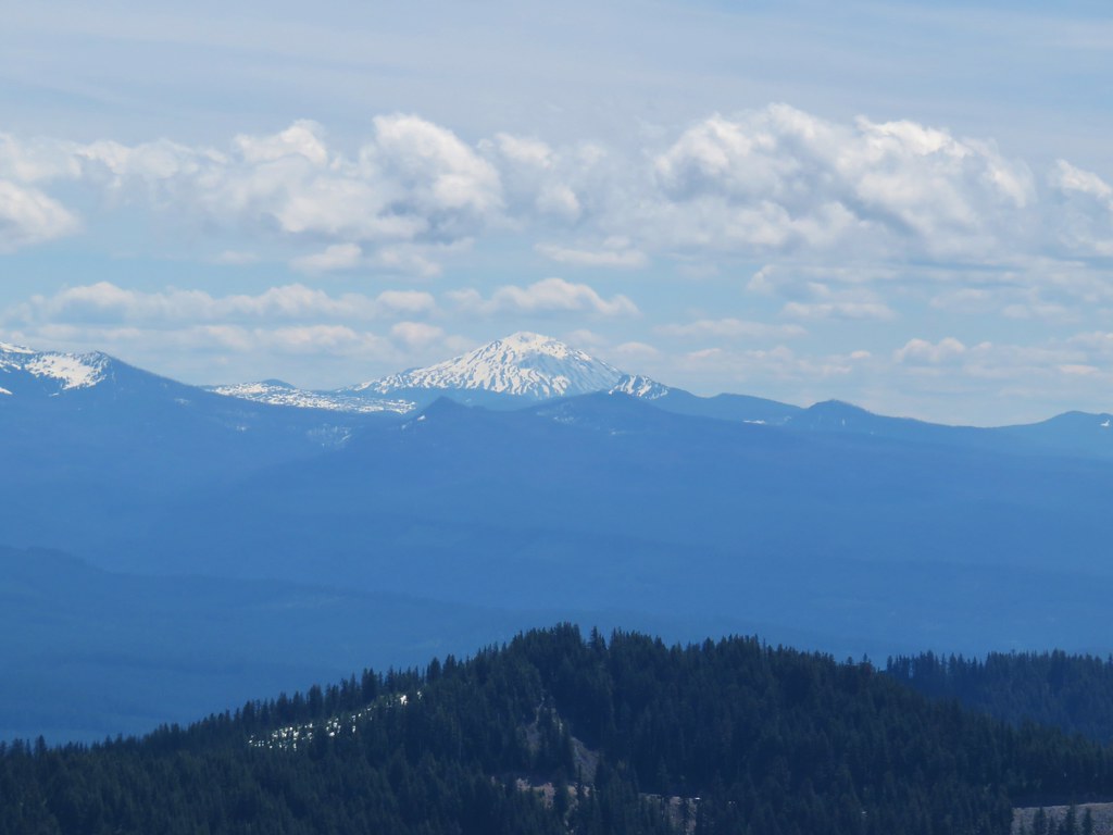 Mt. Bachelor
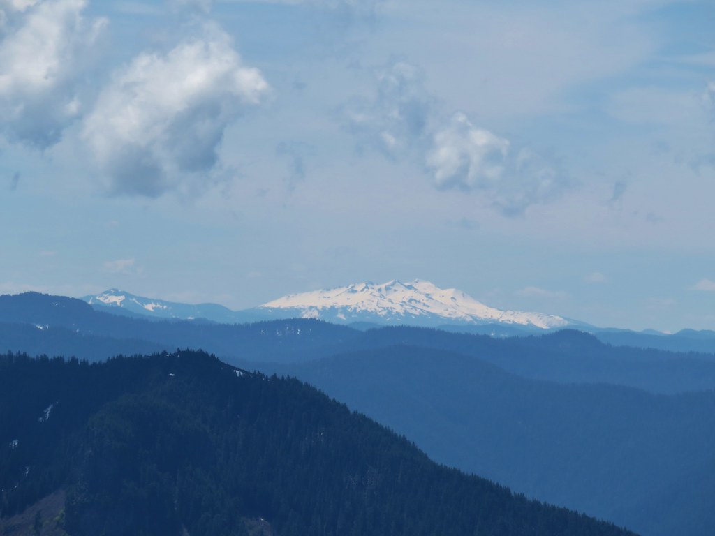 Fuji Mountain (
 Tidbits Mountain
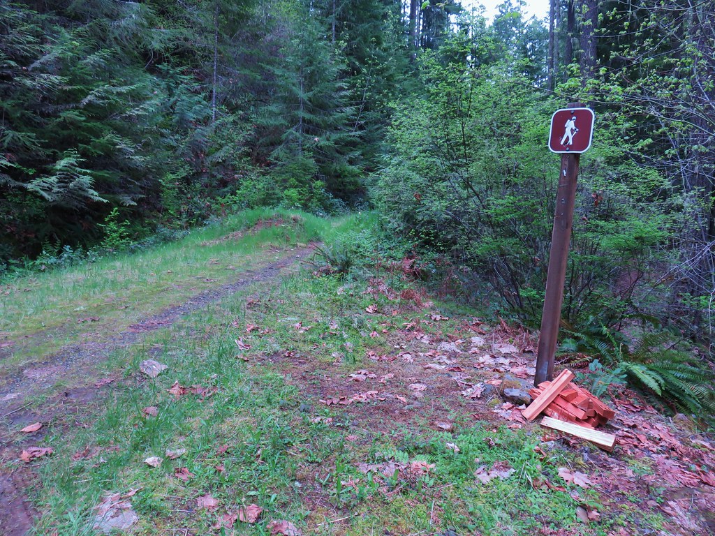


 Mt. Jefferson
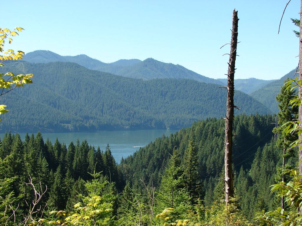 Detroit Lake
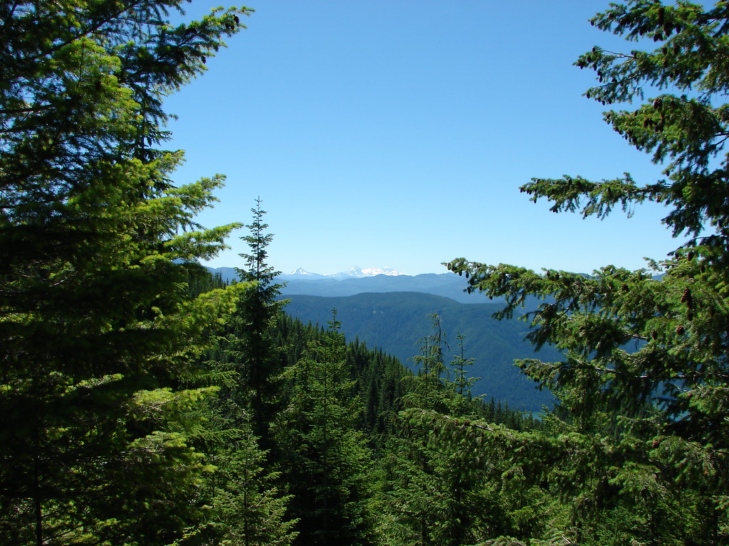 Mt. Washington and the Three Sisters
 Mt. Washington and the Three Sisters
 Mt. Jefferson
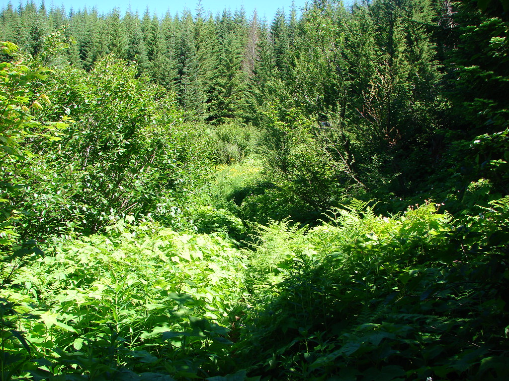

 Coffin and Bachelor Mountains in front of Three Fingered Jack, Mt. Washington, and The Three Sisters
 Tumble Lake
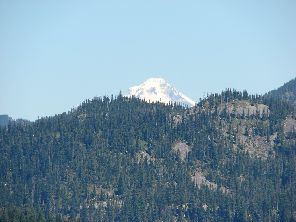 Mt. Hood
 Close up of Mt. Jefferson
 Mt. Jefferson and Three Fingered Jack
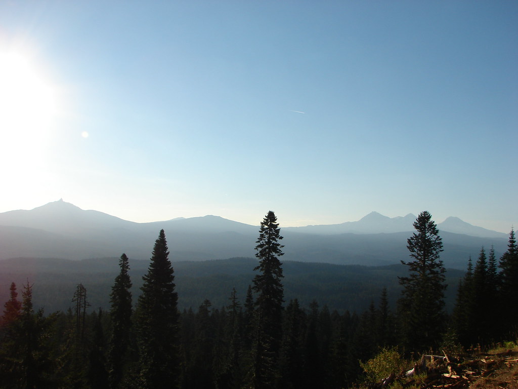 Mt. Washington and the Three Sisters