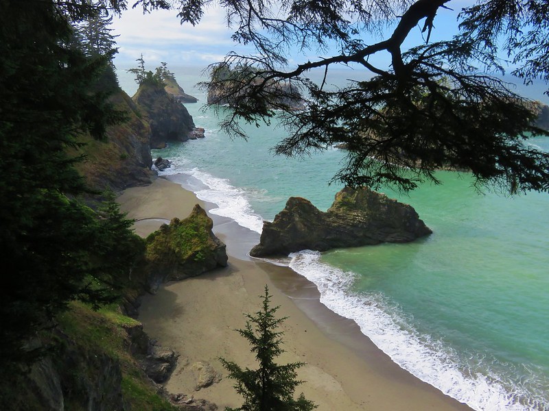
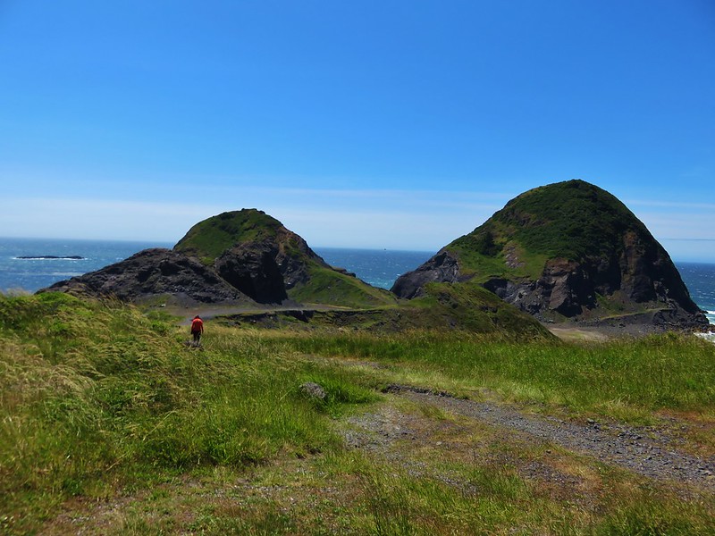
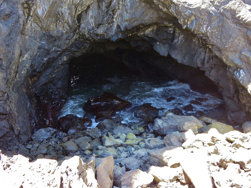
For the 4th of July we spent our day off revisiting Coffin and Bachelor Mountains and discovering the Bugaboo Ridge Trail. Our previous hike up Coffin and Bachelor Mountains was on a cloudy day in early August, 2013. We hadn’t experienced any mountain views that day and it was past peak for the wildflowers so we had added it to the list of hikes to redo. In addition to revisiting the two mountains we also planned on checking out the Bugaboo Ridge Trail which intersects the Bachelor Mountain Trail.
A recent presentation by Matt Reeder at Salem Summit Company had prompted us to pick up a copy of his book “101 Hikes in the Majestic Mount Jefferson Region” which provided some additional details on the Bugaboo Ridge Trail. After reading his description it seemed well worth the additional mileage to check it out.
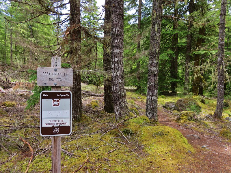
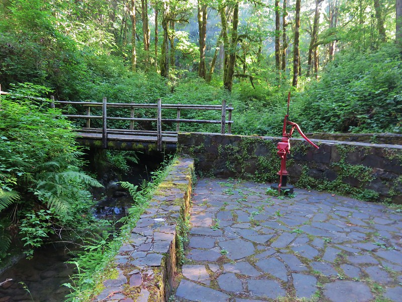
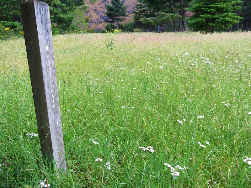
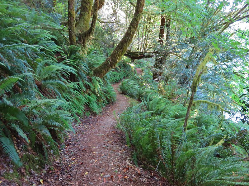
We parked at the Coffin Mountain Trailhead which is accessed via Straight Creek Road found 2.9 miles south of Marion Forks.
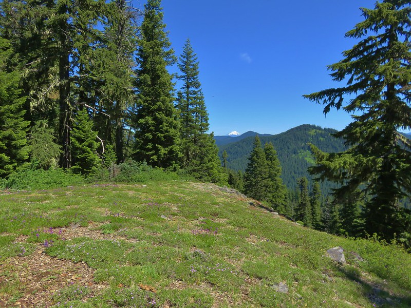
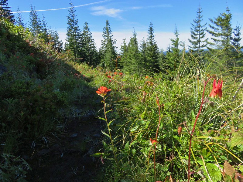
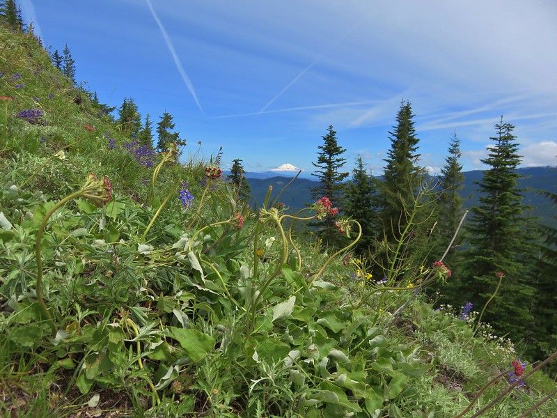
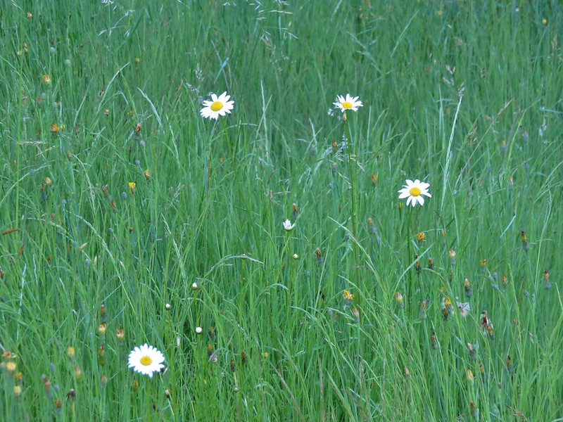
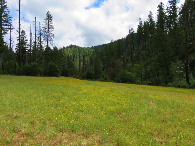
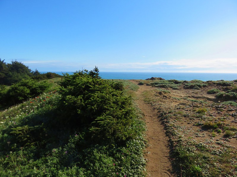
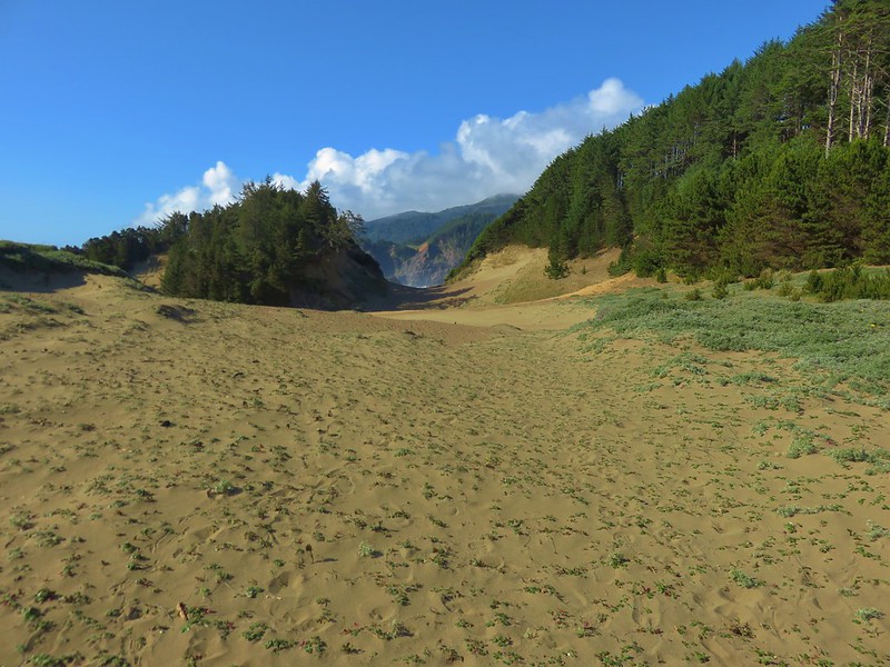
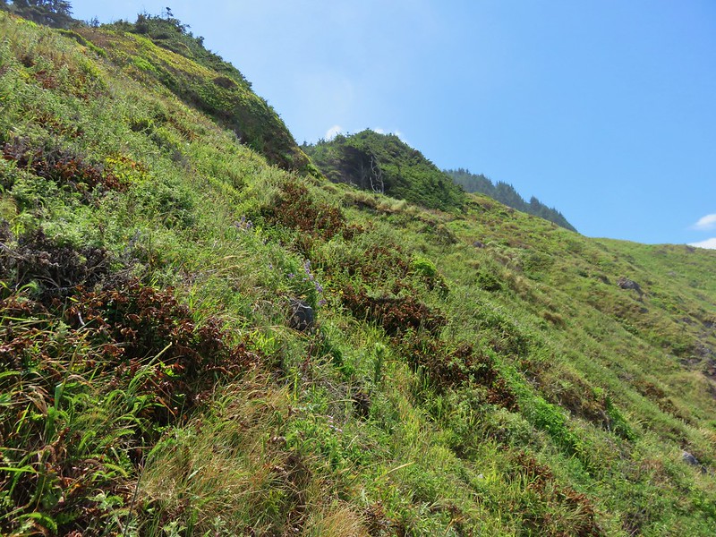
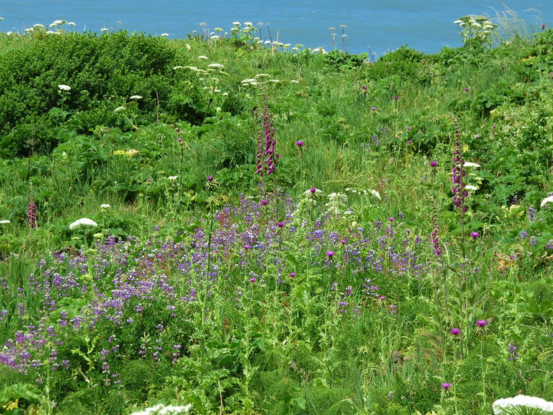
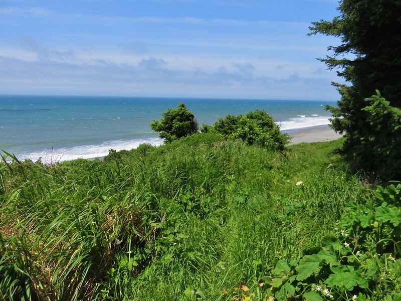
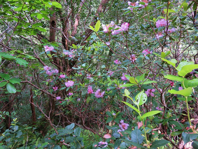
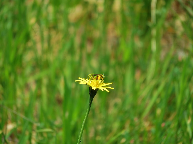
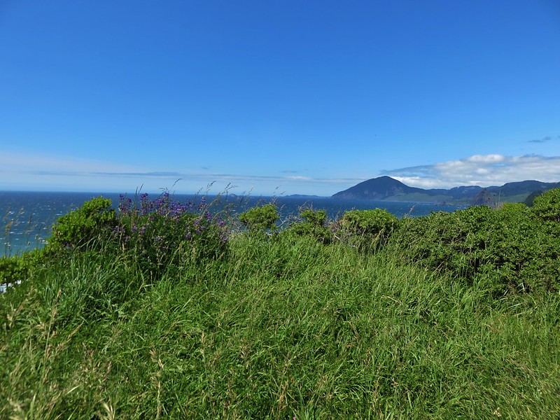
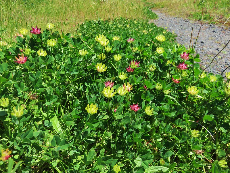
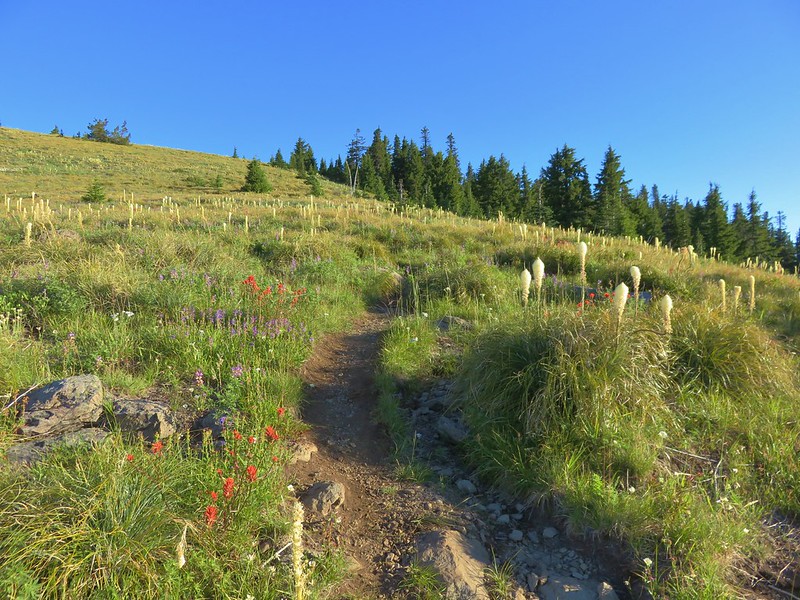
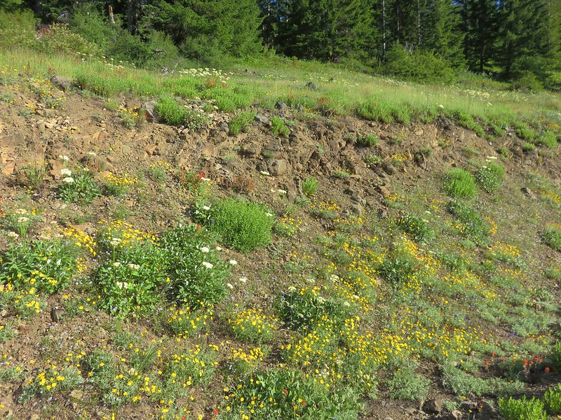
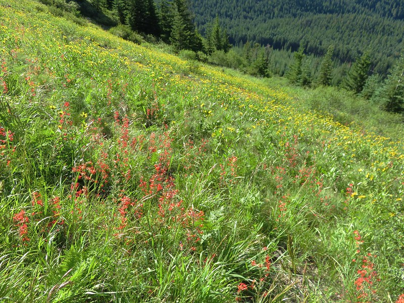
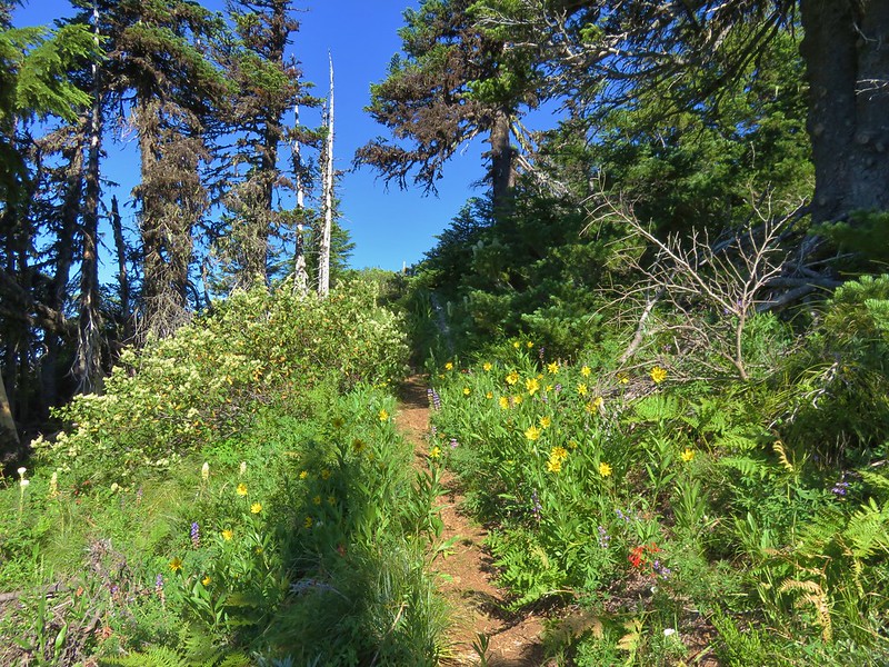
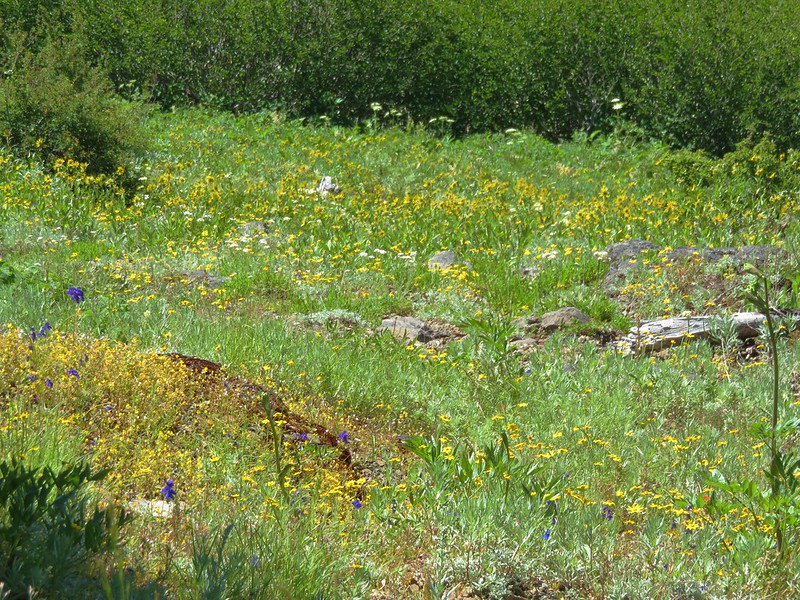
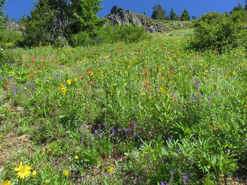
On our previous visit we had parked here and started by walking 1.2 miles further along forest roads to the Bachelor Mountain Trailhead and hiking to that summit before returning and heading up Coffin Mountain. To change things up this time we headed up Coffin Mountain first. Most of the Coffin Mountain Trail passes through open wildflower meadows.
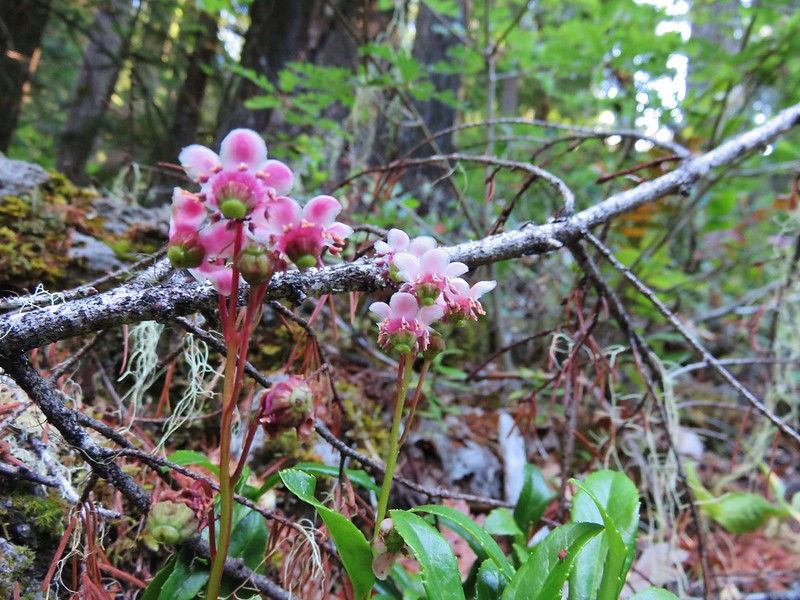
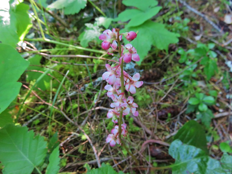
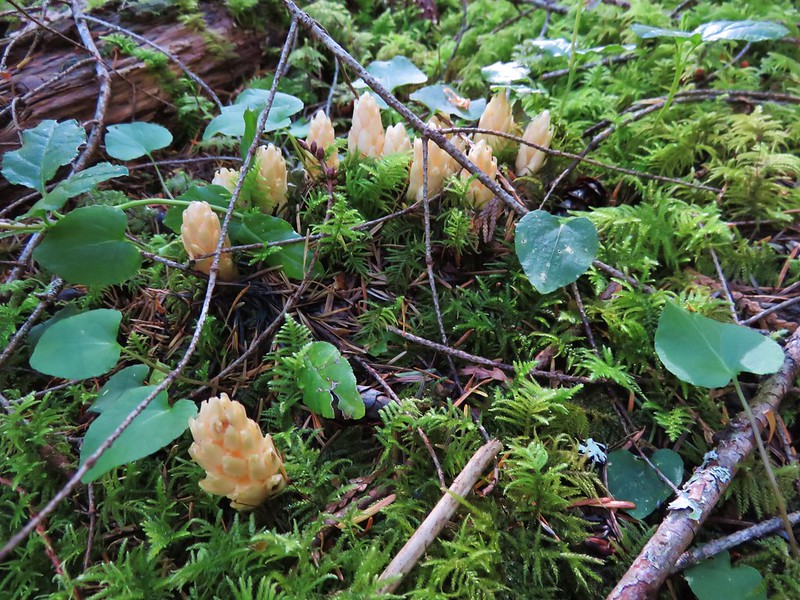
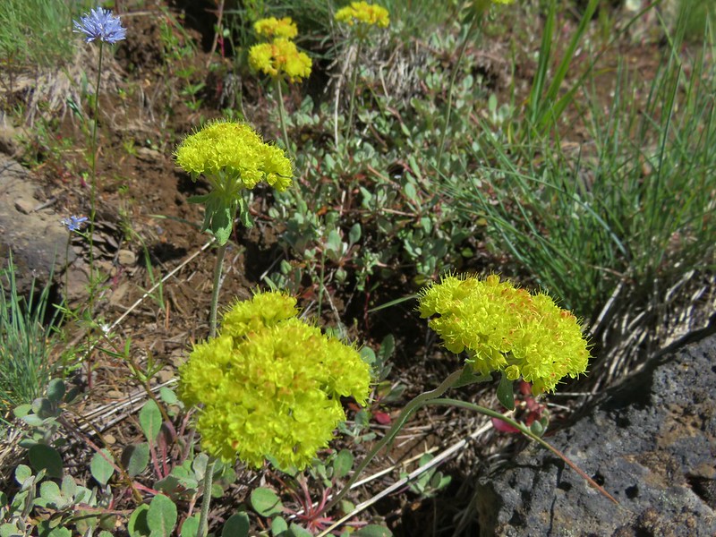
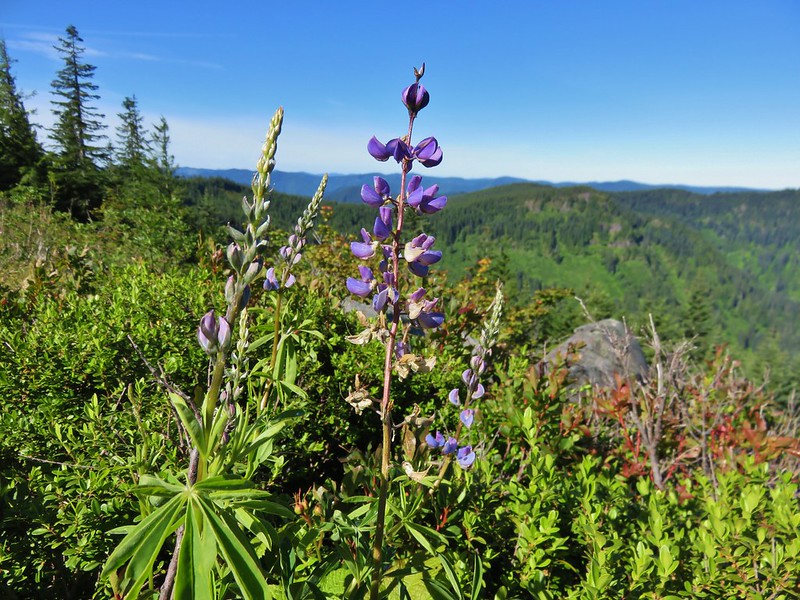
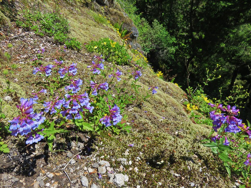
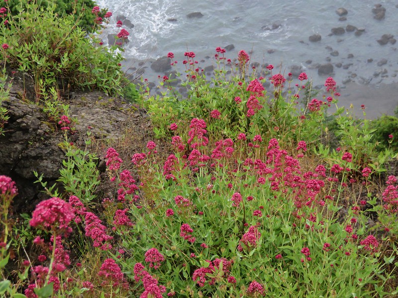
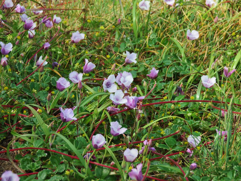
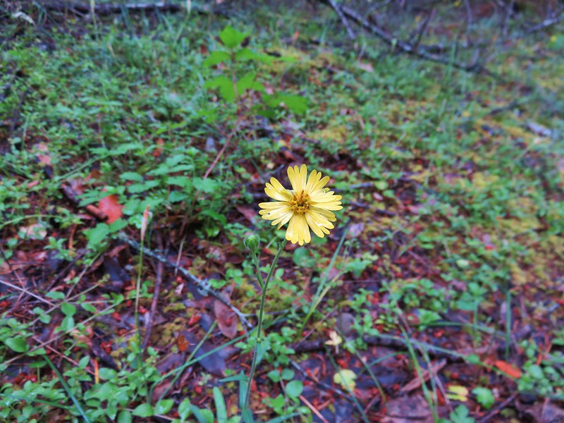
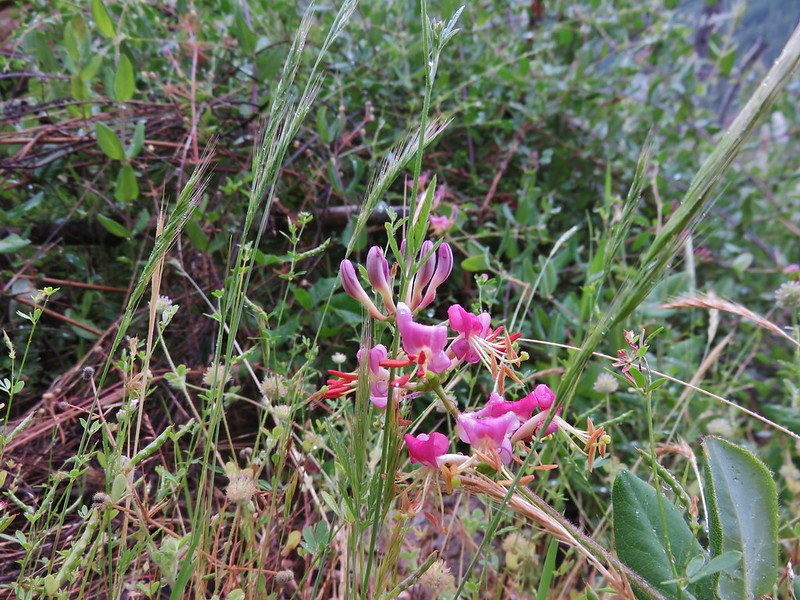
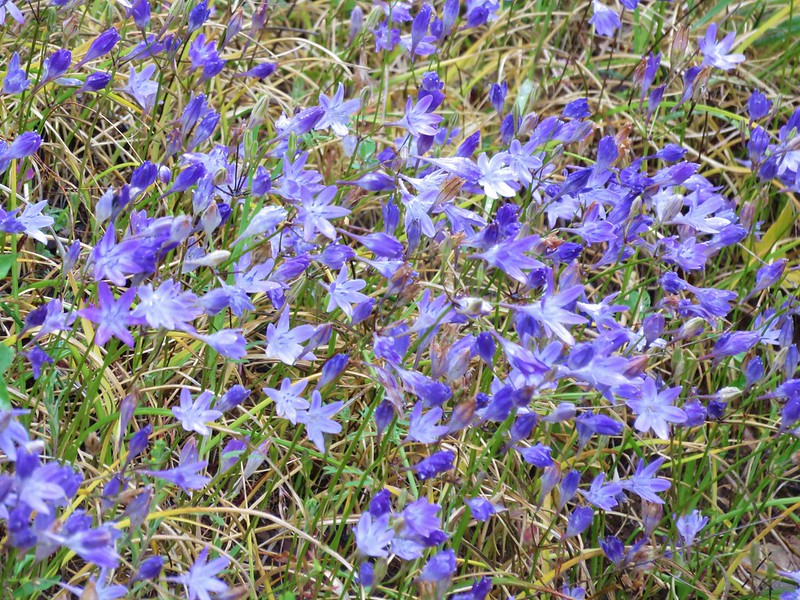
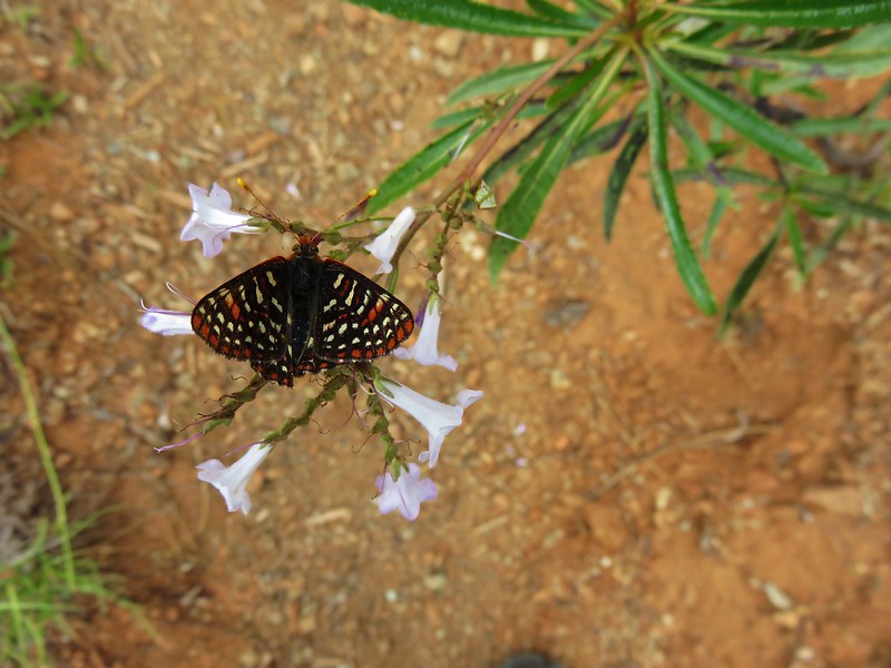
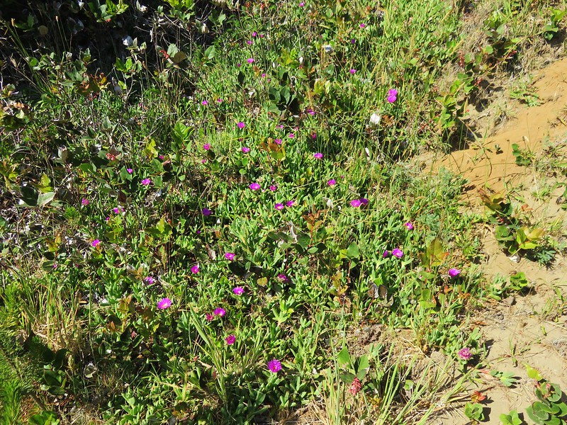
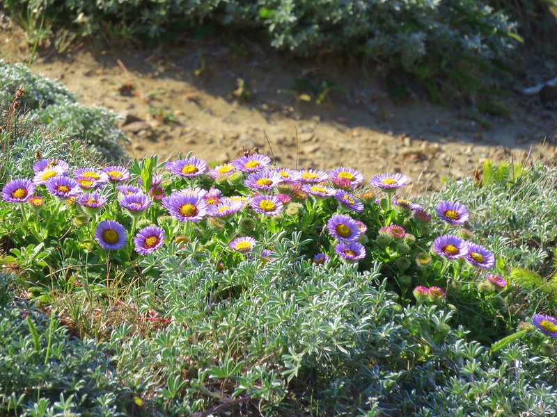
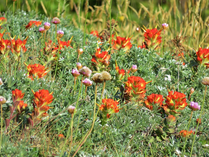
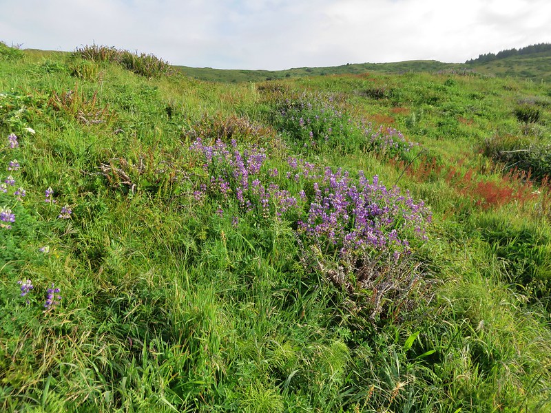
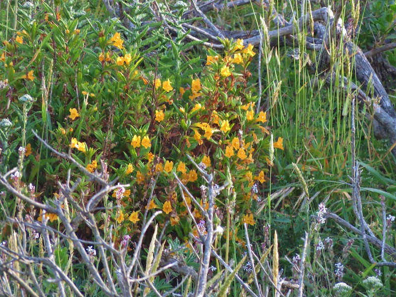
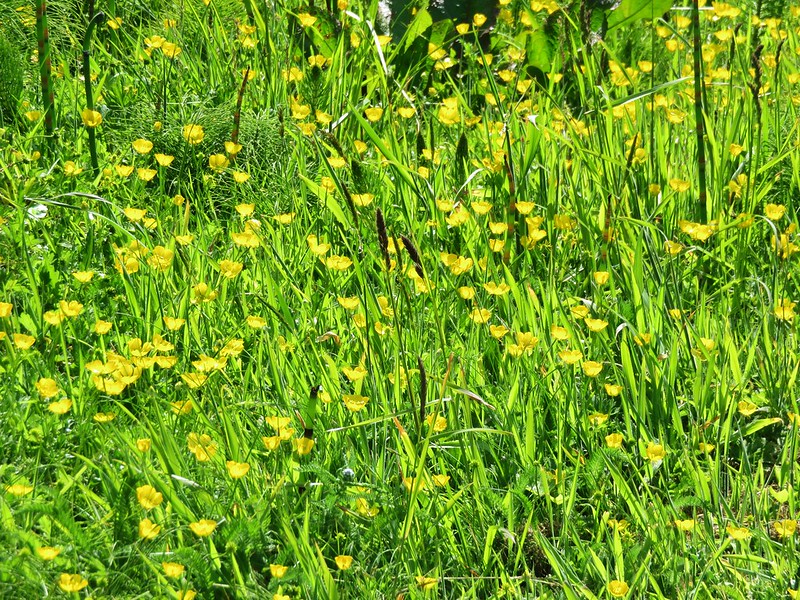
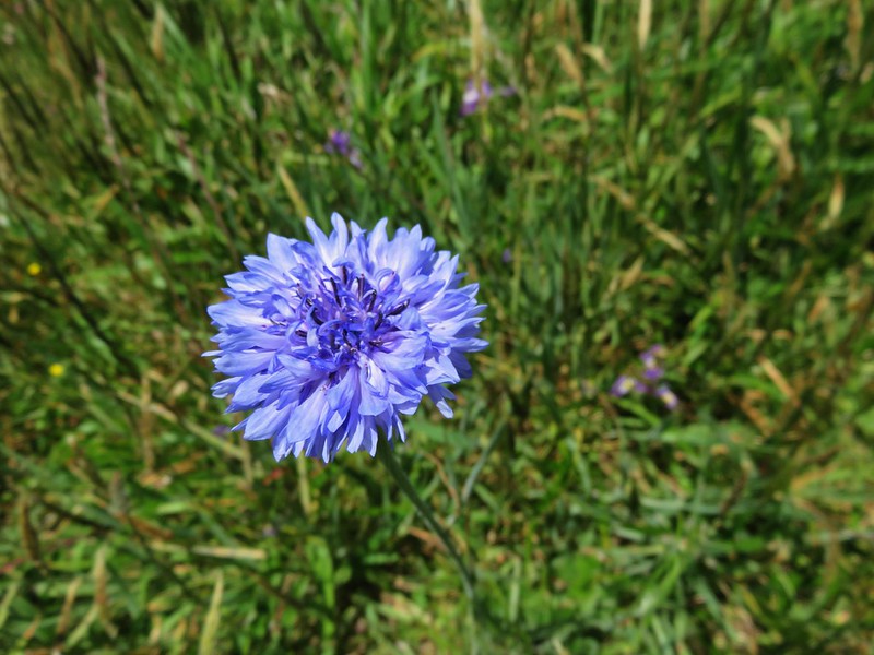
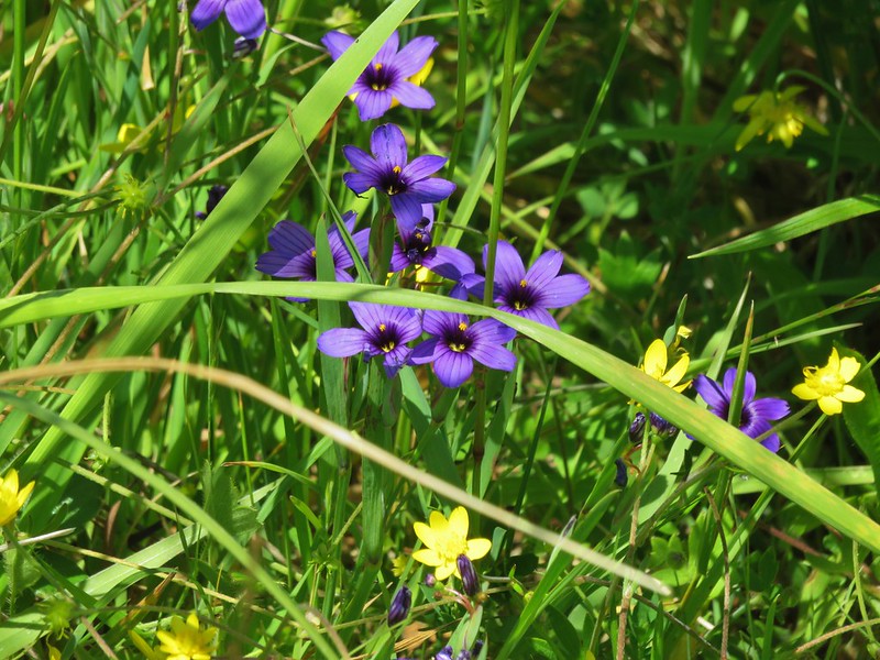
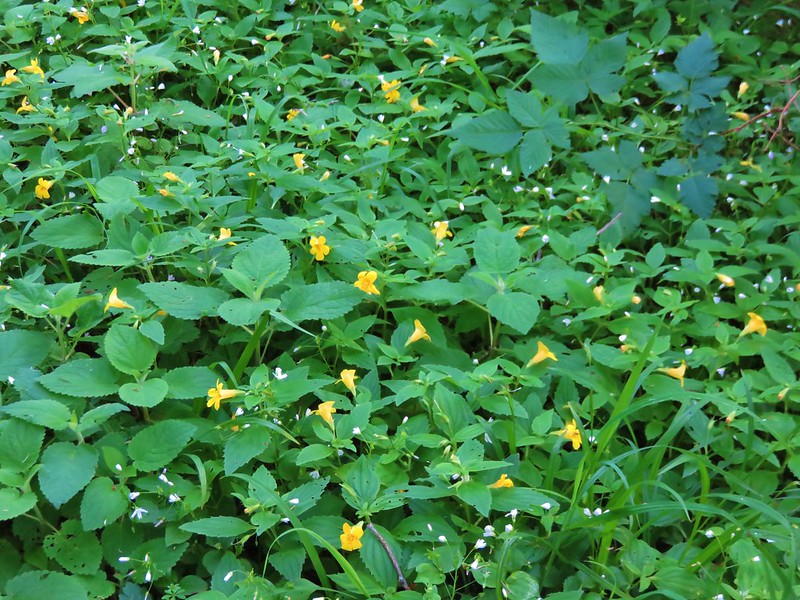
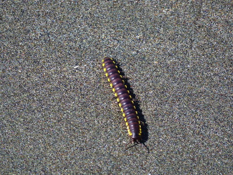
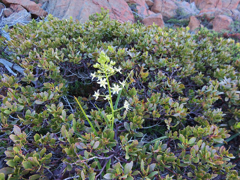
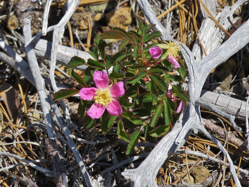
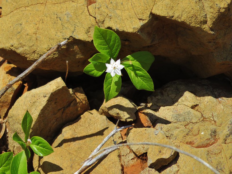
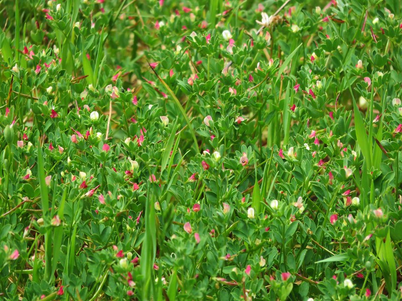
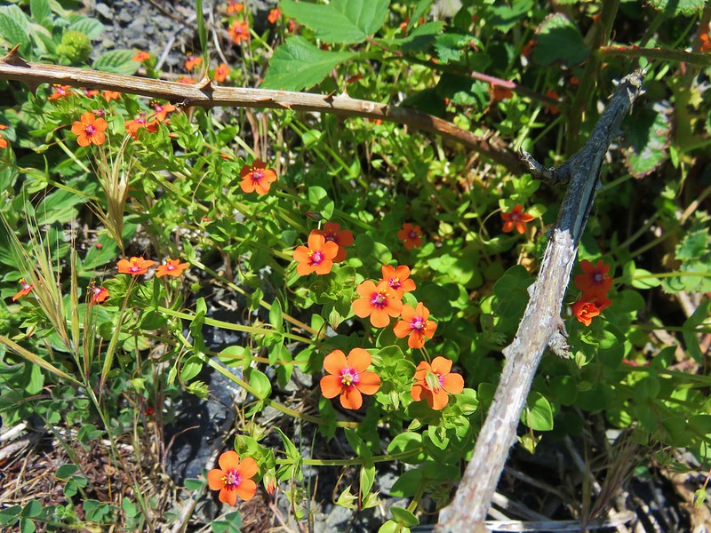
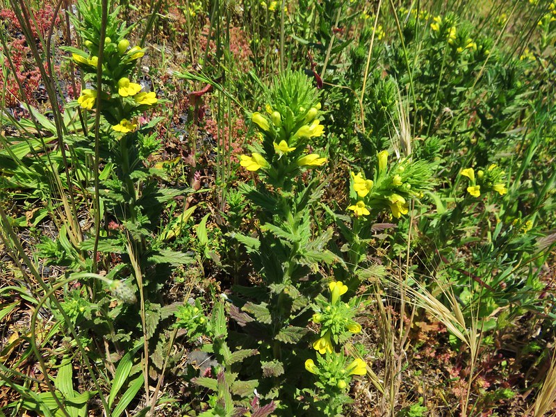
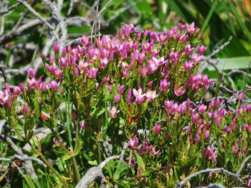
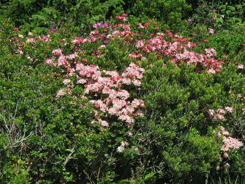
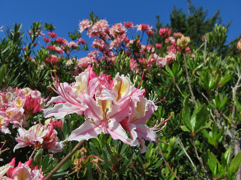
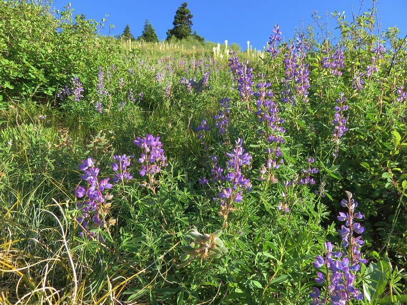
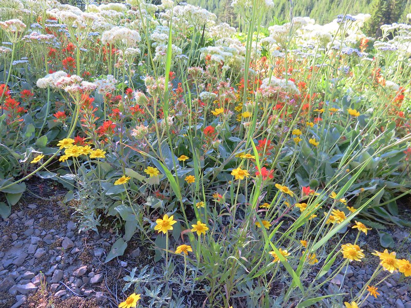
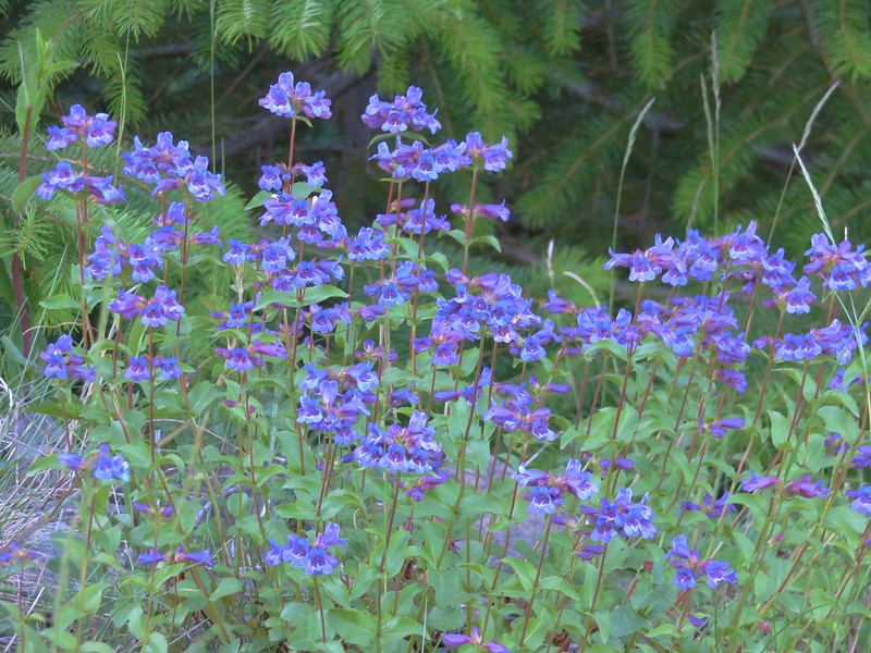
Our timing was much closer to peak for the wildflowers and there was a wide variety in various stages of bloom.
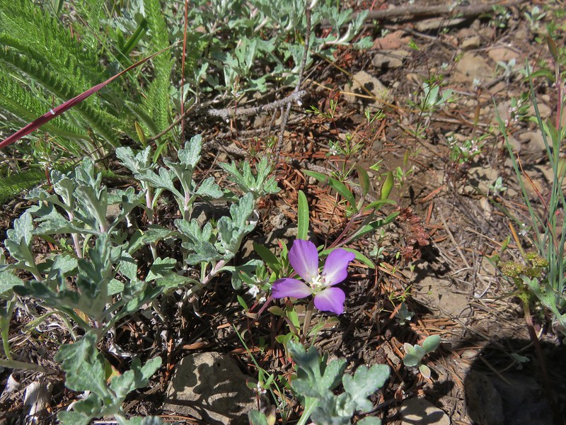
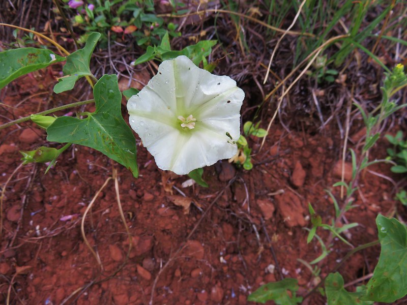
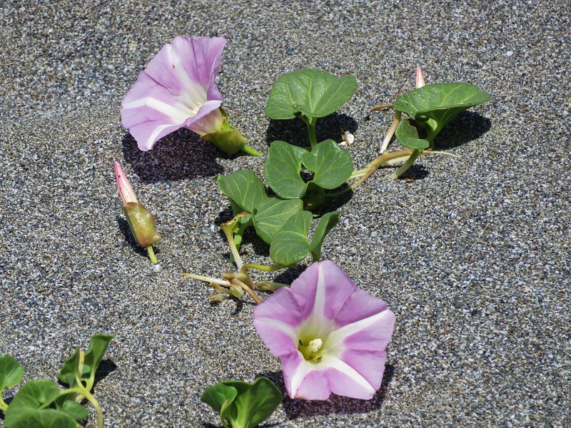
Chaparral false bindweed

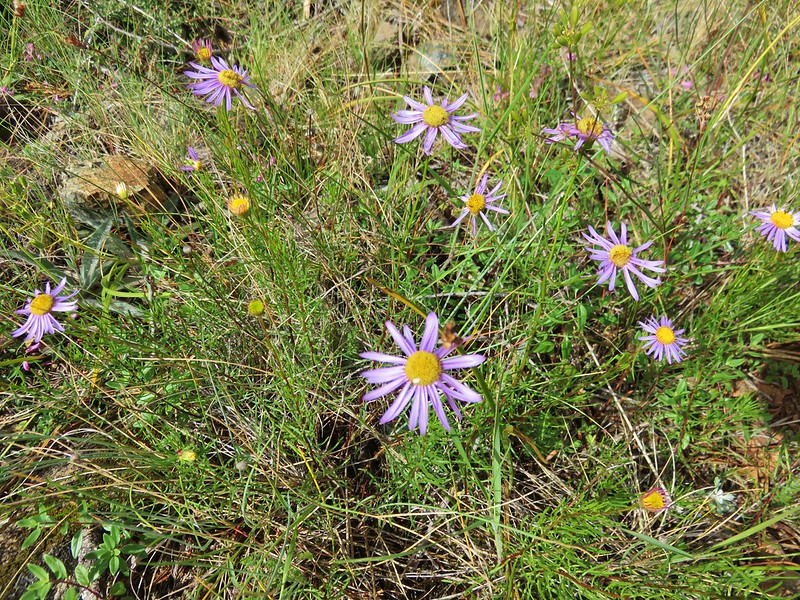
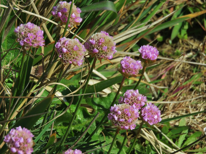
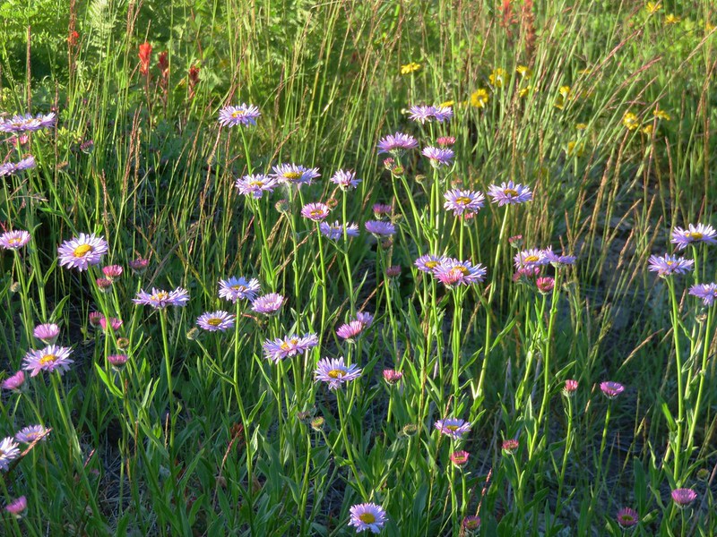
Aster
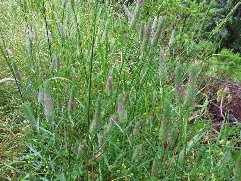
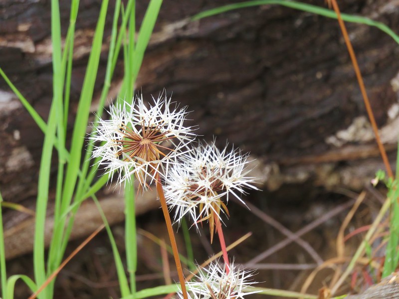
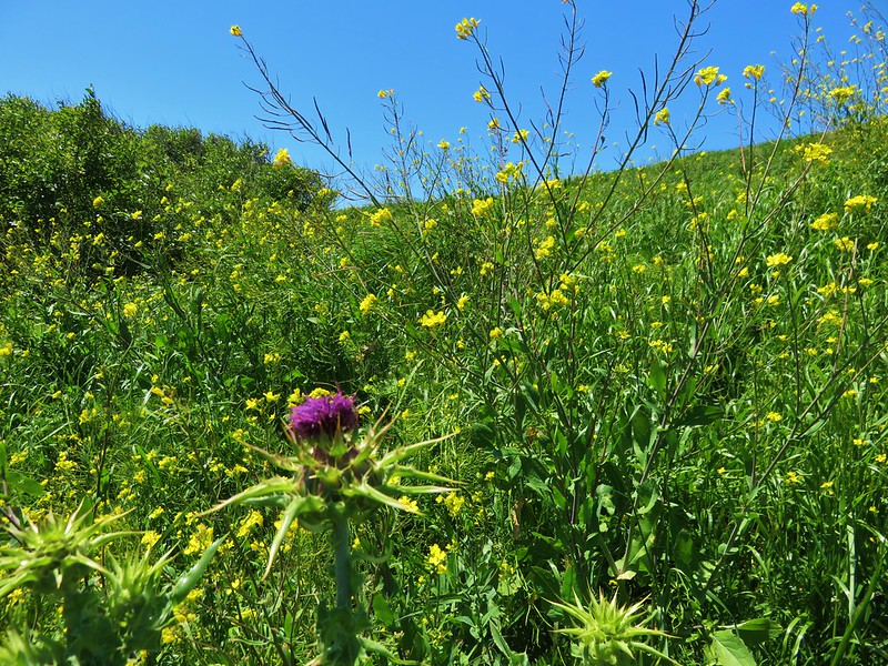
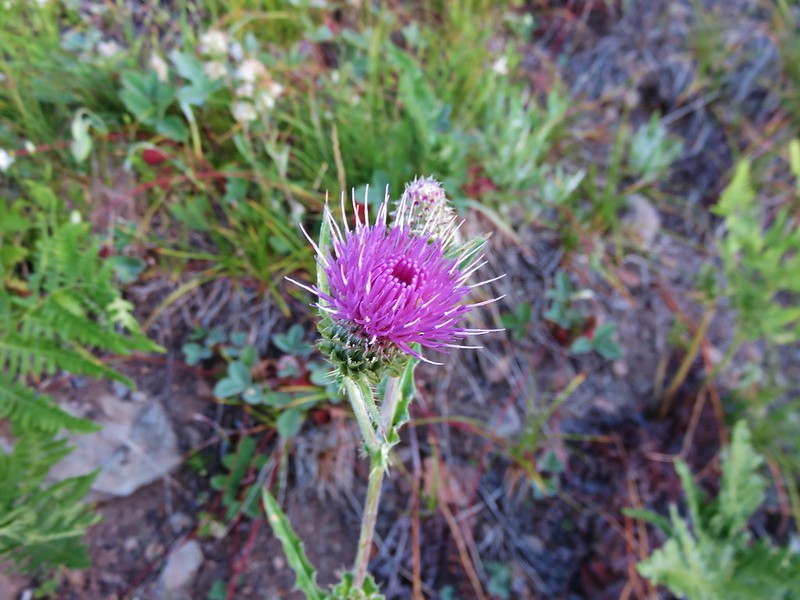
Thistle
Fireweed
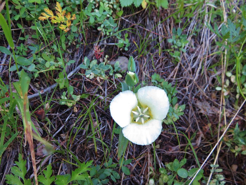
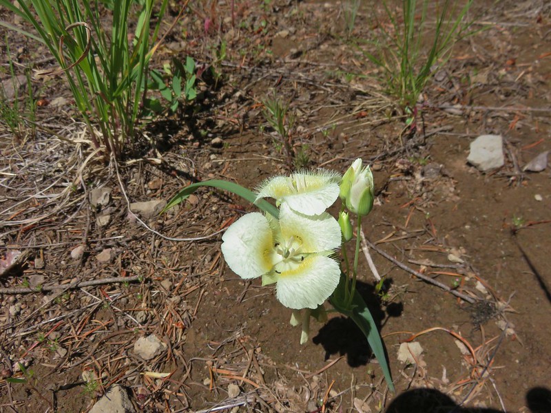
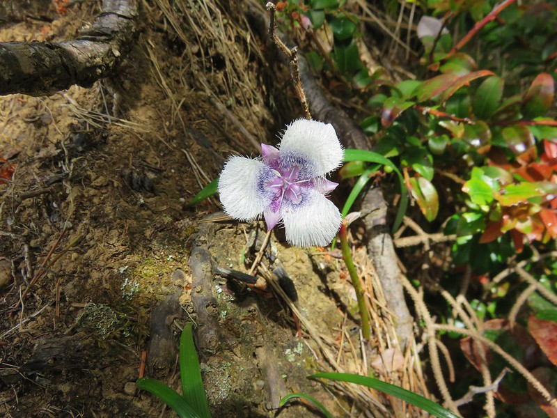
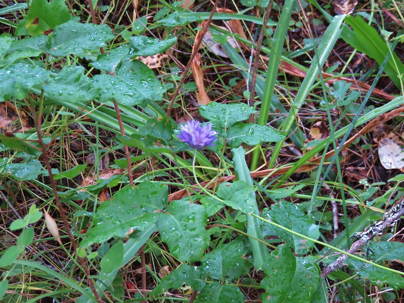
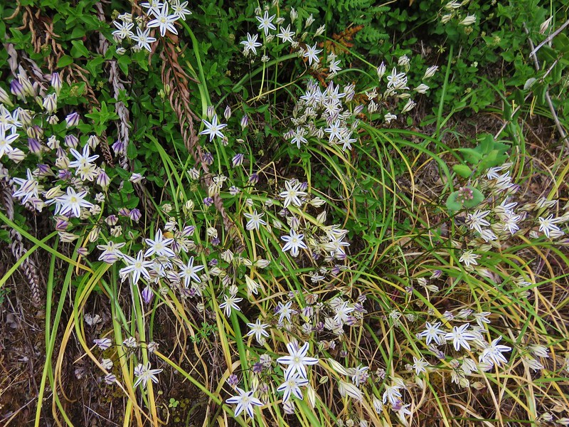
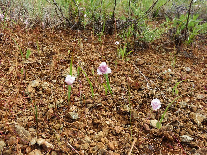
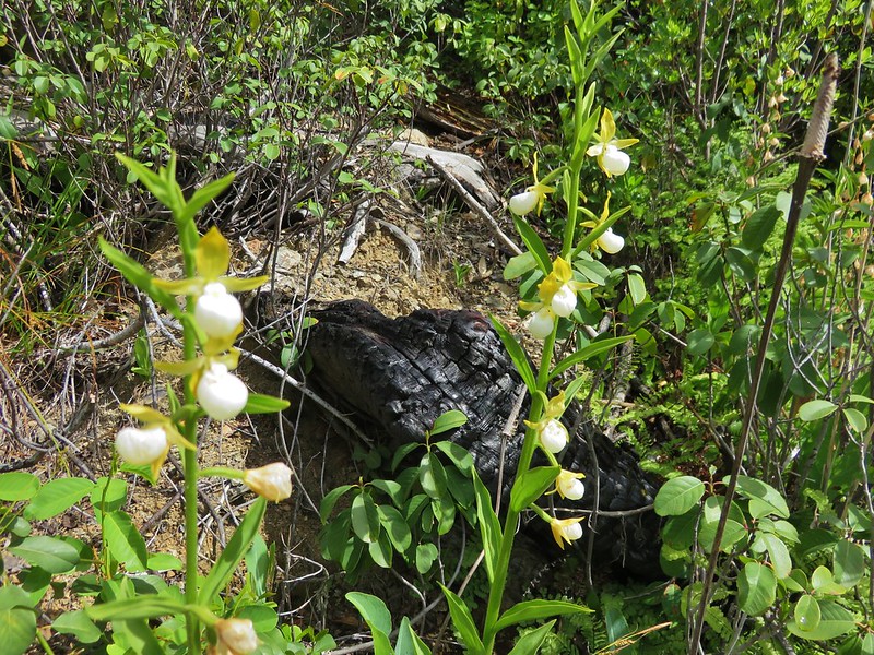
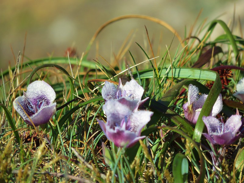
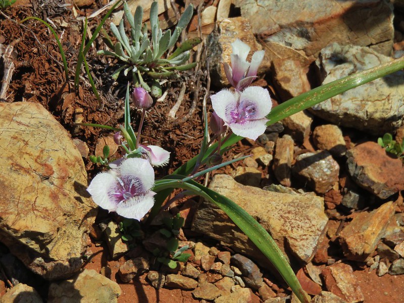
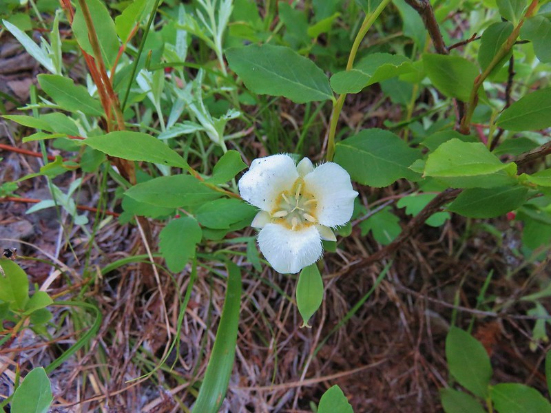
Cat’s ear lily
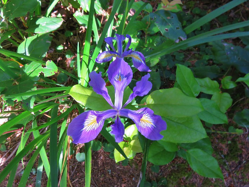
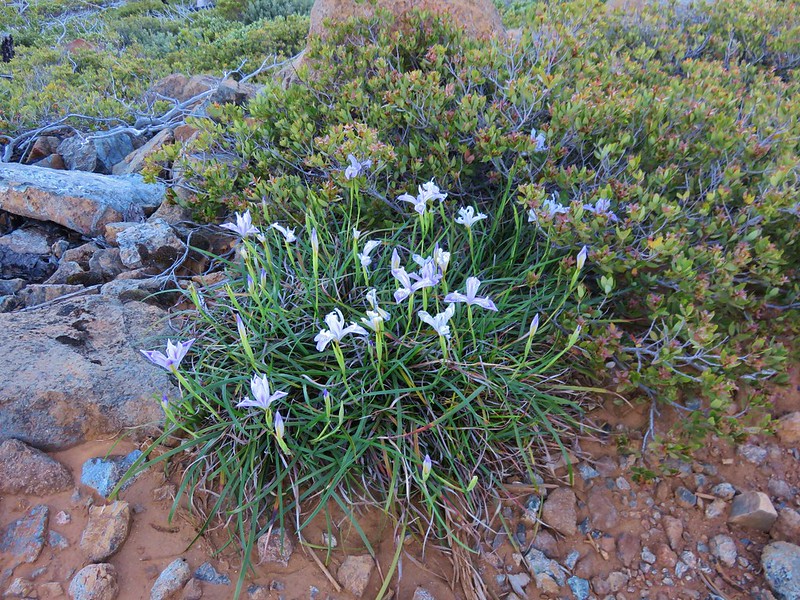
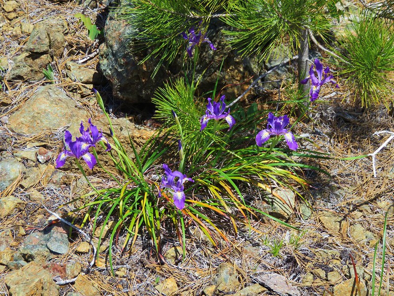
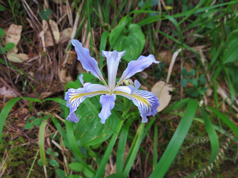
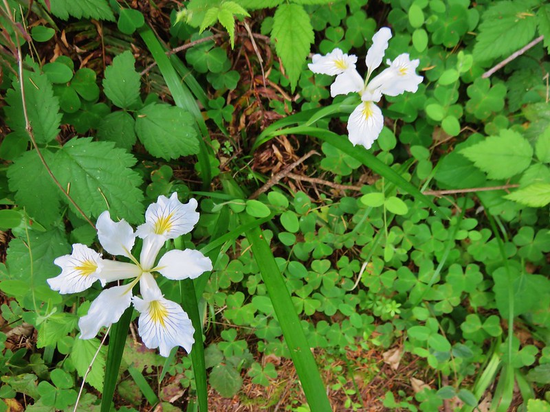
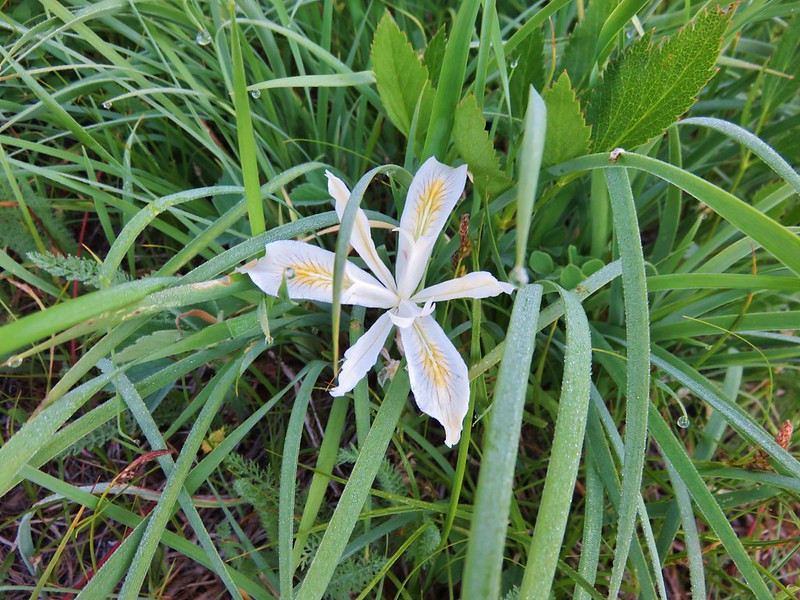
Yellow leaf iris
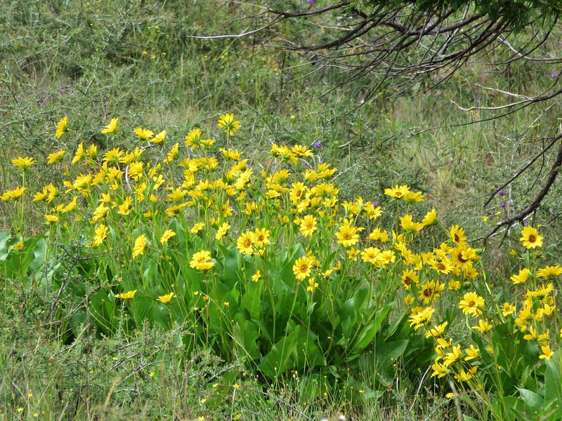
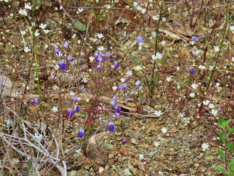
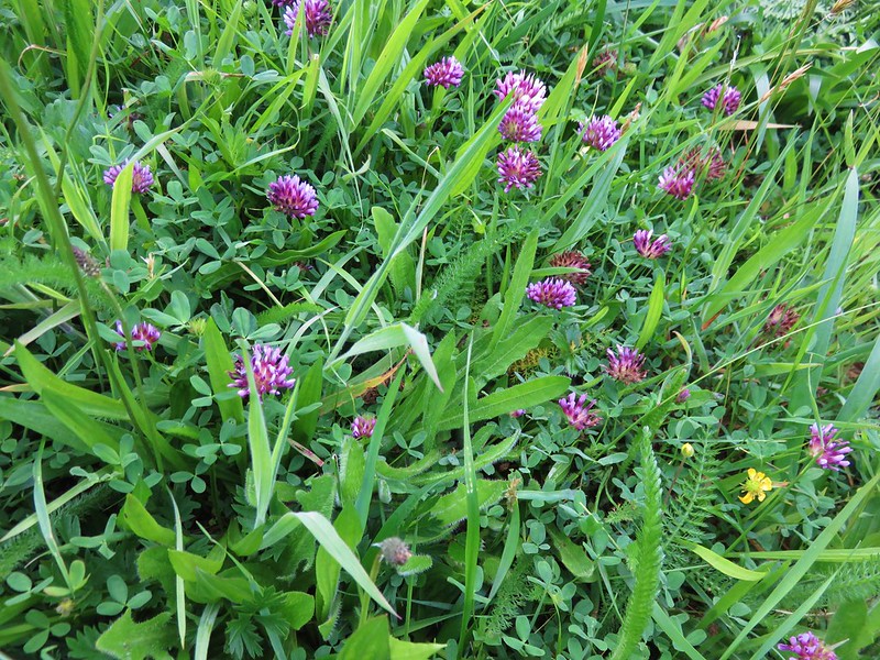
False sunflower and blue gilia

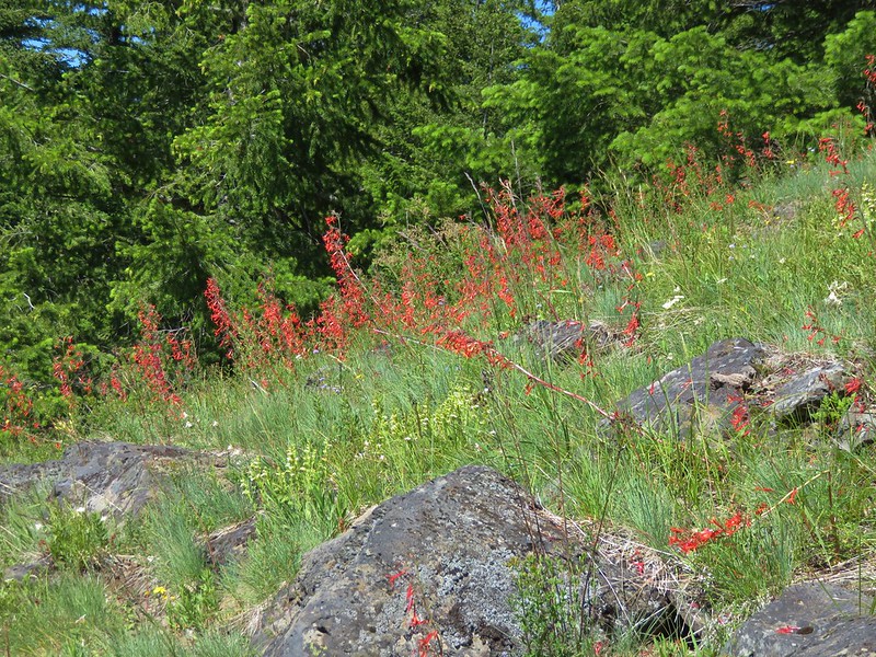
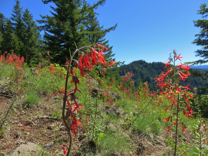
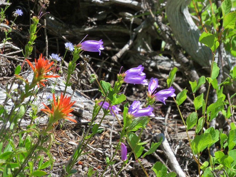
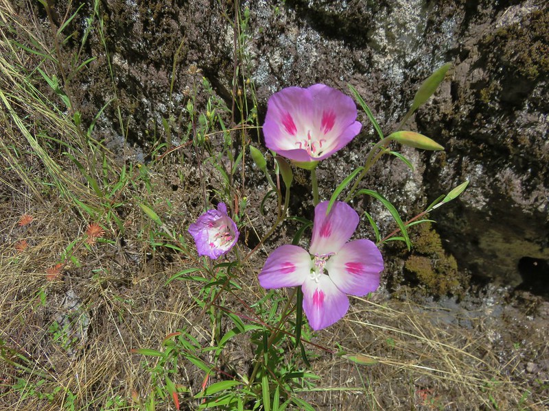
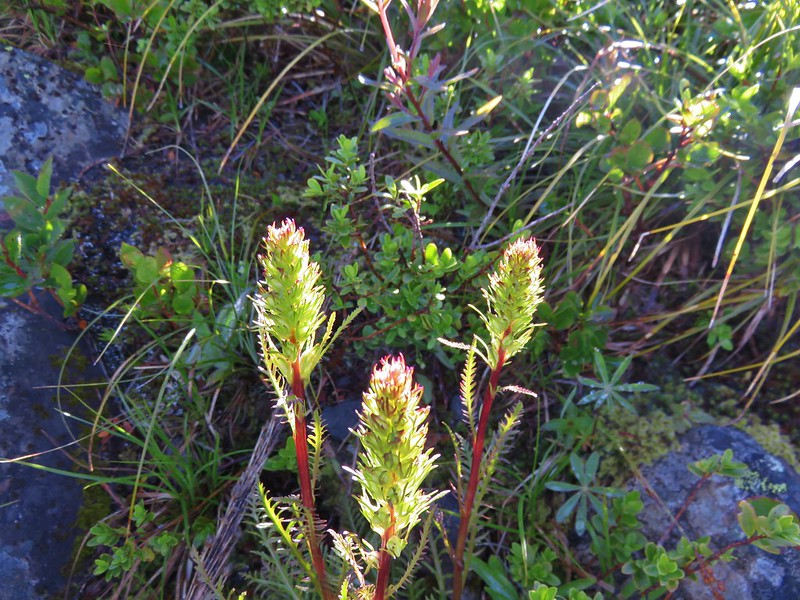
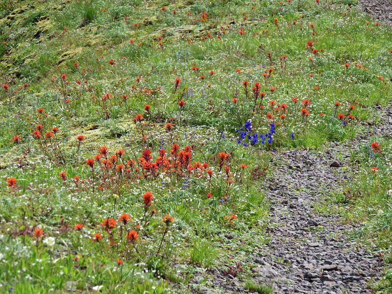
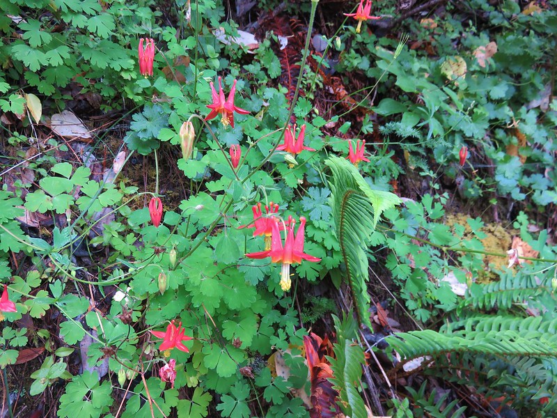
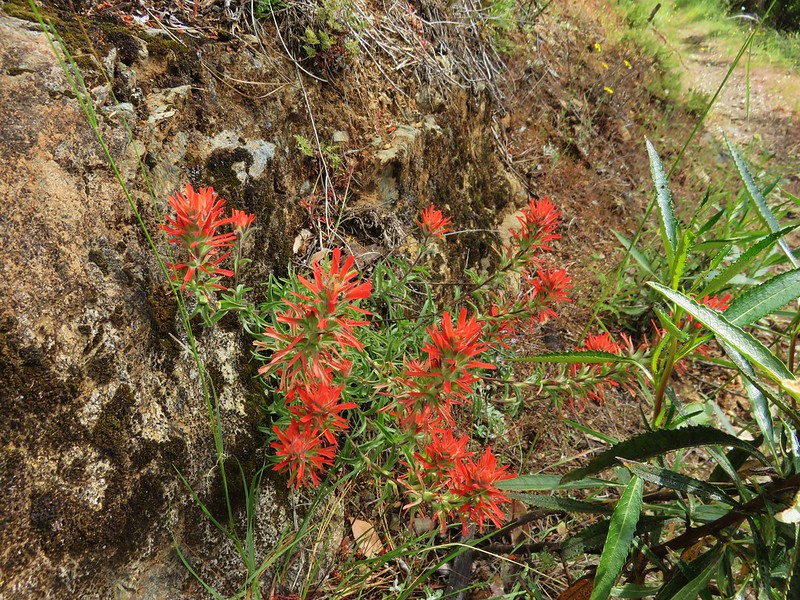
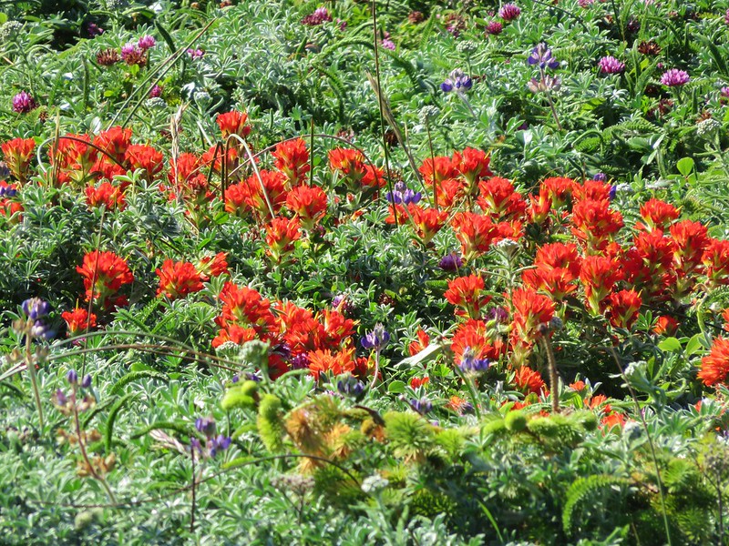
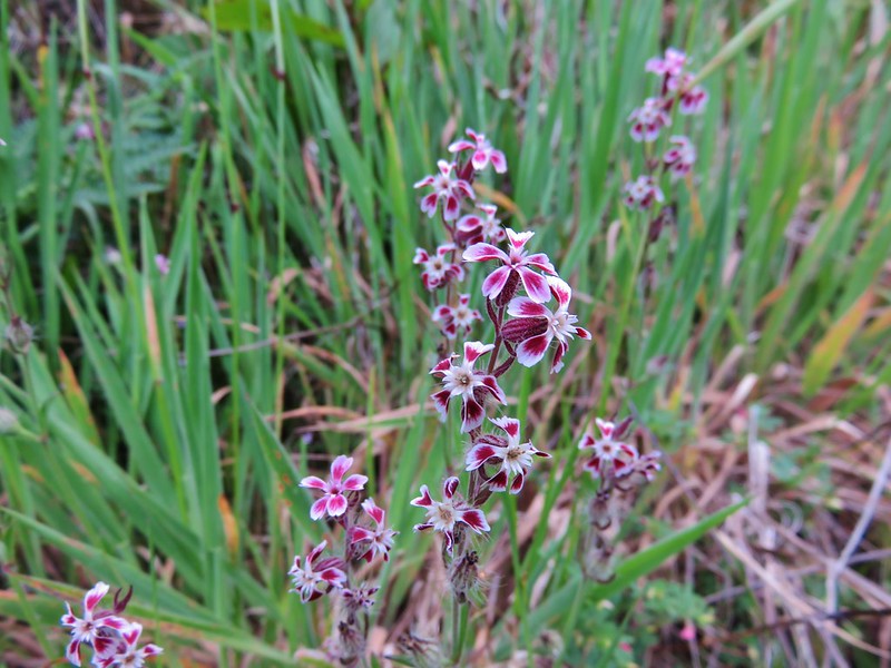
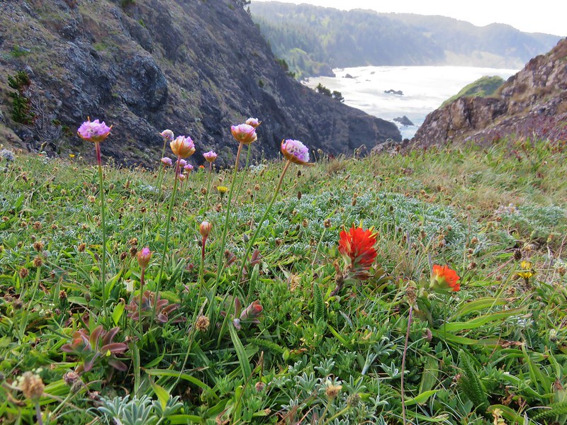
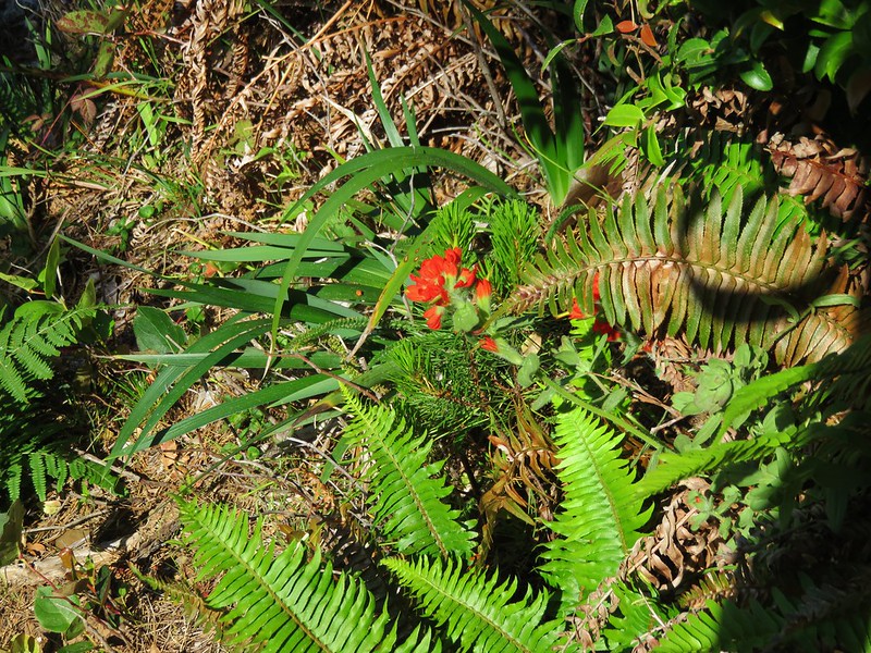
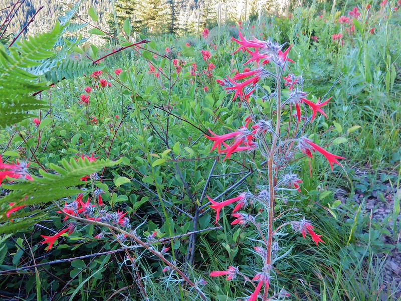
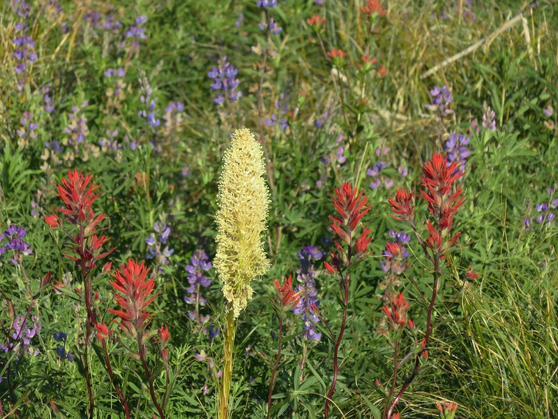
Scarlet gilia and paintbrush
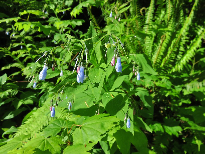
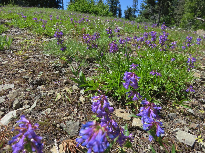
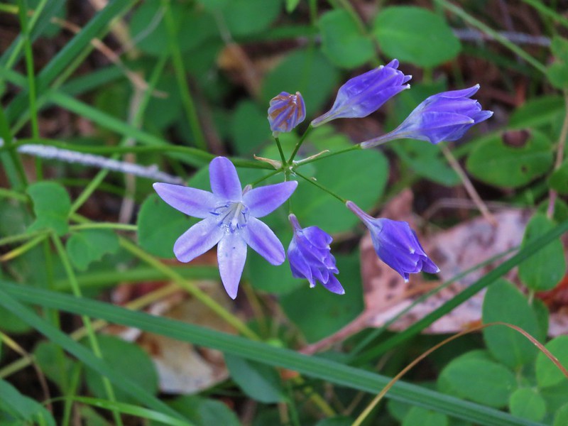
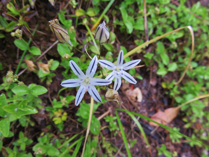
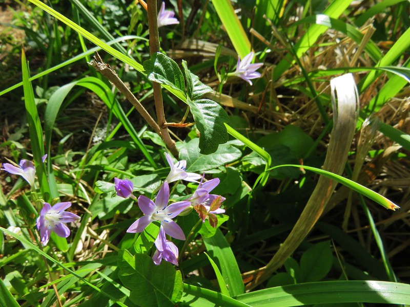
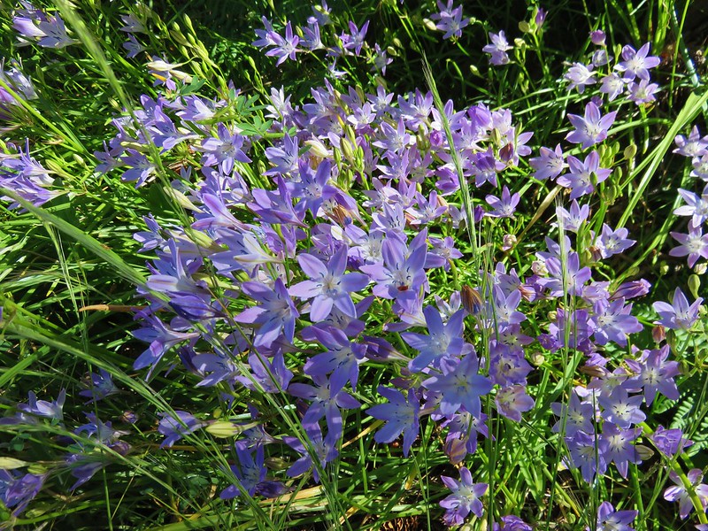
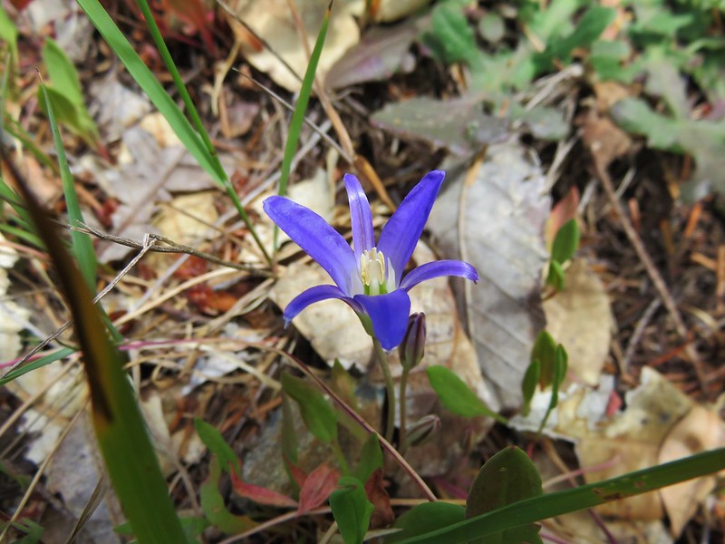
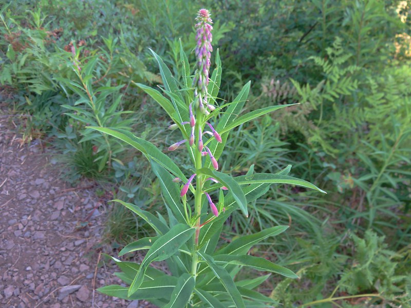
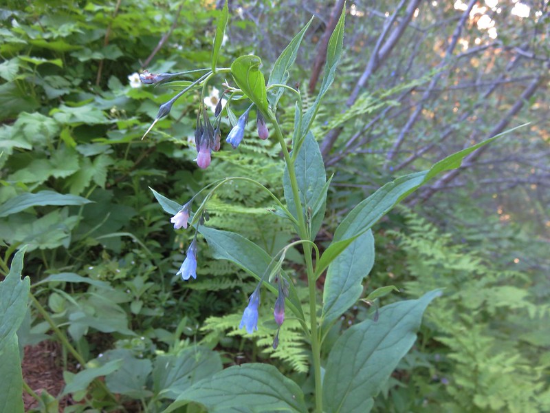
Tall bluebell
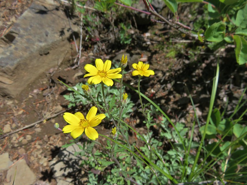
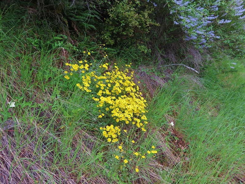
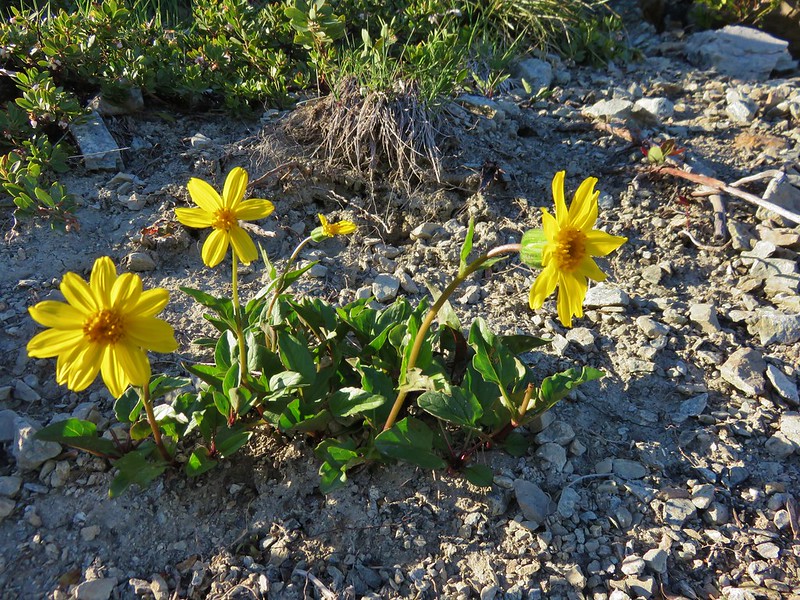
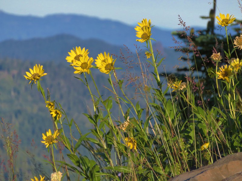
False sunflower
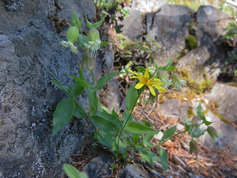
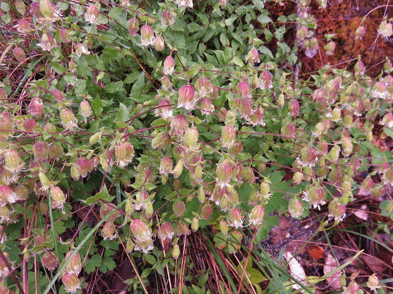
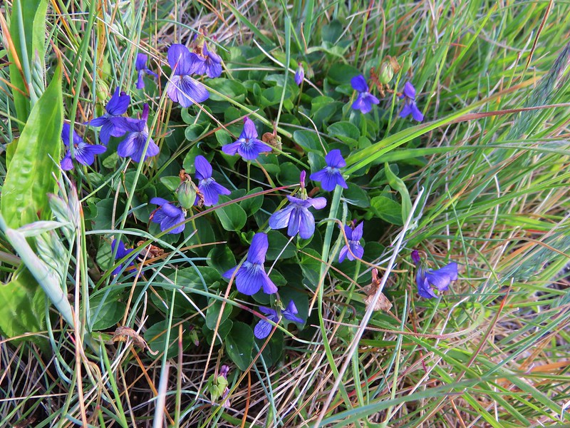
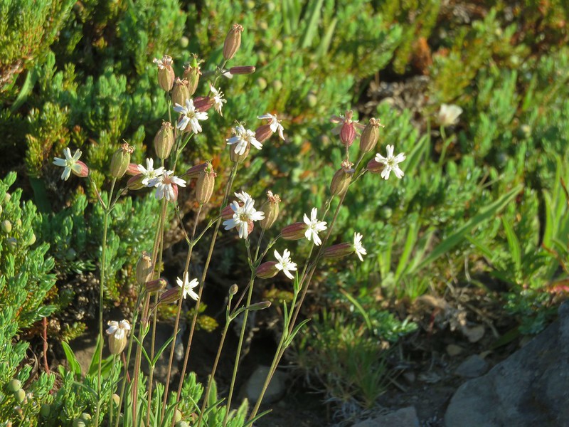
Catchfly
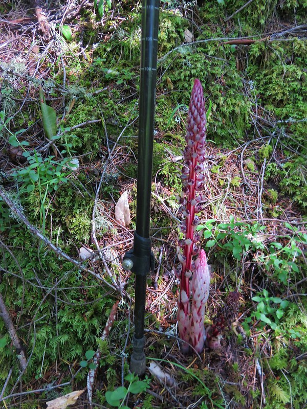
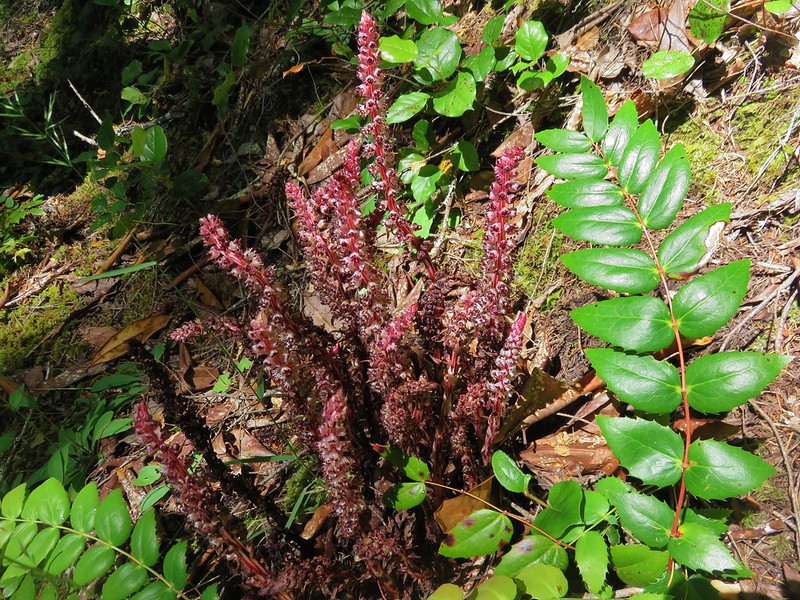
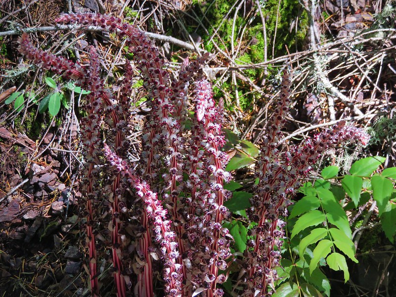
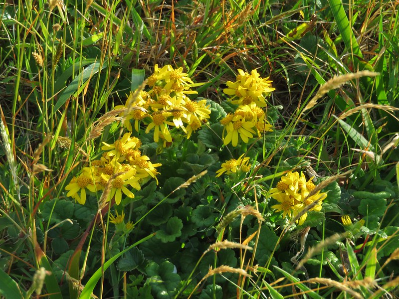
Mountain owl’s clover

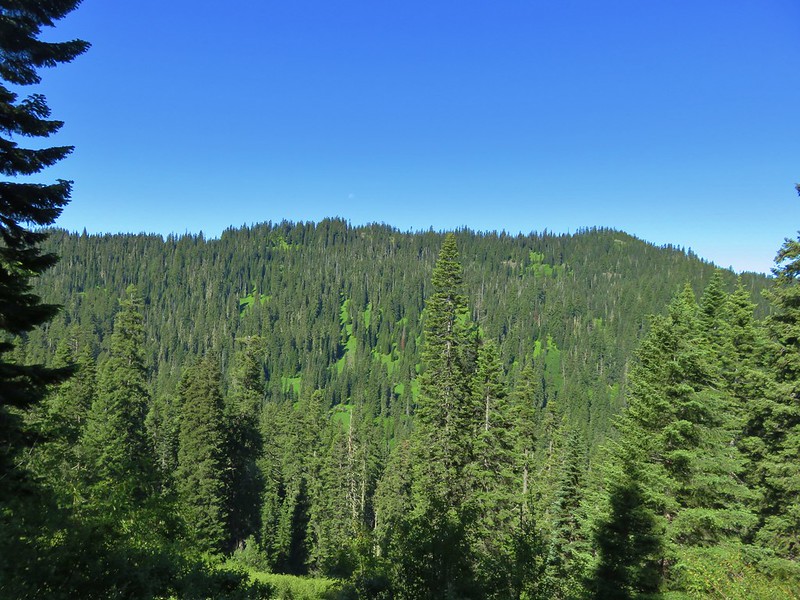
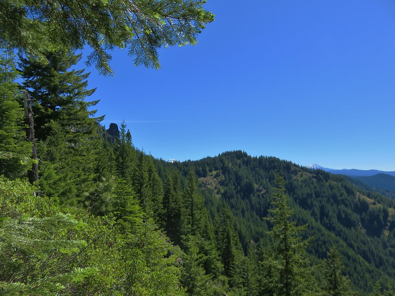
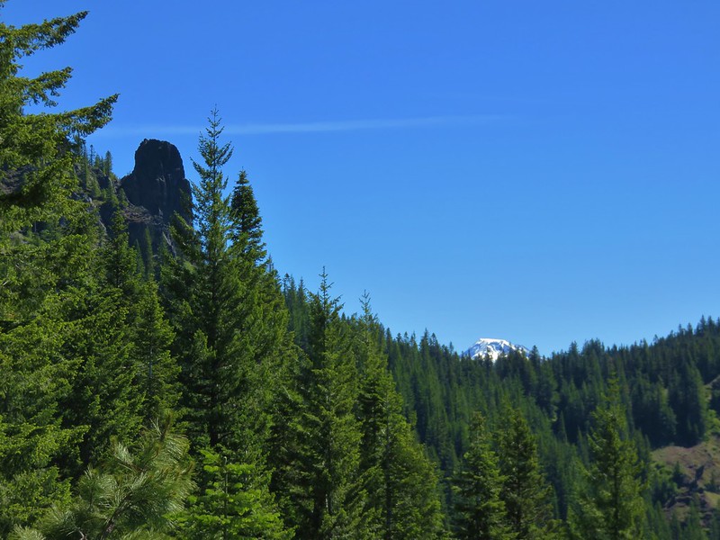
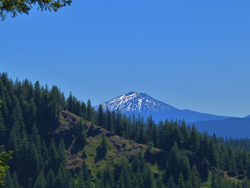
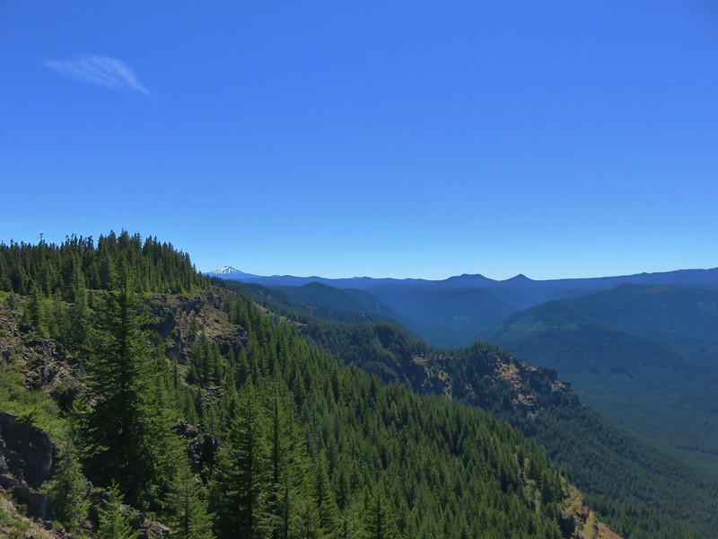
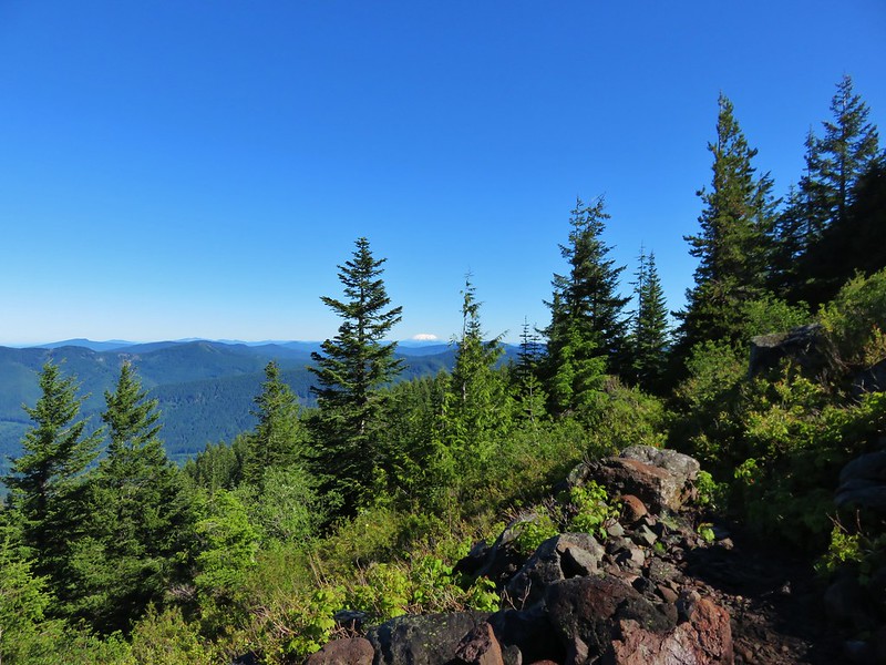
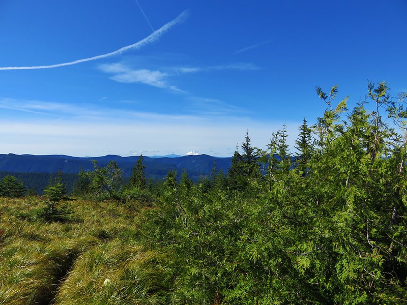
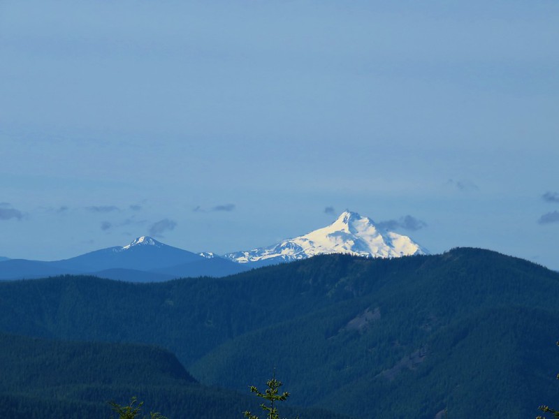
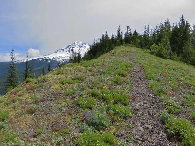
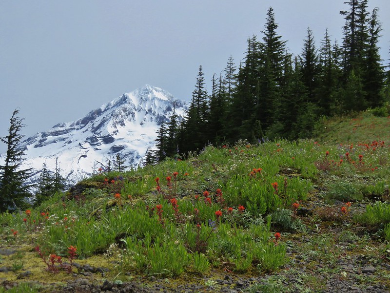
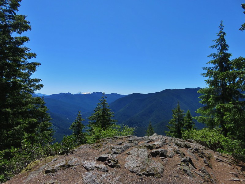
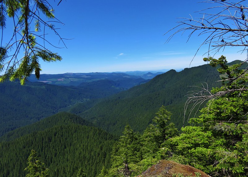
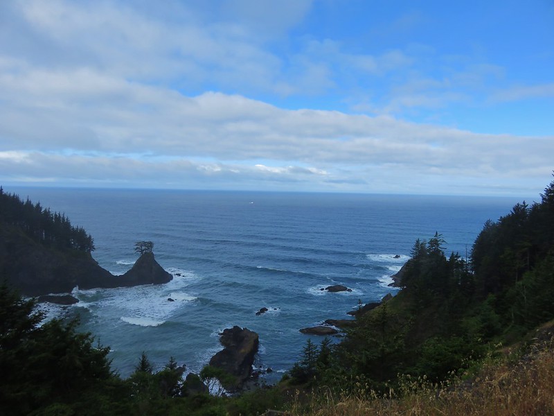
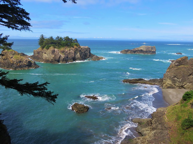
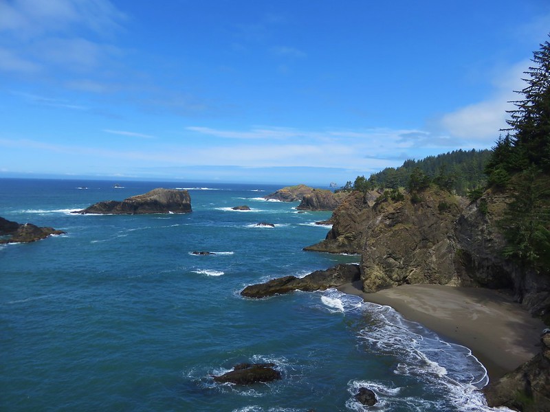
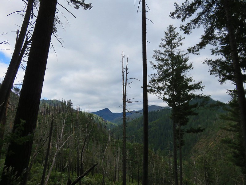
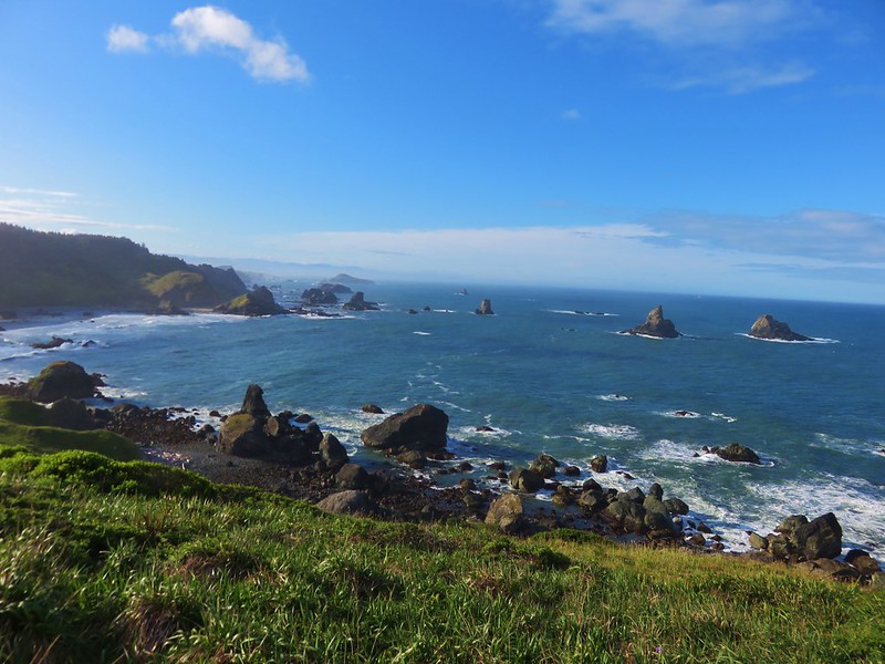
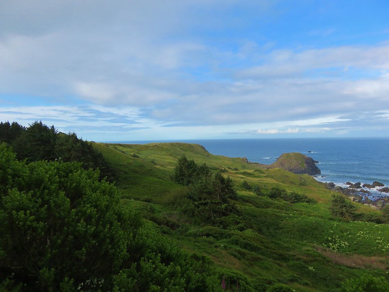
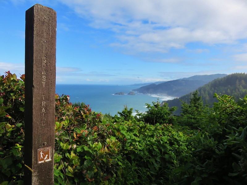
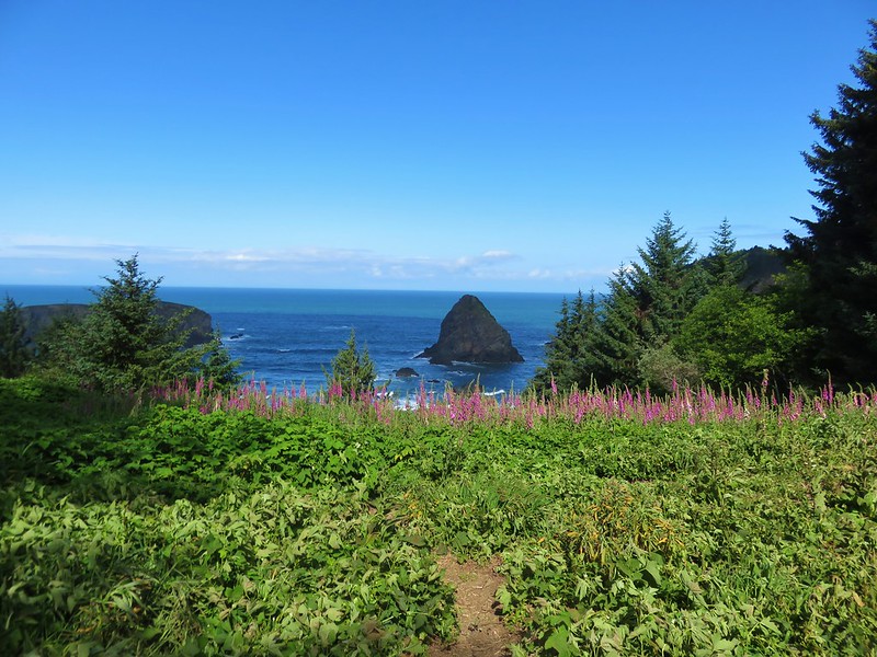
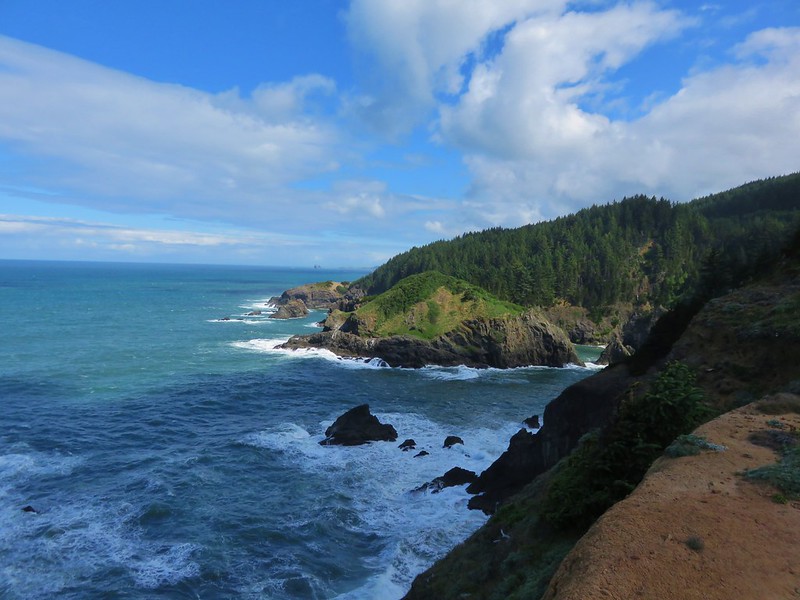
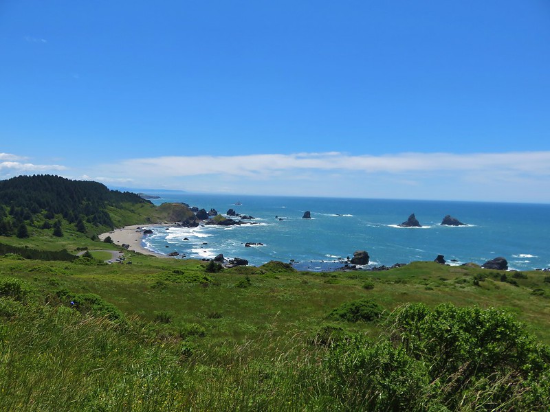
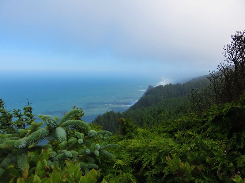
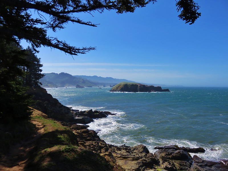
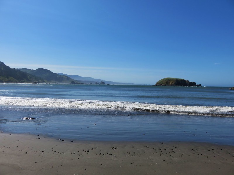
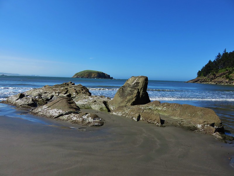
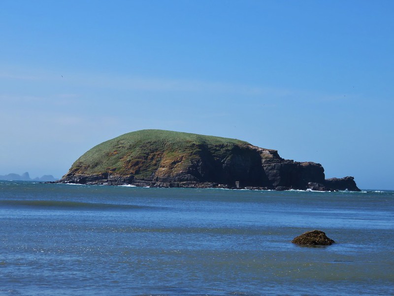
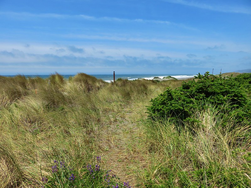
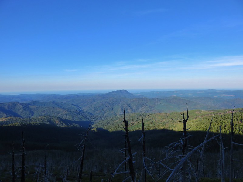
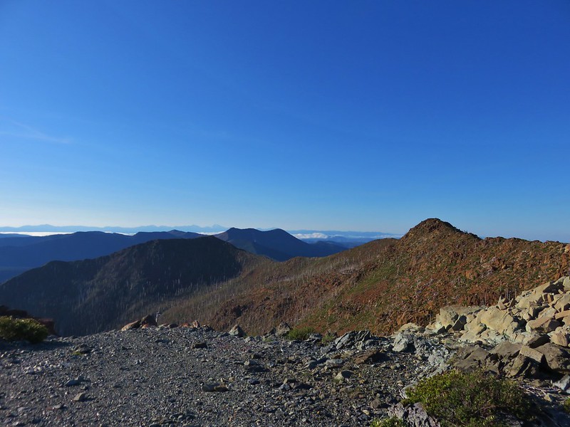
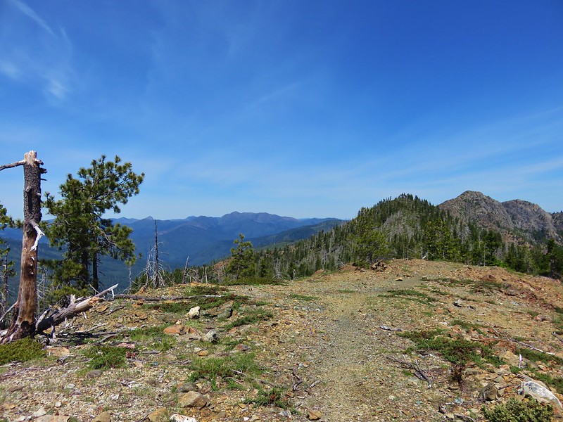
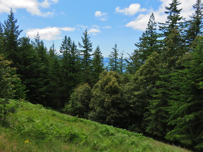
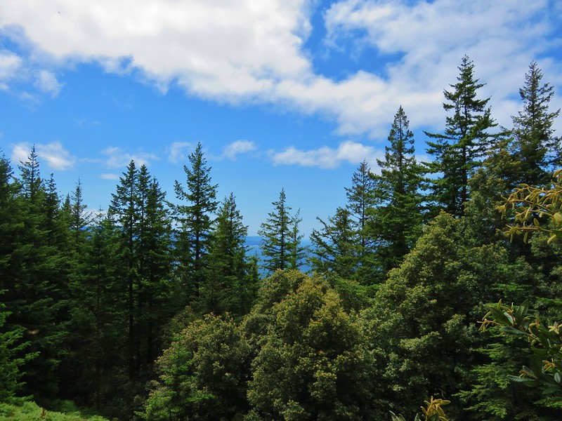
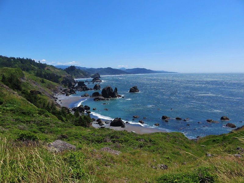
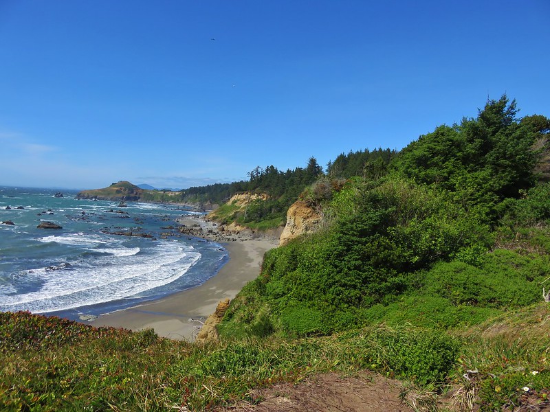
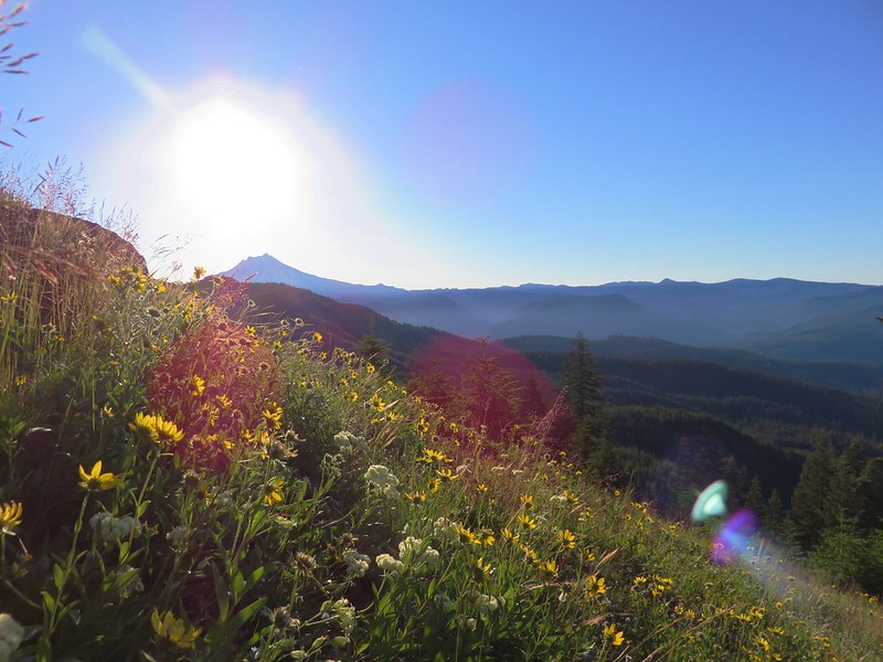
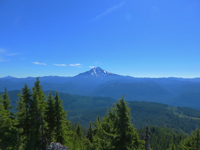
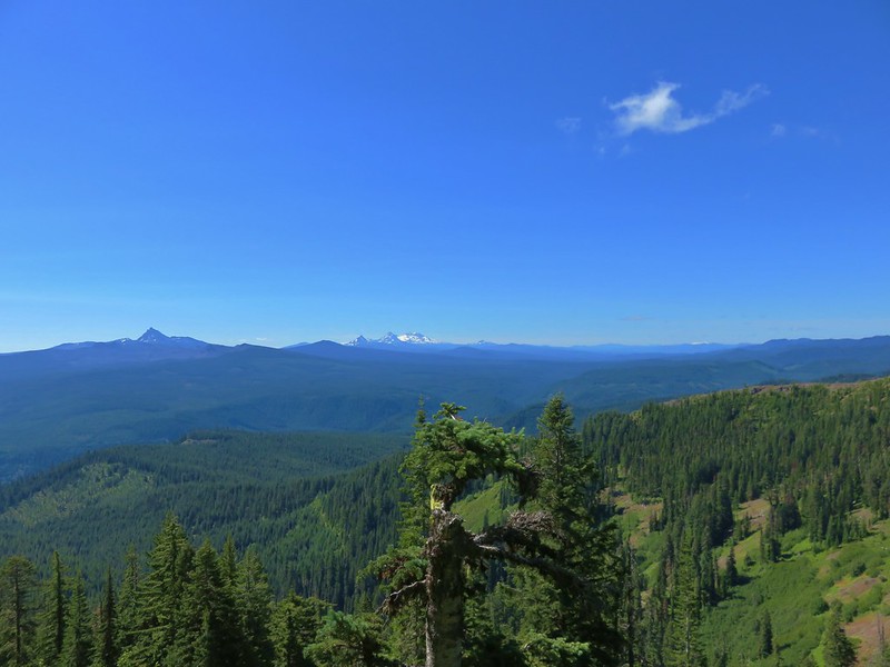
As the trail climbs views of the Cascades get increasingly better.
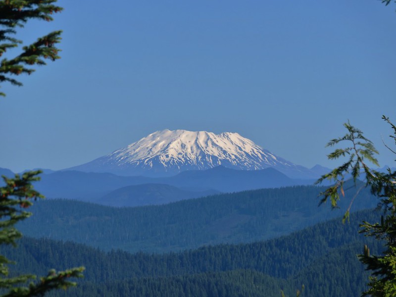
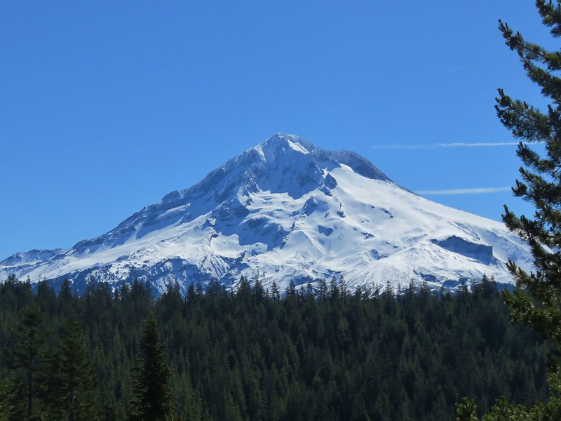
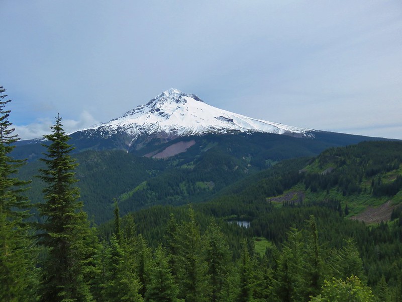
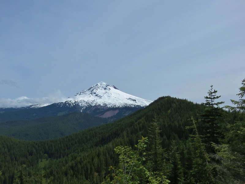
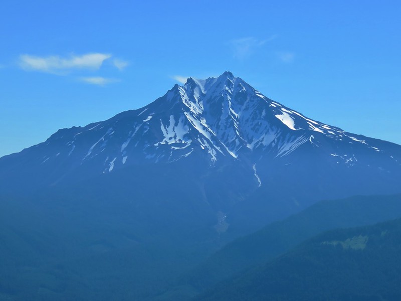
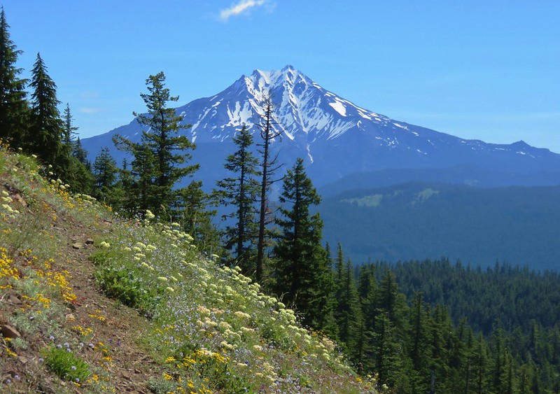
Mt. Jefferson
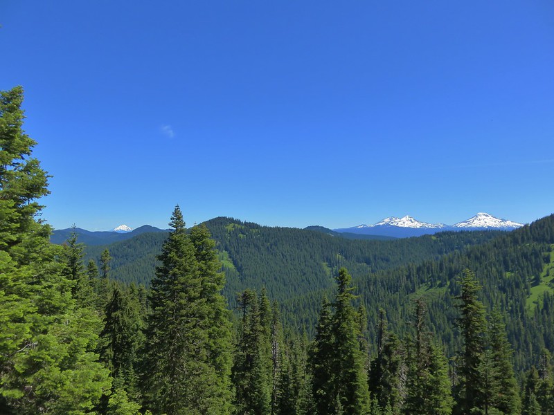
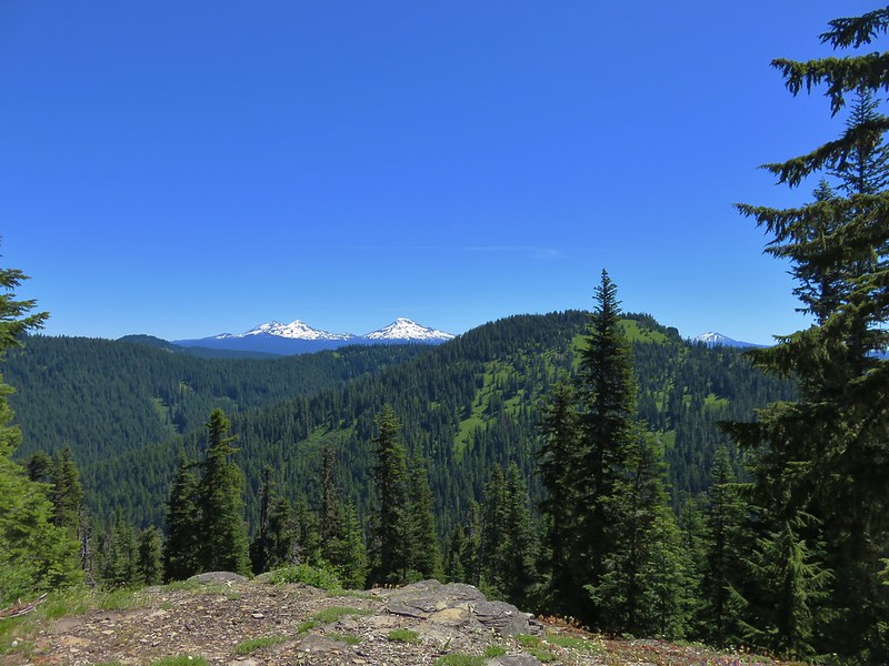
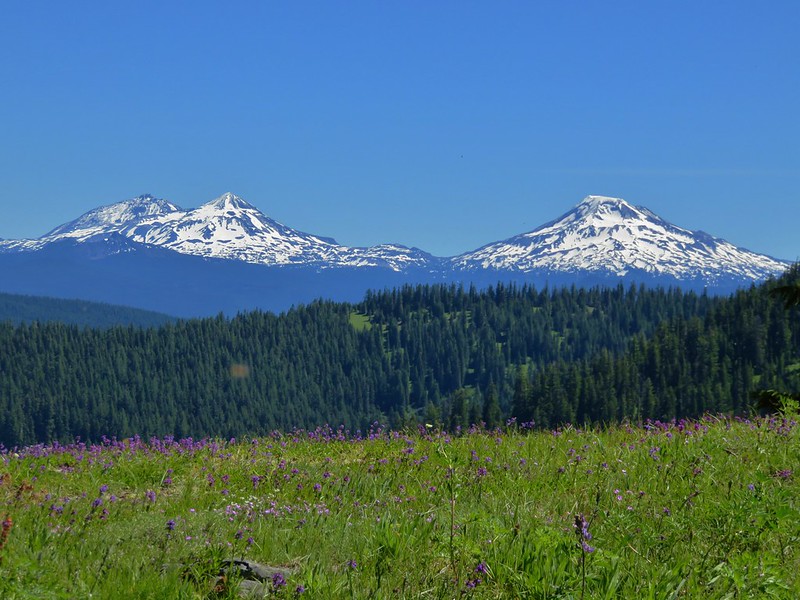
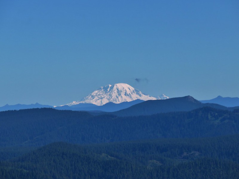
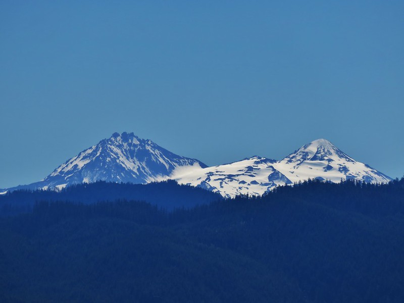
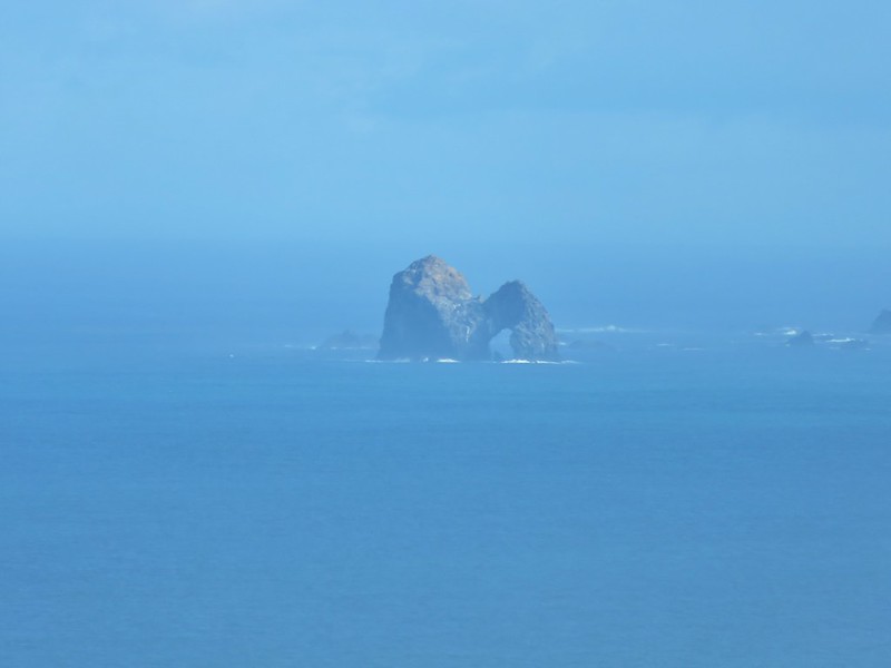
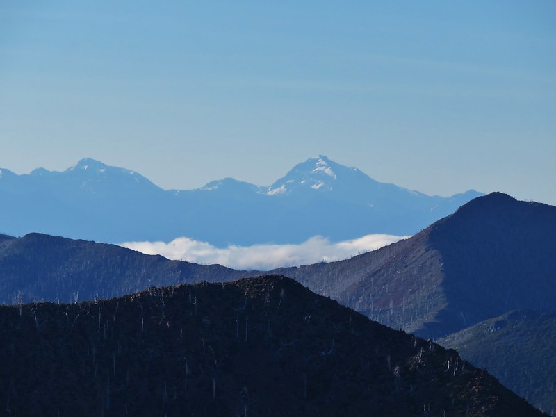
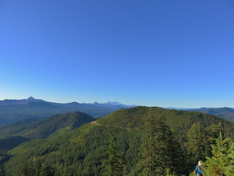
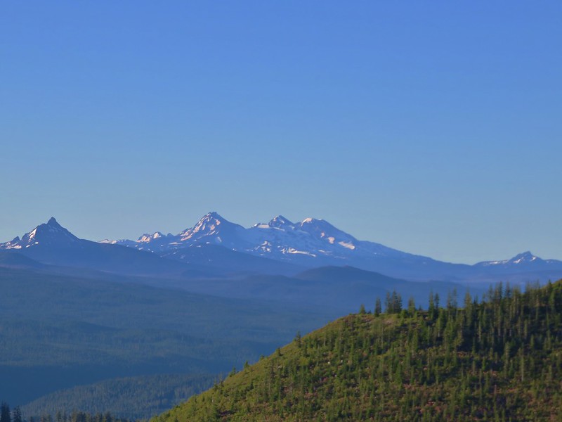
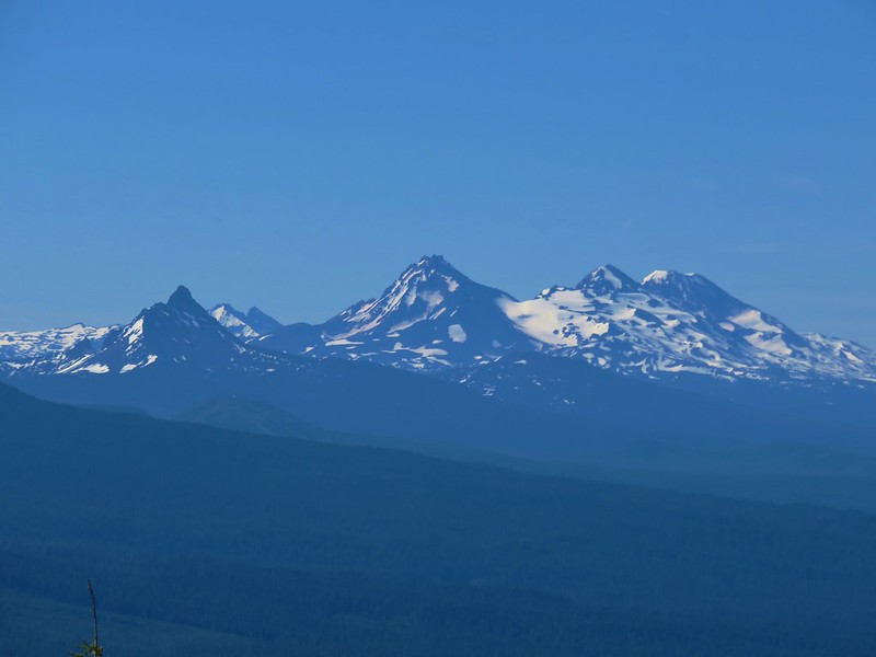
Three Fingered Jack, Mt. Washington, Broken Top, The Three Sisters, The Husband and Diamond Peak
Diamond Peak

Mt. Washington, Broken Top, The Three Sisters and The Husband
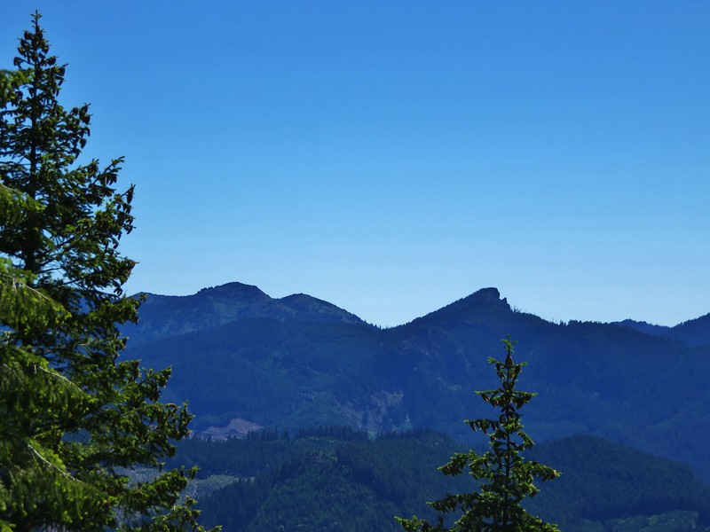
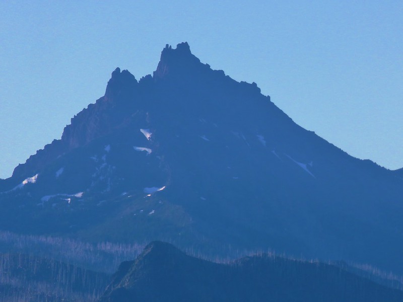
Three Fingered Jack
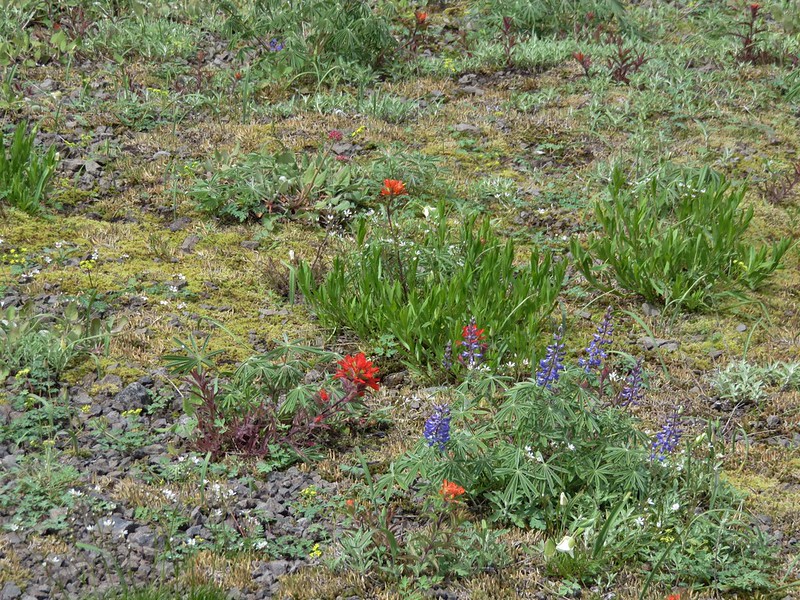
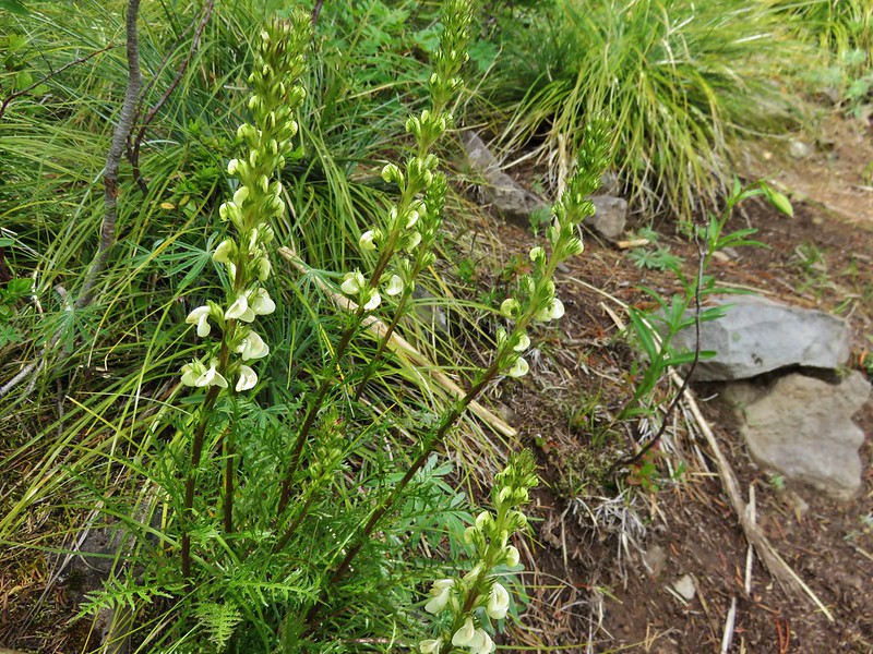
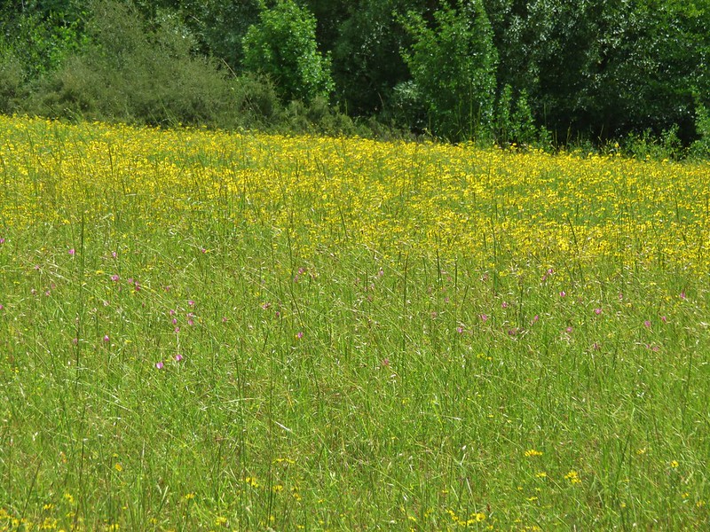
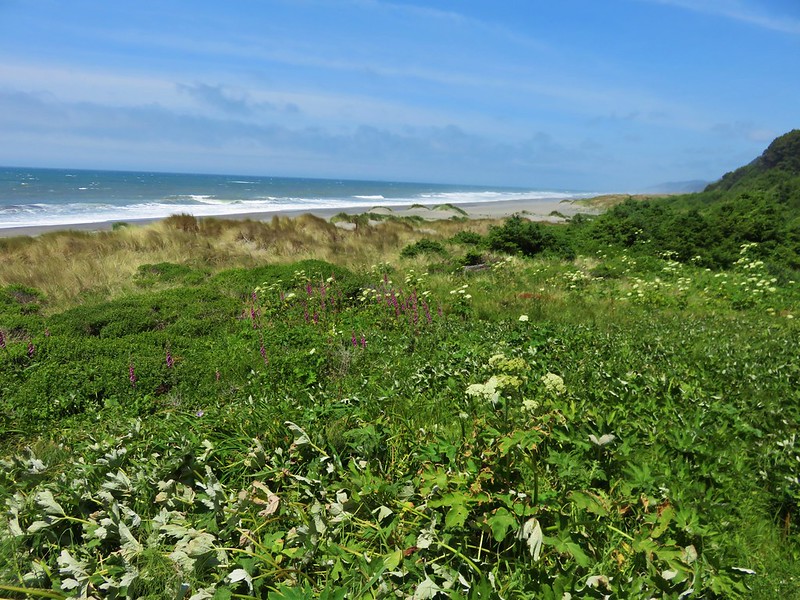
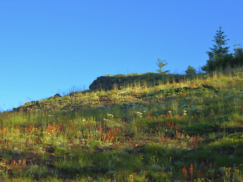
The number of flowers increased the higher we got in the meadows.
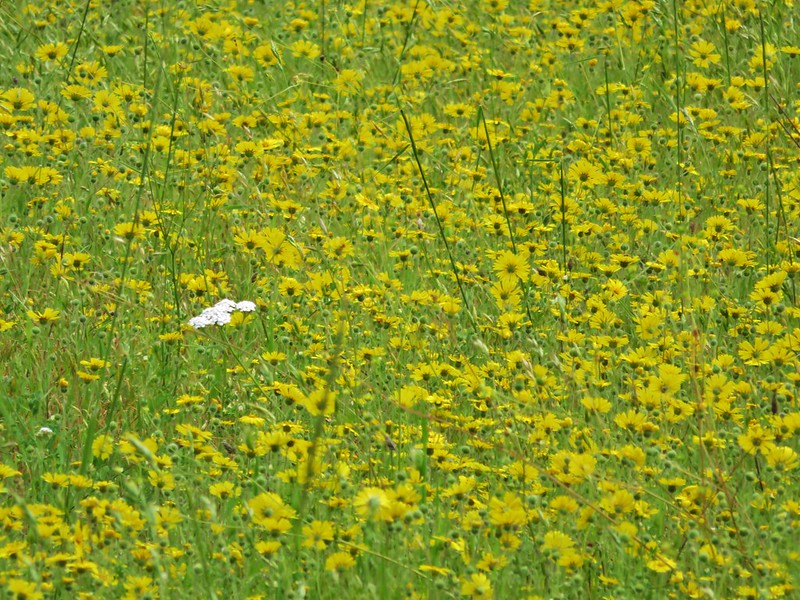
Red, White, and blue for the 4th
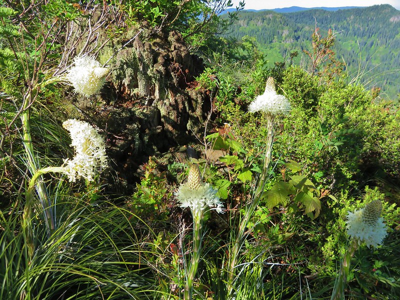
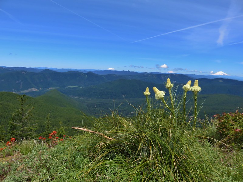
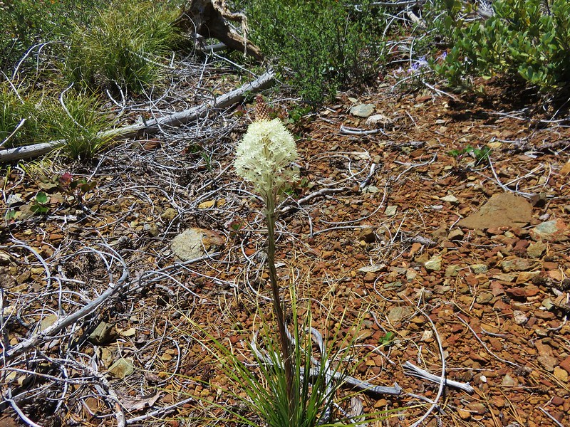
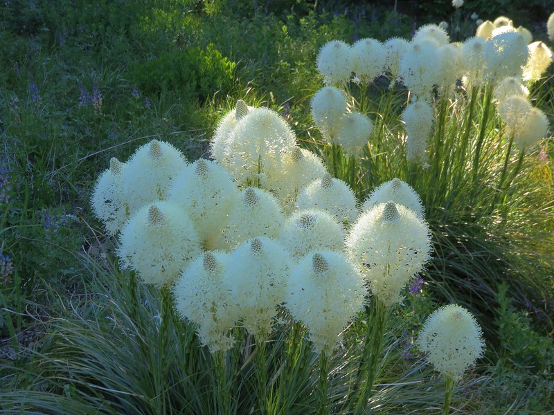
Beargrass
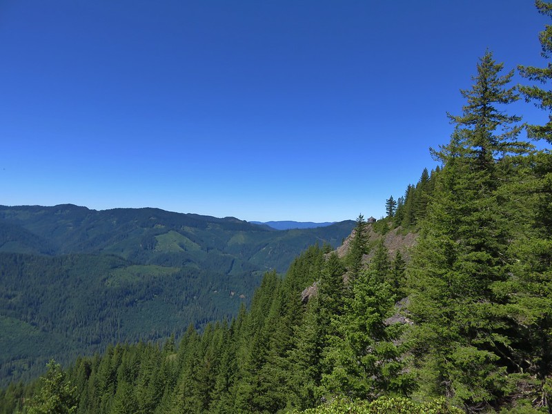
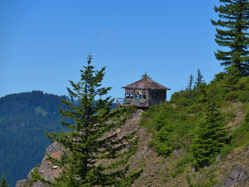
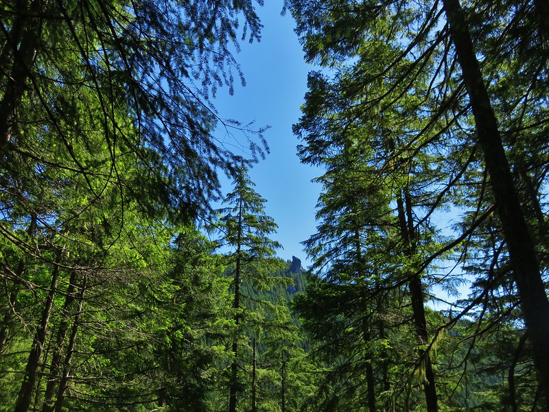
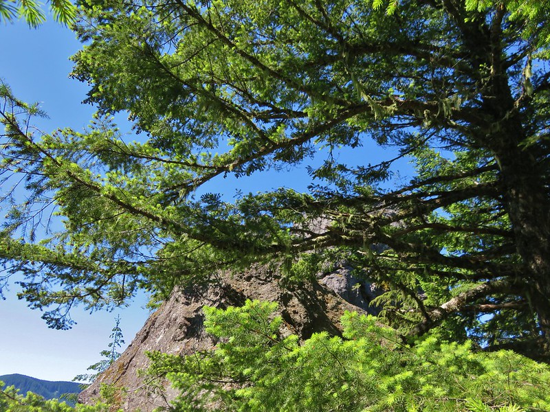
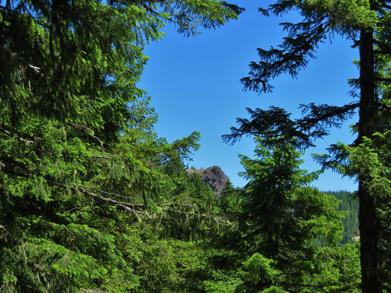
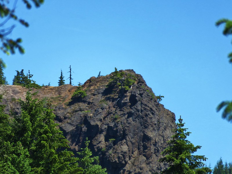
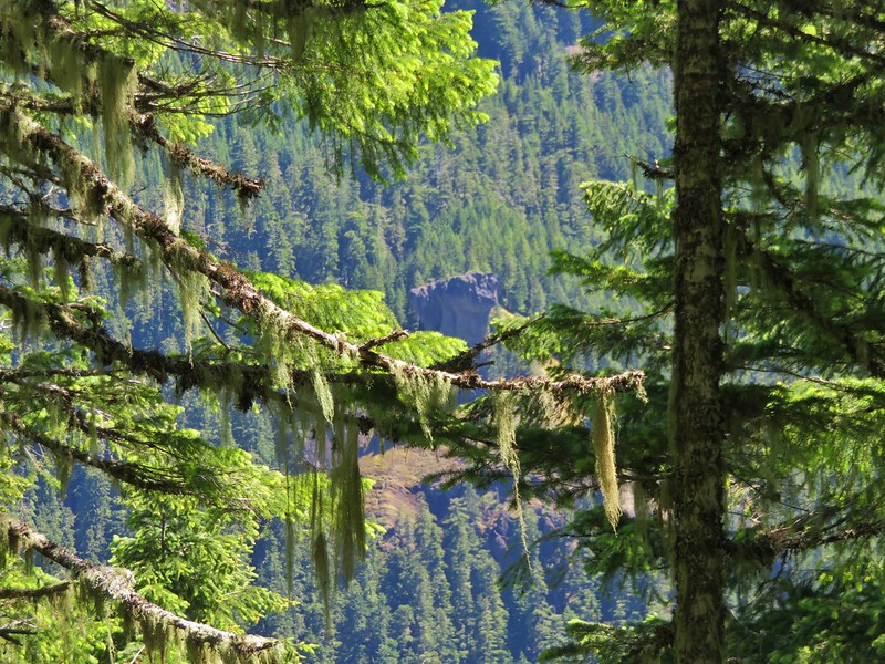
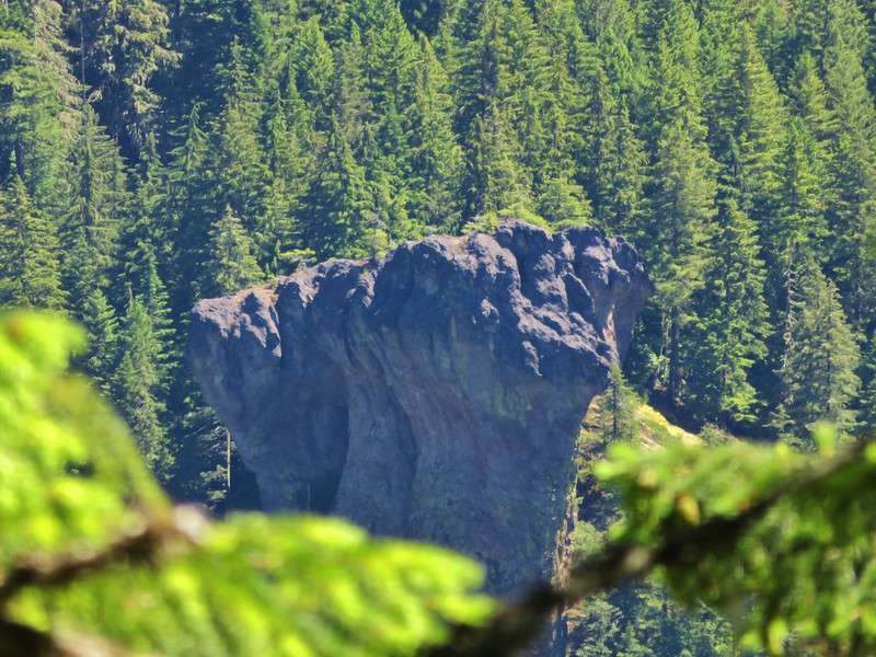
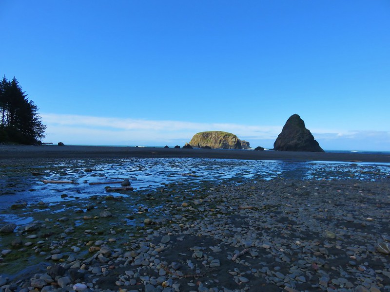
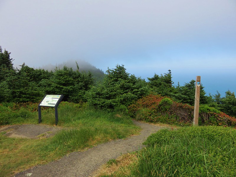
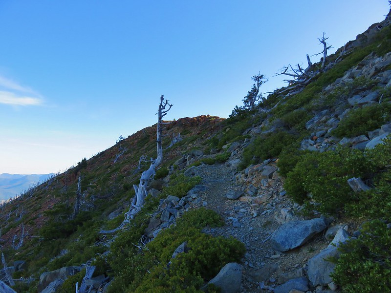
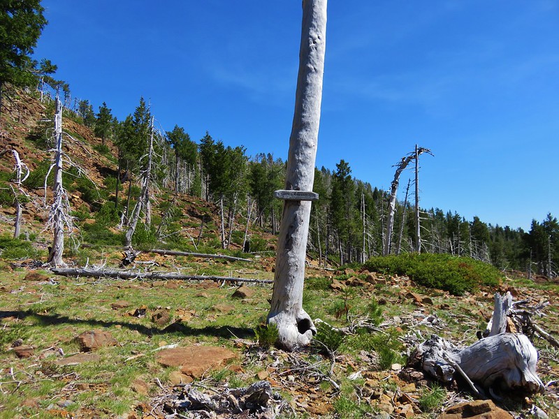
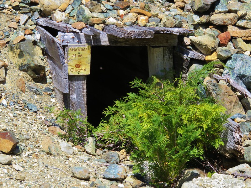
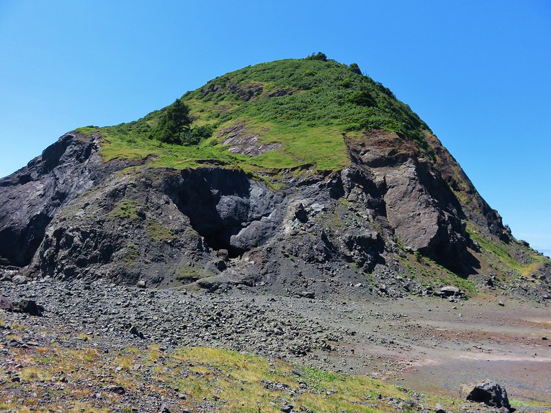
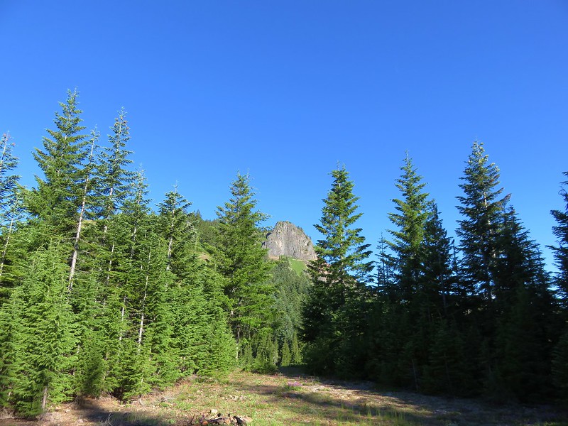
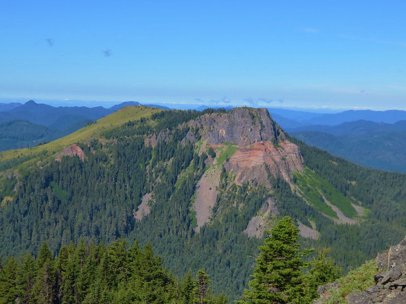
The trail enters a short section with trees where the Coffin Mountain Lookout is visible on the cliffs above.
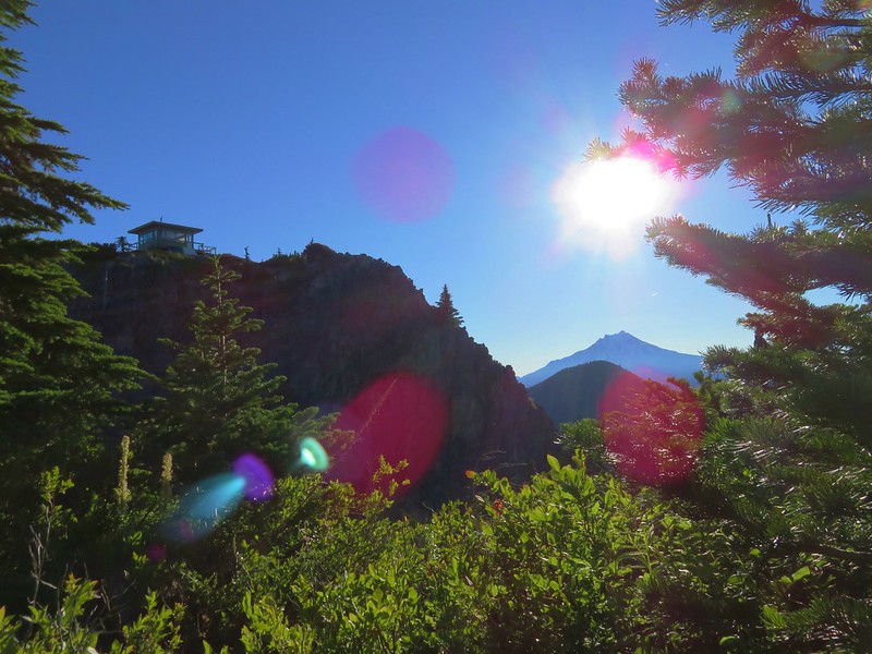
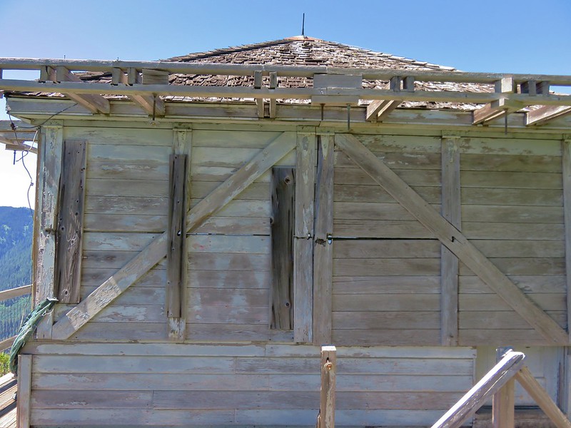
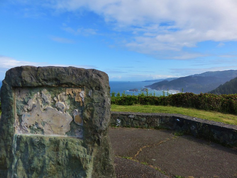
A final push uphill leads to the staffed lookout tower and helipad.

It was a little different view than we’d had in 2013.

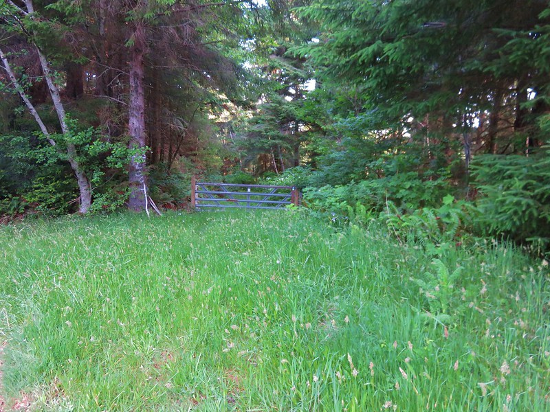
We returned to the trailhead then set off on the road toward the Bachelor Mountain Trailhead. Although it’s possible to drive the 1.2miles we’d rather enjoy the scenery along the way.

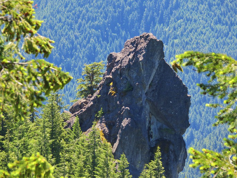
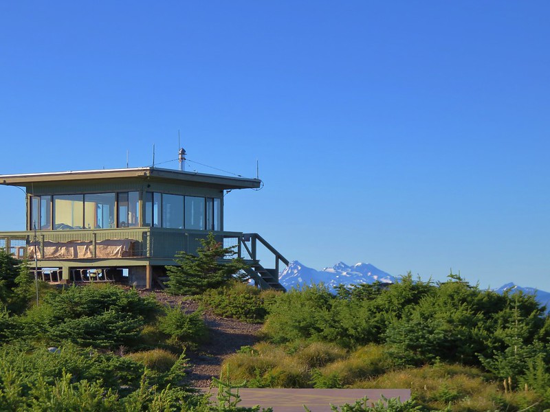
Coffin Mountain Lookout from the road to the Bachelor Mountain TH.
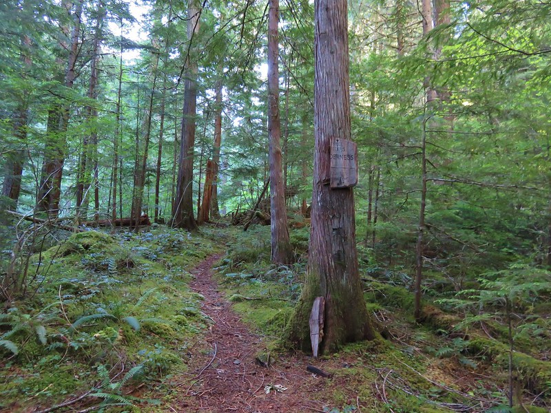
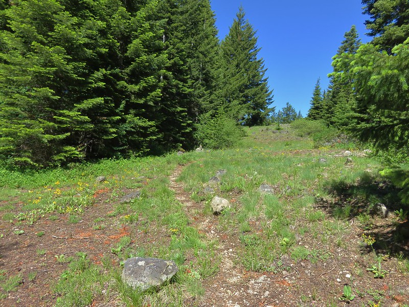
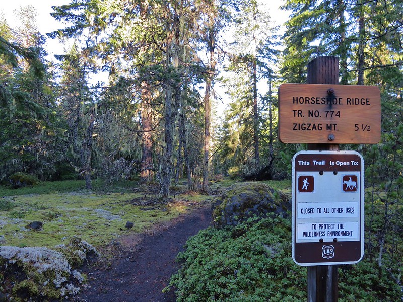
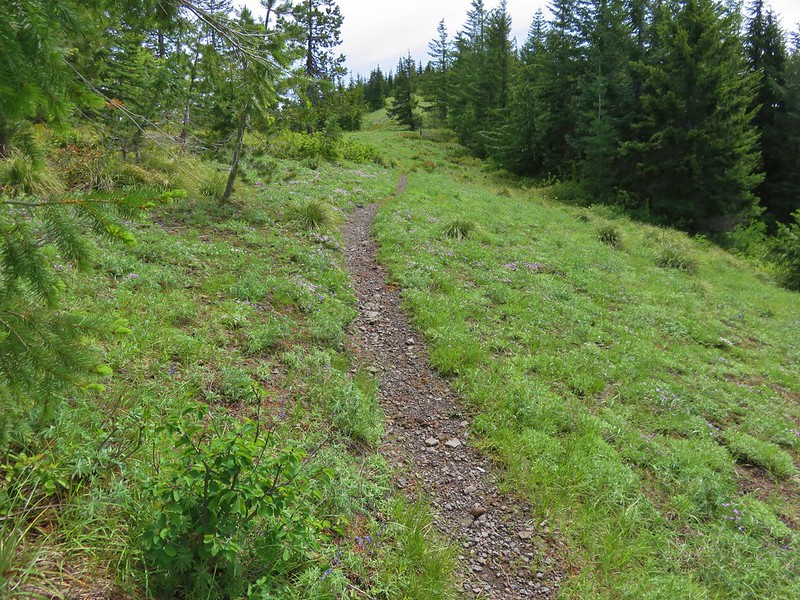
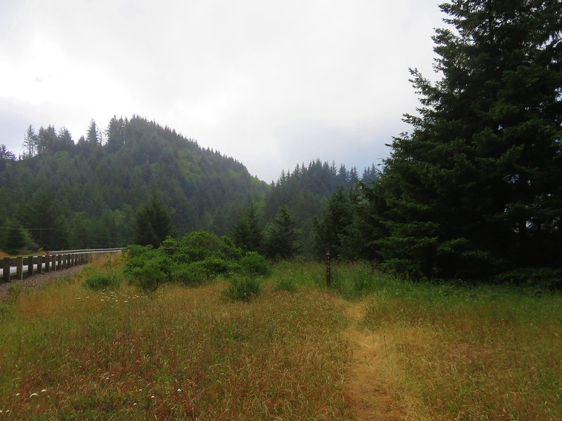
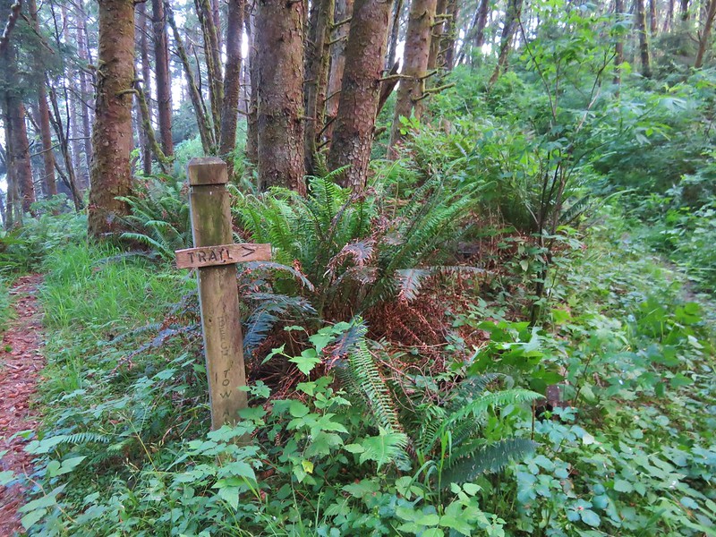
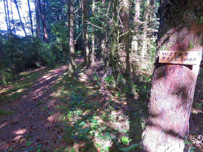
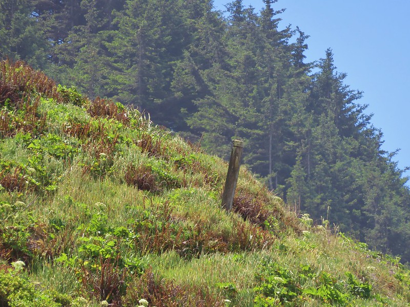
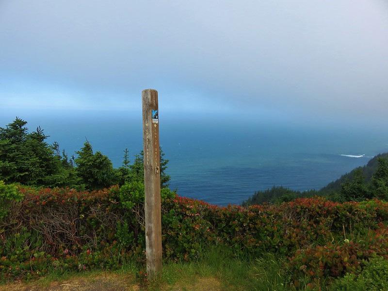
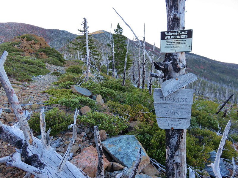
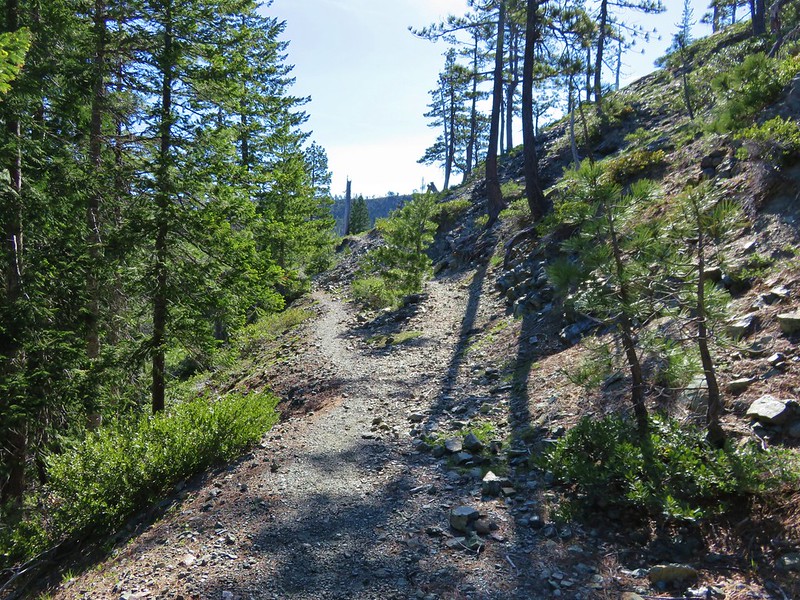
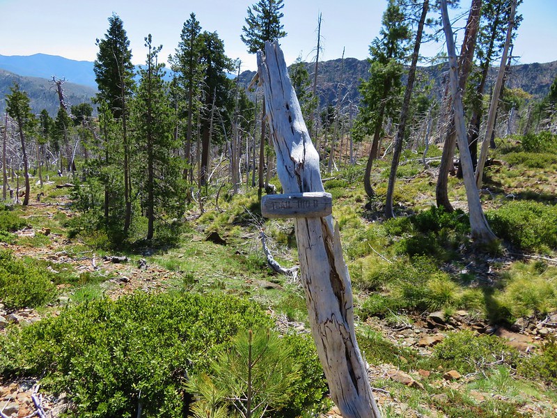
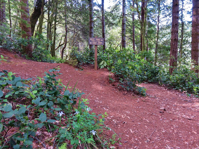
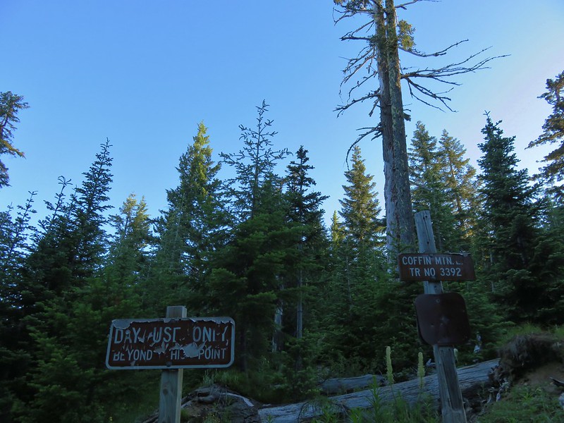
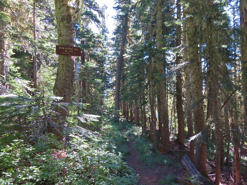
The unsigned trail begins at the end of Road 430.
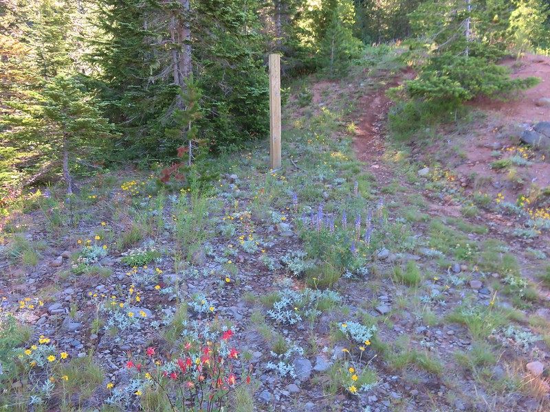
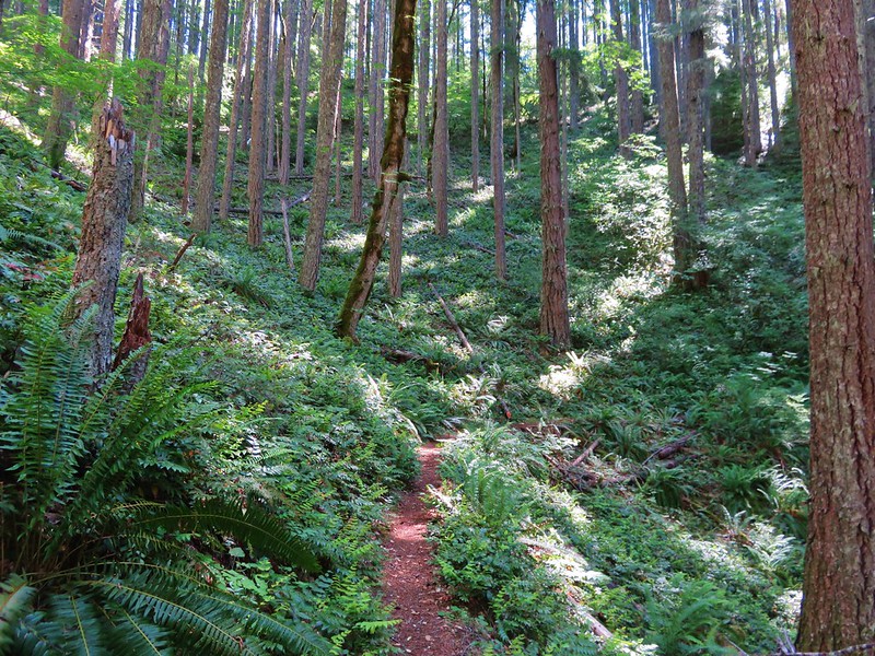
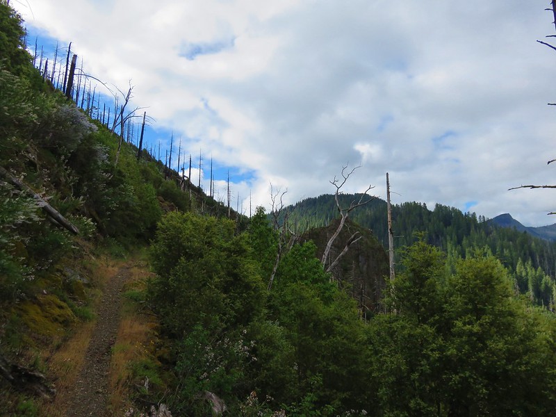
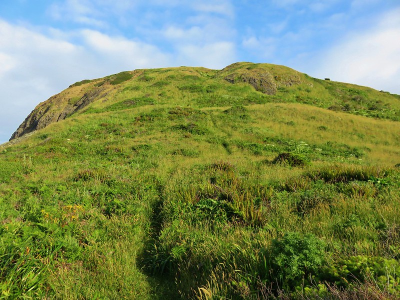
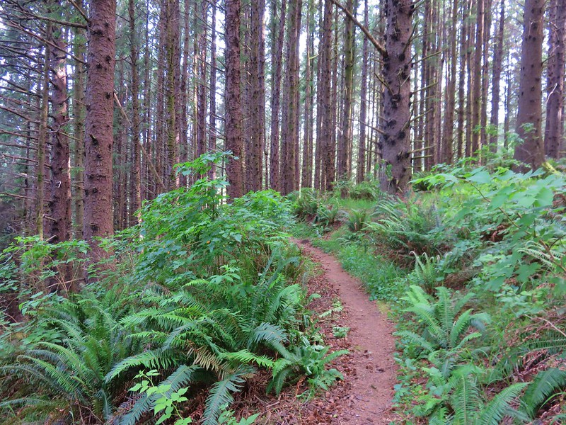
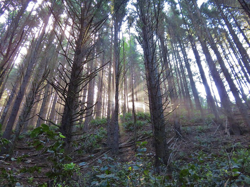
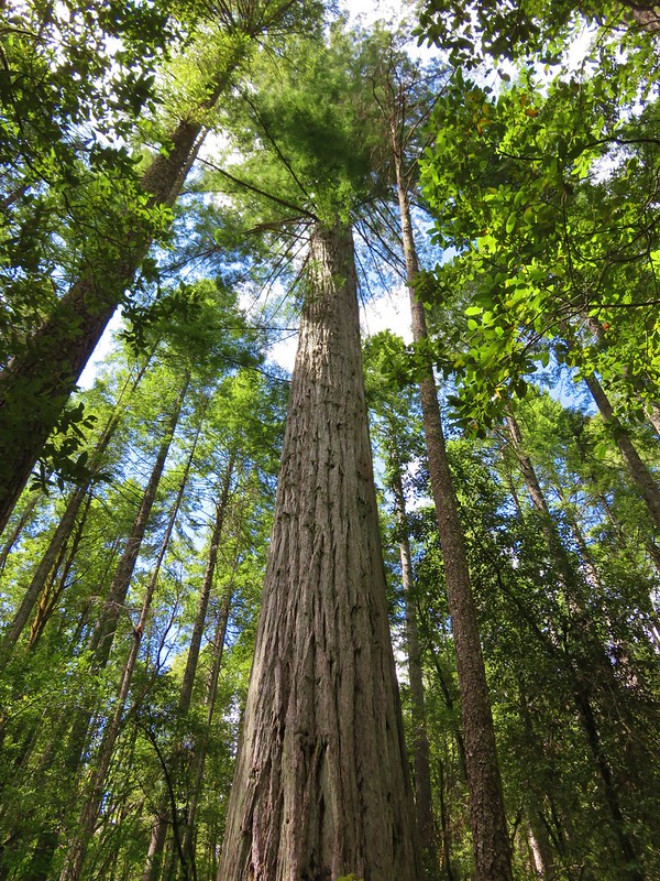
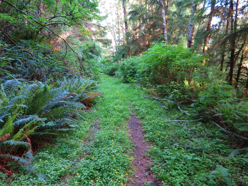
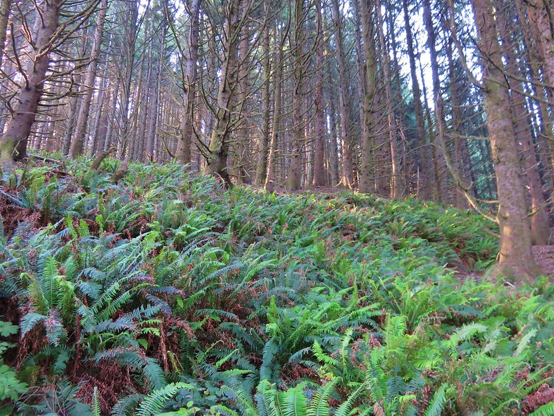
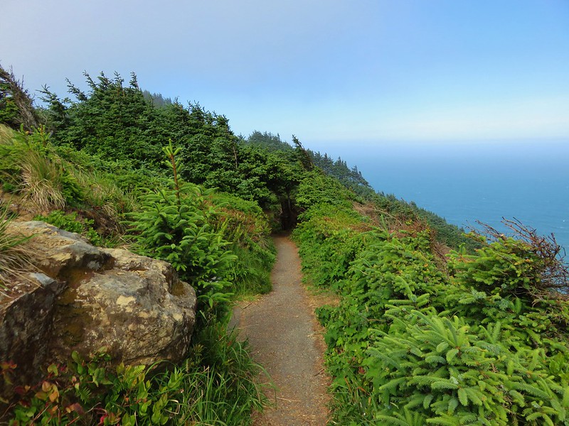
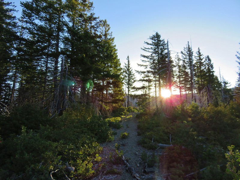
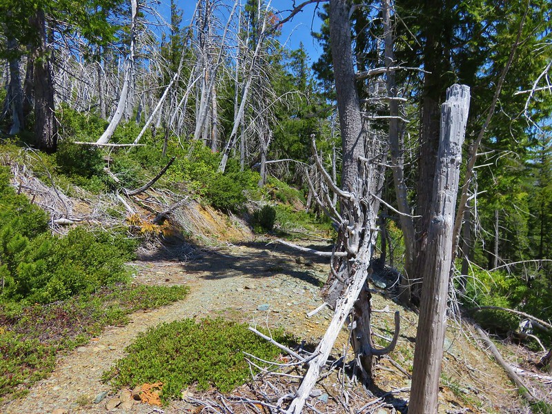
The trail climbs fairly steeply through a forest in two long switchbacks before losing the trees and gaining views as it rounds a ridge end.
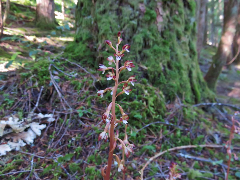
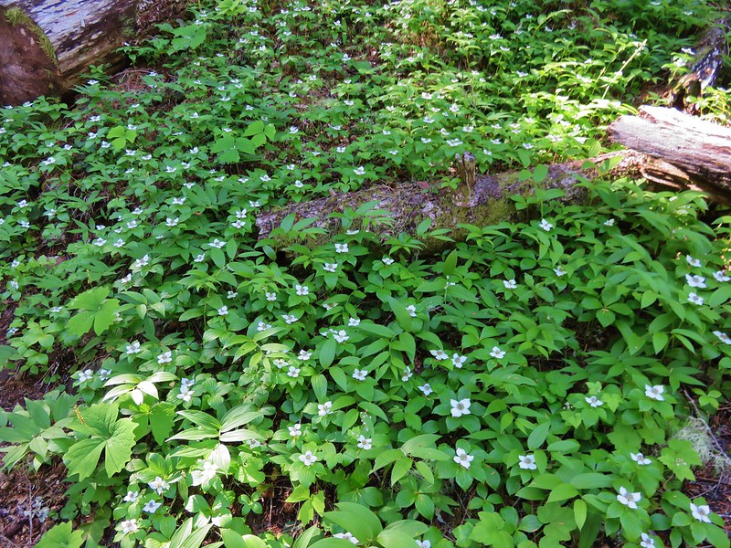
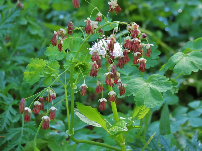
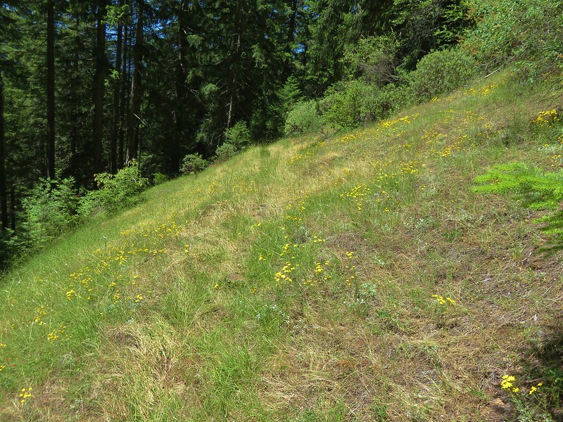
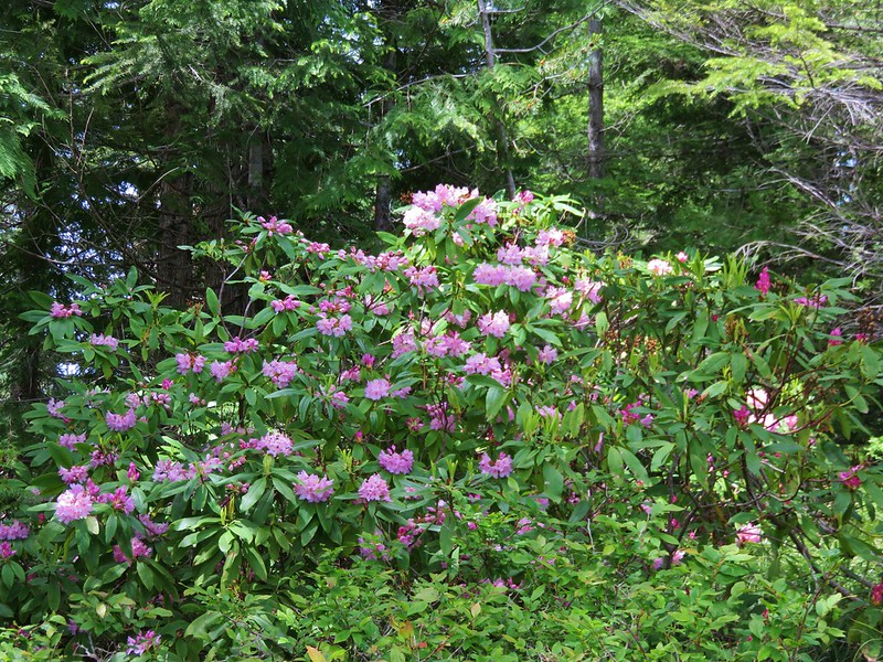
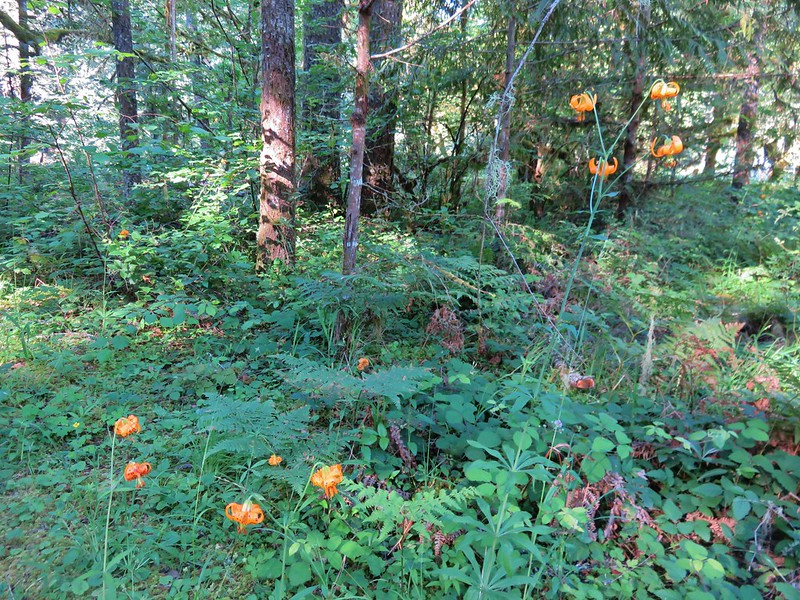
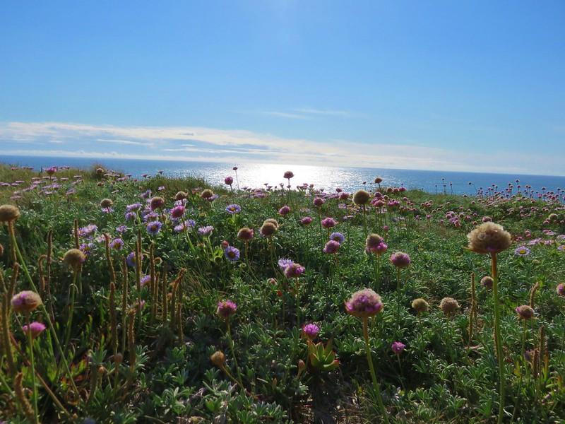
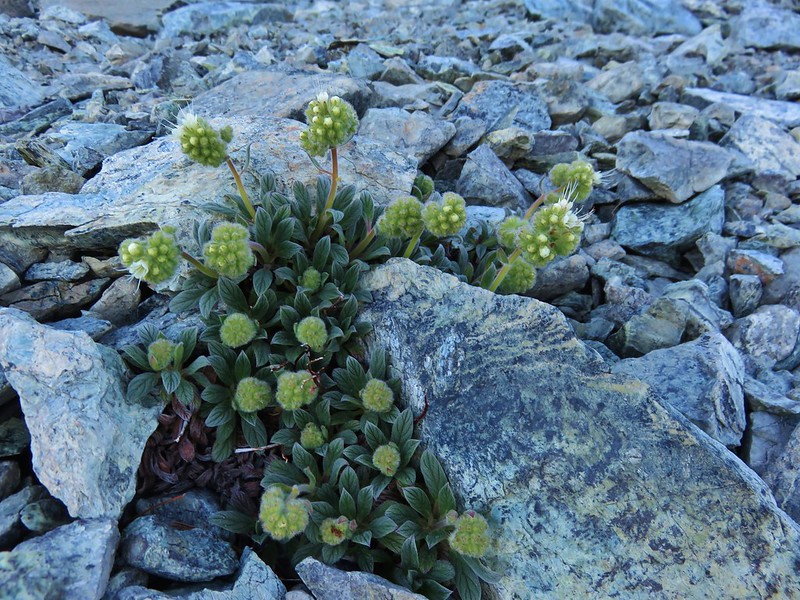
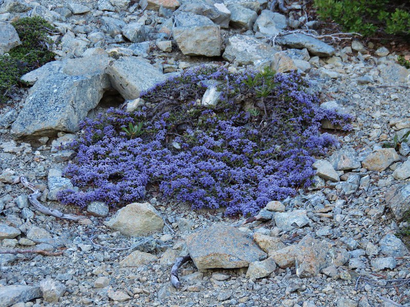
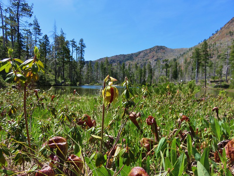
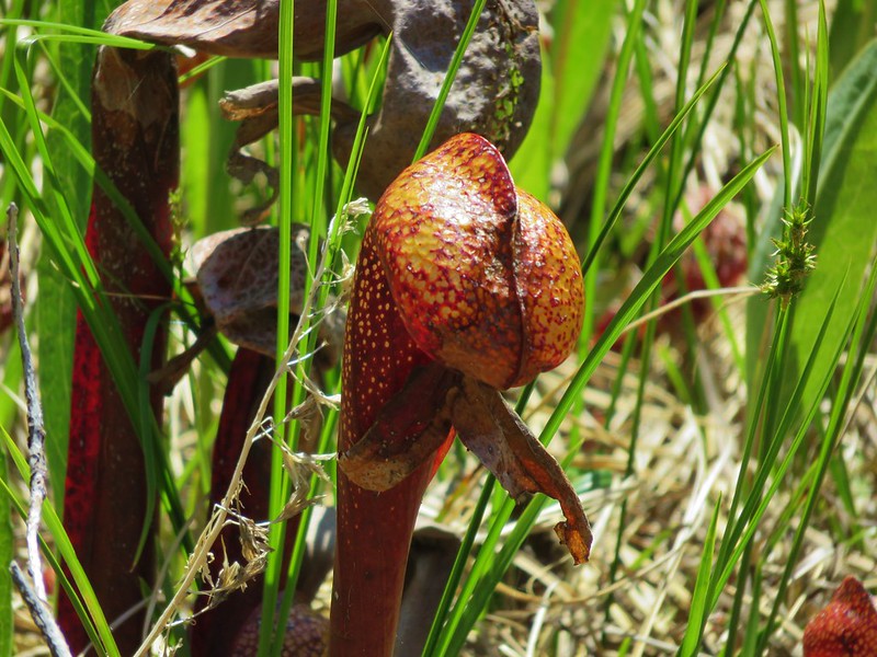
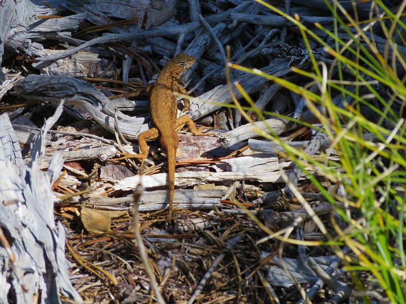
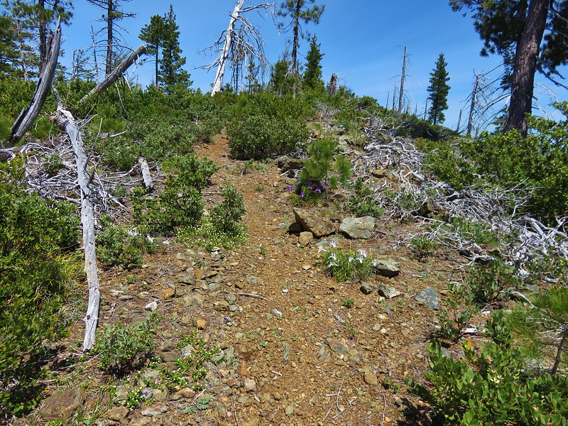
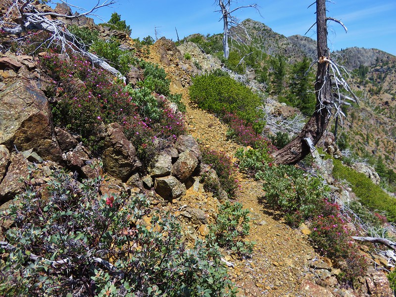
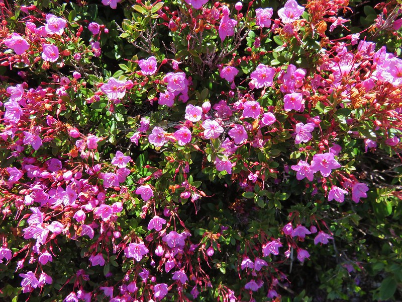
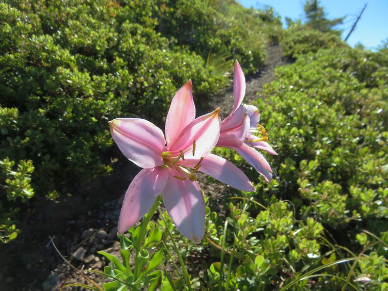
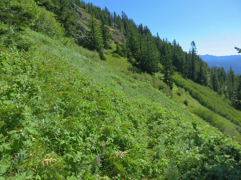
The wildflowers on Bachelor Mountain rivaled those on Coffin although Bachelor Mountain is drier and rockier.
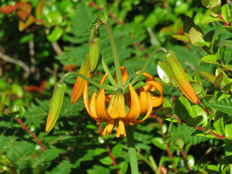
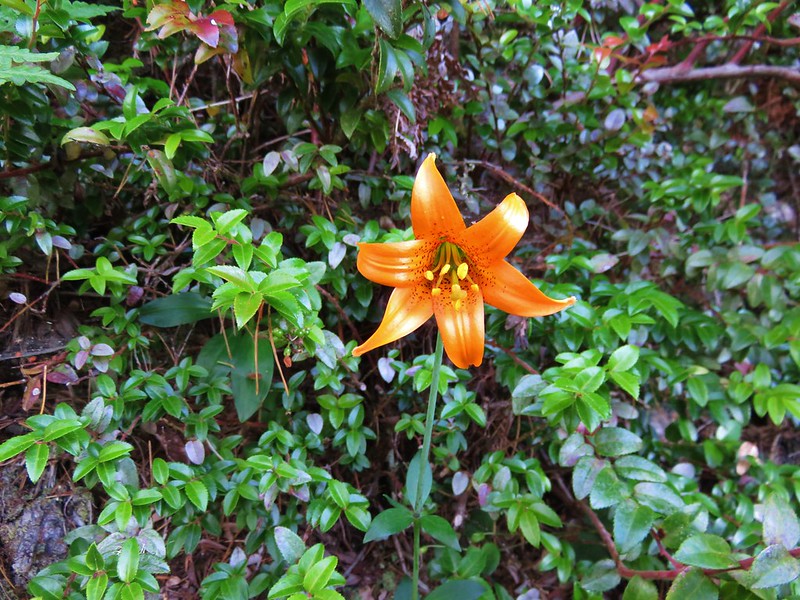
Washington lily

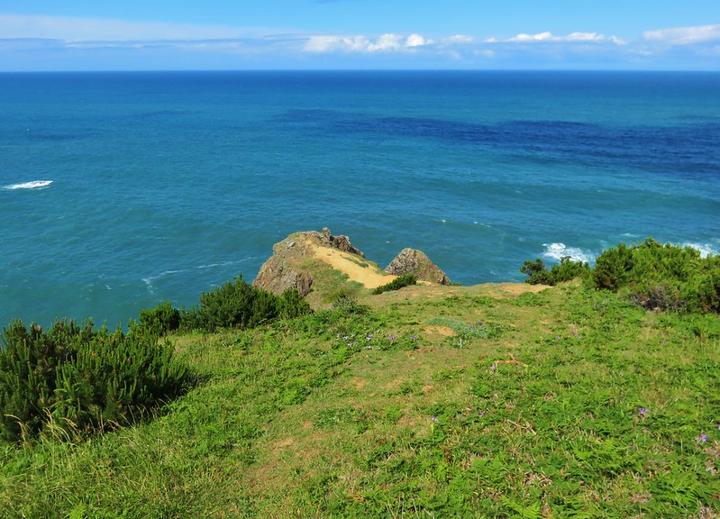
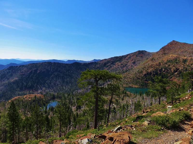
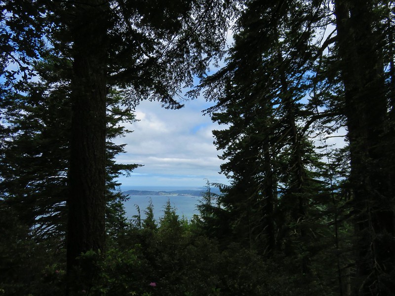
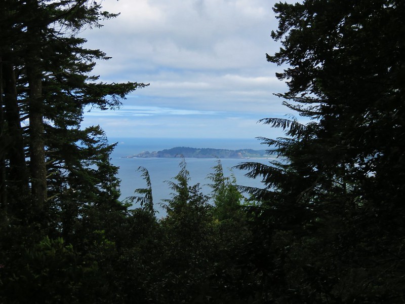
After the initial climb the trail leveled out along a plateau with views.
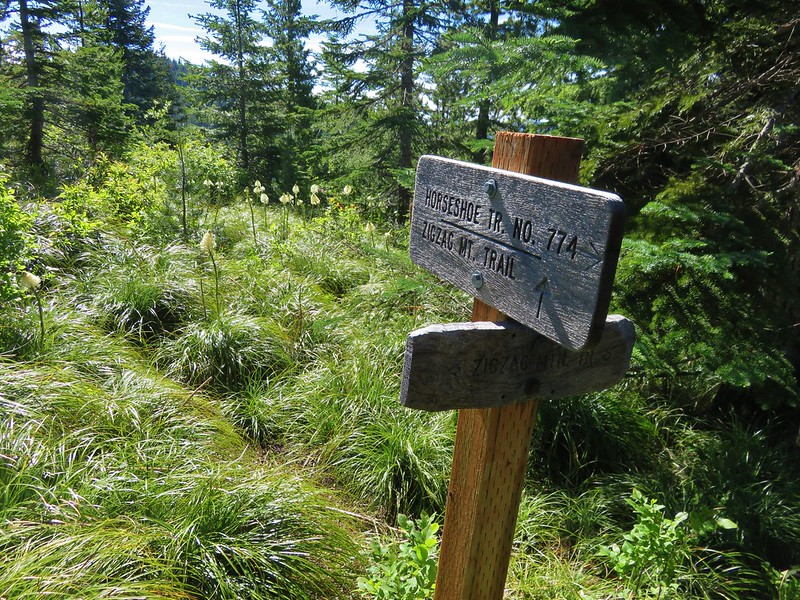
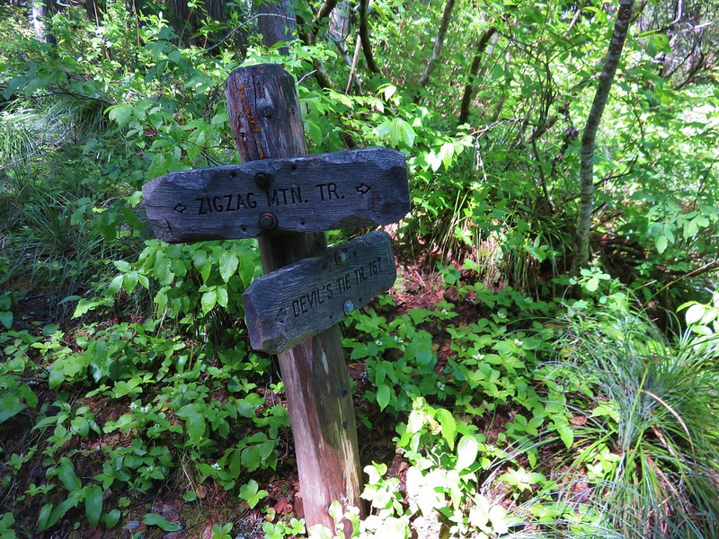
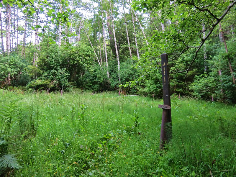
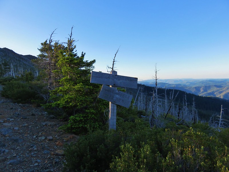
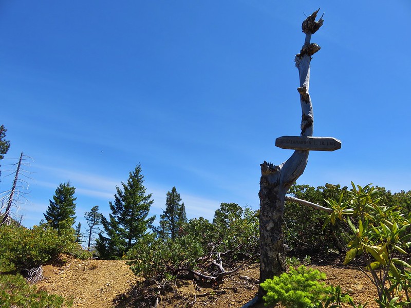
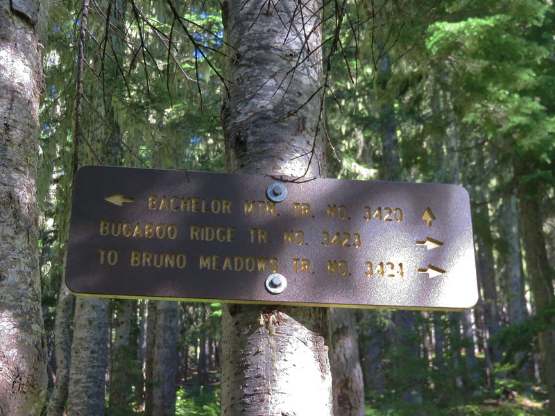
The trail then reentered the forest shortly before arriving at a junction with the Bugaboo Ridge Trail.
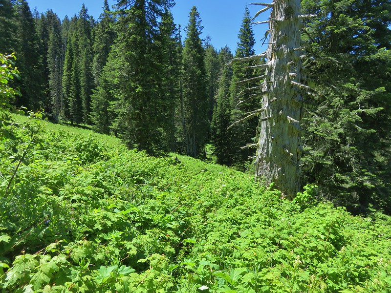
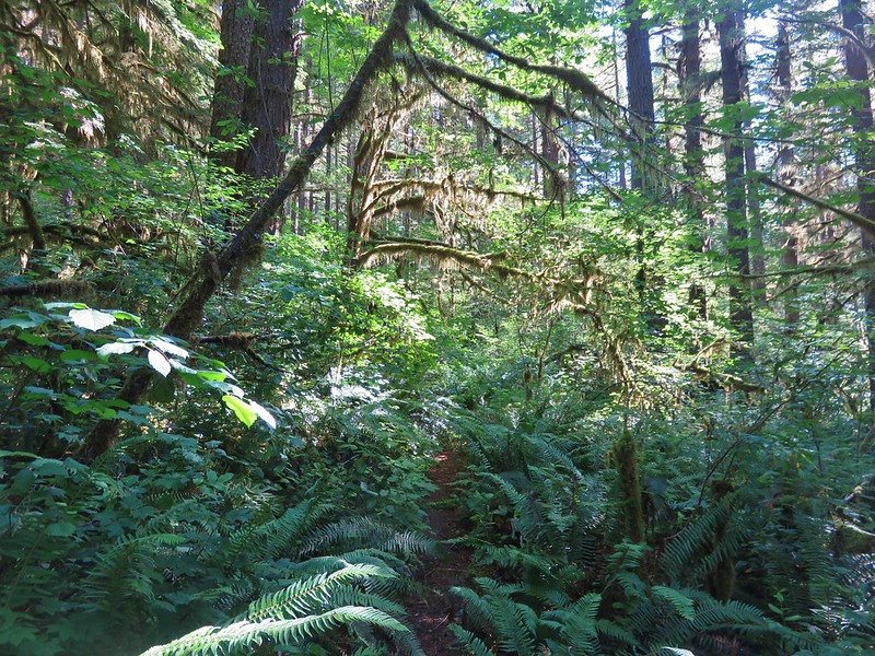
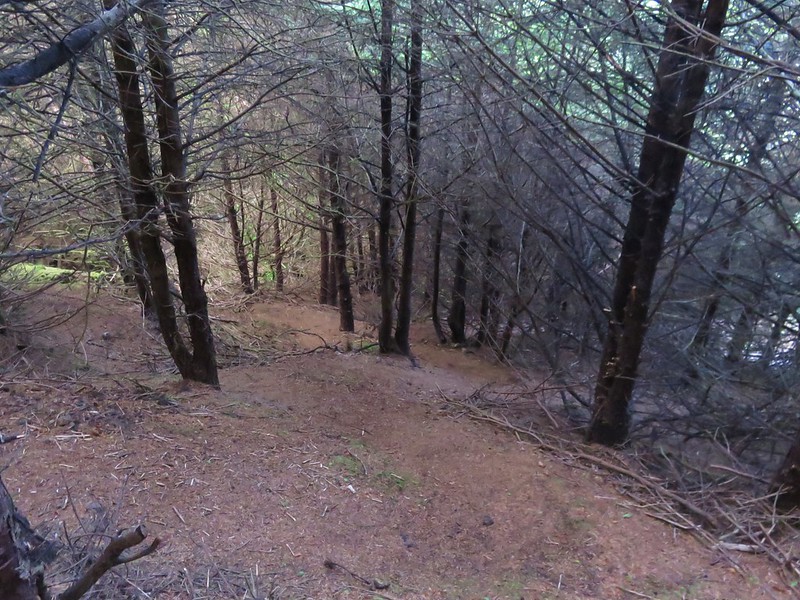
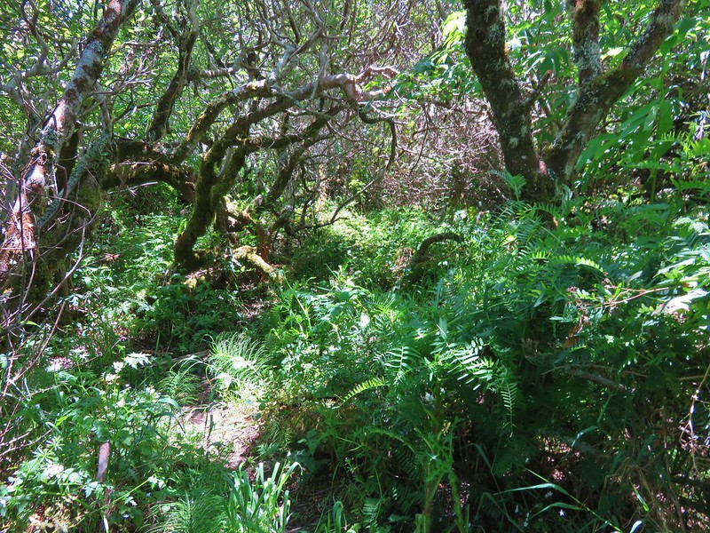
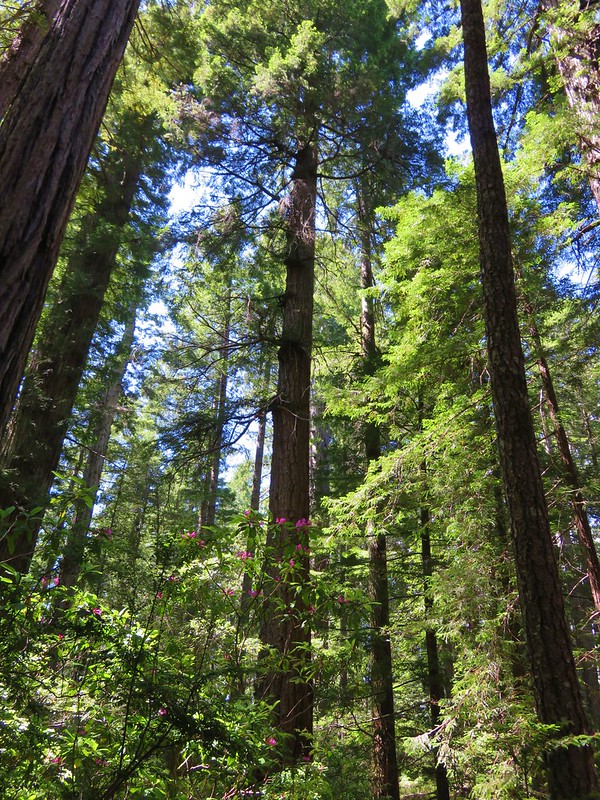
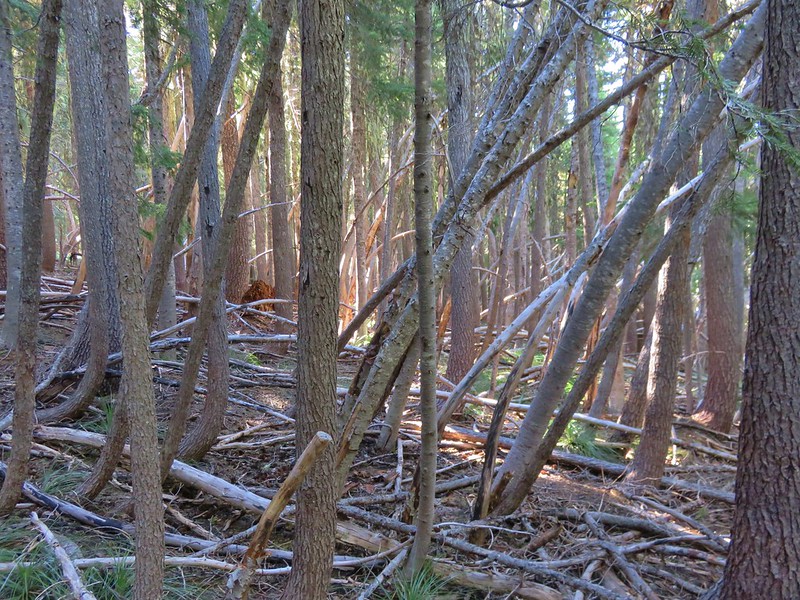
We kept to the Bachelor Mountain Trail and headed uphill toward the summit. This section of trail passed though a forest of small tightly packed trees, many of which were bent by the weight of winter snows.
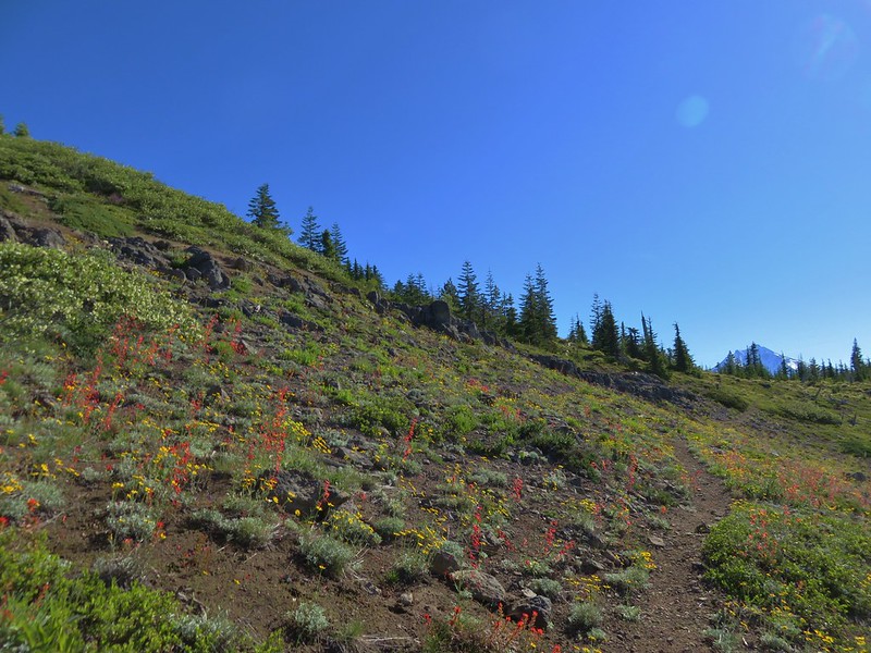
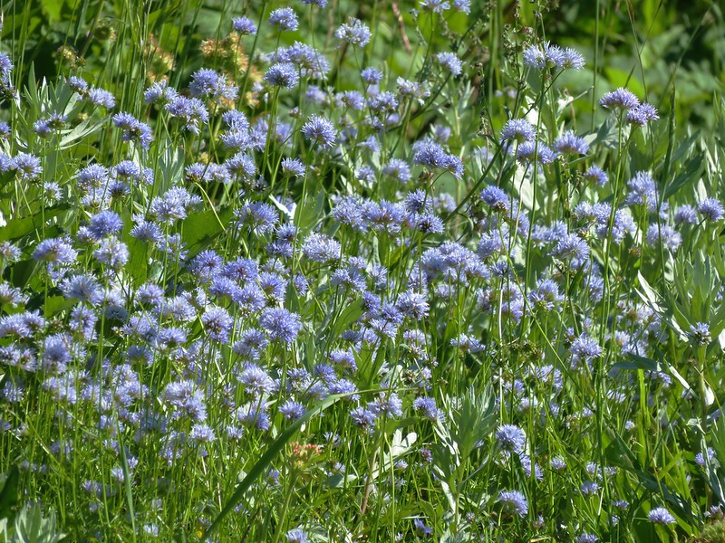
Once we were above the trees the wildflowers and views returned.
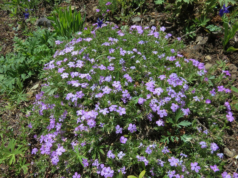
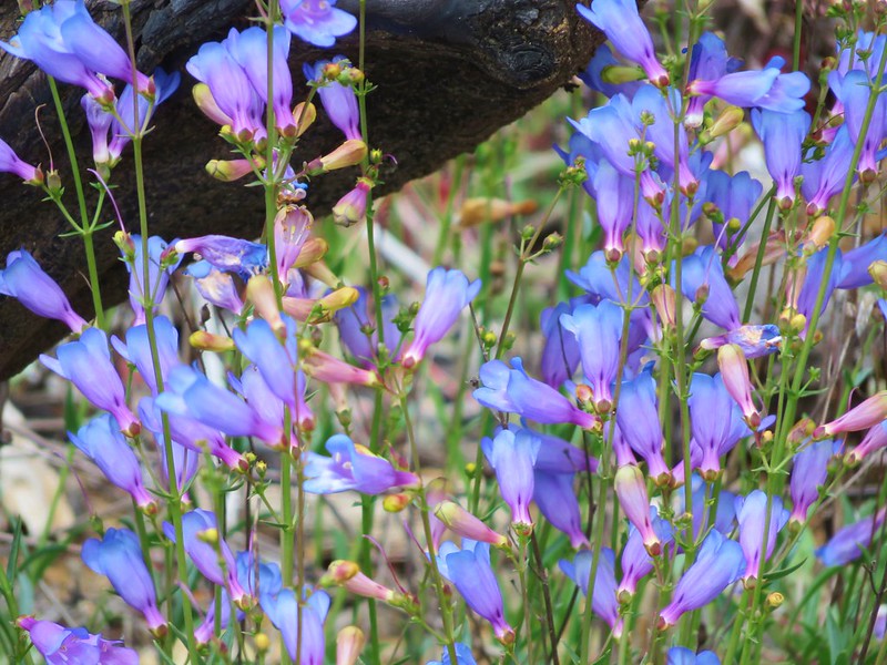
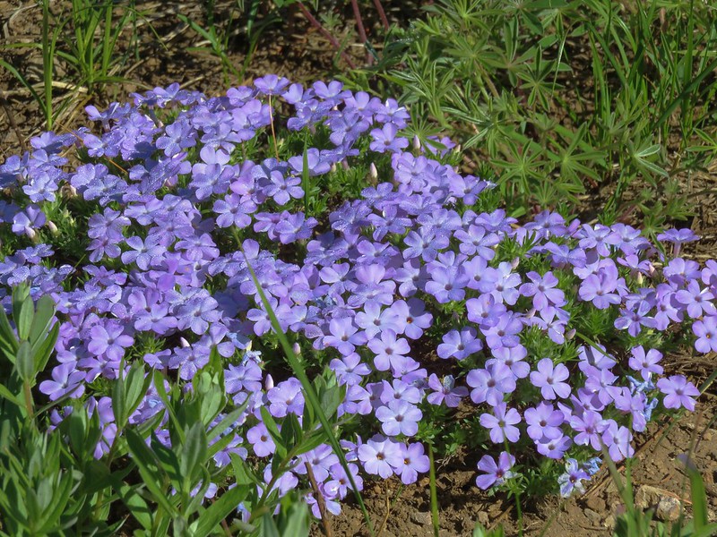
Phlox
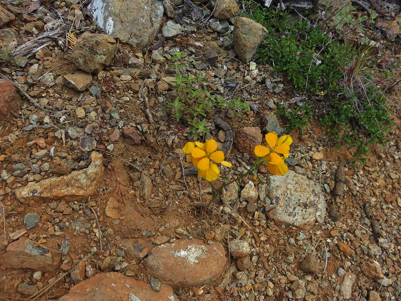
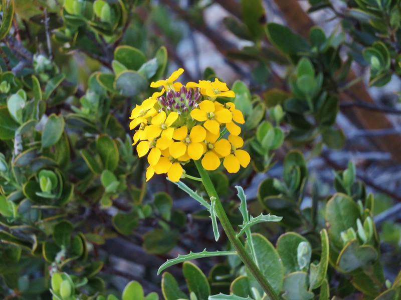
Wallflower

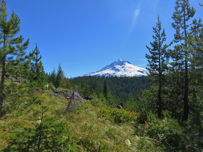
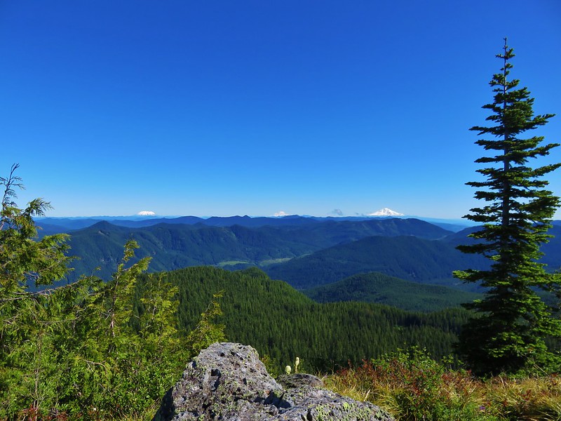
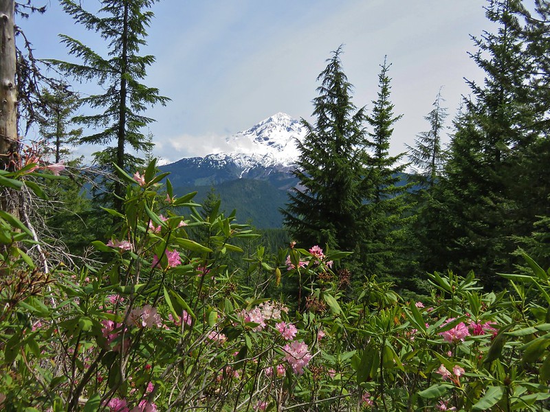
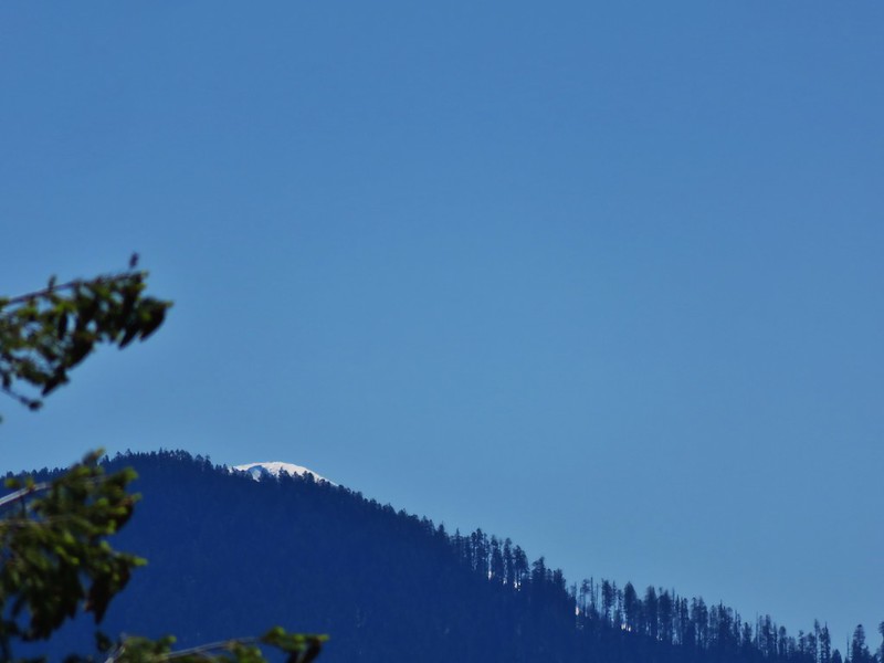
Another lookout used to sit atop Bachelor Mountain but it was burnt by the Forest Service years ago just leaving the views. To the north Mt. Adams was visible over Mt. Hoods shoulder.
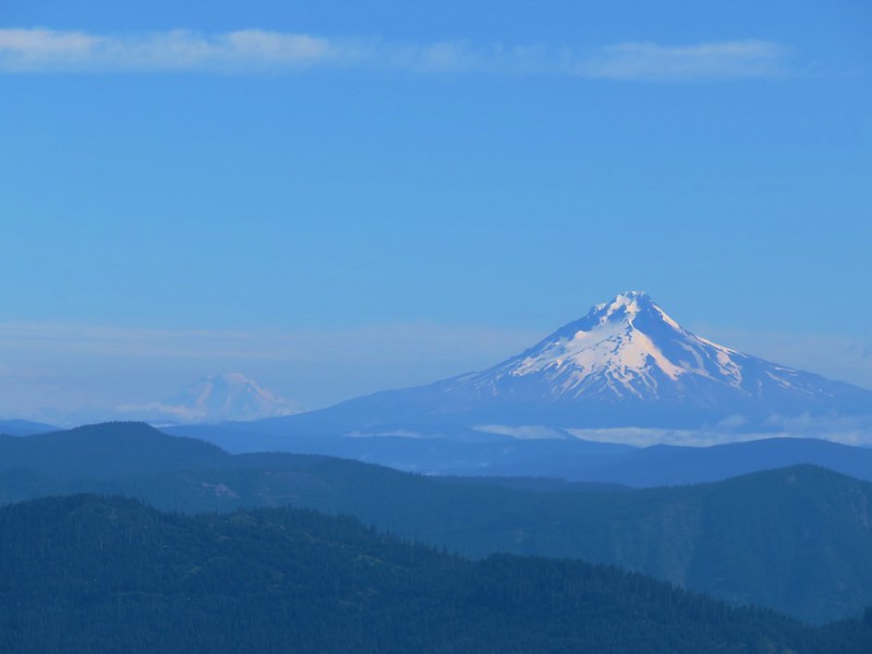
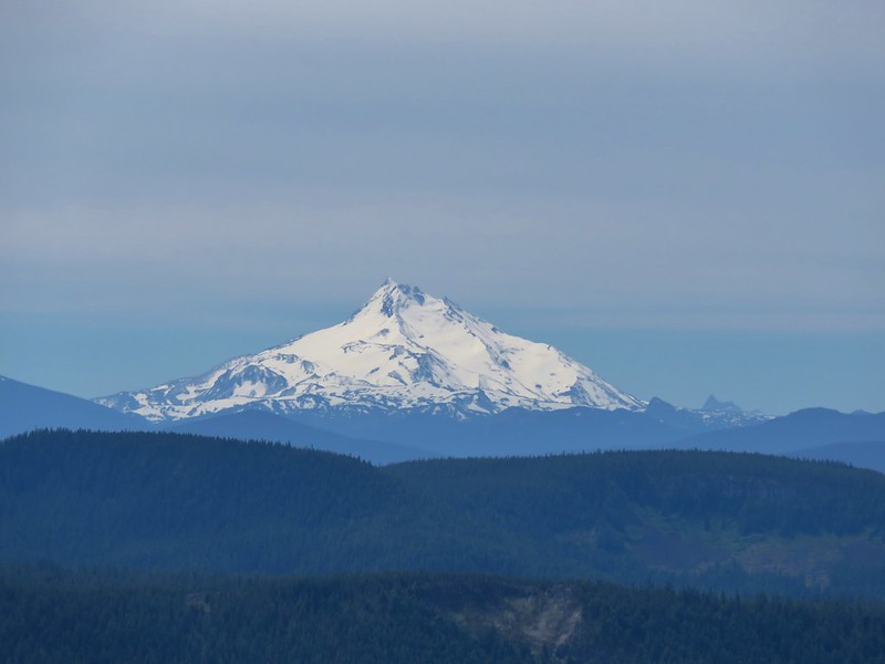
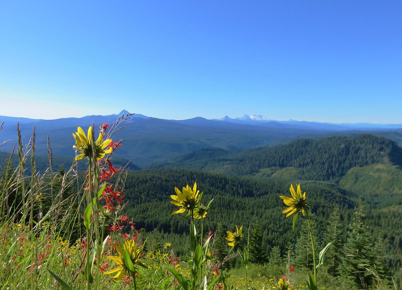
Mt. Jefferson loomed to the east.
A little further south was Three Fingered Jack and the scars of the B & B Fire.

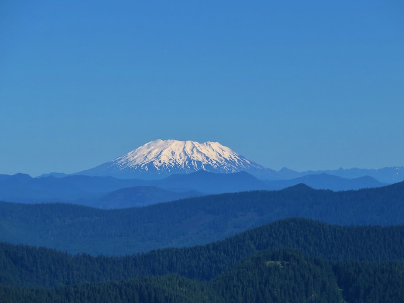
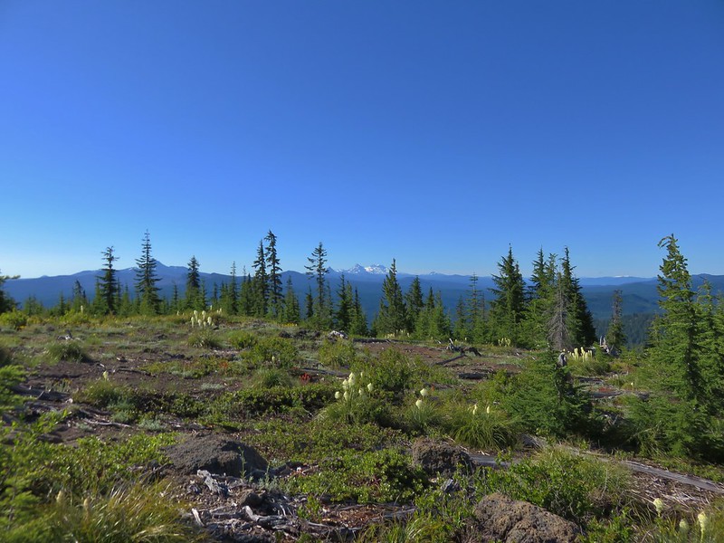
Then came a clump of Cascade Mountains, Washington, Broken Top and the Three Sisters.
Because Bachelor Mountain is taller than its neighbor there was also a nice view of Coffin Mountain.
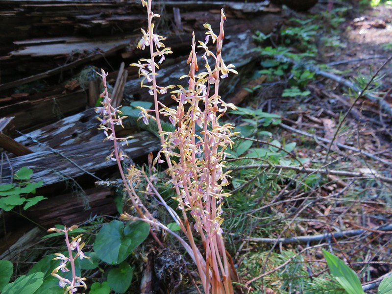
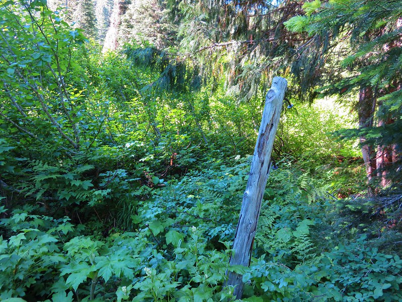
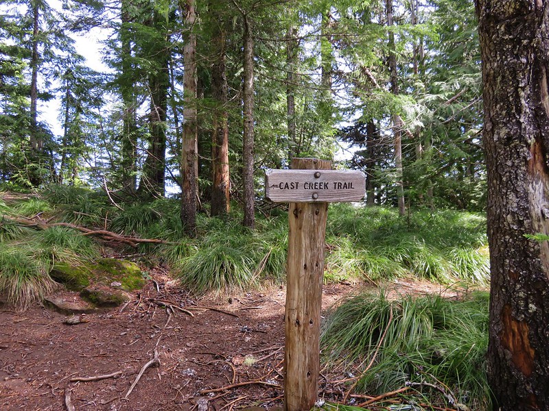
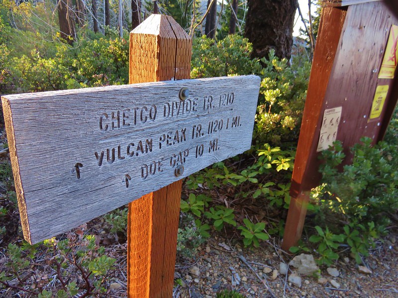
We headed back down the Bugaboo Ridge Trail junction and unlike our last visit this time we turned onto that trail and headed east through the forest.
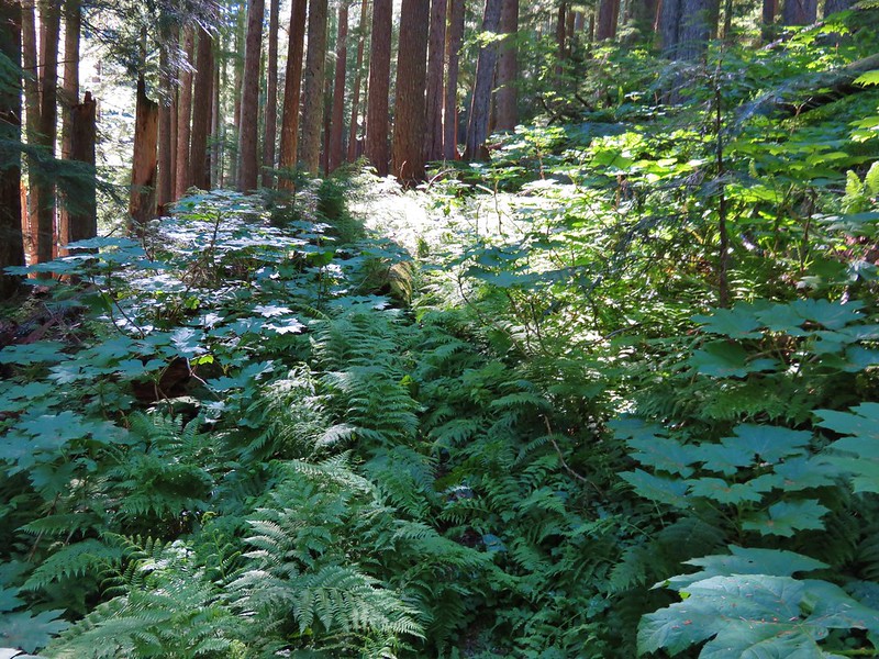
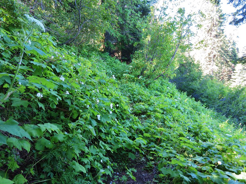
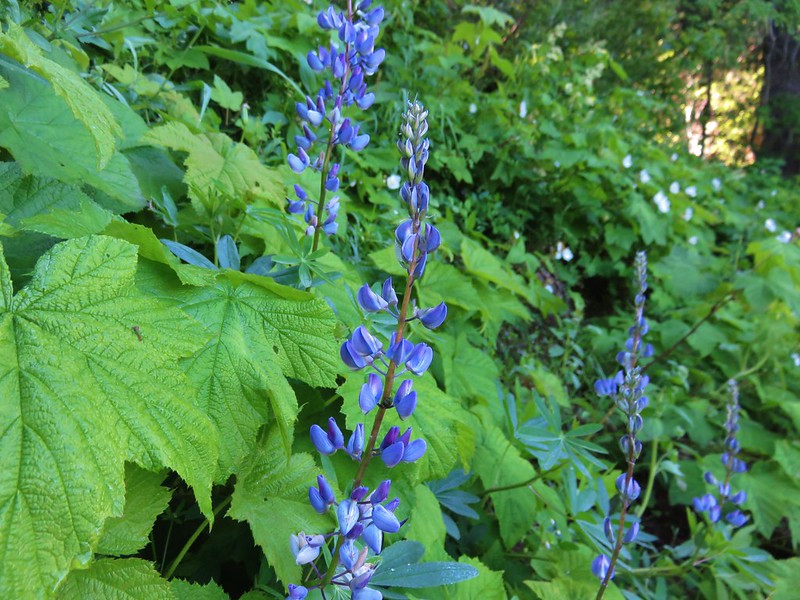
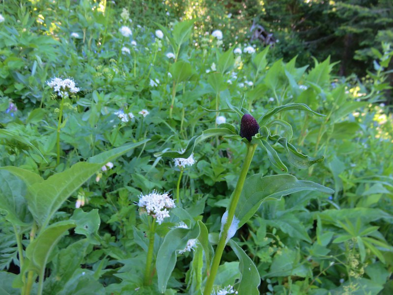
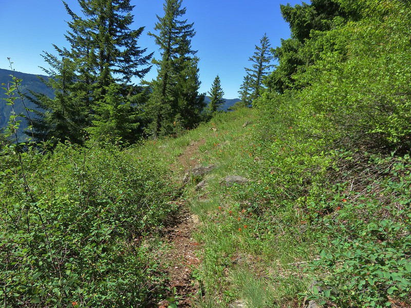
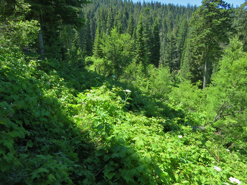
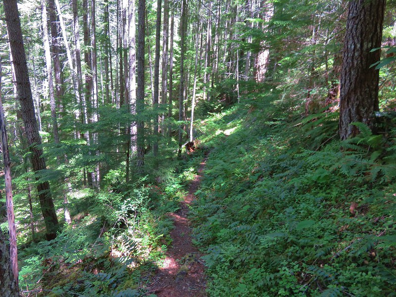
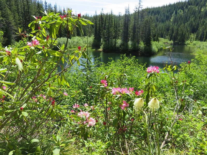
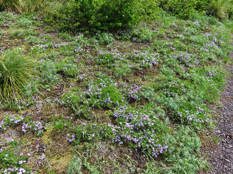
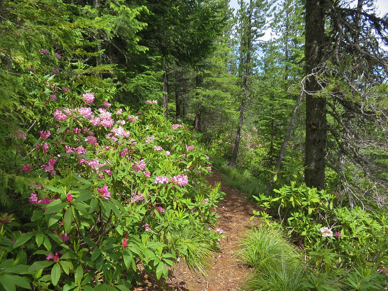
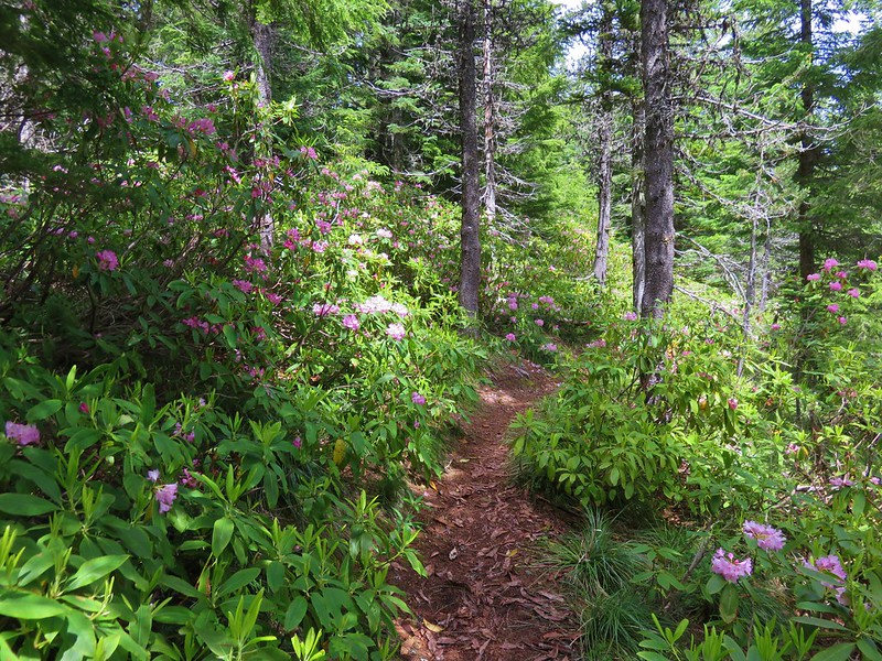
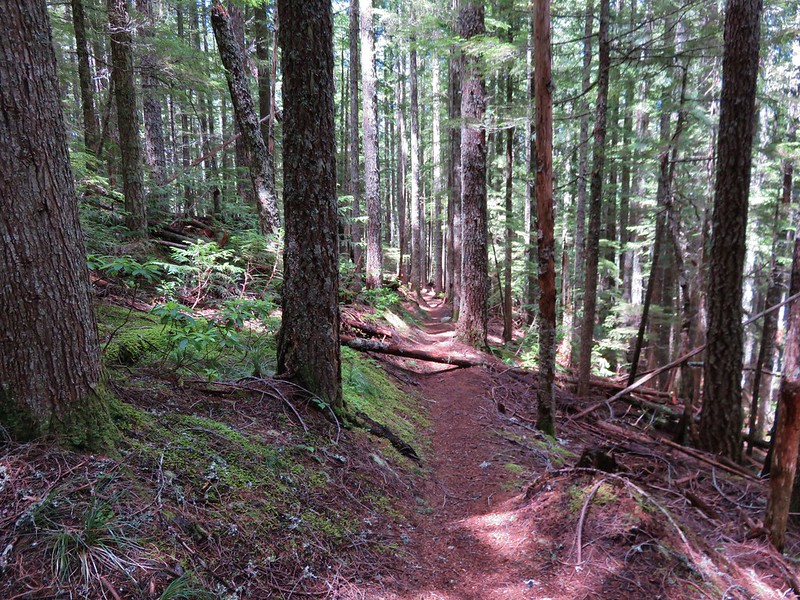
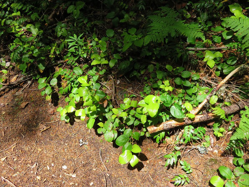
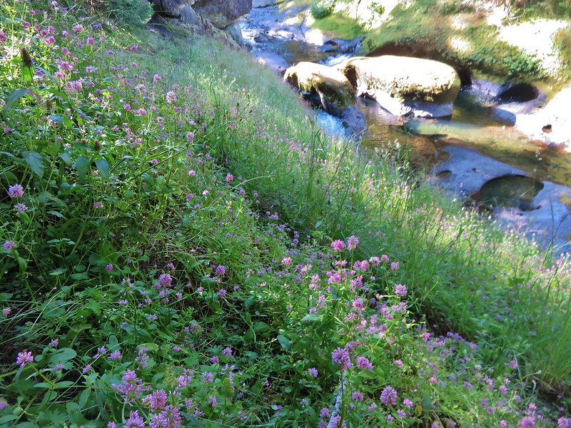
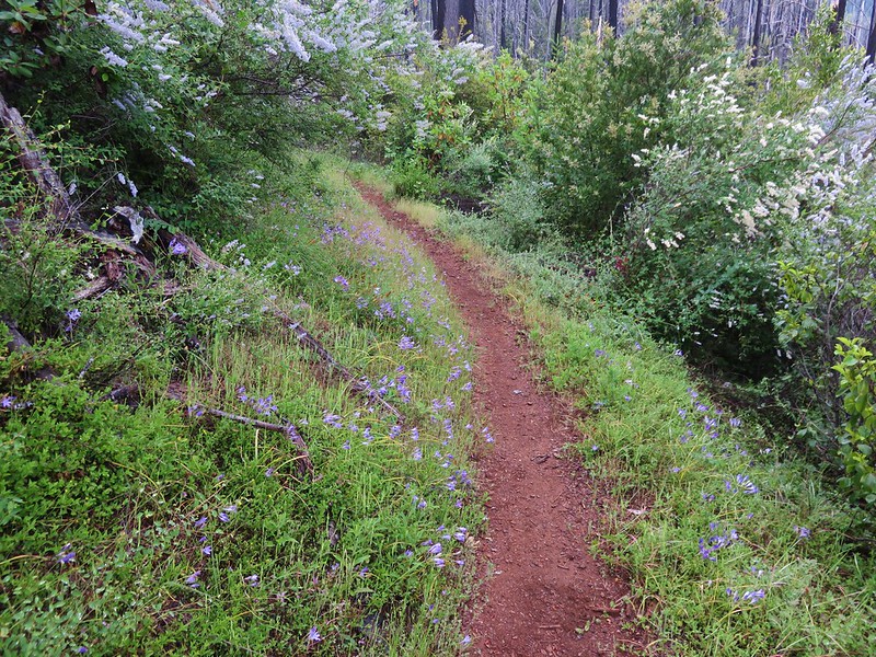
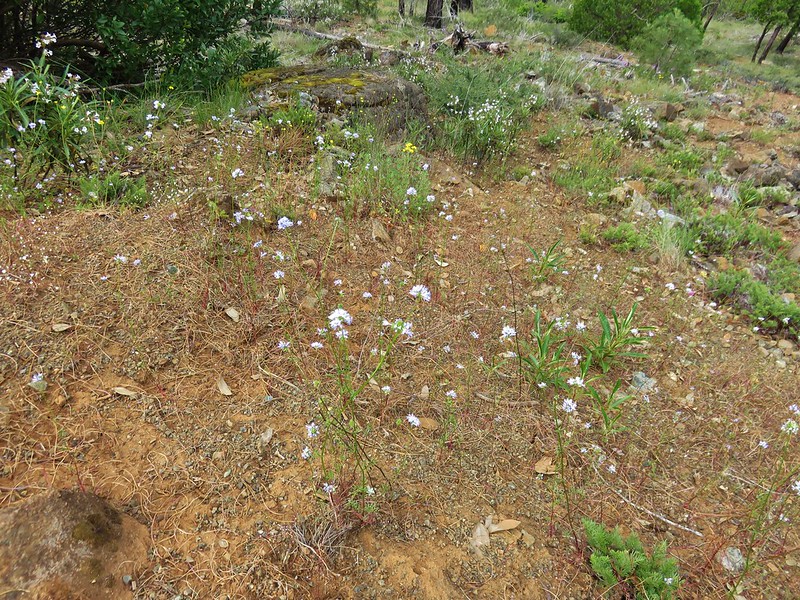
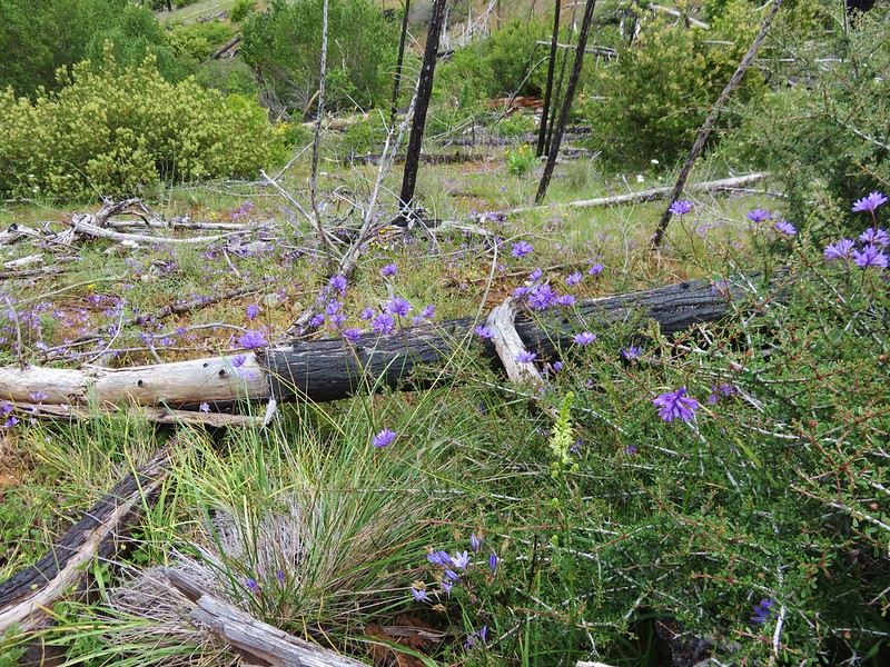
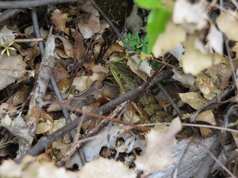
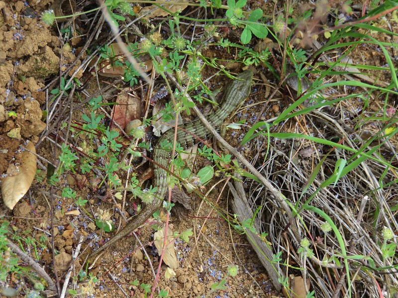
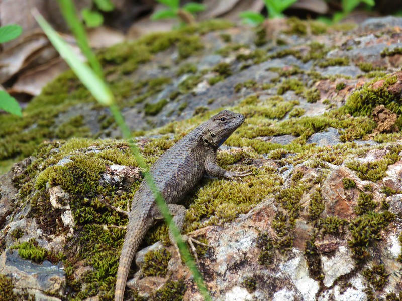
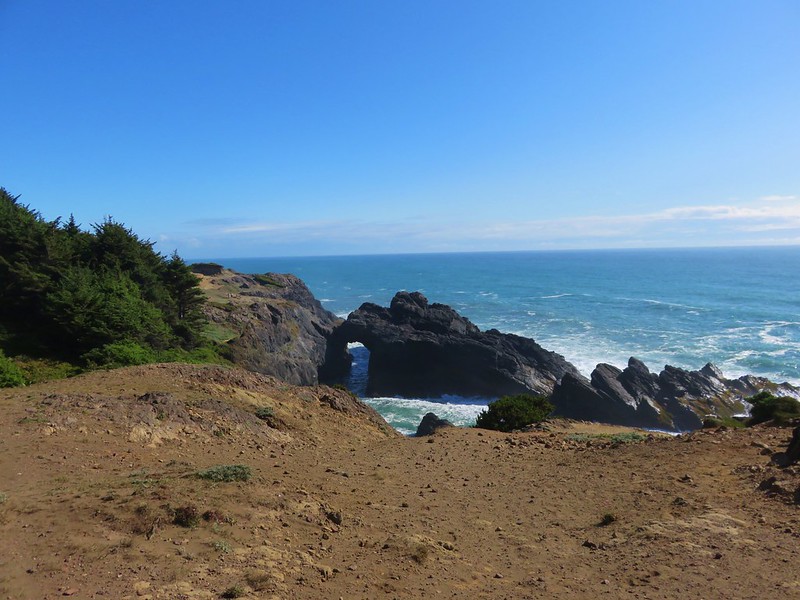
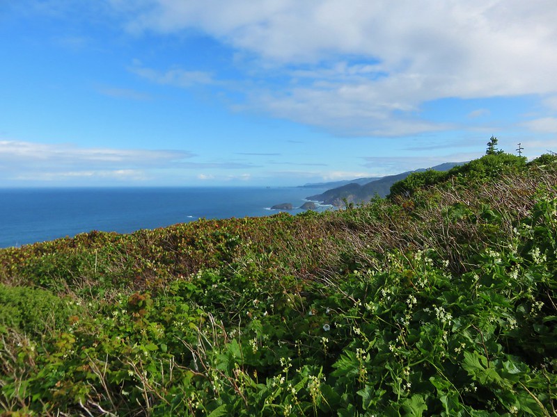
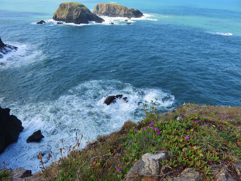
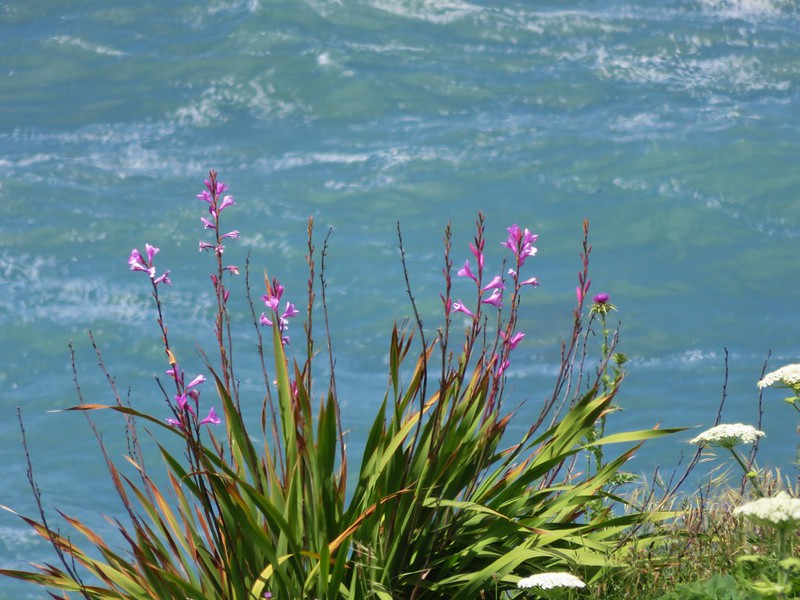
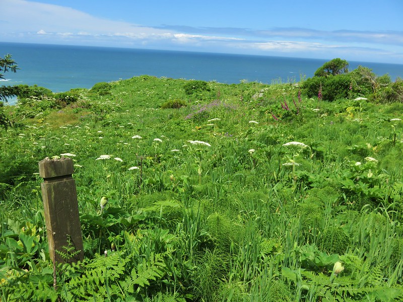
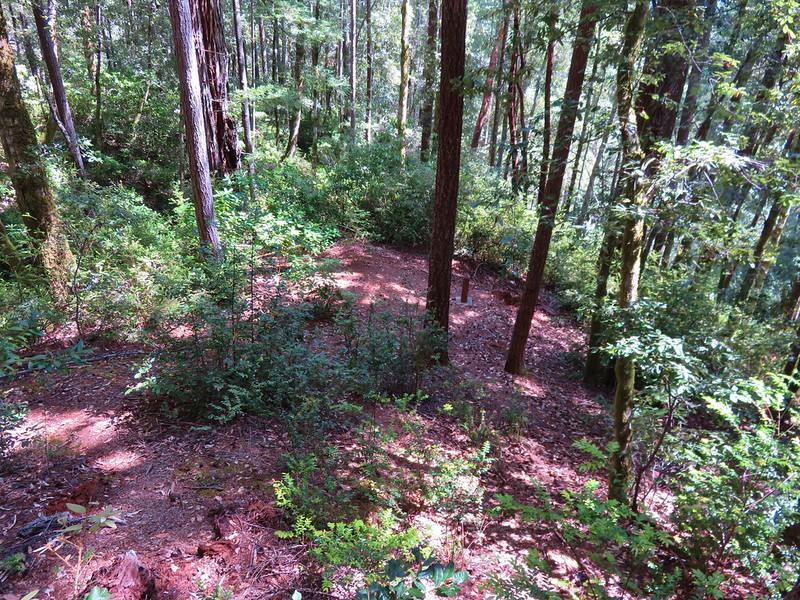
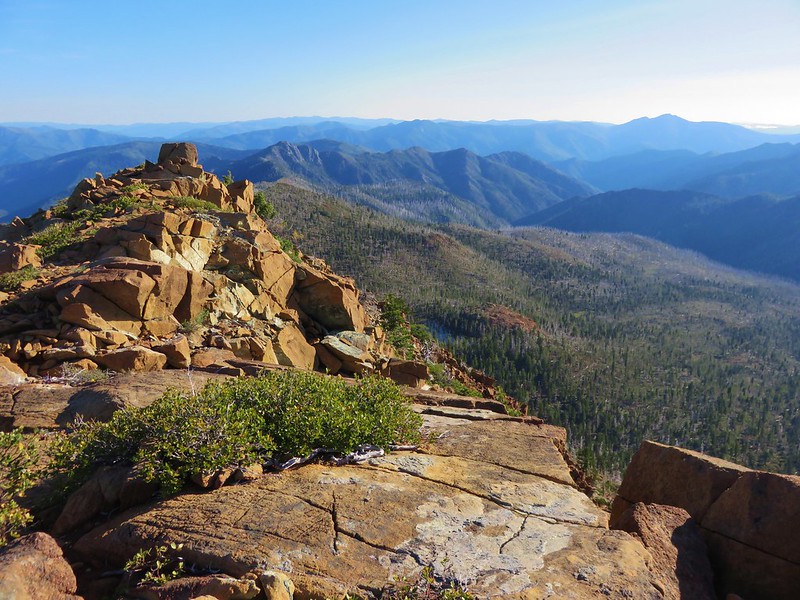
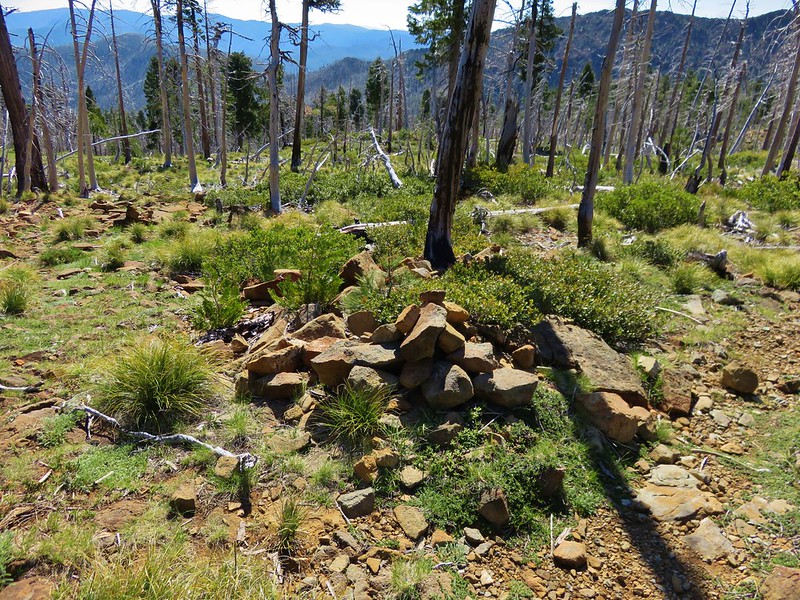
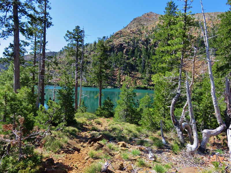
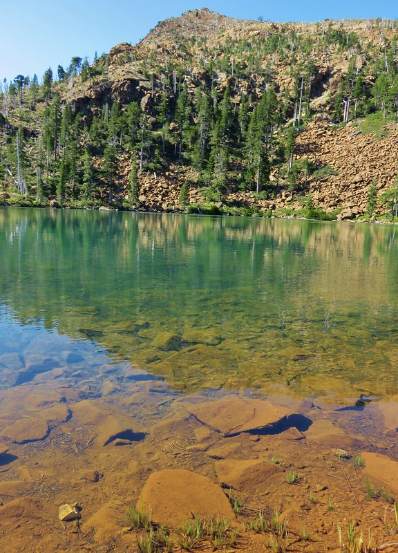
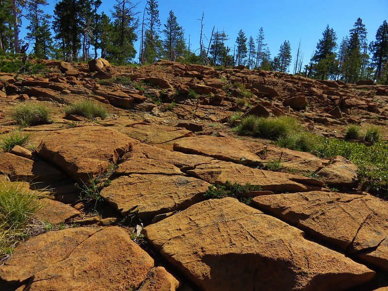
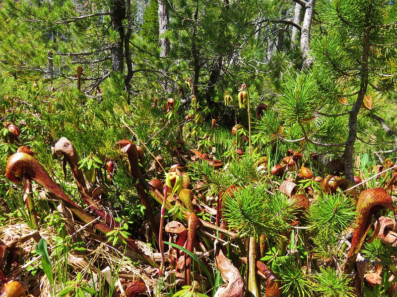
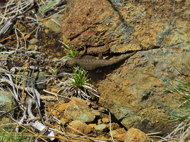
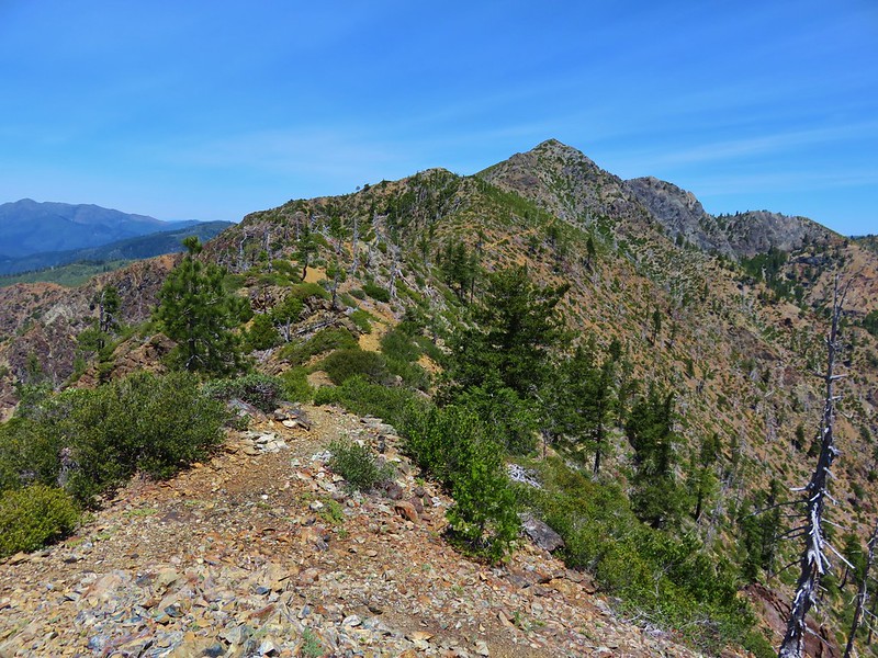
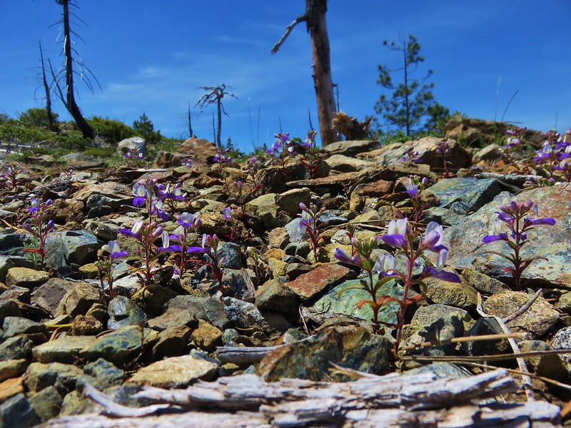
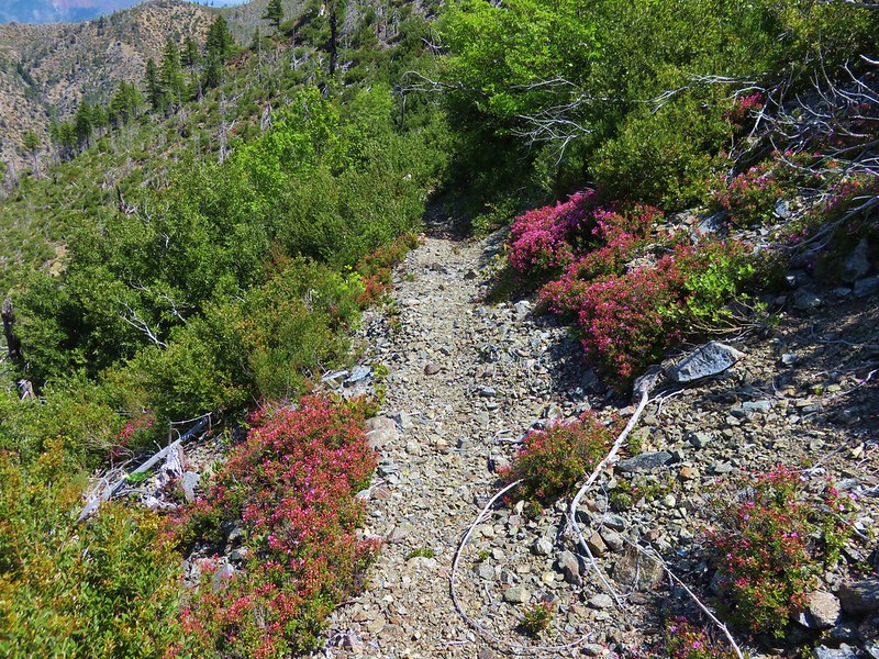
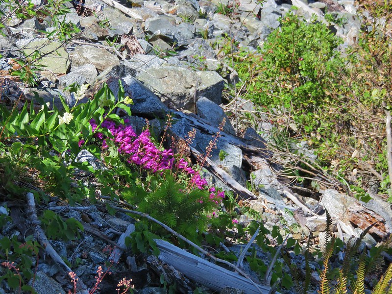
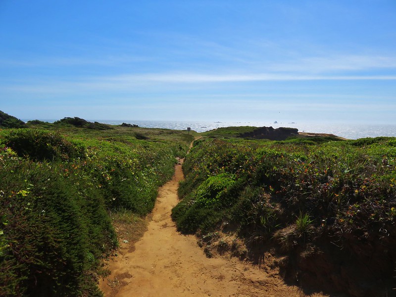
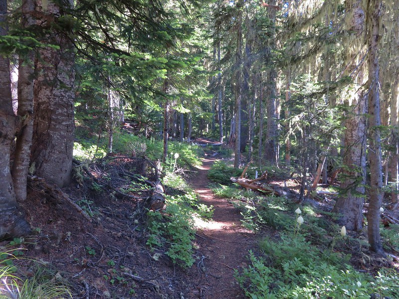
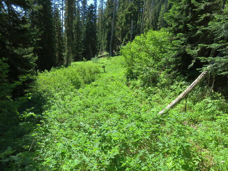
The Bugaboo Ridge Trail is a longer approach to Bachelor Mountain and it was evident that it sees much lighter usage based on the narrower tread and encroaching vegetation in places. We found it to be a great trail though. The trail left the trees and entered a series of rock gardens and meadows filled with wildflowers.
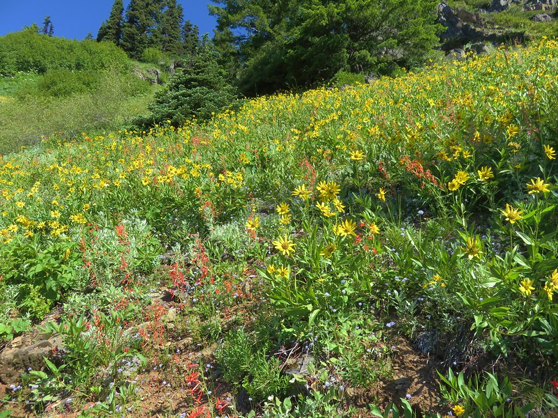

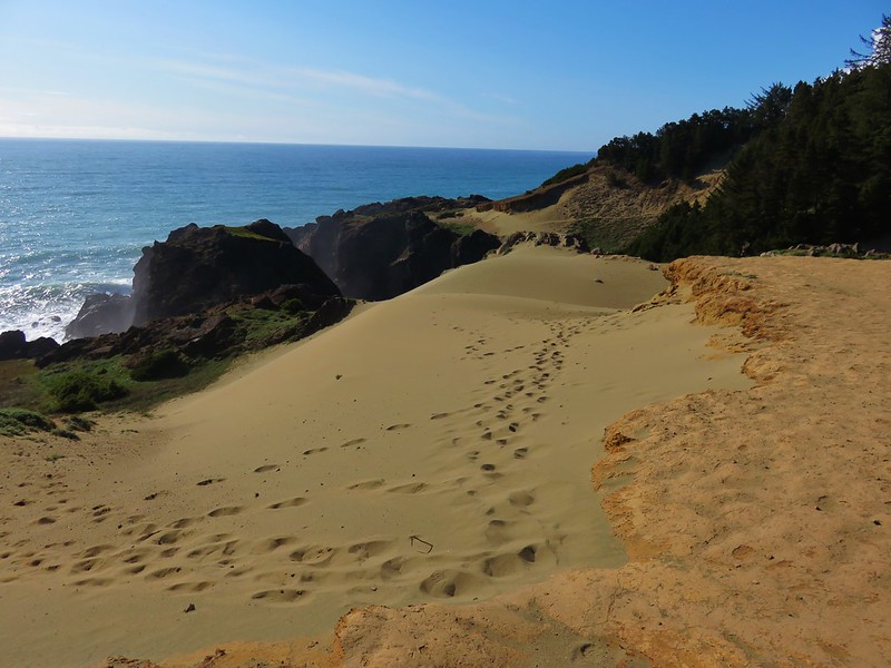
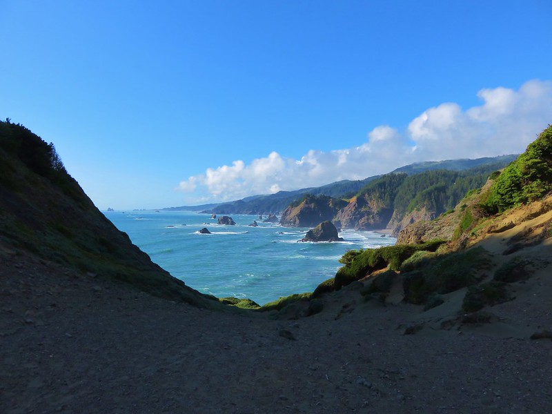
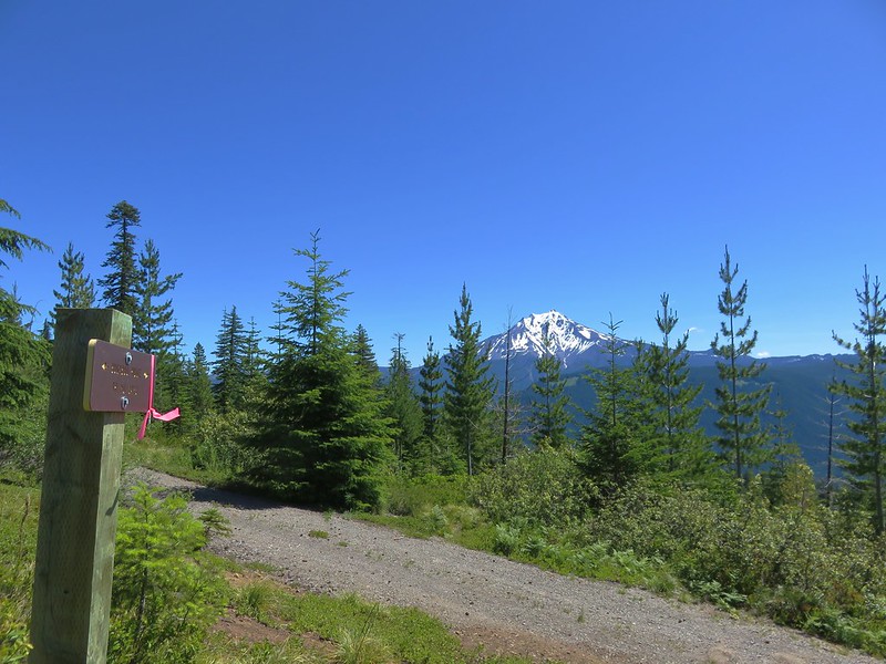
The views were pretty darn good too.
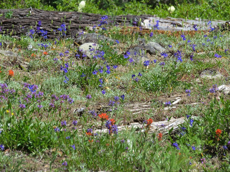
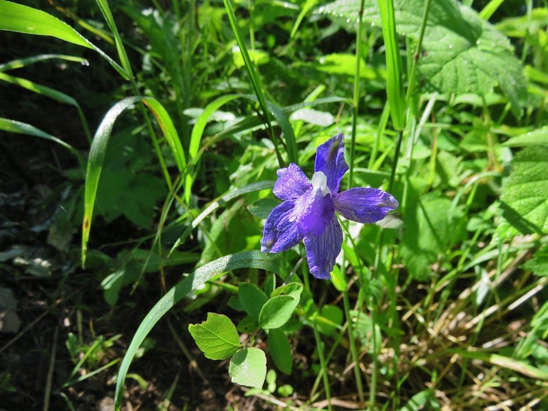
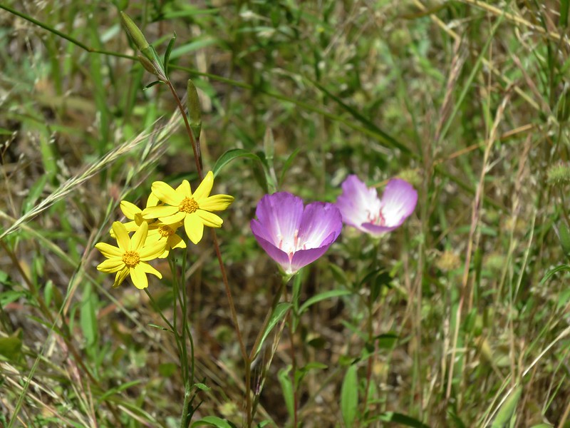
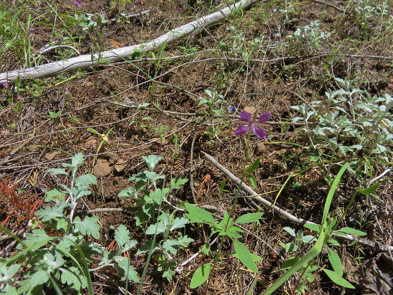
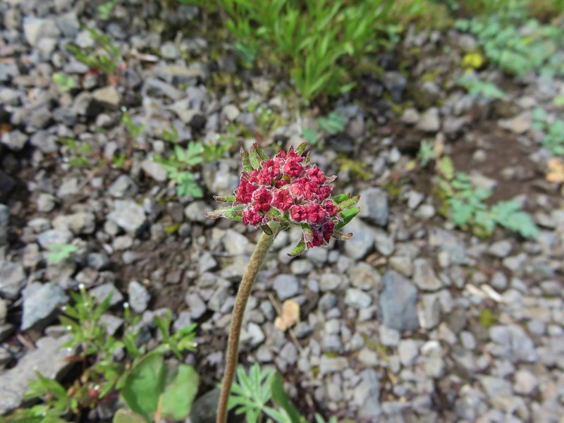
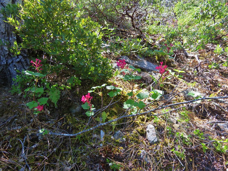
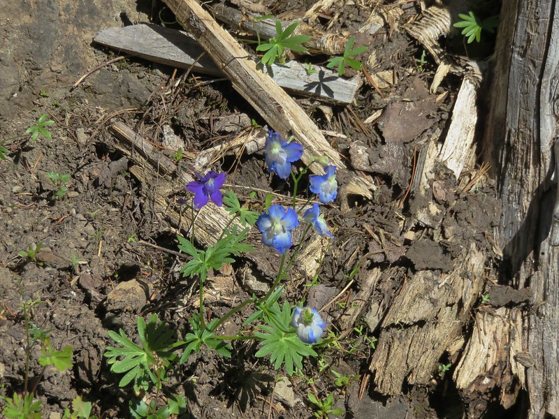
Heather spotted an interestingly colored larkspur along the trail, it was the only one we could find.
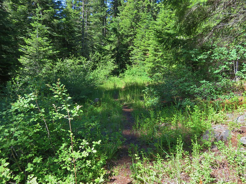
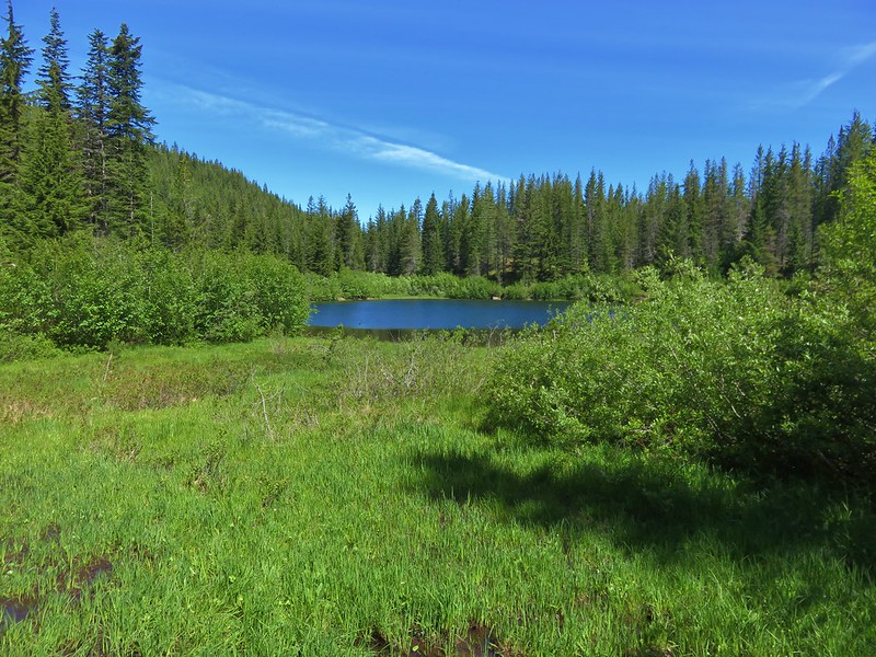
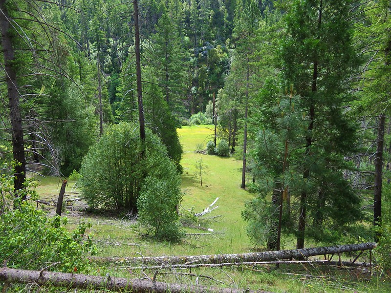
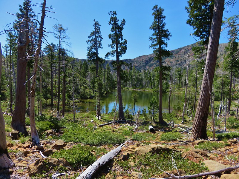
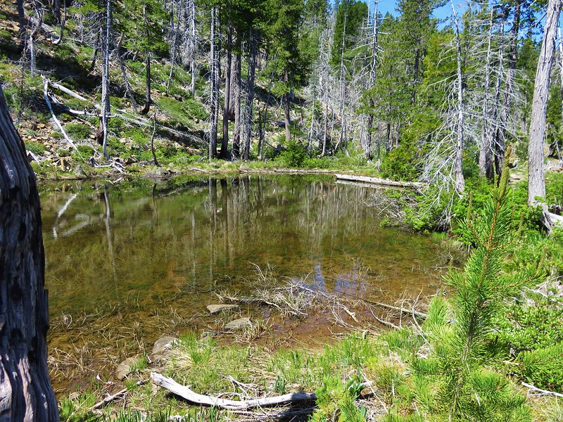
The meadows and gardens began to give way to forest as the trail descended to the Bruno Meadows Trail junction.
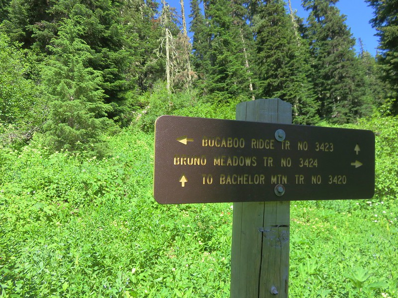
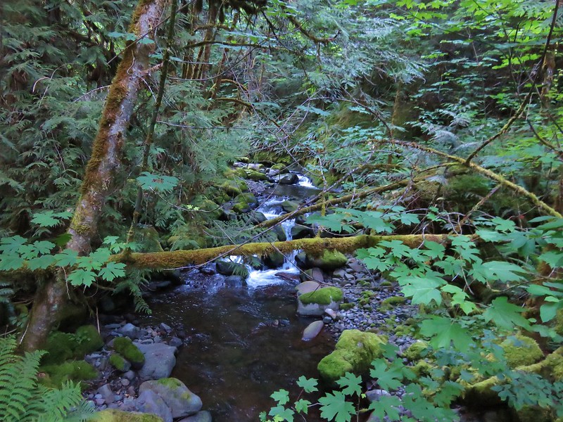
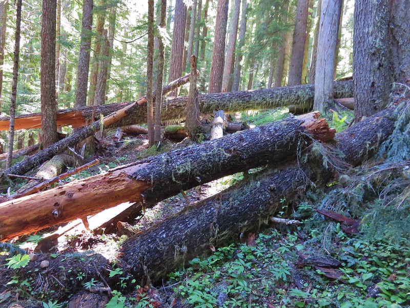
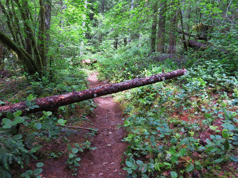
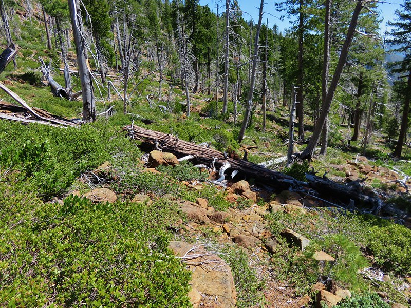
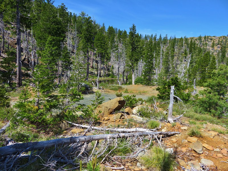
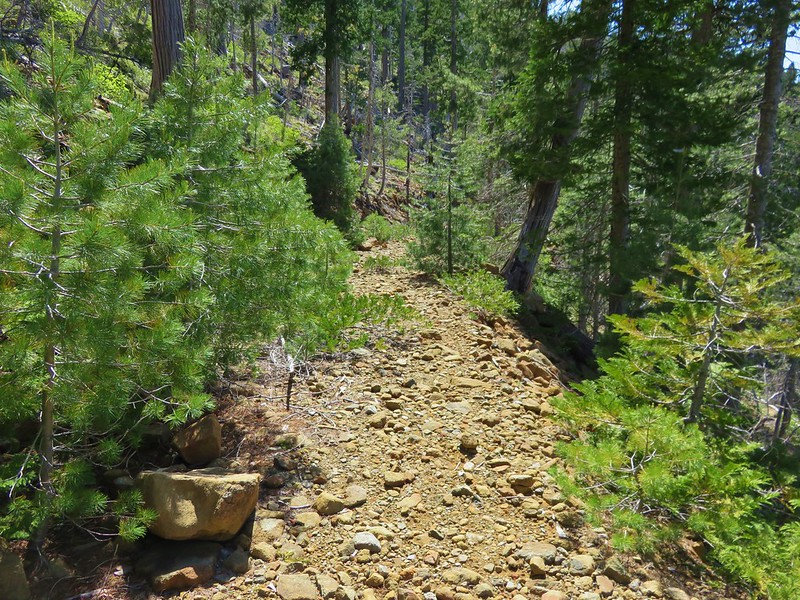
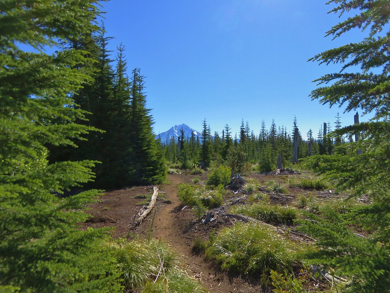
The Bruno Meadows Trail is yet another option to reach Bachelor Mountain, but we ignored that trail and continued to descend on the Bugaboo Ridge Trail. The descent was gentle except for a short section above the Bruno Meadows junction although there was a fair amount of blowdown to navigate. We decided to turn around at a logging road that the trail crossed in an old clear cut.
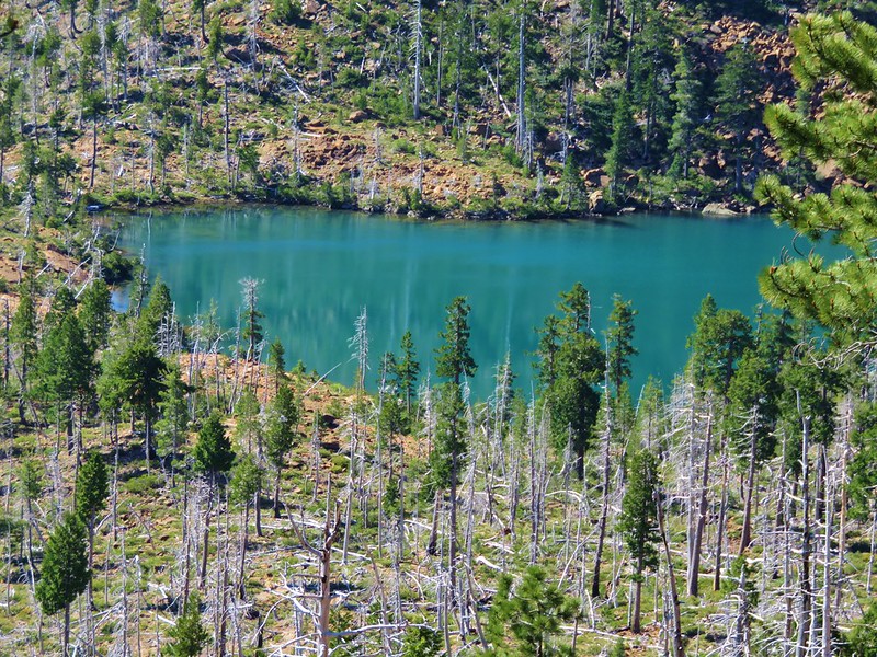
The detour along the Bugaboo Ridge Trail to the road was just under 2.5 miles adding nearly 5 miles to the days hike but it had been worth the extra effort. This visit had been a vastly different experience from our visit in 2013. It was fun to be able to see what we had not been able to on that first trip, and it was a great way to spend the 4th. Happy Trails!
Flickr: https://www.flickr.com/photos/9319235@N02/albums/72157670004507771