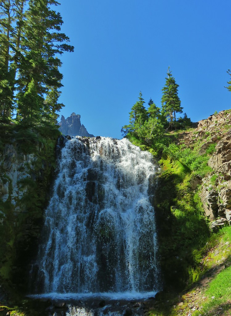
**Note the 2024 208 MF Fire burned over a portion of this hike from Marie Lake to Blue Lake.**
We woke up early on the second day of our loop around Diamond Peak and as the Sun was coming up we realized that it had gotten a little hazy overnight.
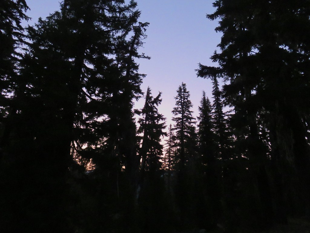
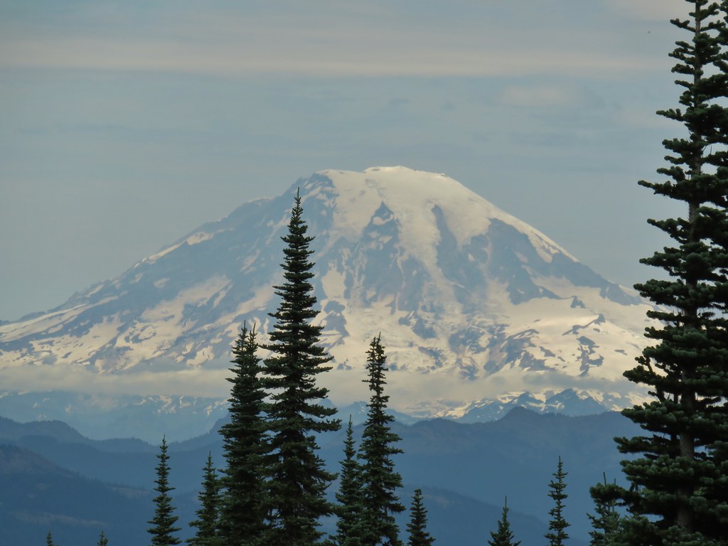
 Diamond Peak in the morning.
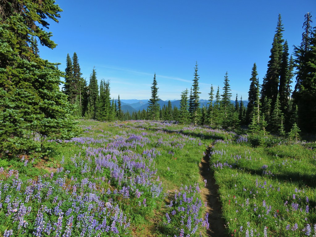
Our plan for the day was to leave camp and hike to the summit of Diamond Peak then come back, pack up, and continue on our loop. We hoped to make it as far as Blue Lake but were also ready to stop at Corrigan Lake if necessary. We took breakfast with us as we set off to the north on the Pacific Crest Trail.
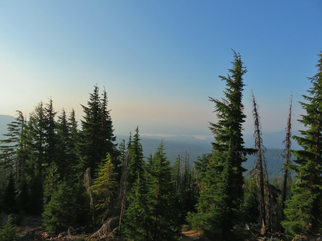
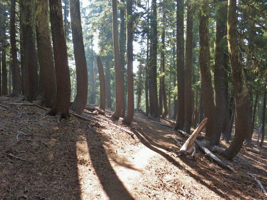
We followed the PCT for approximately 1.2 miles to a rocky viewpoint where we stopped to cook breakfast.
 The viewpoint from below on the PCT.
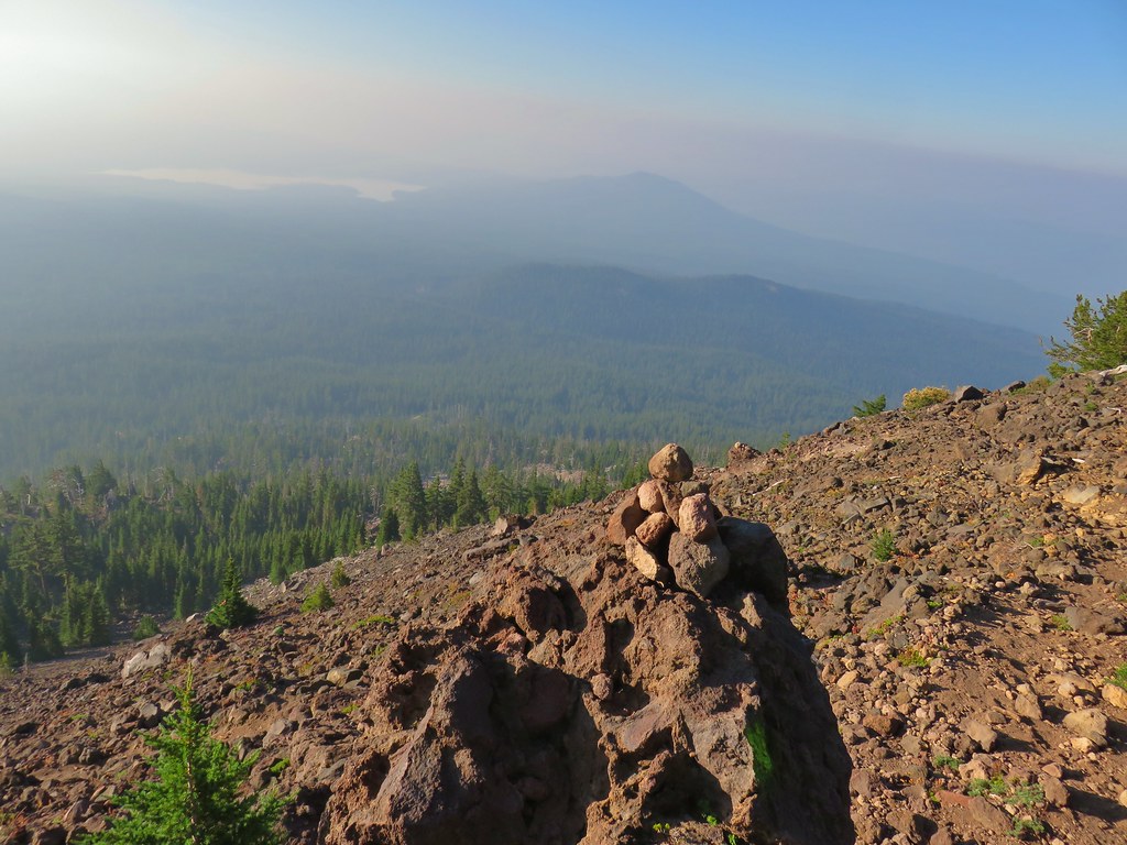
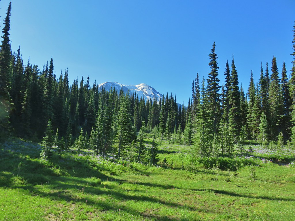
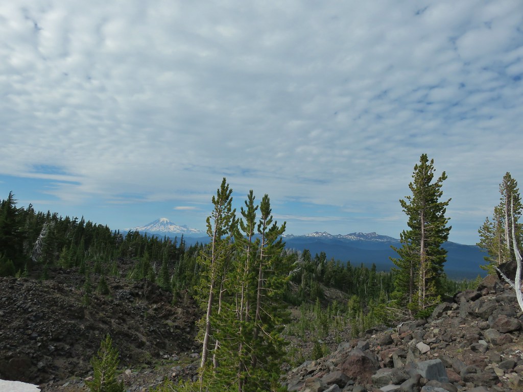
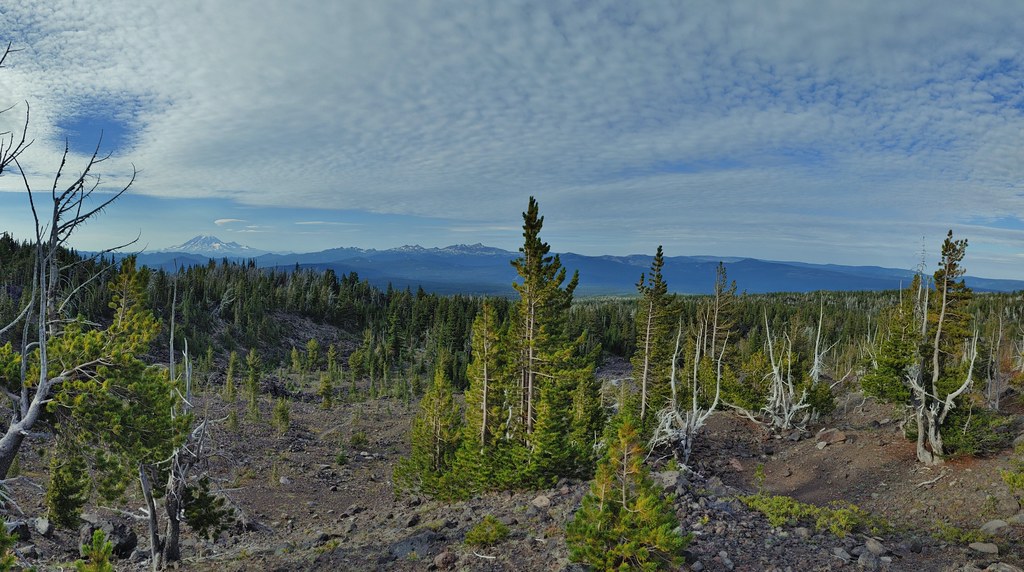
We should have been able to see Summit Lake and Mt. Thielsen to the south from the viewpoint but after a smoke free hike the day before our luck ran out.
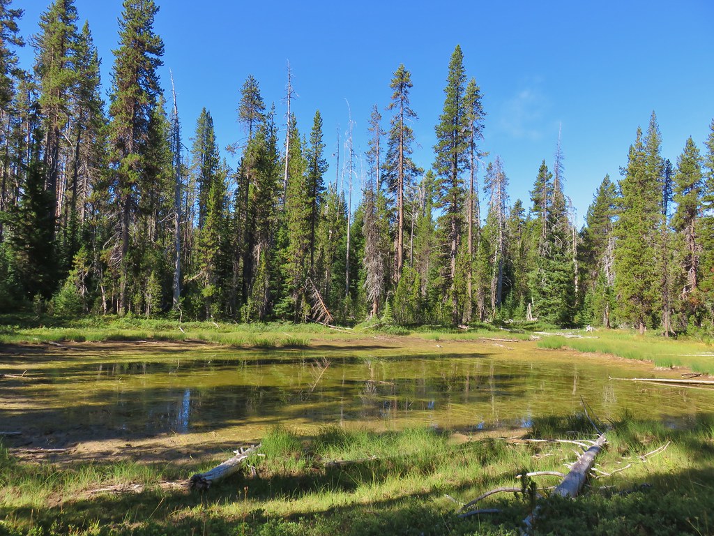
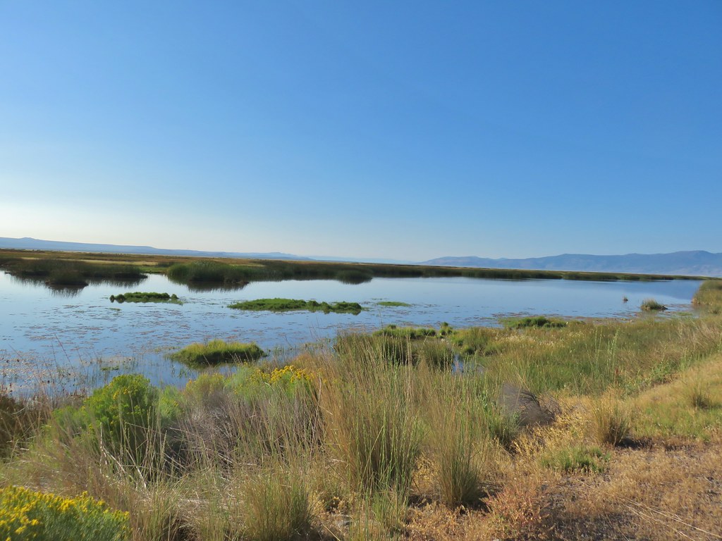
 Summit Lake and a lot of smoke.
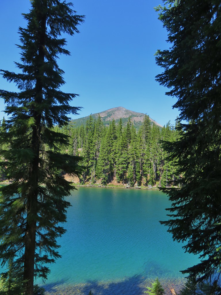
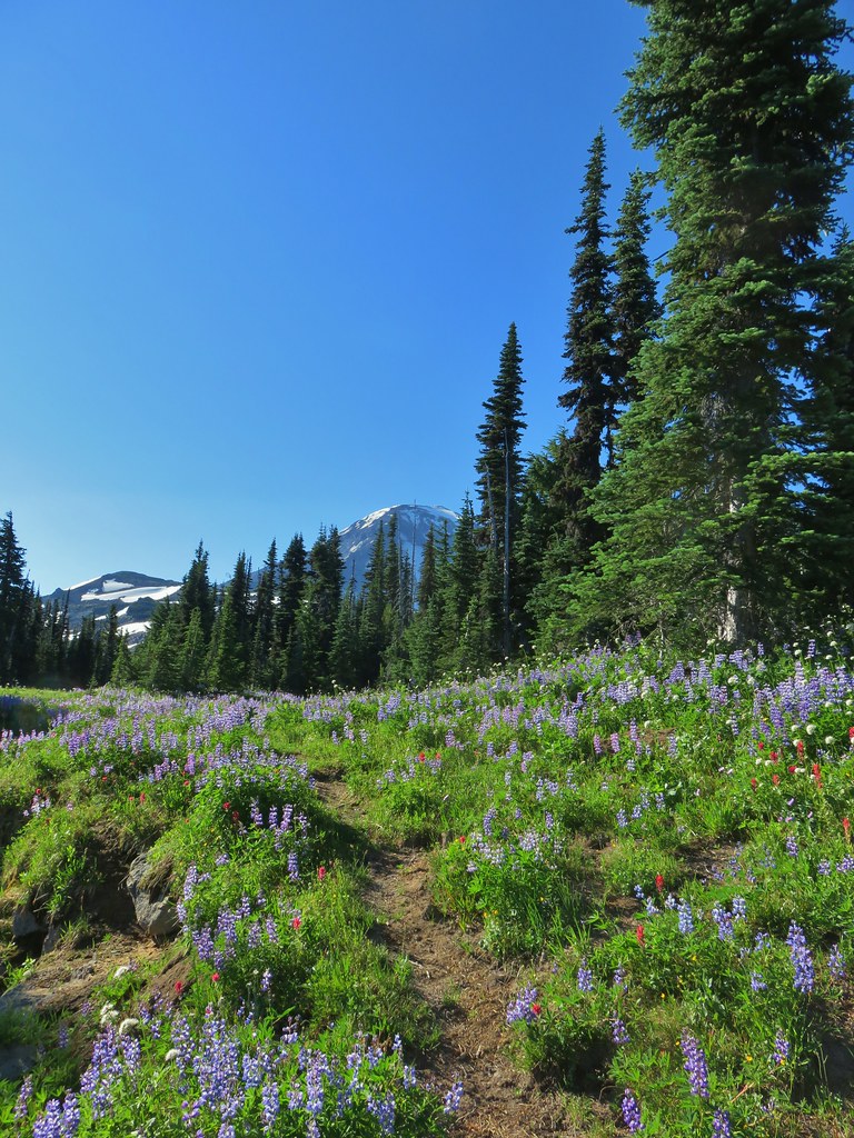
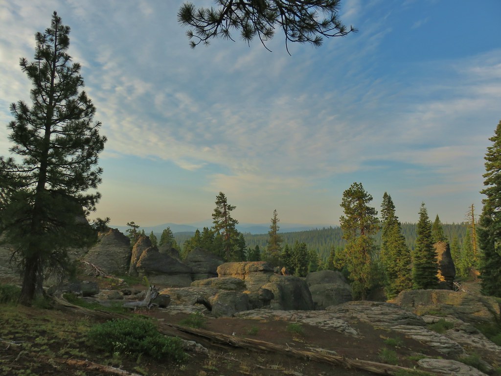
At least the sky above Diamond Peak was still fairly blue.
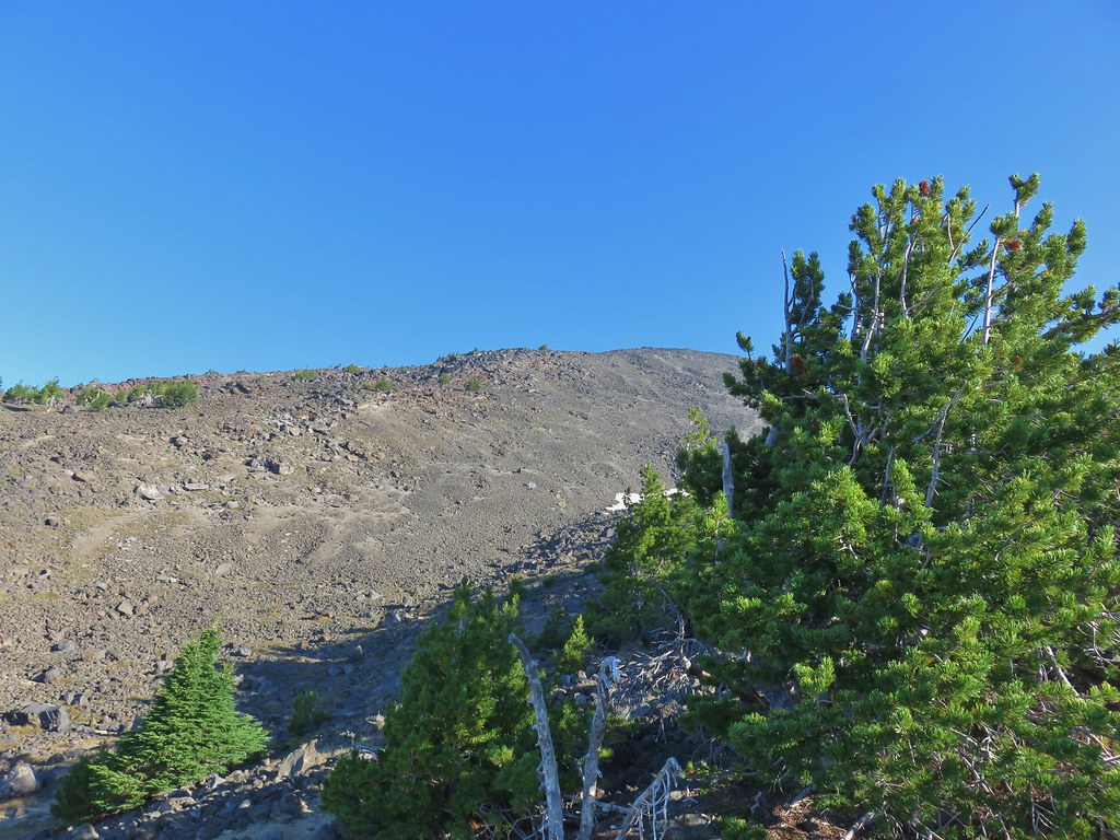
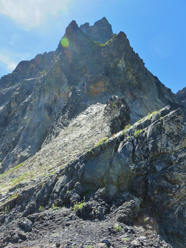
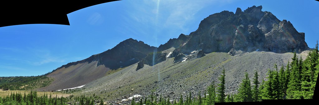
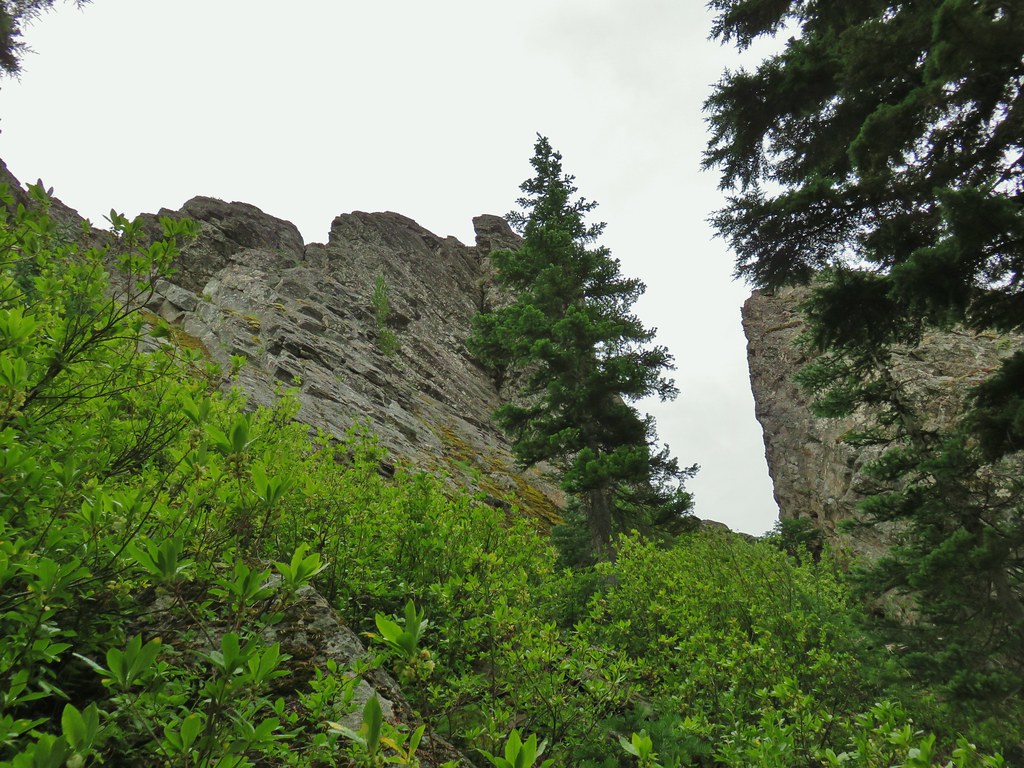
 The north flank and route up Diamond Peak.
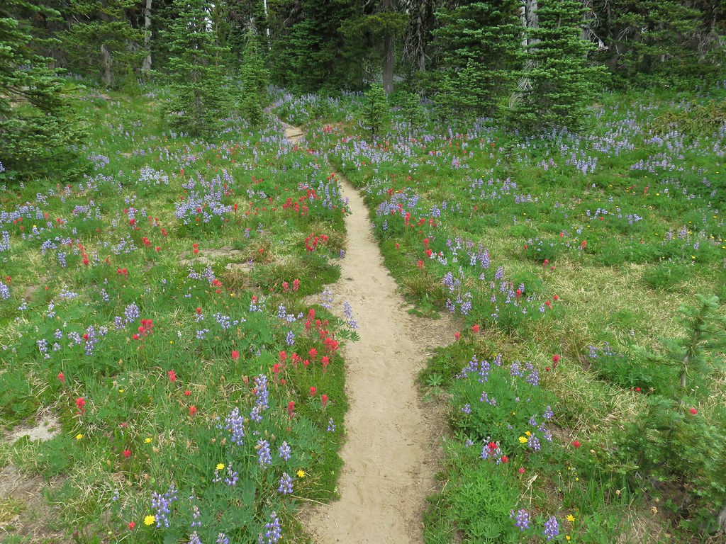
After eating we continued 50 feet up the trail to a bunch of cairns marking the summit path.
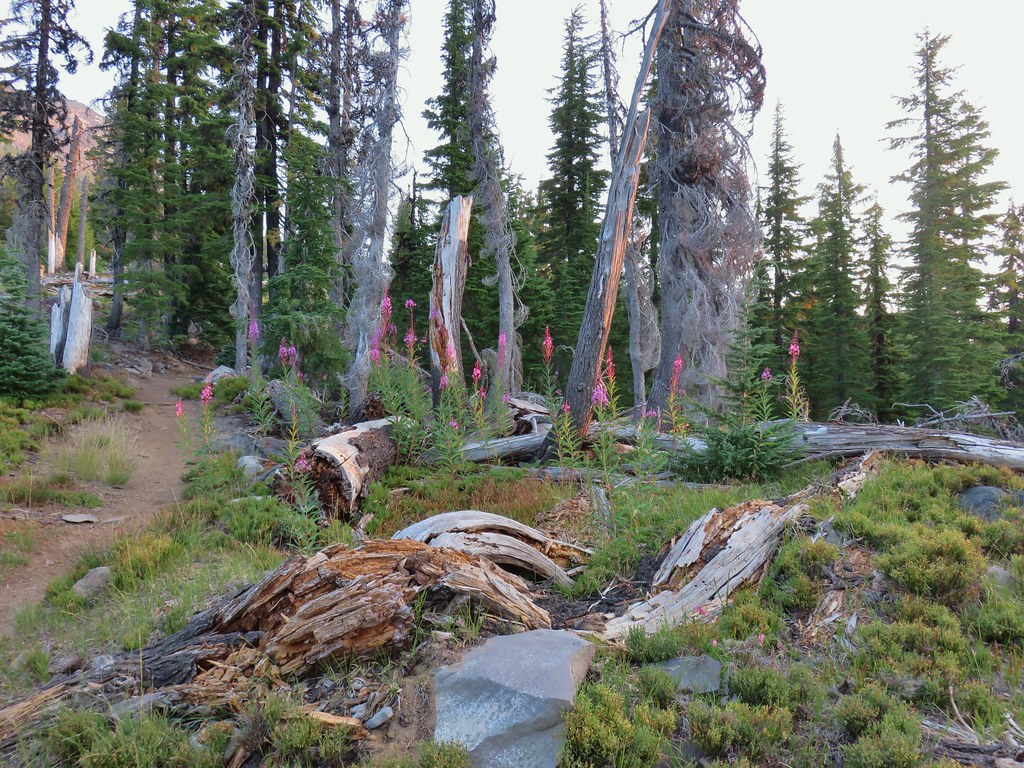
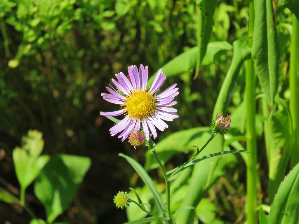
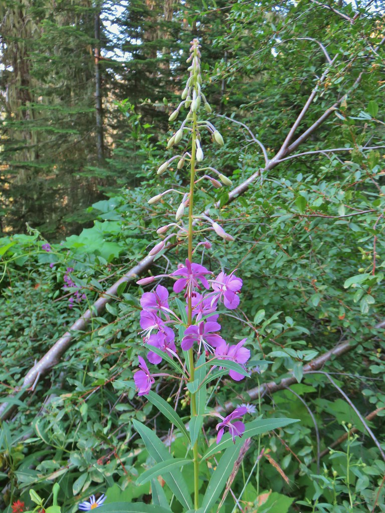
 Fireweed catching the morning sunlight.
 Cairns on the left side of the trail marking the route.
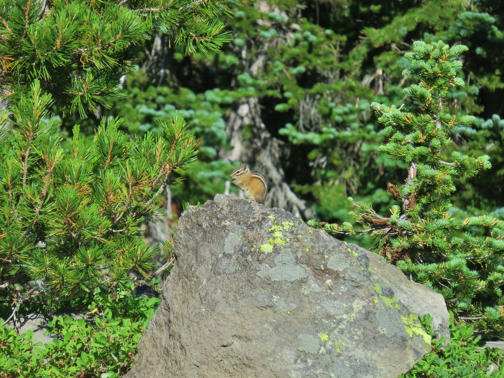
 Chipmunk inspecting some bleeding heart.
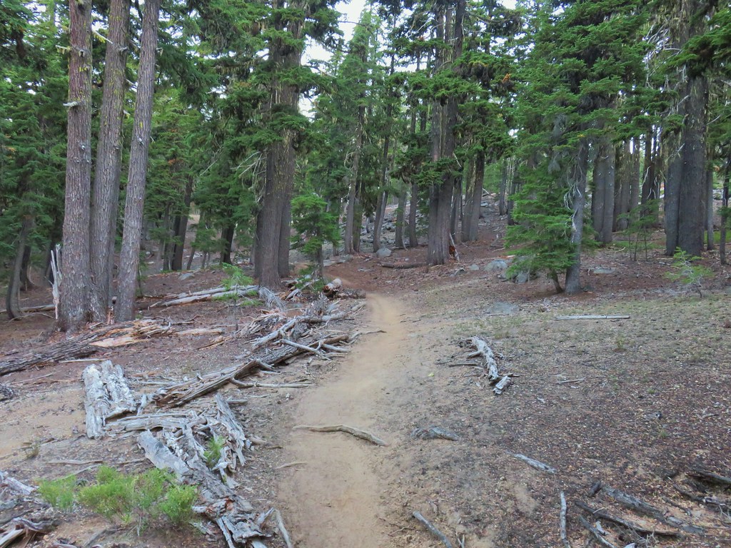
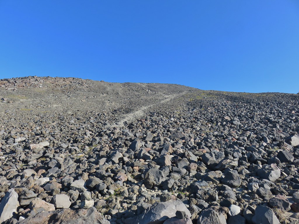
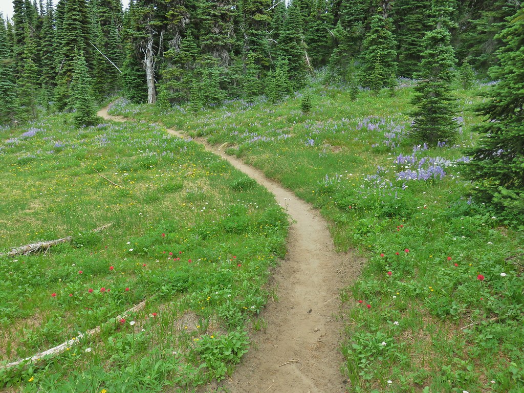
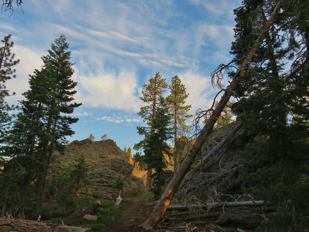
We turned up the well worn path and began to climb steeply through the trees and then onto rocks.
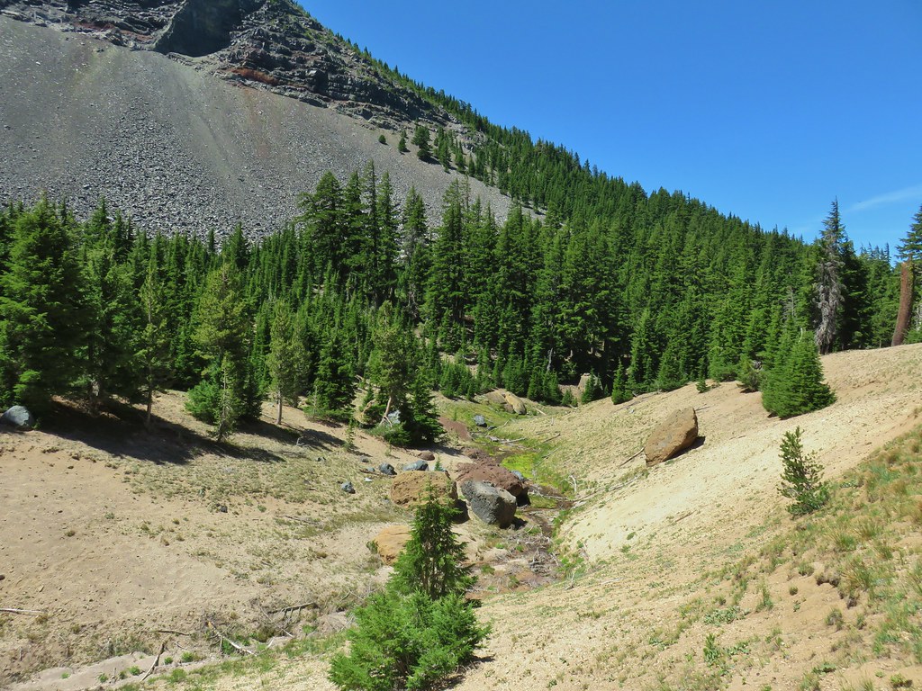
 Summit Lake and the route up through the trees.
 Here come the rocks.
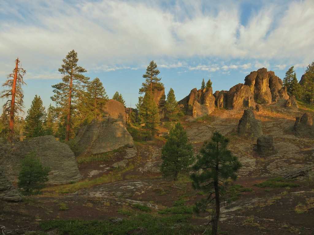
The path soon split into multiple user routes with cairns, flagging, and green paint marking the way.
 Cairn on top of the big rock on the right.
 A carin and paint on a rock along the route and some pink flagging on the tree down to the left.
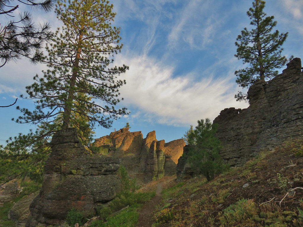
It was approximately a mile between the PCT and the false summit of Diamond Peak and over 1800′ of elevation gain. After leaving the trees the climb got even steeper. Through the loose rocks a few flowers could be found.
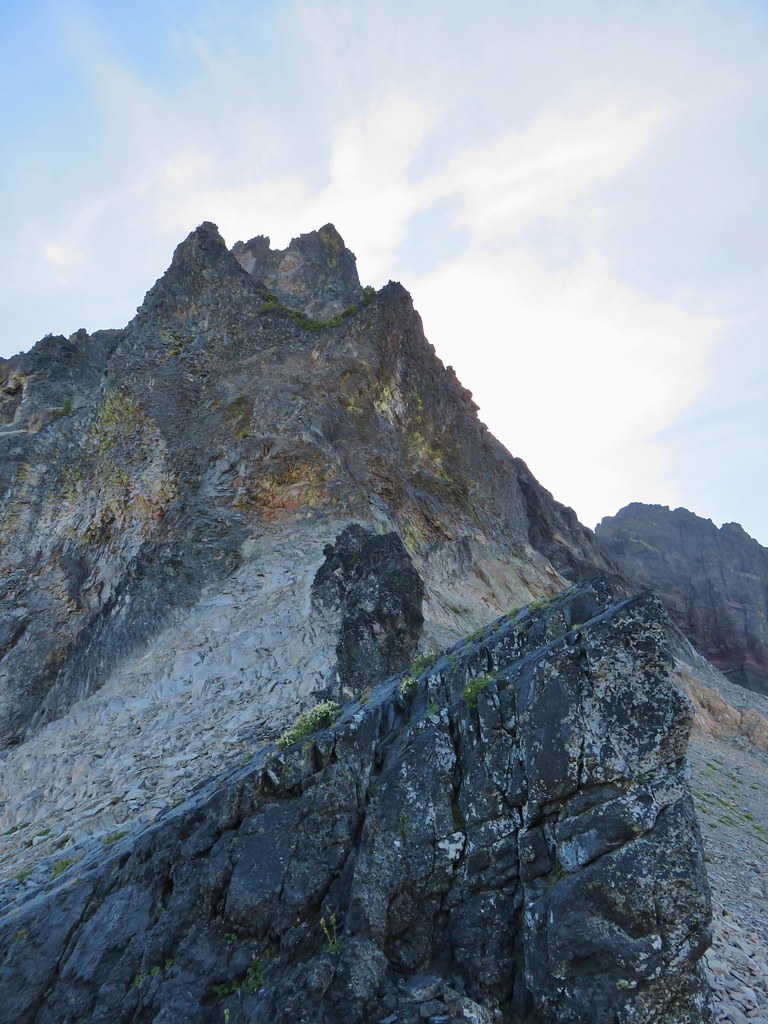
 Looking up at the false summit.
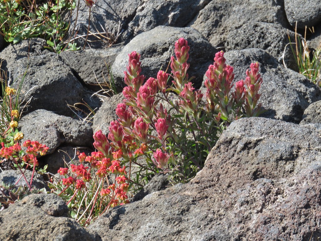
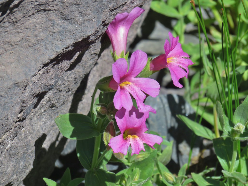
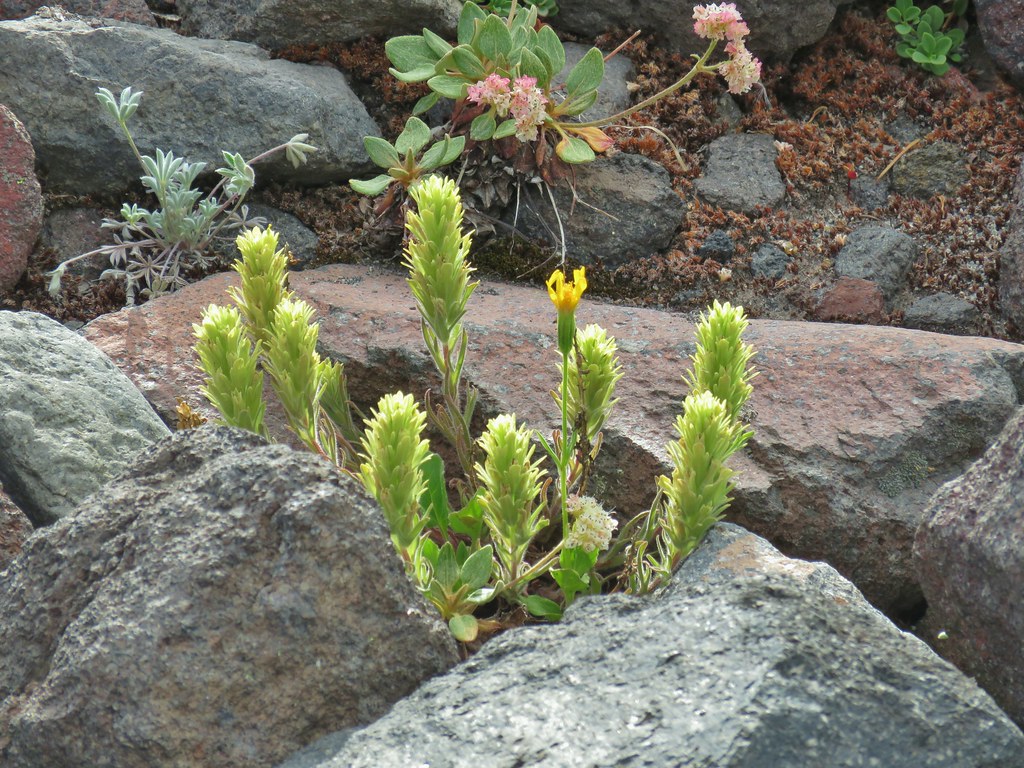
 Paintbrush
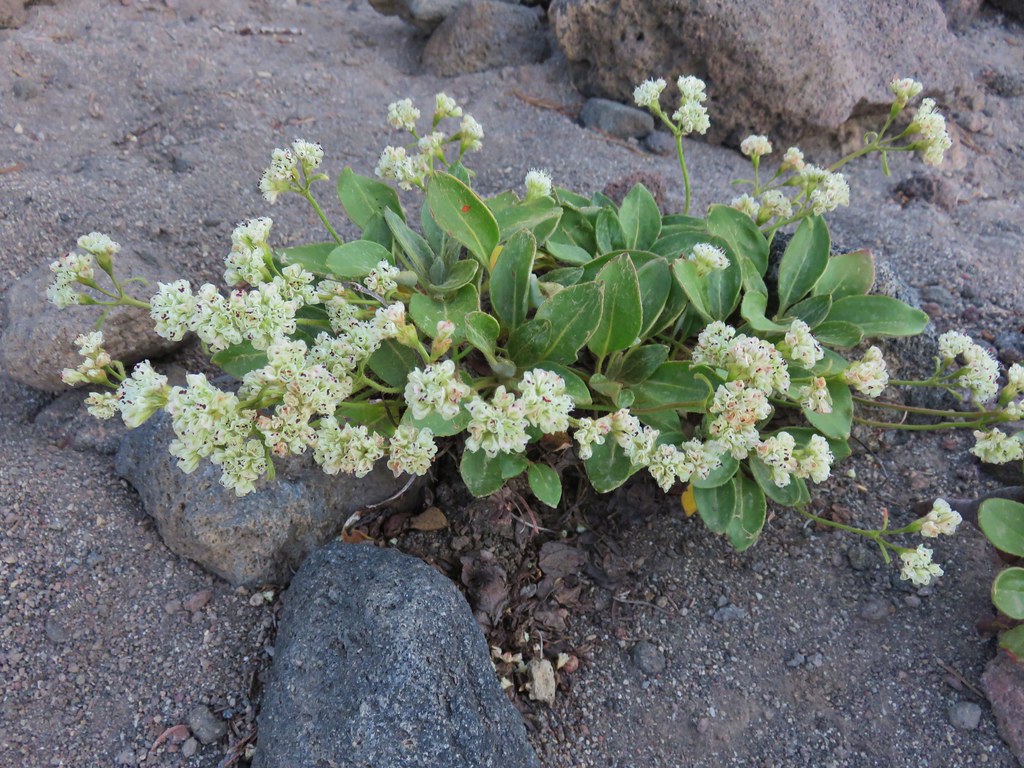 Buckwheat
 Patches of penstemon.
 Seed heads of Drummond’s anemone
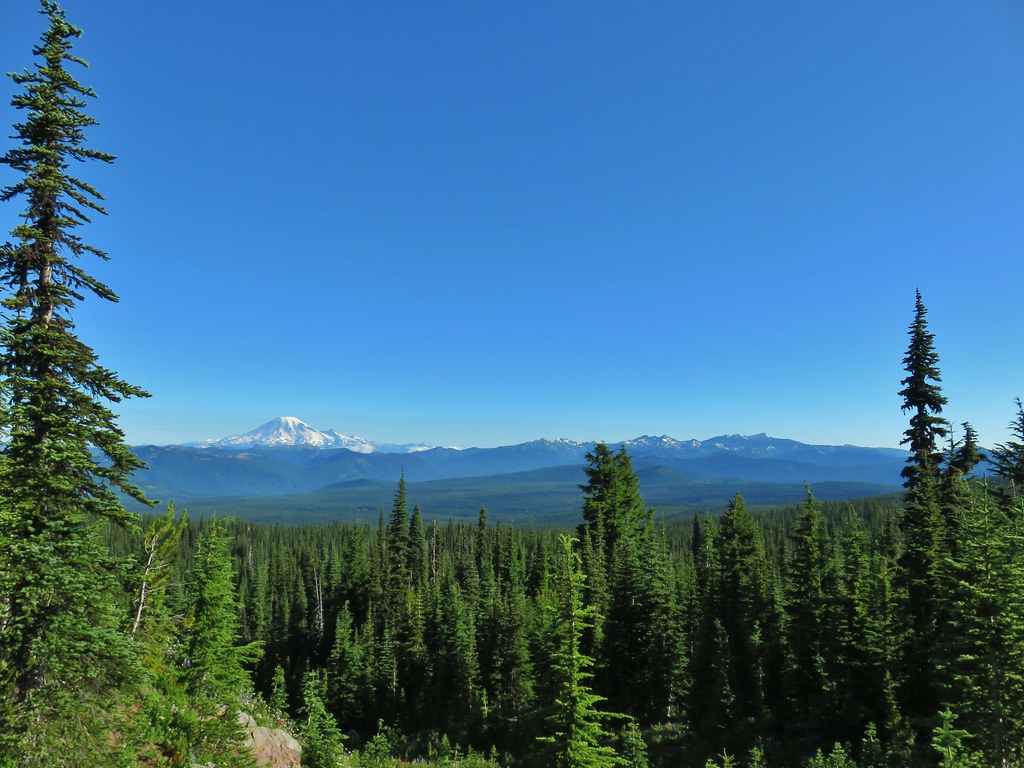
As we climbed we passed a couple of small snow patches and gained more views which were all dominated by smoke.
 Dark smoke to the SW
 A snow patch below the false summit.
 Final pitch to the false summit, still pretty blue.
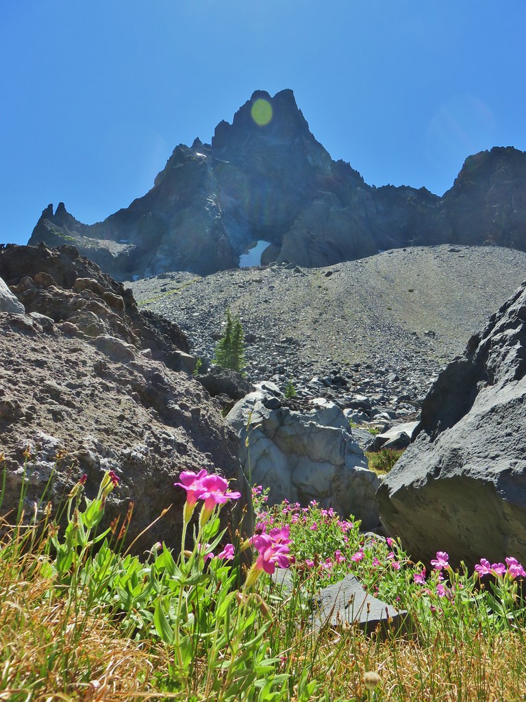
At the false summit we were at 8421′ and could finally see Mt. Thielsen, at least the very top of it’s spire at least.


We had been backpacking there just two weeks prior (post) and were thankful that it hadn’t been this weekend. Looking around, it wasn’t just smoky to the south.
 Looking west to a wall of smoke.
 Smoke to the east.
 Smoke to the NE too.
 NW also equals smoke.
 Smoke starting to drift in from the east.
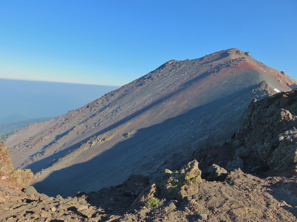
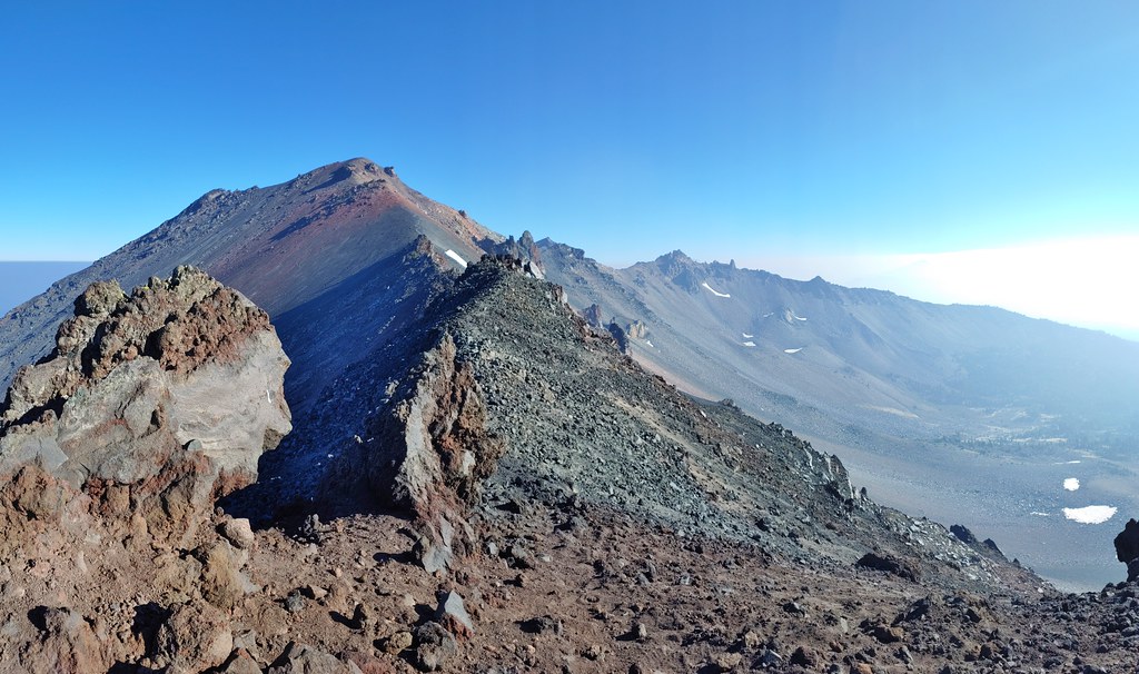
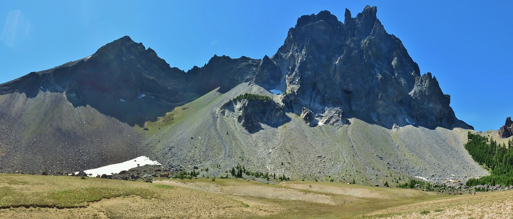
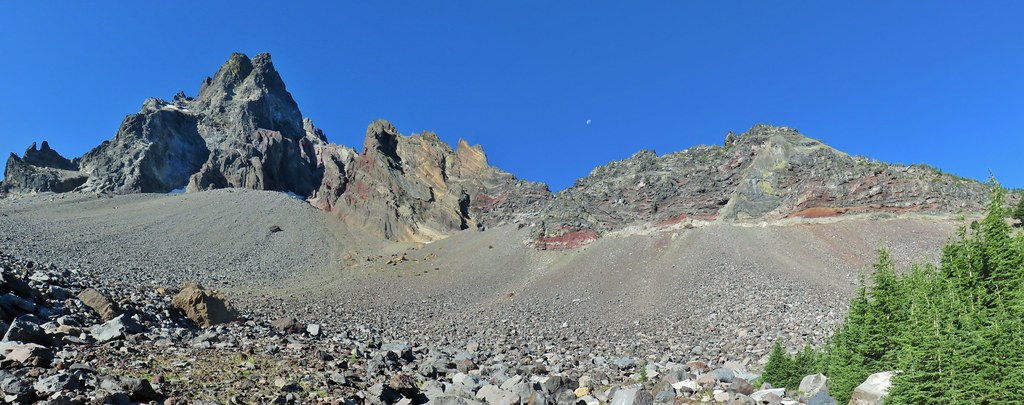
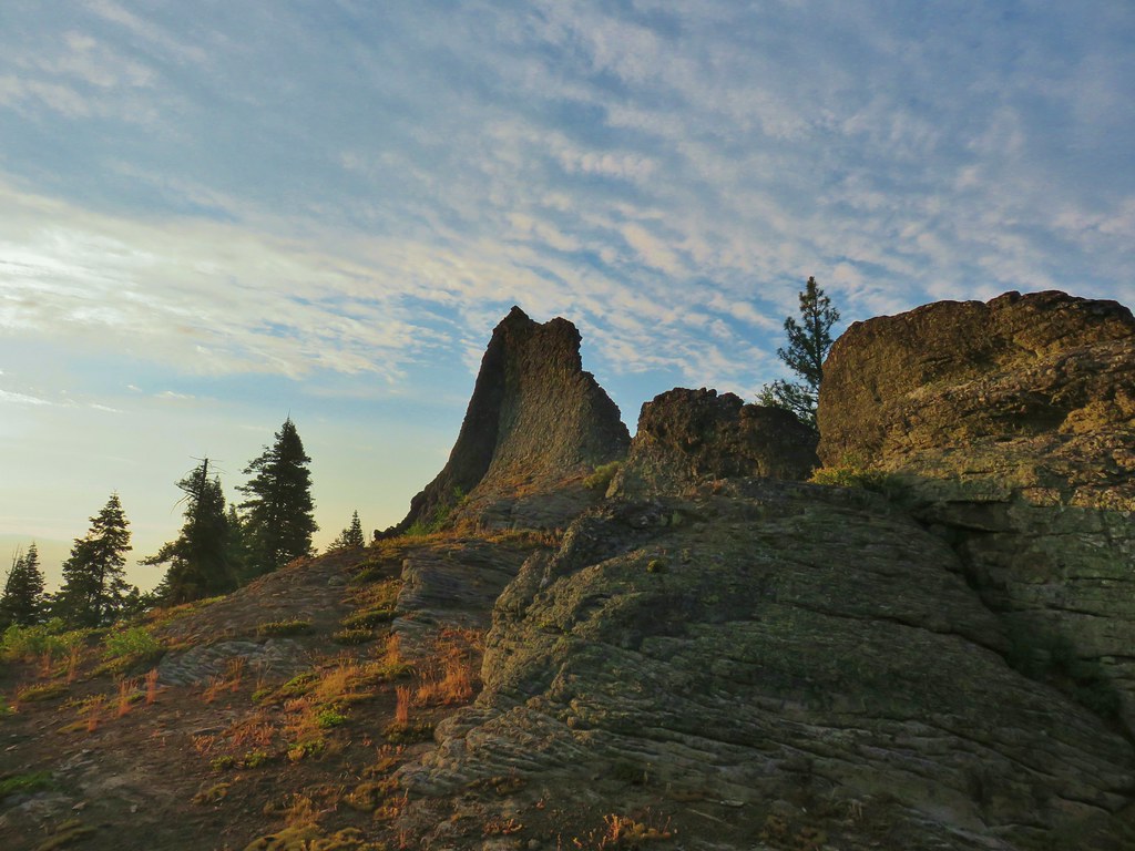
We were still .4 miles and 350′ from the 8777′ true summit of the mountain and to reach it we would need to pass three gendarmes that block the ridge between the summit and false summit. Sullivan describes having to use your hands and “lots of caution” to work around them to the clear path on the other side. We started out and got to the first gendarme where I got up too high following a path. I had to back track and work my way down to Heather who had taken a different track but we still seemed too high. By this point the uncertainty of the best line to take had given us time to really think about where we were and the nerves kicked in. We wound up listening to them and headed back to the false summit deciding that it wasn’t worth the risk on such a smoky day where we wouldn’t get much in the way of views. We expected the view north that we would have had from the summit to be just as smoky given the fact that from the false summit we could see the top of the South Sister which was also appeared to be surrounded by wildfire smoke.

After making the decision to turn back we were able to relax and enjoy the jaunt back down to the PCT focusing on flowers and critters along the way.
 One of several Clark’s nutcrackers.
 Buckwheat
 Paintbrush
 Penstemon
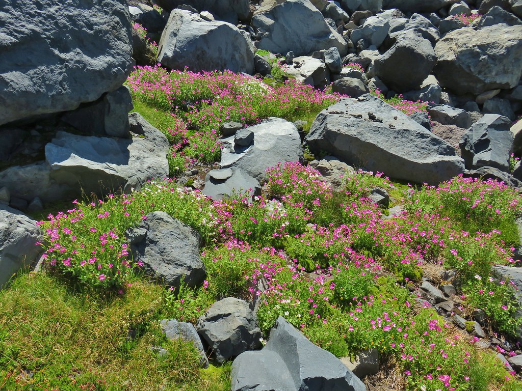
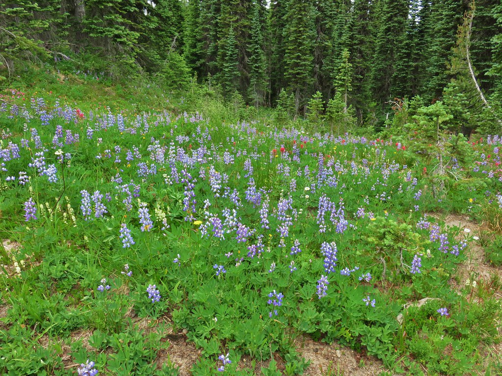
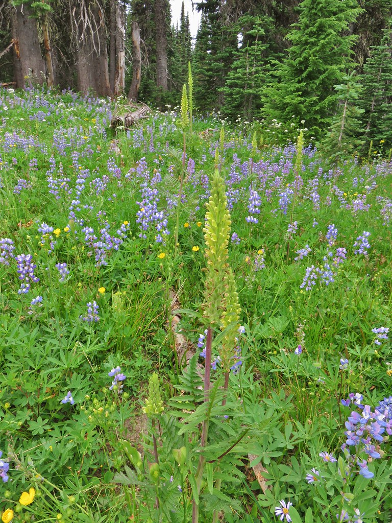
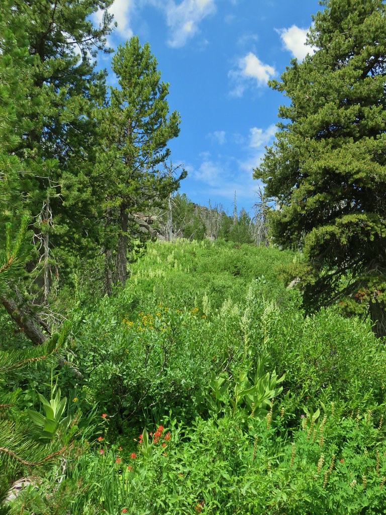
 Basin with a number of flowers.
 Mountain heather
 Partridge foot
 Another paintbrush
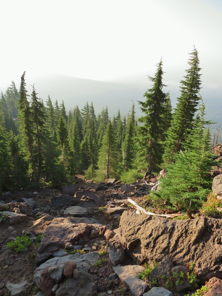
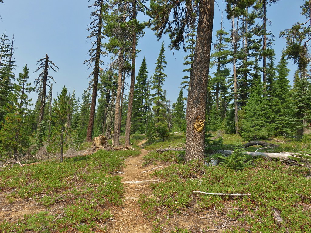
It was slow going but we made it back to the PCT where we noticed the smoke a little more than we had earlier that morning.
 A little smoke in the trees.
When we got back to camp we packed up and realized that we’d consumed quite a bit of our water already so we decided to stop by Rockpile Lake again to refill our reservoirs before continuing on our loop.
 Slightly smokier Rockpile Lake.
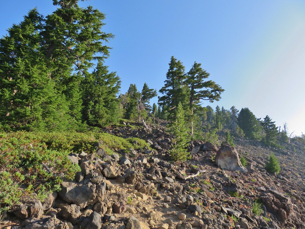
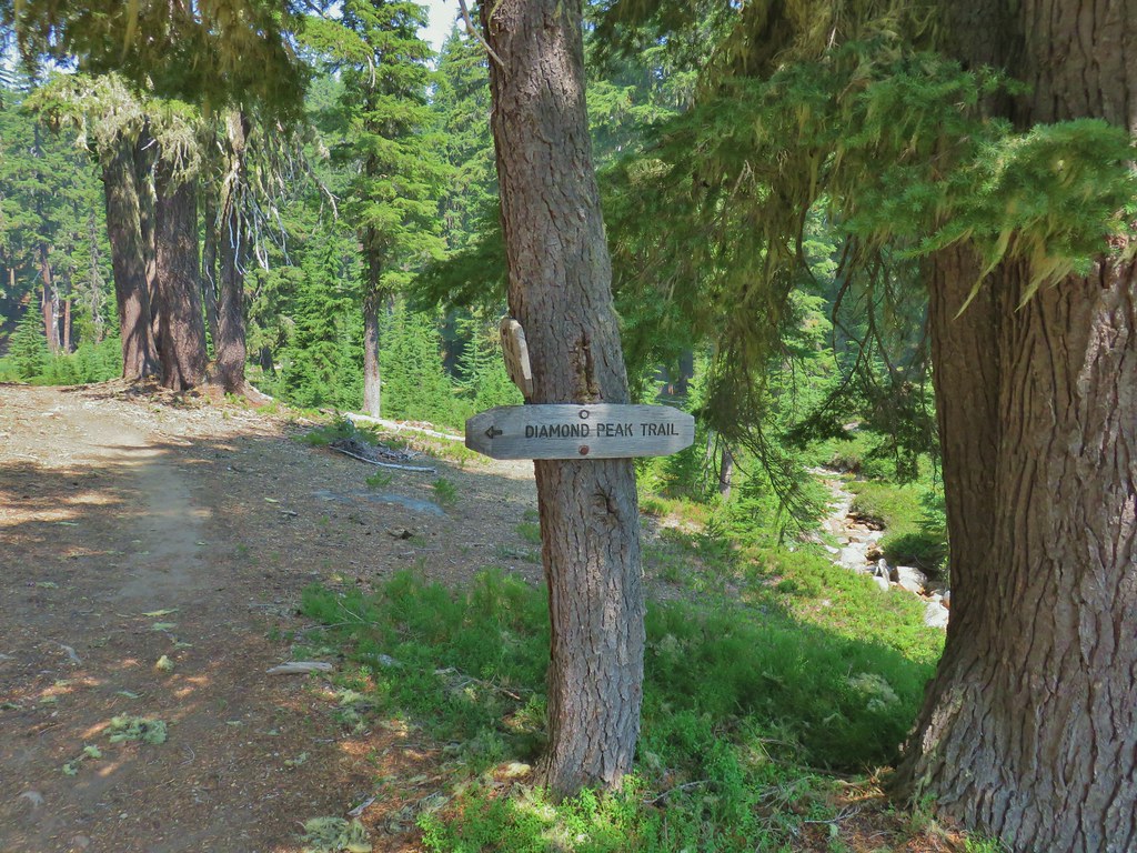
After refilling our water supply we continued to the junction with the spur trail to Marie Lake (.5 miles from the PCT) where we turned left to stay on the Rockpile Trail (at a pointer for the Diamond Peak Trail) and climbed steeply up the side of Diamond Rockpile.

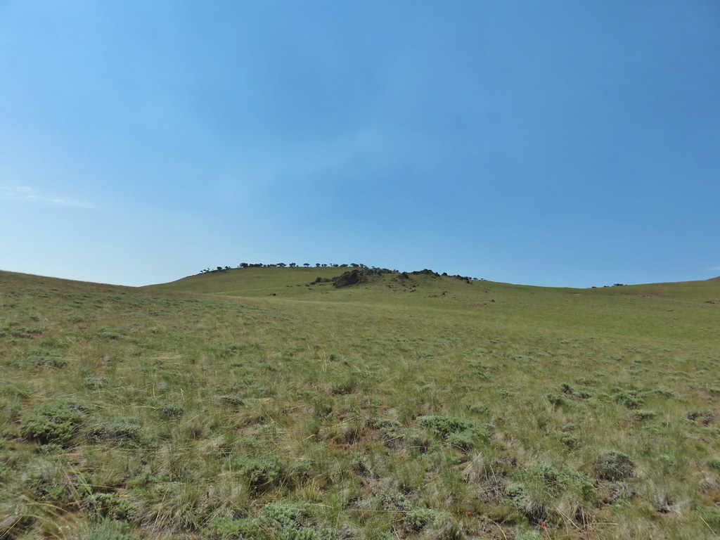
It wasn’t as much of a rockpile as the named implied as it was mostly forested with a single viewpoint near the high point along this portion of trail.
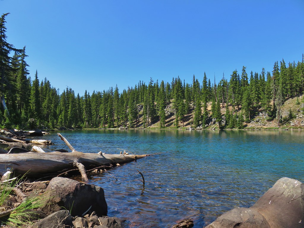
 Summit Lake out there in the smoke.
The trail then dropped a bit on the west side of Diamond Rockpile to a 4-way junction with the Diamond Peak Trail 1.2 miles from the Marie Lake junction.

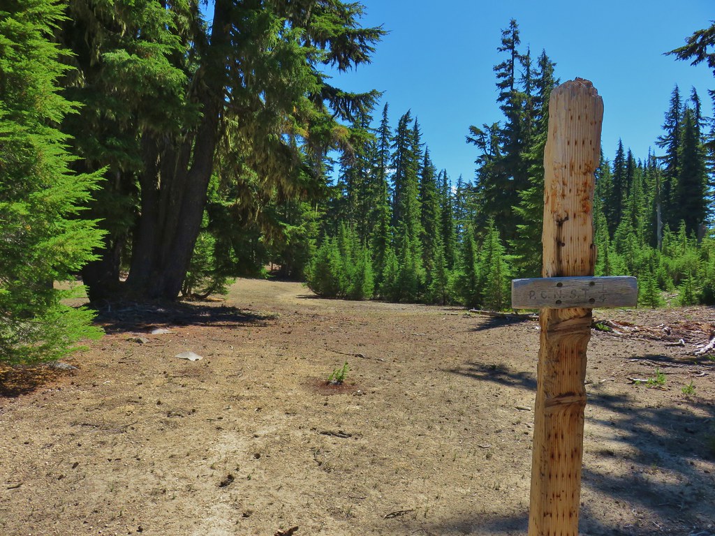
While there were plenty of signs along the trails they often didn’t identify the trail itself but rather pointed you in the direction of other trails or features. This junction was a good example as one sign identified the Rockpile Trail while another directed you to Rockpile Lake and Road 2160.

There were no signs naming the Diamond Peak Trail but there was a pointer to the south for Ruth Lake and a pointer to the north for the Pioneer Gulch Trail (which we thought was the name of this trail at first).

We need to go north so we followed the pointer for the Pioneer Gulch Trail and headed north.
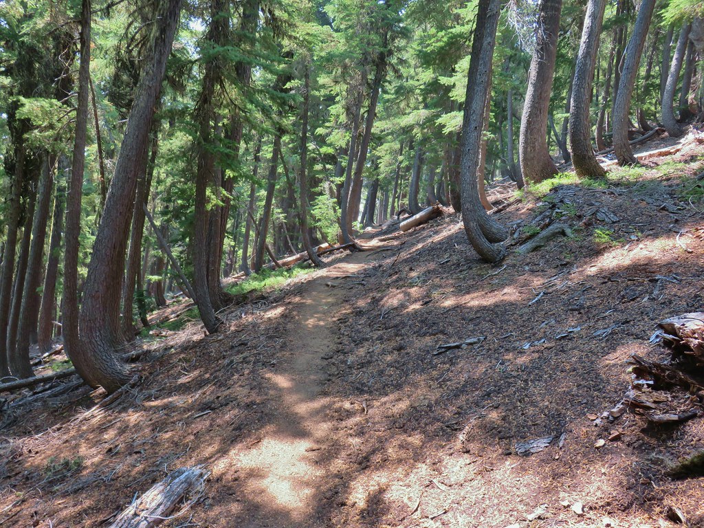
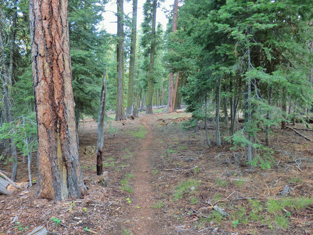
The Diamond Peak Trail rolled up an down for nearly 1.5 miles before arriving at a junction with the actual Pioneer Gulch Trail on the left.
 One of the uphill sections.
 Note again that the sign is letting you know what is in the different directions but not identifying the trail name.
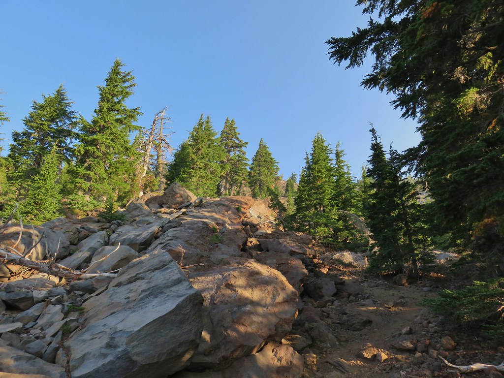
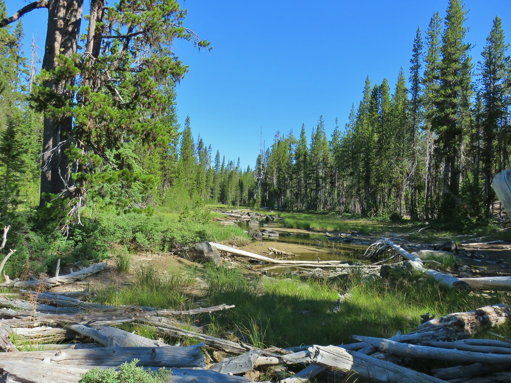
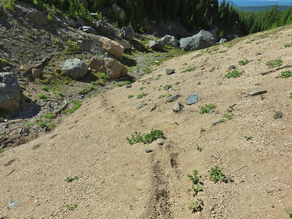
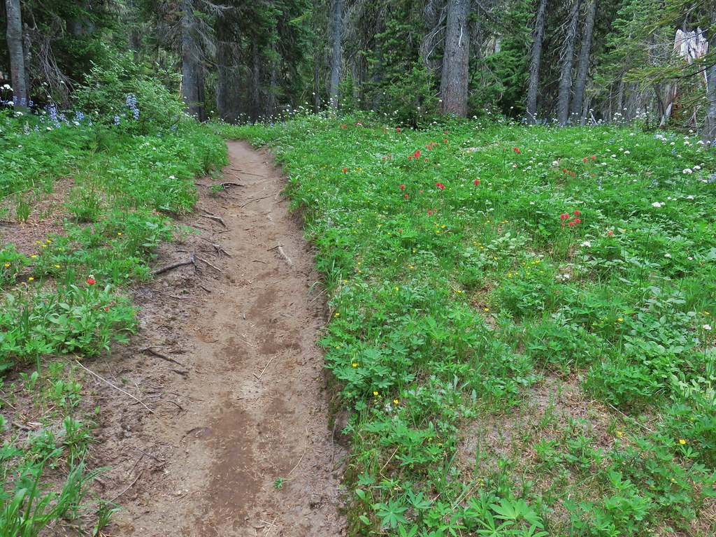
We stayed on the Diamond Peak Trail heading for the Corrigan Lake Trail which was just over 2 miles further along. These two miles had not been maintained so there were a few obstacles to get around but nothing too difficult. We also regained a view of Diamond Peak along this stretch which was now behind a thin layer of smoke.
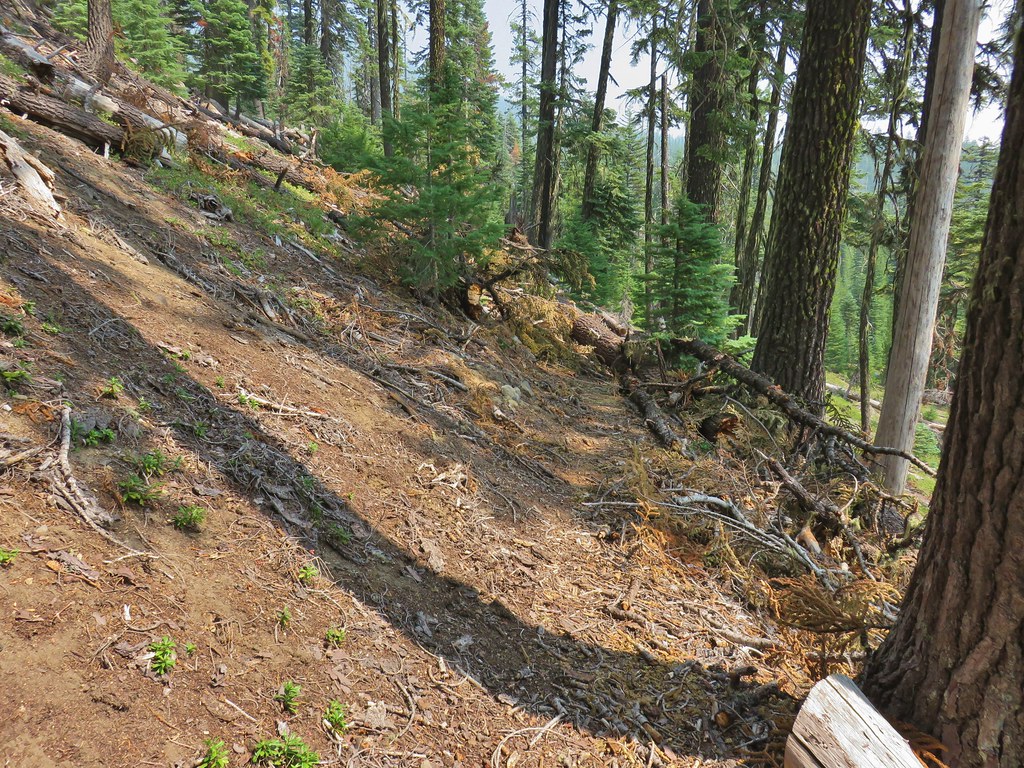 Typical obstacle for this stretch.

We turned left down the Corrigan Lake Trail when we arrived at the junction.
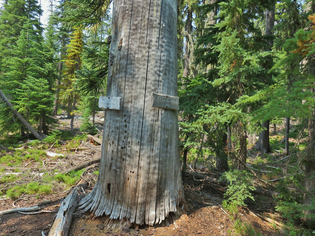
It was a little over half a mile and 300′ down to the lake which had a nice view of Diamond Peak.


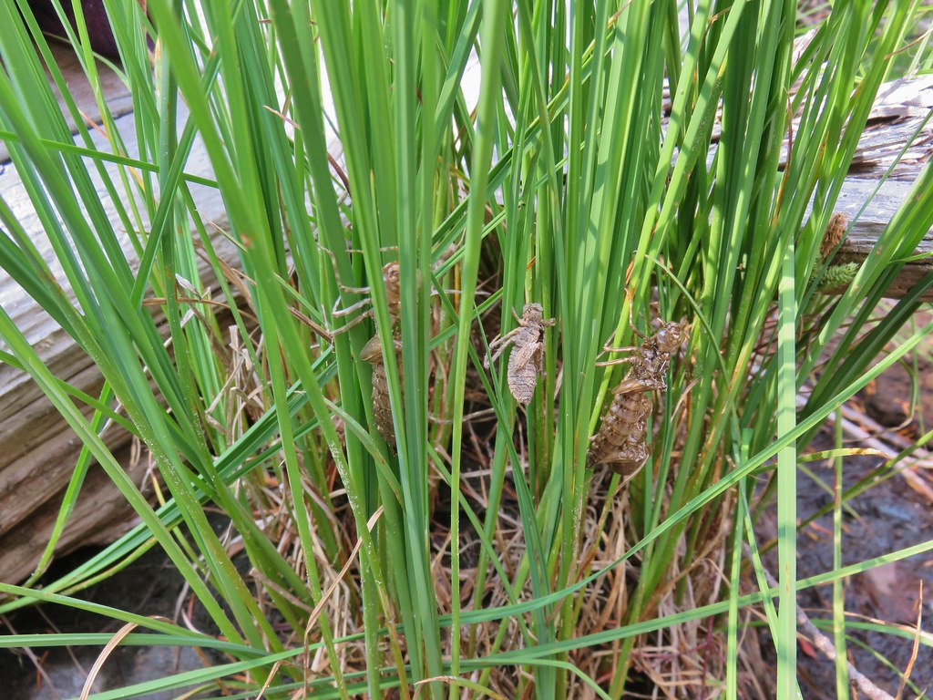 Lots of insect husks on the plants along the lake.
We took a nice long break at the lake where another couple of groups of backpackers appeared to be planning to spend the night. Our plan was to push on and try and find a spot for our tent near the Diamond Peak Trail junction with the Blue Lake Trail. We were hoping to get down to that lake in the evening but didn’t want to haul our full packs up and down the steep 400′ of elevation change.
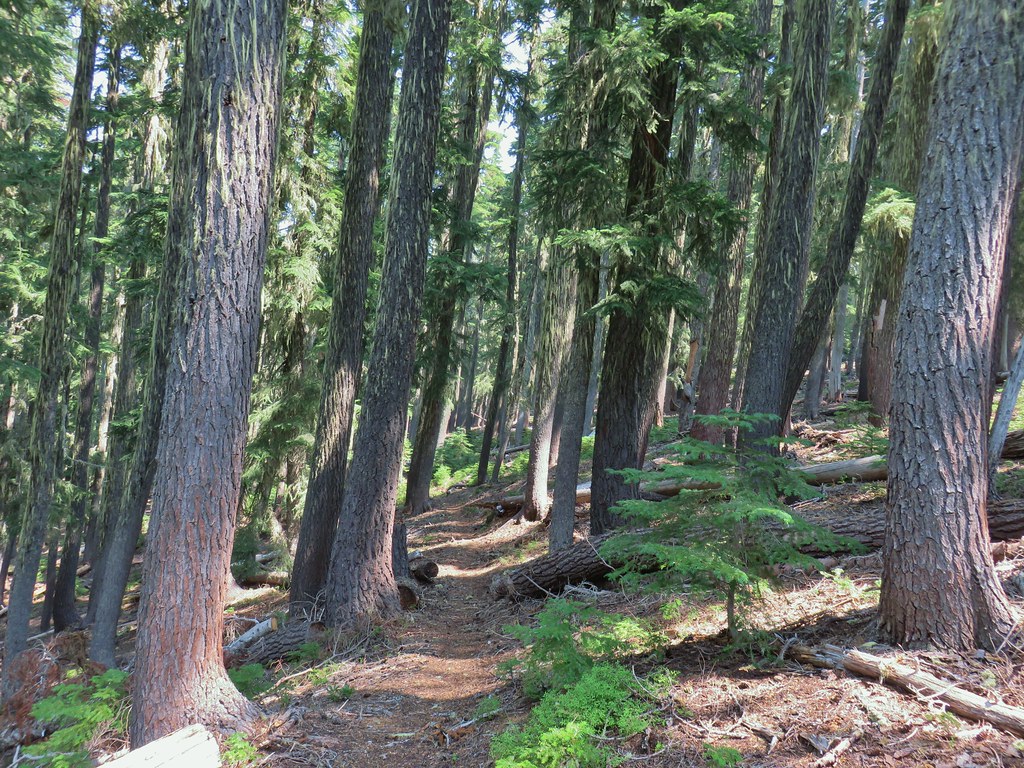
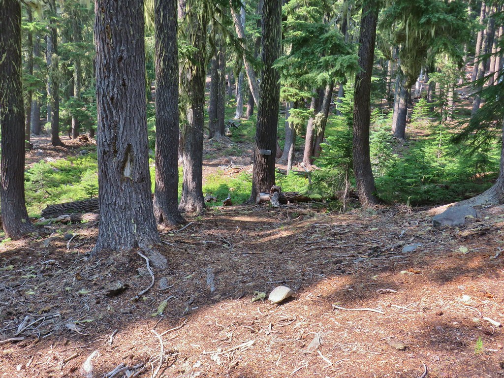
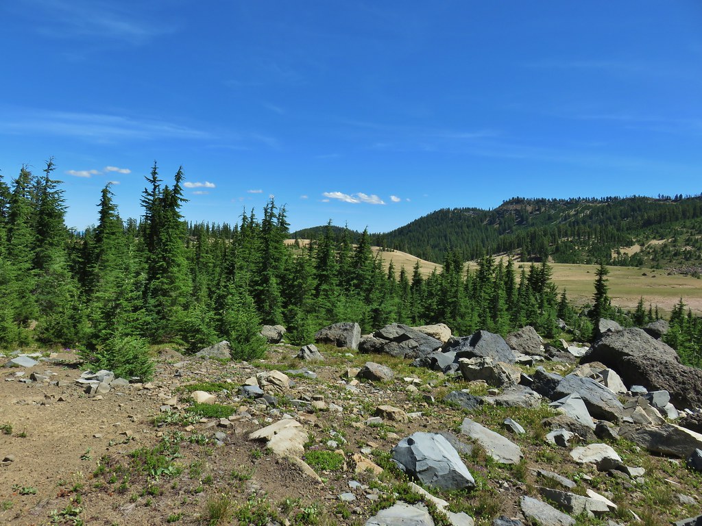
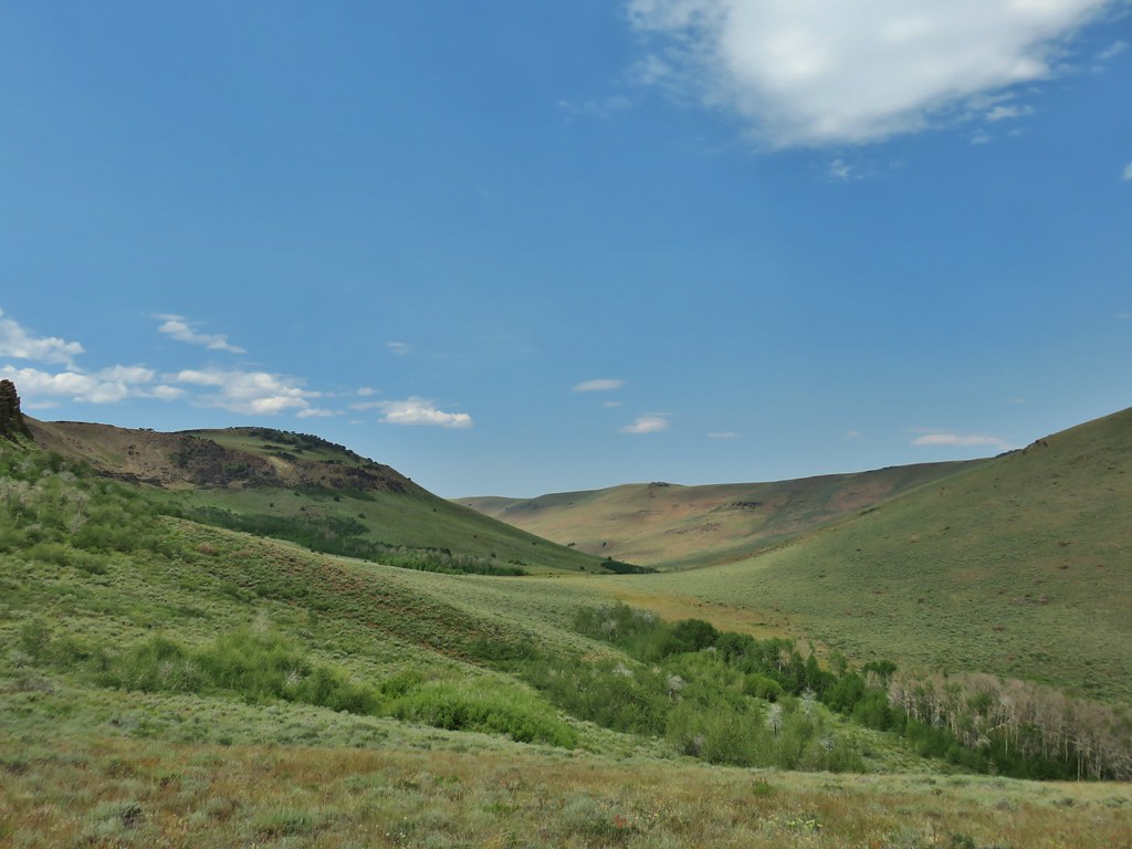
We left Corrigan Lake to the other backpackers and climbed back up to the Diamond Peak Trail and continued on our clockwise loop around the mountain. This next section of trail was clearer and in just under a mile we came to the Bear Mountain Trail junction.

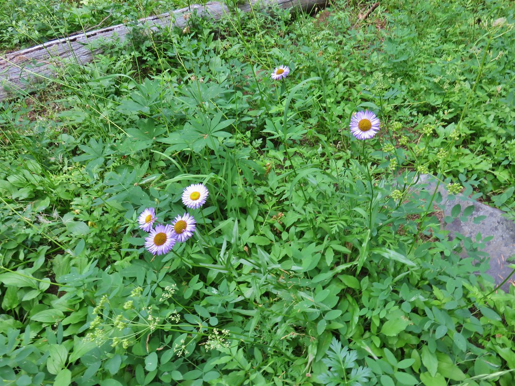
 Fleabane
 Bear Mountain Trail junction.
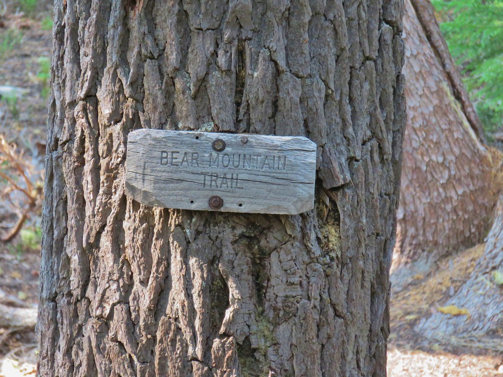 Look a named trail!

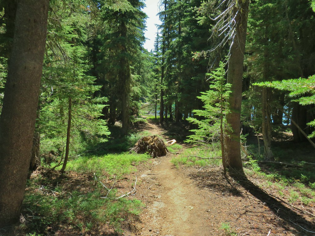
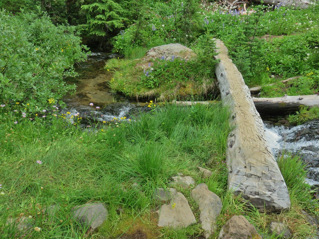
From the junction the Diamond Peak Trail climbed a ridge before leveling off above Blue Lake which was hidden in the trees.
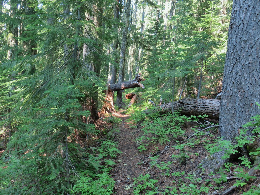
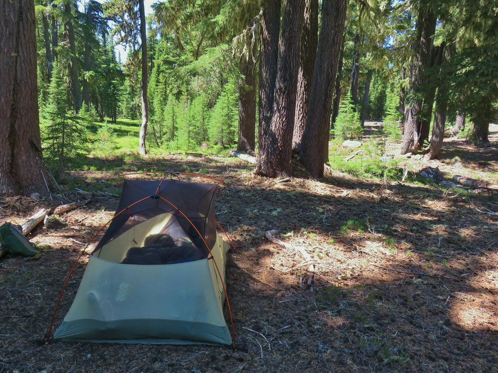
The Blue Lake Trail was .8 miles from the Bear Mountain junction and just before reaching it we spotted what we had been hoping for, an open flat spot for our tent. We set up camp between the Diamond Peak and Blue Lake Trails and then headed down to the lake for dinner and to get more water.

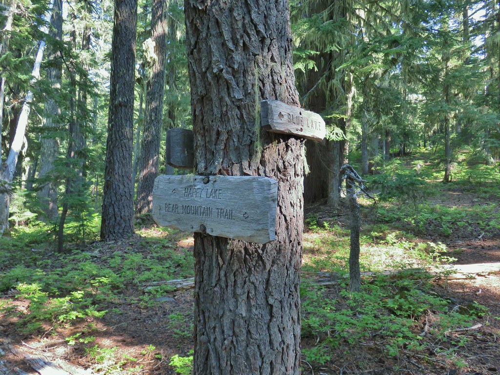
There was a decent amount of blowdown along the upper portion of the .9 mile stretch to the lake which followed a ridge crest (with a view NW down to Happy Lake) before dropping steeply down the opposite side of the ridge via a series of switchbacks. The hillsides had quite a few wet areas and several flowers were still in bloom.
 Starting to drop off the ridge.
 Arnica
 Fleabane

 Pearly everlasting and fringed grass of parnassus
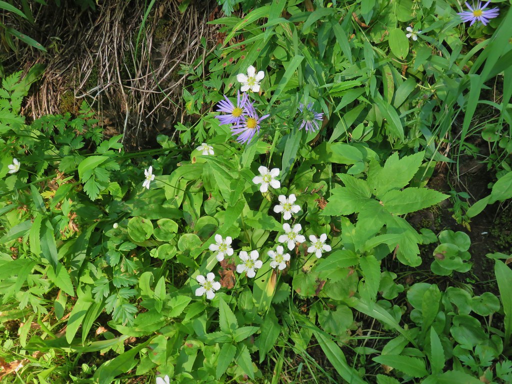 Aster and fringed grass of parnassus
 Scouler’s bluebells
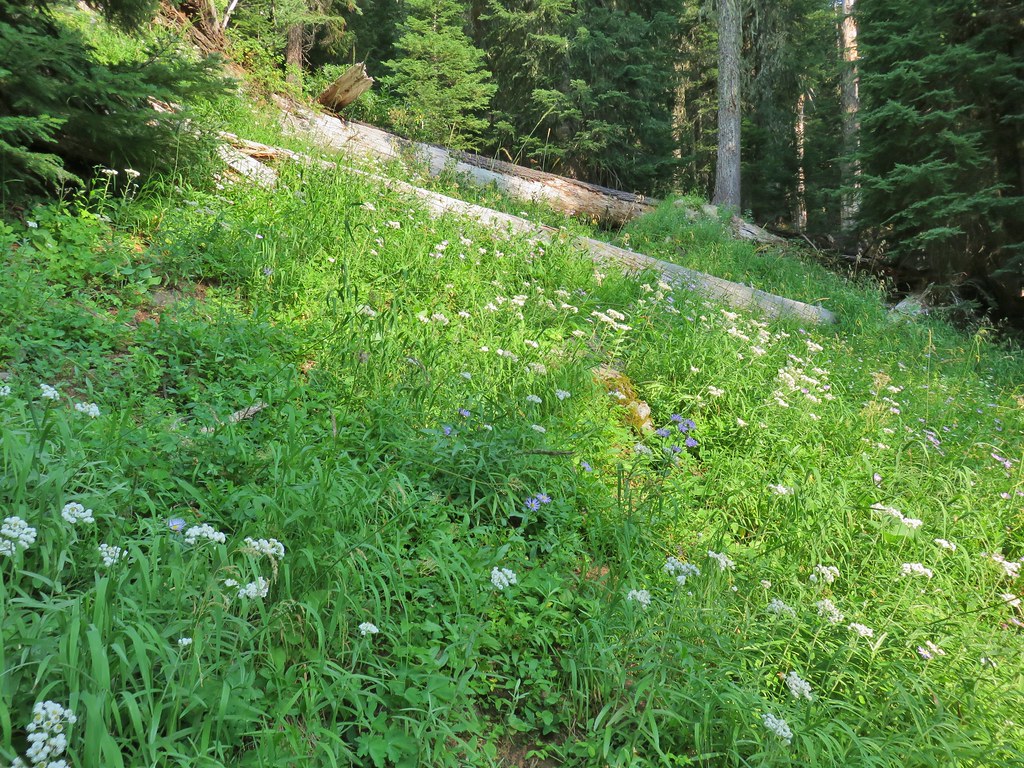
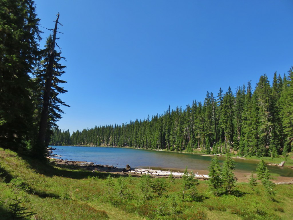
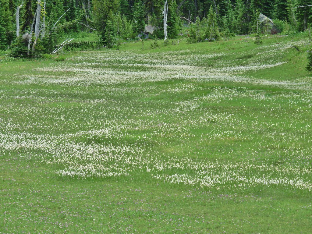
The trail brought us to an open hillside on the east side of Blue Lake where a landslide left a large meadow.


 Lots of coneflower
 Fireweed and coneflower
 Owl’s clover
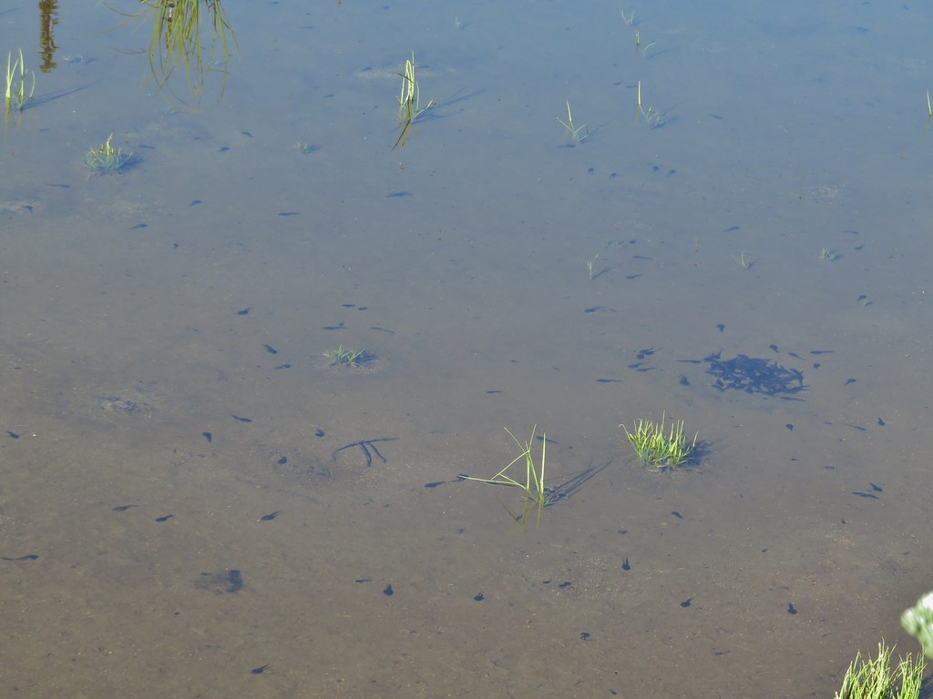
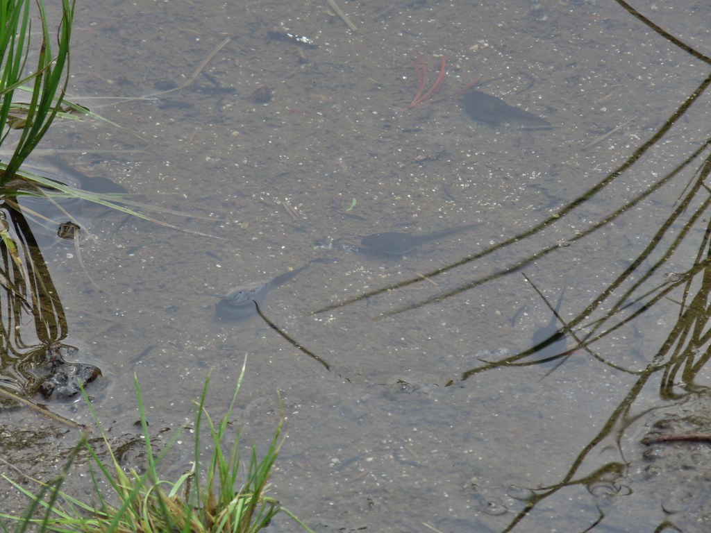
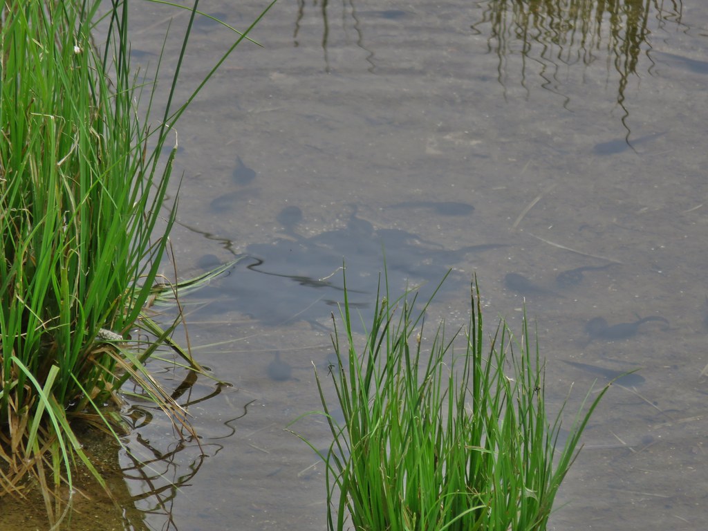
We appeared to be the only humans at this lake but we were greatly outnumbered by a legion of little frogs.

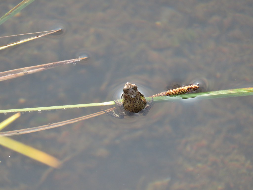
 Dragon fly and a bunch of frogs
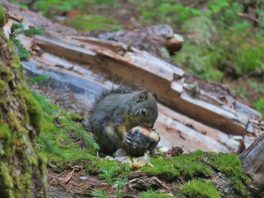
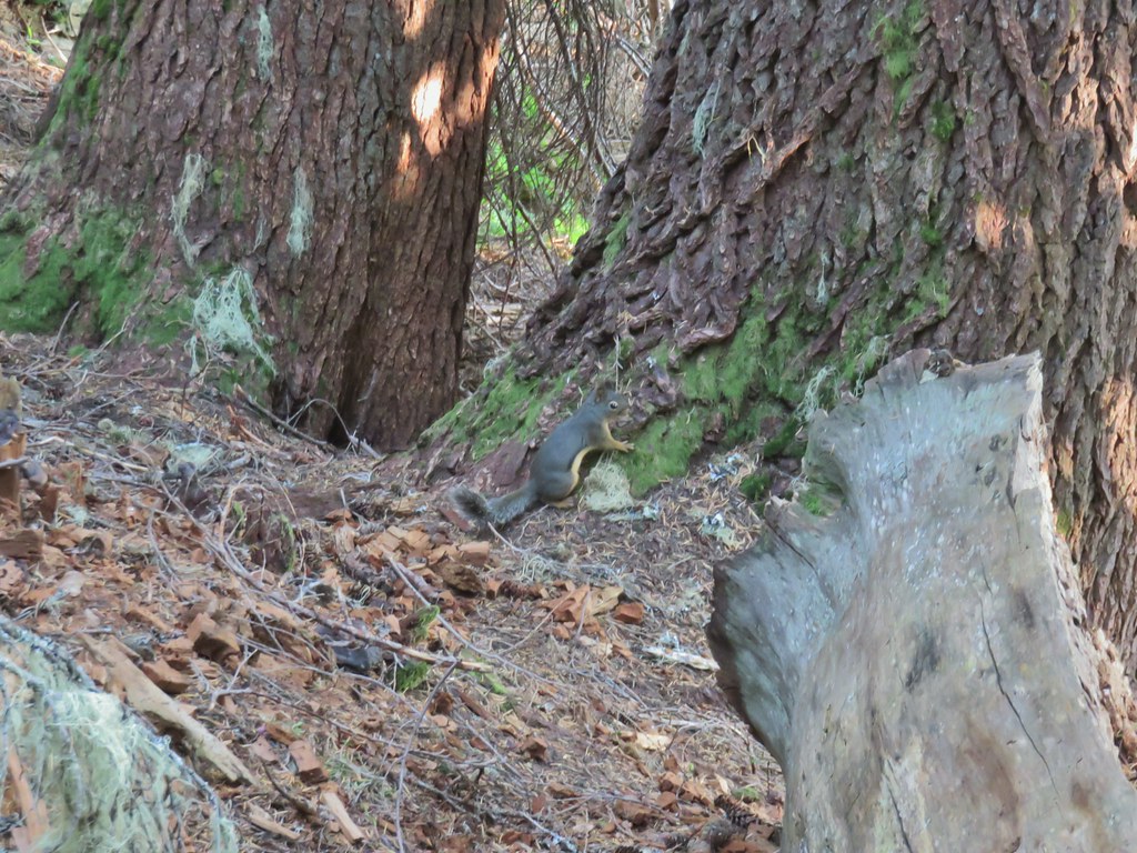 Chatty squirrel
We spent most the evening at the lake before heading back to the tent when the Sun started dropping.


Despite not making it up to the summit of Diamond Peak, and it being too smoky to get any views even lower, it had been a good day. It had also been a long day. We had been planning on it being somewhere in the 14.5 to 15 mile range assuming that we made it all the way to the summit but our GPS units put us just over 16 miles for the day without the extra .8 out and back between the false summit and summit. We slept well apart from me waking up for a moment when I heard some coyotes followed by a couple of hoots from owls. They weren’t bothering me I just stayed up to listen to them for a bit until they stopped. Happy Trails!
Flickr: Diamond Peak Loop Day 2

 The writing on the sign made us chuckle, it says “If you need a map you should stay home”. All kidding aside you should always carry a map and refer to it as often as necessary.
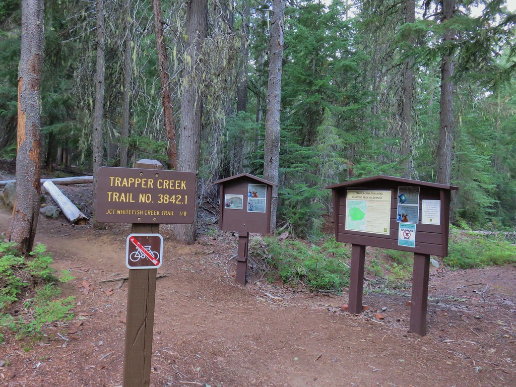


 Breakfast time.
 Unnamed lake along the Whitefish Trail
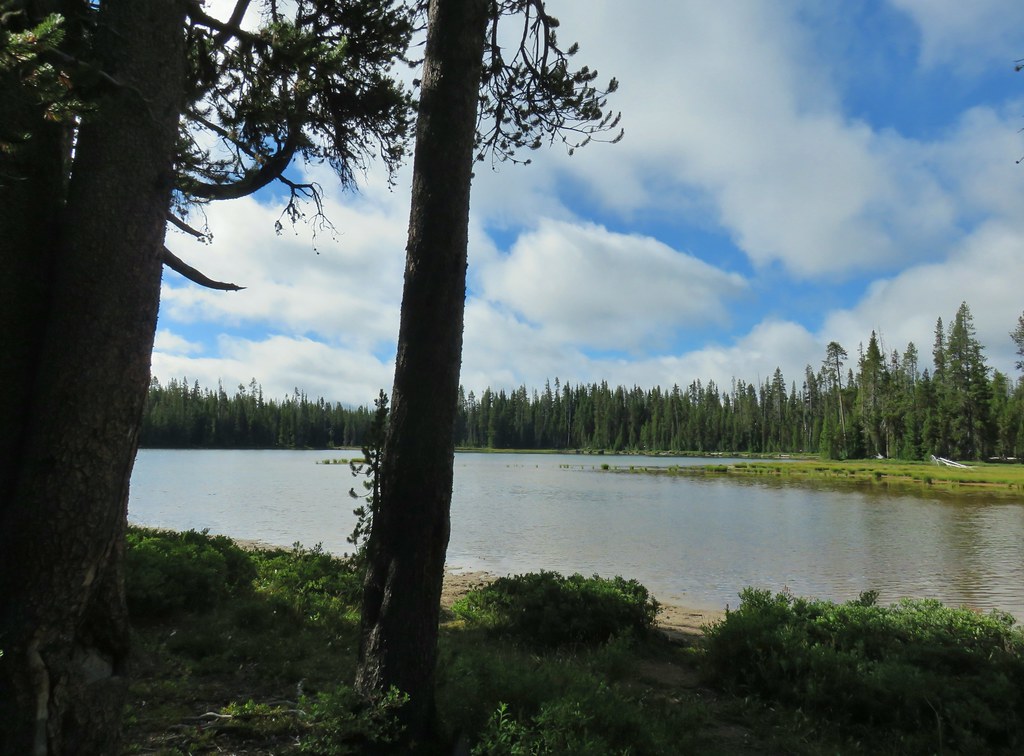 Arriving at Diamond View Lake
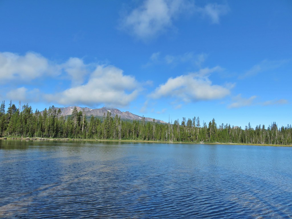 Diamond Peak with Mt. Yoran to the right.
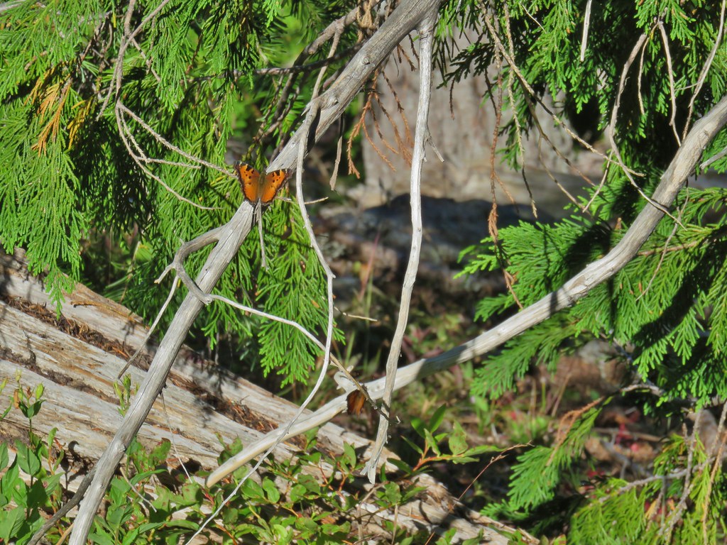
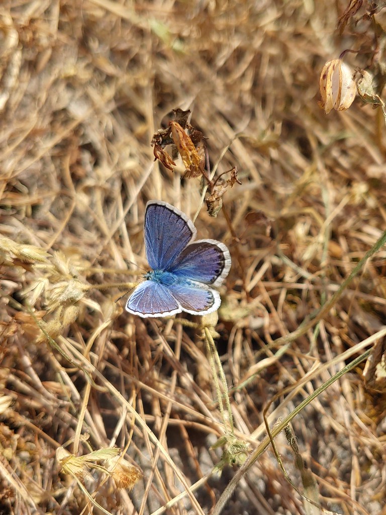
 Sharing our break spot with a butterfly
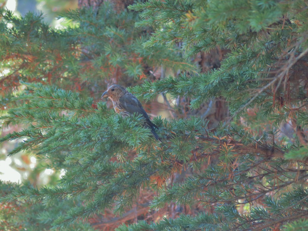 Crossbill near Diamond View Lake

 Mile marker?
 A lone lupine
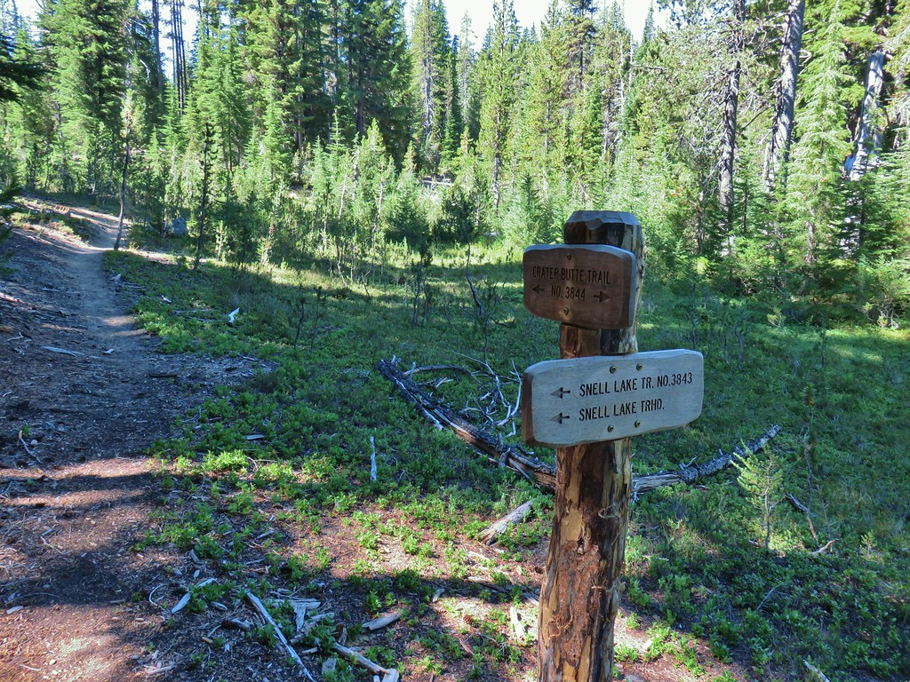 Nice looking sign for the Snell Lake Trail.
 It didn’t look like the Snell Lake Trail sees much use, at least at this end.
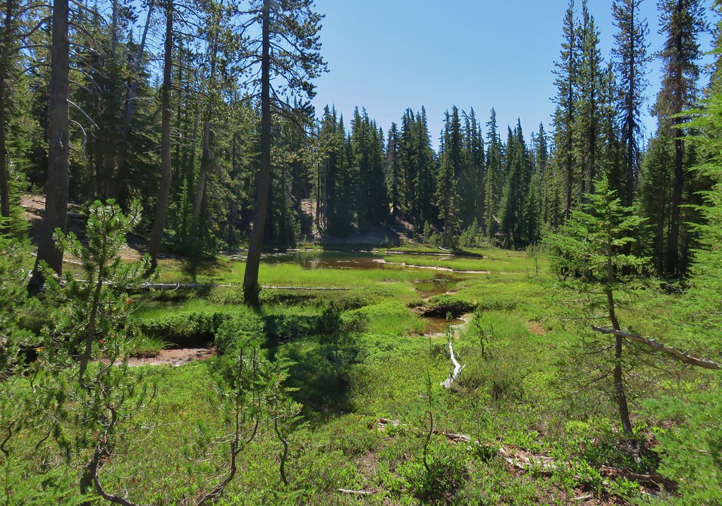
 The heather was all done blooming but there was a lot of dried blossoms.

 The summit of Diamond Peak.


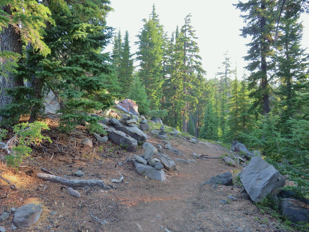
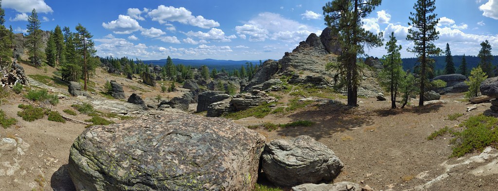
 Diamond Peak from the Rockpile Trail
 Rockpile Lake

 Hikers on the trail to the right coming down from the false summit.
 Dragon fly
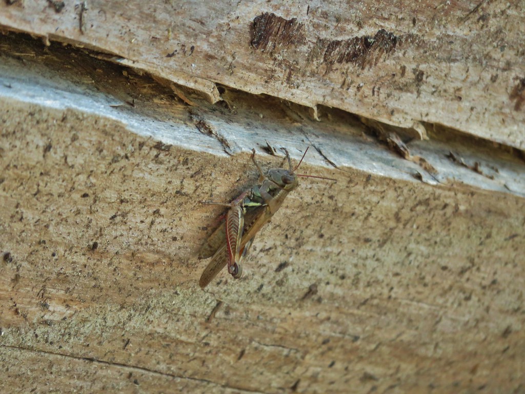

 Bohemia Mountain from the road.


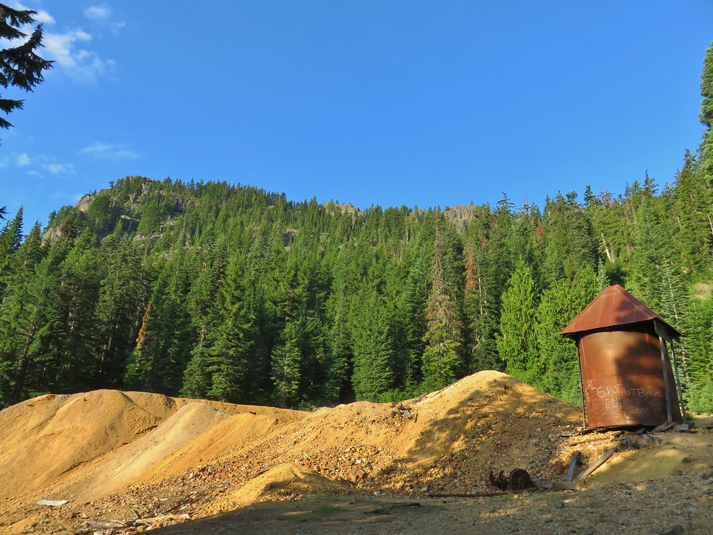 Old mining structure from the road near the post office.
 No miners were seen but I did spot a pika nearby.
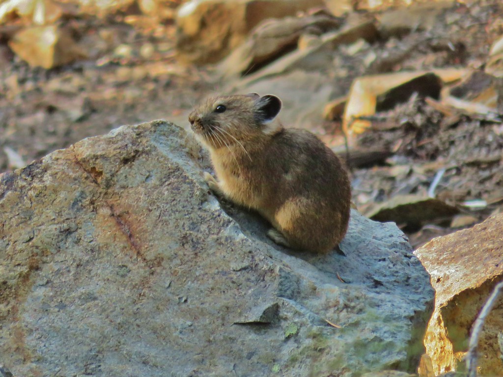
 Fireweed
 Beardtongue
 Paintbrush, pearly everlasting, and some type of fleabane
 Large boykinia
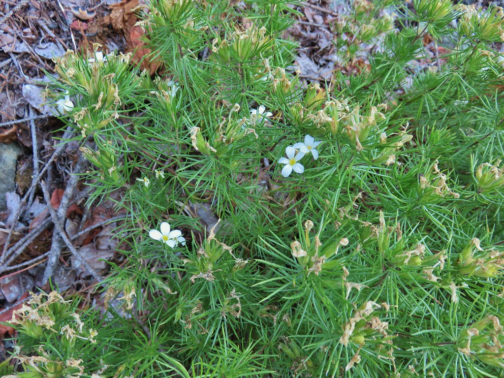
 Spreading dogbane
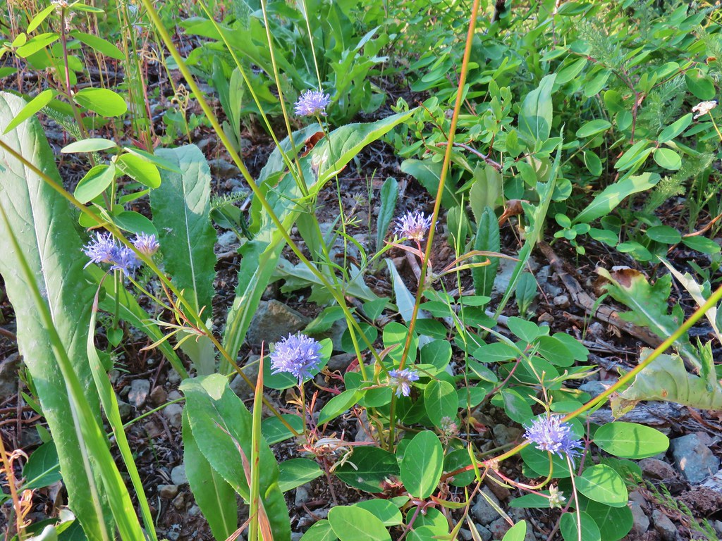 Blue head gilia
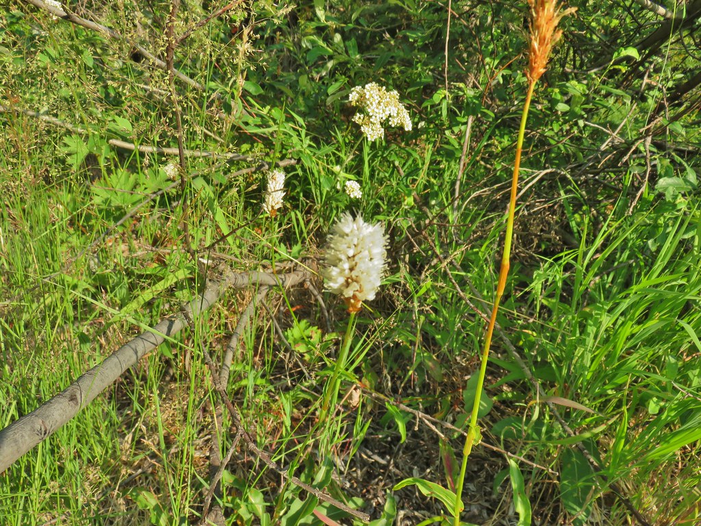 Bistort
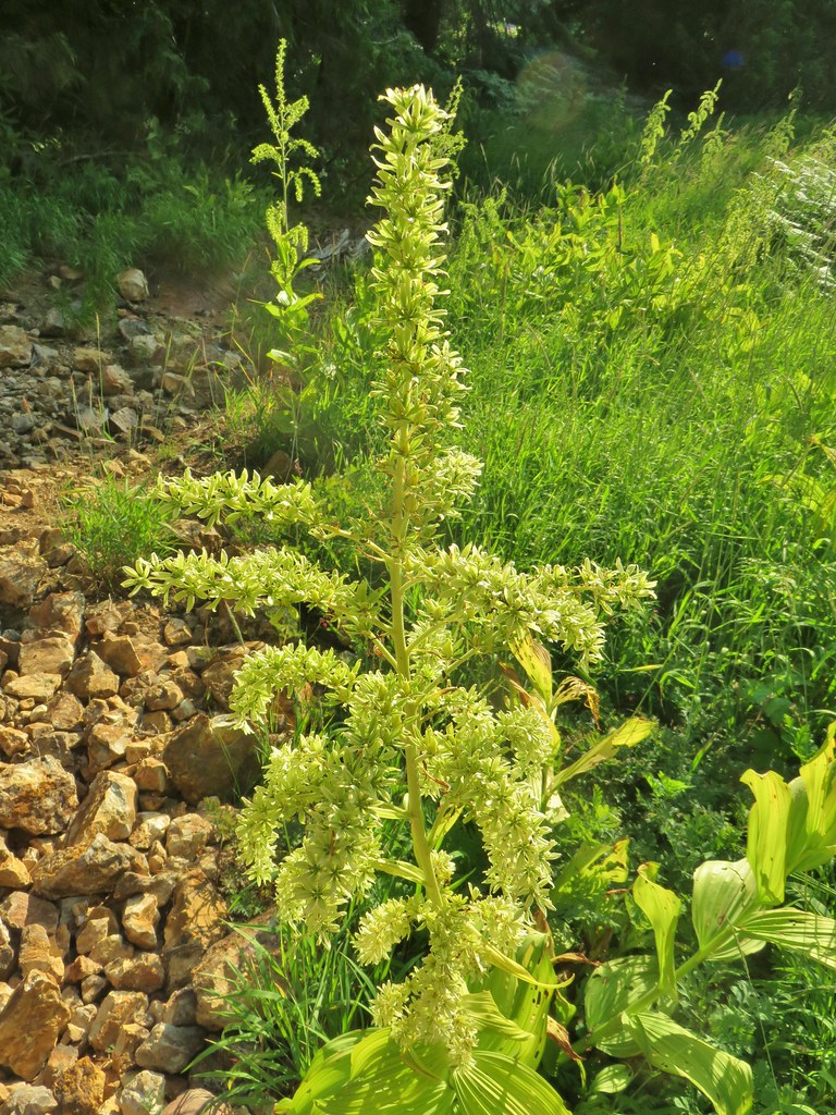 False hellebore
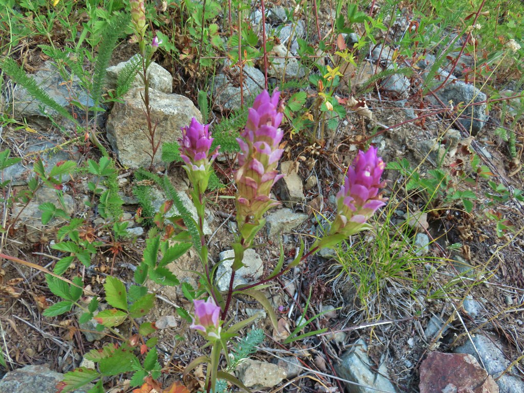 Owl’s clover
 Mountain parnassian butterfly on pearly everlasting.
 A lone lupine still in bloom.
 Skipper
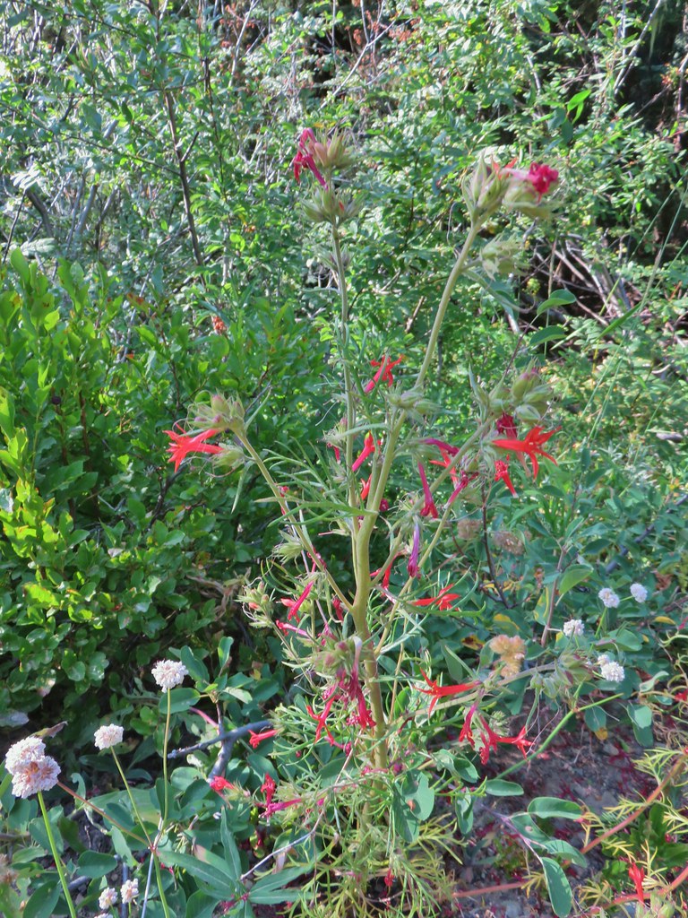 Scarlet gilia
 Bohemia Saddle
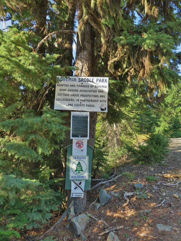 Signage at Bohemia Saddle
 Sign marking the start of the trail.
 Starting up Jackass Ridge
 Rainiera
 Paintbrush and fleabane
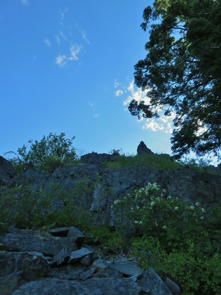 The rocky ridge provided shade during the climb.
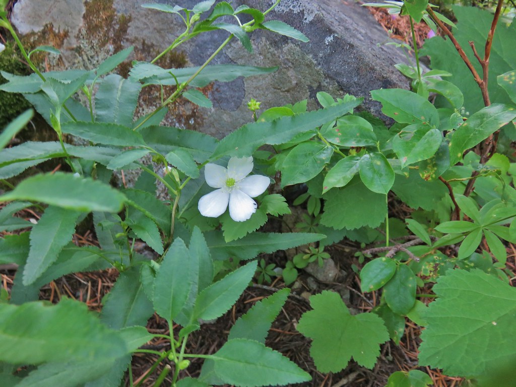 A lingering anemone.
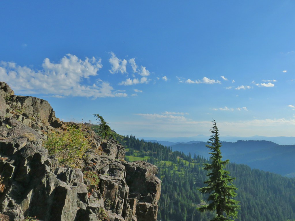 The Fairview Peak lookout tower to the left with the Three Sisters, Broken Top, and Mt. Bachelor in the distance.
 Three Sisters, Broken Top, and Mt. Bachelor in the distance.
 Nearing the summit.
 Mt. Bailey and Mt. Scott in the distance.
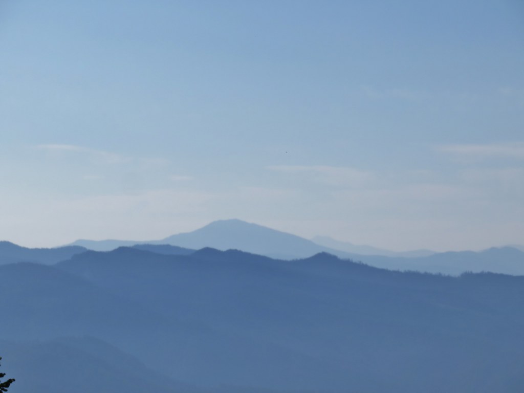 Mt. Bailey and Mt. Scott
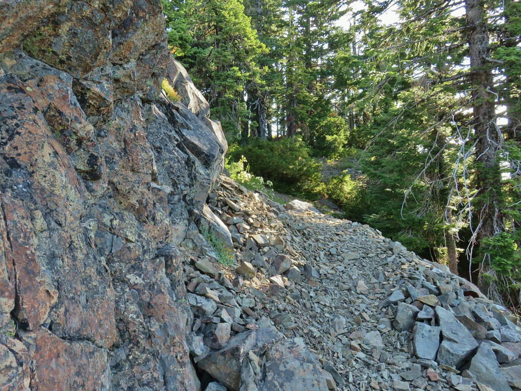
 Bohemia Mountain summit
 Mt. Jefferson and Three Fingered Jack
 Mt. Washington and the North & Middle Sisters
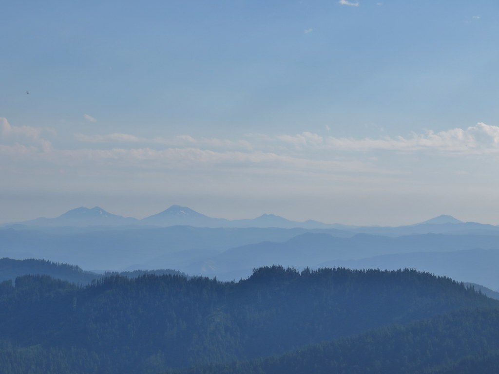 Three Sisters, Broken Top, and Mt. Bachelor
 Mount Yoran and Diamond Peak
 Tipsoo Peak, Howlock Mountain, Mt. Thielsen, Mt. Bailey, Mt. Scott, Hillman Peak and The Watchman.

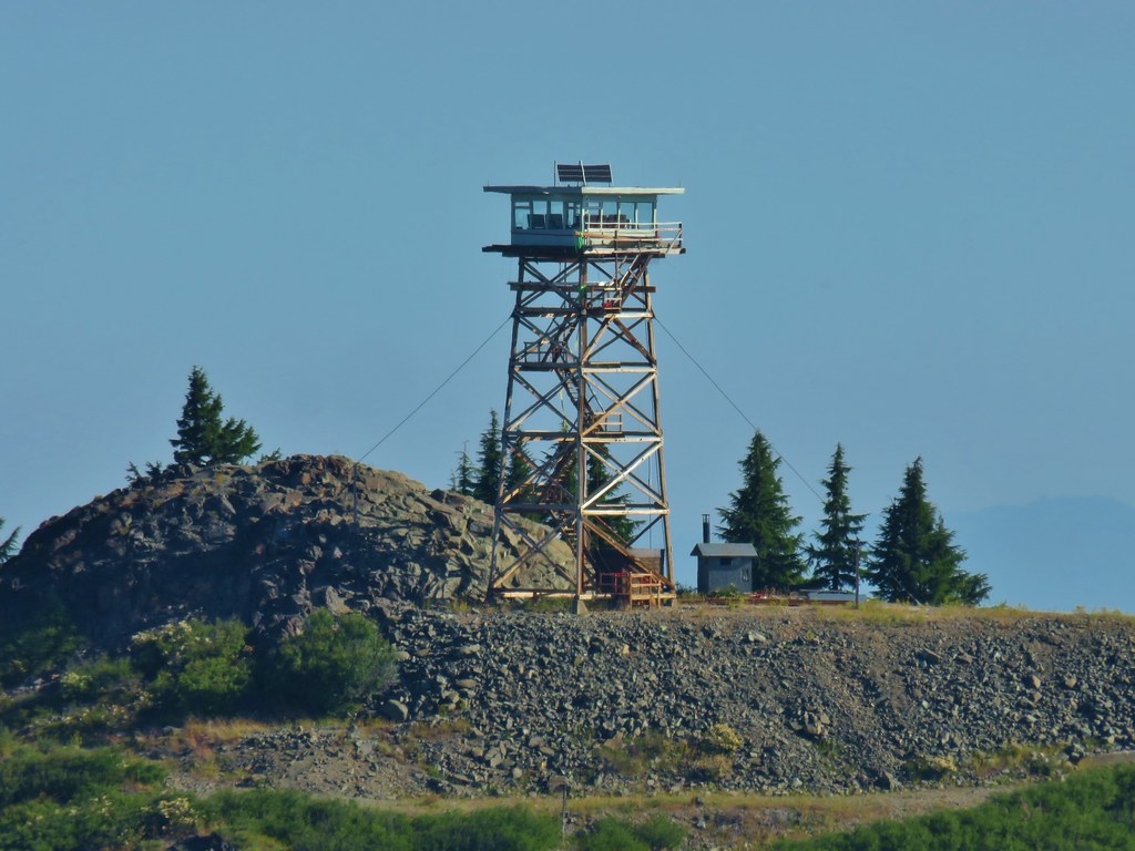 Fairview Peak lookout
 A lot more yet to ripen.
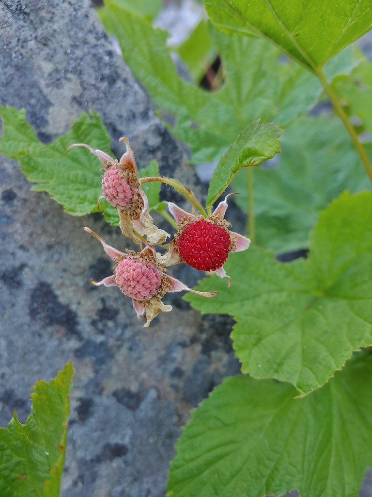 We also found a few ripe thimbleberries.
 Alligator lizard
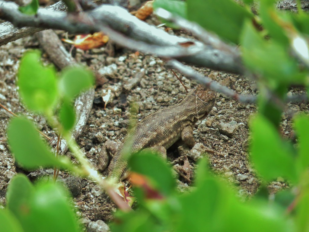


 Little bee landing on fireweed at the trailhead.


 Sample of the blowdown.

 Fittingly a downed log welcomed us to the wilderness.
 Thielsen Creek at the head of Timothy Meadows
 flower at Timothy Meadows
 Musk monkeyflower?
 Thielsen Creek Trail
 Howlock Mountain Trail
 Pinesap
 As the trail climbed around a ridge end the forest thinned enough to get some views of both Mt. Thielsen and Mt. Bailey (
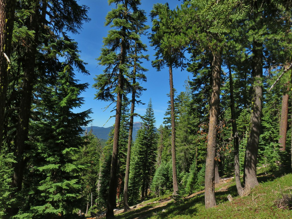 Mt. Bailey
 Mt. Thielsen
 After rounding the ridge the trail remained mostly in the trees until it neared Howlock Meadows and then Howlock Mountain started to come into view.
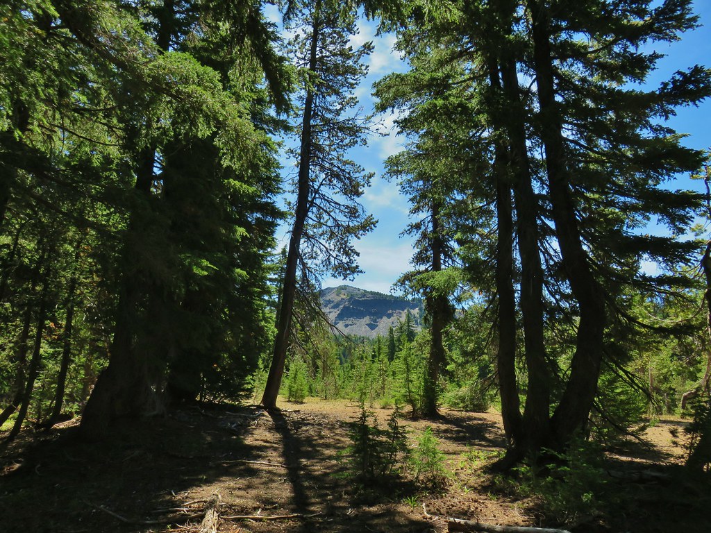
 Orange agoseris

 Butterfly on pumice
 PCT leaving Howlock Meadows.
 Mt. Bailey from the PCT.
 Talus slope above the PCT.
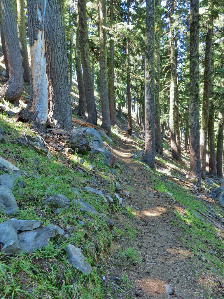 Lots of rocks along the hillside.
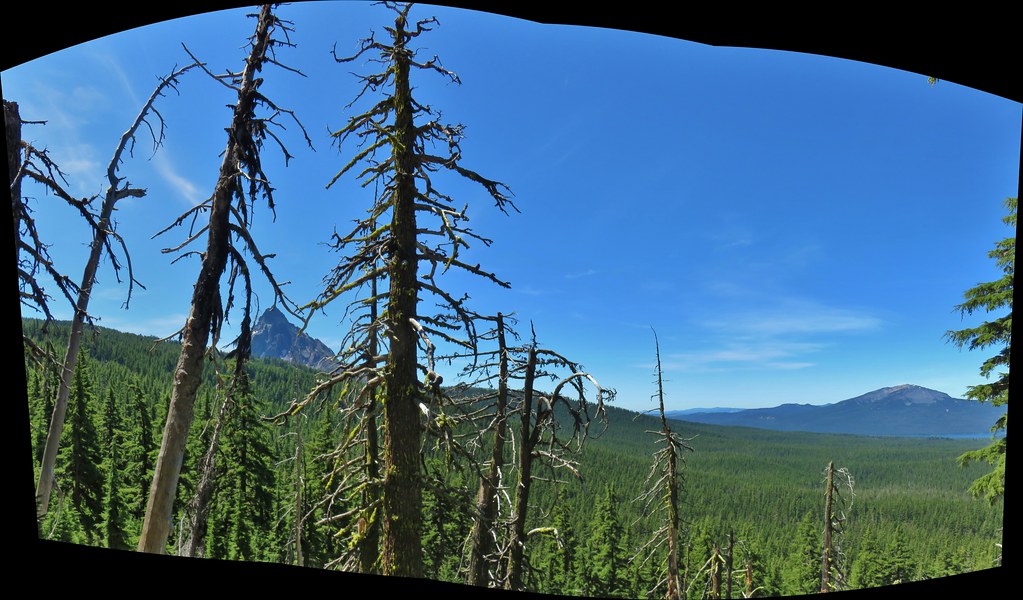

 PCT crossing Thielsen Creek
 Use trails on the left and right hand side of Thielsen Creek.
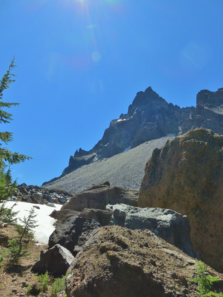
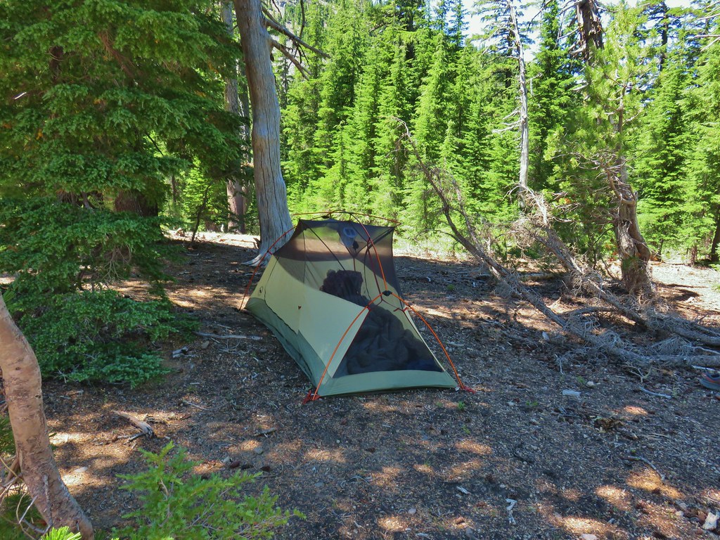 Found our tent.
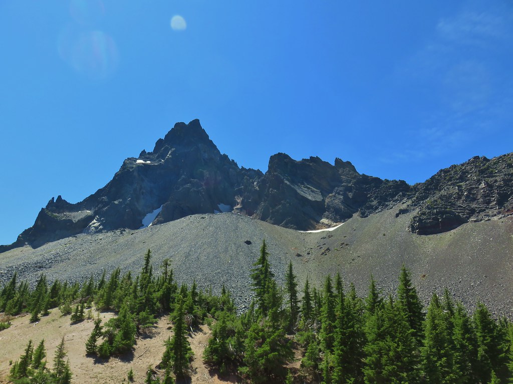
 I was also looking at the saddle between Mt. Thielsen and Sawtooth Ridge which we needed to climb over in order to reach the falls.


 Pink and white blossoms
 Some yellow monkeyflower too.
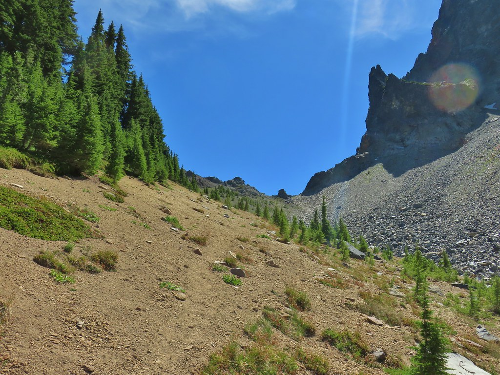 Maybe “clear” use trail isn’t exactly the correct term.
 It’s clearer here.
 Mt. Thielsen
 Sawtooth Ridge
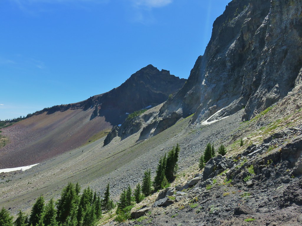 East side of Mt. Thielsen
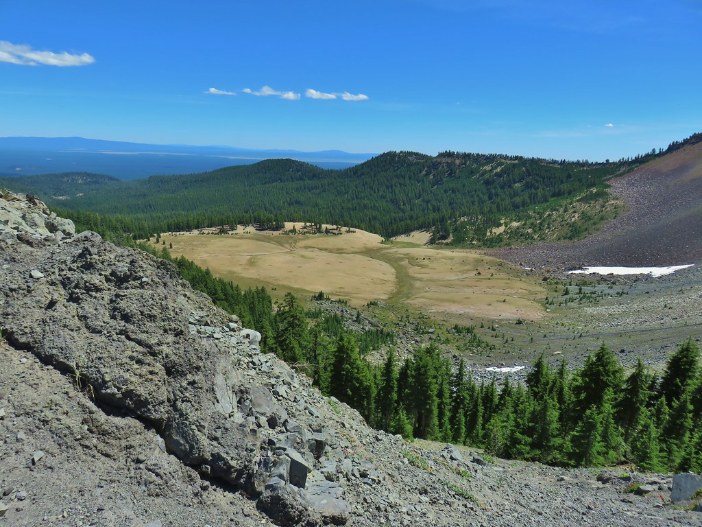 Cottonwood Falls was on the far side of the pumice plain.
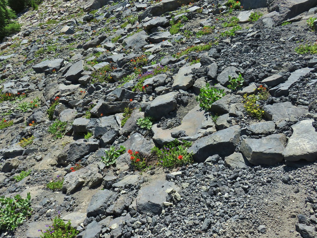 Paintbrush, penstemon, and buckwheat near the saddle.
 I had to drop below this neat rock feature which I got too close to and had a difficult time finding my footing to get around.
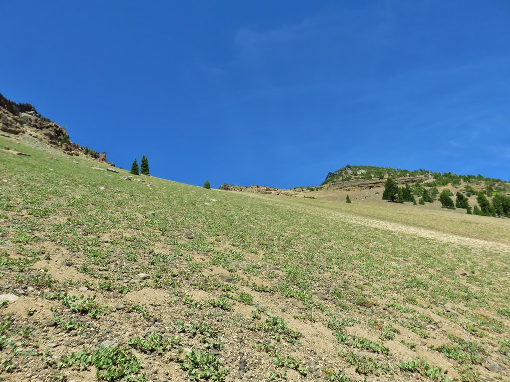 Looking up the hillside.
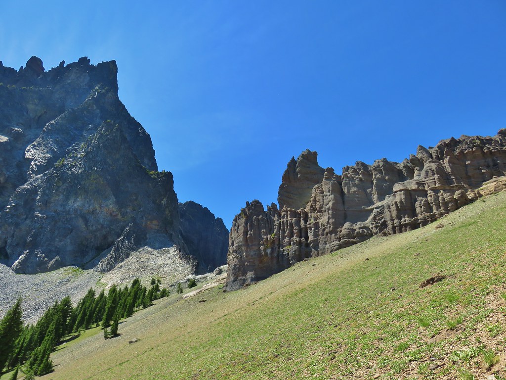 Looking back at the rock formation.

 Impressively large cave on the face of Mt. Thielsen.
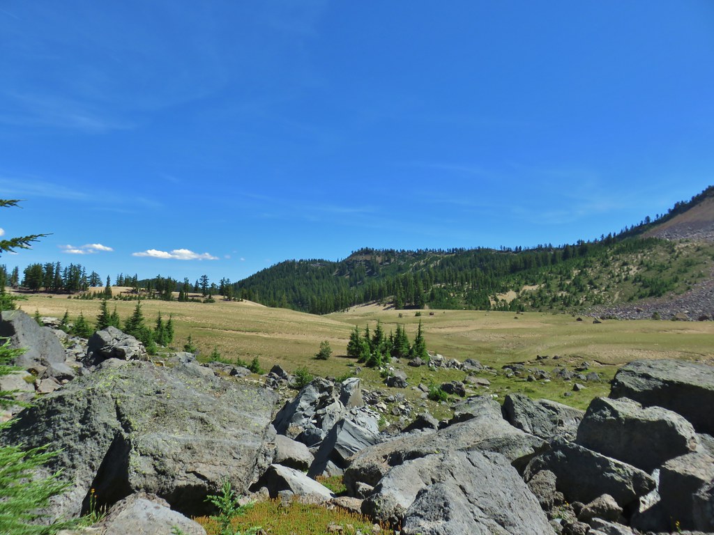
 Penstemon
 The saddle doesn’t look too bad from this angle.
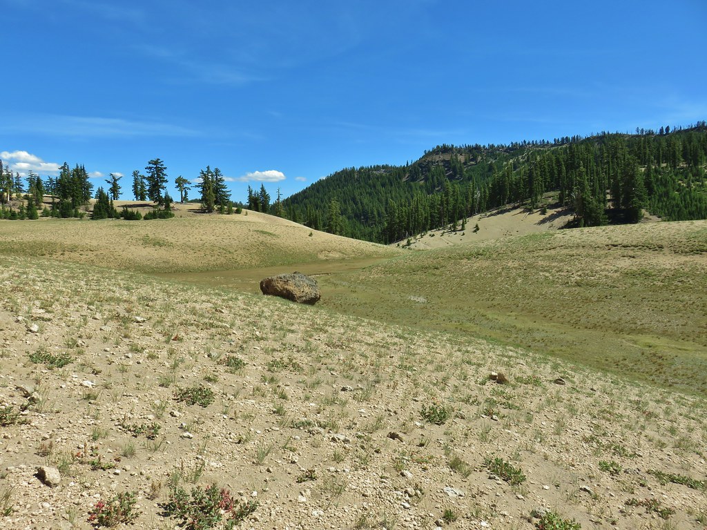


 We got onto the use/game trail as soon as we could going back up.
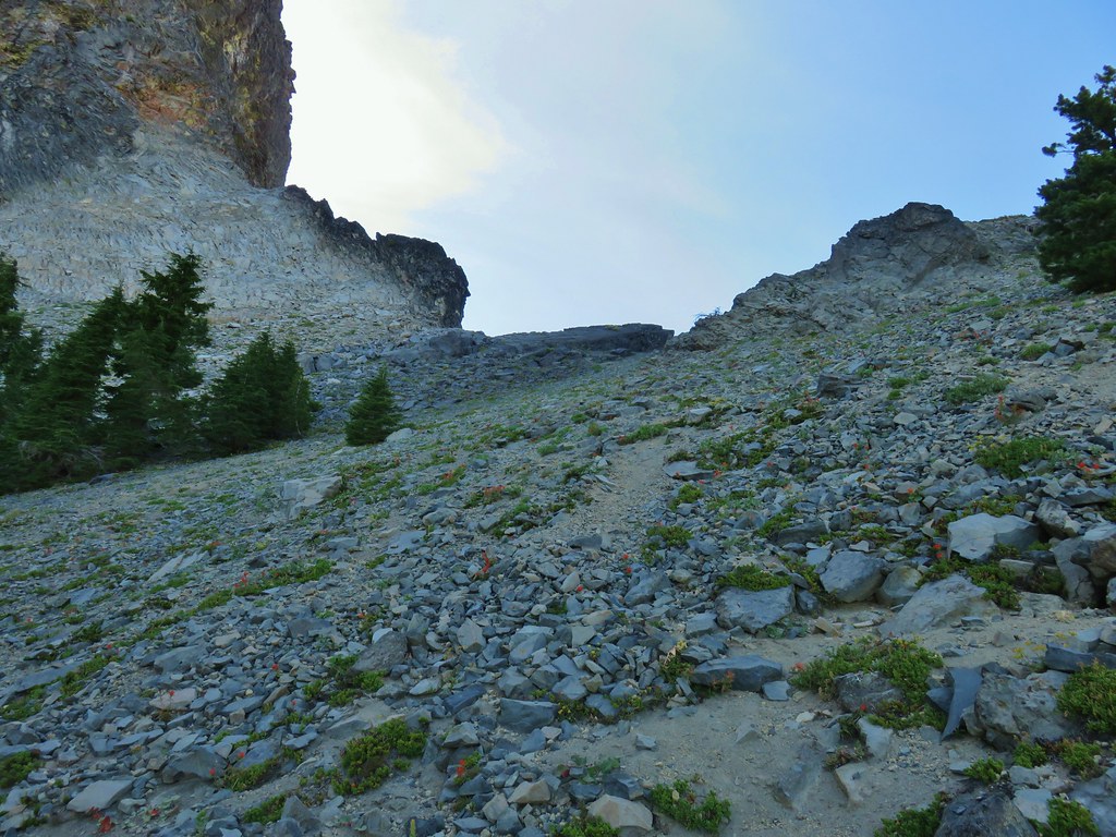 The “trail” leading up to the saddle.
 Mt. Thielsen with the Sun behind.
 Howlock Mountain
 Unfortunately the lighting wasn’t all that great due to the position of the Sun so we never really could capture all the colorful rocks on the mountain.
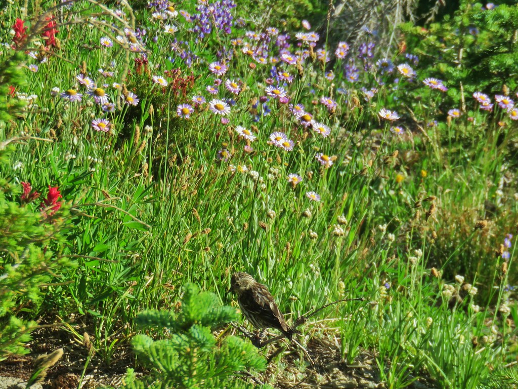
 Junco near camp.
 Mt. Thielsen
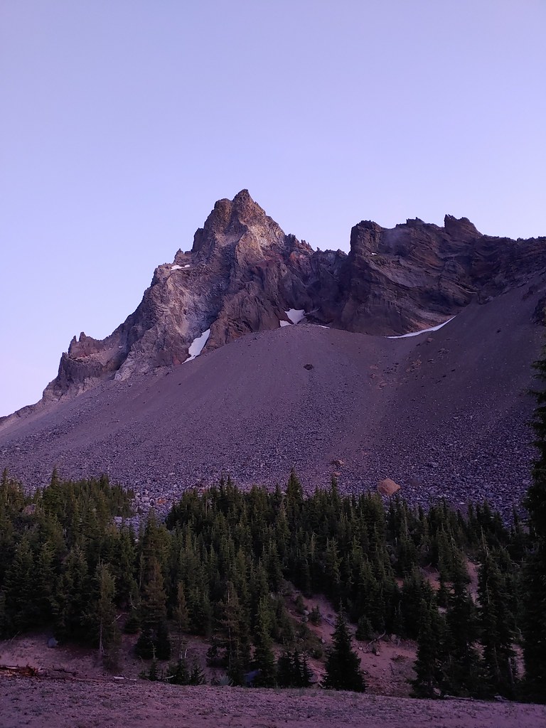
 Anyone know what the celestial body to the right of the Moon is?
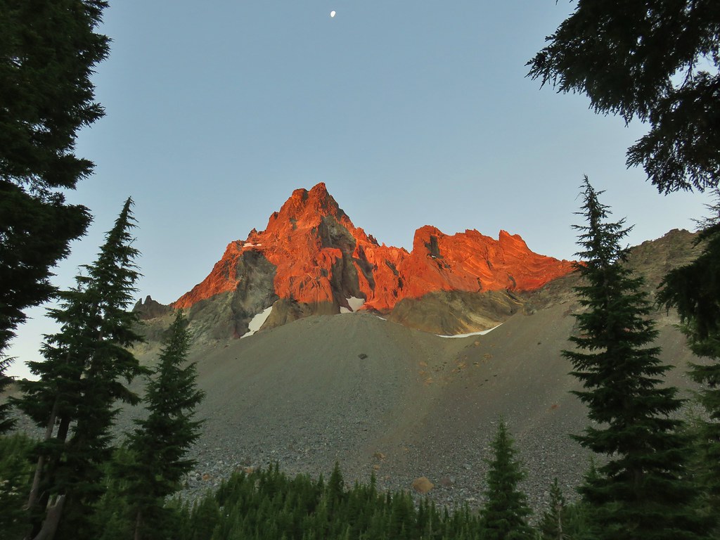


 Searching for pikas in the rocks.
 Jackpot
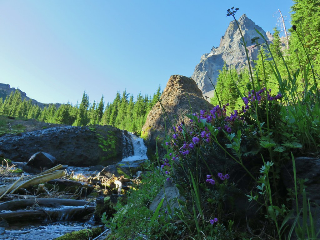 Mountain heather
 Monkeyflower
 Partridge foot
 Golden-mantled ground squirrel
 Lupine
 Merten’s rush
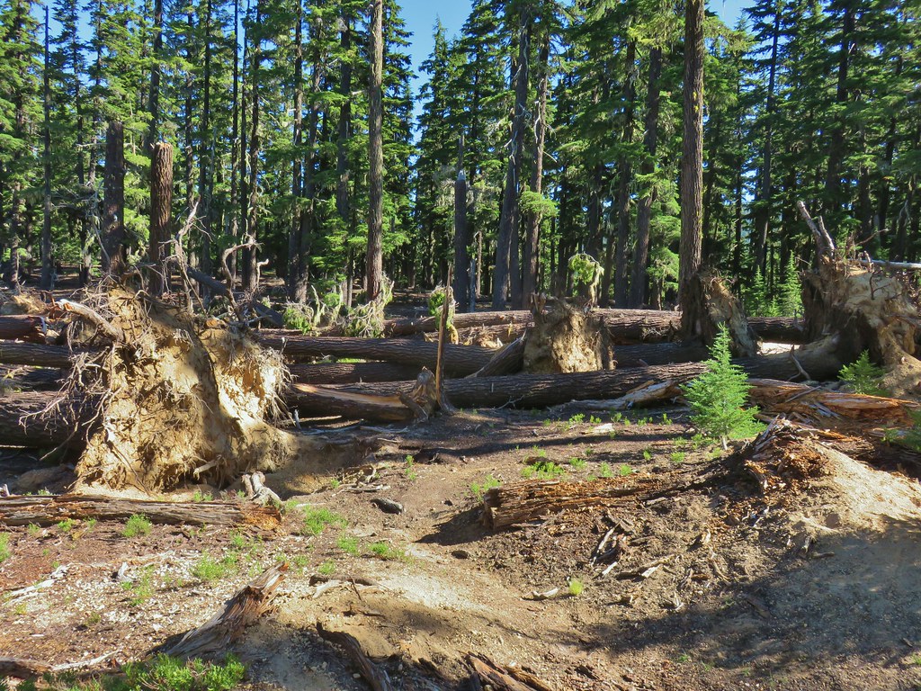
 Another angle of the tree fall.

 Just picture a good sized buck in the trees, I snapped this hoping to get lucky but I don’t see him at all.
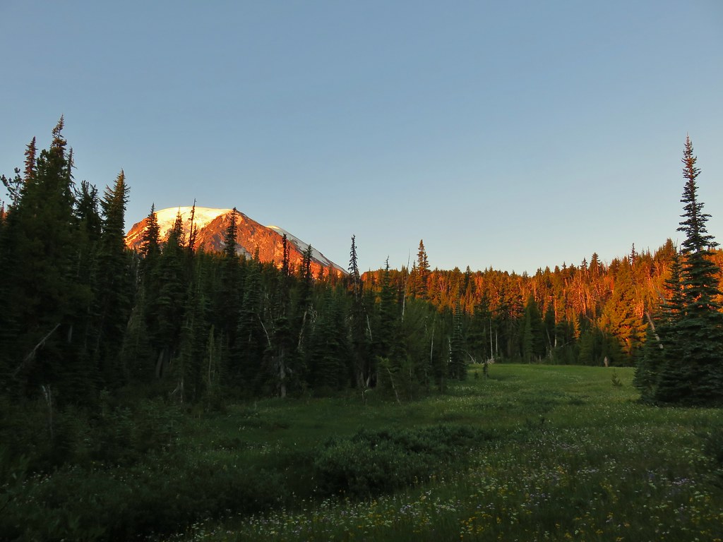
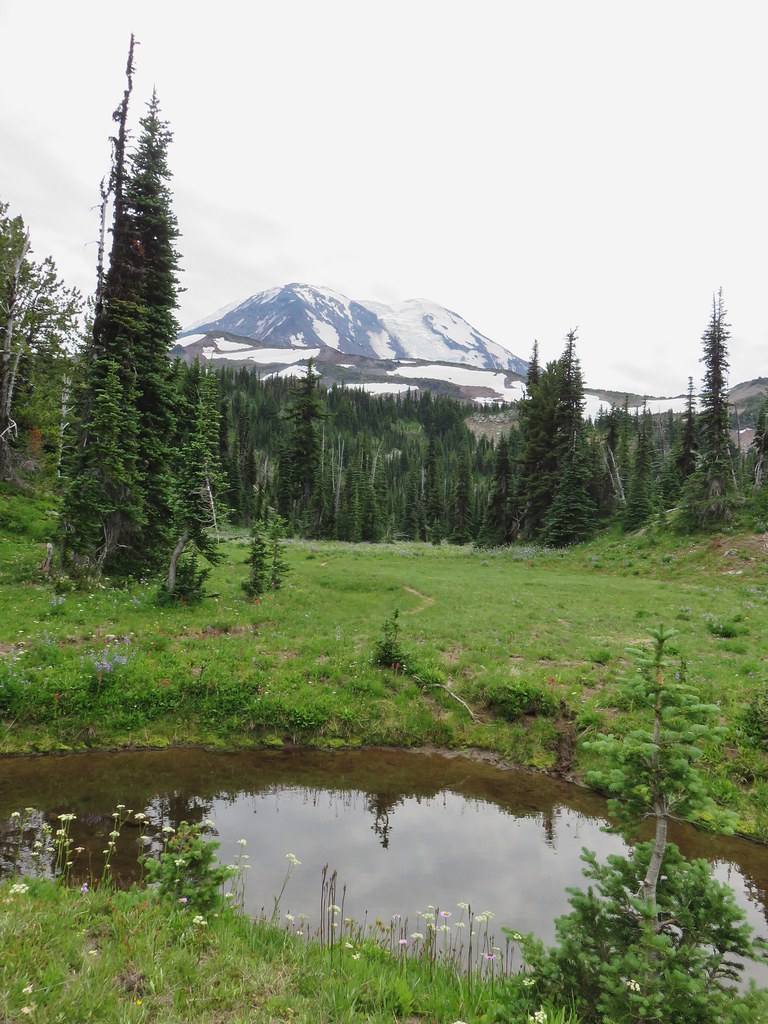
 Goat Rocks in the morning
 Mt. Adams
 Looking down the Muddy Meadows Trail from the log.
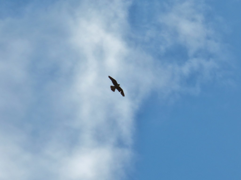
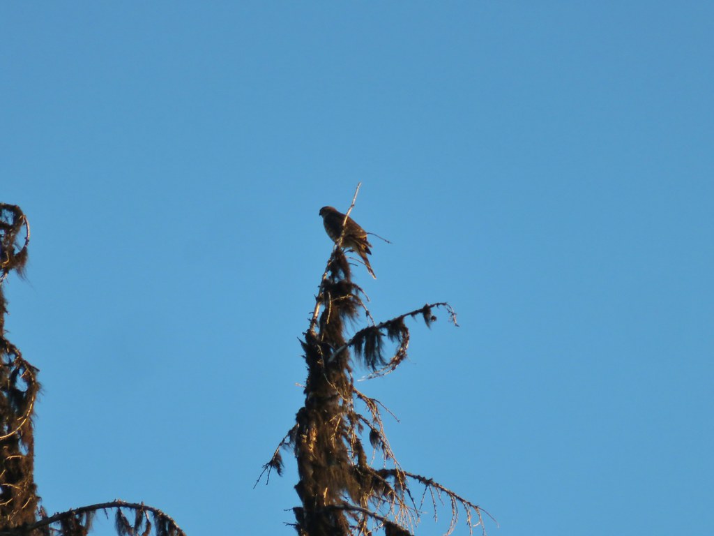 Small hawk
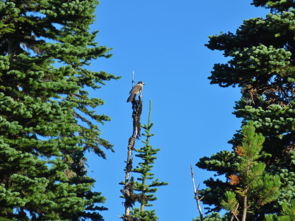 Gray jay
 Mt. Rainier and some of the Goat Rocks.
 Northern flicker

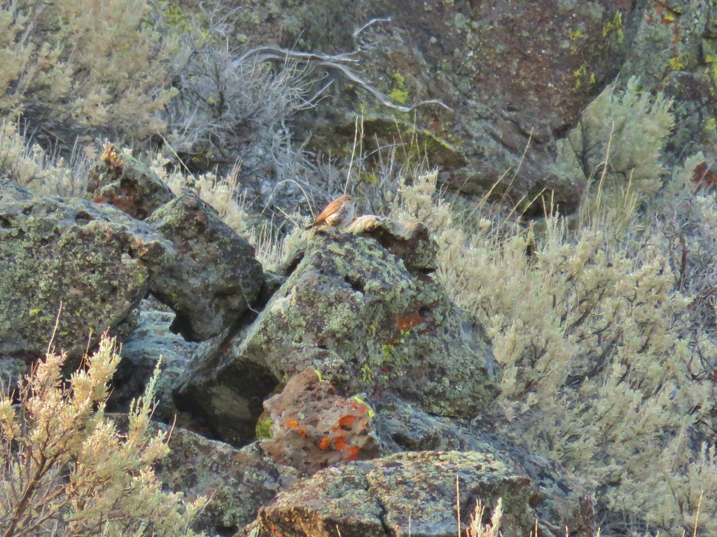
 Little bird near the PCT junction.
 Killen Creek below the waterfall.
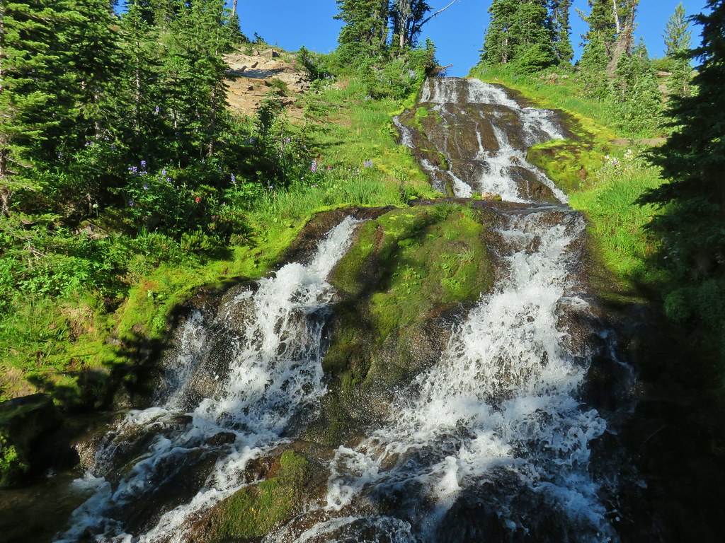
 Mt. Adams from the waterfall.
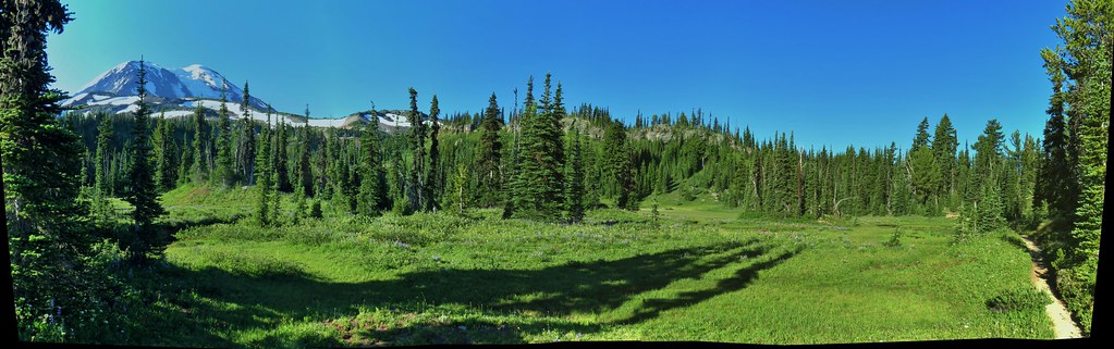
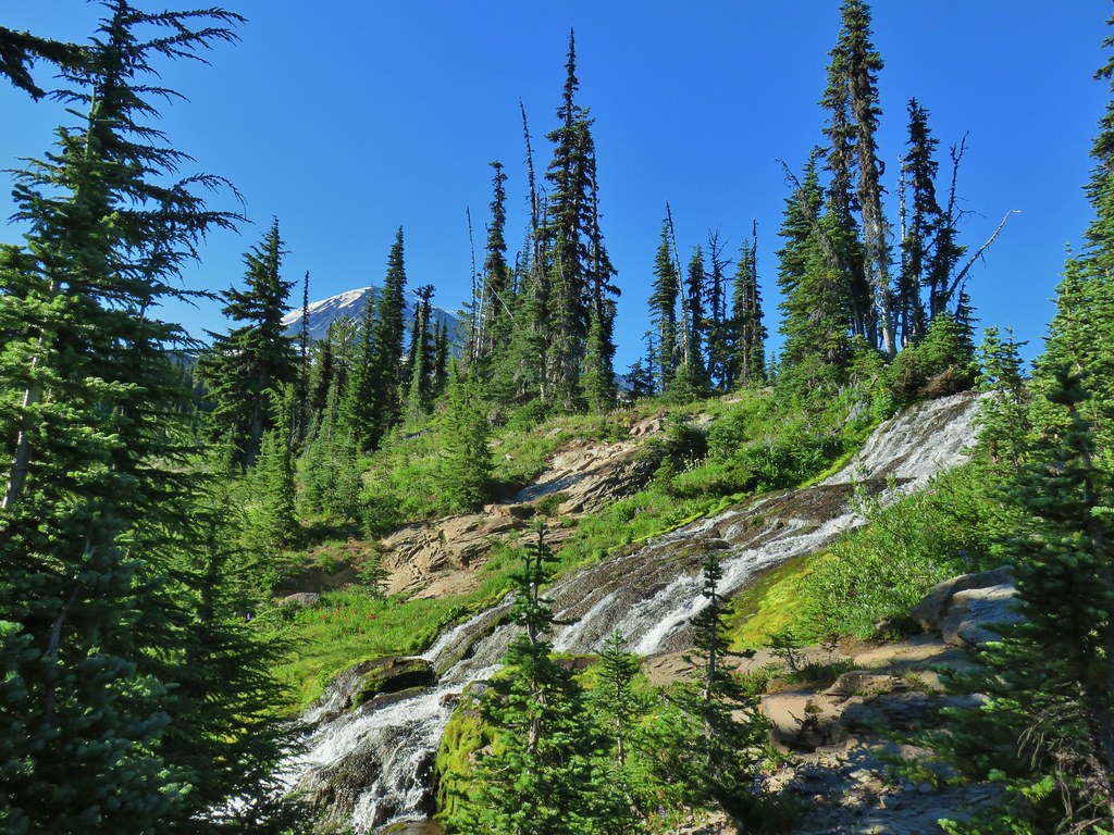
 Mt. Rainier and Goat Rocks from the PCT.

 Breakfast time (possibly second breakfast)
 Zooming in on Mt. Rainier

 Killen Creek Trail heading away from Mt. Adams.
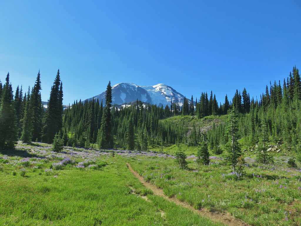
 Beardstongue
 Pearly everlasting next to thimbleberry bushes.
 Not quite ready yet.

 Mt. Adams
 Goat Rocks (
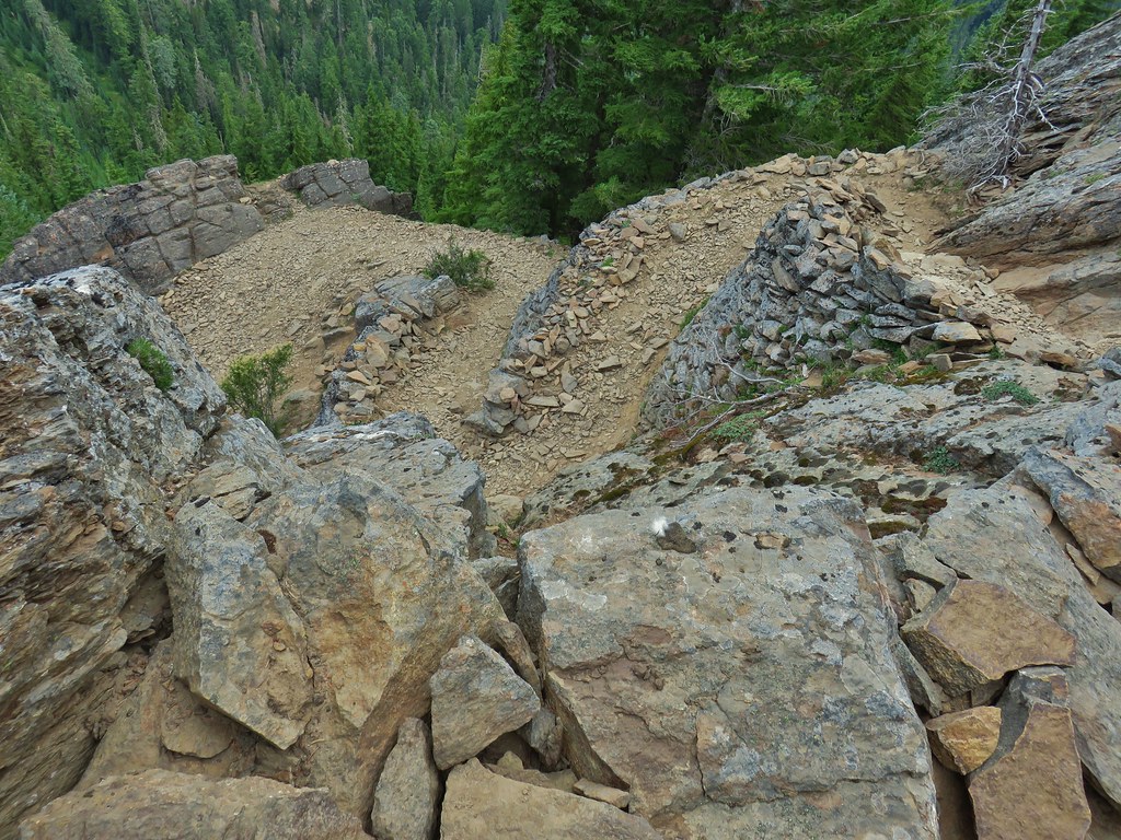 Looking down at some of the switchbacks.
 Mt. St. Helens in the distance.
 The top of Mt. Rainier.
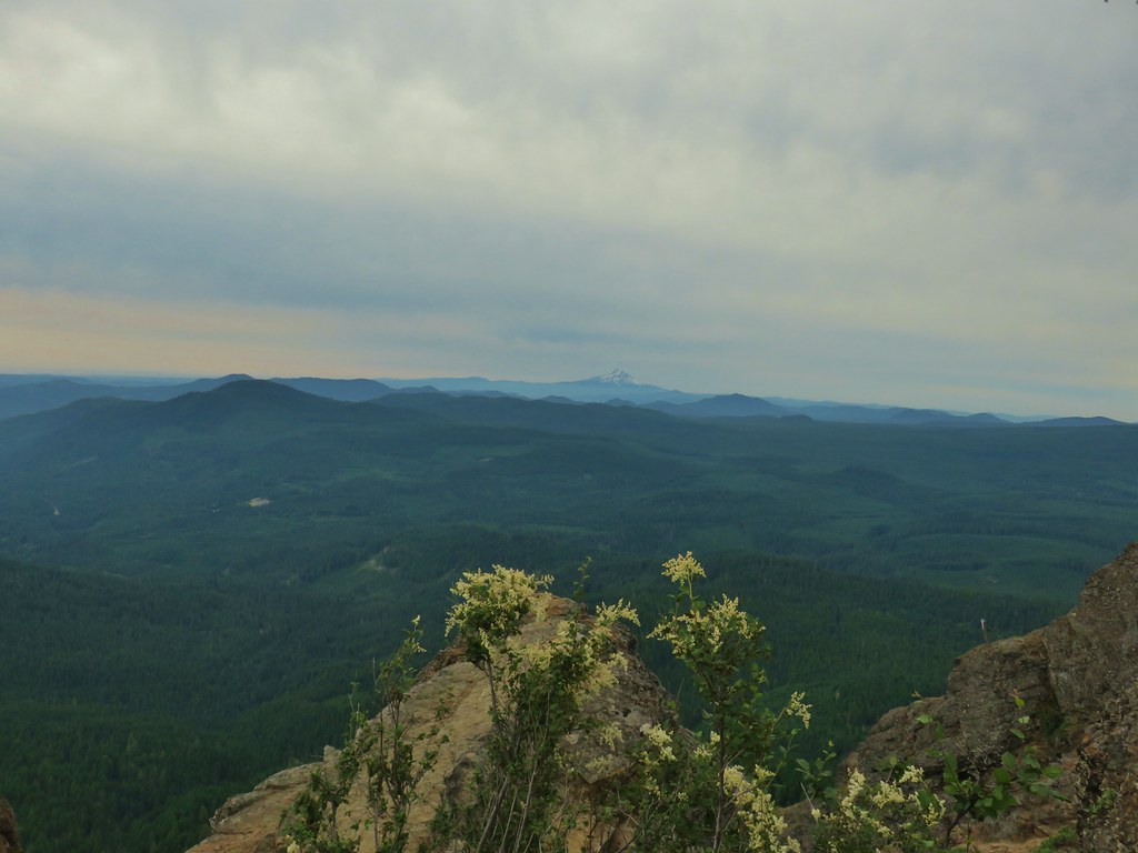 Mt. Hood to the South.
 Mt. St. Helens, Mt. Rainier, Goat Rocks and Mt. Adams.
 Indian Heaven Wilderness
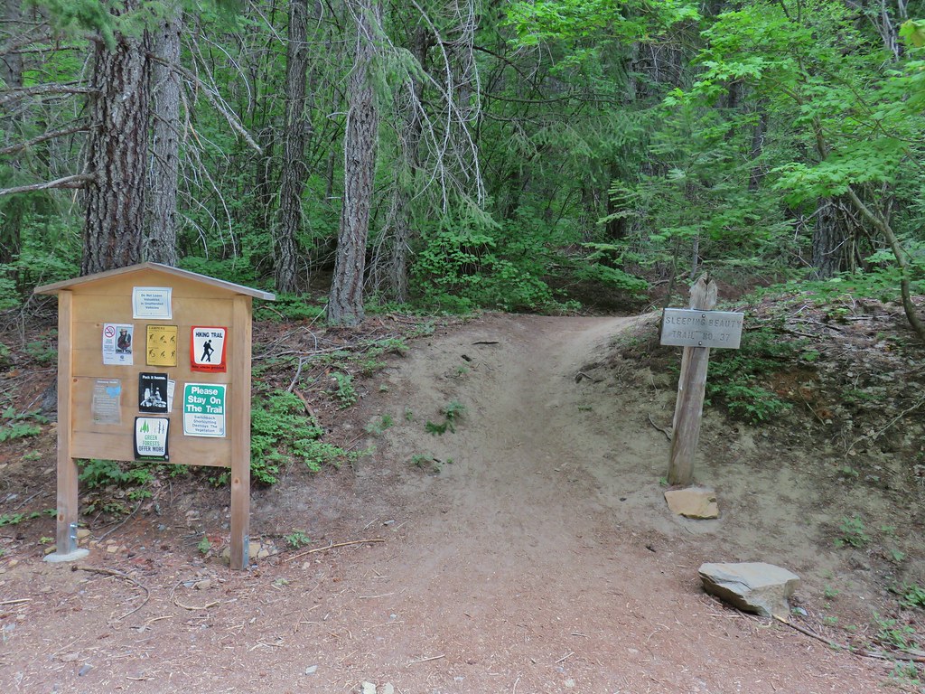
 Looking east over the top of Sleeping Beauty.
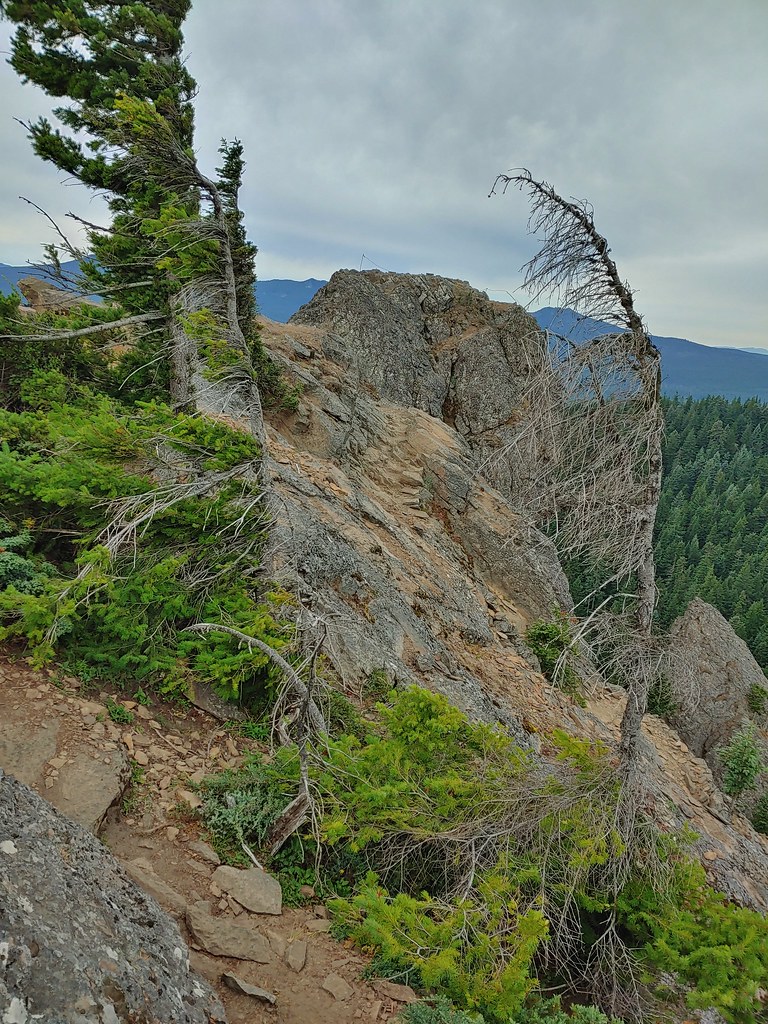 Looking west to the true summit where a lookout once stood.
 Mt. Hood from the foundation of the former lookout.
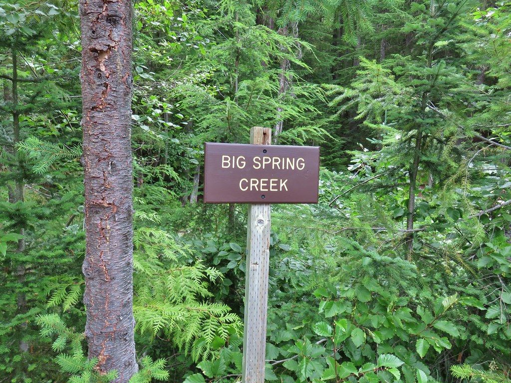 Sign at a pullout along FR 23.
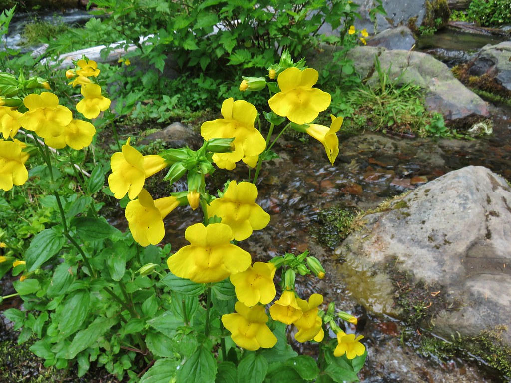 These were huge yellow monkeyflowers.
 Big Spring Creek
 Lupine along the trail.
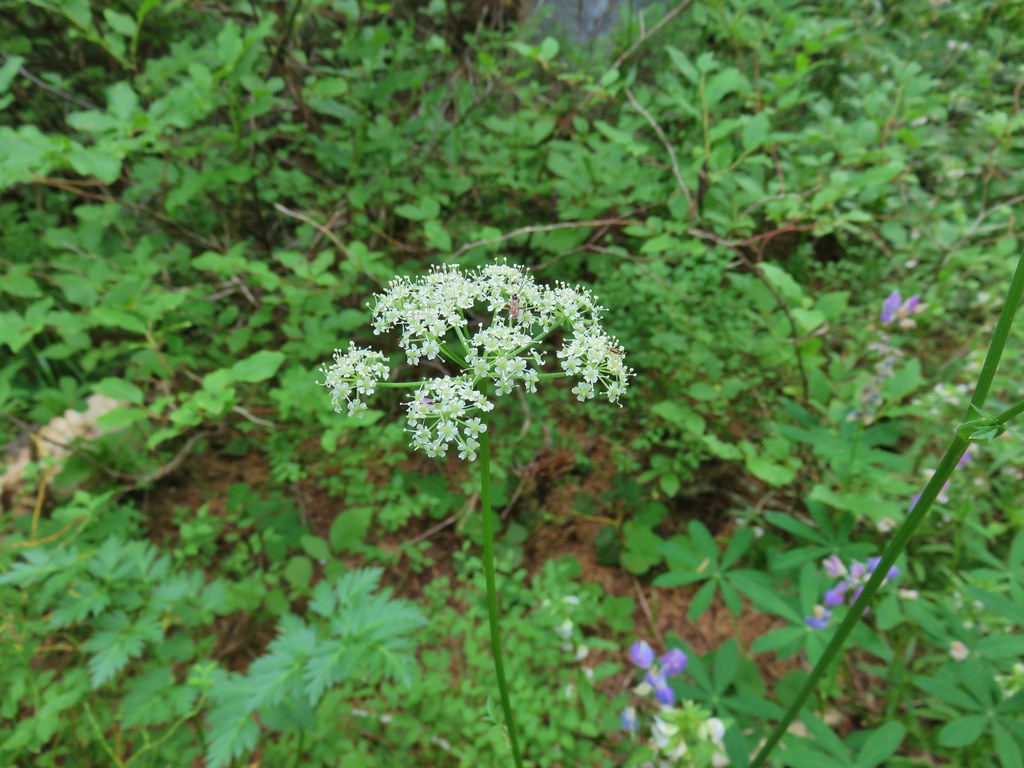
 Arnica
 Lousewort
 More lupine along the trail.
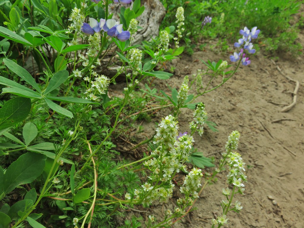 Partridge foot and lupine.
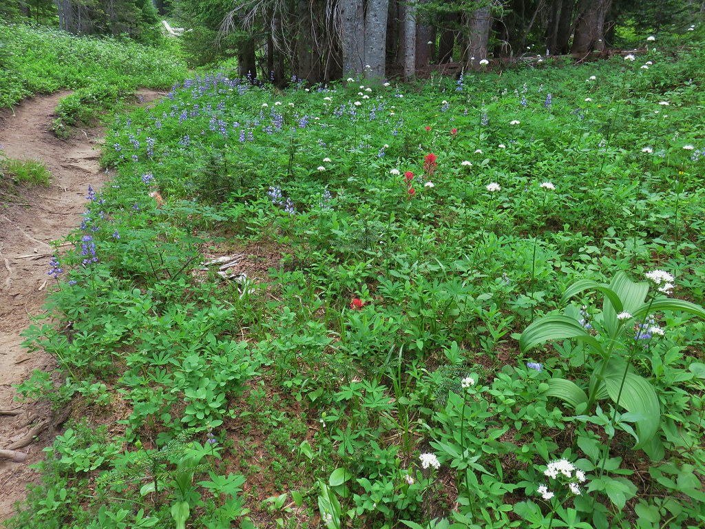 Lupine, paintbrush and valerian.
 Lupine along the trail which sees a good amount of equestrian use.
 Mountain heather.
 Yellow buttercups mixed in with the lupine, paintbrush and valerian.
 Beardstongue, arnica and lupine.
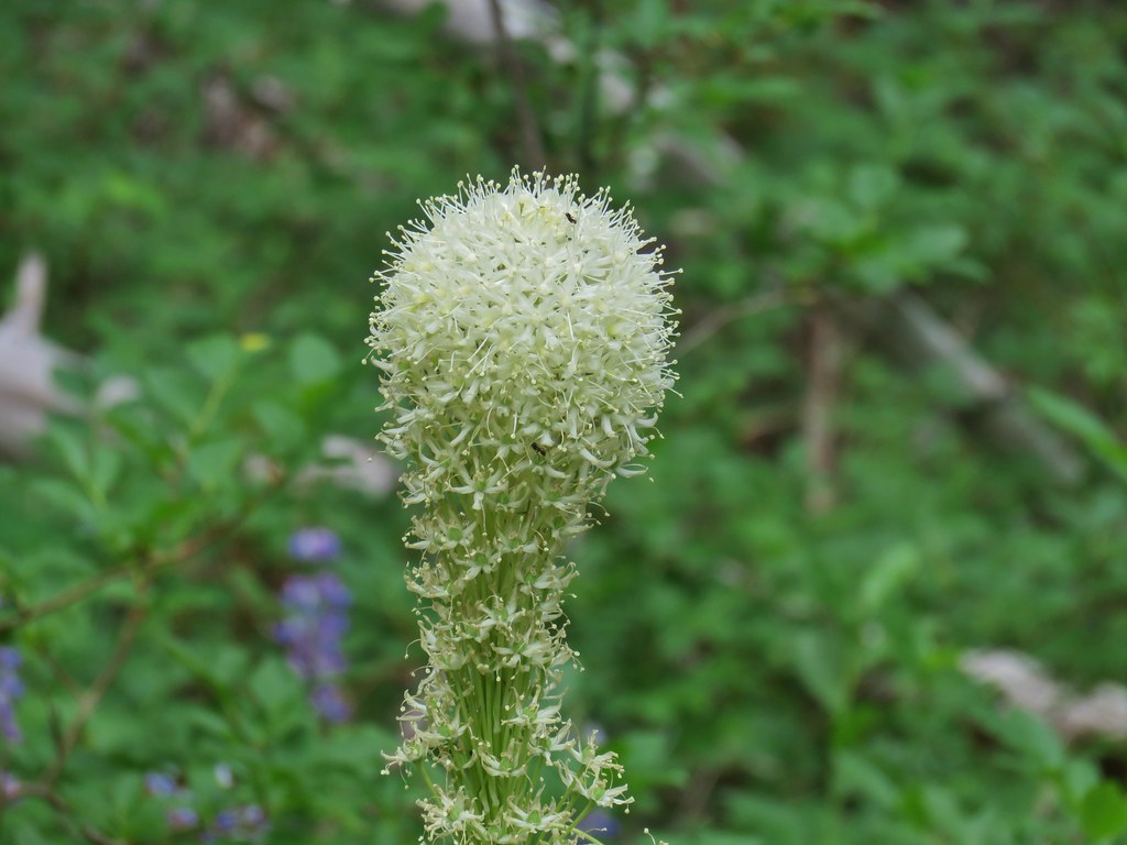 Beargrass
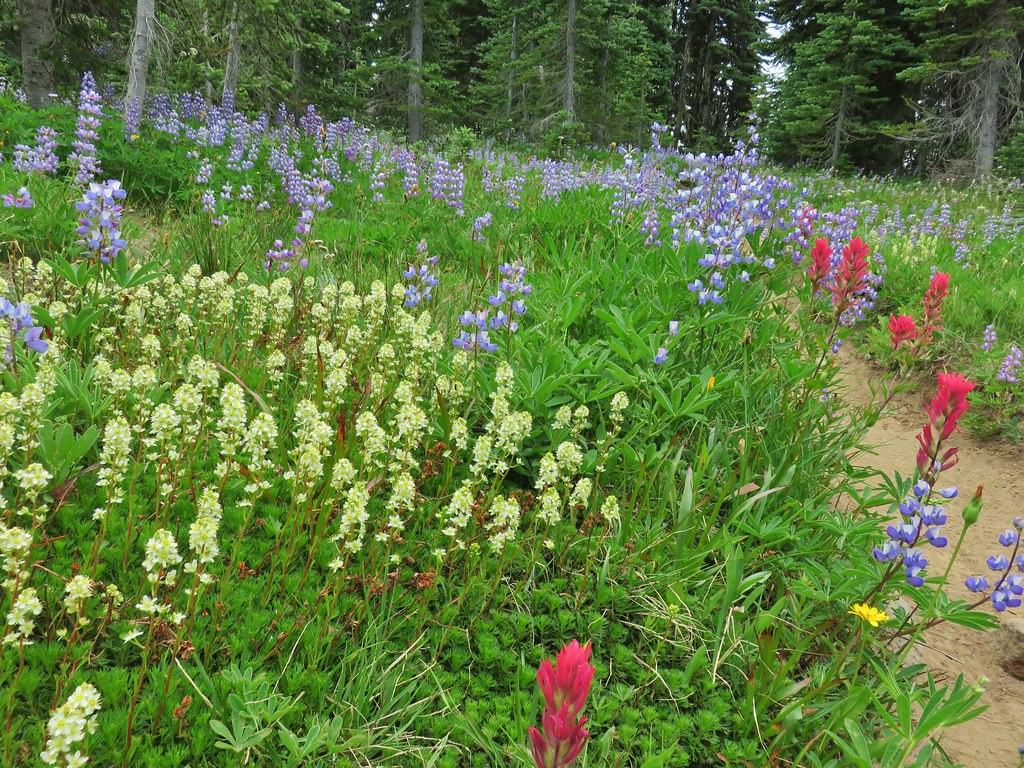


 Lousewort
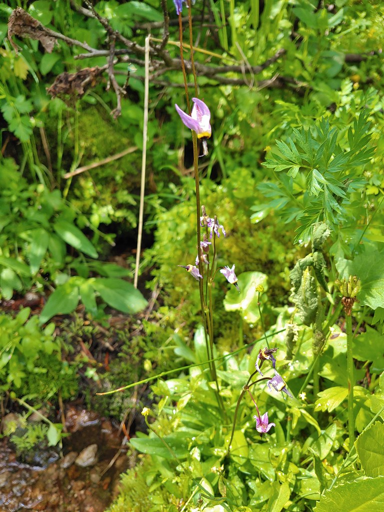
 Elephants head near the stream.
 Elephants head and a shooting star.

 Mountain heather
 Phlox
Phlox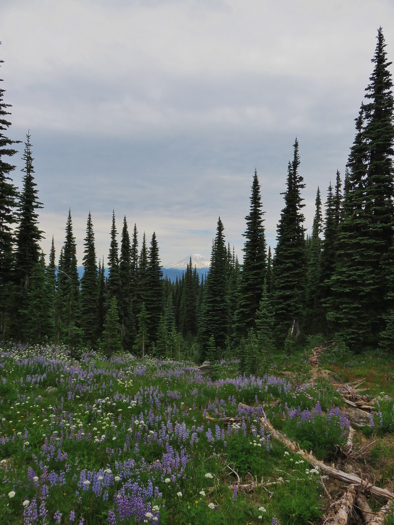
 False hellebore amid the lupine.
 Paintbrush framed by trees.
 Woolly pussytoes
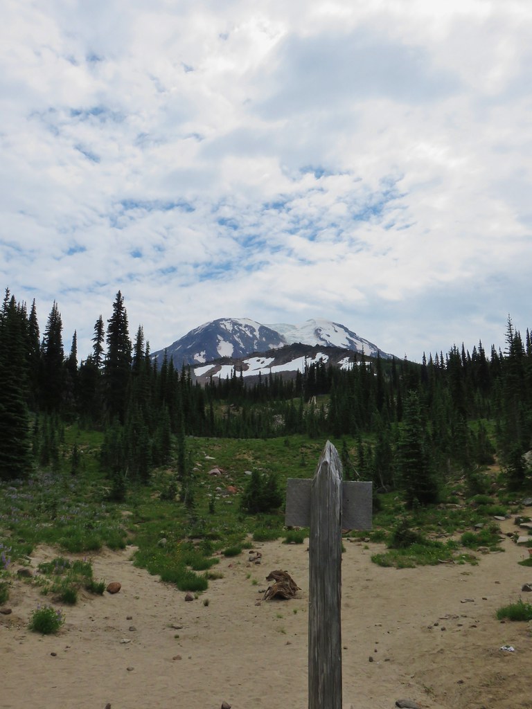


 Cinquefoil
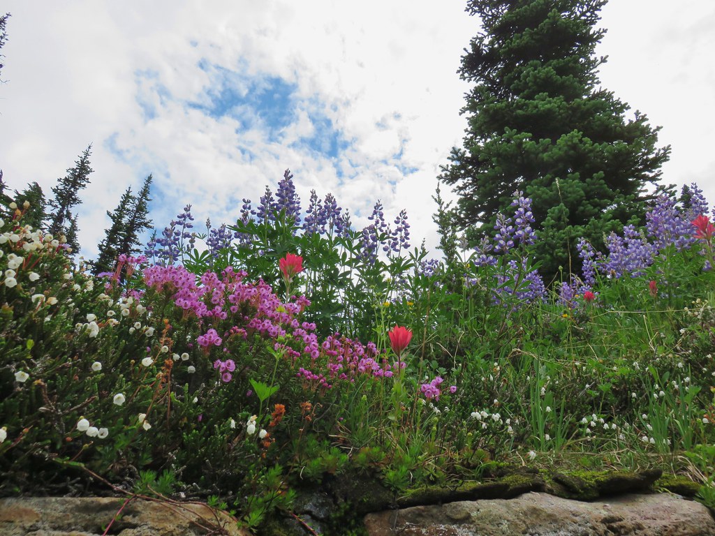 White and pink mountain heather, paintbrush and lupine above the PCT.
 Shooting star
 Violets
 Coming in for a landing on groundsel.
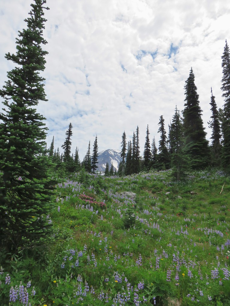
 Aster
Aster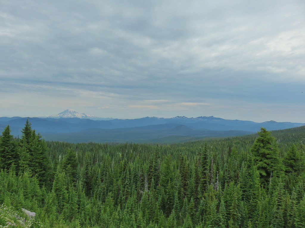
 Goat Rocks
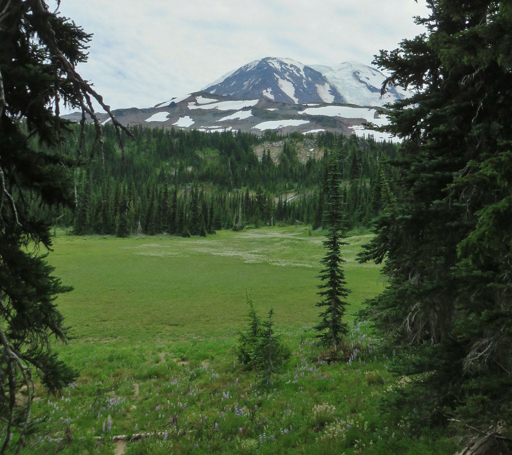
 Aster and white seed heads
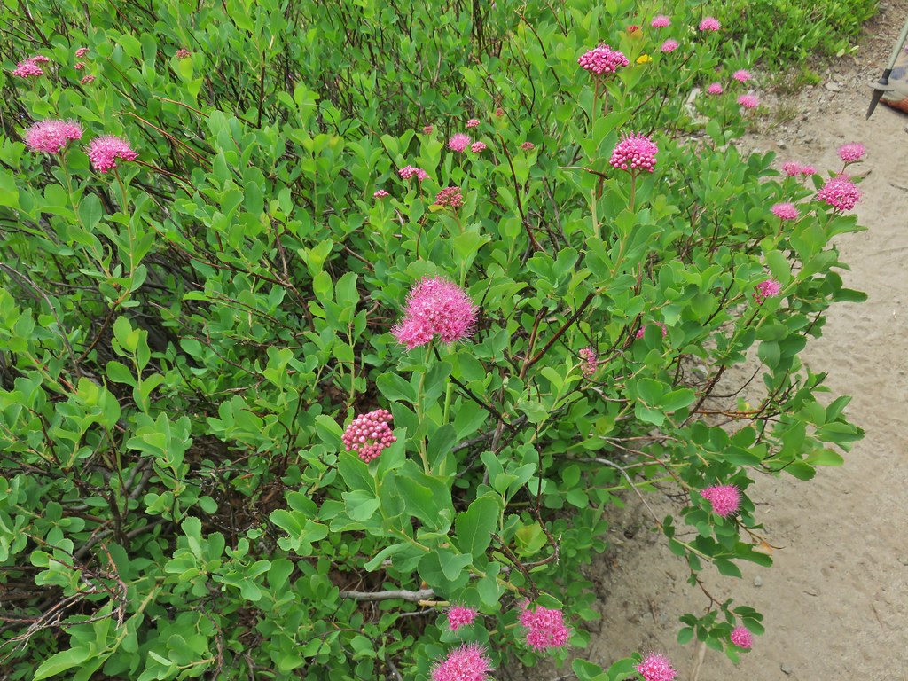 Spirea
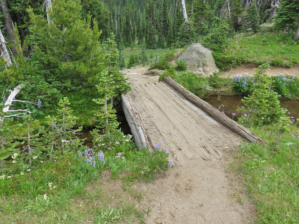
 Killen Creek and Mt. Adams.

 The waterfall from the PCT.
 Highline Trail ahead.
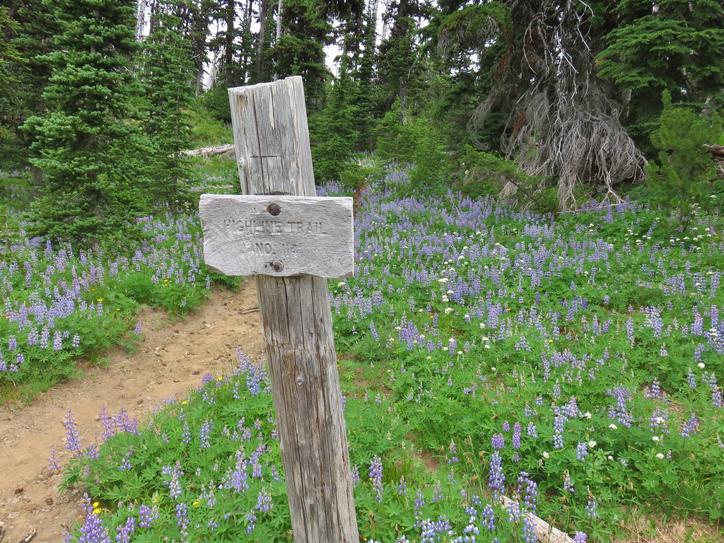

 Yellow arnica along the trail.
 Beargrass in full bloom.
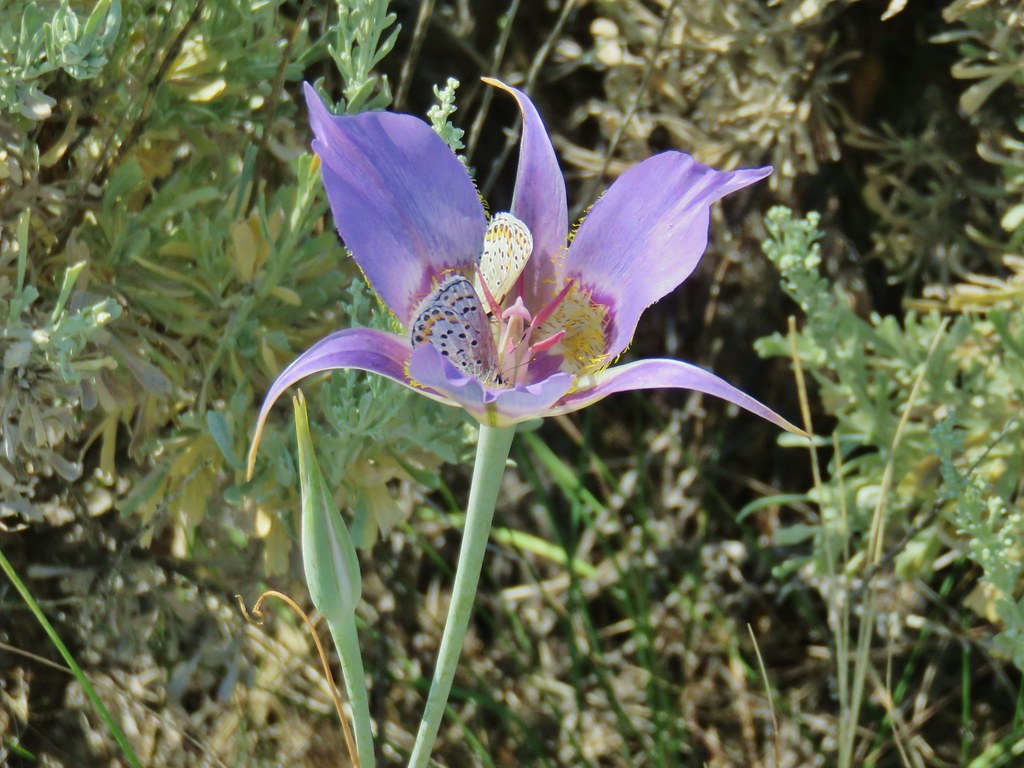
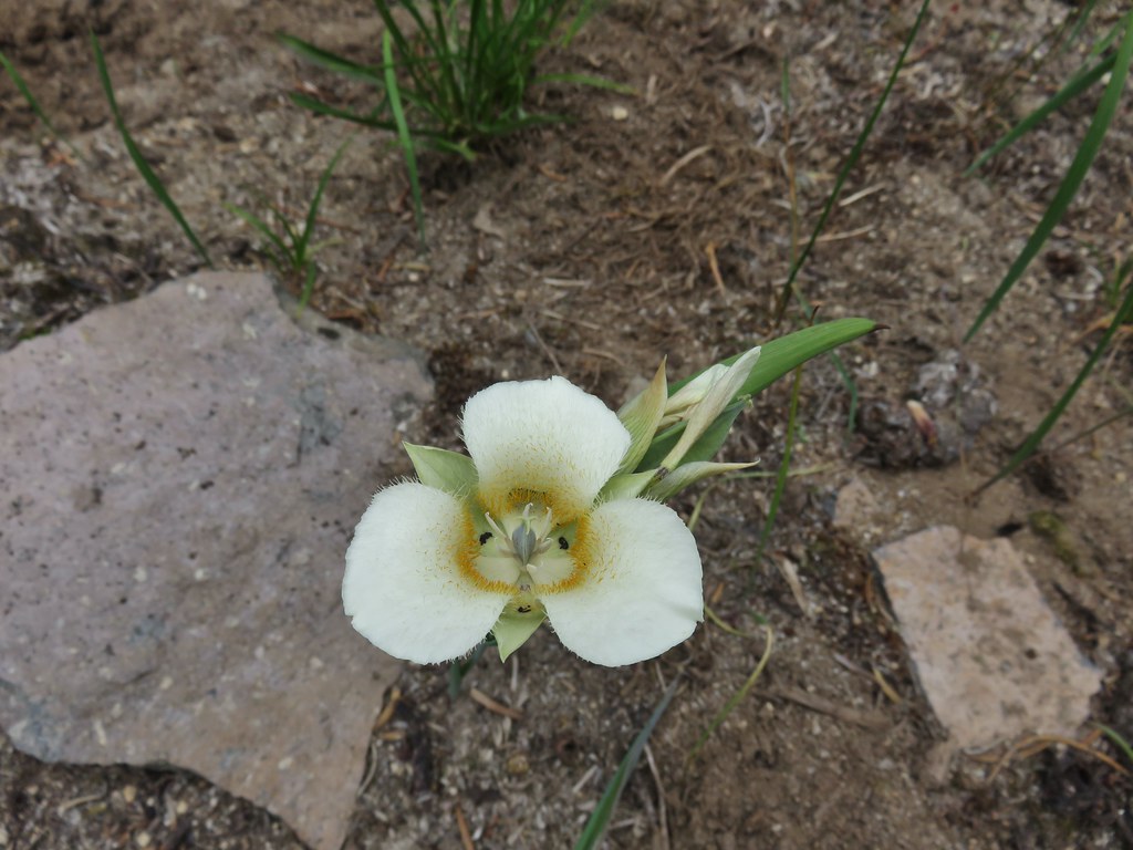 Subalpine mariposa lily
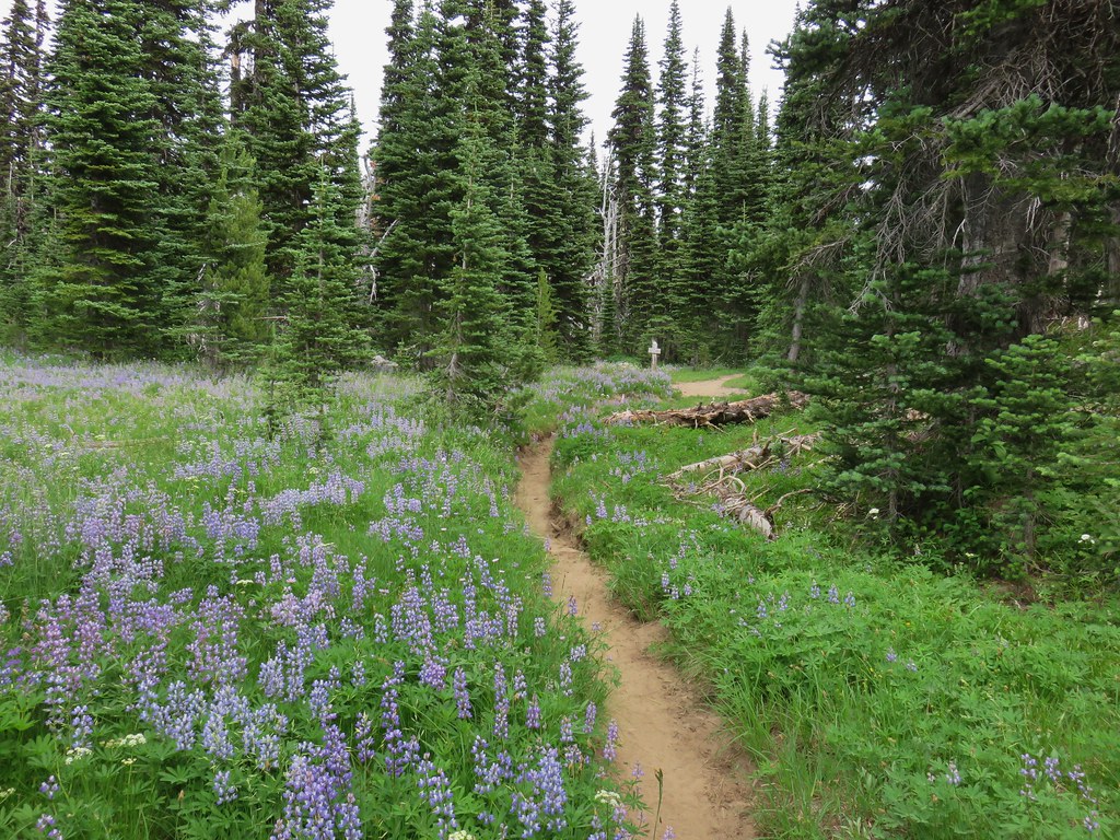
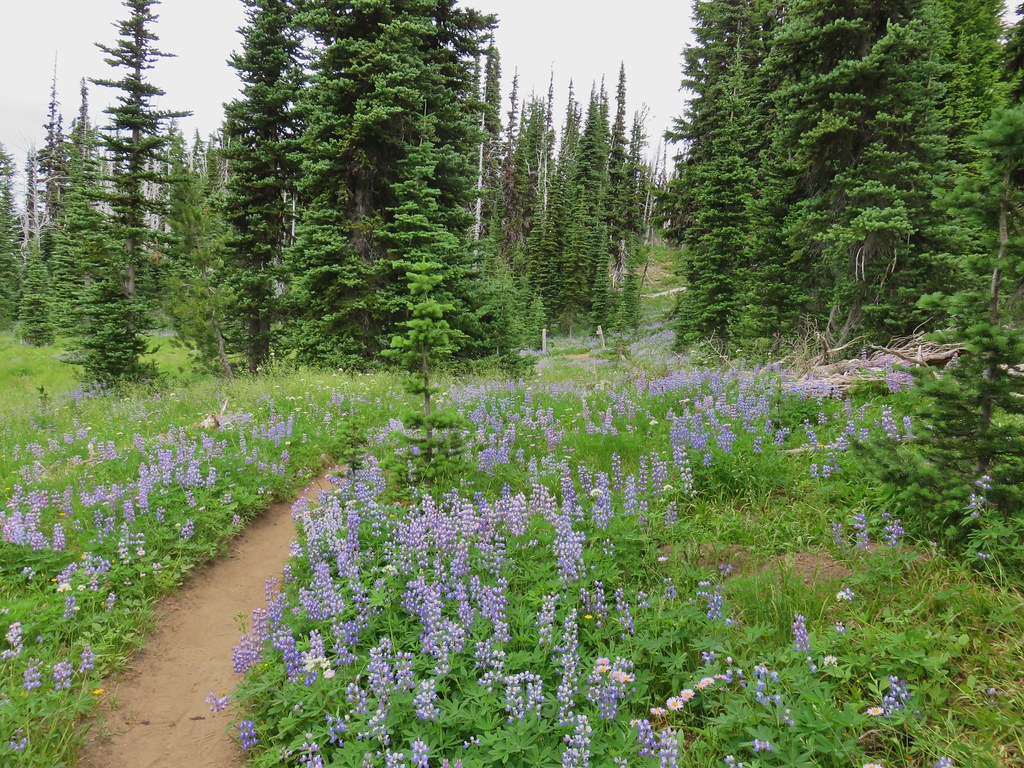
 Look more lupine that way.
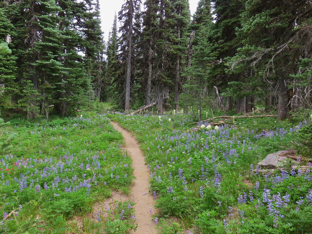 Still tons of flowers.
 Frog near Foggy Flat
 Mt. Adams from Foggy Flat
 Frog in a little stream at Foggy Flat.
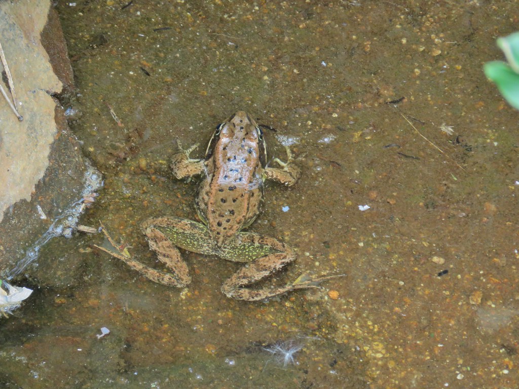 Zoomed in

 Gentian
 Elephants Head
 Monkeyflower and willowherb along the creek.
 Mt. Rainier behind us.
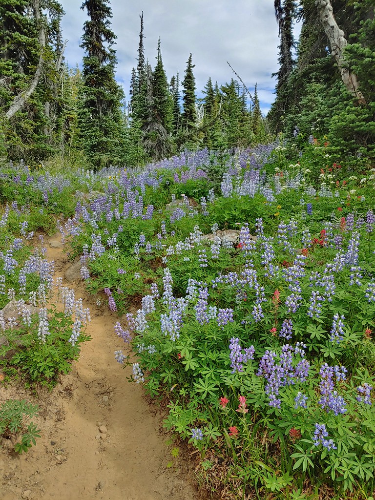
 The trail dropping steeply behind us on one of the steeper sections.
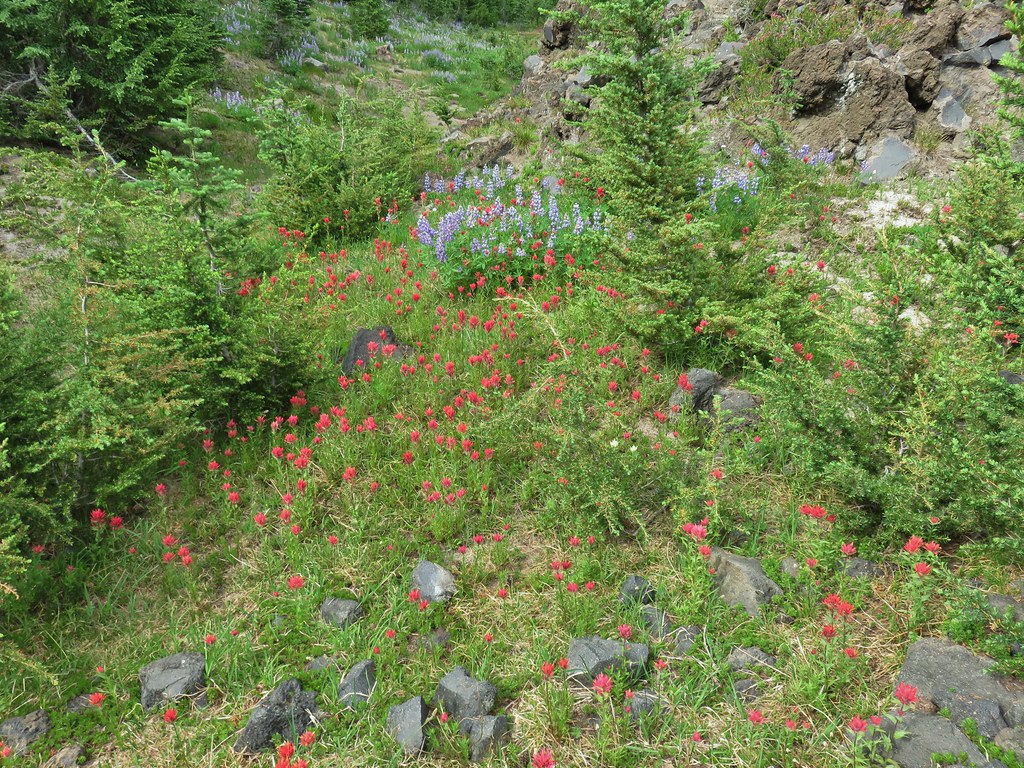 Can you spot the yellow paintbrush?
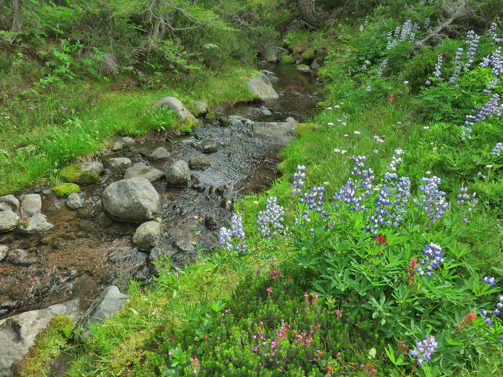


 Buckwheat

 Goat Creek falling from Goat Lake.
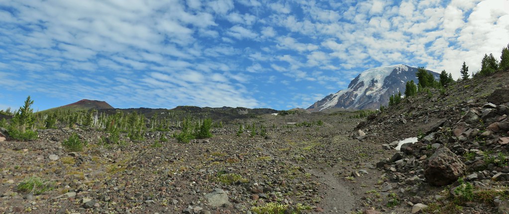 Red Butte and Mt. Adams
 Red Butte, a neat looking cinder cone.
 Flower amid the rocks.
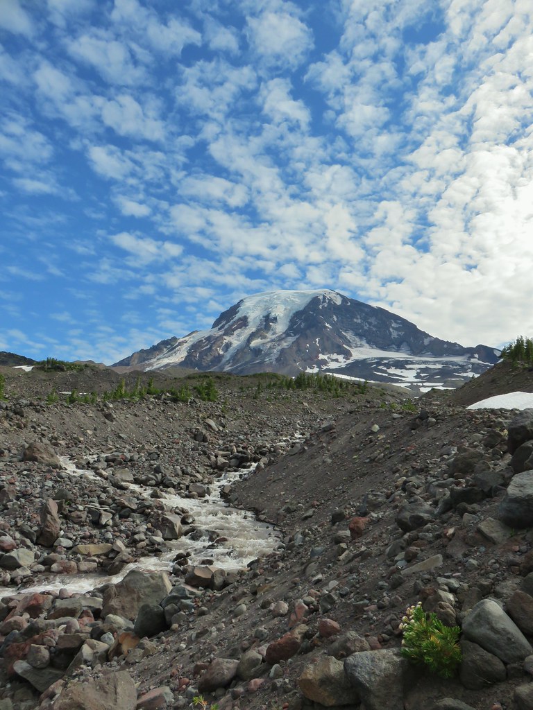


 Paintbrush
 Cutleaf daisy
 Dwarf alpinegold
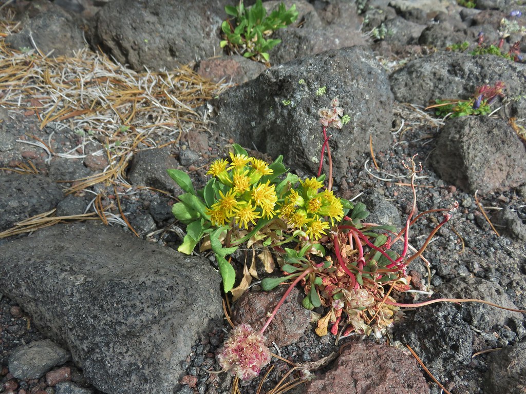 ?
?

 Water in the upper portions of the snowmelt stream.
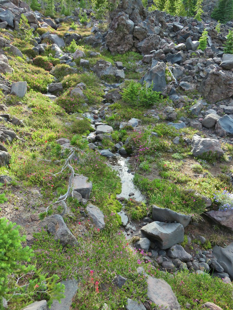 The same stream 3 minutes later.


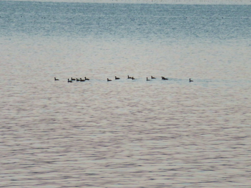

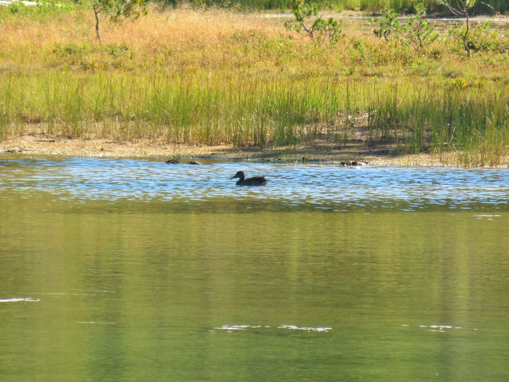
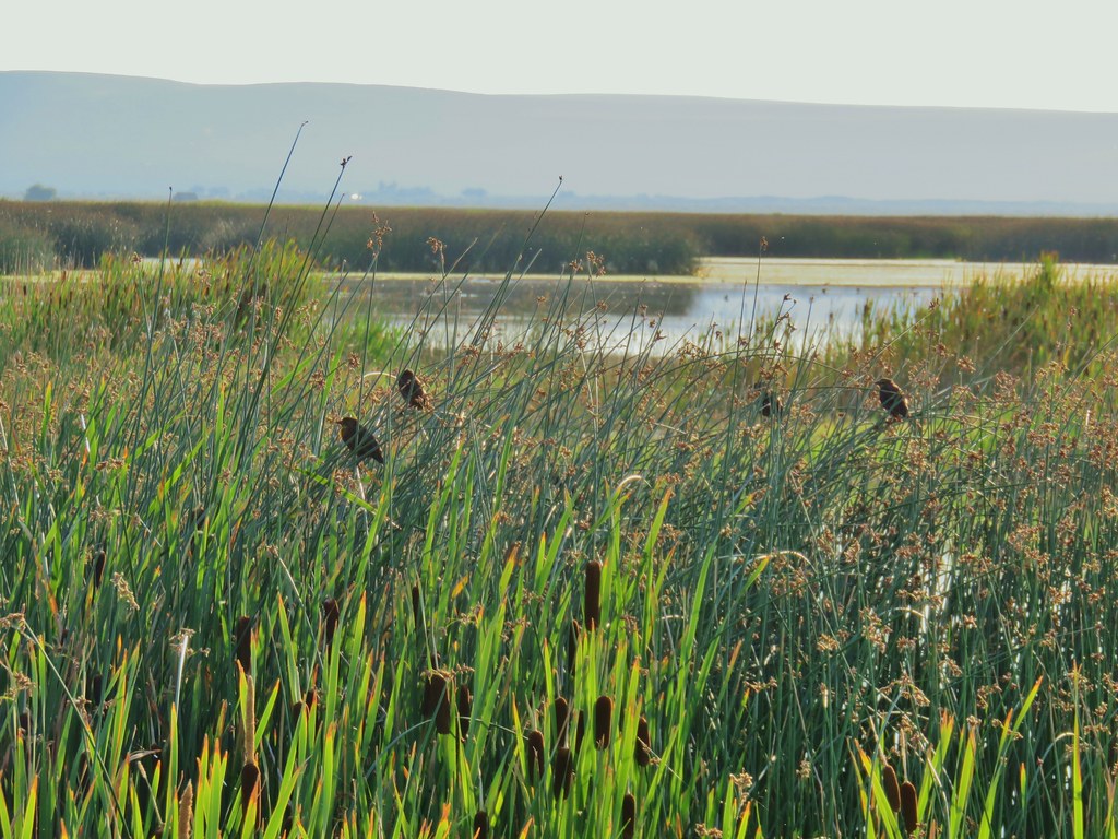
 Gulls and avocets
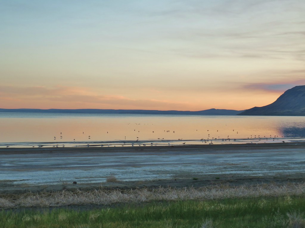
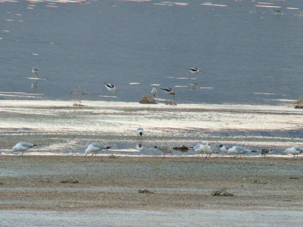
 American avocets
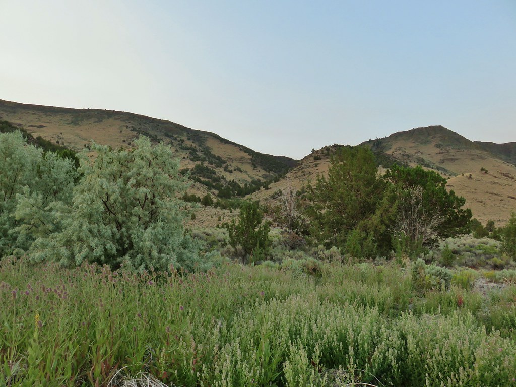


 A white faced ibis and some ducks.

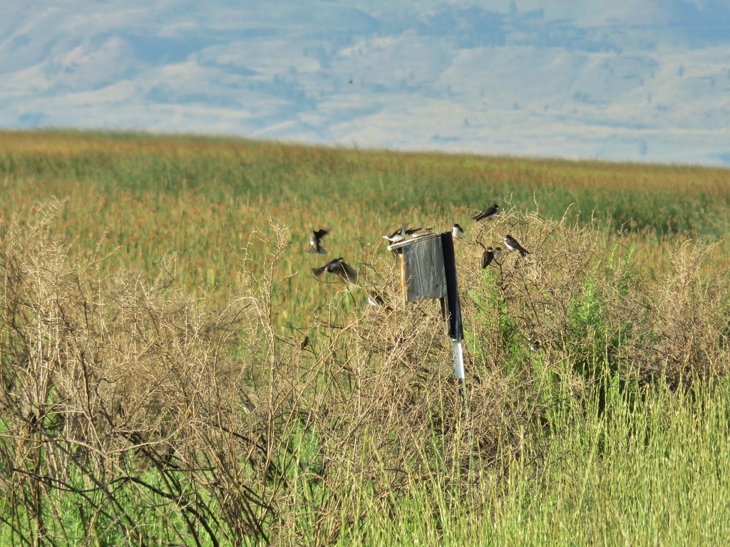 Swallow rave
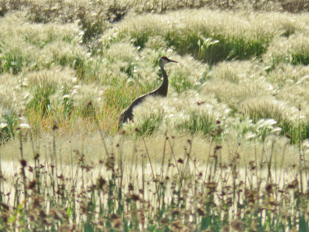 Sandhill crane
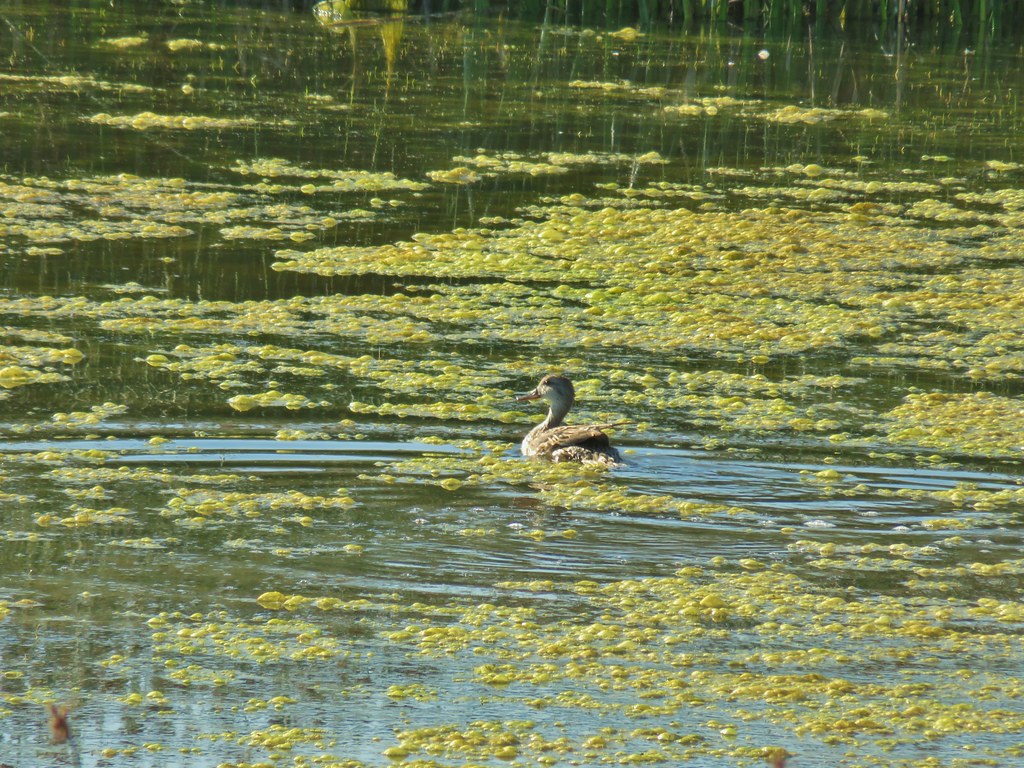
 Look more ducks!
 White faced ibis coming in for a landing.
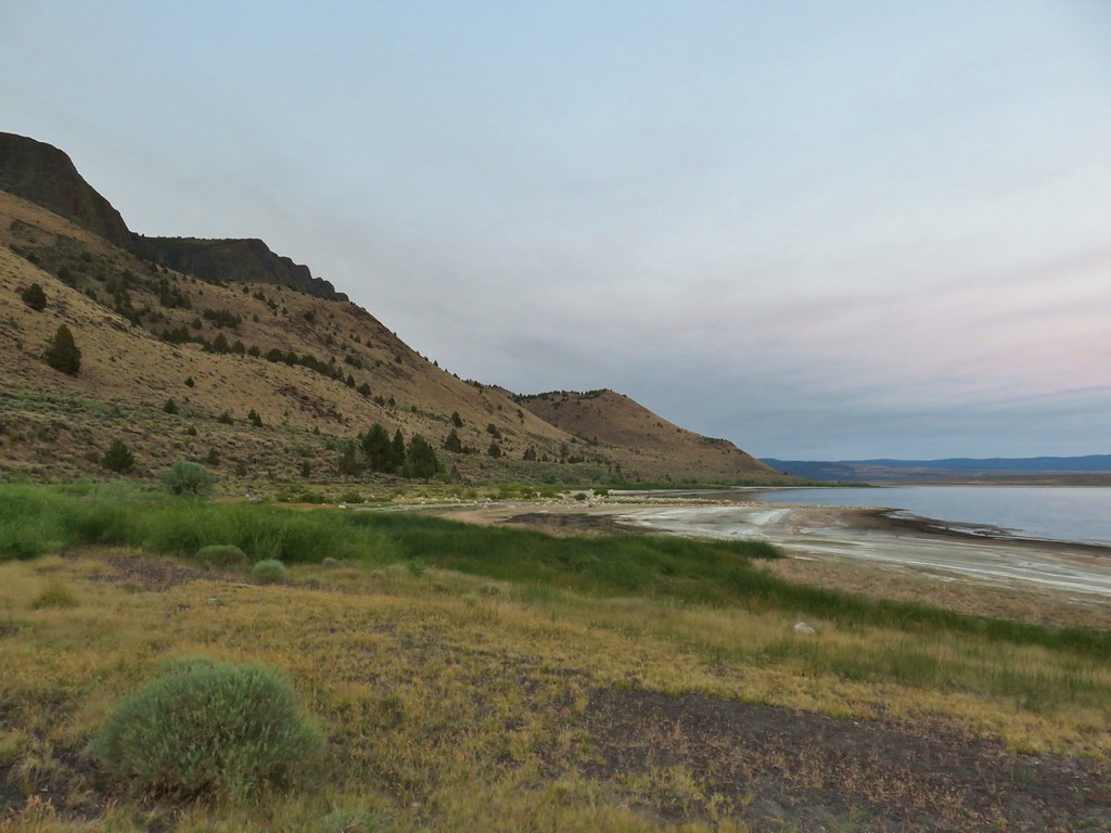
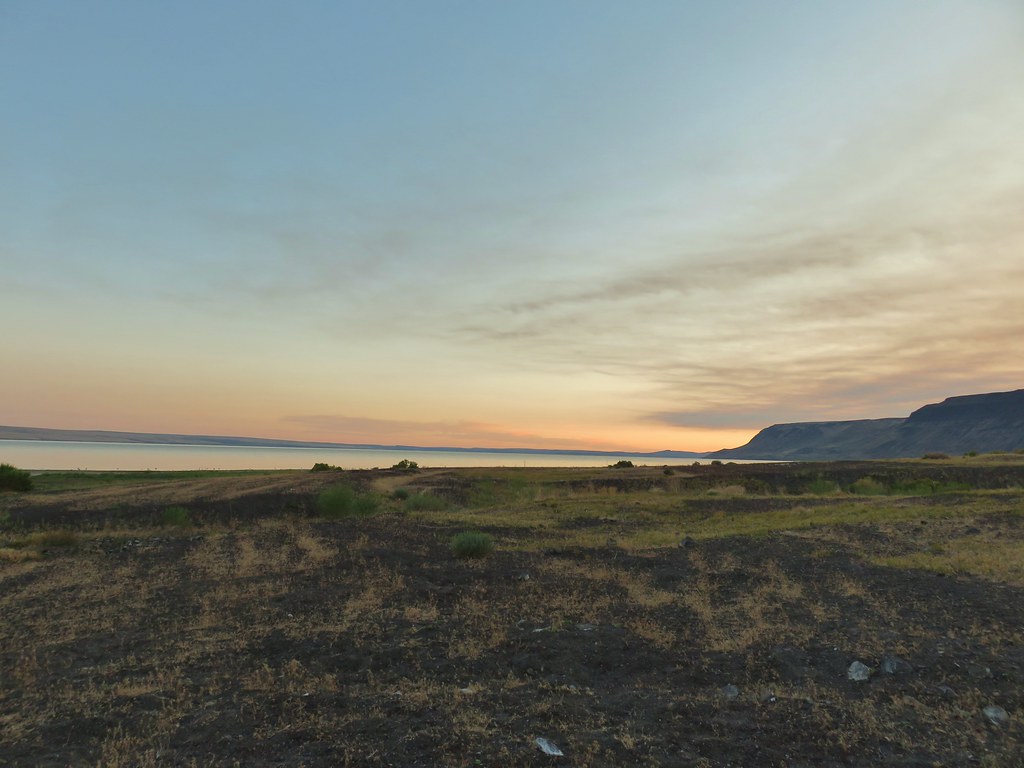
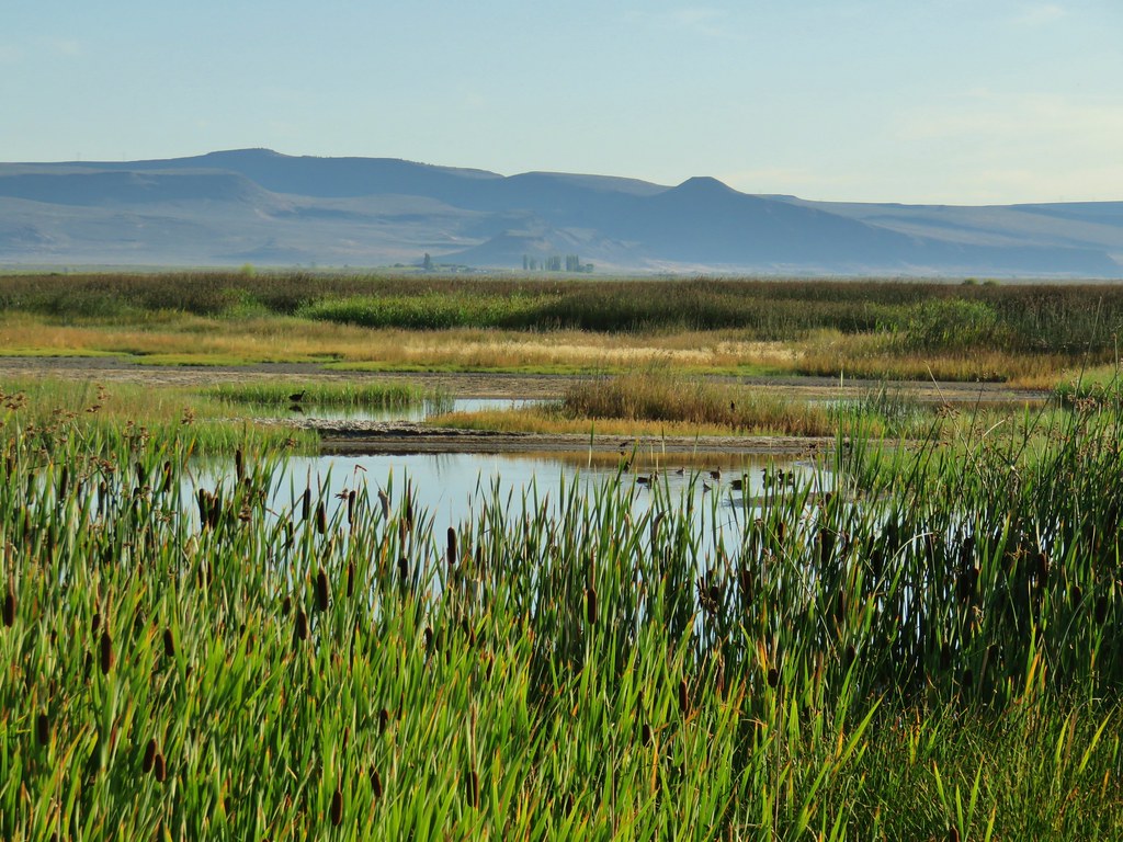
 Looking out over Summer Lake
 White faced ibis
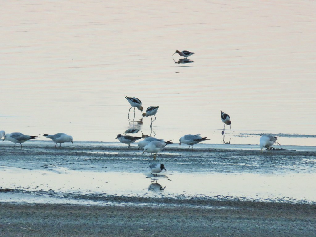
 Black-neck stilt
 Killdeer
 Great blue heron in flight.


 The gate on the right through the trees.


 Mountain coyote mint and paintbrush along the trail.
 Starting the switchback.
 Scarlet gilia
 Columbine
 Monkshood and California corn lily
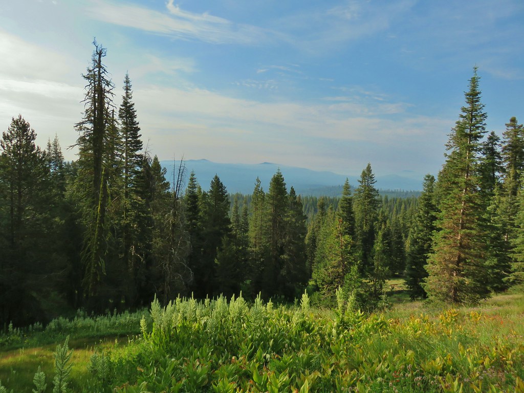
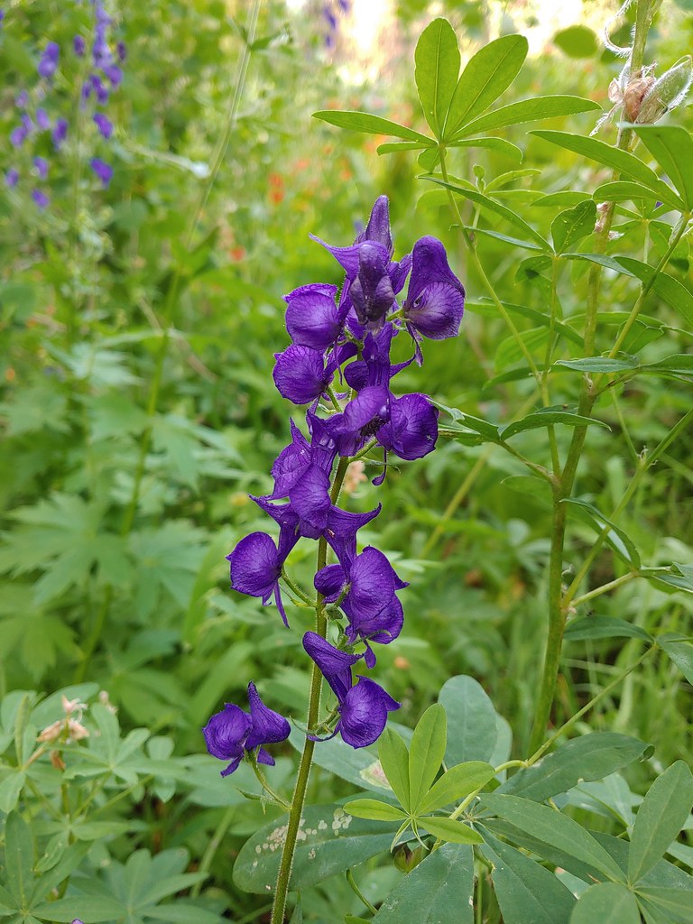 Monkshood
 Orange agoseris
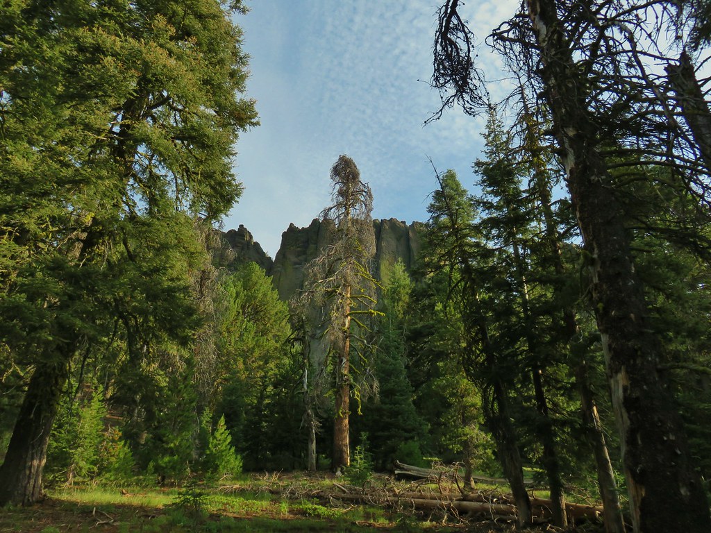 More rocks above the trail.


 Just about to the saddle.
 Gearhart Mountain from the saddle.
 Gearhart Mountain, The Notch to the right, and meadows below.
 Penstemon in the rocks at the saddle.


 A fire pit also made us think we were on the right course.
 You can’t make the mountain out in the picture but it was out there.
 Now you can sort of see it.
 A little blurry but there is Mt. McLoughlin

 The final little uphill on the left.
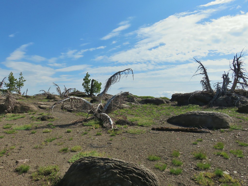 Summit of Gearhart Mountain
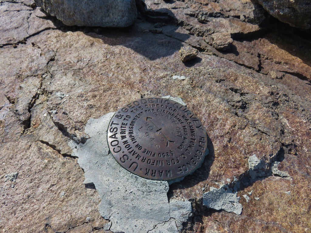 Survey marker
 Summit register
 The Notch is below to the right hidden by the cliffs.
 West toward Mt. McLoughlin which is still hard to make out.
 If you squint really hard you can make out a couple of snowy peaks on the horizon.
 NNE view.
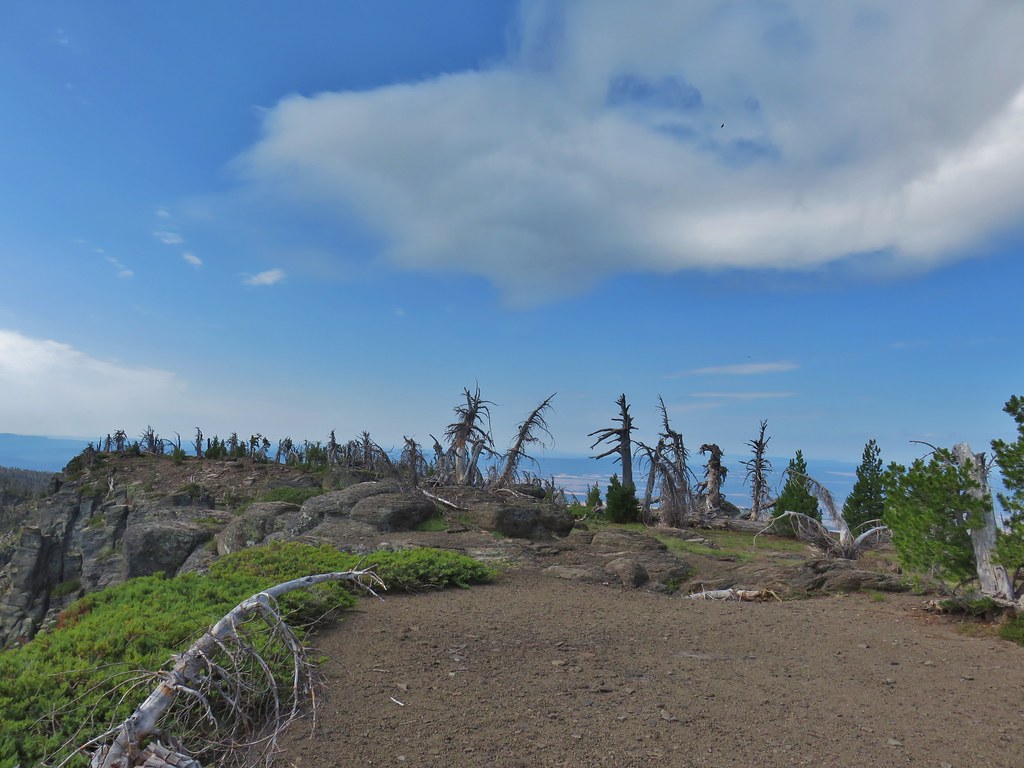 South back along the ridge.
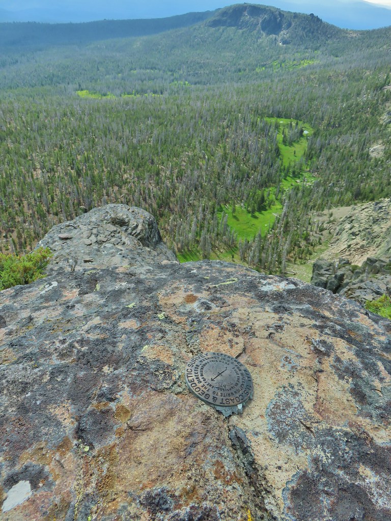 East down to the meadows below and a second survey marker.
 Getting ready to drop down toward the saddle.
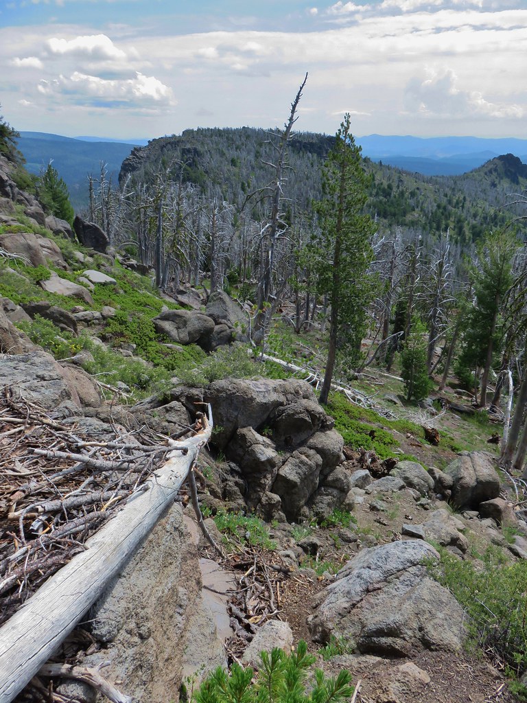 Heading down
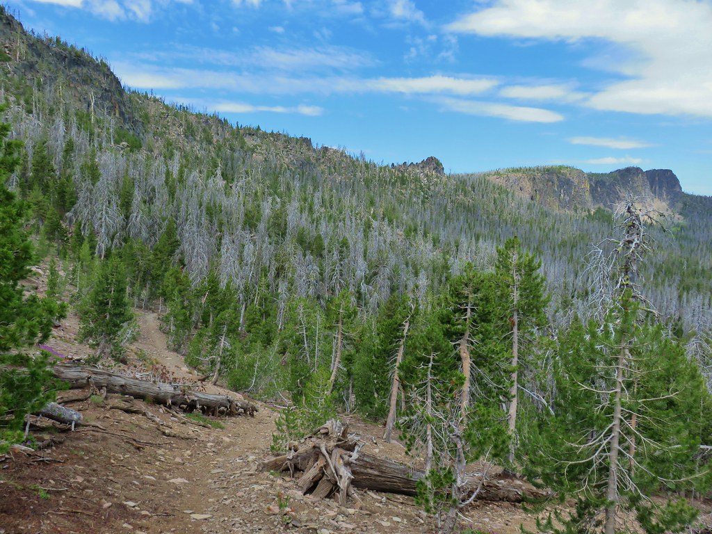


 Paintbrush, monkshood, lupine and California corn lily
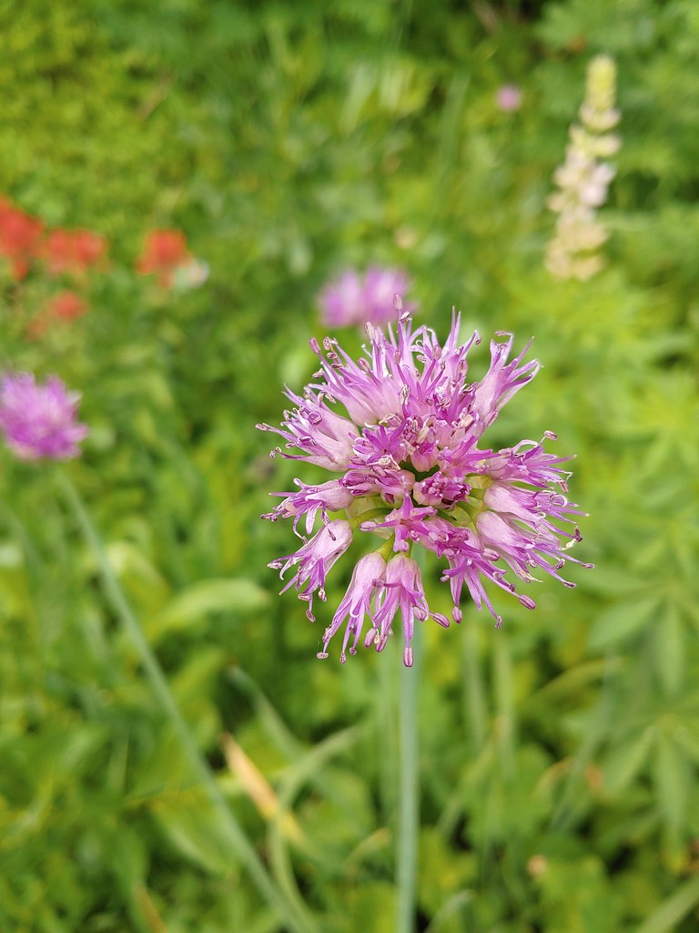 Swamp onion
 The remnants of a shooting star.
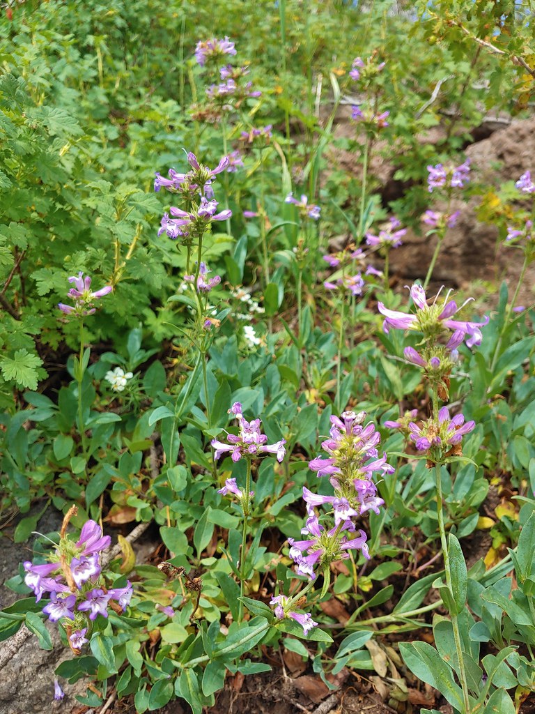 Penstemon
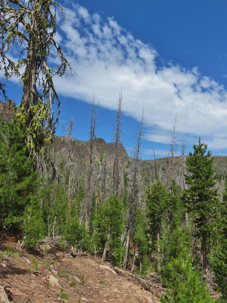 Gearhart Mountain from the trail below.
 Bistort
 Mountain heather next to the stream.
 The last of an elephant’s head.
 Bog orchids
 California corn lilies below Gearhart Mountain.


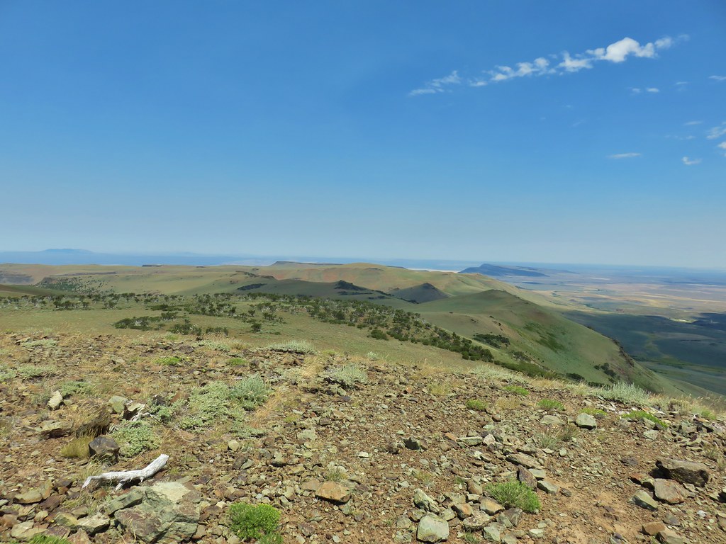
 The knoll is the lower rise to the left.

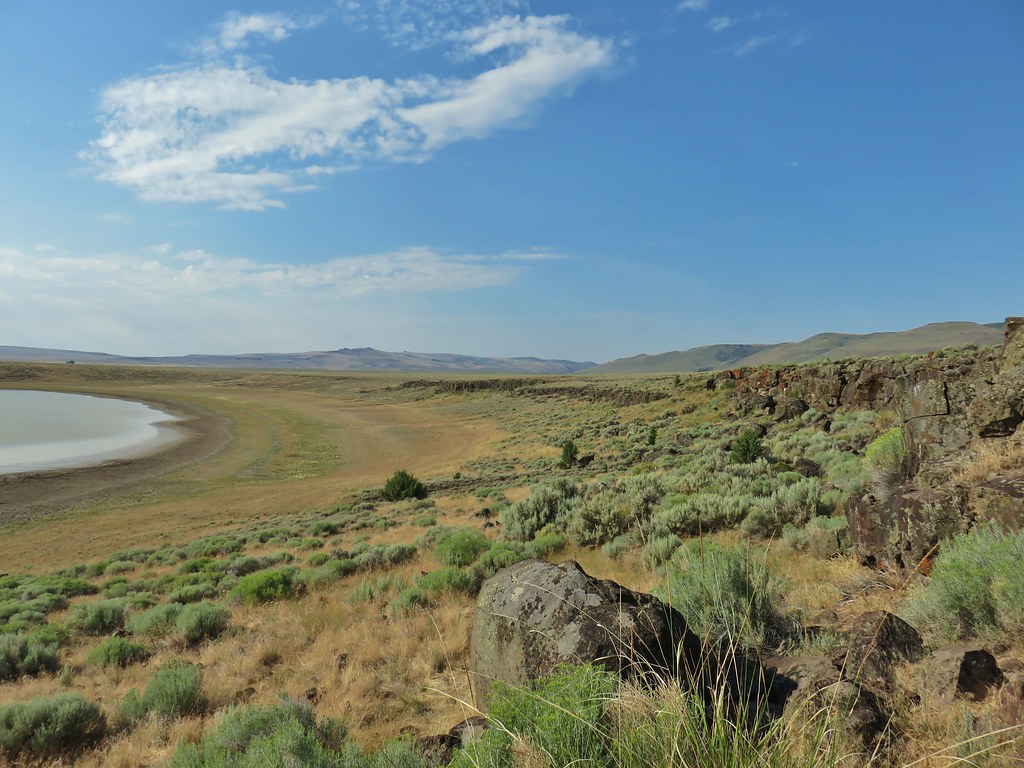
 From left to right: Flagstaff Lake, Upper Campbell Lake, and Campbell Lake.
 Hart Mountain Road climbing up to the plateau.
 Campbell Lake

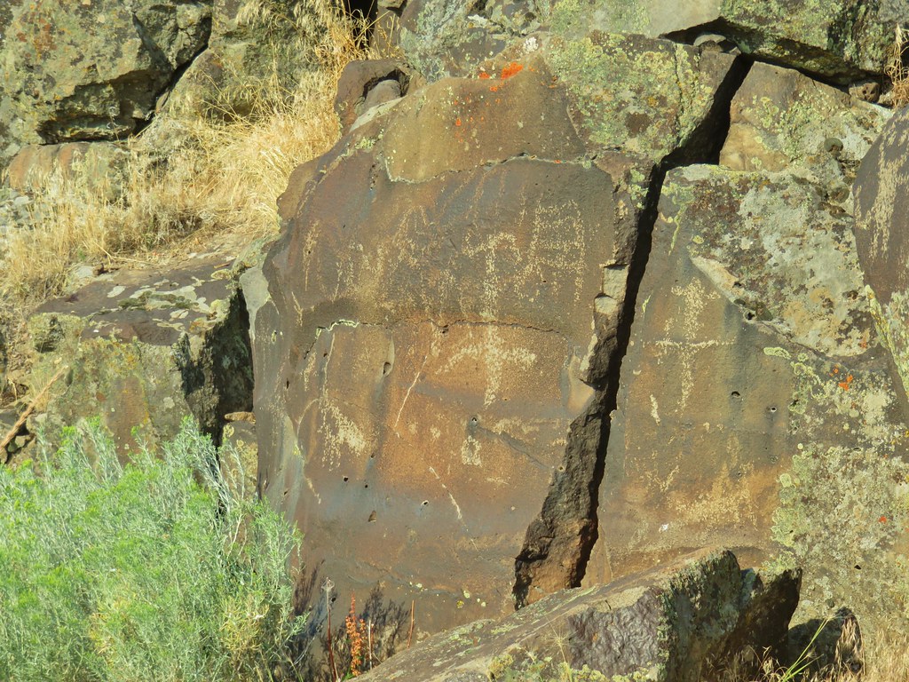
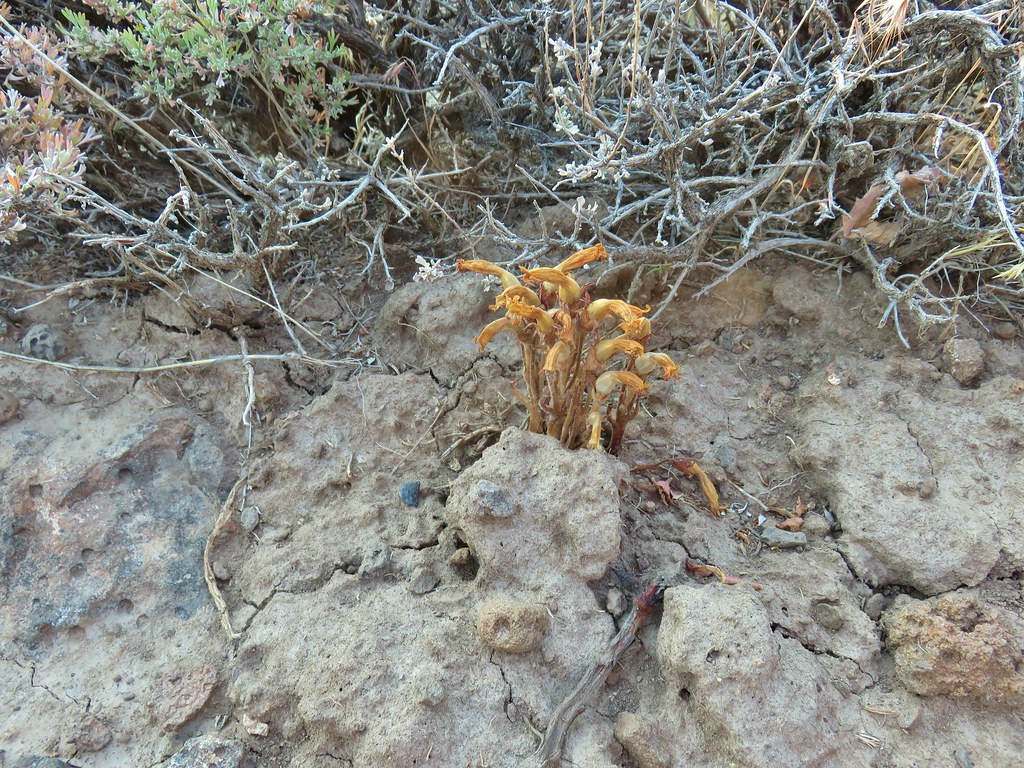 An Orobanche


 White pelicans and seagulls on Campbell Lake.
 Looking south along Poker Jim Ridge
 Looking north along Poker Jim Ridge
 Junipers on the knoll
 Bluejoint Lake below the ridge.
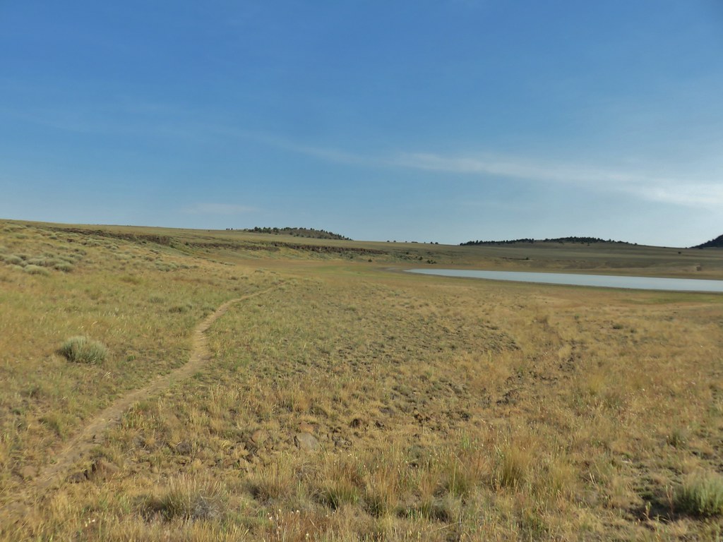
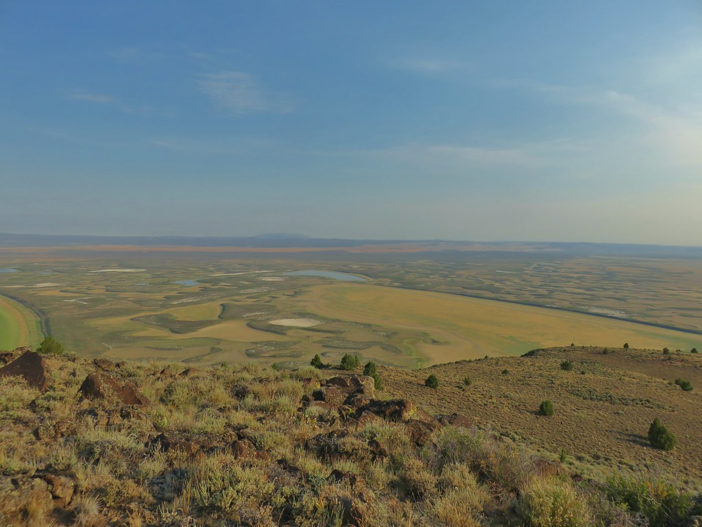 Stone Corral Lake


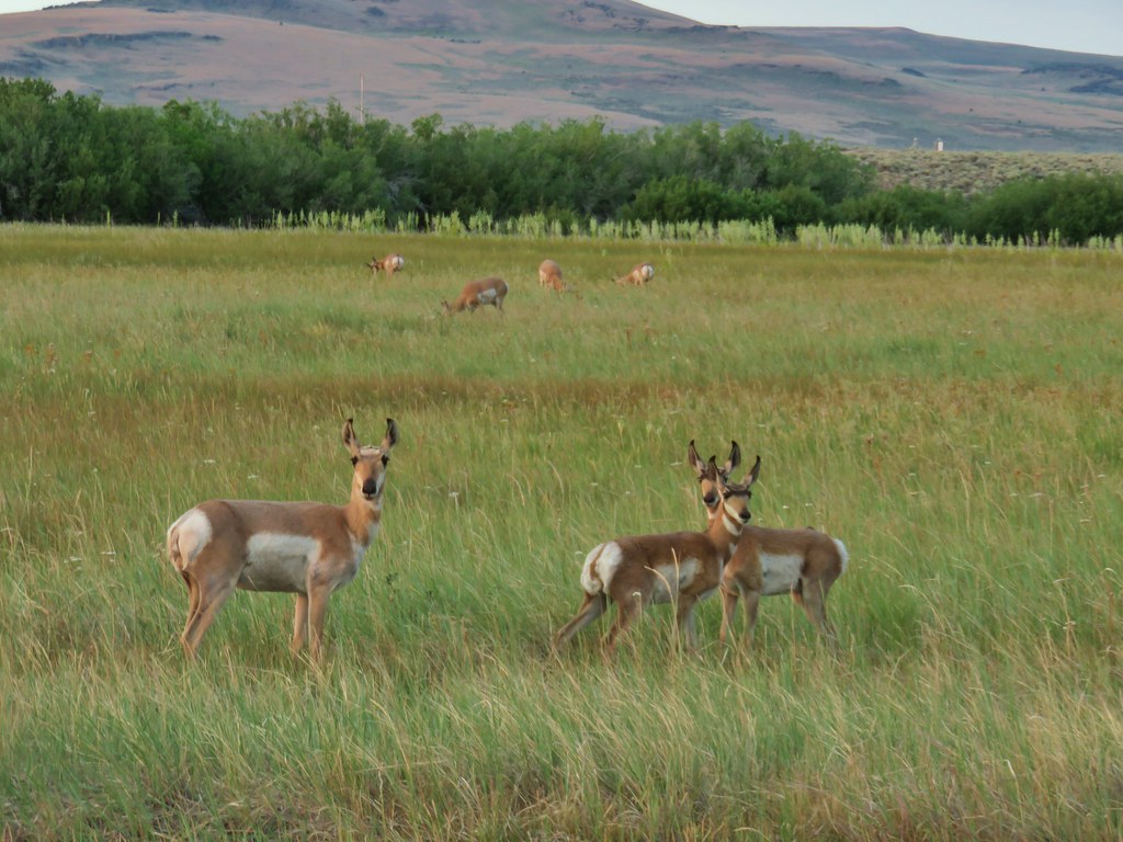
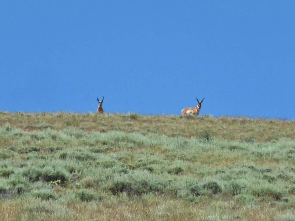
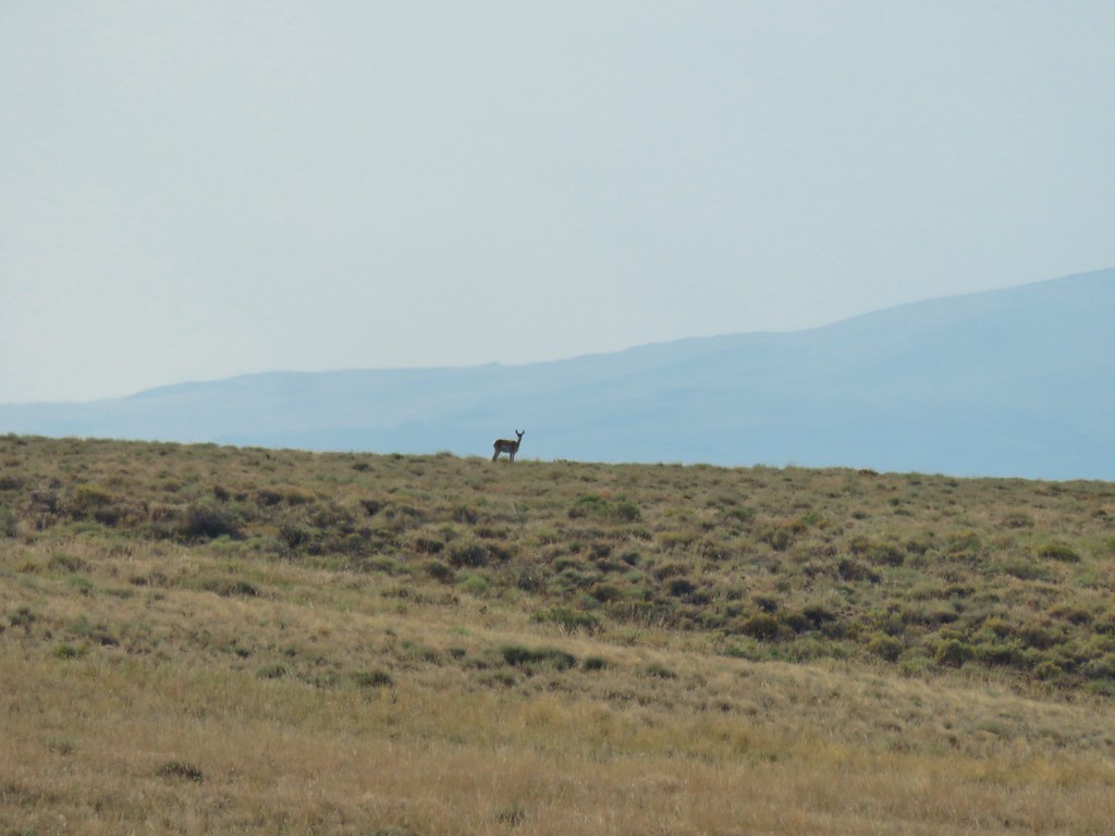 Pronghorn above the lake.
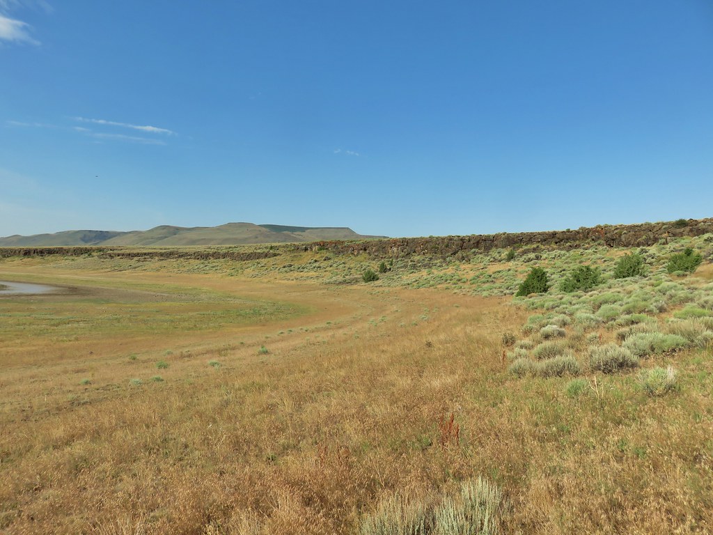


 Dragon fly
 Western fence lizard
 Yellow bellied marmot


 Some type of primrose I think.

 Lupine
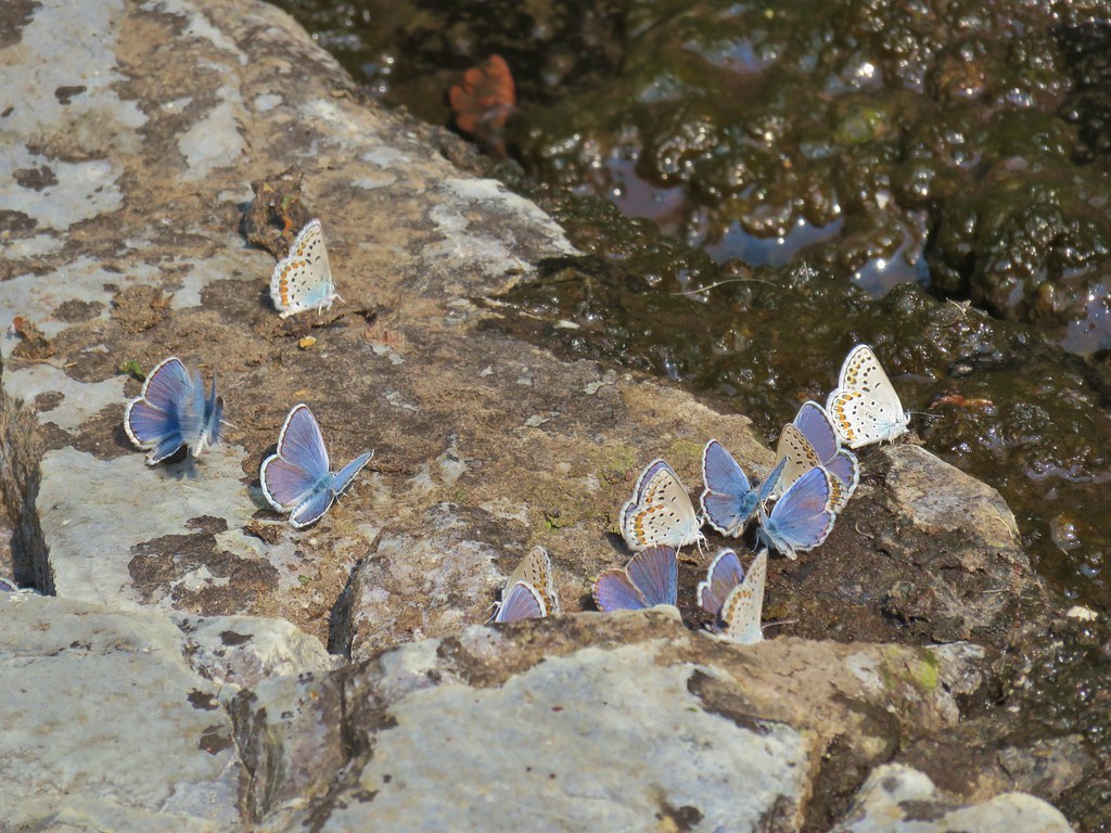
 There were dozens of butterflies and other pollinators on this rabbitbrush.
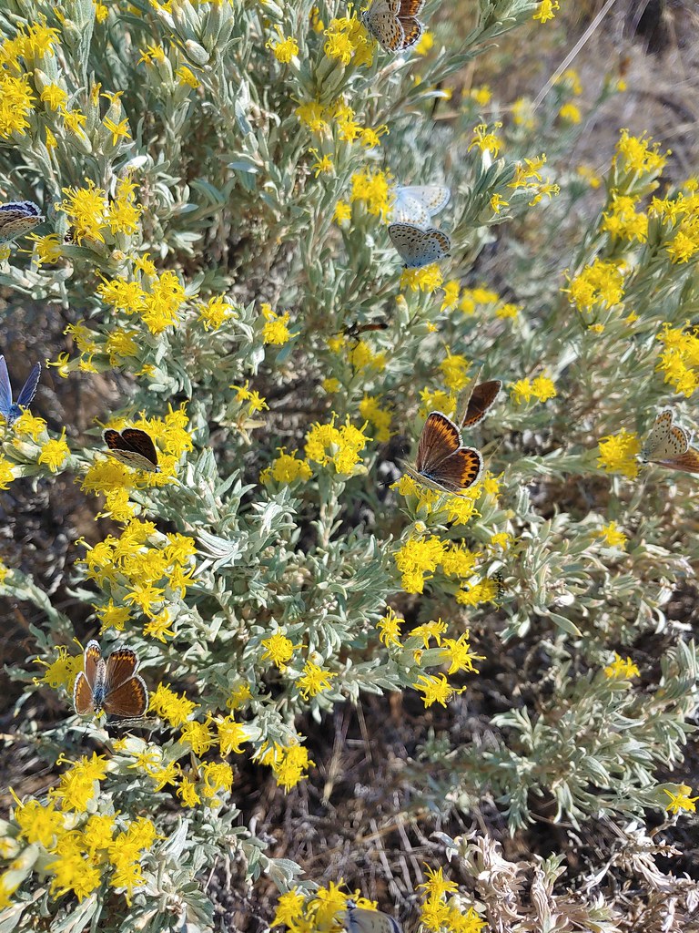

 The gate at Petroglyph Lake Road
 Hart Mountain Road
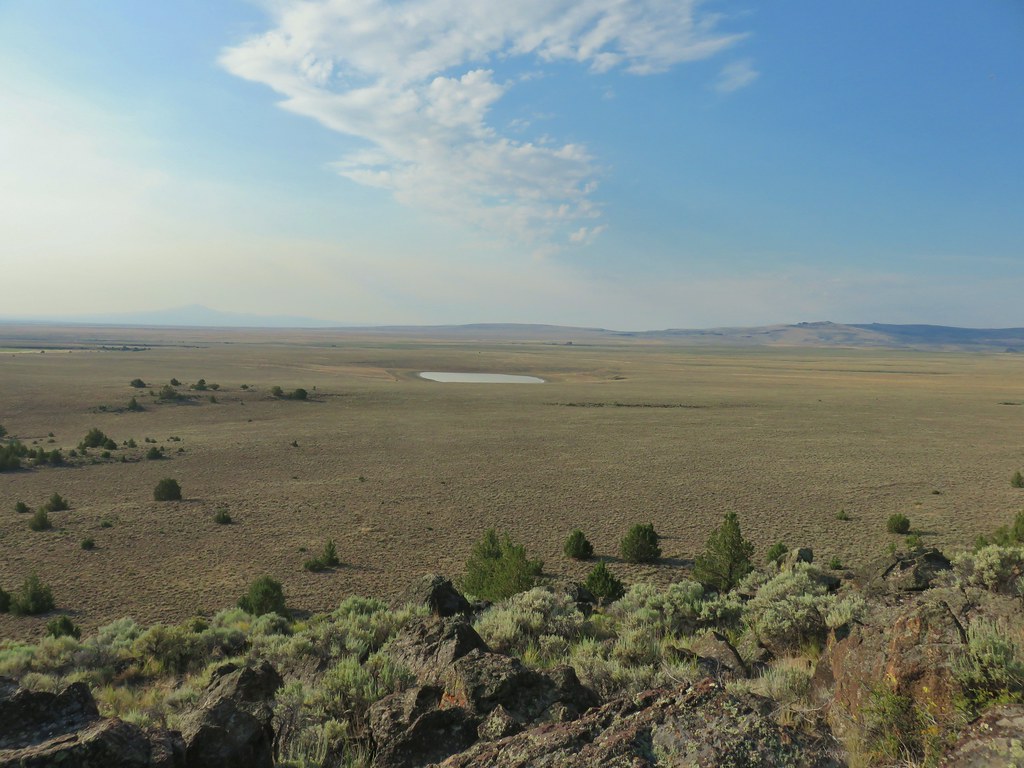
 The juniper knoll along Poker Jim Ridge and yes there are a few pronghorn out there.
 Pronghorn keeping their distance from us.
 Sign for the overlook.
 View from the pullout back up toward Hart Mountain.
 The start of the loop trail.
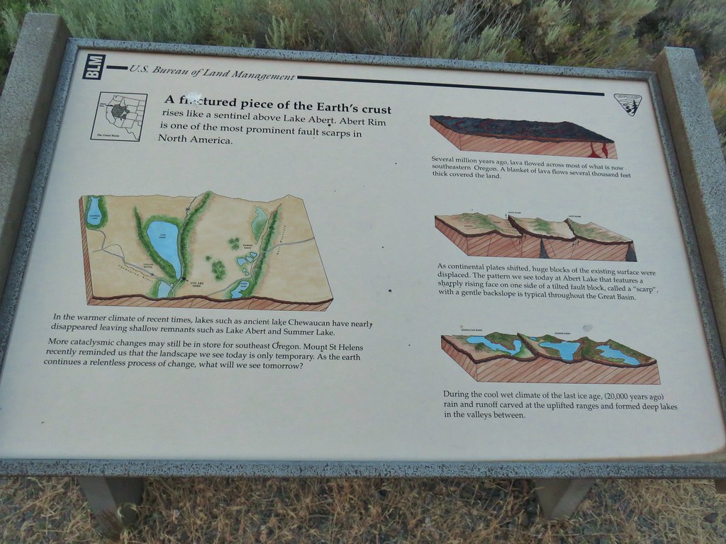
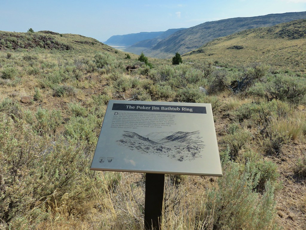 We like interpretive signs like this where we can see with our own eyes what is being described.
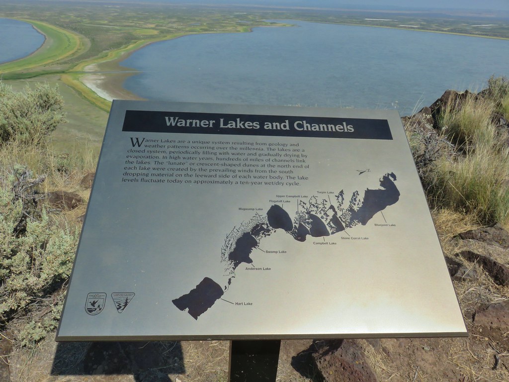 This one helped with identifying the different lakes plus provided the history.
 Another of our favorites are the ones that identify the various hills and peaks.
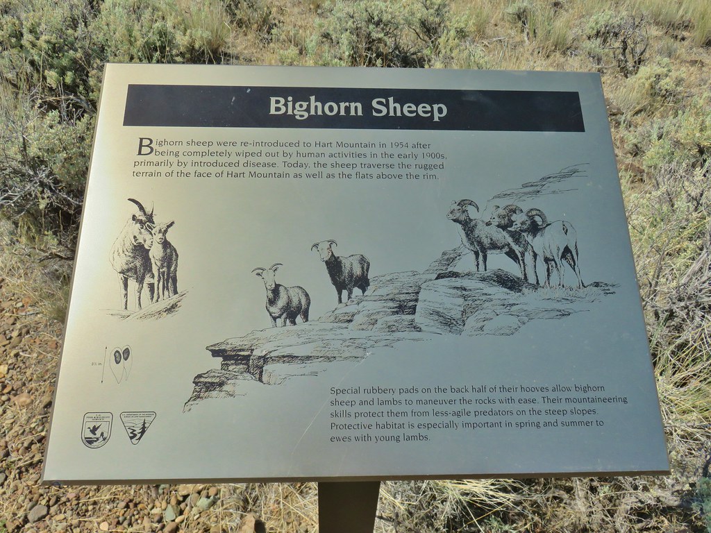 We worked really hard on spotting some big horn sheep on this trip to no avail. There was so much space that they could be in it was like looking for a needle in a haystack.
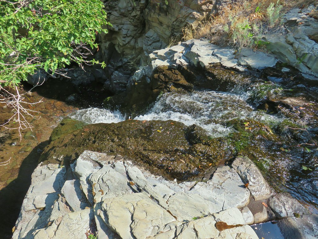 It’s not visible in this photo but there were dry rocks close enough on the far side to simply step over the water onto. The wet rock would have been very slippery and certainly dangerous.


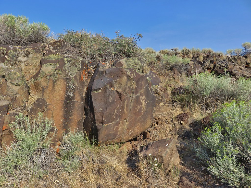
 The scramble route is at the base of the cliff to the right.
 Looking up from the trail at where the scramble route was heading.


 Hart Mountain in the morning.
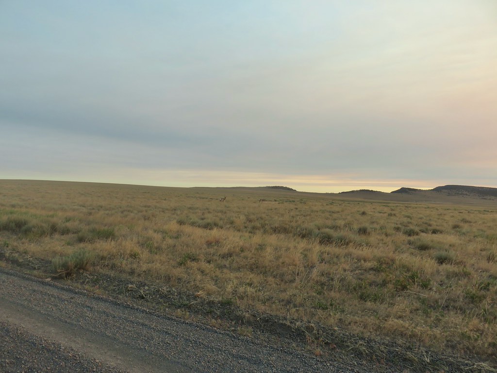
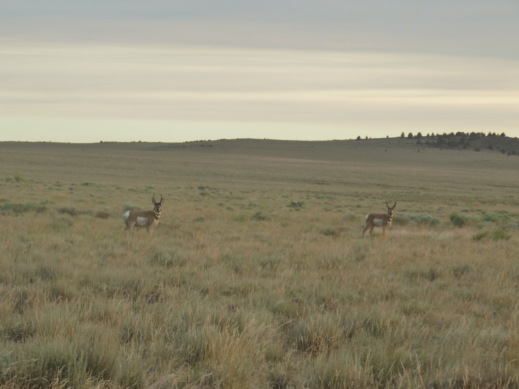
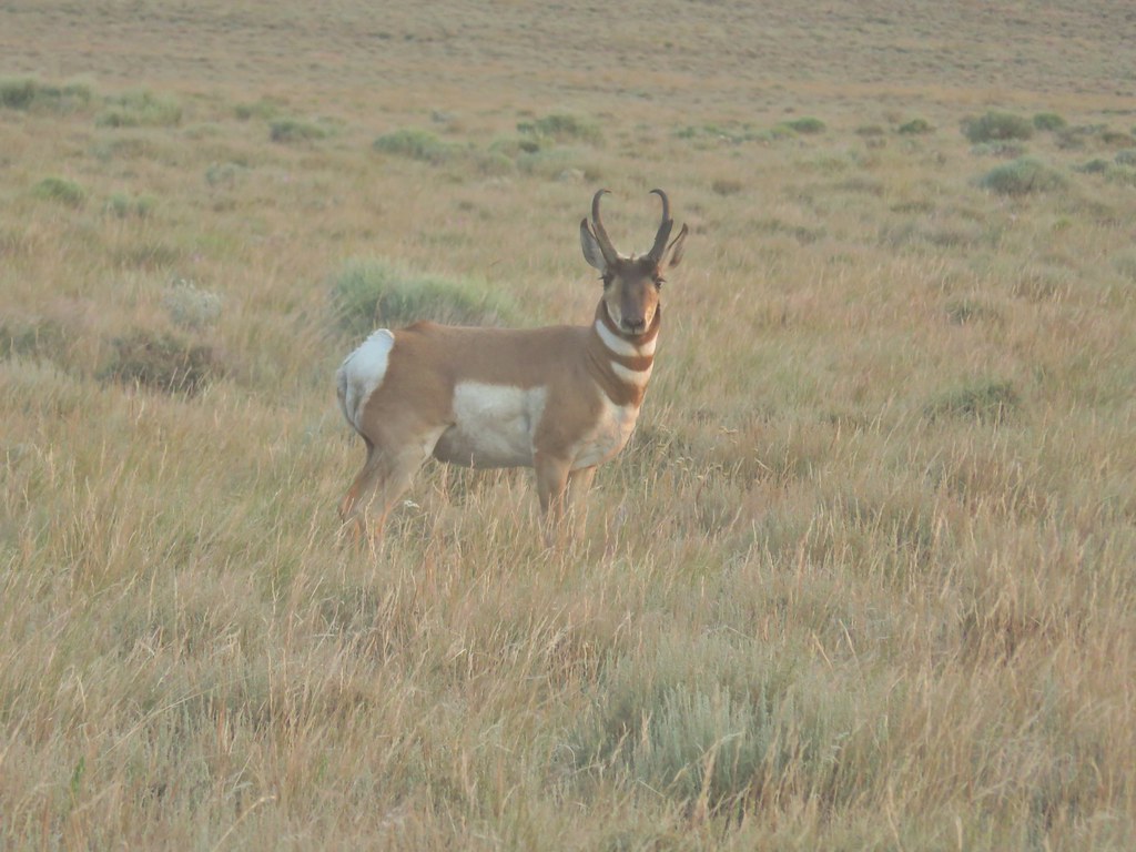
 Just a few of the many pronghorn.
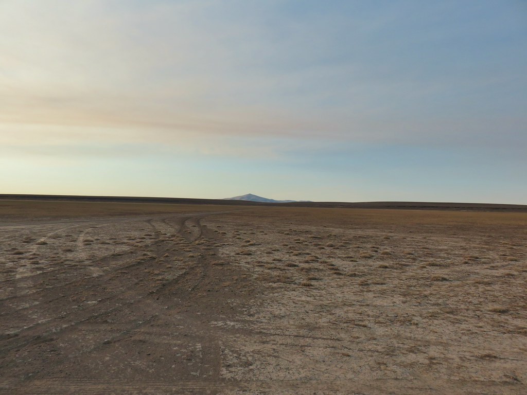 Flook Lake Road continuing on with Beatys Butte in the distance.
 The reservoir
 Steens Mountain on the horizon to the east through smoky skies.
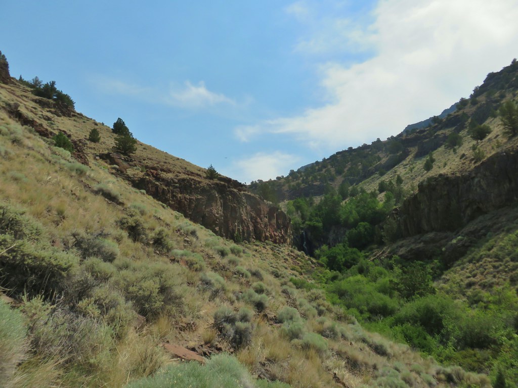
 The canyon we were aiming for from near our car.
 Zoomed in a bit.
 Rabbit #1
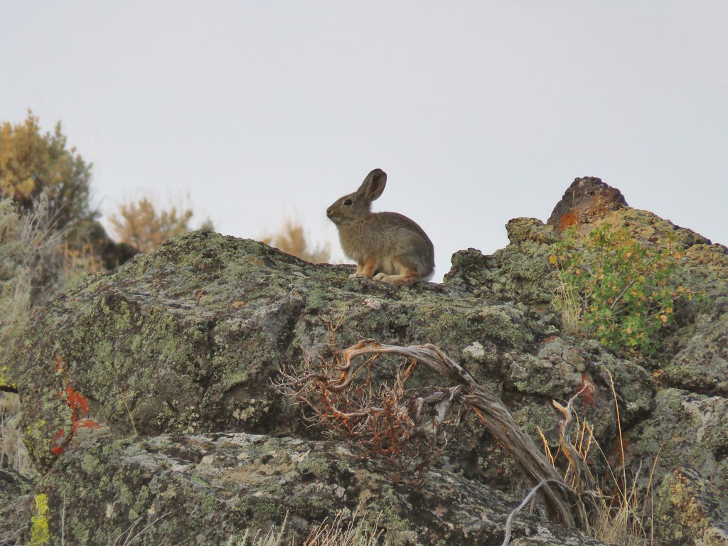 Rabbit #2
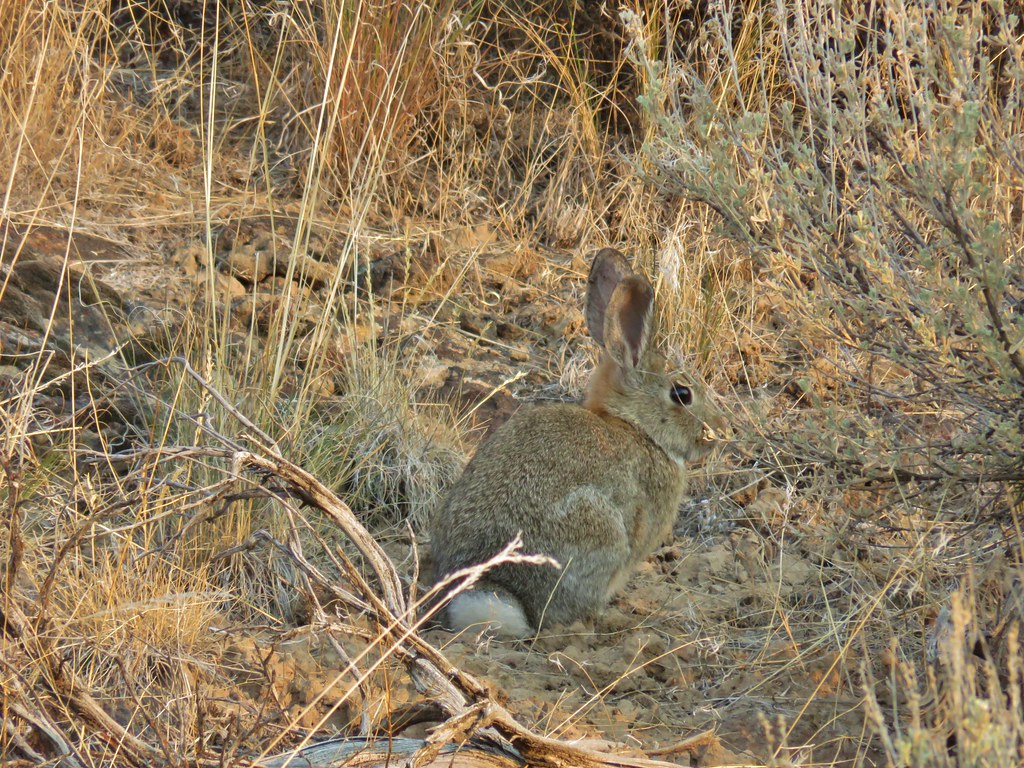 Rabbit #3
 A lone juniper in the canyon.
 Rabbit #4


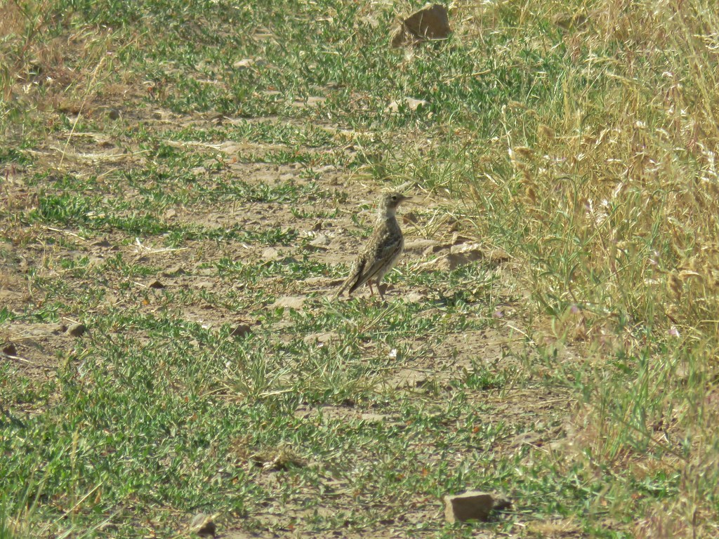
 Horned lark near the spring.
 Rabbit #5, this one was a jack rabbit.
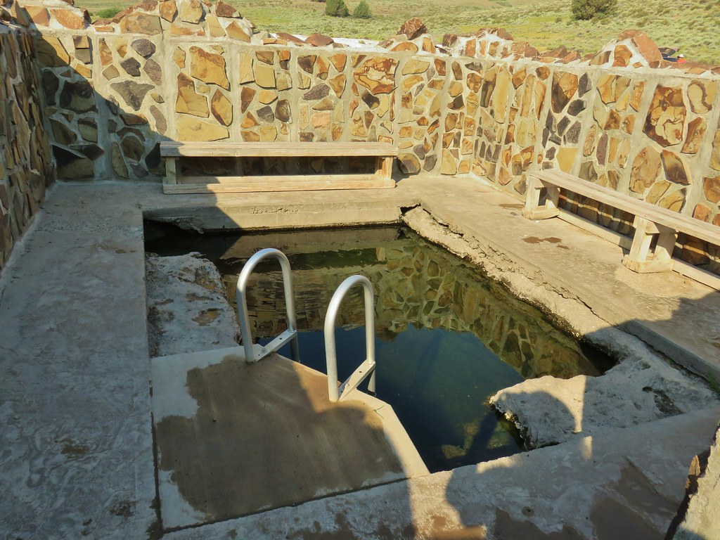
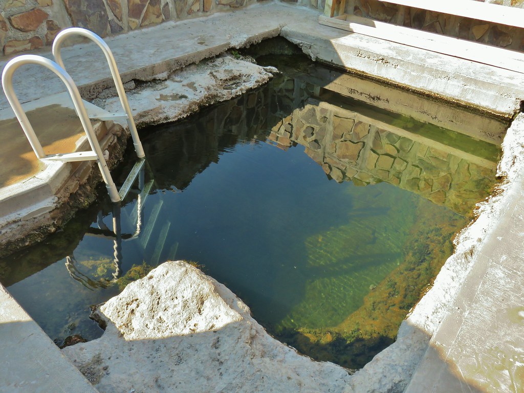


 Hawk hanging out near the hot springs.
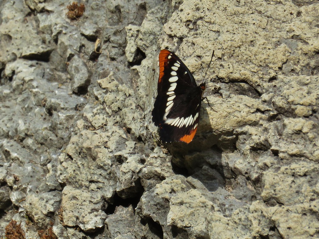
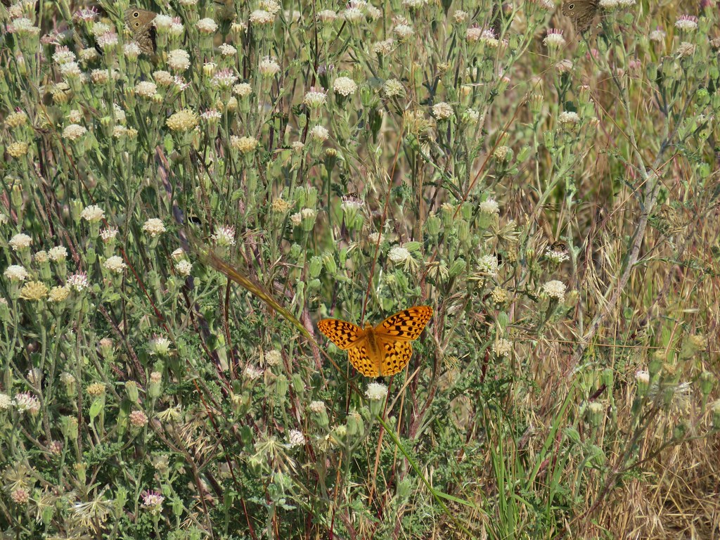 Butterfly on dusty maiden.
 Barnhardi Road
 Campground across Rock Creek.
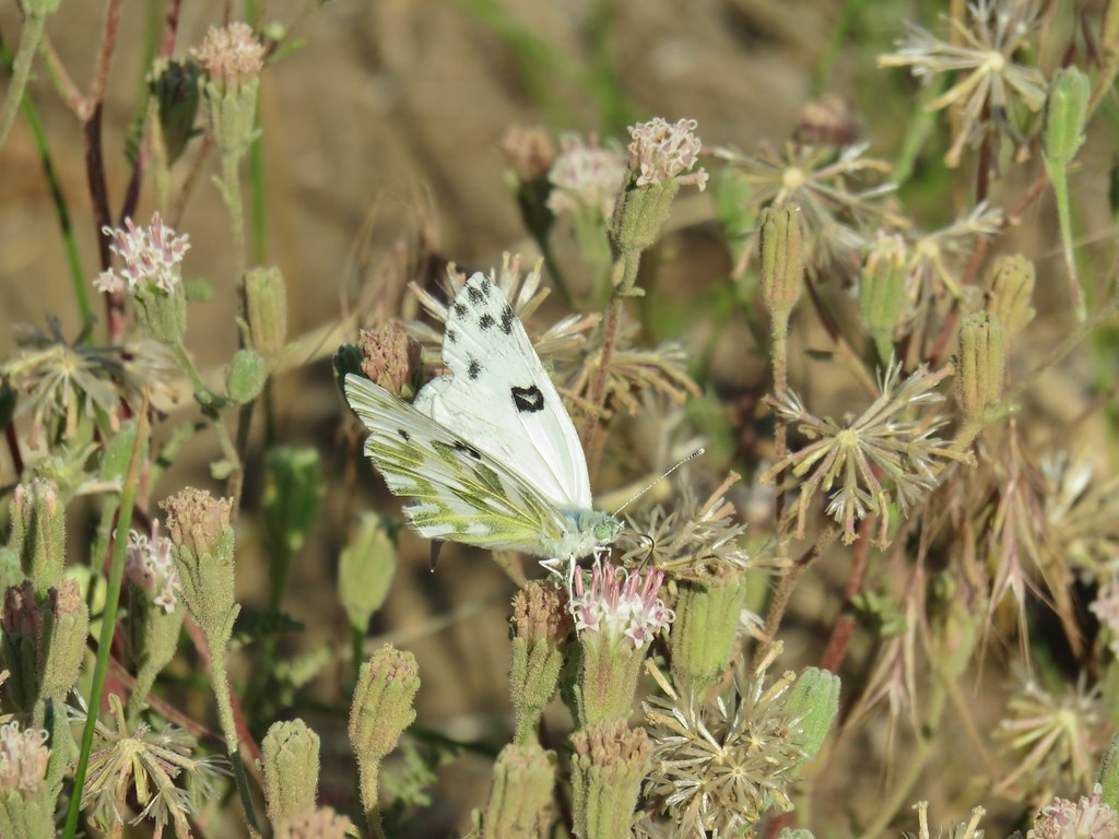 Becker’s white
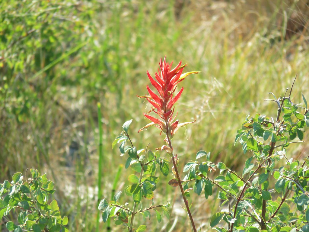 Paintbrush
 Sagebrush mariposa lily
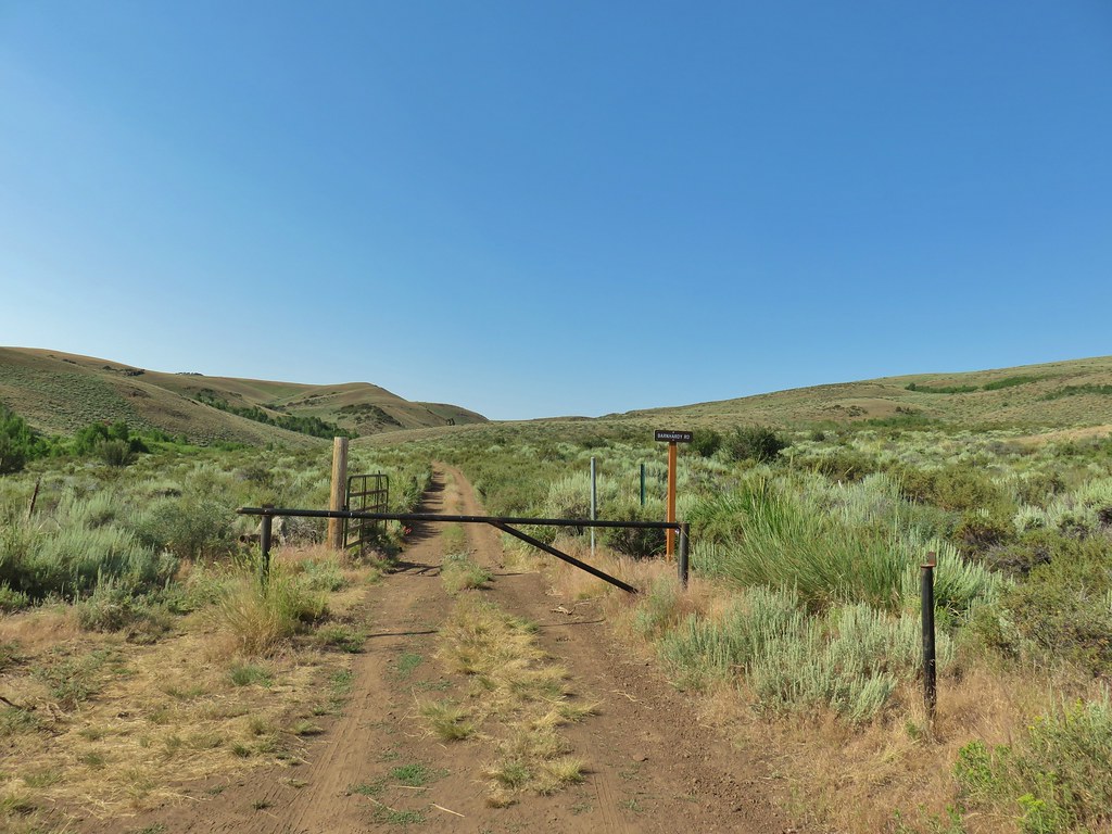
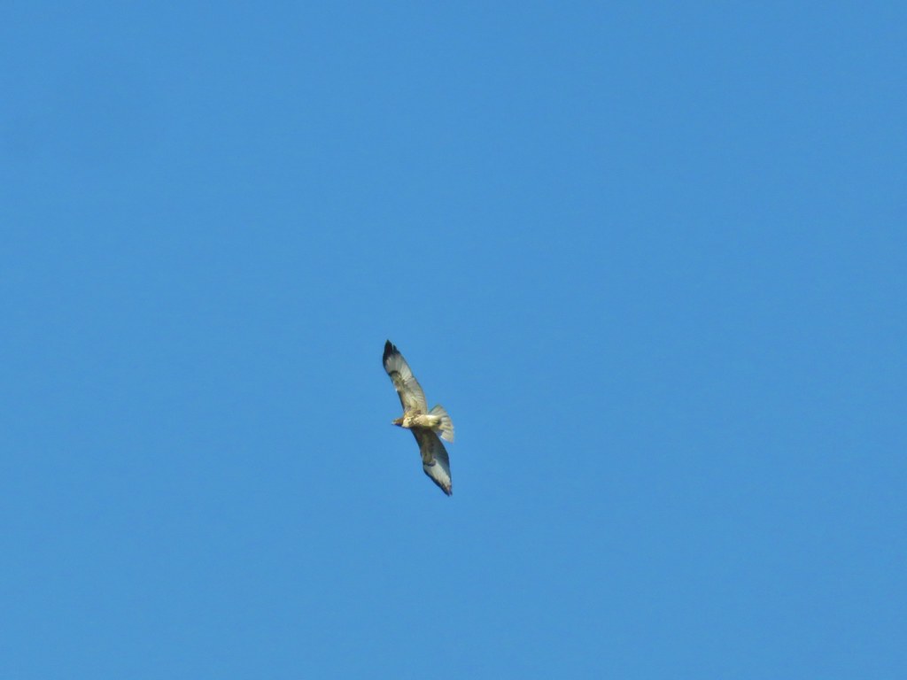 Hawk overhead
 Balsamroot in the sagebrush.
 Wild roses in a quaking aspen stand.
 Biggest bumble bee either of us had ever seen.
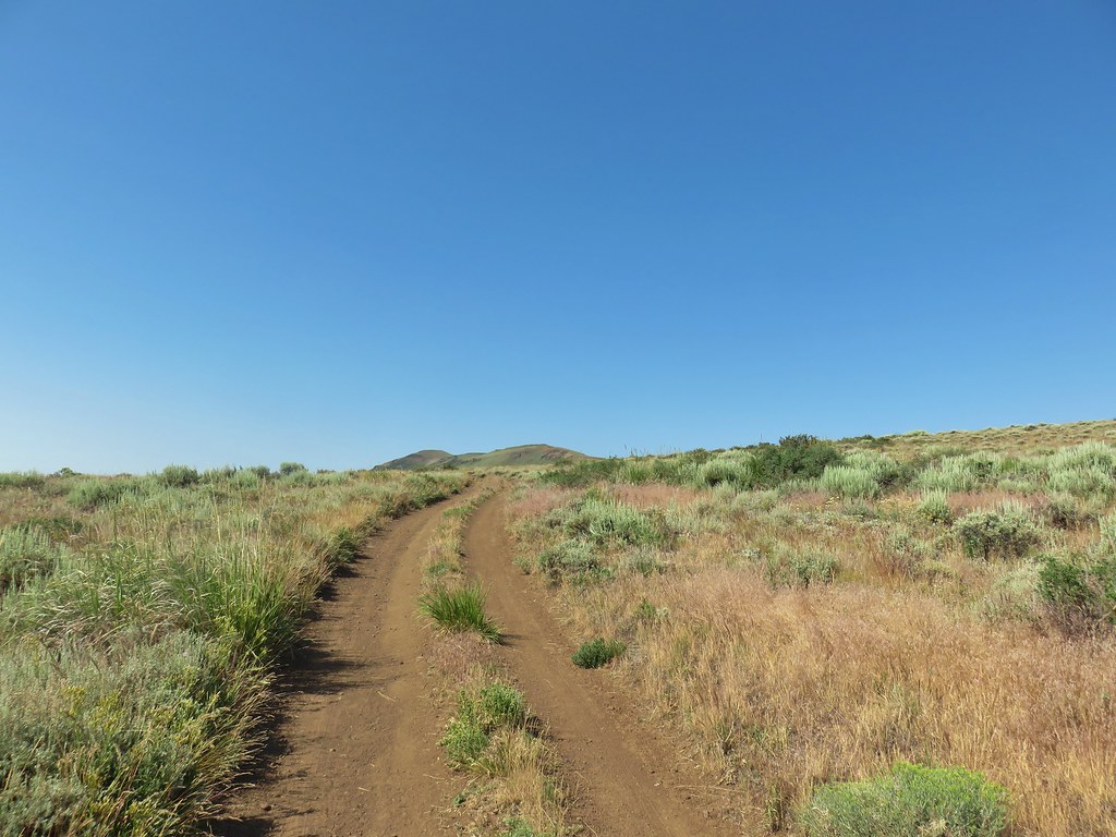 Coming up on the crest at the 1 mile mark.
 View after the crest heading down to Barnhardi Basin.
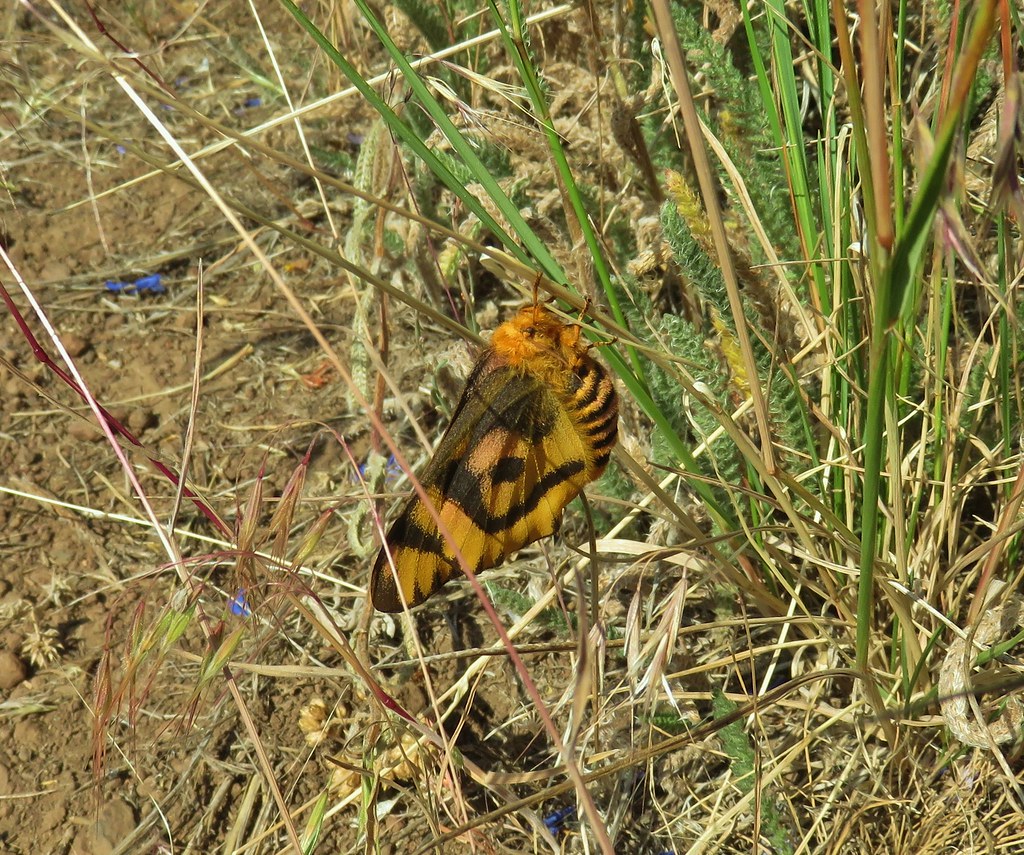 Sheep moth
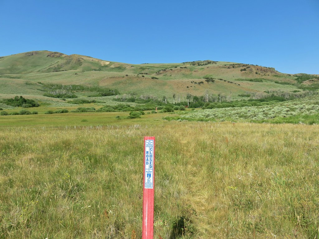
 Lewis flax blooming in the meadow.
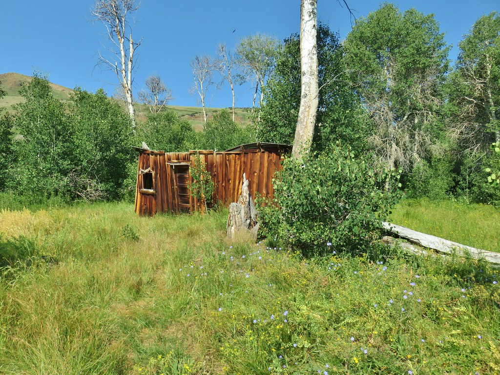 Barnhardi Cabin


 Another sheep moth
 The spring.
 White triteleia
 Barnhardi Basin from the side of the knoll.
 View across the creek.
 The knoll was steeper and brushier than it had appeared from below but we managed to make it around.
 Hawk flying around above us.
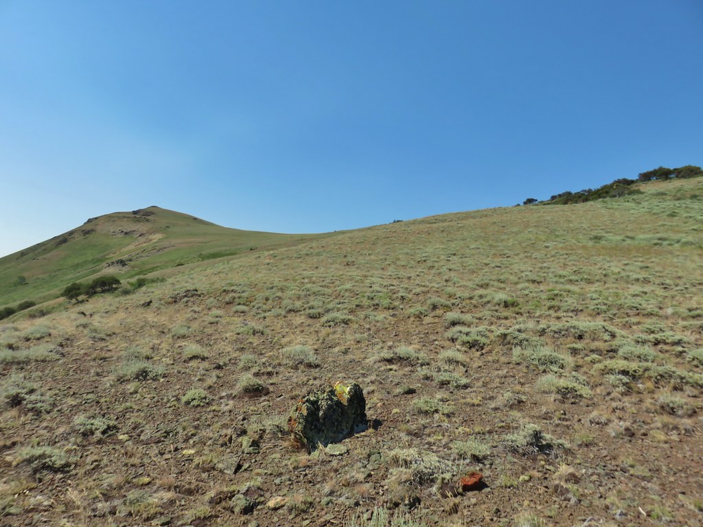 High Point is the peak ahead.
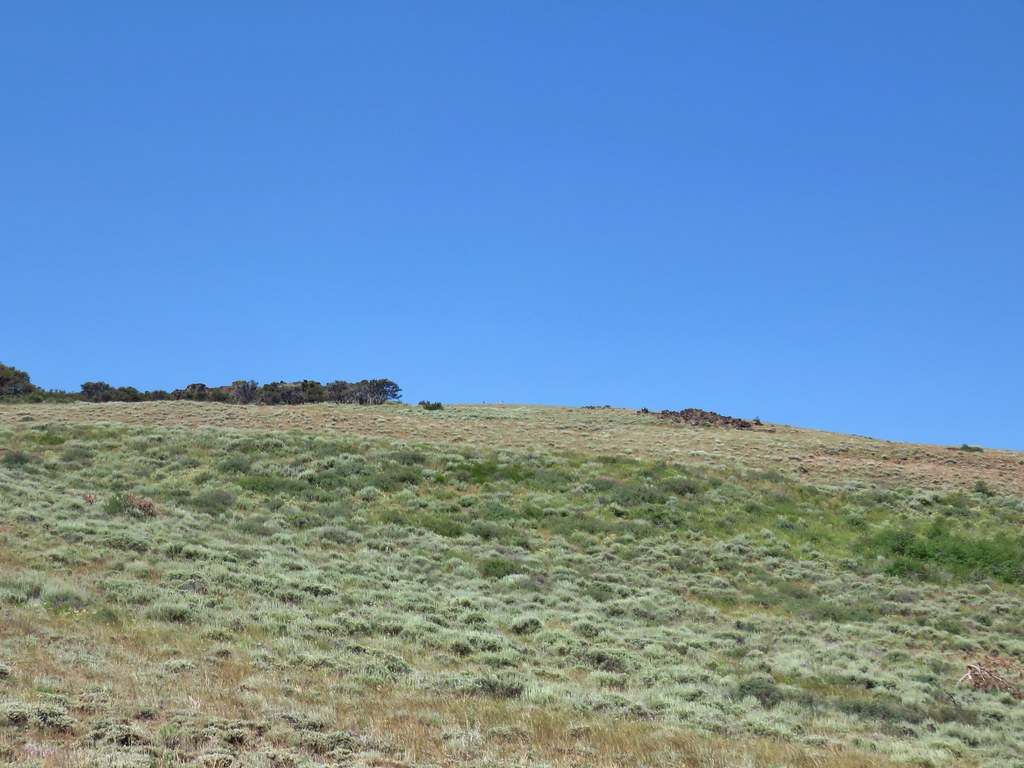
 DeGarmo Notch
 Paintbrush
 We had to drop under this.
 Warner Peak is straight ahead with a tower on top beyond the line of trees in the distance.
 Barnhardi Basin getting further away.
 Looking back toward DeGarmo Notch.
 We first aimed for the the small rock outcrop beyond High Point then bent to the right to pass the larger rock outcrop before climbing up to the trees in the distance.
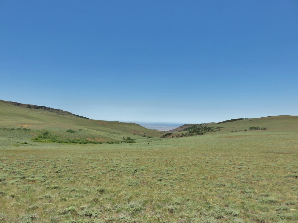
 Made it past the first outcrop and heading for the right side of the second.
 At the second outcrop.


 The white patch in the distance to the right just beyond the shadow is the parking area.
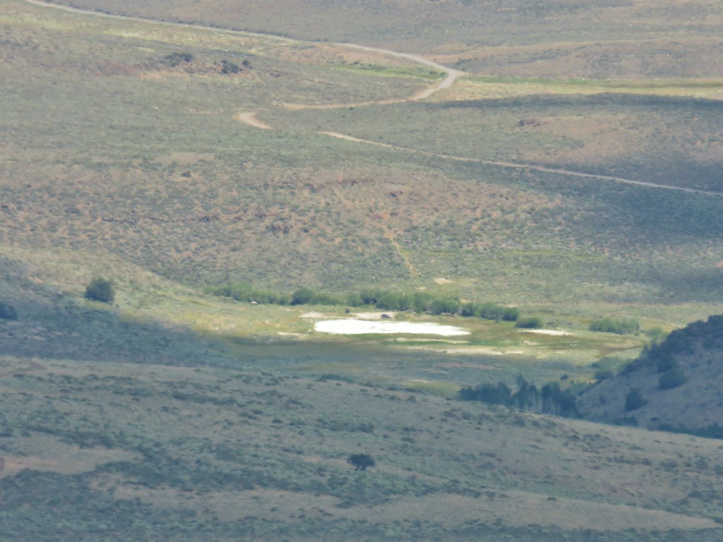 Our car was still there.
 View south over Hart Mountain.
 SW to Drake Peak with part of Hart Lake visible below the cliffs.
 Looking north toward Juniper Mountain.
 East toward Steens Mountain
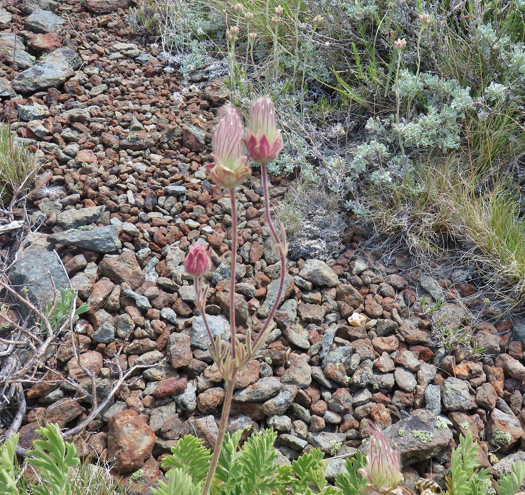 Prairie smoke
 Balloon pod milk vetch
 Paintbrush
 Lupine
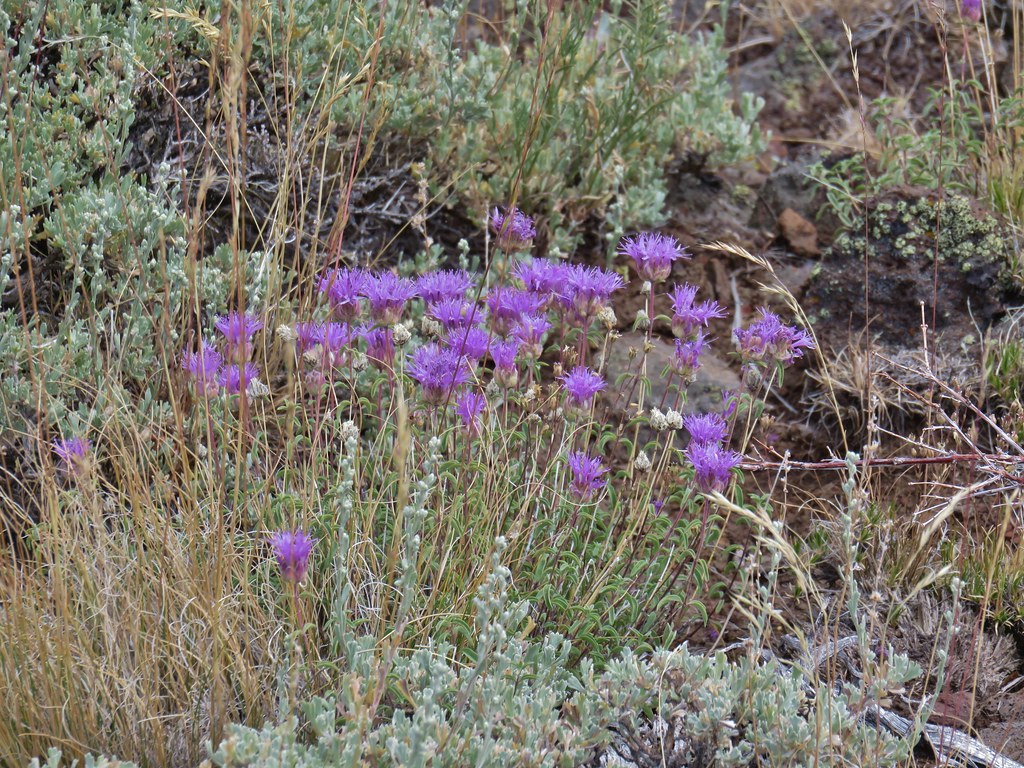 Mountain coyote mint
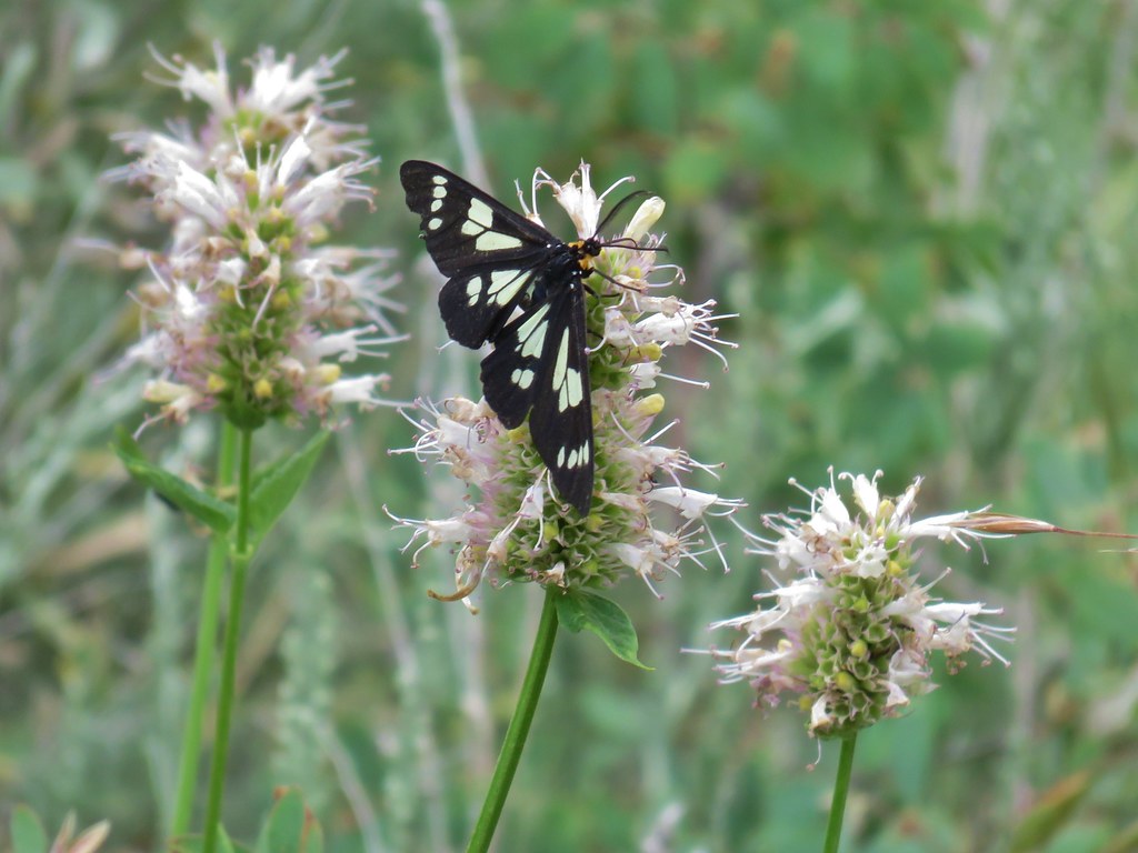 Police car moth on hyssop


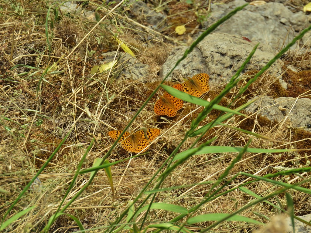
 Butterflies on rabbitbrush
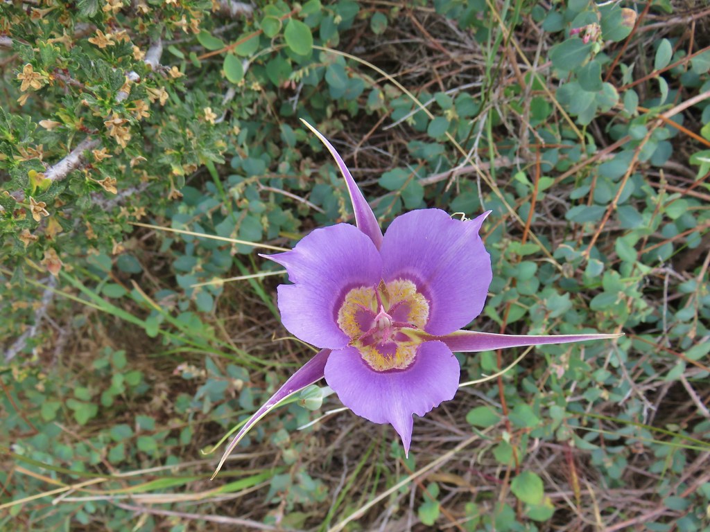 Sagebrush mariposa lily
