Our first April outing was a trip to the Washington side of the Columbia River Gorge to check out four short hikes. These were all new hikes for us located within 23-miles of each other.
We began our day with me realizing that I hadn’t made sure that our NW Forest Pass was in the car since one was needed for two of our planned stops. This despite thinking that I needed to do that several times over the previous several days, including the day before when I was putting the Washington Discovery Pass we needed for Doetsch Ranch in the glovebox. Fortunately we were only in downtown Salem so we weren’t too far from home. Unfortunately the pass wasn’t in the other car or any of the places that I could think (at 5am) of where I might have put it. I decided it would probably quicker and much less stressful to purchase an ePass online for the day and look for the missing annual pass later.
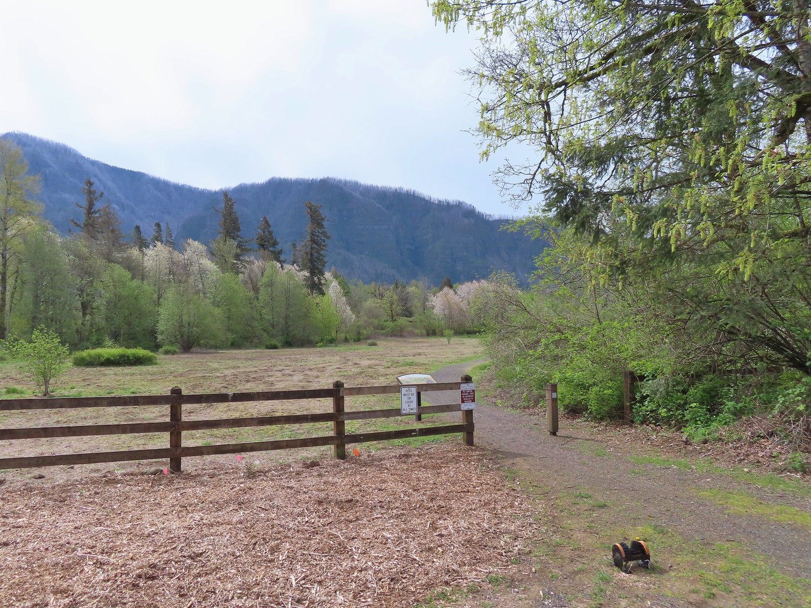
Once we had our pass situation straightened out we drove to our first stop at the St. Cloud Day Use Area.
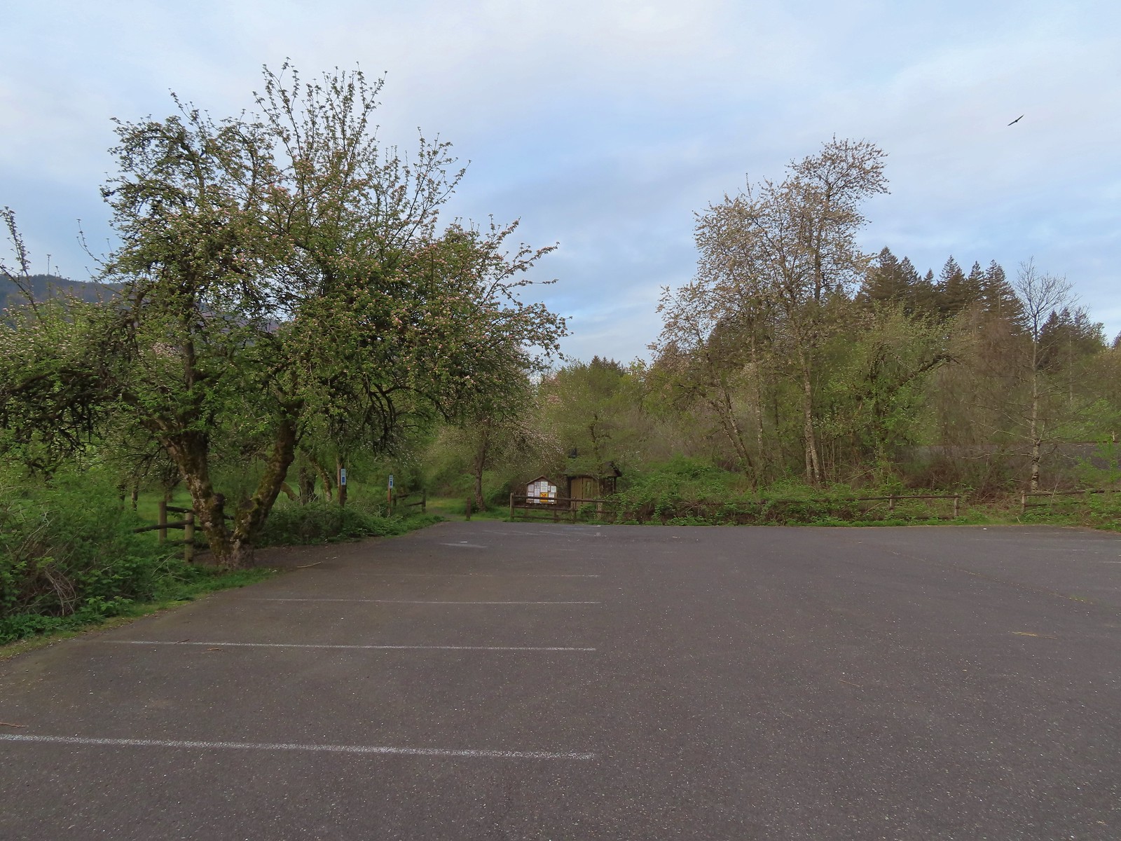
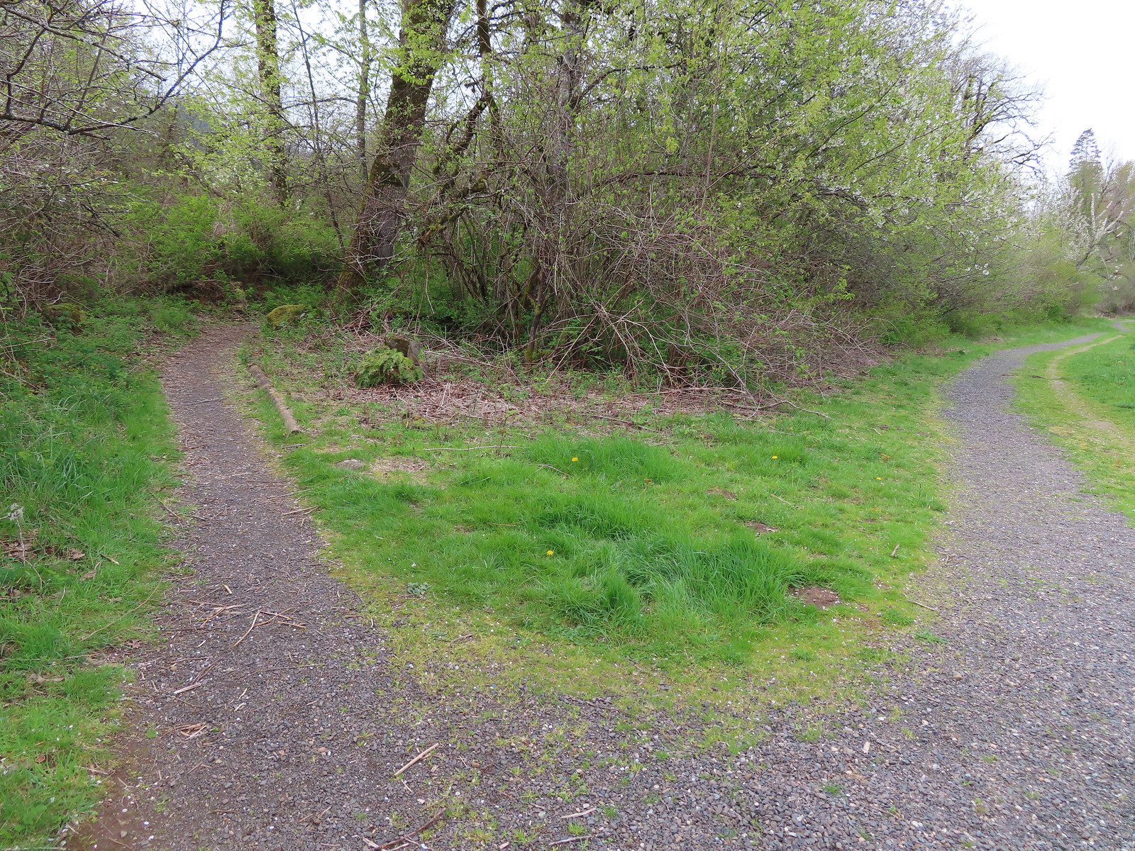
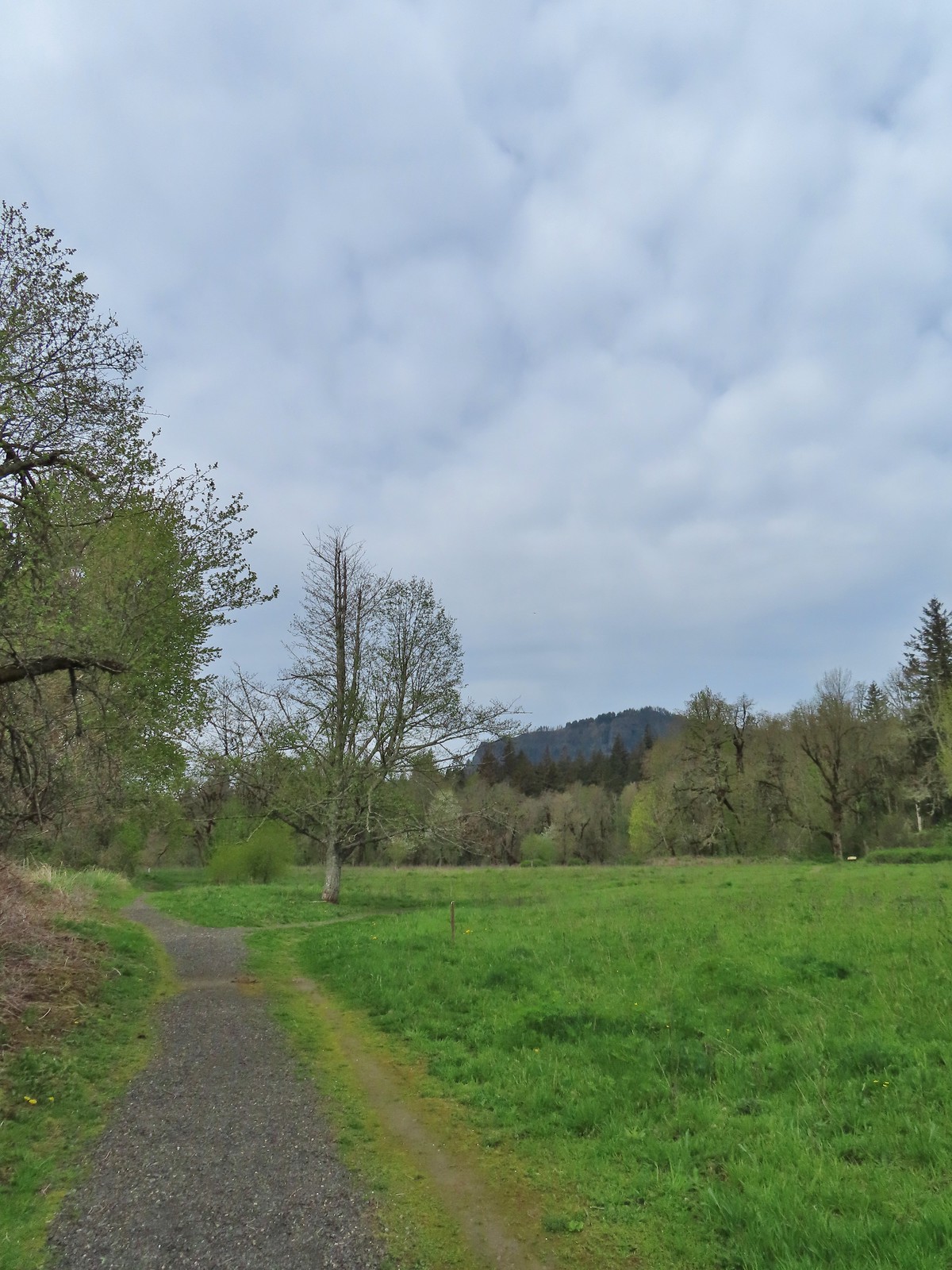
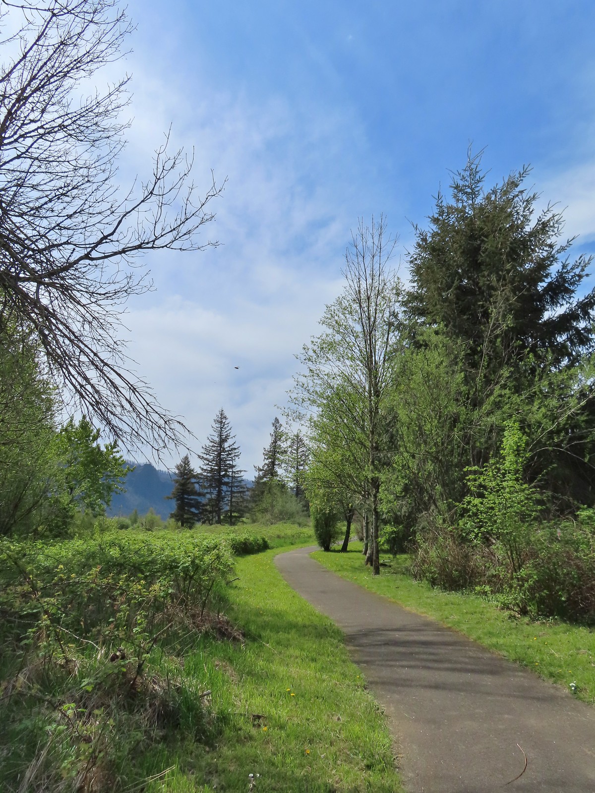
The day use area has picnic tables, a 1-mile loop trail, and a vault toilet (thus the need for a NW Forest Pass). Before exploring the day use area though we wanted to check out nearby Lower Archer Falls. To reach the trail to the falls we walked back to Hwy 14 and crossed to an unsigned trail that lead into overgrown woods. The need to cross the highway was the deciding factor on us starting our day here. We figured that there would be less traffic before 8am than there would be later in the day.
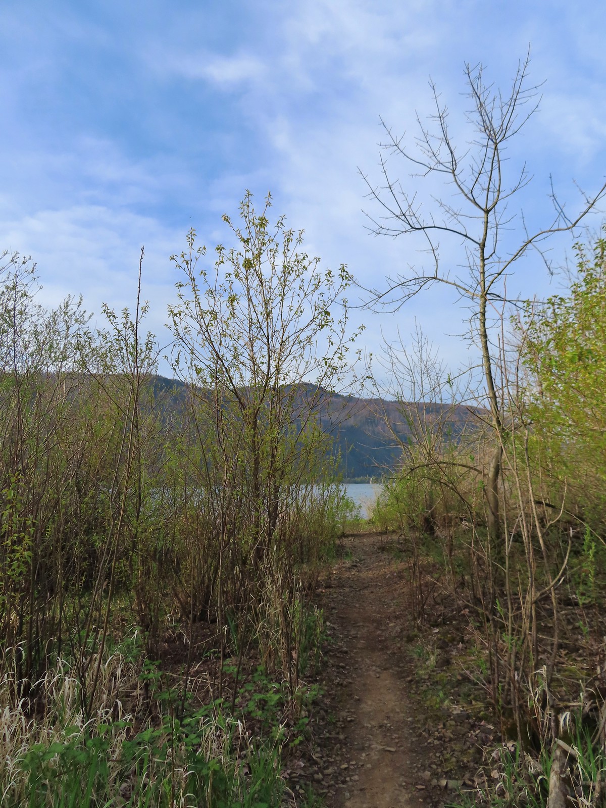
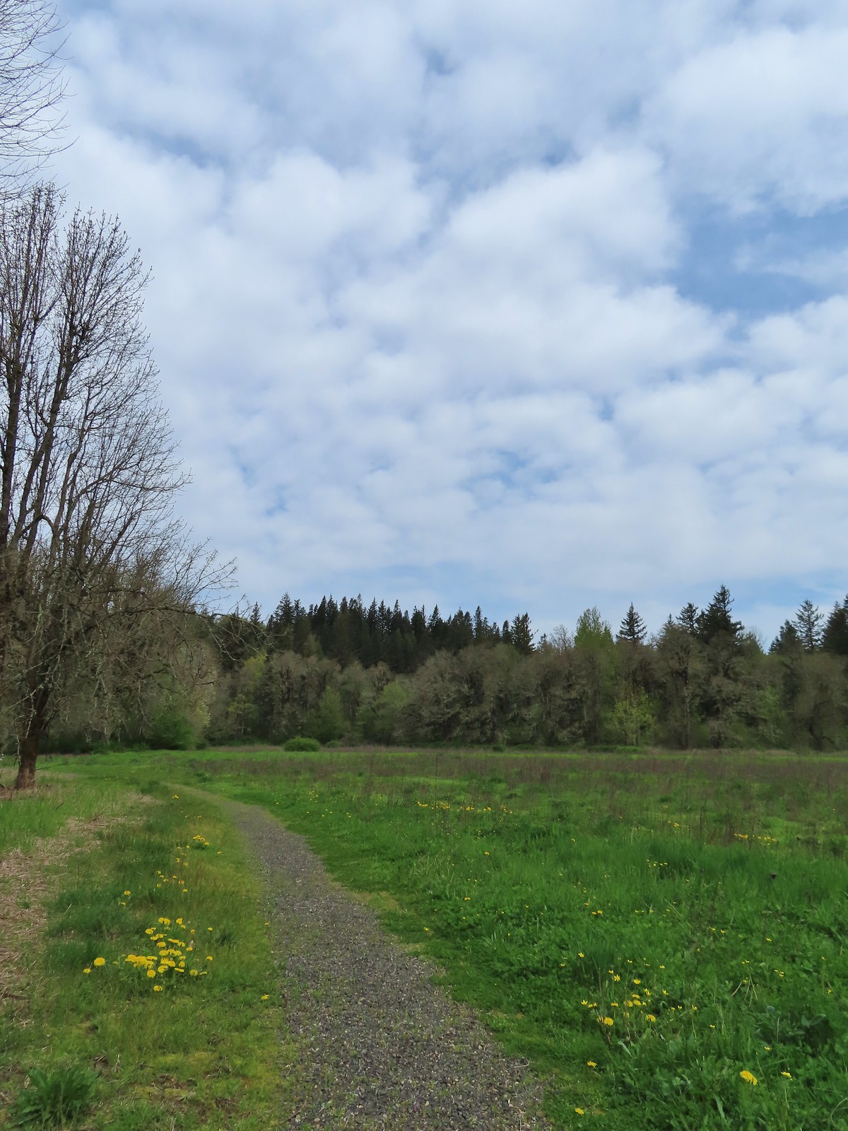
 The brown strip in the grass near the center of the photo is the trail.
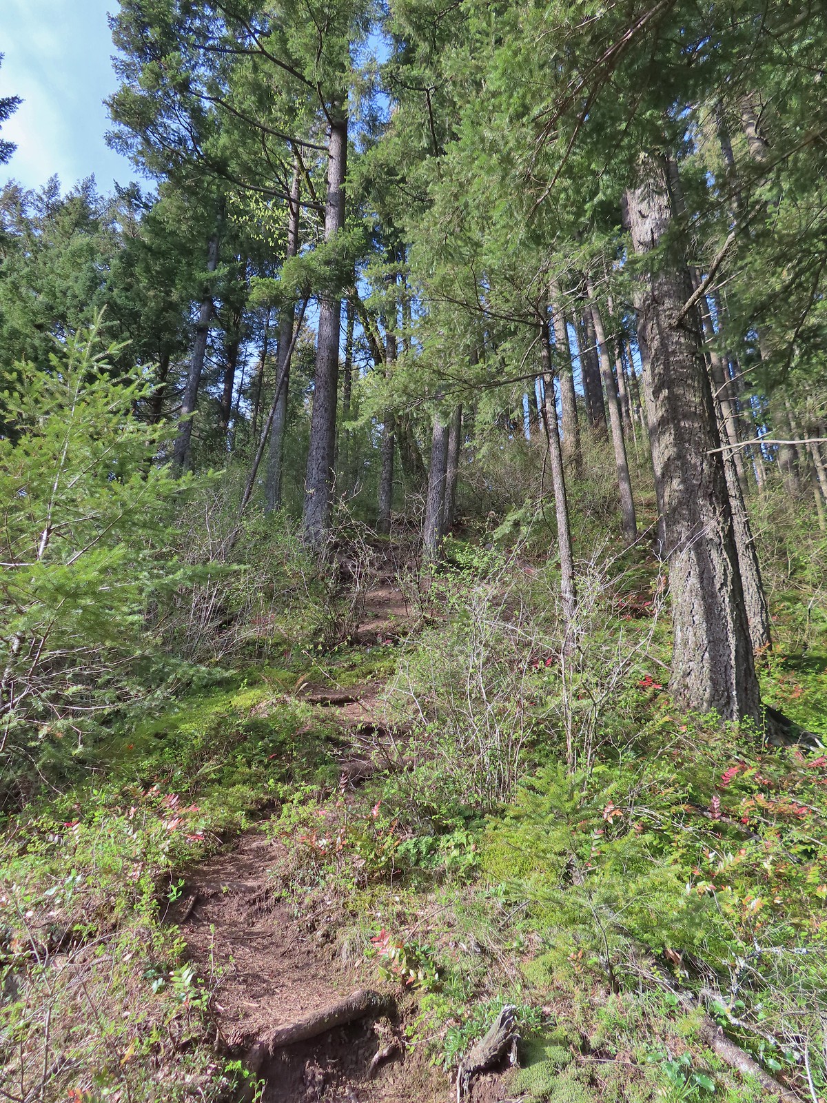
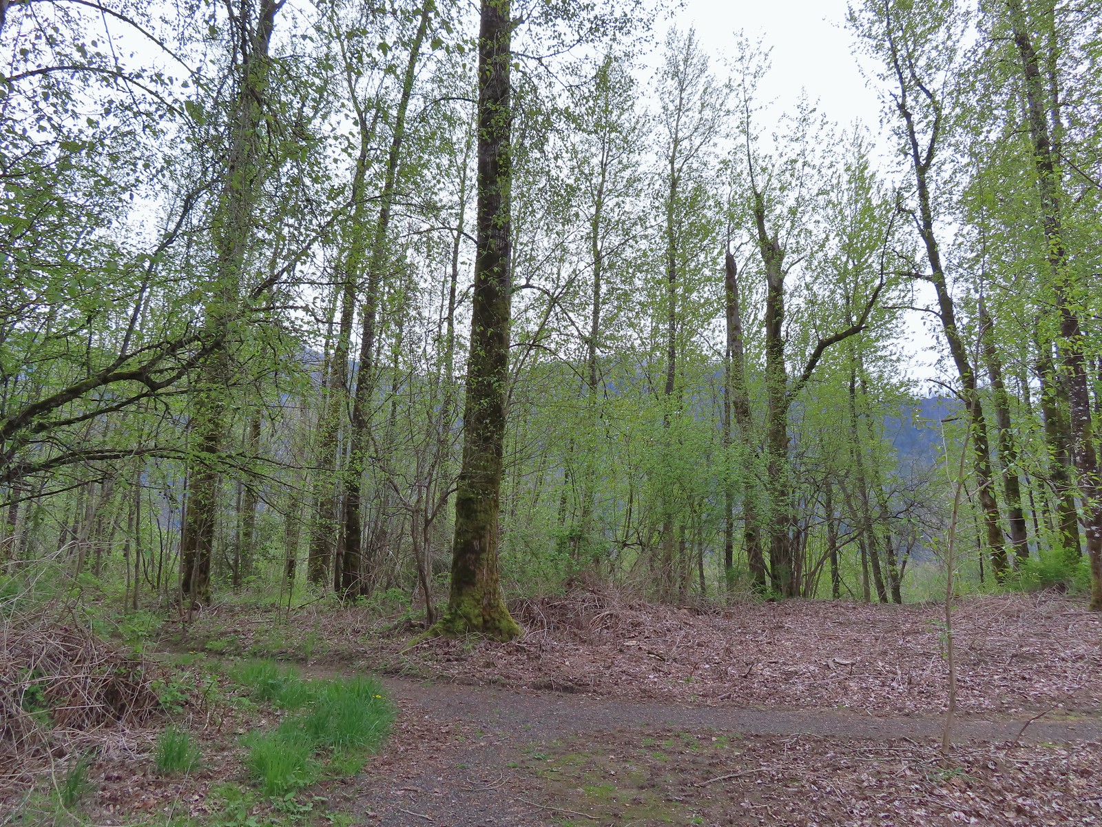
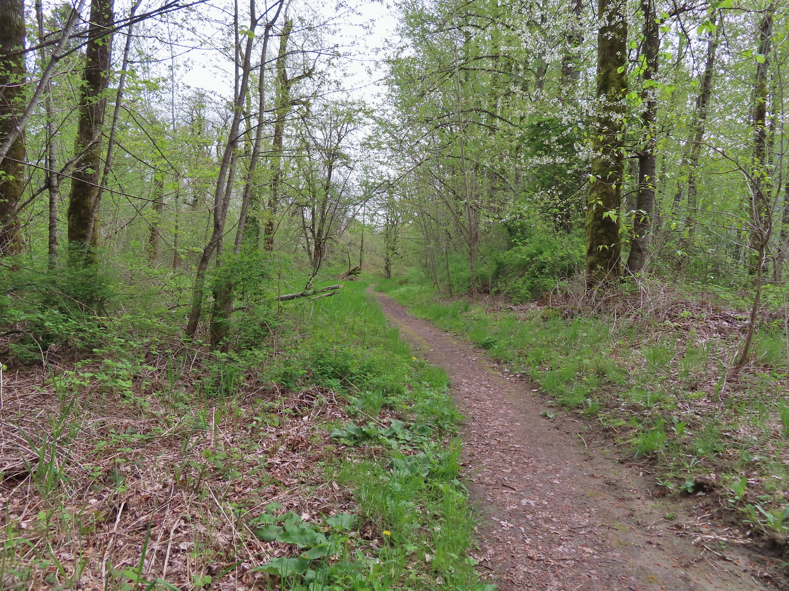
 The trail entering the woods.
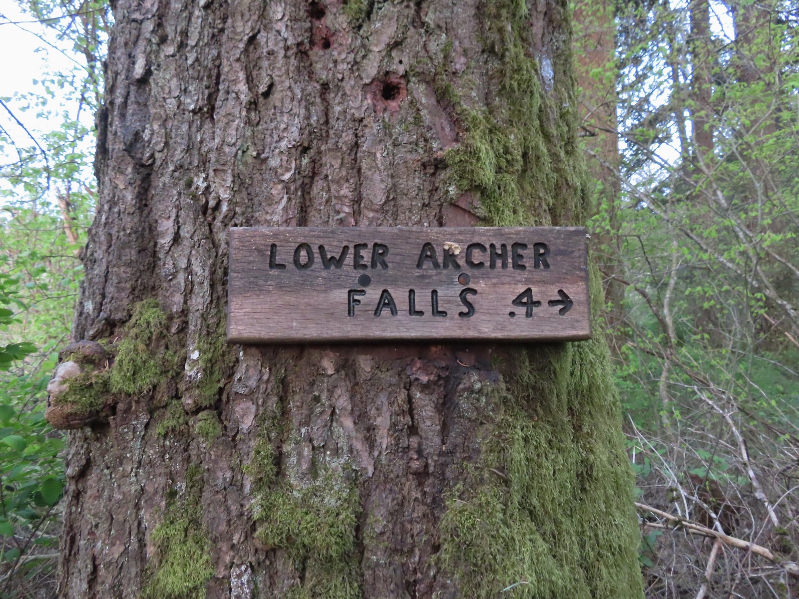 Pointer for Lower Archer Falls.
The user-maintained trail was in pretty good shape up until just before the falls where a small slide has done a bit of damage and just beyond that one of the make shift bridges seemed a little sketchy.
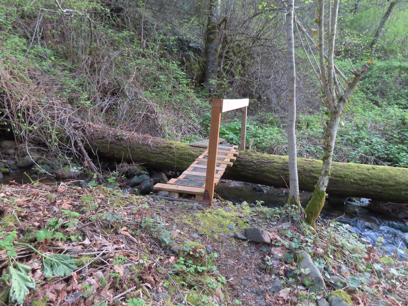 Bridges over Gable Creek.

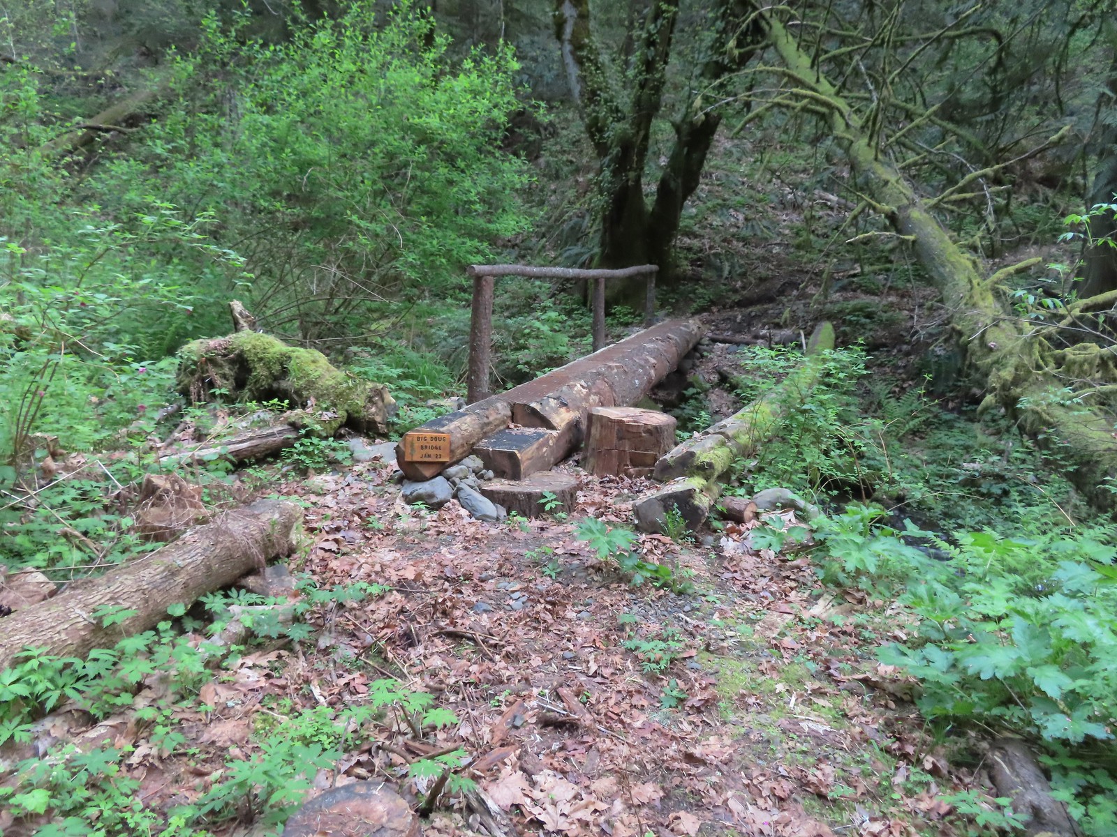 Big Doug Bridge (Jan 23) over Archer Creek.
 Archer Creek
 After crossing the creek the trail did a short climb gaining approximately 150′ of elevation.
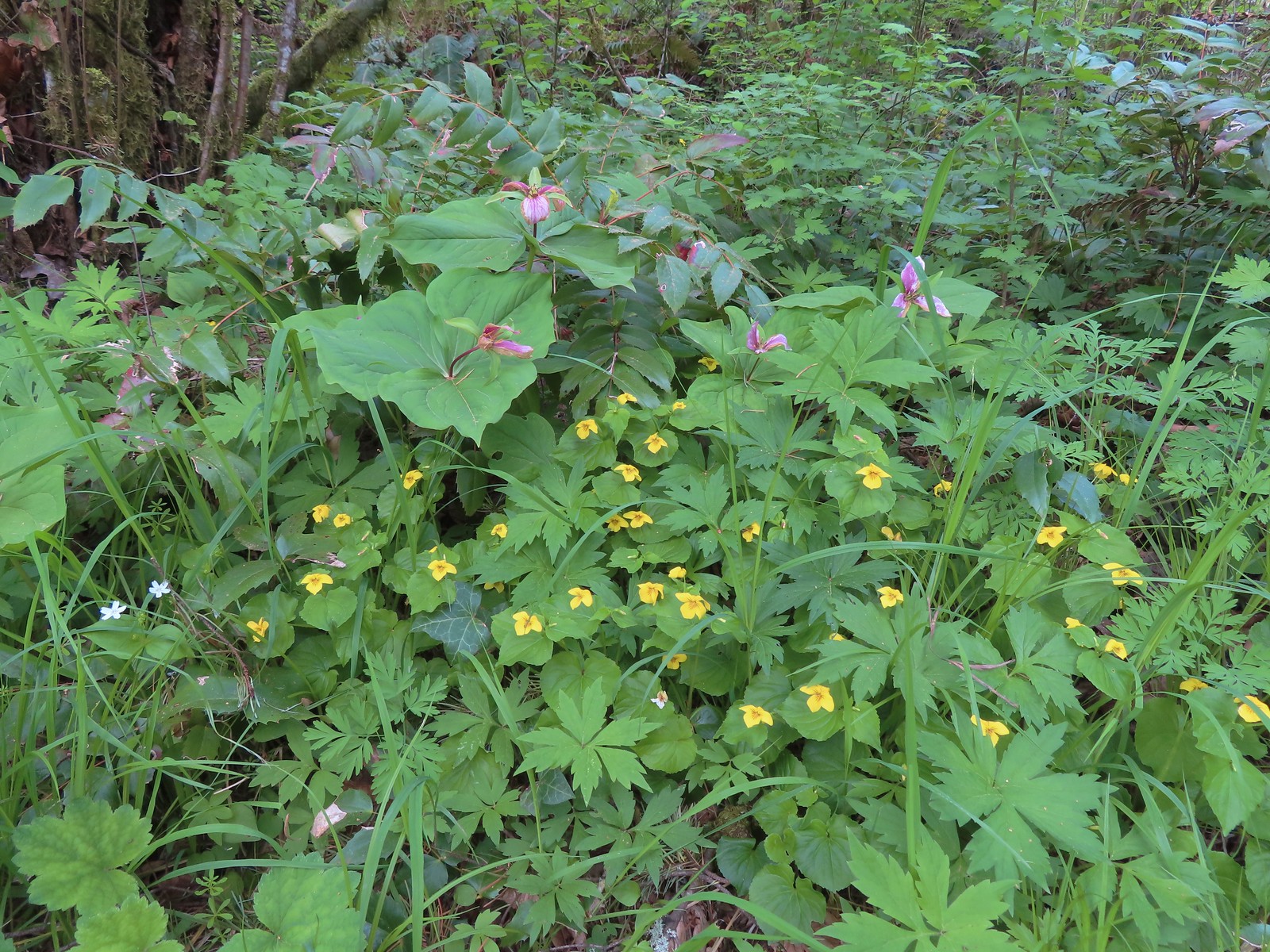
 Trillium along the trail.
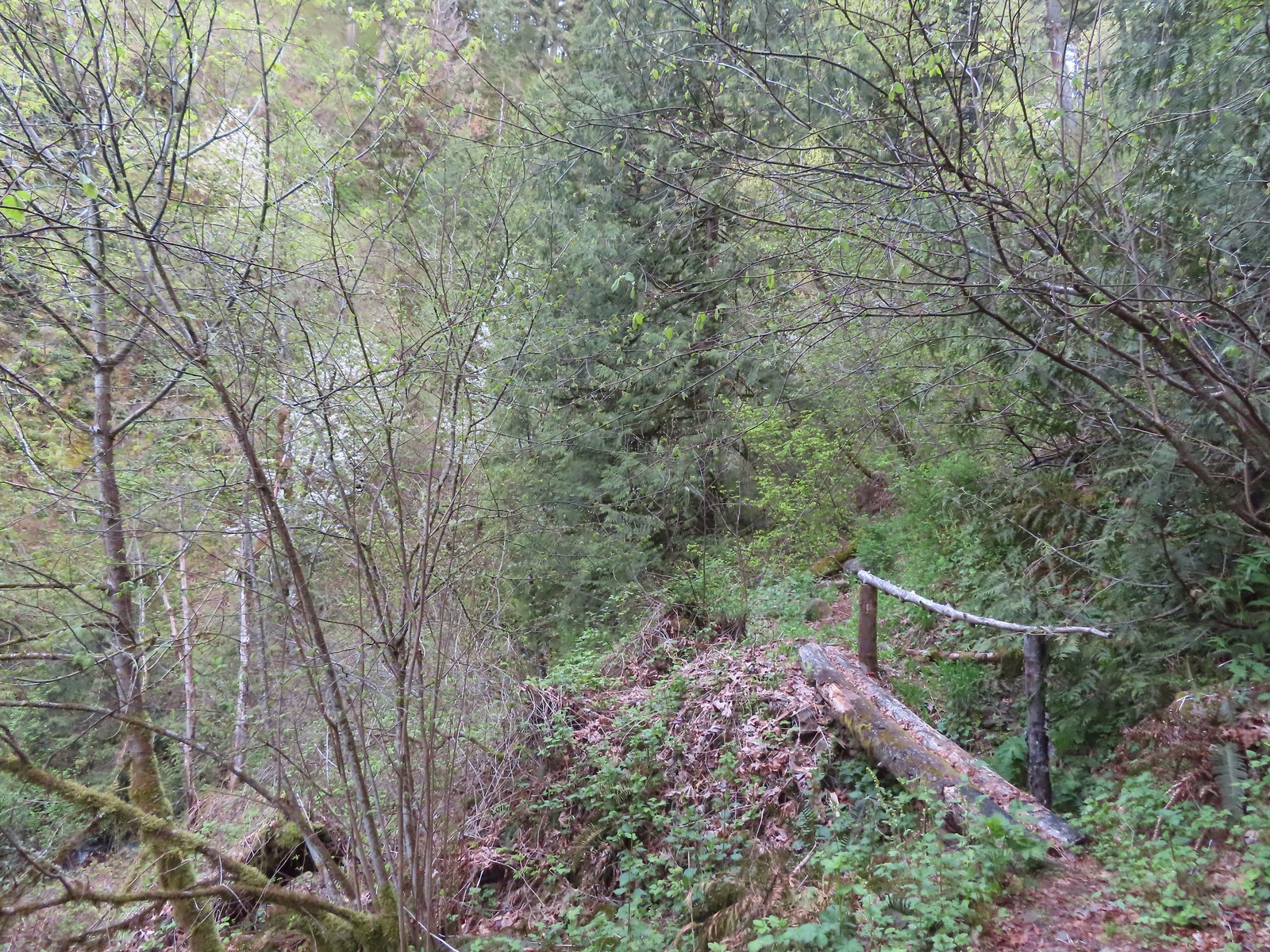 One of several of these style bridges on the way to the falls.
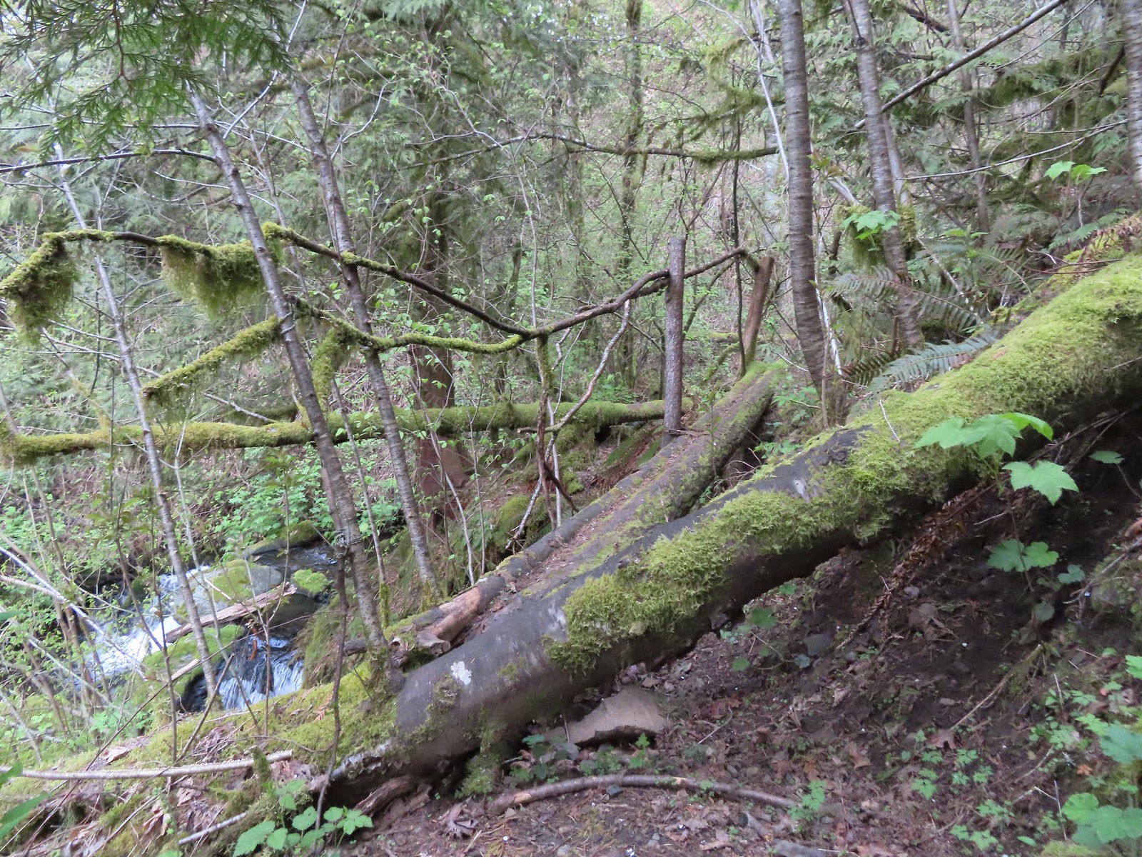 The “sketchy” bridge. It felt pretty solid underfoot, but the rail seemed ornamental only.
 The final footbridge before the falls.

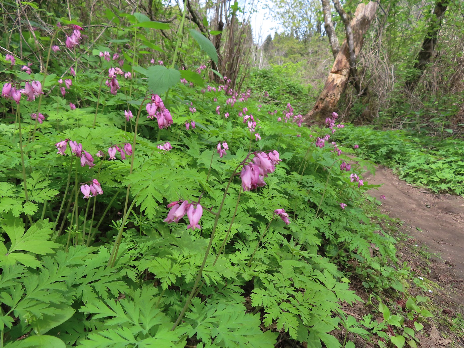
The trail extends beyond the falls climbing to a junction with the Archer Mountain Trail, but that route is reportedly less maintained with blackberry, poison oak, and nettles crowding the trail at times. We weren’t interested in that much adventure today so after enjoying the falls we headed back stopping along the way to admire the Spring wildflowers.
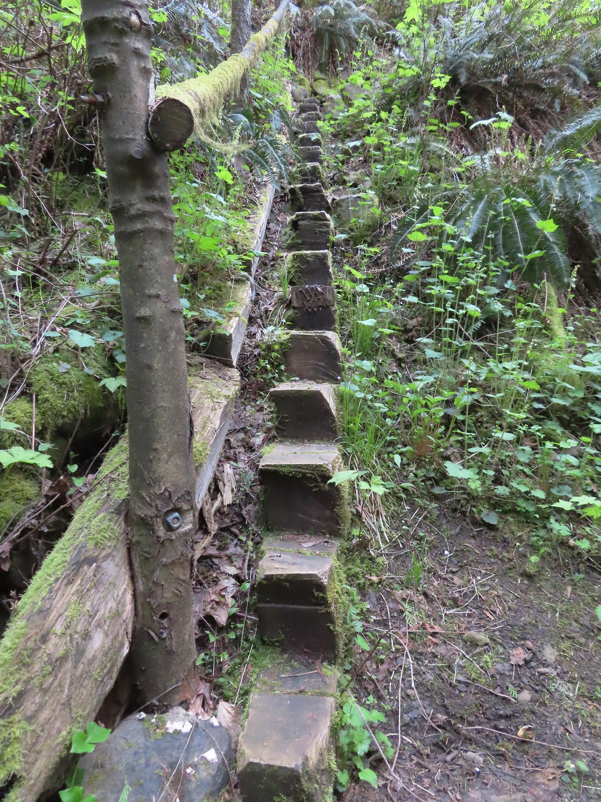 Steps leading up from Lower Archer Falls.
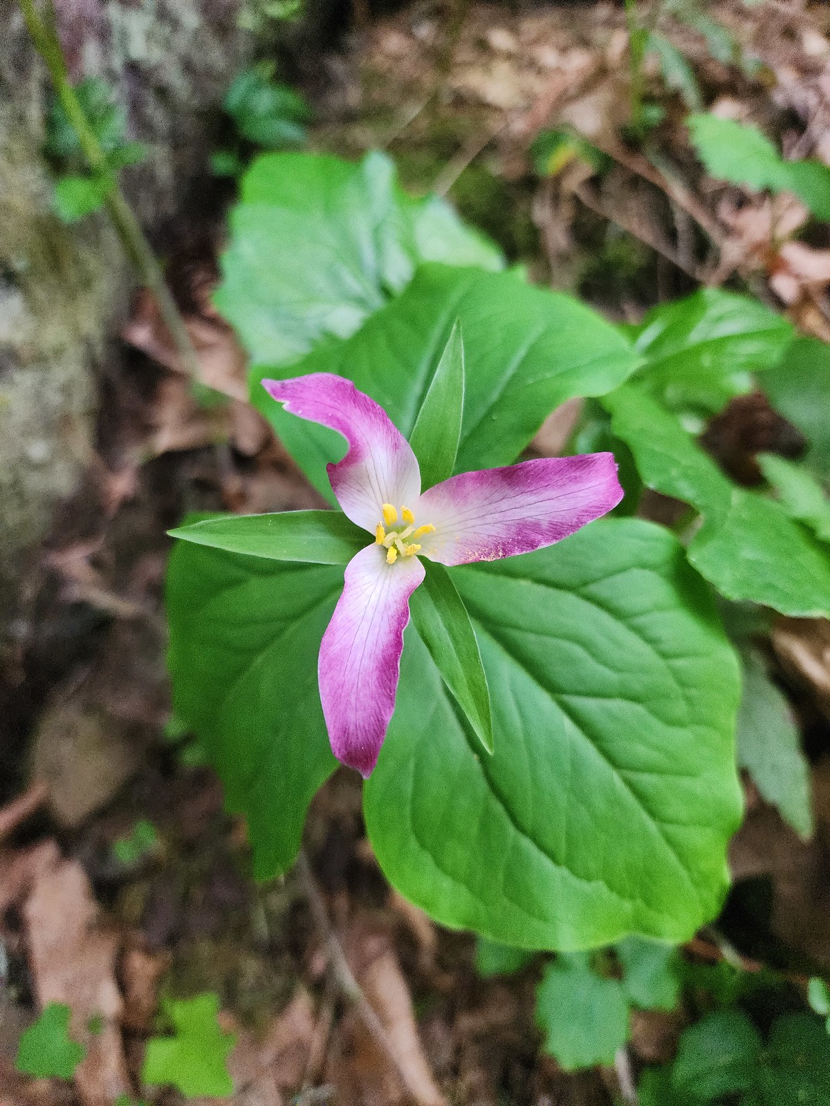 Trillium
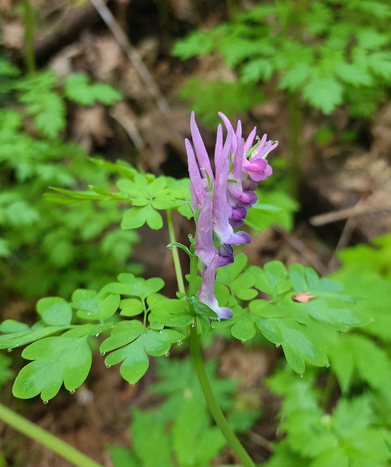 Scouler’s corydalis
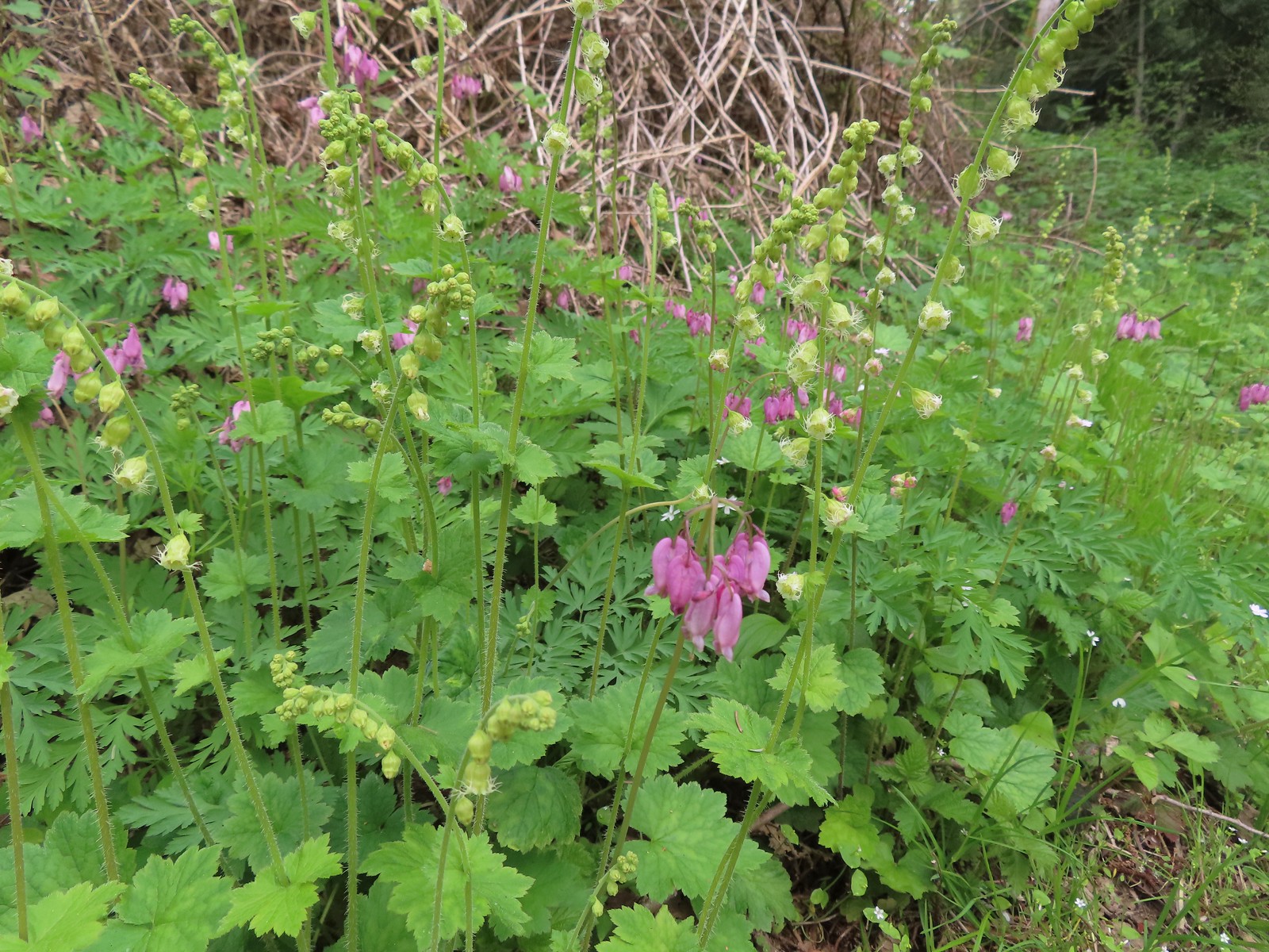
 Bleeding heart
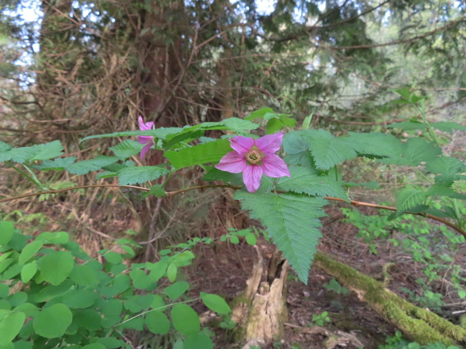 Salmonberry
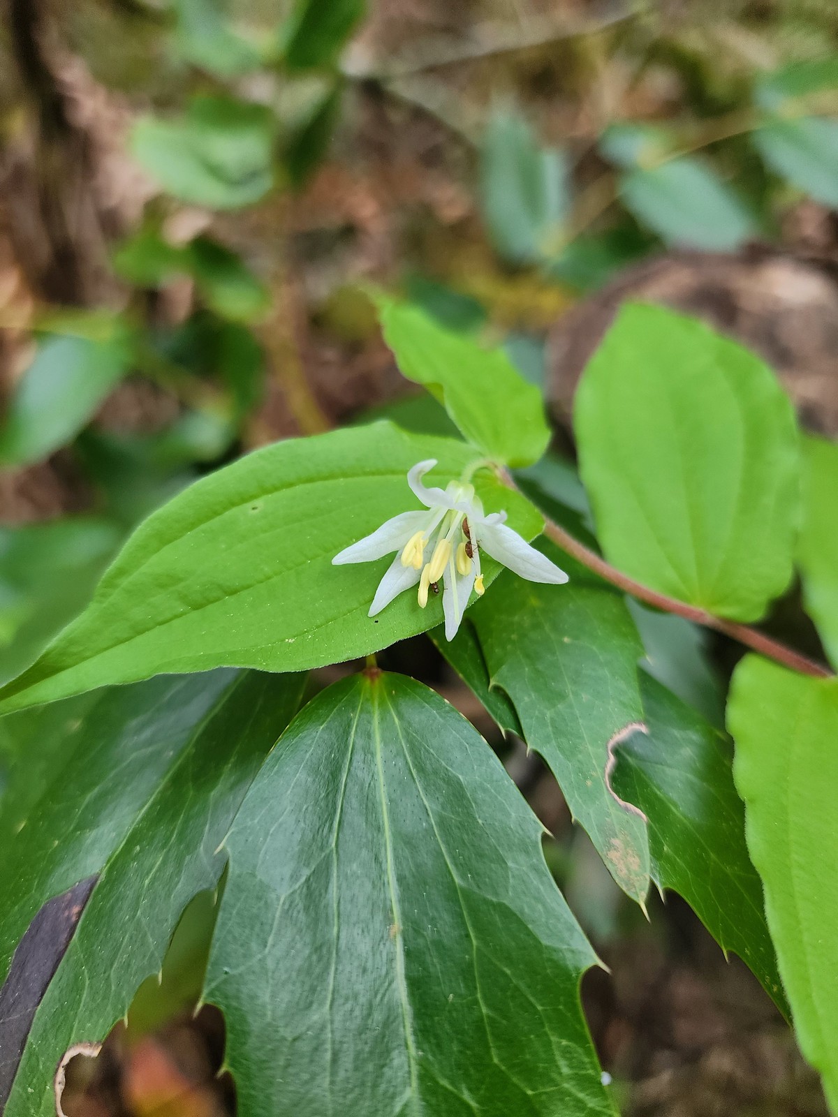 Fairy bell
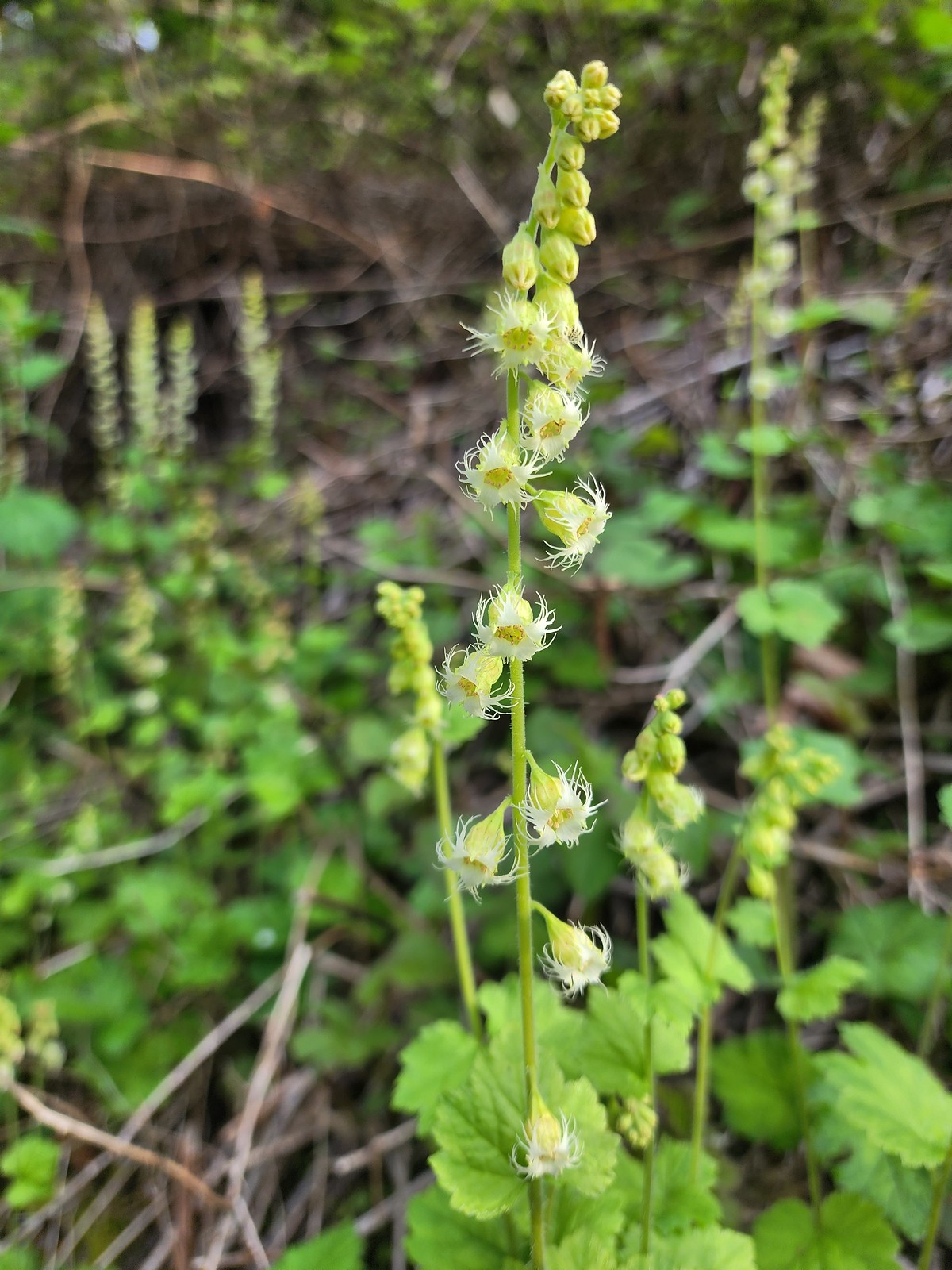 Fringecup
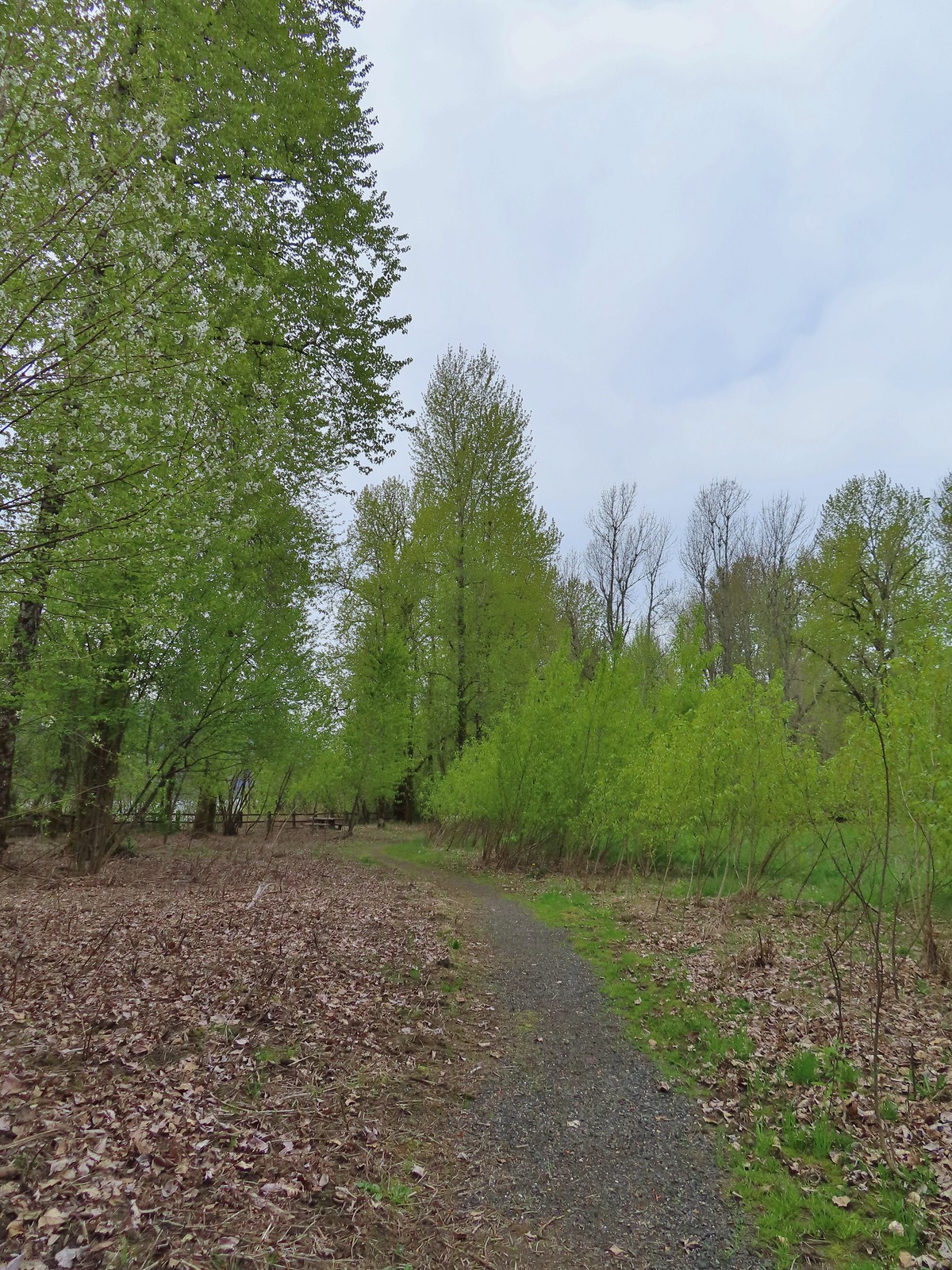
After successfully recrossing the highway we hiked the mile long St. Cloud Loop.
 The start of the loop.
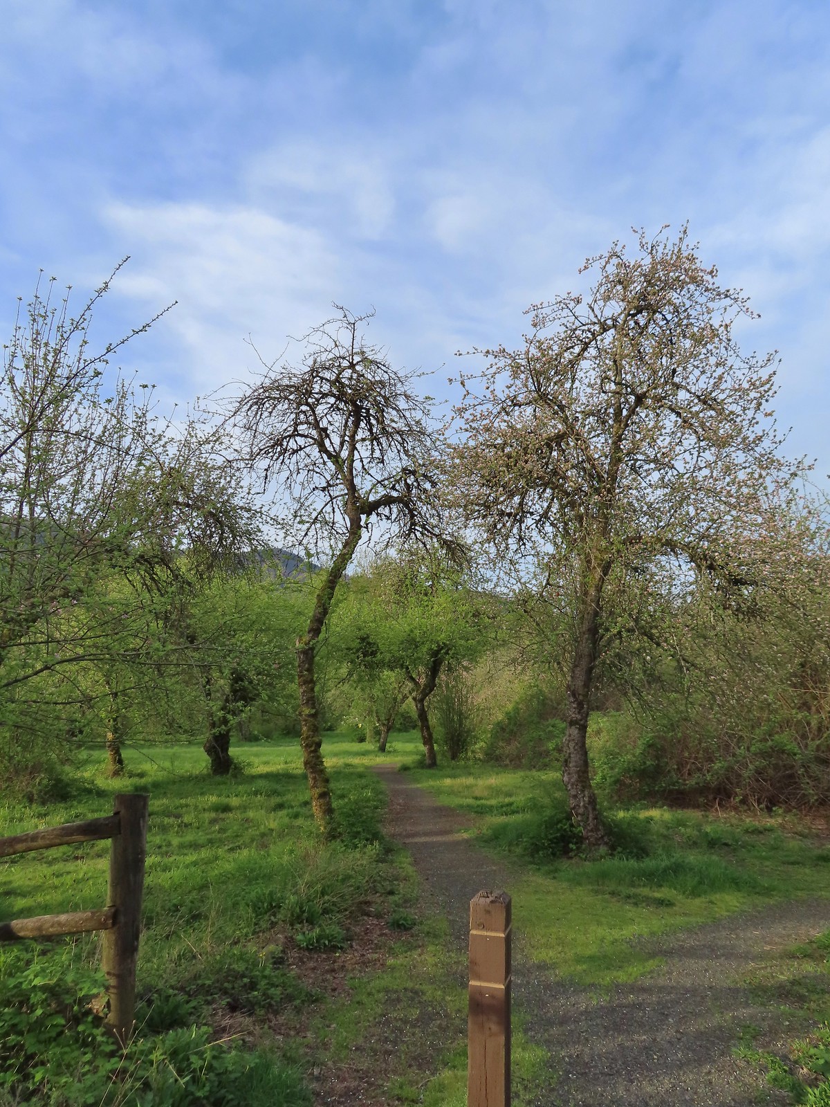
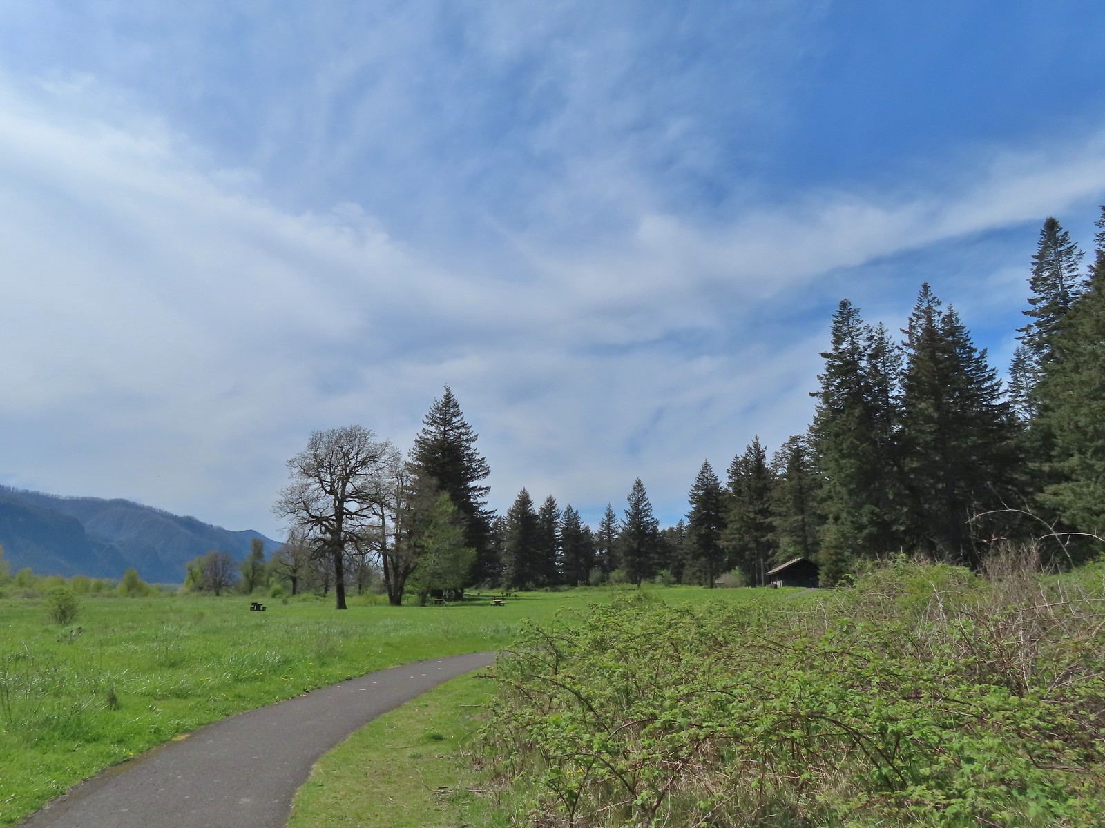
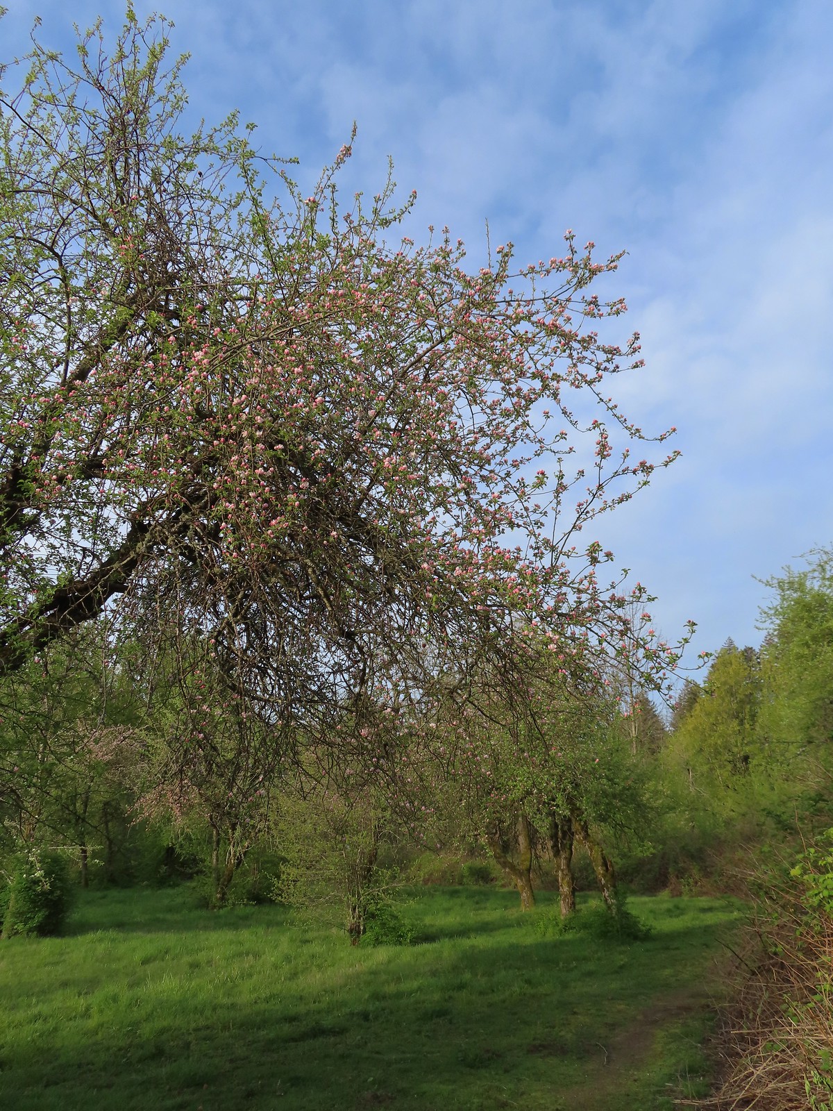 The trail loops around a former apple orchard.
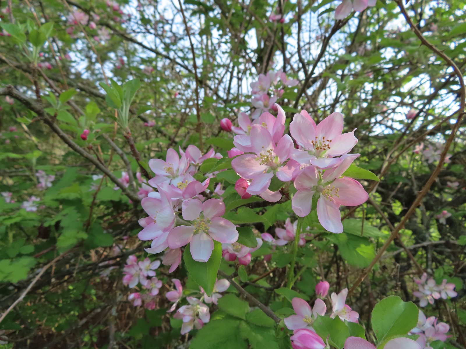 Apple blossoms
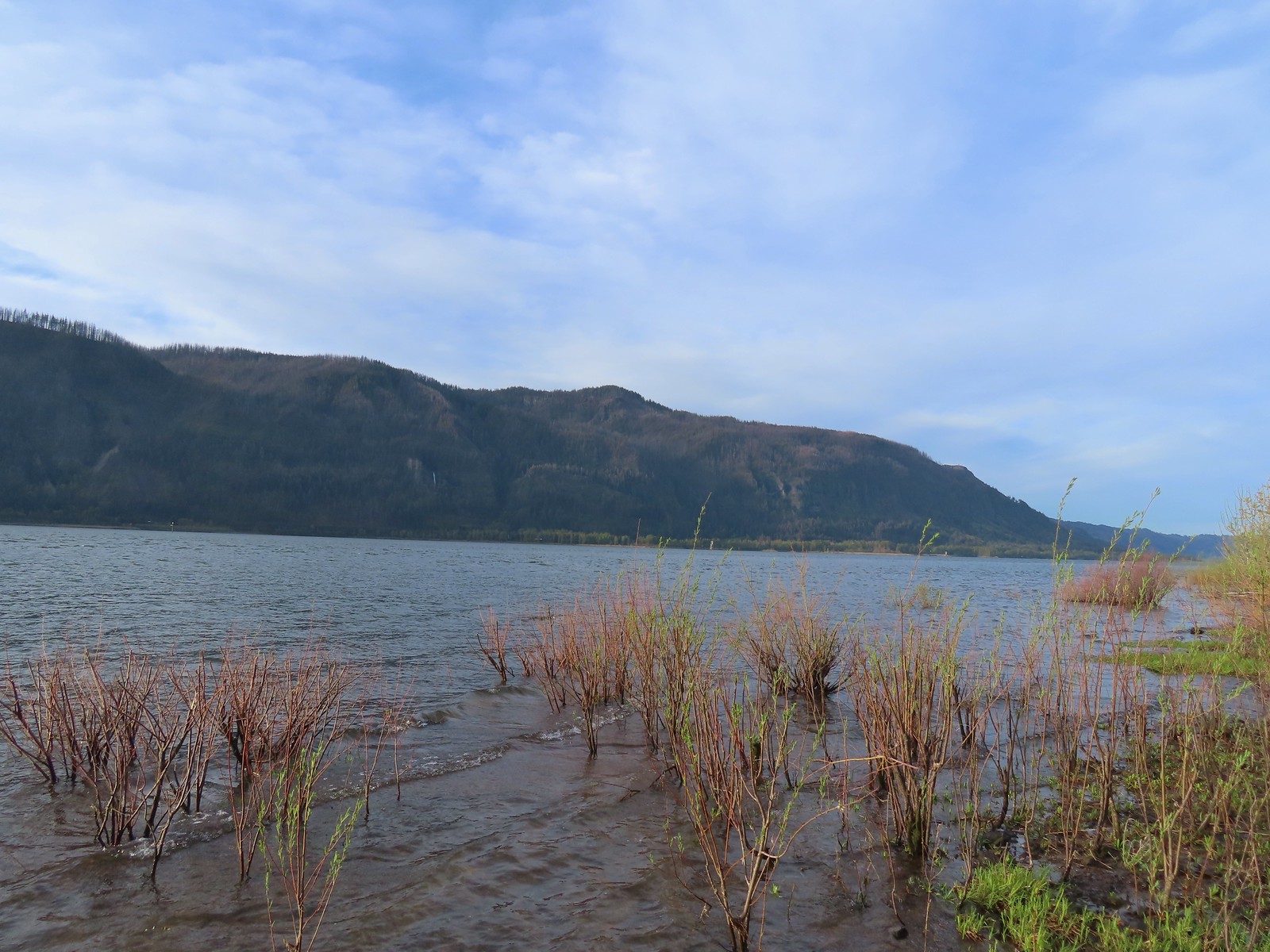
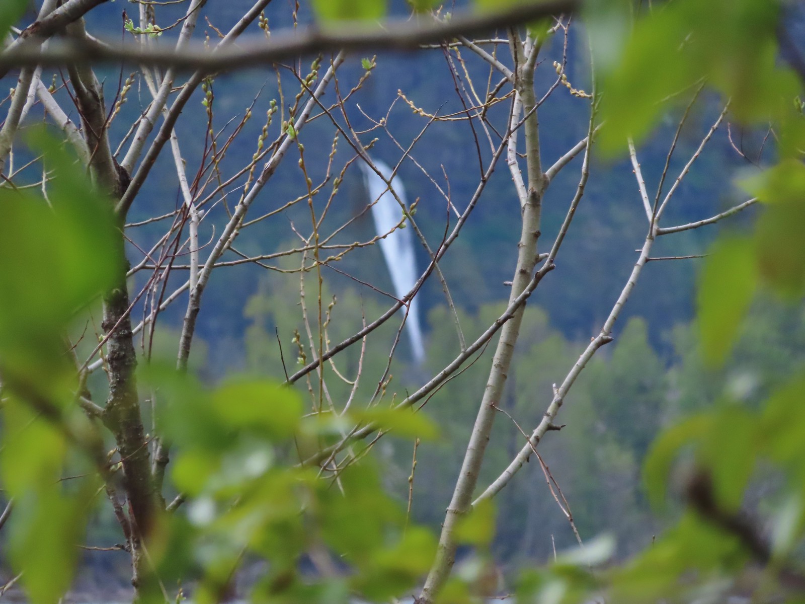
 A spur trail leading down to the Columbia River.
 Devil’s Rest and Multnomah Falls (post)
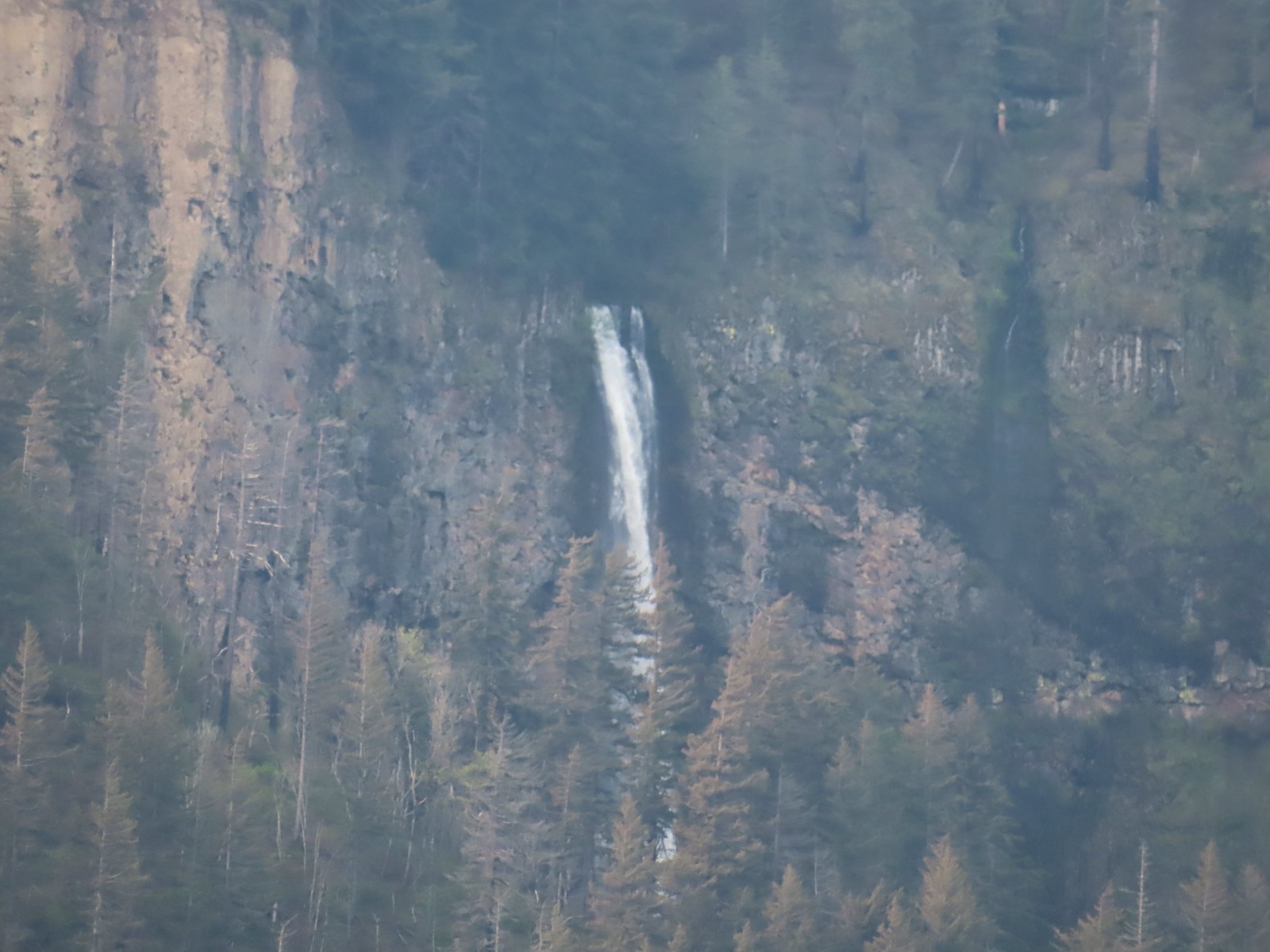 Multnomah Falls
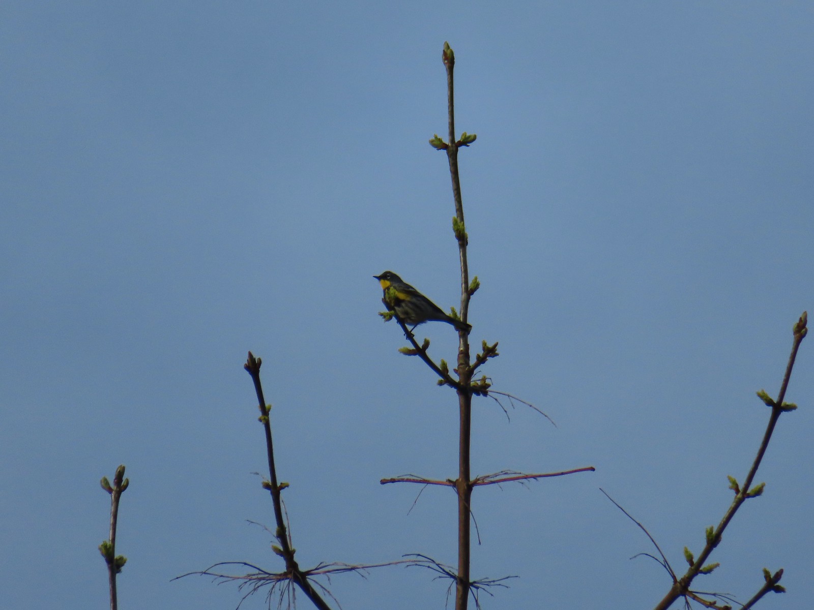 Yellow-rumped warbler.
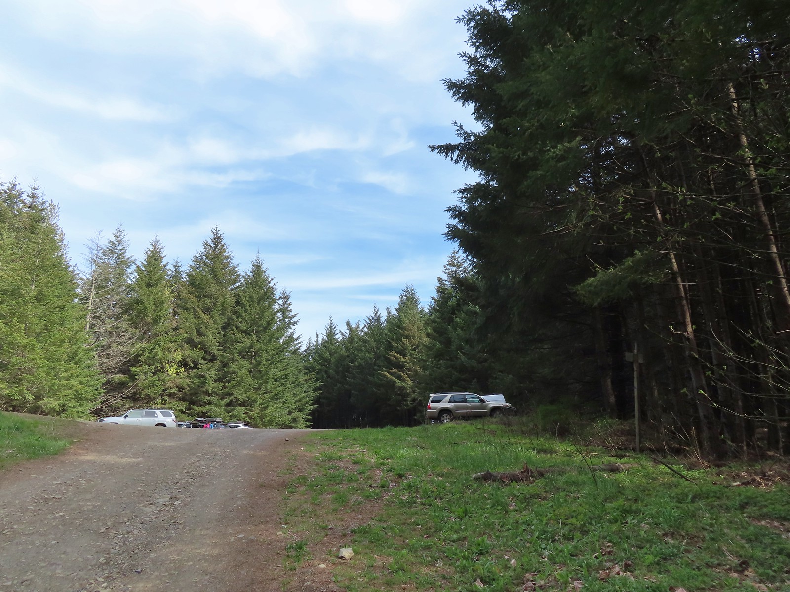
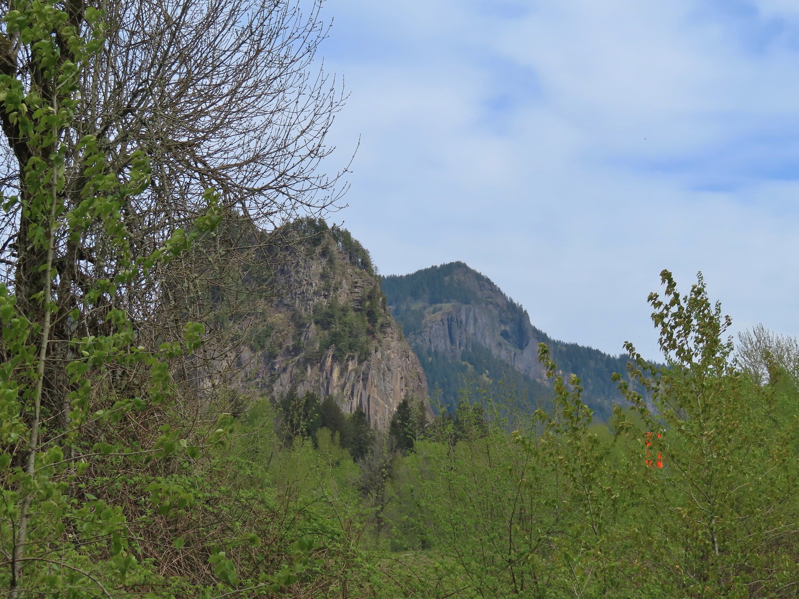
The St. Cloud Day Use Area was the westernmost stop of our day, and from there we headed for the easternmost stop at the Wind Mountain Trailhead. The trailhead is approximately a tenth of a mile downhill beyond a quarry. We parked at the quarry where two other vehicles were parked instead of continuing down the narrow, steep, slightly rutted road.
 The quarry later in the morning.
 Pullout at the actual trailhead.
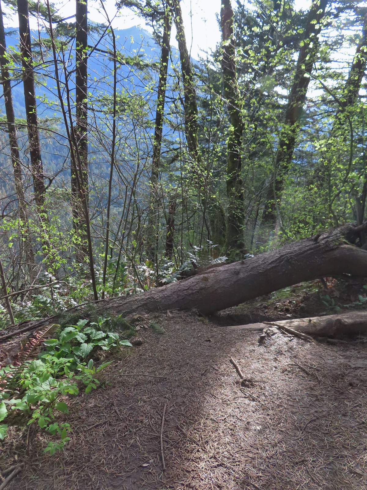
 The Wind Mountain Trail at the trailhead.
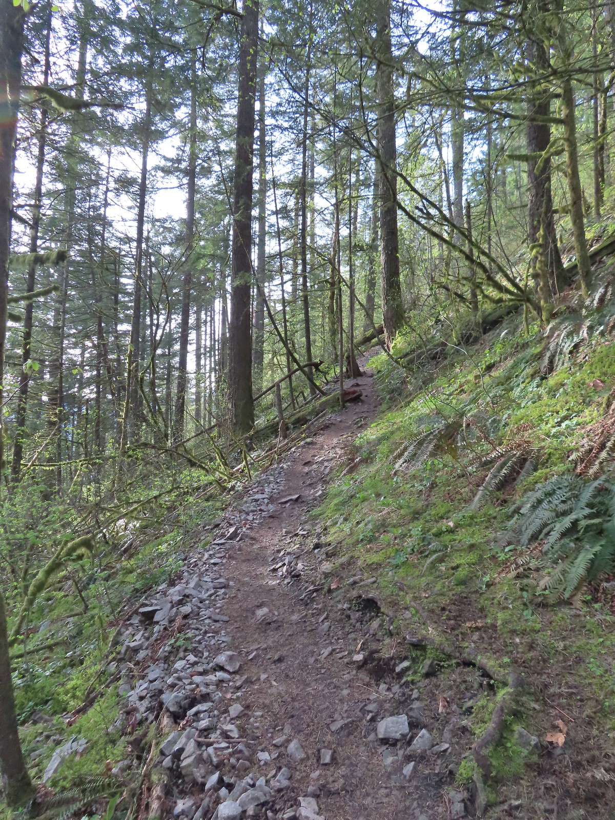
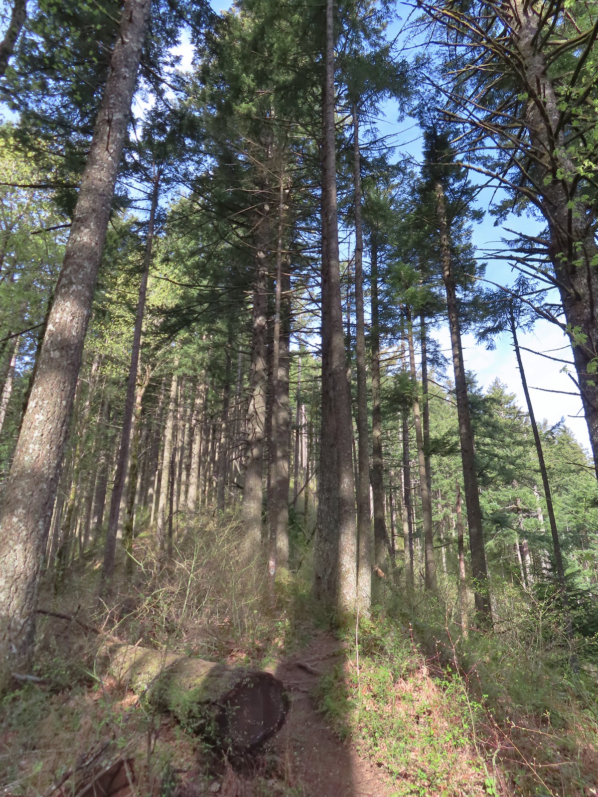
The Wind Mountain Trail gains over 1100′ in just over a mile as it climbs to the summit of Wind Mountain. The mountain’s summit is sacred to the area’s Native American tribes and signs near the summit show the areas where hikers are allowed to be.
The climb was a good workout. While the trail didn’t appear to be all that steep our legs reminded us that it was.
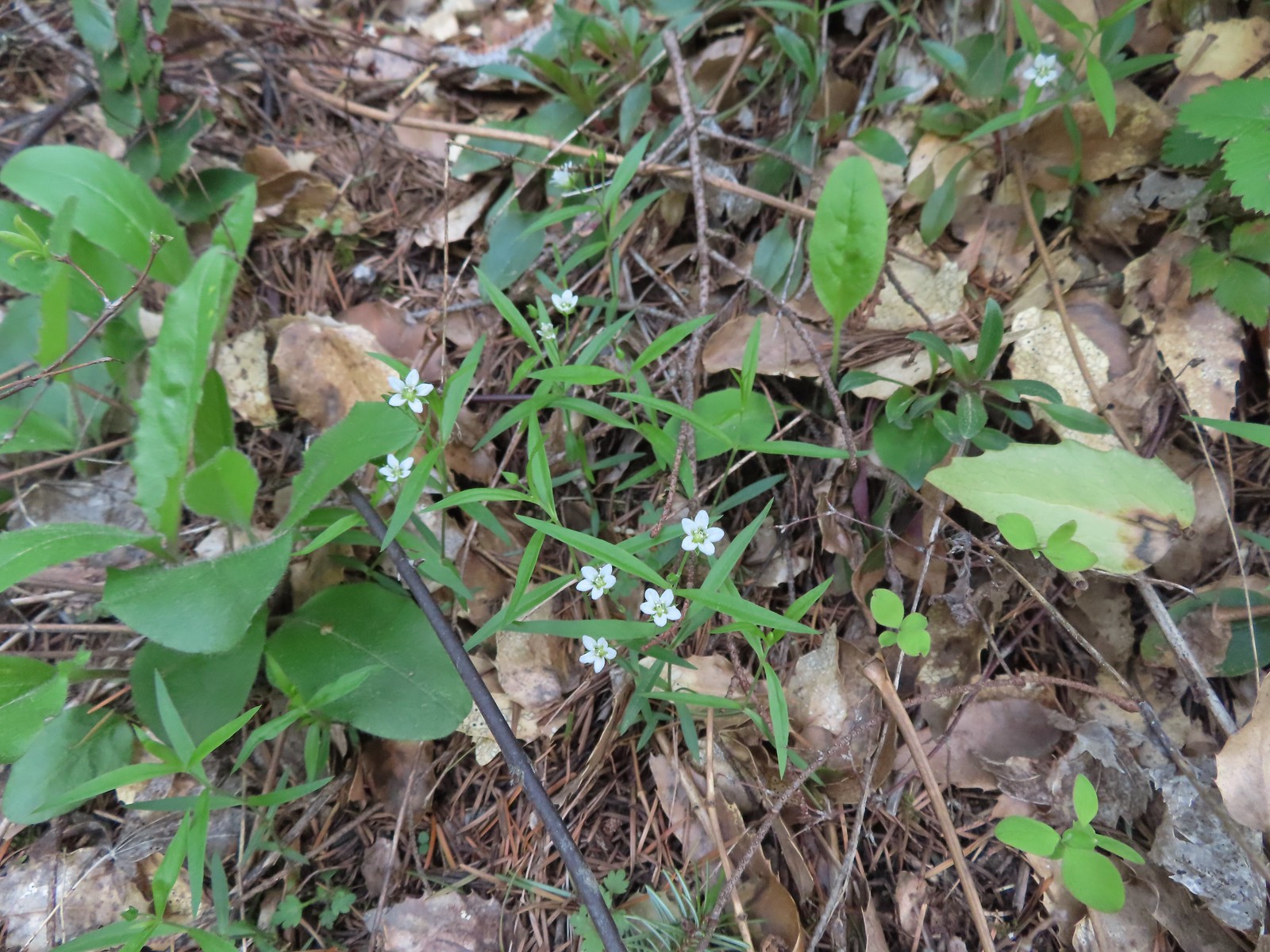
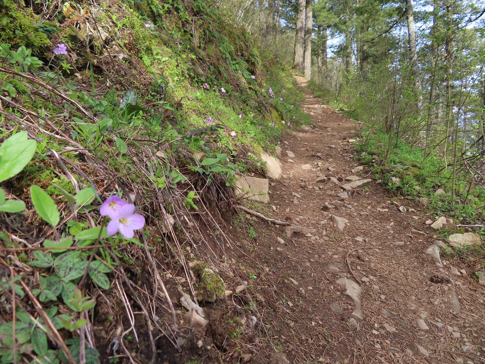
There was a nice variety of wildflowers on display and at the 0.4-mile mark we came to a spur trail leading out to a rock outcrop.
 Slender toothwort
 Trillium
 Red flowering currant
 Close up of red flowering currant
 Pioneer violet
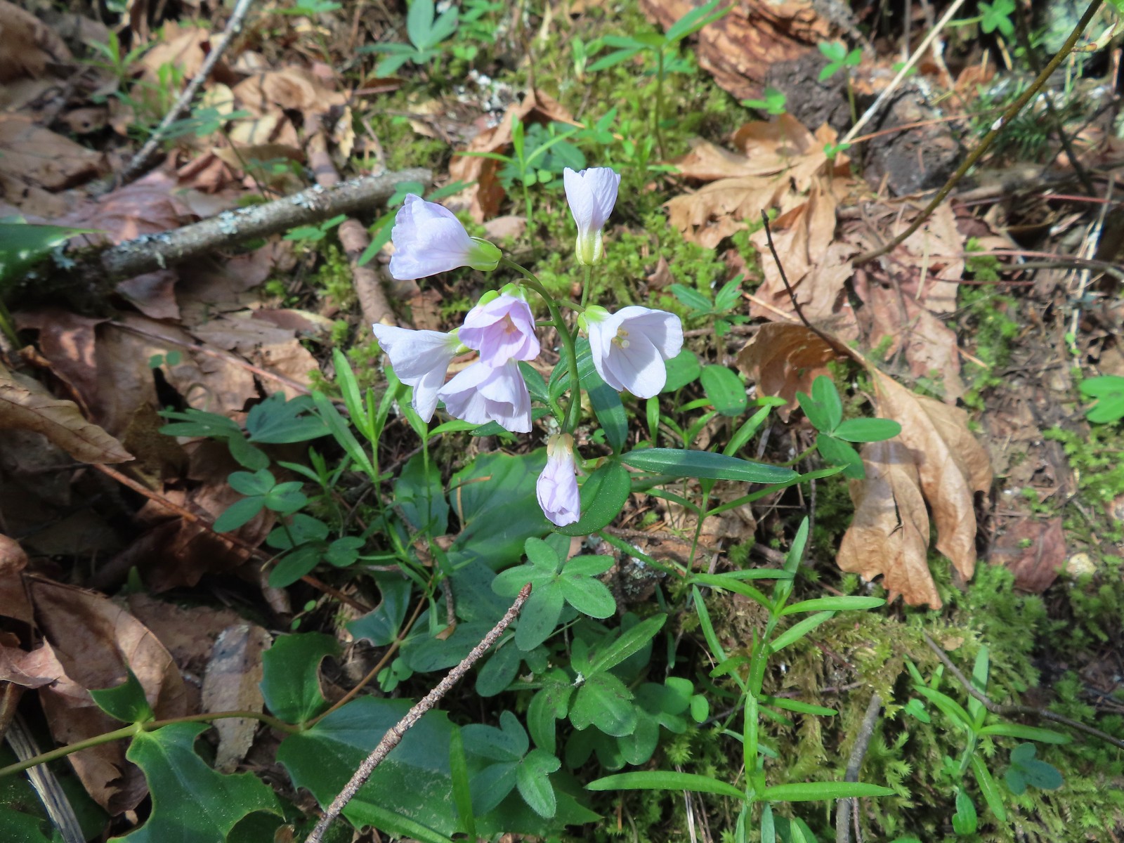
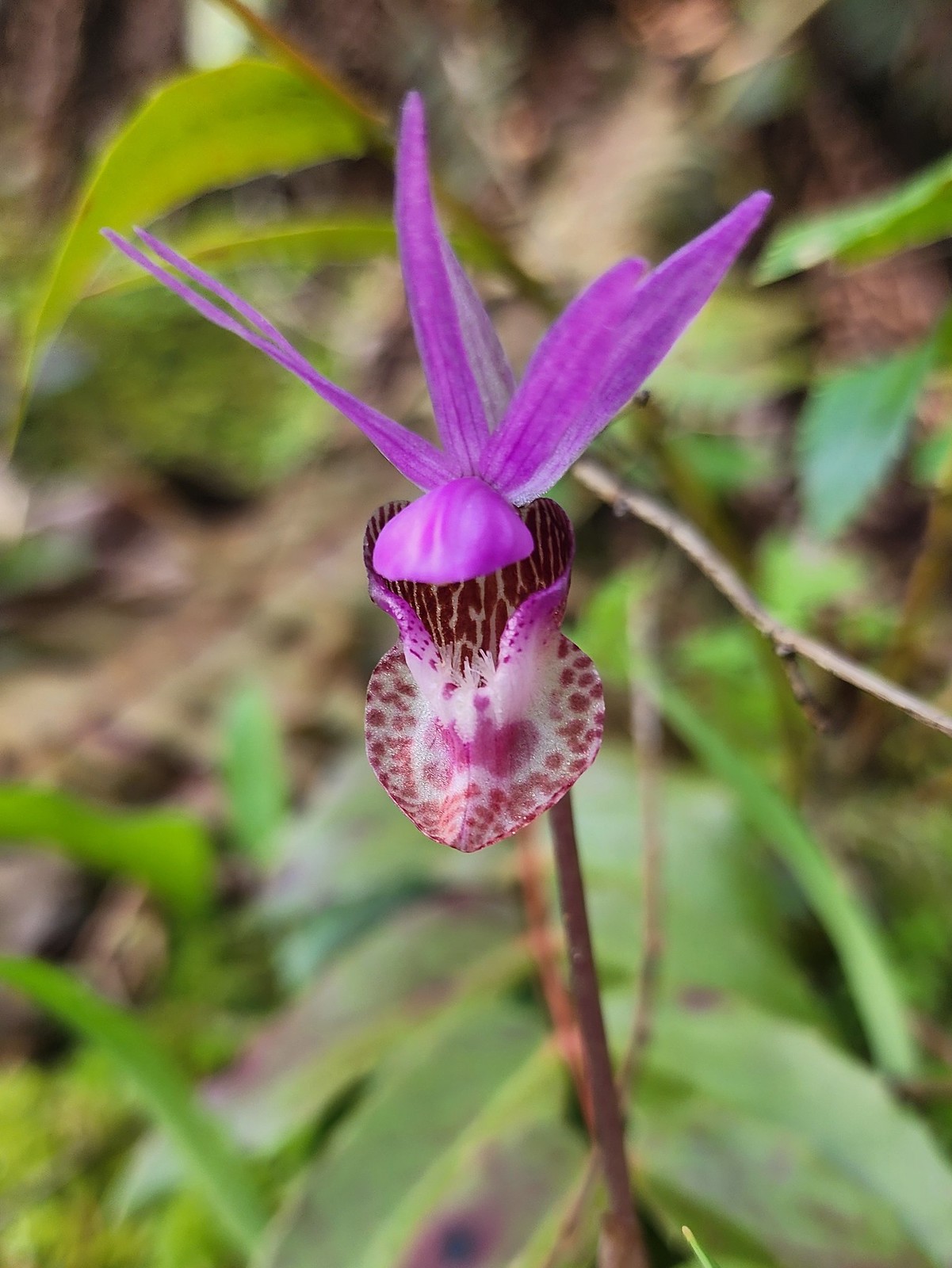 Fairy slipper
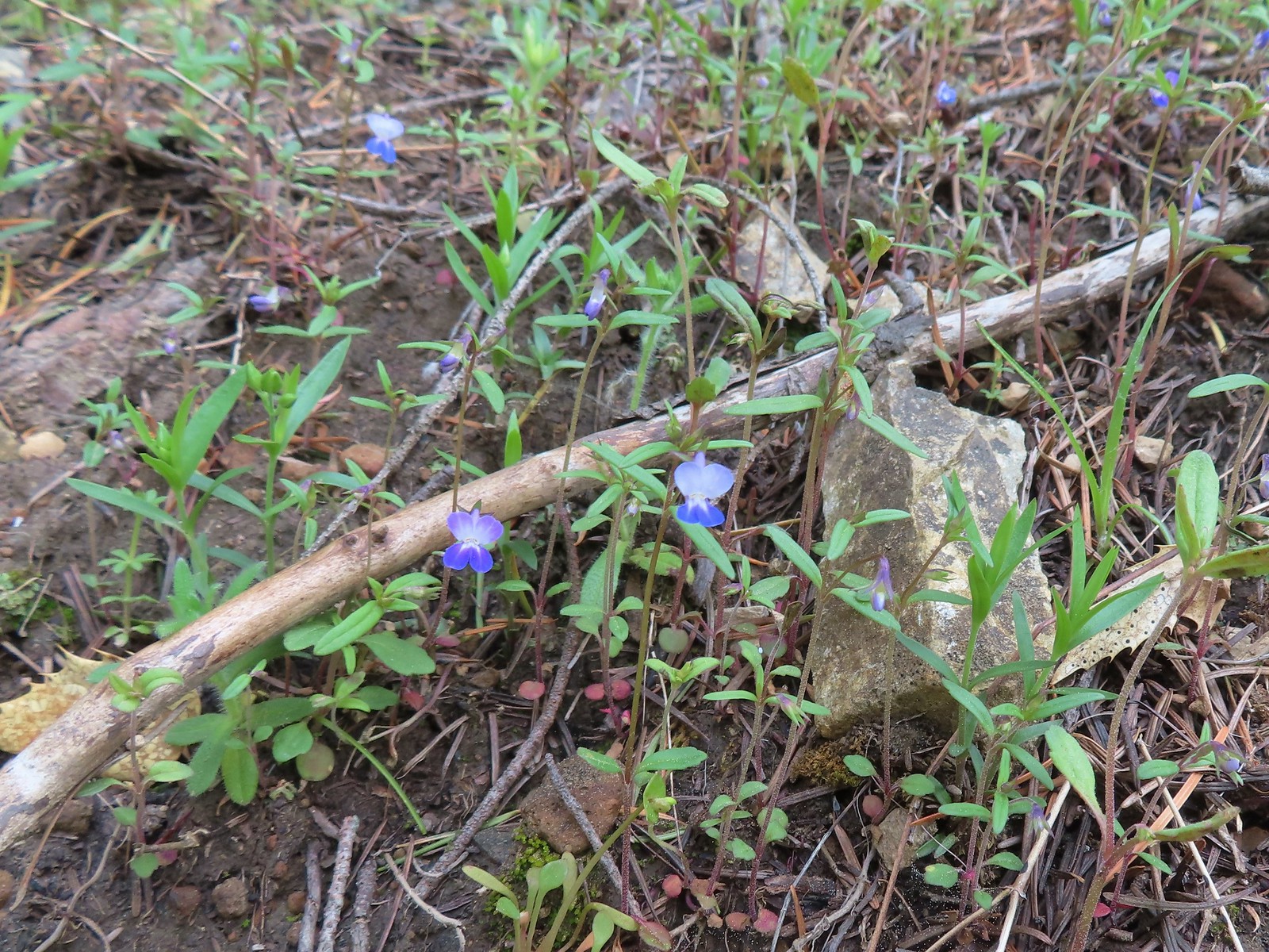 Blue-eyed Mary
 The spur trail down to the outcrop.
The spur trail was steep a little sketchy in spots so Heather opted to skip the viewpoint while I carefully made my way down.
 Looking back up the spur trail.
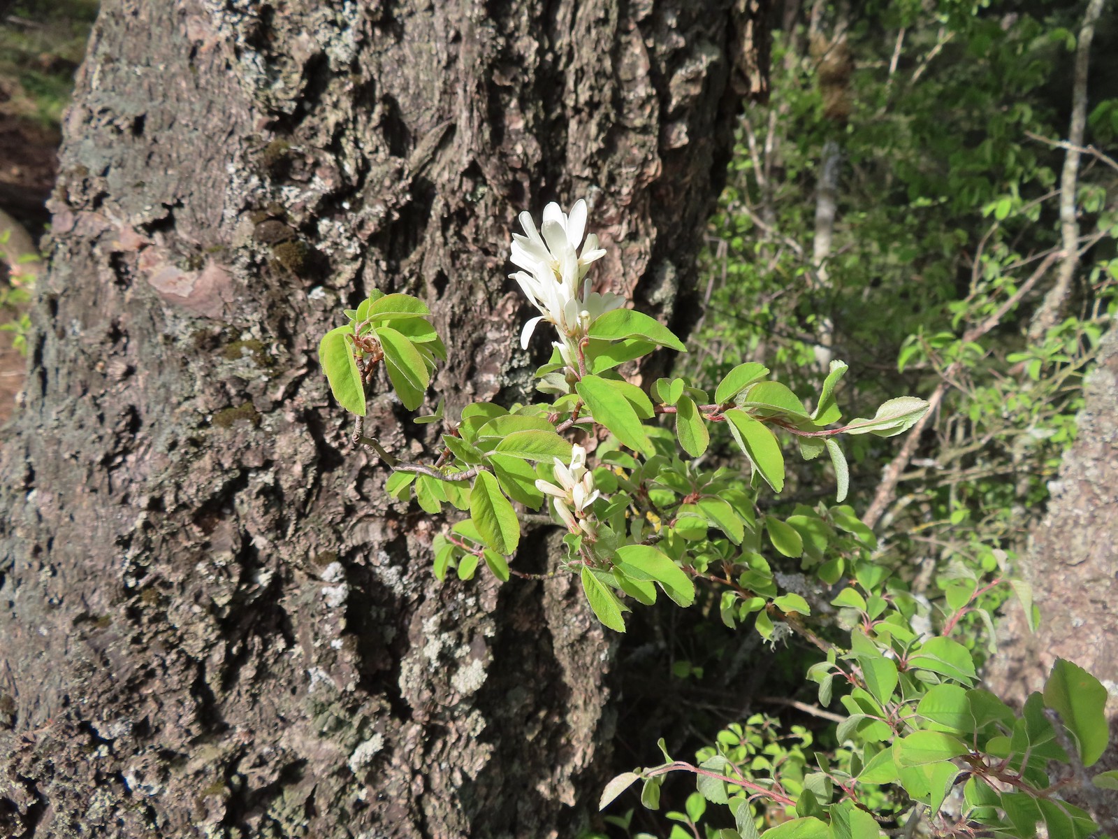 Serviceberry
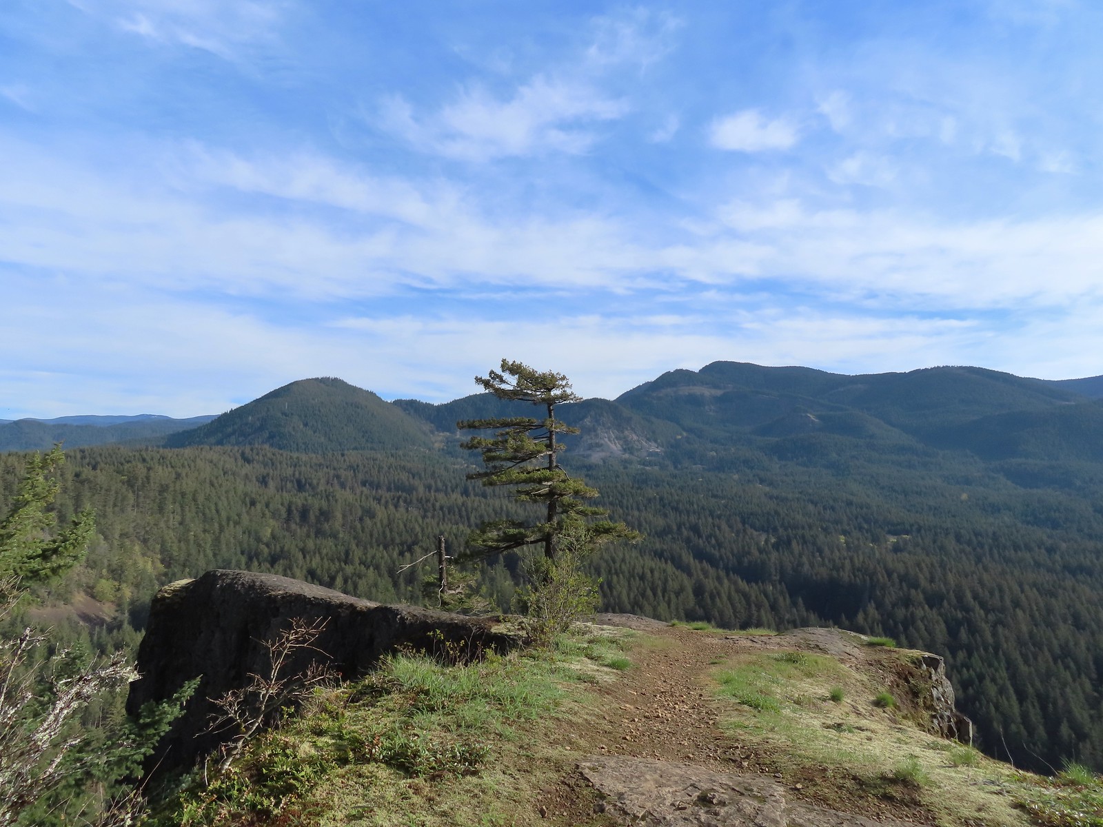 Augspurger Mountain (post) from the outcrop.
 Dog Mountain (post)
After taking in the view I returned to the trail and continued uphill.
 Largeleaf sandwort
 Talus slope on Wind Mountain.
 Slender toothwort along the trail.
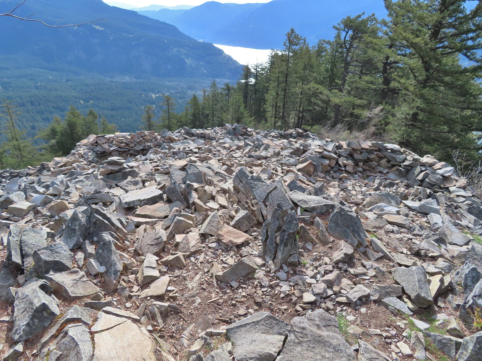
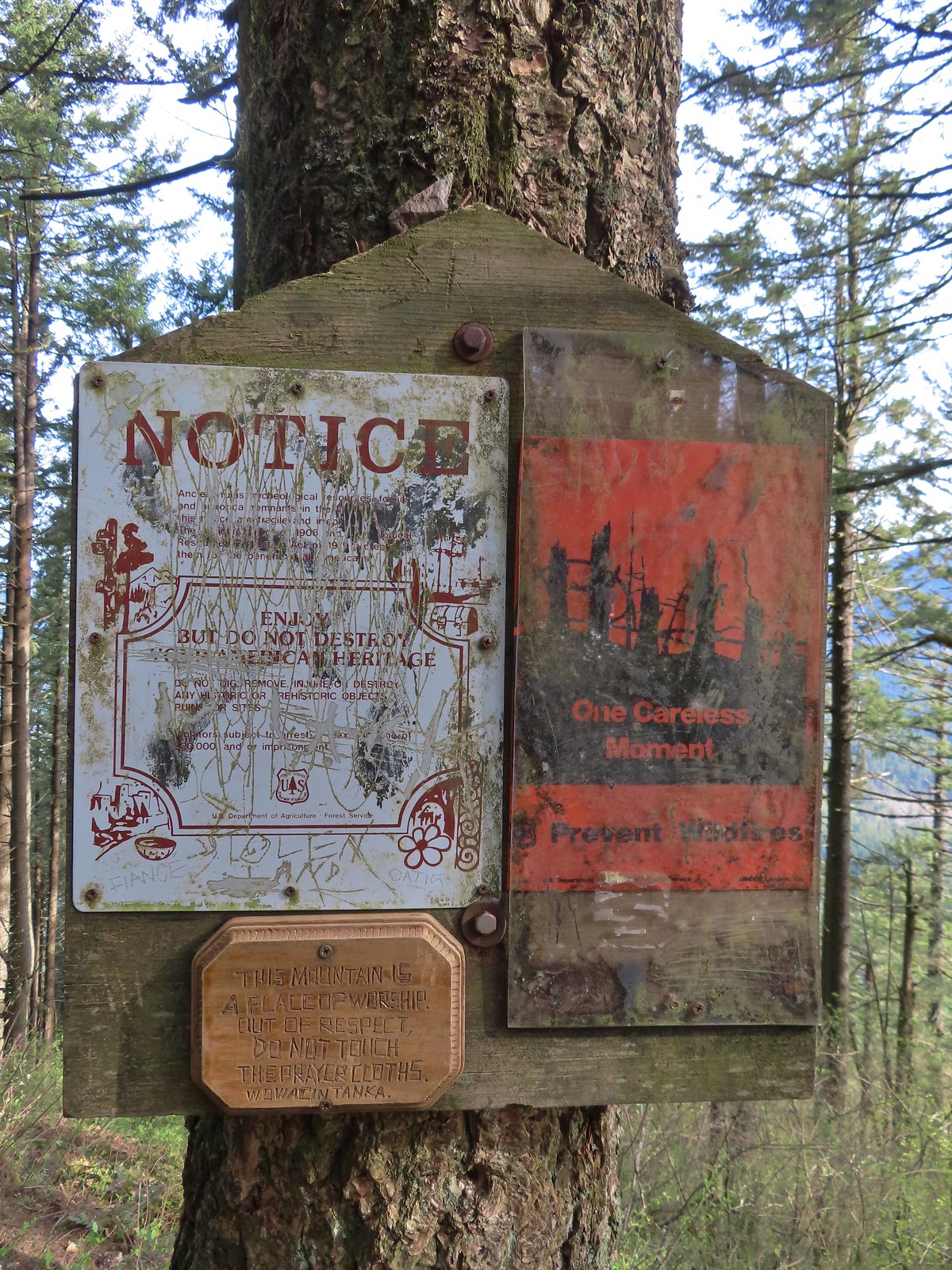 One of the signs near the summit.
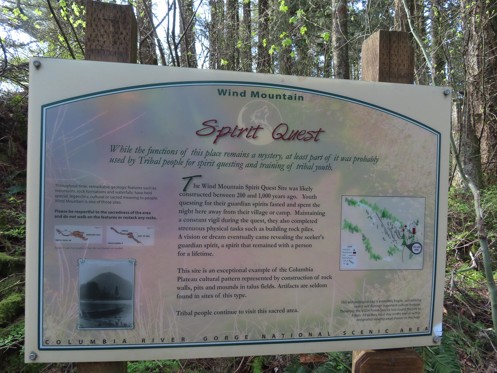 Interpretive sign with a map of the areas open to hikers.
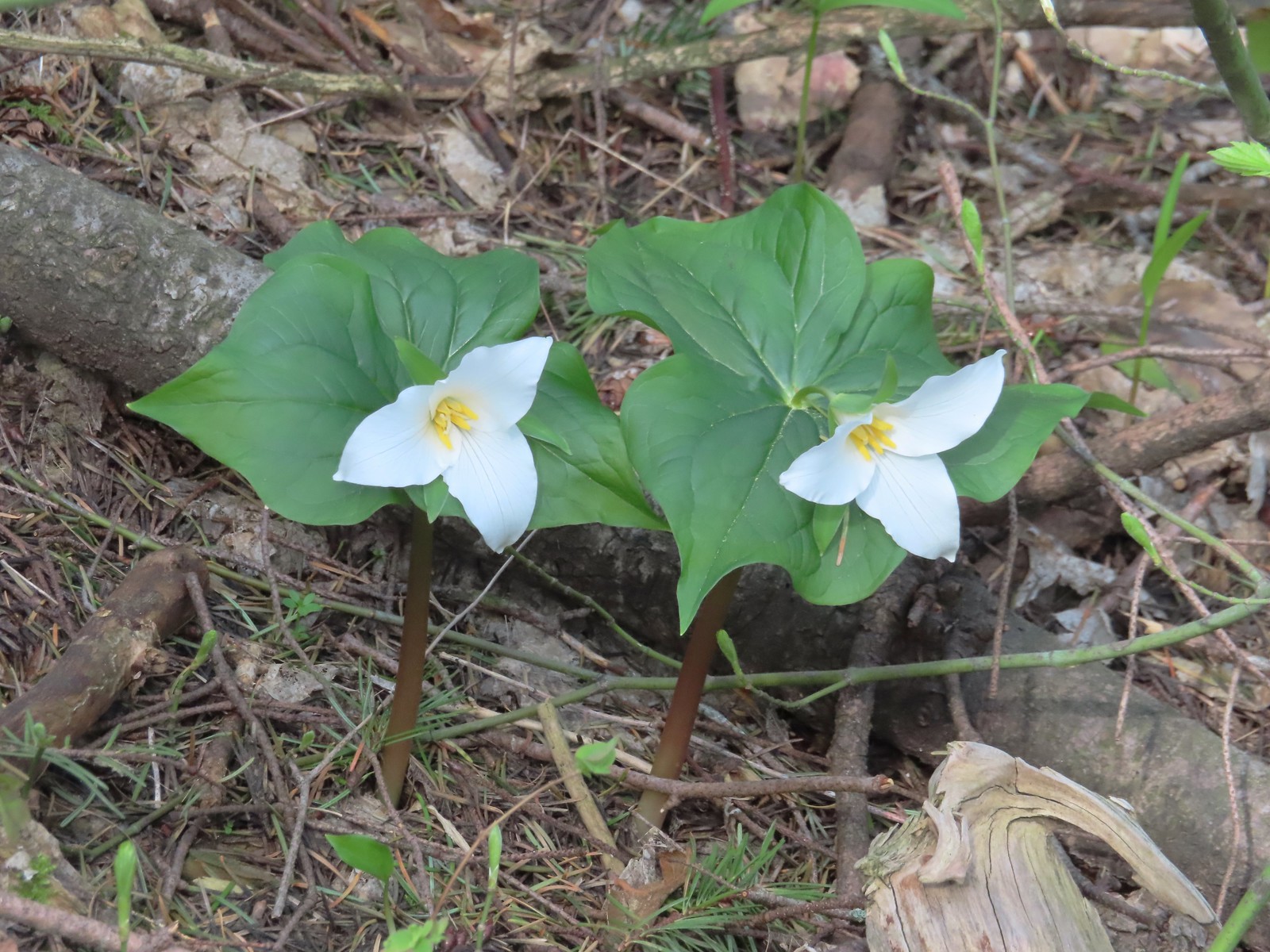 Trillium
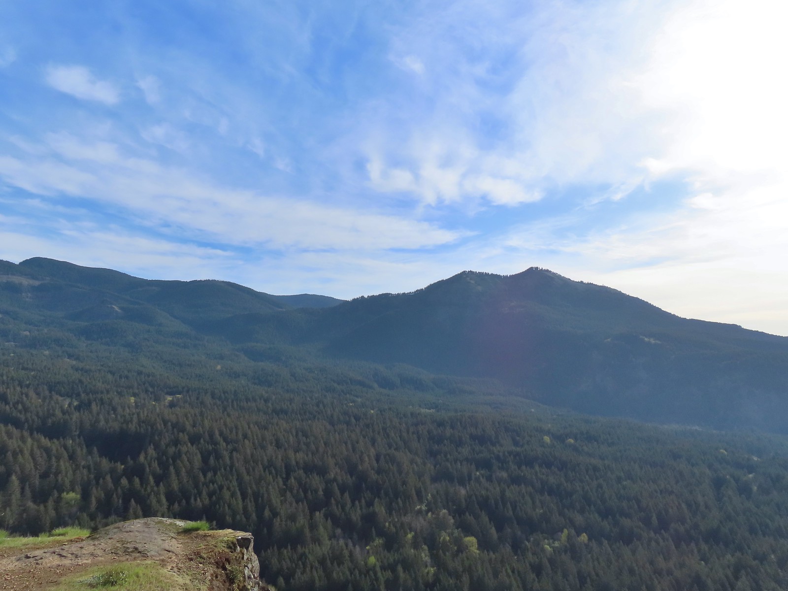
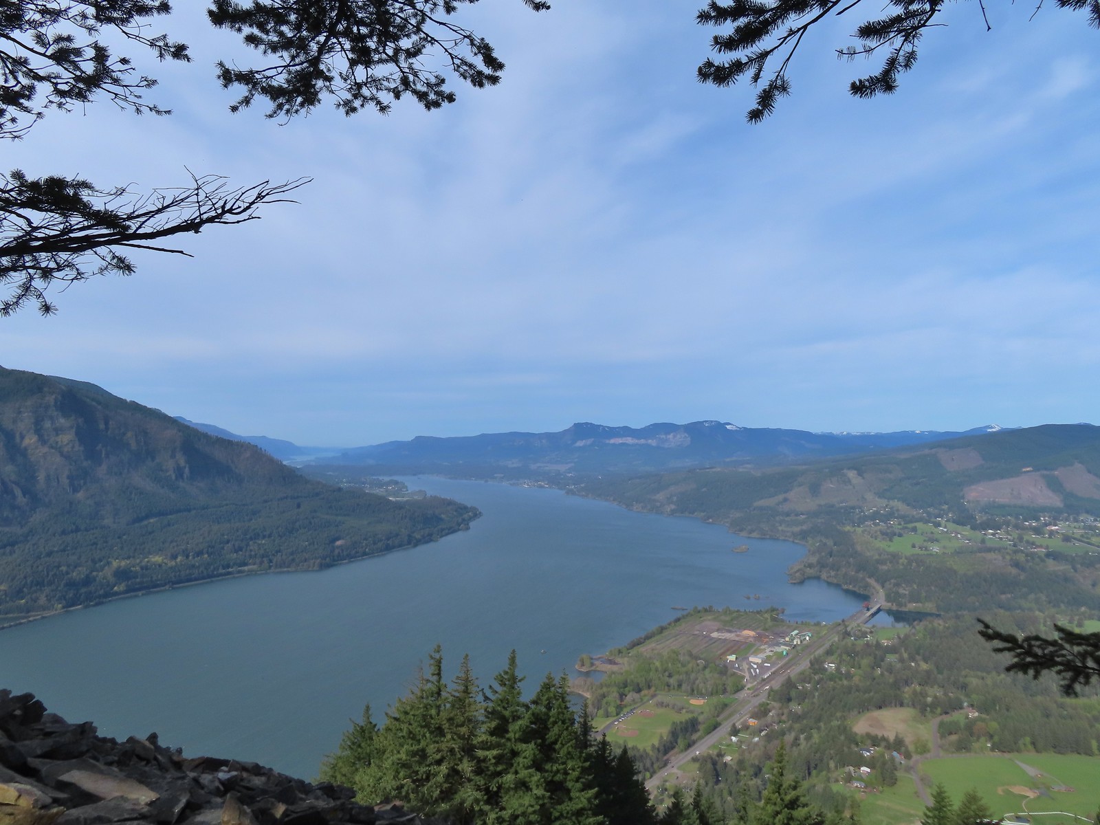 View west down the Columbia River. Hamilton Mountain (post), Table Mountain (post), and Greenleaf Peak (post) from L to R in the center.
 Mt. Defiance (post) from the summit.
 Vision quest pits on Wind Mountain.
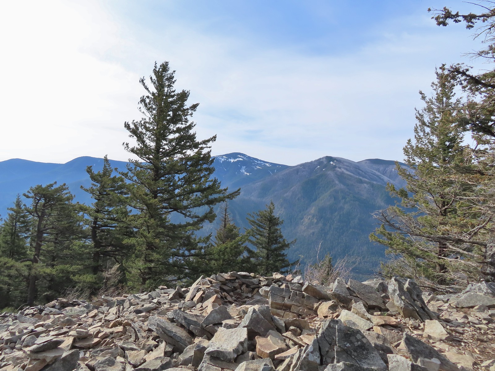
 Mt. Adams beyond Augspurger Mountain.
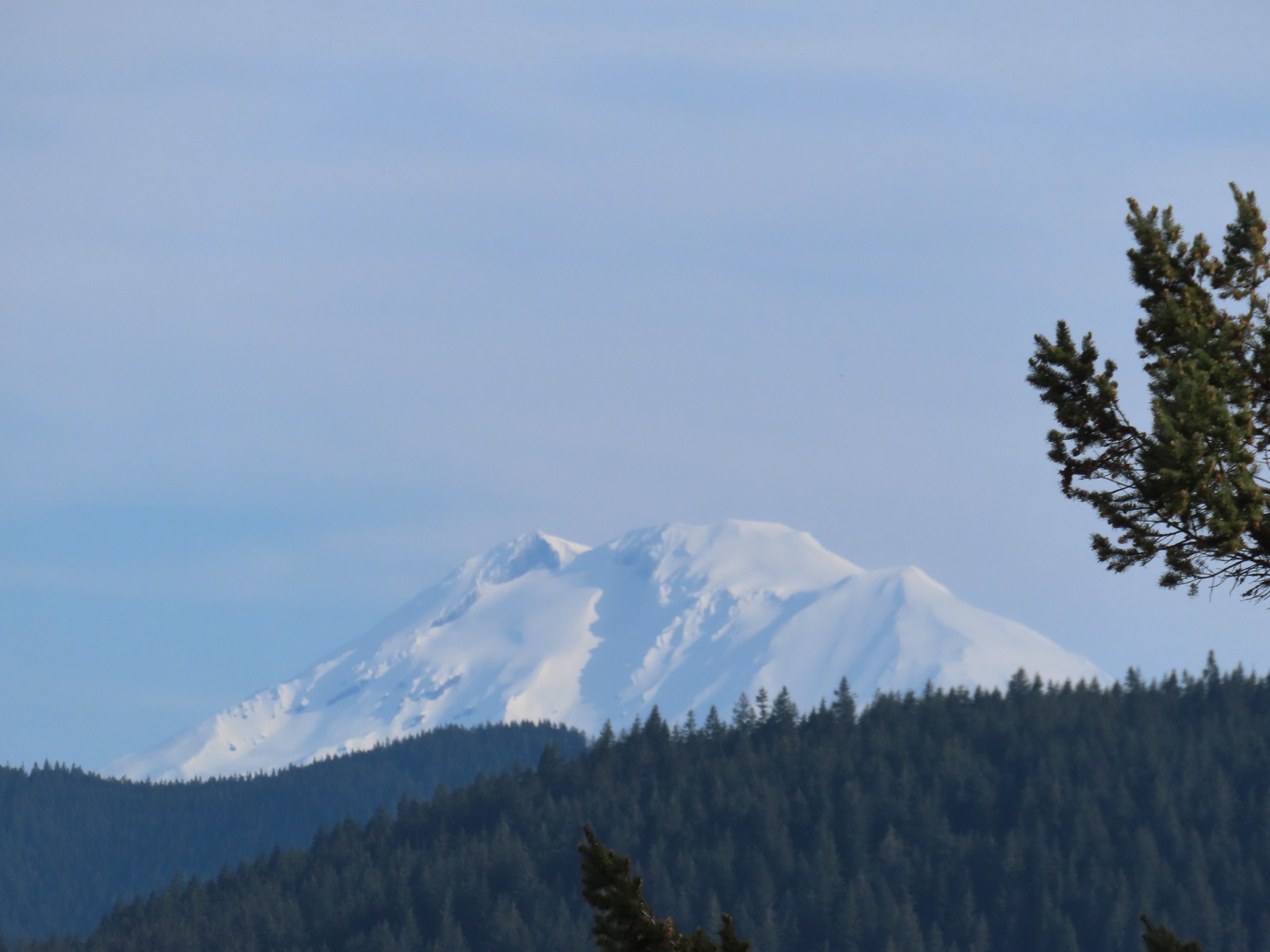 Mt. Adams
 Looking across the Columbia River.
There was a nice breeze at the summit, and we took a well-earned break before heading down. Up till that point we’d only seen five other hikers all morning, but now that it was later we found ourselves stepping aside regularly to let the uphill traffic pass. From the quarry we headed back West to our next stop at the Sams-Walker Day Use Area.
Similar to the St. Cloud Day Use Area the area is a former homestead with picnic tables, a 1.1-mile loop trail, and vault toilet. We were surprised to find the small parking lot here almost entirely full. As it turned out group from the Friends of the Columbia River Gorge were out doing some planting.
We were able to park along the edge of the trailhead entrance and set off on the loop.
There are a couple of loop options here, but no maps to assist with navigation. We had our GPS map and a map from the Oregon Hikers Field Guide, but it turns out they are both outdated so when we veered right at the first split we planned on hiking the outer loop counterclockwise.
 The first split where we went right.
A tenth of a mile later we came to another split which managed to confuse us based on the maps we had available.
 To continue on the counterclockwise loop we should have turned right at the junction ahead.
We veered left thinking that the righthand trail was a connector passing through the middle of the day use area. In another tenth of a mile though we arrived at “T” junction where we realized that the left at the first junction was the outer loop going in a clockwise rotation.
 We turned right at the junction now doing the loop clockwise.
 Coming up on one of the picnic tables along the loop.
 The Columbia River from the picnic table.
 Horsetail Falls (post) from the picnic table.
We continued on loop which eventually passed through a cedar grove before bringing us back to the second junction we’d passed.
 Chipping sparrow
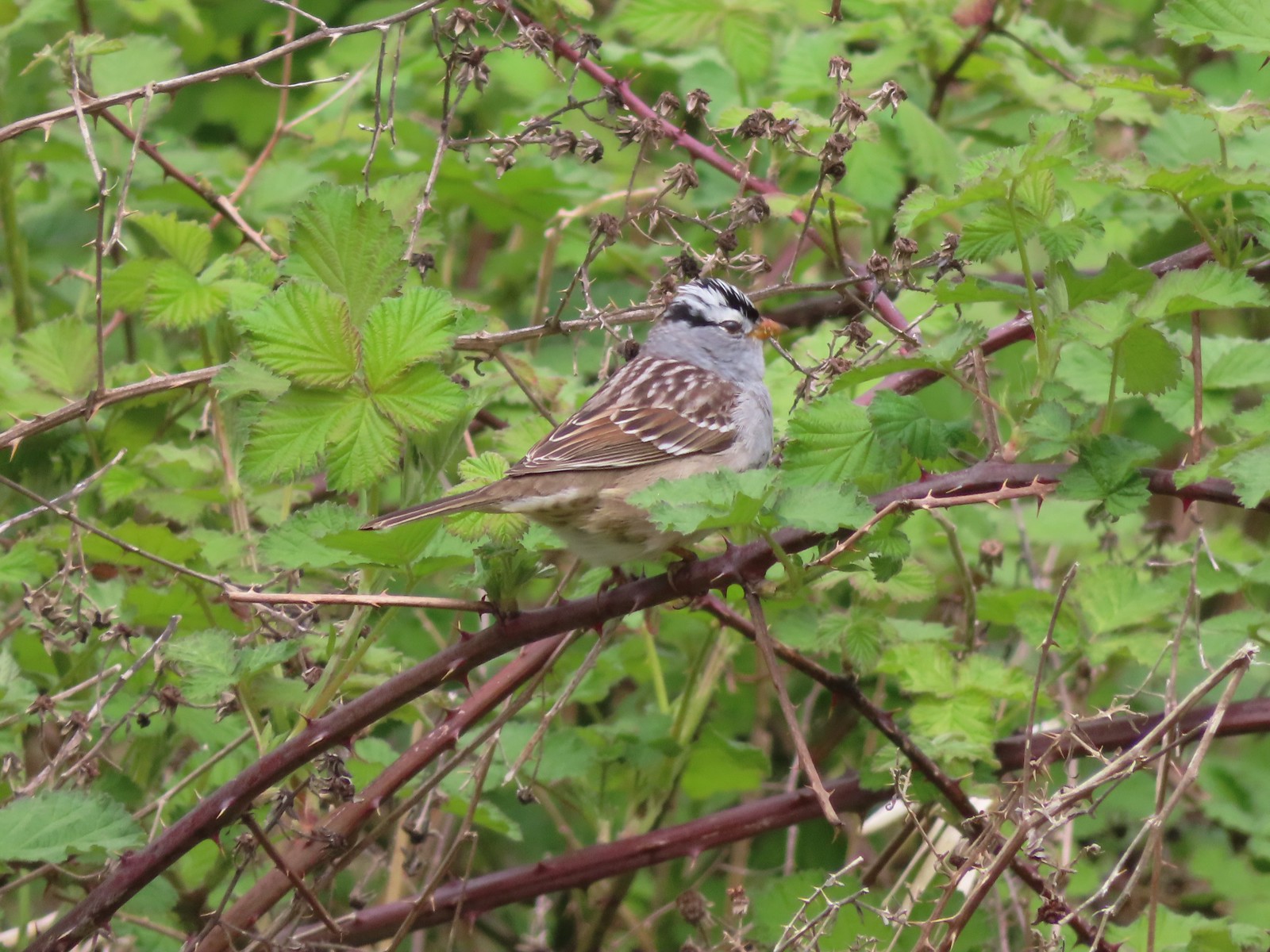 White-crowned sparrow
 Bleeding heart and fringecup
 The cedar grove
 Completing the first loop.
When we got back to the second junction we decided to go right and then take a left at the third junction to hike the portion of the outer loop that we’d missed. It was along this quarter mile section that we passed the group from Friends of the Columbia Gorge.
 Spider on perriwinkle
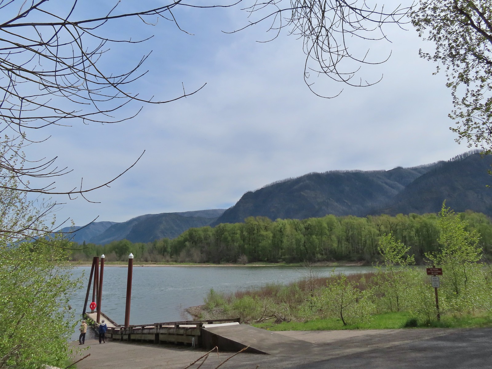
After hiking all the trails here we returned to Highway 14 and drove 2 miles back to the east to turn into the Doetsch Ranch Day Use area of Beacon Rock State Park.
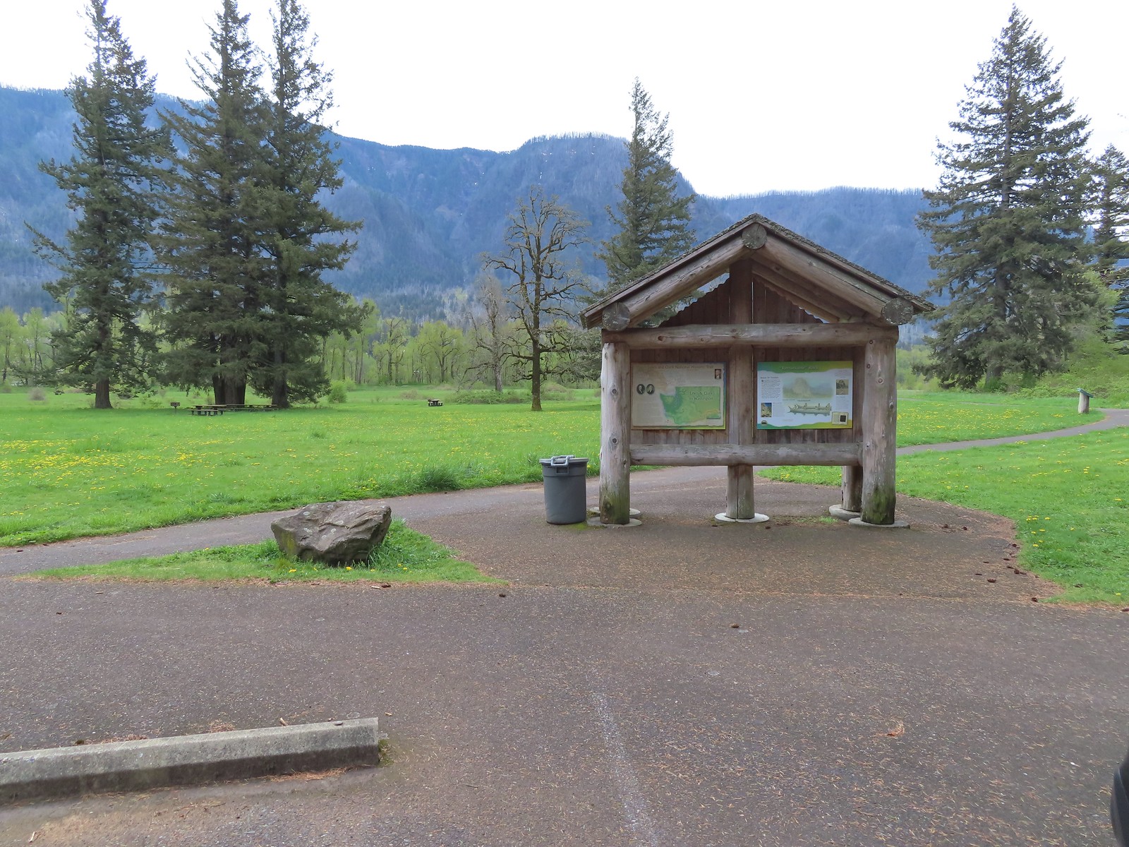 Kiosk at Doetsch Ranch.
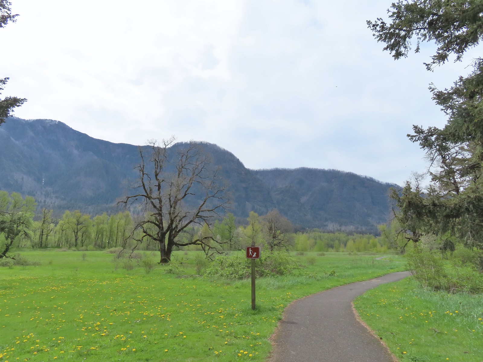
A 1.1-mile paved loop circles the picnic area. We set off counterclockwise from the kiosk following the paved path for a little over 3/4 of a mile to another parking area along Beacon Rock Moorage Road.
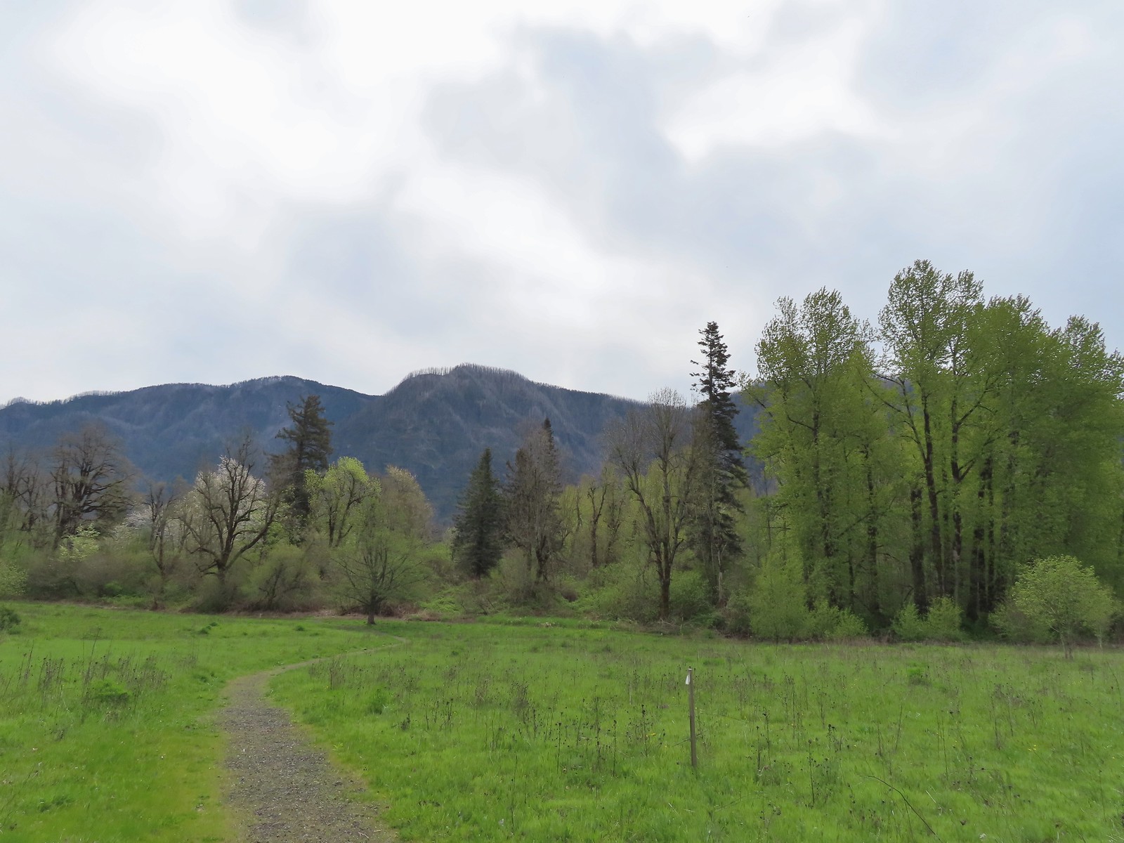
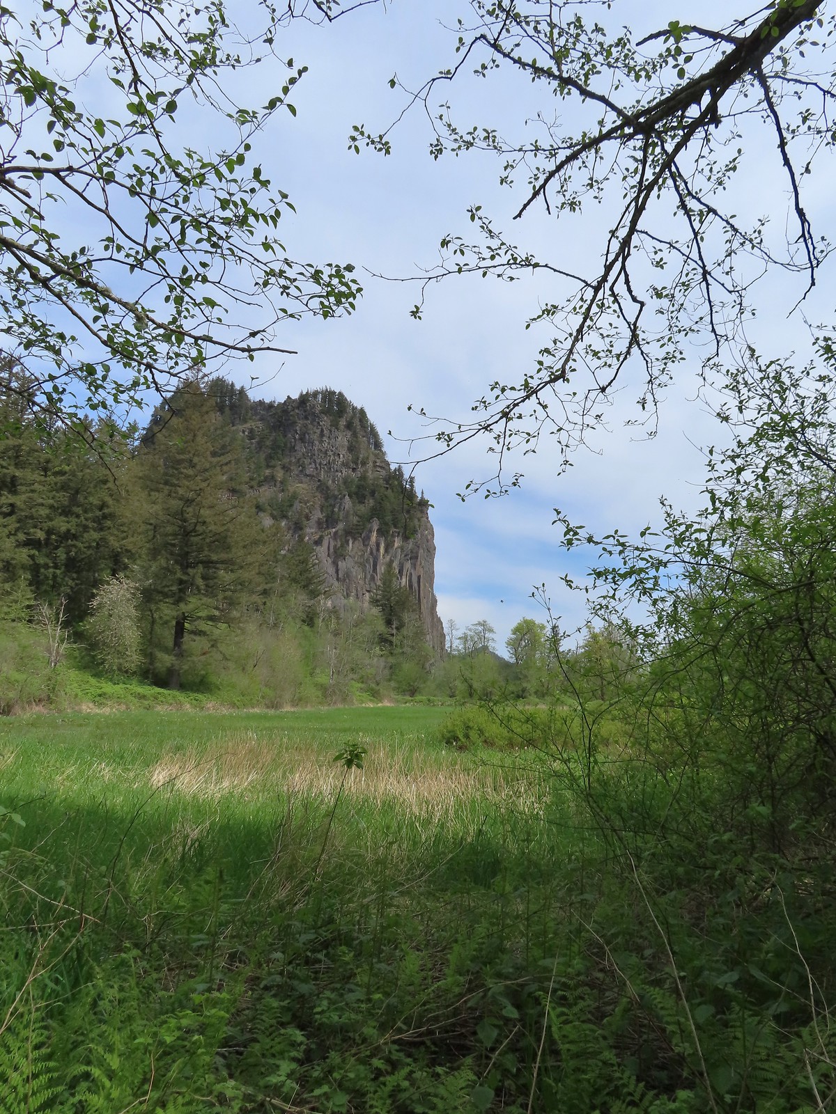
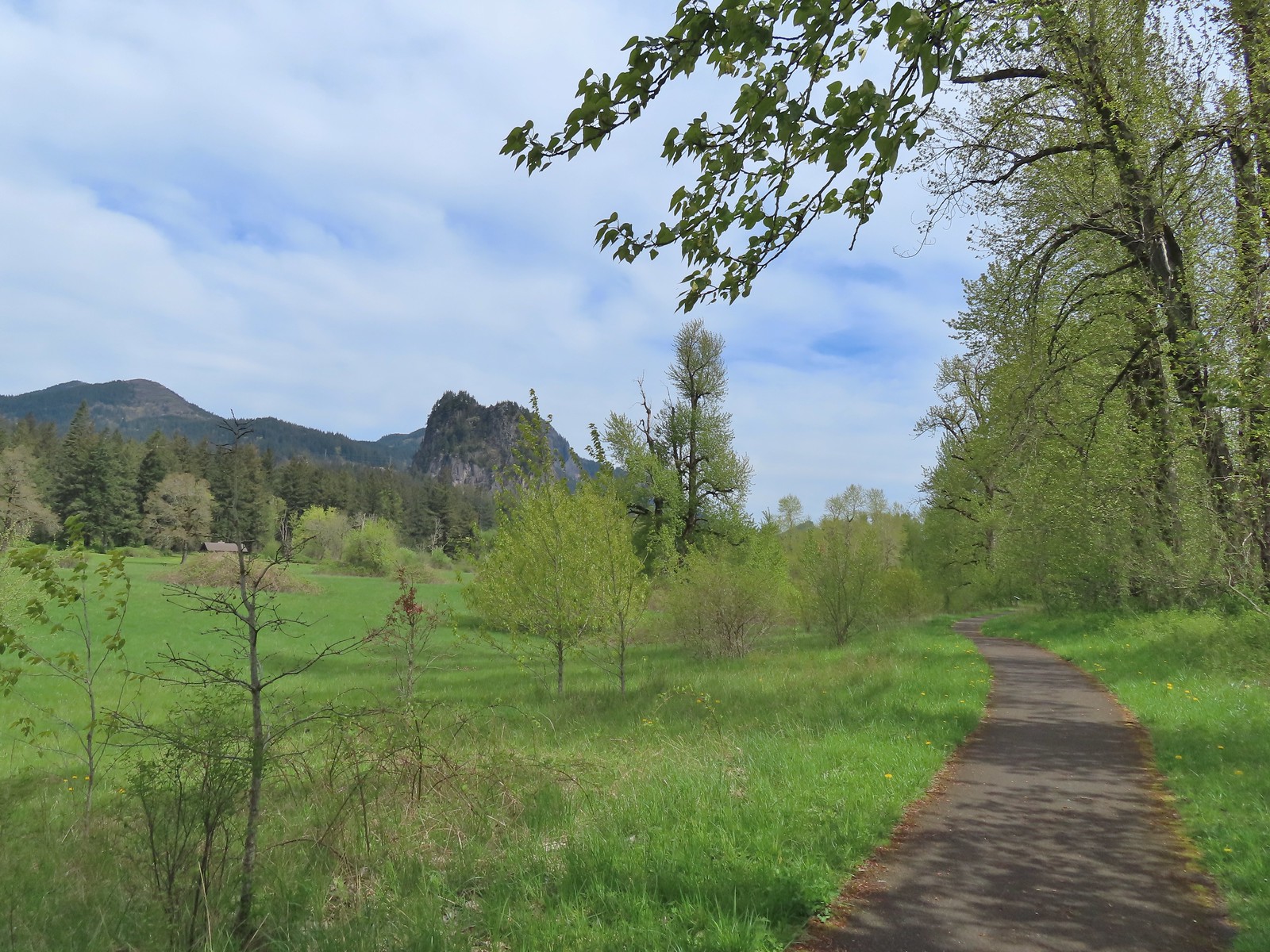 Beacon Rock (post) from the trail.
 Beacon Rock and Hamilton Mountain.
 Coming up on the other parking area.
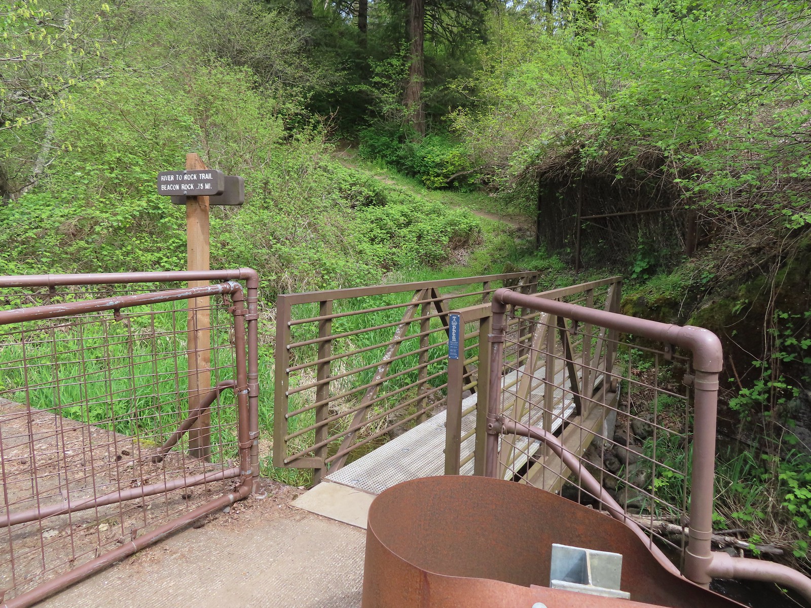
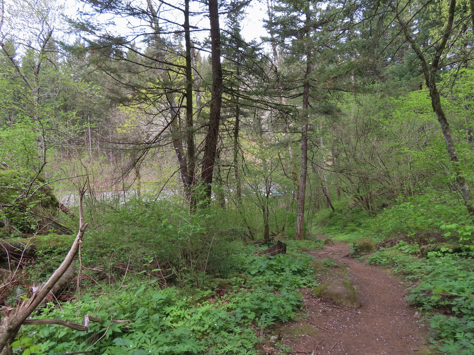
We left the loop at the road and followed the road down to the river. Next we walked up the road passing under railroad tracks to find the start of the 0.75-mile River to Rock Trail.

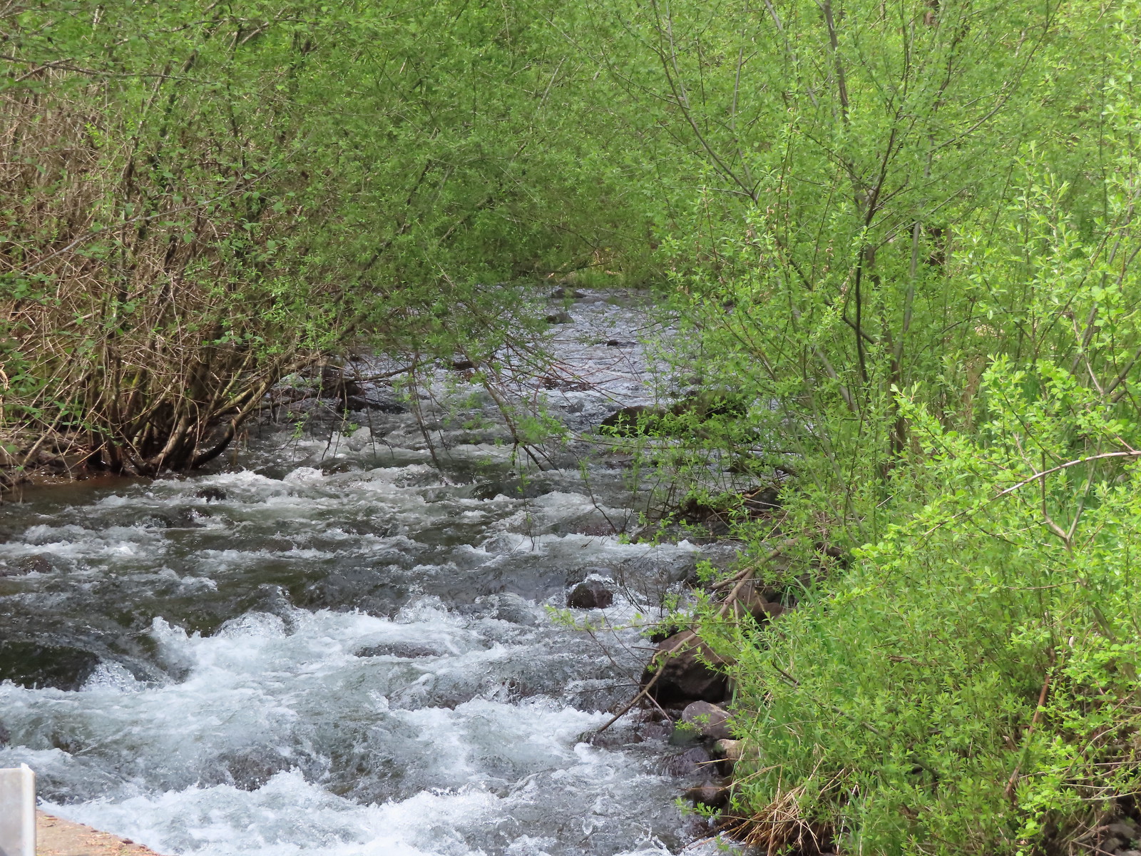 Woodward Creek
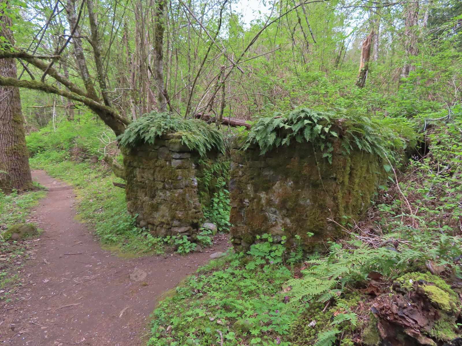
This trail climbs over 250′ before dropping to the River to Rock Trailhead. Along the way the trail passes around Riddle Lake and an old stone structure along with many wildflowers.
 Fairy bells, vine maple, and fringecup
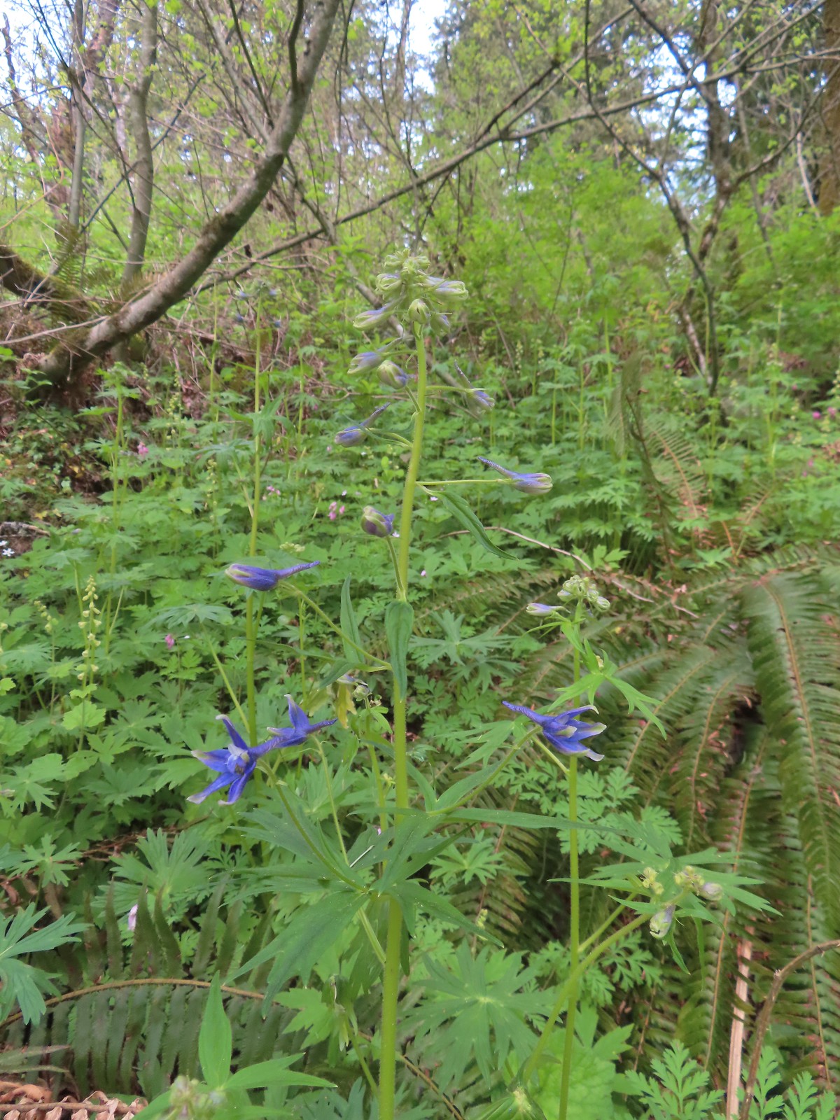 Columbian larkspur
 Trillium and voilets
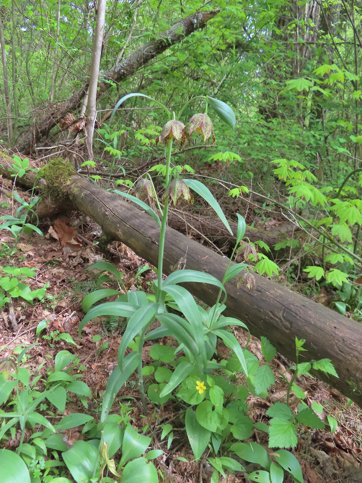 Checker (chocolate) lilies

 Bleeding heart
 This was just one part of the best display of chocolate lilies we’d ever seen.
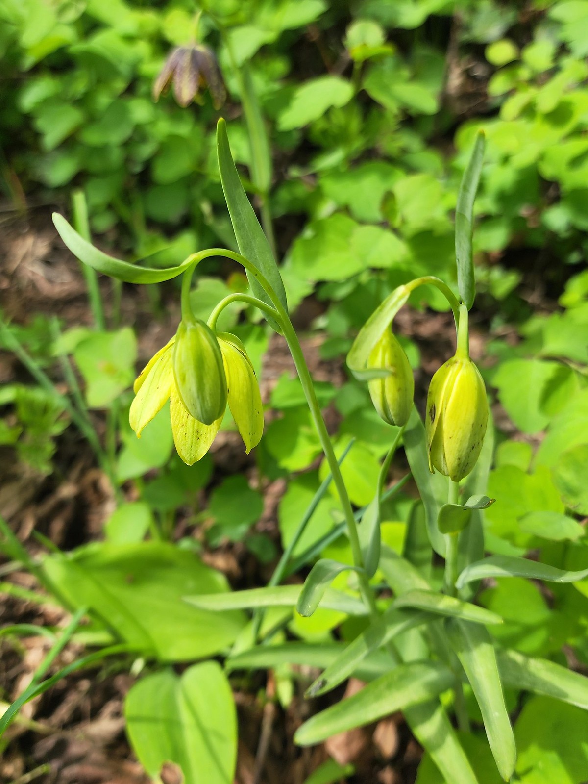 There were a couple of lilies with this coloration which was new to us.
 Riddle Lake
 Dropping down to the River to Rock Trailhead.
 Looking back up the River to Rock Trail.
We hadn’t planned on re-hiking Beacon Rock and the steady stream of people we could see from the trail going up and down the stairs reenforced that choice. We returned the way we’d come and then completed the paved loop at Doetsch Ranch to finish off our day.
 Passing back by the large patch of chocolate lilies.
 Our first butterfly of 2024, an echo azure.
 Completing the loop.
Our mileage for the day came to 9.2 with 1.6 coming at each Sams-Walker and St. Cloud, 2.7 at Wind Mountain, and 3.3 at Doestch Ranch. The elevation total was a nearly 1700′ with nearly 1200′ coming at Wind Mountain, 185′ at St. Cloud, and 270′ on the River to Rock Trail.
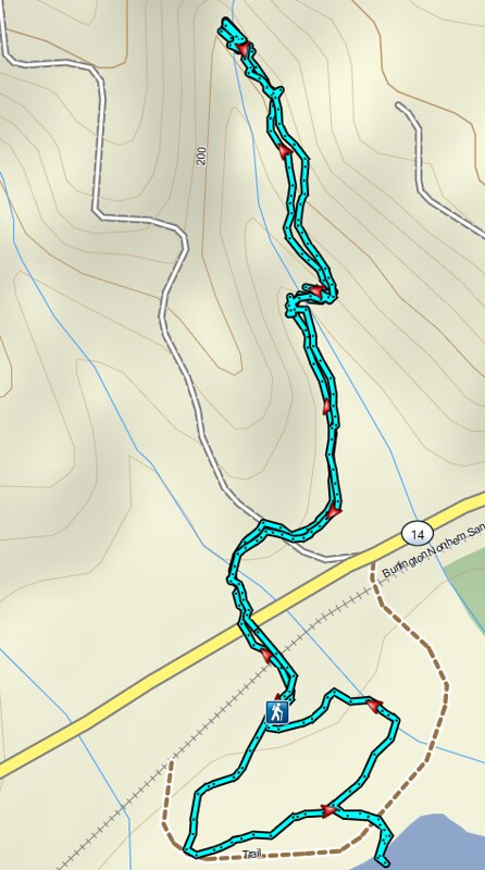 St. Cloud and Lower Archer Falls
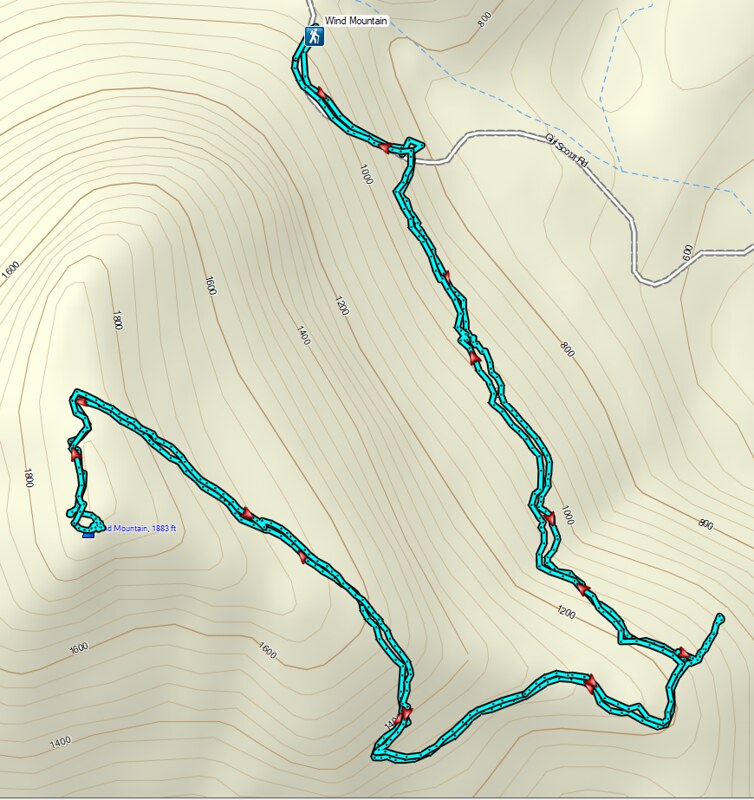 Wind Mountain
 Sams-Walker
 Doetsch Ranch
While none of the hikes were long enough to justify the 1:30 to 2hr drive from Salem combining them made for a more than worthy outing. When we got home it took me all of 5 minutes to remember where our annual forest pass was. I’d put in a shoebox on the work bench in our garage. Apparently 5am brain isn’t up to par with 3pm brain. Happy Trails!
Flickr: St. Cloud, Wind Mt. Sams-Walker, & Doetsch Ranch


 James and Little James Islands
 The beach was mostly small pebbles to start. Our steps often sunk more than expecting requiring more effort than we’d have guessed. We spent quite a bit of time trying to find the most solid ground.
 Our footsteps on the beach.
 Stump in the sand.
 Ellen Creek. The creek flowed under the beach and emerged shortly before the ocean.
 Seagull
 Bald eagle


 Looking back through the arch.


 This racoon was searching the tide pools for breakfast.
 Looking back toward Hole-in-the-Wall.

 Many of the dark spots on these rocks are the small crabs.
 Does anyone know what this is?

 Oyster catcher
 Cormorants
 Cape Johnson in the distance.
 Paintbrush
 Unnamed creek not quite making it to the ocean above ground.
 Cape Johnson

 I turned around at the slide ahead.
 Hermit crab shells
 A good example of the challenging terrain.
 Seagull, oyster catchers, and a cormorant.
 Paintbrush on the cliffs above the beach.
 Hole-in-the-Wall and James Island back in view.
 Not a great picture due to the extreme zoom and low lighting. After looking closer at this photo I began thinking it was just a rock in the surf. Then I looked at the next photo and what would be the foot and the head were in different positions.
 Possible sea otter.
 The area around Hole-in-the-Wall was a lot busier on the way back.
 Driftwood on the beach.
 Heather spotted this little starfish while exploring the tide pools near the arch.
 Heather also spotted this which we believe is a velella velella.
 Starfish and anemones
 Bald eagels
 On the jetty looking at James Island.
 La Push across the river.
 Sea lion in the river.
 Heading back to the trailhead along the jetty.
 The jetty is actually part of the Quileute Indian Reservation.

 Map of the area trails at the trailhead.
 Anyone know why the spelling on the sign is different?
 Violets
 Bridge over an unnamed creek.
 Trillium
 Coltsfoot
 Fairy bells


 Depending on the volume of water there are up to four channels which was the situation on this day.
 Heather on the bridge above the falls.


 Storm King Ranger Station
 Forget-me-nots (non-native) along the trail.
 Lake Crescent

 Storm King Trail to the left.
 Marymere Falls Trail junction with the Barnes Creek Trail.
 Footbridge over Barnes Creek.
 Barnes Creek
 Trillium
 Footbridge over Falls Creek almost immediately after crossing Barnes Creek.
 Falls Creek
 Start of the clockwise loop.

 Marymere Falls
 The trail climbing up from the first viewpoint.
 Marymere Falls from the second viewpoint.
 Final viewpoint before the loop curved away from the falls and descended back to its start.
 The footbridges over the two creeks.
 Unnamed fall on Falls Creek from the footbridge.
 It was now almost 9am so there were a few cars parked here already.

 Various poems were located along the first mile of the trail.
 This trail is open to a variety of users.
 Haiku
Haiku

 A second haiku.
 Common whipplea
 Starflower
 Valerian
 Clear water in Lake Crescent.
 Paintbrush
 Something in the pea family.
 Nearing Devil’s Punchbowl.
 Devil’s Punchbowl
 There was a fair amount of poison oak along the trail to Devil’s Punchbowl.
 Madrones
 Honeysuckle
 Common cryptantha
 Rejoining the railroad trail on the far side of the tunnel.
 Butterfly
 Another type of trail user.
 View west.
 View east.
 Big deervetch
 Fairy slippers
 Chipmunk
 Woodpecker
 Lake Crescent Lodge on the far side of the lake.
 Squirrel
 Wallflower
 The second tunnel.
 Thimbleberry
 White crowned sparrow
 Going through the tunnel.
 I went a little further around this bend while Heather took a seat on a log after exiting the tunnel.
 Paintbrush
 View across the lake toward the Barnes Creek Valley.
 I believe the snowiest peak is Lizard Head Peak.
 Saxifrage
 Chickweed
 Swallow
 Oregon sunshine
 Lupine
 Stonecrop
 Variable-leaf collomia

 This was a longer tunnel and had little light near the middle.
 Descending to the trailhead.

 The lake from the picnic table.
 Common loon
 These mallards came flying in then waddled up to see if they could scrounge something from us, but we explained that we do not feed the wildlife (
 Stellar’s jay
 Trying to find the route to the lodge.
 Mushroom
 The lodge is just on the other side.


 Interpretive signs explaining the creation of Lake Crescent by glaciers.
 This trail had good signage unlike the area near Bovee’s Meadow.

 Chair near the lodge.
 Lake Crescent Lodge.


 Hall of Mosses pointer.
 Spring fed Taft Creek.
 Start of the one-way loop.
 Interpretive sign along the loop.
 Looking up from the interpretive sign.
 Maple Grove
 Nursery log

 Fallen sign for the Spruce Nature Trail.

 This was another interpretive loop.
 Hoh River from the trail.
 This huge root ball was hosting its own mini forest.
 Taft Creek
 The trail extends all the way up to Glacier Meadows below Mt. Olympus.
 Violet
 Fungi
Fungi
 Another type of violet.
 Hoh River
 Bunchberry and strawberry bramble
 Slug
Slug Trillium
 Squirrel
 One of the “ups”.
 Star flower
 Hoh River
 Mineral Creek
 Scouler’s corydalis along Mineral Creek.
 Mineral Creek Falls
 Unnamed creek a short distance beyond Mineral Creek.
 Waterfall on the unnamed creek.
 Sign for the spur trail to Mount Tom Creek Camp.
 Wren
Wren
 Vanilla leaf
 Water droplet on a vanilla leaf.
 More violets
 Salmonberry along the trail.
 Big leaf maple canopy.
 There were a few obstacles such as this closer to 5 Mile Island.
 Cougar Creek crossing.
 Marker at the spur trail for 5 Mile Island Camp.
 Hoh River at 5 Mile Island Camp.
 View upriver from the same spot.
 Privy at 5 Mile Island Camp.
 Crow
Crow Cat Peak, Mount Carrie, and Ruth Peak partly under clouds.
 Cat Peak
 We saw a lot of robins, on this hike and the over the next four days.
 Slug
Slug
 Candy flower
 Almost back to the trailhead.


 Atwood Road
 Death camas
 Saxifrage and a yellow bells.
 Grass widows
 Gold stars, wood-land stars, and blue-eyed Mary.
 Catherine Creek from Atwood Road.
 Pungent desert parsley

 Closer look at the arch.
 Buttercup
 I believe this was just our second time coming across these flowers.
 Closer look at the Dutchman’s breeches.
 Hairy bittercress (non-native)
 Entering the sunlight.
 Glacier lilies
 wood-land stars
 Toothwort
 Columbia desert parsley

 Heading through the forest.
 Looking east as the road emerged from the forest.
 Grassy hillside
 Mt. Hood behind a few clouds.
 Mt. Hood
 Popcorn flower
 Rowland Creek
 Another user trail on the left, referred to as the Shoestring Trail by the Oregonhikers Field Guide. This trail is not shown on the Forest Service map nor is it mentioned on their website.
 Coastal manroot
 Grass widows
 View of Mt. Hood’s summit.
 Robin hunting worms.
 Daffodils
 The Upper Labyrinth Trail (aka Co8) joining from below. This was the first junction with signs naming official trails.
 Labyrinth Creek below Atwood Road.
 The Labyrinth Creek crossing.
 Wet trail climbing away from Labyrinth Creek.
 Red-tailed hawk


 Yellow bells

 We stayed left here.
 We ignored the singletrack leading right on the far side of this unnamed stream.
 Here we veered right on the single track. I believe the single track is the “official trail” although both paths led to the signed junction.
 A multitude of tracks near the junction.
 On one of the switchbacks.
 Turkey vulture
 The upper viewpoint.
 Balsamroot
 Looking east over the Columbia River.
 Gold stars

 The
The  Woolly-pod milk-vetch
 Miniture lupine, redstem storksbill and a popcorn flower.
 Fiddleneck
 We turned right at this junction with the Old Ranch Trail to continue downhill.
 Naked broomrape and redstem storksbill

 Tomcat clover and redstem storksbill


 We ignored the Little Maui Connector Trail on the left near the old highway.
 Larkspur


 Crossing for Labyrinth Creek.


 First view of the Catherine Creek Trailhead on the plateau ahead.

 Hound’s tongue
 Rowland Creek
 Rowland Basin

 Lupine and balsamroot


 The Rowland Pinnacle


 Looking down at the pullout from the PCT on the way back.


 Phantom orchid
 Spotted coralroot
 Finetooth beardtongue
 Mt. Hood through a window in the trees.
 Finetooth beardtongue along the trail.
 White spiraea
 Bluehead gilia
 Paintbrush
 Some yellow balsamroot along the trail.
 Columbine
 Inside-out flower
 Queen’s cup
 Bunchberry
 Vanilla leaf
 Arnica
 Approaching the landslide area.
 Starting at the green up to the left is Augspurger Mountain (
 Mt. Hood from the viewpoint.
 Lomatium, bluehead gilia, and arrowleaf buckwheat in the bowl.
 Honeysuckle


 Wild onion mixed in with bluehead gilia.
 Bluehead gilia
 Lupine
 Catchfly
 Arnica and beargrass in the forest.
 Nearing one of the little meadows.

 Sub-alpine mariposa lilies
 Bluehead gilia
 Sub-alpine mariposa lilies
 A closer look shows why these are also known as cat’s ear lilies.
 Buckwheat
 Onion
Onion
 Bastard toadflax behind a cat’s ear lily.
 Rosy pussytoes
 Yarrow
 Looking back from the meadow.
 I believe these are some type of microseris.
 Boundary sign for the
  Broadleaf arnica
 Star-flowered false solomonseal
 The Cedar Creek Trail coming up from the right.
 Anemones
 Wallflower
 White groundsel
 Cliff beardtongue
 Cliff beardtongue
 Wild rose
 Larkspur
 Mt. Hood from the viewpoint.
 Spotted coralroot
 Oregon sunshine and wild onions
 Chickweed
 Arriving at another small clearing with flowers.
 Phlox, penstemon, lomatium, onion, and mariposa lilies.
 Another little meadow.
 Larkspur and balsamroot
 This was the only time we spotted Mt. St. Helens on the hike.


 Mt. Adams from the former lookout site.
 There was a lot of phlox in bloom.
 Table Mountain (
 Mt. Hood
 Mt. Hood with Mt. Jefferson behind to the right.
 Balsamroot and groundsel
 Mt. Adams
 Phlox
Phlox
 Paintbrush and cliff beardtongue
 Another view of Mt. Hood.

 Sandwort
 Chickweed
 Balsamroot
 Some of the smaller flowers present on the summit.
 Finetooth beardtongue
 Wallflower
 Wild onion
 The end of the ridge is about three quarters of a mile from the lookout site.
 Heather on the outcrop.
 Painted lady
 Larkspur
 Swallowtail
 Chickweed in some phlox.

 Wallflower
 Colubmine
 Bluehead gilia
 Beargrass along the PCT.
 Heading down to the trailhead.

 The trailhead is just a large gravel pullout along Cook-Underhill Road.
 There is no parking for the trail anywhere along Jackson Rd.


 Ookow surrounded by poison oak.
 Mt. Defiance (
 Large-flower triteleia
 Monkeyflower along the road.
 Ookow
Ookow
 Small waterfall through the vegetation.
 The first of two crossings of this unnamed creek.
 There was a lot of spotted coralroot along the road.
 Most of the trees had been cleared from the road, those that remained were easily stepped over.
 Anemones
 The second creek crossing.
 Lupine
 White groundsel
 Small spring near the junction with the start of the loop.
 Reeder mentioned a rock cairn at the start of the loop which was still present, but now there were signs too.
 Going counterclockwise seemed to be preferred direction based on trip reports. This was also the shorter distance to the summit at 1.6-miles.
 The clockwise sign listed the summit as 2.8-miles away in that direction.
 Arriving at the lower meadow.
 Balsamroot
 Groundsel and balsamroot
 Lupine
 Death camas
 The rocks up ahead made for some nice seats to take in the view from.
 Mt. Hood peaking over the ridge to the left with Mt. Defiance to the right.
 Mt. Hood
 Vanilla leaf
 Starflower
 Fairybells
 The start of the long upper meadow.
 Larkspur
 Violets
 Slender phlox and blue-eyed Mary
 Phlox
Phlox Balsamroot surrounded by larkspur and coastal manroot.
 Coastal manroot
 Groundsel
 Dog Mountain from the meadow.
 Chocolate lily
 This was the closest lupine to blooming in the upper meadow.
 Chickweed
 Oregon sunshine yet to boom.
 Mt. Hood from the meadow.
 Woodland stars, larkspur, and lomatium.
 Yellow buttercups lining the trail.
 Mt. Hood and Mt. Defiance
 Mt. Hood
 Mt. Defiance
 Alpine pennycress
 Larkspur and lomatium

 Chocolate lily eating a buttercup.
 Largeleaf sandwort
 The final stretch of the upper meadow.
 Violets
 Phlox
Phlox Dog Mountain
 Mt. Hood and Mt. Defiance from the upper meadow.
 Table Mountain (
 Phlox, paintbrush, and lomatium


 Mt. Adams from between trees.
 Arnica
 The final stretch of the steep descent was through this forest with no understory.
 Vine maple overhanging the trail.
 It’s hard to tell from the photo but these were huge paintbrushes.
 Another view of Mt. Hood and Mt. Defiance.
 Dogwood
 Trillium
 The first tower.

 Looking toward Mt. Adams from beneath the powerlines.
 Mt. Adams
 Wind Mountain (
 The faint roadbed heading left back toward the forest.

 Wild ginger
 Candyflower
 The trail passed under a talus slope where a fair number of flowers were present.
 Lupine and yarrow
 Stonecrop
 Bee visiting penstemon.
 The talus slope.
 Descending to the junction.
 Ookow and bachelor buttons along the trail.
 Bachelor button
 Heather spotted this arctic skipper on some vetch.
 Clarkia. It wasn’t open yet when we’d passed by in the morning.
 There were a lot of phantom orchids starting along the lower portion of the hike, but this was the only one with any flowers opened.
 Cook-Underhill Road from Jackson Road.


 Peaks in California from Tanner Mountain.
 The Pacific Ocean from Cape Mountain.
 Friends of Wildwoods Trail – Lincoln City, OR (January)
 Talking Water Gardens – Albany, OR (April)
 Whiskey Creek – Rogue River National Recreation Trail, OR (May)
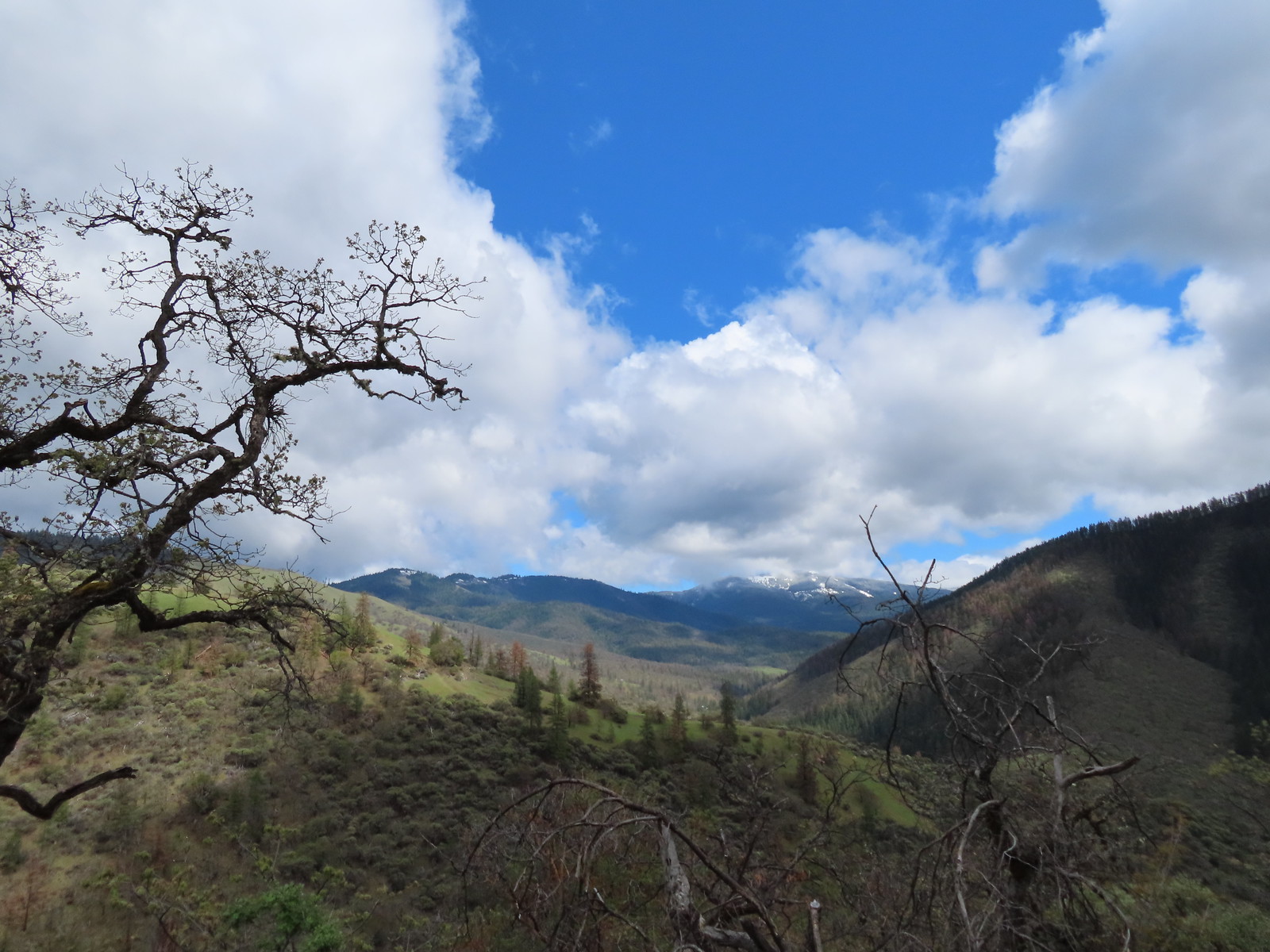 Wagner Butte from the Sterling Mine Ditch Trail – Southern Oregon (May)
 Illinois River from the Kerby Flat Trail – Southern Oregon (May)
 Mt. Hood from the Tualatin River National Wildlife Refuge – Sherwood, OR (May)
 Deschutes River from the Criterion Tract – Central Oregon (May)
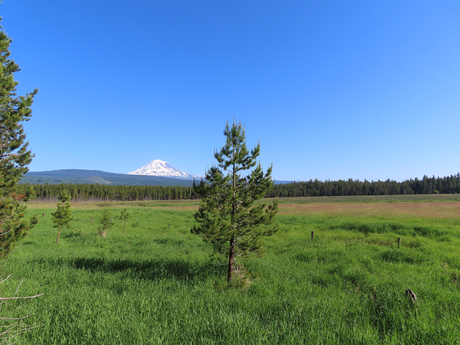 Mt. Adams from Conboy Lake National Wildlife Refuge – Washington (June)
 Hat Rock – Hat Rock State Park, OR (June)
 View from the Imnaha River Trail –
  Pond at Iwetemlaykin State Heritage Site – Joseph, OR (June)
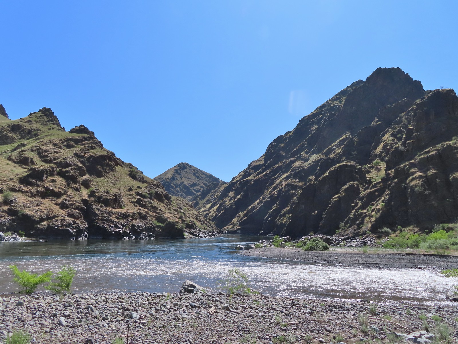 Snake River at Eureka Bar, OR (June)
 Buckhorn Lookout, OR (June)
 Blossom Bar – Rogue River, OR (June)
 North Bank Habitat – Roseburg, OR (June)
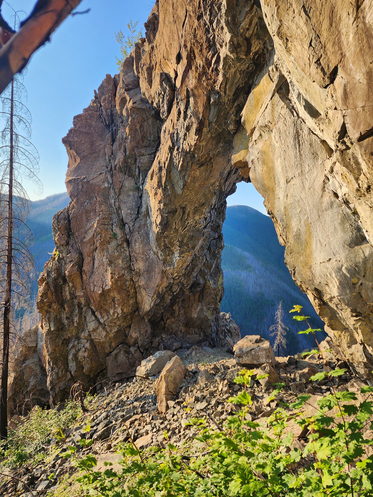 Natural Rock Arch – Niagra, OR (July)
 Mt. Jefferson and Three Fingered Jack from Sand Mountain – Willamette National Forest, OR (July)
 Stuart Falls –
 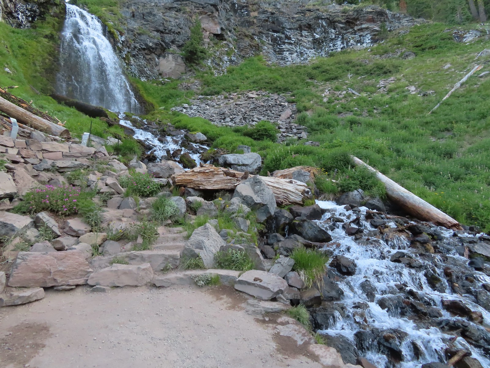 Plaikni Falls –
 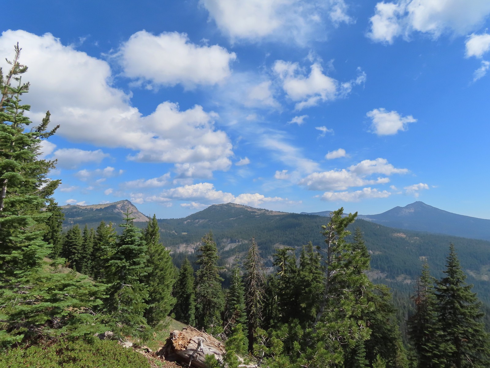 View from Crater Peak – Crater Lake National Park, OR (August)
 Crater Lake from the Cleetwood Cove Trail – Crater Lake National Park, OR (August)
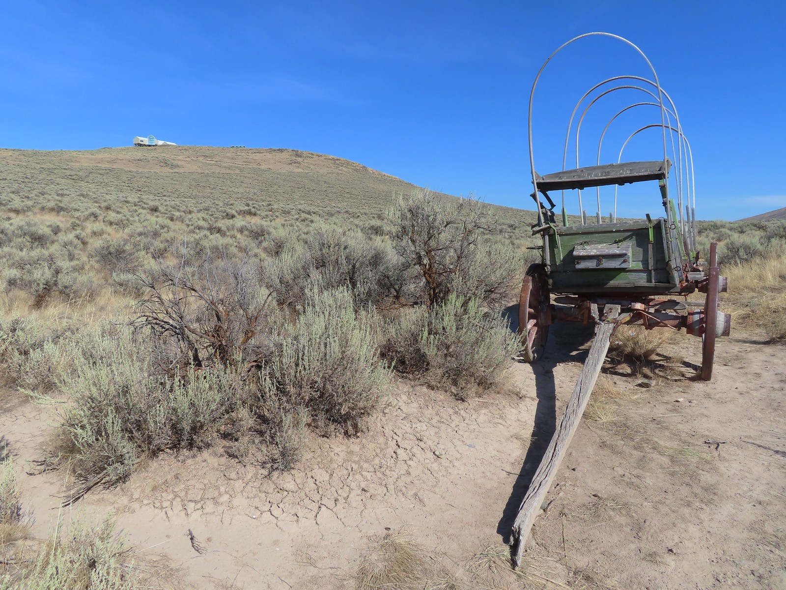 Oregon Trail replica wagon – Baker City, OR (August)
 Eagle Cap Wilderness, OR (August)
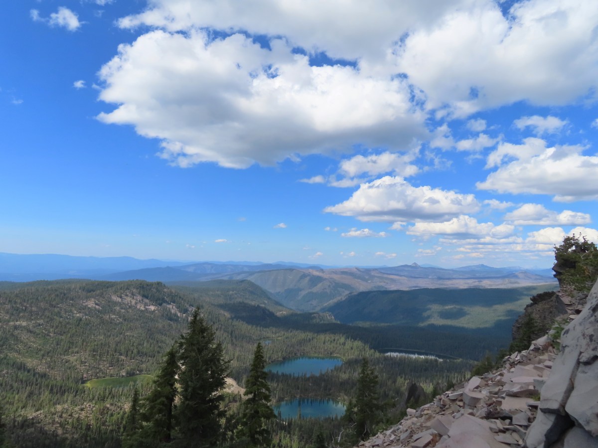
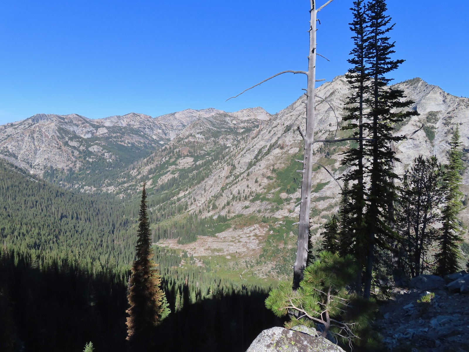 View from the Bear Lake Trail – Eagle Cap Wilderness, OR (August)
 Tombstone Lake – Eagle Cap Wilderness, OR (August)
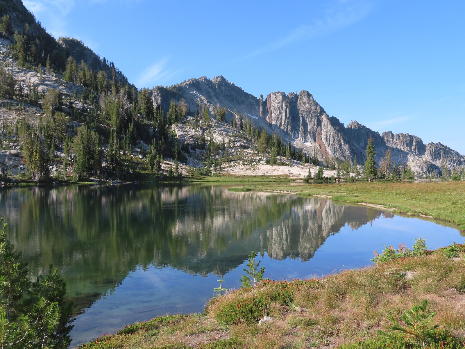 Traverse Lake – Eagle Cap Wilderness, OR (August)
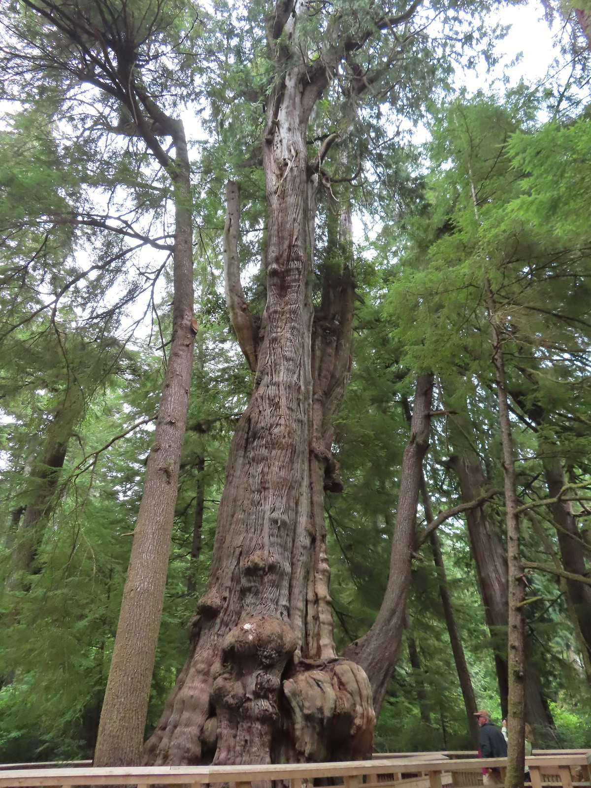 Rockaway Beach Cedar Preserve Boardwalk – Rockaway Beach, OR (August)
 Dry River Canyon – Central Oregon (September)
 Kurmbo Reservoir – Malheur National Wildlife Refuge, OR (September)
 Seven Lakes Basin – Sky Lakes Wilderness, OR (September)
 Sisi Butte Lookout – Mt. Hood National Forest, OR (September)
 Olallie Butte from Lower Lake – Mt. Hood National Forest, OR (September)
 Rock spire along the Castle Canyon Trail – Mt. Hood Wilderness, OR (September)
 Sun rays at Strom Boulder Ridge – Burnt Woods, OR (September)
 Bondary Trail above Sturgis Fork – Rogue River-Siskiyou National Forest (October)
 Lake Mountain Trail heading toward the taller Mount Elijah – Oregon Caves National Monument & Preserve (October)
 Tanner Lake –
  Grayback Mountain snow shelter – Rogue River-Siskiyou National Forest (October)
 Babyfoot Lake – Kalmiopsis Wilderness, OR (October)
 Vivian Lake –
 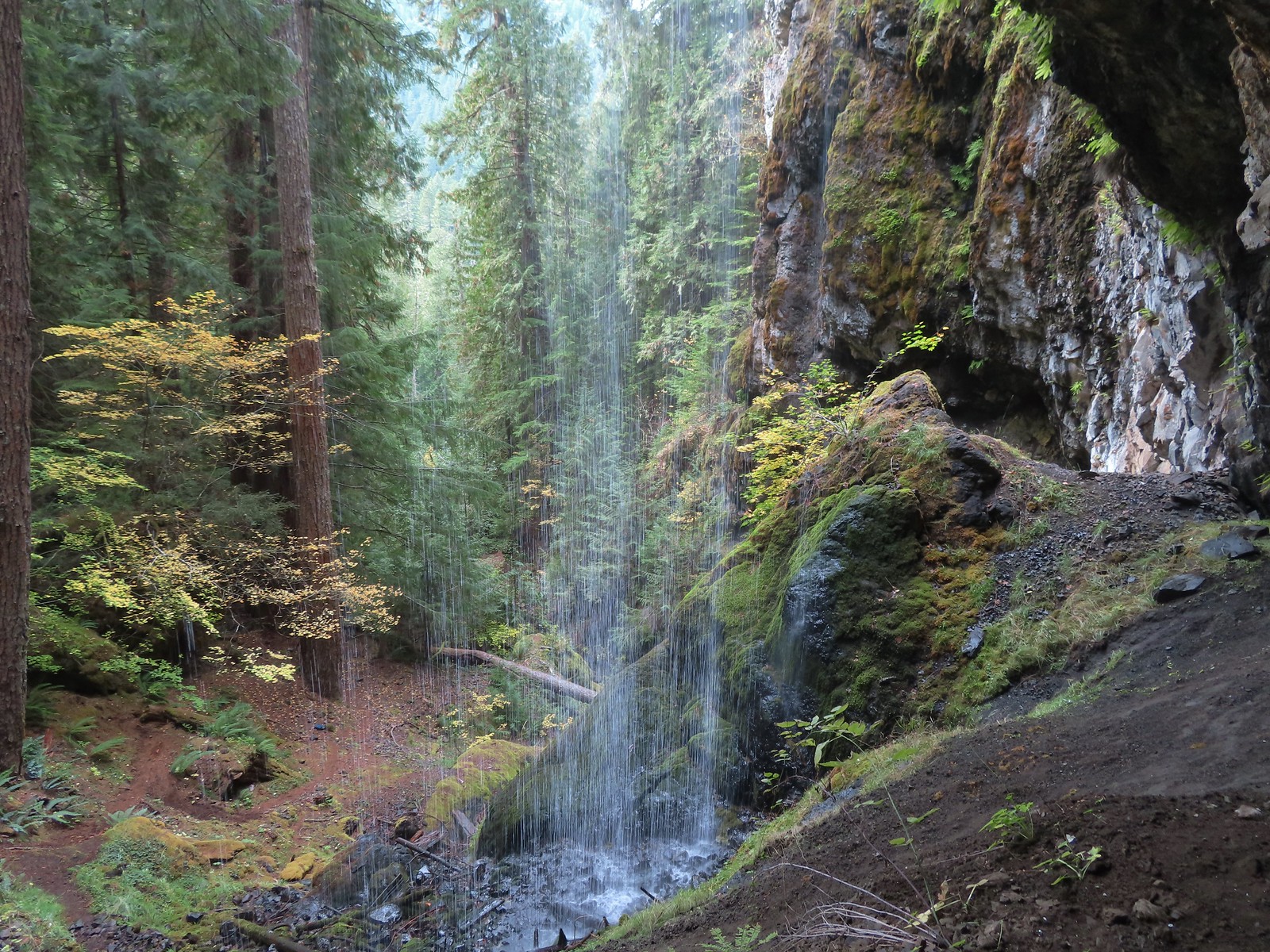 Pool Creek Falls – Willamette National Forest, OR (October)
 Tunnel Beach – Oceanside, OR (October)
 D River – Lincoln City, OR (November)
 Mt. Hood through the shelter on Scouters Mountain – Portland, OR (December)
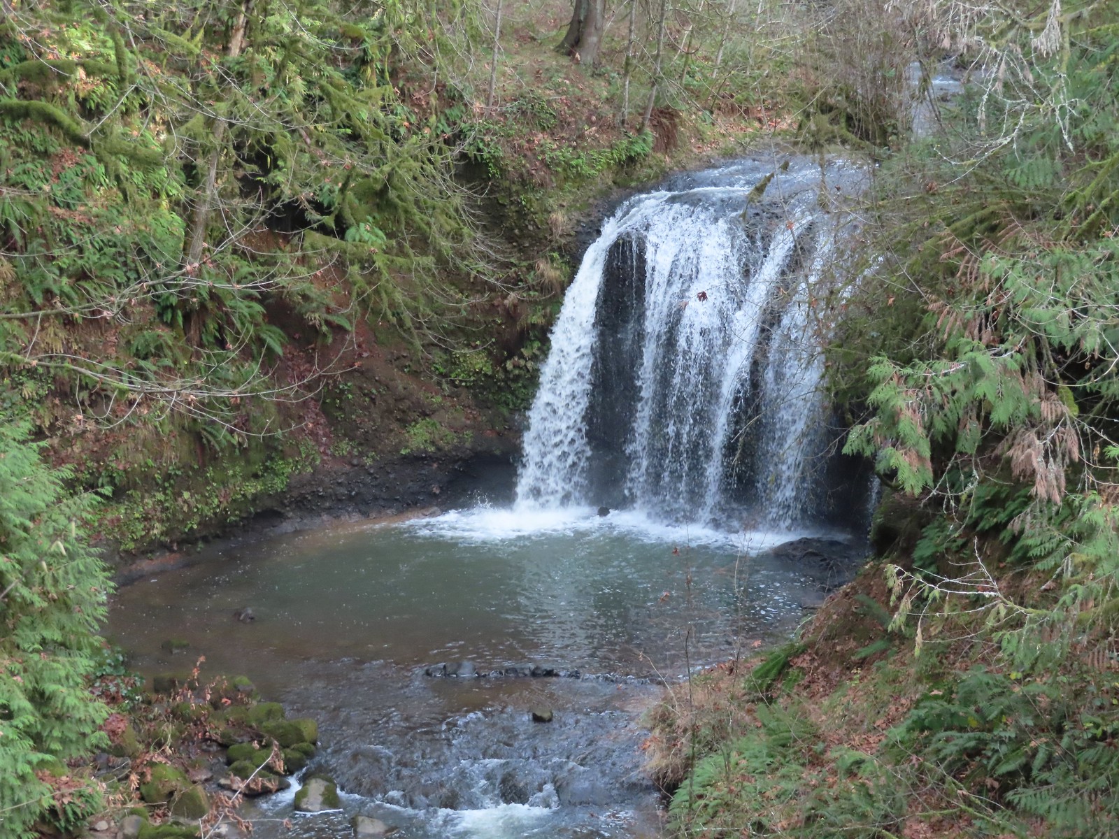 Hidden Falls – Hidden Valley, OR (December)


 While the loop did come in at 2.5-miles it was a little over 3/4 of a mile to the Boundary Trail.
 Lupine
 One of several ponds along the trail.
 A “Student Stop” marker surrounded by dwarf lupine. We aren’t sure what the these meant or what program they are related to.
 An interpretive sign along the trail facing some of the hummocks.
 Penstemon
 Mt. St. Helens as we neared the Boundary Trail junction.
 Trail guide marker #3 and an interpretive sign at the junction.
 The lower left map shows the current closure area and open trails. In a nutshell, all the trails are open but everything off-trail to the side facing SR504 is currently closed.
 The views of Mt. St. Helens were great.
 The trail began to climb as it squeezed between a gap in the hillsides ahead.
 View back to the hummocks from the gap.
 Trees in the gap.
 After exiting the gap we got another good view of the mountain before the trail veered left turning away from the mountain.
 Heading away from Mt. St. Helens to start the climb.
 Dwarf lupine was profuse below the ridge.
 Scouler’s bluebell
 Thimbleberry blossoms
 Castle Peak above Castle Lake with Spud Mountain to the right and the North Fork Toutle River below.
 Horned lark
 Tiger lily
 Savannah sparrow
 Heading back toward Mt. St. Helens.
 The North Fork Toutle River flowing between Spud Mountain (left) and Elk Rock (right).
 Castle Peak and Castle Lake
 Elk Rock on the left and Coldwater Lake on the right.
 Coldwater Lake
 Mountain bluebird.
 At one point quite a bit of dust? kicked up from the South Fork Toutle River canyon.
 Cardwell’s penstemon

 Coldwater Peak with Mt. Adams to the far right of the photo. The hiker ahead to the left of Coldwater Peak was from Belgium. He was here on work but using the weekends to explore the area. We would see him two more times, once from the observatory as he continued on the Boundary Trail and then as we were exiting the trailhead. He had done a loop using the Coldwater Trail (
 Mt. Adams from the viewpoint on our way back. The angle of the Sun earlier caused the mountain to look pretty washed out.
 Mt. St. Helens from the viewpoint.
 Variable-leaf collomia
 The Loowit Viewpoint on the ridge ahead.
 Paintbrush covered hillside.
 Mt. St. Helens from the Loowit Viewpoint.
 Mt. St. Helens crater.
 Golden mantled-ground squirrel. These brazen con-artists often convince visitors they would starve without humans help. While this is definitely not the case and
  A single plant.
 A lot of paintbrush.

 Daisies and paintbrush
 Penstemon, yarrow, and Scouler’s woolyweed along with the paintbrush.
 Paintbrush and penstemon along the trail.

 Passing by the Johnston Ridge Observatory.
 Before and after photos of the 1980 eruption.
 Mt. Adams peaking over the ridges with Spirit Lake also visible (center).
 Spirit Lake
 The mountain identifier ahead on the left.
 We could see where the repair work was happening on SR504 from this trail.
 The rounded peak to the right is Goat Mountain (
 Goat Mountain with a few patches of snow still showing up.
 Rock Arch near Coldwater Peak.
 Memorial for the lives lost in the 1980 eruption.
 Junction with the Boundary Trail.
 Pussypaws


 Another view of the washout.

 Our turn around spot. You can see the trail on far side of the saddle veering left behind the ridge.
 Coldwater Peak from our turnaround spot.
 The Johnston Ridge Observatory from the trail. We hadn’t realized how much elevation we’d lost until we turned around.
 Castle Peak and Spud Mountain on the left and the observatory above some colorful cliffs.
 Penstemon
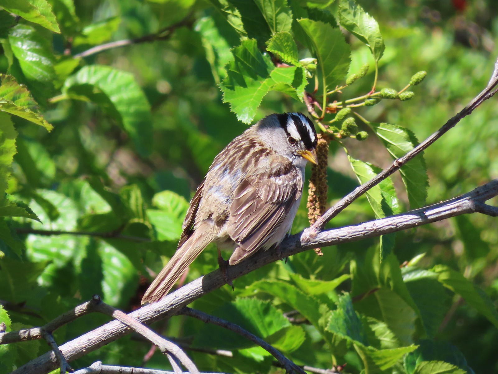 White crowned sparrow
 Boundary Trail leaving the Loowit Viewpoint.
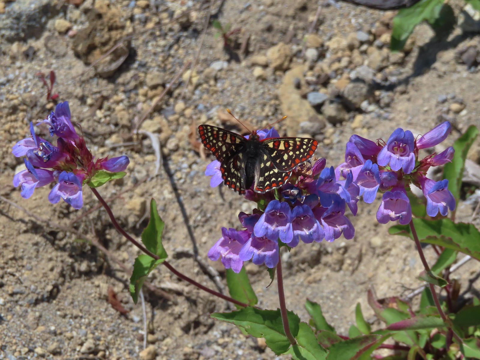 Snowberry checkerspot on penstemon.
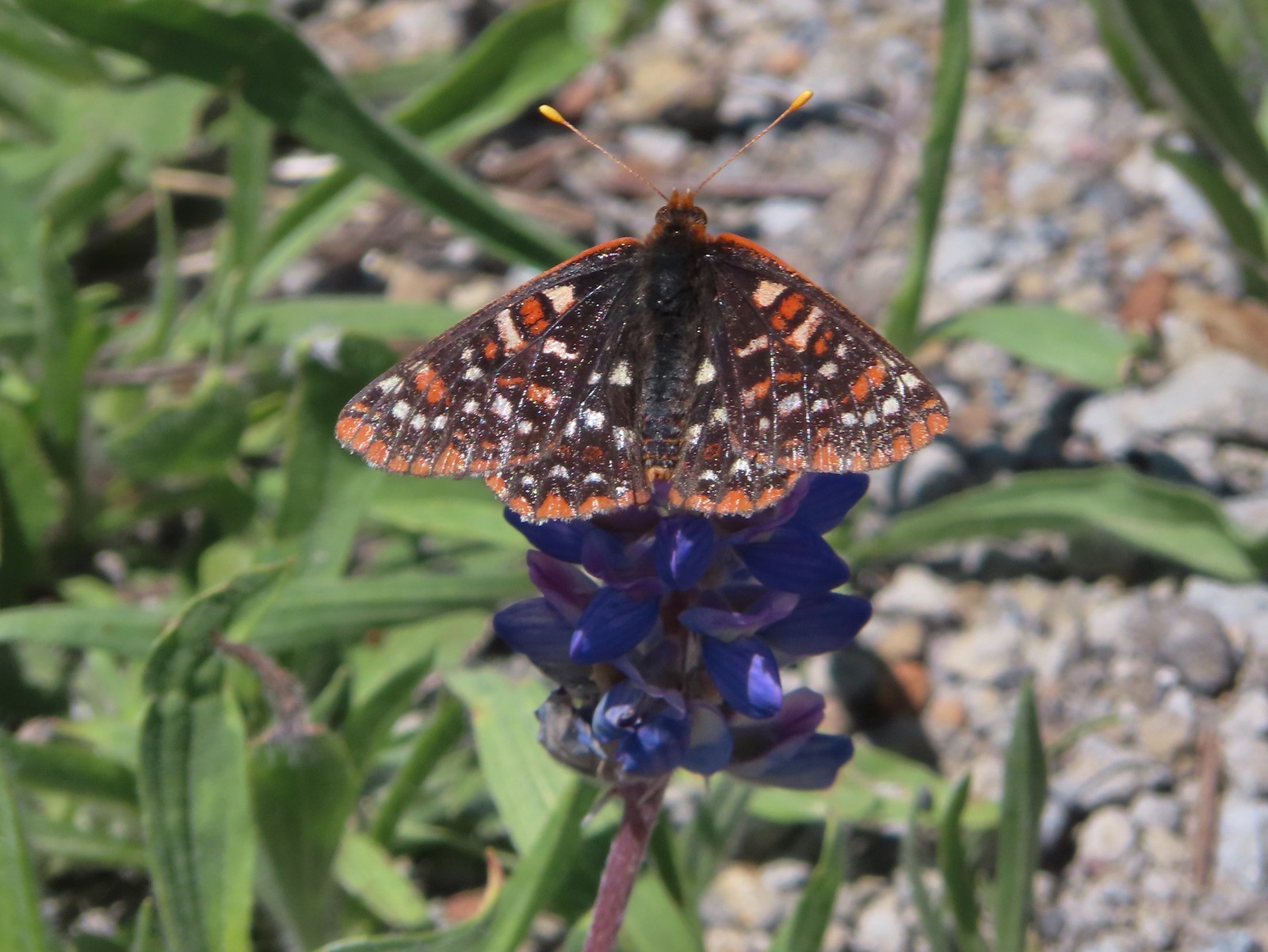 Another checkerspot, this time on lupine.
 Cedar waxwings


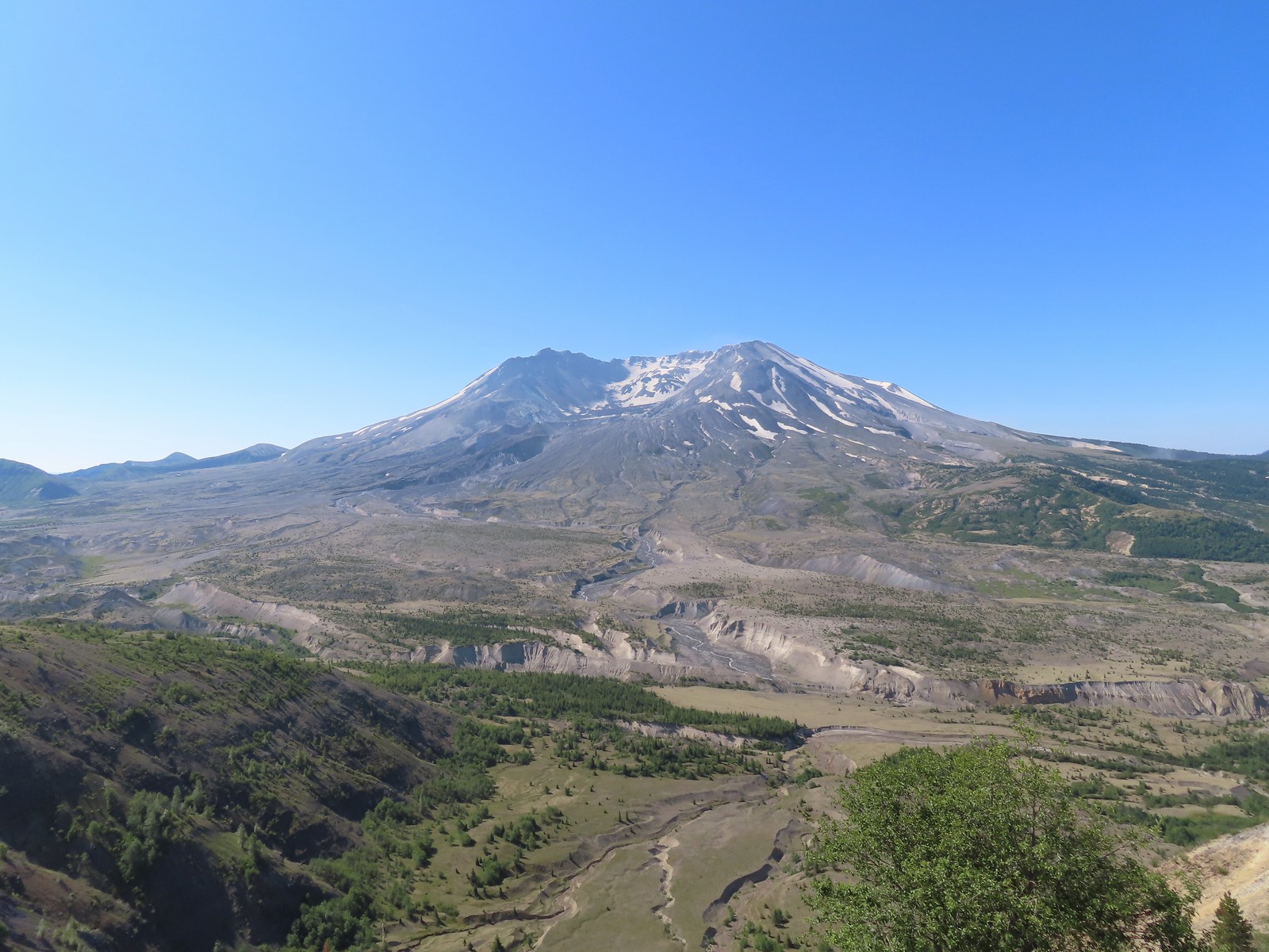
 Mt. St. Helens and the North Fork Toutle River.
 The same view in May 2014.
 Same spot, different angle 2014.
 Monkeyflower
 Maybe a yellow-rumped warbler.
 Caterpillar
 Dragonfly
 Pearly everlasting
 Arriving back at the Hummocks Trailhead.
